

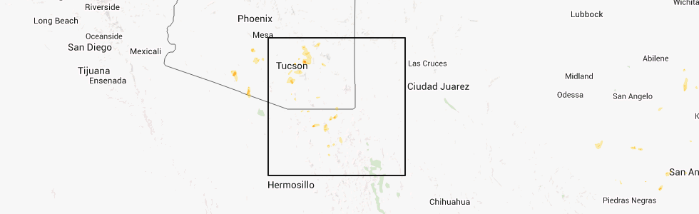
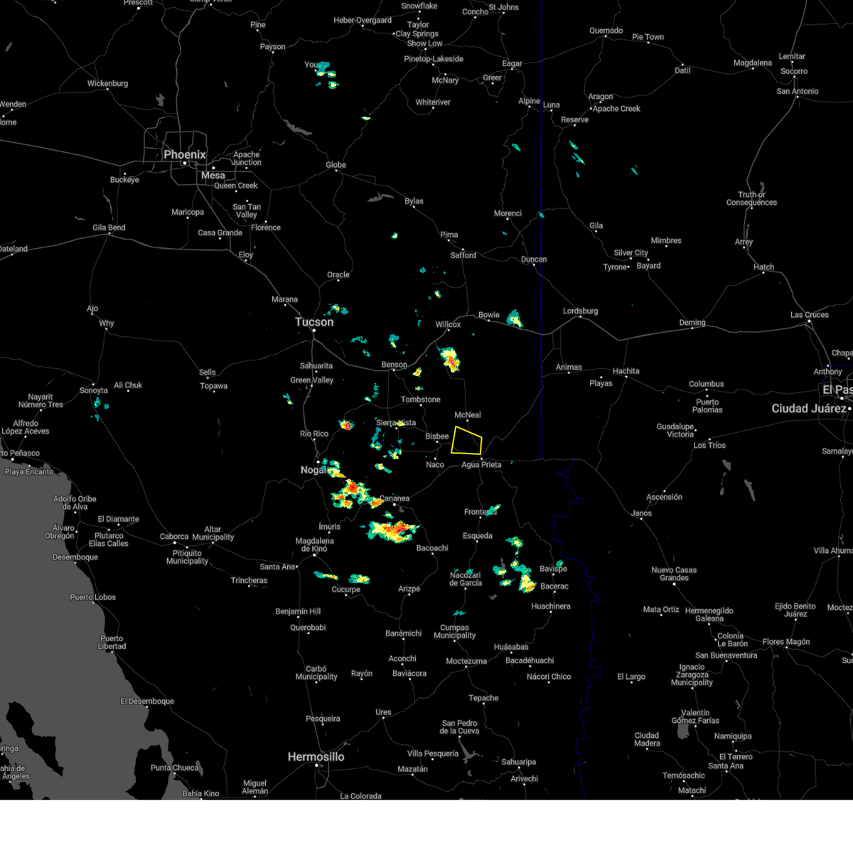
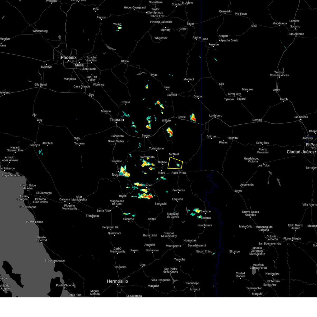
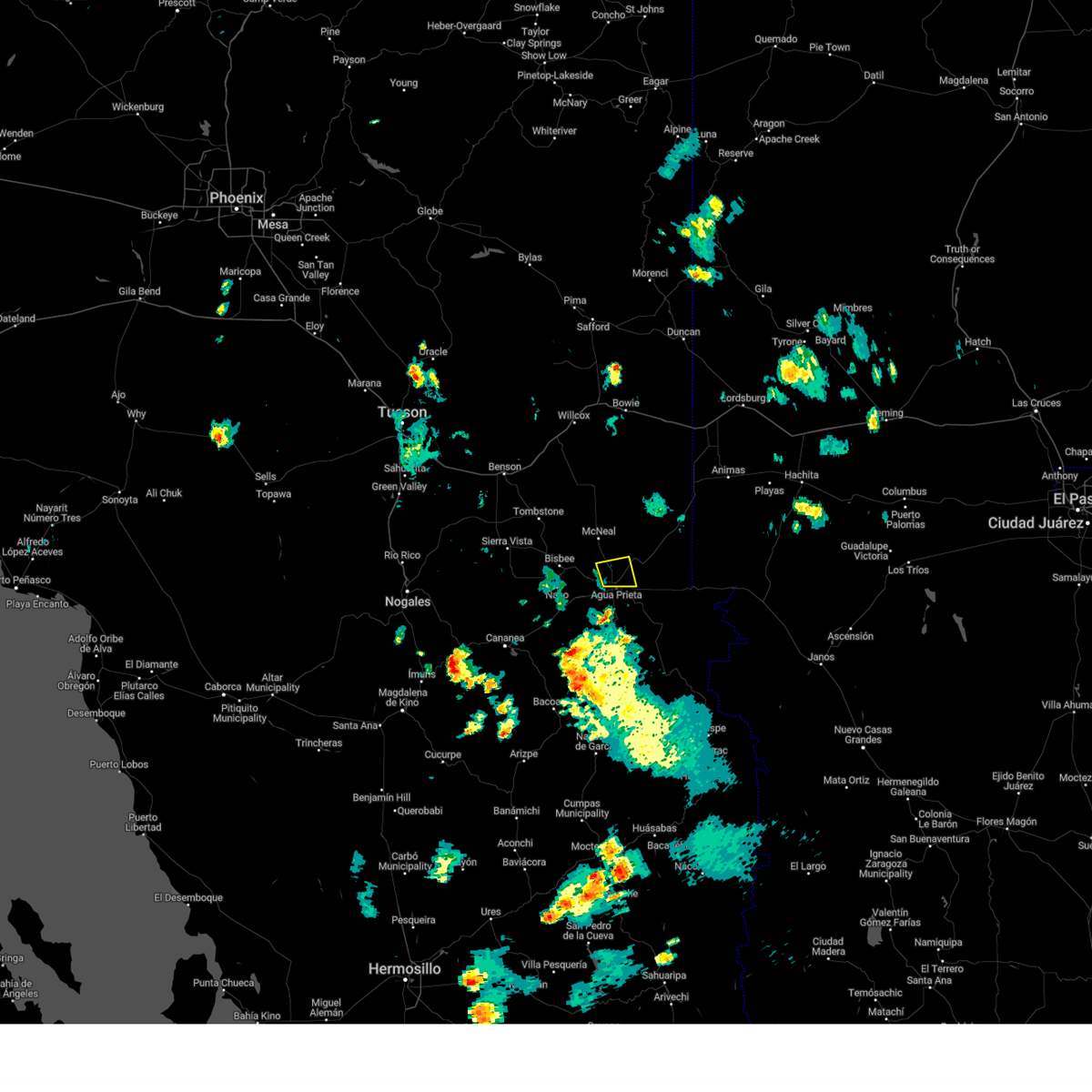
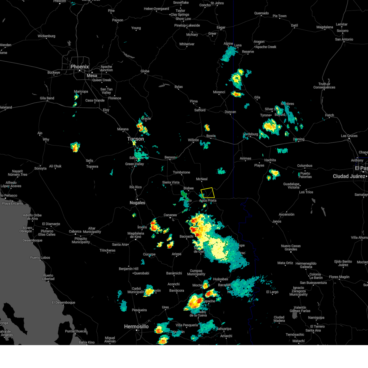
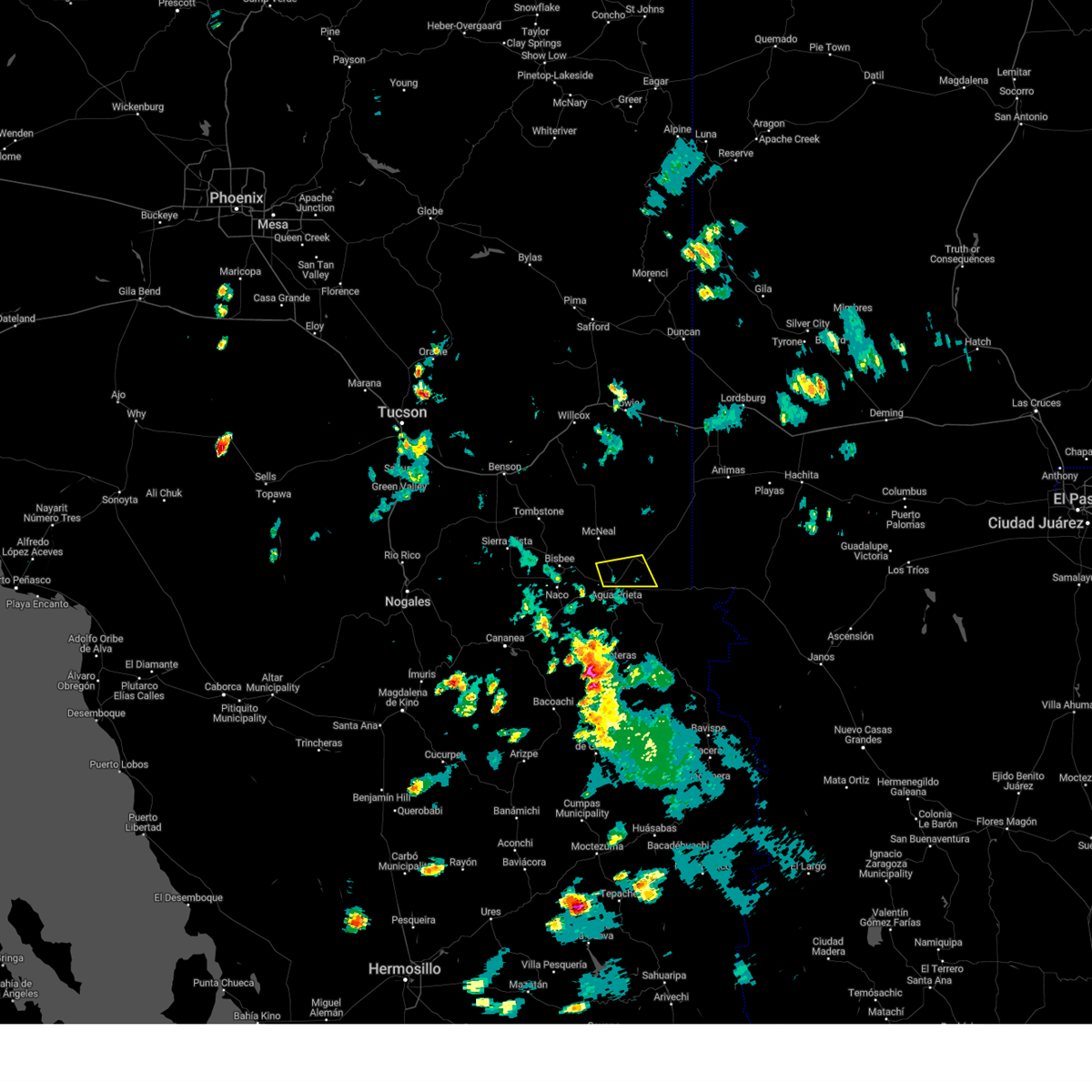
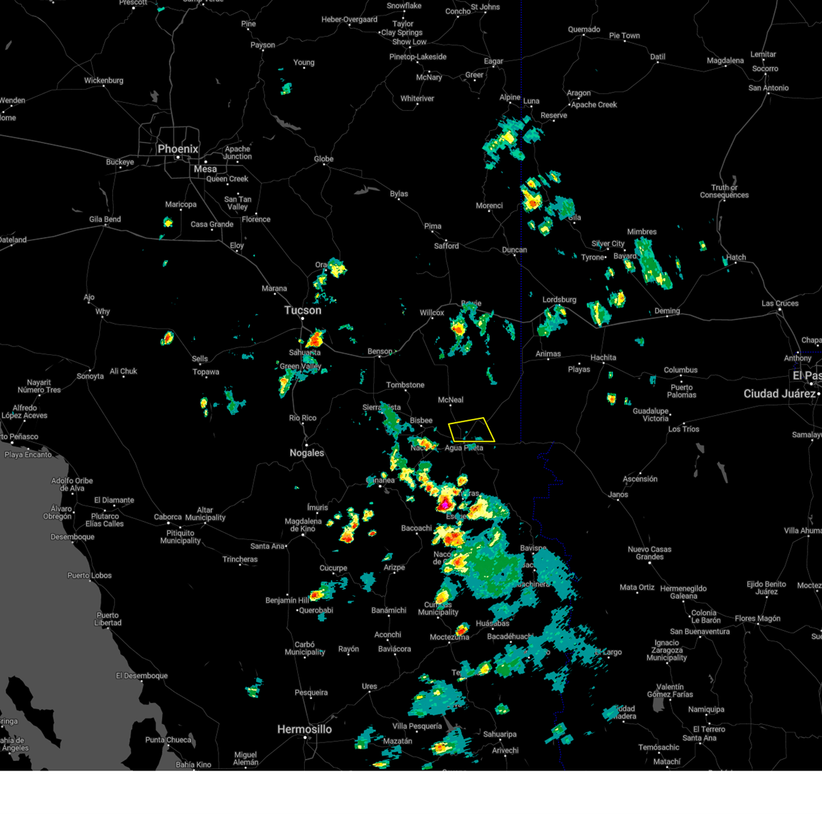
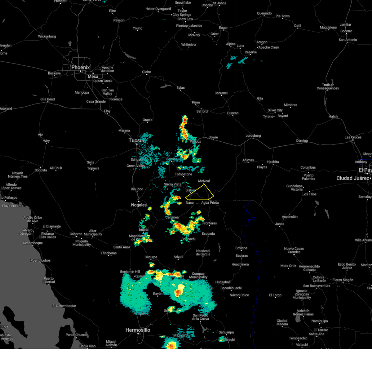
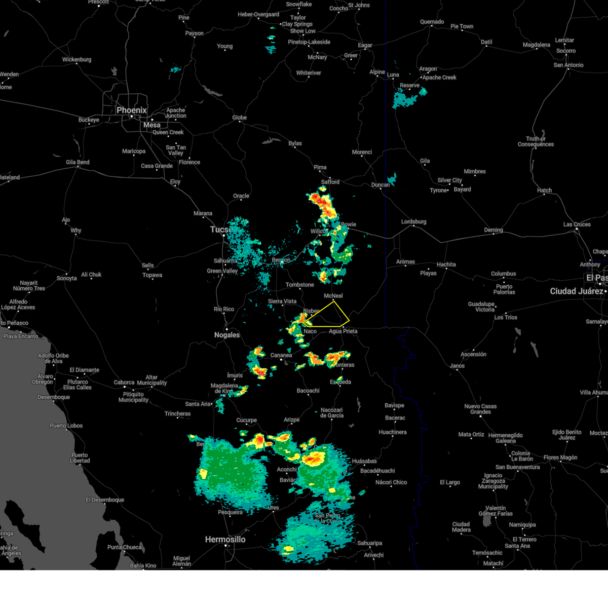
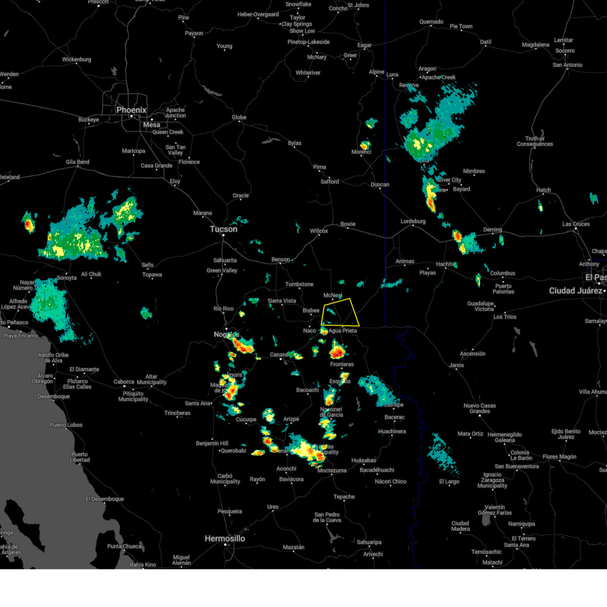
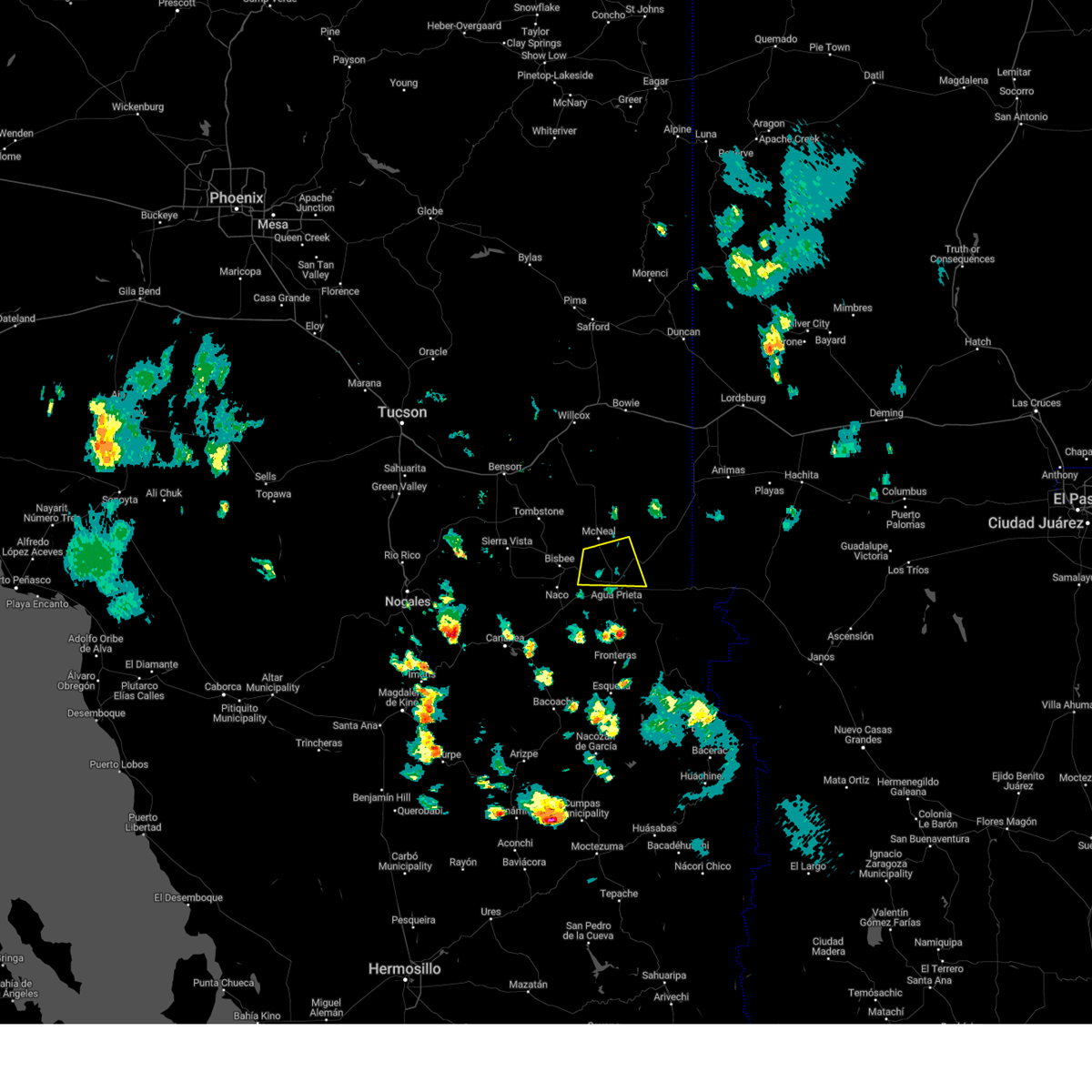
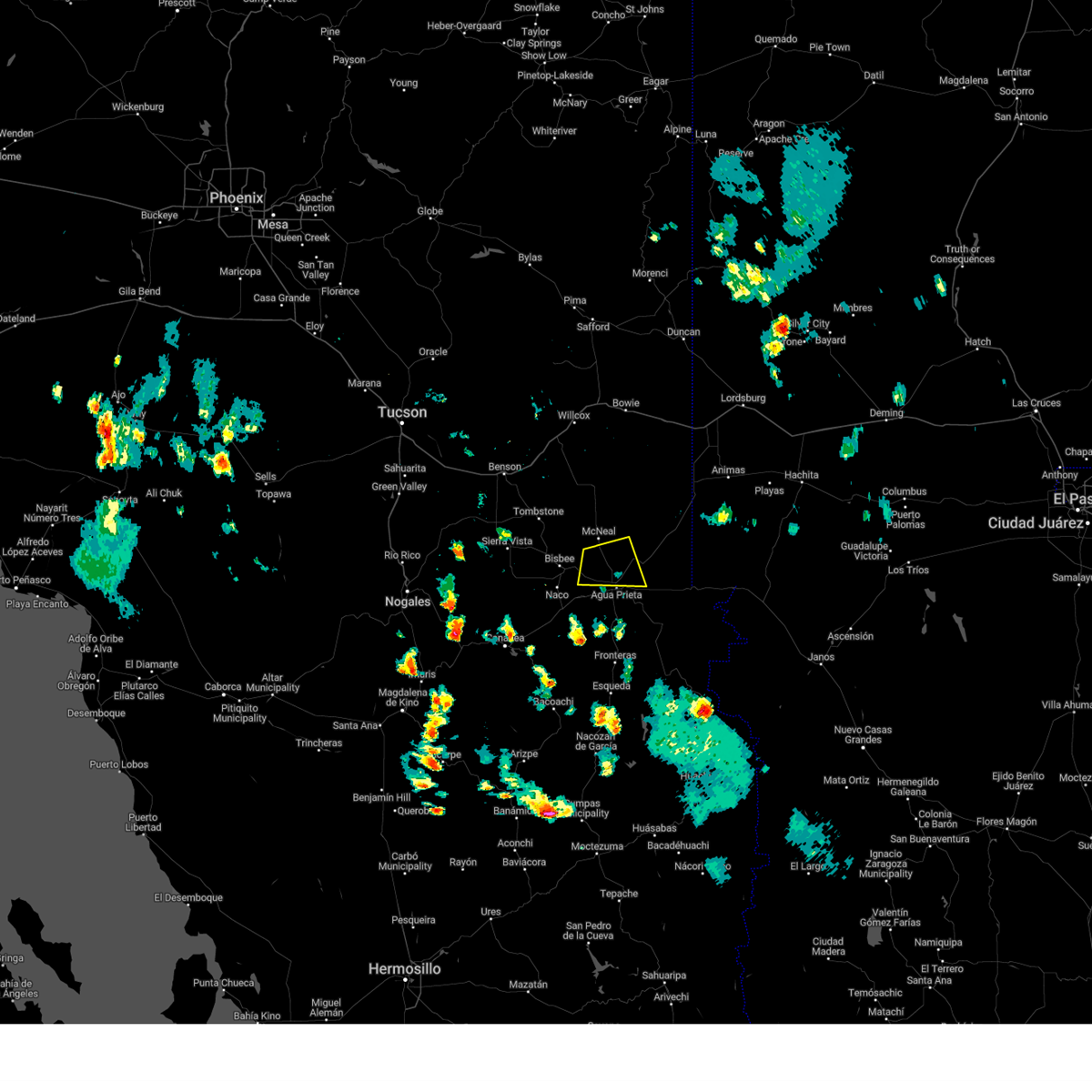
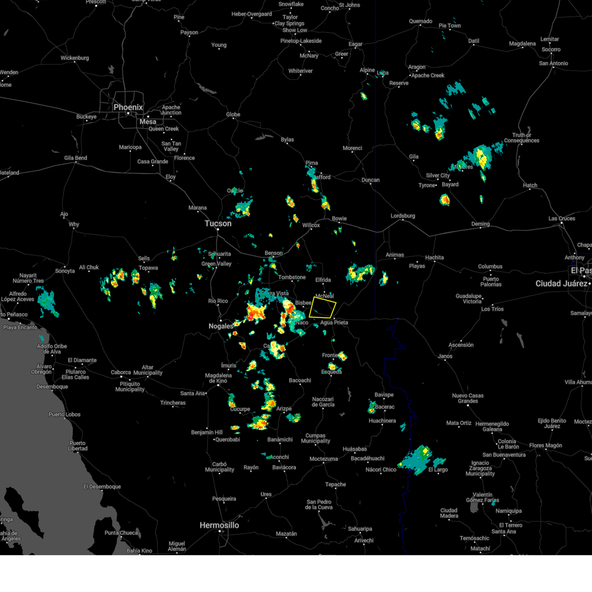
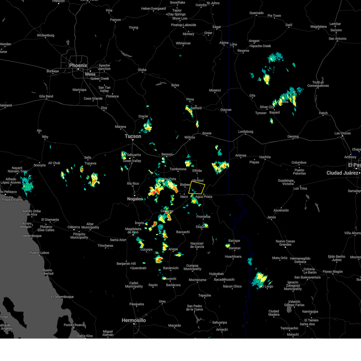
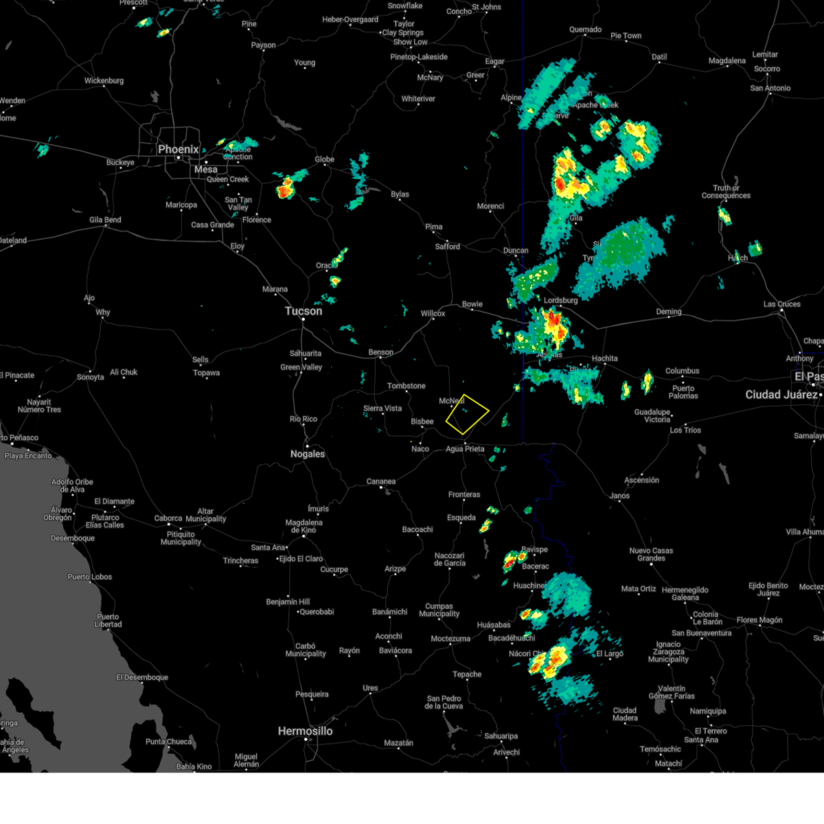
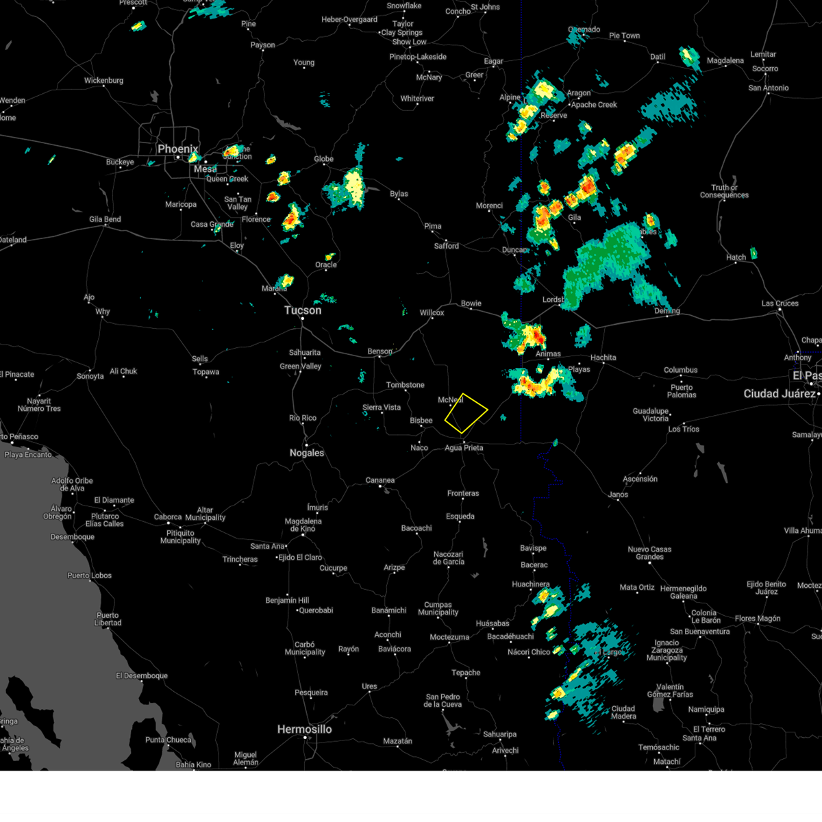
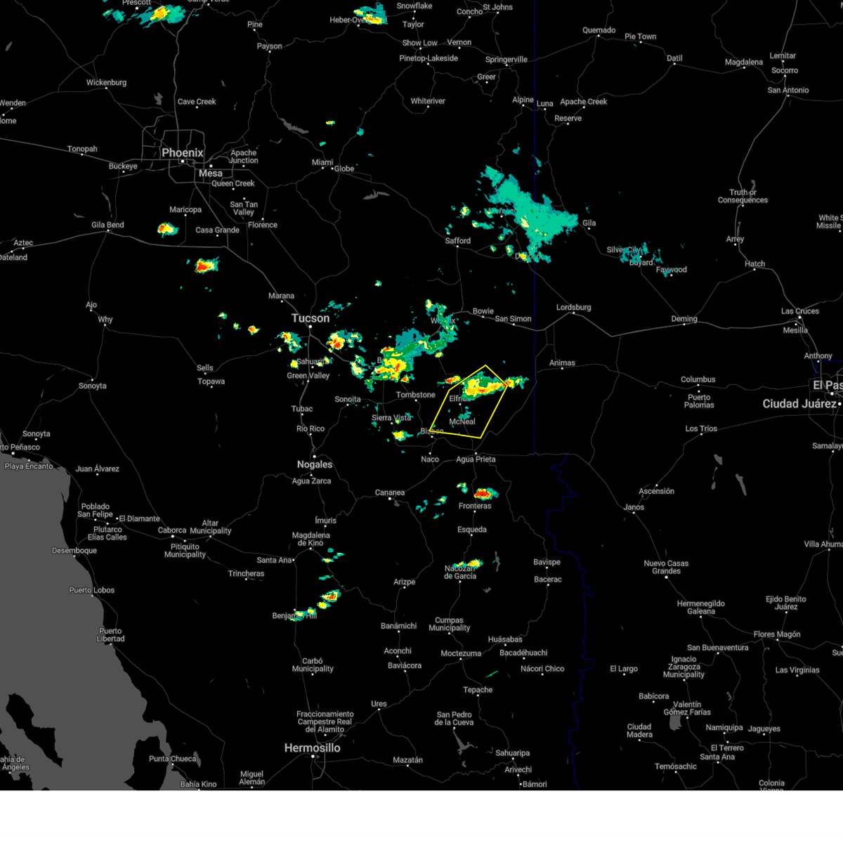
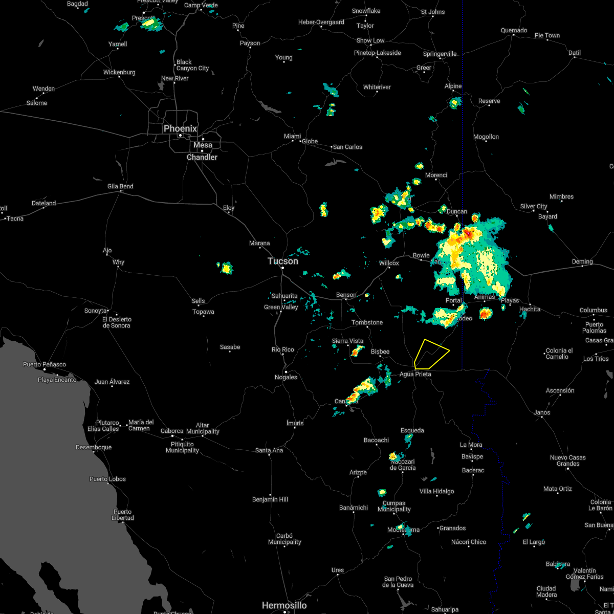
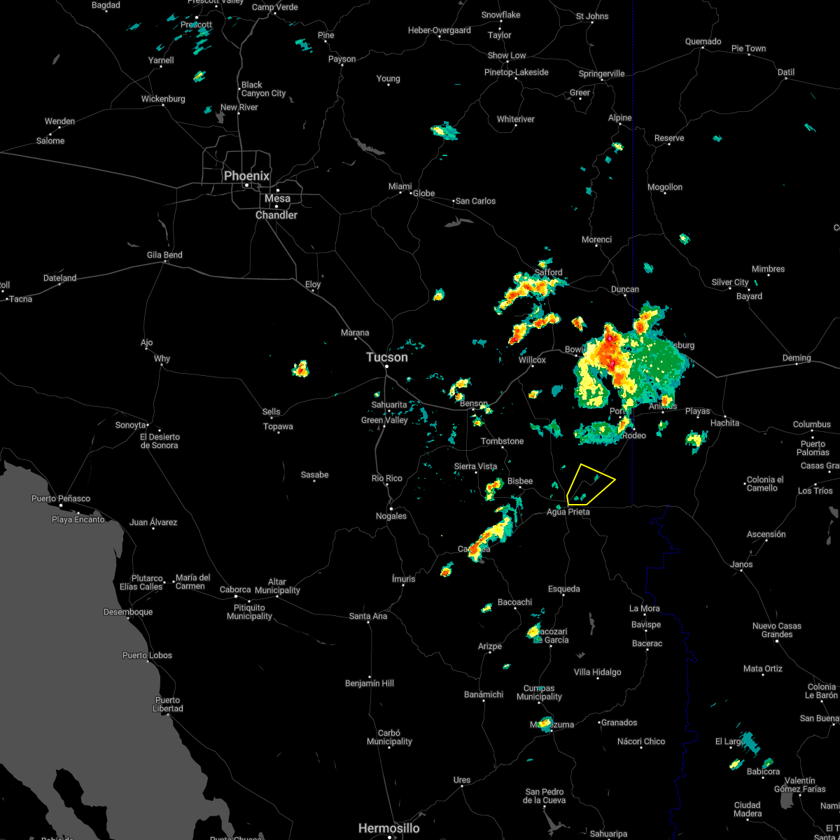
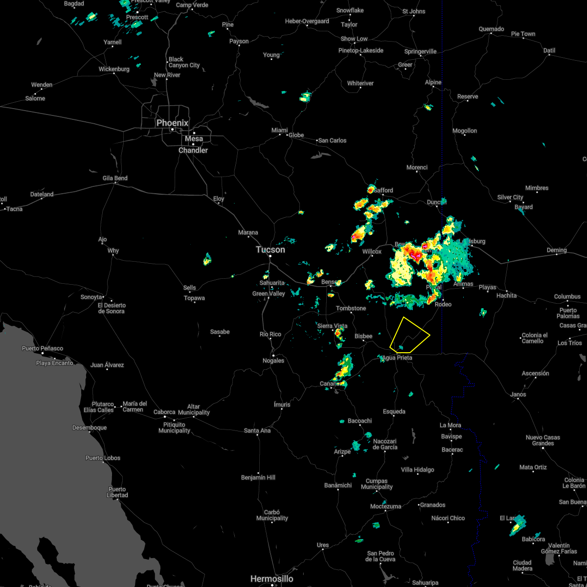
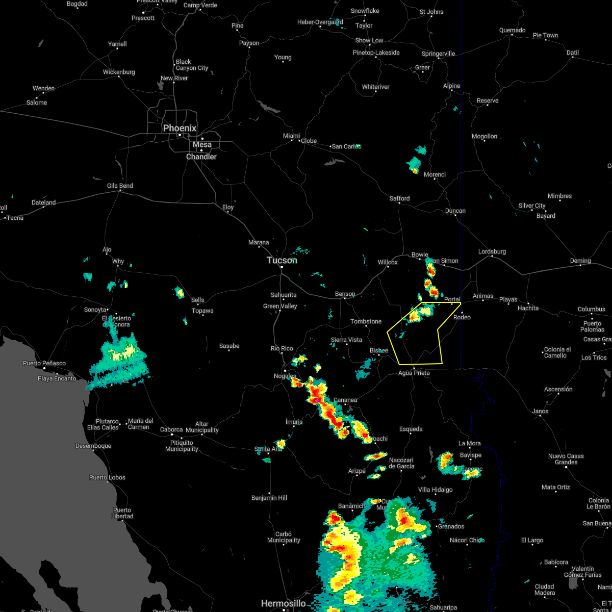
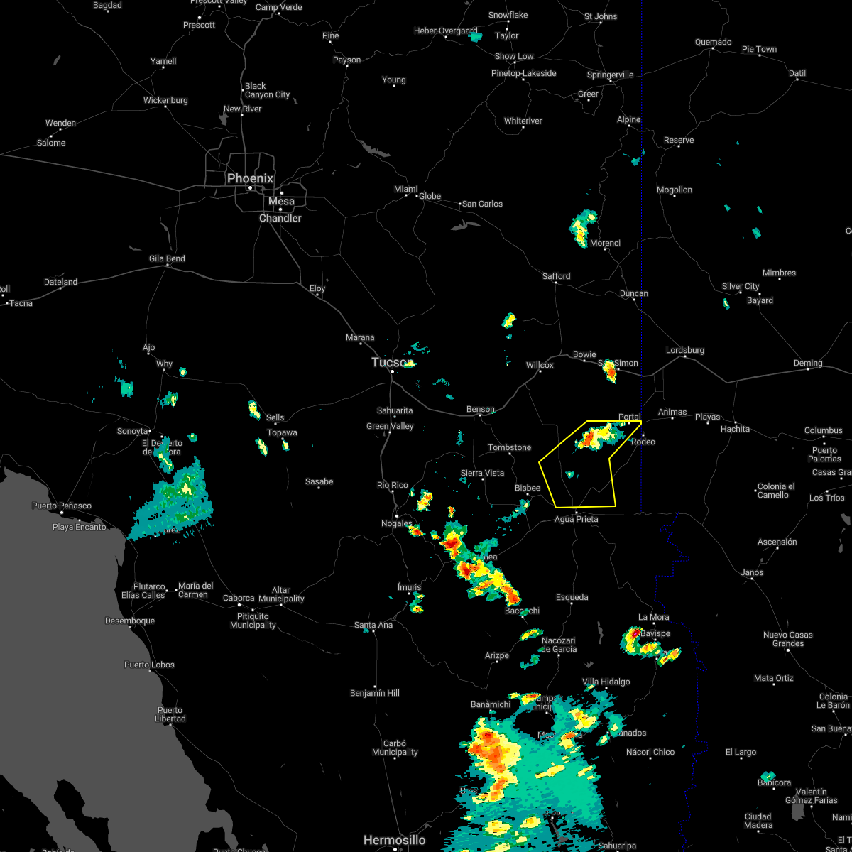
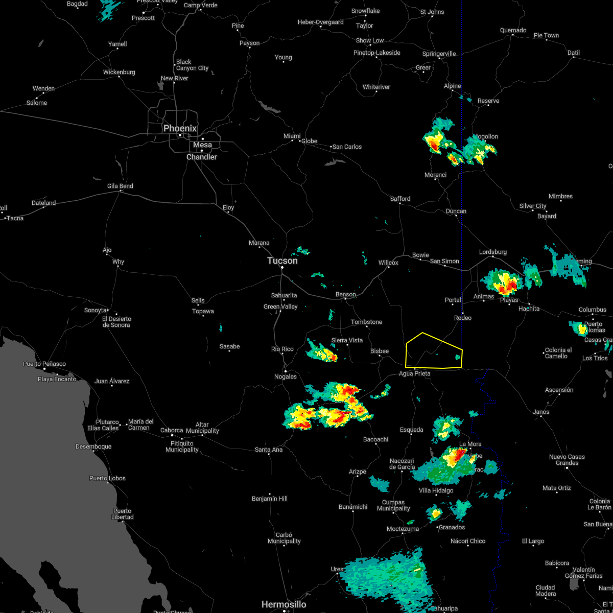
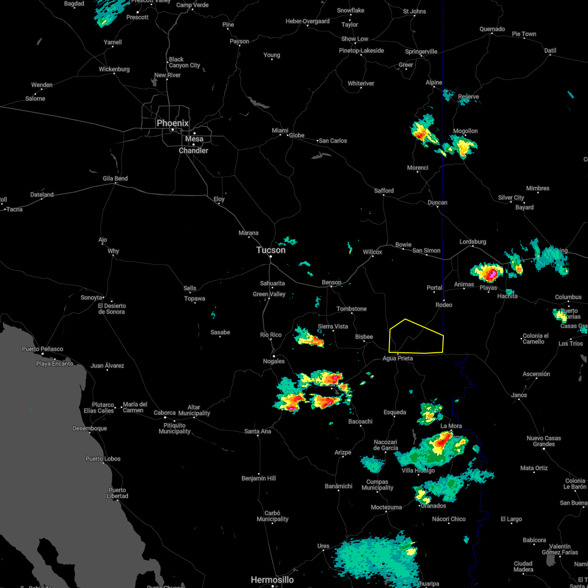
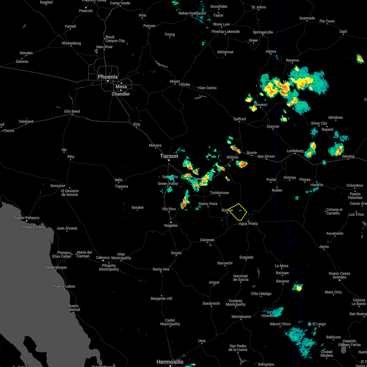
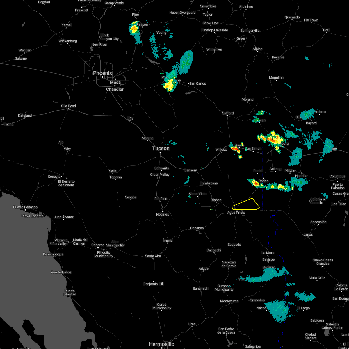
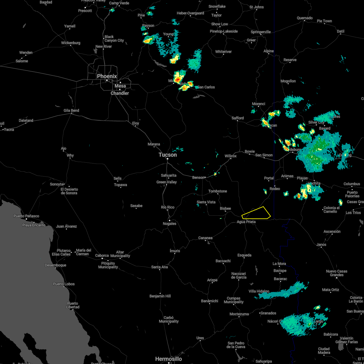
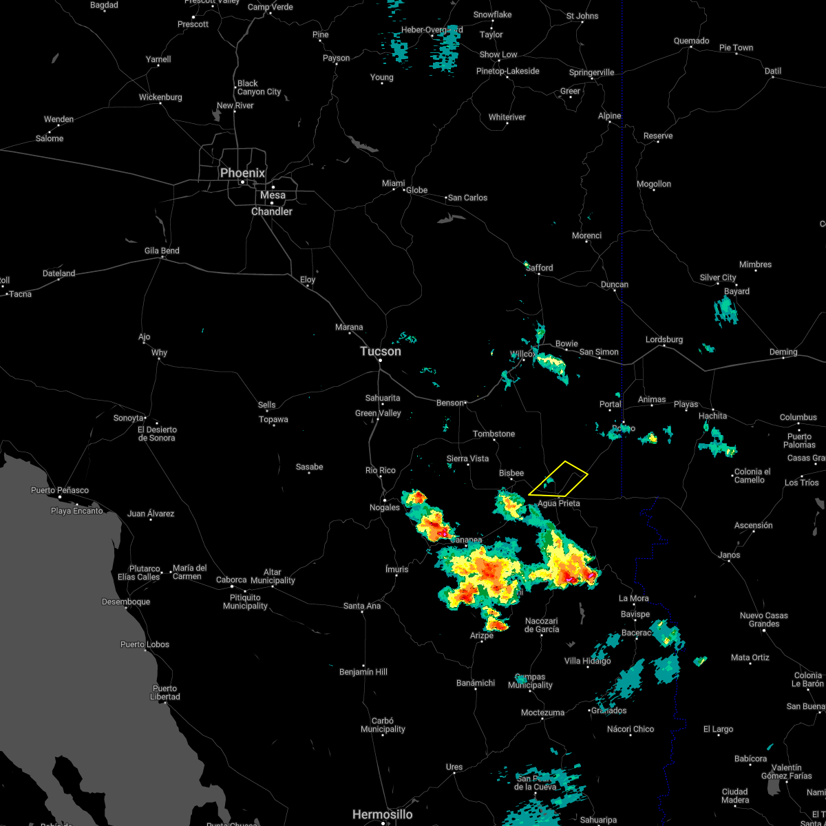
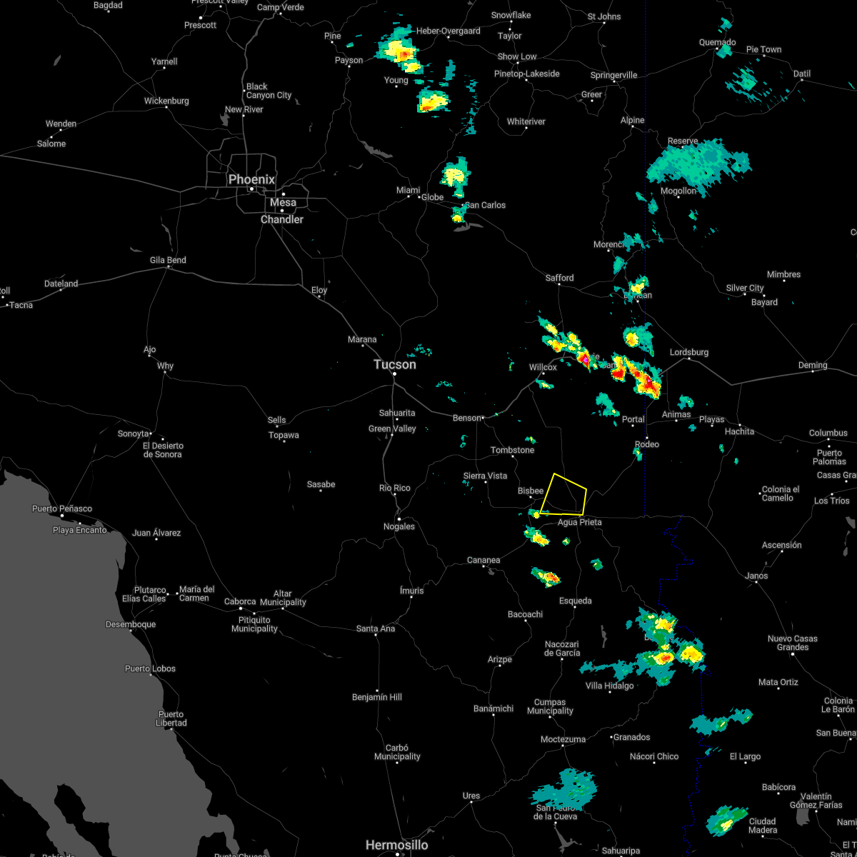
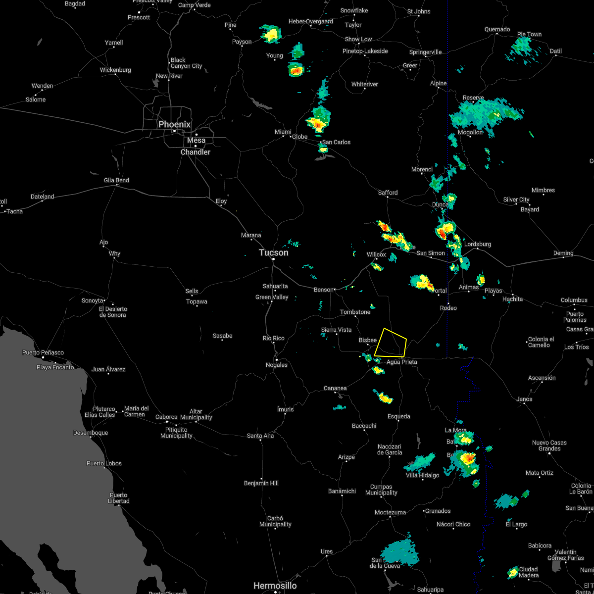
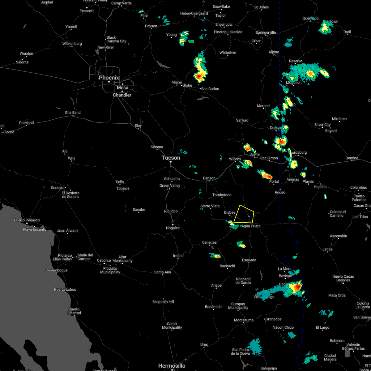
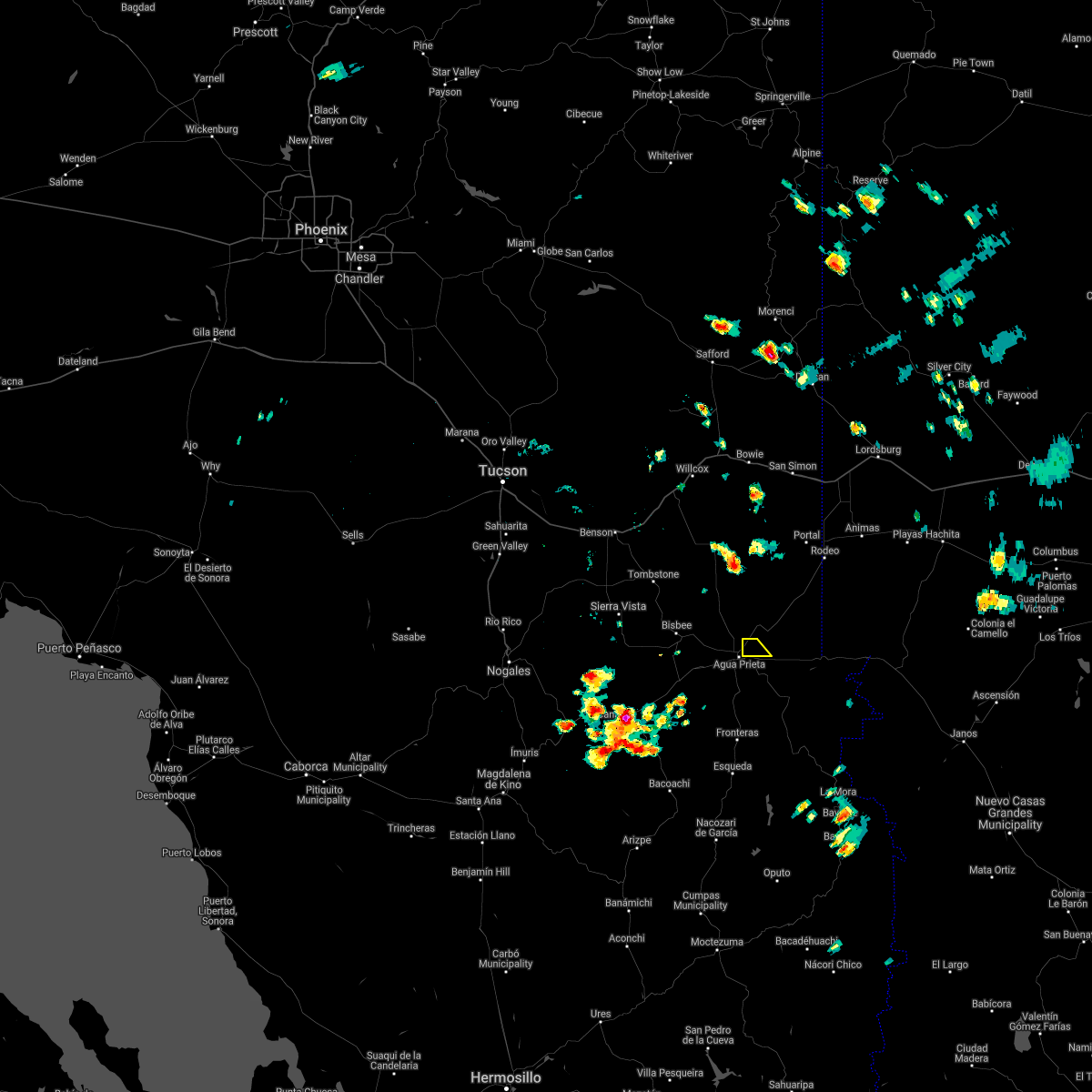
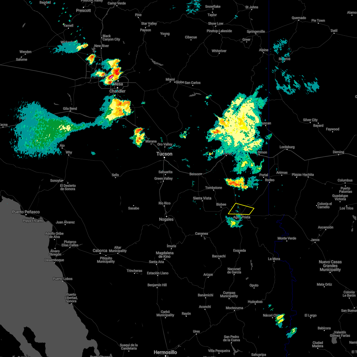
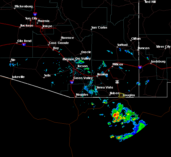
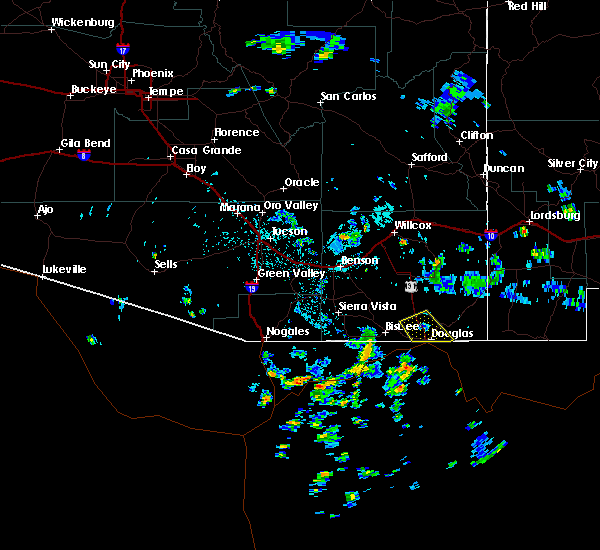
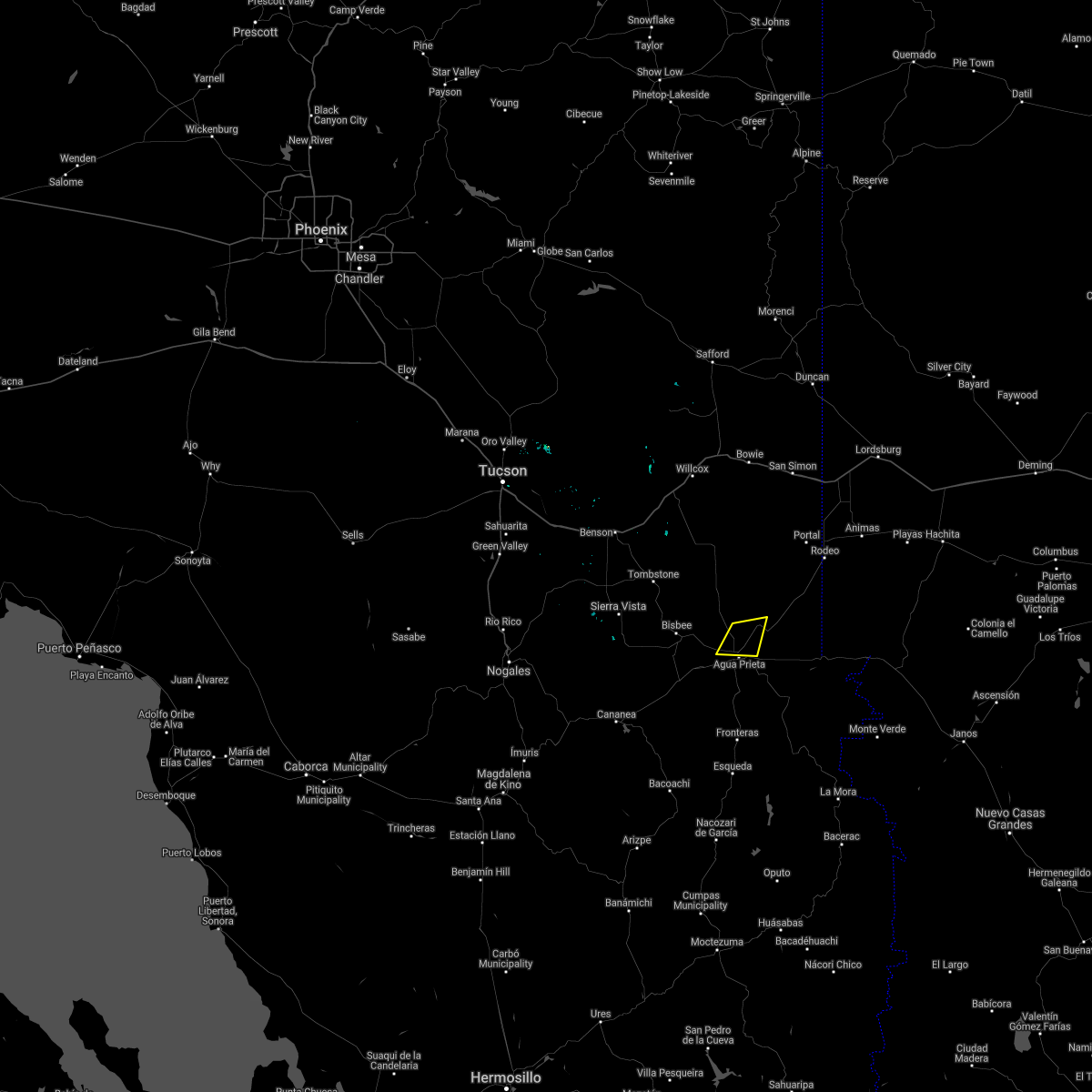
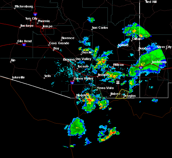
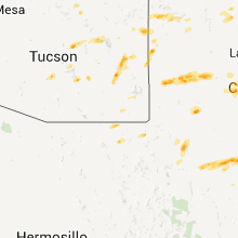
Hail Map for Douglas, AZ
The Douglas, AZ area has had 6 reports of on-the-ground hail by trained spotters, and has been under severe weather warnings 6 times during the past 12 months. Doppler radar has detected hail at or near Douglas, AZ on 12 occasions.
| Name: | Douglas, AZ |
| Where Located: | 1.6 miles N of Douglas, AZ |
| Map: | Google Map for Douglas, AZ |
| Population: | 17378 |
| Housing Units: | 5652 |
| More Info: | Search Google for Douglas, AZ |
5
The Top Recent Hail Date for Douglas, AZ is Sunday, July 15, 2012 (1st out of 12)
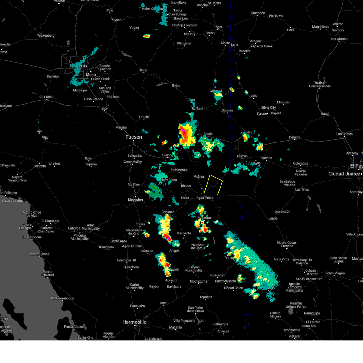
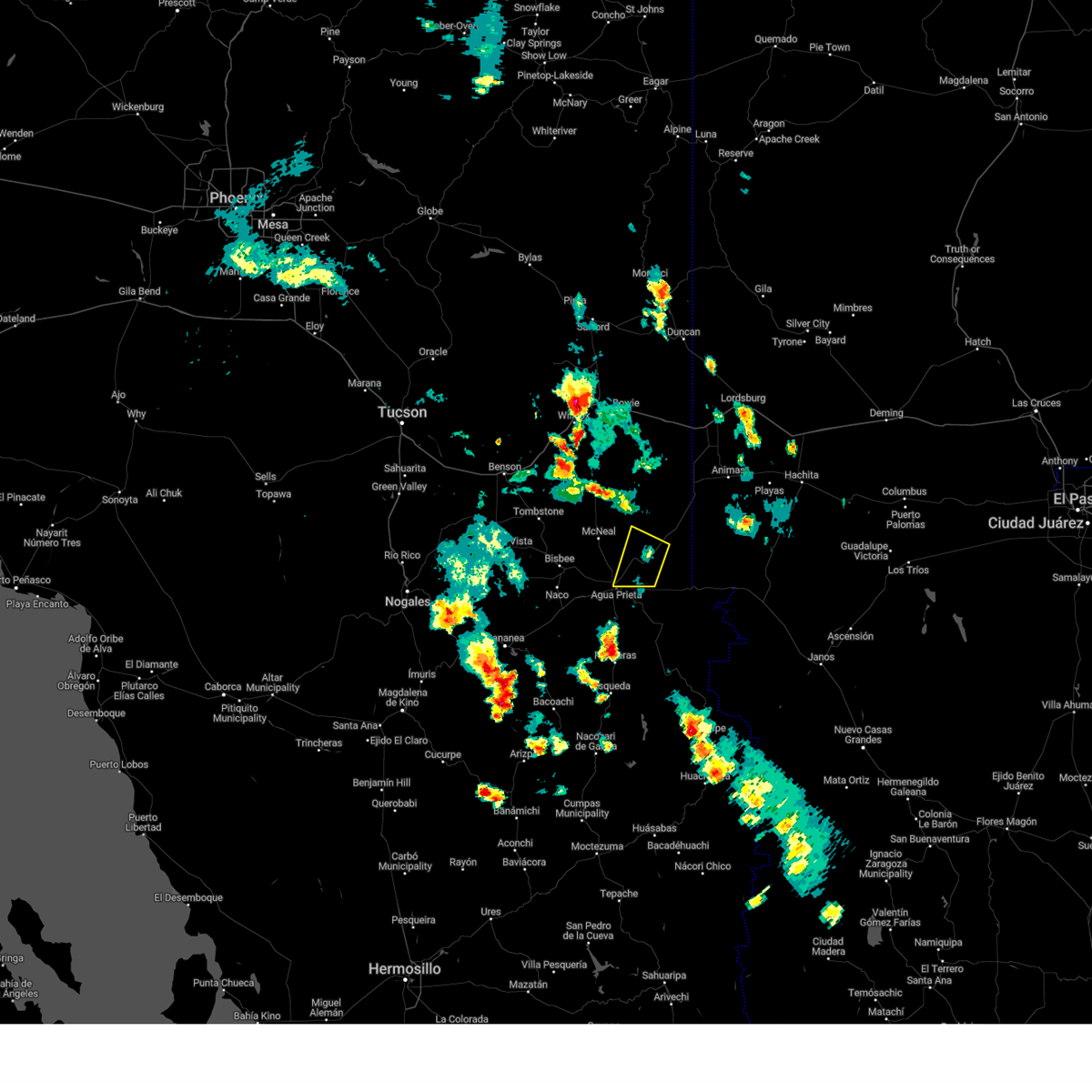
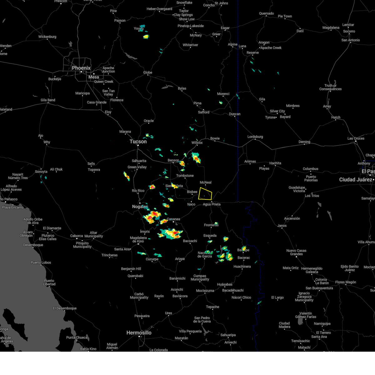
Hail and Wind Damage Spotted near Douglas, AZ
| Date / Time | Report Details |
|---|---|
| 9/25/2025 3:06 PM MST | The storm which prompted the warning has weakened below severe limits, and no longer poses an immediate threat to life or property. therefore, the warning will be allowed to expire. |
| 9/25/2025 2:54 PM MST | At 254 pm mst, a severe thunderstorm was located near bisbee-douglas airport, moving southeast at 10 mph (radar indicated). Hazards include 60 mph wind gusts and quarter size hail. Hail damage to vehicles is expected. expect wind damage to roofs, siding, and trees. locations impacted include, douglas, bisbee-douglas airport and pirtleville. this includes the following highways, route 80 between mile markers 349 and 375. Route 191 between mile markers 1 and 15. |
| 9/25/2025 2:28 PM MST | Svrtwc the national weather service in tucson has issued a * severe thunderstorm warning for, south central cochise county in southeastern arizona, * until 315 pm mst. * at 228 pm mst, a severe thunderstorm was located near bisbee-douglas airport, moving southeast at 15 mph (radar indicated). Hazards include 60 mph wind gusts and quarter size hail. Hail damage to vehicles is expected. Expect wind damage to roofs, siding, and trees. |
| 9/19/2025 2:55 PM MST | The storm which prompted the warning has weakened below severe limits, and no longer poses an immediate threat to life or property. therefore, the warning will be allowed to expire. however, small hail, gusty winds, and heavy rain are still possible with this thunderstorm. |
| 9/19/2025 2:45 PM MST | At 245 pm mst, a severe thunderstorm was located near bisbee-douglas airport, moving east at 15 mph (radar indicated). Hazards include 60 mph wind gusts and small hail. Expect damage to roofs, siding, and trees. locations impacted include, bisbee-douglas airport. this includes the following highways, route 80 between mile markers 372 and 375. Route 191 between mile markers 5 and 17. |
| 9/19/2025 2:19 PM MST | Svrtwc the national weather service in tucson has issued a * severe thunderstorm warning for, south central cochise county in southeastern arizona, * until 300 pm mst. * at 219 pm mst, a severe thunderstorm was located near bisbee-douglas airport, moving east at 15 mph (radar indicated). Hazards include 60 mph wind gusts and quarter size hail. Hail damage to vehicles is expected. Expect wind damage to roofs, siding, and trees. |
| 8/21/2024 3:51 PM MST |
 The storms which prompted the warning have weakened below severe limits, and no longer pose an immediate threat to life or property. therefore, the warning will be allowed to expire. however, heavy rain is still possible with these thunderstorms. remember, a severe thunderstorm warning still remains in effect for wilcox. remember, a tornado warning still remains in effect for northwest of wilcox. The storms which prompted the warning have weakened below severe limits, and no longer pose an immediate threat to life or property. therefore, the warning will be allowed to expire. however, heavy rain is still possible with these thunderstorms. remember, a severe thunderstorm warning still remains in effect for wilcox. remember, a tornado warning still remains in effect for northwest of wilcox.
|
| 8/21/2024 3:15 PM MST |
 Svrtwc the national weather service in tucson has issued a * severe thunderstorm warning for, southeastern cochise county in southeastern arizona, * until 400 pm mst. * at 315 pm mst, severe thunderstorms were located along a line extending from 16 miles east of bisbee-douglas airport to 7 miles southeast of douglas, moving northwest at 10 mph (radar indicated). Hazards include 60 mph wind gusts and quarter size hail. Hail damage to vehicles is expected. Expect wind damage to roofs, siding, and trees. Svrtwc the national weather service in tucson has issued a * severe thunderstorm warning for, southeastern cochise county in southeastern arizona, * until 400 pm mst. * at 315 pm mst, severe thunderstorms were located along a line extending from 16 miles east of bisbee-douglas airport to 7 miles southeast of douglas, moving northwest at 10 mph (radar indicated). Hazards include 60 mph wind gusts and quarter size hail. Hail damage to vehicles is expected. Expect wind damage to roofs, siding, and trees.
|
| 8/19/2024 2:25 PM MST |
 the severe thunderstorm warning has been cancelled and is no longer in effect the severe thunderstorm warning has been cancelled and is no longer in effect
|
| 8/19/2024 2:13 PM MST |
 At 212 pm mst, a severe thunderstorm was located near bisbee-douglas airport, or 11 miles northwest of douglas, moving west at 15 mph (radar indicated). Hazards include 60 mph wind gusts and quarter size hail. Hail damage to vehicles is expected. expect wind damage to roofs, siding, and trees. locations impacted include, bisbee-douglas airport and pirtleville. this includes the following highways, route 80 between mile markers 351 and 356. Route 191 between mile markers 1 and 12. At 212 pm mst, a severe thunderstorm was located near bisbee-douglas airport, or 11 miles northwest of douglas, moving west at 15 mph (radar indicated). Hazards include 60 mph wind gusts and quarter size hail. Hail damage to vehicles is expected. expect wind damage to roofs, siding, and trees. locations impacted include, bisbee-douglas airport and pirtleville. this includes the following highways, route 80 between mile markers 351 and 356. Route 191 between mile markers 1 and 12.
|
| 8/19/2024 1:53 PM MST |
 Svrtwc the national weather service in tucson has issued a * severe thunderstorm warning for, south central cochise county in southeastern arizona, * until 245 pm mst. * at 153 pm mst, a severe thunderstorm was located over bisbee-douglas airport, or 8 miles northwest of douglas, moving west at 15 mph (radar indicated). Hazards include 60 mph wind gusts and quarter size hail. Hail damage to vehicles is expected. Expect wind damage to roofs, siding, and trees. Svrtwc the national weather service in tucson has issued a * severe thunderstorm warning for, south central cochise county in southeastern arizona, * until 245 pm mst. * at 153 pm mst, a severe thunderstorm was located over bisbee-douglas airport, or 8 miles northwest of douglas, moving west at 15 mph (radar indicated). Hazards include 60 mph wind gusts and quarter size hail. Hail damage to vehicles is expected. Expect wind damage to roofs, siding, and trees.
|
| 8/12/2024 5:45 PM MST |
 The severe thunderstorm which prompted the warning has moved out of the warned area. therefore, the warning will be allowed to expired. however, gusty winds, small hail, and heavy rain are still possible with nearby thunderstorms. The severe thunderstorm which prompted the warning has moved out of the warned area. therefore, the warning will be allowed to expired. however, gusty winds, small hail, and heavy rain are still possible with nearby thunderstorms.
|
| 8/12/2024 5:33 PM MST |
 At 532 pm mst, a severe thunderstorm was located near douglas, and is nearly stationary (radar indicated). Hazards include 60 mph wind gusts and nickel size hail. Expect damage to roofs, siding, and trees. locations impacted include, douglas, bisbee-douglas airport, and pirtleville. this includes the following highways, route 80 between mile markers 361 and 376. Route 191 between mile markers 1 and 9. At 532 pm mst, a severe thunderstorm was located near douglas, and is nearly stationary (radar indicated). Hazards include 60 mph wind gusts and nickel size hail. Expect damage to roofs, siding, and trees. locations impacted include, douglas, bisbee-douglas airport, and pirtleville. this includes the following highways, route 80 between mile markers 361 and 376. Route 191 between mile markers 1 and 9.
|
| 8/12/2024 5:10 PM MST |
 At 510 pm mst, a severe thunderstorm was located near douglas, and is nearly stationary (radar indicated). Hazards include 60 mph wind gusts and nickel size hail. Expect damage to roofs, siding, and trees. locations impacted include, douglas, bisbee-douglas airport, and pirtleville. this includes the following highways, route 80 between mile markers 361 and 385. Route 191 between mile markers 1 and 8. At 510 pm mst, a severe thunderstorm was located near douglas, and is nearly stationary (radar indicated). Hazards include 60 mph wind gusts and nickel size hail. Expect damage to roofs, siding, and trees. locations impacted include, douglas, bisbee-douglas airport, and pirtleville. this includes the following highways, route 80 between mile markers 361 and 385. Route 191 between mile markers 1 and 8.
|
| 8/12/2024 4:53 PM MST |
 Svrtwc the national weather service in tucson has issued a * severe thunderstorm warning for, south central cochise county in southeastern arizona, * until 545 pm mst. * at 453 pm mst, a severe thunderstorm was located near douglas, and is nearly stationary (radar indicated). Hazards include 60 mph wind gusts and nickel size hail. expect damage to roofs, siding, and trees Svrtwc the national weather service in tucson has issued a * severe thunderstorm warning for, south central cochise county in southeastern arizona, * until 545 pm mst. * at 453 pm mst, a severe thunderstorm was located near douglas, and is nearly stationary (radar indicated). Hazards include 60 mph wind gusts and nickel size hail. expect damage to roofs, siding, and trees
|
| 8/5/2024 9:36 PM MST |
 The storm which prompted the warning has moved out of the area. therefore, the warning will be allowed to expire. The storm which prompted the warning has moved out of the area. therefore, the warning will be allowed to expire.
|
| 8/5/2024 8:58 PM MST |
 Svrtwc the national weather service in tucson has issued a * severe thunderstorm warning for, south central cochise county in southeastern arizona, * until 945 pm mst. * at 858 pm mst, a severe thunderstorm was located 8 miles southwest of bisbee-douglas airport, or 11 miles east of bisbee, moving southwest at 10 mph (radar indicated). Hazards include 60 mph wind gusts and quarter size hail. Hail damage to vehicles is expected. Expect wind damage to roofs, siding, and trees. Svrtwc the national weather service in tucson has issued a * severe thunderstorm warning for, south central cochise county in southeastern arizona, * until 945 pm mst. * at 858 pm mst, a severe thunderstorm was located 8 miles southwest of bisbee-douglas airport, or 11 miles east of bisbee, moving southwest at 10 mph (radar indicated). Hazards include 60 mph wind gusts and quarter size hail. Hail damage to vehicles is expected. Expect wind damage to roofs, siding, and trees.
|
| 7/29/2024 5:45 PM MST |
 The storm which prompted the warning has weakened below severe limits, and no longer poses an immediate threat to life or property. therefore, the warning has been allowed to expire. however, gusty winds and heavy rain are still possible with this thunderstorm. The storm which prompted the warning has weakened below severe limits, and no longer poses an immediate threat to life or property. therefore, the warning has been allowed to expire. however, gusty winds and heavy rain are still possible with this thunderstorm.
|
| 7/29/2024 5:36 PM MST | Downed power lines causing power outage to roughly 20 peopl in cochise county AZ, 3.7 miles ENE of Douglas, AZ |
| 7/29/2024 5:22 PM MST |
 At 522 pm mst, a severe thunderstorm was located over bisbee-douglas airport, or 7 miles northwest of douglas, moving northwest at 15 mph (radar indicated). Hazards include 60 mph wind gusts and quarter size hail. Hail damage to vehicles is expected. expect wind damage to roofs, siding, and trees. locations impacted include, douglas, bisbee-douglas airport, and pirtleville. this includes the following highways, route 80 between mile markers 351 and 380. Route 191 between mile markers 1 and 15. At 522 pm mst, a severe thunderstorm was located over bisbee-douglas airport, or 7 miles northwest of douglas, moving northwest at 15 mph (radar indicated). Hazards include 60 mph wind gusts and quarter size hail. Hail damage to vehicles is expected. expect wind damage to roofs, siding, and trees. locations impacted include, douglas, bisbee-douglas airport, and pirtleville. this includes the following highways, route 80 between mile markers 351 and 380. Route 191 between mile markers 1 and 15.
|
| 7/29/2024 5:14 PM MST | Equipment damage due to weather caused power outag in cochise county AZ, 10.8 miles SE of Douglas, AZ |
| 7/29/2024 5:06 PM MST |
 Svrtwc the national weather service in tucson has issued a * severe thunderstorm warning for, south central cochise county in southeastern arizona, * until 545 pm mst. * at 506 pm mst, a severe thunderstorm was located near bisbee-douglas airport, or near douglas, moving northwest at 10 mph (radar indicated). Hazards include 60 mph wind gusts and quarter size hail. Hail damage to vehicles is expected. Expect wind damage to roofs, siding, and trees. Svrtwc the national weather service in tucson has issued a * severe thunderstorm warning for, south central cochise county in southeastern arizona, * until 545 pm mst. * at 506 pm mst, a severe thunderstorm was located near bisbee-douglas airport, or near douglas, moving northwest at 10 mph (radar indicated). Hazards include 60 mph wind gusts and quarter size hail. Hail damage to vehicles is expected. Expect wind damage to roofs, siding, and trees.
|
| 7/28/2024 1:33 PM MST |
 the severe thunderstorm warning has been cancelled and is no longer in effect the severe thunderstorm warning has been cancelled and is no longer in effect
|
| 7/28/2024 1:14 PM MST |
 Svrtwc the national weather service in tucson has issued a * severe thunderstorm warning for, south central cochise county in southeastern arizona, * until 200 pm mst. * at 114 pm mst, a severe thunderstorm was located 9 miles southwest of bisbee-douglas airport, or 10 miles west of douglas, and is nearly stationary (radar indicated). Hazards include 60 mph wind gusts and quarter size hail. Hail damage to vehicles is expected. Expect wind damage to roofs, siding, and trees. Svrtwc the national weather service in tucson has issued a * severe thunderstorm warning for, south central cochise county in southeastern arizona, * until 200 pm mst. * at 114 pm mst, a severe thunderstorm was located 9 miles southwest of bisbee-douglas airport, or 10 miles west of douglas, and is nearly stationary (radar indicated). Hazards include 60 mph wind gusts and quarter size hail. Hail damage to vehicles is expected. Expect wind damage to roofs, siding, and trees.
|
| 7/15/2024 10:38 PM MST |
 the severe thunderstorm warning has been cancelled and is no longer in effect the severe thunderstorm warning has been cancelled and is no longer in effect
|
| 7/15/2024 10:15 PM MST |
 Svrtwc the national weather service in tucson has issued a * severe thunderstorm warning for, south central cochise county in southeastern arizona, * until 1100 pm mst. * at 1015 pm mst, a severe thunderstorm was located over douglas, moving west at 15 mph (radar indicated). Hazards include 60 mph wind gusts. expect damage to roofs, siding, and trees Svrtwc the national weather service in tucson has issued a * severe thunderstorm warning for, south central cochise county in southeastern arizona, * until 1100 pm mst. * at 1015 pm mst, a severe thunderstorm was located over douglas, moving west at 15 mph (radar indicated). Hazards include 60 mph wind gusts. expect damage to roofs, siding, and trees
|
| 7/1/2024 5:35 PM MST |
 The storm which prompted the warning has weakened below severe limits, and no longer poses an immediate threat to life or property. therefore, the warning will be allowed to expire. The storm which prompted the warning has weakened below severe limits, and no longer poses an immediate threat to life or property. therefore, the warning will be allowed to expire.
|
| 7/1/2024 4:58 PM MST |
 Svrtwc the national weather service in tucson has issued a * severe thunderstorm warning for, southeastern cochise county in southeastern arizona, * until 545 pm mst. * at 458 pm mst, a severe thunderstorm was located over bisbee-douglas airport, or 10 miles north of douglas, moving northeast at 15 mph (radar indicated). Hazards include 60 mph wind gusts and quarter size hail. Hail damage to vehicles is expected. Expect wind damage to roofs, siding, and trees. Svrtwc the national weather service in tucson has issued a * severe thunderstorm warning for, southeastern cochise county in southeastern arizona, * until 545 pm mst. * at 458 pm mst, a severe thunderstorm was located over bisbee-douglas airport, or 10 miles north of douglas, moving northeast at 15 mph (radar indicated). Hazards include 60 mph wind gusts and quarter size hail. Hail damage to vehicles is expected. Expect wind damage to roofs, siding, and trees.
|
| 6/25/2024 8:40 PM MST | Mesonet station kp03 cochise college airpor in cochise county AZ, 8.2 miles E of Douglas, AZ |
| 9/13/2023 2:02 PM MST |
 At 202 pm mst, a severe thunderstorm was located 20 miles southeast of pearce-sunsites, or 29 miles north of douglas, moving east at 25 mph (radar indicated). Hazards include 60 mph wind gusts and penny size hail. expect damage to roofs, siding, and trees At 202 pm mst, a severe thunderstorm was located 20 miles southeast of pearce-sunsites, or 29 miles north of douglas, moving east at 25 mph (radar indicated). Hazards include 60 mph wind gusts and penny size hail. expect damage to roofs, siding, and trees
|
| 9/12/2023 3:59 PM MST |
 At 359 pm mst, a severe thunderstorm was located near bisbee, moving east at 15 mph (radar indicated). Hazards include 60 mph wind gusts and quarter size hail. Hail damage to vehicles is expected. Expect wind damage to roofs, siding, and trees. At 359 pm mst, a severe thunderstorm was located near bisbee, moving east at 15 mph (radar indicated). Hazards include 60 mph wind gusts and quarter size hail. Hail damage to vehicles is expected. Expect wind damage to roofs, siding, and trees.
|
| 8/7/2023 10:25 PM MST |
 The severe thunderstorm warning for southeastern cochise county will expire at 1030 pm mst, the storms which prompted the warning have weakened below severe limits. therefore, the warning will be allowed to expire. however gusty winds to 40 mph are still possible with these thunderstorms. The severe thunderstorm warning for southeastern cochise county will expire at 1030 pm mst, the storms which prompted the warning have weakened below severe limits. therefore, the warning will be allowed to expire. however gusty winds to 40 mph are still possible with these thunderstorms.
|
| 8/7/2023 10:15 PM MST |
 At 1014 pm mst, severe thunderstorms were located along a line extending from just east of elfrida to 17 miles north of douglas to 7 miles west of bisbee-douglas airport, moving east at 15 to 20 mph (radar indicated). Hazards include 60 mph wind gusts and penny size hail. Expect damage to roofs, siding, and trees. locations impacted include, douglas, bisbee, bisbee-douglas airport, pirtleville, elfrida, mcneal. hail threat, radar indicated max hail size, 0. 75 in wind threat, radar indicated max wind gust, 60 mph. At 1014 pm mst, severe thunderstorms were located along a line extending from just east of elfrida to 17 miles north of douglas to 7 miles west of bisbee-douglas airport, moving east at 15 to 20 mph (radar indicated). Hazards include 60 mph wind gusts and penny size hail. Expect damage to roofs, siding, and trees. locations impacted include, douglas, bisbee, bisbee-douglas airport, pirtleville, elfrida, mcneal. hail threat, radar indicated max hail size, 0. 75 in wind threat, radar indicated max wind gust, 60 mph.
|
| 8/7/2023 9:50 PM MST |
 At 949 pm mst, severe thunderstorms were located along a line extending from near elfrida to 11 miles northwest of bisbee- douglas airport to 6 miles east of bisbee, moving east at 15 to 20 mph (radar indicated). Hazards include 60 mph wind gusts and penny size hail. expect damage to roofs, siding, and trees At 949 pm mst, severe thunderstorms were located along a line extending from near elfrida to 11 miles northwest of bisbee- douglas airport to 6 miles east of bisbee, moving east at 15 to 20 mph (radar indicated). Hazards include 60 mph wind gusts and penny size hail. expect damage to roofs, siding, and trees
|
| 9/13/2022 2:57 PM MST |
 The severe thunderstorm warning for southeastern cochise county will expire at 300 pm mst, the storm which prompted the warning has weakened below severe limits, and no longer poses an immediate threat to life or property. therefore, the warning will be allowed to expire. The severe thunderstorm warning for southeastern cochise county will expire at 300 pm mst, the storm which prompted the warning has weakened below severe limits, and no longer poses an immediate threat to life or property. therefore, the warning will be allowed to expire.
|
| 9/13/2022 2:33 PM MST |
 At 233 pm mst, a severe thunderstorm was located 7 miles east of douglas, moving east at 15 mph (radar indicated). Hazards include 60 mph wind gusts and quarter size hail. Hail damage to vehicles is expected. expect wind damage to roofs, siding, and trees. locations impacted include, douglas and pirtleville. hail threat, radar indicated max hail size, 1. 00 in wind threat, radar indicated max wind gust, 60 mph. At 233 pm mst, a severe thunderstorm was located 7 miles east of douglas, moving east at 15 mph (radar indicated). Hazards include 60 mph wind gusts and quarter size hail. Hail damage to vehicles is expected. expect wind damage to roofs, siding, and trees. locations impacted include, douglas and pirtleville. hail threat, radar indicated max hail size, 1. 00 in wind threat, radar indicated max wind gust, 60 mph.
|
| 9/13/2022 2:12 PM MST |
 At 211 pm mst, a severe thunderstorm was located over douglas, moving northeast at 15 mph (radar indicated). Hazards include 60 mph wind gusts and quarter size hail. Hail damage to vehicles is expected. Expect wind damage to roofs, siding, and trees. At 211 pm mst, a severe thunderstorm was located over douglas, moving northeast at 15 mph (radar indicated). Hazards include 60 mph wind gusts and quarter size hail. Hail damage to vehicles is expected. Expect wind damage to roofs, siding, and trees.
|
| 8/6/2022 6:41 PM MST |
 The severe thunderstorm warning for southeastern cochise county will expire at 645 pm mst, the storms which prompted the warning have weakened below severe limits, and no longer pose an immediate threat to life or property. therefore, the warning will be allowed to expire. however small hail and gusty winds are still possible with these thunderstorms. The severe thunderstorm warning for southeastern cochise county will expire at 645 pm mst, the storms which prompted the warning have weakened below severe limits, and no longer pose an immediate threat to life or property. therefore, the warning will be allowed to expire. however small hail and gusty winds are still possible with these thunderstorms.
|
| 8/6/2022 6:21 PM MST |
 At 620 pm mst, severe thunderstorms were located along a line extending from 13 miles south of chiricahua national monument to 21 miles north of douglas to near bisbee-douglas airport, moving west at 30 mph. the strongest part of the storm is approaching mcneal from the east (radar indicated). Hazards include 70 mph wind gusts and ping pong ball size hail. People and animals outdoors will be injured. expect hail damage to roofs, siding, windows, and vehicles. expect considerable tree damage. wind damage is also likely to mobile homes, roofs, and outbuildings. locations impacted include, douglas, portal, bisbee-douglas airport, pirtleville, elfrida, mcneal and rucker canyon. thunderstorm damage threat, considerable hail threat, radar indicated max hail size, 1. 50 in wind threat, radar indicated max wind gust, 70 mph. At 620 pm mst, severe thunderstorms were located along a line extending from 13 miles south of chiricahua national monument to 21 miles north of douglas to near bisbee-douglas airport, moving west at 30 mph. the strongest part of the storm is approaching mcneal from the east (radar indicated). Hazards include 70 mph wind gusts and ping pong ball size hail. People and animals outdoors will be injured. expect hail damage to roofs, siding, windows, and vehicles. expect considerable tree damage. wind damage is also likely to mobile homes, roofs, and outbuildings. locations impacted include, douglas, portal, bisbee-douglas airport, pirtleville, elfrida, mcneal and rucker canyon. thunderstorm damage threat, considerable hail threat, radar indicated max hail size, 1. 50 in wind threat, radar indicated max wind gust, 70 mph.
|
| 8/6/2022 5:58 PM MST |
 At 557 pm mst, severe thunderstorms were located along a line extending from 9 miles southwest of portal to 23 miles north of douglas to 7 miles east of bisbee-douglas airport, moving west at 25 mph (radar indicated). Hazards include 60 mph wind gusts and quarter size hail. Hail damage to vehicles is expected. Expect wind damage to roofs, siding, and trees. At 557 pm mst, severe thunderstorms were located along a line extending from 9 miles southwest of portal to 23 miles north of douglas to 7 miles east of bisbee-douglas airport, moving west at 25 mph (radar indicated). Hazards include 60 mph wind gusts and quarter size hail. Hail damage to vehicles is expected. Expect wind damage to roofs, siding, and trees.
|
| 8/3/2022 7:55 PM MST |
 At 755 pm mst, a severe thunderstorm was located 8 miles east of bisbee, moving north at 5 mph (radar indicated). Hazards include 60 mph wind gusts and quarter size hail. Hail damage to vehicles is expected. expect wind damage to roofs, siding, and trees. locations impacted include, bisbee, naco, bisbee-douglas airport and pirtleville. hail threat, radar indicated max hail size, 1. 00 in wind threat, radar indicated max wind gust, 60 mph. At 755 pm mst, a severe thunderstorm was located 8 miles east of bisbee, moving north at 5 mph (radar indicated). Hazards include 60 mph wind gusts and quarter size hail. Hail damage to vehicles is expected. expect wind damage to roofs, siding, and trees. locations impacted include, bisbee, naco, bisbee-douglas airport and pirtleville. hail threat, radar indicated max hail size, 1. 00 in wind threat, radar indicated max wind gust, 60 mph.
|
| 8/3/2022 7:33 PM MST |
 At 733 pm mst, a severe thunderstorm was located 8 miles southwest of bisbee-douglas airport, or 10 miles west of douglas, moving northeast at 5 mph (radar indicated). Hazards include 60 mph wind gusts and quarter size hail. Hail damage to vehicles is expected. Expect wind damage to roofs, siding, and trees. At 733 pm mst, a severe thunderstorm was located 8 miles southwest of bisbee-douglas airport, or 10 miles west of douglas, moving northeast at 5 mph (radar indicated). Hazards include 60 mph wind gusts and quarter size hail. Hail damage to vehicles is expected. Expect wind damage to roofs, siding, and trees.
|
| 8/3/2022 6:27 PM MST |
 At 625 pm mst, a severe thunderstorm was located 15 miles northeast of douglas, moving northwest at 5 to 10 mph. another severe thunderstorm was located along the arizona and new mexico border. at this time douglas could see 60 mph winds, but the large hail is located 15 miles northeast (radar indicated). Hazards include ping pong ball size hail and 60 mph wind gusts. People and animals outdoors will be injured. expect hail damage to roofs, siding, windows, and vehicles. Expect wind damage to roofs, siding, and trees. At 625 pm mst, a severe thunderstorm was located 15 miles northeast of douglas, moving northwest at 5 to 10 mph. another severe thunderstorm was located along the arizona and new mexico border. at this time douglas could see 60 mph winds, but the large hail is located 15 miles northeast (radar indicated). Hazards include ping pong ball size hail and 60 mph wind gusts. People and animals outdoors will be injured. expect hail damage to roofs, siding, windows, and vehicles. Expect wind damage to roofs, siding, and trees.
|
| 8/3/2022 6:14 PM MST |
 At 613 pm mst, a severe thunderstorm was located 12 miles east of douglas, moving west at 10 mph. another severe thunderstorm was located along the arizona and new mexico border (radar indicated). Hazards include 60 mph wind gusts and quarter size hail. Hail damage to vehicles is expected. Expect wind damage to roofs, siding, and trees. At 613 pm mst, a severe thunderstorm was located 12 miles east of douglas, moving west at 10 mph. another severe thunderstorm was located along the arizona and new mexico border (radar indicated). Hazards include 60 mph wind gusts and quarter size hail. Hail damage to vehicles is expected. Expect wind damage to roofs, siding, and trees.
|
| 7/22/2022 3:46 PM MST |
 At 346 pm mst, a severe thunderstorm was located near bisbee-douglas airport, or 12 miles east of bisbee, and is nearly stationary (radar indicated). Hazards include 60 mph wind gusts and quarter size hail. Hail damage to vehicles is expected. Expect wind damage to roofs, siding, and trees. At 346 pm mst, a severe thunderstorm was located near bisbee-douglas airport, or 12 miles east of bisbee, and is nearly stationary (radar indicated). Hazards include 60 mph wind gusts and quarter size hail. Hail damage to vehicles is expected. Expect wind damage to roofs, siding, and trees.
|
| 7/21/2022 6:10 PM MST |
 The severe thunderstorm warning for southeastern cochise county will expire at 615 pm mst, the storm which prompted the warning has weakened below severe limits, and no longer poses an immediate threat to life or property. therefore, the warning will be allowed to expire. The severe thunderstorm warning for southeastern cochise county will expire at 615 pm mst, the storm which prompted the warning has weakened below severe limits, and no longer poses an immediate threat to life or property. therefore, the warning will be allowed to expire.
|
| 7/21/2022 5:29 PM MST |
 At 529 pm mst, a severe thunderstorm was located 15 miles east of douglas, moving southwest at 10 mph (radar indicated). Hazards include 60 mph wind gusts and quarter size hail. Hail damage to vehicles is expected. Expect wind damage to roofs, siding, and trees. At 529 pm mst, a severe thunderstorm was located 15 miles east of douglas, moving southwest at 10 mph (radar indicated). Hazards include 60 mph wind gusts and quarter size hail. Hail damage to vehicles is expected. Expect wind damage to roofs, siding, and trees.
|
| 7/19/2022 7:41 PM MST |
 The severe thunderstorm warning for south central cochise county will expire at 745 pm mst, the storm which prompted the warning has weakened below severe limits, and no longer poses an immediate threat to life or property. therefore, the warning will be allowed to expire. The severe thunderstorm warning for south central cochise county will expire at 745 pm mst, the storm which prompted the warning has weakened below severe limits, and no longer poses an immediate threat to life or property. therefore, the warning will be allowed to expire.
|
| 7/19/2022 7:22 PM MST |
 At 722 pm mst, a severe thunderstorm was located near bisbee, and is nearly stationary (radar indicated). Hazards include 60 mph wind gusts and quarter size hail. Hail damage to vehicles is expected. expect wind damage to roofs, siding, and trees. locations impacted include, bisbee, naco and bisbee-douglas airport. hail threat, radar indicated max hail size, 1. 00 in wind threat, radar indicated max wind gust, 60 mph. At 722 pm mst, a severe thunderstorm was located near bisbee, and is nearly stationary (radar indicated). Hazards include 60 mph wind gusts and quarter size hail. Hail damage to vehicles is expected. expect wind damage to roofs, siding, and trees. locations impacted include, bisbee, naco and bisbee-douglas airport. hail threat, radar indicated max hail size, 1. 00 in wind threat, radar indicated max wind gust, 60 mph.
|
| 7/19/2022 6:53 PM MST |
 At 652 pm mst, a severe thunderstorm was located near bisbee-douglas airport, or 10 miles northwest of douglas, moving west at 20 mph (radar indicated). Hazards include 60 mph wind gusts and quarter size hail. Hail damage to vehicles is expected. Expect wind damage to roofs, siding, and trees. At 652 pm mst, a severe thunderstorm was located near bisbee-douglas airport, or 10 miles northwest of douglas, moving west at 20 mph (radar indicated). Hazards include 60 mph wind gusts and quarter size hail. Hail damage to vehicles is expected. Expect wind damage to roofs, siding, and trees.
|
| 7/19/2022 6:50 PM MST |
 At 650 pm mst, a severe thunderstorm was located over douglas, moving southwest at 20 mph (radar indicated). Hazards include 60 mph wind gusts and quarter size hail. Hail damage to vehicles is expected. expect wind damage to roofs, siding, and trees. locations impacted include, douglas, bisbee-douglas airport and pirtleville. hail threat, radar indicated max hail size, 1. 00 in wind threat, radar indicated max wind gust, 60 mph. At 650 pm mst, a severe thunderstorm was located over douglas, moving southwest at 20 mph (radar indicated). Hazards include 60 mph wind gusts and quarter size hail. Hail damage to vehicles is expected. expect wind damage to roofs, siding, and trees. locations impacted include, douglas, bisbee-douglas airport and pirtleville. hail threat, radar indicated max hail size, 1. 00 in wind threat, radar indicated max wind gust, 60 mph.
|
| 7/19/2022 6:45 PM MST | Tree down on mobile home near hohokam dr and washington ave. no injurie in cochise county AZ, 1.8 miles NW of Douglas, AZ |
| 7/19/2022 6:40 PM MST | Power lines downed near bisbee douglas airport. time estimated from rada in cochise county AZ, 6.4 miles SSE of Douglas, AZ |
| 7/19/2022 6:30 PM MST |
 At 629 pm mst, a severe thunderstorm was located near bisbee-douglas airport, or 7 miles north of douglas, moving southwest at 20 mph (radar indicated). Hazards include 60 mph wind gusts and quarter size hail. Hail damage to vehicles is expected. Expect wind damage to roofs, siding, and trees. At 629 pm mst, a severe thunderstorm was located near bisbee-douglas airport, or 7 miles north of douglas, moving southwest at 20 mph (radar indicated). Hazards include 60 mph wind gusts and quarter size hail. Hail damage to vehicles is expected. Expect wind damage to roofs, siding, and trees.
|
| 7/19/2022 4:35 PM MST |
 The severe thunderstorm warning for south central cochise county will expire at 445 pm mst, the storm which prompted the warning has weakened below severe limits, and no longer poses an immediate threat to life or property. therefore, the warning will be allowed to expire. The severe thunderstorm warning for south central cochise county will expire at 445 pm mst, the storm which prompted the warning has weakened below severe limits, and no longer poses an immediate threat to life or property. therefore, the warning will be allowed to expire.
|
| 7/19/2022 4:17 PM MST |
 At 417 pm mst, a severe thunderstorm was located near bisbee-douglas airport, or 7 miles northwest of douglas, moving west at 10 mph (radar indicated). Hazards include 60 mph wind gusts and quarter size hail. Hail damage to vehicles is expected. expect wind damage to roofs, siding, and trees. locations impacted include, douglas, bisbee-douglas airport and pirtleville. hail threat, radar indicated max hail size, 1. 00 in wind threat, radar indicated max wind gust, 60 mph. At 417 pm mst, a severe thunderstorm was located near bisbee-douglas airport, or 7 miles northwest of douglas, moving west at 10 mph (radar indicated). Hazards include 60 mph wind gusts and quarter size hail. Hail damage to vehicles is expected. expect wind damage to roofs, siding, and trees. locations impacted include, douglas, bisbee-douglas airport and pirtleville. hail threat, radar indicated max hail size, 1. 00 in wind threat, radar indicated max wind gust, 60 mph.
|
| 7/19/2022 4:02 PM MST |
 At 402 pm mst, a severe thunderstorm was located near bisbee-douglas airport, or near douglas, moving west at 10 mph (radar indicated). Hazards include 60 mph wind gusts and quarter size hail. Hail damage to vehicles is expected. Expect wind damage to roofs, siding, and trees. At 402 pm mst, a severe thunderstorm was located near bisbee-douglas airport, or near douglas, moving west at 10 mph (radar indicated). Hazards include 60 mph wind gusts and quarter size hail. Hail damage to vehicles is expected. Expect wind damage to roofs, siding, and trees.
|
| 9/7/2021 6:04 PM MST |
 At 602 pm mst, a severe thunderstorm was located near bisbee-douglas airport, or 12 miles northwest of douglas, moving west at 20 mph. at 557 pm mst, a trained weather spotter reported golfball sized hail 2 miles west of the bisbee-douglas airport (trained weather spotters). Hazards include golf ball size hail. People and animals outdoors will be injured. expect damage to roofs, siding, windows, and vehicles. locations impacted include, bisbee, naco, bisbee-douglas airport and pirtleville. thunderstorm damage threat, considerable hail threat, radar indicated max hail size, 1. 75 in wind threat, radar indicated max wind gust, <50 mph. At 602 pm mst, a severe thunderstorm was located near bisbee-douglas airport, or 12 miles northwest of douglas, moving west at 20 mph. at 557 pm mst, a trained weather spotter reported golfball sized hail 2 miles west of the bisbee-douglas airport (trained weather spotters). Hazards include golf ball size hail. People and animals outdoors will be injured. expect damage to roofs, siding, windows, and vehicles. locations impacted include, bisbee, naco, bisbee-douglas airport and pirtleville. thunderstorm damage threat, considerable hail threat, radar indicated max hail size, 1. 75 in wind threat, radar indicated max wind gust, <50 mph.
|
| 9/7/2021 5:57 PM MST | Golf Ball sized hail reported 9 miles SE of Douglas, AZ, corrects previous hail report from 9 nw pirtleville. |
| 9/7/2021 5:53 PM MST |
 At 553 pm mst, a severe thunderstorm was located near bisbee-douglas airport, or 9 miles northwest of douglas, moving west at 20 mph (radar indicated). Hazards include 60 mph wind gusts and half dollar size hail. Hail damage to vehicles is expected. Expect wind damage to roofs, siding, and trees. At 553 pm mst, a severe thunderstorm was located near bisbee-douglas airport, or 9 miles northwest of douglas, moving west at 20 mph (radar indicated). Hazards include 60 mph wind gusts and half dollar size hail. Hail damage to vehicles is expected. Expect wind damage to roofs, siding, and trees.
|
| 9/7/2021 5:44 PM MST | Quarter sized hail reported 2.3 miles NW of Douglas, AZ |
| 9/7/2021 5:36 PM MST |
 At 536 pm mst, a severe thunderstorm was located near douglas, moving west at 20 mph (radar indicated). Hazards include 60 mph wind gusts and quarter size hail. Hail damage to vehicles is expected. expect wind damage to roofs, siding, and trees. locations impacted include, douglas, bisbee-douglas airport and pirtleville. hail threat, radar indicated max hail size, 1. 00 in wind threat, radar indicated max wind gust, 60 mph. At 536 pm mst, a severe thunderstorm was located near douglas, moving west at 20 mph (radar indicated). Hazards include 60 mph wind gusts and quarter size hail. Hail damage to vehicles is expected. expect wind damage to roofs, siding, and trees. locations impacted include, douglas, bisbee-douglas airport and pirtleville. hail threat, radar indicated max hail size, 1. 00 in wind threat, radar indicated max wind gust, 60 mph.
|
| 9/7/2021 5:18 PM MST |
 At 518 pm mst, a severe thunderstorm was located 7 miles northeast of douglas, moving west at 10 mph (radar indicated). Hazards include 60 mph wind gusts and quarter size hail. Hail damage to vehicles is expected. Expect wind damage to roofs, siding, and trees. At 518 pm mst, a severe thunderstorm was located 7 miles northeast of douglas, moving west at 10 mph (radar indicated). Hazards include 60 mph wind gusts and quarter size hail. Hail damage to vehicles is expected. Expect wind damage to roofs, siding, and trees.
|
| 8/11/2021 3:00 PM MST |
 At 300 pm mst, a severe thunderstorm was located near bisbee-douglas airport, or near douglas, moving north at 10 mph (radar indicated). Hazards include 60 mph wind gusts and penny size hail. expect damage to roofs, siding, and trees At 300 pm mst, a severe thunderstorm was located near bisbee-douglas airport, or near douglas, moving north at 10 mph (radar indicated). Hazards include 60 mph wind gusts and penny size hail. expect damage to roofs, siding, and trees
|
| 8/7/2021 3:15 PM MST |
 At 314 pm mst, a severe thunderstorm was located northeast of douglas, and is nearly stationary (radar indicated). Hazards include 60 mph wind gusts. Expect damage to roofs, siding, and trees. locations impacted include, northeast of douglas. hail threat, radar indicated max hail size, <. 75 in wind threat, radar indicated max wind gust, 60 mph. At 314 pm mst, a severe thunderstorm was located northeast of douglas, and is nearly stationary (radar indicated). Hazards include 60 mph wind gusts. Expect damage to roofs, siding, and trees. locations impacted include, northeast of douglas. hail threat, radar indicated max hail size, <. 75 in wind threat, radar indicated max wind gust, 60 mph.
|
| 8/7/2021 2:55 PM MST |
 At 254 pm mst, a severe thunderstorm was located near douglas, and is nearly stationary or slowly moving south around 5 mph (radar indicated). Hazards include 60 mph wind gusts and quarter size hail. Hail damage to vehicles is expected. Expect wind damage to roofs, siding, and trees. At 254 pm mst, a severe thunderstorm was located near douglas, and is nearly stationary or slowly moving south around 5 mph (radar indicated). Hazards include 60 mph wind gusts and quarter size hail. Hail damage to vehicles is expected. Expect wind damage to roofs, siding, and trees.
|
| 7/22/2021 8:51 PM MST |
 The severe thunderstorm warning for south central cochise county will expire at 900 pm mst, the storm which prompted the warning has weakened below severe limits, and no longer poses an immediate threat to life or property. therefore, the warning will be allowed to expire. however heavy rain is still possible with this thunderstorm and a flash flood warning is in effect. The severe thunderstorm warning for south central cochise county will expire at 900 pm mst, the storm which prompted the warning has weakened below severe limits, and no longer poses an immediate threat to life or property. therefore, the warning will be allowed to expire. however heavy rain is still possible with this thunderstorm and a flash flood warning is in effect.
|
| 7/22/2021 8:38 PM MST | At 838 pm mst, a severe thunderstorm was located near douglas, moving southwest at 10 mph (radar indicated). Hazards include 60 mph wind gusts and quarter size hail. Hail damage to vehicles is expected. expect wind damage to roofs, siding, and trees. locations impacted include, douglas, bisbee-douglas airport and pirtleville. this includes the following highways, route 80 between mile markers 354 and 377. Route 191 between mile markers 1 and 11. |
| 7/22/2021 8:21 PM MST |
 At 821 pm mst, a severe thunderstorm was located near bisbee-douglas airport, or near douglas, moving southwest at 15 mph (radar indicated). Hazards include 60 mph wind gusts and quarter size hail. Hail damage to vehicles is expected. Expect wind damage to roofs, siding, and trees. At 821 pm mst, a severe thunderstorm was located near bisbee-douglas airport, or near douglas, moving southwest at 15 mph (radar indicated). Hazards include 60 mph wind gusts and quarter size hail. Hail damage to vehicles is expected. Expect wind damage to roofs, siding, and trees.
|
| 7/14/2020 5:59 PM MST |
 At 523 pm mst, a severe thunderstorm was located near bisbee-douglas airport, or 9 miles west of douglas, moving southeast at 10 mph (radar indicated). Hazards include 60 mph wind gusts and quarter size hail. Hail damage to vehicles is expected. Expect wind damage to roofs, siding, and trees. At 523 pm mst, a severe thunderstorm was located near bisbee-douglas airport, or 9 miles west of douglas, moving southeast at 10 mph (radar indicated). Hazards include 60 mph wind gusts and quarter size hail. Hail damage to vehicles is expected. Expect wind damage to roofs, siding, and trees.
|
| 7/14/2020 5:23 PM MST |
 At 523 pm mst, a severe thunderstorm was located near bisbee-douglas airport, or 9 miles west of douglas, moving southeast at 10 mph (radar indicated). Hazards include 60 mph wind gusts and quarter size hail. Hail damage to vehicles is expected. Expect wind damage to roofs, siding, and trees. At 523 pm mst, a severe thunderstorm was located near bisbee-douglas airport, or 9 miles west of douglas, moving southeast at 10 mph (radar indicated). Hazards include 60 mph wind gusts and quarter size hail. Hail damage to vehicles is expected. Expect wind damage to roofs, siding, and trees.
|
| 6/16/2020 4:42 PM MST |
 The severe thunderstorm warning for southeastern cochise county will expire at 445 pm mst, the storm which prompted the warning has weakened below severe limits, and no longer poses an immediate threat to life or property. therefore, the warning will be allowed to expire. however small hail, gusty winds to 45 mph and heavy rain are still possible with this thunderstorm. The severe thunderstorm warning for southeastern cochise county will expire at 445 pm mst, the storm which prompted the warning has weakened below severe limits, and no longer poses an immediate threat to life or property. therefore, the warning will be allowed to expire. however small hail, gusty winds to 45 mph and heavy rain are still possible with this thunderstorm.
|
| 6/16/2020 4:07 PM MST |
 At 406 pm mst, a severe thunderstorm was located near douglas, moving northeast at 20 mph (radar indicated). Hazards include 60 mph wind gusts and quarter size hail. Hail damage to vehicles is expected. Expect wind damage to roofs, siding, and trees. At 406 pm mst, a severe thunderstorm was located near douglas, moving northeast at 20 mph (radar indicated). Hazards include 60 mph wind gusts and quarter size hail. Hail damage to vehicles is expected. Expect wind damage to roofs, siding, and trees.
|
| 9/25/2019 5:45 PM MST |
 At 544 pm mst, a severe thunderstorm was located just southwest of douglas, moving northeast at 35 mph. there is rotation with this storm. while unlikely, a tornado is possible (radar indicated). Hazards include 70 mph wind gusts and quarter size hail. Hail damage to vehicles is expected. expect considerable tree damage. wind damage is also likely to mobile homes, roofs, and outbuildings. locations impacted include, douglas and pirtleville. this includes the following highways, route 80 between mile markers 363 and 400. Route 191 between mile markers 1 and 5. At 544 pm mst, a severe thunderstorm was located just southwest of douglas, moving northeast at 35 mph. there is rotation with this storm. while unlikely, a tornado is possible (radar indicated). Hazards include 70 mph wind gusts and quarter size hail. Hail damage to vehicles is expected. expect considerable tree damage. wind damage is also likely to mobile homes, roofs, and outbuildings. locations impacted include, douglas and pirtleville. this includes the following highways, route 80 between mile markers 363 and 400. Route 191 between mile markers 1 and 5.
|
| 9/25/2019 5:36 PM MST |
 At 535 pm mst, a severe thunderstorm was located 7 miles south of douglas, moving northeast at 50 mph (radar indicated). Hazards include 60 mph wind gusts and quarter size hail. Hail damage to vehicles is expected. Expect wind damage to roofs, siding, and trees. At 535 pm mst, a severe thunderstorm was located 7 miles south of douglas, moving northeast at 50 mph (radar indicated). Hazards include 60 mph wind gusts and quarter size hail. Hail damage to vehicles is expected. Expect wind damage to roofs, siding, and trees.
|
| 8/23/2019 5:27 PM MST |
 The severe thunderstorm warning for south central cochise county will expire at 530 pm mst, the storm which prompted the warning has weakened below severe limits, and has exited the warned area. therefore, the warning will be allowed to expire. however gusty winds are still possible with this thunderstorm. The severe thunderstorm warning for south central cochise county will expire at 530 pm mst, the storm which prompted the warning has weakened below severe limits, and has exited the warned area. therefore, the warning will be allowed to expire. however gusty winds are still possible with this thunderstorm.
|
| 8/23/2019 4:55 PM MST |
 The severe thunderstorm warning for southeastern cochise county will expire at 500 pm mst, the storm which prompted the warning has moved west out of the area. therefore, the warning will be allowed to expire. however gusty winds are still possible with this thunderstorm. to report severe weather, contact your nearest law enforcement agency. they will relay your report to the national weather service tucson. The severe thunderstorm warning for southeastern cochise county will expire at 500 pm mst, the storm which prompted the warning has moved west out of the area. therefore, the warning will be allowed to expire. however gusty winds are still possible with this thunderstorm. to report severe weather, contact your nearest law enforcement agency. they will relay your report to the national weather service tucson.
|
| 8/23/2019 4:49 PM MST |
 At 447 pm mst, a severe thunderstorm was located 8 miles northwest of bisbee-douglas airport, or 11 miles northeast of bisbee, and is nearly stationary. gusts to 64 mph have been recorded at the bisbee-douglas airport with blowing dust (radar indicated and observation indicated). Hazards include 60 mph wind gusts. expect damage to roofs, siding, and trees At 447 pm mst, a severe thunderstorm was located 8 miles northwest of bisbee-douglas airport, or 11 miles northeast of bisbee, and is nearly stationary. gusts to 64 mph have been recorded at the bisbee-douglas airport with blowing dust (radar indicated and observation indicated). Hazards include 60 mph wind gusts. expect damage to roofs, siding, and trees
|
| 8/23/2019 4:41 PM MST | Corrects previous non-tstm wnd gst report from 7 n pirtleville. asos station kdug bisbee douglas intl a in cochise county AZ, 7.3 miles SSE of Douglas, AZ |
| 8/23/2019 4:08 PM MST |
 At 408 pm mst, a severe thunderstorm was located 13 miles northeast of douglas, moving southwest at 15 mph (radar indicated). Hazards include 60 mph wind gusts and penny size hail. expect damage to roofs, siding, and trees At 408 pm mst, a severe thunderstorm was located 13 miles northeast of douglas, moving southwest at 15 mph (radar indicated). Hazards include 60 mph wind gusts and penny size hail. expect damage to roofs, siding, and trees
|
| 8/4/2019 5:26 PM MST |
 At 525 pm mst, a severe thunderstorm was located over douglas, moving west at 10 mph (radar indicated). Hazards include 60 mph wind gusts and quarter size hail. Hail damage to vehicles is expected. Expect wind damage to roofs, siding, and trees. At 525 pm mst, a severe thunderstorm was located over douglas, moving west at 10 mph (radar indicated). Hazards include 60 mph wind gusts and quarter size hail. Hail damage to vehicles is expected. Expect wind damage to roofs, siding, and trees.
|
| 7/18/2019 7:46 PM MST |
 At 746 pm mst, a severe thunderstorm was located over douglas, moving southwest at 15 mph (radar indicated). Hazards include 60 mph wind gusts. expect damage to roofs, siding, and trees At 746 pm mst, a severe thunderstorm was located over douglas, moving southwest at 15 mph (radar indicated). Hazards include 60 mph wind gusts. expect damage to roofs, siding, and trees
|
| 8/20/2018 3:56 PM MST |
 At 356 pm mst, a severe thunderstorm was located 8 miles north of douglas, and is nearly stationary (radar indicated). Hazards include 60 mph wind gusts and quarter size hail. Hail damage to vehicles is expected. expect wind damage to roofs, siding, and trees. locations impacted include, bisbee-douglas airport and pirtleville. this includes the following highways, route 80 between mile markers 370 and 378. Route 191 between mile markers 2 and 15. At 356 pm mst, a severe thunderstorm was located 8 miles north of douglas, and is nearly stationary (radar indicated). Hazards include 60 mph wind gusts and quarter size hail. Hail damage to vehicles is expected. expect wind damage to roofs, siding, and trees. locations impacted include, bisbee-douglas airport and pirtleville. this includes the following highways, route 80 between mile markers 370 and 378. Route 191 between mile markers 2 and 15.
|
| 8/20/2018 3:44 PM MST |
 At 343 pm mst, a severe thunderstorm was located 8 miles north of douglas, and is nearly stationary (radar indicated). Hazards include 60 mph wind gusts and quarter size hail. Hail damage to vehicles is expected. Expect wind damage to roofs, siding, and trees. At 343 pm mst, a severe thunderstorm was located 8 miles north of douglas, and is nearly stationary (radar indicated). Hazards include 60 mph wind gusts and quarter size hail. Hail damage to vehicles is expected. Expect wind damage to roofs, siding, and trees.
|
| 8/19/2018 4:20 PM MST | Quarter sized hail reported 6.4 miles E of Douglas, AZ, spotter west of douglas estimated 1" hail. |
| 1/1/0001 12:00 AM | Asos station dug... douglas (bisbee) intl a in cochise county AZ, 7.2 miles SSE of Douglas, AZ |
| 6/8/2018 5:58 PM MST | Storm damage reported in cochise county AZ, 6.4 miles SSE of Douglas, AZ |
| 6/6/2018 12:25 PM MST |
 At 1225 pm mst, a severe thunderstorm was located near douglas, moving northeast at 20 mph (radar indicated). Hazards include 60 mph wind gusts. Expect damage to roofs, siding, and trees. locations impacted include, douglas, bisbee-douglas airport and pirtleville. this includes the following highways, route 80 between mile markers 358 and 378, and between mile markers 382 and 385. Route 191 between mile markers 1 and 11. At 1225 pm mst, a severe thunderstorm was located near douglas, moving northeast at 20 mph (radar indicated). Hazards include 60 mph wind gusts. Expect damage to roofs, siding, and trees. locations impacted include, douglas, bisbee-douglas airport and pirtleville. this includes the following highways, route 80 between mile markers 358 and 378, and between mile markers 382 and 385. Route 191 between mile markers 1 and 11.
|
| 6/6/2018 12:09 PM MST |
 The national weather service in tucson has issued a * severe thunderstorm warning for. south central cochise county in southeastern arizona. until 1245 pm mst. At 1209 pm mst, a severe thunderstorm was located over douglas, moving northeast at 20 mph. The national weather service in tucson has issued a * severe thunderstorm warning for. south central cochise county in southeastern arizona. until 1245 pm mst. At 1209 pm mst, a severe thunderstorm was located over douglas, moving northeast at 20 mph.
|
| 7/21/2017 1:58 PM MST |
 The severe thunderstorm warning for south central cochise county will expire at 200 pm mst. the storm which prompted the warning has weakened below severe limits, and has exited the warned area. Therefore, the warning will be allowed to expire. The severe thunderstorm warning for south central cochise county will expire at 200 pm mst. the storm which prompted the warning has weakened below severe limits, and has exited the warned area. Therefore, the warning will be allowed to expire.
|
| 7/21/2017 1:22 PM MST |
 At 122 pm mst, a severe thunderstorm was located 7 miles northwest of douglas, moving southeast at 10 mph (radar indicated). Hazards include 60 mph wind gusts. expect damage to roofs, siding, and trees At 122 pm mst, a severe thunderstorm was located 7 miles northwest of douglas, moving southeast at 10 mph (radar indicated). Hazards include 60 mph wind gusts. expect damage to roofs, siding, and trees
|
| 7/15/2017 2:07 PM MST | Kdug reported 57kts at 2107z in cochise county AZ, 6.4 miles SSE of Douglas, AZ |
| 7/13/2017 6:29 PM MST |
 At 629 pm mst, a severe thunderstorm was located 9 miles west of bisbee, moving southwest at 20 mph (radar indicated). Hazards include 60 mph wind gusts and quarter size hail. Hail damage to vehicles is expected. expect wind damage to roofs, siding, and trees. Locations impacted include, sierra vista, douglas, bisbee, sierra vista southeast, tombstone, palominas, charleston, nicksville, bisbee-douglas airport, hereford, naco, junction of highways 80 and 90 and pirtleville. At 629 pm mst, a severe thunderstorm was located 9 miles west of bisbee, moving southwest at 20 mph (radar indicated). Hazards include 60 mph wind gusts and quarter size hail. Hail damage to vehicles is expected. expect wind damage to roofs, siding, and trees. Locations impacted include, sierra vista, douglas, bisbee, sierra vista southeast, tombstone, palominas, charleston, nicksville, bisbee-douglas airport, hereford, naco, junction of highways 80 and 90 and pirtleville.
|
| 7/13/2017 5:43 PM MST |
 At 542 pm mst, a severe thunderstorm was located 10 miles north of bisbee, moving southwest at 20 mph (radar indicated). Hazards include 60 mph wind gusts and quarter size hail. Hail damage to vehicles is expected. expect wind damage to roofs, siding, and trees. Storms may be preceded by damaging outflow winds. At 542 pm mst, a severe thunderstorm was located 10 miles north of bisbee, moving southwest at 20 mph (radar indicated). Hazards include 60 mph wind gusts and quarter size hail. Hail damage to vehicles is expected. expect wind damage to roofs, siding, and trees. Storms may be preceded by damaging outflow winds.
|
| 7/13/2017 5:37 PM MST | Gust of 55kts from the north at 537pm in cochise county AZ, 6.4 miles SSE of Douglas, AZ |
| 7/9/2017 1:13 PM MST |
 At 112 pm mst, a severe thunderstorm was located near douglas, moving west at 15 to 20 mph (radar indicated). Hazards include 60 mph wind gusts and quarter size hail. Hail damage to vehicles is expected. Expect wind damage to roofs, siding, and trees. At 112 pm mst, a severe thunderstorm was located near douglas, moving west at 15 to 20 mph (radar indicated). Hazards include 60 mph wind gusts and quarter size hail. Hail damage to vehicles is expected. Expect wind damage to roofs, siding, and trees.
|
| 7/27/2016 5:56 PM MST |
 The severe thunderstorm warning for south central cochise county will expire at 600 pm mst. the storm which prompted the warning has weakened below severe limits and exited the warned area. Therefore the warning will be allowed to expire. The severe thunderstorm warning for south central cochise county will expire at 600 pm mst. the storm which prompted the warning has weakened below severe limits and exited the warned area. Therefore the warning will be allowed to expire.
|
| 7/27/2016 5:38 PM MST |
 At 537 pm mst, national weather service meteorologists continued to track a severe thunderstorm capable of producing damaging winds in excess of 60 mph. this storm was located near douglas, moving south at 15 mph. locations impacted include, douglas, pirtleville and bisbee-douglas airport. At 537 pm mst, national weather service meteorologists continued to track a severe thunderstorm capable of producing damaging winds in excess of 60 mph. this storm was located near douglas, moving south at 15 mph. locations impacted include, douglas, pirtleville and bisbee-douglas airport.
|
| 7/27/2016 5:14 PM MST |
 At 514 pm mst, national weather service meteorologists were tracking a severe thunderstorm capable of producing damaging winds in excess of 60 mph. this storm was located 11 miles north of douglas, and moving southwest at 15 mph. At 514 pm mst, national weather service meteorologists were tracking a severe thunderstorm capable of producing damaging winds in excess of 60 mph. this storm was located 11 miles north of douglas, and moving southwest at 15 mph.
|
| 7/13/2015 5:45 PM MST |
 At 545 pm mst, national weather service meteorologists detected a severe thunderstorm capable of producing damaging winds in excess of 60 mph. this storm was located near bisbee-douglas airport, and moving northeast at 15 mph. At 545 pm mst, national weather service meteorologists detected a severe thunderstorm capable of producing damaging winds in excess of 60 mph. this storm was located near bisbee-douglas airport, and moving northeast at 15 mph.
|
| 7/12/2015 6:19 PM MST |
 At 617 pm mst, doppler radar indicated a severe thunderstorm capable of producing damaging winds in excess of 60 mph. this storm was located near bisbee-douglas airport, moving north at 15 mph. this severe thunderstorm will remain over mainly remote areas of southeastern cochise county, including the following locations, pirtleville and bisbee-douglas airport. another strong storm south of aqua prieta was also moving north and may bring another round of rain to douglas before 7 pm. At 617 pm mst, doppler radar indicated a severe thunderstorm capable of producing damaging winds in excess of 60 mph. this storm was located near bisbee-douglas airport, moving north at 15 mph. this severe thunderstorm will remain over mainly remote areas of southeastern cochise county, including the following locations, pirtleville and bisbee-douglas airport. another strong storm south of aqua prieta was also moving north and may bring another round of rain to douglas before 7 pm.
|
| 7/12/2015 5:39 PM MST |
 At 539 pm mst, doppler radar indicated a severe thunderstorm capable of producing quarter size hail and damaging winds in excess of 60 mph. this storm was located over douglas, and moving north at 20 mph. At 539 pm mst, doppler radar indicated a severe thunderstorm capable of producing quarter size hail and damaging winds in excess of 60 mph. this storm was located over douglas, and moving north at 20 mph.
|
| 7/2/2015 7:22 PM MST |
 At 722 pm mst, doppler radar indicated a severe thunderstorm capable of producing quarter size hail and damaging winds in excess of 60 mph. this storm was located 11 miles northeast of bisbee-douglas airport, and moving north at 25 mph. * this severe thunderstorm will remain over mainly rural areas of southeastern cochise county. At 722 pm mst, doppler radar indicated a severe thunderstorm capable of producing quarter size hail and damaging winds in excess of 60 mph. this storm was located 11 miles northeast of bisbee-douglas airport, and moving north at 25 mph. * this severe thunderstorm will remain over mainly rural areas of southeastern cochise county.
|
| 6/22/2015 7:37 PM MST |
 The severe thunderstorm warning for south central cochise county will expire at 745 pm mst, the storm which prompted the warning has weakened below severe limits, and no longer poses an immediate threat to life or property. therefore the warning will be allowed to expire. The severe thunderstorm warning for south central cochise county will expire at 745 pm mst, the storm which prompted the warning has weakened below severe limits, and no longer poses an immediate threat to life or property. therefore the warning will be allowed to expire.
|
| 6/22/2015 7:26 PM MST |
 At 725 pm mst, doppler radar indicated a severe thunderstorm capable of producing damaging winds in excess of 58 mph. this storm was located northwest of bisbee-douglas airport, moving west at 15 mph. this storm did produce a wind gust to 64 mph around 7 pm. At 725 pm mst, doppler radar indicated a severe thunderstorm capable of producing damaging winds in excess of 58 mph. this storm was located northwest of bisbee-douglas airport, moving west at 15 mph. this storm did produce a wind gust to 64 mph around 7 pm.
|
| 6/22/2015 7:05 PM MST |
 At 703 pm mst, doppler radar indicated a severe thunderstorm capable of producing damaging winds in excess of 60 mph. this storm was located over bisbee-douglas airport, and moving west at 15 mph. the bisbee-douglas airport recorded a wind gust 64 mph just before 7 pm. At 703 pm mst, doppler radar indicated a severe thunderstorm capable of producing damaging winds in excess of 60 mph. this storm was located over bisbee-douglas airport, and moving west at 15 mph. the bisbee-douglas airport recorded a wind gust 64 mph just before 7 pm.
|
| 6/22/2015 6:58 PM MST | Storm damage reported in cochise county AZ, 6.4 miles SSE of Douglas, AZ |
| 6/16/2015 6:25 PM MST | Kdug asos recorded a wind gust of 50 knots from the ene at 0125 ut in cochise county AZ, 6.4 miles SSE of Douglas, AZ |
| 8/9/2014 5:08 PM MST | Quarter sized hail reported 6.4 miles E of Douglas, AZ, spotter reports quarter sized hail |
| 8/9/2014 5:08 PM MST | Half Dollar sized hail reported 6.4 miles E of Douglas, AZ, spotter reports half dollar sized hail |
| 7/30/2014 5:44 PM MST | Large tree limbs greater than 2 inches in diameter dow in cochise county AZ, 3.7 miles S of Douglas, AZ |
| 4/19/2014 2:14 PM MST | Quarter sized hail reported 2.2 miles WNW of Douglas, AZ |
| 8/6/2013 12:58 PM MST | Storm damage reported in cochise county AZ, 6.4 miles SSE of Douglas, AZ |
| 7/13/2013 5:57 PM MST | Max wind gust recorded on airport asos at 0057z in cochise county AZ, 6.4 miles SSE of Douglas, AZ |
| 8/27/2012 6:05 PM MST | The bisbee-douglas airport asos reported a wind gust to 52 knots 60 mph at 540 pm ms in cochise county AZ, 6.4 miles SSE of Douglas, AZ |
| 8/19/2012 5:00 PM MST | Douglas asos reported a 60 mph wind gusts at 500 pm mst in cochise county AZ, 6.4 miles SSE of Douglas, AZ |
| 7/15/2012 4:47 PM MST | Spotter reported 1 inch of rain in less than an hour. also estimated wind gusts to 70 mph. power out in cochise county AZ, 6.4 miles E of Douglas, AZ |
| 1/1/0001 12:00 AM | Several power poles and power lines dow in cochise county AZ, 2 miles NNW of Douglas, AZ |
| 1/1/0001 12:00 AM | Storm damage reported in cochise county AZ, 2.2 miles WNW of Douglas, AZ |
| 1/1/0001 12:00 AM | Recorded at bisbee-douglas international airport in cochise county AZ, 6.4 miles SSE of Douglas, AZ |
| 1/1/0001 12:00 AM | Recorded at the bisbee-douglas international airpor in cochise county AZ, 2 miles NNW of Douglas, AZ |
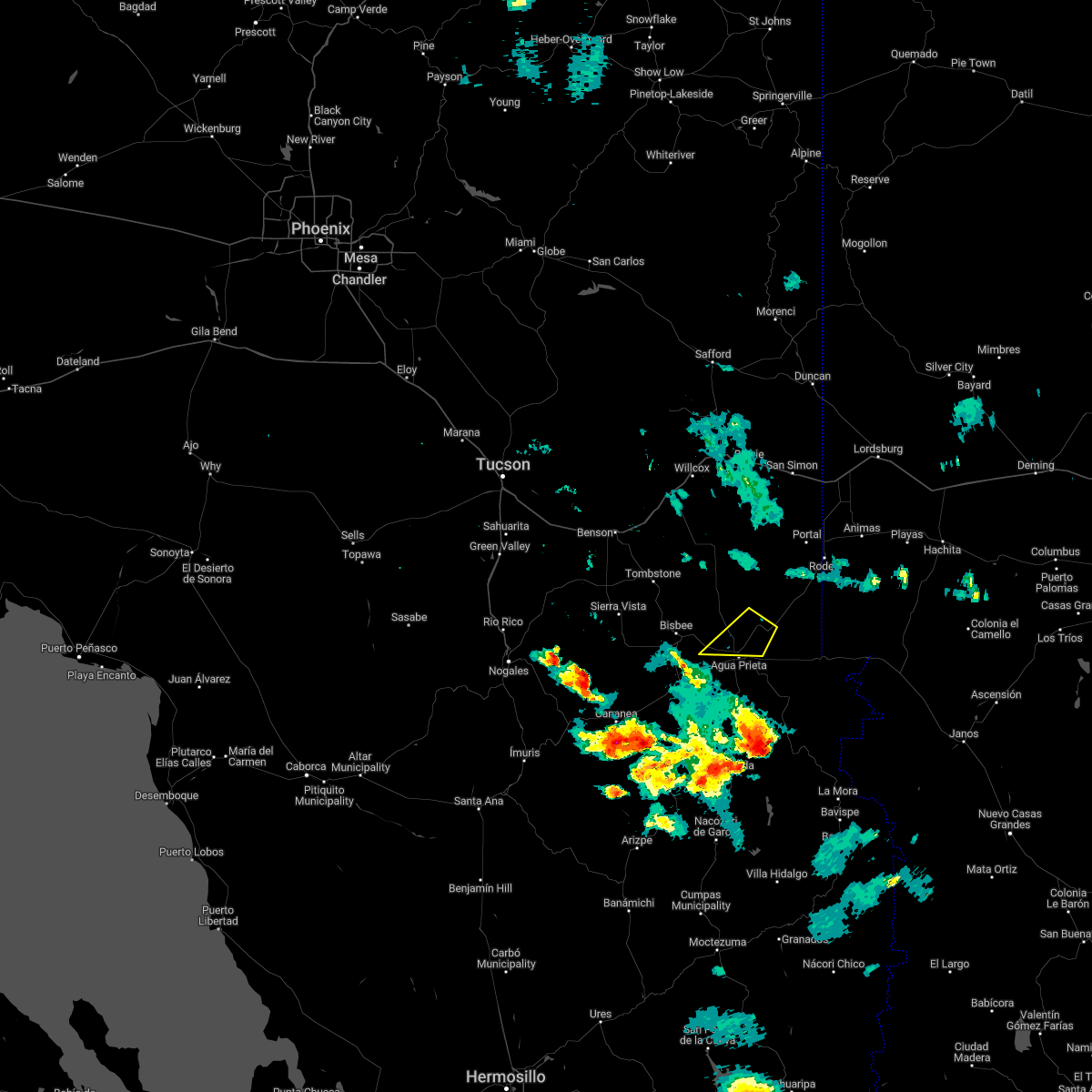
Hail Maps for Douglas, AZ


Connect with Interactive Hail Maps