

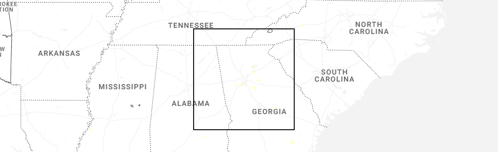
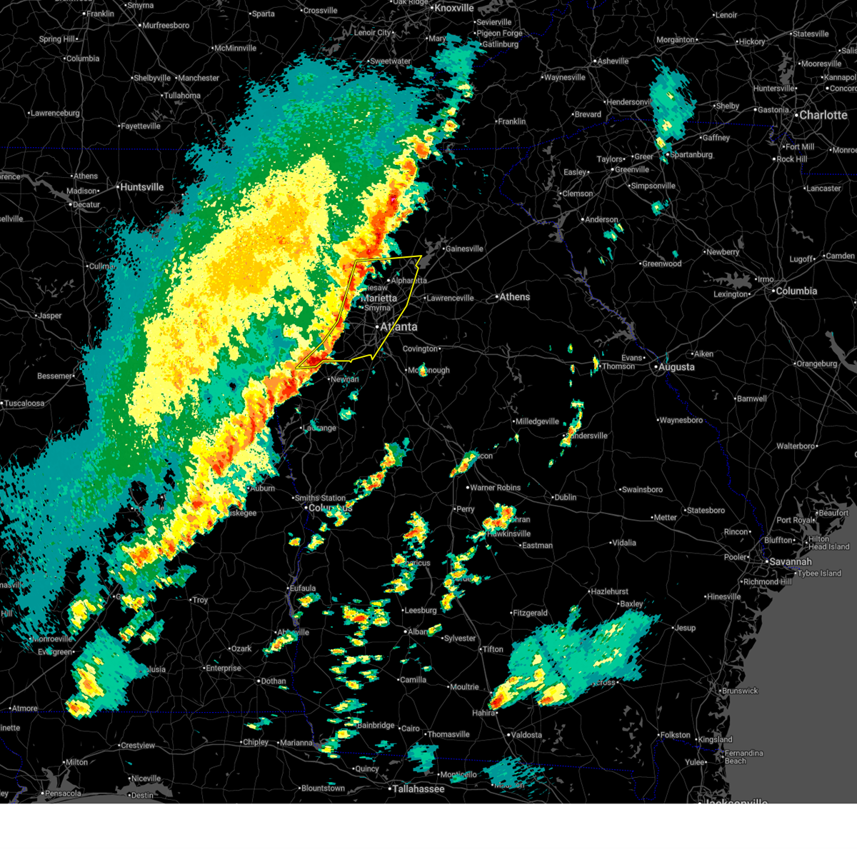
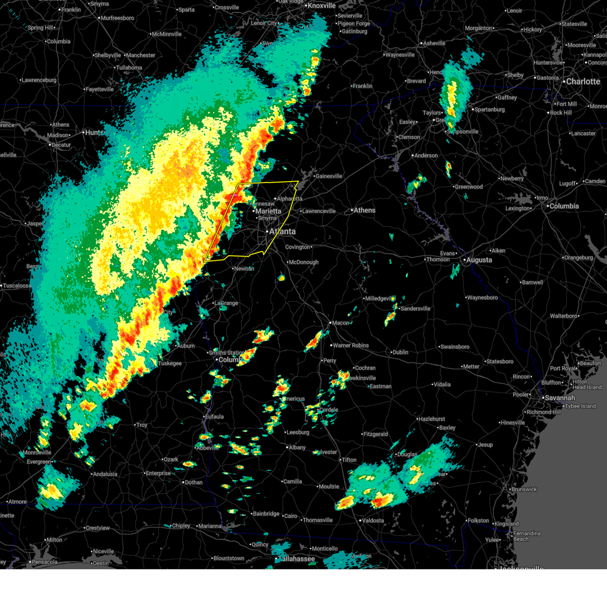
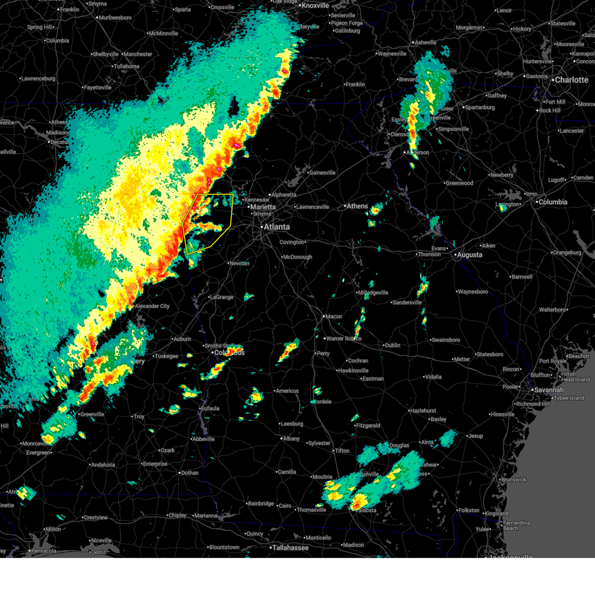
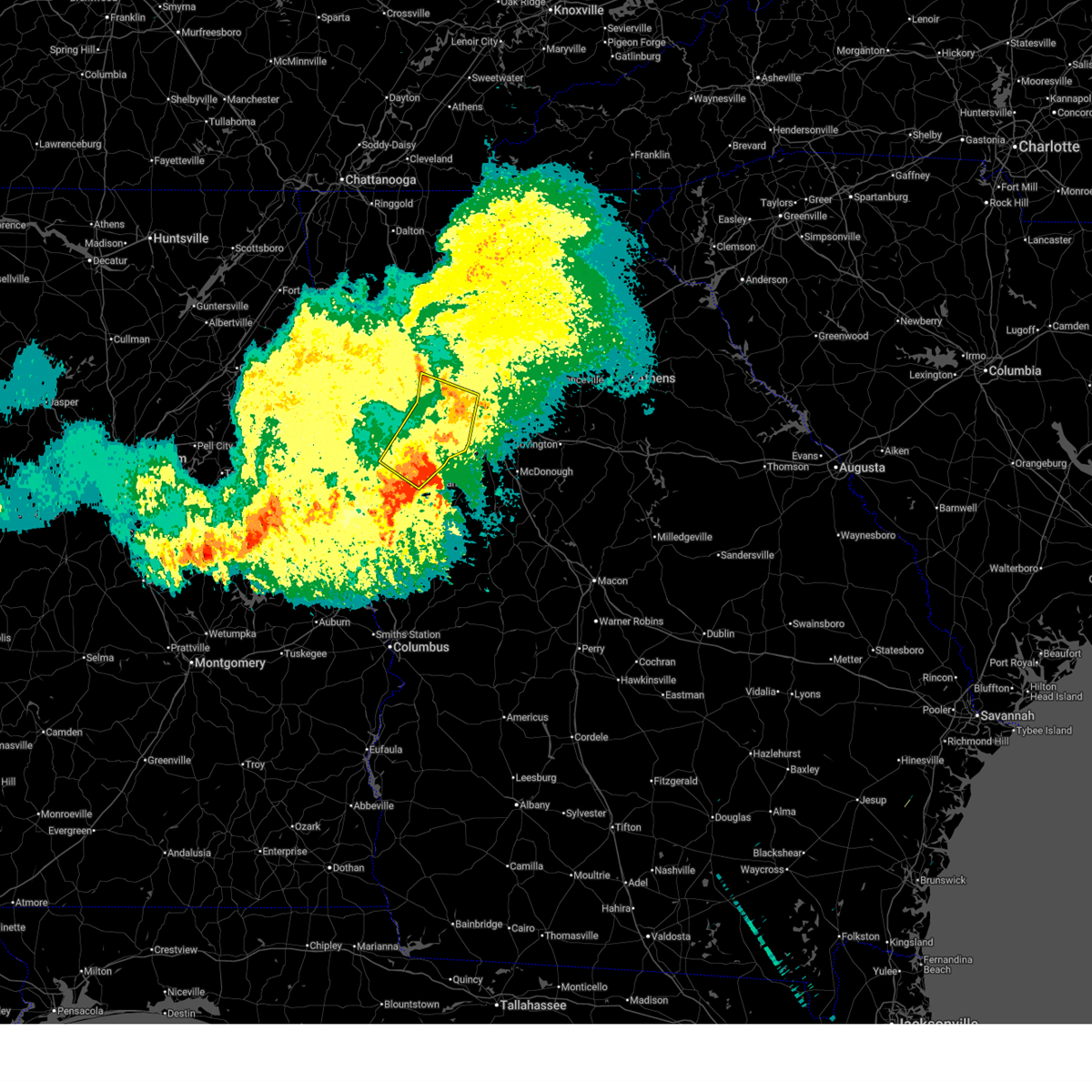
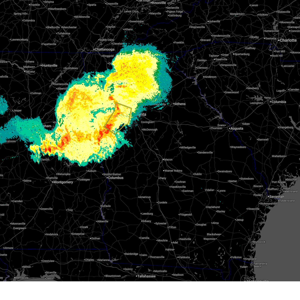
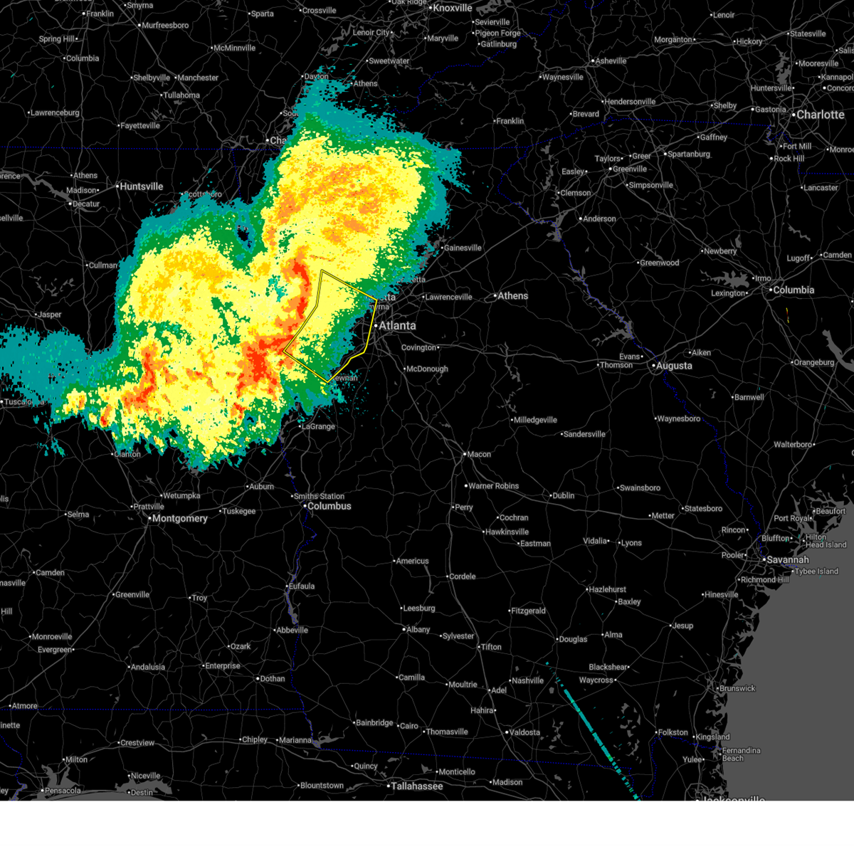
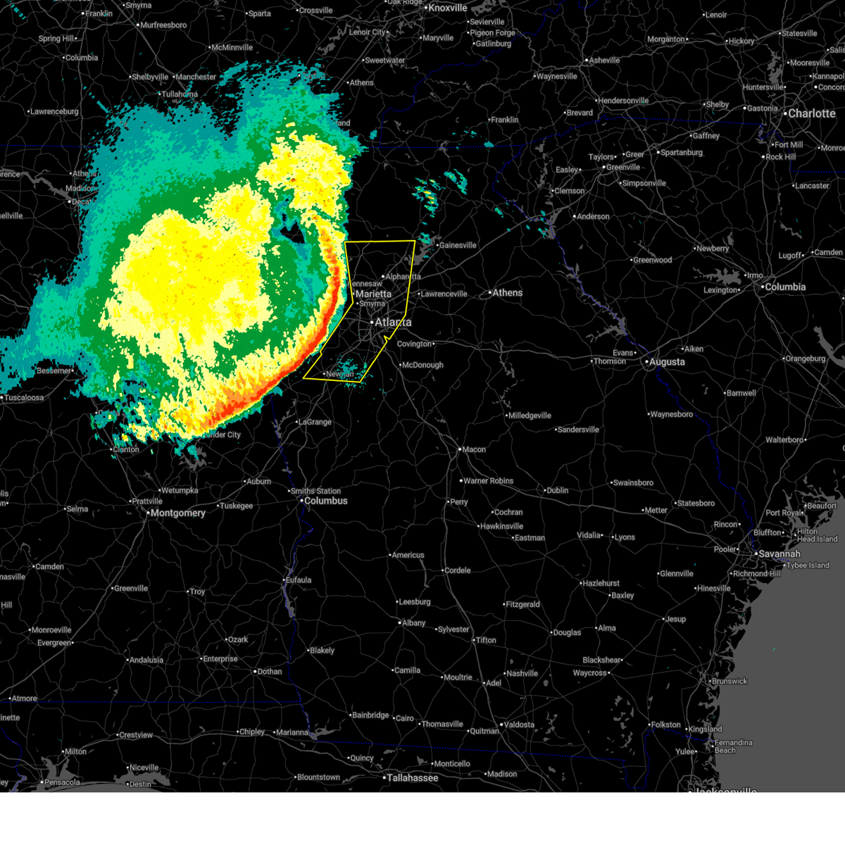
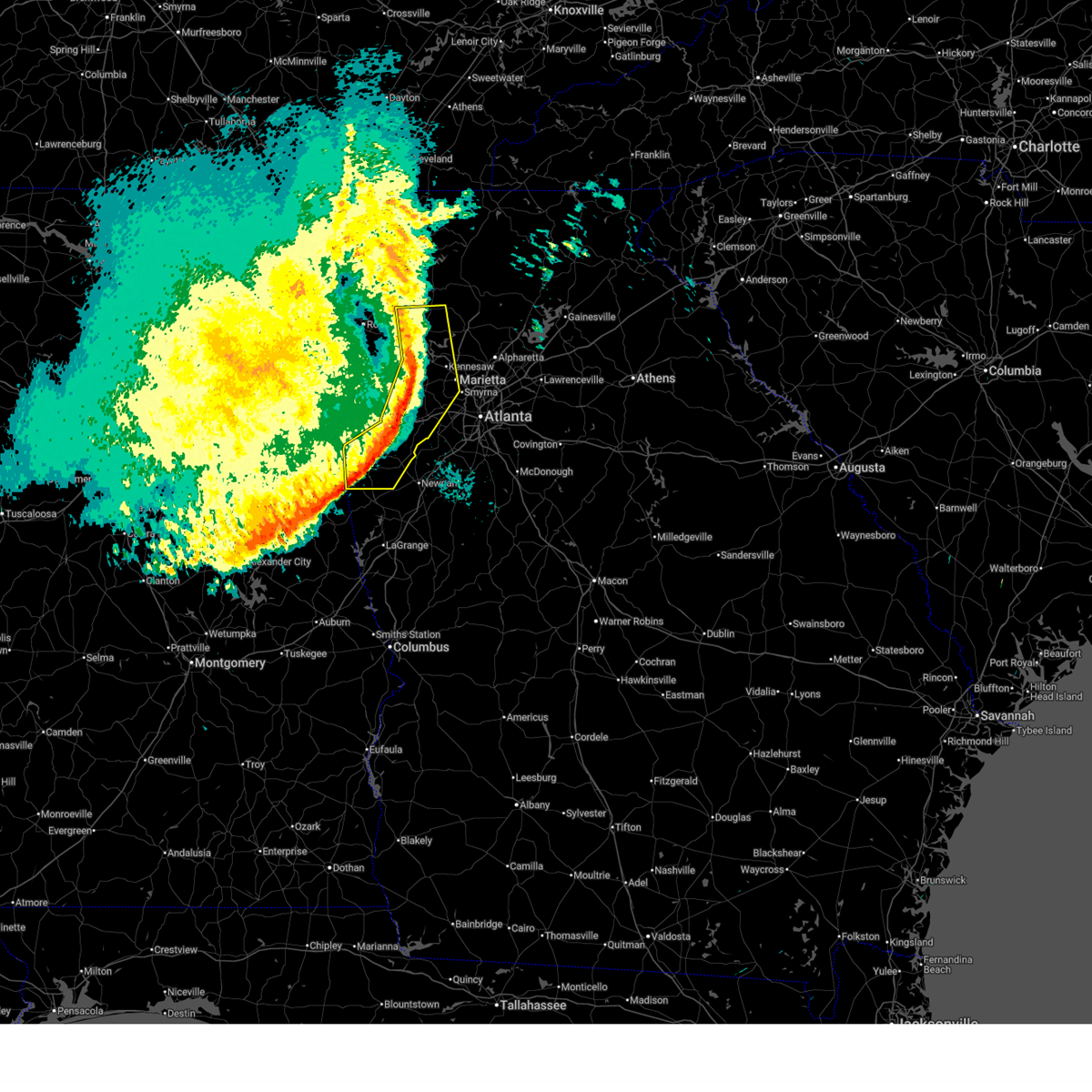
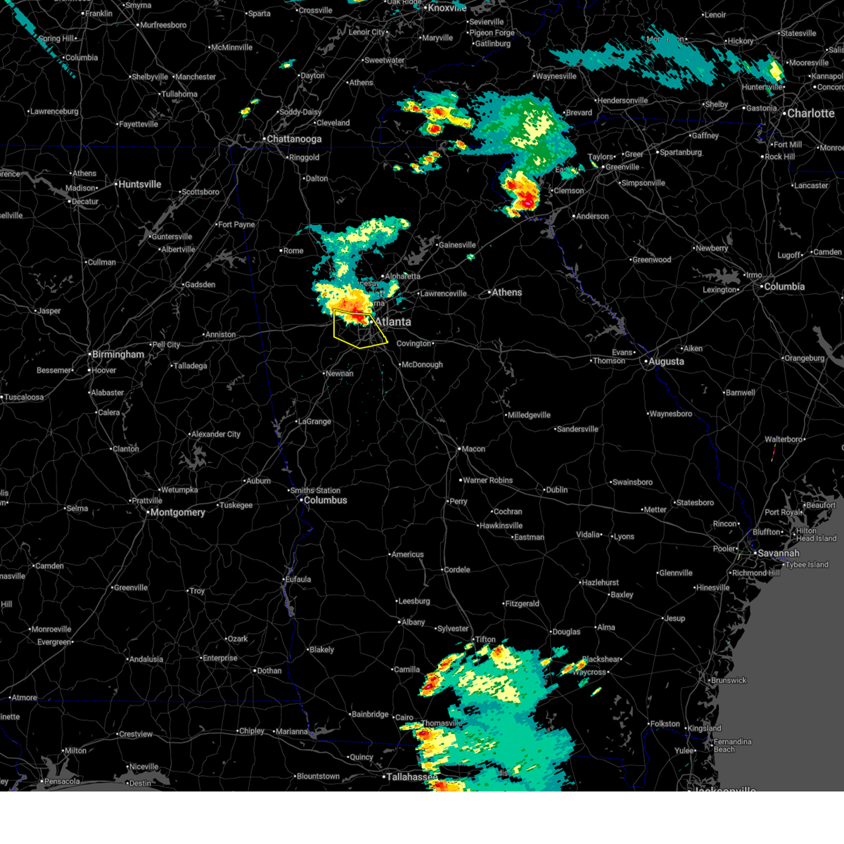
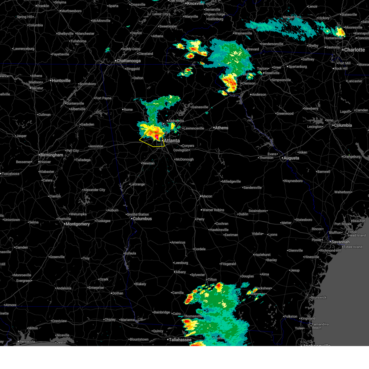
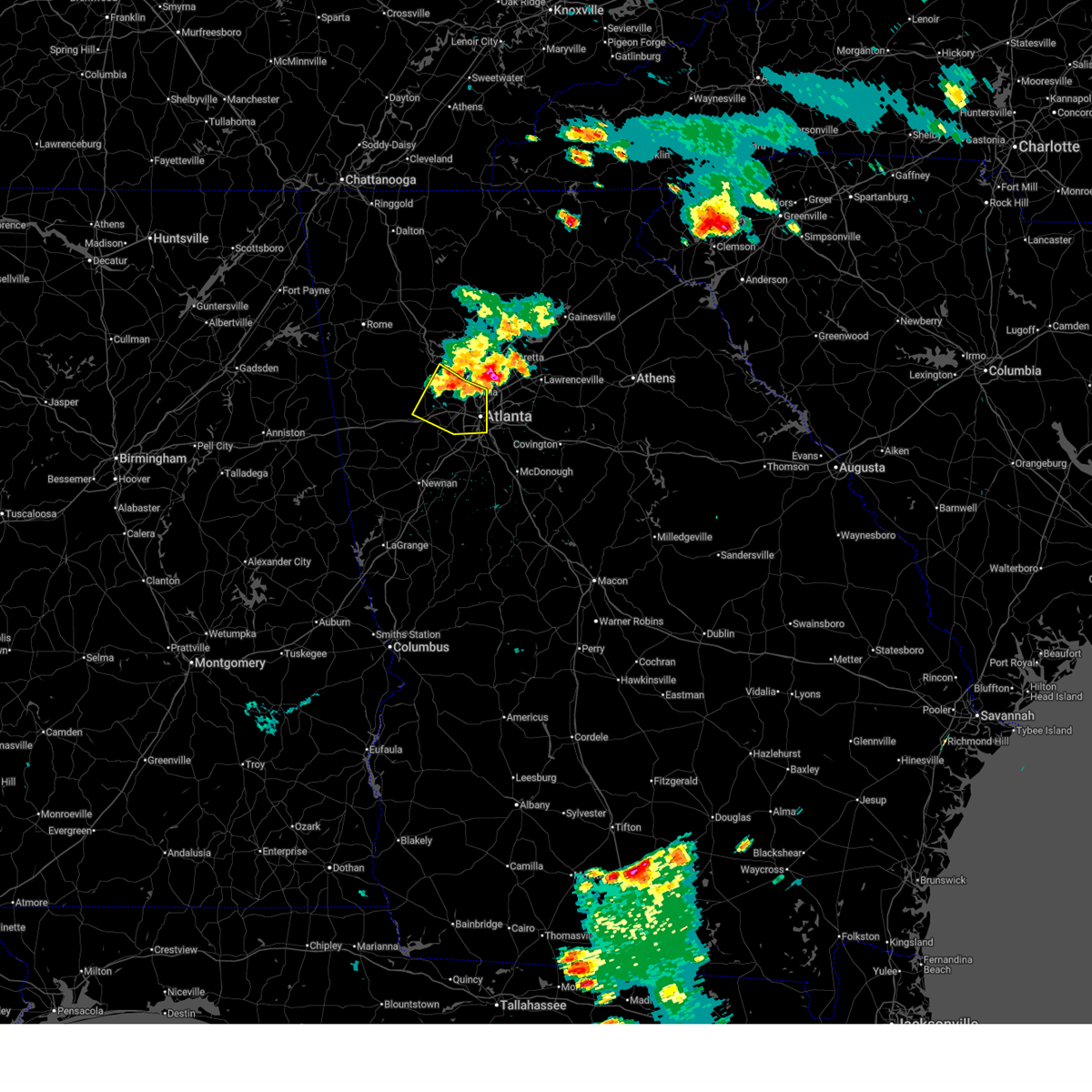
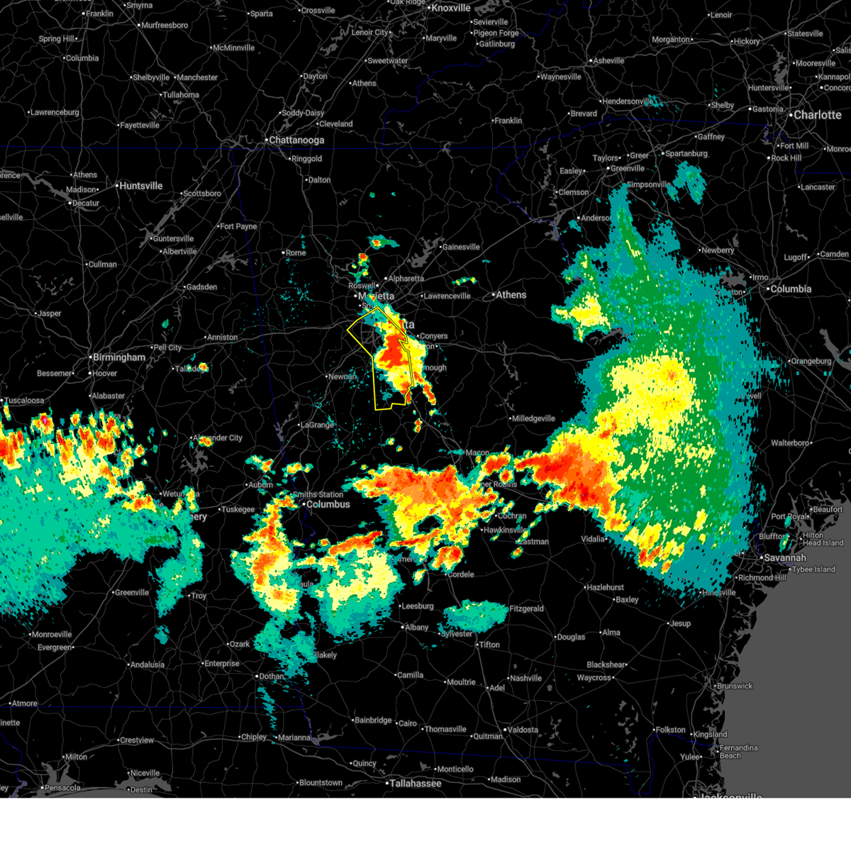
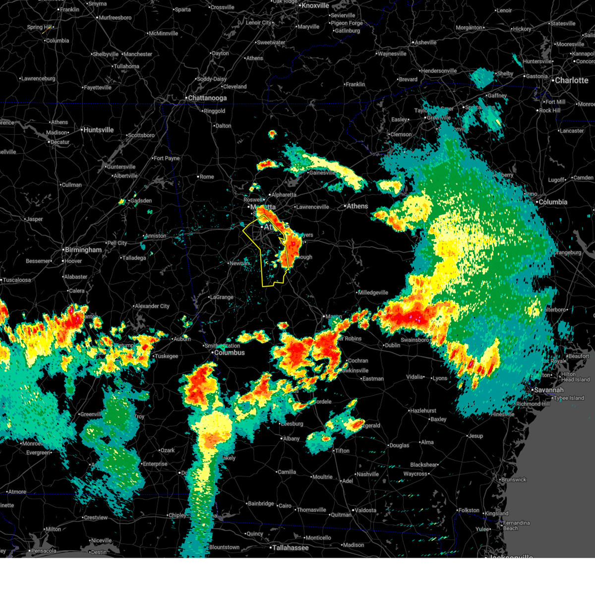
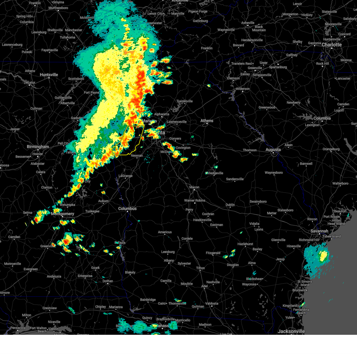
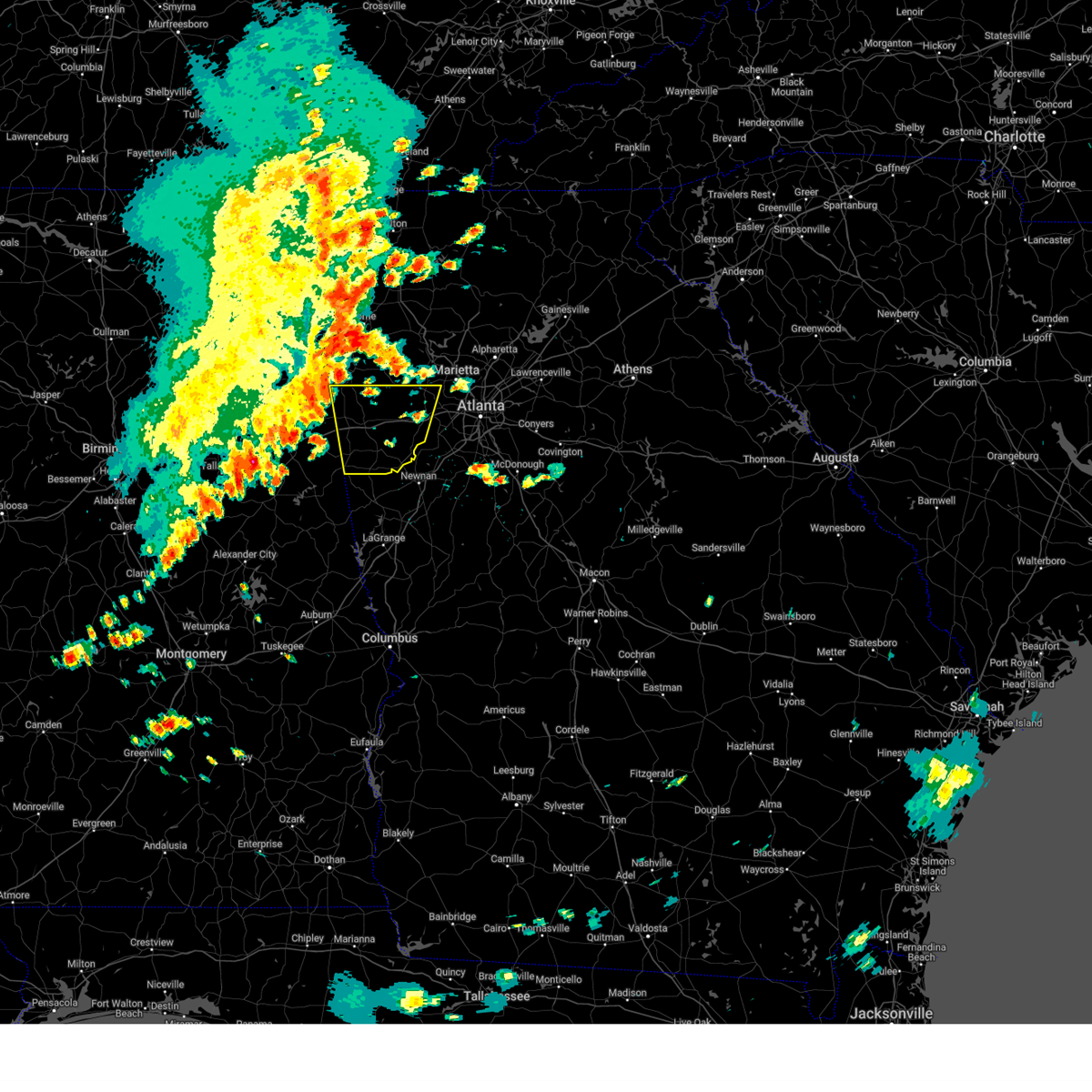
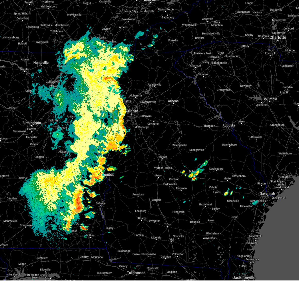
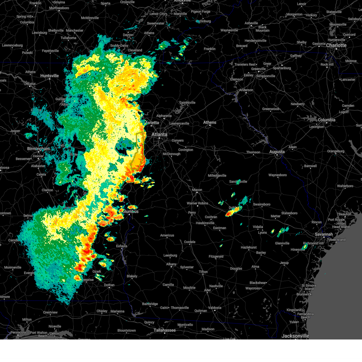
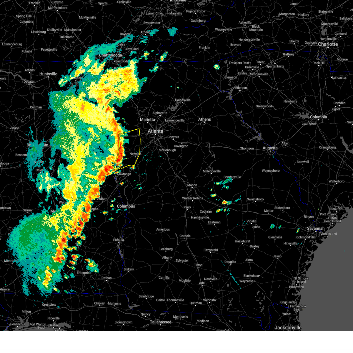
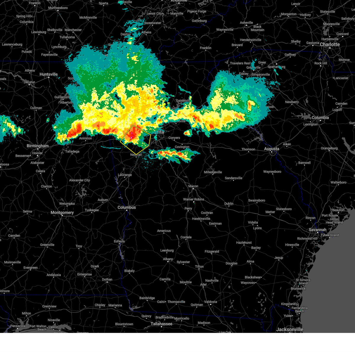
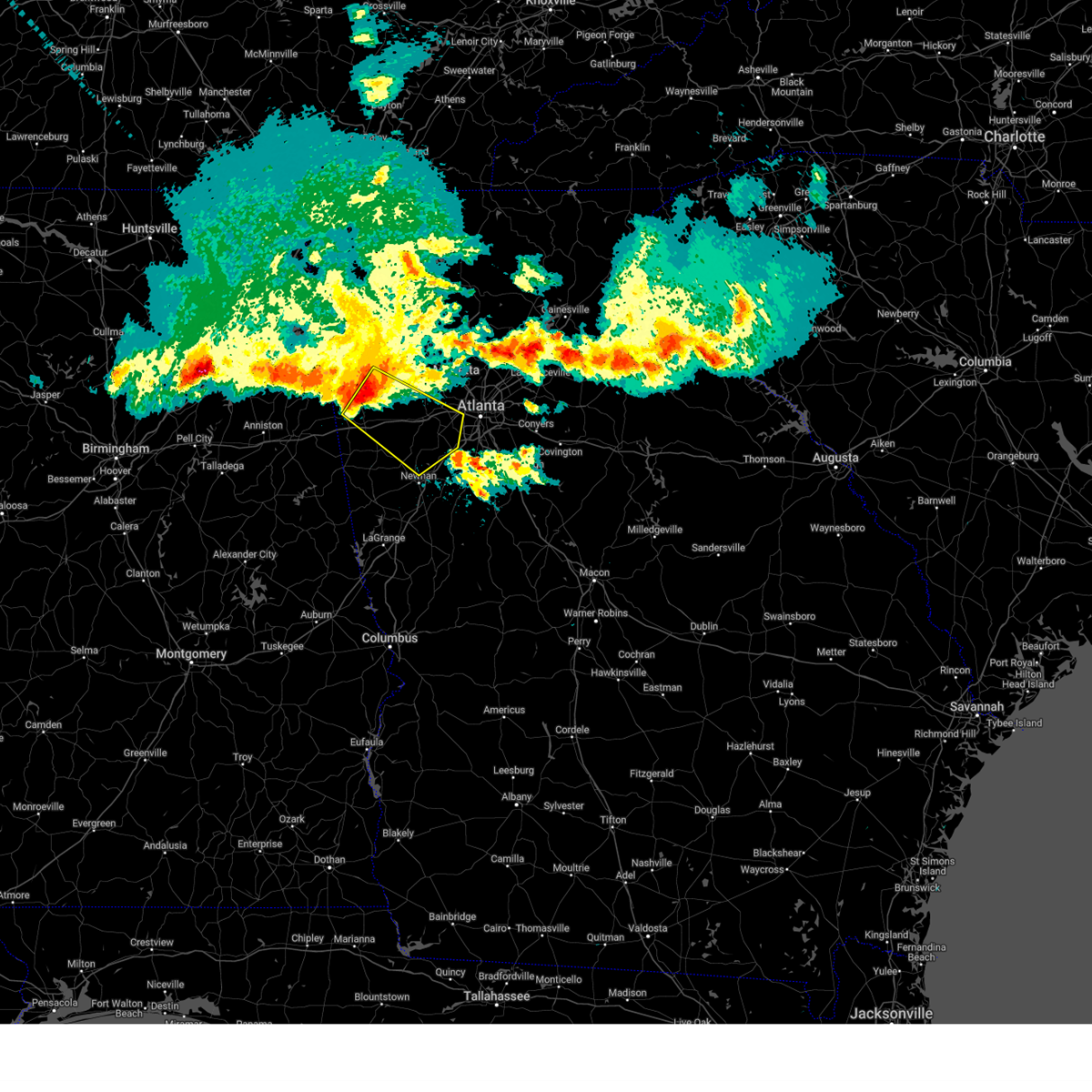
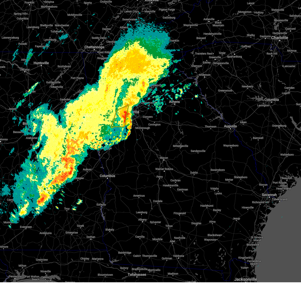
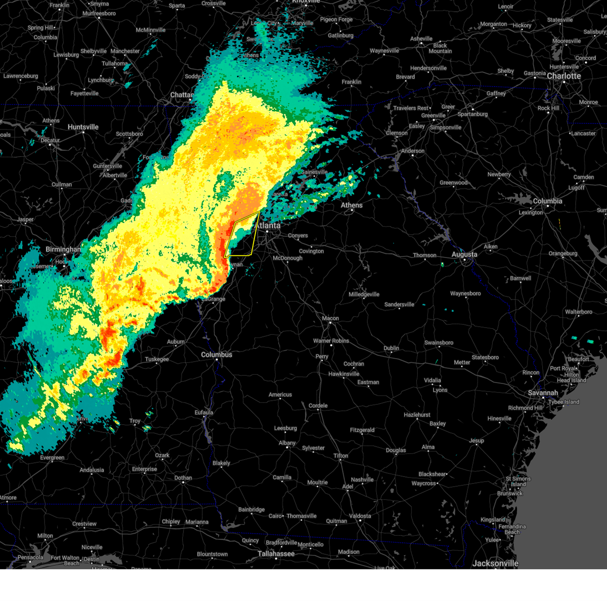
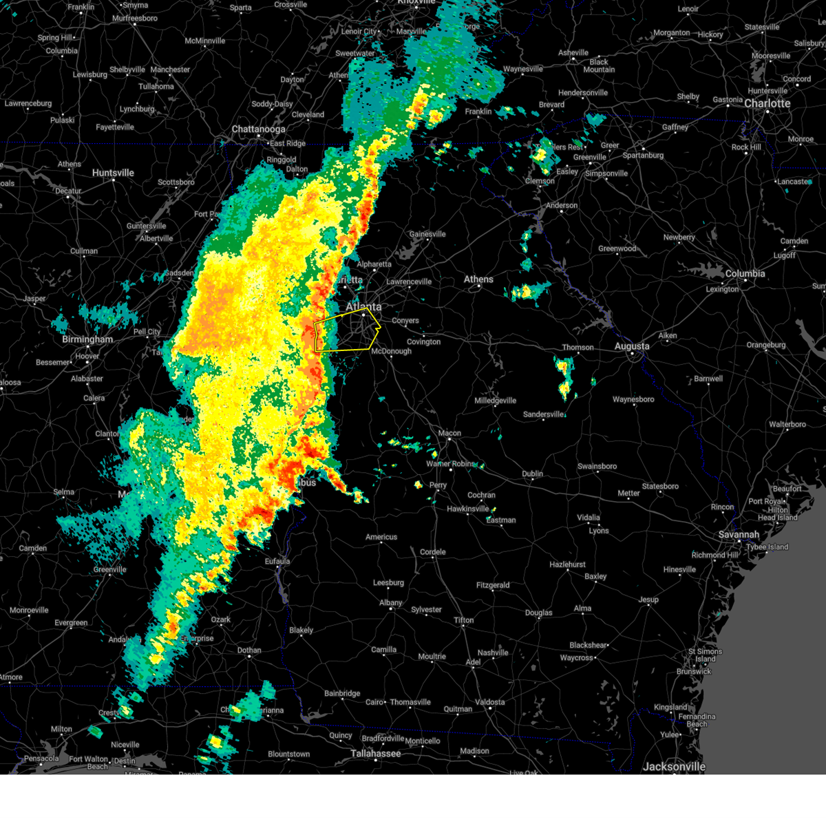
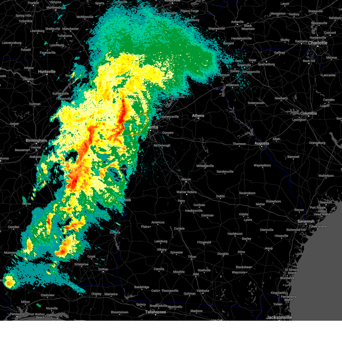
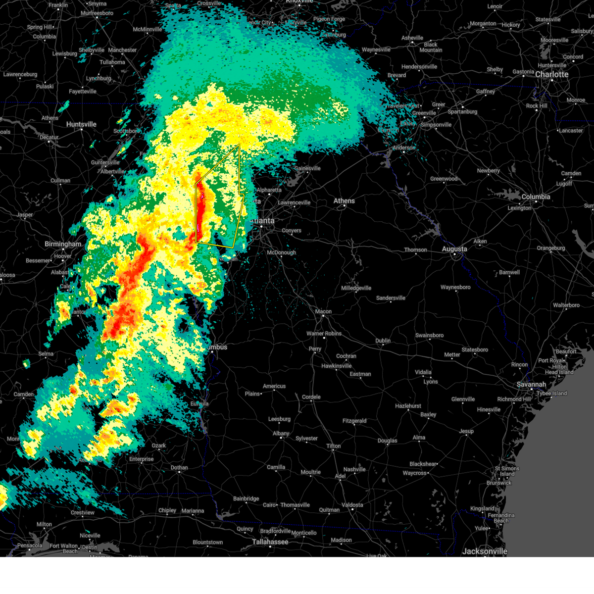
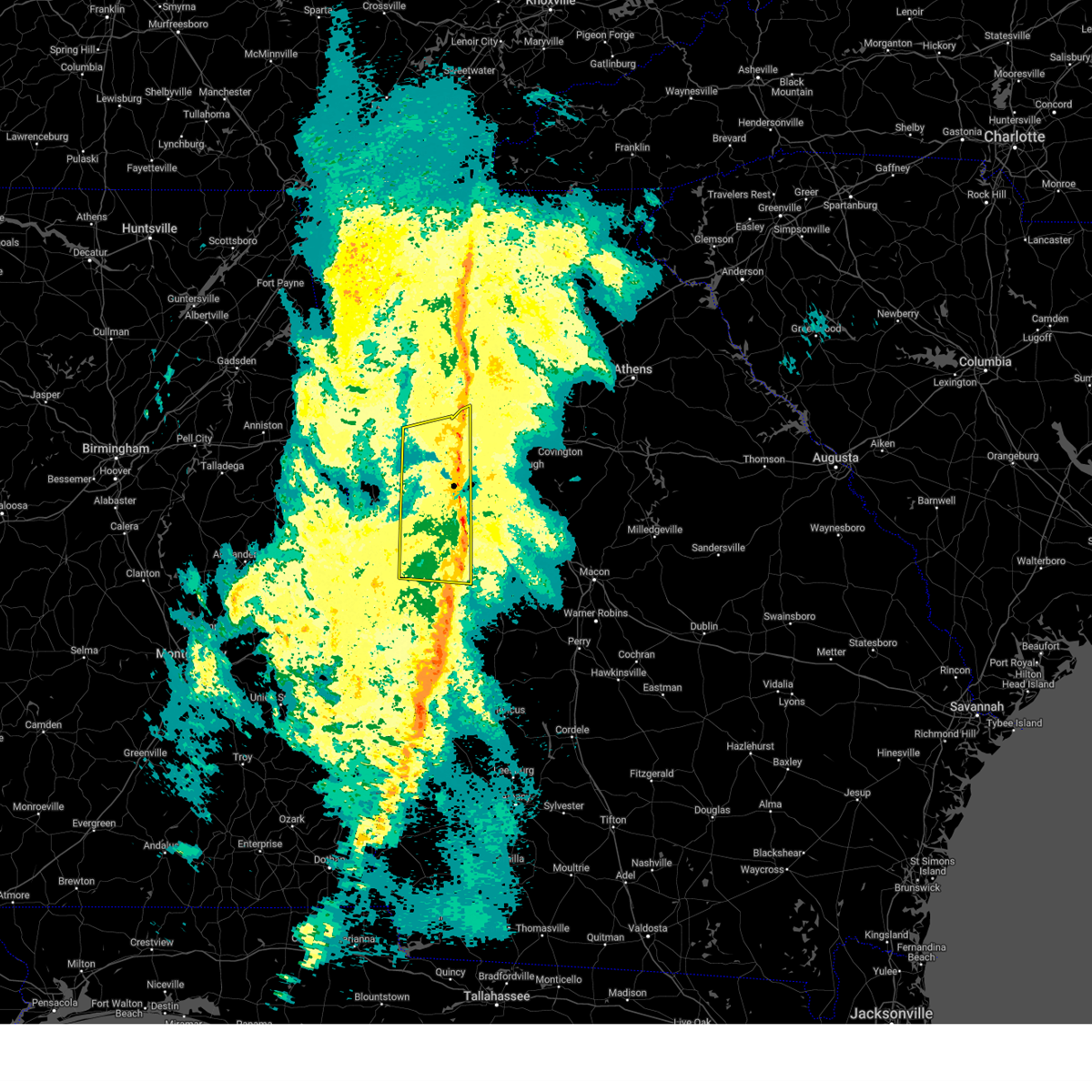
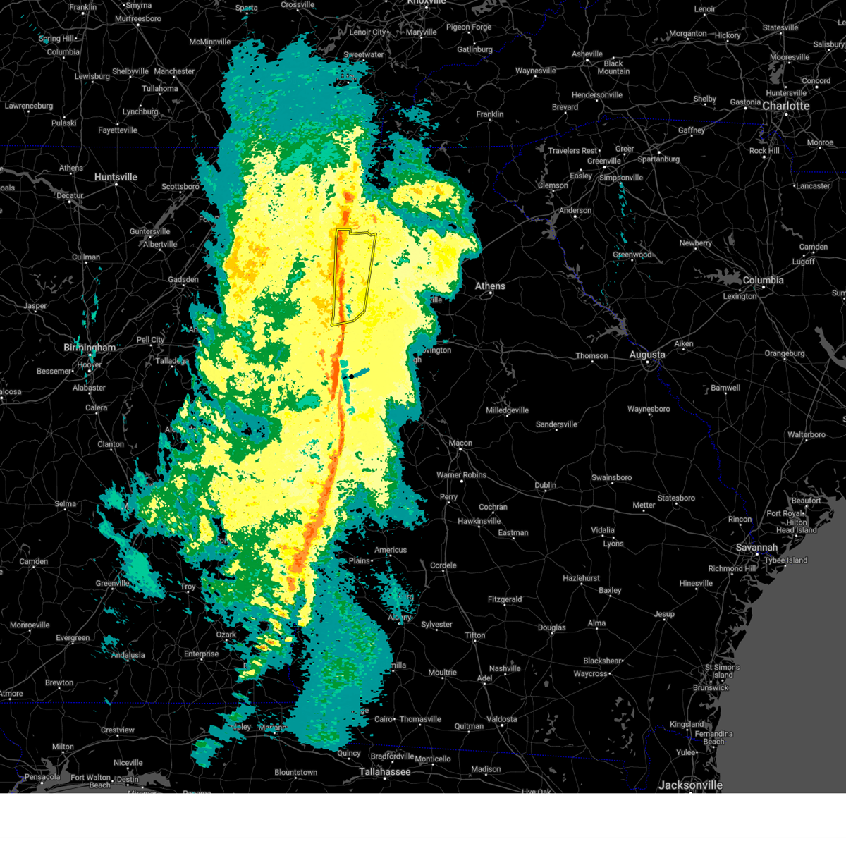
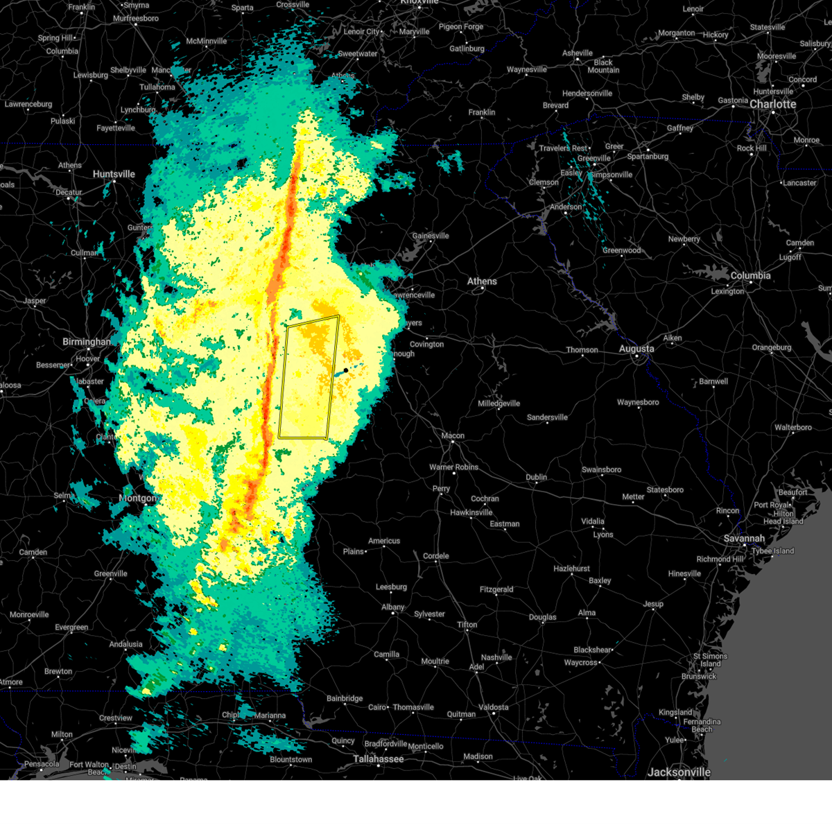
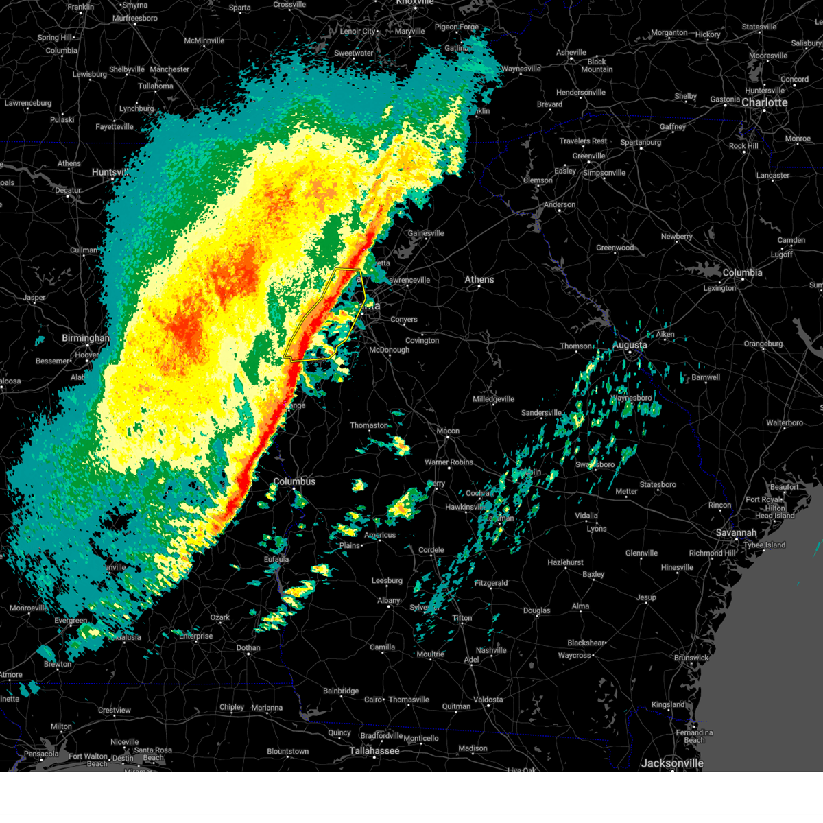
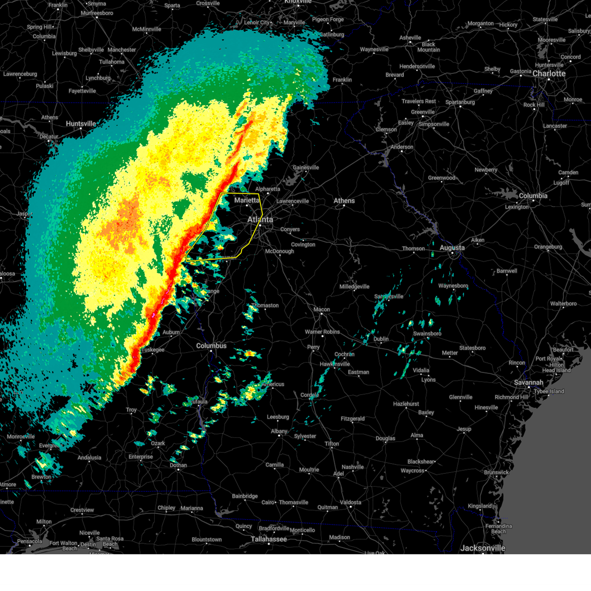
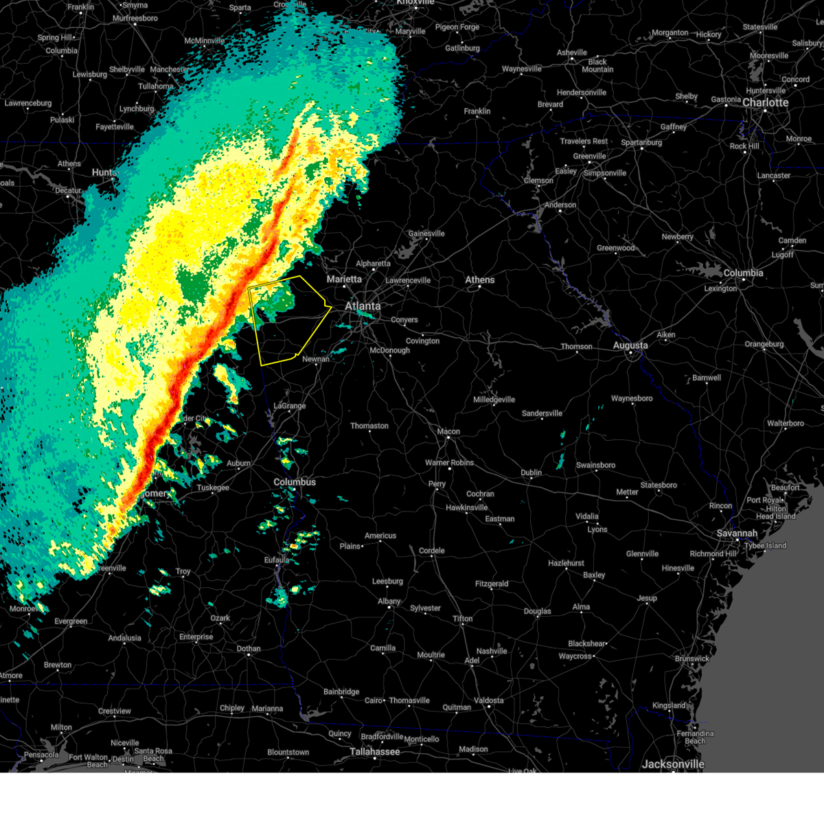
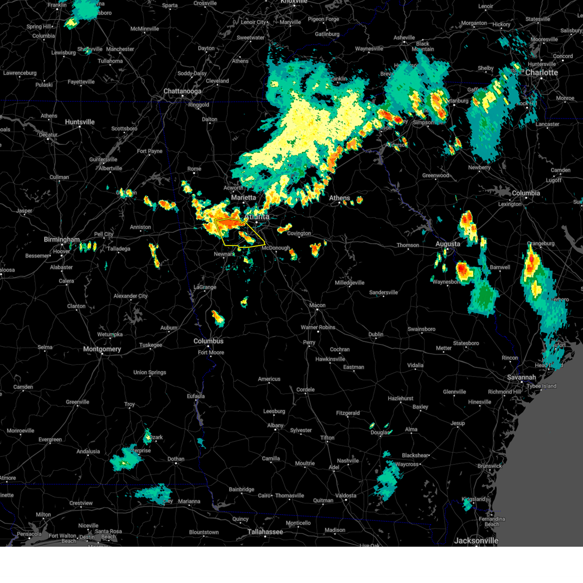
Hail Map for Douglasville, GA
The Douglasville, GA area has had 11 reports of on-the-ground hail by trained spotters, and has been under severe weather warnings 24 times during the past 12 months. Doppler radar has detected hail at or near Douglasville, GA on 73 occasions, including 2 occasions during the past year.
| Name: | Douglasville, GA |
| Where Located: | 18.2 miles W of Atlanta, GA |
| Map: | Google Map for Douglasville, GA |
| Population: | 30961 |
| Housing Units: | 13163 |
| More Info: | Search Google for Douglasville, GA |
0
The Top Recent Hail Date for Douglasville, GA is Friday, March 6, 2026 (61st out of 73)
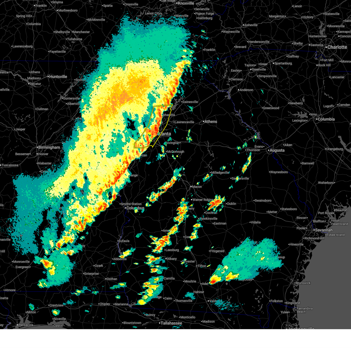
Hail and Wind Damage Spotted near Douglasville, GA
| Date / Time | Report Details |
|---|---|
| 6/18/2026 4:47 PM EDT |
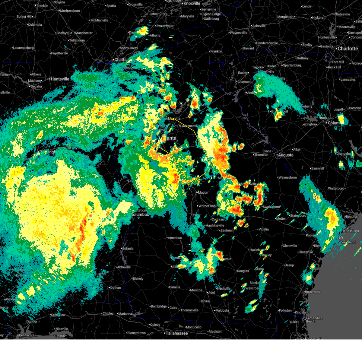 Svrffc the national weather service in peachtree city has issued a * severe thunderstorm warning for, dekalb county in north central georgia, gwinnett county in north central georgia, northeastern monroe county in central georgia, butts county in central georgia, northwestern jones county in central georgia, newton county in north central georgia, rockdale county in north central georgia, southwestern morgan county in north central georgia, western putnam county in central georgia, southeastern cobb county in north central georgia, central henry county in north central georgia, walton county in north central georgia, northern clayton county in north central georgia, central fulton county in north central georgia, jasper county in central georgia, * until 530 pm edt. * at 446 pm edt, severe thunderstorms were located along a line extending from sandtown to flippen to near forsyth, moving northeast at 45 mph (radar indicated). Hazards include 60 mph wind gusts. expect damage to roofs, siding, and trees Svrffc the national weather service in peachtree city has issued a * severe thunderstorm warning for, dekalb county in north central georgia, gwinnett county in north central georgia, northeastern monroe county in central georgia, butts county in central georgia, northwestern jones county in central georgia, newton county in north central georgia, rockdale county in north central georgia, southwestern morgan county in north central georgia, western putnam county in central georgia, southeastern cobb county in north central georgia, central henry county in north central georgia, walton county in north central georgia, northern clayton county in north central georgia, central fulton county in north central georgia, jasper county in central georgia, * until 530 pm edt. * at 446 pm edt, severe thunderstorms were located along a line extending from sandtown to flippen to near forsyth, moving northeast at 45 mph (radar indicated). Hazards include 60 mph wind gusts. expect damage to roofs, siding, and trees
|
| 3/16/2026 6:00 AM EDT |
 The storms which prompted the warning have moved out of the area. therefore, the warning will be allowed to expire. a tornado watch remains in effect until 1000 am edt for north central and west central georgia. to report severe weather, contact your nearest law enforcement agency. they will relay your report to the national weather service peachtree city. remember, a severe thunderstorm warning still remains in effect for forsyth, gwinnett, dekalb, and clayton counties until 645 am edt. The storms which prompted the warning have moved out of the area. therefore, the warning will be allowed to expire. a tornado watch remains in effect until 1000 am edt for north central and west central georgia. to report severe weather, contact your nearest law enforcement agency. they will relay your report to the national weather service peachtree city. remember, a severe thunderstorm warning still remains in effect for forsyth, gwinnett, dekalb, and clayton counties until 645 am edt.
|
| 3/16/2026 5:46 AM EDT |
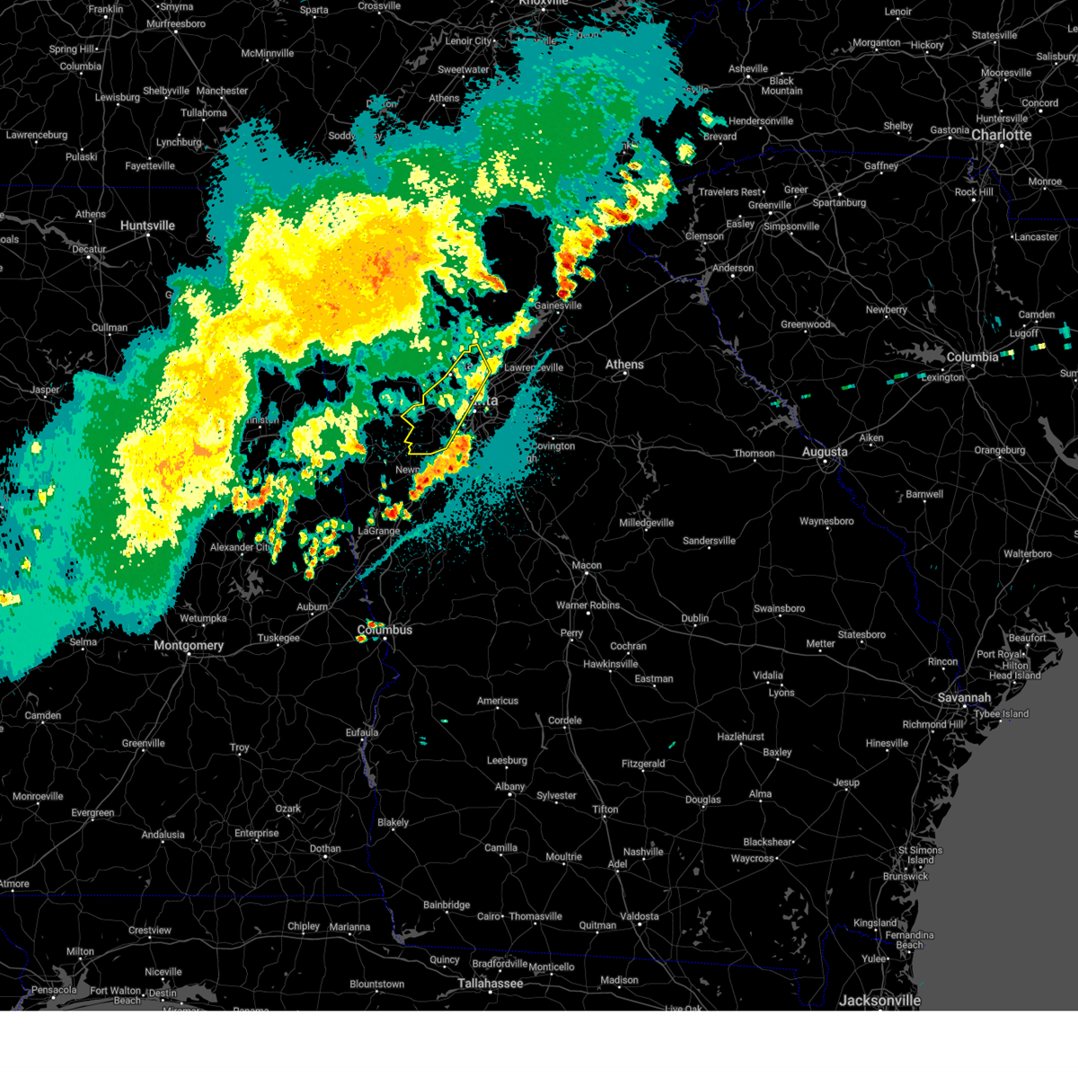
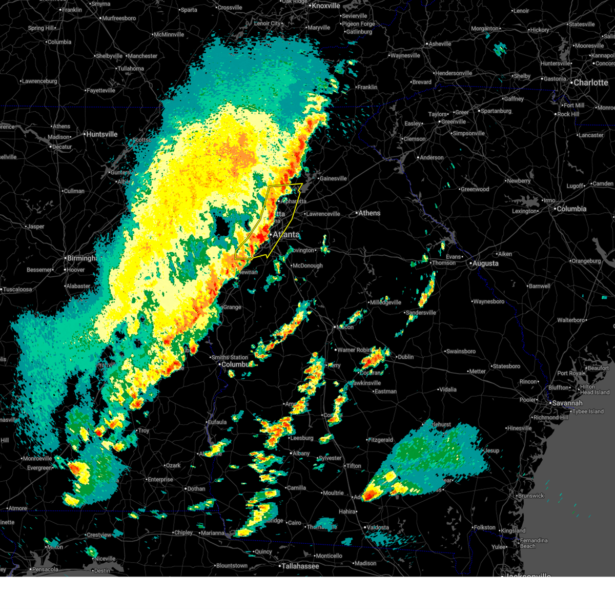 At 546 am edt, severe thunderstorms were located along a line extending from drew to fairburn, moving east at 55 mph (radar indicated). Hazards include 70 mph wind gusts. Expect considerable tree damage. damage is likely to mobile homes, roofs, and outbuildings. Locations impacted include, atlanta, marietta, douglasville, decatur, cumming, peachtree corners, city of south fulton, mountain park, sandy springs, roswell, johns creek, alpharetta, smyrna, dunwoody, east point, milton, duluth, union city, sugar hill, and forest park. At 546 am edt, severe thunderstorms were located along a line extending from drew to fairburn, moving east at 55 mph (radar indicated). Hazards include 70 mph wind gusts. Expect considerable tree damage. damage is likely to mobile homes, roofs, and outbuildings. Locations impacted include, atlanta, marietta, douglasville, decatur, cumming, peachtree corners, city of south fulton, mountain park, sandy springs, roswell, johns creek, alpharetta, smyrna, dunwoody, east point, milton, duluth, union city, sugar hill, and forest park.
|
| 3/16/2026 5:46 AM EDT |
 the severe thunderstorm warning has been cancelled and is no longer in effect the severe thunderstorm warning has been cancelled and is no longer in effect
|
| 3/16/2026 5:32 AM EDT |
 the severe thunderstorm warning has been cancelled and is no longer in effect the severe thunderstorm warning has been cancelled and is no longer in effect
|
| 3/16/2026 5:32 AM EDT |
 At 532 am edt, severe thunderstorms were located along a line extending from hickory flat to near chattahoochee hill, moving east at 55 mph (radar indicated). Hazards include 60 mph wind gusts. Expect damage to roofs, siding, and trees. Locations impacted include, atlanta, marietta, douglasville, canton, decatur, cumming, mountain park, peachtree corners, city of south fulton, sandy springs, roswell, johns creek, alpharetta, smyrna, dunwoody, east point, milton, kennesaw, duluth, and woodstock. At 532 am edt, severe thunderstorms were located along a line extending from hickory flat to near chattahoochee hill, moving east at 55 mph (radar indicated). Hazards include 60 mph wind gusts. Expect damage to roofs, siding, and trees. Locations impacted include, atlanta, marietta, douglasville, canton, decatur, cumming, mountain park, peachtree corners, city of south fulton, sandy springs, roswell, johns creek, alpharetta, smyrna, dunwoody, east point, milton, kennesaw, duluth, and woodstock.
|
| 3/16/2026 5:16 AM EDT |
 Svrffc the national weather service in peachtree city has issued a * severe thunderstorm warning for, eastern paulding county in northwestern georgia, southern cherokee county in north central georgia, northwestern dekalb county in north central georgia, southwestern forsyth county in north central georgia, eastern carroll county in northwestern georgia, cobb county in north central georgia, douglas county in north central georgia, northwestern gwinnett county in north central georgia, northwestern clayton county in north central georgia, fulton county in north central georgia, southeastern bartow county in northwestern georgia, * until 600 am edt. * at 516 am edt, severe thunderstorms were located along a line extending from near oak grove to near lowell, moving east at 55 mph (radar indicated). Hazards include 60 mph wind gusts. expect damage to roofs, siding, and trees Svrffc the national weather service in peachtree city has issued a * severe thunderstorm warning for, eastern paulding county in northwestern georgia, southern cherokee county in north central georgia, northwestern dekalb county in north central georgia, southwestern forsyth county in north central georgia, eastern carroll county in northwestern georgia, cobb county in north central georgia, douglas county in north central georgia, northwestern gwinnett county in north central georgia, northwestern clayton county in north central georgia, fulton county in north central georgia, southeastern bartow county in northwestern georgia, * until 600 am edt. * at 516 am edt, severe thunderstorms were located along a line extending from near oak grove to near lowell, moving east at 55 mph (radar indicated). Hazards include 60 mph wind gusts. expect damage to roofs, siding, and trees
|
| 3/16/2026 4:47 AM EDT |
 Svrffc the national weather service in peachtree city has issued a * severe thunderstorm warning for, paulding county in northwestern georgia, haralson county in northwestern georgia, carroll county in northwestern georgia, northwestern douglas county in north central georgia, central polk county in northwestern georgia, * until 515 am edt. * at 447 am edt, severe thunderstorms were located along a line extending from fish creek to near ranburne, moving east at 55 mph (radar indicated). Hazards include 60 mph wind gusts. expect damage to roofs, siding, and trees Svrffc the national weather service in peachtree city has issued a * severe thunderstorm warning for, paulding county in northwestern georgia, haralson county in northwestern georgia, carroll county in northwestern georgia, northwestern douglas county in north central georgia, central polk county in northwestern georgia, * until 515 am edt. * at 447 am edt, severe thunderstorms were located along a line extending from fish creek to near ranburne, moving east at 55 mph (radar indicated). Hazards include 60 mph wind gusts. expect damage to roofs, siding, and trees
|
| 3/9/2026 10:42 PM EDT |
 The storms which prompted the warning have weakened below severe limits, and have exited the warned area. therefore, the warning will be allowed to expire. however, small hail, gusty winds and heavy rain are still possible with these thunderstorms. The storms which prompted the warning have weakened below severe limits, and have exited the warned area. therefore, the warning will be allowed to expire. however, small hail, gusty winds and heavy rain are still possible with these thunderstorms.
|
| 3/9/2026 10:22 PM EDT |
 the severe thunderstorm warning has been cancelled and is no longer in effect the severe thunderstorm warning has been cancelled and is no longer in effect
|
| 3/9/2026 10:22 PM EDT |
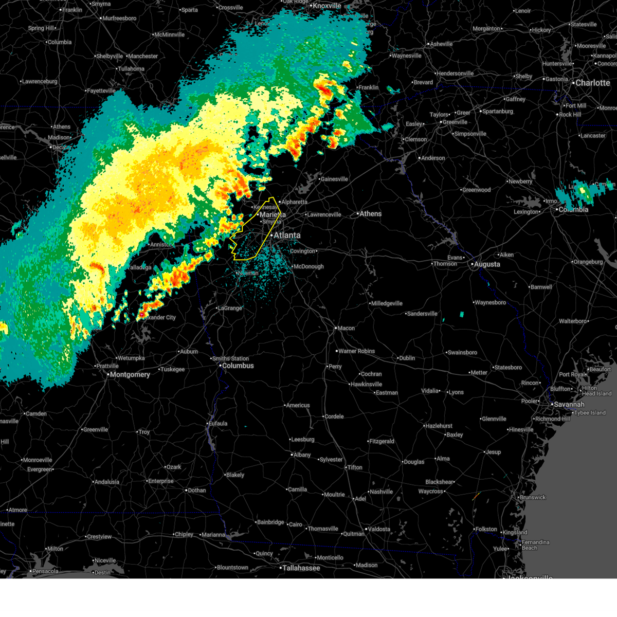
 At 1022 pm edt, severe thunderstorms were located along a line extending from near powder springs to near chapel hill to plant yates, moving southeast at 40 mph (radar indicated). Hazards include 60 mph wind gusts. Expect damage to roofs, siding, and trees. Locations impacted include, atlanta, marietta, newnan, douglasville, city of south fulton, smyrna, east point, union city, villa rica, college park, powder springs, fairburn, austell, palmetto, hiram, whitesburg, chattahoochee hill, lithia springs, fair oaks, and plant yates. At 1022 pm edt, severe thunderstorms were located along a line extending from near powder springs to near chapel hill to plant yates, moving southeast at 40 mph (radar indicated). Hazards include 60 mph wind gusts. Expect damage to roofs, siding, and trees. Locations impacted include, atlanta, marietta, newnan, douglasville, city of south fulton, smyrna, east point, union city, villa rica, college park, powder springs, fairburn, austell, palmetto, hiram, whitesburg, chattahoochee hill, lithia springs, fair oaks, and plant yates.
|
| 3/9/2026 9:54 PM EDT |
 Svrffc the national weather service in peachtree city has issued a * severe thunderstorm warning for, paulding county in northwestern georgia, eastern carroll county in northwestern georgia, cobb county in north central georgia, douglas county in north central georgia, northwestern coweta county in west central georgia, southwestern fulton county in north central georgia, south central bartow county in northwestern georgia, * until 1045 pm edt. * at 953 pm edt, severe thunderstorms were located along a line extending from near stilesboro to near villa rica to near carrollton, moving southeast at 45 mph (radar indicated). Hazards include 60 mph wind gusts and penny size hail. expect damage to roofs, siding, and trees Svrffc the national weather service in peachtree city has issued a * severe thunderstorm warning for, paulding county in northwestern georgia, eastern carroll county in northwestern georgia, cobb county in north central georgia, douglas county in north central georgia, northwestern coweta county in west central georgia, southwestern fulton county in north central georgia, south central bartow county in northwestern georgia, * until 1045 pm edt. * at 953 pm edt, severe thunderstorms were located along a line extending from near stilesboro to near villa rica to near carrollton, moving southeast at 45 mph (radar indicated). Hazards include 60 mph wind gusts and penny size hail. expect damage to roofs, siding, and trees
|
| 11/25/2025 8:05 AM EST |
 Svrffc the national weather service in peachtree city has issued a * severe thunderstorm warning for, cherokee county in north central georgia, dekalb county in north central georgia, fayette county in north central georgia, forsyth county in north central georgia, eastern cobb county in north central georgia, eastern douglas county in north central georgia, western gwinnett county in north central georgia, northern coweta county in west central georgia, clayton county in north central georgia, fulton county in north central georgia, * until 845 am est. * at 804 am est, severe thunderstorms were located along a line extending from near george washington carver st pk to near douglasville to centralhatchee, moving east at 50 mph (radar indicated). Hazards include 60 mph wind gusts. expect damage to roofs, siding, and trees Svrffc the national weather service in peachtree city has issued a * severe thunderstorm warning for, cherokee county in north central georgia, dekalb county in north central georgia, fayette county in north central georgia, forsyth county in north central georgia, eastern cobb county in north central georgia, eastern douglas county in north central georgia, western gwinnett county in north central georgia, northern coweta county in west central georgia, clayton county in north central georgia, fulton county in north central georgia, * until 845 am est. * at 804 am est, severe thunderstorms were located along a line extending from near george washington carver st pk to near douglasville to centralhatchee, moving east at 50 mph (radar indicated). Hazards include 60 mph wind gusts. expect damage to roofs, siding, and trees
|
| 11/25/2025 7:59 AM EST |
 the severe thunderstorm warning has been cancelled and is no longer in effect the severe thunderstorm warning has been cancelled and is no longer in effect
|
| 11/25/2025 7:59 AM EST |
 At 758 am est, severe thunderstorms were located along a line extending from near cassville to hiram to centralhatchee, moving east at 50 mph (radar indicated). Hazards include 60 mph wind gusts. Expect damage to roofs, siding, and trees. Locations impacted include, marietta, douglasville, carrollton, cartersville, dallas, smyrna, kennesaw, acworth, villa rica, powder springs, austell, adairsville, temple, euharlee, hiram, bowdon, mount zion, emerson, white, and whitesburg. At 758 am est, severe thunderstorms were located along a line extending from near cassville to hiram to centralhatchee, moving east at 50 mph (radar indicated). Hazards include 60 mph wind gusts. Expect damage to roofs, siding, and trees. Locations impacted include, marietta, douglasville, carrollton, cartersville, dallas, smyrna, kennesaw, acworth, villa rica, powder springs, austell, adairsville, temple, euharlee, hiram, bowdon, mount zion, emerson, white, and whitesburg.
|
| 11/25/2025 7:40 AM EST |
 Svrffc the national weather service in peachtree city has issued a * severe thunderstorm warning for, paulding county in northwestern georgia, southwestern cherokee county in north central georgia, eastern haralson county in northwestern georgia, carroll county in northwestern georgia, western cobb county in north central georgia, douglas county in north central georgia, southeastern floyd county in northwestern georgia, northern heard county in west central georgia, northwestern coweta county in west central georgia, eastern polk county in northwestern georgia, bartow county in northwestern georgia, * until 830 am est. * at 740 am est, severe thunderstorms were located along a line extending from near shannon to near draketown to near woodland, moving east at 50 mph (radar indicated). Hazards include 60 mph wind gusts. expect damage to roofs, siding, and trees Svrffc the national weather service in peachtree city has issued a * severe thunderstorm warning for, paulding county in northwestern georgia, southwestern cherokee county in north central georgia, eastern haralson county in northwestern georgia, carroll county in northwestern georgia, western cobb county in north central georgia, douglas county in north central georgia, southeastern floyd county in northwestern georgia, northern heard county in west central georgia, northwestern coweta county in west central georgia, eastern polk county in northwestern georgia, bartow county in northwestern georgia, * until 830 am est. * at 740 am est, severe thunderstorms were located along a line extending from near shannon to near draketown to near woodland, moving east at 50 mph (radar indicated). Hazards include 60 mph wind gusts. expect damage to roofs, siding, and trees
|
| 11/8/2025 3:21 PM EST | The storm which prompted the warning has weakened below severe limits, and no longer poses an immediate threat to life or property. therefore, the warning will be allowed to expire. |
| 11/8/2025 3:14 PM EST | At 313 pm est, a severe thunderstorm was located over campbellton, or near city of south fulton, moving east at 30 mph (radar indicated). Hazards include 60 mph wind gusts and quarter size hail. Hail damage to vehicles is expected. expect wind damage to roofs, siding, and trees. Locations impacted include, atlanta, douglasville, city of south fulton, east point, union city, college park, fairburn, chattahoochee hill, campbellton, and sandtown. |
| 11/8/2025 3:14 PM EST | the severe thunderstorm warning has been cancelled and is no longer in effect |
| 11/8/2025 2:52 PM EST | At 252 pm est, a severe thunderstorm was located over hannah, or 12 miles southwest of douglasville, moving east at 30 mph (radar indicated). Hazards include 60 mph wind gusts and quarter size hail. Hail damage to vehicles is expected. expect wind damage to roofs, siding, and trees. Locations impacted include, atlanta, douglasville, city of south fulton, east point, union city, college park, fairburn, chattahoochee hill, sweetwater creek state park, hannah, chapel hill, bill arp, fairplay, six flags over georgia, campbellton, sandtown, and mableton. |
| 11/8/2025 2:42 PM EST | Svrffc the national weather service in peachtree city has issued a * severe thunderstorm warning for, east central carroll county in northwestern georgia, central douglas county in north central georgia, southwestern fulton county in north central georgia, * until 330 pm est. * at 242 pm est, a severe thunderstorm was located over hannah, or 9 miles east of carrollton, moving east at 30 mph (radar indicated). Hazards include 60 mph wind gusts and quarter size hail. Hail damage to vehicles is expected. Expect wind damage to roofs, siding, and trees. |
| 6/26/2025 5:58 PM EDT |
 Svrffc the national weather service in peachtree city has issued a * severe thunderstorm warning for, southwestern dekalb county in north central georgia, southwestern cobb county in north central georgia, northeastern douglas county in north central georgia, northern clayton county in north central georgia, southwestern fulton county in north central georgia, * until 645 pm edt. * at 558 pm edt, severe thunderstorms were located along a line extending from austell to six flags over georgia to bankhead, moving southeast at 10 mph (radar indicated). Hazards include 60 mph wind gusts and quarter size hail. Hail damage to vehicles is expected. Expect wind damage to roofs, siding, and trees. Svrffc the national weather service in peachtree city has issued a * severe thunderstorm warning for, southwestern dekalb county in north central georgia, southwestern cobb county in north central georgia, northeastern douglas county in north central georgia, northern clayton county in north central georgia, southwestern fulton county in north central georgia, * until 645 pm edt. * at 558 pm edt, severe thunderstorms were located along a line extending from austell to six flags over georgia to bankhead, moving southeast at 10 mph (radar indicated). Hazards include 60 mph wind gusts and quarter size hail. Hail damage to vehicles is expected. Expect wind damage to roofs, siding, and trees.
|
| 6/26/2025 5:47 PM EDT |
 At 547 pm edt, severe thunderstorms were located along a line extending from austell to six flags over georgia to sweet auburn, moving south at 10 mph (radar indicated). Hazards include 60 mph wind gusts and quarter size hail. Hail damage to vehicles is expected. expect wind damage to roofs, siding, and trees. Locations impacted include, atlanta, douglasville, city of south fulton, smyrna, east point, college park, powder springs, austell, hapeville, lithia springs, midtown, grant park-zoo atlanta, vinings, brownsville, sweet auburn, cascade heights, lakewood park, sandtown, atlantic station, and mableton. At 547 pm edt, severe thunderstorms were located along a line extending from austell to six flags over georgia to sweet auburn, moving south at 10 mph (radar indicated). Hazards include 60 mph wind gusts and quarter size hail. Hail damage to vehicles is expected. expect wind damage to roofs, siding, and trees. Locations impacted include, atlanta, douglasville, city of south fulton, smyrna, east point, college park, powder springs, austell, hapeville, lithia springs, midtown, grant park-zoo atlanta, vinings, brownsville, sweet auburn, cascade heights, lakewood park, sandtown, atlantic station, and mableton.
|
| 6/26/2025 5:15 PM EDT |
 Svrffc the national weather service in peachtree city has issued a * severe thunderstorm warning for, southeastern paulding county in northwestern georgia, cobb county in north central georgia, northeastern douglas county in north central georgia, south central fulton county in north central georgia, * until 600 pm edt. * at 514 pm edt, severe thunderstorms were located along a line extending from near jim r miller park to smyrna to near brookhaven, moving south at 10 mph (radar indicated). Hazards include 60 mph wind gusts and quarter size hail. Hail damage to vehicles is expected. Expect wind damage to roofs, siding, and trees. Svrffc the national weather service in peachtree city has issued a * severe thunderstorm warning for, southeastern paulding county in northwestern georgia, cobb county in north central georgia, northeastern douglas county in north central georgia, south central fulton county in north central georgia, * until 600 pm edt. * at 514 pm edt, severe thunderstorms were located along a line extending from near jim r miller park to smyrna to near brookhaven, moving south at 10 mph (radar indicated). Hazards include 60 mph wind gusts and quarter size hail. Hail damage to vehicles is expected. Expect wind damage to roofs, siding, and trees.
|
| 6/26/2025 12:41 AM EDT |
 The storms which prompted the warning have moved out of the area. therefore, the warning will be allowed to expire. however, gusty winds are still possible with these thunderstorms. a severe thunderstorm watch remains in effect until 400 am edt for central, north central and west central georgia. The storms which prompted the warning have moved out of the area. therefore, the warning will be allowed to expire. however, gusty winds are still possible with these thunderstorms. a severe thunderstorm watch remains in effect until 400 am edt for central, north central and west central georgia.
|
| 6/26/2025 12:13 AM EDT |
 Svrffc the national weather service in peachtree city has issued a * severe thunderstorm warning for, spalding county in west central georgia, southwestern dekalb county in north central georgia, northeastern fayette county in north central georgia, northeastern pike county in west central georgia, henry county in north central georgia, clayton county in north central georgia, south central fulton county in north central georgia, * until 1245 am edt. * at 1212 am edt, severe thunderstorms were located along a line extending from bolton to hidden valley park to near east griffin, moving southwest at 15 mph (radar indicated). Hazards include 60 mph wind gusts and quarter size hail. Hail damage to vehicles is expected. Expect wind damage to roofs, siding, and trees. Svrffc the national weather service in peachtree city has issued a * severe thunderstorm warning for, spalding county in west central georgia, southwestern dekalb county in north central georgia, northeastern fayette county in north central georgia, northeastern pike county in west central georgia, henry county in north central georgia, clayton county in north central georgia, south central fulton county in north central georgia, * until 1245 am edt. * at 1212 am edt, severe thunderstorms were located along a line extending from bolton to hidden valley park to near east griffin, moving southwest at 15 mph (radar indicated). Hazards include 60 mph wind gusts and quarter size hail. Hail damage to vehicles is expected. Expect wind damage to roofs, siding, and trees.
|
| 6/7/2025 5:53 PM EDT |
 The storms which prompted the warning have weakened below severe limits, and no longer pose an immediate threat to life or property. therefore, the warning will be allowed to expire. however, gusty winds are still possible with these thunderstorms. a severe thunderstorm watch remains in effect until 900 pm edt for north central and west central georgia. The storms which prompted the warning have weakened below severe limits, and no longer pose an immediate threat to life or property. therefore, the warning will be allowed to expire. however, gusty winds are still possible with these thunderstorms. a severe thunderstorm watch remains in effect until 900 pm edt for north central and west central georgia.
|
| 6/7/2025 5:46 PM EDT |
 the severe thunderstorm warning has been cancelled and is no longer in effect the severe thunderstorm warning has been cancelled and is no longer in effect
|
| 6/7/2025 5:46 PM EDT |
 At 546 pm edt, severe thunderstorms were located along a line extending from near mableton to near cannongate to near corinth, moving east at 50 mph (radar indicated). Hazards include 60 mph wind gusts. Expect damage to roofs, siding, and trees. Locations impacted include, atlanta, newnan, douglasville, decatur, fayetteville, jonesboro, city of south fulton, sandy springs, smyrna, peachtree city, east point, union city, forest park, riverdale, college park, powder springs, fairburn, chamblee, tyrone, and austell. At 546 pm edt, severe thunderstorms were located along a line extending from near mableton to near cannongate to near corinth, moving east at 50 mph (radar indicated). Hazards include 60 mph wind gusts. Expect damage to roofs, siding, and trees. Locations impacted include, atlanta, newnan, douglasville, decatur, fayetteville, jonesboro, city of south fulton, sandy springs, smyrna, peachtree city, east point, union city, forest park, riverdale, college park, powder springs, fairburn, chamblee, tyrone, and austell.
|
| 6/7/2025 5:33 PM EDT | Tree reported down on a car in the douglasville target parking lo in douglas county GA, 2 miles ENE of Douglasville, GA |
| 6/7/2025 5:33 PM EDT | Tree reported down on powerlines near mitchell mill rd and n hickory l in douglas county GA, 4.1 miles S of Douglasville, GA |
| 6/7/2025 5:33 PM EDT | Tree reported down on a powerline at the intersection of hillside dr and forest trai in douglas county GA, 1.5 miles ENE of Douglasville, GA |
| 6/7/2025 5:30 PM EDT | Multiple trees reported down along riley rd near the intersection with e oak l in douglas county GA, 2.9 miles SSW of Douglasville, GA |
| 6/7/2025 5:30 PM EDT | Tree reported down on powerlines on watkins way near nations d in douglas county GA, 6 miles ENE of Douglasville, GA |
| 6/7/2025 5:28 PM EDT |
 The storms which prompted the warning have moved out of the area. therefore, the warning will be allowed to expire. however, gusty winds are still possible with these thunderstorms. a severe thunderstorm watch remains in effect until 900 pm edt for north central, northwestern and west central georgia. remember, a severe thunderstorm warning still remains in effect for northeast heard, southeast carroll, western douglas, and southeast paulding counties. The storms which prompted the warning have moved out of the area. therefore, the warning will be allowed to expire. however, gusty winds are still possible with these thunderstorms. a severe thunderstorm watch remains in effect until 900 pm edt for north central, northwestern and west central georgia. remember, a severe thunderstorm warning still remains in effect for northeast heard, southeast carroll, western douglas, and southeast paulding counties.
|
| 6/7/2025 5:26 PM EDT | Tree reported down on a house near shore dr and skyline d in douglas county GA, 5.9 miles NE of Douglasville, GA |
| 6/7/2025 5:26 PM EDT |
 At 526 pm edt, severe thunderstorms were located along a line extending from hiram to near hannah to near frolona, moving east at 50 mph (radar indicated). Hazards include 60 mph wind gusts. Expect damage to roofs, siding, and trees. Locations impacted include, atlanta, newnan, douglasville, decatur, fayetteville, jonesboro, franklin, city of south fulton, sandy springs, smyrna, peachtree city, east point, union city, forest park, riverdale, villa rica, college park, powder springs, fairburn, and chamblee. At 526 pm edt, severe thunderstorms were located along a line extending from hiram to near hannah to near frolona, moving east at 50 mph (radar indicated). Hazards include 60 mph wind gusts. Expect damage to roofs, siding, and trees. Locations impacted include, atlanta, newnan, douglasville, decatur, fayetteville, jonesboro, franklin, city of south fulton, sandy springs, smyrna, peachtree city, east point, union city, forest park, riverdale, villa rica, college park, powder springs, fairburn, and chamblee.
|
| 6/7/2025 5:25 PM EDT | Tree on a home near the intersection of cobblestone ct and limestone ln. no injurie in paulding county GA, 7.8 miles ESE of Douglasville, GA |
| 6/7/2025 5:25 PM EDT | Tree down on powerlines near post rd to the immediate north of i-2 in douglas county GA, 7.2 miles ENE of Douglasville, GA |
| 6/7/2025 5:23 PM EDT | Tree reported down near the intersection of village entrance rd and mann r in douglas county GA, 7.1 miles E of Douglasville, GA |
| 6/7/2025 5:23 PM EDT | Tree reported down on powerlines near the intersection of corn crib loop and pocahontas d in douglas county GA, 6.5 miles E of Douglasville, GA |
| 6/7/2025 5:21 PM EDT |
 the severe thunderstorm warning has been cancelled and is no longer in effect the severe thunderstorm warning has been cancelled and is no longer in effect
|
| 6/7/2025 5:21 PM EDT |
 At 521 pm edt, severe thunderstorms were located along a line extending from dallas to near carrollton, moving east at 55 mph (radar indicated). Hazards include 70 mph wind gusts. Expect considerable tree damage. damage is likely to mobile homes, roofs, and outbuildings. Locations impacted include, douglasville, carrollton, dallas, villa rica, powder springs, temple, hiram, bowdon, mount zion, whitesburg, roopville, brownsville, bill arp, seaton lake, fairplay, clem, abilene, lake val-do-mar, winston, and john tanner state park. At 521 pm edt, severe thunderstorms were located along a line extending from dallas to near carrollton, moving east at 55 mph (radar indicated). Hazards include 70 mph wind gusts. Expect considerable tree damage. damage is likely to mobile homes, roofs, and outbuildings. Locations impacted include, douglasville, carrollton, dallas, villa rica, powder springs, temple, hiram, bowdon, mount zion, whitesburg, roopville, brownsville, bill arp, seaton lake, fairplay, clem, abilene, lake val-do-mar, winston, and john tanner state park.
|
| 6/7/2025 5:18 PM EDT |
 Svrffc the national weather service in peachtree city has issued a * severe thunderstorm warning for, southeastern paulding county in northwestern georgia, southwestern dekalb county in north central georgia, fayette county in north central georgia, northwestern meriwether county in west central georgia, eastern carroll county in northwestern georgia, southern cobb county in north central georgia, douglas county in north central georgia, northern heard county in west central georgia, coweta county in west central georgia, clayton county in north central georgia, fulton county in north central georgia, * until 600 pm edt. * at 517 pm edt, severe thunderstorms were located along a line extending from near dallas to near clem to near frolona, moving east at 50 mph (radar indicated). Hazards include 70 mph wind gusts. Expect considerable tree damage. Damage is likely to mobile homes, roofs, and outbuildings. Svrffc the national weather service in peachtree city has issued a * severe thunderstorm warning for, southeastern paulding county in northwestern georgia, southwestern dekalb county in north central georgia, fayette county in north central georgia, northwestern meriwether county in west central georgia, eastern carroll county in northwestern georgia, southern cobb county in north central georgia, douglas county in north central georgia, northern heard county in west central georgia, coweta county in west central georgia, clayton county in north central georgia, fulton county in north central georgia, * until 600 pm edt. * at 517 pm edt, severe thunderstorms were located along a line extending from near dallas to near clem to near frolona, moving east at 50 mph (radar indicated). Hazards include 70 mph wind gusts. Expect considerable tree damage. Damage is likely to mobile homes, roofs, and outbuildings.
|
| 6/7/2025 4:46 PM EDT |
 Svrffc the national weather service in peachtree city has issued a * severe thunderstorm warning for, southern paulding county in northwestern georgia, haralson county in northwestern georgia, carroll county in northwestern georgia, west central cobb county in north central georgia, douglas county in north central georgia, southwestern polk county in northwestern georgia, * until 530 pm edt. * at 446 pm edt, severe thunderstorms were located along a line extending from near mars hills to camp sequoyah, moving east at 55 mph (radar indicated). Hazards include 70 mph wind gusts. Expect considerable tree damage. Damage is likely to mobile homes, roofs, and outbuildings. Svrffc the national weather service in peachtree city has issued a * severe thunderstorm warning for, southern paulding county in northwestern georgia, haralson county in northwestern georgia, carroll county in northwestern georgia, west central cobb county in north central georgia, douglas county in north central georgia, southwestern polk county in northwestern georgia, * until 530 pm edt. * at 446 pm edt, severe thunderstorms were located along a line extending from near mars hills to camp sequoyah, moving east at 55 mph (radar indicated). Hazards include 70 mph wind gusts. Expect considerable tree damage. Damage is likely to mobile homes, roofs, and outbuildings.
|
| 5/27/2025 3:30 PM EDT |
 The storms which prompted the warning have moved out of the area. therefore, the warning will be allowed to expire. a severe thunderstorm watch remains in effect until 900 pm edt for northwestern and west central georgia. remember, a severe thunderstorm warning still remains in effect for eastern coweta county until 345 pm edt. The storms which prompted the warning have moved out of the area. therefore, the warning will be allowed to expire. a severe thunderstorm watch remains in effect until 900 pm edt for northwestern and west central georgia. remember, a severe thunderstorm warning still remains in effect for eastern coweta county until 345 pm edt.
|
| 5/27/2025 3:16 PM EDT |
 the severe thunderstorm warning has been cancelled and is no longer in effect the severe thunderstorm warning has been cancelled and is no longer in effect
|
| 5/27/2025 3:16 PM EDT |
 At 315 pm edt, severe thunderstorms were located along a line extending from brownsville to near chapel hill to near newnan to near corinth, moving east at 50 mph (radar indicated). Hazards include 60 mph wind gusts and penny size hail. Expect damage to roofs, siding, and trees. Locations impacted include, newnan, douglasville, grantville, chattahoochee hill, east newnan, corinth, brownsville, arnco-sargent, bill arp, chapel hill, dunaway gardens, winston, roscoe, and madras. At 315 pm edt, severe thunderstorms were located along a line extending from brownsville to near chapel hill to near newnan to near corinth, moving east at 50 mph (radar indicated). Hazards include 60 mph wind gusts and penny size hail. Expect damage to roofs, siding, and trees. Locations impacted include, newnan, douglasville, grantville, chattahoochee hill, east newnan, corinth, brownsville, arnco-sargent, bill arp, chapel hill, dunaway gardens, winston, roscoe, and madras.
|
| 5/27/2025 2:44 PM EDT |
 Svrffc the national weather service in peachtree city has issued a * severe thunderstorm warning for, southeastern paulding county in northwestern georgia, southeastern haralson county in northwestern georgia, carroll county in northwestern georgia, douglas county in north central georgia, heard county in west central georgia, western coweta county in west central georgia, southwestern fulton county in north central georgia, * until 330 pm edt. * at 244 pm edt, severe thunderstorms were located along a line extending from near bremen to carrollton to near centralhatchee to near glenn, moving east at 25 mph (radar indicated). Hazards include 60 mph wind gusts and penny size hail. expect damage to roofs, siding, and trees Svrffc the national weather service in peachtree city has issued a * severe thunderstorm warning for, southeastern paulding county in northwestern georgia, southeastern haralson county in northwestern georgia, carroll county in northwestern georgia, douglas county in north central georgia, heard county in west central georgia, western coweta county in west central georgia, southwestern fulton county in north central georgia, * until 330 pm edt. * at 244 pm edt, severe thunderstorms were located along a line extending from near bremen to carrollton to near centralhatchee to near glenn, moving east at 25 mph (radar indicated). Hazards include 60 mph wind gusts and penny size hail. expect damage to roofs, siding, and trees
|
| 5/25/2025 9:22 PM EDT | Tree down at indian trail and corn crib loo in douglas county GA, 6.5 miles E of Douglasville, GA |
| 5/21/2025 1:26 AM EDT |
 the severe thunderstorm warning has been cancelled and is no longer in effect the severe thunderstorm warning has been cancelled and is no longer in effect
|
| 5/21/2025 1:20 AM EDT |
 At 119 am edt, a severe thunderstorm was located over new georgia, or 9 miles southwest of dallas, moving east at 30 mph (radar indicated). Hazards include 60 mph wind gusts and quarter size hail. Hail damage to vehicles is expected. expect wind damage to roofs, siding, and trees. Locations impacted include, douglasville, villa rica, temple, hiram, lake val-do-mar, winston, brownsville, and new georgia. At 119 am edt, a severe thunderstorm was located over new georgia, or 9 miles southwest of dallas, moving east at 30 mph (radar indicated). Hazards include 60 mph wind gusts and quarter size hail. Hail damage to vehicles is expected. expect wind damage to roofs, siding, and trees. Locations impacted include, douglasville, villa rica, temple, hiram, lake val-do-mar, winston, brownsville, and new georgia.
|
| 5/21/2025 1:20 AM EDT |
 the severe thunderstorm warning has been cancelled and is no longer in effect the severe thunderstorm warning has been cancelled and is no longer in effect
|
| 5/21/2025 1:00 AM EDT |
 Svrffc the national weather service in peachtree city has issued a * severe thunderstorm warning for, southern paulding county in northwestern georgia, northeastern haralson county in northwestern georgia, northeastern carroll county in northwestern georgia, northwestern douglas county in north central georgia, * until 145 am edt. * at 100 am edt, a severe thunderstorm was located near draketown, or near buchanan, moving east at 30 mph (radar indicated). Hazards include 60 mph wind gusts and quarter size hail. Hail damage to vehicles is expected. Expect wind damage to roofs, siding, and trees. Svrffc the national weather service in peachtree city has issued a * severe thunderstorm warning for, southern paulding county in northwestern georgia, northeastern haralson county in northwestern georgia, northeastern carroll county in northwestern georgia, northwestern douglas county in north central georgia, * until 145 am edt. * at 100 am edt, a severe thunderstorm was located near draketown, or near buchanan, moving east at 30 mph (radar indicated). Hazards include 60 mph wind gusts and quarter size hail. Hail damage to vehicles is expected. Expect wind damage to roofs, siding, and trees.
|
| 5/2/2025 9:52 PM EDT |
 The storms which prompted the warning have moved out of the area. therefore, the warning will be allowed to expire. a severe thunderstorm watch remains in effect until 200 am edt for north central, northwestern and west central georgia. The storms which prompted the warning have moved out of the area. therefore, the warning will be allowed to expire. a severe thunderstorm watch remains in effect until 200 am edt for north central, northwestern and west central georgia.
|
| 5/2/2025 9:12 PM EDT |
 Svrffc the national weather service in peachtree city has issued a * severe thunderstorm warning for, northwestern dekalb county in north central georgia, central cobb county in north central georgia, douglas county in north central georgia, central fulton county in north central georgia, * until 1000 pm edt. * at 912 pm edt, severe thunderstorms were located along a line extending from smyrna to chattahoochee hill, moving east at 45 mph (radar indicated). Hazards include 60 mph wind gusts. expect damage to roofs, siding, and trees Svrffc the national weather service in peachtree city has issued a * severe thunderstorm warning for, northwestern dekalb county in north central georgia, central cobb county in north central georgia, douglas county in north central georgia, central fulton county in north central georgia, * until 1000 pm edt. * at 912 pm edt, severe thunderstorms were located along a line extending from smyrna to chattahoochee hill, moving east at 45 mph (radar indicated). Hazards include 60 mph wind gusts. expect damage to roofs, siding, and trees
|
| 4/10/2025 9:16 PM EDT |
 The storm which prompted the warning has moved out of the area. therefore, the warning has been allowed to expire. a severe thunderstorm watch remains in effect until midnight edt for north central, northwestern and west central georgia. The storm which prompted the warning has moved out of the area. therefore, the warning has been allowed to expire. a severe thunderstorm watch remains in effect until midnight edt for north central, northwestern and west central georgia.
|
| 4/10/2025 9:10 PM EDT |
 Svrffc the national weather service in peachtree city has issued a * severe thunderstorm warning for, spalding county in west central georgia, southwestern dekalb county in north central georgia, fayette county in north central georgia, northeastern meriwether county in west central georgia, northern pike county in west central georgia, southeastern carroll county in northwestern georgia, southeastern douglas county in north central georgia, southwestern rockdale county in north central georgia, south central cobb county in north central georgia, henry county in north central georgia, central coweta county in west central georgia, clayton county in north central georgia, southwestern fulton county in north central georgia, * until 1000 pm edt. * at 908 pm edt, a severe thunderstorm was located near palmetto, or near city of south fulton, moving southeast at 50 mph (emergency management). Hazards include golf ball size hail and 60 mph wind gusts. People and animals outdoors will be injured. expect hail damage to roofs, siding, windows, and vehicles. Expect wind damage to roofs, siding, and trees. Svrffc the national weather service in peachtree city has issued a * severe thunderstorm warning for, spalding county in west central georgia, southwestern dekalb county in north central georgia, fayette county in north central georgia, northeastern meriwether county in west central georgia, northern pike county in west central georgia, southeastern carroll county in northwestern georgia, southeastern douglas county in north central georgia, southwestern rockdale county in north central georgia, south central cobb county in north central georgia, henry county in north central georgia, central coweta county in west central georgia, clayton county in north central georgia, southwestern fulton county in north central georgia, * until 1000 pm edt. * at 908 pm edt, a severe thunderstorm was located near palmetto, or near city of south fulton, moving southeast at 50 mph (emergency management). Hazards include golf ball size hail and 60 mph wind gusts. People and animals outdoors will be injured. expect hail damage to roofs, siding, windows, and vehicles. Expect wind damage to roofs, siding, and trees.
|
| 4/10/2025 9:01 PM EDT | Tree on a house along laurel ridge cour in douglas county GA, 3.3 miles NE of Douglasville, GA |
| 4/10/2025 9:00 PM EDT | Tree on a house along jims cour in douglas county GA, 3.4 miles NNE of Douglasville, GA |
| 4/10/2025 8:56 PM EDT | Quarter sized hail reported 2.5 miles ESE of Douglasville, GA, quarter sized hail reported in douglasville. |
| 4/10/2025 8:55 PM EDT |
 the severe thunderstorm warning has been cancelled and is no longer in effect the severe thunderstorm warning has been cancelled and is no longer in effect
|
| 4/10/2025 8:55 PM EDT |
 At 855 pm edt, a severe thunderstorm was located over winston, or near douglasville, moving southeast at 50 mph (radar indicated). Hazards include 60 mph wind gusts and quarter size hail. Hail damage to vehicles is expected. expect wind damage to roofs, siding, and trees. Locations impacted include, chattahoochee hill, lithia springs, brownsville, union city, bill arp, seaton lake, fairplay, city of south fulton, dunaway gardens, abilene, winston, lake val-do-mar, campbellton, sandtown, sweetwater creek state park, byers crossroads, fairburn, hannah, palmetto, and villa rica. At 855 pm edt, a severe thunderstorm was located over winston, or near douglasville, moving southeast at 50 mph (radar indicated). Hazards include 60 mph wind gusts and quarter size hail. Hail damage to vehicles is expected. expect wind damage to roofs, siding, and trees. Locations impacted include, chattahoochee hill, lithia springs, brownsville, union city, bill arp, seaton lake, fairplay, city of south fulton, dunaway gardens, abilene, winston, lake val-do-mar, campbellton, sandtown, sweetwater creek state park, byers crossroads, fairburn, hannah, palmetto, and villa rica.
|
| 4/10/2025 8:33 PM EDT |
 Svrffc the national weather service in peachtree city has issued a * severe thunderstorm warning for, southern paulding county in northwestern georgia, haralson county in northwestern georgia, eastern carroll county in northwestern georgia, southwestern cobb county in north central georgia, douglas county in north central georgia, north central coweta county in west central georgia, southwestern fulton county in north central georgia, southeastern polk county in northwestern georgia, * until 915 pm edt. * at 831 pm edt, a severe thunderstorm was located near eubank lake, or near buchanan, moving southeast at 50 mph (radar indicated). Hazards include 60 mph wind gusts and quarter size hail. Hail damage to vehicles is expected. Expect wind damage to roofs, siding, and trees. Svrffc the national weather service in peachtree city has issued a * severe thunderstorm warning for, southern paulding county in northwestern georgia, haralson county in northwestern georgia, eastern carroll county in northwestern georgia, southwestern cobb county in north central georgia, douglas county in north central georgia, north central coweta county in west central georgia, southwestern fulton county in north central georgia, southeastern polk county in northwestern georgia, * until 915 pm edt. * at 831 pm edt, a severe thunderstorm was located near eubank lake, or near buchanan, moving southeast at 50 mph (radar indicated). Hazards include 60 mph wind gusts and quarter size hail. Hail damage to vehicles is expected. Expect wind damage to roofs, siding, and trees.
|
| 4/6/2025 1:12 PM EDT |
 The storms which prompted the warning have moved out of the area. therefore, the warning will be allowed to expire. however, heavy rain is still possible with these thunderstorms. a tornado watch remains in effect until 700 pm edt for north central, northwestern and west central georgia. The storms which prompted the warning have moved out of the area. therefore, the warning will be allowed to expire. however, heavy rain is still possible with these thunderstorms. a tornado watch remains in effect until 700 pm edt for north central, northwestern and west central georgia.
|
| 4/6/2025 12:39 PM EDT |
 Svrffc the national weather service in peachtree city has issued a * severe thunderstorm warning for, southeastern paulding county in northwestern georgia, east central carroll county in northwestern georgia, southwestern cobb county in north central georgia, douglas county in north central georgia, southwestern fulton county in north central georgia, * until 115 pm edt. * at 1239 pm edt, severe thunderstorms were located along a line extending from powder springs to byers crossroads, moving northeast at 40 mph (radar indicated). Hazards include 60 mph wind gusts. expect damage to roofs, siding, and trees Svrffc the national weather service in peachtree city has issued a * severe thunderstorm warning for, southeastern paulding county in northwestern georgia, east central carroll county in northwestern georgia, southwestern cobb county in north central georgia, douglas county in north central georgia, southwestern fulton county in north central georgia, * until 115 pm edt. * at 1239 pm edt, severe thunderstorms were located along a line extending from powder springs to byers crossroads, moving northeast at 40 mph (radar indicated). Hazards include 60 mph wind gusts. expect damage to roofs, siding, and trees
|
| 3/31/2025 12:33 PM EDT | One tree down at the intersection of ga highway 166 and ga highway in douglas county GA, 11.8 miles NE of Douglasville, GA |
| 3/31/2025 12:33 PM EDT |
 Svrffc the national weather service in peachtree city has issued a * severe thunderstorm warning for, southwestern dekalb county in north central georgia, northern fayette county in north central georgia, central douglas county in north central georgia, north central coweta county in west central georgia, clayton county in north central georgia, southwestern fulton county in north central georgia, * until 115 pm edt. * at 1233 pm edt, a severe thunderstorm was located over chattahoochee hill, or 10 miles southwest of city of south fulton, moving east at 45 mph (radar indicated). Hazards include 60 mph wind gusts and nickel size hail. expect damage to roofs, siding, and trees Svrffc the national weather service in peachtree city has issued a * severe thunderstorm warning for, southwestern dekalb county in north central georgia, northern fayette county in north central georgia, central douglas county in north central georgia, north central coweta county in west central georgia, clayton county in north central georgia, southwestern fulton county in north central georgia, * until 115 pm edt. * at 1233 pm edt, a severe thunderstorm was located over chattahoochee hill, or 10 miles southwest of city of south fulton, moving east at 45 mph (radar indicated). Hazards include 60 mph wind gusts and nickel size hail. expect damage to roofs, siding, and trees
|
| 3/31/2025 12:31 PM EDT | One tree down along timber ridge driv in douglas county GA, 0.7 miles E of Douglasville, GA |
| 3/15/2025 11:45 PM EDT | Tree reported down on a house near the intersection of oliver lane and bagby par in douglas county GA, 2.9 miles NNE of Douglasville, GA |
| 3/15/2025 11:38 PM EDT |
 Svrffc the national weather service in peachtree city has issued a * severe thunderstorm warning for, southern paulding county in northwestern georgia, northeastern carroll county in northwestern georgia, cobb county in north central georgia, douglas county in north central georgia, * until 1230 am edt. * at 1138 pm edt, severe thunderstorms were located along a line extending from near yorkville to near lake val-do-mar to near temple, moving northeast at 45 mph (radar indicated). Hazards include 70 mph wind gusts. Expect considerable tree damage. Damage is likely to mobile homes, roofs, and outbuildings. Svrffc the national weather service in peachtree city has issued a * severe thunderstorm warning for, southern paulding county in northwestern georgia, northeastern carroll county in northwestern georgia, cobb county in north central georgia, douglas county in north central georgia, * until 1230 am edt. * at 1138 pm edt, severe thunderstorms were located along a line extending from near yorkville to near lake val-do-mar to near temple, moving northeast at 45 mph (radar indicated). Hazards include 70 mph wind gusts. Expect considerable tree damage. Damage is likely to mobile homes, roofs, and outbuildings.
|
| 3/15/2025 11:24 PM EDT |
 At 1123 pm edt, severe thunderstorms were located along a line extending from near lindale to john tanner state park, moving northeast at 55 mph (radar indicated). Hazards include 60 mph wind gusts. Expect damage to roofs, siding, and trees. Locations impacted include, ranger, carrollton, brownsville, aragon, bill arp, fairplay, cross roads, abilene, draketown, winston, lake val-do-mar, new hope, funkhouser, rockmart, cassville, bowdon junction, acworth, emerson, van wert, and buchanan. At 1123 pm edt, severe thunderstorms were located along a line extending from near lindale to john tanner state park, moving northeast at 55 mph (radar indicated). Hazards include 60 mph wind gusts. Expect damage to roofs, siding, and trees. Locations impacted include, ranger, carrollton, brownsville, aragon, bill arp, fairplay, cross roads, abilene, draketown, winston, lake val-do-mar, new hope, funkhouser, rockmart, cassville, bowdon junction, acworth, emerson, van wert, and buchanan.
|
| 3/15/2025 11:24 PM EDT |
 the severe thunderstorm warning has been cancelled and is no longer in effect the severe thunderstorm warning has been cancelled and is no longer in effect
|
| 3/15/2025 10:55 PM EDT |
 Svrffc the national weather service in peachtree city has issued a * severe thunderstorm warning for, paulding county in northwestern georgia, haralson county in northwestern georgia, carroll county in northwestern georgia, northwestern cobb county in north central georgia, douglas county in north central georgia, southeastern floyd county in northwestern georgia, northern heard county in west central georgia, northwestern coweta county in west central georgia, southwestern fulton county in north central georgia, southeastern gordon county in northwestern georgia, polk county in northwestern georgia, bartow county in northwestern georgia, * until midnight edt. * at 1054 pm edt, severe thunderstorms were located along a line extending from esom hill to corinth, moving northeast at 70 mph (radar indicated). Hazards include 60 mph wind gusts. expect damage to roofs, siding, and trees Svrffc the national weather service in peachtree city has issued a * severe thunderstorm warning for, paulding county in northwestern georgia, haralson county in northwestern georgia, carroll county in northwestern georgia, northwestern cobb county in north central georgia, douglas county in north central georgia, southeastern floyd county in northwestern georgia, northern heard county in west central georgia, northwestern coweta county in west central georgia, southwestern fulton county in north central georgia, southeastern gordon county in northwestern georgia, polk county in northwestern georgia, bartow county in northwestern georgia, * until midnight edt. * at 1054 pm edt, severe thunderstorms were located along a line extending from esom hill to corinth, moving northeast at 70 mph (radar indicated). Hazards include 60 mph wind gusts. expect damage to roofs, siding, and trees
|
| 3/5/2025 2:13 AM EST |
 The storms which prompted the warning have moved out of the area. therefore, the warning will be allowed to expire. a severe thunderstorm watch remains in effect until 400 am est for north central, northwestern and west central georgia. The storms which prompted the warning have moved out of the area. therefore, the warning will be allowed to expire. a severe thunderstorm watch remains in effect until 400 am est for north central, northwestern and west central georgia.
|
| 3/5/2025 1:52 AM EST |
 At 151 am est, severe thunderstorms were located along a line extending from near salacoa valley to sweetwater creek state park, moving east at 25 mph (radar indicated). Hazards include 60 mph wind gusts. Expect damage to roofs, siding, and trees. Locations impacted include, marietta, douglasville, canton, mountain park, roswell, smyrna, kennesaw, woodstock, acworth, powder springs, holly springs, austell, ball ground, nelson, waleska, lithia springs, fair oaks, buffington, hickory flat, and kellogg creek. At 151 am est, severe thunderstorms were located along a line extending from near salacoa valley to sweetwater creek state park, moving east at 25 mph (radar indicated). Hazards include 60 mph wind gusts. Expect damage to roofs, siding, and trees. Locations impacted include, marietta, douglasville, canton, mountain park, roswell, smyrna, kennesaw, woodstock, acworth, powder springs, holly springs, austell, ball ground, nelson, waleska, lithia springs, fair oaks, buffington, hickory flat, and kellogg creek.
|
| 3/5/2025 1:52 AM EST |
 the severe thunderstorm warning has been cancelled and is no longer in effect the severe thunderstorm warning has been cancelled and is no longer in effect
|
| 3/5/2025 1:31 AM EST |
 The storms which prompted the warning have moved out of the area. therefore, the warning has been allowed to expire. a severe thunderstorm watch remains in effect until 400 am est for north central, northwestern and west central georgia. The storms which prompted the warning have moved out of the area. therefore, the warning has been allowed to expire. a severe thunderstorm watch remains in effect until 400 am est for north central, northwestern and west central georgia.
|
| 3/5/2025 1:25 AM EST |
 Svrffc the national weather service in peachtree city has issued a * severe thunderstorm warning for, paulding county in northwestern georgia, cherokee county in north central georgia, cobb county in north central georgia, northern douglas county in north central georgia, eastern bartow county in northwestern georgia, * until 215 am est. * at 125 am est, severe thunderstorms were located along a line extending from funkhouser to winston, moving east at 25 mph (radar indicated). Hazards include 60 mph wind gusts. expect damage to roofs, siding, and trees Svrffc the national weather service in peachtree city has issued a * severe thunderstorm warning for, paulding county in northwestern georgia, cherokee county in north central georgia, cobb county in north central georgia, northern douglas county in north central georgia, eastern bartow county in northwestern georgia, * until 215 am est. * at 125 am est, severe thunderstorms were located along a line extending from funkhouser to winston, moving east at 25 mph (radar indicated). Hazards include 60 mph wind gusts. expect damage to roofs, siding, and trees
|
| 3/5/2025 1:24 AM EST |
 Svrffc the national weather service in peachtree city has issued a * severe thunderstorm warning for, southwestern spalding county in west central georgia, fayette county in north central georgia, meriwether county in west central georgia, western pike county in west central georgia, southeastern carroll county in northwestern georgia, southern douglas county in north central georgia, northwestern upson county in west central georgia, eastern troup county in west central georgia, coweta county in west central georgia, southwestern fulton county in north central georgia, northwestern talbot county in west central georgia, northeastern harris county in west central georgia, * until 215 am est. * at 123 am est, severe thunderstorms were located along a line extending from near winston to near pine mountain, moving east at 30 mph (radar indicated). Hazards include 60 mph wind gusts. expect damage to roofs, siding, and trees Svrffc the national weather service in peachtree city has issued a * severe thunderstorm warning for, southwestern spalding county in west central georgia, fayette county in north central georgia, meriwether county in west central georgia, western pike county in west central georgia, southeastern carroll county in northwestern georgia, southern douglas county in north central georgia, northwestern upson county in west central georgia, eastern troup county in west central georgia, coweta county in west central georgia, southwestern fulton county in north central georgia, northwestern talbot county in west central georgia, northeastern harris county in west central georgia, * until 215 am est. * at 123 am est, severe thunderstorms were located along a line extending from near winston to near pine mountain, moving east at 30 mph (radar indicated). Hazards include 60 mph wind gusts. expect damage to roofs, siding, and trees
|
| 3/5/2025 12:51 AM EST |
 Svrffc the national weather service in peachtree city has issued a * severe thunderstorm warning for, paulding county in northwestern georgia, northeastern carroll county in northwestern georgia, northern douglas county in north central georgia, southeastern floyd county in northwestern georgia, gordon county in northwestern georgia, western cherokee county in north central georgia, northeastern haralson county in northwestern georgia, cobb county in north central georgia, southwestern gilmer county in north central georgia, southern murray county in northwestern georgia, eastern polk county in northwestern georgia, pickens county in north central georgia, bartow county in northwestern georgia, * until 130 am est. * at 1250 am est, severe thunderstorms were located along a line extending from near resaca to near euharlee to near abilene, moving east at 30 mph (radar indicated). Hazards include 60 mph wind gusts. expect damage to roofs, siding, and trees Svrffc the national weather service in peachtree city has issued a * severe thunderstorm warning for, paulding county in northwestern georgia, northeastern carroll county in northwestern georgia, northern douglas county in north central georgia, southeastern floyd county in northwestern georgia, gordon county in northwestern georgia, western cherokee county in north central georgia, northeastern haralson county in northwestern georgia, cobb county in north central georgia, southwestern gilmer county in north central georgia, southern murray county in northwestern georgia, eastern polk county in northwestern georgia, pickens county in north central georgia, bartow county in northwestern georgia, * until 130 am est. * at 1250 am est, severe thunderstorms were located along a line extending from near resaca to near euharlee to near abilene, moving east at 30 mph (radar indicated). Hazards include 60 mph wind gusts. expect damage to roofs, siding, and trees
|
| 3/5/2025 12:48 AM EST |
 Svrffc the national weather service in peachtree city has issued a * severe thunderstorm warning for, western meriwether county in west central georgia, southeastern carroll county in northwestern georgia, douglas county in north central georgia, eastern heard county in west central georgia, troup county in west central georgia, coweta county in west central georgia, southwestern fulton county in north central georgia, * until 130 am est. * at 1248 am est, severe thunderstorms were located along a line extending from bowdon junction to near fairfax, moving northeast at 60 mph (radar indicated). Hazards include 60 mph wind gusts. expect damage to roofs, siding, and trees Svrffc the national weather service in peachtree city has issued a * severe thunderstorm warning for, western meriwether county in west central georgia, southeastern carroll county in northwestern georgia, douglas county in north central georgia, eastern heard county in west central georgia, troup county in west central georgia, coweta county in west central georgia, southwestern fulton county in north central georgia, * until 130 am est. * at 1248 am est, severe thunderstorms were located along a line extending from bowdon junction to near fairfax, moving northeast at 60 mph (radar indicated). Hazards include 60 mph wind gusts. expect damage to roofs, siding, and trees
|
| 3/5/2025 12:11 AM EST |
 Svrffc the national weather service in peachtree city has issued a * severe thunderstorm warning for, paulding county in northwestern georgia, haralson county in northwestern georgia, northern carroll county in northwestern georgia, northwestern douglas county in north central georgia, southern murray county in northwestern georgia, floyd county in northwestern georgia, gordon county in northwestern georgia, polk county in northwestern georgia, chattooga county in northwestern georgia, bartow county in northwestern georgia, * until 100 am est. * at 1211 am est, severe thunderstorms were located along a line extending from trion to near fruithurst, moving east at 50 mph (radar indicated). Hazards include 60 mph wind gusts. expect damage to roofs, siding, and trees Svrffc the national weather service in peachtree city has issued a * severe thunderstorm warning for, paulding county in northwestern georgia, haralson county in northwestern georgia, northern carroll county in northwestern georgia, northwestern douglas county in north central georgia, southern murray county in northwestern georgia, floyd county in northwestern georgia, gordon county in northwestern georgia, polk county in northwestern georgia, chattooga county in northwestern georgia, bartow county in northwestern georgia, * until 100 am est. * at 1211 am est, severe thunderstorms were located along a line extending from trion to near fruithurst, moving east at 50 mph (radar indicated). Hazards include 60 mph wind gusts. expect damage to roofs, siding, and trees
|
| 2/16/2025 4:25 AM EST |
 Svrffc the national weather service in peachtree city has issued a * severe thunderstorm warning for, rockdale county in north central georgia, western barrow county in north central georgia, dekalb county in north central georgia, fayette county in north central georgia, southwestern forsyth county in north central georgia, eastern cobb county in north central georgia, gwinnett county in north central georgia, henry county in north central georgia, northwestern walton county in north central georgia, northern coweta county in west central georgia, fulton county in north central georgia, clayton county in north central georgia, * until 515 am est. * at 424 am est, severe thunderstorms were located along a line extending from near roswell to near six flags over georgia to dunaway gardens, moving east at 55 mph (radar indicated). Hazards include 60 mph wind gusts. expect damage to roofs, siding, and trees Svrffc the national weather service in peachtree city has issued a * severe thunderstorm warning for, rockdale county in north central georgia, western barrow county in north central georgia, dekalb county in north central georgia, fayette county in north central georgia, southwestern forsyth county in north central georgia, eastern cobb county in north central georgia, gwinnett county in north central georgia, henry county in north central georgia, northwestern walton county in north central georgia, northern coweta county in west central georgia, fulton county in north central georgia, clayton county in north central georgia, * until 515 am est. * at 424 am est, severe thunderstorms were located along a line extending from near roswell to near six flags over georgia to dunaway gardens, moving east at 55 mph (radar indicated). Hazards include 60 mph wind gusts. expect damage to roofs, siding, and trees
|
| 2/16/2025 4:17 AM EST |
 the severe thunderstorm warning has been cancelled and is no longer in effect the severe thunderstorm warning has been cancelled and is no longer in effect
|
| 2/16/2025 4:17 AM EST |
 At 417 am est, severe thunderstorms were located along a line extending from near due west to near powder springs to near hannah to near roopville, moving east at 45 mph (radar indicated). Hazards include 60 mph wind gusts. Expect damage to roofs, siding, and trees. Locations impacted include, atlanta, marietta, douglasville, city of south fulton, sandy springs, roswell, smyrna, east point, kennesaw, acworth, union city, villa rica, college park, powder springs, fairburn, tyrone, austell, palmetto, whitesburg, and lithia springs. At 417 am est, severe thunderstorms were located along a line extending from near due west to near powder springs to near hannah to near roopville, moving east at 45 mph (radar indicated). Hazards include 60 mph wind gusts. Expect damage to roofs, siding, and trees. Locations impacted include, atlanta, marietta, douglasville, city of south fulton, sandy springs, roswell, smyrna, east point, kennesaw, acworth, union city, villa rica, college park, powder springs, fairburn, tyrone, austell, palmetto, whitesburg, and lithia springs.
|
| 2/16/2025 3:56 AM EST |
 Svrffc the national weather service in peachtree city has issued a * severe thunderstorm warning for, paulding county in northwestern georgia, carroll county in northwestern georgia, cobb county in north central georgia, douglas county in north central georgia, northwestern heard county in west central georgia, northwestern coweta county in west central georgia, western fulton county in north central georgia, * until 445 am est. * at 356 am est, severe thunderstorms were located along a line extending from near burnt hickory ridge to near new georgia to john tanner state park to near graham, moving east at 45 mph (radar indicated). Hazards include 60 mph wind gusts. expect damage to roofs, siding, and trees Svrffc the national weather service in peachtree city has issued a * severe thunderstorm warning for, paulding county in northwestern georgia, carroll county in northwestern georgia, cobb county in north central georgia, douglas county in north central georgia, northwestern heard county in west central georgia, northwestern coweta county in west central georgia, western fulton county in north central georgia, * until 445 am est. * at 356 am est, severe thunderstorms were located along a line extending from near burnt hickory ridge to near new georgia to john tanner state park to near graham, moving east at 45 mph (radar indicated). Hazards include 60 mph wind gusts. expect damage to roofs, siding, and trees
|
| 2/16/2025 3:21 AM EST |
 Svrffc the national weather service in peachtree city has issued a * severe thunderstorm warning for, paulding county in northwestern georgia, haralson county in northwestern georgia, carroll county in northwestern georgia, western douglas county in north central georgia, northwestern heard county in west central georgia, southern polk county in northwestern georgia, * until 400 am est. * at 320 am est, severe thunderstorms were located along a line extending from borden springs to near chalafinnee to near chandler springs, moving east at 70 mph (radar indicated). Hazards include 60 mph wind gusts. expect damage to roofs, siding, and trees Svrffc the national weather service in peachtree city has issued a * severe thunderstorm warning for, paulding county in northwestern georgia, haralson county in northwestern georgia, carroll county in northwestern georgia, western douglas county in north central georgia, northwestern heard county in west central georgia, southern polk county in northwestern georgia, * until 400 am est. * at 320 am est, severe thunderstorms were located along a line extending from borden springs to near chalafinnee to near chandler springs, moving east at 70 mph (radar indicated). Hazards include 60 mph wind gusts. expect damage to roofs, siding, and trees
|
| 7/30/2024 8:31 PM EDT |
 Svrffc the national weather service in peachtree city has issued a * severe thunderstorm warning for, northern fayette county in north central georgia, douglas county in north central georgia, southwestern fulton county in north central georgia, northern clayton county in north central georgia, * until 915 pm edt. * at 831 pm edt, severe thunderstorms were located along a line extending from villa rica to chapel hill to sandtown, moving southeast at 20 mph (radar indicated). Hazards include 60 mph wind gusts and quarter size hail. Hail damage to vehicles is expected. Expect wind damage to roofs, siding, and trees. Svrffc the national weather service in peachtree city has issued a * severe thunderstorm warning for, northern fayette county in north central georgia, douglas county in north central georgia, southwestern fulton county in north central georgia, northern clayton county in north central georgia, * until 915 pm edt. * at 831 pm edt, severe thunderstorms were located along a line extending from villa rica to chapel hill to sandtown, moving southeast at 20 mph (radar indicated). Hazards include 60 mph wind gusts and quarter size hail. Hail damage to vehicles is expected. Expect wind damage to roofs, siding, and trees.
|
| 7/30/2024 7:56 PM EDT |
 Svrffc the national weather service in peachtree city has issued a * severe thunderstorm warning for, southwestern paulding county in northwestern georgia, northeastern carroll county in northwestern georgia, northwestern douglas county in north central georgia, * until 845 pm edt. * at 756 pm edt, a severe thunderstorm was located near draketown, or 10 miles southwest of dallas, moving southeast at 15 mph (radar indicated). Hazards include 60 mph wind gusts and quarter size hail. Hail damage to vehicles is expected. Expect wind damage to roofs, siding, and trees. Svrffc the national weather service in peachtree city has issued a * severe thunderstorm warning for, southwestern paulding county in northwestern georgia, northeastern carroll county in northwestern georgia, northwestern douglas county in north central georgia, * until 845 pm edt. * at 756 pm edt, a severe thunderstorm was located near draketown, or 10 miles southwest of dallas, moving southeast at 15 mph (radar indicated). Hazards include 60 mph wind gusts and quarter size hail. Hail damage to vehicles is expected. Expect wind damage to roofs, siding, and trees.
|
| 7/29/2024 8:15 PM EDT |
 Svrffc the national weather service in peachtree city has issued a * severe thunderstorm warning for, northern fayette county in north central georgia, southeastern carroll county in northwestern georgia, northeastern heard county in west central georgia, coweta county in west central georgia, southwestern fulton county in north central georgia, northern clayton county in north central georgia, * until 900 pm edt. * at 815 pm edt, severe thunderstorms were located along a line extending from mableton to near bill arp to near roopville, moving southeast at 30 mph (radar indicated). Hazards include 60 mph wind gusts and quarter size hail. Hail damage to vehicles is expected. Expect wind damage to roofs, siding, and trees. Svrffc the national weather service in peachtree city has issued a * severe thunderstorm warning for, northern fayette county in north central georgia, southeastern carroll county in northwestern georgia, northeastern heard county in west central georgia, coweta county in west central georgia, southwestern fulton county in north central georgia, northern clayton county in north central georgia, * until 900 pm edt. * at 815 pm edt, severe thunderstorms were located along a line extending from mableton to near bill arp to near roopville, moving southeast at 30 mph (radar indicated). Hazards include 60 mph wind gusts and quarter size hail. Hail damage to vehicles is expected. Expect wind damage to roofs, siding, and trees.
|
| 7/29/2024 7:56 PM EDT |
 Svrffc the national weather service in peachtree city has issued a * severe thunderstorm warning for, southeastern paulding county in northwestern georgia, southeastern haralson county in northwestern georgia, central carroll county in northwestern georgia, southwestern cobb county in north central georgia, douglas county in north central georgia, southwestern fulton county in north central georgia, * until 830 pm edt. * at 756 pm edt, severe thunderstorms were located along a line extending from near lost mountain park to lake val-do-mar to waco, moving southeast at 25 mph (radar indicated). Hazards include 60 mph wind gusts and quarter size hail. Hail damage to vehicles is expected. Expect wind damage to roofs, siding, and trees. Svrffc the national weather service in peachtree city has issued a * severe thunderstorm warning for, southeastern paulding county in northwestern georgia, southeastern haralson county in northwestern georgia, central carroll county in northwestern georgia, southwestern cobb county in north central georgia, douglas county in north central georgia, southwestern fulton county in north central georgia, * until 830 pm edt. * at 756 pm edt, severe thunderstorms were located along a line extending from near lost mountain park to lake val-do-mar to waco, moving southeast at 25 mph (radar indicated). Hazards include 60 mph wind gusts and quarter size hail. Hail damage to vehicles is expected. Expect wind damage to roofs, siding, and trees.
|
| 5/27/2024 8:52 AM EDT |
 At 850 am edt, severe thunderstorms were located along a line extending from near stone mountain to near hidden valley park to digbey, moving east at 50 mph (radar indicated). Hazards include 60 mph wind gusts and penny size hail. Expect damage to roofs, siding, and trees. Locations impacted include, atlanta, douglasville, griffin, mcdonough, decatur, fayetteville, conyers, jonesboro, city of south fulton, peachtree city, east point, stockbridge, union city, forest park, snellville, riverdale, college park, fairburn, lilburn, and loganville. At 850 am edt, severe thunderstorms were located along a line extending from near stone mountain to near hidden valley park to digbey, moving east at 50 mph (radar indicated). Hazards include 60 mph wind gusts and penny size hail. Expect damage to roofs, siding, and trees. Locations impacted include, atlanta, douglasville, griffin, mcdonough, decatur, fayetteville, conyers, jonesboro, city of south fulton, peachtree city, east point, stockbridge, union city, forest park, snellville, riverdale, college park, fairburn, lilburn, and loganville.
|
| 5/27/2024 8:52 AM EDT |
 the severe thunderstorm warning has been cancelled and is no longer in effect the severe thunderstorm warning has been cancelled and is no longer in effect
|
| 5/27/2024 8:35 AM EDT |
 Svrffc the national weather service in peachtree city has issued a * severe thunderstorm warning for, southeastern paulding county in northwestern georgia, northwestern fayette county in north central georgia, southern cobb county in north central georgia, eastern douglas county in north central georgia, northeastern coweta county in west central georgia, southwestern fulton county in north central georgia, * until 845 am edt. * at 835 am edt, severe thunderstorms were located along a line extending from near hiram to near chattahoochee hills to near arnco-sargent, moving east at 70 mph (radar indicated). Hazards include 60 mph wind gusts and penny size hail. expect damage to roofs, siding, and trees Svrffc the national weather service in peachtree city has issued a * severe thunderstorm warning for, southeastern paulding county in northwestern georgia, northwestern fayette county in north central georgia, southern cobb county in north central georgia, eastern douglas county in north central georgia, northeastern coweta county in west central georgia, southwestern fulton county in north central georgia, * until 845 am edt. * at 835 am edt, severe thunderstorms were located along a line extending from near hiram to near chattahoochee hills to near arnco-sargent, moving east at 70 mph (radar indicated). Hazards include 60 mph wind gusts and penny size hail. expect damage to roofs, siding, and trees
|
| 5/27/2024 8:27 AM EDT |
 Svrffc the national weather service in peachtree city has issued a * severe thunderstorm warning for, rockdale county in north central georgia, spalding county in west central georgia, dekalb county in north central georgia, fayette county in north central georgia, southeastern cobb county in north central georgia, east central douglas county in north central georgia, southern gwinnett county in north central georgia, henry county in north central georgia, coweta county in west central georgia, south central fulton county in north central georgia, clayton county in north central georgia, * until 915 am edt. * at 827 am edt, severe thunderstorms were located along a line extending from bolton to union city to grantville, moving east at 50 mph (radar indicated). Hazards include 60 mph wind gusts and penny size hail. expect damage to roofs, siding, and trees Svrffc the national weather service in peachtree city has issued a * severe thunderstorm warning for, rockdale county in north central georgia, spalding county in west central georgia, dekalb county in north central georgia, fayette county in north central georgia, southeastern cobb county in north central georgia, east central douglas county in north central georgia, southern gwinnett county in north central georgia, henry county in north central georgia, coweta county in west central georgia, south central fulton county in north central georgia, clayton county in north central georgia, * until 915 am edt. * at 827 am edt, severe thunderstorms were located along a line extending from bolton to union city to grantville, moving east at 50 mph (radar indicated). Hazards include 60 mph wind gusts and penny size hail. expect damage to roofs, siding, and trees
|
| 5/27/2024 7:51 AM EDT |
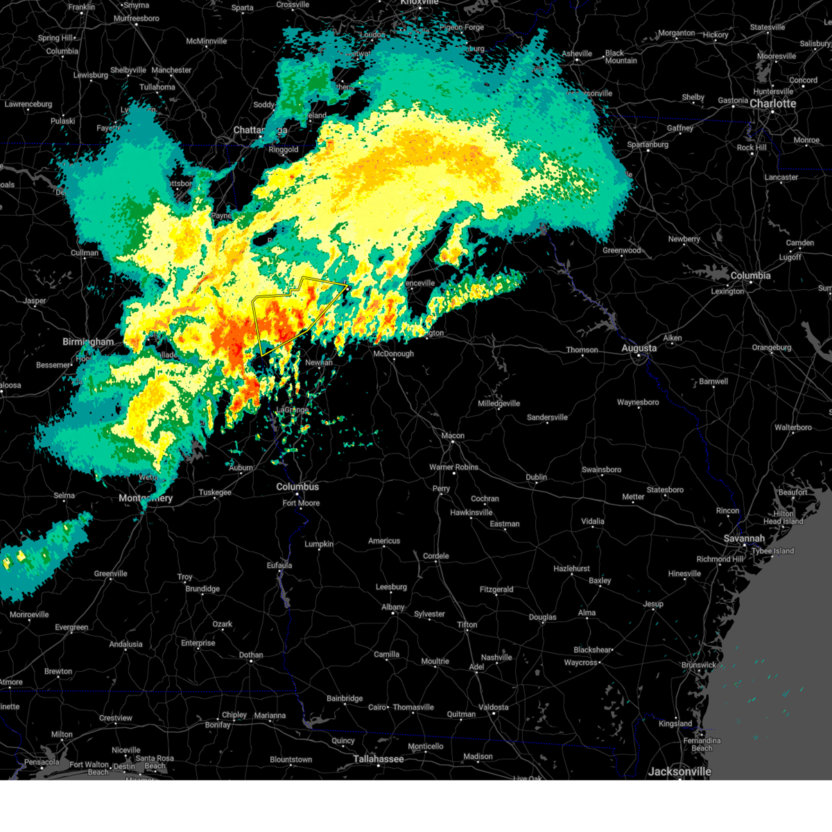 At 751 am edt, severe thunderstorms were located along a line extending from near trickem to near temple to near dallas, moving east at 30 mph (radar indicated). Hazards include 60 mph wind gusts and penny size hail. Expect damage to roofs, siding, and trees. Locations impacted include, marietta, carrollton, dallas, buchanan, kennesaw, villa rica, powder springs, bremen, temple, hiram, tallapoosa, bowdon, mount zion, waco, braswell, yorkville, burnt hickory ridge, lost mountain park, brownsville, and cross roads. At 751 am edt, severe thunderstorms were located along a line extending from near trickem to near temple to near dallas, moving east at 30 mph (radar indicated). Hazards include 60 mph wind gusts and penny size hail. Expect damage to roofs, siding, and trees. Locations impacted include, marietta, carrollton, dallas, buchanan, kennesaw, villa rica, powder springs, bremen, temple, hiram, tallapoosa, bowdon, mount zion, waco, braswell, yorkville, burnt hickory ridge, lost mountain park, brownsville, and cross roads.
|
| 5/27/2024 7:51 AM EDT |
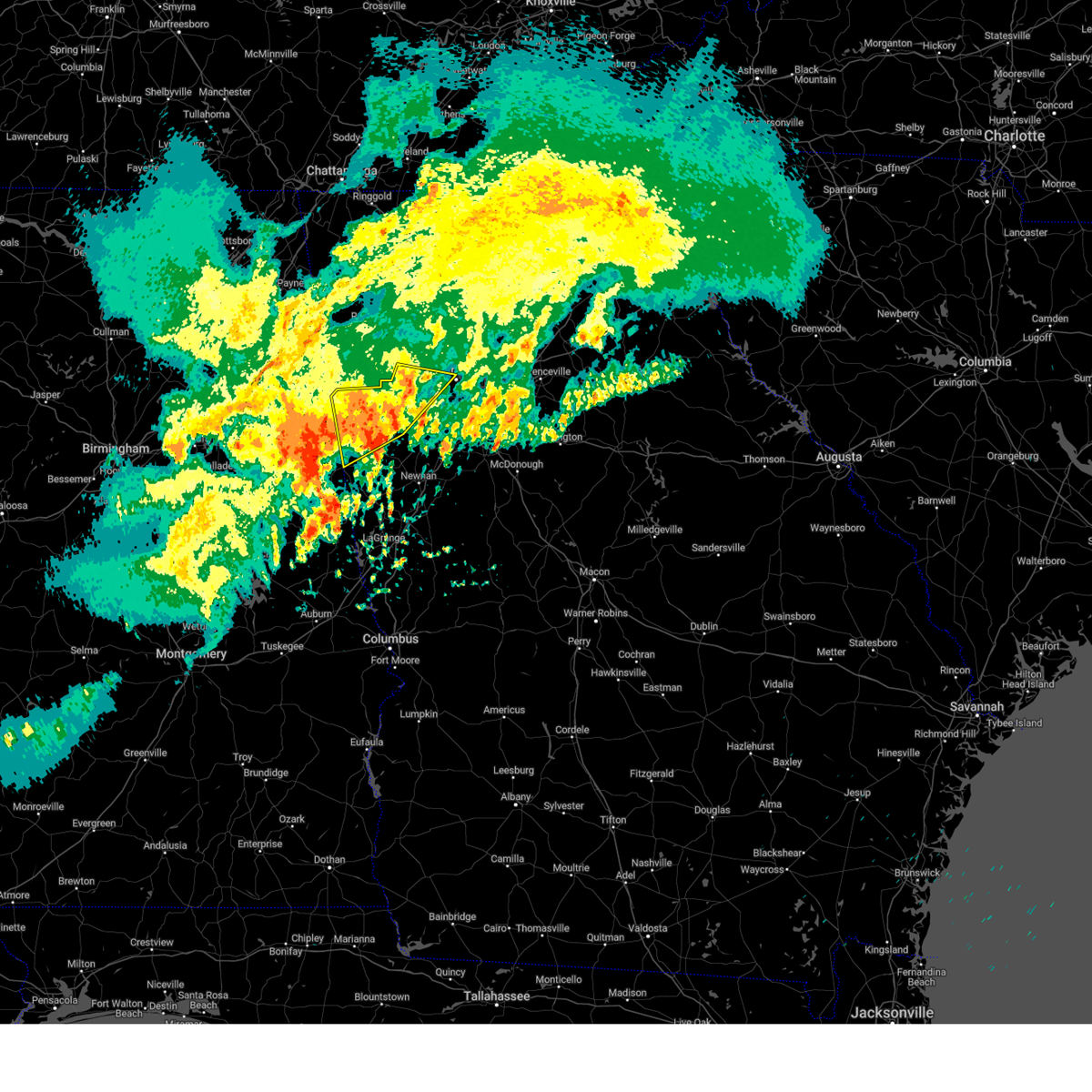 the severe thunderstorm warning has been cancelled and is no longer in effect the severe thunderstorm warning has been cancelled and is no longer in effect
|
| 5/27/2024 7:49 AM EDT |
 Svrffc the national weather service in peachtree city has issued a * severe thunderstorm warning for, northern fayette county in north central georgia, carroll county in northwestern georgia, douglas county in north central georgia, heard county in west central georgia, coweta county in west central georgia, southwestern fulton county in north central georgia, * until 830 am edt. * at 749 am edt, severe thunderstorms were located along a line extending from near douglasville to near carrollton to corinth, moving southeast at 40 mph (radar indicated). Hazards include 60 mph wind gusts and penny size hail. expect damage to roofs, siding, and trees Svrffc the national weather service in peachtree city has issued a * severe thunderstorm warning for, northern fayette county in north central georgia, carroll county in northwestern georgia, douglas county in north central georgia, heard county in west central georgia, coweta county in west central georgia, southwestern fulton county in north central georgia, * until 830 am edt. * at 749 am edt, severe thunderstorms were located along a line extending from near douglasville to near carrollton to corinth, moving southeast at 40 mph (radar indicated). Hazards include 60 mph wind gusts and penny size hail. expect damage to roofs, siding, and trees
|
| 5/27/2024 7:18 AM EDT |
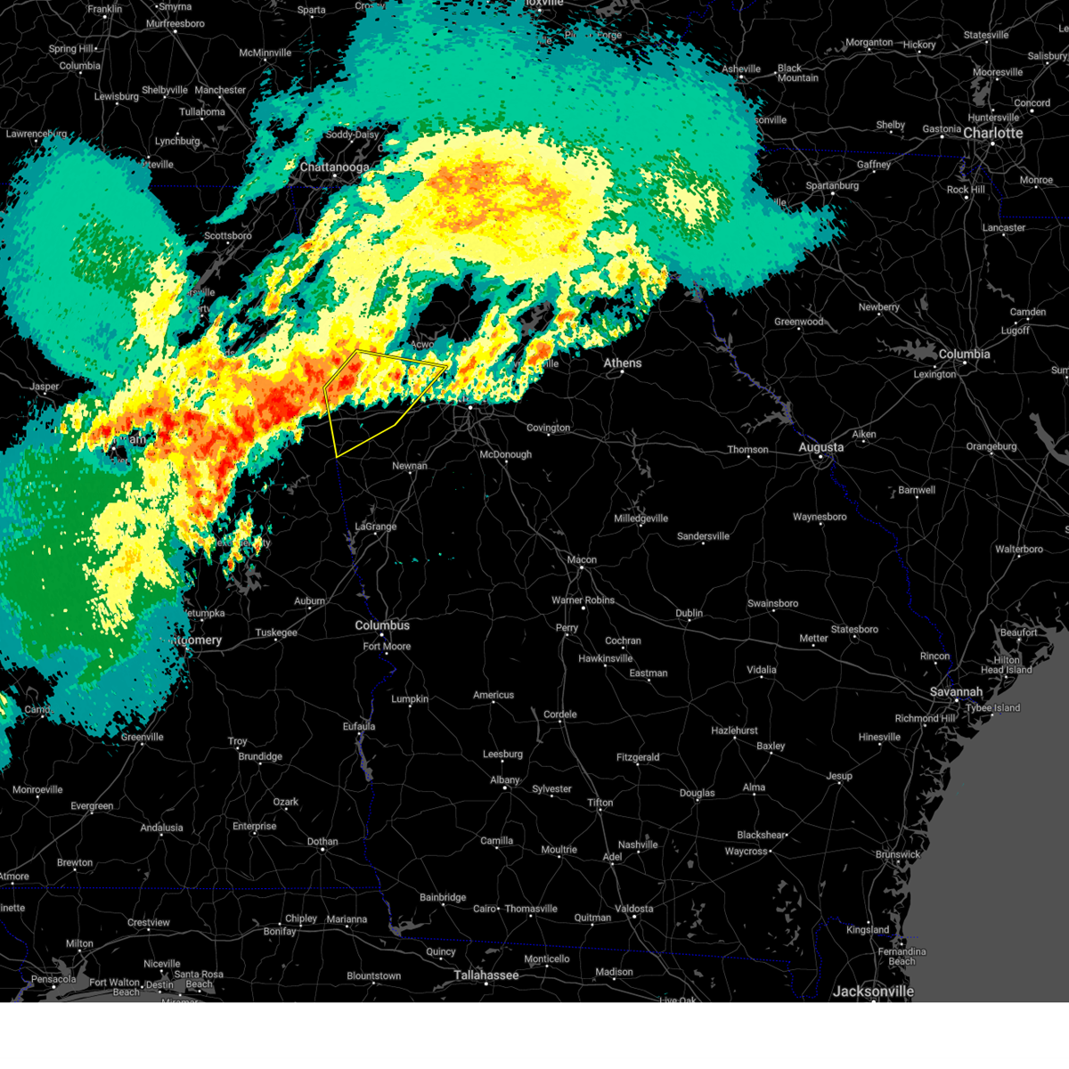 Svrffc the national weather service in peachtree city has issued a * severe thunderstorm warning for, paulding county in northwestern georgia, haralson county in northwestern georgia, central carroll county in northwestern georgia, west central cobb county in north central georgia, northwestern douglas county in north central georgia, central polk county in northwestern georgia, * until 800 am edt. * at 718 am edt, severe thunderstorms were located along a line extending from dearmanville to near tallapoosa to fish creek, moving east at 30 mph (radar indicated). Hazards include 60 mph wind gusts and penny size hail. expect damage to roofs, siding, and trees Svrffc the national weather service in peachtree city has issued a * severe thunderstorm warning for, paulding county in northwestern georgia, haralson county in northwestern georgia, central carroll county in northwestern georgia, west central cobb county in north central georgia, northwestern douglas county in north central georgia, central polk county in northwestern georgia, * until 800 am edt. * at 718 am edt, severe thunderstorms were located along a line extending from dearmanville to near tallapoosa to fish creek, moving east at 30 mph (radar indicated). Hazards include 60 mph wind gusts and penny size hail. expect damage to roofs, siding, and trees
|
| 5/9/2024 7:42 AM EDT |
 Svrffc the national weather service in peachtree city has issued a * severe thunderstorm warning for, paulding county in northwestern georgia, southern cherokee county in north central georgia, northwestern dekalb county in north central georgia, southwestern forsyth county in north central georgia, northeastern haralson county in northwestern georgia, cobb county in north central georgia, northeastern douglas county in north central georgia, northern gwinnett county in north central georgia, northeastern fulton county in north central georgia, eastern polk county in northwestern georgia, southern bartow county in northwestern georgia, * until 830 am edt. * at 742 am edt, a severe thunderstorm was located over acworth, or 10 miles northwest of marietta, moving southeast at 65 mph (radar indicated). Hazards include 60 mph wind gusts and penny size hail. expect damage to roofs, siding, and trees Svrffc the national weather service in peachtree city has issued a * severe thunderstorm warning for, paulding county in northwestern georgia, southern cherokee county in north central georgia, northwestern dekalb county in north central georgia, southwestern forsyth county in north central georgia, northeastern haralson county in northwestern georgia, cobb county in north central georgia, northeastern douglas county in north central georgia, northern gwinnett county in north central georgia, northeastern fulton county in north central georgia, eastern polk county in northwestern georgia, southern bartow county in northwestern georgia, * until 830 am edt. * at 742 am edt, a severe thunderstorm was located over acworth, or 10 miles northwest of marietta, moving southeast at 65 mph (radar indicated). Hazards include 60 mph wind gusts and penny size hail. expect damage to roofs, siding, and trees
|
| 2/28/2024 3:26 PM EST |
 Svrffc the national weather service in peachtree city has issued a * severe thunderstorm warning for, rockdale county in north central georgia, dekalb county in north central georgia, east central douglas county in north central georgia, southwestern gwinnett county in north central georgia, northern henry county in north central georgia, central walton county in north central georgia, clayton county in north central georgia, southwestern fulton county in north central georgia, central newton county in north central georgia, * until 415 pm est. * at 326 pm est, severe thunderstorms were located along a line extending from lilburn to clarkston to cascade heights to campbellton, moving southeast at 40 mph (radar indicated). Hazards include 60 mph wind gusts and penny size hail. expect damage to roofs, siding, and trees Svrffc the national weather service in peachtree city has issued a * severe thunderstorm warning for, rockdale county in north central georgia, dekalb county in north central georgia, east central douglas county in north central georgia, southwestern gwinnett county in north central georgia, northern henry county in north central georgia, central walton county in north central georgia, clayton county in north central georgia, southwestern fulton county in north central georgia, central newton county in north central georgia, * until 415 pm est. * at 326 pm est, severe thunderstorms were located along a line extending from lilburn to clarkston to cascade heights to campbellton, moving southeast at 40 mph (radar indicated). Hazards include 60 mph wind gusts and penny size hail. expect damage to roofs, siding, and trees
|
| 2/28/2024 3:11 PM EST |
 At 311 pm est, severe thunderstorms were located along a line extending from near dunwoody to bankhead to near chapel hill, moving southeast at 40 mph (radar indicated). Hazards include 60 mph wind gusts. Expect damage to roofs, siding, and trees. Locations impacted include, atlanta, douglasville, decatur, peachtree corners, city of south fulton, sandy springs, roswell, smyrna, dunwoody, east point, union city, college park, fairburn, lilburn, chamblee, norcross, doraville, clarkston, austell, and hapeville. At 311 pm est, severe thunderstorms were located along a line extending from near dunwoody to bankhead to near chapel hill, moving southeast at 40 mph (radar indicated). Hazards include 60 mph wind gusts. Expect damage to roofs, siding, and trees. Locations impacted include, atlanta, douglasville, decatur, peachtree corners, city of south fulton, sandy springs, roswell, smyrna, dunwoody, east point, union city, college park, fairburn, lilburn, chamblee, norcross, doraville, clarkston, austell, and hapeville.
|
| 2/28/2024 2:58 PM EST |
 Svrffc the national weather service in peachtree city has issued a * severe thunderstorm warning for, southeastern paulding county in northwestern georgia, northwestern dekalb county in north central georgia, central cobb county in north central georgia, douglas county in north central georgia, west central gwinnett county in north central georgia, fulton county in north central georgia, * until 330 pm est. * at 258 pm est, severe thunderstorms were located along a line extending from near roswell to smyrna to winston, moving southeast at 35 mph (radar indicated). Hazards include 60 mph wind gusts and penny size hail. expect damage to roofs, siding, and trees Svrffc the national weather service in peachtree city has issued a * severe thunderstorm warning for, southeastern paulding county in northwestern georgia, northwestern dekalb county in north central georgia, central cobb county in north central georgia, douglas county in north central georgia, west central gwinnett county in north central georgia, fulton county in north central georgia, * until 330 pm est. * at 258 pm est, severe thunderstorms were located along a line extending from near roswell to smyrna to winston, moving southeast at 35 mph (radar indicated). Hazards include 60 mph wind gusts and penny size hail. expect damage to roofs, siding, and trees
|
| 2/28/2024 2:35 PM EST |
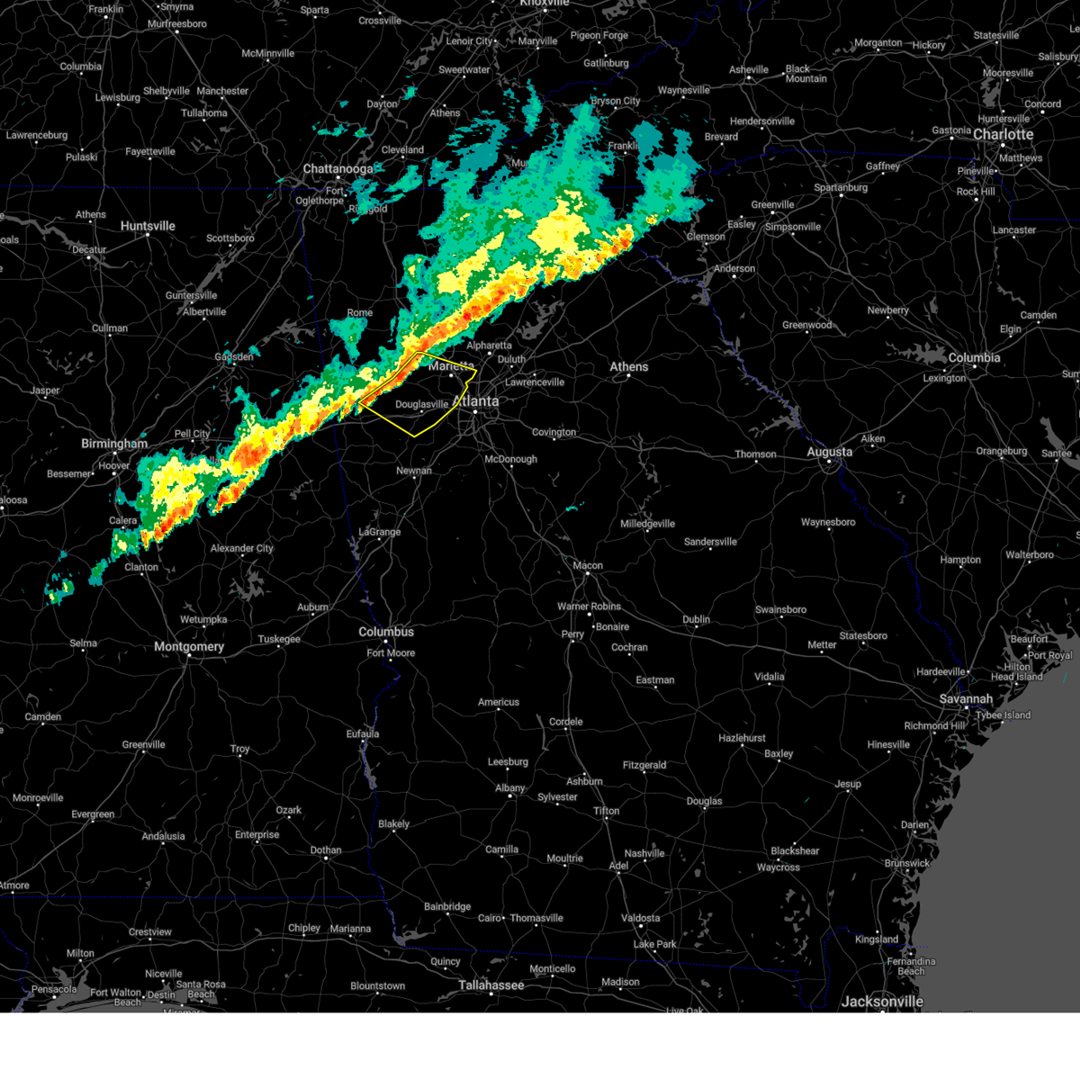 Svrffc the national weather service in peachtree city has issued a * severe thunderstorm warning for, paulding county in northwestern georgia, east central haralson county in northwestern georgia, northeastern carroll county in northwestern georgia, cobb county in north central georgia, douglas county in north central georgia, * until 300 pm est. * at 235 pm est, severe thunderstorms were located along a line extending from near acworth to dallas to near draketown, moving east at 35 mph (radar indicated). Hazards include 60 mph wind gusts and penny size hail. expect damage to roofs, siding, and trees Svrffc the national weather service in peachtree city has issued a * severe thunderstorm warning for, paulding county in northwestern georgia, east central haralson county in northwestern georgia, northeastern carroll county in northwestern georgia, cobb county in north central georgia, douglas county in north central georgia, * until 300 pm est. * at 235 pm est, severe thunderstorms were located along a line extending from near acworth to dallas to near draketown, moving east at 35 mph (radar indicated). Hazards include 60 mph wind gusts and penny size hail. expect damage to roofs, siding, and trees
|
| 1/9/2024 8:15 AM EST | A tree was downed in the 4000 block of coursey lake roa in douglas county GA, 4 miles NNE of Douglasville, GA |
| 1/9/2024 8:15 AM EST | A tree was downed in the 9000 block of parkway sout in douglas county GA, 3.3 miles NE of Douglasville, GA |
| 8/29/2023 9:30 PM EDT | Tree blown down reported at arbor station elementary schoo in douglas county GA, 3.3 miles NE of Douglasville, GA |
| 8/28/2023 6:00 PM EDT | Trees and powerlines dow in douglas county GA, 3.6 miles NW of Douglasville, GA |
| 8/28/2023 5:50 PM EDT |
 At 550 pm edt, severe thunderstorms were located along a line extending from near campbellton to hannah, moving north at 20 mph (radar indicated). Hazards include 60 mph wind gusts and nickel size hail. expect damage to roofs, siding, and trees At 550 pm edt, severe thunderstorms were located along a line extending from near campbellton to hannah, moving north at 20 mph (radar indicated). Hazards include 60 mph wind gusts and nickel size hail. expect damage to roofs, siding, and trees
|
| 8/28/2023 5:30 PM EDT | Multiple trees dow in douglas county GA, 7.1 miles N of Douglasville, GA |
| 8/12/2023 4:27 PM EDT |
 At 427 pm edt, severe thunderstorms were located along a line extending from near sandtown to thomas crossroads, moving east at 20 mph (radar indicated). Hazards include 60 mph wind gusts. expect damage to roofs, siding, and trees At 427 pm edt, severe thunderstorms were located along a line extending from near sandtown to thomas crossroads, moving east at 20 mph (radar indicated). Hazards include 60 mph wind gusts. expect damage to roofs, siding, and trees
|
| 8/7/2023 6:11 PM EDT |
 The severe thunderstorm warning for dekalb, south central forsyth, cobb, douglas, western gwinnett, fulton and northwestern clayton counties will expire at 615 pm edt, the storms which prompted the warning have moved out of the area. therefore, the warning will be allowed to expire. a severe thunderstorm watch remains in effect until 800 pm edt for north central and northwestern georgia. The severe thunderstorm warning for dekalb, south central forsyth, cobb, douglas, western gwinnett, fulton and northwestern clayton counties will expire at 615 pm edt, the storms which prompted the warning have moved out of the area. therefore, the warning will be allowed to expire. a severe thunderstorm watch remains in effect until 800 pm edt for north central and northwestern georgia.
|
| 8/7/2023 5:41 PM EDT |
 The severe thunderstorm warning for east central carroll, douglas and southwestern fulton counties will expire at 545 pm edt, the storms which prompted the warning have moved out of the area. therefore, the warning will be allowed to expire. however, gusty winds are still possible with these thunderstorms. a severe thunderstorm watch remains in effect until 800 pm edt for north central and northwestern georgia. remember, a severe thunderstorm warning still remains in effect for southern douglas, fulton and carroll counties. The severe thunderstorm warning for east central carroll, douglas and southwestern fulton counties will expire at 545 pm edt, the storms which prompted the warning have moved out of the area. therefore, the warning will be allowed to expire. however, gusty winds are still possible with these thunderstorms. a severe thunderstorm watch remains in effect until 800 pm edt for north central and northwestern georgia. remember, a severe thunderstorm warning still remains in effect for southern douglas, fulton and carroll counties.
|
| 8/7/2023 5:40 PM EDT |
 The severe thunderstorm warning for paulding, southwestern cherokee, western cobb, northeastern carroll, northern douglas and southeastern bartow counties will expire at 545 pm edt, the storm which prompted the warning has moved out of the area. therefore, the warning will be allowed to expire. however, gusty winds are still possible with this thunderstorm. a severe thunderstorm watch remains in effect until 800 pm edt for north central and northwestern georgia. remember, a severe thunderstorm warning still remains in effect for douglas and cobb counties. The severe thunderstorm warning for paulding, southwestern cherokee, western cobb, northeastern carroll, northern douglas and southeastern bartow counties will expire at 545 pm edt, the storm which prompted the warning has moved out of the area. therefore, the warning will be allowed to expire. however, gusty winds are still possible with this thunderstorm. a severe thunderstorm watch remains in effect until 800 pm edt for north central and northwestern georgia. remember, a severe thunderstorm warning still remains in effect for douglas and cobb counties.
|
| 8/7/2023 5:30 PM EDT | Power lines were downed on executive drive at courtney driv in douglas county GA, 5.2 miles ENE of Douglasville, GA |
| 8/7/2023 5:29 PM EDT | Power lines were reported down on timber ridge driv in douglas county GA, 1.3 miles E of Douglasville, GA |
| 8/7/2023 5:28 PM EDT | Power lines reported down on bright star r in douglas county GA, 4.4 miles ENE of Douglasville, GA |
| 8/7/2023 5:28 PM EDT | Power lines were reported down in the 5000 block of fairburn r in douglas county GA, 0.9 miles SE of Douglasville, GA |
| 8/7/2023 5:27 PM EDT |
 At 527 pm edt, severe thunderstorms were located along a line extending from near sandy plains to treasure lake, moving east at 50 mph (radar indicated). Hazards include 60 mph wind gusts and quarter size hail. Hail damage to vehicles is expected. Expect wind damage to roofs, siding, and trees. At 527 pm edt, severe thunderstorms were located along a line extending from near sandy plains to treasure lake, moving east at 50 mph (radar indicated). Hazards include 60 mph wind gusts and quarter size hail. Hail damage to vehicles is expected. Expect wind damage to roofs, siding, and trees.
|
| 8/7/2023 5:26 PM EDT | Power line reported down on mason creek rd at franklin forest d in douglas county GA, 6.8 miles ENE of Douglasville, GA |
| 8/7/2023 5:26 PM EDT | Emergency manager reported a tree down on ridge rd near the intersection with chandler ridge d in paulding county GA, 8 miles SE of Douglasville, GA |
| 8/7/2023 5:20 PM EDT | Emergency manager reported a tree down on sam alexander rd due east of the intersection with clarice r in paulding county GA, 9.3 miles SE of Douglasville, GA |
| 8/7/2023 5:16 PM EDT |
 At 516 pm edt, severe thunderstorms were located along a line extending from near abilene to bowdon, moving east at 45 mph (radar indicated). Hazards include 70 mph wind gusts. Expect considerable tree damage. Damage is likely to mobile homes, roofs, and outbuildings. At 516 pm edt, severe thunderstorms were located along a line extending from near abilene to bowdon, moving east at 45 mph (radar indicated). Hazards include 70 mph wind gusts. Expect considerable tree damage. Damage is likely to mobile homes, roofs, and outbuildings.
|
| 8/7/2023 5:02 PM EDT | Emergency manager reports a tree down near the intersection of bakers bridge rd and sweetwater church r in paulding county GA, 5.4 miles ESE of Douglasville, GA |
| 8/7/2023 5:00 PM EDT |
 At 500 pm edt, a severe thunderstorm was located over braswell, or near dallas, moving east at 35 mph (radar indicated). Hazards include 60 mph wind gusts and penny size hail. expect damage to roofs, siding, and trees At 500 pm edt, a severe thunderstorm was located over braswell, or near dallas, moving east at 35 mph (radar indicated). Hazards include 60 mph wind gusts and penny size hail. expect damage to roofs, siding, and trees
|
| 8/6/2023 6:42 PM EDT |
 The severe thunderstorm warning for paulding, northeastern haralson, northeastern carroll and northwestern douglas counties will expire at 645 pm edt, the storm which prompted the warning has weakened below severe limits, and no longer poses an immediate threat to life or property. therefore, the warning will be allowed to expire. however, gusty winds are still possible with this thunderstorm. a severe thunderstorm watch remains in effect until 900 pm edt for north central and northwestern georgia. The severe thunderstorm warning for paulding, northeastern haralson, northeastern carroll and northwestern douglas counties will expire at 645 pm edt, the storm which prompted the warning has weakened below severe limits, and no longer poses an immediate threat to life or property. therefore, the warning will be allowed to expire. however, gusty winds are still possible with this thunderstorm. a severe thunderstorm watch remains in effect until 900 pm edt for north central and northwestern georgia.
|
| 8/6/2023 6:28 PM EDT |
 At 628 pm edt, a severe thunderstorm was located over hiram, or near dallas, moving east at 35 mph (radar indicated). Hazards include 60 mph wind gusts and penny size hail. Expect damage to roofs, siding, and trees. locations impacted include, douglasville, dallas, villa rica, powder springs, temple, hiram, braswell, yorkville, burnt hickory ridge, eubank lake, brownsville, draketown, winston, lake val-do-mar, new hope, and new georgia. hail threat, radar indicated max hail size, 0. 75 in wind threat, radar indicated max wind gust, 60 mph. At 628 pm edt, a severe thunderstorm was located over hiram, or near dallas, moving east at 35 mph (radar indicated). Hazards include 60 mph wind gusts and penny size hail. Expect damage to roofs, siding, and trees. locations impacted include, douglasville, dallas, villa rica, powder springs, temple, hiram, braswell, yorkville, burnt hickory ridge, eubank lake, brownsville, draketown, winston, lake val-do-mar, new hope, and new georgia. hail threat, radar indicated max hail size, 0. 75 in wind threat, radar indicated max wind gust, 60 mph.
|
| 8/6/2023 6:25 PM EDT | A tree was reported down on brickleberry way at hwy 9 in douglas county GA, 3.1 miles SE of Douglasville, GA |
| 8/6/2023 6:00 PM EDT |
 At 600 pm edt, a severe thunderstorm was located over draketown, or near buchanan, moving east at 35 mph (radar indicated). Hazards include 60 mph wind gusts and penny size hail. expect damage to roofs, siding, and trees At 600 pm edt, a severe thunderstorm was located over draketown, or near buchanan, moving east at 35 mph (radar indicated). Hazards include 60 mph wind gusts and penny size hail. expect damage to roofs, siding, and trees
|
| 8/6/2023 4:16 PM EDT | A tree was downed near the intersection of pritchards mill trail and mill trac in douglas county GA, 2.6 miles NW of Douglasville, GA |
| 8/6/2023 4:13 PM EDT | A tree was downed on old briar trai in douglas county GA, 3.1 miles NNE of Douglasville, GA |
| 8/6/2023 4:13 PM EDT | A tree was reported down on slater mill roa in douglas county GA, 0.4 miles W of Douglasville, GA |
| 8/6/2023 4:02 PM EDT | A tree was reported down on oak driv in douglas county GA, 6.6 miles ESE of Douglasville, GA |
| 8/6/2023 3:39 PM EDT |
 At 339 pm edt, a severe thunderstorm was located near braswell, or 10 miles northwest of dallas, moving east at 20 mph (radar indicated). Hazards include 60 mph wind gusts and penny size hail. expect damage to roofs, siding, and trees At 339 pm edt, a severe thunderstorm was located near braswell, or 10 miles northwest of dallas, moving east at 20 mph (radar indicated). Hazards include 60 mph wind gusts and penny size hail. expect damage to roofs, siding, and trees
|
| 8/6/2023 2:25 PM EDT | Tree reported down near the intersection of old briar trail and n. shelby lan in douglas county GA, 3.1 miles NNE of Douglasville, GA |
| 8/6/2023 2:25 PM EDT | Tree down across anneewakee r in douglas county GA, 3 miles NNW of Douglasville, GA |
| 8/3/2023 4:40 PM EDT |
 At 440 pm edt, a severe thunderstorm was located near sweetwater creek state park, or near city of south fulton, moving southeast at 35 mph (radar indicated). Hazards include 60 mph wind gusts. expect damage to roofs, siding, and trees At 440 pm edt, a severe thunderstorm was located near sweetwater creek state park, or near city of south fulton, moving southeast at 35 mph (radar indicated). Hazards include 60 mph wind gusts. expect damage to roofs, siding, and trees
|
| 8/3/2023 4:37 PM EDT | Tree/powerline down along campbellton s in douglas county GA, 2.5 miles ESE of Douglasville, GA |
| 8/3/2023 4:37 PM EDT | Tree/powerline down near the intersection of chapel hill rd and chapel valley d in douglas county GA, 5 miles N of Douglasville, GA |
| 8/3/2023 4:30 PM EDT |
 At 430 pm edt, a severe thunderstorm was located over brownsville, or near douglasville, moving southeast at 25 mph (radar indicated). Hazards include 60 mph wind gusts. expect damage to roofs, siding, and trees At 430 pm edt, a severe thunderstorm was located over brownsville, or near douglasville, moving southeast at 25 mph (radar indicated). Hazards include 60 mph wind gusts. expect damage to roofs, siding, and trees
|
| 7/21/2023 7:45 PM EDT | Numerous trees and powerlines down in douglasville along hwy5 between nations dr and kings hwy. two reports of trees on house in douglas county GA, 5 miles NE of Douglasville, GA |
| 7/21/2023 7:44 PM EDT | Multiple trees down near the intersection of highway 5 and amber d in douglas county GA, 4.7 miles ENE of Douglasville, GA |
| 7/20/2023 6:35 PM EDT |
 At 634 pm edt, a severe thunderstorm was located over la vista, or near atlanta, moving southeast at 50 mph (radar indicated). Hazards include 60 mph wind gusts and penny size hail. expect damage to roofs, siding, and trees At 634 pm edt, a severe thunderstorm was located over la vista, or near atlanta, moving southeast at 50 mph (radar indicated). Hazards include 60 mph wind gusts and penny size hail. expect damage to roofs, siding, and trees
|
| 7/2/2023 5:06 PM EDT |
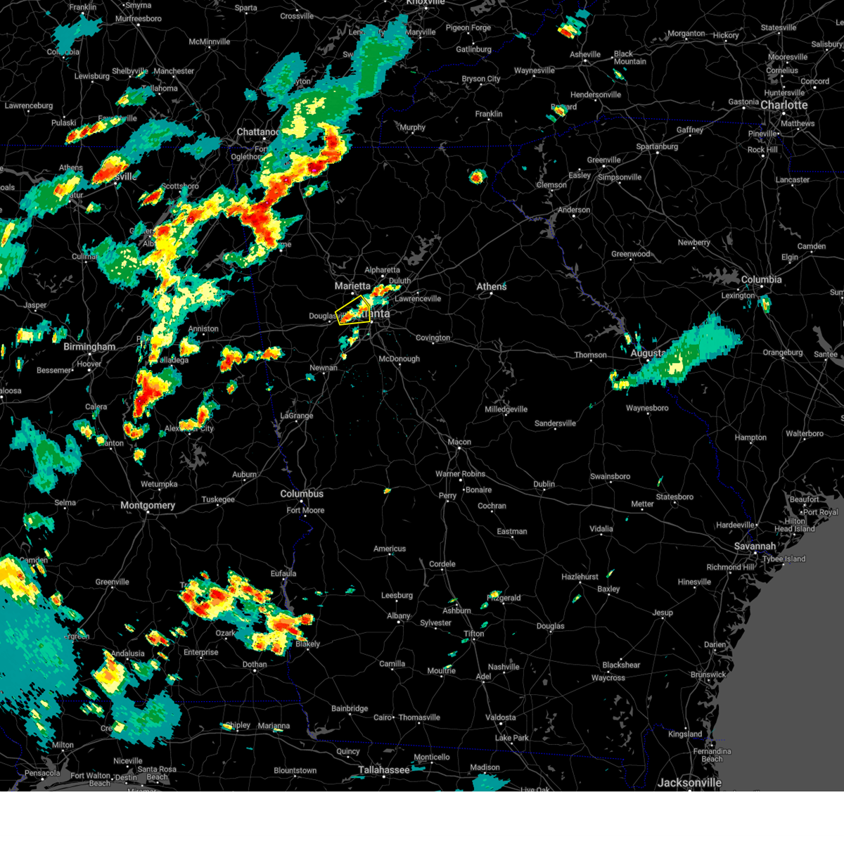 The severe thunderstorm warning for southern cobb, northeastern douglas and central fulton counties will expire at 515 pm edt, the storm which prompted the warning has weakened below severe limits, and no longer poses an immediate threat to life or property. therefore, the warning will be allowed to expire. however gusty winds are still possible with this thunderstorm. The severe thunderstorm warning for southern cobb, northeastern douglas and central fulton counties will expire at 515 pm edt, the storm which prompted the warning has weakened below severe limits, and no longer poses an immediate threat to life or property. therefore, the warning will be allowed to expire. however gusty winds are still possible with this thunderstorm.
|
| 7/2/2023 4:34 PM EDT |
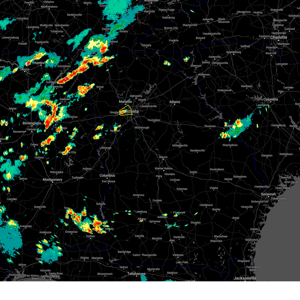 At 434 pm edt, a severe thunderstorm was located over mableton, or 8 miles west of atlanta, moving east at 10 mph (radar indicated). Hazards include 60 mph wind gusts and penny size hail. expect damage to roofs, siding, and trees At 434 pm edt, a severe thunderstorm was located over mableton, or 8 miles west of atlanta, moving east at 10 mph (radar indicated). Hazards include 60 mph wind gusts and penny size hail. expect damage to roofs, siding, and trees
|
| 6/25/2023 6:56 PM EDT |
 At 655 pm edt, a severe thunderstorm was located over the area (radar indicated). Hazards include 60 mph wind gusts. expect damage to roofs, siding, and trees At 655 pm edt, a severe thunderstorm was located over the area (radar indicated). Hazards include 60 mph wind gusts. expect damage to roofs, siding, and trees
|
| 6/25/2023 6:24 PM EDT |
 At 623 pm edt, severe thunderstorms were located along a line extending from near lilburn to hiram to winston to near arnco-sargent, moving southeast at 45 mph (radar indicated). Hazards include 60 mph wind gusts and penny size hail. Expect damage to roofs, siding, and trees. locations impacted include, atlanta, marietta, douglasville, lawrenceville, decatur, fayetteville, conyers, covington, dallas, jonesboro, peachtree corners, city of south fulton, sandy springs, roswell, smyrna, dunwoody, east point, kennesaw, duluth and stockbridge. hail threat, radar indicated max hail size, 0. 75 in wind threat, radar indicated max wind gust, 60 mph. At 623 pm edt, severe thunderstorms were located along a line extending from near lilburn to hiram to winston to near arnco-sargent, moving southeast at 45 mph (radar indicated). Hazards include 60 mph wind gusts and penny size hail. Expect damage to roofs, siding, and trees. locations impacted include, atlanta, marietta, douglasville, lawrenceville, decatur, fayetteville, conyers, covington, dallas, jonesboro, peachtree corners, city of south fulton, sandy springs, roswell, smyrna, dunwoody, east point, kennesaw, duluth and stockbridge. hail threat, radar indicated max hail size, 0. 75 in wind threat, radar indicated max wind gust, 60 mph.
|
| 6/25/2023 6:00 PM EDT |
 At 600 pm edt, severe thunderstorms were located along a line extending from near alpharetta to near taylorsville to near yorkville to near clem, moving southeast at 45 mph (radar indicated). Hazards include 60 mph wind gusts and penny size hail. expect damage to roofs, siding, and trees At 600 pm edt, severe thunderstorms were located along a line extending from near alpharetta to near taylorsville to near yorkville to near clem, moving southeast at 45 mph (radar indicated). Hazards include 60 mph wind gusts and penny size hail. expect damage to roofs, siding, and trees
|
| 5/16/2023 5:41 PM EDT |
 At 540 pm edt, a severe thunderstorm was located over brownsville, or near douglasville, moving east at 15 mph (radar indicated). Hazards include 60 mph wind gusts and quarter size hail. Hail damage to vehicles is expected. expect wind damage to roofs, siding, and trees. locations impacted include, atlanta, douglasville, city of south fulton, smyrna, powder springs, austell, lithia springs, sweetwater creek state park, brownsville, chapel hill, six flags over georgia, campbellton, sandtown and mableton. hail threat, radar indicated max hail size, 1. 00 in wind threat, radar indicated max wind gust, 60 mph. At 540 pm edt, a severe thunderstorm was located over brownsville, or near douglasville, moving east at 15 mph (radar indicated). Hazards include 60 mph wind gusts and quarter size hail. Hail damage to vehicles is expected. expect wind damage to roofs, siding, and trees. locations impacted include, atlanta, douglasville, city of south fulton, smyrna, powder springs, austell, lithia springs, sweetwater creek state park, brownsville, chapel hill, six flags over georgia, campbellton, sandtown and mableton. hail threat, radar indicated max hail size, 1. 00 in wind threat, radar indicated max wind gust, 60 mph.
|
| 5/16/2023 5:26 PM EDT |
 At 526 pm edt, a severe thunderstorm was located over brownsville, or near douglasville, moving east at 15 mph (radar indicated). Hazards include 60 mph wind gusts and quarter size hail. Hail damage to vehicles is expected. Expect wind damage to roofs, siding, and trees. At 526 pm edt, a severe thunderstorm was located over brownsville, or near douglasville, moving east at 15 mph (radar indicated). Hazards include 60 mph wind gusts and quarter size hail. Hail damage to vehicles is expected. Expect wind damage to roofs, siding, and trees.
|
| 3/3/2023 5:44 PM EST | A tree was downed on bright star road at biscayne wa in douglas county GA, 5.5 miles ENE of Douglasville, GA |
| 3/3/2023 4:50 PM EST | A tree was downed on phillips mill rd near hwy 16 in douglas county GA, 10.6 miles NE of Douglasville, GA |
| 3/3/2023 4:45 PM EST | A tree was downed on mason creek rd near cougar trai in douglas county GA, 6.4 miles NE of Douglasville, GA |
| 3/3/2023 4:44 PM EST | Corrects previous tstm wnd dmg report from 2 nne bill arp. a tree was downed on bright star road at biscayne wa in douglas county GA, 5.5 miles ENE of Douglasville, GA |
| 3/3/2023 4:40 PM EST | A tree fell onto a vehicle on cambridge cour in paulding county GA, 4.9 miles SE of Douglasville, GA |
| 3/3/2023 4:31 PM EST |
 At 431 pm est, severe thunderstorms were located along a line extending from kennesaw to abilene, moving east at 40 mph (radar indicated). Hazards include 60 mph wind gusts. expect damage to roofs, siding, and trees At 431 pm est, severe thunderstorms were located along a line extending from kennesaw to abilene, moving east at 40 mph (radar indicated). Hazards include 60 mph wind gusts. expect damage to roofs, siding, and trees
|
| 3/3/2023 4:06 PM EST |
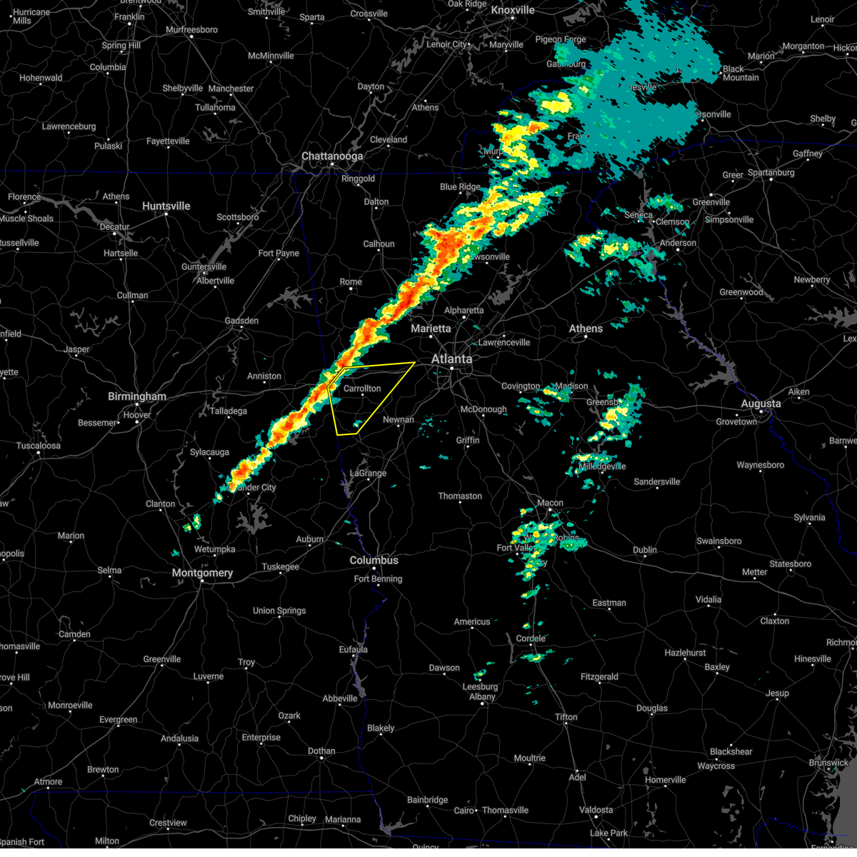 At 406 pm est, severe thunderstorms were located along a line extending from bremen to near ofelia, moving east at 50 mph (radar indicated). Hazards include 60 mph wind gusts. expect damage to roofs, siding, and trees At 406 pm est, severe thunderstorms were located along a line extending from bremen to near ofelia, moving east at 50 mph (radar indicated). Hazards include 60 mph wind gusts. expect damage to roofs, siding, and trees
|
| 1/12/2023 4:03 PM EST | Lines down off of pool rd and johnston r in douglas county GA, 7.9 miles ENE of Douglasville, GA |
| 1/12/2023 3:31 PM EST |
 At 331 pm est, severe thunderstorms were located along a line extending from sandy plains to near mableton to chattahoochee hills, moving northeast at 55 mph (radar indicated). Hazards include 60 mph wind gusts. expect damage to roofs, siding, and trees At 331 pm est, severe thunderstorms were located along a line extending from sandy plains to near mableton to chattahoochee hills, moving northeast at 55 mph (radar indicated). Hazards include 60 mph wind gusts. expect damage to roofs, siding, and trees
|
| 1/12/2023 2:44 PM EST |
 At 244 pm est, severe thunderstorms were located along a line extending from near i 20 welcome center to ranburne to near newell, moving east at 55 mph (radar indicated). Hazards include 60 mph wind gusts. expect damage to roofs, siding, and trees At 244 pm est, severe thunderstorms were located along a line extending from near i 20 welcome center to ranburne to near newell, moving east at 55 mph (radar indicated). Hazards include 60 mph wind gusts. expect damage to roofs, siding, and trees
|
| 1/3/2023 5:51 PM EST |
 At 550 pm est, severe thunderstorms were located along a line extending from lithia springs to sweetwater creek state park to city of south fulton to union city to near sandy creek, moving east at 40 mph (radar indicated). Hazards include 60 mph wind gusts. Expect damage to roofs, siding, and trees. Locations impacted include, atlanta, douglasville, city of south fulton, smyrna, east point, union city, forest park, riverdale, college park, powder springs, fairburn, austell, morrow, hapeville, lake city, lithia springs, hartsfield-jackson airport, midtown, grant park-zoo atlanta and druid hills. At 550 pm est, severe thunderstorms were located along a line extending from lithia springs to sweetwater creek state park to city of south fulton to union city to near sandy creek, moving east at 40 mph (radar indicated). Hazards include 60 mph wind gusts. Expect damage to roofs, siding, and trees. Locations impacted include, atlanta, douglasville, city of south fulton, smyrna, east point, union city, forest park, riverdale, college park, powder springs, fairburn, austell, morrow, hapeville, lake city, lithia springs, hartsfield-jackson airport, midtown, grant park-zoo atlanta and druid hills.
|
| 1/3/2023 5:39 PM EST |
 At 539 pm est, severe thunderstorms were located along a line extending from near winston to chapel hill to campbellton to near palmetto to near cannongate, moving east at 45 mph (radar indicated). Hazards include 60 mph wind gusts. expect damage to roofs, siding, and trees At 539 pm est, severe thunderstorms were located along a line extending from near winston to chapel hill to campbellton to near palmetto to near cannongate, moving east at 45 mph (radar indicated). Hazards include 60 mph wind gusts. expect damage to roofs, siding, and trees
|
| 1/3/2023 5:34 PM EST |
 At 534 pm est, severe thunderstorms were located along a line extending from near douglasville to chattahoochee hills to near dunaway gardens, moving east at 55 mph (radar indicated). Hazards include 60 mph wind gusts. Expect damage to roofs, siding, and trees. Locations impacted include, douglasville, city of south fulton, palmetto, chattahoochee hills, lithia springs, dunaway gardens, winston, campbellton, roscoe, chapel hill and bill arp. At 534 pm est, severe thunderstorms were located along a line extending from near douglasville to chattahoochee hills to near dunaway gardens, moving east at 55 mph (radar indicated). Hazards include 60 mph wind gusts. Expect damage to roofs, siding, and trees. Locations impacted include, douglasville, city of south fulton, palmetto, chattahoochee hills, lithia springs, dunaway gardens, winston, campbellton, roscoe, chapel hill and bill arp.
|
| 1/3/2023 5:27 PM EST |
 At 527 pm est, severe thunderstorms were located along a line extending from lake val-do-mar to near byers crossroads to plant yates, moving east at 45 mph (radar indicated). Hazards include 60 mph wind gusts. Expect damage to roofs, siding, and trees. Locations impacted include, douglasville, city of south fulton, villa rica, palmetto, whitesburg, chattahoochee hills, lithia springs, plant yates, byers crossroads, hannah, chapel hill, bill arp, seaton lake, fairplay, dunaway gardens, winston, lake val-do-mar, treasure lake, campbellton and roscoe. At 527 pm est, severe thunderstorms were located along a line extending from lake val-do-mar to near byers crossroads to plant yates, moving east at 45 mph (radar indicated). Hazards include 60 mph wind gusts. Expect damage to roofs, siding, and trees. Locations impacted include, douglasville, city of south fulton, villa rica, palmetto, whitesburg, chattahoochee hills, lithia springs, plant yates, byers crossroads, hannah, chapel hill, bill arp, seaton lake, fairplay, dunaway gardens, winston, lake val-do-mar, treasure lake, campbellton and roscoe.
|
| 1/3/2023 5:12 PM EST |
 At 512 pm est, severe thunderstorms were located along a line extending from near temple to near clem to near lowell, moving east at 45 mph (radar indicated). Hazards include 60 mph wind gusts. expect damage to roofs, siding, and trees At 512 pm est, severe thunderstorms were located along a line extending from near temple to near clem to near lowell, moving east at 45 mph (radar indicated). Hazards include 60 mph wind gusts. expect damage to roofs, siding, and trees
|
| 11/30/2022 3:48 AM EST |
 At 348 am est, severe thunderstorms were located along a line extending from near winston to fairplay to plant wansley, moving east at 65 mph (radar indicated). Hazards include 60 mph wind gusts. Expect damage to roofs, siding, and trees. locations impacted include, newnan, douglasville, city of south fulton, villa rica, fairburn, palmetto, whitesburg, centralhatchee, roopville, lithia springs, chattahoochee hills, east newnan, plant yates, bill arp, seaton lake, fairplay, dunaway gardens, clem, winston and lake val-do-mar. hail threat, radar indicated max hail size, <. 75 in wind threat, radar indicated max wind gust, 60 mph. At 348 am est, severe thunderstorms were located along a line extending from near winston to fairplay to plant wansley, moving east at 65 mph (radar indicated). Hazards include 60 mph wind gusts. Expect damage to roofs, siding, and trees. locations impacted include, newnan, douglasville, city of south fulton, villa rica, fairburn, palmetto, whitesburg, centralhatchee, roopville, lithia springs, chattahoochee hills, east newnan, plant yates, bill arp, seaton lake, fairplay, dunaway gardens, clem, winston and lake val-do-mar. hail threat, radar indicated max hail size, <. 75 in wind threat, radar indicated max wind gust, 60 mph.
|
| 11/30/2022 3:37 AM EST |
 At 337 am est, severe thunderstorms were located along a line extending from near temple to abilene to ephesus, moving east at 60 mph (radar indicated). Hazards include 60 mph wind gusts. Expect damage to roofs, siding, and trees. locations impacted include, newnan, douglasville, carrollton, city of south fulton, villa rica, fairburn, palmetto, temple, whitesburg, ephesus, centralhatchee, roopville, lithia springs, chattahoochee hills, east newnan, plant yates, bill arp, seaton lake, fairplay and dunaway gardens. hail threat, radar indicated max hail size, <. 75 in wind threat, radar indicated max wind gust, 60 mph. At 337 am est, severe thunderstorms were located along a line extending from near temple to abilene to ephesus, moving east at 60 mph (radar indicated). Hazards include 60 mph wind gusts. Expect damage to roofs, siding, and trees. locations impacted include, newnan, douglasville, carrollton, city of south fulton, villa rica, fairburn, palmetto, temple, whitesburg, ephesus, centralhatchee, roopville, lithia springs, chattahoochee hills, east newnan, plant yates, bill arp, seaton lake, fairplay and dunaway gardens. hail threat, radar indicated max hail size, <. 75 in wind threat, radar indicated max wind gust, 60 mph.
|
| 11/30/2022 3:28 AM EST |
 At 328 am est, severe thunderstorms were located along a line extending from near buchanan to mount zion to near graham, moving east at 65 mph (radar indicated). Hazards include 60 mph wind gusts. expect damage to roofs, siding, and trees At 328 am est, severe thunderstorms were located along a line extending from near buchanan to mount zion to near graham, moving east at 65 mph (radar indicated). Hazards include 60 mph wind gusts. expect damage to roofs, siding, and trees
|
| 7/21/2022 11:43 AM EDT |
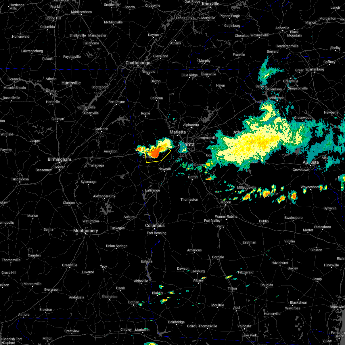 At 1143 am edt, severe thunderstorms were located along a line extending from near abilene to near treasure lake to winston to brownsville, moving southeast at 15 mph (radar indicated). Hazards include 60 mph wind gusts and penny size hail. Expect damage to roofs, siding, and trees. locations impacted include, douglasville, carrollton, villa rica, bremen, temple, mount zion, bowdon junction, hannah, bill arp, chapel hill, fairplay, abilene, winston, lake val-do-mar and treasure lake. hail threat, radar indicated max hail size, 0. 75 in wind threat, radar indicated max wind gust, 60 mph. At 1143 am edt, severe thunderstorms were located along a line extending from near abilene to near treasure lake to winston to brownsville, moving southeast at 15 mph (radar indicated). Hazards include 60 mph wind gusts and penny size hail. Expect damage to roofs, siding, and trees. locations impacted include, douglasville, carrollton, villa rica, bremen, temple, mount zion, bowdon junction, hannah, bill arp, chapel hill, fairplay, abilene, winston, lake val-do-mar and treasure lake. hail threat, radar indicated max hail size, 0. 75 in wind threat, radar indicated max wind gust, 60 mph.
|
| 7/21/2022 11:25 AM EDT |
 At 1125 am edt, severe thunderstorms were located along a line extending from bremen to near temple to lake val-do-mar to near hiram, moving southeast at 15 mph (radar indicated). Hazards include 60 mph wind gusts and penny size hail. expect damage to roofs, siding, and trees At 1125 am edt, severe thunderstorms were located along a line extending from bremen to near temple to lake val-do-mar to near hiram, moving southeast at 15 mph (radar indicated). Hazards include 60 mph wind gusts and penny size hail. expect damage to roofs, siding, and trees
|
| 7/19/2022 4:17 PM EDT | Tree down on car in parking lot of business on 9500 block of hwy 5. no injurie in douglas county GA, 3.4 miles ENE of Douglasville, GA |
| 7/19/2022 4:15 PM EDT | Tree down on powerlines on village entrance r in douglas county GA, 7.1 miles E of Douglasville, GA |
| 7/19/2022 4:12 PM EDT |
 At 411 pm edt, severe thunderstorms were located along a line extending from near new hope to near douglasville to near fairplay, moving east at 20 mph (radar indicated). Hazards include 60 mph wind gusts and penny size hail. expect damage to roofs, siding, and trees At 411 pm edt, severe thunderstorms were located along a line extending from near new hope to near douglasville to near fairplay, moving east at 20 mph (radar indicated). Hazards include 60 mph wind gusts and penny size hail. expect damage to roofs, siding, and trees
|
| 6/29/2022 8:49 PM EDT |
 At 849 pm edt, a severe thunderstorm was located over fairplay, or 11 miles southwest of douglasville, moving west at 10 mph (radar indicated). Hazards include 60 mph wind gusts. Expect damage to roofs, siding, and trees. locations impacted include, byers crossroads, bill arp, treasure lake, fairplay and hannah. hail threat, radar indicated max hail size, <. 75 in wind threat, radar indicated max wind gust, 60 mph. At 849 pm edt, a severe thunderstorm was located over fairplay, or 11 miles southwest of douglasville, moving west at 10 mph (radar indicated). Hazards include 60 mph wind gusts. Expect damage to roofs, siding, and trees. locations impacted include, byers crossroads, bill arp, treasure lake, fairplay and hannah. hail threat, radar indicated max hail size, <. 75 in wind threat, radar indicated max wind gust, 60 mph.
|
| 6/29/2022 8:21 PM EDT | Multiple trees down along punkintown rd and big a rd in douglas county GA, 6.4 miles NE of Douglasville, GA |
| 6/29/2022 8:17 PM EDT |
 At 817 pm edt, a severe thunderstorm was located near bill arp, or 9 miles south of douglasville, moving southwest at 15 mph (radar indicated). Hazards include 60 mph wind gusts. expect damage to roofs, siding, and trees At 817 pm edt, a severe thunderstorm was located near bill arp, or 9 miles south of douglasville, moving southwest at 15 mph (radar indicated). Hazards include 60 mph wind gusts. expect damage to roofs, siding, and trees
|
| 6/24/2022 11:40 PM EDT |
 At 1140 pm edt, a severe thunderstorm was located over six flags over georgia, or 7 miles west of atlanta, and is nearly stationary (radar indicated). Hazards include 60 mph wind gusts and penny size hail. expect damage to roofs, siding, and trees At 1140 pm edt, a severe thunderstorm was located over six flags over georgia, or 7 miles west of atlanta, and is nearly stationary (radar indicated). Hazards include 60 mph wind gusts and penny size hail. expect damage to roofs, siding, and trees
|
| 6/17/2022 12:07 AM EDT |
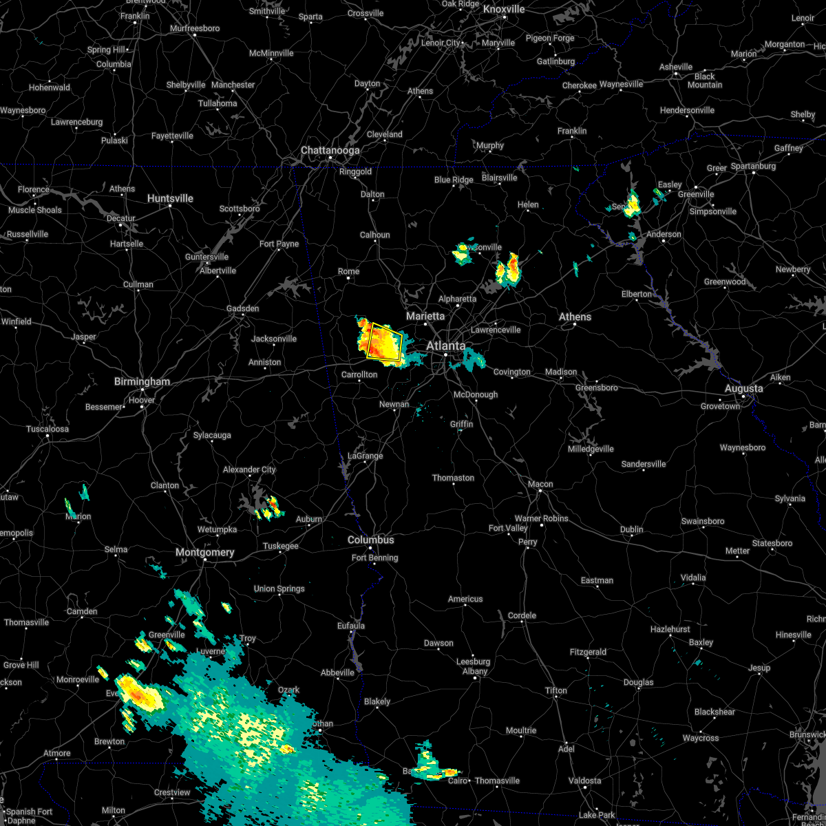 The severe thunderstorm warning for southern paulding, northeastern carroll and northwestern douglas counties will expire at 1215 am edt, the storm which prompted the warning has moved out of the area. therefore, the warning will be allowed to expire. however gusty winds are still possible with this thunderstorm. remember, a severe thunderstorm warning still remains in effect for portions of douglas, paulding, carroll, haralson, and polk counties. The severe thunderstorm warning for southern paulding, northeastern carroll and northwestern douglas counties will expire at 1215 am edt, the storm which prompted the warning has moved out of the area. therefore, the warning will be allowed to expire. however gusty winds are still possible with this thunderstorm. remember, a severe thunderstorm warning still remains in effect for portions of douglas, paulding, carroll, haralson, and polk counties.
|
| 6/16/2022 11:45 PM EDT |
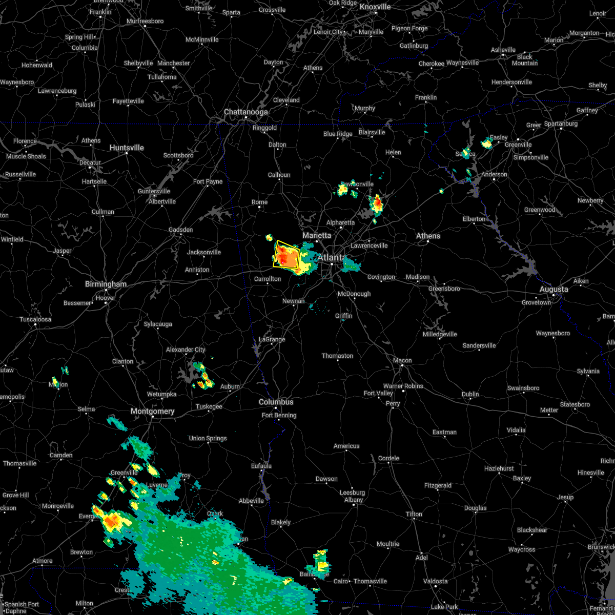 At 1145 pm edt, a severe thunderstorm was located over new georgia, or 8 miles southwest of dallas, moving west at 15 mph (radar indicated). Hazards include 60 mph wind gusts and half dollar size hail. Hail damage to vehicles is expected. expect wind damage to roofs, siding, and trees. locations impacted include, douglasville, dallas, villa rica, temple, hiram, winston, lake val-do-mar, brownsville and new georgia. hail threat, radar indicated max hail size, 1. 25 in wind threat, radar indicated max wind gust, 60 mph. At 1145 pm edt, a severe thunderstorm was located over new georgia, or 8 miles southwest of dallas, moving west at 15 mph (radar indicated). Hazards include 60 mph wind gusts and half dollar size hail. Hail damage to vehicles is expected. expect wind damage to roofs, siding, and trees. locations impacted include, douglasville, dallas, villa rica, temple, hiram, winston, lake val-do-mar, brownsville and new georgia. hail threat, radar indicated max hail size, 1. 25 in wind threat, radar indicated max wind gust, 60 mph.
|
| 6/16/2022 11:28 PM EDT |
 At 1127 pm edt, a severe thunderstorm was located near new georgia, or near douglasville, moving west at 15 mph (radar indicated). Hazards include 60 mph wind gusts and half dollar size hail. Hail damage to vehicles is expected. Expect wind damage to roofs, siding, and trees. At 1127 pm edt, a severe thunderstorm was located near new georgia, or near douglasville, moving west at 15 mph (radar indicated). Hazards include 60 mph wind gusts and half dollar size hail. Hail damage to vehicles is expected. Expect wind damage to roofs, siding, and trees.
|
| 6/16/2022 11:05 PM EDT | Numerous trees down in paulding county GA, 7.6 miles SE of Douglasville, GA |
| 6/16/2022 11:05 PM EDT | *** 1 inj *** 1 tree down on a car in paulding county GA, 6.3 miles ESE of Douglasville, GA |
| 6/16/2022 10:49 PM EDT |
 At 1048 pm edt, a severe thunderstorm was located over lithia springs, or near douglasville, moving west at 10 mph (radar indicated). Hazards include 60 mph wind gusts and quarter size hail. Hail damage to vehicles is expected. Expect wind damage to roofs, siding, and trees. At 1048 pm edt, a severe thunderstorm was located over lithia springs, or near douglasville, moving west at 10 mph (radar indicated). Hazards include 60 mph wind gusts and quarter size hail. Hail damage to vehicles is expected. Expect wind damage to roofs, siding, and trees.
|
| 6/16/2022 10:41 PM EDT |
 At 1041 pm edt, a severe thunderstorm was located over sweetwater creek state park, or 8 miles east of douglasville, moving west at 10 mph (radar indicated). Hazards include 60 mph wind gusts and quarter size hail. Hail damage to vehicles is expected. expect wind damage to roofs, siding, and trees. locations impacted include, douglasville, austell, lithia springs, sweetwater creek state park, mableton and six flags over georgia. hail threat, radar indicated max hail size, 1. 00 in wind threat, radar indicated max wind gust, 60 mph. At 1041 pm edt, a severe thunderstorm was located over sweetwater creek state park, or 8 miles east of douglasville, moving west at 10 mph (radar indicated). Hazards include 60 mph wind gusts and quarter size hail. Hail damage to vehicles is expected. expect wind damage to roofs, siding, and trees. locations impacted include, douglasville, austell, lithia springs, sweetwater creek state park, mableton and six flags over georgia. hail threat, radar indicated max hail size, 1. 00 in wind threat, radar indicated max wind gust, 60 mph.
|
| 6/16/2022 10:17 PM EDT |
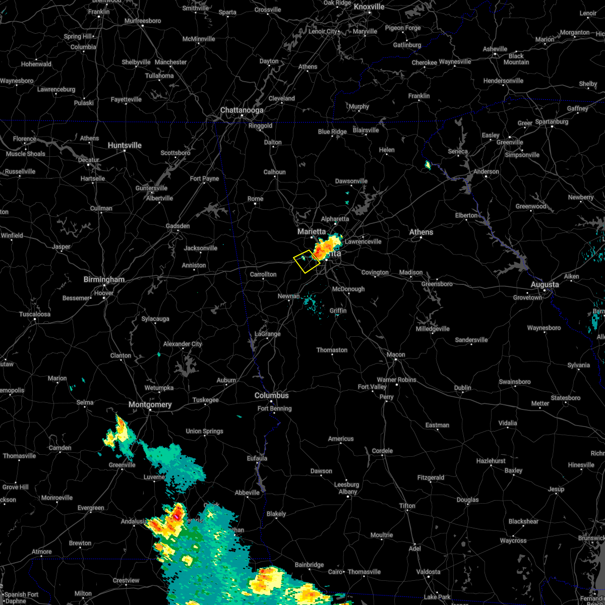 At 1017 pm edt, a severe thunderstorm was located over six flags over georgia, or 9 miles west of atlanta, moving southwest at 5 mph (radar indicated). Hazards include 60 mph wind gusts and quarter size hail. Hail damage to vehicles is expected. Expect wind damage to roofs, siding, and trees. At 1017 pm edt, a severe thunderstorm was located over six flags over georgia, or 9 miles west of atlanta, moving southwest at 5 mph (radar indicated). Hazards include 60 mph wind gusts and quarter size hail. Hail damage to vehicles is expected. Expect wind damage to roofs, siding, and trees.
|
| 4/6/2022 10:51 PM EDT |
 At 1051 pm edt, a severe thunderstorm was located over sweetwater creek state park, or 8 miles east of douglasville, moving east at 40 mph (radar indicated). Hazards include 60 mph wind gusts and quarter size hail. Hail damage to vehicles is expected. Expect wind damage to roofs, siding, and trees. At 1051 pm edt, a severe thunderstorm was located over sweetwater creek state park, or 8 miles east of douglasville, moving east at 40 mph (radar indicated). Hazards include 60 mph wind gusts and quarter size hail. Hail damage to vehicles is expected. Expect wind damage to roofs, siding, and trees.
|
| 4/6/2022 10:45 PM EDT | Quarter sized hail reported 2 miles SW of Douglasville, GA, caller estimates quarter size hail near lithia spring. |
| 2/17/2022 10:47 PM EST |
 At 1047 pm est, severe thunderstorms were located along a line extending from near sweetwater creek state park to campbellton to chattahoochee hills, moving east at 50 mph (radar indicated). Hazards include 60 mph wind gusts. expect damage to roofs, siding, and trees At 1047 pm est, severe thunderstorms were located along a line extending from near sweetwater creek state park to campbellton to chattahoochee hills, moving east at 50 mph (radar indicated). Hazards include 60 mph wind gusts. expect damage to roofs, siding, and trees
|
| 12/29/2021 11:51 PM EST |
 The severe thunderstorm warning for southern paulding, central haralson, central cobb, northern carroll and douglas counties will expire at midnight est, the storms which prompted the warning have weakened below severe limits, and no longer pose an immediate threat to life or property. therefore, the warning will be allowed to expire. however lightning and very heavy rain are still possible with these thunderstorms. a tornado watch remains in effect until 500 am est for north central and northwestern georgia. The severe thunderstorm warning for southern paulding, central haralson, central cobb, northern carroll and douglas counties will expire at midnight est, the storms which prompted the warning have weakened below severe limits, and no longer pose an immediate threat to life or property. therefore, the warning will be allowed to expire. however lightning and very heavy rain are still possible with these thunderstorms. a tornado watch remains in effect until 500 am est for north central and northwestern georgia.
|
| 12/29/2021 11:31 PM EST |
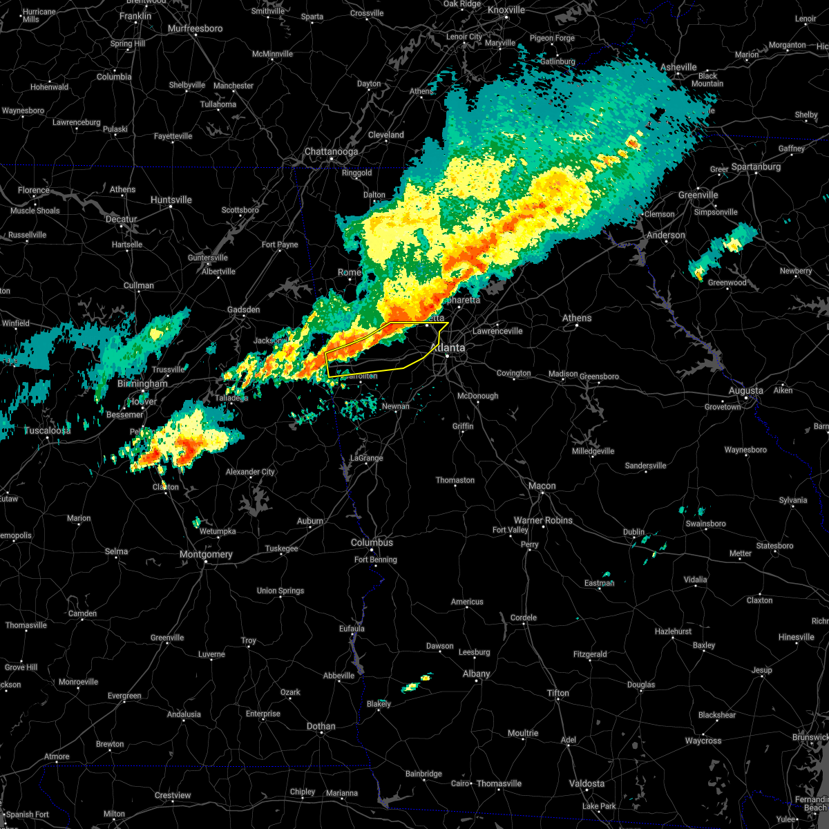 At 1131 pm est, severe thunderstorms were located along a line extending from near due west to near draketown to near i 20 welcome center, moving south at 25 mph (radar indicated). Hazards include 60 mph wind gusts. Expect damage to roofs, siding, and trees. locations impacted include, marietta, douglasville, dallas, buchanan, smyrna, villa rica, powder springs, austell, bremen, temple, hiram, tallapoosa, mount zion, waco, lithia springs, fair oaks, mount bethel, lost mountain park, vinings and brownsville. hail threat, radar indicated max hail size, <. 75 in wind threat, radar indicated max wind gust, 60 mph. At 1131 pm est, severe thunderstorms were located along a line extending from near due west to near draketown to near i 20 welcome center, moving south at 25 mph (radar indicated). Hazards include 60 mph wind gusts. Expect damage to roofs, siding, and trees. locations impacted include, marietta, douglasville, dallas, buchanan, smyrna, villa rica, powder springs, austell, bremen, temple, hiram, tallapoosa, mount zion, waco, lithia springs, fair oaks, mount bethel, lost mountain park, vinings and brownsville. hail threat, radar indicated max hail size, <. 75 in wind threat, radar indicated max wind gust, 60 mph.
|
| 12/29/2021 11:12 PM EST |
 At 1112 pm est, severe thunderstorms were located along a line extending from near braswell to yorkville to near eubank lake to near tallapoosa, moving east at 50 mph (radar indicated). Hazards include 60 mph wind gusts. expect damage to roofs, siding, and trees At 1112 pm est, severe thunderstorms were located along a line extending from near braswell to yorkville to near eubank lake to near tallapoosa, moving east at 50 mph (radar indicated). Hazards include 60 mph wind gusts. expect damage to roofs, siding, and trees
|
| 9/7/2021 11:06 PM EDT |
 At 1106 pm edt, a severe thunderstorm was located over union city, moving north at 25 mph (radar indicated). Hazards include 60 mph wind gusts. expect damage to roofs, siding, and trees At 1106 pm edt, a severe thunderstorm was located over union city, moving north at 25 mph (radar indicated). Hazards include 60 mph wind gusts. expect damage to roofs, siding, and trees
|
| 5/4/2021 2:57 PM EDT |
 The national weather service in peachtree city has issued a * severe thunderstorm warning for. paulding county in northwestern georgia. southwestern cherokee county in north central georgia. haralson county in northwestern georgia. Cobb county in north central georgia. The national weather service in peachtree city has issued a * severe thunderstorm warning for. paulding county in northwestern georgia. southwestern cherokee county in north central georgia. haralson county in northwestern georgia. Cobb county in north central georgia.
|
| 5/4/2021 1:52 PM EDT |
 At 152 pm edt, severe thunderstorms were located along a line extending from near mount bethel to near lithia springs, moving east at 50 mph (trained weather spotters). Hazards include 60 mph wind gusts. Expect damage to roofs, siding, and trees. Locations impacted include, marietta, douglasville, smyrna, kennesaw, villa rica, powder springs, austell, hiram, lithia springs, fair oaks, mount bethel, sweetwater creek state park, white water park, vinings, brownsville, jim r miller park, winston, lake val-do-mar, sandy plains and dobbins air reserve base. At 152 pm edt, severe thunderstorms were located along a line extending from near mount bethel to near lithia springs, moving east at 50 mph (trained weather spotters). Hazards include 60 mph wind gusts. Expect damage to roofs, siding, and trees. Locations impacted include, marietta, douglasville, smyrna, kennesaw, villa rica, powder springs, austell, hiram, lithia springs, fair oaks, mount bethel, sweetwater creek state park, white water park, vinings, brownsville, jim r miller park, winston, lake val-do-mar, sandy plains and dobbins air reserve base.
|
| 5/4/2021 1:28 PM EDT |
 At 128 pm edt, severe thunderstorms were located along a line extending from new hope to temple, moving east at 50 mph (trained weather spotters). Hazards include 60 mph wind gusts. expect damage to roofs, siding, and trees At 128 pm edt, severe thunderstorms were located along a line extending from new hope to temple, moving east at 50 mph (trained weather spotters). Hazards include 60 mph wind gusts. expect damage to roofs, siding, and trees
|
| 5/3/2021 10:33 AM EDT |
 At 1032 am edt, a severe thunderstorm was located over sandtown, or near atlanta, moving east at 35 mph (radar indicated). Hazards include 60 mph wind gusts and penny size hail. Expect damage to roofs, siding, and trees. Locations impacted include, atlanta, douglasville, smyrna, east point, hapeville, sweetwater creek state park, west end, bankhead, six flags over georgia, cascade heights, bolton, sandtown, vinings and mableton. At 1032 am edt, a severe thunderstorm was located over sandtown, or near atlanta, moving east at 35 mph (radar indicated). Hazards include 60 mph wind gusts and penny size hail. Expect damage to roofs, siding, and trees. Locations impacted include, atlanta, douglasville, smyrna, east point, hapeville, sweetwater creek state park, west end, bankhead, six flags over georgia, cascade heights, bolton, sandtown, vinings and mableton.
|
| 5/3/2021 10:26 AM EDT |
 At 1026 am edt, a tornado producing storm was located over sandtown, or 9 miles east of douglasville, moving east at 35 mph (radar confirmed tornado). Hazards include damaging tornado. Flying debris will be dangerous to those caught without shelter. mobile homes will be damaged or destroyed. damage to roofs, windows, and vehicles will occur. Tree damage is likely. At 1026 am edt, a tornado producing storm was located over sandtown, or 9 miles east of douglasville, moving east at 35 mph (radar confirmed tornado). Hazards include damaging tornado. Flying debris will be dangerous to those caught without shelter. mobile homes will be damaged or destroyed. damage to roofs, windows, and vehicles will occur. Tree damage is likely.
|
| 5/3/2021 10:22 AM EDT | *** 1 fatal *** strong winds in douglasville brought down a tree on top of a vehicle near campbelton and spring s in douglas county GA, 2.5 miles ESE of Douglasville, GA |
| 5/3/2021 10:21 AM EDT |
 At 1021 am edt, a severe thunderstorm capable of producing a tornado was located near sandtown, or 8 miles southeast of douglasville, moving east at 35 mph (radar indicated rotation). Hazards include tornado. Flying debris will be dangerous to those caught without shelter. mobile homes will be damaged or destroyed. damage to roofs, windows, and vehicles will occur. Tree damage is likely. At 1021 am edt, a severe thunderstorm capable of producing a tornado was located near sandtown, or 8 miles southeast of douglasville, moving east at 35 mph (radar indicated rotation). Hazards include tornado. Flying debris will be dangerous to those caught without shelter. mobile homes will be damaged or destroyed. damage to roofs, windows, and vehicles will occur. Tree damage is likely.
|
| 5/3/2021 10:14 AM EDT |
 At 1014 am edt, a severe thunderstorm was located over chapel hill, or near douglasville, moving east at 40 mph (radar indicated). Hazards include 60 mph wind gusts and quarter size hail. Hail damage to vehicles is expected. Expect wind damage to roofs, siding, and trees. At 1014 am edt, a severe thunderstorm was located over chapel hill, or near douglasville, moving east at 40 mph (radar indicated). Hazards include 60 mph wind gusts and quarter size hail. Hail damage to vehicles is expected. Expect wind damage to roofs, siding, and trees.
|
| 4/24/2021 8:52 PM EDT |
 The severe thunderstorm warning for southeastern paulding, northwestern dekalb, northwestern fayette, cobb, douglas, west central gwinnett, northern heard, northern coweta, fulton and northwestern clayton counties will expire at 900 pm edt, the storms which prompted the warning have moved out of the area. therefore, the warning will be allowed to expire. a severe thunderstorm watch remains in effect until 1000 pm edt for north central, northwestern and west central georgia. The severe thunderstorm warning for southeastern paulding, northwestern dekalb, northwestern fayette, cobb, douglas, west central gwinnett, northern heard, northern coweta, fulton and northwestern clayton counties will expire at 900 pm edt, the storms which prompted the warning have moved out of the area. therefore, the warning will be allowed to expire. a severe thunderstorm watch remains in effect until 1000 pm edt for north central, northwestern and west central georgia.
|
| 4/24/2021 8:19 PM EDT |
 At 818 pm edt, severe thunderstorms were located along a line extending from due west to near lithia springs to plant wansley, moving northeast at 70 mph (radar indicated). Hazards include 70 mph wind gusts and quarter size hail. Hail damage to vehicles is expected. expect considerable tree damage. wind damage is also likely to mobile homes, roofs, and outbuildings. Locations impacted include, atlanta, marietta, newnan, douglasville, decatur, fayetteville, dallas, sandy springs, roswell, johns creek, alpharetta, smyrna, dunwoody, peachtree city, east point, kennesaw, duluth, union city, forest park and riverdale. At 818 pm edt, severe thunderstorms were located along a line extending from due west to near lithia springs to plant wansley, moving northeast at 70 mph (radar indicated). Hazards include 70 mph wind gusts and quarter size hail. Hail damage to vehicles is expected. expect considerable tree damage. wind damage is also likely to mobile homes, roofs, and outbuildings. Locations impacted include, atlanta, marietta, newnan, douglasville, decatur, fayetteville, dallas, sandy springs, roswell, johns creek, alpharetta, smyrna, dunwoody, peachtree city, east point, kennesaw, duluth, union city, forest park and riverdale.
|
| 4/24/2021 8:07 PM EDT |
 At 807 pm edt, severe thunderstorms were located along a line extending from near new hope to near douglasville to centralhatchee, moving east at 70 mph (radar indicated). Hazards include 60 mph wind gusts and quarter size hail. Hail damage to vehicles is expected. Expect wind damage to roofs, siding, and trees. At 807 pm edt, severe thunderstorms were located along a line extending from near new hope to near douglasville to centralhatchee, moving east at 70 mph (radar indicated). Hazards include 60 mph wind gusts and quarter size hail. Hail damage to vehicles is expected. Expect wind damage to roofs, siding, and trees.
|
| 10/10/2020 6:53 PM EDT |
 At 652 pm edt, a severe thunderstorm capable of producing a tornado was located over winston, or near douglasville, moving north at 35 mph (radar indicated rotation). Hazards include tornado. Flying debris will be dangerous to those caught without shelter. mobile homes will be damaged or destroyed. damage to roofs, windows, and vehicles will occur. tree damage is likely. Locations impacted include, douglasville, villa rica and winston. At 652 pm edt, a severe thunderstorm capable of producing a tornado was located over winston, or near douglasville, moving north at 35 mph (radar indicated rotation). Hazards include tornado. Flying debris will be dangerous to those caught without shelter. mobile homes will be damaged or destroyed. damage to roofs, windows, and vehicles will occur. tree damage is likely. Locations impacted include, douglasville, villa rica and winston.
|
| 10/10/2020 6:33 PM EDT |
 At 633 pm edt, a severe thunderstorm capable of producing a tornado was located over chattahoochee hills, or 12 miles north of newnan, moving north at 40 mph (radar indicated rotation). Hazards include tornado. Flying debris will be dangerous to those caught without shelter. mobile homes will be damaged or destroyed. damage to roofs, windows, and vehicles will occur. Tree damage is likely. At 633 pm edt, a severe thunderstorm capable of producing a tornado was located over chattahoochee hills, or 12 miles north of newnan, moving north at 40 mph (radar indicated rotation). Hazards include tornado. Flying debris will be dangerous to those caught without shelter. mobile homes will be damaged or destroyed. damage to roofs, windows, and vehicles will occur. Tree damage is likely.
|
| 8/18/2020 9:42 PM EDT |
 At 942 pm edt, a severe thunderstorm was located near sandtown, or 12 miles southeast of douglasville, moving south at 5 mph (radar indicated). Hazards include 60 mph wind gusts and quarter size hail. Hail damage to vehicles is expected. Expect wind damage to roofs, siding, and trees. At 942 pm edt, a severe thunderstorm was located near sandtown, or 12 miles southeast of douglasville, moving south at 5 mph (radar indicated). Hazards include 60 mph wind gusts and quarter size hail. Hail damage to vehicles is expected. Expect wind damage to roofs, siding, and trees.
|
| 8/12/2020 2:33 PM EDT | Power line down along s county line rd and melissa r in douglas county GA, 0.9 miles SE of Douglasville, GA |
| 8/3/2020 2:40 PM EDT |
 The severe thunderstorm warning for southwestern cobb, northeastern douglas and southwestern fulton counties will expire at 245 pm edt, the storm which prompted the warning has weakened below severe limits, and has exited the warned area. therefore, the warning will be allowed to expire. The severe thunderstorm warning for southwestern cobb, northeastern douglas and southwestern fulton counties will expire at 245 pm edt, the storm which prompted the warning has weakened below severe limits, and has exited the warned area. therefore, the warning will be allowed to expire.
|
| 8/3/2020 2:19 PM EDT |
 At 219 pm edt, a severe thunderstorm was located near union city, or 12 miles southeast of douglasville, moving northeast at 15 mph (radar indicated). Hazards include ping pong ball size hail and 60 mph wind gusts. People and animals outdoors will be injured. expect hail damage to roofs, siding, windows, and vehicles. expect wind damage to roofs, siding, and trees. Locations impacted include, atlanta, douglasville, east point, union city, fairburn, austell, palmetto, lithia springs, sweetwater creek state park, chapel hill, six flags over georgia, cascade heights, campbellton, sandtown and mableton. At 219 pm edt, a severe thunderstorm was located near union city, or 12 miles southeast of douglasville, moving northeast at 15 mph (radar indicated). Hazards include ping pong ball size hail and 60 mph wind gusts. People and animals outdoors will be injured. expect hail damage to roofs, siding, windows, and vehicles. expect wind damage to roofs, siding, and trees. Locations impacted include, atlanta, douglasville, east point, union city, fairburn, austell, palmetto, lithia springs, sweetwater creek state park, chapel hill, six flags over georgia, cascade heights, campbellton, sandtown and mableton.
|
| 8/3/2020 2:01 PM EDT |
 At 201 pm edt, a severe thunderstorm was located near campbellton, or 12 miles southeast of douglasville, moving northeast at 15 mph (radar indicated). Hazards include 60 mph wind gusts and quarter size hail. Hail damage to vehicles is expected. Expect wind damage to roofs, siding, and trees. At 201 pm edt, a severe thunderstorm was located near campbellton, or 12 miles southeast of douglasville, moving northeast at 15 mph (radar indicated). Hazards include 60 mph wind gusts and quarter size hail. Hail damage to vehicles is expected. Expect wind damage to roofs, siding, and trees.
|
| 7/25/2020 3:06 PM EDT |
 At 305 pm edt, a severe thunderstorm was located over chapel hill, or near douglasville, and is nearly stationary (radar indicated). Hazards include 60 mph wind gusts and quarter size hail. Hail damage to vehicles is expected. Expect wind damage to roofs, siding, and trees. At 305 pm edt, a severe thunderstorm was located over chapel hill, or near douglasville, and is nearly stationary (radar indicated). Hazards include 60 mph wind gusts and quarter size hail. Hail damage to vehicles is expected. Expect wind damage to roofs, siding, and trees.
|
| 7/18/2020 5:42 PM EDT |
 At 540 pm edt, severe thunderstorms were located along a line extending from near smyrna to austell to near brownsville, and are nearly stationary (radar indicated). Hazards include 60 mph wind gusts and quarter size hail. Hail damage to vehicles is expected. expect wind damage to roofs, siding, and trees. Locations impacted include, marietta, douglasville, smyrna, powder springs, austell, lithia springs, fair oaks, sweetwater creek state park, six flags over georgia, jim r miller park and mableton. At 540 pm edt, severe thunderstorms were located along a line extending from near smyrna to austell to near brownsville, and are nearly stationary (radar indicated). Hazards include 60 mph wind gusts and quarter size hail. Hail damage to vehicles is expected. expect wind damage to roofs, siding, and trees. Locations impacted include, marietta, douglasville, smyrna, powder springs, austell, lithia springs, fair oaks, sweetwater creek state park, six flags over georgia, jim r miller park and mableton.
|
| 7/18/2020 5:12 PM EDT | A few trees down and quarter-sized hail reported near the intersection of riley rd and veterans memorial hw in douglas county GA, 2.7 miles S of Douglasville, GA |
| 7/18/2020 5:08 PM EDT |
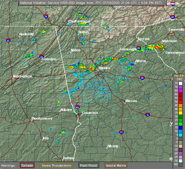 At 508 pm edt, severe thunderstorms were located along a line extending from near mableton to austell to brownsville, and are nearly stationary (radar indicated). Hazards include 60 mph wind gusts and quarter size hail. Hail damage to vehicles is expected. Expect wind damage to roofs, siding, and trees. At 508 pm edt, severe thunderstorms were located along a line extending from near mableton to austell to brownsville, and are nearly stationary (radar indicated). Hazards include 60 mph wind gusts and quarter size hail. Hail damage to vehicles is expected. Expect wind damage to roofs, siding, and trees.
|
| 4/13/2020 2:18 AM EDT | Powerline down near the 4500th block of maroney r in douglas county GA, 2.8 miles SSE of Douglasville, GA |
| 4/13/2020 2:12 AM EDT | Trees were reported down along mason creek r in douglas county GA, 6.3 miles ENE of Douglasville, GA |
| 4/13/2020 2:10 AM EDT |
 At 210 am edt, a severe thunderstorm was located over chapel hill, or near douglasville, moving east at 60 mph (radar indicated). Hazards include 60 mph wind gusts. Expect damage to roofs, siding, and trees. Locations impacted include, newnan, douglasville, villa rica, palmetto, hiram, whitesburg, centralhatchee, chattahoochee hills, plant yates, brownsville, bill arp, seaton lake, fairplay, dunaway gardens, clem, winston, madras, byers crossroads, hannah and arnco-sargent. At 210 am edt, a severe thunderstorm was located over chapel hill, or near douglasville, moving east at 60 mph (radar indicated). Hazards include 60 mph wind gusts. Expect damage to roofs, siding, and trees. Locations impacted include, newnan, douglasville, villa rica, palmetto, hiram, whitesburg, centralhatchee, chattahoochee hills, plant yates, brownsville, bill arp, seaton lake, fairplay, dunaway gardens, clem, winston, madras, byers crossroads, hannah and arnco-sargent.
|
| 4/13/2020 2:03 AM EDT |
 At 203 am edt, a severe thunderstorm was located over fairplay, or 9 miles southwest of douglasville, moving east at 60 mph (radar indicated). Hazards include 60 mph wind gusts. Expect damage to roofs, siding, and trees. Locations impacted include, newnan, douglasville, carrollton, villa rica, palmetto, temple, hiram, whitesburg, centralhatchee, roopville, chattahoochee hills, plant yates, brownsville, bill arp, seaton lake, fairplay, dunaway gardens, clem, winston and lake val-do-mar. At 203 am edt, a severe thunderstorm was located over fairplay, or 9 miles southwest of douglasville, moving east at 60 mph (radar indicated). Hazards include 60 mph wind gusts. Expect damage to roofs, siding, and trees. Locations impacted include, newnan, douglasville, carrollton, villa rica, palmetto, temple, hiram, whitesburg, centralhatchee, roopville, chattahoochee hills, plant yates, brownsville, bill arp, seaton lake, fairplay, dunaway gardens, clem, winston and lake val-do-mar.
|
| 4/13/2020 1:42 AM EDT |
 At 142 am edt, a severe thunderstorm was located near john tanner state park, or near carrollton, moving east at 60 mph (radar indicated). Hazards include 60 mph wind gusts. expect damage to roofs, siding, and trees At 142 am edt, a severe thunderstorm was located near john tanner state park, or near carrollton, moving east at 60 mph (radar indicated). Hazards include 60 mph wind gusts. expect damage to roofs, siding, and trees
|
| 4/9/2020 5:07 AM EDT |
 The severe thunderstorm warning for southeastern paulding, southern cobb, northeastern carroll and douglas counties will expire at 515 am edt, the storms which prompted the warning have weakened below severe limits, and no longer pose an immediate threat to life or property. therefore, the warning will be allowed to expire. however gusty winds are still possible with these thunderstorms. The severe thunderstorm warning for southeastern paulding, southern cobb, northeastern carroll and douglas counties will expire at 515 am edt, the storms which prompted the warning have weakened below severe limits, and no longer pose an immediate threat to life or property. therefore, the warning will be allowed to expire. however gusty winds are still possible with these thunderstorms.
|
| 4/9/2020 5:03 AM EDT | Report of a large tree down near rose ave and selman dr in douglasville in douglas county GA, 3 miles E of Douglasville, GA |
| 4/9/2020 4:54 AM EDT |
 At 454 am edt, severe thunderstorms were located along a line extending from near dallas to near new georgia to near temple, moving east at 50 mph (radar indicated). Hazards include 60 mph wind gusts and penny size hail. Expect damage to roofs, siding, and trees. Locations impacted include, douglasville, dallas, smyrna, villa rica, powder springs, austell, temple, hiram, lithia springs, sweetwater creek state park, vinings, brownsville, chapel hill, bill arp, six flags over georgia, winston, lake val-do-mar, new georgia and mableton. At 454 am edt, severe thunderstorms were located along a line extending from near dallas to near new georgia to near temple, moving east at 50 mph (radar indicated). Hazards include 60 mph wind gusts and penny size hail. Expect damage to roofs, siding, and trees. Locations impacted include, douglasville, dallas, smyrna, villa rica, powder springs, austell, temple, hiram, lithia springs, sweetwater creek state park, vinings, brownsville, chapel hill, bill arp, six flags over georgia, winston, lake val-do-mar, new georgia and mableton.
|
| 4/9/2020 4:40 AM EDT |
 At 440 am edt, severe thunderstorms were located along a line extending from eubank lake to near draketown to buchanan, moving east at 50 mph (radar indicated). Hazards include 60 mph wind gusts and penny size hail. expect damage to roofs, siding, and trees At 440 am edt, severe thunderstorms were located along a line extending from eubank lake to near draketown to buchanan, moving east at 50 mph (radar indicated). Hazards include 60 mph wind gusts and penny size hail. expect damage to roofs, siding, and trees
|
| 1/11/2020 5:54 PM EST | A powerline was reported down on the 6200th block of queens road. time indicated by rada in douglas county GA, 0.9 miles SE of Douglasville, GA |
| 1/11/2020 5:54 PM EST | A powerline was reported down on the 6200th block of queens road. time indicated by rada in douglas county GA, 5.9 miles NE of Douglasville, GA |
| 1/11/2020 5:32 PM EST | A power line was reported down across the road near the intersection of bomar rd and creekside. time indicated by rada in douglas county GA, 1.3 miles NW of Douglasville, GA |
| 1/11/2020 5:10 PM EST | A power line was reported down on the 3900th block of st douglas court. time indicated by rada in douglas county GA, 0.9 miles SE of Douglasville, GA |
| 1/11/2020 5:00 PM EST | Trees were reported down near the intersection of cave springs rd and woodcreek. time is indicated by rada in douglas county GA, 3.8 miles ESE of Douglasville, GA |
| 1/11/2020 4:59 PM EST | A tree was reported down near the intersection of chapen hill and winding trail dr. time indicated by rada in douglas county GA, 2.3 miles NNE of Douglasville, GA |
| 1/11/2020 4:51 PM EST |
 At 450 pm est, severe thunderstorms were located along a line extending from salacoa valley to whitesburg, moving east at 45 mph (radar indicated). Hazards include 60 mph wind gusts. expect damage to roofs, siding, and trees At 450 pm est, severe thunderstorms were located along a line extending from salacoa valley to whitesburg, moving east at 45 mph (radar indicated). Hazards include 60 mph wind gusts. expect damage to roofs, siding, and trees
|
| 8/3/2019 6:23 PM EDT | Powerlines down near intersection of mann road and poppy driv in douglas county GA, 7.1 miles E of Douglasville, GA |
| 8/3/2019 6:01 PM EDT |
 At 601 pm edt, a severe thunderstorm was located over winston, or near douglasville, moving west at 10 mph (radar indicated). Hazards include 60 mph wind gusts and quarter size hail. Hail damage to vehicles is expected. Expect wind damage to roofs, siding, and trees. At 601 pm edt, a severe thunderstorm was located over winston, or near douglasville, moving west at 10 mph (radar indicated). Hazards include 60 mph wind gusts and quarter size hail. Hail damage to vehicles is expected. Expect wind damage to roofs, siding, and trees.
|
| 8/3/2019 6:00 PM EDT | One tree down near the intersection of dorsett shoals rd. and yeager r in douglas county GA, 5.2 miles NE of Douglasville, GA |
| 7/30/2019 5:37 PM EDT |
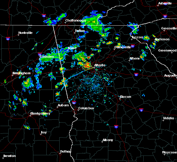 At 536 pm edt, a severe thunderstorm was located over lithia springs, or near douglasville, and is nearly stationary (radar indicated). Hazards include 60 mph wind gusts and quarter size hail. Hail damage to vehicles is expected. expect wind damage to roofs, siding, and trees. Locations impacted include, atlanta, douglasville, smyrna, powder springs, austell, lithia springs, sweetwater creek state park, six flags over georgia, jim r miller park and mableton. At 536 pm edt, a severe thunderstorm was located over lithia springs, or near douglasville, and is nearly stationary (radar indicated). Hazards include 60 mph wind gusts and quarter size hail. Hail damage to vehicles is expected. expect wind damage to roofs, siding, and trees. Locations impacted include, atlanta, douglasville, smyrna, powder springs, austell, lithia springs, sweetwater creek state park, six flags over georgia, jim r miller park and mableton.
|
| 7/30/2019 5:26 PM EDT |
 At 525 pm edt, a severe thunderstorm was located over lithia springs, or near douglasville, and is nearly stationary (radar indicated). Hazards include 60 mph wind gusts and quarter size hail. Hail damage to vehicles is expected. Expect wind damage to roofs, siding, and trees. At 525 pm edt, a severe thunderstorm was located over lithia springs, or near douglasville, and is nearly stationary (radar indicated). Hazards include 60 mph wind gusts and quarter size hail. Hail damage to vehicles is expected. Expect wind damage to roofs, siding, and trees.
|
| 7/30/2019 5:22 PM EDT | Power lines down along the 5000 block of monticello dr. via county e in douglas county GA, 2.9 miles N of Douglasville, GA |
| 7/5/2019 6:50 PM EDT | Tree down near i-20 westbound and sr 92 in douglas county GA, 0.9 miles SE of Douglasville, GA |
| 7/5/2019 6:36 PM EDT |
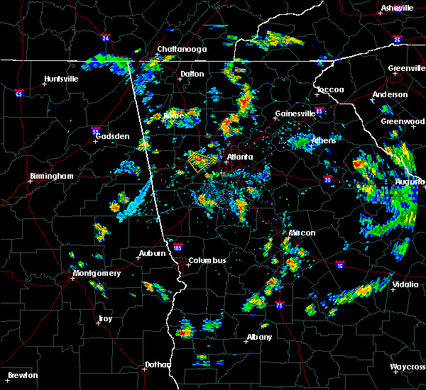 At 633 pm edt, a severe thunderstorm was located over brownsville, or over douglasville, and is nearly stationary (radar indicated). Hazards include 60 mph wind gusts and penny size hail. expect damage to roofs, siding, and trees At 633 pm edt, a severe thunderstorm was located over brownsville, or over douglasville, and is nearly stationary (radar indicated). Hazards include 60 mph wind gusts and penny size hail. expect damage to roofs, siding, and trees
|
| 6/24/2019 6:52 PM EDT |
 At 634 pm edt, a severe thunderstorm was located over hannah, or 10 miles east of carrollton, moving east at 35 mph (radar indicated). Hazards include 60 mph wind gusts and penny size hail. expect damage to roofs, siding, and trees At 634 pm edt, a severe thunderstorm was located over hannah, or 10 miles east of carrollton, moving east at 35 mph (radar indicated). Hazards include 60 mph wind gusts and penny size hail. expect damage to roofs, siding, and trees
|
| 6/24/2019 6:42 PM EDT | Tree reported down at the intersection of oak hill rd and wildeoak trai in douglas county GA, 4.9 miles N of Douglasville, GA |
| 6/24/2019 6:39 PM EDT |
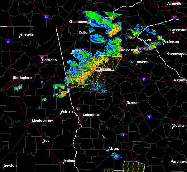 At 638 pm edt, a severe thunderstorm was located over mount bethel, or 7 miles east of marietta, moving east at 35 mph (radar indicated). Hazards include 60 mph wind gusts and penny size hail. expect damage to roofs, siding, and trees At 638 pm edt, a severe thunderstorm was located over mount bethel, or 7 miles east of marietta, moving east at 35 mph (radar indicated). Hazards include 60 mph wind gusts and penny size hail. expect damage to roofs, siding, and trees
|
| 6/24/2019 6:35 PM EDT |
 At 634 pm edt, a severe thunderstorm was located over hannah, or 10 miles east of carrollton, moving east at 35 mph (radar indicated). Hazards include 60 mph wind gusts and penny size hail. expect damage to roofs, siding, and trees At 634 pm edt, a severe thunderstorm was located over hannah, or 10 miles east of carrollton, moving east at 35 mph (radar indicated). Hazards include 60 mph wind gusts and penny size hail. expect damage to roofs, siding, and trees
|
| 6/24/2019 6:25 PM EDT | Tree reported down at the intersection of banks mill rd and post r in douglas county GA, 10.8 miles NE of Douglasville, GA |
| 6/23/2019 3:25 PM EDT |
 At 325 pm edt, a severe thunderstorm was located over sandtown, or 10 miles southwest of atlanta, moving southeast at 15 mph (radar indicated). Hazards include ping pong ball size hail and 60 mph wind gusts. People and animals outdoors will be injured. expect hail damage to roofs, siding, windows, and vehicles. Expect wind damage to roofs, siding, and trees. At 325 pm edt, a severe thunderstorm was located over sandtown, or 10 miles southwest of atlanta, moving southeast at 15 mph (radar indicated). Hazards include ping pong ball size hail and 60 mph wind gusts. People and animals outdoors will be injured. expect hail damage to roofs, siding, windows, and vehicles. Expect wind damage to roofs, siding, and trees.
|
| 6/22/2019 7:37 PM EDT |
 The national weather service in peachtree city has issued a * severe thunderstorm warning for. southwestern dekalb county in north central georgia. northeastern fayette county in north central georgia. northwestern henry county in north central georgia. South central fulton county in north central georgia. The national weather service in peachtree city has issued a * severe thunderstorm warning for. southwestern dekalb county in north central georgia. northeastern fayette county in north central georgia. northwestern henry county in north central georgia. South central fulton county in north central georgia.
|
| 6/22/2019 7:37 PM EDT |
 At 737 pm edt, a severe thunderstorm was located over college park, or 9 miles southwest of atlanta, moving east at 15 mph (radar indicated). Hazards include 60 mph wind gusts and quarter size hail. Hail damage to vehicles is expected. Expect wind damage to roofs, siding, and trees. At 737 pm edt, a severe thunderstorm was located over college park, or 9 miles southwest of atlanta, moving east at 15 mph (radar indicated). Hazards include 60 mph wind gusts and quarter size hail. Hail damage to vehicles is expected. Expect wind damage to roofs, siding, and trees.
|
| 6/22/2019 4:04 PM EDT |
 At 403 pm edt, a severe thunderstorm was located near sandtown, or 10 miles southwest of atlanta, moving southeast at 15 mph (trained weather spotters. at sweetwater state park reported quarter sized hail). Hazards include 60 mph wind gusts and quarter size hail. Hail damage to vehicles is expected. expect wind damage to roofs, siding, and trees. Locations impacted include, atlanta, east point, cascade heights and sandtown. At 403 pm edt, a severe thunderstorm was located near sandtown, or 10 miles southwest of atlanta, moving southeast at 15 mph (trained weather spotters. at sweetwater state park reported quarter sized hail). Hazards include 60 mph wind gusts and quarter size hail. Hail damage to vehicles is expected. expect wind damage to roofs, siding, and trees. Locations impacted include, atlanta, east point, cascade heights and sandtown.
|
| 6/22/2019 3:44 PM EDT |
 At 344 pm edt, a severe thunderstorm was located over sandtown, or 9 miles east of douglasville, moving southeast at 15 mph (radar indicated). Hazards include 60 mph wind gusts and quarter size hail. Hail damage to vehicles is expected. expect wind damage to roofs, siding, and trees. Locations impacted include, atlanta, douglasville, east point, lithia springs, sweetwater creek state park, six flags over georgia, cascade heights, sandtown and mableton. At 344 pm edt, a severe thunderstorm was located over sandtown, or 9 miles east of douglasville, moving southeast at 15 mph (radar indicated). Hazards include 60 mph wind gusts and quarter size hail. Hail damage to vehicles is expected. expect wind damage to roofs, siding, and trees. Locations impacted include, atlanta, douglasville, east point, lithia springs, sweetwater creek state park, six flags over georgia, cascade heights, sandtown and mableton.
|
| 6/22/2019 3:31 PM EDT |
 At 331 pm edt, a severe thunderstorm was located over sweetwater creek state park, or 7 miles east of douglasville, moving southeast at 15 mph (radar indicated). Hazards include 60 mph wind gusts and quarter size hail. Hail damage to vehicles is expected. Expect wind damage to roofs, siding, and trees. At 331 pm edt, a severe thunderstorm was located over sweetwater creek state park, or 7 miles east of douglasville, moving southeast at 15 mph (radar indicated). Hazards include 60 mph wind gusts and quarter size hail. Hail damage to vehicles is expected. Expect wind damage to roofs, siding, and trees.
|
| 10/10/2018 6:55 PM EDT |
 The tornado warning for south central cobb, northeastern douglas and central fulton counties will expire at 700 pm edt, the tornadic storm which prompted the warning has weakened. therefore, the warning will be allowed to expire at 7 pm. The tornado warning for south central cobb, northeastern douglas and central fulton counties will expire at 700 pm edt, the tornadic storm which prompted the warning has weakened. therefore, the warning will be allowed to expire at 7 pm.
|
| 10/10/2018 6:37 PM EDT |
 At 637 pm edt, a severe thunderstorm capable of producing a tornado was located over cascade heights, or near atlanta, moving west at 20 mph (radar indicated rotation). Hazards include tornado. Flying debris will be dangerous to those caught without shelter. mobile homes will be damaged or destroyed. damage to roofs, windows, and vehicles will occur. Tree damage is likely. At 637 pm edt, a severe thunderstorm capable of producing a tornado was located over cascade heights, or near atlanta, moving west at 20 mph (radar indicated rotation). Hazards include tornado. Flying debris will be dangerous to those caught without shelter. mobile homes will be damaged or destroyed. damage to roofs, windows, and vehicles will occur. Tree damage is likely.
|
| 8/9/2018 4:51 PM EDT |
 The severe thunderstorm warning for southwestern cobb, northeastern douglas and south central fulton counties will expire at 500 pm edt, the storm which prompted the warning has weakened below severe limits, and no longer poses an immediate threat to life or property. therefore, the warning will be allowed to expire. however gusty winds and heavy rain are still possible with this thunderstorm. The severe thunderstorm warning for southwestern cobb, northeastern douglas and south central fulton counties will expire at 500 pm edt, the storm which prompted the warning has weakened below severe limits, and no longer poses an immediate threat to life or property. therefore, the warning will be allowed to expire. however gusty winds and heavy rain are still possible with this thunderstorm.
|
| 8/9/2018 4:25 PM EDT | Several trees down (some on powerlines) in eastern douglasville area including 1 tree down on i-20 westbound at north county line rd near the lee rd exit blocking multi in douglas county GA, 2 miles SW of Douglasville, GA |
| 8/9/2018 4:23 PM EDT |
 At 422 pm edt, a severe thunderstorm was located over sweetwater creek state park, or near douglasville, moving east at 45 mph (radar indicated). Hazards include 60 mph wind gusts. expect damage to roofs, siding, and trees At 422 pm edt, a severe thunderstorm was located over sweetwater creek state park, or near douglasville, moving east at 45 mph (radar indicated). Hazards include 60 mph wind gusts. expect damage to roofs, siding, and trees
|
| 7/21/2018 6:45 PM EDT |
 At 645 pm edt, a severe thunderstorm was located near sandtown, or 11 miles southeast of douglasville, moving east at 25 mph (radar indicated). Hazards include 60 mph wind gusts and quarter size hail. Hail damage to vehicles is expected. Expect wind damage to roofs, siding, and trees. At 645 pm edt, a severe thunderstorm was located near sandtown, or 11 miles southeast of douglasville, moving east at 25 mph (radar indicated). Hazards include 60 mph wind gusts and quarter size hail. Hail damage to vehicles is expected. Expect wind damage to roofs, siding, and trees.
|
| 7/6/2018 5:12 PM EDT |
 The severe thunderstorm warning for southern cobb, northeastern douglas and southwestern fulton counties will expire at 515 pm edt, the storm which prompted the warning has weakened below severe limits, and no longer poses an immediate threat to life or property. therefore, the warning will be allowed to expire. however gusty winds and heavy rain are still possible with this thunderstorm. additional storms will affect much of metro atlanta through 7 pm. to report severe weather, contact your nearest law enforcement agency. they will relay your report to the national weather service peachtree city. The severe thunderstorm warning for southern cobb, northeastern douglas and southwestern fulton counties will expire at 515 pm edt, the storm which prompted the warning has weakened below severe limits, and no longer poses an immediate threat to life or property. therefore, the warning will be allowed to expire. however gusty winds and heavy rain are still possible with this thunderstorm. additional storms will affect much of metro atlanta through 7 pm. to report severe weather, contact your nearest law enforcement agency. they will relay your report to the national weather service peachtree city.
|
| 7/6/2018 4:39 PM EDT |
 At 439 pm edt, a severe thunderstorm was located over bankhead, or near atlanta, moving west at 10 mph (radar indicated). Hazards include 60 mph wind gusts and nickel size hail. expect damage to roofs, siding, and trees At 439 pm edt, a severe thunderstorm was located over bankhead, or near atlanta, moving west at 10 mph (radar indicated). Hazards include 60 mph wind gusts and nickel size hail. expect damage to roofs, siding, and trees
|
| 6/28/2018 1:00 PM EDT | A tree was reported down on chapel hill road at chapel valley roa in douglas county GA, 5 miles N of Douglasville, GA |
| 6/28/2018 12:54 PM EDT | A tree was reported down on john west road near brightstar elementary schoo in douglas county GA, 4.2 miles E of Douglasville, GA |
| 6/28/2018 11:55 AM EDT | A tree was reported down on yeager roa in douglas county GA, 4.6 miles NE of Douglasville, GA |
| 6/28/2018 11:55 AM EDT | A tree was reported down on highway 166 near big a roa in douglas county GA, 8.7 miles NNE of Douglasville, GA |
| 6/28/2018 11:54 AM EDT | A tree was reported down on south baggett roa in douglas county GA, 6.1 miles ENE of Douglasville, GA |
| 6/22/2018 5:56 PM EDT | A tree was blown down on highway 166 at big a roa in douglas county GA, 8.7 miles NNE of Douglasville, GA |
| 6/22/2018 5:56 PM EDT |
 At 556 pm edt, a severe thunderstorm was located near chapel hill, or 7 miles south of douglasville, moving east at 40 mph (radar indicated). Hazards include 60 mph wind gusts. expect damage to roofs, siding, and trees At 556 pm edt, a severe thunderstorm was located near chapel hill, or 7 miles south of douglasville, moving east at 40 mph (radar indicated). Hazards include 60 mph wind gusts. expect damage to roofs, siding, and trees
|
| 6/22/2018 5:36 PM EDT | A tree was blown down onto i-20 westbound about 2 miles west of lee roa in douglas county GA, 1.6 miles SW of Douglasville, GA |
| 6/22/2018 5:36 PM EDT |
 At 535 pm edt, a severe thunderstorm was located over sweetwater creek state park, or near douglasville, moving east at 25 mph (radar indicated). Hazards include 60 mph wind gusts. expect damage to roofs, siding, and trees At 535 pm edt, a severe thunderstorm was located over sweetwater creek state park, or near douglasville, moving east at 25 mph (radar indicated). Hazards include 60 mph wind gusts. expect damage to roofs, siding, and trees
|
| 6/1/2018 3:55 PM EDT | Reports of power lines down at the intersection of thompson st. and lincoln s in douglas county GA, 2.8 miles ESE of Douglasville, GA |
| 6/1/2018 3:51 PM EDT |
 At 351 pm edt, severe thunderstorms were located along a line extending from near sandy plains to douglasville to near clem, moving east at 45 mph (radar indicated). Hazards include 60 mph wind gusts and quarter size hail. Hail damage to vehicles is expected. Expect wind damage to roofs, siding, and trees. At 351 pm edt, severe thunderstorms were located along a line extending from near sandy plains to douglasville to near clem, moving east at 45 mph (radar indicated). Hazards include 60 mph wind gusts and quarter size hail. Hail damage to vehicles is expected. Expect wind damage to roofs, siding, and trees.
|
| 3/19/2018 11:11 PM EDT |
 At 1110 pm edt, a severe thunderstorm was located over chattahoochee hill country, or 13 miles south of douglasville, moving southeast at 40 mph (radar indicated). Hazards include golf ball size hail and 70 mph wind gusts. People and animals outdoors will be injured. expect hail damage to roofs, siding, windows, and vehicles. expect considerable tree damage. wind damage is also likely to mobile homes, roofs, and outbuildings. locations impacted include, atlanta, douglasville, fayetteville, jonesboro, east point, union city, forest park, riverdale, college park, fairburn, tyrone, morrow, hapeville, palmetto, lake city, lithia springs, hartsfield-jackson airport, chattahoochee hill country, bill arp and fairplay. A tornado watch remains in effect until 400 am edt for north central, northwestern and west central georgia. At 1110 pm edt, a severe thunderstorm was located over chattahoochee hill country, or 13 miles south of douglasville, moving southeast at 40 mph (radar indicated). Hazards include golf ball size hail and 70 mph wind gusts. People and animals outdoors will be injured. expect hail damage to roofs, siding, windows, and vehicles. expect considerable tree damage. wind damage is also likely to mobile homes, roofs, and outbuildings. locations impacted include, atlanta, douglasville, fayetteville, jonesboro, east point, union city, forest park, riverdale, college park, fairburn, tyrone, morrow, hapeville, palmetto, lake city, lithia springs, hartsfield-jackson airport, chattahoochee hill country, bill arp and fairplay. A tornado watch remains in effect until 400 am edt for north central, northwestern and west central georgia.
|
| 3/19/2018 11:00 PM EDT | A tree fell on a house on oakland driv in douglas county GA, 6.4 miles ENE of Douglasville, GA |
| 3/19/2018 10:59 PM EDT |
 At 1059 pm edt, a severe thunderstorm capable of producing a tornado was located over bill arp, or near douglasville, moving east at 45 mph (radar indicated rotation). Hazards include tornado and quarter size hail. Flying debris will be dangerous to those caught without shelter. mobile homes will be damaged or destroyed. damage to roofs, windows, and vehicles will occur. Tree damage is likely. At 1059 pm edt, a severe thunderstorm capable of producing a tornado was located over bill arp, or near douglasville, moving east at 45 mph (radar indicated rotation). Hazards include tornado and quarter size hail. Flying debris will be dangerous to those caught without shelter. mobile homes will be damaged or destroyed. damage to roofs, windows, and vehicles will occur. Tree damage is likely.
|
| 3/19/2018 10:55 PM EDT | A power line was downed on corn crib loop sout in douglas county GA, 6.5 miles E of Douglasville, GA |
| 3/19/2018 10:53 PM EDT | A tree was blown down on harvest hil in douglas county GA, 6.6 miles ESE of Douglasville, GA |
| 3/19/2018 10:53 PM EDT |
 At 1053 pm edt, a severe thunderstorm was located over treasure lake, or 10 miles southwest of douglasville, moving east at 55 mph (radar indicated). Hazards include 70 mph wind gusts and quarter size hail. Hail damage to vehicles is expected. expect considerable tree damage. Wind damage is also likely to mobile homes, roofs, and outbuildings. At 1053 pm edt, a severe thunderstorm was located over treasure lake, or 10 miles southwest of douglasville, moving east at 55 mph (radar indicated). Hazards include 70 mph wind gusts and quarter size hail. Hail damage to vehicles is expected. expect considerable tree damage. Wind damage is also likely to mobile homes, roofs, and outbuildings.
|
| 3/19/2018 10:51 PM EDT |
 At 1050 pm edt, a severe thunderstorm was located over powder springs, or 8 miles southwest of marietta, moving southeast at 35 mph (radar indicated). Hazards include 60 mph wind gusts and penny size hail. expect damage to roofs, siding, and trees At 1050 pm edt, a severe thunderstorm was located over powder springs, or 8 miles southwest of marietta, moving southeast at 35 mph (radar indicated). Hazards include 60 mph wind gusts and penny size hail. expect damage to roofs, siding, and trees
|
| 3/19/2018 10:32 PM EDT |
 At 1032 pm edt, a severe thunderstorm was located over tallapoosa, or near buchanan, moving east at 45 mph (radar indicated). Hazards include 60 mph wind gusts and quarter size hail. Hail damage to vehicles is expected. Expect wind damage to roofs, siding, and trees. At 1032 pm edt, a severe thunderstorm was located over tallapoosa, or near buchanan, moving east at 45 mph (radar indicated). Hazards include 60 mph wind gusts and quarter size hail. Hail damage to vehicles is expected. Expect wind damage to roofs, siding, and trees.
|
| 11/18/2017 10:07 PM EST |
 At 1006 pm est, severe thunderstorms were located along a line extending from lake val-do-mar to tyus, moving east at 40 mph (radar indicated). Hazards include 60 mph wind gusts. expect damage to roofs, siding, and trees At 1006 pm est, severe thunderstorms were located along a line extending from lake val-do-mar to tyus, moving east at 40 mph (radar indicated). Hazards include 60 mph wind gusts. expect damage to roofs, siding, and trees
|
| 7/25/2017 6:52 PM EDT | Two trees down near the intersection of banks mill road and daniell mill roa in douglas county GA, 9 miles NE of Douglasville, GA |
| 7/25/2017 6:49 PM EDT | One tree down along w lake wa in douglas county GA, 7.2 miles NE of Douglasville, GA |
| 7/11/2017 5:34 PM EDT |
 At 534 pm edt, a severe thunderstorm was located over winston, or near douglasville, moving southeast at 5 mph (radar indicated). Hazards include 60 mph wind gusts and quarter size hail. Hail damage to vehicles is expected. Expect wind damage to roofs, siding, and trees. At 534 pm edt, a severe thunderstorm was located over winston, or near douglasville, moving southeast at 5 mph (radar indicated). Hazards include 60 mph wind gusts and quarter size hail. Hail damage to vehicles is expected. Expect wind damage to roofs, siding, and trees.
|
| 7/4/2017 5:22 PM EDT |
 The severe thunderstorm warning for southeastern paulding, southern cobb, douglas and south central fulton counties will expire at 530 pm edt, the storms that prompted the warning have weakened below severe limits, and no longer poses an immediate threat to life or property. therefore the warning will be allowed to expire. however small hail, gusty winds over 40 mph and heavy rain are still likely with these thunderstorms. to report severe weather, contact your nearest law enforcement agency. they will relay your report to the national weather service peachtree city. The severe thunderstorm warning for southeastern paulding, southern cobb, douglas and south central fulton counties will expire at 530 pm edt, the storms that prompted the warning have weakened below severe limits, and no longer poses an immediate threat to life or property. therefore the warning will be allowed to expire. however small hail, gusty winds over 40 mph and heavy rain are still likely with these thunderstorms. to report severe weather, contact your nearest law enforcement agency. they will relay your report to the national weather service peachtree city.
|
| 7/4/2017 4:52 PM EDT |
 At 451 pm edt, a severe thunderstorm was located near douglasville, moving east at 35 mph (radar indicated). Hazards include 60 mph wind gusts and penny size hail. expect damage to roofs, siding, and trees At 451 pm edt, a severe thunderstorm was located near douglasville, moving east at 35 mph (radar indicated). Hazards include 60 mph wind gusts and penny size hail. expect damage to roofs, siding, and trees
|
| 6/15/2017 6:23 PM EDT |
 At 623 pm edt, severe thunderstorms were located along a line extending from near college park to near arnco-sargent to texas, moving southeast at 35 mph (radar indicated). Hazards include 60 mph wind gusts. Expect damage to roofs, siding, and trees. Locations impacted include, atlanta, newnan, franklin, peachtree city, east point, union city, forest park, riverdale, college park, fairburn, tyrone, hapeville, palmetto, hogansville, grantville, ephesus, centralhatchee, moreland, sharpsburg and turin. At 623 pm edt, severe thunderstorms were located along a line extending from near college park to near arnco-sargent to texas, moving southeast at 35 mph (radar indicated). Hazards include 60 mph wind gusts. Expect damage to roofs, siding, and trees. Locations impacted include, atlanta, newnan, franklin, peachtree city, east point, union city, forest park, riverdale, college park, fairburn, tyrone, hapeville, palmetto, hogansville, grantville, ephesus, centralhatchee, moreland, sharpsburg and turin.
|
| 6/15/2017 5:55 PM EDT | A tree was reported down near the intersection of bankhead highway and jason industria in douglas county GA, 6.5 miles E of Douglasville, GA |
| 6/15/2017 5:50 PM EDT |
 At 549 pm edt, severe thunderstorms were located along a line extending from near powder springs to near treasure lake to graham, moving southeast at 35 mph (radar indicated). Hazards include 60 mph wind gusts. expect damage to roofs, siding, and trees At 549 pm edt, severe thunderstorms were located along a line extending from near powder springs to near treasure lake to graham, moving southeast at 35 mph (radar indicated). Hazards include 60 mph wind gusts. expect damage to roofs, siding, and trees
|
| 6/14/2017 9:06 PM EDT |
 At 906 pm edt, a severe thunderstorm was centered near austell, or 7 miles northeast of douglasville, moving south at 15 mph (radar indicated). Hazards include 60 mph wind gusts and penny size hail. Expect damage to roofs, siding, and trees. Locations impacted include, powder springs, austell, lithia springs, jim r miller park and mableton. At 906 pm edt, a severe thunderstorm was centered near austell, or 7 miles northeast of douglasville, moving south at 15 mph (radar indicated). Hazards include 60 mph wind gusts and penny size hail. Expect damage to roofs, siding, and trees. Locations impacted include, powder springs, austell, lithia springs, jim r miller park and mableton.
|
| 6/14/2017 8:41 PM EDT |
 At 840 pm edt, severe thunderstorms were located along a line extending from new hope to lost mountain park, moving south at 10 mph (radar indicated). Hazards include 60 mph wind gusts and penny size hail. expect damage to roofs, siding, and trees At 840 pm edt, severe thunderstorms were located along a line extending from new hope to lost mountain park, moving south at 10 mph (radar indicated). Hazards include 60 mph wind gusts and penny size hail. expect damage to roofs, siding, and trees
|
| 6/14/2017 7:48 PM EDT |
 At 748 pm edt, a severe thunderstorm was located over jim r miller park, or near marietta, and is nearly stationary (radar indicated). Hazards include 60 mph wind gusts. expect damage to roofs, siding, and trees At 748 pm edt, a severe thunderstorm was located over jim r miller park, or near marietta, and is nearly stationary (radar indicated). Hazards include 60 mph wind gusts. expect damage to roofs, siding, and trees
|
| 5/29/2017 2:56 PM EDT |
 At 256 pm edt, a severe thunderstorm was located near union city, or 12 miles southeast of douglasville, moving northeast at 30 mph (radar indicated). Hazards include 60 mph wind gusts and penny size hail. expect damage to roofs, siding, and trees At 256 pm edt, a severe thunderstorm was located near union city, or 12 miles southeast of douglasville, moving northeast at 30 mph (radar indicated). Hazards include 60 mph wind gusts and penny size hail. expect damage to roofs, siding, and trees
|
| 5/28/2017 6:08 AM EDT |
 The severe thunderstorm warning for southeastern paulding, carroll, cobb and douglas counties will expire at 615 am edt, the storms which prompted the warning have moved out of the area. therefore the warning will be allowed to expire. a severe thunderstorm watch remains in effect until 1100 am edt for north central and west central georgia. The severe thunderstorm warning for southeastern paulding, carroll, cobb and douglas counties will expire at 615 am edt, the storms which prompted the warning have moved out of the area. therefore the warning will be allowed to expire. a severe thunderstorm watch remains in effect until 1100 am edt for north central and west central georgia.
|
| 5/28/2017 5:48 AM EDT |
 At 548 am edt, severe thunderstorms were located along a line extending from near mableton to hannah to near lowell, moving east at 45 mph (radar indicated). Hazards include 60 mph wind gusts. Expect damage to roofs, siding, and trees. Locations impacted include, marietta, douglasville, carrollton, dallas, smyrna, kennesaw, acworth, villa rica, powder springs, austell, hiram, bowdon, whitesburg, roopville, lithia springs, fair oaks, lost mountain park, vinings, brownsville and bill arp. At 548 am edt, severe thunderstorms were located along a line extending from near mableton to hannah to near lowell, moving east at 45 mph (radar indicated). Hazards include 60 mph wind gusts. Expect damage to roofs, siding, and trees. Locations impacted include, marietta, douglasville, carrollton, dallas, smyrna, kennesaw, acworth, villa rica, powder springs, austell, hiram, bowdon, whitesburg, roopville, lithia springs, fair oaks, lost mountain park, vinings, brownsville and bill arp.
|
| 5/28/2017 5:24 AM EDT |
 At 524 am edt, severe thunderstorms were located along a line extending from draketown to near ranburne to micaville, moving east at 50 mph (radar indicated). Hazards include 60 mph wind gusts. expect damage to roofs, siding, and trees At 524 am edt, severe thunderstorms were located along a line extending from draketown to near ranburne to micaville, moving east at 50 mph (radar indicated). Hazards include 60 mph wind gusts. expect damage to roofs, siding, and trees
|
| 4/5/2017 10:32 AM EDT |
 At 1032 am edt, severe thunderstorms were located along a line extending from felton to near mount zion, moving northeast at 55 mph (radar indicated). Hazards include 60 mph wind gusts and quarter size hail. Hail damage to vehicles is expected. Expect wind damage to roofs, siding, and trees. At 1032 am edt, severe thunderstorms were located along a line extending from felton to near mount zion, moving northeast at 55 mph (radar indicated). Hazards include 60 mph wind gusts and quarter size hail. Hail damage to vehicles is expected. Expect wind damage to roofs, siding, and trees.
|
| 4/3/2017 11:52 AM EDT |
 The severe thunderstorm warning for northwestern dekalb, central cobb, northeastern douglas and central fulton counties will expire at noon edt, the storm which prompted the warning has moved out of the area. therefore the warning will be allowed to expire. however gusty winds and heavy rain are still possible with this thunderstorm. a severe thunderstorm watch remains in effect until 500 pm edt for north central georgia. The severe thunderstorm warning for northwestern dekalb, central cobb, northeastern douglas and central fulton counties will expire at noon edt, the storm which prompted the warning has moved out of the area. therefore the warning will be allowed to expire. however gusty winds and heavy rain are still possible with this thunderstorm. a severe thunderstorm watch remains in effect until 500 pm edt for north central georgia.
|
| 4/3/2017 11:50 AM EDT |
 At 1149 am edt, a severe thunderstorm was located over sandtown, or 7 miles west of atlanta, moving northeast at 50 mph (radar indicated). Hazards include 60 mph wind gusts. expect damage to roofs, siding, and trees At 1149 am edt, a severe thunderstorm was located over sandtown, or 7 miles west of atlanta, moving northeast at 50 mph (radar indicated). Hazards include 60 mph wind gusts. expect damage to roofs, siding, and trees
|
| 4/3/2017 11:32 AM EDT |
 At 1131 am edt, a severe thunderstorm was located over austell, or 8 miles northeast of douglasville, moving northeast at 55 mph (radar indicated). Hazards include 60 mph wind gusts. expect damage to roofs, siding, and trees At 1131 am edt, a severe thunderstorm was located over austell, or 8 miles northeast of douglasville, moving northeast at 55 mph (radar indicated). Hazards include 60 mph wind gusts. expect damage to roofs, siding, and trees
|
| 4/3/2017 11:27 AM EDT |
 At 1127 am edt, a severe thunderstorm was located over chattahoochee hill country, or 12 miles south of douglasville, moving northeast at 55 mph (radar indicated). Hazards include 60 mph wind gusts. expect damage to roofs, siding, and trees At 1127 am edt, a severe thunderstorm was located over chattahoochee hill country, or 12 miles south of douglasville, moving northeast at 55 mph (radar indicated). Hazards include 60 mph wind gusts. expect damage to roofs, siding, and trees
|
| 4/3/2017 11:23 AM EDT |
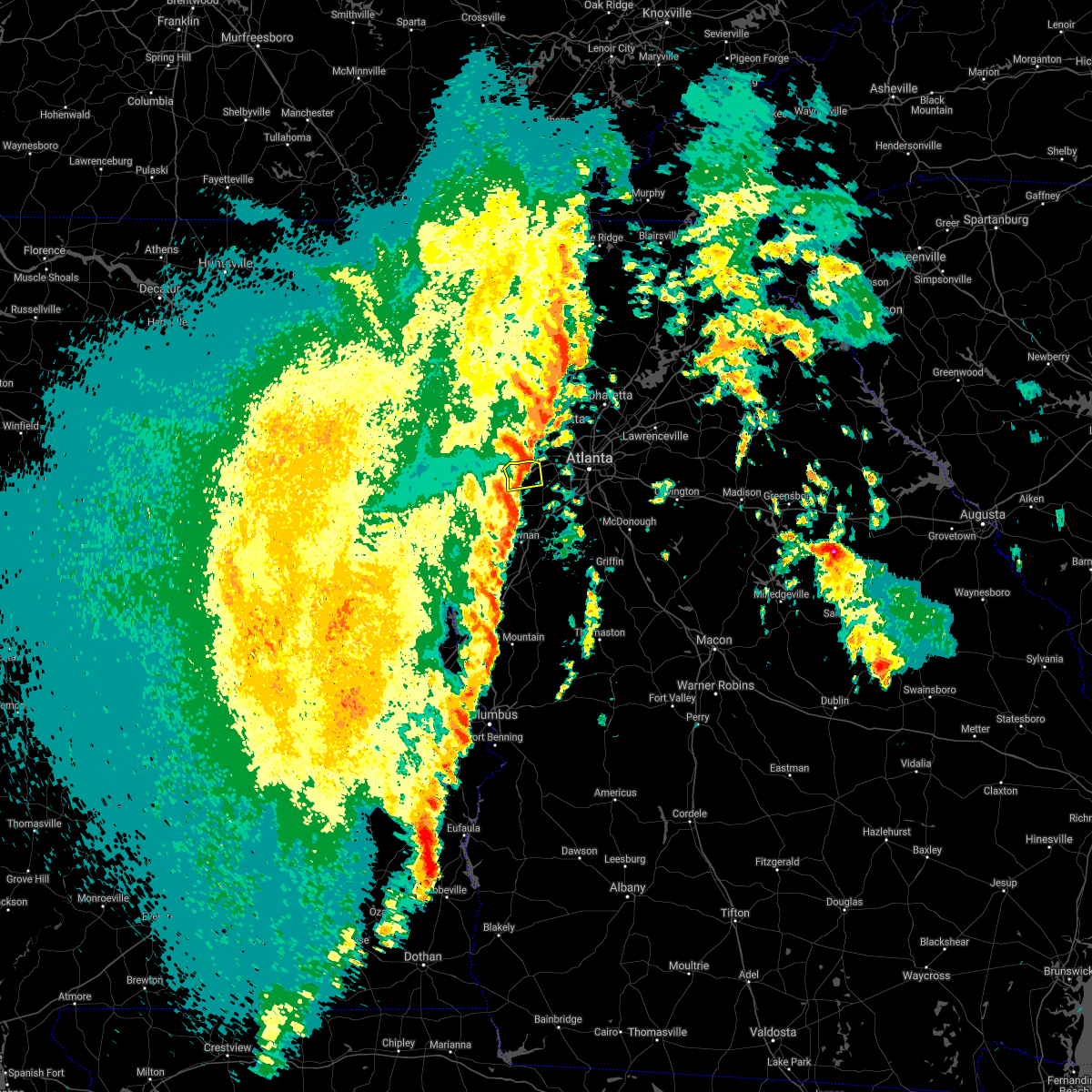 At 1123 am edt, a severe thunderstorm was located over winston, or near douglasville, moving northeast at 35 mph (radar indicated). Hazards include 60 mph wind gusts. Expect damage to roofs, siding, and trees. Locations impacted include, douglasville, villa rica, winston, lake val-do-mar, chapel hill and bill arp. At 1123 am edt, a severe thunderstorm was located over winston, or near douglasville, moving northeast at 35 mph (radar indicated). Hazards include 60 mph wind gusts. Expect damage to roofs, siding, and trees. Locations impacted include, douglasville, villa rica, winston, lake val-do-mar, chapel hill and bill arp.
|
| 4/3/2017 11:13 AM EDT |
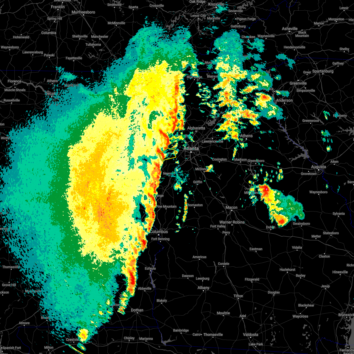 At 1112 am edt, a severe thunderstorm was located over treasure lake, or 10 miles southwest of douglasville, moving northeast at 35 mph (radar indicated, however this storm may have produced a brief tornado near carrollton earlier). Hazards include 60 mph wind gusts. expect damage to roofs, siding, and trees At 1112 am edt, a severe thunderstorm was located over treasure lake, or 10 miles southwest of douglasville, moving northeast at 35 mph (radar indicated, however this storm may have produced a brief tornado near carrollton earlier). Hazards include 60 mph wind gusts. expect damage to roofs, siding, and trees
|
| 3/21/2017 8:40 PM EDT |
 At 838 pm edt, severe thunderstorms were located extending from near milton to sandy plains to near eubank lake to near piedmont, moving southeast at 40 mph (radar indicated, plus multiple reports of downed trees and powerlines due to the very strong winds). Hazards include 60 mph wind gusts and penny size hail. expect damage to roofs, siding, and trees At 838 pm edt, severe thunderstorms were located extending from near milton to sandy plains to near eubank lake to near piedmont, moving southeast at 40 mph (radar indicated, plus multiple reports of downed trees and powerlines due to the very strong winds). Hazards include 60 mph wind gusts and penny size hail. expect damage to roofs, siding, and trees
|
| 3/10/2017 3:52 AM EST | Multiple trees down along chapel hill road and liberty roa in douglas county GA, 6.3 miles N of Douglasville, GA |
| 3/1/2017 6:50 PM EST |
 At 650 pm est, severe thunderstorms were located extending from hiram to villa rica to near john tanner state park, moving east at 55 mph (radar indicated). Hazards include 60 mph wind gusts and quarter size hail. Hail damage to vehicles is expected. expect wind damage to roofs, siding, and trees. Locations impacted include, douglasville, carrollton, dallas, villa rica, temple, hiram, mount zion, brownsville, abilene, winston, lake val-do-mar, treasure lake and new georgia. At 650 pm est, severe thunderstorms were located extending from hiram to villa rica to near john tanner state park, moving east at 55 mph (radar indicated). Hazards include 60 mph wind gusts and quarter size hail. Hail damage to vehicles is expected. expect wind damage to roofs, siding, and trees. Locations impacted include, douglasville, carrollton, dallas, villa rica, temple, hiram, mount zion, brownsville, abilene, winston, lake val-do-mar, treasure lake and new georgia.
|
| 3/1/2017 6:20 PM EST |
 At 617 pm est, severe thunderstorms were located extending from 7 miles west of buchanan to edwardsville alabama, moving east at 55 mph (radar indicated). Hazards include 60 mph wind gusts and quarter size hail. Hail damage to vehicles is expected. Expect wind damage to roofs, siding, and trees. At 617 pm est, severe thunderstorms were located extending from 7 miles west of buchanan to edwardsville alabama, moving east at 55 mph (radar indicated). Hazards include 60 mph wind gusts and quarter size hail. Hail damage to vehicles is expected. Expect wind damage to roofs, siding, and trees.
|
| 1/22/2017 4:25 PM EST |
 At 425 pm est, a severe thunderstorm was located over whitesburg, or 10 miles southeast of carrollton, moving northeast at 30 mph (radar indicated). Hazards include 60 mph wind gusts. expect damage to roofs, siding, and trees At 425 pm est, a severe thunderstorm was located over whitesburg, or 10 miles southeast of carrollton, moving northeast at 30 mph (radar indicated). Hazards include 60 mph wind gusts. expect damage to roofs, siding, and trees
|
| 11/30/2016 1:39 PM EST |
 At 138 pm est, severe thunderstorms were located along a line extending from kennesaw state university to smyrna to near six flags over georgia, moving northeast at 45 mph (radar indicated). Hazards include 60 mph wind gusts. Expect damage to roofs. siding. and trees. locations impacted include, atlanta, marietta, sandy springs, smyrna, kennesaw, austell, fair oaks, white water park, mount bethel, vinings, kennesaw state university, jim r miller park, six flags over georgia, chastain memorial park, sandy plains, bolton, dobbins air reserve base, bankhead, mableton and atlantic station. A tornado watch remains in effect until 600 pm est for north central georgia. At 138 pm est, severe thunderstorms were located along a line extending from kennesaw state university to smyrna to near six flags over georgia, moving northeast at 45 mph (radar indicated). Hazards include 60 mph wind gusts. Expect damage to roofs. siding. and trees. locations impacted include, atlanta, marietta, sandy springs, smyrna, kennesaw, austell, fair oaks, white water park, mount bethel, vinings, kennesaw state university, jim r miller park, six flags over georgia, chastain memorial park, sandy plains, bolton, dobbins air reserve base, bankhead, mableton and atlantic station. A tornado watch remains in effect until 600 pm est for north central georgia.
|
| 11/30/2016 1:15 PM EST |
 At 115 pm est, severe thunderstorms were located along a line extending from new georgia to near douglasville to hannah, moving northeast at 60 mph (radar indicated). Hazards include 60 mph wind gusts. Expect damage to roofs. siding. And trees. At 115 pm est, severe thunderstorms were located along a line extending from new georgia to near douglasville to hannah, moving northeast at 60 mph (radar indicated). Hazards include 60 mph wind gusts. Expect damage to roofs. siding. And trees.
|
| 7/21/2016 2:51 PM EDT |
 At 251 pm edt, a severe thunderstorm was located near chattahoochee hill country, or 10 miles southwest of douglasville, moving south at 10 mph (radar indicated). Hazards include 60 mph wind gusts and penny size hail. Expect damage to roofs. siding. and trees. Other locations in the warning include but are not limited to douglasville, villa rica, chattahoochee hill country, byers crossroads, bill arp, fairplay, winston and hannah. At 251 pm edt, a severe thunderstorm was located near chattahoochee hill country, or 10 miles southwest of douglasville, moving south at 10 mph (radar indicated). Hazards include 60 mph wind gusts and penny size hail. Expect damage to roofs. siding. and trees. Other locations in the warning include but are not limited to douglasville, villa rica, chattahoochee hill country, byers crossroads, bill arp, fairplay, winston and hannah.
|
| 7/6/2016 12:20 PM EDT |
 At 1220 pm edt, a severe thunderstorm was located near lithia springs, or 7 miles east of douglasville, moving east at 40 mph (radar indicated). Hazards include 60 mph wind gusts. Expect damage to roofs. siding. and trees. Other locations in the warning include but are not limited to atlanta, douglasville, smyrna, east point, college park, powder springs, austell, hapeville, midtown, grant park-zoo atlanta, lithia springs, sweetwater creek state park, turner field, lakewood park, sweet auburn, atlantic station, west end, six flags over georgia, cascade heights and piedmont park. At 1220 pm edt, a severe thunderstorm was located near lithia springs, or 7 miles east of douglasville, moving east at 40 mph (radar indicated). Hazards include 60 mph wind gusts. Expect damage to roofs. siding. and trees. Other locations in the warning include but are not limited to atlanta, douglasville, smyrna, east point, college park, powder springs, austell, hapeville, midtown, grant park-zoo atlanta, lithia springs, sweetwater creek state park, turner field, lakewood park, sweet auburn, atlantic station, west end, six flags over georgia, cascade heights and piedmont park.
|
| 7/6/2016 12:11 PM EDT |
 At 1211 pm edt, a severe thunderstorm was located over douglasville, moving east at 40 mph (radar indicated). Hazards include 60 mph wind gusts. Expect damage to roofs. siding. and trees. Other locations in the warning include but are not limited to atlanta, douglasville, smyrna, east point, college park, powder springs, austell, hapeville, hiram, midtown, grant park-zoo atlanta, lithia springs, sweetwater creek state park, turner field, lakewood park, sweet auburn, atlantic station, west end, six flags over georgia and cascade heights. At 1211 pm edt, a severe thunderstorm was located over douglasville, moving east at 40 mph (radar indicated). Hazards include 60 mph wind gusts. Expect damage to roofs. siding. and trees. Other locations in the warning include but are not limited to atlanta, douglasville, smyrna, east point, college park, powder springs, austell, hapeville, hiram, midtown, grant park-zoo atlanta, lithia springs, sweetwater creek state park, turner field, lakewood park, sweet auburn, atlantic station, west end, six flags over georgia and cascade heights.
|
| 6/17/2016 3:00 PM EDT | Em reports several trees and powerlines down around fairplay in southern douglas county...around hwy 166 and phillips mill in douglas county GA, 0.9 miles SE of Douglasville, GA |
| 6/17/2016 2:45 PM EDT |
 At 244 pm edt, severe thunderstorms were located along a line extending from villa rica to 6 miles southeast of douglasville, moving southeast at 35 mph (radar indicated). Hazards include 60 mph wind gusts and quarter size hail. Hail damage to vehicles is expected. expect wind damage to roofs, siding, and trees. Other locations in the warning include but are not limited to douglasville, carrollton, union city, villa rica, fairburn, palmetto, temple, chattahoochee hill country, lithia springs, fairplay, treasure lake, winston, campbellton, abilene, chapel hill, byers crossroads and hannah. At 244 pm edt, severe thunderstorms were located along a line extending from villa rica to 6 miles southeast of douglasville, moving southeast at 35 mph (radar indicated). Hazards include 60 mph wind gusts and quarter size hail. Hail damage to vehicles is expected. expect wind damage to roofs, siding, and trees. Other locations in the warning include but are not limited to douglasville, carrollton, union city, villa rica, fairburn, palmetto, temple, chattahoochee hill country, lithia springs, fairplay, treasure lake, winston, campbellton, abilene, chapel hill, byers crossroads and hannah.
|
| 6/1/2016 3:54 PM EDT |
 At 354 pm edt, a severe thunderstorm was located over carrollton, moving east at 35 mph (radar indicated). Hazards include 60 mph wind gusts and quarter size hail. Hail damage to vehicles is expected. expect wind damage to roofs, siding, and trees. Other locations in the warning include but are not limited to douglasville, carrollton, villa rica, bremen, temple, mount zion, lithia springs, sweetwater creek state park, fairplay, treasure lake, winston, bowdon junction, abilene, chapel hill, byers crossroads, lake val-do- mar, clem, john tanner state park, bill arp and seaton lake. At 354 pm edt, a severe thunderstorm was located over carrollton, moving east at 35 mph (radar indicated). Hazards include 60 mph wind gusts and quarter size hail. Hail damage to vehicles is expected. expect wind damage to roofs, siding, and trees. Other locations in the warning include but are not limited to douglasville, carrollton, villa rica, bremen, temple, mount zion, lithia springs, sweetwater creek state park, fairplay, treasure lake, winston, bowdon junction, abilene, chapel hill, byers crossroads, lake val-do- mar, clem, john tanner state park, bill arp and seaton lake.
|
| 4/6/2016 11:41 PM EDT |
 At 1141 pm edt, severe thunderstorms were located along a line extending from near marietta to near lithia springs to near newnan, moving east at 50 mph (radar indicated). Hazards include 60 mph wind gusts and quarter size hail. Hail damage to vehicles is expected. expect wind damage to roofs, siding, and trees. Other locations in the warning include but are not limited to atlanta, marietta, newnan, douglasville, decatur, fayetteville, jonesboro, sandy springs, smyrna, dunwoody, peachtree city, east point, stockbridge, union city, forest park, snellville, riverdale, college park, powder springs and fairburn. At 1141 pm edt, severe thunderstorms were located along a line extending from near marietta to near lithia springs to near newnan, moving east at 50 mph (radar indicated). Hazards include 60 mph wind gusts and quarter size hail. Hail damage to vehicles is expected. expect wind damage to roofs, siding, and trees. Other locations in the warning include but are not limited to atlanta, marietta, newnan, douglasville, decatur, fayetteville, jonesboro, sandy springs, smyrna, dunwoody, peachtree city, east point, stockbridge, union city, forest park, snellville, riverdale, college park, powder springs and fairburn.
|
| 7/30/2015 6:27 PM EDT |
 At 627 pm edt, a severe thunderstorm was located near college park, or 10 miles southwest of atlanta, moving southwest at 10 mph (radar indicated). Hazards include 60 mph wind gusts and quarter size hail. Hail damage to vehicles is expected. expect wind damage to roofs, siding and trees. Other locations in the warning include but are not limited to atlanta, peachtree city, east point, union city, college park, fairburn, tyrone, palmetto, chattahoochee hill country, sandtown, sandy creek and campbellton. At 627 pm edt, a severe thunderstorm was located near college park, or 10 miles southwest of atlanta, moving southwest at 10 mph (radar indicated). Hazards include 60 mph wind gusts and quarter size hail. Hail damage to vehicles is expected. expect wind damage to roofs, siding and trees. Other locations in the warning include but are not limited to atlanta, peachtree city, east point, union city, college park, fairburn, tyrone, palmetto, chattahoochee hill country, sandtown, sandy creek and campbellton.
|
| 7/21/2015 3:31 PM EDT |
 At 330 pm edt, severe thunderstorms were located extending from near smyrna to near union city to near chattahoochee hills, moving southeast at 30 mph (radar indicated). Hazards include 60 mph wind gusts and penny size hail. Expect damage to roofs. siding and trees. Other locations in the warning include but are not limited to atlanta, douglasville, smyrna, east point, union city, college park, fairburn, austell, palmetto, chattahoochee hills, lithia springs, west end, sweetwater creek state park, six flags over georgia, cascade heights, turner field, campbellton, chapel hill, sandtown and bill arp. At 330 pm edt, severe thunderstorms were located extending from near smyrna to near union city to near chattahoochee hills, moving southeast at 30 mph (radar indicated). Hazards include 60 mph wind gusts and penny size hail. Expect damage to roofs. siding and trees. Other locations in the warning include but are not limited to atlanta, douglasville, smyrna, east point, union city, college park, fairburn, austell, palmetto, chattahoochee hills, lithia springs, west end, sweetwater creek state park, six flags over georgia, cascade heights, turner field, campbellton, chapel hill, sandtown and bill arp.
|
| 7/21/2015 3:16 PM EDT | A tree was downed on knollwood cir near parkway sout in douglas county GA, 2.8 miles ENE of Douglasville, GA |
| 7/21/2015 3:16 PM EDT | Power lines were downed at the intersection of durelee lane and fairburn r in douglas county GA, 1.4 miles ESE of Douglasville, GA |
| 7/21/2015 3:15 PM EDT | A tree was downed on i-20 eastbound between post rd and highway in douglas county GA, 6.1 miles ENE of Douglasville, GA |
| 7/21/2015 3:13 PM EDT |
 At 312 pm edt, severe thunderstorms were located extending from near lithia springs to near douglasville to near villa rica, moving southeast at 25 mph (radar indicated). Hazards include 60 mph wind gusts and penny size hail. Expect damage to roofs. siding and trees. Other locations in the warning include but are not limited to atlanta, douglasville, smyrna, east point, union city, villa rica, college park, powder springs, fairburn, austell, palmetto, hiram, chattahoochee hills, lithia springs, sweetwater creek state park, turner field, new georgia, campbellton, lake val-do-mar and hannah. At 312 pm edt, severe thunderstorms were located extending from near lithia springs to near douglasville to near villa rica, moving southeast at 25 mph (radar indicated). Hazards include 60 mph wind gusts and penny size hail. Expect damage to roofs. siding and trees. Other locations in the warning include but are not limited to atlanta, douglasville, smyrna, east point, union city, villa rica, college park, powder springs, fairburn, austell, palmetto, hiram, chattahoochee hills, lithia springs, sweetwater creek state park, turner field, new georgia, campbellton, lake val-do-mar and hannah.
|
| 7/14/2015 9:06 PM EDT |
 At 905 pm edt, severe thunderstorms were located extending from near milton to sandy springs, austell, douglasville and dallas, moving southeast at 45 mph (radar indicated). Hazards include 60 mph wind gusts and quarter size hail. Hail damage to vehicles is expected. expect wind damage to roofs, siding and trees. Other locations in the warning include but are not limited to atlanta, marietta, douglasville, lawrenceville, canton, cartersville, decatur, dallas, sandy springs, roswell, johns creek, alpharetta, smyrna, dunwoody, east point, milton, kennesaw, duluth, woodstock and acworth. At 905 pm edt, severe thunderstorms were located extending from near milton to sandy springs, austell, douglasville and dallas, moving southeast at 45 mph (radar indicated). Hazards include 60 mph wind gusts and quarter size hail. Hail damage to vehicles is expected. expect wind damage to roofs, siding and trees. Other locations in the warning include but are not limited to atlanta, marietta, douglasville, lawrenceville, canton, cartersville, decatur, dallas, sandy springs, roswell, johns creek, alpharetta, smyrna, dunwoody, east point, milton, kennesaw, duluth, woodstock and acworth.
|
| 7/14/2015 8:44 PM EDT |
 At 843 pm edt, severe thunderstorms were located extending from near waleska to woodstock to southwest of kennesaw to near dallas to aragon, moving southeast at 55 mph (radar indicated). Hazards include 70 mph wind gusts and quarter size hail. Hail damage to vehicles is expected. expect considerable tree damage. wind damage is also likely to mobile homes, roofs and outbuildings. Other locations in the warning include but are not limited to atlanta, marietta, douglasville, lawrenceville, canton, cartersville, decatur, dallas, buchanan, sandy springs, roswell, johns creek, alpharetta, smyrna, dunwoody, east point, milton, kennesaw, duluth and woodstock. At 843 pm edt, severe thunderstorms were located extending from near waleska to woodstock to southwest of kennesaw to near dallas to aragon, moving southeast at 55 mph (radar indicated). Hazards include 70 mph wind gusts and quarter size hail. Hail damage to vehicles is expected. expect considerable tree damage. wind damage is also likely to mobile homes, roofs and outbuildings. Other locations in the warning include but are not limited to atlanta, marietta, douglasville, lawrenceville, canton, cartersville, decatur, dallas, buchanan, sandy springs, roswell, johns creek, alpharetta, smyrna, dunwoody, east point, milton, kennesaw, duluth and woodstock.
|
| 6/24/2015 5:16 PM EDT |
 At 515 pm edt, a severe thunderstorm was located over austell, or 9 miles south of marietta, moving south at 5 mph (radar indicated). Hazards include 60 mph wind gusts and quarter size hail. Hail damage to vehicles is expected. expect wind damage to roofs, siding and trees. Other locations in the warning include but are not limited to douglasville, smyrna, powder springs, austell, lithia springs, sweetwater creek state park and mableton. At 515 pm edt, a severe thunderstorm was located over austell, or 9 miles south of marietta, moving south at 5 mph (radar indicated). Hazards include 60 mph wind gusts and quarter size hail. Hail damage to vehicles is expected. expect wind damage to roofs, siding and trees. Other locations in the warning include but are not limited to douglasville, smyrna, powder springs, austell, lithia springs, sweetwater creek state park and mableton.
|
| 6/24/2015 4:38 PM EDT |
 At 437 pm edt, a severe thunderstorm was located over lithia springs, or near douglasville, moving south at 10 mph (radar indicated). Hazards include 60 mph wind gusts and quarter size hail. Hail damage to vehicles is expected. expect wind damage to roofs, siding and trees. Other locations in the warning include but are not limited to douglasville, fairburn, palmetto, chattahoochee hill country, lithia springs, chapel hill, sweetwater creek state park, bill arp, fairplay, campbellton and hannah. At 437 pm edt, a severe thunderstorm was located over lithia springs, or near douglasville, moving south at 10 mph (radar indicated). Hazards include 60 mph wind gusts and quarter size hail. Hail damage to vehicles is expected. expect wind damage to roofs, siding and trees. Other locations in the warning include but are not limited to douglasville, fairburn, palmetto, chattahoochee hill country, lithia springs, chapel hill, sweetwater creek state park, bill arp, fairplay, campbellton and hannah.
|
| 6/24/2015 2:34 PM EDT |
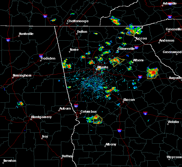 At 234 pm edt, a severe thunderstorm was located over fair oaks, or near marietta, moving south at 10 mph (radar indicated). Hazards include 60 mph wind gusts and penny size hail. Expect damage to roofs. siding and trees. Other locations in the warning include but are not limited to marietta, smyrna, powder springs, austell, fair oaks, lithia springs, dobbins air reserve base, white water park, vinings, jim r miller park, six flags over georgia and mableton. At 234 pm edt, a severe thunderstorm was located over fair oaks, or near marietta, moving south at 10 mph (radar indicated). Hazards include 60 mph wind gusts and penny size hail. Expect damage to roofs. siding and trees. Other locations in the warning include but are not limited to marietta, smyrna, powder springs, austell, fair oaks, lithia springs, dobbins air reserve base, white water park, vinings, jim r miller park, six flags over georgia and mableton.
|
| 5/18/2015 4:38 PM EDT | At 437 pm edt, a severe thunderstorm was located over smyrna, or near marietta, moving east at 15 mph (radar indicated). Hazards include 60 mph wind gusts and quarter size hail. Hail damage to vehicles is expected. expect wind damage to roofs, siding and trees. other locations in the warning include but are not limited to atlanta, marietta, sandy springs, smyrna, dunwoody, midtown, fair oaks, grant park-zoo atlanta, vinings, jim r miller park, turner field, dobbins air reserve base, sweet auburn, atlantic station, west end, white water park, mount bethel, six flags over georgia, cascade heights and chastain memorial park. 1. 00in. |
| 4/19/2015 9:21 AM EDT | At 921 am edt, a severe thunderstorm was located near lithia springs, or 7 miles east of douglasville, moving northeast at 25 mph (radar indicated). Hazards include 60 mph wind gusts. Expect damage to roofs. siding and trees. other locations in the warning include but are not limited to atlanta, marietta, douglasville, sandy springs, smyrna, austell, fair oaks, lithia springs, sweetwater creek state park, vinings, six flags over georgia, chastain memorial park, bolton, dobbins air reserve base, bankhead, mableton and atlantic station. a tornado watch remains in effect until 300 pm edt for north central georgia. Possible. |
| 8/9/2014 6:50 PM EDT | Douglas county 911 relayed a report of a couple power lines down in the county along with a couple house fires from lightnin in douglas county GA, 3.3 miles NE of Douglasville, GA |
| 7/17/2013 6:05 PM EDT | Quarter sized hail reported 5.1 miles SE of Douglasville, GA, gas station attendant on corner of brownsville road and highway 92 reported quarter sized hail around 605 pm. |
| 6/13/2013 8:36 PM EDT | Several trees are reported down on huey road...hillside drive and reynolds road. some power outages reporte in douglas county GA, 2.8 miles ENE of Douglasville, GA |
| 5/19/2013 12:04 PM EDT | Numerous trees down and some on homes in douglas county. pilgrims dr...windmark place...david dr...greenbrook dr...mckown rd...hidden branch rd...bomar rd...s burnt hic in douglas county GA, 2.8 miles N of Douglasville, GA |
| 5/19/2013 12:00 PM EDT | Trees down across the county...several on power lines and home in douglas county GA, 2.5 miles ESE of Douglasville, GA |
| 3/18/2013 5:28 PM EDT | Golf Ball sized hail reported 2.5 miles ESE of Douglasville, GA |
| 5/21/2012 7:10 PM EDT | Quarter sized hail reported 7.1 miles E of Douglasville, GA, pea to quarter sized hail reported by the public |
| 1/1/0001 12:00 AM | Signs at shopping plaza blown out and others twisted at fairburn road and shawnee trail in douglas county GA, 1.4 miles ESE of Douglasville, GA |
| 1/1/0001 12:00 AM | Signs at shopping plaza blown out and others twisted at fairburn road and shawnee trail. several businesses along fairburn road sustained minor structural damage to the in douglas county GA, 1.4 miles ESE of Douglasville, GA |
| 1/1/0001 12:00 AM | Three trees down in the winston are in douglas county GA, 7.1 miles E of Douglasville, GA |
| 1/1/0001 12:00 AM | 2 trees down near fowler fiel in douglas county GA, 1.5 miles N of Douglasville, GA |
| 1/1/0001 12:00 AM | 3 trees down near winston school in douglas county GA, 5.7 miles ENE of Douglasville, GA |
| 1/1/0001 12:00 AM | Tree on house on ban in douglas county GA, 2.3 miles SE of Douglasville, GA |
| 1/1/0001 12:00 AM | One tree down on cave springs rd in douglas county GA, 2.3 miles SE of Douglasville, GA |
| 1/1/0001 12:00 AM | Tree on a car on bomar roa in douglas county GA, 3.6 miles NNE of Douglasville, GA |
| 1/1/0001 12:00 AM | Tree down on a home on cherokee driv in douglas county GA, 2.5 miles ESE of Douglasville, GA |
| 1/1/0001 12:00 AM | Shingles off douglas county high school. additional damage 3 trees down on north burnt hickory and a tree downed at the intersection of post and poole roa in douglas county GA, 2.5 miles ESE of Douglasville, GA |
| 1/1/0001 12:00 AM | Douglas county 911 reported a downed tree near the intersection of stewart pkwy and douglas blv in douglas county GA, 4.2 miles E of Douglasville, GA |
| 6/15/2011 7:00 PM EDT | Ping Pong Ball sized hail reported 0.7 miles SW of Douglasville, GA |
| 6/15/2011 6:55 PM EDT | Golf Ball sized hail reported 6.5 miles E of Douglasville, GA |
| 6/15/2011 6:55 PM EDT | Tennis Ball sized hail reported 2.5 miles ESE of Douglasville, GA |
| 6/15/2011 6:50 PM EDT | Half Dollar sized hail reported 6.5 miles E of Douglasville, GA |
| 1/1/0001 12:00 AM | Numerous power lines down across douglasvill in douglas county GA, 2.5 miles ESE of Douglasville, GA |
| 1/1/0001 12:00 AM | Three trees dow in douglas county GA, 7.1 miles E of Douglasville, GA |
| 1/1/0001 12:00 AM | Several trees down on riley road and highway 5. roof gave in at 6602 bankhead highwa in douglas county GA, 2.5 miles ESE of Douglasville, GA |
| 1/1/0001 12:00 AM | Douglas county 911 relayed a report of a structual collapse in downtown douglasville. 911 also stated that there was widespread tree damage in the count in douglas county GA, 2.5 miles ESE of Douglasville, GA |
| 1/1/0001 12:00 AM | Douglas county 911 relayed a report that the roof of a business collapsed in downtown douglasville. dispatcher reported that collapse was caused by wind. 911 also state in douglas county GA, 2.5 miles ESE of Douglasville, GA |
| 1/1/0001 12:00 AM | Douglas county 911 relayed a report of one tree down on a house in douglasville. the house suffered damage to its porc in douglas county GA, 2.5 miles ESE of Douglasville, GA |
| 1/1/0001 12:00 AM | Quarter sized hail reported 2.5 miles ESE of Douglasville, GA, douglas county emergency management reported quarter-sized hail. |
| 1/1/0001 12:00 AM | Quarter sized hail reported 7.1 miles E of Douglasville, GA |
| 1/1/0001 12:00 AM | One power line dow in fulton county GA, 7 miles NW of Douglasville, GA |
Hail Maps for Douglasville, GA
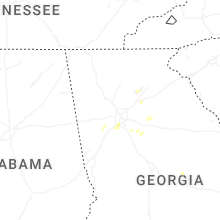


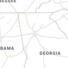


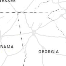


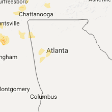


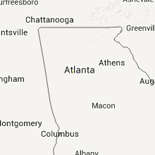


Connect with Interactive Hail Maps