

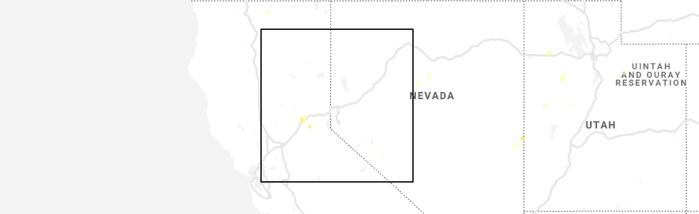
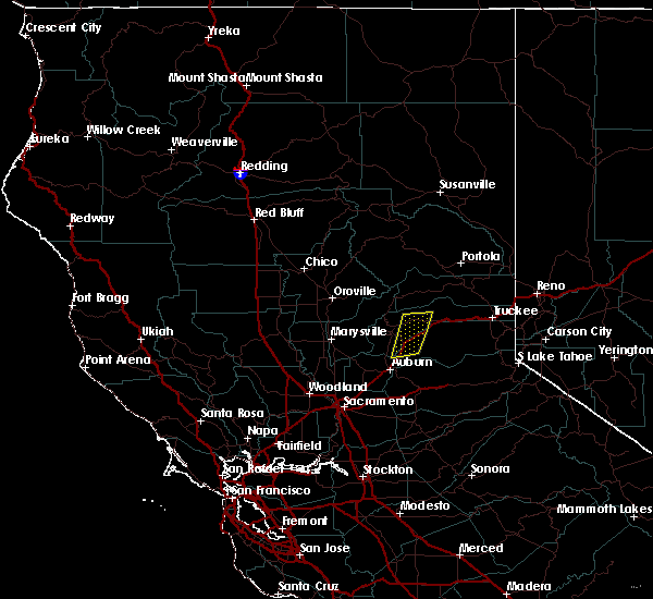
Hail Map for Dutch Flat, CA
The Dutch Flat, CA area has had 0 reports of on-the-ground hail by trained spotters, and has been under severe weather warnings 0 times during the past 12 months. Doppler radar has detected hail at or near Dutch Flat, CA on 1 occasion.
| Name: | Dutch Flat, CA |
| Where Located: | 42.3 miles NE of Citrus Heights, CA |
| Map: | Google Map for Dutch Flat, CA |
| Population: | 160 |
| Housing Units: | 138 |
| More Info: | Search Google for Dutch Flat, CA |
5
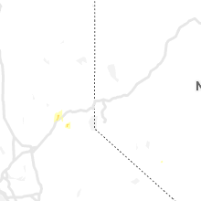
The Top Recent Hail Date for Dutch Flat, CA is Saturday, June 1, 2019 (1st out of 1)
Hail and Wind Damage Spotted near Dutch Flat, CA
| Date / Time | Report Details |
|---|---|
| 6/1/2019 8:26 PM PDT |
 The severe thunderstorm warning for central placer and central nevada counties will expire at 830 pm pdt, the storms which prompted the warning have moved out of the area. therefore, the warning will be allowed to expire. however small hail is still possible with these thunderstorms as they move through nevada city and grass valley. The severe thunderstorm warning for central placer and central nevada counties will expire at 830 pm pdt, the storms which prompted the warning have moved out of the area. therefore, the warning will be allowed to expire. however small hail is still possible with these thunderstorms as they move through nevada city and grass valley.
|
| 6/1/2019 7:43 PM PDT |
 At 742 pm pdt, severe thunderstorms were located along a line extending from white cloud and skillman campground to near baxter to near colfax, moving southwest at 10 mph (radar indicated). Hazards include quarter size hail. damage to vehicles is expected At 742 pm pdt, severe thunderstorms were located along a line extending from white cloud and skillman campground to near baxter to near colfax, moving southwest at 10 mph (radar indicated). Hazards include quarter size hail. damage to vehicles is expected
|
Hail Maps for Dutch Flat, CA
Connect with Interactive Hail Maps