

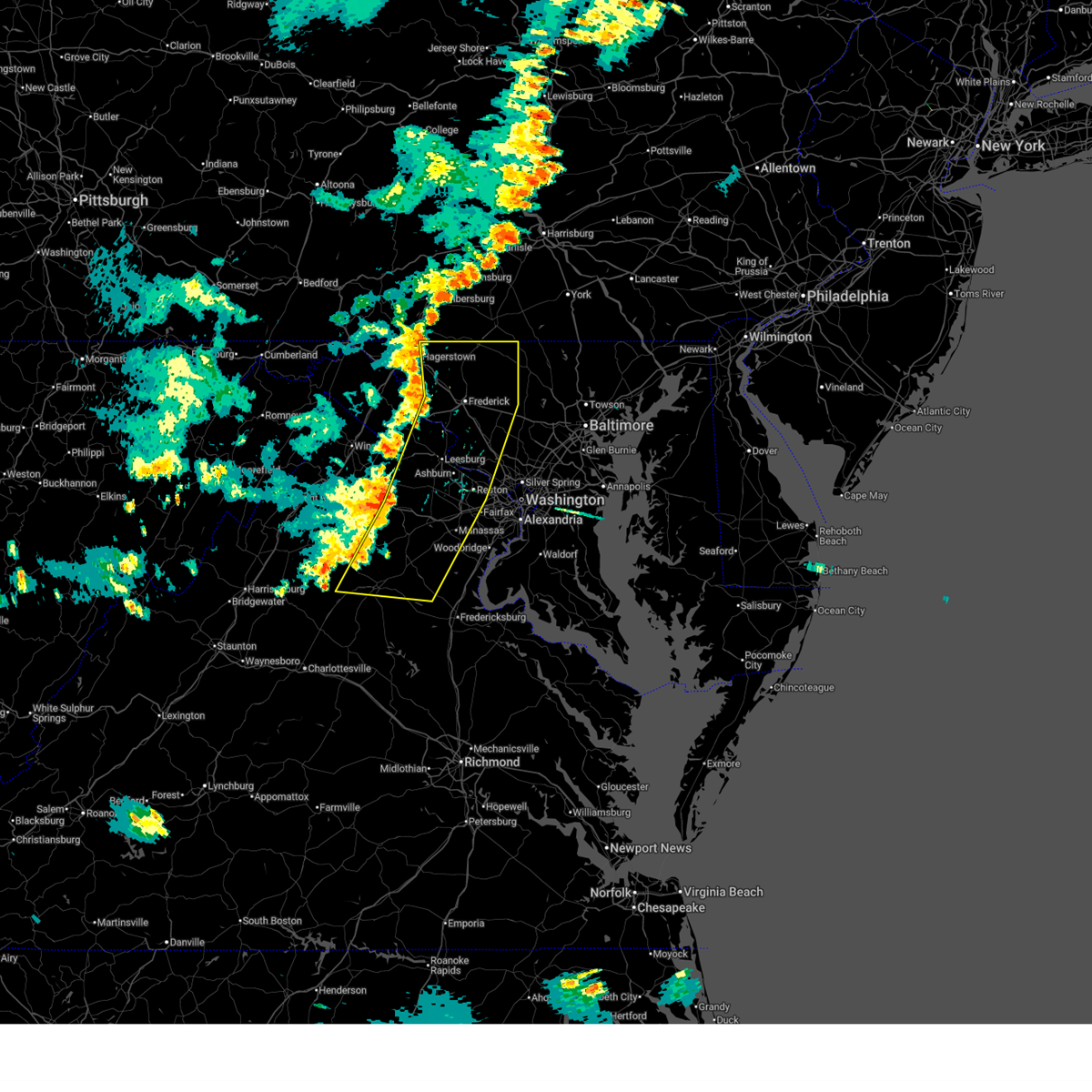
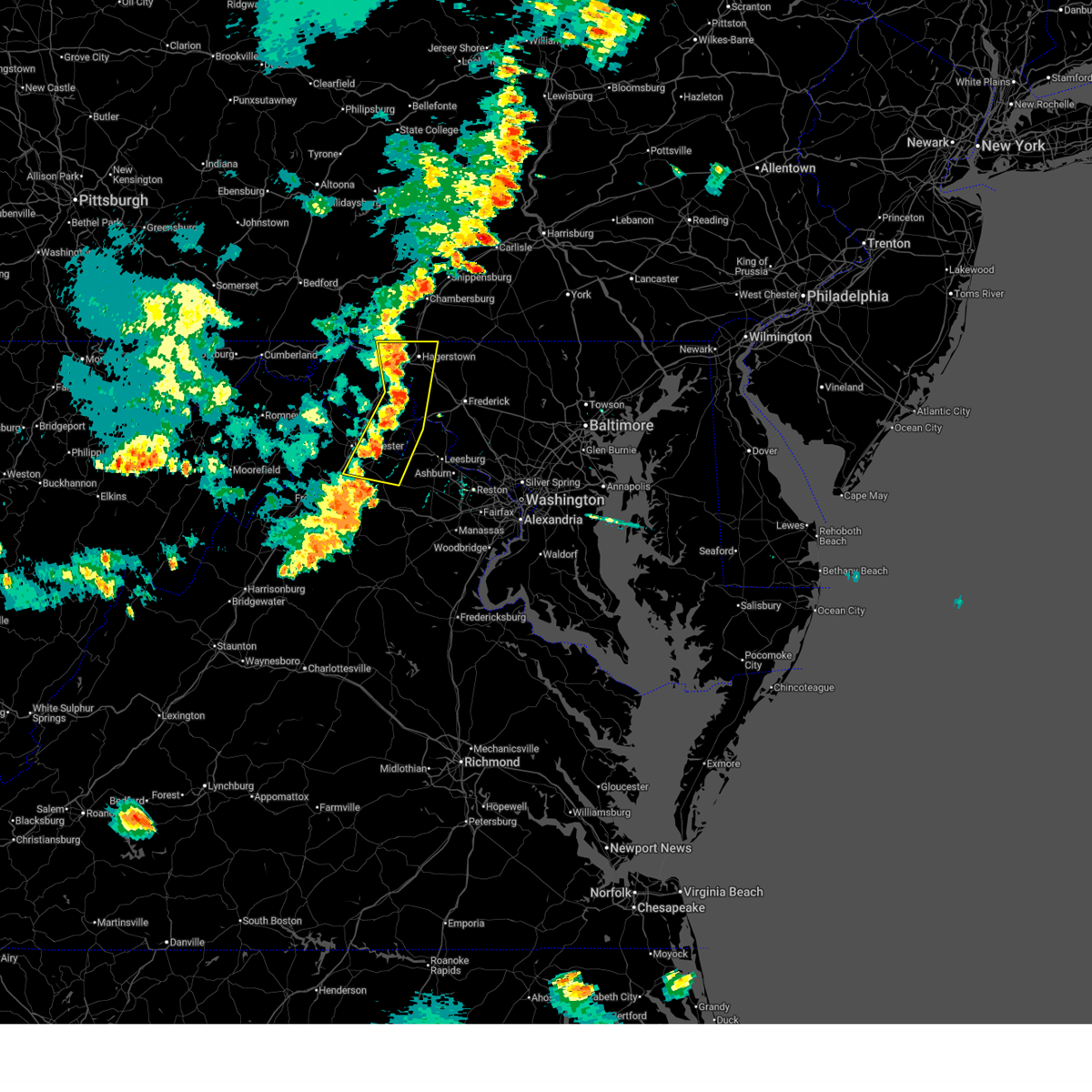
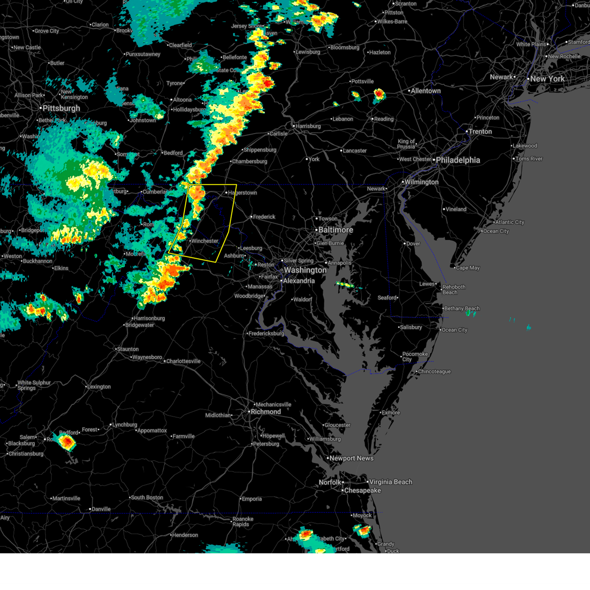
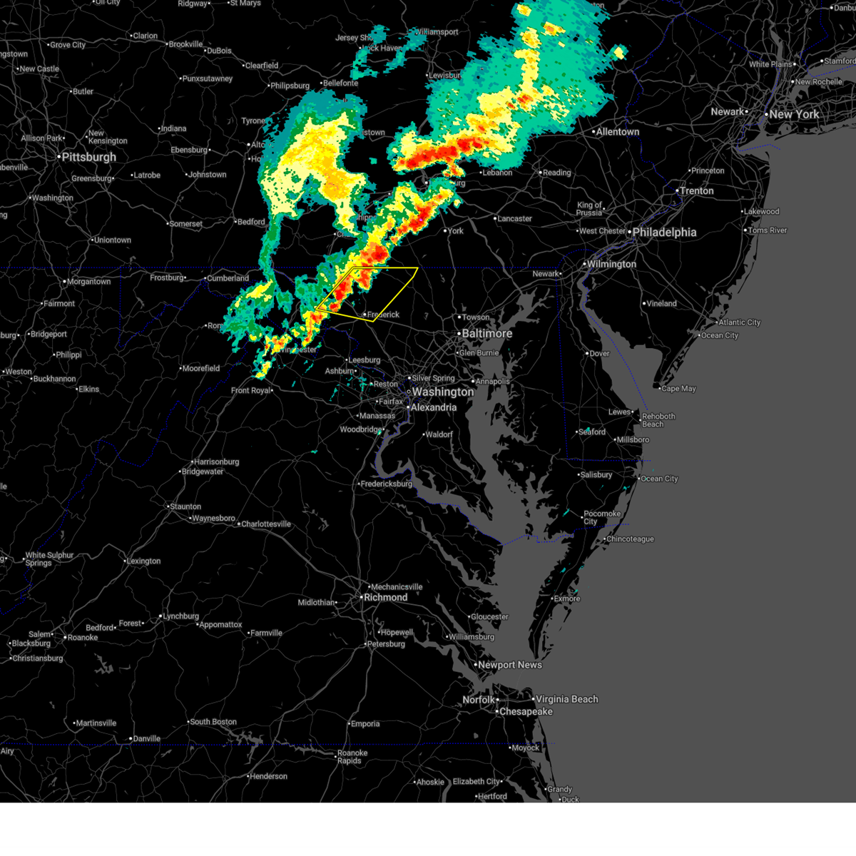
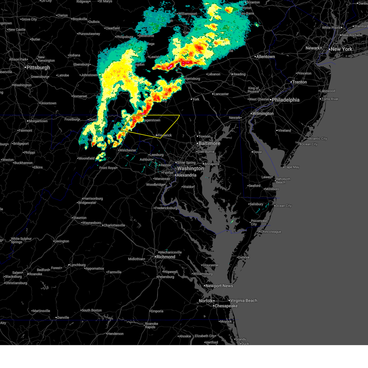
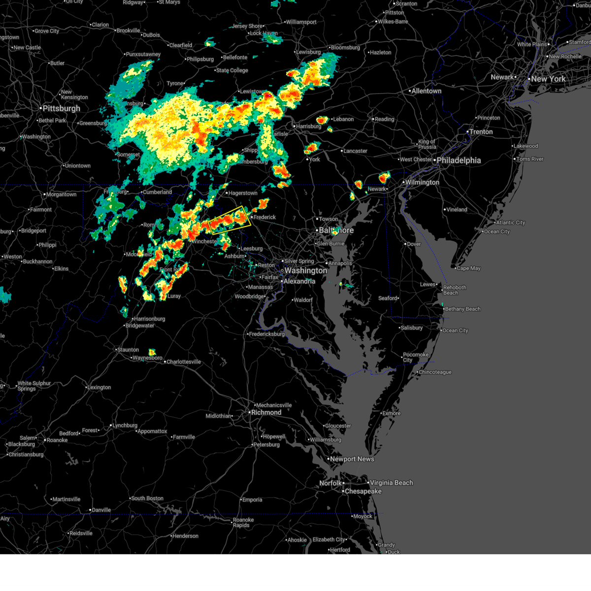
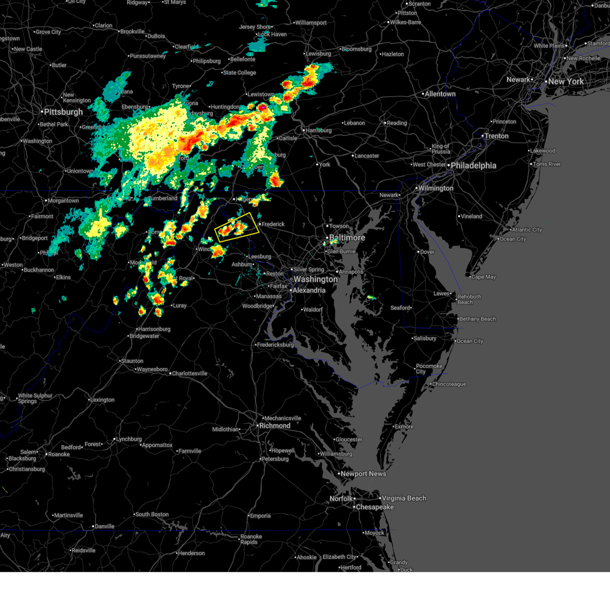
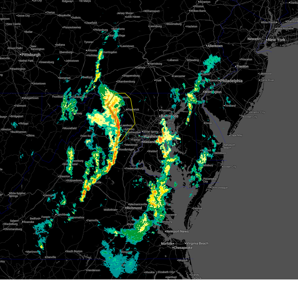
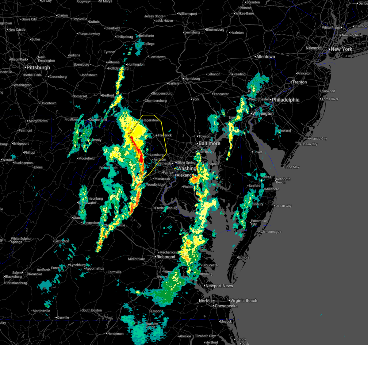
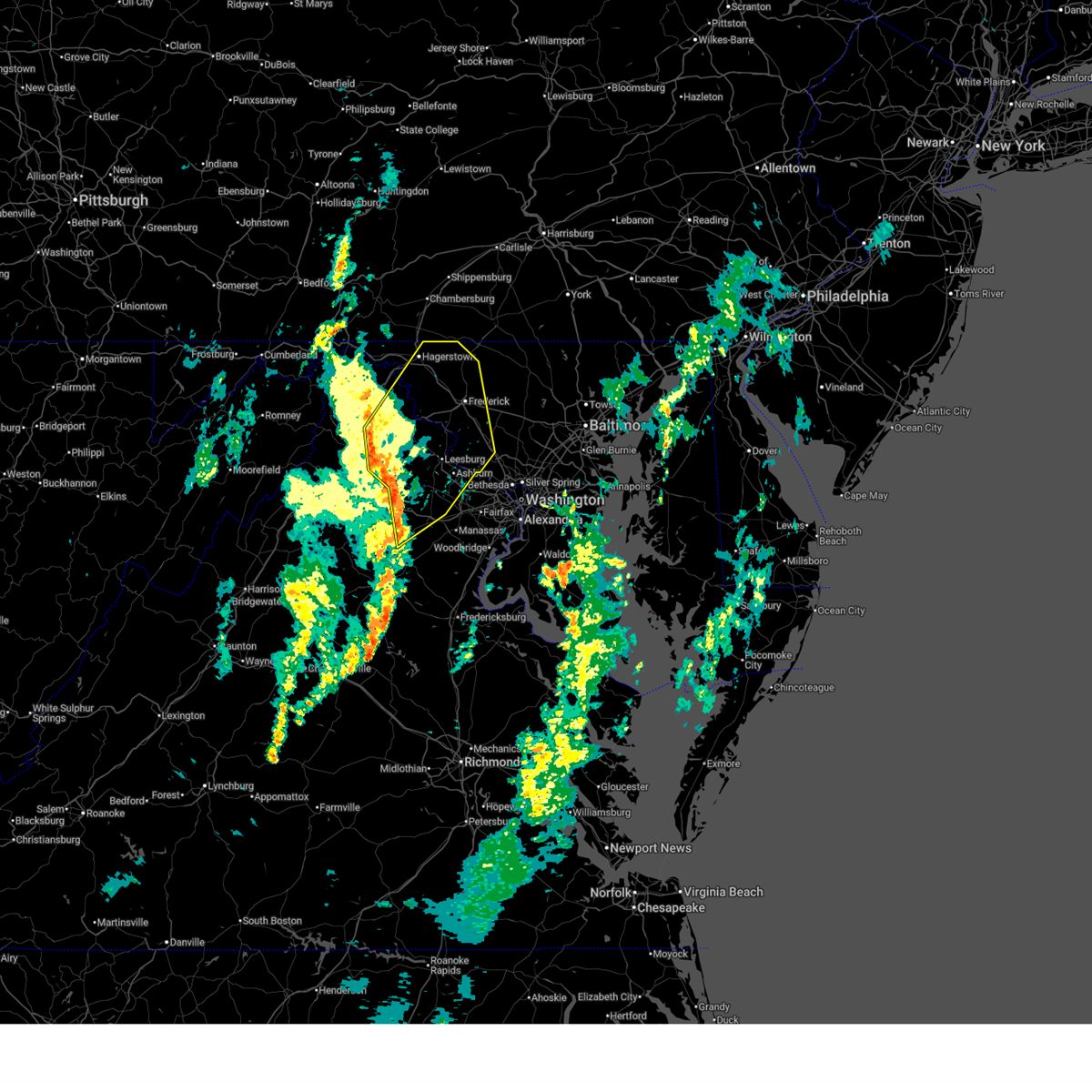
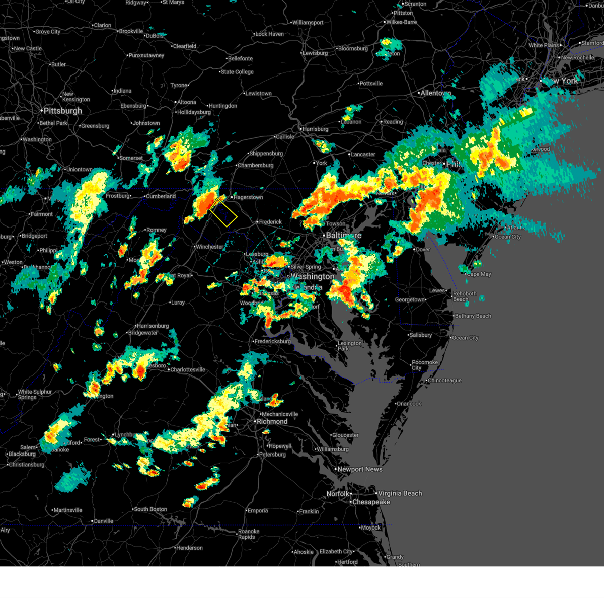
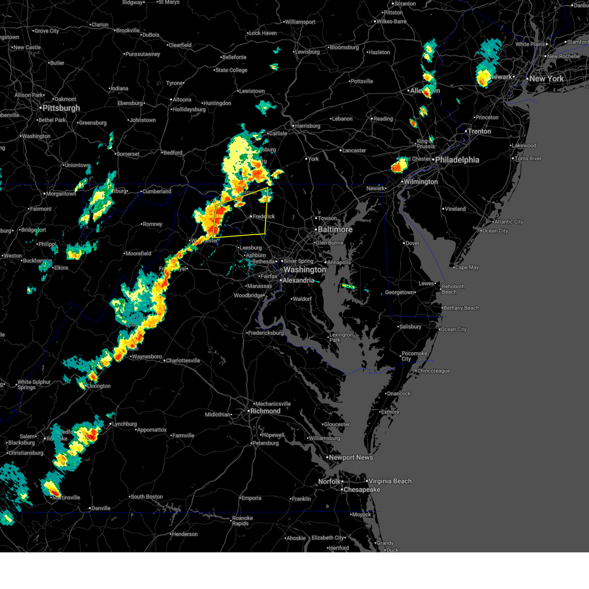
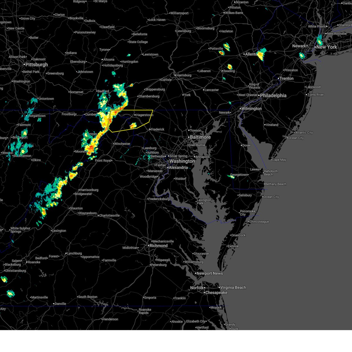
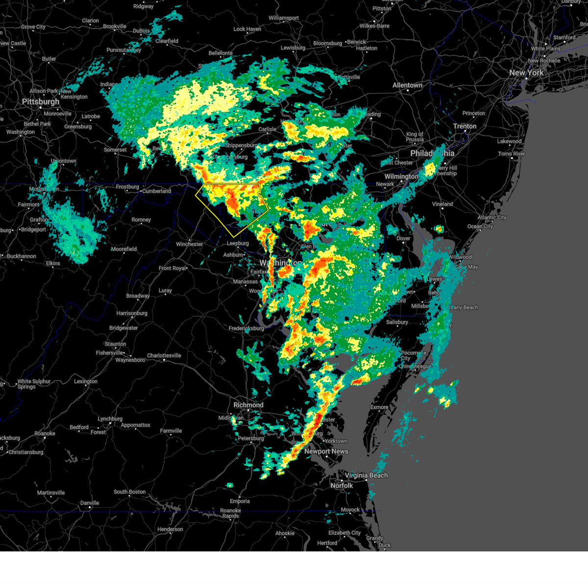
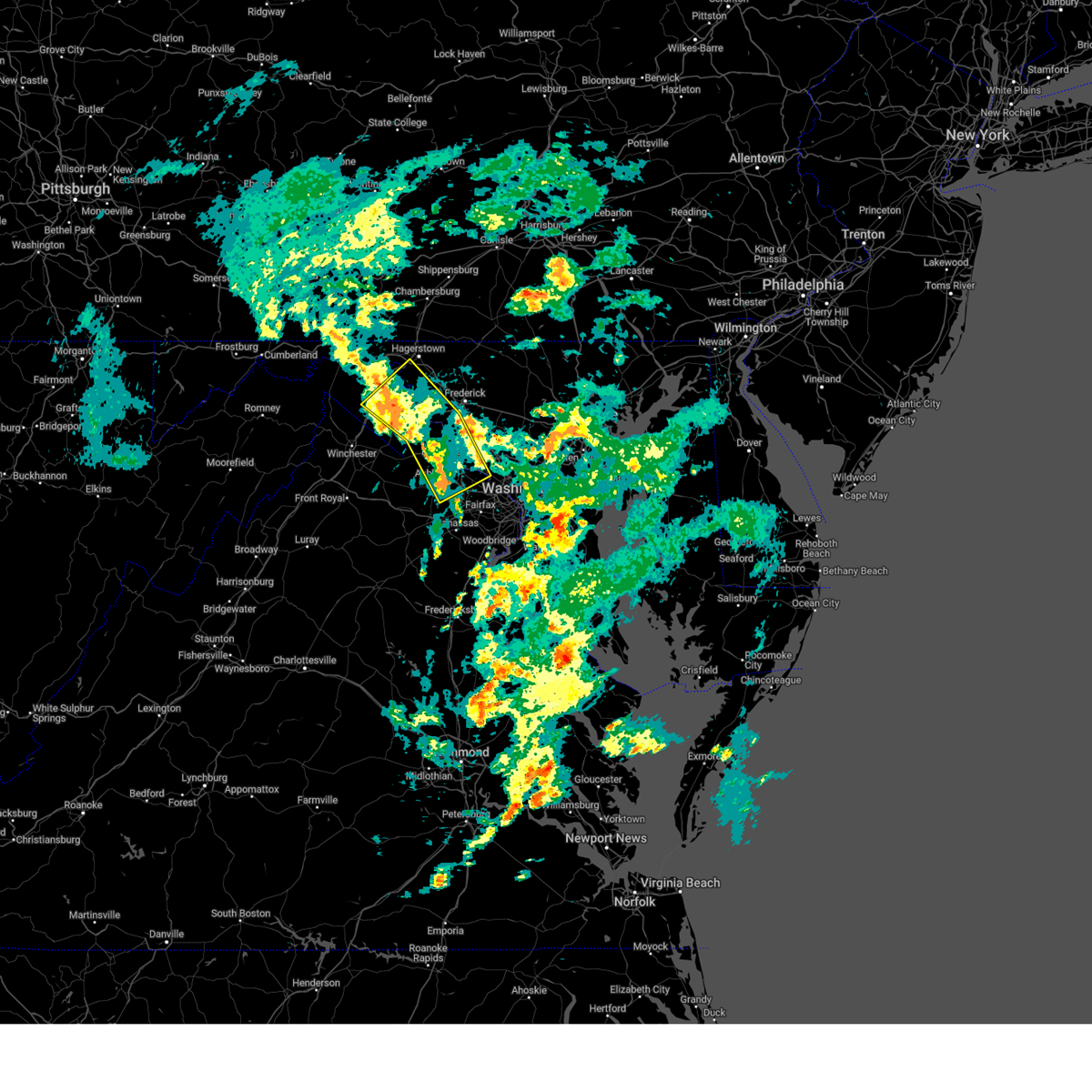
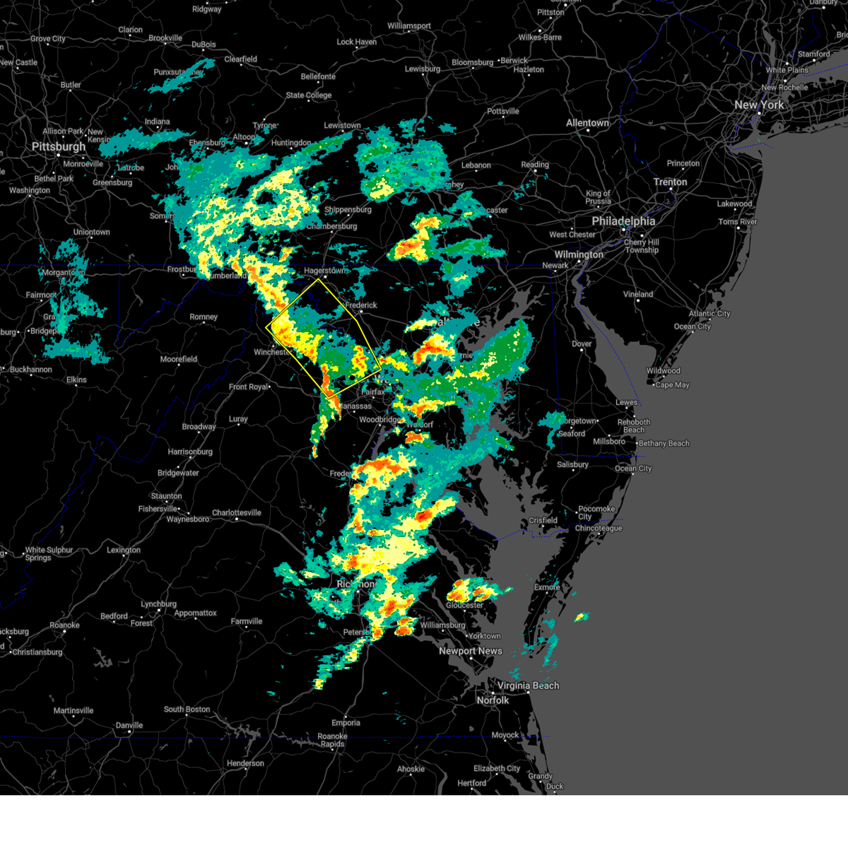
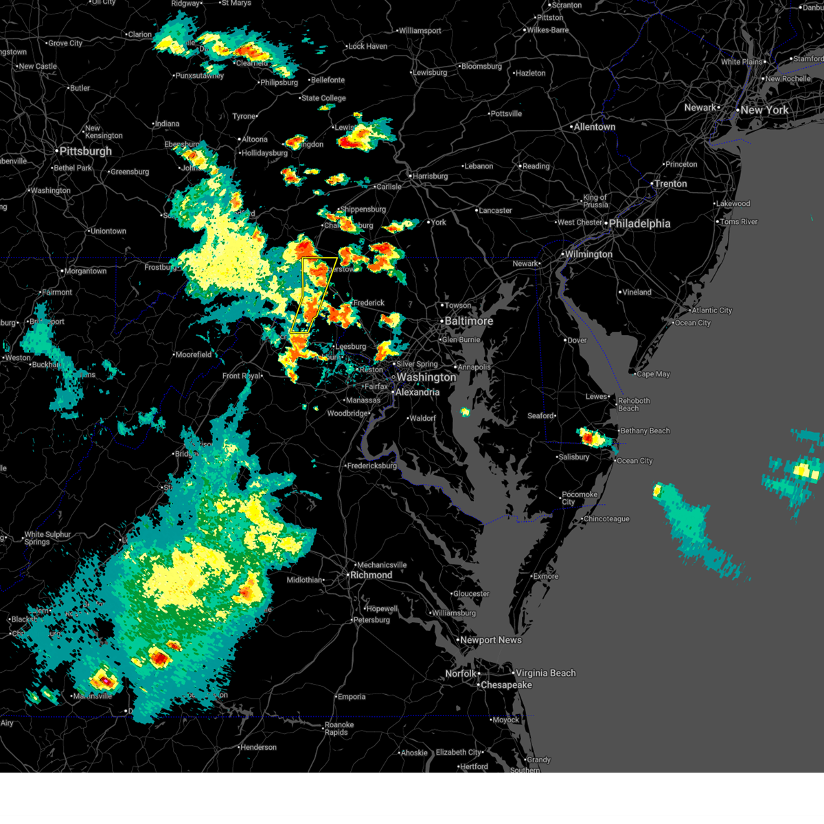
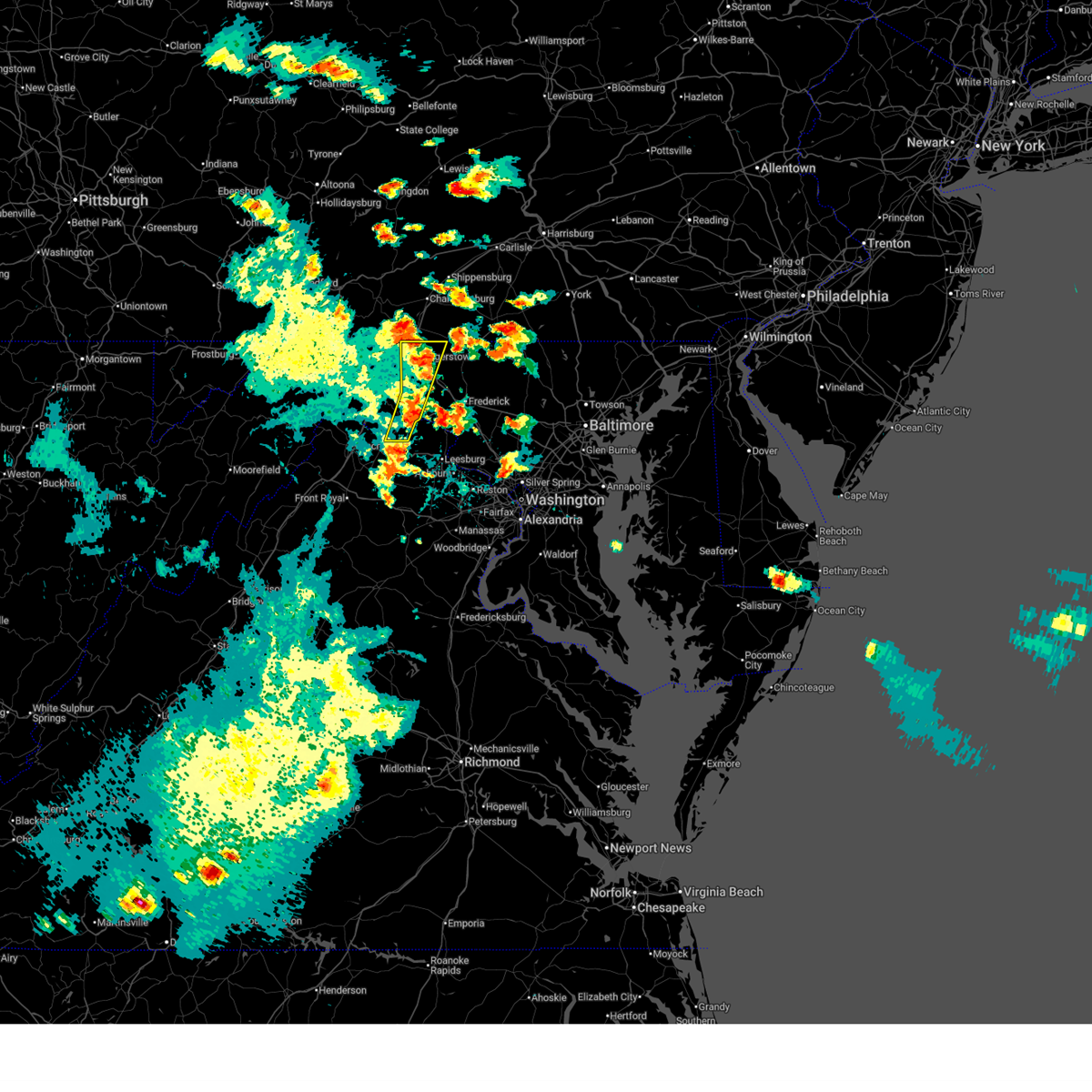
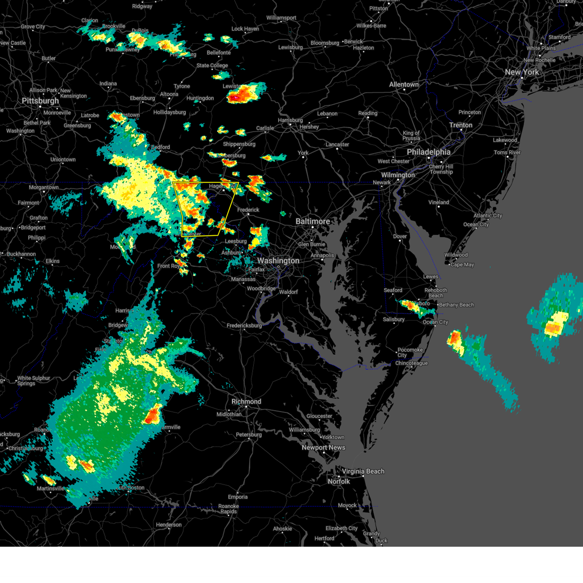
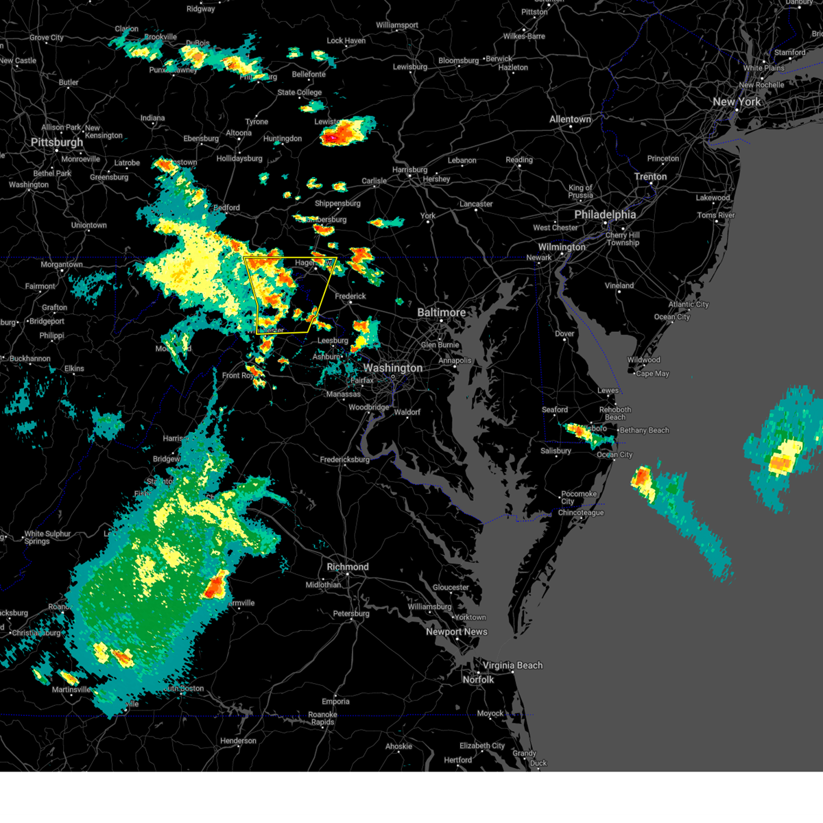
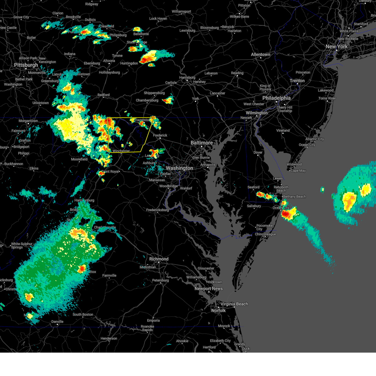
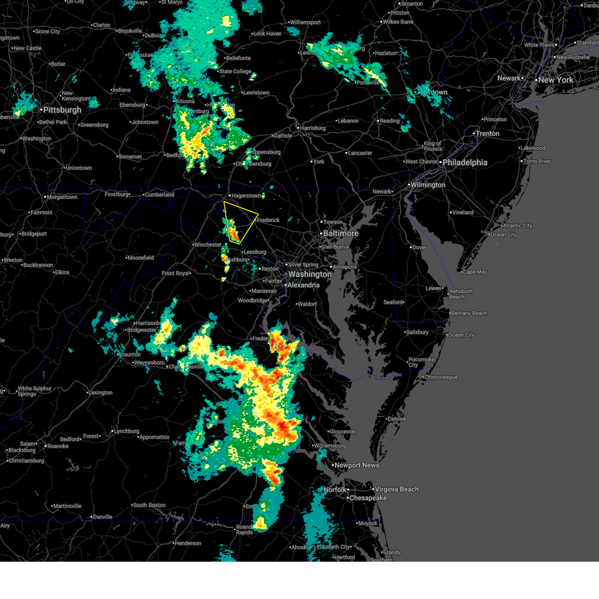
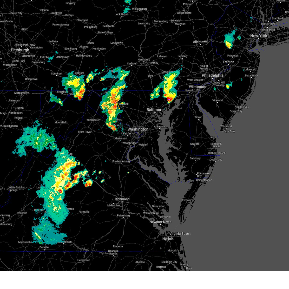
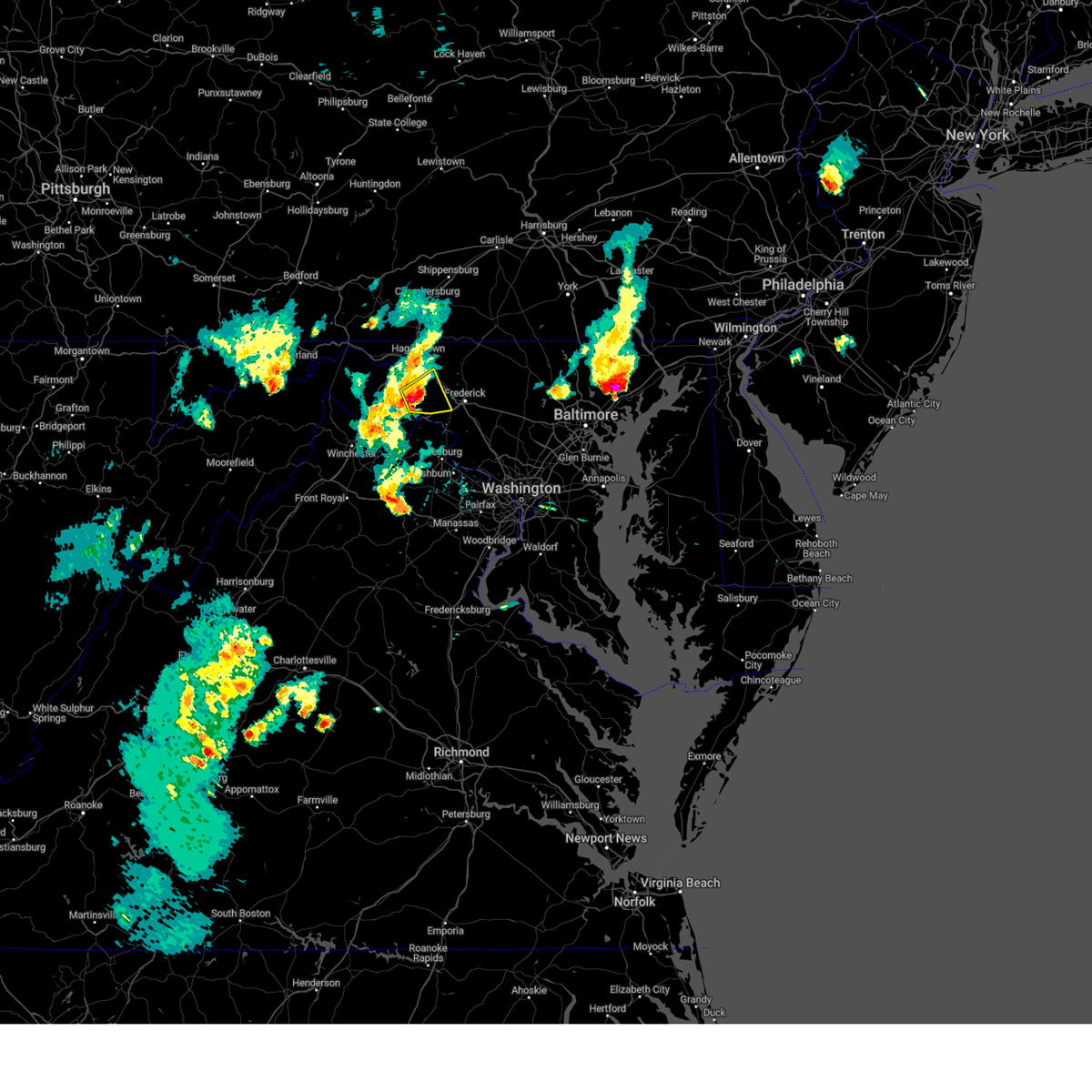
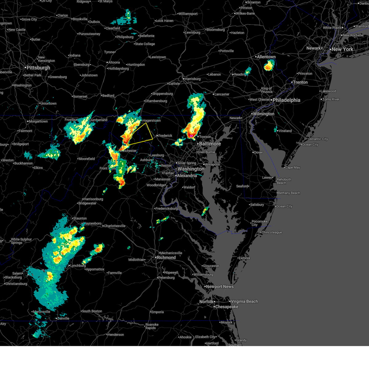
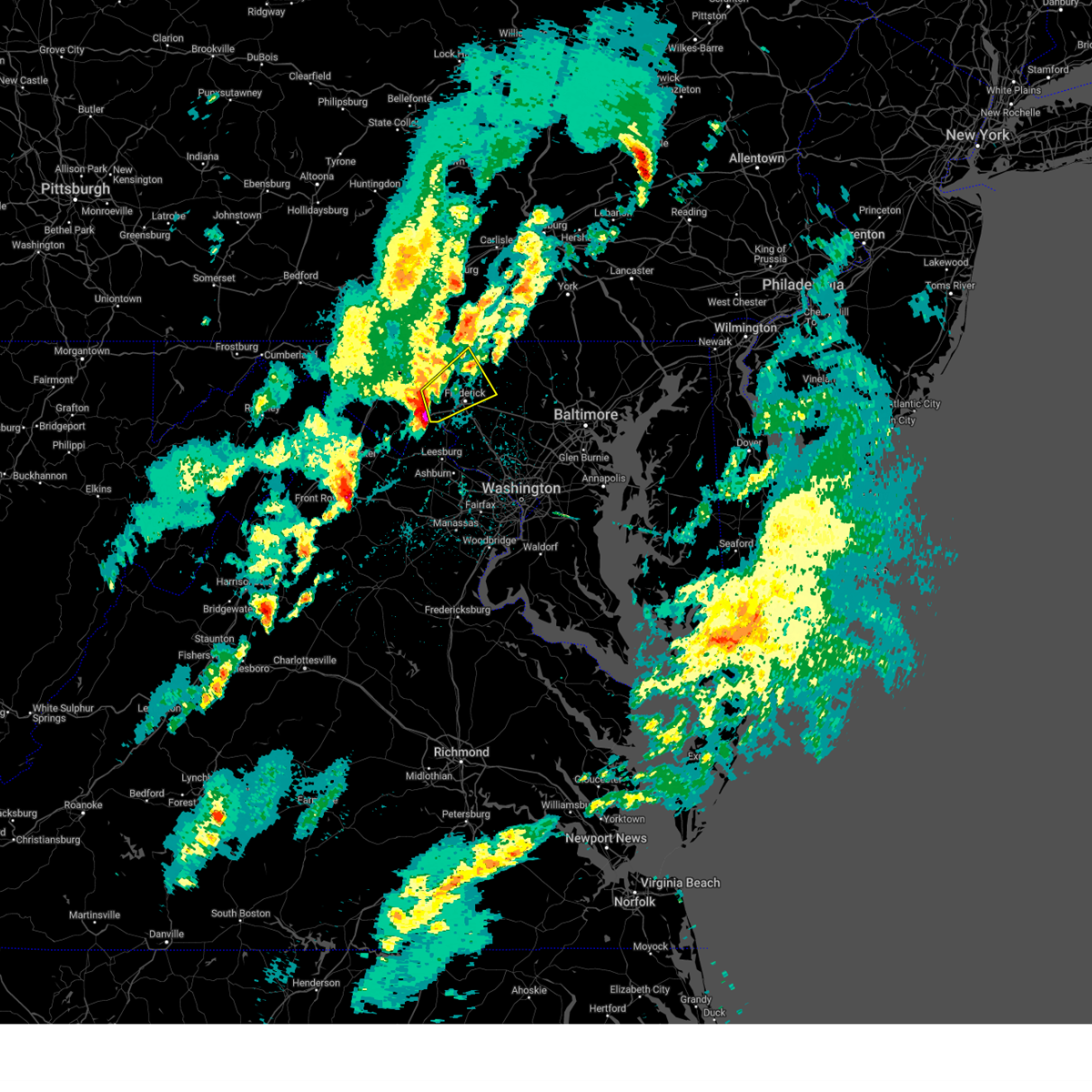
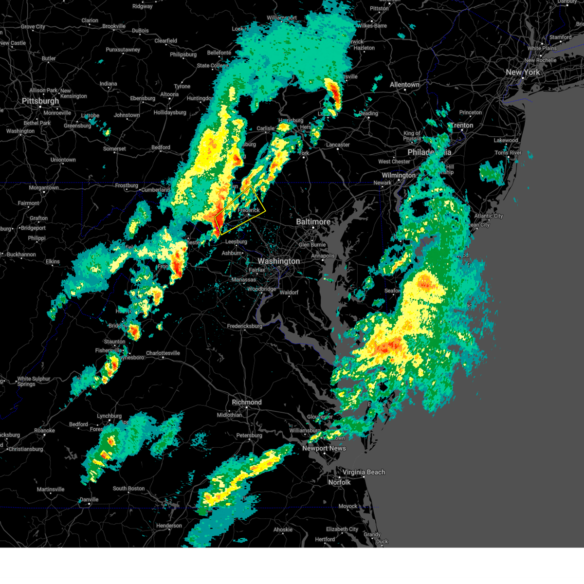
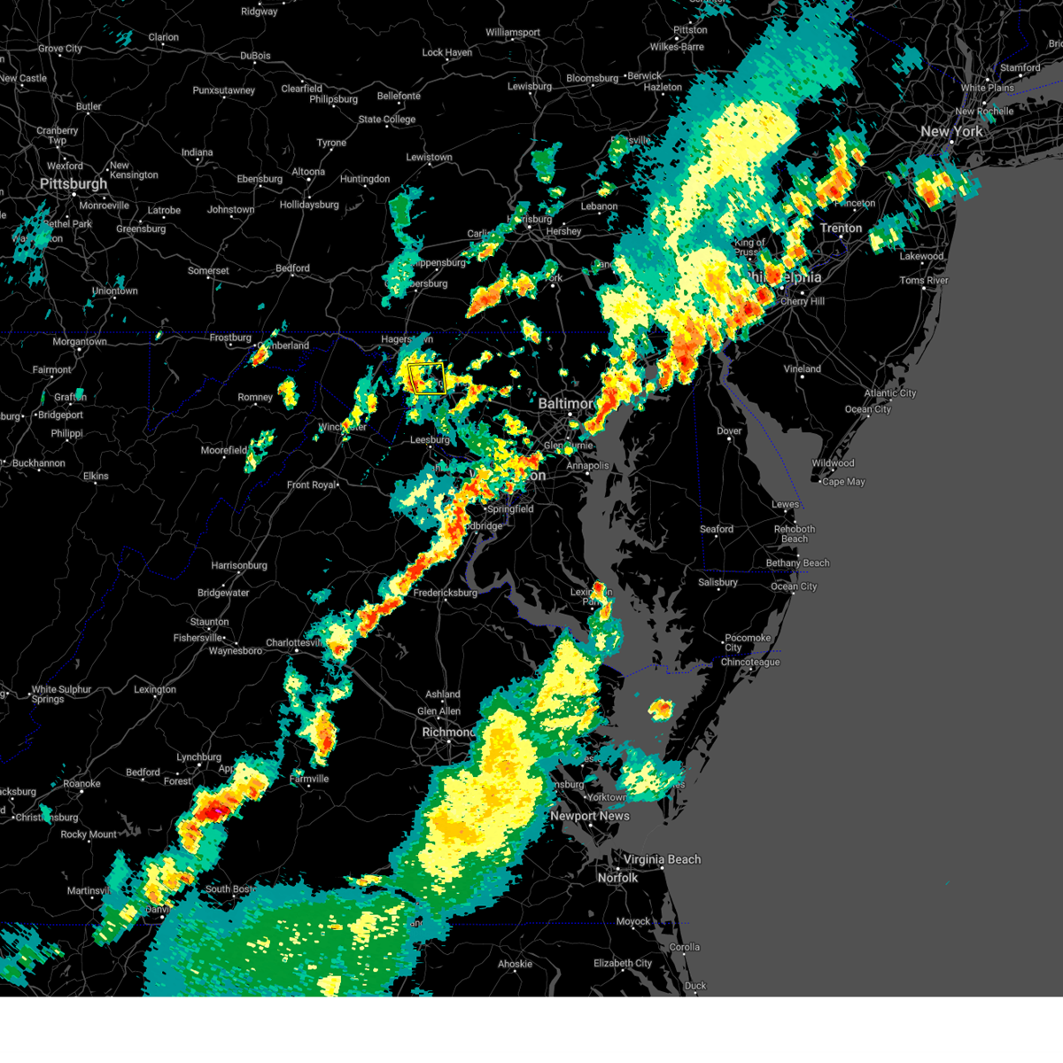
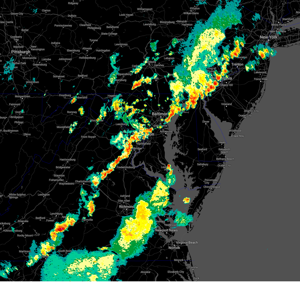
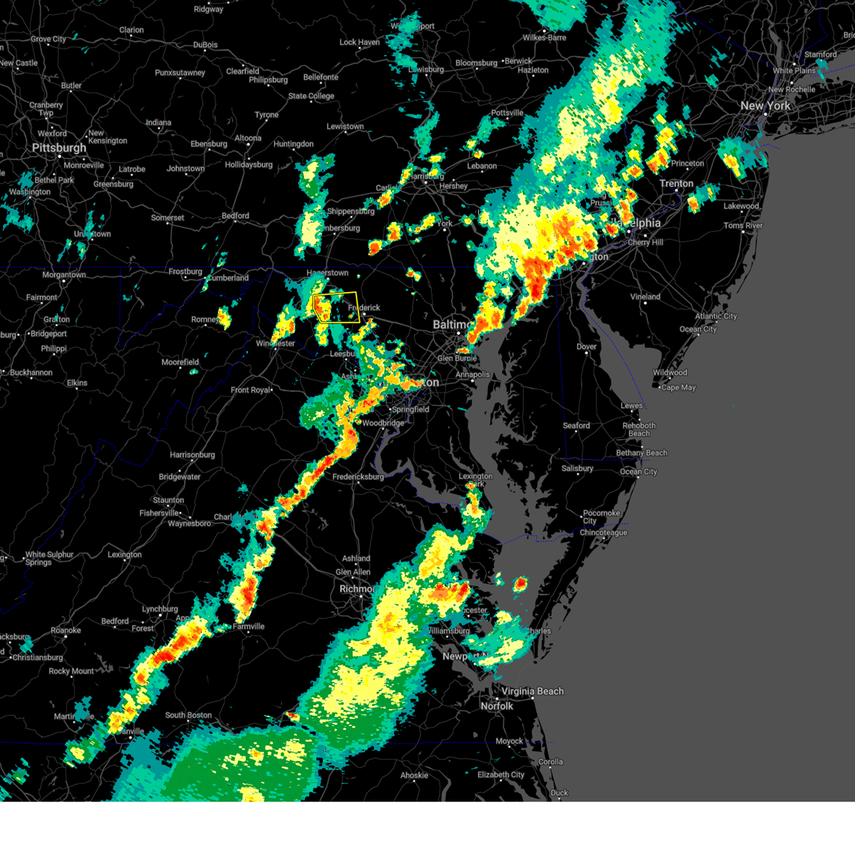
Hail Map for Eakles Mill, MD
The Eakles Mill, MD area has had 0 reports of on-the-ground hail by trained spotters, and has been under severe weather warnings 36 times during the past 12 months. Doppler radar has detected hail at or near Eakles Mill, MD on 34 occasions, including 1 occasion during the past year.
| Name: | Eakles Mill, MD |
| Where Located: | 58.9 miles WNW of Baltimore, MD |
| Map: | Google Map for Eakles Mill, MD |
| Population: | 27 |
| Housing Units: | 14 |
| More Info: | Search Google for Eakles Mill, MD |
0
The Top Recent Hail Date for Eakles Mill, MD is Thursday, July 31, 2025 (34th out of 34)

Hail and Wind Damage Spotted near Eakles Mill, MD
| Date / Time | Report Details |
|---|---|
| 6/11/2026 7:18 PM EDT |
 Svrlwx the national weather service in sterling virginia has issued a * severe thunderstorm warning for, eastern washington county in north central maryland, northwestern howard county in central maryland, western montgomery county in central maryland, frederick county in north central maryland, western carroll county in north central maryland, northwestern stafford county in northern virginia, loudoun county in northern virginia, northeastern orange county in central virginia, northwestern fairfax county in northern virginia, southeastern rappahannock county in northwestern virginia, fauquier county in northern virginia, culpeper county in northern virginia, the city of manassas park in northern virginia, prince william county in northern virginia, the city of manassas in northern virginia, east central madison county in northwestern virginia, the western city of fairfax in northern virginia, eastern clarke county in northwestern virginia, southeastern jefferson county in the panhandle of west virginia, * until 800 pm edt. * at 716 pm edt, severe thunderstorms were located along a line extending from 8 miles west of culpeper to near delaplane to near boonsboro to greencastle, moving east at 40 mph (emergency management has reported many instances of trees down with this line of storms). Hazards include 60 mph wind gusts. Damaging winds will cause some trees and large branches to fall. this could injure those outdoors, as well as damage homes and vehicles. roadways may become blocked by downed trees. localized power outages are possible. Unsecured light objects may become projectiles. Svrlwx the national weather service in sterling virginia has issued a * severe thunderstorm warning for, eastern washington county in north central maryland, northwestern howard county in central maryland, western montgomery county in central maryland, frederick county in north central maryland, western carroll county in north central maryland, northwestern stafford county in northern virginia, loudoun county in northern virginia, northeastern orange county in central virginia, northwestern fairfax county in northern virginia, southeastern rappahannock county in northwestern virginia, fauquier county in northern virginia, culpeper county in northern virginia, the city of manassas park in northern virginia, prince william county in northern virginia, the city of manassas in northern virginia, east central madison county in northwestern virginia, the western city of fairfax in northern virginia, eastern clarke county in northwestern virginia, southeastern jefferson county in the panhandle of west virginia, * until 800 pm edt. * at 716 pm edt, severe thunderstorms were located along a line extending from 8 miles west of culpeper to near delaplane to near boonsboro to greencastle, moving east at 40 mph (emergency management has reported many instances of trees down with this line of storms). Hazards include 60 mph wind gusts. Damaging winds will cause some trees and large branches to fall. this could injure those outdoors, as well as damage homes and vehicles. roadways may become blocked by downed trees. localized power outages are possible. Unsecured light objects may become projectiles.
|
| 6/11/2026 7:04 PM EDT |
 At 704 pm edt, severe thunderstorms were located along a line extending from near fountainhead-orchard hills to near kearneysville to 7 miles north of linden, moving east at 45 mph (radar indicated). Hazards include 60 mph wind gusts. Damaging winds will cause some trees and large branches to fall. this could injure those outdoors, as well as damage homes and vehicles. roadways may become blocked by downed trees. localized power outages are possible. unsecured light objects may become projectiles. Locations impacted include, hagerstown, charles town, shepherdstown, municipal stadium, robinwood, fountainhead-orchard hills, ranson, berryville, boonsboro, paramount-long meadow, wilson-conococheague, williamsport, mount aetna, round hill, mount lena, san mar, harpers ferry, long meadow, corporation of ranson, and kearneysville. At 704 pm edt, severe thunderstorms were located along a line extending from near fountainhead-orchard hills to near kearneysville to 7 miles north of linden, moving east at 45 mph (radar indicated). Hazards include 60 mph wind gusts. Damaging winds will cause some trees and large branches to fall. this could injure those outdoors, as well as damage homes and vehicles. roadways may become blocked by downed trees. localized power outages are possible. unsecured light objects may become projectiles. Locations impacted include, hagerstown, charles town, shepherdstown, municipal stadium, robinwood, fountainhead-orchard hills, ranson, berryville, boonsboro, paramount-long meadow, wilson-conococheague, williamsport, mount aetna, round hill, mount lena, san mar, harpers ferry, long meadow, corporation of ranson, and kearneysville.
|
| 6/11/2026 6:45 PM EDT |
 Svrlwx the national weather service in sterling virginia has issued a * severe thunderstorm warning for, washington county in north central maryland, southwestern frederick county in north central maryland, northwestern loudoun county in northern virginia, northeastern shenandoah county in northwestern virginia, frederick county in northwestern virginia, north central warren county in northwestern virginia, clarke county in northwestern virginia, north central fauquier county in northern virginia, the city of winchester in northwestern virginia, jefferson county in the panhandle of west virginia, eastern morgan county in the panhandle of west virginia, berkeley county in the panhandle of west virginia, * until 730 pm edt. * at 645 pm edt, severe thunderstorms were located along a line extending from near hancock to 7 miles west of inwood to near star tannery, moving east at 35 mph (radar indicated). Hazards include 60 mph wind gusts. Damaging winds will cause some trees and large branches to fall. this could injure those outdoors, as well as damage homes and vehicles. roadways may become blocked by downed trees. localized power outages are possible. Unsecured light objects may become projectiles. Svrlwx the national weather service in sterling virginia has issued a * severe thunderstorm warning for, washington county in north central maryland, southwestern frederick county in north central maryland, northwestern loudoun county in northern virginia, northeastern shenandoah county in northwestern virginia, frederick county in northwestern virginia, north central warren county in northwestern virginia, clarke county in northwestern virginia, north central fauquier county in northern virginia, the city of winchester in northwestern virginia, jefferson county in the panhandle of west virginia, eastern morgan county in the panhandle of west virginia, berkeley county in the panhandle of west virginia, * until 730 pm edt. * at 645 pm edt, severe thunderstorms were located along a line extending from near hancock to 7 miles west of inwood to near star tannery, moving east at 35 mph (radar indicated). Hazards include 60 mph wind gusts. Damaging winds will cause some trees and large branches to fall. this could injure those outdoors, as well as damage homes and vehicles. roadways may become blocked by downed trees. localized power outages are possible. Unsecured light objects may become projectiles.
|
| 6/6/2026 5:34 PM EDT |
 At 534 pm edt, severe thunderstorms were located along a line extending from near gettysburg to thurmont to near boonsboro, moving east at 40 mph (radar indicated). Hazards include 70 mph wind gusts. Damaging winds will cause some trees and large branches to fall. this could injure those outdoors, as well as damage homes and vehicles. roadways may become blocked by downed trees. localized power outages are possible. unsecured light objects may become projectiles. Locations impacted include, frederick, thurmont, emmitsburg, harry grove stadium, ballenger creek, taneytown, walkersville, boonsboro, smithsburg, braddock heights, mount aetna, mount lena, san mar, clover hill, discovery-spring garden, wolfsville, linganore-bartonsville, myersville, cavetown, and keedysville. At 534 pm edt, severe thunderstorms were located along a line extending from near gettysburg to thurmont to near boonsboro, moving east at 40 mph (radar indicated). Hazards include 70 mph wind gusts. Damaging winds will cause some trees and large branches to fall. this could injure those outdoors, as well as damage homes and vehicles. roadways may become blocked by downed trees. localized power outages are possible. unsecured light objects may become projectiles. Locations impacted include, frederick, thurmont, emmitsburg, harry grove stadium, ballenger creek, taneytown, walkersville, boonsboro, smithsburg, braddock heights, mount aetna, mount lena, san mar, clover hill, discovery-spring garden, wolfsville, linganore-bartonsville, myersville, cavetown, and keedysville.
|
| 6/6/2026 5:11 PM EDT |
 Svrlwx the national weather service in sterling virginia has issued a * severe thunderstorm warning for, washington county in north central maryland, northwestern carroll county in north central maryland, frederick county in north central maryland, north central jefferson county in the panhandle of west virginia, northeastern berkeley county in the panhandle of west virginia, * until 615 pm edt. * at 510 pm edt, severe thunderstorms were located along a line extending from waynesboro to municipal stadium to near martinsburg, moving east at 40 mph (radar indicated). Hazards include 70 mph wind gusts. Damaging winds will cause some trees and large branches to fall. this could injure those outdoors, as well as damage homes and vehicles. roadways may become blocked by downed trees. localized power outages are possible. Unsecured light objects may become projectiles. Svrlwx the national weather service in sterling virginia has issued a * severe thunderstorm warning for, washington county in north central maryland, northwestern carroll county in north central maryland, frederick county in north central maryland, north central jefferson county in the panhandle of west virginia, northeastern berkeley county in the panhandle of west virginia, * until 615 pm edt. * at 510 pm edt, severe thunderstorms were located along a line extending from waynesboro to municipal stadium to near martinsburg, moving east at 40 mph (radar indicated). Hazards include 70 mph wind gusts. Damaging winds will cause some trees and large branches to fall. this could injure those outdoors, as well as damage homes and vehicles. roadways may become blocked by downed trees. localized power outages are possible. Unsecured light objects may become projectiles.
|
| 6/6/2026 5:03 PM EDT |
 At 502 pm edt, severe thunderstorms were located along a line extending from near long meadow to 6 miles southwest of williamsport to near inwood, moving east at 50 mph (radar indicated). Hazards include 70 mph wind gusts. Damaging winds will cause some trees and large branches to fall. this could injure those outdoors, as well as damage homes and vehicles. roadways may become blocked by downed trees. localized power outages are possible. unsecured light objects may become projectiles. Locations impacted include, hagerstown, martinsburg, thurmont, charles town, emmitsburg, shepherdstown, municipal stadium, greenwood, robinwood, fountainhead-orchard hills, ranson, boonsboro, smithsburg, inwood, paramount-long meadow, wilson-conococheague, williamsport, mount aetna, mount lena, and san mar. At 502 pm edt, severe thunderstorms were located along a line extending from near long meadow to 6 miles southwest of williamsport to near inwood, moving east at 50 mph (radar indicated). Hazards include 70 mph wind gusts. Damaging winds will cause some trees and large branches to fall. this could injure those outdoors, as well as damage homes and vehicles. roadways may become blocked by downed trees. localized power outages are possible. unsecured light objects may become projectiles. Locations impacted include, hagerstown, martinsburg, thurmont, charles town, emmitsburg, shepherdstown, municipal stadium, greenwood, robinwood, fountainhead-orchard hills, ranson, boonsboro, smithsburg, inwood, paramount-long meadow, wilson-conococheague, williamsport, mount aetna, mount lena, and san mar.
|
| 6/6/2026 4:51 PM EDT |
 At 451 pm edt, severe thunderstorms were located along a line extending from near claylick to 6 miles northwest of martinsburg to near greenwood, moving east at 45 mph (radar indicated). Hazards include 60 mph wind gusts. Damaging winds will cause some trees and large branches to fall. this could injure those outdoors, as well as damage homes and vehicles. roadways may become blocked by downed trees. localized power outages are possible. unsecured light objects may become projectiles. Locations impacted include, hagerstown, martinsburg, thurmont, charles town, emmitsburg, shepherdstown, municipal stadium, greenwood, robinwood, fountainhead-orchard hills, ranson, boonsboro, smithsburg, inwood, paramount-long meadow, wilson-conococheague, williamsport, mount aetna, mount lena, and san mar. At 451 pm edt, severe thunderstorms were located along a line extending from near claylick to 6 miles northwest of martinsburg to near greenwood, moving east at 45 mph (radar indicated). Hazards include 60 mph wind gusts. Damaging winds will cause some trees and large branches to fall. this could injure those outdoors, as well as damage homes and vehicles. roadways may become blocked by downed trees. localized power outages are possible. unsecured light objects may become projectiles. Locations impacted include, hagerstown, martinsburg, thurmont, charles town, emmitsburg, shepherdstown, municipal stadium, greenwood, robinwood, fountainhead-orchard hills, ranson, boonsboro, smithsburg, inwood, paramount-long meadow, wilson-conococheague, williamsport, mount aetna, mount lena, and san mar.
|
| 6/6/2026 4:29 PM EDT |
 Svrlwx the national weather service in sterling virginia has issued a * severe thunderstorm warning for, washington county in north central maryland, northwestern frederick county in north central maryland, north central frederick county in northwestern virginia, central jefferson county in the panhandle of west virginia, central morgan county in the panhandle of west virginia, berkeley county in the panhandle of west virginia, northeastern hampshire county in eastern west virginia, * until 515 pm edt. * at 428 pm edt, severe thunderstorms were located along a line extending from near needmore to near berkeley springs to paw paw, moving east at 50 mph (radar indicated). Hazards include 60 mph wind gusts. Damaging winds will cause some trees and large branches to fall. this could injure those outdoors, as well as damage homes and vehicles. roadways may become blocked by downed trees. localized power outages are possible. Unsecured light objects may become projectiles. Svrlwx the national weather service in sterling virginia has issued a * severe thunderstorm warning for, washington county in north central maryland, northwestern frederick county in north central maryland, north central frederick county in northwestern virginia, central jefferson county in the panhandle of west virginia, central morgan county in the panhandle of west virginia, berkeley county in the panhandle of west virginia, northeastern hampshire county in eastern west virginia, * until 515 pm edt. * at 428 pm edt, severe thunderstorms were located along a line extending from near needmore to near berkeley springs to paw paw, moving east at 50 mph (radar indicated). Hazards include 60 mph wind gusts. Damaging winds will cause some trees and large branches to fall. this could injure those outdoors, as well as damage homes and vehicles. roadways may become blocked by downed trees. localized power outages are possible. Unsecured light objects may become projectiles.
|
| 5/20/2026 3:13 PM EDT |
 At 313 pm edt, a severe thunderstorm was located near harpers ferry, or 7 miles southeast of shepherdstown, moving east at 20 mph (radar indicated). Hazards include 60 mph wind gusts. Damaging winds will cause some trees and large branches to fall. this could injure those outdoors, as well as damage homes and vehicles. roadways may become blocked by downed trees. localized power outages are possible. unsecured light objects may become projectiles. Locations impacted include, frederick, charles town, ballenger creek, brunswick, ranson, braddock heights, harpers ferry, kearneysville, corporation of ranson, jefferson, myersville, bolivar, buckeystown, shenandoah junction, rosemont, rohrersville, burkittsville, gapland, brownsville, and antietam. At 313 pm edt, a severe thunderstorm was located near harpers ferry, or 7 miles southeast of shepherdstown, moving east at 20 mph (radar indicated). Hazards include 60 mph wind gusts. Damaging winds will cause some trees and large branches to fall. this could injure those outdoors, as well as damage homes and vehicles. roadways may become blocked by downed trees. localized power outages are possible. unsecured light objects may become projectiles. Locations impacted include, frederick, charles town, ballenger creek, brunswick, ranson, braddock heights, harpers ferry, kearneysville, corporation of ranson, jefferson, myersville, bolivar, buckeystown, shenandoah junction, rosemont, rohrersville, burkittsville, gapland, brownsville, and antietam.
|
| 5/20/2026 2:46 PM EDT |
 Svrlwx the national weather service in sterling virginia has issued a * severe thunderstorm warning for, southeastern washington county in north central maryland, southwestern frederick county in north central maryland, north central loudoun county in northern virginia, northeastern jefferson county in the panhandle of west virginia, * until 330 pm edt. * at 246 pm edt, a severe thunderstorm was located over ranson, or near charles town, moving east at 20 mph (radar indicated). Hazards include 60 mph wind gusts. Damaging winds will cause some trees and large branches to fall. this could injure those outdoors, as well as damage homes and vehicles. roadways may become blocked by downed trees. localized power outages are possible. Unsecured light objects may become projectiles. Svrlwx the national weather service in sterling virginia has issued a * severe thunderstorm warning for, southeastern washington county in north central maryland, southwestern frederick county in north central maryland, north central loudoun county in northern virginia, northeastern jefferson county in the panhandle of west virginia, * until 330 pm edt. * at 246 pm edt, a severe thunderstorm was located over ranson, or near charles town, moving east at 20 mph (radar indicated). Hazards include 60 mph wind gusts. Damaging winds will cause some trees and large branches to fall. this could injure those outdoors, as well as damage homes and vehicles. roadways may become blocked by downed trees. localized power outages are possible. Unsecured light objects may become projectiles.
|
| 3/16/2026 11:19 AM EDT |
 At 1119 am edt, severe thunderstorms were located along a line extending from near saint james to near harpers ferry to near point of rocks to near arcola, moving northeast at 55 mph (radar indicated). Hazards include 60 mph wind gusts. Damaging winds will cause some trees and large branches to fall. this could injure those outdoors, as well as damage homes and vehicles. roadways may become blocked by downed trees. localized power outages are possible. unsecured light objects may become projectiles. Locations impacted include, germantown, frederick, gaithersburg, leesburg, hagerstown, south riding, herndon, broadlands, lansdowne, lowes island, brambleton, thurmont, poolesville, shepherdstown, municipal stadium, harry grove stadium, dulles international airport, ashburn, montgomery village, and sterling. At 1119 am edt, severe thunderstorms were located along a line extending from near saint james to near harpers ferry to near point of rocks to near arcola, moving northeast at 55 mph (radar indicated). Hazards include 60 mph wind gusts. Damaging winds will cause some trees and large branches to fall. this could injure those outdoors, as well as damage homes and vehicles. roadways may become blocked by downed trees. localized power outages are possible. unsecured light objects may become projectiles. Locations impacted include, germantown, frederick, gaithersburg, leesburg, hagerstown, south riding, herndon, broadlands, lansdowne, lowes island, brambleton, thurmont, poolesville, shepherdstown, municipal stadium, harry grove stadium, dulles international airport, ashburn, montgomery village, and sterling.
|
| 3/16/2026 11:10 AM EDT |
 the severe thunderstorm warning has been cancelled and is no longer in effect the severe thunderstorm warning has been cancelled and is no longer in effect
|
| 3/16/2026 11:10 AM EDT |
 At 1109 am edt, severe thunderstorms were located along a line extending from kearneysville to near charles town to purcellville to near haymarket, moving northeast at 60 mph (radar indicated). Hazards include 60 mph wind gusts. Damaging winds will cause some trees and large branches to fall. this could injure those outdoors, as well as damage homes and vehicles. roadways may become blocked by downed trees. localized power outages are possible. unsecured light objects may become projectiles. Locations impacted include, germantown, frederick, gaithersburg, leesburg, hagerstown, south riding, herndon, broadlands, lansdowne, lowes island, brambleton, thurmont, charles town, poolesville, shepherdstown, municipal stadium, harry grove stadium, dulles international airport, ashburn, and montgomery village. At 1109 am edt, severe thunderstorms were located along a line extending from kearneysville to near charles town to purcellville to near haymarket, moving northeast at 60 mph (radar indicated). Hazards include 60 mph wind gusts. Damaging winds will cause some trees and large branches to fall. this could injure those outdoors, as well as damage homes and vehicles. roadways may become blocked by downed trees. localized power outages are possible. unsecured light objects may become projectiles. Locations impacted include, germantown, frederick, gaithersburg, leesburg, hagerstown, south riding, herndon, broadlands, lansdowne, lowes island, brambleton, thurmont, charles town, poolesville, shepherdstown, municipal stadium, harry grove stadium, dulles international airport, ashburn, and montgomery village.
|
| 3/16/2026 10:57 AM EDT |
 Svrlwx the national weather service in sterling virginia has issued a * severe thunderstorm warning for, eastern washington county in north central maryland, northwestern montgomery county in central maryland, frederick county in north central maryland, loudoun county in northern virginia, east central frederick county in northwestern virginia, clarke county in northwestern virginia, north central fauquier county in northern virginia, northwestern prince william county in northern virginia, jefferson county in the panhandle of west virginia, southeastern berkeley county in the panhandle of west virginia, * until 1145 am edt. * at 1057 am edt, severe thunderstorms were located along a line extending from near inwood to berryville to near bluemont to near warrenton, moving northeast at 55 mph (radar indicated). Hazards include 70 mph wind gusts. Damaging winds will cause some trees and large branches to fall. this could injure those outdoors, as well as damage homes and vehicles. roadways may become blocked by downed trees. localized power outages are possible. Unsecured light objects may become projectiles. Svrlwx the national weather service in sterling virginia has issued a * severe thunderstorm warning for, eastern washington county in north central maryland, northwestern montgomery county in central maryland, frederick county in north central maryland, loudoun county in northern virginia, east central frederick county in northwestern virginia, clarke county in northwestern virginia, north central fauquier county in northern virginia, northwestern prince william county in northern virginia, jefferson county in the panhandle of west virginia, southeastern berkeley county in the panhandle of west virginia, * until 1145 am edt. * at 1057 am edt, severe thunderstorms were located along a line extending from near inwood to berryville to near bluemont to near warrenton, moving northeast at 55 mph (radar indicated). Hazards include 70 mph wind gusts. Damaging winds will cause some trees and large branches to fall. this could injure those outdoors, as well as damage homes and vehicles. roadways may become blocked by downed trees. localized power outages are possible. Unsecured light objects may become projectiles.
|
| 11/5/2025 9:41 PM EST | The storms which prompted the warning have weakened below severe limits, and have exited the warned area. therefore, the warning will be allowed to expire. to report severe weather, contact your nearest law enforcement agency. they will relay your report to the national weather service sterling virginia. |
| 11/5/2025 9:15 PM EST | At 915 pm est, severe thunderstorms were located along a line extending from near thurmont to near wolfsville to boonsboro to inwood, moving east at 45 mph (radar indicated and observed wind at hagerstown regional airport and near thurmont). Hazards include 60 mph wind gusts. Damaging winds will cause some trees and large branches to fall. this could injure those outdoors, as well as damage homes and vehicles. roadways may become blocked by downed trees. localized power outages are possible. unsecured light objects may become projectiles. Locations impacted include, frederick, hagerstown, martinsburg, thurmont, charles town, emmitsburg, shepherdstown, municipal stadium, harry grove stadium, ballenger creek, purcellville, robinwood, brunswick, walkersville, fountainhead-orchard hills, ranson, boonsboro, smithsburg, inwood, and braddock heights. |
| 11/5/2025 8:56 PM EST | Svrlwx the national weather service in sterling virginia has issued a * severe thunderstorm warning for, washington county in north central maryland, frederick county in north central maryland, northwestern loudoun county in northern virginia, jefferson county in the panhandle of west virginia, berkeley county in the panhandle of west virginia, * until 945 pm est. * at 856 pm est, severe thunderstorms were located along a line extending from near rouzerville to robinwood to near williamsport to greenwood, moving east at 50 mph (radar indicated and observed wind at hagerstown airport). Hazards include 60 mph wind gusts. Damaging winds will cause some trees and large branches to fall. this could injure those outdoors, as well as damage homes and vehicles. roadways may become blocked by downed trees. localized power outages are possible. Unsecured light objects may become projectiles. |
| 7/31/2025 4:27 PM EDT |
 The storms which prompted the warning have moved out of the area. therefore, the warning will be allowed to expire. a severe thunderstorm watch remains in effect until 800 pm edt for north central maryland, and the panhandle of west virginia. remember, a severe thunderstorm warning still remains in effect for northern loudoun, eastern washington, and much of frederick counties until 500 pm edt. The storms which prompted the warning have moved out of the area. therefore, the warning will be allowed to expire. a severe thunderstorm watch remains in effect until 800 pm edt for north central maryland, and the panhandle of west virginia. remember, a severe thunderstorm warning still remains in effect for northern loudoun, eastern washington, and much of frederick counties until 500 pm edt.
|
| 7/31/2025 4:16 PM EDT |
 The storm which prompted the warning has moved out of the area. therefore, the warning has been allowed to expire. a severe thunderstorm watch remains in effect until 800 pm edt for north central maryland, and the panhandle of west virginia. remember, a severe thunderstorm warning still remains in effect for northern jefferson, southeastern washington, and western frederick counties until 430 pm edt. this line of storms is capable of producing 70 mph wind gusts and quarter-sized hail. The storm which prompted the warning has moved out of the area. therefore, the warning has been allowed to expire. a severe thunderstorm watch remains in effect until 800 pm edt for north central maryland, and the panhandle of west virginia. remember, a severe thunderstorm warning still remains in effect for northern jefferson, southeastern washington, and western frederick counties until 430 pm edt. this line of storms is capable of producing 70 mph wind gusts and quarter-sized hail.
|
| 7/31/2025 4:02 PM EDT |
 Svrlwx the national weather service in sterling virginia has issued a * severe thunderstorm warning for, eastern washington county in north central maryland, northwestern frederick county in north central maryland, northeastern jefferson county in the panhandle of west virginia, east central berkeley county in the panhandle of west virginia, * until 430 pm edt. * at 402 pm edt, severe thunderstorms were located along a line extending from municipal stadium to near saint james to near kearneysville, moving east at 30 mph (radar indicated). Hazards include 70 mph wind gusts and quarter size hail. Damaging winds will cause some trees and large branches to fall. this could injure those outdoors, as well as damage homes and vehicles. roadways may become blocked by downed trees. localized power outages are possible. Unsecured light objects may become projectiles. Svrlwx the national weather service in sterling virginia has issued a * severe thunderstorm warning for, eastern washington county in north central maryland, northwestern frederick county in north central maryland, northeastern jefferson county in the panhandle of west virginia, east central berkeley county in the panhandle of west virginia, * until 430 pm edt. * at 402 pm edt, severe thunderstorms were located along a line extending from municipal stadium to near saint james to near kearneysville, moving east at 30 mph (radar indicated). Hazards include 70 mph wind gusts and quarter size hail. Damaging winds will cause some trees and large branches to fall. this could injure those outdoors, as well as damage homes and vehicles. roadways may become blocked by downed trees. localized power outages are possible. Unsecured light objects may become projectiles.
|
| 7/31/2025 3:49 PM EDT |
 At 349 pm edt, a severe thunderstorm was located near shepherdstown, moving southeast at 35 mph (radar indicated). Hazards include 70 mph wind gusts. Damaging winds will cause some trees and large branches to fall. this could injure those outdoors, as well as damage homes and vehicles. roadways may become blocked by downed trees. localized power outages are possible. unsecured light objects may become projectiles. Locations impacted include, shepherdstown, keedysville, falling waters, sharpsburg, fairplay, antietam, and moler crossroads. At 349 pm edt, a severe thunderstorm was located near shepherdstown, moving southeast at 35 mph (radar indicated). Hazards include 70 mph wind gusts. Damaging winds will cause some trees and large branches to fall. this could injure those outdoors, as well as damage homes and vehicles. roadways may become blocked by downed trees. localized power outages are possible. unsecured light objects may become projectiles. Locations impacted include, shepherdstown, keedysville, falling waters, sharpsburg, fairplay, antietam, and moler crossroads.
|
| 7/31/2025 3:39 PM EDT |
 Svrlwx the national weather service in sterling virginia has issued a * severe thunderstorm warning for, southeastern washington county in north central maryland, northeastern jefferson county in the panhandle of west virginia, northeastern berkeley county in the panhandle of west virginia, * until 415 pm edt. * at 339 pm edt, a severe thunderstorm was located near williamsport, or 8 miles northeast of martinsburg, moving southeast at 35 mph (radar indicated). Hazards include 60 mph wind gusts. Damaging winds will cause some trees and large branches to fall. this could injure those outdoors, as well as damage homes and vehicles. roadways may become blocked by downed trees. localized power outages are possible. Unsecured light objects may become projectiles. Svrlwx the national weather service in sterling virginia has issued a * severe thunderstorm warning for, southeastern washington county in north central maryland, northeastern jefferson county in the panhandle of west virginia, northeastern berkeley county in the panhandle of west virginia, * until 415 pm edt. * at 339 pm edt, a severe thunderstorm was located near williamsport, or 8 miles northeast of martinsburg, moving southeast at 35 mph (radar indicated). Hazards include 60 mph wind gusts. Damaging winds will cause some trees and large branches to fall. this could injure those outdoors, as well as damage homes and vehicles. roadways may become blocked by downed trees. localized power outages are possible. Unsecured light objects may become projectiles.
|
| 6/28/2025 6:16 PM EDT |
 the severe thunderstorm warning has been cancelled and is no longer in effect the severe thunderstorm warning has been cancelled and is no longer in effect
|
| 6/28/2025 6:16 PM EDT |
 At 615 pm edt, severe thunderstorms were located along a line extending from near thurmont to mount lena to shepherdstown, moving southeast at 15 mph (radar indicated). Hazards include 60 mph wind gusts and quarter size hail. Damaging winds will cause some trees and large branches to fall. this could injure those outdoors, as well as damage homes and vehicles. roadways may become blocked by downed trees. localized power outages are possible. unsecured light objects may become projectiles. Locations impacted include, frederick, hagerstown, thurmont, shepherdstown, robinwood, boonsboro, smithsburg, braddock heights, mount aetna, mount lena, san mar, harpers ferry, wolfsville, saint james, myersville, cavetown, keedysville, funkstown, sharpsburg, and fairplay. At 615 pm edt, severe thunderstorms were located along a line extending from near thurmont to mount lena to shepherdstown, moving southeast at 15 mph (radar indicated). Hazards include 60 mph wind gusts and quarter size hail. Damaging winds will cause some trees and large branches to fall. this could injure those outdoors, as well as damage homes and vehicles. roadways may become blocked by downed trees. localized power outages are possible. unsecured light objects may become projectiles. Locations impacted include, frederick, hagerstown, thurmont, shepherdstown, robinwood, boonsboro, smithsburg, braddock heights, mount aetna, mount lena, san mar, harpers ferry, wolfsville, saint james, myersville, cavetown, keedysville, funkstown, sharpsburg, and fairplay.
|
| 6/28/2025 5:53 PM EDT |
 Svrlwx the national weather service in sterling virginia has issued a * severe thunderstorm warning for, eastern washington county in north central maryland, northwestern frederick county in north central maryland, northwestern loudoun county in northern virginia, northeastern jefferson county in the panhandle of west virginia, east central berkeley county in the panhandle of west virginia, * until 645 pm edt. * at 552 pm edt, severe thunderstorms were located along a line extending from near rouzerville to near san mar to near shepherdstown, moving southeast at 15 mph (radar indicated). Hazards include 60 mph wind gusts and quarter size hail. Damaging winds will cause some trees and large branches to fall. this could injure those outdoors, as well as damage homes and vehicles. roadways may become blocked by downed trees. localized power outages are possible. Unsecured light objects may become projectiles. Svrlwx the national weather service in sterling virginia has issued a * severe thunderstorm warning for, eastern washington county in north central maryland, northwestern frederick county in north central maryland, northwestern loudoun county in northern virginia, northeastern jefferson county in the panhandle of west virginia, east central berkeley county in the panhandle of west virginia, * until 645 pm edt. * at 552 pm edt, severe thunderstorms were located along a line extending from near rouzerville to near san mar to near shepherdstown, moving southeast at 15 mph (radar indicated). Hazards include 60 mph wind gusts and quarter size hail. Damaging winds will cause some trees and large branches to fall. this could injure those outdoors, as well as damage homes and vehicles. roadways may become blocked by downed trees. localized power outages are possible. Unsecured light objects may become projectiles.
|
| 6/19/2025 3:04 PM EDT |
 At 303 pm edt, severe thunderstorms were located along a line extending from near wolfsville to near point of rocks, moving east at 45 mph (emergency management reports this line of storms has a history of downed trees). Hazards include 60 mph wind gusts. Damaging winds will cause some trees and large branches to fall. this could injure those outdoors, as well as damage homes and vehicles. roadways may become blocked by downed trees. localized power outages are possible. unsecured light objects may become projectiles. Locations impacted include, frederick, thurmont, charles town, harry grove stadium, ballenger creek, brunswick, walkersville, ranson, boonsboro, braddock heights, new market, mount lena, san mar, harpers ferry, green valley, corporation of ranson, clover hill, discovery-spring garden, point of rocks, and wolfsville. At 303 pm edt, severe thunderstorms were located along a line extending from near wolfsville to near point of rocks, moving east at 45 mph (emergency management reports this line of storms has a history of downed trees). Hazards include 60 mph wind gusts. Damaging winds will cause some trees and large branches to fall. this could injure those outdoors, as well as damage homes and vehicles. roadways may become blocked by downed trees. localized power outages are possible. unsecured light objects may become projectiles. Locations impacted include, frederick, thurmont, charles town, harry grove stadium, ballenger creek, brunswick, walkersville, ranson, boonsboro, braddock heights, new market, mount lena, san mar, harpers ferry, green valley, corporation of ranson, clover hill, discovery-spring garden, point of rocks, and wolfsville.
|
| 6/19/2025 3:04 PM EDT |
 the severe thunderstorm warning has been cancelled and is no longer in effect the severe thunderstorm warning has been cancelled and is no longer in effect
|
| 6/19/2025 2:43 PM EDT |
 Svrlwx the national weather service in sterling virginia has issued a * severe thunderstorm warning for, southeastern washington county in north central maryland, northwestern carroll county in north central maryland, northwestern montgomery county in central maryland, frederick county in north central maryland, north central loudoun county in northern virginia, eastern jefferson county in the panhandle of west virginia, eastern berkeley county in the panhandle of west virginia, * until 330 pm edt. * at 243 pm edt, severe thunderstorms were located along a line extending from near saint james to near charles town, moving east at 40 mph (radar indicated). Hazards include 60 mph wind gusts. Damaging winds will cause some trees and large branches to fall. this could injure those outdoors, as well as damage homes and vehicles. roadways may become blocked by downed trees. localized power outages are possible. Unsecured light objects may become projectiles. Svrlwx the national weather service in sterling virginia has issued a * severe thunderstorm warning for, southeastern washington county in north central maryland, northwestern carroll county in north central maryland, northwestern montgomery county in central maryland, frederick county in north central maryland, north central loudoun county in northern virginia, eastern jefferson county in the panhandle of west virginia, eastern berkeley county in the panhandle of west virginia, * until 330 pm edt. * at 243 pm edt, severe thunderstorms were located along a line extending from near saint james to near charles town, moving east at 40 mph (radar indicated). Hazards include 60 mph wind gusts. Damaging winds will cause some trees and large branches to fall. this could injure those outdoors, as well as damage homes and vehicles. roadways may become blocked by downed trees. localized power outages are possible. Unsecured light objects may become projectiles.
|
| 6/19/2025 2:26 PM EDT |
 At 225 pm edt, a severe thunderstorm was located near williamsport, or 8 miles north of shepherdstown, moving east at 35 mph (radar indicated). Hazards include 60 mph wind gusts. Damaging winds will cause some trees and large branches to fall. this could injure those outdoors, as well as damage homes and vehicles. roadways may become blocked by downed trees. localized power outages are possible. unsecured light objects may become projectiles. Locations impacted include, hagerstown, martinsburg, thurmont, shepherdstown, municipal stadium, robinwood, fountainhead-orchard hills, boonsboro, smithsburg, paramount-long meadow, wilson-conococheague, williamsport, mount aetna, mount lena, san mar, long meadow, wolfsville, saint james, berkeley, and halfway. At 225 pm edt, a severe thunderstorm was located near williamsport, or 8 miles north of shepherdstown, moving east at 35 mph (radar indicated). Hazards include 60 mph wind gusts. Damaging winds will cause some trees and large branches to fall. this could injure those outdoors, as well as damage homes and vehicles. roadways may become blocked by downed trees. localized power outages are possible. unsecured light objects may become projectiles. Locations impacted include, hagerstown, martinsburg, thurmont, shepherdstown, municipal stadium, robinwood, fountainhead-orchard hills, boonsboro, smithsburg, paramount-long meadow, wilson-conococheague, williamsport, mount aetna, mount lena, san mar, long meadow, wolfsville, saint james, berkeley, and halfway.
|
| 6/19/2025 2:26 PM EDT |
 the severe thunderstorm warning has been cancelled and is no longer in effect the severe thunderstorm warning has been cancelled and is no longer in effect
|
| 6/19/2025 2:08 PM EDT |
 At 208 pm edt, a severe thunderstorm was located 7 miles west of williamsport, or 7 miles north of martinsburg, moving east at 35 mph (radar indicated). Hazards include 60 mph wind gusts. Damaging winds will cause some trees and large branches to fall. this could injure those outdoors, as well as damage homes and vehicles. roadways may become blocked by downed trees. localized power outages are possible. unsecured light objects may become projectiles. Locations impacted include, hagerstown, martinsburg, thurmont, shepherdstown, municipal stadium, robinwood, fountainhead-orchard hills, boonsboro, smithsburg, paramount-long meadow, wilson-conococheague, williamsport, mount aetna, mount lena, san mar, long meadow, wolfsville, saint james, berkeley, and halfway. At 208 pm edt, a severe thunderstorm was located 7 miles west of williamsport, or 7 miles north of martinsburg, moving east at 35 mph (radar indicated). Hazards include 60 mph wind gusts. Damaging winds will cause some trees and large branches to fall. this could injure those outdoors, as well as damage homes and vehicles. roadways may become blocked by downed trees. localized power outages are possible. unsecured light objects may become projectiles. Locations impacted include, hagerstown, martinsburg, thurmont, shepherdstown, municipal stadium, robinwood, fountainhead-orchard hills, boonsboro, smithsburg, paramount-long meadow, wilson-conococheague, williamsport, mount aetna, mount lena, san mar, long meadow, wolfsville, saint james, berkeley, and halfway.
|
| 6/19/2025 1:44 PM EDT |
 Svrlwx the national weather service in sterling virginia has issued a * severe thunderstorm warning for, washington county in north central maryland, northwestern frederick county in north central maryland, northeastern jefferson county in the panhandle of west virginia, central morgan county in the panhandle of west virginia, berkeley county in the panhandle of west virginia, * until 245 pm edt. * at 144 pm edt, a severe thunderstorm was located 7 miles northeast of greenwood, moving east at 50 mph (radar indicated). Hazards include 60 mph wind gusts. Damaging winds will cause some trees and large branches to fall. this could injure those outdoors, as well as damage homes and vehicles. roadways may become blocked by downed trees. localized power outages are possible. Unsecured light objects may become projectiles. Svrlwx the national weather service in sterling virginia has issued a * severe thunderstorm warning for, washington county in north central maryland, northwestern frederick county in north central maryland, northeastern jefferson county in the panhandle of west virginia, central morgan county in the panhandle of west virginia, berkeley county in the panhandle of west virginia, * until 245 pm edt. * at 144 pm edt, a severe thunderstorm was located 7 miles northeast of greenwood, moving east at 50 mph (radar indicated). Hazards include 60 mph wind gusts. Damaging winds will cause some trees and large branches to fall. this could injure those outdoors, as well as damage homes and vehicles. roadways may become blocked by downed trees. localized power outages are possible. Unsecured light objects may become projectiles.
|
| 6/17/2025 10:21 PM EDT |
 The severe thunderstorm which prompted the warning has weakened. therefore, the warning will be allowed to expire. The severe thunderstorm which prompted the warning has weakened. therefore, the warning will be allowed to expire.
|
| 6/17/2025 10:07 PM EDT |
 the severe thunderstorm warning has been cancelled and is no longer in effect the severe thunderstorm warning has been cancelled and is no longer in effect
|
| 6/17/2025 10:07 PM EDT |
 At 1007 pm edt, a severe thunderstorm was located near harpers ferry, or near shepherdstown, moving east at 25 mph (radar indicated). Hazards include 60 mph wind gusts. Damaging winds will cause some trees and large branches to fall. this could injure those outdoors, as well as damage homes and vehicles. roadways may become blocked by downed trees. localized power outages are possible. unsecured light objects may become projectiles. Locations impacted include, charles town, shepherdstown, brunswick, ranson, boonsboro, harpers ferry, corporation of ranson, myersville, lovettsville, keedysville, sharpsburg, shenandoah junction, fairplay, rosemont, rohrersville, burkittsville, gapland, brownsville, antietam, and petersville. At 1007 pm edt, a severe thunderstorm was located near harpers ferry, or near shepherdstown, moving east at 25 mph (radar indicated). Hazards include 60 mph wind gusts. Damaging winds will cause some trees and large branches to fall. this could injure those outdoors, as well as damage homes and vehicles. roadways may become blocked by downed trees. localized power outages are possible. unsecured light objects may become projectiles. Locations impacted include, charles town, shepherdstown, brunswick, ranson, boonsboro, harpers ferry, corporation of ranson, myersville, lovettsville, keedysville, sharpsburg, shenandoah junction, fairplay, rosemont, rohrersville, burkittsville, gapland, brownsville, antietam, and petersville.
|
| 6/17/2025 9:42 PM EDT |
 Svrlwx the national weather service in sterling virginia has issued a * severe thunderstorm warning for, southeastern washington county in north central maryland, west central frederick county in north central maryland, north central loudoun county in northern virginia, central jefferson county in the panhandle of west virginia, eastern berkeley county in the panhandle of west virginia, * until 1030 pm edt. * at 942 pm edt, a severe thunderstorm was located over kearneysville, or near shepherdstown, moving east at 25 mph (radar indicated). Hazards include 60 mph wind gusts. Damaging winds will cause some trees and large branches to fall. this could injure those outdoors, as well as damage homes and vehicles. roadways may become blocked by downed trees. localized power outages are possible. Unsecured light objects may become projectiles. Svrlwx the national weather service in sterling virginia has issued a * severe thunderstorm warning for, southeastern washington county in north central maryland, west central frederick county in north central maryland, north central loudoun county in northern virginia, central jefferson county in the panhandle of west virginia, eastern berkeley county in the panhandle of west virginia, * until 1030 pm edt. * at 942 pm edt, a severe thunderstorm was located over kearneysville, or near shepherdstown, moving east at 25 mph (radar indicated). Hazards include 60 mph wind gusts. Damaging winds will cause some trees and large branches to fall. this could injure those outdoors, as well as damage homes and vehicles. roadways may become blocked by downed trees. localized power outages are possible. Unsecured light objects may become projectiles.
|
| 5/30/2025 8:25 PM EDT |
 The storms which prompted the warning have weakened below severe limits, and no longer pose an immediate threat to life or property. therefore, the warning will be allowed to expire. however, gusty winds are still possible with these thunderstorms. a tornado watch remains in effect until midnight edt for north central maryland, and northern virginia. The storms which prompted the warning have weakened below severe limits, and no longer pose an immediate threat to life or property. therefore, the warning will be allowed to expire. however, gusty winds are still possible with these thunderstorms. a tornado watch remains in effect until midnight edt for north central maryland, and northern virginia.
|
| 5/30/2025 8:01 PM EDT |
 Svrlwx the national weather service in sterling virginia has issued a * severe thunderstorm warning for, washington county in north central maryland, frederick county in north central maryland, north central loudoun county in northern virginia, northeastern jefferson county in the panhandle of west virginia, northeastern morgan county in the panhandle of west virginia, northeastern berkeley county in the panhandle of west virginia, * until 830 pm edt. * at 801 pm edt, severe thunderstorms were located along a line extending from 9 miles west of williamsport to near shepherdstown to near brunswick, moving northeast at 30 mph (radar indicated). Hazards include 60 mph wind gusts. Damaging winds will cause some trees and large branches to fall. this could injure those outdoors, as well as damage homes and vehicles. roadways may become blocked by downed trees. localized power outages are possible. Unsecured light objects may become projectiles. Svrlwx the national weather service in sterling virginia has issued a * severe thunderstorm warning for, washington county in north central maryland, frederick county in north central maryland, north central loudoun county in northern virginia, northeastern jefferson county in the panhandle of west virginia, northeastern morgan county in the panhandle of west virginia, northeastern berkeley county in the panhandle of west virginia, * until 830 pm edt. * at 801 pm edt, severe thunderstorms were located along a line extending from 9 miles west of williamsport to near shepherdstown to near brunswick, moving northeast at 30 mph (radar indicated). Hazards include 60 mph wind gusts. Damaging winds will cause some trees and large branches to fall. this could injure those outdoors, as well as damage homes and vehicles. roadways may become blocked by downed trees. localized power outages are possible. Unsecured light objects may become projectiles.
|
| 5/30/2025 7:46 PM EDT |
 At 745 pm edt, severe thunderstorms were located along a line extending from near martinsburg to near harpers ferry to arcola, moving northeast at 30 mph (radar indicated). Hazards include 60 mph wind gusts. Damaging winds will cause some trees and large branches to fall. this could injure those outdoors, as well as damage homes and vehicles. roadways may become blocked by downed trees. localized power outages are possible. unsecured light objects may become projectiles. Locations impacted include, winebrenners cross, gleedsville, waterford, brownsville, belmont, doubs, berkeley, fairplay, keedysville, petersville, poolesville, pleasantville, williamsport, millville, gapland, lincoln, herndon, darnestown, antietam, and brunswick. At 745 pm edt, severe thunderstorms were located along a line extending from near martinsburg to near harpers ferry to arcola, moving northeast at 30 mph (radar indicated). Hazards include 60 mph wind gusts. Damaging winds will cause some trees and large branches to fall. this could injure those outdoors, as well as damage homes and vehicles. roadways may become blocked by downed trees. localized power outages are possible. unsecured light objects may become projectiles. Locations impacted include, winebrenners cross, gleedsville, waterford, brownsville, belmont, doubs, berkeley, fairplay, keedysville, petersville, poolesville, pleasantville, williamsport, millville, gapland, lincoln, herndon, darnestown, antietam, and brunswick.
|
| 5/30/2025 7:46 PM EDT |
 the severe thunderstorm warning has been cancelled and is no longer in effect the severe thunderstorm warning has been cancelled and is no longer in effect
|
| 5/30/2025 7:28 PM EDT |
 Svrlwx the national weather service in sterling virginia has issued a * severe thunderstorm warning for, southeastern washington county in north central maryland, southwestern montgomery county in central maryland, southwestern frederick county in north central maryland, loudoun county in northern virginia, east central frederick county in northwestern virginia, northwestern fairfax county in northern virginia, central clarke county in northwestern virginia, north central fauquier county in northern virginia, northwestern prince william county in northern virginia, jefferson county in the panhandle of west virginia, central berkeley county in the panhandle of west virginia, * until 815 pm edt. * at 728 pm edt, severe thunderstorms were located along a line extending from near inwood to near round hill to near middleburg, moving northeast at 35 mph (radar indicated). Hazards include 60 mph wind gusts. Damaging winds will cause some trees and large branches to fall. this could injure those outdoors, as well as damage homes and vehicles. roadways may become blocked by downed trees. localized power outages are possible. Unsecured light objects may become projectiles. Svrlwx the national weather service in sterling virginia has issued a * severe thunderstorm warning for, southeastern washington county in north central maryland, southwestern montgomery county in central maryland, southwestern frederick county in north central maryland, loudoun county in northern virginia, east central frederick county in northwestern virginia, northwestern fairfax county in northern virginia, central clarke county in northwestern virginia, north central fauquier county in northern virginia, northwestern prince william county in northern virginia, jefferson county in the panhandle of west virginia, central berkeley county in the panhandle of west virginia, * until 815 pm edt. * at 728 pm edt, severe thunderstorms were located along a line extending from near inwood to near round hill to near middleburg, moving northeast at 35 mph (radar indicated). Hazards include 60 mph wind gusts. Damaging winds will cause some trees and large branches to fall. this could injure those outdoors, as well as damage homes and vehicles. roadways may become blocked by downed trees. localized power outages are possible. Unsecured light objects may become projectiles.
|
| 5/16/2025 4:37 PM EDT |
 the severe thunderstorm warning has been cancelled and is no longer in effect the severe thunderstorm warning has been cancelled and is no longer in effect
|
| 5/16/2025 4:37 PM EDT |
 At 437 pm edt, severe thunderstorms were located along a line extending from near claylick to municipal stadium to ranson, moving east at 50 mph (law enforcement has reported tree damage with these storms. the martinsburg airport gusted to 62 mph). Hazards include 60 mph wind gusts and quarter size hail. Damaging winds will cause some trees and large branches to fall. this could injure those outdoors, as well as damage homes and vehicles. roadways may become blocked by downed trees. localized power outages are possible. unsecured light objects may become projectiles. Locations impacted include, municipal stadium, warrenton, shepherdstown, ranson, wilson-conococheague, fairplay, bridgeport, keedysville, robinwood, halfway, bolivar, san mar, pleasantville, williamsport, millville, hagerstown, charles town, antietam, rippon, and mount lena. At 437 pm edt, severe thunderstorms were located along a line extending from near claylick to municipal stadium to ranson, moving east at 50 mph (law enforcement has reported tree damage with these storms. the martinsburg airport gusted to 62 mph). Hazards include 60 mph wind gusts and quarter size hail. Damaging winds will cause some trees and large branches to fall. this could injure those outdoors, as well as damage homes and vehicles. roadways may become blocked by downed trees. localized power outages are possible. unsecured light objects may become projectiles. Locations impacted include, municipal stadium, warrenton, shepherdstown, ranson, wilson-conococheague, fairplay, bridgeport, keedysville, robinwood, halfway, bolivar, san mar, pleasantville, williamsport, millville, hagerstown, charles town, antietam, rippon, and mount lena.
|
| 5/16/2025 4:17 PM EDT |
 the severe thunderstorm warning has been cancelled and is no longer in effect the severe thunderstorm warning has been cancelled and is no longer in effect
|
| 5/16/2025 4:17 PM EDT |
 At 417 pm edt, severe thunderstorms were located along a line extending from near hancock to 7 miles north of martinsburg to 6 miles southwest of inwood, moving east at 45 mph (law enforcement reported trees down in eastern allegany county in maryland). Hazards include 60 mph wind gusts and quarter size hail. Damaging winds will cause some trees and large branches to fall. this could injure those outdoors, as well as damage homes and vehicles. roadways may become blocked by downed trees. localized power outages are possible. unsecured light objects may become projectiles. Locations impacted include, winebrenners cross, municipal stadium, johnsontown, valley view, berkeley, ridgeway, oakland, big spring, fairplay, bridgeport, keedysville, robinwood, san mar, pleasantville, falling waters, jones springs, williamsport, albin, millville, and new hope. At 417 pm edt, severe thunderstorms were located along a line extending from near hancock to 7 miles north of martinsburg to 6 miles southwest of inwood, moving east at 45 mph (law enforcement reported trees down in eastern allegany county in maryland). Hazards include 60 mph wind gusts and quarter size hail. Damaging winds will cause some trees and large branches to fall. this could injure those outdoors, as well as damage homes and vehicles. roadways may become blocked by downed trees. localized power outages are possible. unsecured light objects may become projectiles. Locations impacted include, winebrenners cross, municipal stadium, johnsontown, valley view, berkeley, ridgeway, oakland, big spring, fairplay, bridgeport, keedysville, robinwood, san mar, pleasantville, falling waters, jones springs, williamsport, albin, millville, and new hope.
|
| 5/16/2025 3:53 PM EDT |
 Svrlwx the national weather service in sterling virginia has issued a * severe thunderstorm warning for, washington county in north central maryland, northeastern allegany county in western maryland, central frederick county in northwestern virginia, north central clarke county in northwestern virginia, the northwestern city of winchester in northwestern virginia, jefferson county in the panhandle of west virginia, morgan county in the panhandle of west virginia, berkeley county in the panhandle of west virginia, east central hampshire county in eastern west virginia, * until 445 pm edt. * at 353 pm edt, severe thunderstorms were located along a line extending from near barnes gap to near greenwood to 12 miles north of star tannery, moving east at 50 mph (radar indicated). Hazards include 60 mph wind gusts and quarter size hail. Damaging winds will cause some trees and large branches to fall. this could injure those outdoors, as well as damage homes and vehicles. roadways may become blocked by downed trees. localized power outages are possible. Unsecured light objects may become projectiles. Svrlwx the national weather service in sterling virginia has issued a * severe thunderstorm warning for, washington county in north central maryland, northeastern allegany county in western maryland, central frederick county in northwestern virginia, north central clarke county in northwestern virginia, the northwestern city of winchester in northwestern virginia, jefferson county in the panhandle of west virginia, morgan county in the panhandle of west virginia, berkeley county in the panhandle of west virginia, east central hampshire county in eastern west virginia, * until 445 pm edt. * at 353 pm edt, severe thunderstorms were located along a line extending from near barnes gap to near greenwood to 12 miles north of star tannery, moving east at 50 mph (radar indicated). Hazards include 60 mph wind gusts and quarter size hail. Damaging winds will cause some trees and large branches to fall. this could injure those outdoors, as well as damage homes and vehicles. roadways may become blocked by downed trees. localized power outages are possible. Unsecured light objects may become projectiles.
|
| 5/5/2025 5:52 PM EDT |
 Svrlwx the national weather service in sterling virginia has issued a * severe thunderstorm warning for, southeastern washington county in north central maryland, southwestern frederick county in north central maryland, north central loudoun county in northern virginia, * until 615 pm edt. * at 552 pm edt, a severe thunderstorm was located near brunswick, or 11 miles north of leesburg, moving northeast at 20 mph (radar indicated). Hazards include quarter size hail. some hail damage to agriculture is expected Svrlwx the national weather service in sterling virginia has issued a * severe thunderstorm warning for, southeastern washington county in north central maryland, southwestern frederick county in north central maryland, north central loudoun county in northern virginia, * until 615 pm edt. * at 552 pm edt, a severe thunderstorm was located near brunswick, or 11 miles north of leesburg, moving northeast at 20 mph (radar indicated). Hazards include quarter size hail. some hail damage to agriculture is expected
|
| 5/3/2025 5:44 PM EDT |
 The storm which prompted the warning has moved out of the area. therefore, the warning will be allowed to expire. a severe thunderstorm watch remains in effect until 1000 pm edt for north central maryland, and the panhandle of west virginia. to report severe weather, contact your nearest law enforcement agency. they will relay your report to the national weather service sterling virginia. The storm which prompted the warning has moved out of the area. therefore, the warning will be allowed to expire. a severe thunderstorm watch remains in effect until 1000 pm edt for north central maryland, and the panhandle of west virginia. to report severe weather, contact your nearest law enforcement agency. they will relay your report to the national weather service sterling virginia.
|
| 5/3/2025 5:24 PM EDT |
 At 524 pm edt, a severe thunderstorm was located near shepherdstown, moving northeast at 30 mph (radar indicated). Hazards include 60 mph wind gusts and quarter size hail. Damaging winds will cause some trees and large branches to fall. this could injure those outdoors, as well as damage homes and vehicles. roadways may become blocked by downed trees. localized power outages are possible. unsecured light objects may become projectiles. Locations impacted include, mount lena, burkittsville, boonsboro, jefferson, sharpsburg, brownsville, shepherdstown, arnoldtown, moler crossroads, keedysville, bolivar, san mar, rohrersville, gapland, antietam, bakerton, middletown in frederick md, and braddock heights. At 524 pm edt, a severe thunderstorm was located near shepherdstown, moving northeast at 30 mph (radar indicated). Hazards include 60 mph wind gusts and quarter size hail. Damaging winds will cause some trees and large branches to fall. this could injure those outdoors, as well as damage homes and vehicles. roadways may become blocked by downed trees. localized power outages are possible. unsecured light objects may become projectiles. Locations impacted include, mount lena, burkittsville, boonsboro, jefferson, sharpsburg, brownsville, shepherdstown, arnoldtown, moler crossroads, keedysville, bolivar, san mar, rohrersville, gapland, antietam, bakerton, middletown in frederick md, and braddock heights.
|
| 5/3/2025 4:55 PM EDT |
 Svrlwx the national weather service in sterling virginia has issued a * severe thunderstorm warning for, southeastern washington county in north central maryland, west central frederick county in north central maryland, central jefferson county in the panhandle of west virginia, east central berkeley county in the panhandle of west virginia, * until 545 pm edt. * at 454 pm edt, a severe thunderstorm was located near ranson, or near charles town, moving northeast at 30 mph (radar indicated). Hazards include 60 mph wind gusts and quarter size hail. Damaging winds will cause some trees and large branches to fall. this could injure those outdoors, as well as damage homes and vehicles. roadways may become blocked by downed trees. localized power outages are possible. Unsecured light objects may become projectiles. Svrlwx the national weather service in sterling virginia has issued a * severe thunderstorm warning for, southeastern washington county in north central maryland, west central frederick county in north central maryland, central jefferson county in the panhandle of west virginia, east central berkeley county in the panhandle of west virginia, * until 545 pm edt. * at 454 pm edt, a severe thunderstorm was located near ranson, or near charles town, moving northeast at 30 mph (radar indicated). Hazards include 60 mph wind gusts and quarter size hail. Damaging winds will cause some trees and large branches to fall. this could injure those outdoors, as well as damage homes and vehicles. roadways may become blocked by downed trees. localized power outages are possible. Unsecured light objects may become projectiles.
|
| 5/3/2025 4:54 PM EDT |
 Svrlwx the national weather service in sterling virginia has issued a * severe thunderstorm warning for, southeastern washington county in north central maryland, west central frederick county in north central maryland, central jefferson county in the panhandle of west virginia, east central berkeley county in the panhandle of west virginia, * until 545 pm edt. * at 454 pm edt, a severe thunderstorm was located near ranson, or near charles town, moving northeast at 30 mph (radar indicated). Hazards include 60 mph wind gusts and quarter size hail. Damaging winds will cause some trees and large branches to fall. this could injure those outdoors, as well as damage homes and vehicles. roadways may become blocked by downed trees. localized power outages are possible. Unsecured light objects may become projectiles. Svrlwx the national weather service in sterling virginia has issued a * severe thunderstorm warning for, southeastern washington county in north central maryland, west central frederick county in north central maryland, central jefferson county in the panhandle of west virginia, east central berkeley county in the panhandle of west virginia, * until 545 pm edt. * at 454 pm edt, a severe thunderstorm was located near ranson, or near charles town, moving northeast at 30 mph (radar indicated). Hazards include 60 mph wind gusts and quarter size hail. Damaging winds will cause some trees and large branches to fall. this could injure those outdoors, as well as damage homes and vehicles. roadways may become blocked by downed trees. localized power outages are possible. Unsecured light objects may become projectiles.
|
| 3/16/2025 8:49 PM EDT |
 At 849 pm edt, a severe thunderstorm was located over brunswick, or 9 miles southeast of shepherdstown, moving northeast at 50 mph (radar indicated). Hazards include 60 mph wind gusts and quarter size hail. Damaging winds will cause some trees and large branches to fall. this could injure those outdoors, as well as damage homes and vehicles. roadways may become blocked by downed trees. localized power outages are possible. unsecured light objects may become projectiles. Locations impacted include, myersville, brownsville, ballenger creek, libertytown, utica, woodsboro, thurmont, clover hill, petersville, bolivar, gapland, graceham, lewistown, burkittsville, brunswick, frederick, harry grove stadium, bloomfield, rosemont, and mount pleasant. At 849 pm edt, a severe thunderstorm was located over brunswick, or 9 miles southeast of shepherdstown, moving northeast at 50 mph (radar indicated). Hazards include 60 mph wind gusts and quarter size hail. Damaging winds will cause some trees and large branches to fall. this could injure those outdoors, as well as damage homes and vehicles. roadways may become blocked by downed trees. localized power outages are possible. unsecured light objects may become projectiles. Locations impacted include, myersville, brownsville, ballenger creek, libertytown, utica, woodsboro, thurmont, clover hill, petersville, bolivar, gapland, graceham, lewistown, burkittsville, brunswick, frederick, harry grove stadium, bloomfield, rosemont, and mount pleasant.
|
| 3/16/2025 8:49 PM EDT |
 the severe thunderstorm warning has been cancelled and is no longer in effect the severe thunderstorm warning has been cancelled and is no longer in effect
|
| 3/16/2025 8:41 PM EDT |
 Svrlwx the national weather service in sterling virginia has issued a * severe thunderstorm warning for, southeastern washington county in north central maryland, central frederick county in north central maryland, north central loudoun county in northern virginia, east central jefferson county in the panhandle of west virginia, * until 915 pm edt. * at 841 pm edt, a severe thunderstorm was located over harpers ferry, or near charles town, moving northeast at 50 mph (radar indicated). Hazards include 60 mph wind gusts and quarter size hail. Damaging winds will cause some trees and large branches to fall. this could injure those outdoors, as well as damage homes and vehicles. roadways may become blocked by downed trees. localized power outages are possible. Unsecured light objects may become projectiles. Svrlwx the national weather service in sterling virginia has issued a * severe thunderstorm warning for, southeastern washington county in north central maryland, central frederick county in north central maryland, north central loudoun county in northern virginia, east central jefferson county in the panhandle of west virginia, * until 915 pm edt. * at 841 pm edt, a severe thunderstorm was located over harpers ferry, or near charles town, moving northeast at 50 mph (radar indicated). Hazards include 60 mph wind gusts and quarter size hail. Damaging winds will cause some trees and large branches to fall. this could injure those outdoors, as well as damage homes and vehicles. roadways may become blocked by downed trees. localized power outages are possible. Unsecured light objects may become projectiles.
|
| 8/3/2024 6:31 PM EDT |
 At 631 pm edt, a severe thunderstorm was located near boonsboro, or 9 miles east of shepherdstown, moving east at 25 mph (radar indicated). Hazards include 60 mph wind gusts. Damaging winds will cause some trees and large branches to fall. this could injure those outdoors, as well as damage homes and vehicles. roadways may become blocked by downed trees. localized power outages are possible. unsecured light objects may become projectiles. Locations impacted include, frederick, boonsboro, braddock heights, mount lena, san mar, myersville, keedysville, rohrersville, gapland, clifton, arnoldtown, pleasant walk, bolivar, and middletown in frederick md. At 631 pm edt, a severe thunderstorm was located near boonsboro, or 9 miles east of shepherdstown, moving east at 25 mph (radar indicated). Hazards include 60 mph wind gusts. Damaging winds will cause some trees and large branches to fall. this could injure those outdoors, as well as damage homes and vehicles. roadways may become blocked by downed trees. localized power outages are possible. unsecured light objects may become projectiles. Locations impacted include, frederick, boonsboro, braddock heights, mount lena, san mar, myersville, keedysville, rohrersville, gapland, clifton, arnoldtown, pleasant walk, bolivar, and middletown in frederick md.
|
| 8/3/2024 6:31 PM EDT |
 the severe thunderstorm warning has been cancelled and is no longer in effect the severe thunderstorm warning has been cancelled and is no longer in effect
|
| 8/3/2024 6:13 PM EDT |
 Svrlwx the national weather service in sterling virginia has issued a * severe thunderstorm warning for, southeastern washington county in north central maryland, west central frederick county in north central maryland, northeastern jefferson county in the panhandle of west virginia, east central berkeley county in the panhandle of west virginia, * until 645 pm edt. * at 613 pm edt, a severe thunderstorm was located over shepherdstown, moving east at 25 mph (radar indicated). Hazards include 60 mph wind gusts and quarter size hail. Damaging winds will cause some trees and large branches to fall. this could injure those outdoors, as well as damage homes and vehicles. roadways may become blocked by downed trees. localized power outages are possible. Unsecured light objects may become projectiles. Svrlwx the national weather service in sterling virginia has issued a * severe thunderstorm warning for, southeastern washington county in north central maryland, west central frederick county in north central maryland, northeastern jefferson county in the panhandle of west virginia, east central berkeley county in the panhandle of west virginia, * until 645 pm edt. * at 613 pm edt, a severe thunderstorm was located over shepherdstown, moving east at 25 mph (radar indicated). Hazards include 60 mph wind gusts and quarter size hail. Damaging winds will cause some trees and large branches to fall. this could injure those outdoors, as well as damage homes and vehicles. roadways may become blocked by downed trees. localized power outages are possible. Unsecured light objects may become projectiles.
|
| 8/3/2024 6:03 PM EDT |
 At 602 pm edt, a severe thunderstorm was located near shepherdstown, moving east at 25 mph (radar indicated). Hazards include 70 mph wind gusts and quarter size hail. Damaging winds will cause some trees and large branches to fall. this could injure those outdoors, as well as damage homes and vehicles. roadways may become blocked by downed trees. localized power outages are possible. unsecured light objects may become projectiles. Locations impacted include, shepherdstown, ranson, boonsboro, kearneysville, berkeley, keedysville, sharpsburg, shenandoah junction, fairplay, rohrersville, gapland, brownsville, antietam, winebrenners cross, moler crossroads, pleasantville, and bakerton. At 602 pm edt, a severe thunderstorm was located near shepherdstown, moving east at 25 mph (radar indicated). Hazards include 70 mph wind gusts and quarter size hail. Damaging winds will cause some trees and large branches to fall. this could injure those outdoors, as well as damage homes and vehicles. roadways may become blocked by downed trees. localized power outages are possible. unsecured light objects may become projectiles. Locations impacted include, shepherdstown, ranson, boonsboro, kearneysville, berkeley, keedysville, sharpsburg, shenandoah junction, fairplay, rohrersville, gapland, brownsville, antietam, winebrenners cross, moler crossroads, pleasantville, and bakerton.
|
| 8/3/2024 5:43 PM EDT |
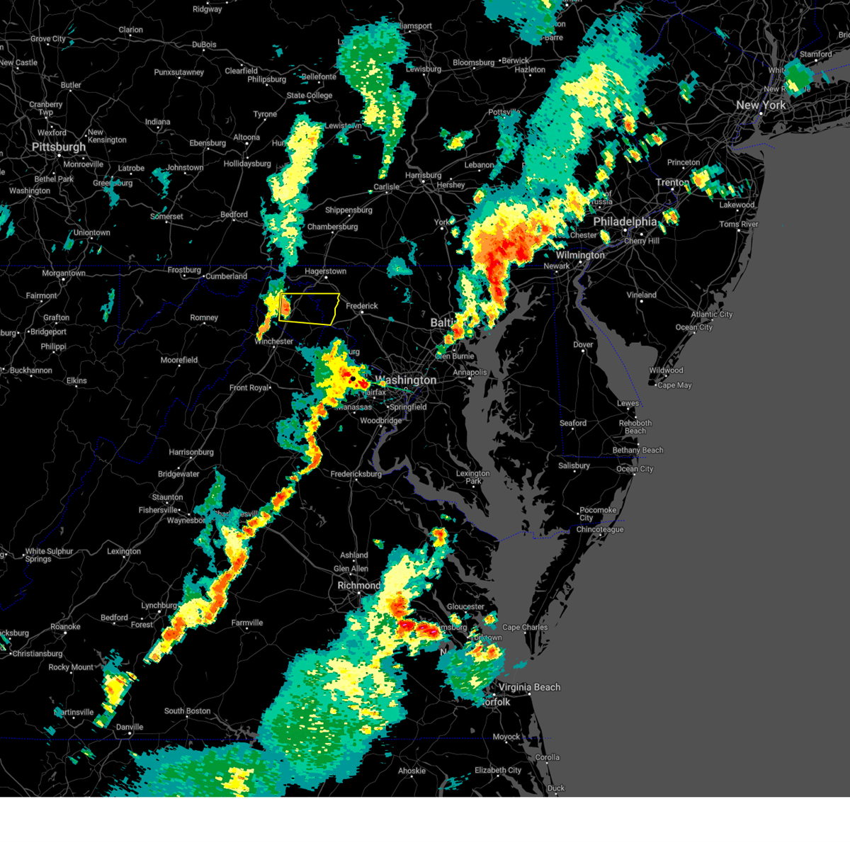 Svrlwx the national weather service in sterling virginia has issued a * severe thunderstorm warning for, southeastern washington county in north central maryland, northern jefferson county in the panhandle of west virginia, central berkeley county in the panhandle of west virginia, * until 615 pm edt. * at 542 pm edt, a severe thunderstorm was located over martinsburg, moving east at 30 mph (radar indicated). Hazards include 60 mph wind gusts. Damaging winds will cause some trees and large branches to fall. this could injure those outdoors, as well as damage homes and vehicles. roadways may become blocked by downed trees. localized power outages are possible. Unsecured light objects may become projectiles. Svrlwx the national weather service in sterling virginia has issued a * severe thunderstorm warning for, southeastern washington county in north central maryland, northern jefferson county in the panhandle of west virginia, central berkeley county in the panhandle of west virginia, * until 615 pm edt. * at 542 pm edt, a severe thunderstorm was located over martinsburg, moving east at 30 mph (radar indicated). Hazards include 60 mph wind gusts. Damaging winds will cause some trees and large branches to fall. this could injure those outdoors, as well as damage homes and vehicles. roadways may become blocked by downed trees. localized power outages are possible. Unsecured light objects may become projectiles.
|
| 7/10/2024 7:57 PM EDT |
 The storms which prompted the warning have weakened below severe limits, and no longer pose an immediate threat to life or property. therefore, the warning will be allowed to expire. however, gusty winds are still possible with these thunderstorms. a severe thunderstorm watch remains in effect until 1000 pm edt for north central maryland, and the panhandle of west virginia. The storms which prompted the warning have weakened below severe limits, and no longer pose an immediate threat to life or property. therefore, the warning will be allowed to expire. however, gusty winds are still possible with these thunderstorms. a severe thunderstorm watch remains in effect until 1000 pm edt for north central maryland, and the panhandle of west virginia.
|
| 7/10/2024 7:43 PM EDT |
 At 743 pm edt, severe thunderstorms were located along a line extending from near paramount-long meadow to municipal stadium to near saint james to near shepherdstown, moving east at 20 mph (radar indicated). Hazards include 60 mph wind gusts. Damaging winds will cause some trees and large branches to fall. this could injure those outdoors, as well as damage homes and vehicles. roadways may become blocked by downed trees. localized power outages are possible. unsecured light objects may become projectiles. Locations impacted include, hagerstown, martinsburg, shepherdstown, municipal stadium, robinwood, fountainhead-orchard hills, boonsboro, smithsburg, paramount-long meadow, williamsport, mount aetna, mount lena, san mar, long meadow, wolfsville, saint james, berkeley, halfway, maugansville, and cavetown. At 743 pm edt, severe thunderstorms were located along a line extending from near paramount-long meadow to municipal stadium to near saint james to near shepherdstown, moving east at 20 mph (radar indicated). Hazards include 60 mph wind gusts. Damaging winds will cause some trees and large branches to fall. this could injure those outdoors, as well as damage homes and vehicles. roadways may become blocked by downed trees. localized power outages are possible. unsecured light objects may become projectiles. Locations impacted include, hagerstown, martinsburg, shepherdstown, municipal stadium, robinwood, fountainhead-orchard hills, boonsboro, smithsburg, paramount-long meadow, williamsport, mount aetna, mount lena, san mar, long meadow, wolfsville, saint james, berkeley, halfway, maugansville, and cavetown.
|
| 7/10/2024 7:17 PM EDT |
 Svrlwx the national weather service in sterling virginia has issued a * severe thunderstorm warning for, northeastern washington county in north central maryland, northwestern frederick county in north central maryland, north central jefferson county in the panhandle of west virginia, northeastern berkeley county in the panhandle of west virginia, * until 800 pm edt. * at 717 pm edt, severe thunderstorms were located along a line extending from near wilson-conococheague to near williamsport to near martinsburg, moving east at 25 mph (radar indicated). Hazards include 60 mph wind gusts. Damaging winds will cause some trees and large branches to fall. this could injure those outdoors, as well as damage homes and vehicles. roadways may become blocked by downed trees. localized power outages are possible. Unsecured light objects may become projectiles. Svrlwx the national weather service in sterling virginia has issued a * severe thunderstorm warning for, northeastern washington county in north central maryland, northwestern frederick county in north central maryland, north central jefferson county in the panhandle of west virginia, northeastern berkeley county in the panhandle of west virginia, * until 800 pm edt. * at 717 pm edt, severe thunderstorms were located along a line extending from near wilson-conococheague to near williamsport to near martinsburg, moving east at 25 mph (radar indicated). Hazards include 60 mph wind gusts. Damaging winds will cause some trees and large branches to fall. this could injure those outdoors, as well as damage homes and vehicles. roadways may become blocked by downed trees. localized power outages are possible. Unsecured light objects may become projectiles.
|
| 6/26/2024 9:10 PM EDT |
 Svrlwx the national weather service in sterling virginia has issued a * severe thunderstorm warning for, washington county in north central maryland, frederick county in north central maryland, north central loudoun county in northern virginia, northeastern jefferson county in the panhandle of west virginia, northeastern berkeley county in the panhandle of west virginia, * until 1000 pm edt. * at 909 pm edt, severe thunderstorms were located along a line extending from near williamsport to near harpers ferry, moving east at 45 mph (trained weather spotter reported a 65 mph wind gust in shepherdstown, wv). Hazards include 60 mph wind gusts. Damaging winds will cause some trees and large branches to fall. this could injure those outdoors, as well as damage homes and vehicles. roadways may become blocked by downed trees. localized power outages are possible. Unsecured light objects may become projectiles. Svrlwx the national weather service in sterling virginia has issued a * severe thunderstorm warning for, washington county in north central maryland, frederick county in north central maryland, north central loudoun county in northern virginia, northeastern jefferson county in the panhandle of west virginia, northeastern berkeley county in the panhandle of west virginia, * until 1000 pm edt. * at 909 pm edt, severe thunderstorms were located along a line extending from near williamsport to near harpers ferry, moving east at 45 mph (trained weather spotter reported a 65 mph wind gust in shepherdstown, wv). Hazards include 60 mph wind gusts. Damaging winds will cause some trees and large branches to fall. this could injure those outdoors, as well as damage homes and vehicles. roadways may become blocked by downed trees. localized power outages are possible. Unsecured light objects may become projectiles.
|
| 6/5/2024 5:37 PM EDT |
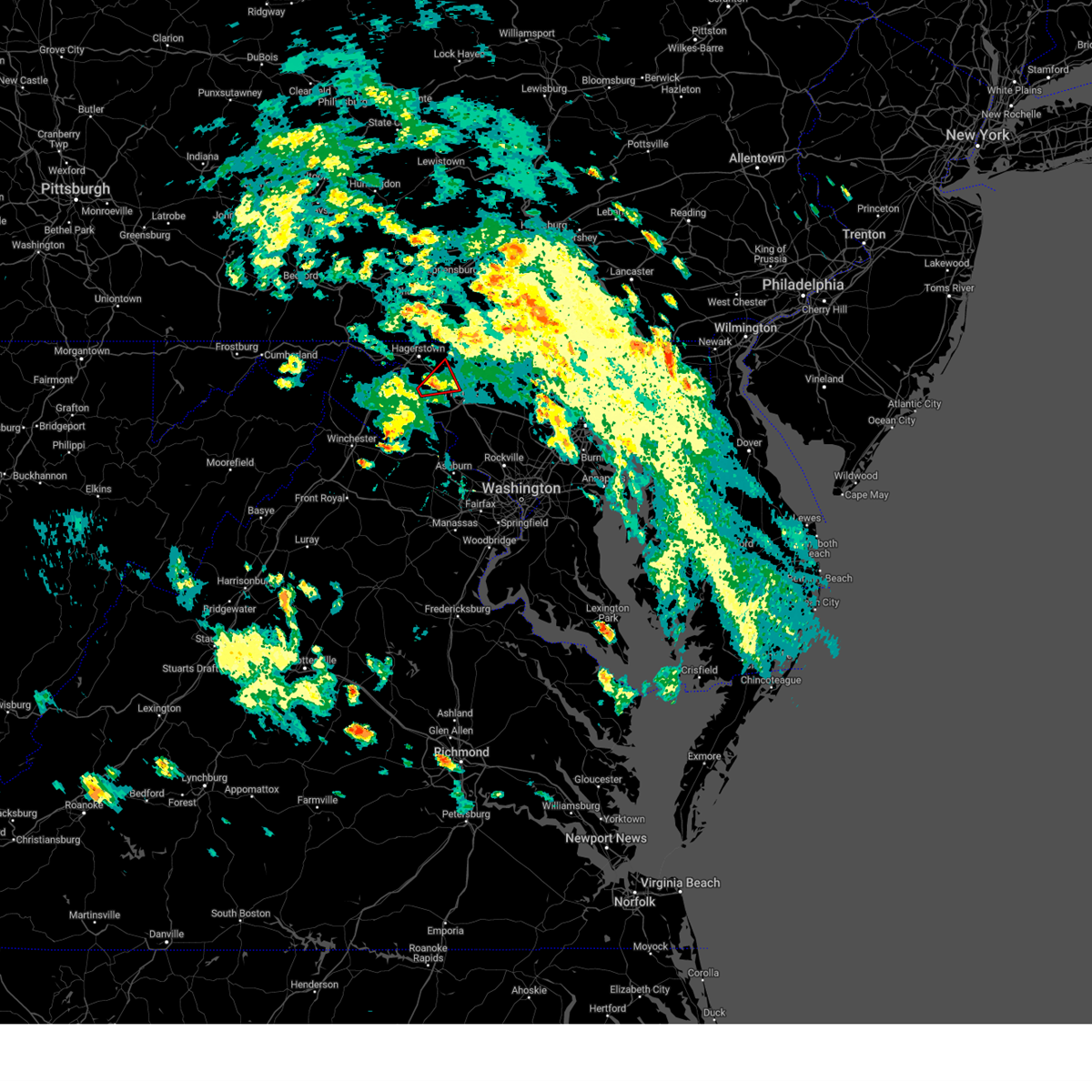 At 537 pm edt, a severe thunderstorm capable of producing a tornado and a history of producing damage was located over boonsboro, or 7 miles northeast of shepherdstown, moving northeast at 15 mph (radar indicated rotation). Hazards include tornado. For those in the direct path of a tornado touchdown, flying debris will be dangerous to those caught without shelter. damage to roofs, siding, and windows may occur. mobile homes may be damaged or destroyed. tree damage is likely. this dangerous storm will be near, boonsboro, mount lena, and san mar around 540 pm edt. wolfsville around 545 pm edt. Other locations impacted by this tornadic thunderstorm include pleasant walk, keedysville, myersville, and bolivar. At 537 pm edt, a severe thunderstorm capable of producing a tornado and a history of producing damage was located over boonsboro, or 7 miles northeast of shepherdstown, moving northeast at 15 mph (radar indicated rotation). Hazards include tornado. For those in the direct path of a tornado touchdown, flying debris will be dangerous to those caught without shelter. damage to roofs, siding, and windows may occur. mobile homes may be damaged or destroyed. tree damage is likely. this dangerous storm will be near, boonsboro, mount lena, and san mar around 540 pm edt. wolfsville around 545 pm edt. Other locations impacted by this tornadic thunderstorm include pleasant walk, keedysville, myersville, and bolivar.
|
| 6/5/2024 5:31 PM EDT |
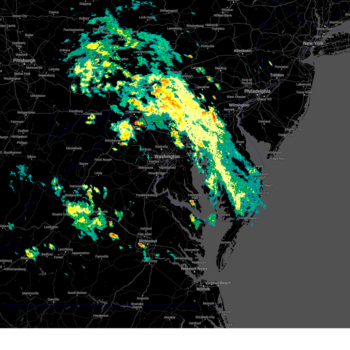 Torlwx the national weather service in sterling virginia has issued a * tornado warning for, east central washington county in north central maryland, northwestern frederick county in north central maryland, * until 615 pm edt. * at 528 pm edt, a severe thunderstorm capable of producing a tornado was located near shepherdstown, moving northeast at 15 mph (radar indicated rotation). Hazards include tornado. For those in the direct path of a tornado touchdown, flying debris will be dangerous to those caught without shelter. damage to roofs, siding, and windows may occur. mobile homes may be damaged or destroyed. tree damage is likely. this dangerous storm will be near, boonsboro, mount lena, and san mar around 535 pm edt. Other locations impacted by this tornadic thunderstorm include pleasant walk, keedysville, rohrersville, myersville, bolivar, and sharpsburg. Torlwx the national weather service in sterling virginia has issued a * tornado warning for, east central washington county in north central maryland, northwestern frederick county in north central maryland, * until 615 pm edt. * at 528 pm edt, a severe thunderstorm capable of producing a tornado was located near shepherdstown, moving northeast at 15 mph (radar indicated rotation). Hazards include tornado. For those in the direct path of a tornado touchdown, flying debris will be dangerous to those caught without shelter. damage to roofs, siding, and windows may occur. mobile homes may be damaged or destroyed. tree damage is likely. this dangerous storm will be near, boonsboro, mount lena, and san mar around 535 pm edt. Other locations impacted by this tornadic thunderstorm include pleasant walk, keedysville, rohrersville, myersville, bolivar, and sharpsburg.
|
| 5/27/2024 4:38 PM EDT |
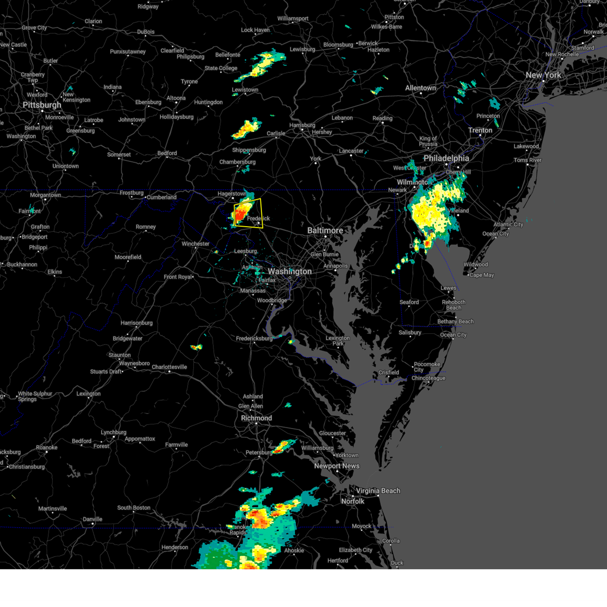 At 437 pm edt, a severe thunderstorm was located over boonsboro, or 10 miles northeast of shepherdstown, moving east at 20 mph (radar indicated). Hazards include 60 mph wind gusts and quarter size hail. Damaging winds will cause some trees and large branches to fall. this could injure those outdoors, as well as damage homes and vehicles. roadways may become blocked by downed trees. localized power outages are possible. unsecured light objects may become projectiles. Locations impacted include, frederick, thurmont, harry grove stadium, ballenger creek, boonsboro, braddock heights, mount aetna, mount lena, san mar, clover hill, wolfsville, linganore-bartonsville, myersville, keedysville, rohrersville, burkittsville, gapland, utica, bolivar, and lewistown. At 437 pm edt, a severe thunderstorm was located over boonsboro, or 10 miles northeast of shepherdstown, moving east at 20 mph (radar indicated). Hazards include 60 mph wind gusts and quarter size hail. Damaging winds will cause some trees and large branches to fall. this could injure those outdoors, as well as damage homes and vehicles. roadways may become blocked by downed trees. localized power outages are possible. unsecured light objects may become projectiles. Locations impacted include, frederick, thurmont, harry grove stadium, ballenger creek, boonsboro, braddock heights, mount aetna, mount lena, san mar, clover hill, wolfsville, linganore-bartonsville, myersville, keedysville, rohrersville, burkittsville, gapland, utica, bolivar, and lewistown.
|
| 5/27/2024 4:29 PM EDT |
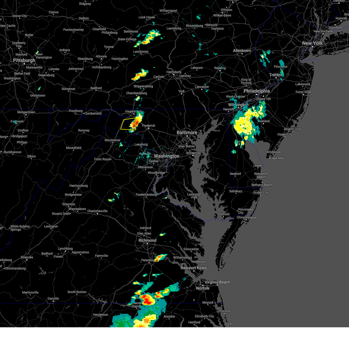 The storm which prompted the warning has moved out of the area. therefore, the warning will be allowed to expire. please report any damage to local authorities. The storm which prompted the warning has moved out of the area. therefore, the warning will be allowed to expire. please report any damage to local authorities.
|
| 5/27/2024 4:16 PM EDT |
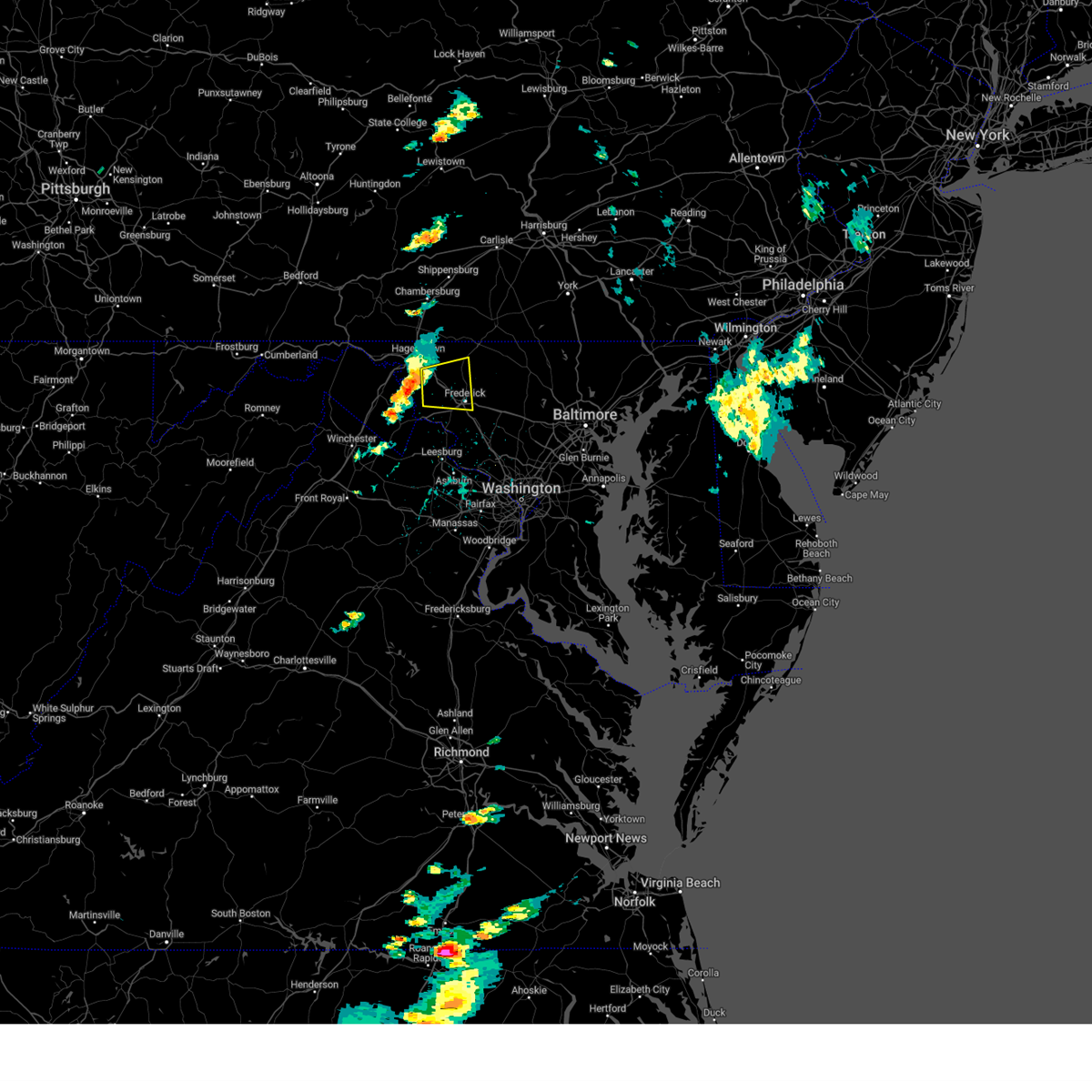 Svrlwx the national weather service in sterling virginia has issued a * severe thunderstorm warning for, southeastern washington county in north central maryland, northwestern frederick county in north central maryland, * until 515 pm edt. * at 415 pm edt, a severe thunderstorm was located near shepherdstown, moving east at 20 mph (radar indicated). Hazards include 60 mph wind gusts and quarter size hail. Damaging winds will cause some trees and large branches to fall. this could injure those outdoors, as well as damage homes and vehicles. roadways may become blocked by downed trees. localized power outages are possible. Unsecured light objects may become projectiles. Svrlwx the national weather service in sterling virginia has issued a * severe thunderstorm warning for, southeastern washington county in north central maryland, northwestern frederick county in north central maryland, * until 515 pm edt. * at 415 pm edt, a severe thunderstorm was located near shepherdstown, moving east at 20 mph (radar indicated). Hazards include 60 mph wind gusts and quarter size hail. Damaging winds will cause some trees and large branches to fall. this could injure those outdoors, as well as damage homes and vehicles. roadways may become blocked by downed trees. localized power outages are possible. Unsecured light objects may become projectiles.
|
| 5/27/2024 4:01 PM EDT |
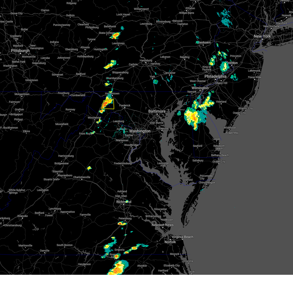 At 401 pm edt, a severe thunderstorm was located near shepherdstown, moving east at 20 mph (radar indicated). Hazards include 60 mph wind gusts and quarter size hail. Damaging winds will cause some trees and large branches to fall. this could injure those outdoors, as well as damage homes and vehicles. roadways may become blocked by downed trees. localized power outages are possible. unsecured light objects may become projectiles. Locations impacted include, martinsburg, shepherdstown, saint james, berkeley, keedysville, falling waters, sharpsburg, fairplay, antietam, winebrenners cross, moler crossroads, and martinsburg airport. At 401 pm edt, a severe thunderstorm was located near shepherdstown, moving east at 20 mph (radar indicated). Hazards include 60 mph wind gusts and quarter size hail. Damaging winds will cause some trees and large branches to fall. this could injure those outdoors, as well as damage homes and vehicles. roadways may become blocked by downed trees. localized power outages are possible. unsecured light objects may become projectiles. Locations impacted include, martinsburg, shepherdstown, saint james, berkeley, keedysville, falling waters, sharpsburg, fairplay, antietam, winebrenners cross, moler crossroads, and martinsburg airport.
|
| 5/27/2024 3:49 PM EDT |
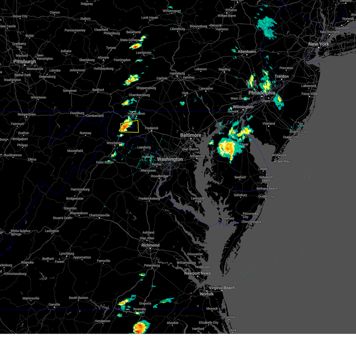 Svrlwx the national weather service in sterling virginia has issued a * severe thunderstorm warning for, south central washington county in north central maryland, northeastern jefferson county in the panhandle of west virginia, northeastern berkeley county in the panhandle of west virginia, * until 430 pm edt. * at 348 pm edt, a severe thunderstorm was located over martinsburg, moving east at 20 mph (radar indicated). Hazards include 60 mph wind gusts and quarter size hail. Damaging winds will cause some trees and large branches to fall. this could injure those outdoors, as well as damage homes and vehicles. roadways may become blocked by downed trees. localized power outages are possible. Unsecured light objects may become projectiles. Svrlwx the national weather service in sterling virginia has issued a * severe thunderstorm warning for, south central washington county in north central maryland, northeastern jefferson county in the panhandle of west virginia, northeastern berkeley county in the panhandle of west virginia, * until 430 pm edt. * at 348 pm edt, a severe thunderstorm was located over martinsburg, moving east at 20 mph (radar indicated). Hazards include 60 mph wind gusts and quarter size hail. Damaging winds will cause some trees and large branches to fall. this could injure those outdoors, as well as damage homes and vehicles. roadways may become blocked by downed trees. localized power outages are possible. Unsecured light objects may become projectiles.
|
| 5/26/2024 11:11 PM EDT |
 The storms which prompted the warning have weakened below severe limits, and no longer pose an immediate threat to life or property. therefore, the warning will be allowed to expire. a severe thunderstorm watch remains in effect until midnight edt for north central maryland, northern virginia, and the panhandle of west virginia. The storms which prompted the warning have weakened below severe limits, and no longer pose an immediate threat to life or property. therefore, the warning will be allowed to expire. a severe thunderstorm watch remains in effect until midnight edt for north central maryland, northern virginia, and the panhandle of west virginia.
|
| 5/26/2024 10:38 PM EDT |
 Svrlwx the national weather service in sterling virginia has issued a * severe thunderstorm warning for, washington county in north central maryland, western carroll county in north central maryland, frederick county in north central maryland, north central loudoun county in northern virginia, northeastern jefferson county in the panhandle of west virginia, northeastern berkeley county in the panhandle of west virginia, * until 1115 pm edt. * at 1037 pm edt, severe thunderstorms were located along a line extending from near wilson-conococheague to near shepherdstown to harpers ferry to near charles town, moving east at 40 mph (radar indicated). Hazards include 60 mph wind gusts. Damaging winds will cause some trees and large branches to fall. this could injure those outdoors, as well as damage homes and vehicles. roadways may become blocked by downed trees. localized power outages are possible. Unsecured light objects may become projectiles. Svrlwx the national weather service in sterling virginia has issued a * severe thunderstorm warning for, washington county in north central maryland, western carroll county in north central maryland, frederick county in north central maryland, north central loudoun county in northern virginia, northeastern jefferson county in the panhandle of west virginia, northeastern berkeley county in the panhandle of west virginia, * until 1115 pm edt. * at 1037 pm edt, severe thunderstorms were located along a line extending from near wilson-conococheague to near shepherdstown to harpers ferry to near charles town, moving east at 40 mph (radar indicated). Hazards include 60 mph wind gusts. Damaging winds will cause some trees and large branches to fall. this could injure those outdoors, as well as damage homes and vehicles. roadways may become blocked by downed trees. localized power outages are possible. Unsecured light objects may become projectiles.
|
| 5/25/2024 7:45 PM EDT |
 Svrlwx the national weather service in sterling virginia has issued a * severe thunderstorm warning for, southeastern washington county in north central maryland, southern frederick county in north central maryland, * until 815 pm edt. * at 745 pm edt, a severe thunderstorm was located near boonsboro, or 10 miles west of frederick, moving east at 25 mph (radar indicated). Hazards include 60 mph wind gusts. Damaging winds will cause some trees and large branches to fall. this could injure those outdoors, as well as damage homes and vehicles. roadways may become blocked by downed trees. localized power outages are possible. Unsecured light objects may become projectiles. Svrlwx the national weather service in sterling virginia has issued a * severe thunderstorm warning for, southeastern washington county in north central maryland, southern frederick county in north central maryland, * until 815 pm edt. * at 745 pm edt, a severe thunderstorm was located near boonsboro, or 10 miles west of frederick, moving east at 25 mph (radar indicated). Hazards include 60 mph wind gusts. Damaging winds will cause some trees and large branches to fall. this could injure those outdoors, as well as damage homes and vehicles. roadways may become blocked by downed trees. localized power outages are possible. Unsecured light objects may become projectiles.
|
| 5/25/2024 7:36 PM EDT |
 At 736 pm edt, a severe thunderstorm was located near thurmont, moving east at 30 mph (radar indicated). Hazards include 60 mph wind gusts. Damaging winds will cause some trees and large branches to fall. this could injure those outdoors, as well as damage homes and vehicles. roadways may become blocked by downed trees. localized power outages are possible. unsecured light objects may become projectiles. Locations impacted include, frederick, hagerstown, thurmont, emmitsburg, municipal stadium, ballenger creek, robinwood, boonsboro, smithsburg, braddock heights, paramount-long meadow, mount aetna, mount lena, san mar, clover hill, wolfsville, saint james, halfway, myersville, and cavetown. At 736 pm edt, a severe thunderstorm was located near thurmont, moving east at 30 mph (radar indicated). Hazards include 60 mph wind gusts. Damaging winds will cause some trees and large branches to fall. this could injure those outdoors, as well as damage homes and vehicles. roadways may become blocked by downed trees. localized power outages are possible. unsecured light objects may become projectiles. Locations impacted include, frederick, hagerstown, thurmont, emmitsburg, municipal stadium, ballenger creek, robinwood, boonsboro, smithsburg, braddock heights, paramount-long meadow, mount aetna, mount lena, san mar, clover hill, wolfsville, saint james, halfway, myersville, and cavetown.
|
| 5/25/2024 7:36 PM EDT |
 the severe thunderstorm warning has been cancelled and is no longer in effect the severe thunderstorm warning has been cancelled and is no longer in effect
|
| 5/25/2024 7:14 PM EDT |
 Svrlwx the national weather service in sterling virginia has issued a * severe thunderstorm warning for, northeastern washington county in north central maryland, northwestern frederick county in north central maryland, north central jefferson county in the panhandle of west virginia, northeastern berkeley county in the panhandle of west virginia, * until 745 pm edt. * at 713 pm edt, a severe thunderstorm was located over robinwood, or near municipal stadium, moving east at 30 mph (radar indicated). Hazards include 60 mph wind gusts. Damaging winds will cause some trees and large branches to fall. this could injure those outdoors, as well as damage homes and vehicles. roadways may become blocked by downed trees. localized power outages are possible. Unsecured light objects may become projectiles. Svrlwx the national weather service in sterling virginia has issued a * severe thunderstorm warning for, northeastern washington county in north central maryland, northwestern frederick county in north central maryland, north central jefferson county in the panhandle of west virginia, northeastern berkeley county in the panhandle of west virginia, * until 745 pm edt. * at 713 pm edt, a severe thunderstorm was located over robinwood, or near municipal stadium, moving east at 30 mph (radar indicated). Hazards include 60 mph wind gusts. Damaging winds will cause some trees and large branches to fall. this could injure those outdoors, as well as damage homes and vehicles. roadways may become blocked by downed trees. localized power outages are possible. Unsecured light objects may become projectiles.
|
| 5/11/2024 10:14 PM EDT |
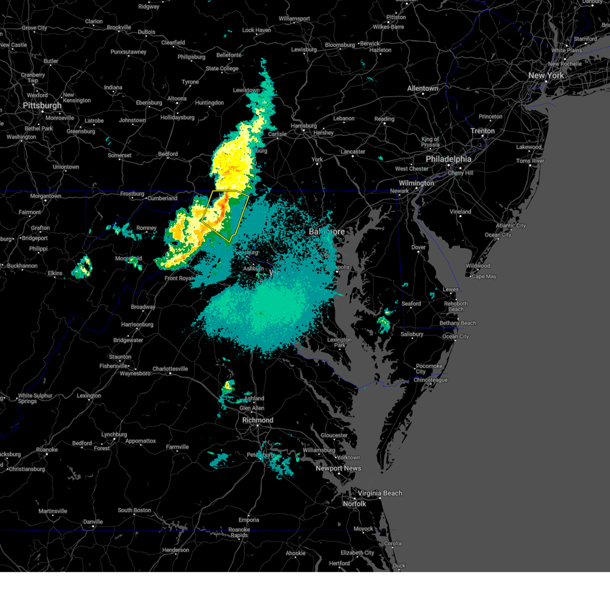 The storms which prompted the warning have weakened below severe limits, and no longer pose an immediate threat to life or property. therefore, the warning will be allowed to expire. to report severe weather, contact your nearest law enforcement agency. they will relay your report to the national weather service sterling virginia. The storms which prompted the warning have weakened below severe limits, and no longer pose an immediate threat to life or property. therefore, the warning will be allowed to expire. to report severe weather, contact your nearest law enforcement agency. they will relay your report to the national weather service sterling virginia.
|
| 5/11/2024 9:59 PM EDT |
 the severe thunderstorm warning has been cancelled and is no longer in effect the severe thunderstorm warning has been cancelled and is no longer in effect
|
| 5/11/2024 9:59 PM EDT |
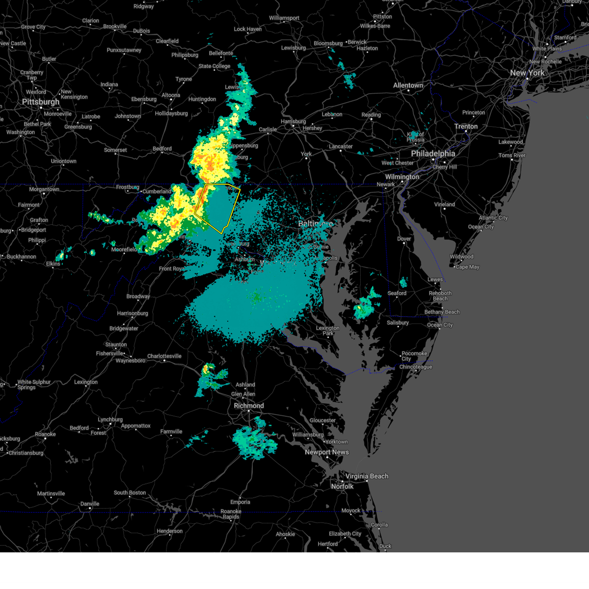 At 958 pm edt, severe thunderstorms were located along a line extending from near wilson-conococheague to martinsburg, moving southeast at 35 mph (radar indicated). Hazards include 60 mph wind gusts. Damaging winds will cause some trees and large branches to fall. this could injure those outdoors, as well as damage homes and vehicles. roadways may become blocked by downed trees. localized power outages are possible. unsecured light objects may become projectiles. Locations impacted include, hagerstown, martinsburg, charles town, shepherdstown, municipal stadium, robinwood, fountainhead-orchard hills, ranson, boonsboro, smithsburg, paramount-long meadow, wilson-conococheague, williamsport, mount aetna, mount lena, san mar, harpers ferry, long meadow, kearneysville, and saint james. At 958 pm edt, severe thunderstorms were located along a line extending from near wilson-conococheague to martinsburg, moving southeast at 35 mph (radar indicated). Hazards include 60 mph wind gusts. Damaging winds will cause some trees and large branches to fall. this could injure those outdoors, as well as damage homes and vehicles. roadways may become blocked by downed trees. localized power outages are possible. unsecured light objects may become projectiles. Locations impacted include, hagerstown, martinsburg, charles town, shepherdstown, municipal stadium, robinwood, fountainhead-orchard hills, ranson, boonsboro, smithsburg, paramount-long meadow, wilson-conococheague, williamsport, mount aetna, mount lena, san mar, harpers ferry, long meadow, kearneysville, and saint james.
|
| 5/11/2024 9:42 PM EDT |
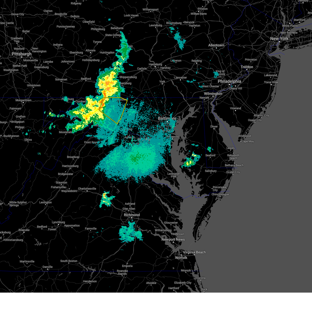 Svrlwx the national weather service in sterling virginia has issued a * severe thunderstorm warning for, washington county in north central maryland, northeastern jefferson county in the panhandle of west virginia, northeastern morgan county in the panhandle of west virginia, berkeley county in the panhandle of west virginia, * until 1015 pm edt. * at 942 pm edt, severe thunderstorms were located along a line extending from 6 miles east of hancock to 8 miles southeast of berkeley springs, moving southeast at 35 mph (radar indicated). Hazards include 60 mph wind gusts. Damaging winds will cause some trees and large branches to fall. this could injure those outdoors, as well as damage homes and vehicles. roadways may become blocked by downed trees. localized power outages are possible. Unsecured light objects may become projectiles. Svrlwx the national weather service in sterling virginia has issued a * severe thunderstorm warning for, washington county in north central maryland, northeastern jefferson county in the panhandle of west virginia, northeastern morgan county in the panhandle of west virginia, berkeley county in the panhandle of west virginia, * until 1015 pm edt. * at 942 pm edt, severe thunderstorms were located along a line extending from 6 miles east of hancock to 8 miles southeast of berkeley springs, moving southeast at 35 mph (radar indicated). Hazards include 60 mph wind gusts. Damaging winds will cause some trees and large branches to fall. this could injure those outdoors, as well as damage homes and vehicles. roadways may become blocked by downed trees. localized power outages are possible. Unsecured light objects may become projectiles.
|
| 9/9/2023 4:33 PM EDT |
 At 433 pm edt, a severe thunderstorm was located over brunswick, or 11 miles southwest of harry grove stadium, moving north at 10 mph (radar indicated). Hazards include 60 mph wind gusts and quarter size hail. Damaging winds will cause some trees and large branches to fall. this could injure those outdoors, as well as damage homes and vehicles. roadways may become blocked by downed trees. localized power outages are possible. Unsecured light objects may become projectiles. At 433 pm edt, a severe thunderstorm was located over brunswick, or 11 miles southwest of harry grove stadium, moving north at 10 mph (radar indicated). Hazards include 60 mph wind gusts and quarter size hail. Damaging winds will cause some trees and large branches to fall. this could injure those outdoors, as well as damage homes and vehicles. roadways may become blocked by downed trees. localized power outages are possible. Unsecured light objects may become projectiles.
|
| 9/9/2023 4:33 PM EDT |
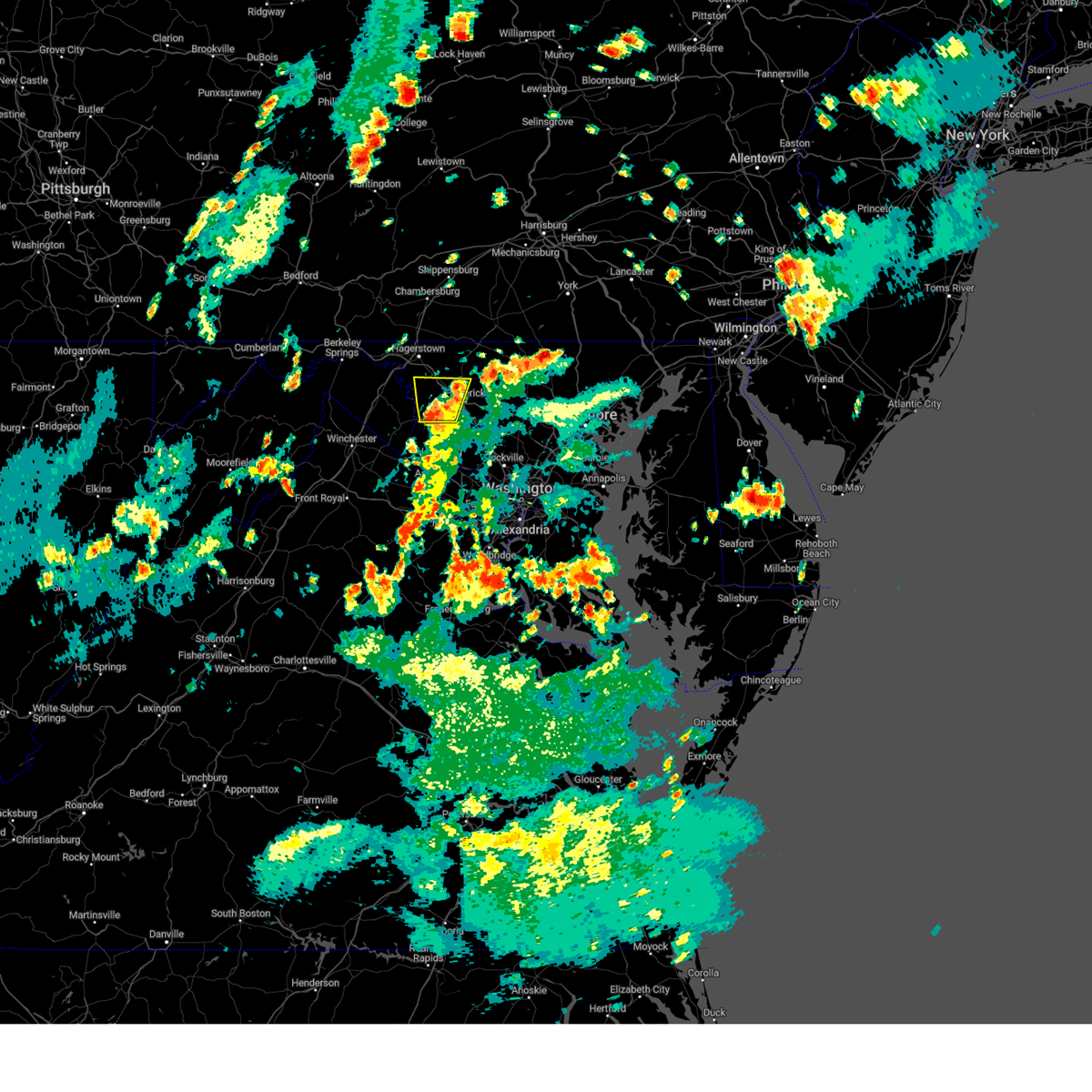 At 433 pm edt, a severe thunderstorm was located over brunswick, or 11 miles southwest of harry grove stadium, moving north at 10 mph (radar indicated). Hazards include 60 mph wind gusts and quarter size hail. Damaging winds will cause some trees and large branches to fall. this could injure those outdoors, as well as damage homes and vehicles. roadways may become blocked by downed trees. localized power outages are possible. Unsecured light objects may become projectiles. At 433 pm edt, a severe thunderstorm was located over brunswick, or 11 miles southwest of harry grove stadium, moving north at 10 mph (radar indicated). Hazards include 60 mph wind gusts and quarter size hail. Damaging winds will cause some trees and large branches to fall. this could injure those outdoors, as well as damage homes and vehicles. roadways may become blocked by downed trees. localized power outages are possible. Unsecured light objects may become projectiles.
|
| 8/7/2023 3:49 PM EDT |
 At 349 pm edt, severe thunderstorms were located along a line extending from near wilson-conococheague to 8 miles west of inwood, moving east at 40 mph (radar indicated). Hazards include 70 mph wind gusts and quarter size hail. Damaging winds will cause some trees and large branches to fall. this could injure those outdoors, as well as damage homes and vehicles. roadways may become blocked by downed trees. localized power outages are possible. Unsecured light objects may become projectiles. At 349 pm edt, severe thunderstorms were located along a line extending from near wilson-conococheague to 8 miles west of inwood, moving east at 40 mph (radar indicated). Hazards include 70 mph wind gusts and quarter size hail. Damaging winds will cause some trees and large branches to fall. this could injure those outdoors, as well as damage homes and vehicles. roadways may become blocked by downed trees. localized power outages are possible. Unsecured light objects may become projectiles.
|
| 7/28/2023 5:31 PM EDT |
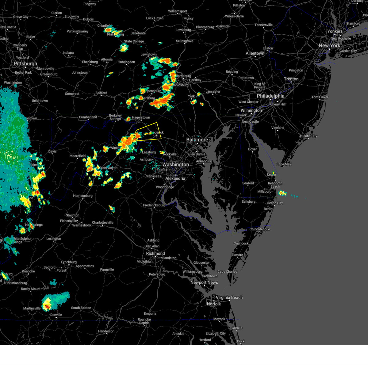 At 531 pm edt, a severe thunderstorm was located near shepherdstown, moving east at 15 mph (radar indicated). Hazards include 60 mph wind gusts and quarter size hail. Damaging winds will cause some trees and large branches to fall. this could injure those outdoors, as well as damage homes and vehicles. roadways may become blocked by downed trees. localized power outages are possible. Unsecured light objects may become projectiles. At 531 pm edt, a severe thunderstorm was located near shepherdstown, moving east at 15 mph (radar indicated). Hazards include 60 mph wind gusts and quarter size hail. Damaging winds will cause some trees and large branches to fall. this could injure those outdoors, as well as damage homes and vehicles. roadways may become blocked by downed trees. localized power outages are possible. Unsecured light objects may become projectiles.
|
| 7/9/2023 1:28 PM EDT |
 At 128 pm edt, severe thunderstorms were located along a line extending from saint james to near harpers ferry, moving northeast at 15 mph (radar indicated). Hazards include 60 mph wind gusts and quarter size hail. Damaging winds will cause some trees and large branches to fall. this could injure those outdoors, as well as damage homes and vehicles. roadways may become blocked by downed trees. localized power outages are possible. Unsecured light objects may become projectiles. At 128 pm edt, severe thunderstorms were located along a line extending from saint james to near harpers ferry, moving northeast at 15 mph (radar indicated). Hazards include 60 mph wind gusts and quarter size hail. Damaging winds will cause some trees and large branches to fall. this could injure those outdoors, as well as damage homes and vehicles. roadways may become blocked by downed trees. localized power outages are possible. Unsecured light objects may become projectiles.
|
| 7/9/2023 1:28 PM EDT |
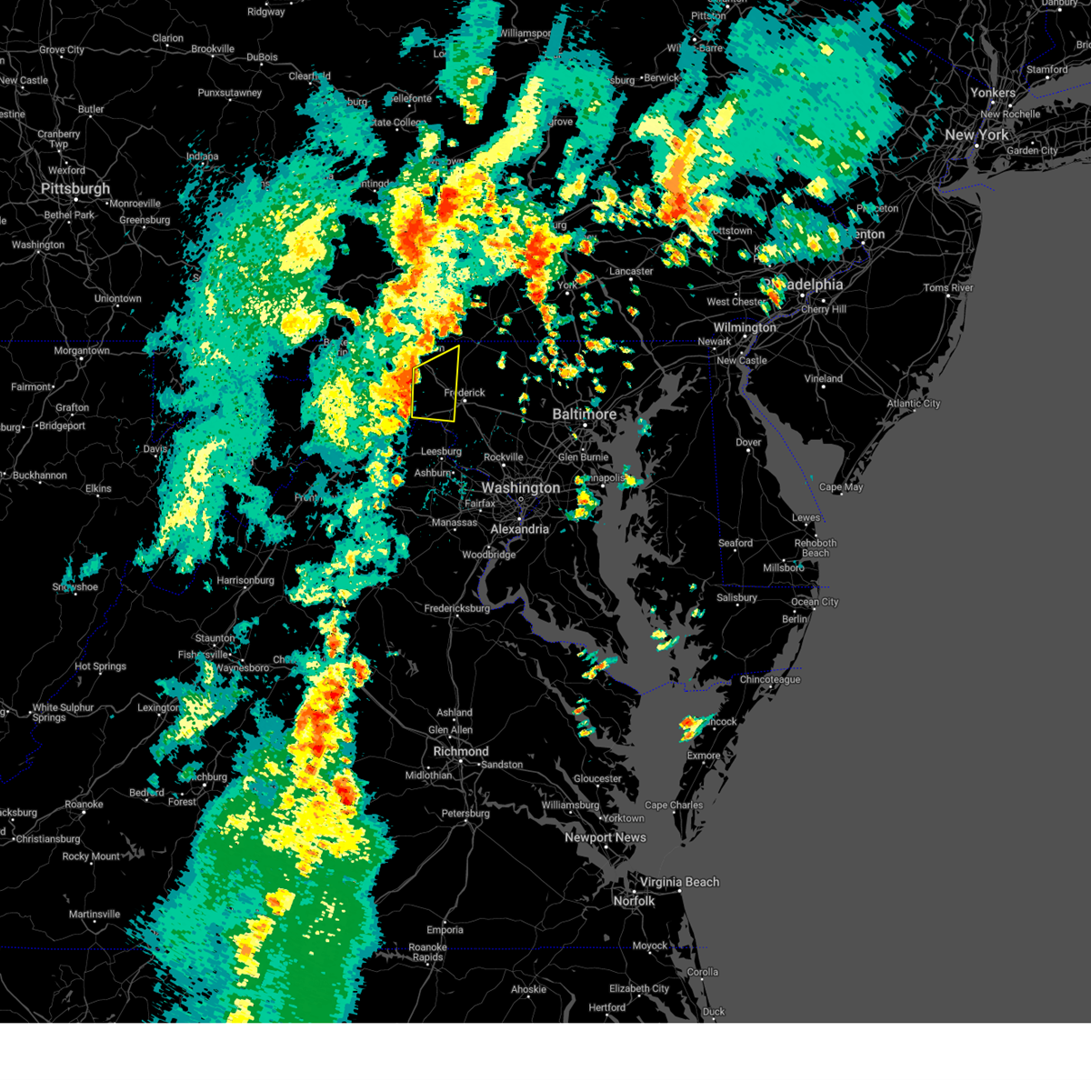 At 128 pm edt, severe thunderstorms were located along a line extending from saint james to near harpers ferry, moving northeast at 15 mph (radar indicated). Hazards include 60 mph wind gusts and quarter size hail. Damaging winds will cause some trees and large branches to fall. this could injure those outdoors, as well as damage homes and vehicles. roadways may become blocked by downed trees. localized power outages are possible. Unsecured light objects may become projectiles. At 128 pm edt, severe thunderstorms were located along a line extending from saint james to near harpers ferry, moving northeast at 15 mph (radar indicated). Hazards include 60 mph wind gusts and quarter size hail. Damaging winds will cause some trees and large branches to fall. this could injure those outdoors, as well as damage homes and vehicles. roadways may become blocked by downed trees. localized power outages are possible. Unsecured light objects may become projectiles.
|
| 3/23/2023 11:13 PM EDT |
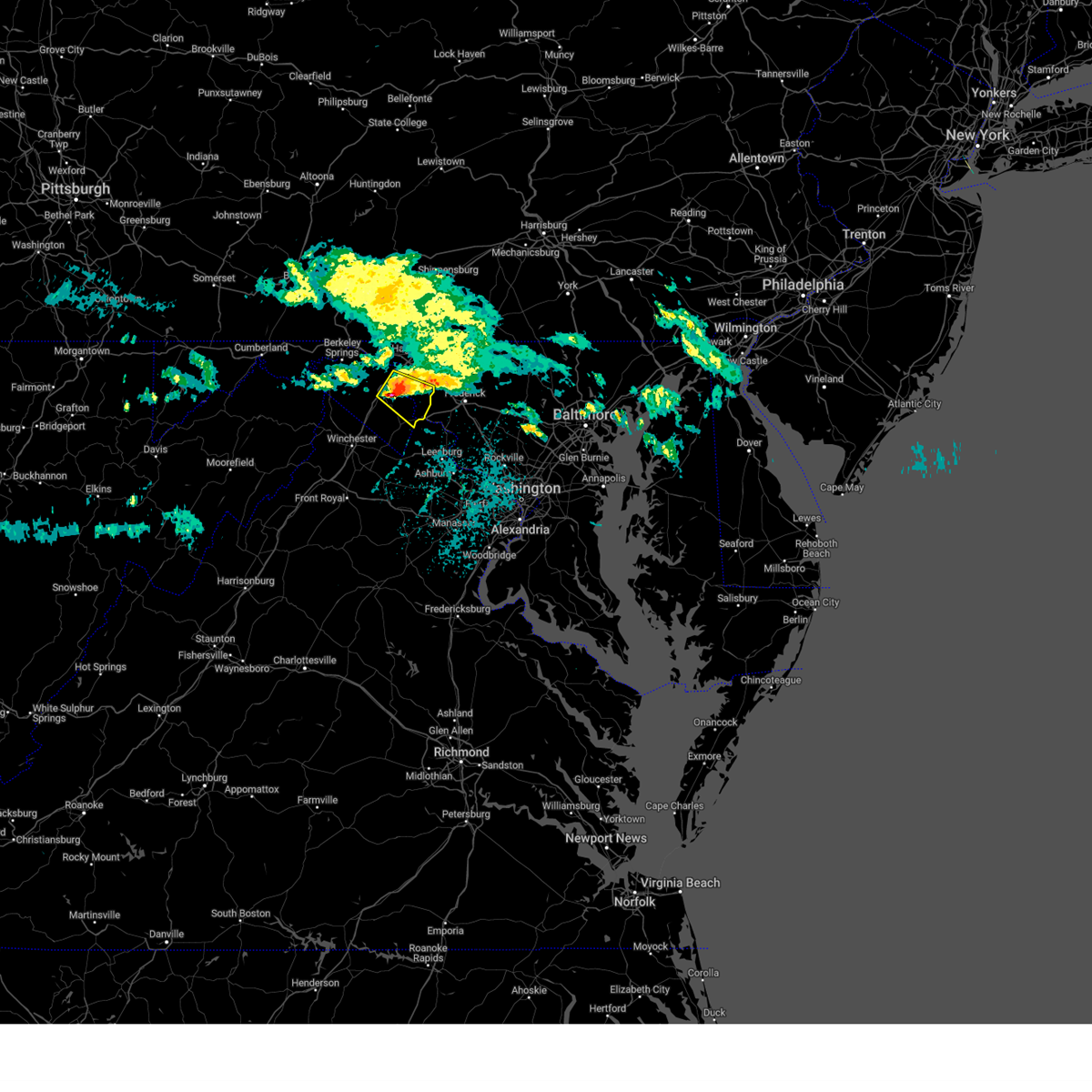 At 1112 pm edt, a severe thunderstorm was located over shepherdstown, moving southeast at 50 mph (radar indicated). Hazards include 60 mph wind gusts and quarter size hail. Damaging winds will cause some trees and large branches to fall. this could injure those outdoors, as well as damage homes and vehicles. roadways may become blocked by downed trees. localized power outages are possible. unsecured light objects may become projectiles. locations impacted include, martinsburg, shepherdstown, ranson, boonsboro, harpers ferry, kearneysville, berkeley, keedysville, bolivar, falling waters, sharpsburg, shenandoah junction, fairplay, rohrersville, gapland, brownsville, antietam, winebrenners cross, moler crossroads and halltown. hail threat, radar indicated max hail size, 1. 00 in wind threat, radar indicated max wind gust, 60 mph. At 1112 pm edt, a severe thunderstorm was located over shepherdstown, moving southeast at 50 mph (radar indicated). Hazards include 60 mph wind gusts and quarter size hail. Damaging winds will cause some trees and large branches to fall. this could injure those outdoors, as well as damage homes and vehicles. roadways may become blocked by downed trees. localized power outages are possible. unsecured light objects may become projectiles. locations impacted include, martinsburg, shepherdstown, ranson, boonsboro, harpers ferry, kearneysville, berkeley, keedysville, bolivar, falling waters, sharpsburg, shenandoah junction, fairplay, rohrersville, gapland, brownsville, antietam, winebrenners cross, moler crossroads and halltown. hail threat, radar indicated max hail size, 1. 00 in wind threat, radar indicated max wind gust, 60 mph.
|
| 3/23/2023 11:13 PM EDT |
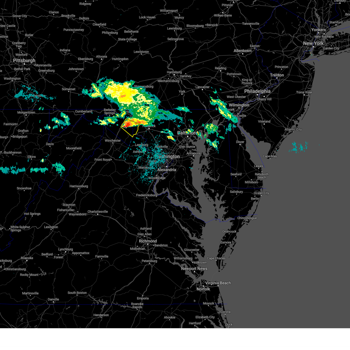 At 1112 pm edt, a severe thunderstorm was located over shepherdstown, moving southeast at 50 mph (radar indicated). Hazards include 60 mph wind gusts and quarter size hail. Damaging winds will cause some trees and large branches to fall. this could injure those outdoors, as well as damage homes and vehicles. roadways may become blocked by downed trees. localized power outages are possible. unsecured light objects may become projectiles. locations impacted include, martinsburg, shepherdstown, ranson, boonsboro, harpers ferry, kearneysville, berkeley, keedysville, bolivar, falling waters, sharpsburg, shenandoah junction, fairplay, rohrersville, gapland, brownsville, antietam, winebrenners cross, moler crossroads and halltown. hail threat, radar indicated max hail size, 1. 00 in wind threat, radar indicated max wind gust, 60 mph. At 1112 pm edt, a severe thunderstorm was located over shepherdstown, moving southeast at 50 mph (radar indicated). Hazards include 60 mph wind gusts and quarter size hail. Damaging winds will cause some trees and large branches to fall. this could injure those outdoors, as well as damage homes and vehicles. roadways may become blocked by downed trees. localized power outages are possible. unsecured light objects may become projectiles. locations impacted include, martinsburg, shepherdstown, ranson, boonsboro, harpers ferry, kearneysville, berkeley, keedysville, bolivar, falling waters, sharpsburg, shenandoah junction, fairplay, rohrersville, gapland, brownsville, antietam, winebrenners cross, moler crossroads and halltown. hail threat, radar indicated max hail size, 1. 00 in wind threat, radar indicated max wind gust, 60 mph.
|
| 3/23/2023 10:59 PM EDT |
 At 1059 pm edt, a severe thunderstorm was located near martinsburg, moving southeast at 45 mph (radar indicated). Hazards include 60 mph wind gusts and quarter size hail. Damaging winds will cause some trees and large branches to fall. this could injure those outdoors, as well as damage homes and vehicles. roadways may become blocked by downed trees. localized power outages are possible. unsecured light objects may become projectiles. locations impacted include, martinsburg, charles town, shepherdstown, ranson, boonsboro, harpers ferry, kearneysville, corporation of ranson, berkeley, keedysville, bolivar, falling waters, sharpsburg, shenandoah junction, fairplay, hedgesville, rohrersville, gapland, brownsville and antietam. hail threat, radar indicated max hail size, 1. 00 in wind threat, radar indicated max wind gust, 60 mph. At 1059 pm edt, a severe thunderstorm was located near martinsburg, moving southeast at 45 mph (radar indicated). Hazards include 60 mph wind gusts and quarter size hail. Damaging winds will cause some trees and large branches to fall. this could injure those outdoors, as well as damage homes and vehicles. roadways may become blocked by downed trees. localized power outages are possible. unsecured light objects may become projectiles. locations impacted include, martinsburg, charles town, shepherdstown, ranson, boonsboro, harpers ferry, kearneysville, corporation of ranson, berkeley, keedysville, bolivar, falling waters, sharpsburg, shenandoah junction, fairplay, hedgesville, rohrersville, gapland, brownsville and antietam. hail threat, radar indicated max hail size, 1. 00 in wind threat, radar indicated max wind gust, 60 mph.
|
| 3/23/2023 10:54 PM EDT |
 At 1053 pm edt, a severe thunderstorm was located 8 miles southeast of berkeley springs, or 9 miles northwest of martinsburg, moving southeast at 50 mph (radar indicated). Hazards include 60 mph wind gusts and quarter size hail. Damaging winds will cause some trees and large branches to fall. this could injure those outdoors, as well as damage homes and vehicles. roadways may become blocked by downed trees. localized power outages are possible. Unsecured light objects may become projectiles. At 1053 pm edt, a severe thunderstorm was located 8 miles southeast of berkeley springs, or 9 miles northwest of martinsburg, moving southeast at 50 mph (radar indicated). Hazards include 60 mph wind gusts and quarter size hail. Damaging winds will cause some trees and large branches to fall. this could injure those outdoors, as well as damage homes and vehicles. roadways may become blocked by downed trees. localized power outages are possible. Unsecured light objects may become projectiles.
|
| 3/23/2023 10:54 PM EDT |
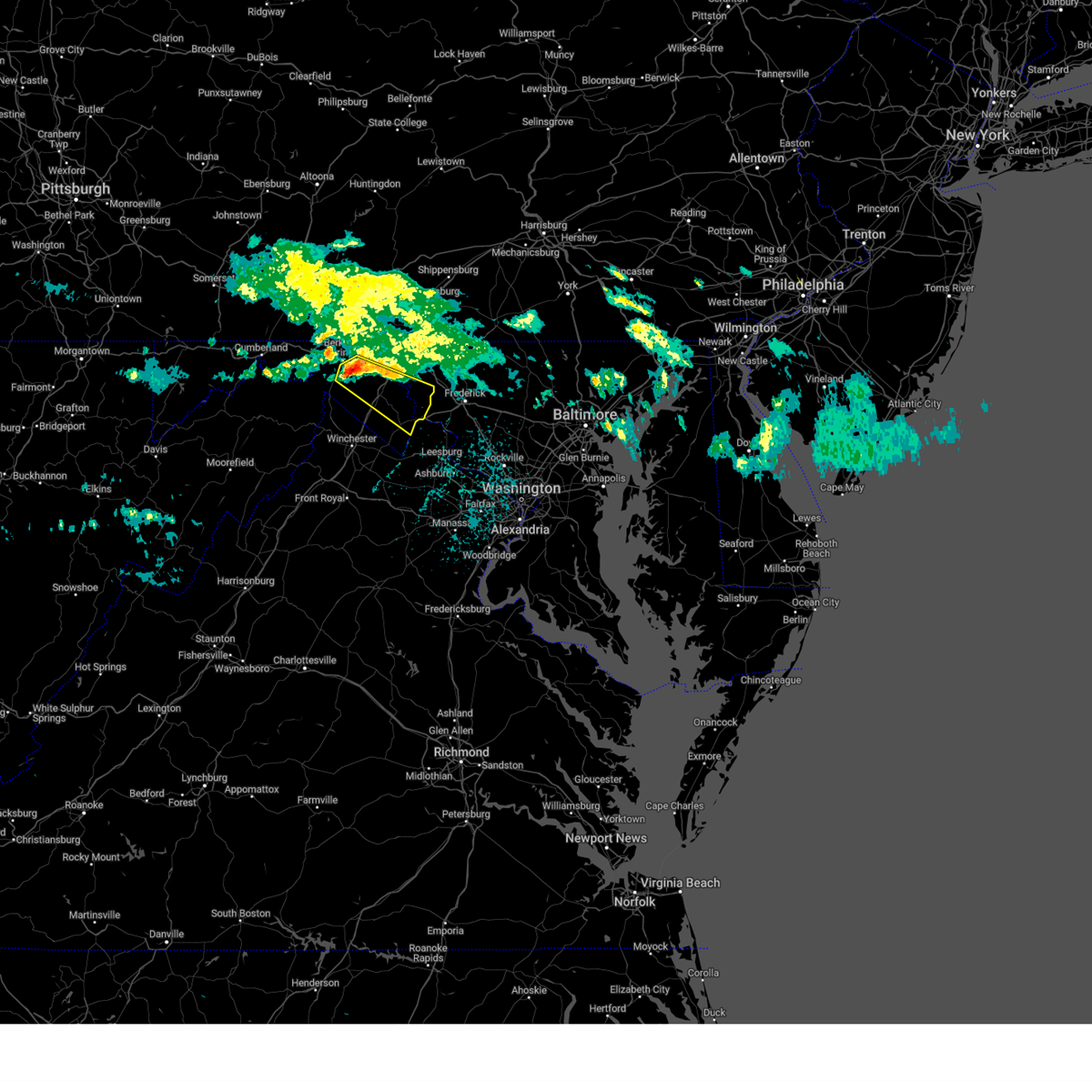 At 1053 pm edt, a severe thunderstorm was located 8 miles southeast of berkeley springs, or 9 miles northwest of martinsburg, moving southeast at 50 mph (radar indicated). Hazards include 60 mph wind gusts and quarter size hail. Damaging winds will cause some trees and large branches to fall. this could injure those outdoors, as well as damage homes and vehicles. roadways may become blocked by downed trees. localized power outages are possible. Unsecured light objects may become projectiles. At 1053 pm edt, a severe thunderstorm was located 8 miles southeast of berkeley springs, or 9 miles northwest of martinsburg, moving southeast at 50 mph (radar indicated). Hazards include 60 mph wind gusts and quarter size hail. Damaging winds will cause some trees and large branches to fall. this could injure those outdoors, as well as damage homes and vehicles. roadways may become blocked by downed trees. localized power outages are possible. Unsecured light objects may become projectiles.
|
| 7/23/2022 6:51 PM EDT |
 At 650 pm edt, severe thunderstorms were located along a line extending from near paramount-long meadow to near berryville, moving east at 40 mph (radar indicated). Hazards include 60 mph wind gusts and quarter size hail. Damaging winds will cause some trees and large branches to fall. this could injure those outdoors, as well as damage homes and vehicles. roadways may become blocked by downed trees. localized power outages are possible. Unsecured light objects may become projectiles. At 650 pm edt, severe thunderstorms were located along a line extending from near paramount-long meadow to near berryville, moving east at 40 mph (radar indicated). Hazards include 60 mph wind gusts and quarter size hail. Damaging winds will cause some trees and large branches to fall. this could injure those outdoors, as well as damage homes and vehicles. roadways may become blocked by downed trees. localized power outages are possible. Unsecured light objects may become projectiles.
|
| 7/18/2022 3:10 PM EDT |
 At 309 pm edt, severe thunderstorms were located along a line extending from 6 miles northeast of harpers ferry to near bluemont, moving east at 25 mph (radar indicated). Hazards include 60 mph wind gusts. Damaging winds will cause some trees and large branches to fall. this could injure those outdoors, as well as damage homes and vehicles. roadways may become blocked by downed trees. localized power outages are possible. unsecured light objects may become projectiles. locations impacted include, harpers ferry, bolivar, sharpsburg, rohrersville, gapland, brownsville, antietam, neersville, moler crossroads, halltown, pleasantville, millville and bakerton. hail threat, radar indicated max hail size, <. 75 in wind threat, radar indicated max wind gust, 60 mph. At 309 pm edt, severe thunderstorms were located along a line extending from 6 miles northeast of harpers ferry to near bluemont, moving east at 25 mph (radar indicated). Hazards include 60 mph wind gusts. Damaging winds will cause some trees and large branches to fall. this could injure those outdoors, as well as damage homes and vehicles. roadways may become blocked by downed trees. localized power outages are possible. unsecured light objects may become projectiles. locations impacted include, harpers ferry, bolivar, sharpsburg, rohrersville, gapland, brownsville, antietam, neersville, moler crossroads, halltown, pleasantville, millville and bakerton. hail threat, radar indicated max hail size, <. 75 in wind threat, radar indicated max wind gust, 60 mph.
|
| 7/18/2022 3:10 PM EDT |
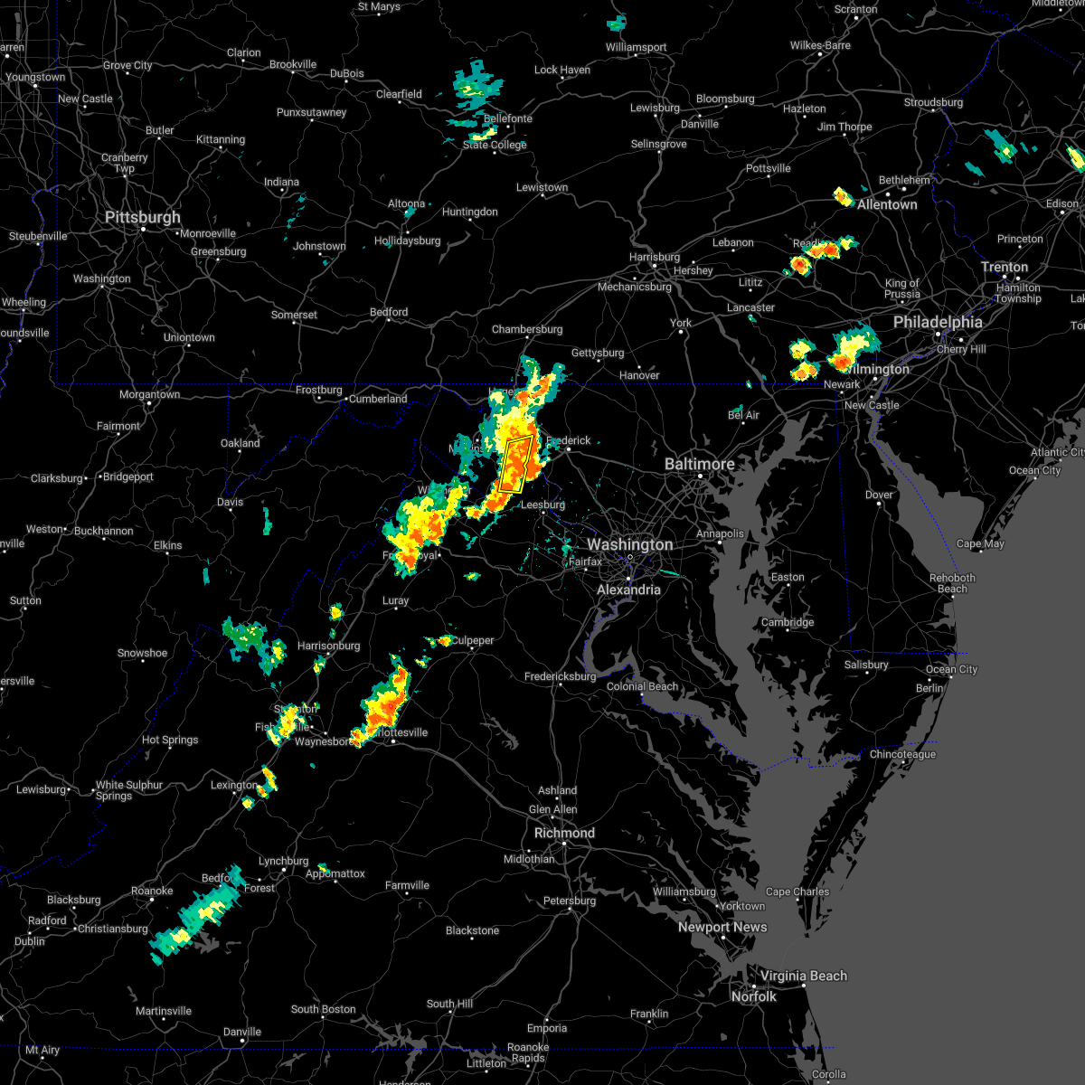 At 309 pm edt, severe thunderstorms were located along a line extending from 6 miles northeast of harpers ferry to near bluemont, moving east at 25 mph (radar indicated). Hazards include 60 mph wind gusts. Damaging winds will cause some trees and large branches to fall. this could injure those outdoors, as well as damage homes and vehicles. roadways may become blocked by downed trees. localized power outages are possible. unsecured light objects may become projectiles. locations impacted include, harpers ferry, bolivar, sharpsburg, rohrersville, gapland, brownsville, antietam, neersville, moler crossroads, halltown, pleasantville, millville and bakerton. hail threat, radar indicated max hail size, <. 75 in wind threat, radar indicated max wind gust, 60 mph. At 309 pm edt, severe thunderstorms were located along a line extending from 6 miles northeast of harpers ferry to near bluemont, moving east at 25 mph (radar indicated). Hazards include 60 mph wind gusts. Damaging winds will cause some trees and large branches to fall. this could injure those outdoors, as well as damage homes and vehicles. roadways may become blocked by downed trees. localized power outages are possible. unsecured light objects may become projectiles. locations impacted include, harpers ferry, bolivar, sharpsburg, rohrersville, gapland, brownsville, antietam, neersville, moler crossroads, halltown, pleasantville, millville and bakerton. hail threat, radar indicated max hail size, <. 75 in wind threat, radar indicated max wind gust, 60 mph.
|
| 7/18/2022 2:51 PM EDT |
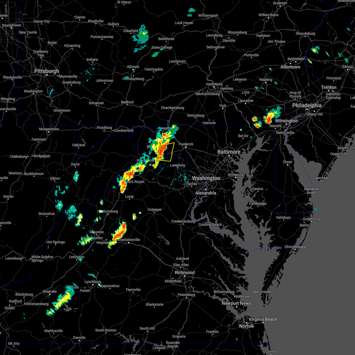 At 250 pm edt, severe thunderstorms were located along a line extending from near shepherdstown to berryville, moving east at 25 mph (radar indicated). Hazards include 60 mph wind gusts. Damaging winds will cause some trees and large branches to fall. this could injure those outdoors, as well as damage homes and vehicles. roadways may become blocked by downed trees. localized power outages are possible. unsecured light objects may become projectiles. locations impacted include, charles town, shepherdstown, ranson, harpers ferry, kearneysville, corporation of ranson, bolivar, sharpsburg, shenandoah junction, rohrersville, gapland, brownsville, antietam, neersville, moler crossroads, halltown, pleasantville, millville and bakerton. hail threat, radar indicated max hail size, <. 75 in wind threat, radar indicated max wind gust, 60 mph. At 250 pm edt, severe thunderstorms were located along a line extending from near shepherdstown to berryville, moving east at 25 mph (radar indicated). Hazards include 60 mph wind gusts. Damaging winds will cause some trees and large branches to fall. this could injure those outdoors, as well as damage homes and vehicles. roadways may become blocked by downed trees. localized power outages are possible. unsecured light objects may become projectiles. locations impacted include, charles town, shepherdstown, ranson, harpers ferry, kearneysville, corporation of ranson, bolivar, sharpsburg, shenandoah junction, rohrersville, gapland, brownsville, antietam, neersville, moler crossroads, halltown, pleasantville, millville and bakerton. hail threat, radar indicated max hail size, <. 75 in wind threat, radar indicated max wind gust, 60 mph.
|
| 7/18/2022 2:30 PM EDT |
 At 230 pm edt, severe thunderstorms were located along a line extending from near kearneysville to millwood pike, moving east at 25 mph (radar indicated). Hazards include 60 mph wind gusts. Damaging winds will cause some trees and large branches to fall. this could injure those outdoors, as well as damage homes and vehicles. roadways may become blocked by downed trees. localized power outages are possible. Unsecured light objects may become projectiles. At 230 pm edt, severe thunderstorms were located along a line extending from near kearneysville to millwood pike, moving east at 25 mph (radar indicated). Hazards include 60 mph wind gusts. Damaging winds will cause some trees and large branches to fall. this could injure those outdoors, as well as damage homes and vehicles. roadways may become blocked by downed trees. localized power outages are possible. Unsecured light objects may become projectiles.
|
| 7/2/2022 5:41 PM EDT |
 At 541 pm edt, a severe thunderstorm was located near shepherdstown, moving southeast at 25 mph (radar indicated). Hazards include 60 mph wind gusts and quarter size hail. Damaging winds will cause some trees and large branches to fall. this could injure those outdoors, as well as damage homes and vehicles. roadways may become blocked by downed trees. localized power outages are possible. unsecured light objects may become projectiles. locations impacted include, shepherdstown, brunswick, braddock heights, jefferson, keedysville, sharpsburg, rosemont, rohrersville, burkittsville, gapland, brownsville, antietam, arnoldtown, moler crossroads, knoxville, petersville and middletown in frederick md. hail threat, radar indicated max hail size, 1. 00 in wind threat, radar indicated max wind gust, 60 mph. At 541 pm edt, a severe thunderstorm was located near shepherdstown, moving southeast at 25 mph (radar indicated). Hazards include 60 mph wind gusts and quarter size hail. Damaging winds will cause some trees and large branches to fall. this could injure those outdoors, as well as damage homes and vehicles. roadways may become blocked by downed trees. localized power outages are possible. unsecured light objects may become projectiles. locations impacted include, shepherdstown, brunswick, braddock heights, jefferson, keedysville, sharpsburg, rosemont, rohrersville, burkittsville, gapland, brownsville, antietam, arnoldtown, moler crossroads, knoxville, petersville and middletown in frederick md. hail threat, radar indicated max hail size, 1. 00 in wind threat, radar indicated max wind gust, 60 mph.
|
| 7/2/2022 5:41 PM EDT |
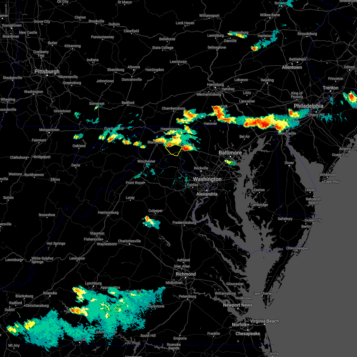 At 541 pm edt, a severe thunderstorm was located near shepherdstown, moving southeast at 25 mph (radar indicated). Hazards include 60 mph wind gusts and quarter size hail. Damaging winds will cause some trees and large branches to fall. this could injure those outdoors, as well as damage homes and vehicles. roadways may become blocked by downed trees. localized power outages are possible. unsecured light objects may become projectiles. locations impacted include, shepherdstown, brunswick, braddock heights, jefferson, keedysville, sharpsburg, rosemont, rohrersville, burkittsville, gapland, brownsville, antietam, arnoldtown, moler crossroads, knoxville, petersville and middletown in frederick md. hail threat, radar indicated max hail size, 1. 00 in wind threat, radar indicated max wind gust, 60 mph. At 541 pm edt, a severe thunderstorm was located near shepherdstown, moving southeast at 25 mph (radar indicated). Hazards include 60 mph wind gusts and quarter size hail. Damaging winds will cause some trees and large branches to fall. this could injure those outdoors, as well as damage homes and vehicles. roadways may become blocked by downed trees. localized power outages are possible. unsecured light objects may become projectiles. locations impacted include, shepherdstown, brunswick, braddock heights, jefferson, keedysville, sharpsburg, rosemont, rohrersville, burkittsville, gapland, brownsville, antietam, arnoldtown, moler crossroads, knoxville, petersville and middletown in frederick md. hail threat, radar indicated max hail size, 1. 00 in wind threat, radar indicated max wind gust, 60 mph.
|
| 7/2/2022 5:32 PM EDT |
 At 532 pm edt, a severe thunderstorm was located over shepherdstown, moving southeast at 25 mph (radar indicated). Hazards include 60 mph wind gusts and quarter size hail. Damaging winds will cause some trees and large branches to fall. this could injure those outdoors, as well as damage homes and vehicles. roadways may become blocked by downed trees. localized power outages are possible. Unsecured light objects may become projectiles. At 532 pm edt, a severe thunderstorm was located over shepherdstown, moving southeast at 25 mph (radar indicated). Hazards include 60 mph wind gusts and quarter size hail. Damaging winds will cause some trees and large branches to fall. this could injure those outdoors, as well as damage homes and vehicles. roadways may become blocked by downed trees. localized power outages are possible. Unsecured light objects may become projectiles.
|
| 7/2/2022 5:32 PM EDT |
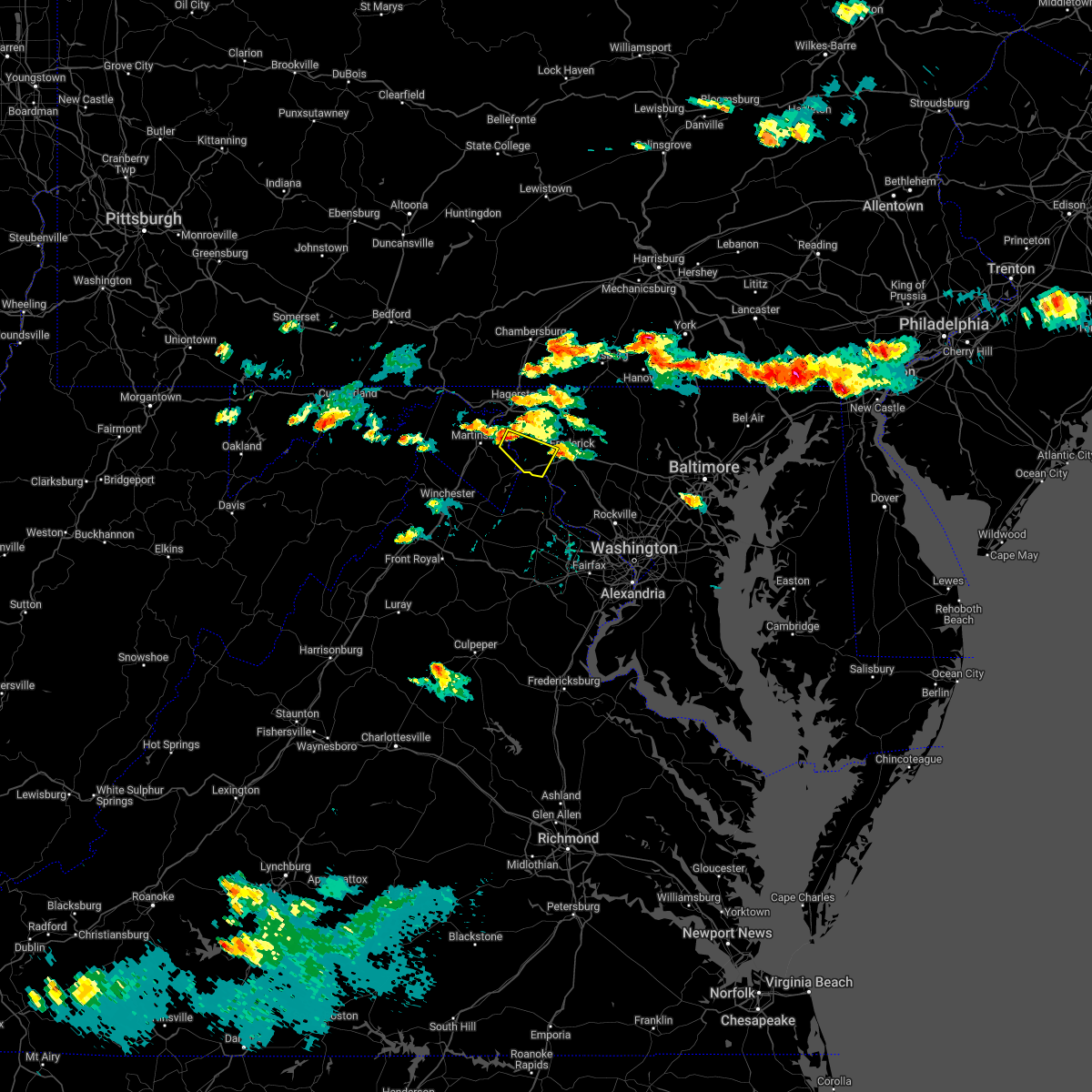 At 532 pm edt, a severe thunderstorm was located over shepherdstown, moving southeast at 25 mph (radar indicated). Hazards include 60 mph wind gusts and quarter size hail. Damaging winds will cause some trees and large branches to fall. this could injure those outdoors, as well as damage homes and vehicles. roadways may become blocked by downed trees. localized power outages are possible. Unsecured light objects may become projectiles. At 532 pm edt, a severe thunderstorm was located over shepherdstown, moving southeast at 25 mph (radar indicated). Hazards include 60 mph wind gusts and quarter size hail. Damaging winds will cause some trees and large branches to fall. this could injure those outdoors, as well as damage homes and vehicles. roadways may become blocked by downed trees. localized power outages are possible. Unsecured light objects may become projectiles.
|
| 7/1/2022 1:35 PM EDT |
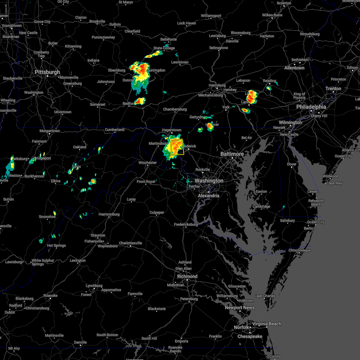 At 134 pm edt, a severe thunderstorm was located near braddock heights, or 7 miles west of frederick, moving east at 30 mph (radar indicated). Hazards include 60 mph wind gusts and quarter size hail. Damaging winds will cause some trees and large branches to fall. this could injure those outdoors, as well as damage homes and vehicles. roadways may become blocked by downed trees. localized power outages are possible. unsecured light objects may become projectiles. locations impacted include, brunswick, boonsboro, braddock heights, jefferson, myersville, keedysville, rosemont, rohrersville, burkittsville, gapland, brownsville, antietam, arnoldtown, pleasant walk, petersville, bolivar, pleasantville and middletown in frederick md. hail threat, radar indicated max hail size, 1. 00 in wind threat, observed max wind gust, 60 mph. At 134 pm edt, a severe thunderstorm was located near braddock heights, or 7 miles west of frederick, moving east at 30 mph (radar indicated). Hazards include 60 mph wind gusts and quarter size hail. Damaging winds will cause some trees and large branches to fall. this could injure those outdoors, as well as damage homes and vehicles. roadways may become blocked by downed trees. localized power outages are possible. unsecured light objects may become projectiles. locations impacted include, brunswick, boonsboro, braddock heights, jefferson, myersville, keedysville, rosemont, rohrersville, burkittsville, gapland, brownsville, antietam, arnoldtown, pleasant walk, petersville, bolivar, pleasantville and middletown in frederick md. hail threat, radar indicated max hail size, 1. 00 in wind threat, observed max wind gust, 60 mph.
|
| 7/1/2022 1:21 PM EDT |
 At 120 pm edt, a severe thunderstorm was located near boonsboro, or 7 miles east of shepherdstown, moving east at 30 mph (radar indicated). Hazards include 60 mph wind gusts and quarter size hail. Damaging winds will cause some trees and large branches to fall. this could injure those outdoors, as well as damage homes and vehicles. roadways may become blocked by downed trees. localized power outages are possible. unsecured light objects may become projectiles. locations impacted include, shepherdstown, brunswick, ranson, boonsboro, braddock heights, mount lena, harpers ferry, jefferson, myersville, keedysville, sharpsburg, shenandoah junction, fairplay, rosemont, rohrersville, burkittsville, gapland, brownsville, antietam and petersville. hail threat, radar indicated max hail size, 1. 00 in wind threat, observed max wind gust, 60 mph. At 120 pm edt, a severe thunderstorm was located near boonsboro, or 7 miles east of shepherdstown, moving east at 30 mph (radar indicated). Hazards include 60 mph wind gusts and quarter size hail. Damaging winds will cause some trees and large branches to fall. this could injure those outdoors, as well as damage homes and vehicles. roadways may become blocked by downed trees. localized power outages are possible. unsecured light objects may become projectiles. locations impacted include, shepherdstown, brunswick, ranson, boonsboro, braddock heights, mount lena, harpers ferry, jefferson, myersville, keedysville, sharpsburg, shenandoah junction, fairplay, rosemont, rohrersville, burkittsville, gapland, brownsville, antietam and petersville. hail threat, radar indicated max hail size, 1. 00 in wind threat, observed max wind gust, 60 mph.
|
| 7/1/2022 1:21 PM EDT |
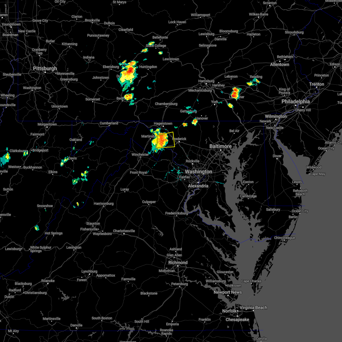 At 120 pm edt, a severe thunderstorm was located near boonsboro, or 7 miles east of shepherdstown, moving east at 30 mph (radar indicated). Hazards include 60 mph wind gusts and quarter size hail. Damaging winds will cause some trees and large branches to fall. this could injure those outdoors, as well as damage homes and vehicles. roadways may become blocked by downed trees. localized power outages are possible. unsecured light objects may become projectiles. locations impacted include, shepherdstown, brunswick, ranson, boonsboro, braddock heights, mount lena, harpers ferry, jefferson, myersville, keedysville, sharpsburg, shenandoah junction, fairplay, rosemont, rohrersville, burkittsville, gapland, brownsville, antietam and petersville. hail threat, radar indicated max hail size, 1. 00 in wind threat, observed max wind gust, 60 mph. At 120 pm edt, a severe thunderstorm was located near boonsboro, or 7 miles east of shepherdstown, moving east at 30 mph (radar indicated). Hazards include 60 mph wind gusts and quarter size hail. Damaging winds will cause some trees and large branches to fall. this could injure those outdoors, as well as damage homes and vehicles. roadways may become blocked by downed trees. localized power outages are possible. unsecured light objects may become projectiles. locations impacted include, shepherdstown, brunswick, ranson, boonsboro, braddock heights, mount lena, harpers ferry, jefferson, myersville, keedysville, sharpsburg, shenandoah junction, fairplay, rosemont, rohrersville, burkittsville, gapland, brownsville, antietam and petersville. hail threat, radar indicated max hail size, 1. 00 in wind threat, observed max wind gust, 60 mph.
|
| 7/1/2022 12:58 PM EDT |
 At 1257 pm edt, a severe thunderstorm was located near kearneysville, or near shepherdstown, moving east at 30 mph (radar indicated). Hazards include 60 mph wind gusts and quarter size hail. Damaging winds will cause some trees and large branches to fall. this could injure those outdoors, as well as damage homes and vehicles. roadways may become blocked by downed trees. localized power outages are possible. Unsecured light objects may become projectiles. At 1257 pm edt, a severe thunderstorm was located near kearneysville, or near shepherdstown, moving east at 30 mph (radar indicated). Hazards include 60 mph wind gusts and quarter size hail. Damaging winds will cause some trees and large branches to fall. this could injure those outdoors, as well as damage homes and vehicles. roadways may become blocked by downed trees. localized power outages are possible. Unsecured light objects may become projectiles.
|
| 7/1/2022 12:58 PM EDT |
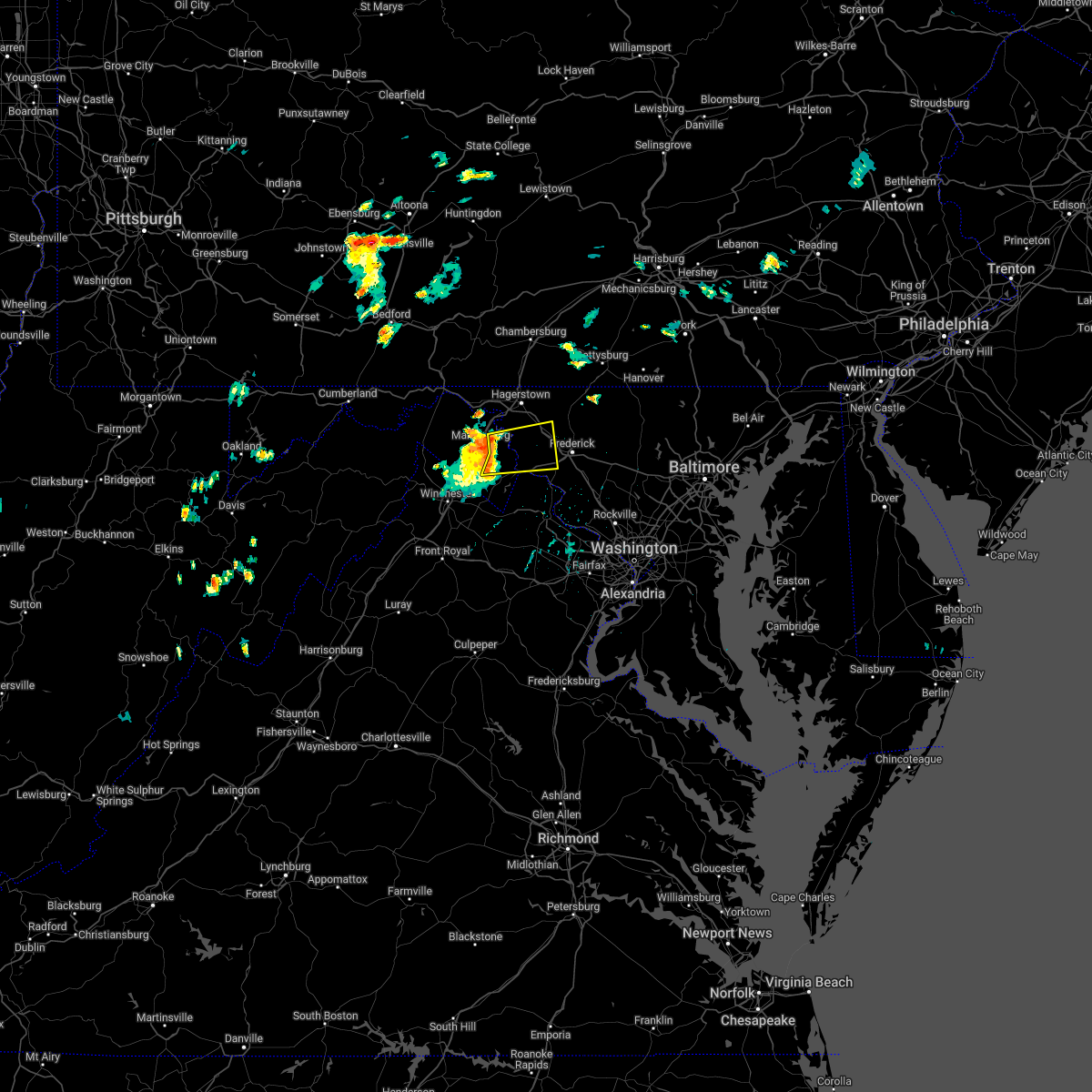 At 1257 pm edt, a severe thunderstorm was located near kearneysville, or near shepherdstown, moving east at 30 mph (radar indicated). Hazards include 60 mph wind gusts and quarter size hail. Damaging winds will cause some trees and large branches to fall. this could injure those outdoors, as well as damage homes and vehicles. roadways may become blocked by downed trees. localized power outages are possible. Unsecured light objects may become projectiles. At 1257 pm edt, a severe thunderstorm was located near kearneysville, or near shepherdstown, moving east at 30 mph (radar indicated). Hazards include 60 mph wind gusts and quarter size hail. Damaging winds will cause some trees and large branches to fall. this could injure those outdoors, as well as damage homes and vehicles. roadways may become blocked by downed trees. localized power outages are possible. Unsecured light objects may become projectiles.
|
| 6/22/2022 3:37 PM EDT |
 At 337 pm edt, severe thunderstorms were located along a line extending from near williamsport to near brunswick, moving southwest at 35 mph (radar indicated). Hazards include 60 mph wind gusts. Damaging winds will cause some trees and large branches to fall. this could injure those outdoors, as well as damage homes and vehicles. roadways may become blocked by downed trees. localized power outages are possible. Unsecured light objects may become projectiles. At 337 pm edt, severe thunderstorms were located along a line extending from near williamsport to near brunswick, moving southwest at 35 mph (radar indicated). Hazards include 60 mph wind gusts. Damaging winds will cause some trees and large branches to fall. this could injure those outdoors, as well as damage homes and vehicles. roadways may become blocked by downed trees. localized power outages are possible. Unsecured light objects may become projectiles.
|
| 6/22/2022 3:27 PM EDT |
 At 327 pm edt, severe thunderstorms were located along a line extending from braddock heights to near williamsport, moving south at 35 mph (radar indicated). Hazards include 60 mph wind gusts. Damaging winds will cause some trees and large branches to fall. this could injure those outdoors, as well as damage homes and vehicles. roadways may become blocked by downed trees. localized power outages are possible. Unsecured light objects may become projectiles. At 327 pm edt, severe thunderstorms were located along a line extending from braddock heights to near williamsport, moving south at 35 mph (radar indicated). Hazards include 60 mph wind gusts. Damaging winds will cause some trees and large branches to fall. this could injure those outdoors, as well as damage homes and vehicles. roadways may become blocked by downed trees. localized power outages are possible. Unsecured light objects may become projectiles.
|
| 6/22/2022 3:27 PM EDT |
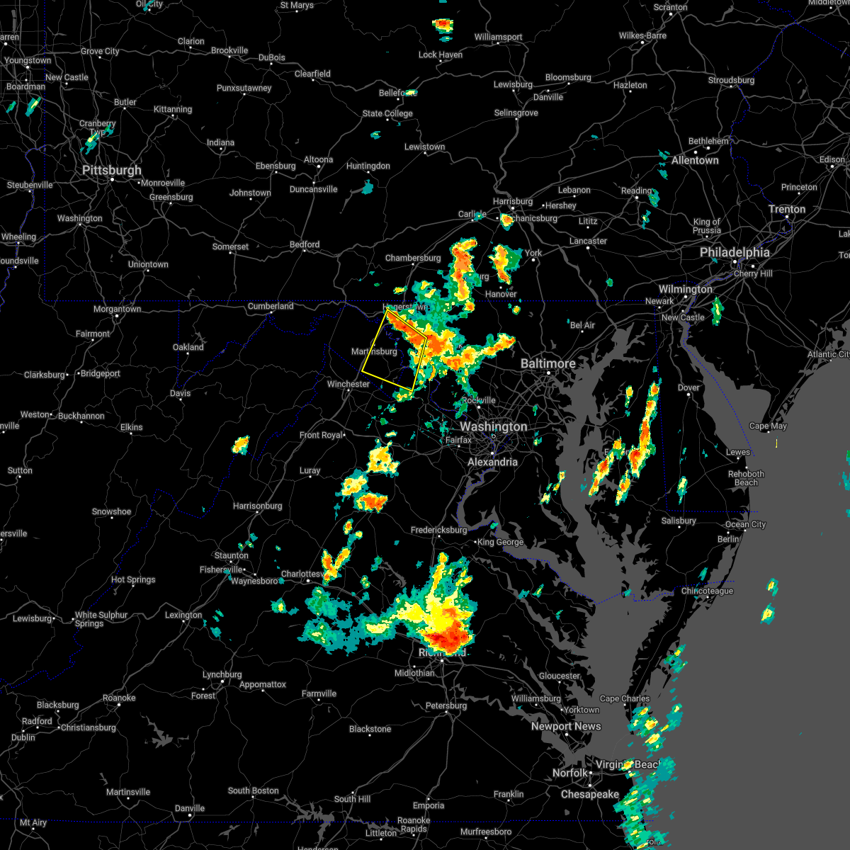 At 327 pm edt, severe thunderstorms were located along a line extending from braddock heights to near williamsport, moving south at 35 mph (radar indicated). Hazards include 60 mph wind gusts. Damaging winds will cause some trees and large branches to fall. this could injure those outdoors, as well as damage homes and vehicles. roadways may become blocked by downed trees. localized power outages are possible. Unsecured light objects may become projectiles. At 327 pm edt, severe thunderstorms were located along a line extending from braddock heights to near williamsport, moving south at 35 mph (radar indicated). Hazards include 60 mph wind gusts. Damaging winds will cause some trees and large branches to fall. this could injure those outdoors, as well as damage homes and vehicles. roadways may become blocked by downed trees. localized power outages are possible. Unsecured light objects may become projectiles.
|
| 6/22/2022 3:22 PM EDT |
 At 322 pm edt, severe thunderstorms were located along a line extending from ellicott city to near boonsboro, moving south at 50 mph (radar indicated). Hazards include 60 mph wind gusts. Damaging winds will cause some trees and large branches to fall. this could injure those outdoors, as well as damage homes and vehicles. roadways may become blocked by downed trees. localized power outages are possible. unsecured light objects may become projectiles. locations impacted include, frederick, hagerstown, charles town, shepherdstown, municipal stadium, ballenger creek, robinwood, brunswick, ranson, boonsboro, braddock heights, mount aetna, mount lena, san mar, harpers ferry, corporation of ranson, kearneysville, point of rocks, saint james and clover hill. hail threat, radar indicated max hail size, <. 75 in wind threat, radar indicated max wind gust, 60 mph. At 322 pm edt, severe thunderstorms were located along a line extending from ellicott city to near boonsboro, moving south at 50 mph (radar indicated). Hazards include 60 mph wind gusts. Damaging winds will cause some trees and large branches to fall. this could injure those outdoors, as well as damage homes and vehicles. roadways may become blocked by downed trees. localized power outages are possible. unsecured light objects may become projectiles. locations impacted include, frederick, hagerstown, charles town, shepherdstown, municipal stadium, ballenger creek, robinwood, brunswick, ranson, boonsboro, braddock heights, mount aetna, mount lena, san mar, harpers ferry, corporation of ranson, kearneysville, point of rocks, saint james and clover hill. hail threat, radar indicated max hail size, <. 75 in wind threat, radar indicated max wind gust, 60 mph.
|
| 6/22/2022 3:22 PM EDT |
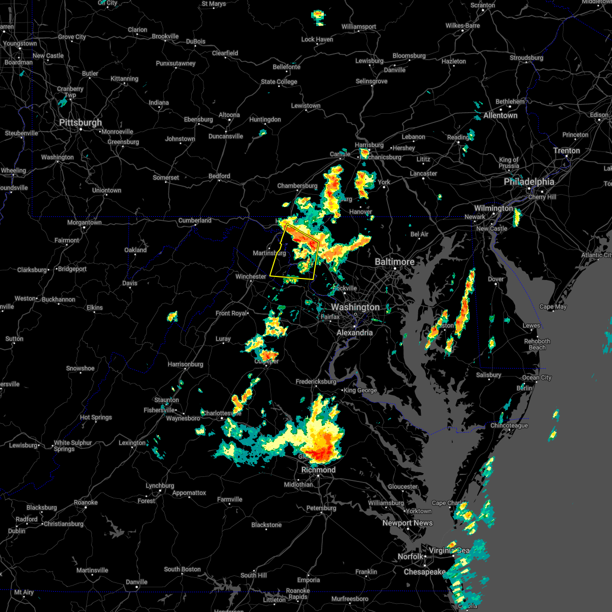 At 322 pm edt, severe thunderstorms were located along a line extending from ellicott city to near boonsboro, moving south at 50 mph (radar indicated). Hazards include 60 mph wind gusts. Damaging winds will cause some trees and large branches to fall. this could injure those outdoors, as well as damage homes and vehicles. roadways may become blocked by downed trees. localized power outages are possible. unsecured light objects may become projectiles. locations impacted include, frederick, hagerstown, charles town, shepherdstown, municipal stadium, ballenger creek, robinwood, brunswick, ranson, boonsboro, braddock heights, mount aetna, mount lena, san mar, harpers ferry, corporation of ranson, kearneysville, point of rocks, saint james and clover hill. hail threat, radar indicated max hail size, <. 75 in wind threat, radar indicated max wind gust, 60 mph. At 322 pm edt, severe thunderstorms were located along a line extending from ellicott city to near boonsboro, moving south at 50 mph (radar indicated). Hazards include 60 mph wind gusts. Damaging winds will cause some trees and large branches to fall. this could injure those outdoors, as well as damage homes and vehicles. roadways may become blocked by downed trees. localized power outages are possible. unsecured light objects may become projectiles. locations impacted include, frederick, hagerstown, charles town, shepherdstown, municipal stadium, ballenger creek, robinwood, brunswick, ranson, boonsboro, braddock heights, mount aetna, mount lena, san mar, harpers ferry, corporation of ranson, kearneysville, point of rocks, saint james and clover hill. hail threat, radar indicated max hail size, <. 75 in wind threat, radar indicated max wind gust, 60 mph.
|
| 6/22/2022 3:12 PM EDT |
 At 311 pm edt, severe thunderstorms were located along a line extending from near randallstown to san mar, moving southeast at 85 mph (radar indicated). Hazards include 60 mph wind gusts. Damaging winds will cause some trees and large branches to fall. this could injure those outdoors, as well as damage homes and vehicles. roadways may become blocked by downed trees. localized power outages are possible. unsecured light objects may become projectiles. locations impacted include, columbia, germantown, frederick, hagerstown, olney, westminster, damascus, thurmont, charles town, shepherdstown, municipal stadium, harry grove stadium, montgomery village, eldersburg, ballenger creek, mount airy, robinwood, brunswick, walkersville and fountainhead-orchard hills. hail threat, radar indicated max hail size, <. 75 in wind threat, radar indicated max wind gust, 60 mph. At 311 pm edt, severe thunderstorms were located along a line extending from near randallstown to san mar, moving southeast at 85 mph (radar indicated). Hazards include 60 mph wind gusts. Damaging winds will cause some trees and large branches to fall. this could injure those outdoors, as well as damage homes and vehicles. roadways may become blocked by downed trees. localized power outages are possible. unsecured light objects may become projectiles. locations impacted include, columbia, germantown, frederick, hagerstown, olney, westminster, damascus, thurmont, charles town, shepherdstown, municipal stadium, harry grove stadium, montgomery village, eldersburg, ballenger creek, mount airy, robinwood, brunswick, walkersville and fountainhead-orchard hills. hail threat, radar indicated max hail size, <. 75 in wind threat, radar indicated max wind gust, 60 mph.
|
| 6/22/2022 2:56 PM EDT |
 At 255 pm edt, severe thunderstorms were located along a line extending from near manchester to paramount-long meadow, moving south at 50 mph (radar indicated). Hazards include 60 mph wind gusts. Damaging winds will cause some trees and large branches to fall. this could injure those outdoors, as well as damage homes and vehicles. roadways may become blocked by downed trees. localized power outages are possible. Unsecured light objects may become projectiles. At 255 pm edt, severe thunderstorms were located along a line extending from near manchester to paramount-long meadow, moving south at 50 mph (radar indicated). Hazards include 60 mph wind gusts. Damaging winds will cause some trees and large branches to fall. this could injure those outdoors, as well as damage homes and vehicles. roadways may become blocked by downed trees. localized power outages are possible. Unsecured light objects may become projectiles.
|
| 6/14/2022 4:27 AM EDT |
 At 427 am edt, severe thunderstorms were located along a line extending from mercersburg to wilson-conococheague to near saint james to near shepherdstown, moving east at 25 mph (radar indicated). Hazards include 60 mph wind gusts and quarter size hail. Damaging winds will cause some trees and large branches to fall. this could injure those outdoors, as well as damage homes and vehicles. roadways may become blocked by downed trees. localized power outages are possible. unsecured light objects may become projectiles. locations impacted include, hagerstown, shepherdstown, municipal stadium, robinwood, fountainhead-orchard hills, boonsboro, smithsburg, paramount-long meadow, wilson-conococheague, williamsport, mount aetna, mount lena, san mar, long meadow, saint james, halfway, maugansville, cavetown, keedysville and funkstown. hail threat, radar indicated max hail size, 1. 00 in wind threat, radar indicated max wind gust, 60 mph. At 427 am edt, severe thunderstorms were located along a line extending from mercersburg to wilson-conococheague to near saint james to near shepherdstown, moving east at 25 mph (radar indicated). Hazards include 60 mph wind gusts and quarter size hail. Damaging winds will cause some trees and large branches to fall. this could injure those outdoors, as well as damage homes and vehicles. roadways may become blocked by downed trees. localized power outages are possible. unsecured light objects may become projectiles. locations impacted include, hagerstown, shepherdstown, municipal stadium, robinwood, fountainhead-orchard hills, boonsboro, smithsburg, paramount-long meadow, wilson-conococheague, williamsport, mount aetna, mount lena, san mar, long meadow, saint james, halfway, maugansville, cavetown, keedysville and funkstown. hail threat, radar indicated max hail size, 1. 00 in wind threat, radar indicated max wind gust, 60 mph.
|
| 6/14/2022 4:01 AM EDT |
 At 401 am edt, severe thunderstorms were located along a line extending from near big cove tannery to 8 miles west of wilson-conococheague to martinsburg to near inwood, moving east at 25 mph (radar indicated). Hazards include 60 mph wind gusts and quarter size hail. Damaging winds will cause some trees and large branches to fall. this could injure those outdoors, as well as damage homes and vehicles. roadways may become blocked by downed trees. localized power outages are possible. Unsecured light objects may become projectiles. At 401 am edt, severe thunderstorms were located along a line extending from near big cove tannery to 8 miles west of wilson-conococheague to martinsburg to near inwood, moving east at 25 mph (radar indicated). Hazards include 60 mph wind gusts and quarter size hail. Damaging winds will cause some trees and large branches to fall. this could injure those outdoors, as well as damage homes and vehicles. roadways may become blocked by downed trees. localized power outages are possible. Unsecured light objects may become projectiles.
|
| 3/31/2022 5:56 PM EDT |
 At 555 pm edt, a severe thunderstorm was located over martinsburg, moving northeast at 55 mph (radar indicated). Hazards include 60 mph wind gusts and quarter size hail. Damaging winds will cause some trees and large branches to fall. this could injure those outdoors, as well as damage homes and vehicles. roadways may become blocked by downed trees. localized power outages are possible. Unsecured light objects may become projectiles. At 555 pm edt, a severe thunderstorm was located over martinsburg, moving northeast at 55 mph (radar indicated). Hazards include 60 mph wind gusts and quarter size hail. Damaging winds will cause some trees and large branches to fall. this could injure those outdoors, as well as damage homes and vehicles. roadways may become blocked by downed trees. localized power outages are possible. Unsecured light objects may become projectiles.
|
| 3/7/2022 7:24 PM EST |
 At 724 pm est, severe thunderstorms were located along a line extending from near emmitsburg to braddock heights, moving east at 55 mph (radar indicated). Hazards include 60 mph wind gusts. Damaging winds will cause some trees and large branches to fall. this could injure those outdoors, as well as damage homes and vehicles. roadways may become blocked by downed trees. localized power outages are possible. Unsecured light objects may become projectiles. At 724 pm est, severe thunderstorms were located along a line extending from near emmitsburg to braddock heights, moving east at 55 mph (radar indicated). Hazards include 60 mph wind gusts. Damaging winds will cause some trees and large branches to fall. this could injure those outdoors, as well as damage homes and vehicles. roadways may become blocked by downed trees. localized power outages are possible. Unsecured light objects may become projectiles.
|
| 9/15/2021 7:05 PM EDT |
 The severe thunderstorm warning for east central washington and west central frederick counties in north central maryland, northeastern jefferson and east central berkeley counties in the panhandle of west virginia will expire at 715 pm edt, the storm which prompted the warning has weakened below severe limits, and no longer poses an immediate threat to life or property. therefore, the warning will be allowed to expire. to report severe weather, contact your nearest law enforcement agency. they will relay your report to the national weather service sterling virginia. The severe thunderstorm warning for east central washington and west central frederick counties in north central maryland, northeastern jefferson and east central berkeley counties in the panhandle of west virginia will expire at 715 pm edt, the storm which prompted the warning has weakened below severe limits, and no longer poses an immediate threat to life or property. therefore, the warning will be allowed to expire. to report severe weather, contact your nearest law enforcement agency. they will relay your report to the national weather service sterling virginia.
|
| 9/15/2021 6:45 PM EDT |
 At 645 pm edt, a severe thunderstorm was located near boonsboro, or near shepherdstown, moving east at 30 mph (radar indicated). Hazards include 60 mph wind gusts. Damaging winds will cause some trees and large branches to fall. this could injure those outdoors, as well as damage homes and vehicles. roadways may become blocked by downed trees. localized power outages are possible. unsecured light objects may become projectiles. locations impacted include, shepherdstown, boonsboro, mount lena, san mar, wolfsville, myersville, keedysville, sharpsburg, fairplay, rohrersville, pleasant walk and bolivar. hail threat, radar indicated max hail size, <. 75 in wind threat, radar indicated max wind gust, 60 mph. At 645 pm edt, a severe thunderstorm was located near boonsboro, or near shepherdstown, moving east at 30 mph (radar indicated). Hazards include 60 mph wind gusts. Damaging winds will cause some trees and large branches to fall. this could injure those outdoors, as well as damage homes and vehicles. roadways may become blocked by downed trees. localized power outages are possible. unsecured light objects may become projectiles. locations impacted include, shepherdstown, boonsboro, mount lena, san mar, wolfsville, myersville, keedysville, sharpsburg, fairplay, rohrersville, pleasant walk and bolivar. hail threat, radar indicated max hail size, <. 75 in wind threat, radar indicated max wind gust, 60 mph.
|
| 9/15/2021 6:35 PM EDT |
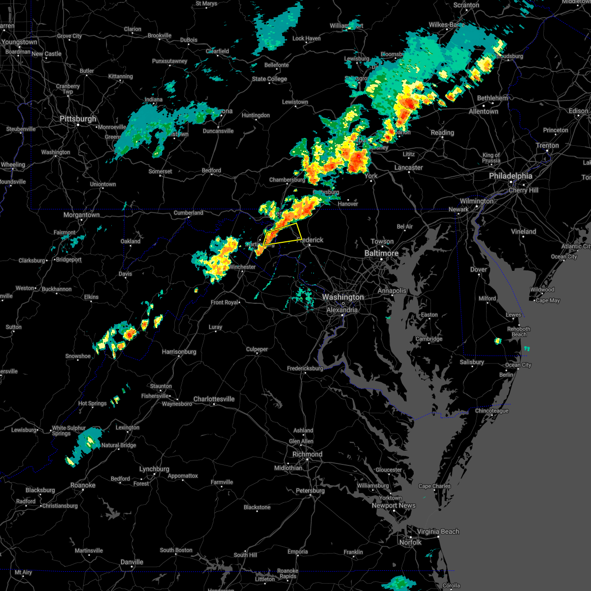 At 634 pm edt, a severe thunderstorm was located near shepherdstown, moving east at 30 mph (radar indicated). Hazards include 60 mph wind gusts. Damaging winds will cause some trees and large branches to fall. this could injure those outdoors, as well as damage homes and vehicles. roadways may become blocked by downed trees. localized power outages are possible. unsecured light objects may become projectiles. locations impacted include, shepherdstown, boonsboro, mount aetna, mount lena, san mar, wolfsville, saint james, myersville, keedysville, sharpsburg, fairplay, rohrersville, winebrenners cross, pleasant walk and bolivar. hail threat, radar indicated max hail size, <. 75 in wind threat, radar indicated max wind gust, 60 mph. At 634 pm edt, a severe thunderstorm was located near shepherdstown, moving east at 30 mph (radar indicated). Hazards include 60 mph wind gusts. Damaging winds will cause some trees and large branches to fall. this could injure those outdoors, as well as damage homes and vehicles. roadways may become blocked by downed trees. localized power outages are possible. unsecured light objects may become projectiles. locations impacted include, shepherdstown, boonsboro, mount aetna, mount lena, san mar, wolfsville, saint james, myersville, keedysville, sharpsburg, fairplay, rohrersville, winebrenners cross, pleasant walk and bolivar. hail threat, radar indicated max hail size, <. 75 in wind threat, radar indicated max wind gust, 60 mph.
|
| 9/15/2021 6:23 PM EDT |
 At 623 pm edt, a severe thunderstorm was located near martinsburg, moving east at 30 mph (radar indicated). Hazards include 60 mph wind gusts. Damaging winds will cause some trees and large branches to fall. this could injure those outdoors, as well as damage homes and vehicles. roadways may become blocked by downed trees. localized power outages are possible. Unsecured light objects may become projectiles. At 623 pm edt, a severe thunderstorm was located near martinsburg, moving east at 30 mph (radar indicated). Hazards include 60 mph wind gusts. Damaging winds will cause some trees and large branches to fall. this could injure those outdoors, as well as damage homes and vehicles. roadways may become blocked by downed trees. localized power outages are possible. Unsecured light objects may become projectiles.
|
| 9/15/2021 6:23 PM EDT |
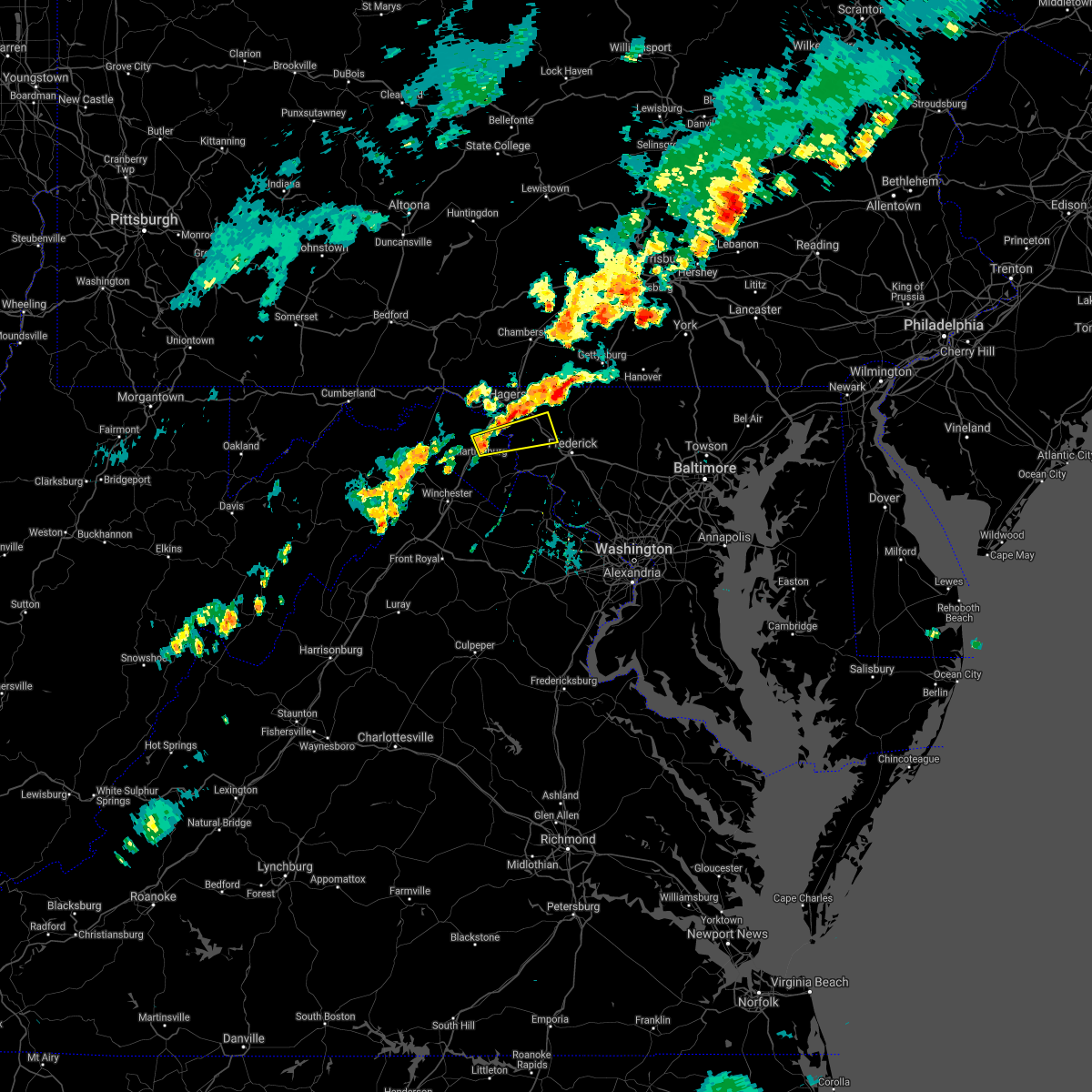 At 623 pm edt, a severe thunderstorm was located near martinsburg, moving east at 30 mph (radar indicated). Hazards include 60 mph wind gusts. Damaging winds will cause some trees and large branches to fall. this could injure those outdoors, as well as damage homes and vehicles. roadways may become blocked by downed trees. localized power outages are possible. Unsecured light objects may become projectiles. At 623 pm edt, a severe thunderstorm was located near martinsburg, moving east at 30 mph (radar indicated). Hazards include 60 mph wind gusts. Damaging winds will cause some trees and large branches to fall. this could injure those outdoors, as well as damage homes and vehicles. roadways may become blocked by downed trees. localized power outages are possible. Unsecured light objects may become projectiles.
|
| 9/8/2021 9:27 PM EDT |
 At 926 pm edt, severe thunderstorms were located along a line extending from near boonsboro to harpers ferry, moving east at 20 mph (radar indicated). Hazards include 60 mph wind gusts and quarter size hail. Damaging winds will cause some trees and large branches to fall. this could injure those outdoors, as well as damage homes and vehicles. roadways may become blocked by downed trees. localized power outages are possible. unsecured light objects may become projectiles. locations impacted include, frederick, harry grove stadium, ballenger creek, brunswick, walkersville, boonsboro, braddock heights, harpers ferry, clover hill, discovery-spring garden, point of rocks, linganore-bartonsville, adamstown, jefferson, myersville, lovettsville, woodsboro, buckeystown, rosemont and rohrersville. hail threat, radar indicated max hail size, 1. 00 in wind threat, radar indicated max wind gust, 60 mph. At 926 pm edt, severe thunderstorms were located along a line extending from near boonsboro to harpers ferry, moving east at 20 mph (radar indicated). Hazards include 60 mph wind gusts and quarter size hail. Damaging winds will cause some trees and large branches to fall. this could injure those outdoors, as well as damage homes and vehicles. roadways may become blocked by downed trees. localized power outages are possible. unsecured light objects may become projectiles. locations impacted include, frederick, harry grove stadium, ballenger creek, brunswick, walkersville, boonsboro, braddock heights, harpers ferry, clover hill, discovery-spring garden, point of rocks, linganore-bartonsville, adamstown, jefferson, myersville, lovettsville, woodsboro, buckeystown, rosemont and rohrersville. hail threat, radar indicated max hail size, 1. 00 in wind threat, radar indicated max wind gust, 60 mph.
|
| 9/8/2021 9:11 PM EDT |
 At 911 pm edt, severe thunderstorms were located along a line extending from near shepherdstown to near corporation of ranson, moving east at 20 mph (radar indicated). Hazards include 60 mph wind gusts and quarter size hail. Damaging winds will cause some trees and large branches to fall. this could injure those outdoors, as well as damage homes and vehicles. roadways may become blocked by downed trees. localized power outages are possible. Unsecured light objects may become projectiles. At 911 pm edt, severe thunderstorms were located along a line extending from near shepherdstown to near corporation of ranson, moving east at 20 mph (radar indicated). Hazards include 60 mph wind gusts and quarter size hail. Damaging winds will cause some trees and large branches to fall. this could injure those outdoors, as well as damage homes and vehicles. roadways may become blocked by downed trees. localized power outages are possible. Unsecured light objects may become projectiles.
|
| 8/25/2021 4:49 PM EDT |
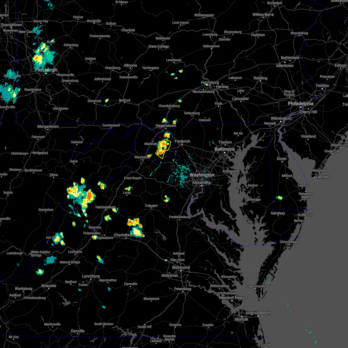 At 449 pm edt, severe thunderstorms were located along a line extending from near shepherdstown to charles town, and are nearly stationary (radar indicated). Hazards include 60 mph wind gusts. Damaging winds will cause some trees and large branches to fall. this could injure those outdoors, as well as damage homes and vehicles. roadways may become blocked by downed trees. localized power outages are possible. unsecured light objects may become projectiles. locations impacted include, charles town, shepherdstown, ranson, harpers ferry, corporation of ranson, keedysville, bolivar, sharpsburg, shenandoah junction, rohrersville, gapland, brownsville, antietam, moler crossroads, halltown, pleasantville, millville and bakerton. hail threat, radar indicated max hail size, <. 75 in wind threat, radar indicated max wind gust, 60 mph. At 449 pm edt, severe thunderstorms were located along a line extending from near shepherdstown to charles town, and are nearly stationary (radar indicated). Hazards include 60 mph wind gusts. Damaging winds will cause some trees and large branches to fall. this could injure those outdoors, as well as damage homes and vehicles. roadways may become blocked by downed trees. localized power outages are possible. unsecured light objects may become projectiles. locations impacted include, charles town, shepherdstown, ranson, harpers ferry, corporation of ranson, keedysville, bolivar, sharpsburg, shenandoah junction, rohrersville, gapland, brownsville, antietam, moler crossroads, halltown, pleasantville, millville and bakerton. hail threat, radar indicated max hail size, <. 75 in wind threat, radar indicated max wind gust, 60 mph.
|
| 8/25/2021 4:30 PM EDT |
 At 430 pm edt, severe thunderstorms were located along a line extending from near kearneysville to charles town, and are nearly stationary (radar indicated). Hazards include 60 mph wind gusts. Damaging winds will cause some trees and large branches to fall. this could injure those outdoors, as well as damage homes and vehicles. roadways may become blocked by downed trees. localized power outages are possible. unsecured light objects may become projectiles. locations impacted include, charles town, shepherdstown, ranson, harpers ferry, kearneysville, corporation of ranson, keedysville, bolivar, sharpsburg, shenandoah junction, rohrersville, gapland, brownsville, antietam, moler crossroads, halltown, pleasantville, millville, bakerton and summit point. hail threat, radar indicated max hail size, <. 75 in wind threat, radar indicated max wind gust, 60 mph. At 430 pm edt, severe thunderstorms were located along a line extending from near kearneysville to charles town, and are nearly stationary (radar indicated). Hazards include 60 mph wind gusts. Damaging winds will cause some trees and large branches to fall. this could injure those outdoors, as well as damage homes and vehicles. roadways may become blocked by downed trees. localized power outages are possible. unsecured light objects may become projectiles. locations impacted include, charles town, shepherdstown, ranson, harpers ferry, kearneysville, corporation of ranson, keedysville, bolivar, sharpsburg, shenandoah junction, rohrersville, gapland, brownsville, antietam, moler crossroads, halltown, pleasantville, millville, bakerton and summit point. hail threat, radar indicated max hail size, <. 75 in wind threat, radar indicated max wind gust, 60 mph.
|
| 8/25/2021 4:30 PM EDT |
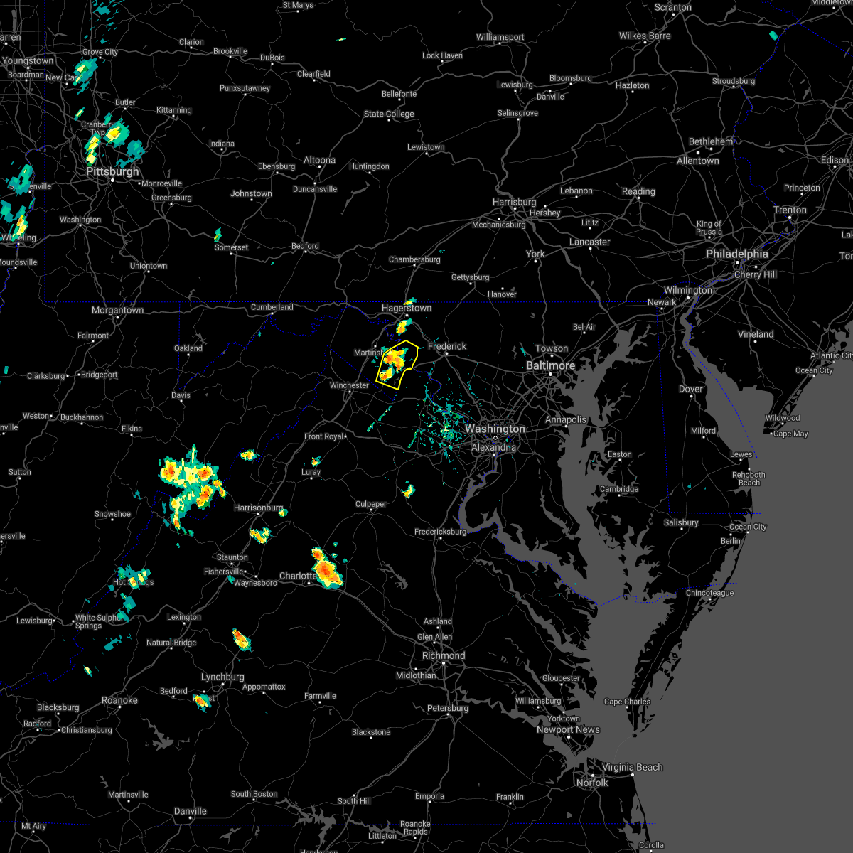 At 430 pm edt, severe thunderstorms were located along a line extending from near kearneysville to charles town, and are nearly stationary (radar indicated). Hazards include 60 mph wind gusts. Damaging winds will cause some trees and large branches to fall. this could injure those outdoors, as well as damage homes and vehicles. roadways may become blocked by downed trees. localized power outages are possible. unsecured light objects may become projectiles. locations impacted include, charles town, shepherdstown, ranson, harpers ferry, kearneysville, corporation of ranson, keedysville, bolivar, sharpsburg, shenandoah junction, rohrersville, gapland, brownsville, antietam, moler crossroads, halltown, pleasantville, millville, bakerton and summit point. hail threat, radar indicated max hail size, <. 75 in wind threat, radar indicated max wind gust, 60 mph. At 430 pm edt, severe thunderstorms were located along a line extending from near kearneysville to charles town, and are nearly stationary (radar indicated). Hazards include 60 mph wind gusts. Damaging winds will cause some trees and large branches to fall. this could injure those outdoors, as well as damage homes and vehicles. roadways may become blocked by downed trees. localized power outages are possible. unsecured light objects may become projectiles. locations impacted include, charles town, shepherdstown, ranson, harpers ferry, kearneysville, corporation of ranson, keedysville, bolivar, sharpsburg, shenandoah junction, rohrersville, gapland, brownsville, antietam, moler crossroads, halltown, pleasantville, millville, bakerton and summit point. hail threat, radar indicated max hail size, <. 75 in wind threat, radar indicated max wind gust, 60 mph.
|
| 8/25/2021 4:21 PM EDT |
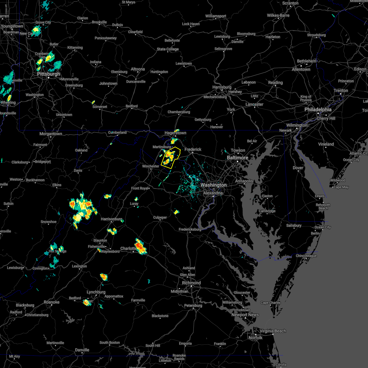 At 420 pm edt, severe thunderstorms were located along a line extending from near kearneysville to charles town, and are nearly stationary (radar indicated). Hazards include 60 mph wind gusts. Damaging winds will cause some trees and large branches to fall. this could injure those outdoors, as well as damage homes and vehicles. roadways may become blocked by downed trees. localized power outages are possible. Unsecured light objects may become projectiles. At 420 pm edt, severe thunderstorms were located along a line extending from near kearneysville to charles town, and are nearly stationary (radar indicated). Hazards include 60 mph wind gusts. Damaging winds will cause some trees and large branches to fall. this could injure those outdoors, as well as damage homes and vehicles. roadways may become blocked by downed trees. localized power outages are possible. Unsecured light objects may become projectiles.
|
| 8/11/2021 3:11 PM EDT |
 At 310 pm edt, a severe thunderstorm was located near williamsport, or 7 miles northeast of martinsburg, moving east at 15 mph (radar indicated). Hazards include 70 mph wind gusts and quarter size hail. Damaging winds will cause some trees and large branches to fall. this could injure those outdoors, as well as damage homes and vehicles. roadways may become blocked by downed trees. localized power outages are possible. unsecured light objects may become projectiles. locations impacted include, hagerstown, shepherdstown, municipal stadium, robinwood, boonsboro, paramount-long meadow, wilson-conococheague, williamsport, mount lena, san mar, saint james, halfway, keedysville, funkstown, falling waters, sharpsburg, fairplay, chewsville, rohrersville and gapland. thunderstorm damage threat, considerable hail threat, radar indicated max hail size, 1. 00 in wind threat, radar indicated max wind gust, 70 mph. At 310 pm edt, a severe thunderstorm was located near williamsport, or 7 miles northeast of martinsburg, moving east at 15 mph (radar indicated). Hazards include 70 mph wind gusts and quarter size hail. Damaging winds will cause some trees and large branches to fall. this could injure those outdoors, as well as damage homes and vehicles. roadways may become blocked by downed trees. localized power outages are possible. unsecured light objects may become projectiles. locations impacted include, hagerstown, shepherdstown, municipal stadium, robinwood, boonsboro, paramount-long meadow, wilson-conococheague, williamsport, mount lena, san mar, saint james, halfway, keedysville, funkstown, falling waters, sharpsburg, fairplay, chewsville, rohrersville and gapland. thunderstorm damage threat, considerable hail threat, radar indicated max hail size, 1. 00 in wind threat, radar indicated max wind gust, 70 mph.
|
| 8/11/2021 3:11 PM EDT |
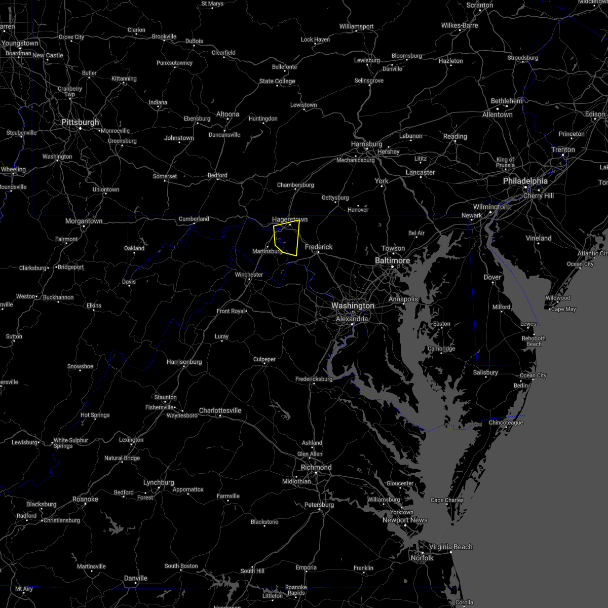 At 310 pm edt, a severe thunderstorm was located near williamsport, or 7 miles northeast of martinsburg, moving east at 15 mph (radar indicated). Hazards include 70 mph wind gusts and quarter size hail. Damaging winds will cause some trees and large branches to fall. this could injure those outdoors, as well as damage homes and vehicles. roadways may become blocked by downed trees. localized power outages are possible. unsecured light objects may become projectiles. locations impacted include, hagerstown, shepherdstown, municipal stadium, robinwood, boonsboro, paramount-long meadow, wilson-conococheague, williamsport, mount lena, san mar, saint james, halfway, keedysville, funkstown, falling waters, sharpsburg, fairplay, chewsville, rohrersville and gapland. thunderstorm damage threat, considerable hail threat, radar indicated max hail size, 1. 00 in wind threat, radar indicated max wind gust, 70 mph. At 310 pm edt, a severe thunderstorm was located near williamsport, or 7 miles northeast of martinsburg, moving east at 15 mph (radar indicated). Hazards include 70 mph wind gusts and quarter size hail. Damaging winds will cause some trees and large branches to fall. this could injure those outdoors, as well as damage homes and vehicles. roadways may become blocked by downed trees. localized power outages are possible. unsecured light objects may become projectiles. locations impacted include, hagerstown, shepherdstown, municipal stadium, robinwood, boonsboro, paramount-long meadow, wilson-conococheague, williamsport, mount lena, san mar, saint james, halfway, keedysville, funkstown, falling waters, sharpsburg, fairplay, chewsville, rohrersville and gapland. thunderstorm damage threat, considerable hail threat, radar indicated max hail size, 1. 00 in wind threat, radar indicated max wind gust, 70 mph.
|
| 8/11/2021 2:56 PM EDT |
 At 255 pm edt, a severe thunderstorm was located near martinsburg, moving east at 15 mph (radar indicated). Hazards include 60 mph wind gusts. Damaging winds will cause some trees and large branches to fall. this could injure those outdoors, as well as damage homes and vehicles. roadways may become blocked by downed trees. localized power outages are possible. unsecured light objects may become projectiles. locations impacted include, hagerstown, martinsburg, shepherdstown, municipal stadium, robinwood, boonsboro, paramount-long meadow, wilson-conococheague, williamsport, mount lena, san mar, saint james, berkeley, halfway, keedysville, funkstown, falling waters, sharpsburg, fairplay and chewsville. hail threat, radar indicated max hail size, <. 75 in wind threat, radar indicated max wind gust, 60 mph. At 255 pm edt, a severe thunderstorm was located near martinsburg, moving east at 15 mph (radar indicated). Hazards include 60 mph wind gusts. Damaging winds will cause some trees and large branches to fall. this could injure those outdoors, as well as damage homes and vehicles. roadways may become blocked by downed trees. localized power outages are possible. unsecured light objects may become projectiles. locations impacted include, hagerstown, martinsburg, shepherdstown, municipal stadium, robinwood, boonsboro, paramount-long meadow, wilson-conococheague, williamsport, mount lena, san mar, saint james, berkeley, halfway, keedysville, funkstown, falling waters, sharpsburg, fairplay and chewsville. hail threat, radar indicated max hail size, <. 75 in wind threat, radar indicated max wind gust, 60 mph.
|
| 8/11/2021 2:51 PM EDT |
 At 251 pm edt, a severe thunderstorm was located near martinsburg, moving east at 15 mph (radar indicated). Hazards include 60 mph wind gusts. Damaging winds will cause some trees and large branches to fall. this could injure those outdoors, as well as damage homes and vehicles. roadways may become blocked by downed trees. localized power outages are possible. Unsecured light objects may become projectiles. At 251 pm edt, a severe thunderstorm was located near martinsburg, moving east at 15 mph (radar indicated). Hazards include 60 mph wind gusts. Damaging winds will cause some trees and large branches to fall. this could injure those outdoors, as well as damage homes and vehicles. roadways may become blocked by downed trees. localized power outages are possible. Unsecured light objects may become projectiles.
|
| 8/11/2021 2:51 PM EDT |
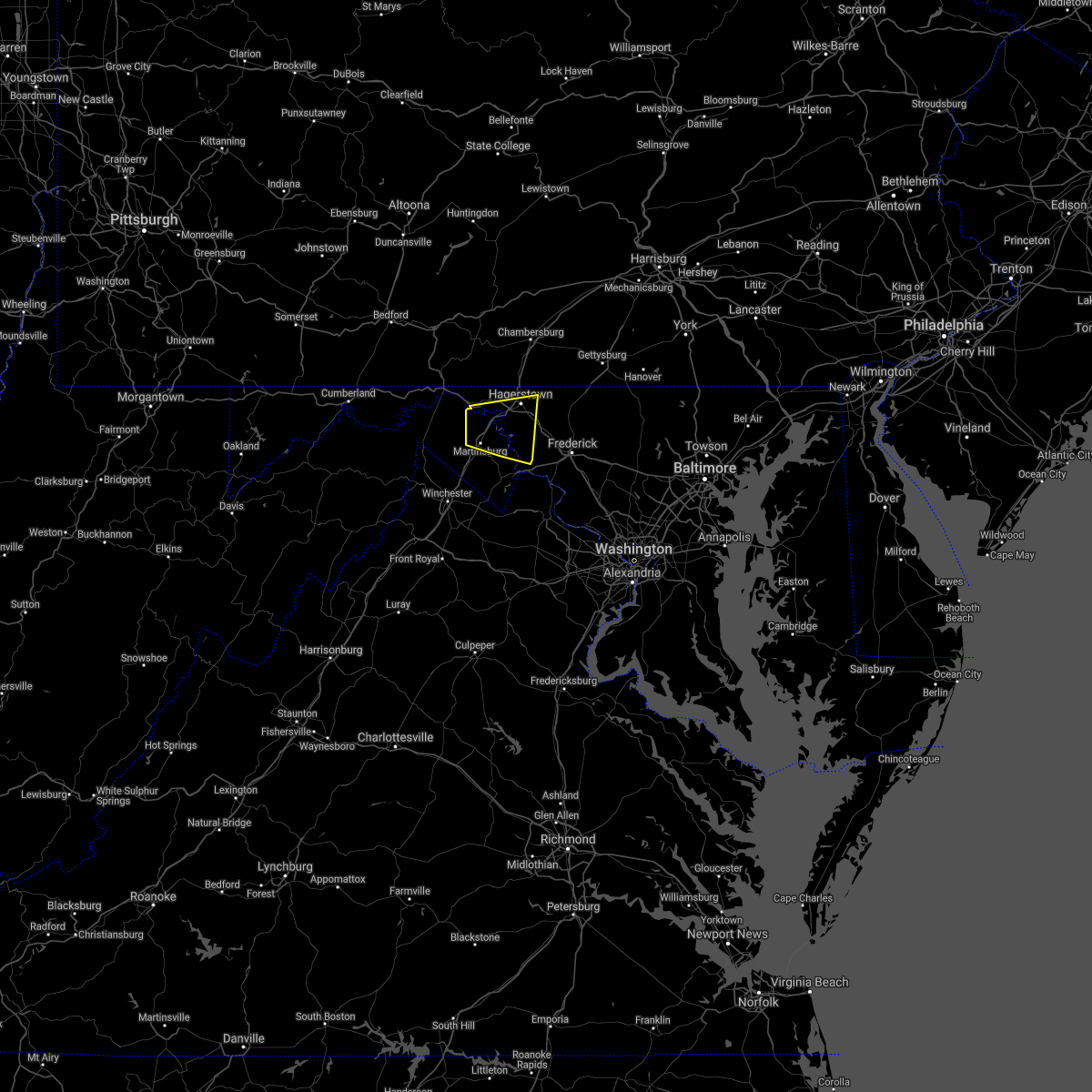 At 251 pm edt, a severe thunderstorm was located near martinsburg, moving east at 15 mph (radar indicated). Hazards include 60 mph wind gusts. Damaging winds will cause some trees and large branches to fall. this could injure those outdoors, as well as damage homes and vehicles. roadways may become blocked by downed trees. localized power outages are possible. Unsecured light objects may become projectiles. At 251 pm edt, a severe thunderstorm was located near martinsburg, moving east at 15 mph (radar indicated). Hazards include 60 mph wind gusts. Damaging winds will cause some trees and large branches to fall. this could injure those outdoors, as well as damage homes and vehicles. roadways may become blocked by downed trees. localized power outages are possible. Unsecured light objects may become projectiles.
|
| 7/17/2021 6:45 PM EDT |
 At 645 pm edt, severe thunderstorms were located along a line extending from near saint james to near boonsboro, moving east at 45 mph (radar indicated). Hazards include 60 mph wind gusts. Damaging winds will cause some trees and large branches to fall. this could injure those outdoors, as well as damage homes and vehicles. roadways may become blocked by downed trees. localized power outages are possible. Unsecured light objects may become projectiles. At 645 pm edt, severe thunderstorms were located along a line extending from near saint james to near boonsboro, moving east at 45 mph (radar indicated). Hazards include 60 mph wind gusts. Damaging winds will cause some trees and large branches to fall. this could injure those outdoors, as well as damage homes and vehicles. roadways may become blocked by downed trees. localized power outages are possible. Unsecured light objects may become projectiles.
|
| 7/17/2021 5:44 PM EDT |
 At 544 pm edt, a severe thunderstorm was located over boonsboro, or 7 miles east of shepherdstown, moving northeast at 40 mph (radar indicated). Hazards include 60 mph wind gusts. Damaging winds will cause some trees and large branches to fall. this could injure those outdoors, as well as damage homes and vehicles. roadways may become blocked by downed trees. localized power outages are possible. Unsecured light objects may become projectiles. At 544 pm edt, a severe thunderstorm was located over boonsboro, or 7 miles east of shepherdstown, moving northeast at 40 mph (radar indicated). Hazards include 60 mph wind gusts. Damaging winds will cause some trees and large branches to fall. this could injure those outdoors, as well as damage homes and vehicles. roadways may become blocked by downed trees. localized power outages are possible. Unsecured light objects may become projectiles.
|
| 7/12/2021 3:03 PM EDT |
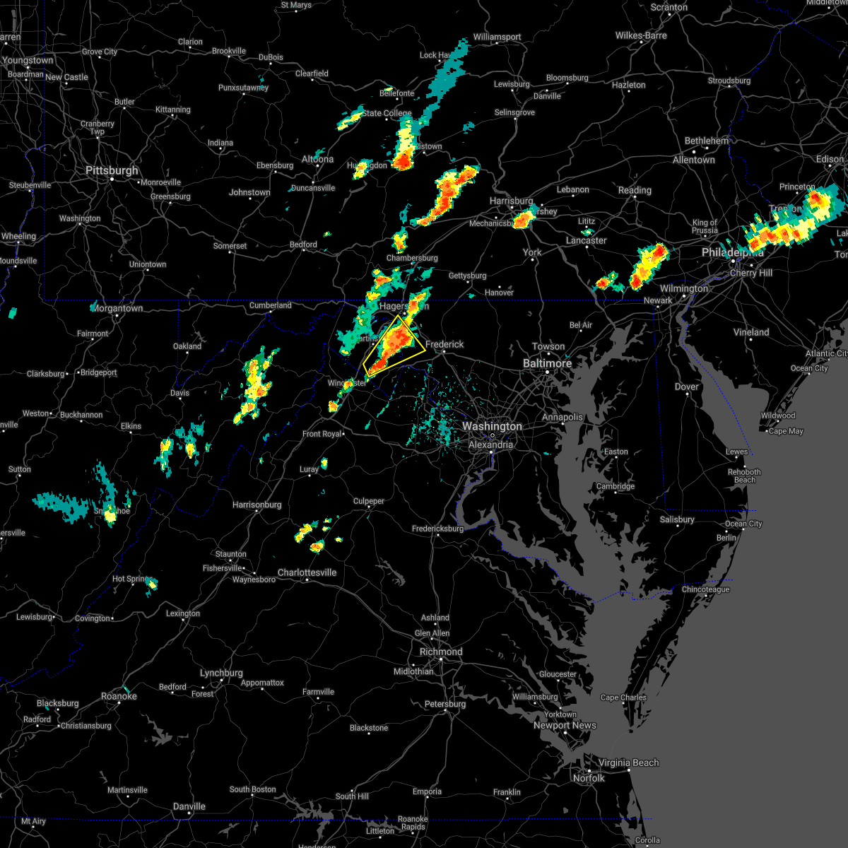 At 303 pm edt, a severe thunderstorm was located over shepherdstown, moving northeast at 25 mph (radar indicated). Hazards include 60 mph wind gusts and quarter size hail. Damaging winds will cause some trees and large branches to fall. this could injure those outdoors, as well as damage homes and vehicles. roadways may become blocked by downed trees. localized power outages are possible. unsecured light objects may become projectiles. Locations impacted include, shepherdstown, ranson, boonsboro, kearneysville, saint james, halfway, keedysville, sharpsburg, shenandoah junction, fairplay, middleway, rohrersville, burkittsville, gapland, antietam, brownsville, winebrenners cross, vanville, arnoldtown and moler crossroads. At 303 pm edt, a severe thunderstorm was located over shepherdstown, moving northeast at 25 mph (radar indicated). Hazards include 60 mph wind gusts and quarter size hail. Damaging winds will cause some trees and large branches to fall. this could injure those outdoors, as well as damage homes and vehicles. roadways may become blocked by downed trees. localized power outages are possible. unsecured light objects may become projectiles. Locations impacted include, shepherdstown, ranson, boonsboro, kearneysville, saint james, halfway, keedysville, sharpsburg, shenandoah junction, fairplay, middleway, rohrersville, burkittsville, gapland, antietam, brownsville, winebrenners cross, vanville, arnoldtown and moler crossroads.
|
| 7/12/2021 2:43 PM EDT |
 At 243 pm edt, a severe thunderstorm was located over kearneysville, or near martinsburg, moving northeast at 25 mph (radar indicated). Hazards include 60 mph wind gusts and quarter size hail. Damaging winds will cause some trees and large branches to fall. this could injure those outdoors, as well as damage homes and vehicles. roadways may become blocked by downed trees. localized power outages are possible. Unsecured light objects may become projectiles. At 243 pm edt, a severe thunderstorm was located over kearneysville, or near martinsburg, moving northeast at 25 mph (radar indicated). Hazards include 60 mph wind gusts and quarter size hail. Damaging winds will cause some trees and large branches to fall. this could injure those outdoors, as well as damage homes and vehicles. roadways may become blocked by downed trees. localized power outages are possible. Unsecured light objects may become projectiles.
|
| 6/21/2021 4:53 PM EDT |
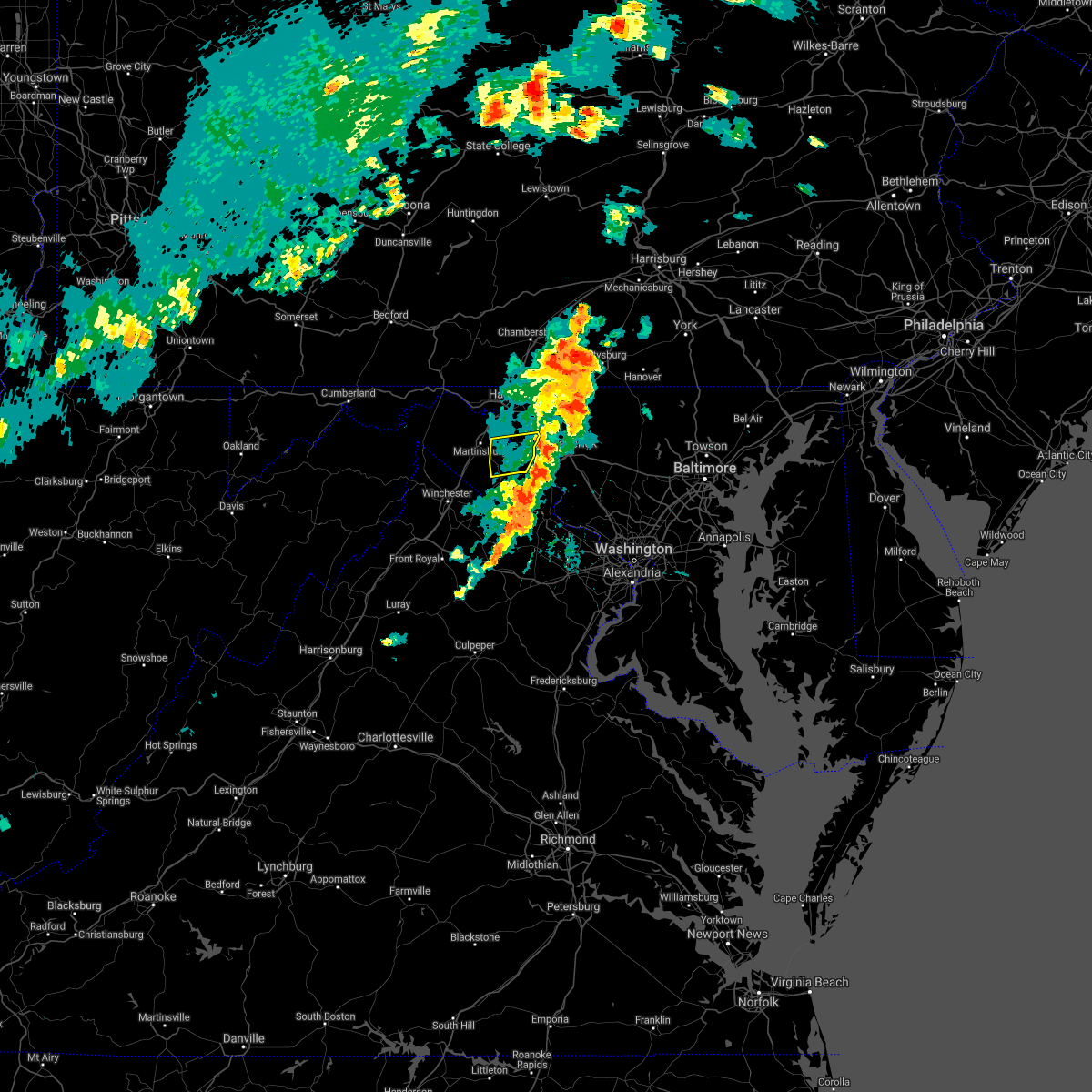 The severe thunderstorm warning for southeastern washington, northeastern jefferson and east central berkeley counties will expire at 500 pm edt, the storms which prompted the warning have moved out of the area. therefore, the warning will be allowed to expire. a severe thunderstorm watch remains in effect until 1000 pm edt for north central maryland, northern virginia, and the panhandle of west virginia. to report severe weather, contact your nearest law enforcement agency. they will relay your report to the national weather service sterling virginia. The severe thunderstorm warning for southeastern washington, northeastern jefferson and east central berkeley counties will expire at 500 pm edt, the storms which prompted the warning have moved out of the area. therefore, the warning will be allowed to expire. a severe thunderstorm watch remains in effect until 1000 pm edt for north central maryland, northern virginia, and the panhandle of west virginia. to report severe weather, contact your nearest law enforcement agency. they will relay your report to the national weather service sterling virginia.
|
| 6/21/2021 4:29 PM EDT |
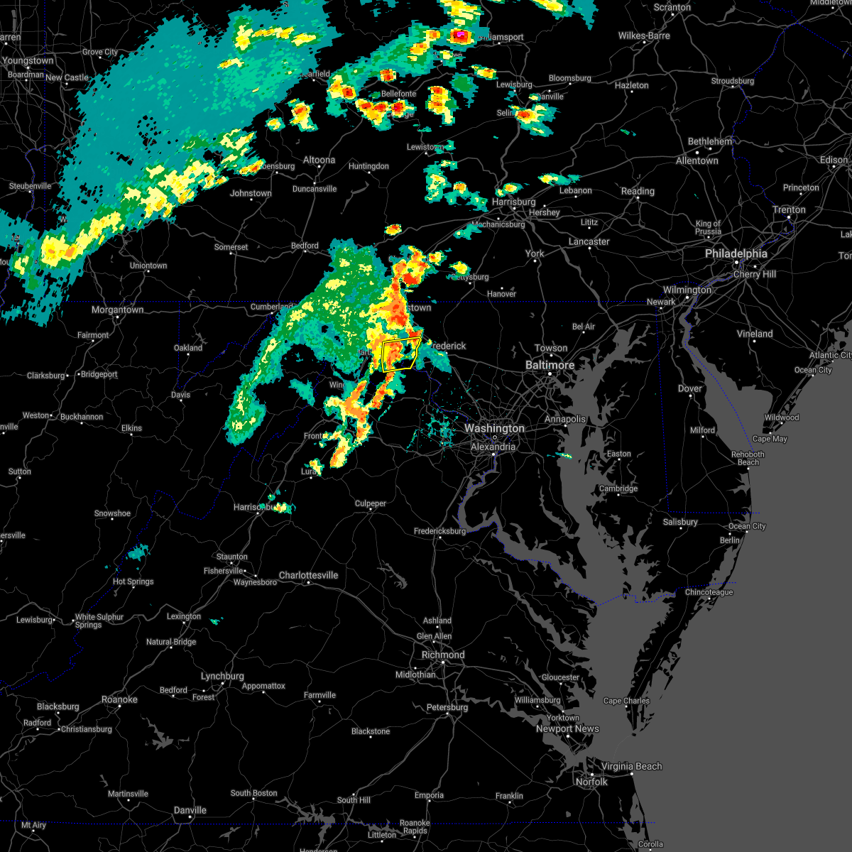 At 429 pm edt, severe thunderstorms were located along a line extending from near shepherdstown to near corporation of ranson, moving east at 40 mph (radar indicated). Hazards include 60 mph wind gusts. Damaging winds will cause some trees and large branches to fall. this could injure those outdoors, as well as damage homes and vehicles. roadways may become blocked by downed trees. localized power outages are possible. unsecured light objects may become projectiles. Locations impacted include, shepherdstown, ranson, boonsboro, harpers ferry, kearneysville, corporation of ranson, keedysville, bolivar, sharpsburg, shenandoah junction, rohrersville, gapland, brownsville, antietam, winebrenners cross, moler crossroads, halltown, pleasantville and bakerton. At 429 pm edt, severe thunderstorms were located along a line extending from near shepherdstown to near corporation of ranson, moving east at 40 mph (radar indicated). Hazards include 60 mph wind gusts. Damaging winds will cause some trees and large branches to fall. this could injure those outdoors, as well as damage homes and vehicles. roadways may become blocked by downed trees. localized power outages are possible. unsecured light objects may become projectiles. Locations impacted include, shepherdstown, ranson, boonsboro, harpers ferry, kearneysville, corporation of ranson, keedysville, bolivar, sharpsburg, shenandoah junction, rohrersville, gapland, brownsville, antietam, winebrenners cross, moler crossroads, halltown, pleasantville and bakerton.
|
| 6/21/2021 4:09 PM EDT |
 At 409 pm edt, a severe thunderstorm was located near inwood, or near martinsburg, moving east at 40 mph (radar indicated). Hazards include 60 mph wind gusts. Damaging winds will cause some trees and large branches to fall. this could injure those outdoors, as well as damage homes and vehicles. roadways may become blocked by downed trees. localized power outages are possible. Unsecured light objects may become projectiles. At 409 pm edt, a severe thunderstorm was located near inwood, or near martinsburg, moving east at 40 mph (radar indicated). Hazards include 60 mph wind gusts. Damaging winds will cause some trees and large branches to fall. this could injure those outdoors, as well as damage homes and vehicles. roadways may become blocked by downed trees. localized power outages are possible. Unsecured light objects may become projectiles.
|
| 6/21/2021 4:09 PM EDT |
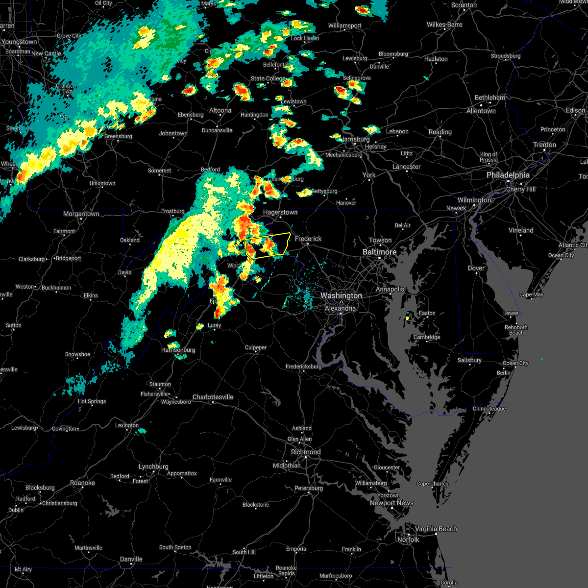 The national weather service in sterling virginia has issued a * severe thunderstorm warning for. southeastern washington county in north central maryland. central jefferson county in the panhandle of west virginia. southeastern berkeley county in the panhandle of west virginia. Until 500 pm edt. The national weather service in sterling virginia has issued a * severe thunderstorm warning for. southeastern washington county in north central maryland. central jefferson county in the panhandle of west virginia. southeastern berkeley county in the panhandle of west virginia. Until 500 pm edt.
|
| 6/3/2021 4:06 PM EDT |
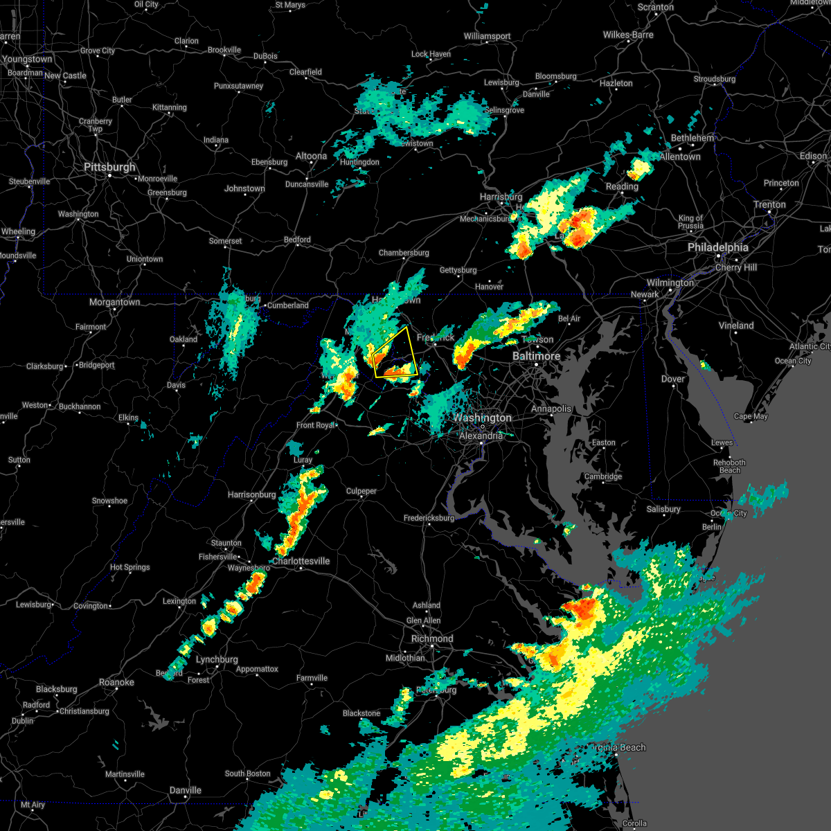 At 406 pm edt, a severe thunderstorm was located over ranson, or near charles town, moving east at 30 mph (radar indicated). Hazards include 60 mph wind gusts and quarter size hail. Damaging winds will cause some trees and large branches to fall. this could injure those outdoors, as well as damage homes and vehicles. roadways may become blocked by downed trees. localized power outages are possible. unsecured light objects may become projectiles. Locations impacted include, charles town, brunswick, ranson, boonsboro, harpers ferry, corporation of ranson, lovettsville, keedysville, bolivar, shenandoah junction, rosemont, rohrersville, burkittsville, gapland, brownsville, antietam, petersville, pleasantville, millville and neersville. At 406 pm edt, a severe thunderstorm was located over ranson, or near charles town, moving east at 30 mph (radar indicated). Hazards include 60 mph wind gusts and quarter size hail. Damaging winds will cause some trees and large branches to fall. this could injure those outdoors, as well as damage homes and vehicles. roadways may become blocked by downed trees. localized power outages are possible. unsecured light objects may become projectiles. Locations impacted include, charles town, brunswick, ranson, boonsboro, harpers ferry, corporation of ranson, lovettsville, keedysville, bolivar, shenandoah junction, rosemont, rohrersville, burkittsville, gapland, brownsville, antietam, petersville, pleasantville, millville and neersville.
|
| 6/3/2021 3:50 PM EDT |
 At 349 pm edt, a severe thunderstorm was located near charles town, moving east at 30 mph (radar indicated). Hazards include 60 mph wind gusts and quarter size hail. Damaging winds will cause some trees and large branches to fall. this could injure those outdoors, as well as damage homes and vehicles. roadways may become blocked by downed trees. localized power outages are possible. Unsecured light objects may become projectiles. At 349 pm edt, a severe thunderstorm was located near charles town, moving east at 30 mph (radar indicated). Hazards include 60 mph wind gusts and quarter size hail. Damaging winds will cause some trees and large branches to fall. this could injure those outdoors, as well as damage homes and vehicles. roadways may become blocked by downed trees. localized power outages are possible. Unsecured light objects may become projectiles.
|
| 6/3/2021 3:50 PM EDT |
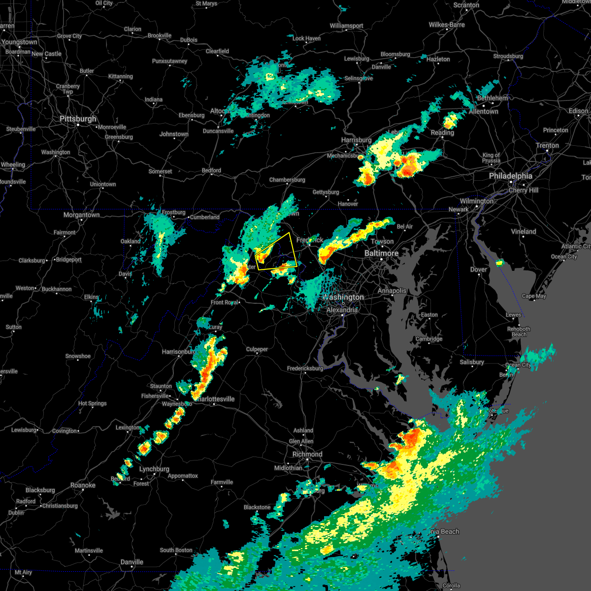 At 349 pm edt, a severe thunderstorm was located near charles town, moving east at 30 mph (radar indicated). Hazards include 60 mph wind gusts and quarter size hail. Damaging winds will cause some trees and large branches to fall. this could injure those outdoors, as well as damage homes and vehicles. roadways may become blocked by downed trees. localized power outages are possible. Unsecured light objects may become projectiles. At 349 pm edt, a severe thunderstorm was located near charles town, moving east at 30 mph (radar indicated). Hazards include 60 mph wind gusts and quarter size hail. Damaging winds will cause some trees and large branches to fall. this could injure those outdoors, as well as damage homes and vehicles. roadways may become blocked by downed trees. localized power outages are possible. Unsecured light objects may become projectiles.
|
| 5/26/2021 3:31 PM EDT |
 At 331 pm edt, a severe thunderstorm was located near boonsboro, or 7 miles south of municipal stadium, moving east at 20 mph (radar indicated). Hazards include 60 mph wind gusts. Damaging winds will cause some trees and large branches to fall. this could injure those outdoors, as well as damage homes and vehicles. roadways may become blocked by downed trees. localized power outages are possible. Unsecured light objects may become projectiles. At 331 pm edt, a severe thunderstorm was located near boonsboro, or 7 miles south of municipal stadium, moving east at 20 mph (radar indicated). Hazards include 60 mph wind gusts. Damaging winds will cause some trees and large branches to fall. this could injure those outdoors, as well as damage homes and vehicles. roadways may become blocked by downed trees. localized power outages are possible. Unsecured light objects may become projectiles.
|
| 3/28/2021 4:31 PM EDT |
 At 431 pm edt, severe thunderstorms with a history of producing wind gusts to near 60 mph and wind damage were located along a line extending from near rouzerville to near boonsboro, moving east at 50 mph (radar indicated). Hazards include 60 mph wind gusts. Damaging winds will cause some trees and large branches to fall. this could injure those outdoors, as well as damage homes and vehicles. roadways may become blocked by downed trees. localized power outages are possible. unsecured light objects may become projectiles. Locations impacted include, frederick, westminster, thurmont, emmitsburg, harry grove stadium, ballenger creek, mount airy, robinwood, taneytown, walkersville, boonsboro, smithsburg, braddock heights, new market, mount aetna, mount lena, san mar, clover hill, discovery-spring garden and wolfsville. At 431 pm edt, severe thunderstorms with a history of producing wind gusts to near 60 mph and wind damage were located along a line extending from near rouzerville to near boonsboro, moving east at 50 mph (radar indicated). Hazards include 60 mph wind gusts. Damaging winds will cause some trees and large branches to fall. this could injure those outdoors, as well as damage homes and vehicles. roadways may become blocked by downed trees. localized power outages are possible. unsecured light objects may become projectiles. Locations impacted include, frederick, westminster, thurmont, emmitsburg, harry grove stadium, ballenger creek, mount airy, robinwood, taneytown, walkersville, boonsboro, smithsburg, braddock heights, new market, mount aetna, mount lena, san mar, clover hill, discovery-spring garden and wolfsville.
|
| 3/28/2021 4:24 PM EDT |
 At 424 pm edt, severe thunderstorms were located along a line extending from near smithsburg to san mar to shepherdstown, moving east at 60 mph (radar indicated). Hazards include 60 mph wind gusts. Damaging winds will cause some trees and large branches to fall. this could injure those outdoors, as well as damage homes and vehicles. roadways may become blocked by downed trees. localized power outages are possible. unsecured light objects may become projectiles. Locations impacted include, frederick, hagerstown, thurmont, charles town, emmitsburg, shepherdstown, municipal stadium, harry grove stadium, ballenger creek, robinwood, brunswick, walkersville, fountainhead-orchard hills, ranson, boonsboro, smithsburg, braddock heights, paramount-long meadow, williamsport and mount aetna. At 424 pm edt, severe thunderstorms were located along a line extending from near smithsburg to san mar to shepherdstown, moving east at 60 mph (radar indicated). Hazards include 60 mph wind gusts. Damaging winds will cause some trees and large branches to fall. this could injure those outdoors, as well as damage homes and vehicles. roadways may become blocked by downed trees. localized power outages are possible. unsecured light objects may become projectiles. Locations impacted include, frederick, hagerstown, thurmont, charles town, emmitsburg, shepherdstown, municipal stadium, harry grove stadium, ballenger creek, robinwood, brunswick, walkersville, fountainhead-orchard hills, ranson, boonsboro, smithsburg, braddock heights, paramount-long meadow, williamsport and mount aetna.
|
| 3/28/2021 4:23 PM EDT |
 At 423 pm edt, severe thunderstorms were located along a line extending from near wayne heights to shepherdstown, moving east at 50 mph (radar indicated). Hazards include 60 mph wind gusts. Damaging winds will cause some trees and large branches to fall. this could injure those outdoors, as well as damage homes and vehicles. roadways may become blocked by downed trees. localized power outages are possible. Unsecured light objects may become projectiles. At 423 pm edt, severe thunderstorms were located along a line extending from near wayne heights to shepherdstown, moving east at 50 mph (radar indicated). Hazards include 60 mph wind gusts. Damaging winds will cause some trees and large branches to fall. this could injure those outdoors, as well as damage homes and vehicles. roadways may become blocked by downed trees. localized power outages are possible. Unsecured light objects may become projectiles.
|
| 3/28/2021 4:09 PM EDT |
 At 356 pm edt, severe thunderstorms were located along a line extending from 10 miles east of berkeley springs to 6 miles west of martinsburg to near greenwood, moving east at 50 mph (radar indicated). Hazards include 60 mph wind gusts. Damaging winds will cause some trees and large branches to fall. this could injure those outdoors, as well as damage homes and vehicles. roadways may become blocked by downed trees. localized power outages are possible. unsecured light objects may become projectiles. Locations impacted include, frederick, hagerstown, martinsburg, thurmont, charles town, emmitsburg, shepherdstown, municipal stadium, harry grove stadium, greenwood, ballenger creek, robinwood, brunswick, walkersville, fountainhead-orchard hills, ranson, boonsboro, smithsburg, inwood and braddock heights. At 356 pm edt, severe thunderstorms were located along a line extending from 10 miles east of berkeley springs to 6 miles west of martinsburg to near greenwood, moving east at 50 mph (radar indicated). Hazards include 60 mph wind gusts. Damaging winds will cause some trees and large branches to fall. this could injure those outdoors, as well as damage homes and vehicles. roadways may become blocked by downed trees. localized power outages are possible. unsecured light objects may become projectiles. Locations impacted include, frederick, hagerstown, martinsburg, thurmont, charles town, emmitsburg, shepherdstown, municipal stadium, harry grove stadium, greenwood, ballenger creek, robinwood, brunswick, walkersville, fountainhead-orchard hills, ranson, boonsboro, smithsburg, inwood and braddock heights.
|
| 3/28/2021 4:09 PM EDT |
 At 409 pm edt, severe thunderstorms were located along a line extending from wilson-conococheague to near martinsburg to near inwood, moving east at 45 mph (radar indicated). Hazards include 60 mph wind gusts. Damaging winds will cause some trees and large branches to fall. this could injure those outdoors, as well as damage homes and vehicles. roadways may become blocked by downed trees. localized power outages are possible. unsecured light objects may become projectiles. Locations impacted include, frederick, hagerstown, martinsburg, thurmont, charles town, emmitsburg, shepherdstown, municipal stadium, harry grove stadium, ballenger creek, robinwood, brunswick, walkersville, fountainhead-orchard hills, ranson, boonsboro, smithsburg, inwood, braddock heights and paramount-long meadow. At 409 pm edt, severe thunderstorms were located along a line extending from wilson-conococheague to near martinsburg to near inwood, moving east at 45 mph (radar indicated). Hazards include 60 mph wind gusts. Damaging winds will cause some trees and large branches to fall. this could injure those outdoors, as well as damage homes and vehicles. roadways may become blocked by downed trees. localized power outages are possible. unsecured light objects may become projectiles. Locations impacted include, frederick, hagerstown, martinsburg, thurmont, charles town, emmitsburg, shepherdstown, municipal stadium, harry grove stadium, ballenger creek, robinwood, brunswick, walkersville, fountainhead-orchard hills, ranson, boonsboro, smithsburg, inwood, braddock heights and paramount-long meadow.
|
| 3/28/2021 3:56 PM EDT |
 At 356 pm edt, severe thunderstorms were located along a line extending from 10 miles east of berkeley springs to 6 miles west of martinsburg to near greenwood, moving east at 50 mph (radar indicated). Hazards include 60 mph wind gusts. Damaging winds will cause some trees and large branches to fall. this could injure those outdoors, as well as damage homes and vehicles. roadways may become blocked by downed trees. localized power outages are possible. unsecured light objects may become projectiles. Locations impacted include, frederick, hagerstown, martinsburg, thurmont, charles town, emmitsburg, shepherdstown, municipal stadium, harry grove stadium, greenwood, ballenger creek, robinwood, brunswick, walkersville, fountainhead-orchard hills, ranson, boonsboro, smithsburg, inwood and braddock heights. At 356 pm edt, severe thunderstorms were located along a line extending from 10 miles east of berkeley springs to 6 miles west of martinsburg to near greenwood, moving east at 50 mph (radar indicated). Hazards include 60 mph wind gusts. Damaging winds will cause some trees and large branches to fall. this could injure those outdoors, as well as damage homes and vehicles. roadways may become blocked by downed trees. localized power outages are possible. unsecured light objects may become projectiles. Locations impacted include, frederick, hagerstown, martinsburg, thurmont, charles town, emmitsburg, shepherdstown, municipal stadium, harry grove stadium, greenwood, ballenger creek, robinwood, brunswick, walkersville, fountainhead-orchard hills, ranson, boonsboro, smithsburg, inwood and braddock heights.
|
| 3/28/2021 3:47 PM EDT |
 At 346 pm edt, severe thunderstorms were located along a line extending from near berkeley springs to near greenwood to 11 miles southeast of paw paw, moving east at 60 mph (radar indicated). Hazards include 60 mph wind gusts. Damaging winds will cause some trees and large branches to fall. this could injure those outdoors, as well as damage homes and vehicles. roadways may become blocked by downed trees. localized power outages are possible. Unsecured light objects may become projectiles. At 346 pm edt, severe thunderstorms were located along a line extending from near berkeley springs to near greenwood to 11 miles southeast of paw paw, moving east at 60 mph (radar indicated). Hazards include 60 mph wind gusts. Damaging winds will cause some trees and large branches to fall. this could injure those outdoors, as well as damage homes and vehicles. roadways may become blocked by downed trees. localized power outages are possible. Unsecured light objects may become projectiles.
|
| 11/15/2020 5:26 PM EST |
 At 525 pm est, severe thunderstorms were located along a line extending from near rouzerville to near shepherdstown to 6 miles northeast of winchester, moving east at 30 mph (radar indicated). Hazards include 60 mph wind gusts. Damaging winds will cause some trees and large branches to fall. this could injure those outdoors, as well as damage homes and vehicles. roadways may become blocked by downed trees. localized power outages are possible. unsecured light objects may become projectiles. Locations impacted include, hagerstown, winchester, martinsburg, thurmont, charles town, emmitsburg, shepherdstown, municipal stadium, millwood pike, robinwood, brunswick, fountainhead-orchard hills, ranson, berryville, boonsboro, smithsburg, inwood, braddock heights, paramount-long meadow and williamsport. At 525 pm est, severe thunderstorms were located along a line extending from near rouzerville to near shepherdstown to 6 miles northeast of winchester, moving east at 30 mph (radar indicated). Hazards include 60 mph wind gusts. Damaging winds will cause some trees and large branches to fall. this could injure those outdoors, as well as damage homes and vehicles. roadways may become blocked by downed trees. localized power outages are possible. unsecured light objects may become projectiles. Locations impacted include, hagerstown, winchester, martinsburg, thurmont, charles town, emmitsburg, shepherdstown, municipal stadium, millwood pike, robinwood, brunswick, fountainhead-orchard hills, ranson, berryville, boonsboro, smithsburg, inwood, braddock heights, paramount-long meadow and williamsport.
|
| 11/15/2020 4:56 PM EST |
 At 455 pm est, severe thunderstorms were located along a line extending from near mont alto to near wilson-conococheague to near greenwood, moving east at 40 mph (radar indicated). Hazards include 60 mph wind gusts. Damaging winds will cause some trees and large branches to fall. this could injure those outdoors, as well as damage homes and vehicles. roadways may become blocked by downed trees. localized power outages are possible. Unsecured light objects may become projectiles. At 455 pm est, severe thunderstorms were located along a line extending from near mont alto to near wilson-conococheague to near greenwood, moving east at 40 mph (radar indicated). Hazards include 60 mph wind gusts. Damaging winds will cause some trees and large branches to fall. this could injure those outdoors, as well as damage homes and vehicles. roadways may become blocked by downed trees. localized power outages are possible. Unsecured light objects may become projectiles.
|
| 9/3/2020 3:47 PM EDT |
 At 347 pm edt, a severe thunderstorm was located over kearneysville, or near charles town, moving east at 40 mph (radar indicated). Hazards include 60 mph wind gusts. Damaging winds will cause some trees and large branches to fall. this could injure those outdoors, as well as damage homes and vehicles. roadways may become blocked by downed trees. localized power outages are possible. unsecured light objects may become projectiles. Locations impacted include, charles town, shepherdstown, brunswick, ranson, braddock heights, harpers ferry, kearneysville, point of rocks, corporation of ranson, adamstown, jefferson, myersville, lovettsville, sharpsburg, shenandoah junction, middleway, rosemont, rohrersville, burkittsville and gapland. At 347 pm edt, a severe thunderstorm was located over kearneysville, or near charles town, moving east at 40 mph (radar indicated). Hazards include 60 mph wind gusts. Damaging winds will cause some trees and large branches to fall. this could injure those outdoors, as well as damage homes and vehicles. roadways may become blocked by downed trees. localized power outages are possible. unsecured light objects may become projectiles. Locations impacted include, charles town, shepherdstown, brunswick, ranson, braddock heights, harpers ferry, kearneysville, point of rocks, corporation of ranson, adamstown, jefferson, myersville, lovettsville, sharpsburg, shenandoah junction, middleway, rosemont, rohrersville, burkittsville and gapland.
|
| 9/3/2020 3:47 PM EDT |
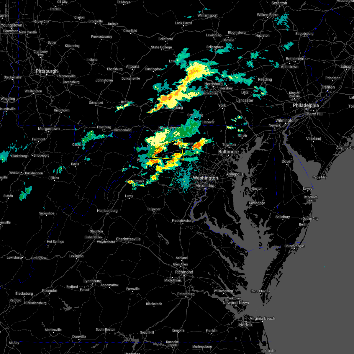 At 347 pm edt, a severe thunderstorm was located over kearneysville, or near charles town, moving east at 40 mph (radar indicated). Hazards include 60 mph wind gusts. Damaging winds will cause some trees and large branches to fall. this could injure those outdoors, as well as damage homes and vehicles. roadways may become blocked by downed trees. localized power outages are possible. unsecured light objects may become projectiles. Locations impacted include, charles town, shepherdstown, brunswick, ranson, braddock heights, harpers ferry, kearneysville, point of rocks, corporation of ranson, adamstown, jefferson, myersville, lovettsville, sharpsburg, shenandoah junction, middleway, rosemont, rohrersville, burkittsville and gapland. At 347 pm edt, a severe thunderstorm was located over kearneysville, or near charles town, moving east at 40 mph (radar indicated). Hazards include 60 mph wind gusts. Damaging winds will cause some trees and large branches to fall. this could injure those outdoors, as well as damage homes and vehicles. roadways may become blocked by downed trees. localized power outages are possible. unsecured light objects may become projectiles. Locations impacted include, charles town, shepherdstown, brunswick, ranson, braddock heights, harpers ferry, kearneysville, point of rocks, corporation of ranson, adamstown, jefferson, myersville, lovettsville, sharpsburg, shenandoah junction, middleway, rosemont, rohrersville, burkittsville and gapland.
|
| 9/3/2020 3:38 PM EDT |
 At 338 pm edt, a severe thunderstorm was located over inwood, or 7 miles south of martinsburg, moving east at 40 mph (radar indicated). Hazards include 60 mph wind gusts. Damaging winds will cause some trees and large branches to fall. this could injure those outdoors, as well as damage homes and vehicles. roadways may become blocked by downed trees. localized power outages are possible. unsecured light objects may become projectiles. Locations impacted include, martinsburg, charles town, shepherdstown, brunswick, ranson, boonsboro, inwood, braddock heights, harpers ferry, kearneysville, point of rocks, corporation of ranson, adamstown, jefferson, myersville, lovettsville, keedysville, sharpsburg, shenandoah junction and middleway. At 338 pm edt, a severe thunderstorm was located over inwood, or 7 miles south of martinsburg, moving east at 40 mph (radar indicated). Hazards include 60 mph wind gusts. Damaging winds will cause some trees and large branches to fall. this could injure those outdoors, as well as damage homes and vehicles. roadways may become blocked by downed trees. localized power outages are possible. unsecured light objects may become projectiles. Locations impacted include, martinsburg, charles town, shepherdstown, brunswick, ranson, boonsboro, inwood, braddock heights, harpers ferry, kearneysville, point of rocks, corporation of ranson, adamstown, jefferson, myersville, lovettsville, keedysville, sharpsburg, shenandoah junction and middleway.
|
| 9/3/2020 3:38 PM EDT |
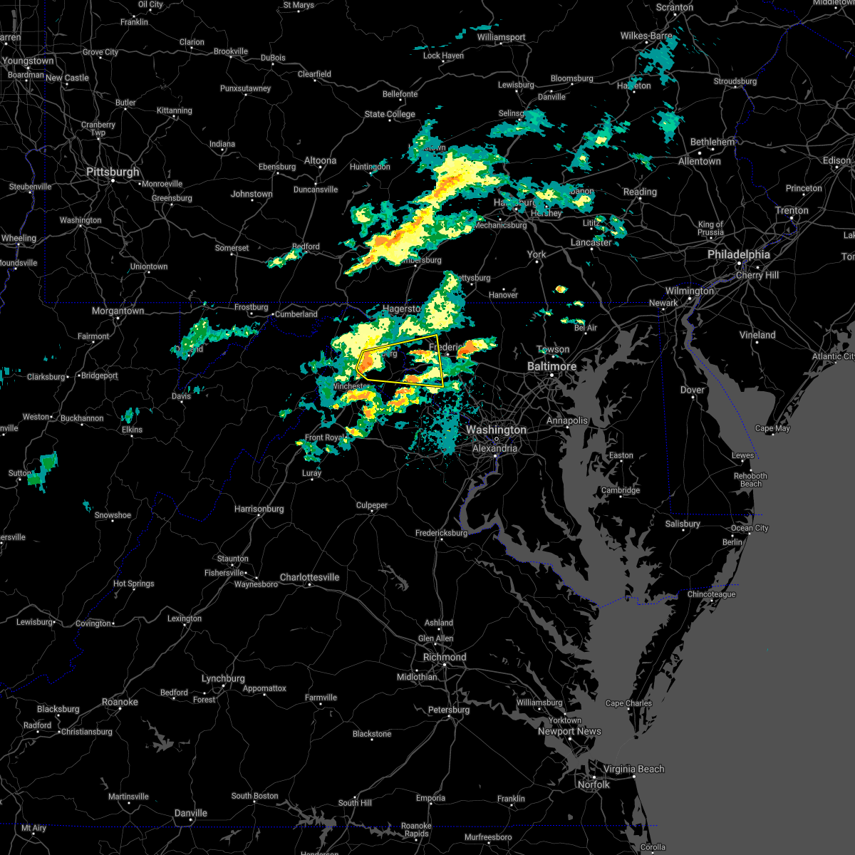 At 338 pm edt, a severe thunderstorm was located over inwood, or 7 miles south of martinsburg, moving east at 40 mph (radar indicated). Hazards include 60 mph wind gusts. Damaging winds will cause some trees and large branches to fall. this could injure those outdoors, as well as damage homes and vehicles. roadways may become blocked by downed trees. localized power outages are possible. unsecured light objects may become projectiles. Locations impacted include, martinsburg, charles town, shepherdstown, brunswick, ranson, boonsboro, inwood, braddock heights, harpers ferry, kearneysville, point of rocks, corporation of ranson, adamstown, jefferson, myersville, lovettsville, keedysville, sharpsburg, shenandoah junction and middleway. At 338 pm edt, a severe thunderstorm was located over inwood, or 7 miles south of martinsburg, moving east at 40 mph (radar indicated). Hazards include 60 mph wind gusts. Damaging winds will cause some trees and large branches to fall. this could injure those outdoors, as well as damage homes and vehicles. roadways may become blocked by downed trees. localized power outages are possible. unsecured light objects may become projectiles. Locations impacted include, martinsburg, charles town, shepherdstown, brunswick, ranson, boonsboro, inwood, braddock heights, harpers ferry, kearneysville, point of rocks, corporation of ranson, adamstown, jefferson, myersville, lovettsville, keedysville, sharpsburg, shenandoah junction and middleway.
|
| 9/3/2020 3:30 PM EDT |
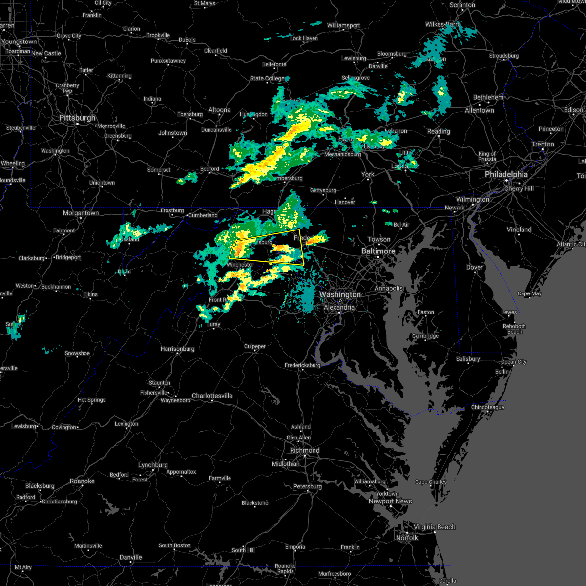 At 330 pm edt, a severe thunderstorm was located near inwood, or 9 miles southeast of greenwood, moving east at 40 mph (radar indicated). Hazards include 60 mph wind gusts. Damaging winds will cause some trees and large branches to fall. this could injure those outdoors, as well as damage homes and vehicles. roadways may become blocked by downed trees. localized power outages are possible. Unsecured light objects may become projectiles. At 330 pm edt, a severe thunderstorm was located near inwood, or 9 miles southeast of greenwood, moving east at 40 mph (radar indicated). Hazards include 60 mph wind gusts. Damaging winds will cause some trees and large branches to fall. this could injure those outdoors, as well as damage homes and vehicles. roadways may become blocked by downed trees. localized power outages are possible. Unsecured light objects may become projectiles.
|
| 9/2/2020 6:34 PM EDT |
 At 633 pm edt, severe thunderstorms were located along a line extending from near carroll valley to near clover hill, moving east at 40 mph (radar indicated). Hazards include 60 mph wind gusts. Damaging winds will cause some trees and large branches to fall. this could injure those outdoors, as well as damage homes and vehicles. roadways may become blocked by downed trees. localized power outages are possible. unsecured light objects may become projectiles. Locations impacted include, frederick, thurmont, emmitsburg, mount airy, taneytown, walkersville, boonsboro, smithsburg, braddock heights, new market, mount aetna, mount lena, san mar, clover hill, discovery-spring garden, wolfsville, linganore-bartonsville, myersville, cavetown and new windsor. At 633 pm edt, severe thunderstorms were located along a line extending from near carroll valley to near clover hill, moving east at 40 mph (radar indicated). Hazards include 60 mph wind gusts. Damaging winds will cause some trees and large branches to fall. this could injure those outdoors, as well as damage homes and vehicles. roadways may become blocked by downed trees. localized power outages are possible. unsecured light objects may become projectiles. Locations impacted include, frederick, thurmont, emmitsburg, mount airy, taneytown, walkersville, boonsboro, smithsburg, braddock heights, new market, mount aetna, mount lena, san mar, clover hill, discovery-spring garden, wolfsville, linganore-bartonsville, myersville, cavetown and new windsor.
|
| 9/2/2020 6:17 PM EDT |
 At 617 pm edt, severe thunderstorms were located along a line extending from near wayne heights to near boonsboro, moving east at 40 mph (radar indicated). Hazards include 60 mph wind gusts. Damaging winds will cause some trees and large branches to fall. this could injure those outdoors, as well as damage homes and vehicles. roadways may become blocked by downed trees. localized power outages are possible. Unsecured light objects may become projectiles. At 617 pm edt, severe thunderstorms were located along a line extending from near wayne heights to near boonsboro, moving east at 40 mph (radar indicated). Hazards include 60 mph wind gusts. Damaging winds will cause some trees and large branches to fall. this could injure those outdoors, as well as damage homes and vehicles. roadways may become blocked by downed trees. localized power outages are possible. Unsecured light objects may become projectiles.
|
| 8/7/2020 2:35 PM EDT |
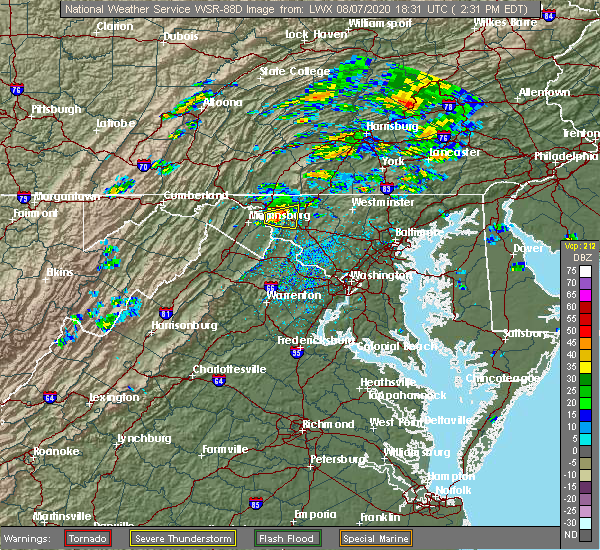 At 235 pm edt, a severe thunderstorm was located over boonsboro, or 8 miles south of municipal stadium, moving east at 20 mph (radar indicated). Hazards include 60 mph wind gusts and quarter size hail. Damaging winds will cause some trees and large branches to fall. this could injure those outdoors, as well as damage homes and vehicles. roadways may become blocked by downed trees. localized power outages are possible. unsecured light objects may become projectiles. Locations impacted include, boonsboro, mount aetna, mount lena, san mar, wolfsville, saint james, myersville, keedysville, sharpsburg, fairplay, rohrersville, pleasant walk, bolivar and middletown in frederick md. At 235 pm edt, a severe thunderstorm was located over boonsboro, or 8 miles south of municipal stadium, moving east at 20 mph (radar indicated). Hazards include 60 mph wind gusts and quarter size hail. Damaging winds will cause some trees and large branches to fall. this could injure those outdoors, as well as damage homes and vehicles. roadways may become blocked by downed trees. localized power outages are possible. unsecured light objects may become projectiles. Locations impacted include, boonsboro, mount aetna, mount lena, san mar, wolfsville, saint james, myersville, keedysville, sharpsburg, fairplay, rohrersville, pleasant walk, bolivar and middletown in frederick md.
|
| 8/7/2020 2:22 PM EDT |
 At 221 pm edt, a severe thunderstorm was located near saint james, or near shepherdstown, moving east at 20 mph (radar indicated). Hazards include 60 mph wind gusts and quarter size hail. Damaging winds will cause some trees and large branches to fall. this could injure those outdoors, as well as damage homes and vehicles. roadways may become blocked by downed trees. localized power outages are possible. unsecured light objects may become projectiles. Locations impacted include, boonsboro, mount aetna, mount lena, san mar, wolfsville, saint james, myersville, keedysville, sharpsburg, fairplay, rohrersville, pleasant walk, bolivar and middletown in frederick md. At 221 pm edt, a severe thunderstorm was located near saint james, or near shepherdstown, moving east at 20 mph (radar indicated). Hazards include 60 mph wind gusts and quarter size hail. Damaging winds will cause some trees and large branches to fall. this could injure those outdoors, as well as damage homes and vehicles. roadways may become blocked by downed trees. localized power outages are possible. unsecured light objects may become projectiles. Locations impacted include, boonsboro, mount aetna, mount lena, san mar, wolfsville, saint james, myersville, keedysville, sharpsburg, fairplay, rohrersville, pleasant walk, bolivar and middletown in frederick md.
|
| 8/7/2020 2:11 PM EDT |
 At 211 pm edt, a severe thunderstorm was located near shepherdstown, moving east at 20 mph (radar indicated). Hazards include 60 mph wind gusts and quarter size hail. Damaging winds will cause some trees and large branches to fall. this could injure those outdoors, as well as damage homes and vehicles. roadways may become blocked by downed trees. localized power outages are possible. unsecured light objects may become projectiles. Locations impacted include, boonsboro, mount aetna, mount lena, san mar, wolfsville, saint james, myersville, keedysville, sharpsburg, fairplay, rohrersville, pleasant walk, bolivar and middletown in frederick md. At 211 pm edt, a severe thunderstorm was located near shepherdstown, moving east at 20 mph (radar indicated). Hazards include 60 mph wind gusts and quarter size hail. Damaging winds will cause some trees and large branches to fall. this could injure those outdoors, as well as damage homes and vehicles. roadways may become blocked by downed trees. localized power outages are possible. unsecured light objects may become projectiles. Locations impacted include, boonsboro, mount aetna, mount lena, san mar, wolfsville, saint james, myersville, keedysville, sharpsburg, fairplay, rohrersville, pleasant walk, bolivar and middletown in frederick md.
|
| 8/7/2020 2:08 PM EDT |
 At 207 pm edt, a severe thunderstorm was located near williamsport, or near shepherdstown, moving east at 20 mph (radar indicated). Hazards include 60 mph wind gusts and quarter size hail. Damaging winds will cause some trees and large branches to fall. this could injure those outdoors, as well as damage homes and vehicles. roadways may become blocked by downed trees. localized power outages are possible. Unsecured light objects may become projectiles. At 207 pm edt, a severe thunderstorm was located near williamsport, or near shepherdstown, moving east at 20 mph (radar indicated). Hazards include 60 mph wind gusts and quarter size hail. Damaging winds will cause some trees and large branches to fall. this could injure those outdoors, as well as damage homes and vehicles. roadways may become blocked by downed trees. localized power outages are possible. Unsecured light objects may become projectiles.
|
| 8/7/2020 2:08 PM EDT |
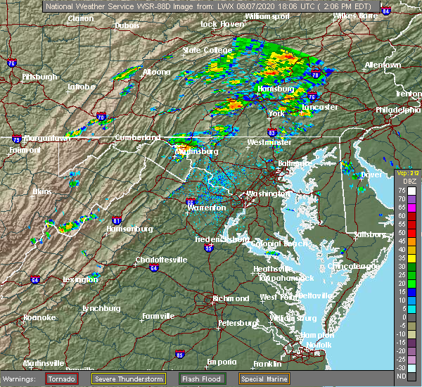 At 207 pm edt, a severe thunderstorm was located near williamsport, or near shepherdstown, moving east at 20 mph (radar indicated). Hazards include 60 mph wind gusts and quarter size hail. Damaging winds will cause some trees and large branches to fall. this could injure those outdoors, as well as damage homes and vehicles. roadways may become blocked by downed trees. localized power outages are possible. Unsecured light objects may become projectiles. At 207 pm edt, a severe thunderstorm was located near williamsport, or near shepherdstown, moving east at 20 mph (radar indicated). Hazards include 60 mph wind gusts and quarter size hail. Damaging winds will cause some trees and large branches to fall. this could injure those outdoors, as well as damage homes and vehicles. roadways may become blocked by downed trees. localized power outages are possible. Unsecured light objects may become projectiles.
|
| 7/6/2020 6:50 PM EDT |
 At 649 pm edt, a severe thunderstorm was located over harpers ferry, or near shepherdstown, moving east at 20 mph (radar indicated). Hazards include 60 mph wind gusts and quarter size hail. Damaging winds will cause some trees and large branches to fall. this could injure those outdoors, as well as damage homes and vehicles. roadways may become blocked by downed trees. localized power outages are possible. Unsecured light objects may become projectiles. At 649 pm edt, a severe thunderstorm was located over harpers ferry, or near shepherdstown, moving east at 20 mph (radar indicated). Hazards include 60 mph wind gusts and quarter size hail. Damaging winds will cause some trees and large branches to fall. this could injure those outdoors, as well as damage homes and vehicles. roadways may become blocked by downed trees. localized power outages are possible. Unsecured light objects may become projectiles.
|
| 7/6/2020 6:50 PM EDT |
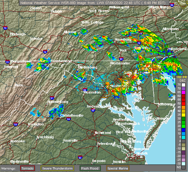 At 649 pm edt, a severe thunderstorm was located over harpers ferry, or near shepherdstown, moving east at 20 mph (radar indicated). Hazards include 60 mph wind gusts and quarter size hail. Damaging winds will cause some trees and large branches to fall. this could injure those outdoors, as well as damage homes and vehicles. roadways may become blocked by downed trees. localized power outages are possible. Unsecured light objects may become projectiles. At 649 pm edt, a severe thunderstorm was located over harpers ferry, or near shepherdstown, moving east at 20 mph (radar indicated). Hazards include 60 mph wind gusts and quarter size hail. Damaging winds will cause some trees and large branches to fall. this could injure those outdoors, as well as damage homes and vehicles. roadways may become blocked by downed trees. localized power outages are possible. Unsecured light objects may become projectiles.
|
| 6/25/2020 4:12 PM EDT |
 At 412 pm edt, a severe thunderstorm was located near shepherdstown, moving east at 20 mph (radar indicated). Hazards include 60 mph wind gusts and quarter size hail. Damaging winds will cause some trees and large branches to fall. this could injure those outdoors, as well as damage homes and vehicles. roadways may become blocked by downed trees. localized power outages are possible. Unsecured light objects may become projectiles. At 412 pm edt, a severe thunderstorm was located near shepherdstown, moving east at 20 mph (radar indicated). Hazards include 60 mph wind gusts and quarter size hail. Damaging winds will cause some trees and large branches to fall. this could injure those outdoors, as well as damage homes and vehicles. roadways may become blocked by downed trees. localized power outages are possible. Unsecured light objects may become projectiles.
|
| 6/25/2020 4:12 PM EDT |
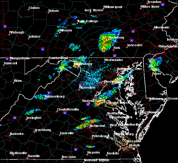 At 412 pm edt, a severe thunderstorm was located near shepherdstown, moving east at 20 mph (radar indicated). Hazards include 60 mph wind gusts and quarter size hail. Damaging winds will cause some trees and large branches to fall. this could injure those outdoors, as well as damage homes and vehicles. roadways may become blocked by downed trees. localized power outages are possible. Unsecured light objects may become projectiles. At 412 pm edt, a severe thunderstorm was located near shepherdstown, moving east at 20 mph (radar indicated). Hazards include 60 mph wind gusts and quarter size hail. Damaging winds will cause some trees and large branches to fall. this could injure those outdoors, as well as damage homes and vehicles. roadways may become blocked by downed trees. localized power outages are possible. Unsecured light objects may become projectiles.
|
| 6/23/2020 6:12 PM EDT |
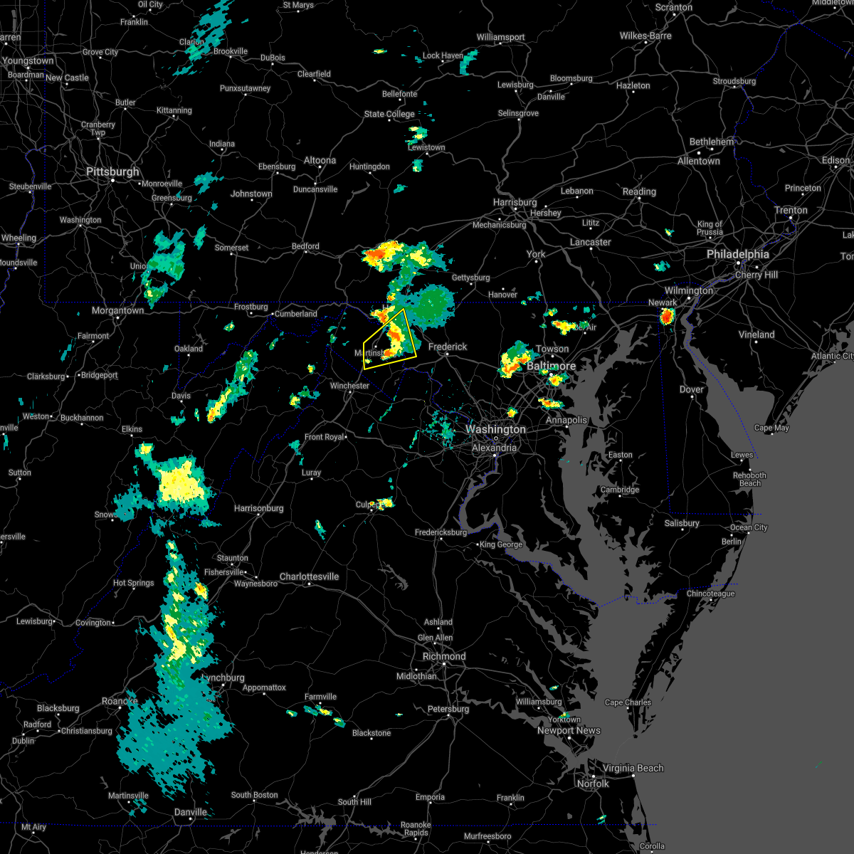 The severe thunderstorm warning for eastern washington, northern jefferson and eastern berkeley counties will expire at 615 pm edt, the storm which prompted the warning has weakened below severe limits, and no longer poses an immediate threat to life or property. therefore, the warning will be allowed to expire. however gusty winds are still possible with this thunderstorm. The severe thunderstorm warning for eastern washington, northern jefferson and eastern berkeley counties will expire at 615 pm edt, the storm which prompted the warning has weakened below severe limits, and no longer poses an immediate threat to life or property. therefore, the warning will be allowed to expire. however gusty winds are still possible with this thunderstorm.
|
| 6/23/2020 5:53 PM EDT |
 At 552 pm edt, a severe thunderstorm was located near martinsburg, moving northeast at 30 mph. a trained spotter reported quarter size hail in inwood, wv and a wind gust of 54 mph was observed at martinsburg airport (trained weather spotters). Hazards include 60 mph wind gusts and half dollar size hail. Damaging winds will cause some trees and large branches to fall. this could injure those outdoors, as well as damage homes and vehicles. roadways may become blocked by downed trees. localized power outages are possible. unsecured light objects may become projectiles. Locations impacted include, hagerstown, martinsburg, shepherdstown, ranson, inwood, wilson-conococheague, williamsport, kearneysville, saint james, berkeley, halfway, keedysville, falling waters, sharpsburg, fairplay, rohrersville, gapland, antietam, winebrenners cross and vanville. At 552 pm edt, a severe thunderstorm was located near martinsburg, moving northeast at 30 mph. a trained spotter reported quarter size hail in inwood, wv and a wind gust of 54 mph was observed at martinsburg airport (trained weather spotters). Hazards include 60 mph wind gusts and half dollar size hail. Damaging winds will cause some trees and large branches to fall. this could injure those outdoors, as well as damage homes and vehicles. roadways may become blocked by downed trees. localized power outages are possible. unsecured light objects may become projectiles. Locations impacted include, hagerstown, martinsburg, shepherdstown, ranson, inwood, wilson-conococheague, williamsport, kearneysville, saint james, berkeley, halfway, keedysville, falling waters, sharpsburg, fairplay, rohrersville, gapland, antietam, winebrenners cross and vanville.
|
| 6/23/2020 5:53 PM EDT |
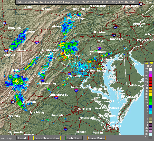 At 552 pm edt, a severe thunderstorm was located near martinsburg, moving northeast at 30 mph. a trained spotter reported quarter size hail in inwood, wv and a wind gust of 54 mph was observed at martinsburg airport (trained weather spotters). Hazards include 60 mph wind gusts and half dollar size hail. Damaging winds will cause some trees and large branches to fall. this could injure those outdoors, as well as damage homes and vehicles. roadways may become blocked by downed trees. localized power outages are possible. unsecured light objects may become projectiles. Locations impacted include, hagerstown, martinsburg, shepherdstown, ranson, inwood, wilson-conococheague, williamsport, kearneysville, saint james, berkeley, halfway, keedysville, falling waters, sharpsburg, fairplay, rohrersville, gapland, antietam, winebrenners cross and vanville. At 552 pm edt, a severe thunderstorm was located near martinsburg, moving northeast at 30 mph. a trained spotter reported quarter size hail in inwood, wv and a wind gust of 54 mph was observed at martinsburg airport (trained weather spotters). Hazards include 60 mph wind gusts and half dollar size hail. Damaging winds will cause some trees and large branches to fall. this could injure those outdoors, as well as damage homes and vehicles. roadways may become blocked by downed trees. localized power outages are possible. unsecured light objects may become projectiles. Locations impacted include, hagerstown, martinsburg, shepherdstown, ranson, inwood, wilson-conococheague, williamsport, kearneysville, saint james, berkeley, halfway, keedysville, falling waters, sharpsburg, fairplay, rohrersville, gapland, antietam, winebrenners cross and vanville.
|
| 6/23/2020 5:26 PM EDT |
 At 526 pm edt, a severe thunderstorm was located near inwood, or 7 miles southeast of greenwood, moving northeast at 30 mph (radar indicated). Hazards include 60 mph wind gusts and quarter size hail. Damaging winds will cause some trees and large branches to fall. this could injure those outdoors, as well as damage homes and vehicles. roadways may become blocked by downed trees. localized power outages are possible. Unsecured light objects may become projectiles. At 526 pm edt, a severe thunderstorm was located near inwood, or 7 miles southeast of greenwood, moving northeast at 30 mph (radar indicated). Hazards include 60 mph wind gusts and quarter size hail. Damaging winds will cause some trees and large branches to fall. this could injure those outdoors, as well as damage homes and vehicles. roadways may become blocked by downed trees. localized power outages are possible. Unsecured light objects may become projectiles.
|
| 6/23/2020 5:26 PM EDT |
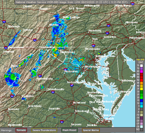 At 526 pm edt, a severe thunderstorm was located near inwood, or 7 miles southeast of greenwood, moving northeast at 30 mph (radar indicated). Hazards include 60 mph wind gusts and quarter size hail. Damaging winds will cause some trees and large branches to fall. this could injure those outdoors, as well as damage homes and vehicles. roadways may become blocked by downed trees. localized power outages are possible. Unsecured light objects may become projectiles. At 526 pm edt, a severe thunderstorm was located near inwood, or 7 miles southeast of greenwood, moving northeast at 30 mph (radar indicated). Hazards include 60 mph wind gusts and quarter size hail. Damaging winds will cause some trees and large branches to fall. this could injure those outdoors, as well as damage homes and vehicles. roadways may become blocked by downed trees. localized power outages are possible. Unsecured light objects may become projectiles.
|
| 5/29/2020 3:00 PM EDT |
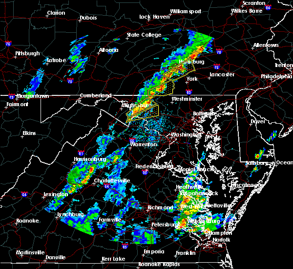 At 259 pm edt, a severe thunderstorm was located near thurmont, moving northeast at 45 mph (radar indicated). Hazards include 60 mph wind gusts and quarter size hail. Damaging winds will cause some trees and large branches to fall. this could injure those outdoors, as well as damage homes and vehicles. roadways may become blocked by downed trees. localized power outages are possible. unsecured light objects may become projectiles. Locations impacted include, thurmont, boonsboro, mount lena, wolfsville, myersville, keedysville, rohrersville, gapland, antietam, moler crossroads, utica, pleasant walk, bolivar, graceham, lewistown, bakerton, arnoldtown and middletown in frederick md. At 259 pm edt, a severe thunderstorm was located near thurmont, moving northeast at 45 mph (radar indicated). Hazards include 60 mph wind gusts and quarter size hail. Damaging winds will cause some trees and large branches to fall. this could injure those outdoors, as well as damage homes and vehicles. roadways may become blocked by downed trees. localized power outages are possible. unsecured light objects may become projectiles. Locations impacted include, thurmont, boonsboro, mount lena, wolfsville, myersville, keedysville, rohrersville, gapland, antietam, moler crossroads, utica, pleasant walk, bolivar, graceham, lewistown, bakerton, arnoldtown and middletown in frederick md.
|
| 5/29/2020 2:44 PM EDT |
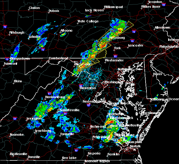 At 243 pm edt, a severe thunderstorm was located over mount lena, or 8 miles southeast of municipal stadium, moving northeast at 35 mph (radar indicated). Hazards include 60 mph wind gusts and quarter size hail. Damaging winds will cause some trees and large branches to fall. this could injure those outdoors, as well as damage homes and vehicles. roadways may become blocked by downed trees. localized power outages are possible. unsecured light objects may become projectiles. Locations impacted include, thurmont, emmitsburg, boonsboro, mount aetna, mount lena, san mar, wolfsville, myersville, cavetown, keedysville, sharpsburg, fairplay, sabillasville, rohrersville, antietam, bolivar, keysville, graceham, lewistown and pleasant walk. At 243 pm edt, a severe thunderstorm was located over mount lena, or 8 miles southeast of municipal stadium, moving northeast at 35 mph (radar indicated). Hazards include 60 mph wind gusts and quarter size hail. Damaging winds will cause some trees and large branches to fall. this could injure those outdoors, as well as damage homes and vehicles. roadways may become blocked by downed trees. localized power outages are possible. unsecured light objects may become projectiles. Locations impacted include, thurmont, emmitsburg, boonsboro, mount aetna, mount lena, san mar, wolfsville, myersville, cavetown, keedysville, sharpsburg, fairplay, sabillasville, rohrersville, antietam, bolivar, keysville, graceham, lewistown and pleasant walk.
|
| 5/29/2020 2:40 PM EDT |
 At 240 pm edt, a severe thunderstorm was located near shepherdstown, moving northeast at 40 mph (radar indicated). Hazards include 60 mph wind gusts and quarter size hail. Damaging winds will cause some trees and large branches to fall. this could injure those outdoors, as well as damage homes and vehicles. roadways may become blocked by downed trees. localized power outages are possible. Unsecured light objects may become projectiles. At 240 pm edt, a severe thunderstorm was located near shepherdstown, moving northeast at 40 mph (radar indicated). Hazards include 60 mph wind gusts and quarter size hail. Damaging winds will cause some trees and large branches to fall. this could injure those outdoors, as well as damage homes and vehicles. roadways may become blocked by downed trees. localized power outages are possible. Unsecured light objects may become projectiles.
|
| 5/29/2020 2:25 PM EDT |
 At 243 pm edt, a severe thunderstorm was located over mount lena, or 8 miles southeast of municipal stadium, moving northeast at 35 mph (radar indicated). Hazards include 60 mph wind gusts and quarter size hail. Damaging winds will cause some trees and large branches to fall. this could injure those outdoors, as well as damage homes and vehicles. roadways may become blocked by downed trees. localized power outages are possible. unsecured light objects may become projectiles. Locations impacted include, thurmont, emmitsburg, boonsboro, mount aetna, mount lena, san mar, wolfsville, myersville, cavetown, keedysville, sharpsburg, fairplay, sabillasville, rohrersville, antietam, bolivar, keysville, graceham, lewistown and pleasant walk. At 243 pm edt, a severe thunderstorm was located over mount lena, or 8 miles southeast of municipal stadium, moving northeast at 35 mph (radar indicated). Hazards include 60 mph wind gusts and quarter size hail. Damaging winds will cause some trees and large branches to fall. this could injure those outdoors, as well as damage homes and vehicles. roadways may become blocked by downed trees. localized power outages are possible. unsecured light objects may become projectiles. Locations impacted include, thurmont, emmitsburg, boonsboro, mount aetna, mount lena, san mar, wolfsville, myersville, cavetown, keedysville, sharpsburg, fairplay, sabillasville, rohrersville, antietam, bolivar, keysville, graceham, lewistown and pleasant walk.
|
| 5/29/2020 2:25 PM EDT |
 At 225 pm edt, a severe thunderstorm was located over shepherdstown, moving northeast at 35 mph (radar indicated). Hazards include 60 mph wind gusts and quarter size hail. Damaging winds will cause some trees and large branches to fall. this could injure those outdoors, as well as damage homes and vehicles. roadways may become blocked by downed trees. localized power outages are possible. Unsecured light objects may become projectiles. At 225 pm edt, a severe thunderstorm was located over shepherdstown, moving northeast at 35 mph (radar indicated). Hazards include 60 mph wind gusts and quarter size hail. Damaging winds will cause some trees and large branches to fall. this could injure those outdoors, as well as damage homes and vehicles. roadways may become blocked by downed trees. localized power outages are possible. Unsecured light objects may become projectiles.
|
| 4/8/2020 3:18 AM EDT |
 At 317 am edt, severe thunderstorms were located along a line extending from near fountainhead-orchard hills to near martinsburg to 10 miles south of paw paw, moving southeast at 55 mph (radar indicated). Hazards include 60 mph wind gusts. Damaging winds will cause some trees and large branches to fall. this could injure those outdoors, as well as damage homes and vehicles. roadways may become blocked by downed trees. localized power outages are possible. unsecured light objects may become projectiles. Locations impacted include, hagerstown, martinsburg, charles town, shepherdstown, municipal stadium, greenwood, robinwood, fountainhead-orchard hills, ranson, boonsboro, smithsburg, inwood, paramount-long meadow, wilson-conococheague, williamsport, mount aetna, mount lena, san mar, harpers ferry and long meadow. At 317 am edt, severe thunderstorms were located along a line extending from near fountainhead-orchard hills to near martinsburg to 10 miles south of paw paw, moving southeast at 55 mph (radar indicated). Hazards include 60 mph wind gusts. Damaging winds will cause some trees and large branches to fall. this could injure those outdoors, as well as damage homes and vehicles. roadways may become blocked by downed trees. localized power outages are possible. unsecured light objects may become projectiles. Locations impacted include, hagerstown, martinsburg, charles town, shepherdstown, municipal stadium, greenwood, robinwood, fountainhead-orchard hills, ranson, boonsboro, smithsburg, inwood, paramount-long meadow, wilson-conococheague, williamsport, mount aetna, mount lena, san mar, harpers ferry and long meadow.
|
| 4/8/2020 2:50 AM EDT |
 At 250 am edt, severe thunderstorms were located along a line extending from near saluvia to near warfordsburg to 6 miles southwest of inglesmith, moving southeast at 55 mph (radar indicated). Hazards include 60 mph wind gusts. Damaging winds will cause some trees and large branches to fall. this could injure those outdoors, as well as damage homes and vehicles. roadways may become blocked by downed trees. localized power outages are possible. Unsecured light objects may become projectiles. At 250 am edt, severe thunderstorms were located along a line extending from near saluvia to near warfordsburg to 6 miles southwest of inglesmith, moving southeast at 55 mph (radar indicated). Hazards include 60 mph wind gusts. Damaging winds will cause some trees and large branches to fall. this could injure those outdoors, as well as damage homes and vehicles. roadways may become blocked by downed trees. localized power outages are possible. Unsecured light objects may become projectiles.
|
| 3/3/2020 10:54 PM EST |
 At 1054 pm est, severe thunderstorms were located along a line extending from near carroll valley to 6 miles west of charles town, moving east at 70 mph (trained weather spotters). Hazards include 70 mph wind gusts. Damaging winds will cause some trees and large branches to fall. this could injure those outdoors, as well as damage homes and vehicles. roadways may become blocked by downed trees. localized power outages are possible. Unsecured light objects may become projectiles. At 1054 pm est, severe thunderstorms were located along a line extending from near carroll valley to 6 miles west of charles town, moving east at 70 mph (trained weather spotters). Hazards include 70 mph wind gusts. Damaging winds will cause some trees and large branches to fall. this could injure those outdoors, as well as damage homes and vehicles. roadways may become blocked by downed trees. localized power outages are possible. Unsecured light objects may become projectiles.
|
| 3/3/2020 10:48 PM EST |
 At 1048 pm est, severe thunderstorms were located along a line extending from near rouzerville to 6 miles northeast of winchester, moving east at 75 mph (emergency management). Hazards include 60 mph wind gusts. Damaging winds will cause some trees and large branches to fall. this could injure those outdoors, as well as damage homes and vehicles. roadways may become blocked by downed trees. localized power outages are possible. unsecured light objects may become projectiles. Locations impacted include, hagerstown, winchester, martinsburg, thurmont, charles town, emmitsburg, shepherdstown, municipal stadium, robinwood, brunswick, fountainhead-orchard hills, ranson, berryville, boonsboro, smithsburg, inwood, paramount-long meadow, wilson-conococheague, williamsport and mount aetna. At 1048 pm est, severe thunderstorms were located along a line extending from near rouzerville to 6 miles northeast of winchester, moving east at 75 mph (emergency management). Hazards include 60 mph wind gusts. Damaging winds will cause some trees and large branches to fall. this could injure those outdoors, as well as damage homes and vehicles. roadways may become blocked by downed trees. localized power outages are possible. unsecured light objects may become projectiles. Locations impacted include, hagerstown, winchester, martinsburg, thurmont, charles town, emmitsburg, shepherdstown, municipal stadium, robinwood, brunswick, fountainhead-orchard hills, ranson, berryville, boonsboro, smithsburg, inwood, paramount-long meadow, wilson-conococheague, williamsport and mount aetna.
|
| 3/3/2020 10:40 PM EST |
 At 1040 pm est, severe thunderstorms were located along a line extending from paramount-long meadow to 7 miles northwest of winchester, moving east at 75 mph (emergency management). Hazards include 60 mph wind gusts. Damaging winds will cause some trees and large branches to fall. this could injure those outdoors, as well as damage homes and vehicles. roadways may become blocked by downed trees. localized power outages are possible. unsecured light objects may become projectiles. Locations impacted include, hagerstown, winchester, martinsburg, thurmont, charles town, emmitsburg, shepherdstown, municipal stadium, robinwood, brunswick, fountainhead-orchard hills, ranson, berryville, boonsboro, smithsburg, inwood, paramount-long meadow, wilson-conococheague, williamsport and mount aetna. At 1040 pm est, severe thunderstorms were located along a line extending from paramount-long meadow to 7 miles northwest of winchester, moving east at 75 mph (emergency management). Hazards include 60 mph wind gusts. Damaging winds will cause some trees and large branches to fall. this could injure those outdoors, as well as damage homes and vehicles. roadways may become blocked by downed trees. localized power outages are possible. unsecured light objects may become projectiles. Locations impacted include, hagerstown, winchester, martinsburg, thurmont, charles town, emmitsburg, shepherdstown, municipal stadium, robinwood, brunswick, fountainhead-orchard hills, ranson, berryville, boonsboro, smithsburg, inwood, paramount-long meadow, wilson-conococheague, williamsport and mount aetna.
|
| 3/3/2020 10:26 PM EST |
 At 1026 pm est, severe thunderstorms were located along a line extending from 6 miles southwest of claylick to 11 miles southeast of romney, moving east at 75 mph (emergency management). Hazards include 60 mph wind gusts. Damaging winds will cause some trees and large branches to fall. this could injure those outdoors, as well as damage homes and vehicles. roadways may become blocked by downed trees. localized power outages are possible. Unsecured light objects may become projectiles. At 1026 pm est, severe thunderstorms were located along a line extending from 6 miles southwest of claylick to 11 miles southeast of romney, moving east at 75 mph (emergency management). Hazards include 60 mph wind gusts. Damaging winds will cause some trees and large branches to fall. this could injure those outdoors, as well as damage homes and vehicles. roadways may become blocked by downed trees. localized power outages are possible. Unsecured light objects may become projectiles.
|
| 10/31/2019 7:08 PM EDT |
 At 708 pm edt, a severe thunderstorm was located near shepherdstown, moving northeast at 55 mph (radar indicated). Hazards include 60 mph wind gusts. Damaging winds will cause some trees and large branches to fall. this could injure those outdoors, as well as damage homes and vehicles. roadways may become blocked by downed trees. localized power outages are possible. unsecured light objects may become projectiles. Locations impacted include, frederick, hagerstown, martinsburg, charles town, shepherdstown, robinwood, walkersville, ranson, boonsboro, braddock heights, mount aetna, mount lena, san mar, harpers ferry, corporation of ranson, kearneysville, clover hill, discovery-spring garden, wolfsville and saint james. At 708 pm edt, a severe thunderstorm was located near shepherdstown, moving northeast at 55 mph (radar indicated). Hazards include 60 mph wind gusts. Damaging winds will cause some trees and large branches to fall. this could injure those outdoors, as well as damage homes and vehicles. roadways may become blocked by downed trees. localized power outages are possible. unsecured light objects may become projectiles. Locations impacted include, frederick, hagerstown, martinsburg, charles town, shepherdstown, robinwood, walkersville, ranson, boonsboro, braddock heights, mount aetna, mount lena, san mar, harpers ferry, corporation of ranson, kearneysville, clover hill, discovery-spring garden, wolfsville and saint james.
|
| 10/31/2019 6:46 PM EDT |
 At 645 pm edt, a severe thunderstorm was located near inwood, or 9 miles northeast of winchester, moving northeast at 55 mph (radar indicated). Hazards include 60 mph wind gusts. Damaging winds will cause some trees and large branches to fall. this could injure those outdoors, as well as damage homes and vehicles. roadways may become blocked by downed trees. localized power outages are possible. Unsecured light objects may become projectiles. At 645 pm edt, a severe thunderstorm was located near inwood, or 9 miles northeast of winchester, moving northeast at 55 mph (radar indicated). Hazards include 60 mph wind gusts. Damaging winds will cause some trees and large branches to fall. this could injure those outdoors, as well as damage homes and vehicles. roadways may become blocked by downed trees. localized power outages are possible. Unsecured light objects may become projectiles.
|
| 7/30/2019 4:51 PM EDT |
 The severe thunderstorm warning for southeastern washington and west central frederick counties in north central maryland will expire at 500 pm edt, the storm which prompted the warning has weakened below severe limits, and no longer poses an immediate threat to life or property. therefore, the warning will be allowed to expire. to report severe weather, contact your nearest law enforcement agency. they will relay your report to the national weather service sterling virginia. The severe thunderstorm warning for southeastern washington and west central frederick counties in north central maryland will expire at 500 pm edt, the storm which prompted the warning has weakened below severe limits, and no longer poses an immediate threat to life or property. therefore, the warning will be allowed to expire. to report severe weather, contact your nearest law enforcement agency. they will relay your report to the national weather service sterling virginia.
|
| 7/30/2019 4:38 PM EDT |
 At 416 pm edt, a severe thunderstorm was located near harpers ferry, or near shepherdstown, moving northeast at 15 mph (radar indicated). Hazards include 60 mph wind gusts and quarter size hail. Damaging winds will cause some trees and large branches to fall. this could injure those outdoors, as well as damage homes and vehicles. roadways may become blocked by downed trees. localized power outages are possible. Unsecured light objects may become projectiles. At 416 pm edt, a severe thunderstorm was located near harpers ferry, or near shepherdstown, moving northeast at 15 mph (radar indicated). Hazards include 60 mph wind gusts and quarter size hail. Damaging winds will cause some trees and large branches to fall. this could injure those outdoors, as well as damage homes and vehicles. roadways may become blocked by downed trees. localized power outages are possible. Unsecured light objects may become projectiles.
|
| 7/30/2019 4:17 PM EDT |
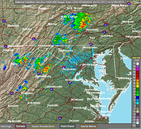 At 416 pm edt, a severe thunderstorm was located near harpers ferry, or near shepherdstown, moving northeast at 15 mph (radar indicated). Hazards include 60 mph wind gusts and quarter size hail. Damaging winds will cause some trees and large branches to fall. this could injure those outdoors, as well as damage homes and vehicles. roadways may become blocked by downed trees. localized power outages are possible. Unsecured light objects may become projectiles. At 416 pm edt, a severe thunderstorm was located near harpers ferry, or near shepherdstown, moving northeast at 15 mph (radar indicated). Hazards include 60 mph wind gusts and quarter size hail. Damaging winds will cause some trees and large branches to fall. this could injure those outdoors, as well as damage homes and vehicles. roadways may become blocked by downed trees. localized power outages are possible. Unsecured light objects may become projectiles.
|
| 7/22/2019 2:24 PM EDT |
 At 224 pm edt, severe thunderstorms were located along a line extending from corporation of ranson to bluemont, moving northeast at 35 mph (radar indicated). Hazards include 60 mph wind gusts. Damaging winds will cause some trees and large branches to fall. this could injure those outdoors, as well as damage homes and vehicles. roadways may become blocked by downed trees. localized power outages are possible. Unsecured light objects may become projectiles. At 224 pm edt, severe thunderstorms were located along a line extending from corporation of ranson to bluemont, moving northeast at 35 mph (radar indicated). Hazards include 60 mph wind gusts. Damaging winds will cause some trees and large branches to fall. this could injure those outdoors, as well as damage homes and vehicles. roadways may become blocked by downed trees. localized power outages are possible. Unsecured light objects may become projectiles.
|
| 6/29/2019 9:55 PM EDT |
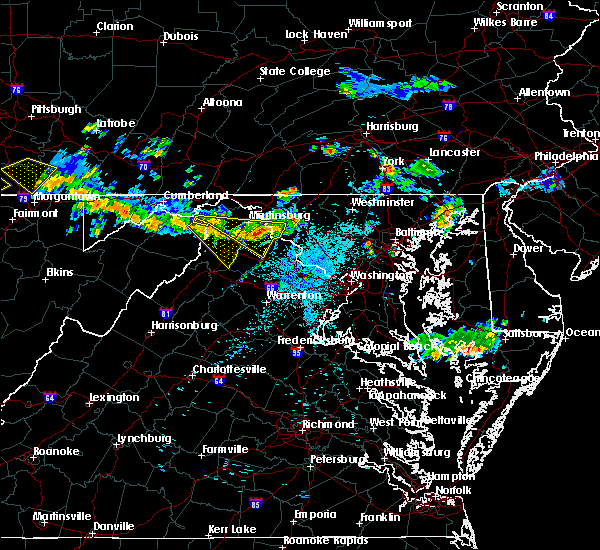 At 954 pm edt, severe thunderstorms with a history of producing wind damage were located along a line extending from near boonsboro to near inwood, moving southeast at 25 mph (radar indicated). Hazards include 70 mph wind gusts. Damaging winds will cause some trees and large branches to fall. this could injure those outdoors, as well as damage homes and vehicles. roadways may become blocked by downed trees. localized power outages are possible. unsecured light objects may become projectiles. Locations impacted include, charles town, shepherdstown, ranson, harpers ferry, kearneysville, corporation of ranson, bolivar, sharpsburg, shenandoah junction, middleway, rohrersville, gapland, brownsville, antietam, moler crossroads, halltown, summit point, pleasantville, millville and bakerton. At 954 pm edt, severe thunderstorms with a history of producing wind damage were located along a line extending from near boonsboro to near inwood, moving southeast at 25 mph (radar indicated). Hazards include 70 mph wind gusts. Damaging winds will cause some trees and large branches to fall. this could injure those outdoors, as well as damage homes and vehicles. roadways may become blocked by downed trees. localized power outages are possible. unsecured light objects may become projectiles. Locations impacted include, charles town, shepherdstown, ranson, harpers ferry, kearneysville, corporation of ranson, bolivar, sharpsburg, shenandoah junction, middleway, rohrersville, gapland, brownsville, antietam, moler crossroads, halltown, summit point, pleasantville, millville and bakerton.
|
| 6/29/2019 9:48 PM EDT |
 At 936 pm edt, severe thunderstorms were located along a line extending from near shepherdstown to near inwood, moving southeast at 25 mph (radar indicated). Hazards include 60 mph wind gusts. Damaging winds will cause some trees and large branches to fall. this could injure those outdoors, as well as damage homes and vehicles. roadways may become blocked by downed trees. localized power outages are possible. unsecured light objects may become projectiles. Locations impacted include, hagerstown, martinsburg, charles town, shepherdstown, paw paw, greenwood, robinwood, ranson, boonsboro, inwood, williamsport, berkeley springs, mount aetna, mount lena, san mar, harpers ferry, corporation of ranson, kearneysville, saint james and berkeley. At 936 pm edt, severe thunderstorms were located along a line extending from near shepherdstown to near inwood, moving southeast at 25 mph (radar indicated). Hazards include 60 mph wind gusts. Damaging winds will cause some trees and large branches to fall. this could injure those outdoors, as well as damage homes and vehicles. roadways may become blocked by downed trees. localized power outages are possible. unsecured light objects may become projectiles. Locations impacted include, hagerstown, martinsburg, charles town, shepherdstown, paw paw, greenwood, robinwood, ranson, boonsboro, inwood, williamsport, berkeley springs, mount aetna, mount lena, san mar, harpers ferry, corporation of ranson, kearneysville, saint james and berkeley.
|
| 6/29/2019 9:48 PM EDT |
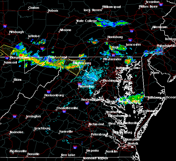 At 947 pm edt, severe thunderstorms were located along a line extending from near boonsboro to near inwood, moving southeast at 25 mph (radar indicated). Hazards include 60 mph wind gusts. Damaging winds will cause some trees and large branches to fall. this could injure those outdoors, as well as damage homes and vehicles. roadways may become blocked by downed trees. localized power outages are possible. unsecured light objects may become projectiles. Locations impacted include, martinsburg, charles town, shepherdstown, greenwood, ranson, inwood, harpers ferry, kearneysville, corporation of ranson, bolivar, sharpsburg, shenandoah junction, middleway, rohrersville, gapland, brownsville, antietam, winebrenners cross, ridgeway and bunker hill. At 947 pm edt, severe thunderstorms were located along a line extending from near boonsboro to near inwood, moving southeast at 25 mph (radar indicated). Hazards include 60 mph wind gusts. Damaging winds will cause some trees and large branches to fall. this could injure those outdoors, as well as damage homes and vehicles. roadways may become blocked by downed trees. localized power outages are possible. unsecured light objects may become projectiles. Locations impacted include, martinsburg, charles town, shepherdstown, greenwood, ranson, inwood, harpers ferry, kearneysville, corporation of ranson, bolivar, sharpsburg, shenandoah junction, middleway, rohrersville, gapland, brownsville, antietam, winebrenners cross, ridgeway and bunker hill.
|
| 6/29/2019 9:36 PM EDT |
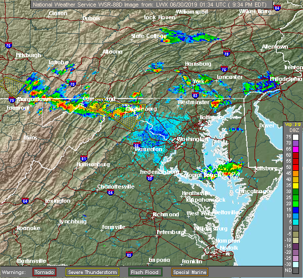 At 936 pm edt, severe thunderstorms were located along a line extending from near shepherdstown to near inwood, moving southeast at 25 mph (radar indicated). Hazards include 60 mph wind gusts. Damaging winds will cause some trees and large branches to fall. this could injure those outdoors, as well as damage homes and vehicles. roadways may become blocked by downed trees. localized power outages are possible. unsecured light objects may become projectiles. Locations impacted include, hagerstown, martinsburg, charles town, shepherdstown, paw paw, greenwood, robinwood, ranson, boonsboro, inwood, williamsport, berkeley springs, mount aetna, mount lena, san mar, harpers ferry, corporation of ranson, kearneysville, saint james and berkeley. At 936 pm edt, severe thunderstorms were located along a line extending from near shepherdstown to near inwood, moving southeast at 25 mph (radar indicated). Hazards include 60 mph wind gusts. Damaging winds will cause some trees and large branches to fall. this could injure those outdoors, as well as damage homes and vehicles. roadways may become blocked by downed trees. localized power outages are possible. unsecured light objects may become projectiles. Locations impacted include, hagerstown, martinsburg, charles town, shepherdstown, paw paw, greenwood, robinwood, ranson, boonsboro, inwood, williamsport, berkeley springs, mount aetna, mount lena, san mar, harpers ferry, corporation of ranson, kearneysville, saint james and berkeley.
|
| 6/29/2019 9:18 PM EDT |
 At 917 pm edt, severe thunderstorms were located along a line extending from near williamsport to near greenwood, moving southeast at 25 mph (radar indicated). Hazards include 60 mph wind gusts. Damaging winds will cause some trees and large branches to fall. this could injure those outdoors, as well as damage homes and vehicles. roadways may become blocked by downed trees. localized power outages are possible. Unsecured light objects may become projectiles. At 917 pm edt, severe thunderstorms were located along a line extending from near williamsport to near greenwood, moving southeast at 25 mph (radar indicated). Hazards include 60 mph wind gusts. Damaging winds will cause some trees and large branches to fall. this could injure those outdoors, as well as damage homes and vehicles. roadways may become blocked by downed trees. localized power outages are possible. Unsecured light objects may become projectiles.
|
| 6/27/2019 4:34 PM EDT |
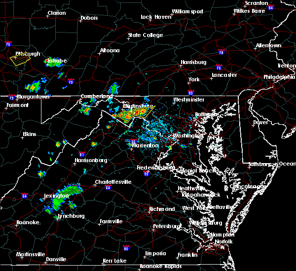 At 432 pm edt, a severe thunderstorm was located near boonsboro, or 8 miles east of shepherdstown, moving east at 10 mph (radar indicated). Hazards include 70 mph wind gusts and ping pong ball size hail. Damaging winds will cause some trees and large branches to fall. this could injure those outdoors, as well as damage homes and vehicles. roadways may become blocked by downed trees. localized power outages are possible. unsecured light objects may become projectiles. Locations impacted include, frederick, brunswick, braddock heights, clover hill, jefferson, myersville, keedysville, sharpsburg, rosemont, rohrersville, burkittsville, gapland, brownsville, antietam, bloomfield, clifton, arnoldtown, moler crossroads, petersville and bolivar. At 432 pm edt, a severe thunderstorm was located near boonsboro, or 8 miles east of shepherdstown, moving east at 10 mph (radar indicated). Hazards include 70 mph wind gusts and ping pong ball size hail. Damaging winds will cause some trees and large branches to fall. this could injure those outdoors, as well as damage homes and vehicles. roadways may become blocked by downed trees. localized power outages are possible. unsecured light objects may become projectiles. Locations impacted include, frederick, brunswick, braddock heights, clover hill, jefferson, myersville, keedysville, sharpsburg, rosemont, rohrersville, burkittsville, gapland, brownsville, antietam, bloomfield, clifton, arnoldtown, moler crossroads, petersville and bolivar.
|
| 6/27/2019 4:28 PM EDT |
 At 427 pm edt, a severe thunderstorm was located near boonsboro, or 7 miles east of shepherdstown, moving east at 10 mph (radar indicated). Hazards include 70 mph wind gusts and quarter size hail. Damaging winds will cause some trees and large branches to fall. this could injure those outdoors, as well as damage homes and vehicles. roadways may become blocked by downed trees. localized power outages are possible. unsecured light objects may become projectiles. Locations impacted include, frederick, brunswick, braddock heights, clover hill, jefferson, myersville, keedysville, sharpsburg, rosemont, rohrersville, burkittsville, gapland, brownsville, antietam, bloomfield, clifton, arnoldtown, moler crossroads, petersville and bolivar. At 427 pm edt, a severe thunderstorm was located near boonsboro, or 7 miles east of shepherdstown, moving east at 10 mph (radar indicated). Hazards include 70 mph wind gusts and quarter size hail. Damaging winds will cause some trees and large branches to fall. this could injure those outdoors, as well as damage homes and vehicles. roadways may become blocked by downed trees. localized power outages are possible. unsecured light objects may become projectiles. Locations impacted include, frederick, brunswick, braddock heights, clover hill, jefferson, myersville, keedysville, sharpsburg, rosemont, rohrersville, burkittsville, gapland, brownsville, antietam, bloomfield, clifton, arnoldtown, moler crossroads, petersville and bolivar.
|
| 6/27/2019 4:28 PM EDT |
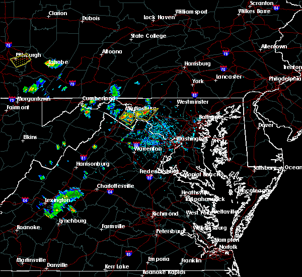 At 427 pm edt, a severe thunderstorm was located near boonsboro, or 7 miles east of shepherdstown, moving east at 10 mph (radar indicated). Hazards include 70 mph wind gusts and quarter size hail. Damaging winds will cause some trees and large branches to fall. this could injure those outdoors, as well as damage homes and vehicles. roadways may become blocked by downed trees. localized power outages are possible. unsecured light objects may become projectiles. Locations impacted include, frederick, brunswick, braddock heights, clover hill, jefferson, myersville, keedysville, sharpsburg, rosemont, rohrersville, burkittsville, gapland, brownsville, antietam, bloomfield, clifton, arnoldtown, moler crossroads, petersville and bolivar. At 427 pm edt, a severe thunderstorm was located near boonsboro, or 7 miles east of shepherdstown, moving east at 10 mph (radar indicated). Hazards include 70 mph wind gusts and quarter size hail. Damaging winds will cause some trees and large branches to fall. this could injure those outdoors, as well as damage homes and vehicles. roadways may become blocked by downed trees. localized power outages are possible. unsecured light objects may become projectiles. Locations impacted include, frederick, brunswick, braddock heights, clover hill, jefferson, myersville, keedysville, sharpsburg, rosemont, rohrersville, burkittsville, gapland, brownsville, antietam, bloomfield, clifton, arnoldtown, moler crossroads, petersville and bolivar.
|
| 6/27/2019 4:23 PM EDT |
 The national weather service in sterling virginia has issued a * severe thunderstorm warning for. southeastern washington county in north central maryland. southwestern frederick county in north central maryland. east central jefferson county in the panhandle of west virginia. Until 515 pm edt. The national weather service in sterling virginia has issued a * severe thunderstorm warning for. southeastern washington county in north central maryland. southwestern frederick county in north central maryland. east central jefferson county in the panhandle of west virginia. Until 515 pm edt.
|
| 6/27/2019 4:23 PM EDT |
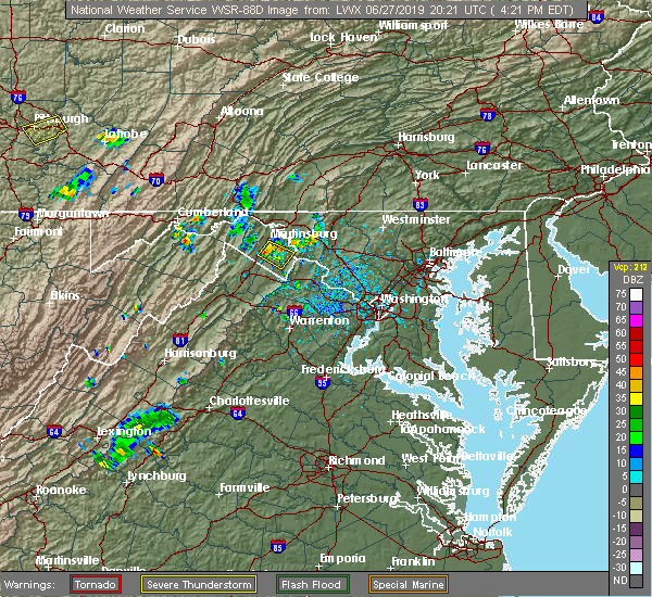 The national weather service in sterling virginia has issued a * severe thunderstorm warning for. southeastern washington county in north central maryland. southwestern frederick county in north central maryland. east central jefferson county in the panhandle of west virginia. Until 515 pm edt. The national weather service in sterling virginia has issued a * severe thunderstorm warning for. southeastern washington county in north central maryland. southwestern frederick county in north central maryland. east central jefferson county in the panhandle of west virginia. Until 515 pm edt.
|
| 6/13/2019 4:17 PM EDT |
 The national weather service in sterling virginia has issued a * severe thunderstorm warning for. northeastern washington county in north central maryland. northwestern frederick county in north central maryland. until 500 pm edt. At 417 pm edt, a severe thunderstorm was located over saint james,. The national weather service in sterling virginia has issued a * severe thunderstorm warning for. northeastern washington county in north central maryland. northwestern frederick county in north central maryland. until 500 pm edt. At 417 pm edt, a severe thunderstorm was located over saint james,.
|
| 6/2/2019 2:21 PM EDT |
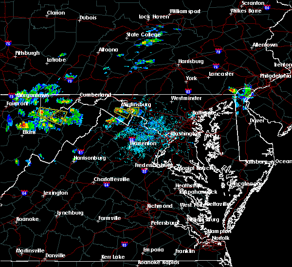 At 221 pm edt, a severe thunderstorm was located over kearneysville, or near shepherdstown, moving east at 15 mph (radar indicated). Hazards include 60 mph wind gusts. Damaging winds will cause some trees and large branches to fall. this could injure those outdoors, as well as damage homes and vehicles. roadways may become blocked by downed trees. localized power outages are possible. unsecured light objects may become projectiles. Locations impacted include, shepherdstown, sharpsburg, rohrersville, gapland, brownsville, antietam, pleasantville, moler crossroads and bakerton. At 221 pm edt, a severe thunderstorm was located over kearneysville, or near shepherdstown, moving east at 15 mph (radar indicated). Hazards include 60 mph wind gusts. Damaging winds will cause some trees and large branches to fall. this could injure those outdoors, as well as damage homes and vehicles. roadways may become blocked by downed trees. localized power outages are possible. unsecured light objects may become projectiles. Locations impacted include, shepherdstown, sharpsburg, rohrersville, gapland, brownsville, antietam, pleasantville, moler crossroads and bakerton.
|
| 6/2/2019 2:10 PM EDT |
 At 209 pm edt, a severe thunderstorm with a history of producing quarter size hail was located near kearneysville, or near martinsburg, moving east at 15 mph (radar indicated and trained spotters). Hazards include 70 mph wind gusts. Damaging winds will cause some trees and large branches to fall. this could injure those outdoors, as well as damage homes and vehicles. roadways may become blocked by downed trees. localized power outages are possible. unsecured light objects may become projectiles. Locations impacted include, shepherdstown, keedysville, sharpsburg, rohrersville, gapland, brownsville, antietam, winebrenners cross, pleasantville, moler crossroads and bakerton. At 209 pm edt, a severe thunderstorm with a history of producing quarter size hail was located near kearneysville, or near martinsburg, moving east at 15 mph (radar indicated and trained spotters). Hazards include 70 mph wind gusts. Damaging winds will cause some trees and large branches to fall. this could injure those outdoors, as well as damage homes and vehicles. roadways may become blocked by downed trees. localized power outages are possible. unsecured light objects may become projectiles. Locations impacted include, shepherdstown, keedysville, sharpsburg, rohrersville, gapland, brownsville, antietam, winebrenners cross, pleasantville, moler crossroads and bakerton.
|
| 6/2/2019 2:10 PM EDT |
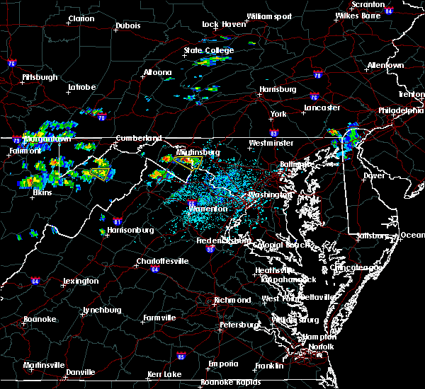 At 209 pm edt, a severe thunderstorm with a history of producing quarter size hail was located near kearneysville, or near martinsburg, moving east at 15 mph (radar indicated and trained spotters). Hazards include 70 mph wind gusts. Damaging winds will cause some trees and large branches to fall. this could injure those outdoors, as well as damage homes and vehicles. roadways may become blocked by downed trees. localized power outages are possible. unsecured light objects may become projectiles. Locations impacted include, shepherdstown, keedysville, sharpsburg, rohrersville, gapland, brownsville, antietam, winebrenners cross, pleasantville, moler crossroads and bakerton. At 209 pm edt, a severe thunderstorm with a history of producing quarter size hail was located near kearneysville, or near martinsburg, moving east at 15 mph (radar indicated and trained spotters). Hazards include 70 mph wind gusts. Damaging winds will cause some trees and large branches to fall. this could injure those outdoors, as well as damage homes and vehicles. roadways may become blocked by downed trees. localized power outages are possible. unsecured light objects may become projectiles. Locations impacted include, shepherdstown, keedysville, sharpsburg, rohrersville, gapland, brownsville, antietam, winebrenners cross, pleasantville, moler crossroads and bakerton.
|
| 6/2/2019 1:59 PM EDT |
 At 158 pm edt, a severe thunderstorm with a history of producing quarter size hail was located near martinsburg, moving east at 15 mph (trained spotters). Hazards include 70 mph wind gusts and quarter size hail. Damaging winds will cause some trees and large branches to fall. this could injure those outdoors, as well as damage homes and vehicles. roadways may become blocked by downed trees. localized power outages are possible. unsecured light objects may become projectiles. Locations impacted include, martinsburg, shepherdstown, ranson, harpers ferry, kearneysville, keedysville, bolivar, sharpsburg, shenandoah junction, rohrersville, gapland, brownsville, antietam, winebrenners cross, moler crossroads, pleasantville and bakerton. At 158 pm edt, a severe thunderstorm with a history of producing quarter size hail was located near martinsburg, moving east at 15 mph (trained spotters). Hazards include 70 mph wind gusts and quarter size hail. Damaging winds will cause some trees and large branches to fall. this could injure those outdoors, as well as damage homes and vehicles. roadways may become blocked by downed trees. localized power outages are possible. unsecured light objects may become projectiles. Locations impacted include, martinsburg, shepherdstown, ranson, harpers ferry, kearneysville, keedysville, bolivar, sharpsburg, shenandoah junction, rohrersville, gapland, brownsville, antietam, winebrenners cross, moler crossroads, pleasantville and bakerton.
|
| 6/2/2019 1:59 PM EDT |
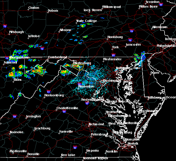 At 158 pm edt, a severe thunderstorm with a history of producing quarter size hail was located near martinsburg, moving east at 15 mph (trained spotters). Hazards include 70 mph wind gusts and quarter size hail. Damaging winds will cause some trees and large branches to fall. this could injure those outdoors, as well as damage homes and vehicles. roadways may become blocked by downed trees. localized power outages are possible. unsecured light objects may become projectiles. Locations impacted include, martinsburg, shepherdstown, ranson, harpers ferry, kearneysville, keedysville, bolivar, sharpsburg, shenandoah junction, rohrersville, gapland, brownsville, antietam, winebrenners cross, moler crossroads, pleasantville and bakerton. At 158 pm edt, a severe thunderstorm with a history of producing quarter size hail was located near martinsburg, moving east at 15 mph (trained spotters). Hazards include 70 mph wind gusts and quarter size hail. Damaging winds will cause some trees and large branches to fall. this could injure those outdoors, as well as damage homes and vehicles. roadways may become blocked by downed trees. localized power outages are possible. unsecured light objects may become projectiles. Locations impacted include, martinsburg, shepherdstown, ranson, harpers ferry, kearneysville, keedysville, bolivar, sharpsburg, shenandoah junction, rohrersville, gapland, brownsville, antietam, winebrenners cross, moler crossroads, pleasantville and bakerton.
|
| 6/2/2019 1:49 PM EDT |
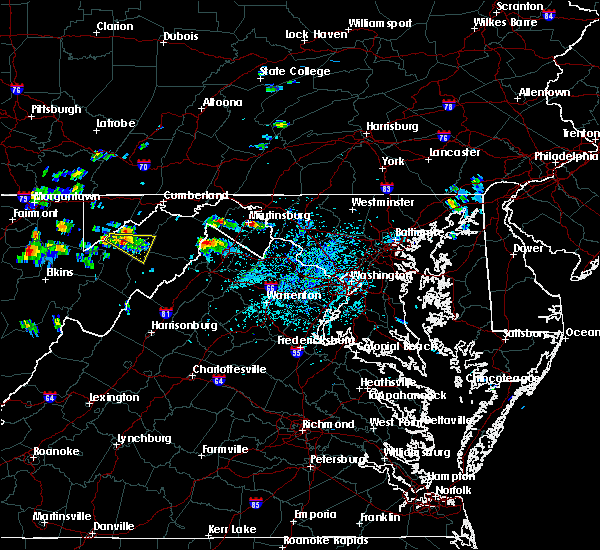 The national weather service in sterling virginia has issued a * severe thunderstorm warning for. southeastern washington county in north central maryland. northeastern jefferson county in the panhandle of west virginia. east central berkeley county in the panhandle of west virginia. Until 230 pm edt. The national weather service in sterling virginia has issued a * severe thunderstorm warning for. southeastern washington county in north central maryland. northeastern jefferson county in the panhandle of west virginia. east central berkeley county in the panhandle of west virginia. Until 230 pm edt.
|
| 5/30/2019 2:38 PM EDT |
 At 236 pm edt, a severe thunderstorm capable of producing a tornado and damaging winds was located near braddock heights, or 10 miles west of harry grove stadium, moving east at 25 mph (radar indicated). Hazards include 60 mph wind gusts and a tornado. Damaging winds will cause some trees and large branches to fall. this could injure those outdoors, as well as damage homes and vehicles. roadways may become blocked by downed trees. localized power outages are possible. unsecured light objects may become projectiles. locations impacted include, frederick, harry grove stadium, ballenger creek, brunswick, walkersville, braddock heights, new market, clover hill, discovery-spring garden, linganore-bartonsville, adamstown, jefferson, keedysville, buckeystown, libertytown, monrovia, rosemont, rohrersville, burkittsville and gapland. A tornado warning is also in effect for this storm. At 236 pm edt, a severe thunderstorm capable of producing a tornado and damaging winds was located near braddock heights, or 10 miles west of harry grove stadium, moving east at 25 mph (radar indicated). Hazards include 60 mph wind gusts and a tornado. Damaging winds will cause some trees and large branches to fall. this could injure those outdoors, as well as damage homes and vehicles. roadways may become blocked by downed trees. localized power outages are possible. unsecured light objects may become projectiles. locations impacted include, frederick, harry grove stadium, ballenger creek, brunswick, walkersville, braddock heights, new market, clover hill, discovery-spring garden, linganore-bartonsville, adamstown, jefferson, keedysville, buckeystown, libertytown, monrovia, rosemont, rohrersville, burkittsville and gapland. A tornado warning is also in effect for this storm.
|
| 5/30/2019 2:24 PM EDT |
 At 224 pm edt, a severe thunderstorm capable of producing a tornado was located near boonsboro, or 8 miles east of shepherdstown, moving east at 40 mph (radar indicated rotation). Hazards include tornado. For those in the direct path of a tornado touchdown, flying debris will be dangerous to those caught without shelter. damage to roofs, siding, and windows may occur. mobile homes may be damaged or destroyed. tree damage is likely. this dangerous storm will be near, braddock heights around 235 pm edt. ballenger creek and clover hill around 240 pm edt. frederick and harry grove stadium around 245 pm edt. walkersville, linganore-bartonsville and discovery-spring garden around 250 pm edt. new market and green valley around 255 pm edt. Other locations impacted by this tornadic thunderstorm include burkittsville, ijamsville, bloomfield, mount pleasant, jefferson, brownsville, clifton, arnoldtown, libertytown and bolivar. At 224 pm edt, a severe thunderstorm capable of producing a tornado was located near boonsboro, or 8 miles east of shepherdstown, moving east at 40 mph (radar indicated rotation). Hazards include tornado. For those in the direct path of a tornado touchdown, flying debris will be dangerous to those caught without shelter. damage to roofs, siding, and windows may occur. mobile homes may be damaged or destroyed. tree damage is likely. this dangerous storm will be near, braddock heights around 235 pm edt. ballenger creek and clover hill around 240 pm edt. frederick and harry grove stadium around 245 pm edt. walkersville, linganore-bartonsville and discovery-spring garden around 250 pm edt. new market and green valley around 255 pm edt. Other locations impacted by this tornadic thunderstorm include burkittsville, ijamsville, bloomfield, mount pleasant, jefferson, brownsville, clifton, arnoldtown, libertytown and bolivar.
|
| 5/30/2019 2:20 PM EDT |
 At 220 pm edt, a severe thunderstorm was located near shepherdstown, moving east at 25 mph (radar indicated). Hazards include 60 mph wind gusts. Damaging winds will cause some trees and large branches to fall. this could injure those outdoors, as well as damage homes and vehicles. roadways may become blocked by downed trees. localized power outages are possible. Unsecured light objects may become projectiles. At 220 pm edt, a severe thunderstorm was located near shepherdstown, moving east at 25 mph (radar indicated). Hazards include 60 mph wind gusts. Damaging winds will cause some trees and large branches to fall. this could injure those outdoors, as well as damage homes and vehicles. roadways may become blocked by downed trees. localized power outages are possible. Unsecured light objects may become projectiles.
|
| 5/30/2019 2:00 PM EDT |
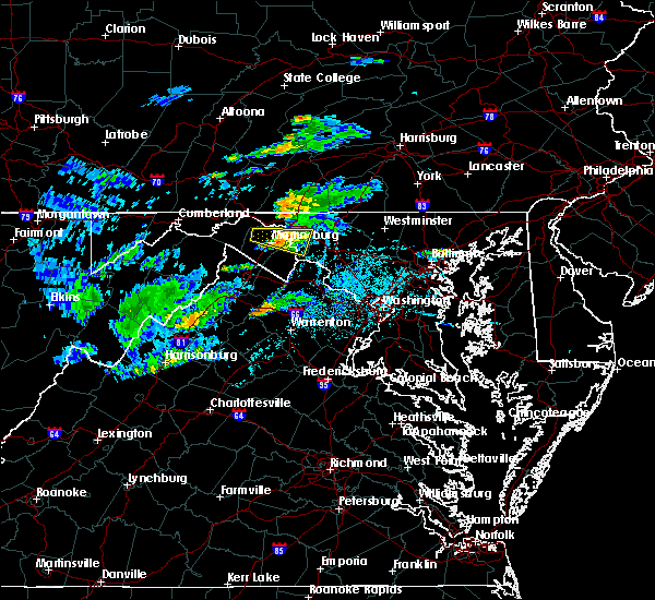 At 200 pm edt, a severe thunderstorm was located near shepherdstown, moving east at 35 mph (radar indicated). Hazards include 60 mph wind gusts. Damaging winds will cause some trees and large branches to fall. this could injure those outdoors, as well as damage homes and vehicles. roadways may become blocked by downed trees. localized power outages are possible. unsecured light objects may become projectiles. Locations impacted include, martinsburg, shepherdstown, boonsboro, mount lena, san mar, saint james, berkeley, keedysville, falling waters, sharpsburg, fairplay, rohrersville, gapland, antietam, winebrenners cross and moler crossroads. At 200 pm edt, a severe thunderstorm was located near shepherdstown, moving east at 35 mph (radar indicated). Hazards include 60 mph wind gusts. Damaging winds will cause some trees and large branches to fall. this could injure those outdoors, as well as damage homes and vehicles. roadways may become blocked by downed trees. localized power outages are possible. unsecured light objects may become projectiles. Locations impacted include, martinsburg, shepherdstown, boonsboro, mount lena, san mar, saint james, berkeley, keedysville, falling waters, sharpsburg, fairplay, rohrersville, gapland, antietam, winebrenners cross and moler crossroads.
|
| 5/30/2019 1:45 PM EDT |
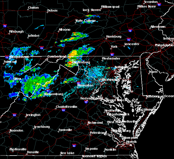 At 144 pm edt, a severe thunderstorm was located near martinsburg, moving east at 35 mph (radar indicated). Hazards include 60 mph wind gusts and quarter size hail. Damaging winds will cause some trees and large branches to fall. this could injure those outdoors, as well as damage homes and vehicles. roadways may become blocked by downed trees. localized power outages are possible. Unsecured light objects may become projectiles. At 144 pm edt, a severe thunderstorm was located near martinsburg, moving east at 35 mph (radar indicated). Hazards include 60 mph wind gusts and quarter size hail. Damaging winds will cause some trees and large branches to fall. this could injure those outdoors, as well as damage homes and vehicles. roadways may become blocked by downed trees. localized power outages are possible. Unsecured light objects may become projectiles.
|
| 5/26/2019 8:17 PM EDT |
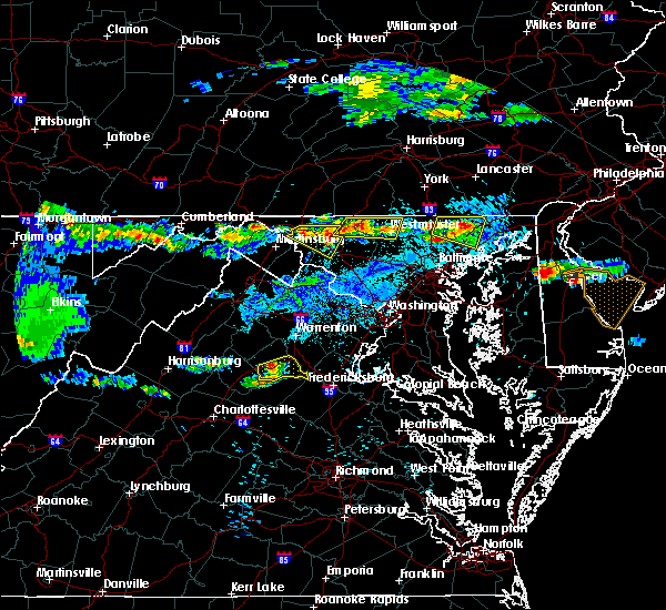 At 816 pm edt, a severe thunderstorm was located over mount lena, or 7 miles southeast of hagerstown`s municipal stadium, moving southeast at 20 mph (radar indicated). Hazards include 60 mph wind gusts and quarter size hail. Damaging winds will cause some trees and large branches to fall. this could injure those outdoors, as well as damage homes and vehicles. roadways may become blocked by downed trees. localized power outages are possible. unsecured light objects may become projectiles. Locations impacted include, hagerstown, municipal stadium, robinwood, boonsboro, braddock heights, williamsport, mount aetna, mount lena, san mar, wolfsville, saint james, halfway, myersville, cavetown, keedysville, funkstown, fairplay, clifton, pleasant walk and bolivar. At 816 pm edt, a severe thunderstorm was located over mount lena, or 7 miles southeast of hagerstown`s municipal stadium, moving southeast at 20 mph (radar indicated). Hazards include 60 mph wind gusts and quarter size hail. Damaging winds will cause some trees and large branches to fall. this could injure those outdoors, as well as damage homes and vehicles. roadways may become blocked by downed trees. localized power outages are possible. unsecured light objects may become projectiles. Locations impacted include, hagerstown, municipal stadium, robinwood, boonsboro, braddock heights, williamsport, mount aetna, mount lena, san mar, wolfsville, saint james, halfway, myersville, cavetown, keedysville, funkstown, fairplay, clifton, pleasant walk and bolivar.
|
| 5/26/2019 7:40 PM EDT |
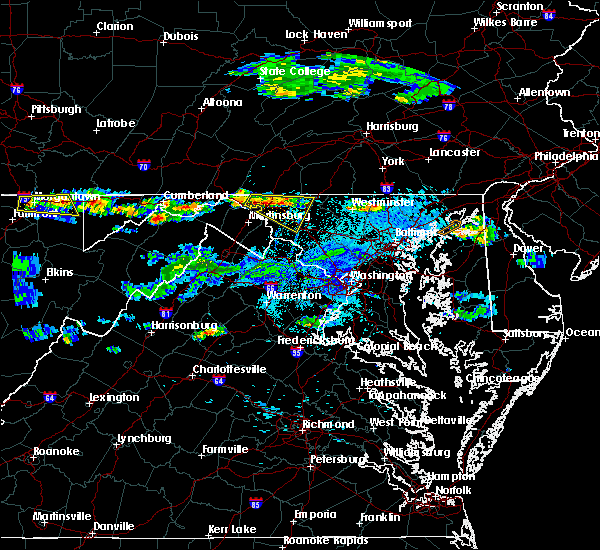 At 740 pm edt, a severe thunderstorm was located over wilson-conococheague, or near hagerstown, moving southeast at 20 mph (radar indicated). Hazards include 60 mph wind gusts and quarter size hail. Damaging winds will cause some trees and large branches to fall. this could injure those outdoors, as well as damage homes and vehicles. roadways may become blocked by downed trees. localized power outages are possible. Unsecured light objects may become projectiles. At 740 pm edt, a severe thunderstorm was located over wilson-conococheague, or near hagerstown, moving southeast at 20 mph (radar indicated). Hazards include 60 mph wind gusts and quarter size hail. Damaging winds will cause some trees and large branches to fall. this could injure those outdoors, as well as damage homes and vehicles. roadways may become blocked by downed trees. localized power outages are possible. Unsecured light objects may become projectiles.
|
| 5/23/2019 2:12 PM EDT |
 At 211 pm edt, a severe thunderstorm was located near boonsboro, or 10 miles northwest of frederick, moving east at 35 mph (radar indicated). Hazards include 60 mph wind gusts. Damaging winds will cause some trees and large branches to fall. this could injure those outdoors, as well as damage homes and vehicles. roadways may become blocked by downed trees. localized power outages are possible. Unsecured light objects may become projectiles. At 211 pm edt, a severe thunderstorm was located near boonsboro, or 10 miles northwest of frederick, moving east at 35 mph (radar indicated). Hazards include 60 mph wind gusts. Damaging winds will cause some trees and large branches to fall. this could injure those outdoors, as well as damage homes and vehicles. roadways may become blocked by downed trees. localized power outages are possible. Unsecured light objects may become projectiles.
|
| 5/3/2019 8:43 PM EDT |
 At 843 pm edt, severe thunderstorms were located along a line extending from near williamsport to near boonsboro to near harpers ferry, moving east at 30 mph (radar indicated). Hazards include 60 mph wind gusts. Damaging winds will cause some trees and large branches to fall. this could injure those outdoors, as well as damage homes and vehicles. roadways may become blocked by downed trees. localized power outages are possible. Unsecured light objects may become projectiles. At 843 pm edt, severe thunderstorms were located along a line extending from near williamsport to near boonsboro to near harpers ferry, moving east at 30 mph (radar indicated). Hazards include 60 mph wind gusts. Damaging winds will cause some trees and large branches to fall. this could injure those outdoors, as well as damage homes and vehicles. roadways may become blocked by downed trees. localized power outages are possible. Unsecured light objects may become projectiles.
|
| 5/3/2019 8:25 PM EDT |
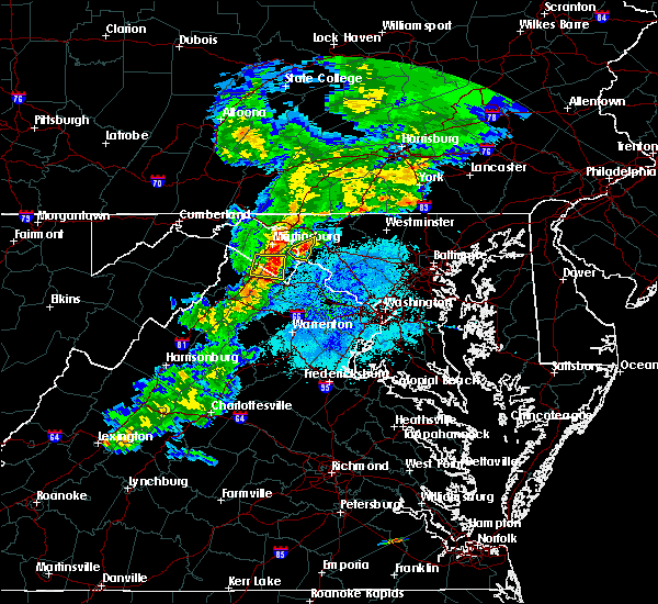 At 824 pm edt, a severe thunderstorm was located near shepherdstown, moving east at 20 mph (trained weather spotters have reported quarter size hail with this storm). Hazards include 60 mph wind gusts and quarter size hail. Damaging winds will cause some trees and large branches to fall. this could injure those outdoors, as well as damage homes and vehicles. roadways may become blocked by downed trees. localized power outages are possible. unsecured light objects may become projectiles. Locations impacted include, shepherdstown, boonsboro, keedysville, sharpsburg, rohrersville, gapland, brownsville, antietam, moler crossroads and bakerton. At 824 pm edt, a severe thunderstorm was located near shepherdstown, moving east at 20 mph (trained weather spotters have reported quarter size hail with this storm). Hazards include 60 mph wind gusts and quarter size hail. Damaging winds will cause some trees and large branches to fall. this could injure those outdoors, as well as damage homes and vehicles. roadways may become blocked by downed trees. localized power outages are possible. unsecured light objects may become projectiles. Locations impacted include, shepherdstown, boonsboro, keedysville, sharpsburg, rohrersville, gapland, brownsville, antietam, moler crossroads and bakerton.
|
| 5/3/2019 8:07 PM EDT |
 At 807 pm edt, a severe thunderstorm was located over kearneysville, or near shepherdstown, moving east at 20 mph (trained weather spotters have reported quarter size hail with this storm). Hazards include ping pong ball size hail and 60 mph wind gusts. Damaging winds will cause some trees and large branches to fall. this could injure those outdoors, as well as damage homes and vehicles. roadways may become blocked by downed trees. localized power outages are possible. Unsecured light objects may become projectiles. At 807 pm edt, a severe thunderstorm was located over kearneysville, or near shepherdstown, moving east at 20 mph (trained weather spotters have reported quarter size hail with this storm). Hazards include ping pong ball size hail and 60 mph wind gusts. Damaging winds will cause some trees and large branches to fall. this could injure those outdoors, as well as damage homes and vehicles. roadways may become blocked by downed trees. localized power outages are possible. Unsecured light objects may become projectiles.
|
| 5/3/2019 8:07 PM EDT |
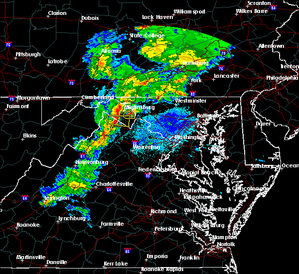 At 807 pm edt, a severe thunderstorm was located over kearneysville, or near shepherdstown, moving east at 20 mph (trained weather spotters have reported quarter size hail with this storm). Hazards include ping pong ball size hail and 60 mph wind gusts. Damaging winds will cause some trees and large branches to fall. this could injure those outdoors, as well as damage homes and vehicles. roadways may become blocked by downed trees. localized power outages are possible. Unsecured light objects may become projectiles. At 807 pm edt, a severe thunderstorm was located over kearneysville, or near shepherdstown, moving east at 20 mph (trained weather spotters have reported quarter size hail with this storm). Hazards include ping pong ball size hail and 60 mph wind gusts. Damaging winds will cause some trees and large branches to fall. this could injure those outdoors, as well as damage homes and vehicles. roadways may become blocked by downed trees. localized power outages are possible. Unsecured light objects may become projectiles.
|
| 4/19/2019 8:06 PM EDT |
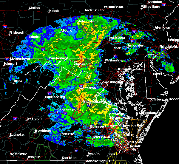 At 806 pm edt, a severe thunderstorm capable of producing a tornado was located near shepherdstown, moving northeast at 55 mph (radar indicated rotation). Hazards include tornado. For those in the direct path of a tornado touchdown, flying debris will be dangerous to those caught without shelter. damage to roofs, siding, and windows may occur. mobile homes may be damaged or destroyed. Tree damage is likely. At 806 pm edt, a severe thunderstorm capable of producing a tornado was located near shepherdstown, moving northeast at 55 mph (radar indicated rotation). Hazards include tornado. For those in the direct path of a tornado touchdown, flying debris will be dangerous to those caught without shelter. damage to roofs, siding, and windows may occur. mobile homes may be damaged or destroyed. Tree damage is likely.
|
| 8/21/2018 7:41 PM EDT |
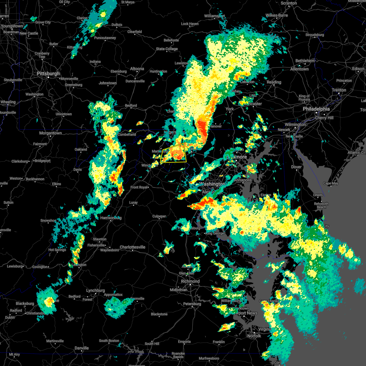 At 725 pm edt, a severe thunderstorm was located near harpers ferry, or near shepherdstown, moving east at 15 mph (radar indicated). Hazards include 60 mph wind gusts and quarter size hail. Damaging winds will cause some trees and large branches to fall. this could injure those outdoors, as well as damage homes and vehicles. roadways may become blocked by downed trees. localized power outages are possible. unsecured light objects may become projectiles. Locations impacted include, charles town, shepherdstown, brunswick, ranson, boonsboro, harpers ferry, kearneysville, point of rocks, corporation of ranson, jefferson, myersville, lovettsville, keedysville, sharpsburg, shenandoah junction, middleway, rosemont, rohrersville, burkittsville and gapland. At 725 pm edt, a severe thunderstorm was located near harpers ferry, or near shepherdstown, moving east at 15 mph (radar indicated). Hazards include 60 mph wind gusts and quarter size hail. Damaging winds will cause some trees and large branches to fall. this could injure those outdoors, as well as damage homes and vehicles. roadways may become blocked by downed trees. localized power outages are possible. unsecured light objects may become projectiles. Locations impacted include, charles town, shepherdstown, brunswick, ranson, boonsboro, harpers ferry, kearneysville, point of rocks, corporation of ranson, jefferson, myersville, lovettsville, keedysville, sharpsburg, shenandoah junction, middleway, rosemont, rohrersville, burkittsville and gapland.
|
| 8/21/2018 7:41 PM EDT |
 The severe thunderstorm warning for southeastern washington and southwestern frederick counties in north central maryland, north central loudoun county in northern virginia, jefferson and east central berkeley counties in the panhandle of west virginia will expire at 745 pm edt, the storm which prompted the warning has weakened below severe limits, and no longer pose an immediate threat to life or property. therefore the warning will be allowed to expire. a severe thunderstorm watch remains in effect until 1000 pm edt for north central maryland, northern virginia, and the panhandle of west virginia. The severe thunderstorm warning for southeastern washington and southwestern frederick counties in north central maryland, north central loudoun county in northern virginia, jefferson and east central berkeley counties in the panhandle of west virginia will expire at 745 pm edt, the storm which prompted the warning has weakened below severe limits, and no longer pose an immediate threat to life or property. therefore the warning will be allowed to expire. a severe thunderstorm watch remains in effect until 1000 pm edt for north central maryland, northern virginia, and the panhandle of west virginia.
|
| 8/21/2018 7:25 PM EDT |
 At 725 pm edt, a severe thunderstorm was located near harpers ferry, or near shepherdstown, moving east at 15 mph (radar indicated). Hazards include 60 mph wind gusts and quarter size hail. Damaging winds will cause some trees and large branches to fall. this could injure those outdoors, as well as damage homes and vehicles. roadways may become blocked by downed trees. localized power outages are possible. unsecured light objects may become projectiles. Locations impacted include, charles town, shepherdstown, brunswick, ranson, boonsboro, harpers ferry, kearneysville, point of rocks, corporation of ranson, jefferson, myersville, lovettsville, keedysville, sharpsburg, shenandoah junction, middleway, rosemont, rohrersville, burkittsville and gapland. At 725 pm edt, a severe thunderstorm was located near harpers ferry, or near shepherdstown, moving east at 15 mph (radar indicated). Hazards include 60 mph wind gusts and quarter size hail. Damaging winds will cause some trees and large branches to fall. this could injure those outdoors, as well as damage homes and vehicles. roadways may become blocked by downed trees. localized power outages are possible. unsecured light objects may become projectiles. Locations impacted include, charles town, shepherdstown, brunswick, ranson, boonsboro, harpers ferry, kearneysville, point of rocks, corporation of ranson, jefferson, myersville, lovettsville, keedysville, sharpsburg, shenandoah junction, middleway, rosemont, rohrersville, burkittsville and gapland.
|
| 8/21/2018 7:25 PM EDT |
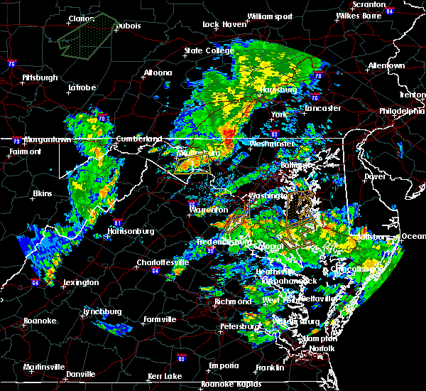 At 725 pm edt, a severe thunderstorm was located near harpers ferry, or near shepherdstown, moving east at 15 mph (radar indicated). Hazards include 60 mph wind gusts and quarter size hail. Damaging winds will cause some trees and large branches to fall. this could injure those outdoors, as well as damage homes and vehicles. roadways may become blocked by downed trees. localized power outages are possible. unsecured light objects may become projectiles. Locations impacted include, charles town, shepherdstown, brunswick, ranson, boonsboro, harpers ferry, kearneysville, point of rocks, corporation of ranson, jefferson, myersville, lovettsville, keedysville, sharpsburg, shenandoah junction, middleway, rosemont, rohrersville, burkittsville and gapland. At 725 pm edt, a severe thunderstorm was located near harpers ferry, or near shepherdstown, moving east at 15 mph (radar indicated). Hazards include 60 mph wind gusts and quarter size hail. Damaging winds will cause some trees and large branches to fall. this could injure those outdoors, as well as damage homes and vehicles. roadways may become blocked by downed trees. localized power outages are possible. unsecured light objects may become projectiles. Locations impacted include, charles town, shepherdstown, brunswick, ranson, boonsboro, harpers ferry, kearneysville, point of rocks, corporation of ranson, jefferson, myersville, lovettsville, keedysville, sharpsburg, shenandoah junction, middleway, rosemont, rohrersville, burkittsville and gapland.
|
| 8/21/2018 6:59 PM EDT |
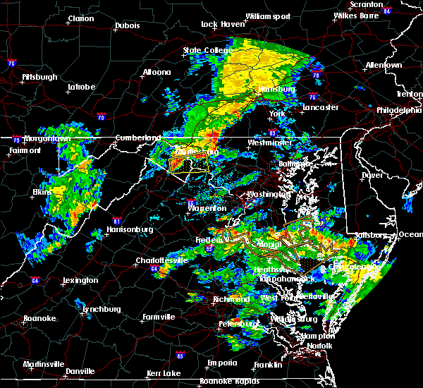 At 659 pm edt, a severe thunderstorm was located over kearneysville, or near charles town, moving east at 20 mph (radar indicated). Hazards include 60 mph wind gusts and quarter size hail. Damaging winds will cause some trees and large branches to fall. this could injure those outdoors, as well as damage homes and vehicles. roadways may become blocked by downed trees. localized power outages are possible. Unsecured light objects may become projectiles. At 659 pm edt, a severe thunderstorm was located over kearneysville, or near charles town, moving east at 20 mph (radar indicated). Hazards include 60 mph wind gusts and quarter size hail. Damaging winds will cause some trees and large branches to fall. this could injure those outdoors, as well as damage homes and vehicles. roadways may become blocked by downed trees. localized power outages are possible. Unsecured light objects may become projectiles.
|
| 8/21/2018 6:59 PM EDT |
 The national weather service in sterling virginia has issued a * severe thunderstorm warning for. southeastern washington county in north central maryland. southwestern frederick county in north central maryland. north central loudoun county in northern virginia. Jefferson county in the panhandle of west virginia. The national weather service in sterling virginia has issued a * severe thunderstorm warning for. southeastern washington county in north central maryland. southwestern frederick county in north central maryland. north central loudoun county in northern virginia. Jefferson county in the panhandle of west virginia.
|
| 8/21/2018 6:59 PM EDT |
 At 659 pm edt, a severe thunderstorm was located over kearneysville, or near charles town, moving east at 20 mph (radar indicated). Hazards include 60 mph wind gusts and quarter size hail. Damaging winds will cause some trees and large branches to fall. this could injure those outdoors, as well as damage homes and vehicles. roadways may become blocked by downed trees. localized power outages are possible. Unsecured light objects may become projectiles. At 659 pm edt, a severe thunderstorm was located over kearneysville, or near charles town, moving east at 20 mph (radar indicated). Hazards include 60 mph wind gusts and quarter size hail. Damaging winds will cause some trees and large branches to fall. this could injure those outdoors, as well as damage homes and vehicles. roadways may become blocked by downed trees. localized power outages are possible. Unsecured light objects may become projectiles.
|
| 8/17/2018 3:52 PM EDT |
 At 352 pm edt, a severe thunderstorm was located near shepherdstown, moving northeast at 25 mph (radar indicated). Hazards include 60 mph wind gusts. Damaging winds will cause some trees and large branches to fall. this could injure those outdoors, as well as damage homes and vehicles. roadways may become blocked by downed trees. localized power outages are possible. unsecured light objects may become projectiles. Locations impacted include, hagerstown, boonsboro, saint james, halfway, keedysville, sharpsburg, fairplay, rohrersville, burkittsville, gapland, brownsville and antietam. At 352 pm edt, a severe thunderstorm was located near shepherdstown, moving northeast at 25 mph (radar indicated). Hazards include 60 mph wind gusts. Damaging winds will cause some trees and large branches to fall. this could injure those outdoors, as well as damage homes and vehicles. roadways may become blocked by downed trees. localized power outages are possible. unsecured light objects may become projectiles. Locations impacted include, hagerstown, boonsboro, saint james, halfway, keedysville, sharpsburg, fairplay, rohrersville, burkittsville, gapland, brownsville and antietam.
|
| 8/17/2018 3:40 PM EDT |
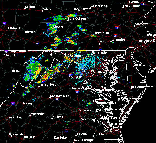 At 340 pm edt, a severe thunderstorm was located near shepherdstown, moving northeast at 25 mph (radar indicated. this storm has a history of producing 60 to 70 mph wind gusts). Hazards include 70 mph wind gusts and half dollar size hail. Damaging winds will cause some trees and large branches to fall. this could injure those outdoors, as well as damage homes and vehicles. roadways may become blocked by downed trees. localized power outages are possible. Unsecured light objects may become projectiles. At 340 pm edt, a severe thunderstorm was located near shepherdstown, moving northeast at 25 mph (radar indicated. this storm has a history of producing 60 to 70 mph wind gusts). Hazards include 70 mph wind gusts and half dollar size hail. Damaging winds will cause some trees and large branches to fall. this could injure those outdoors, as well as damage homes and vehicles. roadways may become blocked by downed trees. localized power outages are possible. Unsecured light objects may become projectiles.
|
| 8/17/2018 3:38 PM EDT |
 At 338 pm edt, a severe thunderstorm was located near kearneysville, or near shepherdstown, moving northeast at 25 mph (radar indicated). Hazards include 70 mph wind gusts and half dollar size hail. Damaging winds will cause some trees and large branches to fall. this could injure those outdoors, as well as damage homes and vehicles. roadways may become blocked by downed trees. localized power outages are possible. unsecured light objects may become projectiles. Locations impacted include, hagerstown, martinsburg, shepherdstown, ranson, boonsboro, kearneysville, saint james, berkeley, halfway, keedysville, sharpsburg, shenandoah junction, fairplay, rohrersville, burkittsville, gapland, brownsville, antietam, winebrenners cross and moler crossroads. At 338 pm edt, a severe thunderstorm was located near kearneysville, or near shepherdstown, moving northeast at 25 mph (radar indicated). Hazards include 70 mph wind gusts and half dollar size hail. Damaging winds will cause some trees and large branches to fall. this could injure those outdoors, as well as damage homes and vehicles. roadways may become blocked by downed trees. localized power outages are possible. unsecured light objects may become projectiles. Locations impacted include, hagerstown, martinsburg, shepherdstown, ranson, boonsboro, kearneysville, saint james, berkeley, halfway, keedysville, sharpsburg, shenandoah junction, fairplay, rohrersville, burkittsville, gapland, brownsville, antietam, winebrenners cross and moler crossroads.
|
| 8/17/2018 3:38 PM EDT |
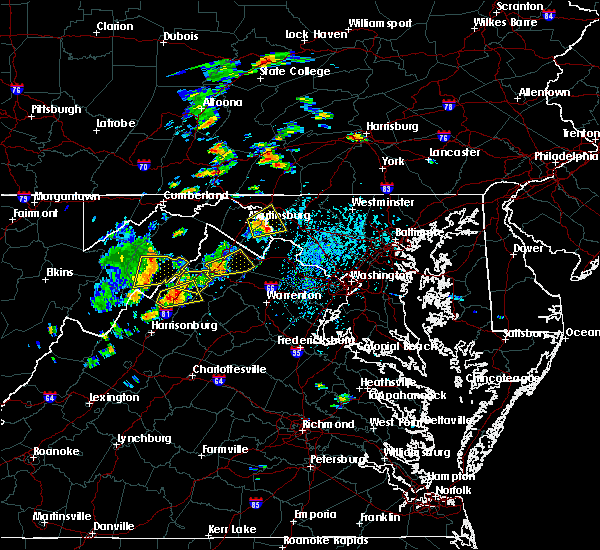 At 338 pm edt, a severe thunderstorm was located near kearneysville, or near shepherdstown, moving northeast at 25 mph (radar indicated). Hazards include 70 mph wind gusts and half dollar size hail. Damaging winds will cause some trees and large branches to fall. this could injure those outdoors, as well as damage homes and vehicles. roadways may become blocked by downed trees. localized power outages are possible. unsecured light objects may become projectiles. Locations impacted include, hagerstown, martinsburg, shepherdstown, ranson, boonsboro, kearneysville, saint james, berkeley, halfway, keedysville, sharpsburg, shenandoah junction, fairplay, rohrersville, burkittsville, gapland, brownsville, antietam, winebrenners cross and moler crossroads. At 338 pm edt, a severe thunderstorm was located near kearneysville, or near shepherdstown, moving northeast at 25 mph (radar indicated). Hazards include 70 mph wind gusts and half dollar size hail. Damaging winds will cause some trees and large branches to fall. this could injure those outdoors, as well as damage homes and vehicles. roadways may become blocked by downed trees. localized power outages are possible. unsecured light objects may become projectiles. Locations impacted include, hagerstown, martinsburg, shepherdstown, ranson, boonsboro, kearneysville, saint james, berkeley, halfway, keedysville, sharpsburg, shenandoah junction, fairplay, rohrersville, burkittsville, gapland, brownsville, antietam, winebrenners cross and moler crossroads.
|
| 8/17/2018 3:31 PM EDT |
 At 331 pm edt, a severe thunderstorm was located near martinsburg, moving northeast at 25 mph (radar indicated. a wind gust of 62 mph was reported at martinsburg airport). Hazards include 70 mph wind gusts and half dollar size hail. Damaging winds will cause some trees and large branches to fall. this could injure those outdoors, as well as damage homes and vehicles. roadways may become blocked by downed trees. localized power outages are possible. unsecured light objects may become projectiles. Locations impacted include, hagerstown, martinsburg, shepherdstown, ranson, boonsboro, inwood, williamsport, kearneysville, saint james, berkeley, halfway, keedysville, falling waters, sharpsburg, shenandoah junction, fairplay, middleway, rohrersville, burkittsville and gapland. At 331 pm edt, a severe thunderstorm was located near martinsburg, moving northeast at 25 mph (radar indicated. a wind gust of 62 mph was reported at martinsburg airport). Hazards include 70 mph wind gusts and half dollar size hail. Damaging winds will cause some trees and large branches to fall. this could injure those outdoors, as well as damage homes and vehicles. roadways may become blocked by downed trees. localized power outages are possible. unsecured light objects may become projectiles. Locations impacted include, hagerstown, martinsburg, shepherdstown, ranson, boonsboro, inwood, williamsport, kearneysville, saint james, berkeley, halfway, keedysville, falling waters, sharpsburg, shenandoah junction, fairplay, middleway, rohrersville, burkittsville and gapland.
|
| 8/17/2018 3:24 PM EDT |
 At 323 pm edt, a severe thunderstorm was located near martinsburg, moving northeast at 25 mph (radar indicated). Hazards include 70 mph wind gusts. a 63 mph wind gust was reported at martinsburg. Damaging winds will cause some trees and large branches to fall. this could injure those outdoors, as well as damage homes and vehicles. roadways may become blocked by downed trees. localized power outages are possible. Unsecured light objects may become projectiles. At 323 pm edt, a severe thunderstorm was located near martinsburg, moving northeast at 25 mph (radar indicated). Hazards include 70 mph wind gusts. a 63 mph wind gust was reported at martinsburg. Damaging winds will cause some trees and large branches to fall. this could injure those outdoors, as well as damage homes and vehicles. roadways may become blocked by downed trees. localized power outages are possible. Unsecured light objects may become projectiles.
|
| 8/17/2018 3:24 PM EDT |
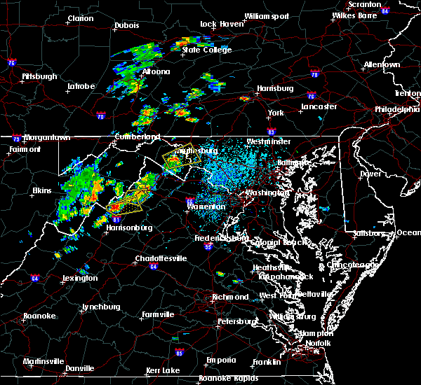 At 323 pm edt, a severe thunderstorm was located near martinsburg, moving northeast at 25 mph (radar indicated). Hazards include 70 mph wind gusts. a 63 mph wind gust was reported at martinsburg. Damaging winds will cause some trees and large branches to fall. this could injure those outdoors, as well as damage homes and vehicles. roadways may become blocked by downed trees. localized power outages are possible. Unsecured light objects may become projectiles. At 323 pm edt, a severe thunderstorm was located near martinsburg, moving northeast at 25 mph (radar indicated). Hazards include 70 mph wind gusts. a 63 mph wind gust was reported at martinsburg. Damaging winds will cause some trees and large branches to fall. this could injure those outdoors, as well as damage homes and vehicles. roadways may become blocked by downed trees. localized power outages are possible. Unsecured light objects may become projectiles.
|
| 6/24/2018 5:58 PM EDT |
 The national weather service in sterling virginia has issued a * severe thunderstorm warning for. southeastern washington county in north central maryland. carroll county in north central maryland. northwestern harford county in northern maryland. Frederick county in north central maryland. The national weather service in sterling virginia has issued a * severe thunderstorm warning for. southeastern washington county in north central maryland. carroll county in north central maryland. northwestern harford county in northern maryland. Frederick county in north central maryland.
|
| 6/20/2018 6:23 PM EDT |
 At 623 pm edt, severe thunderstorms were located along a line extending from 6 miles south of boonsboro to near brunswick to 6 miles south of harpers ferry, moving southeast at 30 mph (radar indicated). Hazards include 60 mph wind gusts. Damaging winds will cause some trees and large branches to fall. this could injure those outdoors, as well as damage homes and vehicles. roadways may become blocked by downed trees. localized power outages are possible. unsecured light objects may become projectiles. Locations impacted include, frederick, leesburg, broadlands, lansdowne, harry grove stadium, ashburn, ballenger creek, purcellville, brunswick, braddock heights, harpers ferry, point of rocks, linganore-bartonsville, belmont, adamstown, jefferson, lovettsville, keedysville, buckeystown and sharpsburg. At 623 pm edt, severe thunderstorms were located along a line extending from 6 miles south of boonsboro to near brunswick to 6 miles south of harpers ferry, moving southeast at 30 mph (radar indicated). Hazards include 60 mph wind gusts. Damaging winds will cause some trees and large branches to fall. this could injure those outdoors, as well as damage homes and vehicles. roadways may become blocked by downed trees. localized power outages are possible. unsecured light objects may become projectiles. Locations impacted include, frederick, leesburg, broadlands, lansdowne, harry grove stadium, ashburn, ballenger creek, purcellville, brunswick, braddock heights, harpers ferry, point of rocks, linganore-bartonsville, belmont, adamstown, jefferson, lovettsville, keedysville, buckeystown and sharpsburg.
|
| 6/20/2018 6:08 PM EDT |
 At 608 pm edt, severe thunderstorms were located along a line extending from near shepherdstown to corporation of ranson, moving southeast at 30 mph (radar indicated). Hazards include 60 mph wind gusts. Damaging winds will cause some trees and large branches to fall. this could injure those outdoors, as well as damage homes and vehicles. roadways may become blocked by downed trees. localized power outages are possible. Unsecured light objects may become projectiles. At 608 pm edt, severe thunderstorms were located along a line extending from near shepherdstown to corporation of ranson, moving southeast at 30 mph (radar indicated). Hazards include 60 mph wind gusts. Damaging winds will cause some trees and large branches to fall. this could injure those outdoors, as well as damage homes and vehicles. roadways may become blocked by downed trees. localized power outages are possible. Unsecured light objects may become projectiles.
|
| 5/31/2018 4:10 PM EDT |
 The national weather service in sterling virginia has issued a * severe thunderstorm warning for. northeastern washington county in north central maryland. northwestern carroll county in north central maryland. northern frederick county in north central maryland. Until 500 pm edt. The national weather service in sterling virginia has issued a * severe thunderstorm warning for. northeastern washington county in north central maryland. northwestern carroll county in north central maryland. northern frederick county in north central maryland. Until 500 pm edt.
|
| 5/14/2018 5:56 PM EDT |
 The severe thunderstorm warning for southeastern washington and western frederick counties in north central maryland, southeastern shenandoah, southeastern frederick, warren, clarke and northern page counties in northwestern virginia, jefferson and southeastern berkeley counties in the panhandle of west virginia and the city of winchester will expire at 600 pm edt, the storms which prompted the warning have moved out of the area. therefore the warning will be allowed to expire. a severe thunderstorm watch remains in effect until 900 pm edt for north central maryland, northwestern virginia, and the panhandle of west virginia. The severe thunderstorm warning for southeastern washington and western frederick counties in north central maryland, southeastern shenandoah, southeastern frederick, warren, clarke and northern page counties in northwestern virginia, jefferson and southeastern berkeley counties in the panhandle of west virginia and the city of winchester will expire at 600 pm edt, the storms which prompted the warning have moved out of the area. therefore the warning will be allowed to expire. a severe thunderstorm watch remains in effect until 900 pm edt for north central maryland, northwestern virginia, and the panhandle of west virginia.
|
| 5/14/2018 5:39 PM EDT |
 At 539 pm edt, severe thunderstorms were located along a line extending from near brunswick to near stanley, moving southeast at 20 mph (radar indicated). Hazards include 60 mph wind gusts and quarter size hail. Damaging winds will cause some trees and large branches to fall. this could injure those outdoors, as well as damage homes and vehicles. roadways may become blocked by downed trees. localized power outages are possible. unsecured light objects may become projectiles. Locations impacted include, winchester, front royal, strasburg, charles town, woodstock, shepherdstown, millwood pike, luray, ranson, berryville, mount jackson, stephens city, stanley, harpers ferry, corporation of ranson, kearneysville, new market, middletown, keedysville and bolivar. At 539 pm edt, severe thunderstorms were located along a line extending from near brunswick to near stanley, moving southeast at 20 mph (radar indicated). Hazards include 60 mph wind gusts and quarter size hail. Damaging winds will cause some trees and large branches to fall. this could injure those outdoors, as well as damage homes and vehicles. roadways may become blocked by downed trees. localized power outages are possible. unsecured light objects may become projectiles. Locations impacted include, winchester, front royal, strasburg, charles town, woodstock, shepherdstown, millwood pike, luray, ranson, berryville, mount jackson, stephens city, stanley, harpers ferry, corporation of ranson, kearneysville, new market, middletown, keedysville and bolivar.
|
| 5/14/2018 5:22 PM EDT |
 At 521 pm edt, severe thunderstorms were located along a line extending from near shepherdstown to near mount jackson, moving southeast at 20 mph (radar indicated. at 521 pm, golfball sized hail was reported in kearneysville). Hazards include two inch hail and 70 mph wind gusts. Expect wind damage to trees and power lines. hail is large enough to dent and damage vehicles. some hail damage to roofs, siding, and windows is possible. Locations impacted include, winchester, front royal, strasburg, charles town, woodstock, shepherdstown, millwood pike, luray, ranson, berryville, mount jackson, stephens city, stanley, harpers ferry, corporation of ranson, kearneysville, new market, middletown, keedysville and bolivar. At 521 pm edt, severe thunderstorms were located along a line extending from near shepherdstown to near mount jackson, moving southeast at 20 mph (radar indicated. at 521 pm, golfball sized hail was reported in kearneysville). Hazards include two inch hail and 70 mph wind gusts. Expect wind damage to trees and power lines. hail is large enough to dent and damage vehicles. some hail damage to roofs, siding, and windows is possible. Locations impacted include, winchester, front royal, strasburg, charles town, woodstock, shepherdstown, millwood pike, luray, ranson, berryville, mount jackson, stephens city, stanley, harpers ferry, corporation of ranson, kearneysville, new market, middletown, keedysville and bolivar.
|
| 5/14/2018 5:13 PM EDT |
 At 513 pm edt, severe thunderstorms were located along a line extending from shepherdstown to near mount jackson, moving southeast at 20 mph (radar indicated). Hazards include 60 mph wind gusts and quarter size hail. Damaging winds will cause some trees and large branches to fall. this could injure those outdoors, as well as damage homes and vehicles. roadways may become blocked by downed trees. localized power outages are possible. Unsecured light objects may become projectiles. At 513 pm edt, severe thunderstorms were located along a line extending from shepherdstown to near mount jackson, moving southeast at 20 mph (radar indicated). Hazards include 60 mph wind gusts and quarter size hail. Damaging winds will cause some trees and large branches to fall. this could injure those outdoors, as well as damage homes and vehicles. roadways may become blocked by downed trees. localized power outages are possible. Unsecured light objects may become projectiles.
|
| 1/12/2018 6:40 PM EST |
 The severe thunderstorm warning for washington county will expire at 645 pm est, the storm which prompted the warning is weakening and exiting the warned area. therefore, the warning will be allowed to expire. The severe thunderstorm warning for washington county will expire at 645 pm est, the storm which prompted the warning is weakening and exiting the warned area. therefore, the warning will be allowed to expire.
|
| 1/12/2018 6:18 PM EST |
 At 617 pm est, a severe thunderstorm was located over saint james, or 7 miles south of municipal stadium, moving northeast at 40 mph (radar indicated). Hazards include 60 mph wind gusts. Damaging winds will cause some trees and large branches to fall. this could injure those outdoors, as well as damage homes and vehicles. roadways may become blocked by downed trees. localized power outages are possible. unsecured light objects may become projectiles. Locations impacted include, hagerstown, municipal stadium, robinwood, fountainhead-orchard hills, boonsboro, smithsburg, paramount-long meadow, wilson-conococheague, williamsport, mount aetna, mount lena, san mar, harpers ferry, long meadow, saint james, halfway, maugansville, cavetown, keedysville and funkstown. At 617 pm est, a severe thunderstorm was located over saint james, or 7 miles south of municipal stadium, moving northeast at 40 mph (radar indicated). Hazards include 60 mph wind gusts. Damaging winds will cause some trees and large branches to fall. this could injure those outdoors, as well as damage homes and vehicles. roadways may become blocked by downed trees. localized power outages are possible. unsecured light objects may become projectiles. Locations impacted include, hagerstown, municipal stadium, robinwood, fountainhead-orchard hills, boonsboro, smithsburg, paramount-long meadow, wilson-conococheague, williamsport, mount aetna, mount lena, san mar, harpers ferry, long meadow, saint james, halfway, maugansville, cavetown, keedysville and funkstown.
|
| 1/12/2018 5:56 PM EST |
 At 555 pm est, a severe thunderstorm was located over ranson, or near charles town, moving northeast at 40 mph (radar indicated). Hazards include 60 mph wind gusts. Damaging winds will cause some trees and large branches to fall. this could injure those outdoors, as well as damage homes and vehicles. roadways may become blocked by downed trees. localized power outages are possible. unsecured light objects may become projectiles. Locations impacted include, hagerstown, charles town, shepherdstown, municipal stadium, robinwood, fountainhead-orchard hills, ranson, boonsboro, smithsburg, paramount-long meadow, wilson-conococheague, williamsport, mount aetna, mount lena, san mar, harpers ferry, long meadow, corporation of ranson, kearneysville and saint james. At 555 pm est, a severe thunderstorm was located over ranson, or near charles town, moving northeast at 40 mph (radar indicated). Hazards include 60 mph wind gusts. Damaging winds will cause some trees and large branches to fall. this could injure those outdoors, as well as damage homes and vehicles. roadways may become blocked by downed trees. localized power outages are possible. unsecured light objects may become projectiles. Locations impacted include, hagerstown, charles town, shepherdstown, municipal stadium, robinwood, fountainhead-orchard hills, ranson, boonsboro, smithsburg, paramount-long meadow, wilson-conococheague, williamsport, mount aetna, mount lena, san mar, harpers ferry, long meadow, corporation of ranson, kearneysville and saint james.
|
| 1/12/2018 5:49 PM EST |
 At 548 pm est, a severe thunderstorm was located over charles town, moving northeast at 40 mph (radar indicated). Hazards include 60 mph wind gusts. Damaging winds will cause some trees and large branches to fall. this could injure those outdoors, as well as damage homes and vehicles. roadways may become blocked by downed trees. localized power outages are possible. Unsecured light objects may become projectiles. At 548 pm est, a severe thunderstorm was located over charles town, moving northeast at 40 mph (radar indicated). Hazards include 60 mph wind gusts. Damaging winds will cause some trees and large branches to fall. this could injure those outdoors, as well as damage homes and vehicles. roadways may become blocked by downed trees. localized power outages are possible. Unsecured light objects may become projectiles.
|
| 9/5/2017 3:47 PM EDT |
 At 347 pm edt, severe thunderstorms were located along a line extending from near waynesboro to shepherdstown, moving east at 45 mph (radar indicated). Hazards include 70 mph wind gusts and quarter size hail. Damaging winds will cause some trees and large branches to fall. this could injure those outdoors, as well as damage homes and vehicles. roadways may become blocked by downed trees. localized power outages are possible. unsecured light objects may become projectiles. Locations impacted include, frederick, hagerstown, thurmont, emmitsburg, shepherdstown, municipal stadium, harry grove stadium, ballenger creek, robinwood, brunswick, walkersville, fountainhead-orchard hills, ranson, boonsboro, smithsburg, braddock heights, paramount-long meadow, wilson-conococheague, williamsport and mount aetna. At 347 pm edt, severe thunderstorms were located along a line extending from near waynesboro to shepherdstown, moving east at 45 mph (radar indicated). Hazards include 70 mph wind gusts and quarter size hail. Damaging winds will cause some trees and large branches to fall. this could injure those outdoors, as well as damage homes and vehicles. roadways may become blocked by downed trees. localized power outages are possible. unsecured light objects may become projectiles. Locations impacted include, frederick, hagerstown, thurmont, emmitsburg, shepherdstown, municipal stadium, harry grove stadium, ballenger creek, robinwood, brunswick, walkersville, fountainhead-orchard hills, ranson, boonsboro, smithsburg, braddock heights, paramount-long meadow, wilson-conococheague, williamsport and mount aetna.
|
| 9/5/2017 3:20 PM EDT |
 At 320 pm edt, severe thunderstorms were located along a line extending from near claylick to near inwood, moving east at 45 mph (radar indicated). Hazards include 60 mph wind gusts. Damaging winds will cause some trees and large branches to fall. this could injure those outdoors, as well as damage homes and vehicles. roadways may become blocked by downed trees. localized power outages are possible. Unsecured light objects may become projectiles. At 320 pm edt, severe thunderstorms were located along a line extending from near claylick to near inwood, moving east at 45 mph (radar indicated). Hazards include 60 mph wind gusts. Damaging winds will cause some trees and large branches to fall. this could injure those outdoors, as well as damage homes and vehicles. roadways may become blocked by downed trees. localized power outages are possible. Unsecured light objects may become projectiles.
|
| 8/12/2017 5:00 PM EDT |
 At 500 pm edt, a severe thunderstorm was located over boonsboro, or 9 miles east of shepherdstown, moving east at 20 mph (radar indicated). Hazards include 60 mph wind gusts and quarter size hail. Damaging winds will cause some trees and large branches to fall. this could injure those outdoors, as well as damage homes and vehicles. roadways may become blocked by downed trees. localized power outages are possible. Unsecured light objects may become projectiles. At 500 pm edt, a severe thunderstorm was located over boonsboro, or 9 miles east of shepherdstown, moving east at 20 mph (radar indicated). Hazards include 60 mph wind gusts and quarter size hail. Damaging winds will cause some trees and large branches to fall. this could injure those outdoors, as well as damage homes and vehicles. roadways may become blocked by downed trees. localized power outages are possible. Unsecured light objects may become projectiles.
|
| 8/4/2017 10:20 PM EDT |
 At 1019 pm edt, severe thunderstorms were located along a line extending from robinwood to near braddock heights, moving northeast at 40 mph (trained weather spotter reported multiple downed trees near fairplay). Hazards include 60 mph wind gusts. Damaging winds will cause some trees and large branches to fall. this could injure those outdoors, as well as damage homes and vehicles. roadways may become blocked by downed trees. localized power outages are possible. unsecured light objects may become projectiles. Locations impacted include, frederick, hagerstown, thurmont, emmitsburg, municipal stadium, harry grove stadium, ballenger creek, robinwood, brunswick, walkersville, fountainhead-orchard hills, boonsboro, smithsburg, braddock heights, paramount-long meadow, mount aetna, mount lena, san mar, long meadow and clover hill. At 1019 pm edt, severe thunderstorms were located along a line extending from robinwood to near braddock heights, moving northeast at 40 mph (trained weather spotter reported multiple downed trees near fairplay). Hazards include 60 mph wind gusts. Damaging winds will cause some trees and large branches to fall. this could injure those outdoors, as well as damage homes and vehicles. roadways may become blocked by downed trees. localized power outages are possible. unsecured light objects may become projectiles. Locations impacted include, frederick, hagerstown, thurmont, emmitsburg, municipal stadium, harry grove stadium, ballenger creek, robinwood, brunswick, walkersville, fountainhead-orchard hills, boonsboro, smithsburg, braddock heights, paramount-long meadow, mount aetna, mount lena, san mar, long meadow and clover hill.
|
| 8/4/2017 10:13 PM EDT |
 At 1012 pm edt, severe thunderstorms were located along a line extending from near hagerstown to near brunswick, moving northeast at 40 mph (radar indicated). Hazards include 60 mph wind gusts. Damaging winds will cause some trees and large branches to fall. this could injure those outdoors, as well as damage homes and vehicles. roadways may become blocked by downed trees. localized power outages are possible. unsecured light objects may become projectiles. Locations impacted include, frederick, hagerstown, thurmont, emmitsburg, municipal stadium, harry grove stadium, ballenger creek, robinwood, brunswick, walkersville, fountainhead-orchard hills, boonsboro, smithsburg, braddock heights, paramount-long meadow, wilson-conococheague, williamsport, mount aetna, mount lena and san mar. At 1012 pm edt, severe thunderstorms were located along a line extending from near hagerstown to near brunswick, moving northeast at 40 mph (radar indicated). Hazards include 60 mph wind gusts. Damaging winds will cause some trees and large branches to fall. this could injure those outdoors, as well as damage homes and vehicles. roadways may become blocked by downed trees. localized power outages are possible. unsecured light objects may become projectiles. Locations impacted include, frederick, hagerstown, thurmont, emmitsburg, municipal stadium, harry grove stadium, ballenger creek, robinwood, brunswick, walkersville, fountainhead-orchard hills, boonsboro, smithsburg, braddock heights, paramount-long meadow, wilson-conococheague, williamsport, mount aetna, mount lena and san mar.
|
| 8/4/2017 9:49 PM EDT |
 At 949 pm edt, severe thunderstorms were located along a line extending from near martinsburg to near charles town, moving northeast at 40 mph (radar indicated). Hazards include 60 mph wind gusts. Damaging winds will cause some trees and large branches to fall. this could injure those outdoors, as well as damage homes and vehicles. roadways may become blocked by downed trees. localized power outages are possible. Unsecured light objects may become projectiles. At 949 pm edt, severe thunderstorms were located along a line extending from near martinsburg to near charles town, moving northeast at 40 mph (radar indicated). Hazards include 60 mph wind gusts. Damaging winds will cause some trees and large branches to fall. this could injure those outdoors, as well as damage homes and vehicles. roadways may become blocked by downed trees. localized power outages are possible. Unsecured light objects may become projectiles.
|
| 8/3/2017 4:29 PM EDT |
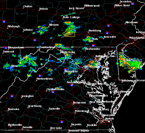 At 428 pm edt, a severe thunderstorm was located near shepherdstown, moving northeast at 20 mph (radar indicated). Hazards include 60 mph wind gusts. Damaging winds will cause some trees and large branches to fall. this could injure those outdoors, as well as damage homes and vehicles. roadways may become blocked by downed trees. localized power outages are possible. unsecured light objects may become projectiles. Locations impacted include, boonsboro, mount lena, san mar, myersville, keedysville, rohrersville, burkittsville, gapland, antietam, arnoldtown, pleasant walk, bolivar and middletown in frederick md. At 428 pm edt, a severe thunderstorm was located near shepherdstown, moving northeast at 20 mph (radar indicated). Hazards include 60 mph wind gusts. Damaging winds will cause some trees and large branches to fall. this could injure those outdoors, as well as damage homes and vehicles. roadways may become blocked by downed trees. localized power outages are possible. unsecured light objects may become projectiles. Locations impacted include, boonsboro, mount lena, san mar, myersville, keedysville, rohrersville, burkittsville, gapland, antietam, arnoldtown, pleasant walk, bolivar and middletown in frederick md.
|
| 8/3/2017 4:17 PM EDT |
 At 417 pm edt, a severe thunderstorm was located near shepherdstown, moving northeast at 20 mph (radar indicated). Hazards include 60 mph wind gusts and quarter size hail. Damaging winds will cause some trees and large branches to fall. this could injure those outdoors, as well as damage homes and vehicles. roadways may become blocked by downed trees. localized power outages are possible. Unsecured light objects may become projectiles. At 417 pm edt, a severe thunderstorm was located near shepherdstown, moving northeast at 20 mph (radar indicated). Hazards include 60 mph wind gusts and quarter size hail. Damaging winds will cause some trees and large branches to fall. this could injure those outdoors, as well as damage homes and vehicles. roadways may become blocked by downed trees. localized power outages are possible. Unsecured light objects may become projectiles.
|
| 7/22/2017 12:57 PM EDT |
 At 1257 pm edt, severe thunderstorms were located along a line extending from near martinsburg to near inwood to 10 miles northeast of winchester, moving east at 40 mph (radar indicated). Hazards include 60 mph wind gusts. Damaging winds will cause some trees and large branches to fall. this could injure those outdoors, as well as damage homes and vehicles. roadways may become blocked by downed trees. localized power outages are possible. Unsecured light objects may become projectiles. At 1257 pm edt, severe thunderstorms were located along a line extending from near martinsburg to near inwood to 10 miles northeast of winchester, moving east at 40 mph (radar indicated). Hazards include 60 mph wind gusts. Damaging winds will cause some trees and large branches to fall. this could injure those outdoors, as well as damage homes and vehicles. roadways may become blocked by downed trees. localized power outages are possible. Unsecured light objects may become projectiles.
|
| 7/22/2017 12:57 PM EDT |
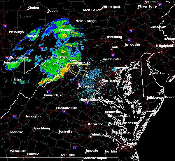 The national weather service in sterling virginia has issued a * severe thunderstorm warning for. southeastern washington county in north central maryland. southwestern frederick county in north central maryland. north central loudoun county in northern virginia. Jefferson county in the panhandle of west virginia. The national weather service in sterling virginia has issued a * severe thunderstorm warning for. southeastern washington county in north central maryland. southwestern frederick county in north central maryland. north central loudoun county in northern virginia. Jefferson county in the panhandle of west virginia.
|
| 6/19/2017 1:41 PM EDT |
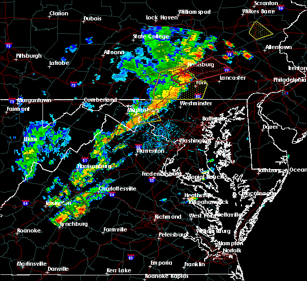 At 140 pm edt, a severe thunderstorm was located near braddock heights, or 10 miles west of frederick, moving northeast at 25 mph (radar indicated). Hazards include 60 mph wind gusts and quarter size hail. Damaging winds will cause some trees and large branches to fall. this could injure those outdoors, as well as damage homes and vehicles. roadways may become blocked by downed trees. localized power outages are possible. Unsecured light objects may become projectiles. At 140 pm edt, a severe thunderstorm was located near braddock heights, or 10 miles west of frederick, moving northeast at 25 mph (radar indicated). Hazards include 60 mph wind gusts and quarter size hail. Damaging winds will cause some trees and large branches to fall. this could injure those outdoors, as well as damage homes and vehicles. roadways may become blocked by downed trees. localized power outages are possible. Unsecured light objects may become projectiles.
|
| 6/19/2017 1:16 PM EDT |
 At 115 pm edt, a severe thunderstorm was located near thurmont, moving east at 55 mph (radar indicated). Hazards include 60 mph wind gusts. Damaging winds will cause some trees and large branches to fall. this could injure those outdoors, as well as damage homes and vehicles. roadways may become blocked by downed trees. localized power outages are possible. unsecured light objects may become projectiles. Locations impacted include, hagerstown, thurmont, emmitsburg, shepherdstown, municipal stadium, robinwood, fountainhead-orchard hills, boonsboro, smithsburg, paramount-long meadow, mount aetna, mount lena, san mar, wolfsville, saint james, halfway, myersville, cavetown, keedysville and funkstown. At 115 pm edt, a severe thunderstorm was located near thurmont, moving east at 55 mph (radar indicated). Hazards include 60 mph wind gusts. Damaging winds will cause some trees and large branches to fall. this could injure those outdoors, as well as damage homes and vehicles. roadways may become blocked by downed trees. localized power outages are possible. unsecured light objects may become projectiles. Locations impacted include, hagerstown, thurmont, emmitsburg, shepherdstown, municipal stadium, robinwood, fountainhead-orchard hills, boonsboro, smithsburg, paramount-long meadow, mount aetna, mount lena, san mar, wolfsville, saint james, halfway, myersville, cavetown, keedysville and funkstown.
|
| 6/19/2017 1:16 PM EDT |
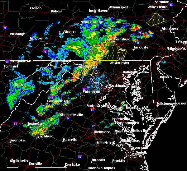 At 115 pm edt, a severe thunderstorm was located near thurmont, moving east at 55 mph (radar indicated). Hazards include 60 mph wind gusts. Damaging winds will cause some trees and large branches to fall. this could injure those outdoors, as well as damage homes and vehicles. roadways may become blocked by downed trees. localized power outages are possible. unsecured light objects may become projectiles. Locations impacted include, hagerstown, thurmont, emmitsburg, shepherdstown, municipal stadium, robinwood, fountainhead-orchard hills, boonsboro, smithsburg, paramount-long meadow, mount aetna, mount lena, san mar, wolfsville, saint james, halfway, myersville, cavetown, keedysville and funkstown. At 115 pm edt, a severe thunderstorm was located near thurmont, moving east at 55 mph (radar indicated). Hazards include 60 mph wind gusts. Damaging winds will cause some trees and large branches to fall. this could injure those outdoors, as well as damage homes and vehicles. roadways may become blocked by downed trees. localized power outages are possible. unsecured light objects may become projectiles. Locations impacted include, hagerstown, thurmont, emmitsburg, shepherdstown, municipal stadium, robinwood, fountainhead-orchard hills, boonsboro, smithsburg, paramount-long meadow, mount aetna, mount lena, san mar, wolfsville, saint james, halfway, myersville, cavetown, keedysville and funkstown.
|
| 6/19/2017 12:50 PM EDT |
 At 1250 pm edt, severe thunderstorms were located along a line extending from near shepherdstown to wilson-conococheague, moving northeast at 50 mph (radar indicated). Hazards include 60 mph wind gusts. Damaging winds will cause some trees and large branches to fall. this could injure those outdoors, as well as damage homes and vehicles. roadways may become blocked by downed trees. localized power outages are possible. Unsecured light objects may become projectiles. At 1250 pm edt, severe thunderstorms were located along a line extending from near shepherdstown to wilson-conococheague, moving northeast at 50 mph (radar indicated). Hazards include 60 mph wind gusts. Damaging winds will cause some trees and large branches to fall. this could injure those outdoors, as well as damage homes and vehicles. roadways may become blocked by downed trees. localized power outages are possible. Unsecured light objects may become projectiles.
|
| 3/1/2017 1:22 PM EST |
 The severe thunderstorm warning for eastern washington and western frederick counties in north central maryland, northern loudoun county in northern virginia and eastern jefferson counties in the panhandle of west virginia will expire at 130 pm est, the storms which prompted the warning have moved out of the area. therefore the warning will be allowed to expire. a severe thunderstorm watch remains in effect until 500 pm est for central and north central maryland, northern virginia, and the panhandle of west virginia. remember, a severe thunderstorm warning still remains in effect for portions of frederick and loudoun counties. The severe thunderstorm warning for eastern washington and western frederick counties in north central maryland, northern loudoun county in northern virginia and eastern jefferson counties in the panhandle of west virginia will expire at 130 pm est, the storms which prompted the warning have moved out of the area. therefore the warning will be allowed to expire. a severe thunderstorm watch remains in effect until 500 pm est for central and north central maryland, northern virginia, and the panhandle of west virginia. remember, a severe thunderstorm warning still remains in effect for portions of frederick and loudoun counties.
|
| 3/1/2017 1:10 PM EST |
 At 110 pm est, severe thunderstorms were located along a line extending from near paramount-long meadow to 6 miles northwest of delaplane, moving east at 50 mph (radar indicated). Hazards include 60 mph wind gusts. Damaging winds will cause some trees and large branches to fall. this could injure those outdoors, as well as damage homes and vehicles. roadways may become blocked by downed trees. localized power outages are possible. unsecured light objects may become projectiles. Locations impacted include, frederick, leesburg, hagerstown, lansdowne, thurmont, emmitsburg, municipal stadium, harry grove stadium, ballenger creek, purcellville, robinwood, brunswick, fountainhead-orchard hills, boonsboro, smithsburg, braddock heights, paramount-long meadow, mount aetna, round hill and mount lena. At 110 pm est, severe thunderstorms were located along a line extending from near paramount-long meadow to 6 miles northwest of delaplane, moving east at 50 mph (radar indicated). Hazards include 60 mph wind gusts. Damaging winds will cause some trees and large branches to fall. this could injure those outdoors, as well as damage homes and vehicles. roadways may become blocked by downed trees. localized power outages are possible. unsecured light objects may become projectiles. Locations impacted include, frederick, leesburg, hagerstown, lansdowne, thurmont, emmitsburg, municipal stadium, harry grove stadium, ballenger creek, purcellville, robinwood, brunswick, fountainhead-orchard hills, boonsboro, smithsburg, braddock heights, paramount-long meadow, mount aetna, round hill and mount lena.
|
| 3/1/2017 12:53 PM EST |
 At 1252 pm est, severe thunderstorms were located along a line extending from near claylick to near stephens city, moving east at 50 mph (radar indicated). Hazards include 60 mph wind gusts. Damaging winds will cause some trees and large branches to fall. this could injure those outdoors, as well as damage homes and vehicles. roadways may become blocked by downed trees. localized power outages are possible. unsecured light objects may become projectiles. Locations impacted include, frederick, leesburg, hagerstown, winchester, martinsburg, lansdowne, thurmont, charles town, emmitsburg, shepherdstown, municipal stadium, harry grove stadium, millwood pike, ballenger creek, purcellville, robinwood, brunswick, fountainhead-orchard hills, ranson and berryville. At 1252 pm est, severe thunderstorms were located along a line extending from near claylick to near stephens city, moving east at 50 mph (radar indicated). Hazards include 60 mph wind gusts. Damaging winds will cause some trees and large branches to fall. this could injure those outdoors, as well as damage homes and vehicles. roadways may become blocked by downed trees. localized power outages are possible. unsecured light objects may become projectiles. Locations impacted include, frederick, leesburg, hagerstown, winchester, martinsburg, lansdowne, thurmont, charles town, emmitsburg, shepherdstown, municipal stadium, harry grove stadium, millwood pike, ballenger creek, purcellville, robinwood, brunswick, fountainhead-orchard hills, ranson and berryville.
|
| 3/1/2017 12:42 PM EST |
 At 1241 pm est, severe thunderstorms were located along a line extending from 7 miles east of hancock to near strasburg, moving east at 50 mph (radar indicated). Hazards include 60 mph wind gusts. Damaging winds will cause some trees and large branches to fall. this could injure those outdoors, as well as damage homes and vehicles. roadways may become blocked by downed trees. localized power outages are possible. Unsecured light objects may become projectiles. At 1241 pm est, severe thunderstorms were located along a line extending from 7 miles east of hancock to near strasburg, moving east at 50 mph (radar indicated). Hazards include 60 mph wind gusts. Damaging winds will cause some trees and large branches to fall. this could injure those outdoors, as well as damage homes and vehicles. roadways may become blocked by downed trees. localized power outages are possible. Unsecured light objects may become projectiles.
|
| 2/12/2017 10:40 PM EST |
 The severe thunderstorm warning for eastern washington county in north central maryland, northwestern montgomery county in central maryland, frederick and northwestern carroll counties in north central maryland, northern loudoun county in northern virginia, northeastern shenandoah and frederick counties in northwestern virginia, northwestern fauquier county in northern virginia, northern warren and clarke counties in northwestern virginia, jefferson county in the panhandle of west virginia, northeastern hardy county in eastern west virginia, southern berkeley county in the panhandle of west virginia and southern hampshire counties in eastern west virginia and the city of winchester will expire at 1045 pm est, the storms which prompted the warning have moved out of the area. therefore the warning will be allowed to expire. to report severe weather, contact your nearest law enforcement agency. they will relay your report to the national weather service sterling virginia. The severe thunderstorm warning for eastern washington county in north central maryland, northwestern montgomery county in central maryland, frederick and northwestern carroll counties in north central maryland, northern loudoun county in northern virginia, northeastern shenandoah and frederick counties in northwestern virginia, northwestern fauquier county in northern virginia, northern warren and clarke counties in northwestern virginia, jefferson county in the panhandle of west virginia, northeastern hardy county in eastern west virginia, southern berkeley county in the panhandle of west virginia and southern hampshire counties in eastern west virginia and the city of winchester will expire at 1045 pm est, the storms which prompted the warning have moved out of the area. therefore the warning will be allowed to expire. to report severe weather, contact your nearest law enforcement agency. they will relay your report to the national weather service sterling virginia.
|
| 2/12/2017 10:22 PM EST |
 At 1020 pm est, severe thunderstorms were located along a line extending from near taneytown to near corporation of ranson to wardensville, moving southeast at 50 mph (radar indicated). Hazards include 60 mph wind gusts. Damaging winds will cause some trees and large branches to fall. this could injure those outdoors, as well as damage homes and vehicles. roadways may become blocked by downed trees. localized power outages are possible. unsecured light objects may become projectiles. locations impacted include, frederick, leesburg, hagerstown, winchester, westminster, martinsburg, lansdowne, strasburg, thurmont, charles town, poolesville, emmitsburg, shepherdstown, harry grove stadium, millwood pike, ballenger creek, mount airy, purcellville, robinwood and taneytown. There have been numerous reports of downed trees across berkeley county. At 1020 pm est, severe thunderstorms were located along a line extending from near taneytown to near corporation of ranson to wardensville, moving southeast at 50 mph (radar indicated). Hazards include 60 mph wind gusts. Damaging winds will cause some trees and large branches to fall. this could injure those outdoors, as well as damage homes and vehicles. roadways may become blocked by downed trees. localized power outages are possible. unsecured light objects may become projectiles. locations impacted include, frederick, leesburg, hagerstown, winchester, westminster, martinsburg, lansdowne, strasburg, thurmont, charles town, poolesville, emmitsburg, shepherdstown, harry grove stadium, millwood pike, ballenger creek, mount airy, purcellville, robinwood and taneytown. There have been numerous reports of downed trees across berkeley county.
|
| 2/12/2017 10:09 PM EST |
 The severe thunderstorm warning for washington and northwestern carroll counties in north central maryland, southern allegany county in western maryland, northwestern frederick county in north central maryland, north central frederick county in northwestern virginia, north central jefferson and morgan counties in the panhandle of west virginia, east central mineral county in eastern west virginia, berkeley county in the panhandle of west virginia and northeastern hampshire counties in eastern west virginia will expire at 1015 pm est, the storms which prompted the warning have moved out of the area. therefore the warning will be allowed to expire. to report severe weather, contact your nearest law enforcement agency. they will relay your report to the national weather service sterling virginia. The severe thunderstorm warning for washington and northwestern carroll counties in north central maryland, southern allegany county in western maryland, northwestern frederick county in north central maryland, north central frederick county in northwestern virginia, north central jefferson and morgan counties in the panhandle of west virginia, east central mineral county in eastern west virginia, berkeley county in the panhandle of west virginia and northeastern hampshire counties in eastern west virginia will expire at 1015 pm est, the storms which prompted the warning have moved out of the area. therefore the warning will be allowed to expire. to report severe weather, contact your nearest law enforcement agency. they will relay your report to the national weather service sterling virginia.
|
| 2/12/2017 10:01 PM EST |
 At 1001 pm est, severe thunderstorms were located along a line extending from hagerstown to near inwood to 6 miles south of romney, moving southeast at 45 mph (radar indicated). Hazards include 60 mph wind gusts. Damaging winds will cause some trees and large branches to fall. this could injure those outdoors, as well as damage homes and vehicles. roadways may become blocked by downed trees. localized power outages are possible. Unsecured light objects may become projectiles. At 1001 pm est, severe thunderstorms were located along a line extending from hagerstown to near inwood to 6 miles south of romney, moving southeast at 45 mph (radar indicated). Hazards include 60 mph wind gusts. Damaging winds will cause some trees and large branches to fall. this could injure those outdoors, as well as damage homes and vehicles. roadways may become blocked by downed trees. localized power outages are possible. Unsecured light objects may become projectiles.
|
| 2/12/2017 9:55 PM EST |
 At 955 pm est, severe thunderstorms were located along a line extending from near dillsburg to near williamsport to 12 miles east of romney, moving east at 60 mph (radar indicated). Hazards include 60 mph wind gusts. Damaging winds will cause some trees and large branches to fall. this could injure those outdoors, as well as damage homes and vehicles. roadways may become blocked by downed trees. localized power outages are possible. unsecured light objects may become projectiles. Locations impacted include, hagerstown, martinsburg, thurmont, keyser, emmitsburg, shepherdstown, paw paw, municipal stadium, greenwood, robinwood, taneytown, fountainhead-orchard hills, boonsboro, smithsburg, paramount-long meadow, wilson-conococheague, williamsport, fort ashby, berkeley springs and mount aetna. At 955 pm est, severe thunderstorms were located along a line extending from near dillsburg to near williamsport to 12 miles east of romney, moving east at 60 mph (radar indicated). Hazards include 60 mph wind gusts. Damaging winds will cause some trees and large branches to fall. this could injure those outdoors, as well as damage homes and vehicles. roadways may become blocked by downed trees. localized power outages are possible. unsecured light objects may become projectiles. Locations impacted include, hagerstown, martinsburg, thurmont, keyser, emmitsburg, shepherdstown, paw paw, municipal stadium, greenwood, robinwood, taneytown, fountainhead-orchard hills, boonsboro, smithsburg, paramount-long meadow, wilson-conococheague, williamsport, fort ashby, berkeley springs and mount aetna.
|
| 2/12/2017 9:32 PM EST |
 At 931 pm est, severe thunderstorms were located along a line extending from 6 miles west of newville to hancock to near westernport, moving east at 45 mph (radar indicated). Hazards include 60 mph wind gusts. Damaging winds will cause some trees and large branches to fall. this could injure those outdoors, as well as damage homes and vehicles. roadways may become blocked by downed trees. localized power outages are possible. Unsecured light objects may become projectiles. At 931 pm est, severe thunderstorms were located along a line extending from 6 miles west of newville to hancock to near westernport, moving east at 45 mph (radar indicated). Hazards include 60 mph wind gusts. Damaging winds will cause some trees and large branches to fall. this could injure those outdoors, as well as damage homes and vehicles. roadways may become blocked by downed trees. localized power outages are possible. Unsecured light objects may become projectiles.
|
| 8/16/2016 2:54 PM EDT |
 At 254 pm edt, a severe thunderstorm was located over mount lena, or 8 miles southeast of municipal stadium, moving east at 25 mph (radar indicated). Hazards include 60 mph wind gusts and quarter size hail. Damaging winds will cause some trees and large branches to fall. this could injure those outdoors, as well as damage homes and vehicles. roadways may become blocked by downed trees. localized power outages are possible. unsecured light objects may become projectiles. Locations impacted include, frederick, hagerstown, thurmont, shepherdstown, robinwood, boonsboro, smithsburg, braddock heights, mount aetna, mount lena, san mar, clover hill, wolfsville, saint james, myersville, cavetown, keedysville, funkstown, sharpsburg and fairplay. At 254 pm edt, a severe thunderstorm was located over mount lena, or 8 miles southeast of municipal stadium, moving east at 25 mph (radar indicated). Hazards include 60 mph wind gusts and quarter size hail. Damaging winds will cause some trees and large branches to fall. this could injure those outdoors, as well as damage homes and vehicles. roadways may become blocked by downed trees. localized power outages are possible. unsecured light objects may become projectiles. Locations impacted include, frederick, hagerstown, thurmont, shepherdstown, robinwood, boonsboro, smithsburg, braddock heights, mount aetna, mount lena, san mar, clover hill, wolfsville, saint james, myersville, cavetown, keedysville, funkstown, sharpsburg and fairplay.
|
| 8/16/2016 2:54 PM EDT |
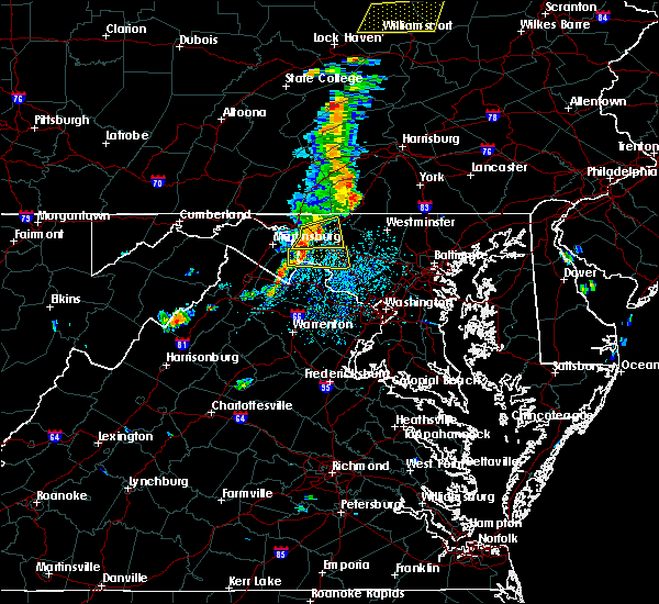 At 254 pm edt, a severe thunderstorm was located over mount lena, or 8 miles southeast of municipal stadium, moving east at 25 mph (radar indicated). Hazards include 60 mph wind gusts and quarter size hail. Damaging winds will cause some trees and large branches to fall. this could injure those outdoors, as well as damage homes and vehicles. roadways may become blocked by downed trees. localized power outages are possible. unsecured light objects may become projectiles. Locations impacted include, frederick, hagerstown, thurmont, shepherdstown, robinwood, boonsboro, smithsburg, braddock heights, mount aetna, mount lena, san mar, clover hill, wolfsville, saint james, myersville, cavetown, keedysville, funkstown, sharpsburg and fairplay. At 254 pm edt, a severe thunderstorm was located over mount lena, or 8 miles southeast of municipal stadium, moving east at 25 mph (radar indicated). Hazards include 60 mph wind gusts and quarter size hail. Damaging winds will cause some trees and large branches to fall. this could injure those outdoors, as well as damage homes and vehicles. roadways may become blocked by downed trees. localized power outages are possible. unsecured light objects may become projectiles. Locations impacted include, frederick, hagerstown, thurmont, shepherdstown, robinwood, boonsboro, smithsburg, braddock heights, mount aetna, mount lena, san mar, clover hill, wolfsville, saint james, myersville, cavetown, keedysville, funkstown, sharpsburg and fairplay.
|
| 8/16/2016 2:28 PM EDT |
 At 228 pm edt, a severe thunderstorm was located near saint james, or 7 miles southwest of municipal stadium, moving east at 25 mph (radar indicated). Hazards include 60 mph wind gusts and quarter size hail. Damaging winds will cause some trees and large branches to fall. this could injure those outdoors, as well as damage homes and vehicles. roadways may become blocked by downed trees. localized power outages are possible. Unsecured light objects may become projectiles. At 228 pm edt, a severe thunderstorm was located near saint james, or 7 miles southwest of municipal stadium, moving east at 25 mph (radar indicated). Hazards include 60 mph wind gusts and quarter size hail. Damaging winds will cause some trees and large branches to fall. this could injure those outdoors, as well as damage homes and vehicles. roadways may become blocked by downed trees. localized power outages are possible. Unsecured light objects may become projectiles.
|
| 8/16/2016 2:28 PM EDT |
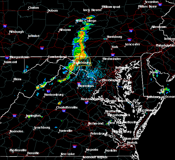 At 228 pm edt, a severe thunderstorm was located near saint james, or 7 miles southwest of municipal stadium, moving east at 25 mph (radar indicated). Hazards include 60 mph wind gusts and quarter size hail. Damaging winds will cause some trees and large branches to fall. this could injure those outdoors, as well as damage homes and vehicles. roadways may become blocked by downed trees. localized power outages are possible. Unsecured light objects may become projectiles. At 228 pm edt, a severe thunderstorm was located near saint james, or 7 miles southwest of municipal stadium, moving east at 25 mph (radar indicated). Hazards include 60 mph wind gusts and quarter size hail. Damaging winds will cause some trees and large branches to fall. this could injure those outdoors, as well as damage homes and vehicles. roadways may become blocked by downed trees. localized power outages are possible. Unsecured light objects may become projectiles.
|
| 8/15/2016 4:40 PM EDT |
 At 440 pm edt, a severe thunderstorm was located over corporation of ranson, or near charles town, moving northeast at 20 mph (radar indicated). Hazards include 60 mph wind gusts and quarter size hail. Damaging winds will cause some trees and large branches to fall. this could injure those outdoors, as well as damage homes and vehicles. roadways may become blocked by downed trees. localized power outages are possible. Unsecured light objects may become projectiles. At 440 pm edt, a severe thunderstorm was located over corporation of ranson, or near charles town, moving northeast at 20 mph (radar indicated). Hazards include 60 mph wind gusts and quarter size hail. Damaging winds will cause some trees and large branches to fall. this could injure those outdoors, as well as damage homes and vehicles. roadways may become blocked by downed trees. localized power outages are possible. Unsecured light objects may become projectiles.
|
| 7/30/2016 4:23 PM EDT |
 At 423 pm edt, a severe thunderstorm was located near harpers ferry, or near shepherdstown, moving east at 20 mph (radar indicated). Hazards include 60 mph wind gusts. Damaging winds will cause some trees and large branches to fall. this could injure those outdoors, as well as damage homes and vehicles. roadways may become blocked by downed trees. localized power outages are possible. unsecured light objects may become projectiles. Locations impacted include, frederick, charles town, shepherdstown, brunswick, ranson, braddock heights, harpers ferry, kearneysville, point of rocks, corporation of ranson, adamstown, jefferson, myersville, lovettsville, buckeystown, shenandoah junction, rosemont, rohrersville, burkittsville and gapland. At 423 pm edt, a severe thunderstorm was located near harpers ferry, or near shepherdstown, moving east at 20 mph (radar indicated). Hazards include 60 mph wind gusts. Damaging winds will cause some trees and large branches to fall. this could injure those outdoors, as well as damage homes and vehicles. roadways may become blocked by downed trees. localized power outages are possible. unsecured light objects may become projectiles. Locations impacted include, frederick, charles town, shepherdstown, brunswick, ranson, braddock heights, harpers ferry, kearneysville, point of rocks, corporation of ranson, adamstown, jefferson, myersville, lovettsville, buckeystown, shenandoah junction, rosemont, rohrersville, burkittsville and gapland.
|
| 7/30/2016 4:11 PM EDT |
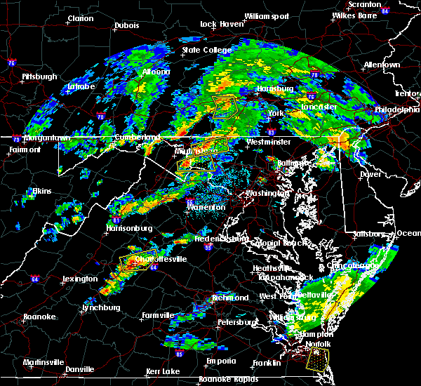 At 410 pm edt, a severe thunderstorm was located over san mar, or 7 miles southeast of municipal stadium, moving east at 20 mph (radar indicated). Hazards include 60 mph wind gusts and quarter size hail. Damaging winds will cause some trees and large branches to fall. this could injure those outdoors, as well as damage homes and vehicles. roadways may become blocked by downed trees. localized power outages are possible. Unsecured light objects may become projectiles. At 410 pm edt, a severe thunderstorm was located over san mar, or 7 miles southeast of municipal stadium, moving east at 20 mph (radar indicated). Hazards include 60 mph wind gusts and quarter size hail. Damaging winds will cause some trees and large branches to fall. this could injure those outdoors, as well as damage homes and vehicles. roadways may become blocked by downed trees. localized power outages are possible. Unsecured light objects may become projectiles.
|
| 7/30/2016 4:02 PM EDT |
 At 402 pm edt, a severe thunderstorm was located over ranson, or near charles town, moving east at 20 mph (radar indicated). Hazards include 60 mph wind gusts. Damaging winds will cause some trees and large branches to fall. this could injure those outdoors, as well as damage homes and vehicles. roadways may become blocked by downed trees. localized power outages are possible. Unsecured light objects may become projectiles. At 402 pm edt, a severe thunderstorm was located over ranson, or near charles town, moving east at 20 mph (radar indicated). Hazards include 60 mph wind gusts. Damaging winds will cause some trees and large branches to fall. this could injure those outdoors, as well as damage homes and vehicles. roadways may become blocked by downed trees. localized power outages are possible. Unsecured light objects may become projectiles.
|
| 7/25/2016 4:22 PM EDT |
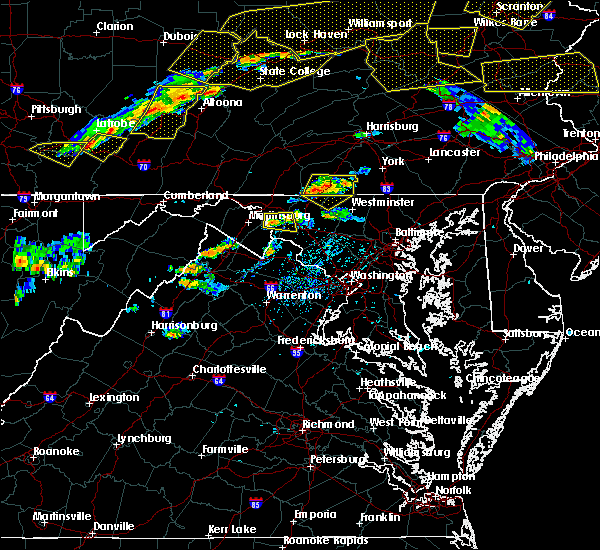 The severe thunderstorm warning for southeastern washington, west central frederick counties in north central maryland and northeastern jefferson counties in the panhandle of west virginia will expire at 430 pm edt, the storm which prompted the warning has weakened below severe limits, and no longer pose an immediate threat to life or property. therefore the warning will be allowed to expire. however gusty winds are still possible with this thunderstorm. a severe thunderstorm watch remains in effect until 1000 pm edt for north central maryland, and the panhandle of west virginia. to report severe weather, contact your nearest law enforcement agency. they will relay your report to the national weather service sterling virginia. remember, a severe thunderstorm warning still remains in effect for northern frederick county in maryland until 5:00 pm. The severe thunderstorm warning for southeastern washington, west central frederick counties in north central maryland and northeastern jefferson counties in the panhandle of west virginia will expire at 430 pm edt, the storm which prompted the warning has weakened below severe limits, and no longer pose an immediate threat to life or property. therefore the warning will be allowed to expire. however gusty winds are still possible with this thunderstorm. a severe thunderstorm watch remains in effect until 1000 pm edt for north central maryland, and the panhandle of west virginia. to report severe weather, contact your nearest law enforcement agency. they will relay your report to the national weather service sterling virginia. remember, a severe thunderstorm warning still remains in effect for northern frederick county in maryland until 5:00 pm.
|
| 7/25/2016 4:00 PM EDT |
 At 400 pm edt, a severe thunderstorm was located over boonsboro, or 7 miles northeast of shepherdstown, moving east at 20 mph (radar indicated). Hazards include 60 mph wind gusts. Damaging winds will cause some trees and large branches to fall. this could injure those outdoors, as well as damage homes and vehicles. roadways may become blocked by downed trees. localized power outages are possible. unsecured light objects may become projectiles. Locations impacted include, shepherdstown, boonsboro, mount lena, san mar, myersville, keedysville, sharpsburg, fairplay, rohrersville, burkittsville, gapland, antietam, pleasant walk, bolivar, middletown in frederick md and arnoldtown. At 400 pm edt, a severe thunderstorm was located over boonsboro, or 7 miles northeast of shepherdstown, moving east at 20 mph (radar indicated). Hazards include 60 mph wind gusts. Damaging winds will cause some trees and large branches to fall. this could injure those outdoors, as well as damage homes and vehicles. roadways may become blocked by downed trees. localized power outages are possible. unsecured light objects may become projectiles. Locations impacted include, shepherdstown, boonsboro, mount lena, san mar, myersville, keedysville, sharpsburg, fairplay, rohrersville, burkittsville, gapland, antietam, pleasant walk, bolivar, middletown in frederick md and arnoldtown.
|
| 7/25/2016 4:00 PM EDT |
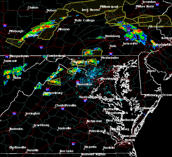 At 400 pm edt, a severe thunderstorm was located over boonsboro, or 7 miles northeast of shepherdstown, moving east at 20 mph (radar indicated). Hazards include 60 mph wind gusts. Damaging winds will cause some trees and large branches to fall. this could injure those outdoors, as well as damage homes and vehicles. roadways may become blocked by downed trees. localized power outages are possible. unsecured light objects may become projectiles. Locations impacted include, shepherdstown, boonsboro, mount lena, san mar, myersville, keedysville, sharpsburg, fairplay, rohrersville, burkittsville, gapland, antietam, pleasant walk, bolivar, middletown in frederick md and arnoldtown. At 400 pm edt, a severe thunderstorm was located over boonsboro, or 7 miles northeast of shepherdstown, moving east at 20 mph (radar indicated). Hazards include 60 mph wind gusts. Damaging winds will cause some trees and large branches to fall. this could injure those outdoors, as well as damage homes and vehicles. roadways may become blocked by downed trees. localized power outages are possible. unsecured light objects may become projectiles. Locations impacted include, shepherdstown, boonsboro, mount lena, san mar, myersville, keedysville, sharpsburg, fairplay, rohrersville, burkittsville, gapland, antietam, pleasant walk, bolivar, middletown in frederick md and arnoldtown.
|
| 7/25/2016 3:47 PM EDT |
 At 346 pm edt, a severe thunderstorm was located near shepherdstown, moving east at 20 mph (radar indicated). Hazards include 60 mph wind gusts and quarter size hail. Damaging winds will cause some trees and large branches to fall. this could injure those outdoors, as well as damage homes and vehicles. roadways may become blocked by downed trees. localized power outages are possible. Unsecured light objects may become projectiles. At 346 pm edt, a severe thunderstorm was located near shepherdstown, moving east at 20 mph (radar indicated). Hazards include 60 mph wind gusts and quarter size hail. Damaging winds will cause some trees and large branches to fall. this could injure those outdoors, as well as damage homes and vehicles. roadways may become blocked by downed trees. localized power outages are possible. Unsecured light objects may become projectiles.
|
| 7/25/2016 3:47 PM EDT |
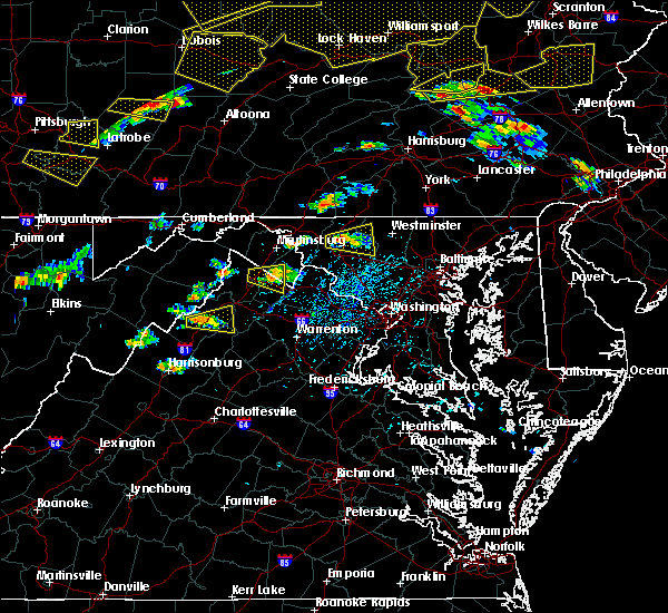 At 346 pm edt, a severe thunderstorm was located near shepherdstown, moving east at 20 mph (radar indicated). Hazards include 60 mph wind gusts and quarter size hail. Damaging winds will cause some trees and large branches to fall. this could injure those outdoors, as well as damage homes and vehicles. roadways may become blocked by downed trees. localized power outages are possible. Unsecured light objects may become projectiles. At 346 pm edt, a severe thunderstorm was located near shepherdstown, moving east at 20 mph (radar indicated). Hazards include 60 mph wind gusts and quarter size hail. Damaging winds will cause some trees and large branches to fall. this could injure those outdoors, as well as damage homes and vehicles. roadways may become blocked by downed trees. localized power outages are possible. Unsecured light objects may become projectiles.
|
| 7/18/2016 2:48 PM EDT |
 At 248 pm edt, severe thunderstorms were located along a line extending from boonsboro to near stephens city, moving east at 30 mph (radar indicated). Hazards include 60 mph wind gusts. Damaging winds will cause some trees and large branches to fall. this could injure those outdoors, as well as damage homes and vehicles. roadways may become blocked by downed trees. localized power outages are possible. unsecured light objects may become projectiles. Locations impacted include, frederick, winchester, charles town, shepherdstown, millwood pike, brunswick, ranson, berryville, boonsboro, inwood, braddock heights, stephens city, harpers ferry, clover hill, bluemont, kearneysville, corporation of ranson, jefferson, myersville and lovettsville. At 248 pm edt, severe thunderstorms were located along a line extending from boonsboro to near stephens city, moving east at 30 mph (radar indicated). Hazards include 60 mph wind gusts. Damaging winds will cause some trees and large branches to fall. this could injure those outdoors, as well as damage homes and vehicles. roadways may become blocked by downed trees. localized power outages are possible. unsecured light objects may become projectiles. Locations impacted include, frederick, winchester, charles town, shepherdstown, millwood pike, brunswick, ranson, berryville, boonsboro, inwood, braddock heights, stephens city, harpers ferry, clover hill, bluemont, kearneysville, corporation of ranson, jefferson, myersville and lovettsville.
|
| 7/18/2016 2:23 PM EDT |
 At 223 pm edt, severe thunderstorms were located along a line extending from williamsport to near star tannery, moving east at 35 mph (radar indicated). Hazards include 60 mph wind gusts. Damaging winds will cause some trees and large branches to fall. this could injure those outdoors, as well as damage homes and vehicles. roadways may become blocked by downed trees. localized power outages are possible. Unsecured light objects may become projectiles. At 223 pm edt, severe thunderstorms were located along a line extending from williamsport to near star tannery, moving east at 35 mph (radar indicated). Hazards include 60 mph wind gusts. Damaging winds will cause some trees and large branches to fall. this could injure those outdoors, as well as damage homes and vehicles. roadways may become blocked by downed trees. localized power outages are possible. Unsecured light objects may become projectiles.
|
| 6/21/2016 8:28 PM EDT |
 At 828 pm edt, a severe thunderstorm was located near martinsburg, moving southeast at 45 mph (radar indicated). Hazards include ping pong ball size hail and 60 mph wind gusts. Damaging winds will cause some trees and large branches to fall. this could injure those outdoors, as well as damage homes and vehicles. roadways may become blocked by downed trees. localized power outages are possible. unsecured light objects may become projectiles. Locations impacted include, martinsburg, shepherdstown, brunswick, boonsboro, braddock heights, williamsport, mount lena, san mar, saint james, point of rocks, berkeley, halfway, jefferson, myersville, keedysville, falling waters, sharpsburg, fairplay, clear spring and hedgesville. At 828 pm edt, a severe thunderstorm was located near martinsburg, moving southeast at 45 mph (radar indicated). Hazards include ping pong ball size hail and 60 mph wind gusts. Damaging winds will cause some trees and large branches to fall. this could injure those outdoors, as well as damage homes and vehicles. roadways may become blocked by downed trees. localized power outages are possible. unsecured light objects may become projectiles. Locations impacted include, martinsburg, shepherdstown, brunswick, boonsboro, braddock heights, williamsport, mount lena, san mar, saint james, point of rocks, berkeley, halfway, jefferson, myersville, keedysville, falling waters, sharpsburg, fairplay, clear spring and hedgesville.
|
| 6/21/2016 8:28 PM EDT |
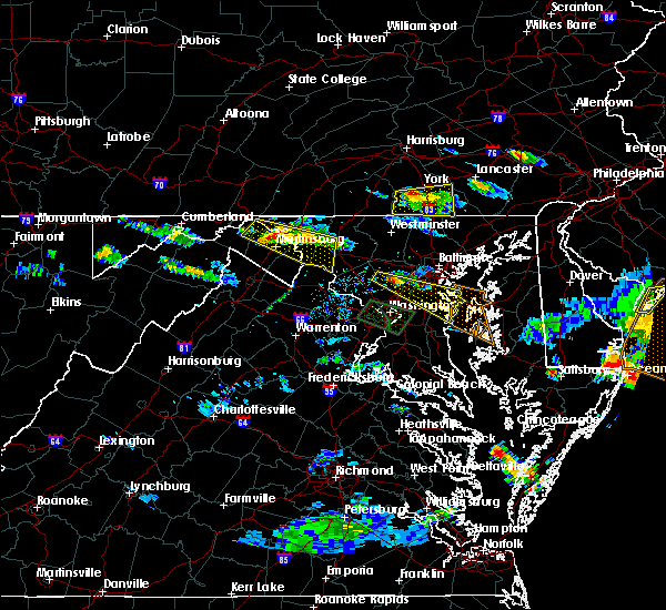 At 828 pm edt, a severe thunderstorm was located near martinsburg, moving southeast at 45 mph (radar indicated). Hazards include ping pong ball size hail and 60 mph wind gusts. Damaging winds will cause some trees and large branches to fall. this could injure those outdoors, as well as damage homes and vehicles. roadways may become blocked by downed trees. localized power outages are possible. unsecured light objects may become projectiles. Locations impacted include, martinsburg, shepherdstown, brunswick, boonsboro, braddock heights, williamsport, mount lena, san mar, saint james, point of rocks, berkeley, halfway, jefferson, myersville, keedysville, falling waters, sharpsburg, fairplay, clear spring and hedgesville. At 828 pm edt, a severe thunderstorm was located near martinsburg, moving southeast at 45 mph (radar indicated). Hazards include ping pong ball size hail and 60 mph wind gusts. Damaging winds will cause some trees and large branches to fall. this could injure those outdoors, as well as damage homes and vehicles. roadways may become blocked by downed trees. localized power outages are possible. unsecured light objects may become projectiles. Locations impacted include, martinsburg, shepherdstown, brunswick, boonsboro, braddock heights, williamsport, mount lena, san mar, saint james, point of rocks, berkeley, halfway, jefferson, myersville, keedysville, falling waters, sharpsburg, fairplay, clear spring and hedgesville.
|
| 6/21/2016 8:19 PM EDT |
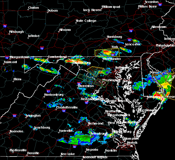 At 819 pm edt, a severe thunderstorm was located 8 miles northwest of martinsburg, moving southeast at 40 mph (radar indicated). Hazards include 60 mph wind gusts and quarter size hail. Damaging winds will cause some trees and large branches to fall. this could injure those outdoors, as well as damage homes and vehicles. roadways may become blocked by downed trees. localized power outages are possible. Unsecured light objects may become projectiles. At 819 pm edt, a severe thunderstorm was located 8 miles northwest of martinsburg, moving southeast at 40 mph (radar indicated). Hazards include 60 mph wind gusts and quarter size hail. Damaging winds will cause some trees and large branches to fall. this could injure those outdoors, as well as damage homes and vehicles. roadways may become blocked by downed trees. localized power outages are possible. Unsecured light objects may become projectiles.
|
| 6/21/2016 7:51 PM EDT |
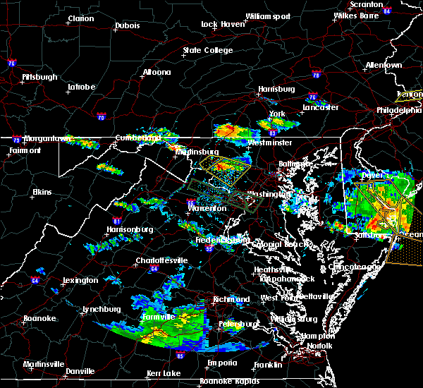 At 750 pm edt, a severe thunderstorm was located 7 miles west of williamsport, or 8 miles north of martinsburg, moving east at 30 mph (radar indicated). Hazards include 60 mph wind gusts and quarter size hail. Damaging winds will cause some trees and large branches to fall. this could injure those outdoors, as well as damage homes and vehicles. roadways may become blocked by downed trees. localized power outages are possible. Unsecured light objects may become projectiles. At 750 pm edt, a severe thunderstorm was located 7 miles west of williamsport, or 8 miles north of martinsburg, moving east at 30 mph (radar indicated). Hazards include 60 mph wind gusts and quarter size hail. Damaging winds will cause some trees and large branches to fall. this could injure those outdoors, as well as damage homes and vehicles. roadways may become blocked by downed trees. localized power outages are possible. Unsecured light objects may become projectiles.
|
| 6/21/2016 7:26 PM EDT |
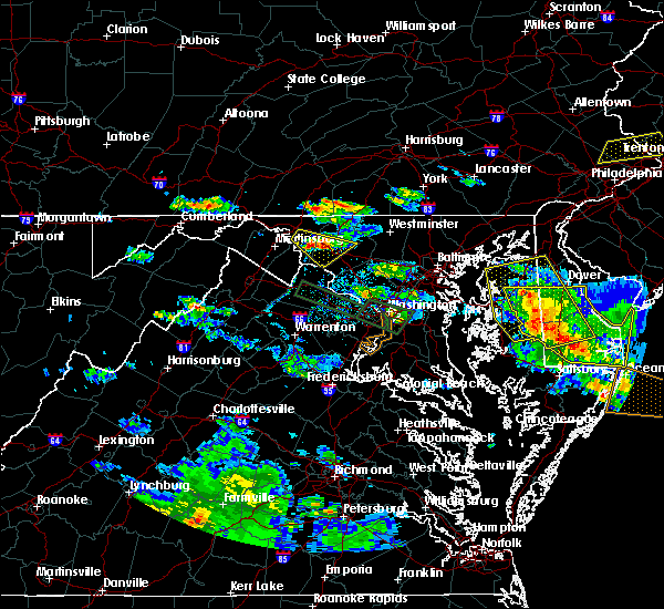 At 726 pm edt, a severe thunderstorm was located over boonsboro, or 10 miles east of shepherdstown, moving southeast at 25 mph (radar indicated). Hazards include tennis ball size hail and 70 mph wind gusts. Expect wind damage to trees and power lines. hail is large enough to dent and damage vehicles. some hail damage to roofs, siding, and windows is possible. Locations impacted include, frederick, harry grove stadium, ballenger creek, brunswick, walkersville, boonsboro, braddock heights, mount lena, san mar, discovery-spring garden, clover hill, jefferson, myersville, keedysville, rosemont, rohrersville, burkittsville, gapland, brownsville and bolivar. At 726 pm edt, a severe thunderstorm was located over boonsboro, or 10 miles east of shepherdstown, moving southeast at 25 mph (radar indicated). Hazards include tennis ball size hail and 70 mph wind gusts. Expect wind damage to trees and power lines. hail is large enough to dent and damage vehicles. some hail damage to roofs, siding, and windows is possible. Locations impacted include, frederick, harry grove stadium, ballenger creek, brunswick, walkersville, boonsboro, braddock heights, mount lena, san mar, discovery-spring garden, clover hill, jefferson, myersville, keedysville, rosemont, rohrersville, burkittsville, gapland, brownsville and bolivar.
|
| 6/21/2016 7:17 PM EDT |
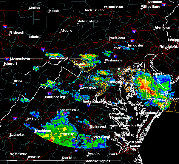 At 717 pm edt, a severe thunderstorm was located over boonsboro, or 8 miles northeast of shepherdstown, moving southeast at 25 mph (radar indicated). Hazards include golf ball size hail and 60 mph wind gusts. Expect wind damage to trees and power lines. hail is large enough to dent and damage vehicles. some hail damage to roofs, siding, and windows is possible. Locations impacted include, frederick, harry grove stadium, ballenger creek, brunswick, walkersville, boonsboro, braddock heights, mount lena, san mar, discovery-spring garden, clover hill, saint james, halfway, jefferson, myersville, keedysville, sharpsburg, fairplay, rosemont and rohrersville. At 717 pm edt, a severe thunderstorm was located over boonsboro, or 8 miles northeast of shepherdstown, moving southeast at 25 mph (radar indicated). Hazards include golf ball size hail and 60 mph wind gusts. Expect wind damage to trees and power lines. hail is large enough to dent and damage vehicles. some hail damage to roofs, siding, and windows is possible. Locations impacted include, frederick, harry grove stadium, ballenger creek, brunswick, walkersville, boonsboro, braddock heights, mount lena, san mar, discovery-spring garden, clover hill, saint james, halfway, jefferson, myersville, keedysville, sharpsburg, fairplay, rosemont and rohrersville.
|
| 6/21/2016 7:09 PM EDT |
 At 709 pm edt, a severe thunderstorm was located near saint james, or 7 miles south of municipal stadium, moving southeast at 25 mph (radar indicated). Hazards include 60 mph wind gusts and quarter size hail. Damaging winds will cause some trees and large branches to fall. this could injure those outdoors, as well as damage homes and vehicles. roadways may become blocked by downed trees. localized power outages are possible. Unsecured light objects may become projectiles. At 709 pm edt, a severe thunderstorm was located near saint james, or 7 miles south of municipal stadium, moving southeast at 25 mph (radar indicated). Hazards include 60 mph wind gusts and quarter size hail. Damaging winds will cause some trees and large branches to fall. this could injure those outdoors, as well as damage homes and vehicles. roadways may become blocked by downed trees. localized power outages are possible. Unsecured light objects may become projectiles.
|
| 6/21/2016 7:06 PM EDT |
 The severe thunderstorm warning for eastern washington, northeastern jefferson and northeastern berkeley counties will expire at 715 pm edt, the storm which prompted the warning has weakened and exited the warned area. therefore the warning will be allowed to expire. a severe thunderstorm watch remains in effect until 900 pm edt for north central maryland, and central west virginia. The severe thunderstorm warning for eastern washington, northeastern jefferson and northeastern berkeley counties will expire at 715 pm edt, the storm which prompted the warning has weakened and exited the warned area. therefore the warning will be allowed to expire. a severe thunderstorm watch remains in effect until 900 pm edt for north central maryland, and central west virginia.
|
| 6/21/2016 7:06 PM EDT |
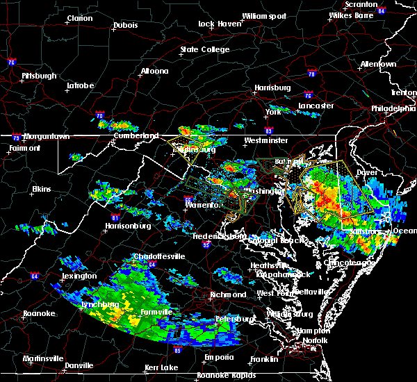 The severe thunderstorm warning for eastern washington, northeastern jefferson and northeastern berkeley counties will expire at 715 pm edt, the storm which prompted the warning has weakened and exited the warned area. therefore the warning will be allowed to expire. a severe thunderstorm watch remains in effect until 900 pm edt for north central maryland, and central west virginia. The severe thunderstorm warning for eastern washington, northeastern jefferson and northeastern berkeley counties will expire at 715 pm edt, the storm which prompted the warning has weakened and exited the warned area. therefore the warning will be allowed to expire. a severe thunderstorm watch remains in effect until 900 pm edt for north central maryland, and central west virginia.
|
| 6/21/2016 6:52 PM EDT |
 At 651 pm edt, a severe thunderstorm was located over williamsport, or 7 miles west of hagerstown, moving southeast at 25 mph (radar indicated). Hazards include 60 mph wind gusts and quarter size hail. Damaging winds will cause some trees and large branches to fall. this could injure those outdoors, as well as damage homes and vehicles. roadways may become blocked by downed trees. localized power outages are possible. unsecured light objects may become projectiles. Locations impacted include, hagerstown, shepherdstown, municipal stadium, robinwood, fountainhead-orchard hills, boonsboro, wilson-conococheague, williamsport, mount aetna, mount lena, san mar, saint james, halfway, maugansville, keedysville, funkstown, falling waters, sharpsburg, fairplay and clear spring. At 651 pm edt, a severe thunderstorm was located over williamsport, or 7 miles west of hagerstown, moving southeast at 25 mph (radar indicated). Hazards include 60 mph wind gusts and quarter size hail. Damaging winds will cause some trees and large branches to fall. this could injure those outdoors, as well as damage homes and vehicles. roadways may become blocked by downed trees. localized power outages are possible. unsecured light objects may become projectiles. Locations impacted include, hagerstown, shepherdstown, municipal stadium, robinwood, fountainhead-orchard hills, boonsboro, wilson-conococheague, williamsport, mount aetna, mount lena, san mar, saint james, halfway, maugansville, keedysville, funkstown, falling waters, sharpsburg, fairplay and clear spring.
|
| 6/21/2016 6:52 PM EDT |
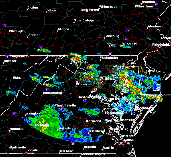 At 651 pm edt, a severe thunderstorm was located over williamsport, or 7 miles west of hagerstown, moving southeast at 25 mph (radar indicated). Hazards include 60 mph wind gusts and quarter size hail. Damaging winds will cause some trees and large branches to fall. this could injure those outdoors, as well as damage homes and vehicles. roadways may become blocked by downed trees. localized power outages are possible. unsecured light objects may become projectiles. Locations impacted include, hagerstown, shepherdstown, municipal stadium, robinwood, fountainhead-orchard hills, boonsboro, wilson-conococheague, williamsport, mount aetna, mount lena, san mar, saint james, halfway, maugansville, keedysville, funkstown, falling waters, sharpsburg, fairplay and clear spring. At 651 pm edt, a severe thunderstorm was located over williamsport, or 7 miles west of hagerstown, moving southeast at 25 mph (radar indicated). Hazards include 60 mph wind gusts and quarter size hail. Damaging winds will cause some trees and large branches to fall. this could injure those outdoors, as well as damage homes and vehicles. roadways may become blocked by downed trees. localized power outages are possible. unsecured light objects may become projectiles. Locations impacted include, hagerstown, shepherdstown, municipal stadium, robinwood, fountainhead-orchard hills, boonsboro, wilson-conococheague, williamsport, mount aetna, mount lena, san mar, saint james, halfway, maugansville, keedysville, funkstown, falling waters, sharpsburg, fairplay and clear spring.
|
| 6/21/2016 6:31 PM EDT |
 At 631 pm edt, a severe thunderstorm was located 8 miles southwest of claylick, or 9 miles east of hancock, moving southeast at 25 mph (radar indicated). Hazards include 60 mph wind gusts and quarter size hail. Damaging winds will cause some trees and large branches to fall. this could injure those outdoors, as well as damage homes and vehicles. roadways may become blocked by downed trees. localized power outages are possible. Unsecured light objects may become projectiles. At 631 pm edt, a severe thunderstorm was located 8 miles southwest of claylick, or 9 miles east of hancock, moving southeast at 25 mph (radar indicated). Hazards include 60 mph wind gusts and quarter size hail. Damaging winds will cause some trees and large branches to fall. this could injure those outdoors, as well as damage homes and vehicles. roadways may become blocked by downed trees. localized power outages are possible. Unsecured light objects may become projectiles.
|
| 6/21/2016 6:31 PM EDT |
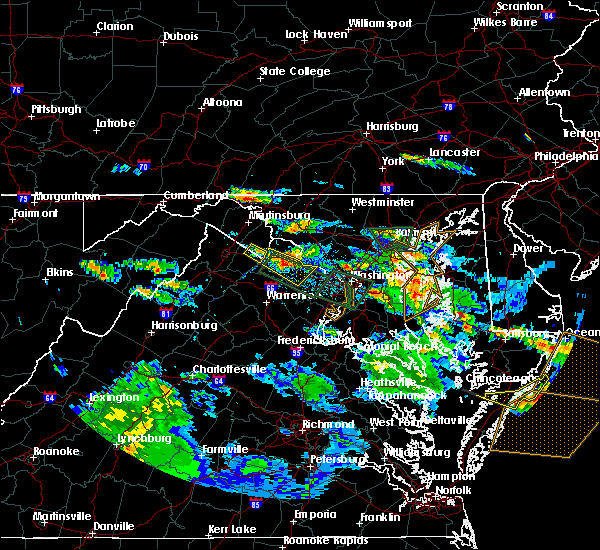 At 631 pm edt, a severe thunderstorm was located 8 miles southwest of claylick, or 9 miles east of hancock, moving southeast at 25 mph (radar indicated). Hazards include 60 mph wind gusts and quarter size hail. Damaging winds will cause some trees and large branches to fall. this could injure those outdoors, as well as damage homes and vehicles. roadways may become blocked by downed trees. localized power outages are possible. Unsecured light objects may become projectiles. At 631 pm edt, a severe thunderstorm was located 8 miles southwest of claylick, or 9 miles east of hancock, moving southeast at 25 mph (radar indicated). Hazards include 60 mph wind gusts and quarter size hail. Damaging winds will cause some trees and large branches to fall. this could injure those outdoors, as well as damage homes and vehicles. roadways may become blocked by downed trees. localized power outages are possible. Unsecured light objects may become projectiles.
|
| 6/21/2016 5:12 PM EDT |
 At 511 pm edt, a severe thunderstorm was located near shepherdstown, moving southeast at 35 mph (radar indicated). Hazards include 60 mph wind gusts and half dollar size hail. Damaging winds will cause some trees and large branches to fall. this could injure those outdoors, as well as damage homes and vehicles. roadways may become blocked by downed trees. localized power outages are possible. unsecured light objects may become projectiles. Locations impacted include, frederick, leesburg, lansdowne, shepherdstown, harry grove stadium, ballenger creek, brunswick, braddock heights, new market, harpers ferry, point of rocks, linganore-bartonsville, adamstown, jefferson, lovettsville, keedysville, buckeystown, sharpsburg, monrovia and rosemont. At 511 pm edt, a severe thunderstorm was located near shepherdstown, moving southeast at 35 mph (radar indicated). Hazards include 60 mph wind gusts and half dollar size hail. Damaging winds will cause some trees and large branches to fall. this could injure those outdoors, as well as damage homes and vehicles. roadways may become blocked by downed trees. localized power outages are possible. unsecured light objects may become projectiles. Locations impacted include, frederick, leesburg, lansdowne, shepherdstown, harry grove stadium, ballenger creek, brunswick, braddock heights, new market, harpers ferry, point of rocks, linganore-bartonsville, adamstown, jefferson, lovettsville, keedysville, buckeystown, sharpsburg, monrovia and rosemont.
|
| 6/21/2016 4:57 PM EDT |
 At 456 pm edt, a severe thunderstorm was located near shepherdstown, moving southeast at 35 mph (radar indicated). Hazards include 60 mph wind gusts and quarter size hail. Damaging winds will cause some trees and large branches to fall. this could injure those outdoors, as well as damage homes and vehicles. roadways may become blocked by downed trees. localized power outages are possible. Unsecured light objects may become projectiles. At 456 pm edt, a severe thunderstorm was located near shepherdstown, moving southeast at 35 mph (radar indicated). Hazards include 60 mph wind gusts and quarter size hail. Damaging winds will cause some trees and large branches to fall. this could injure those outdoors, as well as damage homes and vehicles. roadways may become blocked by downed trees. localized power outages are possible. Unsecured light objects may become projectiles.
|
| 6/21/2016 1:09 PM EDT |
 At 109 pm edt, a severe thunderstorm was located near martinsburg, moving southeast at 20 mph (radar indicated). Hazards include 60 mph wind gusts. Damaging winds will cause some trees and large branches to fall. this could injure those outdoors, as well as damage homes and vehicles. roadways may become blocked by downed trees. localized power outages are possible. unsecured light objects may become projectiles. Locations impacted include, martinsburg, shepherdstown, ranson, williamsport, kearneysville, saint james, berkeley, keedysville, falling waters, sharpsburg, fairplay, hedgesville, rohrersville, pecktonville, antietam, big spring, big pool, cherry run, spruce pine hollow and tomahawk. At 109 pm edt, a severe thunderstorm was located near martinsburg, moving southeast at 20 mph (radar indicated). Hazards include 60 mph wind gusts. Damaging winds will cause some trees and large branches to fall. this could injure those outdoors, as well as damage homes and vehicles. roadways may become blocked by downed trees. localized power outages are possible. unsecured light objects may become projectiles. Locations impacted include, martinsburg, shepherdstown, ranson, williamsport, kearneysville, saint james, berkeley, keedysville, falling waters, sharpsburg, fairplay, hedgesville, rohrersville, pecktonville, antietam, big spring, big pool, cherry run, spruce pine hollow and tomahawk.
|
| 6/21/2016 1:01 PM EDT |
 At 101 pm edt, doppler radar indicated a line of severe thunderstorms capable of producing quarter size hail and damaging winds in excess of 60 mph. these storms were located along a line extending from near littlestown to near boonsboro, and moving southeast at 35 mph. At 101 pm edt, doppler radar indicated a line of severe thunderstorms capable of producing quarter size hail and damaging winds in excess of 60 mph. these storms were located along a line extending from near littlestown to near boonsboro, and moving southeast at 35 mph.
|
| 6/21/2016 12:47 PM EDT |
 At 1246 pm edt, a severe thunderstorm was located 8 miles northwest of martinsburg, moving southeast at 20 mph (radar indicated). Hazards include 60 mph wind gusts and quarter size hail. Damaging winds will cause some trees and large branches to fall. this could injure those outdoors, as well as damage homes and vehicles. roadways may become blocked by downed trees. localized power outages are possible. Unsecured light objects may become projectiles. At 1246 pm edt, a severe thunderstorm was located 8 miles northwest of martinsburg, moving southeast at 20 mph (radar indicated). Hazards include 60 mph wind gusts and quarter size hail. Damaging winds will cause some trees and large branches to fall. this could injure those outdoors, as well as damage homes and vehicles. roadways may become blocked by downed trees. localized power outages are possible. Unsecured light objects may become projectiles.
|
| 6/5/2016 3:13 PM EDT |
 At 312 pm edt, severe thunderstorms were located along a line extending from near long meadow to boonsboro to ranson, moving east at 35 mph. numerous trees down have been reported in and around hagerstown (radar indicated). Hazards include 60 mph wind gusts. Damaging winds will cause some trees and large branches to fall. this could injure those outdoors, as well as damage homes and vehicles. roadways may become blocked by downed trees. localized power outages are possible. Unsecured light objects may become projectiles. At 312 pm edt, severe thunderstorms were located along a line extending from near long meadow to boonsboro to ranson, moving east at 35 mph. numerous trees down have been reported in and around hagerstown (radar indicated). Hazards include 60 mph wind gusts. Damaging winds will cause some trees and large branches to fall. this could injure those outdoors, as well as damage homes and vehicles. roadways may become blocked by downed trees. localized power outages are possible. Unsecured light objects may become projectiles.
|
| 6/5/2016 3:08 PM EDT |
 At 307 pm edt, severe thunderstorms were located along a line extending from near fountainhead-orchard hills to near shepherdstown to ranson, moving east at 35 mph. numerous trees down have been reported just south of hagerstown in washington county maryland (radar indicated). Hazards include 60 mph wind gusts. Damaging winds will cause some trees and large branches to fall. this could injure those outdoors, as well as damage homes and vehicles. roadways may become blocked by downed trees. localized power outages are possible. unsecured light objects may become projectiles. Locations impacted include, frederick, hagerstown, thurmont, charles town, emmitsburg, shepherdstown, harry grove stadium, municipal stadium, ballenger creek, robinwood, brunswick, walkersville, fountainhead-orchard hills, ranson, boonsboro, smithsburg, braddock heights, paramount-long meadow, wilson-conococheague and williamsport. At 307 pm edt, severe thunderstorms were located along a line extending from near fountainhead-orchard hills to near shepherdstown to ranson, moving east at 35 mph. numerous trees down have been reported just south of hagerstown in washington county maryland (radar indicated). Hazards include 60 mph wind gusts. Damaging winds will cause some trees and large branches to fall. this could injure those outdoors, as well as damage homes and vehicles. roadways may become blocked by downed trees. localized power outages are possible. unsecured light objects may become projectiles. Locations impacted include, frederick, hagerstown, thurmont, charles town, emmitsburg, shepherdstown, harry grove stadium, municipal stadium, ballenger creek, robinwood, brunswick, walkersville, fountainhead-orchard hills, ranson, boonsboro, smithsburg, braddock heights, paramount-long meadow, wilson-conococheague and williamsport.
|
| 6/5/2016 2:40 PM EDT |
 At 240 pm edt, severe thunderstorms were located along a line extending from 6 miles southwest of claylick to near martinsburg to near inwood, moving east at 35 mph (radar indicated). Hazards include 60 mph wind gusts. Damaging winds will cause some trees and large branches to fall. this could injure those outdoors, as well as damage homes and vehicles. roadways may become blocked by downed trees. localized power outages are possible. Unsecured light objects may become projectiles. At 240 pm edt, severe thunderstorms were located along a line extending from 6 miles southwest of claylick to near martinsburg to near inwood, moving east at 35 mph (radar indicated). Hazards include 60 mph wind gusts. Damaging winds will cause some trees and large branches to fall. this could injure those outdoors, as well as damage homes and vehicles. roadways may become blocked by downed trees. localized power outages are possible. Unsecured light objects may become projectiles.
|
| 2/24/2016 5:01 PM EST |
 At 500 pm est, doppler radar indicated a line of severe thunderstorms capable of producing quarter size hail and damaging winds in excess of 60 mph. these storms were located along a line extending from near boonsboro to near oatlands, moving northeast at 40 mph. locations impacted include, frederick, rockville, gaithersburg, leesburg, thurmont, poolesville, germantown, harry grove stadium, damascus, lowes island, lansdowne, mount airy, purcellville, brunswick, walkersville, boonsboro, new market, montgomery village, boyds and mount lena. a tornado watch remains in effect until 1100 pm est for north central maryland and northern virginia. At 500 pm est, doppler radar indicated a line of severe thunderstorms capable of producing quarter size hail and damaging winds in excess of 60 mph. these storms were located along a line extending from near boonsboro to near oatlands, moving northeast at 40 mph. locations impacted include, frederick, rockville, gaithersburg, leesburg, thurmont, poolesville, germantown, harry grove stadium, damascus, lowes island, lansdowne, mount airy, purcellville, brunswick, walkersville, boonsboro, new market, montgomery village, boyds and mount lena. a tornado watch remains in effect until 1100 pm est for north central maryland and northern virginia.
|
| 2/24/2016 4:51 PM EST |
 At 451 pm est, doppler radar indicated a line of severe thunderstorms capable of producing quarter size hail and damaging winds in excess of 60 mph. these storms were located along a line extending from near shepherdstown to middleburg, and moving northeast at 40 mph. At 451 pm est, doppler radar indicated a line of severe thunderstorms capable of producing quarter size hail and damaging winds in excess of 60 mph. these storms were located along a line extending from near shepherdstown to middleburg, and moving northeast at 40 mph.
|
| 6/30/2015 9:57 PM EDT |
 At 956 pm edt, doppler radar indicated a line of severe thunderstorms capable of producing damaging winds in excess of 60 mph. these storms were located along a line extending from near shepherdstown to near harpers ferry, moving northeast at 20 mph. locations impacted include, shepherdstown, boonsboro, mount lena, san mar, mount aetna, braddock heights, myersville, keedysville, sharpsburg, burkittsville, pleasant walk, bolivar, antietam, brownsville, middletown in frederick md, gapland, bakerton, arnoldtown, rohrersville and moler crossroads. At 956 pm edt, doppler radar indicated a line of severe thunderstorms capable of producing damaging winds in excess of 60 mph. these storms were located along a line extending from near shepherdstown to near harpers ferry, moving northeast at 20 mph. locations impacted include, shepherdstown, boonsboro, mount lena, san mar, mount aetna, braddock heights, myersville, keedysville, sharpsburg, burkittsville, pleasant walk, bolivar, antietam, brownsville, middletown in frederick md, gapland, bakerton, arnoldtown, rohrersville and moler crossroads.
|
| 6/30/2015 9:37 PM EDT |
 At 937 pm edt, doppler radar indicated a line of severe thunderstorms capable of producing damaging winds in excess of 60 mph. these storms were located along a line extending from near kearneysville to near corporation of ranson, and moving northeast at 20 mph. At 937 pm edt, doppler radar indicated a line of severe thunderstorms capable of producing damaging winds in excess of 60 mph. these storms were located along a line extending from near kearneysville to near corporation of ranson, and moving northeast at 20 mph.
|
| 6/8/2015 4:51 PM EDT | The severe thunderstorm warning for northeastern washington county will expire at 500 pm edt, the storm which prompted the warning has weakened below severe limits and exited the warned area. therefore the warning will be allowed to expire. |
| 6/8/2015 4:33 PM EDT |
 At 432 pm edt, doppler radar indicated a severe thunderstorm capable of producing half dollar size hail and damaging winds in excess of 60 mph. this storm was located over boonsboro, or 8 miles south of municipal stadium, moving northeast at 40 mph. locations impacted include, hagerstown, boonsboro, smithsburg, saint james, mount lena, robinwood, san mar, mount aetna, keedysville, funkstown, fairplay, cavetown, rohrersville, ringgold and chewsville. a tornado watch remains in effect until 800 pm edt for north central maryland. At 432 pm edt, doppler radar indicated a severe thunderstorm capable of producing half dollar size hail and damaging winds in excess of 60 mph. this storm was located over boonsboro, or 8 miles south of municipal stadium, moving northeast at 40 mph. locations impacted include, hagerstown, boonsboro, smithsburg, saint james, mount lena, robinwood, san mar, mount aetna, keedysville, funkstown, fairplay, cavetown, rohrersville, ringgold and chewsville. a tornado watch remains in effect until 800 pm edt for north central maryland.
|
| 6/8/2015 4:18 PM EDT |
 At 418 pm edt, doppler radar indicated a severe thunderstorm capable of producing quarter size hail and damaging winds in excess of 60 mph. this storm was located over kearneysville, or near shepherdstown, and moving northeast at 30 mph. At 418 pm edt, doppler radar indicated a severe thunderstorm capable of producing quarter size hail and damaging winds in excess of 60 mph. this storm was located over kearneysville, or near shepherdstown, and moving northeast at 30 mph.
|
| 5/31/2015 10:23 PM EDT | The severe thunderstorm warning for frederick, northwestern montgomery, southeastern washington, central loudoun, northeastern jefferson and eastern berkeley counties will expire at 1030 pm edt, the storms which prompted the warning have weakened below severe limits, and no longer poses an immediate threat to life or property. therefore the warning will be allowed to expire. however gusty winds and heavy rain are still possible with these thunderstorms. |
| 5/31/2015 10:23 PM EDT | The severe thunderstorm warning for frederick, northwestern montgomery, southeastern washington, central loudoun, northeastern jefferson and eastern berkeley counties will expire at 1030 pm edt, the storms which prompted the warning have weakened below severe limits, and no longer poses an immediate threat to life or property. therefore the warning will be allowed to expire. however gusty winds and heavy rain are still possible with these thunderstorms. |
| 5/31/2015 10:23 PM EDT | The severe thunderstorm warning for frederick, northwestern montgomery, southeastern washington, central loudoun, northeastern jefferson and eastern berkeley counties will expire at 1030 pm edt, the storms which prompted the warning have weakened below severe limits, and no longer poses an immediate threat to life or property. therefore the warning will be allowed to expire. however gusty winds and heavy rain are still possible with these thunderstorms. |
| 5/31/2015 10:06 PM EDT | At 1006 pm edt, doppler radar indicated a line of severe thunderstorms capable of producing damaging winds in excess of 60 mph. these storms were located along a line extending from near shepherdstown to 6 miles south of harpers ferry to near bluemont, and moving east at 25 mph. |
| 5/31/2015 10:06 PM EDT | At 1006 pm edt, doppler radar indicated a line of severe thunderstorms capable of producing damaging winds in excess of 60 mph. these storms were located along a line extending from near shepherdstown to 6 miles south of harpers ferry to near bluemont, and moving east at 25 mph. |
| 5/31/2015 10:06 PM EDT | At 1006 pm edt, doppler radar indicated a line of severe thunderstorms capable of producing damaging winds in excess of 60 mph. these storms were located along a line extending from near shepherdstown to 6 miles south of harpers ferry to near bluemont, and moving east at 25 mph. |
| 5/16/2015 4:23 PM EDT | At 423 pm edt, doppler radar indicated a line of severe thunderstorms capable of producing damaging winds in excess of 60 mph. these storms were located along a line extending from hagerstown to near saint james to near shepherdstown, moving east at 30 mph. locations impacted include, frederick, hagerstown, thurmont, municipal stadium, boonsboro, williamsport, long meadow, mount lena, fountainhead-orchard hills, san mar, mount aetna, clover hill, saint james, wolfsville, braddock heights, robinwood, paramount-long meadow, smithsburg, myersville and keedysville. |
| 5/16/2015 4:23 PM EDT | At 423 pm edt, doppler radar indicated a line of severe thunderstorms capable of producing damaging winds in excess of 60 mph. these storms were located along a line extending from hagerstown to near saint james to near shepherdstown, moving east at 30 mph. locations impacted include, frederick, hagerstown, thurmont, municipal stadium, boonsboro, williamsport, long meadow, mount lena, fountainhead-orchard hills, san mar, mount aetna, clover hill, saint james, wolfsville, braddock heights, robinwood, paramount-long meadow, smithsburg, myersville and keedysville. |
| 5/16/2015 4:08 PM EDT | At 408 pm edt, doppler radar indicated a line of severe thunderstorms capable of producing damaging winds in excess of 60 mph. these storms were located along a line extending from near wilson-conococheague to williamsport to near shepherdstown, and moving east at 30 mph. |
| 5/16/2015 4:08 PM EDT | At 408 pm edt, doppler radar indicated a line of severe thunderstorms capable of producing damaging winds in excess of 60 mph. these storms were located along a line extending from near wilson-conococheague to williamsport to near shepherdstown, and moving east at 30 mph. |
Hail Maps for Eakles Mill, MD
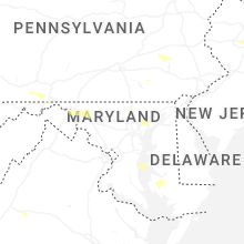


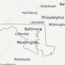


Connect with Interactive Hail Maps