

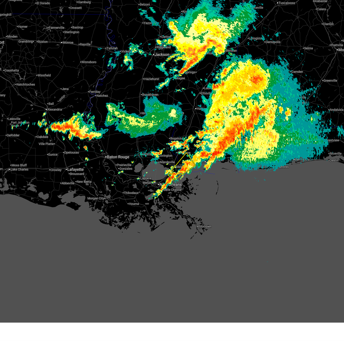
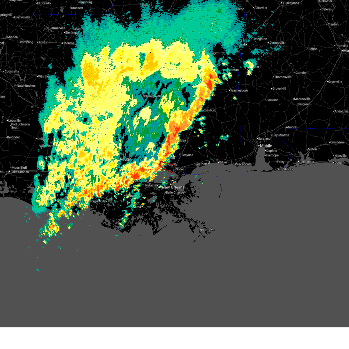
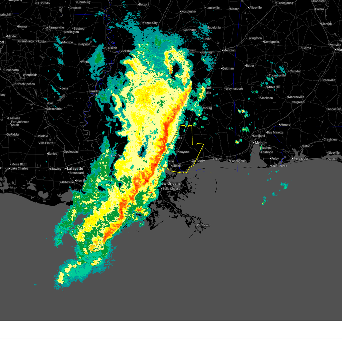
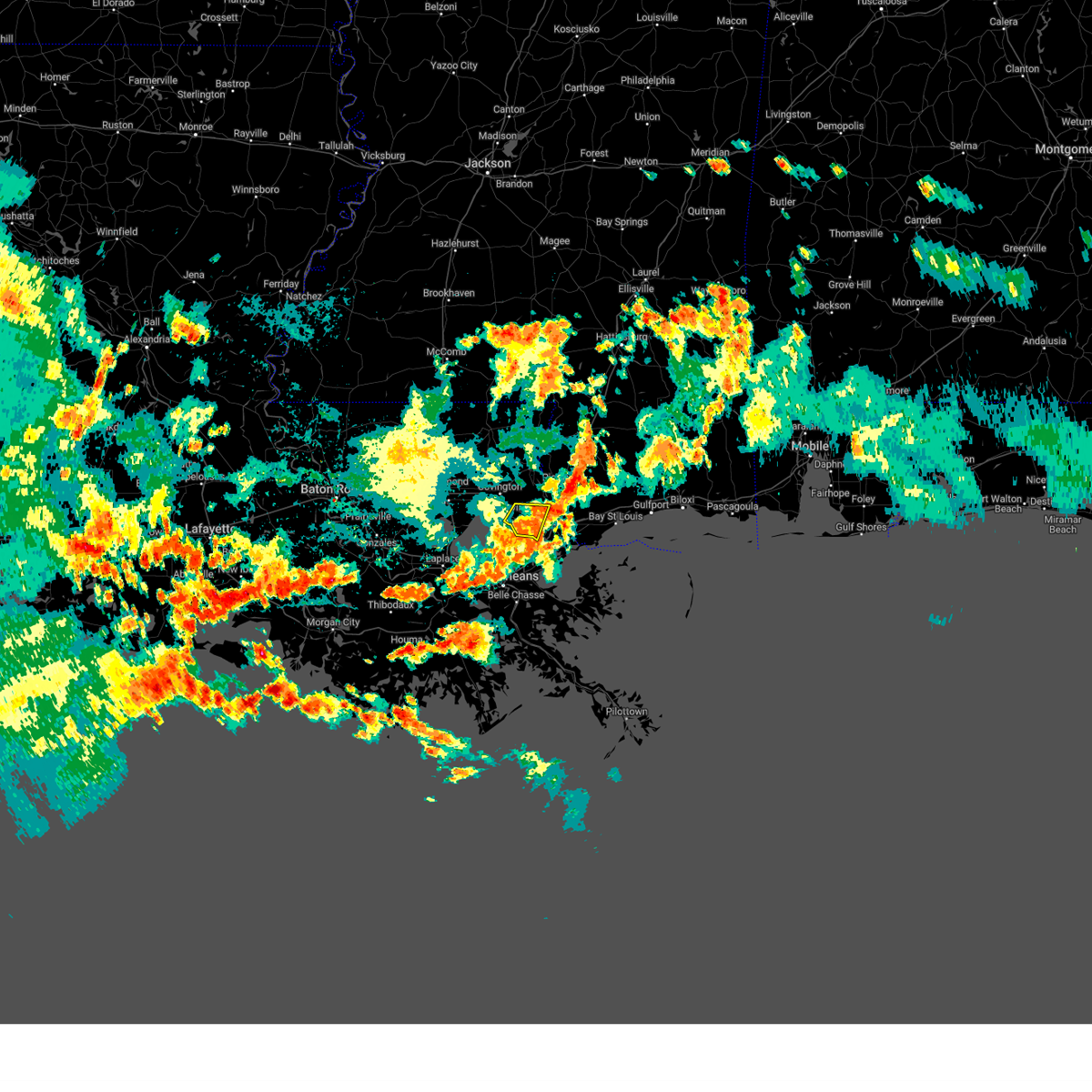
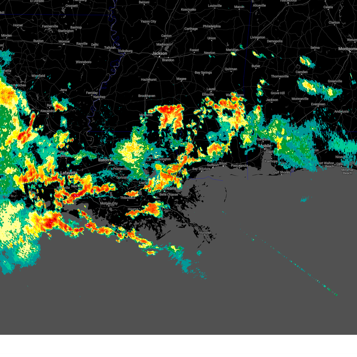
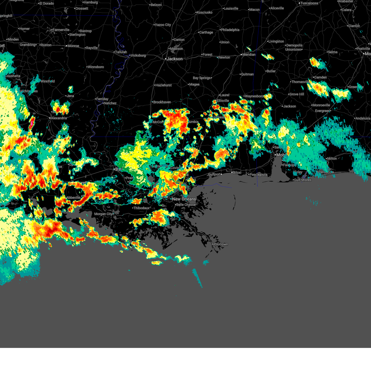
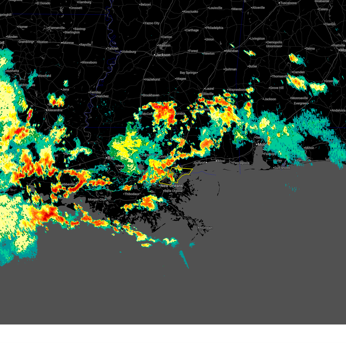
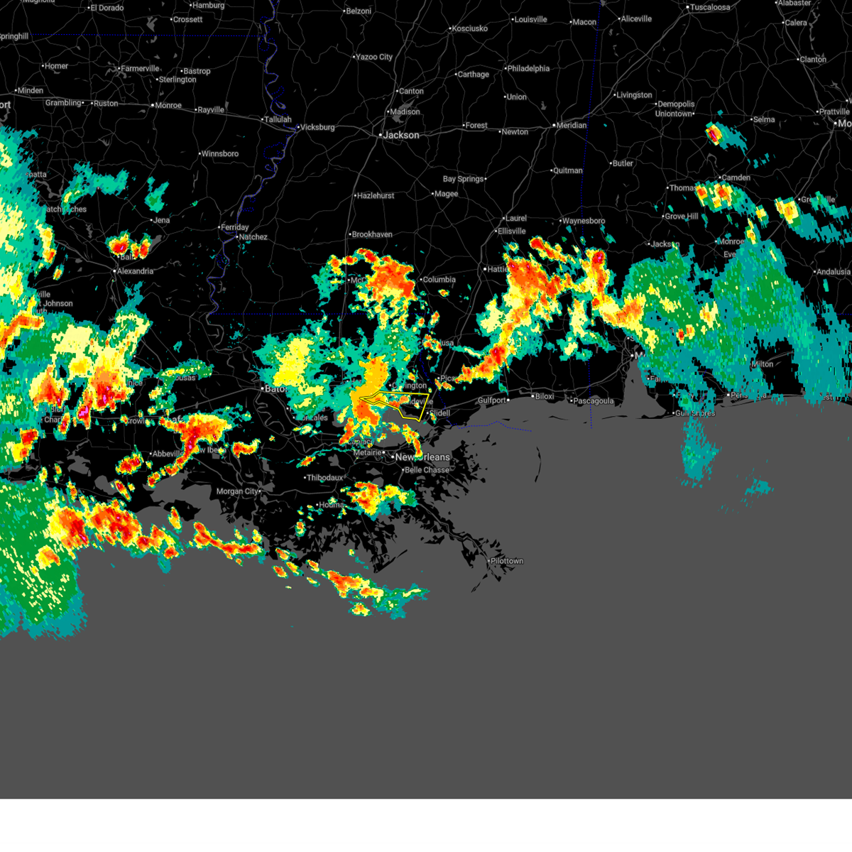
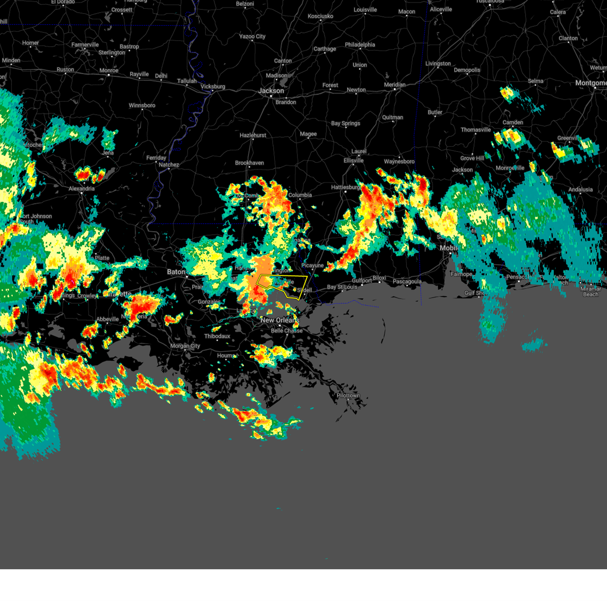
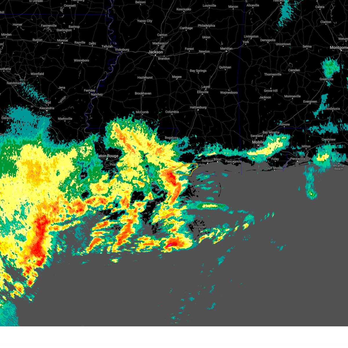
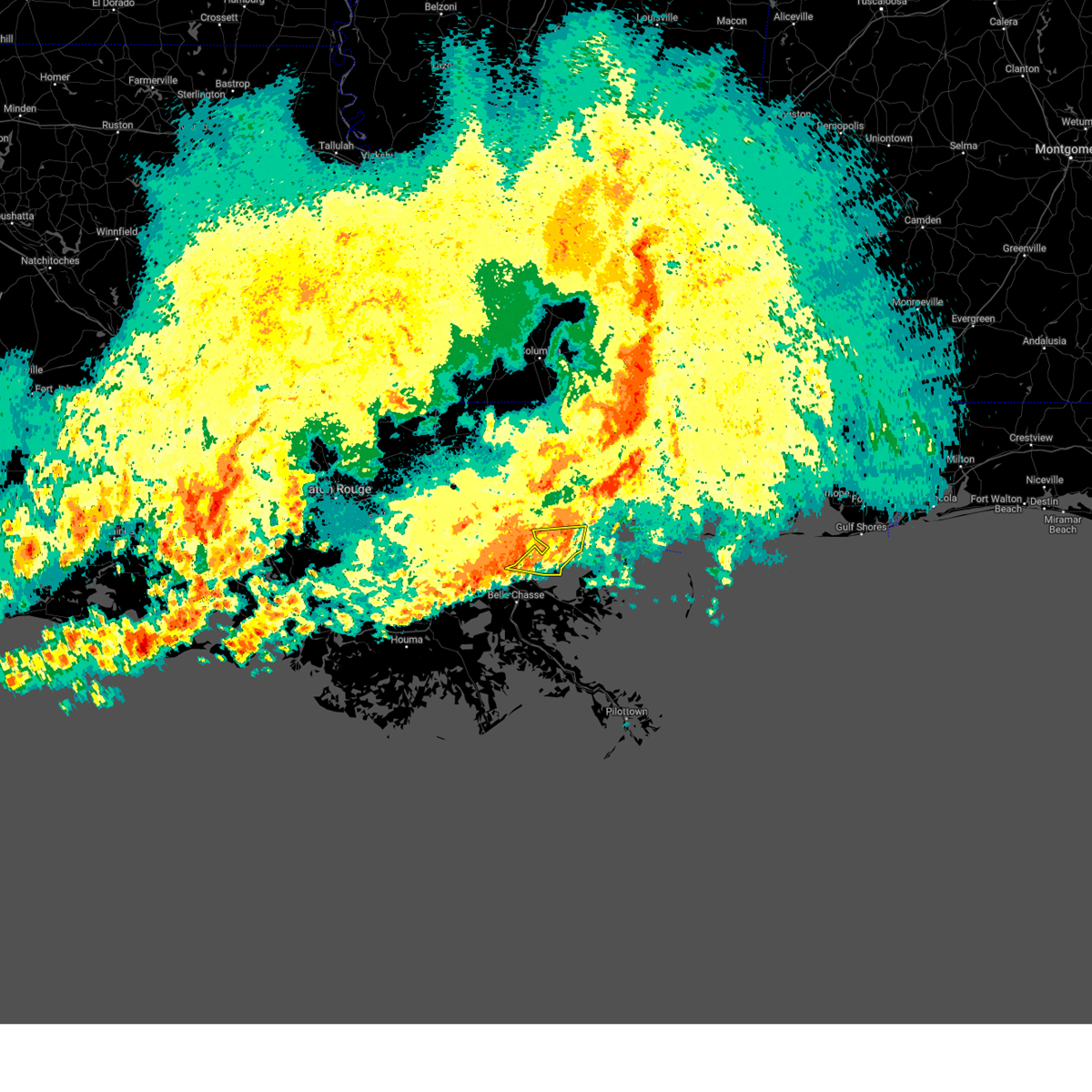
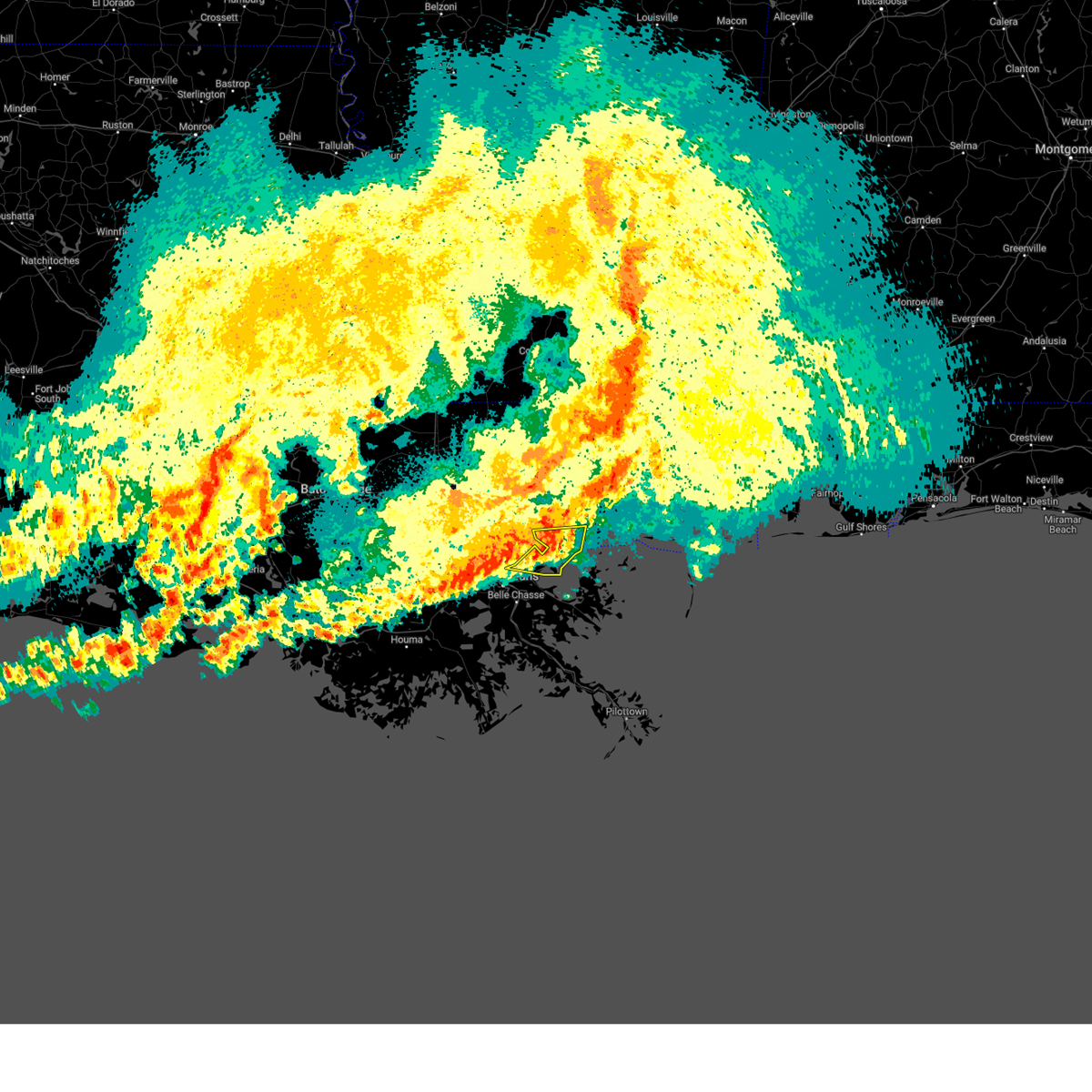
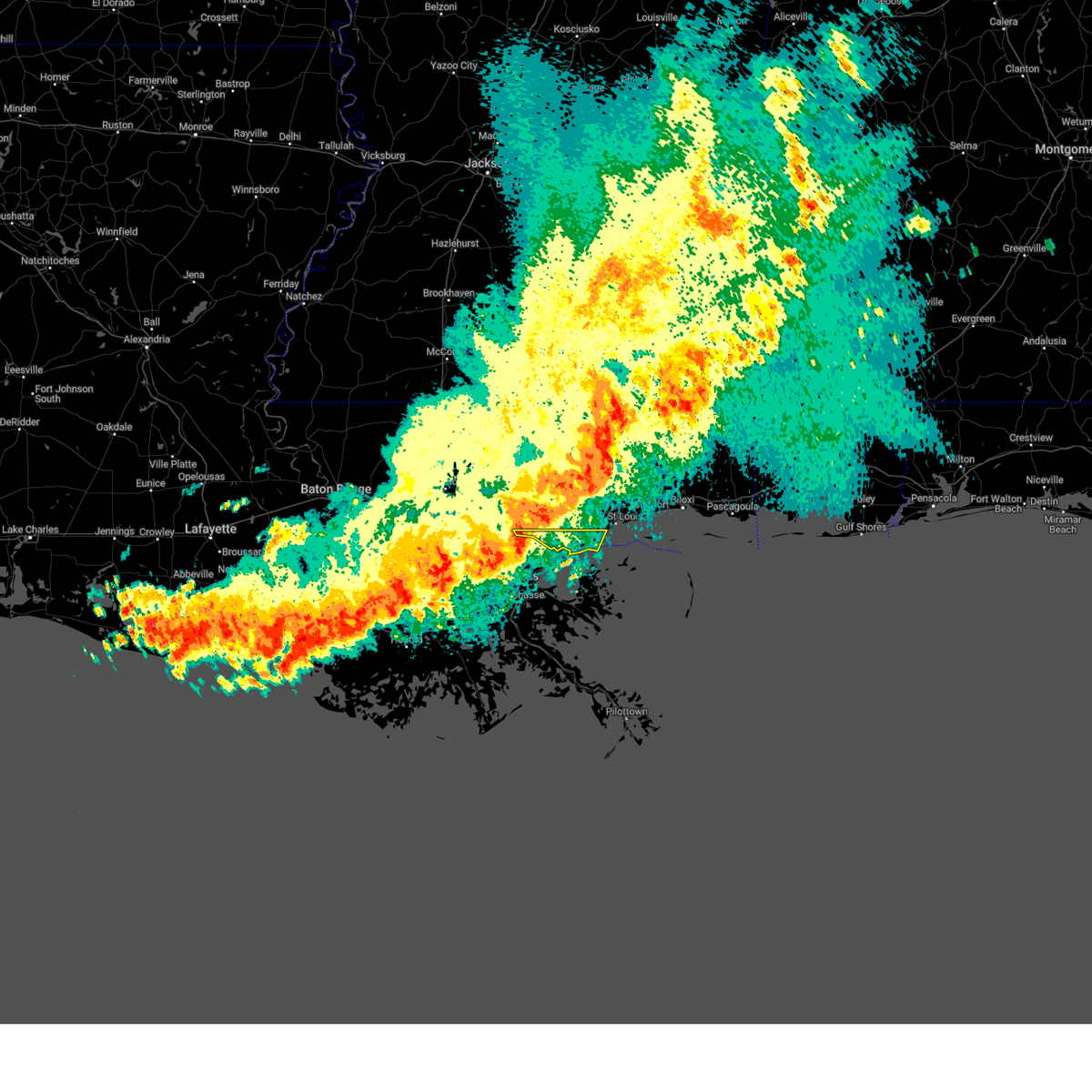
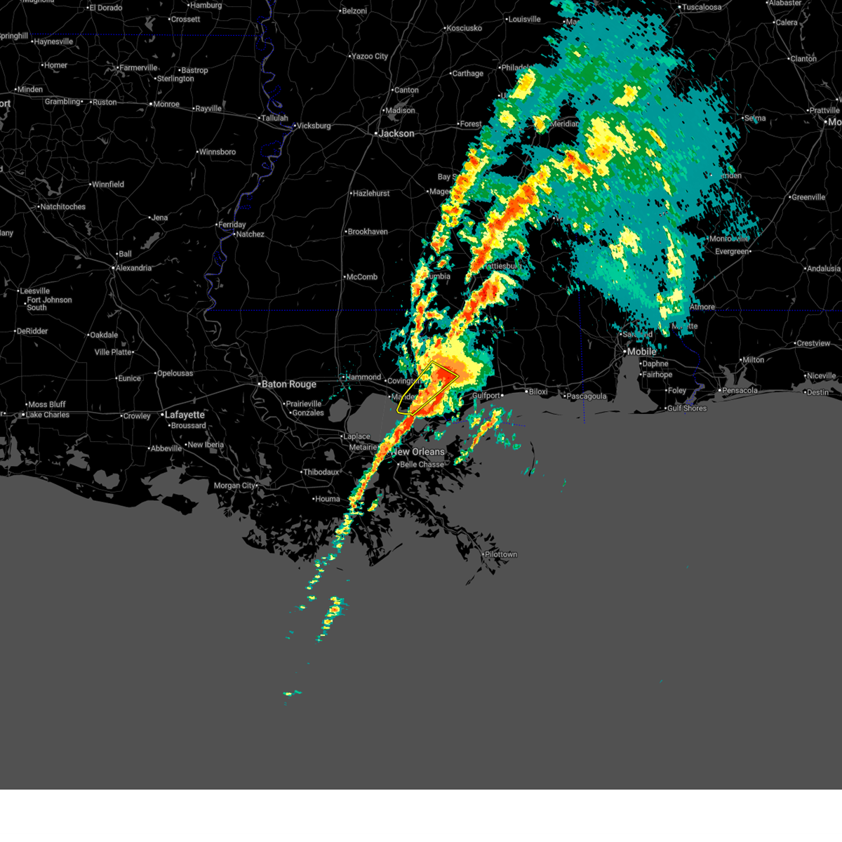
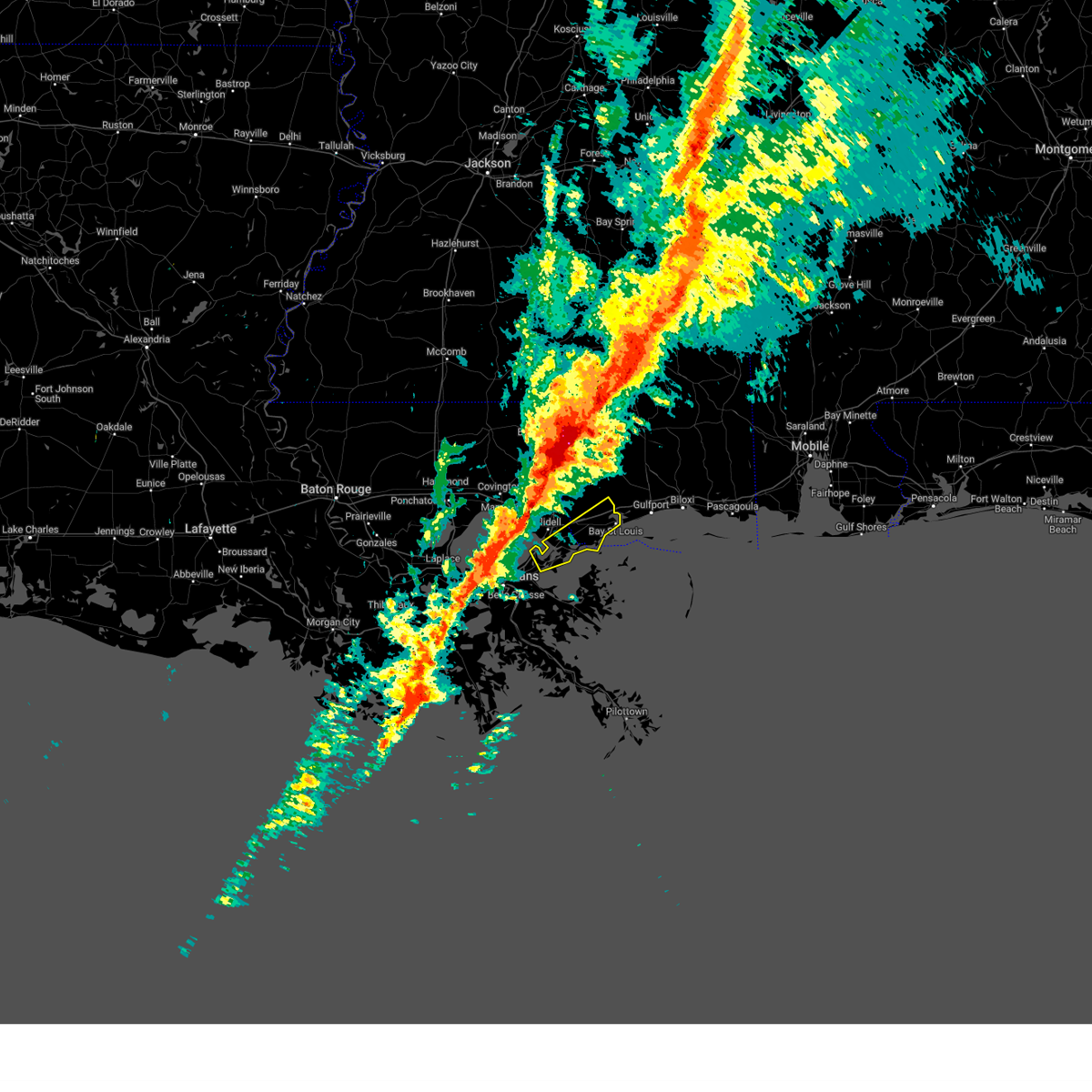
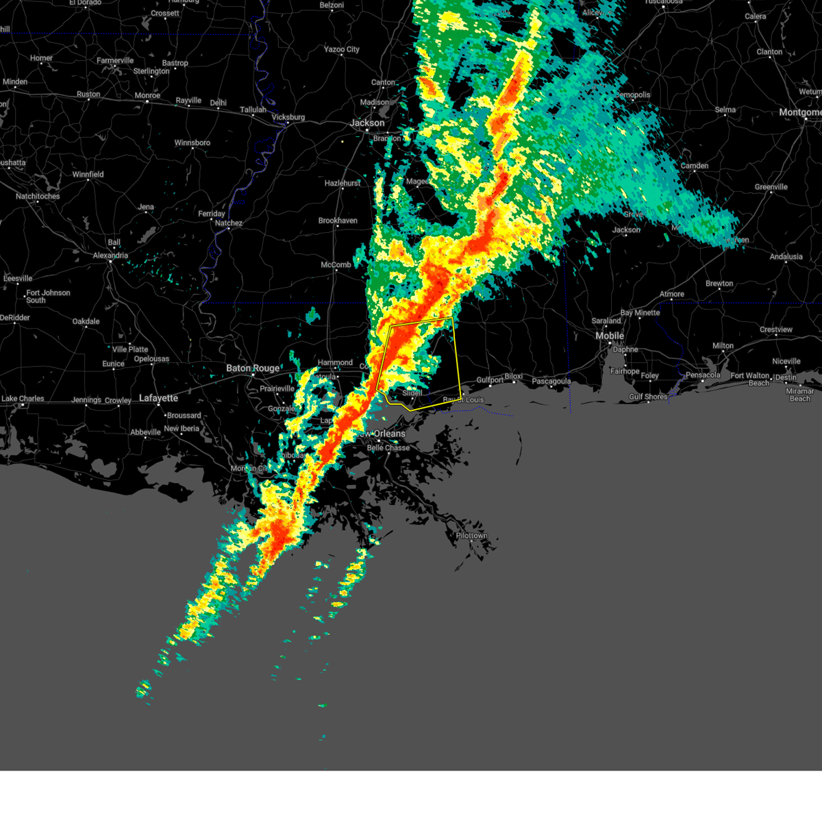
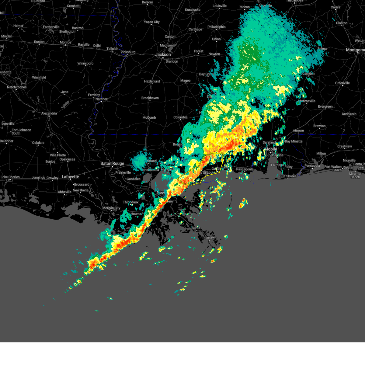
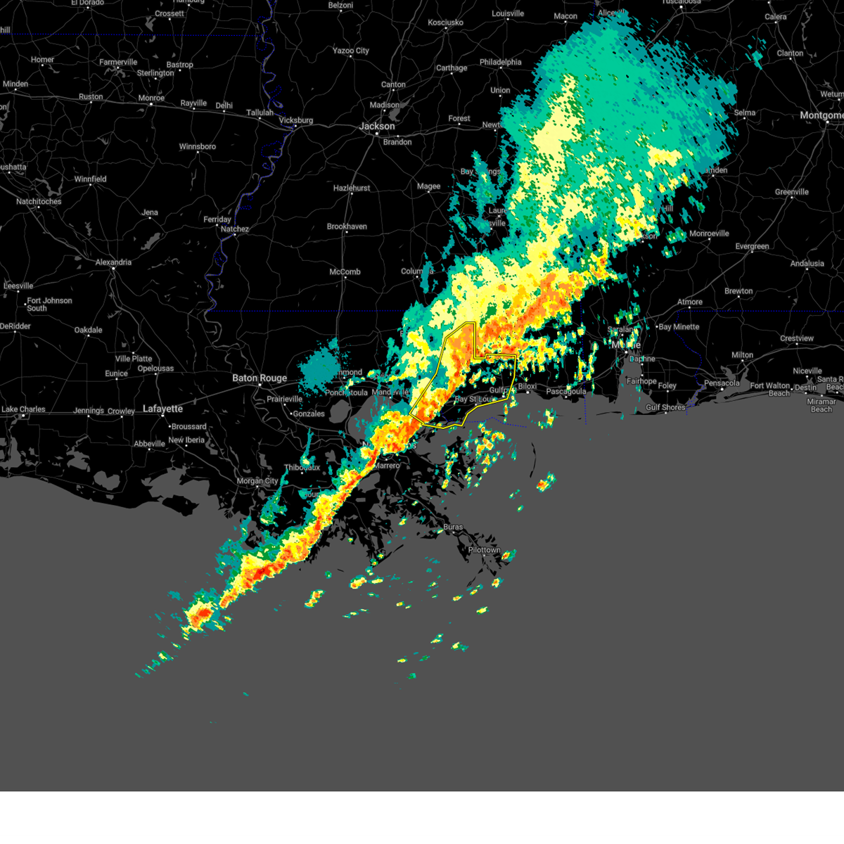
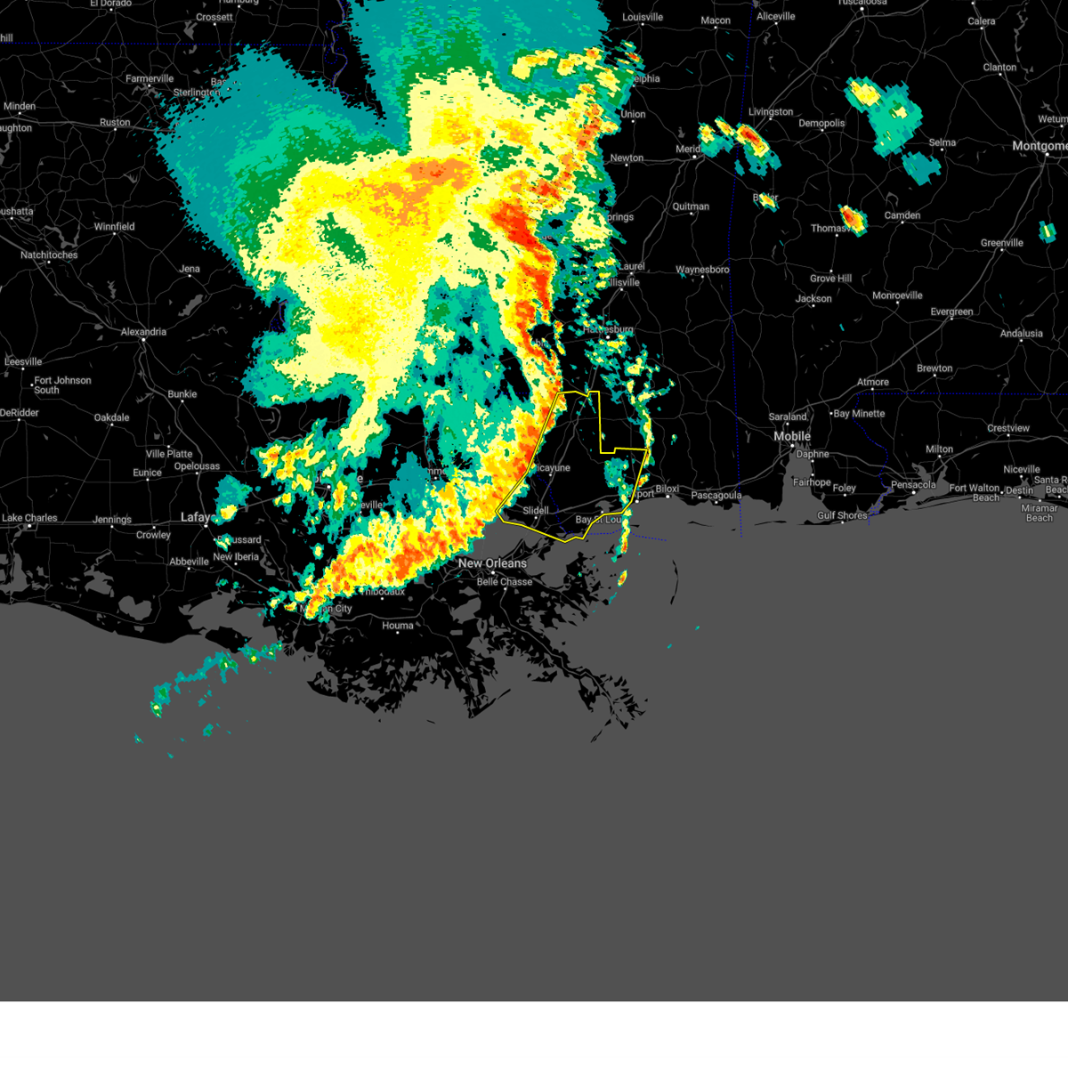
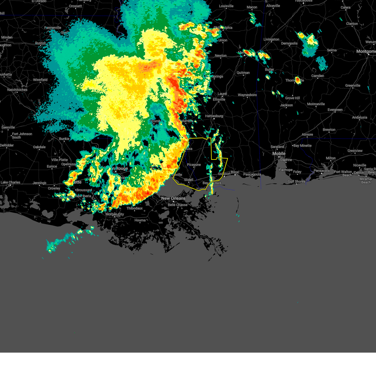
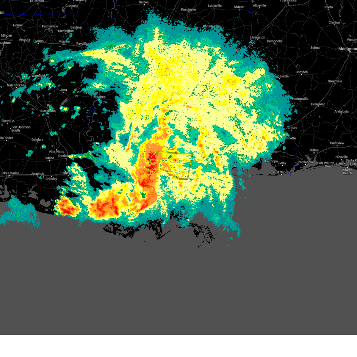
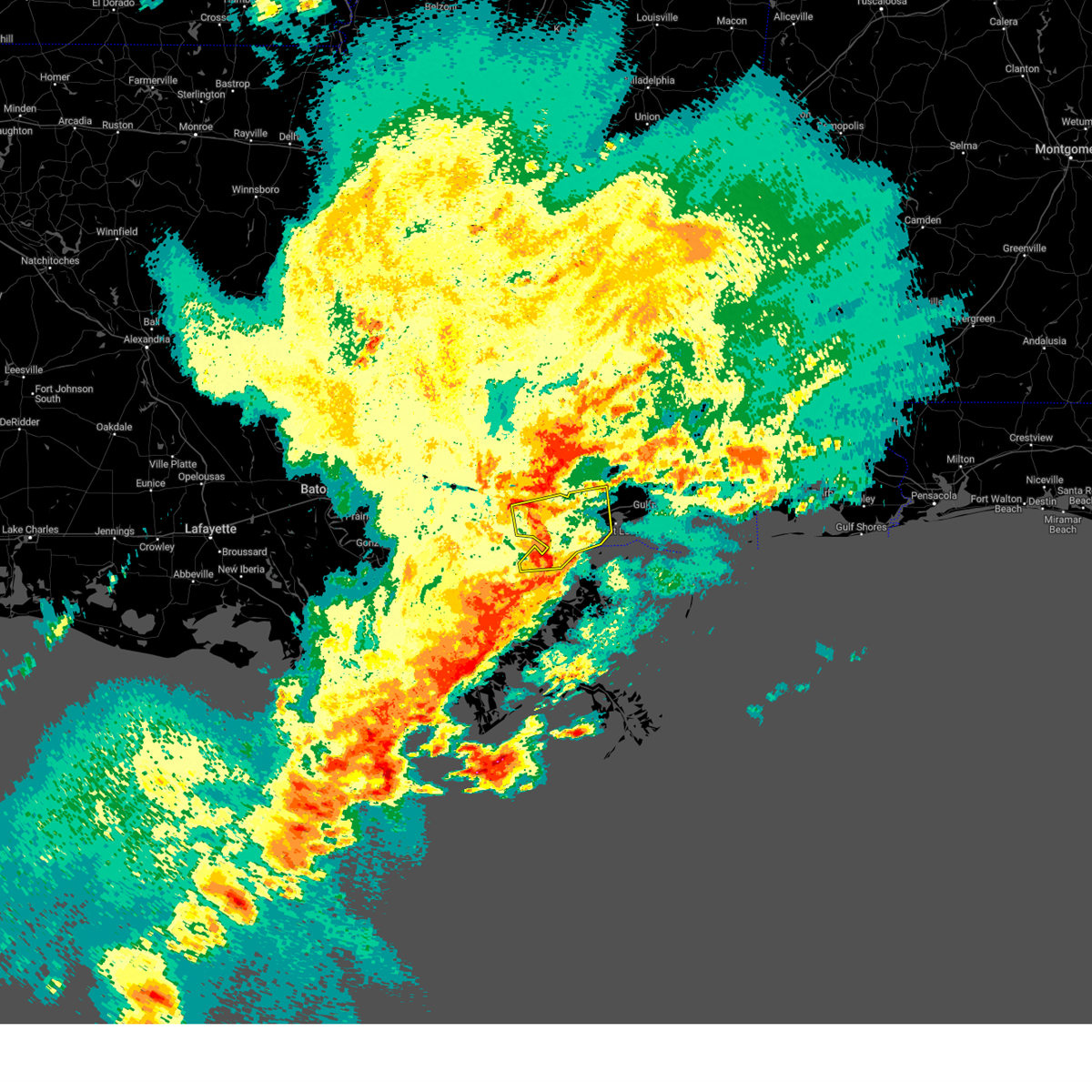
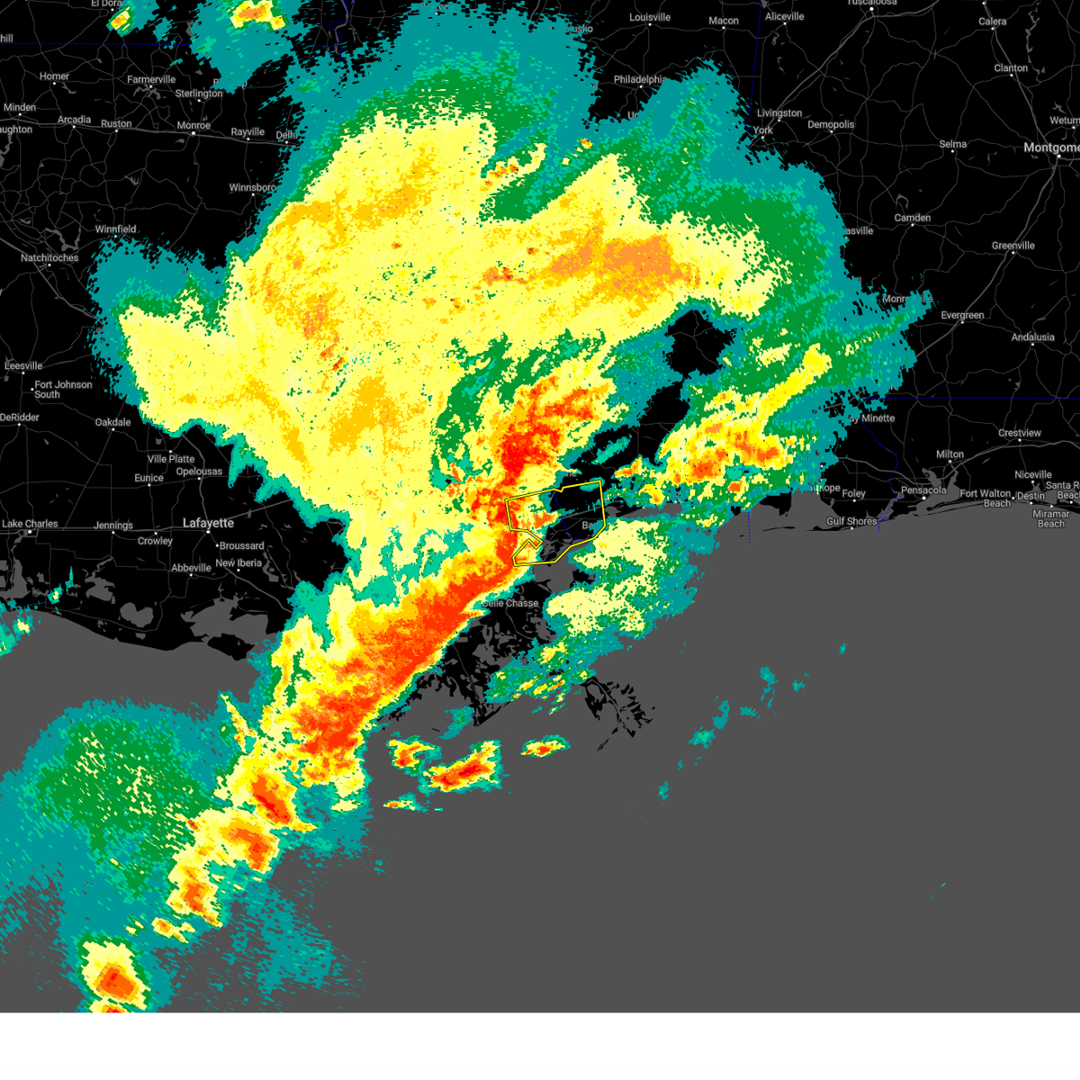
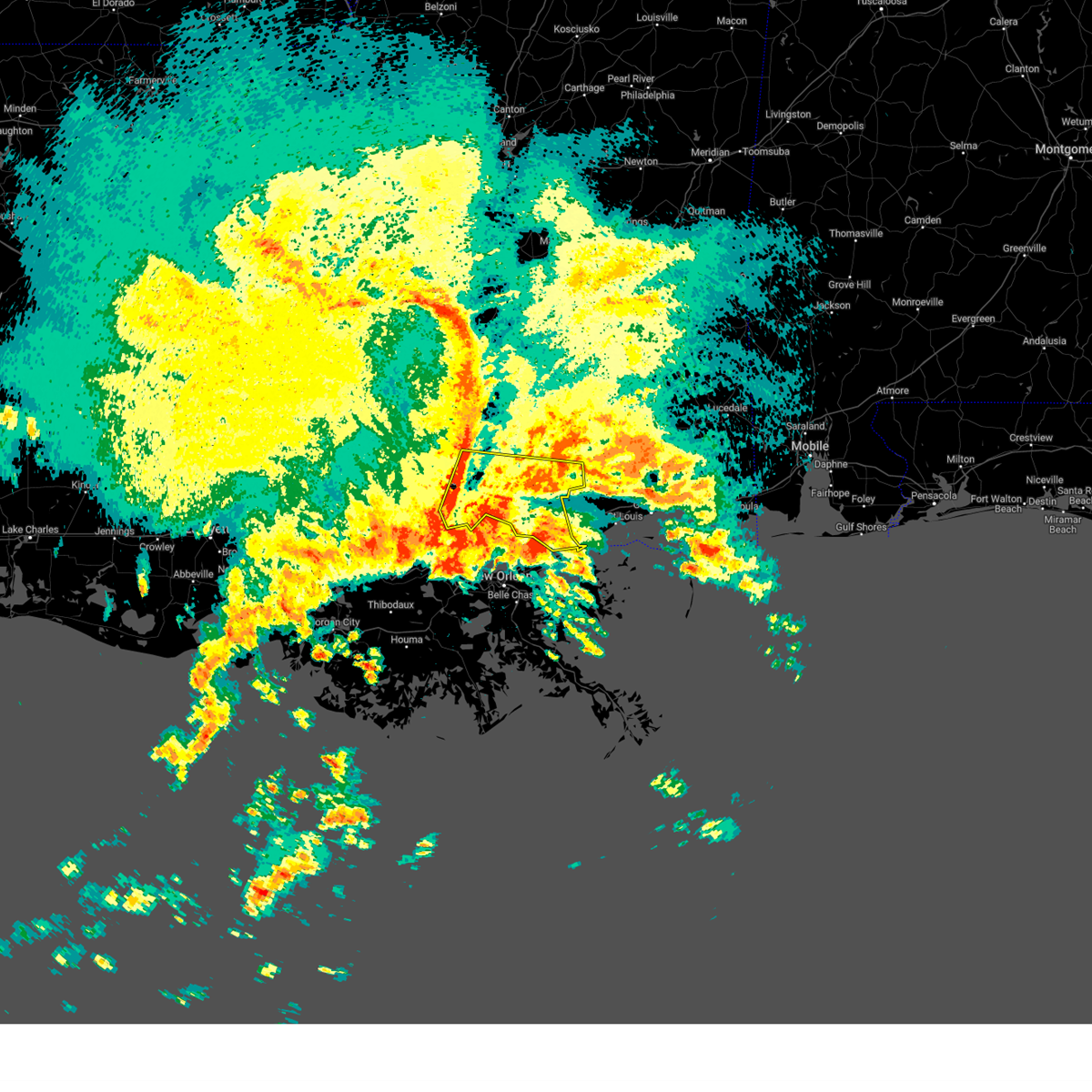
Hail Map for Eden Isle, LA
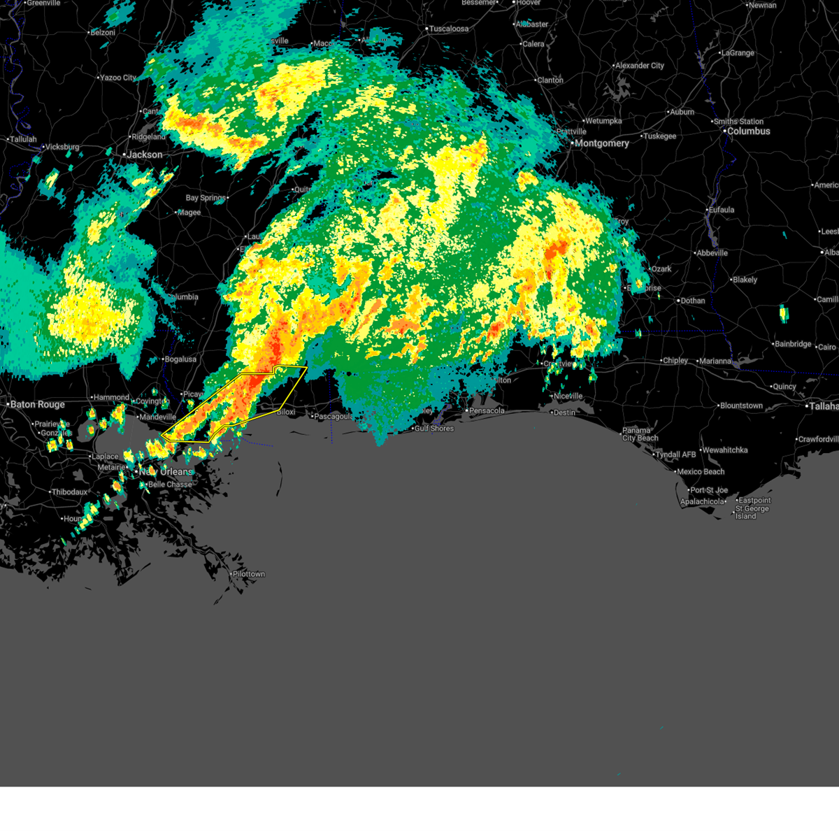
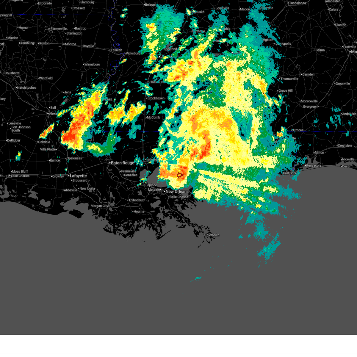
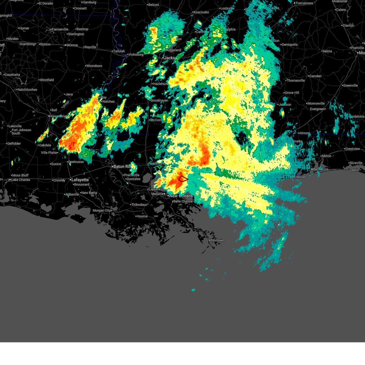
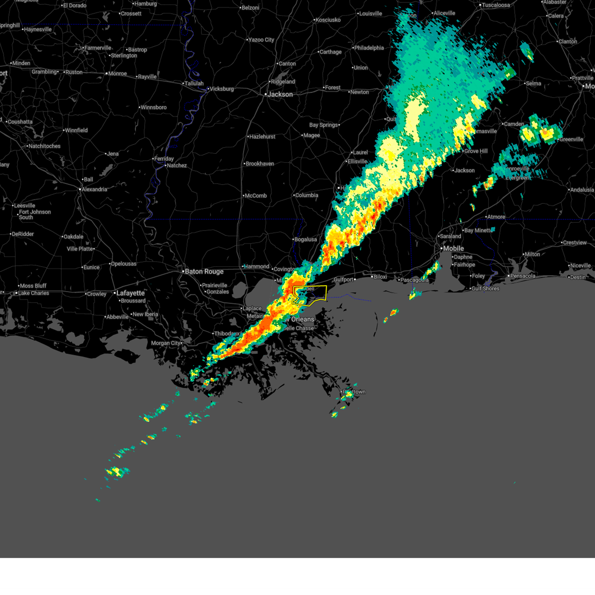
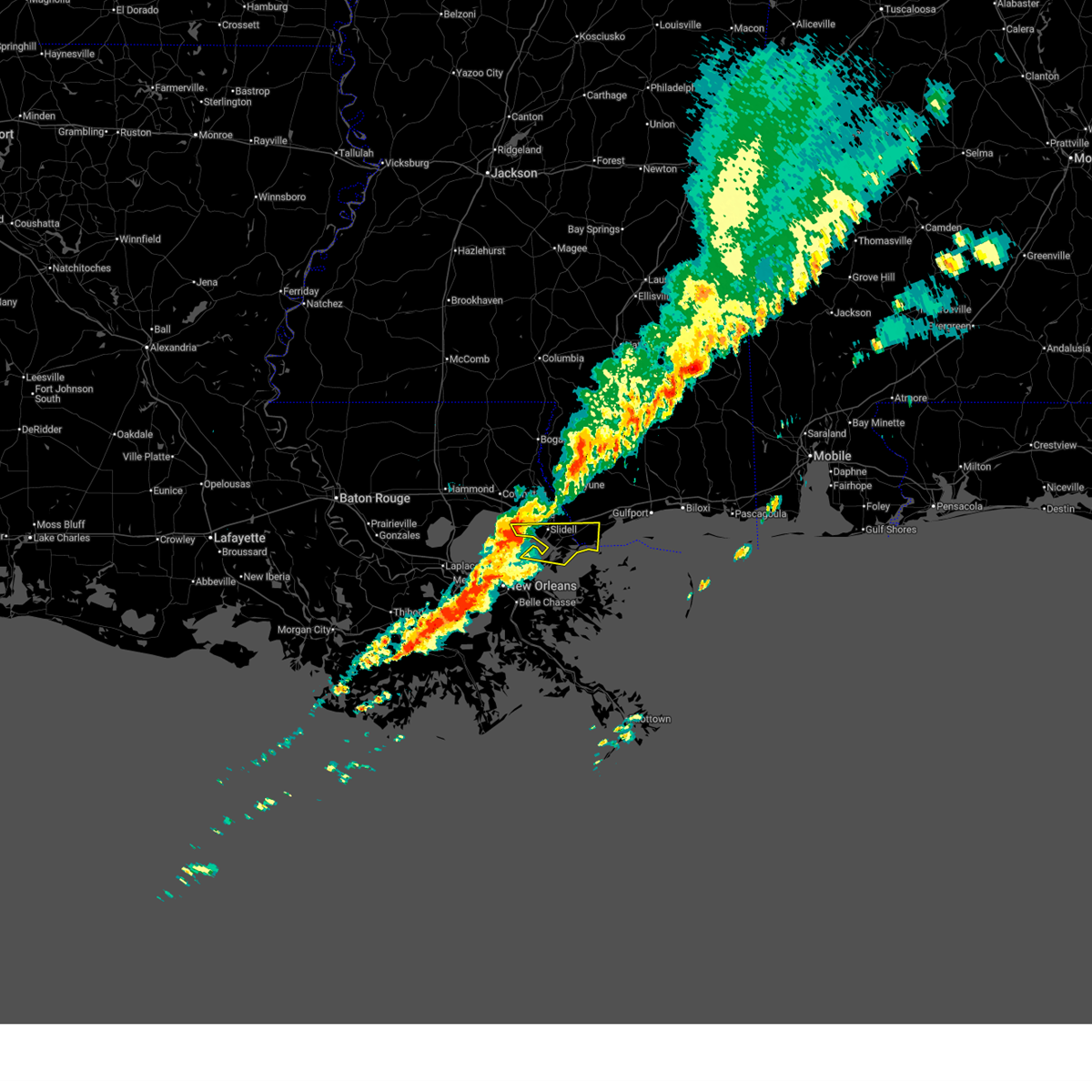
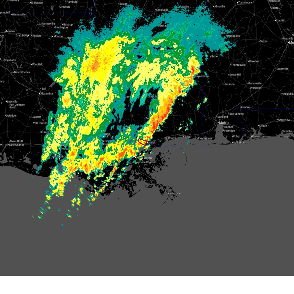
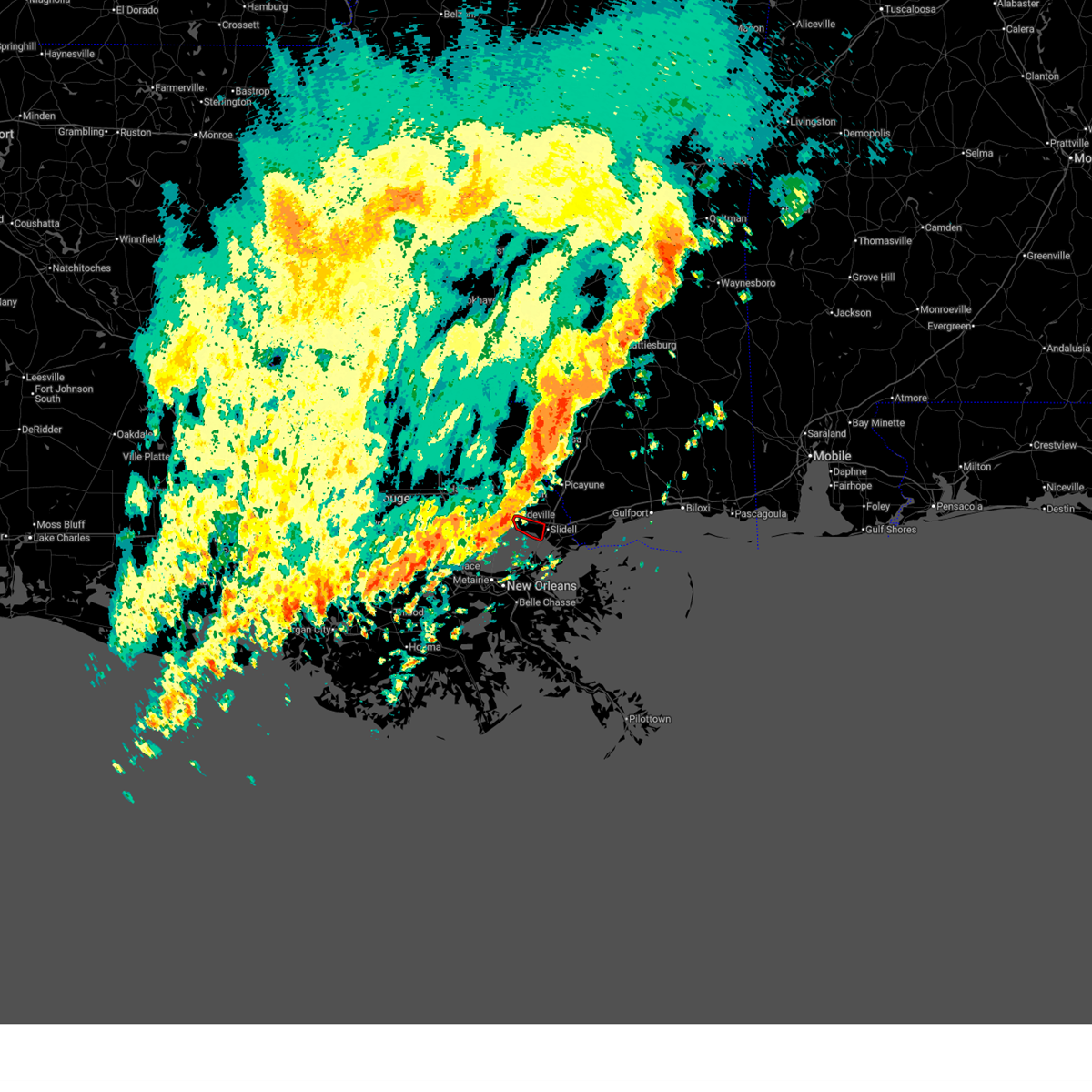
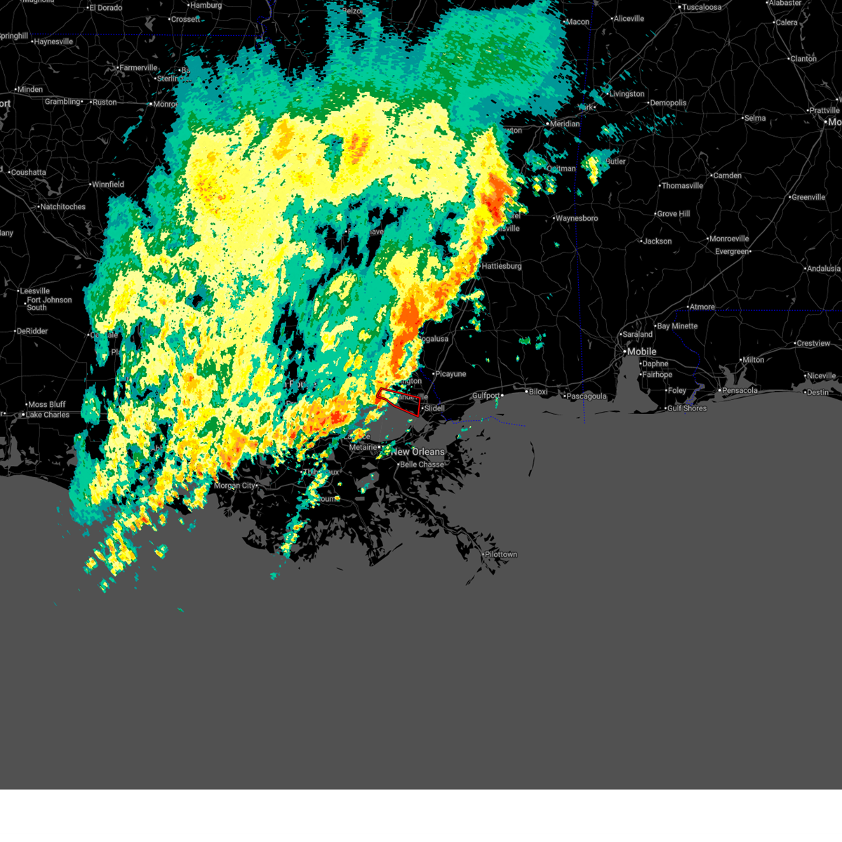
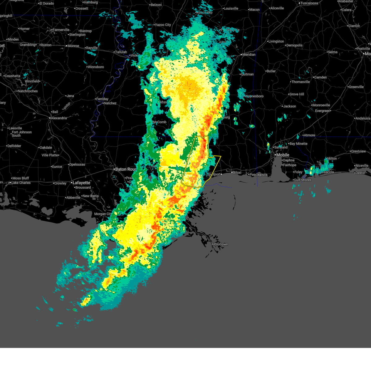
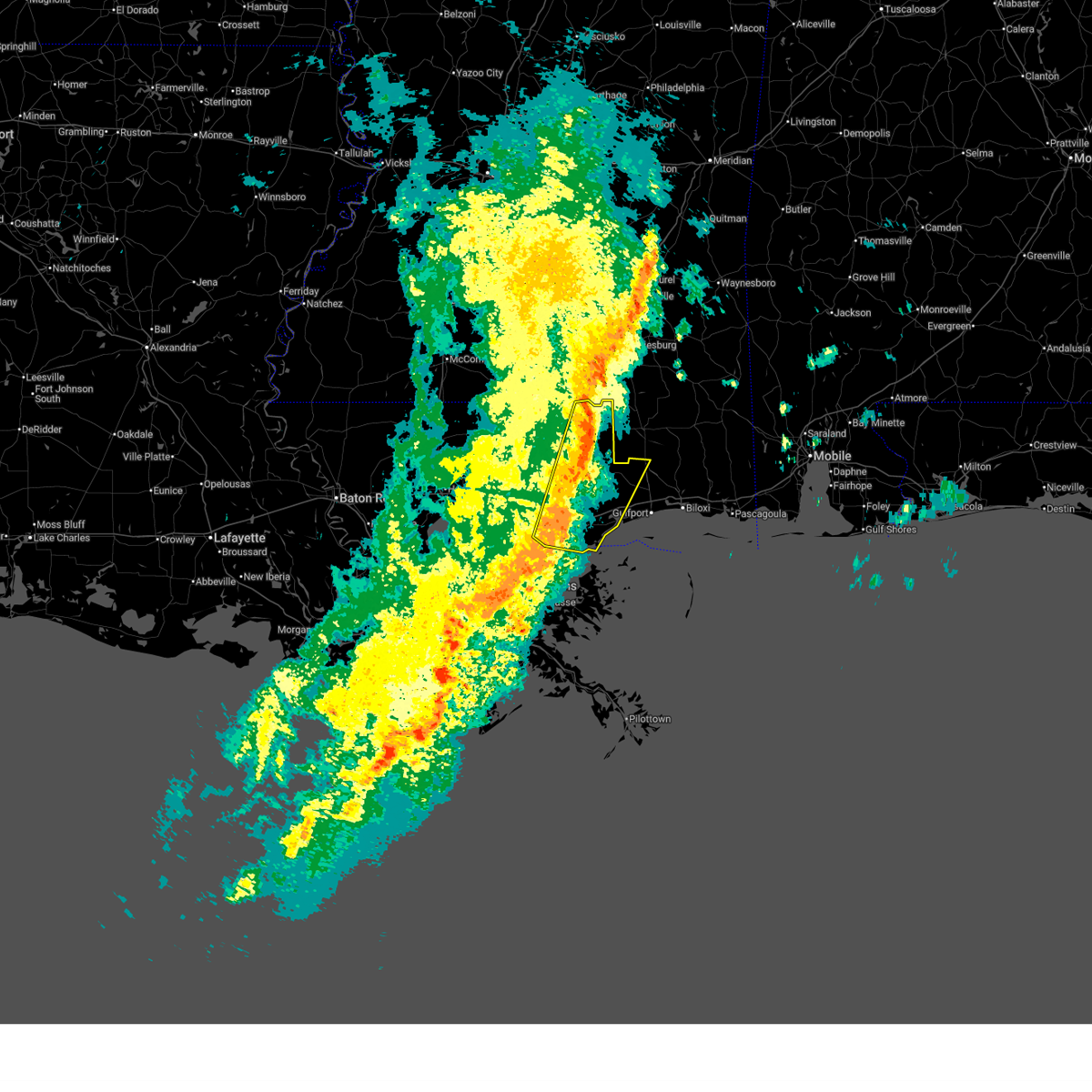
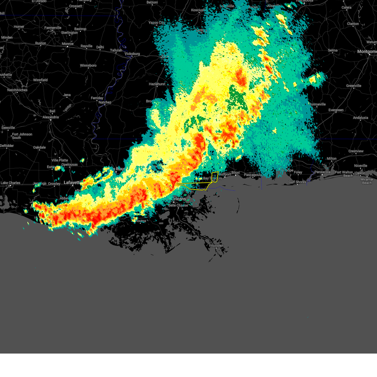
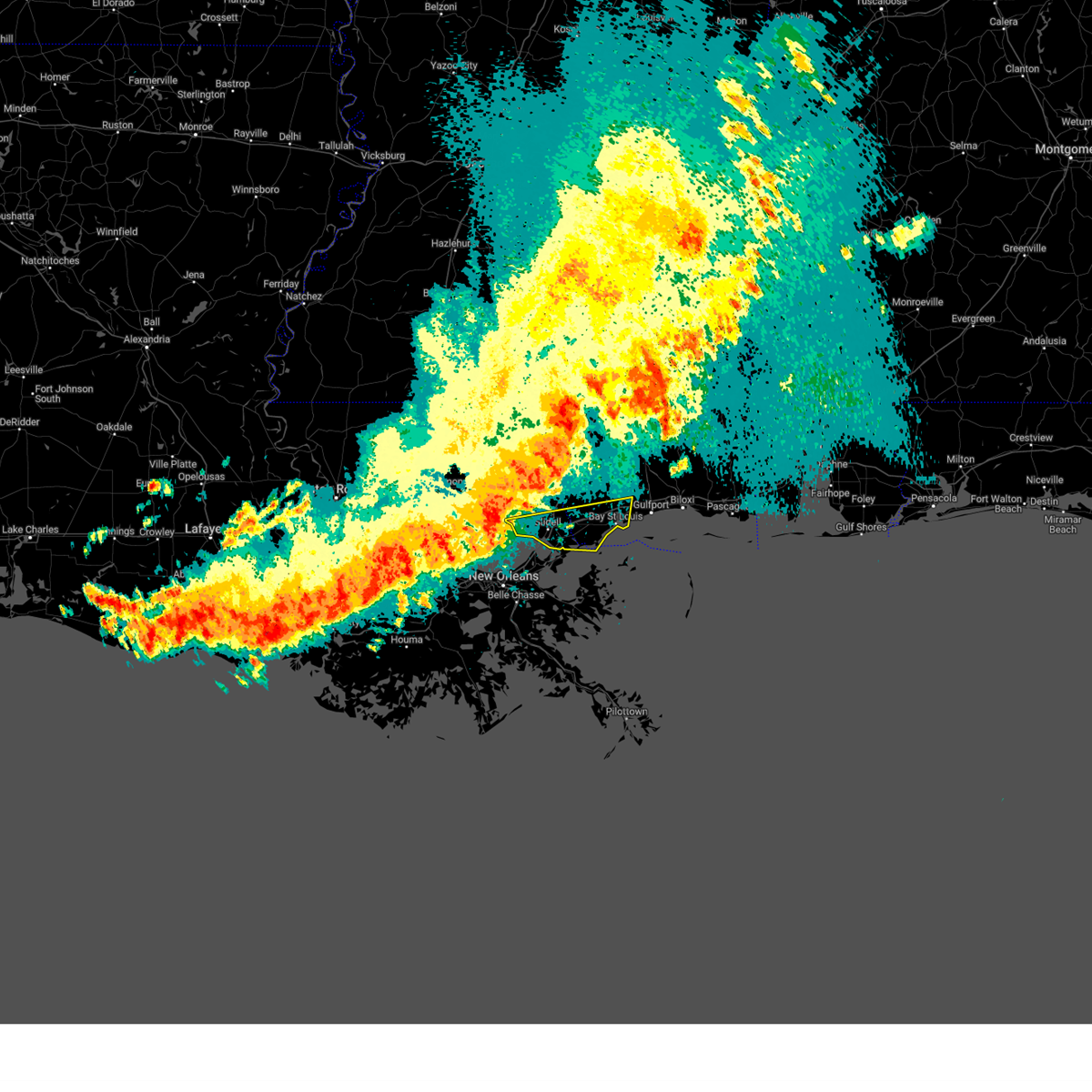
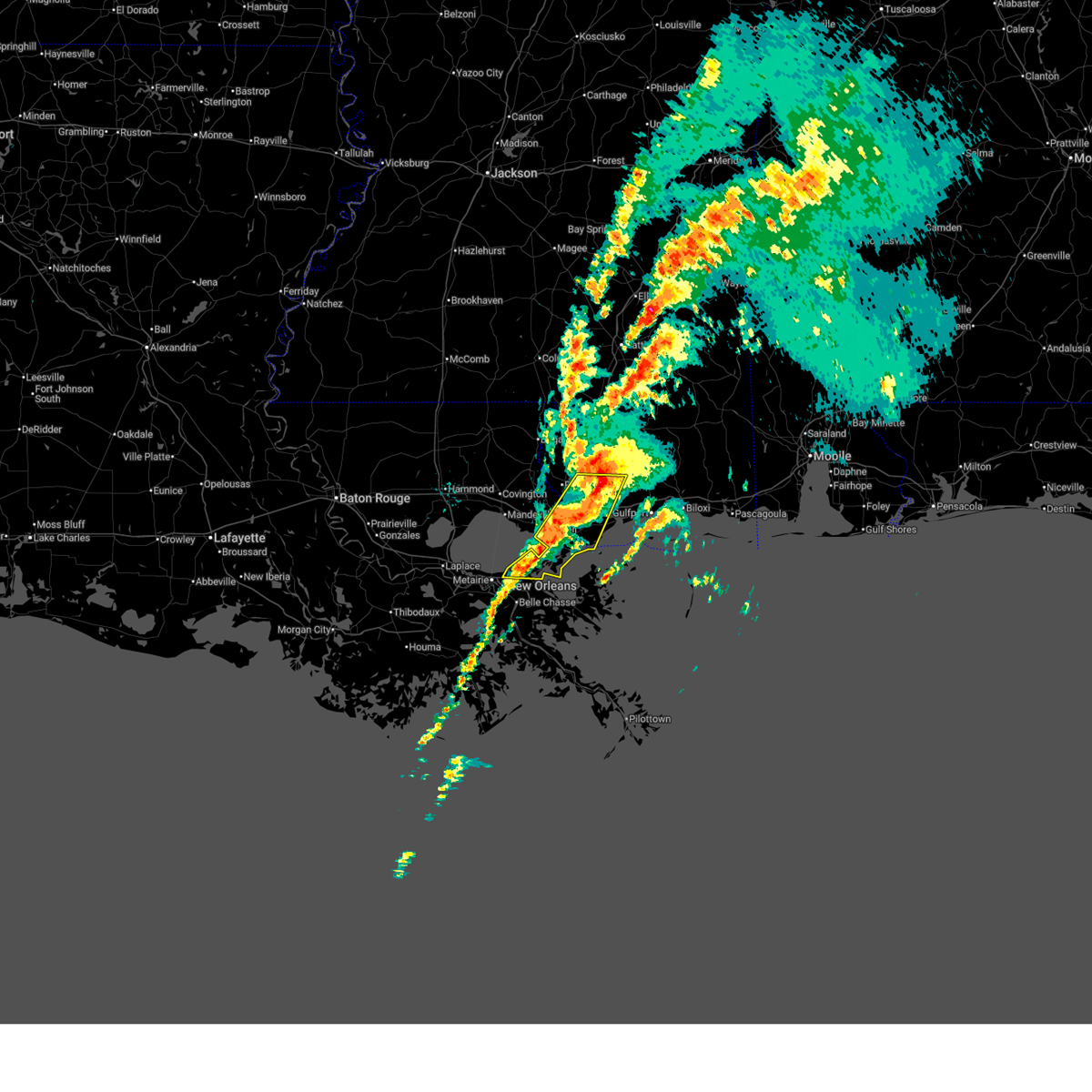
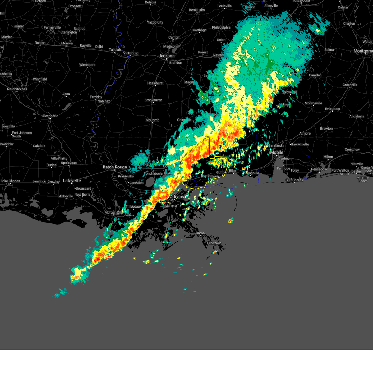
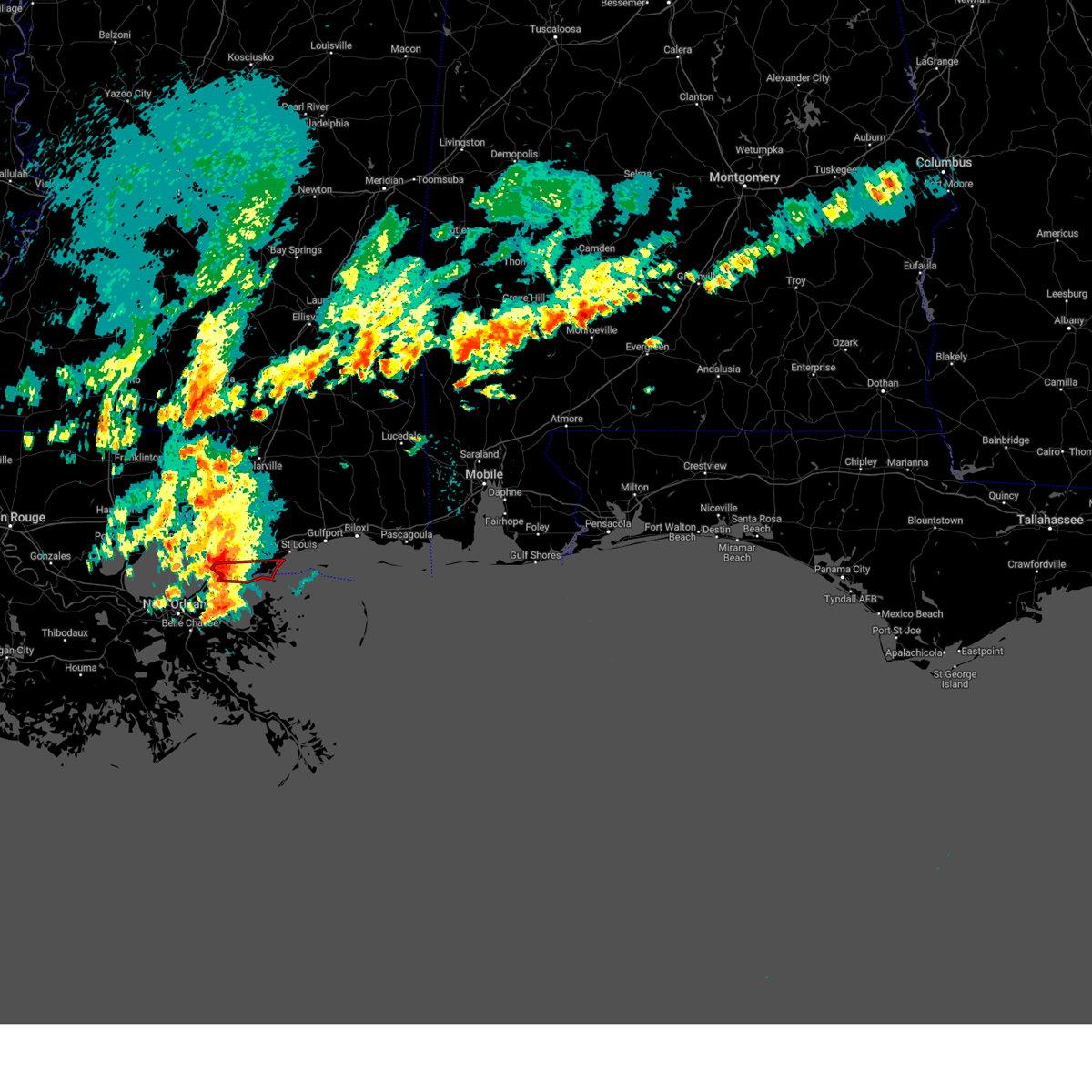
The Eden Isle, LA area has had 0 reports of on-the-ground hail by trained spotters, and has been under severe weather warnings 17 times during the past 12 months. Doppler radar has detected hail at or near Eden Isle, LA on 30 occasions.
| Name: | Eden Isle, LA |
| Where Located: | 24.4 miles NE of New Orleans, LA |
| Map: | Google Map for Eden Isle, LA |
| Population: | 7041 |
| Housing Units: | 3526 |
| More Info: | Search Google for Eden Isle, LA |
0
The Top Recent Hail Date for Eden Isle, LA is Wednesday, August 14, 2024 (24th out of 30)

Hail and Wind Damage Spotted near Eden Isle, LA
| Date / Time | Report Details |
|---|---|
| 6/18/2026 12:45 PM CDT |
 Svrlix the national weather service in new orleans has issued a * severe thunderstorm warning for, northeastern orleans parish in southeastern louisiana, southeastern st. tammany parish in southeastern louisiana, southern hancock county in southern mississippi, * until 130 pm cdt. * at 1245 pm cdt, a severe thunderstorm was located near lake catherine, or 7 miles south of eden isle, moving northeast at 55 mph (radar indicated). Hazards include 60 mph wind gusts. expect damage to roofs, siding, and trees Svrlix the national weather service in new orleans has issued a * severe thunderstorm warning for, northeastern orleans parish in southeastern louisiana, southeastern st. tammany parish in southeastern louisiana, southern hancock county in southern mississippi, * until 130 pm cdt. * at 1245 pm cdt, a severe thunderstorm was located near lake catherine, or 7 miles south of eden isle, moving northeast at 55 mph (radar indicated). Hazards include 60 mph wind gusts. expect damage to roofs, siding, and trees
|
| 6/18/2026 11:40 AM CDT |
 Svrlix the national weather service in new orleans has issued a * severe thunderstorm warning for, southeastern st. tammany parish in southeastern louisiana, harrison county in southern mississippi, hancock county in southern mississippi, northwestern jackson county in southern mississippi, * until 1245 pm cdt. * at 1140 am cdt, severe thunderstorms were located along a line extending from near saucier to eden isle, moving east at 20 mph (radar indicated). Hazards include 60 mph wind gusts. expect damage to roofs, siding, and trees Svrlix the national weather service in new orleans has issued a * severe thunderstorm warning for, southeastern st. tammany parish in southeastern louisiana, harrison county in southern mississippi, hancock county in southern mississippi, northwestern jackson county in southern mississippi, * until 1245 pm cdt. * at 1140 am cdt, severe thunderstorms were located along a line extending from near saucier to eden isle, moving east at 20 mph (radar indicated). Hazards include 60 mph wind gusts. expect damage to roofs, siding, and trees
|
| 6/18/2026 7:07 AM CDT |
 The tornado warning that was previously in effect has been reissued. please refer to that bulletin for the latest severe weather information. heavy rain is also still ongoing with this thunderstorm. a tornado watch remains in effect until 800 am cdt for southeastern louisiana. to report severe weather, contact your nearest law enforcement agency. they will relay your report to the national weather service new orleans. remember, a tornado warning still remains in effect for southeast st. tammany and hancock counties!. The tornado warning that was previously in effect has been reissued. please refer to that bulletin for the latest severe weather information. heavy rain is also still ongoing with this thunderstorm. a tornado watch remains in effect until 800 am cdt for southeastern louisiana. to report severe weather, contact your nearest law enforcement agency. they will relay your report to the national weather service new orleans. remember, a tornado warning still remains in effect for southeast st. tammany and hancock counties!.
|
| 6/18/2026 7:03 AM CDT |
 Svrlix the national weather service in new orleans has issued a * severe thunderstorm warning for, northeastern orleans parish in southeastern louisiana, southeastern st. tammany parish in southeastern louisiana, hancock county in southern mississippi, * until 745 am cdt. * at 703 am cdt, severe thunderstorms were located along a line extending from near stennis space center to near pearlington to near lake catherine, moving east at 40 mph (radar indicated). Hazards include 70 mph wind gusts and penny size hail. Expect considerable tree damage. Damage is likely to mobile homes, roofs, and outbuildings. Svrlix the national weather service in new orleans has issued a * severe thunderstorm warning for, northeastern orleans parish in southeastern louisiana, southeastern st. tammany parish in southeastern louisiana, hancock county in southern mississippi, * until 745 am cdt. * at 703 am cdt, severe thunderstorms were located along a line extending from near stennis space center to near pearlington to near lake catherine, moving east at 40 mph (radar indicated). Hazards include 70 mph wind gusts and penny size hail. Expect considerable tree damage. Damage is likely to mobile homes, roofs, and outbuildings.
|
| 6/18/2026 6:41 AM CDT |
 Torlix the national weather service in new orleans has issued a * tornado warning for, south central st. tammany parish in southeastern louisiana, * until 715 am cdt. * at 641 am cdt, a thunderstorm capable of producing a waterspout was located just offshore near eden isle, moving northeast at 15 mph (radar indicated waterspout moving onshore). Hazards include tornado. Flying debris will be dangerous to those caught without shelter. mobile homes will be damaged or destroyed. damage to roofs, windows, and vehicles will occur. tree damage is likely. this tornado will be near, slidell and eden isle around 645 am cdt. This includes interstate 10 in louisiana between mile markers 259 and 265. Torlix the national weather service in new orleans has issued a * tornado warning for, south central st. tammany parish in southeastern louisiana, * until 715 am cdt. * at 641 am cdt, a thunderstorm capable of producing a waterspout was located just offshore near eden isle, moving northeast at 15 mph (radar indicated waterspout moving onshore). Hazards include tornado. Flying debris will be dangerous to those caught without shelter. mobile homes will be damaged or destroyed. damage to roofs, windows, and vehicles will occur. tree damage is likely. this tornado will be near, slidell and eden isle around 645 am cdt. This includes interstate 10 in louisiana between mile markers 259 and 265.
|
| 3/16/2026 3:00 AM CDT |
 At 259 am cdt, a severe thunderstorm was located over eden isle, moving east at 45 mph (radar indicated). Hazards include 70 mph wind gusts and ping pong ball size hail. People and animals outdoors will be injured. expect hail damage to roofs, siding, windows, and vehicles. expect considerable tree damage. wind damage is also likely to mobile homes, roofs, and outbuildings. locations impacted include, new orleans, slidell, eden isle, lake catherine, and pearlington. This includes interstate 10 in louisiana near mile marker 256, and between mile markers 259 and 266. At 259 am cdt, a severe thunderstorm was located over eden isle, moving east at 45 mph (radar indicated). Hazards include 70 mph wind gusts and ping pong ball size hail. People and animals outdoors will be injured. expect hail damage to roofs, siding, windows, and vehicles. expect considerable tree damage. wind damage is also likely to mobile homes, roofs, and outbuildings. locations impacted include, new orleans, slidell, eden isle, lake catherine, and pearlington. This includes interstate 10 in louisiana near mile marker 256, and between mile markers 259 and 266.
|
| 3/16/2026 2:46 AM CDT |
 Svrlix the national weather service in new orleans has issued a * severe thunderstorm warning for, northeastern orleans parish in southeastern louisiana, southeastern st. tammany parish in southeastern louisiana, southwestern hancock county in southern mississippi, * until 330 am cdt. * at 246 am cdt, a severe thunderstorm was located 7 miles south of lacombe, or 8 miles west of eden isle, moving east at 30 mph (radar indicated). Hazards include 70 mph wind gusts and half dollar size hail. Hail damage to vehicles is expected. expect considerable tree damage. Wind damage is also likely to mobile homes, roofs, and outbuildings. Svrlix the national weather service in new orleans has issued a * severe thunderstorm warning for, northeastern orleans parish in southeastern louisiana, southeastern st. tammany parish in southeastern louisiana, southwestern hancock county in southern mississippi, * until 330 am cdt. * at 246 am cdt, a severe thunderstorm was located 7 miles south of lacombe, or 8 miles west of eden isle, moving east at 30 mph (radar indicated). Hazards include 70 mph wind gusts and half dollar size hail. Hail damage to vehicles is expected. expect considerable tree damage. Wind damage is also likely to mobile homes, roofs, and outbuildings.
|
| 3/11/2026 10:14 PM CDT |
 The storm which prompted the warning has moved out of the area. therefore, the warning will be allowed to expire. a tornado watch remains in effect until 200 am cdt for southeastern louisiana. The storm which prompted the warning has moved out of the area. therefore, the warning will be allowed to expire. a tornado watch remains in effect until 200 am cdt for southeastern louisiana.
|
| 3/11/2026 9:52 PM CDT |
 At 952 pm cdt, a severe thunderstorm capable of producing a tornado was located near lacombe, or 7 miles southeast of mandeville, moving southeast at 35 mph (radar indicated rotation). Hazards include tornado. Flying debris will be dangerous to those caught without shelter. mobile homes will be damaged or destroyed. damage to roofs, windows, and vehicles will occur. tree damage is likely. this dangerous storm will be near, lacombe around 955 pm cdt. eden isle around 1000 pm cdt. Slidell around 1005 pm cdt. At 952 pm cdt, a severe thunderstorm capable of producing a tornado was located near lacombe, or 7 miles southeast of mandeville, moving southeast at 35 mph (radar indicated rotation). Hazards include tornado. Flying debris will be dangerous to those caught without shelter. mobile homes will be damaged or destroyed. damage to roofs, windows, and vehicles will occur. tree damage is likely. this dangerous storm will be near, lacombe around 955 pm cdt. eden isle around 1000 pm cdt. Slidell around 1005 pm cdt.
|
| 3/11/2026 9:42 PM CDT |
 At 942 pm cdt, a severe thunderstorm capable of producing a tornado was located over mandeville, moving east at 20 mph (radar indicated rotation). Hazards include tornado. Flying debris will be dangerous to those caught without shelter. mobile homes will be damaged or destroyed. damage to roofs, windows, and vehicles will occur. tree damage is likely. this dangerous storm will be near, mandeville and lacombe around 950 pm cdt. other locations impacted by this tornadic thunderstorm include slidell airport. This includes interstate 12 between mile markers 69 and 81. At 942 pm cdt, a severe thunderstorm capable of producing a tornado was located over mandeville, moving east at 20 mph (radar indicated rotation). Hazards include tornado. Flying debris will be dangerous to those caught without shelter. mobile homes will be damaged or destroyed. damage to roofs, windows, and vehicles will occur. tree damage is likely. this dangerous storm will be near, mandeville and lacombe around 950 pm cdt. other locations impacted by this tornadic thunderstorm include slidell airport. This includes interstate 12 between mile markers 69 and 81.
|
| 3/11/2026 9:36 PM CDT |
 Torlix the national weather service in new orleans has issued a * tornado warning for, southwestern st. tammany parish in southeastern louisiana, * until 1015 pm cdt. * at 936 pm cdt, a severe thunderstorm capable of producing a tornado was located over mandeville, moving east at 30 mph (radar indicated rotation). Hazards include tornado. Flying debris will be dangerous to those caught without shelter. mobile homes will be damaged or destroyed. damage to roofs, windows, and vehicles will occur. tree damage is likely. this dangerous storm will be near, mandeville around 940 pm cdt. lacombe around 945 pm cdt. slidell around 1000 pm cdt. eden isle around 1005 pm cdt. other locations impacted by this tornadic thunderstorm include slidell airport. This includes interstate 12 between mile markers 70 and 81. Torlix the national weather service in new orleans has issued a * tornado warning for, southwestern st. tammany parish in southeastern louisiana, * until 1015 pm cdt. * at 936 pm cdt, a severe thunderstorm capable of producing a tornado was located over mandeville, moving east at 30 mph (radar indicated rotation). Hazards include tornado. Flying debris will be dangerous to those caught without shelter. mobile homes will be damaged or destroyed. damage to roofs, windows, and vehicles will occur. tree damage is likely. this dangerous storm will be near, mandeville around 940 pm cdt. lacombe around 945 pm cdt. slidell around 1000 pm cdt. eden isle around 1005 pm cdt. other locations impacted by this tornadic thunderstorm include slidell airport. This includes interstate 12 between mile markers 70 and 81.
|
| 2/15/2026 2:12 AM CST |
 the severe thunderstorm warning has been cancelled and is no longer in effect the severe thunderstorm warning has been cancelled and is no longer in effect
|
| 2/15/2026 1:54 AM CST |
 At 153 am cst, severe thunderstorms were located along a line extending from near lumberton to 7 miles southeast of mcneil to near eden isle, moving east at 40 mph (radar indicated). Hazards include 60 mph wind gusts. Expect damage to roofs, siding, and trees. locations impacted include, slidell, picayune, bay st. louis, waveland, poplarville, eden isle, diamondhead, pearl river, kiln, pearlington, shoreline park, stennis space center, saucier, mcneil, and slidell airport. this includes the following interstates, interstate 10 in louisiana between mile markers 259 and 273. interstate 10 in mississippi between mile markers 1 and 24. interstate 12 between mile markers 80 and 84. interstate 59 in louisiana between mile markers 1 and 11. Interstate 59 in mississippi between mile markers 1 and 42. At 153 am cst, severe thunderstorms were located along a line extending from near lumberton to 7 miles southeast of mcneil to near eden isle, moving east at 40 mph (radar indicated). Hazards include 60 mph wind gusts. Expect damage to roofs, siding, and trees. locations impacted include, slidell, picayune, bay st. louis, waveland, poplarville, eden isle, diamondhead, pearl river, kiln, pearlington, shoreline park, stennis space center, saucier, mcneil, and slidell airport. this includes the following interstates, interstate 10 in louisiana between mile markers 259 and 273. interstate 10 in mississippi between mile markers 1 and 24. interstate 12 between mile markers 80 and 84. interstate 59 in louisiana between mile markers 1 and 11. Interstate 59 in mississippi between mile markers 1 and 42.
|
| 2/15/2026 1:24 AM CST |
 Svrlix the national weather service in new orleans has issued a * severe thunderstorm warning for, eastern st. tammany parish in southeastern louisiana, western harrison county in southern mississippi, hancock county in southern mississippi, pearl river county in southern mississippi, * until 230 am cst. * at 124 am cst, severe thunderstorms were located along a line extending from near sandy hook to 6 miles east of bush to near lacombe, moving northeast at 55 mph (radar indicated). Hazards include 60 mph wind gusts and penny size hail. expect damage to roofs, siding, and trees Svrlix the national weather service in new orleans has issued a * severe thunderstorm warning for, eastern st. tammany parish in southeastern louisiana, western harrison county in southern mississippi, hancock county in southern mississippi, pearl river county in southern mississippi, * until 230 am cst. * at 124 am cst, severe thunderstorms were located along a line extending from near sandy hook to 6 miles east of bush to near lacombe, moving northeast at 55 mph (radar indicated). Hazards include 60 mph wind gusts and penny size hail. expect damage to roofs, siding, and trees
|
| 8/21/2025 3:15 PM CDT |
 the severe thunderstorm warning has been cancelled and is no longer in effect the severe thunderstorm warning has been cancelled and is no longer in effect
|
| 8/21/2025 2:48 PM CDT |
 Svrlix the national weather service in new orleans has issued a * severe thunderstorm warning for, northeastern orleans parish in southeastern louisiana, southeastern st. tammany parish in southeastern louisiana, southern hancock county in southern mississippi, * until 330 pm cdt. * at 248 pm cdt, a severe thunderstorm was located over slidell, moving east at 15 mph (radar indicated). Hazards include 60 mph wind gusts and quarter size hail. Hail damage to vehicles is expected. Expect wind damage to roofs, siding, and trees. Svrlix the national weather service in new orleans has issued a * severe thunderstorm warning for, northeastern orleans parish in southeastern louisiana, southeastern st. tammany parish in southeastern louisiana, southern hancock county in southern mississippi, * until 330 pm cdt. * at 248 pm cdt, a severe thunderstorm was located over slidell, moving east at 15 mph (radar indicated). Hazards include 60 mph wind gusts and quarter size hail. Hail damage to vehicles is expected. Expect wind damage to roofs, siding, and trees.
|
| 8/18/2025 2:16 PM CDT |
 Svrlix the national weather service in new orleans has issued a * severe thunderstorm warning for, south central st. tammany parish in southeastern louisiana, * until 300 pm cdt. * at 216 pm cdt, a severe thunderstorm was located over lacombe, or 8 miles northwest of slidell, moving southwest at 15 mph (radar indicated). Hazards include 60 mph wind gusts and quarter size hail. Hail damage to vehicles is expected. Expect wind damage to roofs, siding, and trees. Svrlix the national weather service in new orleans has issued a * severe thunderstorm warning for, south central st. tammany parish in southeastern louisiana, * until 300 pm cdt. * at 216 pm cdt, a severe thunderstorm was located over lacombe, or 8 miles northwest of slidell, moving southwest at 15 mph (radar indicated). Hazards include 60 mph wind gusts and quarter size hail. Hail damage to vehicles is expected. Expect wind damage to roofs, siding, and trees.
|
| 6/10/2025 4:56 PM CDT |
 The storms which prompted the warning have moved out of the area. therefore, the warning will be allowed to expire. however, gusty winds and heavy rain are still possible with these thunderstorms. The storms which prompted the warning have moved out of the area. therefore, the warning will be allowed to expire. however, gusty winds and heavy rain are still possible with these thunderstorms.
|
| 6/10/2025 4:47 PM CDT |
 At 446 pm cdt, severe thunderstorms were located along a line extending from near pearl river to 7 miles northwest of new orleans, moving east at 30 mph (radar indicated). Hazards include 60 mph wind gusts and penny size hail. Expect damage to roofs, siding, and trees. locations impacted include, slidell, lacombe, and slidell airport. This includes interstate 12 between mile markers 68 and 81. At 446 pm cdt, severe thunderstorms were located along a line extending from near pearl river to 7 miles northwest of new orleans, moving east at 30 mph (radar indicated). Hazards include 60 mph wind gusts and penny size hail. Expect damage to roofs, siding, and trees. locations impacted include, slidell, lacombe, and slidell airport. This includes interstate 12 between mile markers 68 and 81.
|
| 6/10/2025 4:47 PM CDT |
 the severe thunderstorm warning has been cancelled and is no longer in effect the severe thunderstorm warning has been cancelled and is no longer in effect
|
| 6/10/2025 4:45 PM CDT |
 Svrlix the national weather service in new orleans has issued a * severe thunderstorm warning for, northwestern st. bernard parish in southeastern louisiana, orleans parish in southeastern louisiana, southeastern st. tammany parish in southeastern louisiana, southwestern hancock county in southern mississippi, * until 530 pm cdt. * at 445 pm cdt, severe thunderstorms were located along a line extending from near slidell to near east new orleans, moving east at 45 mph (radar indicated). Hazards include 60 mph wind gusts and nickel size hail. expect damage to roofs, siding, and trees Svrlix the national weather service in new orleans has issued a * severe thunderstorm warning for, northwestern st. bernard parish in southeastern louisiana, orleans parish in southeastern louisiana, southeastern st. tammany parish in southeastern louisiana, southwestern hancock county in southern mississippi, * until 530 pm cdt. * at 445 pm cdt, severe thunderstorms were located along a line extending from near slidell to near east new orleans, moving east at 45 mph (radar indicated). Hazards include 60 mph wind gusts and nickel size hail. expect damage to roofs, siding, and trees
|
| 6/10/2025 4:31 PM CDT |
 At 430 pm cdt, severe thunderstorms were located along a line extending from near lacombe to 13 miles northwest of new orleans, moving east at 30 mph (radar indicated). Hazards include 60 mph wind gusts and penny size hail. Expect damage to roofs, siding, and trees. locations impacted include, slidell, madisonville, lacombe, and slidell airport. This includes interstate 12 between mile markers 65 and 81. At 430 pm cdt, severe thunderstorms were located along a line extending from near lacombe to 13 miles northwest of new orleans, moving east at 30 mph (radar indicated). Hazards include 60 mph wind gusts and penny size hail. Expect damage to roofs, siding, and trees. locations impacted include, slidell, madisonville, lacombe, and slidell airport. This includes interstate 12 between mile markers 65 and 81.
|
| 6/10/2025 4:16 PM CDT |
 Svrlix the national weather service in new orleans has issued a * severe thunderstorm warning for, central st. tammany parish in southeastern louisiana, southeastern tangipahoa parish in southeastern louisiana, * until 500 pm cdt. * at 415 pm cdt, severe thunderstorms were located along a line extending from near covington to 13 miles south of madisonville, moving east at 35 mph (radar indicated). Hazards include 60 mph wind gusts and quarter size hail. Hail damage to vehicles is expected. Expect wind damage to roofs, siding, and trees. Svrlix the national weather service in new orleans has issued a * severe thunderstorm warning for, central st. tammany parish in southeastern louisiana, southeastern tangipahoa parish in southeastern louisiana, * until 500 pm cdt. * at 415 pm cdt, severe thunderstorms were located along a line extending from near covington to 13 miles south of madisonville, moving east at 35 mph (radar indicated). Hazards include 60 mph wind gusts and quarter size hail. Hail damage to vehicles is expected. Expect wind damage to roofs, siding, and trees.
|
| 5/7/2025 9:48 AM CDT |
 Svrlix the national weather service in new orleans has issued a * severe thunderstorm warning for, southeastern st. tammany parish in southeastern louisiana, southern hancock county in southern mississippi, * until 1045 am cdt. * at 948 am cdt, severe thunderstorms were located along a line extending from near slidell to 6 miles south of lake catherine, moving northeast at 40 mph (radar indicated). Hazards include 60 mph wind gusts. expect damage to roofs, siding, and trees Svrlix the national weather service in new orleans has issued a * severe thunderstorm warning for, southeastern st. tammany parish in southeastern louisiana, southern hancock county in southern mississippi, * until 1045 am cdt. * at 948 am cdt, severe thunderstorms were located along a line extending from near slidell to 6 miles south of lake catherine, moving northeast at 40 mph (radar indicated). Hazards include 60 mph wind gusts. expect damage to roofs, siding, and trees
|
| 5/7/2025 12:22 AM CDT |
 The storms which prompted the warning have weakened below severe limits, and no longer pose an immediate threat to life or property. therefore, the warning will be allowed to expire. however, gusty winds and heavy rain are still possible with these thunderstorms. The storms which prompted the warning have weakened below severe limits, and no longer pose an immediate threat to life or property. therefore, the warning will be allowed to expire. however, gusty winds and heavy rain are still possible with these thunderstorms.
|
| 5/7/2025 12:13 AM CDT |
 At 1212 am cdt, severe thunderstorms were located along a line extending from near pearlington to new orleans, moving east at 25 mph (radar indicated). Hazards include 60 mph wind gusts. Expect damage to roofs, siding, and trees. locations impacted include, lake catherine, new orleans, east new orleans, pearlington, and slidell. this includes the following interstates, interstate 10 in louisiana between mile markers 245 and 256, and between mile markers 259 and 265. Interstate 510 between mile markers 1 and 3. At 1212 am cdt, severe thunderstorms were located along a line extending from near pearlington to new orleans, moving east at 25 mph (radar indicated). Hazards include 60 mph wind gusts. Expect damage to roofs, siding, and trees. locations impacted include, lake catherine, new orleans, east new orleans, pearlington, and slidell. this includes the following interstates, interstate 10 in louisiana between mile markers 245 and 256, and between mile markers 259 and 265. Interstate 510 between mile markers 1 and 3.
|
| 5/6/2025 11:59 PM CDT |
 At 1158 pm cdt, severe thunderstorms were located along a line extending from slidell to 6 miles northwest of new orleans, moving east at 25 mph (radar indicated). Hazards include 60 mph wind gusts and penny size hail. Expect damage to roofs, siding, and trees. locations impacted include, lake catherine, new orleans, east new orleans, pearlington, slidell, and lacombe. this includes the following interstates, interstate 10 in louisiana between mile markers 245 and 256, and between mile markers 259 and 265. Interstate 510 between mile markers 1 and 3. At 1158 pm cdt, severe thunderstorms were located along a line extending from slidell to 6 miles northwest of new orleans, moving east at 25 mph (radar indicated). Hazards include 60 mph wind gusts and penny size hail. Expect damage to roofs, siding, and trees. locations impacted include, lake catherine, new orleans, east new orleans, pearlington, slidell, and lacombe. this includes the following interstates, interstate 10 in louisiana between mile markers 245 and 256, and between mile markers 259 and 265. Interstate 510 between mile markers 1 and 3.
|
| 5/6/2025 11:43 PM CDT |
 Svrlix the national weather service in new orleans has issued a * severe thunderstorm warning for, northern orleans parish in southeastern louisiana, southeastern st. tammany parish in southeastern louisiana, southwestern hancock county in southern mississippi, * until 1230 am cdt. * at 1143 pm cdt, severe thunderstorms were located along a line extending from near lacombe to 9 miles northeast of metairie, moving east at 25 mph (radar indicated). Hazards include 60 mph wind gusts and penny size hail. expect damage to roofs, siding, and trees Svrlix the national weather service in new orleans has issued a * severe thunderstorm warning for, northern orleans parish in southeastern louisiana, southeastern st. tammany parish in southeastern louisiana, southwestern hancock county in southern mississippi, * until 1230 am cdt. * at 1143 pm cdt, severe thunderstorms were located along a line extending from near lacombe to 9 miles northeast of metairie, moving east at 25 mph (radar indicated). Hazards include 60 mph wind gusts and penny size hail. expect damage to roofs, siding, and trees
|
| 3/31/2025 8:40 AM CDT |
 The storm which prompted the warning has weakened below severe limits, and no longer poses an immediate threat to life or property. therefore, the warning will be allowed to expire. however, gusty winds are still possible with this thunderstorm. a severe thunderstorm watch remains in effect until 1100 am cdt for southeastern louisiana, and southern mississippi. The storm which prompted the warning has weakened below severe limits, and no longer poses an immediate threat to life or property. therefore, the warning will be allowed to expire. however, gusty winds are still possible with this thunderstorm. a severe thunderstorm watch remains in effect until 1100 am cdt for southeastern louisiana, and southern mississippi.
|
| 3/31/2025 8:39 AM CDT |
 The storm which prompted the warning has weakened below severe limits, and no longer poses an immediate threat to life or property. therefore, the warning will be allowed to expire. however, gusty winds are still possible with this thunderstorm. a severe thunderstorm watch remains in effect until 1100 am cdt for southeastern louisiana, and southern mississippi. The storm which prompted the warning has weakened below severe limits, and no longer poses an immediate threat to life or property. therefore, the warning will be allowed to expire. however, gusty winds are still possible with this thunderstorm. a severe thunderstorm watch remains in effect until 1100 am cdt for southeastern louisiana, and southern mississippi.
|
| 3/31/2025 8:16 AM CDT |
 At 816 am cdt, a severe thunderstorm was located 8 miles northwest of lake catherine, or 8 miles south of slidell, moving southeast at 40 mph (radar indicated). Hazards include 60 mph wind gusts and quarter size hail. Hail damage to vehicles is expected. expect wind damage to roofs, siding, and trees. locations impacted include, pearlington, slidell, waveland, and lacombe. This includes interstate 10 in louisiana between mile markers 259 and 265. At 816 am cdt, a severe thunderstorm was located 8 miles northwest of lake catherine, or 8 miles south of slidell, moving southeast at 40 mph (radar indicated). Hazards include 60 mph wind gusts and quarter size hail. Hail damage to vehicles is expected. expect wind damage to roofs, siding, and trees. locations impacted include, pearlington, slidell, waveland, and lacombe. This includes interstate 10 in louisiana between mile markers 259 and 265.
|
| 3/31/2025 8:16 AM CDT |
 At 816 am cdt, a severe thunderstorm was located near stennis space center, or 9 miles west of diamondhead, moving east at 45 mph (radar indicated). Hazards include 60 mph wind gusts and quarter size hail. Hail damage to vehicles is expected. expect wind damage to roofs, siding, and trees. locations impacted include, bay st. louis, pearlington, waveland, slidell, diamondhead, and lacombe. this includes the following interstates, interstate 10 in louisiana between mile markers 259 and 265. Interstate 10 in mississippi between mile markers 18 and 25. At 816 am cdt, a severe thunderstorm was located near stennis space center, or 9 miles west of diamondhead, moving east at 45 mph (radar indicated). Hazards include 60 mph wind gusts and quarter size hail. Hail damage to vehicles is expected. expect wind damage to roofs, siding, and trees. locations impacted include, bay st. louis, pearlington, waveland, slidell, diamondhead, and lacombe. this includes the following interstates, interstate 10 in louisiana between mile markers 259 and 265. Interstate 10 in mississippi between mile markers 18 and 25.
|
| 3/31/2025 8:04 AM CDT |
 At 804 am cdt, a severe thunderstorm was located near pearl river, or 9 miles northeast of slidell, moving east at 45 mph (radar indicated). Hazards include 70 mph wind gusts and quarter size hail. Hail damage to vehicles is expected. expect considerable tree damage. wind damage is also likely to mobile homes, roofs, and outbuildings. locations impacted include, bay st. louis, pearlington, waveland, slidell, diamondhead, and lacombe. this includes the following interstates, interstate 10 in louisiana between mile markers 259 and 265. Interstate 10 in mississippi between mile markers 18 and 25. At 804 am cdt, a severe thunderstorm was located near pearl river, or 9 miles northeast of slidell, moving east at 45 mph (radar indicated). Hazards include 70 mph wind gusts and quarter size hail. Hail damage to vehicles is expected. expect considerable tree damage. wind damage is also likely to mobile homes, roofs, and outbuildings. locations impacted include, bay st. louis, pearlington, waveland, slidell, diamondhead, and lacombe. this includes the following interstates, interstate 10 in louisiana between mile markers 259 and 265. Interstate 10 in mississippi between mile markers 18 and 25.
|
| 3/31/2025 7:53 AM CDT |
 Svrlix the national weather service in new orleans has issued a * severe thunderstorm warning for, southeastern st. tammany parish in southeastern louisiana, southwestern harrison county in southern mississippi, southern hancock county in southern mississippi, * until 845 am cdt. * at 752 am cdt, a severe thunderstorm was located near pearl river, or 9 miles north of slidell, moving east at 45 mph (radar indicated). Hazards include 70 mph wind gusts and quarter size hail. Hail damage to vehicles is expected. expect considerable tree damage. Wind damage is also likely to mobile homes, roofs, and outbuildings. Svrlix the national weather service in new orleans has issued a * severe thunderstorm warning for, southeastern st. tammany parish in southeastern louisiana, southwestern harrison county in southern mississippi, southern hancock county in southern mississippi, * until 845 am cdt. * at 752 am cdt, a severe thunderstorm was located near pearl river, or 9 miles north of slidell, moving east at 45 mph (radar indicated). Hazards include 70 mph wind gusts and quarter size hail. Hail damage to vehicles is expected. expect considerable tree damage. Wind damage is also likely to mobile homes, roofs, and outbuildings.
|
| 3/31/2025 7:50 AM CDT |
 Svrlix the national weather service in new orleans has issued a * severe thunderstorm warning for, southeastern st. tammany parish in southeastern louisiana, southern hancock county in southern mississippi, * until 845 am cdt. * at 750 am cdt, a severe thunderstorm was located 9 miles south of madisonville, or 14 miles south of covington, moving southeast at 40 mph (radar indicated). Hazards include 70 mph wind gusts and quarter size hail. Hail damage to vehicles is expected. expect considerable tree damage. Wind damage is also likely to mobile homes, roofs, and outbuildings. Svrlix the national weather service in new orleans has issued a * severe thunderstorm warning for, southeastern st. tammany parish in southeastern louisiana, southern hancock county in southern mississippi, * until 845 am cdt. * at 750 am cdt, a severe thunderstorm was located 9 miles south of madisonville, or 14 miles south of covington, moving southeast at 40 mph (radar indicated). Hazards include 70 mph wind gusts and quarter size hail. Hail damage to vehicles is expected. expect considerable tree damage. Wind damage is also likely to mobile homes, roofs, and outbuildings.
|
| 3/15/2025 6:10 PM CDT |
 The storms which prompted the warning have weakened below severe limits, and no longer pose an immediate threat to life or property. therefore, the warning will be allowed to expire. a tornado watch remains in effect until 800 pm cdt for southeastern louisiana, and southern mississippi. The storms which prompted the warning have weakened below severe limits, and no longer pose an immediate threat to life or property. therefore, the warning will be allowed to expire. a tornado watch remains in effect until 800 pm cdt for southeastern louisiana, and southern mississippi.
|
| 3/15/2025 5:57 PM CDT |
 The storm which prompted the warning has moved out of the area. therefore, the warning will be allowed to expire. a tornado watch remains in effect until 800 pm cdt for southeastern louisiana, and southern mississippi. The storm which prompted the warning has moved out of the area. therefore, the warning will be allowed to expire. a tornado watch remains in effect until 800 pm cdt for southeastern louisiana, and southern mississippi.
|
| 3/15/2025 5:32 PM CDT |
 Svrlix the national weather service in new orleans has issued a * severe thunderstorm warning for, orleans parish in southeastern louisiana, southeastern st. tammany parish in southeastern louisiana, west central harrison county in southern mississippi, hancock county in southern mississippi, south central pearl river county in southern mississippi, * until 615 pm cdt. * at 531 pm cdt, severe thunderstorms were located along a line extending from near stennis space center to near new orleans, moving east at 50 mph (radar indicated). Hazards include 60 mph wind gusts and quarter size hail. Hail damage to vehicles is expected. Expect wind damage to roofs, siding, and trees. Svrlix the national weather service in new orleans has issued a * severe thunderstorm warning for, orleans parish in southeastern louisiana, southeastern st. tammany parish in southeastern louisiana, west central harrison county in southern mississippi, hancock county in southern mississippi, south central pearl river county in southern mississippi, * until 615 pm cdt. * at 531 pm cdt, severe thunderstorms were located along a line extending from near stennis space center to near new orleans, moving east at 50 mph (radar indicated). Hazards include 60 mph wind gusts and quarter size hail. Hail damage to vehicles is expected. Expect wind damage to roofs, siding, and trees.
|
| 3/15/2025 5:28 PM CDT |
 the severe thunderstorm warning has been cancelled and is no longer in effect the severe thunderstorm warning has been cancelled and is no longer in effect
|
| 3/15/2025 5:28 PM CDT |
 At 528 pm cdt, a severe thunderstorm was located 7 miles northwest of pearl river, or 10 miles southwest of picayune, moving northeast at 50 mph (radar indicated). Hazards include 60 mph wind gusts and quarter size hail. Hail damage to vehicles is expected. expect wind damage to roofs, siding, and trees. locations impacted include, lacombe, picayune, slidell airport, pearl river, and slidell. this includes the following interstates, interstate 12 between mile markers 73 and 84. interstate 59 in louisiana between mile markers 1 and 11. Interstate 59 in mississippi between mile markers 1 and 9. At 528 pm cdt, a severe thunderstorm was located 7 miles northwest of pearl river, or 10 miles southwest of picayune, moving northeast at 50 mph (radar indicated). Hazards include 60 mph wind gusts and quarter size hail. Hail damage to vehicles is expected. expect wind damage to roofs, siding, and trees. locations impacted include, lacombe, picayune, slidell airport, pearl river, and slidell. this includes the following interstates, interstate 12 between mile markers 73 and 84. interstate 59 in louisiana between mile markers 1 and 11. Interstate 59 in mississippi between mile markers 1 and 9.
|
| 3/15/2025 5:09 PM CDT |
 Svrlix the national weather service in new orleans has issued a * severe thunderstorm warning for, central st. tammany parish in southeastern louisiana, southeastern washington parish in southeastern louisiana, west central hancock county in southern mississippi, southwestern pearl river county in southern mississippi, * until 600 pm cdt. * at 509 pm cdt, a severe thunderstorm was located near lacombe, or 13 miles west of slidell, moving northeast at 50 mph (radar indicated). Hazards include 60 mph wind gusts and quarter size hail. Hail damage to vehicles is expected. Expect wind damage to roofs, siding, and trees. Svrlix the national weather service in new orleans has issued a * severe thunderstorm warning for, central st. tammany parish in southeastern louisiana, southeastern washington parish in southeastern louisiana, west central hancock county in southern mississippi, southwestern pearl river county in southern mississippi, * until 600 pm cdt. * at 509 pm cdt, a severe thunderstorm was located near lacombe, or 13 miles west of slidell, moving northeast at 50 mph (radar indicated). Hazards include 60 mph wind gusts and quarter size hail. Hail damage to vehicles is expected. Expect wind damage to roofs, siding, and trees.
|
| 3/4/2025 6:55 PM CST |
 Svrlix the national weather service in new orleans has issued a * severe thunderstorm warning for, northeastern orleans parish in southeastern louisiana, southeastern st. tammany parish in southeastern louisiana, southern hancock county in southern mississippi, * until 745 pm cst. * at 654 pm cst, a severe thunderstorm was located near lake catherine, or 7 miles east of new orleans, moving northeast at 50 mph (radar indicated). Hazards include 60 mph wind gusts. expect damage to roofs, siding, and trees Svrlix the national weather service in new orleans has issued a * severe thunderstorm warning for, northeastern orleans parish in southeastern louisiana, southeastern st. tammany parish in southeastern louisiana, southern hancock county in southern mississippi, * until 745 pm cst. * at 654 pm cst, a severe thunderstorm was located near lake catherine, or 7 miles east of new orleans, moving northeast at 50 mph (radar indicated). Hazards include 60 mph wind gusts. expect damage to roofs, siding, and trees
|
| 3/4/2025 6:35 PM CST |
 At 634 pm cst, a severe thunderstorm was located over picayune, moving northeast at 50 mph (radar indicated). Hazards include 60 mph wind gusts. Expect damage to roofs, siding, and trees. locations impacted include, picayune, kiln, pearl river, waveland, pearlington, lacombe, crossroads, shoreline park, stennis space center, slidell airport, poplarville, diamondhead, slidell, mcneil, and bay st. Louis. At 634 pm cst, a severe thunderstorm was located over picayune, moving northeast at 50 mph (radar indicated). Hazards include 60 mph wind gusts. Expect damage to roofs, siding, and trees. locations impacted include, picayune, kiln, pearl river, waveland, pearlington, lacombe, crossroads, shoreline park, stennis space center, slidell airport, poplarville, diamondhead, slidell, mcneil, and bay st. Louis.
|
| 3/4/2025 6:05 PM CST |
 Svrlix the national weather service in new orleans has issued a * severe thunderstorm warning for, st. tammany parish in southeastern louisiana, southeastern washington parish in southeastern louisiana, hancock county in southern mississippi, pearl river county in southern mississippi, * until 645 pm cst. * at 605 pm cst, a severe thunderstorm was located near lacombe, or 11 miles southeast of covington, moving northeast at 50 mph (radar indicated). Hazards include 60 mph wind gusts. expect damage to roofs, siding, and trees Svrlix the national weather service in new orleans has issued a * severe thunderstorm warning for, st. tammany parish in southeastern louisiana, southeastern washington parish in southeastern louisiana, hancock county in southern mississippi, pearl river county in southern mississippi, * until 645 pm cst. * at 605 pm cst, a severe thunderstorm was located near lacombe, or 11 miles southeast of covington, moving northeast at 50 mph (radar indicated). Hazards include 60 mph wind gusts. expect damage to roofs, siding, and trees
|
| 2/16/2025 1:52 AM CST |
 the severe thunderstorm warning has been cancelled and is no longer in effect the severe thunderstorm warning has been cancelled and is no longer in effect
|
| 2/16/2025 1:52 AM CST |
 At 152 am cst, severe thunderstorms were located along a line extending from 9 miles southwest of lucedale to 10 miles east of saucier to 7 miles northeast of diamondhead to 6 miles south of pearlington, moving east at 45 mph (radar indicated). Hazards include 60 mph wind gusts. Expect damage to roofs, siding, and trees. locations impacted include, gulfport, biloxi, slidell, long beach, bay st. louis, waveland, diamondhead, kiln, pearlington, lyman, shoreline park, stennis space center, saucier, and gulfport airport. this includes the following interstates, interstate 10 in louisiana between mile markers 259 and 273. interstate 10 in mississippi between mile markers 1 and 38. interstate 12 between mile markers 83 and 84. Interstate 59 in louisiana near mile marker 1. At 152 am cst, severe thunderstorms were located along a line extending from 9 miles southwest of lucedale to 10 miles east of saucier to 7 miles northeast of diamondhead to 6 miles south of pearlington, moving east at 45 mph (radar indicated). Hazards include 60 mph wind gusts. Expect damage to roofs, siding, and trees. locations impacted include, gulfport, biloxi, slidell, long beach, bay st. louis, waveland, diamondhead, kiln, pearlington, lyman, shoreline park, stennis space center, saucier, and gulfport airport. this includes the following interstates, interstate 10 in louisiana between mile markers 259 and 273. interstate 10 in mississippi between mile markers 1 and 38. interstate 12 between mile markers 83 and 84. Interstate 59 in louisiana near mile marker 1.
|
| 2/16/2025 1:40 AM CST |
 At 139 am cst, severe thunderstorms were located along a line extending from 13 miles east of wiggins to near saucier to 6 miles northwest of kiln to near lake catherine, moving east at 45 mph (radar indicated). Hazards include 60 mph wind gusts. Expect damage to roofs, siding, and trees. locations impacted include, gulfport, biloxi, slidell, long beach, picayune, bay st. louis, waveland, poplarville, diamondhead, pearl river, kiln, pearlington, lyman, shoreline park, stennis space center, saucier, and gulfport airport. this includes the following interstates, interstate 10 in louisiana between mile markers 259 and 273. interstate 10 in mississippi between mile markers 1 and 38. interstate 12 between mile markers 80 and 84. interstate 59 in louisiana between mile markers 1 and 11. Interstate 59 in mississippi between mile markers 1 and 30. At 139 am cst, severe thunderstorms were located along a line extending from 13 miles east of wiggins to near saucier to 6 miles northwest of kiln to near lake catherine, moving east at 45 mph (radar indicated). Hazards include 60 mph wind gusts. Expect damage to roofs, siding, and trees. locations impacted include, gulfport, biloxi, slidell, long beach, picayune, bay st. louis, waveland, poplarville, diamondhead, pearl river, kiln, pearlington, lyman, shoreline park, stennis space center, saucier, and gulfport airport. this includes the following interstates, interstate 10 in louisiana between mile markers 259 and 273. interstate 10 in mississippi between mile markers 1 and 38. interstate 12 between mile markers 80 and 84. interstate 59 in louisiana between mile markers 1 and 11. Interstate 59 in mississippi between mile markers 1 and 30.
|
| 2/16/2025 1:25 AM CST |
 Svrlix the national weather service in new orleans has issued a * severe thunderstorm warning for, northeastern orleans parish in southeastern louisiana, central st. tammany parish in southeastern louisiana, harrison county in southern mississippi, hancock county in southern mississippi, pearl river county in southern mississippi, * until 215 am cst. * at 125 am cst, severe thunderstorms were located along a line extending from 6 miles east of maxie to 10 miles west of mchenry to picayune to near slidell, moving east at 40 mph (radar indicated). Hazards include 60 mph wind gusts. expect damage to roofs, siding, and trees Svrlix the national weather service in new orleans has issued a * severe thunderstorm warning for, northeastern orleans parish in southeastern louisiana, central st. tammany parish in southeastern louisiana, harrison county in southern mississippi, hancock county in southern mississippi, pearl river county in southern mississippi, * until 215 am cst. * at 125 am cst, severe thunderstorms were located along a line extending from 6 miles east of maxie to 10 miles west of mchenry to picayune to near slidell, moving east at 40 mph (radar indicated). Hazards include 60 mph wind gusts. expect damage to roofs, siding, and trees
|
| 9/25/2024 3:02 PM CDT |
 At 301 pm cdt, a severe thunderstorm was located near lacombe, or 7 miles northwest of slidell, moving east at 15 mph (radar indicated). Hazards include 60 mph wind gusts and quarter size hail. Hail damage to vehicles is expected. expect wind damage to roofs, siding, and trees. locations impacted include, slidell, pearl river, lacombe, and slidell airport. This includes interstate 12 between mile markers 74 and 83. At 301 pm cdt, a severe thunderstorm was located near lacombe, or 7 miles northwest of slidell, moving east at 15 mph (radar indicated). Hazards include 60 mph wind gusts and quarter size hail. Hail damage to vehicles is expected. expect wind damage to roofs, siding, and trees. locations impacted include, slidell, pearl river, lacombe, and slidell airport. This includes interstate 12 between mile markers 74 and 83.
|
| 9/25/2024 2:26 PM CDT |
 Svrlix the national weather service in new orleans has issued a * severe thunderstorm warning for, central st. tammany parish in southeastern louisiana, * until 315 pm cdt. * at 225 pm cdt, a severe thunderstorm was located near abita springs, or near covington, moving east at 15 mph (radar indicated). Hazards include 60 mph wind gusts and quarter size hail. Hail damage to vehicles is expected. Expect wind damage to roofs, siding, and trees. Svrlix the national weather service in new orleans has issued a * severe thunderstorm warning for, central st. tammany parish in southeastern louisiana, * until 315 pm cdt. * at 225 pm cdt, a severe thunderstorm was located near abita springs, or near covington, moving east at 15 mph (radar indicated). Hazards include 60 mph wind gusts and quarter size hail. Hail damage to vehicles is expected. Expect wind damage to roofs, siding, and trees.
|
| 9/11/2024 7:32 PM CDT |
 At 732 pm cdt, a severe thunderstorm capable of producing a tornado was located near slidell, moving northwest at 35 mph (radar indicated rotation). Hazards include tornado. Flying debris will be dangerous to those caught without shelter. mobile homes will be damaged or destroyed. damage to roofs, windows, and vehicles will occur. tree damage is likely. this dangerous storm will be near, lacombe around 740 pm cdt. This includes interstate 12 between mile markers 76 and 81. At 732 pm cdt, a severe thunderstorm capable of producing a tornado was located near slidell, moving northwest at 35 mph (radar indicated rotation). Hazards include tornado. Flying debris will be dangerous to those caught without shelter. mobile homes will be damaged or destroyed. damage to roofs, windows, and vehicles will occur. tree damage is likely. this dangerous storm will be near, lacombe around 740 pm cdt. This includes interstate 12 between mile markers 76 and 81.
|
| 9/11/2024 7:27 PM CDT |
 At 726 pm cdt, a severe thunderstorm capable of producing a tornado was located near slidell, moving northwest at 40 mph (radar indicated rotation). Hazards include tornado. Flying debris will be dangerous to those caught without shelter. mobile homes will be damaged or destroyed. damage to roofs, windows, and vehicles will occur. tree damage is likely. this dangerous storm will be near, slidell and lacombe around 730 pm cdt. this includes the following interstates, interstate 10 in louisiana between mile markers 260 and 265. Interstate 12 between mile markers 76 and 81. At 726 pm cdt, a severe thunderstorm capable of producing a tornado was located near slidell, moving northwest at 40 mph (radar indicated rotation). Hazards include tornado. Flying debris will be dangerous to those caught without shelter. mobile homes will be damaged or destroyed. damage to roofs, windows, and vehicles will occur. tree damage is likely. this dangerous storm will be near, slidell and lacombe around 730 pm cdt. this includes the following interstates, interstate 10 in louisiana between mile markers 260 and 265. Interstate 12 between mile markers 76 and 81.
|
| 9/11/2024 7:19 PM CDT |
 Torlix the national weather service in new orleans has issued a * tornado warning for, south central st. tammany parish in southeastern louisiana, * until 745 pm cdt. * at 718 pm cdt, a severe thunderstorm capable of producing a tornado was located near lake catherine, or 7 miles southeast of slidell, moving northwest at 40 mph (radar indicated rotation). Hazards include tornado. Flying debris will be dangerous to those caught without shelter. mobile homes will be damaged or destroyed. damage to roofs, windows, and vehicles will occur. tree damage is likely. this dangerous storm will be near, slidell around 725 pm cdt. lacombe around 730 pm cdt. this includes the following interstates, interstate 10 in louisiana between mile markers 260 and 265. Interstate 12 between mile markers 76 and 81. Torlix the national weather service in new orleans has issued a * tornado warning for, south central st. tammany parish in southeastern louisiana, * until 745 pm cdt. * at 718 pm cdt, a severe thunderstorm capable of producing a tornado was located near lake catherine, or 7 miles southeast of slidell, moving northwest at 40 mph (radar indicated rotation). Hazards include tornado. Flying debris will be dangerous to those caught without shelter. mobile homes will be damaged or destroyed. damage to roofs, windows, and vehicles will occur. tree damage is likely. this dangerous storm will be near, slidell around 725 pm cdt. lacombe around 730 pm cdt. this includes the following interstates, interstate 10 in louisiana between mile markers 260 and 265. Interstate 12 between mile markers 76 and 81.
|
| 8/14/2024 8:26 PM CDT |
 Svrlix the national weather service in new orleans has issued a * severe thunderstorm warning for, northeastern orleans parish in southeastern louisiana, south central st. tammany parish in southeastern louisiana, * until 900 pm cdt. * at 826 pm cdt, a severe thunderstorm was located near slidell, moving south at 25 mph (radar indicated). Hazards include 60 mph wind gusts. expect damage to roofs, siding, and trees Svrlix the national weather service in new orleans has issued a * severe thunderstorm warning for, northeastern orleans parish in southeastern louisiana, south central st. tammany parish in southeastern louisiana, * until 900 pm cdt. * at 826 pm cdt, a severe thunderstorm was located near slidell, moving south at 25 mph (radar indicated). Hazards include 60 mph wind gusts. expect damage to roofs, siding, and trees
|
| 6/4/2024 6:30 PM CDT |
 At 630 pm cdt, severe thunderstorms were located along a line extending from lumberton to near picayune to slidell, moving east at 45 mph (radar indicated). Hazards include 60 mph wind gusts. Expect damage to roofs, siding, and trees. locations impacted include, gulfport, slidell, long beach, picayune, bay st. louis, waveland, poplarville, diamondhead, pearl river, kiln, pearlington, lacombe, lyman, shoreline park, stennis space center, saucier, mcneil, and slidell airport. this includes the following interstates, interstate 10 in louisiana between mile markers 260 and 273. interstate 10 in mississippi between mile markers 1 and 33. interstate 12 between mile markers 71 and 84. interstate 59 in louisiana between mile markers 1 and 11. Interstate 59 in mississippi between mile markers 1 and 42. At 630 pm cdt, severe thunderstorms were located along a line extending from lumberton to near picayune to slidell, moving east at 45 mph (radar indicated). Hazards include 60 mph wind gusts. Expect damage to roofs, siding, and trees. locations impacted include, gulfport, slidell, long beach, picayune, bay st. louis, waveland, poplarville, diamondhead, pearl river, kiln, pearlington, lacombe, lyman, shoreline park, stennis space center, saucier, mcneil, and slidell airport. this includes the following interstates, interstate 10 in louisiana between mile markers 260 and 273. interstate 10 in mississippi between mile markers 1 and 33. interstate 12 between mile markers 71 and 84. interstate 59 in louisiana between mile markers 1 and 11. Interstate 59 in mississippi between mile markers 1 and 42.
|
| 6/4/2024 6:30 PM CDT |
 The storms which prompted the warning have moved out of the warned area. therefore, the warning has been cancelled. a severe thunderstorm watch remains in effect until 800 pm cdt for southeastern louisiana, and southern mississippi. The storms which prompted the warning have moved out of the warned area. therefore, the warning has been cancelled. a severe thunderstorm watch remains in effect until 800 pm cdt for southeastern louisiana, and southern mississippi.
|
| 6/4/2024 6:27 PM CDT |
 At 625 pm cdt, severe thunderstorms were located along a line extending from near lumberton to near picayune to near slidell, moving east at 45 mph (radar indicated). Hazards include 60 mph wind gusts. Expect damage to roofs, siding, and trees. locations impacted include, gulfport, slidell, long beach, picayune, bay st. louis, waveland, poplarville, diamondhead, pearl river, kiln, pearlington, lacombe, lyman, shoreline park, stennis space center, saucier, mcneil, and slidell airport. this includes the following interstates, interstate 10 in louisiana between mile markers 260 and 273. interstate 10 in mississippi between mile markers 1 and 33. interstate 12 between mile markers 71 and 84. interstate 59 in louisiana between mile markers 1 and 11. Interstate 59 in mississippi between mile markers 1 and 42. At 625 pm cdt, severe thunderstorms were located along a line extending from near lumberton to near picayune to near slidell, moving east at 45 mph (radar indicated). Hazards include 60 mph wind gusts. Expect damage to roofs, siding, and trees. locations impacted include, gulfport, slidell, long beach, picayune, bay st. louis, waveland, poplarville, diamondhead, pearl river, kiln, pearlington, lacombe, lyman, shoreline park, stennis space center, saucier, mcneil, and slidell airport. this includes the following interstates, interstate 10 in louisiana between mile markers 260 and 273. interstate 10 in mississippi between mile markers 1 and 33. interstate 12 between mile markers 71 and 84. interstate 59 in louisiana between mile markers 1 and 11. Interstate 59 in mississippi between mile markers 1 and 42.
|
| 6/4/2024 6:27 PM CDT |
 the severe thunderstorm warning has been cancelled and is no longer in effect the severe thunderstorm warning has been cancelled and is no longer in effect
|
| 6/4/2024 6:11 PM CDT |
 Svrlix the national weather service in new orleans has issued a * severe thunderstorm warning for, st. tammany parish in southeastern louisiana, eastern washington parish in southeastern louisiana, western harrison county in southern mississippi, hancock county in southern mississippi, pearl river county in southern mississippi, * until 700 pm cdt. * at 610 pm cdt, severe thunderstorms were located along a line extending from 6 miles east of sandy hook to 8 miles south of bush to 6 miles west of lacombe, moving east at 45 mph (radar indicated). Hazards include 60 mph wind gusts. expect damage to roofs, siding, and trees Svrlix the national weather service in new orleans has issued a * severe thunderstorm warning for, st. tammany parish in southeastern louisiana, eastern washington parish in southeastern louisiana, western harrison county in southern mississippi, hancock county in southern mississippi, pearl river county in southern mississippi, * until 700 pm cdt. * at 610 pm cdt, severe thunderstorms were located along a line extending from 6 miles east of sandy hook to 8 miles south of bush to 6 miles west of lacombe, moving east at 45 mph (radar indicated). Hazards include 60 mph wind gusts. expect damage to roofs, siding, and trees
|
| 5/16/2024 11:55 PM CDT |
 At 1155 pm cdt, severe thunderstorms were located along a line extending from near bush to near lacombe, moving east at 35 mph (radar indicated). Hazards include 70 mph wind gusts and penny size hail. Expect considerable tree damage. damage is likely to mobile homes, roofs, and outbuildings. locations impacted include, slidell, picayune, pearl river, pearlington, lacombe, stennis space center, and slidell airport. this includes the following interstates, interstate 10 in louisiana between mile markers 259 and 273. interstate 10 in mississippi between mile markers 1 and 4. interstate 12 between mile markers 72 and 84. interstate 59 in louisiana between mile markers 1 and 11. Interstate 59 in mississippi between mile markers 1 and 6. At 1155 pm cdt, severe thunderstorms were located along a line extending from near bush to near lacombe, moving east at 35 mph (radar indicated). Hazards include 70 mph wind gusts and penny size hail. Expect considerable tree damage. damage is likely to mobile homes, roofs, and outbuildings. locations impacted include, slidell, picayune, pearl river, pearlington, lacombe, stennis space center, and slidell airport. this includes the following interstates, interstate 10 in louisiana between mile markers 259 and 273. interstate 10 in mississippi between mile markers 1 and 4. interstate 12 between mile markers 72 and 84. interstate 59 in louisiana between mile markers 1 and 11. Interstate 59 in mississippi between mile markers 1 and 6.
|
| 5/16/2024 11:41 PM CDT |
 At 1141 pm cdt, severe thunderstorms were located along a line extending from 6 miles southwest of bush to 6 miles northwest of lacombe, moving east at 35 mph (radar indicated). Hazards include 70 mph wind gusts and penny size hail. Expect considerable tree damage. damage is likely to mobile homes, roofs, and outbuildings. locations impacted include, slidell, picayune, covington, pearl river, abita springs, madisonville, folsom, pearlington, bush, lacombe, stennis space center, and slidell airport. this includes the following interstates, interstate 10 in louisiana between mile markers 259 and 273. interstate 10 in mississippi between mile markers 1 and 4. interstate 12 between mile markers 54 and 84. interstate 59 in louisiana between mile markers 1 and 11. Interstate 59 in mississippi between mile markers 1 and 12. At 1141 pm cdt, severe thunderstorms were located along a line extending from 6 miles southwest of bush to 6 miles northwest of lacombe, moving east at 35 mph (radar indicated). Hazards include 70 mph wind gusts and penny size hail. Expect considerable tree damage. damage is likely to mobile homes, roofs, and outbuildings. locations impacted include, slidell, picayune, covington, pearl river, abita springs, madisonville, folsom, pearlington, bush, lacombe, stennis space center, and slidell airport. this includes the following interstates, interstate 10 in louisiana between mile markers 259 and 273. interstate 10 in mississippi between mile markers 1 and 4. interstate 12 between mile markers 54 and 84. interstate 59 in louisiana between mile markers 1 and 11. Interstate 59 in mississippi between mile markers 1 and 12.
|
| 5/16/2024 11:41 PM CDT |
 the severe thunderstorm warning has been cancelled and is no longer in effect the severe thunderstorm warning has been cancelled and is no longer in effect
|
| 5/16/2024 11:24 PM CDT |
 Svrlix the national weather service in new orleans has issued a * severe thunderstorm warning for, st. tammany parish in southeastern louisiana, southeastern tangipahoa parish in southeastern louisiana, western hancock county in southern mississippi, southwestern pearl river county in southern mississippi, * until 1230 am cdt. * at 1123 pm cdt, severe thunderstorms were located along a line extending from near folsom to near madisonville, moving east at 35 mph (radar indicated). Hazards include 70 mph wind gusts and penny size hail. Expect considerable tree damage. Damage is likely to mobile homes, roofs, and outbuildings. Svrlix the national weather service in new orleans has issued a * severe thunderstorm warning for, st. tammany parish in southeastern louisiana, southeastern tangipahoa parish in southeastern louisiana, western hancock county in southern mississippi, southwestern pearl river county in southern mississippi, * until 1230 am cdt. * at 1123 pm cdt, severe thunderstorms were located along a line extending from near folsom to near madisonville, moving east at 35 mph (radar indicated). Hazards include 70 mph wind gusts and penny size hail. Expect considerable tree damage. Damage is likely to mobile homes, roofs, and outbuildings.
|
| 5/13/2024 9:14 PM CDT |
 At 914 pm cdt, severe thunderstorms were located along a line extending from near pearl river to lake catherine, moving east at 40 mph (radar indicated). Hazards include 60 mph wind gusts and penny size hail. Expect damage to roofs, siding, and trees. locations impacted include, new orleans, slidell, bay st. louis, waveland, east new orleans, diamondhead, pearl river, lake catherine, kiln, pearlington, lacombe, shoreline park, stennis space center, and slidell airport. this includes the following interstates, interstate 10 in louisiana between mile markers 246 and 256, and between mile markers 259 and 273. interstate 10 in mississippi between mile markers 1 and 16. interstate 12 between mile markers 68 and 84. interstate 59 in louisiana between mile markers 1 and 11. Interstate 510 between mile markers 1 and 2. At 914 pm cdt, severe thunderstorms were located along a line extending from near pearl river to lake catherine, moving east at 40 mph (radar indicated). Hazards include 60 mph wind gusts and penny size hail. Expect damage to roofs, siding, and trees. locations impacted include, new orleans, slidell, bay st. louis, waveland, east new orleans, diamondhead, pearl river, lake catherine, kiln, pearlington, lacombe, shoreline park, stennis space center, and slidell airport. this includes the following interstates, interstate 10 in louisiana between mile markers 246 and 256, and between mile markers 259 and 273. interstate 10 in mississippi between mile markers 1 and 16. interstate 12 between mile markers 68 and 84. interstate 59 in louisiana between mile markers 1 and 11. Interstate 510 between mile markers 1 and 2.
|
| 5/13/2024 8:52 PM CDT |
 Svrlix the national weather service in new orleans has issued a * severe thunderstorm warning for, northeastern orleans parish in southeastern louisiana, southeastern st. tammany parish in southeastern louisiana, hancock county in southern mississippi, * until 945 pm cdt. * at 851 pm cdt, severe thunderstorms were located along a line extending from lacombe to east new orleans, moving east at 40 mph (radar indicated). Hazards include 70 mph wind gusts and quarter size hail. Hail damage to vehicles is expected. expect considerable tree damage. Wind damage is also likely to mobile homes, roofs, and outbuildings. Svrlix the national weather service in new orleans has issued a * severe thunderstorm warning for, northeastern orleans parish in southeastern louisiana, southeastern st. tammany parish in southeastern louisiana, hancock county in southern mississippi, * until 945 pm cdt. * at 851 pm cdt, severe thunderstorms were located along a line extending from lacombe to east new orleans, moving east at 40 mph (radar indicated). Hazards include 70 mph wind gusts and quarter size hail. Hail damage to vehicles is expected. expect considerable tree damage. Wind damage is also likely to mobile homes, roofs, and outbuildings.
|
| 4/10/2024 10:31 AM CDT |
 Svrlix the national weather service in new orleans has issued a * severe thunderstorm warning for, northeastern orleans parish in southeastern louisiana, southeastern st. tammany parish in southeastern louisiana, harrison county in southern mississippi, hancock county in southern mississippi, western jackson county in southern mississippi, eastern pearl river county in southern mississippi, * until 1130 am cdt. * at 1031 am cdt, severe thunderstorms were located along a line extending from 9 miles southeast of lumberton to 12 miles northeast of kiln to 4 miles northwest of shoreline park to 5 miles southwest of pearlington, moving east at 55 mph (radar indicated). Hazards include 70 mph wind gusts. Expect considerable tree damage. Damage is likely to mobile homes, roofs, and outbuildings. Svrlix the national weather service in new orleans has issued a * severe thunderstorm warning for, northeastern orleans parish in southeastern louisiana, southeastern st. tammany parish in southeastern louisiana, harrison county in southern mississippi, hancock county in southern mississippi, western jackson county in southern mississippi, eastern pearl river county in southern mississippi, * until 1130 am cdt. * at 1031 am cdt, severe thunderstorms were located along a line extending from 9 miles southeast of lumberton to 12 miles northeast of kiln to 4 miles northwest of shoreline park to 5 miles southwest of pearlington, moving east at 55 mph (radar indicated). Hazards include 70 mph wind gusts. Expect considerable tree damage. Damage is likely to mobile homes, roofs, and outbuildings.
|
| 4/10/2024 10:08 AM CDT |
 Torlix the national weather service in new orleans has issued a * tornado warning for, southeastern st. tammany parish in southeastern louisiana, southwestern harrison county in southern mississippi, southern hancock county in southern mississippi, * until 1100 am cdt. * at 1008 am cdt, a severe thunderstorm capable of producing a tornado was located 4 miles east of slidell, moving east at 65 mph (radar indicated rotation). Hazards include tornado and quarter size hail. Flying debris will be dangerous to those caught without shelter. mobile homes will be damaged or destroyed. damage to roofs, windows, and vehicles will occur. tree damage is likely. this dangerous storm will be near, pearlington around 1015 am cdt. diamondhead, shoreline park, and kiln around 1020 am cdt. bay st. louis around 1025 am cdt. long beach around 1035 am cdt. gulfport and lyman around 1040 am cdt. Other locations impacted by this tornadic thunderstorm include gulfport airport. Torlix the national weather service in new orleans has issued a * tornado warning for, southeastern st. tammany parish in southeastern louisiana, southwestern harrison county in southern mississippi, southern hancock county in southern mississippi, * until 1100 am cdt. * at 1008 am cdt, a severe thunderstorm capable of producing a tornado was located 4 miles east of slidell, moving east at 65 mph (radar indicated rotation). Hazards include tornado and quarter size hail. Flying debris will be dangerous to those caught without shelter. mobile homes will be damaged or destroyed. damage to roofs, windows, and vehicles will occur. tree damage is likely. this dangerous storm will be near, pearlington around 1015 am cdt. diamondhead, shoreline park, and kiln around 1020 am cdt. bay st. louis around 1025 am cdt. long beach around 1035 am cdt. gulfport and lyman around 1040 am cdt. Other locations impacted by this tornadic thunderstorm include gulfport airport.
|
| 4/10/2024 9:23 AM CDT |
 Svrlix the national weather service in new orleans has issued a * severe thunderstorm warning for, northeastern orleans parish in southeastern louisiana, st. tammany parish in southeastern louisiana, southeastern tangipahoa parish in southeastern louisiana, south central washington parish in southeastern louisiana, southwestern pearl river county in southern mississippi, * until 1045 am cdt. * at 923 am cdt, severe thunderstorms were located along a line extending from 7 miles south of wilmer to robert to near ponchatoula to 11 miles east of whitehall, moving east at 50 mph (radar indicated). Hazards include 70 mph wind gusts. Expect considerable tree damage. Damage is likely to mobile homes, roofs, and outbuildings. Svrlix the national weather service in new orleans has issued a * severe thunderstorm warning for, northeastern orleans parish in southeastern louisiana, st. tammany parish in southeastern louisiana, southeastern tangipahoa parish in southeastern louisiana, south central washington parish in southeastern louisiana, southwestern pearl river county in southern mississippi, * until 1045 am cdt. * at 923 am cdt, severe thunderstorms were located along a line extending from 7 miles south of wilmer to robert to near ponchatoula to 11 miles east of whitehall, moving east at 50 mph (radar indicated). Hazards include 70 mph wind gusts. Expect considerable tree damage. Damage is likely to mobile homes, roofs, and outbuildings.
|
| 3/15/2024 1:21 PM CDT |
 Torlix the national weather service in new orleans has issued a * tornado warning for, northeastern orleans parish in southeastern louisiana, southeastern st. tammany parish in southeastern louisiana, south central hancock county in southern mississippi, * until 200 pm cdt. * at 120 pm cdt, a severe thunderstorm capable of producing a tornado was located near lake catherine, or 7 miles south of slidell, moving east at 30 mph (radar indicated rotation). Hazards include tornado. Flying debris will be dangerous to those caught without shelter. mobile homes will be damaged or destroyed. damage to roofs, windows, and vehicles will occur. tree damage is likely. this dangerous storm will be near, new orleans around 125 pm cdt. pearlington around 130 pm cdt. This includes interstate 10 in louisiana between mile markers 259 and 263. Torlix the national weather service in new orleans has issued a * tornado warning for, northeastern orleans parish in southeastern louisiana, southeastern st. tammany parish in southeastern louisiana, south central hancock county in southern mississippi, * until 200 pm cdt. * at 120 pm cdt, a severe thunderstorm capable of producing a tornado was located near lake catherine, or 7 miles south of slidell, moving east at 30 mph (radar indicated rotation). Hazards include tornado. Flying debris will be dangerous to those caught without shelter. mobile homes will be damaged or destroyed. damage to roofs, windows, and vehicles will occur. tree damage is likely. this dangerous storm will be near, new orleans around 125 pm cdt. pearlington around 130 pm cdt. This includes interstate 10 in louisiana between mile markers 259 and 263.
|
| 3/15/2024 1:11 PM CDT |
 Svrlix the national weather service in new orleans has issued a * severe thunderstorm warning for, northeastern orleans parish in southeastern louisiana, southeastern st. tammany parish in southeastern louisiana, southwestern hancock county in southern mississippi, * until 215 pm cdt. * at 110 pm cdt, a severe thunderstorm was located near lacombe, or near slidell, moving east at 15 mph (radar indicated). Hazards include 60 mph wind gusts and quarter size hail. Hail damage to vehicles is expected. Expect wind damage to roofs, siding, and trees. Svrlix the national weather service in new orleans has issued a * severe thunderstorm warning for, northeastern orleans parish in southeastern louisiana, southeastern st. tammany parish in southeastern louisiana, southwestern hancock county in southern mississippi, * until 215 pm cdt. * at 110 pm cdt, a severe thunderstorm was located near lacombe, or near slidell, moving east at 15 mph (radar indicated). Hazards include 60 mph wind gusts and quarter size hail. Hail damage to vehicles is expected. Expect wind damage to roofs, siding, and trees.
|
| 1/9/2024 1:44 AM CST |
 At 144 am cst, severe thunderstorms were located along a line extending from bush to 7 miles southeast of madisonville, moving east at 15 mph (radar indicated). Hazards include 60 mph wind gusts. Expect damage to roofs, siding, and trees. locations impacted include, slidell, picayune, pearl river, lacombe, and slidell airport. this includes the following interstates, interstate 10 in louisiana near mile marker 267. interstate 12 between mile markers 66 and 84. interstate 59 in louisiana between mile markers 1 and 11. Interstate 59 in mississippi between mile markers 1 and 7. At 144 am cst, severe thunderstorms were located along a line extending from bush to 7 miles southeast of madisonville, moving east at 15 mph (radar indicated). Hazards include 60 mph wind gusts. Expect damage to roofs, siding, and trees. locations impacted include, slidell, picayune, pearl river, lacombe, and slidell airport. this includes the following interstates, interstate 10 in louisiana near mile marker 267. interstate 12 between mile markers 66 and 84. interstate 59 in louisiana between mile markers 1 and 11. Interstate 59 in mississippi between mile markers 1 and 7.
|
| 1/9/2024 1:12 AM CST |
 The national weather service in new orleans has issued a * severe thunderstorm warning for. st. tammany parish in southeastern louisiana. southeastern tangipahoa parish in southeastern louisiana. southwestern pearl river county in southern mississippi. Until 200 am cst. The national weather service in new orleans has issued a * severe thunderstorm warning for. st. tammany parish in southeastern louisiana. southeastern tangipahoa parish in southeastern louisiana. southwestern pearl river county in southern mississippi. Until 200 am cst.
|
| 1/9/2024 1:12 AM CST |
 At 112 am cst, severe thunderstorms were located along a line extending from 8 miles west of bush to 6 miles southwest of madisonville, moving east at 15 mph (radar indicated). Hazards include 60 mph wind gusts. expect damage to roofs, siding, and trees At 112 am cst, severe thunderstorms were located along a line extending from 8 miles west of bush to 6 miles southwest of madisonville, moving east at 15 mph (radar indicated). Hazards include 60 mph wind gusts. expect damage to roofs, siding, and trees
|
| 1/8/2024 5:54 PM CST |
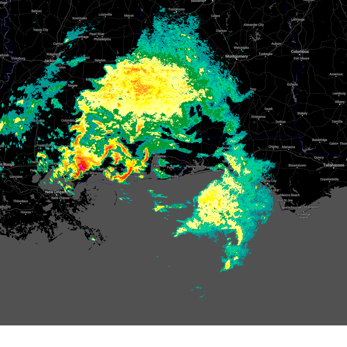 The severe thunderstorm warning for southeastern st. tammany parish, southwestern hancock and southwestern pearl river counties will expire at 600 pm cst, the storm which prompted the warning has moved out of the area. therefore, the warning will be allowed to expire. a tornado watch remains in effect until 900 pm cst for southeastern louisiana, and southern mississippi. The severe thunderstorm warning for southeastern st. tammany parish, southwestern hancock and southwestern pearl river counties will expire at 600 pm cst, the storm which prompted the warning has moved out of the area. therefore, the warning will be allowed to expire. a tornado watch remains in effect until 900 pm cst for southeastern louisiana, and southern mississippi.
|
| 1/8/2024 5:38 PM CST |
 At 538 pm cst, a severe thunderstorm was located near pearl river, or 7 miles north of slidell, moving east at 35 mph (radar indicated). Hazards include 60 mph wind gusts and quarter size hail. Hail damage to vehicles is expected. expect wind damage to roofs, siding, and trees. locations impacted include, slidell, picayune, pearl river, stennis space center, pearlington, lacombe, and slidell airport. this includes the following interstates, interstate 10 in louisiana between mile markers 260 and 273. interstate 10 in mississippi between mile markers 1 and 5. interstate 12 between mile markers 78 and 84. interstate 59 in louisiana between mile markers 1 and 11. Interstate 59 in mississippi between mile markers 1 and 2. At 538 pm cst, a severe thunderstorm was located near pearl river, or 7 miles north of slidell, moving east at 35 mph (radar indicated). Hazards include 60 mph wind gusts and quarter size hail. Hail damage to vehicles is expected. expect wind damage to roofs, siding, and trees. locations impacted include, slidell, picayune, pearl river, stennis space center, pearlington, lacombe, and slidell airport. this includes the following interstates, interstate 10 in louisiana between mile markers 260 and 273. interstate 10 in mississippi between mile markers 1 and 5. interstate 12 between mile markers 78 and 84. interstate 59 in louisiana between mile markers 1 and 11. Interstate 59 in mississippi between mile markers 1 and 2.
|
| 1/8/2024 5:38 PM CST |
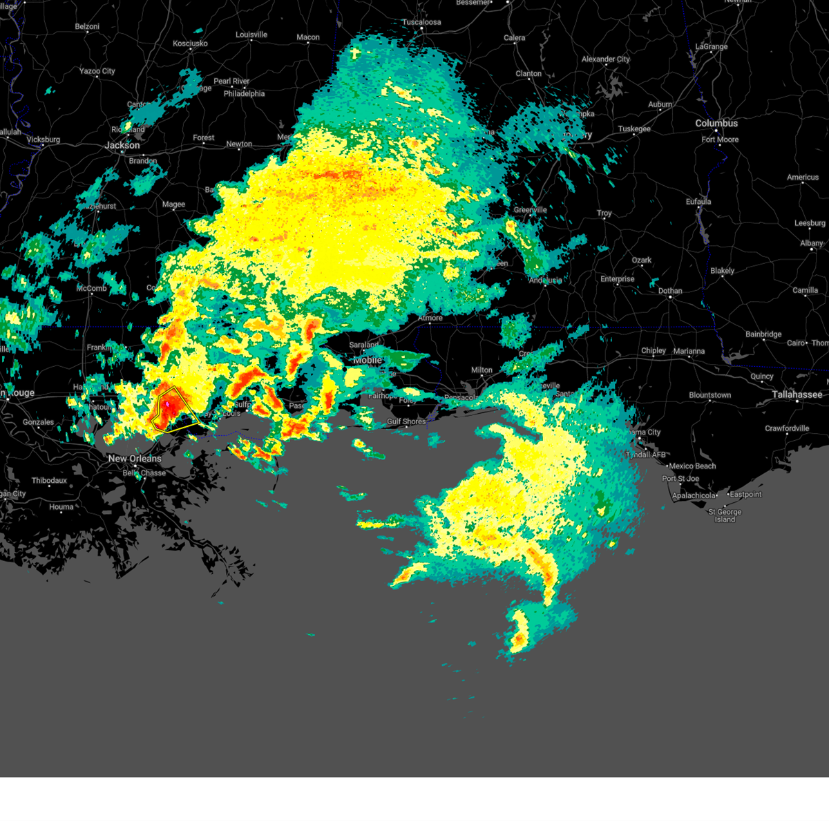 At 538 pm cst, a severe thunderstorm was located near pearl river, or 7 miles north of slidell, moving east at 35 mph (radar indicated). Hazards include 60 mph wind gusts and quarter size hail. Hail damage to vehicles is expected. expect wind damage to roofs, siding, and trees. locations impacted include, slidell, picayune, pearl river, stennis space center, pearlington, lacombe, and slidell airport. this includes the following interstates, interstate 10 in louisiana between mile markers 260 and 273. interstate 10 in mississippi between mile markers 1 and 5. interstate 12 between mile markers 78 and 84. interstate 59 in louisiana between mile markers 1 and 11. Interstate 59 in mississippi between mile markers 1 and 2. At 538 pm cst, a severe thunderstorm was located near pearl river, or 7 miles north of slidell, moving east at 35 mph (radar indicated). Hazards include 60 mph wind gusts and quarter size hail. Hail damage to vehicles is expected. expect wind damage to roofs, siding, and trees. locations impacted include, slidell, picayune, pearl river, stennis space center, pearlington, lacombe, and slidell airport. this includes the following interstates, interstate 10 in louisiana between mile markers 260 and 273. interstate 10 in mississippi between mile markers 1 and 5. interstate 12 between mile markers 78 and 84. interstate 59 in louisiana between mile markers 1 and 11. Interstate 59 in mississippi between mile markers 1 and 2.
|
| 1/8/2024 5:17 PM CST |
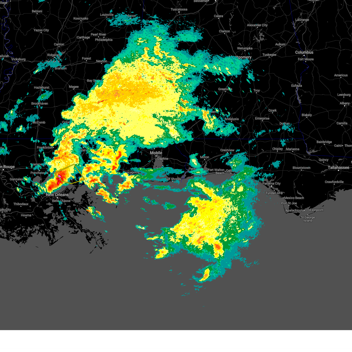 At 517 pm cst, a severe thunderstorm was located near lacombe, or 12 miles southeast of covington, moving east at 35 mph (radar indicated). Hazards include 60 mph wind gusts and half dollar size hail. Hail damage to vehicles is expected. Expect wind damage to roofs, siding, and trees. At 517 pm cst, a severe thunderstorm was located near lacombe, or 12 miles southeast of covington, moving east at 35 mph (radar indicated). Hazards include 60 mph wind gusts and half dollar size hail. Hail damage to vehicles is expected. Expect wind damage to roofs, siding, and trees.
|
| 8/27/2023 5:06 PM CDT |
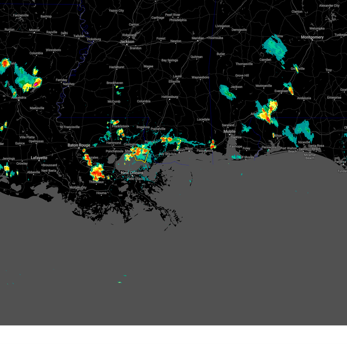 The severe thunderstorm warning for south central st. tammany parish will expire at 515 pm cdt, the storm which prompted the warning has weakened below severe limits, and has exited the warned area. therefore, the warning will be allowed to expire. The severe thunderstorm warning for south central st. tammany parish will expire at 515 pm cdt, the storm which prompted the warning has weakened below severe limits, and has exited the warned area. therefore, the warning will be allowed to expire.
|
| 8/27/2023 4:26 PM CDT |
 At 425 pm cdt, a severe thunderstorm was located over lacombe, or 8 miles northwest of slidell, moving southwest at 15 mph (radar indicated). Hazards include 60 mph wind gusts and quarter size hail. Hail damage to vehicles is expected. Expect wind damage to roofs, siding, and trees. At 425 pm cdt, a severe thunderstorm was located over lacombe, or 8 miles northwest of slidell, moving southwest at 15 mph (radar indicated). Hazards include 60 mph wind gusts and quarter size hail. Hail damage to vehicles is expected. Expect wind damage to roofs, siding, and trees.
|
| 8/26/2023 6:25 PM CDT |
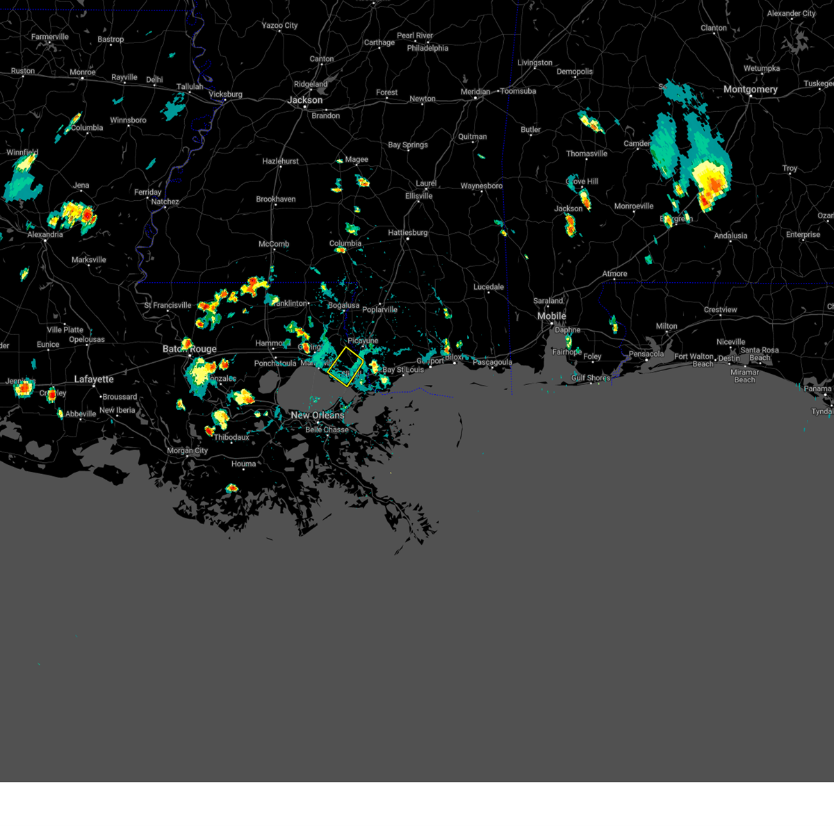 At 625 pm cdt, a severe thunderstorm was located near pearl river, or 7 miles north of slidell, moving southwest at 15 mph (radar indicated). Hazards include 60 mph wind gusts and quarter size hail. Hail damage to vehicles is expected. Expect wind damage to roofs, siding, and trees. At 625 pm cdt, a severe thunderstorm was located near pearl river, or 7 miles north of slidell, moving southwest at 15 mph (radar indicated). Hazards include 60 mph wind gusts and quarter size hail. Hail damage to vehicles is expected. Expect wind damage to roofs, siding, and trees.
|
| 7/9/2023 5:16 PM CDT |
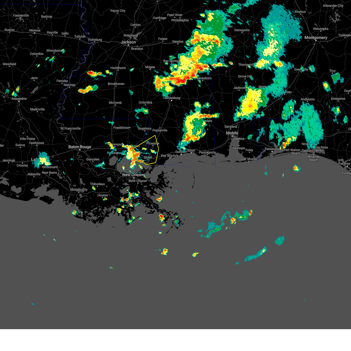 At 516 pm cdt, severe thunderstorms were located along a line extending from near abita springs to near lacombe to 9 miles west of slidell, moving east at 35 mph (radar indicated). Hazards include 60 mph wind gusts. Expect damage to roofs, siding, and trees. locations impacted include, slidell, picayune, covington, pearl river, abita springs, lacombe, mcneil, stennis space center, pearlington and slidell airport. this includes the following interstates, interstate 10 in louisiana between mile markers 259 and 273. interstate 10 in mississippi between mile markers 1 and 3. interstate 12 between mile markers 63 and 84. interstate 59 in louisiana between mile markers 1 and 11. interstate 59 in mississippi between mile markers 1 and 12. hail threat, radar indicated max hail size, <. 75 in wind threat, radar indicated max wind gust, 60 mph. At 516 pm cdt, severe thunderstorms were located along a line extending from near abita springs to near lacombe to 9 miles west of slidell, moving east at 35 mph (radar indicated). Hazards include 60 mph wind gusts. Expect damage to roofs, siding, and trees. locations impacted include, slidell, picayune, covington, pearl river, abita springs, lacombe, mcneil, stennis space center, pearlington and slidell airport. this includes the following interstates, interstate 10 in louisiana between mile markers 259 and 273. interstate 10 in mississippi between mile markers 1 and 3. interstate 12 between mile markers 63 and 84. interstate 59 in louisiana between mile markers 1 and 11. interstate 59 in mississippi between mile markers 1 and 12. hail threat, radar indicated max hail size, <. 75 in wind threat, radar indicated max wind gust, 60 mph.
|
| 7/9/2023 5:16 PM CDT |
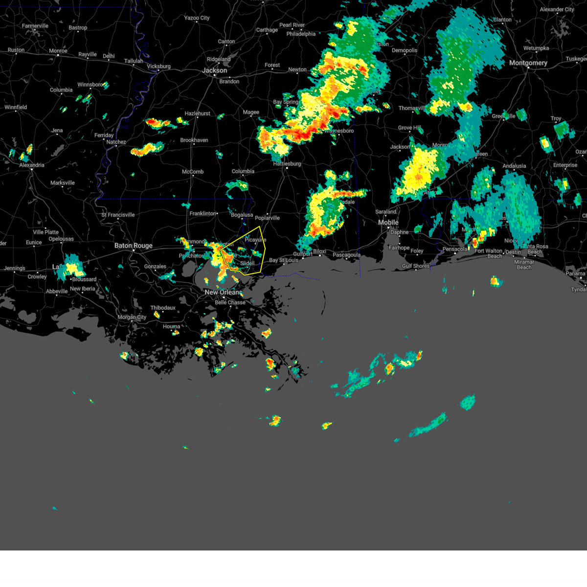 At 516 pm cdt, severe thunderstorms were located along a line extending from near abita springs to near lacombe to 9 miles west of slidell, moving east at 35 mph (radar indicated). Hazards include 60 mph wind gusts. Expect damage to roofs, siding, and trees. locations impacted include, slidell, picayune, covington, pearl river, abita springs, lacombe, mcneil, stennis space center, pearlington and slidell airport. this includes the following interstates, interstate 10 in louisiana between mile markers 259 and 273. interstate 10 in mississippi between mile markers 1 and 3. interstate 12 between mile markers 63 and 84. interstate 59 in louisiana between mile markers 1 and 11. interstate 59 in mississippi between mile markers 1 and 12. hail threat, radar indicated max hail size, <. 75 in wind threat, radar indicated max wind gust, 60 mph. At 516 pm cdt, severe thunderstorms were located along a line extending from near abita springs to near lacombe to 9 miles west of slidell, moving east at 35 mph (radar indicated). Hazards include 60 mph wind gusts. Expect damage to roofs, siding, and trees. locations impacted include, slidell, picayune, covington, pearl river, abita springs, lacombe, mcneil, stennis space center, pearlington and slidell airport. this includes the following interstates, interstate 10 in louisiana between mile markers 259 and 273. interstate 10 in mississippi between mile markers 1 and 3. interstate 12 between mile markers 63 and 84. interstate 59 in louisiana between mile markers 1 and 11. interstate 59 in mississippi between mile markers 1 and 12. hail threat, radar indicated max hail size, <. 75 in wind threat, radar indicated max wind gust, 60 mph.
|
| 7/9/2023 5:07 PM CDT |
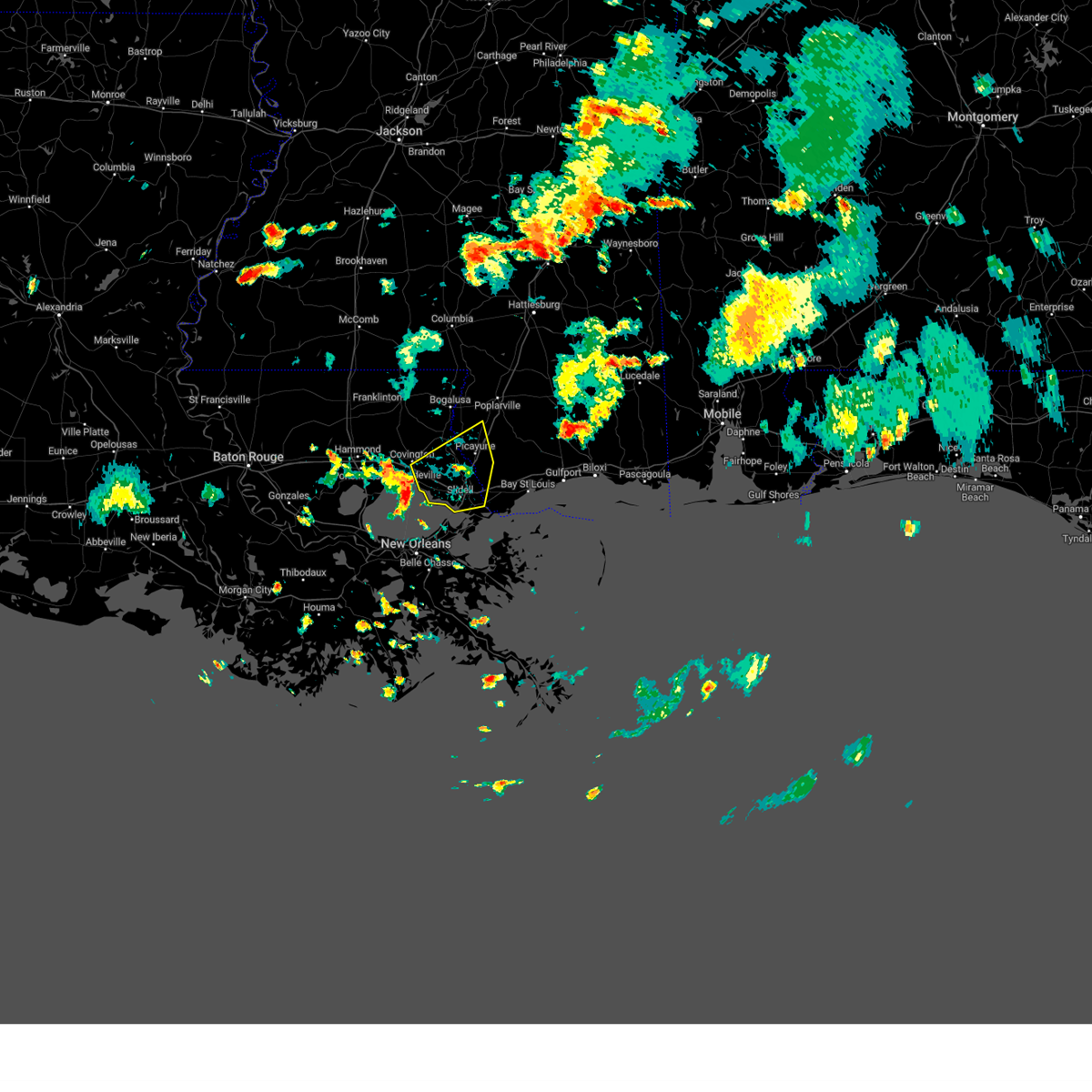 At 506 pm cdt, severe thunderstorms were located along a line extending from near abita springs to near lacombe to 12 miles northwest of new orleans, moving east at 35 mph (radar indicated). Hazards include 60 mph wind gusts. expect damage to roofs, siding, and trees At 506 pm cdt, severe thunderstorms were located along a line extending from near abita springs to near lacombe to 12 miles northwest of new orleans, moving east at 35 mph (radar indicated). Hazards include 60 mph wind gusts. expect damage to roofs, siding, and trees
|
| 6/19/2023 9:57 PM CDT |
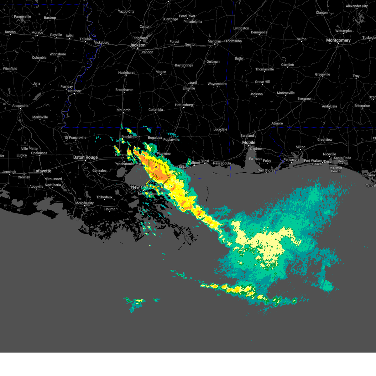 At 956 pm cdt, a severe thunderstorm was located near new orleans, moving south at 35 mph (radar indicated). Hazards include 70 mph wind gusts. Expect considerable tree damage. damage is likely to mobile homes, roofs, and outbuildings. locations impacted include, new orleans, slidell, east new orleans, pearl river, lake catherine, lacombe and slidell airport. this includes the following interstates, interstate 10 in louisiana between mile markers 244 and 256, and between mile markers 259 and 273. interstate 12 between mile markers 71 and 84. interstate 59 in louisiana between mile markers 1 and 5. interstate 510 between mile markers 1 and 3. thunderstorm damage threat, considerable hail threat, radar indicated max hail size, <. 75 in wind threat, radar indicated max wind gust, 70 mph. At 956 pm cdt, a severe thunderstorm was located near new orleans, moving south at 35 mph (radar indicated). Hazards include 70 mph wind gusts. Expect considerable tree damage. damage is likely to mobile homes, roofs, and outbuildings. locations impacted include, new orleans, slidell, east new orleans, pearl river, lake catherine, lacombe and slidell airport. this includes the following interstates, interstate 10 in louisiana between mile markers 244 and 256, and between mile markers 259 and 273. interstate 12 between mile markers 71 and 84. interstate 59 in louisiana between mile markers 1 and 5. interstate 510 between mile markers 1 and 3. thunderstorm damage threat, considerable hail threat, radar indicated max hail size, <. 75 in wind threat, radar indicated max wind gust, 70 mph.
|
| 6/19/2023 9:45 PM CDT |
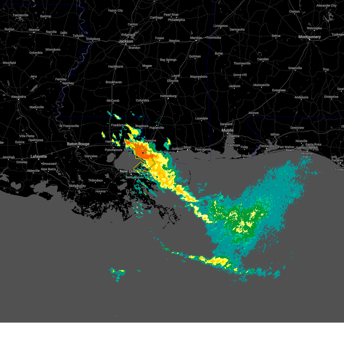 At 945 pm cdt, a severe thunderstorm was located near slidell, moving south at 30 mph (radar indicated). Hazards include 60 mph wind gusts. expect damage to roofs, siding, and trees At 945 pm cdt, a severe thunderstorm was located near slidell, moving south at 30 mph (radar indicated). Hazards include 60 mph wind gusts. expect damage to roofs, siding, and trees
|
| 6/18/2023 6:42 PM CDT |
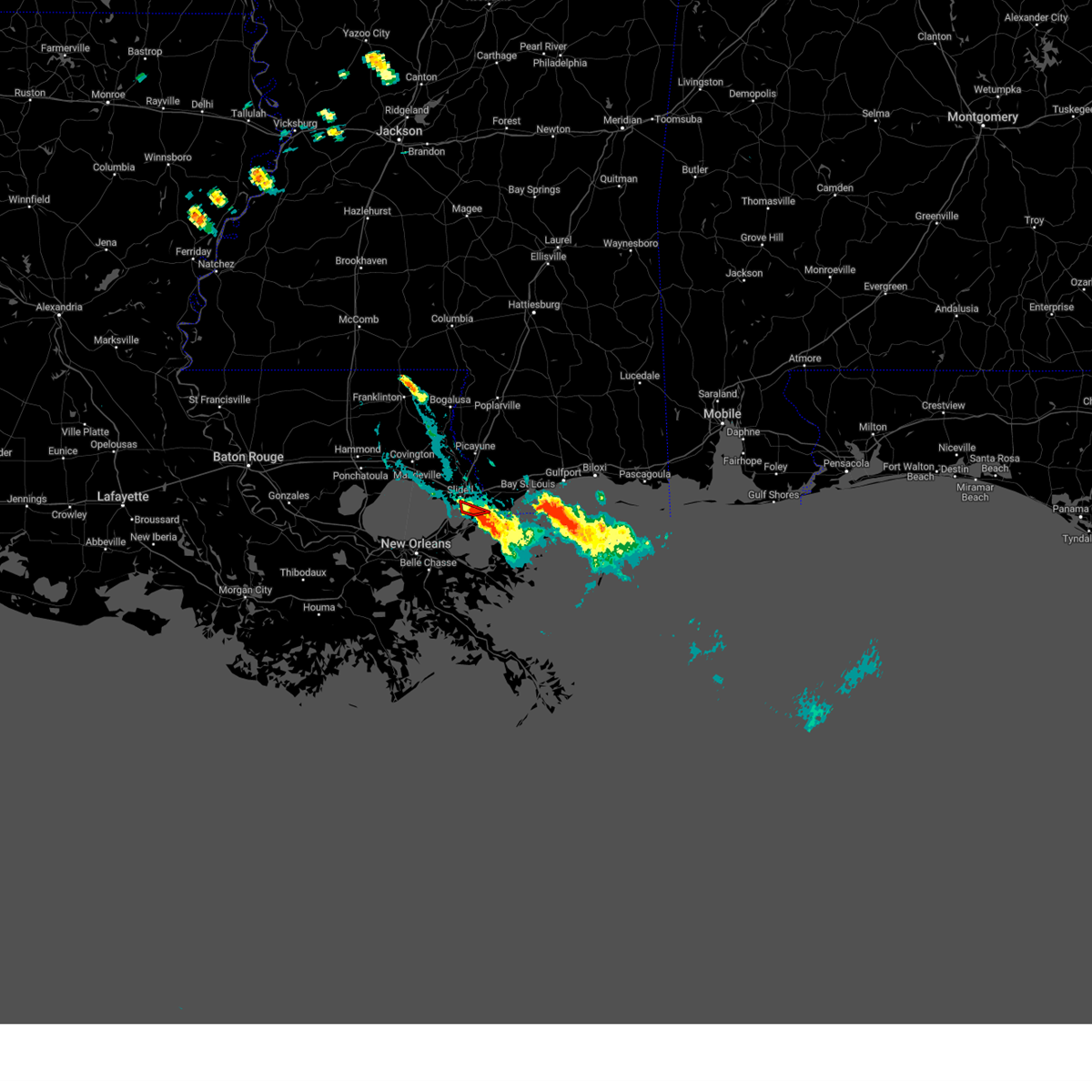 At 642 pm cdt, a confirmed waterspout was located just offshore near lake catherine, or 8 miles southeast of slidell, moving northeast at 10 mph (weather spotters confirmed waterspout moving onshore). Hazards include tornado. Flying debris will be dangerous to those caught without shelter. mobile homes will be damaged or destroyed. damage to roofs, windows, and vehicles will occur. tree damage is likely. locations impacted include, slidell. This includes interstate 10 in louisiana near mile marker 263. At 642 pm cdt, a confirmed waterspout was located just offshore near lake catherine, or 8 miles southeast of slidell, moving northeast at 10 mph (weather spotters confirmed waterspout moving onshore). Hazards include tornado. Flying debris will be dangerous to those caught without shelter. mobile homes will be damaged or destroyed. damage to roofs, windows, and vehicles will occur. tree damage is likely. locations impacted include, slidell. This includes interstate 10 in louisiana near mile marker 263.
|
| 6/18/2023 6:19 PM CDT |
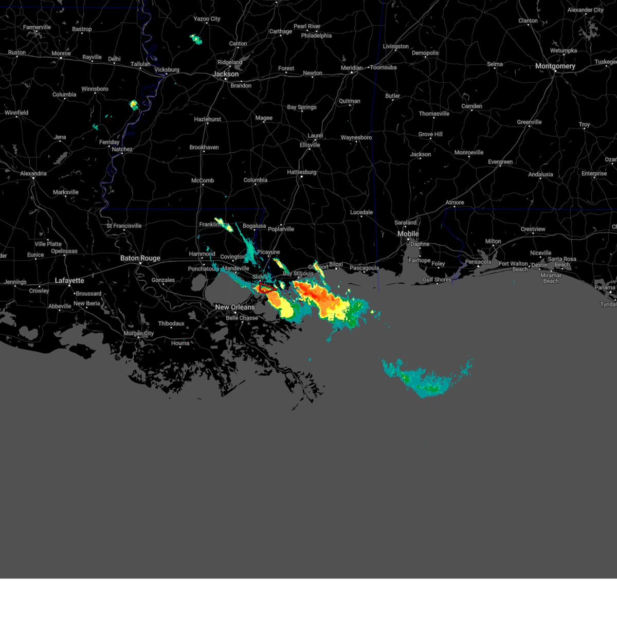 At 619 pm cdt, a confirmed waterspout was located just offshore near lake catherine, or 8 miles south of slidell, moving northeast at 10 mph (weather spotters confirmed waterspout moving onshore). Hazards include tornado. Flying debris will be dangerous to those caught without shelter. mobile homes will be damaged or destroyed. damage to roofs, windows, and vehicles will occur. tree damage is likely. this tornado will remain over mainly rural areas of southeastern st. tammany parish. This includes interstate 10 in louisiana between mile markers 262 and 263. At 619 pm cdt, a confirmed waterspout was located just offshore near lake catherine, or 8 miles south of slidell, moving northeast at 10 mph (weather spotters confirmed waterspout moving onshore). Hazards include tornado. Flying debris will be dangerous to those caught without shelter. mobile homes will be damaged or destroyed. damage to roofs, windows, and vehicles will occur. tree damage is likely. this tornado will remain over mainly rural areas of southeastern st. tammany parish. This includes interstate 10 in louisiana between mile markers 262 and 263.
|
| 5/6/2023 9:27 AM CDT |
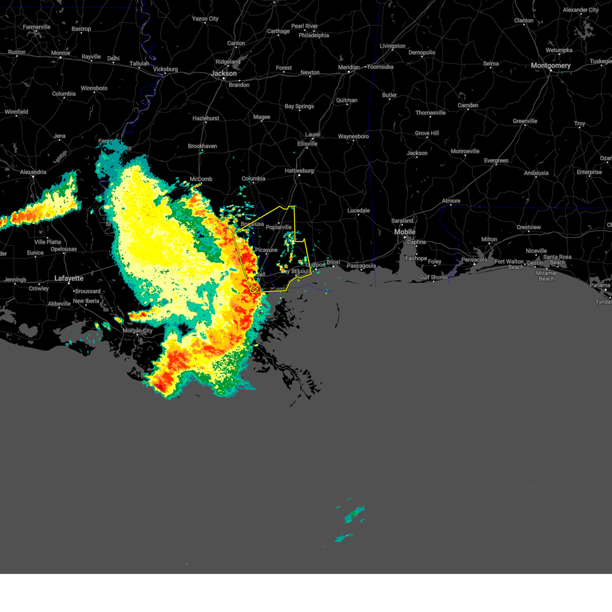 At 927 am cdt, severe thunderstorms were located along a line extending from near sun to near slidell, moving northeast at 45 mph (radar indicated). Hazards include 70 mph wind gusts and penny size hail. Expect considerable tree damage. Damage is likely to mobile homes, roofs, and outbuildings. At 927 am cdt, severe thunderstorms were located along a line extending from near sun to near slidell, moving northeast at 45 mph (radar indicated). Hazards include 70 mph wind gusts and penny size hail. Expect considerable tree damage. Damage is likely to mobile homes, roofs, and outbuildings.
|
| 5/6/2023 9:10 AM CDT |
 At 909 am cdt, severe thunderstorms were located along a line extending from near abita springs to near lacombe, moving east at 40 mph (radar indicated). Hazards include 70 mph wind gusts and penny size hail. Expect considerable tree damage. damage is likely to mobile homes, roofs, and outbuildings. locations impacted include, slidell, covington, pearl river, abita springs, madisonville, sun, bush, lacombe, pearlington and slidell airport. this includes the following interstates, interstate 10 in louisiana between mile markers 260 and 273. interstate 10 in mississippi near mile marker 1. interstate 12 between mile markers 52 and 84. Interstate 59 in louisiana between mile markers 1 and 10. At 909 am cdt, severe thunderstorms were located along a line extending from near abita springs to near lacombe, moving east at 40 mph (radar indicated). Hazards include 70 mph wind gusts and penny size hail. Expect considerable tree damage. damage is likely to mobile homes, roofs, and outbuildings. locations impacted include, slidell, covington, pearl river, abita springs, madisonville, sun, bush, lacombe, pearlington and slidell airport. this includes the following interstates, interstate 10 in louisiana between mile markers 260 and 273. interstate 10 in mississippi near mile marker 1. interstate 12 between mile markers 52 and 84. Interstate 59 in louisiana between mile markers 1 and 10.
|
| 5/6/2023 8:50 AM CDT |
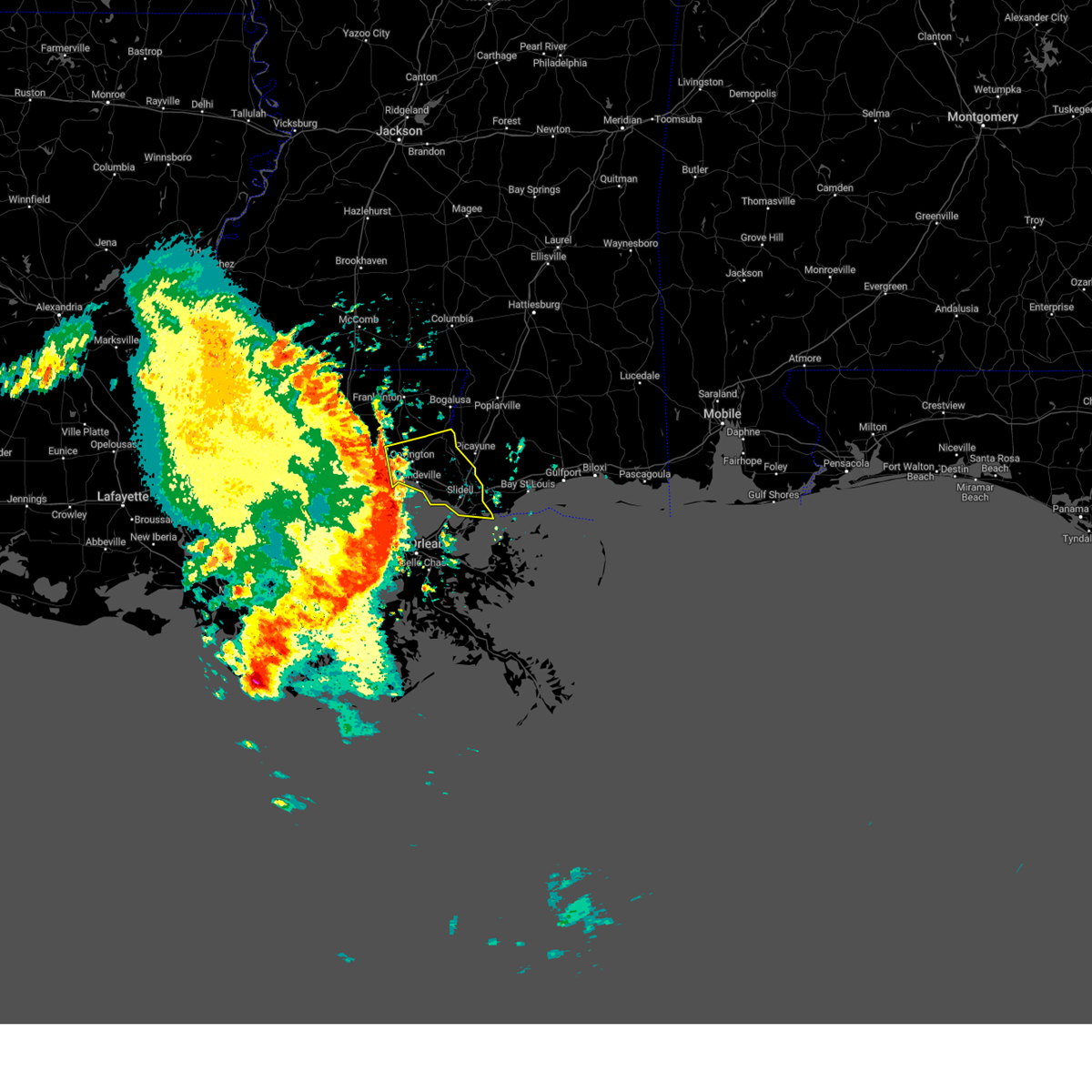 At 850 am cdt, severe thunderstorms were located along a line extending from near covington to 9 miles south of madisonville, moving east at 45 mph (radar indicated). Hazards include 70 mph wind gusts and penny size hail. Expect considerable tree damage. Damage is likely to mobile homes, roofs, and outbuildings. At 850 am cdt, severe thunderstorms were located along a line extending from near covington to 9 miles south of madisonville, moving east at 45 mph (radar indicated). Hazards include 70 mph wind gusts and penny size hail. Expect considerable tree damage. Damage is likely to mobile homes, roofs, and outbuildings.
|
| 4/15/2023 1:38 PM CDT |
 At 133 pm cdt, severe thunderstorms were located along a line extending from near kiln to near lake catherine, moving east at 40 mph (radar indicated). Hazards include 60 mph wind gusts. expect damage to roofs, siding, and trees At 133 pm cdt, severe thunderstorms were located along a line extending from near kiln to near lake catherine, moving east at 40 mph (radar indicated). Hazards include 60 mph wind gusts. expect damage to roofs, siding, and trees
|
| 4/15/2023 1:20 PM CDT |
 At 120 pm cdt, a severe thunderstorm was located over pearl river, or near slidell, moving east at 45 mph (radar indicated). Hazards include 60 mph wind gusts. Expect damage to roofs, siding, and trees. locations impacted include, slidell, picayune, bay st. louis, waveland, diamondhead, pearl river, kiln, pearlington, lacombe, shoreline park, stennis space center and slidell airport. this includes the following interstates, interstate 10 in louisiana between mile markers 259 and 273. interstate 10 in mississippi between mile markers 1 and 24. interstate 12 between mile markers 74 and 84. interstate 59 in louisiana between mile markers 1 and 11. interstate 59 in mississippi between mile markers 1 and 9. hail threat, radar indicated max hail size, <. 75 in wind threat, radar indicated max wind gust, 60 mph. At 120 pm cdt, a severe thunderstorm was located over pearl river, or near slidell, moving east at 45 mph (radar indicated). Hazards include 60 mph wind gusts. Expect damage to roofs, siding, and trees. locations impacted include, slidell, picayune, bay st. louis, waveland, diamondhead, pearl river, kiln, pearlington, lacombe, shoreline park, stennis space center and slidell airport. this includes the following interstates, interstate 10 in louisiana between mile markers 259 and 273. interstate 10 in mississippi between mile markers 1 and 24. interstate 12 between mile markers 74 and 84. interstate 59 in louisiana between mile markers 1 and 11. interstate 59 in mississippi between mile markers 1 and 9. hail threat, radar indicated max hail size, <. 75 in wind threat, radar indicated max wind gust, 60 mph.
|
| 4/15/2023 1:20 PM CDT |
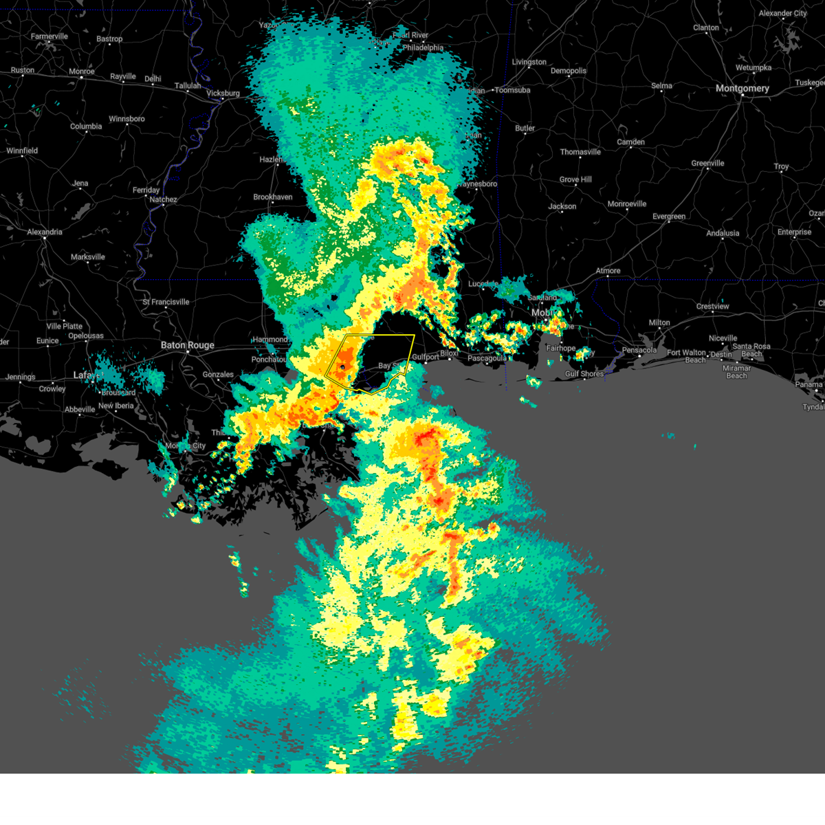 At 120 pm cdt, a severe thunderstorm was located over pearl river, or near slidell, moving east at 45 mph (radar indicated). Hazards include 60 mph wind gusts. Expect damage to roofs, siding, and trees. locations impacted include, slidell, picayune, bay st. louis, waveland, diamondhead, pearl river, kiln, pearlington, lacombe, shoreline park, stennis space center and slidell airport. this includes the following interstates, interstate 10 in louisiana between mile markers 259 and 273. interstate 10 in mississippi between mile markers 1 and 24. interstate 12 between mile markers 74 and 84. interstate 59 in louisiana between mile markers 1 and 11. interstate 59 in mississippi between mile markers 1 and 9. hail threat, radar indicated max hail size, <. 75 in wind threat, radar indicated max wind gust, 60 mph. At 120 pm cdt, a severe thunderstorm was located over pearl river, or near slidell, moving east at 45 mph (radar indicated). Hazards include 60 mph wind gusts. Expect damage to roofs, siding, and trees. locations impacted include, slidell, picayune, bay st. louis, waveland, diamondhead, pearl river, kiln, pearlington, lacombe, shoreline park, stennis space center and slidell airport. this includes the following interstates, interstate 10 in louisiana between mile markers 259 and 273. interstate 10 in mississippi between mile markers 1 and 24. interstate 12 between mile markers 74 and 84. interstate 59 in louisiana between mile markers 1 and 11. interstate 59 in mississippi between mile markers 1 and 9. hail threat, radar indicated max hail size, <. 75 in wind threat, radar indicated max wind gust, 60 mph.
|
| 4/15/2023 1:07 PM CDT |
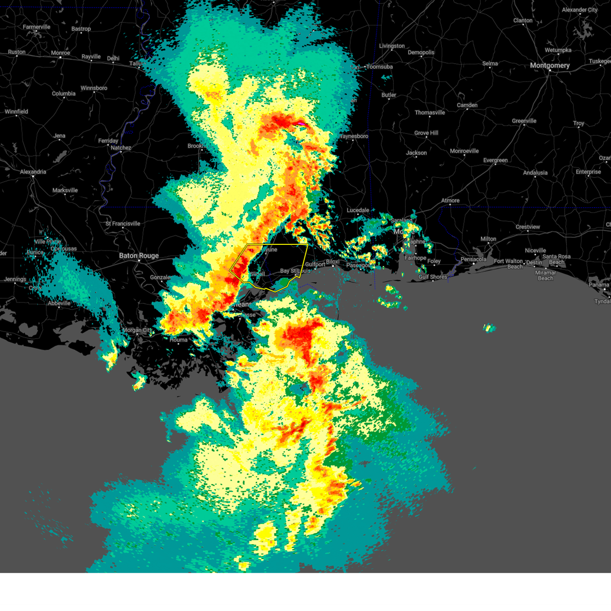 At 106 pm cdt, a severe thunderstorm was located near lacombe, or 9 miles northwest of slidell, moving east at 45 mph (radar indicated). Hazards include 60 mph wind gusts. expect damage to roofs, siding, and trees At 106 pm cdt, a severe thunderstorm was located near lacombe, or 9 miles northwest of slidell, moving east at 45 mph (radar indicated). Hazards include 60 mph wind gusts. expect damage to roofs, siding, and trees
|
| 3/27/2023 11:51 AM CDT |
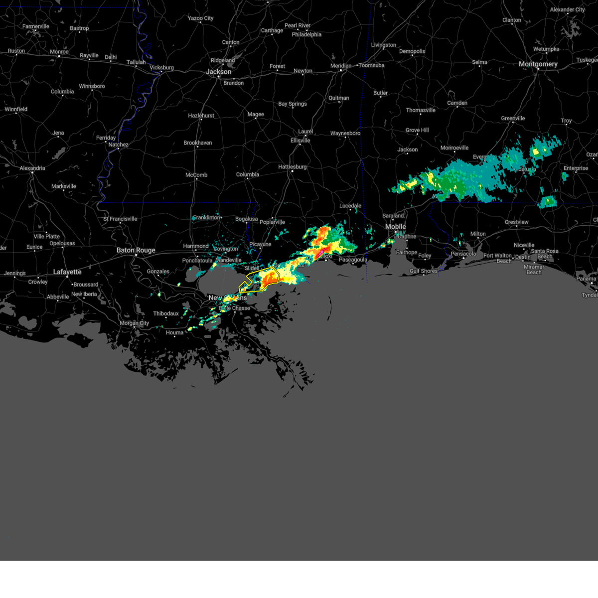 The severe thunderstorm warning for northeastern orleans, southeastern st. tammany parishes in southeastern louisiana and southwestern hancock counties will expire at noon cdt, the storm which prompted the warning has moved out of the area. therefore, the warning will be allowed to expire. The severe thunderstorm warning for northeastern orleans, southeastern st. tammany parishes in southeastern louisiana and southwestern hancock counties will expire at noon cdt, the storm which prompted the warning has moved out of the area. therefore, the warning will be allowed to expire.
|
| 3/27/2023 11:13 AM CDT |
 At 1113 am cdt, a severe thunderstorm was located 8 miles northeast of new orleans, moving east at 25 mph (radar indicated). Hazards include 60 mph wind gusts and half dollar size hail. Hail damage to vehicles is expected. Expect wind damage to roofs, siding, and trees. At 1113 am cdt, a severe thunderstorm was located 8 miles northeast of new orleans, moving east at 25 mph (radar indicated). Hazards include 60 mph wind gusts and half dollar size hail. Hail damage to vehicles is expected. Expect wind damage to roofs, siding, and trees.
|
| 3/27/2023 11:13 AM CDT |
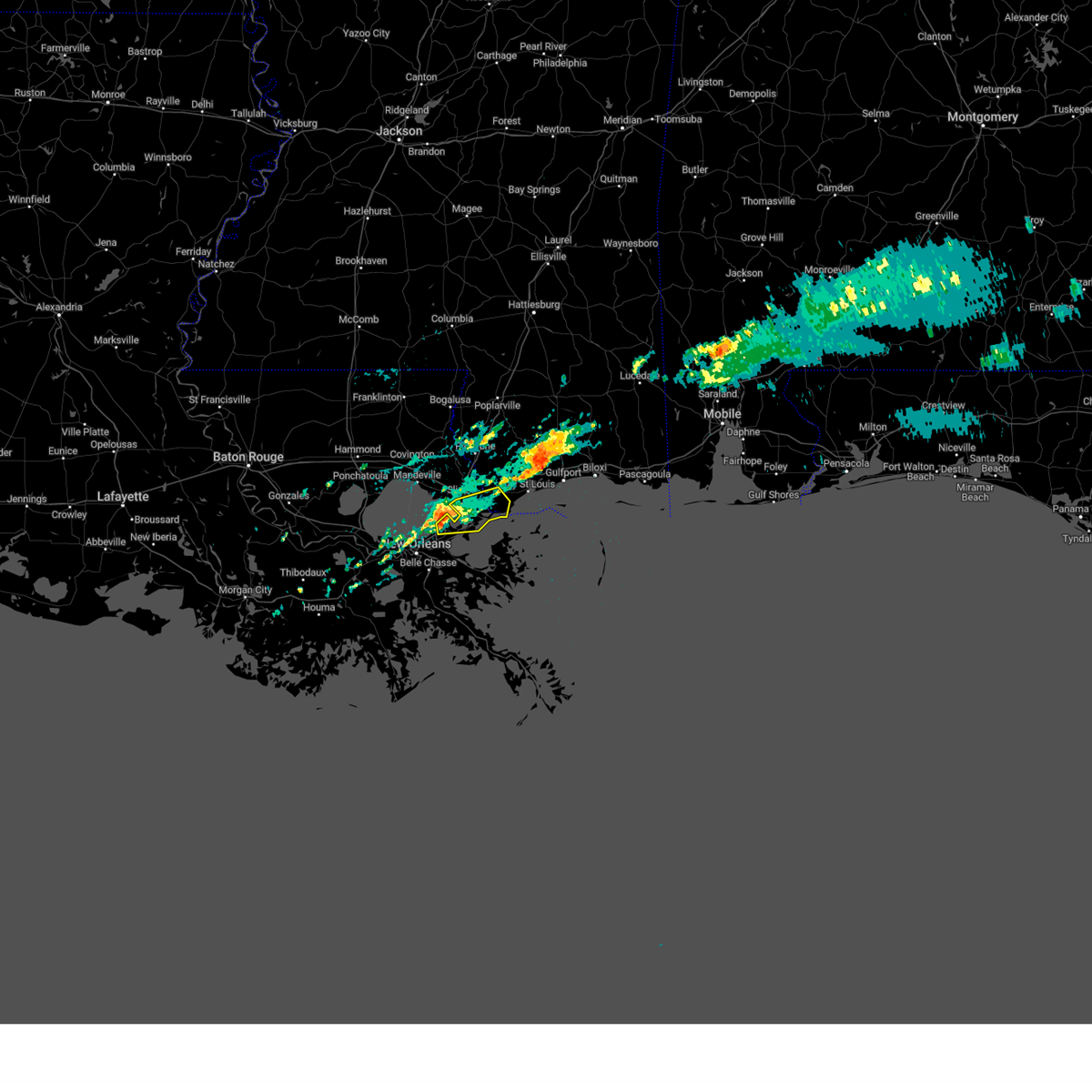 At 1113 am cdt, a severe thunderstorm was located 8 miles northeast of new orleans, moving east at 25 mph (radar indicated). Hazards include 60 mph wind gusts and half dollar size hail. Hail damage to vehicles is expected. Expect wind damage to roofs, siding, and trees. At 1113 am cdt, a severe thunderstorm was located 8 miles northeast of new orleans, moving east at 25 mph (radar indicated). Hazards include 60 mph wind gusts and half dollar size hail. Hail damage to vehicles is expected. Expect wind damage to roofs, siding, and trees.
|
| 2/8/2023 11:18 PM CST |
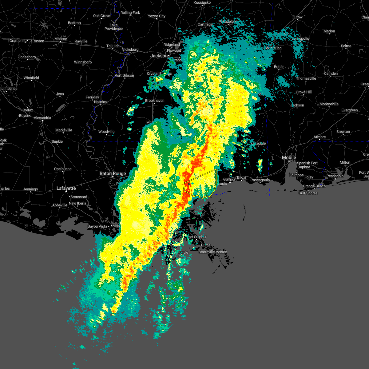 At 1116 pm cst, severe thunderstorms were located along a line extending from near slidell to 9 miles northwest of lake catherine to near new orleans, moving northeast at 50 mph (radar indicated. at 11 pm cst, lakefront airport reported a peak wind gust of 53 mph). Hazards include 60 mph wind gusts. expect damage to roofs, siding, and trees At 1116 pm cst, severe thunderstorms were located along a line extending from near slidell to 9 miles northwest of lake catherine to near new orleans, moving northeast at 50 mph (radar indicated. at 11 pm cst, lakefront airport reported a peak wind gust of 53 mph). Hazards include 60 mph wind gusts. expect damage to roofs, siding, and trees
|
| 1/24/2023 11:29 PM CST |
 At 1129 pm cst, severe thunderstorms were located along a line extending from near ovett to near poplarville, moving northeast at 40 mph (radar indicated). Hazards include 60 mph wind gusts and penny size hail. Expect damage to roofs, siding, and trees. locations impacted include, slidell, waveland, poplarville, diamondhead, pearl river, kiln, pearlington, shoreline park and stennis space center. this includes the following interstates, interstate 10 in louisiana between mile markers 263 and 273. interstate 10 in mississippi between mile markers 1 and 16. interstate 12 between mile markers 81 and 84. interstate 59 in louisiana between mile markers 1 and 8. Interstate 59 in mississippi between mile markers 23 and 42. At 1129 pm cst, severe thunderstorms were located along a line extending from near ovett to near poplarville, moving northeast at 40 mph (radar indicated). Hazards include 60 mph wind gusts and penny size hail. Expect damage to roofs, siding, and trees. locations impacted include, slidell, waveland, poplarville, diamondhead, pearl river, kiln, pearlington, shoreline park and stennis space center. this includes the following interstates, interstate 10 in louisiana between mile markers 263 and 273. interstate 10 in mississippi between mile markers 1 and 16. interstate 12 between mile markers 81 and 84. interstate 59 in louisiana between mile markers 1 and 8. Interstate 59 in mississippi between mile markers 23 and 42.
|
| 1/24/2023 11:29 PM CST |
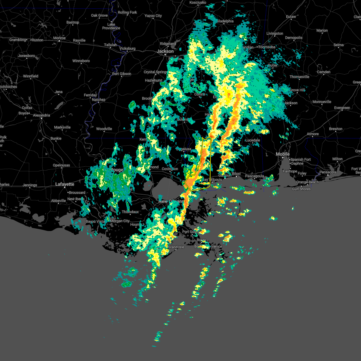 At 1129 pm cst, severe thunderstorms were located along a line extending from near ovett to near poplarville, moving northeast at 40 mph (radar indicated). Hazards include 60 mph wind gusts and penny size hail. Expect damage to roofs, siding, and trees. locations impacted include, slidell, waveland, poplarville, diamondhead, pearl river, kiln, pearlington, shoreline park and stennis space center. this includes the following interstates, interstate 10 in louisiana between mile markers 263 and 273. interstate 10 in mississippi between mile markers 1 and 16. interstate 12 between mile markers 81 and 84. interstate 59 in louisiana between mile markers 1 and 8. Interstate 59 in mississippi between mile markers 23 and 42. At 1129 pm cst, severe thunderstorms were located along a line extending from near ovett to near poplarville, moving northeast at 40 mph (radar indicated). Hazards include 60 mph wind gusts and penny size hail. Expect damage to roofs, siding, and trees. locations impacted include, slidell, waveland, poplarville, diamondhead, pearl river, kiln, pearlington, shoreline park and stennis space center. this includes the following interstates, interstate 10 in louisiana between mile markers 263 and 273. interstate 10 in mississippi between mile markers 1 and 16. interstate 12 between mile markers 81 and 84. interstate 59 in louisiana between mile markers 1 and 8. Interstate 59 in mississippi between mile markers 23 and 42.
|
| 1/24/2023 10:55 PM CST |
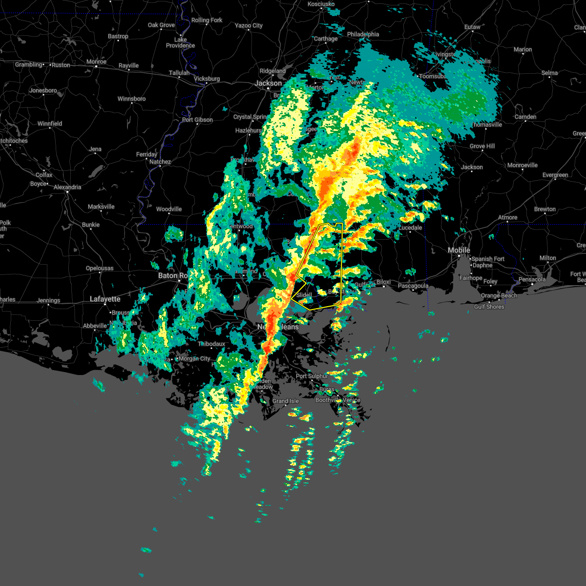 At 1055 pm cst, severe thunderstorms were located along a line extending from near baxterville to lacombe, moving northeast at 50 mph (radar indicated). Hazards include 60 mph wind gusts and penny size hail. expect damage to roofs, siding, and trees At 1055 pm cst, severe thunderstorms were located along a line extending from near baxterville to lacombe, moving northeast at 50 mph (radar indicated). Hazards include 60 mph wind gusts and penny size hail. expect damage to roofs, siding, and trees
|
| 12/30/2022 8:43 AM CST |
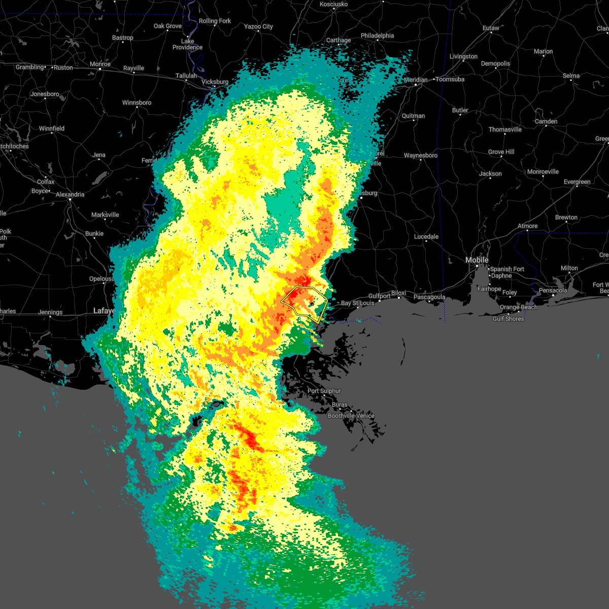 At 839 am cst, a severe thunderstorm was located near lacombe, or 12 miles southeast of covington, moving east at 30 mph. winds of 68 mph were detected at mandeville lakefront (radar indicated). Hazards include 60 mph wind gusts. Expect damage to roofs, siding, and trees. locations impacted include, slidell, pearl river, abita springs, lacombe and slidell airport. this includes the following interstates, interstate 10 in louisiana between mile markers 259 and 270. interstate 12 between mile markers 64 and 84. Interstate 59 in louisiana between mile markers 1 and 8. At 839 am cst, a severe thunderstorm was located near lacombe, or 12 miles southeast of covington, moving east at 30 mph. winds of 68 mph were detected at mandeville lakefront (radar indicated). Hazards include 60 mph wind gusts. Expect damage to roofs, siding, and trees. locations impacted include, slidell, pearl river, abita springs, lacombe and slidell airport. this includes the following interstates, interstate 10 in louisiana between mile markers 259 and 270. interstate 12 between mile markers 64 and 84. Interstate 59 in louisiana between mile markers 1 and 8.
|
| 12/30/2022 8:16 AM CST |
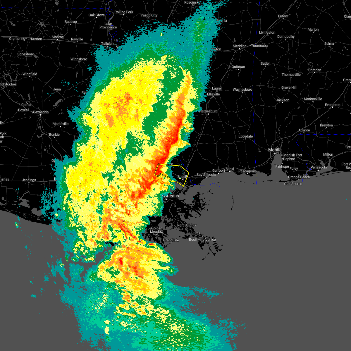 At 815 am cst, a severe thunderstorm was located over madisonville, or near covington, moving east at 30 mph (radar indicated). Hazards include 60 mph wind gusts. expect damage to roofs, siding, and trees At 815 am cst, a severe thunderstorm was located over madisonville, or near covington, moving east at 30 mph (radar indicated). Hazards include 60 mph wind gusts. expect damage to roofs, siding, and trees
|
| 6/25/2022 5:11 PM CDT |
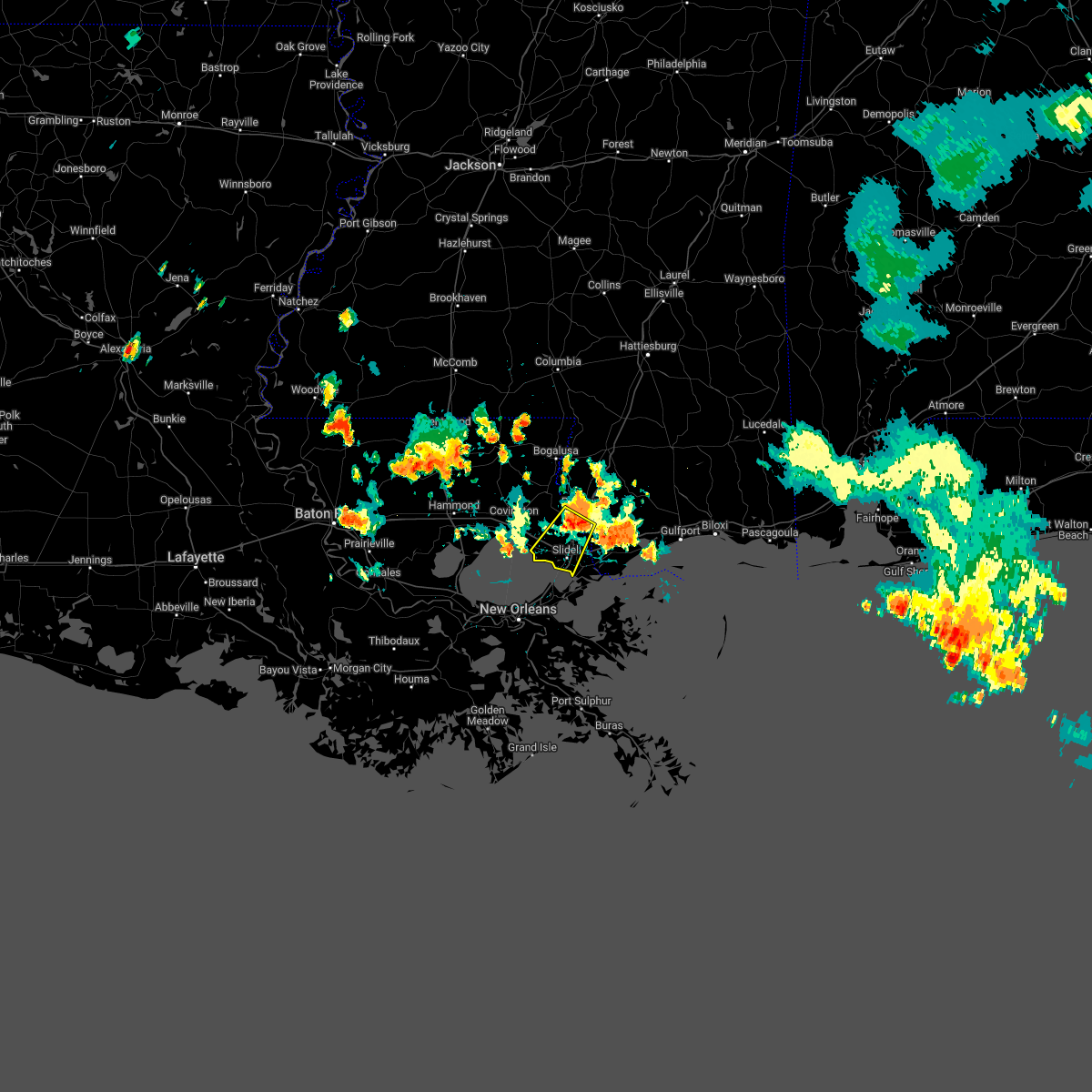 At 510 pm cdt, a severe thunderstorm was located near pearl river, or 7 miles southwest of picayune, moving southwest at 20 mph (radar indicated). Hazards include 60 mph wind gusts and penny size hail. expect damage to roofs, siding, and trees At 510 pm cdt, a severe thunderstorm was located near pearl river, or 7 miles southwest of picayune, moving southwest at 20 mph (radar indicated). Hazards include 60 mph wind gusts and penny size hail. expect damage to roofs, siding, and trees
|
| 5/6/2022 12:58 AM CDT |
 At 1257 am cdt, a severe thunderstorm was located 8 miles north of new orleans, moving east at 40 mph (radar indicated). Hazards include 60 mph wind gusts and quarter size hail. Hail damage to vehicles is expected. Expect wind damage to roofs, siding, and trees. At 1257 am cdt, a severe thunderstorm was located 8 miles north of new orleans, moving east at 40 mph (radar indicated). Hazards include 60 mph wind gusts and quarter size hail. Hail damage to vehicles is expected. Expect wind damage to roofs, siding, and trees.
|
| 5/6/2022 12:58 AM CDT |
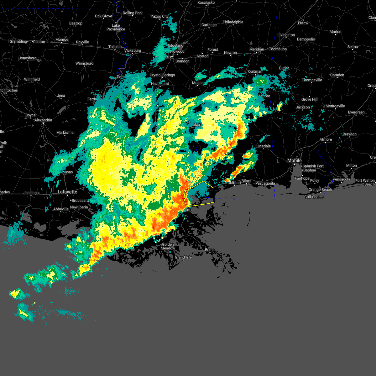 At 1257 am cdt, a severe thunderstorm was located 8 miles north of new orleans, moving east at 40 mph (radar indicated). Hazards include 60 mph wind gusts and quarter size hail. Hail damage to vehicles is expected. Expect wind damage to roofs, siding, and trees. At 1257 am cdt, a severe thunderstorm was located 8 miles north of new orleans, moving east at 40 mph (radar indicated). Hazards include 60 mph wind gusts and quarter size hail. Hail damage to vehicles is expected. Expect wind damage to roofs, siding, and trees.
|
| 4/17/2022 11:15 PM CDT |
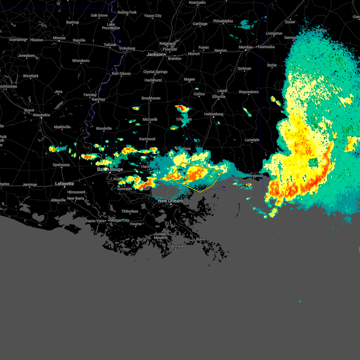 At 1114 pm cdt, severe thunderstorms were located along a line extending from near stennis space center to near pearlington to near slidell, moving southeast at 50 mph (radar indicated). Hazards include 60 mph wind gusts. Expect damage to roofs, siding, and trees. locations impacted include, slidell, picayune, bay st. louis, waveland, diamondhead, pearl river, madisonville, kiln, pearlington, lacombe, shoreline park, stennis space center and slidell airport. this includes the following interstates, interstate 10 in louisiana between mile markers 263 and 273. interstate 10 in mississippi between mile markers 1 and 29. interstate 12 between mile markers 65 and 84. interstate 59 in louisiana between mile markers 1 and 11. interstate 59 in mississippi between mile markers 1 and 8. hail threat, radar indicated max hail size, <. 75 in wind threat, radar indicated max wind gust, 60 mph. At 1114 pm cdt, severe thunderstorms were located along a line extending from near stennis space center to near pearlington to near slidell, moving southeast at 50 mph (radar indicated). Hazards include 60 mph wind gusts. Expect damage to roofs, siding, and trees. locations impacted include, slidell, picayune, bay st. louis, waveland, diamondhead, pearl river, madisonville, kiln, pearlington, lacombe, shoreline park, stennis space center and slidell airport. this includes the following interstates, interstate 10 in louisiana between mile markers 263 and 273. interstate 10 in mississippi between mile markers 1 and 29. interstate 12 between mile markers 65 and 84. interstate 59 in louisiana between mile markers 1 and 11. interstate 59 in mississippi between mile markers 1 and 8. hail threat, radar indicated max hail size, <. 75 in wind threat, radar indicated max wind gust, 60 mph.
|
| 4/4/2022 10:01 PM CDT |
 At 1000 pm cdt, a severe thunderstorm was located near slidell, moving northeast at 30 mph (radar indicated). Hazards include 60 mph wind gusts and quarter size hail. Hail damage to vehicles is expected. Expect wind damage to roofs, siding, and trees. At 1000 pm cdt, a severe thunderstorm was located near slidell, moving northeast at 30 mph (radar indicated). Hazards include 60 mph wind gusts and quarter size hail. Hail damage to vehicles is expected. Expect wind damage to roofs, siding, and trees.
|
| 3/30/2022 8:18 PM CDT |
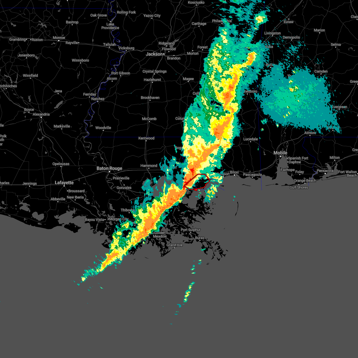 At 817 pm cdt, a severe thunderstorm capable of producing a tornado was located near lake catherine, or 8 miles south of slidell, moving northeast at 45 mph (radar indicated rotation). Hazards include tornado. Flying debris will be dangerous to those caught without shelter. mobile homes will be damaged or destroyed. damage to roofs, windows, and vehicles will occur. tree damage is likely. this dangerous storm will be near, pearlington around 835 pm cdt. waveland and shoreline park around 850 pm cdt. bay st. louis and kiln around 855 pm cdt. diamondhead around 900 pm cdt. this includes the following interstates, interstate 10 in louisiana between mile markers 261 and 265, and between mile markers 270 and 273. Interstate 10 in mississippi between mile markers 1 and 14. At 817 pm cdt, a severe thunderstorm capable of producing a tornado was located near lake catherine, or 8 miles south of slidell, moving northeast at 45 mph (radar indicated rotation). Hazards include tornado. Flying debris will be dangerous to those caught without shelter. mobile homes will be damaged or destroyed. damage to roofs, windows, and vehicles will occur. tree damage is likely. this dangerous storm will be near, pearlington around 835 pm cdt. waveland and shoreline park around 850 pm cdt. bay st. louis and kiln around 855 pm cdt. diamondhead around 900 pm cdt. this includes the following interstates, interstate 10 in louisiana between mile markers 261 and 265, and between mile markers 270 and 273. Interstate 10 in mississippi between mile markers 1 and 14.
|
| 3/22/2022 7:53 PM CDT |
 At 753 pm cdt, a severe thunderstorm capable of producing a tornado was located near new orleans, moving northeast at 45 mph (radar indicated rotation). Hazards include tornado. Flying debris will be dangerous to those caught without shelter. mobile homes will be damaged or destroyed. damage to roofs, windows, and vehicles will occur. tree damage is likely. this dangerous storm will be near, slidell around 810 pm cdt. pearlington around 815 pm cdt. pearl river around 820 pm cdt. stennis space center around 825 pm cdt. picayune around 830 pm cdt. other locations impacted by this tornadic thunderstorm include slidell airport. this includes the following interstates, interstate 10 in louisiana between mile markers 261 and 273. interstate 10 in mississippi between mile markers 1 and 6. interstate 12 between mile markers 78 and 84. interstate 59 in louisiana between mile markers 1 and 11. Interstate 59 in mississippi between mile markers 1 and 10. At 753 pm cdt, a severe thunderstorm capable of producing a tornado was located near new orleans, moving northeast at 45 mph (radar indicated rotation). Hazards include tornado. Flying debris will be dangerous to those caught without shelter. mobile homes will be damaged or destroyed. damage to roofs, windows, and vehicles will occur. tree damage is likely. this dangerous storm will be near, slidell around 810 pm cdt. pearlington around 815 pm cdt. pearl river around 820 pm cdt. stennis space center around 825 pm cdt. picayune around 830 pm cdt. other locations impacted by this tornadic thunderstorm include slidell airport. this includes the following interstates, interstate 10 in louisiana between mile markers 261 and 273. interstate 10 in mississippi between mile markers 1 and 6. interstate 12 between mile markers 78 and 84. interstate 59 in louisiana between mile markers 1 and 11. Interstate 59 in mississippi between mile markers 1 and 10.
|
| 12/6/2021 3:29 PM CST |
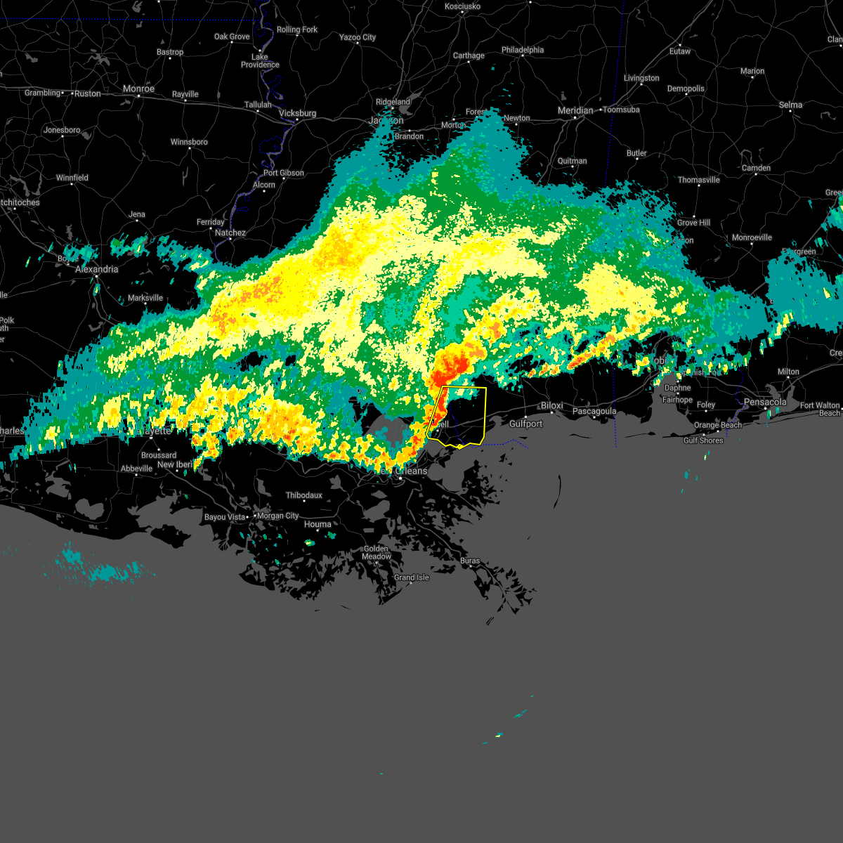 At 329 pm cst, a severe thunderstorm was located over pearl river, or 7 miles north of slidell, moving east at 35 mph (radar indicated). Hazards include 60 mph wind gusts. Expect damage to roofs, siding, and trees. locations impacted include, slidell, picayune, pearl river, kiln, pearlington, stennis space center, shoreline park and slidell airport. this includes the following interstates, interstate 10 in louisiana between mile markers 261 and 273. interstate 10 in mississippi between mile markers 1 and 13. interstate 12 between mile markers 80 and 84. interstate 59 in louisiana between mile markers 1 and 11. Interstate 59 in mississippi between mile markers 1 and 8. At 329 pm cst, a severe thunderstorm was located over pearl river, or 7 miles north of slidell, moving east at 35 mph (radar indicated). Hazards include 60 mph wind gusts. Expect damage to roofs, siding, and trees. locations impacted include, slidell, picayune, pearl river, kiln, pearlington, stennis space center, shoreline park and slidell airport. this includes the following interstates, interstate 10 in louisiana between mile markers 261 and 273. interstate 10 in mississippi between mile markers 1 and 13. interstate 12 between mile markers 80 and 84. interstate 59 in louisiana between mile markers 1 and 11. Interstate 59 in mississippi between mile markers 1 and 8.
|
| 12/6/2021 3:09 PM CST |
 At 309 pm cst, a severe thunderstorm was located near abita springs, or 10 miles east of covington, moving east at 35 mph (radar indicated). Hazards include 70 mph wind gusts. Expect considerable tree damage. Damage is likely to mobile homes, roofs, and outbuildings. At 309 pm cst, a severe thunderstorm was located near abita springs, or 10 miles east of covington, moving east at 35 mph (radar indicated). Hazards include 70 mph wind gusts. Expect considerable tree damage. Damage is likely to mobile homes, roofs, and outbuildings.
|
| 12/6/2021 3:09 PM CST |
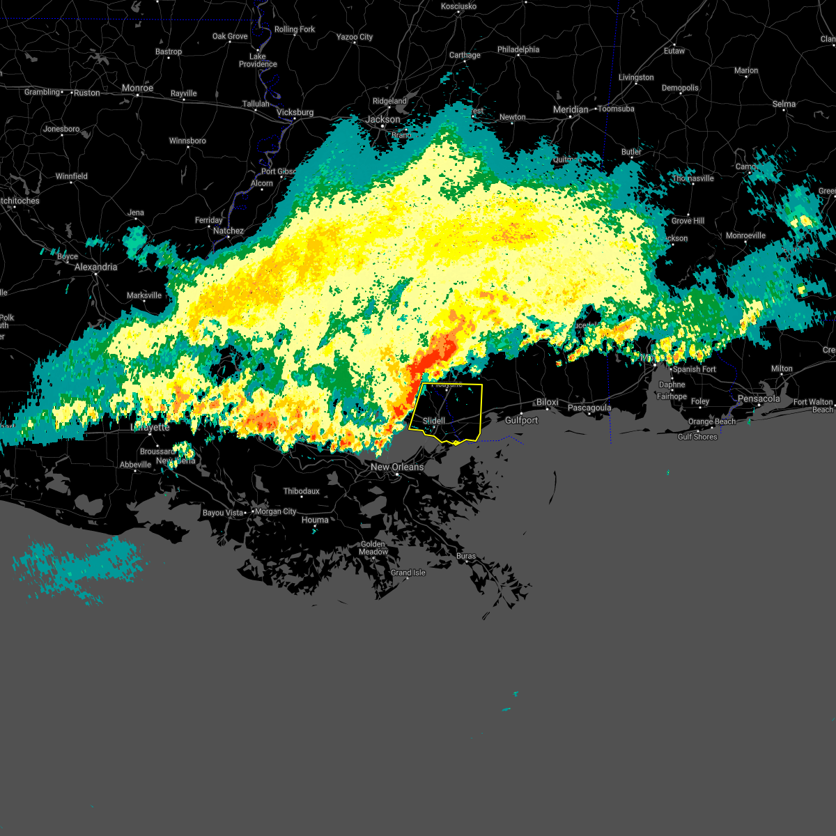 At 309 pm cst, a severe thunderstorm was located near abita springs, or 10 miles east of covington, moving east at 35 mph (radar indicated). Hazards include 70 mph wind gusts. Expect considerable tree damage. Damage is likely to mobile homes, roofs, and outbuildings. At 309 pm cst, a severe thunderstorm was located near abita springs, or 10 miles east of covington, moving east at 35 mph (radar indicated). Hazards include 70 mph wind gusts. Expect considerable tree damage. Damage is likely to mobile homes, roofs, and outbuildings.
|
| 10/27/2021 6:51 PM CDT |
 The severe thunderstorm warning for central st. tammany parish will expire at 700 pm cdt, the storms which prompted the warning have moved out of the warned area. therefore, the warning will be allowed to expire. a tornado watch remains in effect until 1000 pm cdt for southeastern louisiana, and southern mississippi. The severe thunderstorm warning for central st. tammany parish will expire at 700 pm cdt, the storms which prompted the warning have moved out of the warned area. therefore, the warning will be allowed to expire. a tornado watch remains in effect until 1000 pm cdt for southeastern louisiana, and southern mississippi.
|
| 10/27/2021 6:32 PM CDT |
 At 632 pm cdt, severe thunderstorms were located along a line extending from near bush to near pearl river, moving northeast at 45 mph (radar indicated). Hazards include 60 mph wind gusts. Expect damage to roofs, siding, and trees. locations impacted include, slidell, covington, pearl river, abita springs, madisonville, bush, lacombe and slidell airport. this includes the following interstates, interstate 10 in louisiana between mile markers 265 and 271. interstate 12 between mile markers 60 and 84. interstate 59 in louisiana between mile markers 1 and 9. hail threat, radar indicated max hail size, <. 75 in wind threat, radar indicated max wind gust, 60 mph. At 632 pm cdt, severe thunderstorms were located along a line extending from near bush to near pearl river, moving northeast at 45 mph (radar indicated). Hazards include 60 mph wind gusts. Expect damage to roofs, siding, and trees. locations impacted include, slidell, covington, pearl river, abita springs, madisonville, bush, lacombe and slidell airport. this includes the following interstates, interstate 10 in louisiana between mile markers 265 and 271. interstate 12 between mile markers 60 and 84. interstate 59 in louisiana between mile markers 1 and 9. hail threat, radar indicated max hail size, <. 75 in wind threat, radar indicated max wind gust, 60 mph.
|
| 10/27/2021 6:10 PM CDT |
 At 609 pm cdt, severe thunderstorms were located along a line extending from 7 miles south of madisonville to 8 miles north of metairie, over lake pontchartrain moving northeast at 45 mph (radar indicated). Hazards include 60 mph wind gusts. expect damage to roofs, siding, and trees At 609 pm cdt, severe thunderstorms were located along a line extending from 7 miles south of madisonville to 8 miles north of metairie, over lake pontchartrain moving northeast at 45 mph (radar indicated). Hazards include 60 mph wind gusts. expect damage to roofs, siding, and trees
|
| 8/29/2021 6:37 PM CDT |
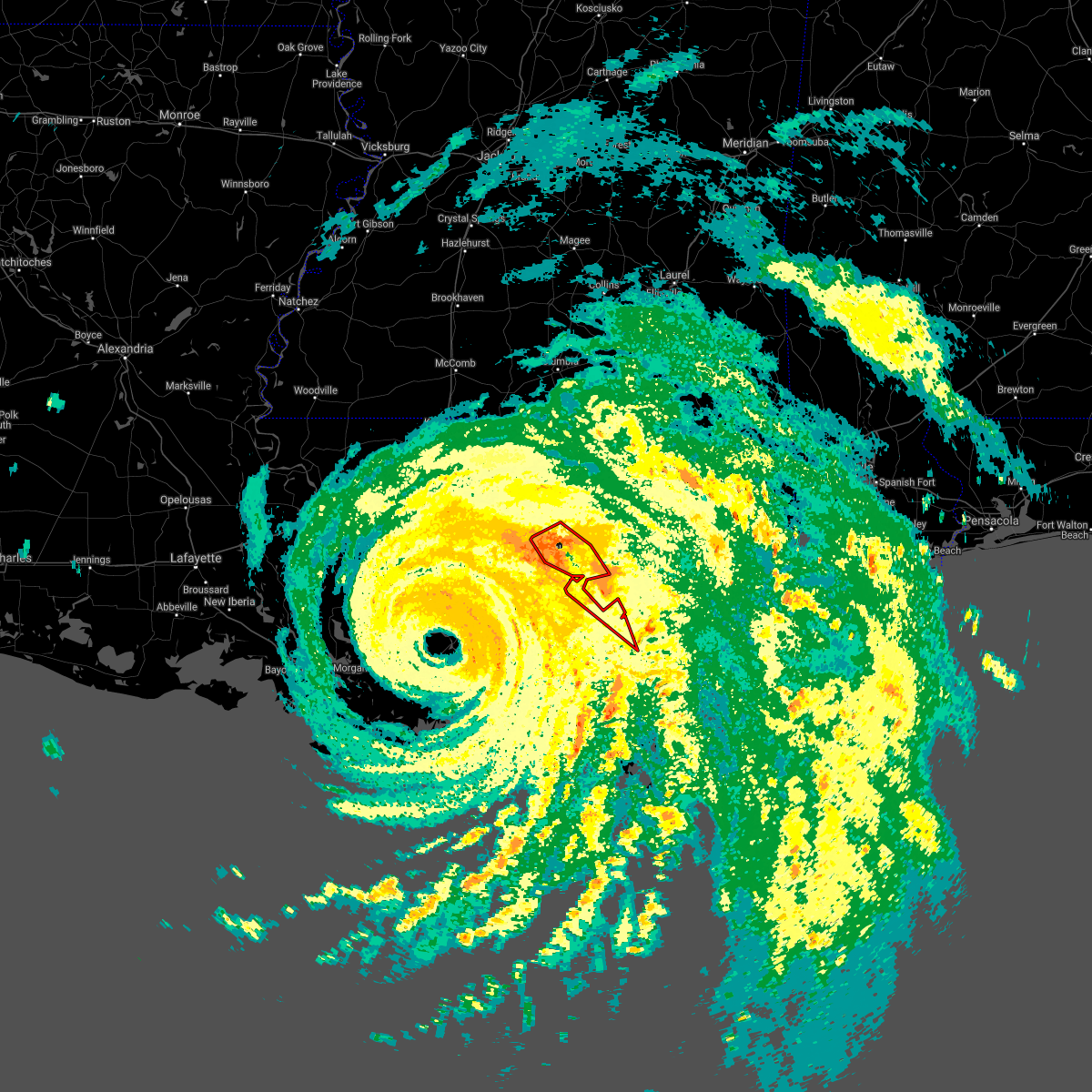 At 637 pm cdt, severe thunderstorms capable of producing tornadoes were located along a line extending from near lake catherine to 14 miles northeast of shell beach, moving northwest at 60 mph (radar indicated rotation). Hazards include tornado. Flying debris will be dangerous to those caught without shelter. mobile homes will be damaged or destroyed. damage to roofs, windows, and vehicles will occur. tree damage is likely. locations impacted include, new orleans, slidell, pearl river, lake catherine, pearlington, lacombe and slidell airport. this includes the following interstates, interstate 10 in louisiana between mile markers 260 and 273. interstate 10 in mississippi between mile markers 1 and 2. interstate 12 between mile markers 71 and 84. Interstate 59 in louisiana between mile markers 1 and 6. At 637 pm cdt, severe thunderstorms capable of producing tornadoes were located along a line extending from near lake catherine to 14 miles northeast of shell beach, moving northwest at 60 mph (radar indicated rotation). Hazards include tornado. Flying debris will be dangerous to those caught without shelter. mobile homes will be damaged or destroyed. damage to roofs, windows, and vehicles will occur. tree damage is likely. locations impacted include, new orleans, slidell, pearl river, lake catherine, pearlington, lacombe and slidell airport. this includes the following interstates, interstate 10 in louisiana between mile markers 260 and 273. interstate 10 in mississippi between mile markers 1 and 2. interstate 12 between mile markers 71 and 84. Interstate 59 in louisiana between mile markers 1 and 6.
|
| 8/29/2021 6:25 PM CDT |
 At 623 pm cdt, tropical rainbands capable of producing a tornado were located along a line extending from near lake catherine to 10 miles northeast of shell beach, moving north at 70 mph (radar indicated rotation). Hazards include tornado. Flying debris will be dangerous to those caught without shelter. mobile homes will be damaged or destroyed. damage to roofs, windows, and vehicles will occur. tree damage is likely. these dangerous storms will be near, lake catherine around 630 pm cdt. slidell around 635 pm cdt. pearl river around 650 pm cdt. pearlington around 655 pm cdt. other locations impacted by these tornadic storms include slidell airport. this includes the following interstates, interstate 10 in louisiana between mile markers 257 and 273. interstate 10 in mississippi between mile markers 1 and 3. interstate 12 between mile markers 71 and 84. Interstate 59 in louisiana between mile markers 1 and 11. At 623 pm cdt, tropical rainbands capable of producing a tornado were located along a line extending from near lake catherine to 10 miles northeast of shell beach, moving north at 70 mph (radar indicated rotation). Hazards include tornado. Flying debris will be dangerous to those caught without shelter. mobile homes will be damaged or destroyed. damage to roofs, windows, and vehicles will occur. tree damage is likely. these dangerous storms will be near, lake catherine around 630 pm cdt. slidell around 635 pm cdt. pearl river around 650 pm cdt. pearlington around 655 pm cdt. other locations impacted by these tornadic storms include slidell airport. this includes the following interstates, interstate 10 in louisiana between mile markers 257 and 273. interstate 10 in mississippi between mile markers 1 and 3. interstate 12 between mile markers 71 and 84. Interstate 59 in louisiana between mile markers 1 and 11.
|
| 6/21/2021 5:18 PM CDT |
 At 518 pm cdt, a severe thunderstorm was located 7 miles northeast of new orleans, moving east at 30 mph (radar indicated). Hazards include 60 mph wind gusts. expect damage to roofs, siding, and trees At 518 pm cdt, a severe thunderstorm was located 7 miles northeast of new orleans, moving east at 30 mph (radar indicated). Hazards include 60 mph wind gusts. expect damage to roofs, siding, and trees
|
| 6/21/2021 5:18 PM CDT |
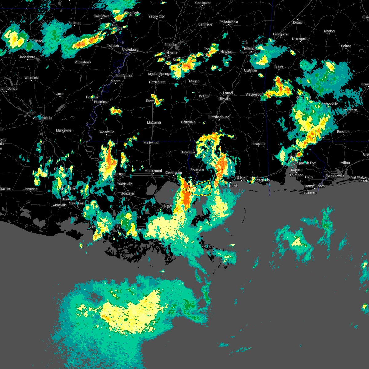 At 518 pm cdt, a severe thunderstorm was located 7 miles northeast of new orleans, moving east at 30 mph (radar indicated). Hazards include 60 mph wind gusts. expect damage to roofs, siding, and trees At 518 pm cdt, a severe thunderstorm was located 7 miles northeast of new orleans, moving east at 30 mph (radar indicated). Hazards include 60 mph wind gusts. expect damage to roofs, siding, and trees
|
| 6/13/2021 7:04 PM CDT |
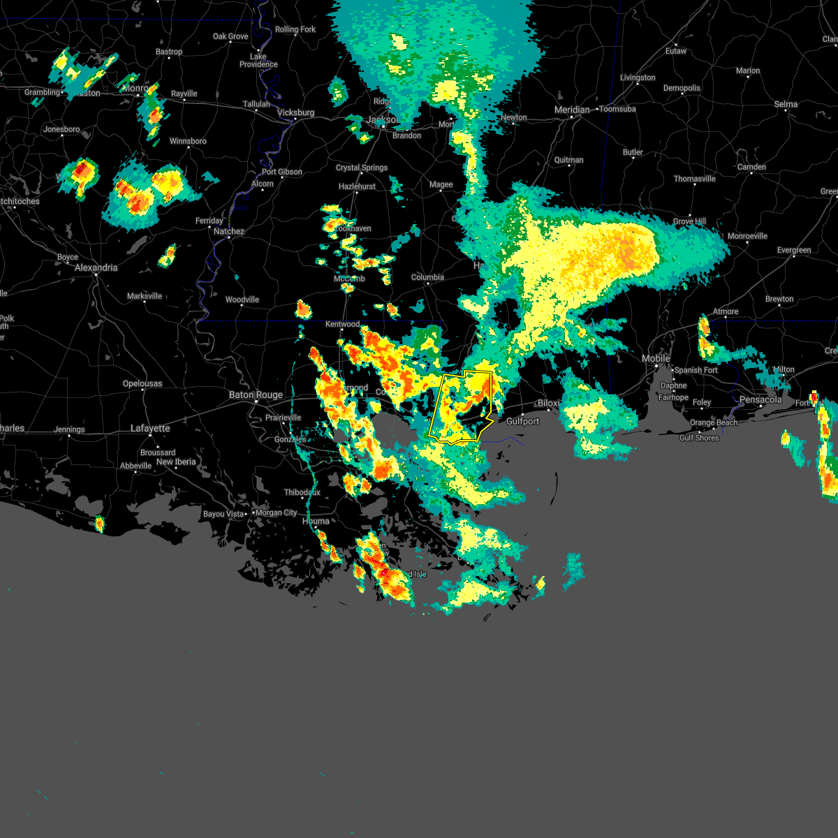 At 704 pm cdt, a severe thunderstorm was located over kiln, or near diamondhead, moving south at 40 mph (radar indicated). Hazards include 60 mph wind gusts and quarter size hail. Hail damage to vehicles is expected. expect wind damage to roofs, siding, and trees. locations impacted include, slidell, picayune, bay st. louis, waveland, diamondhead, pearl river, kiln, pearlington, shoreline park and stennis space center. this includes the following interstates, interstate 10 in louisiana between mile markers 261 and 273. interstate 10 in mississippi between mile markers 1 and 18. interstate 12 between mile markers 82 and 84. interstate 59 in louisiana between mile markers 1 and 11. Interstate 59 in mississippi between mile markers 1 and 13. At 704 pm cdt, a severe thunderstorm was located over kiln, or near diamondhead, moving south at 40 mph (radar indicated). Hazards include 60 mph wind gusts and quarter size hail. Hail damage to vehicles is expected. expect wind damage to roofs, siding, and trees. locations impacted include, slidell, picayune, bay st. louis, waveland, diamondhead, pearl river, kiln, pearlington, shoreline park and stennis space center. this includes the following interstates, interstate 10 in louisiana between mile markers 261 and 273. interstate 10 in mississippi between mile markers 1 and 18. interstate 12 between mile markers 82 and 84. interstate 59 in louisiana between mile markers 1 and 11. Interstate 59 in mississippi between mile markers 1 and 13.
|
| 6/13/2021 6:35 PM CDT |
 At 633 pm cdt, a severe thunderstorm was located 11 miles east of mcneil, or 12 miles southeast of poplarville, moving south at 40 mph. this is a very dangerous storm (radar indicated). Hazards include 80 mph wind gusts and quarter size hail. Flying debris will be dangerous to those caught without shelter. mobile homes will be heavily damaged. expect considerable damage to roofs, windows, and vehicles. Extensive tree damage and power outages are likely. At 633 pm cdt, a severe thunderstorm was located 11 miles east of mcneil, or 12 miles southeast of poplarville, moving south at 40 mph. this is a very dangerous storm (radar indicated). Hazards include 80 mph wind gusts and quarter size hail. Flying debris will be dangerous to those caught without shelter. mobile homes will be heavily damaged. expect considerable damage to roofs, windows, and vehicles. Extensive tree damage and power outages are likely.
|
| 6/13/2021 4:43 PM CDT |
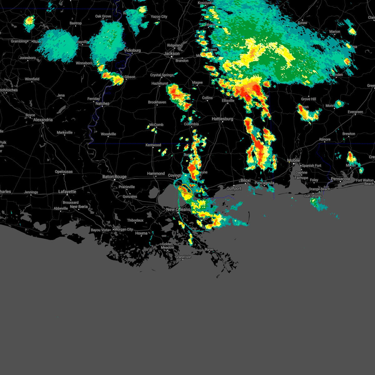 The severe thunderstorm warning for south central st. tammany parish will expire at 445 pm cdt, the storm which prompted the warning has weakened below severe limits, and no longer poses an immediate threat to life or property. therefore, the warning will be allowed to expire. however gusty winds in excess of 40 mph and pea sized hail will still possible with this thunderstorm. a severe thunderstorm watch remains in effect until 700 pm cdt for southeastern louisiana. The severe thunderstorm warning for south central st. tammany parish will expire at 445 pm cdt, the storm which prompted the warning has weakened below severe limits, and no longer poses an immediate threat to life or property. therefore, the warning will be allowed to expire. however gusty winds in excess of 40 mph and pea sized hail will still possible with this thunderstorm. a severe thunderstorm watch remains in effect until 700 pm cdt for southeastern louisiana.
|
| 6/13/2021 4:30 PM CDT |
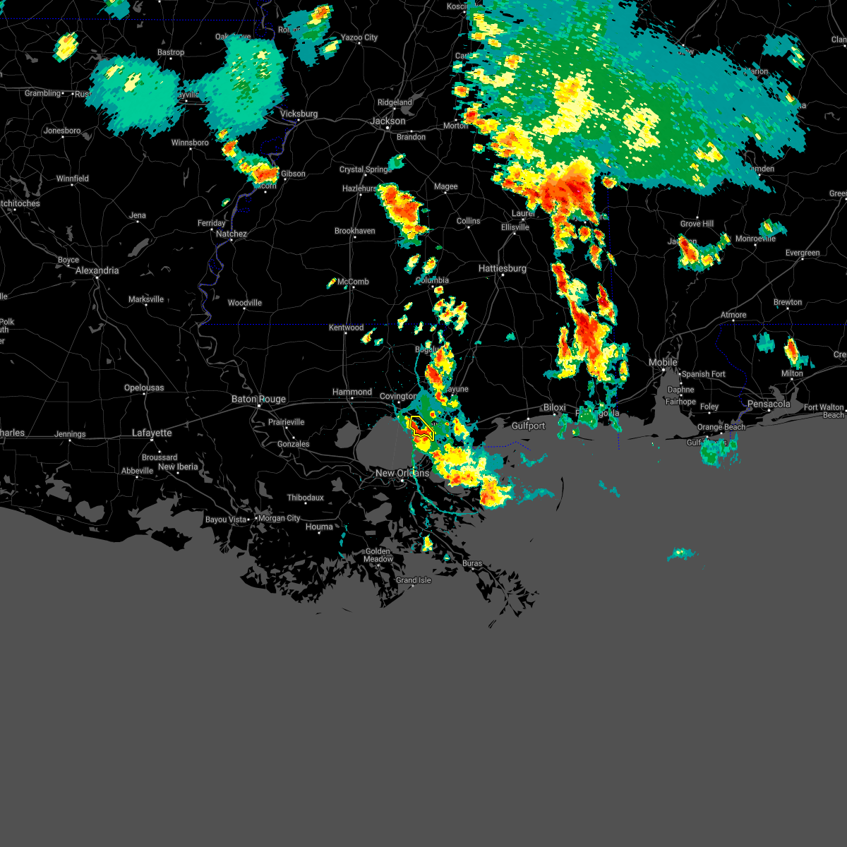 At 430 pm cdt, a severe thunderstorm was located near lacombe, or 8 miles southwest of slidell, moving south at 10 mph (radar indicated). Hazards include 60 mph wind gusts. Expect damage to roofs, siding, and trees. locations impacted include, lacombe. This includes interstate 12 between mile markers 71 and 76. At 430 pm cdt, a severe thunderstorm was located near lacombe, or 8 miles southwest of slidell, moving south at 10 mph (radar indicated). Hazards include 60 mph wind gusts. Expect damage to roofs, siding, and trees. locations impacted include, lacombe. This includes interstate 12 between mile markers 71 and 76.
|
| 6/13/2021 4:03 PM CDT |
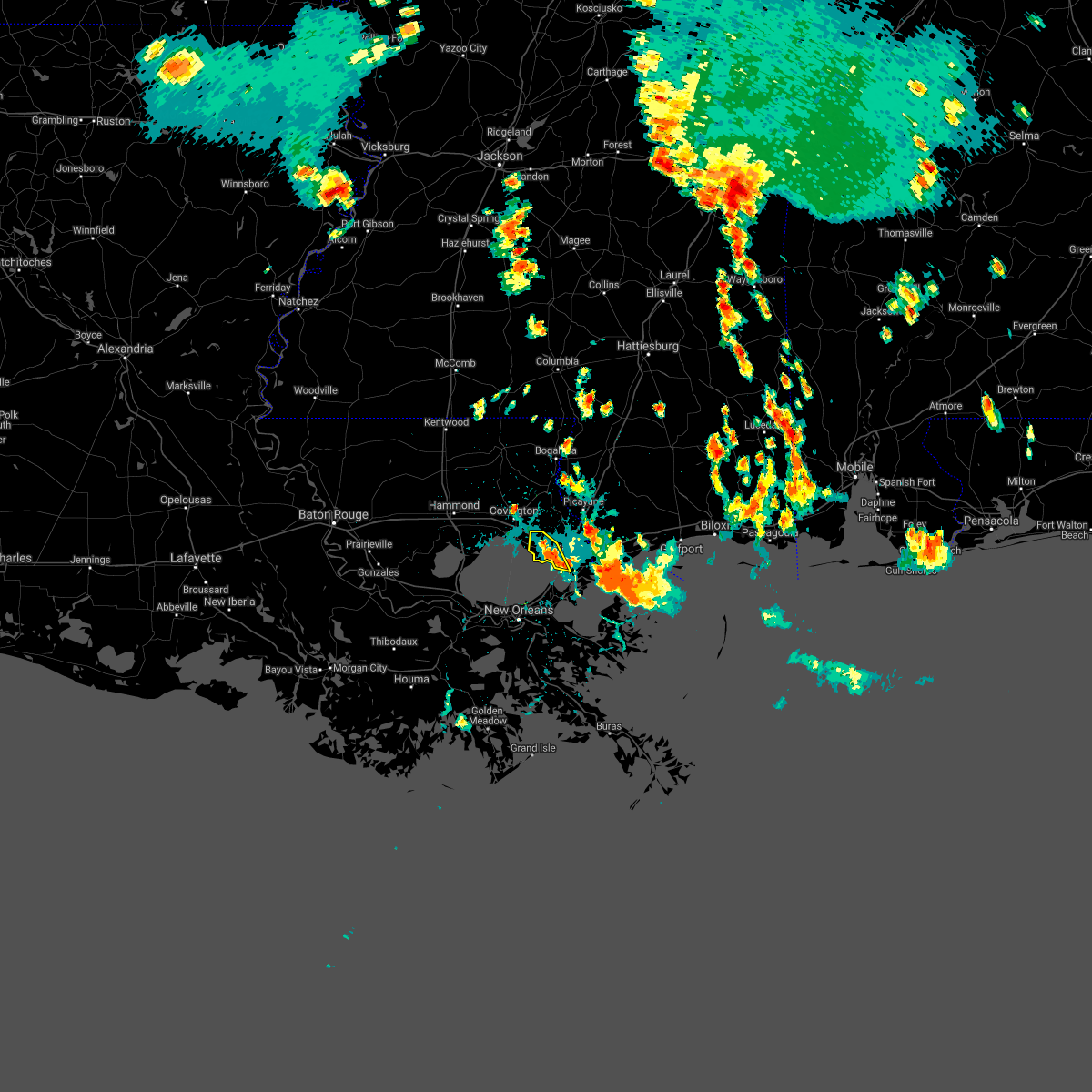 At 403 pm cdt, a severe thunderstorm was located over lacombe, or 7 miles west of slidell, moving south at 10 mph (radar indicated). Hazards include 60 mph wind gusts and penny size hail. expect damage to roofs, siding, and trees At 403 pm cdt, a severe thunderstorm was located over lacombe, or 7 miles west of slidell, moving south at 10 mph (radar indicated). Hazards include 60 mph wind gusts and penny size hail. expect damage to roofs, siding, and trees
|
| 4/24/2021 4:06 AM CDT |
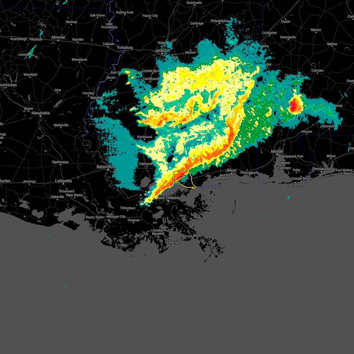 At 405 am cdt, a severe thunderstorm was located near lacombe, or near slidell, moving east at 45 mph (radar indicated). Hazards include 60 mph wind gusts. expect damage to roofs, siding, and trees At 405 am cdt, a severe thunderstorm was located near lacombe, or near slidell, moving east at 45 mph (radar indicated). Hazards include 60 mph wind gusts. expect damage to roofs, siding, and trees
|
| 4/15/2021 1:21 AM CDT |
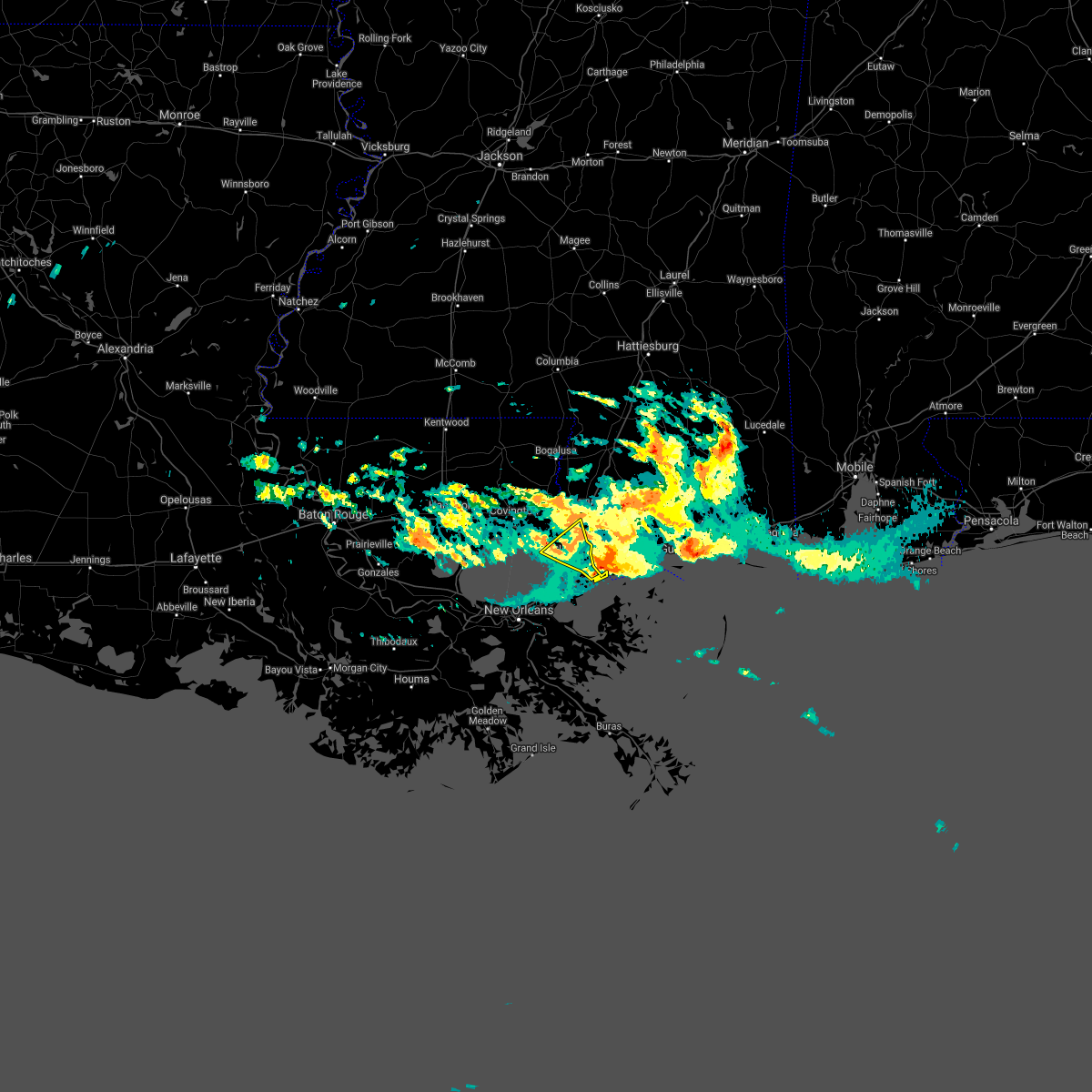 At 121 am cdt, a severe thunderstorm was located near pearlington, or 10 miles east of slidell, moving east at 20 mph (radar indicated). Hazards include 60 mph wind gusts and quarter size hail. Hail damage to vehicles is expected. expect wind damage to roofs, siding, and trees. Locations impacted include, slidell, pearl river, lacombe, pearlington and slidell airport. At 121 am cdt, a severe thunderstorm was located near pearlington, or 10 miles east of slidell, moving east at 20 mph (radar indicated). Hazards include 60 mph wind gusts and quarter size hail. Hail damage to vehicles is expected. expect wind damage to roofs, siding, and trees. Locations impacted include, slidell, pearl river, lacombe, pearlington and slidell airport.
|
| 4/15/2021 12:33 AM CDT |
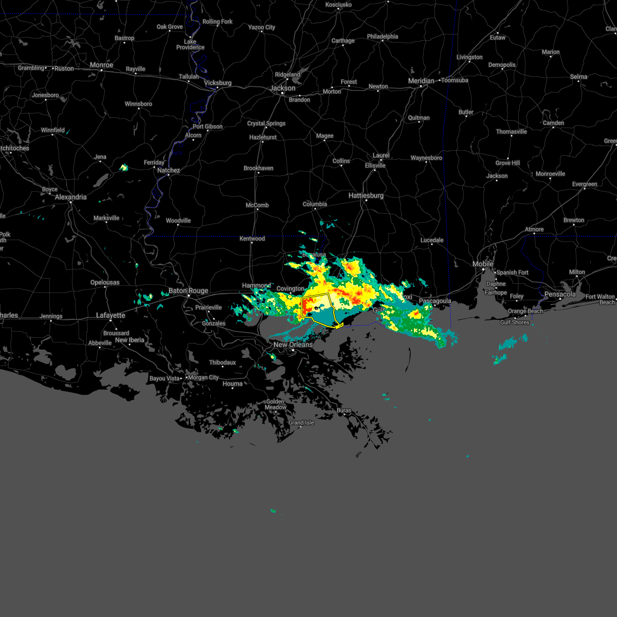 At 1232 am cdt, a severe thunderstorm was located over lacombe, or 7 miles west of slidell, moving east at 20 mph (radar indicated). Hazards include 60 mph wind gusts and quarter size hail. Hail damage to vehicles is expected. Expect wind damage to roofs, siding, and trees. At 1232 am cdt, a severe thunderstorm was located over lacombe, or 7 miles west of slidell, moving east at 20 mph (radar indicated). Hazards include 60 mph wind gusts and quarter size hail. Hail damage to vehicles is expected. Expect wind damage to roofs, siding, and trees.
|
| 4/13/2021 12:14 PM CDT |
 At 1213 pm cdt, severe thunderstorms were located along a line extending from 6 miles west of folsom to near robert, moving east at 35 mph (radar indicated). Hazards include 60 mph wind gusts and penny size hail. expect damage to roofs, siding, and trees At 1213 pm cdt, severe thunderstorms were located along a line extending from 6 miles west of folsom to near robert, moving east at 35 mph (radar indicated). Hazards include 60 mph wind gusts and penny size hail. expect damage to roofs, siding, and trees
|
| 4/10/2021 4:58 AM CDT |
 At 458 am cdt, severe thunderstorms were located along a line extending from 8 miles north of new orleans to 7 miles northwest of metairie, moving southeast at 35 mph (radar indicated). Hazards include 70 mph wind gusts. Expect considerable tree damage. Damage is likely to mobile homes, roofs, and outbuildings. At 458 am cdt, severe thunderstorms were located along a line extending from 8 miles north of new orleans to 7 miles northwest of metairie, moving southeast at 35 mph (radar indicated). Hazards include 70 mph wind gusts. Expect considerable tree damage. Damage is likely to mobile homes, roofs, and outbuildings.
|
| 4/8/2021 3:09 AM CDT |
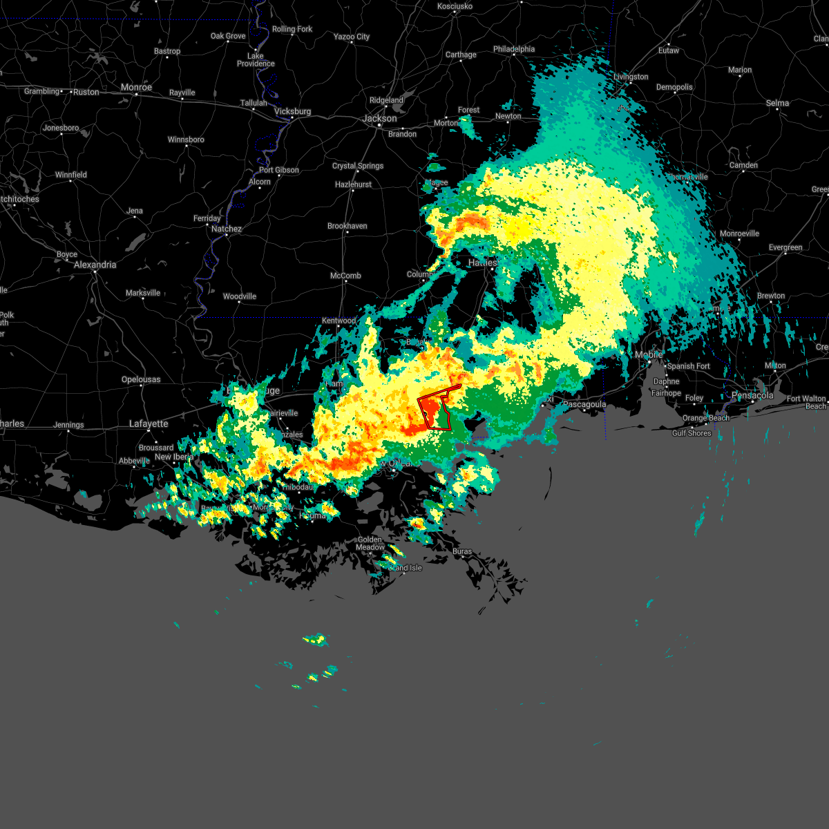 At 309 am cdt, a severe thunderstorm capable of producing a tornado was located over pearl river, or near slidell, moving east at 35 mph (radar indicated rotation). Hazards include tornado. Flying debris will be dangerous to those caught without shelter. mobile homes will be damaged or destroyed. damage to roofs, windows, and vehicles will occur. tree damage is likely. this tornadic thunderstorm will remain over mainly rural areas of southeastern st. Tammany parish in southeastern louisiana and south central pearl river counties, including the following locations, slidell airport. At 309 am cdt, a severe thunderstorm capable of producing a tornado was located over pearl river, or near slidell, moving east at 35 mph (radar indicated rotation). Hazards include tornado. Flying debris will be dangerous to those caught without shelter. mobile homes will be damaged or destroyed. damage to roofs, windows, and vehicles will occur. tree damage is likely. this tornadic thunderstorm will remain over mainly rural areas of southeastern st. Tammany parish in southeastern louisiana and south central pearl river counties, including the following locations, slidell airport.
|
| 4/8/2021 2:56 AM CDT |
 At 255 am cdt, a severe thunderstorm capable of producing a tornado was located over lacombe, or 7 miles northwest of slidell, moving east at 35 mph (radar indicated rotation). Hazards include tornado. Flying debris will be dangerous to those caught without shelter. mobile homes will be damaged or destroyed. damage to roofs, windows, and vehicles will occur. tree damage is likely. this dangerous storm will be near, slidell around 305 am cdt. pearl river around 315 am cdt. other locations impacted by this tornadic thunderstorm include slidell airport. People attending st tammany festival test should seek safe shelter immediately!. At 255 am cdt, a severe thunderstorm capable of producing a tornado was located over lacombe, or 7 miles northwest of slidell, moving east at 35 mph (radar indicated rotation). Hazards include tornado. Flying debris will be dangerous to those caught without shelter. mobile homes will be damaged or destroyed. damage to roofs, windows, and vehicles will occur. tree damage is likely. this dangerous storm will be near, slidell around 305 am cdt. pearl river around 315 am cdt. other locations impacted by this tornadic thunderstorm include slidell airport. People attending st tammany festival test should seek safe shelter immediately!.
|
| 4/8/2021 2:24 AM CDT |
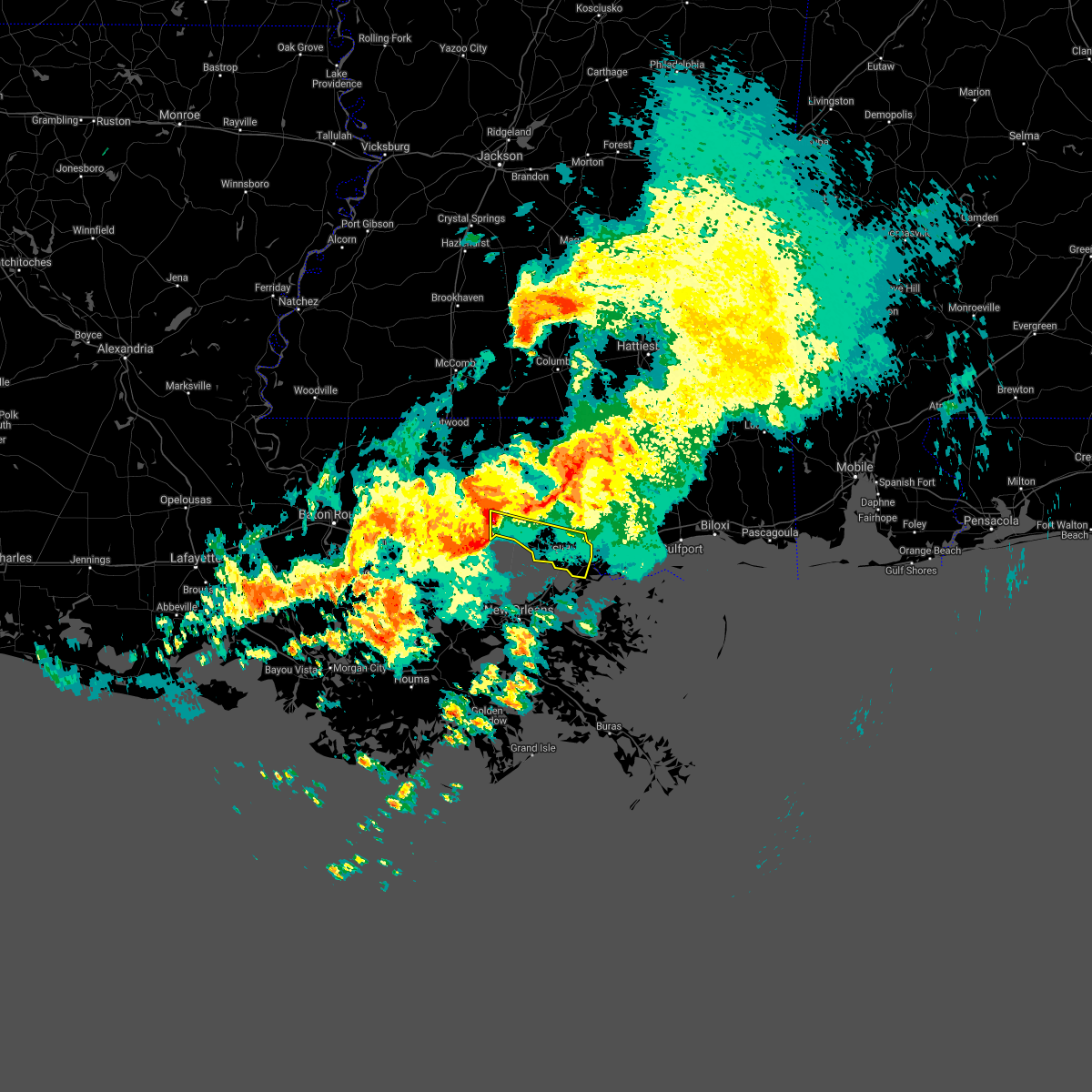 At 224 am cdt, a severe thunderstorm was located over madisonville, or near covington, moving east at 40 mph (radar indicated). Hazards include 60 mph wind gusts and quarter size hail. Hail damage to vehicles is expected. Expect wind damage to roofs, siding, and trees. At 224 am cdt, a severe thunderstorm was located over madisonville, or near covington, moving east at 40 mph (radar indicated). Hazards include 60 mph wind gusts and quarter size hail. Hail damage to vehicles is expected. Expect wind damage to roofs, siding, and trees.
|
| 3/23/2021 12:26 PM CDT |
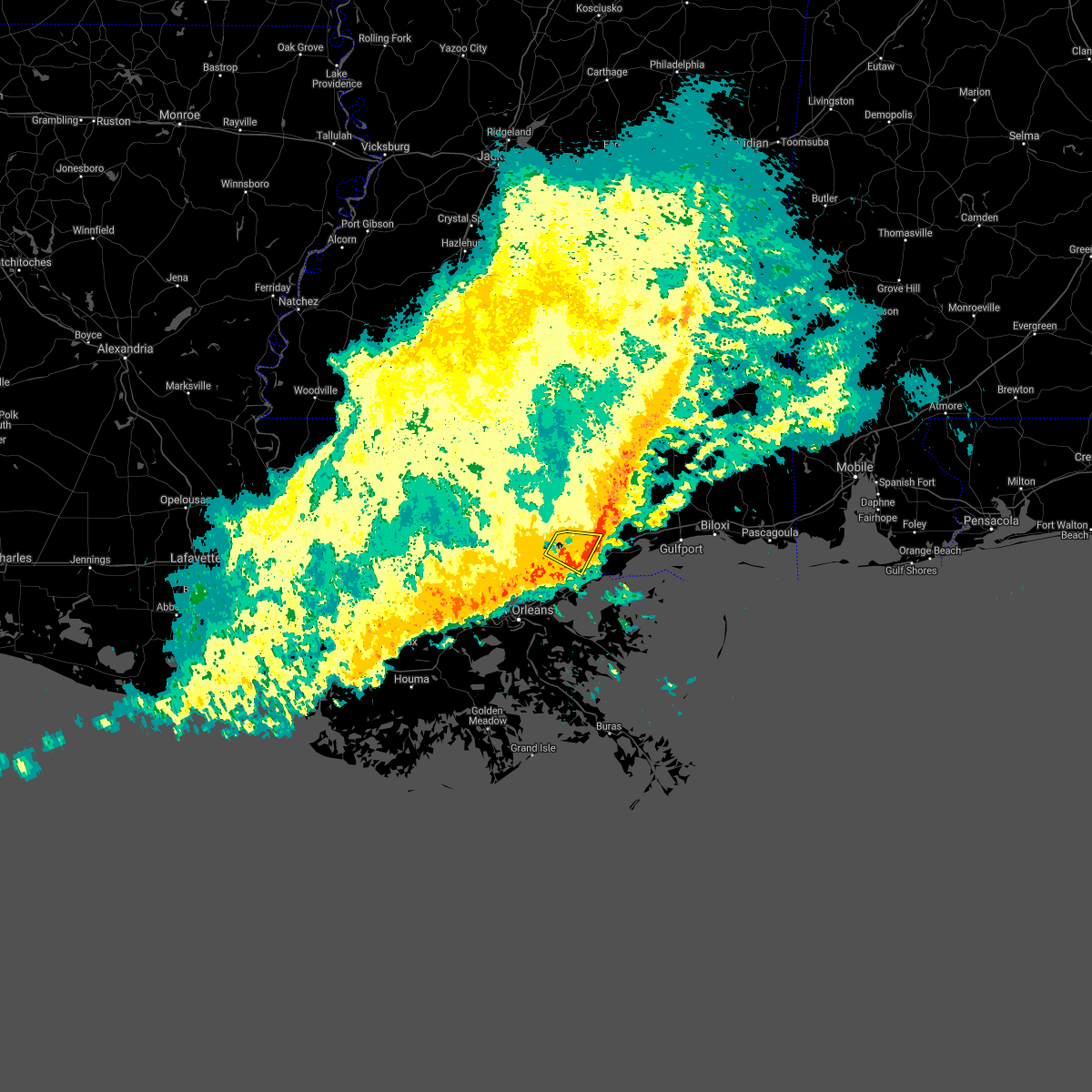 The severe thunderstorm warning for southeastern st. tammany parish in southeastern louisiana and west central hancock counties will expire at 1230 pm cdt, the storm which prompted the warning has weakened below severe limits, and has exited the warned area. therefore, the warning will be allowed to expire. The severe thunderstorm warning for southeastern st. tammany parish in southeastern louisiana and west central hancock counties will expire at 1230 pm cdt, the storm which prompted the warning has weakened below severe limits, and has exited the warned area. therefore, the warning will be allowed to expire.
|
| 3/23/2021 12:15 PM CDT |
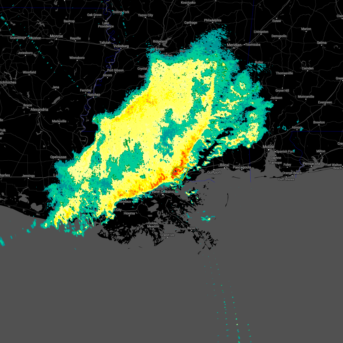 At 1214 pm cdt, a severe thunderstorm was located near pearl river, or near slidell, moving east at 40 mph (radar indicated). Hazards include 60 mph wind gusts. Expect damage to roofs, siding, and trees. Locations impacted include, slidell, pearl river, stennis space center, lacombe and slidell airport. At 1214 pm cdt, a severe thunderstorm was located near pearl river, or near slidell, moving east at 40 mph (radar indicated). Hazards include 60 mph wind gusts. Expect damage to roofs, siding, and trees. Locations impacted include, slidell, pearl river, stennis space center, lacombe and slidell airport.
|
| 3/23/2021 11:49 AM CDT |
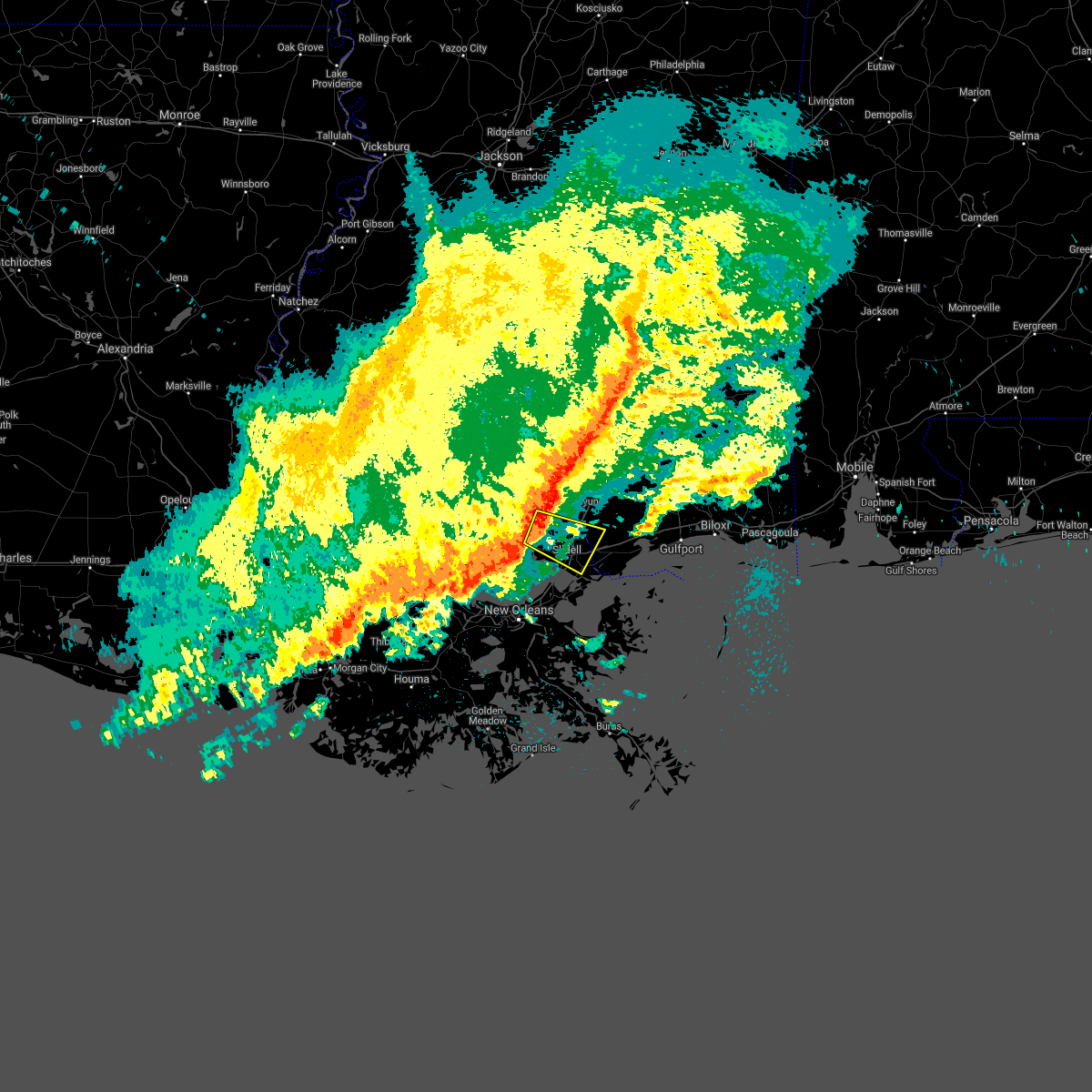 At 1147 am cdt, a severe thunderstorm was located near lacombe, or 12 miles northwest of slidell, moving east at 40 mph (radar indicated). Hazards include 60 mph wind gusts. expect damage to roofs, siding, and trees At 1147 am cdt, a severe thunderstorm was located near lacombe, or 12 miles northwest of slidell, moving east at 40 mph (radar indicated). Hazards include 60 mph wind gusts. expect damage to roofs, siding, and trees
|
| 8/16/2020 9:11 PM CDT |
 At 911 pm cdt, severe thunderstorms were located along a line extending from 10 miles west of saucier to 7 miles northwest of pearl river to 6 miles south of folsom, moving south at 60 mph (radar indicated). Hazards include 60 mph wind gusts. expect damage to roofs, siding, and trees At 911 pm cdt, severe thunderstorms were located along a line extending from 10 miles west of saucier to 7 miles northwest of pearl river to 6 miles south of folsom, moving south at 60 mph (radar indicated). Hazards include 60 mph wind gusts. expect damage to roofs, siding, and trees
|
| 8/16/2020 9:11 PM CDT |
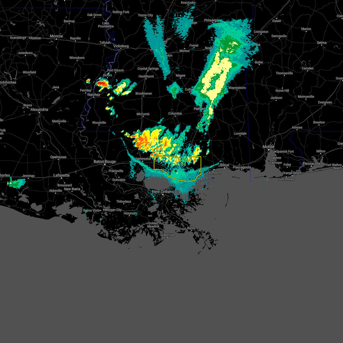 At 911 pm cdt, severe thunderstorms were located along a line extending from 10 miles west of saucier to 7 miles northwest of pearl river to 6 miles south of folsom, moving south at 60 mph (radar indicated). Hazards include 60 mph wind gusts. expect damage to roofs, siding, and trees At 911 pm cdt, severe thunderstorms were located along a line extending from 10 miles west of saucier to 7 miles northwest of pearl river to 6 miles south of folsom, moving south at 60 mph (radar indicated). Hazards include 60 mph wind gusts. expect damage to roofs, siding, and trees
|
| 8/15/2020 2:36 PM CDT |
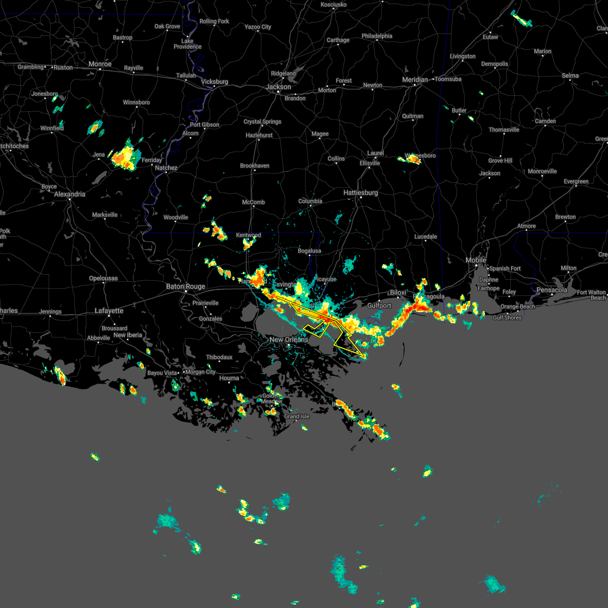 At 235 pm cdt, severe thunderstorms were located along a line extending from madisonville to 14 miles south of waveland, moving south at 15 mph (radar indicated). Hazards include 60 mph wind gusts. Expect damage to roofs, siding, and trees. Locations impacted include, far eastern new orleans, slidell, madisonville, lake catherine and lacombe. At 235 pm cdt, severe thunderstorms were located along a line extending from madisonville to 14 miles south of waveland, moving south at 15 mph (radar indicated). Hazards include 60 mph wind gusts. Expect damage to roofs, siding, and trees. Locations impacted include, far eastern new orleans, slidell, madisonville, lake catherine and lacombe.
|
| 8/15/2020 2:23 PM CDT |
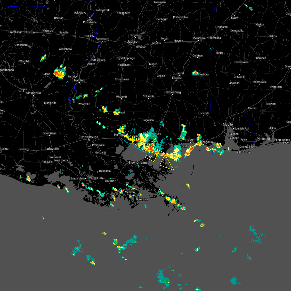 At 223 pm cdt, severe thunderstorms were located along a line extending from near madisonville to 11 miles south of waveland, moving south at 15 mph (radar indicated). Hazards include 60 mph wind gusts. expect damage to roofs, siding, and trees At 223 pm cdt, severe thunderstorms were located along a line extending from near madisonville to 11 miles south of waveland, moving south at 15 mph (radar indicated). Hazards include 60 mph wind gusts. expect damage to roofs, siding, and trees
|
| 4/19/2020 11:10 PM CDT |
 At 1110 pm cdt, a severe thunderstorm was located near pearlington, or 9 miles east of slidell, moving east at 35 mph (radar indicated). Hazards include 60 mph wind gusts and quarter size hail. Hail damage to vehicles is expected. expect wind damage to roofs, siding, and trees. locations impacted include, slidell, bay st. Louis, waveland, diamondhead, pearlington, shoreline park and kiln. At 1110 pm cdt, a severe thunderstorm was located near pearlington, or 9 miles east of slidell, moving east at 35 mph (radar indicated). Hazards include 60 mph wind gusts and quarter size hail. Hail damage to vehicles is expected. expect wind damage to roofs, siding, and trees. locations impacted include, slidell, bay st. Louis, waveland, diamondhead, pearlington, shoreline park and kiln.
|
| 4/19/2020 10:56 PM CDT |
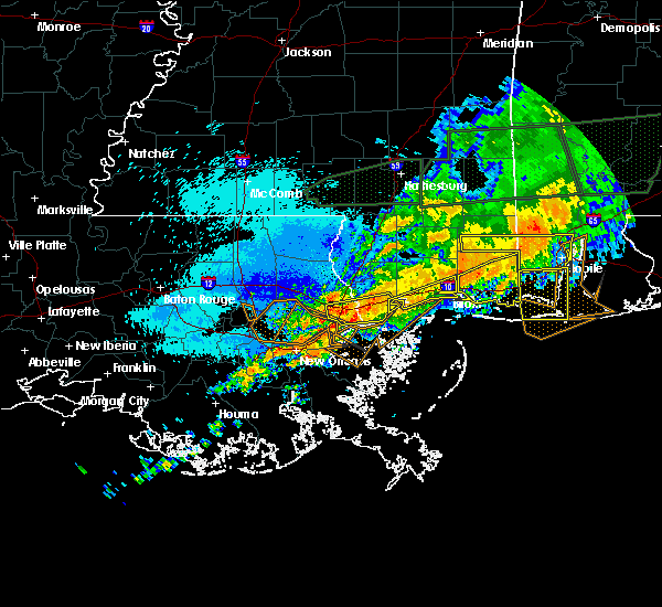 At 1055 pm cdt, a severe thunderstorm was located over slidell, moving east at 35 mph (radar indicated). Hazards include 60 mph wind gusts and quarter size hail. Hail damage to vehicles is expected. Expect wind damage to roofs, siding, and trees. At 1055 pm cdt, a severe thunderstorm was located over slidell, moving east at 35 mph (radar indicated). Hazards include 60 mph wind gusts and quarter size hail. Hail damage to vehicles is expected. Expect wind damage to roofs, siding, and trees.
|
| 4/9/2020 11:23 PM CDT |
 At 1123 pm cdt, a severe thunderstorm was located near pearlington, or near slidell, moving east at 55 mph (radar indicated). Hazards include 60 mph wind gusts and penny size hail. expect damage to roofs, siding, and trees At 1123 pm cdt, a severe thunderstorm was located near pearlington, or near slidell, moving east at 55 mph (radar indicated). Hazards include 60 mph wind gusts and penny size hail. expect damage to roofs, siding, and trees
|
| 2/5/2020 1:41 PM CST |
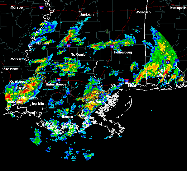 At 141 pm cst, a severe thunderstorm was located near east new orleans, moving northeast at 45 mph (radar indicated). Hazards include 60 mph wind gusts and penny size hail. expect damage to roofs, siding, and trees At 141 pm cst, a severe thunderstorm was located near east new orleans, moving northeast at 45 mph (radar indicated). Hazards include 60 mph wind gusts and penny size hail. expect damage to roofs, siding, and trees
|
| 2/5/2020 1:41 PM CST |
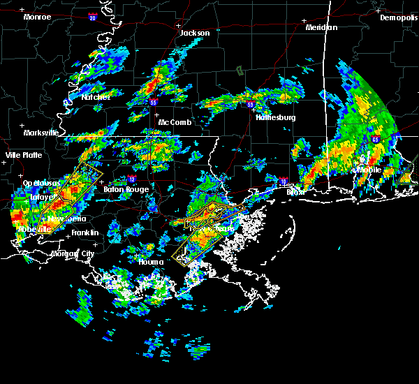 At 141 pm cst, a severe thunderstorm was located near east new orleans, moving northeast at 45 mph (radar indicated). Hazards include 60 mph wind gusts and penny size hail. expect damage to roofs, siding, and trees At 141 pm cst, a severe thunderstorm was located near east new orleans, moving northeast at 45 mph (radar indicated). Hazards include 60 mph wind gusts and penny size hail. expect damage to roofs, siding, and trees
|
| 7/10/2019 5:20 PM CDT |
 At 520 pm cdt, a severe thunderstorm was located near slidell, moving west at 20 mph (radar indicated). Hazards include 60 mph wind gusts. Expect damage to roofs, siding, and trees. Locations impacted include, slidell, pearl river, stennis space center, pearlington and slidell airport. At 520 pm cdt, a severe thunderstorm was located near slidell, moving west at 20 mph (radar indicated). Hazards include 60 mph wind gusts. Expect damage to roofs, siding, and trees. Locations impacted include, slidell, pearl river, stennis space center, pearlington and slidell airport.
|
| 7/10/2019 5:20 PM CDT |
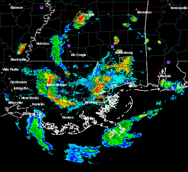 At 520 pm cdt, a severe thunderstorm was located near slidell, moving west at 20 mph (radar indicated). Hazards include 60 mph wind gusts. Expect damage to roofs, siding, and trees. Locations impacted include, slidell, pearl river, stennis space center, pearlington and slidell airport. At 520 pm cdt, a severe thunderstorm was located near slidell, moving west at 20 mph (radar indicated). Hazards include 60 mph wind gusts. Expect damage to roofs, siding, and trees. Locations impacted include, slidell, pearl river, stennis space center, pearlington and slidell airport.
|
| 7/10/2019 4:56 PM CDT |
 At 456 pm cdt, a severe thunderstorm was located near pearlington, or 10 miles east of slidell, moving west at 20 mph (radar indicated). Hazards include 60 mph wind gusts. expect damage to roofs, siding, and trees At 456 pm cdt, a severe thunderstorm was located near pearlington, or 10 miles east of slidell, moving west at 20 mph (radar indicated). Hazards include 60 mph wind gusts. expect damage to roofs, siding, and trees
|
| 7/9/2019 6:48 PM CDT |
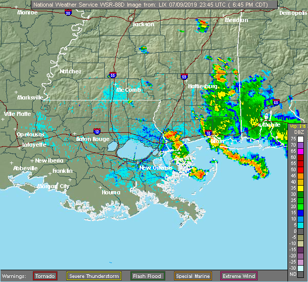 At 648 pm cdt, a severe thunderstorm was located over stennis space center, or 9 miles southeast of picayune, moving south at 30 mph (radar indicated). Hazards include 60 mph wind gusts and quarter size hail. Hail damage to vehicles is expected. Expect wind damage to roofs, siding, and trees. At 648 pm cdt, a severe thunderstorm was located over stennis space center, or 9 miles southeast of picayune, moving south at 30 mph (radar indicated). Hazards include 60 mph wind gusts and quarter size hail. Hail damage to vehicles is expected. Expect wind damage to roofs, siding, and trees.
|
| 7/9/2019 6:22 PM CDT |
 At 622 pm cdt, severe thunderstorms were located along a line extending from 10 miles south of waveland to near kiln, moving west at 10 mph (radar indicated). Hazards include 60 mph wind gusts and nickel size hail. Expect damage to roofs, siding, and trees. locations impacted include, slidell, bay st. Louis, waveland, diamondhead, pearl river, lake catherine, kiln, pearlington, shoreline park, stennis space center and slidell airport. At 622 pm cdt, severe thunderstorms were located along a line extending from 10 miles south of waveland to near kiln, moving west at 10 mph (radar indicated). Hazards include 60 mph wind gusts and nickel size hail. Expect damage to roofs, siding, and trees. locations impacted include, slidell, bay st. Louis, waveland, diamondhead, pearl river, lake catherine, kiln, pearlington, shoreline park, stennis space center and slidell airport.
|
| 7/9/2019 6:01 PM CDT |
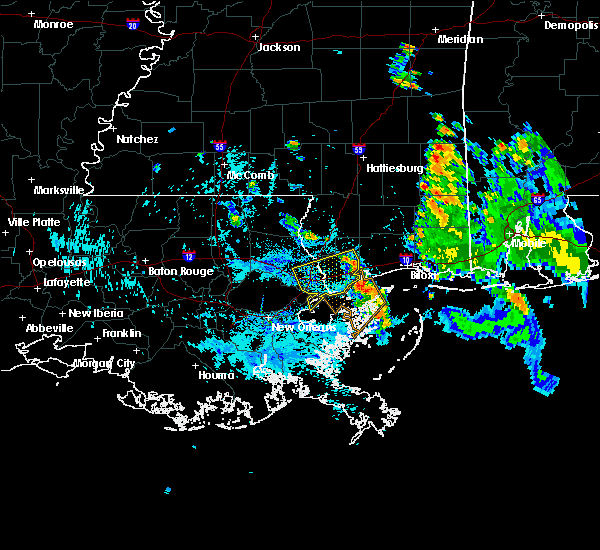 At 601 pm cdt, severe thunderstorms were located along a line extending from 20 miles northeast of shell beach to near stennis space center, moving southwest at 25 mph (radar indicated). Hazards include 60 mph wind gusts. expect damage to roofs, siding, and trees At 601 pm cdt, severe thunderstorms were located along a line extending from 20 miles northeast of shell beach to near stennis space center, moving southwest at 25 mph (radar indicated). Hazards include 60 mph wind gusts. expect damage to roofs, siding, and trees
|
| 6/7/2019 10:35 PM CDT |
 At 1024 pm cdt, a severe thunderstorm was located near lacombe, or 11 miles southeast of covington, moving east at 25 mph (radar indicated). Hazards include 60 mph wind gusts. expect damage to roofs, siding, and trees At 1024 pm cdt, a severe thunderstorm was located near lacombe, or 11 miles southeast of covington, moving east at 25 mph (radar indicated). Hazards include 60 mph wind gusts. expect damage to roofs, siding, and trees
|
| 6/7/2019 10:24 PM CDT |
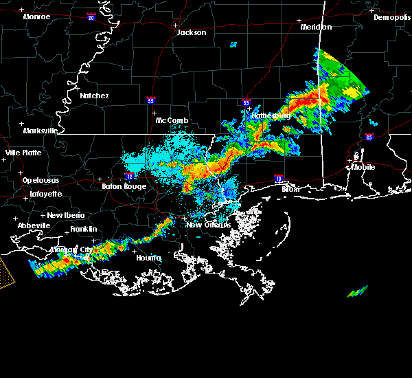 At 1024 pm cdt, a severe thunderstorm was located near lacombe, or 11 miles southeast of covington, moving east at 25 mph (radar indicated). Hazards include 60 mph wind gusts. expect damage to roofs, siding, and trees At 1024 pm cdt, a severe thunderstorm was located near lacombe, or 11 miles southeast of covington, moving east at 25 mph (radar indicated). Hazards include 60 mph wind gusts. expect damage to roofs, siding, and trees
|
| 5/4/2019 11:13 AM CDT |
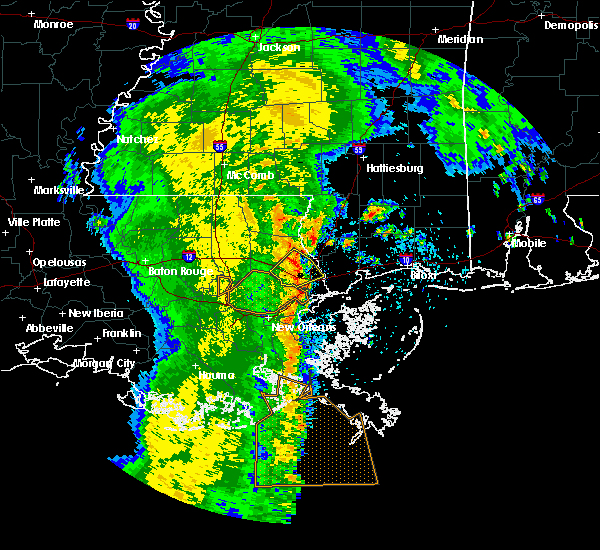 At 1112 am cdt, a severe thunderstorm was located near pearl river, or 9 miles north of slidell, moving northeast at 40 mph (radar indicated). Hazards include 60 mph wind gusts. expect damage to roofs, siding, and trees At 1112 am cdt, a severe thunderstorm was located near pearl river, or 9 miles north of slidell, moving northeast at 40 mph (radar indicated). Hazards include 60 mph wind gusts. expect damage to roofs, siding, and trees
|
| 5/4/2019 11:13 AM CDT |
 The national weather service in new orleans has issued a * severe thunderstorm warning for. central st. tammany parish in southeastern louisiana. central hancock county in southern mississippi. southwestern pearl river county in southern mississippi. Until 1145 am cdt. The national weather service in new orleans has issued a * severe thunderstorm warning for. central st. tammany parish in southeastern louisiana. central hancock county in southern mississippi. southwestern pearl river county in southern mississippi. Until 1145 am cdt.
|
| 7/2/2018 1:41 PM CDT |
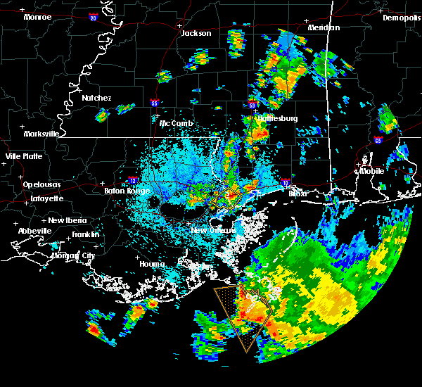 At 141 pm cdt, a severe thunderstorm was located near pearlington, or 10 miles east of slidell, moving southwest at 20 mph (radar indicated). Hazards include 60 mph wind gusts. expect damage to roofs, siding, and trees At 141 pm cdt, a severe thunderstorm was located near pearlington, or 10 miles east of slidell, moving southwest at 20 mph (radar indicated). Hazards include 60 mph wind gusts. expect damage to roofs, siding, and trees
|
| 7/2/2018 1:08 PM CDT |
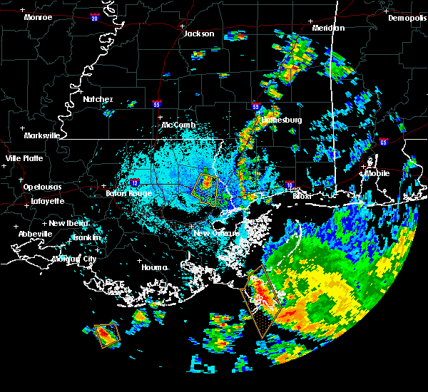 At 108 pm cdt, a severe thunderstorm was located 7 miles southeast of abita springs, or 11 miles east of covington, moving south at 20 mph (radar indicated). Hazards include 60 mph wind gusts. expect damage to roofs, siding, and trees At 108 pm cdt, a severe thunderstorm was located 7 miles southeast of abita springs, or 11 miles east of covington, moving south at 20 mph (radar indicated). Hazards include 60 mph wind gusts. expect damage to roofs, siding, and trees
|
| 10/22/2017 12:04 PM CDT |
 At 1203 pm cdt, severe thunderstorms were located along a line extending from near pinebur to 6 miles west of east new orleans to 8 miles southwest of avondale, moving east at 45 mph (radar indicated). Hazards include 60 mph wind gusts. Expect damage to roofs, siding, and trees. Locations impacted include, new orleans, slidell, bogalusa, picayune, covington, poplarville, east new orleans, belle chasse, gretna, pearl river, abita springs, lumberton, varnado, sun, lake catherine, lacombe, crossroads, bush, mcneil and kiln. At 1203 pm cdt, severe thunderstorms were located along a line extending from near pinebur to 6 miles west of east new orleans to 8 miles southwest of avondale, moving east at 45 mph (radar indicated). Hazards include 60 mph wind gusts. Expect damage to roofs, siding, and trees. Locations impacted include, new orleans, slidell, bogalusa, picayune, covington, poplarville, east new orleans, belle chasse, gretna, pearl river, abita springs, lumberton, varnado, sun, lake catherine, lacombe, crossroads, bush, mcneil and kiln.
|
| 10/22/2017 11:57 AM CDT |
 At 1157 am cdt, severe thunderstorms were located along a line extending from near sandy hook to 8 miles southeast of madisonville, moving east at 20 mph (radar indicated). Hazards include 60 mph wind gusts. expect damage to roofs, siding, and trees At 1157 am cdt, severe thunderstorms were located along a line extending from near sandy hook to 8 miles southeast of madisonville, moving east at 20 mph (radar indicated). Hazards include 60 mph wind gusts. expect damage to roofs, siding, and trees
|
| 6/21/2017 3:21 PM CDT |
 At 320 pm cdt, a severe thunderstorm was located near pearlington, or 11 miles southeast of slidell, moving northwest at 45 mph (radar indicated). Hazards include 60 mph wind gusts. expect damage to roofs, siding, and trees At 320 pm cdt, a severe thunderstorm was located near pearlington, or 11 miles southeast of slidell, moving northwest at 45 mph (radar indicated). Hazards include 60 mph wind gusts. expect damage to roofs, siding, and trees
|
| 5/12/2017 5:29 PM CDT |
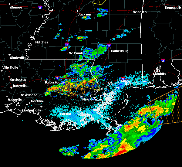 At 528 pm cdt, a severe thunderstorm was located near lacombe, or 12 miles southeast of covington, moving east at 40 mph (public reported quarter sized hail on the north end of the causeway). Hazards include 60 mph wind gusts and quarter size hail. Hail damage to vehicles is expected. Expect wind damage to roofs, siding, and trees. At 528 pm cdt, a severe thunderstorm was located near lacombe, or 12 miles southeast of covington, moving east at 40 mph (public reported quarter sized hail on the north end of the causeway). Hazards include 60 mph wind gusts and quarter size hail. Hail damage to vehicles is expected. Expect wind damage to roofs, siding, and trees.
|
| 5/3/2017 8:58 PM CDT |
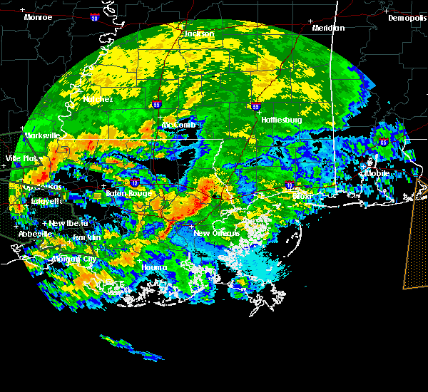 At 858 pm cdt, a severe thunderstorm was located near slidell, moving east at 40 mph (radar indicated). Hazards include 60 mph wind gusts. expect damage to roofs, siding, and trees At 858 pm cdt, a severe thunderstorm was located near slidell, moving east at 40 mph (radar indicated). Hazards include 60 mph wind gusts. expect damage to roofs, siding, and trees
|
| 4/3/2017 4:25 AM CDT |
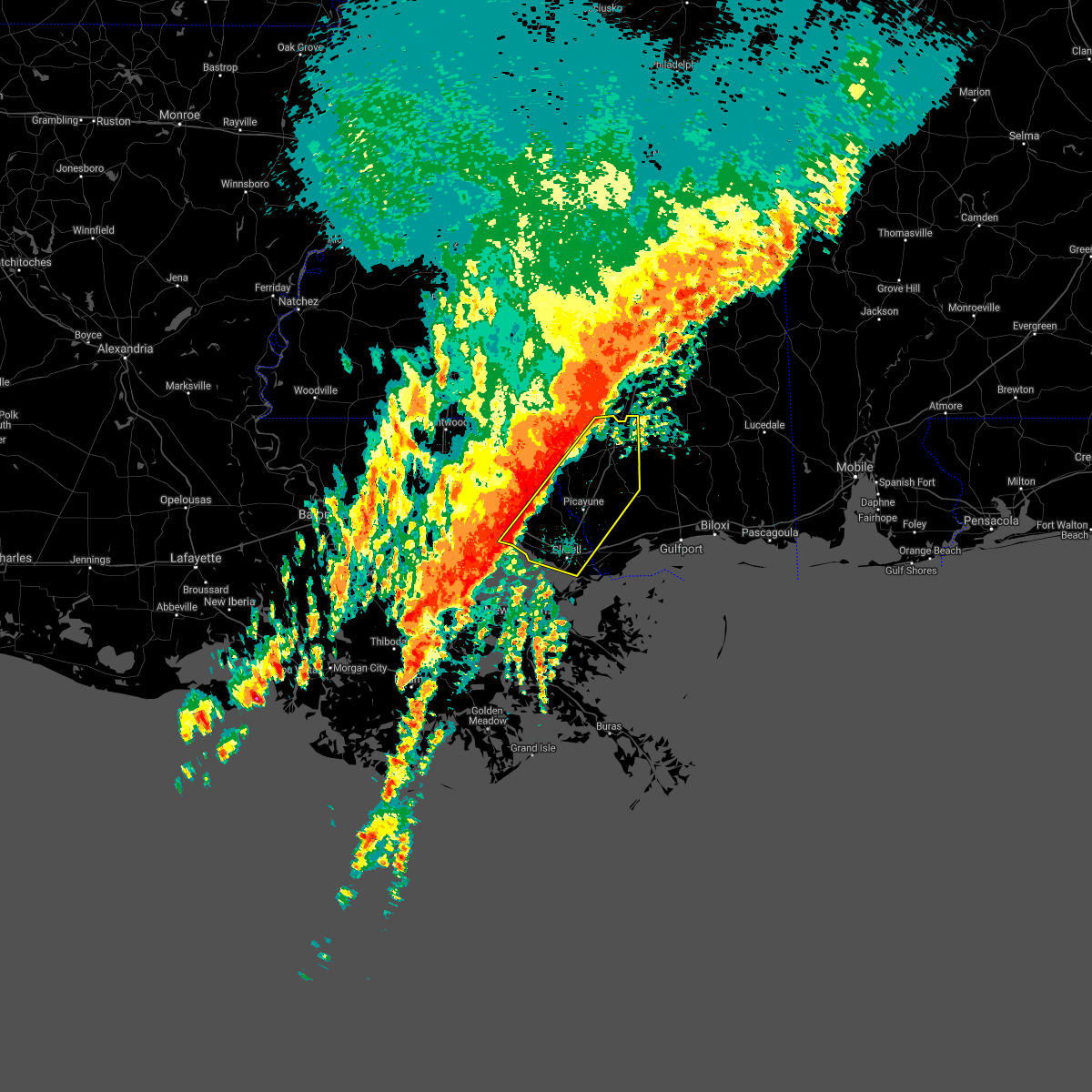 At 424 am cdt, severe thunderstorms were located along a line extending from 7 miles south of baxterville to near madisonville, moving east at 30 mph (radar indicated). Hazards include 60 mph wind gusts. expect damage to roofs, siding, and trees At 424 am cdt, severe thunderstorms were located along a line extending from 7 miles south of baxterville to near madisonville, moving east at 30 mph (radar indicated). Hazards include 60 mph wind gusts. expect damage to roofs, siding, and trees
|
| 3/30/2017 10:08 AM CDT |
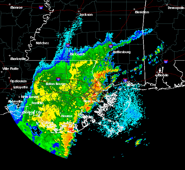 At 1008 am cdt, a severe thunderstorm was located over pearlington, or 9 miles east of slidell, moving east at 20 mph (radar indicated). Hazards include 60 mph wind gusts and penny size hail. Expect damage to roofs, siding, and trees. Locations impacted include, slidell, pearl river, pearlington and stennis space center. At 1008 am cdt, a severe thunderstorm was located over pearlington, or 9 miles east of slidell, moving east at 20 mph (radar indicated). Hazards include 60 mph wind gusts and penny size hail. Expect damage to roofs, siding, and trees. Locations impacted include, slidell, pearl river, pearlington and stennis space center.
|
| 3/30/2017 9:56 AM CDT |
 At 955 am cdt, a severe thunderstorm was located over slidell, moving northeast at 10 mph (radar indicated). Hazards include 60 mph wind gusts and penny size hail. expect damage to roofs, siding, and trees At 955 am cdt, a severe thunderstorm was located over slidell, moving northeast at 10 mph (radar indicated). Hazards include 60 mph wind gusts and penny size hail. expect damage to roofs, siding, and trees
|
| 1/21/2017 5:42 PM CST |
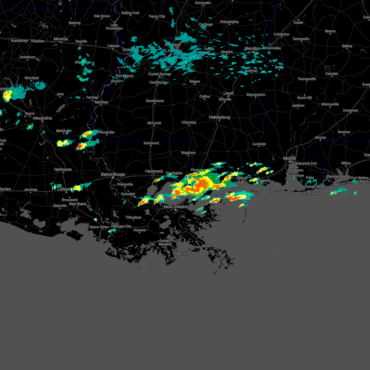 The severe thunderstorm warning for southeastern st. tammany parish in southeastern louisiana and southwestern hancock counties will expire at 545 pm cst, the storms which prompted the warning have weakened below severe limits, and no longer pose an immediate threat to life or property. therefore the warning will be allowed to expire. however small hail is still possible with these thunderstorms. a tornado watch remains in effect until 900 pm cst for southeastern louisiana, and southern mississippi. The severe thunderstorm warning for southeastern st. tammany parish in southeastern louisiana and southwestern hancock counties will expire at 545 pm cst, the storms which prompted the warning have weakened below severe limits, and no longer pose an immediate threat to life or property. therefore the warning will be allowed to expire. however small hail is still possible with these thunderstorms. a tornado watch remains in effect until 900 pm cst for southeastern louisiana, and southern mississippi.
|
| 1/21/2017 5:42 PM CST |
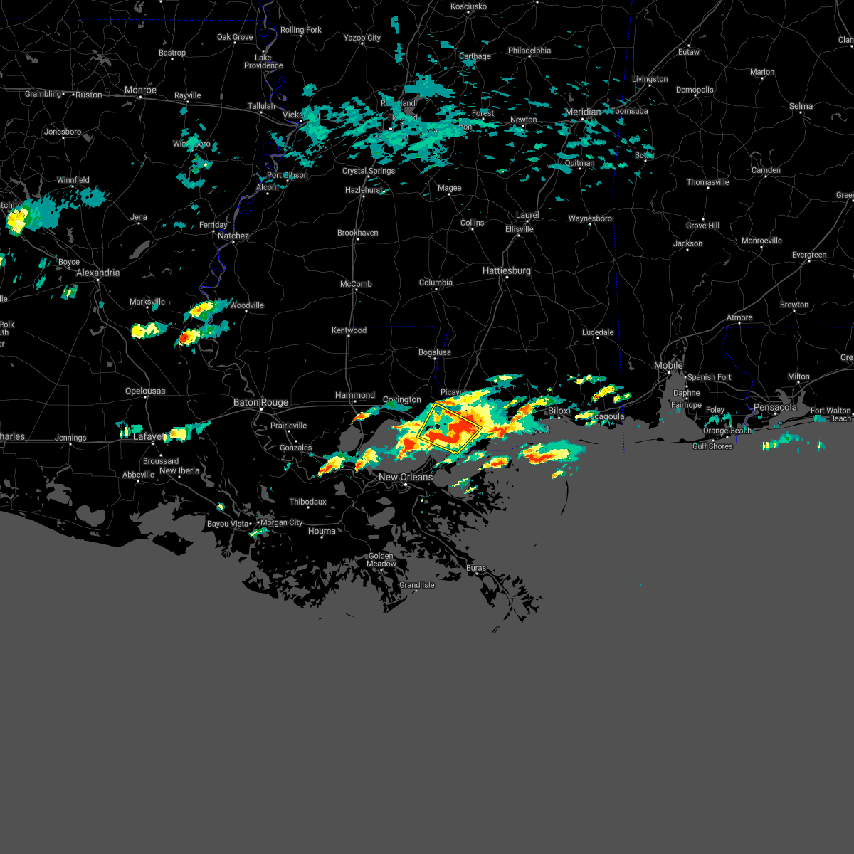 The severe thunderstorm warning for southeastern st. tammany parish in southeastern louisiana and southwestern hancock counties will expire at 545 pm cst, the storms which prompted the warning have weakened below severe limits, and no longer pose an immediate threat to life or property. therefore the warning will be allowed to expire. however small hail is still possible with these thunderstorms. a tornado watch remains in effect until 900 pm cst for southeastern louisiana, and southern mississippi. The severe thunderstorm warning for southeastern st. tammany parish in southeastern louisiana and southwestern hancock counties will expire at 545 pm cst, the storms which prompted the warning have weakened below severe limits, and no longer pose an immediate threat to life or property. therefore the warning will be allowed to expire. however small hail is still possible with these thunderstorms. a tornado watch remains in effect until 900 pm cst for southeastern louisiana, and southern mississippi.
|
| 1/21/2017 5:16 PM CST |
 At 515 pm cst, a severe thunderstorm was located 8 miles northeast of east new orleans, moving northeast at 30 mph. hail has been reported with this storm while moving through new orleans (radar indicated and nws employee verified). Hazards include 60 mph wind gusts and half dollar size hail. Hail damage to vehicles is expected. Expect wind damage to roofs, siding, and trees. At 515 pm cst, a severe thunderstorm was located 8 miles northeast of east new orleans, moving northeast at 30 mph. hail has been reported with this storm while moving through new orleans (radar indicated and nws employee verified). Hazards include 60 mph wind gusts and half dollar size hail. Hail damage to vehicles is expected. Expect wind damage to roofs, siding, and trees.
|
| 1/21/2017 5:22 AM CST |
 At 522 am cst, severe thunderstorms were located along a line extending from near crossroads to near abita springs, moving southeast at 55 mph (radar indicated). Hazards include 70 mph wind gusts. Expect considerable tree damage. Damage is likely to mobile homes, roofs, and outbuildings. At 522 am cst, severe thunderstorms were located along a line extending from near crossroads to near abita springs, moving southeast at 55 mph (radar indicated). Hazards include 70 mph wind gusts. Expect considerable tree damage. Damage is likely to mobile homes, roofs, and outbuildings.
|
| 1/2/2017 3:22 PM CST |
 The severe thunderstorm warning for northeastern orleans, eastern washington, st. tammany, southeastern tangipahoa and northeastern st. john the baptist parishes, southeastern walthall, pearl river and central hancock counties will expire at 330 pm cst, the storms which prompted the warning have weakened below severe limits, and have exited the warned area. therefore the warning will be allowed to expire. a tornado watch remains in effect until 800 pm cst for southeastern louisiana, and southern and southeastern mississippi. The severe thunderstorm warning for northeastern orleans, eastern washington, st. tammany, southeastern tangipahoa and northeastern st. john the baptist parishes, southeastern walthall, pearl river and central hancock counties will expire at 330 pm cst, the storms which prompted the warning have weakened below severe limits, and have exited the warned area. therefore the warning will be allowed to expire. a tornado watch remains in effect until 800 pm cst for southeastern louisiana, and southern and southeastern mississippi.
|
| 1/2/2017 2:40 PM CST |
 The severe thunderstorm warning for washington, st. tammany, tangipahoa, livingston, northern st. john the baptist, southeastern st. helena and central ascension parishes, walthall and eastern pike counties will expire at 245 pm cst, the storms which prompted the warning have moved out of the area. therefore the warning will be allowed to expire. a tornado watch remains in effect until 800 pm cst for southeastern louisiana, and southern mississippi. remember, a severe thunderstorm warning still remains in effect for this line of storms to the east of your location. The severe thunderstorm warning for washington, st. tammany, tangipahoa, livingston, northern st. john the baptist, southeastern st. helena and central ascension parishes, walthall and eastern pike counties will expire at 245 pm cst, the storms which prompted the warning have moved out of the area. therefore the warning will be allowed to expire. a tornado watch remains in effect until 800 pm cst for southeastern louisiana, and southern mississippi. remember, a severe thunderstorm warning still remains in effect for this line of storms to the east of your location.
|
| 1/2/2017 2:40 PM CST |
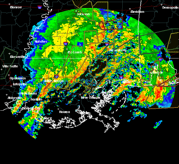 The severe thunderstorm warning for washington, st. tammany, tangipahoa, livingston, northern st. john the baptist, southeastern st. helena and central ascension parishes, walthall and eastern pike counties will expire at 245 pm cst, the storms which prompted the warning have moved out of the area. therefore the warning will be allowed to expire. a tornado watch remains in effect until 800 pm cst for southeastern louisiana, and southern mississippi. remember, a severe thunderstorm warning still remains in effect for this line of storms to the east of your location. The severe thunderstorm warning for washington, st. tammany, tangipahoa, livingston, northern st. john the baptist, southeastern st. helena and central ascension parishes, walthall and eastern pike counties will expire at 245 pm cst, the storms which prompted the warning have moved out of the area. therefore the warning will be allowed to expire. a tornado watch remains in effect until 800 pm cst for southeastern louisiana, and southern mississippi. remember, a severe thunderstorm warning still remains in effect for this line of storms to the east of your location.
|
| 1/2/2017 2:35 PM CST |
 At 235 pm cst, severe thunderstorms were located along a line extending from sandy hook to 6 miles west of bush to 14 miles southwest of madisonville, moving east at 30 mph (radar indicated). Hazards include 60 mph wind gusts. expect damage to roofs, siding, and trees At 235 pm cst, severe thunderstorms were located along a line extending from sandy hook to 6 miles west of bush to 14 miles southwest of madisonville, moving east at 30 mph (radar indicated). Hazards include 60 mph wind gusts. expect damage to roofs, siding, and trees
|
| 1/2/2017 2:35 PM CST |
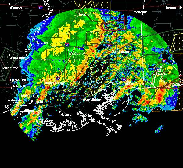 At 235 pm cst, severe thunderstorms were located along a line extending from sandy hook to 6 miles west of bush to 14 miles southwest of madisonville, moving east at 30 mph (radar indicated). Hazards include 60 mph wind gusts. expect damage to roofs, siding, and trees At 235 pm cst, severe thunderstorms were located along a line extending from sandy hook to 6 miles west of bush to 14 miles southwest of madisonville, moving east at 30 mph (radar indicated). Hazards include 60 mph wind gusts. expect damage to roofs, siding, and trees
|
| 1/2/2017 2:26 PM CST |
 At 226 pm cst, severe thunderstorms were located along a line extending from near improve to 7 miles west of bogalusa to 11 miles north of laplace, moving east at 55 mph (radar indicated). Hazards include 60 mph wind gusts. Expect damage to roofs, siding, and trees. locations impacted include, slidell, hammond, bogalusa, gonzales, covington, franklinton, amite, ponchatoula, amite city, pearl river, abita springs, livingston, independence, tylertown, varnado, sorrento, roseland, french settlement, albany and madisonville. A tornado watch remains in effect until 800 pm cst for southeastern louisiana, and southern mississippi. At 226 pm cst, severe thunderstorms were located along a line extending from near improve to 7 miles west of bogalusa to 11 miles north of laplace, moving east at 55 mph (radar indicated). Hazards include 60 mph wind gusts. Expect damage to roofs, siding, and trees. locations impacted include, slidell, hammond, bogalusa, gonzales, covington, franklinton, amite, ponchatoula, amite city, pearl river, abita springs, livingston, independence, tylertown, varnado, sorrento, roseland, french settlement, albany and madisonville. A tornado watch remains in effect until 800 pm cst for southeastern louisiana, and southern mississippi.
|
| 1/2/2017 1:52 PM CST |
 At 152 pm cst, severe thunderstorms were located along a line extending from jayess to near roseland to gonzales, moving east at 55 mph (radar indicated). Hazards include 60 mph wind gusts. expect damage to roofs, siding, and trees At 152 pm cst, severe thunderstorms were located along a line extending from jayess to near roseland to gonzales, moving east at 55 mph (radar indicated). Hazards include 60 mph wind gusts. expect damage to roofs, siding, and trees
|
| 1/2/2017 1:52 PM CST |
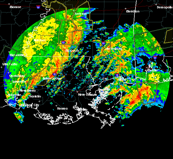 At 152 pm cst, severe thunderstorms were located along a line extending from jayess to near roseland to gonzales, moving east at 55 mph (radar indicated). Hazards include 60 mph wind gusts. expect damage to roofs, siding, and trees At 152 pm cst, severe thunderstorms were located along a line extending from jayess to near roseland to gonzales, moving east at 55 mph (radar indicated). Hazards include 60 mph wind gusts. expect damage to roofs, siding, and trees
|
| 8/4/2016 3:25 PM CDT |
 At 325 pm cdt, a severe thunderstorm was located near slidell, moving southwest at 10 mph (radar indicated). Hazards include 60 mph wind gusts. Expect damage to roofs. siding. and trees. Locations impacted include, slidell, pearl river, abita springs, lacombe, pearlington and slidell airport. At 325 pm cdt, a severe thunderstorm was located near slidell, moving southwest at 10 mph (radar indicated). Hazards include 60 mph wind gusts. Expect damage to roofs. siding. and trees. Locations impacted include, slidell, pearl river, abita springs, lacombe, pearlington and slidell airport.
|
| 8/4/2016 3:15 PM CDT |
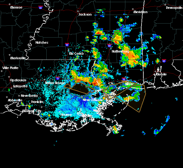 At 312 pm cdt, a severe thunderstorm was located over slidell, moving south at 15 mph (radar indicated). At 312 pm cdt, a severe thunderstorm was located over slidell, moving south at 15 mph (radar indicated).
|
| 6/4/2016 10:13 PM CDT |
 At 1012 pm cdt, severe thunderstorms were located along a line extending from near lacombe to near lake catherine, moving northeast at 45 mph (radar indicated). Hazards include 60 mph wind gusts. Expect damage to roofs. siding. And trees. At 1012 pm cdt, severe thunderstorms were located along a line extending from near lacombe to near lake catherine, moving northeast at 45 mph (radar indicated). Hazards include 60 mph wind gusts. Expect damage to roofs. siding. And trees.
|
| 5/19/2016 10:49 PM CDT |
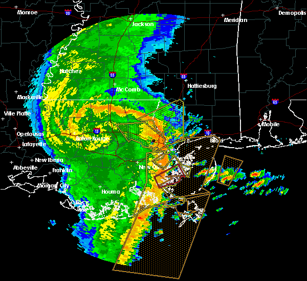 At 1049 pm cdt, severe thunderstorms were located along a line extending from near ponchatoula to 10 miles southwest of madisonville to 6 miles north of metairie, moving east at 60 mph (radar indicated). Hazards include 70 mph wind gusts. Expect considerable tree damage. Damage is likely to mobile homes, roofs, and outbuildings. At 1049 pm cdt, severe thunderstorms were located along a line extending from near ponchatoula to 10 miles southwest of madisonville to 6 miles north of metairie, moving east at 60 mph (radar indicated). Hazards include 70 mph wind gusts. Expect considerable tree damage. Damage is likely to mobile homes, roofs, and outbuildings.
|
| 4/30/2016 4:00 PM CDT |
 At 400 pm cdt, severe thunderstorms were located along a line extending from near baxterville to lacombe, moving east at 40 mph (radar indicated). Hazards include 60 mph wind gusts. Expect damage to roofs. siding. and trees. locations impacted include, slidell, bogalusa, picayune, bay st. Louis, waveland, poplarville, diamondhead, pearl river, abita springs, varnado, sun, crossroads, bush, stennis space center, lacombe, kiln, pearlington, mcneil, shoreline park and angie. At 400 pm cdt, severe thunderstorms were located along a line extending from near baxterville to lacombe, moving east at 40 mph (radar indicated). Hazards include 60 mph wind gusts. Expect damage to roofs. siding. and trees. locations impacted include, slidell, bogalusa, picayune, bay st. Louis, waveland, poplarville, diamondhead, pearl river, abita springs, varnado, sun, crossroads, bush, stennis space center, lacombe, kiln, pearlington, mcneil, shoreline park and angie.
|
| 4/30/2016 3:37 PM CDT |
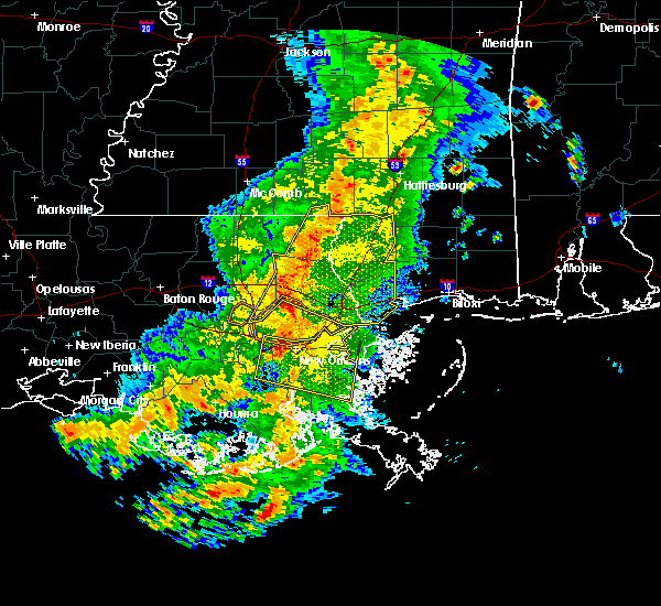 At 337 pm cdt, severe thunderstorms were located along a line extending from near sandy hook to near madisonville, moving east at 30 mph (radar indicated). Hazards include 60 mph wind gusts. Expect damage to roofs. siding. and trees. locations impacted include, slidell, bogalusa, picayune, bay st. Louis, covington, waveland, poplarville, diamondhead, pearl river, abita springs, varnado, madisonville, folsom, sun, crossroads, bush, enon, stennis space center, lacombe and kiln. At 337 pm cdt, severe thunderstorms were located along a line extending from near sandy hook to near madisonville, moving east at 30 mph (radar indicated). Hazards include 60 mph wind gusts. Expect damage to roofs. siding. and trees. locations impacted include, slidell, bogalusa, picayune, bay st. Louis, covington, waveland, poplarville, diamondhead, pearl river, abita springs, varnado, madisonville, folsom, sun, crossroads, bush, enon, stennis space center, lacombe and kiln.
|
| 4/30/2016 3:13 PM CDT |
 At 313 pm cdt, severe thunderstorms were located along a line extending from near dexter to 12 miles southeast of ponchatoula, moving east at 30 mph (radar indicated). Hazards include 60 mph wind gusts. Expect damage to roofs. siding. And trees. At 313 pm cdt, severe thunderstorms were located along a line extending from near dexter to 12 miles southeast of ponchatoula, moving east at 30 mph (radar indicated). Hazards include 60 mph wind gusts. Expect damage to roofs. siding. And trees.
|
| 4/30/2016 3:13 PM CDT |
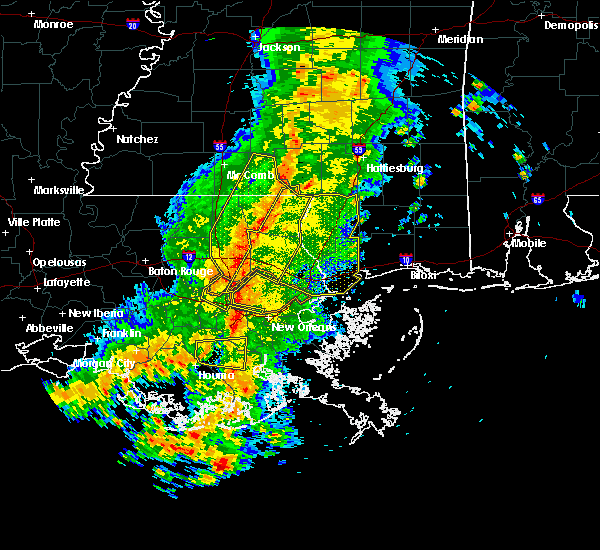 At 313 pm cdt, severe thunderstorms were located along a line extending from near dexter to 12 miles southeast of ponchatoula, moving east at 30 mph (radar indicated). Hazards include 60 mph wind gusts. Expect damage to roofs. siding. And trees. At 313 pm cdt, severe thunderstorms were located along a line extending from near dexter to 12 miles southeast of ponchatoula, moving east at 30 mph (radar indicated). Hazards include 60 mph wind gusts. Expect damage to roofs. siding. And trees.
|
| 3/11/2016 5:42 AM CST |
 At 542 am cst, severe thunderstorms were located along a line extending from folsom to abita springs to near lacombe to 11 miles north of pointe a la hache, moving northeast at 45 mph (radar indicated). Hazards include 60 mph wind gusts. Expect damage to roofs. siding and trees. Locations impacted include, new orleans, slidell, bogalusa, picayune, covington, chalmette, east new orleans, belle chasse, gretna, pearl river, abita springs, madisonville, folsom, sun, crossroads, bush, enon, meraux, stennis space center and arabi. At 542 am cst, severe thunderstorms were located along a line extending from folsom to abita springs to near lacombe to 11 miles north of pointe a la hache, moving northeast at 45 mph (radar indicated). Hazards include 60 mph wind gusts. Expect damage to roofs. siding and trees. Locations impacted include, new orleans, slidell, bogalusa, picayune, covington, chalmette, east new orleans, belle chasse, gretna, pearl river, abita springs, madisonville, folsom, sun, crossroads, bush, enon, meraux, stennis space center and arabi.
|
| 3/11/2016 5:21 AM CST |
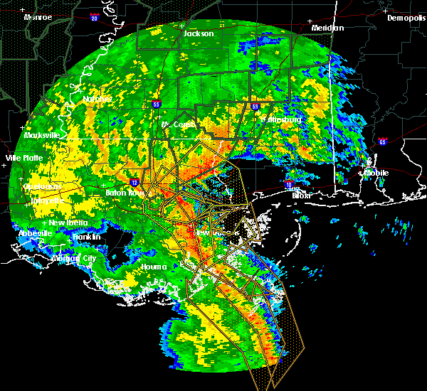 At 520 am cst, severe thunderstorms were located along a line extending from near ponchatoula to near madisonville to 10 miles southwest of lacombe to near myrtle grove, moving northeast at 45 mph (radar indicated). Hazards include 60 mph wind gusts. Expect damage to roofs. Siding and trees. At 520 am cst, severe thunderstorms were located along a line extending from near ponchatoula to near madisonville to 10 miles southwest of lacombe to near myrtle grove, moving northeast at 45 mph (radar indicated). Hazards include 60 mph wind gusts. Expect damage to roofs. Siding and trees.
|
| 12/28/2015 4:47 AM CST |
 At 446 am cst, severe thunderstorms were located along a line extending from near east new orleans to meraux, moving northeast at 45 mph (radar indicated). Hazards include 60 mph wind gusts. Expect damage to roofs. Siding and trees. At 446 am cst, severe thunderstorms were located along a line extending from near east new orleans to meraux, moving northeast at 45 mph (radar indicated). Hazards include 60 mph wind gusts. Expect damage to roofs. Siding and trees.
|
| 9/5/2015 6:41 PM CDT |
 At 640 pm cdt, doppler radar indicated a severe thunderstorm capable of producing quarter size hail and damaging winds in excess of 60 mph. this storm was located near picayune, and moving south at 20 mph. At 640 pm cdt, doppler radar indicated a severe thunderstorm capable of producing quarter size hail and damaging winds in excess of 60 mph. this storm was located near picayune, and moving south at 20 mph.
|
| 9/5/2015 6:41 PM CDT |
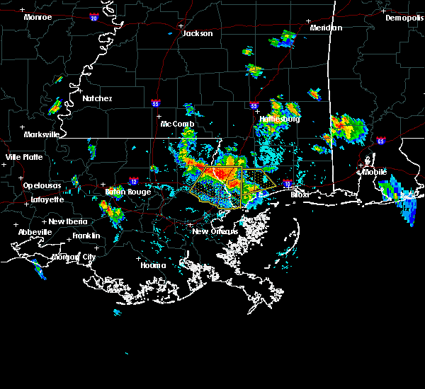 At 640 pm cdt, doppler radar indicated a severe thunderstorm capable of producing quarter size hail and damaging winds in excess of 60 mph. this storm was located near picayune, and moving south at 20 mph. At 640 pm cdt, doppler radar indicated a severe thunderstorm capable of producing quarter size hail and damaging winds in excess of 60 mph. this storm was located near picayune, and moving south at 20 mph.
|
| 7/30/2015 3:34 PM CDT |
 At 334 pm cdt, doppler radar indicated a severe thunderstorm capable of producing damaging winds in excess of 60 mph. this storm was located near pearl river, or 8 miles north of slidell, and moving south at 30 mph. At 334 pm cdt, doppler radar indicated a severe thunderstorm capable of producing damaging winds in excess of 60 mph. this storm was located near pearl river, or 8 miles north of slidell, and moving south at 30 mph.
|
| 7/29/2015 6:14 PM CDT |
 At 614 pm cdt, doppler radar indicated a line of severe thunderstorms capable of producing damaging winds in excess of 60 mph. these storms were located along a line extending from 6 miles south of abita springs to near pearlington, and moving southwest at 25 mph. At 614 pm cdt, doppler radar indicated a line of severe thunderstorms capable of producing damaging winds in excess of 60 mph. these storms were located along a line extending from 6 miles south of abita springs to near pearlington, and moving southwest at 25 mph.
|
| 7/25/2015 4:34 PM CDT |
 At 433 pm cdt, doppler radar indicated a severe thunderstorm capable of producing damaging winds in excess of 60 mph. this storm was located over lacombe, or 8 miles west of slidell, moving southeast at 10 mph. locations impacted include, lacombe. At 433 pm cdt, doppler radar indicated a severe thunderstorm capable of producing damaging winds in excess of 60 mph. this storm was located over lacombe, or 8 miles west of slidell, moving southeast at 10 mph. locations impacted include, lacombe.
|
| 7/25/2015 4:15 PM CDT |
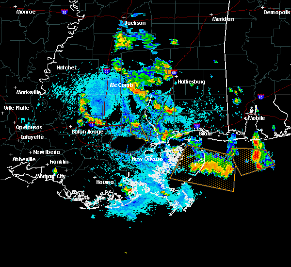 At 415 pm cdt, doppler radar indicated a severe thunderstorm capable of producing damaging winds in excess of 60 mph. this storm was located near abita springs, or 8 miles east of covington, and moving south at 20 mph. At 415 pm cdt, doppler radar indicated a severe thunderstorm capable of producing damaging winds in excess of 60 mph. this storm was located near abita springs, or 8 miles east of covington, and moving south at 20 mph.
|
| 7/5/2015 5:31 PM CDT |
 At 531 pm cdt, doppler radar indicated a severe thunderstorm capable of producing damaging winds in excess of 60 mph. this storm was located 7 miles southeast of madisonville, or 11 miles south of covington, and moving east at 25 mph. At 531 pm cdt, doppler radar indicated a severe thunderstorm capable of producing damaging winds in excess of 60 mph. this storm was located 7 miles southeast of madisonville, or 11 miles south of covington, and moving east at 25 mph.
|
| 5/26/2015 4:23 AM CDT | At 423 am cdt, doppler radar indicated a line of severe thunderstorms capable of producing damaging winds in excess of 60 mph. these storms were located along a line extending from near bush to lacombe, and moving east at 25 mph. |
| 5/26/2015 4:23 AM CDT | At 423 am cdt, doppler radar indicated a line of severe thunderstorms capable of producing damaging winds in excess of 60 mph. these storms were located along a line extending from near bush to lacombe, and moving east at 25 mph. |
| 4/27/2015 10:31 AM CDT | At 1031 am cdt, doppler radar indicated a line of severe thunderstorms capable of producing destructive winds in excess of 70 mph. these storms were located along a line extending from near hammond to near madisonville to 8 miles northwest of metairie, moving east at 40 mph. locations impacted include, slidell, hammond, covington, ponchatoula, pearl river, abita springs, madisonville, lacombe, robert, natalbany, pearlington, tickfaw, slidell airport and w lk pontchartrain buoy. a tornado watch remains in effect until 100 pm cdt for southeastern louisiana and southern mississippi. |
| 4/27/2015 10:13 AM CDT | At 1013 am cdt, doppler radar indicated a line of severe thunderstorms capable of producing destructive winds in excess of 70 mph. these storms were located along a line extending from near albany to near ponchatoula to near laplace, and moving east at 40 mph. |
| 4/25/2015 2:21 PM CDT | The severe thunderstorm warning for central st. tammany, st. bernard, northwestern plaquemines, central jefferson and central orleans parishes, southwestern harrison, southern pearl river and hancock counties will expire at 230 pm cdt, the storms which prompted the warning have moved out of the area. therefore the warning will be allowed to expire. to report severe weather, contact your nearest law enforcement agency. they will relay your report to the national weather service new orleans. remember, a severe thunderstorm warning still remains in effect for coastal harrison county at this time. |
| 4/25/2015 2:21 PM CDT | The severe thunderstorm warning for central st. tammany, st. bernard, northwestern plaquemines, central jefferson and central orleans parishes, southwestern harrison, southern pearl river and hancock counties will expire at 230 pm cdt, the storms which prompted the warning have moved out of the area. therefore the warning will be allowed to expire. to report severe weather, contact your nearest law enforcement agency. they will relay your report to the national weather service new orleans. remember, a severe thunderstorm warning still remains in effect for coastal harrison county at this time. |
| 4/25/2015 1:46 PM CDT | At 145 pm cdt, doppler radar indicated a line of severe thunderstorms capable of producing damaging winds in excess of 60 mph. these storms were located along a line extending from near covington to 6 miles south of lacombe to near east new orleans to near lafitte, and moving east at 55 mph. |
| 4/25/2015 1:46 PM CDT | At 145 pm cdt, doppler radar indicated a line of severe thunderstorms capable of producing damaging winds in excess of 60 mph. these storms were located along a line extending from near covington to 6 miles south of lacombe to near east new orleans to near lafitte, and moving east at 55 mph. |
| 4/25/2015 1:32 PM CDT | At 131 pm cdt, doppler radar indicated a line of severe thunderstorms capable of producing damaging winds in excess of 60 mph. these storms were located along a line extending from 6 miles southwest of madisonville to 12 miles north of metairie to near new orleans to near westwego, moving east at 65 mph. locations impacted include, new orleans, slidell, covington, belle chasse, east new orleans, harvey, timberlane, avondale, chalmette, metairie, marrero, hahnville, jefferson, gretna, harahan, westwego, abita springs, madisonville, bridge city and estelle. |
| 4/25/2015 1:17 PM CDT | At 116 pm cdt, doppler radar indicated a line of severe thunderstorms capable of producing destructive winds in excess of 70 mph. these storms were located along a line extending from 9 miles south of springfield to 7 miles northeast of laplace to near st. rose to luling, and moving east at 65 mph. |
Hail Maps for Eden Isle, LA


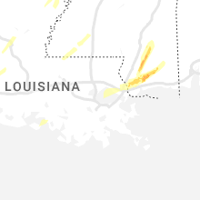
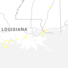


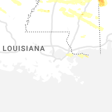
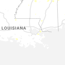
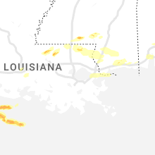
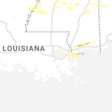

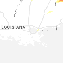


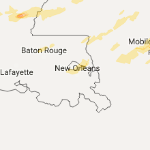


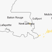
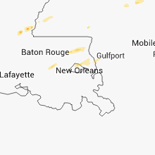


Connect with Interactive Hail Maps