

Hail Map for Fairmead, CA
The Fairmead, CA area has had 1 report of on-the-ground hail by trained spotters, and has been under severe weather warnings 5 times during the past 12 months. Doppler radar has detected hail at or near Fairmead, CA on 2 occasions, including 2 occasions during the past year.
| Name: | Fairmead, CA |
| Where Located: | 33.3 miles NW of Fresno, CA |
| Map: | Google Map for Fairmead, CA |
| Population: | 1447 |
| Housing Units: | 404 |
| More Info: | Search Google for Fairmead, CA |
5
The Top Recent Hail Date for Fairmead, CA is Tuesday, April 21, 2026 (1st out of 2)

Hail and Wind Damage Spotted near Fairmead, CA
| Date / Time | Report Details |
|---|---|
| 4/21/2026 4:04 PM PDT |
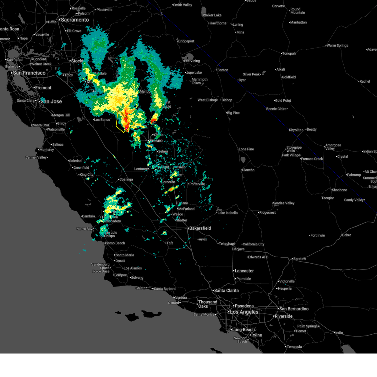 At 403 pm pdt, a severe thunderstorm was located 7 miles south of chowchilla, or 10 miles west of madera, moving northeast at 25 mph (radar indicated). Hazards include 60 mph wind gusts and quarter size hail. Hail damage to vehicles is expected. expect wind damage to roofs, siding, and trees. Locations impacted include, madera, chowchilla, and madera acres. At 403 pm pdt, a severe thunderstorm was located 7 miles south of chowchilla, or 10 miles west of madera, moving northeast at 25 mph (radar indicated). Hazards include 60 mph wind gusts and quarter size hail. Hail damage to vehicles is expected. expect wind damage to roofs, siding, and trees. Locations impacted include, madera, chowchilla, and madera acres.
|
| 4/21/2026 3:43 PM PDT |
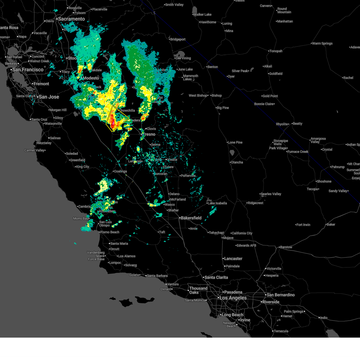 Svrhnx the national weather service in hanford ca has issued a * severe thunderstorm warning for, southwestern madera county in central california, eastern merced county in central california, western fresno county in central california, * until 415 pm pdt. * at 342 pm pdt, a severe thunderstorm was located near firebaugh, or 16 miles west of madera, moving northeast at 25 mph (radar indicated). Hazards include 60 mph wind gusts and quarter size hail. Hail damage to vehicles is expected. Expect wind damage to roofs, siding, and trees. Svrhnx the national weather service in hanford ca has issued a * severe thunderstorm warning for, southwestern madera county in central california, eastern merced county in central california, western fresno county in central california, * until 415 pm pdt. * at 342 pm pdt, a severe thunderstorm was located near firebaugh, or 16 miles west of madera, moving northeast at 25 mph (radar indicated). Hazards include 60 mph wind gusts and quarter size hail. Hail damage to vehicles is expected. Expect wind damage to roofs, siding, and trees.
|
| 4/9/2026 6:45 PM PDT |
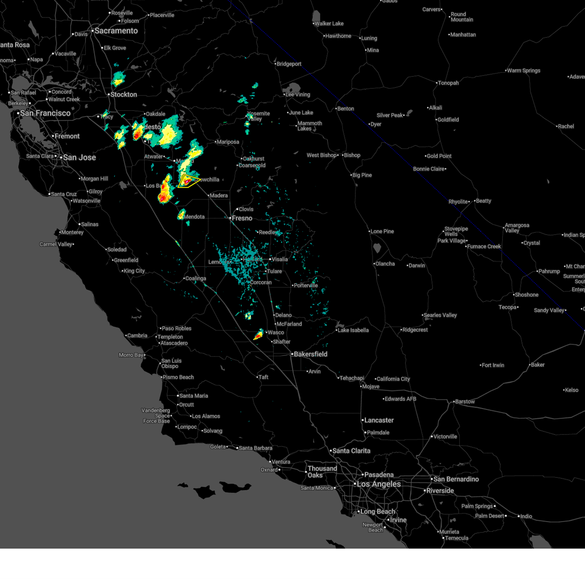 At 644 pm pdt, a severe thunderstorm was located near chowchilla, or 15 miles northwest of madera, moving northeast at 15 mph (radar. public report a funnel cloud with this storm earlier). Hazards include 60 mph wind gusts and quarter size hail. Hail damage to vehicles is expected. expect wind damage to roofs, siding, and trees. Locations impacted include, chowchilla. At 644 pm pdt, a severe thunderstorm was located near chowchilla, or 15 miles northwest of madera, moving northeast at 15 mph (radar. public report a funnel cloud with this storm earlier). Hazards include 60 mph wind gusts and quarter size hail. Hail damage to vehicles is expected. expect wind damage to roofs, siding, and trees. Locations impacted include, chowchilla.
|
| 4/9/2026 6:32 PM PDT |
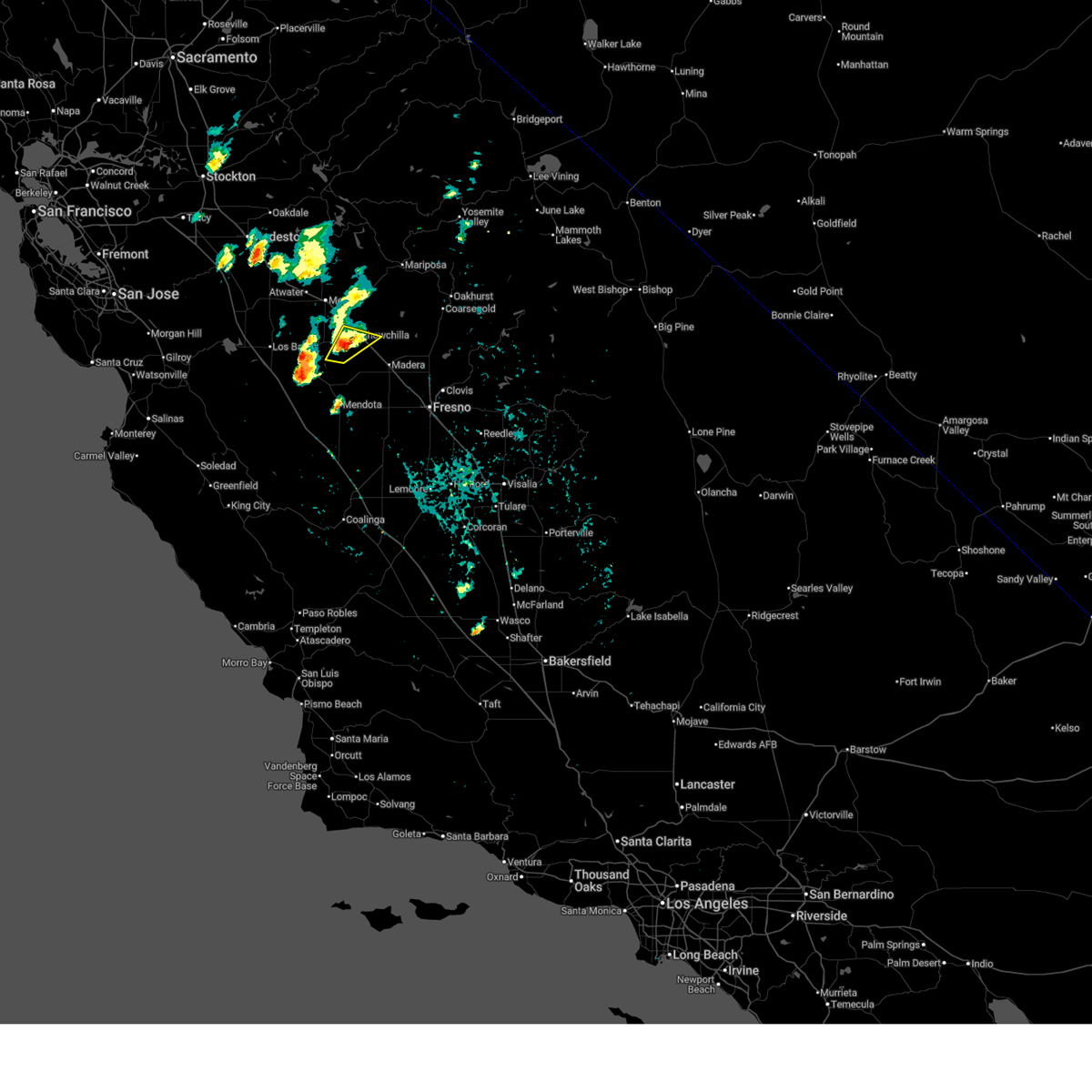 At 632 pm pdt, a severe thunderstorm was located 9 miles southwest of chowchilla, or 16 miles west of madera, moving northeast at 15 mph (public reported a funnel cloud with this storm). Hazards include 70 mph wind gusts and quarter size hail. Hail damage to vehicles is expected. expect considerable tree damage. wind damage is also likely to mobile homes, roofs, and outbuildings. Locations impacted include, chowchilla. At 632 pm pdt, a severe thunderstorm was located 9 miles southwest of chowchilla, or 16 miles west of madera, moving northeast at 15 mph (public reported a funnel cloud with this storm). Hazards include 70 mph wind gusts and quarter size hail. Hail damage to vehicles is expected. expect considerable tree damage. wind damage is also likely to mobile homes, roofs, and outbuildings. Locations impacted include, chowchilla.
|
| 4/9/2026 6:24 PM PDT |
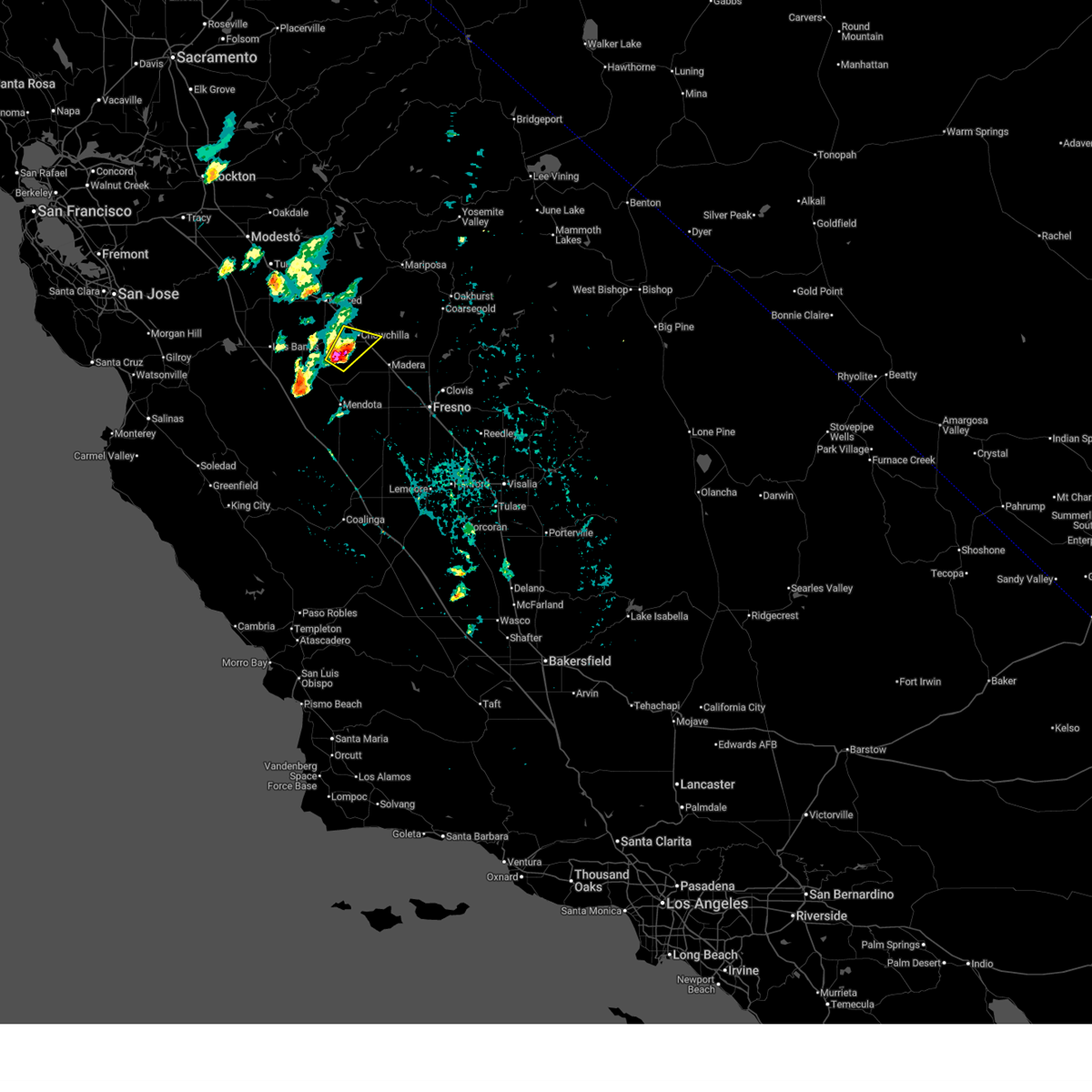 Svrhnx the national weather service in hanford ca has issued a * severe thunderstorm warning for, west central madera county in central california, eastern merced county in central california, * until 730 pm pdt. * at 623 pm pdt, a severe thunderstorm was located 11 miles southwest of chowchilla, or 16 miles west of madera, moving northeast at 15 mph (public has a reported a funnel cloud with this storm). Hazards include 60 mph wind gusts and quarter size hail. Hail damage to vehicles is expected. Expect wind damage to roofs, siding, and trees. Svrhnx the national weather service in hanford ca has issued a * severe thunderstorm warning for, west central madera county in central california, eastern merced county in central california, * until 730 pm pdt. * at 623 pm pdt, a severe thunderstorm was located 11 miles southwest of chowchilla, or 16 miles west of madera, moving northeast at 15 mph (public has a reported a funnel cloud with this storm). Hazards include 60 mph wind gusts and quarter size hail. Hail damage to vehicles is expected. Expect wind damage to roofs, siding, and trees.
|
| 3/2/2025 2:40 PM PST |
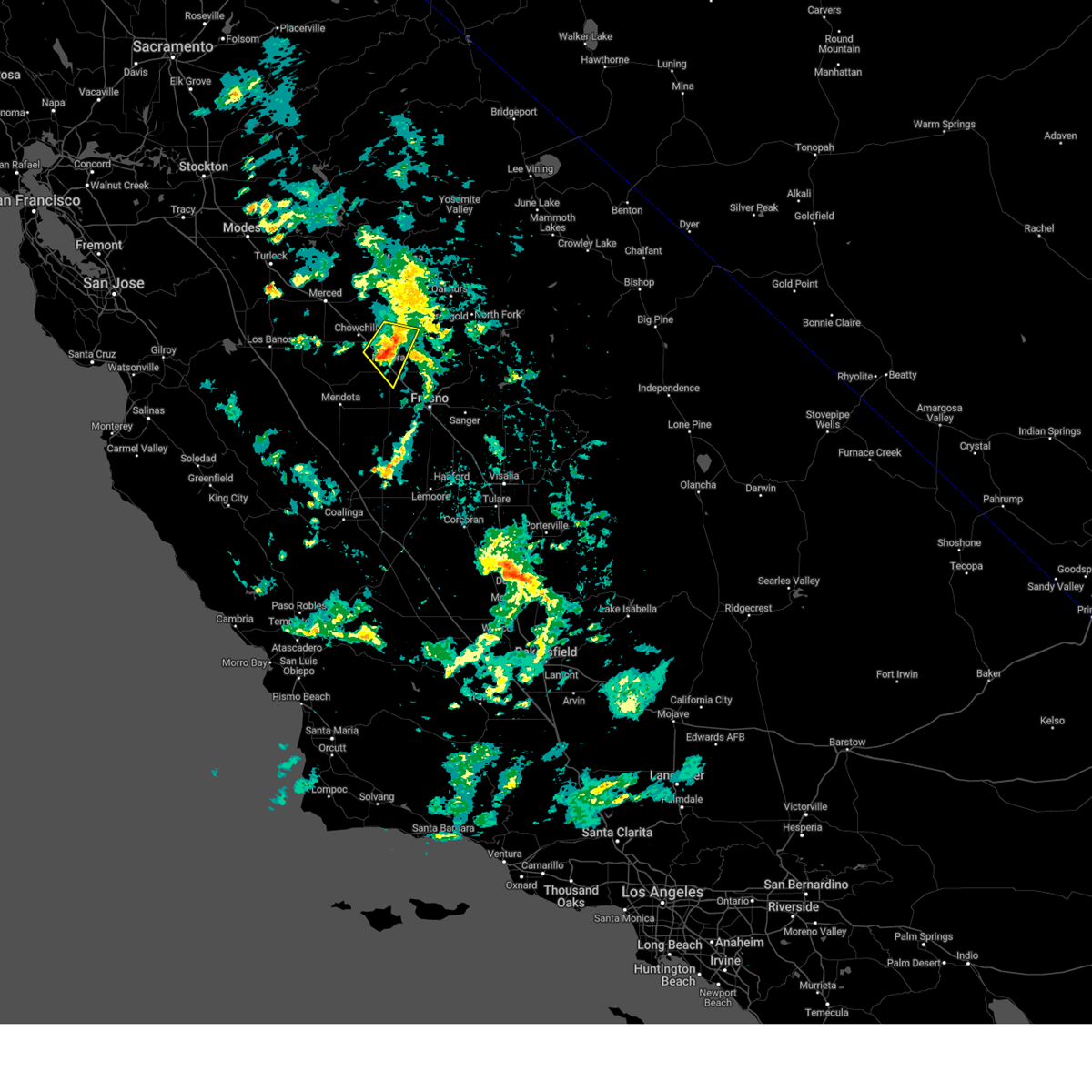 The storm which prompted the warning has weakened below severe limits, and no longer poses an immediate threat to life or property. therefore, the warning will be allowed to expire. however, gusty winds and heavy rain are still possible with this thunderstorm. The storm which prompted the warning has weakened below severe limits, and no longer poses an immediate threat to life or property. therefore, the warning will be allowed to expire. however, gusty winds and heavy rain are still possible with this thunderstorm.
|
| 3/2/2025 2:31 PM PST |
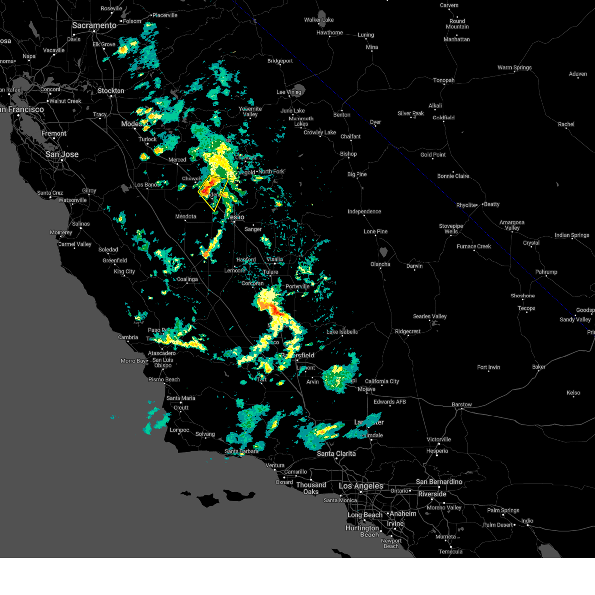 At 229 pm pst, a severe thunderstorm was located near madera acres, or 7 miles north of madera, moving east at 15 mph (radar indicated). Hazards include 60 mph wind gusts and quarter size hail. Hail damage to vehicles is expected. expect wind damage to roofs, siding, and trees. Locations impacted include, parkwood, parksdale, madera acres, madera, and chowchilla. At 229 pm pst, a severe thunderstorm was located near madera acres, or 7 miles north of madera, moving east at 15 mph (radar indicated). Hazards include 60 mph wind gusts and quarter size hail. Hail damage to vehicles is expected. expect wind damage to roofs, siding, and trees. Locations impacted include, parkwood, parksdale, madera acres, madera, and chowchilla.
|
| 3/2/2025 2:13 PM PST |
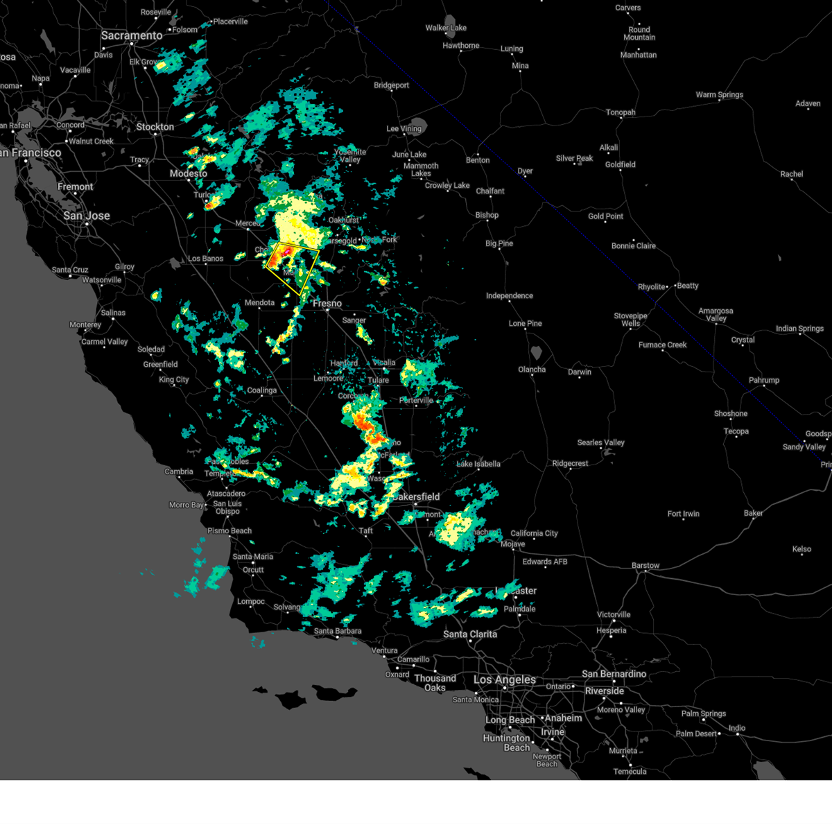 Svrhnx the national weather service in hanford ca has issued a * severe thunderstorm warning for, southwestern mariposa county in central california, southwestern madera county in central california, east central merced county in central california, * until 245 pm pst. * at 212 pm pst, a severe thunderstorm was located near chowchilla, or 10 miles northwest of madera, moving east at 15 mph (radar indicated). Hazards include 60 mph wind gusts and quarter size hail. Hail damage to vehicles is expected. Expect wind damage to roofs, siding, and trees. Svrhnx the national weather service in hanford ca has issued a * severe thunderstorm warning for, southwestern mariposa county in central california, southwestern madera county in central california, east central merced county in central california, * until 245 pm pst. * at 212 pm pst, a severe thunderstorm was located near chowchilla, or 10 miles northwest of madera, moving east at 15 mph (radar indicated). Hazards include 60 mph wind gusts and quarter size hail. Hail damage to vehicles is expected. Expect wind damage to roofs, siding, and trees.
|
| 6/22/2022 11:06 PM PDT |
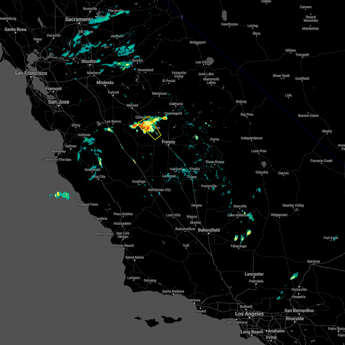 The severe thunderstorm warning for southwestern madera and eastern merced counties will expire at 1115 pm pdt, the storm which prompted the warning has weakened below severe limits. therefore, the warning will be allowed to expire. The severe thunderstorm warning for southwestern madera and eastern merced counties will expire at 1115 pm pdt, the storm which prompted the warning has weakened below severe limits. therefore, the warning will be allowed to expire.
|
| 6/22/2022 10:59 PM PDT |
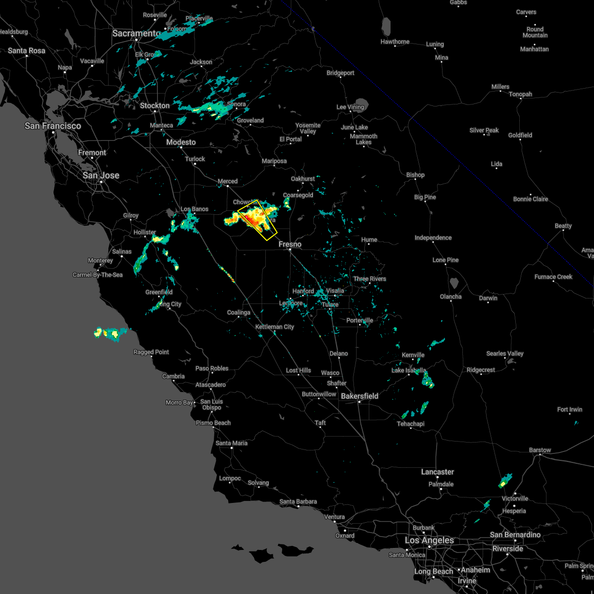 At 1058 pm pdt, a severe thunderstorm was located near chowchilla, or 11 miles northwest of madera, moving northwest at 15 mph (radar indicated). Hazards include 60 mph wind gusts and quarter size hail. Hail damage to vehicles is expected. expect wind damage to roofs, siding, and trees. locations impacted include, madera, chowchilla, parkwood, parksdale and madera acres. hail threat, radar indicated max hail size, 1. 00 in wind threat, radar indicated max wind gust, 60 mph. At 1058 pm pdt, a severe thunderstorm was located near chowchilla, or 11 miles northwest of madera, moving northwest at 15 mph (radar indicated). Hazards include 60 mph wind gusts and quarter size hail. Hail damage to vehicles is expected. expect wind damage to roofs, siding, and trees. locations impacted include, madera, chowchilla, parkwood, parksdale and madera acres. hail threat, radar indicated max hail size, 1. 00 in wind threat, radar indicated max wind gust, 60 mph.
|
| 6/22/2022 10:47 PM PDT |
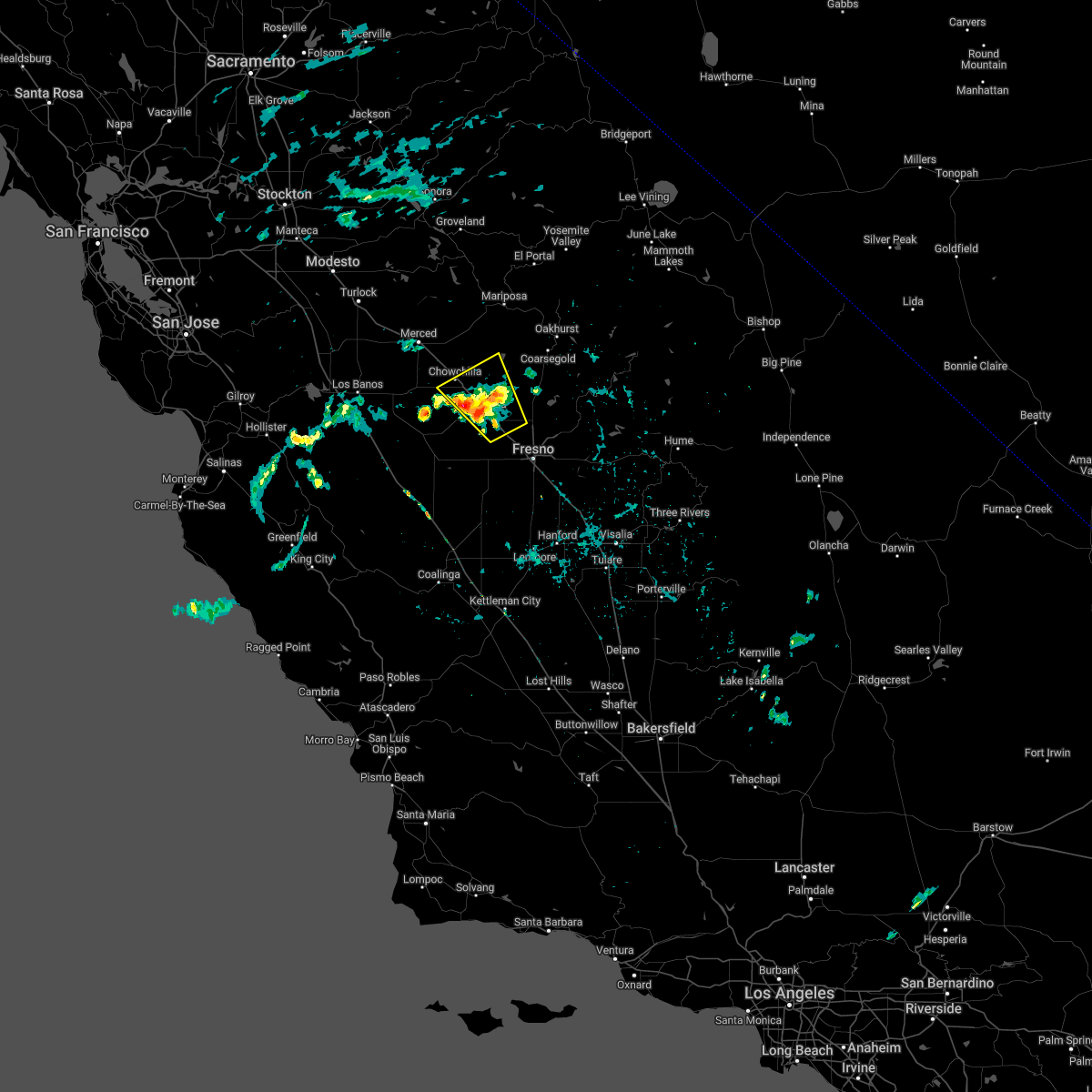 At 1047 pm pdt, a severe thunderstorm was located near chowchilla, or 8 miles northwest of madera, moving northwest at 15 mph (radar indicated). Hazards include 60 mph wind gusts and quarter size hail. Hail damage to vehicles is expected. expect wind damage to roofs, siding, and trees. locations impacted include, madera, chowchilla, parkwood, parksdale, bonadelle ranchos-madera ranchos and madera acres. hail threat, radar indicated max hail size, 1. 00 in wind threat, radar indicated max wind gust, 60 mph. At 1047 pm pdt, a severe thunderstorm was located near chowchilla, or 8 miles northwest of madera, moving northwest at 15 mph (radar indicated). Hazards include 60 mph wind gusts and quarter size hail. Hail damage to vehicles is expected. expect wind damage to roofs, siding, and trees. locations impacted include, madera, chowchilla, parkwood, parksdale, bonadelle ranchos-madera ranchos and madera acres. hail threat, radar indicated max hail size, 1. 00 in wind threat, radar indicated max wind gust, 60 mph.
|
| 6/22/2022 10:29 PM PDT |
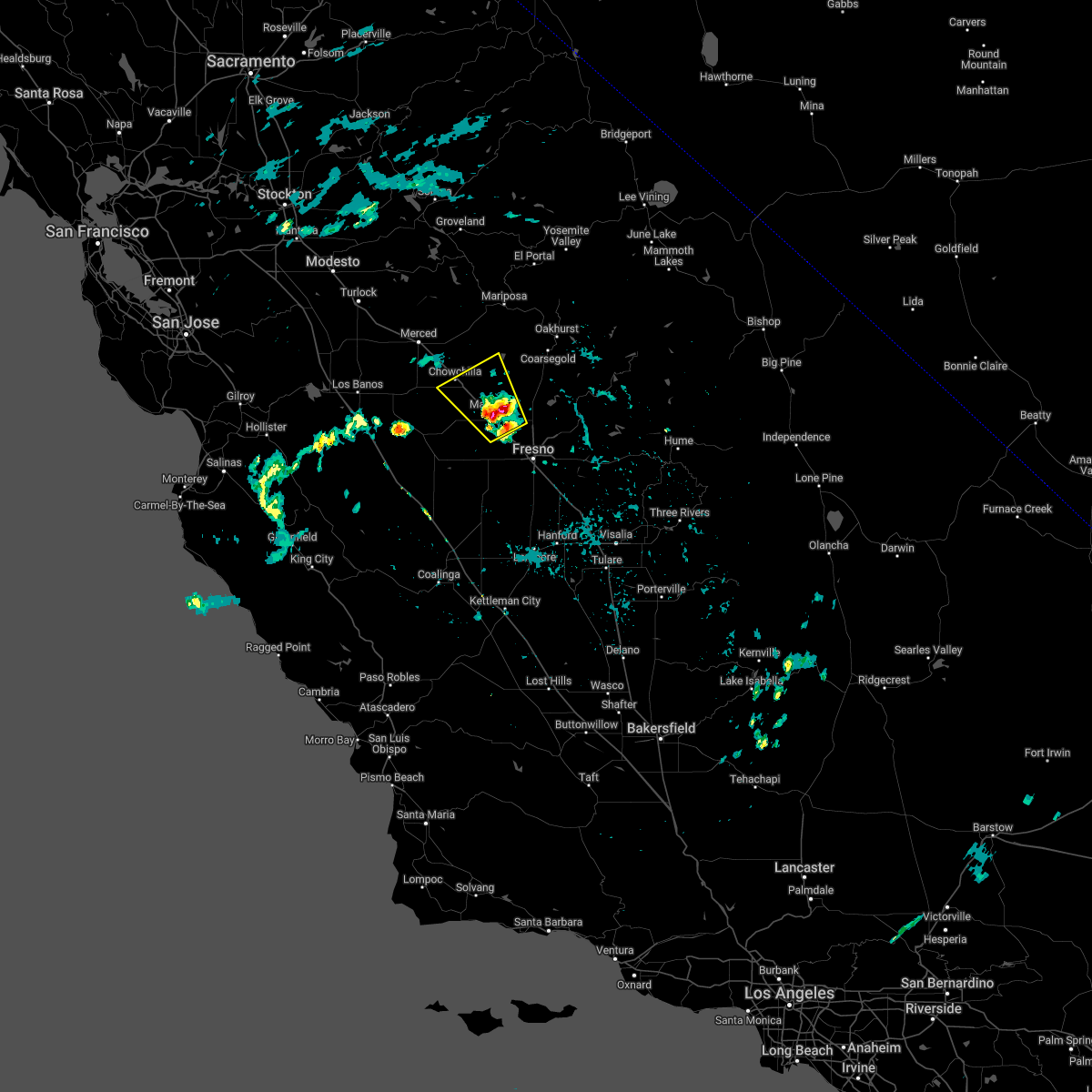 At 1028 pm pdt, a severe thunderstorm was located over parksdale, or over madera, moving northwest at 10 mph (radar indicated). Hazards include 60 mph wind gusts and penny size hail. expect damage to roofs, siding, and trees At 1028 pm pdt, a severe thunderstorm was located over parksdale, or over madera, moving northwest at 10 mph (radar indicated). Hazards include 60 mph wind gusts and penny size hail. expect damage to roofs, siding, and trees
|
| 9/11/2017 6:42 PM PDT |
 At 641 pm pdt, a severe thunderstorm was located 9 miles southwest of parkwood, or 9 miles southwest of madera, moving northwest at 45 mph (radar indicated). Hazards include 60 mph wind gusts and quarter size hail. Hail damage to vehicles is expected. expect wind damage to roofs, siding, and trees. thunderstorms have had a history of producing very heavy rain and frequent cloud to ground lightning. Flooding is possible on roads and in poor drainage areas. At 641 pm pdt, a severe thunderstorm was located 9 miles southwest of parkwood, or 9 miles southwest of madera, moving northwest at 45 mph (radar indicated). Hazards include 60 mph wind gusts and quarter size hail. Hail damage to vehicles is expected. expect wind damage to roofs, siding, and trees. thunderstorms have had a history of producing very heavy rain and frequent cloud to ground lightning. Flooding is possible on roads and in poor drainage areas.
|
| 4/7/2015 4:30 PM PDT | The national weather service in hanford ca has issued a * severe thunderstorm warning for. southwestern madera county in central california. eastern merced county in central california. until 500 pm pdt * at 429 pm pdt. Trained weather spotters reported a severe. |
| 4/7/2015 3:27 PM PST | Quarter sized hail reported 4.6 miles N of Fairmead, CA |
| 8/19/2013 8:27 PM PDT | Pine tree down in madera county CA, 4.4 miles ENE of Fairmead, CA |
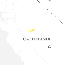
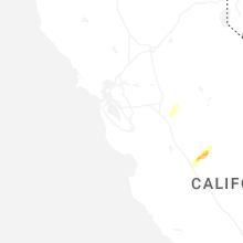
Hail Maps for Fairmead, CA
Connect with Interactive Hail Maps