

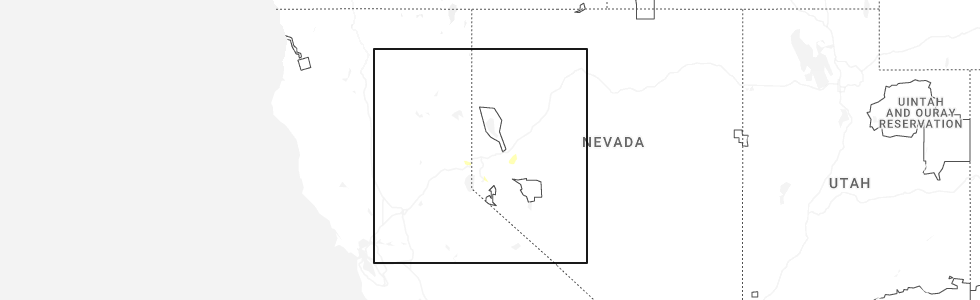
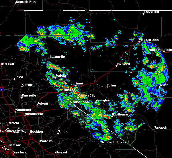
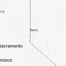
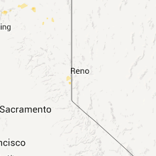
Hail Map for Floriston, CA
The Floriston, CA area has had 0 reports of on-the-ground hail by trained spotters, and has been under severe weather warnings 2 times during the past 12 months. Doppler radar has detected hail at or near Floriston, CA on 12 occasions, including 3 occasions during the past year.
| Name: | Floriston, CA |
| Where Located: | 14.3 miles SW of Reno, NV |
| Map: | Google Map for Floriston, CA |
| Population: | 73 |
| Housing Units: | 43 |
| More Info: | Search Google for Floriston, CA |
0
The Top Recent Hail Date for Floriston, CA is Wednesday, August 27, 2025 (5th out of 12)
Hail and Wind Damage Spotted near Floriston, CA
| Date / Time | Report Details |
|---|---|
| 8/27/2025 1:53 PM PDT |
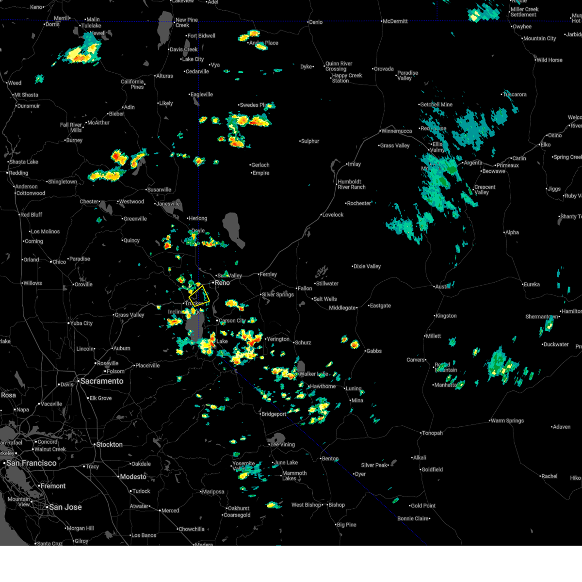 Svrrev the national weather service in reno has issued a * severe thunderstorm warning for, placer county in central california, sierra county in northern california, nevada county in northern california, southern washoe county in western nevada, * until 230 pm pdt. * at 153 pm pdt, a severe thunderstorm was located over hirschdale, or near boca reservoir, moving northeast at 10 mph (radar indicated). Hazards include 60 mph wind gusts and quarter size hail. Hail damage to vehicles is expected. Expect wind damage to roofs, siding, fencing and trees. Svrrev the national weather service in reno has issued a * severe thunderstorm warning for, placer county in central california, sierra county in northern california, nevada county in northern california, southern washoe county in western nevada, * until 230 pm pdt. * at 153 pm pdt, a severe thunderstorm was located over hirschdale, or near boca reservoir, moving northeast at 10 mph (radar indicated). Hazards include 60 mph wind gusts and quarter size hail. Hail damage to vehicles is expected. Expect wind damage to roofs, siding, fencing and trees.
|
| 8/23/2025 2:42 PM PDT |
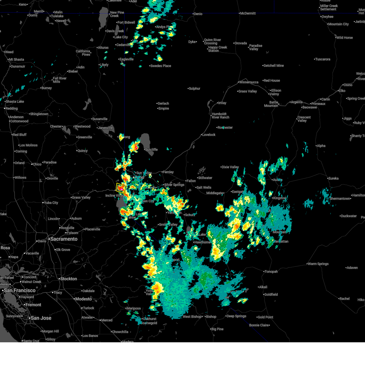 Svrrev the national weather service in reno has issued a * severe thunderstorm warning for, placer county in central california, nevada county in northern california, southern washoe county in western nevada, * until 330 pm pdt. * at 240 pm pdt, a severe thunderstorm was located over hirschdale, or over boca reservoir, moving north at 25 mph (radar indicated). Hazards include quarter size hail and torrential rainfall. Hail damage to property. Flash flooding is possible due to torrential rain. Svrrev the national weather service in reno has issued a * severe thunderstorm warning for, placer county in central california, nevada county in northern california, southern washoe county in western nevada, * until 330 pm pdt. * at 240 pm pdt, a severe thunderstorm was located over hirschdale, or over boca reservoir, moving north at 25 mph (radar indicated). Hazards include quarter size hail and torrential rainfall. Hail damage to property. Flash flooding is possible due to torrential rain.
|
| 7/21/2015 1:28 PM PDT |
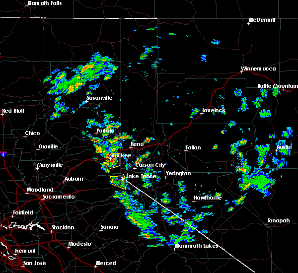 At 127 pm pdt, doppler radar indicated a severe thunderstorm capable of producing quarter size hail and damaging winds in excess of 60 mph. this storm was located over the martis valley, or near truckee , moving northeast at 10 mph. locations impacted include, tahoe city, squaw valley, boca reservoir, alpine meadows, kings beach, prosser creek reservoir, carnelian bay, northstar, glenshire-devonshire cdp, hirschdale, floriston, truckee, alpine meadows campground, northstar ski area, donner memorial campground, tahoe state rec area campground, truckee-tahoe airport, squaw valley ski area, glenshire-devonshire and tahoe vista. At 127 pm pdt, doppler radar indicated a severe thunderstorm capable of producing quarter size hail and damaging winds in excess of 60 mph. this storm was located over the martis valley, or near truckee , moving northeast at 10 mph. locations impacted include, tahoe city, squaw valley, boca reservoir, alpine meadows, kings beach, prosser creek reservoir, carnelian bay, northstar, glenshire-devonshire cdp, hirschdale, floriston, truckee, alpine meadows campground, northstar ski area, donner memorial campground, tahoe state rec area campground, truckee-tahoe airport, squaw valley ski area, glenshire-devonshire and tahoe vista.
|
| 7/21/2015 1:12 PM PDT |
 At 111 pm pdt, doppler radar indicated a severe thunderstorm capable of producing quarter size hail and damaging winds in excess of 60 mph. this storm was located over northstar, or near squaw valley, and moving northeast at 5 mph. At 111 pm pdt, doppler radar indicated a severe thunderstorm capable of producing quarter size hail and damaging winds in excess of 60 mph. this storm was located over northstar, or near squaw valley, and moving northeast at 5 mph.
|
| 7/7/2015 2:42 PM PDT | The severe thunderstorm warning for nevada and sierra counties will expire at 245 pm pdt, the storm which prompted the warning has moved out of the area. therefore the warning will be allowed to expire. these storms remain strong however and will impact hwy 89 and hwy 49 near sierraville and through the sierra valley. |
| 7/7/2015 2:25 PM PDT |
 At 224 pm pdt, a severe thunderstorm capable of producing damaging winds in excess of 60 mph and torrential rain continues north of interstate 80 near stampede reservoir. this storm was nearly stationary. locations impacted include, boca reservoir, stampede reservoir, prosser creek reservoir, dog valley, boca campground, ca 89 at nevada-sierra co line, logger campground, lakeside campground, upper little truckee campground, boca rest campground and hobart mills. At 224 pm pdt, a severe thunderstorm capable of producing damaging winds in excess of 60 mph and torrential rain continues north of interstate 80 near stampede reservoir. this storm was nearly stationary. locations impacted include, boca reservoir, stampede reservoir, prosser creek reservoir, dog valley, boca campground, ca 89 at nevada-sierra co line, logger campground, lakeside campground, upper little truckee campground, boca rest campground and hobart mills.
|
| 7/7/2015 2:10 PM PDT |
 At 209 pm pdt, doppler radar indicated a severe thunderstorm capable of producing damaging winds in excess of 60 mph and hail to one inch in diameter. this storm was located over stampede reservoir. this storm was nearly stationary. At 209 pm pdt, doppler radar indicated a severe thunderstorm capable of producing damaging winds in excess of 60 mph and hail to one inch in diameter. this storm was located over stampede reservoir. this storm was nearly stationary.
|
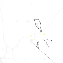
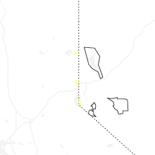
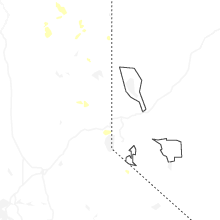
Hail Maps for Floriston, CA


Connect with Interactive Hail Maps