

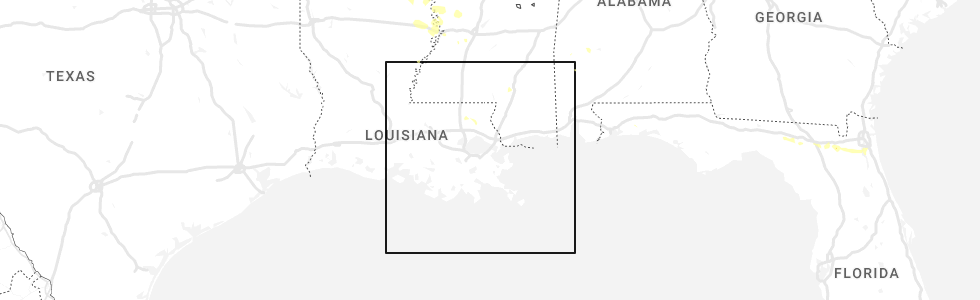
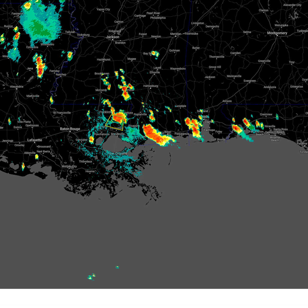
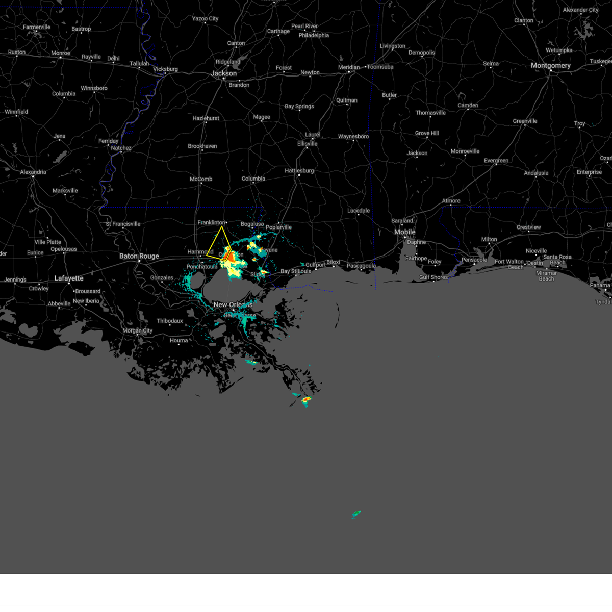
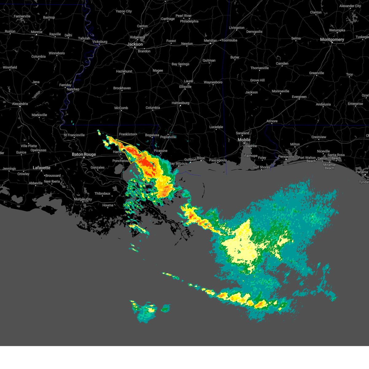
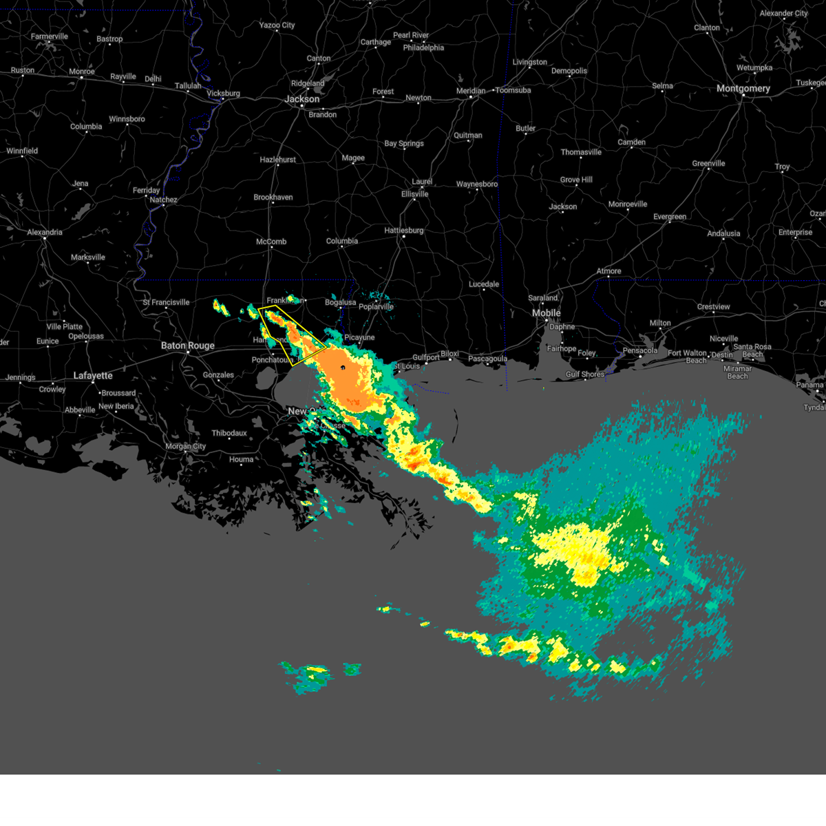
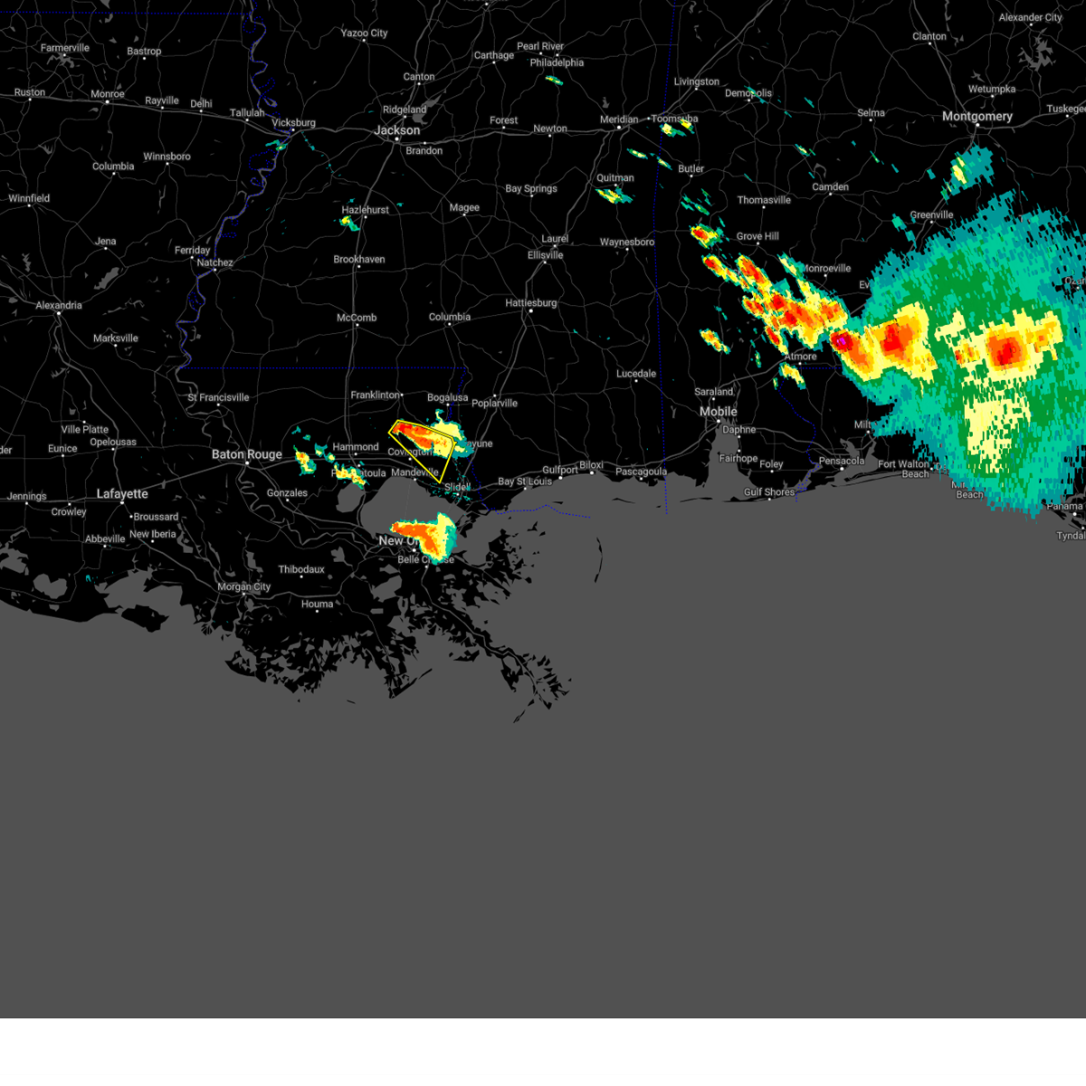
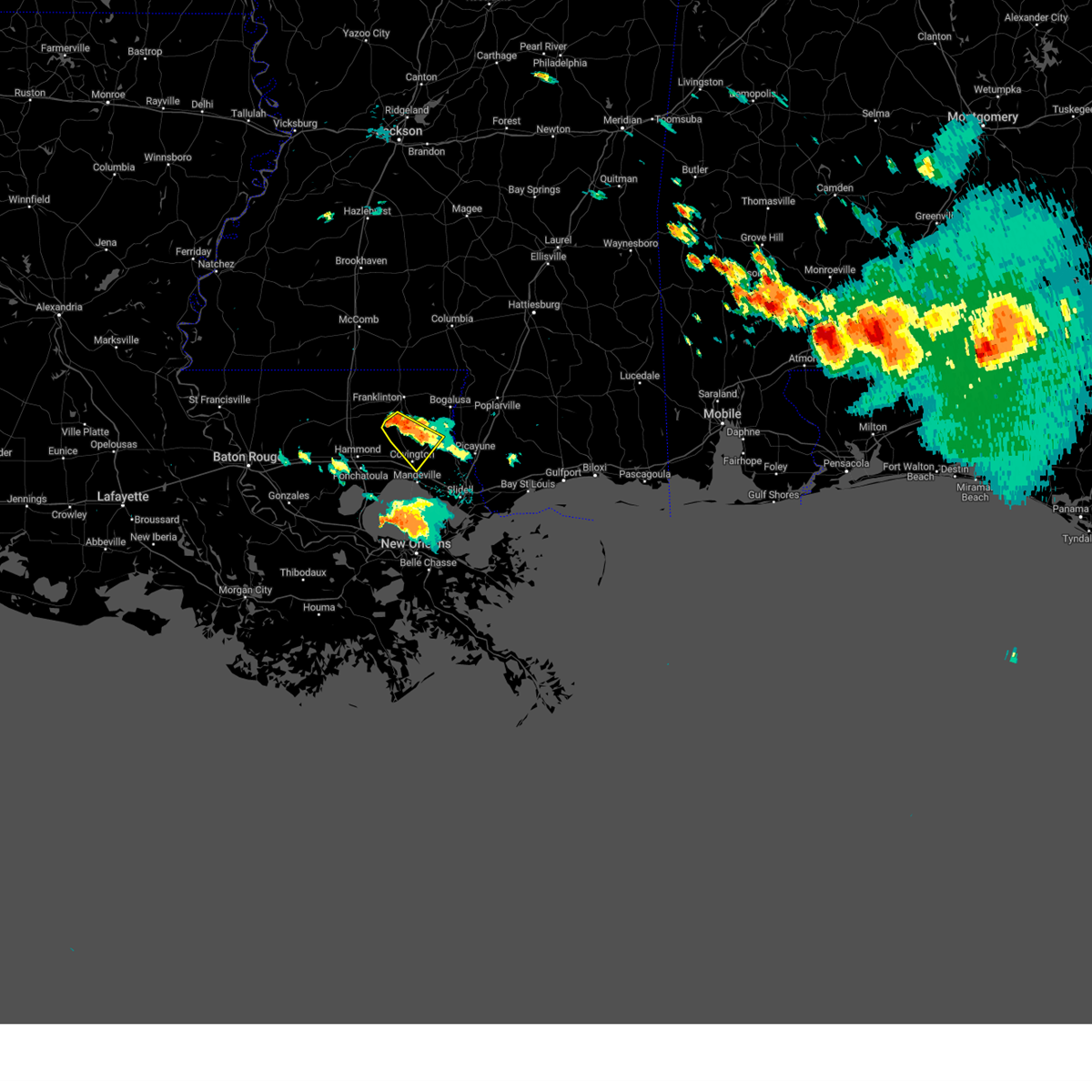
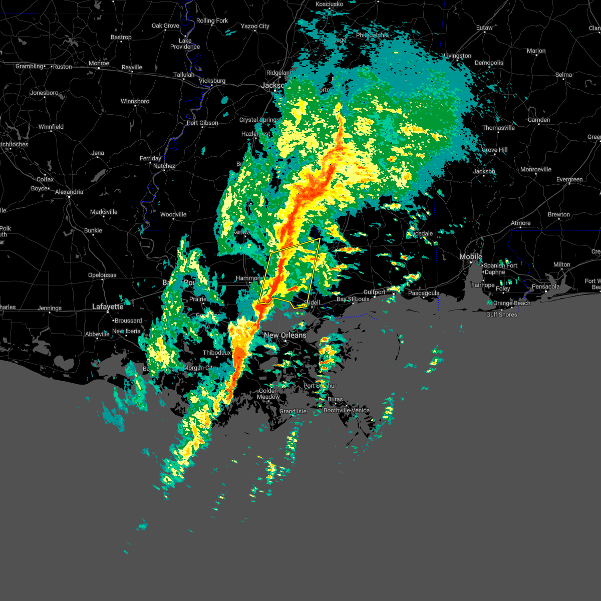
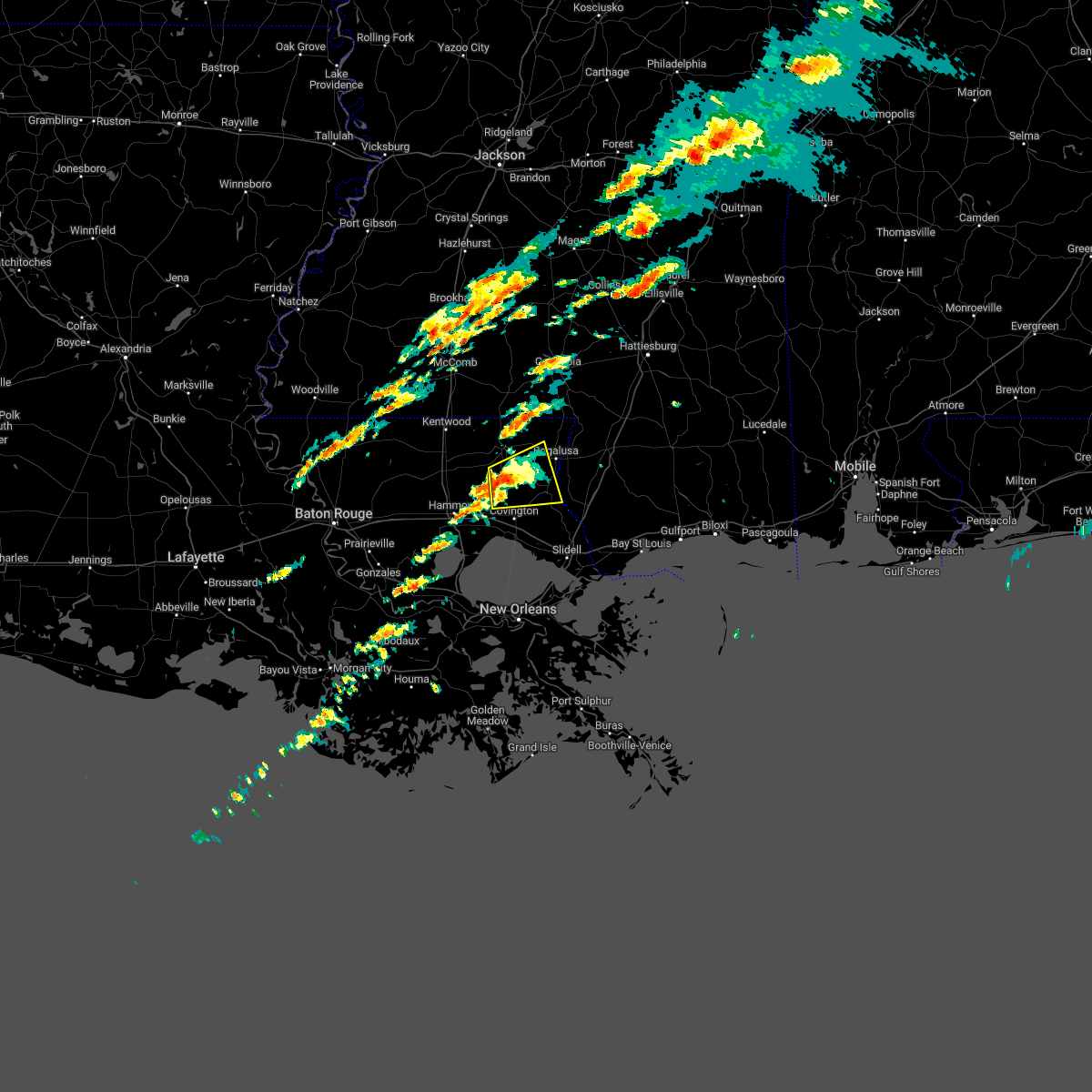
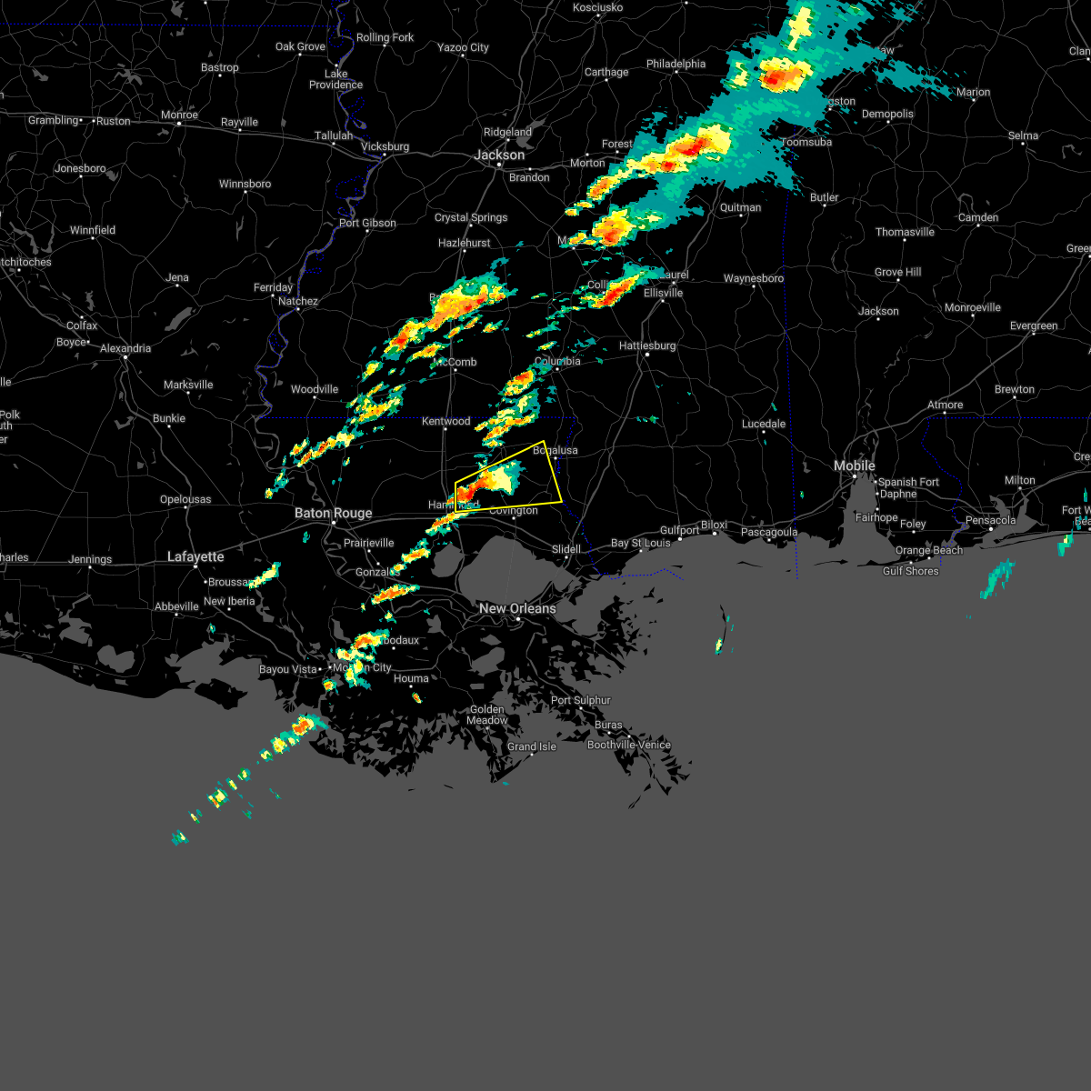
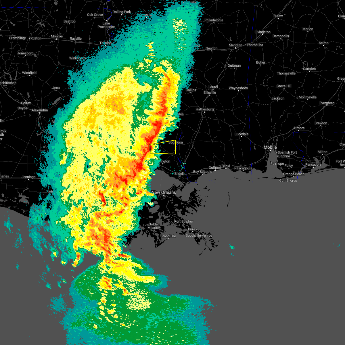
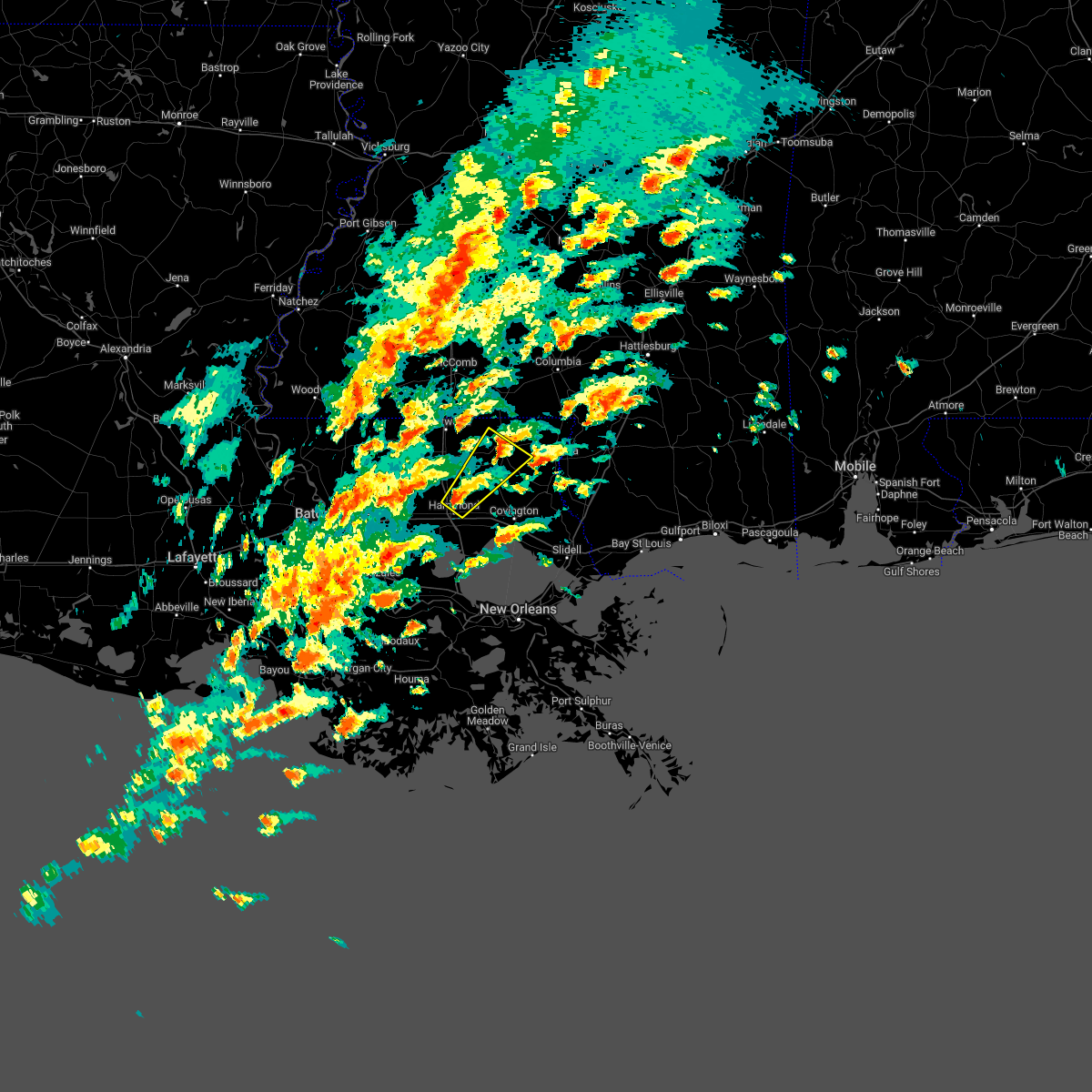
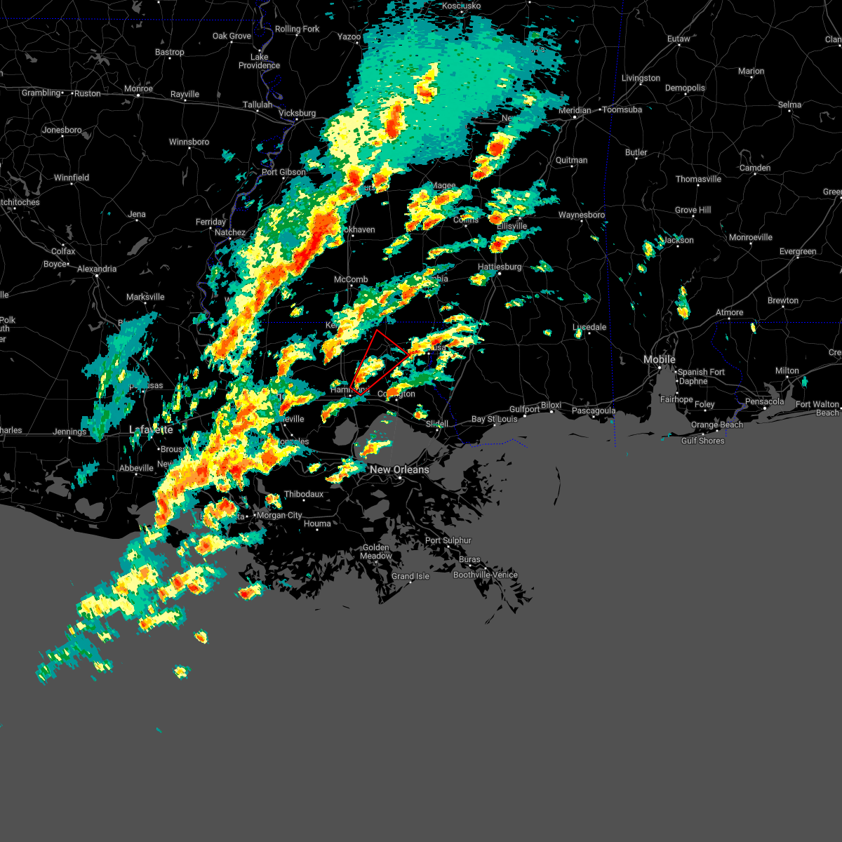
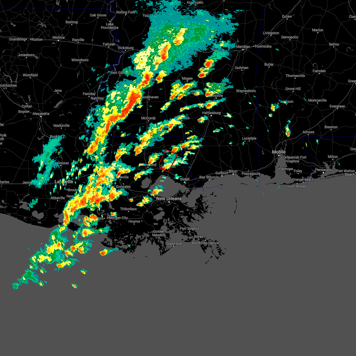
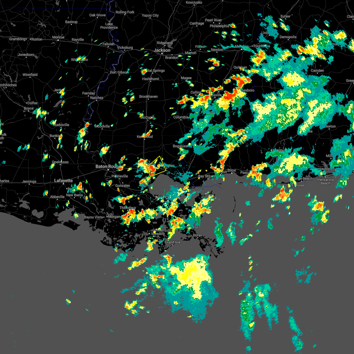
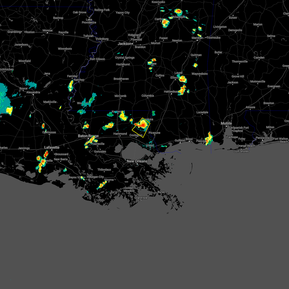
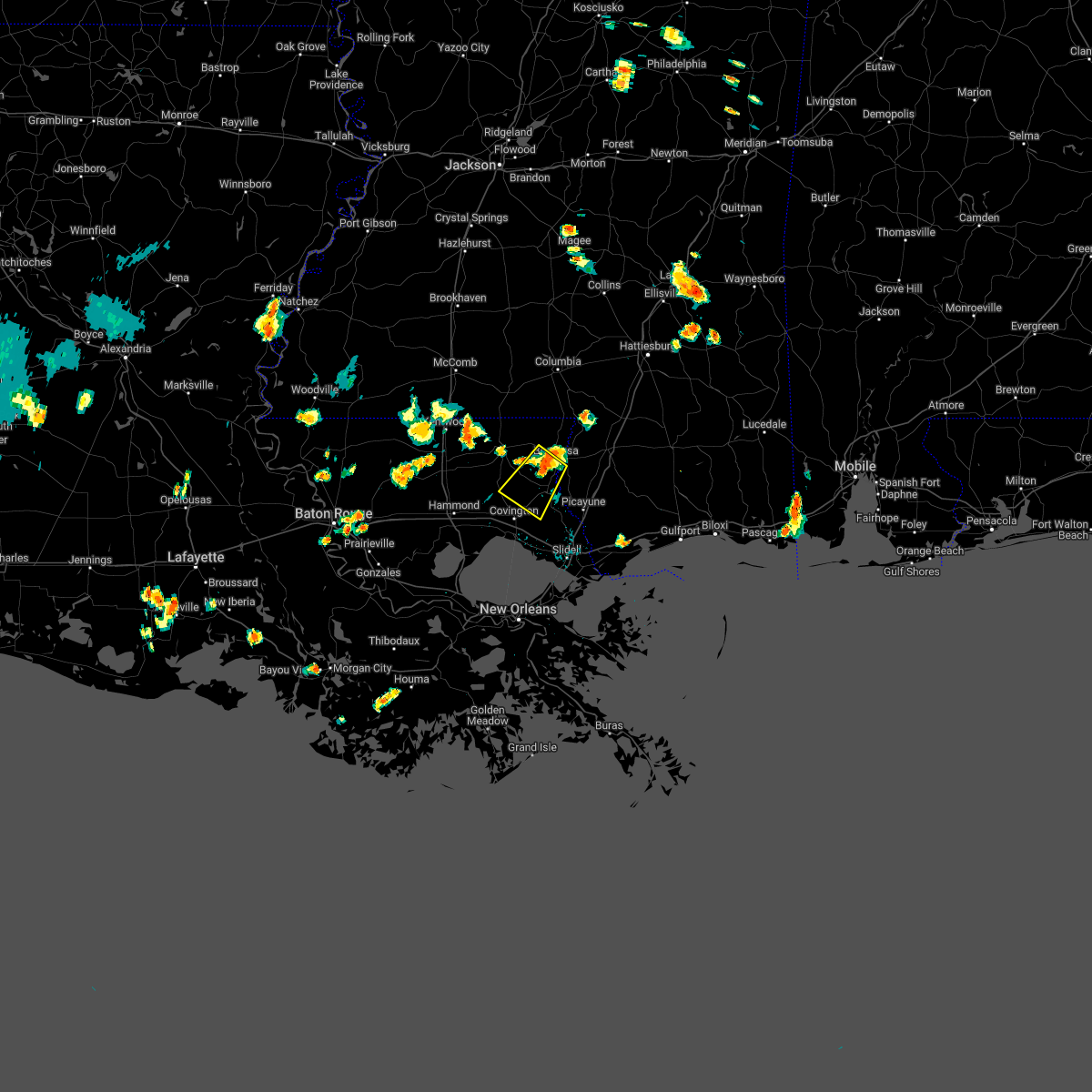
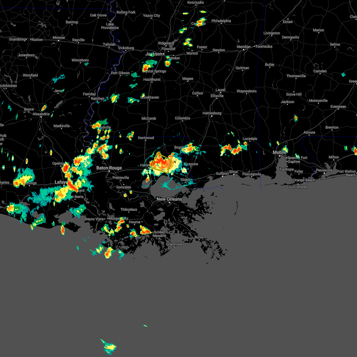
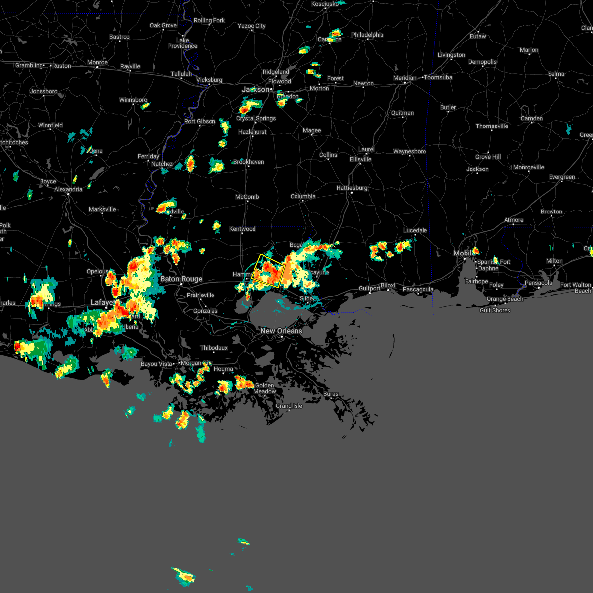
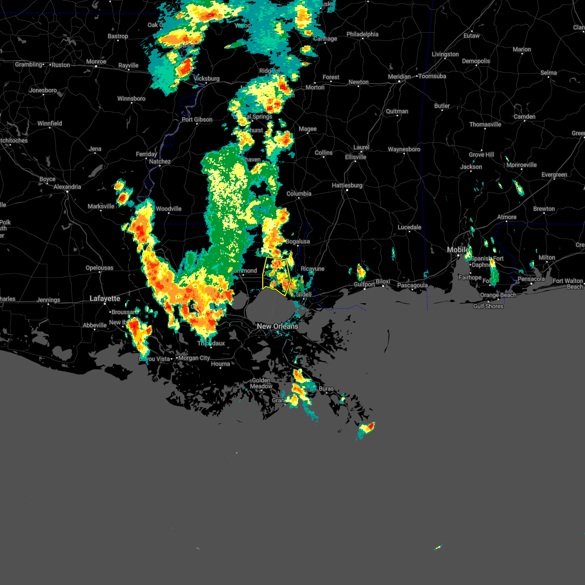
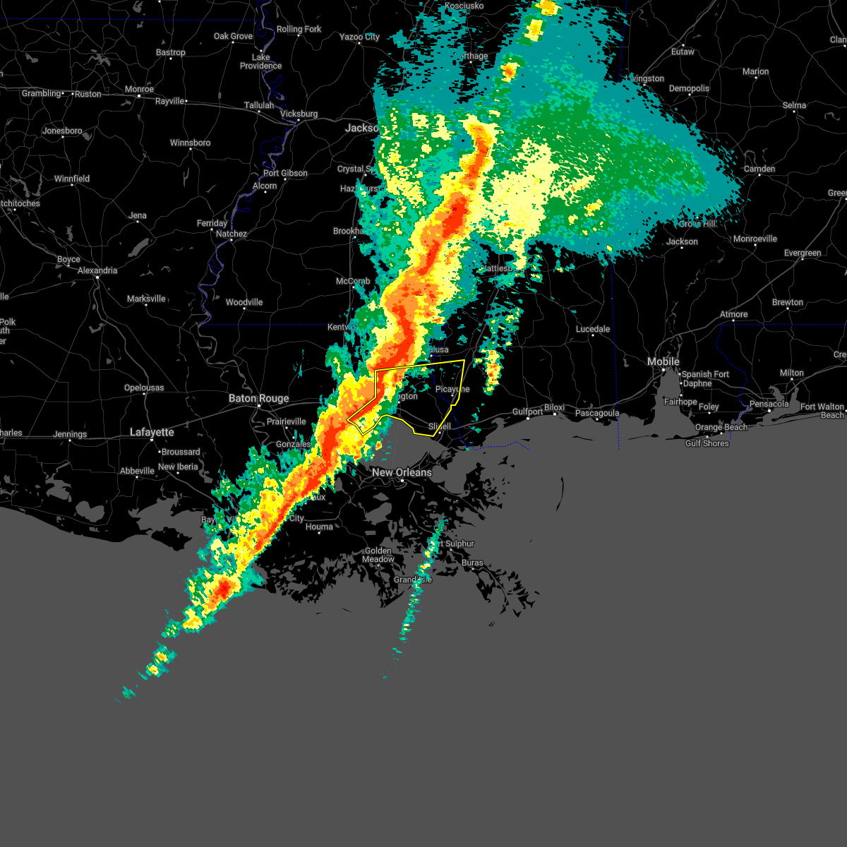
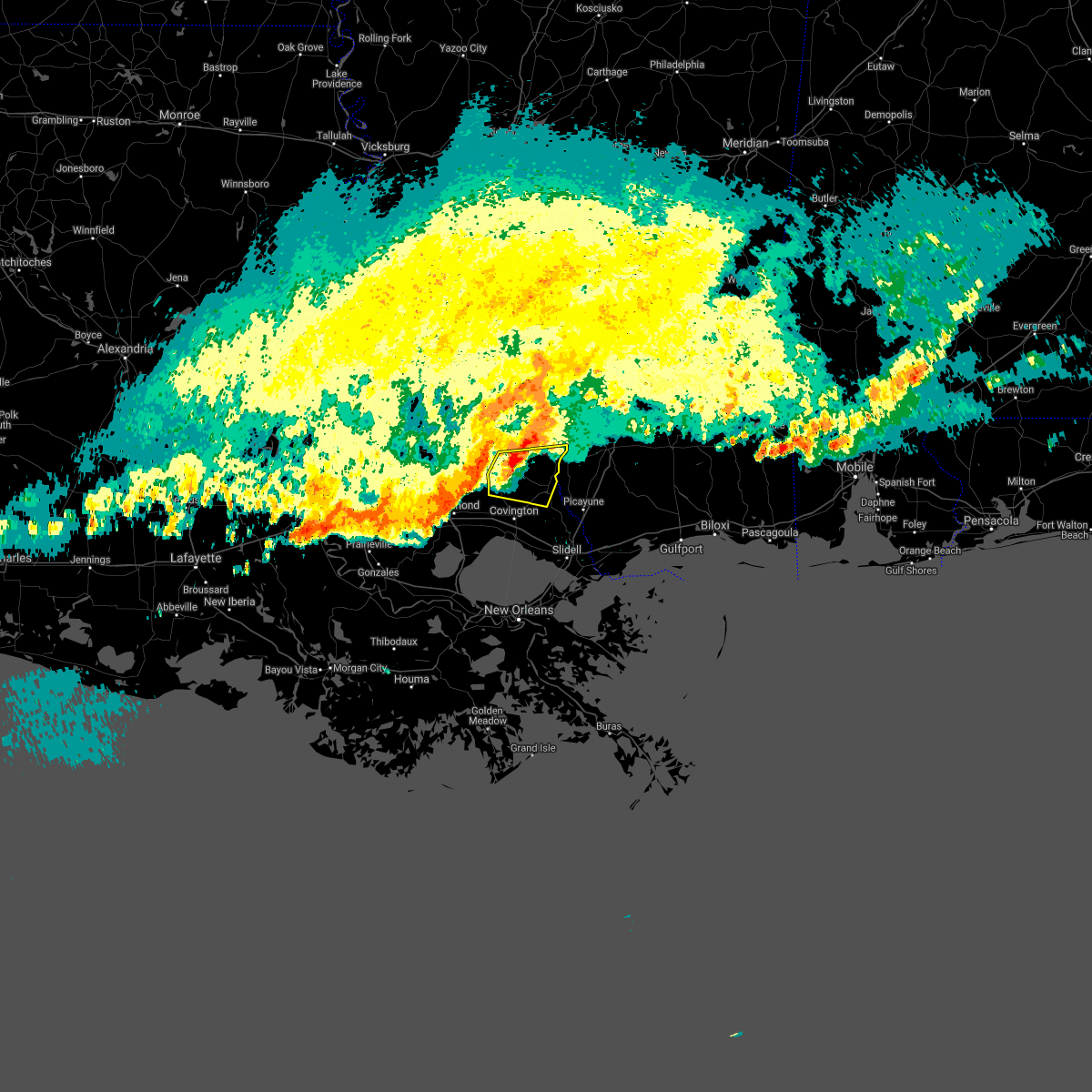
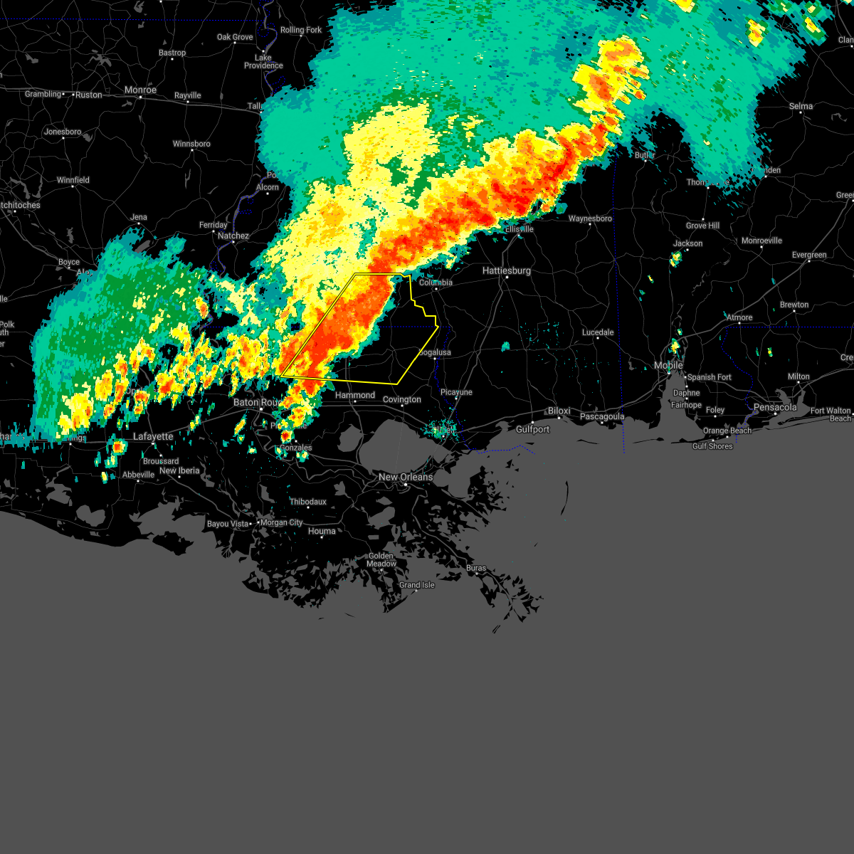
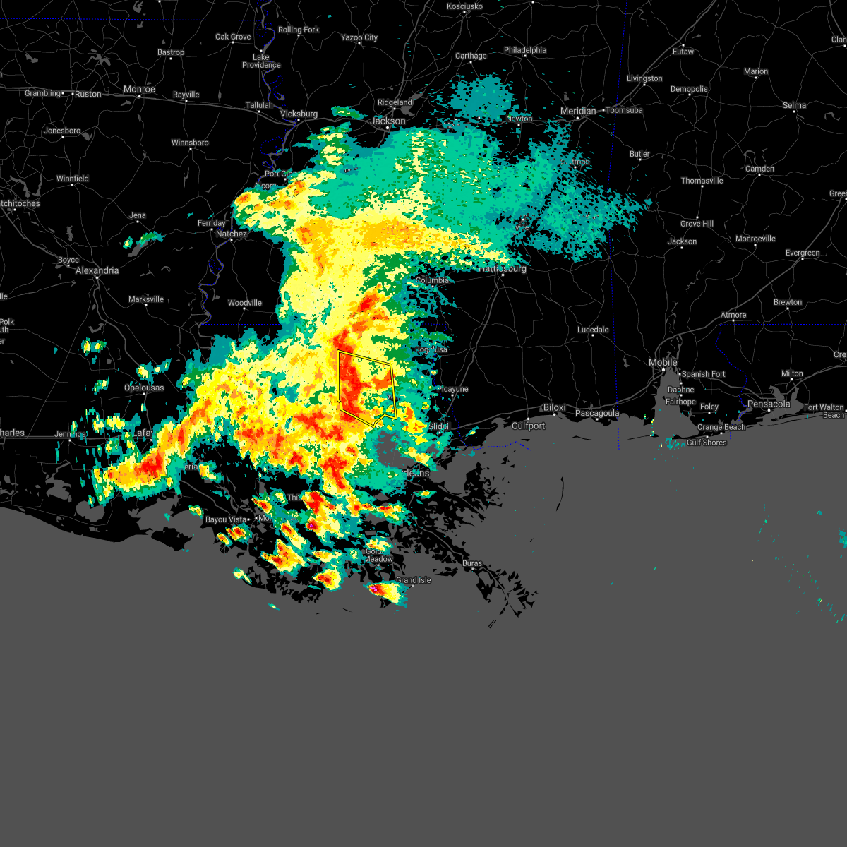
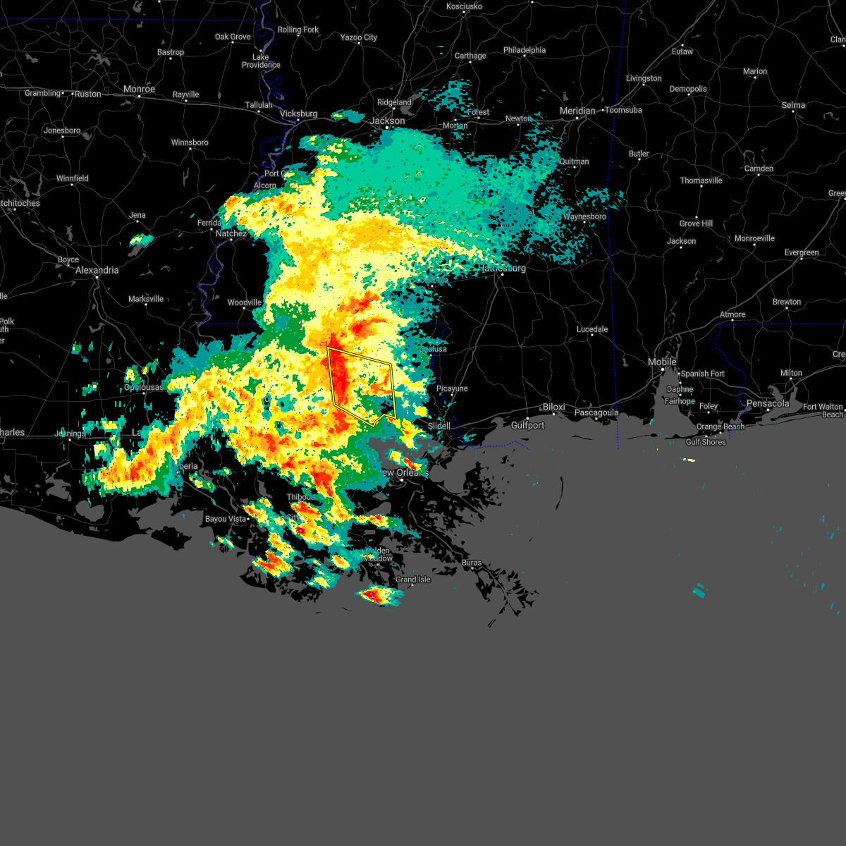
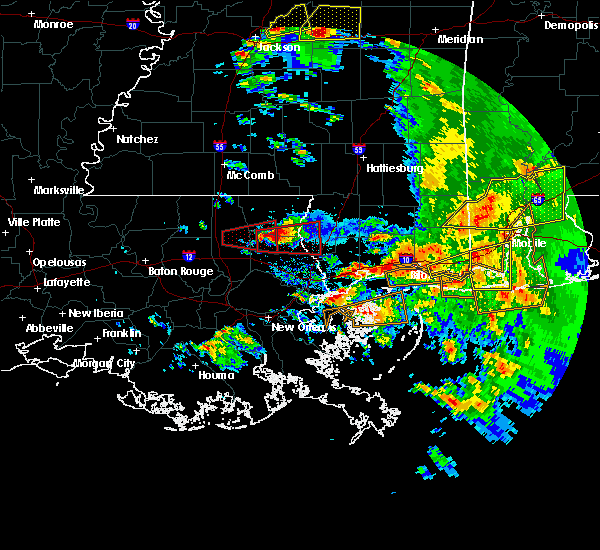
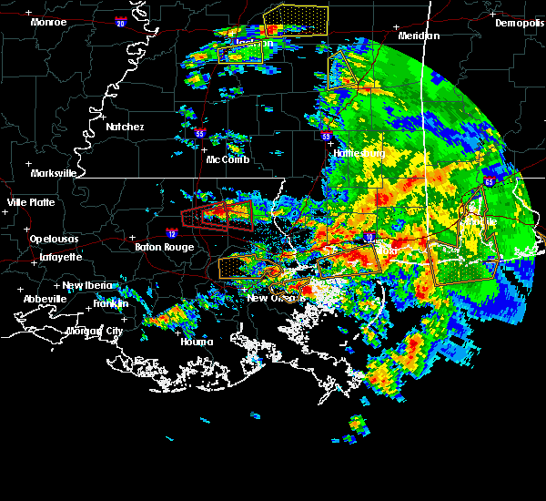
Hail Map for Folsom, LA
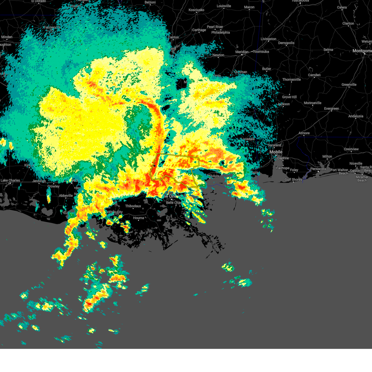
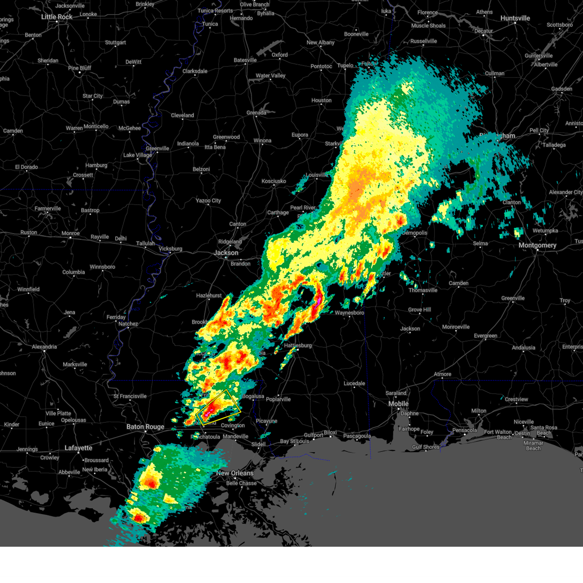
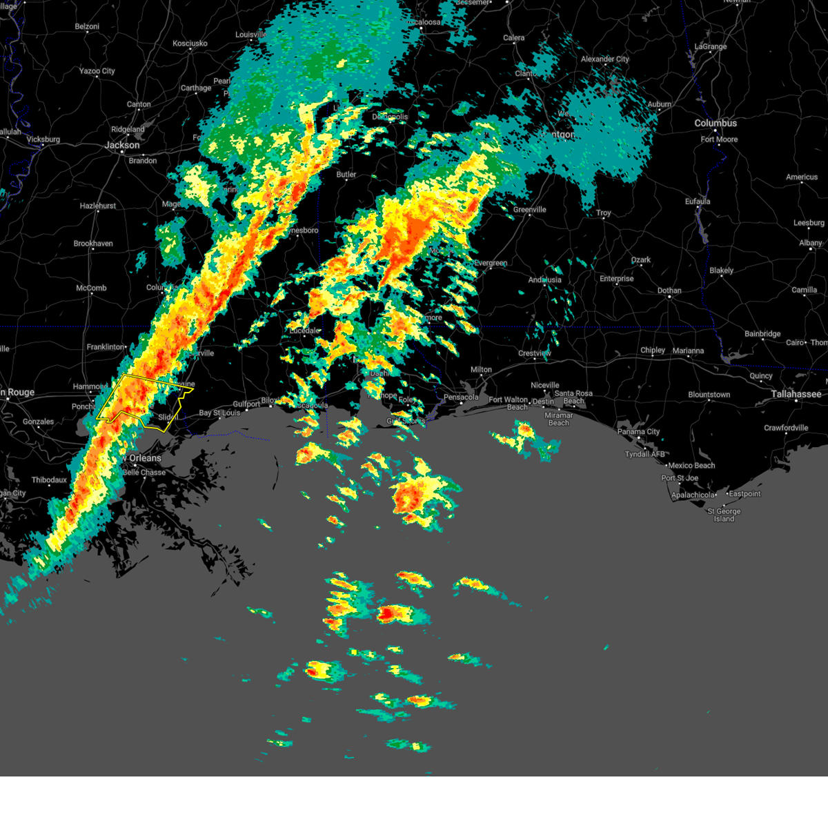
The Folsom, LA area has had 1 report of on-the-ground hail by trained spotters, and has been under severe weather warnings 17 times during the past 12 months. Doppler radar has detected hail at or near Folsom, LA on 46 occasions, including 11 occasions during the past year.
| Name: | Folsom, LA |
| Where Located: | 47.1 miles N of New Orleans, LA |
| Map: | Google Map for Folsom, LA |
| Population: | 716 |
| Housing Units: | 318 |
| More Info: | Search Google for Folsom, LA |
1
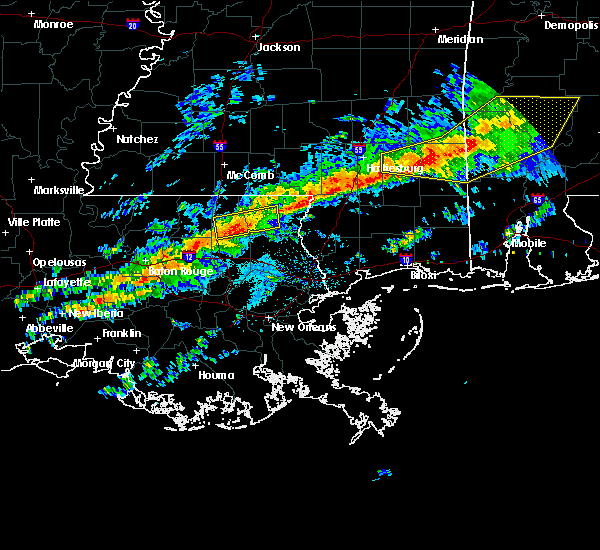
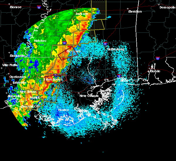
The Top Recent Hail Date for Folsom, LA is Tuesday, June 27, 2023 (8th out of 46)
Hail and Wind Damage Spotted near Folsom, LA
| Date / Time | Report Details |
|---|---|
| 4/10/2024 9:23 AM CDT |
 Svrlix the national weather service in new orleans has issued a * severe thunderstorm warning for, northeastern orleans parish in southeastern louisiana, st. tammany parish in southeastern louisiana, southeastern tangipahoa parish in southeastern louisiana, south central washington parish in southeastern louisiana, southwestern pearl river county in southern mississippi, * until 1045 am cdt. * at 923 am cdt, severe thunderstorms were located along a line extending from 7 miles south of wilmer to robert to near ponchatoula to 11 miles east of whitehall, moving east at 50 mph (radar indicated). Hazards include 70 mph wind gusts. Expect considerable tree damage. Damage is likely to mobile homes, roofs, and outbuildings. Svrlix the national weather service in new orleans has issued a * severe thunderstorm warning for, northeastern orleans parish in southeastern louisiana, st. tammany parish in southeastern louisiana, southeastern tangipahoa parish in southeastern louisiana, south central washington parish in southeastern louisiana, southwestern pearl river county in southern mississippi, * until 1045 am cdt. * at 923 am cdt, severe thunderstorms were located along a line extending from 7 miles south of wilmer to robert to near ponchatoula to 11 miles east of whitehall, moving east at 50 mph (radar indicated). Hazards include 70 mph wind gusts. Expect considerable tree damage. Damage is likely to mobile homes, roofs, and outbuildings.
|
| 2/12/2024 12:54 AM CST |
 At 1254 am cst, a severe thunderstorm was located 7 miles east of independence, or 9 miles southeast of amite, moving northeast at 50 mph (radar indicated). Hazards include ping pong ball size hail and 60 mph wind gusts. People and animals outdoors will be injured. expect hail damage to roofs, siding, windows, and vehicles. Expect wind damage to roofs, siding, and trees. At 1254 am cst, a severe thunderstorm was located 7 miles east of independence, or 9 miles southeast of amite, moving northeast at 50 mph (radar indicated). Hazards include ping pong ball size hail and 60 mph wind gusts. People and animals outdoors will be injured. expect hail damage to roofs, siding, windows, and vehicles. Expect wind damage to roofs, siding, and trees.
|
| 1/9/2024 1:12 AM CST |
 The national weather service in new orleans has issued a * severe thunderstorm warning for. st. tammany parish in southeastern louisiana. southeastern tangipahoa parish in southeastern louisiana. southwestern pearl river county in southern mississippi. Until 200 am cst. The national weather service in new orleans has issued a * severe thunderstorm warning for. st. tammany parish in southeastern louisiana. southeastern tangipahoa parish in southeastern louisiana. southwestern pearl river county in southern mississippi. Until 200 am cst.
|
| 1/9/2024 1:12 AM CST |
 At 112 am cst, severe thunderstorms were located along a line extending from 8 miles west of bush to 6 miles southwest of madisonville, moving east at 15 mph (radar indicated). Hazards include 60 mph wind gusts. expect damage to roofs, siding, and trees At 112 am cst, severe thunderstorms were located along a line extending from 8 miles west of bush to 6 miles southwest of madisonville, moving east at 15 mph (radar indicated). Hazards include 60 mph wind gusts. expect damage to roofs, siding, and trees
|
| 9/7/2023 3:42 PM CDT |
 At 341 pm cdt, a severe thunderstorm was located near folsom, or 11 miles north of covington, moving south at 30 mph (radar indicated). Hazards include 60 mph wind gusts. Expect damage to roofs, siding, and trees. locations impacted include, covington, abita springs, folsom, and enon. hail threat, radar indicated max hail size, <. 75 in wind threat, radar indicated max wind gust, 60 mph. At 341 pm cdt, a severe thunderstorm was located near folsom, or 11 miles north of covington, moving south at 30 mph (radar indicated). Hazards include 60 mph wind gusts. Expect damage to roofs, siding, and trees. locations impacted include, covington, abita springs, folsom, and enon. hail threat, radar indicated max hail size, <. 75 in wind threat, radar indicated max wind gust, 60 mph.
|
| 9/7/2023 3:19 PM CDT |
 At 318 pm cdt, a severe thunderstorm was located near franklinton, moving south at 30 mph (radar indicated). Hazards include 60 mph wind gusts. expect damage to roofs, siding, and trees At 318 pm cdt, a severe thunderstorm was located near franklinton, moving south at 30 mph (radar indicated). Hazards include 60 mph wind gusts. expect damage to roofs, siding, and trees
|
| 8/15/2023 3:57 PM CDT |
 At 357 pm cdt, a severe thunderstorm was located near covington, moving southeast at 15 mph (radar indicated). Hazards include 60 mph wind gusts. expect damage to roofs, siding, and trees At 357 pm cdt, a severe thunderstorm was located near covington, moving southeast at 15 mph (radar indicated). Hazards include 60 mph wind gusts. expect damage to roofs, siding, and trees
|
| 6/29/2023 3:29 PM CDT |
 At 329 pm cdt, a severe thunderstorm was located near folsom, or 13 miles northwest of covington, moving northwest at 20 mph (radar indicated). Hazards include 60 mph wind gusts and penny size hail. Expect damage to roofs, siding, and trees. locations impacted include, folsom. hail threat, radar indicated max hail size, 0. 75 in wind threat, radar indicated max wind gust, 60 mph. At 329 pm cdt, a severe thunderstorm was located near folsom, or 13 miles northwest of covington, moving northwest at 20 mph (radar indicated). Hazards include 60 mph wind gusts and penny size hail. Expect damage to roofs, siding, and trees. locations impacted include, folsom. hail threat, radar indicated max hail size, 0. 75 in wind threat, radar indicated max wind gust, 60 mph.
|
| 6/29/2023 3:11 PM CDT |
 At 311 pm cdt, a severe thunderstorm was located near folsom, or 7 miles northwest of covington, moving northwest at 20 mph (radar indicated). Hazards include 60 mph wind gusts and nickel size hail. expect damage to roofs, siding, and trees At 311 pm cdt, a severe thunderstorm was located near folsom, or 7 miles northwest of covington, moving northwest at 20 mph (radar indicated). Hazards include 60 mph wind gusts and nickel size hail. expect damage to roofs, siding, and trees
|
| 6/19/2023 10:29 PM CDT |
 At 1029 pm cdt, severe thunderstorms were located along a line extending from near roseland to near robert, moving northwest at 25 mph (radar indicated). Hazards include 60 mph wind gusts and quarter size hail. Hail damage to vehicles is expected. expect wind damage to roofs, siding, and trees. locations impacted include, covington, amite, amite city, abita springs, independence, madisonville, folsom and robert. this includes the following interstates, interstate 12 between mile markers 47 and 62. interstate 55 in louisiana between mile markers 46 and 48. hail threat, radar indicated max hail size, 1. 00 in wind threat, radar indicated max wind gust, 60 mph. At 1029 pm cdt, severe thunderstorms were located along a line extending from near roseland to near robert, moving northwest at 25 mph (radar indicated). Hazards include 60 mph wind gusts and quarter size hail. Hail damage to vehicles is expected. expect wind damage to roofs, siding, and trees. locations impacted include, covington, amite, amite city, abita springs, independence, madisonville, folsom and robert. this includes the following interstates, interstate 12 between mile markers 47 and 62. interstate 55 in louisiana between mile markers 46 and 48. hail threat, radar indicated max hail size, 1. 00 in wind threat, radar indicated max wind gust, 60 mph.
|
| 6/19/2023 10:09 PM CDT |
 At 1008 pm cdt, severe thunderstorms were located along a line extending from near amite to near covington, moving northwest at 25 mph (radar indicated). Hazards include 60 mph wind gusts and quarter size hail. Hail damage to vehicles is expected. Expect wind damage to roofs, siding, and trees. At 1008 pm cdt, severe thunderstorms were located along a line extending from near amite to near covington, moving northwest at 25 mph (radar indicated). Hazards include 60 mph wind gusts and quarter size hail. Hail damage to vehicles is expected. Expect wind damage to roofs, siding, and trees.
|
| 6/15/2023 3:09 PM CDT |
 At 309 pm cdt, a severe thunderstorm was located over folsom, or 11 miles north of covington, moving southeast at 20 mph (radar indicated). Hazards include 60 mph wind gusts and quarter size hail. Hail damage to vehicles is expected. Expect wind damage to roofs, siding, and trees. At 309 pm cdt, a severe thunderstorm was located over folsom, or 11 miles north of covington, moving southeast at 20 mph (radar indicated). Hazards include 60 mph wind gusts and quarter size hail. Hail damage to vehicles is expected. Expect wind damage to roofs, siding, and trees.
|
| 6/15/2023 2:52 PM CDT |
 At 252 pm cdt, a severe thunderstorm was located near folsom, or 12 miles southwest of franklinton, moving southeast at 20 mph (radar indicated). Hazards include 60 mph wind gusts and quarter size hail. Hail damage to vehicles is expected. expect wind damage to roofs, siding, and trees. locations impacted include, covington, abita springs, folsom and bush. this includes interstate 12 near mile marker 64. hail threat, radar indicated max hail size, 1. 00 in wind threat, radar indicated max wind gust, 60 mph. At 252 pm cdt, a severe thunderstorm was located near folsom, or 12 miles southwest of franklinton, moving southeast at 20 mph (radar indicated). Hazards include 60 mph wind gusts and quarter size hail. Hail damage to vehicles is expected. expect wind damage to roofs, siding, and trees. locations impacted include, covington, abita springs, folsom and bush. this includes interstate 12 near mile marker 64. hail threat, radar indicated max hail size, 1. 00 in wind threat, radar indicated max wind gust, 60 mph.
|
| 6/15/2023 2:33 PM CDT |
 At 233 pm cdt, a severe thunderstorm was located near wilmer, or 11 miles southwest of franklinton, moving southeast at 25 mph (radar indicated). Hazards include 60 mph wind gusts and half dollar size hail. Hail damage to vehicles is expected. Expect wind damage to roofs, siding, and trees. At 233 pm cdt, a severe thunderstorm was located near wilmer, or 11 miles southwest of franklinton, moving southeast at 25 mph (radar indicated). Hazards include 60 mph wind gusts and half dollar size hail. Hail damage to vehicles is expected. Expect wind damage to roofs, siding, and trees.
|
| 6/12/2023 5:42 PM CDT |
 At 541 pm cdt, severe thunderstorms were located along a line extending from near sandy hook to 6 miles northeast of enon to 6 miles northwest of folsom, moving southeast at 45 mph. these are destructive storms for bogalusa (radar indicated). Hazards include 80 mph wind gusts and quarter size hail. Flying debris will be dangerous to those caught without shelter. mobile homes will be heavily damaged. expect considerable damage to roofs, windows, and vehicles. Extensive tree damage and power outages are likely. At 541 pm cdt, severe thunderstorms were located along a line extending from near sandy hook to 6 miles northeast of enon to 6 miles northwest of folsom, moving southeast at 45 mph. these are destructive storms for bogalusa (radar indicated). Hazards include 80 mph wind gusts and quarter size hail. Flying debris will be dangerous to those caught without shelter. mobile homes will be heavily damaged. expect considerable damage to roofs, windows, and vehicles. Extensive tree damage and power outages are likely.
|
| 6/5/2023 3:36 PM CDT |
 At 336 pm cdt, a severe thunderstorm was located 8 miles southeast of wilmer, or 8 miles southwest of franklinton, moving south at 10 mph (radar indicated). Hazards include 60 mph wind gusts and quarter size hail. Hail damage to vehicles is expected. Expect wind damage to roofs, siding, and trees. At 336 pm cdt, a severe thunderstorm was located 8 miles southeast of wilmer, or 8 miles southwest of franklinton, moving south at 10 mph (radar indicated). Hazards include 60 mph wind gusts and quarter size hail. Hail damage to vehicles is expected. Expect wind damage to roofs, siding, and trees.
|
| 1/24/2023 10:16 PM CST |
 At 1016 pm cst, a severe thunderstorm was located near covington, moving northeast at 40 mph (radar indicated). Hazards include 60 mph wind gusts and penny size hail. expect damage to roofs, siding, and trees At 1016 pm cst, a severe thunderstorm was located near covington, moving northeast at 40 mph (radar indicated). Hazards include 60 mph wind gusts and penny size hail. expect damage to roofs, siding, and trees
|
| 1/24/2023 10:05 PM CST |
 At 1004 pm cst, severe thunderstorms were located along a line extending from near enon to near folsom to 9 miles southeast of ponchatoula, moving northeast at 75 mph (radar indicated). Hazards include 60 mph wind gusts. Expect damage to roofs, siding, and trees. locations impacted include, covington, abita springs, madisonville, folsom, enon and robert. this includes the following interstates, interstate 12 between mile markers 47 and 67. Interstate 55 in louisiana between mile markers 17 and 21. At 1004 pm cst, severe thunderstorms were located along a line extending from near enon to near folsom to 9 miles southeast of ponchatoula, moving northeast at 75 mph (radar indicated). Hazards include 60 mph wind gusts. Expect damage to roofs, siding, and trees. locations impacted include, covington, abita springs, madisonville, folsom, enon and robert. this includes the following interstates, interstate 12 between mile markers 47 and 67. Interstate 55 in louisiana between mile markers 17 and 21.
|
| 1/24/2023 9:35 PM CST |
 At 934 pm cst, a severe thunderstorm was located near natalbany, or near hammond, moving northeast at 45 mph (radar indicated). Hazards include 60 mph wind gusts and penny size hail. expect damage to roofs, siding, and trees At 934 pm cst, a severe thunderstorm was located near natalbany, or near hammond, moving northeast at 45 mph (radar indicated). Hazards include 60 mph wind gusts and penny size hail. expect damage to roofs, siding, and trees
|
| 1/12/2023 9:56 AM CST |
 The severe thunderstorm warning for northwestern st. tammany and southwestern washington parishes will expire at 1000 am cst, the storm which prompted the warning has weakened below severe limits, and no longer poses an immediate threat to life or property. therefore, the warning will be allowed to expire. to report severe weather, contact your nearest law enforcement agency. they will relay your report to the national weather service new orleans. The severe thunderstorm warning for northwestern st. tammany and southwestern washington parishes will expire at 1000 am cst, the storm which prompted the warning has weakened below severe limits, and no longer poses an immediate threat to life or property. therefore, the warning will be allowed to expire. to report severe weather, contact your nearest law enforcement agency. they will relay your report to the national weather service new orleans.
|
| 1/12/2023 9:28 AM CST |
 At 928 am cst, a severe thunderstorm was located near enon, or 12 miles north of covington, moving east at 45 mph (radar indicated). Hazards include 60 mph wind gusts and quarter size hail. Hail damage to vehicles is expected. expect wind damage to roofs, siding, and trees. locations impacted include, bogalusa, folsom, sun, enon and bush. hail threat, radar indicated max hail size, 1. 00 in wind threat, radar indicated max wind gust, 60 mph. At 928 am cst, a severe thunderstorm was located near enon, or 12 miles north of covington, moving east at 45 mph (radar indicated). Hazards include 60 mph wind gusts and quarter size hail. Hail damage to vehicles is expected. expect wind damage to roofs, siding, and trees. locations impacted include, bogalusa, folsom, sun, enon and bush. hail threat, radar indicated max hail size, 1. 00 in wind threat, radar indicated max wind gust, 60 mph.
|
| 1/12/2023 9:14 AM CST |
 At 914 am cst, a severe thunderstorm was located near folsom, or 12 miles northeast of hammond, moving east at 45 mph (radar indicated). Hazards include 60 mph wind gusts and quarter size hail. Hail damage to vehicles is expected. Expect wind damage to roofs, siding, and trees. At 914 am cst, a severe thunderstorm was located near folsom, or 12 miles northeast of hammond, moving east at 45 mph (radar indicated). Hazards include 60 mph wind gusts and quarter size hail. Hail damage to vehicles is expected. Expect wind damage to roofs, siding, and trees.
|
| 12/30/2022 7:42 AM CST |
 At 742 am cst, a severe thunderstorm was located 7 miles southeast of wilmer, or 11 miles southwest of franklinton, moving east at 35 mph (radar indicated). Hazards include 60 mph wind gusts. expect damage to roofs, siding, and trees At 742 am cst, a severe thunderstorm was located 7 miles southeast of wilmer, or 11 miles southwest of franklinton, moving east at 35 mph (radar indicated). Hazards include 60 mph wind gusts. expect damage to roofs, siding, and trees
|
| 12/14/2022 12:26 PM CST |
 At 1226 pm cst, a severe thunderstorm was located over natalbany, or near hammond, moving northeast at 40 mph (radar indicated). Hazards include 60 mph wind gusts. expect damage to roofs, siding, and trees At 1226 pm cst, a severe thunderstorm was located over natalbany, or near hammond, moving northeast at 40 mph (radar indicated). Hazards include 60 mph wind gusts. expect damage to roofs, siding, and trees
|
| 12/14/2022 11:57 AM CST |
 At 1157 am cst, a severe thunderstorm capable of producing a tornado was located near robert, or 7 miles northeast of hammond, moving northeast at 30 mph (radar indicated rotation). Hazards include tornado. Flying debris will be dangerous to those caught without shelter. mobile homes will be damaged or destroyed. damage to roofs, windows, and vehicles will occur. tree damage is likely. this dangerous storm will be near, folsom around 1215 pm cst. enon around 1235 pm cst. Franklinton around 1245 pm cst. At 1157 am cst, a severe thunderstorm capable of producing a tornado was located near robert, or 7 miles northeast of hammond, moving northeast at 30 mph (radar indicated rotation). Hazards include tornado. Flying debris will be dangerous to those caught without shelter. mobile homes will be damaged or destroyed. damage to roofs, windows, and vehicles will occur. tree damage is likely. this dangerous storm will be near, folsom around 1215 pm cst. enon around 1235 pm cst. Franklinton around 1245 pm cst.
|
| 12/14/2022 11:54 AM CST |
 At 1154 am cst, a severe thunderstorm capable of producing a tornado was located over covington, moving northeast at 35 mph (radar indicated rotation). Hazards include tornado. Flying debris will be dangerous to those caught without shelter. mobile homes will be damaged or destroyed. damage to roofs, windows, and vehicles will occur. tree damage is likely. this dangerous storm will be near, folsom around 1210 pm cst. Enon around 1225 pm cst. At 1154 am cst, a severe thunderstorm capable of producing a tornado was located over covington, moving northeast at 35 mph (radar indicated rotation). Hazards include tornado. Flying debris will be dangerous to those caught without shelter. mobile homes will be damaged or destroyed. damage to roofs, windows, and vehicles will occur. tree damage is likely. this dangerous storm will be near, folsom around 1210 pm cst. Enon around 1225 pm cst.
|
| 8/1/2022 3:02 PM CDT |
 The national weather service in new orleans has issued a * severe thunderstorm warning for. west central st. tammany parish in southeastern louisiana. southeastern tangipahoa parish in southeastern louisiana. until 345 pm cdt. At 302 pm cdt, a severe thunderstorm was located near robert, or 8. The national weather service in new orleans has issued a * severe thunderstorm warning for. west central st. tammany parish in southeastern louisiana. southeastern tangipahoa parish in southeastern louisiana. until 345 pm cdt. At 302 pm cdt, a severe thunderstorm was located near robert, or 8.
|
| 6/22/2022 6:13 PM CDT |
 The severe thunderstorm warning for northwestern st. tammany, southeastern washington parishes in southeastern louisiana and west central pearl river counties will expire at 615 pm cdt, the severe thunderstorm which prompted the warning has weakened. therefore, the warning will be allowed to expire. The severe thunderstorm warning for northwestern st. tammany, southeastern washington parishes in southeastern louisiana and west central pearl river counties will expire at 615 pm cdt, the severe thunderstorm which prompted the warning has weakened. therefore, the warning will be allowed to expire.
|
| 6/22/2022 5:52 PM CDT |
 At 551 pm cdt, a severe thunderstorm was located near bogalusa, moving southwest at 20 mph (radar indicated). Hazards include 60 mph wind gusts and quarter size hail. Hail damage to vehicles is expected. Expect wind damage to roofs, siding, and trees. At 551 pm cdt, a severe thunderstorm was located near bogalusa, moving southwest at 20 mph (radar indicated). Hazards include 60 mph wind gusts and quarter size hail. Hail damage to vehicles is expected. Expect wind damage to roofs, siding, and trees.
|
| 6/16/2022 4:18 PM CDT |
 At 418 pm cdt, a severe thunderstorm was located near folsom, or 13 miles northeast of hammond, moving west at 25 mph (radar indicated). Hazards include 60 mph wind gusts and penny size hail. Expect damage to roofs, siding, and trees. locations impacted include, covington, folsom and robert. this includes interstate 12 between mile markers 49 and 61. hail threat, radar indicated max hail size, 0. 75 in wind threat, radar indicated max wind gust, 60 mph. At 418 pm cdt, a severe thunderstorm was located near folsom, or 13 miles northeast of hammond, moving west at 25 mph (radar indicated). Hazards include 60 mph wind gusts and penny size hail. Expect damage to roofs, siding, and trees. locations impacted include, covington, folsom and robert. this includes interstate 12 between mile markers 49 and 61. hail threat, radar indicated max hail size, 0. 75 in wind threat, radar indicated max wind gust, 60 mph.
|
| 6/16/2022 4:07 PM CDT |
 At 406 pm cdt, a severe thunderstorm was located near folsom, or 7 miles northwest of covington, moving west at 20 mph (radar indicated). Hazards include 60 mph wind gusts and penny size hail. expect damage to roofs, siding, and trees At 406 pm cdt, a severe thunderstorm was located near folsom, or 7 miles northwest of covington, moving west at 20 mph (radar indicated). Hazards include 60 mph wind gusts and penny size hail. expect damage to roofs, siding, and trees
|
| 5/13/2022 4:03 PM CDT |
 At 402 pm cdt, a severe thunderstorm was located over covington, moving southwest at 15 mph (radar indicated). Hazards include 60 mph wind gusts and quarter size hail. Hail damage to vehicles is expected. Expect wind damage to roofs, siding, and trees. At 402 pm cdt, a severe thunderstorm was located over covington, moving southwest at 15 mph (radar indicated). Hazards include 60 mph wind gusts and quarter size hail. Hail damage to vehicles is expected. Expect wind damage to roofs, siding, and trees.
|
| 4/12/2022 6:13 PM CDT | Quarter sized hail reported 0.5 miles E of Folsom, LA |
| 3/30/2022 6:53 PM CDT |
 At 653 pm cdt, severe thunderstorms were located along a line extending from near enon to 6 miles northwest of covington to 7 miles south of ponchatoula, moving east at 35 mph (radar indicated). Hazards include 60 mph wind gusts. expect damage to roofs, siding, and trees At 653 pm cdt, severe thunderstorms were located along a line extending from near enon to 6 miles northwest of covington to 7 miles south of ponchatoula, moving east at 35 mph (radar indicated). Hazards include 60 mph wind gusts. expect damage to roofs, siding, and trees
|
| 12/6/2021 2:21 PM CST |
 At 221 pm cst, a severe thunderstorm was located over enon, or 9 miles south of franklinton, moving east at 25 mph (radar indicated). Hazards include 60 mph wind gusts. expect damage to roofs, siding, and trees At 221 pm cst, a severe thunderstorm was located over enon, or 9 miles south of franklinton, moving east at 25 mph (radar indicated). Hazards include 60 mph wind gusts. expect damage to roofs, siding, and trees
|
| 5/4/2021 5:05 PM CDT |
 The severe thunderstorm warning for st. helena, northwestern st. tammany, southeastern east feliciana, northern tangipahoa, northeastern east baton rouge and washington parishes, walthall, pike and southeastern amite counties will expire at 515 pm cdt, the storms which prompted the warning have weakened below severe limits, and have exited the warned area. therefore, the warning will be allowed to expire. however gusty winds are still possible with these thunderstorms. a tornado watch remains in effect until 600 pm cdt for southeastern louisiana, and southern mississippi. a tornado watch also remains in effect until 1000 pm cdt for southeastern louisiana, and southern mississippi. The severe thunderstorm warning for st. helena, northwestern st. tammany, southeastern east feliciana, northern tangipahoa, northeastern east baton rouge and washington parishes, walthall, pike and southeastern amite counties will expire at 515 pm cdt, the storms which prompted the warning have weakened below severe limits, and have exited the warned area. therefore, the warning will be allowed to expire. however gusty winds are still possible with these thunderstorms. a tornado watch remains in effect until 600 pm cdt for southeastern louisiana, and southern mississippi. a tornado watch also remains in effect until 1000 pm cdt for southeastern louisiana, and southern mississippi.
|
| 5/4/2021 4:10 PM CDT |
 At 409 pm cdt, severe thunderstorms were located along a line extending from near jayess to near amite city, moving east at 25 mph (radar indicated). Hazards include 60 mph wind gusts and quarter size hail. Hail damage to vehicles is expected. Expect wind damage to roofs, siding, and trees. At 409 pm cdt, severe thunderstorms were located along a line extending from near jayess to near amite city, moving east at 25 mph (radar indicated). Hazards include 60 mph wind gusts and quarter size hail. Hail damage to vehicles is expected. Expect wind damage to roofs, siding, and trees.
|
| 4/13/2021 12:14 PM CDT |
 At 1213 pm cdt, severe thunderstorms were located along a line extending from 6 miles west of folsom to near robert, moving east at 35 mph (radar indicated). Hazards include 60 mph wind gusts and penny size hail. expect damage to roofs, siding, and trees At 1213 pm cdt, severe thunderstorms were located along a line extending from 6 miles west of folsom to near robert, moving east at 35 mph (radar indicated). Hazards include 60 mph wind gusts and penny size hail. expect damage to roofs, siding, and trees
|
| 4/13/2021 12:00 PM CDT |
 At 1158 am cdt, severe thunderstorms were located along a line extending from near amite to 6 miles northwest of robert to near ponchatoula, moving east at 45 mph (radar indicated). Hazards include 60 mph wind gusts and nickel size hail. Expect damage to roofs, siding, and trees. Locations impacted include, hammond, covington, amite, ponchatoula, amite city, independence, roseland, madisonville, folsom, springfield, natalbany, robert and tickfaw. At 1158 am cdt, severe thunderstorms were located along a line extending from near amite to 6 miles northwest of robert to near ponchatoula, moving east at 45 mph (radar indicated). Hazards include 60 mph wind gusts and nickel size hail. Expect damage to roofs, siding, and trees. Locations impacted include, hammond, covington, amite, ponchatoula, amite city, independence, roseland, madisonville, folsom, springfield, natalbany, robert and tickfaw.
|
| 4/13/2021 11:45 AM CDT |
 At 1144 am cdt, severe thunderstorms were located along a line extending from near amite city to albany, moving southeast at 35 mph (radar indicated). Hazards include 60 mph wind gusts and nickel size hail. expect damage to roofs, siding, and trees At 1144 am cdt, severe thunderstorms were located along a line extending from near amite city to albany, moving southeast at 35 mph (radar indicated). Hazards include 60 mph wind gusts and nickel size hail. expect damage to roofs, siding, and trees
|
| 4/8/2021 1:36 AM CDT |
 At 136 am cdt, a severe thunderstorm was located over enon, or 7 miles south of franklinton, moving southeast at 35 mph (radar indicated). Hazards include 60 mph wind gusts. Expect damage to roofs, siding, and trees. Locations impacted include, bogalusa, franklinton, folsom, sun, enon and bush. At 136 am cdt, a severe thunderstorm was located over enon, or 7 miles south of franklinton, moving southeast at 35 mph (radar indicated). Hazards include 60 mph wind gusts. Expect damage to roofs, siding, and trees. Locations impacted include, bogalusa, franklinton, folsom, sun, enon and bush.
|
| 4/8/2021 1:05 AM CDT |
 At 105 am cdt, a severe thunderstorm was located near roseland, or near amite, moving east at 50 mph (radar indicated). Hazards include 60 mph wind gusts. expect damage to roofs, siding, and trees At 105 am cdt, a severe thunderstorm was located near roseland, or near amite, moving east at 50 mph (radar indicated). Hazards include 60 mph wind gusts. expect damage to roofs, siding, and trees
|
| 8/16/2020 8:45 PM CDT |
 At 845 pm cdt, severe thunderstorms were located along a line extending from 8 miles southeast of poplarville to near bogalusa to wilmer, moving south at 45 mph (radar indicated). Hazards include 60 mph wind gusts. expect damage to roofs, siding, and trees At 845 pm cdt, severe thunderstorms were located along a line extending from 8 miles southeast of poplarville to near bogalusa to wilmer, moving south at 45 mph (radar indicated). Hazards include 60 mph wind gusts. expect damage to roofs, siding, and trees
|
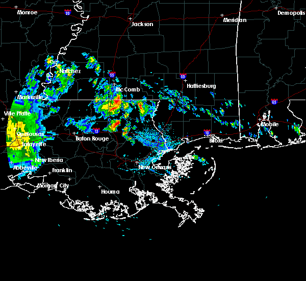
| 7/15/2020 7:58 PM CDT |
 At 757 pm cdt, severe thunderstorms were located along a line extending from near covington to near madisonville, moving southwest at 20 mph (radar indicated). Hazards include 60 mph wind gusts. Expect damage to roofs, siding, and trees. Locations impacted include, covington, madisonville, folsom and robert. At 757 pm cdt, severe thunderstorms were located along a line extending from near covington to near madisonville, moving southwest at 20 mph (radar indicated). Hazards include 60 mph wind gusts. Expect damage to roofs, siding, and trees. Locations impacted include, covington, madisonville, folsom and robert.
|
| 7/15/2020 7:30 PM CDT |
 At 729 pm cdt, a severe thunderstorm was located near folsom, or 8 miles north of covington, moving southwest at 20 mph (radar indicated). Hazards include 60 mph wind gusts. expect damage to roofs, siding, and trees At 729 pm cdt, a severe thunderstorm was located near folsom, or 8 miles north of covington, moving southwest at 20 mph (radar indicated). Hazards include 60 mph wind gusts. expect damage to roofs, siding, and trees
|
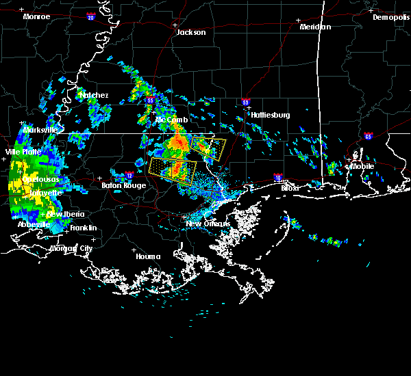
| 7/15/2020 7:22 PM CDT |
 At 721 pm cdt, severe thunderstorms were located along a line extending from near folsom to 7 miles south of enon, moving southwest at 25 mph (radar indicated). Hazards include 60 mph wind gusts and penny size hail. Expect damage to roofs, siding, and trees. these severe storms will be near, folsom around 725 pm cdt. Covington around 740 pm cdt. At 721 pm cdt, severe thunderstorms were located along a line extending from near folsom to 7 miles south of enon, moving southwest at 25 mph (radar indicated). Hazards include 60 mph wind gusts and penny size hail. Expect damage to roofs, siding, and trees. these severe storms will be near, folsom around 725 pm cdt. Covington around 740 pm cdt.
|
| 7/15/2020 7:16 PM CDT | Tin roof partially ripped off from a home in folsom. time estimated by rada in st. tammany county LA, 0.5 miles E of Folsom, LA |
| 7/15/2020 7:02 PM CDT |
 At 702 pm cdt, severe thunderstorms were located along a line extending from franklinton to near sun, moving southwest at 20 mph (radar indicated). Hazards include 60 mph wind gusts and penny size hail. expect damage to roofs, siding, and trees At 702 pm cdt, severe thunderstorms were located along a line extending from franklinton to near sun, moving southwest at 20 mph (radar indicated). Hazards include 60 mph wind gusts and penny size hail. expect damage to roofs, siding, and trees
|
| 6/24/2020 6:40 AM CDT |
 The national weather service in new orleans has issued a * tornado warning for. northwestern st. tammany parish in southeastern louisiana. central tangipahoa parish in southeastern louisiana. southwestern washington parish in southeastern louisiana. Until 715 am cdt. The national weather service in new orleans has issued a * tornado warning for. northwestern st. tammany parish in southeastern louisiana. central tangipahoa parish in southeastern louisiana. southwestern washington parish in southeastern louisiana. Until 715 am cdt.
|
| 5/20/2020 2:28 PM CDT |
 At 228 pm cdt, a severe thunderstorm was located near bush, or 11 miles northeast of covington, moving east at 40 mph (radar indicated). Hazards include 60 mph wind gusts and quarter size hail. Hail damage to vehicles is expected. expect wind damage to roofs, siding, and trees. Locations impacted include, picayune, covington, pearl river, abita springs, folsom, sun and bush. At 228 pm cdt, a severe thunderstorm was located near bush, or 11 miles northeast of covington, moving east at 40 mph (radar indicated). Hazards include 60 mph wind gusts and quarter size hail. Hail damage to vehicles is expected. expect wind damage to roofs, siding, and trees. Locations impacted include, picayune, covington, pearl river, abita springs, folsom, sun and bush.
|
| 5/20/2020 2:11 PM CDT |
 At 211 pm cdt, a severe thunderstorm was located near folsom, or 8 miles north of covington, moving east at 40 mph (radar indicated). Hazards include 60 mph wind gusts and quarter size hail. Hail damage to vehicles is expected. Expect wind damage to roofs, siding, and trees. At 211 pm cdt, a severe thunderstorm was located near folsom, or 8 miles north of covington, moving east at 40 mph (radar indicated). Hazards include 60 mph wind gusts and quarter size hail. Hail damage to vehicles is expected. Expect wind damage to roofs, siding, and trees.
|
| 5/20/2020 1:49 PM CDT |
 At 149 pm cdt, a severe thunderstorm was located near independence, or 7 miles north of hammond, moving east at 40 mph (radar indicated). Hazards include 60 mph wind gusts and quarter size hail. Hail damage to vehicles is expected. Expect wind damage to roofs, siding, and trees. At 149 pm cdt, a severe thunderstorm was located near independence, or 7 miles north of hammond, moving east at 40 mph (radar indicated). Hazards include 60 mph wind gusts and quarter size hail. Hail damage to vehicles is expected. Expect wind damage to roofs, siding, and trees.
|
| 5/14/2020 7:14 PM CDT |
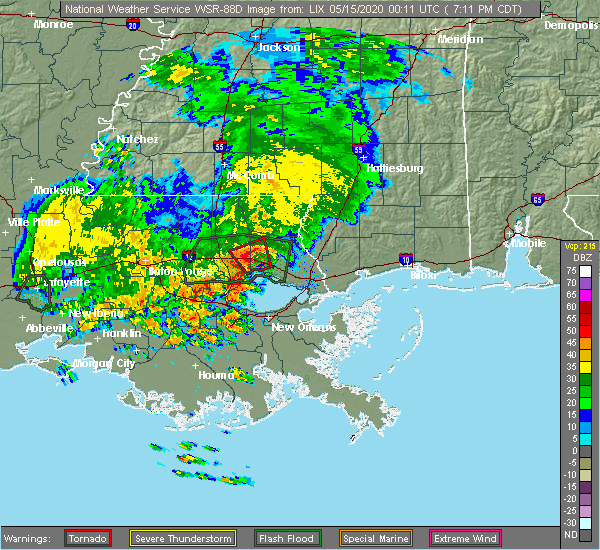 At 712 pm cdt, a severe thunderstorm capable of producing a tornado was located 5 miles northwest of madisonville, moving northwest at 10 mph. a funnel cloud was reported by an off duty national weather service employee along interstate 12 at louisiana highway 1077 around 705 pm (radar indicated rotation). Hazards include tornado. Flying debris will be dangerous to those caught without shelter. mobile homes will be damaged or destroyed. damage to roofs, windows, and vehicles will occur. tree damage is likely. This dangerous storm will be near, robert around 745 pm cdt. At 712 pm cdt, a severe thunderstorm capable of producing a tornado was located 5 miles northwest of madisonville, moving northwest at 10 mph. a funnel cloud was reported by an off duty national weather service employee along interstate 12 at louisiana highway 1077 around 705 pm (radar indicated rotation). Hazards include tornado. Flying debris will be dangerous to those caught without shelter. mobile homes will be damaged or destroyed. damage to roofs, windows, and vehicles will occur. tree damage is likely. This dangerous storm will be near, robert around 745 pm cdt.
|
| 5/14/2020 7:01 PM CDT |
 At 701 pm cdt, a severe thunderstorm capable of producing a tornado was located near madisonville, moving northwest at 10 mph (radar indicated rotation). Hazards include tornado. Flying debris will be dangerous to those caught without shelter. mobile homes will be damaged or destroyed. damage to roofs, windows, and vehicles will occur. tree damage is likely. This dangerous storm will be near, robert around 730 pm cdt. At 701 pm cdt, a severe thunderstorm capable of producing a tornado was located near madisonville, moving northwest at 10 mph (radar indicated rotation). Hazards include tornado. Flying debris will be dangerous to those caught without shelter. mobile homes will be damaged or destroyed. damage to roofs, windows, and vehicles will occur. tree damage is likely. This dangerous storm will be near, robert around 730 pm cdt.
|
| 4/28/2020 5:58 PM CDT |
 At 557 pm cdt, a severe thunderstorm was located near robert, or 7 miles northeast of hammond, moving northeast at 20 mph (radar indicated). Hazards include 60 mph wind gusts. expect damage to roofs, siding, and trees At 557 pm cdt, a severe thunderstorm was located near robert, or 7 miles northeast of hammond, moving northeast at 20 mph (radar indicated). Hazards include 60 mph wind gusts. expect damage to roofs, siding, and trees
|
| 4/23/2020 4:31 AM CDT |
 At 430 am cdt, a severe thunderstorm was located near folsom, or 12 miles north of covington, moving east at 40 mph (radar indicated). Hazards include 60 mph wind gusts and quarter size hail. Hail damage to vehicles is expected. expect wind damage to roofs, siding, and trees. Locations impacted include, bogalusa, varnado, folsom, sun, enon and bush. At 430 am cdt, a severe thunderstorm was located near folsom, or 12 miles north of covington, moving east at 40 mph (radar indicated). Hazards include 60 mph wind gusts and quarter size hail. Hail damage to vehicles is expected. expect wind damage to roofs, siding, and trees. Locations impacted include, bogalusa, varnado, folsom, sun, enon and bush.
|
| 4/23/2020 4:26 AM CDT |
 At 426 am cdt, a severe thunderstorm was located over folsom, or 11 miles north of covington, moving east at 45 mph (radar indicated). Hazards include 60 mph wind gusts and quarter size hail. Hail damage to vehicles is expected. expect wind damage to roofs, siding, and trees. Locations impacted include, bogalusa, varnado, folsom, sun, enon and bush. At 426 am cdt, a severe thunderstorm was located over folsom, or 11 miles north of covington, moving east at 45 mph (radar indicated). Hazards include 60 mph wind gusts and quarter size hail. Hail damage to vehicles is expected. expect wind damage to roofs, siding, and trees. Locations impacted include, bogalusa, varnado, folsom, sun, enon and bush.
|
| 4/23/2020 4:18 AM CDT |
 At 418 am cdt, a severe thunderstorm was located near folsom, or 12 miles northwest of covington, moving east at 50 mph (radar indicated). Hazards include 60 mph wind gusts and half dollar size hail. Hail damage to vehicles is expected. expect wind damage to roofs, siding, and trees. Locations impacted include, bogalusa, covington, abita springs, varnado, folsom, sun, robert, bush and enon. At 418 am cdt, a severe thunderstorm was located near folsom, or 12 miles northwest of covington, moving east at 50 mph (radar indicated). Hazards include 60 mph wind gusts and half dollar size hail. Hail damage to vehicles is expected. expect wind damage to roofs, siding, and trees. Locations impacted include, bogalusa, covington, abita springs, varnado, folsom, sun, robert, bush and enon.
|
| 4/23/2020 4:10 AM CDT |
 At 409 am cdt, a severe thunderstorm was located near robert, or 9 miles northeast of hammond, moving east at 60 mph (radar indicated). Hazards include ping pong ball size hail and 60 mph wind gusts. People and animals outdoors will be injured. expect hail damage to roofs, siding, windows, and vehicles. expect wind damage to roofs, siding, and trees. Locations impacted include, hammond, bogalusa, covington, franklinton, amite, amite city, abita springs, independence, varnado, roseland, folsom, sun, enon, wilmer, natalbany, robert, bush and tickfaw. At 409 am cdt, a severe thunderstorm was located near robert, or 9 miles northeast of hammond, moving east at 60 mph (radar indicated). Hazards include ping pong ball size hail and 60 mph wind gusts. People and animals outdoors will be injured. expect hail damage to roofs, siding, windows, and vehicles. expect wind damage to roofs, siding, and trees. Locations impacted include, hammond, bogalusa, covington, franklinton, amite, amite city, abita springs, independence, varnado, roseland, folsom, sun, enon, wilmer, natalbany, robert, bush and tickfaw.
|
| 4/23/2020 3:49 AM CDT |
 At 349 am cdt, a severe thunderstorm was located near livingston, or 13 miles west of hammond, moving east at 55 mph (radar indicated). Hazards include ping pong ball size hail and 60 mph wind gusts. People and animals outdoors will be injured. expect hail damage to roofs, siding, windows, and vehicles. Expect wind damage to roofs, siding, and trees. At 349 am cdt, a severe thunderstorm was located near livingston, or 13 miles west of hammond, moving east at 55 mph (radar indicated). Hazards include ping pong ball size hail and 60 mph wind gusts. People and animals outdoors will be injured. expect hail damage to roofs, siding, windows, and vehicles. Expect wind damage to roofs, siding, and trees.
|
| 4/19/2020 9:57 PM CDT |
 At 940 pm cdt, a severe thunderstorm was located near springfield, or 9 miles south of hammond, moving east at 40 mph (radar indicated). Hazards include 60 mph wind gusts and quarter size hail. Hail damage to vehicles is expected. Expect wind damage to roofs, siding, and trees. At 940 pm cdt, a severe thunderstorm was located near springfield, or 9 miles south of hammond, moving east at 40 mph (radar indicated). Hazards include 60 mph wind gusts and quarter size hail. Hail damage to vehicles is expected. Expect wind damage to roofs, siding, and trees.
|
| 4/19/2020 9:41 PM CDT |
 At 940 pm cdt, a severe thunderstorm was located near springfield, or 9 miles south of hammond, moving east at 40 mph (radar indicated). Hazards include 60 mph wind gusts and quarter size hail. Hail damage to vehicles is expected. Expect wind damage to roofs, siding, and trees. At 940 pm cdt, a severe thunderstorm was located near springfield, or 9 miles south of hammond, moving east at 40 mph (radar indicated). Hazards include 60 mph wind gusts and quarter size hail. Hail damage to vehicles is expected. Expect wind damage to roofs, siding, and trees.
|
| 4/19/2020 9:09 PM CDT |
 At 909 pm cdt, a severe thunderstorm was located near independence, or near amite, moving northeast at 30 mph (radar indicated). Hazards include 60 mph wind gusts and quarter size hail. Hail damage to vehicles is expected. Expect wind damage to roofs, siding, and trees. At 909 pm cdt, a severe thunderstorm was located near independence, or near amite, moving northeast at 30 mph (radar indicated). Hazards include 60 mph wind gusts and quarter size hail. Hail damage to vehicles is expected. Expect wind damage to roofs, siding, and trees.
|
| 4/12/2020 5:57 PM CDT |
 At 557 pm cdt, a severe thunderstorm was located near robert, or 7 miles southeast of hammond, moving northeast at 75 mph (radar indicated). Hazards include 60 mph wind gusts and half dollar size hail. Hail damage to vehicles is expected. expect wind damage to roofs, siding, and trees. Locations impacted include, hammond, bogalusa, covington, franklinton, ponchatoula, folsom, sun, enon, crossroads, natalbany, robert, bush and tickfaw. At 557 pm cdt, a severe thunderstorm was located near robert, or 7 miles southeast of hammond, moving northeast at 75 mph (radar indicated). Hazards include 60 mph wind gusts and half dollar size hail. Hail damage to vehicles is expected. expect wind damage to roofs, siding, and trees. Locations impacted include, hammond, bogalusa, covington, franklinton, ponchatoula, folsom, sun, enon, crossroads, natalbany, robert, bush and tickfaw.
|
| 4/12/2020 5:37 PM CDT |
 At 537 pm cdt, a severe thunderstorm was located over hammond, moving northeast at 70 mph (radar indicated). Hazards include 60 mph wind gusts and quarter size hail. Hail damage to vehicles is expected. Expect wind damage to roofs, siding, and trees. At 537 pm cdt, a severe thunderstorm was located over hammond, moving northeast at 70 mph (radar indicated). Hazards include 60 mph wind gusts and quarter size hail. Hail damage to vehicles is expected. Expect wind damage to roofs, siding, and trees.
|
| 10/4/2019 4:37 PM CDT |
 At 437 pm cdt, a severe thunderstorm was located over folsom, or 10 miles northwest of covington, moving west at 20 mph (radar indicated). Hazards include 60 mph wind gusts and penny size hail. expect damage to roofs, siding, and trees At 437 pm cdt, a severe thunderstorm was located over folsom, or 10 miles northwest of covington, moving west at 20 mph (radar indicated). Hazards include 60 mph wind gusts and penny size hail. expect damage to roofs, siding, and trees
|
| 6/25/2019 5:45 PM CDT | Tree down on old uneedus rd. near global wildlife center. reported by sheriffs offic in tangipahoa county LA, 5.3 miles E of Folsom, LA |
| 6/7/2019 9:50 PM CDT |
 At 949 pm cdt, a severe thunderstorm was located near folsom, or 8 miles northwest of covington, moving east at 35 mph (radar indicated). Hazards include 60 mph wind gusts and quarter size hail. Hail damage to vehicles is expected. Expect wind damage to roofs, siding, and trees. At 949 pm cdt, a severe thunderstorm was located near folsom, or 8 miles northwest of covington, moving east at 35 mph (radar indicated). Hazards include 60 mph wind gusts and quarter size hail. Hail damage to vehicles is expected. Expect wind damage to roofs, siding, and trees.
|
| 6/7/2019 2:31 PM CDT |
 At 230 pm cdt, a severe thunderstorm was located near folsom, or 10 miles south of franklinton, moving northeast at 35 mph (radar indicated). Hazards include 60 mph wind gusts and quarter size hail. Hail damage to vehicles is expected. expect wind damage to roofs, siding, and trees. Locations impacted include, folsom and enon. At 230 pm cdt, a severe thunderstorm was located near folsom, or 10 miles south of franklinton, moving northeast at 35 mph (radar indicated). Hazards include 60 mph wind gusts and quarter size hail. Hail damage to vehicles is expected. expect wind damage to roofs, siding, and trees. Locations impacted include, folsom and enon.
|
| 6/7/2019 2:20 PM CDT |
 At 220 pm cdt, a severe thunderstorm was located near folsom, or 14 miles northeast of hammond, moving northeast at 35 mph (radar indicated). Hazards include 60 mph wind gusts and penny size hail. expect damage to roofs, siding, and trees At 220 pm cdt, a severe thunderstorm was located near folsom, or 14 miles northeast of hammond, moving northeast at 35 mph (radar indicated). Hazards include 60 mph wind gusts and penny size hail. expect damage to roofs, siding, and trees
|
| 6/6/2019 11:21 AM CDT |
 The severe thunderstorm warning for northeastern st. john the baptist, northwestern st. tammany and southeastern tangipahoa parishes will expire at 1130 am cdt, the storm which prompted the warning has weakened below severe limits, and no longer poses an immediate threat to life or property. therefore, the warning will be allowed to expire. a tornado watch remains in effect until 500 pm cdt for southeastern louisiana. The severe thunderstorm warning for northeastern st. john the baptist, northwestern st. tammany and southeastern tangipahoa parishes will expire at 1130 am cdt, the storm which prompted the warning has weakened below severe limits, and no longer poses an immediate threat to life or property. therefore, the warning will be allowed to expire. a tornado watch remains in effect until 500 pm cdt for southeastern louisiana.
|
| 6/6/2019 11:14 AM CDT |
 At 1113 am cdt, a severe thunderstorm was located near folsom, or 11 miles northeast of hammond, moving northeast at 30 mph (radar indicated). Hazards include 60 mph wind gusts. Expect damage to roofs, siding, and trees. Locations impacted include, hammond, covington, reserve, laplace, ponchatoula, madisonville, folsom and robert. At 1113 am cdt, a severe thunderstorm was located near folsom, or 11 miles northeast of hammond, moving northeast at 30 mph (radar indicated). Hazards include 60 mph wind gusts. Expect damage to roofs, siding, and trees. Locations impacted include, hammond, covington, reserve, laplace, ponchatoula, madisonville, folsom and robert.
|
| 6/6/2019 10:40 AM CDT |
 At 1039 am cdt, a severe thunderstorm was located over springfield, or near hammond, moving northeast at 30 mph (radar indicated). Hazards include 60 mph wind gusts. expect damage to roofs, siding, and trees At 1039 am cdt, a severe thunderstorm was located over springfield, or near hammond, moving northeast at 30 mph (radar indicated). Hazards include 60 mph wind gusts. expect damage to roofs, siding, and trees
|
| 5/9/2019 2:06 PM CDT |
 The national weather service in new orleans has issued a * severe thunderstorm warning for. northwestern st. tammany parish in southeastern louisiana. central washington parish in southeastern louisiana. until 300 pm cdt. At 206 pm cdt, a severe thunderstorm was located near enon, or 11. The national weather service in new orleans has issued a * severe thunderstorm warning for. northwestern st. tammany parish in southeastern louisiana. central washington parish in southeastern louisiana. until 300 pm cdt. At 206 pm cdt, a severe thunderstorm was located near enon, or 11.
|
| 4/18/2019 7:23 PM CDT |
 At 722 pm cdt, severe thunderstorms were located along a line extending from near pickwick to near folsom, moving northeast at 115 mph (radar indicated). Hazards include 60 mph wind gusts. expect damage to roofs, siding, and trees At 722 pm cdt, severe thunderstorms were located along a line extending from near pickwick to near folsom, moving northeast at 115 mph (radar indicated). Hazards include 60 mph wind gusts. expect damage to roofs, siding, and trees
|
| 4/18/2019 3:37 PM CDT | Multiple trees down on dummyline road south of highway 16. possible tornad in tangipahoa county LA, 8.5 miles SE of Folsom, LA |
| 3/3/2019 12:46 PM CST |
 At 1246 pm cst, a severe thunderstorm was located near folsom, or 15 miles southwest of franklinton, moving east at 40 mph (radar indicated). Hazards include 60 mph wind gusts. Expect damage to roofs, siding, and trees. locations impacted include, folsom, sun, enon and bush. A tornado watch remains in effect until 600 pm cst for southeastern louisiana. At 1246 pm cst, a severe thunderstorm was located near folsom, or 15 miles southwest of franklinton, moving east at 40 mph (radar indicated). Hazards include 60 mph wind gusts. Expect damage to roofs, siding, and trees. locations impacted include, folsom, sun, enon and bush. A tornado watch remains in effect until 600 pm cst for southeastern louisiana.
|
| 3/3/2019 12:40 PM CST |
 At 1239 pm cst, a severe thunderstorm was located 7 miles west of folsom, or 12 miles southeast of amite, moving east at 40 mph (radar indicated). Hazards include 60 mph wind gusts. expect damage to roofs, siding, and trees At 1239 pm cst, a severe thunderstorm was located 7 miles west of folsom, or 12 miles southeast of amite, moving east at 40 mph (radar indicated). Hazards include 60 mph wind gusts. expect damage to roofs, siding, and trees
|
| 11/1/2018 4:25 AM CDT |
 At 425 am cdt, severe thunderstorms were located along a line extending from near folsom to covington to near madisonville, moving east at 40 mph (radar indicated). Hazards include 60 mph wind gusts. expect damage to roofs, siding, and trees At 425 am cdt, severe thunderstorms were located along a line extending from near folsom to covington to near madisonville, moving east at 40 mph (radar indicated). Hazards include 60 mph wind gusts. expect damage to roofs, siding, and trees
|
| 11/1/2018 4:14 AM CDT |
 At 414 am cdt, severe thunderstorms were located along a line extending from near franklinton to enon to near folsom to 6 miles northeast of robert, moving east at 45 mph (radar indicated). Hazards include 60 mph wind gusts. Expect damage to roofs, siding, and trees. locations impacted include, hammond, bogalusa, covington, franklinton, folsom, sun, natalbany, robert, bush, enon, wilmer and tickfaw. A tornado watch remains in effect until 700 am cdt for southeastern louisiana, and southern mississippi. At 414 am cdt, severe thunderstorms were located along a line extending from near franklinton to enon to near folsom to 6 miles northeast of robert, moving east at 45 mph (radar indicated). Hazards include 60 mph wind gusts. Expect damage to roofs, siding, and trees. locations impacted include, hammond, bogalusa, covington, franklinton, folsom, sun, natalbany, robert, bush, enon, wilmer and tickfaw. A tornado watch remains in effect until 700 am cdt for southeastern louisiana, and southern mississippi.
|
| 11/1/2018 3:58 AM CDT |
 At 358 am cdt, severe thunderstorms were located along a line extending from wilmer to 7 miles west of folsom to near natalbany, moving east at 40 mph (radar indicated). Hazards include 60 mph wind gusts. expect damage to roofs, siding, and trees At 358 am cdt, severe thunderstorms were located along a line extending from wilmer to 7 miles west of folsom to near natalbany, moving east at 40 mph (radar indicated). Hazards include 60 mph wind gusts. expect damage to roofs, siding, and trees
|
| 9/27/2018 3:44 PM CDT |
 At 343 pm cdt, a severe thunderstorm was located over folsom, or 12 miles northwest of covington, moving east at 20 mph (radar indicated). Hazards include 60 mph wind gusts and penny size hail. Expect damage to roofs, siding, and trees. Locations impacted include, folsom and enon. At 343 pm cdt, a severe thunderstorm was located over folsom, or 12 miles northwest of covington, moving east at 20 mph (radar indicated). Hazards include 60 mph wind gusts and penny size hail. Expect damage to roofs, siding, and trees. Locations impacted include, folsom and enon.
|
| 9/27/2018 3:26 PM CDT |
 At 326 pm cdt, a severe thunderstorm was located near robert, or 9 miles northeast of hammond, moving east at 20 mph (radar indicated). Hazards include 60 mph wind gusts and nickel size hail. expect damage to roofs, siding, and trees At 326 pm cdt, a severe thunderstorm was located near robert, or 9 miles northeast of hammond, moving east at 20 mph (radar indicated). Hazards include 60 mph wind gusts and nickel size hail. expect damage to roofs, siding, and trees
|
| 4/14/2018 9:30 AM CDT |
 At 930 am cdt, severe thunderstorms were located along a line extending from near kokomo to near enon to 7 miles southeast of ponchatoula, moving east at 25 mph (radar indicated). Hazards include 60 mph wind gusts. expect damage to roofs, siding, and trees At 930 am cdt, severe thunderstorms were located along a line extending from near kokomo to near enon to 7 miles southeast of ponchatoula, moving east at 25 mph (radar indicated). Hazards include 60 mph wind gusts. expect damage to roofs, siding, and trees
|
| 4/14/2018 8:49 AM CDT |
 At 849 am cdt, a severe thunderstorm capable of producing a tornado was located near wilmer, or near amite, moving east at 20 mph (radar indicated rotation). Hazards include tornado. Flying debris will be dangerous to those caught without shelter. mobile homes will be damaged or destroyed. damage to roofs, windows, and vehicles will occur. tree damage is likely. this dangerous storm will be near, wilmer around 855 am cdt. Franklinton and enon around 930 am cdt. At 849 am cdt, a severe thunderstorm capable of producing a tornado was located near wilmer, or near amite, moving east at 20 mph (radar indicated rotation). Hazards include tornado. Flying debris will be dangerous to those caught without shelter. mobile homes will be damaged or destroyed. damage to roofs, windows, and vehicles will occur. tree damage is likely. this dangerous storm will be near, wilmer around 855 am cdt. Franklinton and enon around 930 am cdt.
|
| 4/14/2018 8:45 AM CDT |
 At 843 am cdt, severe thunderstorms were located along a line extending from near tilton to near albany, moving east at 35 mph (radar indicated). Hazards include 60 mph or greater wind gusts. expect damage to roofs, siding, and trees At 843 am cdt, severe thunderstorms were located along a line extending from near tilton to near albany, moving east at 35 mph (radar indicated). Hazards include 60 mph or greater wind gusts. expect damage to roofs, siding, and trees
|
| 4/14/2018 8:45 AM CDT |
 The national weather service in new orleans has issued a * severe thunderstorm warning for. southeastern st. helena parish in southeastern louisiana. northwestern st. tammany parish in southeastern louisiana. northeastern livingston parish in southeastern louisiana. Central tangipahoa parish in southeastern louisiana. The national weather service in new orleans has issued a * severe thunderstorm warning for. southeastern st. helena parish in southeastern louisiana. northwestern st. tammany parish in southeastern louisiana. northeastern livingston parish in southeastern louisiana. Central tangipahoa parish in southeastern louisiana.
|
| 4/30/2017 9:45 AM CDT |
 At 944 am cdt, severe thunderstorms were located along a line extending from salem to 7 miles north of franklinton to natalbany, moving northeast at 45 mph (radar indicated). Hazards include 60 mph wind gusts. Expect damage to roofs, siding, and trees. locations impacted include, hammond, covington, franklinton, tylertown, folsom, natalbany, robert, enon and dexter. A tornado watch remains in effect until 300 pm cdt for southeastern louisiana, and southern mississippi. At 944 am cdt, severe thunderstorms were located along a line extending from salem to 7 miles north of franklinton to natalbany, moving northeast at 45 mph (radar indicated). Hazards include 60 mph wind gusts. Expect damage to roofs, siding, and trees. locations impacted include, hammond, covington, franklinton, tylertown, folsom, natalbany, robert, enon and dexter. A tornado watch remains in effect until 300 pm cdt for southeastern louisiana, and southern mississippi.
|
| 4/30/2017 9:31 AM CDT |
 At 931 am cdt, severe thunderstorms were located along a line extending from 7 miles west of tylertown to near franklinton to near natalbany, moving east at 40 mph (radar indicated). Hazards include 60 mph wind gusts and nickel size hail. expect damage to roofs, siding, and trees At 931 am cdt, severe thunderstorms were located along a line extending from 7 miles west of tylertown to near franklinton to near natalbany, moving east at 40 mph (radar indicated). Hazards include 60 mph wind gusts and nickel size hail. expect damage to roofs, siding, and trees
|
| 4/3/2017 3:40 AM CDT |
 At 339 am cdt, severe thunderstorms were located along a line extending from near pickwick to near robert, moving east at 30 mph (radar indicated). Hazards include 60 mph wind gusts. expect damage to roofs, siding, and trees At 339 am cdt, severe thunderstorms were located along a line extending from near pickwick to near robert, moving east at 30 mph (radar indicated). Hazards include 60 mph wind gusts. expect damage to roofs, siding, and trees
|
| 2/7/2017 1:43 PM CST |
 At 142 pm cst, a severe thunderstorm capable of producing a tornado was located near bush, or 11 miles northeast of covington, moving east at 40 mph (radar indicated rotation). Hazards include tornado and two inch hail. Flying debris will be dangerous to those caught without shelter. mobile homes will be damaged or destroyed. damage to roofs, windows, and vehicles will occur. tree damage is likely. Locations impacted include, bogalusa, picayune, folsom, sun and bush. At 142 pm cst, a severe thunderstorm capable of producing a tornado was located near bush, or 11 miles northeast of covington, moving east at 40 mph (radar indicated rotation). Hazards include tornado and two inch hail. Flying debris will be dangerous to those caught without shelter. mobile homes will be damaged or destroyed. damage to roofs, windows, and vehicles will occur. tree damage is likely. Locations impacted include, bogalusa, picayune, folsom, sun and bush.
|
| 2/7/2017 1:26 PM CST |
 At 126 pm cst, a severe thunderstorm capable of producing a tornado was located near folsom, or 10 miles north of covington, moving east at 40 mph (radar indicated rotation). Hazards include tornado and hail up to two inches in diameter. Flying debris will be dangerous to those caught without shelter. mobile homes will be damaged or destroyed. damage to roofs, windows, and vehicles will occur. Tree damage is likely. At 126 pm cst, a severe thunderstorm capable of producing a tornado was located near folsom, or 10 miles north of covington, moving east at 40 mph (radar indicated rotation). Hazards include tornado and hail up to two inches in diameter. Flying debris will be dangerous to those caught without shelter. mobile homes will be damaged or destroyed. damage to roofs, windows, and vehicles will occur. Tree damage is likely.
|
| 2/7/2017 12:57 PM CST |
 At 1257 pm cst, a severe thunderstorm capable of producing a tornado was located near independence, or 9 miles southeast of amite, moving east at 30 mph (radar indicated rotation). Hazards include tornado and hail up to two inches in diameter. Flying debris will be dangerous to those caught without shelter. mobile homes will be damaged or destroyed. damage to roofs, windows, and vehicles will occur. Tree damage is likely. At 1257 pm cst, a severe thunderstorm capable of producing a tornado was located near independence, or 9 miles southeast of amite, moving east at 30 mph (radar indicated rotation). Hazards include tornado and hail up to two inches in diameter. Flying debris will be dangerous to those caught without shelter. mobile homes will be damaged or destroyed. damage to roofs, windows, and vehicles will occur. Tree damage is likely.
|
| 1/2/2017 2:40 PM CST |
 The severe thunderstorm warning for washington, st. tammany, tangipahoa, livingston, northern st. john the baptist, southeastern st. helena and central ascension parishes, walthall and eastern pike counties will expire at 245 pm cst, the storms which prompted the warning have moved out of the area. therefore the warning will be allowed to expire. a tornado watch remains in effect until 800 pm cst for southeastern louisiana, and southern mississippi. remember, a severe thunderstorm warning still remains in effect for this line of storms to the east of your location. The severe thunderstorm warning for washington, st. tammany, tangipahoa, livingston, northern st. john the baptist, southeastern st. helena and central ascension parishes, walthall and eastern pike counties will expire at 245 pm cst, the storms which prompted the warning have moved out of the area. therefore the warning will be allowed to expire. a tornado watch remains in effect until 800 pm cst for southeastern louisiana, and southern mississippi. remember, a severe thunderstorm warning still remains in effect for this line of storms to the east of your location.
|
| 1/2/2017 2:40 PM CST |
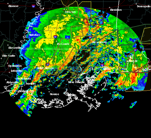 The severe thunderstorm warning for washington, st. tammany, tangipahoa, livingston, northern st. john the baptist, southeastern st. helena and central ascension parishes, walthall and eastern pike counties will expire at 245 pm cst, the storms which prompted the warning have moved out of the area. therefore the warning will be allowed to expire. a tornado watch remains in effect until 800 pm cst for southeastern louisiana, and southern mississippi. remember, a severe thunderstorm warning still remains in effect for this line of storms to the east of your location. The severe thunderstorm warning for washington, st. tammany, tangipahoa, livingston, northern st. john the baptist, southeastern st. helena and central ascension parishes, walthall and eastern pike counties will expire at 245 pm cst, the storms which prompted the warning have moved out of the area. therefore the warning will be allowed to expire. a tornado watch remains in effect until 800 pm cst for southeastern louisiana, and southern mississippi. remember, a severe thunderstorm warning still remains in effect for this line of storms to the east of your location.
|
| 1/2/2017 2:26 PM CST |
 At 226 pm cst, severe thunderstorms were located along a line extending from near improve to 7 miles west of bogalusa to 11 miles north of laplace, moving east at 55 mph (radar indicated). Hazards include 60 mph wind gusts. Expect damage to roofs, siding, and trees. locations impacted include, slidell, hammond, bogalusa, gonzales, covington, franklinton, amite, ponchatoula, amite city, pearl river, abita springs, livingston, independence, tylertown, varnado, sorrento, roseland, french settlement, albany and madisonville. A tornado watch remains in effect until 800 pm cst for southeastern louisiana, and southern mississippi. At 226 pm cst, severe thunderstorms were located along a line extending from near improve to 7 miles west of bogalusa to 11 miles north of laplace, moving east at 55 mph (radar indicated). Hazards include 60 mph wind gusts. Expect damage to roofs, siding, and trees. locations impacted include, slidell, hammond, bogalusa, gonzales, covington, franklinton, amite, ponchatoula, amite city, pearl river, abita springs, livingston, independence, tylertown, varnado, sorrento, roseland, french settlement, albany and madisonville. A tornado watch remains in effect until 800 pm cst for southeastern louisiana, and southern mississippi.
|
| 1/2/2017 1:52 PM CST |
 At 152 pm cst, severe thunderstorms were located along a line extending from jayess to near roseland to gonzales, moving east at 55 mph (radar indicated). Hazards include 60 mph wind gusts. expect damage to roofs, siding, and trees At 152 pm cst, severe thunderstorms were located along a line extending from jayess to near roseland to gonzales, moving east at 55 mph (radar indicated). Hazards include 60 mph wind gusts. expect damage to roofs, siding, and trees
|
| 1/2/2017 1:52 PM CST |
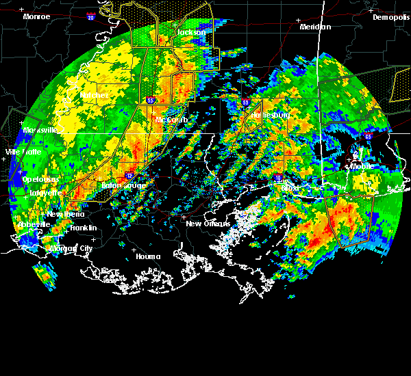 At 152 pm cst, severe thunderstorms were located along a line extending from jayess to near roseland to gonzales, moving east at 55 mph (radar indicated). Hazards include 60 mph wind gusts. expect damage to roofs, siding, and trees At 152 pm cst, severe thunderstorms were located along a line extending from jayess to near roseland to gonzales, moving east at 55 mph (radar indicated). Hazards include 60 mph wind gusts. expect damage to roofs, siding, and trees
|
| 12/5/2016 12:42 PM CST |
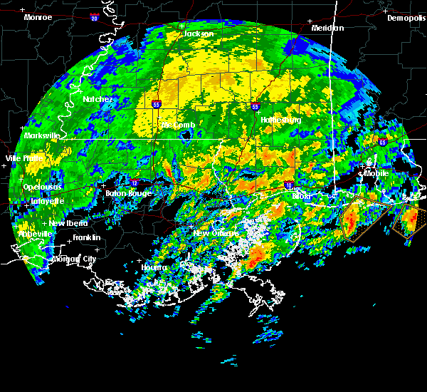 At 1242 pm cst, a severe thunderstorm was located near folsom, or 11 miles northeast of hammond, moving northeast at 45 mph (radar indicated). Hazards include 60 mph wind gusts. Expect damage to roofs. siding. And trees. At 1242 pm cst, a severe thunderstorm was located near folsom, or 11 miles northeast of hammond, moving northeast at 45 mph (radar indicated). Hazards include 60 mph wind gusts. Expect damage to roofs. siding. And trees.
|
| 5/19/2016 10:57 PM CDT | The national weather service in new orleans has issued a * tornado warning for. northwestern st. tammany parish in southeastern louisiana. until 1115 pm cdt * at 1057 pm cdt. a severe thunderstorm capable of producing a tornado was located near madisonville. Or 7 miles southwest of. |
| 5/19/2016 10:49 PM CDT |
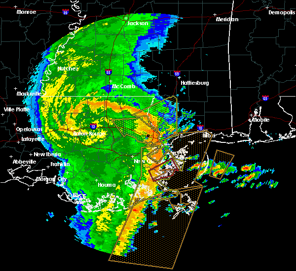 At 1049 pm cdt, severe thunderstorms were located along a line extending from near ponchatoula to 10 miles southwest of madisonville to 6 miles north of metairie, moving east at 60 mph (radar indicated). Hazards include 70 mph wind gusts. Expect considerable tree damage. Damage is likely to mobile homes, roofs, and outbuildings. At 1049 pm cdt, severe thunderstorms were located along a line extending from near ponchatoula to 10 miles southwest of madisonville to 6 miles north of metairie, moving east at 60 mph (radar indicated). Hazards include 70 mph wind gusts. Expect considerable tree damage. Damage is likely to mobile homes, roofs, and outbuildings.
|
| 4/30/2016 3:37 PM CDT |
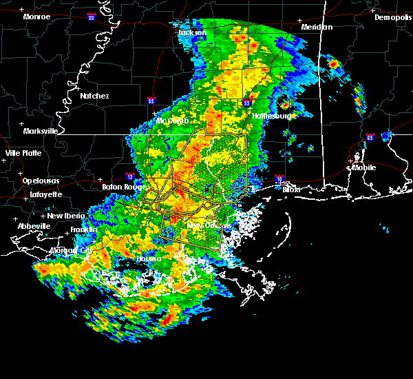 At 337 pm cdt, severe thunderstorms were located along a line extending from near sandy hook to near madisonville, moving east at 30 mph (radar indicated). Hazards include 60 mph wind gusts. Expect damage to roofs. siding. and trees. locations impacted include, slidell, bogalusa, picayune, bay st. Louis, covington, waveland, poplarville, diamondhead, pearl river, abita springs, varnado, madisonville, folsom, sun, crossroads, bush, enon, stennis space center, lacombe and kiln. At 337 pm cdt, severe thunderstorms were located along a line extending from near sandy hook to near madisonville, moving east at 30 mph (radar indicated). Hazards include 60 mph wind gusts. Expect damage to roofs. siding. and trees. locations impacted include, slidell, bogalusa, picayune, bay st. Louis, covington, waveland, poplarville, diamondhead, pearl river, abita springs, varnado, madisonville, folsom, sun, crossroads, bush, enon, stennis space center, lacombe and kiln.
|
| 4/30/2016 3:13 PM CDT |
 At 313 pm cdt, severe thunderstorms were located along a line extending from near dexter to 12 miles southeast of ponchatoula, moving east at 30 mph (radar indicated). Hazards include 60 mph wind gusts. Expect damage to roofs. siding. And trees. At 313 pm cdt, severe thunderstorms were located along a line extending from near dexter to 12 miles southeast of ponchatoula, moving east at 30 mph (radar indicated). Hazards include 60 mph wind gusts. Expect damage to roofs. siding. And trees.
|
| 4/30/2016 3:13 PM CDT |
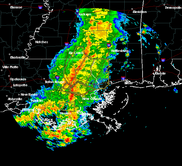 At 313 pm cdt, severe thunderstorms were located along a line extending from near dexter to 12 miles southeast of ponchatoula, moving east at 30 mph (radar indicated). Hazards include 60 mph wind gusts. Expect damage to roofs. siding. And trees. At 313 pm cdt, severe thunderstorms were located along a line extending from near dexter to 12 miles southeast of ponchatoula, moving east at 30 mph (radar indicated). Hazards include 60 mph wind gusts. Expect damage to roofs. siding. And trees.
|
| 4/30/2016 2:46 PM CDT |
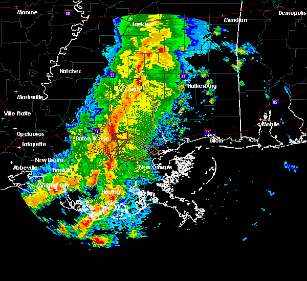 At 245 pm cdt, severe thunderstorms were located along a line extending from near salem to near whitehall, moving east at 30 mph (radar indicated). Hazards include 60 mph wind gusts. Expect damage to roofs. siding. and trees. Locations impacted include, hammond, bogalusa, covington, franklinton, amite, laplace, reserve, ponchatoula, amite city, abita springs, independence, tylertown, varnado, roseland, madisonville, folsom, sun, robert, bush and enon. At 245 pm cdt, severe thunderstorms were located along a line extending from near salem to near whitehall, moving east at 30 mph (radar indicated). Hazards include 60 mph wind gusts. Expect damage to roofs. siding. and trees. Locations impacted include, hammond, bogalusa, covington, franklinton, amite, laplace, reserve, ponchatoula, amite city, abita springs, independence, tylertown, varnado, roseland, madisonville, folsom, sun, robert, bush and enon.
|
| 4/30/2016 2:35 PM CDT |
 At 234 pm cdt, severe thunderstorms were located along a line extending from near salem to near whitehall, moving southeast at 50 mph (radar indicated). Hazards include 60 mph wind gusts. Expect damage to roofs. siding. and trees. Locations impacted include, hammond, bogalusa, covington, franklinton, amite, laplace, reserve, ponchatoula, amite city, abita springs, independence, tylertown, varnado, roseland, french settlement, albany, madisonville, folsom, springfield and sun. At 234 pm cdt, severe thunderstorms were located along a line extending from near salem to near whitehall, moving southeast at 50 mph (radar indicated). Hazards include 60 mph wind gusts. Expect damage to roofs. siding. and trees. Locations impacted include, hammond, bogalusa, covington, franklinton, amite, laplace, reserve, ponchatoula, amite city, abita springs, independence, tylertown, varnado, roseland, french settlement, albany, madisonville, folsom, springfield and sun.
|
| 4/30/2016 2:14 PM CDT |
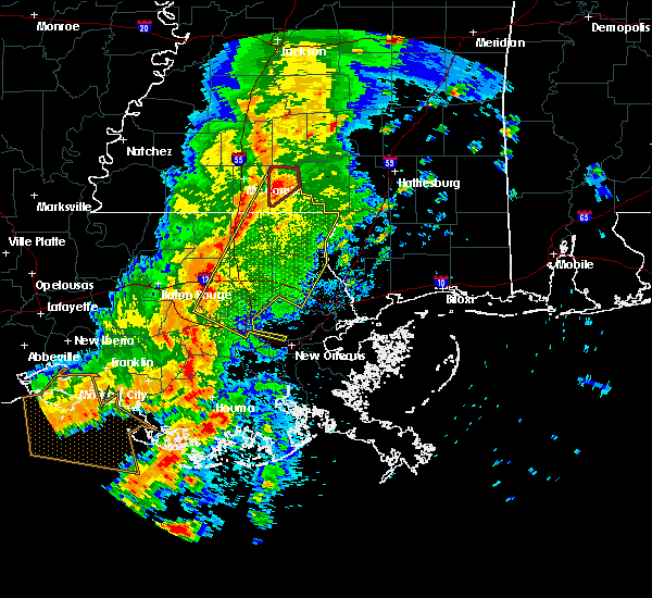 At 213 pm cdt, severe thunderstorms were located along a line extending from near jayess to whitehall, moving southeast at 30 mph (radar indicated). Hazards include 60 mph wind gusts. Expect damage to roofs. siding. And trees. At 213 pm cdt, severe thunderstorms were located along a line extending from near jayess to whitehall, moving southeast at 30 mph (radar indicated). Hazards include 60 mph wind gusts. Expect damage to roofs. siding. And trees.
|
| 3/29/2016 3:54 PM CDT |
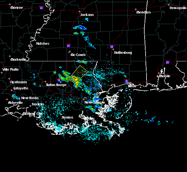 At 354 pm cdt, a severe thunderstorm was located near robert, or 7 miles northeast of hammond, moving northeast at 25 mph (radar indicated). Hazards include half dollar size hail. damage to vehicles is expected At 354 pm cdt, a severe thunderstorm was located near robert, or 7 miles northeast of hammond, moving northeast at 25 mph (radar indicated). Hazards include half dollar size hail. damage to vehicles is expected
|
| 3/17/2016 7:26 PM CDT |
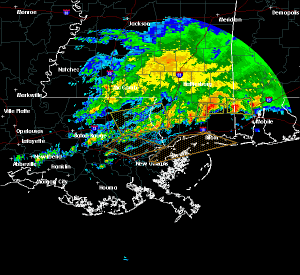 The severe thunderstorm warning for southern washington, northwestern st. tammany and southeastern tangipahoa parishes, western pearl river and northwestern hancock counties will expire at 730 pm cdt, the storms which prompted the warning have weakened below severe limits, and no longer pose an immediate threat to life or property. therefore the warning will be allowed to expire. a severe thunderstorm watch remains in effect until 800 pm cdt for southeastern louisiana and southern mississippi. The severe thunderstorm warning for southern washington, northwestern st. tammany and southeastern tangipahoa parishes, western pearl river and northwestern hancock counties will expire at 730 pm cdt, the storms which prompted the warning have weakened below severe limits, and no longer pose an immediate threat to life or property. therefore the warning will be allowed to expire. a severe thunderstorm watch remains in effect until 800 pm cdt for southeastern louisiana and southern mississippi.
|
| 3/17/2016 6:25 PM CDT |
 At 625 pm cdt, severe thunderstorms were located along a line extending from near poplarville to near independence, moving south at 15 mph (radar indicated). Hazards include 60 mph wind gusts and nickel size hail. Expect damage to roofs. Siding and trees. At 625 pm cdt, severe thunderstorms were located along a line extending from near poplarville to near independence, moving south at 15 mph (radar indicated). Hazards include 60 mph wind gusts and nickel size hail. Expect damage to roofs. Siding and trees.
|
| 3/17/2016 6:25 PM CDT |
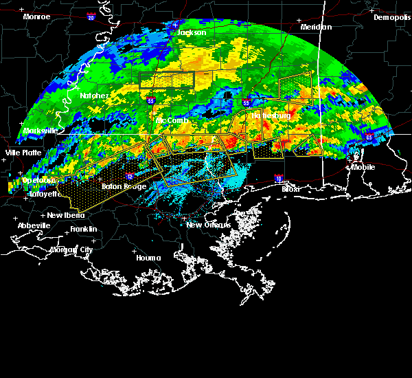 At 625 pm cdt, severe thunderstorms were located along a line extending from near poplarville to near independence, moving south at 15 mph (radar indicated). Hazards include 60 mph wind gusts and nickel size hail. Expect damage to roofs. Siding and trees. At 625 pm cdt, severe thunderstorms were located along a line extending from near poplarville to near independence, moving south at 15 mph (radar indicated). Hazards include 60 mph wind gusts and nickel size hail. Expect damage to roofs. Siding and trees.
|
| 3/11/2016 5:42 AM CST |
 At 542 am cst, severe thunderstorms were located along a line extending from folsom to abita springs to near lacombe to 11 miles north of pointe a la hache, moving northeast at 45 mph (radar indicated). Hazards include 60 mph wind gusts. Expect damage to roofs. siding and trees. Locations impacted include, new orleans, slidell, bogalusa, picayune, covington, chalmette, east new orleans, belle chasse, gretna, pearl river, abita springs, madisonville, folsom, sun, crossroads, bush, enon, meraux, stennis space center and arabi. At 542 am cst, severe thunderstorms were located along a line extending from folsom to abita springs to near lacombe to 11 miles north of pointe a la hache, moving northeast at 45 mph (radar indicated). Hazards include 60 mph wind gusts. Expect damage to roofs. siding and trees. Locations impacted include, new orleans, slidell, bogalusa, picayune, covington, chalmette, east new orleans, belle chasse, gretna, pearl river, abita springs, madisonville, folsom, sun, crossroads, bush, enon, meraux, stennis space center and arabi.
|
| 3/11/2016 5:21 AM CST |
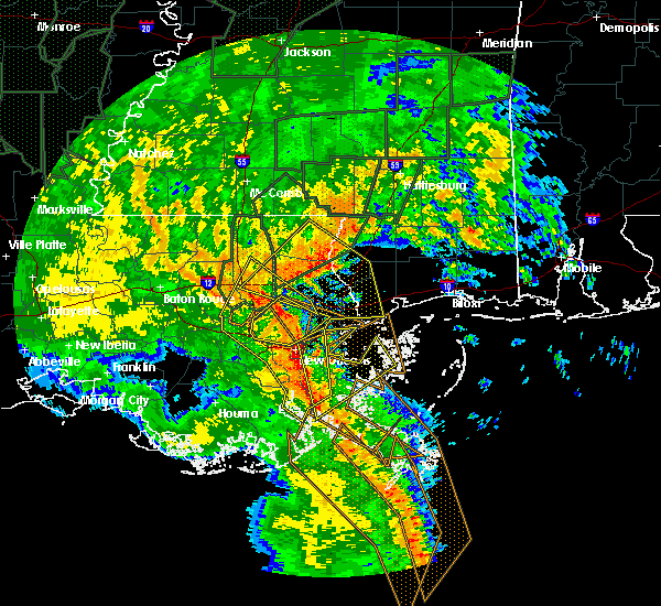 At 520 am cst, severe thunderstorms were located along a line extending from near ponchatoula to near madisonville to 10 miles southwest of lacombe to near myrtle grove, moving northeast at 45 mph (radar indicated). Hazards include 60 mph wind gusts. Expect damage to roofs. Siding and trees. At 520 am cst, severe thunderstorms were located along a line extending from near ponchatoula to near madisonville to 10 miles southwest of lacombe to near myrtle grove, moving northeast at 45 mph (radar indicated). Hazards include 60 mph wind gusts. Expect damage to roofs. Siding and trees.
|
| 12/28/2015 3:47 AM CST |
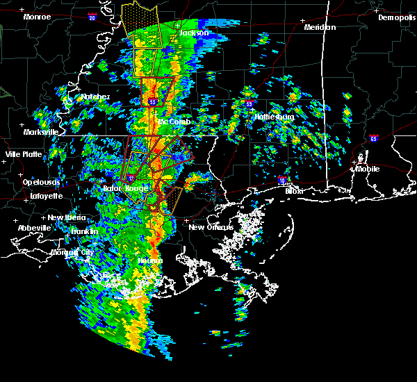 At 347 am cst, a severe thunderstorm was located 8 miles south of wilmer, or 10 miles east of amite, moving northeast at 35 mph (radar indicated). Hazards include 60 mph wind gusts. Expect damage to roofs. Siding and trees. At 347 am cst, a severe thunderstorm was located 8 miles south of wilmer, or 10 miles east of amite, moving northeast at 35 mph (radar indicated). Hazards include 60 mph wind gusts. Expect damage to roofs. Siding and trees.
|
| 10/31/2015 3:39 PM CDT |
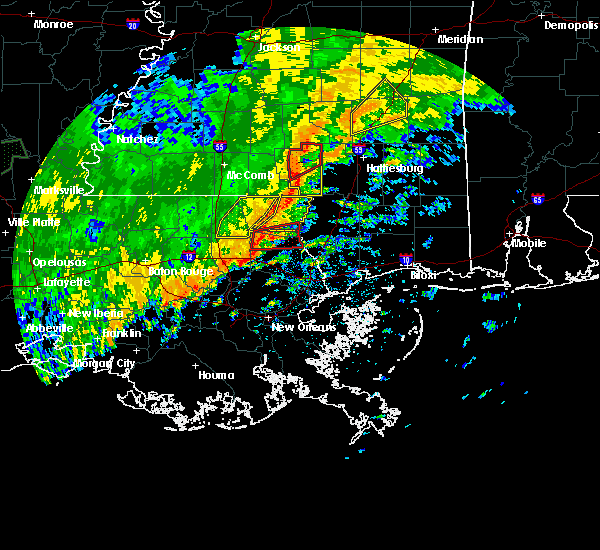 At 339 pm cdt, a severe thunderstorm capable of producing a tornado was located near folsom, or near covington, moving east at 30 mph (radar indicated rotation). Hazards include tornado. Flying debris will be dangerous to those caught without shelter. mobile homes will be damaged or destroyed. damage to roofs, windows and vehicles will occur. tree damage is likely. This dangerous storm will be near, sun and bush around 400 pm cdt. At 339 pm cdt, a severe thunderstorm capable of producing a tornado was located near folsom, or near covington, moving east at 30 mph (radar indicated rotation). Hazards include tornado. Flying debris will be dangerous to those caught without shelter. mobile homes will be damaged or destroyed. damage to roofs, windows and vehicles will occur. tree damage is likely. This dangerous storm will be near, sun and bush around 400 pm cdt.
|
| 10/31/2015 3:29 PM CDT |
 At 329 pm cdt, a severe thunderstorm capable of producing a tornado was located over folsom, or 12 miles north of covington, moving east at 35 mph (radar indicated rotation). Hazards include tornado. Flying debris will be dangerous to those caught without shelter. mobile homes will be damaged or destroyed. damage to roofs, windows and vehicles will occur. tree damage is likely. this dangerous storm will be near, enon around 340 pm cdt. bush around 355 pm cdt. Sun around 400 pm cdt. At 329 pm cdt, a severe thunderstorm capable of producing a tornado was located over folsom, or 12 miles north of covington, moving east at 35 mph (radar indicated rotation). Hazards include tornado. Flying debris will be dangerous to those caught without shelter. mobile homes will be damaged or destroyed. damage to roofs, windows and vehicles will occur. tree damage is likely. this dangerous storm will be near, enon around 340 pm cdt. bush around 355 pm cdt. Sun around 400 pm cdt.
|
| 7/30/2015 4:00 PM CDT | Trees blown down at la 40 and fitzgerald church roa in st. tammany county LA, 5.9 miles WNW of Folsom, LA |
| 7/5/2015 4:42 PM CDT |
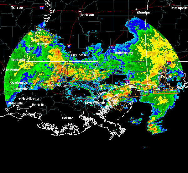 At 441 pm cdt, doppler radar indicated a severe thunderstorm capable of producing damaging winds in excess of 60 mph. this storm was located near roseland, or near amite, and moving east at 50 mph. At 441 pm cdt, doppler radar indicated a severe thunderstorm capable of producing damaging winds in excess of 60 mph. this storm was located near roseland, or near amite, and moving east at 50 mph.
|
| 6/24/2015 4:20 PM CDT |
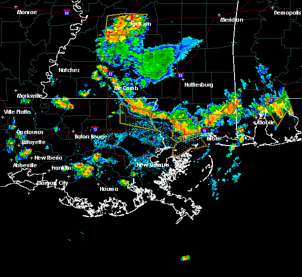 At 418 pm cdt, doppler radar indicated a cluster of severe thunderstorms capable of producing damaging winds in excess of 60 mph. these storms were over central washington parish, moving south at 10 to 15 mph. penny size hail may also accompany the damaging winds. At 418 pm cdt, doppler radar indicated a cluster of severe thunderstorms capable of producing damaging winds in excess of 60 mph. these storms were over central washington parish, moving south at 10 to 15 mph. penny size hail may also accompany the damaging winds.
|
| 5/26/2015 3:11 AM CDT | At 310 am cdt, doppler radar indicated a line of severe thunderstorms capable of producing damaging winds in excess of 60 mph. these storms were located along a line extending from near mount herman to 8 miles east of independence, moving east at 40 mph. locations impacted include, franklinton, amite, amite city, kentwood, independence, roseland, folsom, enon, wilmer, mount herman, natalbany, tangipahoa and tickfaw. a tornado watch remains in effect until 500 am cdt for southeastern louisiana. |
| 5/26/2015 2:45 AM CDT | At 244 am cdt, doppler radar indicated a line of severe thunderstorms capable of producing damaging winds in excess of 60 mph. these storms were located along a line extending from near osyka to 6 miles northeast of livingston, and moving east at 40 mph. |
| 5/26/2015 2:45 AM CDT | At 244 am cdt, doppler radar indicated a line of severe thunderstorms capable of producing damaging winds in excess of 60 mph. these storms were located along a line extending from near osyka to 6 miles northeast of livingston, and moving east at 40 mph. |
| 4/27/2015 10:13 AM CDT | At 1013 am cdt, doppler radar indicated a line of severe thunderstorms capable of producing destructive winds in excess of 70 mph. these storms were located along a line extending from near albany to near ponchatoula to near laplace, and moving east at 40 mph. |
| 4/10/2015 2:39 PM CDT | A severe thunderstorm warning remains in effect until 245 pm cdt for northwestern st. tammany and southeastern tangipahoa parishes. at 238 pm cdt. doppler radar indicated a severe thunderstorm capable of producing damaging winds in excess of 60 mph. this storm was located near robert. or 8 miles west of covington. Moving east at 25 mph. |
| 4/10/2015 2:18 PM CDT | The national weather service in new orleans has issued a * severe thunderstorm warning for. northwestern st. tammany parish in southeastern louisiana. southeastern tangipahoa parish in southeastern louisiana. until 245 pm cdt * at 217 pm cdt. Doppler radar indicated a severe thunderstorm. |
| 4/11/2013 12:25 PM CDT | Trees were blown down between folsom and covingto in st. tammany county LA, 4.2 miles NNE of Folsom, LA |
| 2/22/2013 9:20 PM CST | Widespread power line and tree damage reported from bennett bridge road to bush-folsom road area. time estimated from rada in st. tammany county LA, 2.9 miles N of Folsom, LA |
| 1/1/0001 12:00 AM | St. tammany parish emergency manager reported power lines down...tree branches down and some roofing material off of outbuildings along jack fork road outside of folsom in st. tammany county LA, 2.8 miles NW of Folsom, LA |
| 1/1/0001 12:00 AM | Large tree downed near st.tammany-tangipahoa parish line near highway 4 in st. tammany county LA, 3 miles SE of Folsom, LA |
Hail Maps for Folsom, LA


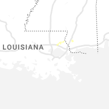


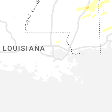

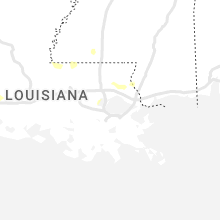
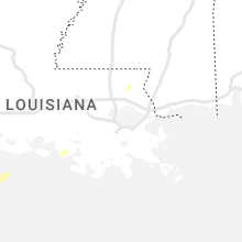

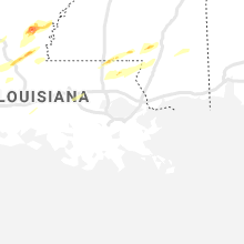


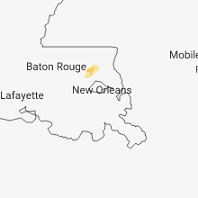


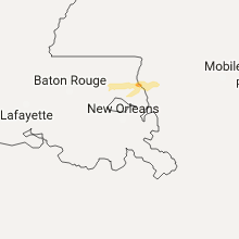

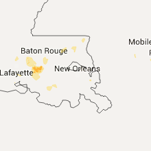

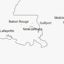


Connect with Interactive Hail Maps