

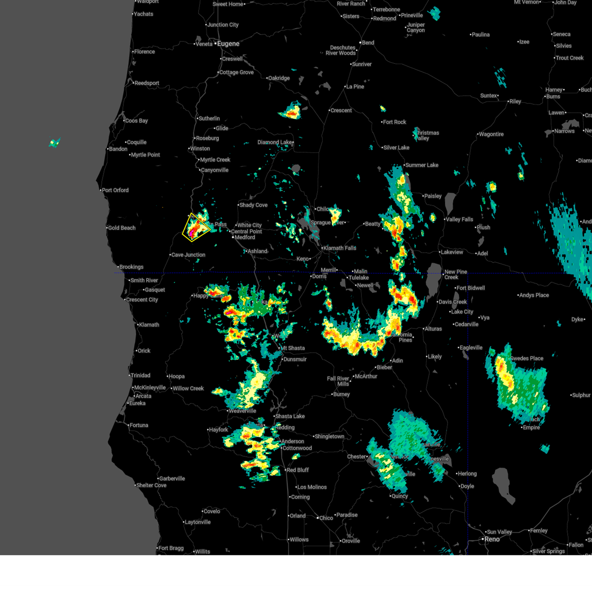
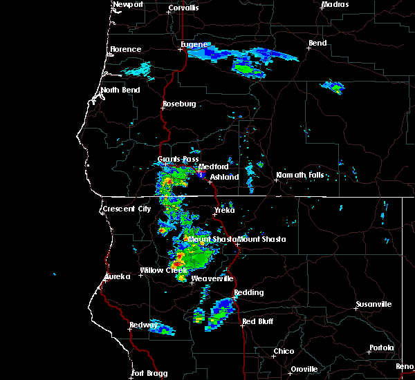
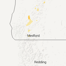
Hail Map for Foots Creek, OR
The Foots Creek, OR area has had 0 reports of on-the-ground hail by trained spotters, and has been under severe weather warnings 4 times during the past 12 months. Doppler radar has detected hail at or near Foots Creek, OR on 5 occasions.
| Name: | Foots Creek, OR |
| Where Located: | 14.3 miles WNW of Medford, OR |
| Map: | Google Map for Foots Creek, OR |
| Population: | 799 |
| Housing Units: | 372 |
| More Info: | Search Google for Foots Creek, OR |
0
The Top Recent Hail Date for Foots Creek, OR is Tuesday, August 2, 2022 (5th out of 5)

Hail and Wind Damage Spotted near Foots Creek, OR
| Date / Time | Report Details |
|---|---|
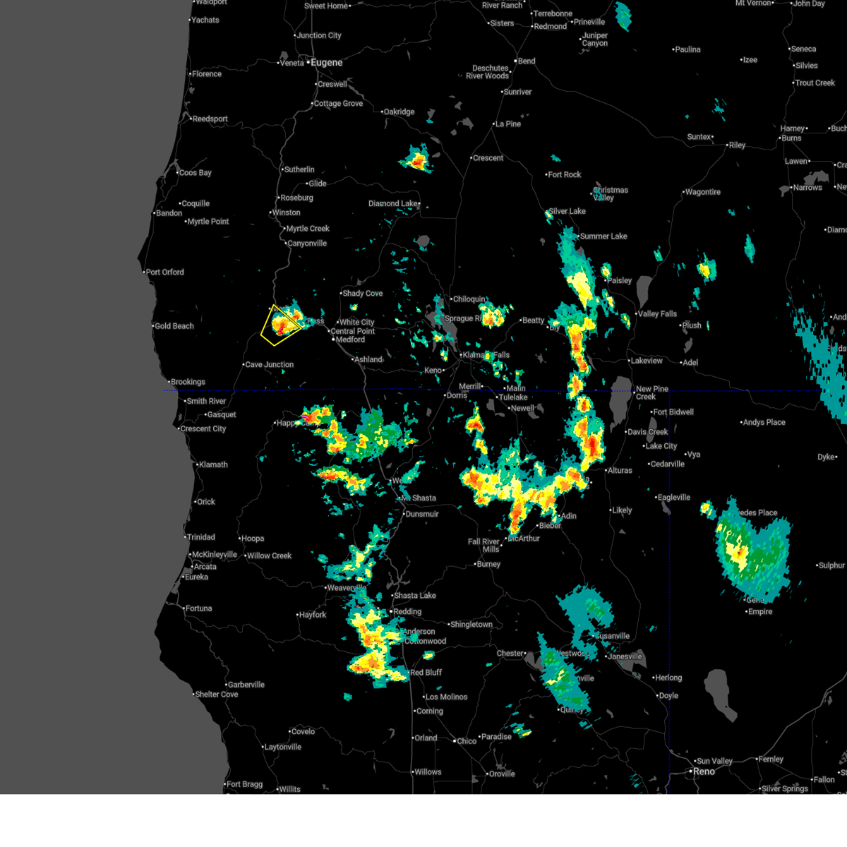
| 8/26/2025 7:03 PM PDT |
 the severe thunderstorm warning has been cancelled and is no longer in effect the severe thunderstorm warning has been cancelled and is no longer in effect
|
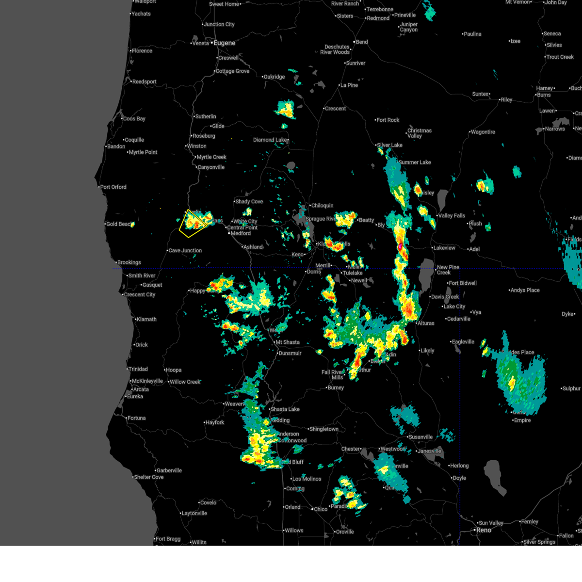
| 8/26/2025 6:54 PM PDT |
 At 652 pm pdt, a severe thunderstorm was located near cathedral hills trails, or near grants pass, and is nearly stationary. this storm has trended weaker but radar continues to indicate there is a potential for severe hail up to quarter size along with gusty winds (radar indicated). Hazards include quarter size hail. Damage to vehicles is expected. Locations impacted include, grants pass, cathedral hills trails, schroeder park, tom pearce park, harbeck-fruitdale, redwood, wilderville, and murphy. At 652 pm pdt, a severe thunderstorm was located near cathedral hills trails, or near grants pass, and is nearly stationary. this storm has trended weaker but radar continues to indicate there is a potential for severe hail up to quarter size along with gusty winds (radar indicated). Hazards include quarter size hail. Damage to vehicles is expected. Locations impacted include, grants pass, cathedral hills trails, schroeder park, tom pearce park, harbeck-fruitdale, redwood, wilderville, and murphy.
|
| 8/26/2025 6:39 PM PDT |
 At 639 pm pdt, a severe thunderstorm was located near cathedral hills trails, or 7 miles southwest of grants pass, and is nearly stationary (radar indicated). Hazards include ping pong ball size hail and 60 mph wind gusts. People and animals outdoors will be injured. expect hail damage to roofs, siding, windows, and vehicles. expect wind damage to roofs, siding, and trees. Locations impacted include, grants pass, cathedral hills trails, schroeder park, tom pearce park, harbeck-fruitdale, redwood, wilderville, and murphy. At 639 pm pdt, a severe thunderstorm was located near cathedral hills trails, or 7 miles southwest of grants pass, and is nearly stationary (radar indicated). Hazards include ping pong ball size hail and 60 mph wind gusts. People and animals outdoors will be injured. expect hail damage to roofs, siding, windows, and vehicles. expect wind damage to roofs, siding, and trees. Locations impacted include, grants pass, cathedral hills trails, schroeder park, tom pearce park, harbeck-fruitdale, redwood, wilderville, and murphy.
|
| 8/26/2025 6:31 PM PDT |
 Svrmfr the national weather service in medford has issued a * severe thunderstorm warning for, western jackson county in southwestern oregon, east central josephine county in southwestern oregon, * until 715 pm pdt. * at 631 pm pdt, a severe thunderstorm was located near cathedral hills trails, or 8 miles southwest of grants pass, and is nearly stationary (radar indicated). Hazards include quarter size hail. damage to vehicles is expected Svrmfr the national weather service in medford has issued a * severe thunderstorm warning for, western jackson county in southwestern oregon, east central josephine county in southwestern oregon, * until 715 pm pdt. * at 631 pm pdt, a severe thunderstorm was located near cathedral hills trails, or 8 miles southwest of grants pass, and is nearly stationary (radar indicated). Hazards include quarter size hail. damage to vehicles is expected
|
| 8/9/2019 7:47 PM PDT |
 At 745 pm pdt, a severe thunderstorm was located near williams, or 18 miles south of grants pass, moving north at 20 mph (radar indicated). Hazards include 60 mph wind gusts and quarter size hail. Hail damage to vehicles is expected. expect wind damage to roofs, siding, and trees. Heavy rain is possible with this storm as well and may reduce visibility and result in slippery roads. At 745 pm pdt, a severe thunderstorm was located near williams, or 18 miles south of grants pass, moving north at 20 mph (radar indicated). Hazards include 60 mph wind gusts and quarter size hail. Hail damage to vehicles is expected. expect wind damage to roofs, siding, and trees. Heavy rain is possible with this storm as well and may reduce visibility and result in slippery roads.
|
Hail Maps for Foots Creek, OR


Connect with Interactive Hail Maps