

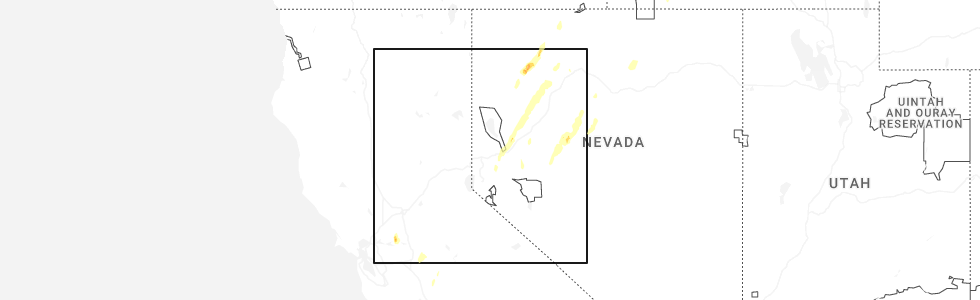
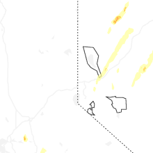
Hail Map for Forest Meadows, CA
The Forest Meadows, CA area has had 0 reports of on-the-ground hail by trained spotters, and has been under severe weather warnings 2 times during the past 12 months. Doppler radar has detected hail at or near Forest Meadows, CA on 2 occasions, including 1 occasion during the past year.
| Name: | Forest Meadows, CA |
| Where Located: | 59.6 miles SE of Citrus Heights, CA |
| Map: | Google Map for Forest Meadows, CA |
| Population: | 1249 |
| Housing Units: | 845 |
| More Info: | Search Google for Forest Meadows, CA |
0
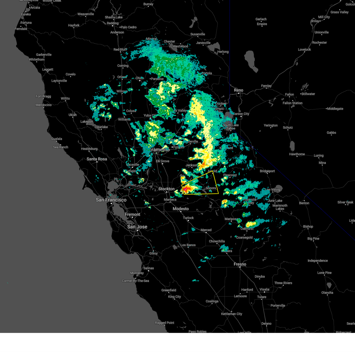
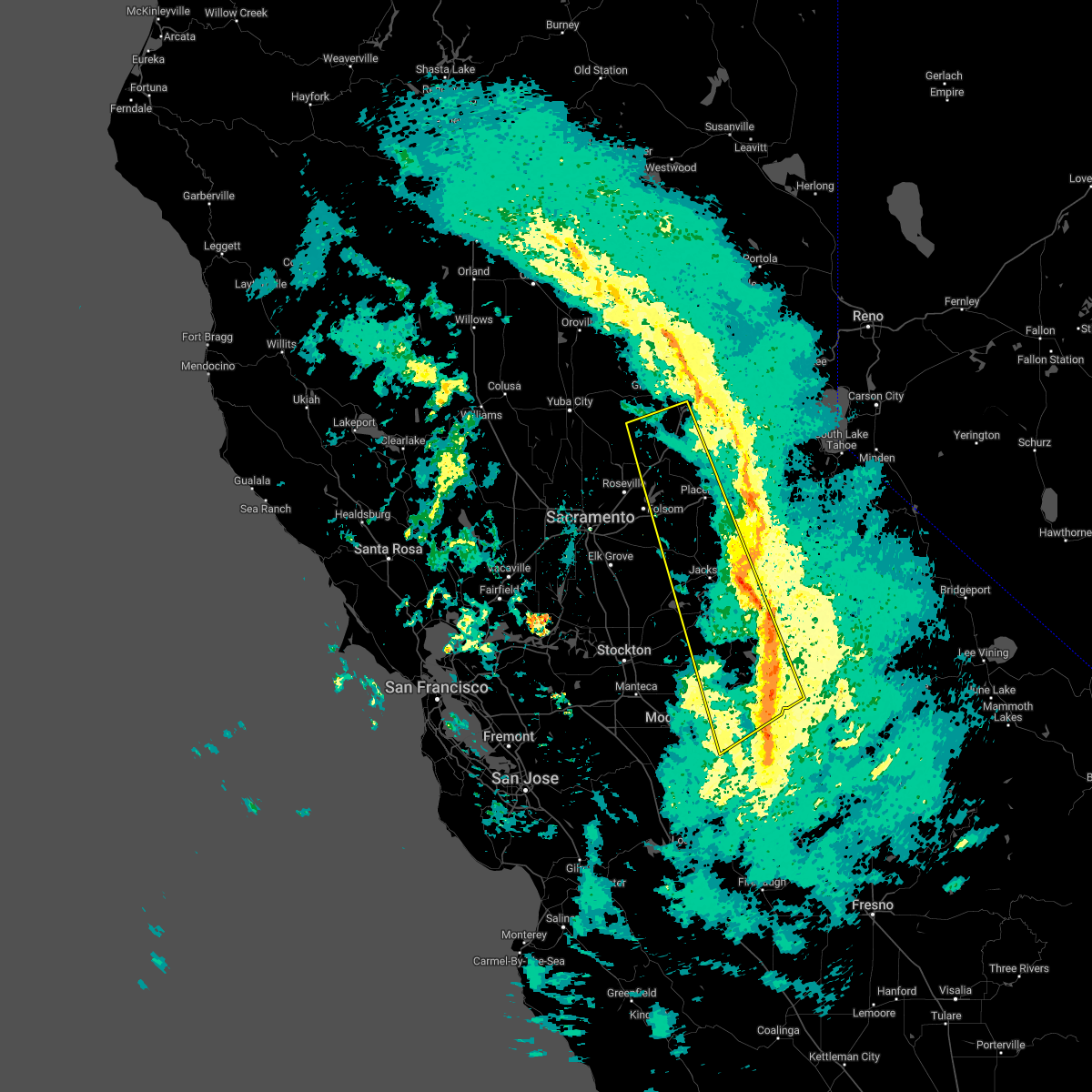
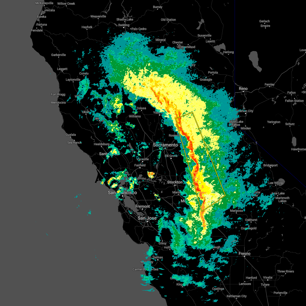
The Top Recent Hail Date for Forest Meadows, CA is Friday, April 10, 2026 (2nd out of 2)
Hail and Wind Damage Spotted near Forest Meadows, CA
| Date / Time | Report Details |
|---|---|
| 4/10/2026 9:11 PM PDT |
 The storm which prompted the warning has weakened below severe limits, and no longer poses an immediate threat to life or property. therefore, the warning will be allowed to expire. The storm which prompted the warning has weakened below severe limits, and no longer poses an immediate threat to life or property. therefore, the warning will be allowed to expire.
|
| 4/10/2026 8:39 PM PDT |
 Svrsto the national weather service in sacramento has issued a * severe thunderstorm warning for, north central tuolumne county in northern california, northeastern calaveras county in northern california, central amador county in northern california, * until 915 pm pdt. * at 839 pm pdt, a severe thunderstorm was located over mountain ranch, or 10 miles east of san andreas, moving northeast at 25 mph (radar indicated). Hazards include quarter size hail. damage to vehicles is expected Svrsto the national weather service in sacramento has issued a * severe thunderstorm warning for, north central tuolumne county in northern california, northeastern calaveras county in northern california, central amador county in northern california, * until 915 pm pdt. * at 839 pm pdt, a severe thunderstorm was located over mountain ranch, or 10 miles east of san andreas, moving northeast at 25 mph (radar indicated). Hazards include quarter size hail. damage to vehicles is expected
|
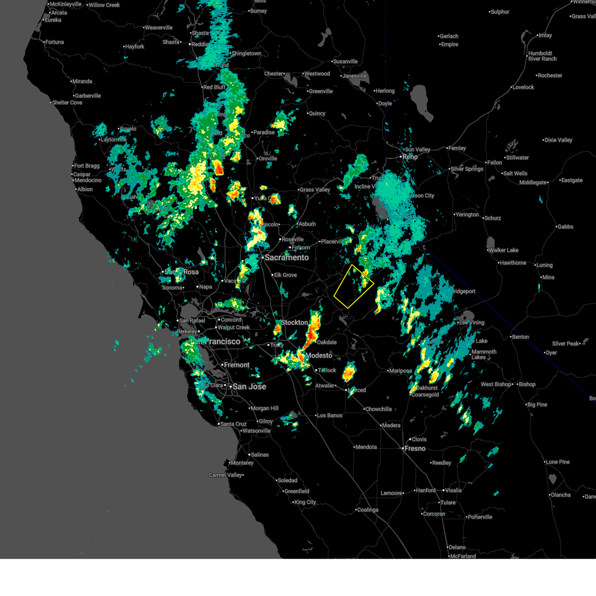
| 3/11/2023 2:23 PM PST |
 At 220 pm pst, a severe thunderstorm was located over copperopolis, moving east at 30 mph (there was a public report of quarter sized hail in stockton). Hazards include quarter size hail. Damage to vehicles is expected. locations impacted include, sonora, san andreas, carson hill, tuttletown, vallecito, copper cove village, springfield, telegraph city, angels city, milton, avery, hodson, forest meadows, copperopolis, mountain ranch, rancho calaveras, angels camp, tuolumne city, and murphys. hail threat, observed max hail size, 1. 00 in wind threat, radar indicated max wind gust, <50 mph. At 220 pm pst, a severe thunderstorm was located over copperopolis, moving east at 30 mph (there was a public report of quarter sized hail in stockton). Hazards include quarter size hail. Damage to vehicles is expected. locations impacted include, sonora, san andreas, carson hill, tuttletown, vallecito, copper cove village, springfield, telegraph city, angels city, milton, avery, hodson, forest meadows, copperopolis, mountain ranch, rancho calaveras, angels camp, tuolumne city, and murphys. hail threat, observed max hail size, 1. 00 in wind threat, radar indicated max wind gust, <50 mph.
|
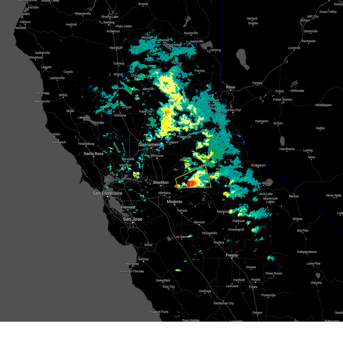
| 3/11/2023 1:46 PM PST |
 At 145 pm pst, a severe thunderstorm was located over milton, or 12 miles southwest of san andreas, moving east at 30 mph (the public has reported quarter size hail in stockton). Hazards include quarter size hail. damage to vehicles is expected At 145 pm pst, a severe thunderstorm was located over milton, or 12 miles southwest of san andreas, moving east at 30 mph (the public has reported quarter size hail in stockton). Hazards include quarter size hail. damage to vehicles is expected
|
| 1/10/2023 4:40 AM PST |
 The severe thunderstorm warning for southwestern tuolumne, northeastern sacramento, northeastern stanislaus, western el dorado, southwestern placer, calaveras, southeastern yuba, southwestern nevada and amador counties will expire at 445 am pst, the storms which prompted the warning have weakened, and have exited the warned area. therefore, the warning will be allowed to expire. however gusty winds and heavy rain are still possible with these thunderstorms. The severe thunderstorm warning for southwestern tuolumne, northeastern sacramento, northeastern stanislaus, western el dorado, southwestern placer, calaveras, southeastern yuba, southwestern nevada and amador counties will expire at 445 am pst, the storms which prompted the warning have weakened, and have exited the warned area. therefore, the warning will be allowed to expire. however gusty winds and heavy rain are still possible with these thunderstorms.
|
| 1/10/2023 4:09 AM PST |
 At 407 am pst, severe thunderstorms were located along a line extending from 5 miles east of lincoln to turlock, moving east at 45 mph (radar indicated). Hazards include 60 mph wind gusts. expect damage to roofs, siding, and trees At 407 am pst, severe thunderstorms were located along a line extending from 5 miles east of lincoln to turlock, moving east at 45 mph (radar indicated). Hazards include 60 mph wind gusts. expect damage to roofs, siding, and trees
|
Hail Maps for Forest Meadows, CA
Connect with Interactive Hail Maps