

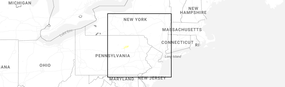
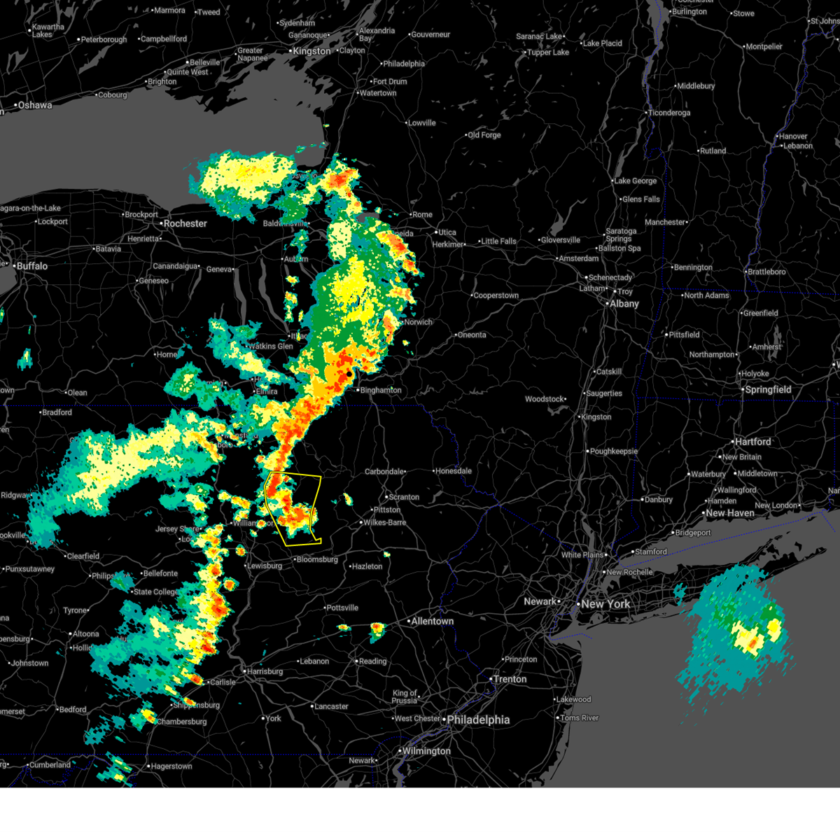
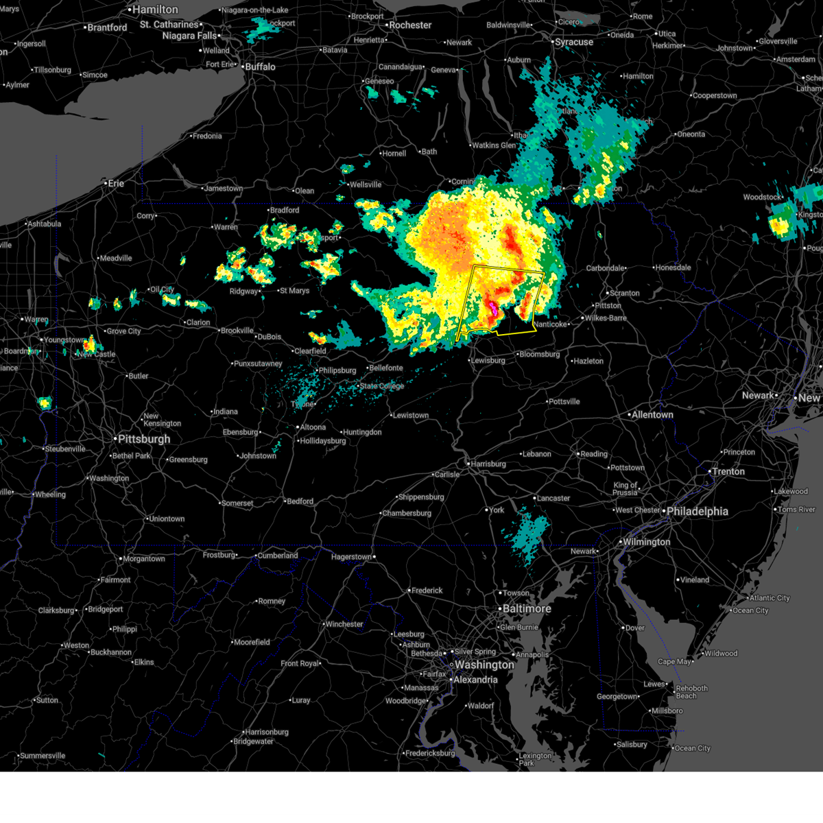
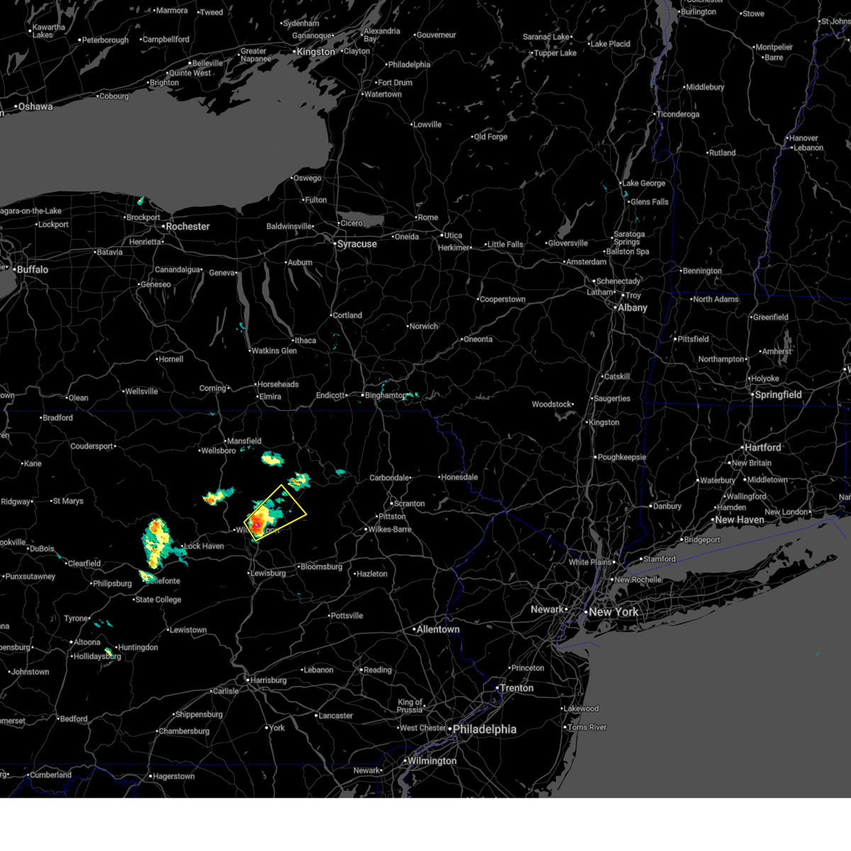
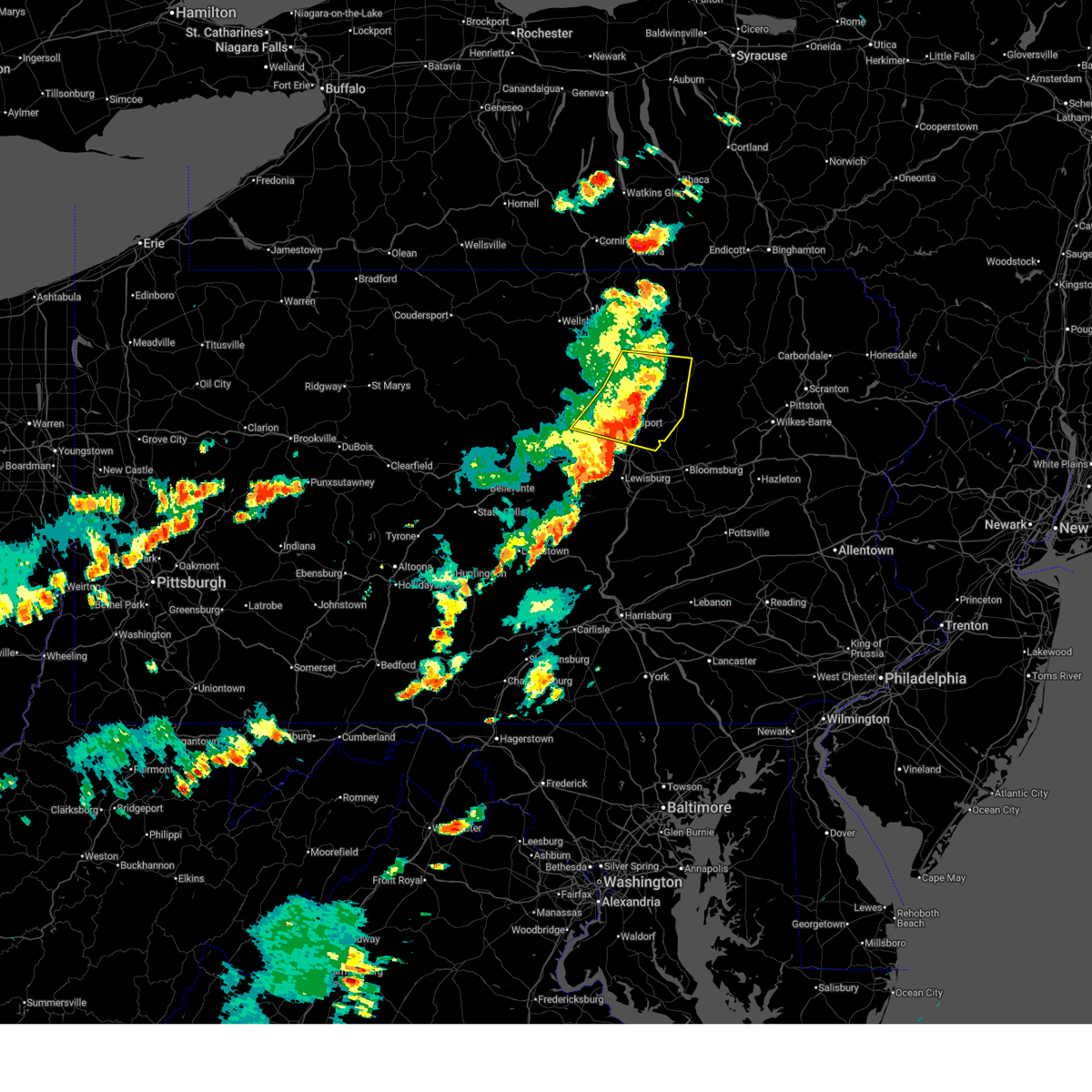
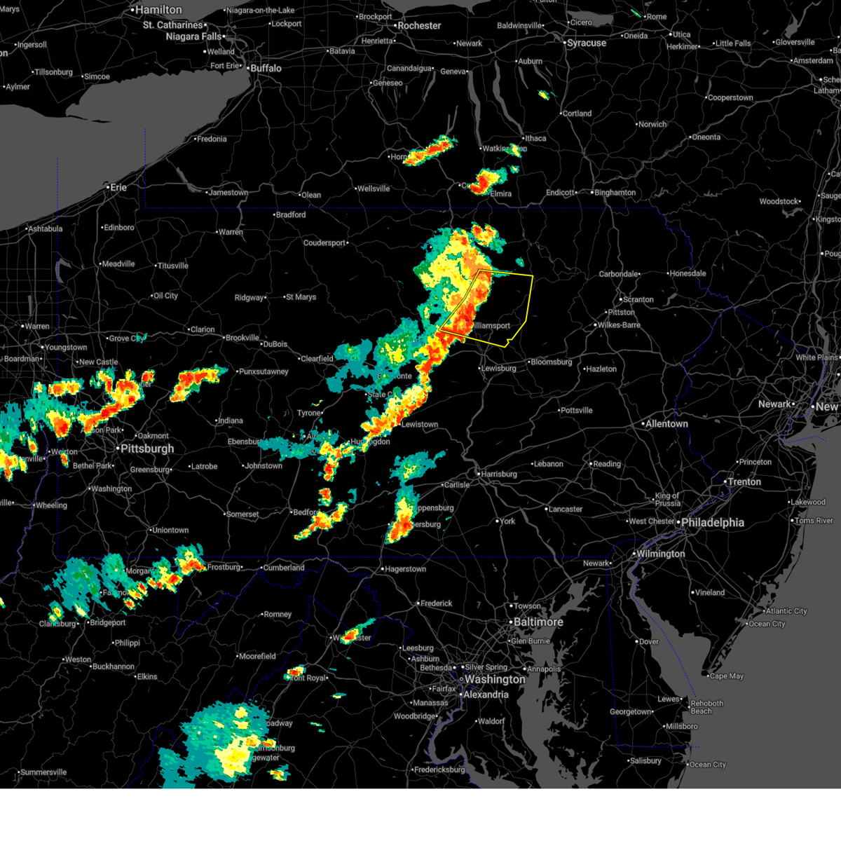
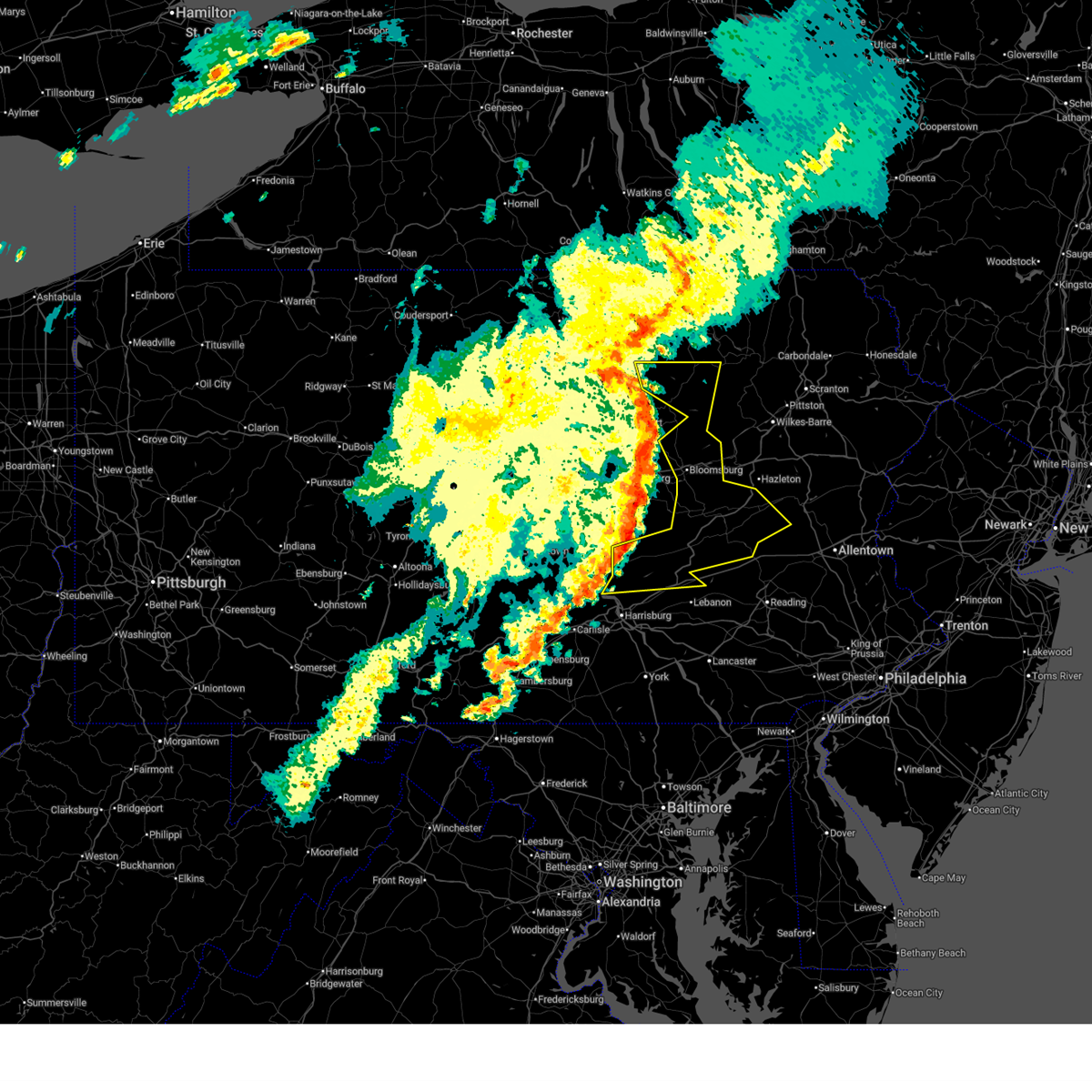
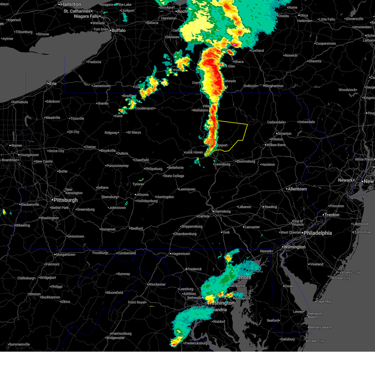
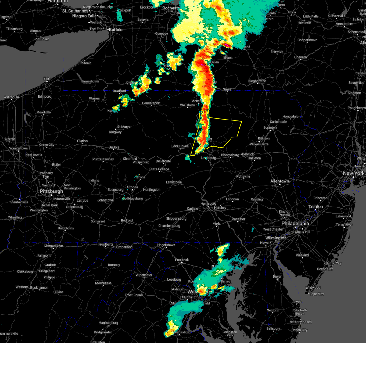
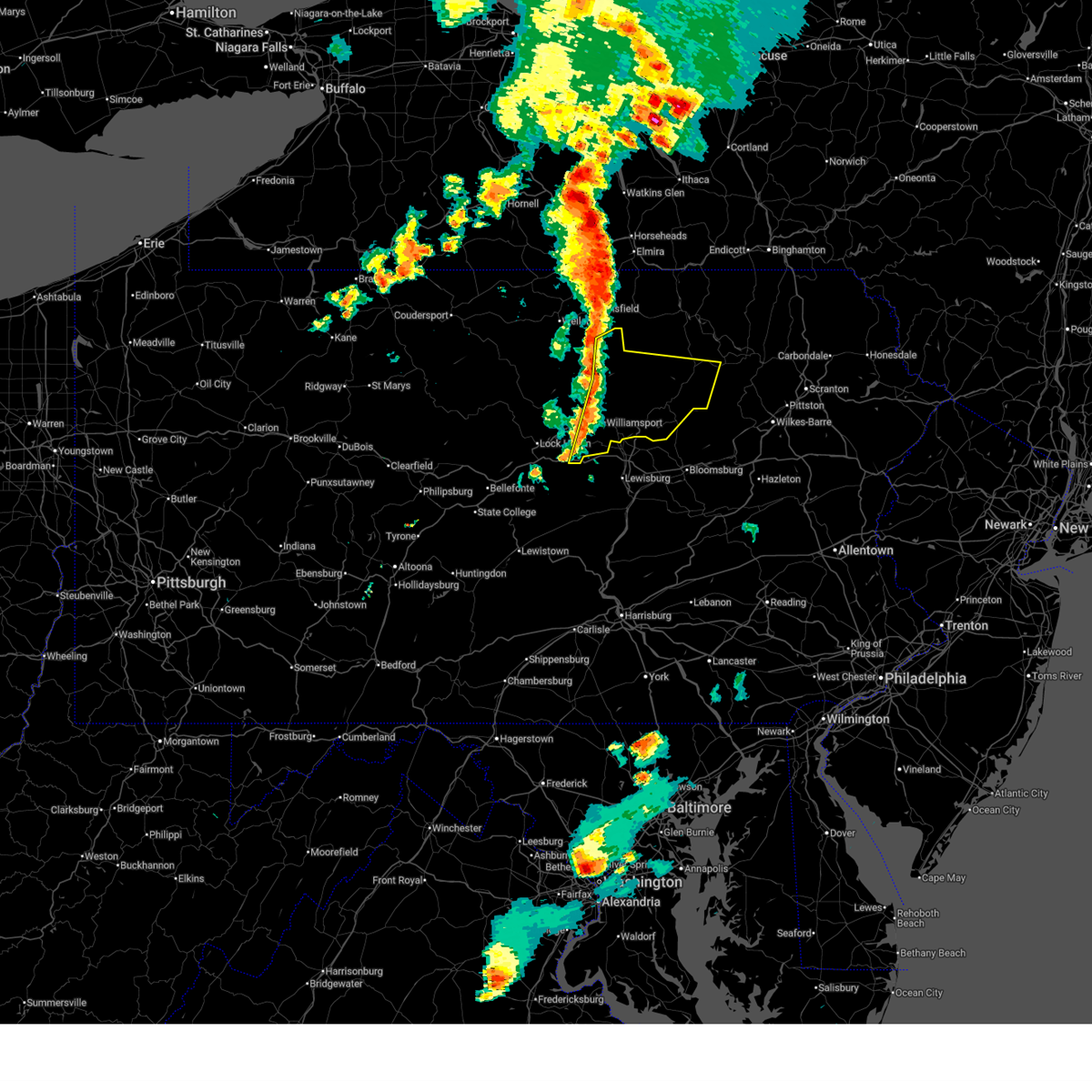
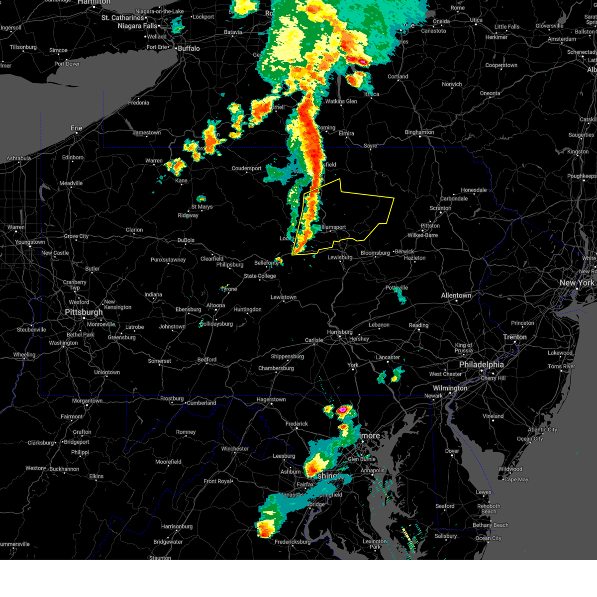
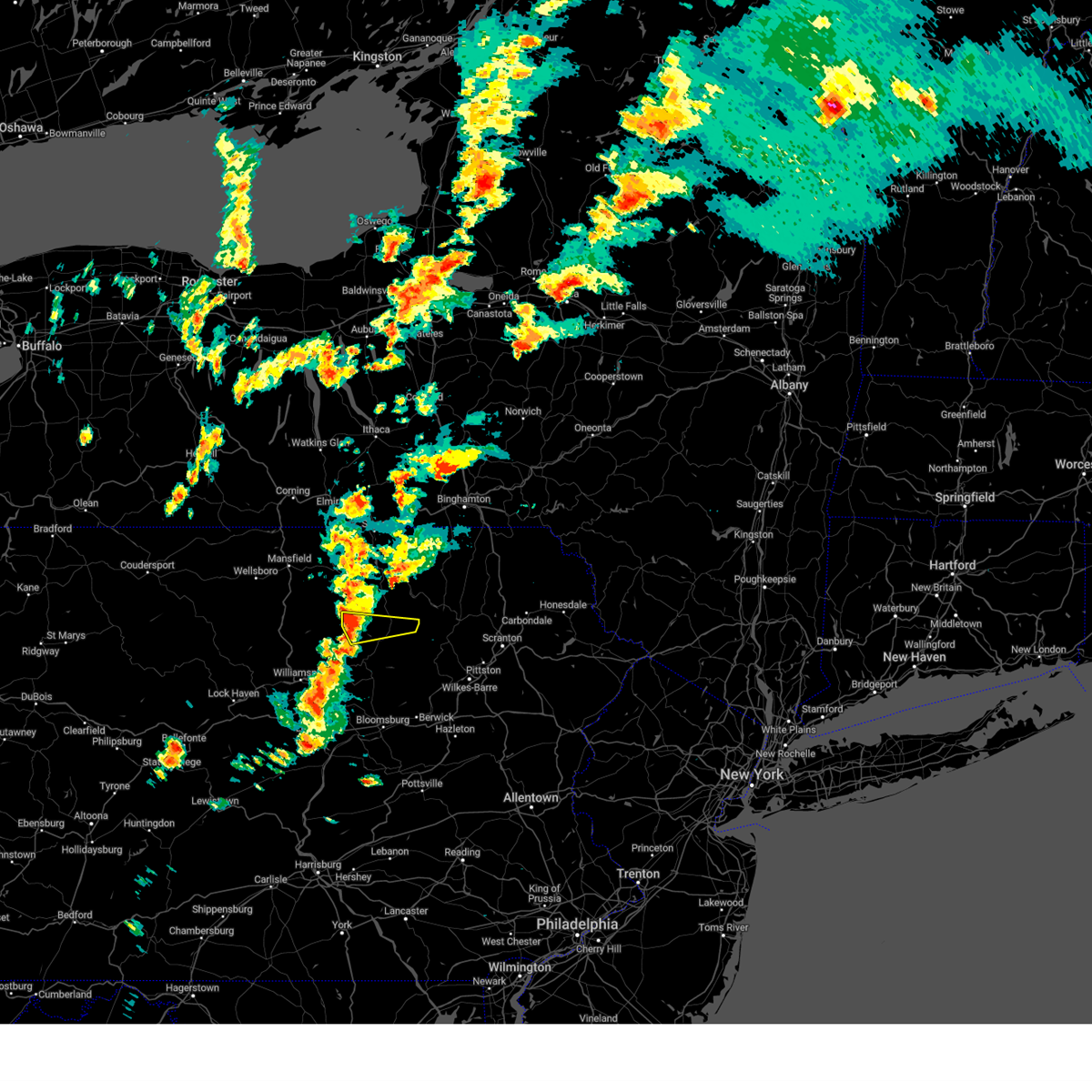
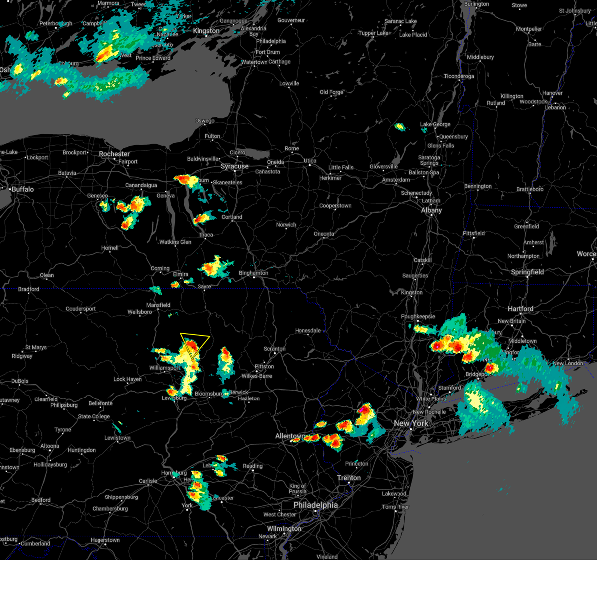
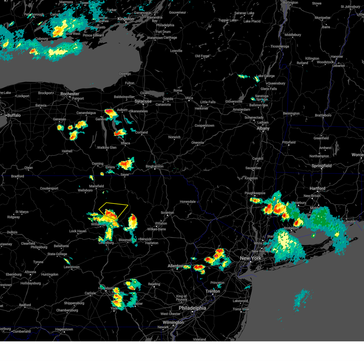
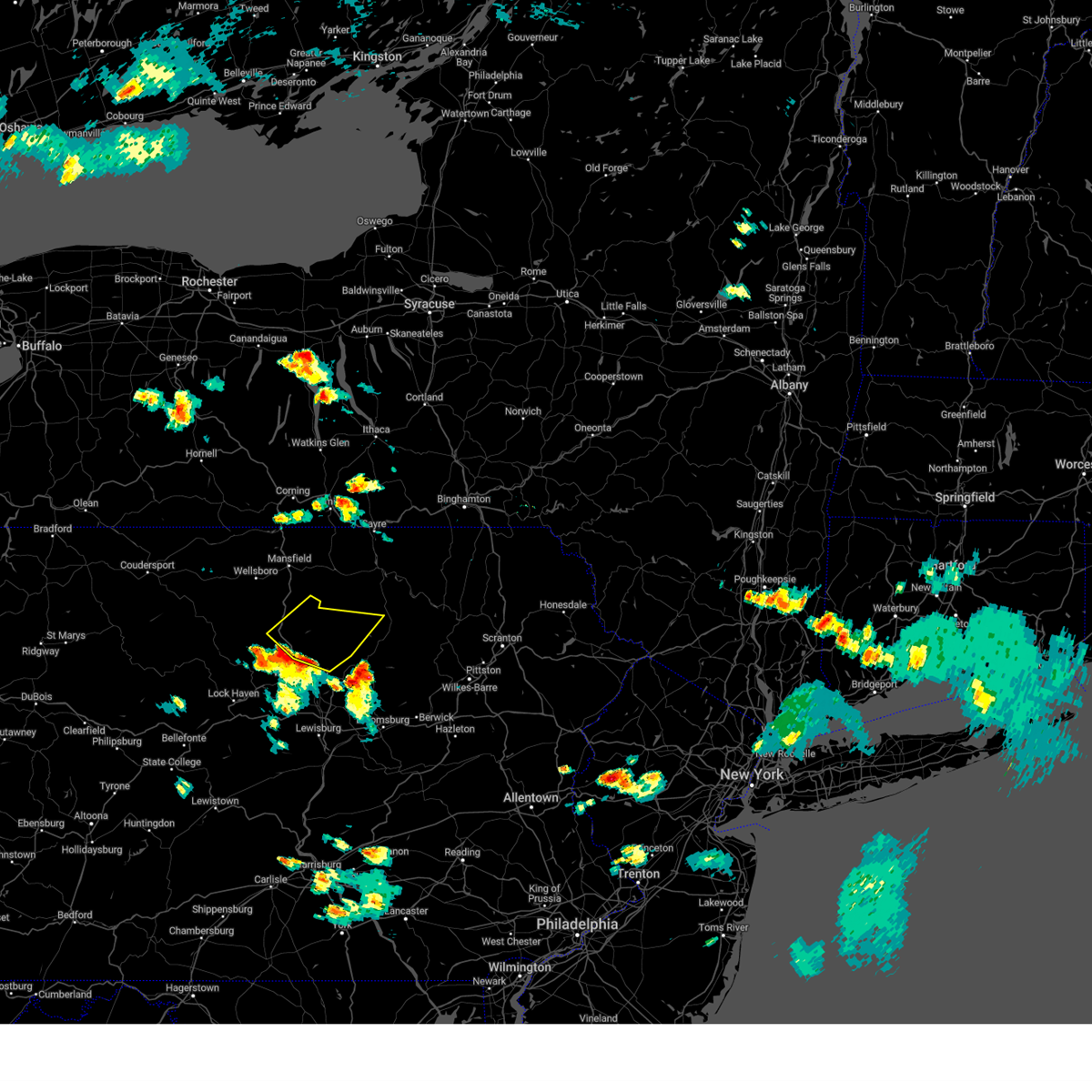
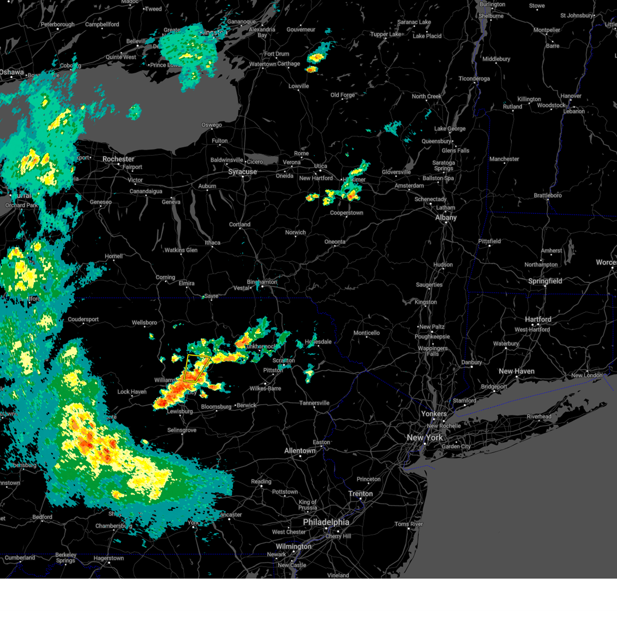
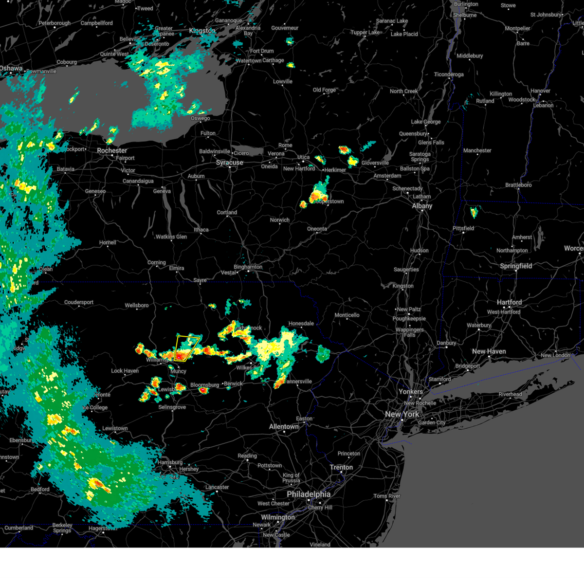
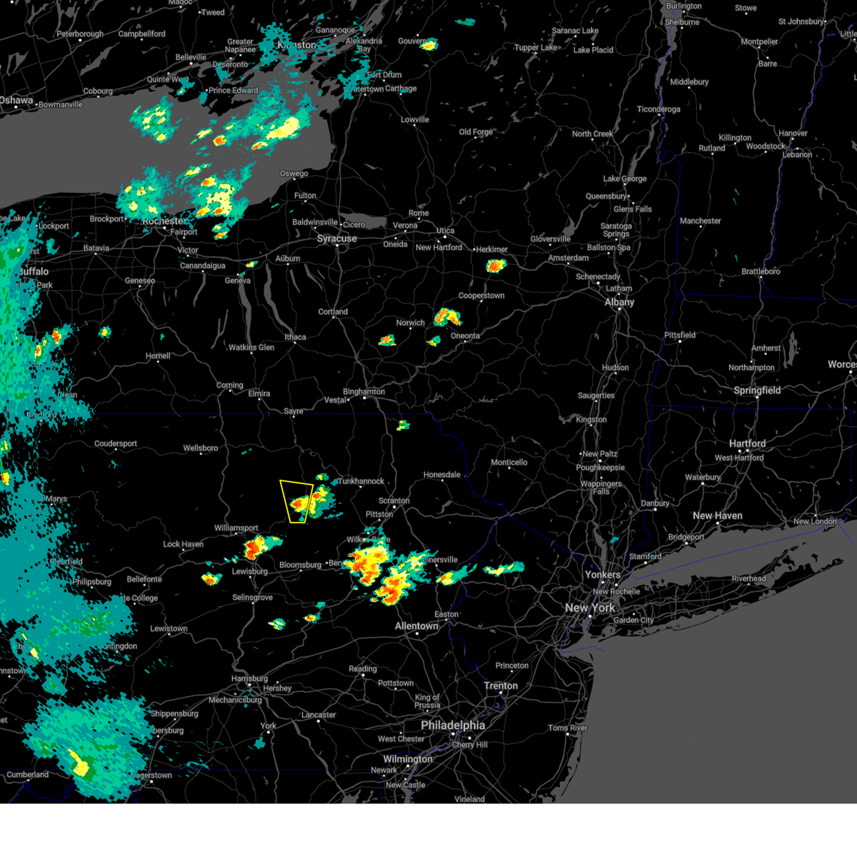
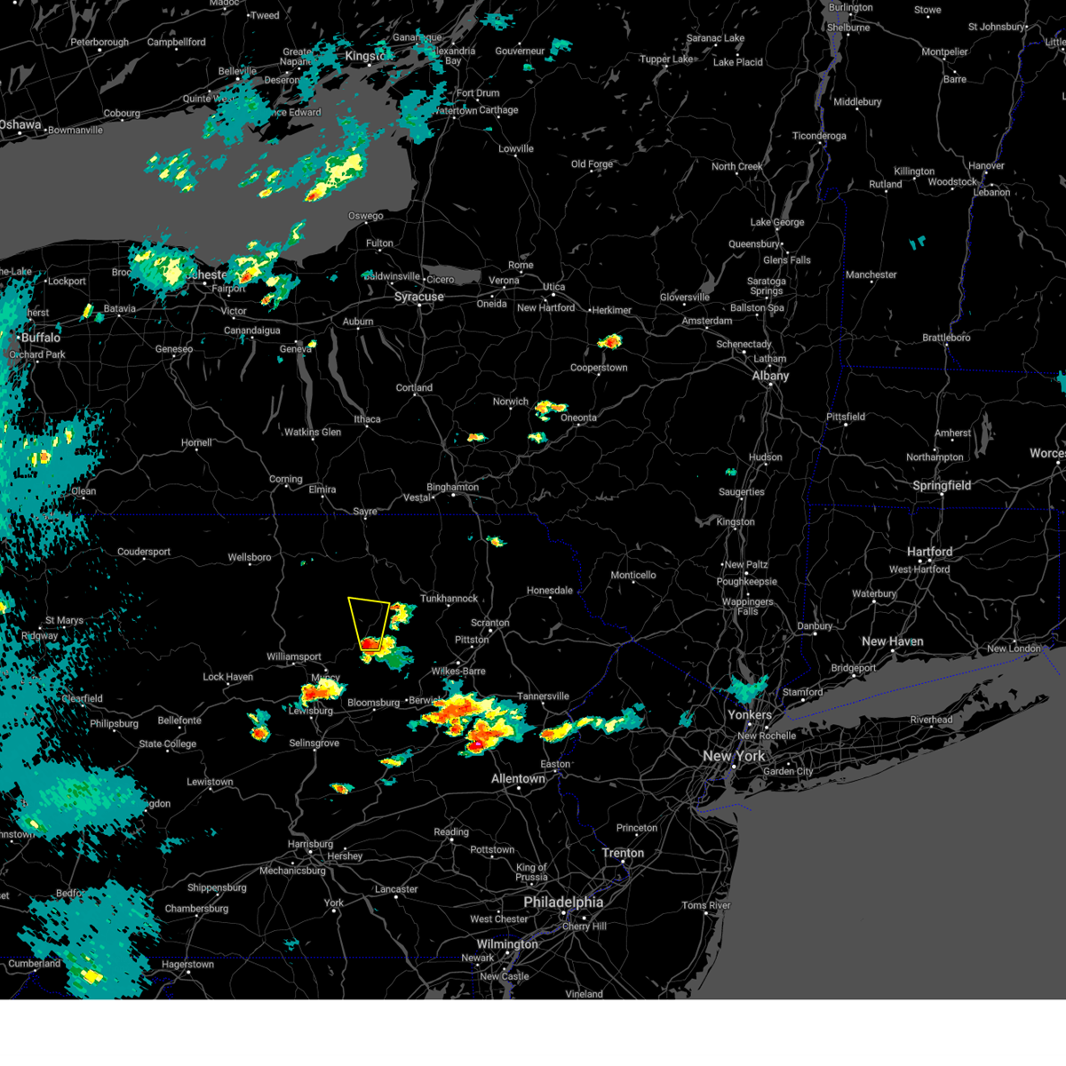
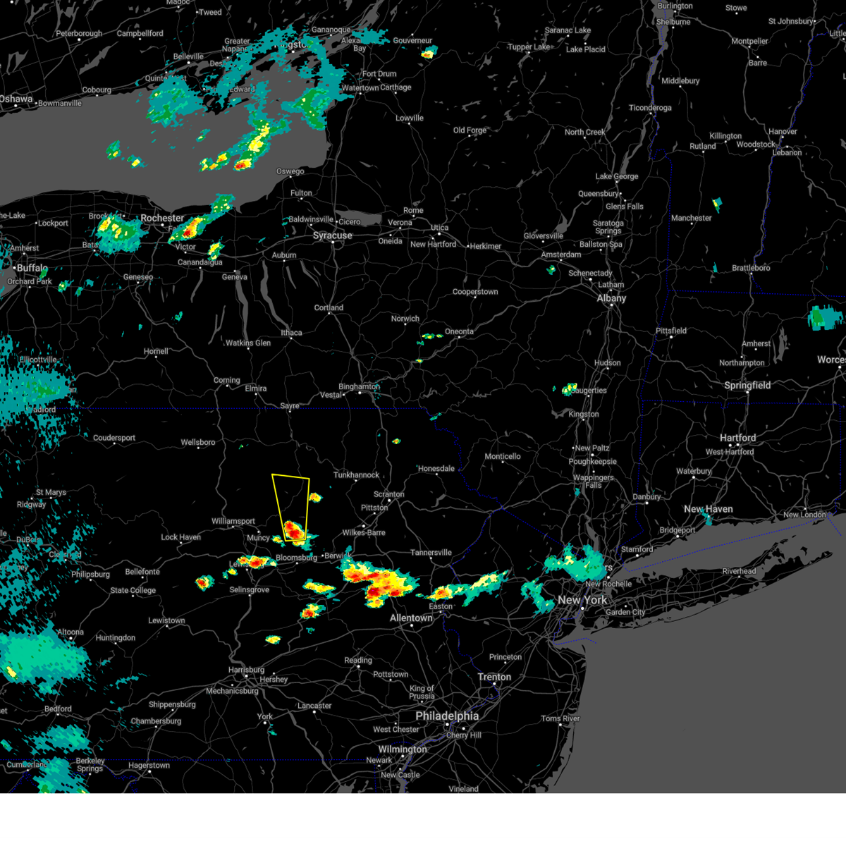
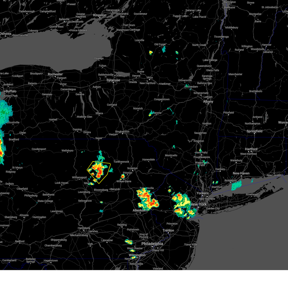
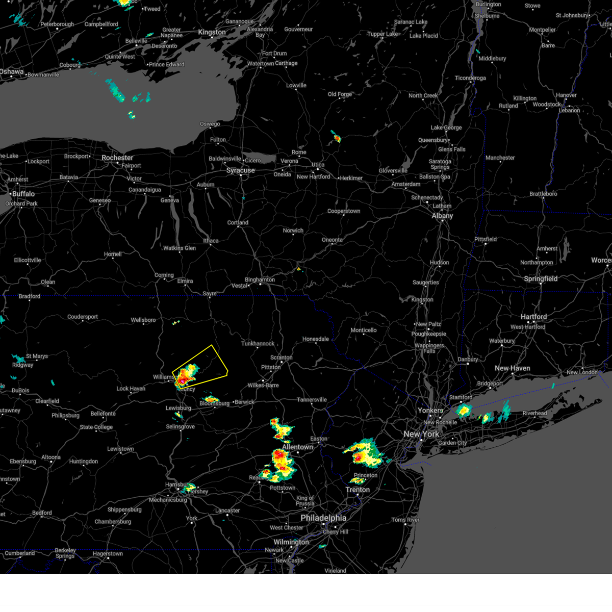
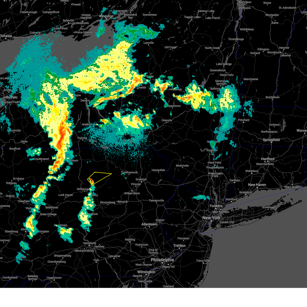
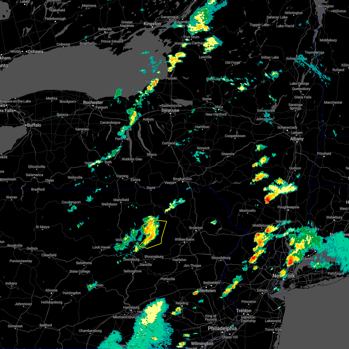
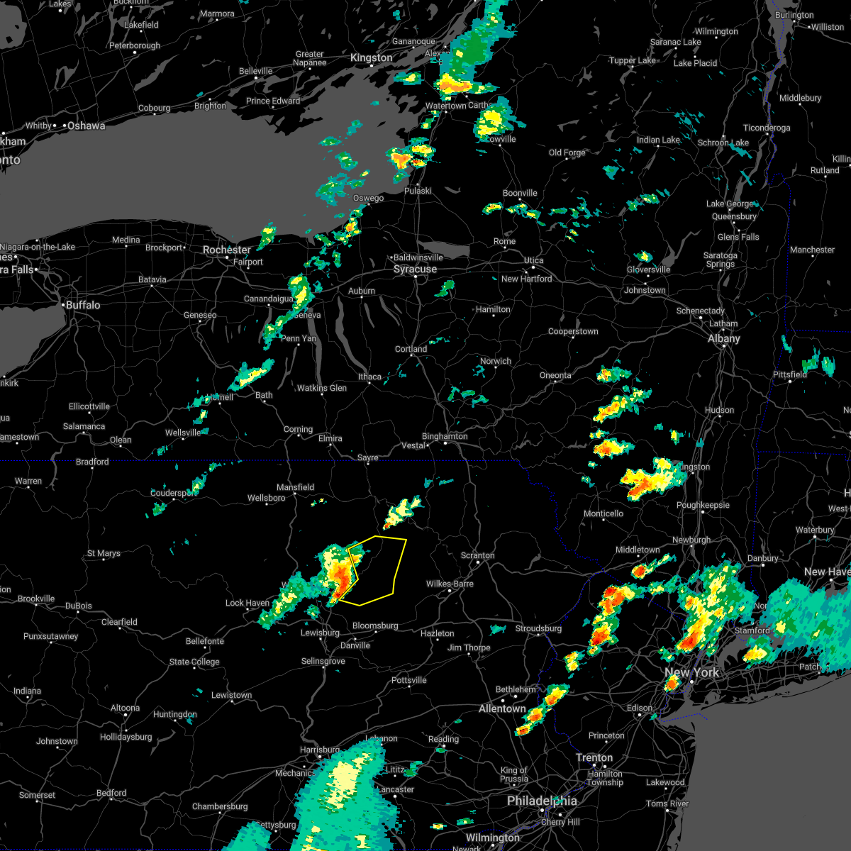
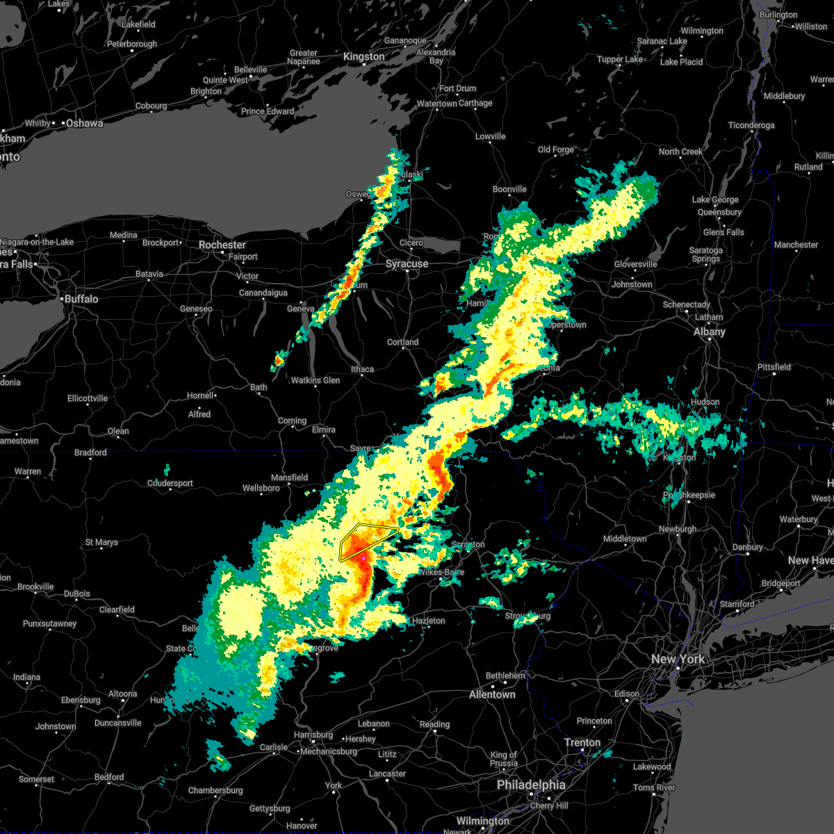
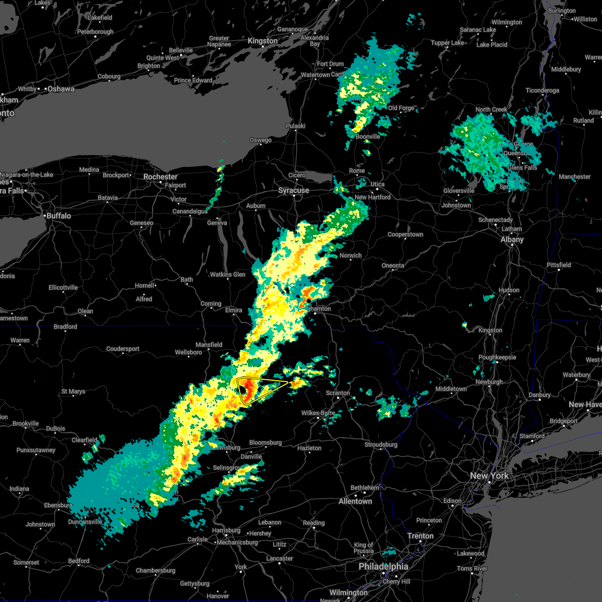
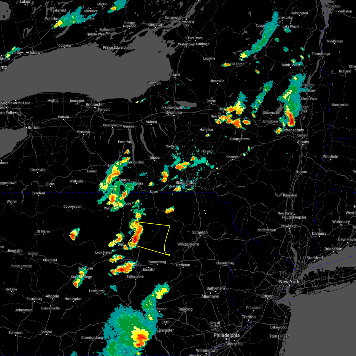
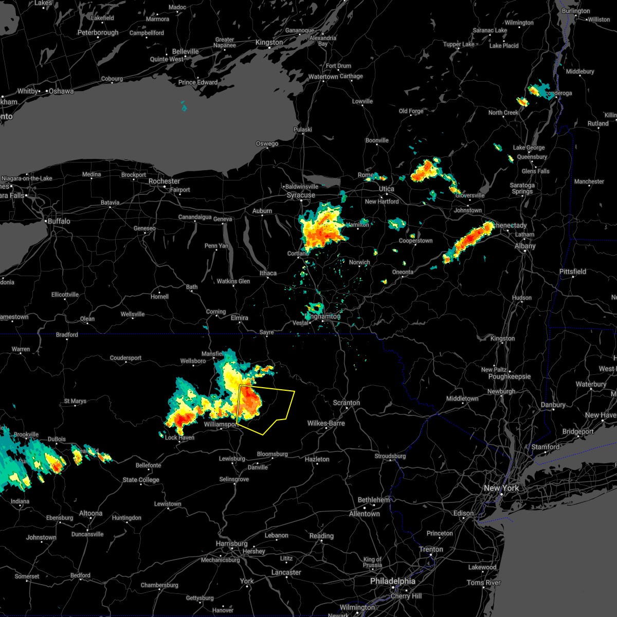
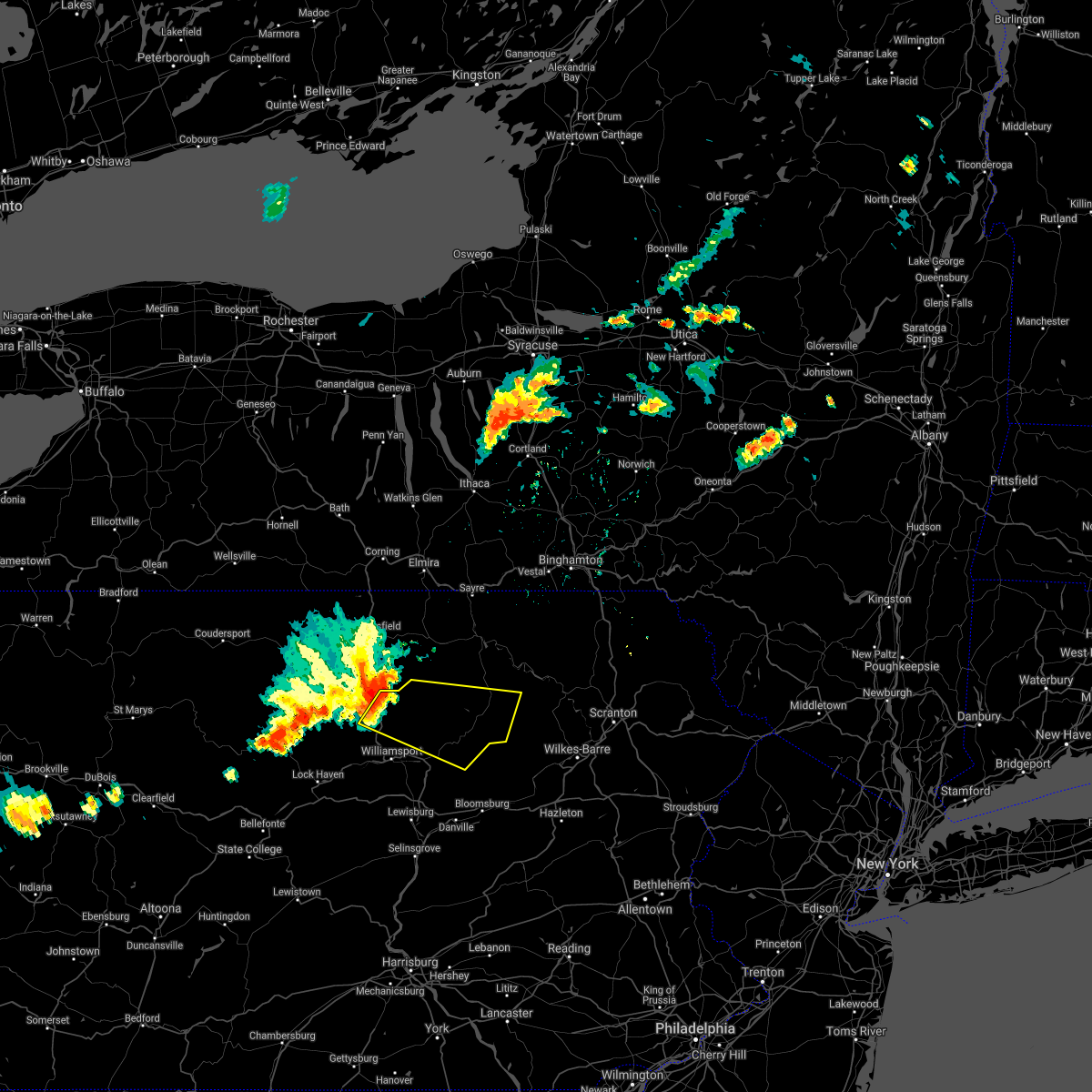
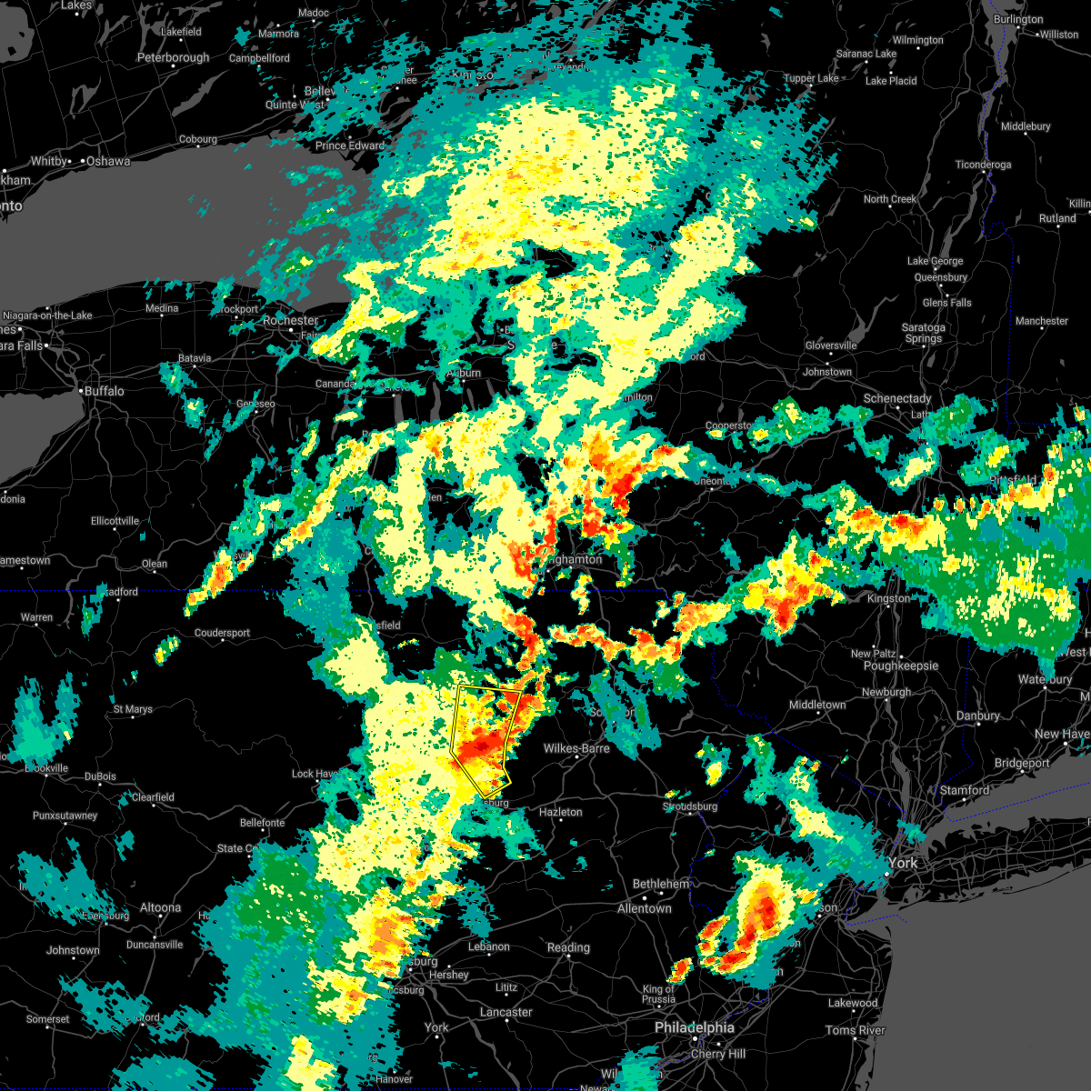
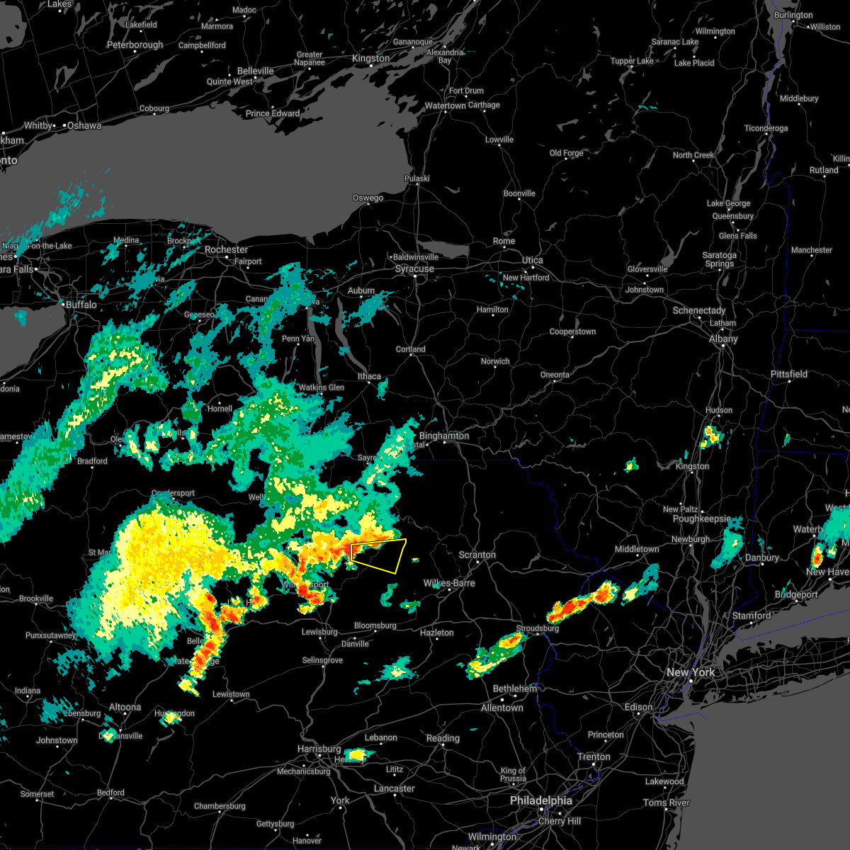
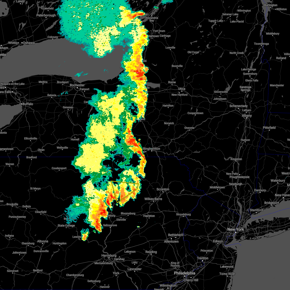
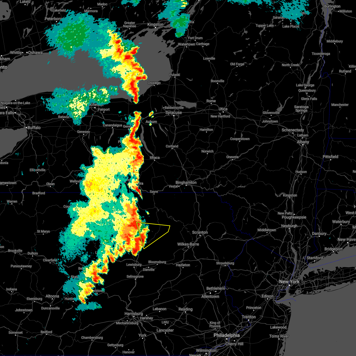
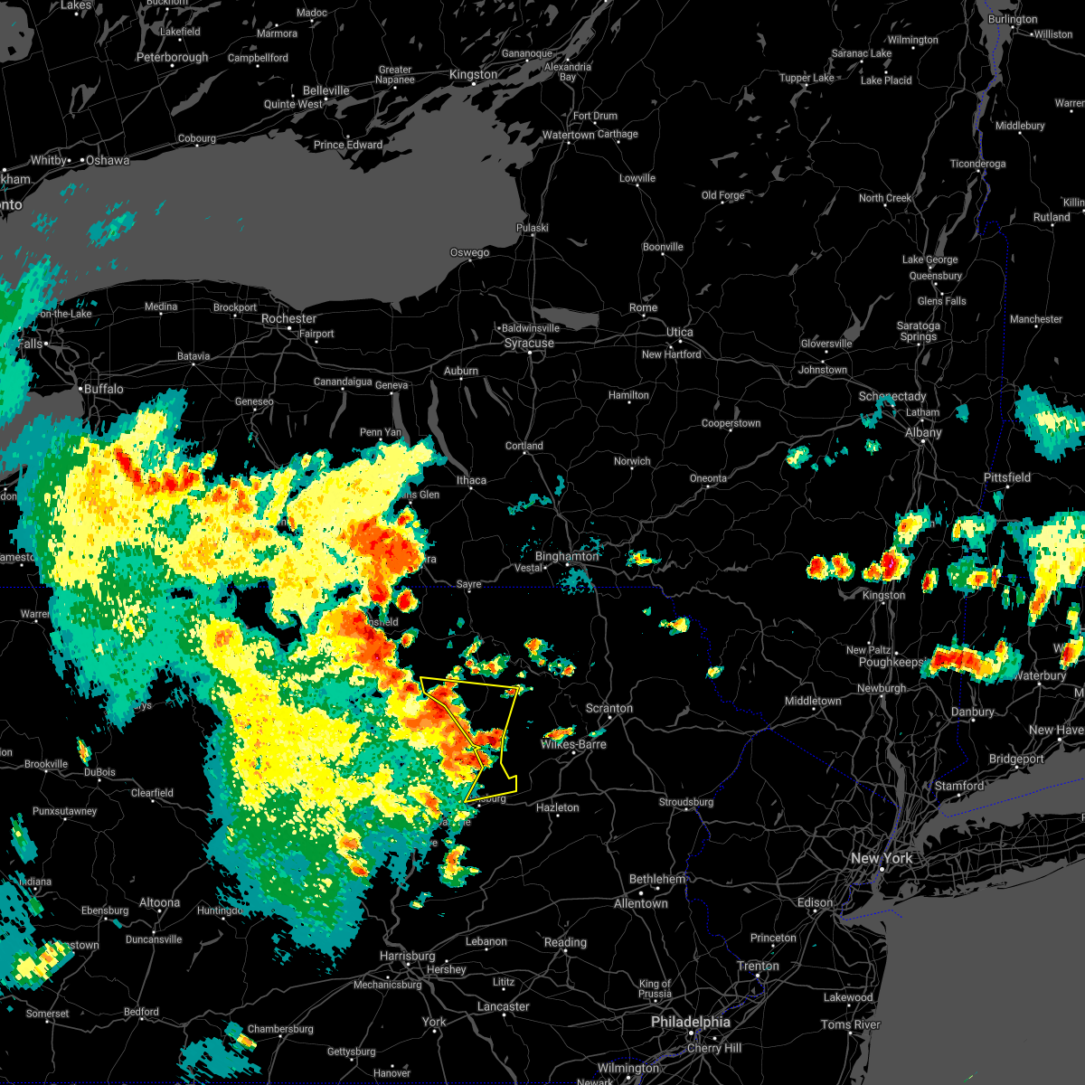
Hail Map for Forksville, PA
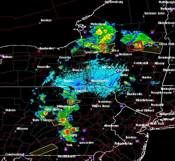
The Forksville, PA area has had 1 report of on-the-ground hail by trained spotters, and has been under severe weather warnings 8 times during the past 12 months. Doppler radar has detected hail at or near Forksville, PA on 29 occasions, including 1 occasion during the past year.
| Name: | Forksville, PA |
| Where Located: | 49.4 miles W of Scranton, PA |
| Map: | Google Map for Forksville, PA |
| Population: | 145 |
| Housing Units: | 94 |
| More Info: | Search Google for Forksville, PA |
0
The Top Recent Hail Date for Forksville, PA is Saturday, April 4, 2026 (29th out of 29)
Hail and Wind Damage Spotted near Forksville, PA
| Date / Time | Report Details |
|---|---|
| 6/14/2026 9:53 PM EDT |
 The storms which prompted the warning have weakened below severe limits, and have exited the warned area. therefore, the warning will be allowed to expire. a severe thunderstorm watch remains in effect until 100 am edt for central and north central pennsylvania. The storms which prompted the warning have weakened below severe limits, and have exited the warned area. therefore, the warning will be allowed to expire. a severe thunderstorm watch remains in effect until 100 am edt for central and north central pennsylvania.
|
| 6/14/2026 9:25 PM EDT |
 At 924 pm edt, severe thunderstorms were located along a line extending from shunk to barbours to near muncy valley to exchange, moving east at 40 mph (radar indicated). Hazards include 60 mph wind gusts and nickel size hail. Expect damage to roofs, siding, and trees. Locations impacted include, hughesville, kettle creek gorge, ricketts glen state park, muncy valley, lincoln falls, picture rocks, dushore, laporte, forksville, eagles mere, and hillsgrove. At 924 pm edt, severe thunderstorms were located along a line extending from shunk to barbours to near muncy valley to exchange, moving east at 40 mph (radar indicated). Hazards include 60 mph wind gusts and nickel size hail. Expect damage to roofs, siding, and trees. Locations impacted include, hughesville, kettle creek gorge, ricketts glen state park, muncy valley, lincoln falls, picture rocks, dushore, laporte, forksville, eagles mere, and hillsgrove.
|
| 6/14/2026 8:58 PM EDT |
 Torctp the national weather service in state college pa has issued a * tornado warning for, central lycoming county in north central pennsylvania, sullivan county in north central pennsylvania, * until 945 pm edt. * at 858 pm edt, a severe thunderstorm capable of producing a tornado was located over loyalsockville, moving northeast at 50 mph (radar indicated rotation). Hazards include tornado. Flying debris will be dangerous to those caught without shelter. mobile homes will be damaged or destroyed. damage to roofs, windows, and vehicles will occur. tree damage is likely. this dangerous storm will be near, barbours and loyalsockville around 900 pm edt. kettle creek gorge around 910 pm edt. lincoln falls around 920 pm edt. other locations impacted by this tornadic thunderstorm include laporte, eagles mere, hillsgrove, dushore, and south williamsport. This includes interstate 180 from mile markers 20 to 28. Torctp the national weather service in state college pa has issued a * tornado warning for, central lycoming county in north central pennsylvania, sullivan county in north central pennsylvania, * until 945 pm edt. * at 858 pm edt, a severe thunderstorm capable of producing a tornado was located over loyalsockville, moving northeast at 50 mph (radar indicated rotation). Hazards include tornado. Flying debris will be dangerous to those caught without shelter. mobile homes will be damaged or destroyed. damage to roofs, windows, and vehicles will occur. tree damage is likely. this dangerous storm will be near, barbours and loyalsockville around 900 pm edt. kettle creek gorge around 910 pm edt. lincoln falls around 920 pm edt. other locations impacted by this tornadic thunderstorm include laporte, eagles mere, hillsgrove, dushore, and south williamsport. This includes interstate 180 from mile markers 20 to 28.
|
| 6/14/2026 8:56 PM EDT |
 Svrctp the national weather service in state college pa has issued a * severe thunderstorm warning for, northern columbia county in central pennsylvania, central lycoming county in north central pennsylvania, northern montour county in central pennsylvania, northwestern northumberland county in central pennsylvania, sullivan county in north central pennsylvania, northeastern union county in central pennsylvania, * until 1000 pm edt. * at 856 pm edt, severe thunderstorms were located along a line extending from buttonwood to cogan station to williamsport to near elimsport, moving east at 40 mph (radar indicated). Hazards include 70 mph wind gusts and nickel size hail. Expect considerable tree damage. Damage is likely to mobile homes, roofs, and outbuildings. Svrctp the national weather service in state college pa has issued a * severe thunderstorm warning for, northern columbia county in central pennsylvania, central lycoming county in north central pennsylvania, northern montour county in central pennsylvania, northwestern northumberland county in central pennsylvania, sullivan county in north central pennsylvania, northeastern union county in central pennsylvania, * until 1000 pm edt. * at 856 pm edt, severe thunderstorms were located along a line extending from buttonwood to cogan station to williamsport to near elimsport, moving east at 40 mph (radar indicated). Hazards include 70 mph wind gusts and nickel size hail. Expect considerable tree damage. Damage is likely to mobile homes, roofs, and outbuildings.
|
| 6/11/2026 6:57 PM EDT |
 Svrctp the national weather service in state college pa has issued a * severe thunderstorm warning for, northern columbia county in central pennsylvania, east central lycoming county in north central pennsylvania, sullivan county in north central pennsylvania, * until 745 pm edt. * at 657 pm edt, a severe thunderstorm was located over lincoln falls, moving east at 25 mph (radar indicated). Hazards include 60 mph wind gusts. expect damage to roofs, siding, and trees Svrctp the national weather service in state college pa has issued a * severe thunderstorm warning for, northern columbia county in central pennsylvania, east central lycoming county in north central pennsylvania, sullivan county in north central pennsylvania, * until 745 pm edt. * at 657 pm edt, a severe thunderstorm was located over lincoln falls, moving east at 25 mph (radar indicated). Hazards include 60 mph wind gusts. expect damage to roofs, siding, and trees
|
| 6/6/2026 4:02 PM EDT |
 Svrctp the national weather service in state college pa has issued a * severe thunderstorm warning for, northeastern lycoming county in north central pennsylvania, northwestern sullivan county in north central pennsylvania, southeastern tioga county in north central pennsylvania, * until 430 pm edt. * at 401 pm edt, a severe thunderstorm was located over ralston, moving east at 45 mph (radar indicated). Hazards include 60 mph wind gusts and quarter size hail. Hail damage to vehicles is expected. Expect wind damage to roofs, siding, and trees. Svrctp the national weather service in state college pa has issued a * severe thunderstorm warning for, northeastern lycoming county in north central pennsylvania, northwestern sullivan county in north central pennsylvania, southeastern tioga county in north central pennsylvania, * until 430 pm edt. * at 401 pm edt, a severe thunderstorm was located over ralston, moving east at 45 mph (radar indicated). Hazards include 60 mph wind gusts and quarter size hail. Hail damage to vehicles is expected. Expect wind damage to roofs, siding, and trees.
|
| 4/15/2026 10:55 PM EDT |
 Svrctp the national weather service in state college pa has issued a * severe thunderstorm warning for, northern columbia county in central pennsylvania, eastern lycoming county in north central pennsylvania, sullivan county in north central pennsylvania, * until 1130 pm edt. * at 1054 pm edt, severe thunderstorms were located along a line extending from lincoln falls to hughesville, moving east at 45 mph (radar indicated). Hazards include 60 mph wind gusts. expect damage to roofs, siding, and trees Svrctp the national weather service in state college pa has issued a * severe thunderstorm warning for, northern columbia county in central pennsylvania, eastern lycoming county in north central pennsylvania, sullivan county in north central pennsylvania, * until 1130 pm edt. * at 1054 pm edt, severe thunderstorms were located along a line extending from lincoln falls to hughesville, moving east at 45 mph (radar indicated). Hazards include 60 mph wind gusts. expect damage to roofs, siding, and trees
|
| 4/4/2026 6:56 PM EDT |
 Svrctp the national weather service in state college pa has issued a * severe thunderstorm warning for, southeastern lycoming county in north central pennsylvania, western sullivan county in north central pennsylvania, * until 745 pm edt. * at 655 pm edt, a severe thunderstorm was located over hughesville, moving northeast at 25 mph (radar indicated). Hazards include 60 mph wind gusts. expect damage to roofs, siding, and trees Svrctp the national weather service in state college pa has issued a * severe thunderstorm warning for, southeastern lycoming county in north central pennsylvania, western sullivan county in north central pennsylvania, * until 745 pm edt. * at 655 pm edt, a severe thunderstorm was located over hughesville, moving northeast at 25 mph (radar indicated). Hazards include 60 mph wind gusts. expect damage to roofs, siding, and trees
|
| 6/28/2025 4:01 PM EDT |
 The storms which prompted the warning have weakened below severe limits, and no longer pose an immediate threat to life or property. therefore, the warning has been allowed to expire. however, gusty winds are still possible with these thunderstorms. a severe thunderstorm watch remains in effect until 800 pm edt for central and north central pennsylvania. The storms which prompted the warning have weakened below severe limits, and no longer pose an immediate threat to life or property. therefore, the warning has been allowed to expire. however, gusty winds are still possible with these thunderstorms. a severe thunderstorm watch remains in effect until 800 pm edt for central and north central pennsylvania.
|
| 6/28/2025 3:41 PM EDT |
 the severe thunderstorm warning has been cancelled and is no longer in effect the severe thunderstorm warning has been cancelled and is no longer in effect
|
| 6/28/2025 3:41 PM EDT |
 At 340 pm edt, severe thunderstorms were located along a line extending from shunk to loyalsockville to elimsport, moving east at 35 mph (radar indicated). Hazards include 60 mph wind gusts. Expect damage to roofs, siding, and trees. locations impacted include, williamsport, montoursville, muncy, hughesville, montgomery, duboistown, overton, kettle creek gorge, lairdsville, biggertown, lincoln falls, and barbours. This includes interstate 180 from mile markers 6 to 29. At 340 pm edt, severe thunderstorms were located along a line extending from shunk to loyalsockville to elimsport, moving east at 35 mph (radar indicated). Hazards include 60 mph wind gusts. Expect damage to roofs, siding, and trees. locations impacted include, williamsport, montoursville, muncy, hughesville, montgomery, duboistown, overton, kettle creek gorge, lairdsville, biggertown, lincoln falls, and barbours. This includes interstate 180 from mile markers 6 to 29.
|
| 6/28/2025 3:17 PM EDT |
 Svrctp the national weather service in state college pa has issued a * severe thunderstorm warning for, lycoming county in north central pennsylvania, north central montour county in central pennsylvania, north central northumberland county in central pennsylvania, sullivan county in north central pennsylvania, southeastern tioga county in north central pennsylvania, * until 400 pm edt. * at 317 pm edt, severe thunderstorms were located along a line extending from near ogdensburg to trout run to jersey shore, moving east at 35 mph (radar indicated). Hazards include 60 mph wind gusts. expect damage to roofs, siding, and trees Svrctp the national weather service in state college pa has issued a * severe thunderstorm warning for, lycoming county in north central pennsylvania, north central montour county in central pennsylvania, north central northumberland county in central pennsylvania, sullivan county in north central pennsylvania, southeastern tioga county in north central pennsylvania, * until 400 pm edt. * at 317 pm edt, severe thunderstorms were located along a line extending from near ogdensburg to trout run to jersey shore, moving east at 35 mph (radar indicated). Hazards include 60 mph wind gusts. expect damage to roofs, siding, and trees
|
| 6/19/2025 7:09 PM EDT | Trees down near hillsgrov in sullivan county PA, 6.4 miles ENE of Forksville, PA |
| 6/19/2025 7:06 PM EDT |
 At 704 pm edt, severe thunderstorms were located along a line extending from ralston to near shunk to kettle creek gorge to barbours to near hughesville, moving east northeast at 45 mph. rotation was noted in this storm near kettle creek gorge (radar indicated). Hazards include 70 mph wind gusts and penny size hail. Expect considerable tree damage. damage is likely to mobile homes, roofs, and outbuildings. locations impacted include, montoursville, kettle creek gorge, ricketts glen state park, muncy valley, lincoln falls, barbours, shunk, loyalsockville, picture rocks, dushore, laporte, and forksville. This includes interstate 180 near mile marker 21. At 704 pm edt, severe thunderstorms were located along a line extending from ralston to near shunk to kettle creek gorge to barbours to near hughesville, moving east northeast at 45 mph. rotation was noted in this storm near kettle creek gorge (radar indicated). Hazards include 70 mph wind gusts and penny size hail. Expect considerable tree damage. damage is likely to mobile homes, roofs, and outbuildings. locations impacted include, montoursville, kettle creek gorge, ricketts glen state park, muncy valley, lincoln falls, barbours, shunk, loyalsockville, picture rocks, dushore, laporte, and forksville. This includes interstate 180 near mile marker 21.
|
| 6/19/2025 6:49 PM EDT |
 Svrctp the national weather service in state college pa has issued a * severe thunderstorm warning for, central lycoming county in north central pennsylvania, sullivan county in north central pennsylvania, * until 745 pm edt. * at 648 pm edt, severe thunderstorms were located along a line extending from buttonwood to trout run to loyalsockville to williamsport, moving east northeast at 45 mph (radar indicated). Hazards include 70 mph wind gusts and penny size hail. Expect considerable tree damage. Damage is likely to mobile homes, roofs, and outbuildings. Svrctp the national weather service in state college pa has issued a * severe thunderstorm warning for, central lycoming county in north central pennsylvania, sullivan county in north central pennsylvania, * until 745 pm edt. * at 648 pm edt, severe thunderstorms were located along a line extending from buttonwood to trout run to loyalsockville to williamsport, moving east northeast at 45 mph (radar indicated). Hazards include 70 mph wind gusts and penny size hail. Expect considerable tree damage. Damage is likely to mobile homes, roofs, and outbuildings.
|
| 4/29/2025 7:50 PM EDT |
 Svrctp the national weather service in state college pa has issued a * severe thunderstorm warning for, columbia county in central pennsylvania, northern dauphin county in south central pennsylvania, northwestern lebanon county in south central pennsylvania, southern northumberland county in central pennsylvania, schuylkill county in central pennsylvania, sullivan county in north central pennsylvania, * until 845 pm edt. * at 750 pm edt, severe thunderstorms were located along a line extending from ralston to near hughesville to mooresburg to selinsgrove to new buffalo, moving east at 65 mph (radar indicated). Hazards include 60 mph wind gusts. expect damage to roofs, siding, and trees Svrctp the national weather service in state college pa has issued a * severe thunderstorm warning for, columbia county in central pennsylvania, northern dauphin county in south central pennsylvania, northwestern lebanon county in south central pennsylvania, southern northumberland county in central pennsylvania, schuylkill county in central pennsylvania, sullivan county in north central pennsylvania, * until 845 pm edt. * at 750 pm edt, severe thunderstorms were located along a line extending from ralston to near hughesville to mooresburg to selinsgrove to new buffalo, moving east at 65 mph (radar indicated). Hazards include 60 mph wind gusts. expect damage to roofs, siding, and trees
|
| 7/15/2024 6:13 PM EDT | Multiple trees down near the intersection of church street and state route 15 in sullivan county PA, 0.3 miles W of Forksville, PA |
| 7/15/2024 6:04 PM EDT |
 the severe thunderstorm warning has been cancelled and is no longer in effect the severe thunderstorm warning has been cancelled and is no longer in effect
|
| 7/15/2024 6:04 PM EDT |
 At 604 pm edt, severe thunderstorms were located along a line extending from le roy to barbours to montgomery, moving east at 40 mph (radar indicated). Hazards include 70 mph wind gusts. Expect considerable tree damage. damage is likely to mobile homes, roofs, and outbuildings. locations impacted include, montoursville, muncy, hughesville, montgomery, overton, kettle creek gorge, lairdsville, ricketts glen state park, biggertown, muncy valley, lincoln falls, and barbours. This includes interstate 180 from mile markers 9 to 22. At 604 pm edt, severe thunderstorms were located along a line extending from le roy to barbours to montgomery, moving east at 40 mph (radar indicated). Hazards include 70 mph wind gusts. Expect considerable tree damage. damage is likely to mobile homes, roofs, and outbuildings. locations impacted include, montoursville, muncy, hughesville, montgomery, overton, kettle creek gorge, lairdsville, ricketts glen state park, biggertown, muncy valley, lincoln falls, and barbours. This includes interstate 180 from mile markers 9 to 22.
|
| 7/15/2024 5:51 PM EDT |
 At 550 pm edt, severe thunderstorms were located along a line extending from grover to ralston to elimsport, moving east at 40 mph (radar indicated). Hazards include 70 mph wind gusts. Expect considerable tree damage. damage is likely to mobile homes, roofs, and outbuildings. locations impacted include, williamsport, montoursville, carroll, muncy, hughesville, montgomery, duboistown, elimsport, kettle creek gorge, lairdsville, ralston, and biggertown. for those driving on interstate 80, this includes areas between the loganton and mile run exits, specifically from mile markers 190 to 194. This includes interstate 180 from mile markers 9 to 29. At 550 pm edt, severe thunderstorms were located along a line extending from grover to ralston to elimsport, moving east at 40 mph (radar indicated). Hazards include 70 mph wind gusts. Expect considerable tree damage. damage is likely to mobile homes, roofs, and outbuildings. locations impacted include, williamsport, montoursville, carroll, muncy, hughesville, montgomery, duboistown, elimsport, kettle creek gorge, lairdsville, ralston, and biggertown. for those driving on interstate 80, this includes areas between the loganton and mile run exits, specifically from mile markers 190 to 194. This includes interstate 180 from mile markers 9 to 29.
|
| 7/15/2024 5:45 PM EDT |
 At 544 pm edt, severe thunderstorms were located along a line extending from ogdensburg to ralston to collomsville, moving east at 40 mph (radar indicated). Hazards include 60 mph wind gusts. Expect damage to roofs, siding, and trees. locations impacted include, williamsport, montoursville, carroll, muncy, hughesville, montgomery, duboistown, elimsport, kettle creek gorge, lairdsville, ralston, and biggertown. for those driving on interstate 80, this includes areas between the loganton and mile run exits, specifically from mile markers 190 to 194. This includes interstate 180 from mile markers 9 to 29. At 544 pm edt, severe thunderstorms were located along a line extending from ogdensburg to ralston to collomsville, moving east at 40 mph (radar indicated). Hazards include 60 mph wind gusts. Expect damage to roofs, siding, and trees. locations impacted include, williamsport, montoursville, carroll, muncy, hughesville, montgomery, duboistown, elimsport, kettle creek gorge, lairdsville, ralston, and biggertown. for those driving on interstate 80, this includes areas between the loganton and mile run exits, specifically from mile markers 190 to 194. This includes interstate 180 from mile markers 9 to 29.
|
| 7/15/2024 5:27 PM EDT |
 Svrctp the national weather service in state college pa has issued a * severe thunderstorm warning for, southeastern clinton county in north central pennsylvania, lycoming county in north central pennsylvania, sullivan county in north central pennsylvania, southeastern tioga county in north central pennsylvania, * until 700 pm edt. * at 527 pm edt, severe thunderstorms were located along a line extending from arnot to buttonwood to mcelhattan, moving east at 40 mph (radar indicated). Hazards include 60 mph wind gusts. expect damage to roofs, siding, and trees Svrctp the national weather service in state college pa has issued a * severe thunderstorm warning for, southeastern clinton county in north central pennsylvania, lycoming county in north central pennsylvania, sullivan county in north central pennsylvania, southeastern tioga county in north central pennsylvania, * until 700 pm edt. * at 527 pm edt, severe thunderstorms were located along a line extending from arnot to buttonwood to mcelhattan, moving east at 40 mph (radar indicated). Hazards include 60 mph wind gusts. expect damage to roofs, siding, and trees
|
| 7/10/2024 6:34 PM EDT |
 Svrctp the national weather service in state college pa has issued a * severe thunderstorm warning for, northern sullivan county in north central pennsylvania, * until 715 pm edt. * at 633 pm edt, a severe thunderstorm was located over lincoln falls, moving east at 50 mph (radar indicated). Hazards include 60 mph wind gusts and penny size hail. expect damage to roofs, siding, and trees Svrctp the national weather service in state college pa has issued a * severe thunderstorm warning for, northern sullivan county in north central pennsylvania, * until 715 pm edt. * at 633 pm edt, a severe thunderstorm was located over lincoln falls, moving east at 50 mph (radar indicated). Hazards include 60 mph wind gusts and penny size hail. expect damage to roofs, siding, and trees
|
| 6/22/2024 6:46 PM EDT |
 the severe thunderstorm warning has been cancelled and is no longer in effect the severe thunderstorm warning has been cancelled and is no longer in effect
|
| 6/22/2024 6:46 PM EDT |
 At 645 pm edt, severe thunderstorms were located along a line extending from shunk to lincoln falls to kettle creek gorge, moving northeast at 35 mph (radar indicated). Hazards include 60 mph wind gusts and penny size hail. Expect damage to roofs, siding, and trees. Locations impacted include, kettle creek gorge, lincoln falls, shunk, forksville, and hillsgrove. At 645 pm edt, severe thunderstorms were located along a line extending from shunk to lincoln falls to kettle creek gorge, moving northeast at 35 mph (radar indicated). Hazards include 60 mph wind gusts and penny size hail. Expect damage to roofs, siding, and trees. Locations impacted include, kettle creek gorge, lincoln falls, shunk, forksville, and hillsgrove.
|
| 6/22/2024 6:36 PM EDT |
 At 634 pm edt, severe thunderstorms were located along a line extending from ralston to kettle creek gorge, moving northeast at 25 mph (radar indicated). Hazards include 60 mph wind gusts and penny size hail. Expect damage to roofs, siding, and trees. Locations impacted include, ralston, kettle creek gorge, lincoln falls, barbours, shunk, forksville, and hillsgrove. At 634 pm edt, severe thunderstorms were located along a line extending from ralston to kettle creek gorge, moving northeast at 25 mph (radar indicated). Hazards include 60 mph wind gusts and penny size hail. Expect damage to roofs, siding, and trees. Locations impacted include, ralston, kettle creek gorge, lincoln falls, barbours, shunk, forksville, and hillsgrove.
|
| 6/22/2024 6:36 PM EDT |
 the severe thunderstorm warning has been cancelled and is no longer in effect the severe thunderstorm warning has been cancelled and is no longer in effect
|
| 6/22/2024 6:12 PM EDT |
 Svrctp the national weather service in state college pa has issued a * severe thunderstorm warning for, northeastern lycoming county in north central pennsylvania, northwestern sullivan county in north central pennsylvania, southeastern tioga county in north central pennsylvania, * until 700 pm edt. * at 612 pm edt, severe thunderstorms were located along a line extending from trout run to loyalsockville, moving northeast at 25 mph (radar indicated). Hazards include 70 mph wind gusts and quarter size hail. Hail damage to vehicles is expected. expect considerable tree damage. Wind damage is also likely to mobile homes, roofs, and outbuildings. Svrctp the national weather service in state college pa has issued a * severe thunderstorm warning for, northeastern lycoming county in north central pennsylvania, northwestern sullivan county in north central pennsylvania, southeastern tioga county in north central pennsylvania, * until 700 pm edt. * at 612 pm edt, severe thunderstorms were located along a line extending from trout run to loyalsockville, moving northeast at 25 mph (radar indicated). Hazards include 70 mph wind gusts and quarter size hail. Hail damage to vehicles is expected. expect considerable tree damage. Wind damage is also likely to mobile homes, roofs, and outbuildings.
|
| 9/7/2023 3:58 PM EDT |
 At 358 pm edt, severe thunderstorms were located along a line extending from hughesville to lightstreet, moving north at 40 mph (radar indicated). Hazards include 60 mph wind gusts and quarter size hail. Hail damage to vehicles is expected. Expect wind damage to roofs, siding, and trees. At 358 pm edt, severe thunderstorms were located along a line extending from hughesville to lightstreet, moving north at 40 mph (radar indicated). Hazards include 60 mph wind gusts and quarter size hail. Hail damage to vehicles is expected. Expect wind damage to roofs, siding, and trees.
|
| 7/20/2023 11:12 PM EDT |
 At 1112 pm edt, severe thunderstorms were located along a line extending from grover to kettle creek gorge to near lairdsville to hughesville to muncy, moving east at 45 mph (radar indicated). Hazards include 60 mph wind gusts. Expect damage to roofs, siding, and trees. severe thunderstorms will be near, lairdsville and muncy valley around 1120 pm edt. biggertown, iola and eyers grove around 1130 pm edt. rohrsburg, waller and central around 1140 pm edt. berwick around 1150 pm edt. other locations impacted by these severe thunderstorms include turbotville, lime ridge, eagles mere, washingtonville and orangeville. for those driving on interstate 80, this includes areas between the mile run and nescopek exits, specifically from mile markers 206 to 247. this includes interstate 180 from mile markers 1 to 18. hail threat, radar indicated max hail size, <. 75 in wind threat, radar indicated max wind gust, 60 mph. At 1112 pm edt, severe thunderstorms were located along a line extending from grover to kettle creek gorge to near lairdsville to hughesville to muncy, moving east at 45 mph (radar indicated). Hazards include 60 mph wind gusts. Expect damage to roofs, siding, and trees. severe thunderstorms will be near, lairdsville and muncy valley around 1120 pm edt. biggertown, iola and eyers grove around 1130 pm edt. rohrsburg, waller and central around 1140 pm edt. berwick around 1150 pm edt. other locations impacted by these severe thunderstorms include turbotville, lime ridge, eagles mere, washingtonville and orangeville. for those driving on interstate 80, this includes areas between the mile run and nescopek exits, specifically from mile markers 206 to 247. this includes interstate 180 from mile markers 1 to 18. hail threat, radar indicated max hail size, <. 75 in wind threat, radar indicated max wind gust, 60 mph.
|
| 7/20/2023 10:31 PM EDT |
 At 1030 pm edt, a severe thunderstorm was located over buttonwood, moving east at 35 mph (radar indicated). Hazards include 60 mph wind gusts. Expect damage to roofs, siding, and trees. this severe thunderstorm will be near, trout run around 1040 pm edt. ralston around 1050 pm edt. barbours around 1100 pm edt. kettle creek gorge and lincoln falls around 1110 pm edt. other locations impacted by this severe thunderstorm include eagles mere, garden view, hillsgrove, picture rocks and south williamsport. this includes interstate 180 from mile markers 9 to 29. hail threat, radar indicated max hail size, <. 75 in wind threat, radar indicated max wind gust, 60 mph. At 1030 pm edt, a severe thunderstorm was located over buttonwood, moving east at 35 mph (radar indicated). Hazards include 60 mph wind gusts. Expect damage to roofs, siding, and trees. this severe thunderstorm will be near, trout run around 1040 pm edt. ralston around 1050 pm edt. barbours around 1100 pm edt. kettle creek gorge and lincoln falls around 1110 pm edt. other locations impacted by this severe thunderstorm include eagles mere, garden view, hillsgrove, picture rocks and south williamsport. this includes interstate 180 from mile markers 9 to 29. hail threat, radar indicated max hail size, <. 75 in wind threat, radar indicated max wind gust, 60 mph.
|
| 7/15/2023 10:28 PM EDT |
 The severe thunderstorm warning for northeastern lycoming and southwestern sullivan counties will expire at 1030 pm edt, the storm which prompted the warning has weakened below severe limits, and no longer poses an immediate threat to life or property. therefore, the warning will be allowed to expire. however gusty winds and heavy rain are still possible with this thunderstorm. to report severe weather, contact your nearest law enforcement agency. they will relay your report to the national weather service state college pa. The severe thunderstorm warning for northeastern lycoming and southwestern sullivan counties will expire at 1030 pm edt, the storm which prompted the warning has weakened below severe limits, and no longer poses an immediate threat to life or property. therefore, the warning will be allowed to expire. however gusty winds and heavy rain are still possible with this thunderstorm. to report severe weather, contact your nearest law enforcement agency. they will relay your report to the national weather service state college pa.
|
| 7/15/2023 9:48 PM EDT |
 At 948 pm edt, a severe thunderstorm was located over barbours, moving northeast at 15 mph (radar indicated). Hazards include 60 mph wind gusts and nickel size hail. expect damage to roofs, siding, and trees At 948 pm edt, a severe thunderstorm was located over barbours, moving northeast at 15 mph (radar indicated). Hazards include 60 mph wind gusts and nickel size hail. expect damage to roofs, siding, and trees
|
| 7/15/2023 8:53 PM EDT |
 The severe thunderstorm warning for central sullivan county will expire at 900 pm edt, the storm which prompted the warning has weakened below severe limits, and no longer poses an immediate threat to life or property. therefore, the warning will be allowed to expire. however gusty winds are still possible with this thunderstorm. to report severe weather, contact your nearest law enforcement agency. they will relay your report to the national weather service state college pa. The severe thunderstorm warning for central sullivan county will expire at 900 pm edt, the storm which prompted the warning has weakened below severe limits, and no longer poses an immediate threat to life or property. therefore, the warning will be allowed to expire. however gusty winds are still possible with this thunderstorm. to report severe weather, contact your nearest law enforcement agency. they will relay your report to the national weather service state college pa.
|
| 7/15/2023 8:35 PM EDT |
 At 834 pm edt, a severe thunderstorm was located over muncy valley, moving north at 30 mph (radar indicated). Hazards include 60 mph wind gusts and penny size hail. Expect damage to roofs, siding, and trees. locations impacted include, dushore, laporte, forksville and eagles mere. hail threat, radar indicated max hail size, 0. 75 in wind threat, observed max wind gust, 60 mph. At 834 pm edt, a severe thunderstorm was located over muncy valley, moving north at 30 mph (radar indicated). Hazards include 60 mph wind gusts and penny size hail. Expect damage to roofs, siding, and trees. locations impacted include, dushore, laporte, forksville and eagles mere. hail threat, radar indicated max hail size, 0. 75 in wind threat, observed max wind gust, 60 mph.
|
| 7/15/2023 8:15 PM EDT |
 At 814 pm edt, a severe thunderstorm was located over biggertown, moving north at 30 mph (radar indicated). Hazards include 60 mph wind gusts and penny size hail. expect damage to roofs, siding, and trees At 814 pm edt, a severe thunderstorm was located over biggertown, moving north at 30 mph (radar indicated). Hazards include 60 mph wind gusts and penny size hail. expect damage to roofs, siding, and trees
|
| 7/14/2023 5:16 PM EDT |
 At 515 pm edt, a severe thunderstorm was located over loyalsockville, moving east at 25 mph (radar indicated). Hazards include 60 mph wind gusts and quarter size hail. Hail damage to vehicles is expected. expect wind damage to roofs, siding, and trees. this severe thunderstorm will be near, loyalsockville around 520 pm edt. barbours around 540 pm edt. kettle creek gorge and muncy valley around 600 pm edt. other locations impacted by this severe thunderstorm include eagles mere, garden view, hillsgrove, south williamsport and forksville. this includes interstate 180 from mile markers 17 to 28. hail threat, radar indicated max hail size, 1. 00 in wind threat, radar indicated max wind gust, 60 mph. At 515 pm edt, a severe thunderstorm was located over loyalsockville, moving east at 25 mph (radar indicated). Hazards include 60 mph wind gusts and quarter size hail. Hail damage to vehicles is expected. expect wind damage to roofs, siding, and trees. this severe thunderstorm will be near, loyalsockville around 520 pm edt. barbours around 540 pm edt. kettle creek gorge and muncy valley around 600 pm edt. other locations impacted by this severe thunderstorm include eagles mere, garden view, hillsgrove, south williamsport and forksville. this includes interstate 180 from mile markers 17 to 28. hail threat, radar indicated max hail size, 1. 00 in wind threat, radar indicated max wind gust, 60 mph.
|
| 6/26/2023 9:37 AM EDT |
 At 937 am edt, a severe thunderstorm was located over overton, moving northeast at 35 mph (radar indicated). Hazards include 60 mph wind gusts and quarter size hail. Hail damage to vehicles is expected. expect wind damage to roofs, siding, and trees. locations impacted include, jamison city, waller, kettle creek gorge, ricketts glen state park, central, biggertown, muncy valley, lincoln falls, dushore, laporte, forksville and eagles mere. hail threat, radar indicated max hail size, 1. 00 in wind threat, radar indicated max wind gust, 60 mph. At 937 am edt, a severe thunderstorm was located over overton, moving northeast at 35 mph (radar indicated). Hazards include 60 mph wind gusts and quarter size hail. Hail damage to vehicles is expected. expect wind damage to roofs, siding, and trees. locations impacted include, jamison city, waller, kettle creek gorge, ricketts glen state park, central, biggertown, muncy valley, lincoln falls, dushore, laporte, forksville and eagles mere. hail threat, radar indicated max hail size, 1. 00 in wind threat, radar indicated max wind gust, 60 mph.
|
| 6/26/2023 9:14 AM EDT |
 At 914 am edt, a severe thunderstorm was located over kettle creek gorge, moving northeast at 35 mph (radar indicated). Hazards include 60 mph wind gusts and quarter size hail. Hail damage to vehicles is expected. Expect wind damage to roofs, siding, and trees. At 914 am edt, a severe thunderstorm was located over kettle creek gorge, moving northeast at 35 mph (radar indicated). Hazards include 60 mph wind gusts and quarter size hail. Hail damage to vehicles is expected. Expect wind damage to roofs, siding, and trees.
|
| 6/26/2023 8:37 AM EDT |
 At 836 am edt, a severe thunderstorm was located over muncy, moving northeast at 25 mph (radar indicated). Hazards include 60 mph wind gusts and quarter size hail. Hail damage to vehicles is expected. Expect wind damage to roofs, siding, and trees. At 836 am edt, a severe thunderstorm was located over muncy, moving northeast at 25 mph (radar indicated). Hazards include 60 mph wind gusts and quarter size hail. Hail damage to vehicles is expected. Expect wind damage to roofs, siding, and trees.
|
| 4/5/2023 10:55 PM EDT | The severe thunderstorm warning for north central lycoming and northwestern sullivan counties will expire at 1100 pm edt, the storm which prompted the warning has moved out of the area. therefore, the warning will be allowed to expire. to report severe weather, contact your nearest law enforcement agency. they will relay your report to the national weather service state college pa. |
| 4/5/2023 10:42 PM EDT |
 At 1042 pm edt, a severe thunderstorm was located over shunk, moving northeast at 65 mph (radar indicated). Hazards include 60 mph wind gusts. expect damage to roofs, siding, and trees At 1042 pm edt, a severe thunderstorm was located over shunk, moving northeast at 65 mph (radar indicated). Hazards include 60 mph wind gusts. expect damage to roofs, siding, and trees
|
| 7/24/2022 5:14 PM EDT |
 At 514 pm edt, severe thunderstorms were located along a line extending from kettle creek gorge to montgomery to sand bridge state park, moving east at 40 mph (radar indicated). Hazards include 60 mph wind gusts. Expect damage to roofs, siding, and trees. locations impacted include, williamsport, lock haven, montoursville, jersey shore, mifflinburg, carroll, muncy, watsontown, hughesville, mill hall, montgomery and avis. for those driving on interstate 80, this includes areas between the lock haven and milton-williamsport exits, specifically from mile markers 178 to 210. this includes interstate 180 from mile markers 9 to 29. hail threat, radar indicated max hail size, <. 75 in wind threat, radar indicated max wind gust, 60 mph. At 514 pm edt, severe thunderstorms were located along a line extending from kettle creek gorge to montgomery to sand bridge state park, moving east at 40 mph (radar indicated). Hazards include 60 mph wind gusts. Expect damage to roofs, siding, and trees. locations impacted include, williamsport, lock haven, montoursville, jersey shore, mifflinburg, carroll, muncy, watsontown, hughesville, mill hall, montgomery and avis. for those driving on interstate 80, this includes areas between the lock haven and milton-williamsport exits, specifically from mile markers 178 to 210. this includes interstate 180 from mile markers 9 to 29. hail threat, radar indicated max hail size, <. 75 in wind threat, radar indicated max wind gust, 60 mph.
|
| 7/24/2022 4:45 PM EDT |
 At 445 pm edt, severe thunderstorms were located along a line extending from ralston to near cogan station to castanea, moving east at 20 mph (radar indicated). Hazards include 60 mph wind gusts. expect damage to roofs, siding, and trees At 445 pm edt, severe thunderstorms were located along a line extending from ralston to near cogan station to castanea, moving east at 20 mph (radar indicated). Hazards include 60 mph wind gusts. expect damage to roofs, siding, and trees
|
| 7/18/2022 4:56 PM EDT |
 The severe thunderstorm warning for northwestern columbia, east central lycoming and sullivan counties will expire at 500 pm edt, the storms which prompted the warning is weakening and will be allowed to expire at 5 pm edt. gusty winds over 50 mph are still possible with these showers. a severe thunderstorm watch remains in effect until 1000 pm edt for columbia county. The severe thunderstorm warning for northwestern columbia, east central lycoming and sullivan counties will expire at 500 pm edt, the storms which prompted the warning is weakening and will be allowed to expire at 5 pm edt. gusty winds over 50 mph are still possible with these showers. a severe thunderstorm watch remains in effect until 1000 pm edt for columbia county.
|
| 7/18/2022 4:40 PM EDT |
 At 439 pm edt, severe thunderstorms were located along a line extending from near kettle creek gorge to muncy valley to lairdsville, moving east at 50 mph (radar indicated). Hazards include 60 mph wind gusts. expect damage to roofs, siding, and trees At 439 pm edt, severe thunderstorms were located along a line extending from near kettle creek gorge to muncy valley to lairdsville, moving east at 50 mph (radar indicated). Hazards include 60 mph wind gusts. expect damage to roofs, siding, and trees
|
| 3/31/2022 4:55 PM EDT |
 At 454 pm edt, a severe thunderstorm was located over laporte, moving northeast at 45 mph (radar indicated). Hazards include 70 mph wind gusts and nickel size hail. Expect considerable tree damage. Damage is likely to mobile homes, roofs, and outbuildings. At 454 pm edt, a severe thunderstorm was located over laporte, moving northeast at 45 mph (radar indicated). Hazards include 70 mph wind gusts and nickel size hail. Expect considerable tree damage. Damage is likely to mobile homes, roofs, and outbuildings.
|
| 3/31/2022 3:54 PM EDT |
 At 354 pm edt, a severe thunderstorm was located over lincoln falls, moving northeast at 50 mph (radar indicated). Hazards include 60 mph wind gusts and nickel size hail. expect damage to roofs, siding, and trees At 354 pm edt, a severe thunderstorm was located over lincoln falls, moving northeast at 50 mph (radar indicated). Hazards include 60 mph wind gusts and nickel size hail. expect damage to roofs, siding, and trees
|
| 3/7/2022 6:44 PM EST |
 At 643 pm est, severe thunderstorms were located along a line extending from le roy to mooresburg to perulack, moving east at 55 mph (radar indicated). Hazards include 60 mph wind gusts. expect damage to roofs, siding, and trees At 643 pm est, severe thunderstorms were located along a line extending from le roy to mooresburg to perulack, moving east at 55 mph (radar indicated). Hazards include 60 mph wind gusts. expect damage to roofs, siding, and trees
|
| 3/7/2022 5:59 PM EST |
 At 559 pm est, severe thunderstorms were located along a line extending from south corning to blanchard to williamsburg, moving east at 50 mph (radar indicated). Hazards include 60 mph wind gusts. expect damage to roofs, siding, and trees At 559 pm est, severe thunderstorms were located along a line extending from south corning to blanchard to williamsburg, moving east at 50 mph (radar indicated). Hazards include 60 mph wind gusts. expect damage to roofs, siding, and trees
|
| 9/15/2021 1:48 PM EDT |
 At 147 pm edt, a line of severe thunderstorms was located near kettle creek gorge to near overton, moving northeast at 30 mph (radar indicated). Hazards include 60 mph wind gusts and penny size hail. expect damage to roofs, siding, and trees At 147 pm edt, a line of severe thunderstorms was located near kettle creek gorge to near overton, moving northeast at 30 mph (radar indicated). Hazards include 60 mph wind gusts and penny size hail. expect damage to roofs, siding, and trees
|
| 9/8/2021 3:49 PM EDT |
 At 348 pm edt, severe thunderstorms were located along a line extending from near franklindale to near overton to near lincoln falls, moving east at 40 mph (radar indicated). Hazards include 60 mph wind gusts. Expect damage to roofs, siding, and trees. locations impacted include, kettle creek gorge, lincoln falls, dushore, forksville and hillsgrove. hail threat, radar indicated max hail size, <. 75 in wind threat, radar indicated max wind gust, 60 mph. At 348 pm edt, severe thunderstorms were located along a line extending from near franklindale to near overton to near lincoln falls, moving east at 40 mph (radar indicated). Hazards include 60 mph wind gusts. Expect damage to roofs, siding, and trees. locations impacted include, kettle creek gorge, lincoln falls, dushore, forksville and hillsgrove. hail threat, radar indicated max hail size, <. 75 in wind threat, radar indicated max wind gust, 60 mph.
|
| 9/8/2021 3:27 PM EDT |
 At 326 pm edt, severe thunderstorms were located along a line extending from near shunk to near kettle creek gorge to near barbours, moving east at 40 mph (radar indicated). Hazards include 60 mph wind gusts. expect damage to roofs, siding, and trees At 326 pm edt, severe thunderstorms were located along a line extending from near shunk to near kettle creek gorge to near barbours, moving east at 40 mph (radar indicated). Hazards include 60 mph wind gusts. expect damage to roofs, siding, and trees
|
| 8/13/2021 4:30 PM EDT |
 At 429 pm edt, severe thunderstorms were located along a line extending from near shunk to near kettle creek gorge to near barbours, moving east at 40 mph (radar indicated). Hazards include 60 mph wind gusts and penny size hail. expect damage to roofs, siding, and trees At 429 pm edt, severe thunderstorms were located along a line extending from near shunk to near kettle creek gorge to near barbours, moving east at 40 mph (radar indicated). Hazards include 60 mph wind gusts and penny size hail. expect damage to roofs, siding, and trees
|
| 8/12/2021 8:28 PM EDT |
 At 827 pm edt, a severe thunderstorm was located over cogan station, moving east at 45 mph (radar indicated). Hazards include 60 mph wind gusts and nickel size hail. expect damage to roofs, siding, and trees At 827 pm edt, a severe thunderstorm was located over cogan station, moving east at 45 mph (radar indicated). Hazards include 60 mph wind gusts and nickel size hail. expect damage to roofs, siding, and trees
|
| 8/12/2021 2:02 PM EDT |
 At 201 pm edt, a severe thunderstorm was located 7 miles south of overton, moving east at 45 mph (radar indicated). Hazards include 70 mph wind gusts. Expect considerable tree damage. damage is likely to mobile homes, roofs, and outbuildings. locations impacted include, hughesville, kettle creek gorge, lairdsville, ricketts glen state park, biggertown, muncy valley, lincoln falls, barbours, shunk, picture rocks, dushore, laporte, forksville, eagles mere and hillsgrove. thunderstorm damage threat, considerable hail threat, radar indicated max hail size, <. 75 in wind threat, radar indicated max wind gust, 70 mph. At 201 pm edt, a severe thunderstorm was located 7 miles south of overton, moving east at 45 mph (radar indicated). Hazards include 70 mph wind gusts. Expect considerable tree damage. damage is likely to mobile homes, roofs, and outbuildings. locations impacted include, hughesville, kettle creek gorge, lairdsville, ricketts glen state park, biggertown, muncy valley, lincoln falls, barbours, shunk, picture rocks, dushore, laporte, forksville, eagles mere and hillsgrove. thunderstorm damage threat, considerable hail threat, radar indicated max hail size, <. 75 in wind threat, radar indicated max wind gust, 70 mph.
|
| 8/12/2021 1:55 PM EDT | Multiple wires dow in sullivan county PA, 1.9 miles NW of Forksville, PA |
| 8/12/2021 1:27 PM EDT |
 At 127 pm edt, severe thunderstorms were located along a line extending from near ogdensburg to ralston to near trout run, moving east at 45 mph (radar indicated). Hazards include 60 mph wind gusts. expect damage to roofs, siding, and trees At 127 pm edt, severe thunderstorms were located along a line extending from near ogdensburg to ralston to near trout run, moving east at 45 mph (radar indicated). Hazards include 60 mph wind gusts. expect damage to roofs, siding, and trees
|
| 7/17/2021 6:22 PM EDT |
 At 622 pm edt, a severe thunderstorm was located near biggertown, moving northeast at 45 mph (law enforcement). Hazards include 60 mph wind gusts and quarter size hail. Hail damage to vehicles is expected. Expect wind damage to roofs, siding, and trees. At 622 pm edt, a severe thunderstorm was located near biggertown, moving northeast at 45 mph (law enforcement). Hazards include 60 mph wind gusts and quarter size hail. Hail damage to vehicles is expected. Expect wind damage to roofs, siding, and trees.
|
| 7/16/2021 6:02 PM EDT |
 At 601 pm edt, a severe thunderstorm was located near lincoln falls, moving east at 20 mph (radar indicated). Hazards include 60 mph wind gusts and quarter size hail. Hail damage to vehicles is expected. Expect wind damage to roofs, siding, and trees. At 601 pm edt, a severe thunderstorm was located near lincoln falls, moving east at 20 mph (radar indicated). Hazards include 60 mph wind gusts and quarter size hail. Hail damage to vehicles is expected. Expect wind damage to roofs, siding, and trees.
|
| 7/13/2021 9:52 PM EDT |
 The severe thunderstorm warning for northeastern lycoming and sullivan counties will expire at 1000 pm edt, the storm which prompted the warning has weakened below severe limits, and has exited the warned area. therefore, the warning will be allowed to expire. however heavy rain is still possible with this thunderstorm. a flash flood warning remains in effect until midnight for lycoming and western sullivan counties. a severe thunderstorm watch remains in effect until 1100 pm edt for north central pennsylvania. The severe thunderstorm warning for northeastern lycoming and sullivan counties will expire at 1000 pm edt, the storm which prompted the warning has weakened below severe limits, and has exited the warned area. therefore, the warning will be allowed to expire. however heavy rain is still possible with this thunderstorm. a flash flood warning remains in effect until midnight for lycoming and western sullivan counties. a severe thunderstorm watch remains in effect until 1100 pm edt for north central pennsylvania.
|
| 7/13/2021 9:17 PM EDT | Corrects previous tstm wnd dmg report from forksville (time based on radar analysis). multiple trees down in forks townshi in sullivan county PA, 0.3 miles W of Forksville, PA |
| 7/13/2021 8:59 PM EDT |
 At 858 pm edt, a severe thunderstorm was located near muncy valley, moving northeast at 30 mph (radar indicated). Hazards include 70 mph wind gusts. Expect considerable tree damage. Damage is likely to mobile homes, roofs, and outbuildings. At 858 pm edt, a severe thunderstorm was located near muncy valley, moving northeast at 30 mph (radar indicated). Hazards include 70 mph wind gusts. Expect considerable tree damage. Damage is likely to mobile homes, roofs, and outbuildings.
|
| 7/13/2021 8:51 PM EDT | Multiple trees down in forks townshi in sullivan county PA, 0.3 miles W of Forksville, PA |
| 7/11/2021 8:43 PM EDT |
 At 842 pm edt, severe thunderstorms were located along a line extending from montoursville to near delaware run to near jerseytown to danville to stonington to near trevorton to near urban, moving northeast at 35 mph (radar indicated). Hazards include 70 mph wind gusts. Expect considerable tree damage. damage is likely to mobile homes, roofs, and outbuildings. severe thunderstorms will be near, bloomsburg, danville, buckhorn, jerseytown, elysburg, eyers grove, fernville, iola, rupert and hughesville around 850 pm edt. lightstreet, lairdsville, catawissa, rohrsburg, almedia, knoebels grove and barbours around 900 pm edt. shamokin, biggertown, mainville, marshallton, slabtown, numidia, mifflinville, shumans, muncy valley and kettle creek gorge around 910 pm edt. mount carmel, kulpmont, berwick, central, wilburton number one, jamison city and waller around 920 pm edt. other locations impacted by these severe thunderstorms include lime ridge, dushore, marion heights, forksville, seven points, garden view, hillsgrove, stillwater, millville and edgewood. for those driving on interstate 80, this includes areas between the limestoneville and nescopek exits, specifically from mile markers 222 to 247. This includes interstate 180 from mile markers 3 to 28. At 842 pm edt, severe thunderstorms were located along a line extending from montoursville to near delaware run to near jerseytown to danville to stonington to near trevorton to near urban, moving northeast at 35 mph (radar indicated). Hazards include 70 mph wind gusts. Expect considerable tree damage. damage is likely to mobile homes, roofs, and outbuildings. severe thunderstorms will be near, bloomsburg, danville, buckhorn, jerseytown, elysburg, eyers grove, fernville, iola, rupert and hughesville around 850 pm edt. lightstreet, lairdsville, catawissa, rohrsburg, almedia, knoebels grove and barbours around 900 pm edt. shamokin, biggertown, mainville, marshallton, slabtown, numidia, mifflinville, shumans, muncy valley and kettle creek gorge around 910 pm edt. mount carmel, kulpmont, berwick, central, wilburton number one, jamison city and waller around 920 pm edt. other locations impacted by these severe thunderstorms include lime ridge, dushore, marion heights, forksville, seven points, garden view, hillsgrove, stillwater, millville and edgewood. for those driving on interstate 80, this includes areas between the limestoneville and nescopek exits, specifically from mile markers 222 to 247. This includes interstate 180 from mile markers 3 to 28.
|
| 7/7/2021 8:47 PM EDT |
 At 846 pm edt, severe thunderstorms were located along a line extending from near shunk to near lincoln falls to near biggertown to near waller to near eyers grove, moving east at 45 mph (radar indicated). Hazards include 70 mph wind gusts and quarter size hail. Hail damage to vehicles is expected. expect considerable tree damage. wind damage is also likely to mobile homes, roofs, and outbuildings. severe thunderstorms will be near, rohrsburg, jamison city, central and waller around 850 pm edt. ricketts glen state park around 900 pm edt. Other locations impacted by these severe thunderstorms include laporte, eagles mere, orangeville, dushore, benton, stillwater and forksville. At 846 pm edt, severe thunderstorms were located along a line extending from near shunk to near lincoln falls to near biggertown to near waller to near eyers grove, moving east at 45 mph (radar indicated). Hazards include 70 mph wind gusts and quarter size hail. Hail damage to vehicles is expected. expect considerable tree damage. wind damage is also likely to mobile homes, roofs, and outbuildings. severe thunderstorms will be near, rohrsburg, jamison city, central and waller around 850 pm edt. ricketts glen state park around 900 pm edt. Other locations impacted by these severe thunderstorms include laporte, eagles mere, orangeville, dushore, benton, stillwater and forksville.
|
| 7/7/2021 8:12 PM EDT |
 At 812 pm edt, severe thunderstorms were located along a line extending from near galeton to near english center to near loyalsockville to near montoursville, moving east at 40 mph (radar indicated). Hazards include 60 mph wind gusts and quarter size hail. Hail damage to vehicles is expected. Expect wind damage to roofs, siding, and trees. At 812 pm edt, severe thunderstorms were located along a line extending from near galeton to near english center to near loyalsockville to near montoursville, moving east at 40 mph (radar indicated). Hazards include 60 mph wind gusts and quarter size hail. Hail damage to vehicles is expected. Expect wind damage to roofs, siding, and trees.
|
| 6/21/2021 6:08 PM EDT | Multiple trees down on sr-154 near worlds end state par in sullivan county PA, 3.6 miles NW of Forksville, PA |
| 6/21/2021 6:03 PM EDT |
 At 602 pm edt, severe thunderstorms were located along a line extending from canton to near lincoln falls, moving northeast at 50 mph (law enforcement). Hazards include 60 mph wind gusts and penny size hail. Expect damage to roofs, siding, and trees. locations impacted include, williamsport, montoursville, duboistown, kettle creek gorge, cogan station, ralston, ogdensburg, trout run, lincoln falls, barbours, shunk, buttonwood, loyalsockville, south williamsport, garden view, forksville, eagles mere, hillsgrove and little league world series complex. This includes interstate 180 near mile marker 22, and from mile markers 25 to 29. At 602 pm edt, severe thunderstorms were located along a line extending from canton to near lincoln falls, moving northeast at 50 mph (law enforcement). Hazards include 60 mph wind gusts and penny size hail. Expect damage to roofs, siding, and trees. locations impacted include, williamsport, montoursville, duboistown, kettle creek gorge, cogan station, ralston, ogdensburg, trout run, lincoln falls, barbours, shunk, buttonwood, loyalsockville, south williamsport, garden view, forksville, eagles mere, hillsgrove and little league world series complex. This includes interstate 180 near mile marker 22, and from mile markers 25 to 29.
|
| 6/21/2021 5:31 PM EDT |
 At 529 pm edt, severe thunderstorms were located along a line extending from near english center to duboistown, moving northeast at 50 mph (law enforcement). Hazards include 60 mph wind gusts and penny size hail. expect damage to roofs, siding, and trees At 529 pm edt, severe thunderstorms were located along a line extending from near english center to duboistown, moving northeast at 50 mph (law enforcement). Hazards include 60 mph wind gusts and penny size hail. expect damage to roofs, siding, and trees
|
| 6/21/2021 4:45 PM EDT |
 At 445 pm edt, severe thunderstorms were located along a line extending from near arnot to near buttonwood to 7 miles west of ralston to near trout run, moving northeast at 45 mph (radar indicated). Hazards include 60 mph wind gusts and quarter size hail. Hail damage to vehicles is expected. Expect wind damage to roofs, siding, and trees. At 445 pm edt, severe thunderstorms were located along a line extending from near arnot to near buttonwood to 7 miles west of ralston to near trout run, moving northeast at 45 mph (radar indicated). Hazards include 60 mph wind gusts and quarter size hail. Hail damage to vehicles is expected. Expect wind damage to roofs, siding, and trees.
|
| 7/8/2020 6:15 PM EDT |
 At 613 pm edt, a severe thunderstorm was located over dushore, moving south at 20 mph (radar indicated). Hazards include 60 mph wind gusts and quarter size hail. Hail damage to vehicles is expected. expect wind damage to trees, roofs, and siding. this severe thunderstorm will be near, ricketts glen state park around 640 pm edt. jamison city around 650 pm edt. waller, central and biggertown around 700 pm edt. other locations impacted by this severe thunderstorm include laporte, eagles mere, benton, stillwater and forksville. this includes the following highways, route 220 from glen mawr to north of dushore. State road 118 from lairdsvile to west of red rock. At 613 pm edt, a severe thunderstorm was located over dushore, moving south at 20 mph (radar indicated). Hazards include 60 mph wind gusts and quarter size hail. Hail damage to vehicles is expected. expect wind damage to trees, roofs, and siding. this severe thunderstorm will be near, ricketts glen state park around 640 pm edt. jamison city around 650 pm edt. waller, central and biggertown around 700 pm edt. other locations impacted by this severe thunderstorm include laporte, eagles mere, benton, stillwater and forksville. this includes the following highways, route 220 from glen mawr to north of dushore. State road 118 from lairdsvile to west of red rock.
|
| 6/3/2020 5:14 PM EDT |
 At 514 pm edt, a severe thunderstorm was located over ogdensburg, moving east at 40 mph (radar indicated). Hazards include 60 mph wind gusts and quarter size hail. Hail damage to vehicles is expected. Expect wind damage to trees, roofs, and siding. At 514 pm edt, a severe thunderstorm was located over ogdensburg, moving east at 40 mph (radar indicated). Hazards include 60 mph wind gusts and quarter size hail. Hail damage to vehicles is expected. Expect wind damage to trees, roofs, and siding.
|
| 5/29/2020 4:25 PM EDT | Quarter sized hail reported 7.6 miles SE of Forksville, PA, quarter-sized hail... large tree limbs down and 50-60 mph gust (estimated). |
| 8/15/2019 9:01 PM EDT |
 At 901 pm edt, severe thunderstorms were located along a line extending from near overton to near muncy valley, moving northeast at 15 mph (radar indicated). Hazards include 60 mph wind gusts and quarter size hail. Hail damage to vehicles is expected. Expect wind damage to trees, roofs, and siding. At 901 pm edt, severe thunderstorms were located along a line extending from near overton to near muncy valley, moving northeast at 15 mph (radar indicated). Hazards include 60 mph wind gusts and quarter size hail. Hail damage to vehicles is expected. Expect wind damage to trees, roofs, and siding.
|
| 7/6/2019 4:03 PM EDT |
 At 401 pm edt, severe thunderstorms were located along a line extending from near grover to near english center to near hyner, moving east southeast at 40 mph (radar indicated). Hazards include 60 mph wind gusts and penny size hail. expect damage to trees, roofs, and siding At 401 pm edt, severe thunderstorms were located along a line extending from near grover to near english center to near hyner, moving east southeast at 40 mph (radar indicated). Hazards include 60 mph wind gusts and penny size hail. expect damage to trees, roofs, and siding
|
| 5/29/2019 3:43 PM EDT |
 At 342 pm edt, severe thunderstorms were located along a line extending from near kettle creek gorge to near woodward, moving east at 45 mph (radar indicated). Hazards include 60 mph wind gusts and quarter size hail. Expect wind damage to trees, roofs, and siding. hail damage to vehicles is expected. locations impacted include, williamsport, montoursville, carroll, woodward, muncy, hughesville, montgomery, duboistown, millheim, aaronsburg, rebersburg, elimsport, kettle creek gorge, collomsville, muncy valley, south williamsport, picture rocks, dushore, loganton and oval. for those driving on interstate 80, this includes areas between the lock haven and mile run exits, specifically from mile markers 182 to 195. This includes interstate 180 from mile markers 13 to 29. At 342 pm edt, severe thunderstorms were located along a line extending from near kettle creek gorge to near woodward, moving east at 45 mph (radar indicated). Hazards include 60 mph wind gusts and quarter size hail. Expect wind damage to trees, roofs, and siding. hail damage to vehicles is expected. locations impacted include, williamsport, montoursville, carroll, woodward, muncy, hughesville, montgomery, duboistown, millheim, aaronsburg, rebersburg, elimsport, kettle creek gorge, collomsville, muncy valley, south williamsport, picture rocks, dushore, loganton and oval. for those driving on interstate 80, this includes areas between the lock haven and mile run exits, specifically from mile markers 182 to 195. This includes interstate 180 from mile markers 13 to 29.
|
| 5/29/2019 3:19 PM EDT |
 At 318 pm edt, a severe thunderstorm capable of producing a tornado was located near overton, moving east at 30 mph (radar indicated rotation). Hazards include tornado. Tree damage will occur. damage to roofs, windows, and vehicles is likely. flying debris will be dangerous to those caught without shelter. mobile homes will be damaged or destroyed. This tornadic thunderstorm will remain over mainly rural areas of northeastern sullivan county, including the following locations, dushore and forksville. At 318 pm edt, a severe thunderstorm capable of producing a tornado was located near overton, moving east at 30 mph (radar indicated rotation). Hazards include tornado. Tree damage will occur. damage to roofs, windows, and vehicles is likely. flying debris will be dangerous to those caught without shelter. mobile homes will be damaged or destroyed. This tornadic thunderstorm will remain over mainly rural areas of northeastern sullivan county, including the following locations, dushore and forksville.
|
| 5/29/2019 3:16 PM EDT |
 At 315 pm edt, severe thunderstorms were located along a line extending from near trout run to bald eagle state park, moving east at 40 mph (radar indicated). Hazards include 60 mph wind gusts and quarter size hail. Expect wind damage to trees, roofs, and siding. Hail damage to vehicles is expected. At 315 pm edt, severe thunderstorms were located along a line extending from near trout run to bald eagle state park, moving east at 40 mph (radar indicated). Hazards include 60 mph wind gusts and quarter size hail. Expect wind damage to trees, roofs, and siding. Hail damage to vehicles is expected.
|
| 5/28/2019 6:12 PM EDT |
 At 611 pm edt, severe thunderstorms were located over southern bradford county, moving southeast at 35 mph (radar indicated). Hazards include ping pong ball size hail and 60 mph wind gusts. People and animals outdoors will be injured. expect hail damage to roofs, siding, windows, and vehicles. expect wind damage to trees, roofs, and siding. this severe thunderstorm will be near, ricketts glen state park around 650 pm edt. Other locations impacted by this severe thunderstorm include dushore, laporte, eagles mere and forksville. At 611 pm edt, severe thunderstorms were located over southern bradford county, moving southeast at 35 mph (radar indicated). Hazards include ping pong ball size hail and 60 mph wind gusts. People and animals outdoors will be injured. expect hail damage to roofs, siding, windows, and vehicles. expect wind damage to trees, roofs, and siding. this severe thunderstorm will be near, ricketts glen state park around 650 pm edt. Other locations impacted by this severe thunderstorm include dushore, laporte, eagles mere and forksville.
|
| 5/19/2019 5:27 PM EDT |
 At 526 pm edt, a severe thunderstorm was located near overton, moving northeast at 40 mph (radar indicated). Hazards include 60 mph wind gusts and quarter size hail. Hail damage to vehicles is expected. expect wind damage to trees, roofs, and siding. This severe thunderstorm will remain over mainly rural areas of northeastern sullivan county, including the following locations, dushore, laporte and forksville. At 526 pm edt, a severe thunderstorm was located near overton, moving northeast at 40 mph (radar indicated). Hazards include 60 mph wind gusts and quarter size hail. Hail damage to vehicles is expected. expect wind damage to trees, roofs, and siding. This severe thunderstorm will remain over mainly rural areas of northeastern sullivan county, including the following locations, dushore, laporte and forksville.
|
| 5/19/2019 5:20 PM EDT |
 At 519 pm edt, a severe thunderstorm was located near lincoln falls, moving northeast at 25 mph (radar indicated). Hazards include 60 mph wind gusts and half dollar size hail. Hail damage to vehicles is expected. expect wind damage to trees, roofs, and siding. This severe thunderstorm will remain over mainly rural areas of northeastern sullivan county, including the following locations, dushore, eagles mere, forksville and laporte. At 519 pm edt, a severe thunderstorm was located near lincoln falls, moving northeast at 25 mph (radar indicated). Hazards include 60 mph wind gusts and half dollar size hail. Hail damage to vehicles is expected. expect wind damage to trees, roofs, and siding. This severe thunderstorm will remain over mainly rural areas of northeastern sullivan county, including the following locations, dushore, eagles mere, forksville and laporte.
|
| 5/19/2019 4:55 PM EDT |
 At 454 pm edt, a severe thunderstorm was located over barbours, moving east at 40 mph (radar indicated). Hazards include 60 mph wind gusts and half dollar size hail. Hail damage to vehicles is expected. expect wind damage to trees, roofs, and siding. this severe thunderstorm will be near, kettle creek gorge and lincoln falls around 500 pm edt. Other locations impacted by this severe thunderstorm include dushore, laporte, eagles mere, forksville and hillsgrove. At 454 pm edt, a severe thunderstorm was located over barbours, moving east at 40 mph (radar indicated). Hazards include 60 mph wind gusts and half dollar size hail. Hail damage to vehicles is expected. expect wind damage to trees, roofs, and siding. this severe thunderstorm will be near, kettle creek gorge and lincoln falls around 500 pm edt. Other locations impacted by this severe thunderstorm include dushore, laporte, eagles mere, forksville and hillsgrove.
|
| 5/19/2019 4:34 PM EDT |
 At 434 pm edt, a severe thunderstorm capable of producing a tornado was located near loyalsockville, moving east at 40 mph (radar indicated rotation). Hazards include tornado and half dollar size hail. Tree damage will occur. damage to roofs, windows, and vehicles is likely. flying debris will be dangerous to those caught without shelter. mobile homes will be damaged or destroyed. this dangerous storm will be near, barbours around 440 pm edt. kettle creek gorge around 450 pm edt. muncy valley around 500 pm edt. other locations impacted by this tornadic thunderstorm include laporte, eagles mere, hillsgrove, picture rocks, dushore, forksville, little league world series complex, williamsport airport, south williamsport and garden view. This includes interstate 180 from mile markers 19 to 28. At 434 pm edt, a severe thunderstorm capable of producing a tornado was located near loyalsockville, moving east at 40 mph (radar indicated rotation). Hazards include tornado and half dollar size hail. Tree damage will occur. damage to roofs, windows, and vehicles is likely. flying debris will be dangerous to those caught without shelter. mobile homes will be damaged or destroyed. this dangerous storm will be near, barbours around 440 pm edt. kettle creek gorge around 450 pm edt. muncy valley around 500 pm edt. other locations impacted by this tornadic thunderstorm include laporte, eagles mere, hillsgrove, picture rocks, dushore, forksville, little league world series complex, williamsport airport, south williamsport and garden view. This includes interstate 180 from mile markers 19 to 28.
|
| 4/15/2019 12:41 AM EDT |
 At 1240 am edt, severe thunderstorms were located along a line extending from near shunk to lewisburg to near millersburg, moving northeast at 65 mph (radar indicated). Hazards include 60 mph wind gusts and nickel size hail. expect damage to roofs, siding, and trees At 1240 am edt, severe thunderstorms were located along a line extending from near shunk to lewisburg to near millersburg, moving northeast at 65 mph (radar indicated). Hazards include 60 mph wind gusts and nickel size hail. expect damage to roofs, siding, and trees
|
| 10/2/2018 6:27 PM EDT |
 At 625 pm edt, a severe thunderstorm capable of producing a tornado was located near muncy valley. a second storm is located over northern sullivan county near forksville. both storms are moving east at 30 mph. these storms are both capable of producing a tornado, but are also weakening slightly (radar indicated rotation). Hazards include tornado and quarter size hail. Flying debris will be dangerous to those caught without shelter. mobile homes will be damaged or destroyed. damage to roofs, windows, and vehicles will occur. tree damage is likely. Locations impacted include, kettle creek gorge, muncy valley, lincoln falls, laporte, forksville, eagles mere and hillsgrove. At 625 pm edt, a severe thunderstorm capable of producing a tornado was located near muncy valley. a second storm is located over northern sullivan county near forksville. both storms are moving east at 30 mph. these storms are both capable of producing a tornado, but are also weakening slightly (radar indicated rotation). Hazards include tornado and quarter size hail. Flying debris will be dangerous to those caught without shelter. mobile homes will be damaged or destroyed. damage to roofs, windows, and vehicles will occur. tree damage is likely. Locations impacted include, kettle creek gorge, muncy valley, lincoln falls, laporte, forksville, eagles mere and hillsgrove.
|
| 10/2/2018 6:18 PM EDT |
 At 614 pm edt, a severe thunderstorm capable of producing a tornado was located near muncy valley. another storm just to the northwest of that, near hillsgrove, can also produce a tornado and gusty winds. both storms are moving east at 30 mph (radar indicated rotation). Hazards include tornado and ping pong ball size hail. Flying debris will be dangerous to those caught without shelter. mobile homes will be damaged or destroyed. damage to roofs, windows, and vehicles will occur. tree damage is likely. locations impacted include, ralston, kettle creek gorge, biggertown, muncy valley, lincoln falls, barbours, lairdsville, picture rocks, laporte, forksville, eagles mere and hillsgrove. this includes the following highways, route 220 from glen mawr to north of laporte. state road 14 near ralston. State road 118 near biggertown. At 614 pm edt, a severe thunderstorm capable of producing a tornado was located near muncy valley. another storm just to the northwest of that, near hillsgrove, can also produce a tornado and gusty winds. both storms are moving east at 30 mph (radar indicated rotation). Hazards include tornado and ping pong ball size hail. Flying debris will be dangerous to those caught without shelter. mobile homes will be damaged or destroyed. damage to roofs, windows, and vehicles will occur. tree damage is likely. locations impacted include, ralston, kettle creek gorge, biggertown, muncy valley, lincoln falls, barbours, lairdsville, picture rocks, laporte, forksville, eagles mere and hillsgrove. this includes the following highways, route 220 from glen mawr to north of laporte. state road 14 near ralston. State road 118 near biggertown.
|
| 10/2/2018 5:39 PM EDT |
 At 538 pm edt, a severe thunderstorm capable of producing a tornado was located near ralston, moving east at 30 mph (radar indicated rotation). Hazards include tornado and ping pong ball size hail. Flying debris will be dangerous to those caught without shelter. mobile homes will be damaged or destroyed. damage to roofs, windows, and vehicles will occur. tree damage is likely. this dangerous storm will be near, barbours around 550 pm edt. kettle creek gorge and lincoln falls around 600 pm edt. muncy valley around 620 pm edt. biggertown around 630 pm edt. Other locations impacted by this tornadic thunderstorm include laporte, eagles mere, forksville, hillsgrove and picture rocks. At 538 pm edt, a severe thunderstorm capable of producing a tornado was located near ralston, moving east at 30 mph (radar indicated rotation). Hazards include tornado and ping pong ball size hail. Flying debris will be dangerous to those caught without shelter. mobile homes will be damaged or destroyed. damage to roofs, windows, and vehicles will occur. tree damage is likely. this dangerous storm will be near, barbours around 550 pm edt. kettle creek gorge and lincoln falls around 600 pm edt. muncy valley around 620 pm edt. biggertown around 630 pm edt. Other locations impacted by this tornadic thunderstorm include laporte, eagles mere, forksville, hillsgrove and picture rocks.
|
| 10/2/2018 5:28 PM EDT |
 At 527 pm edt, a severe thunderstorm was located over ralston, moving east at 25 mph (radar indicated). Hazards include 70 mph wind gusts and ping pong ball size hail. People and animals outdoors will be injured. expect hail damage to roofs, siding, windows, and vehicles. expect considerable tree damage. Wind damage is also likely to mobile homes, roofs, and outbuildings. At 527 pm edt, a severe thunderstorm was located over ralston, moving east at 25 mph (radar indicated). Hazards include 70 mph wind gusts and ping pong ball size hail. People and animals outdoors will be injured. expect hail damage to roofs, siding, windows, and vehicles. expect considerable tree damage. Wind damage is also likely to mobile homes, roofs, and outbuildings.
|
| 10/2/2018 3:48 PM EDT |
 At 347 pm edt, severe thunderstorms were located along a line extending from near kettle creek gorge to near montgomery, moving east at 30 mph (radar indicated). Hazards include 60 mph wind gusts. expect damage to roofs, siding, and trees At 347 pm edt, severe thunderstorms were located along a line extending from near kettle creek gorge to near montgomery, moving east at 30 mph (radar indicated). Hazards include 60 mph wind gusts. expect damage to roofs, siding, and trees
|
| 6/13/2018 9:18 PM EDT |
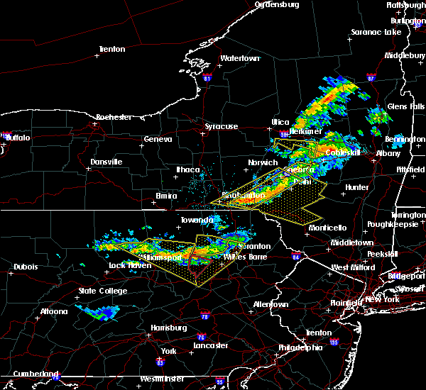 At 916 pm edt, severe thunderstorms were located along a line extending from near ricketts glen state park to near buttonwood, moving southeast at 35 mph. the strongest storm was between laporte and ricketts glen state park (radar indicated). Hazards include 70 mph wind gusts and quarter size hail. Hail damage to vehicles is expected. expect considerable tree damage. wind damage is also likely to mobile homes, roofs, and outbuildings. locations impacted include, berwick, hughesville, mifflinville, rohrsburg, iola, jamison city, waller, kettle creek gorge, lairdsville, central, ralston, biggertown, trout run, lincoln falls, barbours, shunk, ricketts glen state park, muncy valley, buttonwood and loyalsockville. For those driving on interstate 80, this includes areas between the bloomsburg-light street and nescopek exits, specifically from mile markers 240 to 247. At 916 pm edt, severe thunderstorms were located along a line extending from near ricketts glen state park to near buttonwood, moving southeast at 35 mph. the strongest storm was between laporte and ricketts glen state park (radar indicated). Hazards include 70 mph wind gusts and quarter size hail. Hail damage to vehicles is expected. expect considerable tree damage. wind damage is also likely to mobile homes, roofs, and outbuildings. locations impacted include, berwick, hughesville, mifflinville, rohrsburg, iola, jamison city, waller, kettle creek gorge, lairdsville, central, ralston, biggertown, trout run, lincoln falls, barbours, shunk, ricketts glen state park, muncy valley, buttonwood and loyalsockville. For those driving on interstate 80, this includes areas between the bloomsburg-light street and nescopek exits, specifically from mile markers 240 to 247.
|
| 6/13/2018 8:22 PM EDT |
 At 821 pm edt, severe thunderstorms were located along a line extending from near le roy to buttonwood, moving southeast at 45 mph (radar indicated). Hazards include 70 mph wind gusts and quarter size hail. Hail damage to vehicles is expected. expect considerable tree damage. Wind damage is also likely to mobile homes, roofs, and outbuildings. At 821 pm edt, severe thunderstorms were located along a line extending from near le roy to buttonwood, moving southeast at 45 mph (radar indicated). Hazards include 70 mph wind gusts and quarter size hail. Hail damage to vehicles is expected. expect considerable tree damage. Wind damage is also likely to mobile homes, roofs, and outbuildings.
|
| 5/15/2018 2:25 PM EDT | Trees and wires down on route 8 in sullivan county PA, 0.3 miles W of Forksville, PA |
| 5/15/2018 2:04 PM EDT |
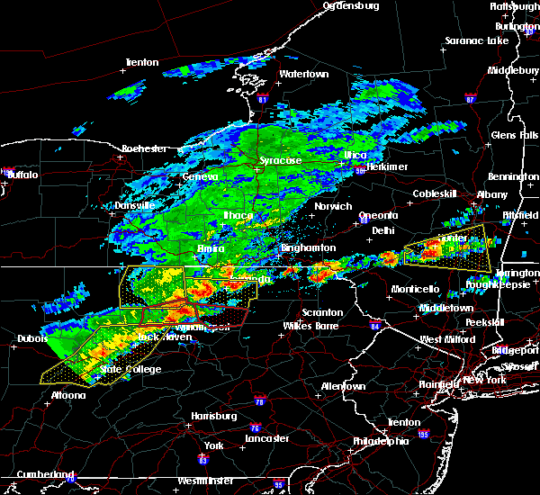 At 203 pm edt, a severe thunderstorm capable of producing a tornado was located near shunk, moving east at 40 mph (radar indicated rotation). Hazards include tornado and quarter size hail. Flying debris will be dangerous to those caught without shelter. mobile homes will be damaged or destroyed. damage to roofs, windows, and vehicles will occur. tree damage is likely. this dangerous storm will be near, lincoln falls around 210 pm edt. Other locations impacted by this tornadic thunderstorm include dushore, laporte, eagles mere, forksville and hillsgrove. At 203 pm edt, a severe thunderstorm capable of producing a tornado was located near shunk, moving east at 40 mph (radar indicated rotation). Hazards include tornado and quarter size hail. Flying debris will be dangerous to those caught without shelter. mobile homes will be damaged or destroyed. damage to roofs, windows, and vehicles will occur. tree damage is likely. this dangerous storm will be near, lincoln falls around 210 pm edt. Other locations impacted by this tornadic thunderstorm include dushore, laporte, eagles mere, forksville and hillsgrove.
|
| 8/4/2017 8:16 PM EDT |
 At 816 pm edt, severe thunderstorms were located along a line extending from near le roy to near spruce run reservoir, moving east at 30 mph (radar indicated). Hazards include 60 mph wind gusts. expect damage to trees and power lines At 816 pm edt, severe thunderstorms were located along a line extending from near le roy to near spruce run reservoir, moving east at 30 mph (radar indicated). Hazards include 60 mph wind gusts. expect damage to trees and power lines
|
| 8/4/2017 4:26 PM EDT |
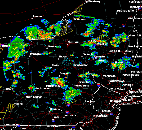 At 425 pm edt, severe thunderstorms were located along a line extending from near overton to ricketts glen state park, moving northeast at 40 mph (radar indicated). Hazards include 60 mph wind gusts and quarter size hail. Hail damage to vehicles is possible. expect wind damage to trees and power lines. Locations impacted include, ricketts glen state park, dushore, laporte and forksville. At 425 pm edt, severe thunderstorms were located along a line extending from near overton to ricketts glen state park, moving northeast at 40 mph (radar indicated). Hazards include 60 mph wind gusts and quarter size hail. Hail damage to vehicles is possible. expect wind damage to trees and power lines. Locations impacted include, ricketts glen state park, dushore, laporte and forksville.
|
| 8/4/2017 3:58 PM EDT |
 At 358 pm edt, a severe thunderstorm was located near muncy valley, moving northeast at 75 mph (radar indicated). Hazards include 60 mph wind gusts and quarter size hail. Hail damage to vehicles is possible. Expect wind damage to trees and power lines. At 358 pm edt, a severe thunderstorm was located near muncy valley, moving northeast at 75 mph (radar indicated). Hazards include 60 mph wind gusts and quarter size hail. Hail damage to vehicles is possible. Expect wind damage to trees and power lines.
|
| 8/4/2017 3:53 PM EDT |
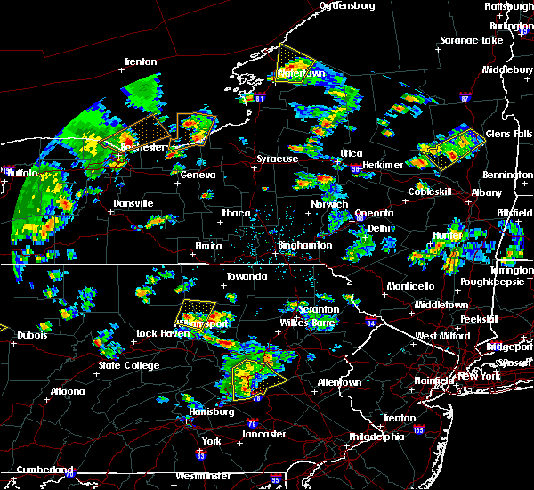 At 353 pm edt, a severe thunderstorm was located over barbours, moving north at 30 mph (radar indicated). Hazards include 60 mph wind gusts and quarter size hail. Hail damage to vehicles is possible. expect wind damage to trees and power lines. Locations impacted include, kettle creek gorge, barbours, lincoln falls, shunk, loyalsockville, hillsgrove, picture rocks and forksville. At 353 pm edt, a severe thunderstorm was located over barbours, moving north at 30 mph (radar indicated). Hazards include 60 mph wind gusts and quarter size hail. Hail damage to vehicles is possible. expect wind damage to trees and power lines. Locations impacted include, kettle creek gorge, barbours, lincoln falls, shunk, loyalsockville, hillsgrove, picture rocks and forksville.
|
| 8/4/2017 3:14 PM EDT |
 At 313 pm edt, a severe thunderstorm was located over allenwood, moving north at 35 mph (radar indicated). Hazards include 60 mph wind gusts and quarter size hail. Hail damage to vehicles is possible. Expect wind damage to trees and power lines. At 313 pm edt, a severe thunderstorm was located over allenwood, moving north at 35 mph (radar indicated). Hazards include 60 mph wind gusts and quarter size hail. Hail damage to vehicles is possible. Expect wind damage to trees and power lines.
|
| 7/20/2017 5:25 PM EDT |
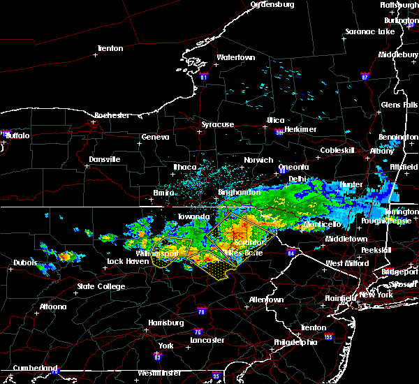 At 524 pm edt, severe thunderstorms were located along a line extending from near kettle creek gorge to near ricketts glen state park, moving southeast at 40 mph (radar indicated). Hazards include 60 mph wind gusts. Expect damage to trees and power lines. Locations impacted include, kettle creek gorge, lairdsville, ricketts glen state park, biggertown, muncy valley, lincoln falls, hughesville, eagles mere, dushore and forksville. At 524 pm edt, severe thunderstorms were located along a line extending from near kettle creek gorge to near ricketts glen state park, moving southeast at 40 mph (radar indicated). Hazards include 60 mph wind gusts. Expect damage to trees and power lines. Locations impacted include, kettle creek gorge, lairdsville, ricketts glen state park, biggertown, muncy valley, lincoln falls, hughesville, eagles mere, dushore and forksville.
|
| 7/20/2017 5:11 PM EDT |
 At 509 pm edt, severe thunderstorms were located along a line extending from barbours to ricketts glen state park, moving southeast at 35 mph (radar indicated). Hazards include 60 mph wind gusts and quarter size hail. Expect wind damage to trees and power lines. hail damage to vehicles is possible. locations impacted include, kettle creek gorge, lairdsville, ricketts glen state park, arnot, ralston, ogdensburg, biggertown, muncy valley, barbours and lincoln falls. Time, mot, loc 2109z 122deg 204kt 4139 7678 4136 7631. At 509 pm edt, severe thunderstorms were located along a line extending from barbours to ricketts glen state park, moving southeast at 35 mph (radar indicated). Hazards include 60 mph wind gusts and quarter size hail. Expect wind damage to trees and power lines. hail damage to vehicles is possible. locations impacted include, kettle creek gorge, lairdsville, ricketts glen state park, arnot, ralston, ogdensburg, biggertown, muncy valley, barbours and lincoln falls. Time, mot, loc 2109z 122deg 204kt 4139 7678 4136 7631.
|
| 7/20/2017 4:13 PM EDT |
 At 412 pm edt, severe thunderstorms were located along a line extending from near arnot to near wyalusing, moving southeast at 95 mph (radar indicated). Hazards include 60 mph wind gusts and quarter size hail. Expect wind damage to trees and power lines. Hail damage to vehicles is possible. At 412 pm edt, severe thunderstorms were located along a line extending from near arnot to near wyalusing, moving southeast at 95 mph (radar indicated). Hazards include 60 mph wind gusts and quarter size hail. Expect wind damage to trees and power lines. Hail damage to vehicles is possible.
|
| 7/1/2017 1:38 PM EDT |
 At 138 pm edt, a severe thunderstorm was located near barbours, moving east at 15 mph (radar indicated). Hazards include 70 mph wind gusts. Expect considerable tree damage. Damage is likely to mobile homes, roofs, and outbuildings. At 138 pm edt, a severe thunderstorm was located near barbours, moving east at 15 mph (radar indicated). Hazards include 70 mph wind gusts. Expect considerable tree damage. Damage is likely to mobile homes, roofs, and outbuildings.
|
| 5/1/2017 7:05 PM EDT |
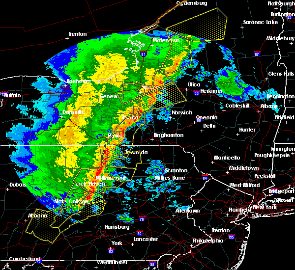 At 705 pm edt, severe thunderstorms were located along a line extending from troy to r.b. winter state park, moving northeast at 60 mph (radar indicated). Hazards include 70 mph wind gusts. Expect considerable tree damage. Damage is likely to mobile homes, roofs, and outbuildings. At 705 pm edt, severe thunderstorms were located along a line extending from troy to r.b. winter state park, moving northeast at 60 mph (radar indicated). Hazards include 70 mph wind gusts. Expect considerable tree damage. Damage is likely to mobile homes, roofs, and outbuildings.
|
| 10/20/2016 11:18 PM EDT |
 At 1117 pm edt, severe thunderstorms were located along a line extending from near franklindale to near loyalsockville, moving northeast at 40 mph (radar indicated). Hazards include 60 mph wind gusts. Expect damage to roofs. siding. and trees. Locations impacted include, barbours, hughesville, ricketts glen state park, shunk, kettle creek gorge, muncy valley, lincoln falls, laporte, picture rocks, hillsgrove, forksville, dushore and eagles mere. At 1117 pm edt, severe thunderstorms were located along a line extending from near franklindale to near loyalsockville, moving northeast at 40 mph (radar indicated). Hazards include 60 mph wind gusts. Expect damage to roofs. siding. and trees. Locations impacted include, barbours, hughesville, ricketts glen state park, shunk, kettle creek gorge, muncy valley, lincoln falls, laporte, picture rocks, hillsgrove, forksville, dushore and eagles mere.
|
| 10/20/2016 10:42 PM EDT |
 At 1041 pm edt, severe thunderstorms were located along a line extending from near grover to near collomsville, moving northeast at 40 mph (radar indicated). Hazards include 60 mph wind gusts. Expect damage to roofs. siding. And trees. At 1041 pm edt, severe thunderstorms were located along a line extending from near grover to near collomsville, moving northeast at 40 mph (radar indicated). Hazards include 60 mph wind gusts. Expect damage to roofs. siding. And trees.
|
| 8/16/2016 3:44 PM EDT |
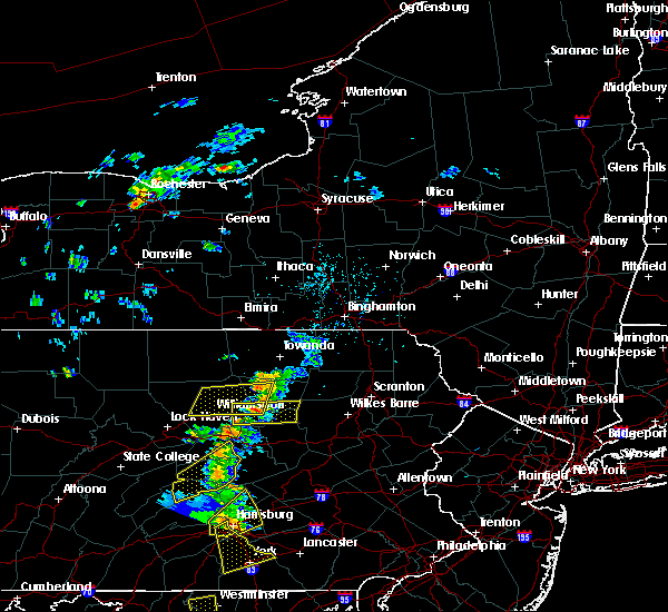 At 344 pm edt, a severe thunderstorm was located near kettle creek gorge, moving east at 30 mph (radar indicated). Hazards include 60 mph wind gusts. Expect damage to roofs. siding. And trees. At 344 pm edt, a severe thunderstorm was located near kettle creek gorge, moving east at 30 mph (radar indicated). Hazards include 60 mph wind gusts. Expect damage to roofs. siding. And trees.
|
| 8/16/2016 3:10 PM EDT |
 At 309 pm edt, a severe thunderstorm was located near kettle creek gorge, moving east at 25 mph (radar indicated). Hazards include 60 mph wind gusts. Expect damage to roofs. siding. and trees. Locations impacted include, montoursville, williamsport, ralston, barbours, cogan station, loyalsockville, trout run, muncy valley, kettle creek gorge, lincoln falls, salladasburg, picture rocks, hillsgrove, garden view, forksville and eagles mere. At 309 pm edt, a severe thunderstorm was located near kettle creek gorge, moving east at 25 mph (radar indicated). Hazards include 60 mph wind gusts. Expect damage to roofs. siding. and trees. Locations impacted include, montoursville, williamsport, ralston, barbours, cogan station, loyalsockville, trout run, muncy valley, kettle creek gorge, lincoln falls, salladasburg, picture rocks, hillsgrove, garden view, forksville and eagles mere.
|
| 8/16/2016 2:52 PM EDT |
 At 251 pm edt, a severe thunderstorm was located near trout run, moving east at 35 mph. additonal storms are forming to the south of this storm (radar indicated). Hazards include 60 mph wind gusts. Expect damage to roofs. siding. And trees. At 251 pm edt, a severe thunderstorm was located near trout run, moving east at 35 mph. additonal storms are forming to the south of this storm (radar indicated). Hazards include 60 mph wind gusts. Expect damage to roofs. siding. And trees.
|
| 8/13/2016 4:15 PM EDT | Numerous trees down in hillsgrove in sullivan county PA, 6.4 miles ENE of Forksville, PA |
| 8/13/2016 4:04 PM EDT |
 At 403 pm edt, a severe thunderstorm was located near kettle creek gorge, moving northeast at 25 mph (radar indicated). Hazards include 60 mph wind gusts and quarter size hail. Hail damage to vehicles is expected. Expect wind damage to roofs, siding, and trees. At 403 pm edt, a severe thunderstorm was located near kettle creek gorge, moving northeast at 25 mph (radar indicated). Hazards include 60 mph wind gusts and quarter size hail. Hail damage to vehicles is expected. Expect wind damage to roofs, siding, and trees.
|
| 7/25/2016 4:26 PM EDT | The severe thunderstorm warning for southeastern cameron, sullivan, north central union, lycoming and clinton counties will expire at 430 pm edt, the storms which prompted the warning have moved out of the area. therefore, the warning will be allowed to expire. a severe thunderstorm watch remains in effect until 800 pm edt for north central and central pennsylvania. |
| 7/25/2016 3:52 PM EDT |
 At 352 pm edt, severe thunderstorms were located along a line extending from near lovelton to near english center to near karthaus, moving southeast at 45 mph (radar indicated). Hazards include 60 mph wind gusts and quarter size hail. Hail damage to vehicles is expected. expect wind damage to roofs, siding, and trees. Locations impacted include, jersey shore, montoursville, lock haven, williamsport, mackeyville, flemington, hughesville, dunnstown, elimsport, allenwood, shunk, trout run, muncy valley, kettle creek gorge, slate run, ralston, cogan station, mcelhattan, keating and cammal. At 352 pm edt, severe thunderstorms were located along a line extending from near lovelton to near english center to near karthaus, moving southeast at 45 mph (radar indicated). Hazards include 60 mph wind gusts and quarter size hail. Hail damage to vehicles is expected. expect wind damage to roofs, siding, and trees. Locations impacted include, jersey shore, montoursville, lock haven, williamsport, mackeyville, flemington, hughesville, dunnstown, elimsport, allenwood, shunk, trout run, muncy valley, kettle creek gorge, slate run, ralston, cogan station, mcelhattan, keating and cammal.
|
| 7/25/2016 3:14 PM EDT |
 At 313 pm edt, severe thunderstorms were located along a line extending from canton to near cross fork to near brockport, moving east at 45 mph (radar indicated). Hazards include 60 mph wind gusts and quarter size hail. Hail damage to vehicles is expected. Expect wind damage to roofs, siding, and trees. At 313 pm edt, severe thunderstorms were located along a line extending from canton to near cross fork to near brockport, moving east at 45 mph (radar indicated). Hazards include 60 mph wind gusts and quarter size hail. Hail damage to vehicles is expected. Expect wind damage to roofs, siding, and trees.
|
| 6/12/2015 8:01 PM EDT |
 At 801 pm edt, doppler radar indicated a line of severe thunderstorms capable of producing damaging winds of 60 to 70 mph. these storms were located along a line extending from near sylvania to near grover to near trout run, and moving east at 35 mph. At 801 pm edt, doppler radar indicated a line of severe thunderstorms capable of producing damaging winds of 60 to 70 mph. these storms were located along a line extending from near sylvania to near grover to near trout run, and moving east at 35 mph.
|
| 6/8/2015 4:40 PM EDT | At 440 pm edt, doppler radar indicated a severe thunderstorm capable of producing destructive winds in excess of 70 mph. this storm was located near biggertown, moving east at 45 mph. locations impacted include, biggertown, hughesville, kettle creek gorge, lairdsville, lincoln falls, muncy, muncy valley, ricketts glen state park, dushore, eagles mere, forksville, hillsgrove, laporte and picture rocks. |
| 6/8/2015 4:33 PM EDT |
 At 432 pm edt, doppler radar indicated a severe thunderstorm capable of producing destructive winds in excess of 70 mph. this storm was located near muncy valley, moving east at 50 mph. penny size hail may also accompany the damaging winds. locations impacted include, barbours, biggertown, hughesville, kettle creek gorge, lairdsville, lincoln falls, montgomery, muncy, muncy valley, ricketts glen state park, shunk, dushore, eagles mere, forksville, hillsgrove, laporte and picture rocks. At 432 pm edt, doppler radar indicated a severe thunderstorm capable of producing destructive winds in excess of 70 mph. this storm was located near muncy valley, moving east at 50 mph. penny size hail may also accompany the damaging winds. locations impacted include, barbours, biggertown, hughesville, kettle creek gorge, lairdsville, lincoln falls, montgomery, muncy, muncy valley, ricketts glen state park, shunk, dushore, eagles mere, forksville, hillsgrove, laporte and picture rocks.
|
| 6/8/2015 3:49 PM EDT |
 At 348 pm edt, doppler radar indicated a severe thunderstorm capable of producing damaging winds of 60 to 70 mph. this storm was located near jersey shore, and moving east northeast at 50 mph. penny size hail may also accompany the damaging winds. At 348 pm edt, doppler radar indicated a severe thunderstorm capable of producing damaging winds of 60 to 70 mph. this storm was located near jersey shore, and moving east northeast at 50 mph. penny size hail may also accompany the damaging winds.
|
| 4/20/2015 8:47 PM EDT | At 847 pm edt, doppler radar indicated a line of severe thunderstorms capable of producing damaging winds around 60 mph. these storms were located along a line extending from near litchfield to near elimsport, and moving northeast at 40 mph. |
| 7/8/2014 6:02 PM EDT | Trees and wires down. a portion of route 87 is close in sullivan county PA, 1.6 miles SSW of Forksville, PA |
| 7/8/2014 6:00 PM EDT | Trees down and blocking roads in fox and elkland twp in sullivan county PA, 4.1 miles ESE of Forksville, PA |
| 11/18/2013 1:55 AM EST | Trees down on state road 4008 in eldridgeville in sullivan county PA, 0.8 miles W of Forksville, PA |
| 7/28/2013 10:27 AM EDT | Trees down in forks tw in sullivan county PA, 1.9 miles W of Forksville, PA |
| 7/28/2013 10:08 AM EDT | Trees down in hillsgrove tw in sullivan county PA, 6.4 miles ENE of Forksville, PA |
| 7/7/2013 5:45 PM EDT | Trees and wires down in sullivan county PA, 0.3 miles W of Forksville, PA |
| 7/7/2013 5:10 PM EDT | Tree down across road at worlds end state park in sullivan county PA, 2.7 miles WNW of Forksville, PA |
| 1/1/0001 12:00 AM | Trees and wires down in sullivan county PA, 4.1 miles ESE of Forksville, PA |
Hail Maps for Forksville, PA
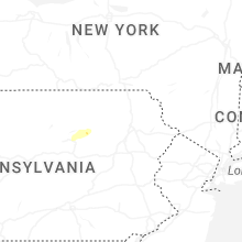


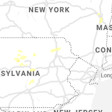

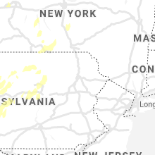


Connect with Interactive Hail Maps