

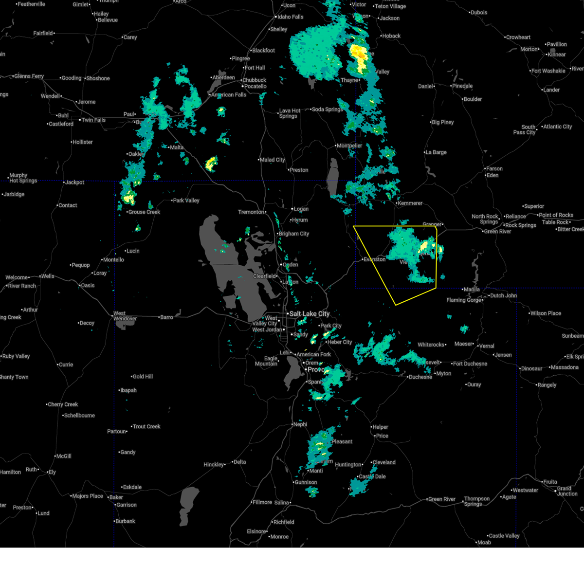
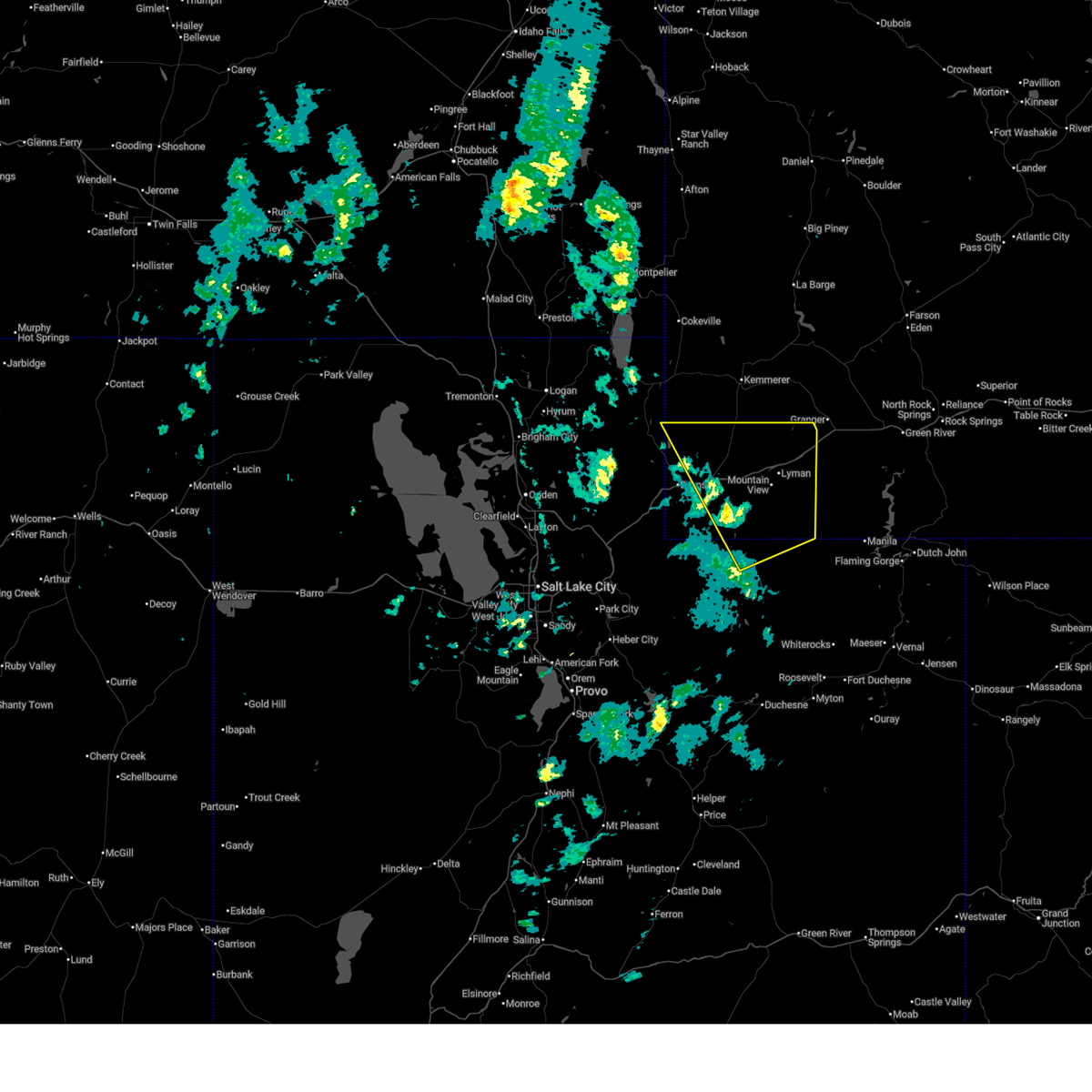
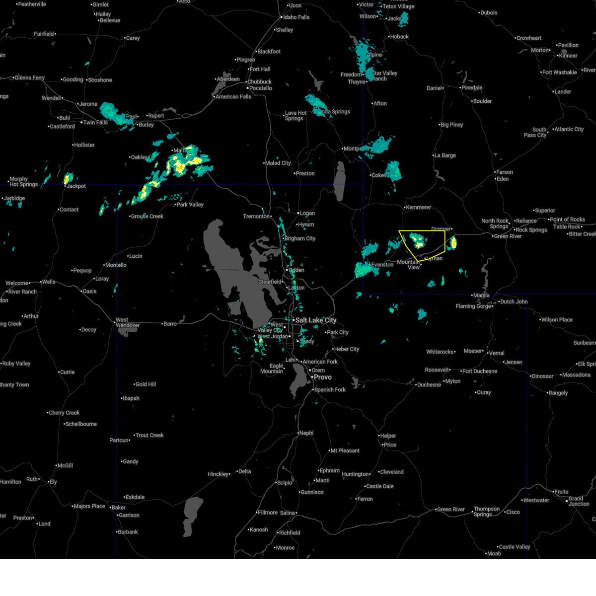
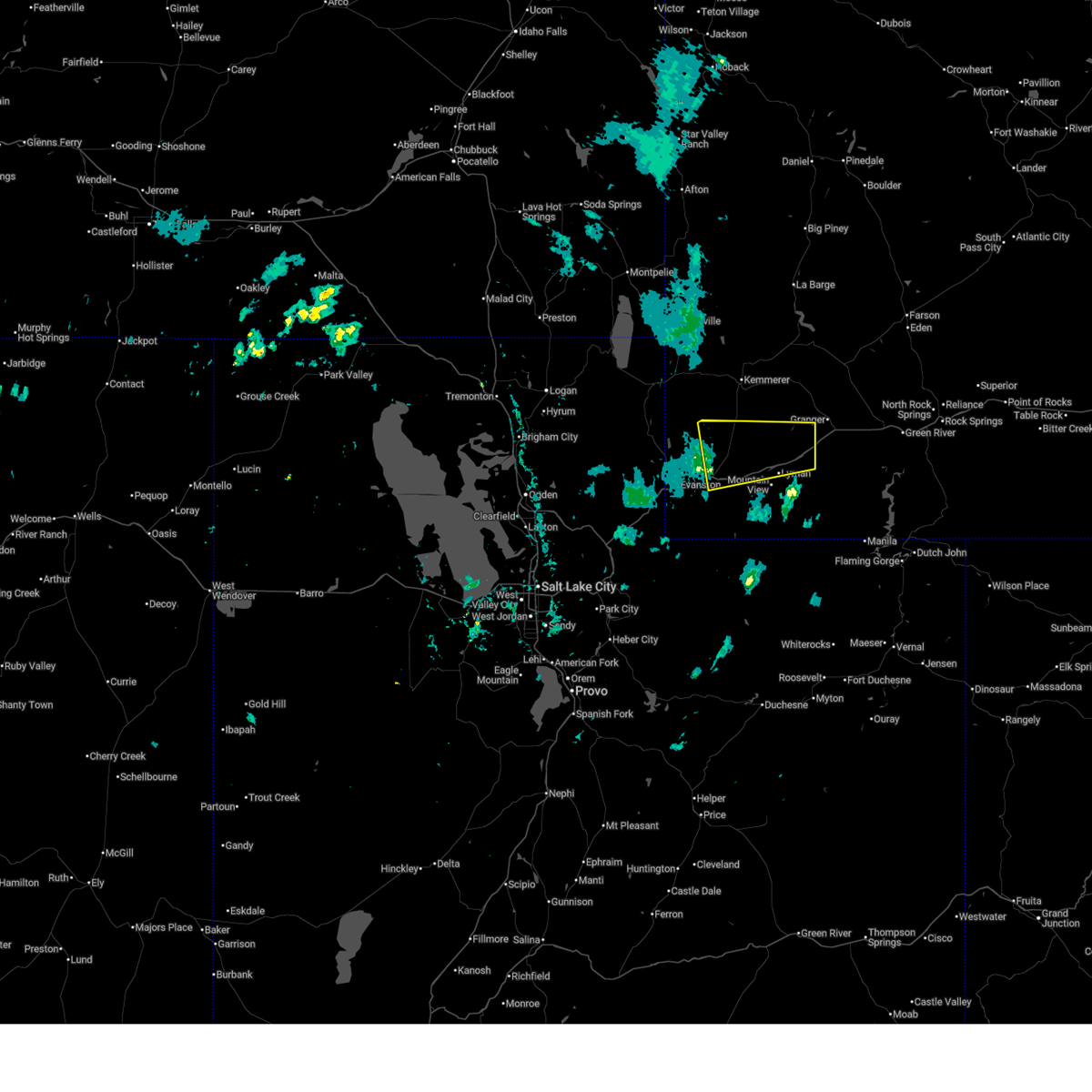
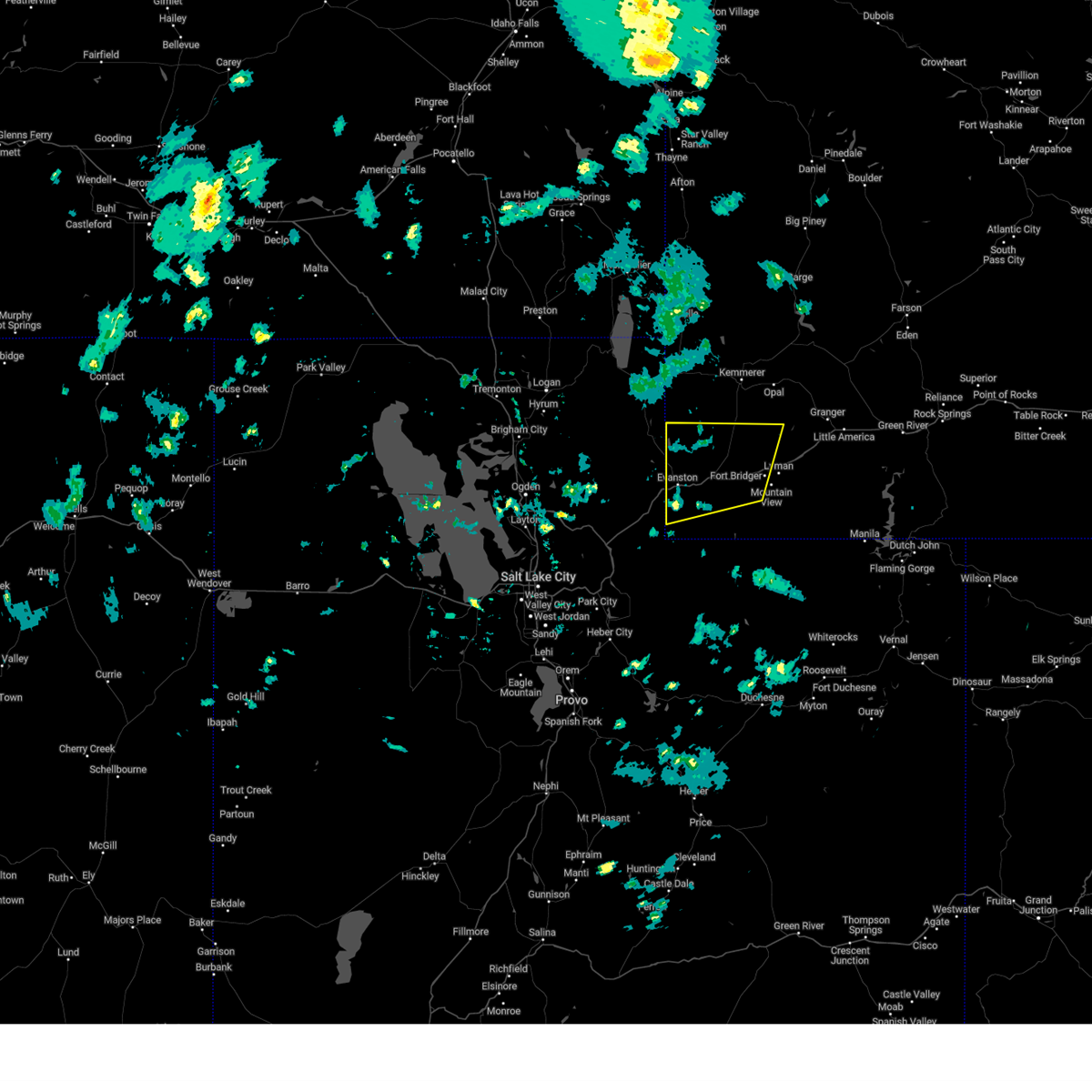
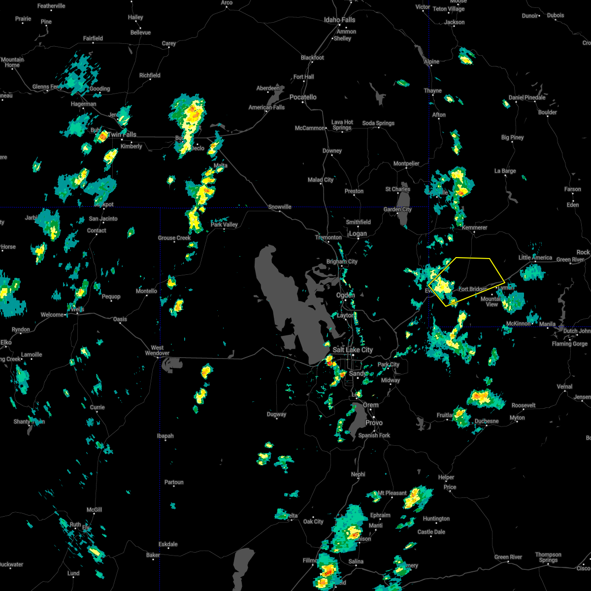
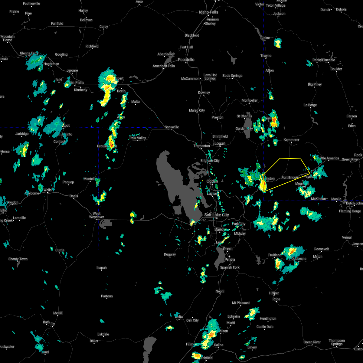
Hail Map for Fort Bridger, WY
The Fort Bridger, WY area has had 0 reports of on-the-ground hail by trained spotters, and has been under severe weather warnings 4 times during the past 12 months. Doppler radar has detected hail at or near Fort Bridger, WY on 6 occasions.
| Name: | Fort Bridger, WY |
| Where Located: | 63.3 miles WSW of Rock Springs, WY |
| Map: | Google Map for Fort Bridger, WY |
| Population: | 345 |
| Housing Units: | 171 |
| More Info: | Search Google for Fort Bridger, WY |
0
The Top Recent Hail Date for Fort Bridger, WY is Wednesday, August 14, 2024 (6th out of 6)

Hail and Wind Damage Spotted near Fort Bridger, WY
| Date / Time | Report Details |
|---|---|
| 5/13/2026 5:30 PM MDT |
 The storms which prompted the warning have moved out of the area. therefore, the warning will be allowed to expire. a severe thunderstorm watch remains in effect until 800 pm mdt for northern utah, and southwestern wyoming. The storms which prompted the warning have moved out of the area. therefore, the warning will be allowed to expire. a severe thunderstorm watch remains in effect until 800 pm mdt for northern utah, and southwestern wyoming.
|
| 5/13/2026 4:41 PM MDT |
 Svrslc the national weather service in salt lake city has issued a * severe thunderstorm warning for, southeastern rich county in northern utah, east central summit county in northern utah, uinta county in southwestern wyoming, * until 530 pm mdt. * at 439 pm mdt, severe thunderstorms were located along a line extending from 9 miles north of evanston to 18 miles south of robertson, moving northeast at 60 mph (radar indicated. a weather station on i-80 at first divide observed a wind gust of 70 mph). Hazards include 70 mph wind gusts. Expect considerable tree damage. Damage is likely to mobile homes, roofs, and outbuildings. Svrslc the national weather service in salt lake city has issued a * severe thunderstorm warning for, southeastern rich county in northern utah, east central summit county in northern utah, uinta county in southwestern wyoming, * until 530 pm mdt. * at 439 pm mdt, severe thunderstorms were located along a line extending from 9 miles north of evanston to 18 miles south of robertson, moving northeast at 60 mph (radar indicated. a weather station on i-80 at first divide observed a wind gust of 70 mph). Hazards include 70 mph wind gusts. Expect considerable tree damage. Damage is likely to mobile homes, roofs, and outbuildings.
|
| 4/11/2026 4:48 PM MDT |
 At 447 pm mdt, a severe thunderstorm was located 12 miles north of lyman, or 15 miles southwest of granger, moving east at 55 mph (radar indicated). Hazards include 60 mph wind gusts and penny size hail. Expect damage to roofs, siding, and trees. locations impacted include, lyman, carter, church buttes, and fort bridger. This includes interstate 80 in wyoming between mile markers 35 and 56. At 447 pm mdt, a severe thunderstorm was located 12 miles north of lyman, or 15 miles southwest of granger, moving east at 55 mph (radar indicated). Hazards include 60 mph wind gusts and penny size hail. Expect damage to roofs, siding, and trees. locations impacted include, lyman, carter, church buttes, and fort bridger. This includes interstate 80 in wyoming between mile markers 35 and 56.
|
| 4/11/2026 4:23 PM MDT |
 Svrslc the national weather service in salt lake city has issued a * severe thunderstorm warning for, northeastern uinta county in southwestern wyoming, * until 515 pm mdt. * at 422 pm mdt, a severe thunderstorm was located 16 miles northeast of evanston, moving northeast at 40 mph (radar indicated). Hazards include 60 mph wind gusts and penny size hail. expect damage to roofs, siding, and trees Svrslc the national weather service in salt lake city has issued a * severe thunderstorm warning for, northeastern uinta county in southwestern wyoming, * until 515 pm mdt. * at 422 pm mdt, a severe thunderstorm was located 16 miles northeast of evanston, moving northeast at 40 mph (radar indicated). Hazards include 60 mph wind gusts and penny size hail. expect damage to roofs, siding, and trees
|
| 7/9/2025 8:06 PM MDT | Measured at the i-80 french wydot rwis sit in uinta county WY, 9 miles E of Fort Bridger, WY |
| 7/9/2025 7:56 PM MDT | Measured at the i-80 leroy wydot rwis sit in uinta county WY, 13.1 miles E of Fort Bridger, WY |
| 5/11/2025 3:21 PM MDT |
 Svrslc the national weather service in salt lake city has issued a * severe thunderstorm warning for, western uinta county in southwestern wyoming, * until 345 pm mdt. * at 320 pm mdt, severe thunderstorms were located along a line extending from near woodruff to near evanston, moving northeast at 50 mph (radar indicated). Hazards include 60 mph wind gusts. expect damage to roofs, siding, and trees Svrslc the national weather service in salt lake city has issued a * severe thunderstorm warning for, western uinta county in southwestern wyoming, * until 345 pm mdt. * at 320 pm mdt, severe thunderstorms were located along a line extending from near woodruff to near evanston, moving northeast at 50 mph (radar indicated). Hazards include 60 mph wind gusts. expect damage to roofs, siding, and trees
|
| 8/17/2024 2:51 PM MDT |
 The storms which prompted the warning have moved out of the area. therefore, the warning will be allowed to expire. however gusty winds are still possible with these thunderstorms. a severe thunderstorm watch remains in effect until 700 pm mdt for southwestern wyoming. The storms which prompted the warning have moved out of the area. therefore, the warning will be allowed to expire. however gusty winds are still possible with these thunderstorms. a severe thunderstorm watch remains in effect until 700 pm mdt for southwestern wyoming.
|
| 8/17/2024 2:38 PM MDT |
 At 238 pm mdt, severe thunderstorms were located along a line extending from 13 miles northeast of evanston to 10 miles northwest of mountain view to 6 miles northeast of lyman, moving north at 35 mph (radar indicated). Hazards include 60 mph wind gusts. Expect damage to roofs, siding, and trees. Locations impacted include, lyman, mountain view, ragen, millburne, church buttes, fort bridger, carter, and leroy. At 238 pm mdt, severe thunderstorms were located along a line extending from 13 miles northeast of evanston to 10 miles northwest of mountain view to 6 miles northeast of lyman, moving north at 35 mph (radar indicated). Hazards include 60 mph wind gusts. Expect damage to roofs, siding, and trees. Locations impacted include, lyman, mountain view, ragen, millburne, church buttes, fort bridger, carter, and leroy.
|
| 8/17/2024 2:18 PM MDT |
 Svrslc the national weather service in salt lake city has issued a * severe thunderstorm warning for, uinta county in southwestern wyoming, * until 300 pm mdt. * at 217 pm mdt, severe thunderstorms were located along a line extending from 8 miles southeast of evanston to 6 miles northwest of robertson to 6 miles southeast of mountain view, moving north at 35 mph (radar indicated). Hazards include 60 mph wind gusts. expect damage to roofs, siding, and trees Svrslc the national weather service in salt lake city has issued a * severe thunderstorm warning for, uinta county in southwestern wyoming, * until 300 pm mdt. * at 217 pm mdt, severe thunderstorms were located along a line extending from 8 miles southeast of evanston to 6 miles northwest of robertson to 6 miles southeast of mountain view, moving north at 35 mph (radar indicated). Hazards include 60 mph wind gusts. expect damage to roofs, siding, and trees
|
| 7/27/2024 8:28 PM MDT |
 The storms which prompted the warning have weakened below severe limits, and no longer pose an immediate threat to life or property. therefore, the warning will be allowed to expire. however gusty winds are still possible with these thunderstorms. The storms which prompted the warning have weakened below severe limits, and no longer pose an immediate threat to life or property. therefore, the warning will be allowed to expire. however gusty winds are still possible with these thunderstorms.
|
| 7/27/2024 8:16 PM MDT |
 At 815 pm mdt, severe thunderstorms were located along a line extending from near lyman to 10 miles south of robertson, moving east at 45 mph (radar indicated). Hazards include 60 mph wind gusts. Expect damage to roofs, siding, and trees. Locations impacted include, evanston, lyman, robertson, lonetree, mountain view, millburne, fort bridger, altamont, carter, ragen, church buttes, piedmont, leroy and interstate 80 across uinta county. At 815 pm mdt, severe thunderstorms were located along a line extending from near lyman to 10 miles south of robertson, moving east at 45 mph (radar indicated). Hazards include 60 mph wind gusts. Expect damage to roofs, siding, and trees. Locations impacted include, evanston, lyman, robertson, lonetree, mountain view, millburne, fort bridger, altamont, carter, ragen, church buttes, piedmont, leroy and interstate 80 across uinta county.
|
| 7/27/2024 8:00 PM MDT |
 Svrslc the national weather service in salt lake city has issued a * severe thunderstorm warning for, uinta county in southwestern wyoming, * until 830 pm mdt. * at 758 pm mdt, severe thunderstorms were located along a line extending from 16 miles east of woodruff to near evanston, moving east at 45 mph (radar and observations). Hazards include 60 mph wind gusts. expect damage to roofs, siding, and trees Svrslc the national weather service in salt lake city has issued a * severe thunderstorm warning for, uinta county in southwestern wyoming, * until 830 pm mdt. * at 758 pm mdt, severe thunderstorms were located along a line extending from 16 miles east of woodruff to near evanston, moving east at 45 mph (radar and observations). Hazards include 60 mph wind gusts. expect damage to roofs, siding, and trees
|
| 8/22/2023 3:31 PM MDT |
 At 330 pm mdt, a severe thunderstorm was located 11 miles east of evanston, moving northeast at 35 mph (radar indicated). Hazards include 60 mph wind gusts. Expect damage to roofs, siding, and trees. locations impacted include, evanston, lyman, robertson, mountain view, ragen, millburne, fort bridger, altamont, piedmont, carter and leroy. hail threat, radar indicated max hail size, <. 75 in wind threat, radar indicated max wind gust, 60 mph. At 330 pm mdt, a severe thunderstorm was located 11 miles east of evanston, moving northeast at 35 mph (radar indicated). Hazards include 60 mph wind gusts. Expect damage to roofs, siding, and trees. locations impacted include, evanston, lyman, robertson, mountain view, ragen, millburne, fort bridger, altamont, piedmont, carter and leroy. hail threat, radar indicated max hail size, <. 75 in wind threat, radar indicated max wind gust, 60 mph.
|
| 8/22/2023 3:09 PM MDT |
 At 309 pm mdt, a severe thunderstorm was located 15 miles south of evanston, moving northeast at 35 mph (radar indicated). Hazards include 60 mph wind gusts and penny size hail. expect damage to roofs, siding, and trees At 309 pm mdt, a severe thunderstorm was located 15 miles south of evanston, moving northeast at 35 mph (radar indicated). Hazards include 60 mph wind gusts and penny size hail. expect damage to roofs, siding, and trees
|
| 7/3/2023 7:39 PM MDT |
 The severe thunderstorm warning for central uinta county will expire at 745 pm mdt, the storms which prompted the warning have weakened below severe limits, and no longer pose an immediate threat to life or property. therefore, the warning will be allowed to expire. however small hail and gusty winds are still possible with these thunderstorms. to report severe weather, contact your nearest law enforcement agency. they will relay your report to the national weather service salt lake city. The severe thunderstorm warning for central uinta county will expire at 745 pm mdt, the storms which prompted the warning have weakened below severe limits, and no longer pose an immediate threat to life or property. therefore, the warning will be allowed to expire. however small hail and gusty winds are still possible with these thunderstorms. to report severe weather, contact your nearest law enforcement agency. they will relay your report to the national weather service salt lake city.
|
| 7/3/2023 7:30 PM MDT |
 At 730 pm mdt, severe thunderstorms were located along a line extending from 6 miles east of randolph to 15 miles east of woodruff to 11 miles northwest of robertson, moving northeast at 40 mph (radar indicated). Hazards include 60 mph wind gusts and quarter size hail. Hail damage to vehicles is expected. expect wind damage to roofs, siding, and trees. locations impacted include, robertson, mountain view, ragen, millburne, fort bridger, altamont, piedmont, leroy and carter. hail threat, radar indicated max hail size, 1. 00 in wind threat, observed max wind gust, 60 mph. At 730 pm mdt, severe thunderstorms were located along a line extending from 6 miles east of randolph to 15 miles east of woodruff to 11 miles northwest of robertson, moving northeast at 40 mph (radar indicated). Hazards include 60 mph wind gusts and quarter size hail. Hail damage to vehicles is expected. expect wind damage to roofs, siding, and trees. locations impacted include, robertson, mountain view, ragen, millburne, fort bridger, altamont, piedmont, leroy and carter. hail threat, radar indicated max hail size, 1. 00 in wind threat, observed max wind gust, 60 mph.
|
| 7/3/2023 7:18 PM MDT |
 At 718 pm mdt, severe thunderstorms were located along a line extending from near randolph to 10 miles east of woodruff to 12 miles east of evanston, moving northeast at 40 mph (radar indicated). Hazards include 70 mph wind gusts and half dollar size hail. Hail damage to vehicles is expected. expect considerable tree damage. wind damage is also likely to mobile homes, roofs, and outbuildings. locations impacted include, evanston, randolph, woodruff, robertson, mountain view, millburne, fort bridger, almy, altamont, ragen, piedmont, leroy and carter. this includes the following highways, interstate 80 in utah between mile markers 193 and 196. utah route 30 between mile markers 131 and 135. thunderstorm damage threat, considerable hail threat, radar indicated max hail size, 1. 25 in wind threat, observed max wind gust, 70 mph. At 718 pm mdt, severe thunderstorms were located along a line extending from near randolph to 10 miles east of woodruff to 12 miles east of evanston, moving northeast at 40 mph (radar indicated). Hazards include 70 mph wind gusts and half dollar size hail. Hail damage to vehicles is expected. expect considerable tree damage. wind damage is also likely to mobile homes, roofs, and outbuildings. locations impacted include, evanston, randolph, woodruff, robertson, mountain view, millburne, fort bridger, almy, altamont, ragen, piedmont, leroy and carter. this includes the following highways, interstate 80 in utah between mile markers 193 and 196. utah route 30 between mile markers 131 and 135. thunderstorm damage threat, considerable hail threat, radar indicated max hail size, 1. 25 in wind threat, observed max wind gust, 70 mph.
|
| 7/3/2023 6:59 PM MDT |
 At 659 pm mdt, severe thunderstorms were located along a line extending from 12 miles southwest of randolph to 8 miles south of woodruff to 11 miles south of evanston, moving northeast at 40 mph (radar indicated). Hazards include 70 mph wind gusts and penny size hail. Expect considerable tree damage. damage is likely to mobile homes, roofs, and outbuildings. locations impacted include, evanston, randolph, woodruff, robertson, mountain view, millburne, fort bridger, almy, altamont, ragen, wahsatch, castle rock, piedmont, leroy and carter. this includes the following highways, interstate 80 in utah between mile markers 186 and 196. utah route 30 between mile markers 131 and 135. thunderstorm damage threat, considerable hail threat, radar indicated max hail size, 0. 75 in wind threat, observed max wind gust, 70 mph. At 659 pm mdt, severe thunderstorms were located along a line extending from 12 miles southwest of randolph to 8 miles south of woodruff to 11 miles south of evanston, moving northeast at 40 mph (radar indicated). Hazards include 70 mph wind gusts and penny size hail. Expect considerable tree damage. damage is likely to mobile homes, roofs, and outbuildings. locations impacted include, evanston, randolph, woodruff, robertson, mountain view, millburne, fort bridger, almy, altamont, ragen, wahsatch, castle rock, piedmont, leroy and carter. this includes the following highways, interstate 80 in utah between mile markers 186 and 196. utah route 30 between mile markers 131 and 135. thunderstorm damage threat, considerable hail threat, radar indicated max hail size, 0. 75 in wind threat, observed max wind gust, 70 mph.
|
| 7/3/2023 6:55 PM MDT |
 At 655 pm mdt, severe thunderstorms were located along a line extending from 14 miles southwest of randolph to 9 miles south of woodruff to 11 miles south of evanston, moving northeast at 40 mph (radar indicated). Hazards include 60 mph wind gusts and penny size hail. expect damage to roofs, siding, and trees At 655 pm mdt, severe thunderstorms were located along a line extending from 14 miles southwest of randolph to 9 miles south of woodruff to 11 miles south of evanston, moving northeast at 40 mph (radar indicated). Hazards include 60 mph wind gusts and penny size hail. expect damage to roofs, siding, and trees
|
| 5/26/2023 11:55 AM MDT |
 At 1155 am mdt, a severe thunderstorm was located 8 miles southeast of mountain view, or 30 miles northwest of manila, moving northeast at 10 mph (radar indicated). Hazards include ping pong ball size hail and 60 mph wind gusts. People and animals outdoors will be injured. expect hail damage to roofs, siding, windows, and vehicles. Expect wind damage to roofs, siding, and trees. At 1155 am mdt, a severe thunderstorm was located 8 miles southeast of mountain view, or 30 miles northwest of manila, moving northeast at 10 mph (radar indicated). Hazards include ping pong ball size hail and 60 mph wind gusts. People and animals outdoors will be injured. expect hail damage to roofs, siding, windows, and vehicles. Expect wind damage to roofs, siding, and trees.
|
| 5/26/2023 11:46 AM MDT |
 At 1145 am mdt, a severe thunderstorm was located over mountain view, or 28 miles southwest of granger, moving northeast at 15 mph (radar indicated). Hazards include ping pong ball size hail and 60 mph wind gusts. People and animals outdoors will be injured. expect hail damage to roofs, siding, windows, and vehicles. expect wind damage to roofs, siding, and trees. locations impacted include, lyman, mountain view, robertson, millburne and fort bridger. hail threat, radar indicated max hail size, 1. 50 in wind threat, radar indicated max wind gust, 60 mph. At 1145 am mdt, a severe thunderstorm was located over mountain view, or 28 miles southwest of granger, moving northeast at 15 mph (radar indicated). Hazards include ping pong ball size hail and 60 mph wind gusts. People and animals outdoors will be injured. expect hail damage to roofs, siding, windows, and vehicles. expect wind damage to roofs, siding, and trees. locations impacted include, lyman, mountain view, robertson, millburne and fort bridger. hail threat, radar indicated max hail size, 1. 50 in wind threat, radar indicated max wind gust, 60 mph.
|
| 5/26/2023 11:29 AM MDT |
 At 1129 am mdt, a severe thunderstorm was located near mountain view, or 31 miles east of evanston, moving northeast at 15 mph (radar indicated). Hazards include ping pong ball size hail and 60 mph wind gusts. People and animals outdoors will be injured. expect hail damage to roofs, siding, windows, and vehicles. Expect wind damage to roofs, siding, and trees. At 1129 am mdt, a severe thunderstorm was located near mountain view, or 31 miles east of evanston, moving northeast at 15 mph (radar indicated). Hazards include ping pong ball size hail and 60 mph wind gusts. People and animals outdoors will be injured. expect hail damage to roofs, siding, windows, and vehicles. Expect wind damage to roofs, siding, and trees.
|
| 5/26/2023 11:20 AM MDT |
 At 1120 am mdt, a severe thunderstorm was located over robertson, or 29 miles east of evanston, moving northeast at 15 mph (radar indicated). Hazards include 60 mph wind gusts and quarter size hail. Hail damage to vehicles is expected. expect wind damage to roofs, siding, and trees. locations impacted include, lyman, robertson, mountain view, millburne and fort bridger. hail threat, radar indicated max hail size, 1. 00 in wind threat, radar indicated max wind gust, 60 mph. At 1120 am mdt, a severe thunderstorm was located over robertson, or 29 miles east of evanston, moving northeast at 15 mph (radar indicated). Hazards include 60 mph wind gusts and quarter size hail. Hail damage to vehicles is expected. expect wind damage to roofs, siding, and trees. locations impacted include, lyman, robertson, mountain view, millburne and fort bridger. hail threat, radar indicated max hail size, 1. 00 in wind threat, radar indicated max wind gust, 60 mph.
|
| 5/26/2023 11:04 AM MDT |
 At 1103 am mdt, a severe thunderstorm was located over robertson, or 26 miles east of evanston, moving northeast at 15 mph (radar indicated). Hazards include 60 mph wind gusts and quarter size hail. Hail damage to vehicles is expected. Expect wind damage to roofs, siding, and trees. At 1103 am mdt, a severe thunderstorm was located over robertson, or 26 miles east of evanston, moving northeast at 15 mph (radar indicated). Hazards include 60 mph wind gusts and quarter size hail. Hail damage to vehicles is expected. Expect wind damage to roofs, siding, and trees.
|
| 8/6/2022 6:12 PM MDT |
 The severe thunderstorm warning for northeastern uinta county will expire at 615 pm mdt, the storm which prompted the warning has weakened below severe limits while exiting the area, and no longer poses an immediate threat to life or property. therefore, the warning will be allowed to expire. The severe thunderstorm warning for northeastern uinta county will expire at 615 pm mdt, the storm which prompted the warning has weakened below severe limits while exiting the area, and no longer poses an immediate threat to life or property. therefore, the warning will be allowed to expire.
|
| 8/6/2022 6:00 PM MDT |
 At 558 pm mdt, a severe thunderstorm was located near lyman, or 21 miles southwest of granger, moving northeast at 40 mph (radar indicated and mesonet confirmed. a wind gust to 66 mph was observed at a wydot sensor along interstate 80 at french at 540 pm mdt). Hazards include 60 mph wind gusts and quarter size hail. Hail damage to vehicles is expected. expect wind damage to roofs, siding, and trees. locations impacted include, lyman, robertson, mountain view, millburne, church buttes, fort bridger and carter. this includes interstate 80 in wyoming between mile markers 26 and 56. hail threat, radar indicated max hail size, 1. 00 in wind threat, observed max wind gust, 60 mph. At 558 pm mdt, a severe thunderstorm was located near lyman, or 21 miles southwest of granger, moving northeast at 40 mph (radar indicated and mesonet confirmed. a wind gust to 66 mph was observed at a wydot sensor along interstate 80 at french at 540 pm mdt). Hazards include 60 mph wind gusts and quarter size hail. Hail damage to vehicles is expected. expect wind damage to roofs, siding, and trees. locations impacted include, lyman, robertson, mountain view, millburne, church buttes, fort bridger and carter. this includes interstate 80 in wyoming between mile markers 26 and 56. hail threat, radar indicated max hail size, 1. 00 in wind threat, observed max wind gust, 60 mph.
|
| 8/6/2022 5:41 PM MDT |
 At 539 pm mdt, a severe thunderstorm was located near mountain view, or 27 miles east of evanston, moving northeast at 40 mph (radar indicated with winds confirmed by a mesonet observation). Hazards include 60 mph wind gusts and quarter size hail. Hail damage to vehicles is expected. Expect wind damage to roofs, siding, and trees. At 539 pm mdt, a severe thunderstorm was located near mountain view, or 27 miles east of evanston, moving northeast at 40 mph (radar indicated with winds confirmed by a mesonet observation). Hazards include 60 mph wind gusts and quarter size hail. Hail damage to vehicles is expected. Expect wind damage to roofs, siding, and trees.
|
| 8/6/2022 5:40 PM MDT | Severe t-storm wind gust to 66 mph on wy dot mesonet i-80 at frenc in uinta county WY, 9.5 miles E of Fort Bridger, WY |
| 9/10/2021 2:27 PM MDT |
 The severe thunderstorm warning for northern uinta county will expire at 230 pm mdt, the storm which prompted the warning has weakened below severe limits, and no longer poses an immediate threat to life or property. therefore, the warning will be allowed to expire. The severe thunderstorm warning for northern uinta county will expire at 230 pm mdt, the storm which prompted the warning has weakened below severe limits, and no longer poses an immediate threat to life or property. therefore, the warning will be allowed to expire.
|
| 9/10/2021 2:05 PM MDT |
 At 204 pm mdt, a severe thunderstorm was located 14 miles northeast of evanston, moving northeast at 45 mph (radar indicated). Hazards include 60 mph wind gusts. Expect damage to roofs, siding, and trees. locations impacted include, evanston, ragen, fort bridger, almy, altamont, carter and leroy. this includes interstate 80 in wyoming between mile markers 5 and 45. hail threat, radar indicated max hail size, <. 75 in wind threat, observed max wind gust, 60 mph. At 204 pm mdt, a severe thunderstorm was located 14 miles northeast of evanston, moving northeast at 45 mph (radar indicated). Hazards include 60 mph wind gusts. Expect damage to roofs, siding, and trees. locations impacted include, evanston, ragen, fort bridger, almy, altamont, carter and leroy. this includes interstate 80 in wyoming between mile markers 5 and 45. hail threat, radar indicated max hail size, <. 75 in wind threat, observed max wind gust, 60 mph.
|
| 9/10/2021 1:46 PM MDT |
 At 145 pm mdt, a severe thunderstorm was located over evanston, moving northeast at 45 mph. a wind gust to 60 mph was reported with this storm in evanston (radar indicated). Hazards include 60 mph wind gusts. expect damage to roofs, siding, and trees At 145 pm mdt, a severe thunderstorm was located over evanston, moving northeast at 45 mph. a wind gust to 60 mph was reported with this storm in evanston (radar indicated). Hazards include 60 mph wind gusts. expect damage to roofs, siding, and trees
|
| 8/21/2021 8:08 PM MDT |
 The severe thunderstorm warning for northeastern uinta county will expire at 815 pm mdt, the storm which prompted the warning has weakened below severe limits, and no longer poses an immediate threat to life or property. therefore, the warning will be allowed to expire. however gusty winds are still possible with this thunderstorm. The severe thunderstorm warning for northeastern uinta county will expire at 815 pm mdt, the storm which prompted the warning has weakened below severe limits, and no longer poses an immediate threat to life or property. therefore, the warning will be allowed to expire. however gusty winds are still possible with this thunderstorm.
|
| 8/21/2021 7:57 PM MDT |
 At 756 pm mdt, a severe thunderstorm was located 16 miles northwest of lyman, or 23 miles northeast of evanston, moving northeast at 55 mph (automated observations reported wind gusts in excess of 78 mph earlier. wind gusts in excess of 55 mph are still being reported along i-80 in uinta county, wyoming). Hazards include 70 mph wind gusts. Expect considerable tree damage. damage is likely to mobile homes, roofs, and outbuildings. locations impacted include, lyman, mountain view, ragen, church buttes, fort bridger, carter and leroy. this includes interstate 80 in wyoming between mile markers 20 and 56. thunderstorm damage threat, considerable hail threat, radar indicated max hail size, <. 75 in wind threat, radar indicated max wind gust, 70 mph. At 756 pm mdt, a severe thunderstorm was located 16 miles northwest of lyman, or 23 miles northeast of evanston, moving northeast at 55 mph (automated observations reported wind gusts in excess of 78 mph earlier. wind gusts in excess of 55 mph are still being reported along i-80 in uinta county, wyoming). Hazards include 70 mph wind gusts. Expect considerable tree damage. damage is likely to mobile homes, roofs, and outbuildings. locations impacted include, lyman, mountain view, ragen, church buttes, fort bridger, carter and leroy. this includes interstate 80 in wyoming between mile markers 20 and 56. thunderstorm damage threat, considerable hail threat, radar indicated max hail size, <. 75 in wind threat, radar indicated max wind gust, 70 mph.
|
| 8/21/2021 7:54 PM MDT | Measured at the wydot site along interstate 80 at french in uinta county WY, 8.6 miles ENE of Fort Bridger, WY |
| 8/21/2021 7:45 PM MDT |
 At 745 pm mdt, a severe thunderstorm was located 13 miles northeast of evanston, moving northeast at 55 mph. this is a destructive storm for northern uinta county from interstate 80 north (observed at first divide). Hazards include 80 mph wind gusts. Flying debris will be dangerous to those caught without shelter. mobile homes will be heavily damaged. expect considerable damage to roofs, windows, and vehicles. Extensive tree damage and power outages are likely. At 745 pm mdt, a severe thunderstorm was located 13 miles northeast of evanston, moving northeast at 55 mph. this is a destructive storm for northern uinta county from interstate 80 north (observed at first divide). Hazards include 80 mph wind gusts. Flying debris will be dangerous to those caught without shelter. mobile homes will be heavily damaged. expect considerable damage to roofs, windows, and vehicles. Extensive tree damage and power outages are likely.
|
| 6/7/2020 12:28 PM MDT | French - wydot mesonet in uinta county WY, 8.5 miles E of Fort Bridger, WY |
| 6/7/2020 12:27 PM MDT |
 At 1227 pm mdt, severe thunderstorms were located along a line extending from 7 miles north of diamondville to near robertson, moving northeast at 65 mph (radar indicated). Hazards include 60 mph wind gusts and quarter size hail. Hail damage to vehicles is expected. Expect wind damage to roofs, siding, and trees. At 1227 pm mdt, severe thunderstorms were located along a line extending from 7 miles north of diamondville to near robertson, moving northeast at 65 mph (radar indicated). Hazards include 60 mph wind gusts and quarter size hail. Hail damage to vehicles is expected. Expect wind damage to roofs, siding, and trees.
|
| 6/7/2020 12:22 PM MDT | Wydot sensor wy35 in uinta county WY, 9 miles E of Fort Bridger, WY |
| 6/5/2020 6:16 PM MDT | Mesonet station wy34 1.8 sw leroy (wydot in uinta county WY, 13.1 miles E of Fort Bridger, WY |
| 6/5/2020 6:06 PM MDT | Mesonet station wy34 1.8 sw leroy (wydot in uinta county WY, 13.1 miles E of Fort Bridger, WY |
| 8/7/2015 9:05 PM MDT |
 At 905 pm mdt, doppler radar indicated a line of severe thunderstorms capable of producing damaging winds in excess of 60 mph. these storms were located along a line extending from 13 miles northeast of evanston to 18 miles southwest of robertson to 9 miles east of samak, moving east at 35 mph. locations impacted include, evanston, lyman, kamas, oakley, francis, lonetree, samak, robertson, blacks fork natural gas processing plant, trial lk, fort bridger, altamont, leroy, woodland, millburne, carter, marion, church buttes, ragen and piedmont. At 905 pm mdt, doppler radar indicated a line of severe thunderstorms capable of producing damaging winds in excess of 60 mph. these storms were located along a line extending from 13 miles northeast of evanston to 18 miles southwest of robertson to 9 miles east of samak, moving east at 35 mph. locations impacted include, evanston, lyman, kamas, oakley, francis, lonetree, samak, robertson, blacks fork natural gas processing plant, trial lk, fort bridger, altamont, leroy, woodland, millburne, carter, marion, church buttes, ragen and piedmont.
|
| 8/7/2015 8:51 PM MDT |
 At 850 pm mdt, doppler radar indicated a line of severe thunderstorms capable of producing damaging winds in excess of 60 mph. these storms were located along a line extending from 10 miles north of evanston to 24 miles southwest of robertson to samak, moving east at 35 mph. locations impacted include, evanston, lyman, kamas, oakley, francis, lonetree, samak, robertson, blacks fork natural gas processing plant, trial lk, fort bridger, altamont, leroy, woodland, millburne, carter, marion, almy, castle rock and church buttes. At 850 pm mdt, doppler radar indicated a line of severe thunderstorms capable of producing damaging winds in excess of 60 mph. these storms were located along a line extending from 10 miles north of evanston to 24 miles southwest of robertson to samak, moving east at 35 mph. locations impacted include, evanston, lyman, kamas, oakley, francis, lonetree, samak, robertson, blacks fork natural gas processing plant, trial lk, fort bridger, altamont, leroy, woodland, millburne, carter, marion, almy, castle rock and church buttes.
|
| 8/7/2015 8:10 PM MDT |
 At 809 pm mdt, doppler radar indicated a line of severe thunderstorms capable of producing damaging winds in excess of 60 mph. these storms were located along a line extending from 19 miles southwest of woodruff to 9 miles northeast of coalville to oakley, and moving east at 35 mph. At 809 pm mdt, doppler radar indicated a line of severe thunderstorms capable of producing damaging winds in excess of 60 mph. these storms were located along a line extending from 19 miles southwest of woodruff to 9 miles northeast of coalville to oakley, and moving east at 35 mph.
|
| 7/17/2015 7:21 PM MDT |
 At 721 pm mdt, doppler radar indicated a severe thunderstorm capable of producing quarter size hail and damaging winds in excess of 60 mph. this storm was located near robertson, or 28 miles east of evanston, moving northeast at 40 mph. this severe thunderstorm will remain over mainly rural areas of eastern uinta county, including the following locations, millburne and fort bridger. At 721 pm mdt, doppler radar indicated a severe thunderstorm capable of producing quarter size hail and damaging winds in excess of 60 mph. this storm was located near robertson, or 28 miles east of evanston, moving northeast at 40 mph. this severe thunderstorm will remain over mainly rural areas of eastern uinta county, including the following locations, millburne and fort bridger.
|
| 7/17/2015 7:07 PM MDT |
 At 706 pm mdt, doppler radar indicated a severe thunderstorm capable of producing quarter size hail and damaging winds in excess of 60 mph. this storm was located near robertson, or 23 miles east of evanston, moving northeast at 45 mph. this severe storm will be near, robertson around 715 pm mdt. lyman around 730 pm mdt. other locations impacted by this severe thunderstorm include millburne, fort bridger and piedmont. At 706 pm mdt, doppler radar indicated a severe thunderstorm capable of producing quarter size hail and damaging winds in excess of 60 mph. this storm was located near robertson, or 23 miles east of evanston, moving northeast at 45 mph. this severe storm will be near, robertson around 715 pm mdt. lyman around 730 pm mdt. other locations impacted by this severe thunderstorm include millburne, fort bridger and piedmont.
|
| 7/17/2015 6:47 PM MDT |
 At 645 pm mdt, doppler radar indicated a severe thunderstorm capable of producing quarter size hail and damaging winds in excess of 60 mph. this storm was located 18 miles southeast of evanston, and moving northeast at 25 mph. At 645 pm mdt, doppler radar indicated a severe thunderstorm capable of producing quarter size hail and damaging winds in excess of 60 mph. this storm was located 18 miles southeast of evanston, and moving northeast at 25 mph.
|
| 5/28/2014 5:02 PM MDT | Leroy wy dot sensor wy34 in uinta county WY, 13.1 miles E of Fort Bridger, WY |
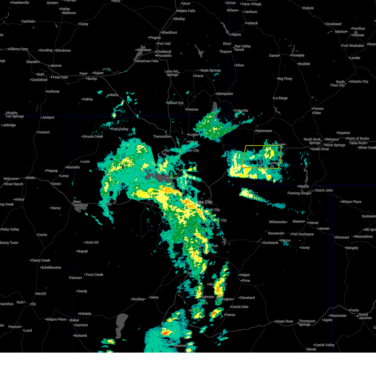
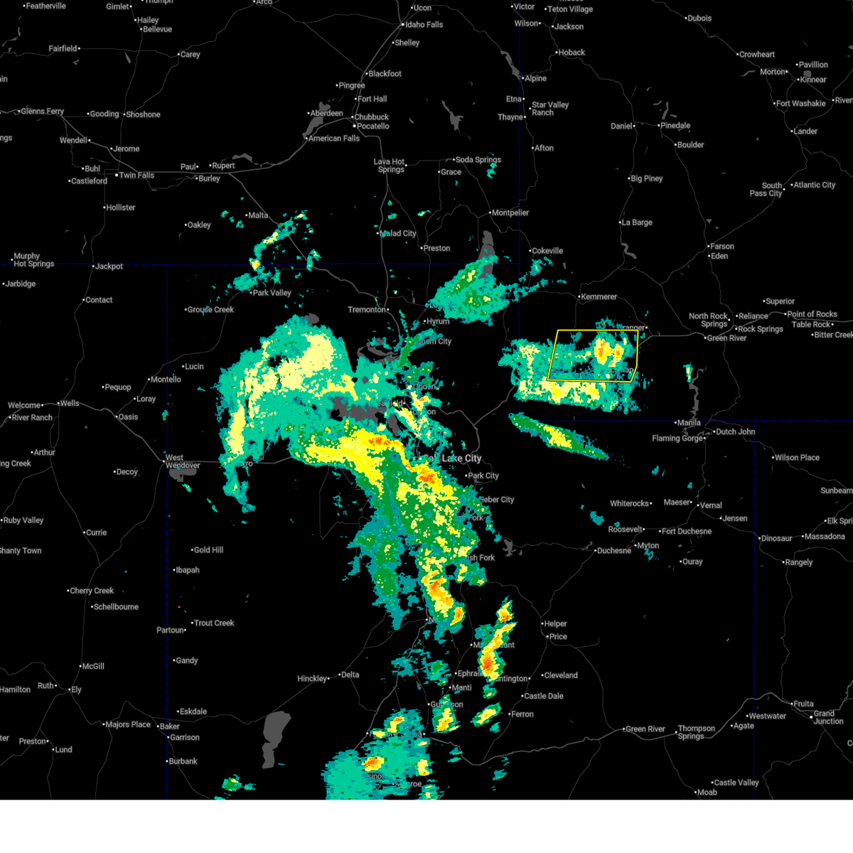
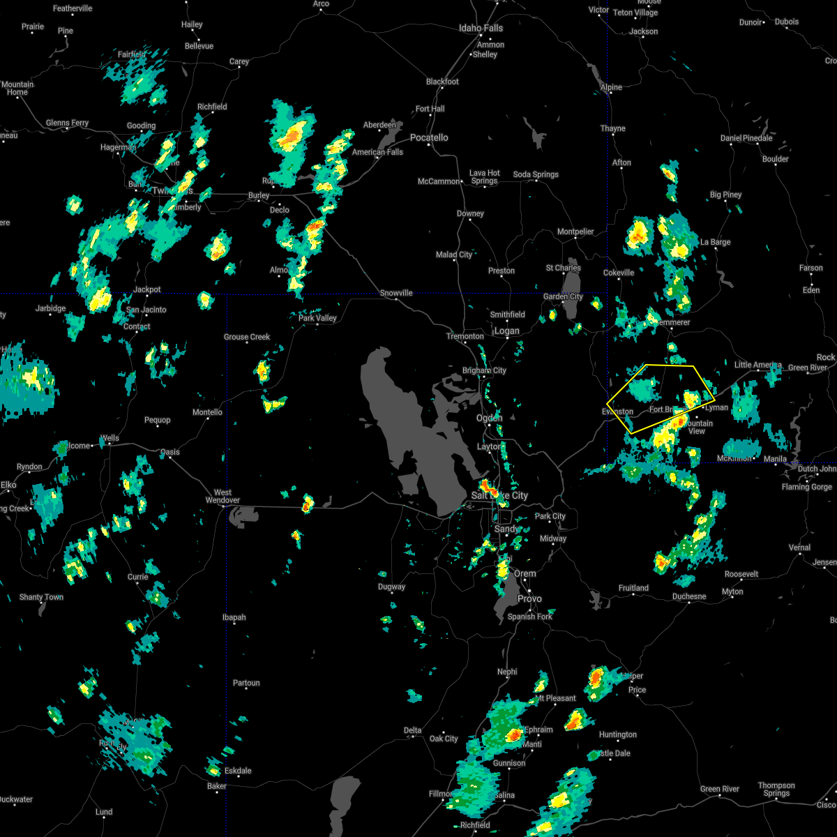
Hail Maps for Fort Bridger, WY


Connect with Interactive Hail Maps