

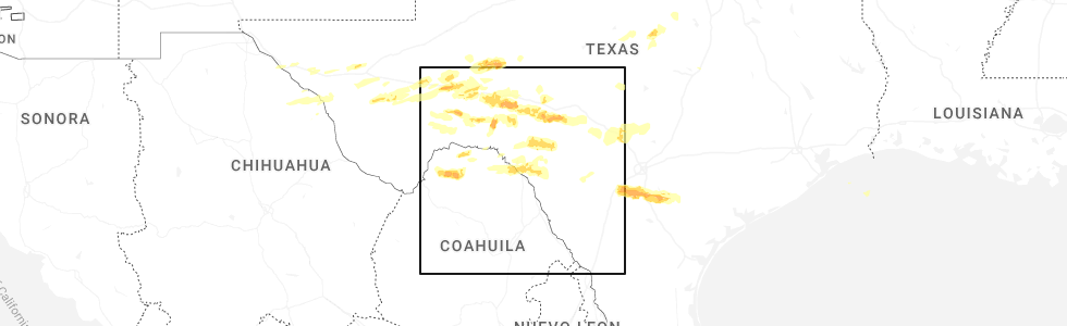
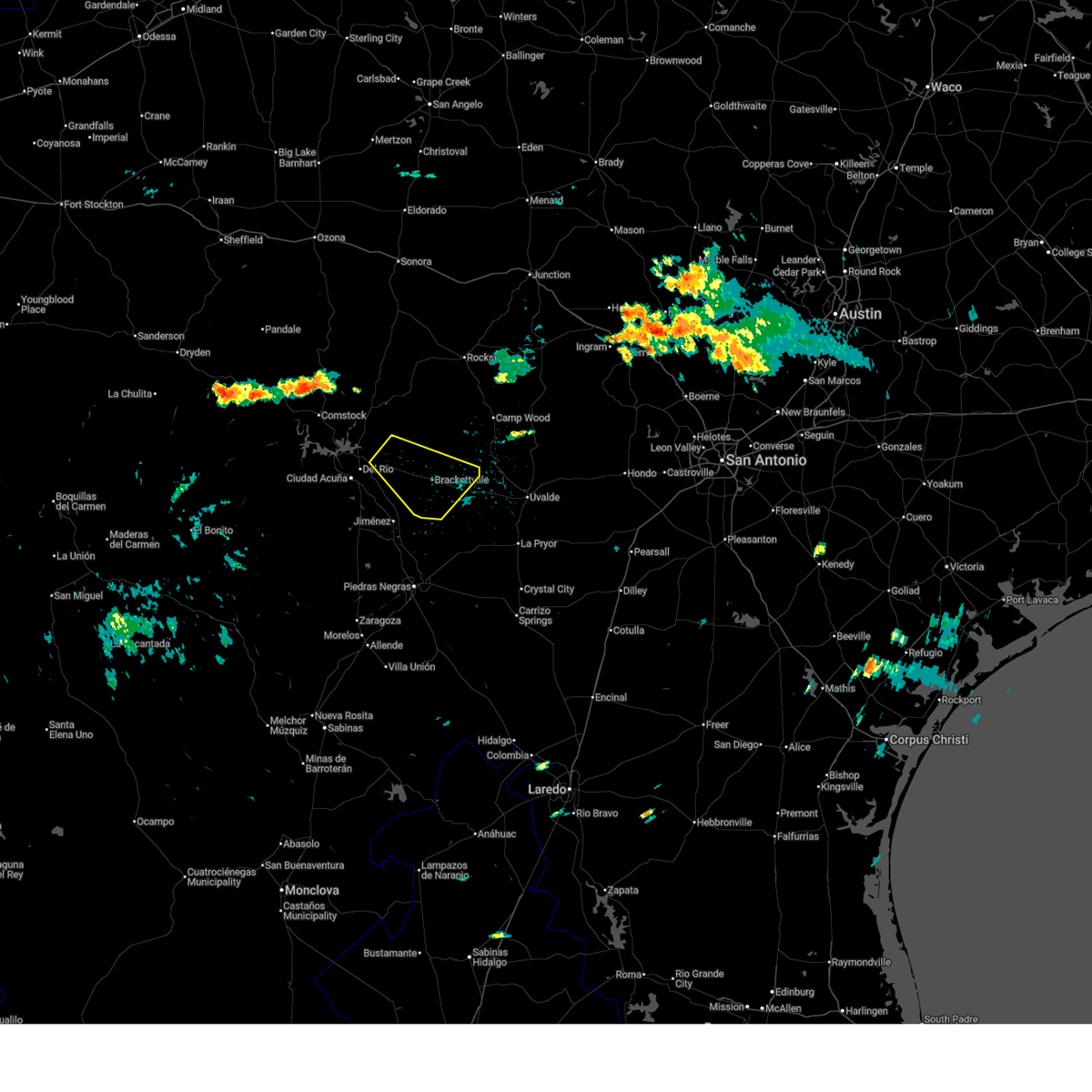
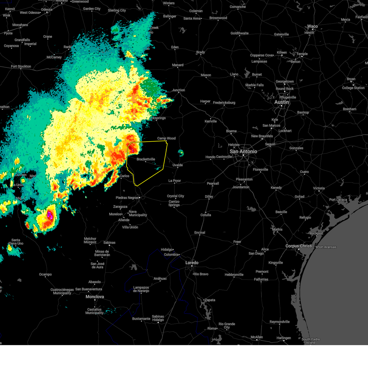
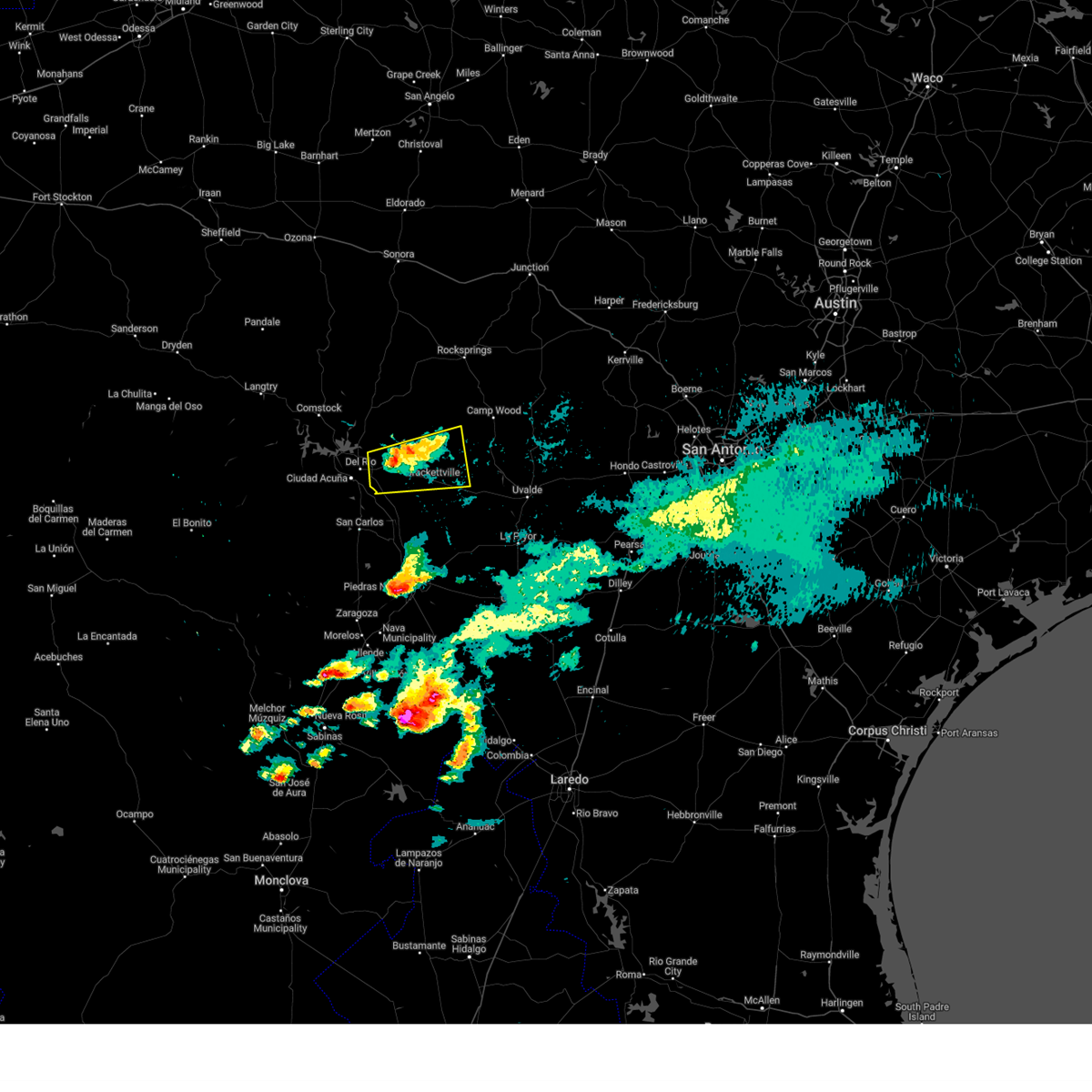
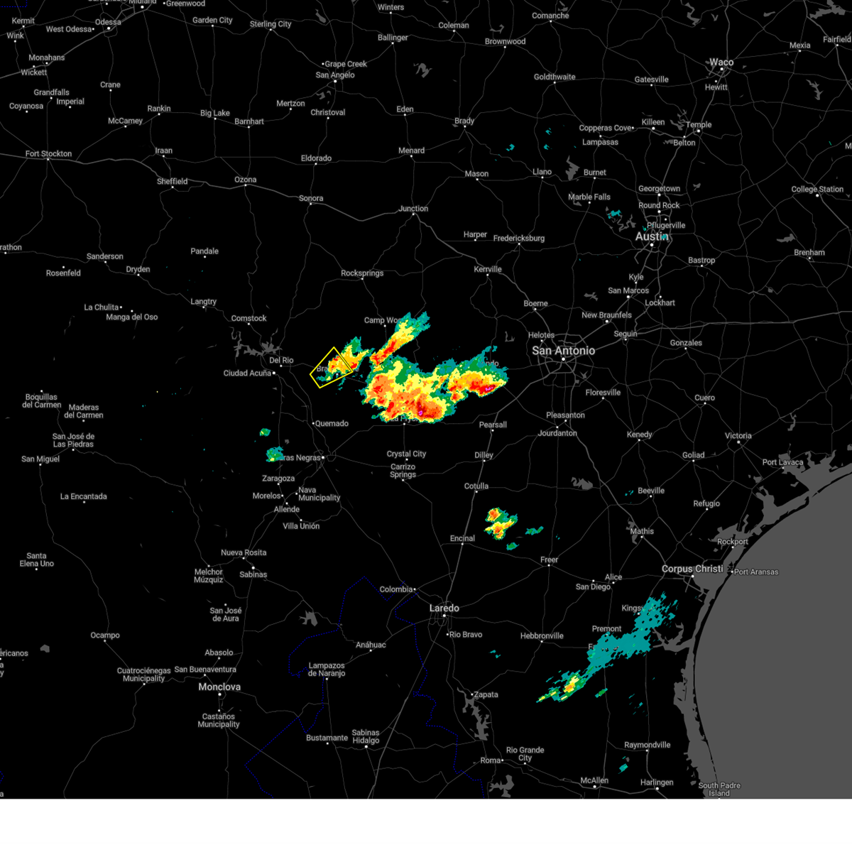
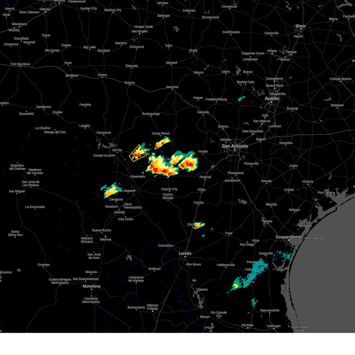
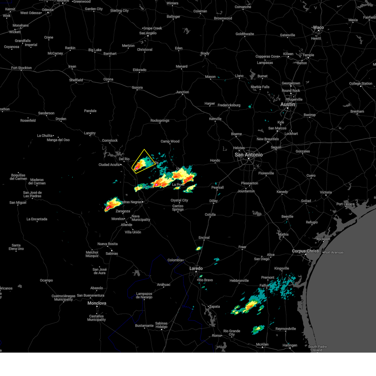
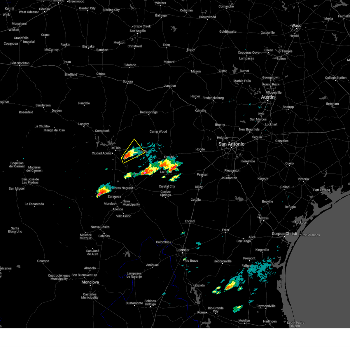
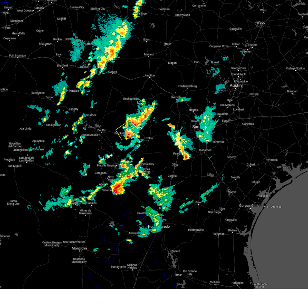
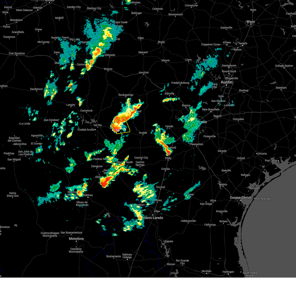
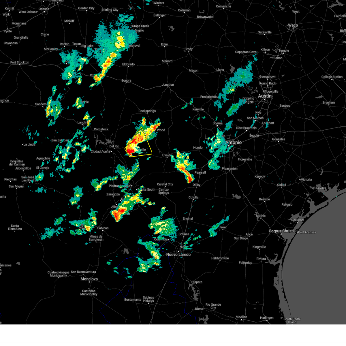
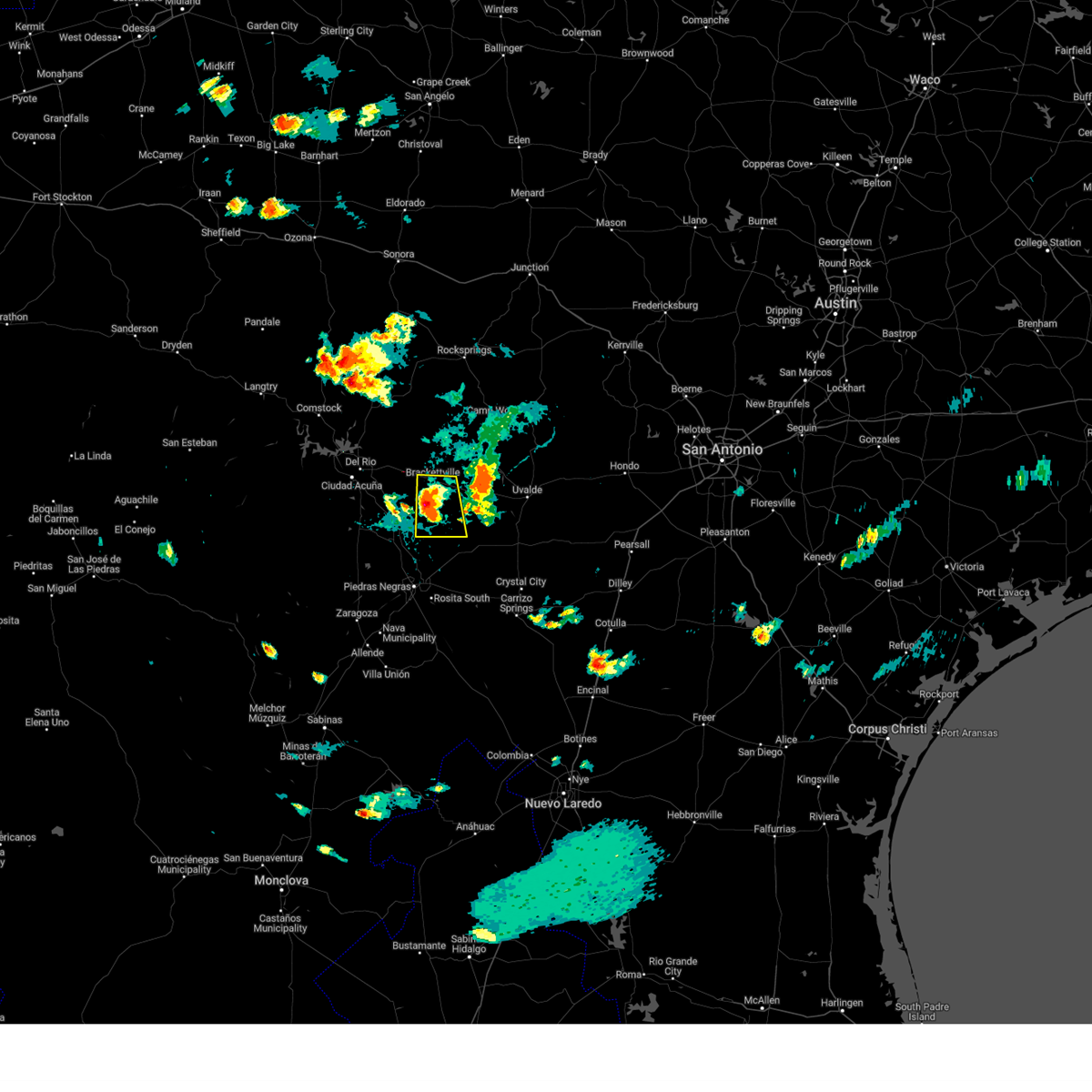
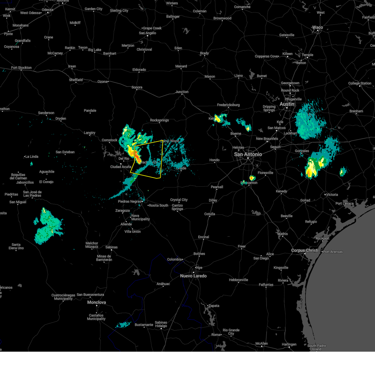
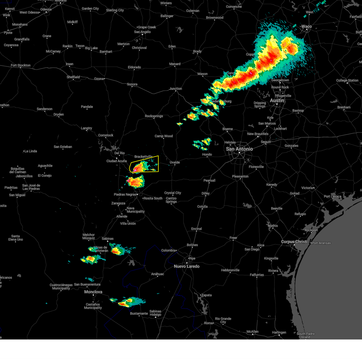
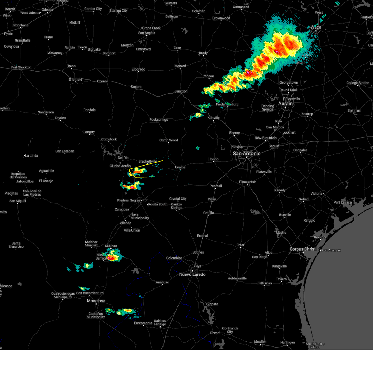
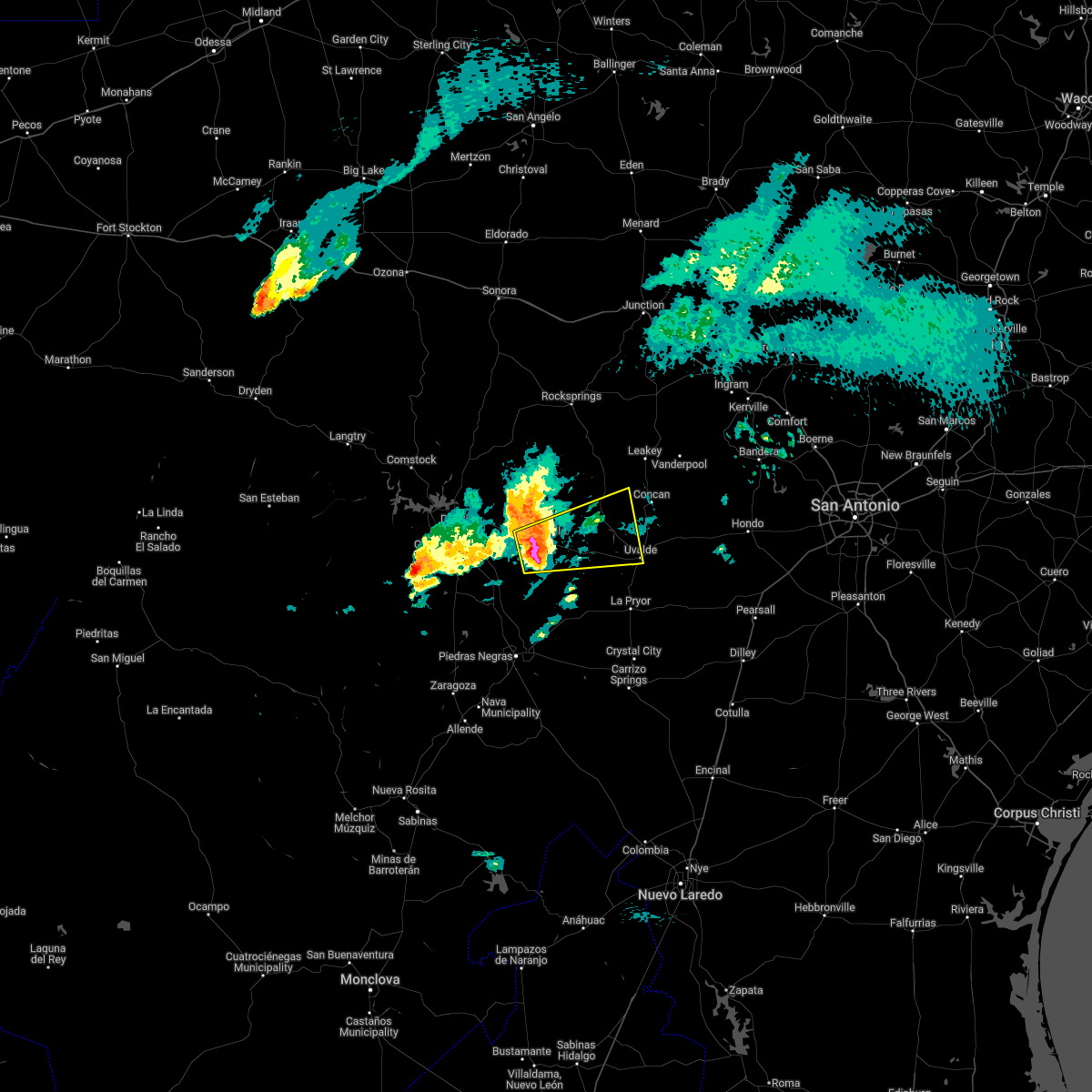
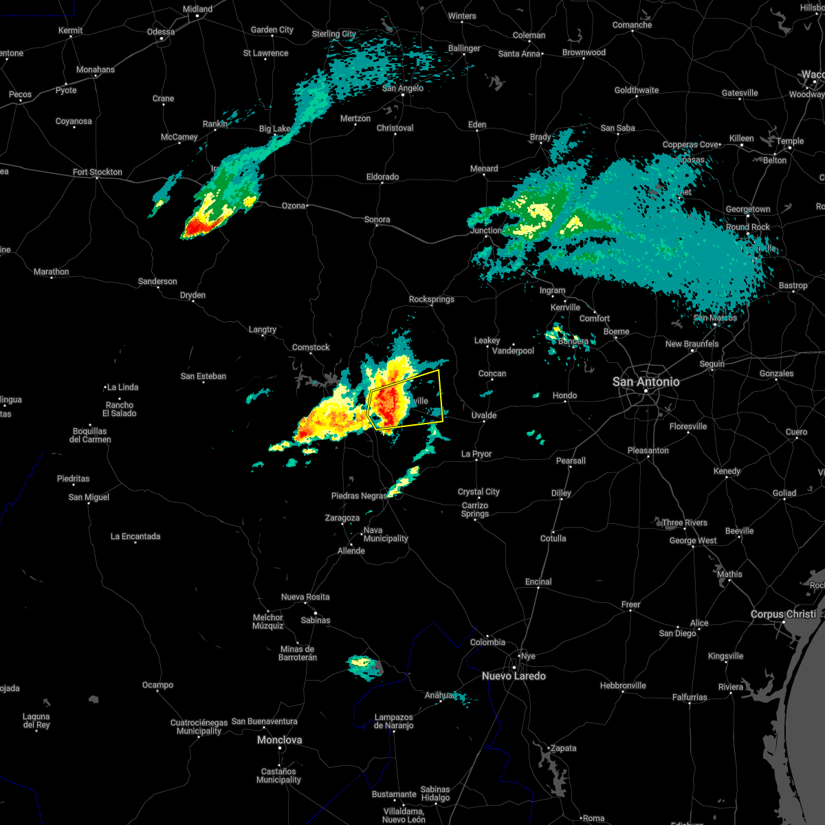
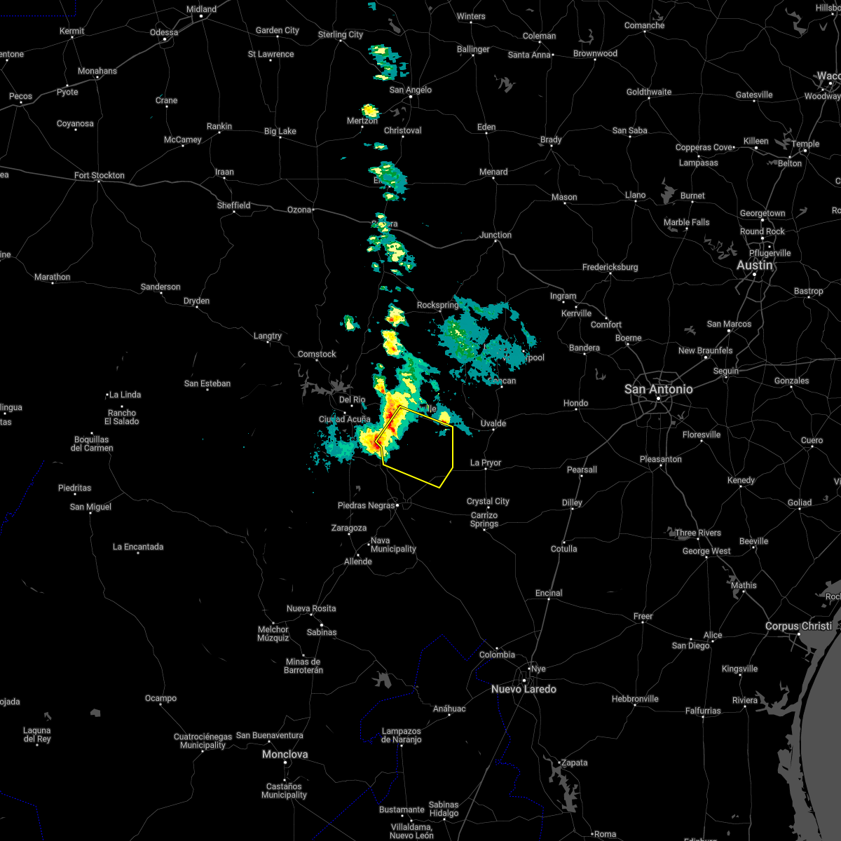
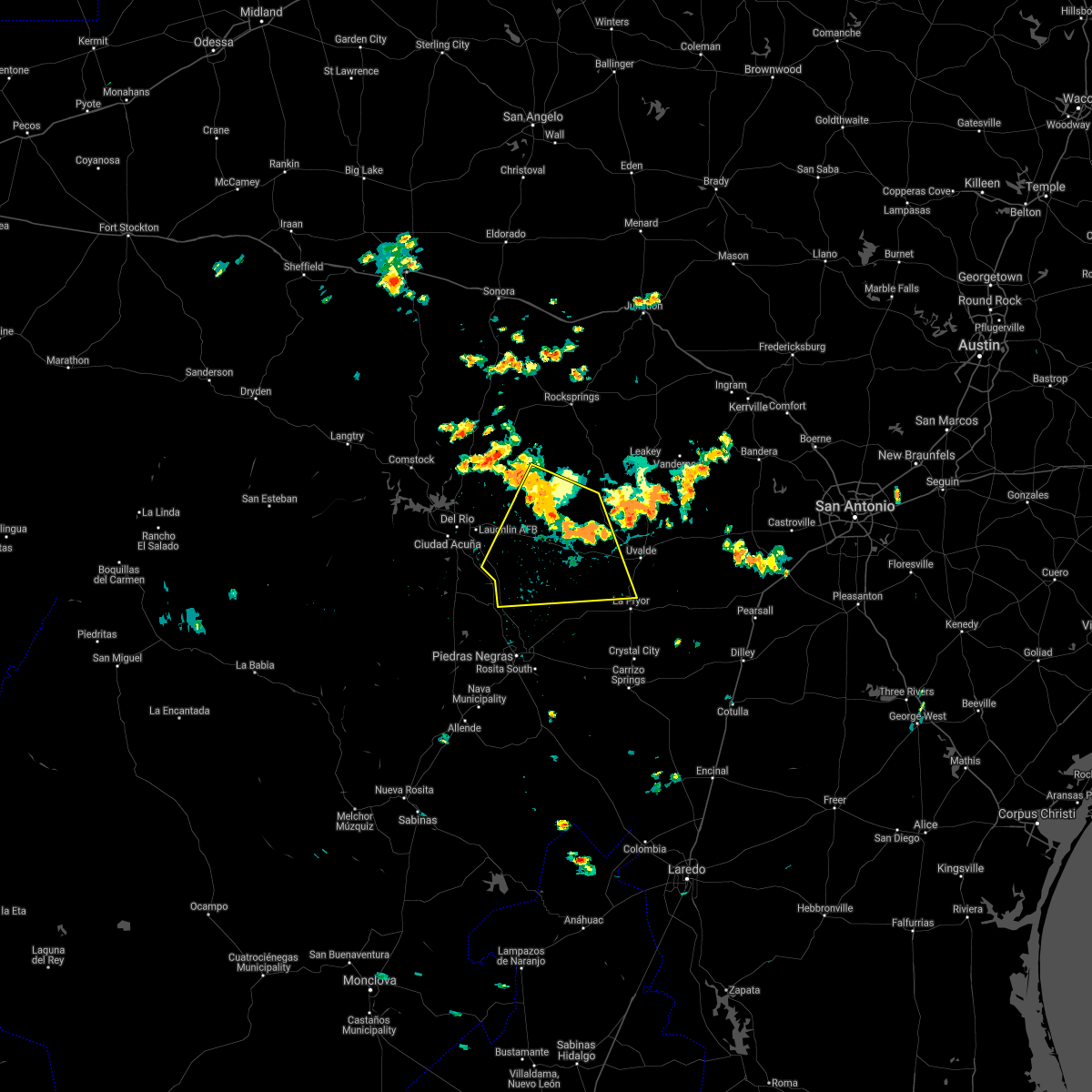
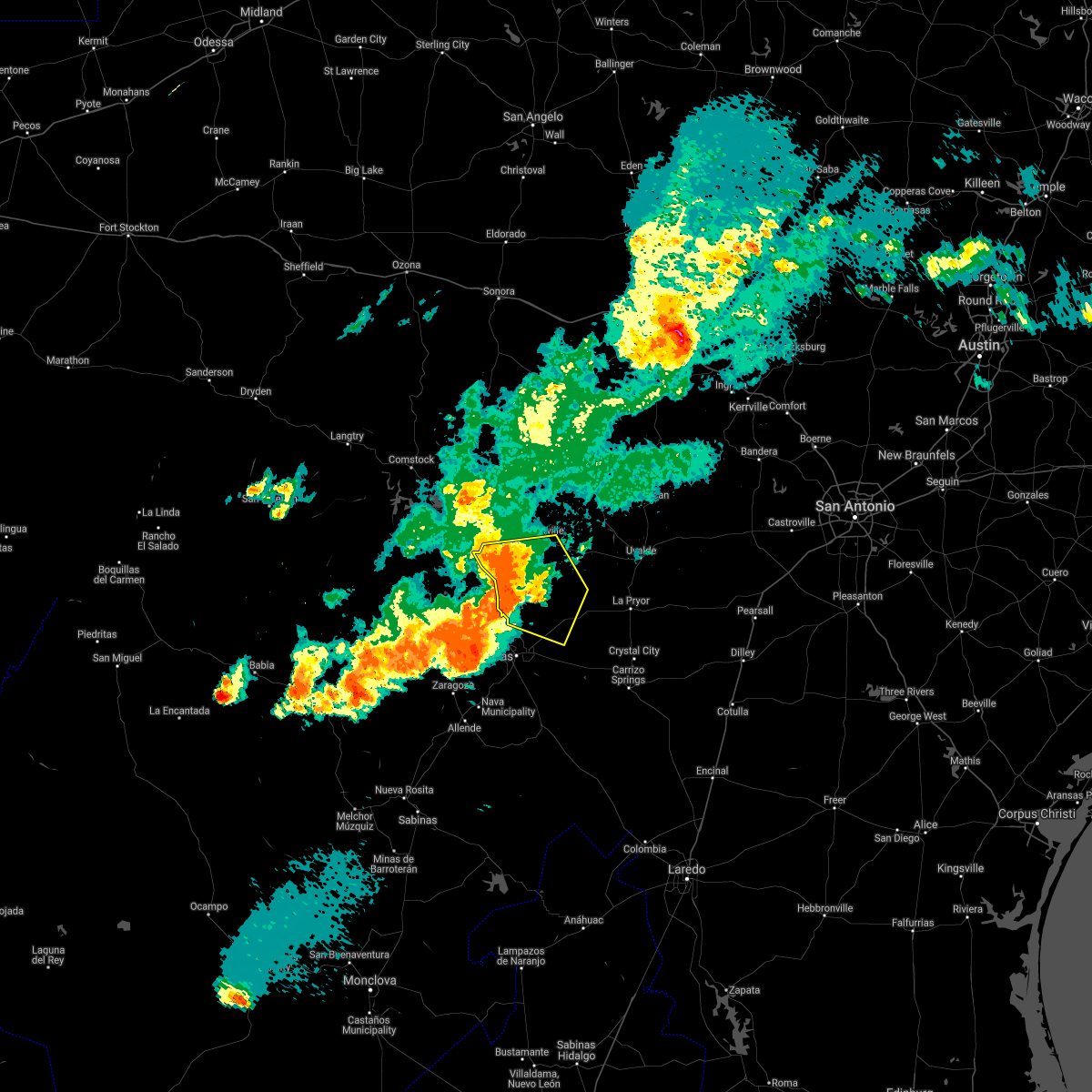
Hail Map for Fort Clark Springs, TX
The Fort Clark Springs, TX area has had 0 reports of on-the-ground hail by trained spotters, and has been under severe weather warnings 15 times during the past 12 months. Doppler radar has detected hail at or near Fort Clark Springs, TX on 50 occasions, including 1 occasion during the past year.
| Name: | Fort Clark Springs, TX |
| Where Located: | 29.1 miles E of Del Rio, TX |
| Map: | Google Map for Fort Clark Springs, TX |
| Population: | 1228 |
| Housing Units: | 894 |
| More Info: | Search Google for Fort Clark Springs, TX |
1
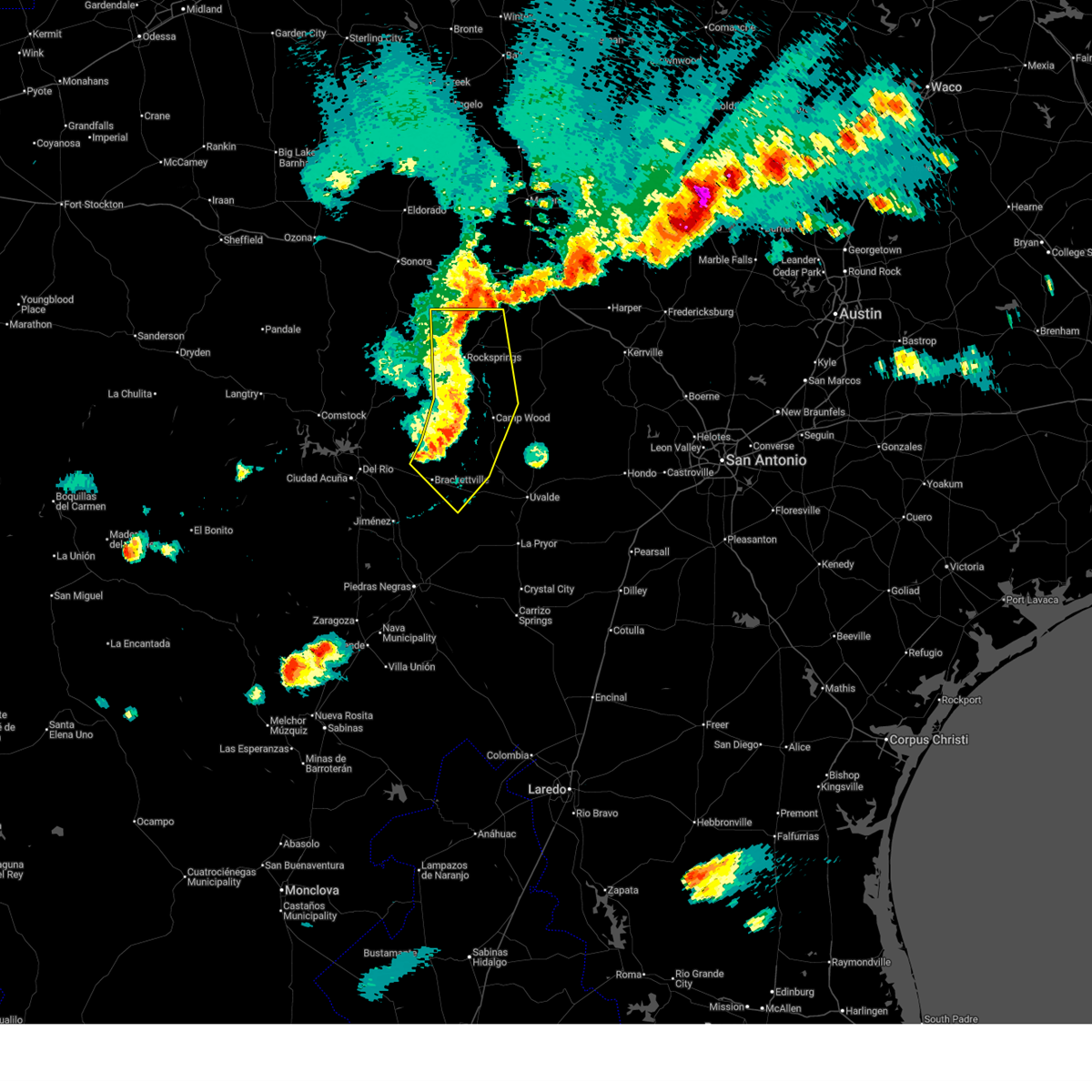
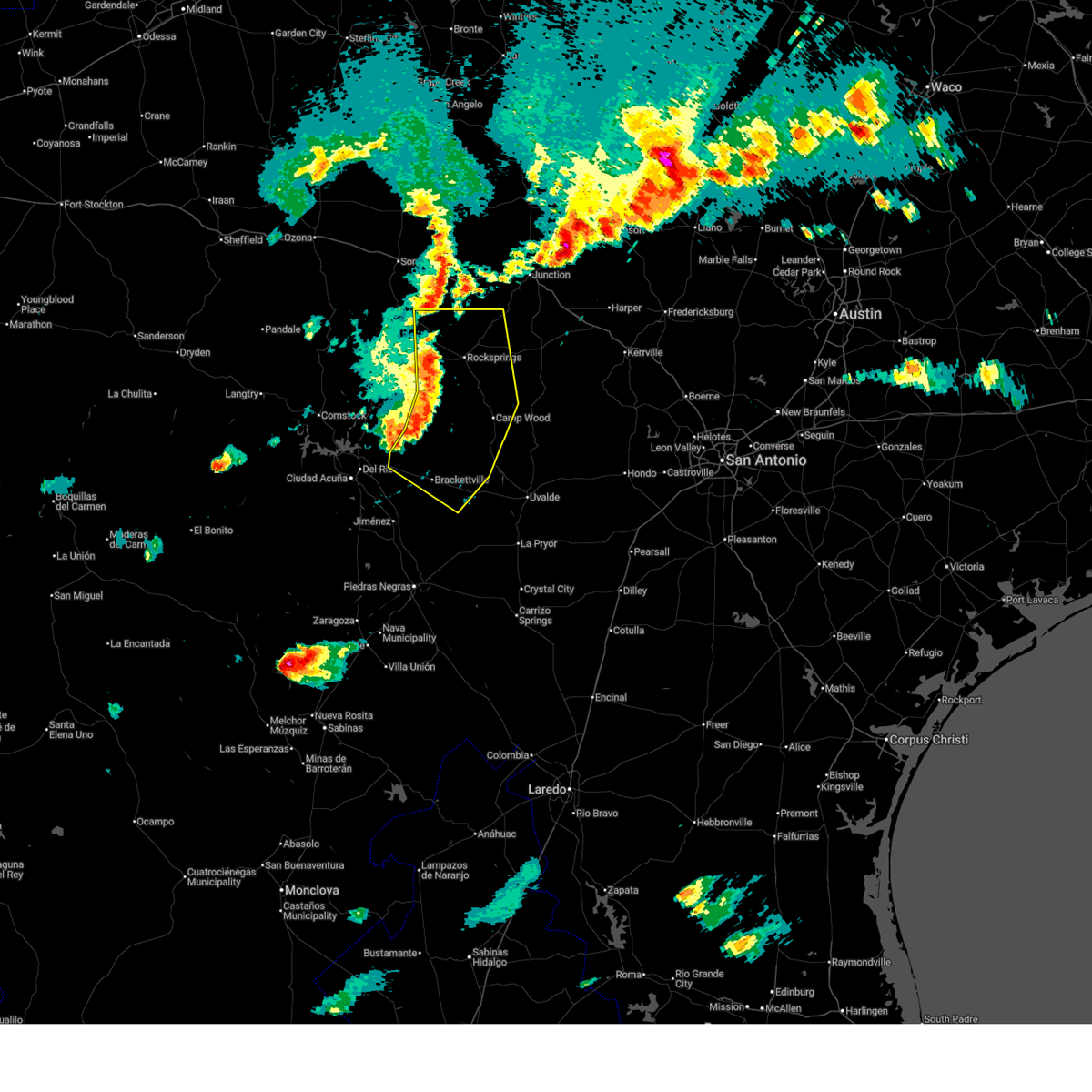
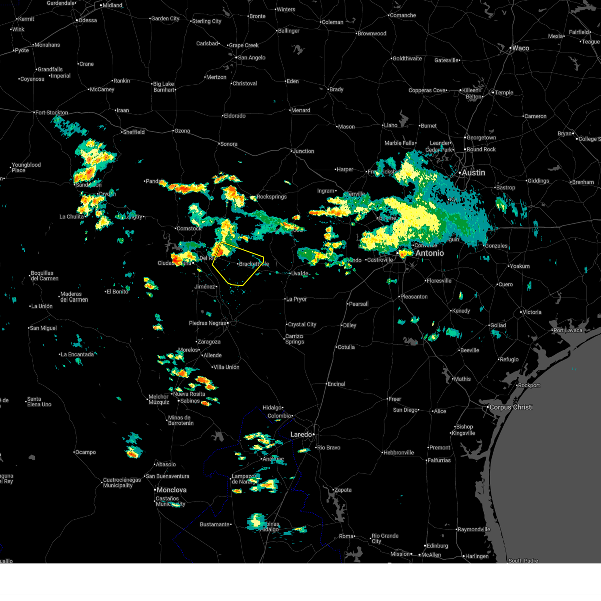
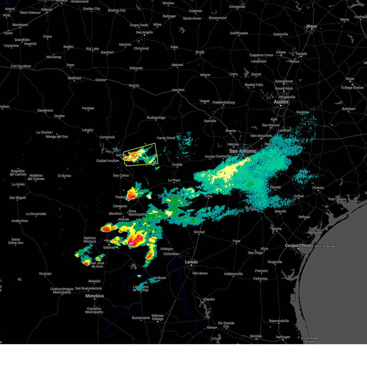
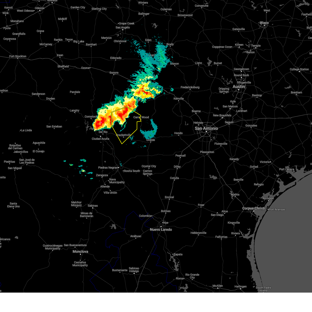
The Top Recent Hail Date for Fort Clark Springs, TX is Friday, October 24, 2025 (18th out of 50)
Hail and Wind Damage Spotted near Fort Clark Springs, TX
| Date / Time | Report Details |
|---|---|
| 5/10/2026 8:13 PM CDT |
 At 812 pm cdt, severe thunderstorms were located along a line extending from 17 miles southwest of roosevelt to 9 miles west of vance to 12 miles west of montell to near alamo village, moving east at 30 mph (radar indicated). Hazards include 60 mph wind gusts and quarter size hail. Hail damage to vehicles is expected. expect wind damage to roofs, siding, and trees. Locations impacted include, brackettville, rocksprings, camp wood, laguna, barksdale, vance, montell, anacacho, alamo village, cline, kickapoo cavern state park, turkey mountain, devil's sinkhole state natural area, and fort clark springs. At 812 pm cdt, severe thunderstorms were located along a line extending from 17 miles southwest of roosevelt to 9 miles west of vance to 12 miles west of montell to near alamo village, moving east at 30 mph (radar indicated). Hazards include 60 mph wind gusts and quarter size hail. Hail damage to vehicles is expected. expect wind damage to roofs, siding, and trees. Locations impacted include, brackettville, rocksprings, camp wood, laguna, barksdale, vance, montell, anacacho, alamo village, cline, kickapoo cavern state park, turkey mountain, devil's sinkhole state natural area, and fort clark springs.
|
| 5/10/2026 7:45 PM CDT |
 Svrewx the national weather service in austin san antonio has issued a * severe thunderstorm warning for, kinney county in south central texas, northwestern uvalde county in south central texas, edwards county in south central texas, western real county in south central texas, * until 845 pm cdt. * at 744 pm cdt, severe thunderstorms were located along a line extending from 25 miles southwest of roosevelt to 16 miles southwest of rocksprings to 14 miles northwest of alamo village to near amanda, moving east at 25 mph (radar indicated). Hazards include 60 mph wind gusts and quarter size hail. Hail damage to vehicles is expected. Expect wind damage to roofs, siding, and trees. Svrewx the national weather service in austin san antonio has issued a * severe thunderstorm warning for, kinney county in south central texas, northwestern uvalde county in south central texas, edwards county in south central texas, western real county in south central texas, * until 845 pm cdt. * at 744 pm cdt, severe thunderstorms were located along a line extending from 25 miles southwest of roosevelt to 16 miles southwest of rocksprings to 14 miles northwest of alamo village to near amanda, moving east at 25 mph (radar indicated). Hazards include 60 mph wind gusts and quarter size hail. Hail damage to vehicles is expected. Expect wind damage to roofs, siding, and trees.
|
| 10/25/2025 1:26 AM CDT | The storm which prompted the warning has weakened below severe limits, and has exited the warned area. therefore, the warning will be allowed to expire. however small hail and gusty winds are still possible with this thunderstorm. the warning will be replaced by a special weather statement. a severe thunderstorm watch remains in effect until 300 am cdt for south central texas. |
| 10/25/2025 1:12 AM CDT | the severe thunderstorm warning has been cancelled and is no longer in effect |
| 10/25/2025 1:12 AM CDT | At 112 am cdt, a severe thunderstorm was located 9 miles northeast of amanda, or 13 miles northwest of brackettville, moving east at 30 mph (radar indicated). Hazards include 60 mph wind gusts and quarter size hail. Hail damage to vehicles is expected. expect wind damage to roofs, siding, and trees. Locations impacted include, brackettville, standart, alamo village, amanda, fort clark springs, and kickapoo cavern state park. |
| 10/25/2025 12:56 AM CDT | At 1256 am cdt, a severe thunderstorm was located near amanda, or 12 miles east of del rio, moving east at 30 mph (radar indicated). Hazards include 60 mph wind gusts and quarter size hail. Hail damage to vehicles is expected. expect wind damage to roofs, siding, and trees. Locations impacted include, brackettville, standart, alamo village, amanda, laughlin afb, escondido estates, fort clark springs, and kickapoo cavern state park. |
| 10/25/2025 12:41 AM CDT | Svrewx the national weather service in austin san antonio has issued a * severe thunderstorm warning for, northwestern kinney county in south central texas, southeastern val verde county in south central texas, * until 130 am cdt. * at 1241 am cdt, a severe thunderstorm was located over val verde park, or near del rio, moving east at 30 mph (radar indicated). Hazards include 60 mph wind gusts and quarter size hail. Hail damage to vehicles is expected. Expect wind damage to roofs, siding, and trees. |
| 10/24/2025 11:16 PM CDT | At 1115 pm cdt, a severe thunderstorm was located over brackettville, moving east at 35 mph (radar indicated). Hazards include 70 mph wind gusts and quarter size hail. Hail damage to vehicles is expected. expect considerable tree damage. wind damage is also likely to mobile homes, roofs, and outbuildings. Locations impacted include, brackettville, alamo village, turkey mountain, and fort clark springs. |
| 10/24/2025 11:00 PM CDT | Svrewx the national weather service in austin san antonio has issued a * severe thunderstorm warning for, southern kinney county in south central texas, * until 1145 pm cdt. * at 1100 pm cdt, a severe thunderstorm was located near standart, or 10 miles west of brackettville, moving east at 35 mph (radar indicated). Hazards include 70 mph wind gusts and quarter size hail. Hail damage to vehicles is expected. expect considerable tree damage. Wind damage is also likely to mobile homes, roofs, and outbuildings. |
| 10/24/2025 10:04 PM CDT | At 1004 pm cdt, severe thunderstorms were located along a line extending from 11 miles southwest of telegraph to 8 miles west of barksdale to near amanda, moving east at 45 mph (radar indicated). Hazards include 70 mph wind gusts and penny size hail. Expect considerable tree damage. damage is likely to mobile homes, roofs, and outbuildings. Locations impacted include, del rio, brackettville, rocksprings, leakey, spofford, camp wood, lake view, laguna, barksdale, tuff, concan, vance, laughlin afb, cline, anacacho, reagan wells, alamo village, cienegas terrace, amistad village, and blewett. |
| 10/24/2025 9:31 PM CDT | Svrewx the national weather service in austin san antonio has issued a * severe thunderstorm warning for, northwestern kerr county in south central texas, kinney county in south central texas, western uvalde county in south central texas, edwards county in south central texas, southeastern val verde county in south central texas, real county in south central texas, * until 1030 pm cdt. * at 931 pm cdt, severe thunderstorms were located along a line extending from 22 miles southeast of sonora to 6 miles southeast of carta valley to 7 miles southwest of amistad village, moving east at 45 mph (radar indicated). Hazards include 70 mph wind gusts and penny size hail. Expect considerable tree damage. Damage is likely to mobile homes, roofs, and outbuildings. |
| 9/6/2025 4:15 PM CDT |
 the severe thunderstorm warning has been cancelled and is no longer in effect the severe thunderstorm warning has been cancelled and is no longer in effect
|
| 9/6/2025 4:03 PM CDT |
 the severe thunderstorm warning has been cancelled and is no longer in effect the severe thunderstorm warning has been cancelled and is no longer in effect
|
| 9/6/2025 4:03 PM CDT |
 At 402 pm cdt, a severe thunderstorm was located over brackettville, moving southeast at 30 mph (radar indicated). Hazards include 60 mph wind gusts and penny size hail. Expect damage to roofs, siding, and trees. locations impacted include, brackettville, spofford, anacacho, standart, alamo village, amanda, turkey mountain, fort clark springs, laughlin afb aux field and u. s. Highway 90. At 402 pm cdt, a severe thunderstorm was located over brackettville, moving southeast at 30 mph (radar indicated). Hazards include 60 mph wind gusts and penny size hail. Expect damage to roofs, siding, and trees. locations impacted include, brackettville, spofford, anacacho, standart, alamo village, amanda, turkey mountain, fort clark springs, laughlin afb aux field and u. s. Highway 90.
|
| 9/6/2025 3:40 PM CDT |
 Svrewx the national weather service in austin san antonio has issued a * severe thunderstorm warning for, central kinney county in south central texas, eastern val verde county in south central texas, * until 445 pm cdt. * at 340 pm cdt, a severe thunderstorm was located over amanda, or 14 miles east of del rio, moving southeast at 30 mph (radar indicated). Hazards include 60 mph wind gusts and nickel size hail. expect damage to roofs, siding, and trees Svrewx the national weather service in austin san antonio has issued a * severe thunderstorm warning for, central kinney county in south central texas, eastern val verde county in south central texas, * until 445 pm cdt. * at 340 pm cdt, a severe thunderstorm was located over amanda, or 14 miles east of del rio, moving southeast at 30 mph (radar indicated). Hazards include 60 mph wind gusts and nickel size hail. expect damage to roofs, siding, and trees
|
| 6/10/2025 9:33 PM CDT |
 At 933 pm cdt, severe thunderstorms were located along a line extending from 10 miles east of alamo village to 6 miles east of anacacho to 7 miles northeast of darling, moving east at 30 mph (radar indicated). Hazards include 60 mph wind gusts and quarter size hail. Hail damage to vehicles is expected. expect wind damage to roofs, siding, and trees. Locations impacted include, brackettville, spofford, laguna, blewett, uvalde estates, montell, dabney, cline, anacacho, alamo village, laughlin afb aux field, turkey mountain, fort clark springs, and kickapoo cavern state park. At 933 pm cdt, severe thunderstorms were located along a line extending from 10 miles east of alamo village to 6 miles east of anacacho to 7 miles northeast of darling, moving east at 30 mph (radar indicated). Hazards include 60 mph wind gusts and quarter size hail. Hail damage to vehicles is expected. expect wind damage to roofs, siding, and trees. Locations impacted include, brackettville, spofford, laguna, blewett, uvalde estates, montell, dabney, cline, anacacho, alamo village, laughlin afb aux field, turkey mountain, fort clark springs, and kickapoo cavern state park.
|
| 6/10/2025 9:14 PM CDT |
 Svrewx the national weather service in austin san antonio has issued a * severe thunderstorm warning for, kinney county in south central texas, northeastern maverick county in south central texas, western uvalde county in south central texas, northwestern zavala county in south central texas, * until 1000 pm cdt. * at 913 pm cdt, severe thunderstorms were located along a line extending from near alamo village to near anacacho to near spofford, moving east at 30 mph (radar indicated). Hazards include 60 mph wind gusts and half dollar size hail. Hail damage to vehicles is expected. Expect wind damage to roofs, siding, and trees. Svrewx the national weather service in austin san antonio has issued a * severe thunderstorm warning for, kinney county in south central texas, northeastern maverick county in south central texas, western uvalde county in south central texas, northwestern zavala county in south central texas, * until 1000 pm cdt. * at 913 pm cdt, severe thunderstorms were located along a line extending from near alamo village to near anacacho to near spofford, moving east at 30 mph (radar indicated). Hazards include 60 mph wind gusts and half dollar size hail. Hail damage to vehicles is expected. Expect wind damage to roofs, siding, and trees.
|
| 6/10/2025 8:52 PM CDT |
 At 851 pm cdt, a severe thunderstorm was located near brackettville, moving southeast at 45 mph (radar indicated). Hazards include tennis ball size hail and 70 mph wind gusts. People and animals outdoors will be injured. expect hail damage to roofs, siding, windows, and vehicles. expect considerable tree damage. wind damage is also likely to mobile homes, roofs, and outbuildings. Locations impacted include, brackettville, spofford, quemado, amanda, laughlin afb, montell, cline, anacacho, standart, alamo village, normandy, laughlin afb aux field, kickapoo cavern state park, turkey mountain, escondido estates, and fort clark springs. At 851 pm cdt, a severe thunderstorm was located near brackettville, moving southeast at 45 mph (radar indicated). Hazards include tennis ball size hail and 70 mph wind gusts. People and animals outdoors will be injured. expect hail damage to roofs, siding, windows, and vehicles. expect considerable tree damage. wind damage is also likely to mobile homes, roofs, and outbuildings. Locations impacted include, brackettville, spofford, quemado, amanda, laughlin afb, montell, cline, anacacho, standart, alamo village, normandy, laughlin afb aux field, kickapoo cavern state park, turkey mountain, escondido estates, and fort clark springs.
|
| 6/10/2025 8:28 PM CDT |
 Svrewx the national weather service in austin san antonio has issued a * severe thunderstorm warning for, kinney county in south central texas, northwestern maverick county in south central texas, northwestern uvalde county in south central texas, southwestern edwards county in south central texas, southeastern val verde county in south central texas, * until 915 pm cdt. * at 828 pm cdt, a severe thunderstorm was located near amanda, or 14 miles northwest of brackettville, moving southeast at 45 mph (radar indicated). Hazards include tennis ball size hail and 70 mph wind gusts. People and animals outdoors will be injured. expect hail damage to roofs, siding, windows, and vehicles. expect considerable tree damage. Wind damage is also likely to mobile homes, roofs, and outbuildings. Svrewx the national weather service in austin san antonio has issued a * severe thunderstorm warning for, kinney county in south central texas, northwestern maverick county in south central texas, northwestern uvalde county in south central texas, southwestern edwards county in south central texas, southeastern val verde county in south central texas, * until 915 pm cdt. * at 828 pm cdt, a severe thunderstorm was located near amanda, or 14 miles northwest of brackettville, moving southeast at 45 mph (radar indicated). Hazards include tennis ball size hail and 70 mph wind gusts. People and animals outdoors will be injured. expect hail damage to roofs, siding, windows, and vehicles. expect considerable tree damage. Wind damage is also likely to mobile homes, roofs, and outbuildings.
|
| 5/26/2025 11:17 PM CDT |
 At 1116 pm cdt, a severe thunderstorm was located near alamo village, or 11 miles northwest of brackettville, moving east at 25 mph (radar indicated). Hazards include 60 mph wind gusts and quarter size hail. Hail damage to vehicles is expected. expect wind damage to roofs, siding, and trees. Locations impacted include, brackettville, alamo village, fort clark springs, and kickapoo cavern state park. At 1116 pm cdt, a severe thunderstorm was located near alamo village, or 11 miles northwest of brackettville, moving east at 25 mph (radar indicated). Hazards include 60 mph wind gusts and quarter size hail. Hail damage to vehicles is expected. expect wind damage to roofs, siding, and trees. Locations impacted include, brackettville, alamo village, fort clark springs, and kickapoo cavern state park.
|
| 5/26/2025 11:06 PM CDT |
 the severe thunderstorm warning has been cancelled and is no longer in effect the severe thunderstorm warning has been cancelled and is no longer in effect
|
| 5/26/2025 11:06 PM CDT |
 At 1105 pm cdt, a severe thunderstorm was located 10 miles north of amanda, or 18 miles northeast of del rio, moving southeast at 15 mph (radar indicated). Hazards include 60 mph wind gusts and half dollar size hail. Hail damage to vehicles is expected. expect wind damage to roofs, siding, and trees. Locations impacted include, brackettville, alamo village, fort clark springs, and kickapoo cavern state park. At 1105 pm cdt, a severe thunderstorm was located 10 miles north of amanda, or 18 miles northeast of del rio, moving southeast at 15 mph (radar indicated). Hazards include 60 mph wind gusts and half dollar size hail. Hail damage to vehicles is expected. expect wind damage to roofs, siding, and trees. Locations impacted include, brackettville, alamo village, fort clark springs, and kickapoo cavern state park.
|
| 5/26/2025 10:41 PM CDT |
 Svrewx the national weather service in austin san antonio has issued a * severe thunderstorm warning for, northern kinney county in south central texas, east central val verde county in south central texas, * until 1145 pm cdt. * at 1041 pm cdt, a severe thunderstorm was located 13 miles east of long point, or 15 miles northeast of del rio, moving southeast at 15 mph (radar indicated). Hazards include 60 mph wind gusts and half dollar size hail. Hail damage to vehicles is expected. Expect wind damage to roofs, siding, and trees. Svrewx the national weather service in austin san antonio has issued a * severe thunderstorm warning for, northern kinney county in south central texas, east central val verde county in south central texas, * until 1145 pm cdt. * at 1041 pm cdt, a severe thunderstorm was located 13 miles east of long point, or 15 miles northeast of del rio, moving southeast at 15 mph (radar indicated). Hazards include 60 mph wind gusts and half dollar size hail. Hail damage to vehicles is expected. Expect wind damage to roofs, siding, and trees.
|
| 5/17/2025 10:48 PM CDT |
 the severe thunderstorm warning has been cancelled and is no longer in effect the severe thunderstorm warning has been cancelled and is no longer in effect
|
| 5/17/2025 10:32 PM CDT |
 Svrewx the national weather service in austin san antonio has issued a * severe thunderstorm warning for, central kinney county in south central texas, southeastern val verde county in south central texas, * until 1130 pm cdt. * at 1032 pm cdt, a severe thunderstorm was located over laughlin afb, or near del rio, moving east at 30 mph (radar indicated). Hazards include 60 mph wind gusts and quarter size hail. Hail damage to vehicles is expected. Expect wind damage to roofs, siding, and trees. Svrewx the national weather service in austin san antonio has issued a * severe thunderstorm warning for, central kinney county in south central texas, southeastern val verde county in south central texas, * until 1130 pm cdt. * at 1032 pm cdt, a severe thunderstorm was located over laughlin afb, or near del rio, moving east at 30 mph (radar indicated). Hazards include 60 mph wind gusts and quarter size hail. Hail damage to vehicles is expected. Expect wind damage to roofs, siding, and trees.
|
| 5/2/2025 7:16 PM CDT |
 At 716 pm cdt, a severe thunderstorm was located near alamo village, or 9 miles north of brackettville, moving southeast at 20 mph (radar indicated). Hazards include tennis ball size hail and 60 mph wind gusts. People and animals outdoors will be injured. expect hail damage to roofs, siding, windows, and vehicles. expect wind damage to roofs, siding, and trees. this severe storm will be near, alamo village around 720 pm cdt. Other locations impacted by this severe thunderstorm include fort clark springs. At 716 pm cdt, a severe thunderstorm was located near alamo village, or 9 miles north of brackettville, moving southeast at 20 mph (radar indicated). Hazards include tennis ball size hail and 60 mph wind gusts. People and animals outdoors will be injured. expect hail damage to roofs, siding, windows, and vehicles. expect wind damage to roofs, siding, and trees. this severe storm will be near, alamo village around 720 pm cdt. Other locations impacted by this severe thunderstorm include fort clark springs.
|
| 5/2/2025 7:05 PM CDT |
 Svrewx the national weather service in austin san antonio has issued a * severe thunderstorm warning for, eastern kinney county in south central texas, * until 800 pm cdt. * at 705 pm cdt, a severe thunderstorm was located 7 miles northwest of alamo village, or 12 miles northwest of brackettville, moving southeast at 20 mph (radar indicated). Hazards include golf ball size hail and 60 mph wind gusts. People and animals outdoors will be injured. expect hail damage to roofs, siding, windows, and vehicles. Expect wind damage to roofs, siding, and trees. Svrewx the national weather service in austin san antonio has issued a * severe thunderstorm warning for, eastern kinney county in south central texas, * until 800 pm cdt. * at 705 pm cdt, a severe thunderstorm was located 7 miles northwest of alamo village, or 12 miles northwest of brackettville, moving southeast at 20 mph (radar indicated). Hazards include golf ball size hail and 60 mph wind gusts. People and animals outdoors will be injured. expect hail damage to roofs, siding, windows, and vehicles. Expect wind damage to roofs, siding, and trees.
|
| 6/11/2024 7:28 PM CDT |
 At 728 pm cdt, a severe thunderstorm was located near standart, or 11 miles southwest of brackettville, moving southeast at 30 mph (radar indicated). Hazards include 60 mph wind gusts and quarter size hail. Hail damage to vehicles is expected. expect wind damage to roofs, siding, and trees. Locations impacted include, brackettville, standart, alamo village, amanda, laughlin afb, val verde park, fort clark springs, and escondido estates. At 728 pm cdt, a severe thunderstorm was located near standart, or 11 miles southwest of brackettville, moving southeast at 30 mph (radar indicated). Hazards include 60 mph wind gusts and quarter size hail. Hail damage to vehicles is expected. expect wind damage to roofs, siding, and trees. Locations impacted include, brackettville, standart, alamo village, amanda, laughlin afb, val verde park, fort clark springs, and escondido estates.
|
| 6/11/2024 7:16 PM CDT |
 At 716 pm cdt, a severe thunderstorm was located over amanda, or 14 miles northwest of brackettville, moving southeast at 25 mph (radar indicated). Hazards include 60 mph wind gusts and half dollar size hail. Hail damage to vehicles is expected. expect wind damage to roofs, siding, and trees. Locations impacted include, brackettville, standart, alamo village, amanda, laughlin afb, val verde park, fort clark springs, and escondido estates. At 716 pm cdt, a severe thunderstorm was located over amanda, or 14 miles northwest of brackettville, moving southeast at 25 mph (radar indicated). Hazards include 60 mph wind gusts and half dollar size hail. Hail damage to vehicles is expected. expect wind damage to roofs, siding, and trees. Locations impacted include, brackettville, standart, alamo village, amanda, laughlin afb, val verde park, fort clark springs, and escondido estates.
|
| 6/11/2024 7:16 PM CDT |
 the severe thunderstorm warning has been cancelled and is no longer in effect the severe thunderstorm warning has been cancelled and is no longer in effect
|
| 6/11/2024 6:57 PM CDT |
 Svrewx the national weather service in austin san antonio has issued a * severe thunderstorm warning for, central kinney county in south central texas, southwestern edwards county in south central texas, southeastern val verde county in south central texas, * until 800 pm cdt. * at 656 pm cdt, a severe thunderstorm was located 10 miles northeast of val verde park, or 12 miles northeast of del rio, moving southeast at 25 mph (radar indicated). Hazards include 60 mph wind gusts and half dollar size hail. Hail damage to vehicles is expected. Expect wind damage to roofs, siding, and trees. Svrewx the national weather service in austin san antonio has issued a * severe thunderstorm warning for, central kinney county in south central texas, southwestern edwards county in south central texas, southeastern val verde county in south central texas, * until 800 pm cdt. * at 656 pm cdt, a severe thunderstorm was located 10 miles northeast of val verde park, or 12 miles northeast of del rio, moving southeast at 25 mph (radar indicated). Hazards include 60 mph wind gusts and half dollar size hail. Hail damage to vehicles is expected. Expect wind damage to roofs, siding, and trees.
|
| 5/13/2024 9:31 AM CDT |
 The storm which prompted the warning has weakened below severe limits, and has exited the warned area. therefore, the warning has been allowed to expire. however small hail and gusty winds are still possible with this thunderstorm. a severe thunderstorm watch remains in effect until 400 pm cdt for south central texas. The storm which prompted the warning has weakened below severe limits, and has exited the warned area. therefore, the warning has been allowed to expire. however small hail and gusty winds are still possible with this thunderstorm. a severe thunderstorm watch remains in effect until 400 pm cdt for south central texas.
|
| 5/13/2024 9:10 AM CDT |
 At 909 am cdt, a severe thunderstorm was located near standart, or 7 miles west of brackettville, moving northeast at 20 mph (radar indicated). Hazards include 60 mph wind gusts and quarter size hail. Hail damage to vehicles is expected. expect wind damage to roofs, siding, and trees. Locations impacted include, brackettville, standart, alamo village, and fort clark springs. At 909 am cdt, a severe thunderstorm was located near standart, or 7 miles west of brackettville, moving northeast at 20 mph (radar indicated). Hazards include 60 mph wind gusts and quarter size hail. Hail damage to vehicles is expected. expect wind damage to roofs, siding, and trees. Locations impacted include, brackettville, standart, alamo village, and fort clark springs.
|
| 5/13/2024 8:46 AM CDT |
 At 845 am cdt, a severe thunderstorm was located near standart, or 14 miles west of brackettville, moving northeast at 20 mph (radar indicated). Hazards include ping pong ball size hail and 60 mph wind gusts. People and animals outdoors will be injured. expect hail damage to roofs, siding, windows, and vehicles. expect wind damage to roofs, siding, and trees. Locations impacted include, brackettville, standart, alamo village, amanda, and fort clark springs. At 845 am cdt, a severe thunderstorm was located near standart, or 14 miles west of brackettville, moving northeast at 20 mph (radar indicated). Hazards include ping pong ball size hail and 60 mph wind gusts. People and animals outdoors will be injured. expect hail damage to roofs, siding, windows, and vehicles. expect wind damage to roofs, siding, and trees. Locations impacted include, brackettville, standart, alamo village, amanda, and fort clark springs.
|
| 5/13/2024 8:36 AM CDT |
 Svrewx the national weather service in austin san antonio has issued a * severe thunderstorm warning for, western kinney county in south central texas, * until 930 am cdt. * at 836 am cdt, a severe thunderstorm was located 8 miles southwest of standart, or 14 miles southeast of del rio, moving northeast at 20 mph (radar indicated). Hazards include 60 mph wind gusts and quarter size hail. Hail damage to vehicles is expected. Expect wind damage to roofs, siding, and trees. Svrewx the national weather service in austin san antonio has issued a * severe thunderstorm warning for, western kinney county in south central texas, * until 930 am cdt. * at 836 am cdt, a severe thunderstorm was located 8 miles southwest of standart, or 14 miles southeast of del rio, moving northeast at 20 mph (radar indicated). Hazards include 60 mph wind gusts and quarter size hail. Hail damage to vehicles is expected. Expect wind damage to roofs, siding, and trees.
|
| 2/2/2024 6:35 PM CST |
 The severe thunderstorm warning for northeastern kinney county will expire at 645 pm cst, the storm which prompted the warning has weakened below severe limits, and no longer poses an immediate threat to life or property. therefore, the warning will be allowed to expire. however small hail is still possible with this thunderstorm. a severe thunderstorm watch remains in effect until midnight cst for south central texas. The severe thunderstorm warning for northeastern kinney county will expire at 645 pm cst, the storm which prompted the warning has weakened below severe limits, and no longer poses an immediate threat to life or property. therefore, the warning will be allowed to expire. however small hail is still possible with this thunderstorm. a severe thunderstorm watch remains in effect until midnight cst for south central texas.
|
| 2/2/2024 6:20 PM CST |
 At 620 pm cst, a severe thunderstorm was located over brackettville, moving east at 30 mph (radar indicated). Hazards include 60 mph wind gusts and quarter size hail. Hail damage to vehicles is expected. expect wind damage to roofs, siding, and trees. locations impacted include, brackettville, alamo village, turkey mountain, and fort clark springs. hail threat, radar indicated max hail size, 1. 00 in wind threat, radar indicated max wind gust, 60 mph. At 620 pm cst, a severe thunderstorm was located over brackettville, moving east at 30 mph (radar indicated). Hazards include 60 mph wind gusts and quarter size hail. Hail damage to vehicles is expected. expect wind damage to roofs, siding, and trees. locations impacted include, brackettville, alamo village, turkey mountain, and fort clark springs. hail threat, radar indicated max hail size, 1. 00 in wind threat, radar indicated max wind gust, 60 mph.
|
| 2/2/2024 6:07 PM CST |
 At 607 pm cst, a severe thunderstorm was located near standart, or 7 miles west of brackettville, moving east at 30 mph (radar indicated). Hazards include 60 mph wind gusts and half dollar size hail. Hail damage to vehicles is expected. expect wind damage to roofs, siding, and trees. locations impacted include, brackettville, standart, alamo village, amanda, turkey mountain, fort clark springs, and kickapoo cavern state park. hail threat, radar indicated max hail size, 1. 25 in wind threat, radar indicated max wind gust, 60 mph. At 607 pm cst, a severe thunderstorm was located near standart, or 7 miles west of brackettville, moving east at 30 mph (radar indicated). Hazards include 60 mph wind gusts and half dollar size hail. Hail damage to vehicles is expected. expect wind damage to roofs, siding, and trees. locations impacted include, brackettville, standart, alamo village, amanda, turkey mountain, fort clark springs, and kickapoo cavern state park. hail threat, radar indicated max hail size, 1. 25 in wind threat, radar indicated max wind gust, 60 mph.
|
| 2/2/2024 5:51 PM CST |
 At 551 pm cst, a severe thunderstorm was located near standart, or 13 miles southeast of del rio, moving east at 30 mph (radar indicated). Hazards include 60 mph wind gusts and quarter size hail. Hail damage to vehicles is expected. Expect wind damage to roofs, siding, and trees. At 551 pm cst, a severe thunderstorm was located near standart, or 13 miles southeast of del rio, moving east at 30 mph (radar indicated). Hazards include 60 mph wind gusts and quarter size hail. Hail damage to vehicles is expected. Expect wind damage to roofs, siding, and trees.
|
| 9/27/2023 5:54 PM CDT |
 At 554 pm cdt, a severe thunderstorm was located near cline, or 15 miles east of brackettville, moving south at 20 mph (trained weather spotters). Hazards include 60 mph wind gusts and penny size hail. expect damage to roofs, siding, and trees At 554 pm cdt, a severe thunderstorm was located near cline, or 15 miles east of brackettville, moving south at 20 mph (trained weather spotters). Hazards include 60 mph wind gusts and penny size hail. expect damage to roofs, siding, and trees
|
| 9/14/2023 9:35 PM CDT |
 At 935 pm cdt, a severe thunderstorm was located near standart, or 11 miles northwest of brackettville, moving east at 25 mph (radar indicated). Hazards include 60 mph wind gusts and quarter size hail. Hail damage to vehicles is expected. expect wind damage to roofs, siding, and trees. locations impacted include, brackettville, spofford, anacacho, standart, alamo village, amanda, turkey mountain, fort clark springs, kickapoo cavern state park, and laughlin afb aux field. hail threat, radar indicated max hail size, 1. 00 in wind threat, radar indicated max wind gust, 60 mph. At 935 pm cdt, a severe thunderstorm was located near standart, or 11 miles northwest of brackettville, moving east at 25 mph (radar indicated). Hazards include 60 mph wind gusts and quarter size hail. Hail damage to vehicles is expected. expect wind damage to roofs, siding, and trees. locations impacted include, brackettville, spofford, anacacho, standart, alamo village, amanda, turkey mountain, fort clark springs, kickapoo cavern state park, and laughlin afb aux field. hail threat, radar indicated max hail size, 1. 00 in wind threat, radar indicated max wind gust, 60 mph.
|
| 9/14/2023 9:17 PM CDT |
 At 916 pm cdt, a severe thunderstorm was located near amanda, or 12 miles northeast of del rio, moving southeast at 25 mph (radar indicated). Hazards include 70 mph wind gusts and quarter size hail. Hail damage to vehicles is expected. expect considerable tree damage. Wind damage is also likely to mobile homes, roofs, and outbuildings. At 916 pm cdt, a severe thunderstorm was located near amanda, or 12 miles northeast of del rio, moving southeast at 25 mph (radar indicated). Hazards include 70 mph wind gusts and quarter size hail. Hail damage to vehicles is expected. expect considerable tree damage. Wind damage is also likely to mobile homes, roofs, and outbuildings.
|
| 6/8/2023 1:54 AM CDT |
 At 154 am cdt, a severe thunderstorm was located near standart, or 11 miles west of brackettville, moving southeast at 30 mph (radar indicated). Hazards include 60 mph wind gusts and penny size hail. Expect damage to roofs, siding, and trees. locations impacted include, brackettville, spofford, anacacho, standart, amanda, laughlin afb, fort clark springs, escondido estates and laughlin afb aux field. hail threat, radar indicated max hail size, 0. 75 in wind threat, radar indicated max wind gust, 60 mph. At 154 am cdt, a severe thunderstorm was located near standart, or 11 miles west of brackettville, moving southeast at 30 mph (radar indicated). Hazards include 60 mph wind gusts and penny size hail. Expect damage to roofs, siding, and trees. locations impacted include, brackettville, spofford, anacacho, standart, amanda, laughlin afb, fort clark springs, escondido estates and laughlin afb aux field. hail threat, radar indicated max hail size, 0. 75 in wind threat, radar indicated max wind gust, 60 mph.
|
| 6/8/2023 1:28 AM CDT |
 At 128 am cdt, a severe thunderstorm was located near laughlin afb, or 9 miles east of del rio, moving southeast at 25 mph (radar indicated). Hazards include 60 mph wind gusts and penny size hail. expect damage to roofs, siding, and trees At 128 am cdt, a severe thunderstorm was located near laughlin afb, or 9 miles east of del rio, moving southeast at 25 mph (radar indicated). Hazards include 60 mph wind gusts and penny size hail. expect damage to roofs, siding, and trees
|
| 6/2/2023 10:28 PM CDT |
 At 1027 pm cdt, severe thunderstorms were located along a line extending from near camp wood to near cline to near spofford to 20 miles west of quemado, moving south at 30 mph (public reported large hail near bracketville at 1020 pm). Hazards include two inch hail and 70 mph wind gusts. People and animals outdoors will be injured. expect hail damage to roofs, siding, windows, and vehicles. expect considerable tree damage. wind damage is also likely to mobile homes, roofs, and outbuildings. locations impacted include, brackettville, spofford, quemado, camp wood, laguna, blewett, paloma, barksdale, darling, montell, dabney, cline, anacacho, reagan wells, radar base, alamo village, normandy, laughlin afb aux field, turkey mountain and fort clark springs. thunderstorm damage threat, considerable hail threat, observed max hail size, 2. 00 in wind threat, radar indicated max wind gust, 70 mph. At 1027 pm cdt, severe thunderstorms were located along a line extending from near camp wood to near cline to near spofford to 20 miles west of quemado, moving south at 30 mph (public reported large hail near bracketville at 1020 pm). Hazards include two inch hail and 70 mph wind gusts. People and animals outdoors will be injured. expect hail damage to roofs, siding, windows, and vehicles. expect considerable tree damage. wind damage is also likely to mobile homes, roofs, and outbuildings. locations impacted include, brackettville, spofford, quemado, camp wood, laguna, blewett, paloma, barksdale, darling, montell, dabney, cline, anacacho, reagan wells, radar base, alamo village, normandy, laughlin afb aux field, turkey mountain and fort clark springs. thunderstorm damage threat, considerable hail threat, observed max hail size, 2. 00 in wind threat, radar indicated max wind gust, 70 mph.
|
| 6/2/2023 10:17 PM CDT |
 At 1016 pm cdt, severe thunderstorms were located along a line extending from near camp wood to near cline to near spofford to 20 miles west of quemado, moving south at 30 mph (radar indicated). Hazards include golf ball size hail and 70 mph wind gusts. People and animals outdoors will be injured. expect hail damage to roofs, siding, windows, and vehicles. expect considerable tree damage. wind damage is also likely to mobile homes, roofs, and outbuildings. these severe storms will be near, spofford around 1020 pm cdt. cline around 1025 pm cdt. darling and reagan wells around 1035 pm cdt. dabney, blewett and laguna around 1040 pm cdt. paloma around 1050 pm cdt. other locations impacted by these severe thunderstorms include turkey mountain, fort clark springs, escondido estates, laughlin afb aux field and kickapoo cavern state park. thunderstorm damage threat, considerable hail threat, radar indicated max hail size, 1. 75 in wind threat, radar indicated max wind gust, 70 mph. At 1016 pm cdt, severe thunderstorms were located along a line extending from near camp wood to near cline to near spofford to 20 miles west of quemado, moving south at 30 mph (radar indicated). Hazards include golf ball size hail and 70 mph wind gusts. People and animals outdoors will be injured. expect hail damage to roofs, siding, windows, and vehicles. expect considerable tree damage. wind damage is also likely to mobile homes, roofs, and outbuildings. these severe storms will be near, spofford around 1020 pm cdt. cline around 1025 pm cdt. darling and reagan wells around 1035 pm cdt. dabney, blewett and laguna around 1040 pm cdt. paloma around 1050 pm cdt. other locations impacted by these severe thunderstorms include turkey mountain, fort clark springs, escondido estates, laughlin afb aux field and kickapoo cavern state park. thunderstorm damage threat, considerable hail threat, radar indicated max hail size, 1. 75 in wind threat, radar indicated max wind gust, 70 mph.
|
| 6/2/2023 10:04 PM CDT |
 At 1003 pm cdt, severe thunderstorms were located along a line extending from barksdale to 11 miles east of alamo village to near spofford to 15 miles south of cienegas terrace, moving south at 30 mph (radar indicated). Hazards include 70 mph wind gusts and half dollar size hail. Hail damage to vehicles is expected. expect considerable tree damage. wind damage is also likely to mobile homes, roofs, and outbuildings. severe thunderstorms will be near, spofford around 1010 pm cdt. anacacho around 1015 pm cdt. cline around 1025 pm cdt. montell around 1030 pm cdt. darling and reagan wells around 1035 pm cdt. dabney and blewett around 1040 pm cdt. laguna around 1045 pm cdt. paloma around 1050 pm cdt. other locations impacted by these severe thunderstorms include turkey mountain, fort clark springs, escondido estates, laughlin afb aux field and kickapoo cavern state park. thunderstorm damage threat, considerable hail threat, radar indicated max hail size, 1. 25 in wind threat, radar indicated max wind gust, 70 mph. At 1003 pm cdt, severe thunderstorms were located along a line extending from barksdale to 11 miles east of alamo village to near spofford to 15 miles south of cienegas terrace, moving south at 30 mph (radar indicated). Hazards include 70 mph wind gusts and half dollar size hail. Hail damage to vehicles is expected. expect considerable tree damage. wind damage is also likely to mobile homes, roofs, and outbuildings. severe thunderstorms will be near, spofford around 1010 pm cdt. anacacho around 1015 pm cdt. cline around 1025 pm cdt. montell around 1030 pm cdt. darling and reagan wells around 1035 pm cdt. dabney and blewett around 1040 pm cdt. laguna around 1045 pm cdt. paloma around 1050 pm cdt. other locations impacted by these severe thunderstorms include turkey mountain, fort clark springs, escondido estates, laughlin afb aux field and kickapoo cavern state park. thunderstorm damage threat, considerable hail threat, radar indicated max hail size, 1. 25 in wind threat, radar indicated max wind gust, 70 mph.
|
| 6/2/2023 9:40 PM CDT |
 At 939 pm cdt, a severe thunderstorm was located over alamo village, or 9 miles north of brackettville, moving southeast at 40 mph. this is a destructive storm for southern edwards and northern kinney counties! (radar indicated). Hazards include 80 mph wind gusts and ping pong ball size hail. Flying debris will be dangerous to those caught without shelter. mobile homes will be heavily damaged. expect considerable damage to roofs, windows, and vehicles. extensive tree damage and power outages are likely. locations impacted include, brackettville, alamo village, carta valley, barksdale, fort clark springs and kickapoo cavern state park. thunderstorm damage threat, destructive hail threat, radar indicated max hail size, 1. 50 in wind threat, radar indicated max wind gust, 80 mph. At 939 pm cdt, a severe thunderstorm was located over alamo village, or 9 miles north of brackettville, moving southeast at 40 mph. this is a destructive storm for southern edwards and northern kinney counties! (radar indicated). Hazards include 80 mph wind gusts and ping pong ball size hail. Flying debris will be dangerous to those caught without shelter. mobile homes will be heavily damaged. expect considerable damage to roofs, windows, and vehicles. extensive tree damage and power outages are likely. locations impacted include, brackettville, alamo village, carta valley, barksdale, fort clark springs and kickapoo cavern state park. thunderstorm damage threat, destructive hail threat, radar indicated max hail size, 1. 50 in wind threat, radar indicated max wind gust, 80 mph.
|
| 6/2/2023 9:13 PM CDT |
 At 913 pm cdt, a severe thunderstorm was located 11 miles south of carta valley, or 21 miles southeast of loma alta, moving southeast at 40 mph (radar indicated). Hazards include 70 mph wind gusts and half dollar size hail. Hail damage to vehicles is expected. expect considerable tree damage. Wind damage is also likely to mobile homes, roofs, and outbuildings. At 913 pm cdt, a severe thunderstorm was located 11 miles south of carta valley, or 21 miles southeast of loma alta, moving southeast at 40 mph (radar indicated). Hazards include 70 mph wind gusts and half dollar size hail. Hail damage to vehicles is expected. expect considerable tree damage. Wind damage is also likely to mobile homes, roofs, and outbuildings.
|
| 5/28/2023 12:53 AM CDT |
 At 1253 am cdt, severe thunderstorms were located along a line extending from 15 miles north of alamo village to 8 miles northwest of cline to near uvalde estates to near la pryor to 11 miles southeast of el indio, moving east at 35 mph (radar indicated). Hazards include 60 mph wind gusts. Expect damage to roofs, siding, and trees. Locations impacted include, uvalde, crystal city, carrizo springs, brackettville, la pryor, batesville, laguna, chula vista-river spur, concan, las colonias, uvalde estates, brundage, dabney, cline, carrizo hill, anacacho, reagan wells, loma vista, alamo village and blewett. At 1253 am cdt, severe thunderstorms were located along a line extending from 15 miles north of alamo village to 8 miles northwest of cline to near uvalde estates to near la pryor to 11 miles southeast of el indio, moving east at 35 mph (radar indicated). Hazards include 60 mph wind gusts. Expect damage to roofs, siding, and trees. Locations impacted include, uvalde, crystal city, carrizo springs, brackettville, la pryor, batesville, laguna, chula vista-river spur, concan, las colonias, uvalde estates, brundage, dabney, cline, carrizo hill, anacacho, reagan wells, loma vista, alamo village and blewett.
|
| 5/28/2023 12:34 AM CDT |
 At 1234 am cdt, severe thunderstorms were located along a line extending from 16 miles north of alamo village to 8 miles south of dabney to 12 miles southwest of el indio, moving east at 45 mph (radar indicated). Hazards include 60 mph wind gusts. Expect damage to roofs, siding, and trees. Locations impacted include, eagle pass, uvalde, crystal city, carrizo springs, brackettville, spofford, la pryor, batesville, el indio, chula vista, laguna, chula vista-river spur, concan, darling, las colonias, uvalde estates, brundage, dabney, cline and carrizo hill. At 1234 am cdt, severe thunderstorms were located along a line extending from 16 miles north of alamo village to 8 miles south of dabney to 12 miles southwest of el indio, moving east at 45 mph (radar indicated). Hazards include 60 mph wind gusts. Expect damage to roofs, siding, and trees. Locations impacted include, eagle pass, uvalde, crystal city, carrizo springs, brackettville, spofford, la pryor, batesville, el indio, chula vista, laguna, chula vista-river spur, concan, darling, las colonias, uvalde estates, brundage, dabney, cline and carrizo hill.
|
| 5/28/2023 12:08 AM CDT |
 At 1208 am cdt, severe thunderstorms were located along a line extending from 9 miles northwest of alamo village to darling to 22 miles southwest of el indio, moving east at 45 mph (radar indicated). Hazards include 60 mph wind gusts. expect damage to roofs, siding, and trees At 1208 am cdt, severe thunderstorms were located along a line extending from 9 miles northwest of alamo village to darling to 22 miles southwest of el indio, moving east at 45 mph (radar indicated). Hazards include 60 mph wind gusts. expect damage to roofs, siding, and trees
|
| 5/12/2023 8:17 PM CDT |
 At 817 pm cdt, severe thunderstorms were located along a line extending from 8 miles east of rocksprings to near camp wood to near blewett, moving east at 35 mph (radar indicated). Hazards include 70 mph wind gusts and penny size hail. Expect considerable tree damage. Damage is likely to mobile homes, roofs, and outbuildings. At 817 pm cdt, severe thunderstorms were located along a line extending from 8 miles east of rocksprings to near camp wood to near blewett, moving east at 35 mph (radar indicated). Hazards include 70 mph wind gusts and penny size hail. Expect considerable tree damage. Damage is likely to mobile homes, roofs, and outbuildings.
|
| 5/12/2023 7:39 PM CDT |
 At 739 pm cdt, a severe thunderstorm was located near brackettville, moving northeast at 25 mph (radar indicated). Hazards include 70 mph wind gusts and penny size hail. Expect considerable tree damage. Damage is likely to mobile homes, roofs, and outbuildings. At 739 pm cdt, a severe thunderstorm was located near brackettville, moving northeast at 25 mph (radar indicated). Hazards include 70 mph wind gusts and penny size hail. Expect considerable tree damage. Damage is likely to mobile homes, roofs, and outbuildings.
|
| 5/12/2023 6:38 PM CDT |
 At 637 pm cdt, severe thunderstorms were located along a line extending from 14 miles south of del rio to 17 miles northwest of normandy to 9 miles west of quemado, moving northeast at 35 mph (radar indicated). Hazards include 70 mph wind gusts and penny size hail. Expect considerable tree damage. Damage is likely to mobile homes, roofs, and outbuildings. At 637 pm cdt, severe thunderstorms were located along a line extending from 14 miles south of del rio to 17 miles northwest of normandy to 9 miles west of quemado, moving northeast at 35 mph (radar indicated). Hazards include 70 mph wind gusts and penny size hail. Expect considerable tree damage. Damage is likely to mobile homes, roofs, and outbuildings.
|
| 4/28/2023 3:42 PM CDT |
 At 340 pm cdt, a severe thunderstorm was located 8 miles west of spofford, moving east at 30 mph (radar indicated). Hazards include 70 mph wind gusts and half dollar size hail. Hail damage to vehicles is expected. expect considerable tree damage. wind damage is also likely to mobile homes, roofs, and outbuildings. locations impacted include, brackettville, spofford, anacacho, fort clark springs, laughlin afb aux field, farm to market road 693 and state highway 131. thunderstorm damage threat, considerable hail threat, radar indicated max hail size, 1. 25 in wind threat, radar indicated max wind gust, 70 mph. At 340 pm cdt, a severe thunderstorm was located 8 miles west of spofford, moving east at 30 mph (radar indicated). Hazards include 70 mph wind gusts and half dollar size hail. Hail damage to vehicles is expected. expect considerable tree damage. wind damage is also likely to mobile homes, roofs, and outbuildings. locations impacted include, brackettville, spofford, anacacho, fort clark springs, laughlin afb aux field, farm to market road 693 and state highway 131. thunderstorm damage threat, considerable hail threat, radar indicated max hail size, 1. 25 in wind threat, radar indicated max wind gust, 70 mph.
|
| 4/28/2023 3:21 PM CDT |
 At 319 pm cdt, a severe thunderstorm was located 11 miles south of standart, or 11 miles west of spofford, moving east at 35 mph (radar indicated). Hazards include 60 mph wind gusts and quarter size hail. Hail damage to vehicles is expected. Expect wind damage to roofs, siding, and trees. At 319 pm cdt, a severe thunderstorm was located 11 miles south of standart, or 11 miles west of spofford, moving east at 35 mph (radar indicated). Hazards include 60 mph wind gusts and quarter size hail. Hail damage to vehicles is expected. Expect wind damage to roofs, siding, and trees.
|
| 7/14/2022 7:00 PM CDT |
 At 659 pm cdt, a severe thunderstorm was located 10 miles northwest of montell, or 24 miles northeast of brackettville, moving south at 30 mph (radar indicated). Hazards include 60 mph wind gusts. Expect damage to roofs, siding, and trees. locations impacted include, brackettville, camp wood, laguna, montell, barksdale, alamo village, turkey mountain, fort clark springs and kickapoo cavern state park. hail threat, radar indicated max hail size, <. 75 in wind threat, radar indicated max wind gust, 60 mph. At 659 pm cdt, a severe thunderstorm was located 10 miles northwest of montell, or 24 miles northeast of brackettville, moving south at 30 mph (radar indicated). Hazards include 60 mph wind gusts. Expect damage to roofs, siding, and trees. locations impacted include, brackettville, camp wood, laguna, montell, barksdale, alamo village, turkey mountain, fort clark springs and kickapoo cavern state park. hail threat, radar indicated max hail size, <. 75 in wind threat, radar indicated max wind gust, 60 mph.
|
| 7/14/2022 6:28 PM CDT |
 At 628 pm cdt, a severe thunderstorm was located 12 miles south of rocksprings, moving south at 35 mph (radar indicated). Hazards include 60 mph wind gusts. expect damage to roofs, siding, and trees At 628 pm cdt, a severe thunderstorm was located 12 miles south of rocksprings, moving south at 35 mph (radar indicated). Hazards include 60 mph wind gusts. expect damage to roofs, siding, and trees
|
| 5/25/2022 12:29 AM CDT |
 At 1229 am cdt, severe thunderstorms were located along a line extending from 10 miles south of sabinal to near anacacho, moving southeast at 45 mph (radar indicated). Hazards include golf ball size hail and 60 mph wind gusts. People and animals outdoors will be injured. expect hail damage to roofs, siding, windows, and vehicles. expect wind damage to roofs, siding, and trees. locations impacted include, uvalde, crystal city, brackettville, la pryor, batesville, knippa, blewett, washer, las colonias, uvalde estates, dabney, cline, anacacho, divot, loma vista, turkey mountain and fort clark springs. thunderstorm damage threat, considerable hail threat, radar indicated max hail size, 1. 75 in wind threat, radar indicated max wind gust, 60 mph. At 1229 am cdt, severe thunderstorms were located along a line extending from 10 miles south of sabinal to near anacacho, moving southeast at 45 mph (radar indicated). Hazards include golf ball size hail and 60 mph wind gusts. People and animals outdoors will be injured. expect hail damage to roofs, siding, windows, and vehicles. expect wind damage to roofs, siding, and trees. locations impacted include, uvalde, crystal city, brackettville, la pryor, batesville, knippa, blewett, washer, las colonias, uvalde estates, dabney, cline, anacacho, divot, loma vista, turkey mountain and fort clark springs. thunderstorm damage threat, considerable hail threat, radar indicated max hail size, 1. 75 in wind threat, radar indicated max wind gust, 60 mph.
|
| 5/25/2022 12:26 AM CDT |
 At 1225 am cdt, severe thunderstorms were located along a line extending from 9 miles south of sabinal to near anacacho, moving southeast at 45 mph (radar indicated). Hazards include 60 mph wind gusts and half dollar size hail. Hail damage to vehicles is expected. expect wind damage to roofs, siding, and trees. locations impacted include, uvalde, crystal city, brackettville, la pryor, batesville, knippa, blewett, washer, las colonias, uvalde estates, dabney, cline, anacacho, divot, loma vista, turkey mountain and fort clark springs. hail threat, radar indicated max hail size, 1. 25 in wind threat, radar indicated max wind gust, 60 mph. At 1225 am cdt, severe thunderstorms were located along a line extending from 9 miles south of sabinal to near anacacho, moving southeast at 45 mph (radar indicated). Hazards include 60 mph wind gusts and half dollar size hail. Hail damage to vehicles is expected. expect wind damage to roofs, siding, and trees. locations impacted include, uvalde, crystal city, brackettville, la pryor, batesville, knippa, blewett, washer, las colonias, uvalde estates, dabney, cline, anacacho, divot, loma vista, turkey mountain and fort clark springs. hail threat, radar indicated max hail size, 1. 25 in wind threat, radar indicated max wind gust, 60 mph.
|
| 5/25/2022 12:09 AM CDT |
 At 1208 am cdt, severe thunderstorms were located along a line extending from near knippa to near brackettville, moving southeast at 40 mph (radar indicated). Hazards include 60 mph wind gusts and nickel size hail. Expect damage to roofs, siding, and trees. locations impacted include, uvalde, crystal city, brackettville, la pryor, batesville, knippa, blewett, washer, las colonias, uvalde estates, dabney, cline, anacacho, divot, loma vista, turkey mountain and fort clark springs. hail threat, radar indicated max hail size, 0. 88 in wind threat, radar indicated max wind gust, 60 mph. At 1208 am cdt, severe thunderstorms were located along a line extending from near knippa to near brackettville, moving southeast at 40 mph (radar indicated). Hazards include 60 mph wind gusts and nickel size hail. Expect damage to roofs, siding, and trees. locations impacted include, uvalde, crystal city, brackettville, la pryor, batesville, knippa, blewett, washer, las colonias, uvalde estates, dabney, cline, anacacho, divot, loma vista, turkey mountain and fort clark springs. hail threat, radar indicated max hail size, 0. 88 in wind threat, radar indicated max wind gust, 60 mph.
|
| 5/24/2022 11:51 PM CDT |
 At 1151 pm cdt, severe thunderstorms were located along a line extending from near concan to near standart, moving southeast at 45 mph (radar indicated). Hazards include 60 mph wind gusts and quarter size hail. Hail damage to vehicles is expected. Expect wind damage to roofs, siding, and trees. At 1151 pm cdt, severe thunderstorms were located along a line extending from near concan to near standart, moving southeast at 45 mph (radar indicated). Hazards include 60 mph wind gusts and quarter size hail. Hail damage to vehicles is expected. Expect wind damage to roofs, siding, and trees.
|
| 5/24/2022 11:37 PM CDT |
 At 1137 pm cdt, severe thunderstorms were located along a line extending from near concan to near brackettville, moving southeast at 45 mph (radar indicated). Hazards include 60 mph wind gusts and quarter size hail. Hail damage to vehicles is expected. expect wind damage to roofs, siding, and trees. locations impacted include, uvalde, brackettville, spofford, laguna, knippa, blewett, concan, amanda, uvalde estates, dabney, montell, cline, garner state park, anacacho, reagan wells, standart, alamo village, laughlin afb aux field, kickapoo cavern state park and turkey mountain. hail threat, radar indicated max hail size, 1. 00 in wind threat, radar indicated max wind gust, 60 mph. At 1137 pm cdt, severe thunderstorms were located along a line extending from near concan to near brackettville, moving southeast at 45 mph (radar indicated). Hazards include 60 mph wind gusts and quarter size hail. Hail damage to vehicles is expected. expect wind damage to roofs, siding, and trees. locations impacted include, uvalde, brackettville, spofford, laguna, knippa, blewett, concan, amanda, uvalde estates, dabney, montell, cline, garner state park, anacacho, reagan wells, standart, alamo village, laughlin afb aux field, kickapoo cavern state park and turkey mountain. hail threat, radar indicated max hail size, 1. 00 in wind threat, radar indicated max wind gust, 60 mph.
|
| 5/24/2022 11:17 PM CDT |
 At 1117 pm cdt, severe thunderstorms were located along a line extending from reagan wells to 8 miles northeast of amanda, moving southeast at 45 mph (radar indicated). Hazards include 60 mph wind gusts and half dollar size hail. Hail damage to vehicles is expected. expect wind damage to roofs, siding, and trees. locations impacted include, del rio, uvalde, brackettville, spofford, camp wood, laguna, barksdale, concan, laughlin afb, uvalde estates, dabney, cline, anacacho, reagan wells, alamo village, knippa, blewett, rio frio, amanda and montell. hail threat, radar indicated max hail size, 1. 25 in wind threat, radar indicated max wind gust, 60 mph. At 1117 pm cdt, severe thunderstorms were located along a line extending from reagan wells to 8 miles northeast of amanda, moving southeast at 45 mph (radar indicated). Hazards include 60 mph wind gusts and half dollar size hail. Hail damage to vehicles is expected. expect wind damage to roofs, siding, and trees. locations impacted include, del rio, uvalde, brackettville, spofford, camp wood, laguna, barksdale, concan, laughlin afb, uvalde estates, dabney, cline, anacacho, reagan wells, alamo village, knippa, blewett, rio frio, amanda and montell. hail threat, radar indicated max hail size, 1. 25 in wind threat, radar indicated max wind gust, 60 mph.
|
| 5/24/2022 10:55 PM CDT |
 At 1055 pm cdt, severe thunderstorms were located along a line extending from near camp wood to 12 miles northeast of long point, moving southeast at 45 mph (radar indicated). Hazards include 60 mph wind gusts and half dollar size hail. Hail damage to vehicles is expected. Expect wind damage to roofs, siding, and trees. At 1055 pm cdt, severe thunderstorms were located along a line extending from near camp wood to 12 miles northeast of long point, moving southeast at 45 mph (radar indicated). Hazards include 60 mph wind gusts and half dollar size hail. Hail damage to vehicles is expected. Expect wind damage to roofs, siding, and trees.
|
| 5/4/2022 8:36 PM CDT |
 At 835 pm cdt, a severe thunderstorm was located near spofford, moving east at 45 mph. this is a destructive storm for brackettville (radar indicated). Hazards include baseball size hail and 70 mph wind gusts. People and animals outdoors will be severely injured. Expect shattered windows, extensive damage to roofs, siding, and vehicles. At 835 pm cdt, a severe thunderstorm was located near spofford, moving east at 45 mph. this is a destructive storm for brackettville (radar indicated). Hazards include baseball size hail and 70 mph wind gusts. People and animals outdoors will be severely injured. Expect shattered windows, extensive damage to roofs, siding, and vehicles.
|
| 5/4/2022 8:26 PM CDT |
 At 825 pm cdt, a severe thunderstorm was located near brackettville, moving east at 45 mph (radar indicated). Hazards include golf ball size hail and 70 mph wind gusts. People and animals outdoors will be injured. expect hail damage to roofs, siding, windows, and vehicles. expect considerable tree damage. wind damage is also likely to mobile homes, roofs, and outbuildings. locations impacted include, brackettville, spofford, anacacho, standart, alamo village, amanda, turkey mountain, and fort clark springs. thunderstorm damage threat, considerable hail threat, radar indicated max hail size, 1. 75 in wind threat, radar indicated max wind gust, 70 mph. At 825 pm cdt, a severe thunderstorm was located near brackettville, moving east at 45 mph (radar indicated). Hazards include golf ball size hail and 70 mph wind gusts. People and animals outdoors will be injured. expect hail damage to roofs, siding, windows, and vehicles. expect considerable tree damage. wind damage is also likely to mobile homes, roofs, and outbuildings. locations impacted include, brackettville, spofford, anacacho, standart, alamo village, amanda, turkey mountain, and fort clark springs. thunderstorm damage threat, considerable hail threat, radar indicated max hail size, 1. 75 in wind threat, radar indicated max wind gust, 70 mph.
|
| 5/4/2022 8:09 PM CDT |
 At 808 pm cdt, a severe thunderstorm was located near standart, or 13 miles southeast of del rio, moving east at 45 mph (radar indicated). Hazards include golf ball size hail and 70 mph wind gusts. People and animals outdoors will be injured. expect hail damage to roofs, siding, windows, and vehicles. expect considerable tree damage. wind damage is also likely to mobile homes, roofs, and outbuildings. locations impacted include, del rio, brackettville, spofford, anacacho, standart, alamo village, amanda, laughlin afb, turkey mountain, escondido estates, and fort clark springs. thunderstorm damage threat, considerable hail threat, radar indicated max hail size, 1. 75 in wind threat, radar indicated max wind gust, 70 mph. At 808 pm cdt, a severe thunderstorm was located near standart, or 13 miles southeast of del rio, moving east at 45 mph (radar indicated). Hazards include golf ball size hail and 70 mph wind gusts. People and animals outdoors will be injured. expect hail damage to roofs, siding, windows, and vehicles. expect considerable tree damage. wind damage is also likely to mobile homes, roofs, and outbuildings. locations impacted include, del rio, brackettville, spofford, anacacho, standart, alamo village, amanda, laughlin afb, turkey mountain, escondido estates, and fort clark springs. thunderstorm damage threat, considerable hail threat, radar indicated max hail size, 1. 75 in wind threat, radar indicated max wind gust, 70 mph.
|
| 5/4/2022 8:00 PM CDT |
 At 759 pm cdt, a severe thunderstorm was located 7 miles south of laughlin afb, or 9 miles southeast of del rio, moving east at 45 mph (radar indicated). Hazards include 70 mph wind gusts and quarter size hail. Hail damage to vehicles is expected. expect considerable tree damage. Wind damage is also likely to mobile homes, roofs, and outbuildings. At 759 pm cdt, a severe thunderstorm was located 7 miles south of laughlin afb, or 9 miles southeast of del rio, moving east at 45 mph (radar indicated). Hazards include 70 mph wind gusts and quarter size hail. Hail damage to vehicles is expected. expect considerable tree damage. Wind damage is also likely to mobile homes, roofs, and outbuildings.
|
| 5/4/2022 7:57 PM CDT |
 The severe thunderstorm warning for northwestern kinney and southeastern val verde counties will expire at 800 pm cdt, the storm which prompted the warning has weakened below severe limits, and no longer poses an immediate threat to life or property. therefore, the warning will be allowed to expire. however small hail and gusty winds are still possible with this thunderstorm. a tornado watch remains in effect until 1000 pm cdt for south central texas. The severe thunderstorm warning for northwestern kinney and southeastern val verde counties will expire at 800 pm cdt, the storm which prompted the warning has weakened below severe limits, and no longer poses an immediate threat to life or property. therefore, the warning will be allowed to expire. however small hail and gusty winds are still possible with this thunderstorm. a tornado watch remains in effect until 1000 pm cdt for south central texas.
|
| 5/4/2022 7:37 PM CDT |
 At 736 pm cdt, a severe thunderstorm was located over standart, or 12 miles west of brackettville, moving east at 40 mph (radar indicated). Hazards include golf ball size hail and 60 mph wind gusts. People and animals outdoors will be injured. expect hail damage to roofs, siding, windows, and vehicles. expect wind damage to roofs, siding, and trees. locations impacted include, del rio, brackettville, val verde park, standart, alamo village, cienegas terrace, amanda, laughlin afb, escondido estates, fort clark springs, kickapoo cavern state park, and lake ridge ranch. thunderstorm damage threat, considerable hail threat, radar indicated max hail size, 1. 75 in wind threat, radar indicated max wind gust, 60 mph. At 736 pm cdt, a severe thunderstorm was located over standart, or 12 miles west of brackettville, moving east at 40 mph (radar indicated). Hazards include golf ball size hail and 60 mph wind gusts. People and animals outdoors will be injured. expect hail damage to roofs, siding, windows, and vehicles. expect wind damage to roofs, siding, and trees. locations impacted include, del rio, brackettville, val verde park, standart, alamo village, cienegas terrace, amanda, laughlin afb, escondido estates, fort clark springs, kickapoo cavern state park, and lake ridge ranch. thunderstorm damage threat, considerable hail threat, radar indicated max hail size, 1. 75 in wind threat, radar indicated max wind gust, 60 mph.
|
| 5/4/2022 7:26 PM CDT |
 At 726 pm cdt, a severe thunderstorm was located near laughlin afb, or 9 miles east of del rio, moving east at 40 mph (radar indicated). Hazards include golf ball size hail and 60 mph wind gusts. People and animals outdoors will be injured. expect hail damage to roofs, siding, windows, and vehicles. expect wind damage to roofs, siding, and trees. locations impacted include, del rio, brackettville, val verde park, standart, alamo village, cienegas terrace, amanda, laughlin afb, escondido estates, fort clark springs, kickapoo cavern state park, and lake ridge ranch. thunderstorm damage threat, considerable hail threat, radar indicated max hail size, 1. 75 in wind threat, radar indicated max wind gust, 60 mph. At 726 pm cdt, a severe thunderstorm was located near laughlin afb, or 9 miles east of del rio, moving east at 40 mph (radar indicated). Hazards include golf ball size hail and 60 mph wind gusts. People and animals outdoors will be injured. expect hail damage to roofs, siding, windows, and vehicles. expect wind damage to roofs, siding, and trees. locations impacted include, del rio, brackettville, val verde park, standart, alamo village, cienegas terrace, amanda, laughlin afb, escondido estates, fort clark springs, kickapoo cavern state park, and lake ridge ranch. thunderstorm damage threat, considerable hail threat, radar indicated max hail size, 1. 75 in wind threat, radar indicated max wind gust, 60 mph.
|
| 5/4/2022 7:04 PM CDT |
 At 704 pm cdt, a severe thunderstorm was located near cienegas terrace, or 8 miles southwest of del rio, moving east at 40 mph (radar indicated). Hazards include golf ball size hail and 60 mph wind gusts. People and animals outdoors will be injured. expect hail damage to roofs, siding, windows, and vehicles. Expect wind damage to roofs, siding, and trees. At 704 pm cdt, a severe thunderstorm was located near cienegas terrace, or 8 miles southwest of del rio, moving east at 40 mph (radar indicated). Hazards include golf ball size hail and 60 mph wind gusts. People and animals outdoors will be injured. expect hail damage to roofs, siding, windows, and vehicles. Expect wind damage to roofs, siding, and trees.
|
| 5/2/2022 2:17 AM CDT |
 At 217 am cdt, a severe thunderstorm was located over amanda, or 12 miles east of del rio, moving east at 25 mph (radar indicated). Hazards include 60 mph wind gusts and quarter size hail. Hail damage to vehicles is expected. Expect wind damage to roofs, siding, and trees. At 217 am cdt, a severe thunderstorm was located over amanda, or 12 miles east of del rio, moving east at 25 mph (radar indicated). Hazards include 60 mph wind gusts and quarter size hail. Hail damage to vehicles is expected. Expect wind damage to roofs, siding, and trees.
|
| 5/2/2022 1:49 AM CDT |
 At 149 am cdt, a severe thunderstorm was located over val verde park, or over del rio, moving east at 20 mph (radar indicated). Hazards include 60 mph wind gusts and quarter size hail. Hail damage to vehicles is expected. Expect wind damage to roofs, siding, and trees. At 149 am cdt, a severe thunderstorm was located over val verde park, or over del rio, moving east at 20 mph (radar indicated). Hazards include 60 mph wind gusts and quarter size hail. Hail damage to vehicles is expected. Expect wind damage to roofs, siding, and trees.
|
| 4/19/2022 2:38 PM CDT |
 At 237 pm cdt, severe thunderstorms were located along a line extending from near brackettville to 10 miles north of quemado, moving east at 35 mph (radar indicated). Hazards include quarter size hail. damage to vehicles is expected At 237 pm cdt, severe thunderstorms were located along a line extending from near brackettville to 10 miles north of quemado, moving east at 35 mph (radar indicated). Hazards include quarter size hail. damage to vehicles is expected
|
| 4/19/2022 2:25 PM CDT |
 At 225 pm cdt, severe thunderstorms were located along a line extending from near amanda to 15 miles south of laughlin afb, moving east at 30 mph (radar indicated). Hazards include 60 mph wind gusts and quarter size hail. Hail damage to vehicles is expected. expect wind damage to roofs, siding, and trees. locations impacted include, brackettville, spofford, standart, alamo village, amanda, fort clark springs and laughlin afb aux field. hail threat, radar indicated max hail size, 1. 00 in wind threat, radar indicated max wind gust, 60 mph. At 225 pm cdt, severe thunderstorms were located along a line extending from near amanda to 15 miles south of laughlin afb, moving east at 30 mph (radar indicated). Hazards include 60 mph wind gusts and quarter size hail. Hail damage to vehicles is expected. expect wind damage to roofs, siding, and trees. locations impacted include, brackettville, spofford, standart, alamo village, amanda, fort clark springs and laughlin afb aux field. hail threat, radar indicated max hail size, 1. 00 in wind threat, radar indicated max wind gust, 60 mph.
|
| 4/19/2022 1:53 PM CDT |
 At 153 pm cdt, severe thunderstorms were located along a line extending from 11 miles northeast of long point to near del rio to 6 miles southwest of cienegas terrace, moving east at 35 mph (radar indicated). Hazards include 60 mph wind gusts and quarter size hail. Hail damage to vehicles is expected. Expect wind damage to roofs, siding, and trees. At 153 pm cdt, severe thunderstorms were located along a line extending from 11 miles northeast of long point to near del rio to 6 miles southwest of cienegas terrace, moving east at 35 mph (radar indicated). Hazards include 60 mph wind gusts and quarter size hail. Hail damage to vehicles is expected. Expect wind damage to roofs, siding, and trees.
|
| 9/18/2021 3:07 PM CDT |
 At 307 pm cdt, a severe thunderstorm was located near spofford, moving south at 30 mph (radar indicated). Hazards include 60 mph wind gusts. Expect damage to roofs, siding, and trees. locations impacted include, brackettville, spofford, anacacho, alamo village, darling, turkey mountain, fort clark springs and laughlin afb aux field. hail threat, radar indicated max hail size, <. 75 in wind threat, radar indicated max wind gust, 60 mph. At 307 pm cdt, a severe thunderstorm was located near spofford, moving south at 30 mph (radar indicated). Hazards include 60 mph wind gusts. Expect damage to roofs, siding, and trees. locations impacted include, brackettville, spofford, anacacho, alamo village, darling, turkey mountain, fort clark springs and laughlin afb aux field. hail threat, radar indicated max hail size, <. 75 in wind threat, radar indicated max wind gust, 60 mph.
|
| 9/18/2021 2:50 PM CDT |
 At 250 pm cdt, a severe thunderstorm was located near anacacho, or near spofford, moving south at 30 mph (radar indicated). Hazards include 60 mph wind gusts. Expect damage to roofs, siding, and trees. locations impacted include, brackettville, spofford, blewett, darling, washer, dabney, cline, anacacho, standart, alamo village, laughlin afb aux field, turkey mountain, fort clark springs and kickapoo cavern state park. hail threat, radar indicated max hail size, <. 75 in wind threat, radar indicated max wind gust, 60 mph. At 250 pm cdt, a severe thunderstorm was located near anacacho, or near spofford, moving south at 30 mph (radar indicated). Hazards include 60 mph wind gusts. Expect damage to roofs, siding, and trees. locations impacted include, brackettville, spofford, blewett, darling, washer, dabney, cline, anacacho, standart, alamo village, laughlin afb aux field, turkey mountain, fort clark springs and kickapoo cavern state park. hail threat, radar indicated max hail size, <. 75 in wind threat, radar indicated max wind gust, 60 mph.
|
| 9/18/2021 2:34 PM CDT |
 At 233 pm cdt, a severe thunderstorm was located near brackettville, moving south at 30 mph (radar indicated). Hazards include 60 mph wind gusts. expect damage to roofs, siding, and trees At 233 pm cdt, a severe thunderstorm was located near brackettville, moving south at 30 mph (radar indicated). Hazards include 60 mph wind gusts. expect damage to roofs, siding, and trees
|
| 5/31/2021 11:15 PM CDT |
 At 1115 pm cdt, severe thunderstorms were located along a line extending from 6 miles southwest of standart to 9 miles southwest of spofford to quemado, moving east at 20 mph (radar indicated). Hazards include 60 mph wind gusts and quarter size hail. Hail damage to vehicles is expected. Expect wind damage to roofs, siding, and trees. At 1115 pm cdt, severe thunderstorms were located along a line extending from 6 miles southwest of standart to 9 miles southwest of spofford to quemado, moving east at 20 mph (radar indicated). Hazards include 60 mph wind gusts and quarter size hail. Hail damage to vehicles is expected. Expect wind damage to roofs, siding, and trees.
|
| 5/29/2021 4:42 AM CDT |
 The severe thunderstorm warning for western kinney, northwestern maverick, southwestern edwards and southeastern val verde counties will expire at 445 am cdt, the storms which prompted the warning have weakened below severe limits, and no longer pose an immediate threat to life or property. therefore, the warning will be allowed to expire. however gusty winds and heavy rain are still possible with these thunderstorms. The severe thunderstorm warning for western kinney, northwestern maverick, southwestern edwards and southeastern val verde counties will expire at 445 am cdt, the storms which prompted the warning have weakened below severe limits, and no longer pose an immediate threat to life or property. therefore, the warning will be allowed to expire. however gusty winds and heavy rain are still possible with these thunderstorms.
|
| 5/29/2021 4:24 AM CDT |
 At 424 am cdt, severe thunderstorms were located along a line extending from 8 miles north of amanda to near laughlin afb, moving southeast at 35 mph (radar indicated). Hazards include 60 mph wind gusts and quarter size hail. Hail damage to vehicles is expected. expect wind damage to roofs, siding, and trees. Locations impacted include, del rio, brackettville, val verde park, standart, alamo village, cienegas terrace, amanda, laughlin afb, escondido estates, fort clark springs, laughlin afb aux field and kickapoo cavern state park. At 424 am cdt, severe thunderstorms were located along a line extending from 8 miles north of amanda to near laughlin afb, moving southeast at 35 mph (radar indicated). Hazards include 60 mph wind gusts and quarter size hail. Hail damage to vehicles is expected. expect wind damage to roofs, siding, and trees. Locations impacted include, del rio, brackettville, val verde park, standart, alamo village, cienegas terrace, amanda, laughlin afb, escondido estates, fort clark springs, laughlin afb aux field and kickapoo cavern state park.
|
| 5/29/2021 4:06 AM CDT |
 At 406 am cdt, severe thunderstorms were located along a line extending from 7 miles south of carta valley to 6 miles northeast of val verde park to 8 miles southwest of cienegas terrace, moving southeast at 35 mph (radar indicated). Hazards include 60 mph wind gusts and quarter size hail. Hail damage to vehicles is expected. expect wind damage to roofs, siding, and trees. Locations impacted include, del rio, brackettville, lake view, laughlin afb, alamo village, carta valley, cienegas terrace, amistad village, black brush point, amanda, val verde park, standart, diablo east, governors landing, long point, kickapoo cavern state park, 277 south boat ramp, 277 north campground, rough canyon recreation area and escondido estates. At 406 am cdt, severe thunderstorms were located along a line extending from 7 miles south of carta valley to 6 miles northeast of val verde park to 8 miles southwest of cienegas terrace, moving southeast at 35 mph (radar indicated). Hazards include 60 mph wind gusts and quarter size hail. Hail damage to vehicles is expected. expect wind damage to roofs, siding, and trees. Locations impacted include, del rio, brackettville, lake view, laughlin afb, alamo village, carta valley, cienegas terrace, amistad village, black brush point, amanda, val verde park, standart, diablo east, governors landing, long point, kickapoo cavern state park, 277 south boat ramp, 277 north campground, rough canyon recreation area and escondido estates.
|
| 5/29/2021 3:44 AM CDT |
 At 344 am cdt, severe thunderstorms were located along a line extending from near loma alta to 9 miles northeast of long point to near box canyon, moving southeast at 35 mph (radar indicated). Hazards include ping pong ball size hail and 60 mph wind gusts. People and animals outdoors will be injured. expect hail damage to roofs, siding, windows, and vehicles. expect wind damage to roofs, siding, and trees. Locations impacted include, del rio, brackettville, comstock, loma alta, lake view, amistad acres, laughlin afb, alamo village, carta valley, cienegas terrace, amistad village, black brush point, amanda, box canyon, val verde park, standart, diablo east, governors landing, long point and kickapoo cavern state park. At 344 am cdt, severe thunderstorms were located along a line extending from near loma alta to 9 miles northeast of long point to near box canyon, moving southeast at 35 mph (radar indicated). Hazards include ping pong ball size hail and 60 mph wind gusts. People and animals outdoors will be injured. expect hail damage to roofs, siding, windows, and vehicles. expect wind damage to roofs, siding, and trees. Locations impacted include, del rio, brackettville, comstock, loma alta, lake view, amistad acres, laughlin afb, alamo village, carta valley, cienegas terrace, amistad village, black brush point, amanda, box canyon, val verde park, standart, diablo east, governors landing, long point and kickapoo cavern state park.
|
| 5/29/2021 3:27 AM CDT |
 At 327 am cdt, severe thunderstorms were located along a line extending from near loma alta to 13 miles east of comstock to near seminole canyon state park, moving southeast at 35 mph (radar indicated). Hazards include ping pong ball size hail and 60 mph wind gusts. People and animals outdoors will be injured. expect hail damage to roofs, siding, windows, and vehicles. expect wind damage to roofs, siding, and trees. Locations impacted include, del rio, brackettville, comstock, loma alta, lake view, amistad acres, laughlin afb, alamo village, carta valley, cienegas terrace, amistad village, black brush point, seminole canyon state park, amanda, box canyon, val verde park, standart, diablo east, governors landing and long point. At 327 am cdt, severe thunderstorms were located along a line extending from near loma alta to 13 miles east of comstock to near seminole canyon state park, moving southeast at 35 mph (radar indicated). Hazards include ping pong ball size hail and 60 mph wind gusts. People and animals outdoors will be injured. expect hail damage to roofs, siding, windows, and vehicles. expect wind damage to roofs, siding, and trees. Locations impacted include, del rio, brackettville, comstock, loma alta, lake view, amistad acres, laughlin afb, alamo village, carta valley, cienegas terrace, amistad village, black brush point, seminole canyon state park, amanda, box canyon, val verde park, standart, diablo east, governors landing and long point.
|
| 5/29/2021 3:16 AM CDT |
 At 315 am cdt, severe thunderstorms were located along a line extending from 10 miles northwest of loma alta to 13 miles northeast of comstock to near seminole canyon state park, moving southeast at 35 mph (radar indicated). Hazards include 60 mph wind gusts and quarter size hail. Hail damage to vehicles is expected. Expect wind damage to roofs, siding, and trees. At 315 am cdt, severe thunderstorms were located along a line extending from 10 miles northwest of loma alta to 13 miles northeast of comstock to near seminole canyon state park, moving southeast at 35 mph (radar indicated). Hazards include 60 mph wind gusts and quarter size hail. Hail damage to vehicles is expected. Expect wind damage to roofs, siding, and trees.
|
| 4/28/2021 11:49 PM CDT |
 At 1149 pm cdt, a severe thunderstorm was located near darling, or 11 miles southeast of spofford, moving northeast at 25 mph (radar indicated). Hazards include half dollar size hail. Damage to vehicles is expected. Locations impacted include, spofford, paloma, anacacho, radar base, darling, fort clark springs and laughlin afb aux field. At 1149 pm cdt, a severe thunderstorm was located near darling, or 11 miles southeast of spofford, moving northeast at 25 mph (radar indicated). Hazards include half dollar size hail. Damage to vehicles is expected. Locations impacted include, spofford, paloma, anacacho, radar base, darling, fort clark springs and laughlin afb aux field.
|
| 4/28/2021 11:45 PM CDT |
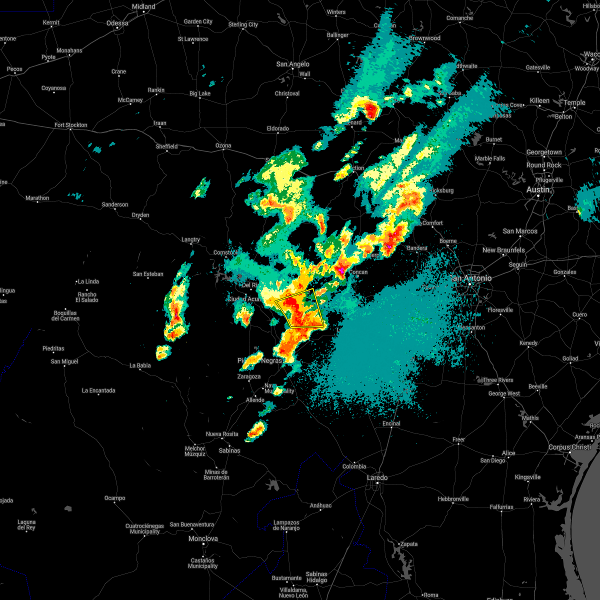 At 1145 pm cdt, a severe thunderstorm was located near brackettville, moving northeast at 55 mph (radar indicated). Hazards include 70 mph wind gusts and ping pong ball size hail. People and animals outdoors will be injured. expect hail damage to roofs, siding, windows, and vehicles. expect considerable tree damage. wind damage is also likely to mobile homes, roofs, and outbuildings. Locations impacted include, brackettville, spofford, anacacho, fort clark springs and laughlin afb aux field. At 1145 pm cdt, a severe thunderstorm was located near brackettville, moving northeast at 55 mph (radar indicated). Hazards include 70 mph wind gusts and ping pong ball size hail. People and animals outdoors will be injured. expect hail damage to roofs, siding, windows, and vehicles. expect considerable tree damage. wind damage is also likely to mobile homes, roofs, and outbuildings. Locations impacted include, brackettville, spofford, anacacho, fort clark springs and laughlin afb aux field.
|
| 4/28/2021 11:33 PM CDT |
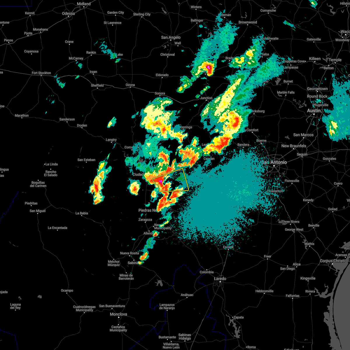 At 1133 pm cdt, a severe thunderstorm was located 12 miles west of spofford, moving east at 55 mph (radar indicated). Hazards include tennis ball size hail and 70 mph wind gusts. People and animals outdoors will be injured. expect hail damage to roofs, siding, windows, and vehicles. expect considerable tree damage. wind damage is also likely to mobile homes, roofs, and outbuildings. Locations impacted include, brackettville, spofford, anacacho, fort clark springs and laughlin afb aux field. At 1133 pm cdt, a severe thunderstorm was located 12 miles west of spofford, moving east at 55 mph (radar indicated). Hazards include tennis ball size hail and 70 mph wind gusts. People and animals outdoors will be injured. expect hail damage to roofs, siding, windows, and vehicles. expect considerable tree damage. wind damage is also likely to mobile homes, roofs, and outbuildings. Locations impacted include, brackettville, spofford, anacacho, fort clark springs and laughlin afb aux field.
|
| 4/28/2021 11:31 PM CDT |
 At 1130 pm cdt, a severe thunderstorm was located over paloma, or 13 miles north of eagle pass, moving north at 25 mph (radar indicated). Hazards include half dollar size hail. damage to vehicles is expected At 1130 pm cdt, a severe thunderstorm was located over paloma, or 13 miles north of eagle pass, moving north at 25 mph (radar indicated). Hazards include half dollar size hail. damage to vehicles is expected
|
| 4/28/2021 11:27 PM CDT |
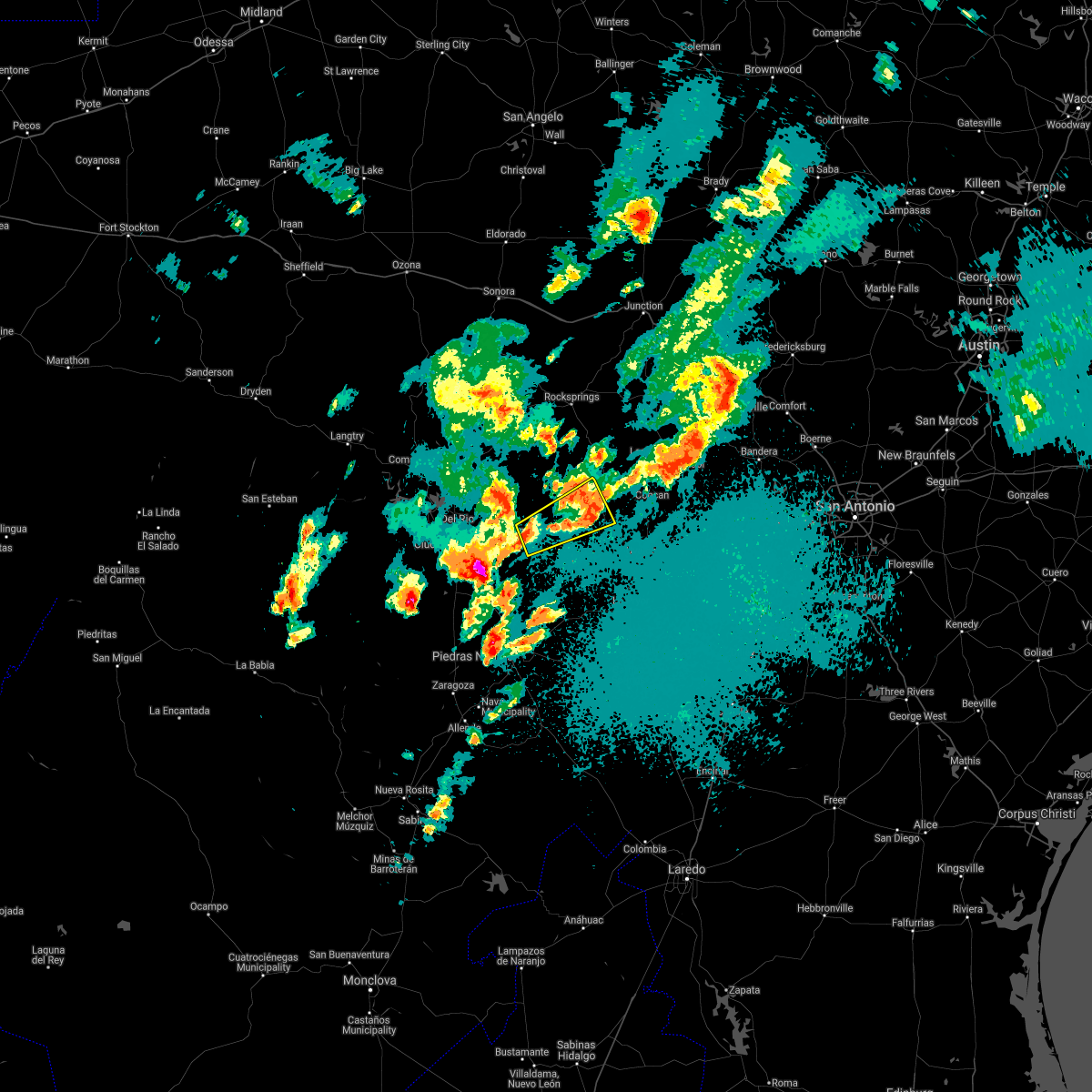 At 1127 pm cdt, a severe thunderstorm was located 8 miles east of alamo village, or 11 miles northeast of brackettville, moving northeast at 25 mph. additioanl storms are forming aloft in or near the warning area that may also be capable of quarter size hail (radar indicated). Hazards include quarter size hail. Damage to vehicles is expected. Locations impacted include, brackettville, laguna, alamo village, turkey mountain and fort clark springs. At 1127 pm cdt, a severe thunderstorm was located 8 miles east of alamo village, or 11 miles northeast of brackettville, moving northeast at 25 mph. additioanl storms are forming aloft in or near the warning area that may also be capable of quarter size hail (radar indicated). Hazards include quarter size hail. Damage to vehicles is expected. Locations impacted include, brackettville, laguna, alamo village, turkey mountain and fort clark springs.
|
| 4/28/2021 11:20 PM CDT |
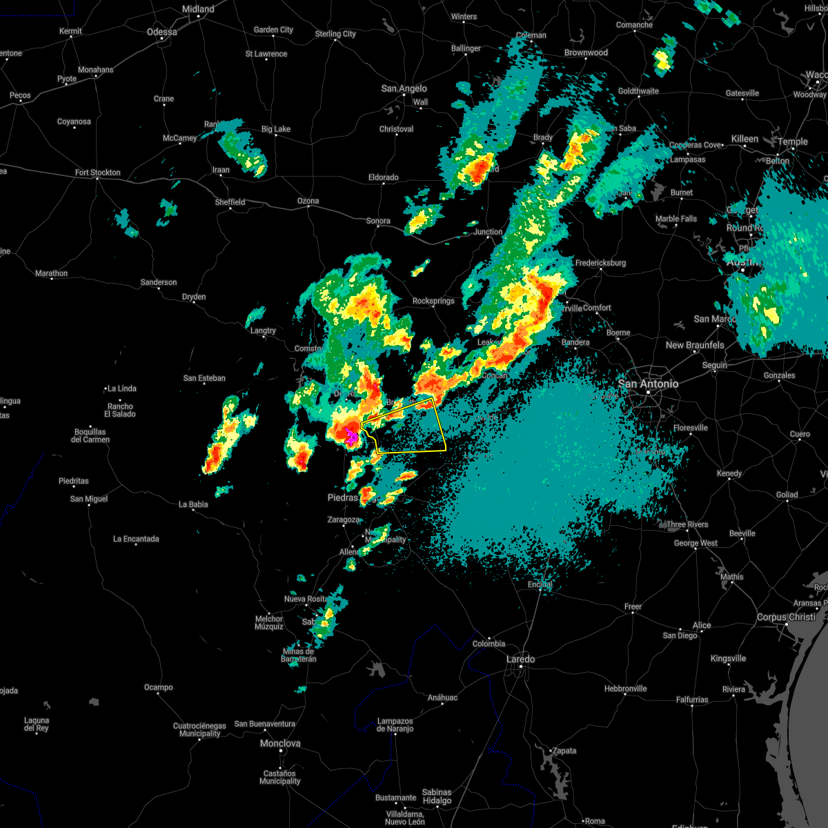 At 1119 pm cdt, a severe thunderstorm was located 16 miles northwest of quemado, moving east at 50 mph. this is a very dangerous storm (radar indicated). Hazards include baseball size hail and 60 mph wind gusts. People and animals outdoors will be severely injured. Expect shattered windows, extensive damage to roofs, siding, and vehicles. At 1119 pm cdt, a severe thunderstorm was located 16 miles northwest of quemado, moving east at 50 mph. this is a very dangerous storm (radar indicated). Hazards include baseball size hail and 60 mph wind gusts. People and animals outdoors will be severely injured. Expect shattered windows, extensive damage to roofs, siding, and vehicles.
|
| 4/28/2021 11:02 PM CDT |
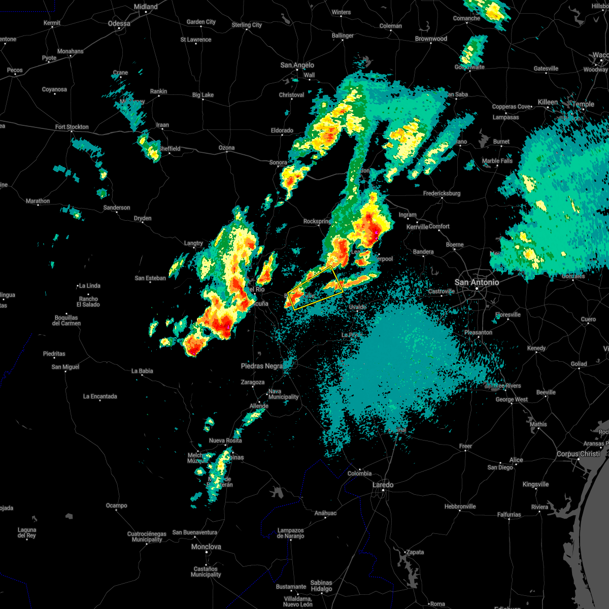 At 1102 pm cdt, a severe thunderstorm was located over brackettville, moving northeast at 25 mph (radar indicated). Hazards include quarter size hail. damage to vehicles is expected At 1102 pm cdt, a severe thunderstorm was located over brackettville, moving northeast at 25 mph (radar indicated). Hazards include quarter size hail. damage to vehicles is expected
|
| 4/28/2021 7:29 PM CDT |
 At 729 pm cdt, a severe thunderstorm was located near standart, or 7 miles west of brackettville, moving east at 45 mph (radar indicated). Hazards include two inch hail and 60 mph wind gusts. People and animals outdoors will be injured. expect hail damage to roofs, siding, windows, and vehicles. Expect wind damage to roofs, siding, and trees. At 729 pm cdt, a severe thunderstorm was located near standart, or 7 miles west of brackettville, moving east at 45 mph (radar indicated). Hazards include two inch hail and 60 mph wind gusts. People and animals outdoors will be injured. expect hail damage to roofs, siding, windows, and vehicles. Expect wind damage to roofs, siding, and trees.
|
| 4/28/2021 7:19 PM CDT |
 At 719 pm cdt, a severe thunderstorm was located near brackettville, moving east at 70 mph (radar indicated). Hazards include 60 mph wind gusts and half dollar size hail. Hail damage to vehicles is expected. expect wind damage to roofs, siding, and trees. Locations impacted include, del rio, brackettville, val verde park, standart, amanda, laughlin afb, escondido estates and fort clark springs. At 719 pm cdt, a severe thunderstorm was located near brackettville, moving east at 70 mph (radar indicated). Hazards include 60 mph wind gusts and half dollar size hail. Hail damage to vehicles is expected. expect wind damage to roofs, siding, and trees. Locations impacted include, del rio, brackettville, val verde park, standart, amanda, laughlin afb, escondido estates and fort clark springs.
|
| 4/28/2021 7:04 PM CDT |
 At 704 pm cdt, a severe thunderstorm was located near laughlin afb, or 9 miles southeast of del rio, moving northeast at 40 mph (radar indicated). Hazards include 60 mph wind gusts and half dollar size hail. Hail damage to vehicles is expected. expect wind damage to roofs, siding, and trees. Locations impacted include, del rio, brackettville, val verde park, standart, cienegas terrace, amanda, laughlin afb, escondido estates and fort clark springs. At 704 pm cdt, a severe thunderstorm was located near laughlin afb, or 9 miles southeast of del rio, moving northeast at 40 mph (radar indicated). Hazards include 60 mph wind gusts and half dollar size hail. Hail damage to vehicles is expected. expect wind damage to roofs, siding, and trees. Locations impacted include, del rio, brackettville, val verde park, standart, cienegas terrace, amanda, laughlin afb, escondido estates and fort clark springs.
|
| 4/28/2021 6:47 PM CDT |
 At 646 pm cdt, a severe thunderstorm was located 11 miles south of del rio, moving northeast at 40 mph (radar indicated). Hazards include ping pong ball size hail and 60 mph wind gusts. People and animals outdoors will be injured. expect hail damage to roofs, siding, windows, and vehicles. Expect wind damage to roofs, siding, and trees. At 646 pm cdt, a severe thunderstorm was located 11 miles south of del rio, moving northeast at 40 mph (radar indicated). Hazards include ping pong ball size hail and 60 mph wind gusts. People and animals outdoors will be injured. expect hail damage to roofs, siding, windows, and vehicles. Expect wind damage to roofs, siding, and trees.
|
| 4/28/2021 6:09 PM CDT |
 At 608 pm cdt, a pair of severe thunderstorms were located over brackettville and a few miles north of cline, moving east at 40 mph (radar indicated). Hazards include two inch hail and 70 mph wind gusts. People and animals outdoors will be injured. expect hail damage to roofs, siding, windows, and vehicles. expect considerable tree damage. Wind damage is also likely to mobile homes, roofs, and outbuildings. At 608 pm cdt, a pair of severe thunderstorms were located over brackettville and a few miles north of cline, moving east at 40 mph (radar indicated). Hazards include two inch hail and 70 mph wind gusts. People and animals outdoors will be injured. expect hail damage to roofs, siding, windows, and vehicles. expect considerable tree damage. Wind damage is also likely to mobile homes, roofs, and outbuildings.
|
| 4/28/2021 5:53 PM CDT |
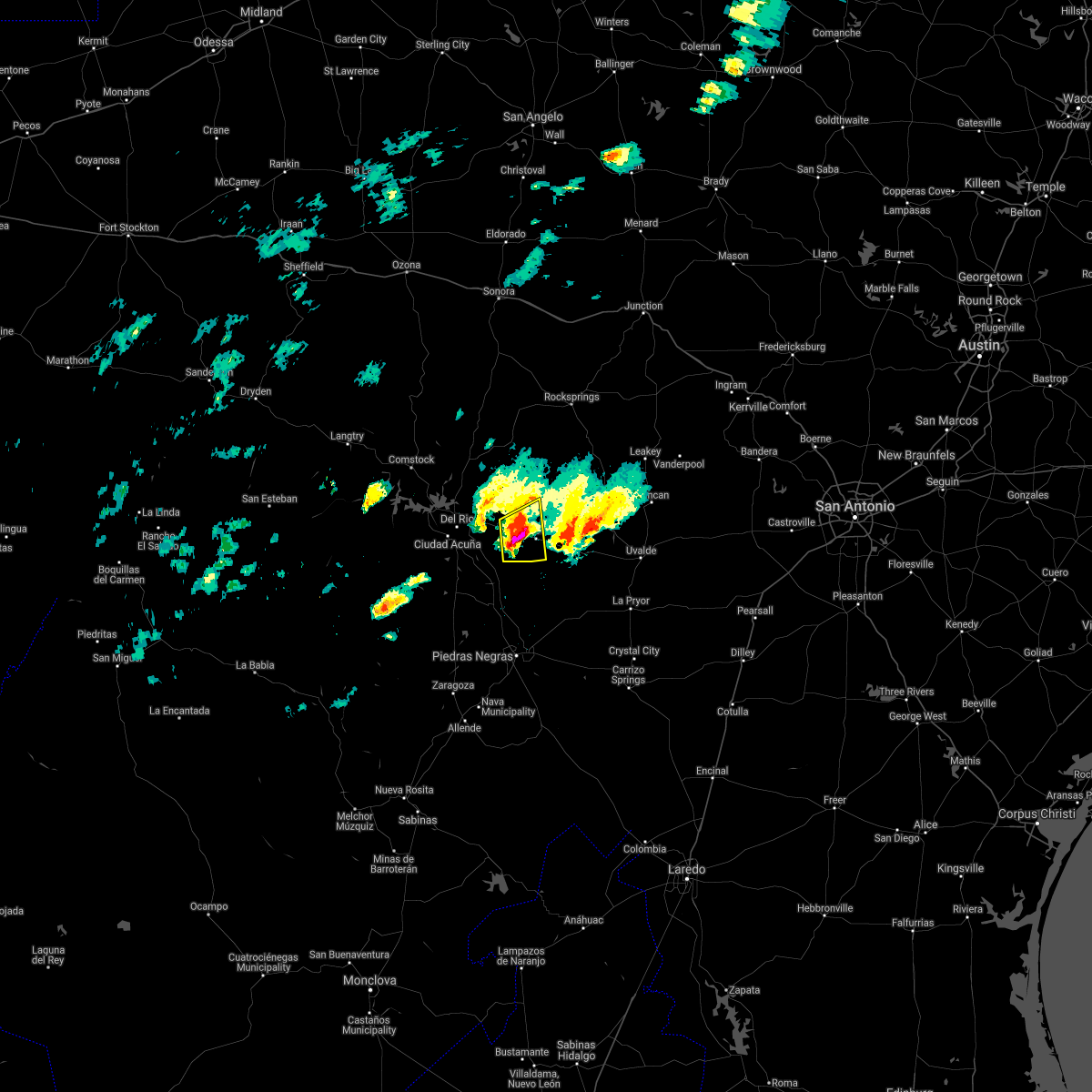 At 553 pm cdt, a severe thunderstorm was located near standart, or near brackettville, moving east at 45 mph (radar indicated). Hazards include tennis ball size hail and 70 mph wind gusts. People and animals outdoors will be injured. expect hail damage to roofs, siding, windows, and vehicles. expect considerable tree damage. wind damage is also likely to mobile homes, roofs, and outbuildings. Locations impacted include, brackettville, standart, alamo village and fort clark springs. At 553 pm cdt, a severe thunderstorm was located near standart, or near brackettville, moving east at 45 mph (radar indicated). Hazards include tennis ball size hail and 70 mph wind gusts. People and animals outdoors will be injured. expect hail damage to roofs, siding, windows, and vehicles. expect considerable tree damage. wind damage is also likely to mobile homes, roofs, and outbuildings. Locations impacted include, brackettville, standart, alamo village and fort clark springs.
|
| 4/28/2021 5:49 PM CDT |
 At 549 pm cdt, a severe thunderstorm was located near standart, or 9 miles west of brackettville, moving east at 50 mph (radar indicated). Hazards include golf ball size hail and 60 mph wind gusts. People and animals outdoors will be injured. expect hail damage to roofs, siding, windows, and vehicles. expect wind damage to roofs, siding, and trees. Locations impacted include, del rio, brackettville, standart, alamo village, amanda, laughlin afb, escondido estates and fort clark springs. At 549 pm cdt, a severe thunderstorm was located near standart, or 9 miles west of brackettville, moving east at 50 mph (radar indicated). Hazards include golf ball size hail and 60 mph wind gusts. People and animals outdoors will be injured. expect hail damage to roofs, siding, windows, and vehicles. expect wind damage to roofs, siding, and trees. Locations impacted include, del rio, brackettville, standart, alamo village, amanda, laughlin afb, escondido estates and fort clark springs.
|
| 4/28/2021 5:40 PM CDT |
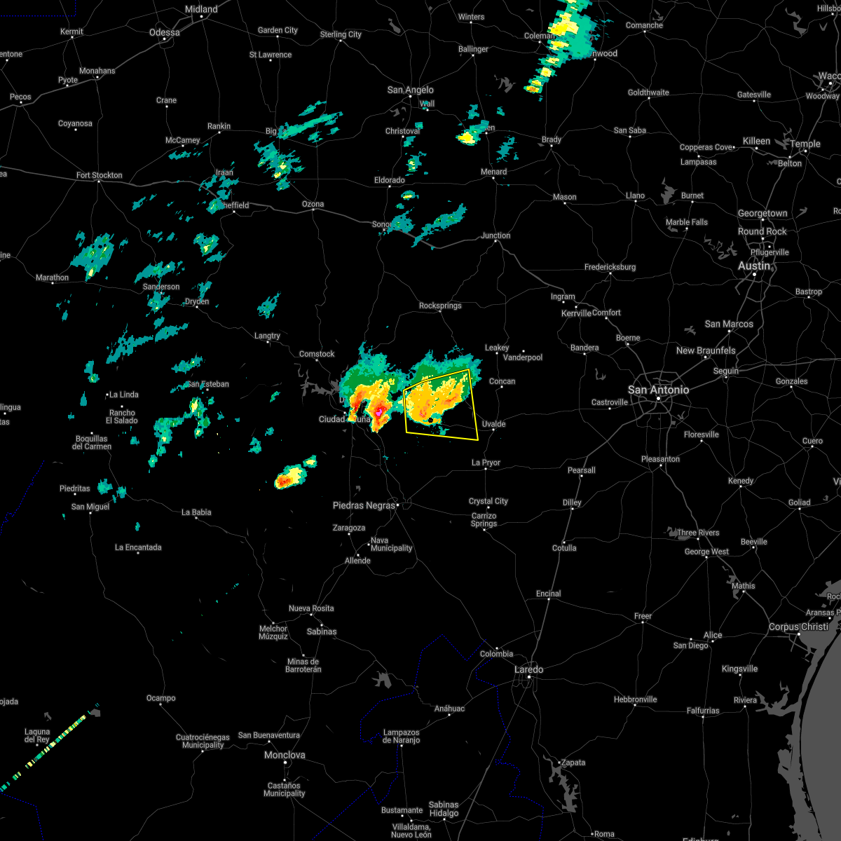 At 540 pm cdt, a severe thunderstorm was located near brackettville, moving east at 50 mph (public). Hazards include 70 mph wind gusts and half dollar size hail. Hail damage to vehicles is expected. expect considerable tree damage. wind damage is also likely to mobile homes, roofs, and outbuildings. Locations impacted include, brackettville, laguna, montell, dabney, blewett, cline, anacacho, alamo village, turkey mountain and fort clark springs. At 540 pm cdt, a severe thunderstorm was located near brackettville, moving east at 50 mph (public). Hazards include 70 mph wind gusts and half dollar size hail. Hail damage to vehicles is expected. expect considerable tree damage. wind damage is also likely to mobile homes, roofs, and outbuildings. Locations impacted include, brackettville, laguna, montell, dabney, blewett, cline, anacacho, alamo village, turkey mountain and fort clark springs.
|
| 4/28/2021 5:38 PM CDT |
 At 538 pm cdt, a severe thunderstorm was located near laughlin afb, or 10 miles east of del rio, moving east at 45 mph (radar indicated). Hazards include 60 mph wind gusts and half dollar size hail. Hail damage to vehicles is expected. Expect wind damage to roofs, siding, and trees. At 538 pm cdt, a severe thunderstorm was located near laughlin afb, or 10 miles east of del rio, moving east at 45 mph (radar indicated). Hazards include 60 mph wind gusts and half dollar size hail. Hail damage to vehicles is expected. Expect wind damage to roofs, siding, and trees.
|
| 4/28/2021 5:25 PM CDT |
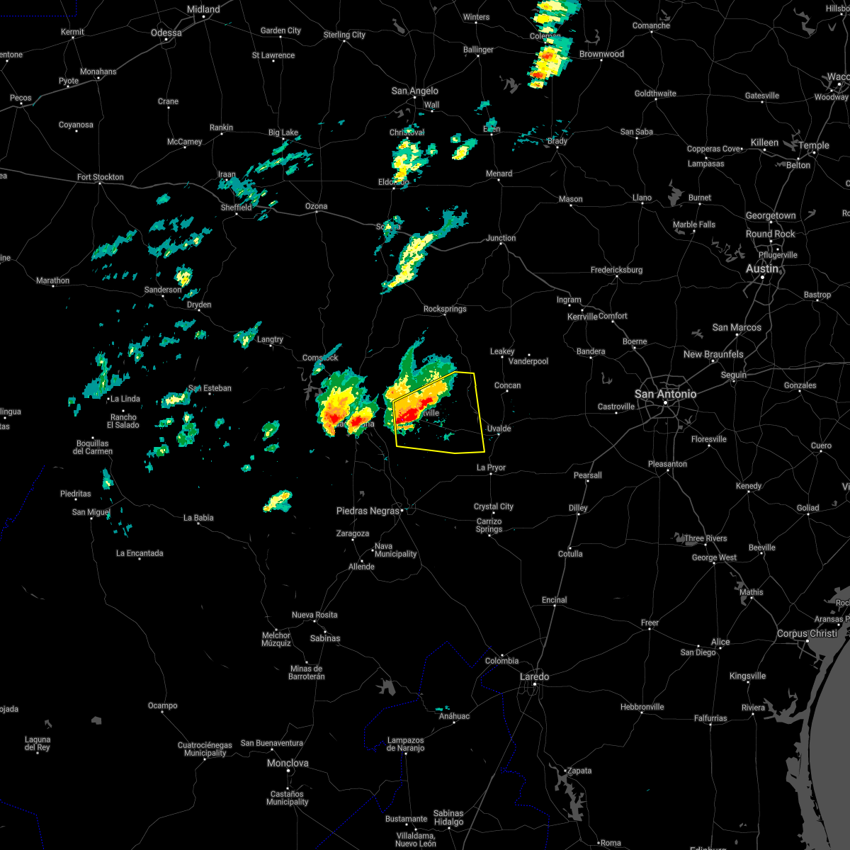 At 525 pm cdt, a severe thunderstorm was located near brackettville, moving east at 30 mph (radar indicated). Hazards include golf ball size hail and 70 mph wind gusts. People and animals outdoors will be injured. expect hail damage to roofs, siding, windows, and vehicles. expect considerable tree damage. Wind damage is also likely to mobile homes, roofs, and outbuildings. At 525 pm cdt, a severe thunderstorm was located near brackettville, moving east at 30 mph (radar indicated). Hazards include golf ball size hail and 70 mph wind gusts. People and animals outdoors will be injured. expect hail damage to roofs, siding, windows, and vehicles. expect considerable tree damage. Wind damage is also likely to mobile homes, roofs, and outbuildings.
|
| 4/28/2021 5:20 PM CDT |
 At 520 pm cdt, a severe thunderstorm was located near standart, or 7 miles west of brackettville, moving east at 35 mph (public). Hazards include two inch hail and 70 mph wind gusts. People and animals outdoors will be injured. expect hail damage to roofs, siding, windows, and vehicles. expect considerable tree damage. wind damage is also likely to mobile homes, roofs, and outbuildings. Locations impacted include, brackettville, spofford, anacacho, standart, alamo village and fort clark springs. At 520 pm cdt, a severe thunderstorm was located near standart, or 7 miles west of brackettville, moving east at 35 mph (public). Hazards include two inch hail and 70 mph wind gusts. People and animals outdoors will be injured. expect hail damage to roofs, siding, windows, and vehicles. expect considerable tree damage. wind damage is also likely to mobile homes, roofs, and outbuildings. Locations impacted include, brackettville, spofford, anacacho, standart, alamo village and fort clark springs.
|
| 4/28/2021 5:08 PM CDT |
 At 508 pm cdt, a severe thunderstorm was located near standart, or 14 miles east of del rio, moving east at 40 mph (public). Hazards include tennis ball size hail and 70 mph wind gusts. People and animals outdoors will be injured. expect hail damage to roofs, siding, windows, and vehicles. expect considerable tree damage. wind damage is also likely to mobile homes, roofs, and outbuildings. Locations impacted include, brackettville, spofford, anacacho, standart, alamo village, amanda, laughlin afb, escondido estates, fort clark springs and kickapoo cavern state park. At 508 pm cdt, a severe thunderstorm was located near standart, or 14 miles east of del rio, moving east at 40 mph (public). Hazards include tennis ball size hail and 70 mph wind gusts. People and animals outdoors will be injured. expect hail damage to roofs, siding, windows, and vehicles. expect considerable tree damage. wind damage is also likely to mobile homes, roofs, and outbuildings. Locations impacted include, brackettville, spofford, anacacho, standart, alamo village, amanda, laughlin afb, escondido estates, fort clark springs and kickapoo cavern state park.
|
| 4/28/2021 4:53 PM CDT |
 At 453 pm cdt, a severe thunderstorm was located near amanda, or 9 miles east of del rio, moving east at 35 mph. this is a very dangerous storm (public). Hazards include three inch hail and 60 mph wind gusts. People and animals outdoors will be severely injured. expect shattered windows, extensive damage to roofs, siding, and vehicles. Locations impacted include, del rio, brackettville, spofford, lake view, amanda, laughlin afb, val verde park, anacacho, standart, alamo village, cienegas terrace, kickapoo cavern state park, escondido estates, fort clark springs and lake ridge ranch. At 453 pm cdt, a severe thunderstorm was located near amanda, or 9 miles east of del rio, moving east at 35 mph. this is a very dangerous storm (public). Hazards include three inch hail and 60 mph wind gusts. People and animals outdoors will be severely injured. expect shattered windows, extensive damage to roofs, siding, and vehicles. Locations impacted include, del rio, brackettville, spofford, lake view, amanda, laughlin afb, val verde park, anacacho, standart, alamo village, cienegas terrace, kickapoo cavern state park, escondido estates, fort clark springs and lake ridge ranch.
|
| 4/28/2021 4:43 PM CDT |
 At 443 pm cdt, a severe thunderstorm was located over val verde park, or near del rio, moving east at 35 mph (radar indicated). Hazards include tennis ball size hail and 60 mph wind gusts. People and animals outdoors will be injured. expect hail damage to roofs, siding, windows, and vehicles. expect wind damage to roofs, siding, and trees. Locations impacted include, del rio, brackettville, spofford, lake view, amanda, laughlin afb, val verde park, anacacho, standart, alamo village, cienegas terrace, kickapoo cavern state park, escondido estates, fort clark springs and lake ridge ranch. At 443 pm cdt, a severe thunderstorm was located over val verde park, or near del rio, moving east at 35 mph (radar indicated). Hazards include tennis ball size hail and 60 mph wind gusts. People and animals outdoors will be injured. expect hail damage to roofs, siding, windows, and vehicles. expect wind damage to roofs, siding, and trees. Locations impacted include, del rio, brackettville, spofford, lake view, amanda, laughlin afb, val verde park, anacacho, standart, alamo village, cienegas terrace, kickapoo cavern state park, escondido estates, fort clark springs and lake ridge ranch.
|
| 4/28/2021 4:29 PM CDT |
 At 429 pm cdt, a severe thunderstorm was located near cienegas terrace, or 7 miles southwest of del rio, moving east at 35 mph (radar indicated). Hazards include golf ball size hail and 60 mph wind gusts. People and animals outdoors will be injured. expect hail damage to roofs, siding, windows, and vehicles. Expect wind damage to roofs, siding, and trees. At 429 pm cdt, a severe thunderstorm was located near cienegas terrace, or 7 miles southwest of del rio, moving east at 35 mph (radar indicated). Hazards include golf ball size hail and 60 mph wind gusts. People and animals outdoors will be injured. expect hail damage to roofs, siding, windows, and vehicles. Expect wind damage to roofs, siding, and trees.
|
| 4/15/2021 9:32 AM CDT |
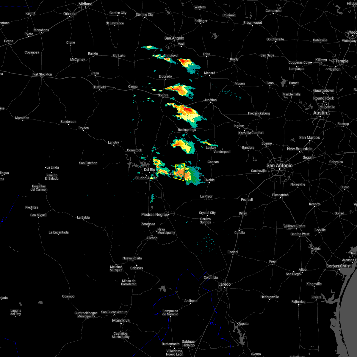 At 932 am cdt, a severe thunderstorm was located near alamo village, or 7 miles northeast of brackettville, moving east at 15 mph (radar indicated). Hazards include 60 mph wind gusts and quarter size hail. Hail damage to vehicles is expected. expect wind damage to roofs, siding, and trees. Locations impacted include, brackettville, alamo village, and fort clark springs. At 932 am cdt, a severe thunderstorm was located near alamo village, or 7 miles northeast of brackettville, moving east at 15 mph (radar indicated). Hazards include 60 mph wind gusts and quarter size hail. Hail damage to vehicles is expected. expect wind damage to roofs, siding, and trees. Locations impacted include, brackettville, alamo village, and fort clark springs.
|
| 4/15/2021 9:05 AM CDT |
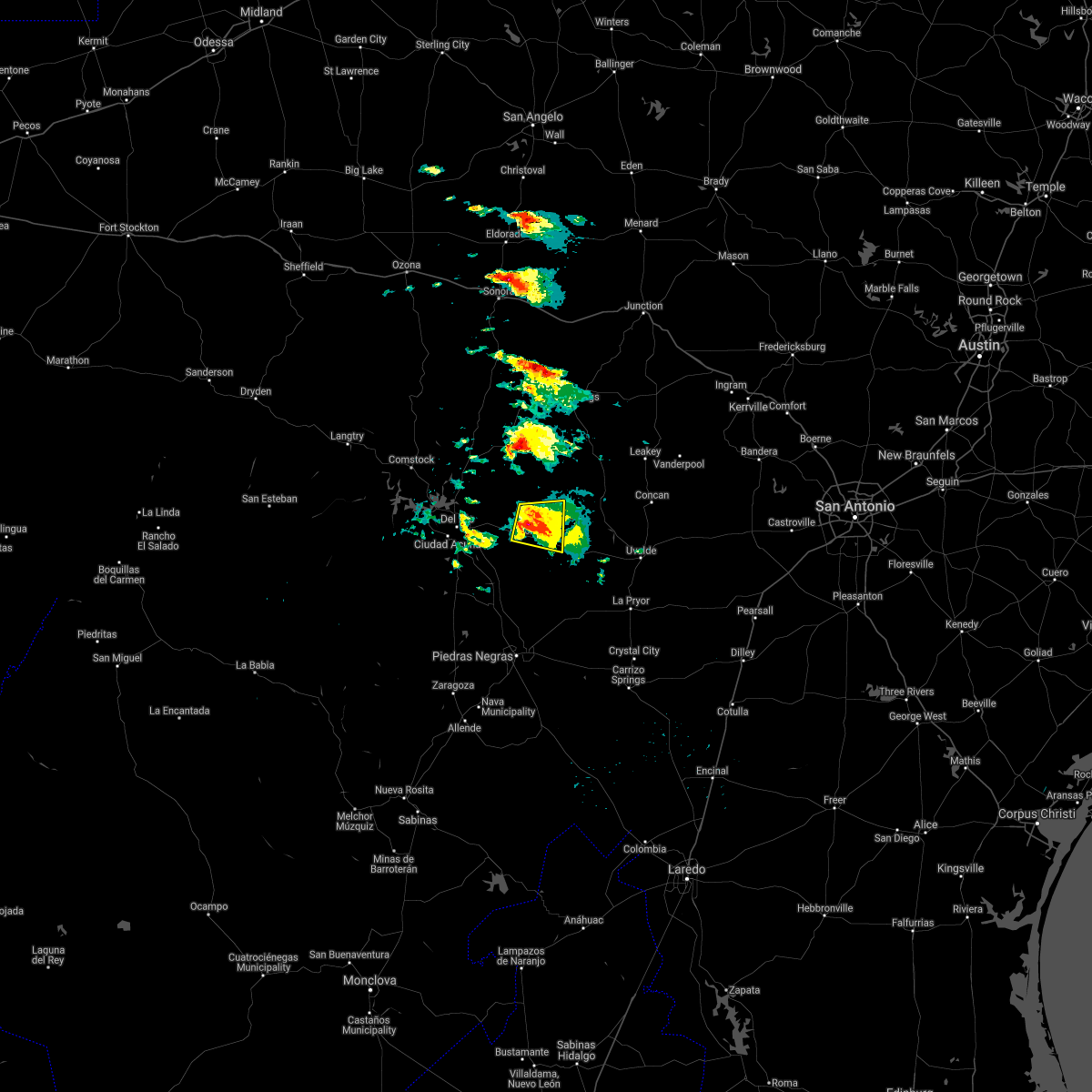 At 905 am cdt, a severe thunderstorm was located near alamo village, or near brackettville, moving east at 15 mph (radar indicated). Hazards include 60 mph wind gusts and quarter size hail. Hail damage to vehicles is expected. expect wind damage to roofs, siding, and trees. Locations impacted include, brackettville, alamo village and fort clark springs. At 905 am cdt, a severe thunderstorm was located near alamo village, or near brackettville, moving east at 15 mph (radar indicated). Hazards include 60 mph wind gusts and quarter size hail. Hail damage to vehicles is expected. expect wind damage to roofs, siding, and trees. Locations impacted include, brackettville, alamo village and fort clark springs.
|
| 4/15/2021 8:40 AM CDT |
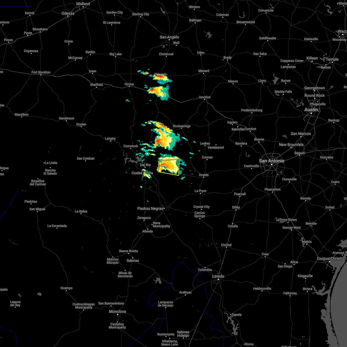 At 839 am cdt, a severe thunderstorm was located near standart, or 10 miles northwest of brackettville, moving east at 15 mph (radar indicated). Hazards include 60 mph wind gusts and quarter size hail. Hail damage to vehicles is expected. Expect wind damage to roofs, siding, and trees. At 839 am cdt, a severe thunderstorm was located near standart, or 10 miles northwest of brackettville, moving east at 15 mph (radar indicated). Hazards include 60 mph wind gusts and quarter size hail. Hail damage to vehicles is expected. Expect wind damage to roofs, siding, and trees.
|
| 3/25/2021 1:15 AM CDT |
 At 115 am cdt, a severe thunderstorm was located near montell, or 23 miles northeast of brackettville, moving east at 40 mph (radar indicated). Hazards include 60 mph wind gusts and quarter size hail. Hail damage to vehicles is expected. expect wind damage to roofs, siding, and trees. Locations impacted include, brackettville, leakey, vanderpool, camp wood, laguna, barksdale, tuff, rio frio, concan, vance, montell, cline, garner state park, reagan wells, utopia, alamo village, lost maples state natural area, turkey mountain and fort clark springs. At 115 am cdt, a severe thunderstorm was located near montell, or 23 miles northeast of brackettville, moving east at 40 mph (radar indicated). Hazards include 60 mph wind gusts and quarter size hail. Hail damage to vehicles is expected. expect wind damage to roofs, siding, and trees. Locations impacted include, brackettville, leakey, vanderpool, camp wood, laguna, barksdale, tuff, rio frio, concan, vance, montell, cline, garner state park, reagan wells, utopia, alamo village, lost maples state natural area, turkey mountain and fort clark springs.
|
| 3/25/2021 12:54 AM CDT |
 At 1253 am cdt, a severe thunderstorm was located near alamo village, or 11 miles northeast of brackettville, moving east at 40 mph (radar indicated). Hazards include 60 mph wind gusts and quarter size hail. Hail damage to vehicles is expected. expect wind damage to roofs, siding, and trees. Locations impacted include, brackettville, leakey, vanderpool, camp wood, laguna, barksdale, tuff, rio frio, concan, vance, montell, cline, garner state park, reagan wells, standart, utopia, alamo village, lost maples state natural area, kickapoo cavern state park and turkey mountain. At 1253 am cdt, a severe thunderstorm was located near alamo village, or 11 miles northeast of brackettville, moving east at 40 mph (radar indicated). Hazards include 60 mph wind gusts and quarter size hail. Hail damage to vehicles is expected. expect wind damage to roofs, siding, and trees. Locations impacted include, brackettville, leakey, vanderpool, camp wood, laguna, barksdale, tuff, rio frio, concan, vance, montell, cline, garner state park, reagan wells, standart, utopia, alamo village, lost maples state natural area, kickapoo cavern state park and turkey mountain.
|
| 3/25/2021 12:44 AM CDT |
 At 1243 am cdt, a severe thunderstorm was located near barksdale, or 21 miles west of leakey, moving east at 40 mph (radar indicated). Hazards include 60 mph wind gusts and quarter size hail. Hail damage to vehicles is expected. Expect wind damage to roofs, siding, and trees. At 1243 am cdt, a severe thunderstorm was located near barksdale, or 21 miles west of leakey, moving east at 40 mph (radar indicated). Hazards include 60 mph wind gusts and quarter size hail. Hail damage to vehicles is expected. Expect wind damage to roofs, siding, and trees.
|
| 3/25/2021 12:34 AM CDT |
 At 1234 am cdt, a severe thunderstorm was located 13 miles west of barksdale, or 23 miles south of rocksprings, moving east at 30 mph (radar indicated). Hazards include 60 mph wind gusts and quarter size hail. Hail damage to vehicles is expected. expect wind damage to roofs, siding, and trees. Locations impacted include, del rio, brackettville, spofford, barksdale, amanda, laughlin afb, val verde park, anacacho, standart, alamo village, cienegas terrace, kickapoo cavern state park, turkey mountain, escondido estates and fort clark springs. At 1234 am cdt, a severe thunderstorm was located 13 miles west of barksdale, or 23 miles south of rocksprings, moving east at 30 mph (radar indicated). Hazards include 60 mph wind gusts and quarter size hail. Hail damage to vehicles is expected. expect wind damage to roofs, siding, and trees. Locations impacted include, del rio, brackettville, spofford, barksdale, amanda, laughlin afb, val verde park, anacacho, standart, alamo village, cienegas terrace, kickapoo cavern state park, turkey mountain, escondido estates and fort clark springs.
|
| 3/25/2021 12:12 AM CDT |
 At 1212 am cdt, a severe thunderstorm was located 17 miles north of alamo village, or 24 miles north of brackettville, moving east at 25 mph (radar indicated). Hazards include 60 mph wind gusts and quarter size hail. Hail damage to vehicles is expected. expect wind damage to roofs, siding, and trees. Locations impacted include, del rio, brackettville, spofford, lake view, barksdale, amanda, laughlin afb, val verde park, anacacho, standart, alamo village, cienegas terrace, kickapoo cavern state park, 277 south boat ramp, 277 north campground, san pedro canyon, turkey mountain, escondido estates, fort clark springs and lake ridge ranch. At 1212 am cdt, a severe thunderstorm was located 17 miles north of alamo village, or 24 miles north of brackettville, moving east at 25 mph (radar indicated). Hazards include 60 mph wind gusts and quarter size hail. Hail damage to vehicles is expected. expect wind damage to roofs, siding, and trees. Locations impacted include, del rio, brackettville, spofford, lake view, barksdale, amanda, laughlin afb, val verde park, anacacho, standart, alamo village, cienegas terrace, kickapoo cavern state park, 277 south boat ramp, 277 north campground, san pedro canyon, turkey mountain, escondido estates, fort clark springs and lake ridge ranch.
|
| 3/24/2021 11:51 PM CDT |
 At 1150 pm cdt, a severe thunderstorm was located 11 miles southeast of carta valley, or 21 miles southeast of loma alta, moving east at 30 mph (radar indicated). Hazards include 60 mph wind gusts and quarter size hail. Hail damage to vehicles is expected. Expect wind damage to roofs, siding, and trees. At 1150 pm cdt, a severe thunderstorm was located 11 miles southeast of carta valley, or 21 miles southeast of loma alta, moving east at 30 mph (radar indicated). Hazards include 60 mph wind gusts and quarter size hail. Hail damage to vehicles is expected. Expect wind damage to roofs, siding, and trees.
|
| 9/3/2020 6:22 PM CDT |
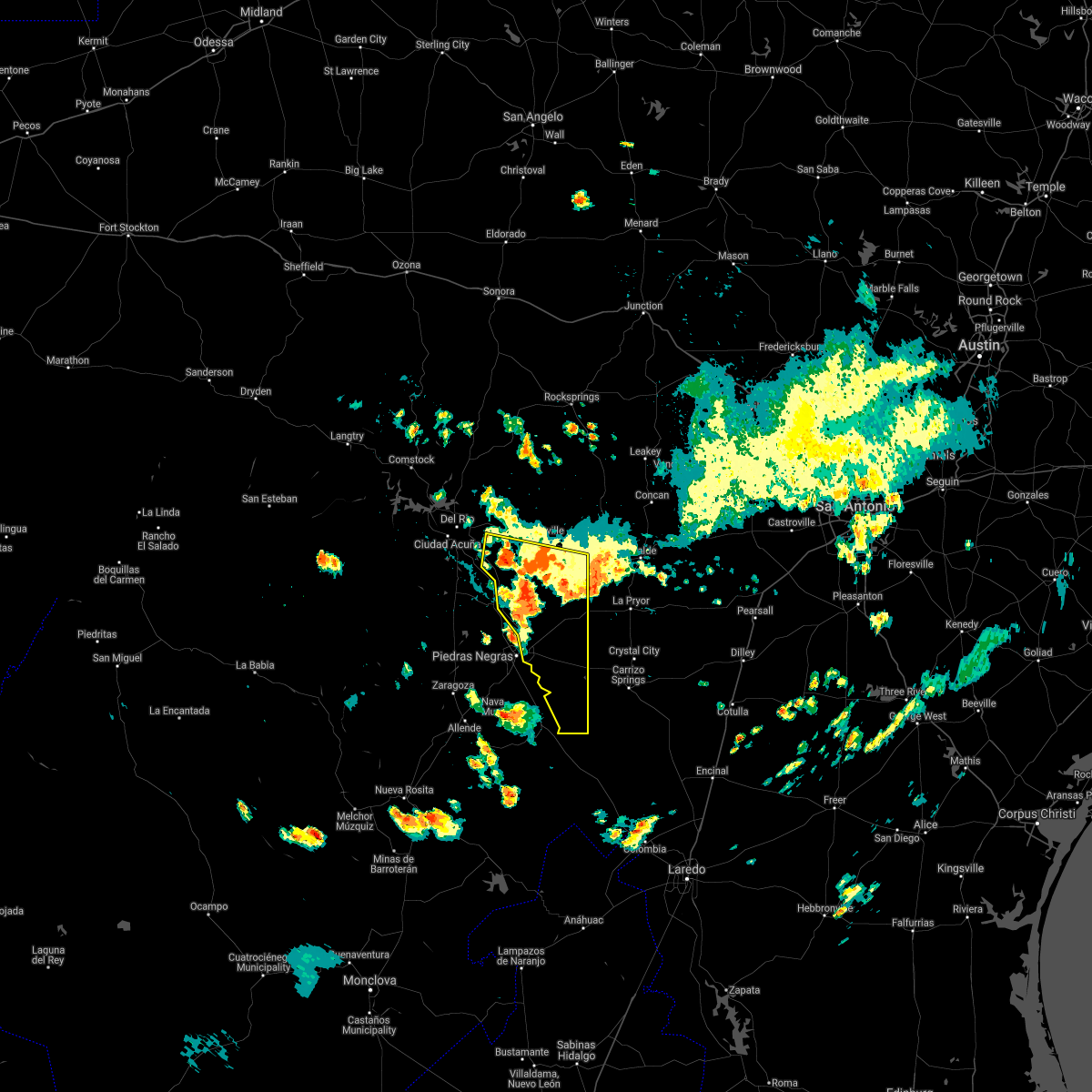 At 621 pm cdt, severe thunderstorms were located along a line extending from 14 miles southwest of standart to quemado to near paloma to 11 miles northwest of cometa, moving south at 35 mph. damaging winds may occur out ahead of where it is raining (radar indicated). Hazards include 60 mph wind gusts and nickel size hail. expect damage to roofs, siding, and trees At 621 pm cdt, severe thunderstorms were located along a line extending from 14 miles southwest of standart to quemado to near paloma to 11 miles northwest of cometa, moving south at 35 mph. damaging winds may occur out ahead of where it is raining (radar indicated). Hazards include 60 mph wind gusts and nickel size hail. expect damage to roofs, siding, and trees
|
| 9/3/2020 5:40 PM CDT |
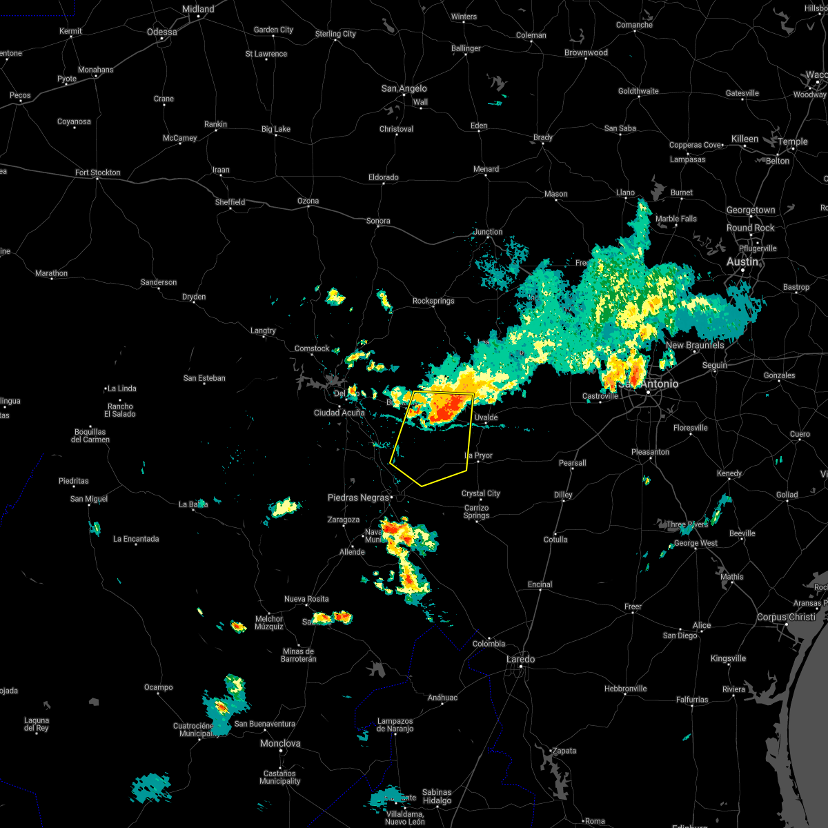 At 540 pm cdt, severe thunderstorms were located along a line extending from near spofford to near dabney to near blewett, moving south at 25 mph (radar indicated). Hazards include 60 mph wind gusts and penny size hail. expect damage to roofs, siding, and trees At 540 pm cdt, severe thunderstorms were located along a line extending from near spofford to near dabney to near blewett, moving south at 25 mph (radar indicated). Hazards include 60 mph wind gusts and penny size hail. expect damage to roofs, siding, and trees
|
| 9/3/2020 5:28 PM CDT |
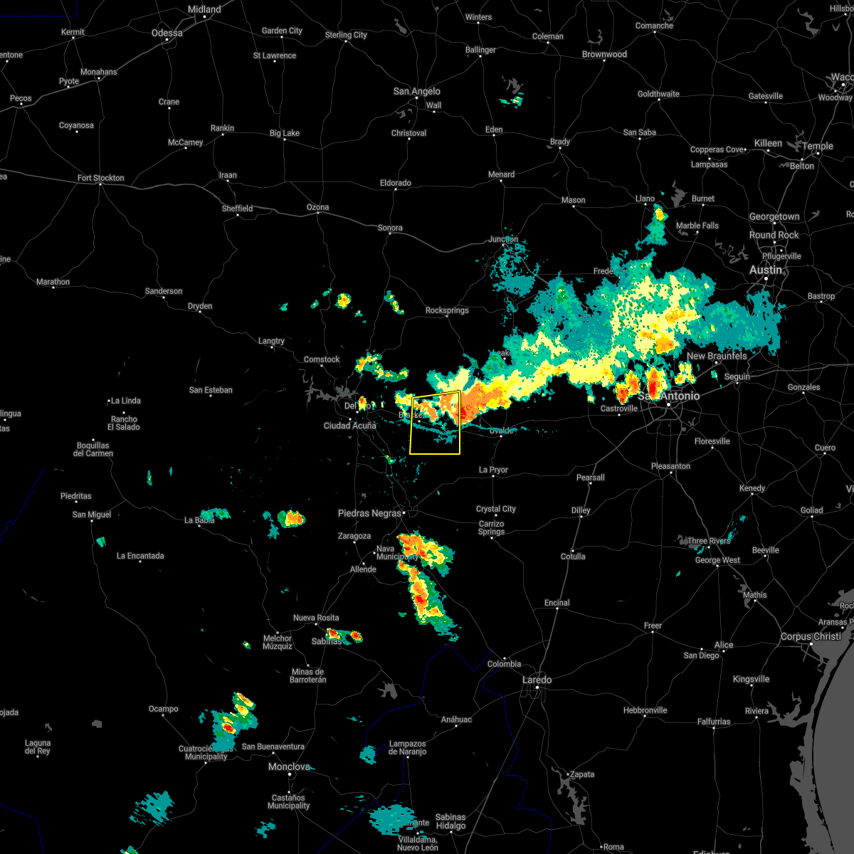 At 528 pm cdt, severe thunderstorms were located along a line extending from near cline to near anacacho to near brackettville, moving south at 30 mph (radar indicated). Hazards include 60 mph wind gusts. Expect damage to roofs, siding, and trees. Locations impacted include, brackettville, spofford, anacacho, alamo village, turkey mountain, fort clark springs and laughlin afb aux field. At 528 pm cdt, severe thunderstorms were located along a line extending from near cline to near anacacho to near brackettville, moving south at 30 mph (radar indicated). Hazards include 60 mph wind gusts. Expect damage to roofs, siding, and trees. Locations impacted include, brackettville, spofford, anacacho, alamo village, turkey mountain, fort clark springs and laughlin afb aux field.
|
| 9/3/2020 5:01 PM CDT |
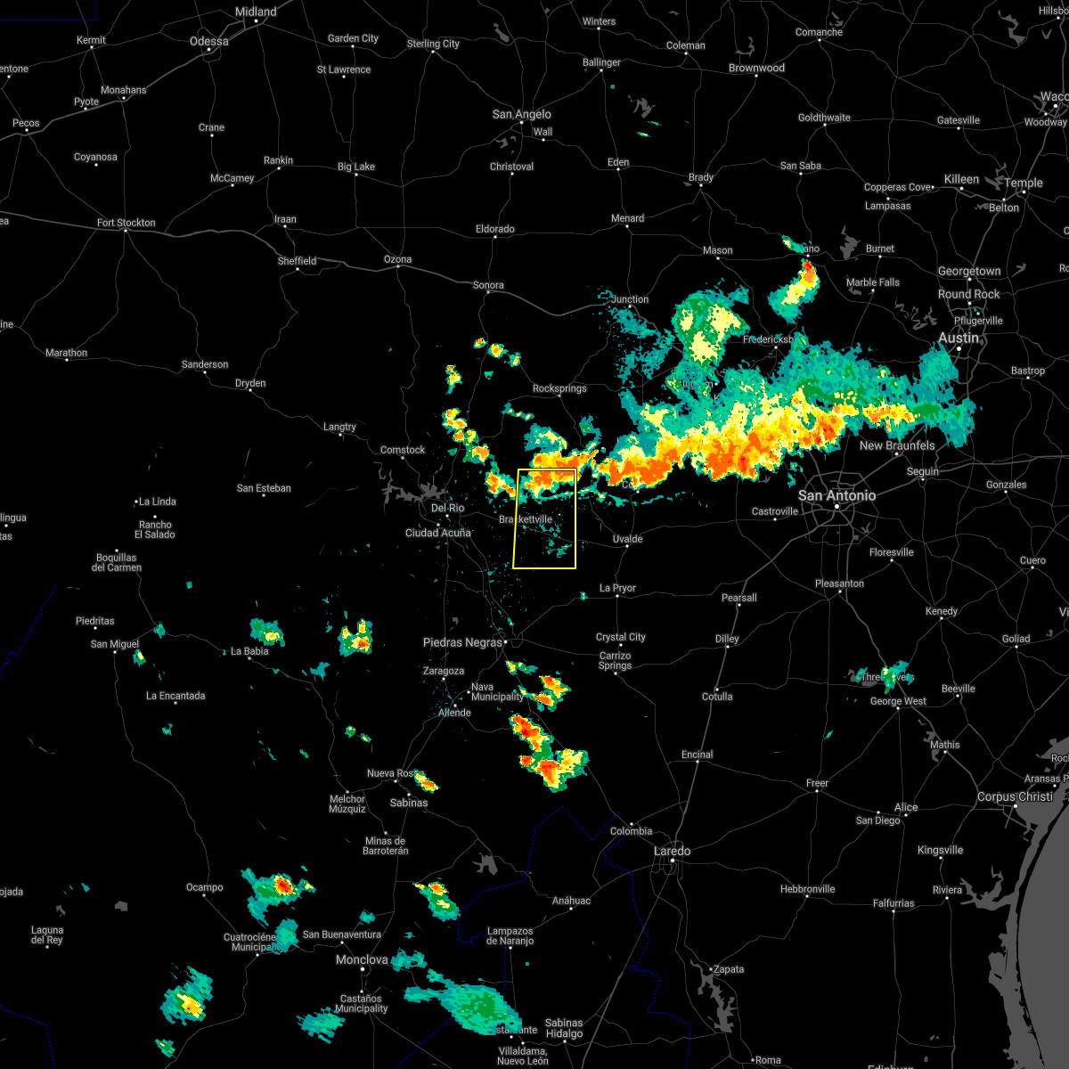 At 501 pm cdt, severe thunderstorms were located along a line extending from 6 miles west of laguna to 10 miles northeast of brackettville to near alamo village, moving south at 30 mph (radar indicated). Hazards include 60 mph wind gusts. expect damage to roofs, siding, and trees At 501 pm cdt, severe thunderstorms were located along a line extending from 6 miles west of laguna to 10 miles northeast of brackettville to near alamo village, moving south at 30 mph (radar indicated). Hazards include 60 mph wind gusts. expect damage to roofs, siding, and trees
|
| 8/18/2020 4:45 PM CDT |
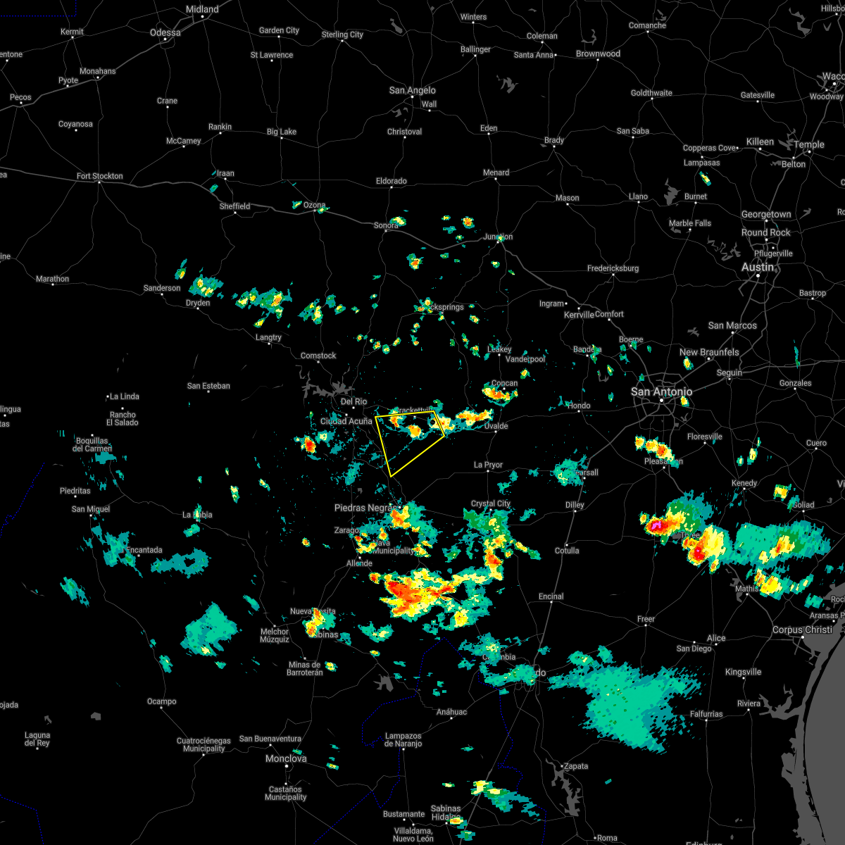 At 444 pm cdt, a severe thunderstorm was located near anacacho, or 7 miles northeast of spofford, moving southwest at 15 mph (radar indicated). Hazards include 60 mph wind gusts and quarter size hail. Hail damage to vehicles is expected. Expect wind damage to roofs, siding, and trees. At 444 pm cdt, a severe thunderstorm was located near anacacho, or 7 miles northeast of spofford, moving southwest at 15 mph (radar indicated). Hazards include 60 mph wind gusts and quarter size hail. Hail damage to vehicles is expected. Expect wind damage to roofs, siding, and trees.
|
| 5/28/2020 5:22 PM CDT |
 At 522 pm cdt, severe thunderstorms were located along a line extending from 8 miles north of amanda to near laguna, moving south at 25 mph (radar indicated). Hazards include ping pong ball size hail and 60 mph wind gusts. People and animals outdoors will be injured. expect hail damage to roofs, siding, windows, and vehicles. expect wind damage to roofs, siding, and trees. Locations impacted include, brackettville, spofford, laguna, blewett, amanda, laughlin afb, dabney, cline, anacacho, standart, alamo village, kickapoo cavern state park, turkey mountain, fort clark springs and escondido estates. At 522 pm cdt, severe thunderstorms were located along a line extending from 8 miles north of amanda to near laguna, moving south at 25 mph (radar indicated). Hazards include ping pong ball size hail and 60 mph wind gusts. People and animals outdoors will be injured. expect hail damage to roofs, siding, windows, and vehicles. expect wind damage to roofs, siding, and trees. Locations impacted include, brackettville, spofford, laguna, blewett, amanda, laughlin afb, dabney, cline, anacacho, standart, alamo village, kickapoo cavern state park, turkey mountain, fort clark springs and escondido estates.
|
| 5/28/2020 5:05 PM CDT |
 At 504 pm cdt, severe thunderstorms were located along a line extending from 14 miles north of amanda to near montell, moving south at 25 mph (radar indicated). Hazards include 60 mph wind gusts and half dollar size hail. Hail damage to vehicles is expected. Expect wind damage to roofs, siding, and trees. At 504 pm cdt, severe thunderstorms were located along a line extending from 14 miles north of amanda to near montell, moving south at 25 mph (radar indicated). Hazards include 60 mph wind gusts and half dollar size hail. Hail damage to vehicles is expected. Expect wind damage to roofs, siding, and trees.
|
| 5/23/2020 7:16 PM CDT |
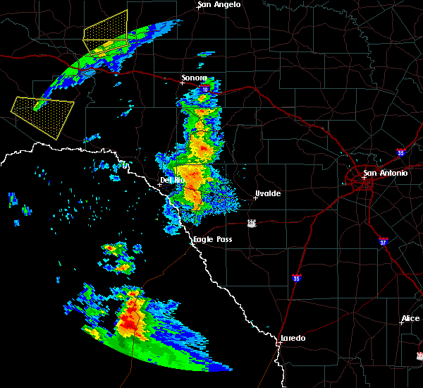 At 716 pm cdt, a severe thunderstorm was located 7 miles west of cline, or 13 miles east of brackettville, moving east at 30 mph (radar indicated). Hazards include 60 mph wind gusts and penny size hail. expect damage to roofs, siding, and trees At 716 pm cdt, a severe thunderstorm was located 7 miles west of cline, or 13 miles east of brackettville, moving east at 30 mph (radar indicated). Hazards include 60 mph wind gusts and penny size hail. expect damage to roofs, siding, and trees
|
| 5/15/2020 8:10 PM CDT |
 At 809 pm cdt, a severe thunderstorm was located 8 miles northeast of amanda, or 13 miles northwest of brackettville, moving east at 35 mph (radar indicated). Hazards include 60 mph wind gusts and quarter size hail. Hail damage to vehicles is expected. expect wind damage to roofs, siding, and trees. Locations impacted include, brackettville, standart, amanda, and fort clark springs. At 809 pm cdt, a severe thunderstorm was located 8 miles northeast of amanda, or 13 miles northwest of brackettville, moving east at 35 mph (radar indicated). Hazards include 60 mph wind gusts and quarter size hail. Hail damage to vehicles is expected. expect wind damage to roofs, siding, and trees. Locations impacted include, brackettville, standart, amanda, and fort clark springs.
|
| 5/15/2020 7:41 PM CDT |
 At 738 pm cdt, a severe thunderstorm was located over del rio, moving east at 35 mph (radar indicated. at 7:29 pm, a wind gust of 61 mph was reported at del rio). Hazards include 60 mph wind gusts and quarter size hail. Hail damage to vehicles is expected. expect wind damage to roofs, siding, and trees. Locations impacted include, del rio, brackettville, lake view, val verde park, standart, amanda, cienegas terrace, laughlin afb, fort clark springs, escondido estates, and lake ridge ranch. At 738 pm cdt, a severe thunderstorm was located over del rio, moving east at 35 mph (radar indicated. at 7:29 pm, a wind gust of 61 mph was reported at del rio). Hazards include 60 mph wind gusts and quarter size hail. Hail damage to vehicles is expected. expect wind damage to roofs, siding, and trees. Locations impacted include, del rio, brackettville, lake view, val verde park, standart, amanda, cienegas terrace, laughlin afb, fort clark springs, escondido estates, and lake ridge ranch.
|
| 5/15/2020 7:23 PM CDT |
 At 722 pm cdt, a severe thunderstorm was located 7 miles southwest of cienegas terrace, or 10 miles southwest of del rio, moving east at 35 mph (radar indicated). Hazards include 60 mph wind gusts and quarter size hail. Hail damage to vehicles is expected. Expect wind damage to roofs, siding, and trees. At 722 pm cdt, a severe thunderstorm was located 7 miles southwest of cienegas terrace, or 10 miles southwest of del rio, moving east at 35 mph (radar indicated). Hazards include 60 mph wind gusts and quarter size hail. Hail damage to vehicles is expected. Expect wind damage to roofs, siding, and trees.
|
| 4/27/2020 9:41 PM CDT |
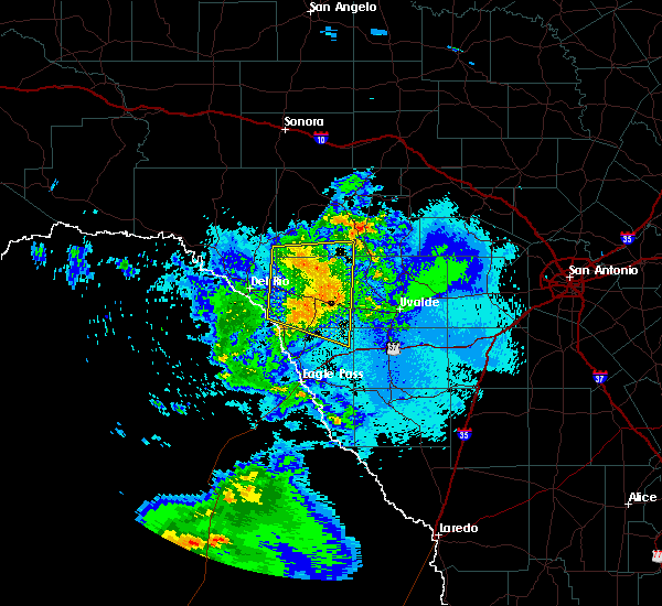 At 941 pm cdt, severe thunderstorms were located along a line extending from 8 miles west of laguna to 8 miles southwest of dabney, moving east at 40 mph (radar indicated). Hazards include 60 mph wind gusts and nickel size hail. Expect damage to roofs, siding, and trees. Locations impacted include, brackettville, spofford, anacacho, alamo village, turkey mountain, fort clark springs and laughlin afb aux field. At 941 pm cdt, severe thunderstorms were located along a line extending from 8 miles west of laguna to 8 miles southwest of dabney, moving east at 40 mph (radar indicated). Hazards include 60 mph wind gusts and nickel size hail. Expect damage to roofs, siding, and trees. Locations impacted include, brackettville, spofford, anacacho, alamo village, turkey mountain, fort clark springs and laughlin afb aux field.
|
| 4/27/2020 9:11 PM CDT |
 At 909 pm cdt, severe thunderstorms were located along a line extending from 7 miles northwest of alamo village to near spofford, moving east at 45 mph (radar indicated). Hazards include 70 mph wind gusts and nickel size hail. Expect considerable tree damage. damage is likely to mobile homes, roofs, and outbuildings. Locations impacted include, brackettville, spofford, anacacho, standart, alamo village, amanda, turkey mountain, fort clark springs, escondido estates, laughlin afb aux field and kickapoo cavern state park. At 909 pm cdt, severe thunderstorms were located along a line extending from 7 miles northwest of alamo village to near spofford, moving east at 45 mph (radar indicated). Hazards include 70 mph wind gusts and nickel size hail. Expect considerable tree damage. damage is likely to mobile homes, roofs, and outbuildings. Locations impacted include, brackettville, spofford, anacacho, standart, alamo village, amanda, turkey mountain, fort clark springs, escondido estates, laughlin afb aux field and kickapoo cavern state park.
|
| 4/27/2020 8:52 PM CDT |
 At 852 pm cdt, severe thunderstorms were located along a line extending from 12 miles north of amanda to 10 miles southwest of standart, moving east at 40 mph. these are very dangerous storms (radar indicated). Hazards include 80 mph wind gusts and quarter size hail. Flying debris will be dangerous to those caught without shelter. mobile homes will be heavily damaged. expect considerable damage to roofs, windows, and vehicles. Extensive tree damage and power outages are likely. At 852 pm cdt, severe thunderstorms were located along a line extending from 12 miles north of amanda to 10 miles southwest of standart, moving east at 40 mph. these are very dangerous storms (radar indicated). Hazards include 80 mph wind gusts and quarter size hail. Flying debris will be dangerous to those caught without shelter. mobile homes will be heavily damaged. expect considerable damage to roofs, windows, and vehicles. Extensive tree damage and power outages are likely.
|
| 4/11/2020 9:22 PM CDT |
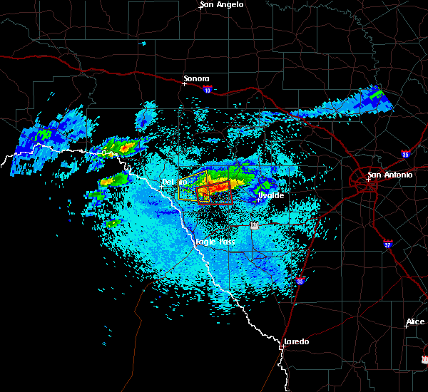 The severe thunderstorm warning for central kinney county will expire at 930 pm cdt, the storm which prompted the warning has moved out of the area. therefore, the warning will be allowed to expire. a tornado watch remains in effect until 400 am cdt for south central texas. The severe thunderstorm warning for central kinney county will expire at 930 pm cdt, the storm which prompted the warning has moved out of the area. therefore, the warning will be allowed to expire. a tornado watch remains in effect until 400 am cdt for south central texas.
|
| 4/11/2020 9:14 PM CDT |
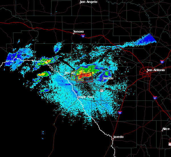 At 913 pm cdt, a severe thunderstorm capable of producing a tornado was located near brackettville, moving east at 35 mph (radar indicated rotation). Hazards include tornado and two inch hail. Flying debris will be dangerous to those caught without shelter. mobile homes will be damaged or destroyed. damage to roofs, windows, and vehicles will occur. tree damage is likely. Locations impacted include, brackettville, anacacho, turkey mountain and fort clark springs. At 913 pm cdt, a severe thunderstorm capable of producing a tornado was located near brackettville, moving east at 35 mph (radar indicated rotation). Hazards include tornado and two inch hail. Flying debris will be dangerous to those caught without shelter. mobile homes will be damaged or destroyed. damage to roofs, windows, and vehicles will occur. tree damage is likely. Locations impacted include, brackettville, anacacho, turkey mountain and fort clark springs.
|
| 4/11/2020 8:58 PM CDT |
 At 858 pm cdt, a severe thunderstorm capable of producing a tornado was located near brackettville, moving east at 35 mph (radar indicated rotation). Hazards include tornado and hail up to two inches in diameter. Flying debris will be dangerous to those caught without shelter. mobile homes will be damaged or destroyed. damage to roofs, windows, and vehicles will occur. Tree damage is likely. At 858 pm cdt, a severe thunderstorm capable of producing a tornado was located near brackettville, moving east at 35 mph (radar indicated rotation). Hazards include tornado and hail up to two inches in diameter. Flying debris will be dangerous to those caught without shelter. mobile homes will be damaged or destroyed. damage to roofs, windows, and vehicles will occur. Tree damage is likely.
|
| 4/11/2020 8:46 PM CDT |
 At 844 pm cdt, a severe thunderstorm was located over standart, or 11 miles west of brackettville, moving east at 25 mph (radar indicated. at 8:30 pm baseball size hail was reported in del rio). Hazards include two inch hail and 60 mph wind gusts. People and animals outdoors will be injured. expect hail damage to roofs, siding, windows, and vehicles. expect wind damage to roofs, siding, and trees. Locations impacted include, brackettville, alamo village, standart, amanda and fort clark springs. At 844 pm cdt, a severe thunderstorm was located over standart, or 11 miles west of brackettville, moving east at 25 mph (radar indicated. at 8:30 pm baseball size hail was reported in del rio). Hazards include two inch hail and 60 mph wind gusts. People and animals outdoors will be injured. expect hail damage to roofs, siding, windows, and vehicles. expect wind damage to roofs, siding, and trees. Locations impacted include, brackettville, alamo village, standart, amanda and fort clark springs.
|
| 4/11/2020 8:30 PM CDT |
 At 830 pm cdt, a severe thunderstorm was located over amanda, or 12 miles east of del rio, moving east at 25 mph (radar indicated). Hazards include two inch hail and 60 mph wind gusts. People and animals outdoors will be injured. expect hail damage to roofs, siding, windows, and vehicles. Expect wind damage to roofs, siding, and trees. At 830 pm cdt, a severe thunderstorm was located over amanda, or 12 miles east of del rio, moving east at 25 mph (radar indicated). Hazards include two inch hail and 60 mph wind gusts. People and animals outdoors will be injured. expect hail damage to roofs, siding, windows, and vehicles. Expect wind damage to roofs, siding, and trees.
|
| 3/4/2020 2:41 AM CST |
 At 241 am cst, severe thunderstorms were located along a line extending from standart to 9 miles southwest of brackettville to 12 miles west of spofford, moving northeast at 55 mph (radar indicated). Hazards include 60 mph wind gusts. expect damage to roofs, siding, and trees At 241 am cst, severe thunderstorms were located along a line extending from standart to 9 miles southwest of brackettville to 12 miles west of spofford, moving northeast at 55 mph (radar indicated). Hazards include 60 mph wind gusts. expect damage to roofs, siding, and trees
|
| 3/4/2020 2:21 AM CST |
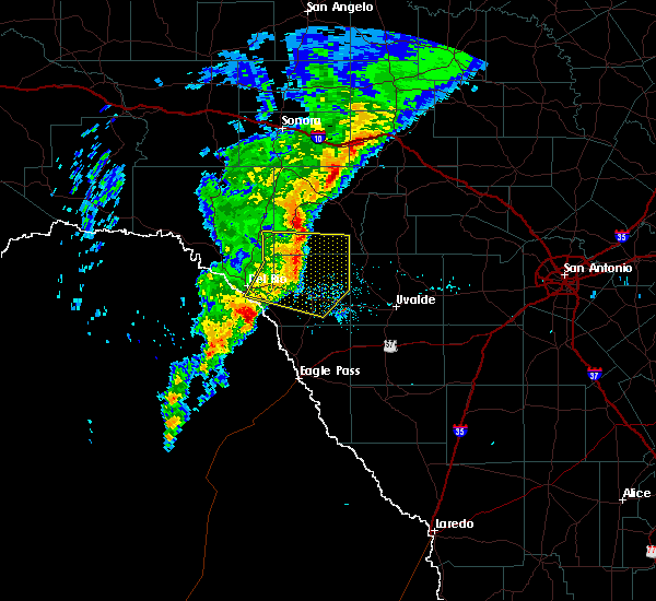 At 220 am cst, severe thunderstorms were located along a line extending from 15 miles southeast of carta valley to 7 miles northwest of alamo village to near standart, moving east at 30 mph (radar indicated). Hazards include 60 mph wind gusts. Expect damage to roofs, siding, and trees. Locations impacted include, brackettville, anacacho, alamo village, standart, turkey mountain, fort clark springs and kickapoo cavern state park. At 220 am cst, severe thunderstorms were located along a line extending from 15 miles southeast of carta valley to 7 miles northwest of alamo village to near standart, moving east at 30 mph (radar indicated). Hazards include 60 mph wind gusts. Expect damage to roofs, siding, and trees. Locations impacted include, brackettville, anacacho, alamo village, standart, turkey mountain, fort clark springs and kickapoo cavern state park.
|
| 3/4/2020 1:53 AM CST |
 At 152 am cst, severe thunderstorms were located along a line extending from near carta valley to 12 miles north of amanda to laughlin afb, moving east at 30 mph (radar indicated). Hazards include 60 mph wind gusts. expect damage to roofs, siding, and trees At 152 am cst, severe thunderstorms were located along a line extending from near carta valley to 12 miles north of amanda to laughlin afb, moving east at 30 mph (radar indicated). Hazards include 60 mph wind gusts. expect damage to roofs, siding, and trees
|
| 6/21/2019 10:43 PM CDT |
 The severe thunderstorm warning for kinney, northern maverick, western uvalde and northwestern zavala counties will expire at 1045 pm cdt, the storms which prompted the warning have weakened below severe limits, and no longer pose an immediate threat to life or property. therefore, the warning will be allowed to expire. The severe thunderstorm warning for kinney, northern maverick, western uvalde and northwestern zavala counties will expire at 1045 pm cdt, the storms which prompted the warning have weakened below severe limits, and no longer pose an immediate threat to life or property. therefore, the warning will be allowed to expire.
|
| 6/21/2019 10:22 PM CDT |
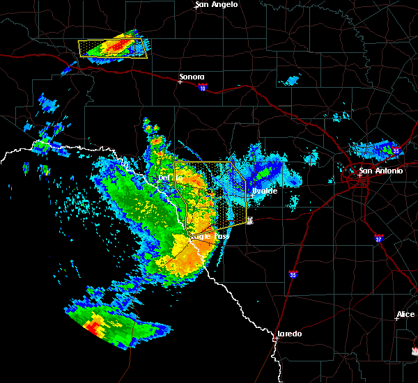 At 1021 pm cdt, severe thunderstorms were located along a line extending from 13 miles southeast of carta valley to 8 miles northeast of alamo village to cline to 15 miles northwest of cometa, moving northeast at 45 mph (radar indicated). Hazards include 60 mph wind gusts and penny size hail. Expect damage to roofs, siding, and trees. Locations impacted include, brackettville, spofford, la pryor, laguna, darling, dabney, cline, anacacho, alamo village, blewett, paloma, amanda, washer, montell, standart, radar base, uvalde estates, kickapoo cavern state park, turkey mountain and seco mines. At 1021 pm cdt, severe thunderstorms were located along a line extending from 13 miles southeast of carta valley to 8 miles northeast of alamo village to cline to 15 miles northwest of cometa, moving northeast at 45 mph (radar indicated). Hazards include 60 mph wind gusts and penny size hail. Expect damage to roofs, siding, and trees. Locations impacted include, brackettville, spofford, la pryor, laguna, darling, dabney, cline, anacacho, alamo village, blewett, paloma, amanda, washer, montell, standart, radar base, uvalde estates, kickapoo cavern state park, turkey mountain and seco mines.
|
| 6/21/2019 9:50 PM CDT |
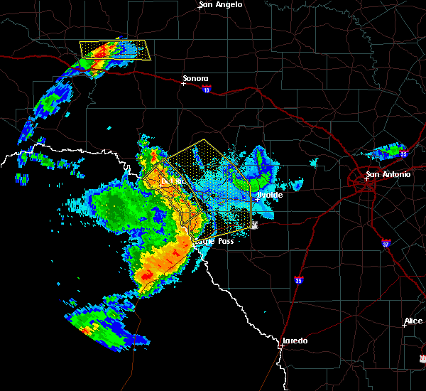 At 949 pm cdt, severe thunderstorms were located along a line extending from 8 miles northeast of amistad recreation area - long point to standart to near spofford to eagle pass, moving northeast at 45 mph (radar indicated). Hazards include 70 mph wind gusts and nickel size hail. Expect considerable tree damage. Damage is likely to mobile homes, roofs, and outbuildings. At 949 pm cdt, severe thunderstorms were located along a line extending from 8 miles northeast of amistad recreation area - long point to standart to near spofford to eagle pass, moving northeast at 45 mph (radar indicated). Hazards include 70 mph wind gusts and nickel size hail. Expect considerable tree damage. Damage is likely to mobile homes, roofs, and outbuildings.
|
| 6/9/2019 11:51 PM CDT |
 At 1151 pm cdt, a severe thunderstorm was located near quemado, moving south at 20 mph (radar indicated). Hazards include golf ball size hail and 70 mph wind gusts. People and animals outdoors will be injured. expect hail damage to roofs, siding, windows, and vehicles. expect considerable tree damage. wind damage is also likely to mobile homes, roofs, and outbuildings. Locations impacted include, spofford, anacacho, darling, fort clark springs and laughlin afb aux field. At 1151 pm cdt, a severe thunderstorm was located near quemado, moving south at 20 mph (radar indicated). Hazards include golf ball size hail and 70 mph wind gusts. People and animals outdoors will be injured. expect hail damage to roofs, siding, windows, and vehicles. expect considerable tree damage. wind damage is also likely to mobile homes, roofs, and outbuildings. Locations impacted include, spofford, anacacho, darling, fort clark springs and laughlin afb aux field.
|
| 6/9/2019 11:46 PM CDT |
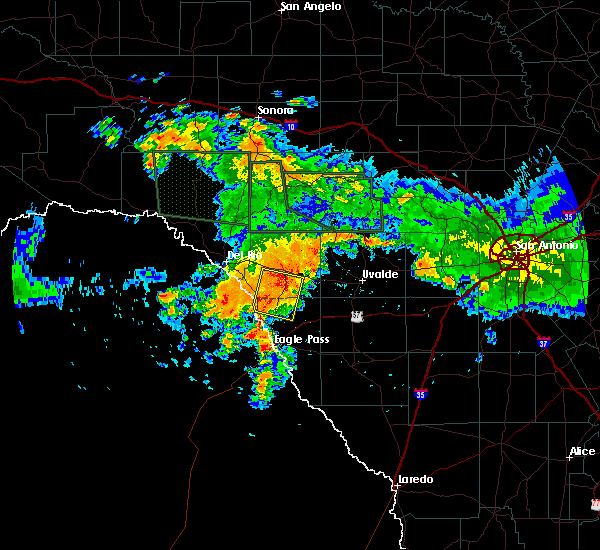 At 1145 pm cdt, a severe thunderstorm was located near spofford, moving east at 10 mph (radar indicated). Hazards include golf ball size hail and 70 mph wind gusts. People and animals outdoors will be injured. expect hail damage to roofs, siding, windows, and vehicles. expect considerable tree damage. wind damage is also likely to mobile homes, roofs, and outbuildings. Locations impacted include, spofford, anacacho, darling, fort clark springs and laughlin afb aux field. At 1145 pm cdt, a severe thunderstorm was located near spofford, moving east at 10 mph (radar indicated). Hazards include golf ball size hail and 70 mph wind gusts. People and animals outdoors will be injured. expect hail damage to roofs, siding, windows, and vehicles. expect considerable tree damage. wind damage is also likely to mobile homes, roofs, and outbuildings. Locations impacted include, spofford, anacacho, darling, fort clark springs and laughlin afb aux field.
|
| 6/9/2019 11:35 PM CDT |
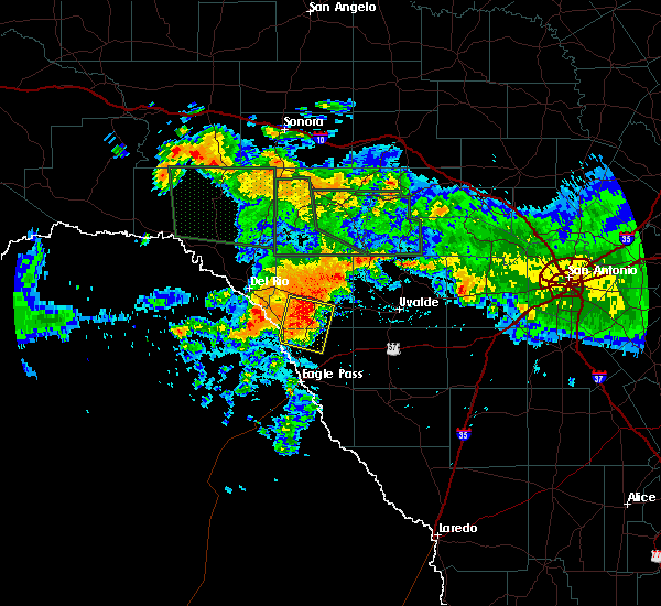 At 1135 pm cdt, a severe thunderstorm was located near spofford, moving east at 10 mph (radar indicated). Hazards include 60 mph wind gusts and quarter size hail. Hail damage to vehicles is expected. Expect wind damage to roofs, siding, and trees. At 1135 pm cdt, a severe thunderstorm was located near spofford, moving east at 10 mph (radar indicated). Hazards include 60 mph wind gusts and quarter size hail. Hail damage to vehicles is expected. Expect wind damage to roofs, siding, and trees.
|
| 5/19/2019 3:55 AM CDT |
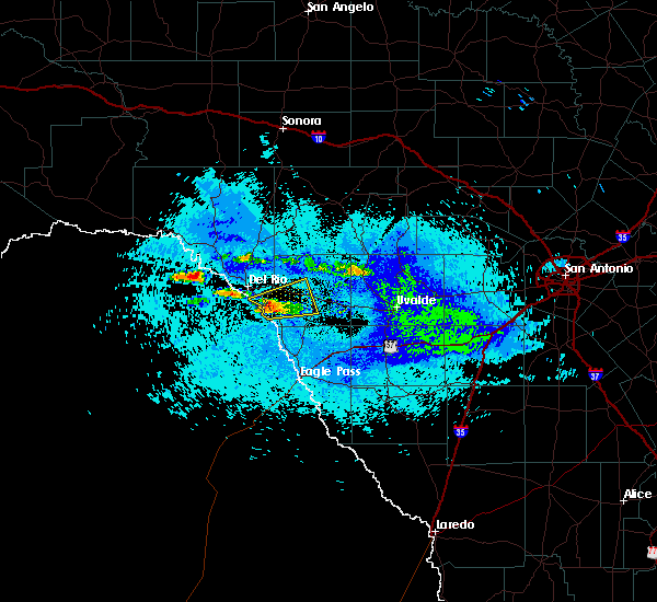 At 354 am cdt, a severe thunderstorm was located 8 miles southwest of standart, or 14 miles southeast of del rio, moving northeast at 10 mph (radar indicated). Hazards include 60 mph wind gusts and quarter size hail. Hail damage to vehicles is expected. Expect wind damage to roofs, siding, and trees. At 354 am cdt, a severe thunderstorm was located 8 miles southwest of standart, or 14 miles southeast of del rio, moving northeast at 10 mph (radar indicated). Hazards include 60 mph wind gusts and quarter size hail. Hail damage to vehicles is expected. Expect wind damage to roofs, siding, and trees.
|
| 5/9/2019 7:07 AM CDT |
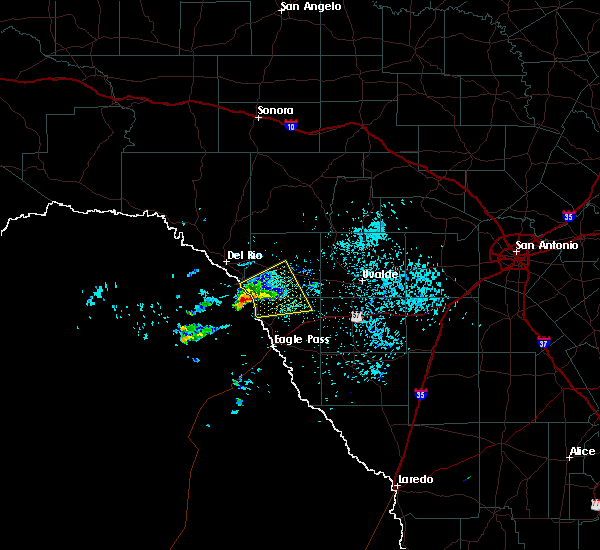 At 706 am cdt, a severe thunderstorm was located 10 miles northwest of quemado, moving northeast at 20 mph (radar indicated). Hazards include quarter size hail. damage to vehicles is expected At 706 am cdt, a severe thunderstorm was located 10 miles northwest of quemado, moving northeast at 20 mph (radar indicated). Hazards include quarter size hail. damage to vehicles is expected
|
| 5/3/2019 2:56 AM CDT |
 The severe thunderstorm warning for southern kinney county will expire at 300 am cdt, the storm which prompted the warning has weakened below severe limits, and no longer poses an immediate threat to life or property. therefore, the warning will be allowed to expire. however small hail, gusty winds and heavy rain are still possible with this thunderstorm. a severe thunderstorm watch remains in effect until 400 am cdt for south central texas. to report severe weather, contact your nearest law enforcement agency. they will relay your report to the national weather service austin san antonio. The severe thunderstorm warning for southern kinney county will expire at 300 am cdt, the storm which prompted the warning has weakened below severe limits, and no longer poses an immediate threat to life or property. therefore, the warning will be allowed to expire. however small hail, gusty winds and heavy rain are still possible with this thunderstorm. a severe thunderstorm watch remains in effect until 400 am cdt for south central texas. to report severe weather, contact your nearest law enforcement agency. they will relay your report to the national weather service austin san antonio.
|
| 5/3/2019 2:22 AM CDT |
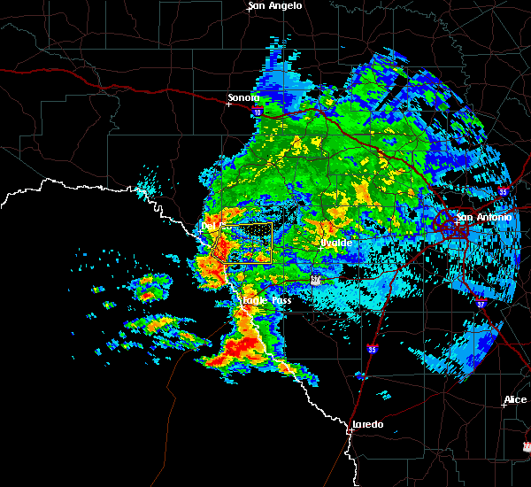 At 221 am cdt, a severe thunderstorm was located 7 miles south of standart, or 13 miles west of brackettville, moving east at 25 mph (radar indicated). Hazards include 60 mph wind gusts and penny size hail. Expect damage to roofs, siding, and trees. Locations impacted include, brackettville, spofford, anacacho, standart, alamo village, amanda and fort clark springs. At 221 am cdt, a severe thunderstorm was located 7 miles south of standart, or 13 miles west of brackettville, moving east at 25 mph (radar indicated). Hazards include 60 mph wind gusts and penny size hail. Expect damage to roofs, siding, and trees. Locations impacted include, brackettville, spofford, anacacho, standart, alamo village, amanda and fort clark springs.
|
| 5/3/2019 1:42 AM CDT |
 At 142 am cdt, a severe thunderstorm was located near del rio, moving east at 30 mph (radar indicated). Hazards include 60 mph wind gusts and quarter size hail. Hail damage to vehicles is expected. Expect wind damage to roofs, siding, and trees. At 142 am cdt, a severe thunderstorm was located near del rio, moving east at 30 mph (radar indicated). Hazards include 60 mph wind gusts and quarter size hail. Hail damage to vehicles is expected. Expect wind damage to roofs, siding, and trees.
|
| 4/17/2019 10:41 PM CDT |
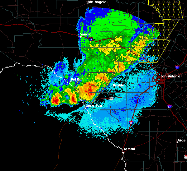 At 1041 pm cdt, severe thunderstorms were located along a line extending from near garner state park to near laguna to near brackettville to darling, moving east at 30 mph (radar indicated). Hazards include 70 mph wind gusts and quarter size hail. Hail damage to vehicles is expected. expect considerable tree damage. wind damage is also likely to mobile homes, roofs, and outbuildings. Locations impacted include, brackettville, spofford, quemado, laguna, paloma, darling, amanda, montell, dabney, cline, garner state park, anacacho, reagan wells, standart, alamo village, turkey mountain, fort clark springs and laughlin afb aux field. At 1041 pm cdt, severe thunderstorms were located along a line extending from near garner state park to near laguna to near brackettville to darling, moving east at 30 mph (radar indicated). Hazards include 70 mph wind gusts and quarter size hail. Hail damage to vehicles is expected. expect considerable tree damage. wind damage is also likely to mobile homes, roofs, and outbuildings. Locations impacted include, brackettville, spofford, quemado, laguna, paloma, darling, amanda, montell, dabney, cline, garner state park, anacacho, reagan wells, standart, alamo village, turkey mountain, fort clark springs and laughlin afb aux field.
|
| 4/17/2019 10:18 PM CDT |
 At 1018 pm cdt, severe thunderstorms were located along a line extending from vance to 10 miles east of alamo village to near standart to 8 miles north of quemado, moving east at 20 mph (radar indicated). Hazards include 70 mph wind gusts and quarter size hail. Hail damage to vehicles is expected. expect considerable tree damage. wind damage is also likely to mobile homes, roofs, and outbuildings. Locations impacted include, brackettville, leakey, spofford, quemado, camp wood, laguna, barksdale, tuff, vance, darling, dabney, cline, anacacho, reagan wells, alamo village, paloma, rio frio, amanda, montell and garner state park. At 1018 pm cdt, severe thunderstorms were located along a line extending from vance to 10 miles east of alamo village to near standart to 8 miles north of quemado, moving east at 20 mph (radar indicated). Hazards include 70 mph wind gusts and quarter size hail. Hail damage to vehicles is expected. expect considerable tree damage. wind damage is also likely to mobile homes, roofs, and outbuildings. Locations impacted include, brackettville, leakey, spofford, quemado, camp wood, laguna, barksdale, tuff, vance, darling, dabney, cline, anacacho, reagan wells, alamo village, paloma, rio frio, amanda, montell and garner state park.
|
| 4/17/2019 9:55 PM CDT |
 At 954 pm cdt, severe thunderstorms were located along a line extending from 11 miles west of barksdale to 17 miles north of brackettville to 7 miles northwest of alamo village to 16 miles northwest of quemado, moving east at 25 mph (radar indicated). Hazards include 70 mph wind gusts and quarter size hail. Hail damage to vehicles is expected. expect considerable tree damage. Wind damage is also likely to mobile homes, roofs, and outbuildings. At 954 pm cdt, severe thunderstorms were located along a line extending from 11 miles west of barksdale to 17 miles north of brackettville to 7 miles northwest of alamo village to 16 miles northwest of quemado, moving east at 25 mph (radar indicated). Hazards include 70 mph wind gusts and quarter size hail. Hail damage to vehicles is expected. expect considerable tree damage. Wind damage is also likely to mobile homes, roofs, and outbuildings.
|
| 4/17/2019 9:34 PM CDT |
 At 933 pm cdt, a severe thunderstorm was located 7 miles north of amanda, or 16 miles northwest of brackettville, moving east at 30 mph (radar indicated). Hazards include tennis ball size hail and 60 mph wind gusts. People and animals outdoors will be injured. expect hail damage to roofs, siding, windows, and vehicles. expect wind damage to roofs, siding, and trees. Locations impacted include, brackettville, anacacho, standart, alamo village, amanda, turkey mountain, fort clark springs and kickapoo cavern state park. At 933 pm cdt, a severe thunderstorm was located 7 miles north of amanda, or 16 miles northwest of brackettville, moving east at 30 mph (radar indicated). Hazards include tennis ball size hail and 60 mph wind gusts. People and animals outdoors will be injured. expect hail damage to roofs, siding, windows, and vehicles. expect wind damage to roofs, siding, and trees. Locations impacted include, brackettville, anacacho, standart, alamo village, amanda, turkey mountain, fort clark springs and kickapoo cavern state park.
|
| 4/17/2019 9:14 PM CDT |
 At 913 pm cdt, a severe thunderstorm was located 8 miles north of val verde park, or 10 miles northeast of del rio, moving east at 30 mph (radar indicated). Hazards include tennis ball size hail and 60 mph wind gusts. People and animals outdoors will be injured. expect hail damage to roofs, siding, windows, and vehicles. Expect wind damage to roofs, siding, and trees. At 913 pm cdt, a severe thunderstorm was located 8 miles north of val verde park, or 10 miles northeast of del rio, moving east at 30 mph (radar indicated). Hazards include tennis ball size hail and 60 mph wind gusts. People and animals outdoors will be injured. expect hail damage to roofs, siding, windows, and vehicles. Expect wind damage to roofs, siding, and trees.
|
| 4/13/2019 8:10 AM CDT |
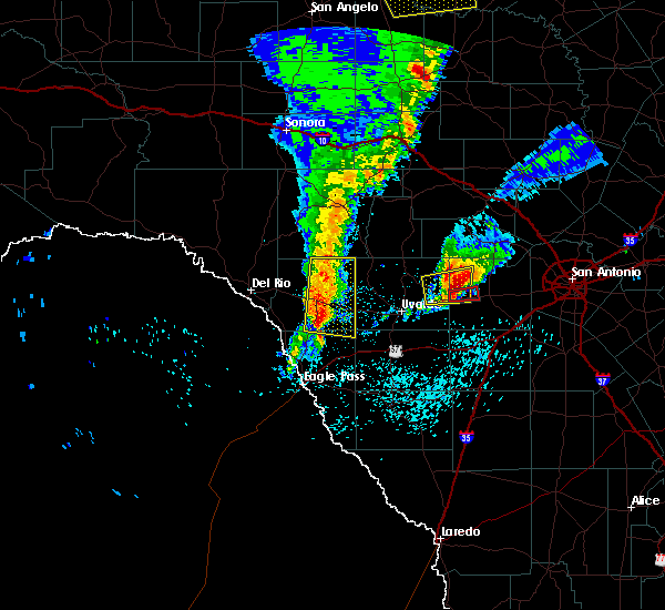 At 810 am cdt, severe thunderstorms were located along a line extending from 9 miles west of montell to near anacacho, moving east at 45 mph (radar indicated). Hazards include 60 mph wind gusts and quarter size hail. Hail damage to vehicles is expected. expect wind damage to roofs, siding, and trees. Locations impacted include, brackettville, spofford, anacacho, alamo village, turkey mountain, fort clark springs and kickapoo cavern state park. At 810 am cdt, severe thunderstorms were located along a line extending from 9 miles west of montell to near anacacho, moving east at 45 mph (radar indicated). Hazards include 60 mph wind gusts and quarter size hail. Hail damage to vehicles is expected. expect wind damage to roofs, siding, and trees. Locations impacted include, brackettville, spofford, anacacho, alamo village, turkey mountain, fort clark springs and kickapoo cavern state park.
|
| 4/13/2019 7:43 AM CDT |
 At 742 am cdt, severe thunderstorms were located along a line extending from 12 miles northwest of alamo village to 12 miles south of standart, moving east at 45 mph (radar indicated). Hazards include 60 mph wind gusts and quarter size hail. Hail damage to vehicles is expected. expect wind damage to roofs, siding, and trees. Locations impacted include, brackettville, spofford, anacacho, standart, alamo village, amanda, turkey mountain, fort clark springs and kickapoo cavern state park. At 742 am cdt, severe thunderstorms were located along a line extending from 12 miles northwest of alamo village to 12 miles south of standart, moving east at 45 mph (radar indicated). Hazards include 60 mph wind gusts and quarter size hail. Hail damage to vehicles is expected. expect wind damage to roofs, siding, and trees. Locations impacted include, brackettville, spofford, anacacho, standart, alamo village, amanda, turkey mountain, fort clark springs and kickapoo cavern state park.
|
| 4/13/2019 7:30 AM CDT |
 At 729 am cdt, severe thunderstorms were located along a line extending from 14 miles north of amanda to 9 miles south of laughlin afb, moving east at 45 mph (radar indicated). Hazards include 60 mph wind gusts and quarter size hail. Hail damage to vehicles is expected. Expect wind damage to roofs, siding, and trees. At 729 am cdt, severe thunderstorms were located along a line extending from 14 miles north of amanda to 9 miles south of laughlin afb, moving east at 45 mph (radar indicated). Hazards include 60 mph wind gusts and quarter size hail. Hail damage to vehicles is expected. Expect wind damage to roofs, siding, and trees.
|
| 4/13/2019 5:52 AM CDT |
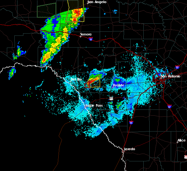 The tornado warning for central kinney county will expire at 600 am cdt, the tornadic thunderstorm which prompted the warning has lost the signs that a tornado was possible therefore, the tornado warning will be allowed to expire. a severe thunderstorm warning remains in effect for east central kinney county through 630 am cdt. a tornado watch remains in effect until 900 am cdt for south central texas. The tornado warning for central kinney county will expire at 600 am cdt, the tornadic thunderstorm which prompted the warning has lost the signs that a tornado was possible therefore, the tornado warning will be allowed to expire. a severe thunderstorm warning remains in effect for east central kinney county through 630 am cdt. a tornado watch remains in effect until 900 am cdt for south central texas.
|
| 4/13/2019 5:49 AM CDT |
 At 549 am cdt, a severe thunderstorm was located near brackettville, moving east at 20 mph (public). Hazards include golf ball size hail and 60 mph wind gusts. People and animals outdoors will be injured. expect hail damage to roofs, siding, windows, and vehicles. expect wind damage to roofs, siding, and trees. Locations impacted include, brackettville, turkey mountain and fort clark springs. At 549 am cdt, a severe thunderstorm was located near brackettville, moving east at 20 mph (public). Hazards include golf ball size hail and 60 mph wind gusts. People and animals outdoors will be injured. expect hail damage to roofs, siding, windows, and vehicles. expect wind damage to roofs, siding, and trees. Locations impacted include, brackettville, turkey mountain and fort clark springs.
|
| 4/13/2019 5:43 AM CDT |
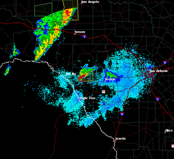 At 542 am cdt, a severe thunderstorm was located over brackettville, moving east at 20 mph (radar indicated). Hazards include 60 mph wind gusts and half dollar size hail. Hail damage to vehicles is expected. Expect wind damage to roofs, siding, and trees. At 542 am cdt, a severe thunderstorm was located over brackettville, moving east at 20 mph (radar indicated). Hazards include 60 mph wind gusts and half dollar size hail. Hail damage to vehicles is expected. Expect wind damage to roofs, siding, and trees.
|
| 4/13/2019 5:40 AM CDT |
 At 540 am cdt, a severe thunderstorm capable of producing a tornado was located near brackettville, moving east at 25 mph (radar indicated rotation). Hazards include tornado and golf ball size hail. Flying debris will be dangerous to those caught without shelter. mobile homes will be damaged or destroyed. damage to roofs, windows, and vehicles will occur. tree damage is likely. Locations impacted include, brackettville and fort clark springs. At 540 am cdt, a severe thunderstorm capable of producing a tornado was located near brackettville, moving east at 25 mph (radar indicated rotation). Hazards include tornado and golf ball size hail. Flying debris will be dangerous to those caught without shelter. mobile homes will be damaged or destroyed. damage to roofs, windows, and vehicles will occur. tree damage is likely. Locations impacted include, brackettville and fort clark springs.
|
| 4/13/2019 5:24 AM CDT |
 At 524 am cdt, a severe thunderstorm capable of producing a tornado was located 8 miles southeast of standart, or 8 miles southwest of brackettville, moving east at 20 mph (radar indicated rotation). Hazards include tornado and golf ball size hail. Flying debris will be dangerous to those caught without shelter. mobile homes will be damaged or destroyed. damage to roofs, windows, and vehicles will occur. tree damage is likely. Locations impacted include, brackettville, spofford and fort clark springs. At 524 am cdt, a severe thunderstorm capable of producing a tornado was located 8 miles southeast of standart, or 8 miles southwest of brackettville, moving east at 20 mph (radar indicated rotation). Hazards include tornado and golf ball size hail. Flying debris will be dangerous to those caught without shelter. mobile homes will be damaged or destroyed. damage to roofs, windows, and vehicles will occur. tree damage is likely. Locations impacted include, brackettville, spofford and fort clark springs.
|
| 4/13/2019 5:10 AM CDT |
 At 510 am cdt, a severe thunderstorm capable of producing a tornado was located 7 miles south of standart, or 12 miles southwest of brackettville, moving east at 15 mph (radar indicated rotation). Hazards include tornado and golf ball size hail. Flying debris will be dangerous to those caught without shelter. mobile homes will be damaged or destroyed. damage to roofs, windows, and vehicles will occur. Tree damage is likely. At 510 am cdt, a severe thunderstorm capable of producing a tornado was located 7 miles south of standart, or 12 miles southwest of brackettville, moving east at 15 mph (radar indicated rotation). Hazards include tornado and golf ball size hail. Flying debris will be dangerous to those caught without shelter. mobile homes will be damaged or destroyed. damage to roofs, windows, and vehicles will occur. Tree damage is likely.
|
| 4/13/2019 5:01 AM CDT |
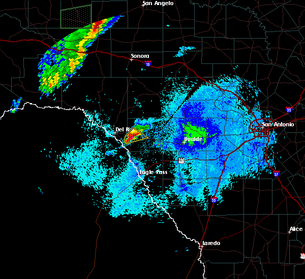 At 500 am cdt, a severe thunderstorm was located near standart, or 13 miles west of brackettville, moving northeast at 20 mph (radar indicated). Hazards include 60 mph wind gusts and half dollar size hail. Hail damage to vehicles is expected. expect wind damage to roofs, siding, and trees. Locations impacted include, brackettville, standart, amanda and fort clark springs. At 500 am cdt, a severe thunderstorm was located near standart, or 13 miles west of brackettville, moving northeast at 20 mph (radar indicated). Hazards include 60 mph wind gusts and half dollar size hail. Hail damage to vehicles is expected. expect wind damage to roofs, siding, and trees. Locations impacted include, brackettville, standart, amanda and fort clark springs.
|
| 4/13/2019 4:46 AM CDT |
 At 445 am cdt, a severe thunderstorm was located 7 miles southwest of standart, or 14 miles southeast of del rio, moving northeast at 30 mph (radar indicated). Hazards include 60 mph wind gusts and quarter size hail. Hail damage to vehicles is expected. expect wind damage to roofs, siding, and trees. Locations impacted include, brackettville, standart, amanda and fort clark springs. At 445 am cdt, a severe thunderstorm was located 7 miles southwest of standart, or 14 miles southeast of del rio, moving northeast at 30 mph (radar indicated). Hazards include 60 mph wind gusts and quarter size hail. Hail damage to vehicles is expected. expect wind damage to roofs, siding, and trees. Locations impacted include, brackettville, standart, amanda and fort clark springs.
|
| 4/13/2019 4:25 AM CDT |
 At 425 am cdt, a severe thunderstorm was located 9 miles south of laughlin afb, or 12 miles southeast of del rio, moving northeast at 25 mph (radar indicated). Hazards include 60 mph wind gusts and quarter size hail. Hail damage to vehicles is expected. Expect wind damage to roofs, siding, and trees. At 425 am cdt, a severe thunderstorm was located 9 miles south of laughlin afb, or 12 miles southeast of del rio, moving northeast at 25 mph (radar indicated). Hazards include 60 mph wind gusts and quarter size hail. Hail damage to vehicles is expected. Expect wind damage to roofs, siding, and trees.
|
| 4/7/2019 4:08 AM CDT |
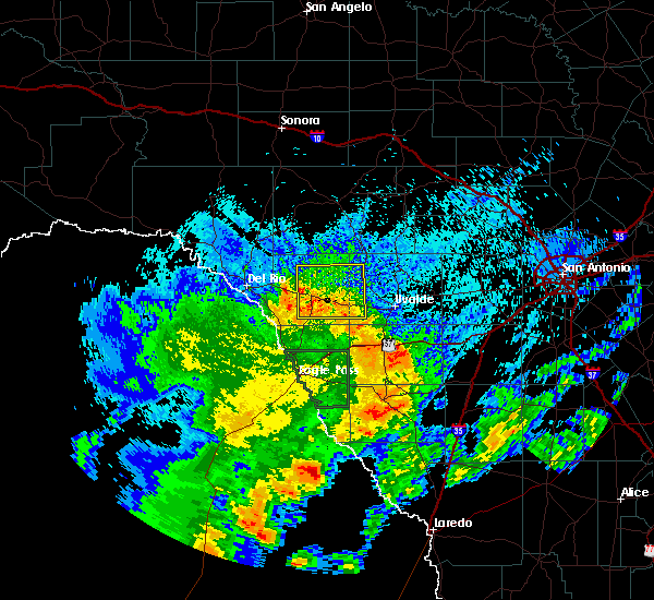 At 407 am cdt, a severe thunderstorm was located 9 miles northwest of cline, or 16 miles east of brackettville, moving northeast at 45 mph (radar indicated). Hazards include 60 mph wind gusts and penny size hail. Expect damage to roofs, siding, and trees. Locations impacted include, brackettville, spofford, laguna, montell, dabney, blewett, cline, anacacho, alamo village, turkey mountain and fort clark springs. At 407 am cdt, a severe thunderstorm was located 9 miles northwest of cline, or 16 miles east of brackettville, moving northeast at 45 mph (radar indicated). Hazards include 60 mph wind gusts and penny size hail. Expect damage to roofs, siding, and trees. Locations impacted include, brackettville, spofford, laguna, montell, dabney, blewett, cline, anacacho, alamo village, turkey mountain and fort clark springs.
|
| 4/7/2019 3:48 AM CDT |
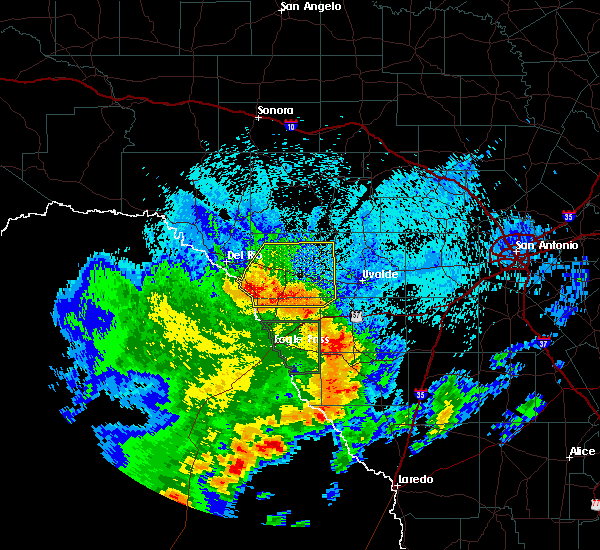 At 347 am cdt, a severe thunderstorm was located near anacacho, or near brackettville, moving northeast at 45 mph (radar indicated). Hazards include 70 mph wind gusts and nickel size hail. Expect considerable tree damage. damage is likely to mobile homes, roofs, and outbuildings. Locations impacted include, brackettville, spofford, laguna, blewett, amanda, montell, dabney, cline, anacacho, standart, alamo village, turkey mountain and fort clark springs. At 347 am cdt, a severe thunderstorm was located near anacacho, or near brackettville, moving northeast at 45 mph (radar indicated). Hazards include 70 mph wind gusts and nickel size hail. Expect considerable tree damage. damage is likely to mobile homes, roofs, and outbuildings. Locations impacted include, brackettville, spofford, laguna, blewett, amanda, montell, dabney, cline, anacacho, standart, alamo village, turkey mountain and fort clark springs.
|
| 4/7/2019 3:27 AM CDT |
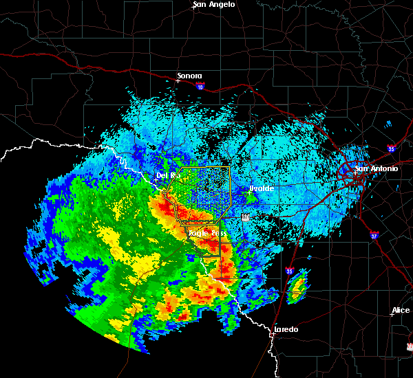 At 326 am cdt, a severe thunderstorm was located 9 miles northwest of darling, or 10 miles southwest of spofford, moving northeast at 45 mph (radar indicated). Hazards include 70 mph wind gusts and quarter size hail. Hail damage to vehicles is expected. expect considerable tree damage. Wind damage is also likely to mobile homes, roofs, and outbuildings. At 326 am cdt, a severe thunderstorm was located 9 miles northwest of darling, or 10 miles southwest of spofford, moving northeast at 45 mph (radar indicated). Hazards include 70 mph wind gusts and quarter size hail. Hail damage to vehicles is expected. expect considerable tree damage. Wind damage is also likely to mobile homes, roofs, and outbuildings.
|
| 3/13/2019 3:06 AM CDT |
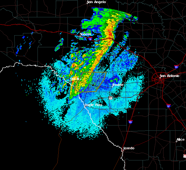 At 306 am cdt, severe thunderstorms were located along a line extending from 13 miles southwest of barksdale to near alamo village to 9 miles south of standart, moving east at 40 mph (radar indicated). Hazards include 60 mph wind gusts. Expect damage to roofs, siding, and trees. locations impacted include, brackettville, spofford, laguna, montell, anacacho, standart, alamo village, amanda, turkey mountain, fort clark springs, and kickapoo cavern state park. A tornado watch remains in effect until 500 am cdt for south central texas. At 306 am cdt, severe thunderstorms were located along a line extending from 13 miles southwest of barksdale to near alamo village to 9 miles south of standart, moving east at 40 mph (radar indicated). Hazards include 60 mph wind gusts. Expect damage to roofs, siding, and trees. locations impacted include, brackettville, spofford, laguna, montell, anacacho, standart, alamo village, amanda, turkey mountain, fort clark springs, and kickapoo cavern state park. A tornado watch remains in effect until 500 am cdt for south central texas.
|
| 3/13/2019 2:44 AM CDT |
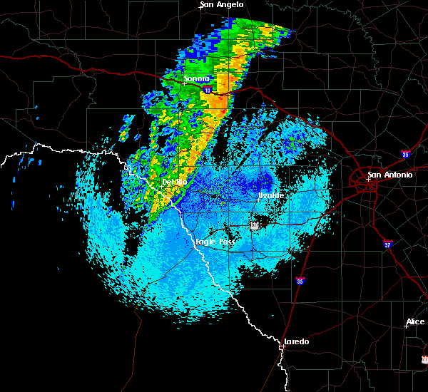 At 243 am cdt, severe thunderstorms were located along a line extending from 12 miles northwest of alamo village to standart to 13 miles south of laughlin afb, moving east at 40 mph (radar indicated). Hazards include 60 mph wind gusts. expect damage to roofs, siding, and trees At 243 am cdt, severe thunderstorms were located along a line extending from 12 miles northwest of alamo village to standart to 13 miles south of laughlin afb, moving east at 40 mph (radar indicated). Hazards include 60 mph wind gusts. expect damage to roofs, siding, and trees
|
| 12/26/2018 8:16 PM CST |
 At 815 pm cst, severe thunderstorms were located along a line extending from near kerr wildlife management area to near brackettville, moving northeast at 60 mph. within, the line of storms, the strongest cells were located over brackettville and 5 miles southwest of barksdale at 815 pm (radar indicated). Hazards include 60 mph wind gusts and quarter size hail. Hail damage to vehicles is expected. expect wind damage to roofs, siding, and trees. locations impacted include, brackettville, leakey, spofford, vanderpool, hunt, camp wood, laguna, barksdale, tuff, vance, waltonia, kerr wildlife management area, dabney, cline, anacacho, reagan wells, alamo village, blewett, rio frio and mountain home. A tornado watch remains in effect until 200 am cst for south central texas. At 815 pm cst, severe thunderstorms were located along a line extending from near kerr wildlife management area to near brackettville, moving northeast at 60 mph. within, the line of storms, the strongest cells were located over brackettville and 5 miles southwest of barksdale at 815 pm (radar indicated). Hazards include 60 mph wind gusts and quarter size hail. Hail damage to vehicles is expected. expect wind damage to roofs, siding, and trees. locations impacted include, brackettville, leakey, spofford, vanderpool, hunt, camp wood, laguna, barksdale, tuff, vance, waltonia, kerr wildlife management area, dabney, cline, anacacho, reagan wells, alamo village, blewett, rio frio and mountain home. A tornado watch remains in effect until 200 am cst for south central texas.
|
| 12/26/2018 8:01 PM CST |
 At 801 pm cst, severe thunderstorms were located along a line extending from 7 miles northwest of barksdale to 8 miles west of spofford, moving northeast at 35 mph (radar indicated). Hazards include 60 mph wind gusts and quarter size hail. Hail damage to vehicles is expected. Expect wind damage to roofs, siding, and trees. At 801 pm cst, severe thunderstorms were located along a line extending from 7 miles northwest of barksdale to 8 miles west of spofford, moving northeast at 35 mph (radar indicated). Hazards include 60 mph wind gusts and quarter size hail. Hail damage to vehicles is expected. Expect wind damage to roofs, siding, and trees.
|
| 10/9/2018 5:25 AM CDT |
 At 525 am cdt, a severe thunderstorm was located 7 miles north of anacacho, or 9 miles east of brackettville, moving east at 30 mph (radar indicated). Hazards include 70 mph wind gusts and ping pong ball size hail. People and animals outdoors will be injured. expect hail damage to roofs, siding, windows, and vehicles. expect considerable tree damage. wind damage is also likely to mobile homes, roofs, and outbuildings. Locations impacted include, brackettville, spofford, anacacho, turkey mountain, and fort clark springs. At 525 am cdt, a severe thunderstorm was located 7 miles north of anacacho, or 9 miles east of brackettville, moving east at 30 mph (radar indicated). Hazards include 70 mph wind gusts and ping pong ball size hail. People and animals outdoors will be injured. expect hail damage to roofs, siding, windows, and vehicles. expect considerable tree damage. wind damage is also likely to mobile homes, roofs, and outbuildings. Locations impacted include, brackettville, spofford, anacacho, turkey mountain, and fort clark springs.
|
| 10/9/2018 4:50 AM CDT |
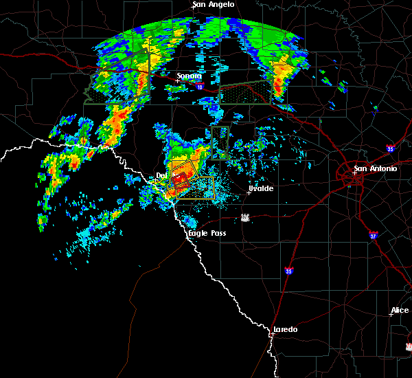 At 449 am cdt, a severe thunderstorm was located near standart, or 7 miles west of brackettville, moving east at 30 mph (radar indicated). Hazards include 70 mph wind gusts and ping pong ball size hail. People and animals outdoors will be injured. expect hail damage to roofs, siding, windows, and vehicles. expect considerable tree damage. Wind damage is also likely to mobile homes, roofs, and outbuildings. At 449 am cdt, a severe thunderstorm was located near standart, or 7 miles west of brackettville, moving east at 30 mph (radar indicated). Hazards include 70 mph wind gusts and ping pong ball size hail. People and animals outdoors will be injured. expect hail damage to roofs, siding, windows, and vehicles. expect considerable tree damage. Wind damage is also likely to mobile homes, roofs, and outbuildings.
|
| 5/3/2018 11:35 PM CDT |
 At 1134 pm cdt, a severe thunderstorm was located 7 miles west of cline, or 12 miles east of brackettville, moving northeast at 15 mph (radar indicated). Hazards include 70 mph wind gusts and nickel size hail. Expect considerable tree damage. damage is likely to mobile homes, roofs, and outbuildings. Locations impacted include, brackettville, anacacho, alamo village, turkey mountain and fort clark springs. At 1134 pm cdt, a severe thunderstorm was located 7 miles west of cline, or 12 miles east of brackettville, moving northeast at 15 mph (radar indicated). Hazards include 70 mph wind gusts and nickel size hail. Expect considerable tree damage. damage is likely to mobile homes, roofs, and outbuildings. Locations impacted include, brackettville, anacacho, alamo village, turkey mountain and fort clark springs.
|
| 5/3/2018 11:18 PM CDT |
 At 1118 pm cdt, a severe thunderstorm was located near brackettville, moving northeast at 20 mph (radar indicated). Hazards include ping pong ball size hail and 60 mph wind gusts. People and animals outdoors will be injured. expect hail damage to roofs, siding, windows, and vehicles. Expect wind damage to roofs, siding, and trees. At 1118 pm cdt, a severe thunderstorm was located near brackettville, moving northeast at 20 mph (radar indicated). Hazards include ping pong ball size hail and 60 mph wind gusts. People and animals outdoors will be injured. expect hail damage to roofs, siding, windows, and vehicles. Expect wind damage to roofs, siding, and trees.
|
| 5/28/2017 7:38 PM CDT |
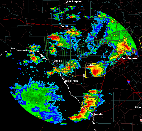 At 738 pm cdt, a severe thunderstorm was located near anacacho, or 7 miles east of spofford, moving southeast at 25 mph (radar indicated). Hazards include 60 mph wind gusts and quarter size hail. Hail damage to vehicles is expected. expect wind damage to roofs, siding, and trees. Locations impacted include, brackettville, spofford, anacacho and darling. At 738 pm cdt, a severe thunderstorm was located near anacacho, or 7 miles east of spofford, moving southeast at 25 mph (radar indicated). Hazards include 60 mph wind gusts and quarter size hail. Hail damage to vehicles is expected. expect wind damage to roofs, siding, and trees. Locations impacted include, brackettville, spofford, anacacho and darling.
|
| 5/28/2017 7:18 PM CDT |
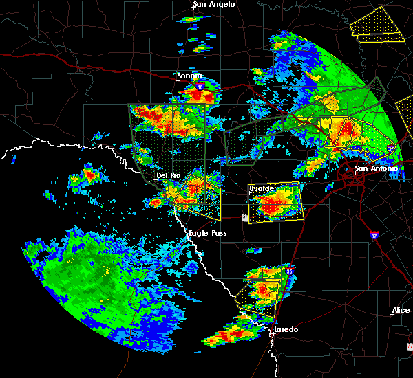 At 718 pm cdt, a severe thunderstorm was located over spofford, moving southeast at 25 mph (radar indicated). Hazards include 60 mph wind gusts and quarter size hail. Hail damage to vehicles is expected. Expect wind damage to roofs, siding, and trees. At 718 pm cdt, a severe thunderstorm was located over spofford, moving southeast at 25 mph (radar indicated). Hazards include 60 mph wind gusts and quarter size hail. Hail damage to vehicles is expected. Expect wind damage to roofs, siding, and trees.
|
| 5/10/2017 8:58 PM CDT |
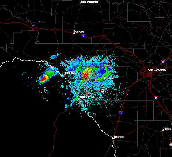 At 858 pm cdt, a severe thunderstorm was located near brackettville, moving east at 30 mph (public). Hazards include 60 mph wind gusts and quarter size hail. Hail damage to vehicles is expected. Expect wind damage to roofs, siding, and trees. At 858 pm cdt, a severe thunderstorm was located near brackettville, moving east at 30 mph (public). Hazards include 60 mph wind gusts and quarter size hail. Hail damage to vehicles is expected. Expect wind damage to roofs, siding, and trees.
|
| 5/10/2017 8:46 PM CDT |
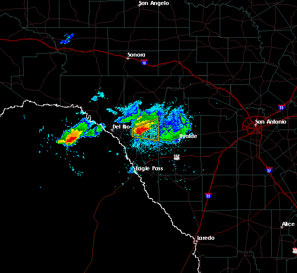 At 845 pm cdt, a severe thunderstorm was located near brackettville, moving east at 30 mph (radar indicated). Hazards include ping pong ball size hail and 60 mph wind gusts. People and animals outdoors will be injured. expect hail damage to roofs, siding, windows, and vehicles. expect wind damage to roofs, siding, and trees. Locations impacted include, brackettville, alamo village and turkey mountain. At 845 pm cdt, a severe thunderstorm was located near brackettville, moving east at 30 mph (radar indicated). Hazards include ping pong ball size hail and 60 mph wind gusts. People and animals outdoors will be injured. expect hail damage to roofs, siding, windows, and vehicles. expect wind damage to roofs, siding, and trees. Locations impacted include, brackettville, alamo village and turkey mountain.
|
| 5/10/2017 8:19 PM CDT |
 At 819 pm cdt, a severe thunderstorm was located over standart, or 10 miles west of brackettville, moving east at 30 mph (radar indicated). Hazards include two inch hail and 60 mph wind gusts. People and animals outdoors will be injured. expect hail damage to roofs, siding, windows, and vehicles. Expect wind damage to roofs, siding, and trees. At 819 pm cdt, a severe thunderstorm was located over standart, or 10 miles west of brackettville, moving east at 30 mph (radar indicated). Hazards include two inch hail and 60 mph wind gusts. People and animals outdoors will be injured. expect hail damage to roofs, siding, windows, and vehicles. Expect wind damage to roofs, siding, and trees.
|
| 4/16/2017 8:52 PM CDT |
 At 851 pm cdt, severe thunderstorms were located along a line extending from near dabney to near anacacho, moving north at 20 mph (radar indicated). Hazards include 60 mph wind gusts and quarter size hail. Hail damage to vehicles is expected. expect wind damage to roofs, siding, and trees. Locations impacted include, brackettville, spofford, dabney, blewett, cline, anacacho, alamo village and turkey mountain. At 851 pm cdt, severe thunderstorms were located along a line extending from near dabney to near anacacho, moving north at 20 mph (radar indicated). Hazards include 60 mph wind gusts and quarter size hail. Hail damage to vehicles is expected. expect wind damage to roofs, siding, and trees. Locations impacted include, brackettville, spofford, dabney, blewett, cline, anacacho, alamo village and turkey mountain.
|
| 4/16/2017 8:51 PM CDT |
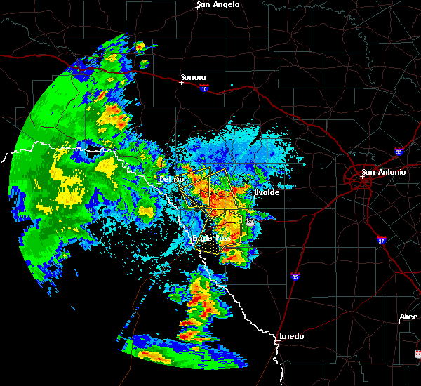 At 851 pm cdt, a severe thunderstorm was located over brackettville, moving north at 10 mph (radar indicated). Hazards include quarter size hail. Damage to vehicles is expected. Locations impacted include, brackettville, spofford, anacacho, alamo village, standart and amanda. At 851 pm cdt, a severe thunderstorm was located over brackettville, moving north at 10 mph (radar indicated). Hazards include quarter size hail. Damage to vehicles is expected. Locations impacted include, brackettville, spofford, anacacho, alamo village, standart and amanda.
|
| 4/16/2017 8:35 PM CDT |
 At 833 pm cdt, severe thunderstorms were located along a line extending from near dabney to 8 miles east of darling, moving north at 25 mph (radar indicated). Hazards include 60 mph wind gusts and quarter size hail. Hail damage to vehicles is expected. Expect wind damage to roofs, siding, and trees. At 833 pm cdt, severe thunderstorms were located along a line extending from near dabney to 8 miles east of darling, moving north at 25 mph (radar indicated). Hazards include 60 mph wind gusts and quarter size hail. Hail damage to vehicles is expected. Expect wind damage to roofs, siding, and trees.
|
| 4/16/2017 8:26 PM CDT |
 At 824 pm cdt, a severe thunderstorm was located over spofford, moving northwest at 15 mph (radar indicated). Hazards include quarter size hail. damage to vehicles is expected At 824 pm cdt, a severe thunderstorm was located over spofford, moving northwest at 15 mph (radar indicated). Hazards include quarter size hail. damage to vehicles is expected
|
| 4/2/2017 5:18 AM CDT |
 At 518 am cdt, a severe thunderstorm was located 7 miles west of cline, or 12 miles east of brackettville, moving east at 30 mph (radar indicated). Hazards include 60 mph wind gusts and quarter size hail. Hail damage to vehicles is expected. expect wind damage to roofs, siding, and trees. locations impacted include, brackettville, spofford, anacacho, alamo village, standart and turkey mountain. A tornado watch remains in effect until 600 am cdt for south central texas. At 518 am cdt, a severe thunderstorm was located 7 miles west of cline, or 12 miles east of brackettville, moving east at 30 mph (radar indicated). Hazards include 60 mph wind gusts and quarter size hail. Hail damage to vehicles is expected. expect wind damage to roofs, siding, and trees. locations impacted include, brackettville, spofford, anacacho, alamo village, standart and turkey mountain. A tornado watch remains in effect until 600 am cdt for south central texas.
|
| 4/2/2017 5:05 AM CDT |
 At 505 am cdt, a severe thunderstorm was located 7 miles north of anacacho, or 7 miles east of brackettville, moving east at 20 mph (radar indicated). Hazards include up to golf ball size hail and 60 mph wind gusts. People and animals outdoors will be injured. expect hail damage to roofs, siding, windows, and vehicles. expect wind damage to roofs, siding, and trees. locations impacted include, brackettville, spofford, anacacho, alamo village, standart and turkey mountain. A tornado watch remains in effect until 600 am cdt for south central texas. At 505 am cdt, a severe thunderstorm was located 7 miles north of anacacho, or 7 miles east of brackettville, moving east at 20 mph (radar indicated). Hazards include up to golf ball size hail and 60 mph wind gusts. People and animals outdoors will be injured. expect hail damage to roofs, siding, windows, and vehicles. expect wind damage to roofs, siding, and trees. locations impacted include, brackettville, spofford, anacacho, alamo village, standart and turkey mountain. A tornado watch remains in effect until 600 am cdt for south central texas.
|
| 4/2/2017 5:02 AM CDT |
 At 502 am cdt, a severe thunderstorm was located near anacacho, or 7 miles east of brackettville, moving east at 20 mph (radar indicated). Hazards include 60 mph wind gusts and quarter size hail. Hail damage to vehicles is expected. expect wind damage to roofs, siding, and trees. locations impacted include, brackettville, spofford, anacacho, alamo village, standart and turkey mountain. A tornado watch remains in effect until 600 am cdt for south central texas. At 502 am cdt, a severe thunderstorm was located near anacacho, or 7 miles east of brackettville, moving east at 20 mph (radar indicated). Hazards include 60 mph wind gusts and quarter size hail. Hail damage to vehicles is expected. expect wind damage to roofs, siding, and trees. locations impacted include, brackettville, spofford, anacacho, alamo village, standart and turkey mountain. A tornado watch remains in effect until 600 am cdt for south central texas.
|
| 4/2/2017 4:55 AM CDT |
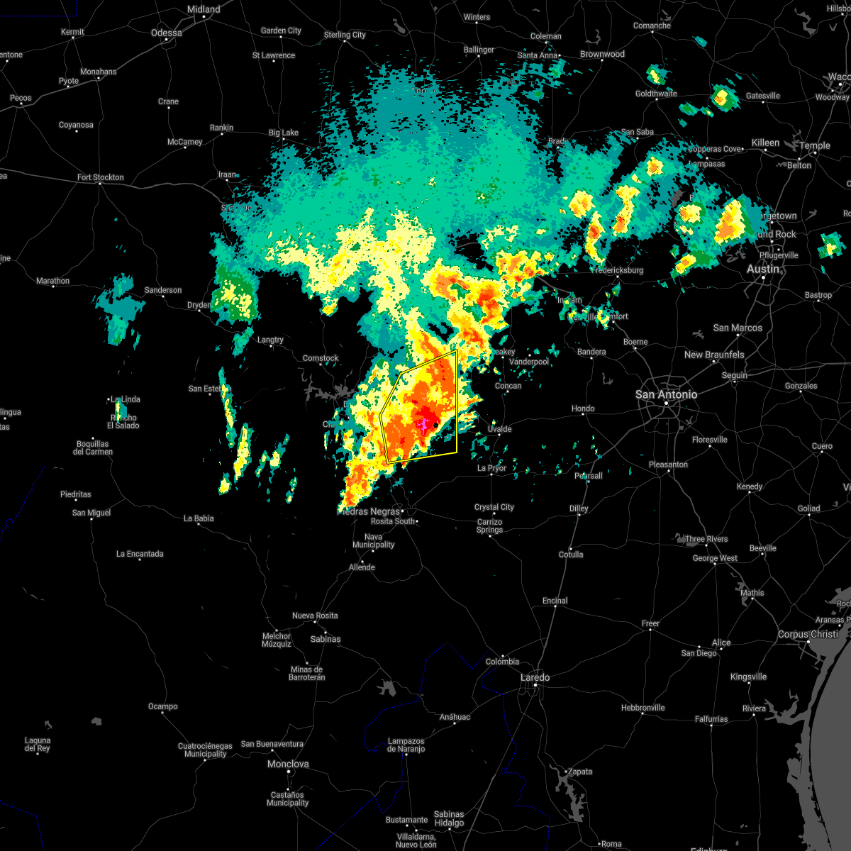 At 455 am cdt, a severe thunderstorm was located near brackettville, moving northeast at 35 mph (radar indicated). Hazards include 60 mph wind gusts and quarter size hail. Hail damage to vehicles is expected. expect wind damage to roofs, siding, and trees. locations impacted include, brackettville, spofford, anacacho, alamo village, standart, amanda, turkey mountain and kickapoo cavern state park. A tornado watch remains in effect until 600 am cdt for south central texas. At 455 am cdt, a severe thunderstorm was located near brackettville, moving northeast at 35 mph (radar indicated). Hazards include 60 mph wind gusts and quarter size hail. Hail damage to vehicles is expected. expect wind damage to roofs, siding, and trees. locations impacted include, brackettville, spofford, anacacho, alamo village, standart, amanda, turkey mountain and kickapoo cavern state park. A tornado watch remains in effect until 600 am cdt for south central texas.
|
| 4/2/2017 4:41 AM CDT |
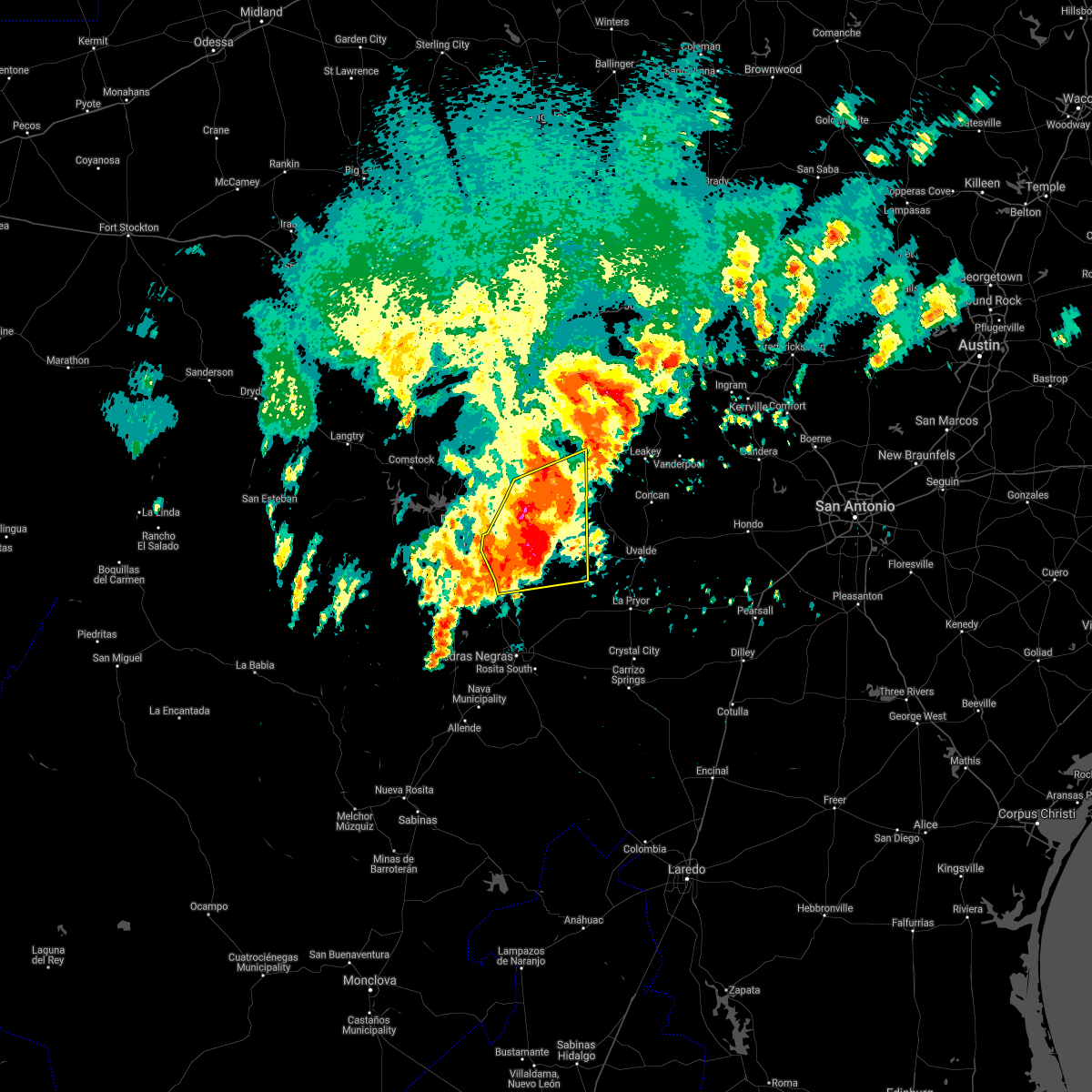 At 440 am cdt, a severe thunderstorm was located near alamo village, or near brackettville, moving northeast at 30 mph (radar indicated). Hazards include 60-70 mph wind gusts and quarter size hail. Hail damage to vehicles is expected. Expect wind damage to roofs, siding, and trees. At 440 am cdt, a severe thunderstorm was located near alamo village, or near brackettville, moving northeast at 30 mph (radar indicated). Hazards include 60-70 mph wind gusts and quarter size hail. Hail damage to vehicles is expected. Expect wind damage to roofs, siding, and trees.
|
| 4/2/2017 4:25 AM CDT |
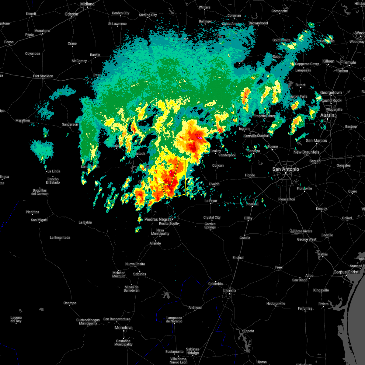 At 425 am cdt, a severe thunderstorm was located 9 miles south of standart, or 10 miles west of spofford, moving east at 20 mph (radar indicated). Hazards include up to ping pong ball size hail and 60 mph wind gusts. People and animals outdoors will be injured. expect hail damage to roofs, siding, windows, and vehicles. expect wind damage to roofs, siding, and trees. locations impacted include, brackettville, spofford and alamo village. A tornado watch remains in effect until 600 am cdt for south central texas. At 425 am cdt, a severe thunderstorm was located 9 miles south of standart, or 10 miles west of spofford, moving east at 20 mph (radar indicated). Hazards include up to ping pong ball size hail and 60 mph wind gusts. People and animals outdoors will be injured. expect hail damage to roofs, siding, windows, and vehicles. expect wind damage to roofs, siding, and trees. locations impacted include, brackettville, spofford and alamo village. A tornado watch remains in effect until 600 am cdt for south central texas.
|
| 4/2/2017 4:08 AM CDT |
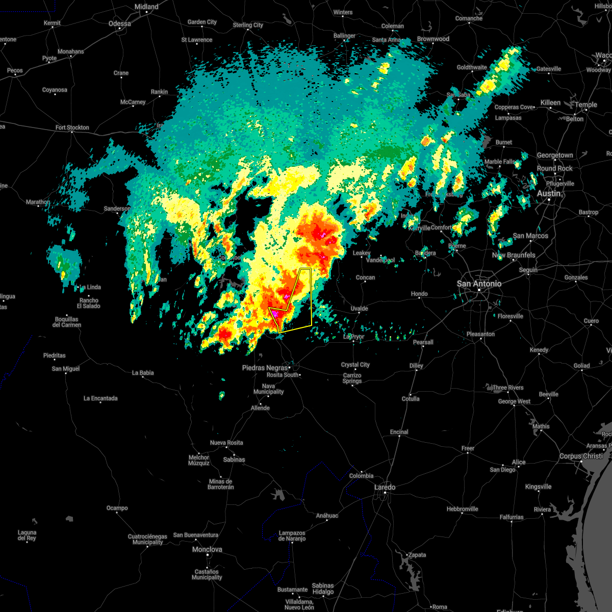 At 408 am cdt, a severe thunderstorm was located 10 miles south of standart, or 15 miles west of spofford, moving northeast at 30 mph (radar indicated). Hazards include 60 mph wind gusts and quarter size hail. Hail damage to vehicles is expected. Expect wind damage to roofs, siding, and trees. At 408 am cdt, a severe thunderstorm was located 10 miles south of standart, or 15 miles west of spofford, moving northeast at 30 mph (radar indicated). Hazards include 60 mph wind gusts and quarter size hail. Hail damage to vehicles is expected. Expect wind damage to roofs, siding, and trees.
|
| 4/2/2017 3:30 AM CDT |
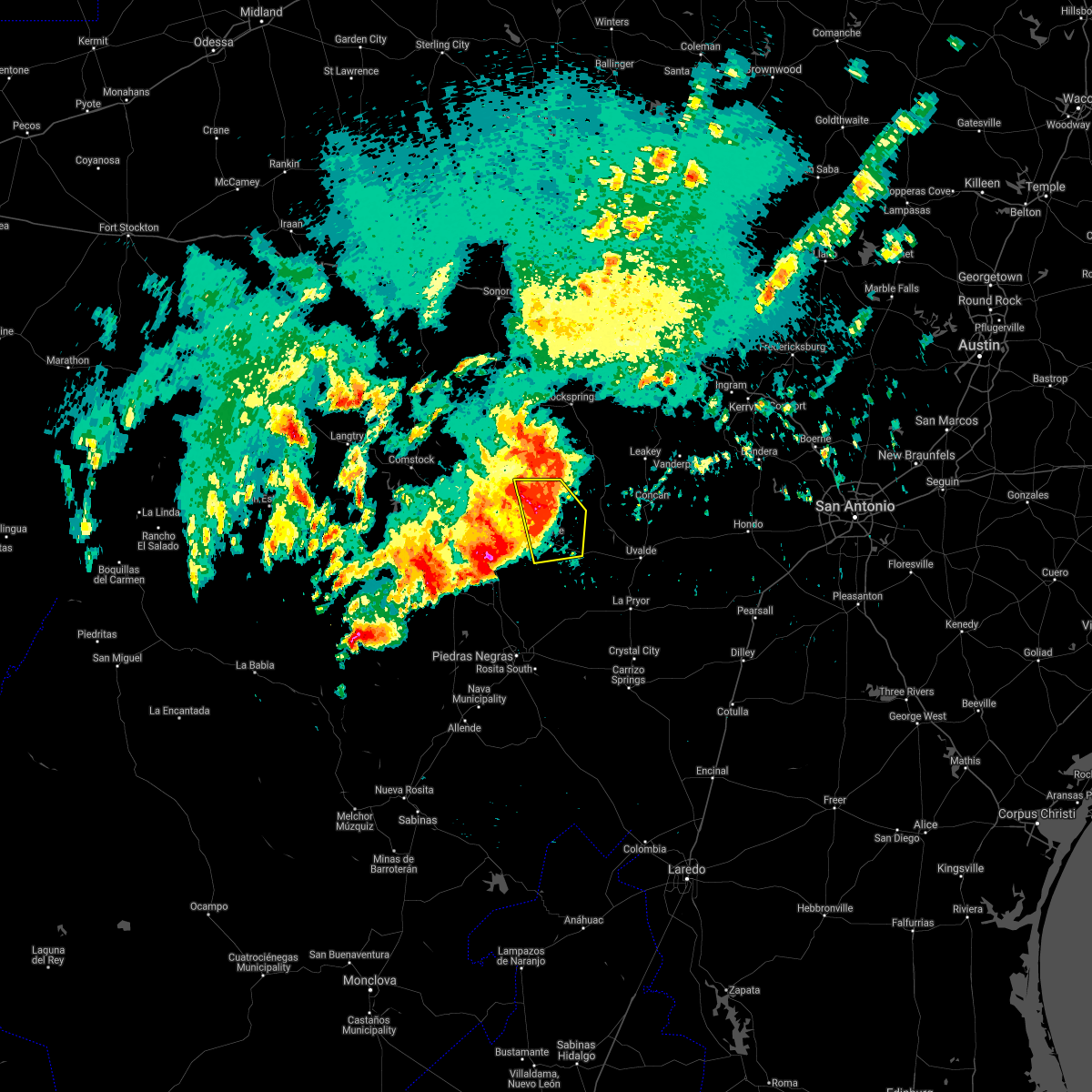 At 329 am cdt, severe thunderstorms were located along a line extending from 19 miles north of brackettville to 9 miles east of alamo village to 6 miles northeast of anacacho, moving east at 30 mph (radar indicated). Hazards include 60 mph wind gusts and nickel size hail. Expect damage to roofs, siding, and trees. locations impacted include, brackettville, alamo village, turkey mountain, and kickapoo cavern state park. A tornado watch remains in effect until 600 am cdt for south central texas. At 329 am cdt, severe thunderstorms were located along a line extending from 19 miles north of brackettville to 9 miles east of alamo village to 6 miles northeast of anacacho, moving east at 30 mph (radar indicated). Hazards include 60 mph wind gusts and nickel size hail. Expect damage to roofs, siding, and trees. locations impacted include, brackettville, alamo village, turkey mountain, and kickapoo cavern state park. A tornado watch remains in effect until 600 am cdt for south central texas.
|
| 4/2/2017 3:16 AM CDT |
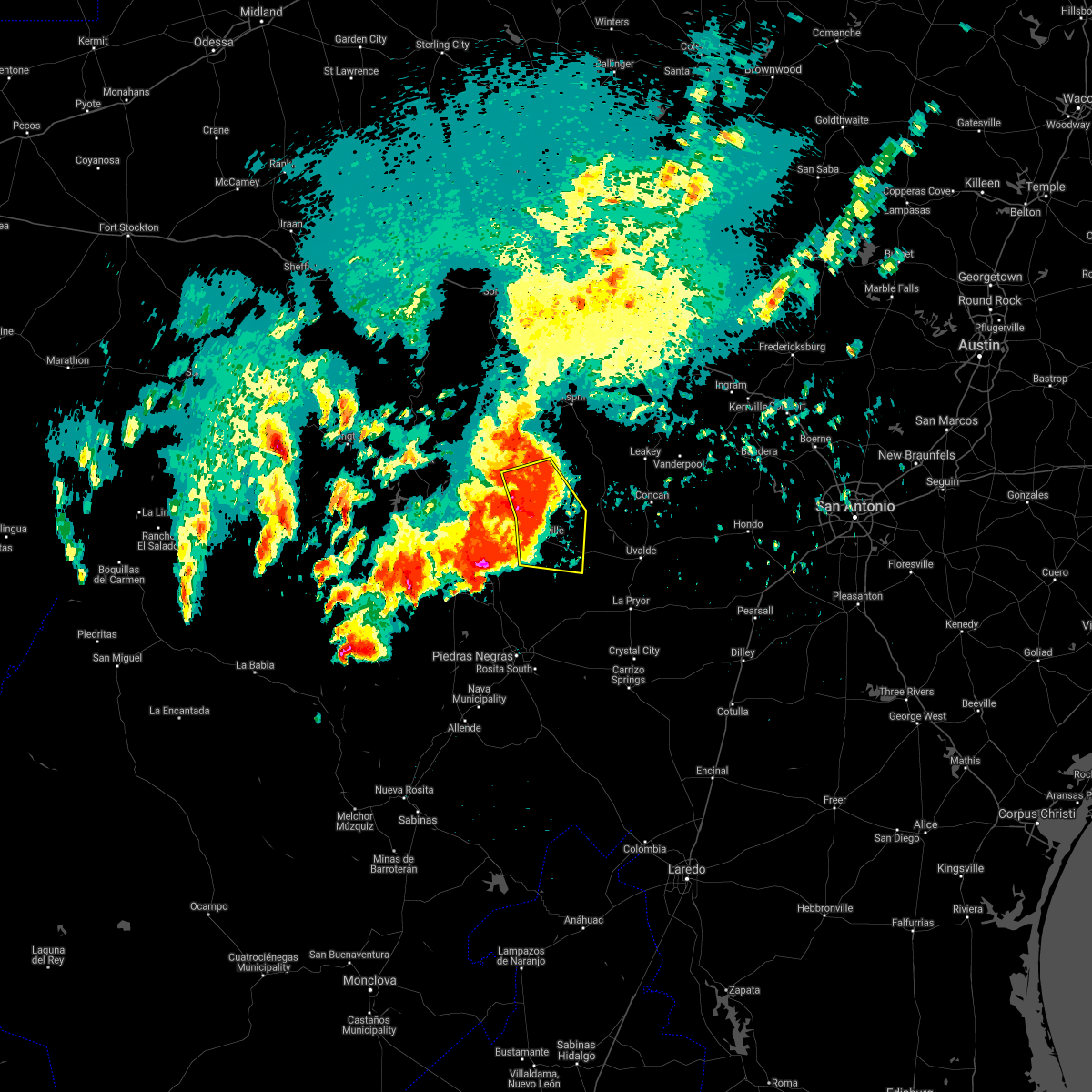 At 315 am cdt, severe thunderstorms were located along a line extending from 17 miles northeast of amanda to near alamo village to near brackettville, moving east at 30 mph (radar indicated). Hazards include 60 mph wind gusts and nickel size hail. Expect damage to roofs, siding, and trees. locations impacted include, brackettville, spofford, anacacho, alamo village, turkey mountain, and kickapoo cavern state park. A tornado watch remains in effect until 600 am cdt for south central texas. At 315 am cdt, severe thunderstorms were located along a line extending from 17 miles northeast of amanda to near alamo village to near brackettville, moving east at 30 mph (radar indicated). Hazards include 60 mph wind gusts and nickel size hail. Expect damage to roofs, siding, and trees. locations impacted include, brackettville, spofford, anacacho, alamo village, turkey mountain, and kickapoo cavern state park. A tornado watch remains in effect until 600 am cdt for south central texas.
|
| 4/2/2017 2:57 AM CDT |
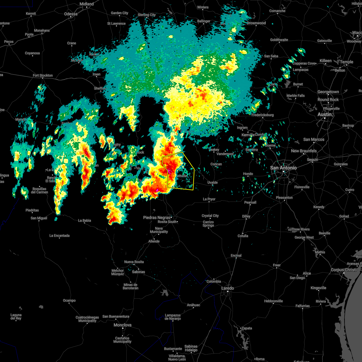 At 257 am cdt, severe thunderstorms were located along a line extending from 14 miles north of amanda to 7 miles west of alamo village to 7 miles southeast of standart, moving east at 30 mph (radar indicated). Hazards include 60 mph wind gusts and nickel size hail. expect damage to roofs, siding, and trees At 257 am cdt, severe thunderstorms were located along a line extending from 14 miles north of amanda to 7 miles west of alamo village to 7 miles southeast of standart, moving east at 30 mph (radar indicated). Hazards include 60 mph wind gusts and nickel size hail. expect damage to roofs, siding, and trees
|
| 3/28/2017 11:58 PM CDT |
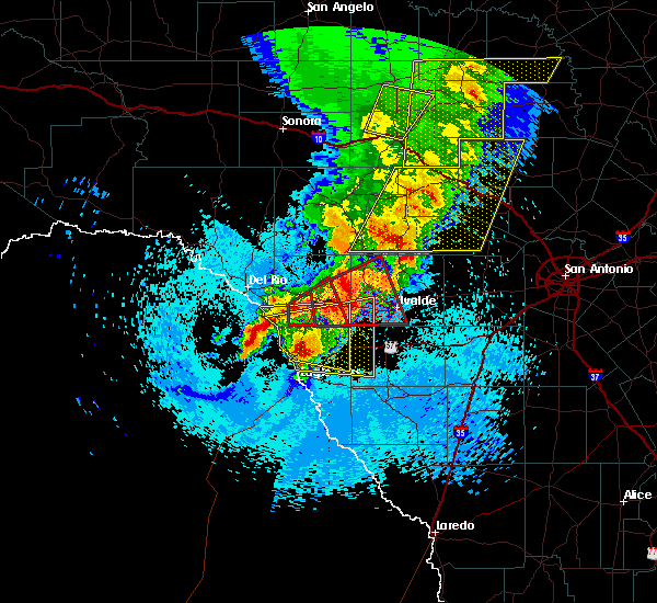 At 1158 pm cdt, a severe thunderstorm capable of producing a tornado was located over cline, or 17 miles west of uvalde, moving east at 50 mph (radar indicated rotation). Hazards include tornado and quarter size hail. Flying debris will be dangerous to those caught without shelter. mobile homes will be damaged or destroyed. damage to roofs, windows, and vehicles will occur. tree damage is likely. Locations impacted include, uvalde, brackettville, laguna, uvalde estates, montell, dabney, blewett, cline, anacacho and turkey mountain. At 1158 pm cdt, a severe thunderstorm capable of producing a tornado was located over cline, or 17 miles west of uvalde, moving east at 50 mph (radar indicated rotation). Hazards include tornado and quarter size hail. Flying debris will be dangerous to those caught without shelter. mobile homes will be damaged or destroyed. damage to roofs, windows, and vehicles will occur. tree damage is likely. Locations impacted include, uvalde, brackettville, laguna, uvalde estates, montell, dabney, blewett, cline, anacacho and turkey mountain.
|
| 3/28/2017 11:47 PM CDT |
 At 1147 pm cdt, a severe thunderstorm capable of producing a tornado was located 7 miles west of cline, or 12 miles east of brackettville, moving northeast at 55 mph (radar indicated rotation). Hazards include tornado and quarter size hail. Flying debris will be dangerous to those caught without shelter. mobile homes will be damaged or destroyed. damage to roofs, windows, and vehicles will occur. Tree damage is likely. At 1147 pm cdt, a severe thunderstorm capable of producing a tornado was located 7 miles west of cline, or 12 miles east of brackettville, moving northeast at 55 mph (radar indicated rotation). Hazards include tornado and quarter size hail. Flying debris will be dangerous to those caught without shelter. mobile homes will be damaged or destroyed. damage to roofs, windows, and vehicles will occur. Tree damage is likely.
|
| 3/28/2017 11:34 PM CDT |
 At 1134 pm cdt, a severe thunderstorm capable of producing a tornado was located near brackettville, moving northeast at 40 mph (radar indicated rotation). Hazards include tornado. Flying debris will be dangerous to those caught without shelter. mobile homes will be damaged or destroyed. damage to roofs, windows, and vehicles will occur. tree damage is likely. Locations impacted include, brackettville, spofford and anacacho. At 1134 pm cdt, a severe thunderstorm capable of producing a tornado was located near brackettville, moving northeast at 40 mph (radar indicated rotation). Hazards include tornado. Flying debris will be dangerous to those caught without shelter. mobile homes will be damaged or destroyed. damage to roofs, windows, and vehicles will occur. tree damage is likely. Locations impacted include, brackettville, spofford and anacacho.
|
| 3/28/2017 11:25 PM CDT |
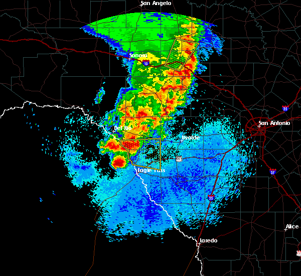 At 1124 pm cdt, a severe thunderstorm capable of producing a tornado was located near spofford, moving northeast at 40 mph (radar indicated rotation). Hazards include tornado. Flying debris will be dangerous to those caught without shelter. mobile homes will be damaged or destroyed. damage to roofs, windows, and vehicles will occur. Tree damage is likely. At 1124 pm cdt, a severe thunderstorm capable of producing a tornado was located near spofford, moving northeast at 40 mph (radar indicated rotation). Hazards include tornado. Flying debris will be dangerous to those caught without shelter. mobile homes will be damaged or destroyed. damage to roofs, windows, and vehicles will occur. Tree damage is likely.
|
| 2/19/2017 6:29 PM CST |
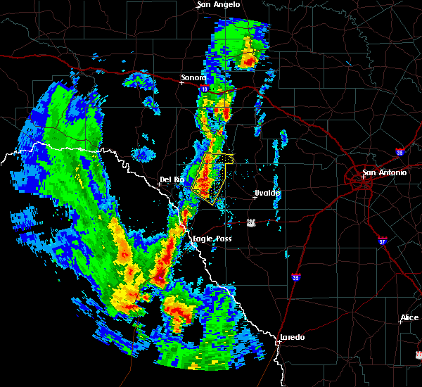 At 629 pm cst, a severe thunderstorm was located near alamo village, or 10 miles northeast of brackettville, moving north at 25 mph (radar indicated). Hazards include 60 mph wind gusts and quarter size hail. Hail damage to vehicles is expected. Expect wind damage to roofs, siding, and trees. At 629 pm cst, a severe thunderstorm was located near alamo village, or 10 miles northeast of brackettville, moving north at 25 mph (radar indicated). Hazards include 60 mph wind gusts and quarter size hail. Hail damage to vehicles is expected. Expect wind damage to roofs, siding, and trees.
|
| 2/19/2017 6:22 PM CST |
 At 620 pm cst, severe thunderstorms were located along a line extending from 12 miles northeast of alamo village to spofford, moving northeast at 30 mph. another severe storm is crossing the border south of quemado. a new severe thunderstorm warning will likely be issued for these storms before 630 pm cst (radar indicated). Hazards include 60 mph wind gusts and quarter size hail. Hail damage to vehicles is expected. expect wind damage to roofs, siding, and trees. Locations impacted include, brackettville, spofford, quemado, alamo village, radar base, normandy, laughlin afb aux field and elm creek. At 620 pm cst, severe thunderstorms were located along a line extending from 12 miles northeast of alamo village to spofford, moving northeast at 30 mph. another severe storm is crossing the border south of quemado. a new severe thunderstorm warning will likely be issued for these storms before 630 pm cst (radar indicated). Hazards include 60 mph wind gusts and quarter size hail. Hail damage to vehicles is expected. expect wind damage to roofs, siding, and trees. Locations impacted include, brackettville, spofford, quemado, alamo village, radar base, normandy, laughlin afb aux field and elm creek.
|
| 2/19/2017 6:01 PM CST |
 At 559 pm cst, severe thunderstorms were located along a line extending from 6 miles northeast of alamo village to 7 miles west of darling, moving northeast at 30 mph. radar indicates an especially strong portion of the storm 8 miles east of jimenez that could produce damaging hail up to tennis ball size. another severe storm may cross the border just south of quemado by 620 pm (radar indicated). Hazards include tennis ball size hail and 60 mph wind gusts. People and animals outdoors will be injured. expect hail damage to roofs, siding, windows, and vehicles. expect wind damage to roofs, siding, and trees. Locations impacted include, brackettville, spofford, quemado, alamo village, radar base, normandy, laughlin afb aux field, kickapoo cavern state park and elm creek. At 559 pm cst, severe thunderstorms were located along a line extending from 6 miles northeast of alamo village to 7 miles west of darling, moving northeast at 30 mph. radar indicates an especially strong portion of the storm 8 miles east of jimenez that could produce damaging hail up to tennis ball size. another severe storm may cross the border just south of quemado by 620 pm (radar indicated). Hazards include tennis ball size hail and 60 mph wind gusts. People and animals outdoors will be injured. expect hail damage to roofs, siding, windows, and vehicles. expect wind damage to roofs, siding, and trees. Locations impacted include, brackettville, spofford, quemado, alamo village, radar base, normandy, laughlin afb aux field, kickapoo cavern state park and elm creek.
|
| 2/19/2017 5:51 PM CST |
 At 550 pm cst, severe thunderstorms were located along a line extending from near alamo village to near normandy, moving northeast at 30 mph. hail up to 2 inches in diameter and damaging winds have been reported with this storm cluster from near quemado to brackettville since 545 pm (radar indicated). Hazards include two inch hail and 70 mph wind gusts. People and animals outdoors will be injured. expect hail damage to roofs, siding, windows, and vehicles. expect considerable tree damage. wind damage is also likely to mobile homes, roofs, and outbuildings. Locations impacted include, brackettville, spofford, quemado, alamo village, radar base, normandy, laughlin afb aux field, kickapoo cavern state park and elm creek. At 550 pm cst, severe thunderstorms were located along a line extending from near alamo village to near normandy, moving northeast at 30 mph. hail up to 2 inches in diameter and damaging winds have been reported with this storm cluster from near quemado to brackettville since 545 pm (radar indicated). Hazards include two inch hail and 70 mph wind gusts. People and animals outdoors will be injured. expect hail damage to roofs, siding, windows, and vehicles. expect considerable tree damage. wind damage is also likely to mobile homes, roofs, and outbuildings. Locations impacted include, brackettville, spofford, quemado, alamo village, radar base, normandy, laughlin afb aux field, kickapoo cavern state park and elm creek.
|
| 2/19/2017 5:40 PM CST |
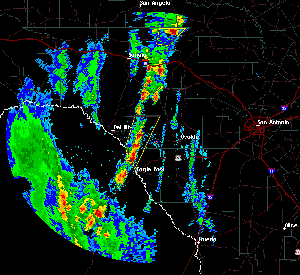 At 539 pm cst, a severe thunderstorm was located over brackettville, moving northeast at 25 mph. additional severe storms extend south to between quemado and eagle pass. the strongest storm could produce damaging hail over the city of brackettville through 6 pm (radar indicated). Hazards include 60 mph wind gusts and half dollar size hail. Hail damage to vehicles is expected. expect wind damage to roofs, siding, and trees. Locations impacted include, brackettville, spofford, quemado, alamo village, radar base, normandy, laughlin afb aux field, kickapoo cavern state park and elm creek. At 539 pm cst, a severe thunderstorm was located over brackettville, moving northeast at 25 mph. additional severe storms extend south to between quemado and eagle pass. the strongest storm could produce damaging hail over the city of brackettville through 6 pm (radar indicated). Hazards include 60 mph wind gusts and half dollar size hail. Hail damage to vehicles is expected. expect wind damage to roofs, siding, and trees. Locations impacted include, brackettville, spofford, quemado, alamo village, radar base, normandy, laughlin afb aux field, kickapoo cavern state park and elm creek.
|
| 2/19/2017 5:35 PM CST |
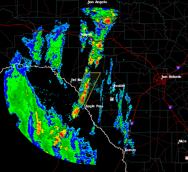 At 534 pm cst, a severe thunderstorm was located near spofford, moving north at 15 mph. two additional strong to severe storms extend south to between quemado and eagle pass, also moving north at 15 mph (radar indicated). Hazards include 60 mph wind gusts and quarter size hail. Hail damage to vehicles is expected. Expect wind damage to roofs, siding, and trees. At 534 pm cst, a severe thunderstorm was located near spofford, moving north at 15 mph. two additional strong to severe storms extend south to between quemado and eagle pass, also moving north at 15 mph (radar indicated). Hazards include 60 mph wind gusts and quarter size hail. Hail damage to vehicles is expected. Expect wind damage to roofs, siding, and trees.
|
| 1/15/2017 7:32 PM CST |
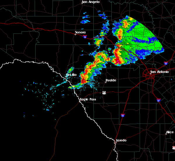 At 731 pm cst, a severe thunderstorm was located near brackettville, moving east at 35 mph (radar indicated). Hazards include ping pong ball size hail and 60 mph wind gusts. People and animals outdoors will be injured. expect hail damage to roofs, siding, windows, and vehicles. expect wind damage to roofs, siding, and trees. Locations impacted include, brackettville and alamo village. At 731 pm cst, a severe thunderstorm was located near brackettville, moving east at 35 mph (radar indicated). Hazards include ping pong ball size hail and 60 mph wind gusts. People and animals outdoors will be injured. expect hail damage to roofs, siding, windows, and vehicles. expect wind damage to roofs, siding, and trees. Locations impacted include, brackettville and alamo village.
|
| 1/15/2017 7:13 PM CST |
 At 713 pm cst, a severe thunderstorm was located near standart, or 13 miles west of brackettville, moving east at 30 mph (radar indicated). Hazards include ping pong ball size hail and 60 mph wind gusts. People and animals outdoors will be injured. expect hail damage to roofs, siding, windows, and vehicles. Expect wind damage to roofs, siding, and trees. At 713 pm cst, a severe thunderstorm was located near standart, or 13 miles west of brackettville, moving east at 30 mph (radar indicated). Hazards include ping pong ball size hail and 60 mph wind gusts. People and animals outdoors will be injured. expect hail damage to roofs, siding, windows, and vehicles. Expect wind damage to roofs, siding, and trees.
|
| 6/2/2016 12:08 AM CDT |
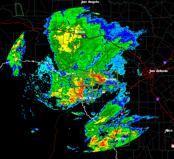 At 1207 am cdt, severe thunderstorms were located along a line extending from near brackettville to darling to 6 miles northeast of eagle pass to 14 miles southwest of eagle pass, moving southeast at 30 mph (radar indicated). Hazards include 60 mph wind gusts and quarter size hail. Hail damage to vehicles is expected. expect wind damage to roofs, siding, and trees. Locations impacted include, eagle pass, brackettville, spofford, quemado, radar base, darling, paloma, alamo village, standart, rosita north, amanda, rosita south, anacacho, normandy, laughlin afb aux field, eidson road, elm creek, turkey mountain, seco mines and las quintas fronterizas. At 1207 am cdt, severe thunderstorms were located along a line extending from near brackettville to darling to 6 miles northeast of eagle pass to 14 miles southwest of eagle pass, moving southeast at 30 mph (radar indicated). Hazards include 60 mph wind gusts and quarter size hail. Hail damage to vehicles is expected. expect wind damage to roofs, siding, and trees. Locations impacted include, eagle pass, brackettville, spofford, quemado, radar base, darling, paloma, alamo village, standart, rosita north, amanda, rosita south, anacacho, normandy, laughlin afb aux field, eidson road, elm creek, turkey mountain, seco mines and las quintas fronterizas.
|
| 6/1/2016 11:36 PM CDT |
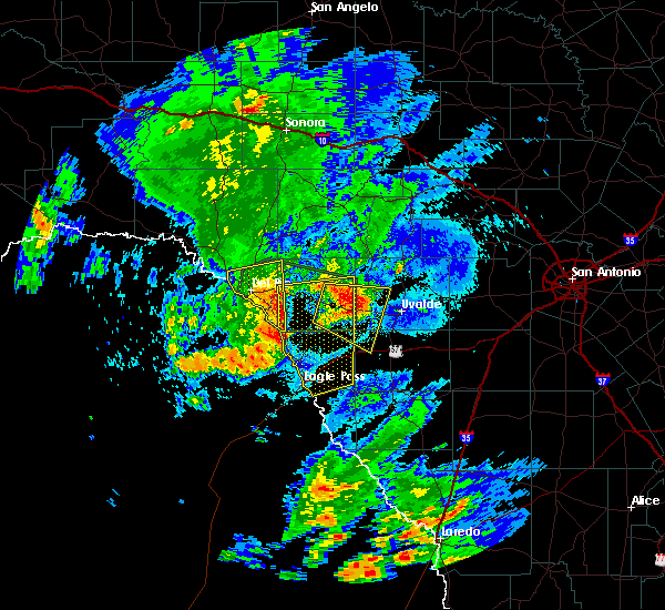 At 1135 pm cdt, severe thunderstorms were located along a line extending from standart to near normandy to 22 miles southwest of quemado, moving east at 25 mph (radar indicated). Hazards include 60 mph wind gusts and quarter size hail. Hail damage to vehicles is expected. Expect wind damage to roofs, siding, and trees. At 1135 pm cdt, severe thunderstorms were located along a line extending from standart to near normandy to 22 miles southwest of quemado, moving east at 25 mph (radar indicated). Hazards include 60 mph wind gusts and quarter size hail. Hail damage to vehicles is expected. Expect wind damage to roofs, siding, and trees.
|
| 6/1/2016 10:57 PM CDT |
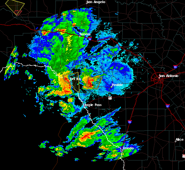 At 1057 pm cdt, severe thunderstorms were located along a line extending from 9 miles east of alamo village to near anacacho, moving east at 20 mph (radar indicated). Hazards include golf ball size hail and 60 mph wind gusts. People and animals outdoors will be injured. expect hail damage to roofs, siding, windows, and vehicles. expect wind damage to roofs, siding, and trees. Locations impacted include, brackettville, alamo village and turkey mountain. At 1057 pm cdt, severe thunderstorms were located along a line extending from 9 miles east of alamo village to near anacacho, moving east at 20 mph (radar indicated). Hazards include golf ball size hail and 60 mph wind gusts. People and animals outdoors will be injured. expect hail damage to roofs, siding, windows, and vehicles. expect wind damage to roofs, siding, and trees. Locations impacted include, brackettville, alamo village and turkey mountain.
|
| 6/1/2016 10:40 PM CDT |
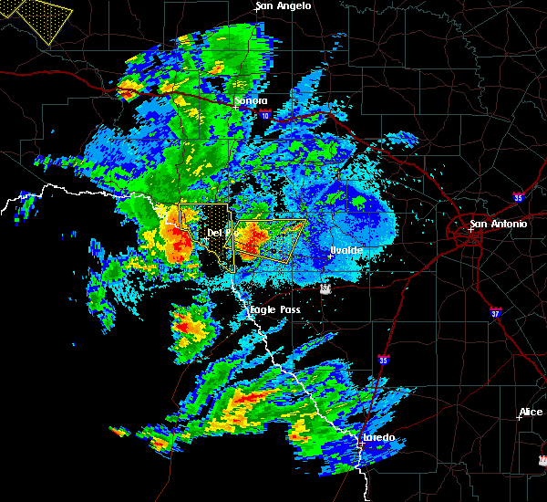 At 1040 pm cdt, severe thunderstorms were located along a line extending from alamo village to 6 miles northwest of spofford, moving southeast at 15 mph (radar indicated). Hazards include ping pong ball size hail and 60 mph wind gusts. People and animals outdoors will be injured. expect hail damage to roofs, siding, windows, and vehicles. expect wind damage to roofs, siding, and trees. Locations impacted include, brackettville, montell, alamo village and turkey mountain. At 1040 pm cdt, severe thunderstorms were located along a line extending from alamo village to 6 miles northwest of spofford, moving southeast at 15 mph (radar indicated). Hazards include ping pong ball size hail and 60 mph wind gusts. People and animals outdoors will be injured. expect hail damage to roofs, siding, windows, and vehicles. expect wind damage to roofs, siding, and trees. Locations impacted include, brackettville, montell, alamo village and turkey mountain.
|
| 6/1/2016 10:16 PM CDT |
 At 1016 pm cdt, a severe thunderstorm was located near alamo village, or near brackettville, moving southeast at 15 mph (radar indicated). Hazards include 60 mph wind gusts and quarter size hail. Hail damage to vehicles is expected. Expect wind damage to roofs, siding, and trees. At 1016 pm cdt, a severe thunderstorm was located near alamo village, or near brackettville, moving southeast at 15 mph (radar indicated). Hazards include 60 mph wind gusts and quarter size hail. Hail damage to vehicles is expected. Expect wind damage to roofs, siding, and trees.
|
| 5/17/2016 10:40 PM CDT |
 At 1040 pm cdt, a severe thunderstorm was located near laughlin afb, or 10 miles southeast of del rio, moving east at 10 mph (radar indicated). Hazards include 60 mph wind gusts and quarter size hail. Hail damage to vehicles is expected. Expect wind damage to roofs, siding, and trees. At 1040 pm cdt, a severe thunderstorm was located near laughlin afb, or 10 miles southeast of del rio, moving east at 10 mph (radar indicated). Hazards include 60 mph wind gusts and quarter size hail. Hail damage to vehicles is expected. Expect wind damage to roofs, siding, and trees.
|
| 4/30/2016 2:40 AM CDT |
 At 240 am cdt, severe thunderstorms were located along a line extending from 6 miles west of nelson city to near tarpley to 9 miles southeast of utopia to 7 miles northwest of knippa to 8 miles northwest of uvalde to near brackettville, moving east at 40 mph. these are very dangerous storms (radar indicated). Hazards include baseball size hail and 60 mph wind gusts. People and animals outdoors will be severely injured. expect shattered windows, extensive damage to roofs, siding, and vehicles. Locations impacted include, medina, kerrville, uvalde, boerne, hondo, comfort, brackettville, bandera, spofford, tarpley, sabinal, laguna, d`hanis, waring, blewett, alamo village, concan, pipe creek, standart and walnut grove. At 240 am cdt, severe thunderstorms were located along a line extending from 6 miles west of nelson city to near tarpley to 9 miles southeast of utopia to 7 miles northwest of knippa to 8 miles northwest of uvalde to near brackettville, moving east at 40 mph. these are very dangerous storms (radar indicated). Hazards include baseball size hail and 60 mph wind gusts. People and animals outdoors will be severely injured. expect shattered windows, extensive damage to roofs, siding, and vehicles. Locations impacted include, medina, kerrville, uvalde, boerne, hondo, comfort, brackettville, bandera, spofford, tarpley, sabinal, laguna, d`hanis, waring, blewett, alamo village, concan, pipe creek, standart and walnut grove.
|
| 4/30/2016 2:27 AM CDT |
 At 226 am cdt, severe thunderstorms were located along a line extending from near camp verde to near tarpley to 8 miles south of utopia to 10 miles southwest of concan to near cline to 7 miles south of standart, moving east at 35 mph (radar indicated). Hazards include quarter size hail. damage to vehicles is expected At 226 am cdt, severe thunderstorms were located along a line extending from near camp verde to near tarpley to 8 miles south of utopia to 10 miles southwest of concan to near cline to 7 miles south of standart, moving east at 35 mph (radar indicated). Hazards include quarter size hail. damage to vehicles is expected
|
| 4/10/2016 8:31 PM CDT |
 At 830 pm cdt, a severe thunderstorm was located 14 miles north of quemado, moving east at 35 mph (radar indicated). Hazards include two inch hail and 60 mph wind gusts. People and animals outdoors will be injured. expect hail damage to roofs, siding, windows, and vehicles. expect wind damage to roofs, siding, and trees. Locations impacted include, brackettville, spofford, standart, laughlin afb and amanda. At 830 pm cdt, a severe thunderstorm was located 14 miles north of quemado, moving east at 35 mph (radar indicated). Hazards include two inch hail and 60 mph wind gusts. People and animals outdoors will be injured. expect hail damage to roofs, siding, windows, and vehicles. expect wind damage to roofs, siding, and trees. Locations impacted include, brackettville, spofford, standart, laughlin afb and amanda.
|
| 4/10/2016 8:11 PM CDT |
 At 809 pm cdt, a severe thunderstorm was located near laughlin afb, or 11 miles southeast of del rio, moving east at 25 mph (radar indicated). Hazards include 60 mph wind gusts and quarter size hail. Hail damage to vehicles is expected. expect wind damage to roofs, siding, and trees. Locations impacted include, brackettville, spofford, standart, laughlin afb and amanda. At 809 pm cdt, a severe thunderstorm was located near laughlin afb, or 11 miles southeast of del rio, moving east at 25 mph (radar indicated). Hazards include 60 mph wind gusts and quarter size hail. Hail damage to vehicles is expected. expect wind damage to roofs, siding, and trees. Locations impacted include, brackettville, spofford, standart, laughlin afb and amanda.
|
| 4/10/2016 7:48 PM CDT |
 At 748 pm cdt, a severe thunderstorm was located 8 miles south of cienegas terrace, or 9 miles south of del rio, moving east at 35 mph (radar indicated). Hazards include 60 mph wind gusts and quarter size hail. Hail damage to vehicles is expected. Expect wind damage to roofs, siding, and trees. At 748 pm cdt, a severe thunderstorm was located 8 miles south of cienegas terrace, or 9 miles south of del rio, moving east at 35 mph (radar indicated). Hazards include 60 mph wind gusts and quarter size hail. Hail damage to vehicles is expected. Expect wind damage to roofs, siding, and trees.
|
| 4/1/2016 2:07 AM CDT |
 At 207 am cdt, severe thunderstorms were located along a line extending from 7 miles northwest of montell to near alamo village, moving northeast at 40 mph (radar indicated). Hazards include quarter size hail. Damage to vehicles is expected. Locations impacted include, brackettville, camp wood, alamo village, standart, vance, amanda, montell, tuff, barksdale, kickapoo cavern state park and turkey mountain. At 207 am cdt, severe thunderstorms were located along a line extending from 7 miles northwest of montell to near alamo village, moving northeast at 40 mph (radar indicated). Hazards include quarter size hail. Damage to vehicles is expected. Locations impacted include, brackettville, camp wood, alamo village, standart, vance, amanda, montell, tuff, barksdale, kickapoo cavern state park and turkey mountain.
|
| 4/1/2016 1:45 AM CDT |
 At 144 am cdt, severe thunderstorms were located along a line extending from near alamo village to near standart, moving north at 30 mph (radar indicated). Hazards include quarter size hail. damage to vehicles is expected At 144 am cdt, severe thunderstorms were located along a line extending from near alamo village to near standart, moving north at 30 mph (radar indicated). Hazards include quarter size hail. damage to vehicles is expected
|
| 2/22/2016 10:58 PM CST |
 At 1057 pm cst, a severe thunderstorm was located over brackettville, moving east at 45 mph (radar indicated). Hazards include 70 mph wind gusts and quarter size hail. Hail damage to vehicles is expected. expect considerable tree damage. Wind damage is also likely to mobile homes, roofs, and outbuildings. At 1057 pm cst, a severe thunderstorm was located over brackettville, moving east at 45 mph (radar indicated). Hazards include 70 mph wind gusts and quarter size hail. Hail damage to vehicles is expected. expect considerable tree damage. Wind damage is also likely to mobile homes, roofs, and outbuildings.
|
| 2/22/2016 10:53 PM CST |
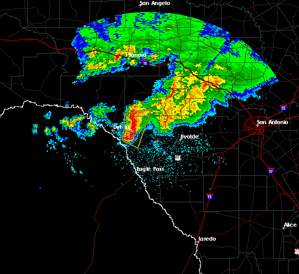 At 1053 pm cst, a severe thunderstorm was located near standart, or 7 miles west of brackettville, moving east at 40 mph (radar indicated). Hazards include 60 mph wind gusts and quarter size hail. Hail damage to vehicles is expected. expect wind damage to roofs, siding, and trees. Locations impacted include, brackettville, alamo village, standart, amanda and kickapoo cavern state park. At 1053 pm cst, a severe thunderstorm was located near standart, or 7 miles west of brackettville, moving east at 40 mph (radar indicated). Hazards include 60 mph wind gusts and quarter size hail. Hail damage to vehicles is expected. expect wind damage to roofs, siding, and trees. Locations impacted include, brackettville, alamo village, standart, amanda and kickapoo cavern state park.
|
| 2/22/2016 10:33 PM CST |
 At 1032 pm cst, a severe thunderstorm was located near laughlin afb, or 9 miles east of del rio, moving southeast at 50 mph (radar indicated). Hazards include 60 mph wind gusts and quarter size hail. Hail damage to vehicles is expected. expect wind damage to roofs, siding, and trees. Locations impacted include, del rio, brackettville, alamo village, standart, lake view, amanda, val verde park, cienegas terrace, laughlin afb and kickapoo cavern state park. At 1032 pm cst, a severe thunderstorm was located near laughlin afb, or 9 miles east of del rio, moving southeast at 50 mph (radar indicated). Hazards include 60 mph wind gusts and quarter size hail. Hail damage to vehicles is expected. expect wind damage to roofs, siding, and trees. Locations impacted include, del rio, brackettville, alamo village, standart, lake view, amanda, val verde park, cienegas terrace, laughlin afb and kickapoo cavern state park.
|
| 2/22/2016 10:15 PM CST |
 At 1015 pm cst, a severe thunderstorm was located near lake view, or 12 miles northwest of del rio, moving east at 40 mph (radar indicated). Hazards include 60 mph wind gusts and quarter size hail. Hail damage to vehicles is expected. expect wind damage to roofs, siding, and trees. Locations impacted include, del rio, brackettville, alamo village, standart, lake view, amanda, val verde park, cienegas terrace, laughlin afb, amistad village, box canyon-amistad, pafford crossing, rough canyon rec area, devils shores and kickapoo cavern state park. At 1015 pm cst, a severe thunderstorm was located near lake view, or 12 miles northwest of del rio, moving east at 40 mph (radar indicated). Hazards include 60 mph wind gusts and quarter size hail. Hail damage to vehicles is expected. expect wind damage to roofs, siding, and trees. Locations impacted include, del rio, brackettville, alamo village, standart, lake view, amanda, val verde park, cienegas terrace, laughlin afb, amistad village, box canyon-amistad, pafford crossing, rough canyon rec area, devils shores and kickapoo cavern state park.
|
| 2/22/2016 10:08 PM CST |
 At 1007 pm cst, a severe thunderstorm was located near box canyon-amistad, or 10 miles southeast of comstock, moving east at 35 mph (radar indicated). Hazards include quarter size hail. damage to vehicles is expected At 1007 pm cst, a severe thunderstorm was located near box canyon-amistad, or 10 miles southeast of comstock, moving east at 35 mph (radar indicated). Hazards include quarter size hail. damage to vehicles is expected
|
| 12/27/2015 12:48 AM CST |
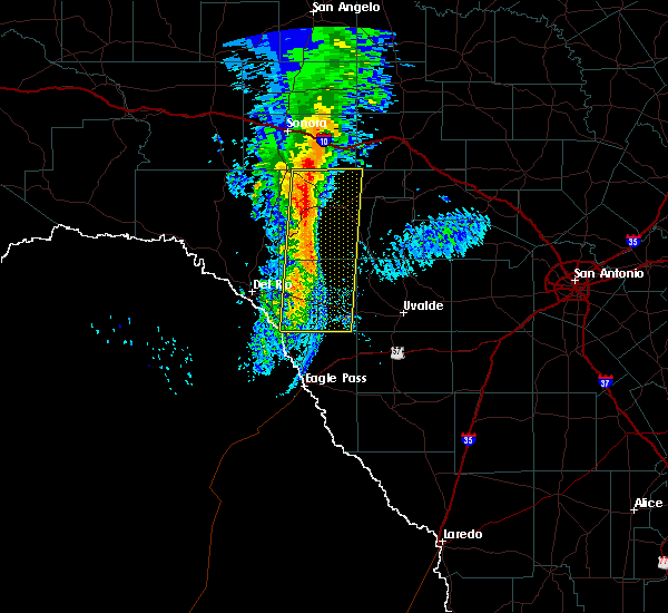 At 1246 am cst, severe thunderstorms were located along a line extending from 15 miles northwest of rocksprings to near spofford, moving east at 35 mph (radar indicated). Hazards include 60 mph wind gusts and penny size hail. Expect damage to roofs. siding and trees. Locations impacted include, brackettville, rocksprings, spofford, alamo village, standart, amanda, anacacho, devils sinkhole state natural area, kickapoo cavern state park and turkey mountain. At 1246 am cst, severe thunderstorms were located along a line extending from 15 miles northwest of rocksprings to near spofford, moving east at 35 mph (radar indicated). Hazards include 60 mph wind gusts and penny size hail. Expect damage to roofs. siding and trees. Locations impacted include, brackettville, rocksprings, spofford, alamo village, standart, amanda, anacacho, devils sinkhole state natural area, kickapoo cavern state park and turkey mountain.
|
| 12/27/2015 12:06 AM CST |
 At 1205 am cst, severe thunderstorms were located along a line extending from 14 miles north of flour mills to 10 miles south of laughlin afb, moving east at 35 mph (radar indicated). Hazards include 60 mph wind gusts and nickel size hail. Expect damage to roofs. Siding and trees. At 1205 am cst, severe thunderstorms were located along a line extending from 14 miles north of flour mills to 10 miles south of laughlin afb, moving east at 35 mph (radar indicated). Hazards include 60 mph wind gusts and nickel size hail. Expect damage to roofs. Siding and trees.
|
| 12/12/2015 10:59 PM CST |
 At 1059 pm cst, severe thunderstorms were located along a line extending from 16 miles north of rocksprings to 13 miles west of vance to near brackettville, moving east at 35 mph (radar indicated). Hazards include 60 mph wind gusts. Expect damage to roofs. Siding and trees. At 1059 pm cst, severe thunderstorms were located along a line extending from 16 miles north of rocksprings to 13 miles west of vance to near brackettville, moving east at 35 mph (radar indicated). Hazards include 60 mph wind gusts. Expect damage to roofs. Siding and trees.
|
| 10/8/2015 7:37 PM CDT |
 At 731 pm cdt, a line of strong to severe thunderstorms is moving northeast at 20 mph. the stronger winds shown on radar are across the southwest of kinney county. this area of strong to severe thunderstorm winds will move the northweast and affect central kinney county within the next several minutes. also, very heavy rain is falling and localized flash flooding is possible. an areal flood advisory is in effect for the area through 1015 pm (radar indicated). Hazards include 60 mph wind gusts and quarter size hail. Hail damage to vehicles is expected. expect wind damage to roofs, siding and trees. Locations impacted include, del rio, brackettville, spofford, quemado, darling, standart, lake view, val verde park, amanda, cienegas terrace, laughlin afb, normandy and laughlin afb aux field. At 731 pm cdt, a line of strong to severe thunderstorms is moving northeast at 20 mph. the stronger winds shown on radar are across the southwest of kinney county. this area of strong to severe thunderstorm winds will move the northweast and affect central kinney county within the next several minutes. also, very heavy rain is falling and localized flash flooding is possible. an areal flood advisory is in effect for the area through 1015 pm (radar indicated). Hazards include 60 mph wind gusts and quarter size hail. Hail damage to vehicles is expected. expect wind damage to roofs, siding and trees. Locations impacted include, del rio, brackettville, spofford, quemado, darling, standart, lake view, val verde park, amanda, cienegas terrace, laughlin afb, normandy and laughlin afb aux field.
|
| 10/8/2015 6:53 PM CDT |
 At 652 pm cdt, a severe thunderstorm was located 10 miles southwest of laughlin afb, or 10 miles south of del rio, moving northeast at 25 mph (radar indicated). Hazards include 60 mph wind gusts and quarter size hail. Hail damage to vehicles is expected. Expect wind damage to roofs, siding and trees. At 652 pm cdt, a severe thunderstorm was located 10 miles southwest of laughlin afb, or 10 miles south of del rio, moving northeast at 25 mph (radar indicated). Hazards include 60 mph wind gusts and quarter size hail. Hail damage to vehicles is expected. Expect wind damage to roofs, siding and trees.
|
| 8/13/2015 5:22 PM CDT |
 At 521 pm cdt, severe thunderstorm winds were located along a line extending from 8 miles east of alamo village to near blewett, moving southwest at 25 mph (radar indicated). Hazards include 60 mph wind gusts. Expect damage to roofs. siding and trees. Locations impacted include, brackettville, blewett, dabney, anacacho, cline, uvalde estates and turkey mountain. At 521 pm cdt, severe thunderstorm winds were located along a line extending from 8 miles east of alamo village to near blewett, moving southwest at 25 mph (radar indicated). Hazards include 60 mph wind gusts. Expect damage to roofs. siding and trees. Locations impacted include, brackettville, blewett, dabney, anacacho, cline, uvalde estates and turkey mountain.
|
| 8/13/2015 5:07 PM CDT |
 At 505 pm cdt, a cluster of severe thunderstorms was located along a line extending from 11 miles east of alamo village to near blewett, moving southwest at 25 mph. these storms were producing strong outflow winds at 50-60 mph well ahead of the storms as well (radar indicated). Hazards include 60 mph wind gusts. Expect damage to roofs. Siding and trees. At 505 pm cdt, a cluster of severe thunderstorms was located along a line extending from 11 miles east of alamo village to near blewett, moving southwest at 25 mph. these storms were producing strong outflow winds at 50-60 mph well ahead of the storms as well (radar indicated). Hazards include 60 mph wind gusts. Expect damage to roofs. Siding and trees.
|
| 8/12/2015 6:01 PM CDT |
 At 600 pm cdt, a cluster of severe thunderstorms was located near spofford, moving southwest at 25 mph (radar indicated). Hazards include 60 mph wind gusts. Expect damage to roofs. Siding and trees. At 600 pm cdt, a cluster of severe thunderstorms was located near spofford, moving southwest at 25 mph (radar indicated). Hazards include 60 mph wind gusts. Expect damage to roofs. Siding and trees.
|
| 8/12/2015 5:15 PM CDT |
 At 515 pm cdt, a severe thunderstorm was located near spofford, moving southwest at 40 mph (radar indicated). Hazards include 70 mph wind gusts. Expect considerable tree damage. damage is likely to mobile homes, roofs and outbuildings. Locations impacted include, brackettville, spofford, alamo village, standart, anacacho, turkey mountain and laughlin afb aux field. At 515 pm cdt, a severe thunderstorm was located near spofford, moving southwest at 40 mph (radar indicated). Hazards include 70 mph wind gusts. Expect considerable tree damage. damage is likely to mobile homes, roofs and outbuildings. Locations impacted include, brackettville, spofford, alamo village, standart, anacacho, turkey mountain and laughlin afb aux field.
|
| 8/12/2015 4:59 PM CDT |
 At 459 pm cdt, a severe thunderstorm was located 7 miles west of cline, or 12 miles east of brackettville, moving southwest at 60 mph (radar indicated). Hazards include 70 mph wind gusts. Expect considerable tree damage. Damage is likely to mobile homes, roofs and outbuildings. At 459 pm cdt, a severe thunderstorm was located 7 miles west of cline, or 12 miles east of brackettville, moving southwest at 60 mph (radar indicated). Hazards include 70 mph wind gusts. Expect considerable tree damage. Damage is likely to mobile homes, roofs and outbuildings.
|
| 5/30/2015 1:28 PM CDT | At 128 pm cdt, severe thunderstorms were located along a line extending from 18 miles north of alamo village to near spofford, moving east at 20 mph (radar indicated). Hazards include 60 mph wind gusts and penny size hail. Expect damage to roofs. Siding and trees. |
| 5/30/2015 12:45 PM CDT | At 1243 pm cdt, a severe thunderstorm was located over standart, or 12 miles west of brackettville, moving east at 15 mph (radar indicated). Hazards include 60 mph wind gusts and penny size hail. Expect damage to roofs. Siding and trees. |
| 5/28/2015 11:05 PM CDT | At 1104 pm cdt, severe thunderstorms were located along a line extending from 7 miles northwest of lost maples state park to near barksdale to 15 miles north of alamo village to 11 miles northeast of lake view to near box canyon-amistad, moving southeast at 40 mph (radar indicated). Hazards include 60 mph wind gusts and penny size hail. Expect damage to roofs. siding and trees. Locations impacted include, del rio, brackettville, leakey, langtry, loma alta, comstock, camp wood, laguna, montell, alamo village, concan, standart, lake view, amanda, val verde park, seminole canyon state park, box canyon-amistad, osman, garner state park and vance. |
| 5/28/2015 10:35 PM CDT | At 1035 pm cdt, severe thunderstorms were located along a line extending from 10 miles northwest of lost maples state park to near vance to 20 miles north of alamo village to 12 miles southwest of carta valley to near comstock, moving southeast at 40 mph (radar indicated). Hazards include 60 mph wind gusts and penny size hail. Expect damage to roofs. siding and trees. Locations impacted include, del rio, brackettville, leakey, langtry, loma alta, comstock, juno, camp wood, laguna, montell, alamo village, concan, standart, lake view, amanda, pumpville, val verde park, seminole canyon state park, box canyon-amistad and osman. |
| 5/28/2015 9:57 PM CDT | At 954 pm cdt, severe thunderstorms were located along a line extending from near telegraph to 7 miles northwest of rocksprings to near flour mills to 14 miles south of juno to 11 miles north of shumla, moving southeast at 40 mph. * the strongest winds near 70 mph will be in northwest val verde and crossing into west, southwest and south central edwards county over the next half hour. these strong winds will likely be in northern uvalde and kinney country within the next hour (radar indicated). Hazards include 70 mph wind gusts and nickel size hail. Expect considerable tree damage. Damage is likely to mobile homes, roofs and outbuildings. |
| 4/26/2015 11:40 PM CDT | At 1139 pm cdt, severe thunderstorms were located along a line extending from 7 miles northwest of tuff to 7 miles northwest of darling, moving southeast at 60 mph (radar indicated). Hazards include 70 mph wind gusts and quarter size hail. Hail damage to vehicles is expected. expect considerable tree damage. Wind damage is also likely to mobile homes, roofs and outbuildings. |
| 4/26/2015 11:14 PM CDT | At 1114 pm cdt, severe thunderstorms were located along a line extending from 15 miles north of alamo village to near lake view to 14 miles northwest of quemado, moving east at 20 mph (radar indicated). Hazards include 60 mph wind gusts and quarter size hail. Hail damage to vehicles is expected. Expect wind damage to roofs, siding and trees. |
| 4/17/2015 3:57 PM CDT | At 356 pm cdt, a severe thunderstorm was located over alamo village, or near brackettville, moving northeast at 25 mph (radar indicated). Hazards include 60 mph wind gusts and half dollar size hail. Hail damage to vehicles is expected. expect wind damage to roofs, siding and trees. locations impacted include, brackettville and alamo village. 1. 25in. |
| 4/17/2015 3:39 PM CDT | At 339 pm cdt, a severe thunderstorm was located near standart, or 7 miles west of brackettville, moving northeast at 20 mph (radar indicated). Hazards include 60 mph wind gusts and half dollar size hail. Hail damage to vehicles is expected. Expect wind damage to roofs, siding and trees. |
| 4/17/2015 1:47 PM CDT | At 146 pm cdt, a severe thunderstorm was located 8 miles north of anacacho, or 9 miles east of brackettville, moving northeast at 25 mph (radar indicated). Hazards include 60 mph wind gusts and quarter size hail. Hail damage to vehicles is expected. expect wind damage to roofs, siding and trees. locations impacted include, brackettville, spofford, laguna, anacacho, cline and turkey mountain. 1. 00in. |
| 4/17/2015 1:27 PM CDT | At 126 pm cdt, a severe thunderstorm was located near anacacho, or near spofford, moving northeast at 25 mph (radar indicated). Hazards include 60 mph wind gusts and half dollar size hail. Hail damage to vehicles is expected. Expect wind damage to roofs, siding and trees. |
Hail Maps for Fort Clark Springs, TX
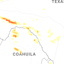
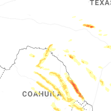


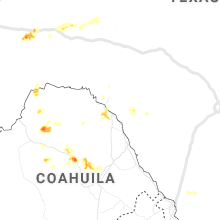


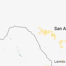


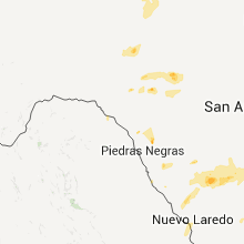


Connect with Interactive Hail Maps