

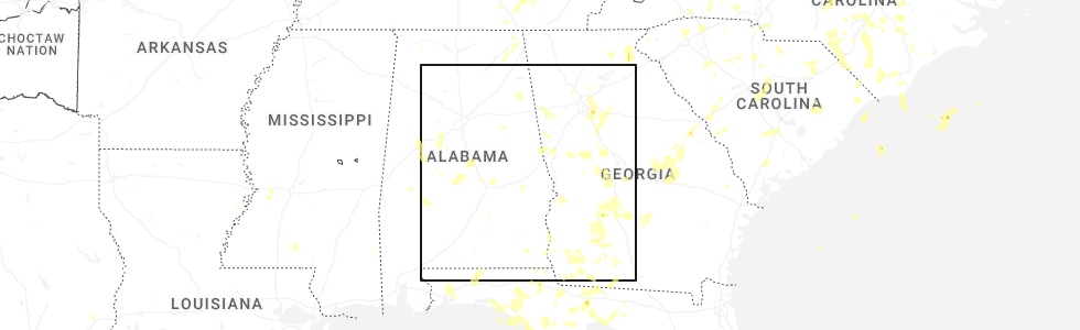
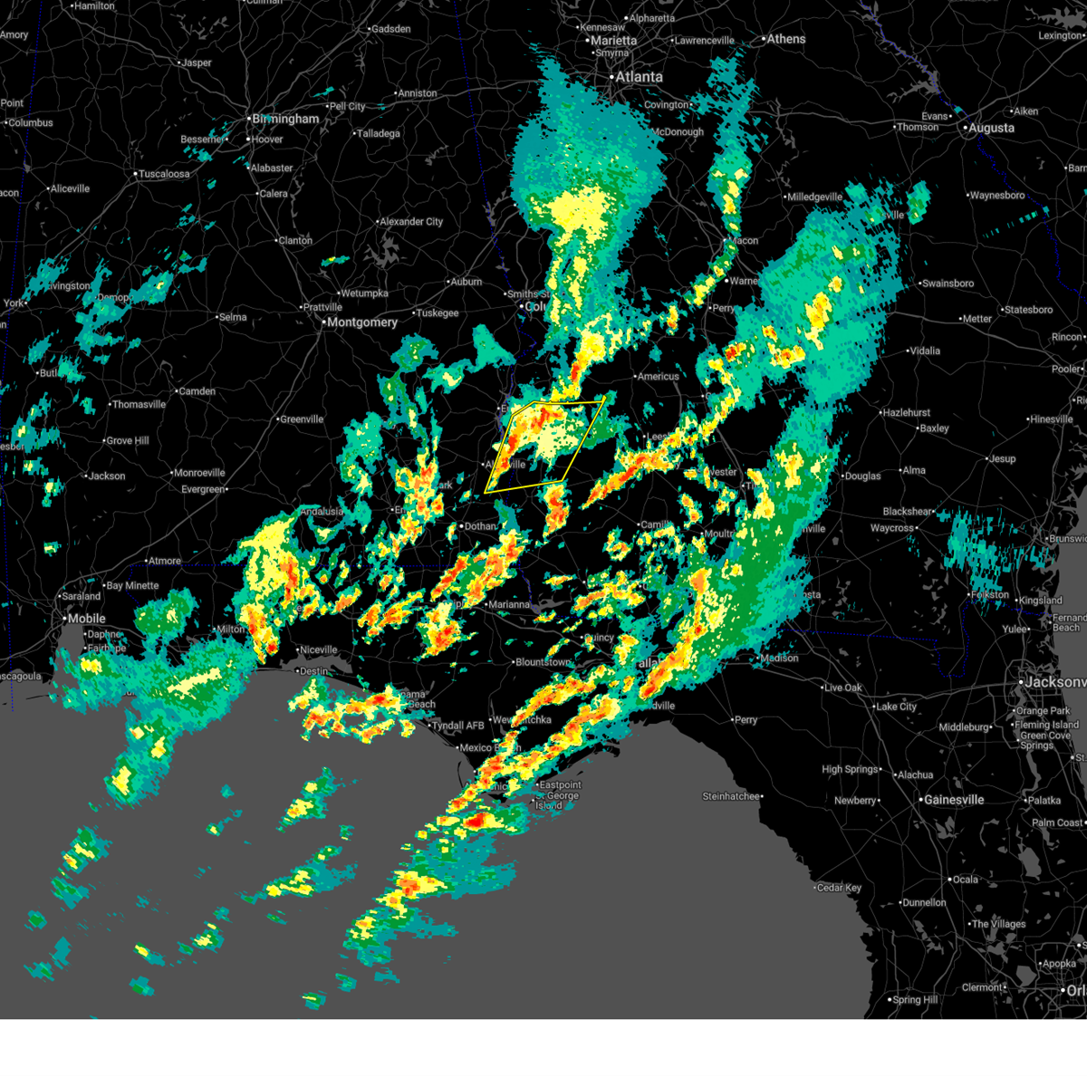
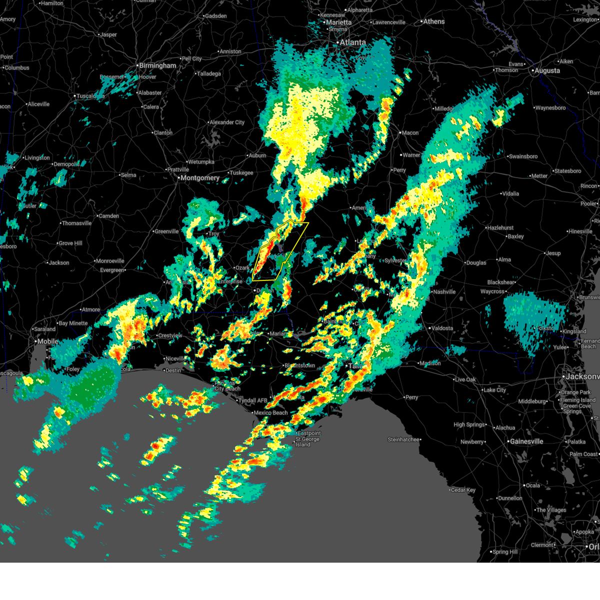
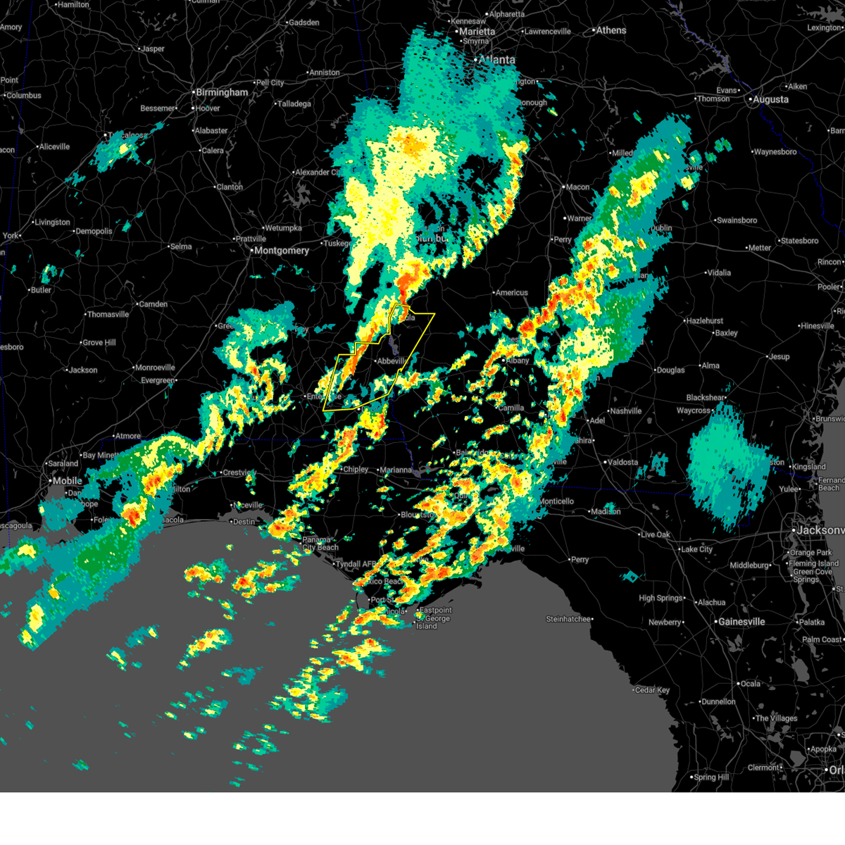
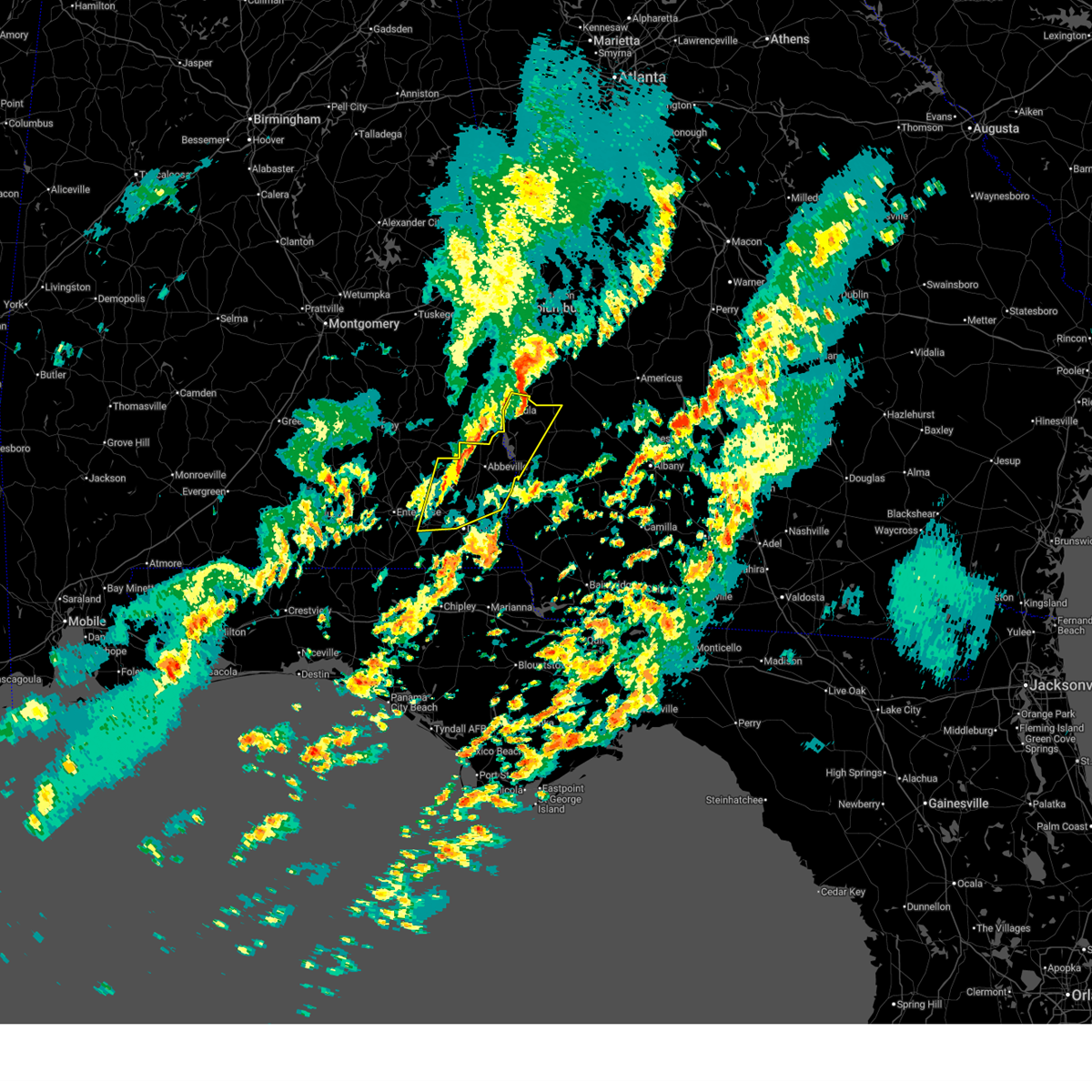
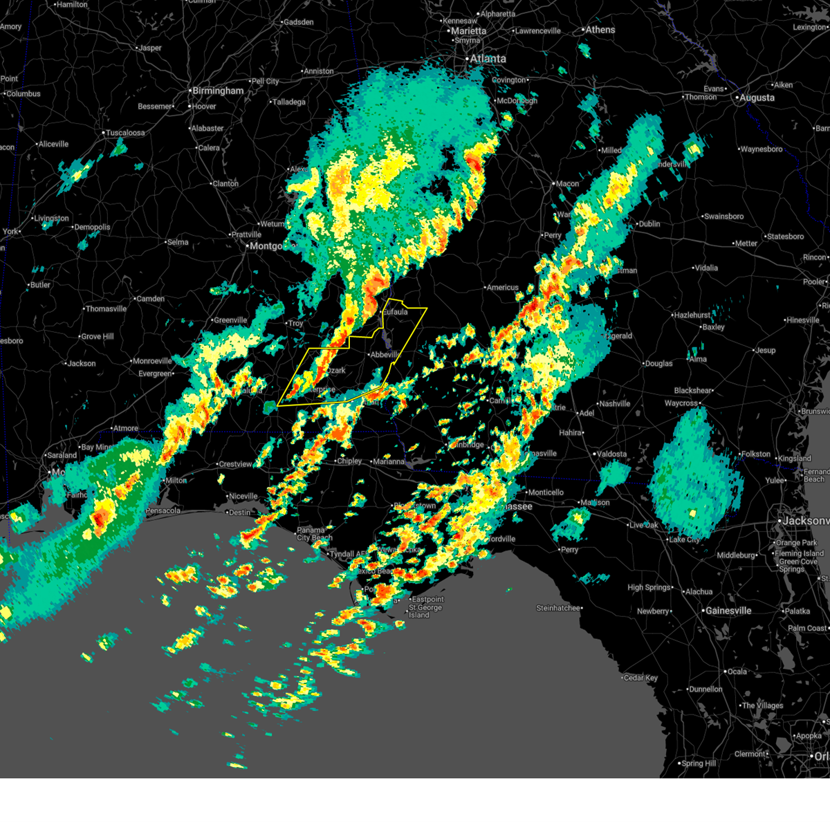
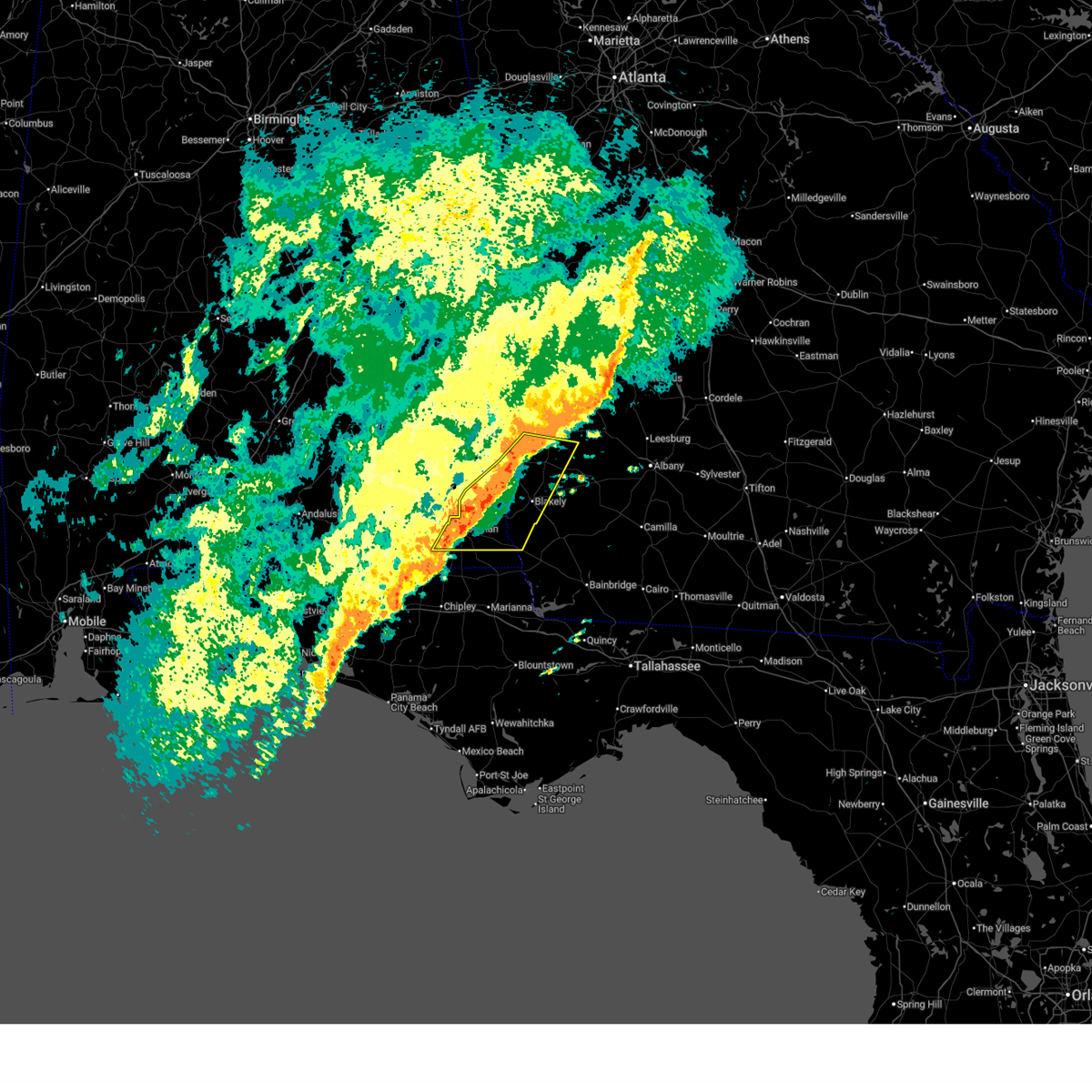
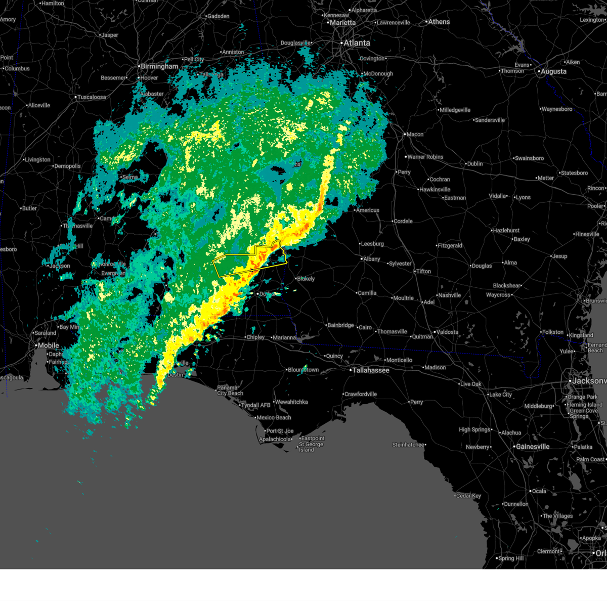
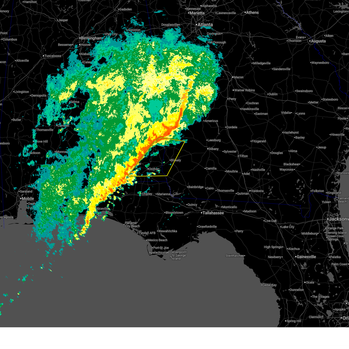
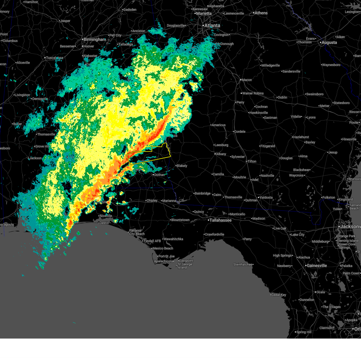
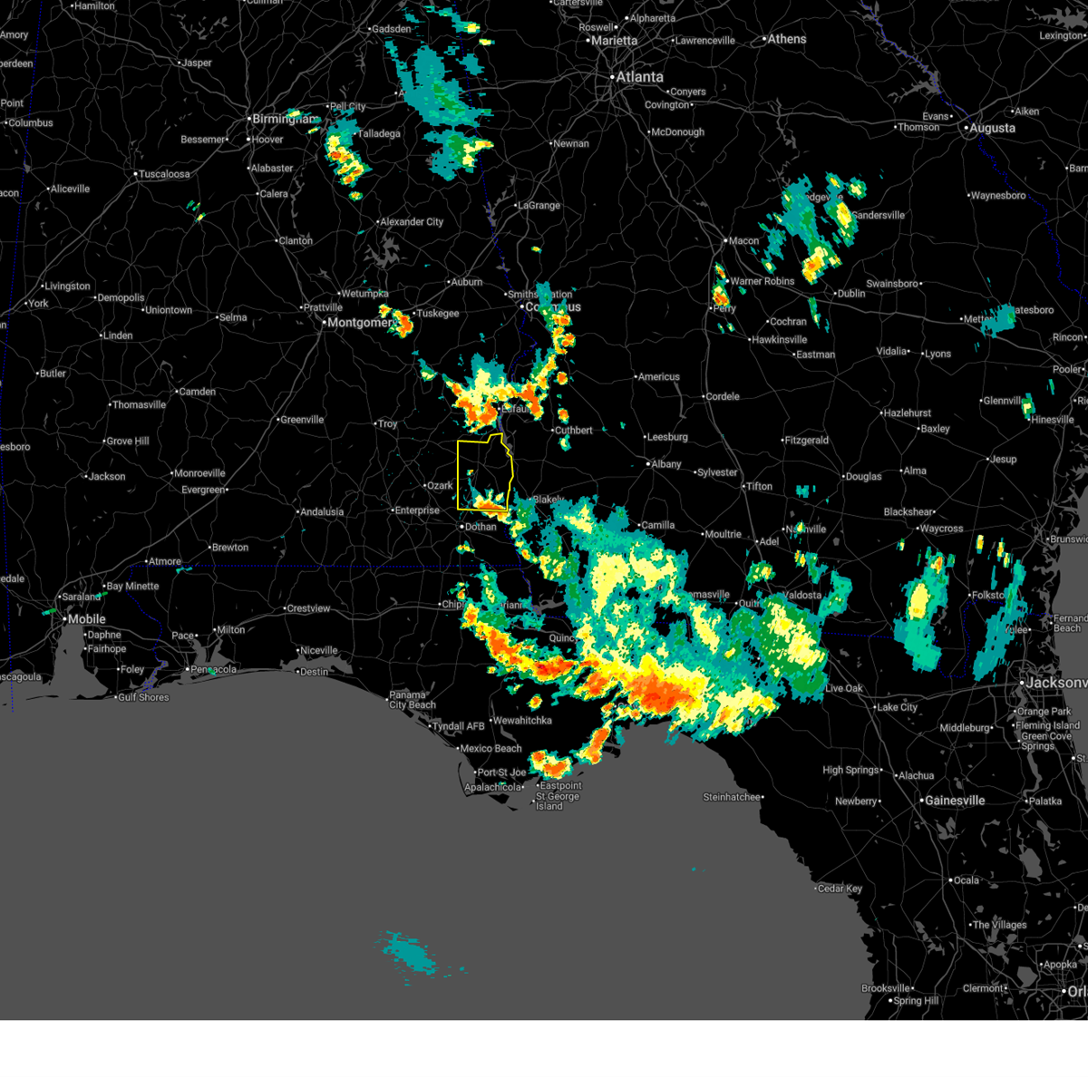
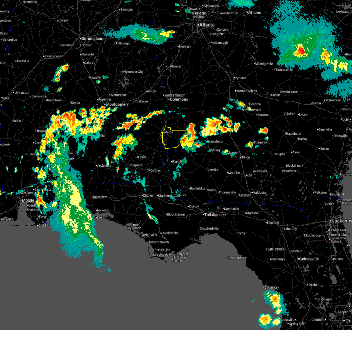
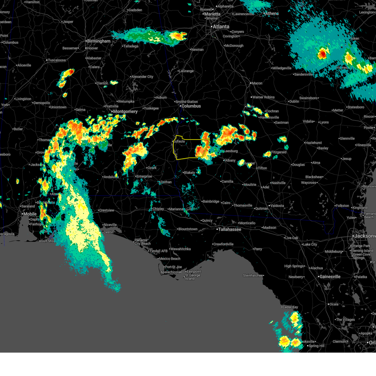
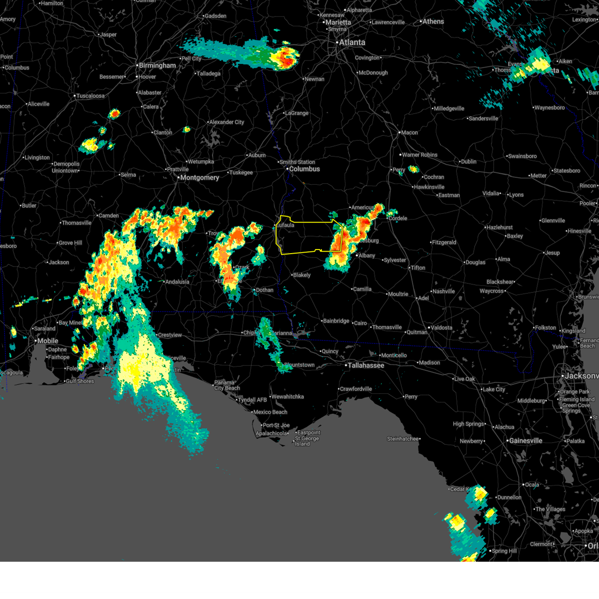
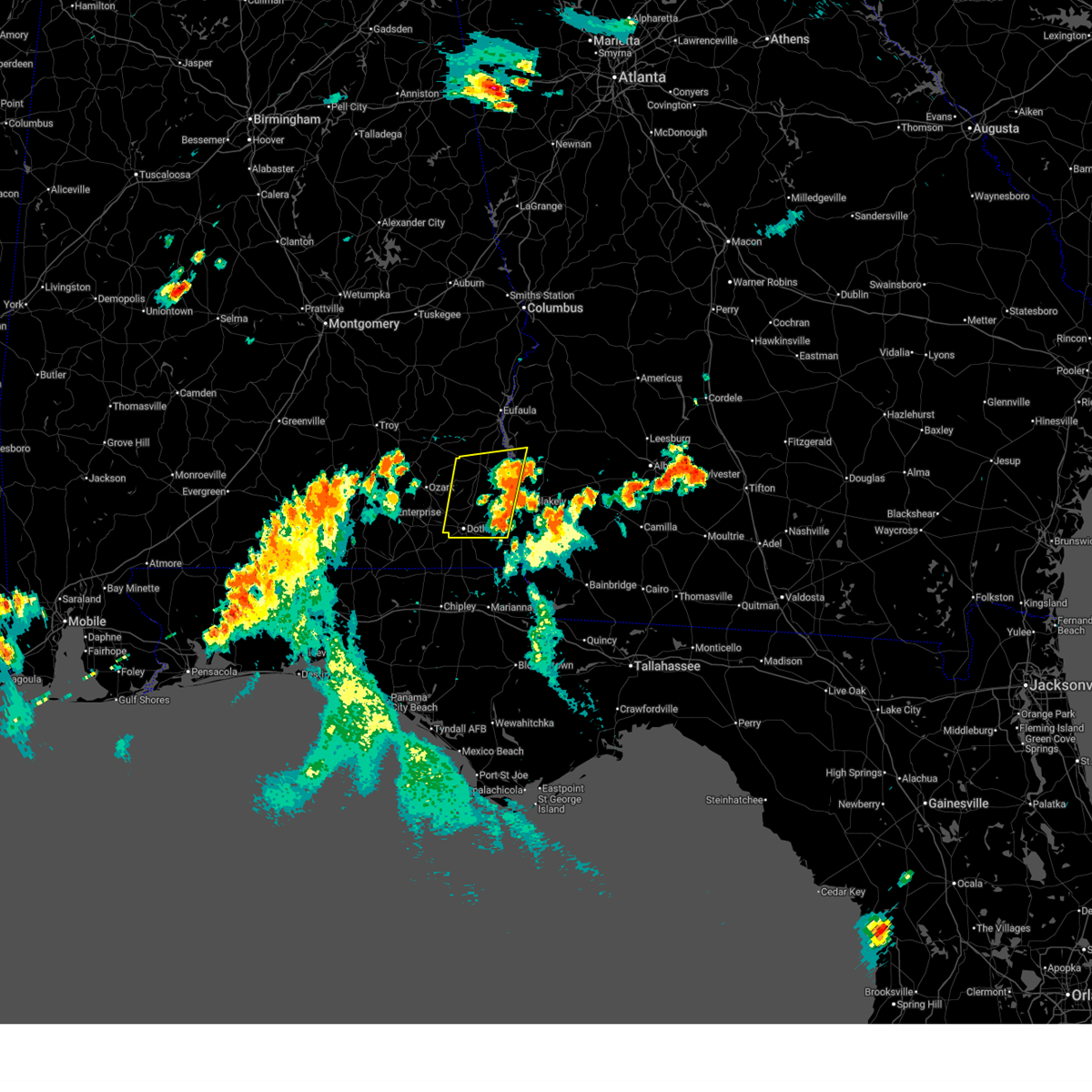
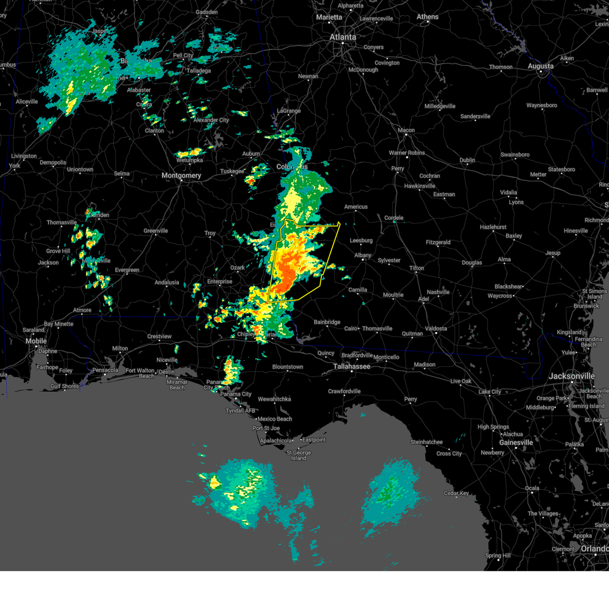
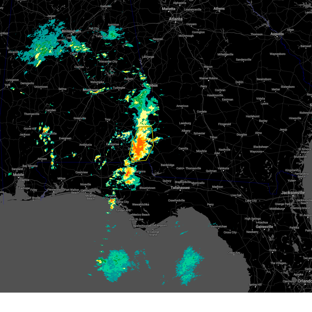
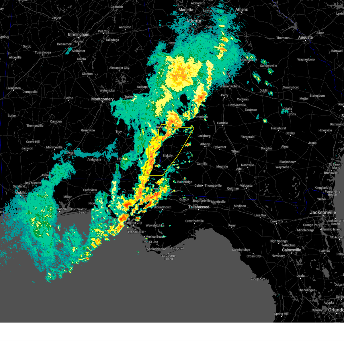
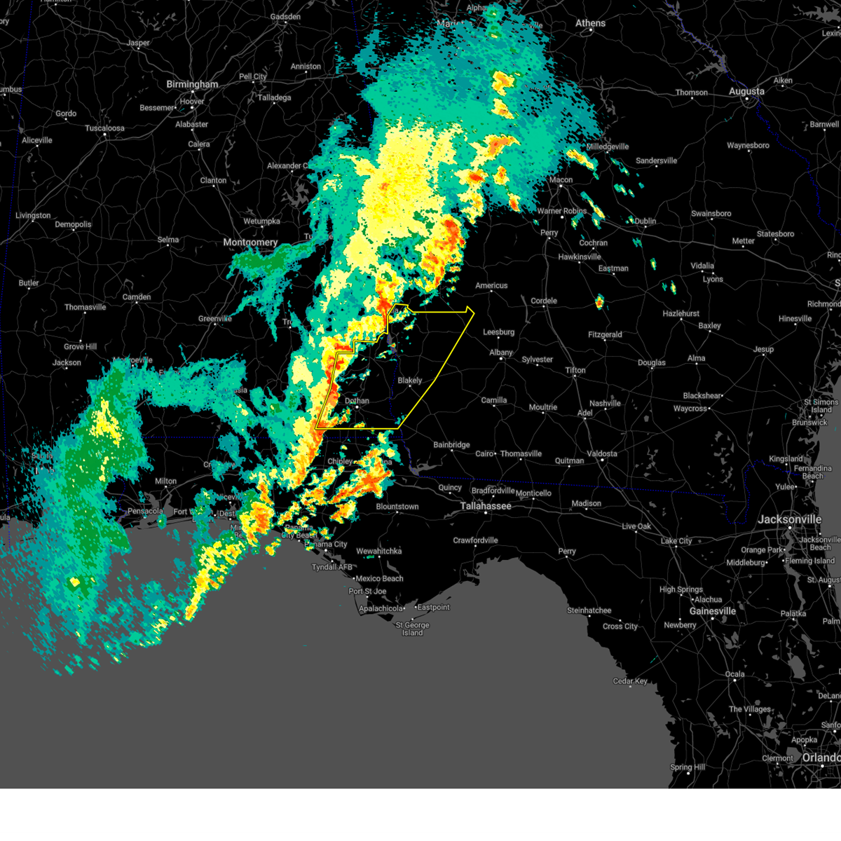
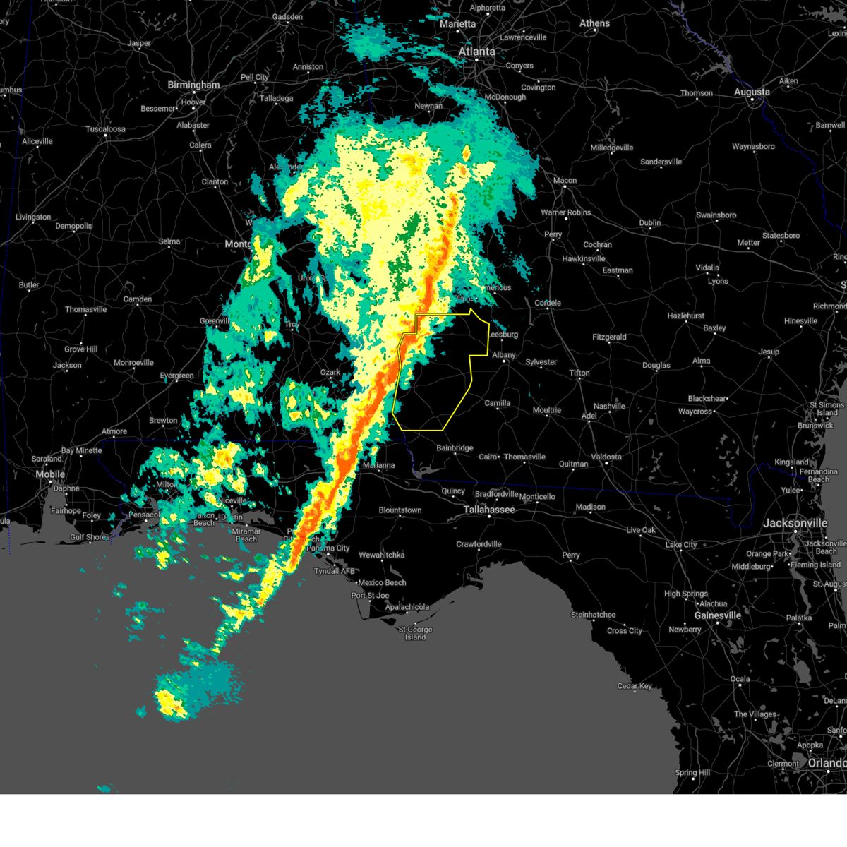
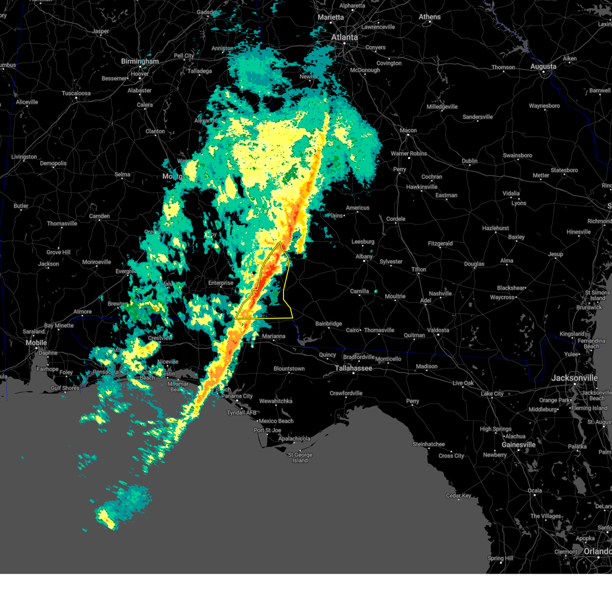
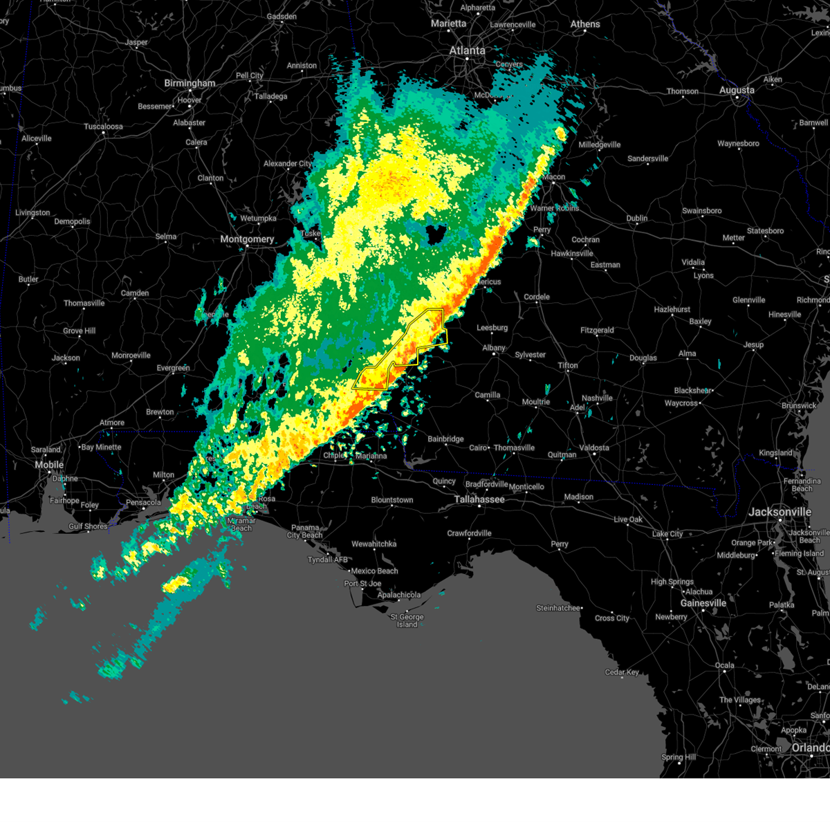
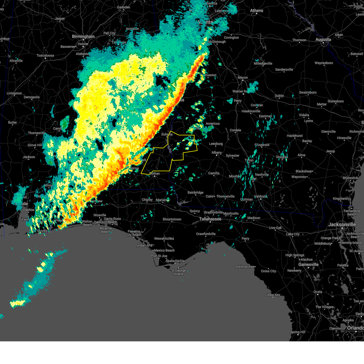
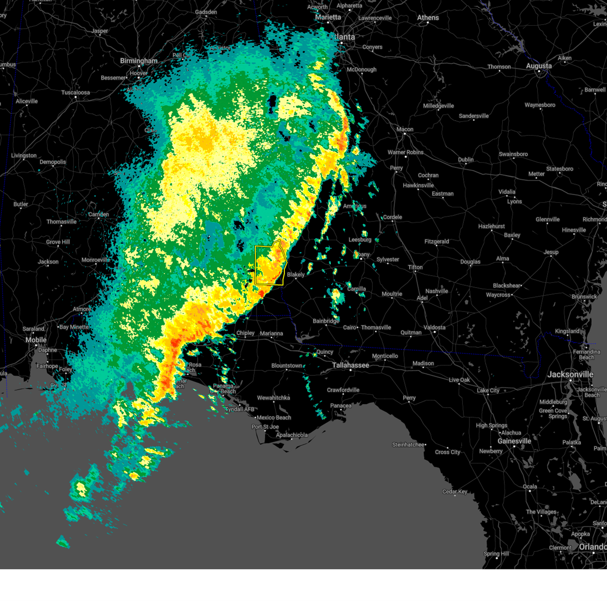
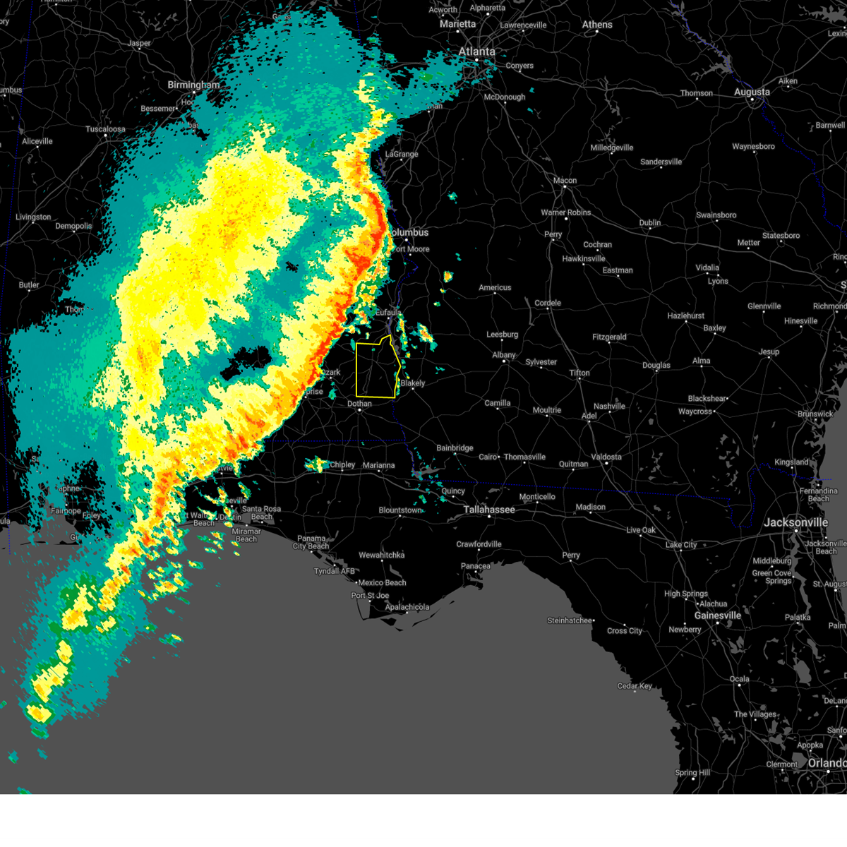
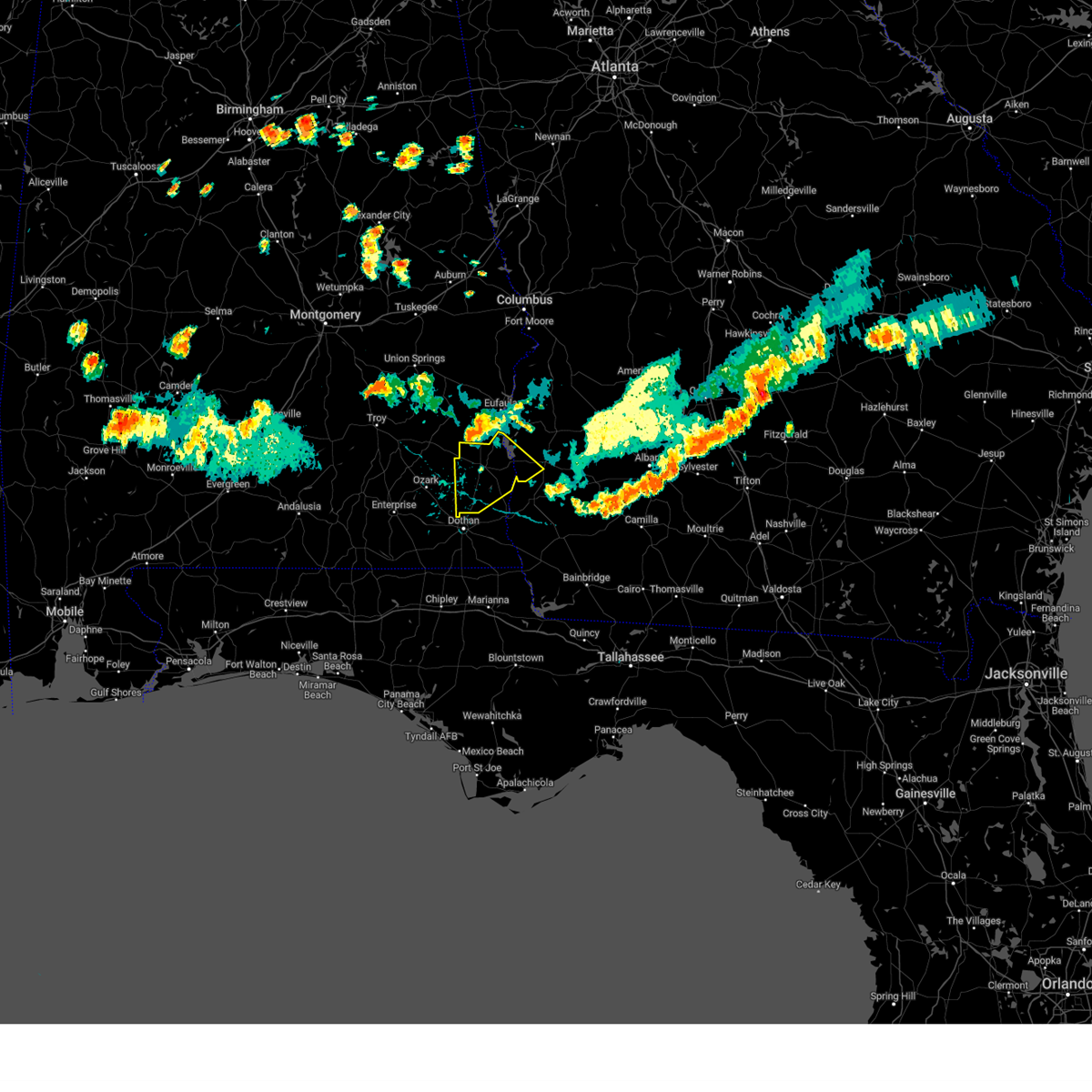
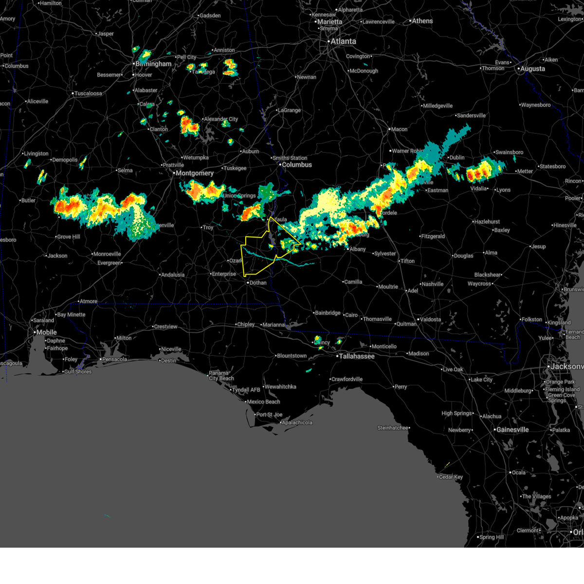
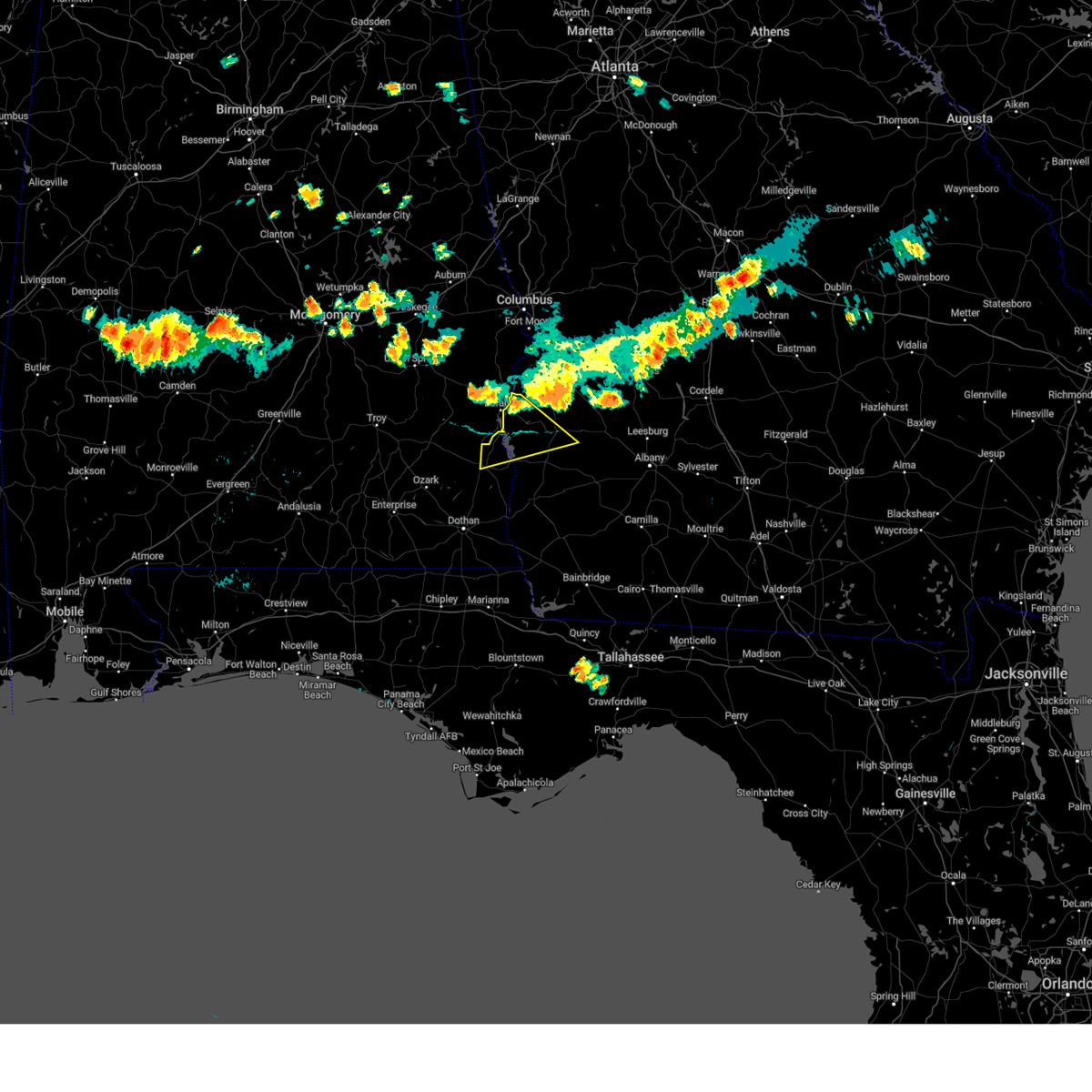
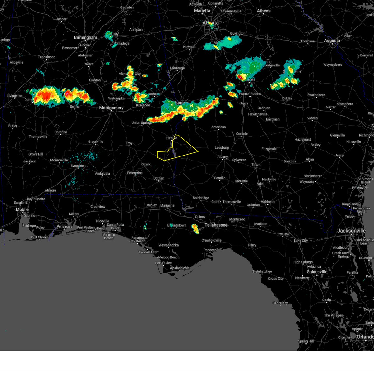
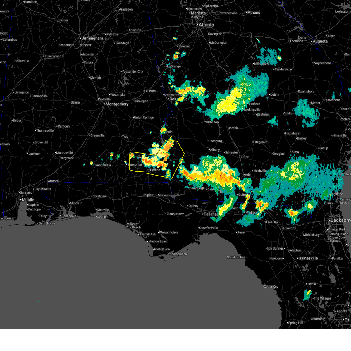
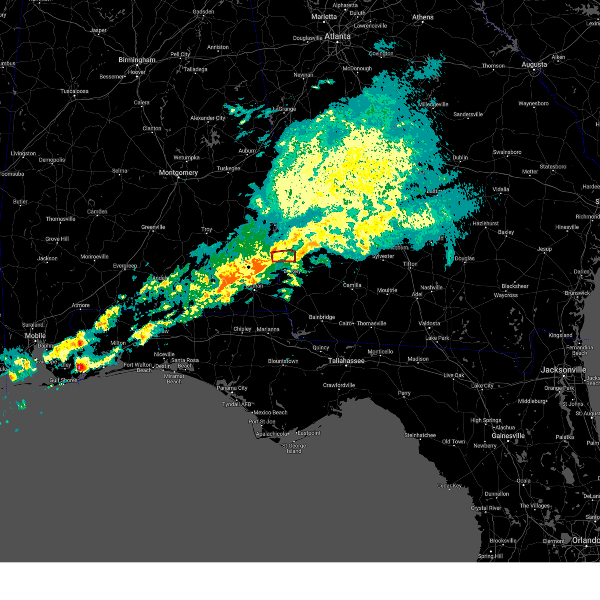
Hail Map for Fort Gaines, GA
The Fort Gaines, GA area has had 0 reports of on-the-ground hail by trained spotters, and has been under severe weather warnings 17 times during the past 12 months. Doppler radar has detected hail at or near Fort Gaines, GA on 53 occasions.
| Name: | Fort Gaines, GA |
| Where Located: | 72.3 miles SSE of Auburn, AL |
| Map: | Google Map for Fort Gaines, GA |
| Population: | 1107 |
| Housing Units: | 577 |
| More Info: | Search Google for Fort Gaines, GA |
1
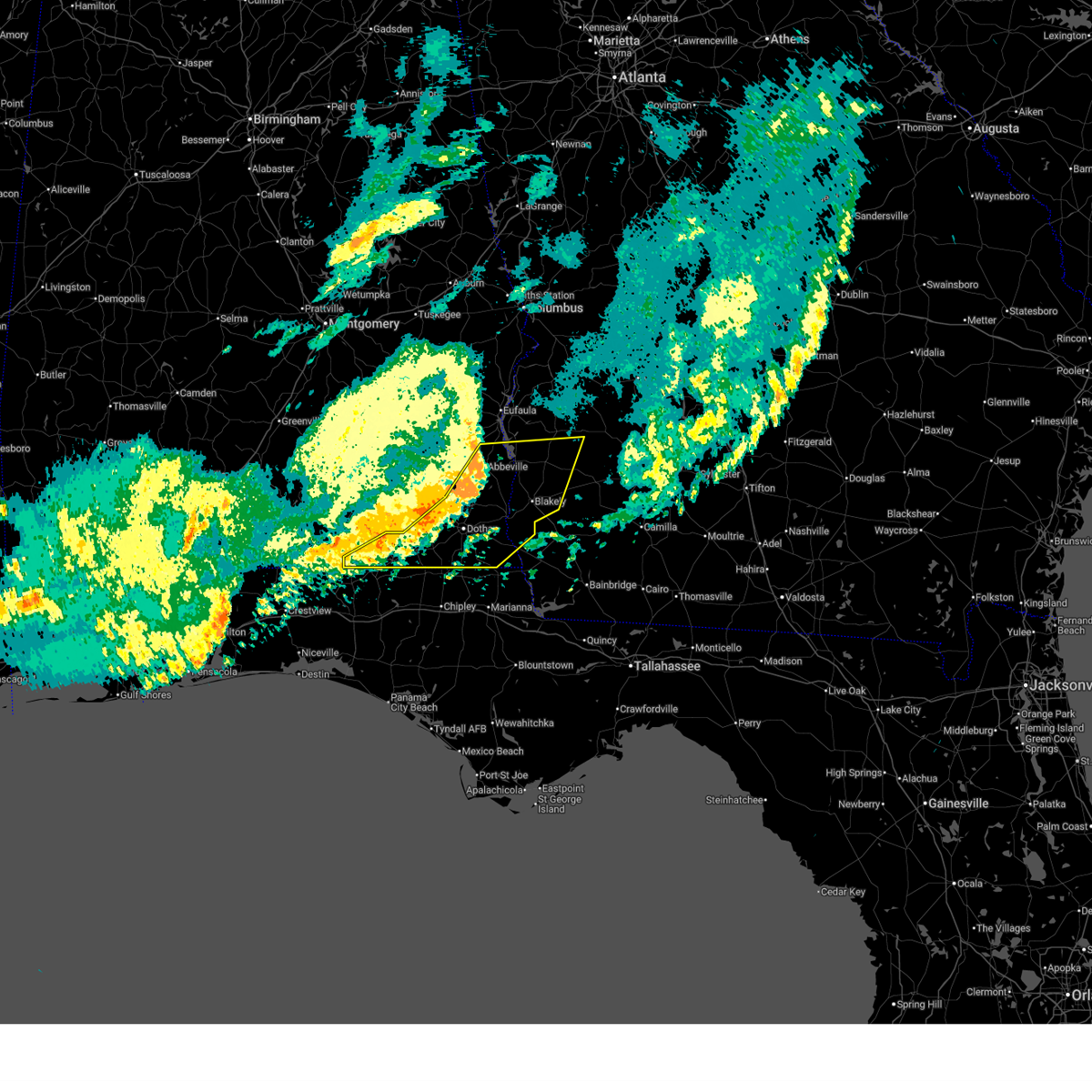
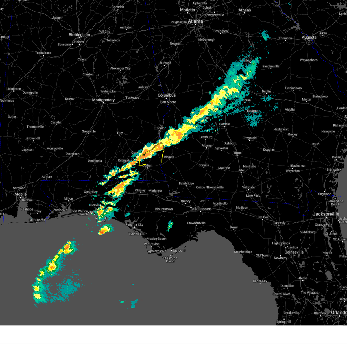
The Top Recent Hail Date for Fort Gaines, GA is Wednesday, June 25, 2025 (18th out of 53)
Hail and Wind Damage Spotted near Fort Gaines, GA
| Date / Time | Report Details |
|---|---|
| 6/18/2026 8:42 PM CDT |
 Svrtae the national weather service in tallahassee has issued a * severe thunderstorm warning for, southern dale county in southeastern alabama, henry county in southeastern alabama, geneva county in southeastern alabama, houston county in southeastern alabama, clay county in southwestern georgia, southern randolph county in southwestern georgia, western calhoun county in southwestern georgia, early county in southwestern georgia, * until 1100 pm edt/1000 pm cdt/. * at 942 pm edt/842 pm cdt/, severe thunderstorms were located along a line extending from 6 miles northwest of abbeville to near midland city to 8 miles east of florala, moving east at 45 mph (radar indicated). Hazards include 60 mph wind gusts. expect damage to roofs, siding, and trees Svrtae the national weather service in tallahassee has issued a * severe thunderstorm warning for, southern dale county in southeastern alabama, henry county in southeastern alabama, geneva county in southeastern alabama, houston county in southeastern alabama, clay county in southwestern georgia, southern randolph county in southwestern georgia, western calhoun county in southwestern georgia, early county in southwestern georgia, * until 1100 pm edt/1000 pm cdt/. * at 942 pm edt/842 pm cdt/, severe thunderstorms were located along a line extending from 6 miles northwest of abbeville to near midland city to 8 miles east of florala, moving east at 45 mph (radar indicated). Hazards include 60 mph wind gusts. expect damage to roofs, siding, and trees
|
| 6/1/2026 5:52 PM CDT |
 Svrtae the national weather service in tallahassee has issued a * severe thunderstorm warning for, dale county in southeastern alabama, henry county in southeastern alabama, coffee county in southeastern alabama, northwestern geneva county in southeastern alabama, northwestern houston county in southeastern alabama, clay county in southwestern georgia, randolph county in southwestern georgia, northwestern calhoun county in southwestern georgia, northwestern early county in southwestern georgia, quitman county in southwestern georgia, * until 745 pm edt/645 pm cdt/. * at 652 pm edt/552 pm cdt/, severe thunderstorms were located along a line extending from near cusseta to near lakepoint resort state park to near louisville to near glenwood, moving south at 40 mph (radar indicated). Hazards include 60 mph wind gusts. expect damage to roofs, siding, and trees Svrtae the national weather service in tallahassee has issued a * severe thunderstorm warning for, dale county in southeastern alabama, henry county in southeastern alabama, coffee county in southeastern alabama, northwestern geneva county in southeastern alabama, northwestern houston county in southeastern alabama, clay county in southwestern georgia, randolph county in southwestern georgia, northwestern calhoun county in southwestern georgia, northwestern early county in southwestern georgia, quitman county in southwestern georgia, * until 745 pm edt/645 pm cdt/. * at 652 pm edt/552 pm cdt/, severe thunderstorms were located along a line extending from near cusseta to near lakepoint resort state park to near louisville to near glenwood, moving south at 40 mph (radar indicated). Hazards include 60 mph wind gusts. expect damage to roofs, siding, and trees
|
| 5/7/2026 6:06 AM EDT |
 Svrtae the national weather service in tallahassee has issued a * severe thunderstorm warning for, central henry county in southeastern alabama, clay county in southwestern georgia, southwestern randolph county in southwestern georgia, northwestern early county in southwestern georgia, * until 700 am edt/600 am cdt/. * at 606 am edt/506 am cdt/, a severe thunderstorm was located near abbeville, moving east at 55 mph (radar indicated). Hazards include 60 mph wind gusts. expect damage to roofs, siding, and trees Svrtae the national weather service in tallahassee has issued a * severe thunderstorm warning for, central henry county in southeastern alabama, clay county in southwestern georgia, southwestern randolph county in southwestern georgia, northwestern early county in southwestern georgia, * until 700 am edt/600 am cdt/. * at 606 am edt/506 am cdt/, a severe thunderstorm was located near abbeville, moving east at 55 mph (radar indicated). Hazards include 60 mph wind gusts. expect damage to roofs, siding, and trees
|
| 3/16/2026 8:09 AM EDT |
 Svrtae the national weather service in tallahassee has issued a * severe thunderstorm warning for, eastern henry county in southeastern alabama, clay county in southwestern georgia, randolph county in southwestern georgia, western calhoun county in southwestern georgia, northwestern early county in southwestern georgia, southeastern quitman county in southwestern georgia, northwestern terrell county in southwestern georgia, * until 915 am edt/815 am cdt/. * at 809 am edt/709 am cdt/, severe thunderstorms were located along a line extending from 9 miles west of cuthbert to 9 miles southeast of abbeville, moving northeast at 45 mph (radar indicated). Hazards include 60 mph wind gusts and penny size hail. expect damage to roofs, siding, and trees Svrtae the national weather service in tallahassee has issued a * severe thunderstorm warning for, eastern henry county in southeastern alabama, clay county in southwestern georgia, randolph county in southwestern georgia, western calhoun county in southwestern georgia, northwestern early county in southwestern georgia, southeastern quitman county in southwestern georgia, northwestern terrell county in southwestern georgia, * until 915 am edt/815 am cdt/. * at 809 am edt/709 am cdt/, severe thunderstorms were located along a line extending from 9 miles west of cuthbert to 9 miles southeast of abbeville, moving northeast at 45 mph (radar indicated). Hazards include 60 mph wind gusts and penny size hail. expect damage to roofs, siding, and trees
|
| 3/16/2026 6:50 AM CDT |
 the severe thunderstorm warning has been cancelled and is no longer in effect the severe thunderstorm warning has been cancelled and is no longer in effect
|
| 3/16/2026 6:50 AM CDT |
 At 750 am edt/650 am cdt/, severe thunderstorms were located along a line extending from near lumpkin to near headland, moving east at 50 mph (radar indicated). Hazards include 60 mph wind gusts and penny size hail. Expect damage to roofs, siding, and trees. Locations impacted include, abbeville, fort gaines, headland, georgetown, newville, haleburg, shorterville, wire bridge, hayes, watson crossroads, scottsboro crossroads, ricks place, pecan, thomas mill creek, hatcher, morris, bethel, springvale, fort gaines-clay airport, and balkum. At 750 am edt/650 am cdt/, severe thunderstorms were located along a line extending from near lumpkin to near headland, moving east at 50 mph (radar indicated). Hazards include 60 mph wind gusts and penny size hail. Expect damage to roofs, siding, and trees. Locations impacted include, abbeville, fort gaines, headland, georgetown, newville, haleburg, shorterville, wire bridge, hayes, watson crossroads, scottsboro crossroads, ricks place, pecan, thomas mill creek, hatcher, morris, bethel, springvale, fort gaines-clay airport, and balkum.
|
| 3/16/2026 6:33 AM CDT |
 At 733 am edt/633 am cdt/, severe thunderstorms were located along a line extending from 8 miles east of lakepoint resort state park to near newton, moving east at 50 mph (radar indicated). Hazards include 60 mph wind gusts and penny size hail. Expect damage to roofs, siding, and trees. Locations impacted include, daleville, abbeville, fort gaines, headland, georgetown, dothan, ozark, fort rucker, midland city, kinsey, newton, webb, pinckard, grimes, newville, napier field, haleburg, shorterville, wire bridge, and hunt field. At 733 am edt/633 am cdt/, severe thunderstorms were located along a line extending from 8 miles east of lakepoint resort state park to near newton, moving east at 50 mph (radar indicated). Hazards include 60 mph wind gusts and penny size hail. Expect damage to roofs, siding, and trees. Locations impacted include, daleville, abbeville, fort gaines, headland, georgetown, dothan, ozark, fort rucker, midland city, kinsey, newton, webb, pinckard, grimes, newville, napier field, haleburg, shorterville, wire bridge, and hunt field.
|
| 3/16/2026 6:33 AM CDT |
 the severe thunderstorm warning has been cancelled and is no longer in effect the severe thunderstorm warning has been cancelled and is no longer in effect
|
| 3/16/2026 6:11 AM CDT |
 Svrtae the national weather service in tallahassee has issued a * severe thunderstorm warning for, dale county in southeastern alabama, henry county in southeastern alabama, southeastern coffee county in southeastern alabama, northwestern houston county in southeastern alabama, clay county in southwestern georgia, western randolph county in southwestern georgia, quitman county in southwestern georgia, * until 815 am edt/715 am cdt/. * at 711 am edt/611 am cdt/, severe thunderstorms were located along a line extending from osco to 7 miles southwest of enterprise, moving east at 50 mph (radar indicated). Hazards include 60 mph wind gusts and penny size hail. expect damage to roofs, siding, and trees Svrtae the national weather service in tallahassee has issued a * severe thunderstorm warning for, dale county in southeastern alabama, henry county in southeastern alabama, southeastern coffee county in southeastern alabama, northwestern houston county in southeastern alabama, clay county in southwestern georgia, western randolph county in southwestern georgia, quitman county in southwestern georgia, * until 815 am edt/715 am cdt/. * at 711 am edt/611 am cdt/, severe thunderstorms were located along a line extending from osco to 7 miles southwest of enterprise, moving east at 50 mph (radar indicated). Hazards include 60 mph wind gusts and penny size hail. expect damage to roofs, siding, and trees
|
| 3/12/2026 5:08 AM EDT |
 Svrtae the national weather service in tallahassee has issued a * severe thunderstorm warning for, southeastern dale county in southeastern alabama, eastern geneva county in southeastern alabama, houston county in southeastern alabama, henry county in southeastern alabama, clay county in southwestern georgia, randolph county in southwestern georgia, northwestern lee county in southwestern georgia, calhoun county in southwestern georgia, early county in southwestern georgia, quitman county in southwestern georgia, western miller county in southwestern georgia, northwestern baker county in southwestern georgia, terrell county in southwestern georgia, * until 615 am edt/515 am cdt/. * at 508 am edt/408 am cdt/, severe thunderstorms were located along a line extending from 6 miles northeast of georgetown to near headland to near hartford, moving east at 45 mph (radar indicated). Hazards include 60 mph wind gusts. expect damage to roofs, siding, and trees Svrtae the national weather service in tallahassee has issued a * severe thunderstorm warning for, southeastern dale county in southeastern alabama, eastern geneva county in southeastern alabama, houston county in southeastern alabama, henry county in southeastern alabama, clay county in southwestern georgia, randolph county in southwestern georgia, northwestern lee county in southwestern georgia, calhoun county in southwestern georgia, early county in southwestern georgia, quitman county in southwestern georgia, western miller county in southwestern georgia, northwestern baker county in southwestern georgia, terrell county in southwestern georgia, * until 615 am edt/515 am cdt/. * at 508 am edt/408 am cdt/, severe thunderstorms were located along a line extending from 6 miles northeast of georgetown to near headland to near hartford, moving east at 45 mph (radar indicated). Hazards include 60 mph wind gusts. expect damage to roofs, siding, and trees
|
| 1/25/2026 2:25 PM CST |
 The storms which prompted the warning have moved out of the area. therefore, the warning will be allowed to expire. a tornado watch remains in effect until 700 pm est/600 pm cst/ for southeastern alabama, and southwestern georgia. remember, a tornado warning still remains in effect for portions of henry and early counties. The storms which prompted the warning have moved out of the area. therefore, the warning will be allowed to expire. a tornado watch remains in effect until 700 pm est/600 pm cst/ for southeastern alabama, and southwestern georgia. remember, a tornado warning still remains in effect for portions of henry and early counties.
|
| 1/25/2026 2:03 PM CST |
 At 303 pm est/203 pm cst/, severe thunderstorms were located along a line extending from 8 miles southwest of cuthbert to bonifay, moving east at 45 mph (radar indicated). Hazards include 60 mph wind gusts. Expect damage to roofs, siding, and trees. Locations impacted include, abbeville, fort gaines, headland, dothan, blakely, taylor, midland city, kinsey, ashford, slocomb, cowarts, edison, webb, columbia, centerville, malvern, rehobeth, avon, newville, and gordon. At 303 pm est/203 pm cst/, severe thunderstorms were located along a line extending from 8 miles southwest of cuthbert to bonifay, moving east at 45 mph (radar indicated). Hazards include 60 mph wind gusts. Expect damage to roofs, siding, and trees. Locations impacted include, abbeville, fort gaines, headland, dothan, blakely, taylor, midland city, kinsey, ashford, slocomb, cowarts, edison, webb, columbia, centerville, malvern, rehobeth, avon, newville, and gordon.
|
| 1/25/2026 2:03 PM CST |
 the severe thunderstorm warning has been cancelled and is no longer in effect the severe thunderstorm warning has been cancelled and is no longer in effect
|
| 1/25/2026 1:38 PM CST |
 The storm which prompted the warning has moved out of the area. therefore, the warning will be allowed to expire. however, gusty winds are still possible with this thunderstorm. a tornado watch remains in effect until 600 pm cst for southeastern alabama, and southwestern georgia. remember, a severe thunderstorm warning still remains in effect for henry county, al until 1:30 pm cst. The storm which prompted the warning has moved out of the area. therefore, the warning will be allowed to expire. however, gusty winds are still possible with this thunderstorm. a tornado watch remains in effect until 600 pm cst for southeastern alabama, and southwestern georgia. remember, a severe thunderstorm warning still remains in effect for henry county, al until 1:30 pm cst.
|
| 1/25/2026 1:34 PM CST |
 Svrtae the national weather service in tallahassee has issued a * severe thunderstorm warning for, southeastern dale county in southeastern alabama, henry county in southeastern alabama, northeastern geneva county in southeastern alabama, houston county in southeastern alabama, clay county in southwestern georgia, southern randolph county in southwestern georgia, western calhoun county in southwestern georgia, early county in southwestern georgia, * until 330 pm est/230 pm cst/. * at 233 pm est/133 pm cst/, severe thunderstorms were located along a line extending from near richards crossroads to 8 miles northeast of de funiak springs, moving east at 45 mph (radar indicated). Hazards include 60 mph wind gusts. expect damage to roofs, siding, and trees Svrtae the national weather service in tallahassee has issued a * severe thunderstorm warning for, southeastern dale county in southeastern alabama, henry county in southeastern alabama, northeastern geneva county in southeastern alabama, houston county in southeastern alabama, clay county in southwestern georgia, southern randolph county in southwestern georgia, western calhoun county in southwestern georgia, early county in southwestern georgia, * until 330 pm est/230 pm cst/. * at 233 pm est/133 pm cst/, severe thunderstorms were located along a line extending from near richards crossroads to 8 miles northeast of de funiak springs, moving east at 45 mph (radar indicated). Hazards include 60 mph wind gusts. expect damage to roofs, siding, and trees
|
| 1/25/2026 1:00 PM CST |
 Svrtae the national weather service in tallahassee has issued a * severe thunderstorm warning for, northern dale county in southeastern alabama, central henry county in southeastern alabama, northeastern coffee county in southeastern alabama, * until 145 pm cst. * at 1259 pm cst, a severe thunderstorm was located 7 miles northwest of fort rucker, moving east-northeast at 55 mph (radar indicated). Hazards include 60 mph wind gusts and penny size hail. expect damage to roofs, siding, and trees Svrtae the national weather service in tallahassee has issued a * severe thunderstorm warning for, northern dale county in southeastern alabama, central henry county in southeastern alabama, northeastern coffee county in southeastern alabama, * until 145 pm cst. * at 1259 pm cst, a severe thunderstorm was located 7 miles northwest of fort rucker, moving east-northeast at 55 mph (radar indicated). Hazards include 60 mph wind gusts and penny size hail. expect damage to roofs, siding, and trees
|
| 7/22/2025 3:01 PM CDT |
 Svrtae the national weather service in tallahassee has issued a * severe thunderstorm warning for, henry county in southeastern alabama, * until 345 pm cdt. * at 301 pm cdt, severe thunderstorms were located along a line extending from 8 miles northwest of fort gaines to near richards crossroads to near texasville, moving south at 30 mph (radar indicated). Hazards include 60 mph wind gusts. expect damage to roofs, siding, and trees Svrtae the national weather service in tallahassee has issued a * severe thunderstorm warning for, henry county in southeastern alabama, * until 345 pm cdt. * at 301 pm cdt, severe thunderstorms were located along a line extending from 8 miles northwest of fort gaines to near richards crossroads to near texasville, moving south at 30 mph (radar indicated). Hazards include 60 mph wind gusts. expect damage to roofs, siding, and trees
|
| 6/25/2025 10:51 PM EDT |
 At 1051 pm edt, a severe thunderstorm was located over cuthbert, moving west at 20 mph (radar indicated). Hazards include 60 mph wind gusts. Expect damage to roofs, siding, and trees. Locations impacted include, fort gaines, cuthbert, georgetown, wire bridge, bonapartes retreat, standleys store, watson crossroads, crossroads, ricks place, pecan, randolph co a/p, hatcher, morris, jones crossing, bethel, benevolence, springvale, cotton hill, fort gaines-clay airport, and wades. At 1051 pm edt, a severe thunderstorm was located over cuthbert, moving west at 20 mph (radar indicated). Hazards include 60 mph wind gusts. Expect damage to roofs, siding, and trees. Locations impacted include, fort gaines, cuthbert, georgetown, wire bridge, bonapartes retreat, standleys store, watson crossroads, crossroads, ricks place, pecan, randolph co a/p, hatcher, morris, jones crossing, bethel, benevolence, springvale, cotton hill, fort gaines-clay airport, and wades.
|
| 6/25/2025 10:51 PM EDT |
 the severe thunderstorm warning has been cancelled and is no longer in effect the severe thunderstorm warning has been cancelled and is no longer in effect
|
| 6/25/2025 10:39 PM EDT |
 At 1039 pm edt, a severe thunderstorm was located over cuthbert, moving west at 25 mph (radar indicated). Hazards include 60 mph wind gusts. Expect damage to roofs, siding, and trees. locations impacted include, fort gaines, cuthbert, georgetown, shellman, parrott, walter f. George lock and dam, wire bridge, walter f george lake, bonapartes retreat, standleys store, carnegie, watson crossroads, crossroads, ricks place, pecan, randolph co a/p, chambliss, hatcher, morris, and jones crossing. At 1039 pm edt, a severe thunderstorm was located over cuthbert, moving west at 25 mph (radar indicated). Hazards include 60 mph wind gusts. Expect damage to roofs, siding, and trees. locations impacted include, fort gaines, cuthbert, georgetown, shellman, parrott, walter f. George lock and dam, wire bridge, walter f george lake, bonapartes retreat, standleys store, carnegie, watson crossroads, crossroads, ricks place, pecan, randolph co a/p, chambliss, hatcher, morris, and jones crossing.
|
| 6/25/2025 10:06 PM EDT |
 Svrtae the national weather service in tallahassee has issued a * severe thunderstorm warning for, northern clay county in southwestern georgia, randolph county in southwestern georgia, quitman county in southwestern georgia, terrell county in southwestern georgia, * until 1130 pm edt. * at 1006 pm edt, a severe thunderstorm was located near dawson, moving west at 20 mph (radar indicated). Hazards include 60 mph wind gusts. expect damage to roofs, siding, and trees Svrtae the national weather service in tallahassee has issued a * severe thunderstorm warning for, northern clay county in southwestern georgia, randolph county in southwestern georgia, quitman county in southwestern georgia, terrell county in southwestern georgia, * until 1130 pm edt. * at 1006 pm edt, a severe thunderstorm was located near dawson, moving west at 20 mph (radar indicated). Hazards include 60 mph wind gusts. expect damage to roofs, siding, and trees
|
| 6/25/2025 7:44 PM CDT |
 Svrtae the national weather service in tallahassee has issued a * severe thunderstorm warning for, eastern dale county in southeastern alabama, henry county in southeastern alabama, northeastern houston county in southeastern alabama, southwestern clay county in southwestern georgia, northwestern early county in southwestern georgia, * until 1000 pm edt/900 pm cdt/. * at 844 pm edt/744 pm cdt/, severe thunderstorms were located along a line extending from near fort gaines to near ashford, moving west at 20 mph (radar indicated). Hazards include 60 mph wind gusts. expect damage to roofs, siding, and trees Svrtae the national weather service in tallahassee has issued a * severe thunderstorm warning for, eastern dale county in southeastern alabama, henry county in southeastern alabama, northeastern houston county in southeastern alabama, southwestern clay county in southwestern georgia, northwestern early county in southwestern georgia, * until 1000 pm edt/900 pm cdt/. * at 844 pm edt/744 pm cdt/, severe thunderstorms were located along a line extending from near fort gaines to near ashford, moving west at 20 mph (radar indicated). Hazards include 60 mph wind gusts. expect damage to roofs, siding, and trees
|
| 5/10/2025 2:33 PM EDT |
 Svrtae the national weather service in tallahassee has issued a * severe thunderstorm warning for, eastern henry county in southeastern alabama, northeastern houston county in southeastern alabama, northwestern miller county in southwestern georgia, clay county in southwestern georgia, randolph county in southwestern georgia, calhoun county in southwestern georgia, early county in southwestern georgia, quitman county in southwestern georgia, western terrell county in southwestern georgia, * until 330 pm edt/230 pm cdt/. * at 233 pm edt/133 pm cdt/, severe thunderstorms were located along a line extending from 7 miles southeast of fort gaines to near columbia, moving northeast at 25 mph (radar indicated). Hazards include 60 mph wind gusts and quarter size hail. Hail damage to vehicles is expected. Expect wind damage to roofs, siding, and trees. Svrtae the national weather service in tallahassee has issued a * severe thunderstorm warning for, eastern henry county in southeastern alabama, northeastern houston county in southeastern alabama, northwestern miller county in southwestern georgia, clay county in southwestern georgia, randolph county in southwestern georgia, calhoun county in southwestern georgia, early county in southwestern georgia, quitman county in southwestern georgia, western terrell county in southwestern georgia, * until 330 pm edt/230 pm cdt/. * at 233 pm edt/133 pm cdt/, severe thunderstorms were located along a line extending from 7 miles southeast of fort gaines to near columbia, moving northeast at 25 mph (radar indicated). Hazards include 60 mph wind gusts and quarter size hail. Hail damage to vehicles is expected. Expect wind damage to roofs, siding, and trees.
|
| 5/10/2025 12:58 PM CDT |
 Svrtae the national weather service in tallahassee has issued a * severe thunderstorm warning for, henry county in southeastern alabama, houston county in southeastern alabama, central clay county in southwestern georgia, western early county in southwestern georgia, * until 300 pm edt/200 pm cdt/. * at 158 pm edt/1258 pm cdt/, severe thunderstorms were located along a line extending from 8 miles north of columbia to near cowarts, moving northeast at 30 mph (radar indicated). Hazards include 60 mph wind gusts and quarter size hail. Hail damage to vehicles is expected. Expect wind damage to roofs, siding, and trees. Svrtae the national weather service in tallahassee has issued a * severe thunderstorm warning for, henry county in southeastern alabama, houston county in southeastern alabama, central clay county in southwestern georgia, western early county in southwestern georgia, * until 300 pm edt/200 pm cdt/. * at 158 pm edt/1258 pm cdt/, severe thunderstorms were located along a line extending from 8 miles north of columbia to near cowarts, moving northeast at 30 mph (radar indicated). Hazards include 60 mph wind gusts and quarter size hail. Hail damage to vehicles is expected. Expect wind damage to roofs, siding, and trees.
|
| 3/31/2025 1:58 PM EDT |
 Svrtae the national weather service in tallahassee has issued a * severe thunderstorm warning for, southeastern henry county in southeastern alabama, northeastern houston county in southeastern alabama, miller county in southwestern georgia, dougherty county in southwestern georgia, clay county in southwestern georgia, randolph county in southwestern georgia, mitchell county in southwestern georgia, lee county in southwestern georgia, baker county in southwestern georgia, calhoun county in southwestern georgia, early county in southwestern georgia, terrell county in southwestern georgia, * until 300 pm edt/200 pm cdt/. * at 158 pm edt/1258 pm cdt/, severe thunderstorms were located along a line extending from near cuthbert to 9 miles northwest of blakely to near cottonwood, moving east at 45 mph (radar indicated). Hazards include 60 mph wind gusts and penny size hail. expect damage to roofs, siding, and trees Svrtae the national weather service in tallahassee has issued a * severe thunderstorm warning for, southeastern henry county in southeastern alabama, northeastern houston county in southeastern alabama, miller county in southwestern georgia, dougherty county in southwestern georgia, clay county in southwestern georgia, randolph county in southwestern georgia, mitchell county in southwestern georgia, lee county in southwestern georgia, baker county in southwestern georgia, calhoun county in southwestern georgia, early county in southwestern georgia, terrell county in southwestern georgia, * until 300 pm edt/200 pm cdt/. * at 158 pm edt/1258 pm cdt/, severe thunderstorms were located along a line extending from near cuthbert to 9 miles northwest of blakely to near cottonwood, moving east at 45 mph (radar indicated). Hazards include 60 mph wind gusts and penny size hail. expect damage to roofs, siding, and trees
|
| 3/31/2025 1:47 PM EDT |
 At 147 pm edt/1247 pm cdt/, severe thunderstorms were located along a line extending from near cuthbert to 7 miles northwest of columbia to 6 miles east of graceville, moving east at 45 mph (radar indicated). Hazards include 60 mph wind gusts. Expect damage to roofs, siding, and trees. Locations impacted include, shorterville, parksville, hayes, pecan, rock hill, thomas mill creek, chambliss, hatcher, suttons corner, springvale, fort gaines-clay airport, arlington, georgetown, wades, balkum, howards mill, moores crossroads, yeomans, garnersville, and blakely. At 147 pm edt/1247 pm cdt/, severe thunderstorms were located along a line extending from near cuthbert to 7 miles northwest of columbia to 6 miles east of graceville, moving east at 45 mph (radar indicated). Hazards include 60 mph wind gusts. Expect damage to roofs, siding, and trees. Locations impacted include, shorterville, parksville, hayes, pecan, rock hill, thomas mill creek, chambliss, hatcher, suttons corner, springvale, fort gaines-clay airport, arlington, georgetown, wades, balkum, howards mill, moores crossroads, yeomans, garnersville, and blakely.
|
| 3/31/2025 1:47 PM EDT |
 the severe thunderstorm warning has been cancelled and is no longer in effect the severe thunderstorm warning has been cancelled and is no longer in effect
|
| 3/31/2025 1:22 PM EDT |
 Svrtae the national weather service in tallahassee has issued a * severe thunderstorm warning for, eastern dale county in southeastern alabama, henry county in southeastern alabama, northeastern geneva county in southeastern alabama, houston county in southeastern alabama, northwestern miller county in southwestern georgia, clay county in southwestern georgia, randolph county in southwestern georgia, western calhoun county in southwestern georgia, early county in southwestern georgia, quitman county in southwestern georgia, western terrell county in southwestern georgia, * until 200 pm edt/100 pm cdt/. * at 121 pm edt/1221 pm cdt/, severe thunderstorms were located along a line extending from near clio to 6 miles southwest of new brockton to 10 miles northwest of de funiak springs, moving east at 45 mph (radar indicated). Hazards include 60 mph wind gusts. expect damage to roofs, siding, and trees Svrtae the national weather service in tallahassee has issued a * severe thunderstorm warning for, eastern dale county in southeastern alabama, henry county in southeastern alabama, northeastern geneva county in southeastern alabama, houston county in southeastern alabama, northwestern miller county in southwestern georgia, clay county in southwestern georgia, randolph county in southwestern georgia, western calhoun county in southwestern georgia, early county in southwestern georgia, quitman county in southwestern georgia, western terrell county in southwestern georgia, * until 200 pm edt/100 pm cdt/. * at 121 pm edt/1221 pm cdt/, severe thunderstorms were located along a line extending from near clio to 6 miles southwest of new brockton to 10 miles northwest of de funiak springs, moving east at 45 mph (radar indicated). Hazards include 60 mph wind gusts. expect damage to roofs, siding, and trees
|
| 3/16/2025 3:35 AM EDT |
 The storms which prompted the warning have weakened below severe limits, and no longer pose an immediate threat to life or property. therefore, the warning will be allowed to expire. a tornado watch remains in effect until 400 am edt for southeastern alabama, and southwestern georgia. a tornado watch also remains in effect until 1000 am edt for southwestern georgia. to report severe weather, contact your nearest law enforcement agency. they will relay your report to the national weather service tallahassee. The storms which prompted the warning have weakened below severe limits, and no longer pose an immediate threat to life or property. therefore, the warning will be allowed to expire. a tornado watch remains in effect until 400 am edt for southeastern alabama, and southwestern georgia. a tornado watch also remains in effect until 1000 am edt for southwestern georgia. to report severe weather, contact your nearest law enforcement agency. they will relay your report to the national weather service tallahassee.
|
| 3/16/2025 3:03 AM EDT |
 the severe thunderstorm warning has been cancelled and is no longer in effect the severe thunderstorm warning has been cancelled and is no longer in effect
|
| 3/16/2025 3:03 AM EDT |
 At 303 am edt, severe thunderstorms were located along a line extending from near richland to 6 miles north of fort gaines, moving east at 40 mph (radar indicated). Hazards include 60 mph wind gusts. Expect damage to roofs, siding, and trees. Locations impacted include, wire bridge, walter f george lake, bonapartes retreat, standleys store, carnegie, watson crossroads, cuthbert, crossroads, ricks place, pecan, shellman, randolph co a/p, bellville, aycock mill, hatcher, morris, jones crossing, martins crossroads, bethel, and benevolence. At 303 am edt, severe thunderstorms were located along a line extending from near richland to 6 miles north of fort gaines, moving east at 40 mph (radar indicated). Hazards include 60 mph wind gusts. Expect damage to roofs, siding, and trees. Locations impacted include, wire bridge, walter f george lake, bonapartes retreat, standleys store, carnegie, watson crossroads, cuthbert, crossroads, ricks place, pecan, shellman, randolph co a/p, bellville, aycock mill, hatcher, morris, jones crossing, martins crossroads, bethel, and benevolence.
|
| 3/16/2025 2:24 AM EDT |
 Svrtae the national weather service in tallahassee has issued a * severe thunderstorm warning for, northern henry county in southeastern alabama, clay county in southwestern georgia, randolph county in southwestern georgia, quitman county in southwestern georgia, * until 345 am edt/245 am cdt/. * at 224 am edt/124 am cdt/, severe thunderstorms were located along a line extending from 6 miles northeast of lakepoint resort state park to 6 miles southeast of blue springs, moving east at 40 mph (radar indicated). Hazards include 60 mph wind gusts. expect damage to roofs, siding, and trees Svrtae the national weather service in tallahassee has issued a * severe thunderstorm warning for, northern henry county in southeastern alabama, clay county in southwestern georgia, randolph county in southwestern georgia, quitman county in southwestern georgia, * until 345 am edt/245 am cdt/. * at 224 am edt/124 am cdt/, severe thunderstorms were located along a line extending from 6 miles northeast of lakepoint resort state park to 6 miles southeast of blue springs, moving east at 40 mph (radar indicated). Hazards include 60 mph wind gusts. expect damage to roofs, siding, and trees
|
| 3/5/2025 2:15 AM EST |
 the severe thunderstorm warning has been cancelled and is no longer in effect the severe thunderstorm warning has been cancelled and is no longer in effect
|
| 3/5/2025 2:15 AM EST |
 At 215 am est, severe thunderstorms were located along a line extending from 9 miles south of lumpkin to near ashford, moving east at 50 mph (radar indicated). Hazards include 60 mph wind gusts. Expect damage to roofs, siding, and trees. Locations impacted include, iveys mill, parksville, carnegie, watson crossroads, parrott, bluffton, pecan, rock hill, dawson municipal a/p, bellville, chambliss, bethel, suttons corner, springvale, fort gaines-clay airport, chickasawhatchee, arlington, wades, rowena, and howards mill. At 215 am est, severe thunderstorms were located along a line extending from 9 miles south of lumpkin to near ashford, moving east at 50 mph (radar indicated). Hazards include 60 mph wind gusts. Expect damage to roofs, siding, and trees. Locations impacted include, iveys mill, parksville, carnegie, watson crossroads, parrott, bluffton, pecan, rock hill, dawson municipal a/p, bellville, chambliss, bethel, suttons corner, springvale, fort gaines-clay airport, chickasawhatchee, arlington, wades, rowena, and howards mill.
|
| 3/5/2025 1:14 AM CST |
 the severe thunderstorm warning has been cancelled and is no longer in effect the severe thunderstorm warning has been cancelled and is no longer in effect
|
| 3/5/2025 1:14 AM CST |
 At 114 am cst, severe thunderstorms were located along a line extending from near fort gaines to near cottonwood, moving east at 45 mph (radar indicated). Hazards include 60 mph wind gusts. Expect damage to roofs, siding, and trees. Locations impacted include, shorterville, haleburg, pansey, crosby, grangeburg, garretts crossroads, sigma, webb, grandberry crossroads, enon, hayes, wilson mill, ashford, barber, keytons, pleasant plains, memphis, farley nuclear plant, smyrna, and balkum. At 114 am cst, severe thunderstorms were located along a line extending from near fort gaines to near cottonwood, moving east at 45 mph (radar indicated). Hazards include 60 mph wind gusts. Expect damage to roofs, siding, and trees. Locations impacted include, shorterville, haleburg, pansey, crosby, grangeburg, garretts crossroads, sigma, webb, grandberry crossroads, enon, hayes, wilson mill, ashford, barber, keytons, pleasant plains, memphis, farley nuclear plant, smyrna, and balkum.
|
| 3/5/2025 2:02 AM EST | Regional dispatch reported a down tree around east bank and 39 in clay county GA, 1.5 miles SSW of Fort Gaines, GA |
| 3/5/2025 12:54 AM CST |
 At 1254 am cst, severe thunderstorms were located along a line extending from 6 miles west of fort gaines to near slocomb, moving east at 40 mph (radar indicated). Hazards include 60 mph wind gusts. Expect damage to roofs, siding, and trees. Locations impacted include, shorterville, haleburg, crosby, grangeburg, webb, headland, hayes, wilson mill, scottsboro crossroads, ashford, southern junction, malvern, barber, dothan, merritts crossroads, keytons, light, thomas mill creek, memphis, and balkum. At 1254 am cst, severe thunderstorms were located along a line extending from 6 miles west of fort gaines to near slocomb, moving east at 40 mph (radar indicated). Hazards include 60 mph wind gusts. Expect damage to roofs, siding, and trees. Locations impacted include, shorterville, haleburg, crosby, grangeburg, webb, headland, hayes, wilson mill, scottsboro crossroads, ashford, southern junction, malvern, barber, dothan, merritts crossroads, keytons, light, thomas mill creek, memphis, and balkum.
|
| 3/5/2025 1:30 AM EST |
 Svrtae the national weather service in tallahassee has issued a * severe thunderstorm warning for, miller county in southwestern georgia, clay county in southwestern georgia, randolph county in southwestern georgia, northwestern baker county in southwestern georgia, calhoun county in southwestern georgia, early county in southwestern georgia, quitman county in southwestern georgia, terrell county in southwestern georgia, * until 300 am est. * at 129 am est, severe thunderstorms were located along a line extending from near blue springs to near geneva, moving east at 45 mph (radar indicated). Hazards include 60 mph wind gusts. expect damage to roofs, siding, and trees Svrtae the national weather service in tallahassee has issued a * severe thunderstorm warning for, miller county in southwestern georgia, clay county in southwestern georgia, randolph county in southwestern georgia, northwestern baker county in southwestern georgia, calhoun county in southwestern georgia, early county in southwestern georgia, quitman county in southwestern georgia, terrell county in southwestern georgia, * until 300 am est. * at 129 am est, severe thunderstorms were located along a line extending from near blue springs to near geneva, moving east at 45 mph (radar indicated). Hazards include 60 mph wind gusts. expect damage to roofs, siding, and trees
|
| 3/5/2025 12:11 AM CST |
 Svrtae the national weather service in tallahassee has issued a * severe thunderstorm warning for, henry county in southeastern alabama, eastern geneva county in southeastern alabama, houston county in southeastern alabama, * until 145 am cst. * at 1211 am cst, severe thunderstorms were located along a line extending from near doster to 6 miles south of samson, moving east at 50 mph (radar indicated). Hazards include 60 mph wind gusts. expect damage to roofs, siding, and trees Svrtae the national weather service in tallahassee has issued a * severe thunderstorm warning for, henry county in southeastern alabama, eastern geneva county in southeastern alabama, houston county in southeastern alabama, * until 145 am cst. * at 1211 am cst, severe thunderstorms were located along a line extending from near doster to 6 miles south of samson, moving east at 50 mph (radar indicated). Hazards include 60 mph wind gusts. expect damage to roofs, siding, and trees
|
| 2/16/2025 6:05 AM EST |
 The storms which prompted the warning have moved out of the area. therefore, the warning will be allowed to expire. a tornado watch remains in effect until 1000 am est/900 am cst/ for southeastern alabama, and southwestern georgia. to report severe weather, contact your nearest law enforcement agency. they will relay your report to the national weather service tallahassee. The storms which prompted the warning have moved out of the area. therefore, the warning will be allowed to expire. a tornado watch remains in effect until 1000 am est/900 am cst/ for southeastern alabama, and southwestern georgia. to report severe weather, contact your nearest law enforcement agency. they will relay your report to the national weather service tallahassee.
|
| 2/16/2025 5:50 AM EST |
 At 550 am est/450 am cst/, severe thunderstorms were located along a line extending from near preston to near columbia, moving east at 50 mph (radar indicated). Hazards include 60 mph wind gusts. Expect damage to roofs, siding, and trees. Locations impacted include, fort gaines, headland, cuthbert, shellman, newville, bellville, haleburg, bluffton, tumbleton, grandberry crossroads, carnegie, hayes, pecan, randolph co a/p, headland municipal a/p, dancey, jones crossing, martins crossroads, bethel, and benevolence. At 550 am est/450 am cst/, severe thunderstorms were located along a line extending from near preston to near columbia, moving east at 50 mph (radar indicated). Hazards include 60 mph wind gusts. Expect damage to roofs, siding, and trees. Locations impacted include, fort gaines, headland, cuthbert, shellman, newville, bellville, haleburg, bluffton, tumbleton, grandberry crossroads, carnegie, hayes, pecan, randolph co a/p, headland municipal a/p, dancey, jones crossing, martins crossroads, bethel, and benevolence.
|
| 2/16/2025 5:50 AM EST |
 the severe thunderstorm warning has been cancelled and is no longer in effect the severe thunderstorm warning has been cancelled and is no longer in effect
|
| 2/16/2025 4:47 AM EST |
 Svrtae the national weather service in tallahassee has issued a * severe thunderstorm warning for, eastern dale county in southeastern alabama, henry county in southeastern alabama, clay county in southwestern georgia, randolph county in southwestern georgia, quitman county in southwestern georgia, * until 615 am est/515 am cst/. * at 447 am est/347 am cst/, severe thunderstorms were located along a line extending from spring hill to near elba, moving east at 50 mph (radar indicated). Hazards include 60 mph wind gusts. expect damage to roofs, siding, and trees Svrtae the national weather service in tallahassee has issued a * severe thunderstorm warning for, eastern dale county in southeastern alabama, henry county in southeastern alabama, clay county in southwestern georgia, randolph county in southwestern georgia, quitman county in southwestern georgia, * until 615 am est/515 am cst/. * at 447 am est/347 am cst/, severe thunderstorms were located along a line extending from spring hill to near elba, moving east at 50 mph (radar indicated). Hazards include 60 mph wind gusts. expect damage to roofs, siding, and trees
|
| 12/29/2024 3:28 AM CST |
 the severe thunderstorm warning has been cancelled and is no longer in effect the severe thunderstorm warning has been cancelled and is no longer in effect
|
| 12/29/2024 2:14 AM CST |
 Svrtae the national weather service in tallahassee has issued a * severe thunderstorm warning for, henry county in southeastern alabama, * until 345 am cst. * at 214 am cst, severe thunderstorms were located along a line extending from near doster to 8 miles northeast of samson, moving east at 35 mph (radar indicated). Hazards include 60 mph wind gusts. expect damage to roofs, siding, and trees Svrtae the national weather service in tallahassee has issued a * severe thunderstorm warning for, henry county in southeastern alabama, * until 345 am cst. * at 214 am cst, severe thunderstorms were located along a line extending from near doster to 8 miles northeast of samson, moving east at 35 mph (radar indicated). Hazards include 60 mph wind gusts. expect damage to roofs, siding, and trees
|
| 8/18/2024 7:36 PM CDT |
 At 835 pm edt/735 pm cdt/, severe thunderstorms were located along a line extending from 6 miles south of eufaula to near texasville, moving east at 30 mph (radar indicated). Hazards include 60 mph wind gusts. Expect damage to roofs, siding, and trees. locations impacted include, abbeville, fort gaines, headland, kinsey, grimes, newville, haleburg, shorterville, walter f. George lock and dam, walter f george lake, tumbleton, kirkland crossroads, edwin, standleys store, grandberry crossroads, hayes, scottsboro crossroads, double bridges, pecan, and snells crossroads. At 835 pm edt/735 pm cdt/, severe thunderstorms were located along a line extending from 6 miles south of eufaula to near texasville, moving east at 30 mph (radar indicated). Hazards include 60 mph wind gusts. Expect damage to roofs, siding, and trees. locations impacted include, abbeville, fort gaines, headland, kinsey, grimes, newville, haleburg, shorterville, walter f. George lock and dam, walter f george lake, tumbleton, kirkland crossroads, edwin, standleys store, grandberry crossroads, hayes, scottsboro crossroads, double bridges, pecan, and snells crossroads.
|
| 8/18/2024 7:36 PM CDT |
 the severe thunderstorm warning has been cancelled and is no longer in effect the severe thunderstorm warning has been cancelled and is no longer in effect
|
| 8/18/2024 7:10 PM CDT |
 Svrtae the national weather service in tallahassee has issued a * severe thunderstorm warning for, northeastern dale county in southeastern alabama, henry county in southeastern alabama, clay county in southwestern georgia, southwestern randolph county in southwestern georgia, southwestern quitman county in southwestern georgia, * until 900 pm edt/800 pm cdt/. * at 809 pm edt/709 pm cdt/, severe thunderstorms were located along a line extending from near hawkinsville to near clayton, moving southeast at 30 mph (radar indicated). Hazards include 60 mph wind gusts and quarter size hail. Hail damage to vehicles is expected. Expect wind damage to roofs, siding, and trees. Svrtae the national weather service in tallahassee has issued a * severe thunderstorm warning for, northeastern dale county in southeastern alabama, henry county in southeastern alabama, clay county in southwestern georgia, southwestern randolph county in southwestern georgia, southwestern quitman county in southwestern georgia, * until 900 pm edt/800 pm cdt/. * at 809 pm edt/709 pm cdt/, severe thunderstorms were located along a line extending from near hawkinsville to near clayton, moving southeast at 30 mph (radar indicated). Hazards include 60 mph wind gusts and quarter size hail. Hail damage to vehicles is expected. Expect wind damage to roofs, siding, and trees.
|
| 8/18/2024 7:38 PM EDT |
 At 737 pm edt/637 pm cdt/, severe thunderstorms were located along a line extending from near weston to near richards crossroads, moving southeast at 30 mph (radar indicated). Hazards include 60 mph wind gusts. Expect damage to roofs, siding, and trees. locations impacted include, abbeville, fort gaines, cuthbert, georgetown, walter f. George lock and dam, wire bridge, walter f george lake, bonapartes retreat, standleys store, watson crossroads, scottsboro crossroads, double bridges, crossroads, ricks place, pecan, randolph co a/p, graball, thomas mill creek, hatcher, and morris. At 737 pm edt/637 pm cdt/, severe thunderstorms were located along a line extending from near weston to near richards crossroads, moving southeast at 30 mph (radar indicated). Hazards include 60 mph wind gusts. Expect damage to roofs, siding, and trees. locations impacted include, abbeville, fort gaines, cuthbert, georgetown, walter f. George lock and dam, wire bridge, walter f george lake, bonapartes retreat, standleys store, watson crossroads, scottsboro crossroads, double bridges, crossroads, ricks place, pecan, randolph co a/p, graball, thomas mill creek, hatcher, and morris.
|
| 8/18/2024 6:49 PM EDT |
 Svrtae the national weather service in tallahassee has issued a * severe thunderstorm warning for, northern henry county in southeastern alabama, northwestern clay county in southwestern georgia, southwestern randolph county in southwestern georgia, quitman county in southwestern georgia, * until 800 pm edt/700 pm cdt/. * at 648 pm edt/548 pm cdt/, severe thunderstorms were located along a line extending from 6 miles southwest of cusseta to midway, moving southeast at 30 mph (radar indicated). Hazards include 60 mph wind gusts and penny size hail. expect damage to roofs, siding, and trees Svrtae the national weather service in tallahassee has issued a * severe thunderstorm warning for, northern henry county in southeastern alabama, northwestern clay county in southwestern georgia, southwestern randolph county in southwestern georgia, quitman county in southwestern georgia, * until 800 pm edt/700 pm cdt/. * at 648 pm edt/548 pm cdt/, severe thunderstorms were located along a line extending from 6 miles southwest of cusseta to midway, moving southeast at 30 mph (radar indicated). Hazards include 60 mph wind gusts and penny size hail. expect damage to roofs, siding, and trees
|
| 7/31/2024 6:25 PM CDT |
 Svrtae the national weather service in tallahassee has issued a * severe thunderstorm warning for, dale county in southeastern alabama, southern henry county in southeastern alabama, northern houston county in southeastern alabama, northwestern miller county in southwestern georgia, clay county in southwestern georgia, southwestern randolph county in southwestern georgia, western calhoun county in southwestern georgia, early county in southwestern georgia, * until 830 pm edt/730 pm cdt/. * at 725 pm edt/625 pm cdt/, severe thunderstorms were located along a line extending from near fort novosel to columbia to 6 miles east of fort gaines, moving southeast at 15 mph (radar indicated). Hazards include 60 mph wind gusts and quarter size hail. Hail damage to vehicles is expected. Expect wind damage to roofs, siding, and trees. Svrtae the national weather service in tallahassee has issued a * severe thunderstorm warning for, dale county in southeastern alabama, southern henry county in southeastern alabama, northern houston county in southeastern alabama, northwestern miller county in southwestern georgia, clay county in southwestern georgia, southwestern randolph county in southwestern georgia, western calhoun county in southwestern georgia, early county in southwestern georgia, * until 830 pm edt/730 pm cdt/. * at 725 pm edt/625 pm cdt/, severe thunderstorms were located along a line extending from near fort novosel to columbia to 6 miles east of fort gaines, moving southeast at 15 mph (radar indicated). Hazards include 60 mph wind gusts and quarter size hail. Hail damage to vehicles is expected. Expect wind damage to roofs, siding, and trees.
|
| 7/31/2024 6:03 PM CDT |
 At 702 pm edt/602 pm cdt/, a severe thunderstorm was located 7 miles southwest of abbeville, moving southeast at 15 mph (radar indicated). Hazards include 60 mph wind gusts and quarter size hail. Hail damage to vehicles is expected. expect wind damage to roofs, siding, and trees. locations impacted include, abbeville, fort gaines, headland, midland city, kinsey, grimes, newville, napier field, haleburg, shorterville, bells crossroads, walter f. George lock and dam, walter f george lake, tumbleton, kirkland crossroads, grandberry crossroads, hayes, snells crossroads, graball, and headland municipal a/p. At 702 pm edt/602 pm cdt/, a severe thunderstorm was located 7 miles southwest of abbeville, moving southeast at 15 mph (radar indicated). Hazards include 60 mph wind gusts and quarter size hail. Hail damage to vehicles is expected. expect wind damage to roofs, siding, and trees. locations impacted include, abbeville, fort gaines, headland, midland city, kinsey, grimes, newville, napier field, haleburg, shorterville, bells crossroads, walter f. George lock and dam, walter f george lake, tumbleton, kirkland crossroads, grandberry crossroads, hayes, snells crossroads, graball, and headland municipal a/p.
|
| 7/31/2024 5:44 PM CDT |
 Svrtae the national weather service in tallahassee has issued a * severe thunderstorm warning for, northeastern dale county in southeastern alabama, henry county in southeastern alabama, southwestern clay county in southwestern georgia, * until 730 pm edt/630 pm cdt/. * at 644 pm edt/544 pm cdt/, a severe thunderstorm was located near abbeville, moving southeast at 15 mph (radar indicated). Hazards include 60 mph wind gusts. expect damage to roofs, siding, and trees Svrtae the national weather service in tallahassee has issued a * severe thunderstorm warning for, northeastern dale county in southeastern alabama, henry county in southeastern alabama, southwestern clay county in southwestern georgia, * until 730 pm edt/630 pm cdt/. * at 644 pm edt/544 pm cdt/, a severe thunderstorm was located near abbeville, moving southeast at 15 mph (radar indicated). Hazards include 60 mph wind gusts. expect damage to roofs, siding, and trees
|
| 5/27/2024 5:12 PM EDT |
 Svrtae the national weather service in tallahassee has issued a * severe thunderstorm warning for, northeastern henry county in southeastern alabama, central clay county in southwestern georgia, randolph county in southwestern georgia, northwestern lee county in southwestern georgia, southeastern quitman county in southwestern georgia, terrell county in southwestern georgia, * until 645 pm edt/545 pm cdt/. * at 512 pm edt/412 pm cdt/, a severe thunderstorm was located over fort gaines, moving east at 35 mph (radar indicated). Hazards include 60 mph wind gusts and quarter size hail. Hail damage to vehicles is expected. Expect wind damage to roofs, siding, and trees. Svrtae the national weather service in tallahassee has issued a * severe thunderstorm warning for, northeastern henry county in southeastern alabama, central clay county in southwestern georgia, randolph county in southwestern georgia, northwestern lee county in southwestern georgia, southeastern quitman county in southwestern georgia, terrell county in southwestern georgia, * until 645 pm edt/545 pm cdt/. * at 512 pm edt/412 pm cdt/, a severe thunderstorm was located over fort gaines, moving east at 35 mph (radar indicated). Hazards include 60 mph wind gusts and quarter size hail. Hail damage to vehicles is expected. Expect wind damage to roofs, siding, and trees.
|
| 5/10/2024 3:46 AM CDT |
 Svrtae the national weather service in tallahassee has issued a * severe thunderstorm warning for, dale county in southeastern alabama, henry county in southeastern alabama, geneva county in southeastern alabama, houston county in southeastern alabama, miller county in southwestern georgia, clay county in southwestern georgia, randolph county in southwestern georgia, calhoun county in southwestern georgia, northern seminole county in southwestern georgia, early county in southwestern georgia, quitman county in southwestern georgia, * until 545 am edt/445 am cdt/. * at 446 am edt/346 am cdt/, severe thunderstorms were located along a line extending from 6 miles south of georgetown to 7 miles west of blakely to 10 miles southeast of ashford, moving northeast at 50 mph (radar indicated). Hazards include 60 mph wind gusts and quarter size hail. Hail damage to vehicles is expected. Expect wind damage to roofs, siding, and trees. Svrtae the national weather service in tallahassee has issued a * severe thunderstorm warning for, dale county in southeastern alabama, henry county in southeastern alabama, geneva county in southeastern alabama, houston county in southeastern alabama, miller county in southwestern georgia, clay county in southwestern georgia, randolph county in southwestern georgia, calhoun county in southwestern georgia, northern seminole county in southwestern georgia, early county in southwestern georgia, quitman county in southwestern georgia, * until 545 am edt/445 am cdt/. * at 446 am edt/346 am cdt/, severe thunderstorms were located along a line extending from 6 miles south of georgetown to 7 miles west of blakely to 10 miles southeast of ashford, moving northeast at 50 mph (radar indicated). Hazards include 60 mph wind gusts and quarter size hail. Hail damage to vehicles is expected. Expect wind damage to roofs, siding, and trees.
|
| 5/10/2024 3:18 AM CDT |
 At 318 am cdt, severe thunderstorms were located along a line extending from near brundidge to near fort novosel to 9 miles west of samson, moving east at 65 mph (radar indicated). Hazards include 70 mph wind gusts and quarter size hail. Hail damage to vehicles is expected. expect considerable tree damage. wind damage is also likely to mobile homes, roofs, and outbuildings. Locations impacted include, daleville, elba, abbeville, cottonwood, fort gaines, geneva, fort novosel, headland, dothan, ozark, enterprise, hartford, taylor, midland city, kinsey, ashford, level plains, slocomb, samson, and cowarts. At 318 am cdt, severe thunderstorms were located along a line extending from near brundidge to near fort novosel to 9 miles west of samson, moving east at 65 mph (radar indicated). Hazards include 70 mph wind gusts and quarter size hail. Hail damage to vehicles is expected. expect considerable tree damage. wind damage is also likely to mobile homes, roofs, and outbuildings. Locations impacted include, daleville, elba, abbeville, cottonwood, fort gaines, geneva, fort novosel, headland, dothan, ozark, enterprise, hartford, taylor, midland city, kinsey, ashford, level plains, slocomb, samson, and cowarts.
|
| 5/10/2024 2:42 AM CDT |
 Svrtae the national weather service in tallahassee has issued a * severe thunderstorm warning for, dale county in southeastern alabama, henry county in southeastern alabama, coffee county in southeastern alabama, geneva county in southeastern alabama, houston county in southeastern alabama, * until 345 am cdt. * at 242 am cdt, severe thunderstorms were located along a line extending from 6 miles southeast of logan to near dozier to 12 miles east of castleberry, moving east at 65 mph (radar indicated). Hazards include 60 mph wind gusts and quarter size hail. Hail damage to vehicles is expected. Expect wind damage to roofs, siding, and trees. Svrtae the national weather service in tallahassee has issued a * severe thunderstorm warning for, dale county in southeastern alabama, henry county in southeastern alabama, coffee county in southeastern alabama, geneva county in southeastern alabama, houston county in southeastern alabama, * until 345 am cdt. * at 242 am cdt, severe thunderstorms were located along a line extending from 6 miles southeast of logan to near dozier to 12 miles east of castleberry, moving east at 65 mph (radar indicated). Hazards include 60 mph wind gusts and quarter size hail. Hail damage to vehicles is expected. Expect wind damage to roofs, siding, and trees.
|
| 5/10/2024 12:31 AM EDT |
 At 1230 am edt, a severe thunderstorm was located 9 miles northeast of fort gaines, moving southeast at 45 mph (radar indicated). Hazards include 60 mph wind gusts. Expect damage to roofs, siding, and trees. Locations impacted include, fort gaines, cuthbert, georgetown, bellville, bluffton, wire bridge, walter f george lake, bonapartes retreat, standleys store, carnegie, watson crossroads, crossroads, ricks place, pecan, randolph co a/p, hatcher, morris, jones crossing, bethel, and benevolence. At 1230 am edt, a severe thunderstorm was located 9 miles northeast of fort gaines, moving southeast at 45 mph (radar indicated). Hazards include 60 mph wind gusts. Expect damage to roofs, siding, and trees. Locations impacted include, fort gaines, cuthbert, georgetown, bellville, bluffton, wire bridge, walter f george lake, bonapartes retreat, standleys store, carnegie, watson crossroads, crossroads, ricks place, pecan, randolph co a/p, hatcher, morris, jones crossing, bethel, and benevolence.
|
| 5/10/2024 12:31 AM EDT |
 the severe thunderstorm warning has been cancelled and is no longer in effect the severe thunderstorm warning has been cancelled and is no longer in effect
|
| 5/9/2024 11:59 PM EDT |
 Svrtae the national weather service in tallahassee has issued a * severe thunderstorm warning for, central henry county in southeastern alabama, clay county in southwestern georgia, randolph county in southwestern georgia, northwestern early county in southwestern georgia, quitman county in southwestern georgia, * until 1245 am edt/1145 pm cdt/. * at 1159 pm edt/1059 pm cdt/, a severe thunderstorm was located over white oak, or 11 miles west of eufaula, moving southeast at 45 mph (radar indicated). Hazards include 60 mph wind gusts. expect damage to roofs, siding, and trees Svrtae the national weather service in tallahassee has issued a * severe thunderstorm warning for, central henry county in southeastern alabama, clay county in southwestern georgia, randolph county in southwestern georgia, northwestern early county in southwestern georgia, quitman county in southwestern georgia, * until 1245 am edt/1145 pm cdt/. * at 1159 pm edt/1059 pm cdt/, a severe thunderstorm was located over white oak, or 11 miles west of eufaula, moving southeast at 45 mph (radar indicated). Hazards include 60 mph wind gusts. expect damage to roofs, siding, and trees
|
| 4/3/2024 3:25 AM CDT |
 The storms which prompted the warning have weakened below severe limits, and no longer pose an immediate threat to life or property. therefore, the warning will be allowed to expire. a tornado watch remains in effect until 700 am cdt for southeastern alabama, and southwestern georgia. to report severe weather, contact your nearest law enforcement agency. they will relay your report to the national weather service tallahassee. The storms which prompted the warning have weakened below severe limits, and no longer pose an immediate threat to life or property. therefore, the warning will be allowed to expire. a tornado watch remains in effect until 700 am cdt for southeastern alabama, and southwestern georgia. to report severe weather, contact your nearest law enforcement agency. they will relay your report to the national weather service tallahassee.
|
| 4/3/2024 4:13 AM EDT |
 At 413 am edt, severe thunderstorms were located along a line extending from 8 miles west of smithville to near fort gaines, moving east at 35 mph (radar indicated). Hazards include 60 mph wind gusts. Expect damage to roofs, siding, and trees. Locations impacted include, fort gaines, dawson, leesburg, cuthbert, albany, shellman, smithville, sasser, bronwood, parrott, bellville, bluffton, stocks, carnegie, watson crossroads, pecan, dawson municipal a/p, neyami, bethel, and suttons corner. At 413 am edt, severe thunderstorms were located along a line extending from 8 miles west of smithville to near fort gaines, moving east at 35 mph (radar indicated). Hazards include 60 mph wind gusts. Expect damage to roofs, siding, and trees. Locations impacted include, fort gaines, dawson, leesburg, cuthbert, albany, shellman, smithville, sasser, bronwood, parrott, bellville, bluffton, stocks, carnegie, watson crossroads, pecan, dawson municipal a/p, neyami, bethel, and suttons corner.
|
| 4/3/2024 3:06 AM CDT |
 At 306 am cdt, severe thunderstorms were located along a line extending from near fort gaines to near pinckard, moving east at 35 mph (radar indicated). Hazards include 60 mph wind gusts. Expect damage to roofs, siding, and trees. locations impacted include, abbeville, fort gaines, headland, midland city, newton, pinckard, kinsey, grimes, newville, napier field, haleburg, shorterville, walter f. George lock and dam, tumbleton, kirkland crossroads, grandberry crossroads, hayes, headland municipal a/p, dancey, and balkum. At 306 am cdt, severe thunderstorms were located along a line extending from near fort gaines to near pinckard, moving east at 35 mph (radar indicated). Hazards include 60 mph wind gusts. Expect damage to roofs, siding, and trees. locations impacted include, abbeville, fort gaines, headland, midland city, newton, pinckard, kinsey, grimes, newville, napier field, haleburg, shorterville, walter f. George lock and dam, tumbleton, kirkland crossroads, grandberry crossroads, hayes, headland municipal a/p, dancey, and balkum.
|
| 4/3/2024 2:51 AM CDT |
 At 251 am cdt, severe thunderstorms were located along a line extending from near fort gaines to near ozark, moving northeast at 30 mph (radar indicated). Hazards include 60 mph wind gusts. Expect damage to roofs, siding, and trees. locations impacted include, abbeville, fort gaines, headland, midland city, newton, pinckard, kinsey, grimes, newville, napier field, haleburg, shorterville, bells crossroads, walter f. George lock and dam, tumbleton, kirkland crossroads, grandberry crossroads, hayes, scottsboro crossroads, and double bridges. At 251 am cdt, severe thunderstorms were located along a line extending from near fort gaines to near ozark, moving northeast at 30 mph (radar indicated). Hazards include 60 mph wind gusts. Expect damage to roofs, siding, and trees. locations impacted include, abbeville, fort gaines, headland, midland city, newton, pinckard, kinsey, grimes, newville, napier field, haleburg, shorterville, bells crossroads, walter f. George lock and dam, tumbleton, kirkland crossroads, grandberry crossroads, hayes, scottsboro crossroads, and double bridges.
|
| 4/3/2024 3:48 AM EDT |
 the severe thunderstorm warning has been cancelled and is no longer in effect the severe thunderstorm warning has been cancelled and is no longer in effect
|
| 4/3/2024 3:48 AM EDT |
 At 348 am edt, a severe thunderstorm was located near cuthbert, moving east at 55 mph (radar indicated). Hazards include 60 mph wind gusts. Expect damage to roofs, siding, and trees. Locations impacted include, fort gaines, dawson, leesburg, cuthbert, albany, shellman, smithville, sasser, bronwood, parrott, bellville, bluffton, stocks, carnegie, watson crossroads, ricks place, pecan, dawson municipal a/p, chambliss, and neyami. At 348 am edt, a severe thunderstorm was located near cuthbert, moving east at 55 mph (radar indicated). Hazards include 60 mph wind gusts. Expect damage to roofs, siding, and trees. Locations impacted include, fort gaines, dawson, leesburg, cuthbert, albany, shellman, smithville, sasser, bronwood, parrott, bellville, bluffton, stocks, carnegie, watson crossroads, ricks place, pecan, dawson municipal a/p, chambliss, and neyami.
|
| 4/3/2024 3:14 AM EDT |
 Svrtae the national weather service in tallahassee has issued a * severe thunderstorm warning for, clay county in southwestern georgia, randolph county in southwestern georgia, lee county in southwestern georgia, quitman county in southwestern georgia, terrell county in southwestern georgia, * until 445 am edt. * at 314 am edt, severe thunderstorms were located along a line extending from 7 miles east of lakepoint resort state park to 7 miles northwest of abbeville, moving east at 55 mph (radar indicated). Hazards include 60 mph wind gusts. expect damage to roofs, siding, and trees Svrtae the national weather service in tallahassee has issued a * severe thunderstorm warning for, clay county in southwestern georgia, randolph county in southwestern georgia, lee county in southwestern georgia, quitman county in southwestern georgia, terrell county in southwestern georgia, * until 445 am edt. * at 314 am edt, severe thunderstorms were located along a line extending from 7 miles east of lakepoint resort state park to 7 miles northwest of abbeville, moving east at 55 mph (radar indicated). Hazards include 60 mph wind gusts. expect damage to roofs, siding, and trees
|
| 4/3/2024 1:53 AM CDT |
 Svrtae the national weather service in tallahassee has issued a * severe thunderstorm warning for, eastern dale county in southeastern alabama, henry county in southeastern alabama, * until 330 am cdt. * at 153 am cdt, severe thunderstorms were located along a line extending from near ariton to near enterprise, moving east at 50 mph (radar indicated). Hazards include 60 mph wind gusts. expect damage to roofs, siding, and trees Svrtae the national weather service in tallahassee has issued a * severe thunderstorm warning for, eastern dale county in southeastern alabama, henry county in southeastern alabama, * until 330 am cdt. * at 153 am cdt, severe thunderstorms were located along a line extending from near ariton to near enterprise, moving east at 50 mph (radar indicated). Hazards include 60 mph wind gusts. expect damage to roofs, siding, and trees
|
| 3/9/2024 3:29 AM EST |
 the tornado warning has been cancelled and is no longer in effect the tornado warning has been cancelled and is no longer in effect
|
| 3/9/2024 3:21 AM EST |
 Tortae the national weather service in tallahassee has issued a * tornado warning for, east central henry county in southeastern alabama, southwestern clay county in southwestern georgia, * until 345 am est/245 am cst/. * at 321 am est/221 am cst/, a severe thunderstorm capable of producing a tornado was located near fort gaines, moving east at 45 mph (radar indicated rotation). Hazards include tornado. Flying debris will be dangerous to those caught without shelter. mobile homes will be damaged or destroyed. damage to roofs, windows, and vehicles will occur. tree damage is likely. this dangerous storm will be near, fort gaines around 325 am est. other locations impacted by this tornadic thunderstorm include bellville, shorterville, walter f. George lock and dam, and zetto. Tortae the national weather service in tallahassee has issued a * tornado warning for, east central henry county in southeastern alabama, southwestern clay county in southwestern georgia, * until 345 am est/245 am cst/. * at 321 am est/221 am cst/, a severe thunderstorm capable of producing a tornado was located near fort gaines, moving east at 45 mph (radar indicated rotation). Hazards include tornado. Flying debris will be dangerous to those caught without shelter. mobile homes will be damaged or destroyed. damage to roofs, windows, and vehicles will occur. tree damage is likely. this dangerous storm will be near, fort gaines around 325 am est. other locations impacted by this tornadic thunderstorm include bellville, shorterville, walter f. George lock and dam, and zetto.
|
| 3/9/2024 1:38 AM CST |
 Svrtae the national weather service in tallahassee has issued a * severe thunderstorm warning for, central henry county in southeastern alabama, * until 245 am cst. * at 138 am cst, a severe thunderstorm was located near ozark, moving east at 45 mph (radar indicated). Hazards include 60 mph wind gusts. expect damage to roofs, siding, and trees Svrtae the national weather service in tallahassee has issued a * severe thunderstorm warning for, central henry county in southeastern alabama, * until 245 am cst. * at 138 am cst, a severe thunderstorm was located near ozark, moving east at 45 mph (radar indicated). Hazards include 60 mph wind gusts. expect damage to roofs, siding, and trees
|
| 1/9/2024 9:25 AM EST |
 At 925 am est/825 am cst/, severe thunderstorms were located along a line extending from 8 miles south of lumpkin to 6 miles southeast of cottonwood, moving east at 30 mph (radar indicated). Hazards include 70 mph wind gusts. Expect considerable tree damage. damage is likely to mobile homes, roofs, and outbuildings. Locations impacted include, colquitt, cottonwood, fort gaines, morgan, blakely, dawson, cuthbert, ashford, edison, arlington, shellman, columbia, leary, douglasville, centerville, avon, gordon, sasser, damascus, and bronwood. At 925 am est/825 am cst/, severe thunderstorms were located along a line extending from 8 miles south of lumpkin to 6 miles southeast of cottonwood, moving east at 30 mph (radar indicated). Hazards include 70 mph wind gusts. Expect considerable tree damage. damage is likely to mobile homes, roofs, and outbuildings. Locations impacted include, colquitt, cottonwood, fort gaines, morgan, blakely, dawson, cuthbert, ashford, edison, arlington, shellman, columbia, leary, douglasville, centerville, avon, gordon, sasser, damascus, and bronwood.
|
| 1/9/2024 8:54 AM EST |
 At 854 am est/754 am cst/, severe thunderstorms were located along a line extending from 9 miles northeast of lakepoint resort state park to graceville, moving northeast at 65 mph (radar indicated). Hazards include 60 mph wind gusts. expect damage to roofs, siding, and trees At 854 am est/754 am cst/, severe thunderstorms were located along a line extending from 9 miles northeast of lakepoint resort state park to graceville, moving northeast at 65 mph (radar indicated). Hazards include 60 mph wind gusts. expect damage to roofs, siding, and trees
|
| 1/9/2024 7:32 AM CST |
 At 732 am cst, severe thunderstorms were located along a line extending from near texasville to 6 miles east of geneva, moving east at 30 mph (radar indicated). Hazards include 70 mph wind gusts. Expect considerable tree damage. damage is likely to mobile homes, roofs, and outbuildings. Locations impacted include, daleville, abbeville, cottonwood, fort gaines, headland, dothan, ozark, fort novosel, hartford, taylor, midland city, kinsey, ashford, slocomb, cowarts, newton, webb, columbia, pinckard, and malvern. At 732 am cst, severe thunderstorms were located along a line extending from near texasville to 6 miles east of geneva, moving east at 30 mph (radar indicated). Hazards include 70 mph wind gusts. Expect considerable tree damage. damage is likely to mobile homes, roofs, and outbuildings. Locations impacted include, daleville, abbeville, cottonwood, fort gaines, headland, dothan, ozark, fort novosel, hartford, taylor, midland city, kinsey, ashford, slocomb, cowarts, newton, webb, columbia, pinckard, and malvern.
|
| 1/9/2024 6:31 AM CST |
 At 631 am cst, a severe thunderstorm was located near samson, or 12 miles west of geneva, moving northeast at 50 mph (radar indicated). Hazards include 70 mph wind gusts. Expect considerable tree damage. Damage is likely to mobile homes, roofs, and outbuildings. At 631 am cst, a severe thunderstorm was located near samson, or 12 miles west of geneva, moving northeast at 50 mph (radar indicated). Hazards include 70 mph wind gusts. Expect considerable tree damage. Damage is likely to mobile homes, roofs, and outbuildings.
|
| 1/9/2024 7:09 AM EST |
 At 709 am est/609 am cst/, a severe thunderstorm was located near columbia, or 8 miles east of headland, moving northeast at 50 mph (radar indicated). Hazards include 70 mph wind gusts and ping pong ball size hail. People and animals outdoors will be injured. expect hail damage to roofs, siding, windows, and vehicles. expect considerable tree damage. Wind damage is also likely to mobile homes, roofs, and outbuildings. At 709 am est/609 am cst/, a severe thunderstorm was located near columbia, or 8 miles east of headland, moving northeast at 50 mph (radar indicated). Hazards include 70 mph wind gusts and ping pong ball size hail. People and animals outdoors will be injured. expect hail damage to roofs, siding, windows, and vehicles. expect considerable tree damage. Wind damage is also likely to mobile homes, roofs, and outbuildings.
|
| 12/10/2023 6:52 AM CST |
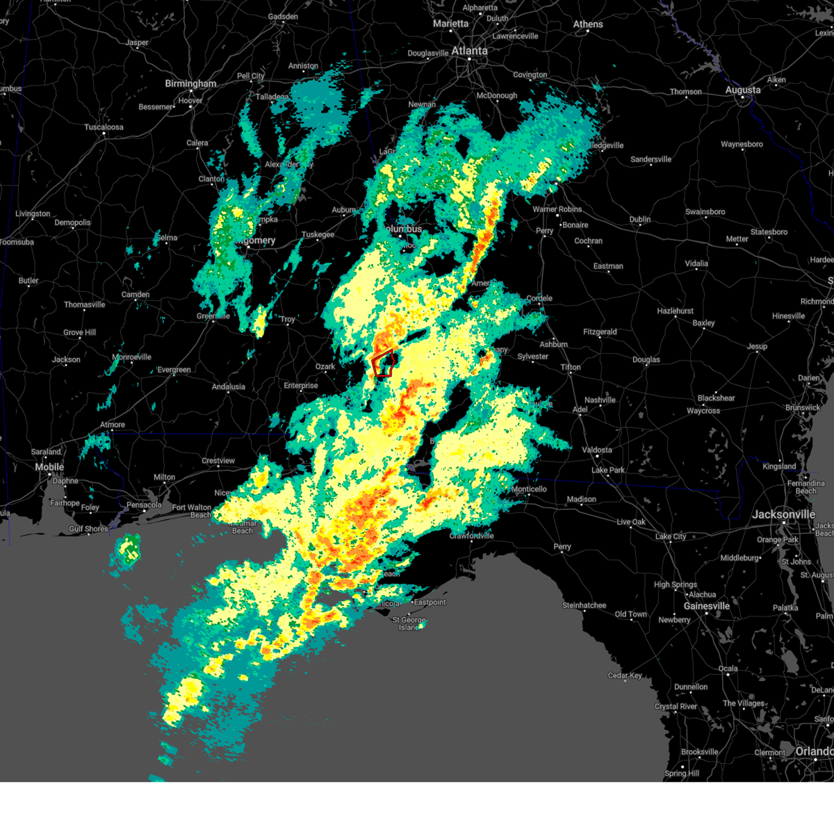 At 652 am cst, a severe thunderstorm capable of producing a tornado was located 7 miles southeast of abbeville, moving east at 35 mph (radar indicated rotation). Hazards include tornado. Flying debris will be dangerous to those caught without shelter. mobile homes will be damaged or destroyed. damage to roofs, windows, and vehicles will occur. tree damage is likely. Locations impacted include, abbeville, shorterville, barnes, miller, hardwickburg, hayes, and willis crossroads. At 652 am cst, a severe thunderstorm capable of producing a tornado was located 7 miles southeast of abbeville, moving east at 35 mph (radar indicated rotation). Hazards include tornado. Flying debris will be dangerous to those caught without shelter. mobile homes will be damaged or destroyed. damage to roofs, windows, and vehicles will occur. tree damage is likely. Locations impacted include, abbeville, shorterville, barnes, miller, hardwickburg, hayes, and willis crossroads.
|
| 12/10/2023 6:48 AM CST |
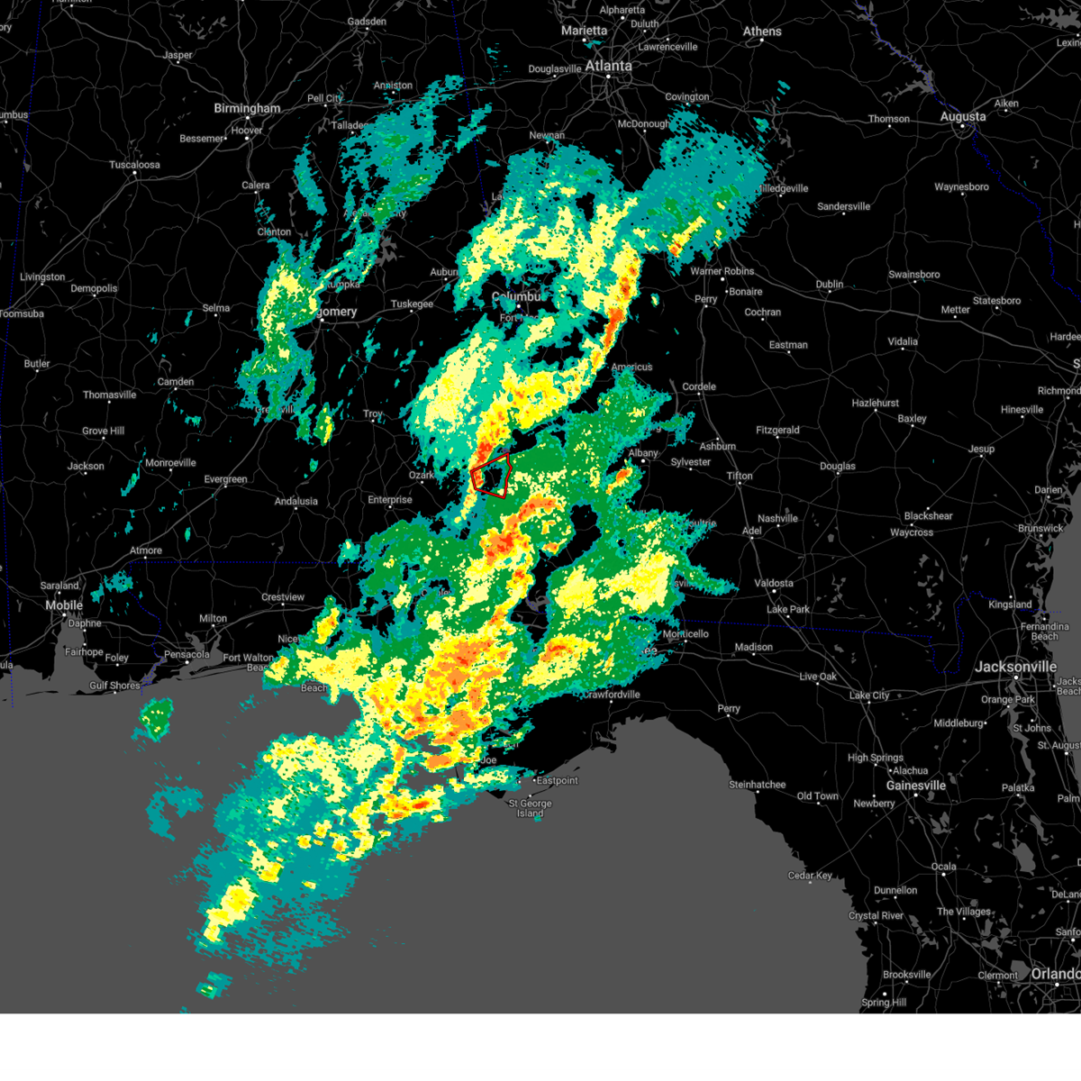 At 648 am cst, a severe thunderstorm capable of producing a tornado was located near abbeville, moving east at 35 mph (radar indicated rotation). Hazards include tornado. Flying debris will be dangerous to those caught without shelter. mobile homes will be damaged or destroyed. damage to roofs, windows, and vehicles will occur. tree damage is likely. Locations impacted include, abbeville, haleburg, shorterville, barnes, dancey, miller, hardwickburg, hayes, willis crossroads, and balkum. At 648 am cst, a severe thunderstorm capable of producing a tornado was located near abbeville, moving east at 35 mph (radar indicated rotation). Hazards include tornado. Flying debris will be dangerous to those caught without shelter. mobile homes will be damaged or destroyed. damage to roofs, windows, and vehicles will occur. tree damage is likely. Locations impacted include, abbeville, haleburg, shorterville, barnes, dancey, miller, hardwickburg, hayes, willis crossroads, and balkum.
|
| 12/10/2023 6:42 AM CST |
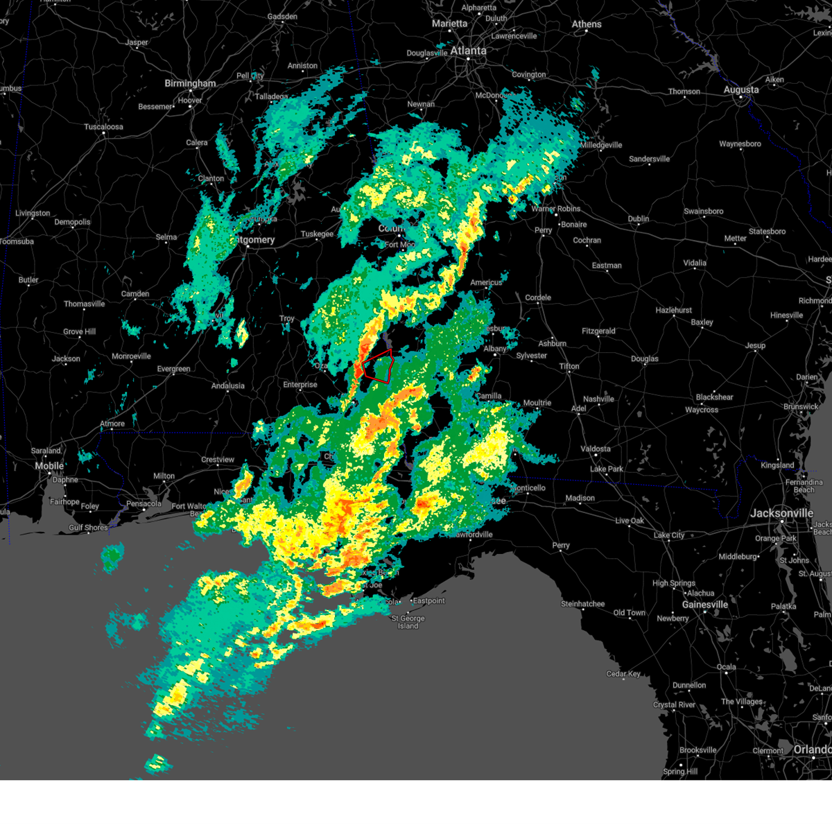 At 642 am cst, a confirmed tornado was located near abbeville, moving east at 30 mph (radar confirmed tornado). Hazards include damaging tornado. Flying debris will be dangerous to those caught without shelter. mobile homes will be damaged or destroyed. damage to roofs, windows, and vehicles will occur. tree damage is likely. Locations impacted include, abbeville, haleburg, shorterville, barnes, dancey, miller, hardwickburg, hayes, willis crossroads, and balkum. At 642 am cst, a confirmed tornado was located near abbeville, moving east at 30 mph (radar confirmed tornado). Hazards include damaging tornado. Flying debris will be dangerous to those caught without shelter. mobile homes will be damaged or destroyed. damage to roofs, windows, and vehicles will occur. tree damage is likely. Locations impacted include, abbeville, haleburg, shorterville, barnes, dancey, miller, hardwickburg, hayes, willis crossroads, and balkum.
|
| 12/10/2023 6:36 AM CST |
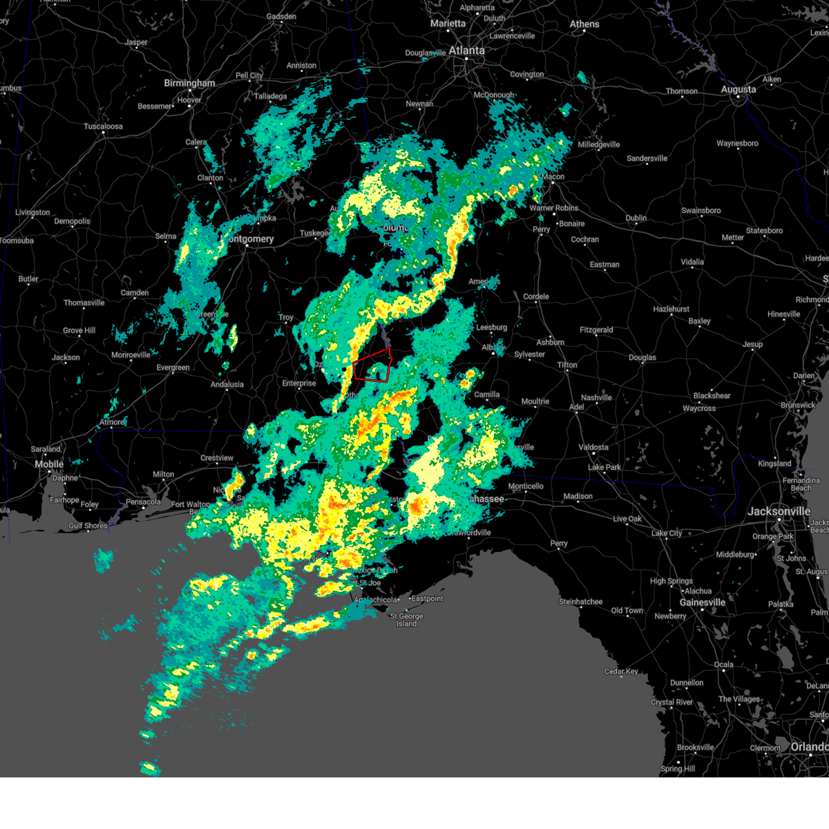 At 636 am cst, a severe thunderstorm capable of producing a tornado was located 7 miles north of headland, moving east at 35 mph (radar indicated rotation). Hazards include tornado. Flying debris will be dangerous to those caught without shelter. mobile homes will be damaged or destroyed. damage to roofs, windows, and vehicles will occur. tree damage is likely. This tornadic thunderstorm will remain over mainly rural areas of southern henry county, including the following locations, shorterville, haleburg, newville, barnes, tumbleton, dancey, miller, hardwickburg, capps, and hayes. At 636 am cst, a severe thunderstorm capable of producing a tornado was located 7 miles north of headland, moving east at 35 mph (radar indicated rotation). Hazards include tornado. Flying debris will be dangerous to those caught without shelter. mobile homes will be damaged or destroyed. damage to roofs, windows, and vehicles will occur. tree damage is likely. This tornadic thunderstorm will remain over mainly rural areas of southern henry county, including the following locations, shorterville, haleburg, newville, barnes, tumbleton, dancey, miller, hardwickburg, capps, and hayes.
|
| 12/9/2023 8:50 PM EST |
 At 849 pm est/749 pm cst/, a severe thunderstorm was located near fort gaines, moving northeast at 40 mph (radar indicated). Hazards include 60 mph wind gusts and penny size hail. expect damage to roofs, siding, and trees At 849 pm est/749 pm cst/, a severe thunderstorm was located near fort gaines, moving northeast at 40 mph (radar indicated). Hazards include 60 mph wind gusts and penny size hail. expect damage to roofs, siding, and trees
|
| 8/11/2023 5:51 PM EDT |
 At 550 pm edt/450 pm cdt/, severe thunderstorms were located along a line extending from near leary to 11 miles northeast of colquitt to 6 miles southeast of blakely, moving southeast at 55 mph (radar indicated). Hazards include 60 mph wind gusts. Expect damage to roofs, siding, and trees. locations impacted include, abbeville, fort gaines, morgan, headland, blakely, edison, arlington, leary, kinsey, douglasville, newville, bellville, haleburg, bluffton, shorterville, parksville, hayes, pecan, rock hill and bethel. hail threat, radar indicated max hail size, <. 75 in wind threat, radar indicated max wind gust, 60 mph. At 550 pm edt/450 pm cdt/, severe thunderstorms were located along a line extending from near leary to 11 miles northeast of colquitt to 6 miles southeast of blakely, moving southeast at 55 mph (radar indicated). Hazards include 60 mph wind gusts. Expect damage to roofs, siding, and trees. locations impacted include, abbeville, fort gaines, morgan, headland, blakely, edison, arlington, leary, kinsey, douglasville, newville, bellville, haleburg, bluffton, shorterville, parksville, hayes, pecan, rock hill and bethel. hail threat, radar indicated max hail size, <. 75 in wind threat, radar indicated max wind gust, 60 mph.
|
| 8/11/2023 5:20 PM EDT | Large tree limbs were blown down onto on sr 266 eastbound at cotton hill road and blocked 1 lan in clay county GA, 2 miles WSW of Fort Gaines, GA |
| 8/11/2023 5:09 PM EDT |
 At 508 pm edt/408 pm cdt/, severe thunderstorms were located along a line extending from 9 miles northwest of cuthbert to near fort gaines to near richards crossroads, moving southeast at 55 mph (radar indicated). Hazards include 60 mph wind gusts. expect damage to roofs, siding, and trees At 508 pm edt/408 pm cdt/, severe thunderstorms were located along a line extending from 9 miles northwest of cuthbert to near fort gaines to near richards crossroads, moving southeast at 55 mph (radar indicated). Hazards include 60 mph wind gusts. expect damage to roofs, siding, and trees
|
| 8/8/2023 5:09 PM EDT |
 The severe thunderstorm warning for henry county in southeastern alabama, clay, randolph, calhoun, northern early and quitman counties in southwestern georgia will expire at 515 pm edt/415 pm cdt/, the storms which prompted the warning have moved out of the area. therefore, the warning will be allowed to expire. a severe thunderstorm watch remains in effect until 900 pm edt/800 pm cdt/ for southeastern alabama, and southwestern georgia. to report severe weather, contact your nearest law enforcement agency. they will relay your report to the national weather service tallahassee. The severe thunderstorm warning for henry county in southeastern alabama, clay, randolph, calhoun, northern early and quitman counties in southwestern georgia will expire at 515 pm edt/415 pm cdt/, the storms which prompted the warning have moved out of the area. therefore, the warning will be allowed to expire. a severe thunderstorm watch remains in effect until 900 pm edt/800 pm cdt/ for southeastern alabama, and southwestern georgia. to report severe weather, contact your nearest law enforcement agency. they will relay your report to the national weather service tallahassee.
|
| 8/8/2023 4:32 PM EDT |
 At 432 pm edt/332 pm cdt/, severe thunderstorms were located along a line extending from 8 miles north of cuthbert to near daleville, moving east at 55 mph (radar indicated). Hazards include 60 mph wind gusts. Expect damage to roofs, siding, and trees. locations impacted include, abbeville, fort gaines, morgan, georgetown, cuthbert, edison, arlington, shellman, newville, bellville, haleburg, bluffton, shorterville, wire bridge, parksville, carnegie, hayes, watson crossroads, scottsboro crossroads and ricks place. hail threat, radar indicated max hail size, <. 75 in wind threat, radar indicated max wind gust, 60 mph. At 432 pm edt/332 pm cdt/, severe thunderstorms were located along a line extending from 8 miles north of cuthbert to near daleville, moving east at 55 mph (radar indicated). Hazards include 60 mph wind gusts. Expect damage to roofs, siding, and trees. locations impacted include, abbeville, fort gaines, morgan, georgetown, cuthbert, edison, arlington, shellman, newville, bellville, haleburg, bluffton, shorterville, wire bridge, parksville, carnegie, hayes, watson crossroads, scottsboro crossroads and ricks place. hail threat, radar indicated max hail size, <. 75 in wind threat, radar indicated max wind gust, 60 mph.
|
| 8/8/2023 4:15 PM EDT |
 At 415 pm edt/315 pm cdt/, severe thunderstorms were located along a line extending from near georgetown to 6 miles east of opp, moving east at 30 mph (radar indicated). Hazards include 60 mph wind gusts. Expect damage to roofs, siding, and trees. locations impacted include, abbeville, fort gaines, morgan, georgetown, cuthbert, ozark, fort novosel, edison, arlington, shellman, ariton, newville, bellville, haleburg, bluffton, shorterville, parksville, hayes, camp humming hills and pecan. hail threat, radar indicated max hail size, <. 75 in wind threat, radar indicated max wind gust, 60 mph. At 415 pm edt/315 pm cdt/, severe thunderstorms were located along a line extending from near georgetown to 6 miles east of opp, moving east at 30 mph (radar indicated). Hazards include 60 mph wind gusts. Expect damage to roofs, siding, and trees. locations impacted include, abbeville, fort gaines, morgan, georgetown, cuthbert, ozark, fort novosel, edison, arlington, shellman, ariton, newville, bellville, haleburg, bluffton, shorterville, parksville, hayes, camp humming hills and pecan. hail threat, radar indicated max hail size, <. 75 in wind threat, radar indicated max wind gust, 60 mph.
|
| 8/8/2023 2:45 PM CDT |
 At 344 pm edt/244 pm cdt/, severe thunderstorms were located along a line extending from near davisville to near glenwood, moving east at 50 mph (radar indicated). Hazards include 60 mph wind gusts. expect damage to roofs, siding, and trees At 344 pm edt/244 pm cdt/, severe thunderstorms were located along a line extending from near davisville to near glenwood, moving east at 50 mph (radar indicated). Hazards include 60 mph wind gusts. expect damage to roofs, siding, and trees
|
| 8/6/2023 8:35 PM EDT |
 At 835 pm edt/735 pm cdt/, severe thunderstorms were located along a line extending from near lumpkin to 7 miles southwest of abbeville, moving east at 35 mph (radar indicated). Hazards include 60 mph wind gusts. Expect damage to roofs, siding, and trees. locations impacted include, abbeville, fort gaines, georgetown, cuthbert, shellman, bellville, bluffton, haleburg, shorterville, wire bridge, carnegie, hayes, watson crossroads, scottsboro crossroads, ricks place, pecan, thomas mill creek, phillips crossroads, hatcher and morris. hail threat, radar indicated max hail size, <. 75 in wind threat, radar indicated max wind gust, 60 mph. At 835 pm edt/735 pm cdt/, severe thunderstorms were located along a line extending from near lumpkin to 7 miles southwest of abbeville, moving east at 35 mph (radar indicated). Hazards include 60 mph wind gusts. Expect damage to roofs, siding, and trees. locations impacted include, abbeville, fort gaines, georgetown, cuthbert, shellman, bellville, bluffton, haleburg, shorterville, wire bridge, carnegie, hayes, watson crossroads, scottsboro crossroads, ricks place, pecan, thomas mill creek, phillips crossroads, hatcher and morris. hail threat, radar indicated max hail size, <. 75 in wind threat, radar indicated max wind gust, 60 mph.
|
| 8/6/2023 7:45 PM EDT |
 At 745 pm edt/645 pm cdt/, a severe thunderstorm was located near tyler crossroads, or near clio, moving east at 20 mph (radar indicated). Hazards include 60 mph wind gusts. expect damage to roofs, siding, and trees At 745 pm edt/645 pm cdt/, a severe thunderstorm was located near tyler crossroads, or near clio, moving east at 20 mph (radar indicated). Hazards include 60 mph wind gusts. expect damage to roofs, siding, and trees
|
| 7/30/2023 4:25 PM EDT |
 At 424 pm edt/324 pm cdt/, severe thunderstorms were located along a line extending from 8 miles east of georgetown to near abbeville, moving south at 20 mph (radar indicated). Hazards include 60 mph wind gusts. expect damage to roofs, siding, and trees At 424 pm edt/324 pm cdt/, severe thunderstorms were located along a line extending from 8 miles east of georgetown to near abbeville, moving south at 20 mph (radar indicated). Hazards include 60 mph wind gusts. expect damage to roofs, siding, and trees
|
| 7/22/2023 11:56 AM CDT |
 The severe thunderstorm warning for northern dale and henry counties in southeastern alabama, clay, southwestern randolph, northwestern calhoun and northwestern early counties in southwestern georgia will expire at 100 pm edt/noon cdt/, the storms which prompted the warning have moved out of the area. therefore, the warning will be allowed to expire. however gusty winds are still possible with these thunderstorms. a severe thunderstorm watch remains in effect until 800 pm edt/700 pm cdt/ for southeastern alabama, and southwestern georgia. to report severe weather, contact your nearest law enforcement agency. they will relay your report to the national weather service tallahassee. The severe thunderstorm warning for northern dale and henry counties in southeastern alabama, clay, southwestern randolph, northwestern calhoun and northwestern early counties in southwestern georgia will expire at 100 pm edt/noon cdt/, the storms which prompted the warning have moved out of the area. therefore, the warning will be allowed to expire. however gusty winds are still possible with these thunderstorms. a severe thunderstorm watch remains in effect until 800 pm edt/700 pm cdt/ for southeastern alabama, and southwestern georgia. to report severe weather, contact your nearest law enforcement agency. they will relay your report to the national weather service tallahassee.
|
| 7/22/2023 11:04 AM CDT |
 At 1204 pm edt/1104 am cdt/, severe thunderstorms were located along a line extending from near richards crossroads to near ozark, moving east at 25 mph (radar indicated). Hazards include 60 mph wind gusts and penny size hail. expect damage to roofs, siding, and trees At 1204 pm edt/1104 am cdt/, severe thunderstorms were located along a line extending from near richards crossroads to near ozark, moving east at 25 mph (radar indicated). Hazards include 60 mph wind gusts and penny size hail. expect damage to roofs, siding, and trees
|
| 7/8/2023 4:49 PM CDT |
 At 549 pm edt/449 pm cdt/, severe thunderstorms were located along a line extending from near blue springs to near newton to near geneva, moving east at 40 mph (radar indicated). Hazards include 60 mph wind gusts and penny size hail. expect damage to roofs, siding, and trees At 549 pm edt/449 pm cdt/, severe thunderstorms were located along a line extending from near blue springs to near newton to near geneva, moving east at 40 mph (radar indicated). Hazards include 60 mph wind gusts and penny size hail. expect damage to roofs, siding, and trees
|
| 6/19/2023 7:15 AM EDT |
 At 715 am edt/615 am cdt/, severe thunderstorms were located along a line extending from near georgetown to near fort gaines to near headland, moving northeast at 60 mph (radar indicated). Hazards include 60 mph wind gusts. expect damage to roofs, siding, and trees At 715 am edt/615 am cdt/, severe thunderstorms were located along a line extending from near georgetown to near fort gaines to near headland, moving northeast at 60 mph (radar indicated). Hazards include 60 mph wind gusts. expect damage to roofs, siding, and trees
|
| 6/18/2023 3:13 PM CDT |
 At 312 pm cdt, severe thunderstorms were located along a line extending from 9 miles southeast of abbeville to near ashford to near marianna, moving east at 45 mph (radar indicated). Hazards include 70 mph wind gusts. Expect considerable tree damage. damage is likely to mobile homes, roofs, and outbuildings. locations impacted include, abbeville, cottonwood, fort gaines, headland, marianna, dothan, kinsey, ashford, cowarts, webb, columbia, malone, cottondale, greenwood, avon, newville, alford, madrid, gordon and campbellton. thunderstorm damage threat, considerable hail threat, radar indicated max hail size, <. 75 in wind threat, radar indicated max wind gust, 70 mph. At 312 pm cdt, severe thunderstorms were located along a line extending from 9 miles southeast of abbeville to near ashford to near marianna, moving east at 45 mph (radar indicated). Hazards include 70 mph wind gusts. Expect considerable tree damage. damage is likely to mobile homes, roofs, and outbuildings. locations impacted include, abbeville, cottonwood, fort gaines, headland, marianna, dothan, kinsey, ashford, cowarts, webb, columbia, malone, cottondale, greenwood, avon, newville, alford, madrid, gordon and campbellton. thunderstorm damage threat, considerable hail threat, radar indicated max hail size, <. 75 in wind threat, radar indicated max wind gust, 70 mph.
|
| 6/18/2023 3:04 PM CDT |
 At 304 pm cdt, severe thunderstorms were located along a line extending from 6 miles southwest of abbeville to cowarts to 7 miles northeast of chipley, moving east at 50 mph (radar indicated). Hazards include 60 mph wind gusts. Expect damage to roofs, siding, and trees. locations impacted include, abbeville, cottonwood, fort gaines, marianna, graceville, headland, dothan, taylor, midland city, kinsey, ashford, cowarts, webb, columbia, pinckard, malone, rehobeth, cottondale, greenwood and grimes. hail threat, radar indicated max hail size, <. 75 in wind threat, radar indicated max wind gust, 60 mph. At 304 pm cdt, severe thunderstorms were located along a line extending from 6 miles southwest of abbeville to cowarts to 7 miles northeast of chipley, moving east at 50 mph (radar indicated). Hazards include 60 mph wind gusts. Expect damage to roofs, siding, and trees. locations impacted include, abbeville, cottonwood, fort gaines, marianna, graceville, headland, dothan, taylor, midland city, kinsey, ashford, cowarts, webb, columbia, pinckard, malone, rehobeth, cottondale, greenwood and grimes. hail threat, radar indicated max hail size, <. 75 in wind threat, radar indicated max wind gust, 60 mph.
|
| 6/18/2023 2:46 PM CDT |
 At 246 pm cdt, severe thunderstorms were located along a line extending from 6 miles south of blue springs to near taylor to 7 miles northwest of bonifay, moving east at 40 mph (radar indicated). Hazards include 60 mph wind gusts. Expect damage to roofs, siding, and trees. locations impacted include, daleville, abbeville, cottonwood, bonifay, geneva, marianna, chipley, graceville, headland, dothan, fort rucker, ozark, enterprise, hartford, taylor, midland city, kinsey, ashford, level plains and slocomb. hail threat, radar indicated max hail size, <. 75 in wind threat, radar indicated max wind gust, 60 mph. At 246 pm cdt, severe thunderstorms were located along a line extending from 6 miles south of blue springs to near taylor to 7 miles northwest of bonifay, moving east at 40 mph (radar indicated). Hazards include 60 mph wind gusts. Expect damage to roofs, siding, and trees. locations impacted include, daleville, abbeville, cottonwood, bonifay, geneva, marianna, chipley, graceville, headland, dothan, fort rucker, ozark, enterprise, hartford, taylor, midland city, kinsey, ashford, level plains and slocomb. hail threat, radar indicated max hail size, <. 75 in wind threat, radar indicated max wind gust, 60 mph.
|
| 6/18/2023 2:28 PM CDT |
 At 227 pm cdt, severe thunderstorms were located along a line extending from near ariton to near hartford to 9 miles northeast of de funiak springs, moving east at 40 mph (radar indicated). Hazards include 60 mph wind gusts. expect damage to roofs, siding, and trees At 227 pm cdt, severe thunderstorms were located along a line extending from near ariton to near hartford to 9 miles northeast of de funiak springs, moving east at 40 mph (radar indicated). Hazards include 60 mph wind gusts. expect damage to roofs, siding, and trees
|
| 6/15/2023 10:28 AM EDT |
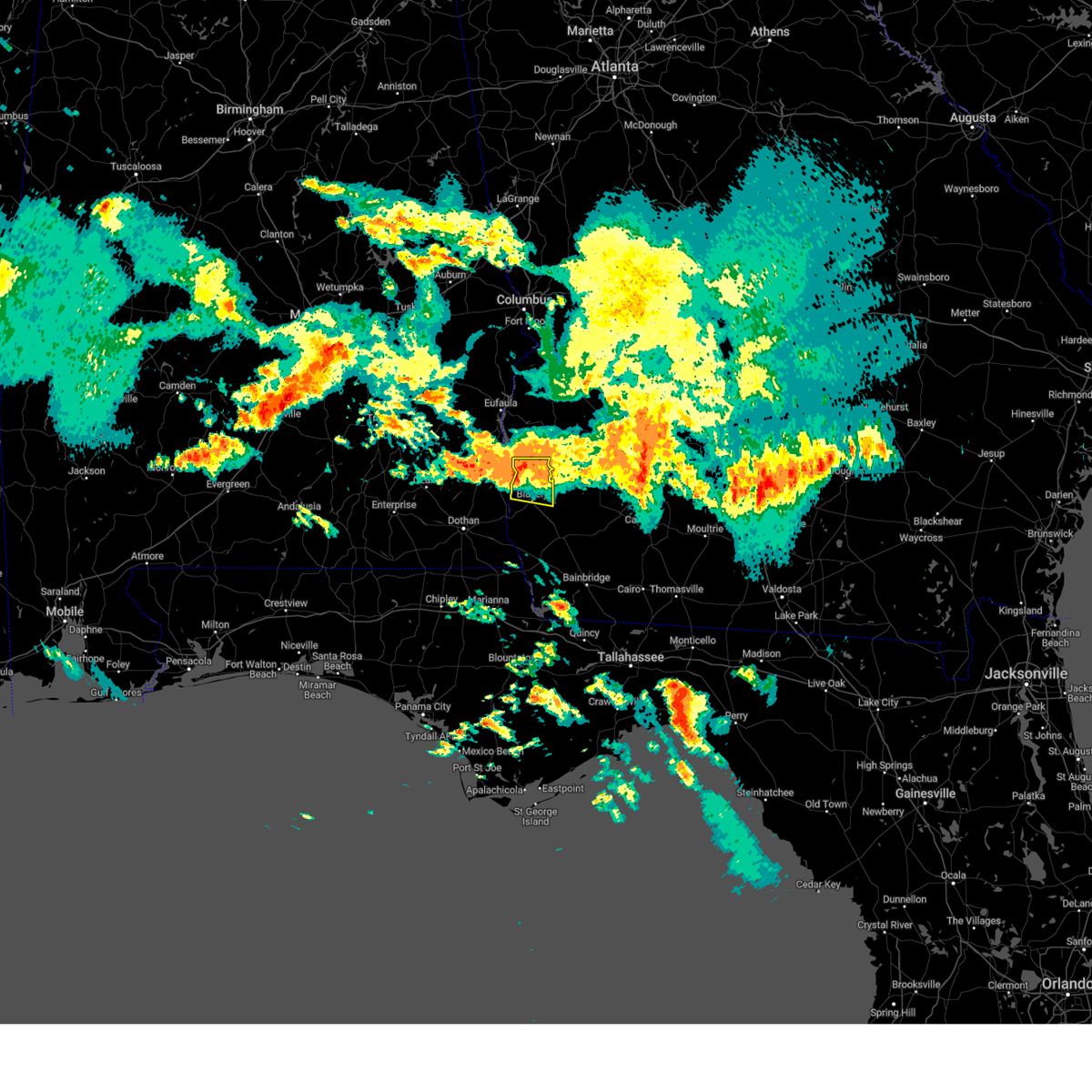 At 1028 am edt, a severe thunderstorm was located 8 miles south of fort gaines, moving east at 30 mph (radar indicated). Hazards include 60 mph wind gusts and penny size hail. Expect damage to roofs, siding, and trees. Locations impacted include, fort gaines, blakely, bellville, bluffton, colomokee, harrisons mill, ferrell crossroads, zetto, early co a/p, kolomoki mounds sp and suttons corner. At 1028 am edt, a severe thunderstorm was located 8 miles south of fort gaines, moving east at 30 mph (radar indicated). Hazards include 60 mph wind gusts and penny size hail. Expect damage to roofs, siding, and trees. Locations impacted include, fort gaines, blakely, bellville, bluffton, colomokee, harrisons mill, ferrell crossroads, zetto, early co a/p, kolomoki mounds sp and suttons corner.
|
| 6/15/2023 10:04 AM EDT |
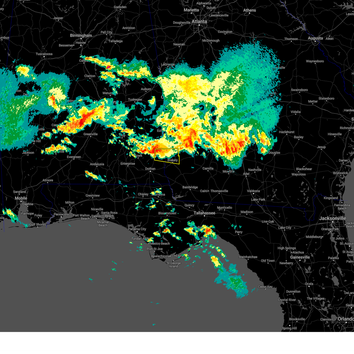 At 1003 am edt/903 am cdt/, a severe thunderstorm was located near abbeville, moving east at 30 mph (radar indicated). Hazards include 60 mph wind gusts and penny size hail. expect damage to roofs, siding, and trees At 1003 am edt/903 am cdt/, a severe thunderstorm was located near abbeville, moving east at 30 mph (radar indicated). Hazards include 60 mph wind gusts and penny size hail. expect damage to roofs, siding, and trees
|
| 6/15/2023 4:37 AM CDT |
 At 536 am edt/436 am cdt/, severe thunderstorms were located along a line extending from 9 miles southeast of fort gaines to near columbia to near taylor, moving southeast at 55 mph (radar indicated). Hazards include 60 mph wind gusts and quarter size hail. Hail damage to vehicles is expected. expect wind damage to roofs, siding, and trees. locations impacted include, cottonwood, fort gaines, dothan, blakely, headland, taylor, midland city, kinsey, ashford, cowarts, arlington, webb, columbia, pinckard, centerville, malvern, rehobeth, grimes, avon and napier field. hail threat, radar indicated max hail size, 1. 00 in wind threat, radar indicated max wind gust, 60 mph. At 536 am edt/436 am cdt/, severe thunderstorms were located along a line extending from 9 miles southeast of fort gaines to near columbia to near taylor, moving southeast at 55 mph (radar indicated). Hazards include 60 mph wind gusts and quarter size hail. Hail damage to vehicles is expected. expect wind damage to roofs, siding, and trees. locations impacted include, cottonwood, fort gaines, dothan, blakely, headland, taylor, midland city, kinsey, ashford, cowarts, arlington, webb, columbia, pinckard, centerville, malvern, rehobeth, grimes, avon and napier field. hail threat, radar indicated max hail size, 1. 00 in wind threat, radar indicated max wind gust, 60 mph.
|
| 6/15/2023 4:35 AM CDT |
 The severe thunderstorm warning for northeastern henry, northwestern clay and southern quitman counties will expire at 545 am edt/445 am cdt/, the storm which prompted the warning has moved out of the area. therefore, the warning will be allowed to expire. however gusty winds and heavy rain are still possible with this thunderstorm. to report severe weather, contact your nearest law enforcement agency. they will relay your report to the national weather service tallahassee. The severe thunderstorm warning for northeastern henry, northwestern clay and southern quitman counties will expire at 545 am edt/445 am cdt/, the storm which prompted the warning has moved out of the area. therefore, the warning will be allowed to expire. however gusty winds and heavy rain are still possible with this thunderstorm. to report severe weather, contact your nearest law enforcement agency. they will relay your report to the national weather service tallahassee.
|
| 6/15/2023 4:14 AM CDT |
 At 514 am edt/414 am cdt/, severe thunderstorms were located along a line extending from near richards crossroads to 6 miles north of midland city to near enterprise, moving southeast at 55 mph (radar indicated). Hazards include 60 mph wind gusts and quarter size hail. Hail damage to vehicles is expected. Expect wind damage to roofs, siding, and trees. At 514 am edt/414 am cdt/, severe thunderstorms were located along a line extending from near richards crossroads to 6 miles north of midland city to near enterprise, moving southeast at 55 mph (radar indicated). Hazards include 60 mph wind gusts and quarter size hail. Hail damage to vehicles is expected. Expect wind damage to roofs, siding, and trees.
|
| 6/15/2023 4:09 AM CDT |
 At 509 am edt/409 am cdt/, a severe thunderstorm was located over richards crossroads, or 11 miles north of abbeville, moving east at 50 mph (radar indicated). Hazards include 60 mph wind gusts and quarter size hail. Hail damage to vehicles is expected. Expect wind damage to roofs, siding, and trees. At 509 am edt/409 am cdt/, a severe thunderstorm was located over richards crossroads, or 11 miles north of abbeville, moving east at 50 mph (radar indicated). Hazards include 60 mph wind gusts and quarter size hail. Hail damage to vehicles is expected. Expect wind damage to roofs, siding, and trees.
|
| 6/14/2023 7:34 PM EDT |
 At 733 pm edt/633 pm cdt/, severe thunderstorms were located along a line extending from near abbeville to near newton, moving east at 50 mph (radar indicated). Hazards include 70 mph wind gusts and quarter size hail. Hail damage to vehicles is expected. expect considerable tree damage. Wind damage is also likely to mobile homes, roofs, and outbuildings. At 733 pm edt/633 pm cdt/, severe thunderstorms were located along a line extending from near abbeville to near newton, moving east at 50 mph (radar indicated). Hazards include 70 mph wind gusts and quarter size hail. Hail damage to vehicles is expected. expect considerable tree damage. Wind damage is also likely to mobile homes, roofs, and outbuildings.
|
| 6/14/2023 6:14 PM CDT |
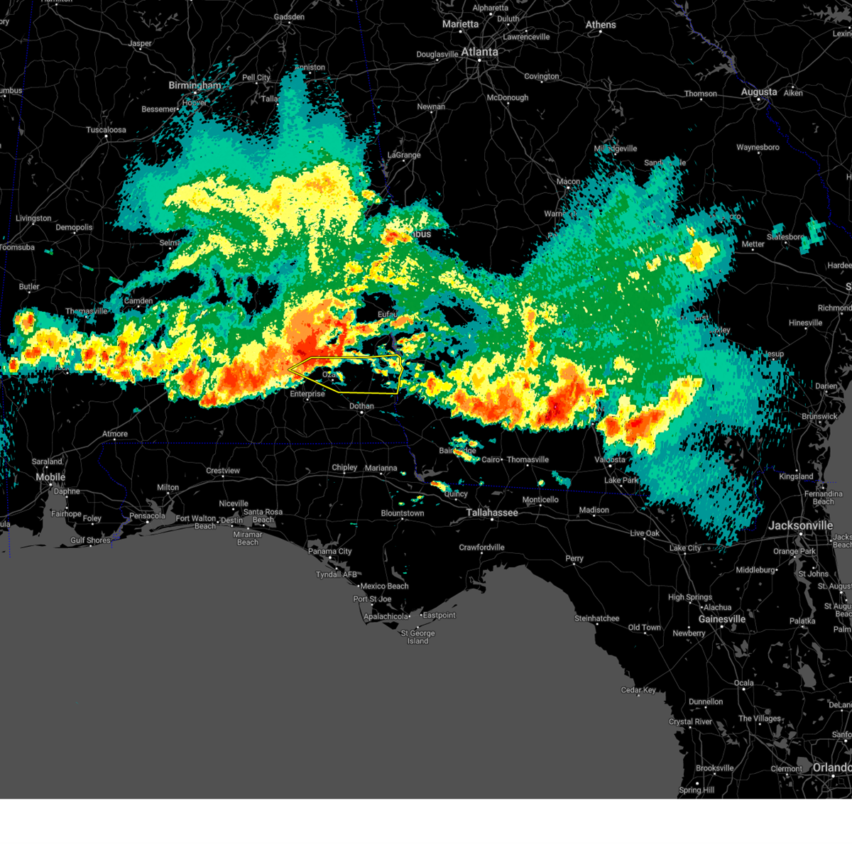 At 613 pm cdt, severe thunderstorms were located along a line extending from near clio to 9 miles west of ariton, moving east at 60 mph. these are destructive storms for northeast coffee, dale, and henry counties! (radar indicated). Hazards include 80 mph wind gusts and quarter size hail. Flying debris will be dangerous to those caught without shelter. mobile homes will be heavily damaged. expect considerable damage to roofs, windows, and vehicles. Extensive tree damage and power outages are likely. At 613 pm cdt, severe thunderstorms were located along a line extending from near clio to 9 miles west of ariton, moving east at 60 mph. these are destructive storms for northeast coffee, dale, and henry counties! (radar indicated). Hazards include 80 mph wind gusts and quarter size hail. Flying debris will be dangerous to those caught without shelter. mobile homes will be heavily damaged. expect considerable damage to roofs, windows, and vehicles. Extensive tree damage and power outages are likely.
|
| 6/14/2023 6:30 PM EDT | Tree limbs on sr 37 eastbound at powell dairy rd. all lanes close in clay county GA, 4.8 miles WNW of Fort Gaines, GA |
| 6/14/2023 6:21 PM EDT |
 At 621 pm edt/521 pm cdt/, severe thunderstorms were located along a line extending from near texasville to marine corps logistics base, moving southeast at 50 mph (radar indicated). Hazards include 60 mph wind gusts. expect damage to roofs, siding, and trees At 621 pm edt/521 pm cdt/, severe thunderstorms were located along a line extending from near texasville to marine corps logistics base, moving southeast at 50 mph (radar indicated). Hazards include 60 mph wind gusts. expect damage to roofs, siding, and trees
|
| 6/14/2023 5:10 PM EDT |
 At 509 pm edt/409 pm cdt/, a severe thunderstorm was located near hawkinsville, or 11 miles northwest of eufaula, moving southeast at 40 mph (radar indicated). Hazards include 60 mph wind gusts and quarter size hail. Hail damage to vehicles is expected. Expect wind damage to roofs, siding, and trees. At 509 pm edt/409 pm cdt/, a severe thunderstorm was located near hawkinsville, or 11 miles northwest of eufaula, moving southeast at 40 mph (radar indicated). Hazards include 60 mph wind gusts and quarter size hail. Hail damage to vehicles is expected. Expect wind damage to roofs, siding, and trees.
|
| 6/14/2023 12:27 PM CDT |
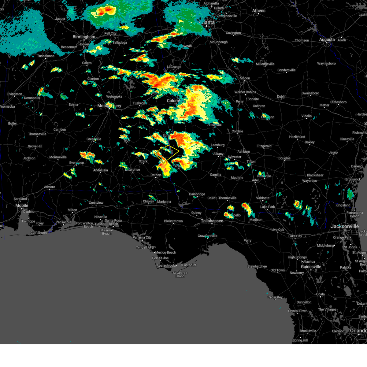 At 127 pm edt/1227 pm cdt/, a severe thunderstorm was located over abbeville, moving northeast at 45 mph (radar indicated). Hazards include 60 mph wind gusts. Expect damage to roofs, siding, and trees. locations impacted include, abbeville, fort gaines, days crossroads, shorterville, walter f. George lock and dam, walter f george lake, standleys store, otho, scottsboro crossroads, double bridges, pecan, murphy station, graball, screamer, coates, thomas mill creek, lawrenceville, bethel, abbeville municipal a/p and willis crossroads. At 127 pm edt/1227 pm cdt/, a severe thunderstorm was located over abbeville, moving northeast at 45 mph (radar indicated). Hazards include 60 mph wind gusts. Expect damage to roofs, siding, and trees. locations impacted include, abbeville, fort gaines, days crossroads, shorterville, walter f. George lock and dam, walter f george lake, standleys store, otho, scottsboro crossroads, double bridges, pecan, murphy station, graball, screamer, coates, thomas mill creek, lawrenceville, bethel, abbeville municipal a/p and willis crossroads.
|
| 6/14/2023 12:27 PM CDT |
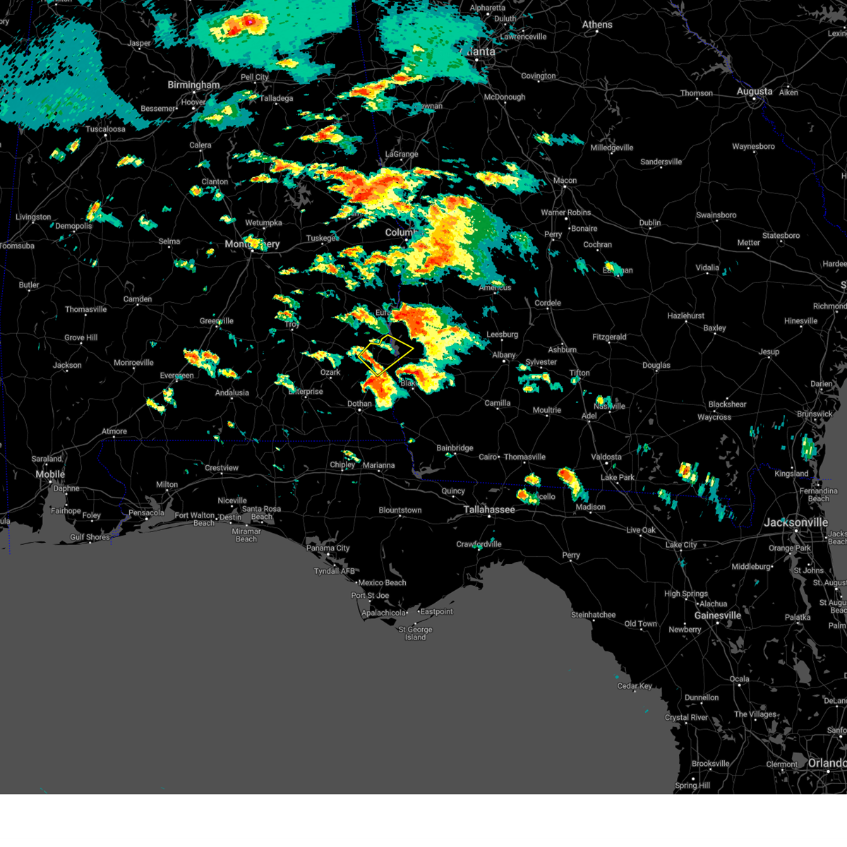 At 127 pm edt/1227 pm cdt/, a severe thunderstorm was located over abbeville, moving northeast at 45 mph (radar indicated). Hazards include 60 mph wind gusts. Expect damage to roofs, siding, and trees. locations impacted include, abbeville, fort gaines, days crossroads, shorterville, walter f. George lock and dam, walter f george lake, standleys store, otho, scottsboro crossroads, double bridges, pecan, murphy station, graball, screamer, coates, thomas mill creek, lawrenceville, bethel, abbeville municipal a/p and willis crossroads. At 127 pm edt/1227 pm cdt/, a severe thunderstorm was located over abbeville, moving northeast at 45 mph (radar indicated). Hazards include 60 mph wind gusts. Expect damage to roofs, siding, and trees. locations impacted include, abbeville, fort gaines, days crossroads, shorterville, walter f. George lock and dam, walter f george lake, standleys store, otho, scottsboro crossroads, double bridges, pecan, murphy station, graball, screamer, coates, thomas mill creek, lawrenceville, bethel, abbeville municipal a/p and willis crossroads.
|
| 6/14/2023 12:09 PM CDT |
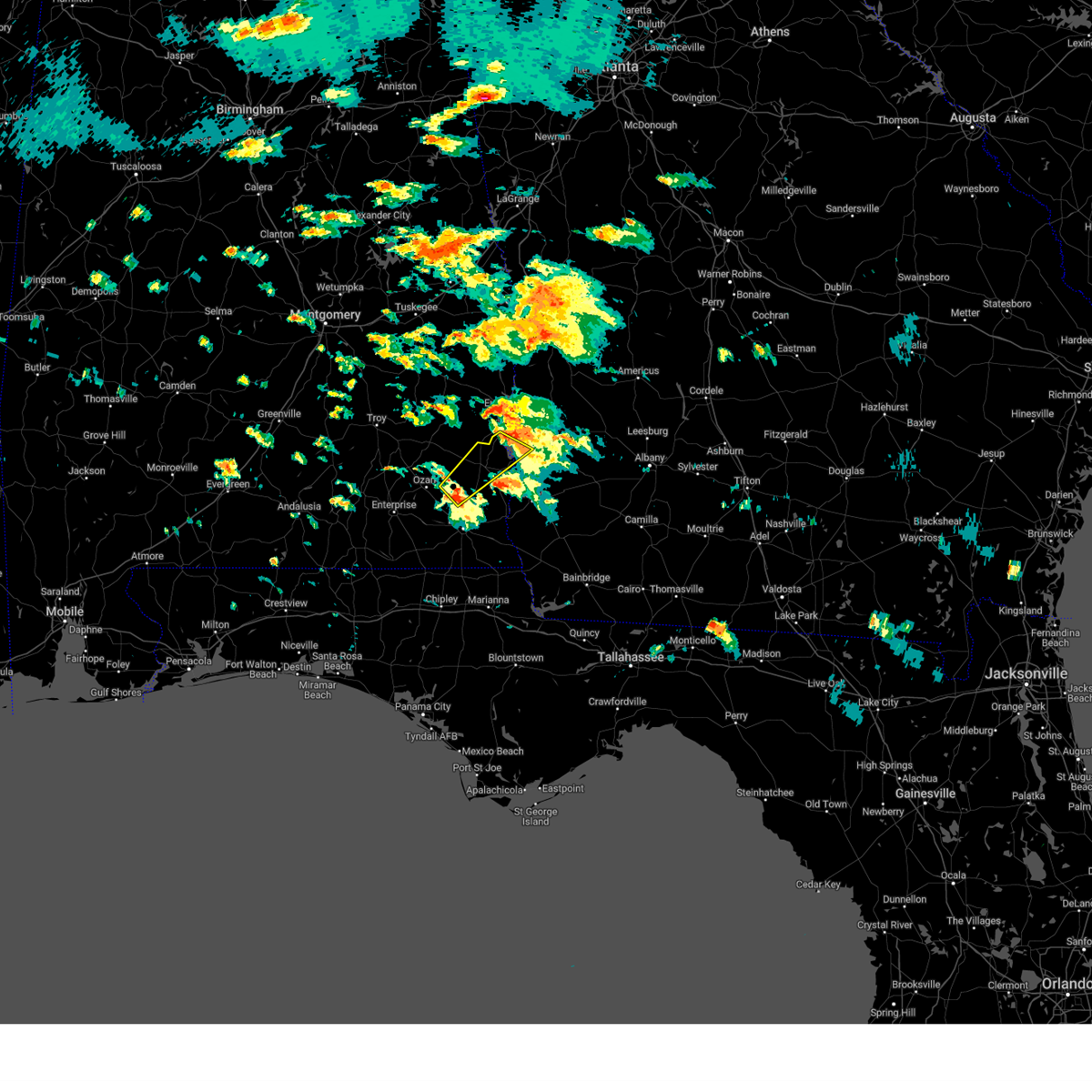 At 107 pm edt/1207 pm cdt/, a severe thunderstorm was located 10 miles northwest of headland, moving northeast at 45 mph (radar indicated). Hazards include 60 mph wind gusts. expect damage to roofs, siding, and trees At 107 pm edt/1207 pm cdt/, a severe thunderstorm was located 10 miles northwest of headland, moving northeast at 45 mph (radar indicated). Hazards include 60 mph wind gusts. expect damage to roofs, siding, and trees
|
| 6/14/2023 1:05 PM EDT |
 At 104 pm edt/1204 pm cdt/, a severe thunderstorm capable of producing a tornado was located 9 miles southeast of abbeville, moving east at 40 mph (radar indicated rotation). Hazards include tornado. Flying debris will be dangerous to those caught without shelter. mobile homes will be damaged or destroyed. damage to roofs, windows, and vehicles will occur. tree damage is likely. This tornadic thunderstorm will remain over mainly rural areas of southeastern henry, south central clay and northwestern early counties, including the following locations, shorterville, haleburg, barnes, tumbleton, hardwickburg, zetto, hayes, colomokee, miller and ferrell crossroads. At 104 pm edt/1204 pm cdt/, a severe thunderstorm capable of producing a tornado was located 9 miles southeast of abbeville, moving east at 40 mph (radar indicated rotation). Hazards include tornado. Flying debris will be dangerous to those caught without shelter. mobile homes will be damaged or destroyed. damage to roofs, windows, and vehicles will occur. tree damage is likely. This tornadic thunderstorm will remain over mainly rural areas of southeastern henry, south central clay and northwestern early counties, including the following locations, shorterville, haleburg, barnes, tumbleton, hardwickburg, zetto, hayes, colomokee, miller and ferrell crossroads.
|
| 6/14/2023 1:05 PM EDT |
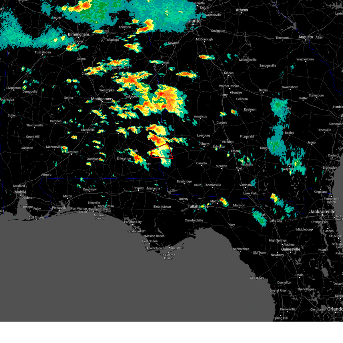 At 104 pm edt/1204 pm cdt/, a severe thunderstorm capable of producing a tornado was located 9 miles southeast of abbeville, moving east at 40 mph (radar indicated rotation). Hazards include tornado. Flying debris will be dangerous to those caught without shelter. mobile homes will be damaged or destroyed. damage to roofs, windows, and vehicles will occur. tree damage is likely. This tornadic thunderstorm will remain over mainly rural areas of southeastern henry, south central clay and northwestern early counties, including the following locations, shorterville, haleburg, barnes, tumbleton, hardwickburg, zetto, hayes, colomokee, miller and ferrell crossroads. At 104 pm edt/1204 pm cdt/, a severe thunderstorm capable of producing a tornado was located 9 miles southeast of abbeville, moving east at 40 mph (radar indicated rotation). Hazards include tornado. Flying debris will be dangerous to those caught without shelter. mobile homes will be damaged or destroyed. damage to roofs, windows, and vehicles will occur. tree damage is likely. This tornadic thunderstorm will remain over mainly rural areas of southeastern henry, south central clay and northwestern early counties, including the following locations, shorterville, haleburg, barnes, tumbleton, hardwickburg, zetto, hayes, colomokee, miller and ferrell crossroads.
|
| 6/14/2023 12:18 PM EDT |
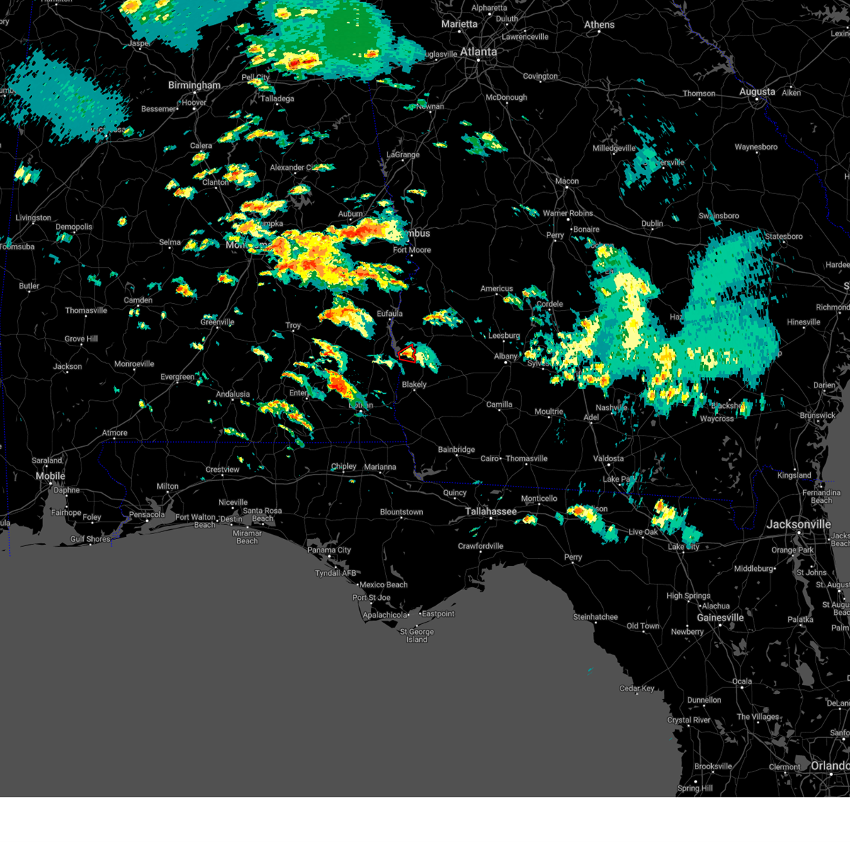 At 1217 pm edt, a severe thunderstorm capable of producing a tornado was located over fort gaines, moving east at 25 mph (radar indicated rotation). Hazards include tornado. Flying debris will be dangerous to those caught without shelter. mobile homes will be damaged or destroyed. damage to roofs, windows, and vehicles will occur. tree damage is likely. This tornadic thunderstorm will remain over mainly rural areas of central clay county, including the following locations, jones crossing, bethel, pecan, fort gaines-clay airport and zetto. At 1217 pm edt, a severe thunderstorm capable of producing a tornado was located over fort gaines, moving east at 25 mph (radar indicated rotation). Hazards include tornado. Flying debris will be dangerous to those caught without shelter. mobile homes will be damaged or destroyed. damage to roofs, windows, and vehicles will occur. tree damage is likely. This tornadic thunderstorm will remain over mainly rural areas of central clay county, including the following locations, jones crossing, bethel, pecan, fort gaines-clay airport and zetto.
|
| 6/14/2023 12:00 PM EDT |
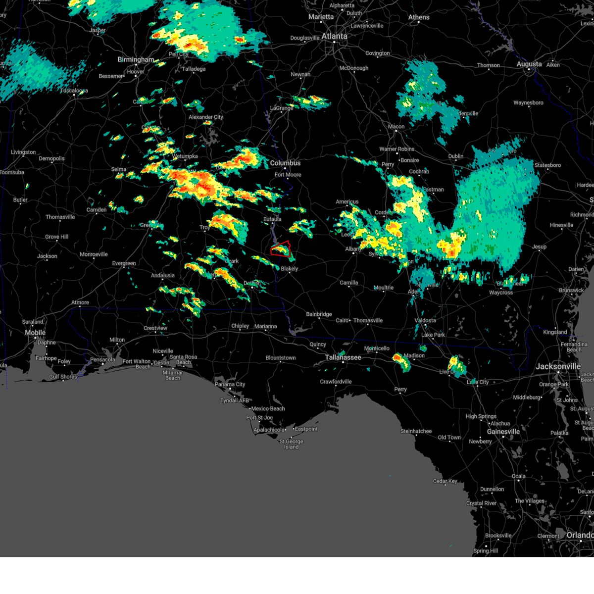 At 1200 pm edt/1100 am cdt/, a confirmed tornado was located near fort gaines, moving east at 20 mph (radar confirmed tornado). Hazards include damaging tornado. Flying debris will be dangerous to those caught without shelter. mobile homes will be damaged or destroyed. damage to roofs, windows, and vehicles will occur. tree damage is likely. this tornado will be near, fort gaines around 1210 pm edt. other locations impacted by this tornadic thunderstorm include shorterville, walter f. George lock and dam, zetto, jones crossing, bethel, pecan and fort gaines-clay airport. At 1200 pm edt/1100 am cdt/, a confirmed tornado was located near fort gaines, moving east at 20 mph (radar confirmed tornado). Hazards include damaging tornado. Flying debris will be dangerous to those caught without shelter. mobile homes will be damaged or destroyed. damage to roofs, windows, and vehicles will occur. tree damage is likely. this tornado will be near, fort gaines around 1210 pm edt. other locations impacted by this tornadic thunderstorm include shorterville, walter f. George lock and dam, zetto, jones crossing, bethel, pecan and fort gaines-clay airport.
|
| 6/14/2023 12:00 PM EDT |
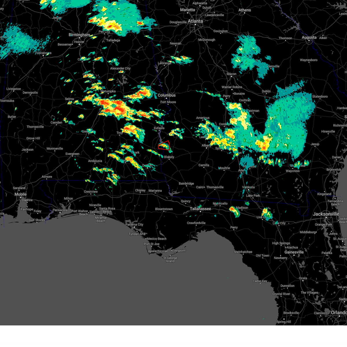 At 1200 pm edt/1100 am cdt/, a confirmed tornado was located near fort gaines, moving east at 20 mph (radar confirmed tornado). Hazards include damaging tornado. Flying debris will be dangerous to those caught without shelter. mobile homes will be damaged or destroyed. damage to roofs, windows, and vehicles will occur. tree damage is likely. this tornado will be near, fort gaines around 1210 pm edt. other locations impacted by this tornadic thunderstorm include shorterville, walter f. George lock and dam, zetto, jones crossing, bethel, pecan and fort gaines-clay airport. At 1200 pm edt/1100 am cdt/, a confirmed tornado was located near fort gaines, moving east at 20 mph (radar confirmed tornado). Hazards include damaging tornado. Flying debris will be dangerous to those caught without shelter. mobile homes will be damaged or destroyed. damage to roofs, windows, and vehicles will occur. tree damage is likely. this tornado will be near, fort gaines around 1210 pm edt. other locations impacted by this tornadic thunderstorm include shorterville, walter f. George lock and dam, zetto, jones crossing, bethel, pecan and fort gaines-clay airport.
|
| 6/14/2023 11:41 AM EDT |
 At 1140 am edt/1040 am cdt/, a confirmed tornado was located over abbeville, moving east at 25 mph (emergency management confirmed tornado. at 1040 am cdt, a tornado was reported near us 431 near abbeville). Hazards include damaging tornado. Flying debris will be dangerous to those caught without shelter. mobile homes will be damaged or destroyed. damage to roofs, windows, and vehicles will occur. tree damage is likely. this tornado will be near, fort gaines around 1205 pm edt. other locations impacted by this tornadic thunderstorm include shorterville, graball, walter f. George lock and dam, walter f george lake, zetto, jones crossing, bethel, abbeville municipal a/p, willis crossroads and pecan. At 1140 am edt/1040 am cdt/, a confirmed tornado was located over abbeville, moving east at 25 mph (emergency management confirmed tornado. at 1040 am cdt, a tornado was reported near us 431 near abbeville). Hazards include damaging tornado. Flying debris will be dangerous to those caught without shelter. mobile homes will be damaged or destroyed. damage to roofs, windows, and vehicles will occur. tree damage is likely. this tornado will be near, fort gaines around 1205 pm edt. other locations impacted by this tornadic thunderstorm include shorterville, graball, walter f. George lock and dam, walter f george lake, zetto, jones crossing, bethel, abbeville municipal a/p, willis crossroads and pecan.
|
| 6/14/2023 11:41 AM EDT |
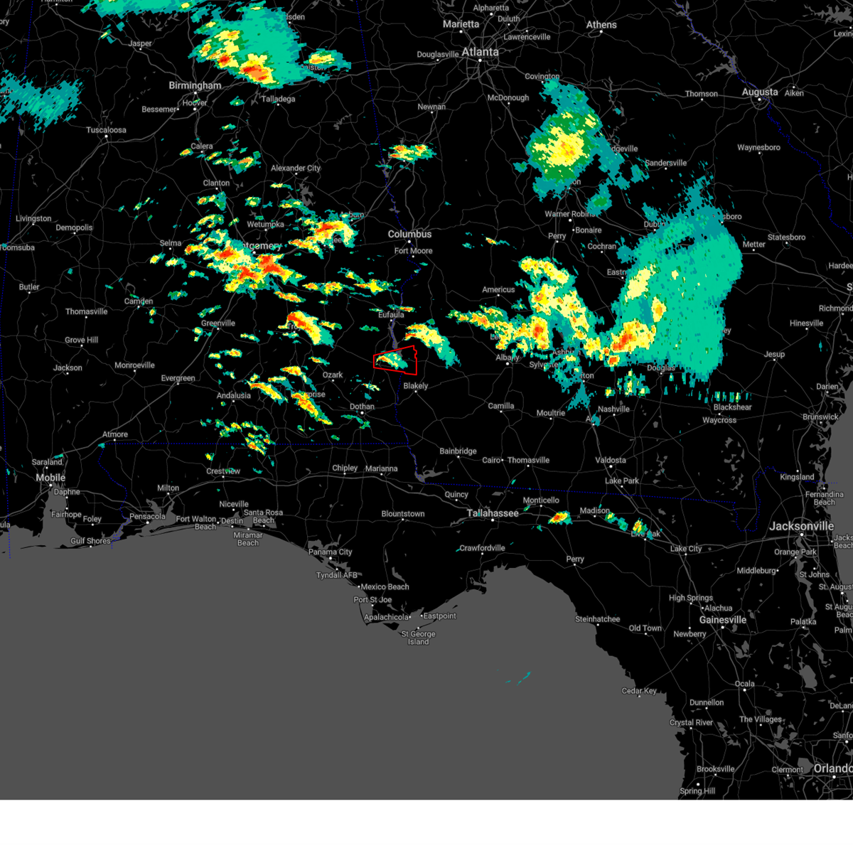 At 1140 am edt/1040 am cdt/, a confirmed tornado was located over abbeville, moving east at 25 mph (emergency management confirmed tornado. at 1040 am cdt, a tornado was reported near us 431 near abbeville). Hazards include damaging tornado. Flying debris will be dangerous to those caught without shelter. mobile homes will be damaged or destroyed. damage to roofs, windows, and vehicles will occur. tree damage is likely. this tornado will be near, fort gaines around 1205 pm edt. other locations impacted by this tornadic thunderstorm include shorterville, graball, walter f. George lock and dam, walter f george lake, zetto, jones crossing, bethel, abbeville municipal a/p, willis crossroads and pecan. At 1140 am edt/1040 am cdt/, a confirmed tornado was located over abbeville, moving east at 25 mph (emergency management confirmed tornado. at 1040 am cdt, a tornado was reported near us 431 near abbeville). Hazards include damaging tornado. Flying debris will be dangerous to those caught without shelter. mobile homes will be damaged or destroyed. damage to roofs, windows, and vehicles will occur. tree damage is likely. this tornado will be near, fort gaines around 1205 pm edt. other locations impacted by this tornadic thunderstorm include shorterville, graball, walter f. George lock and dam, walter f george lake, zetto, jones crossing, bethel, abbeville municipal a/p, willis crossroads and pecan.
|
| 6/14/2023 11:38 AM EDT |
 At 1138 am edt/1038 am cdt/, a severe thunderstorm capable of producing a tornado was located over abbeville, moving east at 25 mph (radar indicated rotation). Hazards include tornado. Flying debris will be dangerous to those caught without shelter. mobile homes will be damaged or destroyed. damage to roofs, windows, and vehicles will occur. tree damage is likely. this dangerous storm will be near, fort gaines around 1205 pm edt. other locations impacted by this tornadic thunderstorm include shorterville, graball, walter f. George lock and dam, walter f george lake, zetto, jones crossing, bethel, abbeville municipal a/p, willis crossroads and pecan. At 1138 am edt/1038 am cdt/, a severe thunderstorm capable of producing a tornado was located over abbeville, moving east at 25 mph (radar indicated rotation). Hazards include tornado. Flying debris will be dangerous to those caught without shelter. mobile homes will be damaged or destroyed. damage to roofs, windows, and vehicles will occur. tree damage is likely. this dangerous storm will be near, fort gaines around 1205 pm edt. other locations impacted by this tornadic thunderstorm include shorterville, graball, walter f. George lock and dam, walter f george lake, zetto, jones crossing, bethel, abbeville municipal a/p, willis crossroads and pecan.
|
| 6/14/2023 11:38 AM EDT |
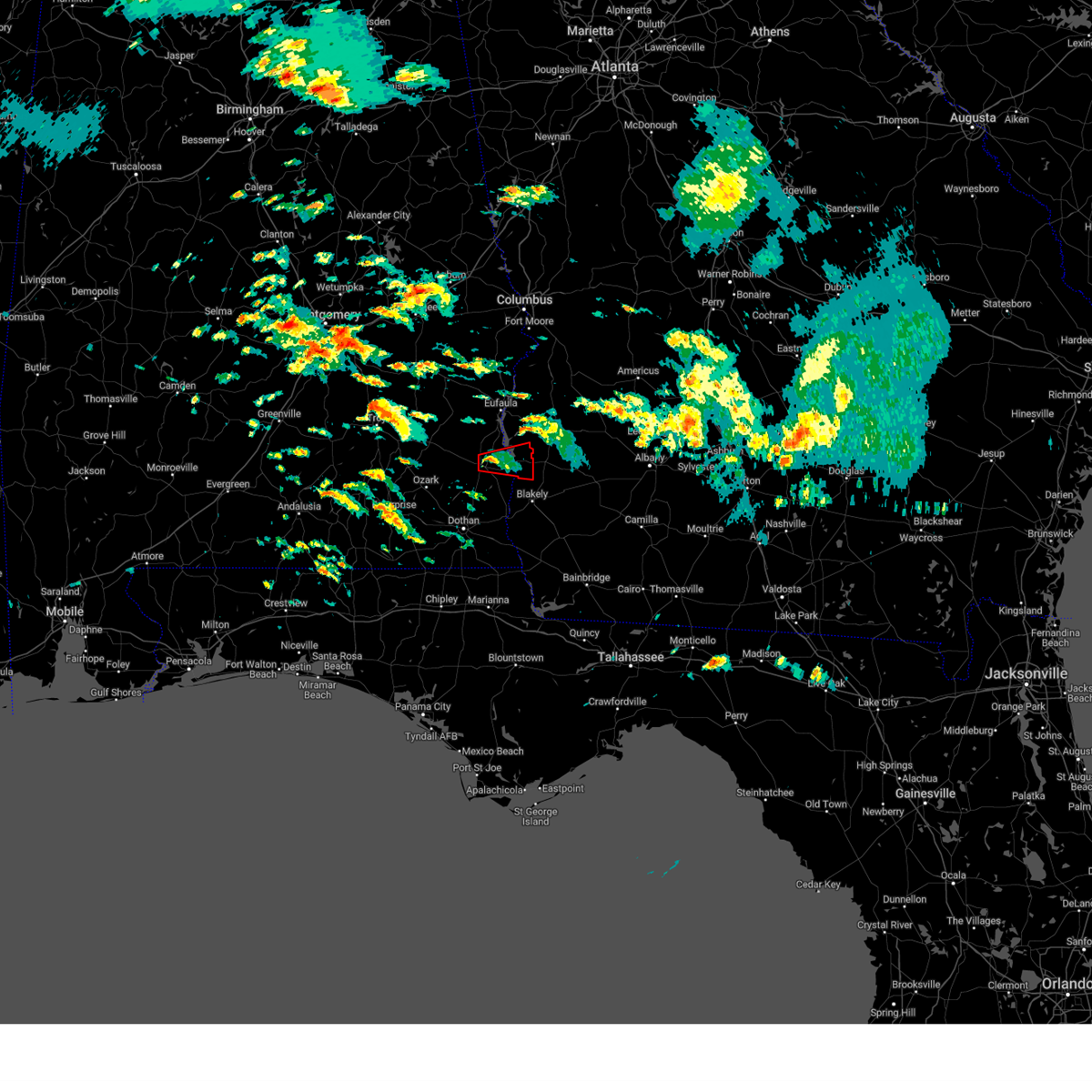 At 1138 am edt/1038 am cdt/, a severe thunderstorm capable of producing a tornado was located over abbeville, moving east at 25 mph (radar indicated rotation). Hazards include tornado. Flying debris will be dangerous to those caught without shelter. mobile homes will be damaged or destroyed. damage to roofs, windows, and vehicles will occur. tree damage is likely. this dangerous storm will be near, fort gaines around 1205 pm edt. other locations impacted by this tornadic thunderstorm include shorterville, graball, walter f. George lock and dam, walter f george lake, zetto, jones crossing, bethel, abbeville municipal a/p, willis crossroads and pecan. At 1138 am edt/1038 am cdt/, a severe thunderstorm capable of producing a tornado was located over abbeville, moving east at 25 mph (radar indicated rotation). Hazards include tornado. Flying debris will be dangerous to those caught without shelter. mobile homes will be damaged or destroyed. damage to roofs, windows, and vehicles will occur. tree damage is likely. this dangerous storm will be near, fort gaines around 1205 pm edt. other locations impacted by this tornadic thunderstorm include shorterville, graball, walter f. George lock and dam, walter f george lake, zetto, jones crossing, bethel, abbeville municipal a/p, willis crossroads and pecan.
|
| 6/13/2023 2:26 PM CDT | At 326 pm edt/226 pm cdt/, severe thunderstorms were located along a line extending from 7 miles southeast of georgetown to near ariton, moving east at 30 mph (radar indicated). Hazards include 60 mph wind gusts and quarter size hail. Hail damage to vehicles is expected. expect wind damage to roofs, siding, and trees. locations impacted include, abbeville, fort gaines, georgetown, ariton, shorterville, wire bridge, hayes, watson crossroads, scottsboro crossroads, ricks place, pecan, thomas mill creek, phillips crossroads, hatcher, morris, bethel, hwy 231 pea river bridge, fort gaines-clay airport, skipperville and hardwickburg. hail threat, radar indicated max hail size, 1. 00 in wind threat, radar indicated max wind gust, 60 mph. |
| 6/13/2023 2:26 PM CDT | At 326 pm edt/226 pm cdt/, severe thunderstorms were located along a line extending from 7 miles southeast of georgetown to near ariton, moving east at 30 mph (radar indicated). Hazards include 60 mph wind gusts and quarter size hail. Hail damage to vehicles is expected. expect wind damage to roofs, siding, and trees. locations impacted include, abbeville, fort gaines, georgetown, ariton, shorterville, wire bridge, hayes, watson crossroads, scottsboro crossroads, ricks place, pecan, thomas mill creek, phillips crossroads, hatcher, morris, bethel, hwy 231 pea river bridge, fort gaines-clay airport, skipperville and hardwickburg. hail threat, radar indicated max hail size, 1. 00 in wind threat, radar indicated max wind gust, 60 mph. |
| 6/13/2023 1:41 PM CDT |
 At 241 pm edt/141 pm cdt/, a severe thunderstorm was located near clio, moving southeast at 25 mph (radar indicated). Hazards include 60 mph wind gusts and quarter size hail. Hail damage to vehicles is expected. Expect wind damage to roofs, siding, and trees. At 241 pm edt/141 pm cdt/, a severe thunderstorm was located near clio, moving southeast at 25 mph (radar indicated). Hazards include 60 mph wind gusts and quarter size hail. Hail damage to vehicles is expected. Expect wind damage to roofs, siding, and trees.
|
| 6/12/2023 11:26 PM EDT |
 The severe thunderstorm warning for central henry, clay, southwestern randolph, northwestern early and western quitman counties will expire at 1130 pm edt/1030 pm cdt/, the storms which prompted the warning have weakened below severe limits, and no longer pose an immediate threat to life or property. therefore, the warning will be allowed to expire. however gusty winds in excess of 40 mph are still possible with these thunderstorms. The severe thunderstorm warning for central henry, clay, southwestern randolph, northwestern early and western quitman counties will expire at 1130 pm edt/1030 pm cdt/, the storms which prompted the warning have weakened below severe limits, and no longer pose an immediate threat to life or property. therefore, the warning will be allowed to expire. however gusty winds in excess of 40 mph are still possible with these thunderstorms.
|
| 6/12/2023 11:06 PM EDT |
 At 1106 pm edt/1006 pm cdt/, severe thunderstorms were located along a line extending from near texasville to 6 miles northwest of columbia, moving northeast at 30 mph (radar indicated). Hazards include 60 mph wind gusts and penny size hail. expect damage to roofs, siding, and trees At 1106 pm edt/1006 pm cdt/, severe thunderstorms were located along a line extending from near texasville to 6 miles northwest of columbia, moving northeast at 30 mph (radar indicated). Hazards include 60 mph wind gusts and penny size hail. expect damage to roofs, siding, and trees
|
| 6/12/2023 5:56 AM EDT |
 The severe thunderstorm warning for central henry, clay, southwestern randolph and northwestern early counties will expire at 600 am edt/500 am cdt/, the storm which prompted the warning has moved out of the area. therefore, the warning will be allowed to expire. however gusty winds are still possible with this thunderstorm. to report severe weather, contact your nearest law enforcement agency. they will relay your report to the national weather service tallahassee. The severe thunderstorm warning for central henry, clay, southwestern randolph and northwestern early counties will expire at 600 am edt/500 am cdt/, the storm which prompted the warning has moved out of the area. therefore, the warning will be allowed to expire. however gusty winds are still possible with this thunderstorm. to report severe weather, contact your nearest law enforcement agency. they will relay your report to the national weather service tallahassee.
|
| 6/12/2023 5:56 AM EDT |
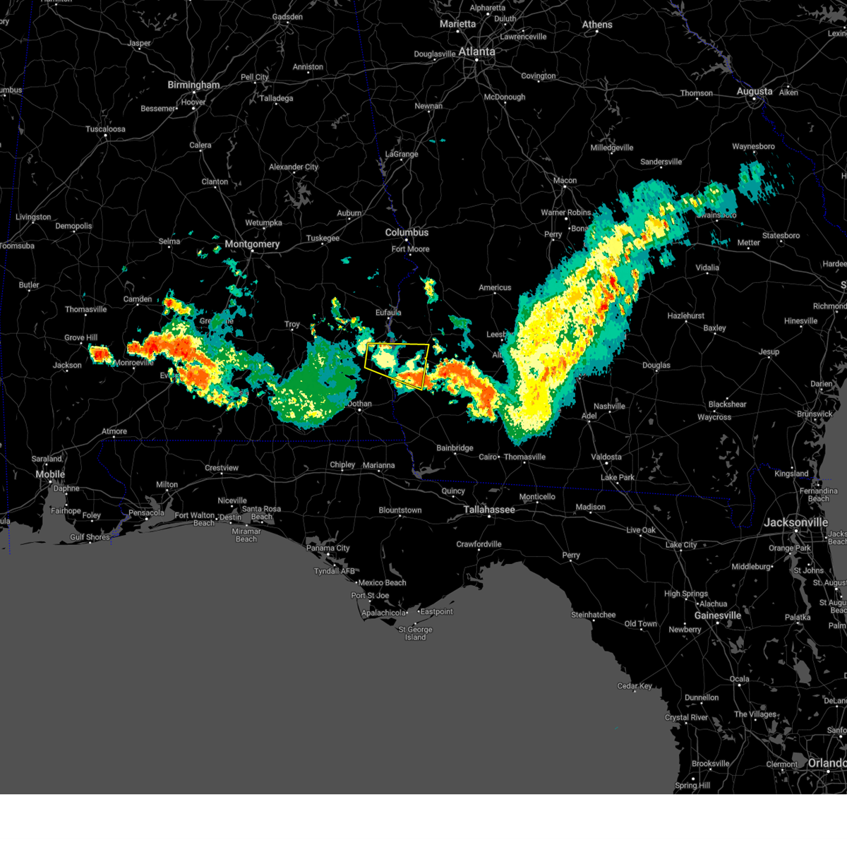 The severe thunderstorm warning for central henry, clay, southwestern randolph and northwestern early counties will expire at 600 am edt/500 am cdt/, the storm which prompted the warning has moved out of the area. therefore, the warning will be allowed to expire. however gusty winds are still possible with this thunderstorm. to report severe weather, contact your nearest law enforcement agency. they will relay your report to the national weather service tallahassee. The severe thunderstorm warning for central henry, clay, southwestern randolph and northwestern early counties will expire at 600 am edt/500 am cdt/, the storm which prompted the warning has moved out of the area. therefore, the warning will be allowed to expire. however gusty winds are still possible with this thunderstorm. to report severe weather, contact your nearest law enforcement agency. they will relay your report to the national weather service tallahassee.
|
| 6/12/2023 5:18 AM EDT |
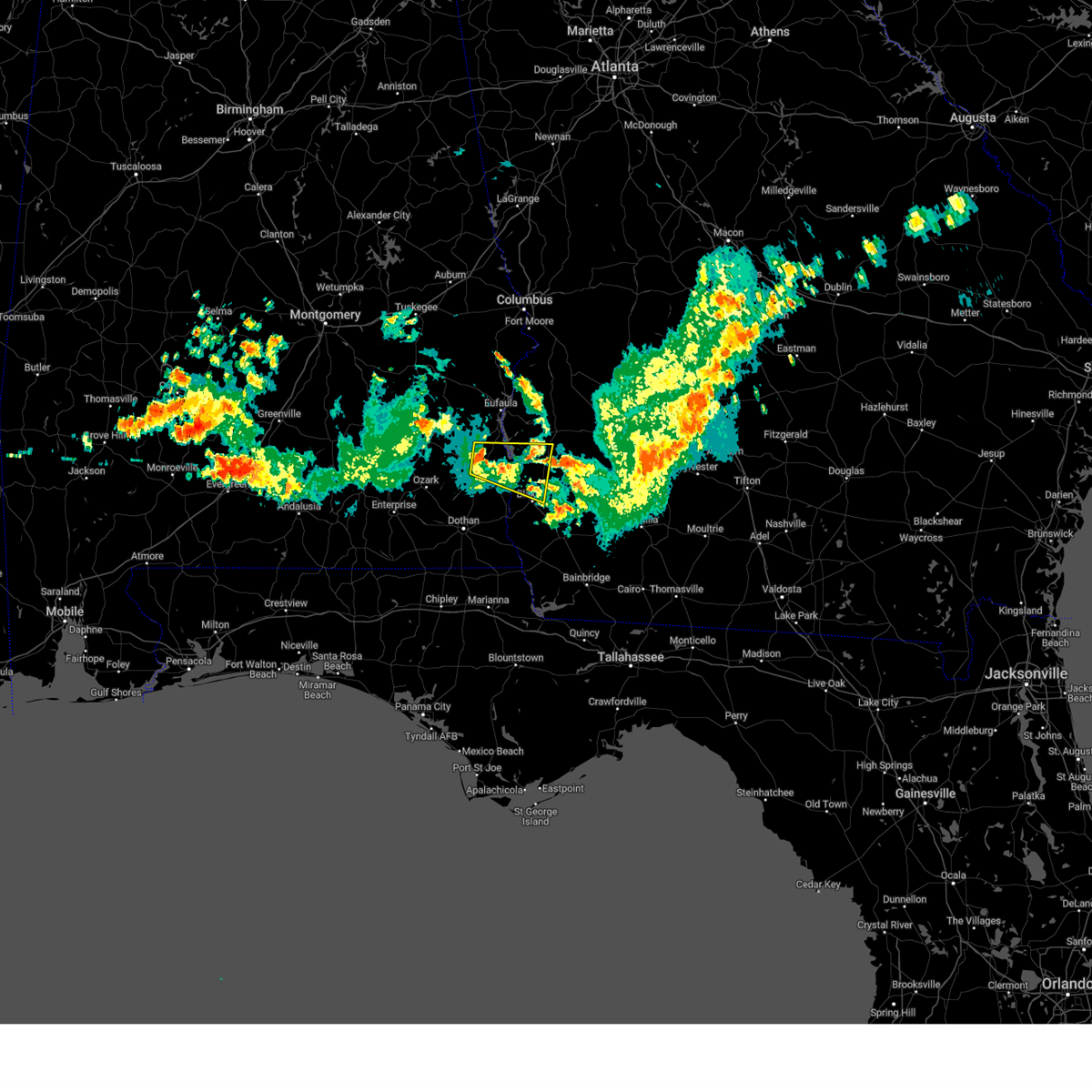 At 518 am edt/418 am cdt/, a severe thunderstorm was located near abbeville, moving east at 45 mph (radar indicated). Hazards include 60 mph wind gusts and penny size hail. expect damage to roofs, siding, and trees At 518 am edt/418 am cdt/, a severe thunderstorm was located near abbeville, moving east at 45 mph (radar indicated). Hazards include 60 mph wind gusts and penny size hail. expect damage to roofs, siding, and trees
|
| 5/18/2023 10:39 PM EDT |
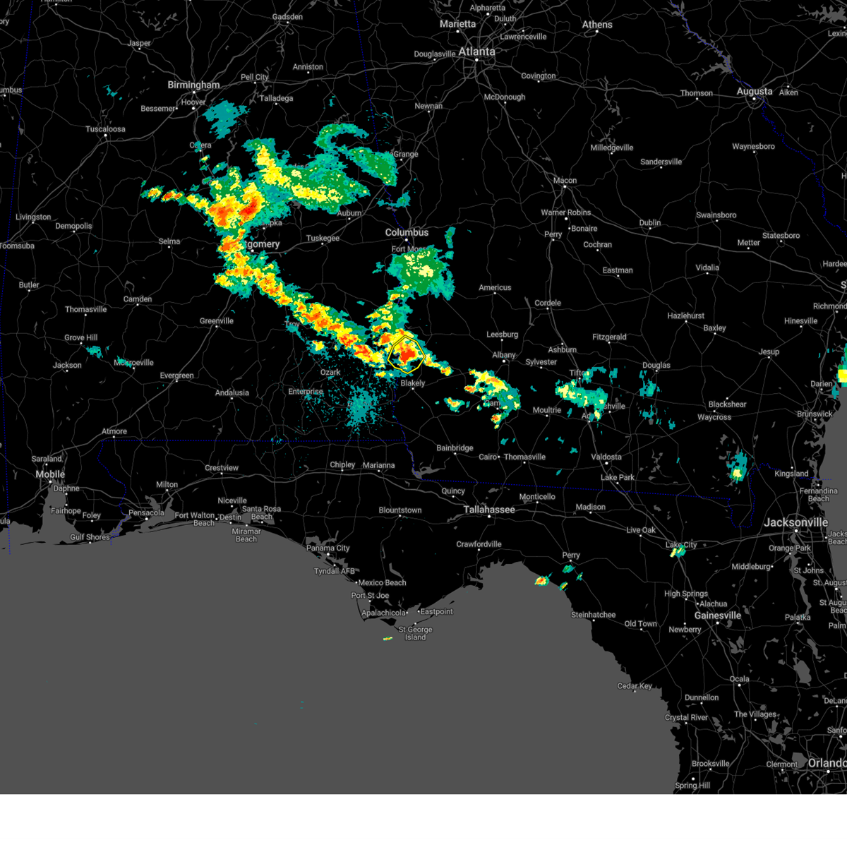 At 1038 pm edt/938 pm cdt/, a severe thunderstorm was located over fort gaines, moving southwest at 10 mph (radar indicated). Hazards include 60 mph wind gusts and penny size hail. expect damage to roofs, siding, and trees At 1038 pm edt/938 pm cdt/, a severe thunderstorm was located over fort gaines, moving southwest at 10 mph (radar indicated). Hazards include 60 mph wind gusts and penny size hail. expect damage to roofs, siding, and trees
|
| 5/12/2023 5:10 PM EDT |
 At 510 pm edt/410 pm cdt/, severe thunderstorms were located along a line extending from 6 miles south of fort gaines to near columbia to near ashford to taylor, moving east at 25 mph (radar indicated). Hazards include 60 mph wind gusts and penny size hail. expect damage to roofs, siding, and trees At 510 pm edt/410 pm cdt/, severe thunderstorms were located along a line extending from 6 miles south of fort gaines to near columbia to near ashford to taylor, moving east at 25 mph (radar indicated). Hazards include 60 mph wind gusts and penny size hail. expect damage to roofs, siding, and trees
|
| 1/25/2023 5:48 AM CST |
 At 548 am cst, severe thunderstorms were located along a line extending from near richards crossroads to near graceville, moving east at 35 mph (radar indicated). Hazards include 60 mph wind gusts. Expect damage to roofs, siding, and trees. Locations impacted include, abbeville, cottonwood, fort gaines, headland, dothan, taylor, midland city, kinsey, ashford, cowarts, webb, columbia, malvern, rehobeth, grimes, avon, newville, napier field, madrid and gordon. At 548 am cst, severe thunderstorms were located along a line extending from near richards crossroads to near graceville, moving east at 35 mph (radar indicated). Hazards include 60 mph wind gusts. Expect damage to roofs, siding, and trees. Locations impacted include, abbeville, cottonwood, fort gaines, headland, dothan, taylor, midland city, kinsey, ashford, cowarts, webb, columbia, malvern, rehobeth, grimes, avon, newville, napier field, madrid and gordon.
|
| 1/25/2023 5:31 AM CST |
 At 531 am cst, severe thunderstorms were located along a line extending from near texasville to near hartford, moving east at 35 mph (radar indicated). Hazards include 60 mph wind gusts. Expect damage to roofs, siding, and trees. Locations impacted include, abbeville, cottonwood, fort gaines, headland, dothan, ozark, hartford, taylor, midland city, kinsey, ashford, slocomb, cowarts, newton, webb, columbia, pinckard, malvern, rehobeth and grimes. At 531 am cst, severe thunderstorms were located along a line extending from near texasville to near hartford, moving east at 35 mph (radar indicated). Hazards include 60 mph wind gusts. Expect damage to roofs, siding, and trees. Locations impacted include, abbeville, cottonwood, fort gaines, headland, dothan, ozark, hartford, taylor, midland city, kinsey, ashford, slocomb, cowarts, newton, webb, columbia, pinckard, malvern, rehobeth and grimes.
|
| 1/25/2023 5:07 AM CST |
 At 507 am cst, severe thunderstorms were located along a line extending from near doster to near geneva, moving east at 35 mph (radar indicated). Hazards include 60 mph wind gusts. expect damage to roofs, siding, and trees At 507 am cst, severe thunderstorms were located along a line extending from near doster to near geneva, moving east at 35 mph (radar indicated). Hazards include 60 mph wind gusts. expect damage to roofs, siding, and trees
|
| 1/12/2023 6:33 PM EST |
 At 633 pm est/533 pm cst/, severe thunderstorms were located along a line extending from near edison to 6 miles south of blakely to near ashford, moving east at 45 mph (radar indicated). Hazards include 70 mph wind gusts and quarter size hail. Hail damage to vehicles is expected. expect considerable tree damage. wind damage is also likely to mobile homes, roofs, and outbuildings. Locations impacted include, fort gaines, blakely, edison, columbia, bellville, haleburg, bluffton, parksville, carnegie, hayes, pecan, randolph co a/p, rock hill, early co a/p, jones crossing, bethel, suttons corner, harrisons mill, zetto and moye. At 633 pm est/533 pm cst/, severe thunderstorms were located along a line extending from near edison to 6 miles south of blakely to near ashford, moving east at 45 mph (radar indicated). Hazards include 70 mph wind gusts and quarter size hail. Hail damage to vehicles is expected. expect considerable tree damage. wind damage is also likely to mobile homes, roofs, and outbuildings. Locations impacted include, fort gaines, blakely, edison, columbia, bellville, haleburg, bluffton, parksville, carnegie, hayes, pecan, randolph co a/p, rock hill, early co a/p, jones crossing, bethel, suttons corner, harrisons mill, zetto and moye.
|
| 1/12/2023 6:30 PM EST | Trees down on sr-266 before bethel church r in clay county GA, 5.6 miles WSW of Fort Gaines, GA |
| 1/12/2023 5:00 PM CST |
 At 600 pm est/500 pm cst/, severe thunderstorms were located along a line extending from near fort gaines to kinsey to near slocomb, moving east at 45 mph (radar indicated). Hazards include 60 mph wind gusts and quarter size hail. Hail damage to vehicles is expected. Expect wind damage to roofs, siding, and trees. At 600 pm est/500 pm cst/, severe thunderstorms were located along a line extending from near fort gaines to kinsey to near slocomb, moving east at 45 mph (radar indicated). Hazards include 60 mph wind gusts and quarter size hail. Hail damage to vehicles is expected. Expect wind damage to roofs, siding, and trees.
|
| 1/12/2023 4:38 PM EST |
 At 438 pm est/338 pm cst/, a severe thunderstorm was located over texasville, or 8 miles east of clio, moving east at 55 mph (radar indicated). Hazards include 60 mph wind gusts and quarter size hail. Hail damage to vehicles is expected. Expect wind damage to roofs, siding, and trees. At 438 pm est/338 pm cst/, a severe thunderstorm was located over texasville, or 8 miles east of clio, moving east at 55 mph (radar indicated). Hazards include 60 mph wind gusts and quarter size hail. Hail damage to vehicles is expected. Expect wind damage to roofs, siding, and trees.
|
| 1/3/2023 5:51 PM EST |
 At 550 pm est/450 pm cst/, a severe thunderstorm was located 7 miles east of headland, moving northeast at 40 mph (radar indicated). Hazards include 60 mph wind gusts and penny size hail. Expect damage to roofs, siding, and trees. locations impacted include, abbeville, fort gaines, headland, blakely, edison, arlington, columbia, kinsey, newville, bellville, haleburg, bluffton, shorterville, walter f. George lock and dam, walter f george lake, tumbleton, parksville, standleys store, grandberry crossroads and hayes. At 550 pm est/450 pm cst/, a severe thunderstorm was located 7 miles east of headland, moving northeast at 40 mph (radar indicated). Hazards include 60 mph wind gusts and penny size hail. Expect damage to roofs, siding, and trees. locations impacted include, abbeville, fort gaines, headland, blakely, edison, arlington, columbia, kinsey, newville, bellville, haleburg, bluffton, shorterville, walter f. George lock and dam, walter f george lake, tumbleton, parksville, standleys store, grandberry crossroads and hayes.
|
| 1/3/2023 4:31 PM CST |
 At 531 pm est/431 pm cst/, a severe thunderstorm was located near dothan, moving northeast at 40 mph (radar indicated). Hazards include 60 mph wind gusts and penny size hail. expect damage to roofs, siding, and trees At 531 pm est/431 pm cst/, a severe thunderstorm was located near dothan, moving northeast at 40 mph (radar indicated). Hazards include 60 mph wind gusts and penny size hail. expect damage to roofs, siding, and trees
|
| 11/30/2022 7:22 AM EST |
 At 722 am est, severe thunderstorms were located along a line extending from near lakepoint resort state park to 7 miles east of richards crossroads to near abbeville, moving east at 40 mph (radar indicated). Hazards include 60 mph wind gusts. expect damage to roofs, siding, and trees At 722 am est, severe thunderstorms were located along a line extending from near lakepoint resort state park to 7 miles east of richards crossroads to near abbeville, moving east at 40 mph (radar indicated). Hazards include 60 mph wind gusts. expect damage to roofs, siding, and trees
|
| 11/30/2022 6:09 AM CST |
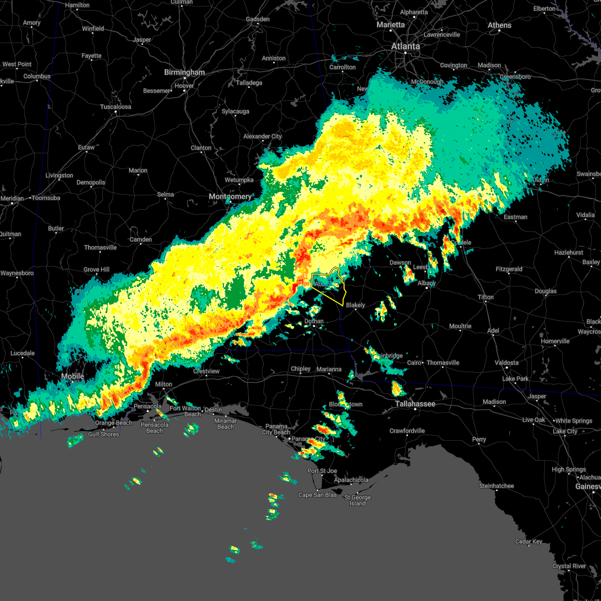 At 608 am cst, severe thunderstorms were located along a line extending from near texasville to 10 miles south of blue springs state park, moving east at 45 mph (radar indicated). Hazards include 60 mph wind gusts. expect damage to roofs, siding, and trees At 608 am cst, severe thunderstorms were located along a line extending from near texasville to 10 miles south of blue springs state park, moving east at 45 mph (radar indicated). Hazards include 60 mph wind gusts. expect damage to roofs, siding, and trees
|
| 10/12/2022 5:11 PM EDT |
 At 511 pm edt, a severe thunderstorm was located 8 miles northeast of fort gaines, moving northeast at 40 mph (radar indicated). Hazards include 60 mph wind gusts and quarter size hail. Hail damage to vehicles is expected. expect wind damage to roofs, siding, and trees. Locations impacted include, fort gaines, cuthbert, shellman, standleys store, watson crossroads, crossroads, ricks place, pecan, randolph co a/p, hatcher, morris, jones crossing, bethel, benevolence, springvale, cotton hill, fort gaines-clay airport, wades, days crossroads and springvale station. At 511 pm edt, a severe thunderstorm was located 8 miles northeast of fort gaines, moving northeast at 40 mph (radar indicated). Hazards include 60 mph wind gusts and quarter size hail. Hail damage to vehicles is expected. expect wind damage to roofs, siding, and trees. Locations impacted include, fort gaines, cuthbert, shellman, standleys store, watson crossroads, crossroads, ricks place, pecan, randolph co a/p, hatcher, morris, jones crossing, bethel, benevolence, springvale, cotton hill, fort gaines-clay airport, wades, days crossroads and springvale station.
|
| 10/12/2022 5:04 PM EDT |
 At 504 pm edt/404 pm cdt/, a severe thunderstorm was located near fort gaines, moving northeast at 40 mph (radar indicated). Hazards include 60 mph wind gusts and quarter size hail. Hail damage to vehicles is expected. expect wind damage to roofs, siding, and trees. locations impacted include, fort gaines, cuthbert, shellman, shorterville, walter f. George lock and dam, walter f george lake, standleys store, watson crossroads, double bridges, crossroads, ricks place, pecan, randolph co a/p, thomas mill creek, hatcher, morris, jones crossing, bethel, benevolence and springvale. At 504 pm edt/404 pm cdt/, a severe thunderstorm was located near fort gaines, moving northeast at 40 mph (radar indicated). Hazards include 60 mph wind gusts and quarter size hail. Hail damage to vehicles is expected. expect wind damage to roofs, siding, and trees. locations impacted include, fort gaines, cuthbert, shellman, shorterville, walter f. George lock and dam, walter f george lake, standleys store, watson crossroads, double bridges, crossroads, ricks place, pecan, randolph co a/p, thomas mill creek, hatcher, morris, jones crossing, bethel, benevolence and springvale.
|
| 10/12/2022 5:00 PM EDT |
 At 459 pm edt/359 pm cdt/, a severe thunderstorm was located over fort gaines, moving northeast at 25 mph (radar indicated). Hazards include 60 mph wind gusts and penny size hail. Expect damage to roofs, siding, and trees. locations impacted include, fort gaines, cuthbert, shellman, shorterville, walter f. George lock and dam, walter f george lake, standleys store, watson crossroads, double bridges, crossroads, ricks place, pecan, randolph co a/p, thomas mill creek, hatcher, morris, jones crossing, bethel, benevolence and springvale. At 459 pm edt/359 pm cdt/, a severe thunderstorm was located over fort gaines, moving northeast at 25 mph (radar indicated). Hazards include 60 mph wind gusts and penny size hail. Expect damage to roofs, siding, and trees. locations impacted include, fort gaines, cuthbert, shellman, shorterville, walter f. George lock and dam, walter f george lake, standleys store, watson crossroads, double bridges, crossroads, ricks place, pecan, randolph co a/p, thomas mill creek, hatcher, morris, jones crossing, bethel, benevolence and springvale.
|
| 10/12/2022 5:00 PM EDT |
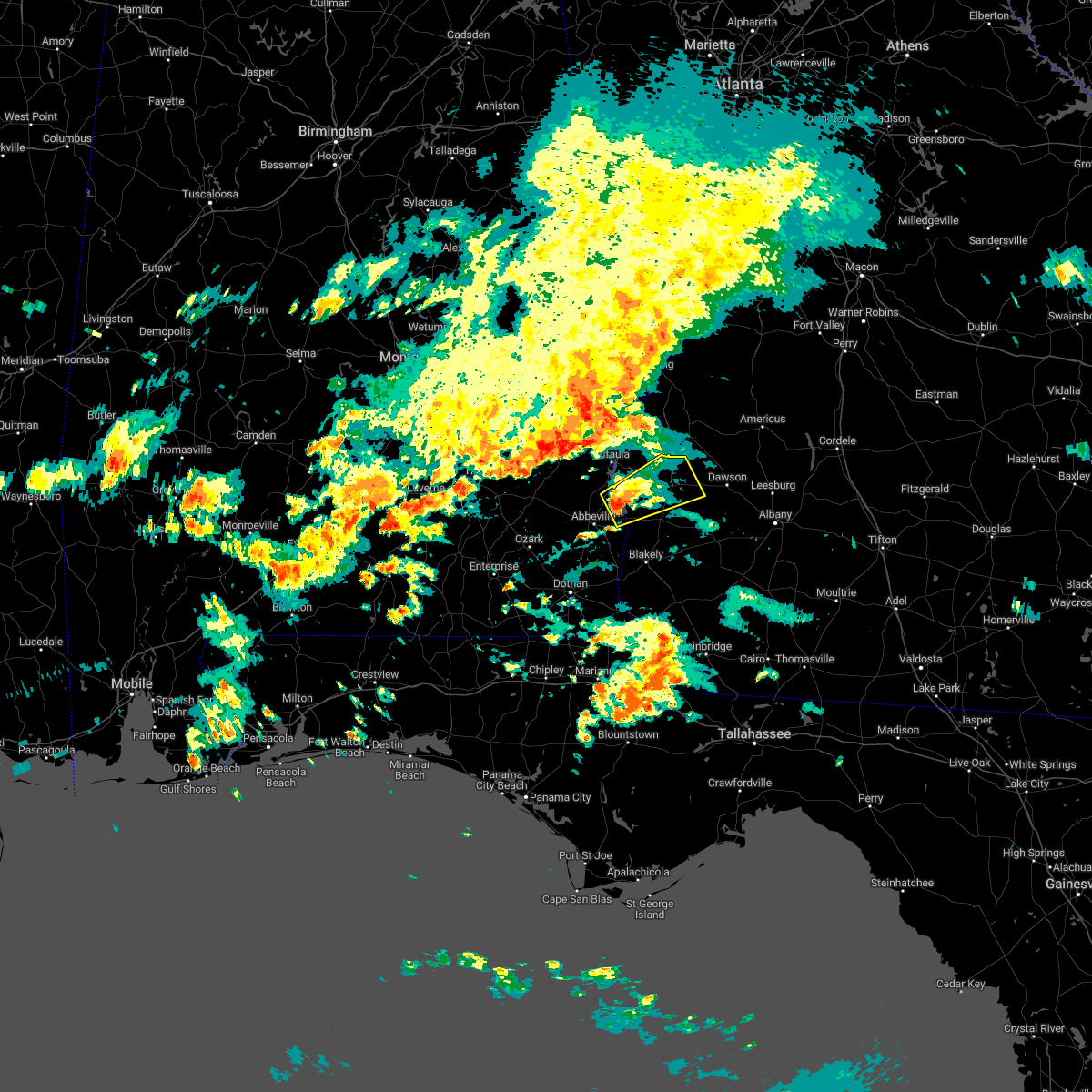 At 459 pm edt/359 pm cdt/, a severe thunderstorm was located over fort gaines, moving northeast at 25 mph (radar indicated). Hazards include 60 mph wind gusts and penny size hail. Expect damage to roofs, siding, and trees. locations impacted include, fort gaines, cuthbert, shellman, shorterville, walter f. George lock and dam, walter f george lake, standleys store, watson crossroads, double bridges, crossroads, ricks place, pecan, randolph co a/p, thomas mill creek, hatcher, morris, jones crossing, bethel, benevolence and springvale. At 459 pm edt/359 pm cdt/, a severe thunderstorm was located over fort gaines, moving northeast at 25 mph (radar indicated). Hazards include 60 mph wind gusts and penny size hail. Expect damage to roofs, siding, and trees. locations impacted include, fort gaines, cuthbert, shellman, shorterville, walter f. George lock and dam, walter f george lake, standleys store, watson crossroads, double bridges, crossroads, ricks place, pecan, randolph co a/p, thomas mill creek, hatcher, morris, jones crossing, bethel, benevolence and springvale.
|
| 10/12/2022 4:51 PM EDT |
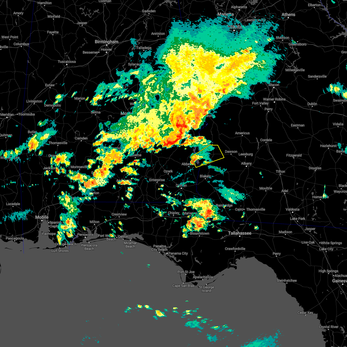 At 451 pm edt/351 pm cdt/, a severe thunderstorm was located near fort gaines, moving northeast at 40 mph (radar indicated). Hazards include 60 mph wind gusts and penny size hail. expect damage to roofs, siding, and trees At 451 pm edt/351 pm cdt/, a severe thunderstorm was located near fort gaines, moving northeast at 40 mph (radar indicated). Hazards include 60 mph wind gusts and penny size hail. expect damage to roofs, siding, and trees
|
| 8/20/2022 5:47 PM EDT | Tree down along highway 10 eas in henry county AL, 0.8 miles N of Fort Gaines, GA |
| 8/20/2022 5:46 PM EDT |
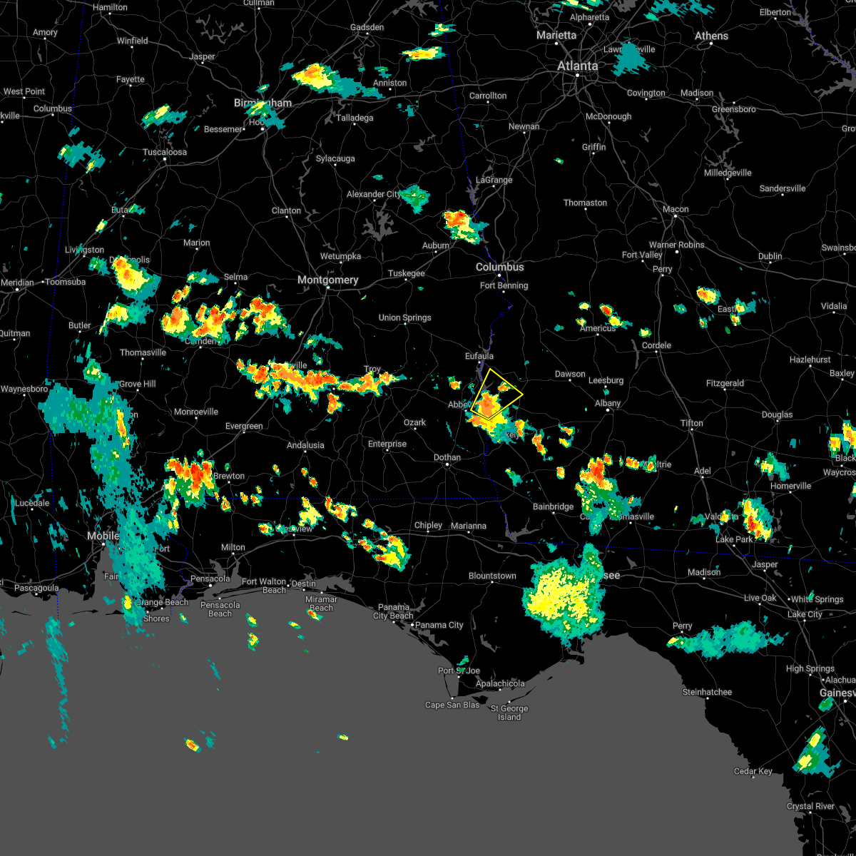 At 546 pm edt/446 pm cdt/, a severe thunderstorm was located over fort gaines, moving northeast at 10 mph (radar indicated). Hazards include 60 mph wind gusts. expect damage to roofs, siding, and trees At 546 pm edt/446 pm cdt/, a severe thunderstorm was located over fort gaines, moving northeast at 10 mph (radar indicated). Hazards include 60 mph wind gusts. expect damage to roofs, siding, and trees
|
| 7/20/2022 5:43 PM EDT |
 The severe thunderstorm warning for northeastern henry and clay counties will expire at 545 pm edt/445 pm cdt/, the storm which prompted the warning has weakened below severe limits, and no longer poses an immediate threat to life or property. therefore, the warning will be allowed to expire. however gusty winds are still possible with this thunderstorm. The severe thunderstorm warning for northeastern henry and clay counties will expire at 545 pm edt/445 pm cdt/, the storm which prompted the warning has weakened below severe limits, and no longer poses an immediate threat to life or property. therefore, the warning will be allowed to expire. however gusty winds are still possible with this thunderstorm.
|
| 7/20/2022 4:53 PM EDT |
 At 453 pm edt/353 pm cdt/, a severe thunderstorm was located near abbeville, moving east at 5 mph (radar indicated). Hazards include 60 mph wind gusts and nickel size hail. expect damage to roofs, siding, and trees At 453 pm edt/353 pm cdt/, a severe thunderstorm was located near abbeville, moving east at 5 mph (radar indicated). Hazards include 60 mph wind gusts and nickel size hail. expect damage to roofs, siding, and trees
|
| 6/15/2022 9:23 PM EDT |
 At 923 pm edt, a severe thunderstorm was located near cuthbert, moving west at 20 mph (radar indicated). Hazards include 60 mph wind gusts. Expect damage to roofs, siding, and trees. locations impacted include, fort gaines, cuthbert, georgetown, walter f. george lock and dam, wire bridge, walter f george lake, bonapartes retreat, standleys store, watson crossroads, crossroads, ricks place, pecan, randolph co a/p, hatcher, morris, jones crossing, bethel, benevolence, springvale and cotton hill. hail threat, radar indicated max hail size, <. 75 in wind threat, radar indicated max wind gust, 60 mph. At 923 pm edt, a severe thunderstorm was located near cuthbert, moving west at 20 mph (radar indicated). Hazards include 60 mph wind gusts. Expect damage to roofs, siding, and trees. locations impacted include, fort gaines, cuthbert, georgetown, walter f. george lock and dam, wire bridge, walter f george lake, bonapartes retreat, standleys store, watson crossroads, crossroads, ricks place, pecan, randolph co a/p, hatcher, morris, jones crossing, bethel, benevolence, springvale and cotton hill. hail threat, radar indicated max hail size, <. 75 in wind threat, radar indicated max wind gust, 60 mph.
|
| 6/15/2022 8:57 PM EDT |
 At 857 pm edt, a severe thunderstorm was located near shellman, or near cuthbert, moving west at 20 mph (radar indicated). Hazards include 60 mph wind gusts. Expect damage to roofs, siding, and trees. locations impacted include, fort gaines, cuthbert, georgetown, shellman, walter f. george lock and dam, wire bridge, walter f george lake, bonapartes retreat, standleys store, carnegie, watson crossroads, crossroads, ricks place, pecan, randolph co a/p, aycock mill, hatcher, morris, jones crossing and martins crossroads. hail threat, radar indicated max hail size, <. 75 in wind threat, radar indicated max wind gust, 60 mph. At 857 pm edt, a severe thunderstorm was located near shellman, or near cuthbert, moving west at 20 mph (radar indicated). Hazards include 60 mph wind gusts. Expect damage to roofs, siding, and trees. locations impacted include, fort gaines, cuthbert, georgetown, shellman, walter f. george lock and dam, wire bridge, walter f george lake, bonapartes retreat, standleys store, carnegie, watson crossroads, crossroads, ricks place, pecan, randolph co a/p, aycock mill, hatcher, morris, jones crossing and martins crossroads. hail threat, radar indicated max hail size, <. 75 in wind threat, radar indicated max wind gust, 60 mph.
|
| 6/15/2022 8:24 PM EDT |
 At 824 pm edt, a severe thunderstorm was located over dawson, moving west at 15 mph (radar indicated). Hazards include 60 mph wind gusts. expect damage to roofs, siding, and trees At 824 pm edt, a severe thunderstorm was located over dawson, moving west at 15 mph (radar indicated). Hazards include 60 mph wind gusts. expect damage to roofs, siding, and trees
|
| 6/15/2022 7:52 PM EDT | Trees snapped in northern clay count in clay county GA, 8.6 miles SSW of Fort Gaines, GA |
| 6/15/2022 7:39 PM EDT |
 At 739 pm edt/639 pm cdt/, a severe thunderstorm was located 9 miles north of fort gaines, moving west at 10 mph (radar indicated). Hazards include 60 mph wind gusts and nickel size hail. expect damage to roofs, siding, and trees At 739 pm edt/639 pm cdt/, a severe thunderstorm was located 9 miles north of fort gaines, moving west at 10 mph (radar indicated). Hazards include 60 mph wind gusts and nickel size hail. expect damage to roofs, siding, and trees
|
| 6/14/2022 4:02 PM CDT |
 At 502 pm edt/402 pm cdt/, a severe thunderstorm was located near abbeville, and is nearly stationary (radar indicated). Hazards include 60 mph wind gusts and penny size hail. expect damage to roofs, siding, and trees At 502 pm edt/402 pm cdt/, a severe thunderstorm was located near abbeville, and is nearly stationary (radar indicated). Hazards include 60 mph wind gusts and penny size hail. expect damage to roofs, siding, and trees
|
| 5/22/2022 1:20 PM EDT | 8 trees down and 1 powerline down across clay count in clay county GA, 6.9 miles S of Fort Gaines, GA |
| 5/22/2022 1:18 PM EDT |
 At 118 pm edt/1218 pm cdt/, severe thunderstorms were located along a line extending from near richards crossroads to 7 miles southeast of fort gaines, moving northeast at 40 mph (radar indicated). Hazards include 60 mph wind gusts and penny size hail. Expect damage to roofs, siding, and trees. locations impacted include, abbeville, fort gaines, georgetown, cuthbert, bellville, shorterville, walter f. george lock and dam, wire bridge, walter f george lake, bonapartes retreat, edwin, standleys store, hayes, watson crossroads, scottsboro crossroads, double bridges, crossroads, ricks place, pecan and randolph co a/p. hail threat, radar indicated max hail size, 0. 75 in wind threat, radar indicated max wind gust, 60 mph. At 118 pm edt/1218 pm cdt/, severe thunderstorms were located along a line extending from near richards crossroads to 7 miles southeast of fort gaines, moving northeast at 40 mph (radar indicated). Hazards include 60 mph wind gusts and penny size hail. Expect damage to roofs, siding, and trees. locations impacted include, abbeville, fort gaines, georgetown, cuthbert, bellville, shorterville, walter f. george lock and dam, wire bridge, walter f george lake, bonapartes retreat, edwin, standleys store, hayes, watson crossroads, scottsboro crossroads, double bridges, crossroads, ricks place, pecan and randolph co a/p. hail threat, radar indicated max hail size, 0. 75 in wind threat, radar indicated max wind gust, 60 mph.
|
| 5/22/2022 11:56 AM CDT |
 At 1255 pm edt/1155 am cdt/, severe thunderstorms were located along a line extending from 8 miles northeast of ozark to 7 miles north of columbia, moving northeast at 50 mph (radar indicated). Hazards include 60 mph wind gusts and penny size hail. expect damage to roofs, siding, and trees At 1255 pm edt/1155 am cdt/, severe thunderstorms were located along a line extending from 8 miles northeast of ozark to 7 miles north of columbia, moving northeast at 50 mph (radar indicated). Hazards include 60 mph wind gusts and penny size hail. expect damage to roofs, siding, and trees
|
| 4/17/2022 3:39 PM CDT |
 At 338 pm cdt, severe thunderstorms were located along a line extending from near abbeville to near taylor, moving southeast at 30 mph (radar indicated). Hazards include 60 mph wind gusts. Expect damage to roofs, siding, and trees. locations impacted include, daleville, abbeville, headland, dothan, taylor, midland city, kinsey, ashford, cowarts, newton, webb, columbia, pinckard, clayhatchee, grimes, avon, newville, napier field, gordon and haleburg. hail threat, radar indicated max hail size, <. 75 in wind threat, radar indicated max wind gust, 60 mph. At 338 pm cdt, severe thunderstorms were located along a line extending from near abbeville to near taylor, moving southeast at 30 mph (radar indicated). Hazards include 60 mph wind gusts. Expect damage to roofs, siding, and trees. locations impacted include, daleville, abbeville, headland, dothan, taylor, midland city, kinsey, ashford, cowarts, newton, webb, columbia, pinckard, clayhatchee, grimes, avon, newville, napier field, gordon and haleburg. hail threat, radar indicated max hail size, <. 75 in wind threat, radar indicated max wind gust, 60 mph.
|
| 4/17/2022 3:28 PM CDT |
 At 328 pm cdt, severe thunderstorms were located along a line extending from near abbeville to near pinckard, moving southeast at 30 mph (radar indicated). Hazards include 60 mph wind gusts. expect damage to roofs, siding, and trees At 328 pm cdt, severe thunderstorms were located along a line extending from near abbeville to near pinckard, moving southeast at 30 mph (radar indicated). Hazards include 60 mph wind gusts. expect damage to roofs, siding, and trees
|
| 4/6/2022 2:06 PM EDT |
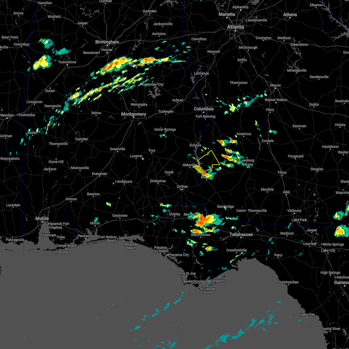 At 205 pm edt, a severe thunderstorm was located over fort gaines, moving northeast at 25 mph (radar indicated). Hazards include 60 mph wind gusts and nickel size hail. expect damage to roofs, siding, and trees At 205 pm edt, a severe thunderstorm was located over fort gaines, moving northeast at 25 mph (radar indicated). Hazards include 60 mph wind gusts and nickel size hail. expect damage to roofs, siding, and trees
|
| 4/5/2022 2:48 PM EDT |
 At 246 pm edt/146 pm cdt/, severe thunderstorms were located along a line extending from near dawson to near taylor, moving east at 45 mph (radar indicated). Hazards include 60 mph wind gusts. Expect damage to roofs, siding, and trees. Locations impacted include, abbeville, fort gaines, headland, dothan, dawson, cuthbert, blakely, midland city, kinsey, edison, newton, webb, shellman, columbia, pinckard, smithville, clayhatchee, grimes, newville and napier field. At 246 pm edt/146 pm cdt/, severe thunderstorms were located along a line extending from near dawson to near taylor, moving east at 45 mph (radar indicated). Hazards include 60 mph wind gusts. Expect damage to roofs, siding, and trees. Locations impacted include, abbeville, fort gaines, headland, dothan, dawson, cuthbert, blakely, midland city, kinsey, edison, newton, webb, shellman, columbia, pinckard, smithville, clayhatchee, grimes, newville and napier field.
|
| 4/5/2022 2:14 PM EDT |
 At 214 pm edt/114 pm cdt/, severe thunderstorms were located along a line extending from 7 miles north of cuthbert to 8 miles southwest of enterprise, moving east at 40 mph (radar indicated). Hazards include 60 mph wind gusts. expect damage to roofs, siding, and trees At 214 pm edt/114 pm cdt/, severe thunderstorms were located along a line extending from 7 miles north of cuthbert to 8 miles southwest of enterprise, moving east at 40 mph (radar indicated). Hazards include 60 mph wind gusts. expect damage to roofs, siding, and trees
|
| 4/5/2022 1:33 PM EDT |
 At 132 pm edt, severe thunderstorms were located along a line extending from 6 miles north of lakepoint resort state park to near gaino, moving east at 60 mph (radar indicated). Hazards include 60 mph wind gusts. expect damage to roofs, siding, and trees At 132 pm edt, severe thunderstorms were located along a line extending from 6 miles north of lakepoint resort state park to near gaino, moving east at 60 mph (radar indicated). Hazards include 60 mph wind gusts. expect damage to roofs, siding, and trees
|
| 4/5/2022 12:16 PM CDT |
 At 115 pm edt/1215 pm cdt/, severe thunderstorms were located along a line extending from near clayton to near andalusia, moving east at 45 mph (radar indicated). Hazards include 60 mph wind gusts. expect damage to roofs, siding, and trees At 115 pm edt/1215 pm cdt/, severe thunderstorms were located along a line extending from near clayton to near andalusia, moving east at 45 mph (radar indicated). Hazards include 60 mph wind gusts. expect damage to roofs, siding, and trees
|
| 3/31/2022 4:29 AM CDT |
 At 429 am cdt, severe thunderstorms were located along a line extending from near fort gaines to near cottonwood, moving east at 25 mph (radar indicated). Hazards include 60 mph wind gusts. Expect damage to roofs, siding, and trees. locations impacted include, abbeville, cottonwood, fort gaines, ashford, cowarts, webb, columbia, avon, gordon, haleburg, shorterville, walter f. George lock and dam, pansey, crosby, tumbleton, grangeburg, sigma, grandberry crossroads, enon and hayes. At 429 am cdt, severe thunderstorms were located along a line extending from near fort gaines to near cottonwood, moving east at 25 mph (radar indicated). Hazards include 60 mph wind gusts. Expect damage to roofs, siding, and trees. locations impacted include, abbeville, cottonwood, fort gaines, ashford, cowarts, webb, columbia, avon, gordon, haleburg, shorterville, walter f. George lock and dam, pansey, crosby, tumbleton, grangeburg, sigma, grandberry crossroads, enon and hayes.
|
| 3/31/2022 3:56 AM CDT |
 At 355 am cdt, severe thunderstorms were located along a line extending from near richards crossroads to 6 miles northeast of graceville, moving northeast at 40 mph (radar indicated). Hazards include 60 mph wind gusts. Expect damage to roofs, siding, and trees. Locations impacted include, abbeville, cottonwood, fort gaines, headland, dothan, taylor, kinsey, ashford, cowarts, webb, columbia, rehobeth, avon, newville, madrid, gordon, haleburg, memphis, shorterville and crosby. At 355 am cdt, severe thunderstorms were located along a line extending from near richards crossroads to 6 miles northeast of graceville, moving northeast at 40 mph (radar indicated). Hazards include 60 mph wind gusts. Expect damage to roofs, siding, and trees. Locations impacted include, abbeville, cottonwood, fort gaines, headland, dothan, taylor, kinsey, ashford, cowarts, webb, columbia, rehobeth, avon, newville, madrid, gordon, haleburg, memphis, shorterville and crosby.
|
| 3/31/2022 3:29 AM CDT |
 At 329 am cdt, severe thunderstorms were located along a line extending from 6 miles north of midland city to near slocomb, moving northeast at 60 mph (radar indicated). Hazards include 60 mph wind gusts. expect damage to roofs, siding, and trees At 329 am cdt, severe thunderstorms were located along a line extending from 6 miles north of midland city to near slocomb, moving northeast at 60 mph (radar indicated). Hazards include 60 mph wind gusts. expect damage to roofs, siding, and trees
|
| 3/23/2022 5:56 AM CDT |
 At 656 am edt/556 am cdt/, a severe thunderstorm was located near abbeville, moving northeast at 25 mph (radar indicated). Hazards include 60 mph wind gusts. expect damage to roofs, siding, and trees At 656 am edt/556 am cdt/, a severe thunderstorm was located near abbeville, moving northeast at 25 mph (radar indicated). Hazards include 60 mph wind gusts. expect damage to roofs, siding, and trees
|
| 3/18/2022 1:28 PM EDT |
 At 128 pm edt/1228 pm cdt/, severe thunderstorms were located along a line extending from 6 miles northwest of fort gaines to taylor, moving northeast at 50 mph (radar indicated). Hazards include 60 mph wind gusts. expect damage to roofs, siding, and trees At 128 pm edt/1228 pm cdt/, severe thunderstorms were located along a line extending from 6 miles northwest of fort gaines to taylor, moving northeast at 50 mph (radar indicated). Hazards include 60 mph wind gusts. expect damage to roofs, siding, and trees
|
| 12/30/2021 5:38 PM EST |
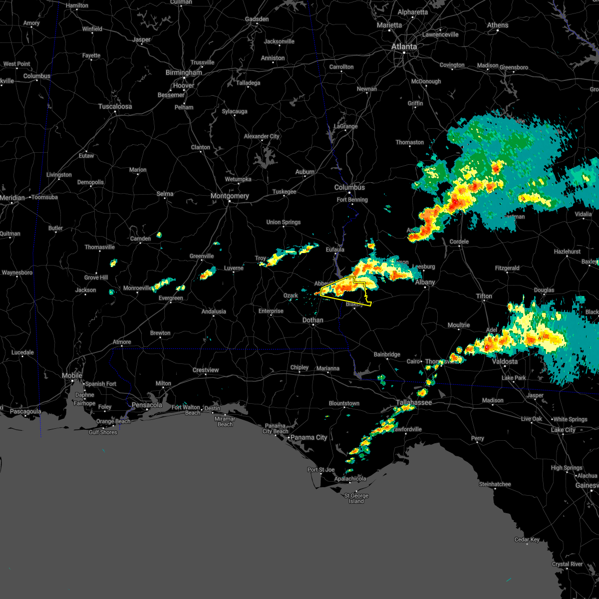 At 538 pm est/438 pm cst/, a severe thunderstorm was located near fort gaines, moving east at 30 mph (radar indicated). Hazards include 60 mph wind gusts and penny size hail. Expect damage to roofs, siding, and trees. locations impacted include, abbeville, fort gaines, bellville, bluffton, harrisons mill, shorterville, walter f. George lock and dam, barnes, hardwickburg, zetto, hayes, pecan, colomokee, murphy station, ferrell crossroads, jones crossing, willis crossroads, kolomoki mounds sp, suttons corner and fort gaines-clay airport. At 538 pm est/438 pm cst/, a severe thunderstorm was located near fort gaines, moving east at 30 mph (radar indicated). Hazards include 60 mph wind gusts and penny size hail. Expect damage to roofs, siding, and trees. locations impacted include, abbeville, fort gaines, bellville, bluffton, harrisons mill, shorterville, walter f. George lock and dam, barnes, hardwickburg, zetto, hayes, pecan, colomokee, murphy station, ferrell crossroads, jones crossing, willis crossroads, kolomoki mounds sp, suttons corner and fort gaines-clay airport.
|
| 12/30/2021 5:32 PM EST |
 At 531 pm est/431 pm cst/, a severe thunderstorm was located near fort gaines, moving east at 30 mph (radar indicated). Hazards include 60 mph wind gusts and penny size hail. Expect damage to roofs, siding, and trees. locations impacted include, abbeville, fort gaines, bellville, bluffton, shorterville, walter f. george lock and dam, walter f george lake, hayes, pecan, graball, jones crossing, suttons corner, fort gaines-clay airport, harrisons mill, barnes, hardwickburg, zetto, colomokee, murphy station and screamer. hail threat, radar indicated max hail size, 0. 75 in wind threat, radar indicated max wind gust, 60 mph. At 531 pm est/431 pm cst/, a severe thunderstorm was located near fort gaines, moving east at 30 mph (radar indicated). Hazards include 60 mph wind gusts and penny size hail. Expect damage to roofs, siding, and trees. locations impacted include, abbeville, fort gaines, bellville, bluffton, shorterville, walter f. george lock and dam, walter f george lake, hayes, pecan, graball, jones crossing, suttons corner, fort gaines-clay airport, harrisons mill, barnes, hardwickburg, zetto, colomokee, murphy station and screamer. hail threat, radar indicated max hail size, 0. 75 in wind threat, radar indicated max wind gust, 60 mph.
|
| 12/30/2021 5:32 PM EST |
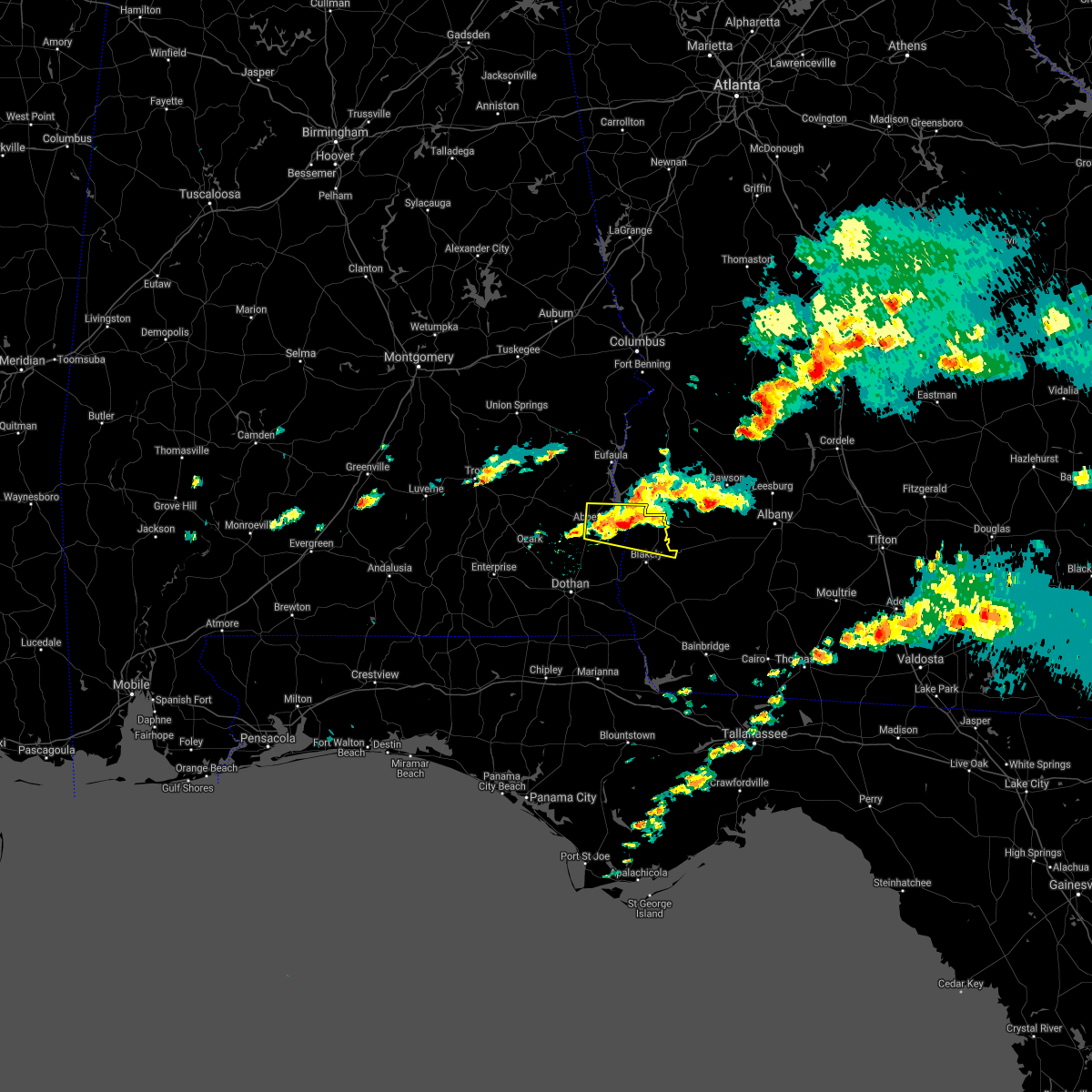 At 531 pm est/431 pm cst/, a severe thunderstorm was located near fort gaines, moving east at 30 mph (radar indicated). Hazards include 60 mph wind gusts and penny size hail. Expect damage to roofs, siding, and trees. locations impacted include, abbeville, fort gaines, bellville, bluffton, shorterville, walter f. george lock and dam, walter f george lake, hayes, pecan, graball, jones crossing, suttons corner, fort gaines-clay airport, harrisons mill, barnes, hardwickburg, zetto, colomokee, murphy station and screamer. hail threat, radar indicated max hail size, 0. 75 in wind threat, radar indicated max wind gust, 60 mph. At 531 pm est/431 pm cst/, a severe thunderstorm was located near fort gaines, moving east at 30 mph (radar indicated). Hazards include 60 mph wind gusts and penny size hail. Expect damage to roofs, siding, and trees. locations impacted include, abbeville, fort gaines, bellville, bluffton, shorterville, walter f. george lock and dam, walter f george lake, hayes, pecan, graball, jones crossing, suttons corner, fort gaines-clay airport, harrisons mill, barnes, hardwickburg, zetto, colomokee, murphy station and screamer. hail threat, radar indicated max hail size, 0. 75 in wind threat, radar indicated max wind gust, 60 mph.
|
| 12/30/2021 5:13 PM EST |
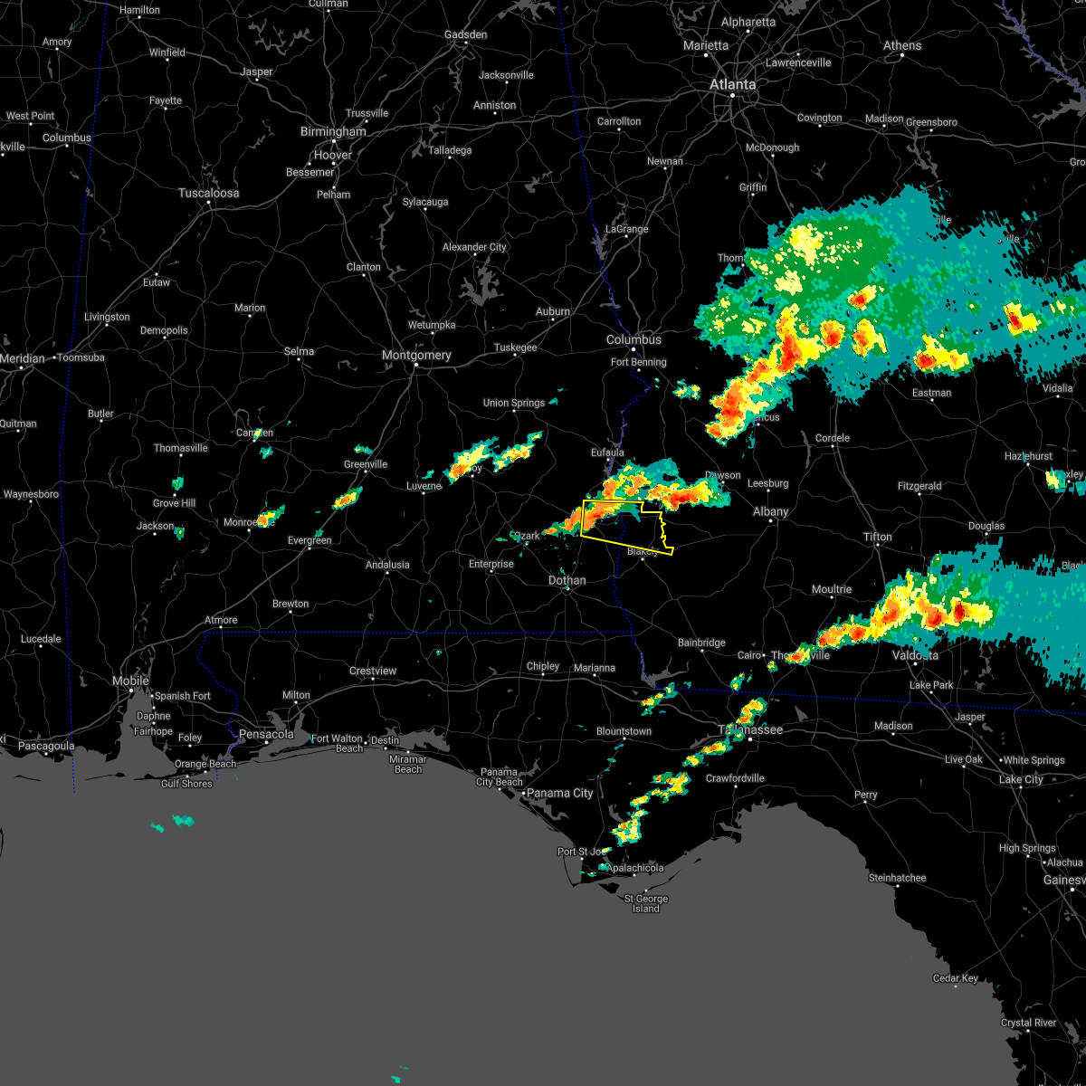 At 513 pm est/413 pm cst/, a severe thunderstorm was located over abbeville, moving east at 25 mph (radar indicated). Hazards include 60 mph wind gusts and penny size hail. expect damage to roofs, siding, and trees At 513 pm est/413 pm cst/, a severe thunderstorm was located over abbeville, moving east at 25 mph (radar indicated). Hazards include 60 mph wind gusts and penny size hail. expect damage to roofs, siding, and trees
|
| 12/30/2021 4:44 PM EST |
 At 443 pm est, a severe thunderstorm was located 8 miles northeast of fort gaines, moving east at 40 mph (radar indicated). Hazards include 60 mph wind gusts and quarter size hail. Hail damage to vehicles is expected. expect wind damage to roofs, siding, and trees. Locations impacted include, fort gaines, cuthbert, shellman, walter f george lake, standleys store, carnegie, watson crossroads, ricks place, pecan, randolph co a/p, aycock mill, morris, jones crossing, martins crossroads, bethel, cotton hill, fort gaines-clay airport, days crossroads, springvale station and pachitla. At 443 pm est, a severe thunderstorm was located 8 miles northeast of fort gaines, moving east at 40 mph (radar indicated). Hazards include 60 mph wind gusts and quarter size hail. Hail damage to vehicles is expected. expect wind damage to roofs, siding, and trees. Locations impacted include, fort gaines, cuthbert, shellman, walter f george lake, standleys store, carnegie, watson crossroads, ricks place, pecan, randolph co a/p, aycock mill, morris, jones crossing, martins crossroads, bethel, cotton hill, fort gaines-clay airport, days crossroads, springvale station and pachitla.
|
| 12/30/2021 4:39 PM EST |
 At 439 pm est, a severe thunderstorm was located near fort gaines, moving east at 40 mph (radar indicated). Hazards include 60 mph wind gusts. expect damage to roofs, siding, and trees At 439 pm est, a severe thunderstorm was located near fort gaines, moving east at 40 mph (radar indicated). Hazards include 60 mph wind gusts. expect damage to roofs, siding, and trees
|
| 5/4/2021 9:24 PM EDT |
 At 924 pm edt/824 pm cdt/, severe thunderstorms were located along a line extending from 7 miles west of buena vista to near ozark, moving east at 45 mph (radar indicated). Hazards include 60 mph wind gusts. Expect damage to roofs, siding, and trees. Locations impacted include, abbeville, fort gaines, georgetown, cuthbert, fort rucker, ozark, shellman, ariton, newville, bellville, haleburg, bluffton, shorterville, hooper stage field, hayes, pecan, thomas mill creek, phillips crossroads, hatcher and suttons corner. At 924 pm edt/824 pm cdt/, severe thunderstorms were located along a line extending from 7 miles west of buena vista to near ozark, moving east at 45 mph (radar indicated). Hazards include 60 mph wind gusts. Expect damage to roofs, siding, and trees. Locations impacted include, abbeville, fort gaines, georgetown, cuthbert, fort rucker, ozark, shellman, ariton, newville, bellville, haleburg, bluffton, shorterville, hooper stage field, hayes, pecan, thomas mill creek, phillips crossroads, hatcher and suttons corner.
|
| 5/4/2021 8:21 PM EDT |
 At 821 pm edt/721 pm cdt/, severe thunderstorms were located along a line extending from near society hill to near dozier, moving east at 45 mph (radar indicated). Hazards include 60 mph wind gusts. expect damage to roofs, siding, and trees At 821 pm edt/721 pm cdt/, severe thunderstorms were located along a line extending from near society hill to near dozier, moving east at 45 mph (radar indicated). Hazards include 60 mph wind gusts. expect damage to roofs, siding, and trees
|
| 4/24/2021 8:37 PM EDT |
 At 837 pm edt/737 pm cdt/, a severe thunderstorm was located near fort gaines, moving east at 60 mph (radar indicated). Hazards include 60 mph wind gusts. expect damage to roofs, siding, and trees At 837 pm edt/737 pm cdt/, a severe thunderstorm was located near fort gaines, moving east at 60 mph (radar indicated). Hazards include 60 mph wind gusts. expect damage to roofs, siding, and trees
|
| 4/24/2021 7:32 PM CDT |
 At 832 pm edt/732 pm cdt/, a severe thunderstorm was located near fort gaines, moving east at 60 mph (radar indicated). Hazards include 60 mph wind gusts. Expect damage to roofs, siding, and trees. locations impacted include, abbeville, fort gaines, headland, midland city, columbia, newville, napier field, haleburg, shorterville, walter f. George lock and dam, walter f george lake, tumbleton, kirkland crossroads, standleys store, grandberry crossroads, hayes, watson crossroads, scottsboro crossroads, double bridges and pecan. At 832 pm edt/732 pm cdt/, a severe thunderstorm was located near fort gaines, moving east at 60 mph (radar indicated). Hazards include 60 mph wind gusts. Expect damage to roofs, siding, and trees. locations impacted include, abbeville, fort gaines, headland, midland city, columbia, newville, napier field, haleburg, shorterville, walter f. George lock and dam, walter f george lake, tumbleton, kirkland crossroads, standleys store, grandberry crossroads, hayes, watson crossroads, scottsboro crossroads, double bridges and pecan.
|
| 4/24/2021 7:32 PM CDT |
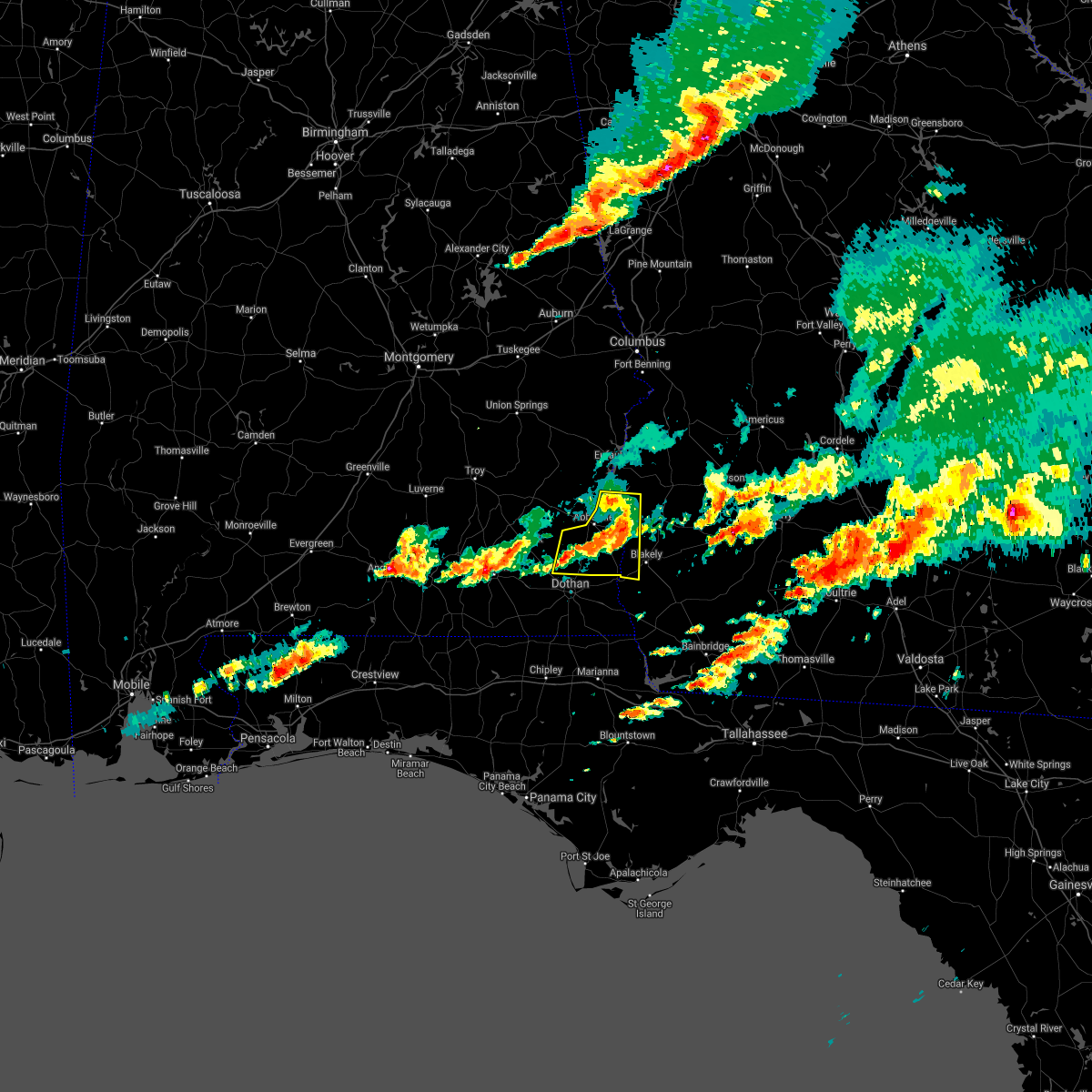 At 832 pm edt/732 pm cdt/, a severe thunderstorm was located near fort gaines, moving east at 60 mph (radar indicated). Hazards include 60 mph wind gusts. Expect damage to roofs, siding, and trees. locations impacted include, abbeville, fort gaines, headland, midland city, columbia, newville, napier field, haleburg, shorterville, walter f. George lock and dam, walter f george lake, tumbleton, kirkland crossroads, standleys store, grandberry crossroads, hayes, watson crossroads, scottsboro crossroads, double bridges and pecan. At 832 pm edt/732 pm cdt/, a severe thunderstorm was located near fort gaines, moving east at 60 mph (radar indicated). Hazards include 60 mph wind gusts. Expect damage to roofs, siding, and trees. locations impacted include, abbeville, fort gaines, headland, midland city, columbia, newville, napier field, haleburg, shorterville, walter f. George lock and dam, walter f george lake, tumbleton, kirkland crossroads, standleys store, grandberry crossroads, hayes, watson crossroads, scottsboro crossroads, double bridges and pecan.
|
| 4/24/2021 8:30 PM EDT | Scattered trees down in clay count in clay county GA, 0.7 miles W of Fort Gaines, GA |
| 4/24/2021 7:24 PM CDT |
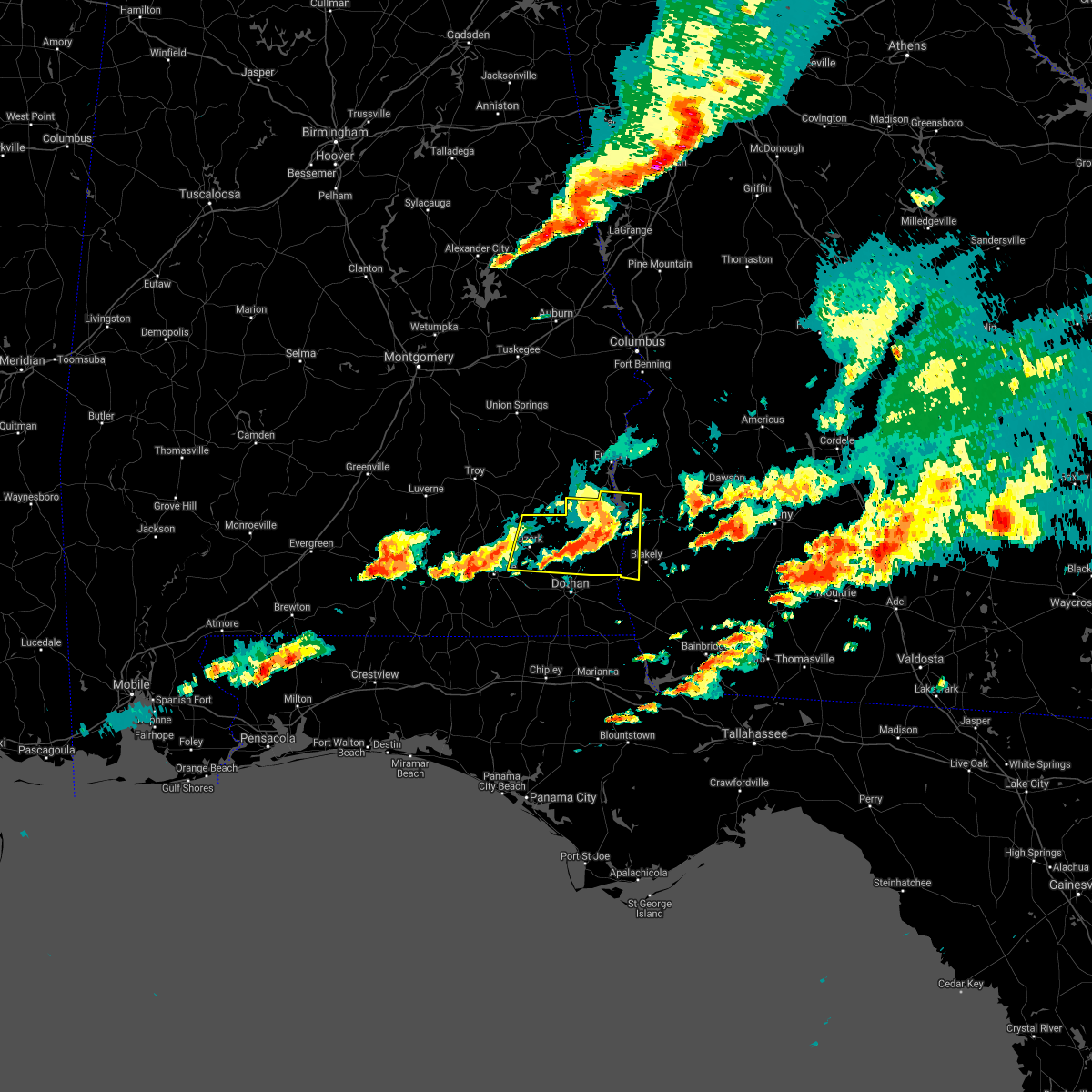 At 824 pm edt/724 pm cdt/, a severe thunderstorm was located over abbeville, moving east at 60 mph (radar indicated). Hazards include 60 mph wind gusts. Expect damage to roofs, siding, and trees. Locations impacted include, abbeville, fort gaines, headland, fort rucker, ozark, midland city, newton, ariton, columbia, pinckard, newville, haleburg, shorterville, hunt field, waterford, hooper stage field, hayes, watson crossroads, scottsboro crossroads and pecan. At 824 pm edt/724 pm cdt/, a severe thunderstorm was located over abbeville, moving east at 60 mph (radar indicated). Hazards include 60 mph wind gusts. Expect damage to roofs, siding, and trees. Locations impacted include, abbeville, fort gaines, headland, fort rucker, ozark, midland city, newton, ariton, columbia, pinckard, newville, haleburg, shorterville, hunt field, waterford, hooper stage field, hayes, watson crossroads, scottsboro crossroads and pecan.
|
| 4/24/2021 7:06 PM CDT |
 At 806 pm edt/706 pm cdt/, a severe thunderstorm was located 8 miles south of blue springs state park, or 10 miles northeast of ozark, moving east at 60 mph (radar indicated). Hazards include 70 mph wind gusts and quarter size hail. Hail damage to vehicles is expected. expect considerable tree damage. Wind damage is also likely to mobile homes, roofs, and outbuildings. At 806 pm edt/706 pm cdt/, a severe thunderstorm was located 8 miles south of blue springs state park, or 10 miles northeast of ozark, moving east at 60 mph (radar indicated). Hazards include 70 mph wind gusts and quarter size hail. Hail damage to vehicles is expected. expect considerable tree damage. Wind damage is also likely to mobile homes, roofs, and outbuildings.
|
| 4/24/2021 7:06 PM CDT |
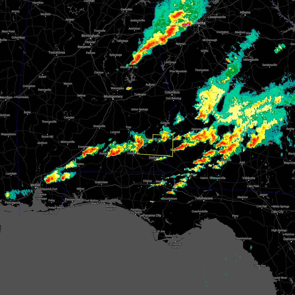 At 806 pm edt/706 pm cdt/, a severe thunderstorm was located 8 miles south of blue springs state park, or 10 miles northeast of ozark, moving east at 60 mph (radar indicated). Hazards include 70 mph wind gusts and quarter size hail. Hail damage to vehicles is expected. expect considerable tree damage. Wind damage is also likely to mobile homes, roofs, and outbuildings. At 806 pm edt/706 pm cdt/, a severe thunderstorm was located 8 miles south of blue springs state park, or 10 miles northeast of ozark, moving east at 60 mph (radar indicated). Hazards include 70 mph wind gusts and quarter size hail. Hail damage to vehicles is expected. expect considerable tree damage. Wind damage is also likely to mobile homes, roofs, and outbuildings.
|
| 4/24/2021 7:47 PM EDT |
 At 746 pm edt/646 pm cdt/, a severe thunderstorm was located near texasville, or 8 miles northwest of abbeville, moving east at 60 mph (radar indicated). Hazards include 60 mph wind gusts and quarter size hail. Hail damage to vehicles is expected. Expect wind damage to roofs, siding, and trees. At 746 pm edt/646 pm cdt/, a severe thunderstorm was located near texasville, or 8 miles northwest of abbeville, moving east at 60 mph (radar indicated). Hazards include 60 mph wind gusts and quarter size hail. Hail damage to vehicles is expected. Expect wind damage to roofs, siding, and trees.
|
| 4/24/2021 7:05 PM EDT |
 At 705 pm edt/605 pm cdt/, a severe thunderstorm was located near fort gaines, moving east at 55 mph (radar indicated). Hazards include ping pong ball size hail and 60 mph wind gusts. People and animals outdoors will be injured. expect hail damage to roofs, siding, windows, and vehicles. Expect wind damage to roofs, siding, and trees. At 705 pm edt/605 pm cdt/, a severe thunderstorm was located near fort gaines, moving east at 55 mph (radar indicated). Hazards include ping pong ball size hail and 60 mph wind gusts. People and animals outdoors will be injured. expect hail damage to roofs, siding, windows, and vehicles. Expect wind damage to roofs, siding, and trees.
|
| 4/24/2021 3:49 PM EDT |
 At 349 pm edt/249 pm cdt/, a severe thunderstorm was located near headland, moving east at 45 mph (radar indicated). Hazards include 60 mph wind gusts. expect damage to roofs, siding, and trees At 349 pm edt/249 pm cdt/, a severe thunderstorm was located near headland, moving east at 45 mph (radar indicated). Hazards include 60 mph wind gusts. expect damage to roofs, siding, and trees
|
| 4/24/2021 9:15 AM EDT | Trees and power lines dow in clay county GA, 0.9 miles SW of Fort Gaines, GA |
| 4/24/2021 9:15 AM EDT | Trees with power lines on 39 n... 39 s... and 37e in clay count in clay county GA, 1 miles NW of Fort Gaines, GA |
| 4/24/2021 7:54 AM CDT | County road 91 was blocked by tree in henry county AL, 4.3 miles ENE of Fort Gaines, GA |
| 4/24/2021 7:51 AM CDT |
 At 751 am cdt, severe thunderstorms were located along a line extending from 9 miles north of fort gaines to near cottonwood, moving east at 60 mph (radar indicated). Hazards include 70 mph wind gusts. Expect considerable tree damage. damage is likely to mobile homes, roofs, and outbuildings. Locations impacted include, abbeville, cottonwood, fort gaines, headland, dothan, kinsey, ashford, cowarts, webb, columbia, avon, newville, madrid, gordon, haleburg, memphis, shorterville, crosby, grangeburg and hayes. At 751 am cdt, severe thunderstorms were located along a line extending from 9 miles north of fort gaines to near cottonwood, moving east at 60 mph (radar indicated). Hazards include 70 mph wind gusts. Expect considerable tree damage. damage is likely to mobile homes, roofs, and outbuildings. Locations impacted include, abbeville, cottonwood, fort gaines, headland, dothan, kinsey, ashford, cowarts, webb, columbia, avon, newville, madrid, gordon, haleburg, memphis, shorterville, crosby, grangeburg and hayes.
|
| 4/24/2021 8:40 AM EDT |
 At 839 am edt, severe thunderstorms were located along a line extending from 6 miles southwest of richards crossroads to 7 miles north of graceville, moving east at 60 mph (radar indicated). Hazards include 70 mph wind gusts. Expect considerable tree damage. Damage is likely to mobile homes, roofs, and outbuildings. At 839 am edt, severe thunderstorms were located along a line extending from 6 miles southwest of richards crossroads to 7 miles north of graceville, moving east at 60 mph (radar indicated). Hazards include 70 mph wind gusts. Expect considerable tree damage. Damage is likely to mobile homes, roofs, and outbuildings.
|
| 4/24/2021 7:23 AM CDT |
 At 723 am cdt, severe thunderstorms were located along a line extending from near clio to near geneva, moving east at 60 mph (radar indicated). Hazards include 70 mph wind gusts. Expect considerable tree damage. damage is likely to mobile homes, roofs, and outbuildings. Locations impacted include, daleville, abbeville, cottonwood, fort gaines, headland, dothan, ozark, geneva, fort rucker, hartford, taylor, midland city, kinsey, ashford, slocomb, cowarts, newton, webb, columbia and pinckard. At 723 am cdt, severe thunderstorms were located along a line extending from near clio to near geneva, moving east at 60 mph (radar indicated). Hazards include 70 mph wind gusts. Expect considerable tree damage. damage is likely to mobile homes, roofs, and outbuildings. Locations impacted include, daleville, abbeville, cottonwood, fort gaines, headland, dothan, ozark, geneva, fort rucker, hartford, taylor, midland city, kinsey, ashford, slocomb, cowarts, newton, webb, columbia and pinckard.
|
| 4/24/2021 7:12 AM CDT |
 At 712 am cdt, severe thunderstorms were located along a line extending from near doster to near geneva, moving east at 60 mph (radar indicated). Hazards include 60 mph wind gusts. expect damage to roofs, siding, and trees At 712 am cdt, severe thunderstorms were located along a line extending from near doster to near geneva, moving east at 60 mph (radar indicated). Hazards include 60 mph wind gusts. expect damage to roofs, siding, and trees
|
| 3/18/2021 6:33 AM CDT |
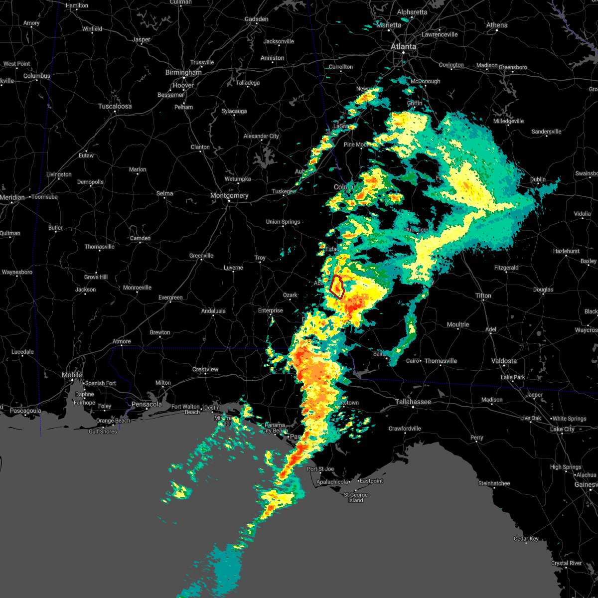 At 633 am cdt, a severe thunderstorm capable of producing a tornado was located near fort gaines, moving northeast at 35 mph (radar indicated rotation). Hazards include tornado. Flying debris will be dangerous to those caught without shelter. mobile homes will be damaged or destroyed. damage to roofs, windows, and vehicles will occur. tree damage is likely. this tornadic thunderstorm will remain over mainly rural areas of northeastern henry county, including the following locations, shorterville, hayes, walter f. George lock and dam and willis crossroads. At 633 am cdt, a severe thunderstorm capable of producing a tornado was located near fort gaines, moving northeast at 35 mph (radar indicated rotation). Hazards include tornado. Flying debris will be dangerous to those caught without shelter. mobile homes will be damaged or destroyed. damage to roofs, windows, and vehicles will occur. tree damage is likely. this tornadic thunderstorm will remain over mainly rural areas of northeastern henry county, including the following locations, shorterville, hayes, walter f. George lock and dam and willis crossroads.
|
| 3/18/2021 6:15 AM CDT |
 At 615 am cdt, a severe thunderstorm capable of producing a tornado was located 8 miles south of abbeville, moving northeast at 35 mph (radar indicated rotation). Hazards include tornado. Flying debris will be dangerous to those caught without shelter. mobile homes will be damaged or destroyed. damage to roofs, windows, and vehicles will occur. tree damage is likely. this dangerous storm will be near, abbeville around 625 am cdt. other locations impacted by this tornadic thunderstorm include shorterville, walter f. George lock and dam, barnes, dancey, miller, hardwickburg, hayes, willis crossroads, balkum and haleburg. At 615 am cdt, a severe thunderstorm capable of producing a tornado was located 8 miles south of abbeville, moving northeast at 35 mph (radar indicated rotation). Hazards include tornado. Flying debris will be dangerous to those caught without shelter. mobile homes will be damaged or destroyed. damage to roofs, windows, and vehicles will occur. tree damage is likely. this dangerous storm will be near, abbeville around 625 am cdt. other locations impacted by this tornadic thunderstorm include shorterville, walter f. George lock and dam, barnes, dancey, miller, hardwickburg, hayes, willis crossroads, balkum and haleburg.
|
| 2/15/2021 3:07 PM CST |
 At 307 pm cst, severe thunderstorms were located along a line extending from near eufaula to 10 miles east of cottonwood, moving northeast at 50 mph (radar indicated). Hazards include 60 mph wind gusts and quarter size hail. Hail damage to vehicles is expected. expect wind damage to roofs, siding, and trees. locations impacted include, abbeville, cottonwood, fort gaines, ashford, cowarts, webb, columbia, kinsey, avon, gordon, haleburg, shorterville, walter f. George lock and dam, pansey, crosby, tumbleton, grangeburg, sigma, grandberry crossroads and enon. At 307 pm cst, severe thunderstorms were located along a line extending from near eufaula to 10 miles east of cottonwood, moving northeast at 50 mph (radar indicated). Hazards include 60 mph wind gusts and quarter size hail. Hail damage to vehicles is expected. expect wind damage to roofs, siding, and trees. locations impacted include, abbeville, cottonwood, fort gaines, ashford, cowarts, webb, columbia, kinsey, avon, gordon, haleburg, shorterville, walter f. George lock and dam, pansey, crosby, tumbleton, grangeburg, sigma, grandberry crossroads and enon.
|
| 2/15/2021 4:01 PM EST |
 At 401 pm est/301 pm cst/, severe thunderstorms were located along a line extending from 6 miles west of fort gaines to 7 miles east of cottonwood, moving northeast at 75 mph (radar indicated). Hazards include 60 mph wind gusts and quarter size hail. Hail damage to vehicles is expected. Expect wind damage to roofs, siding, and trees. At 401 pm est/301 pm cst/, severe thunderstorms were located along a line extending from 6 miles west of fort gaines to 7 miles east of cottonwood, moving northeast at 75 mph (radar indicated). Hazards include 60 mph wind gusts and quarter size hail. Hail damage to vehicles is expected. Expect wind damage to roofs, siding, and trees.
|
| 2/15/2021 4:01 PM EST |
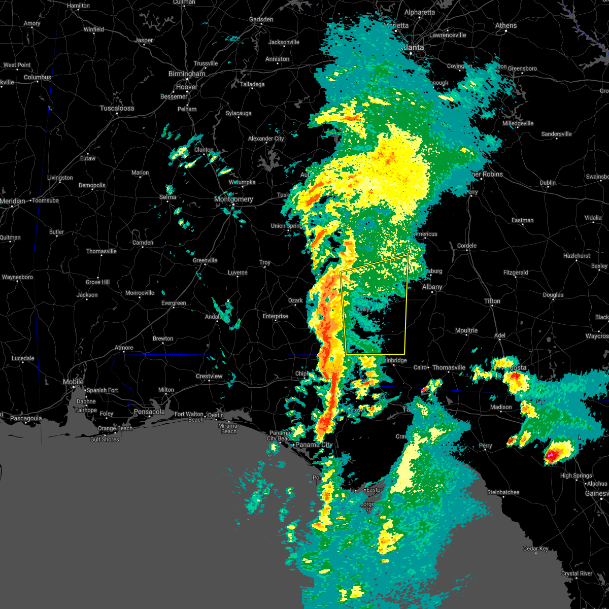 At 401 pm est/301 pm cst/, severe thunderstorms were located along a line extending from 6 miles west of fort gaines to 7 miles east of cottonwood, moving northeast at 75 mph (radar indicated). Hazards include 60 mph wind gusts and quarter size hail. Hail damage to vehicles is expected. Expect wind damage to roofs, siding, and trees. At 401 pm est/301 pm cst/, severe thunderstorms were located along a line extending from 6 miles west of fort gaines to 7 miles east of cottonwood, moving northeast at 75 mph (radar indicated). Hazards include 60 mph wind gusts and quarter size hail. Hail damage to vehicles is expected. Expect wind damage to roofs, siding, and trees.
|
| 2/15/2021 2:37 PM CST |
 At 237 pm cst, severe thunderstorms were located along a line extending from near blue springs state park to 7 miles northeast of chipley, moving northeast at 50 mph (radar indicated). Hazards include 60 mph wind gusts and quarter size hail. Hail damage to vehicles is expected. Expect wind damage to roofs, siding, and trees. At 237 pm cst, severe thunderstorms were located along a line extending from near blue springs state park to 7 miles northeast of chipley, moving northeast at 50 mph (radar indicated). Hazards include 60 mph wind gusts and quarter size hail. Hail damage to vehicles is expected. Expect wind damage to roofs, siding, and trees.
|
| 8/10/2020 9:20 PM EDT |
 At 920 pm edt/820 pm cdt/, a severe thunderstorm was located over georgetown, moving southeast at 25 mph (radar indicated). Hazards include 60 mph wind gusts and quarter size hail. Hail damage to vehicles is expected. Expect wind damage to roofs, siding, and trees. At 920 pm edt/820 pm cdt/, a severe thunderstorm was located over georgetown, moving southeast at 25 mph (radar indicated). Hazards include 60 mph wind gusts and quarter size hail. Hail damage to vehicles is expected. Expect wind damage to roofs, siding, and trees.
|
| 6/25/2020 6:41 PM EDT | Multiple trees dow in clay county GA, 5.6 miles WSW of Fort Gaines, GA |
| 6/25/2020 6:40 PM EDT |
 At 639 pm edt/539 pm cdt/, a severe thunderstorm was located near cuthbert, moving east at 55 mph (radar indicated). Hazards include 70 mph wind gusts. Expect considerable tree damage. damage is likely to mobile homes, roofs, and outbuildings. locations impacted include, fort gaines, cuthbert, edison, bellville, bluffton, shorterville, walter f. George lock and dam, walter f george lake, standleys store, carnegie, watson crossroads, double bridges, crossroads, ricks place, pecan, randolph co a/p, thomas mill creek, hatcher, morris and jones crossing. At 639 pm edt/539 pm cdt/, a severe thunderstorm was located near cuthbert, moving east at 55 mph (radar indicated). Hazards include 70 mph wind gusts. Expect considerable tree damage. damage is likely to mobile homes, roofs, and outbuildings. locations impacted include, fort gaines, cuthbert, edison, bellville, bluffton, shorterville, walter f. George lock and dam, walter f george lake, standleys store, carnegie, watson crossroads, double bridges, crossroads, ricks place, pecan, randolph co a/p, thomas mill creek, hatcher, morris and jones crossing.
|
| 6/25/2020 6:34 PM EDT | One tree dow in clay county GA, 1.5 miles SSW of Fort Gaines, GA |
| 6/25/2020 5:10 PM CDT |
 At 610 pm edt/510 pm cdt/, a severe thunderstorm was located near abbeville, moving east at 55 mph (radar indicated). Hazards include 60 mph wind gusts. expect damage to roofs, siding, and trees At 610 pm edt/510 pm cdt/, a severe thunderstorm was located near abbeville, moving east at 55 mph (radar indicated). Hazards include 60 mph wind gusts. expect damage to roofs, siding, and trees
|
| 5/22/2020 6:12 PM CDT |
 At 712 pm edt/612 pm cdt/, a severe thunderstorm was located 9 miles southeast of abbeville, moving northeast at 25 mph (radar indicated). Hazards include 60 mph wind gusts and nickel size hail. expect damage to roofs, siding, and trees At 712 pm edt/612 pm cdt/, a severe thunderstorm was located 9 miles southeast of abbeville, moving northeast at 25 mph (radar indicated). Hazards include 60 mph wind gusts and nickel size hail. expect damage to roofs, siding, and trees
|
| 5/22/2020 6:12 PM CDT |
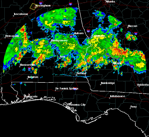 At 712 pm edt/612 pm cdt/, a severe thunderstorm was located 9 miles southeast of abbeville, moving northeast at 25 mph (radar indicated). Hazards include 60 mph wind gusts and nickel size hail. expect damage to roofs, siding, and trees At 712 pm edt/612 pm cdt/, a severe thunderstorm was located 9 miles southeast of abbeville, moving northeast at 25 mph (radar indicated). Hazards include 60 mph wind gusts and nickel size hail. expect damage to roofs, siding, and trees
|
| 4/20/2020 12:36 AM CDT |
 The severe thunderstorm warning for northeastern houston, clay, western randolph, western early and quitman counties will expire at 145 am edt/1245 am cdt/, the storms which prompted the warning have moved out of the area. therefore, the warning will be allowed to expire. a tornado watch remains in effect until 700 am edt/600 am cdt/ for southeastern alabama, and southwestern georgia. to report severe weather, contact your nearest law enforcement agency. they will relay your report to the national weather service tallahassee. The severe thunderstorm warning for northeastern houston, clay, western randolph, western early and quitman counties will expire at 145 am edt/1245 am cdt/, the storms which prompted the warning have moved out of the area. therefore, the warning will be allowed to expire. a tornado watch remains in effect until 700 am edt/600 am cdt/ for southeastern alabama, and southwestern georgia. to report severe weather, contact your nearest law enforcement agency. they will relay your report to the national weather service tallahassee.
|
| 4/20/2020 12:08 AM CDT |
 At 108 am edt/1208 am cdt/, severe thunderstorms were located along a line extending from near weston to near edison, moving east at 80 mph (radar indicated). Hazards include 70 mph wind gusts. Expect considerable tree damage. damage is likely to mobile homes, roofs, and outbuildings. Locations impacted include, abbeville, fort gaines, headland, dothan, blakely, georgetown, taylor, kinsey, ashford, cowarts, webb, columbia, avon, newville, gordon, bellville, haleburg, bluffton, shorterville and wire bridge. At 108 am edt/1208 am cdt/, severe thunderstorms were located along a line extending from near weston to near edison, moving east at 80 mph (radar indicated). Hazards include 70 mph wind gusts. Expect considerable tree damage. damage is likely to mobile homes, roofs, and outbuildings. Locations impacted include, abbeville, fort gaines, headland, dothan, blakely, georgetown, taylor, kinsey, ashford, cowarts, webb, columbia, avon, newville, gordon, bellville, haleburg, bluffton, shorterville and wire bridge.
|
| 4/20/2020 12:59 AM EDT |
 The national weather service in tallahassee has issued a * tornado warning for. east central henry county in southeastern alabama. central clay county in southwestern georgia. randolph county in southwestern georgia. Northwestern calhoun county in southwestern georgia. The national weather service in tallahassee has issued a * tornado warning for. east central henry county in southeastern alabama. central clay county in southwestern georgia. randolph county in southwestern georgia. Northwestern calhoun county in southwestern georgia.
|
| 4/20/2020 12:59 AM EDT |
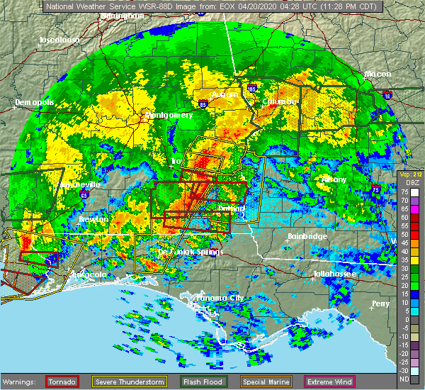 At 1258 am edt/1158 pm cdt/, a severe thunderstorm capable of producing a tornado was located near fort gaines, moving east at 55 mph (radar indicated rotation). Hazards include tornado. Flying debris will be dangerous to those caught without shelter. mobile homes will be damaged or destroyed. damage to roofs, windows, and vehicles will occur. tree damage is likely. this dangerous storm will be near, cuthbert around 115 am edt. shellman around 125 am edt. other locations impacted by this tornadic thunderstorm include walter f. George lock and dam, walter f george lake, standleys store, carnegie, watson crossroads, pecan, randolph co a/p, bellville, jones crossing and martins crossroads. At 1258 am edt/1158 pm cdt/, a severe thunderstorm capable of producing a tornado was located near fort gaines, moving east at 55 mph (radar indicated rotation). Hazards include tornado. Flying debris will be dangerous to those caught without shelter. mobile homes will be damaged or destroyed. damage to roofs, windows, and vehicles will occur. tree damage is likely. this dangerous storm will be near, cuthbert around 115 am edt. shellman around 125 am edt. other locations impacted by this tornadic thunderstorm include walter f. George lock and dam, walter f george lake, standleys store, carnegie, watson crossroads, pecan, randolph co a/p, bellville, jones crossing and martins crossroads.
|
| 4/19/2020 11:36 PM CDT |
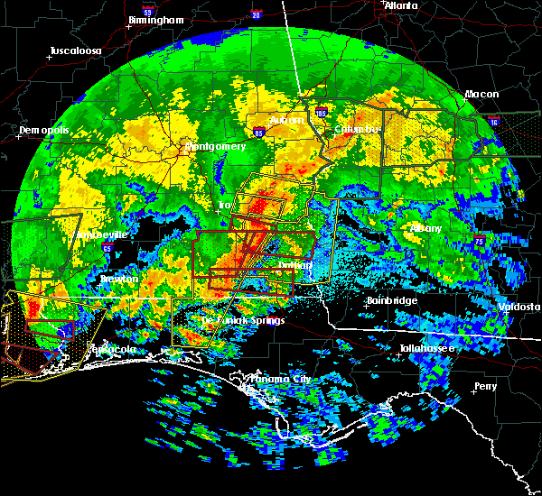 At 1236 am edt/1136 pm cdt/, a severe thunderstorm capable of producing a tornado was located near abbeville, moving east at 60 mph (radar indicated rotation). Hazards include tornado. Flying debris will be dangerous to those caught without shelter. mobile homes will be damaged or destroyed. damage to roofs, windows, and vehicles will occur. tree damage is likely. this dangerous storm will be near, abbeville around 1140 pm cdt. fort gaines around 1150 pm cdt. other locations impacted by this tornadic thunderstorm include shorterville, walter f. George lock and dam, walter f george lake, edwin, standleys store, watson crossroads, scottsboro crossroads, double bridges, ricks place and pecan. At 1236 am edt/1136 pm cdt/, a severe thunderstorm capable of producing a tornado was located near abbeville, moving east at 60 mph (radar indicated rotation). Hazards include tornado. Flying debris will be dangerous to those caught without shelter. mobile homes will be damaged or destroyed. damage to roofs, windows, and vehicles will occur. tree damage is likely. this dangerous storm will be near, abbeville around 1140 pm cdt. fort gaines around 1150 pm cdt. other locations impacted by this tornadic thunderstorm include shorterville, walter f. George lock and dam, walter f george lake, edwin, standleys store, watson crossroads, scottsboro crossroads, double bridges, ricks place and pecan.
|
| 4/19/2020 11:29 PM CDT |
 At 1129 pm cdt, a severe thunderstorm capable of producing a tornado was located 9 miles northeast of ozark, moving east at 60 mph (radar indicated rotation). Hazards include tornado. Flying debris will be dangerous to those caught without shelter. mobile homes will be damaged or destroyed. damage to roofs, windows, and vehicles will occur. tree damage is likely. this dangerous storm will be near, abbeville around 1145 pm cdt. Other locations impacted by this tornadic thunderstorm include shorterville, haleburg, bells crossroads, tumbleton, dill, kirkland crossroads, hayes, mabson, arguta and snells crossroads. At 1129 pm cdt, a severe thunderstorm capable of producing a tornado was located 9 miles northeast of ozark, moving east at 60 mph (radar indicated rotation). Hazards include tornado. Flying debris will be dangerous to those caught without shelter. mobile homes will be damaged or destroyed. damage to roofs, windows, and vehicles will occur. tree damage is likely. this dangerous storm will be near, abbeville around 1145 pm cdt. Other locations impacted by this tornadic thunderstorm include shorterville, haleburg, bells crossroads, tumbleton, dill, kirkland crossroads, hayes, mabson, arguta and snells crossroads.
|
| 4/19/2020 11:10 PM CDT |
 At 1210 am edt/1110 pm cdt/, severe thunderstorms were located along a line extending from near banks to near new brockton, moving east at 80 mph (radar indicated). Hazards include 70 mph wind gusts. Expect considerable tree damage. Damage is likely to mobile homes, roofs, and outbuildings. At 1210 am edt/1110 pm cdt/, severe thunderstorms were located along a line extending from near banks to near new brockton, moving east at 80 mph (radar indicated). Hazards include 70 mph wind gusts. Expect considerable tree damage. Damage is likely to mobile homes, roofs, and outbuildings.
|
| 4/13/2020 4:14 AM EDT |
 At 414 am edt, severe thunderstorms were located along a line extending from near shellman to near blakely, moving east at 65 mph (radar indicated). Hazards include 60 mph wind gusts. Expect damage to roofs, siding, and trees. Locations impacted include, fort gaines, blakely, columbia, gordon, jakin, bellville, bluffton, harrisons mill, saffold, howards mill, zetto, rock hill, colomokee, killarney, ferrell crossroads, early co a/p, cedar springs, kolomoki mounds sp, suttons corner and hilton. At 414 am edt, severe thunderstorms were located along a line extending from near shellman to near blakely, moving east at 65 mph (radar indicated). Hazards include 60 mph wind gusts. Expect damage to roofs, siding, and trees. Locations impacted include, fort gaines, blakely, columbia, gordon, jakin, bellville, bluffton, harrisons mill, saffold, howards mill, zetto, rock hill, colomokee, killarney, ferrell crossroads, early co a/p, cedar springs, kolomoki mounds sp, suttons corner and hilton.
|
| 4/13/2020 3:50 AM EDT |
 At 349 am edt/249 am cdt/, severe thunderstorms were located along a line extending from 6 miles north of fort gaines to kinsey, moving northeast at 45 mph (radar indicated). Hazards include 60 mph wind gusts. Expect damage to roofs, siding, and trees. Locations impacted include, abbeville, fort gaines, headland, blakely, columbia, newville, gordon, jakin, bellville, haleburg, bluffton, shorterville, hayes, watson crossroads, scottsboro crossroads, ricks place, pecan, rock hill, thomas mill creek and bethel. At 349 am edt/249 am cdt/, severe thunderstorms were located along a line extending from 6 miles north of fort gaines to kinsey, moving northeast at 45 mph (radar indicated). Hazards include 60 mph wind gusts. Expect damage to roofs, siding, and trees. Locations impacted include, abbeville, fort gaines, headland, blakely, columbia, newville, gordon, jakin, bellville, haleburg, bluffton, shorterville, hayes, watson crossroads, scottsboro crossroads, ricks place, pecan, rock hill, thomas mill creek and bethel.
|
| 4/13/2020 3:35 AM EDT | Trees down at the dollar general in ft gaines. time estimated by rada in clay county GA, 1.8 miles SW of Fort Gaines, GA |
| 4/13/2020 3:29 AM EDT |
 At 329 am edt, a severe thunderstorm capable of producing a tornado was located over fort gaines, moving east at 65 mph (radar indicated rotation). Hazards include tornado. Flying debris will be dangerous to those caught without shelter. mobile homes will be damaged or destroyed. damage to roofs, windows, and vehicles will occur. tree damage is likely. this dangerous storm will be near, cuthbert around 345 am edt. shellman around 350 am edt. Other locations impacted by this tornadic thunderstorm include days crossroads, pachitla, walter f george lake, standleys store, zetto, carnegie, watson crossroads, peterson hill, coles and moores crossroads. At 329 am edt, a severe thunderstorm capable of producing a tornado was located over fort gaines, moving east at 65 mph (radar indicated rotation). Hazards include tornado. Flying debris will be dangerous to those caught without shelter. mobile homes will be damaged or destroyed. damage to roofs, windows, and vehicles will occur. tree damage is likely. this dangerous storm will be near, cuthbert around 345 am edt. shellman around 350 am edt. Other locations impacted by this tornadic thunderstorm include days crossroads, pachitla, walter f george lake, standleys store, zetto, carnegie, watson crossroads, peterson hill, coles and moores crossroads.
|
| 4/13/2020 2:25 AM CDT |
 At 324 am edt/224 am cdt/, severe thunderstorms were located along a line extending from 6 miles northwest of abbeville to near daleville, moving east at 65 mph (radar indicated). Hazards include 60 mph wind gusts. expect damage to roofs, siding, and trees At 324 am edt/224 am cdt/, severe thunderstorms were located along a line extending from 6 miles northwest of abbeville to near daleville, moving east at 65 mph (radar indicated). Hazards include 60 mph wind gusts. expect damage to roofs, siding, and trees
|
| 4/13/2020 12:58 AM CDT |
 At 158 am edt/1258 am cdt/, severe thunderstorms were located along a line extending from blue springs state park to daleville, moving northeast at 55 mph (radar indicated). Hazards include 60 mph wind gusts. expect damage to roofs, siding, and trees At 158 am edt/1258 am cdt/, severe thunderstorms were located along a line extending from blue springs state park to daleville, moving northeast at 55 mph (radar indicated). Hazards include 60 mph wind gusts. expect damage to roofs, siding, and trees
|
| 3/31/2020 1:05 PM EDT |
 At 105 pm edt/1205 pm cdt/, severe thunderstorms were located along a line extending from 8 miles north of cuthbert to 8 miles north of blakely to near taylor, moving east at 55 mph (radar indicated). Hazards include 60 mph wind gusts. expect damage to roofs, siding, and trees At 105 pm edt/1205 pm cdt/, severe thunderstorms were located along a line extending from 8 miles north of cuthbert to 8 miles north of blakely to near taylor, moving east at 55 mph (radar indicated). Hazards include 60 mph wind gusts. expect damage to roofs, siding, and trees
|
| 3/31/2020 12:50 PM EDT |
 At 1249 pm edt/1149 am cdt/, severe thunderstorms were located along a line extending from 8 miles northeast of georgetown to 7 miles south of abbeville to near daleville, moving east at 50 mph (radar indicated). Hazards include 60 mph wind gusts. expect damage to roofs, siding, and trees At 1249 pm edt/1149 am cdt/, severe thunderstorms were located along a line extending from 8 miles northeast of georgetown to 7 miles south of abbeville to near daleville, moving east at 50 mph (radar indicated). Hazards include 60 mph wind gusts. expect damage to roofs, siding, and trees
|
| 3/4/2020 9:11 AM EST |
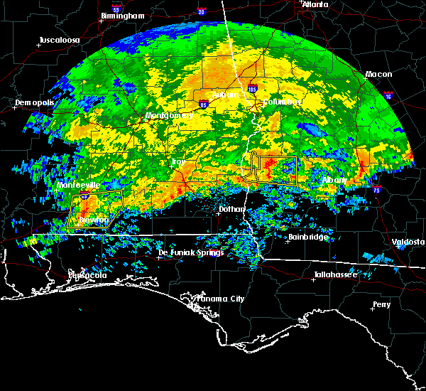 The severe thunderstorm warning for northwestern clay and eastern quitman counties will expire at 915 am est, the storms which prompted the warning have moved out of the area. therefore, the warning will be allowed to expire. however heavy rain is still possible with these thunderstorms. The severe thunderstorm warning for northwestern clay and eastern quitman counties will expire at 915 am est, the storms which prompted the warning have moved out of the area. therefore, the warning will be allowed to expire. however heavy rain is still possible with these thunderstorms.
|
| 3/4/2020 9:03 AM EST |
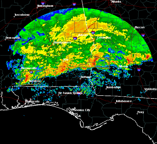 At 902 am est, severe thunderstorms were located along a line extending from 10 miles east of georgetown to 7 miles northwest of cuthbert to near fort gaines, moving east at 50 mph (radar indicated). Hazards include 60 mph wind gusts and quarter size hail. Hail damage to vehicles is expected. expect wind damage to roofs, siding, and trees. Locations impacted include, fort gaines, garnersville, walter f george lake, morris, jones crossing, bethel, crossroads, cotton hill, pecan and fort gaines-clay airport. At 902 am est, severe thunderstorms were located along a line extending from 10 miles east of georgetown to 7 miles northwest of cuthbert to near fort gaines, moving east at 50 mph (radar indicated). Hazards include 60 mph wind gusts and quarter size hail. Hail damage to vehicles is expected. expect wind damage to roofs, siding, and trees. Locations impacted include, fort gaines, garnersville, walter f george lake, morris, jones crossing, bethel, crossroads, cotton hill, pecan and fort gaines-clay airport.
|
| 3/4/2020 8:49 AM EST | Downed trees with some trees on powerlines across northern half of clay count in clay county GA, 7.6 miles S of Fort Gaines, GA |
| 3/4/2020 8:27 AM EST |
 At 826 am est/726 am cst/, doppler radar indicated a line of severe thunderstorms capable of producing quarter size hail and damaging winds in excess of 60 mph. these storms were located along a line extending from clayton to near gaino to near texasville to near tyler crossroads, and moving east at 50 mph. At 826 am est/726 am cst/, doppler radar indicated a line of severe thunderstorms capable of producing quarter size hail and damaging winds in excess of 60 mph. these storms were located along a line extending from clayton to near gaino to near texasville to near tyler crossroads, and moving east at 50 mph.
|
| 2/6/2020 11:15 AM CST |
 At 1115 am cst, a severe thunderstorm was located near pinckard, or near dothan, moving northeast at 60 mph (radar indicated). Hazards include 60 mph wind gusts. expect damage to roofs, siding, and trees At 1115 am cst, a severe thunderstorm was located near pinckard, or near dothan, moving northeast at 60 mph (radar indicated). Hazards include 60 mph wind gusts. expect damage to roofs, siding, and trees
|
| 1/11/2020 6:30 PM EST | Blown transformer and two trees down between church st and college s in clay county GA, 1 miles NW of Fort Gaines, GA |
| 1/11/2020 6:30 PM EST |
 At 630 pm est/530 pm cst/, severe thunderstorms were located along a line extending from 8 miles north of cuthbert to near columbia, moving east at 25 mph (radar indicated). Hazards include 60 mph wind gusts. Expect damage to roofs, siding, and trees. locations impacted include, fort gaines, cuthbert, blakely, bellville, haleburg, bluffton, shorterville, walter f. George lock and dam, walter f george lake, standleys store, grandberry crossroads, hayes, watson crossroads, crossroads, pecan, randolph co a/p, rock hill, hatcher, morris and jones crossing. At 630 pm est/530 pm cst/, severe thunderstorms were located along a line extending from 8 miles north of cuthbert to near columbia, moving east at 25 mph (radar indicated). Hazards include 60 mph wind gusts. Expect damage to roofs, siding, and trees. locations impacted include, fort gaines, cuthbert, blakely, bellville, haleburg, bluffton, shorterville, walter f. George lock and dam, walter f george lake, standleys store, grandberry crossroads, hayes, watson crossroads, crossroads, pecan, randolph co a/p, rock hill, hatcher, morris and jones crossing.
|
| 1/11/2020 6:30 PM EST |
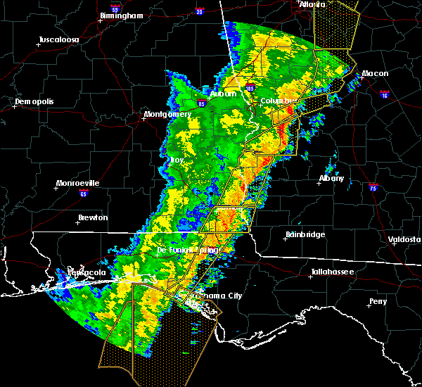 At 630 pm est/530 pm cst/, severe thunderstorms were located along a line extending from 8 miles north of cuthbert to near columbia, moving east at 25 mph (radar indicated). Hazards include 60 mph wind gusts. Expect damage to roofs, siding, and trees. locations impacted include, fort gaines, cuthbert, blakely, bellville, haleburg, bluffton, shorterville, walter f. George lock and dam, walter f george lake, standleys store, grandberry crossroads, hayes, watson crossroads, crossroads, pecan, randolph co a/p, rock hill, hatcher, morris and jones crossing. At 630 pm est/530 pm cst/, severe thunderstorms were located along a line extending from 8 miles north of cuthbert to near columbia, moving east at 25 mph (radar indicated). Hazards include 60 mph wind gusts. Expect damage to roofs, siding, and trees. locations impacted include, fort gaines, cuthbert, blakely, bellville, haleburg, bluffton, shorterville, walter f. George lock and dam, walter f george lake, standleys store, grandberry crossroads, hayes, watson crossroads, crossroads, pecan, randolph co a/p, rock hill, hatcher, morris and jones crossing.
|
| 1/11/2020 5:57 PM EST |
 At 538 pm est/438 pm cst/, severe thunderstorms were located along a line extending from near lakepoint resort state park to 11 miles northwest of headland, moving northeast at 40 mph (radar indicated). Hazards include 60 mph wind gusts. expect damage to roofs, siding, and trees At 538 pm est/438 pm cst/, severe thunderstorms were located along a line extending from near lakepoint resort state park to 11 miles northwest of headland, moving northeast at 40 mph (radar indicated). Hazards include 60 mph wind gusts. expect damage to roofs, siding, and trees
|
| 1/11/2020 5:57 PM EST |
 At 557 pm est/457 pm cst/, severe thunderstorms were located along a line extending from near georgetown to near headland, moving east at 25 mph (radar indicated). Hazards include 70 mph wind gusts. Expect considerable tree damage. damage is likely to mobile homes, roofs, and outbuildings. Locations impacted include, abbeville, fort gaines, headland, georgetown, blakely, cuthbert, columbia, newville, bellville, haleburg, bluffton, shorterville, wire bridge, hayes, watson crossroads, scottsboro crossroads, ricks place, pecan, rock hill and thomas mill creek. At 557 pm est/457 pm cst/, severe thunderstorms were located along a line extending from near georgetown to near headland, moving east at 25 mph (radar indicated). Hazards include 70 mph wind gusts. Expect considerable tree damage. damage is likely to mobile homes, roofs, and outbuildings. Locations impacted include, abbeville, fort gaines, headland, georgetown, blakely, cuthbert, columbia, newville, bellville, haleburg, bluffton, shorterville, wire bridge, hayes, watson crossroads, scottsboro crossroads, ricks place, pecan, rock hill and thomas mill creek.
|
| 1/11/2020 5:38 PM EST |
 At 538 pm est/438 pm cst/, severe thunderstorms were located along a line extending from near lakepoint resort state park to 11 miles northwest of headland, moving northeast at 40 mph (radar indicated). Hazards include 60 mph wind gusts. expect damage to roofs, siding, and trees At 538 pm est/438 pm cst/, severe thunderstorms were located along a line extending from near lakepoint resort state park to 11 miles northwest of headland, moving northeast at 40 mph (radar indicated). Hazards include 60 mph wind gusts. expect damage to roofs, siding, and trees
|
| 7/18/2019 7:24 PM EDT |
 At 724 pm edt, a severe thunderstorm was located 7 miles north of blakely, moving east at 35 mph (radar indicated). Hazards include 60 mph wind gusts. expect damage to roofs, siding, and trees At 724 pm edt, a severe thunderstorm was located 7 miles north of blakely, moving east at 35 mph (radar indicated). Hazards include 60 mph wind gusts. expect damage to roofs, siding, and trees
|
| 7/18/2019 6:12 PM CDT |
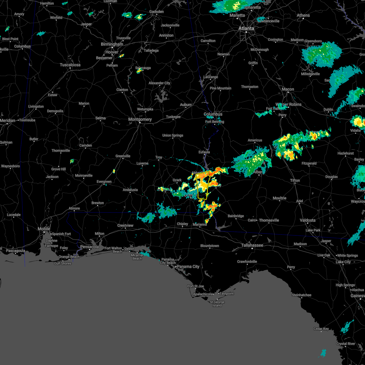 The severe thunderstorm warning for southeastern henry and northeastern houston counties will expire at 615 pm cdt, the storms which prompted the warning have weakened below severe limits, and no longer pose an immediate threat to life or property. therefore, the warning will be allowed to expire. however gusty winds are still possible with these thunderstorms. to report severe weather, contact your nearest law enforcement agency. they will relay your report to the national weather service tallahassee. The severe thunderstorm warning for southeastern henry and northeastern houston counties will expire at 615 pm cdt, the storms which prompted the warning have weakened below severe limits, and no longer pose an immediate threat to life or property. therefore, the warning will be allowed to expire. however gusty winds are still possible with these thunderstorms. to report severe weather, contact your nearest law enforcement agency. they will relay your report to the national weather service tallahassee.
|
| 7/18/2019 5:57 PM CDT |
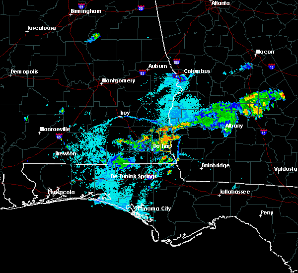 At 557 pm cdt, severe thunderstorms were located along a line extending from near abbeville to near columbia, moving northeast at 20 mph (radar indicated). Hazards include 60 mph wind gusts. Expect damage to roofs, siding, and trees. Locations impacted include, abbeville, webb, columbia, haleburg, shorterville, barnes, tumbleton, hardwickburg, sigma, grandberry crossroads, pearce, hayes, barber, murphy station, graball, pleasant plains, miller, farley nuclear plant, abbeville municipal a/p and willis crossroads. At 557 pm cdt, severe thunderstorms were located along a line extending from near abbeville to near columbia, moving northeast at 20 mph (radar indicated). Hazards include 60 mph wind gusts. Expect damage to roofs, siding, and trees. Locations impacted include, abbeville, webb, columbia, haleburg, shorterville, barnes, tumbleton, hardwickburg, sigma, grandberry crossroads, pearce, hayes, barber, murphy station, graball, pleasant plains, miller, farley nuclear plant, abbeville municipal a/p and willis crossroads.
|
| 7/18/2019 5:26 PM CDT |
 At 526 pm cdt, severe thunderstorms were located along a line extending from 8 miles west of abbeville to near dothan, moving northeast at 15 mph (radar indicated). Hazards include 60 mph wind gusts. expect damage to roofs, siding, and trees At 526 pm cdt, severe thunderstorms were located along a line extending from 8 miles west of abbeville to near dothan, moving northeast at 15 mph (radar indicated). Hazards include 60 mph wind gusts. expect damage to roofs, siding, and trees
|
| 7/9/2019 9:59 PM EDT |
 At 959 pm edt/859 pm cdt/, a severe thunderstorm was located 9 miles northeast of blakely, moving west at 20 mph (radar indicated). Hazards include 60 mph wind gusts. expect damage to roofs, siding, and trees At 959 pm edt/859 pm cdt/, a severe thunderstorm was located 9 miles northeast of blakely, moving west at 20 mph (radar indicated). Hazards include 60 mph wind gusts. expect damage to roofs, siding, and trees
|
| 6/20/2019 6:23 PM EDT |
 At 603 pm edt/503 pm cdt/, a severe thunderstorm was located 9 miles southeast of abbeville, moving east at 55 mph (radar indicated). Hazards include 60 mph wind gusts and penny size hail. expect damage to roofs, siding, and trees At 603 pm edt/503 pm cdt/, a severe thunderstorm was located 9 miles southeast of abbeville, moving east at 55 mph (radar indicated). Hazards include 60 mph wind gusts and penny size hail. expect damage to roofs, siding, and trees
|
| 6/20/2019 6:04 PM EDT |
 At 603 pm edt/503 pm cdt/, a severe thunderstorm was located 9 miles southeast of abbeville, moving east at 55 mph (radar indicated). Hazards include 60 mph wind gusts and penny size hail. expect damage to roofs, siding, and trees At 603 pm edt/503 pm cdt/, a severe thunderstorm was located 9 miles southeast of abbeville, moving east at 55 mph (radar indicated). Hazards include 60 mph wind gusts and penny size hail. expect damage to roofs, siding, and trees
|
| 5/12/2019 12:28 PM EDT |
 At 1228 pm edt, severe thunderstorms were located along a line extending from 6 miles east of fort gaines to near arlington to near colquitt, moving northeast at 40 mph (radar indicated). Hazards include 60 mph wind gusts. expect damage to roofs, siding, and trees At 1228 pm edt, severe thunderstorms were located along a line extending from 6 miles east of fort gaines to near arlington to near colquitt, moving northeast at 40 mph (radar indicated). Hazards include 60 mph wind gusts. expect damage to roofs, siding, and trees
|
| 5/12/2019 11:55 AM EDT |
 At 1155 am edt/1055 am cdt/, severe thunderstorms were located along a line extending from 6 miles south of texasville to 9 miles west of blakely to 7 miles south of columbia, moving east at 50 mph (radar indicated). Hazards include 70 mph wind gusts and penny size hail. Expect considerable tree damage. Damage is likely to mobile homes, roofs, and outbuildings. At 1155 am edt/1055 am cdt/, severe thunderstorms were located along a line extending from 6 miles south of texasville to 9 miles west of blakely to 7 miles south of columbia, moving east at 50 mph (radar indicated). Hazards include 70 mph wind gusts and penny size hail. Expect considerable tree damage. Damage is likely to mobile homes, roofs, and outbuildings.
|
| 3/3/2019 5:50 PM EST | Trees down along highway 3 in clay county GA, 4.3 miles W of Fort Gaines, GA |
| 3/3/2019 5:46 PM EST |
 At 546 pm est, a confirmed tornado was located near fort gaines, moving east at 45 mph (radar confirmed tornado). Hazards include damaging tornado. Flying debris will be dangerous to those caught without shelter. mobile homes will be damaged or destroyed. damage to roofs, windows, and vehicles will occur. tree damage is likely. this tornado will be near, edison around 610 pm est. Other locations impacted by this tornadic thunderstorm include harrisons mill, walter f george lake, zetto, carnegie, moye, pecan, randolph co a/p, fountain bridge, goffs mill and shivers mill. At 546 pm est, a confirmed tornado was located near fort gaines, moving east at 45 mph (radar confirmed tornado). Hazards include damaging tornado. Flying debris will be dangerous to those caught without shelter. mobile homes will be damaged or destroyed. damage to roofs, windows, and vehicles will occur. tree damage is likely. this tornado will be near, edison around 610 pm est. Other locations impacted by this tornadic thunderstorm include harrisons mill, walter f george lake, zetto, carnegie, moye, pecan, randolph co a/p, fountain bridge, goffs mill and shivers mill.
|
| 3/3/2019 5:39 PM EST |
 At 538 pm est/438 pm cst/, severe thunderstorms were located along a line extending from 6 miles southwest of cuthbert to near hartford, moving east at 70 mph (radar indicated). Hazards include 60 mph wind gusts and penny size hail. expect damage to roofs, siding, and trees At 538 pm est/438 pm cst/, severe thunderstorms were located along a line extending from 6 miles southwest of cuthbert to near hartford, moving east at 70 mph (radar indicated). Hazards include 60 mph wind gusts and penny size hail. expect damage to roofs, siding, and trees
|
| 3/3/2019 5:39 PM EST |
 At 539 pm est/439 pm cst/, severe thunderstorms capable of producing both tornadoes and extensive straight line wind damage were located near fort gaines, moving east at 45 mph (radar indicated rotation). Hazards include tornado. Flying debris will be dangerous to those caught without shelter. mobile homes will be damaged or destroyed. damage to roofs, windows, and vehicles will occur. tree damage is likely. these dangerous storms will be near, edison around 610 pm est. other locations impacted by this tornadic thunderstorm include harrisons mill, shorterville, walter f. George lock and dam, walter f george lake, zetto, carnegie, moye, coles, pecan and randolph co a/p. At 539 pm est/439 pm cst/, severe thunderstorms capable of producing both tornadoes and extensive straight line wind damage were located near fort gaines, moving east at 45 mph (radar indicated rotation). Hazards include tornado. Flying debris will be dangerous to those caught without shelter. mobile homes will be damaged or destroyed. damage to roofs, windows, and vehicles will occur. tree damage is likely. these dangerous storms will be near, edison around 610 pm est. other locations impacted by this tornadic thunderstorm include harrisons mill, shorterville, walter f. George lock and dam, walter f george lake, zetto, carnegie, moye, coles, pecan and randolph co a/p.
|
| 3/3/2019 5:39 PM EST |
 At 538 pm est/438 pm cst/, severe thunderstorms were located along a line extending from 6 miles southwest of cuthbert to near hartford, moving east at 70 mph (radar indicated). Hazards include 60 mph wind gusts and penny size hail. expect damage to roofs, siding, and trees At 538 pm est/438 pm cst/, severe thunderstorms were located along a line extending from 6 miles southwest of cuthbert to near hartford, moving east at 70 mph (radar indicated). Hazards include 60 mph wind gusts and penny size hail. expect damage to roofs, siding, and trees
|
| 3/3/2019 5:39 PM EST |
 At 539 pm est/439 pm cst/, severe thunderstorms capable of producing both tornadoes and extensive straight line wind damage were located near fort gaines, moving east at 45 mph (radar indicated rotation). Hazards include tornado. Flying debris will be dangerous to those caught without shelter. mobile homes will be damaged or destroyed. damage to roofs, windows, and vehicles will occur. tree damage is likely. these dangerous storms will be near, edison around 610 pm est. other locations impacted by this tornadic thunderstorm include harrisons mill, shorterville, walter f. George lock and dam, walter f george lake, zetto, carnegie, moye, coles, pecan and randolph co a/p. At 539 pm est/439 pm cst/, severe thunderstorms capable of producing both tornadoes and extensive straight line wind damage were located near fort gaines, moving east at 45 mph (radar indicated rotation). Hazards include tornado. Flying debris will be dangerous to those caught without shelter. mobile homes will be damaged or destroyed. damage to roofs, windows, and vehicles will occur. tree damage is likely. these dangerous storms will be near, edison around 610 pm est. other locations impacted by this tornadic thunderstorm include harrisons mill, shorterville, walter f. George lock and dam, walter f george lake, zetto, carnegie, moye, coles, pecan and randolph co a/p.
|
| 3/3/2019 4:18 PM CST |
 At 518 pm est/418 pm cst/, severe thunderstorms were located along a line extending from 6 miles east of abbeville to near geneva, moving southeast at 50 mph (radar indicated). Hazards include 60 mph wind gusts. Expect damage to roofs, siding, and trees. locations impacted include, daleville, abbeville, fort gaines, geneva, enterprise, headland, dothan, fort rucker, ozark, hartford, taylor, midland city, kinsey, ashford, level plains, slocomb, cowarts, newton, webb and columbia. A tornado watch remains in effect until 800 pm est/700 pm cst/ for southeastern alabama, the panhandle of florida, and southwestern georgia. At 518 pm est/418 pm cst/, severe thunderstorms were located along a line extending from 6 miles east of abbeville to near geneva, moving southeast at 50 mph (radar indicated). Hazards include 60 mph wind gusts. Expect damage to roofs, siding, and trees. locations impacted include, daleville, abbeville, fort gaines, geneva, enterprise, headland, dothan, fort rucker, ozark, hartford, taylor, midland city, kinsey, ashford, level plains, slocomb, cowarts, newton, webb and columbia. A tornado watch remains in effect until 800 pm est/700 pm cst/ for southeastern alabama, the panhandle of florida, and southwestern georgia.
|
| 3/3/2019 5:11 PM EST |
 At 511 pm est/411 pm cst/, severe thunderstorms were located along a line extending from near lumpkin to near abbeville, moving east at 45 mph (radar indicated). Hazards include 60 mph wind gusts. expect damage to roofs, siding, and trees At 511 pm est/411 pm cst/, severe thunderstorms were located along a line extending from near lumpkin to near abbeville, moving east at 45 mph (radar indicated). Hazards include 60 mph wind gusts. expect damage to roofs, siding, and trees
|
| 3/3/2019 3:53 PM CST |
 At 453 pm est/353 pm cst/, severe thunderstorms were located along a line extending from near texasville to near opp, moving southeast at 50 mph (radar indicated). Hazards include 60 mph wind gusts. expect damage to roofs, siding, and trees At 453 pm est/353 pm cst/, severe thunderstorms were located along a line extending from near texasville to near opp, moving southeast at 50 mph (radar indicated). Hazards include 60 mph wind gusts. expect damage to roofs, siding, and trees
|
| 3/3/2019 12:47 PM CST |
 At 146 pm est/1246 pm cst/, a severe thunderstorm was located near abbeville, moving northeast at 35 mph (radar indicated). Hazards include 60 mph wind gusts and penny size hail. expect damage to roofs, siding, and trees At 146 pm est/1246 pm cst/, a severe thunderstorm was located near abbeville, moving northeast at 35 mph (radar indicated). Hazards include 60 mph wind gusts and penny size hail. expect damage to roofs, siding, and trees
|
| 3/3/2019 12:47 PM CST |
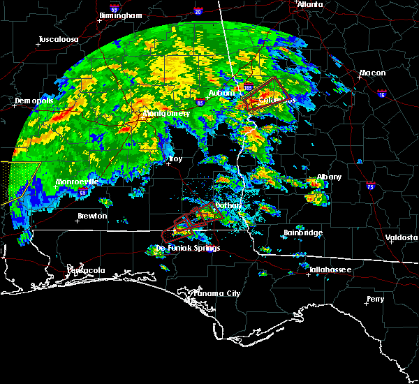 At 146 pm est/1246 pm cst/, a severe thunderstorm was located near abbeville, moving northeast at 35 mph (radar indicated). Hazards include 60 mph wind gusts and penny size hail. expect damage to roofs, siding, and trees At 146 pm est/1246 pm cst/, a severe thunderstorm was located near abbeville, moving northeast at 35 mph (radar indicated). Hazards include 60 mph wind gusts and penny size hail. expect damage to roofs, siding, and trees
|
| 1/23/2019 8:56 PM EST |
 At 855 pm est, severe thunderstorms were located along a line extending from near lakepoint resort state park to near kinsey, moving northeast at 45 mph (radar indicated). Hazards include 60 mph wind gusts. expect damage to roofs, siding, and trees At 855 pm est, severe thunderstorms were located along a line extending from near lakepoint resort state park to near kinsey, moving northeast at 45 mph (radar indicated). Hazards include 60 mph wind gusts. expect damage to roofs, siding, and trees
|
| 1/23/2019 7:45 PM CST |
 At 745 pm cst, severe thunderstorms were located along a line extending from near texasville to near midland city, moving northeast at 45 mph (radar indicated). Hazards include 60 mph wind gusts. Expect damage to roofs, siding, and trees. Locations impacted include, abbeville, fort gaines, headland, dothan, taylor, midland city, kinsey, ashford, cowarts, newton, webb, columbia, pinckard, grimes, newville, napier field, haleburg, shorterville, hayes and scottsboro crossroads. At 745 pm cst, severe thunderstorms were located along a line extending from near texasville to near midland city, moving northeast at 45 mph (radar indicated). Hazards include 60 mph wind gusts. Expect damage to roofs, siding, and trees. Locations impacted include, abbeville, fort gaines, headland, dothan, taylor, midland city, kinsey, ashford, cowarts, newton, webb, columbia, pinckard, grimes, newville, napier field, haleburg, shorterville, hayes and scottsboro crossroads.
|
| 1/23/2019 7:19 PM CST |
 At 719 pm cst, severe thunderstorms were located along a line extending from near ariton to near daleville, moving northeast at 45 mph (radar indicated). Hazards include 60 mph wind gusts. expect damage to roofs, siding, and trees At 719 pm cst, severe thunderstorms were located along a line extending from near ariton to near daleville, moving northeast at 45 mph (radar indicated). Hazards include 60 mph wind gusts. expect damage to roofs, siding, and trees
|
| 1/19/2019 6:20 PM CST |
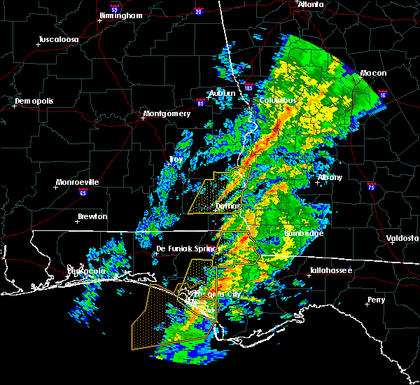 At 720 pm est/620 pm cst/, severe thunderstorms were located along a line extending from 9 miles north of fort gaines to near headland, moving east at 40 mph (radar indicated). Hazards include 60 mph wind gusts. Expect damage to roofs, siding, and trees. locations impacted include, abbeville, fort gaines, headland, kinsey, newville, haleburg, shorterville, walter f. george lock and dam, walter f george lake, tumbleton, kirkland crossroads, edwin, standleys store, grandberry crossroads, hayes, watson crossroads, scottsboro crossroads, double bridges, ricks place and graball. A tornado watch remains in effect until 1000 pm est/900 pm cst/ for southeastern alabama, and southwestern georgia. At 720 pm est/620 pm cst/, severe thunderstorms were located along a line extending from 9 miles north of fort gaines to near headland, moving east at 40 mph (radar indicated). Hazards include 60 mph wind gusts. Expect damage to roofs, siding, and trees. locations impacted include, abbeville, fort gaines, headland, kinsey, newville, haleburg, shorterville, walter f. george lock and dam, walter f george lake, tumbleton, kirkland crossroads, edwin, standleys store, grandberry crossroads, hayes, watson crossroads, scottsboro crossroads, double bridges, ricks place and graball. A tornado watch remains in effect until 1000 pm est/900 pm cst/ for southeastern alabama, and southwestern georgia.
|
| 1/19/2019 5:45 PM CST |
 At 645 pm est/545 pm cst/, severe thunderstorms were located along a line extending from near blue springs state park to near daleville, moving northeast at 45 mph (radar indicated). Hazards include 60 mph wind gusts. expect damage to roofs, siding, and trees At 645 pm est/545 pm cst/, severe thunderstorms were located along a line extending from near blue springs state park to near daleville, moving northeast at 45 mph (radar indicated). Hazards include 60 mph wind gusts. expect damage to roofs, siding, and trees
|
| 12/2/2018 4:20 AM CST |
 At 520 am est/420 am cst/, a severe thunderstorm was located over taylor, or 7 miles southwest of dothan, moving northeast at 35 mph (radar indicated). Hazards include 60 mph wind gusts. expect damage to roofs, siding, and trees At 520 am est/420 am cst/, a severe thunderstorm was located over taylor, or 7 miles southwest of dothan, moving northeast at 35 mph (radar indicated). Hazards include 60 mph wind gusts. expect damage to roofs, siding, and trees
|
| 12/2/2018 3:26 AM EST |
 At 326 am est/226 am cst/, a severe thunderstorm was located near fort gaines, moving northeast at 35 mph (radar indicated). Hazards include 60 mph wind gusts. expect damage to roofs, siding, and trees At 326 am est/226 am cst/, a severe thunderstorm was located near fort gaines, moving northeast at 35 mph (radar indicated). Hazards include 60 mph wind gusts. expect damage to roofs, siding, and trees
|
| 9/25/2018 3:12 PM CDT |
 At 312 pm cdt, a severe thunderstorm was located near headland, moving north at 40 mph (radar indicated). Hazards include 60 mph wind gusts. Expect damage to roofs, siding, and trees. locations impacted include, abbeville, headland, newville, haleburg, shorterville, bells crossroads, walter f. George lock and dam, tumbleton, kirkland crossroads, edwin, grandberry crossroads, hayes, scottsboro crossroads, double bridges, snells crossroads, graball, headland municipal a/p, dancey, thomas mill creek and balkum. At 312 pm cdt, a severe thunderstorm was located near headland, moving north at 40 mph (radar indicated). Hazards include 60 mph wind gusts. Expect damage to roofs, siding, and trees. locations impacted include, abbeville, headland, newville, haleburg, shorterville, bells crossroads, walter f. George lock and dam, tumbleton, kirkland crossroads, edwin, grandberry crossroads, hayes, scottsboro crossroads, double bridges, snells crossroads, graball, headland municipal a/p, dancey, thomas mill creek and balkum.
|
| 9/25/2018 2:56 PM CDT |
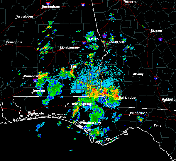 At 256 pm cdt, a severe thunderstorm was located over webb, or near headland, moving north at 40 mph (radar indicated). Hazards include 60 mph wind gusts. expect damage to roofs, siding, and trees At 256 pm cdt, a severe thunderstorm was located over webb, or near headland, moving north at 40 mph (radar indicated). Hazards include 60 mph wind gusts. expect damage to roofs, siding, and trees
|
| 9/4/2018 4:27 PM EDT |
 At 426 pm edt/326 pm cdt/, a severe thunderstorm was located near blakely, moving west at 30 mph (radar indicated). Hazards include 60 mph wind gusts. Expect damage to roofs, siding, and trees. locations impacted include, fort gaines, blakely, bellville, haleburg, bluffton, harrisons mill, shorterville, walter f. George lock and dam, barnes, hardwickburg, zetto, grandberry crossroads, hayes, colomokee, miller, ferrell crossroads, early co a/p, willis crossroads, kolomoki mounds sp and fort gaines-clay airport. At 426 pm edt/326 pm cdt/, a severe thunderstorm was located near blakely, moving west at 30 mph (radar indicated). Hazards include 60 mph wind gusts. Expect damage to roofs, siding, and trees. locations impacted include, fort gaines, blakely, bellville, haleburg, bluffton, harrisons mill, shorterville, walter f. George lock and dam, barnes, hardwickburg, zetto, grandberry crossroads, hayes, colomokee, miller, ferrell crossroads, early co a/p, willis crossroads, kolomoki mounds sp and fort gaines-clay airport.
|
| 9/4/2018 4:10 PM EDT |
 At 410 pm edt/310 pm cdt/, a severe thunderstorm was located near arlington, or near blakely, moving west at 30 mph (radar indicated). Hazards include 60 mph wind gusts. expect damage to roofs, siding, and trees At 410 pm edt/310 pm cdt/, a severe thunderstorm was located near arlington, or near blakely, moving west at 30 mph (radar indicated). Hazards include 60 mph wind gusts. expect damage to roofs, siding, and trees
|
| 8/6/2018 9:01 PM EDT |
 At 901 pm edt/801 pm cdt/, severe thunderstorms were located along a line extending from near richards crossroads to near west bainbridge, moving southwest at 20 mph (radar indicated). Hazards include 60 mph wind gusts. Expect damage to roofs, siding, and trees. Locations impacted include, abbeville, colquitt, fort gaines, bainbridge, donalsonville, blakely, columbia, west bainbridge, centerville, gordon, iron city, damascus, brinson, jakin, haleburg, bluffton, shorterville, crosby, hayes and watson crossroads. At 901 pm edt/801 pm cdt/, severe thunderstorms were located along a line extending from near richards crossroads to near west bainbridge, moving southwest at 20 mph (radar indicated). Hazards include 60 mph wind gusts. Expect damage to roofs, siding, and trees. Locations impacted include, abbeville, colquitt, fort gaines, bainbridge, donalsonville, blakely, columbia, west bainbridge, centerville, gordon, iron city, damascus, brinson, jakin, haleburg, bluffton, shorterville, crosby, hayes and watson crossroads.
|
| 8/6/2018 8:32 PM EDT |
 At 832 pm edt/732 pm cdt/, severe thunderstorms were located along a line extending from near georgetown to 15 miles southwest of newton, moving southwest at 10 mph (radar indicated). Hazards include 60 mph wind gusts. expect damage to roofs, siding, and trees At 832 pm edt/732 pm cdt/, severe thunderstorms were located along a line extending from near georgetown to 15 miles southwest of newton, moving southwest at 10 mph (radar indicated). Hazards include 60 mph wind gusts. expect damage to roofs, siding, and trees
|
| 8/6/2018 8:32 PM EDT |
 The national weather service in tallahassee has issued a * severe thunderstorm warning for. eastern henry county in southeastern alabama. eastern houston county in southeastern alabama. northern decatur county in southwestern georgia. Miller county in southwestern georgia. The national weather service in tallahassee has issued a * severe thunderstorm warning for. eastern henry county in southeastern alabama. eastern houston county in southeastern alabama. northern decatur county in southwestern georgia. Miller county in southwestern georgia.
|
| 7/22/2018 4:15 PM EDT | Several trees down along edison highwa in clay county GA, 7.5 miles WNW of Fort Gaines, GA |
| 7/22/2018 4:09 PM EDT |
 A severe thunderstorm warning remains in effect until 430 pm edt/330 pm cdt/ for southeastern henry county in southeastern alabama. southern clay. south central randolph. western calhoun and northern early counties in southwestern georgia. At 409 pm edt/309 pm cdt/, a severe thunderstorm was located near blakely, moving east at 40 mph. A severe thunderstorm warning remains in effect until 430 pm edt/330 pm cdt/ for southeastern henry county in southeastern alabama. southern clay. south central randolph. western calhoun and northern early counties in southwestern georgia. At 409 pm edt/309 pm cdt/, a severe thunderstorm was located near blakely, moving east at 40 mph.
|
| 7/22/2018 4:08 PM EDT |
 At 408 pm edt/308 pm cdt/, doppler radar indicated a severe thunderstorm capable of producing quarter size hail and destructive winds in excess of 80 mph. this storm was located 7 miles east of fort gaines, and moving east at 45 mph. At 408 pm edt/308 pm cdt/, doppler radar indicated a severe thunderstorm capable of producing quarter size hail and destructive winds in excess of 80 mph. this storm was located 7 miles east of fort gaines, and moving east at 45 mph.
|
| 7/22/2018 4:06 PM EDT | Multiple tress down west of fort gaines... ga along edison hw in clay county GA, 2 miles WNW of Fort Gaines, GA |
| 7/22/2018 4:00 PM EDT | Power line down south of fort gaines along smith l in clay county GA, 1.6 miles NNW of Fort Gaines, GA |
| 7/22/2018 3:51 PM EDT |
 At 350 pm edt/250 pm cdt/, a severe thunderstorm was located 9 miles southeast of abbeville, moving east at 40 mph. this is a very dangerous storm (radar indicated). Hazards include 80 mph wind gusts and quarter size hail. Flying debris will be dangerous to those caught without shelter. mobile homes will be heavily damaged. expect considerable damage to roofs, windows, and vehicles. extensive tree damage and power outages are likely. locations impacted include, abbeville, colquitt, fort gaines, headland, blakely, edison, arlington, columbia, centerville, newville, bellville, haleburg, bluffton, shorterville, walter f. George lock and dam, tumbleton, parksville, grandberry crossroads, hayes and rock hill. At 350 pm edt/250 pm cdt/, a severe thunderstorm was located 9 miles southeast of abbeville, moving east at 40 mph. this is a very dangerous storm (radar indicated). Hazards include 80 mph wind gusts and quarter size hail. Flying debris will be dangerous to those caught without shelter. mobile homes will be heavily damaged. expect considerable damage to roofs, windows, and vehicles. extensive tree damage and power outages are likely. locations impacted include, abbeville, colquitt, fort gaines, headland, blakely, edison, arlington, columbia, centerville, newville, bellville, haleburg, bluffton, shorterville, walter f. George lock and dam, tumbleton, parksville, grandberry crossroads, hayes and rock hill.
|
| 7/22/2018 2:41 PM CDT |
 At 341 pm edt/241 pm cdt/, a severe thunderstorm was located 7 miles north of headland, moving east at 40 mph (radar indicated). Hazards include 70 mph wind gusts and quarter size hail. Hail damage to vehicles is expected. expect considerable tree damage. Wind damage is also likely to mobile homes, roofs, and outbuildings. At 341 pm edt/241 pm cdt/, a severe thunderstorm was located 7 miles north of headland, moving east at 40 mph (radar indicated). Hazards include 70 mph wind gusts and quarter size hail. Hail damage to vehicles is expected. expect considerable tree damage. Wind damage is also likely to mobile homes, roofs, and outbuildings.
|
| 7/21/2018 9:07 PM EDT |
 At 907 pm edt, severe thunderstorms were located along a line extending from near cuthbert to 13 miles northeast of fort gaines to 8 miles south of georgetown, moving southeast at 35 mph (radar indicated). Hazards include 60 mph wind gusts and quarter size hail. Hail damage to vehicles is expected. Expect wind damage to roofs, siding, and trees. At 907 pm edt, severe thunderstorms were located along a line extending from near cuthbert to 13 miles northeast of fort gaines to 8 miles south of georgetown, moving southeast at 35 mph (radar indicated). Hazards include 60 mph wind gusts and quarter size hail. Hail damage to vehicles is expected. Expect wind damage to roofs, siding, and trees.
|
| 6/28/2018 5:14 PM CDT |
 At 614 pm edt/514 pm cdt/, severe thunderstorms were located along a line extending from 6 miles northeast of hawkinsville to near gaino to near banks to near lowndes county airport, moving southeast at 25 mph (radar indicated). Hazards include 60 mph wind gusts. expect damage to roofs, siding, and trees At 614 pm edt/514 pm cdt/, severe thunderstorms were located along a line extending from 6 miles northeast of hawkinsville to near gaino to near banks to near lowndes county airport, moving southeast at 25 mph (radar indicated). Hazards include 60 mph wind gusts. expect damage to roofs, siding, and trees
|
| 6/9/2018 2:27 PM CDT |
 At 326 pm edt/226 pm cdt/, a severe thunderstorm was located 7 miles southeast of abbeville, moving north at 10 mph (radar indicated). Hazards include 60 mph wind gusts and penny size hail. expect damage to roofs, siding, and trees At 326 pm edt/226 pm cdt/, a severe thunderstorm was located 7 miles southeast of abbeville, moving north at 10 mph (radar indicated). Hazards include 60 mph wind gusts and penny size hail. expect damage to roofs, siding, and trees
|
| 8/30/2017 2:00 PM EDT |
 At 200 pm edt/100 pm cdt/, a severe thunderstorm was located near fort gaines, moving northeast at 25 mph (radar indicated). Hazards include 60 mph wind gusts. expect damage to roofs, siding, and trees At 200 pm edt/100 pm cdt/, a severe thunderstorm was located near fort gaines, moving northeast at 25 mph (radar indicated). Hazards include 60 mph wind gusts. expect damage to roofs, siding, and trees
|
| 8/30/2017 1:25 PM EDT |
 At 124 pm edt/1224 pm cdt/, a severe thunderstorm was located near abbeville, moving northeast at 30 mph (radar indicated). Hazards include 60 mph wind gusts. expect damage to roofs, siding, and trees At 124 pm edt/1224 pm cdt/, a severe thunderstorm was located near abbeville, moving northeast at 30 mph (radar indicated). Hazards include 60 mph wind gusts. expect damage to roofs, siding, and trees
|
| 7/8/2017 4:53 PM EDT |
 At 452 pm edt/352 pm cdt/, a severe thunderstorm was located near abbeville, moving northeast at 35 mph (radar indicated). Hazards include 60 mph wind gusts and quarter size hail. Hail damage to vehicles is expected. Expect wind damage to roofs, siding, and trees. At 452 pm edt/352 pm cdt/, a severe thunderstorm was located near abbeville, moving northeast at 35 mph (radar indicated). Hazards include 60 mph wind gusts and quarter size hail. Hail damage to vehicles is expected. Expect wind damage to roofs, siding, and trees.
|
| 5/23/2017 11:42 AM EDT |
 At 1142 am edt, a severe thunderstorm was located near fort gaines, moving northeast at 45 mph (radar indicated). Hazards include 60 mph wind gusts. Expect damage to roofs, siding, and trees. locations impacted include, fort gaines, cuthbert, bellville, harrisons mill, springvale station, zetto, carnegie, moye, peterson hill, coles, pecan, randolph co a/p, shivers mill, coleman, jones crossing, bethel, suttons corner, cotton hill and fort gaines-clay airport. A tornado watch remains in effect until 600 pm edt for southeastern alabama, and southwestern georgia. At 1142 am edt, a severe thunderstorm was located near fort gaines, moving northeast at 45 mph (radar indicated). Hazards include 60 mph wind gusts. Expect damage to roofs, siding, and trees. locations impacted include, fort gaines, cuthbert, bellville, harrisons mill, springvale station, zetto, carnegie, moye, peterson hill, coles, pecan, randolph co a/p, shivers mill, coleman, jones crossing, bethel, suttons corner, cotton hill and fort gaines-clay airport. A tornado watch remains in effect until 600 pm edt for southeastern alabama, and southwestern georgia.
|
| 5/23/2017 11:37 AM EDT |
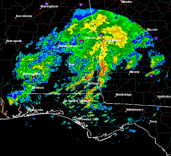 At 1136 am edt/1036 am cdt/, a severe thunderstorm was located over fort gaines, moving northeast at 45 mph (radar indicated). Hazards include 60 mph wind gusts. expect damage to roofs, siding, and trees At 1136 am edt/1036 am cdt/, a severe thunderstorm was located over fort gaines, moving northeast at 45 mph (radar indicated). Hazards include 60 mph wind gusts. expect damage to roofs, siding, and trees
|
| 4/5/2017 5:05 AM CDT |
 The severe thunderstorm warning for northern henry, northwestern clay, west central randolph and quitman counties will expire at 615 am edt/515 am cdt/, the storm which prompted the warning has weakened below severe limits, and has exited the warned area. therefore, the warning will be allowed to expire. a severe thunderstorm watch remains in effect until 900 am edt/800 am cdt/ for southeastern alabama, and southwestern georgia. The severe thunderstorm warning for northern henry, northwestern clay, west central randolph and quitman counties will expire at 615 am edt/515 am cdt/, the storm which prompted the warning has weakened below severe limits, and has exited the warned area. therefore, the warning will be allowed to expire. a severe thunderstorm watch remains in effect until 900 am edt/800 am cdt/ for southeastern alabama, and southwestern georgia.
|
| 4/5/2017 4:40 AM CDT |
 At 539 am edt/439 am cdt/, a severe thunderstorm was located 7 miles west of abbeville, moving northeast at 35 mph (radar indicated). Hazards include 60 mph wind gusts and quarter size hail. Hail damage to vehicles is expected. Expect wind damage to roofs, siding, and trees. At 539 am edt/439 am cdt/, a severe thunderstorm was located 7 miles west of abbeville, moving northeast at 35 mph (radar indicated). Hazards include 60 mph wind gusts and quarter size hail. Hail damage to vehicles is expected. Expect wind damage to roofs, siding, and trees.
|
| 4/5/2017 3:02 AM EDT |
 At 301 am edt/201 am cdt/, a severe thunderstorm was located near fort gaines, moving northeast at 30 mph (radar indicated). Hazards include ping pong ball size hail and 60 mph wind gusts. People and animals outdoors will be injured. expect hail damage to roofs, siding, windows, and vehicles. Expect wind damage to roofs, siding, and trees. At 301 am edt/201 am cdt/, a severe thunderstorm was located near fort gaines, moving northeast at 30 mph (radar indicated). Hazards include ping pong ball size hail and 60 mph wind gusts. People and animals outdoors will be injured. expect hail damage to roofs, siding, windows, and vehicles. Expect wind damage to roofs, siding, and trees.
|
| 4/3/2017 9:54 AM CDT |
 At 954 am cdt, severe thunderstorms were located along a line extending from near doster to near daleville, moving east at 40 mph (radar indicated). Hazards include 60 mph wind gusts. expect damage to roofs, siding, and trees At 954 am cdt, severe thunderstorms were located along a line extending from near doster to near daleville, moving east at 40 mph (radar indicated). Hazards include 60 mph wind gusts. expect damage to roofs, siding, and trees
|
| 1/22/2017 2:32 PM EST |
 At 232 pm est/132 pm cst/, severe thunderstorms were located along a line extending from near abbeville to 10 miles east of cottonwood, moving northeast at 65 mph (radar indicated). Hazards include 60 mph wind gusts and penny size hail. Expect damage to roofs, siding, and trees. locations impacted include, abbeville, cottonwood, fort gaines, blakely, headland, dothan, kinsey, ashford, cowarts, webb, columbia, rehobeth, avon, newville, madrid, gordon, bellville, haleburg, bluffton and memphis. A tornado watch remains in effect until 800 pm est/700 pm cst/ for southeastern alabama, and southwestern georgia. At 232 pm est/132 pm cst/, severe thunderstorms were located along a line extending from near abbeville to 10 miles east of cottonwood, moving northeast at 65 mph (radar indicated). Hazards include 60 mph wind gusts and penny size hail. Expect damage to roofs, siding, and trees. locations impacted include, abbeville, cottonwood, fort gaines, blakely, headland, dothan, kinsey, ashford, cowarts, webb, columbia, rehobeth, avon, newville, madrid, gordon, bellville, haleburg, bluffton and memphis. A tornado watch remains in effect until 800 pm est/700 pm cst/ for southeastern alabama, and southwestern georgia.
|
| 1/22/2017 2:24 PM EST | Widespread tree damage throughout county... heaviest near ft. gaines are in clay county GA, 4.3 miles NW of Fort Gaines, GA |
| 1/22/2017 12:59 PM CST |
 At 159 pm est/1259 pm cst/, severe thunderstorms were located along a line extending from 7 miles south of abbeville to near hartford, moving northeast at 60 mph (radar indicated). Hazards include 60 mph wind gusts and penny size hail. expect damage to roofs, siding, and trees At 159 pm est/1259 pm cst/, severe thunderstorms were located along a line extending from 7 miles south of abbeville to near hartford, moving northeast at 60 mph (radar indicated). Hazards include 60 mph wind gusts and penny size hail. expect damage to roofs, siding, and trees
|
| 1/22/2017 1:26 AM EST |
 At 125 am est, a severe thunderstorm was located 9 miles north of blakely, moving northeast at 45 mph (radar indicated). Hazards include 60 mph wind gusts and half dollar size hail. Hail damage to vehicles is expected. expect wind damage to roofs, siding, and trees. locations impacted include, fort gaines, blakely, columbia, bellville, bluffton, suttons corner, ferrell crossroads, early co a/p, colomokee, harrisons mill, rock hill, kolomoki mounds sp, jones crossing and zetto. A tornado watch remains in effect until 400 am est for southeastern alabama, and southwestern georgia. At 125 am est, a severe thunderstorm was located 9 miles north of blakely, moving northeast at 45 mph (radar indicated). Hazards include 60 mph wind gusts and half dollar size hail. Hail damage to vehicles is expected. expect wind damage to roofs, siding, and trees. locations impacted include, fort gaines, blakely, columbia, bellville, bluffton, suttons corner, ferrell crossroads, early co a/p, colomokee, harrisons mill, rock hill, kolomoki mounds sp, jones crossing and zetto. A tornado watch remains in effect until 400 am est for southeastern alabama, and southwestern georgia.
|
| 1/22/2017 1:12 AM EST |
 At 111 am est/1211 am cst/, a severe thunderstorm was located 10 miles southeast of abbeville, moving northeast at 45 mph (radar indicated). Hazards include 60 mph wind gusts and quarter size hail. Hail damage to vehicles is expected. expect wind damage to roofs, siding, and trees. locations impacted include, fort gaines, blakely, columbia, bellville, bluffton, haleburg, suttons corner, shorterville, ferrell crossroads, early co a/p, colomokee, barnes, harrisons mill, rock hill, kolomoki mounds sp, jones crossing, zetto, hayes, miller and hardwickburg. A tornado watch remains in effect until 400 am est/300 am cst/ for southeastern alabama, and southwestern georgia. At 111 am est/1211 am cst/, a severe thunderstorm was located 10 miles southeast of abbeville, moving northeast at 45 mph (radar indicated). Hazards include 60 mph wind gusts and quarter size hail. Hail damage to vehicles is expected. expect wind damage to roofs, siding, and trees. locations impacted include, fort gaines, blakely, columbia, bellville, bluffton, haleburg, suttons corner, shorterville, ferrell crossroads, early co a/p, colomokee, barnes, harrisons mill, rock hill, kolomoki mounds sp, jones crossing, zetto, hayes, miller and hardwickburg. A tornado watch remains in effect until 400 am est/300 am cst/ for southeastern alabama, and southwestern georgia.
|
| 1/22/2017 12:10 AM CST | Tree down along hwy 10 east in henry county AL, 4.2 miles NNE of Fort Gaines, GA |
| 1/22/2017 12:59 AM EST |
 At 1259 am est/1159 pm cst/, a severe thunderstorm was located near headland, moving east at 45 mph (radar indicated). Hazards include 60 mph wind gusts and quarter size hail. Hail damage to vehicles is expected. Expect wind damage to roofs, siding, and trees. At 1259 am est/1159 pm cst/, a severe thunderstorm was located near headland, moving east at 45 mph (radar indicated). Hazards include 60 mph wind gusts and quarter size hail. Hail damage to vehicles is expected. Expect wind damage to roofs, siding, and trees.
|
| 1/22/2017 12:59 AM EST |
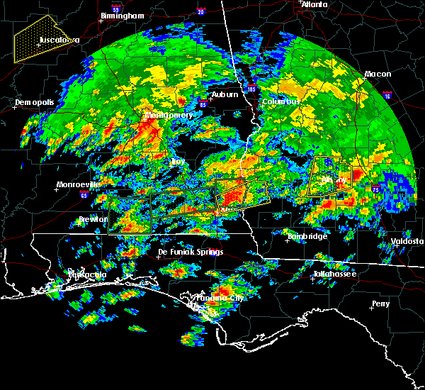 At 1259 am est/1159 pm cst/, a severe thunderstorm was located near headland, moving east at 45 mph (radar indicated). Hazards include 60 mph wind gusts and quarter size hail. Hail damage to vehicles is expected. Expect wind damage to roofs, siding, and trees. At 1259 am est/1159 pm cst/, a severe thunderstorm was located near headland, moving east at 45 mph (radar indicated). Hazards include 60 mph wind gusts and quarter size hail. Hail damage to vehicles is expected. Expect wind damage to roofs, siding, and trees.
|
| 1/21/2017 10:06 PM CST |
 At 1006 pm cst, a severe thunderstorm was located near ozark, moving east at 55 mph (radar indicated). Hazards include 60 mph wind gusts and quarter size hail. Hail damage to vehicles is expected. Expect wind damage to roofs, siding, and trees. At 1006 pm cst, a severe thunderstorm was located near ozark, moving east at 55 mph (radar indicated). Hazards include 60 mph wind gusts and quarter size hail. Hail damage to vehicles is expected. Expect wind damage to roofs, siding, and trees.
|
| 1/2/2017 9:26 PM EST |
 At 926 pm est, a severe thunderstorm was located 9 miles southeast of fort gaines, moving east at 45 mph (radar indicated). Hazards include 60 mph wind gusts. expect damage to roofs, siding, and trees At 926 pm est, a severe thunderstorm was located 9 miles southeast of fort gaines, moving east at 45 mph (radar indicated). Hazards include 60 mph wind gusts. expect damage to roofs, siding, and trees
|
| 7/19/2016 3:22 PM EDT |
 At 322 pm edt/222 pm cdt/, a severe thunderstorm was located over georgetown, moving south at 10 mph (radar indicated). Hazards include 60 mph wind gusts and quarter size hail. Hail damage to vehicles is expected. Expect wind damage to roofs, siding, and trees. At 322 pm edt/222 pm cdt/, a severe thunderstorm was located over georgetown, moving south at 10 mph (radar indicated). Hazards include 60 mph wind gusts and quarter size hail. Hail damage to vehicles is expected. Expect wind damage to roofs, siding, and trees.
|
| 7/12/2016 4:28 PM EDT |
 At 428 pm edt/328 pm cdt/, a severe thunderstorm was located near fort gaines, moving east at 20 mph (radar indicated). Hazards include 60 mph wind gusts. Expect damage to roofs. siding. And trees. At 428 pm edt/328 pm cdt/, a severe thunderstorm was located near fort gaines, moving east at 20 mph (radar indicated). Hazards include 60 mph wind gusts. Expect damage to roofs. siding. And trees.
|
| 7/10/2016 3:27 PM EDT |
 At 326 pm edt, severe thunderstorms were located along a line extending from fort gaines to 6 miles southeast of blakely, moving east at 20 mph (radar indicated). Hazards include 60 mph wind gusts and penny size hail. Expect damage to roofs. siding. And trees. At 326 pm edt, severe thunderstorms were located along a line extending from fort gaines to 6 miles southeast of blakely, moving east at 20 mph (radar indicated). Hazards include 60 mph wind gusts and penny size hail. Expect damage to roofs. siding. And trees.
|
| 7/10/2016 2:10 PM CDT | Report of tree down on county rd 46 in henry county AL, 5.2 miles E of Fort Gaines, GA |
| 7/10/2016 1:54 PM CDT |
 At 254 pm edt/154 pm cdt/, a severe thunderstorm was located over abbeville, moving east at 10 mph (radar indicated). Hazards include 60 mph wind gusts and quarter size hail. Hail damage to vehicles is expected. Expect wind damage to roofs, siding, and trees. At 254 pm edt/154 pm cdt/, a severe thunderstorm was located over abbeville, moving east at 10 mph (radar indicated). Hazards include 60 mph wind gusts and quarter size hail. Hail damage to vehicles is expected. Expect wind damage to roofs, siding, and trees.
|
| 7/9/2016 4:02 PM CDT |
 At 502 pm edt/402 pm cdt/, a severe thunderstorm was located near richards crossroads, or 9 miles northwest of fort gaines, moving south at 15 mph (radar indicated). Hazards include 60 mph wind gusts and penny size hail. Expect damage to roofs. siding. And trees. At 502 pm edt/402 pm cdt/, a severe thunderstorm was located near richards crossroads, or 9 miles northwest of fort gaines, moving south at 15 mph (radar indicated). Hazards include 60 mph wind gusts and penny size hail. Expect damage to roofs. siding. And trees.
|
| 7/9/2016 4:02 PM CDT |
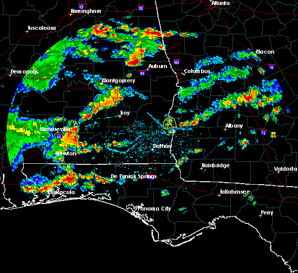 At 502 pm edt/402 pm cdt/, a severe thunderstorm was located near richards crossroads, or 9 miles northwest of fort gaines, moving south at 15 mph (radar indicated). Hazards include 60 mph wind gusts and penny size hail. Expect damage to roofs. siding. And trees. At 502 pm edt/402 pm cdt/, a severe thunderstorm was located near richards crossroads, or 9 miles northwest of fort gaines, moving south at 15 mph (radar indicated). Hazards include 60 mph wind gusts and penny size hail. Expect damage to roofs. siding. And trees.
|
| 6/17/2016 8:47 PM EDT |
 At 846 pm edt/746 pm cdt/, severe thunderstorms were located along a line extending from 6 miles south of dawson to 8 miles northwest of bonifay, moving southeast at 50 mph (trained weather spotters). Hazards include 70 mph wind gusts and quarter size hail. Hail damage to vehicles is expected. expect considerable tree damage. wind damage is also likely to mobile homes, roofs, and outbuildings. Locations impacted include, daleville, abbeville, cottonwood, fort gaines, morgan, blakely, cuthbert, geneva, dothan, headland, hartford, taylor, midland city, kinsey, ashford, slocomb, cowarts, edison, newton and arlington. At 846 pm edt/746 pm cdt/, severe thunderstorms were located along a line extending from 6 miles south of dawson to 8 miles northwest of bonifay, moving southeast at 50 mph (trained weather spotters). Hazards include 70 mph wind gusts and quarter size hail. Hail damage to vehicles is expected. expect considerable tree damage. wind damage is also likely to mobile homes, roofs, and outbuildings. Locations impacted include, daleville, abbeville, cottonwood, fort gaines, morgan, blakely, cuthbert, geneva, dothan, headland, hartford, taylor, midland city, kinsey, ashford, slocomb, cowarts, edison, newton and arlington.
|
| 6/17/2016 8:12 PM EDT |
 At 812 pm edt/712 pm cdt/, severe thunderstorms were located along a line extending from 8 miles south of lumpkin to 7 miles west of samson, moving southeast at 50 mph (radar indicated). Hazards include 70 mph wind gusts and quarter size hail. Hail damage to vehicles is expected. expect considerable tree damage. Wind damage is also likely to mobile homes, roofs, and outbuildings. At 812 pm edt/712 pm cdt/, severe thunderstorms were located along a line extending from 8 miles south of lumpkin to 7 miles west of samson, moving southeast at 50 mph (radar indicated). Hazards include 70 mph wind gusts and quarter size hail. Hail damage to vehicles is expected. expect considerable tree damage. Wind damage is also likely to mobile homes, roofs, and outbuildings.
|
| 6/17/2016 6:20 PM CDT |
 At 719 pm edt/619 pm cdt/, severe thunderstorms were located along a line extending from 8 miles south of seale to near gantt, moving southeast at 60 mph (radar indicated). Hazards include 60 mph wind gusts and quarter size hail. Hail damage to vehicles is expected. Expect wind damage to roofs, siding, and trees. At 719 pm edt/619 pm cdt/, severe thunderstorms were located along a line extending from 8 miles south of seale to near gantt, moving southeast at 60 mph (radar indicated). Hazards include 60 mph wind gusts and quarter size hail. Hail damage to vehicles is expected. Expect wind damage to roofs, siding, and trees.
|
| 6/16/2016 2:35 PM EDT | Tree down on state highway 10 east between mile markers 229 and 23 in henry county AL, 1.5 miles N of Fort Gaines, GA |
| 4/1/2016 8:47 AM EDT |
 At 845 am edt, a severe thunderstorm was located near fort gaines, moving east at 20 mph (radar indicated). Hazards include 60 mph wind gusts and nickel size hail. Expect damage to roofs. siding. And trees. At 845 am edt, a severe thunderstorm was located near fort gaines, moving east at 20 mph (radar indicated). Hazards include 60 mph wind gusts and nickel size hail. Expect damage to roofs. siding. And trees.
|
| 4/1/2016 7:13 AM CDT |
 At 712 am cdt, a severe thunderstorm was located near richards crossroads, or 8 miles northeast of abbeville, moving east at 45 mph (radar indicated). Hazards include 60 mph wind gusts and quarter size hail. Hail damage to vehicles is expected. expect wind damage to roofs, siding, and trees. locations impacted include, abbeville, scottsboro crossroads, double bridges, screamer, coates, thomas mill creek, otho, lawrenceville, graball, abbeville municipal a/p, walter f. george lock and dam and shorterville. A tornado watch remains in effect until 200 pm cdt for southeastern alabama and southwestern georgia. At 712 am cdt, a severe thunderstorm was located near richards crossroads, or 8 miles northeast of abbeville, moving east at 45 mph (radar indicated). Hazards include 60 mph wind gusts and quarter size hail. Hail damage to vehicles is expected. expect wind damage to roofs, siding, and trees. locations impacted include, abbeville, scottsboro crossroads, double bridges, screamer, coates, thomas mill creek, otho, lawrenceville, graball, abbeville municipal a/p, walter f. george lock and dam and shorterville. A tornado watch remains in effect until 200 pm cdt for southeastern alabama and southwestern georgia.
|
| 4/1/2016 6:56 AM CDT |
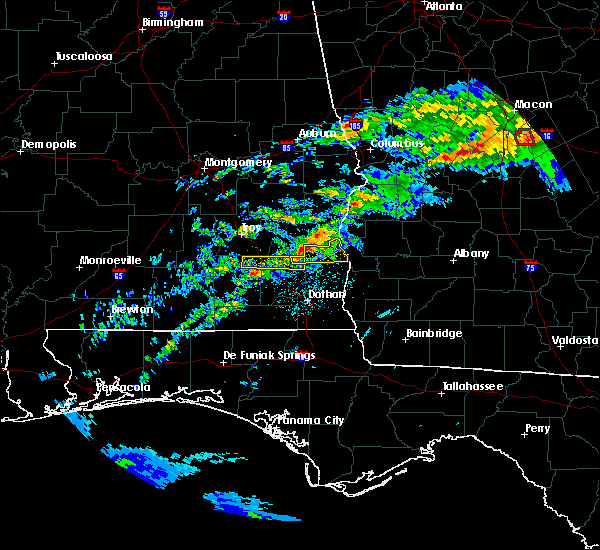 At 755 am edt/655 am cdt/, a severe thunderstorm was located near blue springs state park, or 10 miles northwest of abbeville, moving east at 45 mph (radar indicated). Hazards include 60 mph wind gusts and quarter size hail. Hail damage to vehicles is expected. Expect wind damage to roofs, siding, and trees. At 755 am edt/655 am cdt/, a severe thunderstorm was located near blue springs state park, or 10 miles northwest of abbeville, moving east at 45 mph (radar indicated). Hazards include 60 mph wind gusts and quarter size hail. Hail damage to vehicles is expected. Expect wind damage to roofs, siding, and trees.
|
| 3/24/2016 6:00 PM EDT | Power lines down along highway 37 south of fort gaines. also... several trees were reported down throughout clay count in clay county GA, 2.3 miles NNW of Fort Gaines, GA |
| 3/24/2016 5:45 PM EDT |
 At 544 pm edt, severe thunderstorms were located along a line extending from 6 miles south of georgetown to 7 miles northeast of fort gaines to 10 miles west of edison to 12 miles west of arlington to blakely, moving northeast at 50 mph (radar indicated). Hazards include 60 mph wind gusts. Expect damage to roofs. siding. And trees. At 544 pm edt, severe thunderstorms were located along a line extending from 6 miles south of georgetown to 7 miles northeast of fort gaines to 10 miles west of edison to 12 miles west of arlington to blakely, moving northeast at 50 mph (radar indicated). Hazards include 60 mph wind gusts. Expect damage to roofs. siding. And trees.
|
| 3/24/2016 5:40 PM EDT |
 At 540 pm edt, severe thunderstorms were located along a line extending from fort gaines to 14 miles east of abbeville to 12 miles northeast of columbia to near blakely, moving east at 40 mph (radar indicated). Hazards include 60 mph wind gusts. Expect damage to roofs. siding. and trees. locations impacted include, fort gaines, blakely, edison, arlington, douglasville, damascus. A tornado watch remains in effect until 800 pm edt for southeastern alabama. At 540 pm edt, severe thunderstorms were located along a line extending from fort gaines to 14 miles east of abbeville to 12 miles northeast of columbia to near blakely, moving east at 40 mph (radar indicated). Hazards include 60 mph wind gusts. Expect damage to roofs. siding. and trees. locations impacted include, fort gaines, blakely, edison, arlington, douglasville, damascus. A tornado watch remains in effect until 800 pm edt for southeastern alabama.
|
| 3/24/2016 5:26 PM EDT |
 At 525 pm edt/425 pm cdt/, severe thunderstorms were located along a line extending from near abbeville to 8 miles southwest of fort gaines to near columbia, moving east at 40 mph (radar indicated). Hazards include 60 mph wind gusts. Expect damage to roofs. siding. And trees. At 525 pm edt/425 pm cdt/, severe thunderstorms were located along a line extending from near abbeville to 8 miles southwest of fort gaines to near columbia, moving east at 40 mph (radar indicated). Hazards include 60 mph wind gusts. Expect damage to roofs. siding. And trees.
|
| 3/24/2016 4:10 PM CDT |
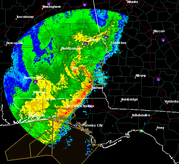 At 409 pm cdt, a severe thunderstorm was located 7 miles southwest of abbeville, moving east at 45 mph (public). Hazards include 70 mph wind gusts. Expect considerable tree damage. damage is likely to mobile homes, roofs, and outbuildings. locations impacted include, abbeville, headland, newville. A tornado watch remains in effect until 700 pm cdt for southeastern alabama. At 409 pm cdt, a severe thunderstorm was located 7 miles southwest of abbeville, moving east at 45 mph (public). Hazards include 70 mph wind gusts. Expect considerable tree damage. damage is likely to mobile homes, roofs, and outbuildings. locations impacted include, abbeville, headland, newville. A tornado watch remains in effect until 700 pm cdt for southeastern alabama.
|
| 3/24/2016 3:54 PM CDT |
 At 353 pm cdt, the national weather service has detected a severe thunderstorm capable of producing damaging winds in excess of 60 mph. this storm was located 7 miles northeast of ozark, and moving east at 45 mph. At 353 pm cdt, the national weather service has detected a severe thunderstorm capable of producing damaging winds in excess of 60 mph. this storm was located 7 miles northeast of ozark, and moving east at 45 mph.
|
| 3/17/2016 3:50 PM CDT |
 At 449 pm edt/349 pm cdt/, a severe thunderstorm was located near abbeville, moving east at 40 mph (radar indicated). Hazards include 60 mph wind gusts and quarter size hail. Hail damage to vehicles is expected. expect wind damage to roofs, siding, and trees. locations impacted include, abbeville, fort gaines, bellville, scottsboro crossroads, willis crossroads, murphy station, bethel, screamer, morris, graball, bonapartes retreat, hatcher, moores crossroads, bagby state park, standleys store, walter f george lake, zetto, lawrenceville, cotton hill and walter f. George lock and dam. At 449 pm edt/349 pm cdt/, a severe thunderstorm was located near abbeville, moving east at 40 mph (radar indicated). Hazards include 60 mph wind gusts and quarter size hail. Hail damage to vehicles is expected. expect wind damage to roofs, siding, and trees. locations impacted include, abbeville, fort gaines, bellville, scottsboro crossroads, willis crossroads, murphy station, bethel, screamer, morris, graball, bonapartes retreat, hatcher, moores crossroads, bagby state park, standleys store, walter f george lake, zetto, lawrenceville, cotton hill and walter f. George lock and dam.
|
| 3/17/2016 3:27 PM CDT |
 At 427 pm edt/327 pm cdt/, the national weather service has detected a severe thunderstorm capable of producing quarter size hail and damaging winds in excess of 60 mph. this storm was located near abbeville, and moving east at 50 mph. At 427 pm edt/327 pm cdt/, the national weather service has detected a severe thunderstorm capable of producing quarter size hail and damaging winds in excess of 60 mph. this storm was located near abbeville, and moving east at 50 mph.
|
| 3/3/2016 6:12 PM CST |
 At 611 pm cst, severe thunderstorms were located along a line extending from near blue springs state park to fort rucker, moving east at 55 mph (radar indicated). Hazards include quarter size hail and 60 mph wind. Hail damage to vehicles is expected. Expect wind damage to roofs, siding, and trees. At 611 pm cst, severe thunderstorms were located along a line extending from near blue springs state park to fort rucker, moving east at 55 mph (radar indicated). Hazards include quarter size hail and 60 mph wind. Hail damage to vehicles is expected. Expect wind damage to roofs, siding, and trees.
|
| 2/24/2016 12:15 AM EST | Trees downed around highway 37 near fort gaine in clay county GA, 2.4 miles NW of Fort Gaines, GA |
| 2/23/2016 11:09 PM CST |
 At 1108 pm cst, severe thunderstorms were located along a line extending from 8 miles southeast of georgetown to near blakely to 6 miles south of columbia, moving northeast at 50 mph (radar indicated). Hazards include 60 mph wind gusts. Expect damage to roofs. siding and trees. locations impacted include, abbeville, cottonwood, fort gaines, dothan, ashford, cowarts, webb, columbia, avon, madrid, gordon, haleburg, memphis, scottsboro crossroads, pleasant plains, ardilla, willis crossroads, southern junction, hodgesville and screamer. A tornado watch remains in effect until 300 am cst for southeastern alabama and southwestern georgia. At 1108 pm cst, severe thunderstorms were located along a line extending from 8 miles southeast of georgetown to near blakely to 6 miles south of columbia, moving northeast at 50 mph (radar indicated). Hazards include 60 mph wind gusts. Expect damage to roofs. siding and trees. locations impacted include, abbeville, cottonwood, fort gaines, dothan, ashford, cowarts, webb, columbia, avon, madrid, gordon, haleburg, memphis, scottsboro crossroads, pleasant plains, ardilla, willis crossroads, southern junction, hodgesville and screamer. A tornado watch remains in effect until 300 am cst for southeastern alabama and southwestern georgia.
|
| 2/23/2016 11:02 PM CST |
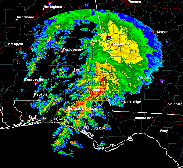 At 1102 pm cst, a confirmed tornado was located 8 miles southeast of abbeville, moving northeast at 45 mph (radar confirmed tornado). Hazards include damaging tornado. Flying debris will be dangerous to those caught without shelter. mobile homes will be damaged or destroyed. damage to roofs, windows and vehicles will occur. tree damage is likely. this tornado will be near, fort gaines around 1215 am est. other locations impacted by this tornadic thunderstorm include haleburg, shorterville, willis crossroads, hayes, barnes, miller, hardwickburg and walter f. George lock and dam. At 1102 pm cst, a confirmed tornado was located 8 miles southeast of abbeville, moving northeast at 45 mph (radar confirmed tornado). Hazards include damaging tornado. Flying debris will be dangerous to those caught without shelter. mobile homes will be damaged or destroyed. damage to roofs, windows and vehicles will occur. tree damage is likely. this tornado will be near, fort gaines around 1215 am est. other locations impacted by this tornadic thunderstorm include haleburg, shorterville, willis crossroads, hayes, barnes, miller, hardwickburg and walter f. George lock and dam.
|
| 2/23/2016 11:54 PM EST |
 At 1154 pm est /1054 pm cst/, severe thunderstorms were located along a line extending from 8 miles south of fort gaines to near columbia to cottonwood, moving northeast at 70 mph (radar indicated). Hazards include 70 mph wind gusts and penny size hail. Expect considerable tree damage. Damage is likely to mobile homes, roofs and outbuildings. At 1154 pm est /1054 pm cst/, severe thunderstorms were located along a line extending from 8 miles south of fort gaines to near columbia to cottonwood, moving northeast at 70 mph (radar indicated). Hazards include 70 mph wind gusts and penny size hail. Expect considerable tree damage. Damage is likely to mobile homes, roofs and outbuildings.
|
| 2/23/2016 10:48 PM CST |
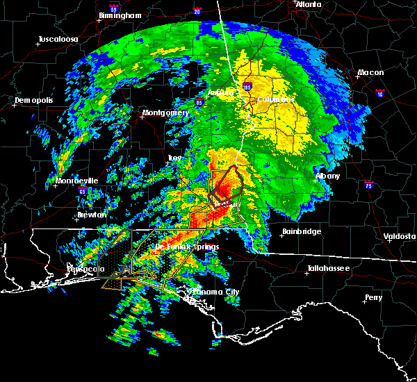 At 1047 pm cst, a tornado producing storm was located near headland, moving northeast at 45 mph (radar confirmed tornado). Hazards include damaging tornado. Flying debris will be dangerous to those caught without shelter. mobile homes will be damaged or destroyed. damage to roofs, windows and vehicles will occur. tree damage is likely. this tornadic storm will be near, abbeville around 1055 pm cst. fort gaines around 1215 am est. Other locations impacted by this tornadic thunderstorm include grandberry crossroads, scottsboro crossroads, shorterville, capps, tumbleton, willis crossroads, dancey, murphy station, double bridges and screamer. At 1047 pm cst, a tornado producing storm was located near headland, moving northeast at 45 mph (radar confirmed tornado). Hazards include damaging tornado. Flying debris will be dangerous to those caught without shelter. mobile homes will be damaged or destroyed. damage to roofs, windows and vehicles will occur. tree damage is likely. this tornadic storm will be near, abbeville around 1055 pm cst. fort gaines around 1215 am est. Other locations impacted by this tornadic thunderstorm include grandberry crossroads, scottsboro crossroads, shorterville, capps, tumbleton, willis crossroads, dancey, murphy station, double bridges and screamer.
|
| 2/23/2016 10:43 PM CST |
 At 1042 pm cst, severe thunderstorms were located along a line extending from near richards crossroads to near webb to near cottonwood, moving northeast at 50 mph (radar indicated). Hazards include 60 mph wind gusts and penny size hail. Expect damage to roofs. siding and trees. locations impacted include, abbeville, cottonwood, fort gaines, headland, dothan, hartford, taylor, kinsey, ashford, slocomb, cowarts, webb, columbia, malvern, rehobeth, grimes, avon, newville, napier field and madrid. A tornado watch remains in effect until 300 am cst for southeastern alabama and southwestern georgia. At 1042 pm cst, severe thunderstorms were located along a line extending from near richards crossroads to near webb to near cottonwood, moving northeast at 50 mph (radar indicated). Hazards include 60 mph wind gusts and penny size hail. Expect damage to roofs. siding and trees. locations impacted include, abbeville, cottonwood, fort gaines, headland, dothan, hartford, taylor, kinsey, ashford, slocomb, cowarts, webb, columbia, malvern, rehobeth, grimes, avon, newville, napier field and madrid. A tornado watch remains in effect until 300 am cst for southeastern alabama and southwestern georgia.
|
| 2/23/2016 10:25 PM CST |
 At 1025 pm cst, severe thunderstorms were located along a line extending from near blue springs state park to near taylor to near graceville, moving northeast at 50 mph (radar indicated). Hazards include 60 mph wind gusts and nickel size hail. Expect damage to roofs. Siding and trees. At 1025 pm cst, severe thunderstorms were located along a line extending from near blue springs state park to near taylor to near graceville, moving northeast at 50 mph (radar indicated). Hazards include 60 mph wind gusts and nickel size hail. Expect damage to roofs. Siding and trees.
|
| 2/15/2016 8:36 PM EST |
 At 835 pm est /735 pm cst/, severe thunderstorms were located along a line extending from 10 miles southwest of lumpkin to near cottonwood, moving east at 40 mph (radar indicated). Hazards include 60 mph wind gusts. Expect damage to roofs. Siding and trees. At 835 pm est /735 pm cst/, severe thunderstorms were located along a line extending from 10 miles southwest of lumpkin to near cottonwood, moving east at 40 mph (radar indicated). Hazards include 60 mph wind gusts. Expect damage to roofs. Siding and trees.
|
| 2/15/2016 8:14 PM EST |
 At 814 pm est, severe thunderstorms were located along a line extending from 7 miles northeast of lakepoint resort state park to abbeville, moving east at 45 mph (radar indicated). Hazards include 60 mph wind gusts. Expect damage to roofs. Siding and trees. At 814 pm est, severe thunderstorms were located along a line extending from 7 miles northeast of lakepoint resort state park to abbeville, moving east at 45 mph (radar indicated). Hazards include 60 mph wind gusts. Expect damage to roofs. Siding and trees.
|
| 1/22/2016 2:24 AM CST | At 224 am cst, severe thunderstorms were located along a line extending from near ariton to 8 miles east of geneva, moving east at 45 mph (radar indicated). Hazards include 60 mph wind gusts. Expect damage to roofs. siding and trees. locations impacted include, daleville, abbeville, cottonwood, fort gaines, dothan, ozark, fort rucker, headland, enterprise, hartford, taylor, midland city, kinsey, ashford, level plains, slocomb, cowarts, newton, webb and ariton. A tornado watch remains in effect until 500 am cst for southeastern alabama, central florida and southwestern georgia. |
| 1/22/2016 1:55 AM CST | At 155 am cst, severe thunderstorms were located along a line extending from near doster to 9 miles south of samson, moving east at 60 mph (radar indicated). Hazards include 60 mph wind gusts. Expect damage to roofs. Siding and trees. |
| 7/23/2015 5:36 PM EDT |
 At 536 pm edt /436 pm cdt/, the national weather service has detected a severe thunderstorm capable of producing damaging winds in excess of 60 mph. this storm was located over white oak, or 9 miles west of eufaula, and moving east at 30 mph. At 536 pm edt /436 pm cdt/, the national weather service has detected a severe thunderstorm capable of producing damaging winds in excess of 60 mph. this storm was located over white oak, or 9 miles west of eufaula, and moving east at 30 mph.
|
| 7/21/2015 4:00 PM EDT | Trees and power lines down in fort gaines in clay county GA, 0.7 miles W of Fort Gaines, GA |
| 7/21/2015 3:58 PM EDT |
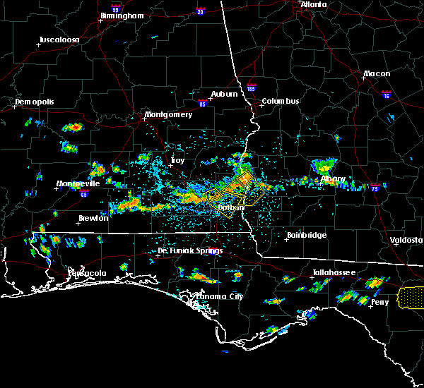 At 357 pm edt /257 pm cdt/, doppler radar indicated a severe thunderstorm capable of producing damaging winds in excess of 60 mph. this storm was located near fort gaines, moving southeast at 15 mph. locations impacted include, fort gaines, walter f george lake, days crossroads, fort gaines-clay airport, walter f. george lock and dam, shorterville and pecan. At 357 pm edt /257 pm cdt/, doppler radar indicated a severe thunderstorm capable of producing damaging winds in excess of 60 mph. this storm was located near fort gaines, moving southeast at 15 mph. locations impacted include, fort gaines, walter f george lake, days crossroads, fort gaines-clay airport, walter f. george lock and dam, shorterville and pecan.
|
| 7/21/2015 3:57 PM EDT |
 At 357 pm edt /257 pm cdt/, the national weather service has detected a line of severe thunderstorms capable of producing damaging winds in excess of 60 mph. these storms were located along a line extending from 11 miles southwest of cuthbert to 6 miles south of fort gaines to 7 miles south of abbeville, and moving south at 30 mph. At 357 pm edt /257 pm cdt/, the national weather service has detected a line of severe thunderstorms capable of producing damaging winds in excess of 60 mph. these storms were located along a line extending from 11 miles southwest of cuthbert to 6 miles south of fort gaines to 7 miles south of abbeville, and moving south at 30 mph.
|
| 7/21/2015 3:45 PM EDT |
 At 345 pm edt /245 pm cdt/, doppler radar indicated a severe thunderstorm capable of producing damaging winds in excess of 60 mph. this storm was located near fort gaines, moving southeast at 15 mph. penny size hail may also accompany the damaging winds. locations impacted include, fort gaines, shorterville, double bridges, days crossroads, coates, thomas mill creek, ricks place, watson crossroads, moores crossroads, bagby state park, standleys store, walter f george lake, fort gaines-clay airport, otho, cotton hill, walter f. george lock and dam and pecan. At 345 pm edt /245 pm cdt/, doppler radar indicated a severe thunderstorm capable of producing damaging winds in excess of 60 mph. this storm was located near fort gaines, moving southeast at 15 mph. penny size hail may also accompany the damaging winds. locations impacted include, fort gaines, shorterville, double bridges, days crossroads, coates, thomas mill creek, ricks place, watson crossroads, moores crossroads, bagby state park, standleys store, walter f george lake, fort gaines-clay airport, otho, cotton hill, walter f. george lock and dam and pecan.
|
| 7/21/2015 3:45 PM EDT |
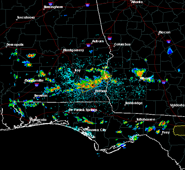 At 345 pm edt /245 pm cdt/, doppler radar indicated a severe thunderstorm capable of producing damaging winds in excess of 60 mph. this storm was located near fort gaines, moving southeast at 15 mph. penny size hail may also accompany the damaging winds. locations impacted include, fort gaines, shorterville, double bridges, days crossroads, coates, thomas mill creek, ricks place, watson crossroads, moores crossroads, bagby state park, standleys store, walter f george lake, fort gaines-clay airport, otho, cotton hill, walter f. george lock and dam and pecan. At 345 pm edt /245 pm cdt/, doppler radar indicated a severe thunderstorm capable of producing damaging winds in excess of 60 mph. this storm was located near fort gaines, moving southeast at 15 mph. penny size hail may also accompany the damaging winds. locations impacted include, fort gaines, shorterville, double bridges, days crossroads, coates, thomas mill creek, ricks place, watson crossroads, moores crossroads, bagby state park, standleys store, walter f george lake, fort gaines-clay airport, otho, cotton hill, walter f. george lock and dam and pecan.
|
| 7/21/2015 2:27 PM CDT | One tree down along hwy 10 in henry county AL, 4.2 miles NNE of Fort Gaines, GA |
| 7/21/2015 2:27 PM CDT |
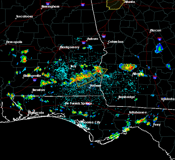 At 326 pm edt /226 pm cdt/, the national weather service has detected a severe thunderstorm capable of producing damaging winds in excess of 60 mph. this storm was located near richards crossroads, or 9 miles south of eufaula, and moving southeast at 15 mph. At 326 pm edt /226 pm cdt/, the national weather service has detected a severe thunderstorm capable of producing damaging winds in excess of 60 mph. this storm was located near richards crossroads, or 9 miles south of eufaula, and moving southeast at 15 mph.
|
| 7/4/2015 9:14 PM EDT |
 At 913 pm edt, doppler radar indicated a line of severe thunderstorms capable of producing damaging winds in excess of 60 mph. these storms were located along a line extending from 8 miles southwest of lumpkin to 8 miles east of georgetown to 9 miles east of fort gaines to 8 miles north of blakely, moving east at 40 mph. locations impacted include, fort gaines, morgan, cuthbert, georgetown, dawson, edison, shellman, union, parrott, bellville, bluffton, dawson municipal a/p, suttons corner, cordrays mill, springvale, oak hill, springvale station, bethel, shivers mill and herod. At 913 pm edt, doppler radar indicated a line of severe thunderstorms capable of producing damaging winds in excess of 60 mph. these storms were located along a line extending from 8 miles southwest of lumpkin to 8 miles east of georgetown to 9 miles east of fort gaines to 8 miles north of blakely, moving east at 40 mph. locations impacted include, fort gaines, morgan, cuthbert, georgetown, dawson, edison, shellman, union, parrott, bellville, bluffton, dawson municipal a/p, suttons corner, cordrays mill, springvale, oak hill, springvale station, bethel, shivers mill and herod.
|
| 7/4/2015 8:08 PM CDT |
 The severe thunderstorm warning for northeastern houston, henry, northwestern early, clay and southwestern randolph counties will expire at 915 pm edt, the storms which prompted the warning have moved out of the area. therefore the warning will be allowed to expire. however, another severe thunderstorm warning remains in effect for eastern henry county and parts of southwest georgia for the same line of storms. The severe thunderstorm warning for northeastern houston, henry, northwestern early, clay and southwestern randolph counties will expire at 915 pm edt, the storms which prompted the warning have moved out of the area. therefore the warning will be allowed to expire. however, another severe thunderstorm warning remains in effect for eastern henry county and parts of southwest georgia for the same line of storms.
|
| 7/4/2015 8:59 PM EDT |
 At 858 pm edt /758 pm cdt/, local law enforcement reported a line of severe thunderstorms producing damaging winds in excess of 60 mph. these storms were located along a line extending from near lakepoint resort state park to near georgetown to fort gaines to 6 miles north of columbia, and moving east at 40 mph. these storms have a history of blowing down trees in southeast alabama. multiple reports of trees down have been received. At 858 pm edt /758 pm cdt/, local law enforcement reported a line of severe thunderstorms producing damaging winds in excess of 60 mph. these storms were located along a line extending from near lakepoint resort state park to near georgetown to fort gaines to 6 miles north of columbia, and moving east at 40 mph. these storms have a history of blowing down trees in southeast alabama. multiple reports of trees down have been received.
|
| 7/4/2015 7:55 PM CDT | Tree down in henry county AL, 1.8 miles ENE of Fort Gaines, GA |
| 7/4/2015 7:55 PM CDT |
 At 854 pm edt /754 pm cdt/, local law enforcement reported a line of severe thunderstorms producing damaging winds in excess of 60 mph. these storms were located along a line extending from 7 miles southeast of georgetown to cowarts, moving east at 35 mph. multiple reports of trees being blown down have been received from dale county. seek shelter now. locations impacted include, abbeville, fort gaines, cuthbert, headland, dothan, kinsey, ashford, cowarts, webb, columbia, newville, bellville, haleburg, green acres, scottsboro crossroads, pleasant plains, capps, bethel, screamer and graball. At 854 pm edt /754 pm cdt/, local law enforcement reported a line of severe thunderstorms producing damaging winds in excess of 60 mph. these storms were located along a line extending from 7 miles southeast of georgetown to cowarts, moving east at 35 mph. multiple reports of trees being blown down have been received from dale county. seek shelter now. locations impacted include, abbeville, fort gaines, cuthbert, headland, dothan, kinsey, ashford, cowarts, webb, columbia, newville, bellville, haleburg, green acres, scottsboro crossroads, pleasant plains, capps, bethel, screamer and graball.
|
| 7/4/2015 7:45 PM CDT |
 At 843 pm edt /743 pm cdt/, local law enforcement reported a line of severe thunderstorms producing damaging winds in excess of 60 mph. these storms were located along a line extending from near georgetown to near cowarts, moving east at 45 mph. trees have been blown down with this line of storms in southeast alabama. locations impacted include, abbeville, fort gaines, cuthbert, headland, dothan, midland city, kinsey, ashford, cowarts, newton, webb, columbia, pinckard, grimes, newville, napier field, bellville, haleburg, green acres and scottsboro crossroads. At 843 pm edt /743 pm cdt/, local law enforcement reported a line of severe thunderstorms producing damaging winds in excess of 60 mph. these storms were located along a line extending from near georgetown to near cowarts, moving east at 45 mph. trees have been blown down with this line of storms in southeast alabama. locations impacted include, abbeville, fort gaines, cuthbert, headland, dothan, midland city, kinsey, ashford, cowarts, newton, webb, columbia, pinckard, grimes, newville, napier field, bellville, haleburg, green acres and scottsboro crossroads.
|
| 7/4/2015 7:24 PM CDT |
 At 824 pm edt /724 pm cdt/, local law enforcement reported a line of severe thunderstorms producing damaging winds in excess of 60 mph. these storms were located along a line extending from near gaino to 6 miles north of slocomb, and moving east at 45 mph. trees have been blown down in coffee and dale counties with this line of storms. At 824 pm edt /724 pm cdt/, local law enforcement reported a line of severe thunderstorms producing damaging winds in excess of 60 mph. these storms were located along a line extending from near gaino to 6 miles north of slocomb, and moving east at 45 mph. trees have been blown down in coffee and dale counties with this line of storms.
|
| 6/27/2015 2:52 PM CDT |
 The severe thunderstorm warning for east central dale, central henry, northwestern early and southern clay counties will expire at 400 pm edt, the storms which prompted the warning have weakened below severe limits and exited the warned area. therefore the warning will be allowed to expire. The severe thunderstorm warning for east central dale, central henry, northwestern early and southern clay counties will expire at 400 pm edt, the storms which prompted the warning have weakened below severe limits and exited the warned area. therefore the warning will be allowed to expire.
|
| 6/27/2015 3:33 PM EDT |
 At 333 pm edt /233 pm cdt/, the national weather service has detected a line of severe thunderstorms capable of producing damaging winds in excess of 60 mph. these storms were located along a line extending from near fort gaines to 7 miles southeast of abbeville to 7 miles northwest of headland, and moving east at 25 mph. At 333 pm edt /233 pm cdt/, the national weather service has detected a line of severe thunderstorms capable of producing damaging winds in excess of 60 mph. these storms were located along a line extending from near fort gaines to 7 miles southeast of abbeville to 7 miles northwest of headland, and moving east at 25 mph.
|
| 6/27/2015 2:09 PM CDT |
 At 309 pm edt /209 pm cdt/, the national weather service has detected a line of severe thunderstorms capable of producing damaging winds in excess of 60 mph. these storms were located along a line extending from 6 miles northeast of abbeville to 6 miles northeast of newton, and moving east at 20 mph. At 309 pm edt /209 pm cdt/, the national weather service has detected a line of severe thunderstorms capable of producing damaging winds in excess of 60 mph. these storms were located along a line extending from 6 miles northeast of abbeville to 6 miles northeast of newton, and moving east at 20 mph.
|
| 6/18/2015 6:36 PM EDT | At 636 pm edt, the national weather service has detected a severe thunderstorm capable of producing damaging winds in excess of 60 mph. this storm was located 8 miles east of fort gaines, and moving northeast at 10 mph. |
| 4/25/2015 6:50 PM EDT | Trees and power lines down in clay county in clay county GA, 0.7 miles W of Fort Gaines, GA |
| 4/25/2015 5:48 PM CDT | Trees down on highway 10 east in henry county AL, 4.2 miles NNE of Fort Gaines, GA |
| 4/25/2015 5:48 PM CDT | At 547 pm cdt, national weather service doppler radar indicated a line of severe thunderstorms capable of producing destructive winds in excess of 70 mph. these storms were located along a line extending from 6 miles southeast of abbeville to near cottonwood, moving east at 55 mph. in addition, at 535 pm cdt, dothan airport reported a wind gust to 59 mph. locations impacted include, abbeville, cottonwood, fort gaines, headland, dothan, taylor, kinsey, ashford, cowarts, webb, columbia, rehobeth, avon, newville, madrid, gordon, haleburg, memphis, scottsboro crossroads and pleasant plains. |
| 4/25/2015 6:45 PM EDT | At 644 pm edt, the national weather service has detected a line of severe thunderstorms capable of producing destructive winds in excess of 70 mph. these storms were located along a line extending from 8 miles south of abbeville to cottonwood, and moving east at 55 mph. |
| 4/25/2015 5:26 PM CDT | At 525 pm cdt, doppler radar indicated a line of severe thunderstorms capable of producing destructive winds in excess of 70 mph. these storms were located along a line extending from 8 miles southeast of blue springs state park to 7 miles south of hartford, moving east at 60 mph. winds of 55 mph were recently reported at fort rucker. locations impacted include, daleville, abbeville, cottonwood, fort gaines, dothan, headland, ozark, fort rucker, hartford, taylor, midland city, kinsey, ashford, slocomb, cowarts, newton, webb, columbia, pinckard and malvern. |
| 4/25/2015 5:08 PM CDT | At 508 pm cdt, the national weather service has detected a line of severe thunderstorms capable of producing destructive winds in excess of 70 mph. these storms were located along a line extending from 6 miles south of brundidge to 6 miles south of geneva, and moving east at 55 mph. |
| 4/19/2015 10:18 AM EDT | The national weather service in tallahassee has issued a * tornado warning for. northeastern henry county in southeastern alabama. clay county in southwestern georgia. southern quitman county in southwestern georgia. Western randolph county in southwestern georgia. |
| 4/19/2015 10:18 AM EDT | The national weather service in tallahassee has issued a * tornado warning for. northeastern henry county in southeastern alabama. clay county in southwestern georgia. southern quitman county in southwestern georgia. Western randolph county in southwestern georgia. |
| 4/19/2015 8:54 AM CDT | The national weather service in tallahassee has issued a * tornado warning for. northeastern henry county in southeastern alabama. until 930 am cdt * at 853 am cdt. doppler radar was tracking a confirmed tornado over abbeville. Doppler radar showed this tornado moving northeast at 30. |
| 4/19/2015 8:36 AM CDT | The national weather service in tallahassee has issued a * tornado warning for. central henry county in southeastern alabama. east central dale county in southeastern alabama. until 900 am cdt * at 835 am cdt. Doppler radar indicated a severe thunderstorm. |
| 1/4/2015 8:39 AM EST | Tree down on highway 37 in clay county GA, 5.6 miles WSW of Fort Gaines, GA |
| 6/8/2014 4:20 PM EDT | Tree down on pataula heights lane in clay county GA, 6.9 miles S of Fort Gaines, GA |
| 8/30/2013 9:10 PM EDT | One tree down at hwy 39 and kolomokee r in clay county GA, 2 miles WNW of Fort Gaines, GA |
| 7/24/2013 2:40 PM EDT | 1 tree down on 108 eufala road in fort g in clay county GA, 2.4 miles SSW of Fort Gaines, GA |
| 1/30/2013 4:00 PM EST | Multiple reports of trees blowing down in clay county. a few of the reports were related to non-thunderstorm winds just ahead of the storms...but some of the reports we in clay county GA, 5.5 miles S of Fort Gaines, GA |
| 7/5/2012 7:09 PM CDT | Tree down on county road 4 in henry county AL, 6.4 miles N of Fort Gaines, GA |
| 5/6/2012 2:20 PM EDT | Tree down on cotton hill roa in clay county GA, 5.5 miles SW of Fort Gaines, GA |
| 1/1/0001 12:00 AM | Several trees down along west bluffton road in clay county GA, 4.7 miles NW of Fort Gaines, GA |
| 1/1/0001 12:00 AM | Tree on house in fort gaines. reports of trees down throughout count in clay county GA, 1.8 miles SW of Fort Gaines, GA |
| 1/1/0001 12:00 AM | Trees down along highway 4 in henry county AL, 4.2 miles NNE of Fort Gaines, GA |
| 1/1/0001 12:00 AM | Tree on house in fort gaines. reports of trees down throughout count in clay county GA, 1.8 miles SW of Fort Gaines, GA |
Hail Maps for Fort Gaines, GA


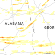


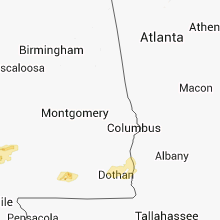


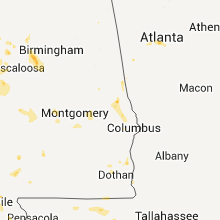


Connect with Interactive Hail Maps