

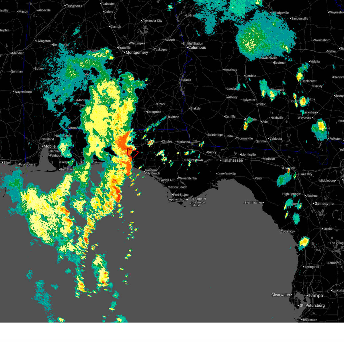
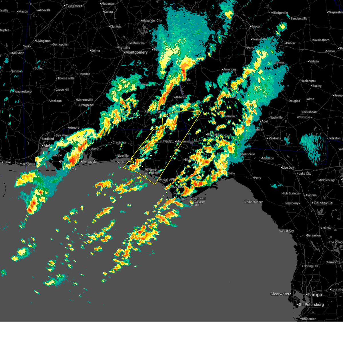
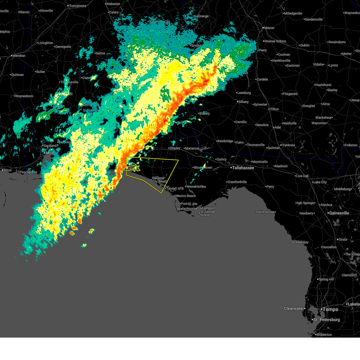
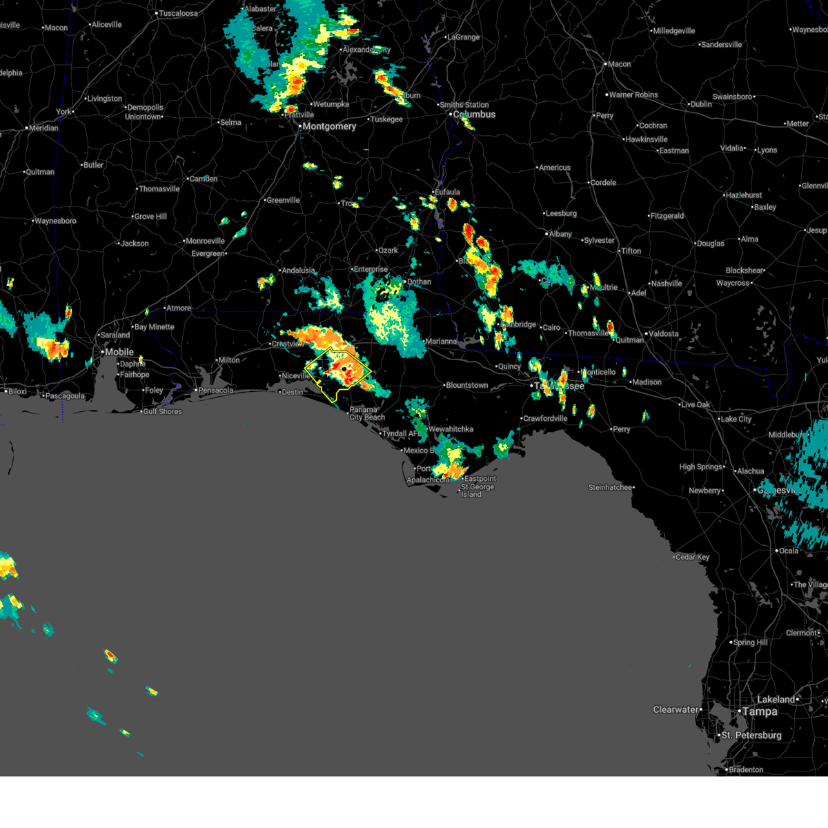
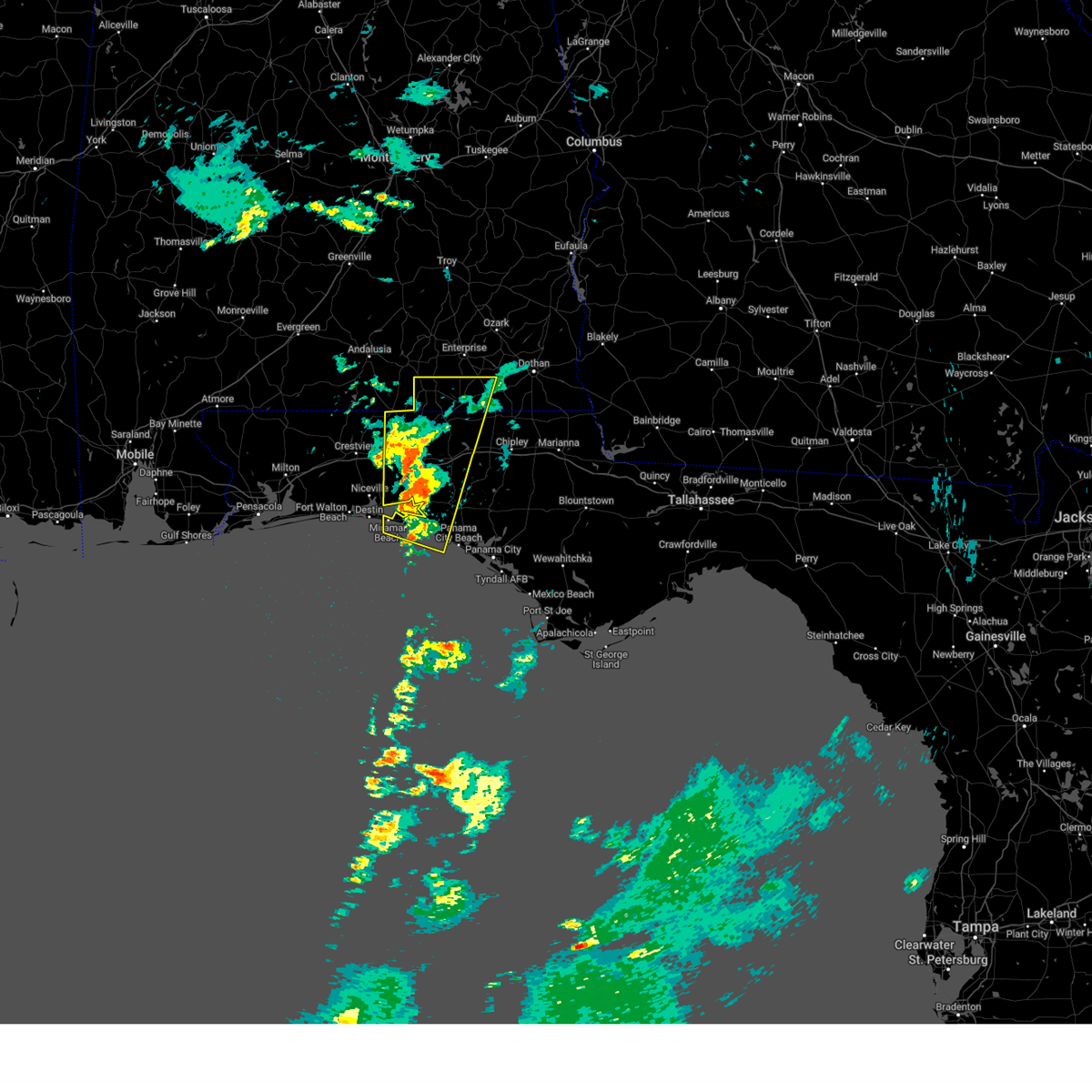
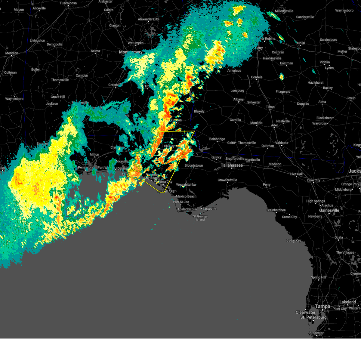
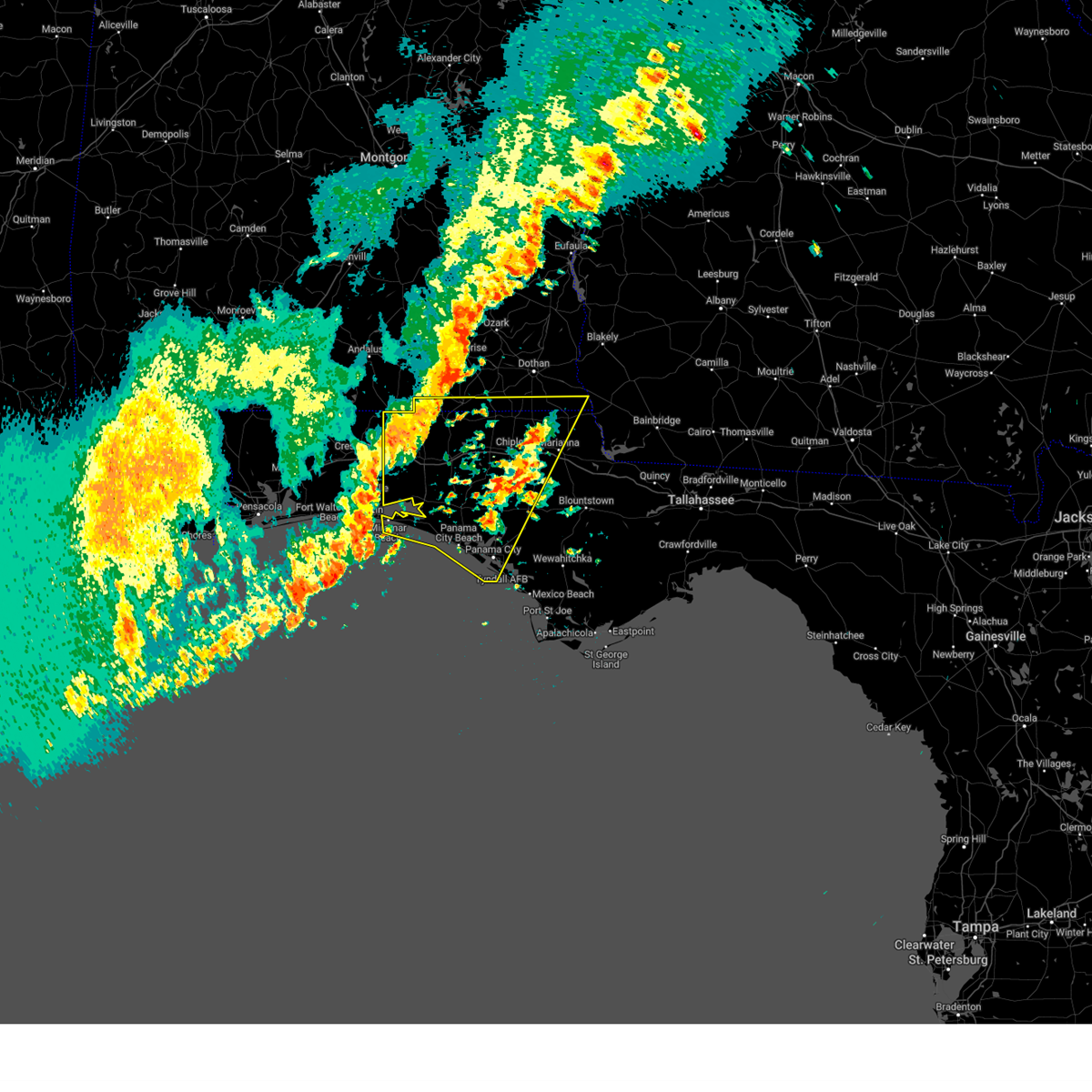
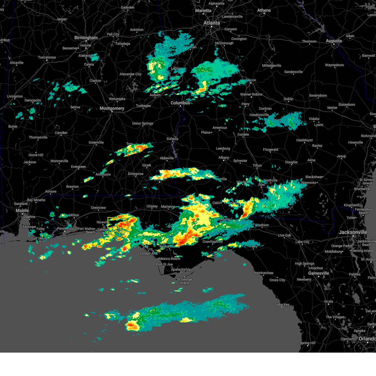
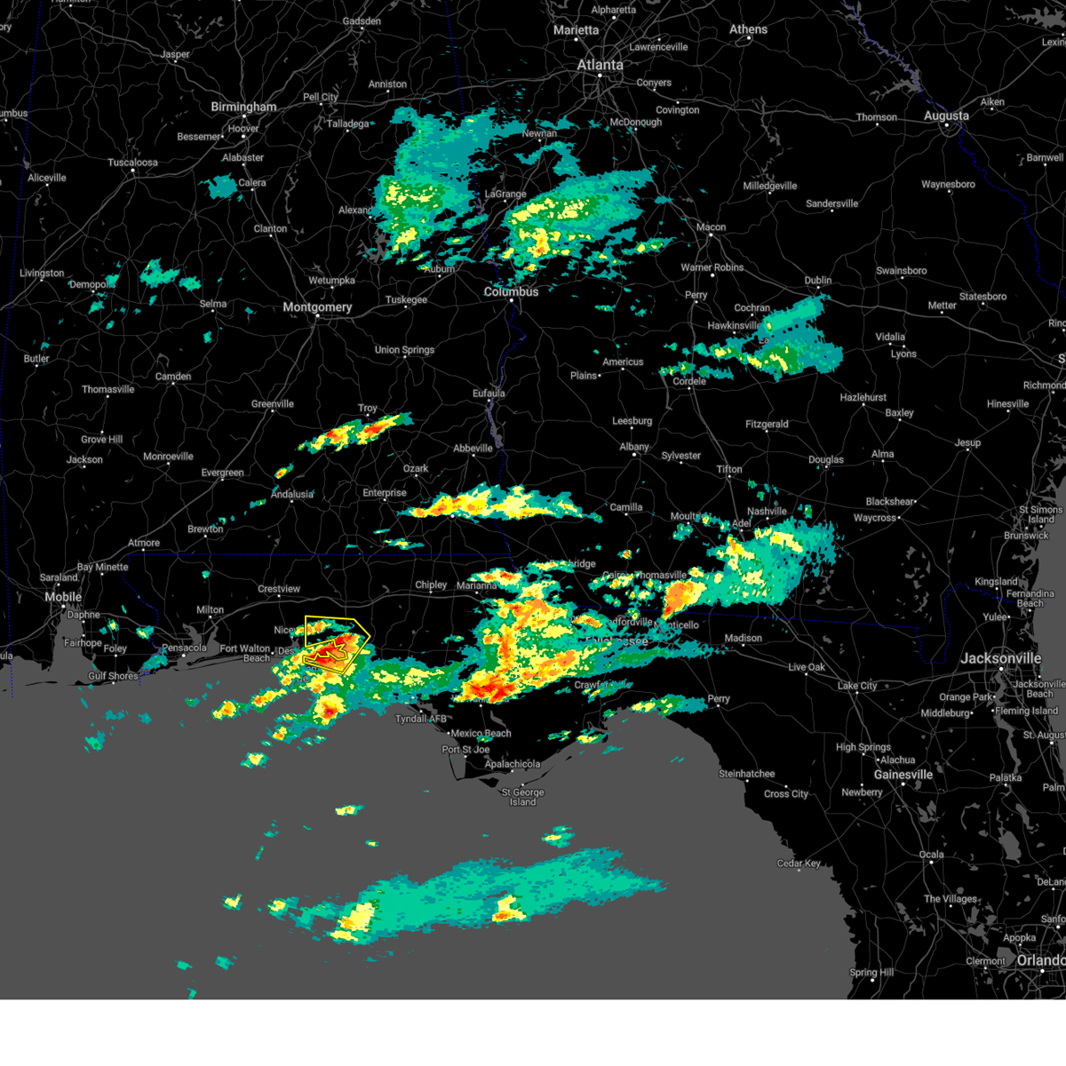
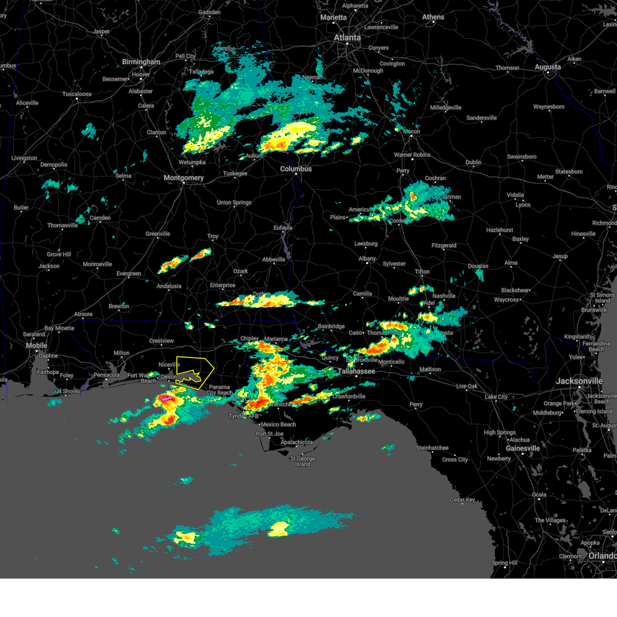
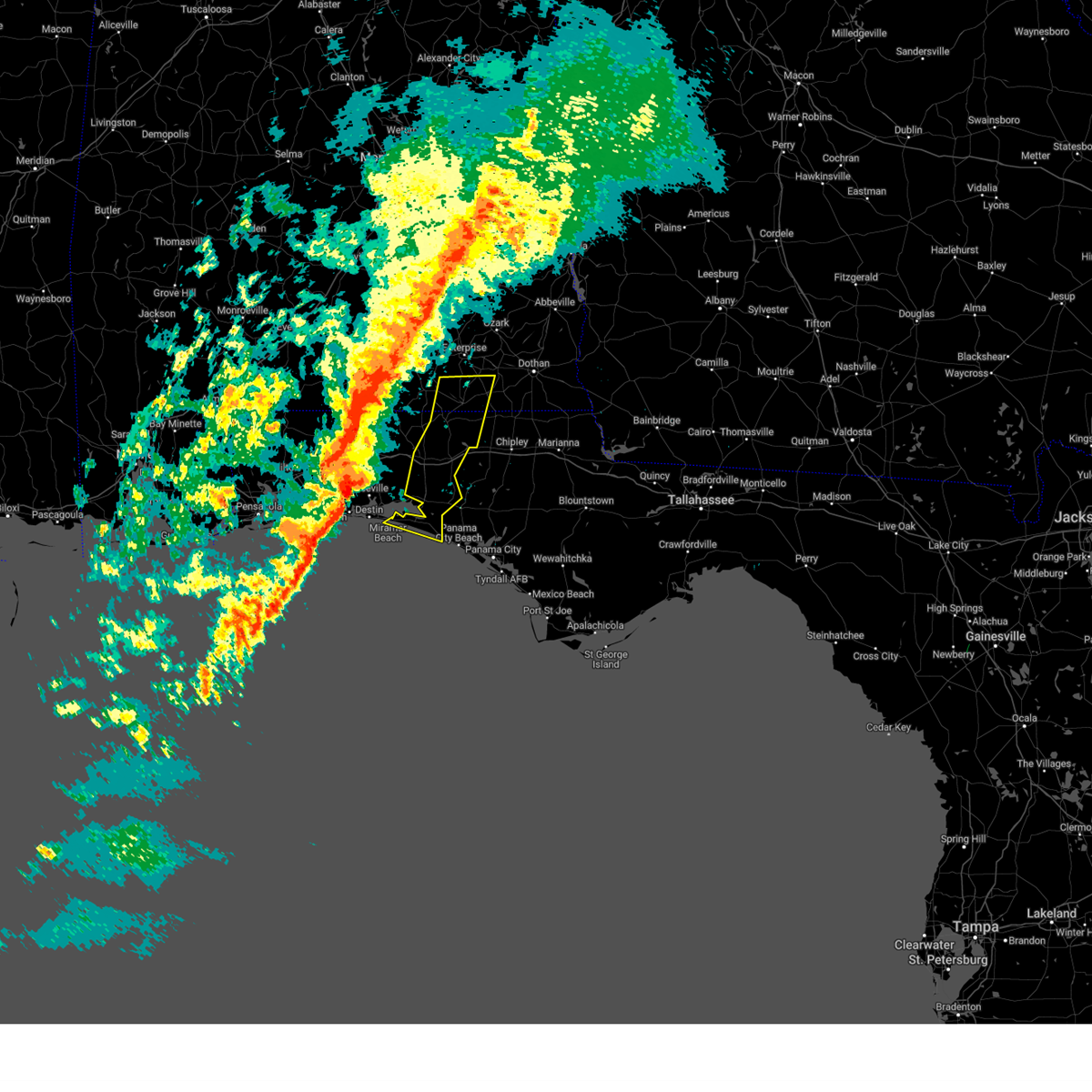
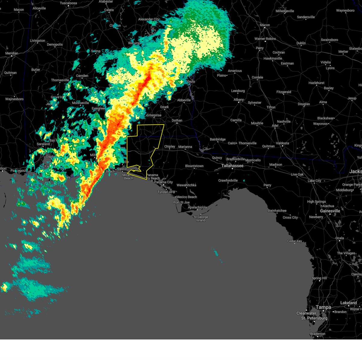
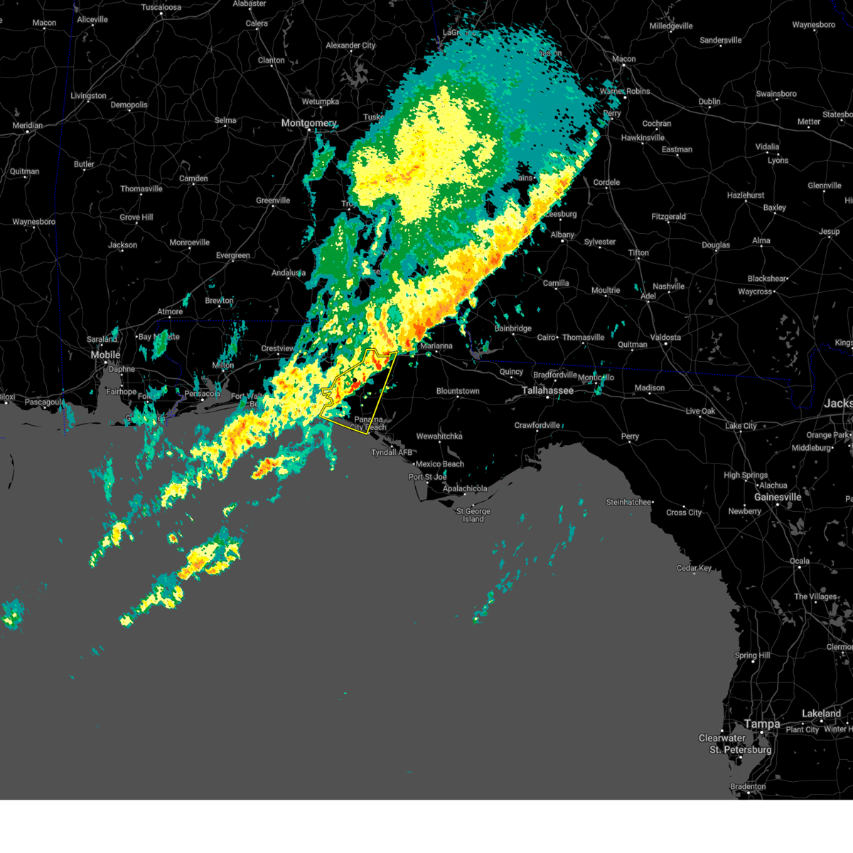
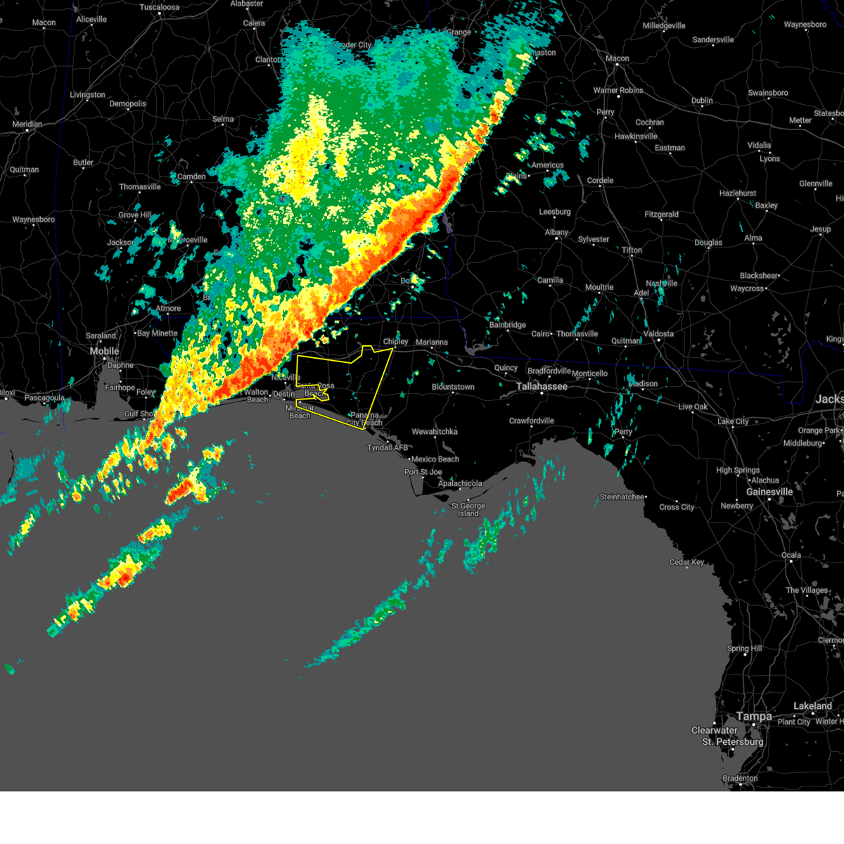
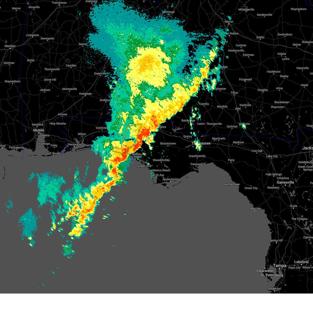
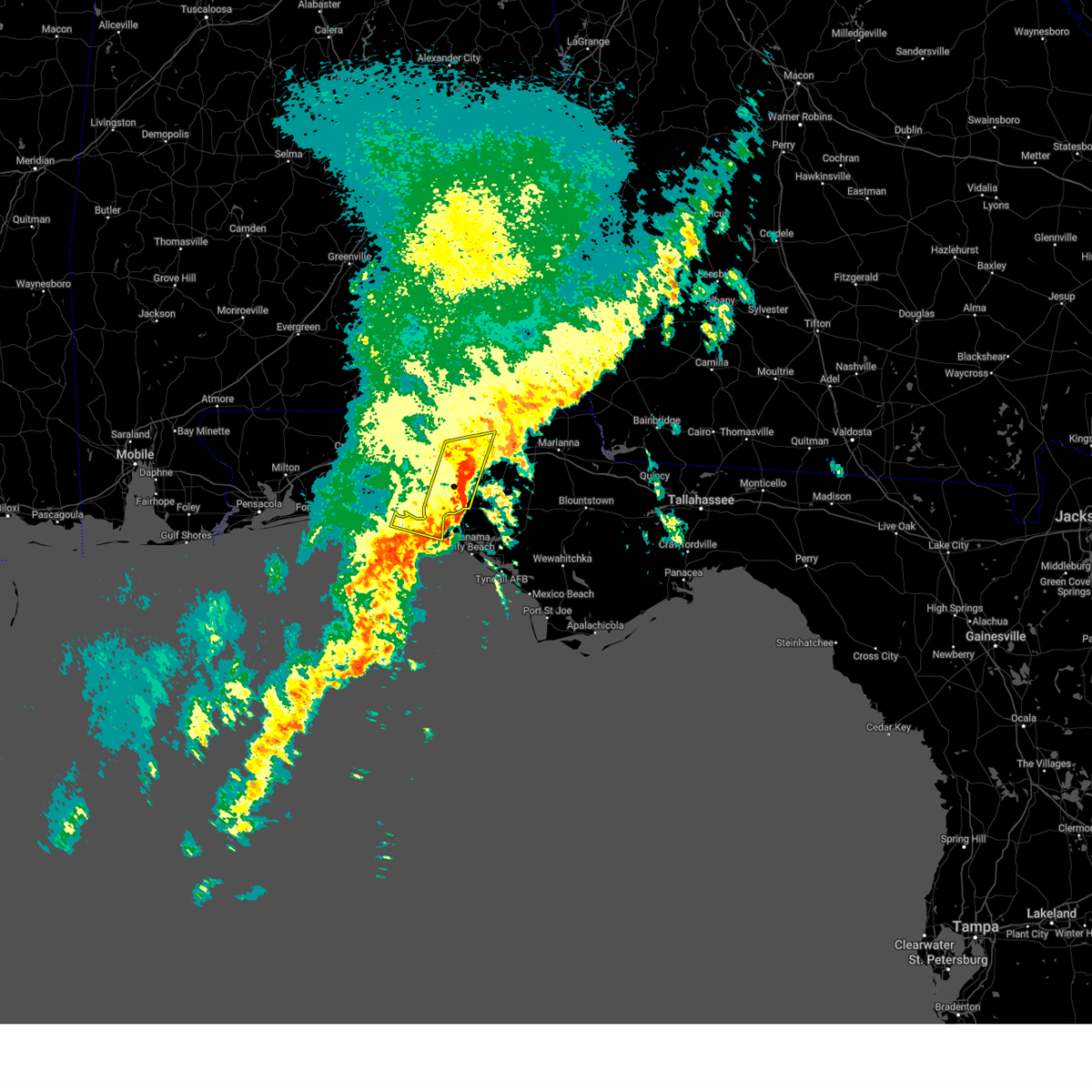
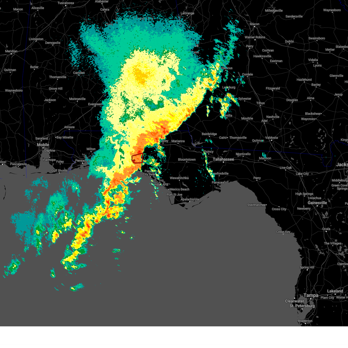
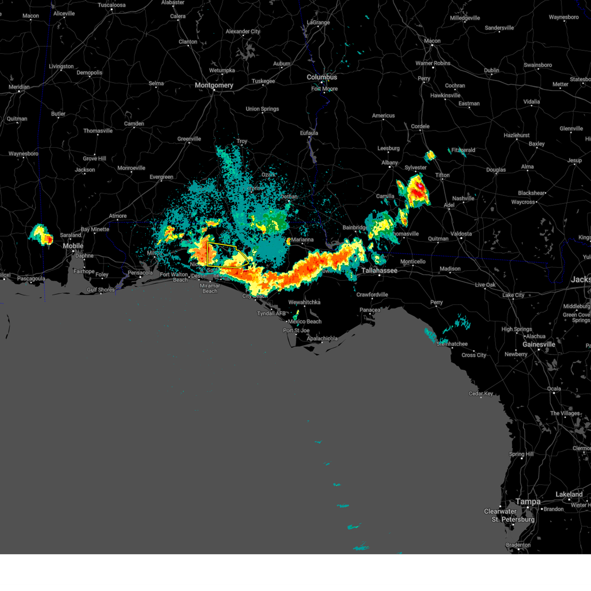
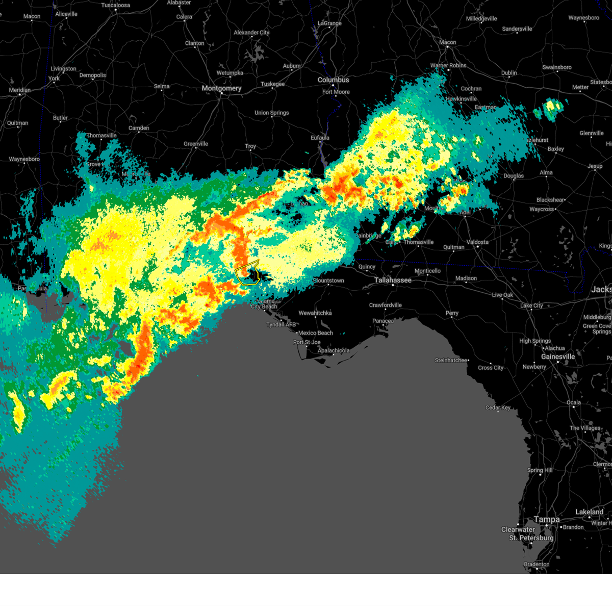
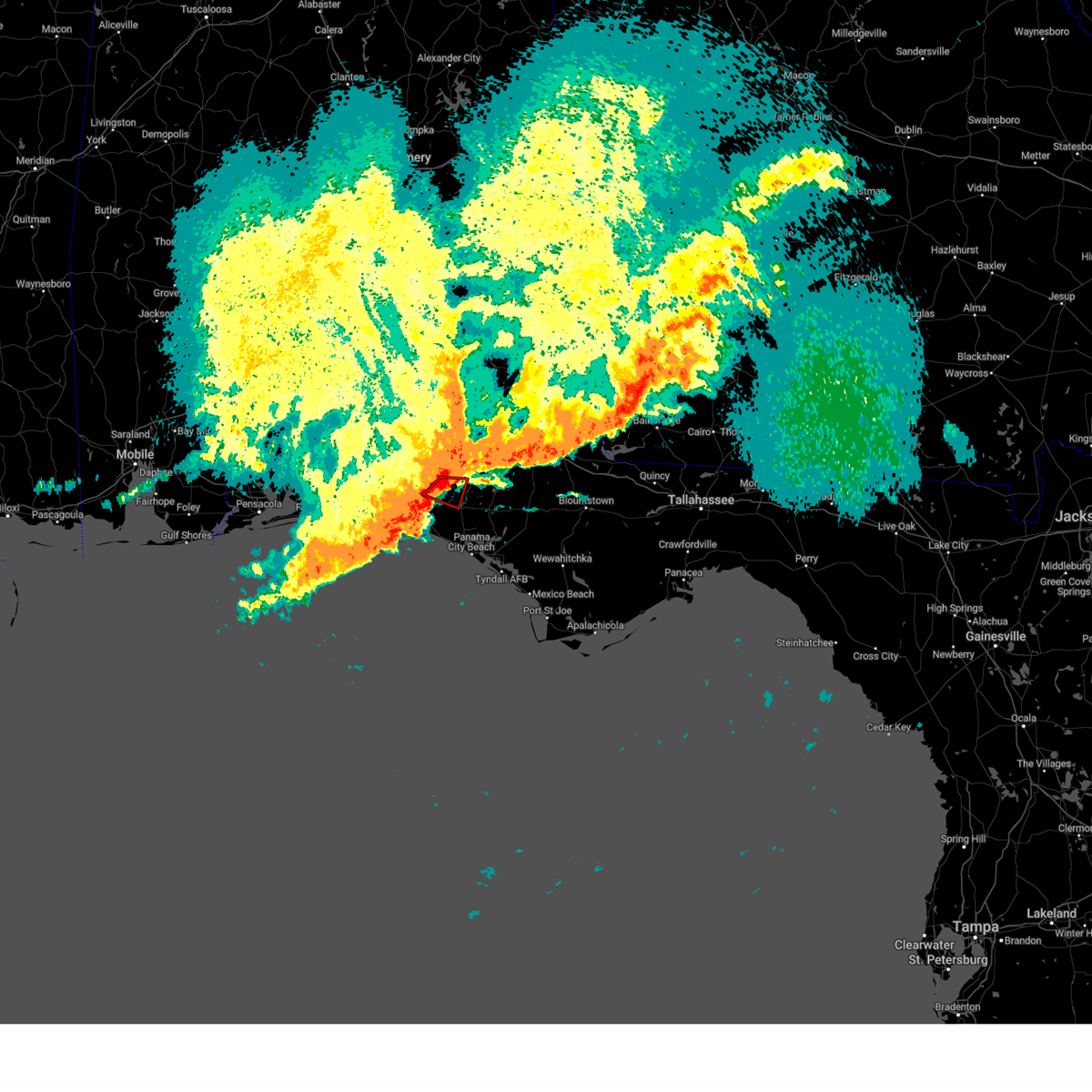
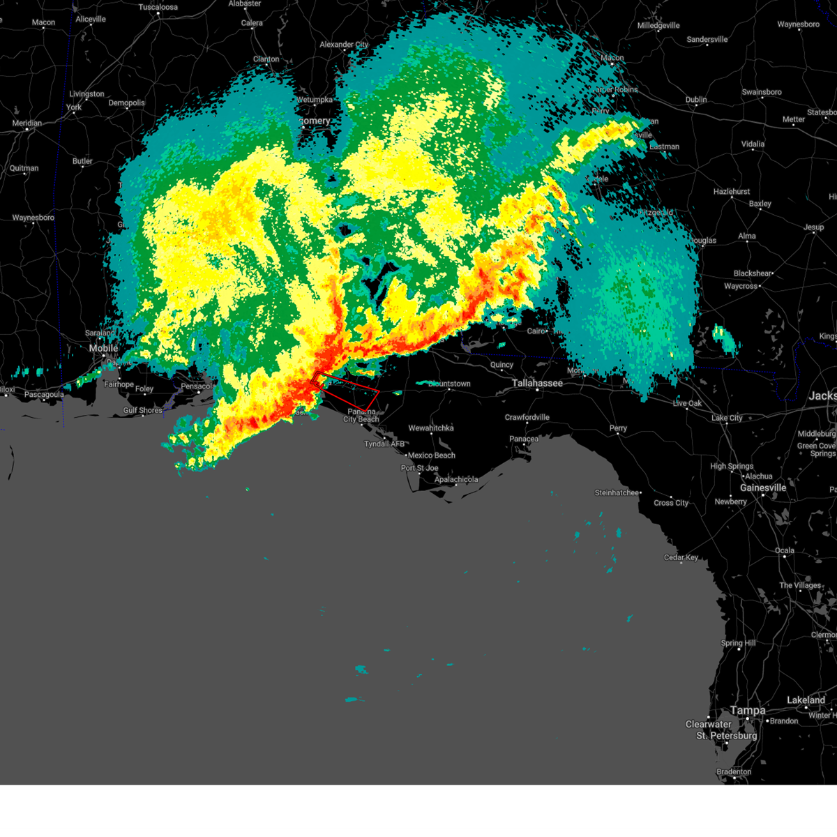
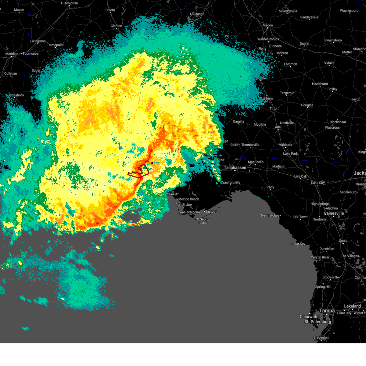
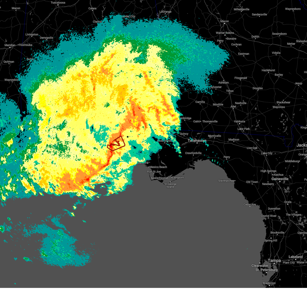
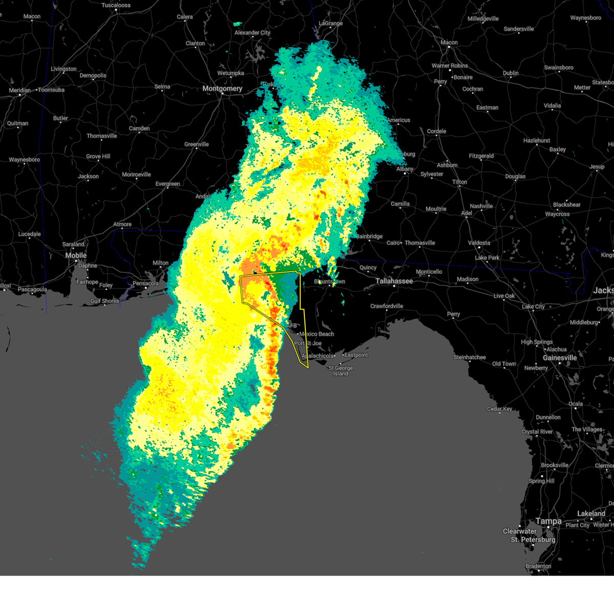
Hail Map for Freeport, FL
The Freeport, FL area has had 5 reports of on-the-ground hail by trained spotters, and has been under severe weather warnings 22 times during the past 12 months. Doppler radar has detected hail at or near Freeport, FL on 59 occasions, including 6 occasions during the past year.
| Name: | Freeport, FL |
| Where Located: | 14.2 miles ENE of Miramar Beach, FL |
| Map: | Google Map for Freeport, FL |
| Population: | 1787 |
| Housing Units: | 919 |
| More Info: | Search Google for Freeport, FL |
1
The Top Recent Hail Date for Freeport, FL is Sunday, September 21, 2025 (11th out of 59)
Hail and Wind Damage Spotted near Freeport, FL
| Date / Time | Report Details |
|---|---|
| 6/16/2026 2:40 PM CDT |
 Svrtae the national weather service in tallahassee has issued a * severe thunderstorm warning for, gulf county in the panhandle of florida, bay county in the panhandle of florida, southwestern calhoun county in the panhandle of florida, southern walton county in the panhandle of florida, southwestern liberty county in big bend florida, southwestern washington county in the panhandle of florida, * until 430 pm edt/330 pm cdt/. * at 340 pm edt/240 pm cdt/, severe thunderstorms were located along a line extending from near santa rosa beach to near panama city beach to near port st. joe, moving northeast at 25 mph (radar indicated). Hazards include 60 mph wind gusts. expect damage to roofs, siding, and trees Svrtae the national weather service in tallahassee has issued a * severe thunderstorm warning for, gulf county in the panhandle of florida, bay county in the panhandle of florida, southwestern calhoun county in the panhandle of florida, southern walton county in the panhandle of florida, southwestern liberty county in big bend florida, southwestern washington county in the panhandle of florida, * until 430 pm edt/330 pm cdt/. * at 340 pm edt/240 pm cdt/, severe thunderstorms were located along a line extending from near santa rosa beach to near panama city beach to near port st. joe, moving northeast at 25 mph (radar indicated). Hazards include 60 mph wind gusts. expect damage to roofs, siding, and trees
|
| 6/1/2026 5:28 PM CDT |
 Svrtae the national weather service in tallahassee has issued a * severe thunderstorm warning for, southeastern walton county in the panhandle of florida, * until 615 pm cdt. * at 528 pm cdt, a severe thunderstorm was located 15 miles northeast of santa rosa beach, moving southwest at 15 mph (radar indicated). Hazards include 60 mph wind gusts. expect damage to roofs, siding, and trees Svrtae the national weather service in tallahassee has issued a * severe thunderstorm warning for, southeastern walton county in the panhandle of florida, * until 615 pm cdt. * at 528 pm cdt, a severe thunderstorm was located 15 miles northeast of santa rosa beach, moving southwest at 15 mph (radar indicated). Hazards include 60 mph wind gusts. expect damage to roofs, siding, and trees
|
| 5/25/2026 5:13 PM CDT |
 Tortae the national weather service in tallahassee has issued a * tornado warning for, central walton county in the panhandle of florida, * until 600 pm cdt. * at 513 pm cdt, a severe thunderstorm capable of producing a tornado was located 8 miles south of de funiak springs, moving northeast at 25 mph (radar indicated rotation). Hazards include tornado. Flying debris will be dangerous to those caught without shelter. mobile homes will be damaged or destroyed. damage to roofs, windows, and vehicles will occur. tree damage is likely. this dangerous storm will be near, de funiak springs around 520 pm cdt. Other locations impacted by this tornadic thunderstorm include eucheeanna, rock hill, and douglass crossroad. Tortae the national weather service in tallahassee has issued a * tornado warning for, central walton county in the panhandle of florida, * until 600 pm cdt. * at 513 pm cdt, a severe thunderstorm capable of producing a tornado was located 8 miles south of de funiak springs, moving northeast at 25 mph (radar indicated rotation). Hazards include tornado. Flying debris will be dangerous to those caught without shelter. mobile homes will be damaged or destroyed. damage to roofs, windows, and vehicles will occur. tree damage is likely. this dangerous storm will be near, de funiak springs around 520 pm cdt. Other locations impacted by this tornadic thunderstorm include eucheeanna, rock hill, and douglass crossroad.
|
| 5/25/2026 5:02 PM CDT |
 At 502 pm cdt, a severe thunderstorm capable of producing a tornado was located 7 miles southeast of eglin air force base, or 12 miles northeast of santa rosa beach, moving north at 20 mph (radar indicated rotation). Hazards include tornado. Flying debris will be dangerous to those caught without shelter. mobile homes will be damaged or destroyed. damage to roofs, windows, and vehicles will occur. tree damage is likely. this dangerous storm will be near, eglin air force base around 505 pm cdt. Other locations impacted by this tornadic thunderstorm include new home, freeport, portland, and rock hill. At 502 pm cdt, a severe thunderstorm capable of producing a tornado was located 7 miles southeast of eglin air force base, or 12 miles northeast of santa rosa beach, moving north at 20 mph (radar indicated rotation). Hazards include tornado. Flying debris will be dangerous to those caught without shelter. mobile homes will be damaged or destroyed. damage to roofs, windows, and vehicles will occur. tree damage is likely. this dangerous storm will be near, eglin air force base around 505 pm cdt. Other locations impacted by this tornadic thunderstorm include new home, freeport, portland, and rock hill.
|
| 5/25/2026 4:49 PM CDT |
 Tortae the national weather service in tallahassee has issued a * tornado warning for, central walton county in the panhandle of florida, * until 530 pm cdt. * at 449 pm cdt, a severe thunderstorm capable of producing a tornado was located near santa rosa beach, moving north at 15 mph (radar indicated rotation). Hazards include tornado. Flying debris will be dangerous to those caught without shelter. mobile homes will be damaged or destroyed. damage to roofs, windows, and vehicles will occur. tree damage is likely. this dangerous storm will be near, eglin air force base around 455 pm cdt. Other locations impacted by this tornadic thunderstorm include new home, freeport, portland, and rock hill. Tortae the national weather service in tallahassee has issued a * tornado warning for, central walton county in the panhandle of florida, * until 530 pm cdt. * at 449 pm cdt, a severe thunderstorm capable of producing a tornado was located near santa rosa beach, moving north at 15 mph (radar indicated rotation). Hazards include tornado. Flying debris will be dangerous to those caught without shelter. mobile homes will be damaged or destroyed. damage to roofs, windows, and vehicles will occur. tree damage is likely. this dangerous storm will be near, eglin air force base around 455 pm cdt. Other locations impacted by this tornadic thunderstorm include new home, freeport, portland, and rock hill.
|
| 5/7/2026 10:07 AM CDT |
 Svrtae the national weather service in tallahassee has issued a * severe thunderstorm warning for, northwestern bay county in the panhandle of florida, central walton county in the panhandle of florida, southwestern holmes county in the panhandle of florida, washington county in the panhandle of florida, * until 1100 am cdt. * at 1007 am cdt, severe thunderstorms were located along a line extending from 15 miles southwest of geneva to near de funiak springs, moving east at 45 mph (radar indicated). Hazards include 60 mph wind gusts and half dollar size hail. Hail damage to vehicles is expected. Expect wind damage to roofs, siding, and trees. Svrtae the national weather service in tallahassee has issued a * severe thunderstorm warning for, northwestern bay county in the panhandle of florida, central walton county in the panhandle of florida, southwestern holmes county in the panhandle of florida, washington county in the panhandle of florida, * until 1100 am cdt. * at 1007 am cdt, severe thunderstorms were located along a line extending from 15 miles southwest of geneva to near de funiak springs, moving east at 45 mph (radar indicated). Hazards include 60 mph wind gusts and half dollar size hail. Hail damage to vehicles is expected. Expect wind damage to roofs, siding, and trees.
|
| 5/7/2026 8:20 AM CDT |
 Svrtae the national weather service in tallahassee has issued a * severe thunderstorm warning for, northern walton county in the panhandle of florida, holmes county in the panhandle of florida, * until 900 am cdt. * at 820 am cdt, a severe thunderstorm was located 11 miles southeast of florala, moving east at 45 mph (radar indicated). Hazards include 60 mph wind gusts and quarter size hail. Hail damage to vehicles is expected. Expect wind damage to roofs, siding, and trees. Svrtae the national weather service in tallahassee has issued a * severe thunderstorm warning for, northern walton county in the panhandle of florida, holmes county in the panhandle of florida, * until 900 am cdt. * at 820 am cdt, a severe thunderstorm was located 11 miles southeast of florala, moving east at 45 mph (radar indicated). Hazards include 60 mph wind gusts and quarter size hail. Hail damage to vehicles is expected. Expect wind damage to roofs, siding, and trees.
|
| 3/16/2026 6:28 AM CDT |
 Svrtae the national weather service in tallahassee has issued a * severe thunderstorm warning for, houston county in southeastern alabama, jackson county in the panhandle of florida, bay county in the panhandle of florida, northwestern calhoun county in the panhandle of florida, southeastern walton county in the panhandle of florida, central holmes county in the panhandle of florida, washington county in the panhandle of florida, western miller county in southwestern georgia, southern early county in southwestern georgia, northwestern seminole county in southwestern georgia, * until 900 am edt/800 am cdt/. * at 728 am edt/628 am cdt/, severe thunderstorms were located along a line extending from near cottonwood to 10 miles southeast of santa rosa beach, moving northeast at 50 mph (radar indicated). Hazards include 60 mph wind gusts and penny size hail. expect damage to roofs, siding, and trees Svrtae the national weather service in tallahassee has issued a * severe thunderstorm warning for, houston county in southeastern alabama, jackson county in the panhandle of florida, bay county in the panhandle of florida, northwestern calhoun county in the panhandle of florida, southeastern walton county in the panhandle of florida, central holmes county in the panhandle of florida, washington county in the panhandle of florida, western miller county in southwestern georgia, southern early county in southwestern georgia, northwestern seminole county in southwestern georgia, * until 900 am edt/800 am cdt/. * at 728 am edt/628 am cdt/, severe thunderstorms were located along a line extending from near cottonwood to 10 miles southeast of santa rosa beach, moving northeast at 50 mph (radar indicated). Hazards include 60 mph wind gusts and penny size hail. expect damage to roofs, siding, and trees
|
| 1/25/2026 1:45 PM CST |
 Svrtae the national weather service in tallahassee has issued a * severe thunderstorm warning for, bay county in the panhandle of florida, western calhoun county in the panhandle of florida, southern walton county in the panhandle of florida, southern washington county in the panhandle of florida, * until 300 pm cst. * at 145 pm cst, severe thunderstorms were located along a line extending from eglin air force base to 10 miles south of destin, moving east at 45 mph (radar indicated). Hazards include 60 mph wind gusts. expect damage to roofs, siding, and trees Svrtae the national weather service in tallahassee has issued a * severe thunderstorm warning for, bay county in the panhandle of florida, western calhoun county in the panhandle of florida, southern walton county in the panhandle of florida, southern washington county in the panhandle of florida, * until 300 pm cst. * at 145 pm cst, severe thunderstorms were located along a line extending from eglin air force base to 10 miles south of destin, moving east at 45 mph (radar indicated). Hazards include 60 mph wind gusts. expect damage to roofs, siding, and trees
|
| 1/3/2026 2:38 PM CST |
 The storm which prompted the warning has weakened below severe limits, and no longer poses an immediate threat to life or property. therefore, the warning will be allowed to expire. however, penny sized hail and gusty winds to 40 mph are still possible with this thunderstorm. The storm which prompted the warning has weakened below severe limits, and no longer poses an immediate threat to life or property. therefore, the warning will be allowed to expire. however, penny sized hail and gusty winds to 40 mph are still possible with this thunderstorm.
|
| 1/3/2026 2:28 PM CST |
 At 228 pm cst, a severe thunderstorm was located 11 miles south of de funiak springs, moving east at 40 mph (radar indicated). Hazards include 60 mph wind gusts and penny size hail. Expect damage to roofs, siding, and trees. Locations impacted include, de funiak springs, eglin air force base, freeport, ponce de leon, bruce, eucheeanna, red bay, douglass crossroad, portland, pleasant ridge, knox hill, and rock hill. At 228 pm cst, a severe thunderstorm was located 11 miles south of de funiak springs, moving east at 40 mph (radar indicated). Hazards include 60 mph wind gusts and penny size hail. Expect damage to roofs, siding, and trees. Locations impacted include, de funiak springs, eglin air force base, freeport, ponce de leon, bruce, eucheeanna, red bay, douglass crossroad, portland, pleasant ridge, knox hill, and rock hill.
|
| 1/3/2026 2:09 PM CST |
 At 209 pm cst, a severe thunderstorm was located over eglin air force base, or 12 miles southwest of de funiak springs, moving east at 40 mph (radar indicated). Hazards include 60 mph wind gusts and penny size hail. Expect damage to roofs, siding, and trees. Locations impacted include, de funiak springs, eglin air force base, freeport, ponce de leon, red bay, douglass crossroad, portland, villa tasso, rock hill, bruce, eucheeanna, pleasant ridge, new home, and knox hill. At 209 pm cst, a severe thunderstorm was located over eglin air force base, or 12 miles southwest of de funiak springs, moving east at 40 mph (radar indicated). Hazards include 60 mph wind gusts and penny size hail. Expect damage to roofs, siding, and trees. Locations impacted include, de funiak springs, eglin air force base, freeport, ponce de leon, red bay, douglass crossroad, portland, villa tasso, rock hill, bruce, eucheeanna, pleasant ridge, new home, and knox hill.
|
| 1/3/2026 1:51 PM CST |
 Svrtae the national weather service in tallahassee has issued a * severe thunderstorm warning for, central walton county in the panhandle of florida, * until 245 pm cst. * at 150 pm cst, a severe thunderstorm was located near niceville, moving east at 40 mph (radar indicated). Hazards include 60 mph wind gusts and quarter size hail. Hail damage to vehicles is expected. Expect wind damage to roofs, siding, and trees. Svrtae the national weather service in tallahassee has issued a * severe thunderstorm warning for, central walton county in the panhandle of florida, * until 245 pm cst. * at 150 pm cst, a severe thunderstorm was located near niceville, moving east at 40 mph (radar indicated). Hazards include 60 mph wind gusts and quarter size hail. Hail damage to vehicles is expected. Expect wind damage to roofs, siding, and trees.
|
| 11/9/2025 1:28 PM CST | At 127 pm cst, a severe thunderstorm was located 11 miles southeast of de funiak springs, moving east at 30 mph (radar indicated). Hazards include 60 mph wind gusts and quarter size hail. Hail damage to vehicles is expected. expect wind damage to roofs, siding, and trees. Locations impacted include, vernon, live oak, ponce de leon, hinsons crossroads, red bay, douglass crossroad, whitehead crossroads, eucheeanna, holmes valley, millers ferry, five points, knox hill, smyrna, poplar head, argyle, sylvania, red head, and johnson crossroads. |
| 11/9/2025 1:15 PM CST | Svrtae the national weather service in tallahassee has issued a * severe thunderstorm warning for, central walton county in the panhandle of florida, southwestern holmes county in the panhandle of florida, central washington county in the panhandle of florida, * until 200 pm cst. * at 115 pm cst, a severe thunderstorm was located 7 miles south of de funiak springs, moving east at 35 mph (radar indicated). Hazards include 60 mph wind gusts and quarter size hail. Hail damage to vehicles is expected. Expect wind damage to roofs, siding, and trees. |
| 10/27/2025 3:43 AM CDT | At 343 am cdt, a severe thunderstorm was located 11 miles southeast of de funiak springs, moving east at 25 mph (radar indicated). Hazards include 60 mph wind gusts. Expect damage to roofs, siding, and trees. Locations impacted include, vernon, de funiak springs, eglin air force base, live oak, freeport, ebro, hinsons crossroads, red bay, douglass crossroad, portland, whitehead crossroads, seminole hills, rock hill, bruce, red head, eucheeanna, holmes valley, millers ferry, pine log, and knox hill. |
| 10/27/2025 3:26 AM CDT | Svrtae the national weather service in tallahassee has issued a * severe thunderstorm warning for, northwestern bay county in the panhandle of florida, central walton county in the panhandle of florida, southwestern washington county in the panhandle of florida, * until 445 am cdt. * at 326 am cdt, a severe thunderstorm was located 8 miles south of de funiak springs, moving east at 25 mph (radar indicated). Hazards include 60 mph wind gusts. expect damage to roofs, siding, and trees |
| 9/21/2025 2:25 PM CDT | Half Dollar sized hail reported 7.7 miles W of Freeport, FL, estimated from video on social media from the windswept dunes neighborhood. |
| 9/21/2025 2:23 PM CDT | Svrtae the national weather service in tallahassee has issued a * severe thunderstorm warning for, southeastern walton county in the panhandle of florida, * until 300 pm cdt. * at 223 pm cdt, a severe thunderstorm was located 14 miles northeast of santa rosa beach, moving northwest at 10 mph (radar indicated). Hazards include 60 mph wind gusts. expect damage to roofs, siding, and trees |
| 7/13/2025 3:56 PM CDT |
 The storm which prompted the warning has weakened below severe limits, and no longer poses an immediate threat to life or property. therefore, the warning will be allowed to expire. The storm which prompted the warning has weakened below severe limits, and no longer poses an immediate threat to life or property. therefore, the warning will be allowed to expire.
|
| 7/13/2025 3:34 PM CDT |
 Svrtae the national weather service in tallahassee has issued a * severe thunderstorm warning for, southeastern walton county in the panhandle of florida, southwestern washington county in the panhandle of florida, * until 400 pm cdt. * at 334 pm cdt, a severe thunderstorm was located 13 miles west of vernon, and is nearly stationary (radar indicated). Hazards include 60 mph wind gusts. expect damage to roofs, siding, and trees Svrtae the national weather service in tallahassee has issued a * severe thunderstorm warning for, southeastern walton county in the panhandle of florida, southwestern washington county in the panhandle of florida, * until 400 pm cdt. * at 334 pm cdt, a severe thunderstorm was located 13 miles west of vernon, and is nearly stationary (radar indicated). Hazards include 60 mph wind gusts. expect damage to roofs, siding, and trees
|
| 6/25/2025 5:47 PM CDT |
 Svrtae the national weather service in tallahassee has issued a * severe thunderstorm warning for, geneva county in southeastern alabama, southwestern houston county in southeastern alabama, western jackson county in the panhandle of florida, northwestern bay county in the panhandle of florida, walton county in the panhandle of florida, holmes county in the panhandle of florida, washington county in the panhandle of florida, * until 715 pm cdt. * at 547 pm cdt, severe thunderstorms were located along a line extending from near cottonwood to 12 miles north of lynn haven, moving west at 15 mph (radar indicated). Hazards include 60 mph wind gusts and penny size hail. expect damage to roofs, siding, and trees Svrtae the national weather service in tallahassee has issued a * severe thunderstorm warning for, geneva county in southeastern alabama, southwestern houston county in southeastern alabama, western jackson county in the panhandle of florida, northwestern bay county in the panhandle of florida, walton county in the panhandle of florida, holmes county in the panhandle of florida, washington county in the panhandle of florida, * until 715 pm cdt. * at 547 pm cdt, severe thunderstorms were located along a line extending from near cottonwood to 12 miles north of lynn haven, moving west at 15 mph (radar indicated). Hazards include 60 mph wind gusts and penny size hail. expect damage to roofs, siding, and trees
|
| 6/25/2025 4:40 PM CDT |
 Svrtae the national weather service in tallahassee has issued a * severe thunderstorm warning for, northern bay county in the panhandle of florida, walton county in the panhandle of florida, southern holmes county in the panhandle of florida, washington county in the panhandle of florida, * until 615 pm cdt. * at 440 pm cdt, severe thunderstorms were located along a line extending from 9 miles southeast of vernon to 12 miles southwest of panama city beach, moving northwest at 10 mph (radar indicated). Hazards include 60 mph wind gusts and penny size hail. expect damage to roofs, siding, and trees Svrtae the national weather service in tallahassee has issued a * severe thunderstorm warning for, northern bay county in the panhandle of florida, walton county in the panhandle of florida, southern holmes county in the panhandle of florida, washington county in the panhandle of florida, * until 615 pm cdt. * at 440 pm cdt, severe thunderstorms were located along a line extending from 9 miles southeast of vernon to 12 miles southwest of panama city beach, moving northwest at 10 mph (radar indicated). Hazards include 60 mph wind gusts and penny size hail. expect damage to roofs, siding, and trees
|
| 5/10/2025 10:00 AM CDT |
 Svrtae the national weather service in tallahassee has issued a * severe thunderstorm warning for, geneva county in southeastern alabama, west central bay county in the panhandle of florida, walton county in the panhandle of florida, holmes county in the panhandle of florida, western washington county in the panhandle of florida, * until 1045 am cdt. * at 1000 am cdt, severe thunderstorms were located along a line extending from near de funiak springs to 10 miles east of eglin air force base to 7 miles southeast of santa rosa beach, moving northeast at 30 mph (radar indicated). Hazards include 60 mph wind gusts and penny size hail. expect damage to roofs, siding, and trees Svrtae the national weather service in tallahassee has issued a * severe thunderstorm warning for, geneva county in southeastern alabama, west central bay county in the panhandle of florida, walton county in the panhandle of florida, holmes county in the panhandle of florida, western washington county in the panhandle of florida, * until 1045 am cdt. * at 1000 am cdt, severe thunderstorms were located along a line extending from near de funiak springs to 10 miles east of eglin air force base to 7 miles southeast of santa rosa beach, moving northeast at 30 mph (radar indicated). Hazards include 60 mph wind gusts and penny size hail. expect damage to roofs, siding, and trees
|
| 3/31/2025 12:23 PM CDT |
 At 1223 pm cdt, severe thunderstorms were located along a line extending from near slocomb to 18 miles south of santa rosa beach, moving east at 50 mph (radar indicated). Hazards include 60 mph wind gusts. Expect damage to roofs, siding, and trees. Locations impacted include, hiland park, whitehead crossroads, bradford, gulf resort beach, black, gritney, west panama city, rock hill, millers ferry, noma, pleasant ridge, knox hill, four mile village, miller crossroads, west bay, douglass crossroad, santa rosa beach, orange hill, magnolia beach, and bethlehem. At 1223 pm cdt, severe thunderstorms were located along a line extending from near slocomb to 18 miles south of santa rosa beach, moving east at 50 mph (radar indicated). Hazards include 60 mph wind gusts. Expect damage to roofs, siding, and trees. Locations impacted include, hiland park, whitehead crossroads, bradford, gulf resort beach, black, gritney, west panama city, rock hill, millers ferry, noma, pleasant ridge, knox hill, four mile village, miller crossroads, west bay, douglass crossroad, santa rosa beach, orange hill, magnolia beach, and bethlehem.
|
| 3/31/2025 11:58 AM CDT |
 Svrtae the national weather service in tallahassee has issued a * severe thunderstorm warning for, southern geneva county in southeastern alabama, southeastern houston county in southeastern alabama, western jackson county in the panhandle of florida, bay county in the panhandle of florida, northwestern calhoun county in the panhandle of florida, walton county in the panhandle of florida, holmes county in the panhandle of florida, washington county in the panhandle of florida, * until 100 pm cdt. * at 1158 am cdt, severe thunderstorms were located along a line extending from near geneva to 21 miles south of destin, moving east at 50 mph (radar indicated). Hazards include 60 mph wind gusts. expect damage to roofs, siding, and trees Svrtae the national weather service in tallahassee has issued a * severe thunderstorm warning for, southern geneva county in southeastern alabama, southeastern houston county in southeastern alabama, western jackson county in the panhandle of florida, bay county in the panhandle of florida, northwestern calhoun county in the panhandle of florida, walton county in the panhandle of florida, holmes county in the panhandle of florida, washington county in the panhandle of florida, * until 100 pm cdt. * at 1158 am cdt, severe thunderstorms were located along a line extending from near geneva to 21 miles south of destin, moving east at 50 mph (radar indicated). Hazards include 60 mph wind gusts. expect damage to roofs, siding, and trees
|
| 3/9/2025 3:03 PM CDT |
 the severe thunderstorm warning has been cancelled and is no longer in effect the severe thunderstorm warning has been cancelled and is no longer in effect
|
| 3/9/2025 2:43 PM CDT |
 At 243 pm cdt, a severe thunderstorm was located near santa rosa beach, moving northeast at 40 mph (radar indicated). Hazards include 60 mph wind gusts and quarter size hail. Hail damage to vehicles is expected. expect wind damage to roofs, siding, and trees. Locations impacted include, portland, santa rosa beach, eglin air force base, villa tasso, blue mountain beach, seaside, rock hill, miramar beach, point washington, gulf pines, new home, freeport, bunker, grayton beach, seagrove beach, sandestin, and four mile village. At 243 pm cdt, a severe thunderstorm was located near santa rosa beach, moving northeast at 40 mph (radar indicated). Hazards include 60 mph wind gusts and quarter size hail. Hail damage to vehicles is expected. expect wind damage to roofs, siding, and trees. Locations impacted include, portland, santa rosa beach, eglin air force base, villa tasso, blue mountain beach, seaside, rock hill, miramar beach, point washington, gulf pines, new home, freeport, bunker, grayton beach, seagrove beach, sandestin, and four mile village.
|
| 3/9/2025 2:20 PM CDT |
 Svrtae the national weather service in tallahassee has issued a * severe thunderstorm warning for, southern walton county in the panhandle of florida, * until 315 pm cdt. * at 220 pm cdt, a severe thunderstorm was located 10 miles south of destin, moving northeast at 40 mph (radar indicated). Hazards include golf ball size hail and 60 mph wind gusts. People and animals outdoors will be injured. expect hail damage to roofs, siding, windows, and vehicles. Expect wind damage to roofs, siding, and trees. Svrtae the national weather service in tallahassee has issued a * severe thunderstorm warning for, southern walton county in the panhandle of florida, * until 315 pm cdt. * at 220 pm cdt, a severe thunderstorm was located 10 miles south of destin, moving northeast at 40 mph (radar indicated). Hazards include golf ball size hail and 60 mph wind gusts. People and animals outdoors will be injured. expect hail damage to roofs, siding, windows, and vehicles. Expect wind damage to roofs, siding, and trees.
|
| 3/5/2025 12:23 AM CST |
 At 1223 am cst, severe thunderstorms were located along a line extending from near level plains to 6 miles south of santa rosa beach, moving east at 40 mph (radar indicated). Hazards include 60 mph wind gusts. Expect damage to roofs, siding, and trees. Locations impacted include, kellys crossroads, cerrogordo, black, blue mountain beach, gritney, seaside, rock hill, glendale, pleasant ridge, knox hill, izagora, new hope, piney grove, four mile village, miller crossroads, spears, douglass crossroad, leonia, santa rosa beach, and eunola. At 1223 am cst, severe thunderstorms were located along a line extending from near level plains to 6 miles south of santa rosa beach, moving east at 40 mph (radar indicated). Hazards include 60 mph wind gusts. Expect damage to roofs, siding, and trees. Locations impacted include, kellys crossroads, cerrogordo, black, blue mountain beach, gritney, seaside, rock hill, glendale, pleasant ridge, knox hill, izagora, new hope, piney grove, four mile village, miller crossroads, spears, douglass crossroad, leonia, santa rosa beach, and eunola.
|
| 3/5/2025 12:05 AM CST |
 At 1205 am cst, severe thunderstorms were located along a line extending from 10 miles north of samson to 6 miles south of destin, moving east at 40 mph (radar indicated). Hazards include 60 mph wind gusts. Expect damage to roofs, siding, and trees. Locations impacted include, oakwood hills, cluster springs, kellys crossroads, eglin air force base, villa tasso, cerrogordo, black, blue mountain beach, gritney, logan field municipal a/p, seaside, rock hill, glendale, pleasant ridge, knox hill, izagora, new harmony, new hope, piney grove, and four mile village. At 1205 am cst, severe thunderstorms were located along a line extending from 10 miles north of samson to 6 miles south of destin, moving east at 40 mph (radar indicated). Hazards include 60 mph wind gusts. Expect damage to roofs, siding, and trees. Locations impacted include, oakwood hills, cluster springs, kellys crossroads, eglin air force base, villa tasso, cerrogordo, black, blue mountain beach, gritney, logan field municipal a/p, seaside, rock hill, glendale, pleasant ridge, knox hill, izagora, new harmony, new hope, piney grove, and four mile village.
|
| 3/4/2025 11:16 PM CST |
 Svrtae the national weather service in tallahassee has issued a * severe thunderstorm warning for, geneva county in southeastern alabama, walton county in the panhandle of florida, holmes county in the panhandle of florida, * until 1245 am cst. * at 1116 pm cst, severe thunderstorms were located along a line extending from 10 miles south of andalusia to 12 miles southeast of pensacola beach, moving east at 40 mph (radar indicated). Hazards include 60 mph wind gusts. expect damage to roofs, siding, and trees Svrtae the national weather service in tallahassee has issued a * severe thunderstorm warning for, geneva county in southeastern alabama, walton county in the panhandle of florida, holmes county in the panhandle of florida, * until 1245 am cst. * at 1116 pm cst, severe thunderstorms were located along a line extending from 10 miles south of andalusia to 12 miles southeast of pensacola beach, moving east at 40 mph (radar indicated). Hazards include 60 mph wind gusts. expect damage to roofs, siding, and trees
|
| 2/16/2025 5:12 AM CST |
 At 512 am cst, severe thunderstorms were located along a line extending from near bonifay to 10 miles southeast of santa rosa beach, moving east at 55 mph (radar indicated). Hazards include 60 mph wind gusts. Expect damage to roofs, siding, and trees. Locations impacted include, panama city beach, vernon, chipley, live oak, freeport, caryville, westville, ebro, hinsons crossroads, whitehead crossroads, seminole hills, gulf resort beach, seaside, bahama beach, holmes valley, millers ferry, sunnyside, knox hill, bunker, and smyrna. At 512 am cst, severe thunderstorms were located along a line extending from near bonifay to 10 miles southeast of santa rosa beach, moving east at 55 mph (radar indicated). Hazards include 60 mph wind gusts. Expect damage to roofs, siding, and trees. Locations impacted include, panama city beach, vernon, chipley, live oak, freeport, caryville, westville, ebro, hinsons crossroads, whitehead crossroads, seminole hills, gulf resort beach, seaside, bahama beach, holmes valley, millers ferry, sunnyside, knox hill, bunker, and smyrna.
|
| 2/16/2025 4:04 AM CST |
 Svrtae the national weather service in tallahassee has issued a * severe thunderstorm warning for, northwestern bay county in the panhandle of florida, southern walton county in the panhandle of florida, central washington county in the panhandle of florida, * until 530 am cst. * at 404 am cst, severe thunderstorms were located along a line extending from crestview to gulf breeze, moving east at 60 mph (radar indicated). Hazards include 60 mph wind gusts. expect damage to roofs, siding, and trees Svrtae the national weather service in tallahassee has issued a * severe thunderstorm warning for, northwestern bay county in the panhandle of florida, southern walton county in the panhandle of florida, central washington county in the panhandle of florida, * until 530 am cst. * at 404 am cst, severe thunderstorms were located along a line extending from crestview to gulf breeze, moving east at 60 mph (radar indicated). Hazards include 60 mph wind gusts. expect damage to roofs, siding, and trees
|
| 12/29/2024 4:28 AM CST |
 The storms which prompted the warning have moved out of the area. therefore, the warning will be allowed to expire. however, gusty winds are still possible with these thunderstorms. a tornado watch remains in effect until 800 am cst for the panhandle of florida. remember, a severe thunderstorm warning still remains in effect for eastern washington county. The storms which prompted the warning have moved out of the area. therefore, the warning will be allowed to expire. however, gusty winds are still possible with these thunderstorms. a tornado watch remains in effect until 800 am cst for the panhandle of florida. remember, a severe thunderstorm warning still remains in effect for eastern washington county.
|
| 12/29/2024 4:09 AM CST |
 At 409 am cst, severe thunderstorms were located along a line extending from geneva to near santa rosa beach, moving east at 40 mph (radar indicated). Hazards include 60 mph wind gusts. Expect damage to roofs, siding, and trees. Locations impacted include, santa rosa beach, bonifay, live oak, ponce de leon, caryville, westville, ebro, hinsons crossroads, whitehead crossroads, cerrogordo, blue mountain beach, gritney, seaside, millers ferry, knox hill, bunker, hickory hill, grayton beach, four mile village, and red bay. At 409 am cst, severe thunderstorms were located along a line extending from geneva to near santa rosa beach, moving east at 40 mph (radar indicated). Hazards include 60 mph wind gusts. Expect damage to roofs, siding, and trees. Locations impacted include, santa rosa beach, bonifay, live oak, ponce de leon, caryville, westville, ebro, hinsons crossroads, whitehead crossroads, cerrogordo, blue mountain beach, gritney, seaside, millers ferry, knox hill, bunker, hickory hill, grayton beach, four mile village, and red bay.
|
| 12/29/2024 3:57 AM CST |
 The storm which prompted the warning has weakened below severe limits, and no longer appears capable of producing a tornado. therefore, the warning will be allowed to expire. however, small hail, gusty winds and heavy rain are still possible with this thunderstorm. a tornado watch remains in effect until 800 am cst for the panhandle of florida. to report severe weather, contact your nearest law enforcement agency. they will relay your report to the national weather service tallahassee. remember, a severe thunderstorm warning still remains in effect for walton county. The storm which prompted the warning has weakened below severe limits, and no longer appears capable of producing a tornado. therefore, the warning will be allowed to expire. however, small hail, gusty winds and heavy rain are still possible with this thunderstorm. a tornado watch remains in effect until 800 am cst for the panhandle of florida. to report severe weather, contact your nearest law enforcement agency. they will relay your report to the national weather service tallahassee. remember, a severe thunderstorm warning still remains in effect for walton county.
|
| 12/29/2024 3:46 AM CST |
 At 346 am cst, a severe thunderstorm capable of producing a tornado was located 10 miles northeast of santa rosa beach, moving northeast at 55 mph (radar indicated rotation). Hazards include tornado and quarter size hail. Flying debris will be dangerous to those caught without shelter. mobile homes will be damaged or destroyed. damage to roofs, windows, and vehicles will occur. tree damage is likely. This tornadic thunderstorm will remain over mainly rural areas of southeastern walton county, including the following locations, freeport. At 346 am cst, a severe thunderstorm capable of producing a tornado was located 10 miles northeast of santa rosa beach, moving northeast at 55 mph (radar indicated rotation). Hazards include tornado and quarter size hail. Flying debris will be dangerous to those caught without shelter. mobile homes will be damaged or destroyed. damage to roofs, windows, and vehicles will occur. tree damage is likely. This tornadic thunderstorm will remain over mainly rural areas of southeastern walton county, including the following locations, freeport.
|
| 12/29/2024 3:41 AM CST |
 At 341 am cst, severe thunderstorms were located along a line extending from 9 miles east of florala to 10 miles south of destin, moving east at 40 mph (radar indicated). Hazards include 60 mph wind gusts and quarter size hail. Hail damage to vehicles is expected. expect wind damage to roofs, siding, and trees. Locations impacted include, santa rosa beach, de funiak springs, bonifay, eglin air force base, union, live oak, freeport, ponce de leon, caryville, westville, ebro, hinsons crossroads, oakwood hills, portland, whitehead crossroads, alpine heights, villa tasso, cerrogordo, blue mountain beach, and gritney. At 341 am cst, severe thunderstorms were located along a line extending from 9 miles east of florala to 10 miles south of destin, moving east at 40 mph (radar indicated). Hazards include 60 mph wind gusts and quarter size hail. Hail damage to vehicles is expected. expect wind damage to roofs, siding, and trees. Locations impacted include, santa rosa beach, de funiak springs, bonifay, eglin air force base, union, live oak, freeport, ponce de leon, caryville, westville, ebro, hinsons crossroads, oakwood hills, portland, whitehead crossroads, alpine heights, villa tasso, cerrogordo, blue mountain beach, and gritney.
|
| 12/29/2024 3:34 AM CST |
 Tortae the national weather service in tallahassee has issued a * tornado warning for, southern walton county in the panhandle of florida, * until 400 am cst. * at 334 am cst, a severe thunderstorm capable of producing a tornado was located over santa rosa beach, moving east at 55 mph (radar indicated rotation). Hazards include tornado. Flying debris will be dangerous to those caught without shelter. mobile homes will be damaged or destroyed. damage to roofs, windows, and vehicles will occur. tree damage is likely. this dangerous storm will be near, santa rosa beach around 340 am cst. Other locations impacted by this tornadic thunderstorm include point washington, inlet beach, portland, freeport, bunker, grayton beach, blue mountain beach, seagrove beach, and seaside. Tortae the national weather service in tallahassee has issued a * tornado warning for, southern walton county in the panhandle of florida, * until 400 am cst. * at 334 am cst, a severe thunderstorm capable of producing a tornado was located over santa rosa beach, moving east at 55 mph (radar indicated rotation). Hazards include tornado. Flying debris will be dangerous to those caught without shelter. mobile homes will be damaged or destroyed. damage to roofs, windows, and vehicles will occur. tree damage is likely. this dangerous storm will be near, santa rosa beach around 340 am cst. Other locations impacted by this tornadic thunderstorm include point washington, inlet beach, portland, freeport, bunker, grayton beach, blue mountain beach, seagrove beach, and seaside.
|
| 12/29/2024 2:53 AM CST |
 Svrtae the national weather service in tallahassee has issued a * severe thunderstorm warning for, walton county in the panhandle of florida, southwestern holmes county in the panhandle of florida, western washington county in the panhandle of florida, * until 430 am cst. * at 252 am cst, severe thunderstorms were located along a line extending from baker to 20 miles southeast of pensacola beach, moving east at 40 mph (radar indicated). Hazards include 60 mph wind gusts. expect damage to roofs, siding, and trees Svrtae the national weather service in tallahassee has issued a * severe thunderstorm warning for, walton county in the panhandle of florida, southwestern holmes county in the panhandle of florida, western washington county in the panhandle of florida, * until 430 am cst. * at 252 am cst, severe thunderstorms were located along a line extending from baker to 20 miles southeast of pensacola beach, moving east at 40 mph (radar indicated). Hazards include 60 mph wind gusts. expect damage to roofs, siding, and trees
|
| 8/19/2024 2:11 AM CDT |
 At 211 am cdt, severe thunderstorms were located along a line extending from near de funiak springs to 9 miles west of bonifay, moving east at 20 mph (radar indicated). Hazards include 60 mph wind gusts and penny size hail. Expect damage to roofs, siding, and trees. Locations impacted include, de funiak springs, eglin air force base, freeport, oakwood hills, red bay, alpine heights, de funiak spring airport, rock hill, eucheeanna, pleasant ridge, new home, knox hill, argyle, and mossy head. At 211 am cdt, severe thunderstorms were located along a line extending from near de funiak springs to 9 miles west of bonifay, moving east at 20 mph (radar indicated). Hazards include 60 mph wind gusts and penny size hail. Expect damage to roofs, siding, and trees. Locations impacted include, de funiak springs, eglin air force base, freeport, oakwood hills, red bay, alpine heights, de funiak spring airport, rock hill, eucheeanna, pleasant ridge, new home, knox hill, argyle, and mossy head.
|
| 8/19/2024 2:11 AM CDT |
 the severe thunderstorm warning has been cancelled and is no longer in effect the severe thunderstorm warning has been cancelled and is no longer in effect
|
| 8/19/2024 1:56 AM CDT |
 Svrtae the national weather service in tallahassee has issued a * severe thunderstorm warning for, west central gulf county in the panhandle of florida, bay county in the panhandle of florida, southern walton county in the panhandle of florida, southwestern washington county in the panhandle of florida, * until 330 am cdt. * at 156 am cdt, severe thunderstorms were located along a line extending from near crestview to 10 miles northeast of santa rosa beach, moving southeast at 35 mph (radar indicated). Hazards include 60 mph wind gusts and penny size hail. expect damage to roofs, siding, and trees Svrtae the national weather service in tallahassee has issued a * severe thunderstorm warning for, west central gulf county in the panhandle of florida, bay county in the panhandle of florida, southern walton county in the panhandle of florida, southwestern washington county in the panhandle of florida, * until 330 am cdt. * at 156 am cdt, severe thunderstorms were located along a line extending from near crestview to 10 miles northeast of santa rosa beach, moving southeast at 35 mph (radar indicated). Hazards include 60 mph wind gusts and penny size hail. expect damage to roofs, siding, and trees
|
| 8/19/2024 1:30 AM CDT |
 Svrtae the national weather service in tallahassee has issued a * severe thunderstorm warning for, central walton county in the panhandle of florida, southwestern holmes county in the panhandle of florida, central washington county in the panhandle of florida, * until 230 am cdt. * at 129 am cdt, severe thunderstorms were located along a line extending from 11 miles north of eglin air force base to 7 miles northeast of de funiak springs, moving east at 20 mph (radar indicated). Hazards include 60 mph wind gusts and penny size hail. expect damage to roofs, siding, and trees Svrtae the national weather service in tallahassee has issued a * severe thunderstorm warning for, central walton county in the panhandle of florida, southwestern holmes county in the panhandle of florida, central washington county in the panhandle of florida, * until 230 am cdt. * at 129 am cdt, severe thunderstorms were located along a line extending from 11 miles north of eglin air force base to 7 miles northeast of de funiak springs, moving east at 20 mph (radar indicated). Hazards include 60 mph wind gusts and penny size hail. expect damage to roofs, siding, and trees
|
| 5/18/2024 7:47 AM CDT |
 At 747 am cdt, a severe thunderstorm was located 9 miles southeast of de funiak springs, moving northeast at 30 mph (radar indicated). Hazards include 60 mph wind gusts. Expect damage to roofs, siding, and trees. Locations impacted include, eglin air force base, bruce, knox hill, red bay, and rock hill. At 747 am cdt, a severe thunderstorm was located 9 miles southeast of de funiak springs, moving northeast at 30 mph (radar indicated). Hazards include 60 mph wind gusts. Expect damage to roofs, siding, and trees. Locations impacted include, eglin air force base, bruce, knox hill, red bay, and rock hill.
|
| 5/18/2024 7:29 AM CDT |
 Svrtae the national weather service in tallahassee has issued a * severe thunderstorm warning for, central walton county in the panhandle of florida, * until 815 am cdt. * at 729 am cdt, a severe thunderstorm was located 7 miles southeast of eglin air force base, or 12 miles north of santa rosa beach, moving northeast at 30 mph (radar indicated). Hazards include 60 mph wind gusts. expect damage to roofs, siding, and trees Svrtae the national weather service in tallahassee has issued a * severe thunderstorm warning for, central walton county in the panhandle of florida, * until 815 am cdt. * at 729 am cdt, a severe thunderstorm was located 7 miles southeast of eglin air force base, or 12 miles north of santa rosa beach, moving northeast at 30 mph (radar indicated). Hazards include 60 mph wind gusts. expect damage to roofs, siding, and trees
|
| 5/18/2024 7:26 AM CDT | Multiple trees down across the roa in walton county FL, 11.4 miles E of Freeport, FL |
| 5/13/2024 11:57 AM CDT |
 Svrtae the national weather service in tallahassee has issued a * severe thunderstorm warning for, southwestern jackson county in the panhandle of florida, northwestern gulf county in the panhandle of florida, bay county in the panhandle of florida, western calhoun county in the panhandle of florida, southeastern walton county in the panhandle of florida, southern holmes county in the panhandle of florida, washington county in the panhandle of florida, * until 100 pm cdt. * at 1156 am cdt, severe thunderstorms were located along a line extending from near de funiak springs to 11 miles southeast of santa rosa beach, moving east at 45 mph (radar indicated). Hazards include 70 mph wind gusts. Expect considerable tree damage. Damage is likely to mobile homes, roofs, and outbuildings. Svrtae the national weather service in tallahassee has issued a * severe thunderstorm warning for, southwestern jackson county in the panhandle of florida, northwestern gulf county in the panhandle of florida, bay county in the panhandle of florida, western calhoun county in the panhandle of florida, southeastern walton county in the panhandle of florida, southern holmes county in the panhandle of florida, washington county in the panhandle of florida, * until 100 pm cdt. * at 1156 am cdt, severe thunderstorms were located along a line extending from near de funiak springs to 11 miles southeast of santa rosa beach, moving east at 45 mph (radar indicated). Hazards include 70 mph wind gusts. Expect considerable tree damage. Damage is likely to mobile homes, roofs, and outbuildings.
|
| 5/13/2024 11:43 AM CDT | Report from mping: 1-inch tree limbs broken; shingles blown of in walton county FL, 1.2 miles ESE of Freeport, FL |
| 5/13/2024 11:41 AM CDT |
 At 1140 am cdt, severe thunderstorms were located along a line extending from near slocomb to 7 miles northwest of santa rosa beach, moving east at 65 mph (radar indicated). Hazards include 70 mph wind gusts. Expect considerable tree damage. damage is likely to mobile homes, roofs, and outbuildings. Locations impacted include, vernon, chipley, santa rosa beach, de funiak springs, bonifay, eglin air force base, live oak, freeport, ponce de leon, caryville, westville, ebro, oakwood hills, whitehead crossroads, villa tasso, blue mountain beach, seaside, rock hill, holmes valley, and millers ferry. At 1140 am cdt, severe thunderstorms were located along a line extending from near slocomb to 7 miles northwest of santa rosa beach, moving east at 65 mph (radar indicated). Hazards include 70 mph wind gusts. Expect considerable tree damage. damage is likely to mobile homes, roofs, and outbuildings. Locations impacted include, vernon, chipley, santa rosa beach, de funiak springs, bonifay, eglin air force base, live oak, freeport, ponce de leon, caryville, westville, ebro, oakwood hills, whitehead crossroads, villa tasso, blue mountain beach, seaside, rock hill, holmes valley, and millers ferry.
|
| 5/13/2024 11:34 AM CDT |
 Tortae the national weather service in tallahassee has issued a * tornado warning for, west central bay county in the panhandle of florida, southern walton county in the panhandle of florida, southwestern washington county in the panhandle of florida, * until noon cdt. * at 1134 am cdt, a severe thunderstorm capable of producing a tornado was located near santa rosa beach, moving east at 55 mph (radar indicated rotation). Hazards include tornado and quarter size hail. Flying debris will be dangerous to those caught without shelter. mobile homes will be damaged or destroyed. damage to roofs, windows, and vehicles will occur. tree damage is likely. this dangerous storm will be near, santa rosa beach around 1140 am cdt. Other locations impacted by this tornadic thunderstorm include inlet beach, blue mountain beach, seaside, miramar beach, bruce, point washington, gulf pines, freeport, bunker, and grayton beach. Tortae the national weather service in tallahassee has issued a * tornado warning for, west central bay county in the panhandle of florida, southern walton county in the panhandle of florida, southwestern washington county in the panhandle of florida, * until noon cdt. * at 1134 am cdt, a severe thunderstorm capable of producing a tornado was located near santa rosa beach, moving east at 55 mph (radar indicated rotation). Hazards include tornado and quarter size hail. Flying debris will be dangerous to those caught without shelter. mobile homes will be damaged or destroyed. damage to roofs, windows, and vehicles will occur. tree damage is likely. this dangerous storm will be near, santa rosa beach around 1140 am cdt. Other locations impacted by this tornadic thunderstorm include inlet beach, blue mountain beach, seaside, miramar beach, bruce, point washington, gulf pines, freeport, bunker, and grayton beach.
|
| 5/13/2024 10:42 AM CDT |
 Svrtae the national weather service in tallahassee has issued a * severe thunderstorm warning for, walton county in the panhandle of florida, holmes county in the panhandle of florida, central washington county in the panhandle of florida, * until noon cdt. * at 1042 am cdt, severe thunderstorms were located along a line extending from 8 miles southwest of laurel hill to near warrington, moving east at 65 mph (radar indicated). Hazards include 70 mph wind gusts. Expect considerable tree damage. Damage is likely to mobile homes, roofs, and outbuildings. Svrtae the national weather service in tallahassee has issued a * severe thunderstorm warning for, walton county in the panhandle of florida, holmes county in the panhandle of florida, central washington county in the panhandle of florida, * until noon cdt. * at 1042 am cdt, severe thunderstorms were located along a line extending from 8 miles southwest of laurel hill to near warrington, moving east at 65 mph (radar indicated). Hazards include 70 mph wind gusts. Expect considerable tree damage. Damage is likely to mobile homes, roofs, and outbuildings.
|
| 5/10/2024 5:24 AM CDT |
 The storms which prompted the warning have moved out of the area. therefore, the warning will be allowed to expire. however, gusty winds are still possible with these thunderstorms. a severe thunderstorm watch remains in effect until 800 am edt/700 am cdt/ for southeastern alabama. a severe thunderstorm watch also remains in effect until 1100 am edt/1000 am cdt/ for the panhandle of florida, and southwestern georgia. remember, a severe thunderstorm warning still remains in effect for eastern bay, liberty, and jackson counties until 6:45 am cdt. The storms which prompted the warning have moved out of the area. therefore, the warning will be allowed to expire. however, gusty winds are still possible with these thunderstorms. a severe thunderstorm watch remains in effect until 800 am edt/700 am cdt/ for southeastern alabama. a severe thunderstorm watch also remains in effect until 1100 am edt/1000 am cdt/ for the panhandle of florida, and southwestern georgia. remember, a severe thunderstorm warning still remains in effect for eastern bay, liberty, and jackson counties until 6:45 am cdt.
|
| 5/10/2024 4:56 AM CDT |
 The storm which prompted the warning has weakened below severe limits, and has exited the warned area. therefore, the warning will be allowed to expire. a severe thunderstorm watch remains in effect until 1000 am cdt for the panhandle of florida. remember, a tornado warning still remains in effect for southern walton county until 5:15 am cdt. The storm which prompted the warning has weakened below severe limits, and has exited the warned area. therefore, the warning will be allowed to expire. a severe thunderstorm watch remains in effect until 1000 am cdt for the panhandle of florida. remember, a tornado warning still remains in effect for southern walton county until 5:15 am cdt.
|
| 5/10/2024 4:47 AM CDT |
 At 447 am cdt, a severe thunderstorm capable of producing a tornado was located 11 miles west of vernon, moving east at 70 mph (radar indicated rotation). Hazards include tornado. Flying debris will be dangerous to those caught without shelter. mobile homes will be damaged or destroyed. damage to roofs, windows, and vehicles will occur. tree damage is likely. Locations impacted include, live oak, freeport, ebro, bruce, millers ferry, and red bay. At 447 am cdt, a severe thunderstorm capable of producing a tornado was located 11 miles west of vernon, moving east at 70 mph (radar indicated rotation). Hazards include tornado. Flying debris will be dangerous to those caught without shelter. mobile homes will be damaged or destroyed. damage to roofs, windows, and vehicles will occur. tree damage is likely. Locations impacted include, live oak, freeport, ebro, bruce, millers ferry, and red bay.
|
| 5/10/2024 4:41 AM CDT |
 Tortae the national weather service in tallahassee has issued a * tornado warning for, northwestern bay county in the panhandle of florida, southeastern walton county in the panhandle of florida, southwestern washington county in the panhandle of florida, * until 515 am cdt. * at 441 am cdt, a severe thunderstorm capable of producing a tornado was located 10 miles southeast of eglin air force base, or 11 miles northeast of santa rosa beach, moving southeast at 55 mph (radar indicated rotation). Hazards include tornado. Flying debris will be dangerous to those caught without shelter. mobile homes will be damaged or destroyed. damage to roofs, windows, and vehicles will occur. tree damage is likely. This tornadic thunderstorm will remain over mainly rural areas of northwestern bay, southeastern walton and southwestern washington counties, including the following locations, bruce, freeport, ebro, portland, pine log, and seminole hills. Tortae the national weather service in tallahassee has issued a * tornado warning for, northwestern bay county in the panhandle of florida, southeastern walton county in the panhandle of florida, southwestern washington county in the panhandle of florida, * until 515 am cdt. * at 441 am cdt, a severe thunderstorm capable of producing a tornado was located 10 miles southeast of eglin air force base, or 11 miles northeast of santa rosa beach, moving southeast at 55 mph (radar indicated rotation). Hazards include tornado. Flying debris will be dangerous to those caught without shelter. mobile homes will be damaged or destroyed. damage to roofs, windows, and vehicles will occur. tree damage is likely. This tornadic thunderstorm will remain over mainly rural areas of northwestern bay, southeastern walton and southwestern washington counties, including the following locations, bruce, freeport, ebro, portland, pine log, and seminole hills.
|
| 5/10/2024 4:36 AM CDT |
 At 435 am cdt, a severe thunderstorm capable of producing a tornado was located 7 miles south of de funiak springs, moving east at 70 mph (radar indicated rotation). Hazards include tornado. Flying debris will be dangerous to those caught without shelter. mobile homes will be damaged or destroyed. damage to roofs, windows, and vehicles will occur. tree damage is likely. This tornadic thunderstorm will remain over mainly rural areas of central walton and southwestern washington counties, including the following locations, bruce, eucheeanna, millers ferry, red bay, pleasant ridge, live oak, new home, knox hill, rock hill, and ebro. At 435 am cdt, a severe thunderstorm capable of producing a tornado was located 7 miles south of de funiak springs, moving east at 70 mph (radar indicated rotation). Hazards include tornado. Flying debris will be dangerous to those caught without shelter. mobile homes will be damaged or destroyed. damage to roofs, windows, and vehicles will occur. tree damage is likely. This tornadic thunderstorm will remain over mainly rural areas of central walton and southwestern washington counties, including the following locations, bruce, eucheeanna, millers ferry, red bay, pleasant ridge, live oak, new home, knox hill, rock hill, and ebro.
|
| 5/10/2024 4:27 AM CDT |
 At 427 am cdt, a confirmed tornado was located near eglin air force base, or 10 miles southwest of de funiak springs, moving east at 70 mph (radar confirmed tornado). Hazards include damaging tornado. Flying debris will be dangerous to those caught without shelter. mobile homes will be damaged or destroyed. damage to roofs, windows, and vehicles will occur. tree damage is likely. this tornado will be near, eglin air force base around 435 am cdt. Other locations impacted by this tornadic thunderstorm include bruce, eucheeanna, millers ferry, red bay, pleasant ridge, live oak, new home, knox hill, rock hill, and ebro. At 427 am cdt, a confirmed tornado was located near eglin air force base, or 10 miles southwest of de funiak springs, moving east at 70 mph (radar confirmed tornado). Hazards include damaging tornado. Flying debris will be dangerous to those caught without shelter. mobile homes will be damaged or destroyed. damage to roofs, windows, and vehicles will occur. tree damage is likely. this tornado will be near, eglin air force base around 435 am cdt. Other locations impacted by this tornadic thunderstorm include bruce, eucheeanna, millers ferry, red bay, pleasant ridge, live oak, new home, knox hill, rock hill, and ebro.
|
| 5/10/2024 4:25 AM CDT |
 Tortae the national weather service in tallahassee has issued a * tornado warning for, central walton county in the panhandle of florida, southwestern washington county in the panhandle of florida, * until 500 am cdt. * at 425 am cdt, a severe thunderstorm capable of producing a tornado was located near eglin air force base, or 13 miles west of de funiak springs, moving east at 70 mph (radar indicated rotation). Hazards include tornado. Flying debris will be dangerous to those caught without shelter. mobile homes will be damaged or destroyed. damage to roofs, windows, and vehicles will occur. tree damage is likely. this dangerous storm will be near, eglin air force base around 430 am cdt. Other locations impacted by this tornadic thunderstorm include bruce, eucheeanna, millers ferry, red bay, pleasant ridge, live oak, new home, knox hill, rock hill, and ebro. Tortae the national weather service in tallahassee has issued a * tornado warning for, central walton county in the panhandle of florida, southwestern washington county in the panhandle of florida, * until 500 am cdt. * at 425 am cdt, a severe thunderstorm capable of producing a tornado was located near eglin air force base, or 13 miles west of de funiak springs, moving east at 70 mph (radar indicated rotation). Hazards include tornado. Flying debris will be dangerous to those caught without shelter. mobile homes will be damaged or destroyed. damage to roofs, windows, and vehicles will occur. tree damage is likely. this dangerous storm will be near, eglin air force base around 430 am cdt. Other locations impacted by this tornadic thunderstorm include bruce, eucheeanna, millers ferry, red bay, pleasant ridge, live oak, new home, knox hill, rock hill, and ebro.
|
| 5/10/2024 4:02 AM CDT |
 Svrtae the national weather service in tallahassee has issued a * severe thunderstorm warning for, southern geneva county in southeastern alabama, southeastern houston county in southeastern alabama, jackson county in the panhandle of florida, bay county in the panhandle of florida, western calhoun county in the panhandle of florida, walton county in the panhandle of florida, holmes county in the panhandle of florida, washington county in the panhandle of florida, central seminole county in southwestern georgia, * until 630 am edt/530 am cdt/. * at 502 am edt/402 am cdt/, severe thunderstorms were located along a line extending from near river falls to 7 miles southwest of baker to near oriole beach, moving east at 75 mph (radar indicated). Hazards include 70 mph wind gusts and quarter size hail. Hail damage to vehicles is expected. expect considerable tree damage. Wind damage is also likely to mobile homes, roofs, and outbuildings. Svrtae the national weather service in tallahassee has issued a * severe thunderstorm warning for, southern geneva county in southeastern alabama, southeastern houston county in southeastern alabama, jackson county in the panhandle of florida, bay county in the panhandle of florida, western calhoun county in the panhandle of florida, walton county in the panhandle of florida, holmes county in the panhandle of florida, washington county in the panhandle of florida, central seminole county in southwestern georgia, * until 630 am edt/530 am cdt/. * at 502 am edt/402 am cdt/, severe thunderstorms were located along a line extending from near river falls to 7 miles southwest of baker to near oriole beach, moving east at 75 mph (radar indicated). Hazards include 70 mph wind gusts and quarter size hail. Hail damage to vehicles is expected. expect considerable tree damage. Wind damage is also likely to mobile homes, roofs, and outbuildings.
|
| 4/10/2024 4:40 PM CDT | Florida highway patrol live traffic report indicates power lines are down and the clyde b wells bridge is currently shut dow in walton county FL, 6.6 miles N of Freeport, FL |
| 4/10/2024 4:28 PM CDT |
 At 428 pm cdt, a severe thunderstorm capable of producing a tornado was located over santa rosa beach, moving northeast at 15 mph (radar indicated rotation). Hazards include tornado. Flying debris will be dangerous to those caught without shelter. mobile homes will be damaged or destroyed. damage to roofs, windows, and vehicles will occur. tree damage is likely. This tornadic thunderstorm will remain over mainly rural areas of southwestern walton county, including the following locations, point washington, gulf pines, freeport, bunker, grayton beach, blue mountain beach, sandestin, miramar beach, and four mile village. At 428 pm cdt, a severe thunderstorm capable of producing a tornado was located over santa rosa beach, moving northeast at 15 mph (radar indicated rotation). Hazards include tornado. Flying debris will be dangerous to those caught without shelter. mobile homes will be damaged or destroyed. damage to roofs, windows, and vehicles will occur. tree damage is likely. This tornadic thunderstorm will remain over mainly rural areas of southwestern walton county, including the following locations, point washington, gulf pines, freeport, bunker, grayton beach, blue mountain beach, sandestin, miramar beach, and four mile village.
|
| 4/10/2024 4:28 PM CDT |
 the severe thunderstorm warning has been cancelled and is no longer in effect the severe thunderstorm warning has been cancelled and is no longer in effect
|
| 4/10/2024 4:28 PM CDT |
 At 527 pm edt/427 pm cdt/, severe thunderstorms were located along a line extending from near pinckard to 10 miles south of santa rosa beach, moving east at 20 mph (radar indicated). Hazards include 60 mph wind gusts. Expect damage to roofs, siding, and trees. Locations impacted include, panama city, lynn haven, panama city beach, callaway, daleville, cottonwood, vernon, bonifay, geneva, marianna, headland, dothan, santa rosa beach, chipley, graceville, de funiak springs, springfield, hartford, taylor, and midland city. At 527 pm edt/427 pm cdt/, severe thunderstorms were located along a line extending from near pinckard to 10 miles south of santa rosa beach, moving east at 20 mph (radar indicated). Hazards include 60 mph wind gusts. Expect damage to roofs, siding, and trees. Locations impacted include, panama city, lynn haven, panama city beach, callaway, daleville, cottonwood, vernon, bonifay, geneva, marianna, headland, dothan, santa rosa beach, chipley, graceville, de funiak springs, springfield, hartford, taylor, and midland city.
|
| 4/10/2024 4:08 PM CDT |
 Tortae the national weather service in tallahassee has issued a * tornado warning for, southwestern walton county in the panhandle of florida, * until 445 pm cdt. * at 408 pm cdt, a severe thunderstorm capable of producing a tornado was located near santa rosa beach, moving northeast at 15 mph (radar indicated rotation). Hazards include tornado. Flying debris will be dangerous to those caught without shelter. mobile homes will be damaged or destroyed. damage to roofs, windows, and vehicles will occur. tree damage is likely. this dangerous storm will be near, santa rosa beach around 415 pm cdt. Other locations impacted by this tornadic thunderstorm include point washington, portland, gulf pines, freeport, bunker, grayton beach, blue mountain beach, sandestin, miramar beach, and four mile village. Tortae the national weather service in tallahassee has issued a * tornado warning for, southwestern walton county in the panhandle of florida, * until 445 pm cdt. * at 408 pm cdt, a severe thunderstorm capable of producing a tornado was located near santa rosa beach, moving northeast at 15 mph (radar indicated rotation). Hazards include tornado. Flying debris will be dangerous to those caught without shelter. mobile homes will be damaged or destroyed. damage to roofs, windows, and vehicles will occur. tree damage is likely. this dangerous storm will be near, santa rosa beach around 415 pm cdt. Other locations impacted by this tornadic thunderstorm include point washington, portland, gulf pines, freeport, bunker, grayton beach, blue mountain beach, sandestin, miramar beach, and four mile village.
|
| 4/10/2024 3:40 PM CDT |
 Svrtae the national weather service in tallahassee has issued a * severe thunderstorm warning for, dale county in southeastern alabama, southern henry county in southeastern alabama, coffee county in southeastern alabama, geneva county in southeastern alabama, houston county in southeastern alabama, jackson county in the panhandle of florida, northwestern gulf county in the panhandle of florida, bay county in the panhandle of florida, western calhoun county in the panhandle of florida, walton county in the panhandle of florida, holmes county in the panhandle of florida, washington county in the panhandle of florida, * until 615 pm edt/515 pm cdt/. * at 440 pm edt/340 pm cdt/, severe thunderstorms were located along a line extending from 9 miles northeast of samson to 10 miles southwest of geneva to 7 miles southeast of de funiak springs to near santa rosa beach, moving northeast at 35 mph (radar indicated). Hazards include 60 mph wind gusts. expect damage to roofs, siding, and trees Svrtae the national weather service in tallahassee has issued a * severe thunderstorm warning for, dale county in southeastern alabama, southern henry county in southeastern alabama, coffee county in southeastern alabama, geneva county in southeastern alabama, houston county in southeastern alabama, jackson county in the panhandle of florida, northwestern gulf county in the panhandle of florida, bay county in the panhandle of florida, western calhoun county in the panhandle of florida, walton county in the panhandle of florida, holmes county in the panhandle of florida, washington county in the panhandle of florida, * until 615 pm edt/515 pm cdt/. * at 440 pm edt/340 pm cdt/, severe thunderstorms were located along a line extending from 9 miles northeast of samson to 10 miles southwest of geneva to 7 miles southeast of de funiak springs to near santa rosa beach, moving northeast at 35 mph (radar indicated). Hazards include 60 mph wind gusts. expect damage to roofs, siding, and trees
|
| 4/10/2024 2:23 PM CDT |
 Svrtae the national weather service in tallahassee has issued a * severe thunderstorm warning for, geneva county in southeastern alabama, bay county in the panhandle of florida, walton county in the panhandle of florida, holmes county in the panhandle of florida, washington county in the panhandle of florida, * until 345 pm cdt. * at 222 pm cdt, severe thunderstorms were located along a line extending from 15 miles southwest of river falls to 13 miles west of laurel hill to near baker to 8 miles southwest of crestview to 9 miles north of wright to 11 miles south of navarre beach, moving east at 40 mph (radar indicated). Hazards include 60 mph wind gusts. expect damage to roofs, siding, and trees Svrtae the national weather service in tallahassee has issued a * severe thunderstorm warning for, geneva county in southeastern alabama, bay county in the panhandle of florida, walton county in the panhandle of florida, holmes county in the panhandle of florida, washington county in the panhandle of florida, * until 345 pm cdt. * at 222 pm cdt, severe thunderstorms were located along a line extending from 15 miles southwest of river falls to 13 miles west of laurel hill to near baker to 8 miles southwest of crestview to 9 miles north of wright to 11 miles south of navarre beach, moving east at 40 mph (radar indicated). Hazards include 60 mph wind gusts. expect damage to roofs, siding, and trees
|
| 2/12/2024 7:34 AM CST |
 At 733 am cst, severe thunderstorms were located along a line extending from 7 miles north of santa rosa beach to 16 miles southeast of destin to 28 miles southeast of cinco bayou, moving east at 35 mph (radar indicated). Hazards include 60 mph wind gusts and penny size hail. expect damage to roofs, siding, and trees At 733 am cst, severe thunderstorms were located along a line extending from 7 miles north of santa rosa beach to 16 miles southeast of destin to 28 miles southeast of cinco bayou, moving east at 35 mph (radar indicated). Hazards include 60 mph wind gusts and penny size hail. expect damage to roofs, siding, and trees
|
| 1/27/2024 2:10 PM CST |
 At 310 pm est/210 pm cst/, severe thunderstorms were located along a line extending from 11 miles southwest of vernon to 39 miles southwest of port st. joe, moving northeast at 50 mph (radar indicated). Hazards include 60 mph wind gusts. Expect damage to roofs, siding, and trees. Locations impacted include, panama city, lynn haven, panama city beach, callaway, springfield, mexico beach, hiland park, tyndall air force base, parker, ebro, allanton, dirego park, college station, gulf resort beach, cape san blas, west panama city, bahama beach, overstreet, bennett, and davis beach. At 310 pm est/210 pm cst/, severe thunderstorms were located along a line extending from 11 miles southwest of vernon to 39 miles southwest of port st. joe, moving northeast at 50 mph (radar indicated). Hazards include 60 mph wind gusts. Expect damage to roofs, siding, and trees. Locations impacted include, panama city, lynn haven, panama city beach, callaway, springfield, mexico beach, hiland park, tyndall air force base, parker, ebro, allanton, dirego park, college station, gulf resort beach, cape san blas, west panama city, bahama beach, overstreet, bennett, and davis beach.
|
| 1/27/2024 1:55 PM CST |
 At 255 pm est/155 pm cst/, severe thunderstorms were located along a line extending from 12 miles northeast of santa rosa beach to 51 miles southwest of port st. joe, moving east at 50 mph (radar indicated). Hazards include 60 mph wind gusts. Expect damage to roofs, siding, and trees. Locations impacted include, panama city, lynn haven, panama city beach, callaway, santa rosa beach, springfield, mexico beach, hiland park, tyndall air force base, eglin air force base, parker, freeport, ebro, allanton, dirego park, college station, gulf resort beach, blue mountain beach, cape san blas, and west panama city. At 255 pm est/155 pm cst/, severe thunderstorms were located along a line extending from 12 miles northeast of santa rosa beach to 51 miles southwest of port st. joe, moving east at 50 mph (radar indicated). Hazards include 60 mph wind gusts. Expect damage to roofs, siding, and trees. Locations impacted include, panama city, lynn haven, panama city beach, callaway, santa rosa beach, springfield, mexico beach, hiland park, tyndall air force base, eglin air force base, parker, freeport, ebro, allanton, dirego park, college station, gulf resort beach, blue mountain beach, cape san blas, and west panama city.
|
| 1/27/2024 1:26 PM CST |
 At 226 pm est/126 pm cst/, severe thunderstorms were located along a line extending from 9 miles southeast of destin to 73 miles southwest of port st. joe, moving northeast at 50 mph (radar indicated). Hazards include 60 mph wind gusts. expect damage to roofs, siding, and trees At 226 pm est/126 pm cst/, severe thunderstorms were located along a line extending from 9 miles southeast of destin to 73 miles southwest of port st. joe, moving northeast at 50 mph (radar indicated). Hazards include 60 mph wind gusts. expect damage to roofs, siding, and trees
|
| 1/9/2024 7:25 AM CST |
 The tornado warning for central walton county will expire at 730 am cst, the storm which prompted the warning has moved out of the area. therefore, the warning will be allowed to expire. a tornado watch remains in effect until 100 pm cst for the panhandle of florida. The tornado warning for central walton county will expire at 730 am cst, the storm which prompted the warning has moved out of the area. therefore, the warning will be allowed to expire. a tornado watch remains in effect until 100 pm cst for the panhandle of florida.
|
| 1/9/2024 7:07 AM CST |
 The tornado warning for southwestern walton county will expire at 715 am cst, the storm which prompted the warning has moved out of the area. therefore, the warning will be allowed to expire. a tornado watch remains in effect until 100 pm cst for the panhandle of florida. The tornado warning for southwestern walton county will expire at 715 am cst, the storm which prompted the warning has moved out of the area. therefore, the warning will be allowed to expire. a tornado watch remains in effect until 100 pm cst for the panhandle of florida.
|
| 1/9/2024 6:49 AM CST |
 At 649 am cst, a severe thunderstorm capable of producing a tornado was located 7 miles southeast of destin, moving northeast at 60 mph (radar indicated rotation). Hazards include tornado and quarter size hail. Flying debris will be dangerous to those caught without shelter. mobile homes will be damaged or destroyed. damage to roofs, windows, and vehicles will occur. tree damage is likely. this dangerous storm will be near, santa rosa beach around 655 am cst. Other locations impacted by this tornadic thunderstorm include point washington, gulf pines, bunker, grayton beach, blue mountain beach, sandestin, miramar beach, four mile village, and villa tasso. At 649 am cst, a severe thunderstorm capable of producing a tornado was located 7 miles southeast of destin, moving northeast at 60 mph (radar indicated rotation). Hazards include tornado and quarter size hail. Flying debris will be dangerous to those caught without shelter. mobile homes will be damaged or destroyed. damage to roofs, windows, and vehicles will occur. tree damage is likely. this dangerous storm will be near, santa rosa beach around 655 am cst. Other locations impacted by this tornadic thunderstorm include point washington, gulf pines, bunker, grayton beach, blue mountain beach, sandestin, miramar beach, four mile village, and villa tasso.
|
| 1/9/2024 6:43 AM CST |
 At 643 am cst, a severe thunderstorm capable of producing a tornado was located 7 miles southeast of niceville, moving northeast at 70 mph (radar indicated rotation). Hazards include tornado and quarter size hail. Flying debris will be dangerous to those caught without shelter. mobile homes will be damaged or destroyed. damage to roofs, windows, and vehicles will occur. tree damage is likely. this dangerous storm will be near, eglin air force base around 650 am cst. Other locations impacted by this tornadic thunderstorm include eucheeanna, red bay, douglass crossroad, portland, pleasant ridge, villa tasso, new home, freeport, knox hill, and argyle. At 643 am cst, a severe thunderstorm capable of producing a tornado was located 7 miles southeast of niceville, moving northeast at 70 mph (radar indicated rotation). Hazards include tornado and quarter size hail. Flying debris will be dangerous to those caught without shelter. mobile homes will be damaged or destroyed. damage to roofs, windows, and vehicles will occur. tree damage is likely. this dangerous storm will be near, eglin air force base around 650 am cst. Other locations impacted by this tornadic thunderstorm include eucheeanna, red bay, douglass crossroad, portland, pleasant ridge, villa tasso, new home, freeport, knox hill, and argyle.
|
| 1/9/2024 5:57 AM CST |
 At 556 am cst, severe thunderstorms were located along a line extending from near dozier to near navarre, moving northeast at 75 mph (radar indicated). Hazards include 70 mph wind gusts and quarter size hail. Hail damage to vehicles is expected. expect considerable tree damage. Wind damage is also likely to mobile homes, roofs, and outbuildings. At 556 am cst, severe thunderstorms were located along a line extending from near dozier to near navarre, moving northeast at 75 mph (radar indicated). Hazards include 70 mph wind gusts and quarter size hail. Hail damage to vehicles is expected. expect considerable tree damage. Wind damage is also likely to mobile homes, roofs, and outbuildings.
|
| 1/9/2024 5:07 AM CST |
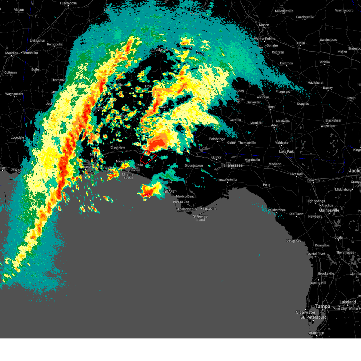 The tornado warning for east central walton, southwestern holmes and west central washington counties will expire at 515 am cst, the storm which prompted the warning has moved out of the area. therefore, the warning will be allowed to expire. however, gusty winds are still possible with this thunderstorm. a tornado watch remains in effect until 700 am cst for the panhandle of florida. to report severe weather, contact your nearest law enforcement agency. they will relay your report to the national weather service tallahassee. remember, a tornado warning still remains in effect for holmes and washington county until 530 ct. The tornado warning for east central walton, southwestern holmes and west central washington counties will expire at 515 am cst, the storm which prompted the warning has moved out of the area. therefore, the warning will be allowed to expire. however, gusty winds are still possible with this thunderstorm. a tornado watch remains in effect until 700 am cst for the panhandle of florida. to report severe weather, contact your nearest law enforcement agency. they will relay your report to the national weather service tallahassee. remember, a tornado warning still remains in effect for holmes and washington county until 530 ct.
|
| 1/9/2024 4:49 AM CST |
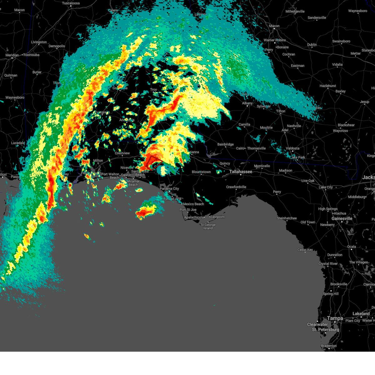 At 449 am cst, a confirmed tornado was located 11 miles southeast of de funiak springs, moving northeast at 55 mph (radar confirmed tornado). Hazards include damaging tornado and quarter size hail. Flying debris will be dangerous to those caught without shelter. mobile homes will be damaged or destroyed. damage to roofs, windows, and vehicles will occur. tree damage is likely. This tornadic thunderstorm will remain over mainly rural areas of east central walton, southwestern holmes and west central washington counties, including the following locations, eucheeanna, hinsons crossroads, knox hill, red bay, douglass crossroad, and ponce de leon. At 449 am cst, a confirmed tornado was located 11 miles southeast of de funiak springs, moving northeast at 55 mph (radar confirmed tornado). Hazards include damaging tornado and quarter size hail. Flying debris will be dangerous to those caught without shelter. mobile homes will be damaged or destroyed. damage to roofs, windows, and vehicles will occur. tree damage is likely. This tornadic thunderstorm will remain over mainly rural areas of east central walton, southwestern holmes and west central washington counties, including the following locations, eucheeanna, hinsons crossroads, knox hill, red bay, douglass crossroad, and ponce de leon.
|
| 1/9/2024 4:37 AM CST |
 At 437 am cst, a confirmed large and extremely dangerous tornado was located 8 miles northeast of santa rosa beach, moving northeast at 50 mph. this is a particularly dangerous situation. take cover now! (radar confirmed tornado). Hazards include damaging tornado. You are in a life-threatening situation. flying debris may be deadly to those caught without shelter. mobile homes will be destroyed. considerable damage to homes, businesses, and vehicles is likely and complete destruction is possible. the tornado will be near, eglin air force base around 445 am cst. Other locations impacted by this tornadic thunderstorm include eucheeanna, hinsons crossroads, red bay, douglass crossroad, freeport, knox hill, argyle, rock hill, and ponce de leon. At 437 am cst, a confirmed large and extremely dangerous tornado was located 8 miles northeast of santa rosa beach, moving northeast at 50 mph. this is a particularly dangerous situation. take cover now! (radar confirmed tornado). Hazards include damaging tornado. You are in a life-threatening situation. flying debris may be deadly to those caught without shelter. mobile homes will be destroyed. considerable damage to homes, businesses, and vehicles is likely and complete destruction is possible. the tornado will be near, eglin air force base around 445 am cst. Other locations impacted by this tornadic thunderstorm include eucheeanna, hinsons crossroads, red bay, douglass crossroad, freeport, knox hill, argyle, rock hill, and ponce de leon.
|
| 1/9/2024 4:33 AM CST | Ambient weather station measured 60 mph wind gust in walton county at santa rosa beac in walton county FL, 6.6 miles NNE of Freeport, FL |
| 1/9/2024 4:32 AM CST |
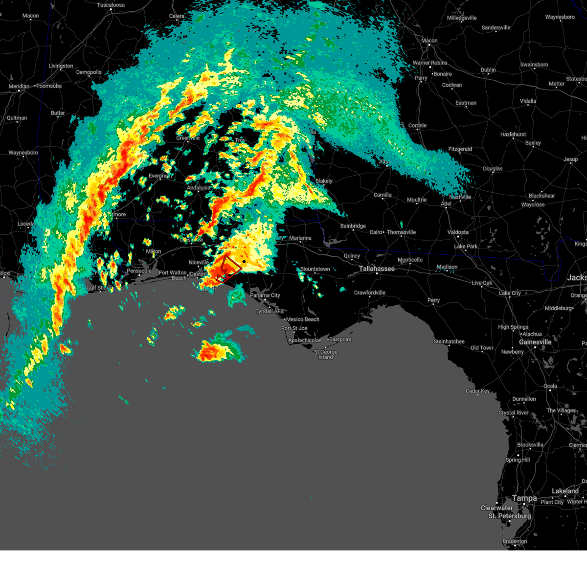 At 432 am cst, a confirmed tornado was located near santa rosa beach, moving northeast at 50 mph (radar confirmed tornado). Hazards include damaging tornado and quarter size hail. Flying debris will be dangerous to those caught without shelter. mobile homes will be damaged or destroyed. damage to roofs, windows, and vehicles will occur. tree damage is likely. this tornado will be near, eglin air force base around 440 am cst. Other locations impacted by this tornadic thunderstorm include freeport, rock hill, and portland. At 432 am cst, a confirmed tornado was located near santa rosa beach, moving northeast at 50 mph (radar confirmed tornado). Hazards include damaging tornado and quarter size hail. Flying debris will be dangerous to those caught without shelter. mobile homes will be damaged or destroyed. damage to roofs, windows, and vehicles will occur. tree damage is likely. this tornado will be near, eglin air force base around 440 am cst. Other locations impacted by this tornadic thunderstorm include freeport, rock hill, and portland.
|
| 1/9/2024 4:21 AM CST |
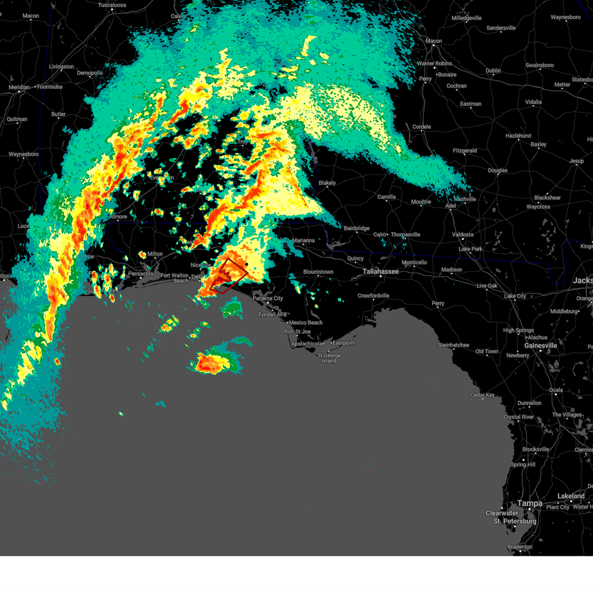 At 421 am cst, a severe thunderstorm capable of producing a tornado was located near santa rosa beach, moving northeast at 50 mph (radar indicated rotation). Hazards include tornado and quarter size hail. Flying debris will be dangerous to those caught without shelter. mobile homes will be damaged or destroyed. damage to roofs, windows, and vehicles will occur. tree damage is likely. this dangerous storm will be near, santa rosa beach around 425 am cst. Other locations impacted by this tornadic thunderstorm include bruce, point washington, portland, freeport, bunker, grayton beach, blue mountain beach, seagrove beach, seaside, and rock hill. At 421 am cst, a severe thunderstorm capable of producing a tornado was located near santa rosa beach, moving northeast at 50 mph (radar indicated rotation). Hazards include tornado and quarter size hail. Flying debris will be dangerous to those caught without shelter. mobile homes will be damaged or destroyed. damage to roofs, windows, and vehicles will occur. tree damage is likely. this dangerous storm will be near, santa rosa beach around 425 am cst. Other locations impacted by this tornadic thunderstorm include bruce, point washington, portland, freeport, bunker, grayton beach, blue mountain beach, seagrove beach, seaside, and rock hill.
|
| 12/10/2023 4:42 AM CST |
 The severe thunderstorm warning for southwestern walton county will expire at 445 am cst, the storm which prompted the warning has moved out of the area. therefore, the warning will be allowed to expire. however, gusty winds and heavy rain are still possible with this thunderstorm. a tornado watch remains in effect until 800 am cst for the panhandle of florida. remember, a severe thunderstorm warning still remains in effect for eastern walton county until 5:30am cst. The severe thunderstorm warning for southwestern walton county will expire at 445 am cst, the storm which prompted the warning has moved out of the area. therefore, the warning will be allowed to expire. however, gusty winds and heavy rain are still possible with this thunderstorm. a tornado watch remains in effect until 800 am cst for the panhandle of florida. remember, a severe thunderstorm warning still remains in effect for eastern walton county until 5:30am cst.
|
| 12/10/2023 4:41 AM CST |
 At 440 am cst, severe thunderstorms were located along a line extending from 7 miles east of eglin air force base to near santa rosa beach, moving east at 40 mph (radar indicated). Hazards include 60 mph wind gusts and penny size hail. expect damage to roofs, siding, and trees At 440 am cst, severe thunderstorms were located along a line extending from 7 miles east of eglin air force base to near santa rosa beach, moving east at 40 mph (radar indicated). Hazards include 60 mph wind gusts and penny size hail. expect damage to roofs, siding, and trees
|
| 12/10/2023 4:20 AM CST |
 A severe thunderstorm warning remains in effect until 445 am cst for southwestern walton county. at 419 am cst, a severe thunderstorm was located near santa rosa beach, moving east at 40 mph. hazard. 60 mph wind gusts and nickel size hail. source. Radar indicated. A severe thunderstorm warning remains in effect until 445 am cst for southwestern walton county. at 419 am cst, a severe thunderstorm was located near santa rosa beach, moving east at 40 mph. hazard. 60 mph wind gusts and nickel size hail. source. Radar indicated.
|
| 12/10/2023 4:00 AM CST |
 At 400 am cst, a severe thunderstorm was located near destin, moving east at 40 mph (radar indicated). Hazards include 60 mph wind gusts and penny size hail. expect damage to roofs, siding, and trees At 400 am cst, a severe thunderstorm was located near destin, moving east at 40 mph (radar indicated). Hazards include 60 mph wind gusts and penny size hail. expect damage to roofs, siding, and trees
|
| 9/7/2023 5:16 PM CDT |
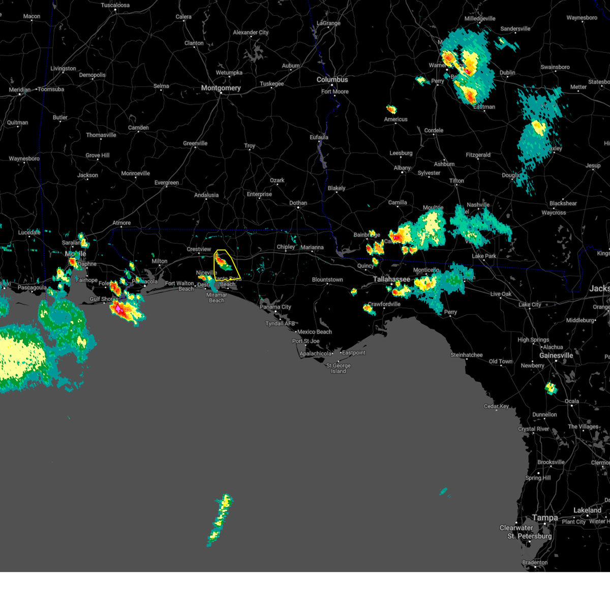 At 516 pm cdt, a severe thunderstorm was located near eglin air force base, or 11 miles west of de funiak springs, moving southeast at 15 mph (radar indicated). Hazards include 60 mph wind gusts and penny size hail. expect damage to roofs, siding, and trees At 516 pm cdt, a severe thunderstorm was located near eglin air force base, or 11 miles west of de funiak springs, moving southeast at 15 mph (radar indicated). Hazards include 60 mph wind gusts and penny size hail. expect damage to roofs, siding, and trees
|
| 8/15/2023 8:23 PM CDT |
 At 823 pm cdt, a severe thunderstorm was located 8 miles northeast of panama city beach, moving southeast at 40 mph (radar indicated). Hazards include 60 mph wind gusts. Expect damage to roofs, siding, and trees. locations impacted include, panama city beach, vernon, santa rosa beach, eglin air force base, live oak, freeport, ebro, portland, seminole hills, gulf resort beach, blue mountain beach, seaside, bahama beach, holmes valley, millers ferry, sunnyside, gulf pines, knox hill, bunker and vicksburg. hail threat, radar indicated max hail size, <. 75 in wind threat, radar indicated max wind gust, 60 mph. At 823 pm cdt, a severe thunderstorm was located 8 miles northeast of panama city beach, moving southeast at 40 mph (radar indicated). Hazards include 60 mph wind gusts. Expect damage to roofs, siding, and trees. locations impacted include, panama city beach, vernon, santa rosa beach, eglin air force base, live oak, freeport, ebro, portland, seminole hills, gulf resort beach, blue mountain beach, seaside, bahama beach, holmes valley, millers ferry, sunnyside, gulf pines, knox hill, bunker and vicksburg. hail threat, radar indicated max hail size, <. 75 in wind threat, radar indicated max wind gust, 60 mph.
|
| 8/15/2023 7:37 PM CDT |
 At 737 pm cdt, a severe thunderstorm was located near de funiak springs, moving southeast at 35 mph (radar indicated). Hazards include 60 mph wind gusts. expect damage to roofs, siding, and trees At 737 pm cdt, a severe thunderstorm was located near de funiak springs, moving southeast at 35 mph (radar indicated). Hazards include 60 mph wind gusts. expect damage to roofs, siding, and trees
|
| 8/6/2023 12:18 PM CDT |
 At 1218 pm cdt, a severe thunderstorm was located 14 miles southeast of eglin air force base, or 15 miles south of de funiak springs, moving east at 15 mph (radar indicated). Hazards include 60 mph wind gusts. Expect damage to roofs, siding, and trees. locations impacted include, vernon, eglin air force base, live oak, freeport, wausau, ebro, red bay, portland, greenhead, bruce, red head, holmes valley, millers ferry, gilberts mill, porter lake, smyrna, spring hollow, sylvania, riverside and singer road. hail threat, radar indicated max hail size, <. 75 in wind threat, radar indicated max wind gust, 60 mph. At 1218 pm cdt, a severe thunderstorm was located 14 miles southeast of eglin air force base, or 15 miles south of de funiak springs, moving east at 15 mph (radar indicated). Hazards include 60 mph wind gusts. Expect damage to roofs, siding, and trees. locations impacted include, vernon, eglin air force base, live oak, freeport, wausau, ebro, red bay, portland, greenhead, bruce, red head, holmes valley, millers ferry, gilberts mill, porter lake, smyrna, spring hollow, sylvania, riverside and singer road. hail threat, radar indicated max hail size, <. 75 in wind threat, radar indicated max wind gust, 60 mph.
|
| 8/6/2023 12:05 PM CDT |
 At 1205 pm cdt, severe thunderstorms were located along a line extending from 10 miles west of vernon to 9 miles northeast of santa rosa beach, moving east at 20 mph (radar indicated). Hazards include 60 mph wind gusts. expect damage to roofs, siding, and trees At 1205 pm cdt, severe thunderstorms were located along a line extending from 10 miles west of vernon to 9 miles northeast of santa rosa beach, moving east at 20 mph (radar indicated). Hazards include 60 mph wind gusts. expect damage to roofs, siding, and trees
|
| 8/4/2023 7:40 PM CDT |
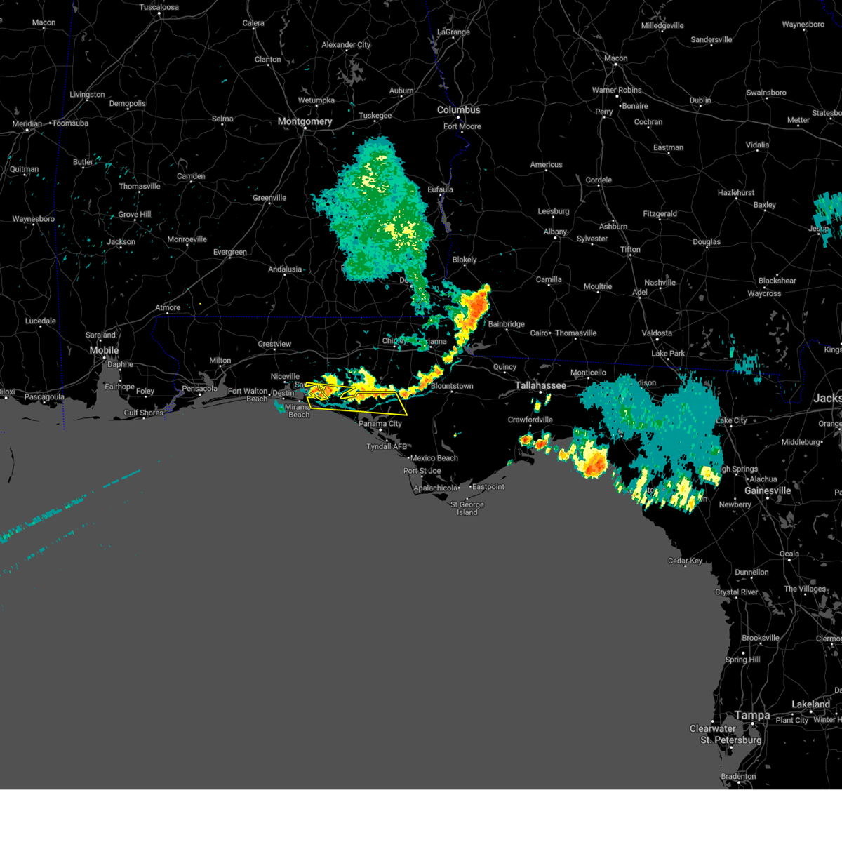 At 740 pm cdt, severe thunderstorms were located along a line extending from near santa rosa beach to 10 miles northeast of lynn haven, moving southeast at 30 mph (radar indicated). Hazards include 60 mph wind gusts. Expect damage to roofs, siding, and trees. locations impacted include, santa rosa beach, eglin air force base, freeport, bayhead, southport, seminole hills, recota beach, blue mountain beach, camp flowers, seaside, bruce, gainer spring, point washington, bennett, pine log, cairo, bunker, laird, vicksburg and grayton beach. hail threat, radar indicated max hail size, <. 75 in wind threat, radar indicated max wind gust, 60 mph. At 740 pm cdt, severe thunderstorms were located along a line extending from near santa rosa beach to 10 miles northeast of lynn haven, moving southeast at 30 mph (radar indicated). Hazards include 60 mph wind gusts. Expect damage to roofs, siding, and trees. locations impacted include, santa rosa beach, eglin air force base, freeport, bayhead, southport, seminole hills, recota beach, blue mountain beach, camp flowers, seaside, bruce, gainer spring, point washington, bennett, pine log, cairo, bunker, laird, vicksburg and grayton beach. hail threat, radar indicated max hail size, <. 75 in wind threat, radar indicated max wind gust, 60 mph.
|
| 8/4/2023 7:25 PM CDT | Tree down along black creek blvd and county highway 328 in walton county FL, 4.9 miles WNW of Freeport, FL |
| 8/4/2023 7:11 PM CDT |
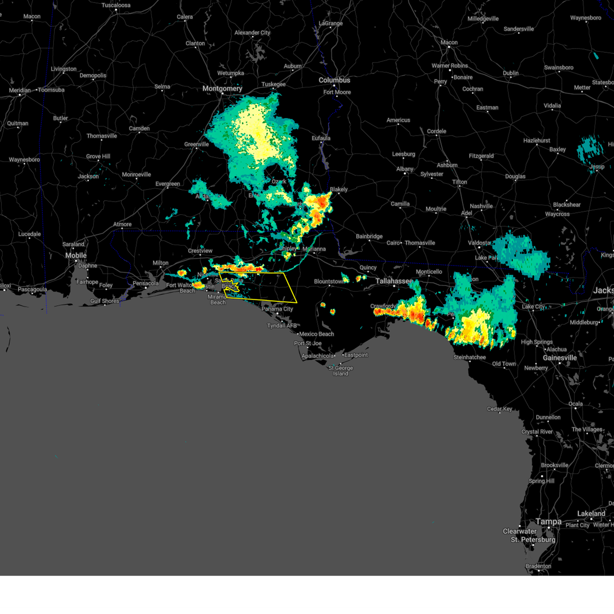 At 711 pm cdt, severe thunderstorms were located along a line extending from near eglin air force base to 7 miles southeast of vernon, moving southeast at 30 mph (radar indicated). Hazards include 60 mph wind gusts. expect damage to roofs, siding, and trees At 711 pm cdt, severe thunderstorms were located along a line extending from near eglin air force base to 7 miles southeast of vernon, moving southeast at 30 mph (radar indicated). Hazards include 60 mph wind gusts. expect damage to roofs, siding, and trees
|
| 7/30/2023 6:39 PM CDT |
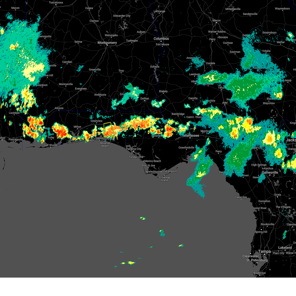 The severe thunderstorm warning for west central walton county will expire at 645 pm cdt, the storm which prompted the warning has weakened below severe limits, and no longer poses an immediate threat to life or property. therefore, the warning will be allowed to expire. however gusty winds are still possible with this thunderstorm. The severe thunderstorm warning for west central walton county will expire at 645 pm cdt, the storm which prompted the warning has weakened below severe limits, and no longer poses an immediate threat to life or property. therefore, the warning will be allowed to expire. however gusty winds are still possible with this thunderstorm.
|
| 7/30/2023 6:31 PM CDT | Trees down in choctaw beach. photo from social media and time estimated by rada in walton county FL, 10.8 miles E of Freeport, FL |
| 7/30/2023 5:57 PM CDT |
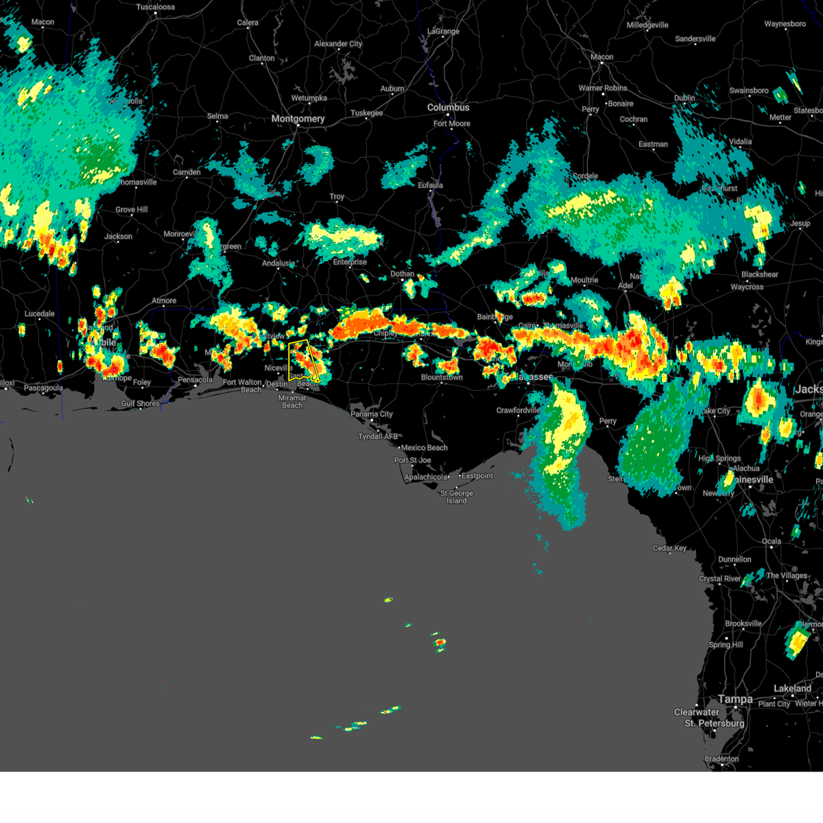 At 557 pm cdt, a severe thunderstorm was located near eglin air force base, or 11 miles west of de funiak springs, moving south at 25 mph (radar indicated). Hazards include 60 mph wind gusts. expect damage to roofs, siding, and trees At 557 pm cdt, a severe thunderstorm was located near eglin air force base, or 11 miles west of de funiak springs, moving south at 25 mph (radar indicated). Hazards include 60 mph wind gusts. expect damage to roofs, siding, and trees
|
| 7/22/2023 2:42 PM CDT | Trees down across eden gardens state par in walton county FL, 8.5 miles NNW of Freeport, FL |
| 7/16/2023 12:05 PM CDT |
 At 1204 pm cdt, severe thunderstorms were located along a line extending from 8 miles north of geneva to 15 miles southeast of de funiak springs, moving east at 20 mph (radar indicated). Hazards include 60 mph wind gusts. expect damage to roofs, siding, and trees At 1204 pm cdt, severe thunderstorms were located along a line extending from 8 miles north of geneva to 15 miles southeast of de funiak springs, moving east at 20 mph (radar indicated). Hazards include 60 mph wind gusts. expect damage to roofs, siding, and trees
|
| 7/15/2023 4:51 PM CDT |
 The severe thunderstorm warning for central walton, holmes and northwestern washington counties will expire at 500 pm cdt, the storms which prompted the warning have weakened below severe limits, and no longer pose an immediate threat to life or property. therefore, the warning will be allowed to expire. to report severe weather, contact your nearest law enforcement agency. they will relay your report to the national weather service tallahassee. The severe thunderstorm warning for central walton, holmes and northwestern washington counties will expire at 500 pm cdt, the storms which prompted the warning have weakened below severe limits, and no longer pose an immediate threat to life or property. therefore, the warning will be allowed to expire. to report severe weather, contact your nearest law enforcement agency. they will relay your report to the national weather service tallahassee.
|
| 7/15/2023 4:49 PM CDT | A couple of trees were blown down along highway 8 in walton county FL, 5.9 miles SSW of Freeport, FL |
| 7/15/2023 4:26 PM CDT |
 At 426 pm cdt, severe thunderstorms were located along a line extending from 8 miles south of hartford to near eglin air force base, moving east at 15 mph (radar indicated). Hazards include 60 mph wind gusts. Expect damage to roofs, siding, and trees. locations impacted include, de funiak springs, bonifay, eglin air force base, union, live oak, ponce de leon, caryville, esto, westville, noma, black, hinsons crossroads, oakwood hills, whitehead crossroads, alpine heights, cerrogordo, tendil crossing, gritney, de funiak spring airport and rock hill. hail threat, radar indicated max hail size, <. 75 in wind threat, radar indicated max wind gust, 60 mph. At 426 pm cdt, severe thunderstorms were located along a line extending from 8 miles south of hartford to near eglin air force base, moving east at 15 mph (radar indicated). Hazards include 60 mph wind gusts. Expect damage to roofs, siding, and trees. locations impacted include, de funiak springs, bonifay, eglin air force base, union, live oak, ponce de leon, caryville, esto, westville, noma, black, hinsons crossroads, oakwood hills, whitehead crossroads, alpine heights, cerrogordo, tendil crossing, gritney, de funiak spring airport and rock hill. hail threat, radar indicated max hail size, <. 75 in wind threat, radar indicated max wind gust, 60 mph.
|
| 7/15/2023 4:02 PM CDT |
 At 402 pm cdt, a severe thunderstorm was located near de funiak springs, moving southeast at 20 mph (radar indicated). Hazards include 60 mph wind gusts. expect damage to roofs, siding, and trees At 402 pm cdt, a severe thunderstorm was located near de funiak springs, moving southeast at 20 mph (radar indicated). Hazards include 60 mph wind gusts. expect damage to roofs, siding, and trees
|
| 7/5/2023 2:58 PM CDT |
 At 258 pm cdt, a severe thunderstorm was located near de funiak springs, moving south at 10 mph (radar indicated). Hazards include 60 mph wind gusts and nickel size hail. expect damage to roofs, siding, and trees At 258 pm cdt, a severe thunderstorm was located near de funiak springs, moving south at 10 mph (radar indicated). Hazards include 60 mph wind gusts and nickel size hail. expect damage to roofs, siding, and trees
|
| 6/26/2023 5:09 AM CDT |
 The severe thunderstorm warning for southern walton and southwestern washington counties will expire at 515 am cdt, the storms which prompted the warning have weakened below severe limits, and no longer pose an immediate threat to life or property. therefore, the warning will be allowed to expire. The severe thunderstorm warning for southern walton and southwestern washington counties will expire at 515 am cdt, the storms which prompted the warning have weakened below severe limits, and no longer pose an immediate threat to life or property. therefore, the warning will be allowed to expire.
|
| 6/26/2023 5:00 AM CDT |
 At 500 am cdt, severe thunderstorms were located along a line extending from 8 miles east of de funiak springs to near eglin air force base to 22 miles south of mary esther, moving east at 25 mph (radar indicated). Hazards include 60 mph wind gusts. Expect damage to roofs, siding, and trees. locations impacted include, santa rosa beach, de funiak springs, eglin air force base, freeport, portland, villa tasso, blue mountain beach, seaside, rock hill, pleasant ridge, gulf pines, knox hill, bunker, grayton beach, sandestin, four mile village, red bay, inlet beach, douglass crossroad and port washington. hail threat, radar indicated max hail size, <. 75 in wind threat, radar indicated max wind gust, 60 mph. At 500 am cdt, severe thunderstorms were located along a line extending from 8 miles east of de funiak springs to near eglin air force base to 22 miles south of mary esther, moving east at 25 mph (radar indicated). Hazards include 60 mph wind gusts. Expect damage to roofs, siding, and trees. locations impacted include, santa rosa beach, de funiak springs, eglin air force base, freeport, portland, villa tasso, blue mountain beach, seaside, rock hill, pleasant ridge, gulf pines, knox hill, bunker, grayton beach, sandestin, four mile village, red bay, inlet beach, douglass crossroad and port washington. hail threat, radar indicated max hail size, <. 75 in wind threat, radar indicated max wind gust, 60 mph.
|
| 6/26/2023 4:55 AM CDT | Downed tree on state highway 20 west in walton county florida. reported by the 911 call cente in walton county FL, 2.9 miles SE of Freeport, FL |
| 6/26/2023 4:01 AM CDT |
 At 401 am cdt, severe thunderstorms were located along a line extending from 9 miles southeast of laurel hill to 12 miles south of baker to 14 miles southeast of pensacola beach, moving east at 25 mph (radar indicated). Hazards include 60 mph wind gusts. expect damage to roofs, siding, and trees At 401 am cdt, severe thunderstorms were located along a line extending from 9 miles southeast of laurel hill to 12 miles south of baker to 14 miles southeast of pensacola beach, moving east at 25 mph (radar indicated). Hazards include 60 mph wind gusts. expect damage to roofs, siding, and trees
|
| 6/22/2023 9:27 PM CDT | Report of a power line down in south walton. location approximated based on outage ma in walton county FL, 3.4 miles NNW of Freeport, FL |
| 6/22/2023 9:22 PM CDT |
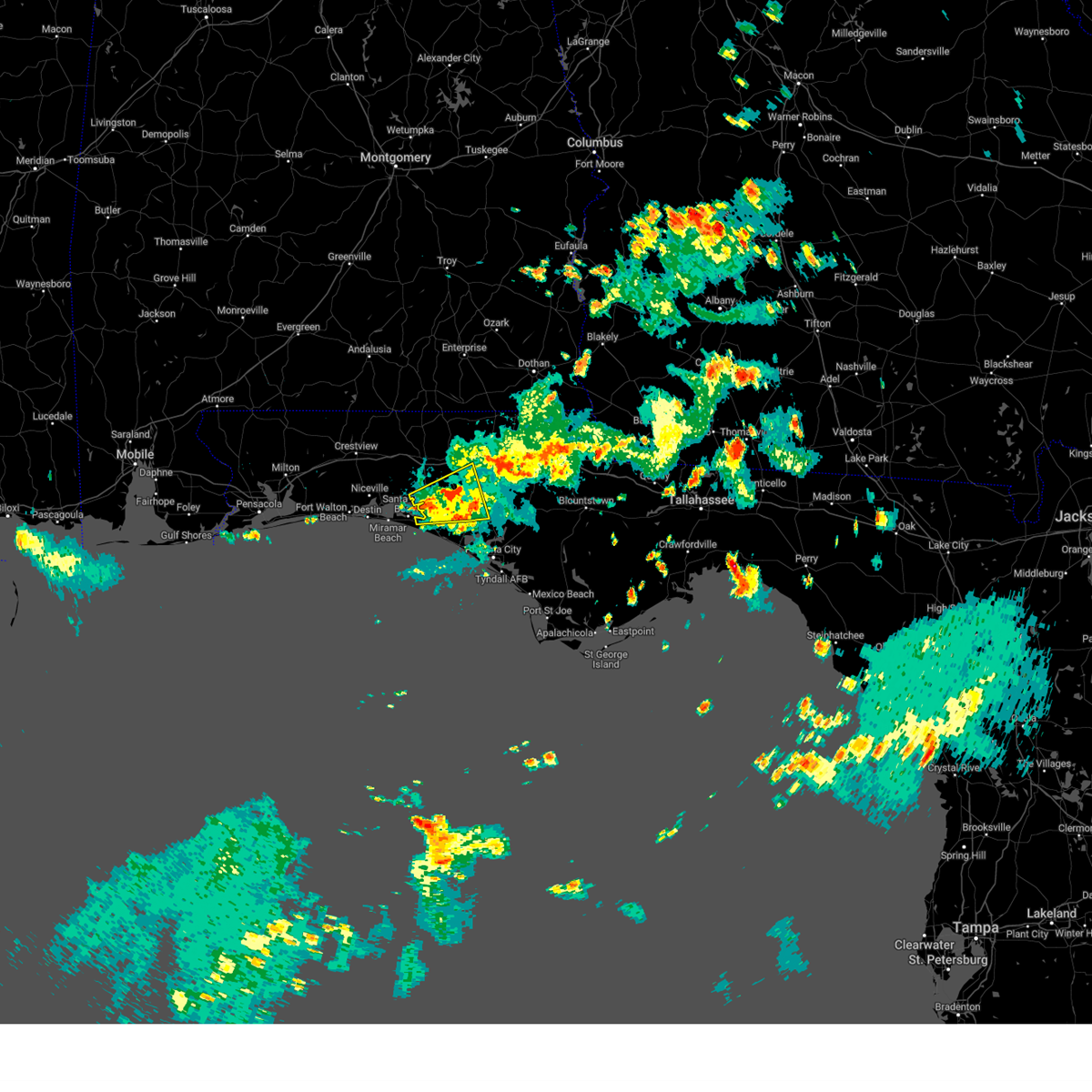 At 922 pm cdt, a severe thunderstorm was located 9 miles northeast of santa rosa beach, moving east at 25 mph (radar indicated). Hazards include 60 mph wind gusts. expect damage to roofs, siding, and trees At 922 pm cdt, a severe thunderstorm was located 9 miles northeast of santa rosa beach, moving east at 25 mph (radar indicated). Hazards include 60 mph wind gusts. expect damage to roofs, siding, and trees
|
| 6/19/2023 11:50 AM CDT |
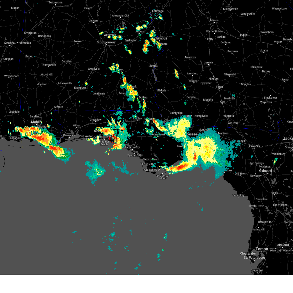 The tornado warning for south central walton county will expire at noon cdt, the storm which prompted the warning has weakened below severe limits, and no longer appears capable of producing a tornado. therefore, the warning will be allowed to expire. to report severe weather, contact your nearest law enforcement agency. they will relay your report to the national weather service tallahassee. The tornado warning for south central walton county will expire at noon cdt, the storm which prompted the warning has weakened below severe limits, and no longer appears capable of producing a tornado. therefore, the warning will be allowed to expire. to report severe weather, contact your nearest law enforcement agency. they will relay your report to the national weather service tallahassee.
|
| 6/19/2023 11:37 AM CDT |
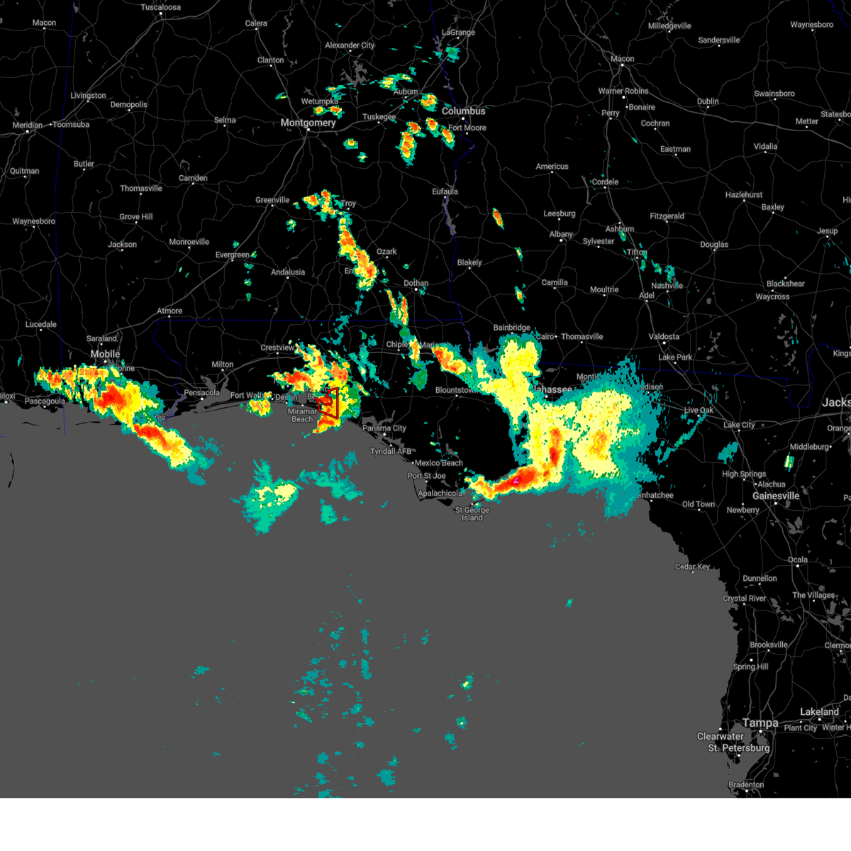 At 1137 am cdt, a severe thunderstorm capable of producing a tornado was located near santa rosa beach, moving east at 25 mph (radar indicated rotation). Hazards include tornado. Flying debris will be dangerous to those caught without shelter. mobile homes will be damaged or destroyed. damage to roofs, windows, and vehicles will occur. tree damage is likely. Locations impacted include, santa rosa beach, port washington, bunker, grayton beach, blue mountain beach, seagrove beach and seaside. At 1137 am cdt, a severe thunderstorm capable of producing a tornado was located near santa rosa beach, moving east at 25 mph (radar indicated rotation). Hazards include tornado. Flying debris will be dangerous to those caught without shelter. mobile homes will be damaged or destroyed. damage to roofs, windows, and vehicles will occur. tree damage is likely. Locations impacted include, santa rosa beach, port washington, bunker, grayton beach, blue mountain beach, seagrove beach and seaside.
|
| 6/19/2023 11:28 AM CDT |
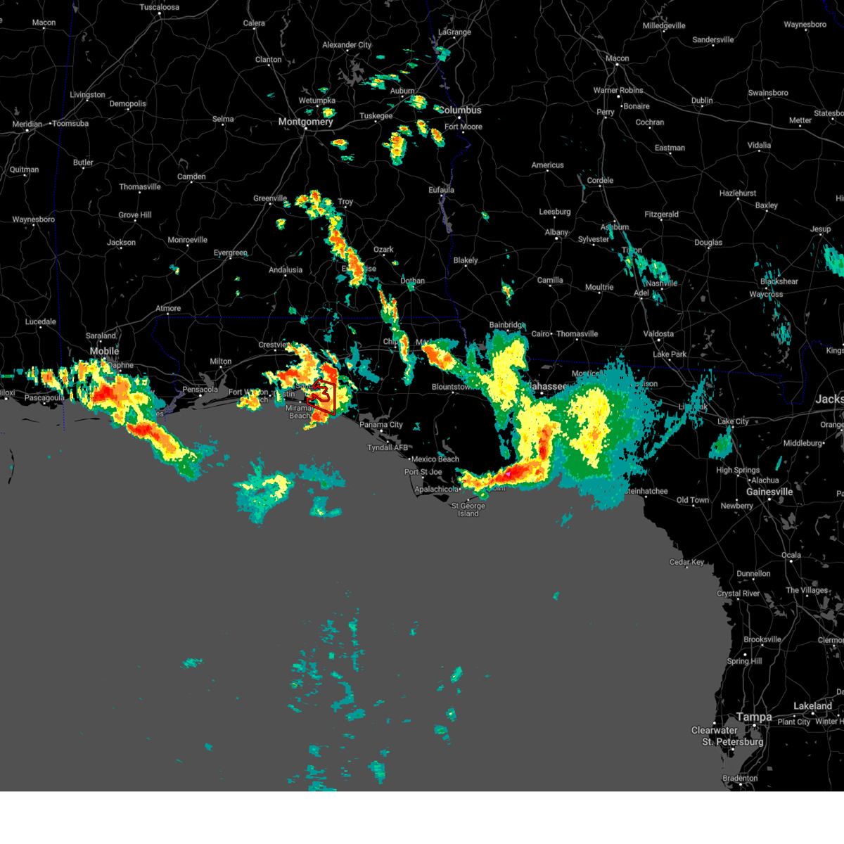 At 1127 am cdt, a confirmed tornado was located near santa rosa beach, moving east at 20 mph (weather spotters confirmed tornado). Hazards include damaging tornado. Flying debris will be dangerous to those caught without shelter. mobile homes will be damaged or destroyed. damage to roofs, windows, and vehicles will occur. tree damage is likely. This tornadic thunderstorm will remain over mainly rural areas of southwestern walton county, including the following locations, portland, port washington, freeport, bunker, grayton beach, blue mountain beach, seagrove beach and seaside. At 1127 am cdt, a confirmed tornado was located near santa rosa beach, moving east at 20 mph (weather spotters confirmed tornado). Hazards include damaging tornado. Flying debris will be dangerous to those caught without shelter. mobile homes will be damaged or destroyed. damage to roofs, windows, and vehicles will occur. tree damage is likely. This tornadic thunderstorm will remain over mainly rural areas of southwestern walton county, including the following locations, portland, port washington, freeport, bunker, grayton beach, blue mountain beach, seagrove beach and seaside.
|
| 6/19/2023 11:02 AM CDT |
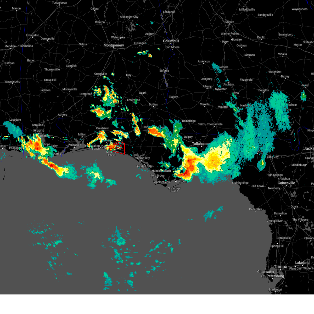 At 1102 am cdt, a severe thunderstorm capable of producing a tornado was located near destin, moving east at 25 mph (radar indicated rotation). Hazards include tornado. Flying debris will be dangerous to those caught without shelter. mobile homes will be damaged or destroyed. damage to roofs, windows, and vehicles will occur. tree damage is likely. this dangerous storm will be near, santa rosa beach around 1130 am cdt. Other locations impacted by this tornadic thunderstorm include portland, port washington, gulf pines, freeport, bunker, grayton beach, blue mountain beach, seagrove beach, seaside and sandestin. At 1102 am cdt, a severe thunderstorm capable of producing a tornado was located near destin, moving east at 25 mph (radar indicated rotation). Hazards include tornado. Flying debris will be dangerous to those caught without shelter. mobile homes will be damaged or destroyed. damage to roofs, windows, and vehicles will occur. tree damage is likely. this dangerous storm will be near, santa rosa beach around 1130 am cdt. Other locations impacted by this tornadic thunderstorm include portland, port washington, gulf pines, freeport, bunker, grayton beach, blue mountain beach, seagrove beach, seaside and sandestin.
|
| 6/19/2023 6:44 AM CDT |
 At 643 am cdt, severe thunderstorms were located along a line extending from 11 miles east of de funiak springs to 7 miles southeast of eglin air force base, moving east at 30 mph (radar indicated). Hazards include 70 mph wind gusts and penny size hail. Expect considerable tree damage. damage is likely to mobile homes, roofs, and outbuildings. locations impacted include, vernon, chipley, santa rosa beach, de funiak springs, bonifay, eglin air force base, union, live oak, freeport, ponce de leon, caryville, wausau, westville, ebro, whitehead crossroads, villa tasso, blue mountain beach, seaside, rock hill and holmes valley. thunderstorm damage threat, considerable hail threat, radar indicated max hail size, 0. 75 in wind threat, radar indicated max wind gust, 70 mph. At 643 am cdt, severe thunderstorms were located along a line extending from 11 miles east of de funiak springs to 7 miles southeast of eglin air force base, moving east at 30 mph (radar indicated). Hazards include 70 mph wind gusts and penny size hail. Expect considerable tree damage. damage is likely to mobile homes, roofs, and outbuildings. locations impacted include, vernon, chipley, santa rosa beach, de funiak springs, bonifay, eglin air force base, union, live oak, freeport, ponce de leon, caryville, wausau, westville, ebro, whitehead crossroads, villa tasso, blue mountain beach, seaside, rock hill and holmes valley. thunderstorm damage threat, considerable hail threat, radar indicated max hail size, 0. 75 in wind threat, radar indicated max wind gust, 70 mph.
|
| 6/19/2023 6:33 AM CDT |
 At 633 am cdt, severe thunderstorms were located along a line extending from 6 miles east of de funiak springs to near eglin air force base, moving east at 30 mph (radar indicated). Hazards include 60 mph wind gusts and penny size hail. expect damage to roofs, siding, and trees At 633 am cdt, severe thunderstorms were located along a line extending from 6 miles east of de funiak springs to near eglin air force base, moving east at 30 mph (radar indicated). Hazards include 60 mph wind gusts and penny size hail. expect damage to roofs, siding, and trees
|
| 6/18/2023 12:32 PM CDT |
 At 1231 pm cdt, severe thunderstorms were located along a line extending from 12 miles west of bonifay to 16 miles southwest of vernon to 14 miles west of panama city beach, moving east at 55 mph (radar indicated). Hazards include 70 mph wind gusts and penny size hail. Expect considerable tree damage. damage is likely to mobile homes, roofs, and outbuildings. locations impacted include, panama city, lynn haven, panama city beach, vernon, santa rosa beach, de funiak springs, bonifay, eglin air force base, union, liberty, live oak, freeport, ponce de leon, caryville, westville, ebro, oakwood hills, cluster springs, whitehead crossroads and cerrogordo. thunderstorm damage threat, considerable hail threat, radar indicated max hail size, 0. 75 in wind threat, observed max wind gust, 70 mph. At 1231 pm cdt, severe thunderstorms were located along a line extending from 12 miles west of bonifay to 16 miles southwest of vernon to 14 miles west of panama city beach, moving east at 55 mph (radar indicated). Hazards include 70 mph wind gusts and penny size hail. Expect considerable tree damage. damage is likely to mobile homes, roofs, and outbuildings. locations impacted include, panama city, lynn haven, panama city beach, vernon, santa rosa beach, de funiak springs, bonifay, eglin air force base, union, liberty, live oak, freeport, ponce de leon, caryville, westville, ebro, oakwood hills, cluster springs, whitehead crossroads and cerrogordo. thunderstorm damage threat, considerable hail threat, radar indicated max hail size, 0. 75 in wind threat, observed max wind gust, 70 mph.
|
| 6/18/2023 12:20 PM CDT | Storm damage reported in walton county FL, 3.2 miles N of Freeport, FL |
| 6/18/2023 12:14 PM CDT |
 At 1213 pm cdt, severe thunderstorms were located along a line extending from near de funiak springs to 10 miles northeast of santa rosa beach to 13 miles southeast of destin, moving east at 50 mph. these are destructive storms for walton county south of i 10 (radar indicated). Hazards include 80 mph wind gusts and nickel size hail. Flying debris will be dangerous to those caught without shelter. mobile homes will be heavily damaged. expect considerable damage to roofs, windows, and vehicles. extensive tree damage and power outages are likely. locations impacted include, panama city, lynn haven, panama city beach, vernon, santa rosa beach, de funiak springs, bonifay, eglin air force base, union, liberty, live oak, freeport, ponce de leon, caryville, westville, ebro, oakwood hills, cluster springs, whitehead crossroads and villa tasso. thunderstorm damage threat, destructive hail threat, radar indicated max hail size, 0. 88 in wind threat, observed max wind gust, 80 mph. At 1213 pm cdt, severe thunderstorms were located along a line extending from near de funiak springs to 10 miles northeast of santa rosa beach to 13 miles southeast of destin, moving east at 50 mph. these are destructive storms for walton county south of i 10 (radar indicated). Hazards include 80 mph wind gusts and nickel size hail. Flying debris will be dangerous to those caught without shelter. mobile homes will be heavily damaged. expect considerable damage to roofs, windows, and vehicles. extensive tree damage and power outages are likely. locations impacted include, panama city, lynn haven, panama city beach, vernon, santa rosa beach, de funiak springs, bonifay, eglin air force base, union, liberty, live oak, freeport, ponce de leon, caryville, westville, ebro, oakwood hills, cluster springs, whitehead crossroads and villa tasso. thunderstorm damage threat, destructive hail threat, radar indicated max hail size, 0. 88 in wind threat, observed max wind gust, 80 mph.
|
| 6/18/2023 11:54 AM CDT |
 At 1153 am cdt, severe thunderstorms were located along a line extending from 8 miles east of crestview to near niceville to 11 miles south of mary esther, moving east at 55 mph. these are destructive storms for south walton county (radar indicated). Hazards include 80 mph wind gusts and nickel size hail. Flying debris will be dangerous to those caught without shelter. mobile homes will be heavily damaged. expect considerable damage to roofs, windows, and vehicles. extensive tree damage and power outages are likely. locations impacted include, panama city, lynn haven, panama city beach, vernon, santa rosa beach, de funiak springs, bonifay, eglin air force base, union, liberty, live oak, freeport, ponce de leon, caryville, westville, ebro, oakwood hills, cluster springs, whitehead crossroads and villa tasso. thunderstorm damage threat, destructive hail threat, radar indicated max hail size, 0. 88 in wind threat, observed max wind gust, 80 mph. At 1153 am cdt, severe thunderstorms were located along a line extending from 8 miles east of crestview to near niceville to 11 miles south of mary esther, moving east at 55 mph. these are destructive storms for south walton county (radar indicated). Hazards include 80 mph wind gusts and nickel size hail. Flying debris will be dangerous to those caught without shelter. mobile homes will be heavily damaged. expect considerable damage to roofs, windows, and vehicles. extensive tree damage and power outages are likely. locations impacted include, panama city, lynn haven, panama city beach, vernon, santa rosa beach, de funiak springs, bonifay, eglin air force base, union, liberty, live oak, freeport, ponce de leon, caryville, westville, ebro, oakwood hills, cluster springs, whitehead crossroads and villa tasso. thunderstorm damage threat, destructive hail threat, radar indicated max hail size, 0. 88 in wind threat, observed max wind gust, 80 mph.
|
| 6/18/2023 11:39 AM CDT |
 At 1139 am cdt, severe thunderstorms were located along a line extending from near baker to near wright to 7 miles south of navarre beach, moving east at 55 mph (radar indicated). Hazards include 70 mph wind gusts and nickel size hail. Expect considerable tree damage. Damage is likely to mobile homes, roofs, and outbuildings. At 1139 am cdt, severe thunderstorms were located along a line extending from near baker to near wright to 7 miles south of navarre beach, moving east at 55 mph (radar indicated). Hazards include 70 mph wind gusts and nickel size hail. Expect considerable tree damage. Damage is likely to mobile homes, roofs, and outbuildings.
|
| 6/16/2023 9:40 AM CDT | Several trees down in the freeport are in walton county FL, 1.5 miles SW of Freeport, FL |
| 6/16/2023 9:04 AM CDT |
 At 904 am cdt, severe thunderstorms were located along a line extending from near fort deposit to near baker to near pensacola beach, moving east at 65 mph (radar indicated). Hazards include 70 mph wind gusts and penny size hail. Expect considerable tree damage. Damage is likely to mobile homes, roofs, and outbuildings. At 904 am cdt, severe thunderstorms were located along a line extending from near fort deposit to near baker to near pensacola beach, moving east at 65 mph (radar indicated). Hazards include 70 mph wind gusts and penny size hail. Expect considerable tree damage. Damage is likely to mobile homes, roofs, and outbuildings.
|
| 6/15/2023 8:14 PM CDT |
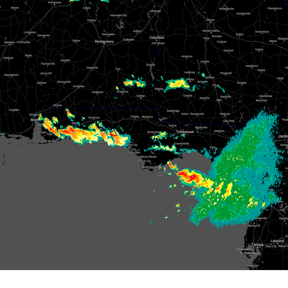 At 814 pm cdt, a severe thunderstorm capable of producing a tornado was located 7 miles northeast of santa rosa beach, moving northeast at 15 mph (radar indicated rotation). Hazards include tornado. Flying debris will be dangerous to those caught without shelter. mobile homes will be damaged or destroyed. damage to roofs, windows, and vehicles will occur. tree damage is likely. This tornadic thunderstorm will remain over mainly rural areas of south central walton county, including the following locations, freeport. At 814 pm cdt, a severe thunderstorm capable of producing a tornado was located 7 miles northeast of santa rosa beach, moving northeast at 15 mph (radar indicated rotation). Hazards include tornado. Flying debris will be dangerous to those caught without shelter. mobile homes will be damaged or destroyed. damage to roofs, windows, and vehicles will occur. tree damage is likely. This tornadic thunderstorm will remain over mainly rural areas of south central walton county, including the following locations, freeport.
|
| 6/15/2023 5:34 PM CDT |
 At 534 pm cdt, a severe thunderstorm was located near eglin air force base, or near de funiak springs, moving southeast at 25 mph (radar indicated). Hazards include 60 mph wind gusts and quarter size hail. Hail damage to vehicles is expected. expect wind damage to roofs, siding, and trees. locations impacted include, de funiak springs, eglin air force base, freeport, pond creek, oakwood hills, fox hill, red bay, douglass crossroad, portland, alpine heights, de funiak spring airport, rock hill, eucheeanna, pleasant ridge, new home, knox hill, argyle and mossy head. hail threat, radar indicated max hail size, 1. 00 in wind threat, radar indicated max wind gust, 60 mph. At 534 pm cdt, a severe thunderstorm was located near eglin air force base, or near de funiak springs, moving southeast at 25 mph (radar indicated). Hazards include 60 mph wind gusts and quarter size hail. Hail damage to vehicles is expected. expect wind damage to roofs, siding, and trees. locations impacted include, de funiak springs, eglin air force base, freeport, pond creek, oakwood hills, fox hill, red bay, douglass crossroad, portland, alpine heights, de funiak spring airport, rock hill, eucheeanna, pleasant ridge, new home, knox hill, argyle and mossy head. hail threat, radar indicated max hail size, 1. 00 in wind threat, radar indicated max wind gust, 60 mph.
|
| 6/15/2023 4:46 PM CDT |
 At 446 pm cdt, a severe thunderstorm was located near crestview, moving southeast at 25 mph (radar indicated). Hazards include 60 mph wind gusts and quarter size hail. Hail damage to vehicles is expected. Expect wind damage to roofs, siding, and trees. At 446 pm cdt, a severe thunderstorm was located near crestview, moving southeast at 25 mph (radar indicated). Hazards include 60 mph wind gusts and quarter size hail. Hail damage to vehicles is expected. Expect wind damage to roofs, siding, and trees.
|
| 6/14/2023 10:41 PM CDT |
 At 1041 pm cdt, severe thunderstorms were located along a line extending from 9 miles northwest of bonifay to near vernon to 17 miles southeast of de funiak springs, moving east at 60 mph (radar indicated). Hazards include 60 mph wind gusts and nickel size hail. Expect damage to roofs, siding, and trees. Locations impacted include, vernon, bonifay, geneva, chipley, de funiak springs, eglin air force base, bradford, union, live oak, freeport, ponce de leon, caryville, wausau, esto, westville, ebro, noma, black, kellys crossroads and whitehead crossroads. At 1041 pm cdt, severe thunderstorms were located along a line extending from 9 miles northwest of bonifay to near vernon to 17 miles southeast of de funiak springs, moving east at 60 mph (radar indicated). Hazards include 60 mph wind gusts and nickel size hail. Expect damage to roofs, siding, and trees. Locations impacted include, vernon, bonifay, geneva, chipley, de funiak springs, eglin air force base, bradford, union, live oak, freeport, ponce de leon, caryville, wausau, esto, westville, ebro, noma, black, kellys crossroads and whitehead crossroads.
|
| 6/14/2023 9:36 PM CDT |
 At 935 pm cdt, severe thunderstorms were located along a line extending from 14 miles east of riverview to 6 miles northwest of baker to roeville, moving east at 55 mph (radar indicated). Hazards include 70 mph wind gusts and quarter size hail. Hail damage to vehicles is expected. expect considerable tree damage. Wind damage is also likely to mobile homes, roofs, and outbuildings. At 935 pm cdt, severe thunderstorms were located along a line extending from 14 miles east of riverview to 6 miles northwest of baker to roeville, moving east at 55 mph (radar indicated). Hazards include 70 mph wind gusts and quarter size hail. Hail damage to vehicles is expected. expect considerable tree damage. Wind damage is also likely to mobile homes, roofs, and outbuildings.
|
| 6/13/2023 5:40 PM CDT |
 The severe thunderstorm warning for central walton county will expire at 545 pm cdt, the storm which prompted the warning has weakened below severe limits, and no longer poses an immediate threat to life or property. therefore, the warning will be allowed to expire. however gusty winds are still possible with this thunderstorm. a severe thunderstorm watch remains in effect until 700 pm cdt for the panhandle of florida. The severe thunderstorm warning for central walton county will expire at 545 pm cdt, the storm which prompted the warning has weakened below severe limits, and no longer poses an immediate threat to life or property. therefore, the warning will be allowed to expire. however gusty winds are still possible with this thunderstorm. a severe thunderstorm watch remains in effect until 700 pm cdt for the panhandle of florida.
|
| 6/13/2023 5:29 PM CDT |
 At 529 pm cdt, a severe thunderstorm was located 9 miles southeast of de funiak springs, moving east at 30 mph (radar indicated). Hazards include 60 mph wind gusts and quarter size hail. Hail damage to vehicles is expected. expect wind damage to roofs, siding, and trees. locations impacted include, de funiak springs, eglin air force base, freeport, eucheeanna, pleasant ridge, new home and rock hill. hail threat, radar indicated max hail size, 1. 00 in wind threat, radar indicated max wind gust, 60 mph. At 529 pm cdt, a severe thunderstorm was located 9 miles southeast of de funiak springs, moving east at 30 mph (radar indicated). Hazards include 60 mph wind gusts and quarter size hail. Hail damage to vehicles is expected. expect wind damage to roofs, siding, and trees. locations impacted include, de funiak springs, eglin air force base, freeport, eucheeanna, pleasant ridge, new home and rock hill. hail threat, radar indicated max hail size, 1. 00 in wind threat, radar indicated max wind gust, 60 mph.
|
| 6/13/2023 4:39 PM CDT |
 At 439 pm cdt, a severe thunderstorm was located 10 miles east of crestview, moving east at 30 mph (radar indicated). Hazards include 60 mph wind gusts and quarter size hail. Hail damage to vehicles is expected. Expect wind damage to roofs, siding, and trees. At 439 pm cdt, a severe thunderstorm was located 10 miles east of crestview, moving east at 30 mph (radar indicated). Hazards include 60 mph wind gusts and quarter size hail. Hail damage to vehicles is expected. Expect wind damage to roofs, siding, and trees.
|
| 6/12/2023 7:59 AM CDT |
 At 759 am cdt, severe thunderstorms were located along a line extending from 6 miles west of bonifay to 7 miles west of vernon to 12 miles east of eglin air force base, moving southeast at 30 mph (radar indicated). Hazards include 60 mph wind gusts. expect damage to roofs, siding, and trees At 759 am cdt, severe thunderstorms were located along a line extending from 6 miles west of bonifay to 7 miles west of vernon to 12 miles east of eglin air force base, moving southeast at 30 mph (radar indicated). Hazards include 60 mph wind gusts. expect damage to roofs, siding, and trees
|
| 4/15/2023 5:24 PM CDT |
 At 524 pm cdt, severe thunderstorms were located along a line extending from 9 miles northeast of samson to 11 miles northwest of bonifay to 13 miles southwest of vernon to 8 miles west of panama city beach, moving east at 25 mph (radar indicated). Hazards include 60 mph wind gusts. expect damage to roofs, siding, and trees At 524 pm cdt, severe thunderstorms were located along a line extending from 9 miles northeast of samson to 11 miles northwest of bonifay to 13 miles southwest of vernon to 8 miles west of panama city beach, moving east at 25 mph (radar indicated). Hazards include 60 mph wind gusts. expect damage to roofs, siding, and trees
|
| 4/15/2023 5:12 PM CDT |
 At 512 pm cdt, severe thunderstorms were located along a line extending from near samson to 12 miles south of geneva to 17 miles southeast of eglin air force base to 13 miles southeast of santa rosa beach, moving east at 35 mph (radar indicated). Hazards include 60 mph wind gusts. Expect damage to roofs, siding, and trees. locations impacted include, panama city, lynn haven, panama city beach, vernon, santa rosa beach, de funiak springs, bonifay, geneva, chipley, hartford, slocomb, samson, eglin air force base, bradford, union, liberty, live oak, freeport, ponce de leon and caryville. hail threat, radar indicated max hail size, <. 75 in wind threat, observed max wind gust, 60 mph. At 512 pm cdt, severe thunderstorms were located along a line extending from near samson to 12 miles south of geneva to 17 miles southeast of eglin air force base to 13 miles southeast of santa rosa beach, moving east at 35 mph (radar indicated). Hazards include 60 mph wind gusts. Expect damage to roofs, siding, and trees. locations impacted include, panama city, lynn haven, panama city beach, vernon, santa rosa beach, de funiak springs, bonifay, geneva, chipley, hartford, slocomb, samson, eglin air force base, bradford, union, liberty, live oak, freeport, ponce de leon and caryville. hail threat, radar indicated max hail size, <. 75 in wind threat, observed max wind gust, 60 mph.
|
| 4/15/2023 4:25 PM CDT |
 At 425 pm cdt, severe thunderstorms were located along a line extending from 16 miles northwest of laurel hill to near crestview to wright to 15 miles south of navarre beach, moving east at 60 mph (radar indicated). Hazards include 60 mph wind gusts and penny size hail. expect damage to roofs, siding, and trees At 425 pm cdt, severe thunderstorms were located along a line extending from 16 miles northwest of laurel hill to near crestview to wright to 15 miles south of navarre beach, moving east at 60 mph (radar indicated). Hazards include 60 mph wind gusts and penny size hail. expect damage to roofs, siding, and trees
|
| 3/12/2023 1:11 PM CDT |
 At 111 pm cdt, a severe thunderstorm was located 14 miles south of de funiak springs, moving east at 35 mph (radar indicated). Hazards include 60 mph wind gusts and nickel size hail. expect damage to roofs, siding, and trees At 111 pm cdt, a severe thunderstorm was located 14 miles south of de funiak springs, moving east at 35 mph (radar indicated). Hazards include 60 mph wind gusts and nickel size hail. expect damage to roofs, siding, and trees
|
| 1/25/2023 5:05 AM CST |
 At 505 am cst, a confirmed tornado was located near santa rosa beach, moving northeast at 40 mph (radar confirmed tornado). Hazards include damaging tornado. Flying debris will be dangerous to those caught without shelter. mobile homes will be damaged or destroyed. damage to roofs, windows, and vehicles will occur. tree damage is likely. Locations impacted include, santa rosa beach, eglin air force base, freeport, port washington, bunker, grayton beach, blue mountain beach, seagrove beach, seaside, rock hill and bruce. At 505 am cst, a confirmed tornado was located near santa rosa beach, moving northeast at 40 mph (radar confirmed tornado). Hazards include damaging tornado. Flying debris will be dangerous to those caught without shelter. mobile homes will be damaged or destroyed. damage to roofs, windows, and vehicles will occur. tree damage is likely. Locations impacted include, santa rosa beach, eglin air force base, freeport, port washington, bunker, grayton beach, blue mountain beach, seagrove beach, seaside, rock hill and bruce.
|
| 1/25/2023 5:01 AM CST |
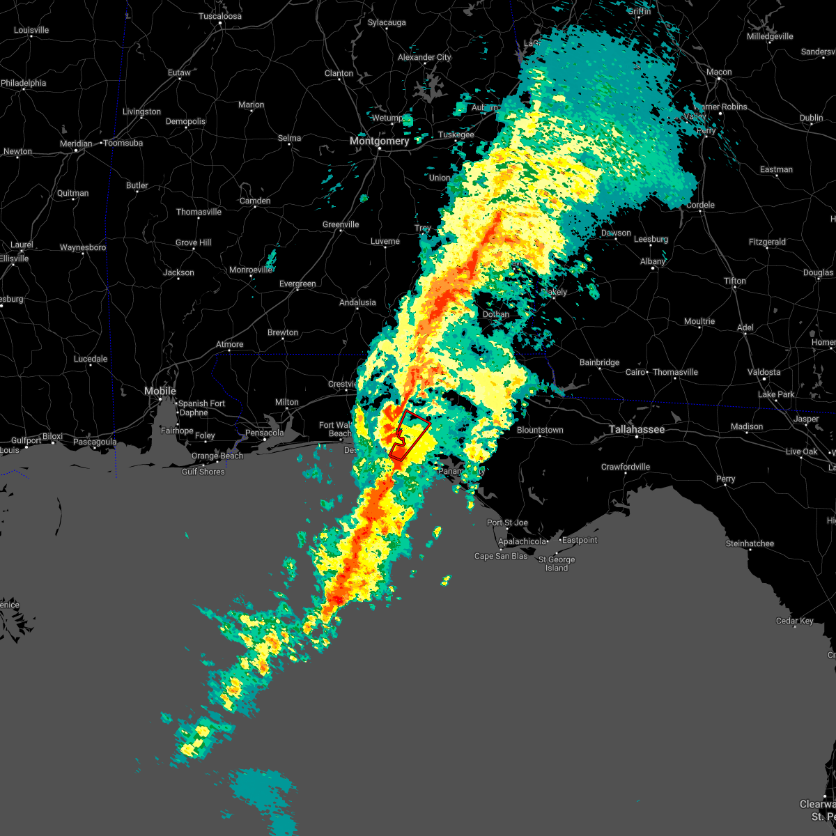 At 501 am cst, a severe thunderstorm capable of producing a tornado was located near santa rosa beach, moving northeast at 40 mph (radar indicated rotation). Hazards include tornado. Flying debris will be dangerous to those caught without shelter. mobile homes will be damaged or destroyed. damage to roofs, windows, and vehicles will occur. tree damage is likely. This tornadic thunderstorm will remain over mainly rural areas of southeastern walton county, including the following locations, bruce, port washington, freeport, bunker, grayton beach, blue mountain beach, seagrove beach, seaside and rock hill. At 501 am cst, a severe thunderstorm capable of producing a tornado was located near santa rosa beach, moving northeast at 40 mph (radar indicated rotation). Hazards include tornado. Flying debris will be dangerous to those caught without shelter. mobile homes will be damaged or destroyed. damage to roofs, windows, and vehicles will occur. tree damage is likely. This tornadic thunderstorm will remain over mainly rural areas of southeastern walton county, including the following locations, bruce, port washington, freeport, bunker, grayton beach, blue mountain beach, seagrove beach, seaside and rock hill.
|
| 1/25/2023 5:01 AM CST |
 At 501 am cst, severe thunderstorms were located along a line extending from near enterprise to 15 miles south of santa rosa beach, moving northeast at 40 mph (radar indicated). Hazards include 60 mph wind gusts. Expect damage to roofs, siding, and trees. Locations impacted include, panama city beach, vernon, de funiak springs, bonifay, santa rosa beach, eglin air force base, union, live oak, freeport, ponce de leon, caryville, esto, westville, ebro, noma, whitehead crossroads, cerrogordo, gulf resort beach, blue mountain beach and gritney. At 501 am cst, severe thunderstorms were located along a line extending from near enterprise to 15 miles south of santa rosa beach, moving northeast at 40 mph (radar indicated). Hazards include 60 mph wind gusts. Expect damage to roofs, siding, and trees. Locations impacted include, panama city beach, vernon, de funiak springs, bonifay, santa rosa beach, eglin air force base, union, live oak, freeport, ponce de leon, caryville, esto, westville, ebro, noma, whitehead crossroads, cerrogordo, gulf resort beach, blue mountain beach and gritney.
|
| 1/25/2023 4:43 AM CST |
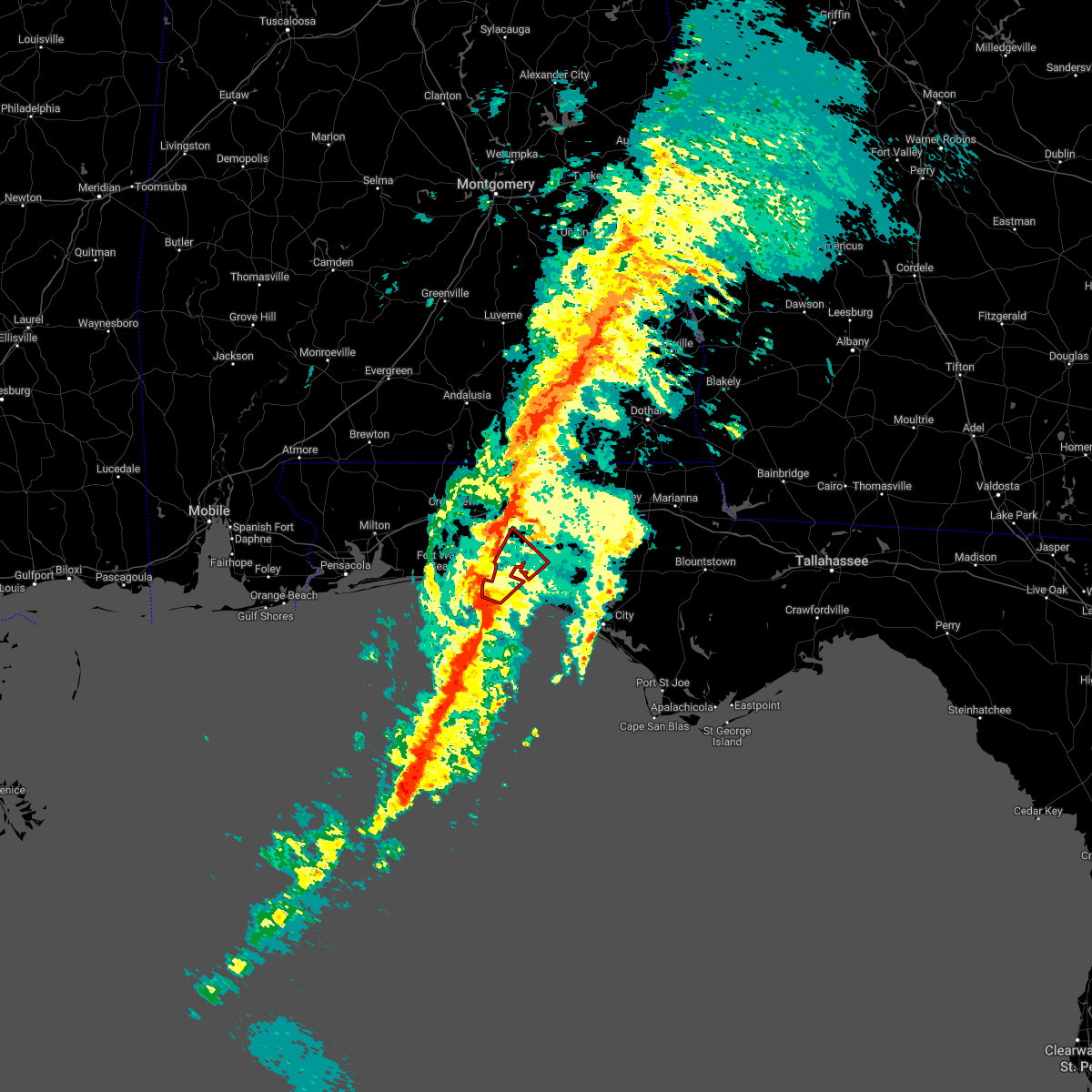 At 443 am cst, a severe thunderstorm capable of producing a tornado was located 9 miles southwest of santa rosa beach, moving northeast at 55 mph (radar indicated rotation). Hazards include tornado. Flying debris will be dangerous to those caught without shelter. mobile homes will be damaged or destroyed. damage to roofs, windows, and vehicles will occur. tree damage is likely. this dangerous storm will be near, santa rosa beach around 455 am cst. Other locations impacted by this tornadic thunderstorm include portland, gulf pines, new home, freeport, blue mountain beach, sandestin, miramar beach and four mile village. At 443 am cst, a severe thunderstorm capable of producing a tornado was located 9 miles southwest of santa rosa beach, moving northeast at 55 mph (radar indicated rotation). Hazards include tornado. Flying debris will be dangerous to those caught without shelter. mobile homes will be damaged or destroyed. damage to roofs, windows, and vehicles will occur. tree damage is likely. this dangerous storm will be near, santa rosa beach around 455 am cst. Other locations impacted by this tornadic thunderstorm include portland, gulf pines, new home, freeport, blue mountain beach, sandestin, miramar beach and four mile village.
|
| 1/25/2023 4:42 AM CST |
 At 442 am cst, severe thunderstorms were located along a line extending from 8 miles southwest of new brockton to 22 miles south of destin, moving northeast at 45 mph (radar indicated). Hazards include 60 mph wind gusts. Expect damage to roofs, siding, and trees. Locations impacted include, panama city beach, vernon, santa rosa beach, de funiak springs, bonifay, eglin air force base, union, liberty, live oak, freeport, ponce de leon, caryville, esto, westville, ebro, noma, oakwood hills, whitehead crossroads, cerrogordo and gulf resort beach. At 442 am cst, severe thunderstorms were located along a line extending from 8 miles southwest of new brockton to 22 miles south of destin, moving northeast at 45 mph (radar indicated). Hazards include 60 mph wind gusts. Expect damage to roofs, siding, and trees. Locations impacted include, panama city beach, vernon, santa rosa beach, de funiak springs, bonifay, eglin air force base, union, liberty, live oak, freeport, ponce de leon, caryville, esto, westville, ebro, noma, oakwood hills, whitehead crossroads, cerrogordo and gulf resort beach.
|
| 1/25/2023 4:08 AM CST |
 At 407 am cst, severe thunderstorms were located along a line extending from 8 miles north of lockhart to 31 miles south of navarre beach, moving northeast at 40 mph (radar indicated). Hazards include 60 mph wind gusts. expect damage to roofs, siding, and trees At 407 am cst, severe thunderstorms were located along a line extending from 8 miles north of lockhart to 31 miles south of navarre beach, moving northeast at 40 mph (radar indicated). Hazards include 60 mph wind gusts. expect damage to roofs, siding, and trees
|
| 1/4/2023 6:19 AM CST |
 At 619 am cst, a severe thunderstorm was located 7 miles south of eglin air force base, or 8 miles north of santa rosa beach, moving northeast at 45 mph (radar indicated). Hazards include 60 mph wind gusts. expect damage to roofs, siding, and trees At 619 am cst, a severe thunderstorm was located 7 miles south of eglin air force base, or 8 miles north of santa rosa beach, moving northeast at 45 mph (radar indicated). Hazards include 60 mph wind gusts. expect damage to roofs, siding, and trees
|
| 12/15/2022 12:22 AM CST |
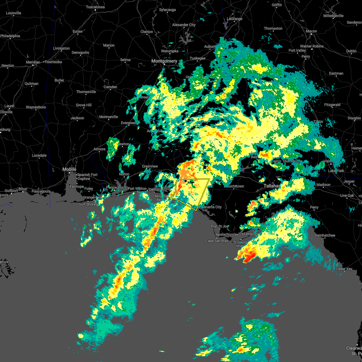 At 1222 am cst, severe thunderstorms were located along a line extending from 13 miles southeast of de funiak springs to 7 miles southeast of santa rosa beach, moving northeast at 45 mph (radar indicated). Hazards include 60 mph wind gusts. Expect damage to roofs, siding, and trees. Locations impacted include, panama city, lynn haven, panama city beach, live oak, ebro, st andrews state park, southport, seminole hills, gulf resort beach, west panama city, seaside, bahama beach, holmes valley, biltmore beach, millers ferry, sunnyside, porter lake, bunker, vicksburg and grayton beach. At 1222 am cst, severe thunderstorms were located along a line extending from 13 miles southeast of de funiak springs to 7 miles southeast of santa rosa beach, moving northeast at 45 mph (radar indicated). Hazards include 60 mph wind gusts. Expect damage to roofs, siding, and trees. Locations impacted include, panama city, lynn haven, panama city beach, live oak, ebro, st andrews state park, southport, seminole hills, gulf resort beach, west panama city, seaside, bahama beach, holmes valley, biltmore beach, millers ferry, sunnyside, porter lake, bunker, vicksburg and grayton beach.
|
| 12/15/2022 12:14 AM CST |
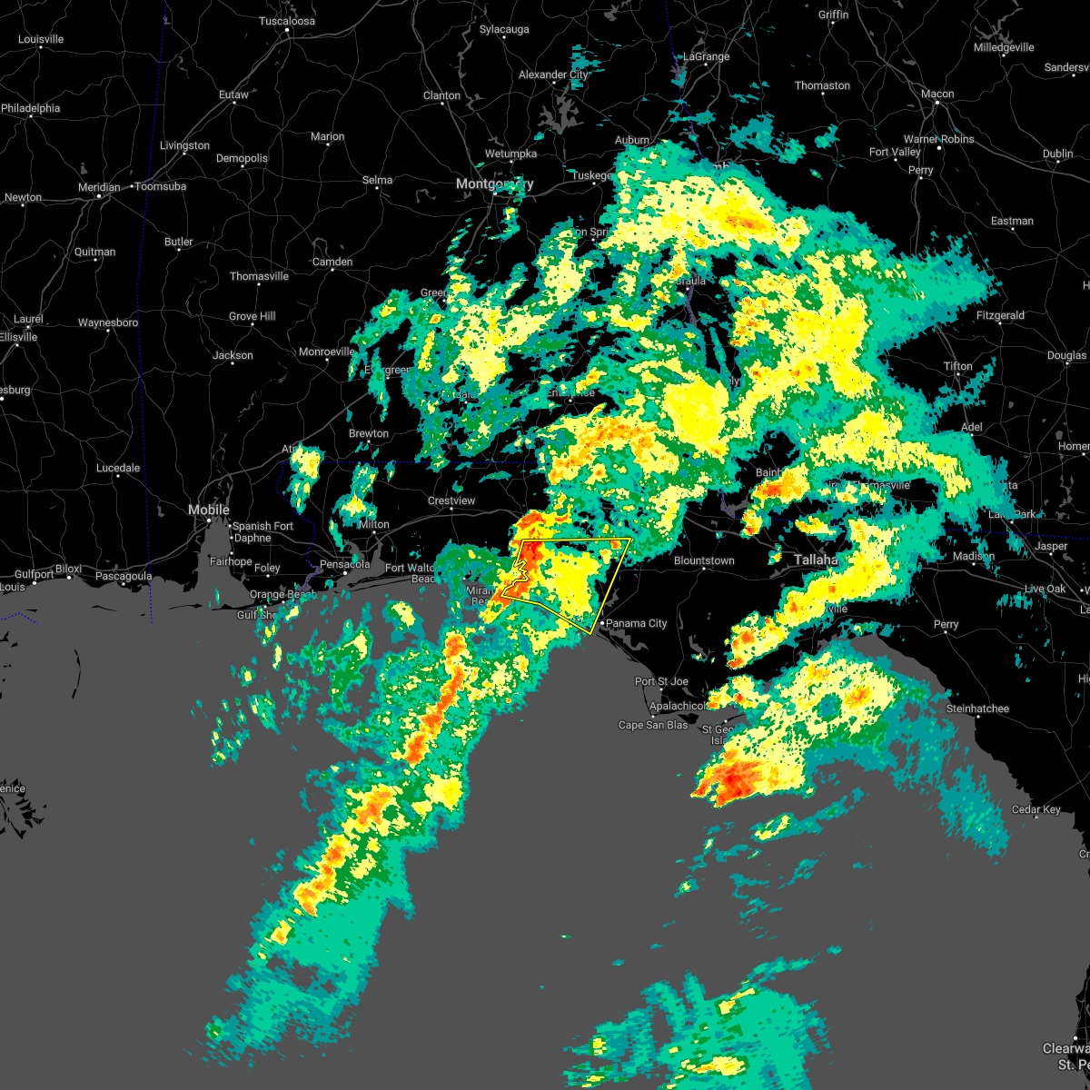 At 1214 am cst, severe thunderstorms were located along a line extending from 11 miles southeast of de funiak springs to 6 miles south of santa rosa beach, moving east at 45 mph (radar indicated). Hazards include 60 mph wind gusts. Expect damage to roofs, siding, and trees. Locations impacted include, panama city, lynn haven, panama city beach, santa rosa beach, eglin air force base, live oak, freeport, ebro, st andrews state park, southport, seminole hills, gulf resort beach, blue mountain beach, west panama city, seaside, bahama beach, holmes valley, biltmore beach, millers ferry and sunnyside. At 1214 am cst, severe thunderstorms were located along a line extending from 11 miles southeast of de funiak springs to 6 miles south of santa rosa beach, moving east at 45 mph (radar indicated). Hazards include 60 mph wind gusts. Expect damage to roofs, siding, and trees. Locations impacted include, panama city, lynn haven, panama city beach, santa rosa beach, eglin air force base, live oak, freeport, ebro, st andrews state park, southport, seminole hills, gulf resort beach, blue mountain beach, west panama city, seaside, bahama beach, holmes valley, biltmore beach, millers ferry and sunnyside.
|
| 12/14/2022 11:55 PM CST |
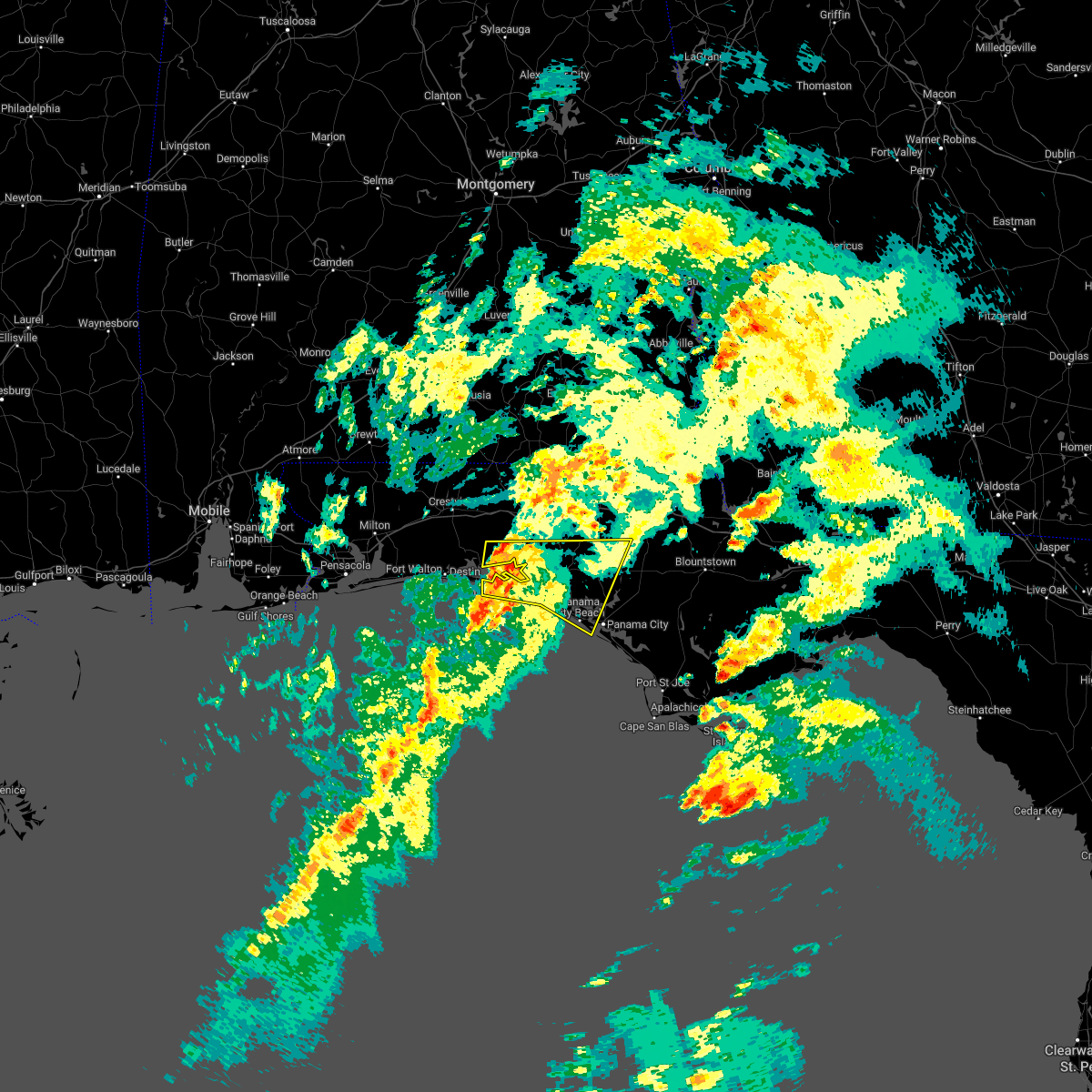 At 1154 pm cst, severe thunderstorms were located along a line extending from near eglin air force base to 15 miles south of destin, moving northeast at 45 mph (radar indicated). Hazards include 60 mph wind gusts. expect damage to roofs, siding, and trees At 1154 pm cst, severe thunderstorms were located along a line extending from near eglin air force base to 15 miles south of destin, moving northeast at 45 mph (radar indicated). Hazards include 60 mph wind gusts. expect damage to roofs, siding, and trees
|
| 12/14/2022 8:44 PM CST |
 At 843 pm cst, a severe thunderstorm capable of producing a tornado was located 9 miles east of eglin air force base, or 11 miles south of de funiak springs, moving northeast at 30 mph (radar indicated rotation). Hazards include tornado. Flying debris will be dangerous to those caught without shelter. mobile homes will be damaged or destroyed. damage to roofs, windows, and vehicles will occur. tree damage is likely. This tornadic thunderstorm will remain over mainly rural areas of central walton and southwestern holmes counties, including the following locations, eucheeanna, knox hill, douglass crossroad, argyle, rock hill and ponce de leon. At 843 pm cst, a severe thunderstorm capable of producing a tornado was located 9 miles east of eglin air force base, or 11 miles south of de funiak springs, moving northeast at 30 mph (radar indicated rotation). Hazards include tornado. Flying debris will be dangerous to those caught without shelter. mobile homes will be damaged or destroyed. damage to roofs, windows, and vehicles will occur. tree damage is likely. This tornadic thunderstorm will remain over mainly rural areas of central walton and southwestern holmes counties, including the following locations, eucheeanna, knox hill, douglass crossroad, argyle, rock hill and ponce de leon.
|
| 12/14/2022 8:35 PM CST |
 At 835 pm cst, a severe thunderstorm was located 7 miles southeast of eglin air force base, or 12 miles south of de funiak springs, moving northeast at 35 mph (radar indicated). Hazards include 60 mph wind gusts and quarter size hail. Hail damage to vehicles is expected. expect wind damage to roofs, siding, and trees. Locations impacted include, eglin air force base, freeport, eucheeanna, douglass crossroad, portland, knox hill, argyle and rock hill. At 835 pm cst, a severe thunderstorm was located 7 miles southeast of eglin air force base, or 12 miles south of de funiak springs, moving northeast at 35 mph (radar indicated). Hazards include 60 mph wind gusts and quarter size hail. Hail damage to vehicles is expected. expect wind damage to roofs, siding, and trees. Locations impacted include, eglin air force base, freeport, eucheeanna, douglass crossroad, portland, knox hill, argyle and rock hill.
|
| 12/14/2022 8:05 PM CST |
 At 805 pm cst, a severe thunderstorm was located near santa rosa beach, moving northeast at 40 mph (radar indicated). Hazards include 60 mph wind gusts and quarter size hail. Hail damage to vehicles is expected. Expect wind damage to roofs, siding, and trees. At 805 pm cst, a severe thunderstorm was located near santa rosa beach, moving northeast at 40 mph (radar indicated). Hazards include 60 mph wind gusts and quarter size hail. Hail damage to vehicles is expected. Expect wind damage to roofs, siding, and trees.
|
| 12/14/2022 1:24 PM CST |
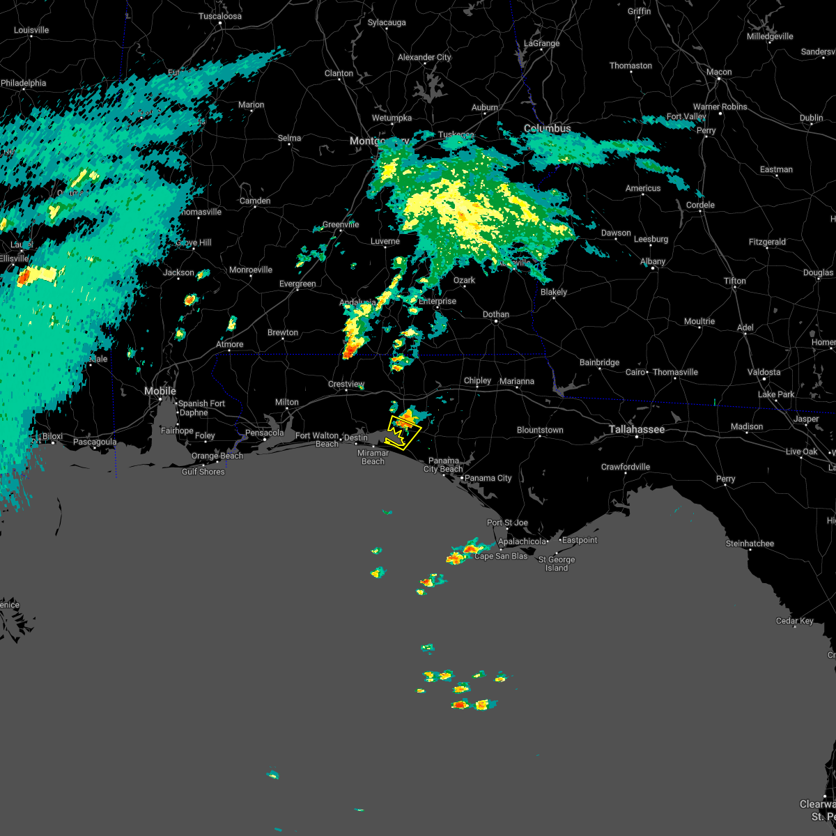 The severe thunderstorm warning for south central walton county will expire at 130 pm cst, the storm which prompted the warning has weakened below severe limits, and no longer poses an immediate threat to life or property. therefore, the warning will be allowed to expire. The severe thunderstorm warning for south central walton county will expire at 130 pm cst, the storm which prompted the warning has weakened below severe limits, and no longer poses an immediate threat to life or property. therefore, the warning will be allowed to expire.
|
| 12/14/2022 1:10 PM CST |
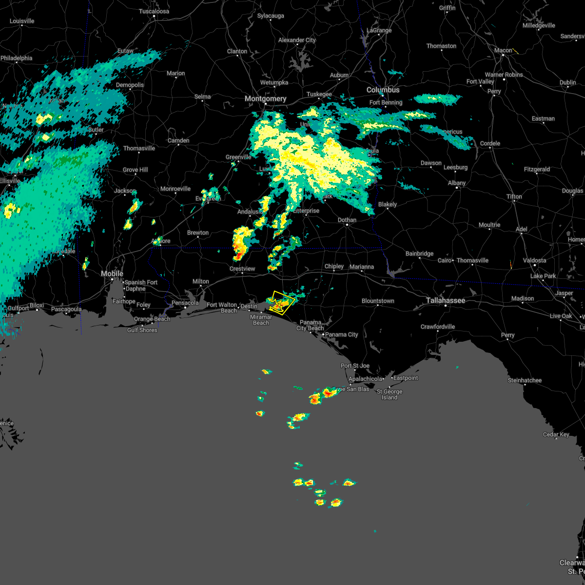 At 108 pm cst, a severe thunderstorm was located near santa rosa beach, moving north at 20 mph (radar indicated). Hazards include 60 mph wind gusts. Expect damage to roofs, siding, and trees. Locations impacted include, santa rosa beach, eglin air force base, freeport, portland and port washington. At 108 pm cst, a severe thunderstorm was located near santa rosa beach, moving north at 20 mph (radar indicated). Hazards include 60 mph wind gusts. Expect damage to roofs, siding, and trees. Locations impacted include, santa rosa beach, eglin air force base, freeport, portland and port washington.
|
| 12/14/2022 12:46 PM CST |
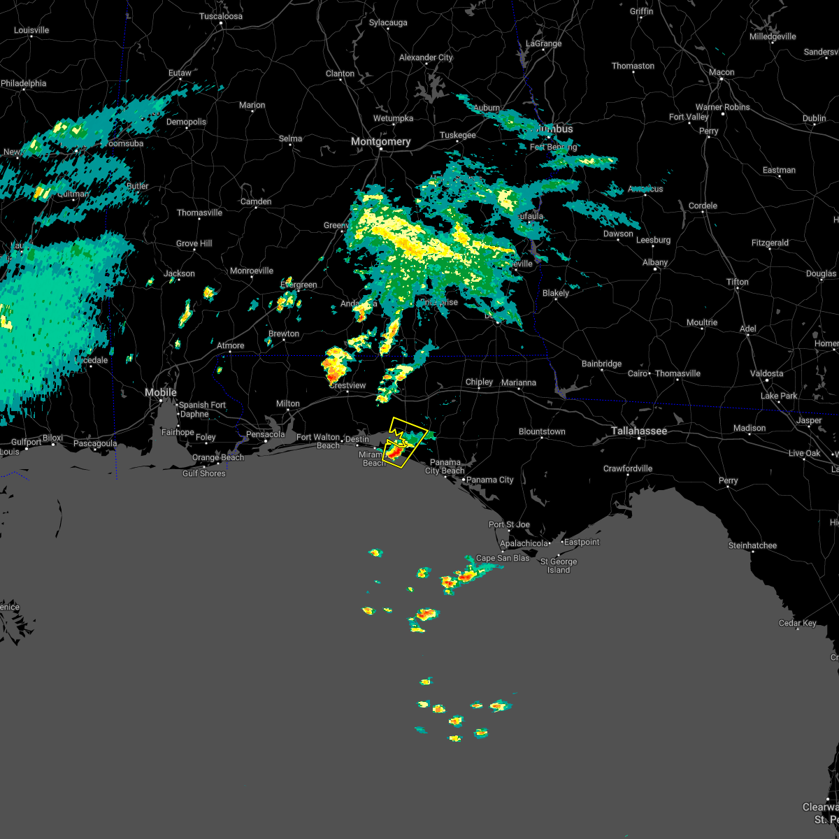 At 1245 pm cst, a severe thunderstorm was located near santa rosa beach, moving northeast at 25 mph (radar indicated). Hazards include 60 mph wind gusts. expect damage to roofs, siding, and trees At 1245 pm cst, a severe thunderstorm was located near santa rosa beach, moving northeast at 25 mph (radar indicated). Hazards include 60 mph wind gusts. expect damage to roofs, siding, and trees
|
| 11/30/2022 7:42 AM CST | 68 mph gust measured at wunderground station kflfreep6 in walton county FL, 3.2 miles N of Freeport, FL |
| 11/30/2022 7:42 AM CST | Public reported that personal weather station measured a 61 mph gust on bay grove roa in walton county FL, 2.5 miles N of Freeport, FL |
| 11/30/2022 7:36 AM CST |
 At 735 am cst, severe thunderstorms were located along a line extending from graceville to 12 miles northeast of de funiak springs to 7 miles east of eglin air force base to near santa rosa beach to 8 miles southeast of destin, moving east at 45 mph (radar indicated). Hazards include 70 mph wind gusts. Expect considerable tree damage. damage is likely to mobile homes, roofs, and outbuildings. Locations impacted include, santa rosa beach, de funiak springs, bonifay, eglin air force base, union, live oak, freeport, ponce de leon, caryville, westville, whitehead crossroads, villa tasso, cerrogordo, blue mountain beach, gritney, seaside, rock hill, millers ferry, pleasant ridge and knox hill. At 735 am cst, severe thunderstorms were located along a line extending from graceville to 12 miles northeast of de funiak springs to 7 miles east of eglin air force base to near santa rosa beach to 8 miles southeast of destin, moving east at 45 mph (radar indicated). Hazards include 70 mph wind gusts. Expect considerable tree damage. damage is likely to mobile homes, roofs, and outbuildings. Locations impacted include, santa rosa beach, de funiak springs, bonifay, eglin air force base, union, live oak, freeport, ponce de leon, caryville, westville, whitehead crossroads, villa tasso, cerrogordo, blue mountain beach, gritney, seaside, rock hill, millers ferry, pleasant ridge and knox hill.
|
| 11/30/2022 7:35 AM CST |
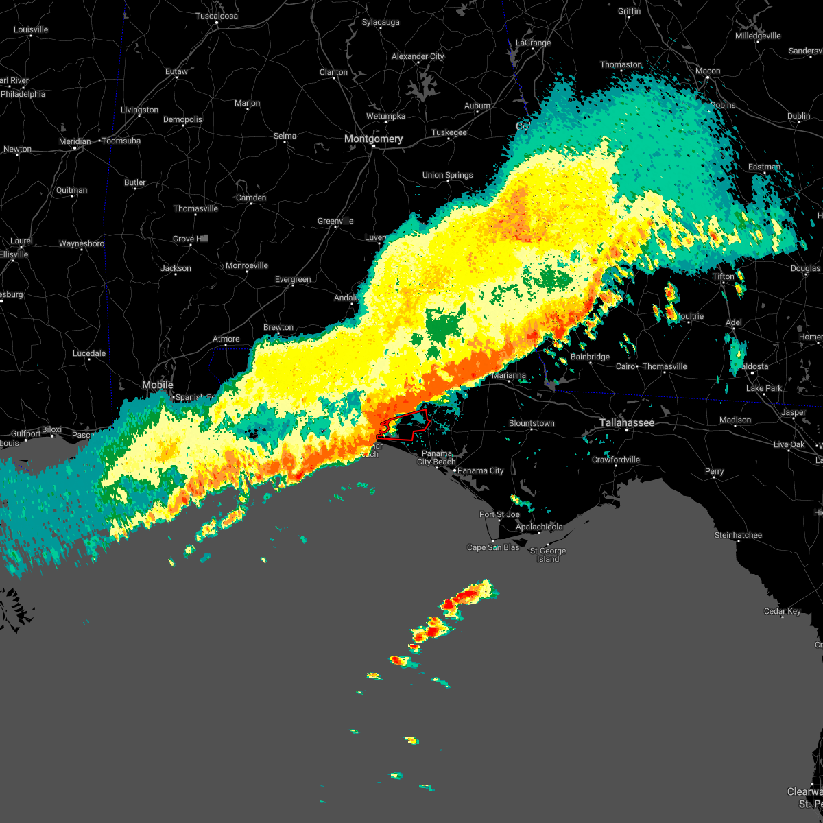 At 735 am cst, a severe thunderstorm capable of producing a tornado was located near santa rosa beach, moving east at 45 mph (radar indicated rotation). Hazards include tornado. Flying debris will be dangerous to those caught without shelter. mobile homes will be damaged or destroyed. damage to roofs, windows, and vehicles will occur. tree damage is likely. This tornadic thunderstorm will remain over mainly rural areas of southeastern walton county, including the following locations, bruce, freeport and bunker. At 735 am cst, a severe thunderstorm capable of producing a tornado was located near santa rosa beach, moving east at 45 mph (radar indicated rotation). Hazards include tornado. Flying debris will be dangerous to those caught without shelter. mobile homes will be damaged or destroyed. damage to roofs, windows, and vehicles will occur. tree damage is likely. This tornadic thunderstorm will remain over mainly rural areas of southeastern walton county, including the following locations, bruce, freeport and bunker.
|
| 11/30/2022 6:46 AM CST |
 At 646 am cst, severe thunderstorms were located along a line extending from 11 miles east of florala to near crestview to 13 miles northwest of wright to near navarre beach to near oriole beach, moving east at 45 mph (radar indicated). Hazards include 60 mph wind gusts. expect damage to roofs, siding, and trees At 646 am cst, severe thunderstorms were located along a line extending from 11 miles east of florala to near crestview to 13 miles northwest of wright to near navarre beach to near oriole beach, moving east at 45 mph (radar indicated). Hazards include 60 mph wind gusts. expect damage to roofs, siding, and trees
|
| 8/17/2022 6:56 PM CDT |
 At 656 pm cdt, a severe thunderstorm was located 7 miles north of niceville, moving east at 30 mph (radar indicated). Hazards include 60 mph wind gusts. expect damage to roofs, siding, and trees At 656 pm cdt, a severe thunderstorm was located 7 miles north of niceville, moving east at 30 mph (radar indicated). Hazards include 60 mph wind gusts. expect damage to roofs, siding, and trees
|
| 8/16/2022 3:31 PM CDT |
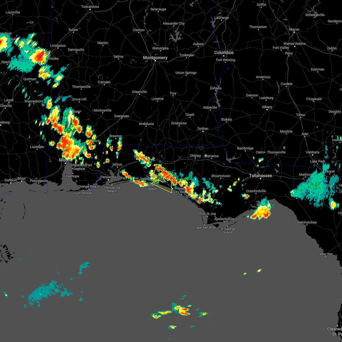 At 330 pm cdt, severe thunderstorms were located along a line extending from eglin air force base to 11 miles northwest of panama city beach, moving south at 15 mph (radar indicated). Hazards include 60 mph wind gusts and penny size hail. expect damage to roofs, siding, and trees At 330 pm cdt, severe thunderstorms were located along a line extending from eglin air force base to 11 miles northwest of panama city beach, moving south at 15 mph (radar indicated). Hazards include 60 mph wind gusts and penny size hail. expect damage to roofs, siding, and trees
|
| 8/10/2022 1:20 PM CDT |
 The severe thunderstorm warning for central walton county will expire at 130 pm cdt, the storm which prompted the warning has weakened below severe limits, and no longer poses an immediate threat to life or property. therefore, the warning will be allowed to expire. however gusty winds and heavy rain are still possible with this thunderstorm. The severe thunderstorm warning for central walton county will expire at 130 pm cdt, the storm which prompted the warning has weakened below severe limits, and no longer poses an immediate threat to life or property. therefore, the warning will be allowed to expire. however gusty winds and heavy rain are still possible with this thunderstorm.
|
| 8/10/2022 12:59 PM CDT |
 At 1258 pm cdt, a severe thunderstorm was located near de funiak springs, moving northwest at 15 mph (radar indicated). Hazards include 60 mph wind gusts. expect damage to roofs, siding, and trees At 1258 pm cdt, a severe thunderstorm was located near de funiak springs, moving northwest at 15 mph (radar indicated). Hazards include 60 mph wind gusts. expect damage to roofs, siding, and trees
|
| 7/20/2022 4:53 PM CDT |
 At 452 pm cdt, a severe thunderstorm was located 9 miles northwest of eglin air force base, or 10 miles northeast of niceville, moving east at 20 mph (radar indicated). Hazards include 60 mph wind gusts. expect damage to roofs, siding, and trees At 452 pm cdt, a severe thunderstorm was located 9 miles northwest of eglin air force base, or 10 miles northeast of niceville, moving east at 20 mph (radar indicated). Hazards include 60 mph wind gusts. expect damage to roofs, siding, and trees
|
| 6/28/2022 3:50 PM CDT |
 The severe thunderstorm warning for walton and holmes counties will expire at 400 pm cdt, the storms which prompted the warning have weakened below severe limits, and no longer pose an immediate threat to life or property. therefore, the warning will be allowed to expire. to report severe weather, contact your nearest law enforcement agency. they will relay your report to the national weather service tallahassee. The severe thunderstorm warning for walton and holmes counties will expire at 400 pm cdt, the storms which prompted the warning have weakened below severe limits, and no longer pose an immediate threat to life or property. therefore, the warning will be allowed to expire. to report severe weather, contact your nearest law enforcement agency. they will relay your report to the national weather service tallahassee.
|
| 6/28/2022 3:25 PM CDT |
 At 325 pm cdt, severe thunderstorms were located along a line extending from near eglin air force base to 11 miles west of bonifay, moving north at 15 mph (radar indicated). Hazards include 60 mph wind gusts. Expect damage to roofs, siding, and trees. locations impacted include, de funiak springs, eglin air force base, union, liberty, freeport, paxton, ponce de leon, caryville, westville, black, oakwood hills, cluster springs, cerrogordo, gritney, rock hill, glendale, pleasant ridge, knox hill, izagora and new harmony. hail threat, radar indicated max hail size, <. 75 in wind threat, radar indicated max wind gust, 60 mph. At 325 pm cdt, severe thunderstorms were located along a line extending from near eglin air force base to 11 miles west of bonifay, moving north at 15 mph (radar indicated). Hazards include 60 mph wind gusts. Expect damage to roofs, siding, and trees. locations impacted include, de funiak springs, eglin air force base, union, liberty, freeport, paxton, ponce de leon, caryville, westville, black, oakwood hills, cluster springs, cerrogordo, gritney, rock hill, glendale, pleasant ridge, knox hill, izagora and new harmony. hail threat, radar indicated max hail size, <. 75 in wind threat, radar indicated max wind gust, 60 mph.
|
| 6/28/2022 3:03 PM CDT |
 At 303 pm cdt, severe thunderstorms were located along a line extending from 8 miles northeast of santa rosa beach to 7 miles northwest of vernon, moving north at 15 mph (radar indicated). Hazards include 60 mph wind gusts. expect damage to roofs, siding, and trees At 303 pm cdt, severe thunderstorms were located along a line extending from 8 miles northeast of santa rosa beach to 7 miles northwest of vernon, moving north at 15 mph (radar indicated). Hazards include 60 mph wind gusts. expect damage to roofs, siding, and trees
|
| 6/20/2022 3:21 PM CDT |
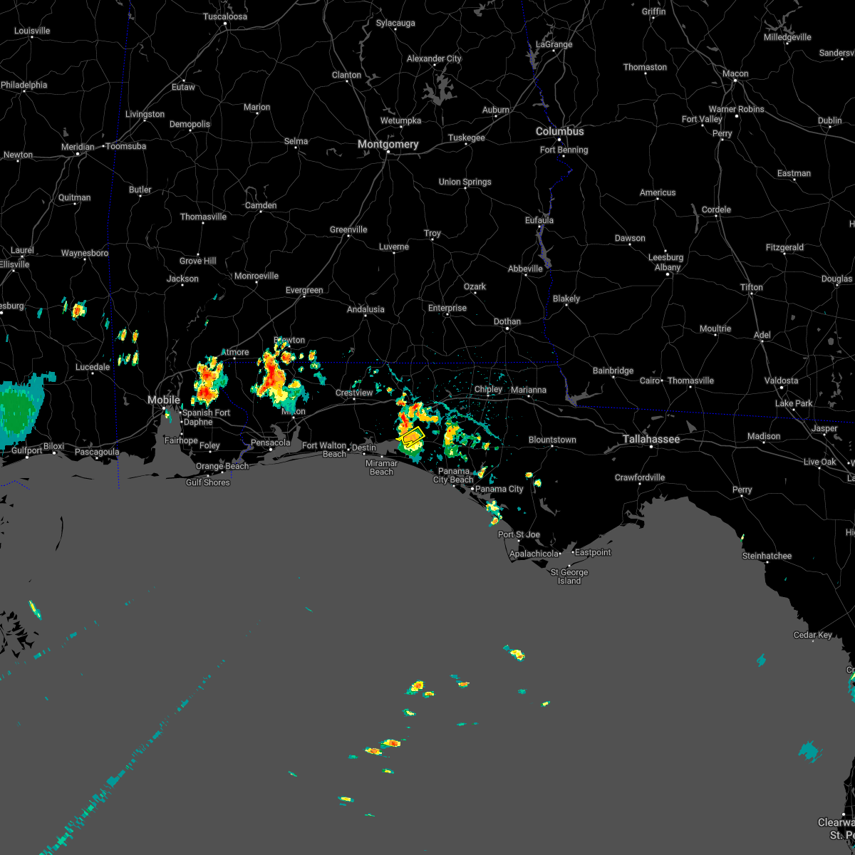 The severe thunderstorm warning for central walton county will expire at 330 pm cdt, the storms which prompted the warning have weakened below severe limits, and have exited the warned area. therefore, the warning will be allowed to expire. however gusty winds to 40 mph, pea-sized hail, and heavy rain are still possible with these thunderstorms. The severe thunderstorm warning for central walton county will expire at 330 pm cdt, the storms which prompted the warning have weakened below severe limits, and have exited the warned area. therefore, the warning will be allowed to expire. however gusty winds to 40 mph, pea-sized hail, and heavy rain are still possible with these thunderstorms.
|
| 6/20/2022 3:16 PM CDT |
 At 316 pm cdt, severe thunderstorms were located along a line extending from 12 miles southeast of eglin air force base to 13 miles east of santa rosa beach, moving southwest at 5 mph (radar indicated). Hazards include 60 mph wind gusts and penny size hail. Expect damage to roofs, siding, and trees. locations impacted include, eglin air force base and freeport. hail threat, radar indicated max hail size, 0. 75 in wind threat, radar indicated max wind gust, 60 mph. At 316 pm cdt, severe thunderstorms were located along a line extending from 12 miles southeast of eglin air force base to 13 miles east of santa rosa beach, moving southwest at 5 mph (radar indicated). Hazards include 60 mph wind gusts and penny size hail. Expect damage to roofs, siding, and trees. locations impacted include, eglin air force base and freeport. hail threat, radar indicated max hail size, 0. 75 in wind threat, radar indicated max wind gust, 60 mph.
|
| 6/20/2022 3:04 PM CDT |
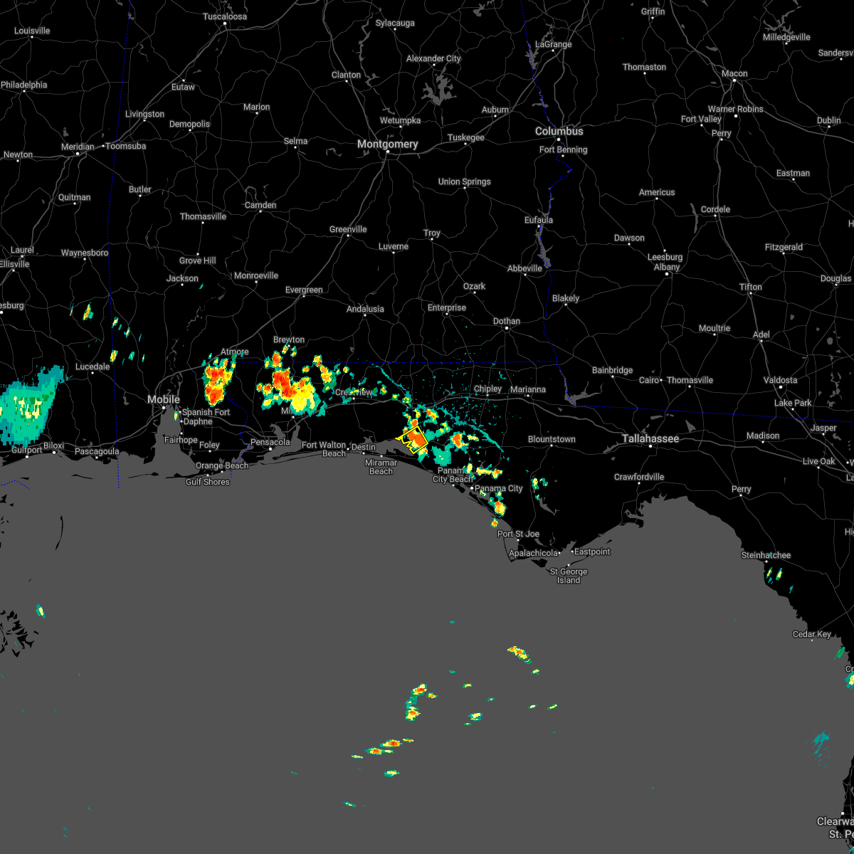 At 303 pm cdt, severe thunderstorms were located along a line extending from 12 miles southeast of eglin air force base to 14 miles east of santa rosa beach, moving east at 5 mph (radar indicated). Hazards include 60 mph wind gusts and penny size hail. Expect damage to roofs, siding, and trees. locations impacted include, eglin air force base and freeport. hail threat, radar indicated max hail size, 0. 75 in wind threat, radar indicated max wind gust, 60 mph. At 303 pm cdt, severe thunderstorms were located along a line extending from 12 miles southeast of eglin air force base to 14 miles east of santa rosa beach, moving east at 5 mph (radar indicated). Hazards include 60 mph wind gusts and penny size hail. Expect damage to roofs, siding, and trees. locations impacted include, eglin air force base and freeport. hail threat, radar indicated max hail size, 0. 75 in wind threat, radar indicated max wind gust, 60 mph.
|
| 6/20/2022 2:52 PM CDT |
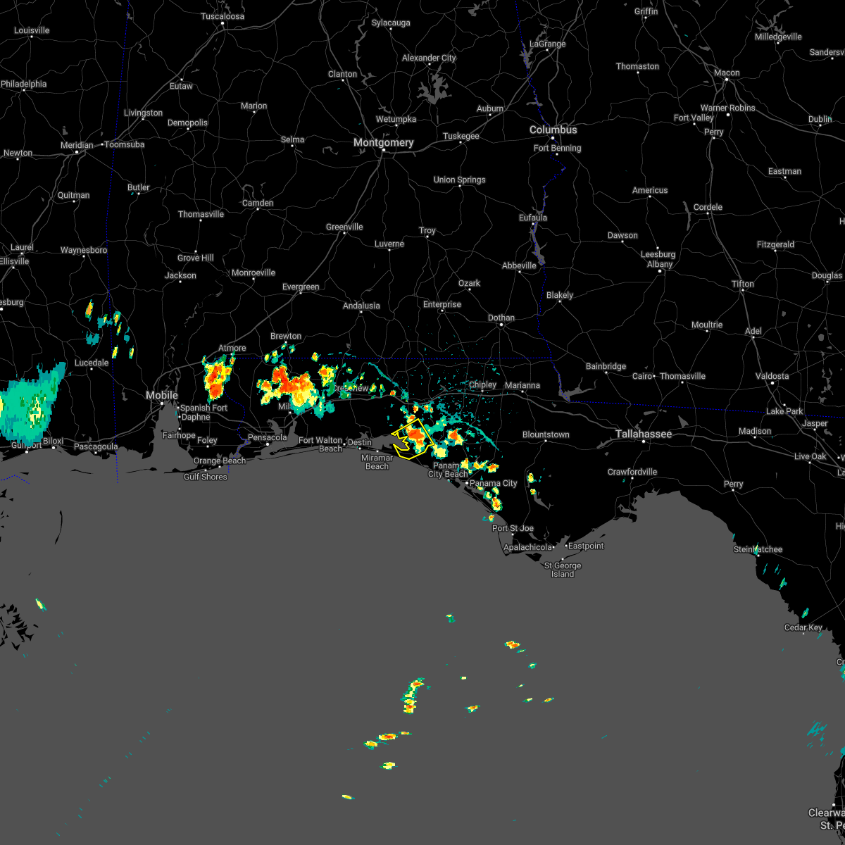 At 252 pm cdt, severe thunderstorms were located along a line extending from 12 miles southeast of eglin air force base to 15 miles east of santa rosa beach, moving southwest at 5 mph (radar indicated). Hazards include 60 mph wind gusts and penny size hail. expect damage to roofs, siding, and trees At 252 pm cdt, severe thunderstorms were located along a line extending from 12 miles southeast of eglin air force base to 15 miles east of santa rosa beach, moving southwest at 5 mph (radar indicated). Hazards include 60 mph wind gusts and penny size hail. expect damage to roofs, siding, and trees
|
| 6/14/2022 5:58 PM CDT |
 At 558 pm cdt, severe thunderstorms were located along a line extending from 7 miles southeast of glenwood to 14 miles northeast of lynn haven, moving northwest at 20 mph (radar indicated). Hazards include 60 mph wind gusts. expect damage to roofs, siding, and trees At 558 pm cdt, severe thunderstorms were located along a line extending from 7 miles southeast of glenwood to 14 miles northeast of lynn haven, moving northwest at 20 mph (radar indicated). Hazards include 60 mph wind gusts. expect damage to roofs, siding, and trees
|
| 6/10/2022 4:39 PM CDT |
 At 439 pm cdt, a severe thunderstorm was located 13 miles east of de funiak springs, moving northeast at 30 mph (radar indicated). Hazards include 60 mph wind gusts and penny size hail. Expect damage to roofs, siding, and trees. locations impacted include, de funiak springs, union, live oak, ponce de leon, caryville, westville, hinsons crossroads, cerrogordo, gritney, arrant settlement, millers ferry, center ridge, knox hill, hickory hill, izagora, new hope, argyle, red bay, douglass crossroad and barker store. hail threat, radar indicated max hail size, 0. 75 in wind threat, radar indicated max wind gust, 60 mph. At 439 pm cdt, a severe thunderstorm was located 13 miles east of de funiak springs, moving northeast at 30 mph (radar indicated). Hazards include 60 mph wind gusts and penny size hail. Expect damage to roofs, siding, and trees. locations impacted include, de funiak springs, union, live oak, ponce de leon, caryville, westville, hinsons crossroads, cerrogordo, gritney, arrant settlement, millers ferry, center ridge, knox hill, hickory hill, izagora, new hope, argyle, red bay, douglass crossroad and barker store. hail threat, radar indicated max hail size, 0. 75 in wind threat, radar indicated max wind gust, 60 mph.
|
| 6/10/2022 4:24 PM CDT |
 At 424 pm cdt, a severe thunderstorm was located over de funiak springs, moving east at 25 mph (radar indicated). Hazards include 60 mph wind gusts and penny size hail. Expect damage to roofs, siding, and trees. locations impacted include, de funiak springs, eglin air force base, union, live oak, ponce de leon, caryville, westville, hinsons crossroads, alpine heights, cerrogordo, gritney, arrant settlement, de funiak spring airport, rock hill, millers ferry, pleasant ridge, center ridge, knox hill, hickory hill and izagora. hail threat, radar indicated max hail size, 0. 75 in wind threat, radar indicated max wind gust, 60 mph. At 424 pm cdt, a severe thunderstorm was located over de funiak springs, moving east at 25 mph (radar indicated). Hazards include 60 mph wind gusts and penny size hail. Expect damage to roofs, siding, and trees. locations impacted include, de funiak springs, eglin air force base, union, live oak, ponce de leon, caryville, westville, hinsons crossroads, alpine heights, cerrogordo, gritney, arrant settlement, de funiak spring airport, rock hill, millers ferry, pleasant ridge, center ridge, knox hill, hickory hill and izagora. hail threat, radar indicated max hail size, 0. 75 in wind threat, radar indicated max wind gust, 60 mph.
|
| 6/10/2022 4:11 PM CDT |
 At 411 pm cdt, a severe thunderstorm was located over de funiak springs, moving northeast at 25 mph (radar indicated). Hazards include 60 mph wind gusts and penny size hail. expect damage to roofs, siding, and trees At 411 pm cdt, a severe thunderstorm was located over de funiak springs, moving northeast at 25 mph (radar indicated). Hazards include 60 mph wind gusts and penny size hail. expect damage to roofs, siding, and trees
|
| 5/25/2022 9:33 AM CDT |
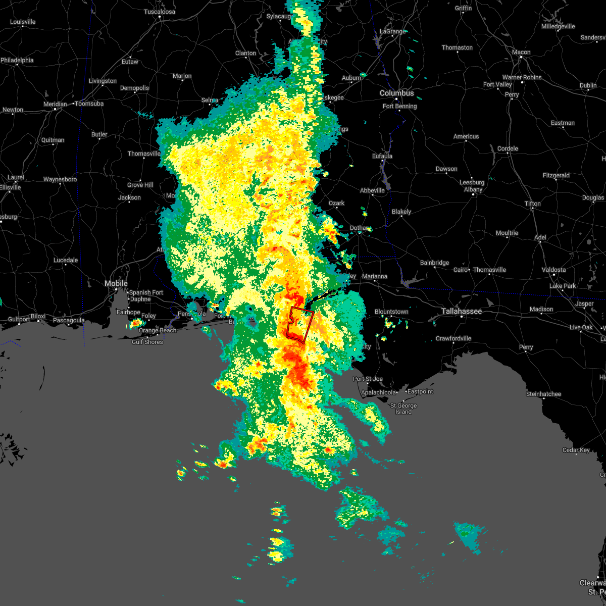 At 933 am cdt, a severe thunderstorm capable of producing a tornado was located 11 miles southeast of santa rosa beach, moving north at 35 mph (radar indicated rotation). Hazards include tornado. Flying debris will be dangerous to those caught without shelter. mobile homes will be damaged or destroyed. damage to roofs, windows, and vehicles will occur. tree damage is likely. This tornadic thunderstorm will remain over mainly rural areas of west central bay, southeastern walton and southwestern washington counties, including the following locations, bruce, inlet beach, seminole hills, port washington, bunker, grayton beach, seagrove beach, seaside and freeport. At 933 am cdt, a severe thunderstorm capable of producing a tornado was located 11 miles southeast of santa rosa beach, moving north at 35 mph (radar indicated rotation). Hazards include tornado. Flying debris will be dangerous to those caught without shelter. mobile homes will be damaged or destroyed. damage to roofs, windows, and vehicles will occur. tree damage is likely. This tornadic thunderstorm will remain over mainly rural areas of west central bay, southeastern walton and southwestern washington counties, including the following locations, bruce, inlet beach, seminole hills, port washington, bunker, grayton beach, seagrove beach, seaside and freeport.
|
| 5/6/2022 10:16 AM CDT |
 At 1014 am cdt, a severe thunderstorm was located 11 miles southeast of de funiak springs, moving northeast at 40 mph. additional storms are moving onshore in southern walton county (radar indicated). Hazards include 60 mph wind gusts and quarter size hail. Hail damage to vehicles is expected. expect wind damage to roofs, siding, and trees. locations impacted include, santa rosa beach, eglin air force base, freeport, red bay, douglass crossroad, portland, rock hill, miramar beach, bruce, eucheeanna, gulf pines, knox hill, sandestin and four mile village. hail threat, radar indicated max hail size, 1. 00 in wind threat, radar indicated max wind gust, 60 mph. At 1014 am cdt, a severe thunderstorm was located 11 miles southeast of de funiak springs, moving northeast at 40 mph. additional storms are moving onshore in southern walton county (radar indicated). Hazards include 60 mph wind gusts and quarter size hail. Hail damage to vehicles is expected. expect wind damage to roofs, siding, and trees. locations impacted include, santa rosa beach, eglin air force base, freeport, red bay, douglass crossroad, portland, rock hill, miramar beach, bruce, eucheeanna, gulf pines, knox hill, sandestin and four mile village. hail threat, radar indicated max hail size, 1. 00 in wind threat, radar indicated max wind gust, 60 mph.
|
| 5/6/2022 9:38 AM CDT |
 At 937 am cdt, a severe thunderstorm was located near santa rosa beach, moving northeast at 45 mph (radar indicated). Hazards include 60 mph wind gusts and quarter size hail. Hail damage to vehicles is expected. Expect wind damage to roofs, siding, and trees. At 937 am cdt, a severe thunderstorm was located near santa rosa beach, moving northeast at 45 mph (radar indicated). Hazards include 60 mph wind gusts and quarter size hail. Hail damage to vehicles is expected. Expect wind damage to roofs, siding, and trees.
|
| 5/6/2022 5:47 AM CDT |
 At 546 am cdt, severe thunderstorms were located along a line extending from near rutledge to near brantley to 6 miles east of dozier to near opp to 10 miles north of lockhart to near florala to valparaiso, moving east at 45 mph (radar indicated). Hazards include 60 mph wind gusts. Expect damage to roofs, siding, and trees. locations impacted include, panama city beach, elba, santa rosa beach, de funiak springs, geneva, enterprise, fort rucker, samson, new brockton, eglin air force base, lee, union, liberty, live oak, freeport, paxton, ponce de leon, kinston, westville and ebro. hail threat, radar indicated max hail size, <. 75 in wind threat, radar indicated max wind gust, 60 mph. At 546 am cdt, severe thunderstorms were located along a line extending from near rutledge to near brantley to 6 miles east of dozier to near opp to 10 miles north of lockhart to near florala to valparaiso, moving east at 45 mph (radar indicated). Hazards include 60 mph wind gusts. Expect damage to roofs, siding, and trees. locations impacted include, panama city beach, elba, santa rosa beach, de funiak springs, geneva, enterprise, fort rucker, samson, new brockton, eglin air force base, lee, union, liberty, live oak, freeport, paxton, ponce de leon, kinston, westville and ebro. hail threat, radar indicated max hail size, <. 75 in wind threat, radar indicated max wind gust, 60 mph.
|
| 5/6/2022 5:18 AM CDT |
 At 518 am cdt, severe thunderstorms were located along a line extending from 7 miles east of georgiana to near mckenzie to near red level to 10 miles southwest of river falls to 17 miles west of lockhart to 7 miles west of laurel hill to near crestview to near navarre beach, moving east at 45 mph (radar indicated). Hazards include 70 mph wind gusts. Expect considerable tree damage. Damage is likely to mobile homes, roofs, and outbuildings. At 518 am cdt, severe thunderstorms were located along a line extending from 7 miles east of georgiana to near mckenzie to near red level to 10 miles southwest of river falls to 17 miles west of lockhart to 7 miles west of laurel hill to near crestview to near navarre beach, moving east at 45 mph (radar indicated). Hazards include 70 mph wind gusts. Expect considerable tree damage. Damage is likely to mobile homes, roofs, and outbuildings.
|
| 4/18/2022 12:40 AM CDT |
 At 1239 am cdt, severe thunderstorms were located along a line extending from 6 miles south of de funiak springs to 8 miles east of santa rosa beach to 26 miles southeast of destin, moving east at 45 mph (radar indicated). Hazards include 60 mph wind gusts. expect damage to roofs, siding, and trees At 1239 am cdt, severe thunderstorms were located along a line extending from 6 miles south of de funiak springs to 8 miles east of santa rosa beach to 26 miles southeast of destin, moving east at 45 mph (radar indicated). Hazards include 60 mph wind gusts. expect damage to roofs, siding, and trees
|
| 4/18/2022 12:11 AM CDT |
 At 1210 am cdt, severe thunderstorms were located along a line extending from near crestview to near niceville to 6 miles south of destin, moving east at 45 mph (radar indicated). Hazards include 70 mph wind gusts and penny size hail. Expect considerable tree damage. Damage is likely to mobile homes, roofs, and outbuildings. At 1210 am cdt, severe thunderstorms were located along a line extending from near crestview to near niceville to 6 miles south of destin, moving east at 45 mph (radar indicated). Hazards include 70 mph wind gusts and penny size hail. Expect considerable tree damage. Damage is likely to mobile homes, roofs, and outbuildings.
|
| 4/5/2022 2:42 PM CDT |
 At 242 pm cdt, severe thunderstorms were located along a line extending from 6 miles southeast of donalsonville to 9 miles southeast of vernon, moving east at 55 mph (radar indicated). Hazards include 60 mph wind gusts. Expect damage to roofs, siding, and trees. Locations impacted include, panama city beach, vernon, santa rosa beach, marianna, chipley, bradford, live oak, malone, freeport, cottondale, greenwood, alford, wausau, ebro, bascom, blue mountain beach, seaside, lovedale, holmes valley and millers ferry. At 242 pm cdt, severe thunderstorms were located along a line extending from 6 miles southeast of donalsonville to 9 miles southeast of vernon, moving east at 55 mph (radar indicated). Hazards include 60 mph wind gusts. Expect damage to roofs, siding, and trees. Locations impacted include, panama city beach, vernon, santa rosa beach, marianna, chipley, bradford, live oak, malone, freeport, cottondale, greenwood, alford, wausau, ebro, bascom, blue mountain beach, seaside, lovedale, holmes valley and millers ferry.
|
| 4/5/2022 2:31 PM CDT |
 At 231 pm cdt, severe thunderstorms were located along a line extending from near donalsonville to 9 miles southwest of vernon, moving east at 55 mph (radar indicated). Hazards include 60 mph wind gusts. Expect damage to roofs, siding, and trees. Locations impacted include, panama city beach, vernon, chipley, santa rosa beach, bonifay, marianna, bradford, live oak, malone, freeport, cottondale, greenwood, alford, wausau, ebro, campbellton, bascom, whitehead crossroads, blue mountain beach and seaside. At 231 pm cdt, severe thunderstorms were located along a line extending from near donalsonville to 9 miles southwest of vernon, moving east at 55 mph (radar indicated). Hazards include 60 mph wind gusts. Expect damage to roofs, siding, and trees. Locations impacted include, panama city beach, vernon, chipley, santa rosa beach, bonifay, marianna, bradford, live oak, malone, freeport, cottondale, greenwood, alford, wausau, ebro, campbellton, bascom, whitehead crossroads, blue mountain beach and seaside.
|
| 4/5/2022 2:00 PM CDT |
 At 159 pm cdt, severe thunderstorms were located along a line extending from near graceville to 7 miles south of eglin air force base, moving east at 55 mph (radar indicated). Hazards include 60 mph wind gusts. expect damage to roofs, siding, and trees At 159 pm cdt, severe thunderstorms were located along a line extending from near graceville to 7 miles south of eglin air force base, moving east at 55 mph (radar indicated). Hazards include 60 mph wind gusts. expect damage to roofs, siding, and trees
|
| 4/5/2022 1:18 PM CDT |
 At 118 pm cdt, severe thunderstorms were located along a line extending from 7 miles northwest of de funiak springs to 6 miles northeast of navarre beach, moving east at 45 mph (radar indicated). Hazards include 70 mph wind gusts. Expect considerable tree damage. Damage is likely to mobile homes, roofs, and outbuildings. At 118 pm cdt, severe thunderstorms were located along a line extending from 7 miles northwest of de funiak springs to 6 miles northeast of navarre beach, moving east at 45 mph (radar indicated). Hazards include 70 mph wind gusts. Expect considerable tree damage. Damage is likely to mobile homes, roofs, and outbuildings.
|
| 3/31/2022 3:25 AM CDT |
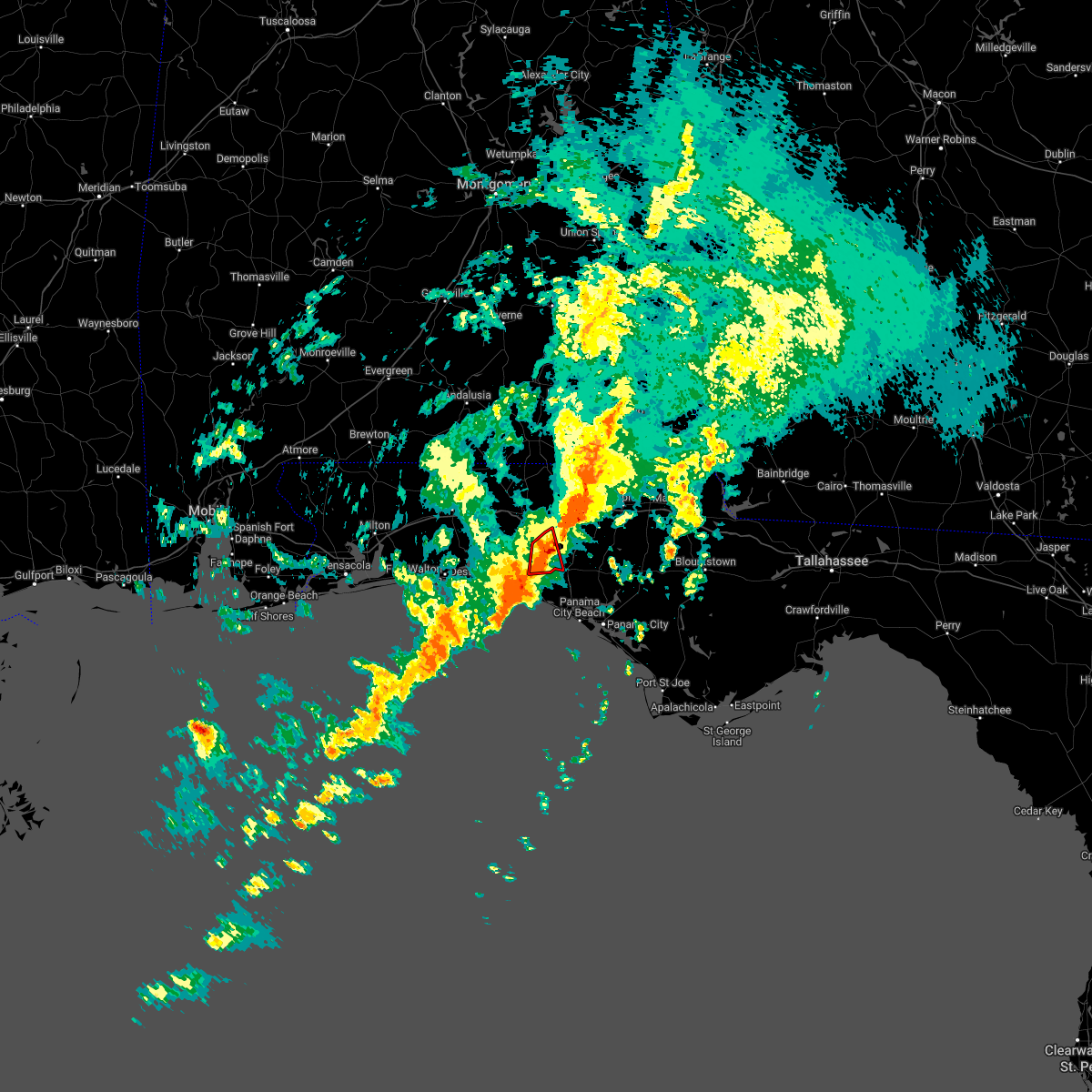 The tornado warning for southeastern walton county will expire at 330 am cdt, the tornado threat has diminished and the tornado warning has been cancelled. however, large hail and damaging winds remain likely and a severe thunderstorm warning remains in effect for the area. however gusty winds are still possible with this thunderstorm. a tornado watch remains in effect until 700 am cdt for the panhandle of florida. to report severe weather, contact your nearest law enforcement agency. they will relay your report to the national weather service tallahassee. remember, a severe thunderstorm warning still remains in effect. The tornado warning for southeastern walton county will expire at 330 am cdt, the tornado threat has diminished and the tornado warning has been cancelled. however, large hail and damaging winds remain likely and a severe thunderstorm warning remains in effect for the area. however gusty winds are still possible with this thunderstorm. a tornado watch remains in effect until 700 am cdt for the panhandle of florida. to report severe weather, contact your nearest law enforcement agency. they will relay your report to the national weather service tallahassee. remember, a severe thunderstorm warning still remains in effect.
|
| 3/31/2022 3:13 AM CDT |
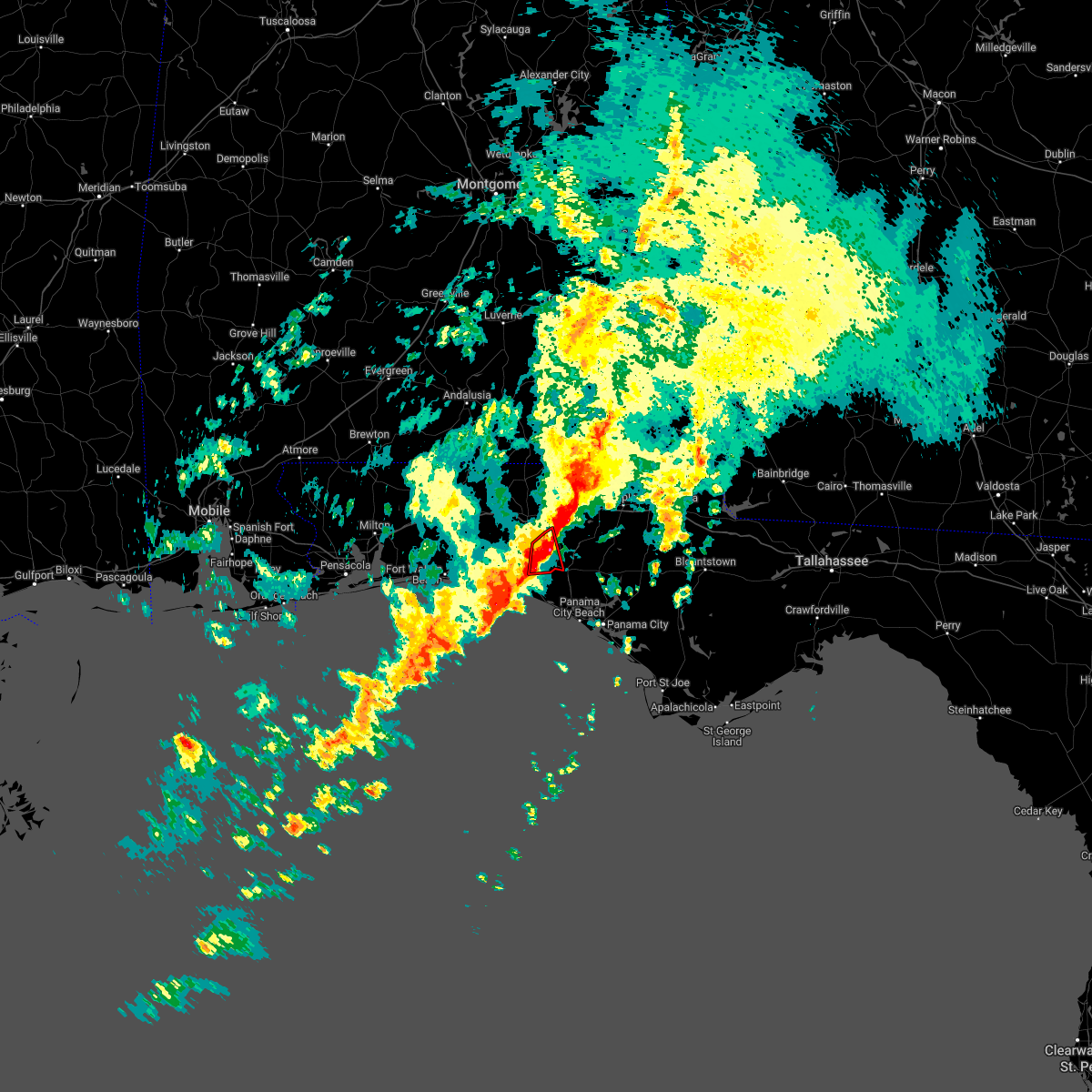 At 313 am cdt, a severe thunderstorm capable of producing a tornado was located 16 miles southeast of de funiak springs, moving east at 30 mph (radar indicated rotation). Hazards include tornado and quarter size hail. Flying debris will be dangerous to those caught without shelter. mobile homes will be damaged or destroyed. damage to roofs, windows, and vehicles will occur. tree damage is likely. Locations impacted include, bruce. At 313 am cdt, a severe thunderstorm capable of producing a tornado was located 16 miles southeast of de funiak springs, moving east at 30 mph (radar indicated rotation). Hazards include tornado and quarter size hail. Flying debris will be dangerous to those caught without shelter. mobile homes will be damaged or destroyed. damage to roofs, windows, and vehicles will occur. tree damage is likely. Locations impacted include, bruce.
|
| 3/31/2022 3:12 AM CDT |
 At 312 am cdt, severe thunderstorms were located along a line extending from 6 miles southeast of geneva to near santa rosa beach, moving east at 20 mph (radar indicated). Hazards include 60 mph wind gusts. Expect damage to roofs, siding, and trees. Locations impacted include, panama city beach, vernon, chipley, graceville, santa rosa beach, bonifay, eglin air force base, bradford, live oak, freeport, ponce de leon, caryville, wausau, esto, westville, ebro, campbellton, noma, whitehead crossroads and cerrogordo. At 312 am cdt, severe thunderstorms were located along a line extending from 6 miles southeast of geneva to near santa rosa beach, moving east at 20 mph (radar indicated). Hazards include 60 mph wind gusts. Expect damage to roofs, siding, and trees. Locations impacted include, panama city beach, vernon, chipley, graceville, santa rosa beach, bonifay, eglin air force base, bradford, live oak, freeport, ponce de leon, caryville, wausau, esto, westville, ebro, campbellton, noma, whitehead crossroads and cerrogordo.
|
| 3/31/2022 2:57 AM CDT |
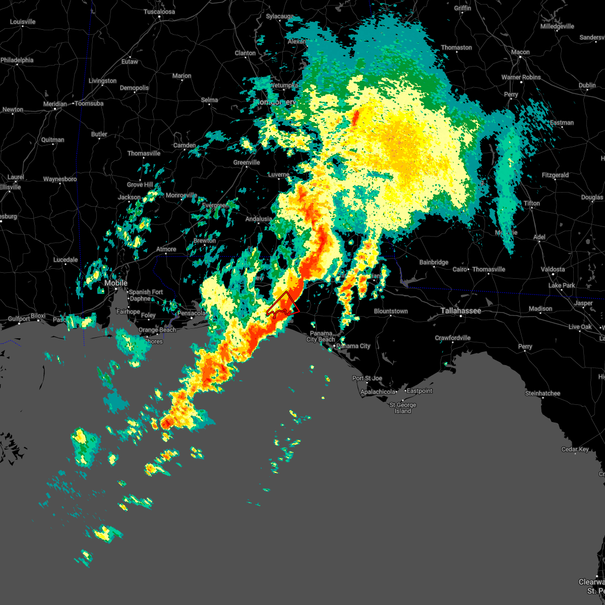 The tornado warning for west central walton county will expire at 300 am cdt, the tornado warning that was previously in effect has been reissued and is in effect until 330 am. please refer to that bulletin for the latest severe weather information. a tornado watch remains in effect until 700 am cdt for the panhandle of florida. remember, a tornado warning still remains in effect. The tornado warning for west central walton county will expire at 300 am cdt, the tornado warning that was previously in effect has been reissued and is in effect until 330 am. please refer to that bulletin for the latest severe weather information. a tornado watch remains in effect until 700 am cdt for the panhandle of florida. remember, a tornado warning still remains in effect.
|
| 3/31/2022 2:52 AM CDT |
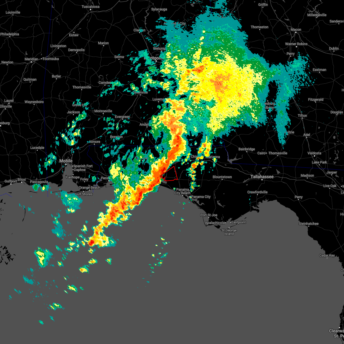 At 252 am cdt, a severe thunderstorm capable of producing a tornado was located 9 miles northeast of santa rosa beach, moving east at 30 mph (radar indicated rotation). Hazards include tornado and quarter size hail. Flying debris will be dangerous to those caught without shelter. mobile homes will be damaged or destroyed. damage to roofs, windows, and vehicles will occur. tree damage is likely. This tornadic thunderstorm will remain over mainly rural areas of southeastern walton county, including the following locations, bruce, freeport and portland. At 252 am cdt, a severe thunderstorm capable of producing a tornado was located 9 miles northeast of santa rosa beach, moving east at 30 mph (radar indicated rotation). Hazards include tornado and quarter size hail. Flying debris will be dangerous to those caught without shelter. mobile homes will be damaged or destroyed. damage to roofs, windows, and vehicles will occur. tree damage is likely. This tornadic thunderstorm will remain over mainly rural areas of southeastern walton county, including the following locations, bruce, freeport and portland.
|
| 3/31/2022 2:37 AM CDT |
 At 237 am cdt, severe thunderstorms were located along a line extending from 8 miles south of samson to 6 miles east of destin, moving northeast at 30 mph (radar indicated). Hazards include 60 mph wind gusts. expect damage to roofs, siding, and trees At 237 am cdt, severe thunderstorms were located along a line extending from 8 miles south of samson to 6 miles east of destin, moving northeast at 30 mph (radar indicated). Hazards include 60 mph wind gusts. expect damage to roofs, siding, and trees
|
| 3/31/2022 2:31 AM CDT |
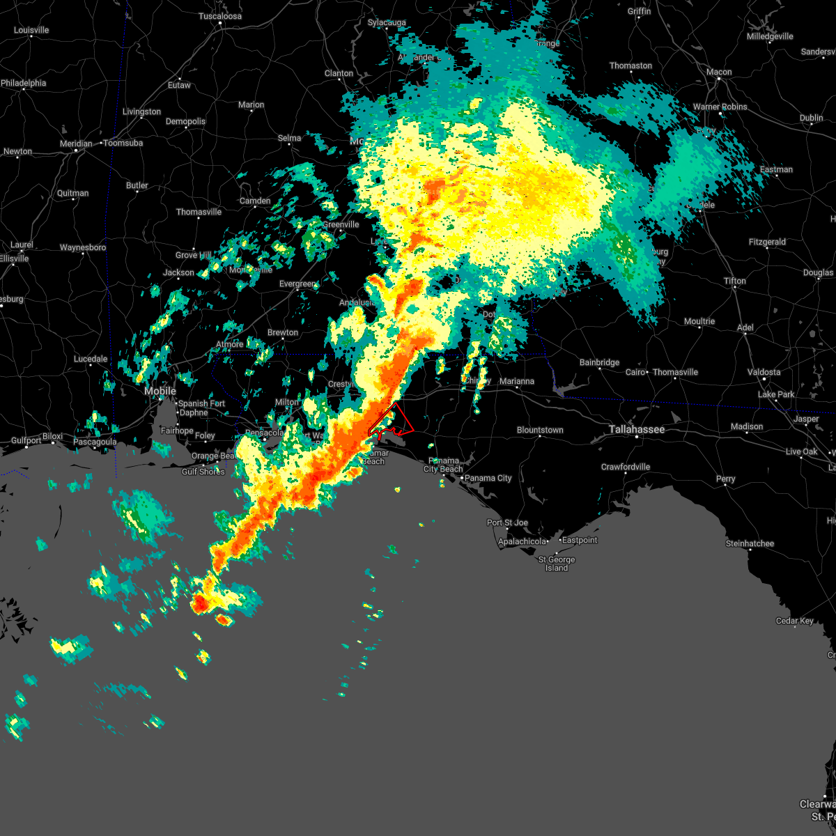 At 231 am cdt, a severe thunderstorm capable of producing a tornado was located 7 miles northwest of santa rosa beach, moving east at 30 mph (radar indicated rotation). Hazards include tornado and quarter size hail. Flying debris will be dangerous to those caught without shelter. mobile homes will be damaged or destroyed. damage to roofs, windows, and vehicles will occur. tree damage is likely. This tornadic thunderstorm will remain over mainly rural areas of west central walton county, including the following locations, new home, freeport, portland and villa tasso. At 231 am cdt, a severe thunderstorm capable of producing a tornado was located 7 miles northwest of santa rosa beach, moving east at 30 mph (radar indicated rotation). Hazards include tornado and quarter size hail. Flying debris will be dangerous to those caught without shelter. mobile homes will be damaged or destroyed. damage to roofs, windows, and vehicles will occur. tree damage is likely. This tornadic thunderstorm will remain over mainly rural areas of west central walton county, including the following locations, new home, freeport, portland and villa tasso.
|
| 3/31/2022 2:27 AM CDT |
 At 227 am cdt, severe thunderstorms were located along a line extending from 9 miles south of samson to destin, moving east at 30 mph (radar indicated). Hazards include 60 mph wind gusts and penny size hail. Expect damage to roofs, siding, and trees. Locations impacted include, panama city beach, vernon, santa rosa beach, de funiak springs, bonifay, eglin air force base, union, liberty, live oak, freeport, ponce de leon, caryville, esto, westville, ebro, noma, oakwood hills, cluster springs, whitehead crossroads and villa tasso. At 227 am cdt, severe thunderstorms were located along a line extending from 9 miles south of samson to destin, moving east at 30 mph (radar indicated). Hazards include 60 mph wind gusts and penny size hail. Expect damage to roofs, siding, and trees. Locations impacted include, panama city beach, vernon, santa rosa beach, de funiak springs, bonifay, eglin air force base, union, liberty, live oak, freeport, ponce de leon, caryville, esto, westville, ebro, noma, oakwood hills, cluster springs, whitehead crossroads and villa tasso.
|
| 3/31/2022 2:05 AM CDT |
 At 205 am cdt, severe thunderstorms were located along a line extending from 10 miles east of florala to near mary esther, moving east at 35 mph (radar indicated). Hazards include 60 mph wind gusts and penny size hail. Expect damage to roofs, siding, and trees. Locations impacted include, panama city beach, vernon, santa rosa beach, de funiak springs, bonifay, eglin air force base, union, liberty, live oak, freeport, paxton, ponce de leon, caryville, esto, westville, ebro, noma, oakwood hills, whitehead crossroads and cerrogordo. At 205 am cdt, severe thunderstorms were located along a line extending from 10 miles east of florala to near mary esther, moving east at 35 mph (radar indicated). Hazards include 60 mph wind gusts and penny size hail. Expect damage to roofs, siding, and trees. Locations impacted include, panama city beach, vernon, santa rosa beach, de funiak springs, bonifay, eglin air force base, union, liberty, live oak, freeport, paxton, ponce de leon, caryville, esto, westville, ebro, noma, oakwood hills, whitehead crossroads and cerrogordo.
|
| 3/31/2022 1:16 AM CDT |
 At 115 am cdt, severe thunderstorms were located along a line extending from 17 miles southwest of river falls to near oriole beach, moving northeast at 50 mph (radar indicated). Hazards include 70 mph wind gusts and penny size hail. Expect considerable tree damage. Damage is likely to mobile homes, roofs, and outbuildings. At 115 am cdt, severe thunderstorms were located along a line extending from 17 miles southwest of river falls to near oriole beach, moving northeast at 50 mph (radar indicated). Hazards include 70 mph wind gusts and penny size hail. Expect considerable tree damage. Damage is likely to mobile homes, roofs, and outbuildings.
|
| 3/23/2022 5:03 AM CDT |
 At 502 am cdt, severe thunderstorms were located along a line extending from 6 miles south of geneva to 14 miles south of santa rosa beach, moving northeast at 55 mph (radar indicated). Hazards include 60 mph wind gusts. Expect damage to roofs, siding, and trees. Locations impacted include, panama city beach, vernon, santa rosa beach, de funiak springs, bonifay, eglin air force base, union, live oak, freeport, ponce de leon, caryville, esto, westville, ebro, noma, whitehead crossroads, cerrogordo, gulf resort beach, blue mountain beach and gritney. At 502 am cdt, severe thunderstorms were located along a line extending from 6 miles south of geneva to 14 miles south of santa rosa beach, moving northeast at 55 mph (radar indicated). Hazards include 60 mph wind gusts. Expect damage to roofs, siding, and trees. Locations impacted include, panama city beach, vernon, santa rosa beach, de funiak springs, bonifay, eglin air force base, union, live oak, freeport, ponce de leon, caryville, esto, westville, ebro, noma, whitehead crossroads, cerrogordo, gulf resort beach, blue mountain beach and gritney.
|
| 3/23/2022 4:50 AM CDT |
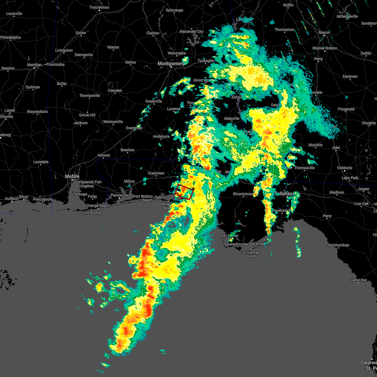 The tornado warning for southeastern walton county will expire at 500 am cdt, the storm which prompted the warning has weakened below severe limits, and no longer appears capable of producing a tornado. therefore, the warning will be allowed to expire. a tornado watch remains in effect until 600 am cdt for the panhandle of florida. to report severe weather, contact your nearest law enforcement agency. they will relay your report to the national weather service tallahassee. The tornado warning for southeastern walton county will expire at 500 am cdt, the storm which prompted the warning has weakened below severe limits, and no longer appears capable of producing a tornado. therefore, the warning will be allowed to expire. a tornado watch remains in effect until 600 am cdt for the panhandle of florida. to report severe weather, contact your nearest law enforcement agency. they will relay your report to the national weather service tallahassee.
|
| 3/23/2022 4:39 AM CDT |
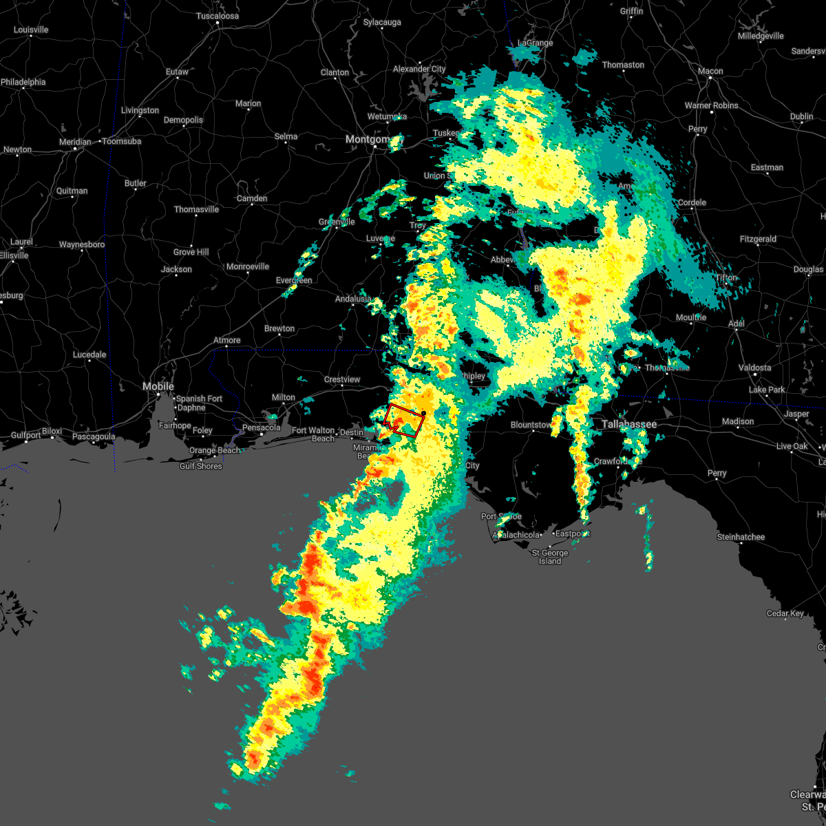 At 439 am cdt, a severe thunderstorm capable of producing a tornado was located 10 miles northeast of santa rosa beach, moving northeast at 25 mph (radar indicated rotation). Hazards include tornado. Flying debris will be dangerous to those caught without shelter. mobile homes will be damaged or destroyed. damage to roofs, windows, and vehicles will occur. tree damage is likely. This tornadic thunderstorm will remain over mainly rural areas of southeastern walton county, including the following locations, bruce, freeport, portland and rock hill. At 439 am cdt, a severe thunderstorm capable of producing a tornado was located 10 miles northeast of santa rosa beach, moving northeast at 25 mph (radar indicated rotation). Hazards include tornado. Flying debris will be dangerous to those caught without shelter. mobile homes will be damaged or destroyed. damage to roofs, windows, and vehicles will occur. tree damage is likely. This tornadic thunderstorm will remain over mainly rural areas of southeastern walton county, including the following locations, bruce, freeport, portland and rock hill.
|
| 3/23/2022 4:34 AM CDT |
 At 434 am cdt, a severe thunderstorm was located 9 miles northeast of santa rosa beach, moving northeast at 25 mph (radar indicated). Hazards include 60 mph wind gusts. Expect damage to roofs, siding, and trees. Locations impacted include, panama city beach, vernon, santa rosa beach, de funiak springs, bonifay, eglin air force base, union, live oak, freeport, ponce de leon, caryville, esto, westville, ebro, noma, whitehead crossroads, cerrogordo, gulf resort beach, blue mountain beach and gritney. At 434 am cdt, a severe thunderstorm was located 9 miles northeast of santa rosa beach, moving northeast at 25 mph (radar indicated). Hazards include 60 mph wind gusts. Expect damage to roofs, siding, and trees. Locations impacted include, panama city beach, vernon, santa rosa beach, de funiak springs, bonifay, eglin air force base, union, live oak, freeport, ponce de leon, caryville, esto, westville, ebro, noma, whitehead crossroads, cerrogordo, gulf resort beach, blue mountain beach and gritney.
|
| 3/23/2022 4:04 AM CDT |
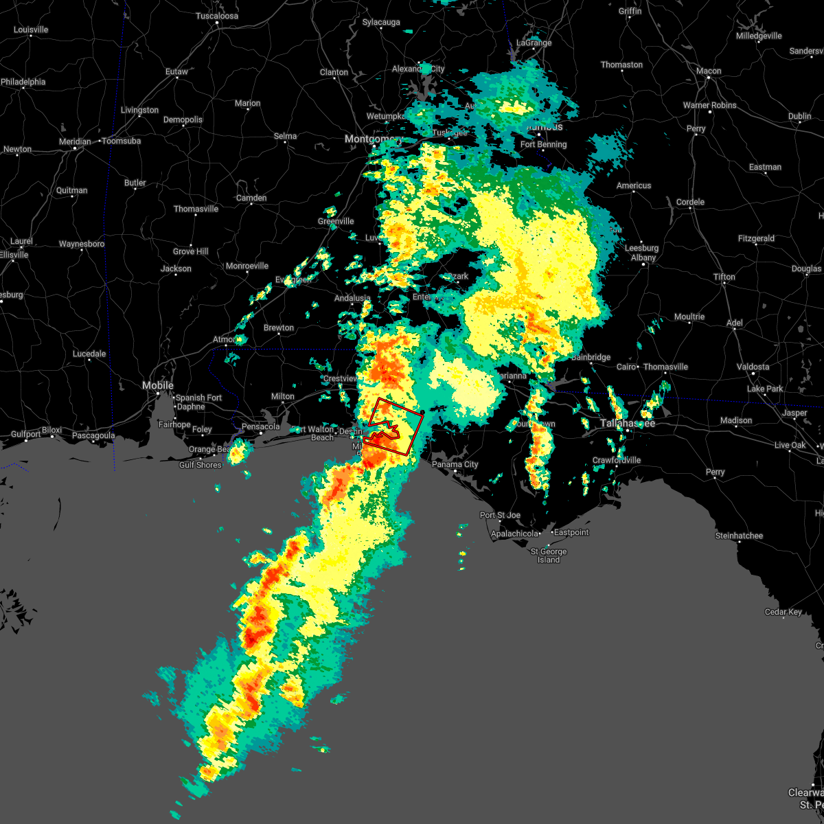 At 404 am cdt, a severe thunderstorm capable of producing a tornado was located near santa rosa beach, moving northeast at 25 mph (radar indicated rotation). Hazards include tornado. Flying debris will be dangerous to those caught without shelter. mobile homes will be damaged or destroyed. damage to roofs, windows, and vehicles will occur. tree damage is likely. this dangerous storm will be near, santa rosa beach around 425 am cdt. Other locations impacted by this tornadic thunderstorm include portland, port washington, blue mountain beach, seaside, rock hill, miramar beach, bruce, gulf pines, new home and freeport. At 404 am cdt, a severe thunderstorm capable of producing a tornado was located near santa rosa beach, moving northeast at 25 mph (radar indicated rotation). Hazards include tornado. Flying debris will be dangerous to those caught without shelter. mobile homes will be damaged or destroyed. damage to roofs, windows, and vehicles will occur. tree damage is likely. this dangerous storm will be near, santa rosa beach around 425 am cdt. Other locations impacted by this tornadic thunderstorm include portland, port washington, blue mountain beach, seaside, rock hill, miramar beach, bruce, gulf pines, new home and freeport.
|
| 3/23/2022 3:53 AM CDT |
 At 353 am cdt, a severe thunderstorm was located 9 miles southwest of santa rosa beach, moving northeast at 45 mph (radar indicated). Hazards include 60 mph wind gusts. expect damage to roofs, siding, and trees At 353 am cdt, a severe thunderstorm was located 9 miles southwest of santa rosa beach, moving northeast at 45 mph (radar indicated). Hazards include 60 mph wind gusts. expect damage to roofs, siding, and trees
|
| 3/18/2022 4:33 PM CDT |
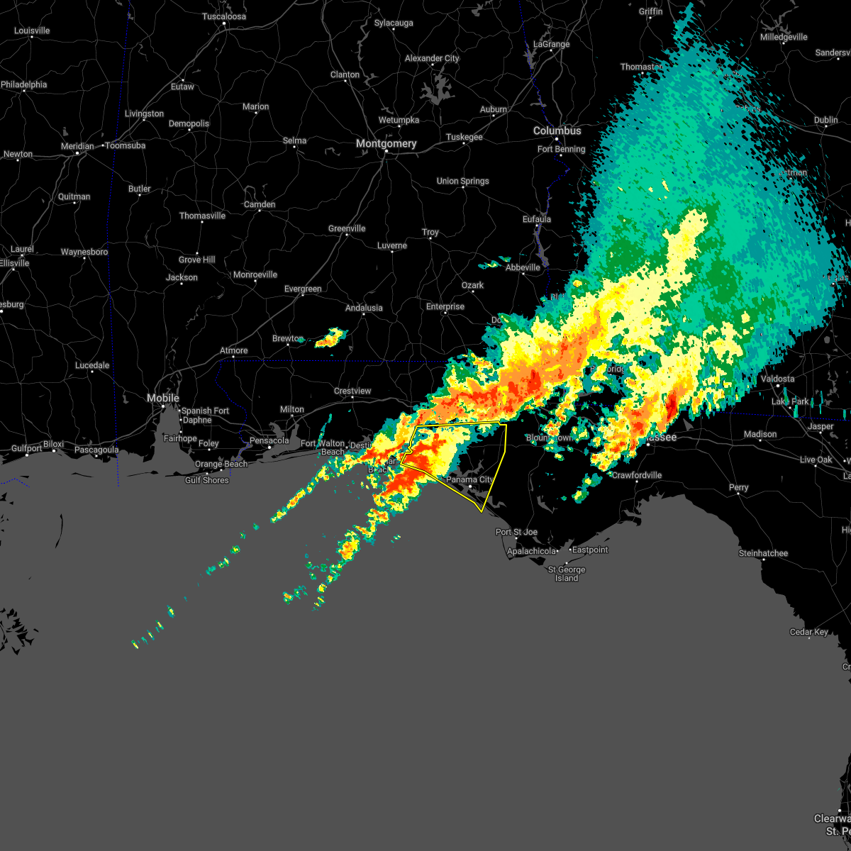 At 433 pm cdt, severe thunderstorms were located along a line extending from 15 miles northwest of panama city beach to 27 miles south of santa rosa beach, moving northeast at 35 mph (radar indicated). Hazards include 60 mph wind gusts. expect damage to roofs, siding, and trees At 433 pm cdt, severe thunderstorms were located along a line extending from 15 miles northwest of panama city beach to 27 miles south of santa rosa beach, moving northeast at 35 mph (radar indicated). Hazards include 60 mph wind gusts. expect damage to roofs, siding, and trees
|
| 3/18/2022 3:51 PM CDT |
 At 351 pm cdt, severe thunderstorms were located along a line extending from near graceville to 12 miles southeast of de funiak springs, moving east at 40 mph (radar indicated). Hazards include 60 mph wind gusts. expect damage to roofs, siding, and trees At 351 pm cdt, severe thunderstorms were located along a line extending from near graceville to 12 miles southeast of de funiak springs, moving east at 40 mph (radar indicated). Hazards include 60 mph wind gusts. expect damage to roofs, siding, and trees
|
| 1/2/2022 1:35 PM CST |
 At 135 pm cst, severe thunderstorms were located along a line extending from 6 miles southeast of de funiak springs to near santa rosa beach, moving east at 25 mph (radar indicated). Hazards include 60 mph wind gusts. expect damage to roofs, siding, and trees At 135 pm cst, severe thunderstorms were located along a line extending from 6 miles southeast of de funiak springs to near santa rosa beach, moving east at 25 mph (radar indicated). Hazards include 60 mph wind gusts. expect damage to roofs, siding, and trees
|
| 12/8/2021 12:09 AM CST |
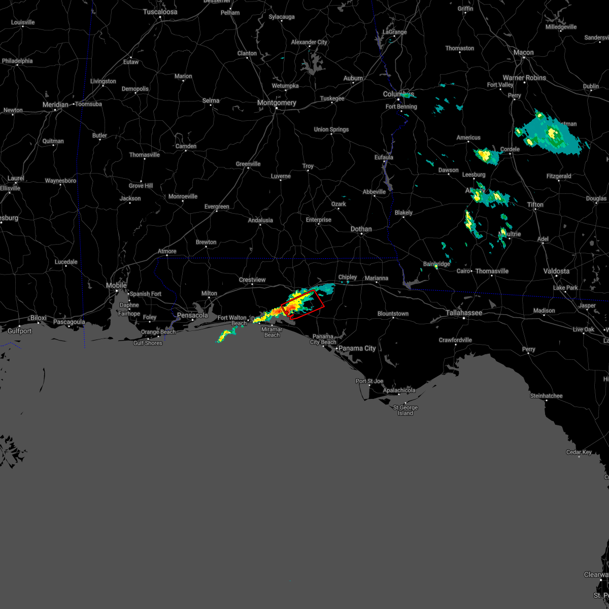 At 1208 am cst, a severe thunderstorm capable of producing a tornado was located 9 miles southeast of eglin air force base, or 10 miles northeast of santa rosa beach, moving northeast at 25 mph (radar indicated rotation). Hazards include tornado. Flying debris will be dangerous to those caught without shelter. mobile homes will be damaged or destroyed. damage to roofs, windows, and vehicles will occur. tree damage is likely. This tornadic thunderstorm will remain over mainly rural areas of central walton and west central washington counties, including the following locations, eucheeanna, millers ferry, red bay, portland, live oak, freeport, knox hill and rock hill. At 1208 am cst, a severe thunderstorm capable of producing a tornado was located 9 miles southeast of eglin air force base, or 10 miles northeast of santa rosa beach, moving northeast at 25 mph (radar indicated rotation). Hazards include tornado. Flying debris will be dangerous to those caught without shelter. mobile homes will be damaged or destroyed. damage to roofs, windows, and vehicles will occur. tree damage is likely. This tornadic thunderstorm will remain over mainly rural areas of central walton and west central washington counties, including the following locations, eucheeanna, millers ferry, red bay, portland, live oak, freeport, knox hill and rock hill.
|
| 8/31/2021 9:32 AM CDT | Tree down on sr-20. time estimated by rada in walton county FL, 7.1 miles W of Freeport, FL |
| 8/31/2021 9:15 AM CDT |
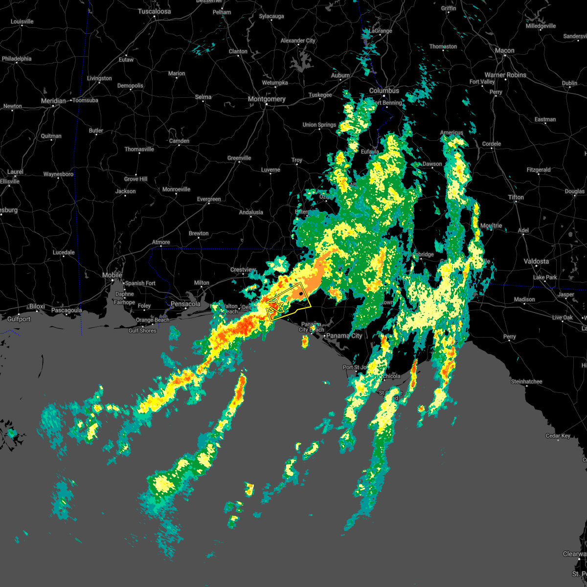 At 914 am cdt, a severe thunderstorm was located near santa rosa beach, moving northeast at 45 mph (radar indicated). Hazards include 60 mph wind gusts. expect damage to roofs, siding, and trees At 914 am cdt, a severe thunderstorm was located near santa rosa beach, moving northeast at 45 mph (radar indicated). Hazards include 60 mph wind gusts. expect damage to roofs, siding, and trees
|
| 8/31/2021 6:52 AM CDT |
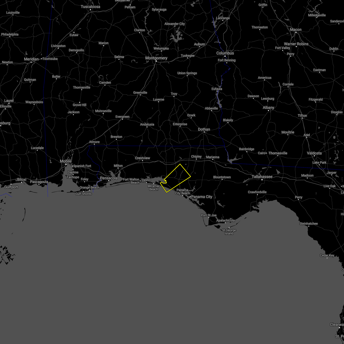 At 651 am cdt, a severe thunderstorm was located 8 miles east of santa rosa beach, moving northeast at 40 mph (radar indicated). Hazards include 60 mph wind gusts. expect damage to roofs, siding, and trees At 651 am cdt, a severe thunderstorm was located 8 miles east of santa rosa beach, moving northeast at 40 mph (radar indicated). Hazards include 60 mph wind gusts. expect damage to roofs, siding, and trees
|
| 8/29/2021 1:40 PM CDT |
 At 139 pm cdt, severe thunderstorms were located along a line extending from 12 miles southwest of santa rosa beach to 9 miles west of panama city beach to 15 miles west of tyndall air force base, moving north at 45 mph (radar indicated). Hazards include 60 mph wind gusts. expect damage to roofs, siding, and trees At 139 pm cdt, severe thunderstorms were located along a line extending from 12 miles southwest of santa rosa beach to 9 miles west of panama city beach to 15 miles west of tyndall air force base, moving north at 45 mph (radar indicated). Hazards include 60 mph wind gusts. expect damage to roofs, siding, and trees
|
| 8/20/2021 3:25 PM CDT |
 The severe thunderstorm warning for southern walton county will expire at 330 pm cdt, the storm which prompted the warning has weakened below severe limits, and no longer poses an immediate threat to life or property. therefore, the warning will be allowed to expire. however gusty winds are still possible with this thunderstorm. The severe thunderstorm warning for southern walton county will expire at 330 pm cdt, the storm which prompted the warning has weakened below severe limits, and no longer poses an immediate threat to life or property. therefore, the warning will be allowed to expire. however gusty winds are still possible with this thunderstorm.
|
| 8/20/2021 2:34 PM CDT |
 At 234 pm cdt, a severe thunderstorm was located near crestview, moving southeast at 15 mph (radar indicated). Hazards include 60 mph wind gusts. expect damage to roofs, siding, and trees At 234 pm cdt, a severe thunderstorm was located near crestview, moving southeast at 15 mph (radar indicated). Hazards include 60 mph wind gusts. expect damage to roofs, siding, and trees
|
| 8/14/2021 4:40 PM CDT |
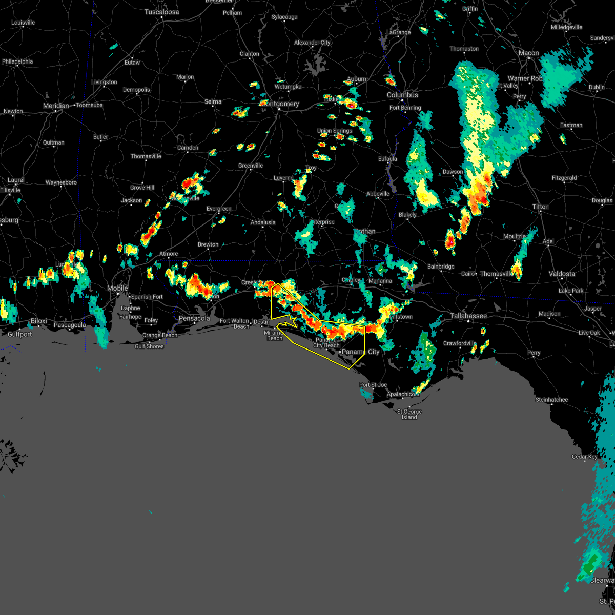 At 440 pm cdt, severe thunderstorms were located along a line extending from 8 miles west of de funiak springs to 16 miles north of panama city beach to 11 miles southwest of blountstown, moving southwest at 15 mph (radar indicated). Hazards include 60 mph wind gusts. expect damage to roofs, siding, and trees At 440 pm cdt, severe thunderstorms were located along a line extending from 8 miles west of de funiak springs to 16 miles north of panama city beach to 11 miles southwest of blountstown, moving southwest at 15 mph (radar indicated). Hazards include 60 mph wind gusts. expect damage to roofs, siding, and trees
|
| 8/12/2021 2:39 PM CDT |
 At 239 pm cdt, a severe thunderstorm was located 13 miles south of vernon, moving west at 20 mph (radar indicated). Hazards include 60 mph wind gusts. expect damage to roofs, siding, and trees At 239 pm cdt, a severe thunderstorm was located 13 miles south of vernon, moving west at 20 mph (radar indicated). Hazards include 60 mph wind gusts. expect damage to roofs, siding, and trees
|
| 7/29/2021 5:46 PM CDT |
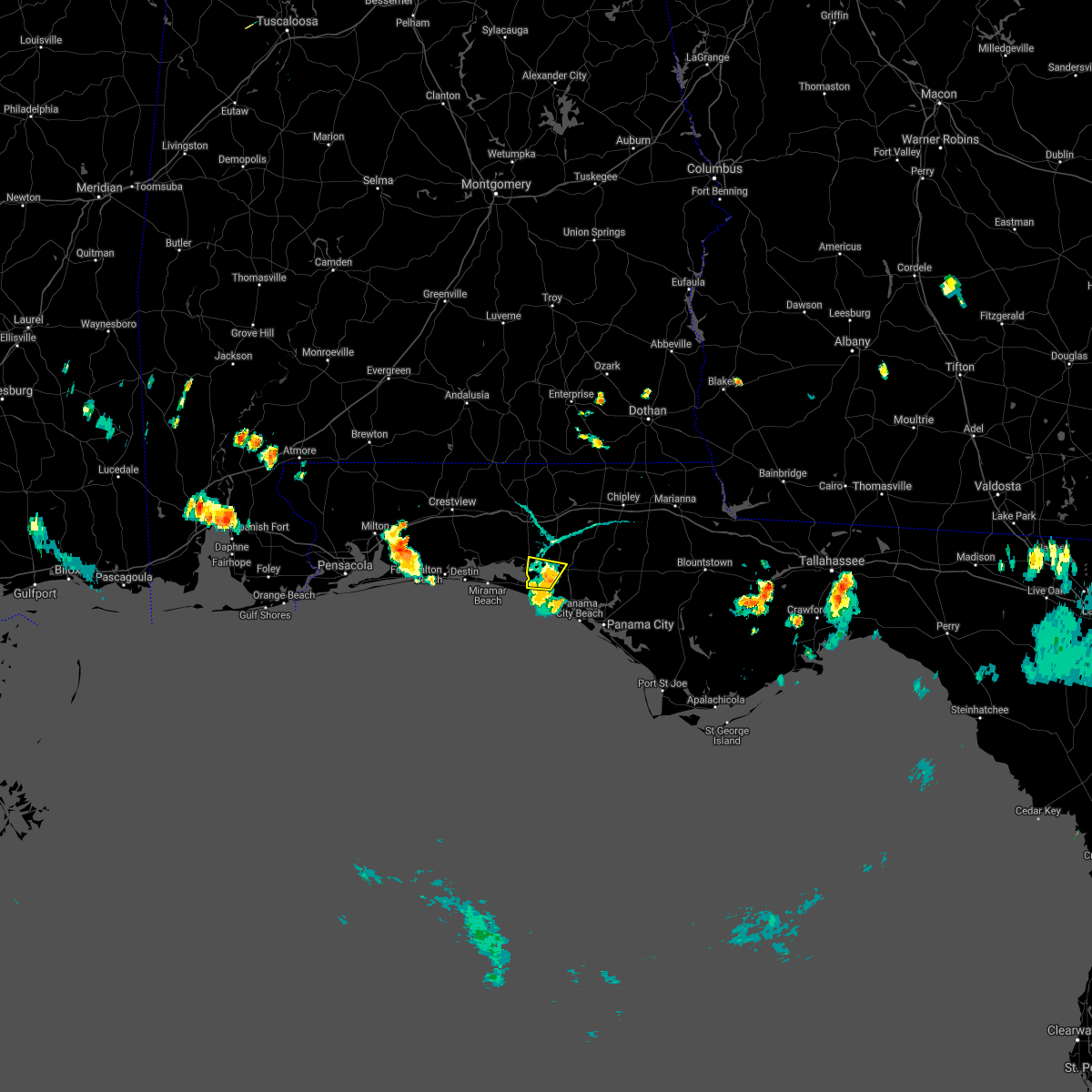 At 545 pm cdt, a severe thunderstorm was located 16 miles northwest of panama city beach, moving west at 5 mph (radar indicated). Hazards include 60 mph wind gusts. Expect damage to roofs, siding, and trees. Locations impacted include, freeport, bruce, bunker and port washington. At 545 pm cdt, a severe thunderstorm was located 16 miles northwest of panama city beach, moving west at 5 mph (radar indicated). Hazards include 60 mph wind gusts. Expect damage to roofs, siding, and trees. Locations impacted include, freeport, bruce, bunker and port washington.
|
| 7/29/2021 5:23 PM CDT |
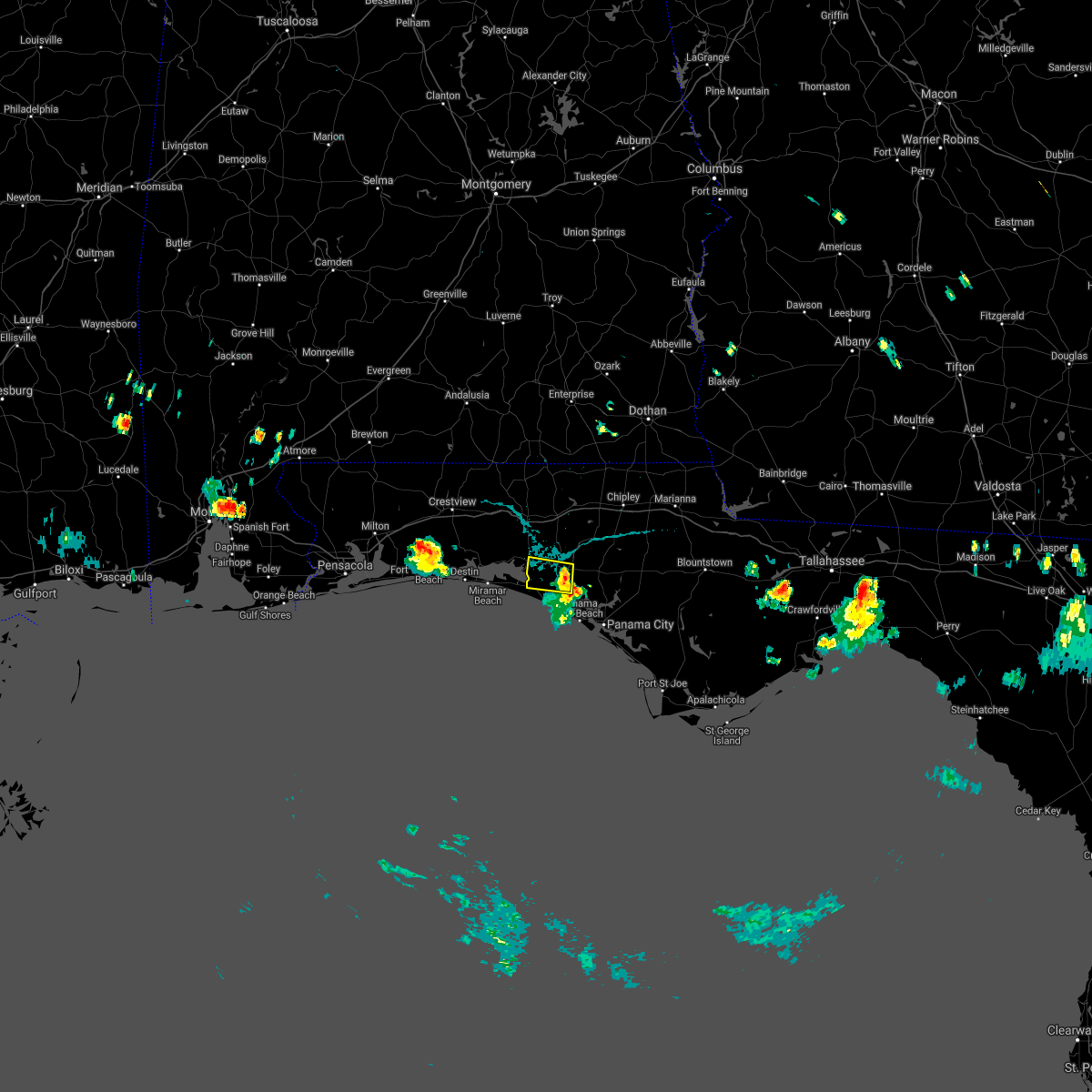 At 522 pm cdt, doppler radar indicated a severe thunderstorm capable of producing damaging winds in excess of 60 mph. this storm was located 13 miles north of panama city beach, and moving west at 10 mph. at 515 pm cdt, this storm produced a wind gust to 59 mph at the nw beaches international airport. At 522 pm cdt, doppler radar indicated a severe thunderstorm capable of producing damaging winds in excess of 60 mph. this storm was located 13 miles north of panama city beach, and moving west at 10 mph. at 515 pm cdt, this storm produced a wind gust to 59 mph at the nw beaches international airport.
|
| 7/28/2021 4:07 PM CDT |
 At 406 pm cdt, a severe thunderstorm was located 10 miles north of de funiak springs, moving south at 20 mph (radar indicated). Hazards include 60 mph wind gusts and penny size hail. expect damage to roofs, siding, and trees At 406 pm cdt, a severe thunderstorm was located 10 miles north of de funiak springs, moving south at 20 mph (radar indicated). Hazards include 60 mph wind gusts and penny size hail. expect damage to roofs, siding, and trees
|
| 7/15/2021 4:24 PM CDT |
 At 424 pm cdt, doppler radar indicated a line of severe thunderstorms capable of producing damaging winds in excess of 60 mph. these storms were located along a line extending from de funiak springs to 10 miles northeast of santa rosa beach, and moving northwest at 5 mph. At 424 pm cdt, doppler radar indicated a line of severe thunderstorms capable of producing damaging winds in excess of 60 mph. these storms were located along a line extending from de funiak springs to 10 miles northeast of santa rosa beach, and moving northwest at 5 mph.
|
| 7/15/2021 3:54 PM CDT |
 At 354 pm cdt, a severe thunderstorm was located 12 miles southeast of eglin air force base, or 13 miles northeast of santa rosa beach, and is nearly stationary (radar indicated). Hazards include 60 mph wind gusts. expect damage to roofs, siding, and trees At 354 pm cdt, a severe thunderstorm was located 12 miles southeast of eglin air force base, or 13 miles northeast of santa rosa beach, and is nearly stationary (radar indicated). Hazards include 60 mph wind gusts. expect damage to roofs, siding, and trees
|
| 7/15/2021 3:54 PM CDT |
 At 353 pm cdt, a severe thunderstorm was located 12 miles southeast of eglin air force base, or 13 miles northeast of santa rosa beach, and is nearly stationary (radar indicated). Hazards include 60 mph wind gusts. expect damage to roofs, siding, and trees At 353 pm cdt, a severe thunderstorm was located 12 miles southeast of eglin air force base, or 13 miles northeast of santa rosa beach, and is nearly stationary (radar indicated). Hazards include 60 mph wind gusts. expect damage to roofs, siding, and trees
|
| 6/29/2021 1:36 PM CDT |
 At 136 pm cdt, a severe thunderstorm was located near de funiak springs, moving northwest at 25 mph (radar indicated). Hazards include 60 mph wind gusts. Expect damage to roofs, siding, and trees. Locations impacted include, de funiak springs, eglin air force base, freeport, eucheeanna, portland, pleasant ridge, alpine heights, new home, de funiak spring airport and rock hill. At 136 pm cdt, a severe thunderstorm was located near de funiak springs, moving northwest at 25 mph (radar indicated). Hazards include 60 mph wind gusts. Expect damage to roofs, siding, and trees. Locations impacted include, de funiak springs, eglin air force base, freeport, eucheeanna, portland, pleasant ridge, alpine heights, new home, de funiak spring airport and rock hill.
|
| 6/29/2021 1:19 PM CDT |
 At 119 pm cdt, a severe thunderstorm was located 10 miles south of de funiak springs, moving northwest at 25 mph (radar indicated). Hazards include 60 mph wind gusts. expect damage to roofs, siding, and trees At 119 pm cdt, a severe thunderstorm was located 10 miles south of de funiak springs, moving northwest at 25 mph (radar indicated). Hazards include 60 mph wind gusts. expect damage to roofs, siding, and trees
|
| 6/19/2021 6:17 PM CDT |
 At 617 pm cdt, a severe thunderstorm was located near eglin air force base, or 10 miles north of santa rosa beach, moving northeast at 45 mph (radar indicated). Hazards include 60 mph wind gusts. expect damage to roofs, siding, and trees At 617 pm cdt, a severe thunderstorm was located near eglin air force base, or 10 miles north of santa rosa beach, moving northeast at 45 mph (radar indicated). Hazards include 60 mph wind gusts. expect damage to roofs, siding, and trees
|
| 6/19/2021 1:25 PM CDT |
 At 125 pm cdt, severe thunderstorms were located along a line extending from near de funiak springs to near vernon, moving north at 50 mph (radar indicated). Hazards include 60 mph wind gusts. expect damage to roofs, siding, and trees At 125 pm cdt, severe thunderstorms were located along a line extending from near de funiak springs to near vernon, moving north at 50 mph (radar indicated). Hazards include 60 mph wind gusts. expect damage to roofs, siding, and trees
|
| 6/19/2021 1:16 PM CDT |
 At 116 pm cdt, severe thunderstorms were located along a line extending from 16 miles north of panama city beach to near eglin air force base, moving north at 50 mph (radar indicated). Hazards include 60 mph wind gusts. Expect damage to roofs, siding, and trees. Locations impacted include, de funiak springs, eglin air force base, live oak, freeport, ebro, red bay, portland, seminole hills, rock hill, bruce, red head, eucheeanna, millers ferry, pine log, pleasant ridge, new home, knox hill and bunker. At 116 pm cdt, severe thunderstorms were located along a line extending from 16 miles north of panama city beach to near eglin air force base, moving north at 50 mph (radar indicated). Hazards include 60 mph wind gusts. Expect damage to roofs, siding, and trees. Locations impacted include, de funiak springs, eglin air force base, live oak, freeport, ebro, red bay, portland, seminole hills, rock hill, bruce, red head, eucheeanna, millers ferry, pine log, pleasant ridge, new home, knox hill and bunker.
|
| 6/19/2021 12:52 PM CDT |
 At 1251 pm cdt, severe thunderstorms were located along a line extending from 7 miles southwest of panama city beach to near santa rosa beach, moving north at 50 mph (radar indicated). Hazards include 60 mph wind gusts. expect damage to roofs, siding, and trees At 1251 pm cdt, severe thunderstorms were located along a line extending from 7 miles southwest of panama city beach to near santa rosa beach, moving north at 50 mph (radar indicated). Hazards include 60 mph wind gusts. expect damage to roofs, siding, and trees
|
| 6/19/2021 8:27 AM CDT |
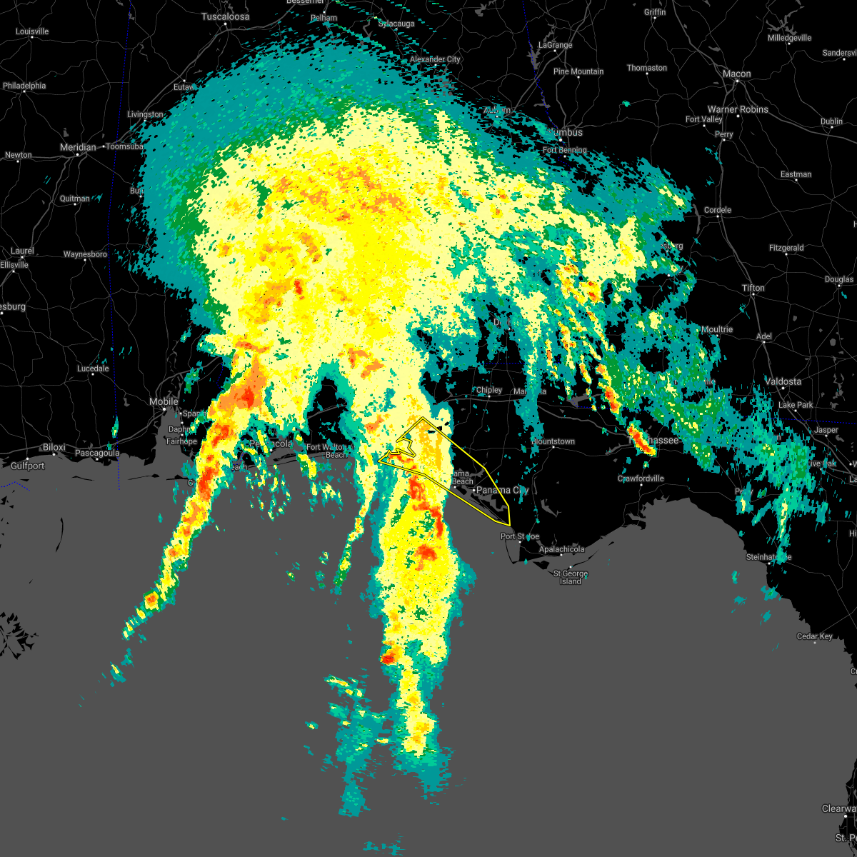 At 827 am cdt, severe thunderstorms were located along a line extending from near santa rosa beach to 30 miles southwest of tyndall air force base, moving northeast at 40 mph (radar indicated). Hazards include 60 mph wind gusts. expect damage to roofs, siding, and trees At 827 am cdt, severe thunderstorms were located along a line extending from near santa rosa beach to 30 miles southwest of tyndall air force base, moving northeast at 40 mph (radar indicated). Hazards include 60 mph wind gusts. expect damage to roofs, siding, and trees
|
| 5/12/2021 7:21 AM CDT |
 At 721 am cdt, severe thunderstorms were located along a line extending from near samson to near de funiak springs to near eglin air force base to near destin, moving east at 35 mph (radar indicated). Hazards include 60 mph wind gusts and quarter size hail. Hail damage to vehicles is expected. Expect wind damage to roofs, siding, and trees. At 721 am cdt, severe thunderstorms were located along a line extending from near samson to near de funiak springs to near eglin air force base to near destin, moving east at 35 mph (radar indicated). Hazards include 60 mph wind gusts and quarter size hail. Hail damage to vehicles is expected. Expect wind damage to roofs, siding, and trees.
|
| 5/12/2021 6:58 AM CDT |
 At 657 am cdt, severe thunderstorms were located along a line extending from 7 miles northeast of baker to near crestview to 6 miles north of wright to 12 miles south of navarre beach, moving east at 35 mph (radar indicated). Hazards include 60 mph wind gusts. expect damage to roofs, siding, and trees At 657 am cdt, severe thunderstorms were located along a line extending from 7 miles northeast of baker to near crestview to 6 miles north of wright to 12 miles south of navarre beach, moving east at 35 mph (radar indicated). Hazards include 60 mph wind gusts. expect damage to roofs, siding, and trees
|
| 5/4/2021 8:46 PM CDT |
 At 846 pm cdt, a severe thunderstorm was located 7 miles northwest of de funiak springs, moving east at 45 mph (radar indicated). Hazards include 60 mph wind gusts. expect damage to roofs, siding, and trees At 846 pm cdt, a severe thunderstorm was located 7 miles northwest of de funiak springs, moving east at 45 mph (radar indicated). Hazards include 60 mph wind gusts. expect damage to roofs, siding, and trees
|
| 4/24/2021 10:54 AM CDT |
 At 1054 am cdt, a severe thunderstorm was located 10 miles east of crestview, moving east at 60 mph (radar indicated). Hazards include 60 mph wind gusts and penny size hail. expect damage to roofs, siding, and trees At 1054 am cdt, a severe thunderstorm was located 10 miles east of crestview, moving east at 60 mph (radar indicated). Hazards include 60 mph wind gusts and penny size hail. expect damage to roofs, siding, and trees
|
| 4/10/2021 8:18 AM CDT |
 At 817 am cdt, severe thunderstorms were located along a line extending from near de funiak springs to 23 miles south of santa rosa beach, moving east at 65 mph (radar indicated). Hazards include 70 mph wind gusts. Expect considerable tree damage. damage is likely to mobile homes, roofs, and outbuildings. Locations impacted include, panama city, lynn haven, panama city beach, callaway, vernon, santa rosa beach, de funiak springs, springfield, mexico beach, hiland park, eglin air force base, tyndall air force base, live oak, parker, freeport, wausau, ebro, villa tasso, allanton and dirego park. At 817 am cdt, severe thunderstorms were located along a line extending from near de funiak springs to 23 miles south of santa rosa beach, moving east at 65 mph (radar indicated). Hazards include 70 mph wind gusts. Expect considerable tree damage. damage is likely to mobile homes, roofs, and outbuildings. Locations impacted include, panama city, lynn haven, panama city beach, callaway, vernon, santa rosa beach, de funiak springs, springfield, mexico beach, hiland park, eglin air force base, tyndall air force base, live oak, parker, freeport, wausau, ebro, villa tasso, allanton and dirego park.
|
| 4/10/2021 7:59 AM CDT |
 The national weather service in tallahassee has issued a * severe thunderstorm warning for. bay county in the panhandle of florida. southern walton county in the panhandle of florida. washington county in the panhandle of florida. Until 930 am cdt. The national weather service in tallahassee has issued a * severe thunderstorm warning for. bay county in the panhandle of florida. southern walton county in the panhandle of florida. washington county in the panhandle of florida. Until 930 am cdt.
|
| 4/10/2021 7:21 AM CDT |
 At 721 am cdt, severe thunderstorms were located along a line extending from 7 miles south of hartford to near santa rosa beach, moving east at 30 mph (radar indicated). Hazards include 60 mph wind gusts. expect damage to roofs, siding, and trees At 721 am cdt, severe thunderstorms were located along a line extending from 7 miles south of hartford to near santa rosa beach, moving east at 30 mph (radar indicated). Hazards include 60 mph wind gusts. expect damage to roofs, siding, and trees
|
| 4/10/2021 6:52 AM CDT |
 At 651 am cdt, severe thunderstorms were located along a line extending from 7 miles southwest of geneva to near santa rosa beach, moving east at 35 mph (radar indicated). Hazards include 60 mph wind gusts. Expect damage to roofs, siding, and trees. Locations impacted include, panama city beach, vernon, graceville, santa rosa beach, de funiak springs, bonifay, chipley, eglin air force base, union, liberty, live oak, freeport, ponce de leon, caryville, esto, westville, ebro, noma, black and oakwood hills. At 651 am cdt, severe thunderstorms were located along a line extending from 7 miles southwest of geneva to near santa rosa beach, moving east at 35 mph (radar indicated). Hazards include 60 mph wind gusts. Expect damage to roofs, siding, and trees. Locations impacted include, panama city beach, vernon, graceville, santa rosa beach, de funiak springs, bonifay, chipley, eglin air force base, union, liberty, live oak, freeport, ponce de leon, caryville, esto, westville, ebro, noma, black and oakwood hills.
|
| 4/10/2021 5:57 AM CDT |
 At 557 am cdt, severe thunderstorms were located along a line extending from 10 miles west of laurel hill to navarre beach, moving east at 55 mph (radar indicated). Hazards include 60 mph wind gusts. expect damage to roofs, siding, and trees At 557 am cdt, severe thunderstorms were located along a line extending from 10 miles west of laurel hill to navarre beach, moving east at 55 mph (radar indicated). Hazards include 60 mph wind gusts. expect damage to roofs, siding, and trees
|
| 3/31/2021 7:06 PM CDT |
 The severe thunderstorm warning for northern bay, walton, southwestern holmes and washington counties will expire at 715 pm cdt, the storms which prompted the warning have weakened below severe limits, and no longer pose an immediate threat to life or property. therefore, the warning will be allowed to expire. The severe thunderstorm warning for northern bay, walton, southwestern holmes and washington counties will expire at 715 pm cdt, the storms which prompted the warning have weakened below severe limits, and no longer pose an immediate threat to life or property. therefore, the warning will be allowed to expire.
|
| 3/31/2021 6:39 PM CDT |
 At 638 pm cdt, severe thunderstorms were located along a line extending from near vernon to 11 miles southeast of de funiak springs to 6 miles west of eglin air force base, moving south at 20 mph (radar indicated). Hazards include 60 mph wind gusts. expect damage to roofs, siding, and trees At 638 pm cdt, severe thunderstorms were located along a line extending from near vernon to 11 miles southeast of de funiak springs to 6 miles west of eglin air force base, moving south at 20 mph (radar indicated). Hazards include 60 mph wind gusts. expect damage to roofs, siding, and trees
|
| 3/31/2021 6:18 PM CDT |
 At 617 pm cdt, severe thunderstorms were located along a line extending from near bonifay to 6 miles east of de funiak springs to 9 miles northwest of eglin air force base, moving south at 25 mph (radar indicated). Hazards include 60 mph wind gusts. Expect damage to roofs, siding, and trees. Locations impacted include, de funiak springs, eglin air force base, union, liberty, freeport, ponce de leon, caryville, westville, hinsons crossroads, pond creek, oakwood hills, cluster springs, portland, whitehead crossroads, alpine heights, cerrogordo, darlington, gritney, arrant settlement and de funiak spring airport. At 617 pm cdt, severe thunderstorms were located along a line extending from near bonifay to 6 miles east of de funiak springs to 9 miles northwest of eglin air force base, moving south at 25 mph (radar indicated). Hazards include 60 mph wind gusts. Expect damage to roofs, siding, and trees. Locations impacted include, de funiak springs, eglin air force base, union, liberty, freeport, ponce de leon, caryville, westville, hinsons crossroads, pond creek, oakwood hills, cluster springs, portland, whitehead crossroads, alpine heights, cerrogordo, darlington, gritney, arrant settlement and de funiak spring airport.
|
| 3/31/2021 5:39 PM CDT |
 At 539 pm cdt, severe thunderstorms were located along a line extending from 10 miles south of samson to near laurel hill to near baker, moving east at 45 mph (radar indicated). Hazards include 60 mph wind gusts. expect damage to roofs, siding, and trees At 539 pm cdt, severe thunderstorms were located along a line extending from 10 miles south of samson to near laurel hill to near baker, moving east at 45 mph (radar indicated). Hazards include 60 mph wind gusts. expect damage to roofs, siding, and trees
|
| 2/15/2021 1:26 PM CST |
 At 126 pm cst, severe thunderstorms were located along a line extending from near florala to near santa rosa beach, moving east at 30 mph (radar indicated). Hazards include 60 mph wind gusts and quarter size hail. Hail damage to vehicles is expected. expect wind damage to roofs, siding, and trees. Locations impacted include, santa rosa beach, de funiak springs, eglin air force base, union, liberty, freeport, paxton, pond creek, oakwood hills, cluster springs, gaskin, portland, alpine heights, villa tasso, darlington, blue mountain beach, de funiak spring airport, seaside, rock hill and glendale. At 126 pm cst, severe thunderstorms were located along a line extending from near florala to near santa rosa beach, moving east at 30 mph (radar indicated). Hazards include 60 mph wind gusts and quarter size hail. Hail damage to vehicles is expected. expect wind damage to roofs, siding, and trees. Locations impacted include, santa rosa beach, de funiak springs, eglin air force base, union, liberty, freeport, paxton, pond creek, oakwood hills, cluster springs, gaskin, portland, alpine heights, villa tasso, darlington, blue mountain beach, de funiak spring airport, seaside, rock hill and glendale.
|
| 2/15/2021 12:53 PM CST |
 At 1253 pm cst, severe thunderstorms were located along a line extending from near baker to 15 miles south of mary esther, moving northeast at 80 mph (radar indicated). Hazards include 60 mph wind gusts and quarter size hail. Hail damage to vehicles is expected. Expect wind damage to roofs, siding, and trees. At 1253 pm cst, severe thunderstorms were located along a line extending from near baker to 15 miles south of mary esther, moving northeast at 80 mph (radar indicated). Hazards include 60 mph wind gusts and quarter size hail. Hail damage to vehicles is expected. Expect wind damage to roofs, siding, and trees.
|
| 8/11/2020 4:17 PM CDT |
 At 417 pm cdt, a severe thunderstorm was located near eglin air force base, or 9 miles west of de funiak springs, moving southwest at 15 mph (radar indicated). Hazards include 60 mph wind gusts. Expect damage to roofs, siding, and trees. Locations impacted include, de funiak springs, eglin air force base, liberty, gordon, pond creek, oakwood hills, cluster springs, fox hill, douglass crossroad, alpine heights, de funiak spring airport, rock hill, eucheeanna, pleasant ridge, new home, new harmony, argyle and mossy head. At 417 pm cdt, a severe thunderstorm was located near eglin air force base, or 9 miles west of de funiak springs, moving southwest at 15 mph (radar indicated). Hazards include 60 mph wind gusts. Expect damage to roofs, siding, and trees. Locations impacted include, de funiak springs, eglin air force base, liberty, gordon, pond creek, oakwood hills, cluster springs, fox hill, douglass crossroad, alpine heights, de funiak spring airport, rock hill, eucheeanna, pleasant ridge, new home, new harmony, argyle and mossy head.
|
| 8/11/2020 3:44 PM CDT |
 At 344 pm cdt, a severe thunderstorm was located 8 miles northeast of de funiak springs, moving west at 15 mph (radar indicated). Hazards include 60 mph wind gusts. expect damage to roofs, siding, and trees At 344 pm cdt, a severe thunderstorm was located 8 miles northeast of de funiak springs, moving west at 15 mph (radar indicated). Hazards include 60 mph wind gusts. expect damage to roofs, siding, and trees
|
| 7/25/2020 1:35 PM CDT |
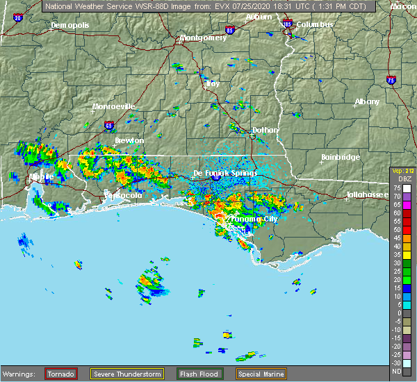 At 135 pm cdt, a severe thunderstorm was located 15 miles southwest of vernon, moving northwest at 30 mph (radar indicated). Hazards include 60 mph wind gusts. expect damage to roofs, siding, and trees At 135 pm cdt, a severe thunderstorm was located 15 miles southwest of vernon, moving northwest at 30 mph (radar indicated). Hazards include 60 mph wind gusts. expect damage to roofs, siding, and trees
|
| 7/22/2020 6:29 PM CDT |
 At 629 pm cdt, severe thunderstorms were located along a line extending from 6 miles southwest of geneva to 9 miles east of santa rosa beach, moving west at 35 mph (radar indicated). Hazards include 60 mph wind gusts. Expect damage to roofs, siding, and trees. Locations impacted include, de funiak springs, eglin air force base, union, liberty, freeport, paxton, ponce de leon, pond creek, oakwood hills, cluster springs, gaskin, portland, alpine heights, villa tasso, darlington, arrant settlement, de funiak spring airport, rock hill, glendale and pleasant ridge. At 629 pm cdt, severe thunderstorms were located along a line extending from 6 miles southwest of geneva to 9 miles east of santa rosa beach, moving west at 35 mph (radar indicated). Hazards include 60 mph wind gusts. Expect damage to roofs, siding, and trees. Locations impacted include, de funiak springs, eglin air force base, union, liberty, freeport, paxton, ponce de leon, pond creek, oakwood hills, cluster springs, gaskin, portland, alpine heights, villa tasso, darlington, arrant settlement, de funiak spring airport, rock hill, glendale and pleasant ridge.
|
| 7/22/2020 5:47 PM CDT |
 At 547 pm cdt, severe thunderstorms were located along a line extending from near graceville to near lynn haven, moving northwest at 25 mph. there are still reports of trees down with these storms coming in (radar indicated). Hazards include 60 mph wind gusts. expect damage to roofs, siding, and trees At 547 pm cdt, severe thunderstorms were located along a line extending from near graceville to near lynn haven, moving northwest at 25 mph. there are still reports of trees down with these storms coming in (radar indicated). Hazards include 60 mph wind gusts. expect damage to roofs, siding, and trees
|
| 7/12/2020 7:29 PM CDT |
 At 729 pm cdt, a severe thunderstorm was located near eglin air force base, or 11 miles north of santa rosa beach, moving southeast at 35 mph (radar indicated). Hazards include 60 mph wind gusts. expect damage to roofs, siding, and trees At 729 pm cdt, a severe thunderstorm was located near eglin air force base, or 11 miles north of santa rosa beach, moving southeast at 35 mph (radar indicated). Hazards include 60 mph wind gusts. expect damage to roofs, siding, and trees
|
| 7/12/2020 7:21 PM CDT |
 At 720 pm cdt, a severe thunderstorm was located 13 miles west of bonifay, moving southeast at 35 mph (radar indicated). Hazards include 60 mph wind gusts. Expect damage to roofs, siding, and trees. Locations impacted include, panama city, lynn haven, panama city beach, callaway, vernon, santa rosa beach, de funiak springs, bonifay, springfield, hiland park, eglin air force base, tyndall air force base, union, live oak, parker, freeport, ponce de leon, caryville, westville and ebro. At 720 pm cdt, a severe thunderstorm was located 13 miles west of bonifay, moving southeast at 35 mph (radar indicated). Hazards include 60 mph wind gusts. Expect damage to roofs, siding, and trees. Locations impacted include, panama city, lynn haven, panama city beach, callaway, vernon, santa rosa beach, de funiak springs, bonifay, springfield, hiland park, eglin air force base, tyndall air force base, union, live oak, parker, freeport, ponce de leon, caryville, westville and ebro.
|
| 7/12/2020 6:33 PM CDT |
 At 632 pm cdt, a severe thunderstorm was located near samson, or 11 miles southeast of opp, moving southeast at 35 mph (radar indicated). Hazards include 60 mph wind gusts. expect damage to roofs, siding, and trees At 632 pm cdt, a severe thunderstorm was located near samson, or 11 miles southeast of opp, moving southeast at 35 mph (radar indicated). Hazards include 60 mph wind gusts. expect damage to roofs, siding, and trees
|
| 6/23/2020 1:54 PM CDT |
 At 154 pm cdt, severe thunderstorms were located along a line extending from graceville to 6 miles south of chipley to 11 miles northwest of vernon to 9 miles south of de funiak springs to 13 miles east of eglin air force base to santa rosa beach, moving east at 30 mph (radar indicated). Hazards include 60 mph wind gusts. expect damage to roofs, siding, and trees At 154 pm cdt, severe thunderstorms were located along a line extending from graceville to 6 miles south of chipley to 11 miles northwest of vernon to 9 miles south of de funiak springs to 13 miles east of eglin air force base to santa rosa beach, moving east at 30 mph (radar indicated). Hazards include 60 mph wind gusts. expect damage to roofs, siding, and trees
|
| 4/23/2020 3:48 PM CDT |
 At 447 pm edt/347 pm cdt/, severe thunderstorms were located along a line extending from near cottonwood to 9 miles north of panama city beach, moving east at 55 mph (radar indicated). Hazards include 70 mph wind gusts and quarter size hail. Hail damage to vehicles is expected. expect considerable tree damage. wind damage is also likely to mobile homes, roofs, and outbuildings. Locations impacted include, lynn haven, cottonwood, vernon, bonifay, marianna, chipley, graceville, donalsonville, slocomb, bradford, live oak, malone, sneads, freeport, malvern, rehobeth, cottondale, grand ridge, greenwood and ponce de leon. At 447 pm edt/347 pm cdt/, severe thunderstorms were located along a line extending from near cottonwood to 9 miles north of panama city beach, moving east at 55 mph (radar indicated). Hazards include 70 mph wind gusts and quarter size hail. Hail damage to vehicles is expected. expect considerable tree damage. wind damage is also likely to mobile homes, roofs, and outbuildings. Locations impacted include, lynn haven, cottonwood, vernon, bonifay, marianna, chipley, graceville, donalsonville, slocomb, bradford, live oak, malone, sneads, freeport, malvern, rehobeth, cottondale, grand ridge, greenwood and ponce de leon.
|
| 4/23/2020 3:25 PM CDT |
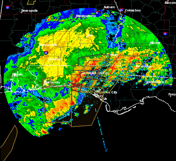 At 324 pm cdt, a severe thunderstorm capable of producing a tornado was located near santa rosa beach, moving east at 45 mph (radar indicated rotation). Hazards include tornado and quarter size hail. Flying debris will be dangerous to those caught without shelter. mobile homes will be damaged or destroyed. damage to roofs, windows, and vehicles will occur. tree damage is likely. This tornadic thunderstorm will remain over mainly rural areas of northwestern bay, southeastern walton and southwestern washington counties, including the following locations, west bay, inlet beach, seminole hills, port washington, gulf resort beach, blue mountain beach, seaside, pine log, sunnyside and bunker. At 324 pm cdt, a severe thunderstorm capable of producing a tornado was located near santa rosa beach, moving east at 45 mph (radar indicated rotation). Hazards include tornado and quarter size hail. Flying debris will be dangerous to those caught without shelter. mobile homes will be damaged or destroyed. damage to roofs, windows, and vehicles will occur. tree damage is likely. This tornadic thunderstorm will remain over mainly rural areas of northwestern bay, southeastern walton and southwestern washington counties, including the following locations, west bay, inlet beach, seminole hills, port washington, gulf resort beach, blue mountain beach, seaside, pine log, sunnyside and bunker.
|
| 4/23/2020 3:20 PM CDT | Spotter estimated a 60mph gus in walton county FL, 1.2 miles SSE of Freeport, FL |
| 4/23/2020 3:19 PM CDT |
 At 418 pm edt/318 pm cdt/, severe thunderstorms were located along a line extending from near hartford to near santa rosa beach, moving east at 55 mph (radar indicated). Hazards include 60 mph wind gusts and quarter size hail. Hail damage to vehicles is expected. Expect wind damage to roofs, siding, and trees. At 418 pm edt/318 pm cdt/, severe thunderstorms were located along a line extending from near hartford to near santa rosa beach, moving east at 55 mph (radar indicated). Hazards include 60 mph wind gusts and quarter size hail. Hail damage to vehicles is expected. Expect wind damage to roofs, siding, and trees.
|
| 4/23/2020 3:04 PM CDT |
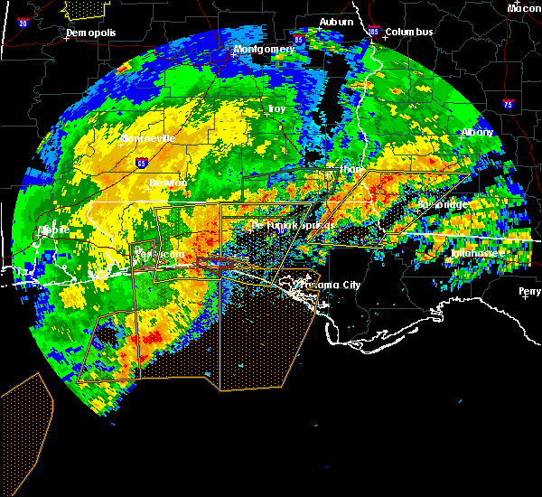 At 303 pm cdt, a severe thunderstorm capable of producing a tornado was located over destin, moving east at 45 mph (radar indicated rotation). Hazards include tornado and quarter size hail. Flying debris will be dangerous to those caught without shelter. mobile homes will be damaged or destroyed. damage to roofs, windows, and vehicles will occur. tree damage is likely. this dangerous storm will be near, santa rosa beach around 325 pm cdt. Other locations impacted by this tornadic thunderstorm include gulf pines, grayton beach, blue mountain beach, sandestin, miramar beach, four mile village and seaside. At 303 pm cdt, a severe thunderstorm capable of producing a tornado was located over destin, moving east at 45 mph (radar indicated rotation). Hazards include tornado and quarter size hail. Flying debris will be dangerous to those caught without shelter. mobile homes will be damaged or destroyed. damage to roofs, windows, and vehicles will occur. tree damage is likely. this dangerous storm will be near, santa rosa beach around 325 pm cdt. Other locations impacted by this tornadic thunderstorm include gulf pines, grayton beach, blue mountain beach, sandestin, miramar beach, four mile village and seaside.
|
| 4/23/2020 2:50 PM CDT |
 At 249 pm cdt, severe thunderstorms were located along a line extending from near laurel hill to near mary esther, moving east at 50 mph (radar indicated). Hazards include 60 mph wind gusts and half dollar size hail. Hail damage to vehicles is expected. Expect wind damage to roofs, siding, and trees. At 249 pm cdt, severe thunderstorms were located along a line extending from near laurel hill to near mary esther, moving east at 50 mph (radar indicated). Hazards include 60 mph wind gusts and half dollar size hail. Hail damage to vehicles is expected. Expect wind damage to roofs, siding, and trees.
|
| 4/23/2020 1:13 PM CDT |
 At 112 pm cdt, severe thunderstorms were located along a line extending from near samson to 10 miles north of niceville to 7 miles northwest of wright, moving northeast at 45 mph (radar indicated). Hazards include 60 mph wind gusts and nickel size hail. expect damage to roofs, siding, and trees At 112 pm cdt, severe thunderstorms were located along a line extending from near samson to 10 miles north of niceville to 7 miles northwest of wright, moving northeast at 45 mph (radar indicated). Hazards include 60 mph wind gusts and nickel size hail. expect damage to roofs, siding, and trees
|
| 4/20/2020 2:26 AM CDT |
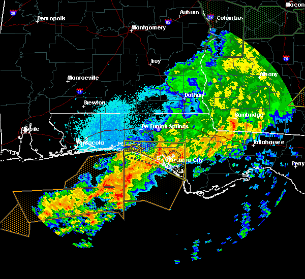 The severe thunderstorm warning for bay, southern walton and southern washington counties will expire at 230 am cdt, the storms which prompted the warning have weakened below severe limits, and no longer pose an immediate threat to life or property. therefore, the warning will be allowed to expire. however heavy rain is still possible with these thunderstorms. a tornado watch remains in effect until 600 am cdt for the panhandle of florida. to report severe weather, contact your nearest law enforcement agency. they will relay your report to the national weather service tallahassee. The severe thunderstorm warning for bay, southern walton and southern washington counties will expire at 230 am cdt, the storms which prompted the warning have weakened below severe limits, and no longer pose an immediate threat to life or property. therefore, the warning will be allowed to expire. however heavy rain is still possible with these thunderstorms. a tornado watch remains in effect until 600 am cdt for the panhandle of florida. to report severe weather, contact your nearest law enforcement agency. they will relay your report to the national weather service tallahassee.
|
| 4/20/2020 1:35 AM CDT |
 At 135 am cdt, severe thunderstorms were located along a line extending from 6 miles east of destin to 15 miles north of panama city beach to 16 miles northeast of lynn haven, moving south at 20 mph (radar indicated). Hazards include 60 mph wind gusts. expect damage to roofs, siding, and trees At 135 am cdt, severe thunderstorms were located along a line extending from 6 miles east of destin to 15 miles north of panama city beach to 16 miles northeast of lynn haven, moving south at 20 mph (radar indicated). Hazards include 60 mph wind gusts. expect damage to roofs, siding, and trees
|
| 4/20/2020 1:08 AM CDT |
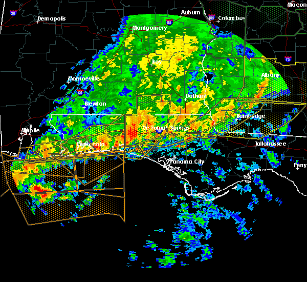 At 107 am cdt, severe thunderstorms were located along a line extending from 8 miles northwest of samson to near de funiak springs to destin, moving east at 45 mph (radar indicated). Hazards include 60 mph wind gusts and quarter size hail. Hail damage to vehicles is expected. expect wind damage to roofs, siding, and trees. Locations impacted include, santa rosa beach, de funiak springs, eglin air force base, live oak, freeport, ponce de leon, hinsons crossroads, portland, whitehead crossroads, alpine heights, villa tasso, blue mountain beach, de funiak spring airport, seaside, rock hill, millers ferry, pleasant ridge, gulf pines, knox hill and bunker. At 107 am cdt, severe thunderstorms were located along a line extending from 8 miles northwest of samson to near de funiak springs to destin, moving east at 45 mph (radar indicated). Hazards include 60 mph wind gusts and quarter size hail. Hail damage to vehicles is expected. expect wind damage to roofs, siding, and trees. Locations impacted include, santa rosa beach, de funiak springs, eglin air force base, live oak, freeport, ponce de leon, hinsons crossroads, portland, whitehead crossroads, alpine heights, villa tasso, blue mountain beach, de funiak spring airport, seaside, rock hill, millers ferry, pleasant ridge, gulf pines, knox hill and bunker.
|
| 4/20/2020 12:43 AM CDT |
 At 1243 am cdt, severe thunderstorms were located along a line extending from 7 miles southeast of andalusia to 6 miles east of crestview to near navarre beach, moving east at 45 mph (radar indicated). Hazards include 70 mph wind gusts and quarter size hail. Hail damage to vehicles is expected. expect considerable tree damage. Wind damage is also likely to mobile homes, roofs, and outbuildings. At 1243 am cdt, severe thunderstorms were located along a line extending from 7 miles southeast of andalusia to 6 miles east of crestview to near navarre beach, moving east at 45 mph (radar indicated). Hazards include 70 mph wind gusts and quarter size hail. Hail damage to vehicles is expected. expect considerable tree damage. Wind damage is also likely to mobile homes, roofs, and outbuildings.
|
| 4/20/2020 12:30 AM CDT |
 At 1230 am cdt, severe thunderstorms were located along a line extending from 6 miles southwest of chipley to 13 miles southeast of de funiak springs, moving east at 20 mph (radar indicated). Hazards include 60 mph wind gusts. expect damage to roofs, siding, and trees At 1230 am cdt, severe thunderstorms were located along a line extending from 6 miles southwest of chipley to 13 miles southeast of de funiak springs, moving east at 20 mph (radar indicated). Hazards include 60 mph wind gusts. expect damage to roofs, siding, and trees
|
| 4/19/2020 10:47 PM CDT |
 At 1046 pm cdt, severe thunderstorms were located along a line extending from near grady to 14 miles east of riverview, moving east at 45 mph (radar indicated). Hazards include 70 mph wind gusts. Expect considerable tree damage. damage is likely to mobile homes, roofs, and outbuildings. Locations impacted include, daleville, elba, de funiak springs, geneva, enterprise, fort rucker, ozark, level plains, samson, newton, new brockton, ariton, eglin air force base, lee, union, liberty, paxton, ponce de leon, clayhatchee and kinston. At 1046 pm cdt, severe thunderstorms were located along a line extending from near grady to 14 miles east of riverview, moving east at 45 mph (radar indicated). Hazards include 70 mph wind gusts. Expect considerable tree damage. damage is likely to mobile homes, roofs, and outbuildings. Locations impacted include, daleville, elba, de funiak springs, geneva, enterprise, fort rucker, ozark, level plains, samson, newton, new brockton, ariton, eglin air force base, lee, union, liberty, paxton, ponce de leon, clayhatchee and kinston.
|
| 4/19/2020 10:36 PM CDT |
 At 1036 pm cdt, severe thunderstorms were located along a line extending from lapine to 8 miles east of east brewton, moving east at 45 mph (radar indicated). Hazards include 60 mph wind gusts. expect damage to roofs, siding, and trees At 1036 pm cdt, severe thunderstorms were located along a line extending from lapine to 8 miles east of east brewton, moving east at 45 mph (radar indicated). Hazards include 60 mph wind gusts. expect damage to roofs, siding, and trees
|
| 4/13/2020 2:54 AM CDT |
 At 254 am cdt, a severe thunderstorm was located over graceville, moving east at 55 mph (radar indicated). Hazards include 60 mph wind gusts and penny size hail. Expect damage to roofs, siding, and trees. Locations impacted include, panama city beach, vernon, chipley, graceville, santa rosa beach, bonifay, eglin air force base, bradford, live oak, malone, freeport, cottondale, ponce de leon, alford, caryville, wausau, esto, westville, ebro and campbellton. At 254 am cdt, a severe thunderstorm was located over graceville, moving east at 55 mph (radar indicated). Hazards include 60 mph wind gusts and penny size hail. Expect damage to roofs, siding, and trees. Locations impacted include, panama city beach, vernon, chipley, graceville, santa rosa beach, bonifay, eglin air force base, bradford, live oak, malone, freeport, cottondale, ponce de leon, alford, caryville, wausau, esto, westville, ebro and campbellton.
|
| 4/13/2020 2:22 AM CDT |
 At 222 am cdt, a severe thunderstorm was located 11 miles northeast of de funiak springs, moving east at 55 mph (radar indicated). Hazards include 60 mph wind gusts and penny size hail. expect damage to roofs, siding, and trees At 222 am cdt, a severe thunderstorm was located 11 miles northeast of de funiak springs, moving east at 55 mph (radar indicated). Hazards include 60 mph wind gusts and penny size hail. expect damage to roofs, siding, and trees
|
| 4/13/2020 1:24 AM CDT |
 At 123 am cdt, a severe thunderstorm was located 7 miles north of eglin air force base, or 10 miles west of de funiak springs, moving northeast at 45 mph (radar indicated). Hazards include 60 mph wind gusts and penny size hail. expect damage to roofs, siding, and trees At 123 am cdt, a severe thunderstorm was located 7 miles north of eglin air force base, or 10 miles west of de funiak springs, moving northeast at 45 mph (radar indicated). Hazards include 60 mph wind gusts and penny size hail. expect damage to roofs, siding, and trees
|
| 3/31/2020 1:12 PM CDT |
 At 212 pm edt/112 pm cdt/, severe thunderstorms were located along a line extending from 8 miles northwest of west bainbridge to 13 miles west of panama city beach, moving east at 45 mph (radar indicated). Hazards include 60 mph wind gusts. expect damage to roofs, siding, and trees At 212 pm edt/112 pm cdt/, severe thunderstorms were located along a line extending from 8 miles northwest of west bainbridge to 13 miles west of panama city beach, moving east at 45 mph (radar indicated). Hazards include 60 mph wind gusts. expect damage to roofs, siding, and trees
|
| 3/31/2020 1:00 PM CDT | Report of trees down in the area around freepor in walton county FL, 1.5 miles SW of Freeport, FL |
| 3/31/2020 12:14 PM CDT |
 At 114 pm edt/1214 pm cdt/, severe thunderstorms were located along a line extending from near taylor to 12 miles southwest of baker, moving southeast at 50 mph (radar indicated). Hazards include 60 mph wind gusts. expect damage to roofs, siding, and trees At 114 pm edt/1214 pm cdt/, severe thunderstorms were located along a line extending from near taylor to 12 miles southwest of baker, moving southeast at 50 mph (radar indicated). Hazards include 60 mph wind gusts. expect damage to roofs, siding, and trees
|
| 2/6/2020 11:45 AM CST | Trees down at jolly bay and fluffy landing in the freeport are in walton county FL, 4 miles NNW of Freeport, FL |
| 2/6/2020 11:30 AM CST |
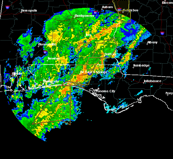 At 1129 am cst, a severe thunderstorm was located 7 miles southeast of destin, moving northeast at 60 mph (radar indicated). Hazards include 70 mph wind gusts. Expect considerable tree damage. Damage is likely to mobile homes, roofs, and outbuildings. At 1129 am cst, a severe thunderstorm was located 7 miles southeast of destin, moving northeast at 60 mph (radar indicated). Hazards include 70 mph wind gusts. Expect considerable tree damage. Damage is likely to mobile homes, roofs, and outbuildings.
|
| 2/6/2020 11:22 AM CST |
 At 1122 am cst, a severe thunderstorm was located over eglin air force base, or 10 miles east of niceville, moving northeast at 60 mph (radar indicated). Hazards include 60 mph wind gusts. expect damage to roofs, siding, and trees At 1122 am cst, a severe thunderstorm was located over eglin air force base, or 10 miles east of niceville, moving northeast at 60 mph (radar indicated). Hazards include 60 mph wind gusts. expect damage to roofs, siding, and trees
|
| 2/6/2020 10:36 AM CST |
 At 1036 am cst, a severe thunderstorm was located 16 miles southeast of de funiak springs, moving northeast at 30 mph (radar indicated). Hazards include 60 mph wind gusts. expect damage to roofs, siding, and trees At 1036 am cst, a severe thunderstorm was located 16 miles southeast of de funiak springs, moving northeast at 30 mph (radar indicated). Hazards include 60 mph wind gusts. expect damage to roofs, siding, and trees
|
| 1/11/2020 4:32 PM CST |
 At 431 pm cst, severe thunderstorms were located along a line extending from 10 miles south of geneva to near santa rosa beach, moving east at 30 mph (radar indicated). Hazards include 70 mph wind gusts. Expect considerable tree damage. damage is likely to mobile homes, roofs, and outbuildings. Locations impacted include, santa rosa beach, de funiak springs, eglin air force base, union, freeport, ponce de leon, caryville, westville, portland, cerrogordo, blue mountain beach, gritney, arrant settlement, seaside, rock hill, center ridge, smith crossroads, knox hill, bunker and hickory hill. At 431 pm cst, severe thunderstorms were located along a line extending from 10 miles south of geneva to near santa rosa beach, moving east at 30 mph (radar indicated). Hazards include 70 mph wind gusts. Expect considerable tree damage. damage is likely to mobile homes, roofs, and outbuildings. Locations impacted include, santa rosa beach, de funiak springs, eglin air force base, union, freeport, ponce de leon, caryville, westville, portland, cerrogordo, blue mountain beach, gritney, arrant settlement, seaside, rock hill, center ridge, smith crossroads, knox hill, bunker and hickory hill.
|
| 1/11/2020 4:00 PM CST |
 At 400 pm cst, severe thunderstorms were located along a line extending from 11 miles north of de funiak springs to near destin, moving east at 25 mph (radar indicated). Hazards include 70 mph wind gusts. Expect considerable tree damage. Damage is likely to mobile homes, roofs, and outbuildings. At 400 pm cst, severe thunderstorms were located along a line extending from 11 miles north of de funiak springs to near destin, moving east at 25 mph (radar indicated). Hazards include 70 mph wind gusts. Expect considerable tree damage. Damage is likely to mobile homes, roofs, and outbuildings.
|
| 1/11/2020 3:34 PM CST |
 At 334 pm cst, severe thunderstorms were located along a line extending from near florala to near fort walton beach, moving east at 35 mph (radar indicated). Hazards include 70 mph wind gusts. Expect considerable tree damage. damage is likely to mobile homes, roofs, and outbuildings. Locations impacted include, santa rosa beach, de funiak springs, eglin air force base, union, liberty, freeport, paxton, pond creek, oakwood hills, cluster springs, gaskin, portland, alpine heights, villa tasso, darlington, blue mountain beach, de funiak spring airport, seaside, rock hill and glendale. At 334 pm cst, severe thunderstorms were located along a line extending from near florala to near fort walton beach, moving east at 35 mph (radar indicated). Hazards include 70 mph wind gusts. Expect considerable tree damage. damage is likely to mobile homes, roofs, and outbuildings. Locations impacted include, santa rosa beach, de funiak springs, eglin air force base, union, liberty, freeport, paxton, pond creek, oakwood hills, cluster springs, gaskin, portland, alpine heights, villa tasso, darlington, blue mountain beach, de funiak spring airport, seaside, rock hill and glendale.
|
| 1/11/2020 3:12 PM CST |
 At 312 pm cst, severe thunderstorms were located along a line extending from 7 miles southwest of laurel hill to near navarre beach, moving east at 35 mph (radar indicated). Hazards include 60 mph wind gusts. expect damage to roofs, siding, and trees At 312 pm cst, severe thunderstorms were located along a line extending from 7 miles southwest of laurel hill to near navarre beach, moving east at 35 mph (radar indicated). Hazards include 60 mph wind gusts. expect damage to roofs, siding, and trees
|
| 7/7/2019 5:47 PM CDT |
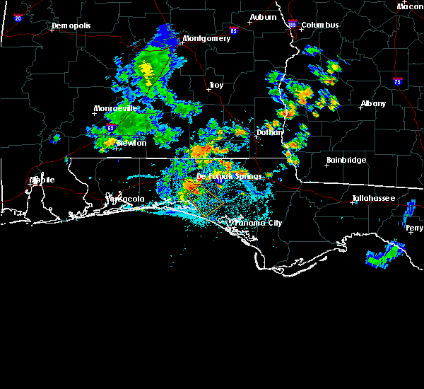 At 546 pm cdt, a severe thunderstorm was located 10 miles south of de funiak springs, moving southeast at 40 mph (radar indicated). Hazards include 60 mph wind gusts. expect damage to roofs, siding, and trees At 546 pm cdt, a severe thunderstorm was located 10 miles south of de funiak springs, moving southeast at 40 mph (radar indicated). Hazards include 60 mph wind gusts. expect damage to roofs, siding, and trees
|
| 7/6/2019 5:57 PM CDT |
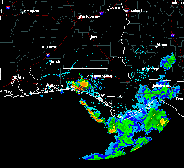 At 556 pm cdt, a severe thunderstorm was located near santa rosa beach, moving south at 25 mph (radar indicated). Hazards include 60 mph wind gusts. expect damage to roofs, siding, and trees At 556 pm cdt, a severe thunderstorm was located near santa rosa beach, moving south at 25 mph (radar indicated). Hazards include 60 mph wind gusts. expect damage to roofs, siding, and trees
|
| 6/28/2019 2:05 PM CDT |
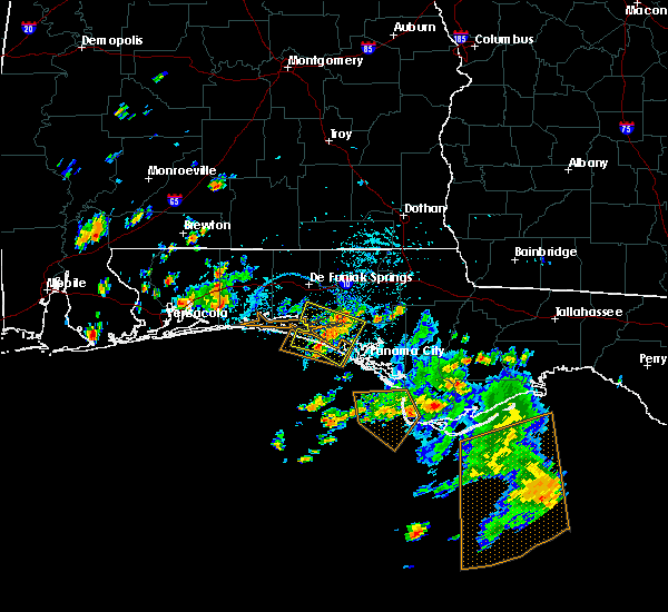 The severe thunderstorm warning for northwestern bay, southeastern walton and southwestern washington counties will expire at 215 pm cdt, the storms which prompted the warning have weakened below severe limits, and no longer pose an immediate threat to life or property. therefore, the warning will be allowed to expire. to report severe weather, contact your nearest law enforcement agency. they will relay your report to the national weather service tallahassee. The severe thunderstorm warning for northwestern bay, southeastern walton and southwestern washington counties will expire at 215 pm cdt, the storms which prompted the warning have weakened below severe limits, and no longer pose an immediate threat to life or property. therefore, the warning will be allowed to expire. to report severe weather, contact your nearest law enforcement agency. they will relay your report to the national weather service tallahassee.
|
| 6/28/2019 1:34 PM CDT |
 At 134 pm cdt, severe thunderstorms were located along a line extending from 15 miles northwest of lynn haven to near panama city beach, moving west at 15 mph (radar indicated). Hazards include 60 mph wind gusts. expect damage to roofs, siding, and trees At 134 pm cdt, severe thunderstorms were located along a line extending from 15 miles northwest of lynn haven to near panama city beach, moving west at 15 mph (radar indicated). Hazards include 60 mph wind gusts. expect damage to roofs, siding, and trees
|
| 6/25/2019 7:13 PM CDT |
 The severe thunderstorm warning for central walton and central washington counties will expire at 715 pm cdt, the storms which prompted the warning have weakened below severe limits, and no longer pose an immediate threat to life or property. therefore, the warning will be allowed to expire. to report severe weather, contact your nearest law enforcement agency. they will relay your report to the national weather service tallahassee. The severe thunderstorm warning for central walton and central washington counties will expire at 715 pm cdt, the storms which prompted the warning have weakened below severe limits, and no longer pose an immediate threat to life or property. therefore, the warning will be allowed to expire. to report severe weather, contact your nearest law enforcement agency. they will relay your report to the national weather service tallahassee.
|
| 6/25/2019 6:56 PM CDT |
 At 656 pm cdt, severe thunderstorms were located along a line extending from near eglin air force base to bonifay, moving southeast at 20 mph (radar indicated). Hazards include 60 mph wind gusts. Expect damage to roofs, siding, and trees. Locations impacted include, vernon, de funiak springs, eglin air force base, live oak, freeport, ebro, hinsons crossroads, portland, whitehead crossroads, rock hill, holmes valley, millers ferry, pleasant ridge, knox hill, smyrna, sylvania, johnson crossroads, brock crossroad, red bay and douglass crossroad. At 656 pm cdt, severe thunderstorms were located along a line extending from near eglin air force base to bonifay, moving southeast at 20 mph (radar indicated). Hazards include 60 mph wind gusts. Expect damage to roofs, siding, and trees. Locations impacted include, vernon, de funiak springs, eglin air force base, live oak, freeport, ebro, hinsons crossroads, portland, whitehead crossroads, rock hill, holmes valley, millers ferry, pleasant ridge, knox hill, smyrna, sylvania, johnson crossroads, brock crossroad, red bay and douglass crossroad.
|
| 6/25/2019 6:39 PM CDT |
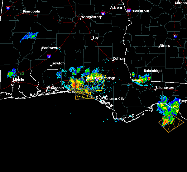 At 639 pm cdt, a severe thunderstorm was located near niceville, moving southeast at 20 mph (radar indicated). Hazards include 60 mph wind gusts. expect damage to roofs, siding, and trees At 639 pm cdt, a severe thunderstorm was located near niceville, moving southeast at 20 mph (radar indicated). Hazards include 60 mph wind gusts. expect damage to roofs, siding, and trees
|
| 6/25/2019 6:30 PM CDT |
 At 630 pm cdt, severe thunderstorms were located along a line extending from 7 miles north of niceville to 9 miles northwest of bonifay, moving southeast at 20 mph (radar indicated). Hazards include 60 mph wind gusts. Expect damage to roofs, siding, and trees. Locations impacted include, vernon, de funiak springs, bonifay, eglin air force base, union, live oak, freeport, ponce de leon, caryville, westville, ebro, hinsons crossroads, oakwood hills, portland, whitehead crossroads, alpine heights, cerrogordo, gritney, arrant settlement and de funiak spring airport. At 630 pm cdt, severe thunderstorms were located along a line extending from 7 miles north of niceville to 9 miles northwest of bonifay, moving southeast at 20 mph (radar indicated). Hazards include 60 mph wind gusts. Expect damage to roofs, siding, and trees. Locations impacted include, vernon, de funiak springs, bonifay, eglin air force base, union, live oak, freeport, ponce de leon, caryville, westville, ebro, hinsons crossroads, oakwood hills, portland, whitehead crossroads, alpine heights, cerrogordo, gritney, arrant settlement and de funiak spring airport.
|
| 6/25/2019 6:09 PM CDT |
 The national weather service in tallahassee has issued a * severe thunderstorm warning for. walton county in the panhandle of florida. southern holmes county in the panhandle of florida. central washington county in the panhandle of florida. Until 715 pm cdt. The national weather service in tallahassee has issued a * severe thunderstorm warning for. walton county in the panhandle of florida. southern holmes county in the panhandle of florida. central washington county in the panhandle of florida. Until 715 pm cdt.
|
| 6/7/2019 2:19 PM CDT | Reported several trees down at inez circle walton county f in walton county FL, 2.9 miles SE of Freeport, FL |
| 6/7/2019 1:59 PM CDT |
 At 158 pm cdt, a severe thunderstorm was located over eglin air force base, or 12 miles northeast of niceville, moving east at 40 mph (radar indicated). Hazards include 60 mph wind gusts. expect damage to roofs, siding, and trees At 158 pm cdt, a severe thunderstorm was located over eglin air force base, or 12 miles northeast of niceville, moving east at 40 mph (radar indicated). Hazards include 60 mph wind gusts. expect damage to roofs, siding, and trees
|
| 6/1/2019 1:24 PM CDT |
 At 124 pm cdt, a severe thunderstorm was located 9 miles southeast of de funiak springs, moving east at 25 mph (radar indicated). Hazards include 60 mph wind gusts. Expect damage to roofs, siding, and trees. Locations impacted include, vernon, de funiak springs, eglin air force base, live oak, freeport, ponce de leon, caryville, westville, ebro, hinsons crossroads, red bay, douglass crossroad, whitehead crossroads, rock hill, bruce, red head, eucheeanna, holmes valley, millers ferry and five points. At 124 pm cdt, a severe thunderstorm was located 9 miles southeast of de funiak springs, moving east at 25 mph (radar indicated). Hazards include 60 mph wind gusts. Expect damage to roofs, siding, and trees. Locations impacted include, vernon, de funiak springs, eglin air force base, live oak, freeport, ponce de leon, caryville, westville, ebro, hinsons crossroads, red bay, douglass crossroad, whitehead crossroads, rock hill, bruce, red head, eucheeanna, holmes valley, millers ferry and five points.
|
| 6/1/2019 1:17 PM CDT | Power company reported a couple of power lines down due to wind and trees blowing against the lines south of de funiak spring in walton county FL, 8.4 miles SSW of Freeport, FL |
| 6/1/2019 1:09 PM CDT |
 The national weather service in tallahassee has issued a * severe thunderstorm warning for. central walton county in the panhandle of florida. southwestern holmes county in the panhandle of florida. western washington county in the panhandle of florida. Until 200 pm cdt. The national weather service in tallahassee has issued a * severe thunderstorm warning for. central walton county in the panhandle of florida. southwestern holmes county in the panhandle of florida. western washington county in the panhandle of florida. Until 200 pm cdt.
|
| 5/12/2019 9:58 AM CDT |
 At 958 am cdt, severe thunderstorms were located along a line extending from 7 miles south of geneva to 13 miles northwest of vernon to 7 miles southeast of destin, moving southeast at 40 mph (radar indicated). Hazards include 60 mph wind gusts. expect damage to roofs, siding, and trees At 958 am cdt, severe thunderstorms were located along a line extending from 7 miles south of geneva to 13 miles northwest of vernon to 7 miles southeast of destin, moving southeast at 40 mph (radar indicated). Hazards include 60 mph wind gusts. expect damage to roofs, siding, and trees
|
| 4/19/2019 4:39 AM CDT |
 At 439 am cdt, severe thunderstorms were located along a line extending from 14 miles east of santa rosa beach to 14 miles southwest of panama city beach, moving east at 40 mph (radar indicated). Hazards include 60 mph wind gusts. Expect damage to roofs, siding, and trees. locations impacted include, panama city, lynn haven, panama city beach, vernon, live oak, freeport, ponce de leon, caryville, westville, ebro, hinsons crossroads, southport, seminole hills, cerrogordo, gulf resort beach, west panama city, camp flowers, seaside, bahama beach and holmes valley. A tornado watch remains in effect until 800 am cdt for the panhandle of florida. At 439 am cdt, severe thunderstorms were located along a line extending from 14 miles east of santa rosa beach to 14 miles southwest of panama city beach, moving east at 40 mph (radar indicated). Hazards include 60 mph wind gusts. Expect damage to roofs, siding, and trees. locations impacted include, panama city, lynn haven, panama city beach, vernon, live oak, freeport, ponce de leon, caryville, westville, ebro, hinsons crossroads, southport, seminole hills, cerrogordo, gulf resort beach, west panama city, camp flowers, seaside, bahama beach and holmes valley. A tornado watch remains in effect until 800 am cdt for the panhandle of florida.
|
| 4/19/2019 4:15 AM CDT |
 At 414 am cdt, severe thunderstorms were located along a line extending from 11 miles south of santa rosa beach to 29 miles southwest of panama city beach, moving northeast at 40 mph (radar indicated). Hazards include 60 mph wind gusts. expect damage to roofs, siding, and trees At 414 am cdt, severe thunderstorms were located along a line extending from 11 miles south of santa rosa beach to 29 miles southwest of panama city beach, moving northeast at 40 mph (radar indicated). Hazards include 60 mph wind gusts. expect damage to roofs, siding, and trees
|
| 4/14/2019 7:51 AM CDT |
 The severe thunderstorm warning for northwestern bay, southern walton, southwestern holmes and southwestern washington counties will expire at 800 am cdt, the storms which prompted the warning have weakened. therefore, the warning will be allowed to expire. however gusty winds to 40 mph are still possible with these thunderstorms. a tornado watch remains in effect until 1000 am cdt for the panhandle of florida. The severe thunderstorm warning for northwestern bay, southern walton, southwestern holmes and southwestern washington counties will expire at 800 am cdt, the storms which prompted the warning have weakened. therefore, the warning will be allowed to expire. however gusty winds to 40 mph are still possible with these thunderstorms. a tornado watch remains in effect until 1000 am cdt for the panhandle of florida.
|
| 4/14/2019 7:42 AM CDT |
 At 742 am cdt, severe thunderstorms were located along a line extending from 7 miles south of eglin air force base to near santa rosa beach to 21 miles southeast of niceville to 16 miles southeast of destin, moving northeast at 40 mph (radar indicated). Hazards include 60 mph wind gusts. Expect damage to roofs, siding, and trees. locations impacted include, santa rosa beach, de funiak springs, eglin air force base, live oak, freeport, ponce de leon, ebro, portland, villa tasso, seminole hills, blue mountain beach, seaside, rock hill, millers ferry, pleasant ridge, gulf pines, knox hill, bunker, grayton beach and argyle. A tornado watch remains in effect until 1000 am cdt for the panhandle of florida. At 742 am cdt, severe thunderstorms were located along a line extending from 7 miles south of eglin air force base to near santa rosa beach to 21 miles southeast of niceville to 16 miles southeast of destin, moving northeast at 40 mph (radar indicated). Hazards include 60 mph wind gusts. Expect damage to roofs, siding, and trees. locations impacted include, santa rosa beach, de funiak springs, eglin air force base, live oak, freeport, ponce de leon, ebro, portland, villa tasso, seminole hills, blue mountain beach, seaside, rock hill, millers ferry, pleasant ridge, gulf pines, knox hill, bunker, grayton beach and argyle. A tornado watch remains in effect until 1000 am cdt for the panhandle of florida.
|
| 4/14/2019 7:21 AM CDT |
 At 721 am cdt, severe thunderstorms were located along a line extending from near destin to 10 miles southwest of santa rosa beach to 20 miles southeast of lake lorraine to 24 miles south of fort walton beach, moving northeast at 40 mph (radar indicated). Hazards include 60 mph wind gusts. expect damage to roofs, siding, and trees At 721 am cdt, severe thunderstorms were located along a line extending from near destin to 10 miles southwest of santa rosa beach to 20 miles southeast of lake lorraine to 24 miles south of fort walton beach, moving northeast at 40 mph (radar indicated). Hazards include 60 mph wind gusts. expect damage to roofs, siding, and trees
|
| 3/3/2019 4:37 PM CST |
 At 437 pm cst, severe thunderstorms were located along a line extending from 9 miles south of hartford to near destin, moving east at 45 mph (radar indicated). Hazards include 60 mph wind gusts. expect damage to roofs, siding, and trees At 437 pm cst, severe thunderstorms were located along a line extending from 9 miles south of hartford to near destin, moving east at 45 mph (radar indicated). Hazards include 60 mph wind gusts. expect damage to roofs, siding, and trees
|
| 3/3/2019 4:24 PM CST |
 At 423 pm cst, a severe thunderstorm capable of producing a tornado was located near eglin air force base, or 10 miles northeast of niceville, moving east at 55 mph (radar indicated rotation). Hazards include tornado. Flying debris will be dangerous to those caught without shelter. mobile homes will be damaged or destroyed. damage to roofs, windows, and vehicles will occur. tree damage is likely. this dangerous storm will be near, eglin air force base around 435 pm cst. de funiak springs around 440 pm cst. Other locations impacted by this tornadic thunderstorm include hinsons crossroads, red bay, douglass crossroad, alpine heights, live oak, de funiak spring airport, rock hill, eucheeanna, millers ferry and pleasant ridge. At 423 pm cst, a severe thunderstorm capable of producing a tornado was located near eglin air force base, or 10 miles northeast of niceville, moving east at 55 mph (radar indicated rotation). Hazards include tornado. Flying debris will be dangerous to those caught without shelter. mobile homes will be damaged or destroyed. damage to roofs, windows, and vehicles will occur. tree damage is likely. this dangerous storm will be near, eglin air force base around 435 pm cst. de funiak springs around 440 pm cst. Other locations impacted by this tornadic thunderstorm include hinsons crossroads, red bay, douglass crossroad, alpine heights, live oak, de funiak spring airport, rock hill, eucheeanna, millers ferry and pleasant ridge.
|
| 3/3/2019 4:04 PM CST |
 At 403 pm cst, severe thunderstorms were located along a line extending from near geneva to 6 miles north of wright, moving east at 40 mph (radar indicated). Hazards include 60 mph wind gusts. expect damage to roofs, siding, and trees At 403 pm cst, severe thunderstorms were located along a line extending from near geneva to 6 miles north of wright, moving east at 40 mph (radar indicated). Hazards include 60 mph wind gusts. expect damage to roofs, siding, and trees
|
| 1/23/2019 7:33 PM CST |
 At 733 pm cst, severe thunderstorms were located along a line extending from 8 miles north of de funiak springs to 44 miles southwest of panama city beach, moving east at 35 mph (radar indicated). Hazards include 60 mph wind gusts. Expect damage to roofs, siding, and trees. Locations impacted include, panama city, lynn haven, panama city beach, callaway, vernon, chipley, de funiak springs, bonifay, santa rosa beach, springfield, hiland park, tyndall air force base, eglin air force base, bradford, live oak, parker, freeport, ponce de leon, caryville and wausau. At 733 pm cst, severe thunderstorms were located along a line extending from 8 miles north of de funiak springs to 44 miles southwest of panama city beach, moving east at 35 mph (radar indicated). Hazards include 60 mph wind gusts. Expect damage to roofs, siding, and trees. Locations impacted include, panama city, lynn haven, panama city beach, callaway, vernon, chipley, de funiak springs, bonifay, santa rosa beach, springfield, hiland park, tyndall air force base, eglin air force base, bradford, live oak, parker, freeport, ponce de leon, caryville and wausau.
|
| 1/23/2019 7:01 PM CST |
 At 700 pm cst, severe thunderstorms were located along a line extending from 12 miles east of crestview to 52 miles south of destin, moving east at 35 mph (radar indicated). Hazards include 60 mph wind gusts. expect damage to roofs, siding, and trees At 700 pm cst, severe thunderstorms were located along a line extending from 12 miles east of crestview to 52 miles south of destin, moving east at 35 mph (radar indicated). Hazards include 60 mph wind gusts. expect damage to roofs, siding, and trees
|
| 1/19/2019 5:24 PM CST |
 At 523 pm cst, severe thunderstorms were located along a line extending from 9 miles northeast of santa rosa beach to 38 miles southwest of panama city beach, moving northeast at 45 mph (radar indicated). Hazards include 60 mph wind gusts. a wind gust to 48 mph was recently measured at the panama city airport. expect damage to roofs, siding, and trees At 523 pm cst, severe thunderstorms were located along a line extending from 9 miles northeast of santa rosa beach to 38 miles southwest of panama city beach, moving northeast at 45 mph (radar indicated). Hazards include 60 mph wind gusts. a wind gust to 48 mph was recently measured at the panama city airport. expect damage to roofs, siding, and trees
|
| 12/8/2018 11:19 PM CST |
 At 1118 pm cst, severe thunderstorms were located along a line extending from 13 miles southeast of eglin air force base to 41 miles southwest of panama city beach, moving northeast at 30 mph (radar indicated). Hazards include 60 mph wind gusts. Expect damage to roofs, siding, and trees. Locations impacted include, panama city, lynn haven, panama city beach, callaway, springfield, mexico beach, hiland park, tyndall air force base, eglin air force base, parker, freeport, ebro, allanton, dirego park, college station, gulf resort beach, west panama city, seaside, bahama beach and bennett. At 1118 pm cst, severe thunderstorms were located along a line extending from 13 miles southeast of eglin air force base to 41 miles southwest of panama city beach, moving northeast at 30 mph (radar indicated). Hazards include 60 mph wind gusts. Expect damage to roofs, siding, and trees. Locations impacted include, panama city, lynn haven, panama city beach, callaway, springfield, mexico beach, hiland park, tyndall air force base, eglin air force base, parker, freeport, ebro, allanton, dirego park, college station, gulf resort beach, west panama city, seaside, bahama beach and bennett.
|
| 12/8/2018 10:47 PM CST |
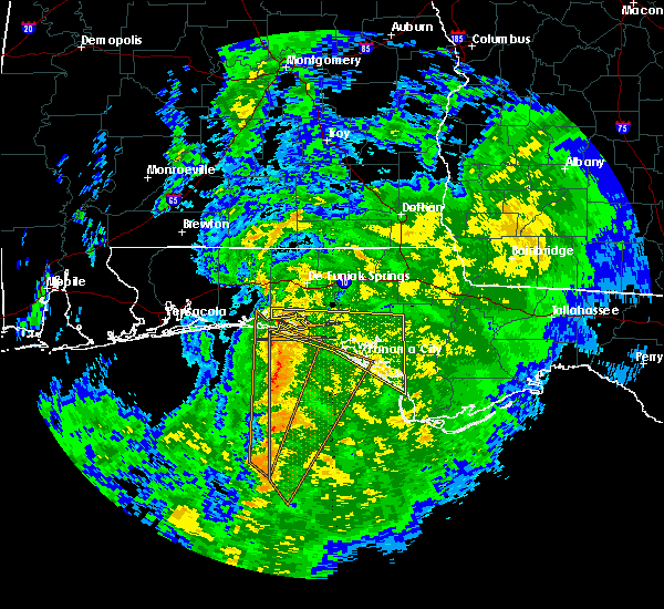 At 1047 pm cst, severe thunderstorms were located along a line extending from 7 miles south of eglin air force base to 55 miles southwest of panama city beach, moving northeast at 35 mph (radar indicated). Hazards include 60 mph wind gusts. expect damage to roofs, siding, and trees At 1047 pm cst, severe thunderstorms were located along a line extending from 7 miles south of eglin air force base to 55 miles southwest of panama city beach, moving northeast at 35 mph (radar indicated). Hazards include 60 mph wind gusts. expect damage to roofs, siding, and trees
|
| 9/3/2018 5:07 PM CDT |
 The severe thunderstorm warning for northwestern walton county will expire at 515 pm cdt, the storm which prompted the warning has moved out of the area. therefore, the warning will be allowed to expire. The severe thunderstorm warning for northwestern walton county will expire at 515 pm cdt, the storm which prompted the warning has moved out of the area. therefore, the warning will be allowed to expire.
|
| 9/3/2018 4:46 PM CDT |
 At 445 pm cdt, a severe thunderstorm was located near eglin air force base, or 8 miles southwest of de funiak springs, moving west at 35 mph (radar indicated). Hazards include 60 mph wind gusts. expect damage to roofs, siding, and trees At 445 pm cdt, a severe thunderstorm was located near eglin air force base, or 8 miles southwest of de funiak springs, moving west at 35 mph (radar indicated). Hazards include 60 mph wind gusts. expect damage to roofs, siding, and trees
|
| 9/2/2018 6:53 PM CDT |
 At 652 pm cdt, doppler radar indicated a severe thunderstorm capable of producing damaging winds in excess of 60 mph. this storm was located near de funiak springs, and moving northwest at 25 mph. At 652 pm cdt, doppler radar indicated a severe thunderstorm capable of producing damaging winds in excess of 60 mph. this storm was located near de funiak springs, and moving northwest at 25 mph.
|
| 8/31/2018 1:07 PM CDT |
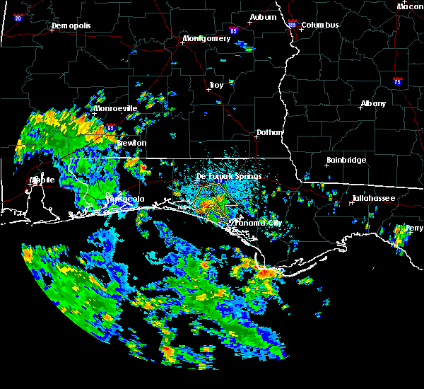 At 106 pm cdt, a severe thunderstorm was located 13 miles southwest of vernon, moving northwest at 15 mph (radar indicated). Hazards include 60 mph wind gusts. Expect damage to roofs, siding, and trees. Locations impacted include, live oak, freeport, ebro, hinsons crossroads, red bay, bruce, red head, eucheeanna, holmes valley, millers ferry, pine log, knox hill and riverside. At 106 pm cdt, a severe thunderstorm was located 13 miles southwest of vernon, moving northwest at 15 mph (radar indicated). Hazards include 60 mph wind gusts. Expect damage to roofs, siding, and trees. Locations impacted include, live oak, freeport, ebro, hinsons crossroads, red bay, bruce, red head, eucheeanna, holmes valley, millers ferry, pine log, knox hill and riverside.
|
| 8/31/2018 12:40 PM CDT |
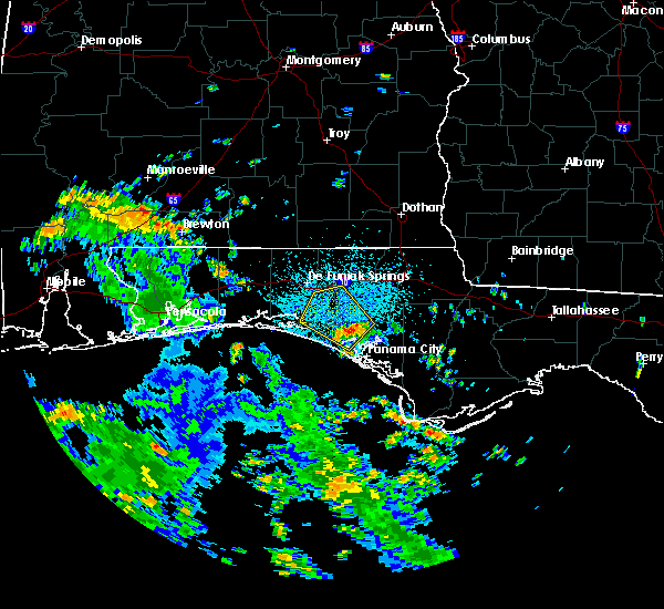 At 1239 pm cdt, doppler radar indicated a severe thunderstorm capable of producing damaging winds in excess of 60 mph. this storm was located 11 miles northwest of lynn haven, and moving northwest at 15 mph. At 1239 pm cdt, doppler radar indicated a severe thunderstorm capable of producing damaging winds in excess of 60 mph. this storm was located 11 miles northwest of lynn haven, and moving northwest at 15 mph.
|
| 7/22/2018 8:29 PM CDT |
 At 828 pm cdt, a severe thunderstorm was located 14 miles northeast of santa rosa beach, moving east at 30 mph (radar indicated). Hazards include 70 mph wind gusts and penny size hail. Expect considerable tree damage. Damage is likely to mobile homes, roofs, and outbuildings. At 828 pm cdt, a severe thunderstorm was located 14 miles northeast of santa rosa beach, moving east at 30 mph (radar indicated). Hazards include 70 mph wind gusts and penny size hail. Expect considerable tree damage. Damage is likely to mobile homes, roofs, and outbuildings.
|
| 7/22/2018 8:25 PM CDT | Large limbs and trees down on highway 20 2 miles east of freeport... fl. multiple transformers blow in walton county FL, 3.7 miles WSW of Freeport, FL |
| 7/22/2018 8:25 PM CDT | Quarter sized hail reported 3.7 miles WSW of Freeport, FL, trained spotter reported quarter sized hail 2 miles east of freeport... florida. |
| 7/22/2018 8:24 PM CDT |
 At 741 pm cdt, a severe thunderstorm was located near niceville, moving east at 30 mph (radar indicated). Hazards include 60 mph wind gusts and penny size hail. expect damage to roofs, siding, and trees At 741 pm cdt, a severe thunderstorm was located near niceville, moving east at 30 mph (radar indicated). Hazards include 60 mph wind gusts and penny size hail. expect damage to roofs, siding, and trees
|
| 7/22/2018 7:42 PM CDT |
 At 741 pm cdt, a severe thunderstorm was located near niceville, moving east at 30 mph (radar indicated). Hazards include 60 mph wind gusts and penny size hail. expect damage to roofs, siding, and trees At 741 pm cdt, a severe thunderstorm was located near niceville, moving east at 30 mph (radar indicated). Hazards include 60 mph wind gusts and penny size hail. expect damage to roofs, siding, and trees
|
| 7/22/2018 3:43 PM CDT |
 At 342 pm cdt, severe thunderstorms were located along a line extending from 7 miles south of chipley to 13 miles southeast of vernon to 14 miles north of panama city beach to 6 miles north of santa rosa beach, moving southeast at 55 mph (radar indicated). Hazards include 70 mph wind gusts and quarter size hail. Hail damage to vehicles is expected. expect considerable tree damage. Wind damage is also likely to mobile homes, roofs, and outbuildings. At 342 pm cdt, severe thunderstorms were located along a line extending from 7 miles south of chipley to 13 miles southeast of vernon to 14 miles north of panama city beach to 6 miles north of santa rosa beach, moving southeast at 55 mph (radar indicated). Hazards include 70 mph wind gusts and quarter size hail. Hail damage to vehicles is expected. expect considerable tree damage. Wind damage is also likely to mobile homes, roofs, and outbuildings.
|
| 7/22/2018 3:05 PM CDT |
 At 305 pm cdt, a severe thunderstorm was located 9 miles southeast of de funiak springs, moving southeast at 35 mph (radar indicated). Hazards include 70 mph wind gusts and quarter size hail. Hail damage to vehicles is expected. expect considerable tree damage. Wind damage is also likely to mobile homes, roofs, and outbuildings. At 305 pm cdt, a severe thunderstorm was located 9 miles southeast of de funiak springs, moving southeast at 35 mph (radar indicated). Hazards include 70 mph wind gusts and quarter size hail. Hail damage to vehicles is expected. expect considerable tree damage. Wind damage is also likely to mobile homes, roofs, and outbuildings.
|
| 7/22/2018 2:49 PM CDT |
 At 236 pm cdt, a severe thunderstorm was located 10 miles north of de funiak springs, moving southeast at 30 mph (radar indicated). Hazards include 70 mph wind gusts and ping pong ball size hail. People and animals outdoors will be injured. expect hail damage to roofs, siding, windows, and vehicles. expect considerable tree damage. Wind damage is also likely to mobile homes, roofs, and outbuildings. At 236 pm cdt, a severe thunderstorm was located 10 miles north of de funiak springs, moving southeast at 30 mph (radar indicated). Hazards include 70 mph wind gusts and ping pong ball size hail. People and animals outdoors will be injured. expect hail damage to roofs, siding, windows, and vehicles. expect considerable tree damage. Wind damage is also likely to mobile homes, roofs, and outbuildings.
|
| 7/22/2018 2:36 PM CDT |
 At 236 pm cdt, a severe thunderstorm was located 10 miles north of de funiak springs, moving southeast at 30 mph (radar indicated). Hazards include 70 mph wind gusts and ping pong ball size hail. People and animals outdoors will be injured. expect hail damage to roofs, siding, windows, and vehicles. expect considerable tree damage. Wind damage is also likely to mobile homes, roofs, and outbuildings. At 236 pm cdt, a severe thunderstorm was located 10 miles north of de funiak springs, moving southeast at 30 mph (radar indicated). Hazards include 70 mph wind gusts and ping pong ball size hail. People and animals outdoors will be injured. expect hail damage to roofs, siding, windows, and vehicles. expect considerable tree damage. Wind damage is also likely to mobile homes, roofs, and outbuildings.
|
| 7/15/2018 4:15 PM CDT |
 At 415 pm cdt, severe thunderstorms were located along a line extending from 13 miles north of eglin air force base to 6 miles east of vernon, moving southeast at 15 mph (radar indicated). Hazards include 60 mph wind gusts. expect damage to roofs, siding, and trees At 415 pm cdt, severe thunderstorms were located along a line extending from 13 miles north of eglin air force base to 6 miles east of vernon, moving southeast at 15 mph (radar indicated). Hazards include 60 mph wind gusts. expect damage to roofs, siding, and trees
|
| 6/30/2018 3:03 PM CDT | Mping wind damage report category of 1 inch tree limbs broken or shingles blown of in walton county FL, 7.7 miles W of Freeport, FL |
| 6/30/2018 2:55 PM CDT | Mping wind damage report category of 1 inch tree limbs broken or shingles blown of in walton county FL, 10.2 miles SW of Freeport, FL |
| 6/30/2018 2:34 PM CDT |
 At 234 pm cdt, a severe thunderstorm was located near de funiak springs, moving southeast at 20 mph (radar indicated). Hazards include 60 mph wind gusts. expect damage to roofs, siding, and trees At 234 pm cdt, a severe thunderstorm was located near de funiak springs, moving southeast at 20 mph (radar indicated). Hazards include 60 mph wind gusts. expect damage to roofs, siding, and trees
|
| 6/30/2018 2:07 PM CDT |
 At 207 pm cdt, a severe thunderstorm was located 11 miles south of florala, moving south at 20 mph (radar indicated). Hazards include 60 mph wind gusts. expect damage to roofs, siding, and trees At 207 pm cdt, a severe thunderstorm was located 11 miles south of florala, moving south at 20 mph (radar indicated). Hazards include 60 mph wind gusts. expect damage to roofs, siding, and trees
|
| 6/28/2018 7:35 PM CDT | Several trees and power lines down across the count in walton county FL, 2 miles WSW of Freeport, FL |
| 6/28/2018 7:35 PM CDT |
 At 734 pm cdt, severe thunderstorms were located along a line extending from 9 miles north of lynn haven to 12 miles northwest of panama city beach to near destin, moving south at 35 mph (radar indicated). Hazards include 60 mph wind gusts. expect damage to roofs, siding, and trees At 734 pm cdt, severe thunderstorms were located along a line extending from 9 miles north of lynn haven to 12 miles northwest of panama city beach to near destin, moving south at 35 mph (radar indicated). Hazards include 60 mph wind gusts. expect damage to roofs, siding, and trees
|
| 4/22/2018 3:39 PM CDT |
 At 339 pm cdt, a severe thunderstorm capable of producing a tornado was located near santa rosa beach, moving northeast at 20 mph (radar indicated rotation). Hazards include tornado. Flying debris will be dangerous to those caught without shelter. mobile homes will be damaged or destroyed. damage to roofs, windows, and vehicles will occur. tree damage is likely. This tornadic thunderstorm will remain over mainly rural areas of southwestern walton county, including the following locations, villa tasso and portland. At 339 pm cdt, a severe thunderstorm capable of producing a tornado was located near santa rosa beach, moving northeast at 20 mph (radar indicated rotation). Hazards include tornado. Flying debris will be dangerous to those caught without shelter. mobile homes will be damaged or destroyed. damage to roofs, windows, and vehicles will occur. tree damage is likely. This tornadic thunderstorm will remain over mainly rural areas of southwestern walton county, including the following locations, villa tasso and portland.
|
| 4/22/2018 3:21 PM CDT |
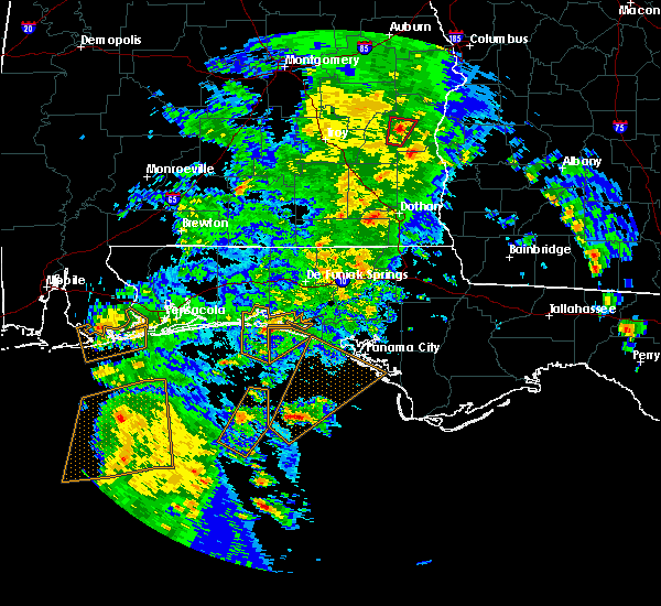 At 321 pm cdt, a severe thunderstorm capable of producing a tornado was located 8 miles southeast of destin, moving northeast at 25 mph (radar indicated rotation). Hazards include tornado. Flying debris will be dangerous to those caught without shelter. mobile homes will be damaged or destroyed. damage to roofs, windows, and vehicles will occur. tree damage is likely. this dangerous storm will be near, santa rosa beach around 345 pm cdt. Other locations impacted by this tornadic thunderstorm include portland, villa tasso, gulf pines, freeport, blue mountain beach, sandestin, miramar beach and four mile village. At 321 pm cdt, a severe thunderstorm capable of producing a tornado was located 8 miles southeast of destin, moving northeast at 25 mph (radar indicated rotation). Hazards include tornado. Flying debris will be dangerous to those caught without shelter. mobile homes will be damaged or destroyed. damage to roofs, windows, and vehicles will occur. tree damage is likely. this dangerous storm will be near, santa rosa beach around 345 pm cdt. Other locations impacted by this tornadic thunderstorm include portland, villa tasso, gulf pines, freeport, blue mountain beach, sandestin, miramar beach and four mile village.
|
| 4/15/2018 2:54 AM CDT |
 At 253 am cdt, a severe thunderstorm was located 14 miles east of santa rosa beach, moving northeast at 50 mph (radar indicated). Hazards include 60 mph wind gusts. Expect damage to roofs, siding, and trees. locations impacted include, panama city beach, vernon, santa rosa beach, de funiak springs, bonifay, chipley, eglin air force base, live oak, freeport, ponce de leon, caryville, westville, ebro, whitehead crossroads, gulf resort beach, blue mountain beach, west panama city, seaside, bahama beach and rock hill. A tornado watch remains in effect until 700 am cdt for the panhandle of florida. At 253 am cdt, a severe thunderstorm was located 14 miles east of santa rosa beach, moving northeast at 50 mph (radar indicated). Hazards include 60 mph wind gusts. Expect damage to roofs, siding, and trees. locations impacted include, panama city beach, vernon, santa rosa beach, de funiak springs, bonifay, chipley, eglin air force base, live oak, freeport, ponce de leon, caryville, westville, ebro, whitehead crossroads, gulf resort beach, blue mountain beach, west panama city, seaside, bahama beach and rock hill. A tornado watch remains in effect until 700 am cdt for the panhandle of florida.
|
| 4/15/2018 2:28 AM CDT |
 At 228 am cdt, a severe thunderstorm was located 7 miles southwest of santa rosa beach, moving northeast at 55 mph (radar indicated). Hazards include 60 mph wind gusts. expect damage to roofs, siding, and trees At 228 am cdt, a severe thunderstorm was located 7 miles southwest of santa rosa beach, moving northeast at 55 mph (radar indicated). Hazards include 60 mph wind gusts. expect damage to roofs, siding, and trees
|
| 2/11/2018 2:48 AM CST |
 At 248 am cst, severe thunderstorms were located along a line extending from 7 miles south of geneva to 9 miles southeast of santa rosa beach, moving northeast at 30 mph (radar indicated). Hazards include 60 mph wind gusts. expect damage to roofs, siding, and trees At 248 am cst, severe thunderstorms were located along a line extending from 7 miles south of geneva to 9 miles southeast of santa rosa beach, moving northeast at 30 mph (radar indicated). Hazards include 60 mph wind gusts. expect damage to roofs, siding, and trees
|
| 8/31/2017 9:03 AM CDT |
 At 903 am cdt, a severe thunderstorm was located near eglin air force base, or 8 miles southwest of de funiak springs, moving northeast at 20 mph (radar indicated). Hazards include 60 mph wind gusts. expect damage to roofs, siding, and trees At 903 am cdt, a severe thunderstorm was located near eglin air force base, or 8 miles southwest of de funiak springs, moving northeast at 20 mph (radar indicated). Hazards include 60 mph wind gusts. expect damage to roofs, siding, and trees
|
| 7/14/2017 12:28 PM CDT |
 At 1226 pm cdt, severe thunderstorms were located along a line extending from 8 miles east of eglin air force base to vernon, moving north at 15 mph (radar indicated). Hazards include 60 mph wind gusts. Expect damage to roofs, siding, and trees. Locations impacted include, vernon, de funiak springs, bonifay, eglin air force base, live oak, freeport, ponce de leon, caryville, westville, hinsons crossroads, portland, whitehead crossroads, de funiak spring airport, rock hill, holmes valley, millers ferry, pleasant ridge, knox hill, smyrna and argyle. At 1226 pm cdt, severe thunderstorms were located along a line extending from 8 miles east of eglin air force base to vernon, moving north at 15 mph (radar indicated). Hazards include 60 mph wind gusts. Expect damage to roofs, siding, and trees. Locations impacted include, vernon, de funiak springs, bonifay, eglin air force base, live oak, freeport, ponce de leon, caryville, westville, hinsons crossroads, portland, whitehead crossroads, de funiak spring airport, rock hill, holmes valley, millers ferry, pleasant ridge, knox hill, smyrna and argyle.
|
| 7/14/2017 12:03 PM CDT |
 At 1203 pm cdt, severe thunderstorms were located along a line extending from 13 miles northeast of santa rosa beach to near vernon, moving north at 20 mph (radar indicated). Hazards include 60 mph wind gusts and penny size hail. expect damage to roofs, siding, and trees At 1203 pm cdt, severe thunderstorms were located along a line extending from 13 miles northeast of santa rosa beach to near vernon, moving north at 20 mph (radar indicated). Hazards include 60 mph wind gusts and penny size hail. expect damage to roofs, siding, and trees
|
| 7/14/2017 11:51 AM CDT |
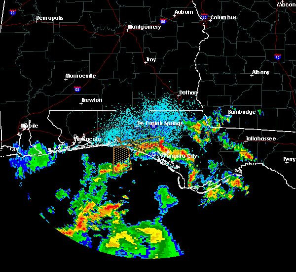 At 1150 am cdt, severe thunderstorms were located along a line extending from 10 miles east of santa rosa beach to 13 miles north of panama city beach, moving north at 5 mph (radar indicated). Hazards include 60 mph wind gusts. Expect damage to roofs, siding, and trees. Locations impacted include, ebro, bruce, red head, pine log, seminole hills, port washington and bunker. At 1150 am cdt, severe thunderstorms were located along a line extending from 10 miles east of santa rosa beach to 13 miles north of panama city beach, moving north at 5 mph (radar indicated). Hazards include 60 mph wind gusts. Expect damage to roofs, siding, and trees. Locations impacted include, ebro, bruce, red head, pine log, seminole hills, port washington and bunker.
|
| 7/14/2017 11:33 AM CDT |
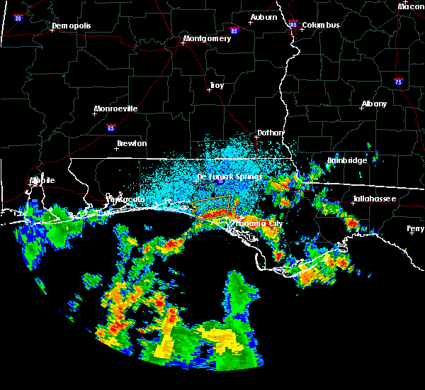 At 1133 am cdt, severe thunderstorms were located along a line extending from 10 miles east of santa rosa beach to 12 miles north of panama city beach, moving north at 5 mph (radar indicated). Hazards include 60 mph wind gusts. expect damage to roofs, siding, and trees At 1133 am cdt, severe thunderstorms were located along a line extending from 10 miles east of santa rosa beach to 12 miles north of panama city beach, moving north at 5 mph (radar indicated). Hazards include 60 mph wind gusts. expect damage to roofs, siding, and trees
|
| 5/21/2017 12:19 AM CDT |
 At 1218 am cdt, severe thunderstorms were located along a line extending from near geneva to 12 miles east of santa rosa beach, moving east at 30 mph (radar indicated). Hazards include 60 mph wind gusts. Expect damage to roofs, siding, and trees. Locations impacted include, santa rosa beach, de funiak springs, eglin air force base, union, freeport, ponce de leon, caryville, westville, black, portland, cerrogordo, darlington, blue mountain beach, gritney, arrant settlement, de funiak spring airport, seaside, rock hill, glendale and pleasant ridge. At 1218 am cdt, severe thunderstorms were located along a line extending from near geneva to 12 miles east of santa rosa beach, moving east at 30 mph (radar indicated). Hazards include 60 mph wind gusts. Expect damage to roofs, siding, and trees. Locations impacted include, santa rosa beach, de funiak springs, eglin air force base, union, freeport, ponce de leon, caryville, westville, black, portland, cerrogordo, darlington, blue mountain beach, gritney, arrant settlement, de funiak spring airport, seaside, rock hill, glendale and pleasant ridge.
|
| 5/21/2017 12:08 AM CDT |
 At 1208 am cdt, severe thunderstorms were located along a line extending from near geneva to 10 miles east of santa rosa beach, moving east at 40 mph (radar indicated). Hazards include 70 mph wind gusts. Expect considerable tree damage. Damage is likely to mobile homes, roofs, and outbuildings. At 1208 am cdt, severe thunderstorms were located along a line extending from near geneva to 10 miles east of santa rosa beach, moving east at 40 mph (radar indicated). Hazards include 70 mph wind gusts. Expect considerable tree damage. Damage is likely to mobile homes, roofs, and outbuildings.
|
| 5/20/2017 11:39 PM CDT |
 At 1139 pm cdt, severe thunderstorms were located along a line extending from 9 miles south of samson to near santa rosa beach, moving east at 25 mph (radar indicated). Hazards include 60 mph wind gusts. expect damage to roofs, siding, and trees At 1139 pm cdt, severe thunderstorms were located along a line extending from 9 miles south of samson to near santa rosa beach, moving east at 25 mph (radar indicated). Hazards include 60 mph wind gusts. expect damage to roofs, siding, and trees
|
| 4/3/2017 11:36 AM CDT | Report of tree down over road in freeport in walton county FL, 1.5 miles SW of Freeport, FL |
| 4/3/2017 11:03 AM CDT |
 At 1102 am cdt, severe thunderstorms were located along a line extending from 14 miles south of geneva to 7 miles southeast of de funiak springs to 7 miles east of destin, moving southeast at 25 mph (radar indicated). Hazards include 60 mph wind gusts. expect damage to roofs, siding, and trees At 1102 am cdt, severe thunderstorms were located along a line extending from 14 miles south of geneva to 7 miles southeast of de funiak springs to 7 miles east of destin, moving southeast at 25 mph (radar indicated). Hazards include 60 mph wind gusts. expect damage to roofs, siding, and trees
|
| 4/3/2017 10:32 AM CDT |
 At 1032 am cdt, severe thunderstorms were located along a line extending from near enterprise to 12 miles south of samson to shalimar, moving east at 40 mph (radar indicated). Hazards include 60 mph wind gusts and nickel size hail. Expect damage to roofs, siding, and trees. locations impacted include, daleville, elba, santa rosa beach, de funiak springs, geneva, enterprise, fort rucker, dothan, hartford, midland city, level plains, slocomb, samson, new brockton, pinckard, eglin air force base, lee, union, liberty and live oak. A tornado watch remains in effect until 100 pm cdt for southeastern alabama, and the panhandle of florida. At 1032 am cdt, severe thunderstorms were located along a line extending from near enterprise to 12 miles south of samson to shalimar, moving east at 40 mph (radar indicated). Hazards include 60 mph wind gusts and nickel size hail. Expect damage to roofs, siding, and trees. locations impacted include, daleville, elba, santa rosa beach, de funiak springs, geneva, enterprise, fort rucker, dothan, hartford, midland city, level plains, slocomb, samson, new brockton, pinckard, eglin air force base, lee, union, liberty and live oak. A tornado watch remains in effect until 100 pm cdt for southeastern alabama, and the panhandle of florida.
|
| 4/3/2017 9:59 AM CDT |
 At 958 am cdt, severe thunderstorms were located along a line extending from 7 miles southeast of dozier to lockhart to 7 miles west of wright, moving east at 30 mph (radar indicated). Hazards include 60 mph wind gusts and nickel size hail. expect damage to roofs, siding, and trees At 958 am cdt, severe thunderstorms were located along a line extending from 7 miles southeast of dozier to lockhart to 7 miles west of wright, moving east at 30 mph (radar indicated). Hazards include 60 mph wind gusts and nickel size hail. expect damage to roofs, siding, and trees
|
| 3/30/2017 5:24 PM CDT |
 At 524 pm cdt, severe thunderstorms were located along a line extending from near mary esther to 12 miles south of destin, moving northeast at 45 mph (radar indicated). Hazards include 60 mph wind gusts. expect damage to roofs, siding, and trees At 524 pm cdt, severe thunderstorms were located along a line extending from near mary esther to 12 miles south of destin, moving northeast at 45 mph (radar indicated). Hazards include 60 mph wind gusts. expect damage to roofs, siding, and trees
|
| 2/7/2017 3:57 PM CST | Trees reported down in freeport in walton county FL, 1.5 miles SW of Freeport, FL |
| 2/7/2017 3:54 PM CST |
 At 354 pm cst, a severe thunderstorm was located 7 miles north of de funiak springs, moving east at 45 mph (radar indicated). Hazards include 70 mph wind gusts. Expect considerable tree damage. damage is likely to mobile homes, roofs, and outbuildings. Locations impacted include, panama city beach, santa rosa beach, de funiak springs, eglin air force base, freeport, ponce de leon, gulf pines, villa tasso, seagrove beach, pleasant hill, piney grove, knox hill, blue mountain beach, grayton beach, douglass crossroad, oakwood hills, bruce, pleasant ridge, center ridge and argyle. At 354 pm cst, a severe thunderstorm was located 7 miles north of de funiak springs, moving east at 45 mph (radar indicated). Hazards include 70 mph wind gusts. Expect considerable tree damage. damage is likely to mobile homes, roofs, and outbuildings. Locations impacted include, panama city beach, santa rosa beach, de funiak springs, eglin air force base, freeport, ponce de leon, gulf pines, villa tasso, seagrove beach, pleasant hill, piney grove, knox hill, blue mountain beach, grayton beach, douglass crossroad, oakwood hills, bruce, pleasant ridge, center ridge and argyle.
|
| 2/7/2017 3:31 PM CST |
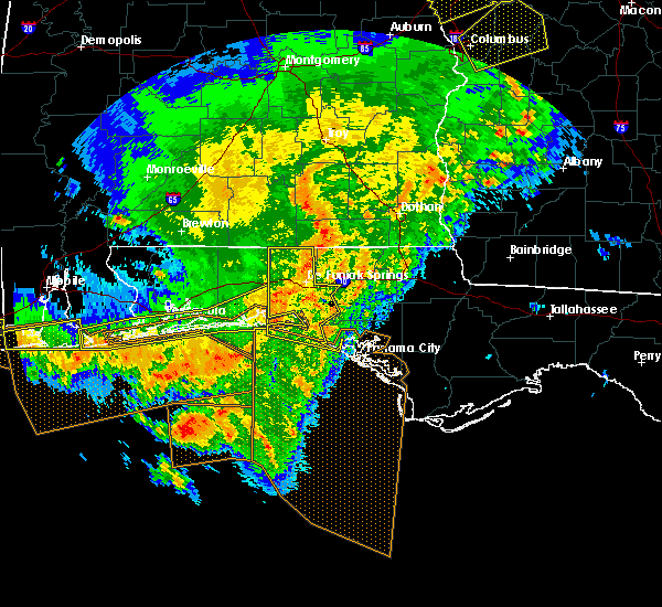 At 330 pm cst, a severe thunderstorm was located near crestview, moving east at 45 mph (radar indicated). Hazards include 60 mph wind gusts. expect damage to roofs, siding, and trees At 330 pm cst, a severe thunderstorm was located near crestview, moving east at 45 mph (radar indicated). Hazards include 60 mph wind gusts. expect damage to roofs, siding, and trees
|
| 1/22/2017 12:37 PM CST |
 At 1236 pm cst, a severe thunderstorm was located 10 miles west of vernon, moving northeast at 55 mph (radar indicated). Hazards include 60 mph wind gusts. Expect damage to roofs, siding, and trees. locations impacted include, vernon, bonifay, bradford, live oak, freeport, ponce de leon, caryville, wausau, westville, ebro, seminole hills, smyrna, knox hill, douglass crossroad, whitehead crossroads, hinsons crossroads, bruce, johnson crossroads, holmes valley and red head. A tornado watch remains in effect until 700 pm cst for the panhandle of florida. At 1236 pm cst, a severe thunderstorm was located 10 miles west of vernon, moving northeast at 55 mph (radar indicated). Hazards include 60 mph wind gusts. Expect damage to roofs, siding, and trees. locations impacted include, vernon, bonifay, bradford, live oak, freeport, ponce de leon, caryville, wausau, westville, ebro, seminole hills, smyrna, knox hill, douglass crossroad, whitehead crossroads, hinsons crossroads, bruce, johnson crossroads, holmes valley and red head. A tornado watch remains in effect until 700 pm cst for the panhandle of florida.
|
| 1/22/2017 12:12 PM CST |
 At 1212 pm cst, a severe thunderstorm was located near santa rosa beach, moving northeast at 55 mph (radar indicated). Hazards include 60 mph wind gusts. expect damage to roofs, siding, and trees At 1212 pm cst, a severe thunderstorm was located near santa rosa beach, moving northeast at 55 mph (radar indicated). Hazards include 60 mph wind gusts. expect damage to roofs, siding, and trees
|
| 1/22/2017 8:43 AM CST |
 The severe thunderstorm warning for holmes. walton. west central jackson and northern washington counties will expire at 845 am cst. the storm which prompted the warning has weakened below severe limits, and no longer pose an immediate threat to life or property. therefore the warning will be allowed to expire. A tornado watch remains in effect until 200 pm cst for the panhandle. The severe thunderstorm warning for holmes. walton. west central jackson and northern washington counties will expire at 845 am cst. the storm which prompted the warning has weakened below severe limits, and no longer pose an immediate threat to life or property. therefore the warning will be allowed to expire. A tornado watch remains in effect until 200 pm cst for the panhandle.
|
| 1/22/2017 8:07 AM CST |
 At 806 am cst, a severe thunderstorm was located 12 miles northeast of santa rosa beach, moving northeast at 55 mph (radar indicated). Hazards include 60 mph wind gusts and nickel size hail. expect damage to roofs, siding, and trees At 806 am cst, a severe thunderstorm was located 12 miles northeast of santa rosa beach, moving northeast at 55 mph (radar indicated). Hazards include 60 mph wind gusts and nickel size hail. expect damage to roofs, siding, and trees
|
| 1/22/2017 7:59 AM CST |
 At 759 am cst, doppler radar indicated a severe thunderstorm capable of producing damaging winds in excess of 60 mph. this storm was located near santa rosa beach, and moving northeast at 55 mph. nickel size hail may also accompany the damaging winds. At 759 am cst, doppler radar indicated a severe thunderstorm capable of producing damaging winds in excess of 60 mph. this storm was located near santa rosa beach, and moving northeast at 55 mph. nickel size hail may also accompany the damaging winds.
|
| 1/21/2017 10:00 AM CST |
 At 959 am cst, severe thunderstorms were located along a line extending from near hartford to 7 miles west of santa rosa beach, moving east at 50 mph (radar indicated). Hazards include 60 mph wind gusts. expect damage to roofs, siding, and trees At 959 am cst, severe thunderstorms were located along a line extending from near hartford to 7 miles west of santa rosa beach, moving east at 50 mph (radar indicated). Hazards include 60 mph wind gusts. expect damage to roofs, siding, and trees
|
| 1/2/2017 10:18 PM CST |
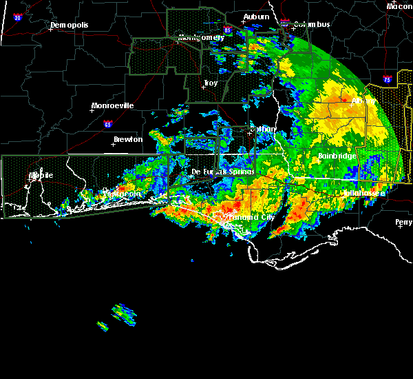 At 1018 pm cst, a severe thunderstorm was located 7 miles east of santa rosa beach, moving northeast at 35 mph (radar indicated). Hazards include 60 mph wind gusts. expect damage to roofs, siding, and trees At 1018 pm cst, a severe thunderstorm was located 7 miles east of santa rosa beach, moving northeast at 35 mph (radar indicated). Hazards include 60 mph wind gusts. expect damage to roofs, siding, and trees
|
| 1/2/2017 6:25 PM CST |
 At 624 pm cst, severe thunderstorms were located along a line extending from near heath to near crestview to navarre beach, moving southeast at 50 mph (radar indicated). Hazards include 70 mph wind gusts. Expect considerable tree damage. Damage is likely to mobile homes, roofs, and outbuildings. At 624 pm cst, severe thunderstorms were located along a line extending from near heath to near crestview to navarre beach, moving southeast at 50 mph (radar indicated). Hazards include 70 mph wind gusts. Expect considerable tree damage. Damage is likely to mobile homes, roofs, and outbuildings.
|
| 11/30/2016 3:57 PM CST |
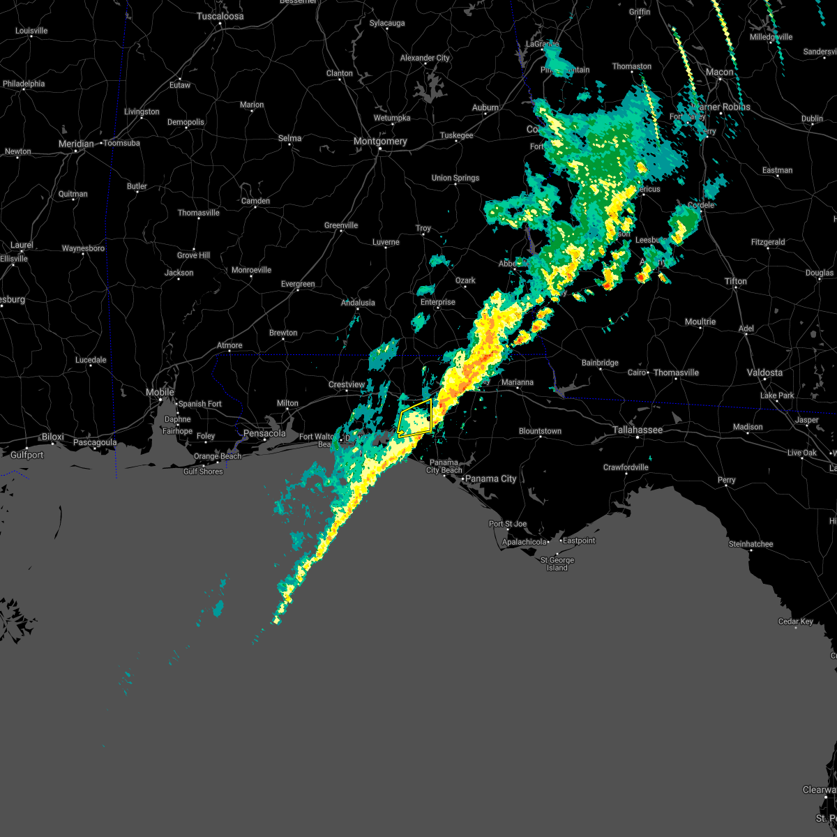 The severe thunderstorm warning for central walton county will expire at 400 pm cst, the storm which prompted the warning has weakened below severe limits, and has exited the warned area. therefore, the warning will be allowed to expire. a tornado watch remains in effect until 500 pm cst for the panhandle of florida. &&. The severe thunderstorm warning for central walton county will expire at 400 pm cst, the storm which prompted the warning has weakened below severe limits, and has exited the warned area. therefore, the warning will be allowed to expire. a tornado watch remains in effect until 500 pm cst for the panhandle of florida. &&.
|
| 11/30/2016 3:36 PM CST |
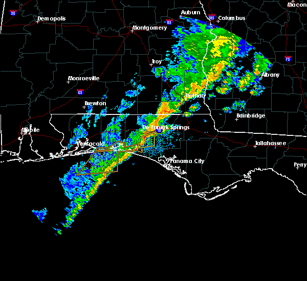 At 335 pm cst, a severe thunderstorm was located 13 miles south of de funiak springs, moving east at 45 mph (radar indicated). Hazards include 60 mph wind gusts. Expect damage to roofs. siding. and trees. locations impacted include, eglin air force base, freeport, rock hill, bruce, knox hill, red bay and eucheeanna. A tornado watch remains in effect until 500 pm cst for the panhandle of florida. At 335 pm cst, a severe thunderstorm was located 13 miles south of de funiak springs, moving east at 45 mph (radar indicated). Hazards include 60 mph wind gusts. Expect damage to roofs. siding. and trees. locations impacted include, eglin air force base, freeport, rock hill, bruce, knox hill, red bay and eucheeanna. A tornado watch remains in effect until 500 pm cst for the panhandle of florida.
|
| 11/30/2016 3:23 PM CST |
 At 323 pm cst, a severe thunderstorm was located 7 miles northwest of santa rosa beach, moving east at 55 mph (radar indicated). Hazards include 60 mph wind gusts. Expect damage to roofs. siding. And trees. At 323 pm cst, a severe thunderstorm was located 7 miles northwest of santa rosa beach, moving east at 55 mph (radar indicated). Hazards include 60 mph wind gusts. Expect damage to roofs. siding. And trees.
|
| 11/30/2016 11:35 AM CST |
 At 1135 am cst, a severe thunderstorm capable of producing a tornado was located near destin, moving northeast at 35 mph (radar indicated rotation). Hazards include tornado. Flying debris will be dangerous to those caught without shelter. mobile homes will be damaged or destroyed. damage to roofs, windows, and vehicles will occur. tree damage is likely. this dangerous storm will be near, santa rosa beach around 1155 am cst. Other locations impacted by this tornadic thunderstorm include sandestin, gulf pines, villa tasso, four mile village, portland, miramar beach and freeport. At 1135 am cst, a severe thunderstorm capable of producing a tornado was located near destin, moving northeast at 35 mph (radar indicated rotation). Hazards include tornado. Flying debris will be dangerous to those caught without shelter. mobile homes will be damaged or destroyed. damage to roofs, windows, and vehicles will occur. tree damage is likely. this dangerous storm will be near, santa rosa beach around 1155 am cst. Other locations impacted by this tornadic thunderstorm include sandestin, gulf pines, villa tasso, four mile village, portland, miramar beach and freeport.
|
| 9/12/2016 3:26 PM CDT |
 The severe thunderstorm warning for southwestern holmes and northern walton counties will expire at 330 pm cdt, the storm which prompted the warning has weakened below severe limits, and no longer pose an immediate threat to life or property. therefore, the warning will be allowed to expire. however gusty winds are still possible with this thunderstorm. The severe thunderstorm warning for southwestern holmes and northern walton counties will expire at 330 pm cdt, the storm which prompted the warning has weakened below severe limits, and no longer pose an immediate threat to life or property. therefore, the warning will be allowed to expire. however gusty winds are still possible with this thunderstorm.
|
| 9/12/2016 2:48 PM CDT |
 At 248 pm cdt, a severe thunderstorm was located near de funiak springs, moving northwest at 25 mph (radar indicated). Hazards include 60 mph wind gusts. Expect damage to roofs. siding. And trees. At 248 pm cdt, a severe thunderstorm was located near de funiak springs, moving northwest at 25 mph (radar indicated). Hazards include 60 mph wind gusts. Expect damage to roofs. siding. And trees.
|
| 8/6/2016 7:36 PM CDT |
 The severe thunderstorm warning for south central walton county will expire at 745 pm cdt, the storm which prompted the warning has weakened below severe limits. therefore, the warning will be allowed to expire. The severe thunderstorm warning for south central walton county will expire at 745 pm cdt, the storm which prompted the warning has weakened below severe limits. therefore, the warning will be allowed to expire.
|
| 8/6/2016 7:01 PM CDT |
 At 701 pm cdt, a severe thunderstorm was located 9 miles east of eglin air force base, or 12 miles south of de funiak springs, moving south at 10 mph (radar indicated). Hazards include 60 mph wind gusts. Expect damage to roofs. siding. And trees. At 701 pm cdt, a severe thunderstorm was located 9 miles east of eglin air force base, or 12 miles south of de funiak springs, moving south at 10 mph (radar indicated). Hazards include 60 mph wind gusts. Expect damage to roofs. siding. And trees.
|
| 6/26/2016 5:38 PM CDT |
 At 538 pm cdt, a severe thunderstorm was located near de funiak springs, moving southwest at 15 mph (radar indicated). Hazards include 60 mph wind gusts and quarter size hail. Hail damage to vehicles is expected. Expect wind damage to roofs, siding, and trees. At 538 pm cdt, a severe thunderstorm was located near de funiak springs, moving southwest at 15 mph (radar indicated). Hazards include 60 mph wind gusts and quarter size hail. Hail damage to vehicles is expected. Expect wind damage to roofs, siding, and trees.
|
| 6/17/2016 8:54 PM CDT |
 At 853 pm cdt, severe thunderstorms were located along a line extending from chattahoochee to 14 miles west of blountstown to near panama city beach, moving southeast at 45 mph (law enforcement). Hazards include 60 mph wind gusts and nickel size hail. Expect damage to roofs. siding. and trees. Locations impacted include, panama city, lynn haven, panama city beach, callaway, vernon, chipley, springfield, hiland park, santa rosa beach, tyndall air force base, bradford, live oak, freeport, wausau, ebro, gulf pines, gainer spring, seminole hills, laird and riverside. At 853 pm cdt, severe thunderstorms were located along a line extending from chattahoochee to 14 miles west of blountstown to near panama city beach, moving southeast at 45 mph (law enforcement). Hazards include 60 mph wind gusts and nickel size hail. Expect damage to roofs. siding. and trees. Locations impacted include, panama city, lynn haven, panama city beach, callaway, vernon, chipley, springfield, hiland park, santa rosa beach, tyndall air force base, bradford, live oak, freeport, wausau, ebro, gulf pines, gainer spring, seminole hills, laird and riverside.
|
| 6/17/2016 7:56 PM CDT |
 At 855 pm edt/755 pm cdt/, severe thunderstorms were located along a line extending from near graceville to 10 miles northwest of vernon to 7 miles east of postil, moving southeast at 45 mph (radar indicated). Hazards include 60 mph wind gusts and nickel size hail. Expect damage to roofs. siding. And trees. At 855 pm edt/755 pm cdt/, severe thunderstorms were located along a line extending from near graceville to 10 miles northwest of vernon to 7 miles east of postil, moving southeast at 45 mph (radar indicated). Hazards include 60 mph wind gusts and nickel size hail. Expect damage to roofs. siding. And trees.
|
| 6/17/2016 6:51 PM CDT |
 At 650 pm cdt, severe thunderstorms were located along a line extending from 10 miles east of opp to 8 miles north of baker, moving southeast at 45 mph (radar indicated). Hazards include 60 mph wind gusts and quarter size hail. Hail damage to vehicles is expected. Expect wind damage to roofs, siding, and trees. At 650 pm cdt, severe thunderstorms were located along a line extending from 10 miles east of opp to 8 miles north of baker, moving southeast at 45 mph (radar indicated). Hazards include 60 mph wind gusts and quarter size hail. Hail damage to vehicles is expected. Expect wind damage to roofs, siding, and trees.
|
| 6/16/2016 4:01 PM CDT |
 At 400 pm cdt, a severe thunderstorm was located near santa rosa beach, moving south at 40 mph (radar indicated). Hazards include 60 mph wind gusts and penny size hail. Expect damage to roofs. siding. And trees. At 400 pm cdt, a severe thunderstorm was located near santa rosa beach, moving south at 40 mph (radar indicated). Hazards include 60 mph wind gusts and penny size hail. Expect damage to roofs. siding. And trees.
|
| 6/13/2016 3:58 PM CDT |
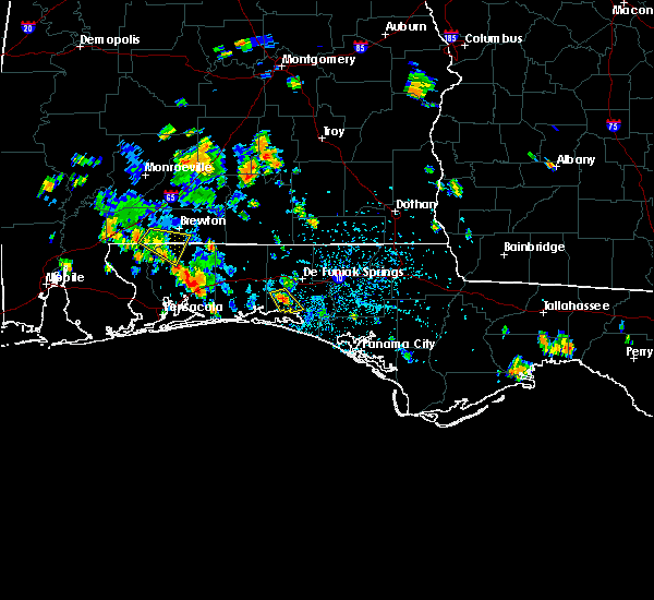 At 357 pm cdt, a severe thunderstorm was located near eglin air force base, or 12 miles north of santa rosa beach, moving southeast at 10 mph (radar indicated). Hazards include 60 mph wind gusts and quarter size hail. Hail damage to vehicles is expected. Expect wind damage to roofs, siding, and trees. At 357 pm cdt, a severe thunderstorm was located near eglin air force base, or 12 miles north of santa rosa beach, moving southeast at 10 mph (radar indicated). Hazards include 60 mph wind gusts and quarter size hail. Hail damage to vehicles is expected. Expect wind damage to roofs, siding, and trees.
|
| 3/24/2016 4:06 PM CDT | A storm spotter estimated 60 mph winds in freepor in walton county FL, 1.5 miles SW of Freeport, FL |
| 3/24/2016 3:47 PM CDT |
 At 347 pm cdt, a severe thunderstorm was located 7 miles east of postil, or 7 miles east of niceville, moving east at 55 mph (radar indicated). Hazards include 60 mph wind gusts. Expect damage to roofs. siding. And trees. At 347 pm cdt, a severe thunderstorm was located 7 miles east of postil, or 7 miles east of niceville, moving east at 55 mph (radar indicated). Hazards include 60 mph wind gusts. Expect damage to roofs. siding. And trees.
|
| 3/17/2016 10:48 PM CDT |
 At 1048 pm cdt, severe thunderstorms were located along a line extending from 12 miles southwest of geneva to 6 miles northwest of santa rosa beach, moving east at 35 mph (radar indicated). Hazards include 60 mph wind gusts. Expect damage to roofs. siding. and trees. Locations impacted include, de funiak springs, santa rosa beach, eglin air force base, union, freeport, ponce de leon, caryville, westville, gulf pines, barker store, villa tasso, baker settlement, seagrove beach, hickory hill, pleasant hill, turquoise beach, prosperity, gritney, blue mountain beach and knox hill. At 1048 pm cdt, severe thunderstorms were located along a line extending from 12 miles southwest of geneva to 6 miles northwest of santa rosa beach, moving east at 35 mph (radar indicated). Hazards include 60 mph wind gusts. Expect damage to roofs. siding. and trees. Locations impacted include, de funiak springs, santa rosa beach, eglin air force base, union, freeport, ponce de leon, caryville, westville, gulf pines, barker store, villa tasso, baker settlement, seagrove beach, hickory hill, pleasant hill, turquoise beach, prosperity, gritney, blue mountain beach and knox hill.
|
| 3/17/2016 10:25 PM CDT |
 At 1024 pm cdt, severe thunderstorms were located along a line extending from 10 miles north of de funiak springs to near eglin afb, moving east at 35 mph (radar indicated). Hazards include 60 mph wind gusts. Expect damage to roofs. siding. And trees. At 1024 pm cdt, severe thunderstorms were located along a line extending from 10 miles north of de funiak springs to near eglin afb, moving east at 35 mph (radar indicated). Hazards include 60 mph wind gusts. Expect damage to roofs. siding. And trees.
|
| 3/17/2016 10:45 AM CDT | Quarter sized hail reported 1.5 miles SW of Freeport, FL, quarter size hail reported in freeport. |
| 3/17/2016 10:26 AM CDT |
 At 1026 am cdt, a severe thunderstorm was located near santa rosa beach, moving northeast at 25 mph (radar indicated). Hazards include quarter size hail. damage to vehicles is expected At 1026 am cdt, a severe thunderstorm was located near santa rosa beach, moving northeast at 25 mph (radar indicated). Hazards include quarter size hail. damage to vehicles is expected
|
| 3/3/2016 8:14 PM CST |
 At 814 pm cst, severe thunderstorms were located along a line extending from near cottonwood to 11 miles south of de funiak springs, moving east at 55 mph (radar indicated). Hazards include 60 mph wind gusts. Expect damage to roofs. siding. and trees. Locations impacted include, vernon, chipley, bonifay, graceville, marianna, bradford, live oak, malone, freeport, cottondale, greenwood, ponce de leon, alford, caryville, wausau, esto, westville, campbellton, noma and bascom. At 814 pm cst, severe thunderstorms were located along a line extending from near cottonwood to 11 miles south of de funiak springs, moving east at 55 mph (radar indicated). Hazards include 60 mph wind gusts. Expect damage to roofs. siding. and trees. Locations impacted include, vernon, chipley, bonifay, graceville, marianna, bradford, live oak, malone, freeport, cottondale, greenwood, ponce de leon, alford, caryville, wausau, esto, westville, campbellton, noma and bascom.
|
| 3/3/2016 8:00 PM CST |
 At 800 pm cst, a severe thunderstorm was located near bonifay, moving east at 65 mph (radar indicated). Hazards include 60 mph wind gusts. Expect damage to roofs. siding. And trees. At 800 pm cst, a severe thunderstorm was located near bonifay, moving east at 65 mph (radar indicated). Hazards include 60 mph wind gusts. Expect damage to roofs. siding. And trees.
|
| 3/3/2016 7:50 PM CST |
 At 750 pm cst, severe thunderstorms were located along a line extending from 8 miles south of geneva to near eglin air force base, moving east at 45 mph (radar indicated). Hazards include 60 mph wind gusts. Expect damage to roofs. siding. and trees. Locations impacted include, de funiak springs, eglin air force base, union, liberty, ponce de leon, westville, barker store, baker settlement, hickory hill, pleasant hill, piney grove, new hope, prosperity, gritney, knox hill, pond creek, arrant settlement, douglass crossroad, oakwood hills and pleasant ridge. At 750 pm cst, severe thunderstorms were located along a line extending from 8 miles south of geneva to near eglin air force base, moving east at 45 mph (radar indicated). Hazards include 60 mph wind gusts. Expect damage to roofs. siding. and trees. Locations impacted include, de funiak springs, eglin air force base, union, liberty, ponce de leon, westville, barker store, baker settlement, hickory hill, pleasant hill, piney grove, new hope, prosperity, gritney, knox hill, pond creek, arrant settlement, douglass crossroad, oakwood hills and pleasant ridge.
|
| 3/3/2016 7:40 PM CST |
 At 740 pm cst, severe thunderstorms were located along a line extending from 7 miles southwest of geneva to 8 miles northwest of eglin air force base, moving east at 50 mph (radar indicated). Hazards include 60 mph wind gusts. Expect damage to roofs. siding. and trees. Locations impacted include, de funiak springs, eglin air force base, union, liberty, ponce de leon, westville, royals crossroads, barker store, baker settlement, hickory hill, pleasant hill, piney grove, new hope, prosperity, gritney, knox hill, pond creek, arrant settlement, douglass crossroad and gaskin. At 740 pm cst, severe thunderstorms were located along a line extending from 7 miles southwest of geneva to 8 miles northwest of eglin air force base, moving east at 50 mph (radar indicated). Hazards include 60 mph wind gusts. Expect damage to roofs. siding. and trees. Locations impacted include, de funiak springs, eglin air force base, union, liberty, ponce de leon, westville, royals crossroads, barker store, baker settlement, hickory hill, pleasant hill, piney grove, new hope, prosperity, gritney, knox hill, pond creek, arrant settlement, douglass crossroad and gaskin.
|
| 3/3/2016 7:13 PM CST |
 At 713 pm cst, a severe thunderstorm was located 7 miles northeast of crestview, moving east at 50 mph (radar indicated). Hazards include 60 mph wind gusts. Expect damage to roofs. siding. And trees. At 713 pm cst, a severe thunderstorm was located 7 miles northeast of crestview, moving east at 50 mph (radar indicated). Hazards include 60 mph wind gusts. Expect damage to roofs. siding. And trees.
|
| 2/23/2016 10:52 PM CST |
 At 1052 pm cst, severe thunderstorms were located along a line extending from 7 miles south of hartford to 11 miles south of santa rosa beach, moving east at 20 mph (radar indicated). Hazards include 60 mph wind gusts. Expect damage to roofs. Siding and trees. At 1052 pm cst, severe thunderstorms were located along a line extending from 7 miles south of hartford to 11 miles south of santa rosa beach, moving east at 20 mph (radar indicated). Hazards include 60 mph wind gusts. Expect damage to roofs. Siding and trees.
|
| 2/23/2016 10:50 PM CST |
 At 1050 pm cst, severe thunderstorms were located along a line extending from 9 miles south of hartford to near santa rosa beach, moving east at 15 mph (radar indicated). Hazards include 60 mph wind gusts. Expect damage to roofs. siding and trees. locations impacted include, bonifay, de funiak springs, eglin air force base, santa rosa beach, union, live oak, freeport, ponce de leon, caryville, esto, westville, ebro, noma, gulf pines, barker store, baker settlement, hickory hill, pleasant hill, new hope and prosperity. A tornado watch remains in effect until 300 am cst for northwest florida. At 1050 pm cst, severe thunderstorms were located along a line extending from 9 miles south of hartford to near santa rosa beach, moving east at 15 mph (radar indicated). Hazards include 60 mph wind gusts. Expect damage to roofs. siding and trees. locations impacted include, bonifay, de funiak springs, eglin air force base, santa rosa beach, union, live oak, freeport, ponce de leon, caryville, esto, westville, ebro, noma, gulf pines, barker store, baker settlement, hickory hill, pleasant hill, new hope and prosperity. A tornado watch remains in effect until 300 am cst for northwest florida.
|
| 2/23/2016 10:17 PM CST |
 At 1016 pm cst, severe thunderstorms were located along a line extending from near geneva to 7 miles southeast of destin, moving east at 40 mph (radar indicated). Hazards include 60 mph wind gusts and penny size hail. Expect damage to roofs. siding and trees. locations impacted include, bonifay, de funiak springs, graceville, eglin air force base, santa rosa beach, union, liberty, live oak, freeport, ponce de leon, caryville, esto, westville, ebro, noma, gulf pines, barker store, baker settlement, hickory hill and pleasant hill. A tornado watch remains in effect until 300 am cst for northwest florida. At 1016 pm cst, severe thunderstorms were located along a line extending from near geneva to 7 miles southeast of destin, moving east at 40 mph (radar indicated). Hazards include 60 mph wind gusts and penny size hail. Expect damage to roofs. siding and trees. locations impacted include, bonifay, de funiak springs, graceville, eglin air force base, santa rosa beach, union, liberty, live oak, freeport, ponce de leon, caryville, esto, westville, ebro, noma, gulf pines, barker store, baker settlement, hickory hill and pleasant hill. A tornado watch remains in effect until 300 am cst for northwest florida.
|
| 2/23/2016 10:00 PM CST |
 At 1000 pm cst, severe thunderstorms were located along a line extending from 10 miles south of samson to 8 miles south of fort walton beach, moving east at 40 mph (radar indicated). Hazards include 60 mph wind gusts and penny size hail. Expect damage to roofs. Siding and trees. At 1000 pm cst, severe thunderstorms were located along a line extending from 10 miles south of samson to 8 miles south of fort walton beach, moving east at 40 mph (radar indicated). Hazards include 60 mph wind gusts and penny size hail. Expect damage to roofs. Siding and trees.
|
| 2/23/2016 8:32 PM CST |
 At 832 pm cst, severe thunderstorms were located along a line extending from 6 miles southeast of laurel hill to 13 miles south of de funiak springs, moving northeast at 65 mph (radar indicated). Hazards include 60 mph wind gusts and penny size hail. Expect damage to roofs. Siding and trees. At 832 pm cst, severe thunderstorms were located along a line extending from 6 miles southeast of laurel hill to 13 miles south of de funiak springs, moving northeast at 65 mph (radar indicated). Hazards include 60 mph wind gusts and penny size hail. Expect damage to roofs. Siding and trees.
|
| 2/15/2016 7:03 PM CST |
 At 702 pm cst, severe thunderstorms were located along a line extending from near abbeville to santa rosa beach, moving east at 50 mph (radar indicated). Hazards include 60 mph wind gusts. Expect damage to roofs. siding and trees. locations impacted include, panama city beach, daleville, abbeville, cottonwood, vernon, de funiak springs, ozark, bonifay, headland, chipley, geneva, graceville, dothan, fort rucker, hartford, taylor, midland city, kinsey, ashford and slocomb. A tornado watch remains in effect until 900 pm cst for southeastern alabama and central florida. At 702 pm cst, severe thunderstorms were located along a line extending from near abbeville to santa rosa beach, moving east at 50 mph (radar indicated). Hazards include 60 mph wind gusts. Expect damage to roofs. siding and trees. locations impacted include, panama city beach, daleville, abbeville, cottonwood, vernon, de funiak springs, ozark, bonifay, headland, chipley, geneva, graceville, dothan, fort rucker, hartford, taylor, midland city, kinsey, ashford and slocomb. A tornado watch remains in effect until 900 pm cst for southeastern alabama and central florida.
|
| 2/15/2016 6:45 PM CST |
 At 645 pm cst, the national weather service has detected a line of severe thunderstorms capable of producing damaging winds in excess of 60 mph. these storms were located along a line extending from near blue springs state park to near destin, and moving east at 50 mph. At 645 pm cst, the national weather service has detected a line of severe thunderstorms capable of producing damaging winds in excess of 60 mph. these storms were located along a line extending from near blue springs state park to near destin, and moving east at 50 mph.
|
| 1/22/2016 2:09 AM CST | At 209 am cst, severe thunderstorms were located along a line extending from near geneva to 7 miles east of destin, moving northeast at 30 mph (radar indicated). Hazards include 60 mph wind gusts. Expect damage to roofs. siding and trees. locations impacted include, panama city beach, vernon, bonifay, de funiak springs, eglin air force base, santa rosa beach, union, liberty, live oak, freeport, ponce de leon, caryville, esto, westville, ebro, noma, gulf pines, barker store, seminole hills and baker settlement. A tornado watch remains in effect until 500 am cst for central florida. |
| 1/22/2016 1:27 AM CST | At 127 am cst, severe thunderstorms were located along a line extending from florala to 10 miles southeast of destin, moving northeast at 60 mph (radar indicated). Hazards include 60 mph wind gusts. Expect damage to roofs. siding and trees. locations impacted include, panama city beach, vernon, de funiak springs, bonifay, eglin air force base, santa rosa beach, union, liberty, live oak, freeport, paxton, ponce de leon, caryville, esto, westville, ebro, noma, seminole hills, laird and hickory hill. A tornado watch remains in effect until 500 am cst for northwest florida. |
| 1/22/2016 12:57 AM CST | At 1256 am cst, severe thunderstorms were located along a line extending from near baker to 23 miles south of navarre beach, moving northeast at 60 mph. these storms have a history of producing measured wind gusts over 60 mph (radar indicated). Hazards include 60 mph wind gusts. Expect damage to roofs. Siding and trees. |
| 12/28/2015 2:34 PM CST |
 At 233 pm cst, severe thunderstorms were located along a line extending from 7 miles northwest of samson to 6 miles south of eglin air force base, moving east at 20 mph (radar indicated). Hazards include 60 mph wind gusts. Expect damage to roofs. siding and trees. locations impacted include, geneva, de funiak springs, samson, eglin air force base, union, liberty, freeport, ponce de leon, coffee springs, somerset, barker store, baker settlement, hickory hill, pleasant hill, new hope, prosperity, knox hill, sellersville, arrant settlement and douglass crossroad. A tornado watch remains in effect until 600 pm cst for southeastern alabama and northwest florida. At 233 pm cst, severe thunderstorms were located along a line extending from 7 miles northwest of samson to 6 miles south of eglin air force base, moving east at 20 mph (radar indicated). Hazards include 60 mph wind gusts. Expect damage to roofs. siding and trees. locations impacted include, geneva, de funiak springs, samson, eglin air force base, union, liberty, freeport, ponce de leon, coffee springs, somerset, barker store, baker settlement, hickory hill, pleasant hill, new hope, prosperity, knox hill, sellersville, arrant settlement and douglass crossroad. A tornado watch remains in effect until 600 pm cst for southeastern alabama and northwest florida.
|
| 12/28/2015 2:20 PM CST |
 At 220 pm cst, severe thunderstorms were located along a line extending from near onycha to 6 miles east of postil, moving east at 25 mph (radar indicated). Hazards include 60 mph wind gusts. Expect damage to roofs. siding and trees. locations impacted include, geneva, de funiak springs, samson, eglin air force base, union, liberty, freeport, paxton, ponce de leon, coffee springs, somerset, barker store, baker settlement, hickory hill, pleasant hill, new hope, prosperity, knox hill, sellersville and arrant settlement. A tornado watch remains in effect until 600 pm cst for southeastern alabama and northwest florida. At 220 pm cst, severe thunderstorms were located along a line extending from near onycha to 6 miles east of postil, moving east at 25 mph (radar indicated). Hazards include 60 mph wind gusts. Expect damage to roofs. siding and trees. locations impacted include, geneva, de funiak springs, samson, eglin air force base, union, liberty, freeport, paxton, ponce de leon, coffee springs, somerset, barker store, baker settlement, hickory hill, pleasant hill, new hope, prosperity, knox hill, sellersville and arrant settlement. A tornado watch remains in effect until 600 pm cst for southeastern alabama and northwest florida.
|
| 12/28/2015 1:40 PM CST |
 At 140 pm cst, severe thunderstorms were located along a line extending from 7 miles south of libertyville to fort walton beach, moving northeast at 20 mph (radar indicated). Hazards include 60 mph wind gusts. Expect damage to roofs. Siding and trees. At 140 pm cst, severe thunderstorms were located along a line extending from 7 miles south of libertyville to fort walton beach, moving northeast at 20 mph (radar indicated). Hazards include 60 mph wind gusts. Expect damage to roofs. Siding and trees.
|
| 12/22/2015 2:10 AM CST |
 The severe thunderstorm warning for northwestern bay, western washington, walton and southwestern holmes counties will expire at 215 am cst, the storm which prompted the warning has weakened below severe limits, and no longer pose an immediate threat to life or property. therefore the warning will be allowed to expire. to report severe weather, contact your nearest law enforcement agency. they will relay your report to the national weather service tallahassee. The severe thunderstorm warning for northwestern bay, western washington, walton and southwestern holmes counties will expire at 215 am cst, the storm which prompted the warning has weakened below severe limits, and no longer pose an immediate threat to life or property. therefore the warning will be allowed to expire. to report severe weather, contact your nearest law enforcement agency. they will relay your report to the national weather service tallahassee.
|
| 12/22/2015 1:34 AM CST |
 At 134 am cst, a severe thunderstorm was located 11 miles southeast of eglin air force base, or 11 miles northeast of santa rosa beach, moving east at 50 mph (radar indicated). Hazards include 60 mph wind gusts. Expect damage to roofs. siding and trees. Locations impacted include, panama city beach, de funiak springs, eglin air force base, santa rosa beach, live oak, freeport, ponce de leon, caryville, westville, ebro, seminole hills, laird, seagrove beach, west bay, blue mountain beach, knox hill, grayton beach, douglass crossroad, hinsons crossroads and bruce. At 134 am cst, a severe thunderstorm was located 11 miles southeast of eglin air force base, or 11 miles northeast of santa rosa beach, moving east at 50 mph (radar indicated). Hazards include 60 mph wind gusts. Expect damage to roofs. siding and trees. Locations impacted include, panama city beach, de funiak springs, eglin air force base, santa rosa beach, live oak, freeport, ponce de leon, caryville, westville, ebro, seminole hills, laird, seagrove beach, west bay, blue mountain beach, knox hill, grayton beach, douglass crossroad, hinsons crossroads and bruce.
|
| 12/22/2015 1:21 AM CST |
 At 121 am cst, a severe thunderstorm was located near eglin air force base, or 12 miles north of santa rosa beach, moving east at 50 mph (radar indicated). Hazards include 60 mph wind gusts. Expect damage to roofs. siding and trees. Locations impacted include, panama city beach, de funiak springs, eglin air force base, santa rosa beach, live oak, freeport, ponce de leon, caryville, westville, ebro, gulf pines, seminole hills, laird, turquoise beach, blue mountain beach, knox hill, grayton beach, douglass crossroad, hinsons crossroads and pleasant ridge. At 121 am cst, a severe thunderstorm was located near eglin air force base, or 12 miles north of santa rosa beach, moving east at 50 mph (radar indicated). Hazards include 60 mph wind gusts. Expect damage to roofs. siding and trees. Locations impacted include, panama city beach, de funiak springs, eglin air force base, santa rosa beach, live oak, freeport, ponce de leon, caryville, westville, ebro, gulf pines, seminole hills, laird, turquoise beach, blue mountain beach, knox hill, grayton beach, douglass crossroad, hinsons crossroads and pleasant ridge.
|
| 12/22/2015 12:57 AM CST |
 At 1257 am cst, a severe thunderstorm was located near eglin afb, moving northeast at 55 mph (radar indicated). Hazards include 60 mph wind gusts. Expect damage to roofs. Siding and trees. At 1257 am cst, a severe thunderstorm was located near eglin afb, moving northeast at 55 mph (radar indicated). Hazards include 60 mph wind gusts. Expect damage to roofs. Siding and trees.
|
| 11/18/2015 1:44 PM CST |
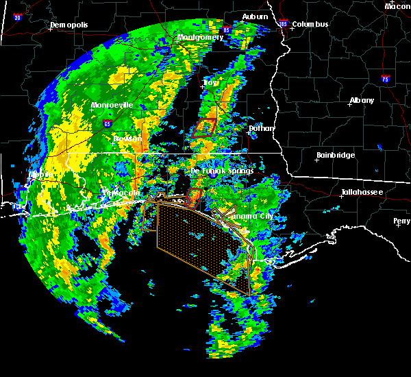 At 144 pm cst, a severe thunderstorm capable of producing a tornado was located 11 miles east of santa rosa beach, moving north at 30 mph (radar indicated rotation). Hazards include tornado. Flying debris will be dangerous to those caught without shelter. mobile homes will be damaged or destroyed. damage to roofs, windows and vehicles will occur. tree damage is likely. Locations impacted include, freeport, port washington and bunker. At 144 pm cst, a severe thunderstorm capable of producing a tornado was located 11 miles east of santa rosa beach, moving north at 30 mph (radar indicated rotation). Hazards include tornado. Flying debris will be dangerous to those caught without shelter. mobile homes will be damaged or destroyed. damage to roofs, windows and vehicles will occur. tree damage is likely. Locations impacted include, freeport, port washington and bunker.
|
| 11/18/2015 1:33 PM CST |
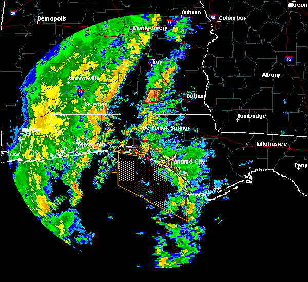 At 132 pm cst, a severe thunderstorm capable of producing a tornado was located 8 miles east of santa rosa beach, or about near seaside, moving north at 25 mph (radar indicated rotation). Hazards include tornado. Flying debris will be dangerous to those caught without shelter. mobile homes will be damaged or destroyed. damage to roofs, windows and vehicles will occur. tree damage is likely. Locations impacted include, santa rosa beach, eglin air force base, freeport, bunker, seaside, seagrove beach, blue mountain beach, grayton beach, port washington, portland and inlet beach. At 132 pm cst, a severe thunderstorm capable of producing a tornado was located 8 miles east of santa rosa beach, or about near seaside, moving north at 25 mph (radar indicated rotation). Hazards include tornado. Flying debris will be dangerous to those caught without shelter. mobile homes will be damaged or destroyed. damage to roofs, windows and vehicles will occur. tree damage is likely. Locations impacted include, santa rosa beach, eglin air force base, freeport, bunker, seaside, seagrove beach, blue mountain beach, grayton beach, port washington, portland and inlet beach.
|
| 11/18/2015 1:15 PM CST |
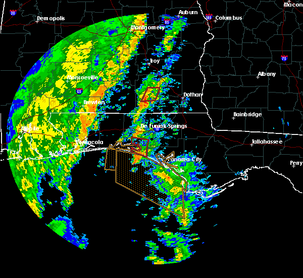 At 114 pm cst, a severe thunderstorm capable of producing a tornado was located 11 miles southeast of santa rosa beach, moving north at 35 mph (radar indicated rotation). Hazards include tornado. Flying debris will be dangerous to those caught without shelter. mobile homes will be damaged or destroyed. damage to roofs, windows and vehicles will occur. tree damage is likely. This tornadic thunderstorm will affect the following locations in south walton county, bunker, seaside, freeport, seagrove beach, blue mountain beach, grayton beach, port washington, portland and inlet beach. At 114 pm cst, a severe thunderstorm capable of producing a tornado was located 11 miles southeast of santa rosa beach, moving north at 35 mph (radar indicated rotation). Hazards include tornado. Flying debris will be dangerous to those caught without shelter. mobile homes will be damaged or destroyed. damage to roofs, windows and vehicles will occur. tree damage is likely. This tornadic thunderstorm will affect the following locations in south walton county, bunker, seaside, freeport, seagrove beach, blue mountain beach, grayton beach, port washington, portland and inlet beach.
|
| 7/29/2015 5:27 PM CDT |
 At 526 pm cdt, the national weather service has detected a line of severe thunderstorms capable of producing damaging winds in excess of 60 mph. these storms were located along a line extending from near de funiak springs to 11 miles southeast of vernon, and moving south at 5 mph. At 526 pm cdt, the national weather service has detected a line of severe thunderstorms capable of producing damaging winds in excess of 60 mph. these storms were located along a line extending from near de funiak springs to 11 miles southeast of vernon, and moving south at 5 mph.
|
| 7/23/2015 5:46 PM CDT |
 At 545 pm cdt, the national weather service has detected a severe thunderstorm capable of producing damaging winds in excess of 60 mph. this storm was located near eglin air force base, or 7 miles southwest of de funiak springs, and moving southeast at 15 mph. At 545 pm cdt, the national weather service has detected a severe thunderstorm capable of producing damaging winds in excess of 60 mph. this storm was located near eglin air force base, or 7 miles southwest of de funiak springs, and moving southeast at 15 mph.
|
| 7/13/2015 3:57 PM CDT |
 At 357 pm cdt, doppler radar indicated a severe thunderstorm capable of producing damaging winds in excess of 60 mph. this storm was located near de funiak springs, moving east at 20 mph. locations impacted include, de funiak springs, eglin air force base, freeport, knox hill, red bay, alpine heights, new home, portland, douglass crossroad, rock hill, pleasant ridge, de funiak spring airport, eucheeanna and argyle. At 357 pm cdt, doppler radar indicated a severe thunderstorm capable of producing damaging winds in excess of 60 mph. this storm was located near de funiak springs, moving east at 20 mph. locations impacted include, de funiak springs, eglin air force base, freeport, knox hill, red bay, alpine heights, new home, portland, douglass crossroad, rock hill, pleasant ridge, de funiak spring airport, eucheeanna and argyle.
|
| 7/13/2015 3:29 PM CDT |
 At 329 pm cdt, the national weather service has detected a severe thunderstorm capable of producing damaging winds in excess of 60 mph. this storm was located over eglin air force base, or 10 miles southwest of de funiak springs, and moving east at 30 mph. At 329 pm cdt, the national weather service has detected a severe thunderstorm capable of producing damaging winds in excess of 60 mph. this storm was located over eglin air force base, or 10 miles southwest of de funiak springs, and moving east at 30 mph.
|
| 7/5/2015 10:05 AM CDT | Tree down on power line at hammock ba in walton county FL, 1.5 miles SW of Freeport, FL |
| 7/5/2015 10:05 AM CDT |
 At 1005 am cdt, the national weather service has detected a line of severe thunderstorms capable of producing damaging winds in excess of 60 mph. these storms were located along a line extending from 7 miles east of de funiak springs to 11 miles southeast of santa rosa beach, and moving east at 35 mph. At 1005 am cdt, the national weather service has detected a line of severe thunderstorms capable of producing damaging winds in excess of 60 mph. these storms were located along a line extending from 7 miles east of de funiak springs to 11 miles southeast of santa rosa beach, and moving east at 35 mph.
|
| 7/5/2015 9:49 AM CDT |
 At 949 am cdt, doppler radar indicated a severe thunderstorm capable of producing damaging winds in excess of 60 mph. this storm was located 11 miles south of de funiak springs, moving east at 40 mph. locations impacted include, panama city beach, bonifay, de funiak springs, santa rosa beach, eglin air force base, union, live oak, freeport, ponce de leon, caryville, westville, ebro, gulf pines, seminole hills, laird, hickory hill, pleasant hill, turquoise beach, knox hill and gritney. At 949 am cdt, doppler radar indicated a severe thunderstorm capable of producing damaging winds in excess of 60 mph. this storm was located 11 miles south of de funiak springs, moving east at 40 mph. locations impacted include, panama city beach, bonifay, de funiak springs, santa rosa beach, eglin air force base, union, live oak, freeport, ponce de leon, caryville, westville, ebro, gulf pines, seminole hills, laird, hickory hill, pleasant hill, turquoise beach, knox hill and gritney.
|
| 7/5/2015 9:22 AM CDT |
 At 922 am cdt, the national weather service has detected a severe thunderstorm capable of producing damaging winds in excess of 60 mph. this storm was located near eglin air force base, or 11 miles northeast of niceville, and moving east at 40 mph. At 922 am cdt, the national weather service has detected a severe thunderstorm capable of producing damaging winds in excess of 60 mph. this storm was located near eglin air force base, or 11 miles northeast of niceville, and moving east at 40 mph.
|
| 6/30/2015 3:19 PM CDT |
 At 319 pm cdt, emergency management reported a severe thunderstorm producing damaging winds in excess of 60 mph. this storm was located near graceville. this storm was nearly stationary. locations impacted include, vernon, bonifay, eglin air force base, live oak, ponce de leon, caryville, westville, hulaw, knox hill, red bay, new home, douglass crossroad, poplar head, rock hill, whitehead crossroads, hinsons crossroads, five points, millers ferry, johnson crossroads and eucheeanna. At 319 pm cdt, emergency management reported a severe thunderstorm producing damaging winds in excess of 60 mph. this storm was located near graceville. this storm was nearly stationary. locations impacted include, vernon, bonifay, eglin air force base, live oak, ponce de leon, caryville, westville, hulaw, knox hill, red bay, new home, douglass crossroad, poplar head, rock hill, whitehead crossroads, hinsons crossroads, five points, millers ferry, johnson crossroads and eucheeanna.
|
| 6/30/2015 2:48 PM CDT |
 At 248 pm cdt, the national weather service has detected a severe thunderstorm capable of producing damaging winds in excess of 60 mph. this storm was located 7 miles north of de funiak springs, and moving east at 45 mph. At 248 pm cdt, the national weather service has detected a severe thunderstorm capable of producing damaging winds in excess of 60 mph. this storm was located 7 miles north of de funiak springs, and moving east at 45 mph.
|
| 6/27/2015 4:20 PM CDT |
 At 420 pm cdt, the national weather service has detected a line of severe thunderstorms capable of producing damaging winds in excess of 60 mph. these storms were located along a line extending from 6 miles northeast of de funiak springs to 8 miles west of eglin air force base, and moving east at 30 mph. At 420 pm cdt, the national weather service has detected a line of severe thunderstorms capable of producing damaging winds in excess of 60 mph. these storms were located along a line extending from 6 miles northeast of de funiak springs to 8 miles west of eglin air force base, and moving east at 30 mph.
|
| 6/23/2015 7:47 PM CDT | Large tree limbs blown down with estimated 60 mph gust in walton county FL, 1.5 miles SW of Freeport, FL |
| 6/23/2015 7:47 PM CDT |
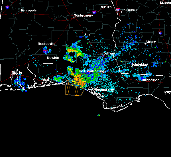 At 746 pm cdt, doppler radar indicated a severe thunderstorm capable of producing damaging winds in excess of 60 mph. this storm was located 8 miles southeast of eglin air force base, or 8 miles north of santa rosa beach, moving south at 15 mph. locations impacted include, santa rosa beach, eglin air force base, freeport, sandestin, gulf pines, seaside, seagrove beach, turquoise beach, blue mountain beach, grayton beach, four mile village, miramar beach, portland, port washington and bunker. At 746 pm cdt, doppler radar indicated a severe thunderstorm capable of producing damaging winds in excess of 60 mph. this storm was located 8 miles southeast of eglin air force base, or 8 miles north of santa rosa beach, moving south at 15 mph. locations impacted include, santa rosa beach, eglin air force base, freeport, sandestin, gulf pines, seaside, seagrove beach, turquoise beach, blue mountain beach, grayton beach, four mile village, miramar beach, portland, port washington and bunker.
|
| 6/23/2015 7:21 PM CDT |
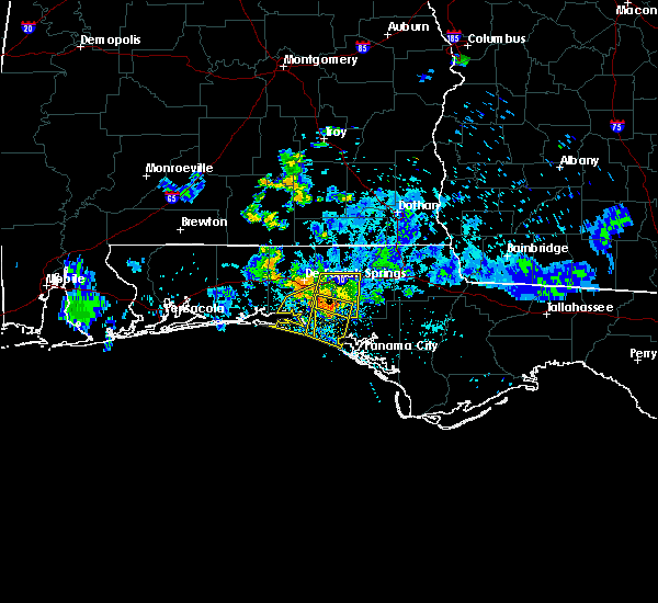 At 720 pm cdt, the national weather service has detected a severe thunderstorm capable of producing damaging winds in excess of 60 mph. this storm was located near eglin air force base, or 8 miles south of de funiak springs, and moving south at 15 mph. At 720 pm cdt, the national weather service has detected a severe thunderstorm capable of producing damaging winds in excess of 60 mph. this storm was located near eglin air force base, or 8 miles south of de funiak springs, and moving south at 15 mph.
|
| 6/7/2015 4:42 PM CDT | At 441 pm cdt, doppler radar indicated a severe thunderstorm capable of producing damaging winds in excess of 60 mph. this storm was located 9 miles east of eglin air force base, or 10 miles south of de funiak springs, moving west at 15 mph. locations impacted include, freeport, rock hill, eucheeanna, new home and portland. |
| 6/7/2015 4:29 PM CDT | At 427 pm cdt, the national weather service has detected a severe thunderstorm capable of producing damaging winds in excess of 60 mph. this storm was located 12 miles southeast of de funiak springs, and moving west at 15 mph. |
| 4/25/2015 4:44 PM CDT | At 443 pm cdt, doppler radar indicated a line of severe thunderstorms capable of producing quarter size hail and destructive winds in excess of 70 mph. these storms were located along a line extending from near laurel hill to 12 miles southeast of de funiak springs, moving east at 55 mph. locations impacted include, de funiak springs, eglin air force base, union, liberty, freeport, paxton, villa tasso, pleasant hill, piney grove, pond creek, lakewood, gaskin, oakwood hills, pleasant ridge, center ridge, fox hill, glendale, cluster springs, argyle and gordon. |
| 4/25/2015 4:16 PM CDT | At 415 pm cdt, the national weather service has detected a line of severe thunderstorms capable of producing quarter size hail and damaging winds in excess of 60 mph. these storms were located along a line extending from 7 miles west of baker to 6 miles east of postil, and moving east at 55 mph. |
| 4/19/2015 8:24 AM CDT | The national weather service in tallahassee has issued a * tornado warning for. southeastern walton county in the panhandle of florida. west central washington county in the panhandle of florida. until 900 am cdt * at 824 am cdt. Doppler radar indicated a severe thunderstorm. |
| 4/19/2015 8:01 AM CDT | At 801 am cdt, the national weather service has detected a severe thunderstorm capable of producing damaging winds in excess of 60 mph. this storm was located 12 miles east of santa rosa beach, and moving east at 30 mph. |
| 4/19/2015 7:29 AM CDT | The national weather service in tallahassee has issued a * tornado warning for. southwestern walton county in the panhandle of florida. until 800 am cdt * at 728 am cdt. doppler radar indicated a severe thunderstorm capable of producing a tornado. This dangerous storm was located. |
| 10/3/2014 10:14 AM CDT | Trees down on old jolly bay r in walton county FL, 3 miles NW of Freeport, FL |
| 8/18/2013 2:03 PM CDT | 62 mph wind gust measured by trained storm spoter near hwy 331 on southern portion of choctawhatchee bay. corrected reference location in walton county FL, 8.1 miles N of Freeport, FL |
| 12/20/2012 11:47 AM CST | Multiple powerlines down in southern walton county in walton county FL, 2.1 miles WNW of Freeport, FL |
| 8/2/2012 3:36 PM CDT | Powerline down within the city limit in walton county FL, 1.5 miles SW of Freeport, FL |
| 6/9/2012 4:10 PM CDT | Tree blew down on a power line near freeport. lightning may have also started a fire nearb in walton county FL, 1.5 miles SW of Freeport, FL |
| 5/30/2012 4:31 PM CDT | Quarter sized hail reported 2.4 miles W of Freeport, FL, 1 inch hail near old jolly bay rd. and 331. also a funnel cloud was reported and lightning struck a sheriff substation causing fires in the area. |
| 1/1/0001 12:00 AM | Power lines down near highway 20 between business 331 and the 331 bypas in walton county FL, 2.4 miles W of Freeport, FL |
| 1/1/0001 12:00 AM | Quarter sized hail reported 7.8 miles SSE of Freeport, FL, public called in a report to law enforcement of hail estimated at quarter size in the vicinity of rock hill road and eglin territory site c-6 road. |
| 1/1/0001 12:00 AM | Public called in a report to law enforcement of winds estimated at 60 mph in the vicinity of rock hill road and eglin territory site c-6 roa in walton county FL, 7.8 miles SSE of Freeport, FL |
Hail Maps for Freeport, FL
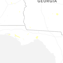
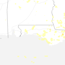
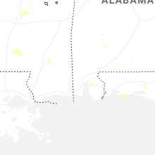
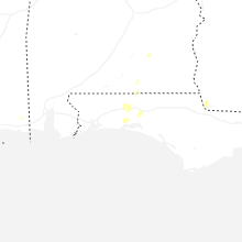
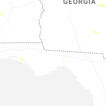


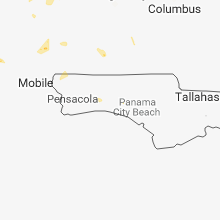


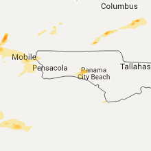
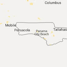


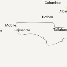


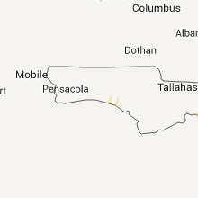
Connect with Interactive Hail Maps