

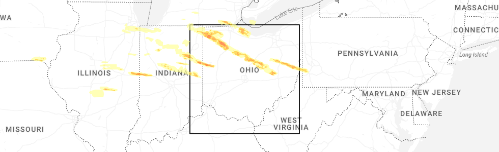
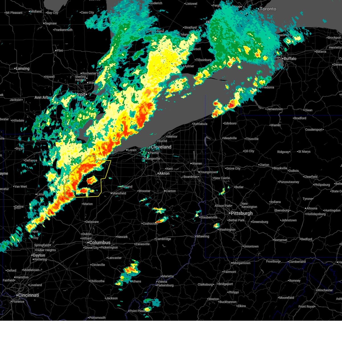
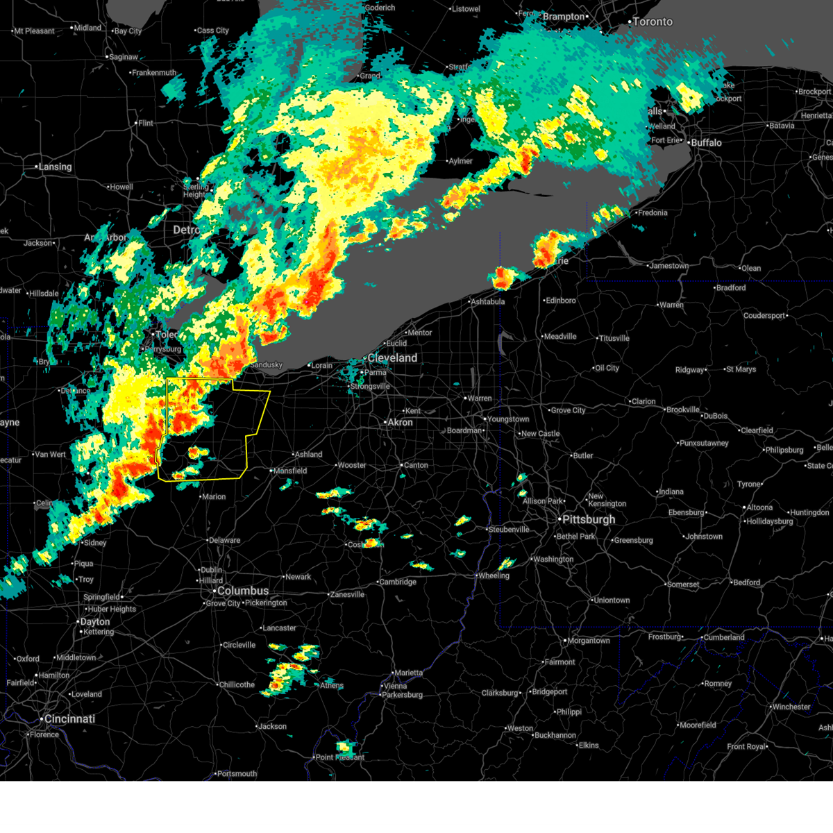
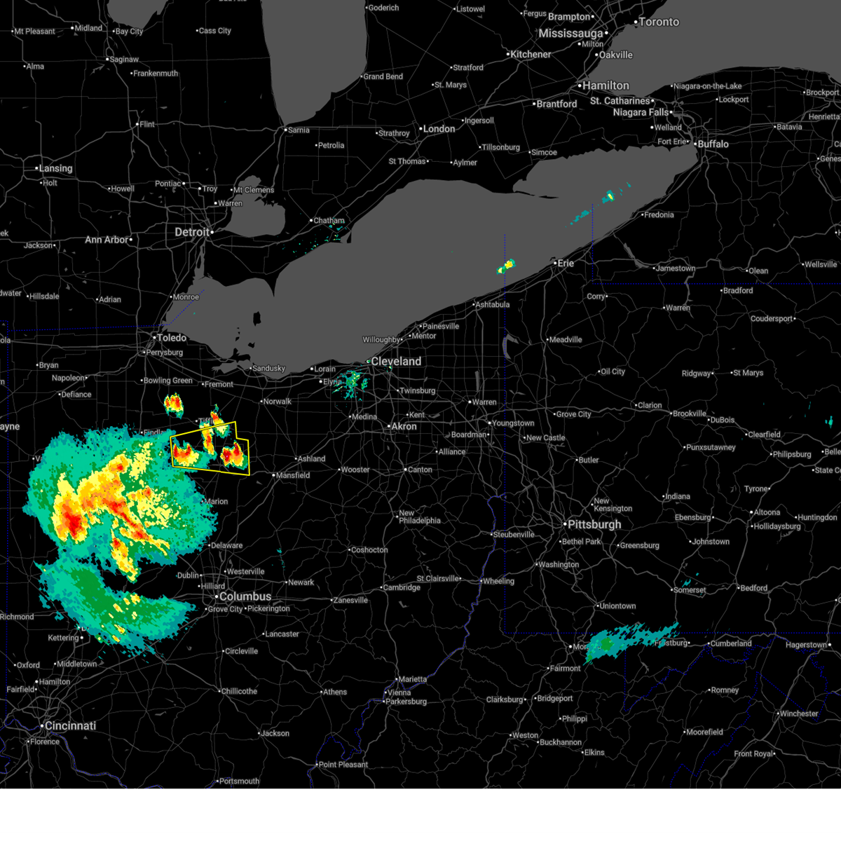
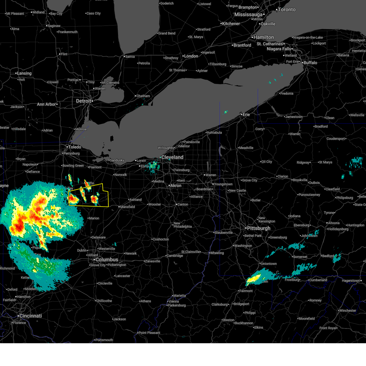
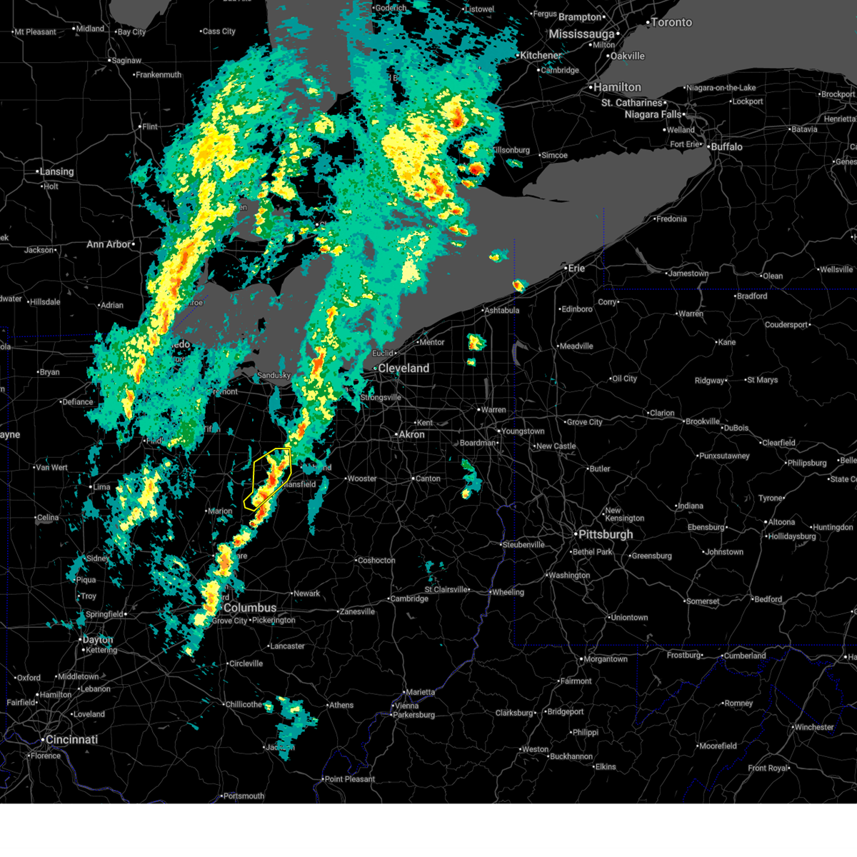
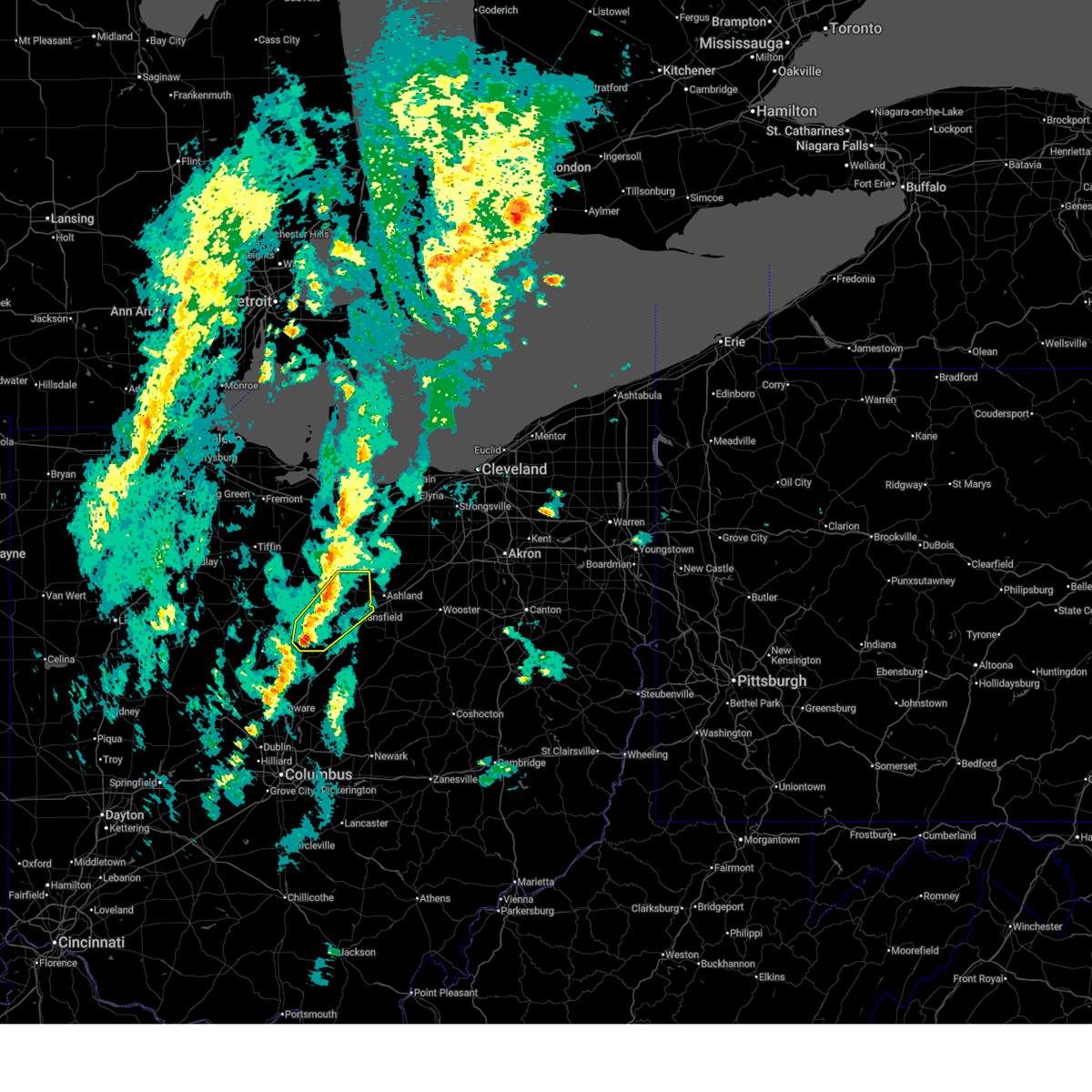
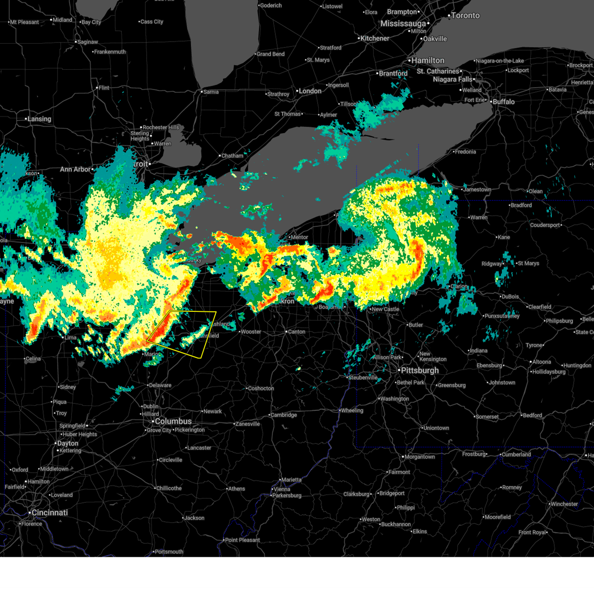
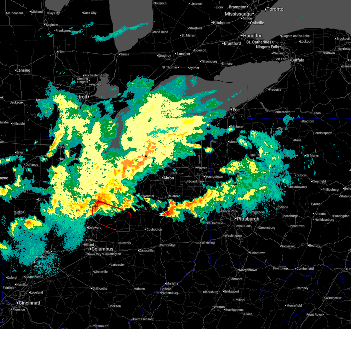
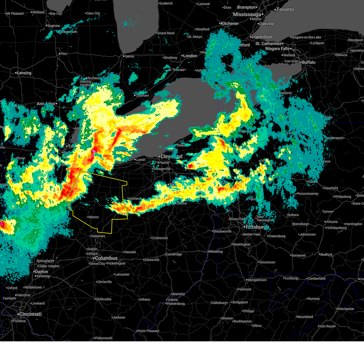
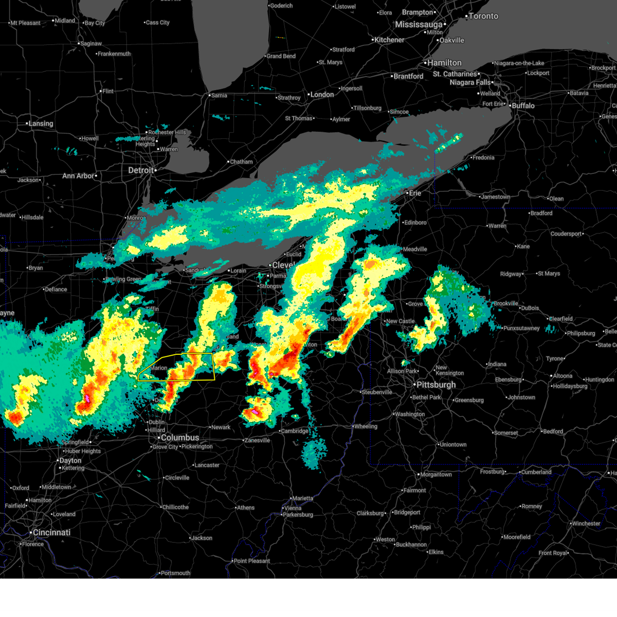
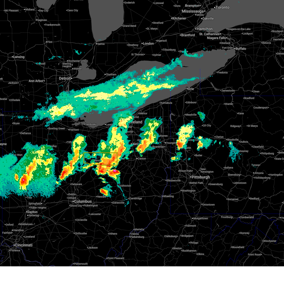
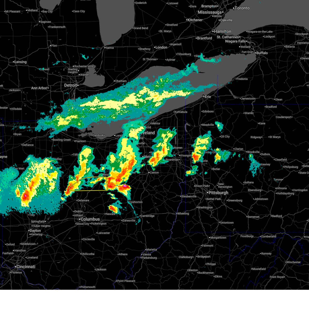
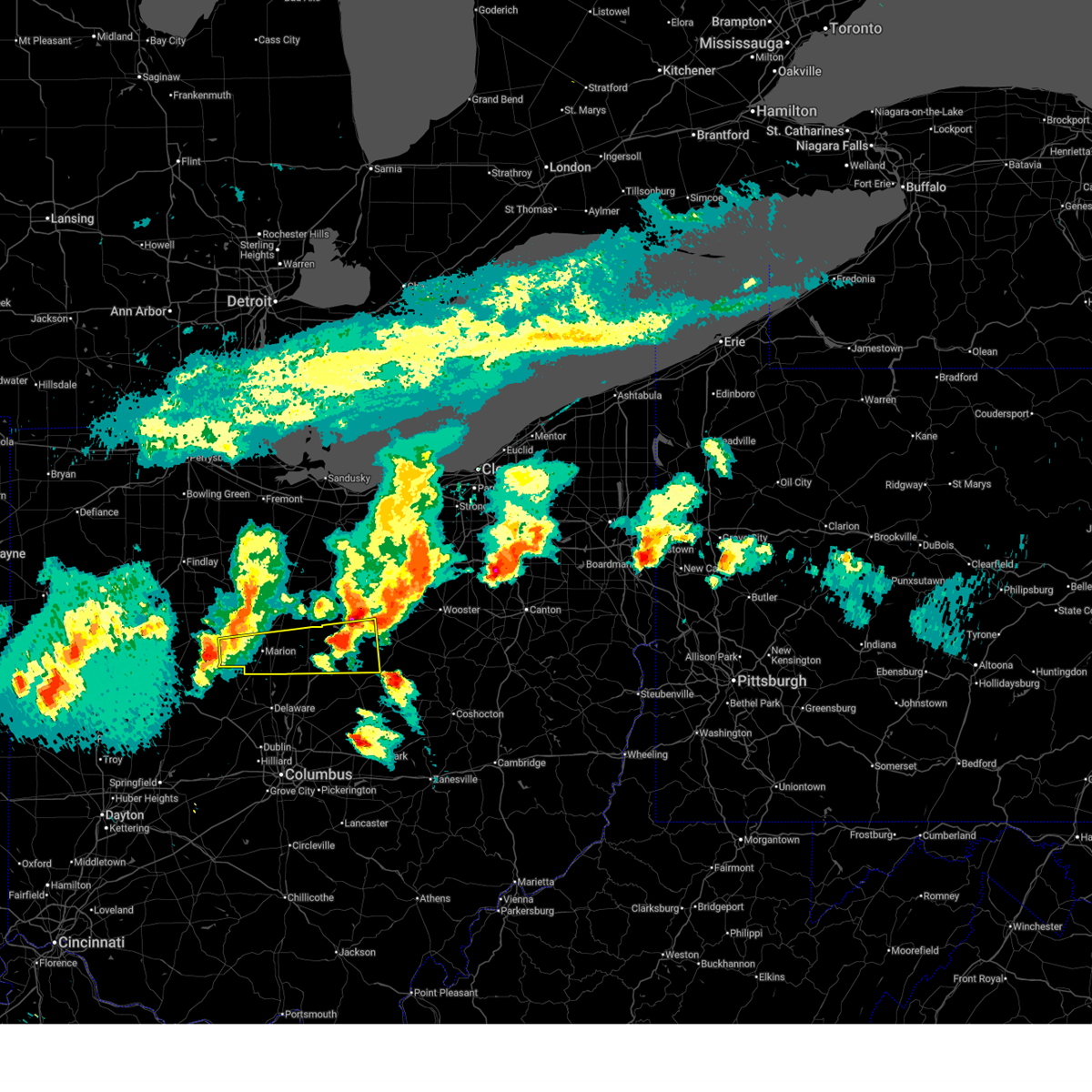
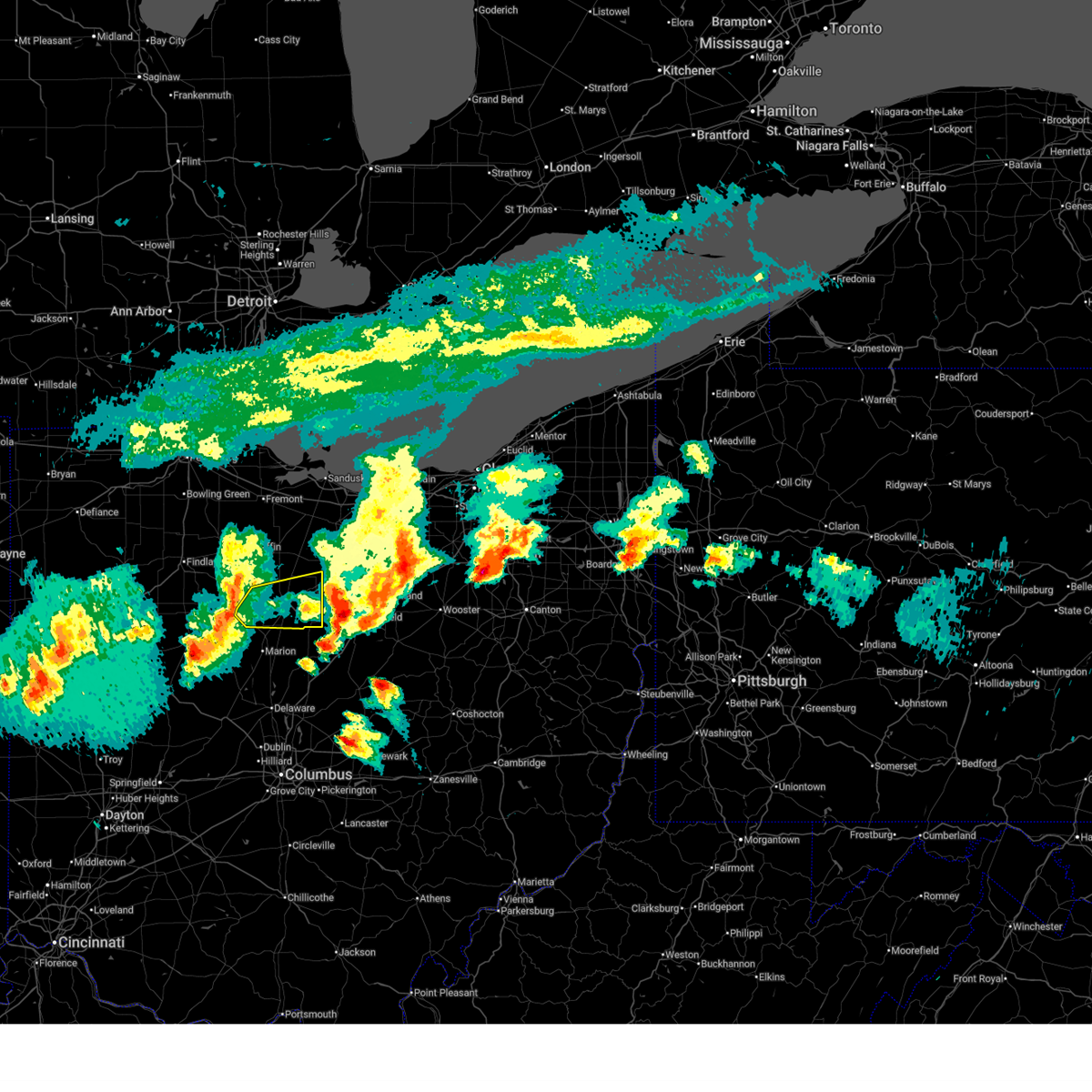
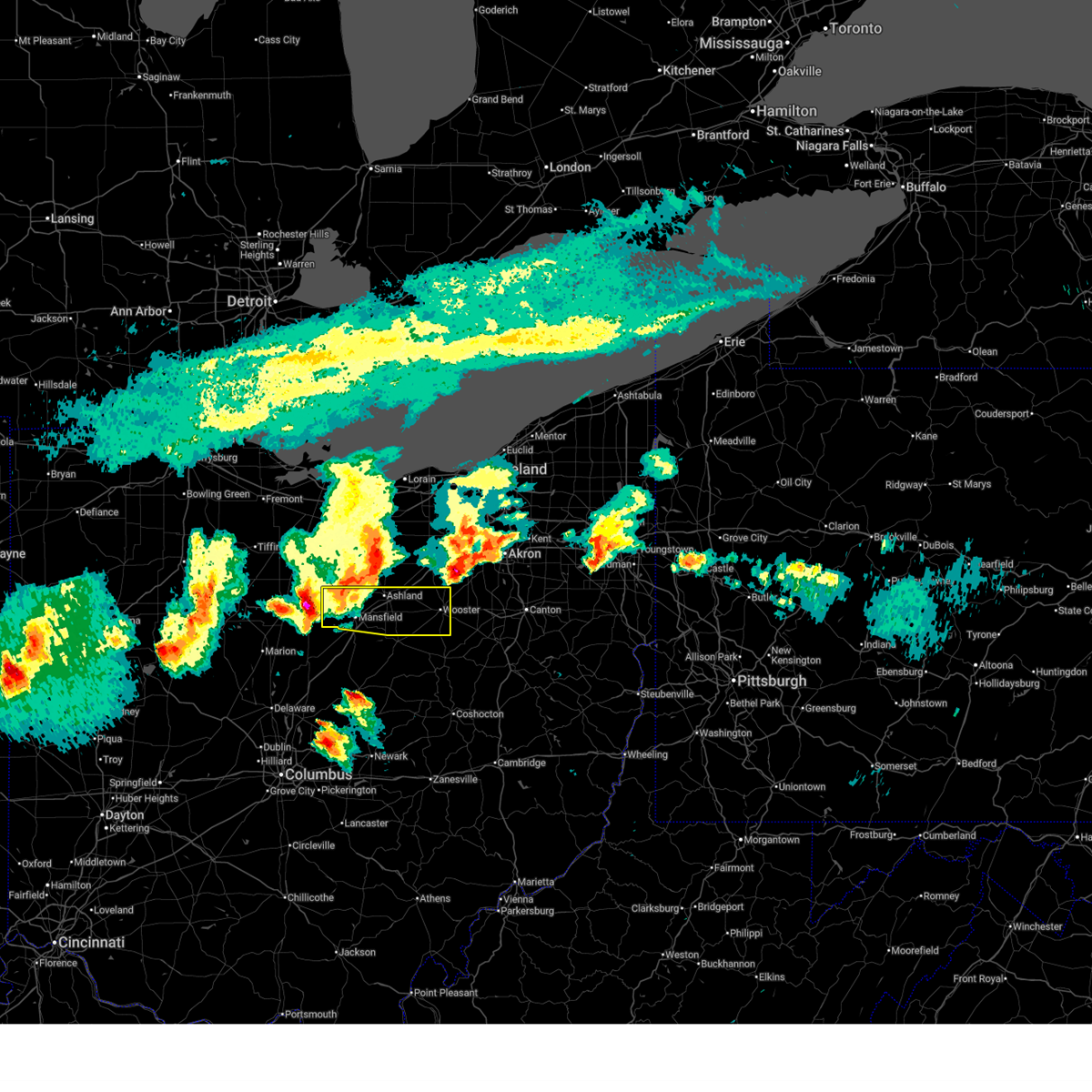
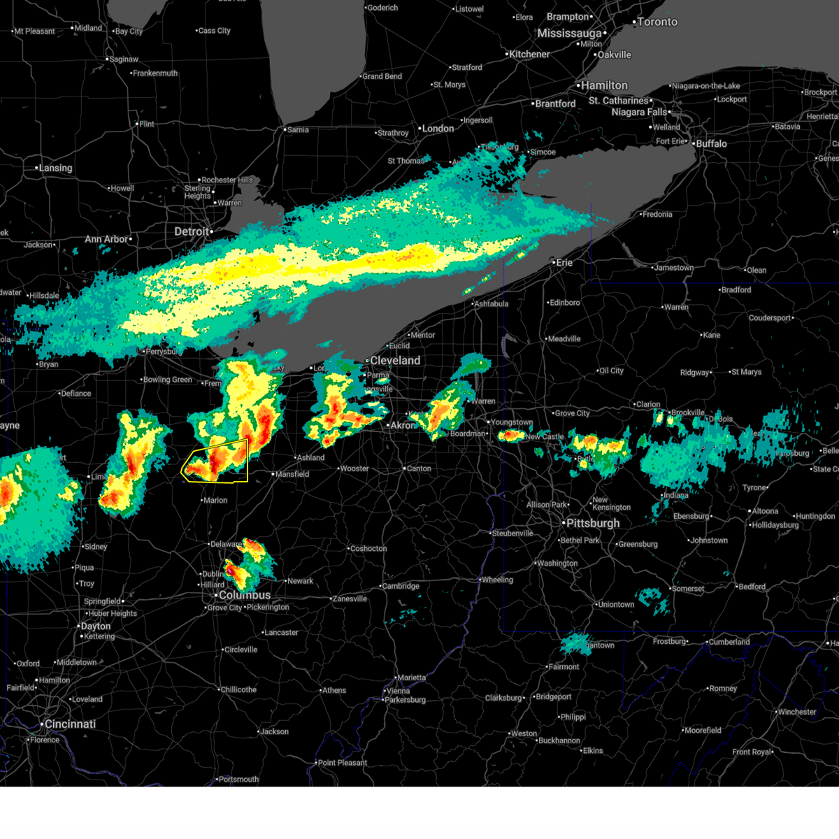
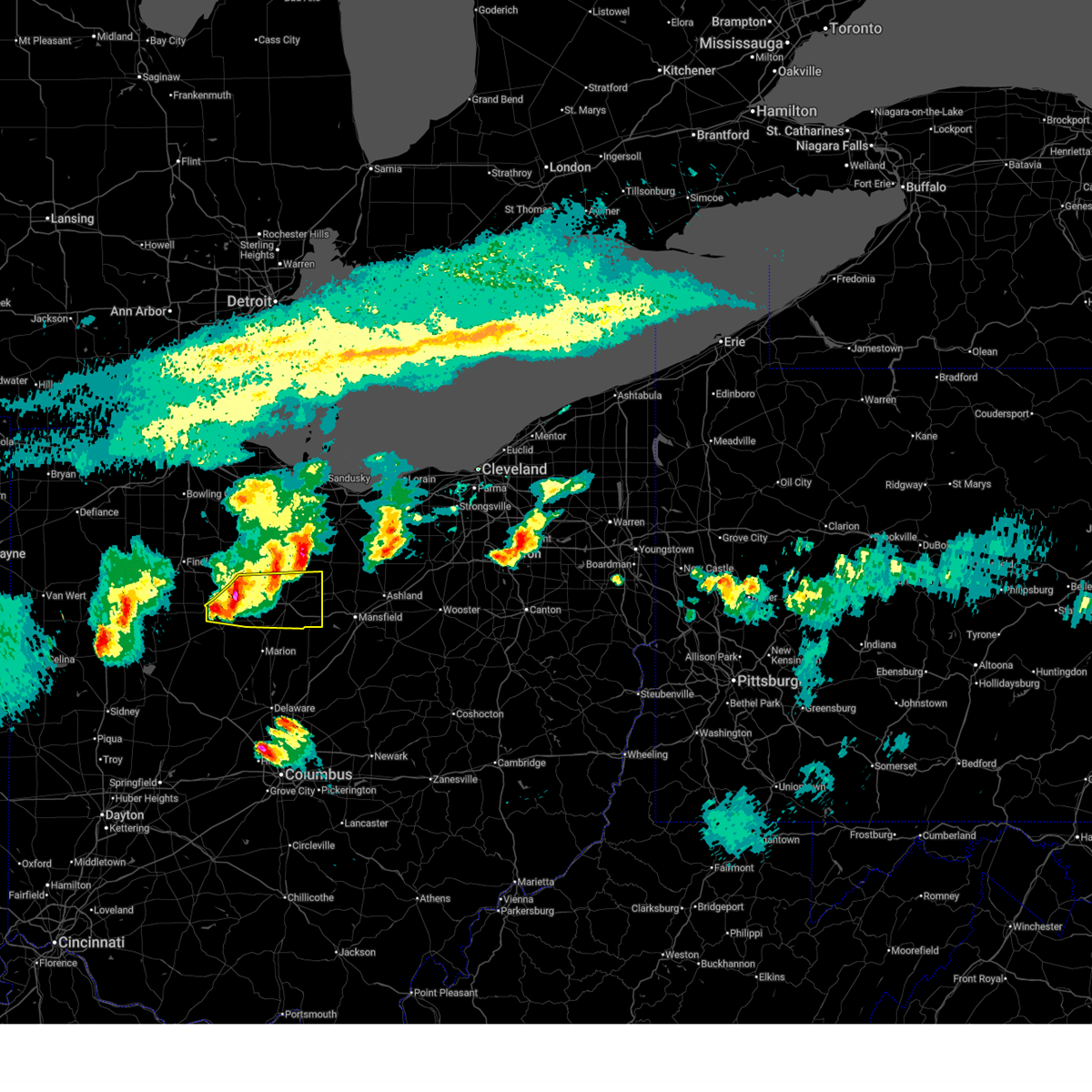
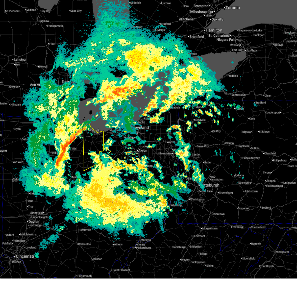
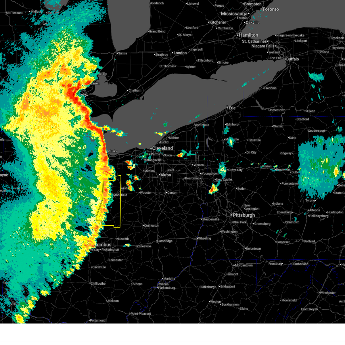
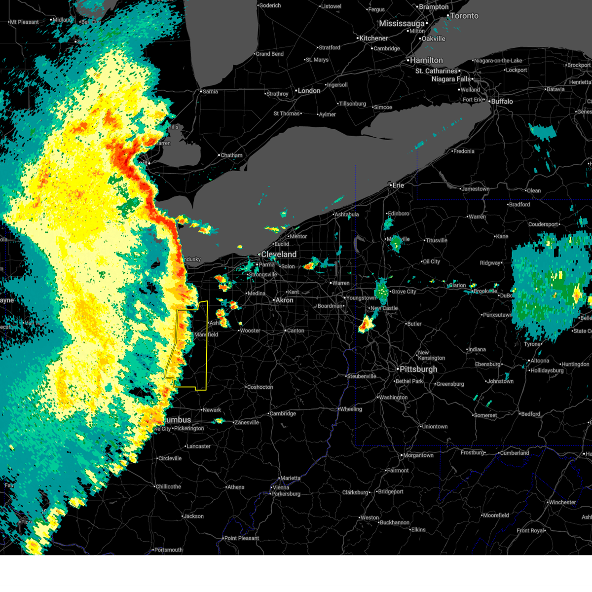
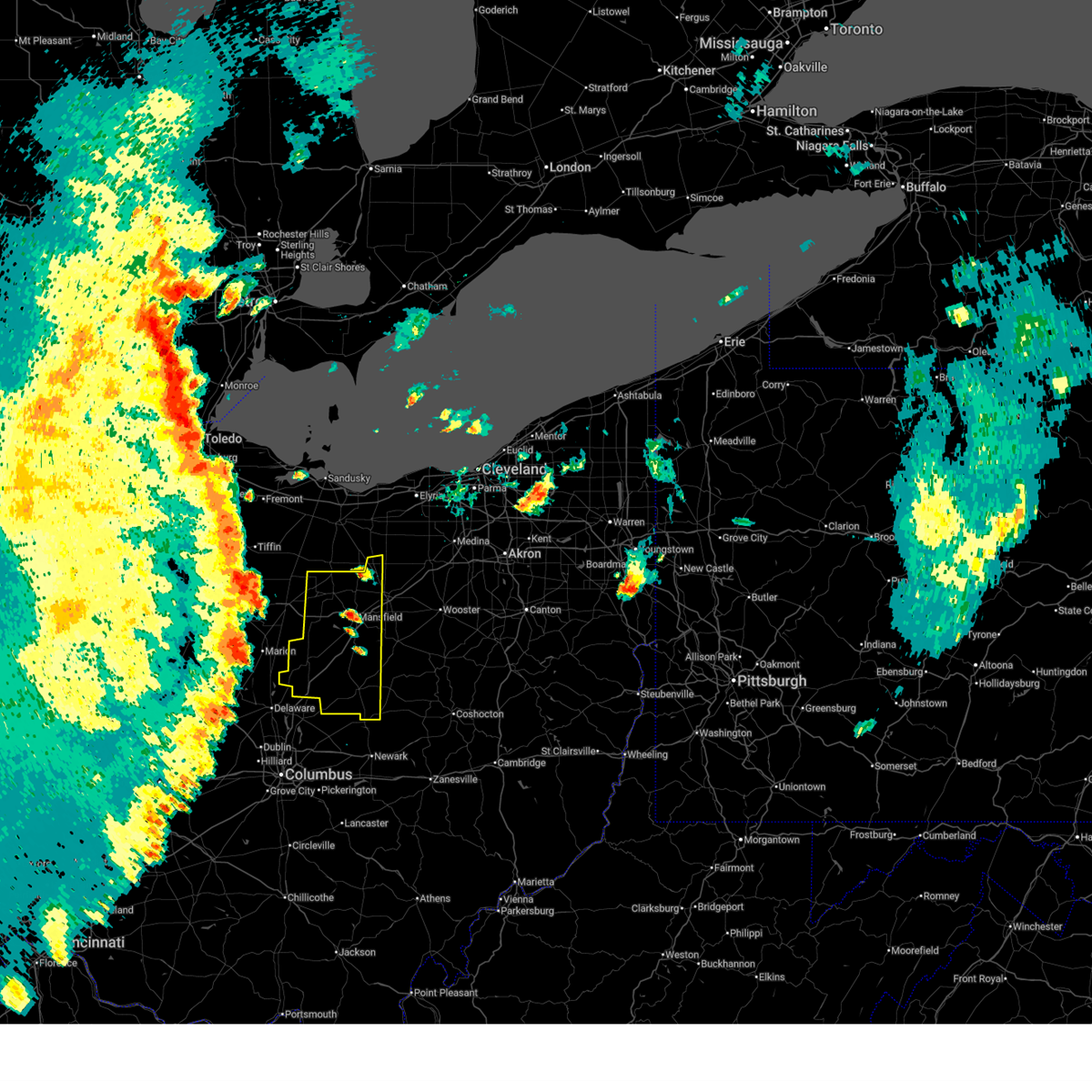
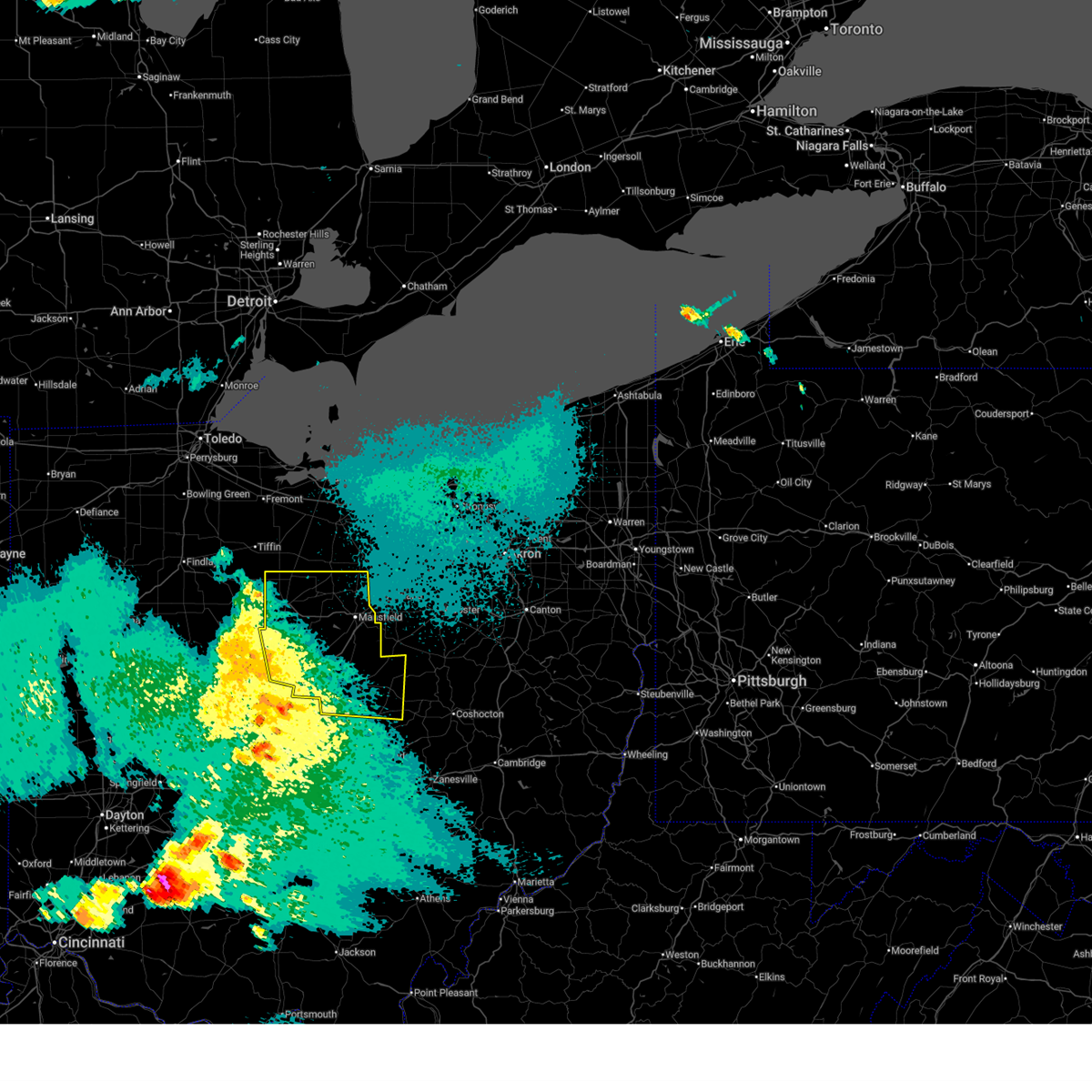
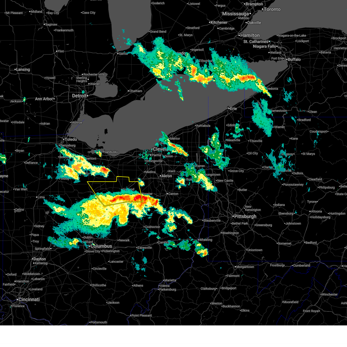
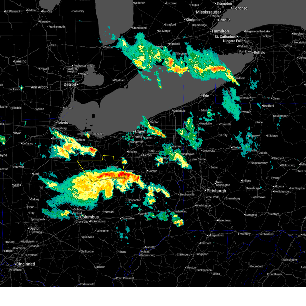
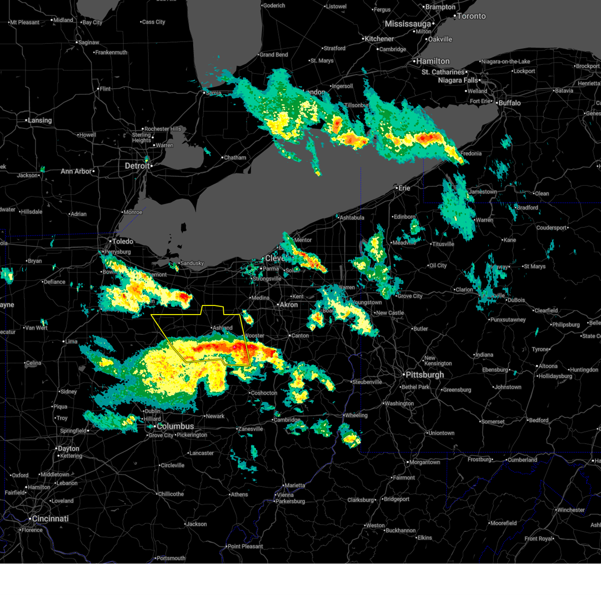
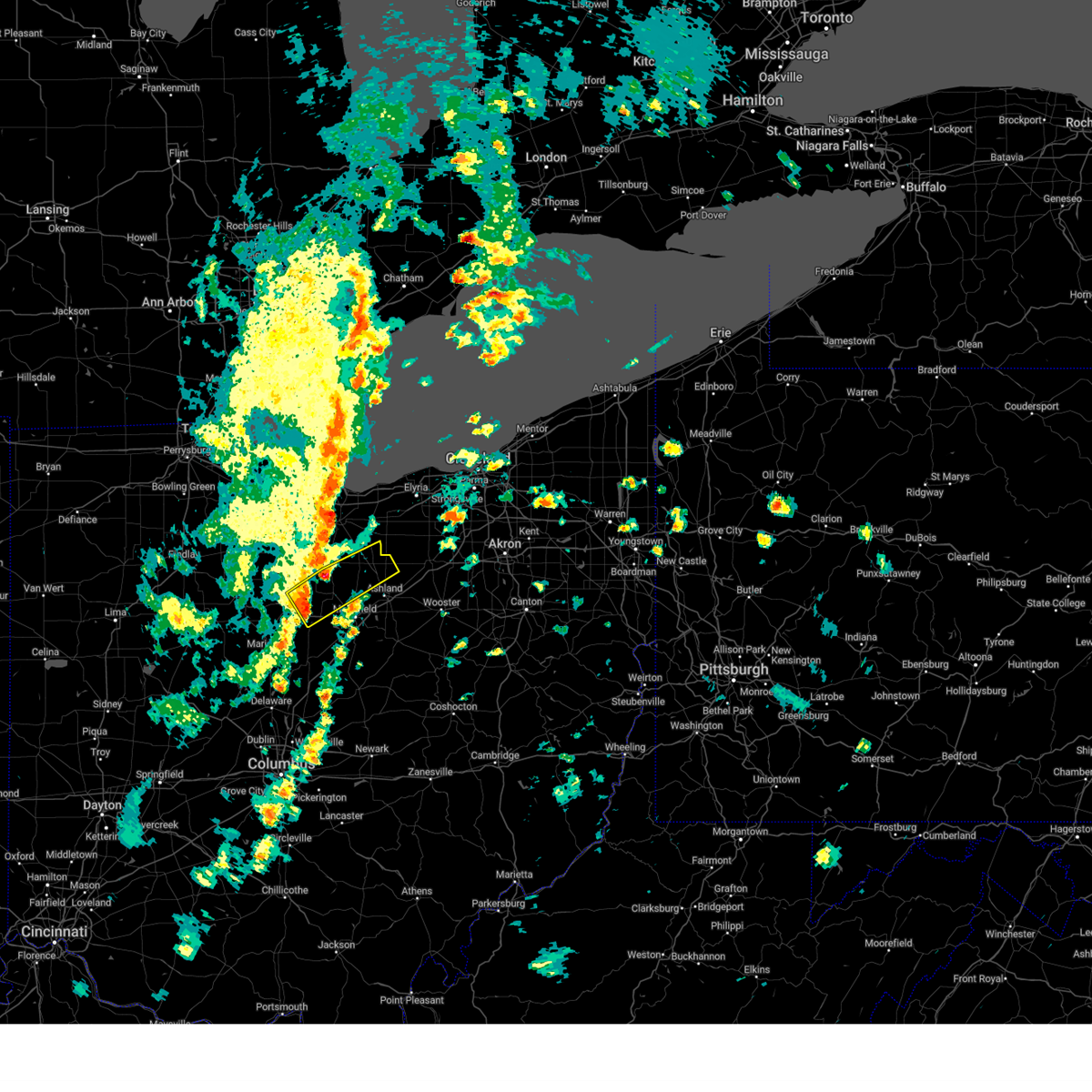
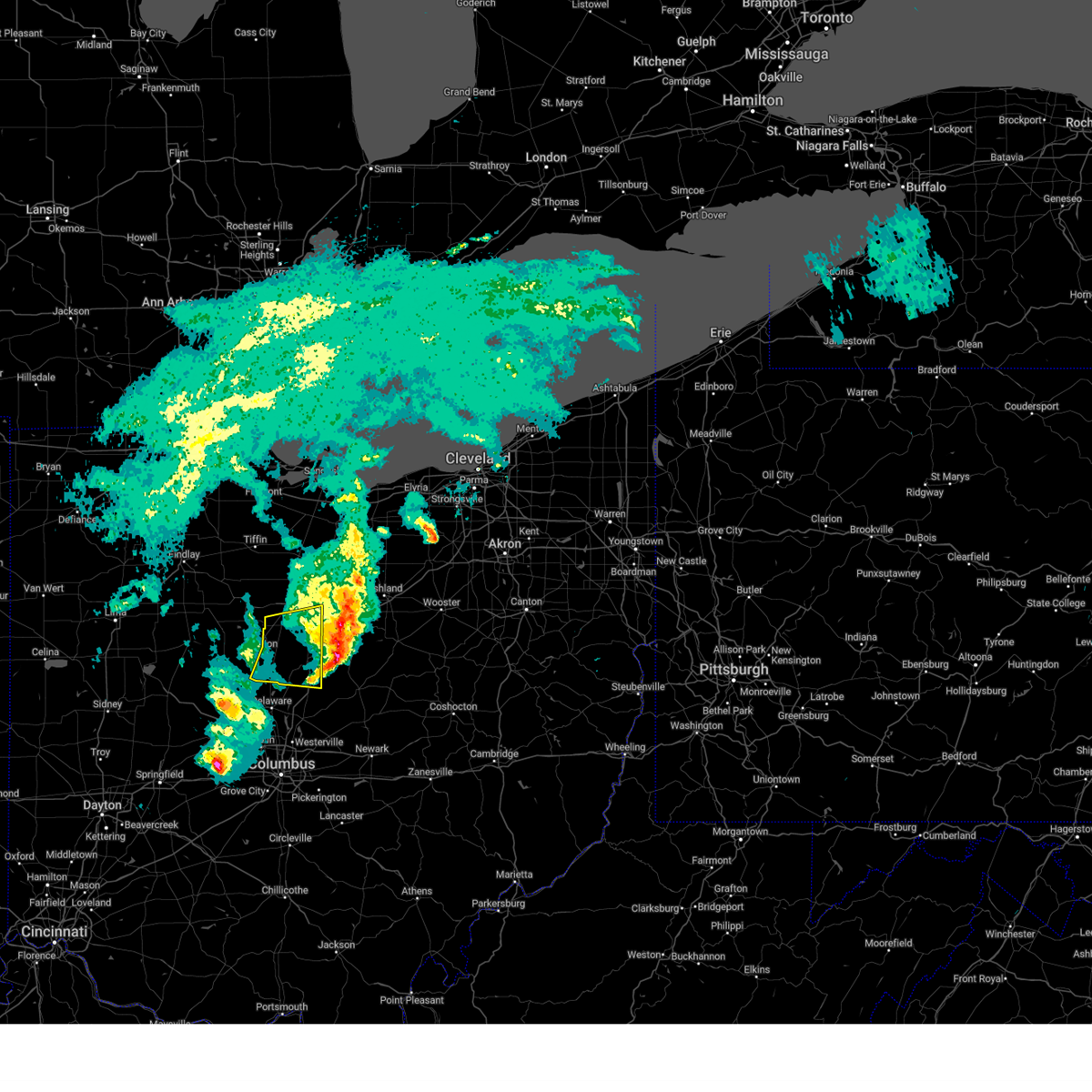
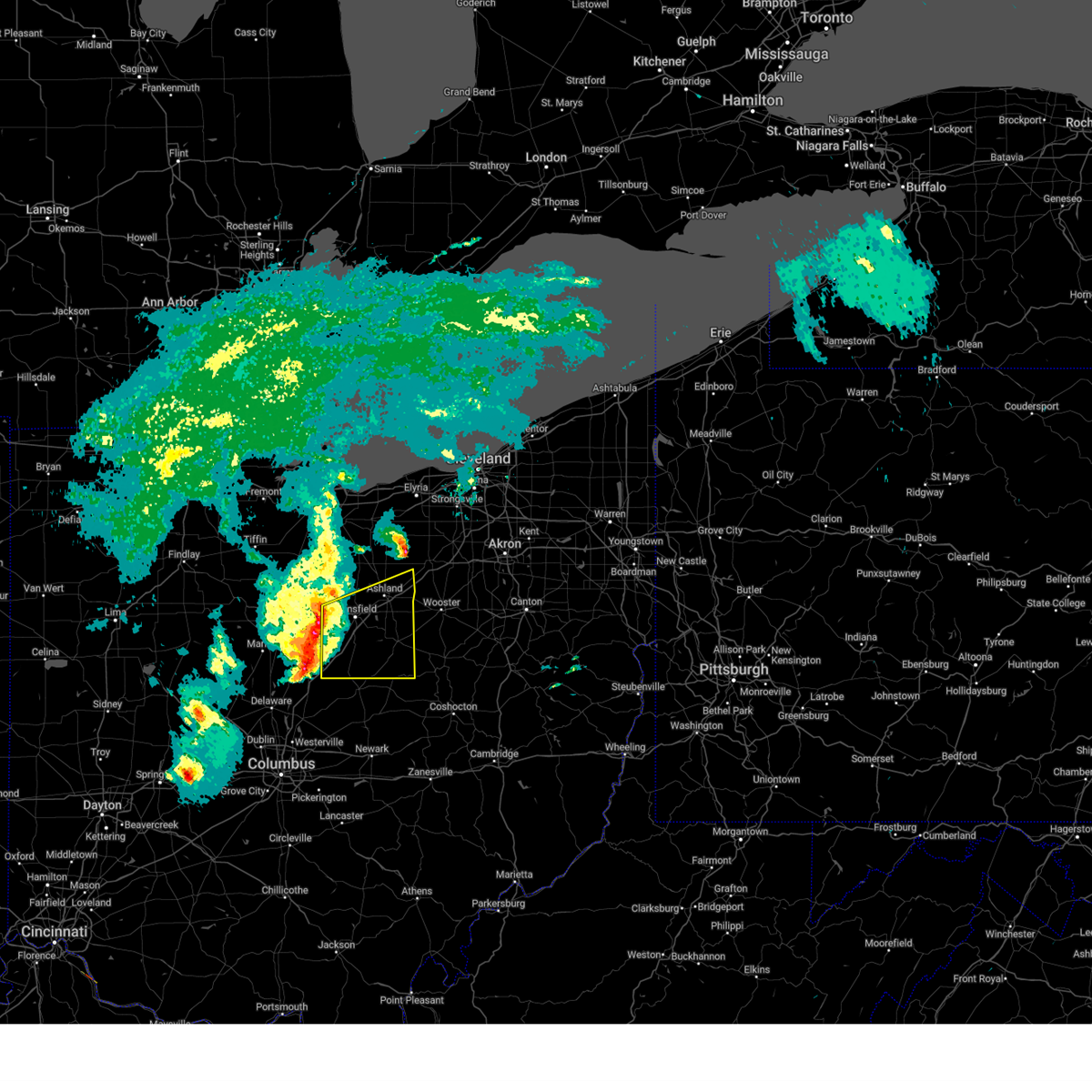
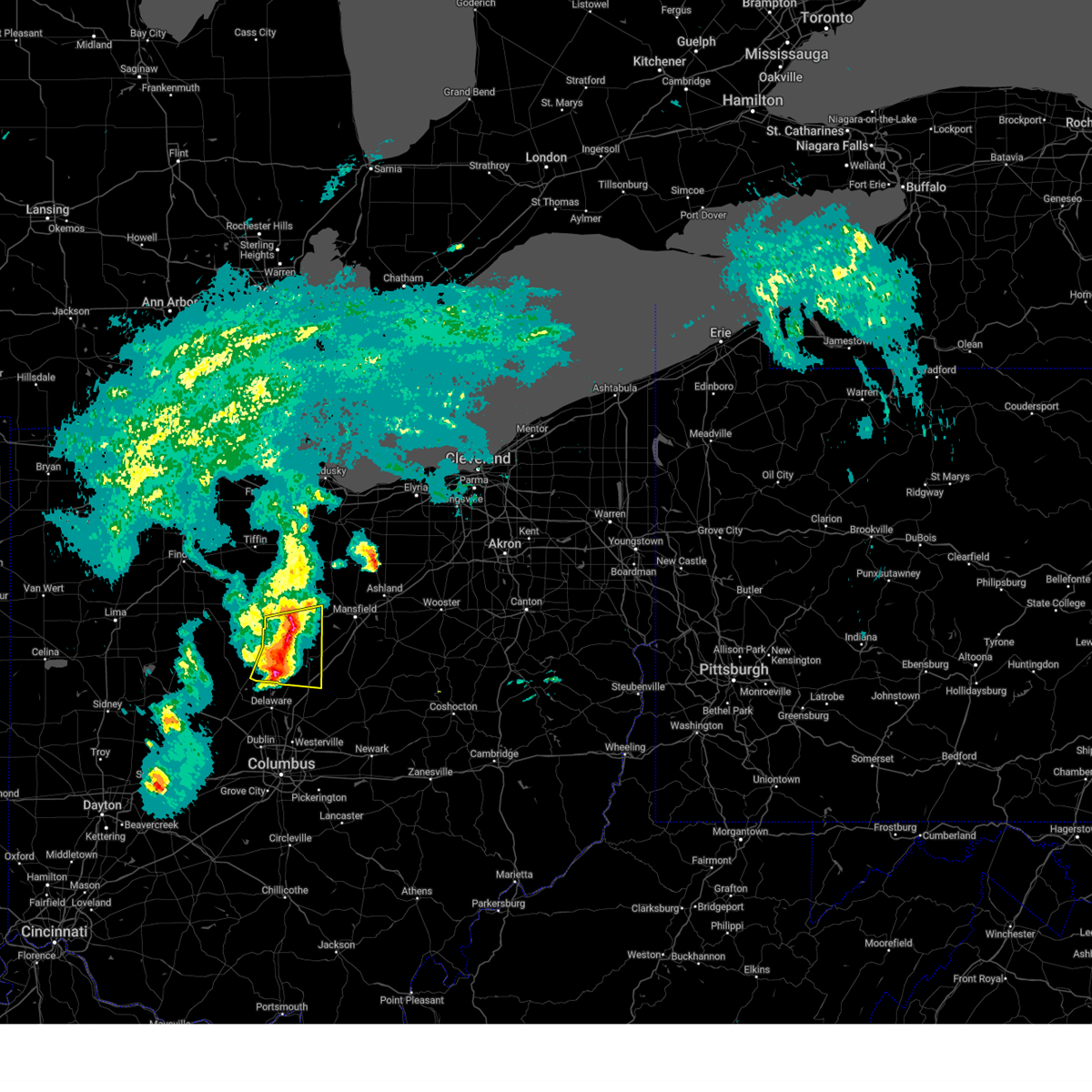
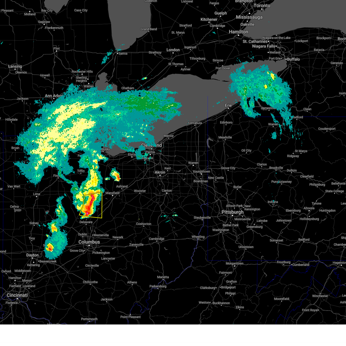
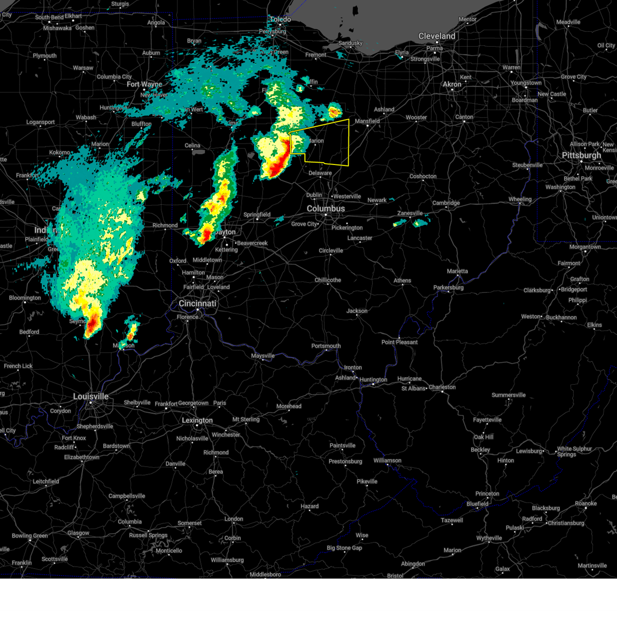
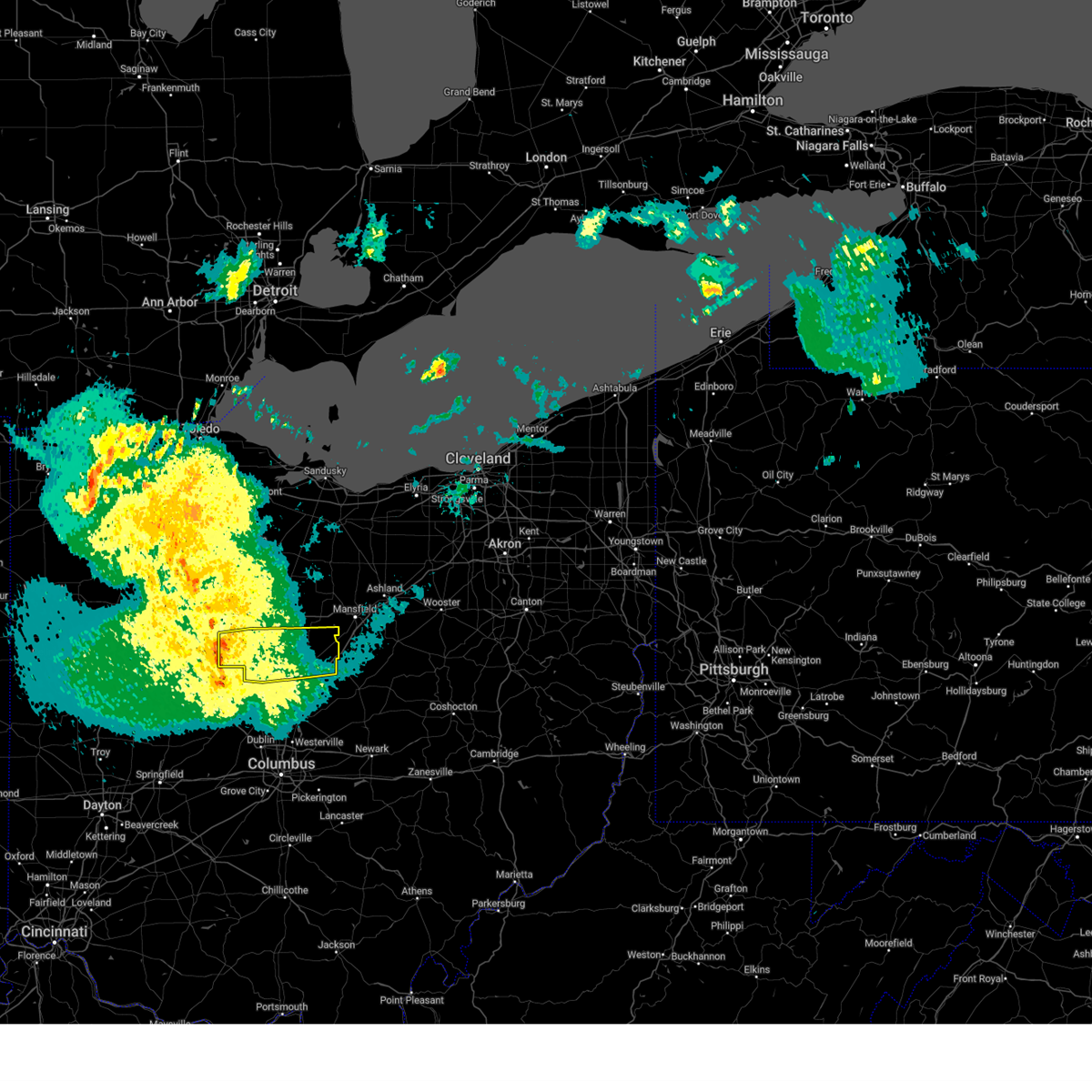
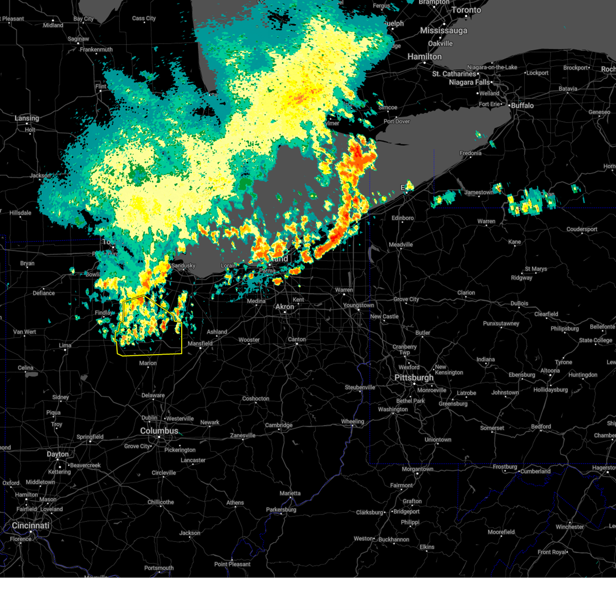
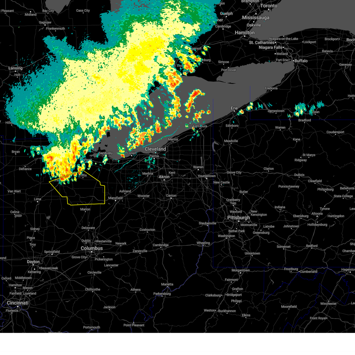
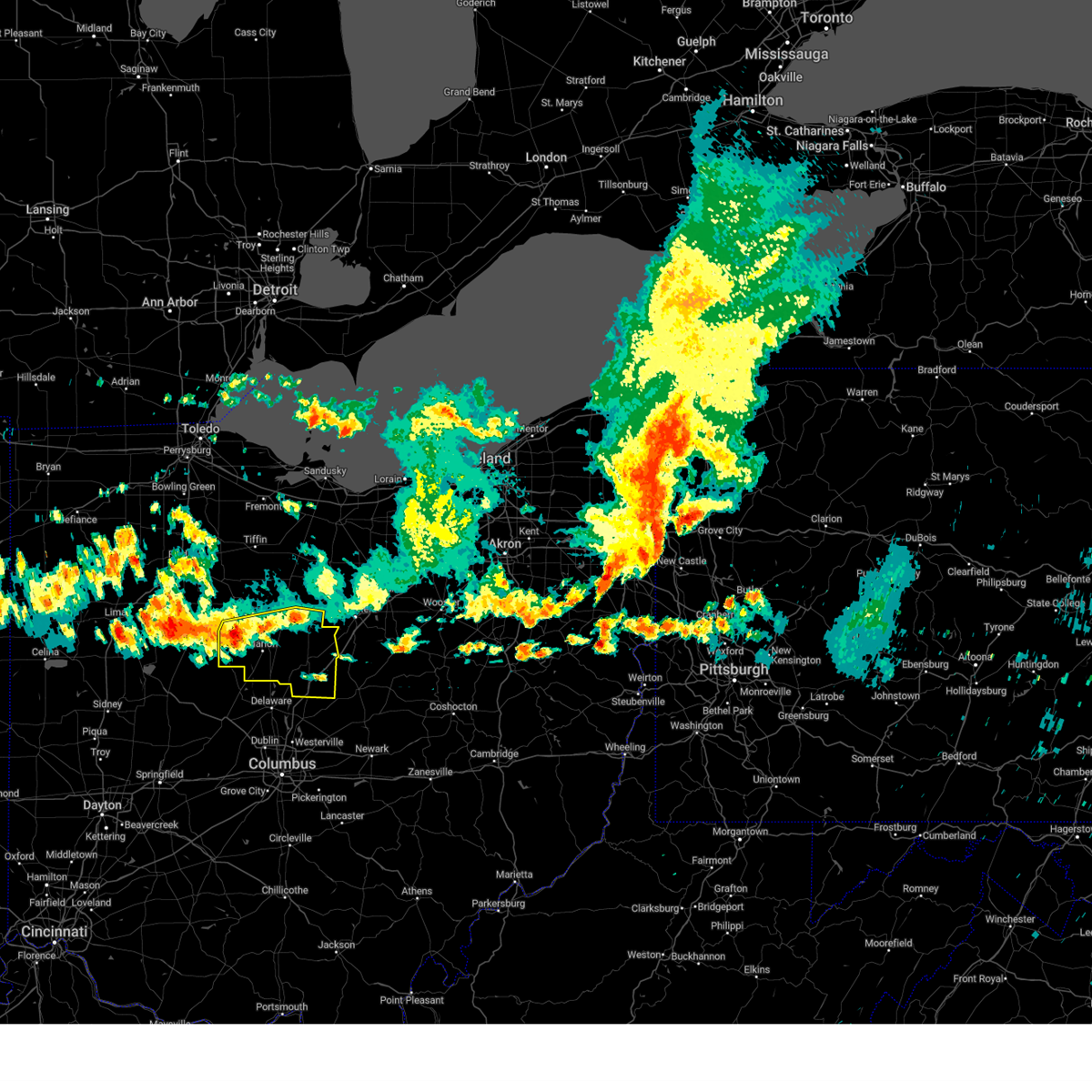
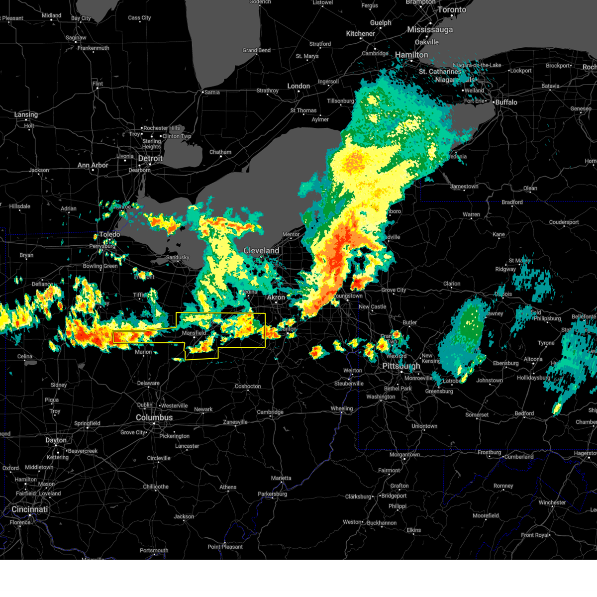
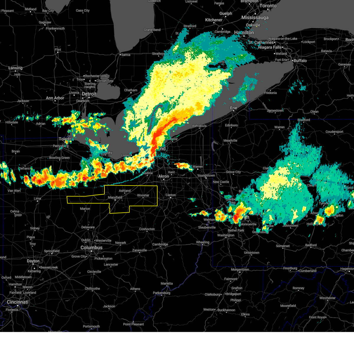
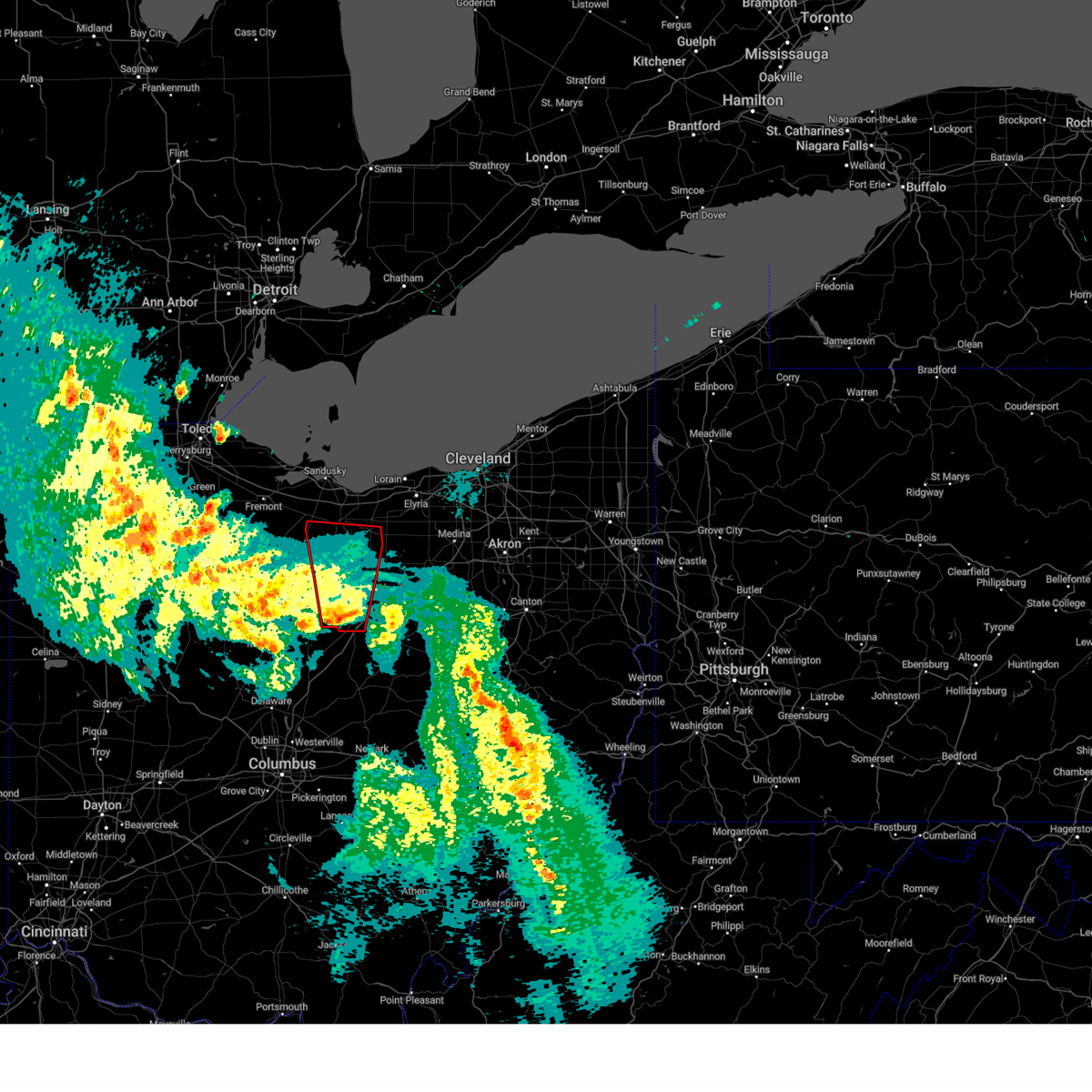
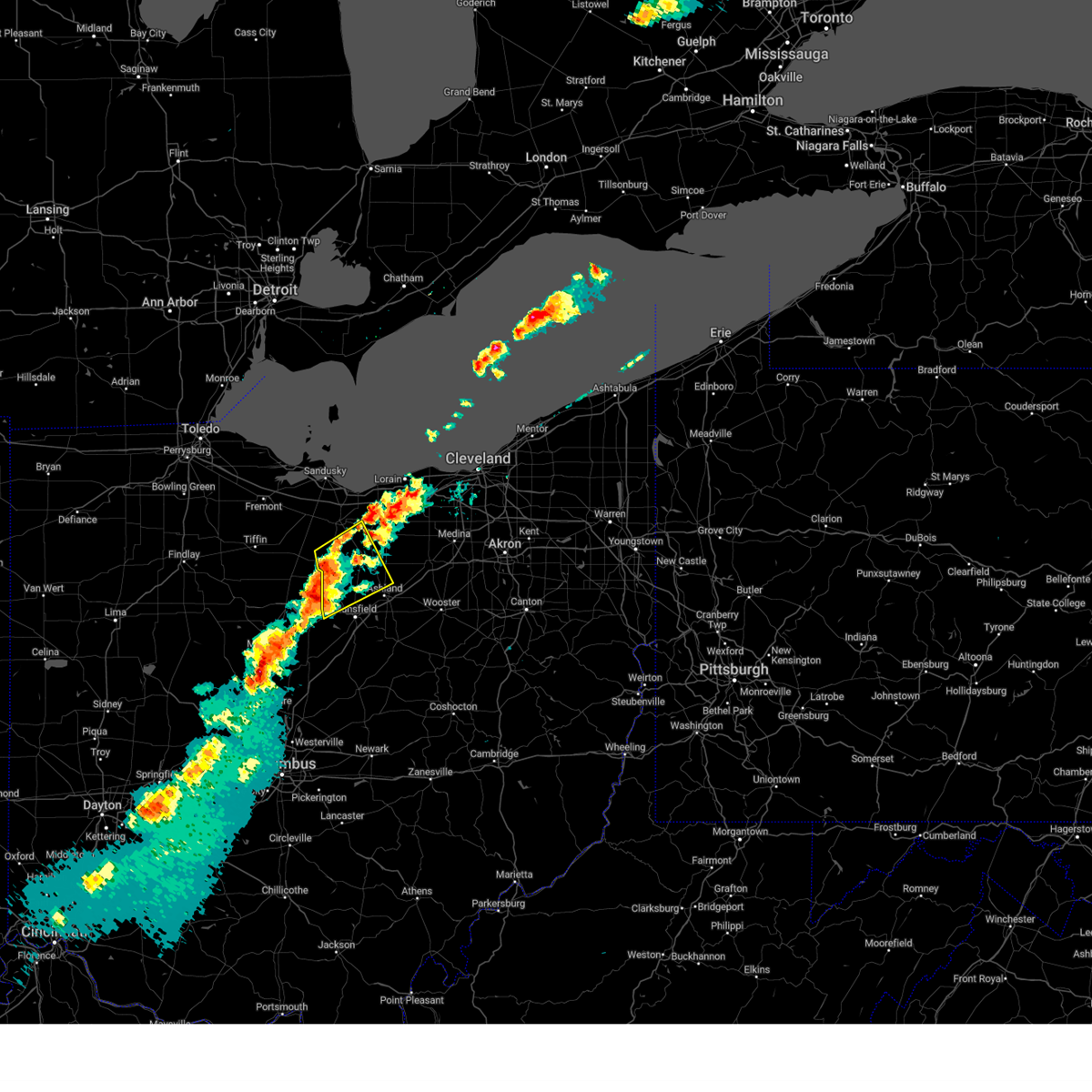
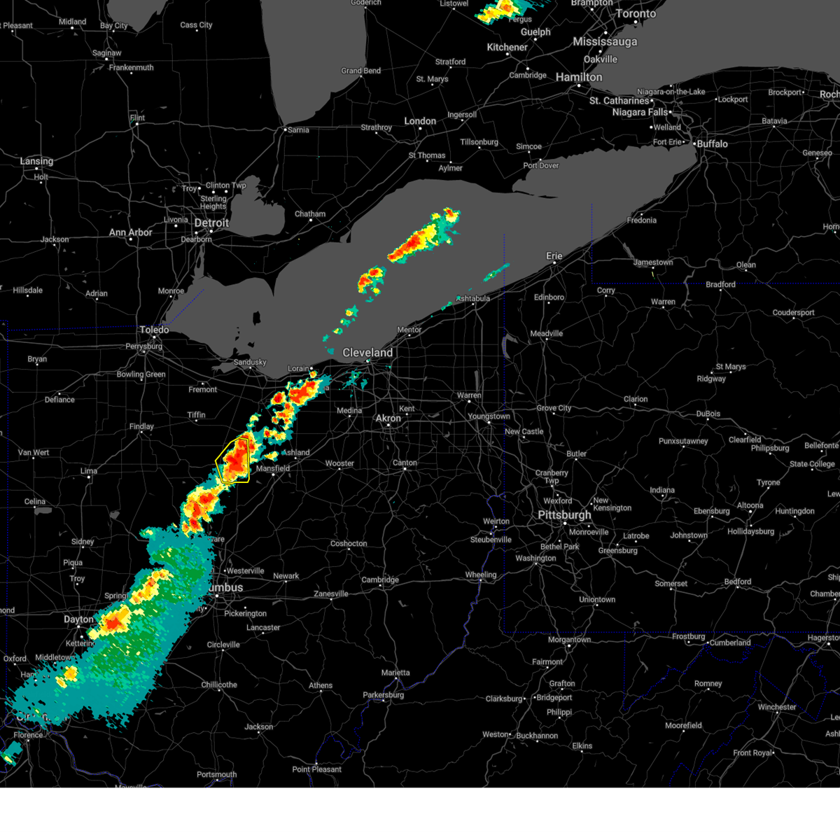
Hail Map for Galion, OH
The Galion, OH area has had 6 reports of on-the-ground hail by trained spotters, and has been under severe weather warnings 43 times during the past 12 months. Doppler radar has detected hail at or near Galion, OH on 55 occasions, including 3 occasions during the past year.
| Name: | Galion, OH |
| Where Located: | 55.2 miles NNE of Columbus, OH |
| Map: | Google Map for Galion, OH |
| Population: | 10512 |
| Housing Units: | 5192 |
| More Info: | Search Google for Galion, OH |
1
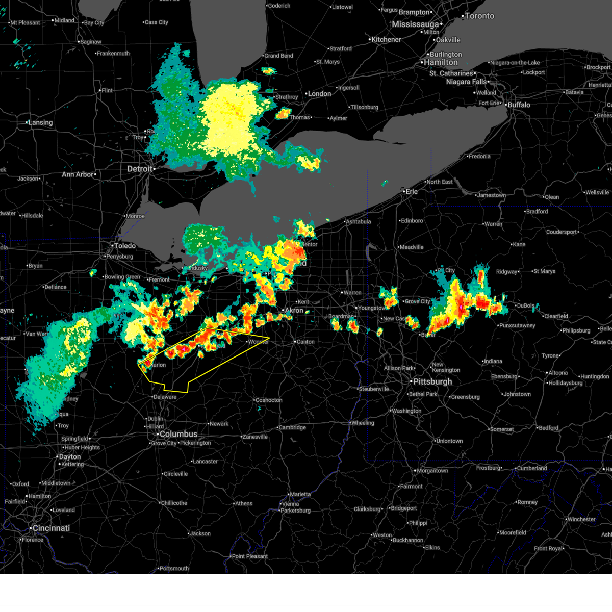
The Top Recent Hail Date for Galion, OH is Thursday, March 26, 2026 (6th out of 55)
Hail and Wind Damage Spotted near Galion, OH
| Date / Time | Report Details |
|---|---|
| 7/3/2026 8:51 PM EDT |
 Svrcle the national weather service in cleveland has issued a * severe thunderstorm warning for, richland county in north central ohio, eastern marion county in north central ohio, central ashland county in north central ohio, morrow county in north central ohio, southeastern crawford county in north central ohio, southern wayne county in northeastern ohio, northwestern holmes county in northeastern ohio, northwestern knox county in north central ohio, * until 930 pm edt. * at 850 pm edt, severe thunderstorms were located along a line extending from near ashland to marion, moving southeast at 30 mph (radar indicated). Hazards include 60 mph wind gusts. expect damage to trees and power lines Svrcle the national weather service in cleveland has issued a * severe thunderstorm warning for, richland county in north central ohio, eastern marion county in north central ohio, central ashland county in north central ohio, morrow county in north central ohio, southeastern crawford county in north central ohio, southern wayne county in northeastern ohio, northwestern holmes county in northeastern ohio, northwestern knox county in north central ohio, * until 930 pm edt. * at 850 pm edt, severe thunderstorms were located along a line extending from near ashland to marion, moving southeast at 30 mph (radar indicated). Hazards include 60 mph wind gusts. expect damage to trees and power lines
|
| 6/14/2026 3:04 PM EDT |
 Svrcle the national weather service in cleveland has issued a * severe thunderstorm warning for, richland county in north central ohio, ashland county in north central ohio, northwestern wayne county in northeastern ohio, * until 345 pm edt. * at 304 pm edt, a severe thunderstorm was located over crestline, or 11 miles east of bucyrus, moving east at 50 mph (radar indicated). Hazards include 60 mph wind gusts. expect damage to trees and power lines Svrcle the national weather service in cleveland has issued a * severe thunderstorm warning for, richland county in north central ohio, ashland county in north central ohio, northwestern wayne county in northeastern ohio, * until 345 pm edt. * at 304 pm edt, a severe thunderstorm was located over crestline, or 11 miles east of bucyrus, moving east at 50 mph (radar indicated). Hazards include 60 mph wind gusts. expect damage to trees and power lines
|
| 6/14/2026 2:48 PM EDT |
 At 248 pm edt, severe thunderstorms were located along a line extending from norwalk to near chatfield to near la rue, moving southeast at 35 mph (public). Hazards include 60 mph wind gusts. Expect damage to trees and power lines. Locations impacted include, norwalk, bucyrus, upper sandusky, galion, willard, crestline, plymouth, milan, new washington, bloomville, morral, chatfield, marseilles, monroeville, attica, benton, nevada, north fairfield, tiro, and north robinson. At 248 pm edt, severe thunderstorms were located along a line extending from norwalk to near chatfield to near la rue, moving southeast at 35 mph (public). Hazards include 60 mph wind gusts. Expect damage to trees and power lines. Locations impacted include, norwalk, bucyrus, upper sandusky, galion, willard, crestline, plymouth, milan, new washington, bloomville, morral, chatfield, marseilles, monroeville, attica, benton, nevada, north fairfield, tiro, and north robinson.
|
| 6/14/2026 2:34 PM EDT |
 At 233 pm edt, severe thunderstorms were located along a line extending from near bellevue to near sycamore to near kenton, moving southeast at 35 mph. trees have been reported down with these storms in ottawa and huron counties (public). Hazards include 60 mph wind gusts and penny size hail. Expect damage to trees and power lines. Locations impacted include, tiffin, norwalk, bucyrus, upper sandusky, galion, bellevue, clyde, willard, crestline, plymouth, forest, green springs, milan, new washington, bloomville, sycamore, morral, new riegel, chatfield, and marseilles. At 233 pm edt, severe thunderstorms were located along a line extending from near bellevue to near sycamore to near kenton, moving southeast at 35 mph. trees have been reported down with these storms in ottawa and huron counties (public). Hazards include 60 mph wind gusts and penny size hail. Expect damage to trees and power lines. Locations impacted include, tiffin, norwalk, bucyrus, upper sandusky, galion, bellevue, clyde, willard, crestline, plymouth, forest, green springs, milan, new washington, bloomville, sycamore, morral, new riegel, chatfield, and marseilles.
|
| 6/14/2026 2:14 PM EDT |
 Svrcle the national weather service in cleveland has issued a * severe thunderstorm warning for, western huron county in north central ohio, seneca county in northwestern ohio, wyandot county in northwestern ohio, southern sandusky county in northwestern ohio, crawford county in north central ohio, * until 315 pm edt. * at 214 pm edt, severe thunderstorms were located along a line extending from near clyde to near new riegel to near alger, moving southeast at 35 mph (radar indicated). Hazards include 60 mph wind gusts and penny size hail. expect damage to trees and power lines Svrcle the national weather service in cleveland has issued a * severe thunderstorm warning for, western huron county in north central ohio, seneca county in northwestern ohio, wyandot county in northwestern ohio, southern sandusky county in northwestern ohio, crawford county in north central ohio, * until 315 pm edt. * at 214 pm edt, severe thunderstorms were located along a line extending from near clyde to near new riegel to near alger, moving southeast at 35 mph (radar indicated). Hazards include 60 mph wind gusts and penny size hail. expect damage to trees and power lines
|
| 4/14/2026 7:55 PM EDT |
 At 755 pm edt, a severe thunderstorm was located near upper sandusky, moving east at 30 mph (radar indicated). Hazards include 60 mph wind gusts and quarter size hail. Minor damage to vehicles is possible. expect damage to trees and power lines. Locations impacted include, bucyrus, upper sandusky, crestline, new washington, bloomville, sycamore, chatfield, carey, attica, benton, nevada, tiro, north robinson, oceola, and sulpher springs. At 755 pm edt, a severe thunderstorm was located near upper sandusky, moving east at 30 mph (radar indicated). Hazards include 60 mph wind gusts and quarter size hail. Minor damage to vehicles is possible. expect damage to trees and power lines. Locations impacted include, bucyrus, upper sandusky, crestline, new washington, bloomville, sycamore, chatfield, carey, attica, benton, nevada, tiro, north robinson, oceola, and sulpher springs.
|
| 4/14/2026 7:40 PM EDT |
 Svrcle the national weather service in cleveland has issued a * severe thunderstorm warning for, southern seneca county in northwestern ohio, wyandot county in northwestern ohio, crawford county in north central ohio, east central hancock county in northwestern ohio, * until 845 pm edt. * at 740 pm edt, a severe thunderstorm was located 7 miles southeast of vanlue, or 8 miles northwest of upper sandusky, moving east at 30 mph (radar indicated). Hazards include 60 mph wind gusts and quarter size hail. Minor damage to vehicles is possible. Expect damage to trees and power lines. Svrcle the national weather service in cleveland has issued a * severe thunderstorm warning for, southern seneca county in northwestern ohio, wyandot county in northwestern ohio, crawford county in north central ohio, east central hancock county in northwestern ohio, * until 845 pm edt. * at 740 pm edt, a severe thunderstorm was located 7 miles southeast of vanlue, or 8 miles northwest of upper sandusky, moving east at 30 mph (radar indicated). Hazards include 60 mph wind gusts and quarter size hail. Minor damage to vehicles is possible. Expect damage to trees and power lines.
|
| 4/4/2026 6:06 PM EDT |
 The storm which prompted the warning has weakened below severe limits, and no longer poses an immediate threat to life or property. therefore, the warning will be allowed to expire. a severe thunderstorm watch remains in effect until 900 pm edt for north central ohio. to report severe weather, contact your nearest law enforcement agency. they will relay your report to the national weather service cleveland. The storm which prompted the warning has weakened below severe limits, and no longer poses an immediate threat to life or property. therefore, the warning will be allowed to expire. a severe thunderstorm watch remains in effect until 900 pm edt for north central ohio. to report severe weather, contact your nearest law enforcement agency. they will relay your report to the national weather service cleveland.
|
| 4/4/2026 6:01 PM EDT |
 the severe thunderstorm warning has been cancelled and is no longer in effect the severe thunderstorm warning has been cancelled and is no longer in effect
|
| 4/4/2026 6:01 PM EDT |
 At 601 pm edt, a severe thunderstorm was located near mansfield, moving northeast at 45 mph (radar indicated). Hazards include 60 mph wind gusts. Expect damage to trees and power lines. Locations impacted include, mansfield, shelby, ontario, lexington, crestline, shenandoah, and olivesburg. At 601 pm edt, a severe thunderstorm was located near mansfield, moving northeast at 45 mph (radar indicated). Hazards include 60 mph wind gusts. Expect damage to trees and power lines. Locations impacted include, mansfield, shelby, ontario, lexington, crestline, shenandoah, and olivesburg.
|
| 4/4/2026 5:52 PM EDT |
 the severe thunderstorm warning has been cancelled and is no longer in effect the severe thunderstorm warning has been cancelled and is no longer in effect
|
| 4/4/2026 5:52 PM EDT |
 At 551 pm edt, a severe thunderstorm was located over ontario, or near mansfield, moving northeast at 45 mph (radar indicated). Hazards include 60 mph wind gusts. Expect damage to trees and power lines. Locations impacted include, mansfield, galion, shelby, ontario, lexington, crestline, shenandoah, and olivesburg. At 551 pm edt, a severe thunderstorm was located over ontario, or near mansfield, moving northeast at 45 mph (radar indicated). Hazards include 60 mph wind gusts. Expect damage to trees and power lines. Locations impacted include, mansfield, galion, shelby, ontario, lexington, crestline, shenandoah, and olivesburg.
|
| 4/4/2026 5:37 PM EDT |
 Svrcle the national weather service in cleveland has issued a * severe thunderstorm warning for, richland county in north central ohio, northeastern marion county in north central ohio, northeastern morrow county in north central ohio, southeastern crawford county in north central ohio, * until 615 pm edt. * at 537 pm edt, a severe thunderstorm was located near galion, or 7 miles north of mount gilead, moving northeast at 45 mph (radar indicated). Hazards include 60 mph wind gusts. expect damage to trees and power lines Svrcle the national weather service in cleveland has issued a * severe thunderstorm warning for, richland county in north central ohio, northeastern marion county in north central ohio, northeastern morrow county in north central ohio, southeastern crawford county in north central ohio, * until 615 pm edt. * at 537 pm edt, a severe thunderstorm was located near galion, or 7 miles north of mount gilead, moving northeast at 45 mph (radar indicated). Hazards include 60 mph wind gusts. expect damage to trees and power lines
|
| 4/3/2026 11:08 PM EDT |
 the severe thunderstorm warning has been cancelled and is no longer in effect the severe thunderstorm warning has been cancelled and is no longer in effect
|
| 4/3/2026 11:05 PM EDT |
 At 1105 pm edt, a severe thunderstorm was located near marion, moving east at 20 mph (radar indicated). Hazards include 60 mph wind gusts and quarter size hail. Minor damage to vehicles is possible. expect damage to trees and power lines. Locations impacted include, mount gilead, galion, cardington, caledonia, edison, and iberia. At 1105 pm edt, a severe thunderstorm was located near marion, moving east at 20 mph (radar indicated). Hazards include 60 mph wind gusts and quarter size hail. Minor damage to vehicles is possible. expect damage to trees and power lines. Locations impacted include, mount gilead, galion, cardington, caledonia, edison, and iberia.
|
| 4/3/2026 10:55 PM EDT |
 Svrcle the national weather service in cleveland has issued a * severe thunderstorm warning for, eastern marion county in north central ohio, northwestern morrow county in north central ohio, south central crawford county in north central ohio, * until 1145 pm edt. * at 1055 pm edt, a severe thunderstorm was located over marion, moving east at 20 mph (radar indicated). Hazards include 60 mph wind gusts and quarter size hail. Minor damage to vehicles is possible. Expect damage to trees and power lines. Svrcle the national weather service in cleveland has issued a * severe thunderstorm warning for, eastern marion county in north central ohio, northwestern morrow county in north central ohio, south central crawford county in north central ohio, * until 1145 pm edt. * at 1055 pm edt, a severe thunderstorm was located over marion, moving east at 20 mph (radar indicated). Hazards include 60 mph wind gusts and quarter size hail. Minor damage to vehicles is possible. Expect damage to trees and power lines.
|
| 3/31/2026 9:03 PM EDT |
 At 902 pm edt, a severe thunderstorm was located near crestline, or 11 miles northwest of mansfield, moving east at 60 mph (radar indicated). Hazards include 60 mph wind gusts. Expect damage to trees and power lines. Locations impacted include, mansfield, ashland, bucyrus, galion, shelby, ontario, lexington, crestline, bellville, plymouth, savannah, butler, lucas, bailey lakes, tiro, north robinson, mifflin, sulpher springs, nankin, and shauck. At 902 pm edt, a severe thunderstorm was located near crestline, or 11 miles northwest of mansfield, moving east at 60 mph (radar indicated). Hazards include 60 mph wind gusts. Expect damage to trees and power lines. Locations impacted include, mansfield, ashland, bucyrus, galion, shelby, ontario, lexington, crestline, bellville, plymouth, savannah, butler, lucas, bailey lakes, tiro, north robinson, mifflin, sulpher springs, nankin, and shauck.
|
| 3/31/2026 9:03 PM EDT |
 the severe thunderstorm warning has been cancelled and is no longer in effect the severe thunderstorm warning has been cancelled and is no longer in effect
|
| 3/31/2026 8:43 PM EDT |
 Svrcle the national weather service in cleveland has issued a * severe thunderstorm warning for, southwestern huron county in north central ohio, richland county in north central ohio, southeastern seneca county in northwestern ohio, northeastern marion county in north central ohio, northwestern ashland county in north central ohio, eastern wyandot county in northwestern ohio, northeastern morrow county in north central ohio, crawford county in north central ohio, * until 930 pm edt. * at 843 pm edt, a severe thunderstorm was located 7 miles southeast of sycamore, or 7 miles northwest of bucyrus, moving east at 60 mph (radar indicated). Hazards include 60 mph wind gusts. expect damage to trees and power lines Svrcle the national weather service in cleveland has issued a * severe thunderstorm warning for, southwestern huron county in north central ohio, richland county in north central ohio, southeastern seneca county in northwestern ohio, northeastern marion county in north central ohio, northwestern ashland county in north central ohio, eastern wyandot county in northwestern ohio, northeastern morrow county in north central ohio, crawford county in north central ohio, * until 930 pm edt. * at 843 pm edt, a severe thunderstorm was located 7 miles southeast of sycamore, or 7 miles northwest of bucyrus, moving east at 60 mph (radar indicated). Hazards include 60 mph wind gusts. expect damage to trees and power lines
|
| 3/26/2026 8:47 PM EDT |
 The storm which prompted the warning has moved out of the area. therefore, the warning has been allowed to expire. a new tornado warning still remains in effect for morrow county until 930 pm edt. a tornado watch remains in effect until 1100 pm edt for north central ohio. The storm which prompted the warning has moved out of the area. therefore, the warning has been allowed to expire. a new tornado warning still remains in effect for morrow county until 930 pm edt. a tornado watch remains in effect until 1100 pm edt for north central ohio.
|
| 3/26/2026 8:42 PM EDT | Tree downe in crawford county OH, 1.3 miles NE of Galion, OH |
| 3/26/2026 8:38 PM EDT |
 Torcle the national weather service in cleveland has issued a * tornado warning for, southern richland county in north central ohio, morrow county in north central ohio, knox county in north central ohio, * until 930 pm edt. * at 838 pm edt, a severe thunderstorm capable of producing a tornado was located over cardington, or near mount gilead, moving southeast at 65 mph (radar indicated rotation). Hazards include tornado and golf ball size hail. Flying debris will be dangerous to those caught without shelter. mobile homes will be damaged or destroyed. damage to roofs, windows, and vehicles will occur. tree damage is likely. this dangerous storm will be near, chesterville and sparta around 845 pm edt. mount vernon and fredericktown around 850 pm edt. gambier around 855 pm edt. utica around 900 pm edt. Other locations impacted by this tornadic thunderstorm include fulton, north liberty, waterford, marengo, martinsburg, bladensburg, shauck, iberia, edison, and gann. Torcle the national weather service in cleveland has issued a * tornado warning for, southern richland county in north central ohio, morrow county in north central ohio, knox county in north central ohio, * until 930 pm edt. * at 838 pm edt, a severe thunderstorm capable of producing a tornado was located over cardington, or near mount gilead, moving southeast at 65 mph (radar indicated rotation). Hazards include tornado and golf ball size hail. Flying debris will be dangerous to those caught without shelter. mobile homes will be damaged or destroyed. damage to roofs, windows, and vehicles will occur. tree damage is likely. this dangerous storm will be near, chesterville and sparta around 845 pm edt. mount vernon and fredericktown around 850 pm edt. gambier around 855 pm edt. utica around 900 pm edt. Other locations impacted by this tornadic thunderstorm include fulton, north liberty, waterford, marengo, martinsburg, bladensburg, shauck, iberia, edison, and gann.
|
| 3/26/2026 8:31 PM EDT |
 At 830 pm edt, a severe thunderstorm capable of producing a tornado was located 7 miles northeast of marion, moving east at 65 mph (radar indicated rotation). Hazards include tornado and quarter size hail. Flying debris will be dangerous to those caught without shelter. mobile homes will be damaged or destroyed. damage to roofs, windows, and vehicles will occur. tree damage is likely. this dangerous storm will be near, mount gilead and galion around 835 pm edt. Other locations impacted by this tornadic thunderstorm include iberia, edison, north robinson, and caledonia. At 830 pm edt, a severe thunderstorm capable of producing a tornado was located 7 miles northeast of marion, moving east at 65 mph (radar indicated rotation). Hazards include tornado and quarter size hail. Flying debris will be dangerous to those caught without shelter. mobile homes will be damaged or destroyed. damage to roofs, windows, and vehicles will occur. tree damage is likely. this dangerous storm will be near, mount gilead and galion around 835 pm edt. Other locations impacted by this tornadic thunderstorm include iberia, edison, north robinson, and caledonia.
|
| 3/26/2026 8:31 PM EDT |
 the tornado warning has been cancelled and is no longer in effect the tornado warning has been cancelled and is no longer in effect
|
| 3/26/2026 8:30 PM EDT |
 At 830 pm edt, severe thunderstorms were located along a line extending from near shelby to 8 miles east of marion, moving southeast at 70 mph (radar indicated). Hazards include 60 mph wind gusts and quarter size hail. Minor damage to vehicles is possible. expect damage to trees and power lines. Locations impacted include, mansfield, marion, bucyrus, mount gilead, galion, shelby, ontario, lexington, crestline, cardington, bellville, ashley, new washington, morral, waldo, chesterville, chatfield, sparta, butler, and nevada. At 830 pm edt, severe thunderstorms were located along a line extending from near shelby to 8 miles east of marion, moving southeast at 70 mph (radar indicated). Hazards include 60 mph wind gusts and quarter size hail. Minor damage to vehicles is possible. expect damage to trees and power lines. Locations impacted include, mansfield, marion, bucyrus, mount gilead, galion, shelby, ontario, lexington, crestline, cardington, bellville, ashley, new washington, morral, waldo, chesterville, chatfield, sparta, butler, and nevada.
|
| 3/26/2026 8:30 PM EDT |
 the severe thunderstorm warning has been cancelled and is no longer in effect the severe thunderstorm warning has been cancelled and is no longer in effect
|
| 3/26/2026 8:11 PM EDT |
 Torcle the national weather service in cleveland has issued a * tornado warning for, northern marion county in north central ohio, southern wyandot county in northwestern ohio, northwestern morrow county in north central ohio, southern crawford county in north central ohio, * until 845 pm edt. * at 811 pm edt, a severe thunderstorm capable of producing a tornado was located near upper sandusky, moving east at 80 mph (radar indicated rotation). Hazards include tornado and quarter size hail. Flying debris will be dangerous to those caught without shelter. mobile homes will be damaged or destroyed. damage to roofs, windows, and vehicles will occur. tree damage is likely. this dangerous storm will be near, upper sandusky and morral around 815 pm edt. marion and bucyrus around 820 pm edt. galion around 825 pm edt. crestline around 830 pm edt. Other locations impacted by this tornadic thunderstorm include iberia, kirby, edison, harpster, north robinson, caledonia, and nevada. Torcle the national weather service in cleveland has issued a * tornado warning for, northern marion county in north central ohio, southern wyandot county in northwestern ohio, northwestern morrow county in north central ohio, southern crawford county in north central ohio, * until 845 pm edt. * at 811 pm edt, a severe thunderstorm capable of producing a tornado was located near upper sandusky, moving east at 80 mph (radar indicated rotation). Hazards include tornado and quarter size hail. Flying debris will be dangerous to those caught without shelter. mobile homes will be damaged or destroyed. damage to roofs, windows, and vehicles will occur. tree damage is likely. this dangerous storm will be near, upper sandusky and morral around 815 pm edt. marion and bucyrus around 820 pm edt. galion around 825 pm edt. crestline around 830 pm edt. Other locations impacted by this tornadic thunderstorm include iberia, kirby, edison, harpster, north robinson, caledonia, and nevada.
|
| 3/26/2026 8:06 PM EDT |
 Svrcle the national weather service in cleveland has issued a * severe thunderstorm warning for, southern huron county in north central ohio, richland county in north central ohio, seneca county in northwestern ohio, marion county in north central ohio, wyandot county in northwestern ohio, morrow county in north central ohio, south central sandusky county in northwestern ohio, crawford county in north central ohio, southeastern hancock county in northwestern ohio, * until 900 pm edt. * at 805 pm edt, severe thunderstorms were located along a line extending from near tiffin to near forest, moving southeast at 70 mph (radar indicated). Hazards include 60 mph wind gusts and quarter size hail. Minor damage to vehicles is possible. Expect damage to trees and power lines. Svrcle the national weather service in cleveland has issued a * severe thunderstorm warning for, southern huron county in north central ohio, richland county in north central ohio, seneca county in northwestern ohio, marion county in north central ohio, wyandot county in northwestern ohio, morrow county in north central ohio, south central sandusky county in northwestern ohio, crawford county in north central ohio, southeastern hancock county in northwestern ohio, * until 900 pm edt. * at 805 pm edt, severe thunderstorms were located along a line extending from near tiffin to near forest, moving southeast at 70 mph (radar indicated). Hazards include 60 mph wind gusts and quarter size hail. Minor damage to vehicles is possible. Expect damage to trees and power lines.
|
| 3/22/2026 9:26 PM EDT |
 The storm which prompted the warning has moved out of the area. therefore, the warning will be allowed to expire. a new severe thunderstorm warning has been issued for southeastern morrow county and knox county until 1015 pm edt. a severe thunderstorm watch remains in effect until midnight edt for north central ohio. The storm which prompted the warning has moved out of the area. therefore, the warning will be allowed to expire. a new severe thunderstorm warning has been issued for southeastern morrow county and knox county until 1015 pm edt. a severe thunderstorm watch remains in effect until midnight edt for north central ohio.
|
| 3/22/2026 9:07 PM EDT |
 The storm which prompted the warning is moving out of the area. therefore, the warning will be allowed to expire. a severe thunderstorm watch remains in effect until midnight edt for north central and northeastern ohio. The storm which prompted the warning is moving out of the area. therefore, the warning will be allowed to expire. a severe thunderstorm watch remains in effect until midnight edt for north central and northeastern ohio.
|
| 3/22/2026 9:06 PM EDT |
 At 905 pm edt, a severe thunderstorm was located near waldo, or near marion, moving east at 60 mph (radar indicated). Hazards include quarter size hail. Minor damage to vehicles is possible. Locations impacted include, mansfield, marion, mount gilead, lexington, fredericktown, cardington, bellville, chesterville, waterford, butler, lucas, caledonia, edison, green camp, north liberty, shauck, and iberia. At 905 pm edt, a severe thunderstorm was located near waldo, or near marion, moving east at 60 mph (radar indicated). Hazards include quarter size hail. Minor damage to vehicles is possible. Locations impacted include, mansfield, marion, mount gilead, lexington, fredericktown, cardington, bellville, chesterville, waterford, butler, lucas, caledonia, edison, green camp, north liberty, shauck, and iberia.
|
| 3/22/2026 8:52 PM EDT |
 Svrcle the national weather service in cleveland has issued a * severe thunderstorm warning for, southern richland county in north central ohio, marion county in north central ohio, morrow county in north central ohio, northwestern knox county in north central ohio, * until 930 pm edt. * at 852 pm edt, a severe thunderstorm was located over la rue, or 12 miles southeast of kenton, moving east at 60 mph (radar indicated). Hazards include quarter size hail. minor damage to vehicles is possible Svrcle the national weather service in cleveland has issued a * severe thunderstorm warning for, southern richland county in north central ohio, marion county in north central ohio, morrow county in north central ohio, northwestern knox county in north central ohio, * until 930 pm edt. * at 852 pm edt, a severe thunderstorm was located over la rue, or 12 miles southeast of kenton, moving east at 60 mph (radar indicated). Hazards include quarter size hail. minor damage to vehicles is possible
|
| 3/22/2026 8:44 PM EDT |
 The storm which prompted the warning has moved out of the area. therefore, the warning will be allowed to expire. a severe thunderstorm watch remains in effect until midnight edt for north central and northwestern ohio. The storm which prompted the warning has moved out of the area. therefore, the warning will be allowed to expire. a severe thunderstorm watch remains in effect until midnight edt for north central and northwestern ohio.
|
| 3/22/2026 8:35 PM EDT | Quarter sized hail reported 1.6 miles SE of Galion, OH |
| 3/22/2026 8:34 PM EDT |
 Svrcle the national weather service in cleveland has issued a * severe thunderstorm warning for, central richland county in north central ohio, central ashland county in north central ohio, southwestern wayne county in northeastern ohio, * until 915 pm edt. * at 834 pm edt, a severe thunderstorm was located near crestline, or 9 miles east of bucyrus, moving east at 65 mph (radar indicated). Hazards include half dollar size hail. People and animals outdoors will be injured. Expect damage to roofs, siding, windows, and vehicles. Svrcle the national weather service in cleveland has issued a * severe thunderstorm warning for, central richland county in north central ohio, central ashland county in north central ohio, southwestern wayne county in northeastern ohio, * until 915 pm edt. * at 834 pm edt, a severe thunderstorm was located near crestline, or 9 miles east of bucyrus, moving east at 65 mph (radar indicated). Hazards include half dollar size hail. People and animals outdoors will be injured. Expect damage to roofs, siding, windows, and vehicles.
|
| 3/22/2026 8:27 PM EDT |
 At 827 pm edt, a severe thunderstorm was located over bucyrus, moving east at 65 mph (radar indicated). Hazards include quarter size hail. Minor damage to vehicles is possible. Locations impacted include, bucyrus, upper sandusky, galion, crestline, new washington, chatfield, benton, nevada, tiro, north robinson, harpster, oceola, and sulpher springs. At 827 pm edt, a severe thunderstorm was located over bucyrus, moving east at 65 mph (radar indicated). Hazards include quarter size hail. Minor damage to vehicles is possible. Locations impacted include, bucyrus, upper sandusky, galion, crestline, new washington, chatfield, benton, nevada, tiro, north robinson, harpster, oceola, and sulpher springs.
|
| 3/22/2026 8:11 PM EDT |
 the severe thunderstorm warning has been cancelled and is no longer in effect the severe thunderstorm warning has been cancelled and is no longer in effect
|
| 3/22/2026 8:11 PM EDT |
 At 811 pm edt, a severe thunderstorm was located over upper sandusky, moving east at 65 mph (radar indicated). Hazards include half dollar size hail. People and animals outdoors will be injured. expect damage to roofs, siding, windows, and vehicles. Locations impacted include, bucyrus, upper sandusky, galion, crestline, forest, new washington, sycamore, chatfield, benton, nevada, tiro, north robinson, harpster, kirby, oceola, and sulpher springs. At 811 pm edt, a severe thunderstorm was located over upper sandusky, moving east at 65 mph (radar indicated). Hazards include half dollar size hail. People and animals outdoors will be injured. expect damage to roofs, siding, windows, and vehicles. Locations impacted include, bucyrus, upper sandusky, galion, crestline, forest, new washington, sycamore, chatfield, benton, nevada, tiro, north robinson, harpster, kirby, oceola, and sulpher springs.
|
| 3/22/2026 8:04 PM EDT |
 Svrcle the national weather service in cleveland has issued a * severe thunderstorm warning for, wyandot county in northwestern ohio, crawford county in north central ohio, southeastern hancock county in northwestern ohio, * until 845 pm edt. * at 804 pm edt, a severe thunderstorm was located over forest, or 11 miles west of upper sandusky, moving east at 65 mph (trained weather spotters. quarter sized hail was reported near williamstown in southern hancock county). Hazards include quarter size hail. minor damage to vehicles is possible Svrcle the national weather service in cleveland has issued a * severe thunderstorm warning for, wyandot county in northwestern ohio, crawford county in north central ohio, southeastern hancock county in northwestern ohio, * until 845 pm edt. * at 804 pm edt, a severe thunderstorm was located over forest, or 11 miles west of upper sandusky, moving east at 65 mph (trained weather spotters. quarter sized hail was reported near williamstown in southern hancock county). Hazards include quarter size hail. minor damage to vehicles is possible
|
| 3/16/2026 3:16 AM EDT |
 the severe thunderstorm warning has been cancelled and is no longer in effect the severe thunderstorm warning has been cancelled and is no longer in effect
|
| 3/16/2026 3:16 AM EDT |
 At 316 am edt, severe thunderstorms were located along a line extending from near sandusky to 7 miles northeast of plymouth to near galion, moving northeast at 55 mph (radar indicated). Hazards include 60 mph wind gusts. Expect damage to trees and power lines. Locations impacted include, mansfield, sandusky, norwalk, western vermilion, vermilion, mount gilead, galion, shelby, willard, ontario, lexington, crestline, new london, bellville, plymouth, northern milan, milan, wakeman, greenwich, and monroeville. At 316 am edt, severe thunderstorms were located along a line extending from near sandusky to 7 miles northeast of plymouth to near galion, moving northeast at 55 mph (radar indicated). Hazards include 60 mph wind gusts. Expect damage to trees and power lines. Locations impacted include, mansfield, sandusky, norwalk, western vermilion, vermilion, mount gilead, galion, shelby, willard, ontario, lexington, crestline, new london, bellville, plymouth, northern milan, milan, wakeman, greenwich, and monroeville.
|
| 3/16/2026 2:56 AM EDT |
 Svrcle the national weather service in cleveland has issued a * severe thunderstorm warning for, huron county in north central ohio, richland county in north central ohio, eastern seneca county in northwestern ohio, erie county in north central ohio, eastern marion county in north central ohio, northern morrow county in north central ohio, crawford county in north central ohio, * until 400 am edt. * at 255 am edt, severe thunderstorms were located along a line extending from bellevue to 6 miles south of new washington to near cardington, moving northeast at 50 mph (radar indicated). Hazards include 60 mph wind gusts. expect damage to trees and power lines Svrcle the national weather service in cleveland has issued a * severe thunderstorm warning for, huron county in north central ohio, richland county in north central ohio, eastern seneca county in northwestern ohio, erie county in north central ohio, eastern marion county in north central ohio, northern morrow county in north central ohio, crawford county in north central ohio, * until 400 am edt. * at 255 am edt, severe thunderstorms were located along a line extending from bellevue to 6 miles south of new washington to near cardington, moving northeast at 50 mph (radar indicated). Hazards include 60 mph wind gusts. expect damage to trees and power lines
|
| 3/11/2026 11:04 AM EDT |
 Svrcle the national weather service in cleveland has issued a * severe thunderstorm warning for, huron county in north central ohio, northern richland county in north central ohio, ottawa county in northwestern ohio, erie county in north central ohio, eastern crawford county in north central ohio, * until noon edt. * at 1104 am edt, severe thunderstorms were located along a line extending from near castalia to 6 miles southeast of green springs to near upper sandusky, moving east at 45 mph (radar indicated). Hazards include 60 mph wind gusts. expect damage to trees and power lines Svrcle the national weather service in cleveland has issued a * severe thunderstorm warning for, huron county in north central ohio, northern richland county in north central ohio, ottawa county in northwestern ohio, erie county in north central ohio, eastern crawford county in north central ohio, * until noon edt. * at 1104 am edt, severe thunderstorms were located along a line extending from near castalia to 6 miles southeast of green springs to near upper sandusky, moving east at 45 mph (radar indicated). Hazards include 60 mph wind gusts. expect damage to trees and power lines
|
| 8/13/2025 1:36 AM EDT |
 Svrcle the national weather service in cleveland has issued a * severe thunderstorm warning for, southwestern huron county in north central ohio, richland county in north central ohio, southeastern seneca county in northwestern ohio, northwestern ashland county in north central ohio, northeastern morrow county in north central ohio, crawford county in north central ohio, * until 215 am edt. * at 136 am edt, severe thunderstorms were located along a line extending from near new washington to near crestline, moving northeast at 25 mph (radar indicated). Hazards include 60 mph wind gusts and penny size hail. expect damage to trees and power lines Svrcle the national weather service in cleveland has issued a * severe thunderstorm warning for, southwestern huron county in north central ohio, richland county in north central ohio, southeastern seneca county in northwestern ohio, northwestern ashland county in north central ohio, northeastern morrow county in north central ohio, crawford county in north central ohio, * until 215 am edt. * at 136 am edt, severe thunderstorms were located along a line extending from near new washington to near crestline, moving northeast at 25 mph (radar indicated). Hazards include 60 mph wind gusts and penny size hail. expect damage to trees and power lines
|
| 7/12/2025 4:52 PM EDT |
 Svrcle the national weather service in cleveland has issued a * severe thunderstorm warning for, southwestern richland county in north central ohio, eastern marion county in north central ohio, morrow county in north central ohio, southeastern crawford county in north central ohio, northwestern knox county in north central ohio, * until 530 pm edt. * at 452 pm edt, a severe thunderstorm was located over cardington, or near mount gilead, moving northeast at 15 mph (radar indicated). Hazards include 60 mph wind gusts and penny size hail. expect damage to trees and power lines Svrcle the national weather service in cleveland has issued a * severe thunderstorm warning for, southwestern richland county in north central ohio, eastern marion county in north central ohio, morrow county in north central ohio, southeastern crawford county in north central ohio, northwestern knox county in north central ohio, * until 530 pm edt. * at 452 pm edt, a severe thunderstorm was located over cardington, or near mount gilead, moving northeast at 15 mph (radar indicated). Hazards include 60 mph wind gusts and penny size hail. expect damage to trees and power lines
|
| 6/18/2025 8:55 PM EDT |
 The storms which prompted the warning have moved out of the area. therefore, the warning will be allowed to expire. however, gusty winds and heavy rain are still possible with these thunderstorms. a severe thunderstorm watch remains in effect until 1000 pm edt for north central ohio. The storms which prompted the warning have moved out of the area. therefore, the warning will be allowed to expire. however, gusty winds and heavy rain are still possible with these thunderstorms. a severe thunderstorm watch remains in effect until 1000 pm edt for north central ohio.
|
| 6/18/2025 8:27 PM EDT |
 At 827 pm edt, severe thunderstorms were located along a line extending from 6 miles northeast of shelby to 7 miles east of mansfield to near fredericktown, moving east at 55 mph (radar indicated). Hazards include 60 mph wind gusts. Expect damage to trees and power lines. Locations impacted include, mansfield, ashland, mount vernon, shelby, ontario, lexington, fredericktown, gambier, utica, bellville, plymouth, centerburg, savannah, chesterville, sparta, waterford, butler, lucas, bailey lakes, and marengo. At 827 pm edt, severe thunderstorms were located along a line extending from 6 miles northeast of shelby to 7 miles east of mansfield to near fredericktown, moving east at 55 mph (radar indicated). Hazards include 60 mph wind gusts. Expect damage to trees and power lines. Locations impacted include, mansfield, ashland, mount vernon, shelby, ontario, lexington, fredericktown, gambier, utica, bellville, plymouth, centerburg, savannah, chesterville, sparta, waterford, butler, lucas, bailey lakes, and marengo.
|
| 6/18/2025 8:27 PM EDT |
 the severe thunderstorm warning has been cancelled and is no longer in effect the severe thunderstorm warning has been cancelled and is no longer in effect
|
| 6/18/2025 8:06 PM EDT | Large tree limbs snappe in crawford county OH, 2.4 miles NNE of Galion, OH |
| 6/18/2025 8:06 PM EDT | Large tree limbed was downed... damaging a fence just east of sr 6 in morrow county OH, 4.4 miles NE of Galion, OH |
| 6/18/2025 7:43 PM EDT |
 Svrcle the national weather service in cleveland has issued a * severe thunderstorm warning for, richland county in north central ohio, northwestern ashland county in north central ohio, morrow county in north central ohio, eastern crawford county in north central ohio, knox county in north central ohio, * until 900 pm edt. * at 743 pm edt, severe thunderstorms were located along a line extending from near upper sandusky to near marion to near marysville, moving east at 55 mph (radar indicated). Hazards include 70 mph wind gusts. Expect considerable tree damage. Damage is likely to mobile homes, roofs, and outbuildings. Svrcle the national weather service in cleveland has issued a * severe thunderstorm warning for, richland county in north central ohio, northwestern ashland county in north central ohio, morrow county in north central ohio, eastern crawford county in north central ohio, knox county in north central ohio, * until 900 pm edt. * at 743 pm edt, severe thunderstorms were located along a line extending from near upper sandusky to near marion to near marysville, moving east at 55 mph (radar indicated). Hazards include 70 mph wind gusts. Expect considerable tree damage. Damage is likely to mobile homes, roofs, and outbuildings.
|
| 5/16/2025 10:27 PM EDT |
 Svrcle the national weather service in cleveland has issued a * severe thunderstorm warning for, richland county in north central ohio, southern medina county in northeastern ohio, ashland county in north central ohio, eastern morrow county in north central ohio, southeastern crawford county in north central ohio, wayne county in northeastern ohio, holmes county in northeastern ohio, knox county in north central ohio, * until 1130 pm edt. * at 1025 pm edt, severe thunderstorms were located along a line extending from near shelby to near mount vernon, moving east at 65 mph. mansfield asos reported 60 mph wind gusts at 10:25 pm (radar indicated). Hazards include 60 mph wind gusts. expect damage to trees and power lines Svrcle the national weather service in cleveland has issued a * severe thunderstorm warning for, richland county in north central ohio, southern medina county in northeastern ohio, ashland county in north central ohio, eastern morrow county in north central ohio, southeastern crawford county in north central ohio, wayne county in northeastern ohio, holmes county in northeastern ohio, knox county in north central ohio, * until 1130 pm edt. * at 1025 pm edt, severe thunderstorms were located along a line extending from near shelby to near mount vernon, moving east at 65 mph. mansfield asos reported 60 mph wind gusts at 10:25 pm (radar indicated). Hazards include 60 mph wind gusts. expect damage to trees and power lines
|
| 5/16/2025 9:52 PM EDT |
 Svrcle the national weather service in cleveland has issued a * severe thunderstorm warning for, richland county in north central ohio, eastern marion county in north central ohio, morrow county in north central ohio, crawford county in north central ohio, knox county in north central ohio, * until 1030 pm edt. * at 952 pm edt, severe thunderstorms were located along a line extending from morral to near delaware, moving east at 60 mph (radar indicated). Hazards include 60 mph wind gusts. expect damage to trees and power lines Svrcle the national weather service in cleveland has issued a * severe thunderstorm warning for, richland county in north central ohio, eastern marion county in north central ohio, morrow county in north central ohio, crawford county in north central ohio, knox county in north central ohio, * until 1030 pm edt. * at 952 pm edt, severe thunderstorms were located along a line extending from morral to near delaware, moving east at 60 mph (radar indicated). Hazards include 60 mph wind gusts. expect damage to trees and power lines
|
| 5/5/2025 7:00 PM EDT |
 At 700 pm edt, severe thunderstorms were located along a line extending from near wooster to near hayesville to near lexington, moving north at 30 mph (radar indicated). Hazards include 60 mph wind gusts and quarter size hail. Minor damage to vehicles is possible. expect damage to trees and power lines. Locations impacted include, mansfield, wooster, ashland, galion, shelby, ontario, lexington, crestline, new london, bellville, plymouth, shreve, west salem, new washington, hayesville, savannah, polk, chatfield, sullivan, and perrysville. At 700 pm edt, severe thunderstorms were located along a line extending from near wooster to near hayesville to near lexington, moving north at 30 mph (radar indicated). Hazards include 60 mph wind gusts and quarter size hail. Minor damage to vehicles is possible. expect damage to trees and power lines. Locations impacted include, mansfield, wooster, ashland, galion, shelby, ontario, lexington, crestline, new london, bellville, plymouth, shreve, west salem, new washington, hayesville, savannah, polk, chatfield, sullivan, and perrysville.
|
| 5/5/2025 7:00 PM EDT |
 the severe thunderstorm warning has been cancelled and is no longer in effect the severe thunderstorm warning has been cancelled and is no longer in effect
|
| 5/5/2025 6:47 PM EDT |
 the severe thunderstorm warning has been cancelled and is no longer in effect the severe thunderstorm warning has been cancelled and is no longer in effect
|
| 5/5/2025 6:47 PM EDT |
 At 646 pm edt, severe thunderstorms were located along a line extending from near shreve to near hayesville to near bellville, moving north at 30 mph (radar indicated). Hazards include 60 mph wind gusts and quarter size hail. Minor damage to vehicles is possible. expect damage to trees and power lines. Locations impacted include, mansfield, wooster, ashland, millersburg, galion, shelby, ontario, lexington, crestline, loudonville, new london, bellville, plymouth, shreve, west salem, new washington, hayesville, savannah, holmesville, and polk. At 646 pm edt, severe thunderstorms were located along a line extending from near shreve to near hayesville to near bellville, moving north at 30 mph (radar indicated). Hazards include 60 mph wind gusts and quarter size hail. Minor damage to vehicles is possible. expect damage to trees and power lines. Locations impacted include, mansfield, wooster, ashland, millersburg, galion, shelby, ontario, lexington, crestline, loudonville, new london, bellville, plymouth, shreve, west salem, new washington, hayesville, savannah, holmesville, and polk.
|
| 5/5/2025 6:29 PM EDT |
 Svrcle the national weather service in cleveland has issued a * severe thunderstorm warning for, richland county in north central ohio, ashland county in north central ohio, eastern morrow county in north central ohio, crawford county in north central ohio, western wayne county in northeastern ohio, northwestern holmes county in northeastern ohio, northern knox county in north central ohio, * until 715 pm edt. * at 629 pm edt, severe thunderstorms were located along a line extending from millersburg to near loudonville to near fredericktown, moving north at 40 mph (radar indicated). Hazards include 60 mph wind gusts and quarter size hail. Minor damage to vehicles is possible. Expect damage to trees and power lines. Svrcle the national weather service in cleveland has issued a * severe thunderstorm warning for, richland county in north central ohio, ashland county in north central ohio, eastern morrow county in north central ohio, crawford county in north central ohio, western wayne county in northeastern ohio, northwestern holmes county in northeastern ohio, northern knox county in north central ohio, * until 715 pm edt. * at 629 pm edt, severe thunderstorms were located along a line extending from millersburg to near loudonville to near fredericktown, moving north at 40 mph (radar indicated). Hazards include 60 mph wind gusts and quarter size hail. Minor damage to vehicles is possible. Expect damage to trees and power lines.
|
| 5/1/2025 2:41 PM EDT |
 Svrcle the national weather service in cleveland has issued a * severe thunderstorm warning for, southeastern huron county in north central ohio, northern richland county in north central ohio, northwestern ashland county in north central ohio, eastern crawford county in north central ohio, * until 300 pm edt. * at 241 pm edt, a severe thunderstorm was located near crestline, or 8 miles east of bucyrus, moving northeast at 50 mph (radar indicated). Hazards include 60 mph wind gusts. expect damage to trees and power lines Svrcle the national weather service in cleveland has issued a * severe thunderstorm warning for, southeastern huron county in north central ohio, northern richland county in north central ohio, northwestern ashland county in north central ohio, eastern crawford county in north central ohio, * until 300 pm edt. * at 241 pm edt, a severe thunderstorm was located near crestline, or 8 miles east of bucyrus, moving northeast at 50 mph (radar indicated). Hazards include 60 mph wind gusts. expect damage to trees and power lines
|
| 4/19/2025 11:26 AM EDT |
 The storm which prompted the warning has moved out of the area. therefore, the warning will be allowed to expire. The storm which prompted the warning has moved out of the area. therefore, the warning will be allowed to expire.
|
| 4/19/2025 11:16 AM EDT |
 Svrcle the national weather service in cleveland has issued a * severe thunderstorm warning for, richland county in north central ohio, ashland county in north central ohio, northeastern morrow county in north central ohio, western holmes county in northeastern ohio, northern knox county in north central ohio, * until noon edt. * at 1116 am edt, severe thunderstorms were located along a line extending from near crestline to mount gilead, moving northeast at 75 mph (radar indicated). Hazards include 60 mph wind gusts and quarter size hail. Minor damage to vehicles is possible. Expect damage to trees and power lines. Svrcle the national weather service in cleveland has issued a * severe thunderstorm warning for, richland county in north central ohio, ashland county in north central ohio, northeastern morrow county in north central ohio, western holmes county in northeastern ohio, northern knox county in north central ohio, * until noon edt. * at 1116 am edt, severe thunderstorms were located along a line extending from near crestline to mount gilead, moving northeast at 75 mph (radar indicated). Hazards include 60 mph wind gusts and quarter size hail. Minor damage to vehicles is possible. Expect damage to trees and power lines.
|
| 4/19/2025 11:05 AM EDT |
 At 1105 am edt, a severe thunderstorm was located near bucyrus, moving northeast at 65 mph (radar indicated). Hazards include 60 mph wind gusts and penny size hail. Expect damage to trees and power lines. Locations impacted include, marion, bucyrus, mount gilead, galion, crestline, cardington, ashley, prospect, waldo, caledonia, edison, fulton, north robinson, iberia, and state route 229 at us route 23. At 1105 am edt, a severe thunderstorm was located near bucyrus, moving northeast at 65 mph (radar indicated). Hazards include 60 mph wind gusts and penny size hail. Expect damage to trees and power lines. Locations impacted include, marion, bucyrus, mount gilead, galion, crestline, cardington, ashley, prospect, waldo, caledonia, edison, fulton, north robinson, iberia, and state route 229 at us route 23.
|
| 4/19/2025 11:05 AM EDT |
 the severe thunderstorm warning has been cancelled and is no longer in effect the severe thunderstorm warning has been cancelled and is no longer in effect
|
| 4/19/2025 10:42 AM EDT |
 Svrcle the national weather service in cleveland has issued a * severe thunderstorm warning for, marion county in north central ohio, southeastern wyandot county in northwestern ohio, central morrow county in north central ohio, southern crawford county in north central ohio, * until 1130 am edt. * at 1041 am edt, a severe thunderstorm was located over la rue, or 12 miles east of kenton, moving northeast at 65 mph (radar indicated). Hazards include 60 mph wind gusts and penny size hail. expect damage to trees and power lines Svrcle the national weather service in cleveland has issued a * severe thunderstorm warning for, marion county in north central ohio, southeastern wyandot county in northwestern ohio, central morrow county in north central ohio, southern crawford county in north central ohio, * until 1130 am edt. * at 1041 am edt, a severe thunderstorm was located over la rue, or 12 miles east of kenton, moving northeast at 65 mph (radar indicated). Hazards include 60 mph wind gusts and penny size hail. expect damage to trees and power lines
|
| 4/19/2025 8:44 AM EDT |
 The storms which prompted the warning have moved out of the area. therefore, the warning will be allowed to expire. The storms which prompted the warning have moved out of the area. therefore, the warning will be allowed to expire.
|
| 4/19/2025 8:12 AM EDT |
 the severe thunderstorm warning has been cancelled and is no longer in effect the severe thunderstorm warning has been cancelled and is no longer in effect
|
| 4/19/2025 8:12 AM EDT |
 At 812 am edt, severe thunderstorms were located along a line extending from near willard to near ontario, moving northeast at 70 mph (radar indicated). Hazards include 60 mph wind gusts. Expect damage to trees and power lines. Locations impacted include, mansfield, galion, shelby, willard, ontario, crestline, new london, plymouth, wakeman, new washington, greenwich, attica, lucas, north fairfield, tiro, north robinson, sulpher springs, shenandoah, and olivesburg. At 812 am edt, severe thunderstorms were located along a line extending from near willard to near ontario, moving northeast at 70 mph (radar indicated). Hazards include 60 mph wind gusts. Expect damage to trees and power lines. Locations impacted include, mansfield, galion, shelby, willard, ontario, crestline, new london, plymouth, wakeman, new washington, greenwich, attica, lucas, north fairfield, tiro, north robinson, sulpher springs, shenandoah, and olivesburg.
|
| 4/19/2025 7:52 AM EDT |
 Svrcle the national weather service in cleveland has issued a * severe thunderstorm warning for, huron county in north central ohio, richland county in north central ohio, seneca county in northwestern ohio, erie county in north central ohio, sandusky county in northwestern ohio, crawford county in north central ohio, southeastern wood county in northwestern ohio, * until 845 am edt. * at 751 am edt, severe thunderstorms were located along a line extending from fostoria to near upper sandusky to marion, moving northeast at 70 mph (radar indicated). Hazards include 60 mph wind gusts. expect damage to trees and power lines Svrcle the national weather service in cleveland has issued a * severe thunderstorm warning for, huron county in north central ohio, richland county in north central ohio, seneca county in northwestern ohio, erie county in north central ohio, sandusky county in northwestern ohio, crawford county in north central ohio, southeastern wood county in northwestern ohio, * until 845 am edt. * at 751 am edt, severe thunderstorms were located along a line extending from fostoria to near upper sandusky to marion, moving northeast at 70 mph (radar indicated). Hazards include 60 mph wind gusts. expect damage to trees and power lines
|
| 4/19/2025 7:41 AM EDT |
 Svrcle the national weather service in cleveland has issued a * severe thunderstorm warning for, marion county in north central ohio, morrow county in north central ohio, * until 830 am edt. * at 740 am edt, a severe thunderstorm was located near la rue, or 9 miles west of marion, moving east at 65 mph (radar indicated). Hazards include 60 mph wind gusts. expect damage to trees and power lines Svrcle the national weather service in cleveland has issued a * severe thunderstorm warning for, marion county in north central ohio, morrow county in north central ohio, * until 830 am edt. * at 740 am edt, a severe thunderstorm was located near la rue, or 9 miles west of marion, moving east at 65 mph (radar indicated). Hazards include 60 mph wind gusts. expect damage to trees and power lines
|
| 4/3/2025 1:48 AM EDT |
 Svrcle the national weather service in cleveland has issued a * severe thunderstorm warning for, richland county in north central ohio, ashland county in north central ohio, morrow county in north central ohio, northwestern holmes county in northeastern ohio, knox county in north central ohio, * until 230 am edt. * at 148 am edt, severe thunderstorms were located along a line extending from 7 miles northeast of mount gilead to near delaware, moving northeast at 65 mph (radar indicated). Hazards include 60 mph wind gusts and penny size hail. expect damage to trees and power lines Svrcle the national weather service in cleveland has issued a * severe thunderstorm warning for, richland county in north central ohio, ashland county in north central ohio, morrow county in north central ohio, northwestern holmes county in northeastern ohio, knox county in north central ohio, * until 230 am edt. * at 148 am edt, severe thunderstorms were located along a line extending from 7 miles northeast of mount gilead to near delaware, moving northeast at 65 mph (radar indicated). Hazards include 60 mph wind gusts and penny size hail. expect damage to trees and power lines
|
| 4/3/2025 12:48 AM EDT |
 Svrcle the national weather service in cleveland has issued a * severe thunderstorm warning for, western richland county in north central ohio, marion county in north central ohio, wyandot county in northwestern ohio, northern morrow county in north central ohio, crawford county in north central ohio, * until 130 am edt. * at 1248 am edt, severe thunderstorms were located along a line extending from near dunkirk to near la rue to 6 miles northeast of west mansfield, moving northeast at 70 mph (radar indicated). Hazards include 60 mph wind gusts and penny size hail. expect damage to trees and power lines Svrcle the national weather service in cleveland has issued a * severe thunderstorm warning for, western richland county in north central ohio, marion county in north central ohio, wyandot county in northwestern ohio, northern morrow county in north central ohio, crawford county in north central ohio, * until 130 am edt. * at 1248 am edt, severe thunderstorms were located along a line extending from near dunkirk to near la rue to 6 miles northeast of west mansfield, moving northeast at 70 mph (radar indicated). Hazards include 60 mph wind gusts and penny size hail. expect damage to trees and power lines
|
| 8/27/2024 8:45 PM EDT |
 The storms which prompted the warning have weakened below severe limits. therefore, the warning has been allowed to expire. however, gusty winds are still possible with these thunderstorms. a severe thunderstorm watch remains in effect until midnight edt for north central and northwestern ohio. The storms which prompted the warning have weakened below severe limits. therefore, the warning has been allowed to expire. however, gusty winds are still possible with these thunderstorms. a severe thunderstorm watch remains in effect until midnight edt for north central and northwestern ohio.
|
| 8/27/2024 8:27 PM EDT |
 At 826 pm edt, severe thunderstorms were located along a line extending from near chatfield to near marseilles, moving southeast at 45 mph (radar indicated). Hazards include 60 mph wind gusts and penny size hail. Expect damage to trees and power lines. Locations impacted include, tiffin, fostoria, bucyrus, upper sandusky, galion, crestline, forest, new washington, bloomville, sycamore, morral, new riegel, chatfield, marseilles, carey, attica, benton, nevada, republic, and wharton. At 826 pm edt, severe thunderstorms were located along a line extending from near chatfield to near marseilles, moving southeast at 45 mph (radar indicated). Hazards include 60 mph wind gusts and penny size hail. Expect damage to trees and power lines. Locations impacted include, tiffin, fostoria, bucyrus, upper sandusky, galion, crestline, forest, new washington, bloomville, sycamore, morral, new riegel, chatfield, marseilles, carey, attica, benton, nevada, republic, and wharton.
|
| 8/27/2024 8:27 PM EDT |
 the severe thunderstorm warning has been cancelled and is no longer in effect the severe thunderstorm warning has been cancelled and is no longer in effect
|
| 8/27/2024 7:59 PM EDT |
 Svrcle the national weather service in cleveland has issued a * severe thunderstorm warning for, seneca county in northwestern ohio, wyandot county in northwestern ohio, crawford county in north central ohio, central hancock county in northwestern ohio, * until 845 pm edt. * at 759 pm edt, severe thunderstorms were located along a line extending from tiffin to near arlington, moving southeast at 45 mph (radar indicated). Hazards include 60 mph wind gusts and penny size hail. expect damage to trees and power lines Svrcle the national weather service in cleveland has issued a * severe thunderstorm warning for, seneca county in northwestern ohio, wyandot county in northwestern ohio, crawford county in north central ohio, central hancock county in northwestern ohio, * until 845 pm edt. * at 759 pm edt, severe thunderstorms were located along a line extending from tiffin to near arlington, moving southeast at 45 mph (radar indicated). Hazards include 60 mph wind gusts and penny size hail. expect damage to trees and power lines
|
| 8/6/2024 5:38 PM EDT |
 Svrcle the national weather service in cleveland has issued a * severe thunderstorm warning for, marion county in north central ohio, southeastern wyandot county in northwestern ohio, morrow county in north central ohio, southern crawford county in north central ohio, * until 630 pm edt. * at 538 pm edt, severe thunderstorms were located along a line extending from near bucyrus to near marseilles, moving east at 35 mph (radar indicated). Hazards include 60 mph wind gusts and penny size hail. expect damage to trees and power lines Svrcle the national weather service in cleveland has issued a * severe thunderstorm warning for, marion county in north central ohio, southeastern wyandot county in northwestern ohio, morrow county in north central ohio, southern crawford county in north central ohio, * until 630 pm edt. * at 538 pm edt, severe thunderstorms were located along a line extending from near bucyrus to near marseilles, moving east at 35 mph (radar indicated). Hazards include 60 mph wind gusts and penny size hail. expect damage to trees and power lines
|
| 8/6/2024 5:21 PM EDT |
 The storms which prompted the warning have weakened below severe limits, and no longer pose an immediate threat to life or property. therefore, the warning will be allowed to expire. however, small hail and gusty winds are still possible with these thunderstorms. a severe thunderstorm watch remains in effect until 700 pm edt for north central, northeastern and northwestern ohio. The storms which prompted the warning have weakened below severe limits, and no longer pose an immediate threat to life or property. therefore, the warning will be allowed to expire. however, small hail and gusty winds are still possible with these thunderstorms. a severe thunderstorm watch remains in effect until 700 pm edt for north central, northeastern and northwestern ohio.
|
| 8/6/2024 4:09 PM EDT |
 Svrcle the national weather service in cleveland has issued a * severe thunderstorm warning for, richland county in north central ohio, ashland county in north central ohio, southern wyandot county in northwestern ohio, southern crawford county in north central ohio, wayne county in northeastern ohio, * until 530 pm edt. * at 409 pm edt, severe thunderstorms were located along a line extending from 6 miles northwest of chippewa lake to plymouth to near upper sandusky, moving southeast at 40 mph (radar indicated). Hazards include 60 mph wind gusts. expect damage to trees and power lines Svrcle the national weather service in cleveland has issued a * severe thunderstorm warning for, richland county in north central ohio, ashland county in north central ohio, southern wyandot county in northwestern ohio, southern crawford county in north central ohio, wayne county in northeastern ohio, * until 530 pm edt. * at 409 pm edt, severe thunderstorms were located along a line extending from 6 miles northwest of chippewa lake to plymouth to near upper sandusky, moving southeast at 40 mph (radar indicated). Hazards include 60 mph wind gusts. expect damage to trees and power lines
|
| 6/17/2024 6:42 PM EDT |
 Svrcle the national weather service in cleveland has issued a * severe thunderstorm warning for, northern richland county in north central ohio, southeastern crawford county in north central ohio, * until 730 pm edt. * at 642 pm edt, a severe thunderstorm was located near crestline, or 12 miles east of bucyrus, moving east at 15 mph (radar indicated). Hazards include ping pong ball size hail and 60 mph wind gusts. People and animals outdoors will be injured. expect hail damage to roofs, siding, windows, and vehicles. Expect damage to trees and power lines. Svrcle the national weather service in cleveland has issued a * severe thunderstorm warning for, northern richland county in north central ohio, southeastern crawford county in north central ohio, * until 730 pm edt. * at 642 pm edt, a severe thunderstorm was located near crestline, or 12 miles east of bucyrus, moving east at 15 mph (radar indicated). Hazards include ping pong ball size hail and 60 mph wind gusts. People and animals outdoors will be injured. expect hail damage to roofs, siding, windows, and vehicles. Expect damage to trees and power lines.
|
| 6/17/2024 2:10 PM EDT |
 The storm which prompted the warning has weakened below severe limits, and no longer poses an immediate threat to life or property. therefore, the warning will be allowed to expire. however, heavy rain and minor flooding is still possible with this thunderstorm. The storm which prompted the warning has weakened below severe limits, and no longer poses an immediate threat to life or property. therefore, the warning will be allowed to expire. however, heavy rain and minor flooding is still possible with this thunderstorm.
|
| 6/17/2024 1:34 PM EDT |
 Svrcle the national weather service in cleveland has issued a * severe thunderstorm warning for, southwestern richland county in north central ohio, northeastern morrow county in north central ohio, southeastern crawford county in north central ohio, * until 215 pm edt. * at 133 pm edt, a severe thunderstorm was located near galion, or 9 miles north of mount gilead, moving east at 10 mph (radar indicated). Hazards include 60 mph wind gusts and quarter size hail. Minor damage to vehicles is possible. Expect damage to trees and power lines. Svrcle the national weather service in cleveland has issued a * severe thunderstorm warning for, southwestern richland county in north central ohio, northeastern morrow county in north central ohio, southeastern crawford county in north central ohio, * until 215 pm edt. * at 133 pm edt, a severe thunderstorm was located near galion, or 9 miles north of mount gilead, moving east at 10 mph (radar indicated). Hazards include 60 mph wind gusts and quarter size hail. Minor damage to vehicles is possible. Expect damage to trees and power lines.
|
| 5/26/2024 5:44 PM EDT |
 Torcle the national weather service in cleveland has issued a * tornado warning for, huron county in north central ohio, richland county in north central ohio, northwestern ashland county in north central ohio, northeastern crawford county in north central ohio, * until 630 pm edt. * at 544 pm edt, a severe thunderstorm capable of producing a tornado was located over ontario, or near mansfield, moving north at 50 mph (radar indicated rotation). Hazards include tornado. Flying debris will be dangerous to those caught without shelter. mobile homes will be damaged or destroyed. damage to roofs, windows, and vehicles will occur. tree damage is likely. this dangerous storm will be near, mansfield and shelby around 550 pm edt. plymouth around 600 pm edt. norwalk around 620 pm edt. Other locations impacted by this tornadic thunderstorm include shenandoah, north fairfield, tiro, olivesburg, and greenwich. Torcle the national weather service in cleveland has issued a * tornado warning for, huron county in north central ohio, richland county in north central ohio, northwestern ashland county in north central ohio, northeastern crawford county in north central ohio, * until 630 pm edt. * at 544 pm edt, a severe thunderstorm capable of producing a tornado was located over ontario, or near mansfield, moving north at 50 mph (radar indicated rotation). Hazards include tornado. Flying debris will be dangerous to those caught without shelter. mobile homes will be damaged or destroyed. damage to roofs, windows, and vehicles will occur. tree damage is likely. this dangerous storm will be near, mansfield and shelby around 550 pm edt. plymouth around 600 pm edt. norwalk around 620 pm edt. Other locations impacted by this tornadic thunderstorm include shenandoah, north fairfield, tiro, olivesburg, and greenwich.
|
| 5/22/2024 9:19 PM EDT |
 At 918 pm edt, a severe thunderstorm was located over ontario, or near mansfield, moving northeast at 40 mph (radar indicated). Hazards include 60 mph wind gusts and quarter size hail. Minor damage to vehicles is possible. expect damage to trees and power lines. Locations impacted include, mansfield, mount gilead, ontario, lexington, cardington, bellville, chesterville, waterford, butler, edison, fulton, north liberty, and shauck. At 918 pm edt, a severe thunderstorm was located over ontario, or near mansfield, moving northeast at 40 mph (radar indicated). Hazards include 60 mph wind gusts and quarter size hail. Minor damage to vehicles is possible. expect damage to trees and power lines. Locations impacted include, mansfield, mount gilead, ontario, lexington, cardington, bellville, chesterville, waterford, butler, edison, fulton, north liberty, and shauck.
|
| 5/22/2024 9:19 PM EDT |
 the severe thunderstorm warning has been cancelled and is no longer in effect the severe thunderstorm warning has been cancelled and is no longer in effect
|
| 5/22/2024 9:17 PM EDT |
 the severe thunderstorm warning has been cancelled and is no longer in effect the severe thunderstorm warning has been cancelled and is no longer in effect
|
| 5/22/2024 9:09 PM EDT |
 At 909 pm edt, a severe thunderstorm was located over crestline, or 10 miles west of mansfield, moving east at 30 mph (radar indicated). Hazards include 60 mph wind gusts and quarter size hail. Minor damage to vehicles is possible. expect damage to trees and power lines. Locations impacted include, galion and crestline. At 909 pm edt, a severe thunderstorm was located over crestline, or 10 miles west of mansfield, moving east at 30 mph (radar indicated). Hazards include 60 mph wind gusts and quarter size hail. Minor damage to vehicles is possible. expect damage to trees and power lines. Locations impacted include, galion and crestline.
|
| 5/22/2024 9:08 PM EDT |
 Svrcle the national weather service in cleveland has issued a * severe thunderstorm warning for, southern richland county in north central ohio, northeastern marion county in north central ohio, morrow county in north central ohio, southeastern crawford county in north central ohio, northwestern knox county in north central ohio, * until 945 pm edt. * at 907 pm edt, severe thunderstorms were located along a line extending from near galion to near mount gilead, moving east at 40 mph (radar indicated). Hazards include 60 mph wind gusts and quarter size hail. Minor damage to vehicles is possible. Expect damage to trees and power lines. Svrcle the national weather service in cleveland has issued a * severe thunderstorm warning for, southern richland county in north central ohio, northeastern marion county in north central ohio, morrow county in north central ohio, southeastern crawford county in north central ohio, northwestern knox county in north central ohio, * until 945 pm edt. * at 907 pm edt, severe thunderstorms were located along a line extending from near galion to near mount gilead, moving east at 40 mph (radar indicated). Hazards include 60 mph wind gusts and quarter size hail. Minor damage to vehicles is possible. Expect damage to trees and power lines.
|
| 5/22/2024 9:01 PM EDT |
 At 901 pm edt, severe thunderstorms were located along a line extending from 8 miles west of new london to near shelby, moving northeast at 45 mph (radar indicated). Hazards include 60 mph wind gusts and half dollar size hail. People and animals outdoors will be injured. expect hail damage to roofs, siding, windows, and vehicles. expect damage to trees and power lines. Locations impacted include, mansfield, shelby, ontario, crestline, new london, plymouth, savannah, greenwich, north fairfield, bailey lakes, nankin, shenandoah, and olivesburg. At 901 pm edt, severe thunderstorms were located along a line extending from 8 miles west of new london to near shelby, moving northeast at 45 mph (radar indicated). Hazards include 60 mph wind gusts and half dollar size hail. People and animals outdoors will be injured. expect hail damage to roofs, siding, windows, and vehicles. expect damage to trees and power lines. Locations impacted include, mansfield, shelby, ontario, crestline, new london, plymouth, savannah, greenwich, north fairfield, bailey lakes, nankin, shenandoah, and olivesburg.
|
| 5/22/2024 8:55 PM EDT |
 At 855 pm edt, a severe thunderstorm was located over shelby, or 12 miles northwest of mansfield, moving northeast at 45 mph (radar indicated). Hazards include 60 mph wind gusts and half dollar size hail. People and animals outdoors will be injured. expect hail damage to roofs, siding, windows, and vehicles. expect damage to trees and power lines. Locations impacted include, galion, crestline, tiro, and north robinson. At 855 pm edt, a severe thunderstorm was located over shelby, or 12 miles northwest of mansfield, moving northeast at 45 mph (radar indicated). Hazards include 60 mph wind gusts and half dollar size hail. People and animals outdoors will be injured. expect hail damage to roofs, siding, windows, and vehicles. expect damage to trees and power lines. Locations impacted include, galion, crestline, tiro, and north robinson.
|
| 5/22/2024 8:48 PM EDT |
 Svrcle the national weather service in cleveland has issued a * severe thunderstorm warning for, southeastern huron county in north central ohio, northern richland county in north central ohio, northwestern ashland county in north central ohio, * until 930 pm edt. * at 848 pm edt, a severe thunderstorm was located near shelby, or 13 miles northwest of mansfield, moving northeast at 30 mph (radar indicated). Hazards include 60 mph wind gusts and quarter size hail. Minor damage to vehicles is possible. Expect damage to trees and power lines. Svrcle the national weather service in cleveland has issued a * severe thunderstorm warning for, southeastern huron county in north central ohio, northern richland county in north central ohio, northwestern ashland county in north central ohio, * until 930 pm edt. * at 848 pm edt, a severe thunderstorm was located near shelby, or 13 miles northwest of mansfield, moving northeast at 30 mph (radar indicated). Hazards include 60 mph wind gusts and quarter size hail. Minor damage to vehicles is possible. Expect damage to trees and power lines.
|
| 5/22/2024 8:43 PM EDT |
 Svrcle the national weather service in cleveland has issued a * severe thunderstorm warning for, eastern crawford county in north central ohio, * until 930 pm edt. * at 843 pm edt, a severe thunderstorm was located near crestline, or 9 miles northeast of bucyrus, moving northeast at 45 mph (radar indicated). Hazards include 60 mph wind gusts and half dollar size hail. People and animals outdoors will be injured. expect hail damage to roofs, siding, windows, and vehicles. Expect damage to trees and power lines. Svrcle the national weather service in cleveland has issued a * severe thunderstorm warning for, eastern crawford county in north central ohio, * until 930 pm edt. * at 843 pm edt, a severe thunderstorm was located near crestline, or 9 miles northeast of bucyrus, moving northeast at 45 mph (radar indicated). Hazards include 60 mph wind gusts and half dollar size hail. People and animals outdoors will be injured. expect hail damage to roofs, siding, windows, and vehicles. Expect damage to trees and power lines.
|
| 5/22/2024 8:34 PM EDT |
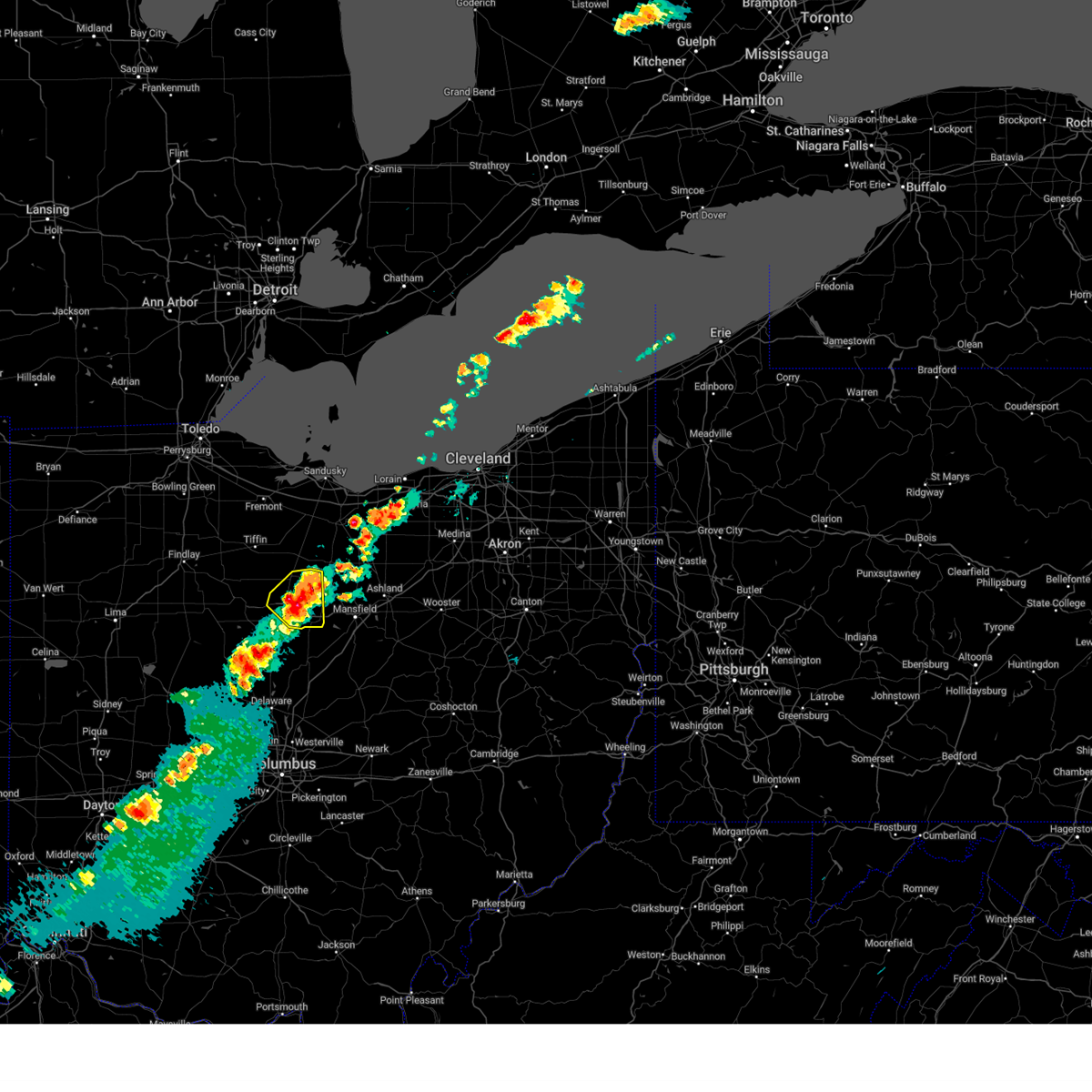 At 834 pm edt, a severe thunderstorm was located over bucyrus, moving east at 25 mph (radar indicated). Hazards include 60 mph wind gusts and quarter size hail. Minor damage to vehicles is possible. expect damage to trees and power lines. Locations impacted include, bucyrus, galion, crestline, new washington, chatfield, tiro, north robinson, and sulpher springs. At 834 pm edt, a severe thunderstorm was located over bucyrus, moving east at 25 mph (radar indicated). Hazards include 60 mph wind gusts and quarter size hail. Minor damage to vehicles is possible. expect damage to trees and power lines. Locations impacted include, bucyrus, galion, crestline, new washington, chatfield, tiro, north robinson, and sulpher springs.
|
| 5/22/2024 8:18 PM EDT |
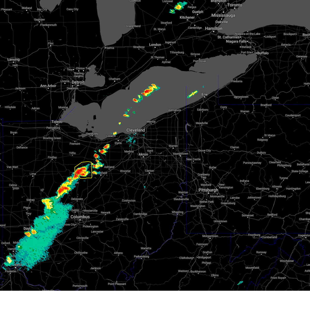 At 818 pm edt, a severe thunderstorm was located near bucyrus, moving northeast at 20 mph (trained weather spotters). Hazards include 60 mph wind gusts and half dollar size hail. People and animals outdoors will be injured. expect hail damage to roofs, siding, windows, and vehicles. expect damage to trees and power lines. Locations impacted include, bucyrus, galion, crestline, new washington, chatfield, tiro, north robinson, oceola, and sulpher springs. At 818 pm edt, a severe thunderstorm was located near bucyrus, moving northeast at 20 mph (trained weather spotters). Hazards include 60 mph wind gusts and half dollar size hail. People and animals outdoors will be injured. expect hail damage to roofs, siding, windows, and vehicles. expect damage to trees and power lines. Locations impacted include, bucyrus, galion, crestline, new washington, chatfield, tiro, north robinson, oceola, and sulpher springs.
|
| 5/22/2024 8:08 PM EDT |
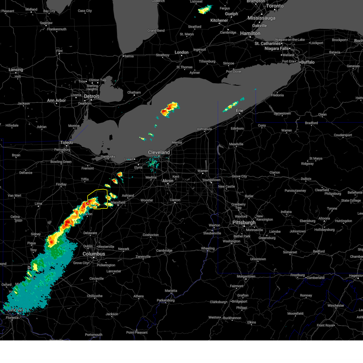 Svrcle the national weather service in cleveland has issued a * severe thunderstorm warning for, crawford county in north central ohio, * until 900 pm edt. * at 808 pm edt, a severe thunderstorm was located 7 miles west of bucyrus, moving northeast at 20 mph (radar indicated). Hazards include 60 mph wind gusts and quarter size hail. Minor damage to vehicles is possible. Expect damage to trees and power lines. Svrcle the national weather service in cleveland has issued a * severe thunderstorm warning for, crawford county in north central ohio, * until 900 pm edt. * at 808 pm edt, a severe thunderstorm was located 7 miles west of bucyrus, moving northeast at 20 mph (radar indicated). Hazards include 60 mph wind gusts and quarter size hail. Minor damage to vehicles is possible. Expect damage to trees and power lines.
|
| 4/17/2024 4:48 PM EDT |
 the severe thunderstorm warning has been cancelled and is no longer in effect the severe thunderstorm warning has been cancelled and is no longer in effect
|
| 4/17/2024 4:32 PM EDT |
 Svrcle the national weather service in cleveland has issued a * severe thunderstorm warning for, richland county in north central ohio, eastern marion county in north central ohio, ashland county in north central ohio, morrow county in north central ohio, southeastern crawford county in north central ohio, knox county in north central ohio, western holmes county in northeastern ohio, * until 530 pm edt. * at 432 pm edt, severe thunderstorms were located along a line extending from shelby to 6 miles northeast of mount gilead to 6 miles south of prospect, moving east at 45 mph (radar indicated). Hazards include 60 mph wind gusts and quarter size hail. Minor damage to vehicles is possible. Expect damage to trees and power lines. Svrcle the national weather service in cleveland has issued a * severe thunderstorm warning for, richland county in north central ohio, eastern marion county in north central ohio, ashland county in north central ohio, morrow county in north central ohio, southeastern crawford county in north central ohio, knox county in north central ohio, western holmes county in northeastern ohio, * until 530 pm edt. * at 432 pm edt, severe thunderstorms were located along a line extending from shelby to 6 miles northeast of mount gilead to 6 miles south of prospect, moving east at 45 mph (radar indicated). Hazards include 60 mph wind gusts and quarter size hail. Minor damage to vehicles is possible. Expect damage to trees and power lines.
|
| 4/17/2024 4:27 PM EDT |
 At 427 pm edt, a severe thunderstorm was located near shelby, or 13 miles northwest of mansfield, moving east at 45 mph (radar indicated). Hazards include 60 mph wind gusts and quarter size hail. Minor damage to vehicles is possible. expect damage to trees and power lines. Locations impacted include, mansfield, galion, shelby, ontario, crestline, plymouth, and tiro. At 427 pm edt, a severe thunderstorm was located near shelby, or 13 miles northwest of mansfield, moving east at 45 mph (radar indicated). Hazards include 60 mph wind gusts and quarter size hail. Minor damage to vehicles is possible. expect damage to trees and power lines. Locations impacted include, mansfield, galion, shelby, ontario, crestline, plymouth, and tiro.
|
| 4/17/2024 4:17 PM EDT |
 Torcle the national weather service in cleveland has issued a * tornado warning for, eastern marion county in north central ohio, morrow county in north central ohio, southeastern crawford county in north central ohio, * until 500 pm edt. * at 417 pm edt, a severe thunderstorm capable of producing a tornado was located near mount gilead, moving east at 50 mph (radar indicated rotation). Hazards include tornado and quarter size hail. Flying debris will be dangerous to those caught without shelter. mobile homes will be damaged or destroyed. damage to roofs, windows, and vehicles will occur. tree damage is likely. this dangerous storm will be near, mount gilead around 420 pm edt. Other locations impacted by this tornadic thunderstorm include iberia, shauck, edison, caledonia, and fulton. Torcle the national weather service in cleveland has issued a * tornado warning for, eastern marion county in north central ohio, morrow county in north central ohio, southeastern crawford county in north central ohio, * until 500 pm edt. * at 417 pm edt, a severe thunderstorm capable of producing a tornado was located near mount gilead, moving east at 50 mph (radar indicated rotation). Hazards include tornado and quarter size hail. Flying debris will be dangerous to those caught without shelter. mobile homes will be damaged or destroyed. damage to roofs, windows, and vehicles will occur. tree damage is likely. this dangerous storm will be near, mount gilead around 420 pm edt. Other locations impacted by this tornadic thunderstorm include iberia, shauck, edison, caledonia, and fulton.
|
| 4/17/2024 4:12 PM EDT |
 Svrcle the national weather service in cleveland has issued a * severe thunderstorm warning for, northwestern richland county in north central ohio, crawford county in north central ohio, * until 500 pm edt. * at 412 pm edt, a severe thunderstorm was located near bucyrus, moving east at 45 mph (radar indicated). Hazards include 60 mph wind gusts and quarter size hail. Minor damage to vehicles is possible. Expect damage to trees and power lines. Svrcle the national weather service in cleveland has issued a * severe thunderstorm warning for, northwestern richland county in north central ohio, crawford county in north central ohio, * until 500 pm edt. * at 412 pm edt, a severe thunderstorm was located near bucyrus, moving east at 45 mph (radar indicated). Hazards include 60 mph wind gusts and quarter size hail. Minor damage to vehicles is possible. Expect damage to trees and power lines.
|
| 3/14/2024 8:39 PM EDT |
 the tornado warning has been cancelled and is no longer in effect the tornado warning has been cancelled and is no longer in effect
|
| 3/14/2024 8:39 PM EDT |
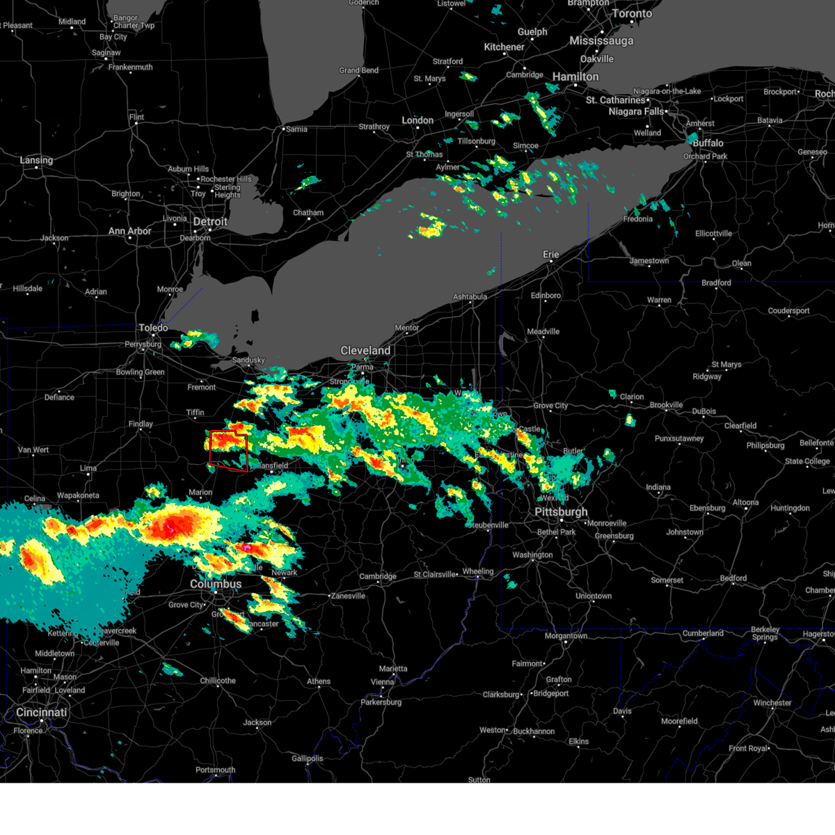 At 839 pm edt, a severe thunderstorm capable of producing a tornado was located over chatfield, or 8 miles north of bucyrus, moving east at 45 mph (radar indicated rotation). Hazards include tornado. Flying debris will be dangerous to those caught without shelter. mobile homes will be damaged or destroyed. damage to roofs, windows, and vehicles will occur. tree damage is likely. this dangerous storm will be near, new washington around 845 pm edt. Other locations impacted by this tornadic thunderstorm include north robinson, sulpher springs, and tiro. At 839 pm edt, a severe thunderstorm capable of producing a tornado was located over chatfield, or 8 miles north of bucyrus, moving east at 45 mph (radar indicated rotation). Hazards include tornado. Flying debris will be dangerous to those caught without shelter. mobile homes will be damaged or destroyed. damage to roofs, windows, and vehicles will occur. tree damage is likely. this dangerous storm will be near, new washington around 845 pm edt. Other locations impacted by this tornadic thunderstorm include north robinson, sulpher springs, and tiro.
|
| 3/14/2024 8:28 PM EDT |
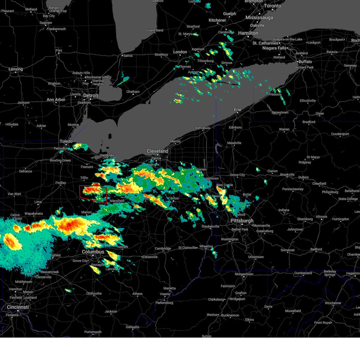 Torcle the national weather service in cleveland has issued a * tornado warning for, southeastern seneca county in northwestern ohio, northeastern wyandot county in northwestern ohio, crawford county in north central ohio, * until 915 pm edt. * at 828 pm edt, a severe thunderstorm capable of producing a tornado was located over sycamore, or 9 miles northeast of upper sandusky, moving east at 35 mph (radar indicated rotation). Hazards include tornado. Flying debris will be dangerous to those caught without shelter. mobile homes will be damaged or destroyed. damage to roofs, windows, and vehicles will occur. tree damage is likely. this dangerous storm will be near, chatfield around 840 pm edt. new washington around 845 pm edt. Other locations impacted by this tornadic thunderstorm include sulpher springs, benton, oceola, north robinson, and tiro. Torcle the national weather service in cleveland has issued a * tornado warning for, southeastern seneca county in northwestern ohio, northeastern wyandot county in northwestern ohio, crawford county in north central ohio, * until 915 pm edt. * at 828 pm edt, a severe thunderstorm capable of producing a tornado was located over sycamore, or 9 miles northeast of upper sandusky, moving east at 35 mph (radar indicated rotation). Hazards include tornado. Flying debris will be dangerous to those caught without shelter. mobile homes will be damaged or destroyed. damage to roofs, windows, and vehicles will occur. tree damage is likely. this dangerous storm will be near, chatfield around 840 pm edt. new washington around 845 pm edt. Other locations impacted by this tornadic thunderstorm include sulpher springs, benton, oceola, north robinson, and tiro.
|
| 2/28/2024 2:01 AM EST |
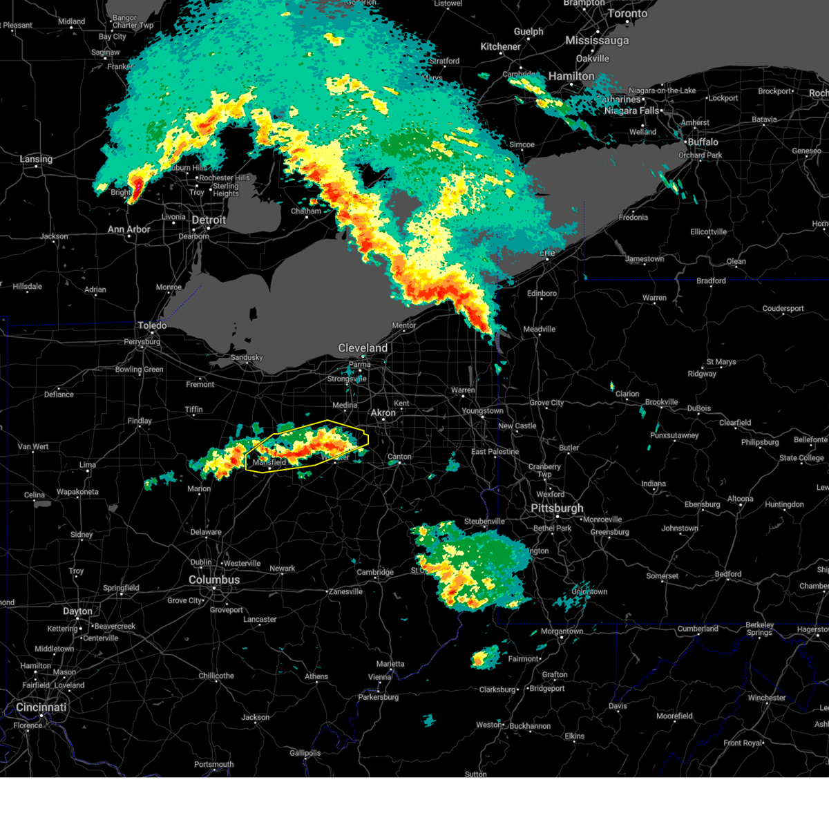 At 200 am est, severe thunderstorms were located along a line extending from ashland to near creston, moving northeast at 45 mph (trained weather spotters reported quarter sized hail in ashland at 1:52 am). Hazards include quarter size hail. Minor damage to vehicles is possible. Locations impacted include, mansfield, wooster, ashland, wadsworth, shelby, rittman, ontario, doylestown, lodi, creston, west salem, hayesville, savannah, polk, sullivan, seville, smithville, westfield center, marshallville, and jeromesville. At 200 am est, severe thunderstorms were located along a line extending from ashland to near creston, moving northeast at 45 mph (trained weather spotters reported quarter sized hail in ashland at 1:52 am). Hazards include quarter size hail. Minor damage to vehicles is possible. Locations impacted include, mansfield, wooster, ashland, wadsworth, shelby, rittman, ontario, doylestown, lodi, creston, west salem, hayesville, savannah, polk, sullivan, seville, smithville, westfield center, marshallville, and jeromesville.
|
| 2/28/2024 1:31 AM EST |
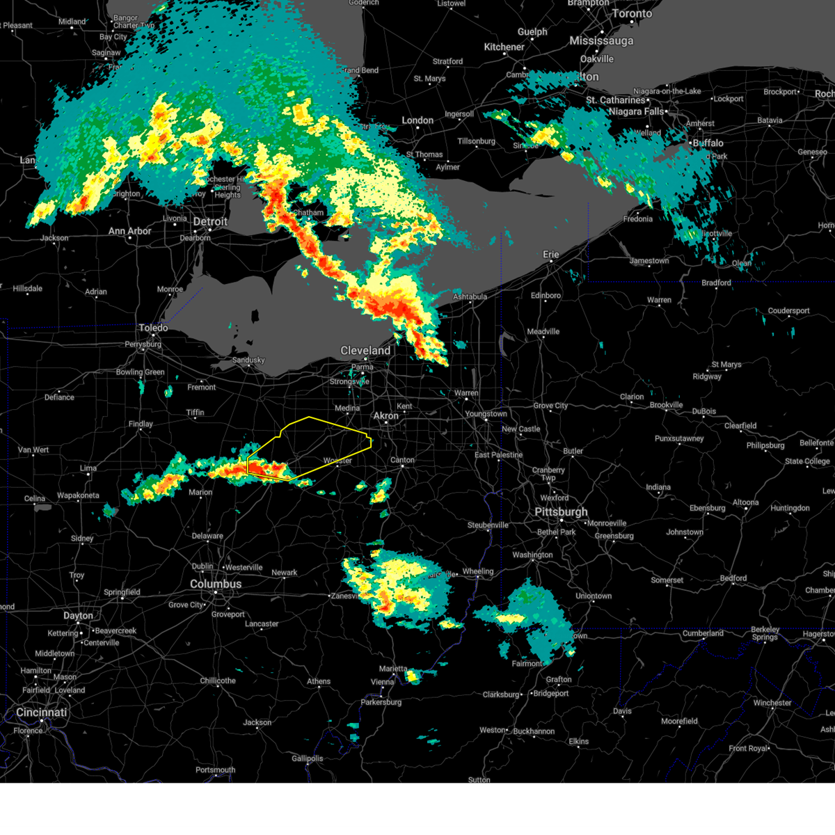 Svrcle the national weather service in cleveland has issued a * severe thunderstorm warning for, central richland county in north central ohio, southern medina county in northeastern ohio, ashland county in north central ohio, northern wayne county in northeastern ohio, southwestern lorain county in north central ohio, * until 215 am est. * at 131 am est, severe thunderstorms were located along a line extending from crestline to 6 miles east of mansfield, moving northeast at 60 mph (radar indicated). Hazards include quarter size hail. minor damage to vehicles is possible Svrcle the national weather service in cleveland has issued a * severe thunderstorm warning for, central richland county in north central ohio, southern medina county in northeastern ohio, ashland county in north central ohio, northern wayne county in northeastern ohio, southwestern lorain county in north central ohio, * until 215 am est. * at 131 am est, severe thunderstorms were located along a line extending from crestline to 6 miles east of mansfield, moving northeast at 60 mph (radar indicated). Hazards include quarter size hail. minor damage to vehicles is possible
|
| 8/25/2023 2:41 AM EDT |
 At 240 am edt, severe thunderstorms were located along a line extending from near lexington to near marseilles, moving southeast at 50 mph (radar indicated). Hazards include 60 mph wind gusts. expect damage to trees and power lines At 240 am edt, severe thunderstorms were located along a line extending from near lexington to near marseilles, moving southeast at 50 mph (radar indicated). Hazards include 60 mph wind gusts. expect damage to trees and power lines
|
| 8/25/2023 2:27 AM EDT |
 At 227 am edt, severe thunderstorms were located along a line extending from near bucyrus to near upper sandusky, moving southeast at 40 mph (radar indicated). Hazards include 60 mph wind gusts. Expect damage to trees and power lines. locations impacted include, mansfield, marion, bucyrus, upper sandusky, galion, shelby, ontario, crestline, new washington, morral, chatfield, benton, nevada, caledonia, tiro, north robinson, harpster, oceola, sulpher springs and iberia. hail threat, radar indicated max hail size, <. 75 in wind threat, radar indicated max wind gust, 60 mph. At 227 am edt, severe thunderstorms were located along a line extending from near bucyrus to near upper sandusky, moving southeast at 40 mph (radar indicated). Hazards include 60 mph wind gusts. Expect damage to trees and power lines. locations impacted include, mansfield, marion, bucyrus, upper sandusky, galion, shelby, ontario, crestline, new washington, morral, chatfield, benton, nevada, caledonia, tiro, north robinson, harpster, oceola, sulpher springs and iberia. hail threat, radar indicated max hail size, <. 75 in wind threat, radar indicated max wind gust, 60 mph.
|
| 8/25/2023 2:04 AM EDT |
 At 204 am edt, severe thunderstorms were located along a line extending from bloomville to 6 miles south of new riegel, moving southeast at 45 mph (radar indicated). Hazards include 60 mph wind gusts. expect damage to trees and power lines At 204 am edt, severe thunderstorms were located along a line extending from bloomville to 6 miles south of new riegel, moving southeast at 45 mph (radar indicated). Hazards include 60 mph wind gusts. expect damage to trees and power lines
|
| 8/25/2023 12:24 AM EDT |
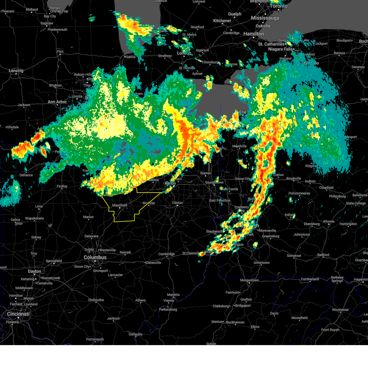 At 1224 am edt, severe thunderstorms were located along a line extending from near west salem to crestline, moving southeast at 40 mph (radar indicated). Hazards include 60 mph wind gusts. Expect damage to trees and power lines. locations impacted include, mansfield, wooster, ashland, shelby, rittman, ontario, lexington, crestline, loudonville, creston, bellville, west salem, hayesville, savannah, polk, sullivan, butler, perrysville, lucas and jeromesville. hail threat, radar indicated max hail size, <. 75 in wind threat, radar indicated max wind gust, 60 mph. At 1224 am edt, severe thunderstorms were located along a line extending from near west salem to crestline, moving southeast at 40 mph (radar indicated). Hazards include 60 mph wind gusts. Expect damage to trees and power lines. locations impacted include, mansfield, wooster, ashland, shelby, rittman, ontario, lexington, crestline, loudonville, creston, bellville, west salem, hayesville, savannah, polk, sullivan, butler, perrysville, lucas and jeromesville. hail threat, radar indicated max hail size, <. 75 in wind threat, radar indicated max wind gust, 60 mph.
|
| 8/24/2023 11:41 PM EDT |
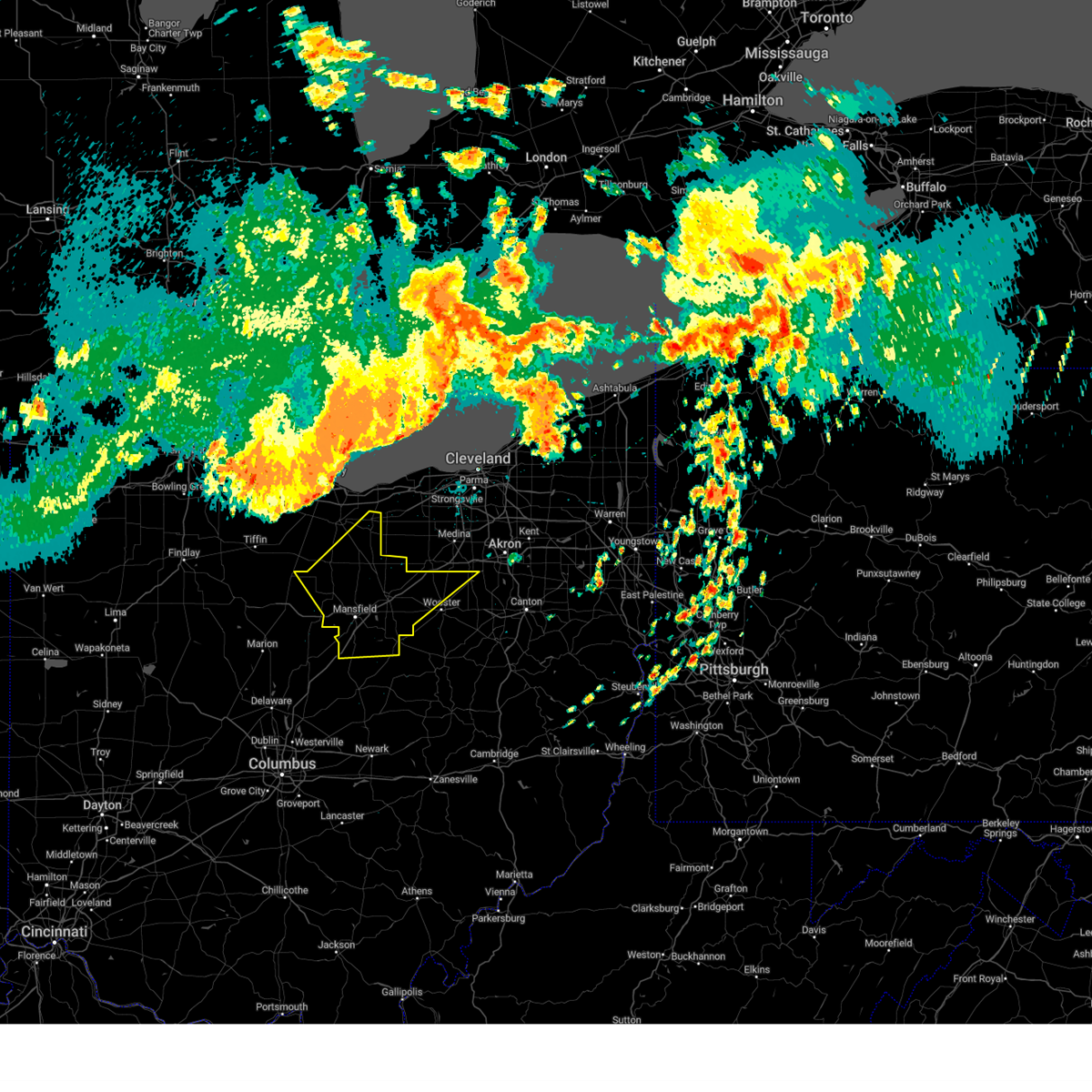 At 1140 pm edt, severe thunderstorms were located along a line extending from near northern milan to near green springs, moving southeast at 50 mph (radar indicated). Hazards include 70 mph wind gusts. Expect considerable tree damage. Damage is likely to mobile homes, roofs, and outbuildings. At 1140 pm edt, severe thunderstorms were located along a line extending from near northern milan to near green springs, moving southeast at 50 mph (radar indicated). Hazards include 70 mph wind gusts. Expect considerable tree damage. Damage is likely to mobile homes, roofs, and outbuildings.
|
| 8/24/2023 2:27 AM EDT |
 The severe thunderstorm warning for marion, wyandot, morrow, southwestern crawford and hancock counties will expire at 230 am edt, the storms which prompted the warning have moved out of the area. therefore, the warning will be allowed to expire. however gusty winds and heavy rain are still possible with these thunderstorms. The severe thunderstorm warning for marion, wyandot, morrow, southwestern crawford and hancock counties will expire at 230 am edt, the storms which prompted the warning have moved out of the area. therefore, the warning will be allowed to expire. however gusty winds and heavy rain are still possible with these thunderstorms.
|
| 8/24/2023 1:50 AM EDT |
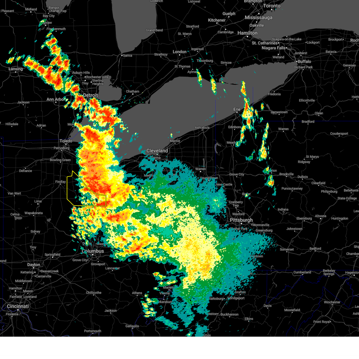 At 150 am edt, severe thunderstorms were located along a line extending from near arcadia to near upper sandusky to 6 miles southwest of bucyrus, moving southwest at 40 mph (radar indicated). Hazards include 60 mph wind gusts. Expect damage to trees and power lines. locations impacted include, fostoria, bucyrus, upper sandusky, galion, crestline, forest, sycamore, arcadia, vanlue, new riegel, carey, benton, nevada, wharton, north robinson, harpster, kirby, bascom, oceola and sulpher springs. hail threat, radar indicated max hail size, <. 75 in wind threat, radar indicated max wind gust, 60 mph. At 150 am edt, severe thunderstorms were located along a line extending from near arcadia to near upper sandusky to 6 miles southwest of bucyrus, moving southwest at 40 mph (radar indicated). Hazards include 60 mph wind gusts. Expect damage to trees and power lines. locations impacted include, fostoria, bucyrus, upper sandusky, galion, crestline, forest, sycamore, arcadia, vanlue, new riegel, carey, benton, nevada, wharton, north robinson, harpster, kirby, bascom, oceola and sulpher springs. hail threat, radar indicated max hail size, <. 75 in wind threat, radar indicated max wind gust, 60 mph.
|
| 8/24/2023 1:49 AM EDT |
 At 149 am edt, severe thunderstorms were located along a line extending from 7 miles northeast of marion to near upper sandusky to near arcadia, moving southwest at 40 mph (radar indicated). Hazards include 60 mph wind gusts. expect damage to trees and power lines At 149 am edt, severe thunderstorms were located along a line extending from 7 miles northeast of marion to near upper sandusky to near arcadia, moving southwest at 40 mph (radar indicated). Hazards include 60 mph wind gusts. expect damage to trees and power lines
|
| 8/24/2023 1:24 AM EDT |
 At 124 am edt, severe thunderstorms were located along a line extending from near fostoria to near sycamore to near crestline, moving southwest at 25 mph (radar indicated). Hazards include 60 mph wind gusts. expect damage to trees and power lines At 124 am edt, severe thunderstorms were located along a line extending from near fostoria to near sycamore to near crestline, moving southwest at 25 mph (radar indicated). Hazards include 60 mph wind gusts. expect damage to trees and power lines
|
| 8/12/2023 2:18 PM EDT |
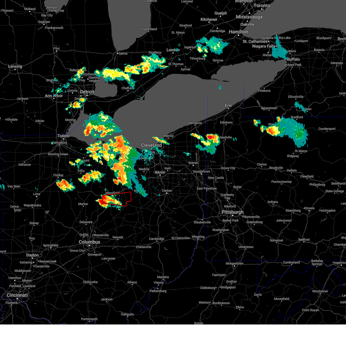 At 217 pm edt, a severe thunderstorm capable of producing a tornado was located over lexington, or 7 miles southwest of mansfield, moving east at 40 mph (radar indicated rotation). Hazards include tornado and quarter size hail. Flying debris will be dangerous to those caught without shelter. mobile homes will be damaged or destroyed. damage to roofs, windows, and vehicles will occur. tree damage is likely. this dangerous storm will be near, bellville around 225 pm edt. loudonville and hayesville around 250 pm edt. Other locations impacted by this tornadic thunderstorm include jeromesville, mohicanville, lucas, perrysville and mifflin. At 217 pm edt, a severe thunderstorm capable of producing a tornado was located over lexington, or 7 miles southwest of mansfield, moving east at 40 mph (radar indicated rotation). Hazards include tornado and quarter size hail. Flying debris will be dangerous to those caught without shelter. mobile homes will be damaged or destroyed. damage to roofs, windows, and vehicles will occur. tree damage is likely. this dangerous storm will be near, bellville around 225 pm edt. loudonville and hayesville around 250 pm edt. Other locations impacted by this tornadic thunderstorm include jeromesville, mohicanville, lucas, perrysville and mifflin.
|
| 8/12/2023 2:07 PM EDT |
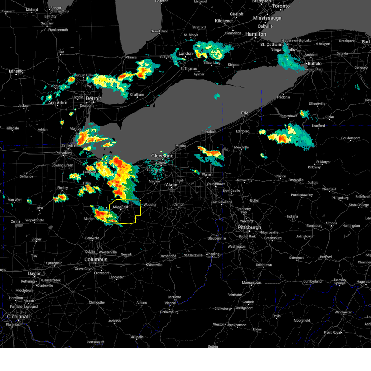 At 207 pm edt, a severe thunderstorm was located near galion, or 10 miles northeast of mount gilead, moving east at 35 mph (radar indicated). Hazards include 60 mph wind gusts and quarter size hail. Minor damage to vehicles is possible. Expect damage to trees and power lines. At 207 pm edt, a severe thunderstorm was located near galion, or 10 miles northeast of mount gilead, moving east at 35 mph (radar indicated). Hazards include 60 mph wind gusts and quarter size hail. Minor damage to vehicles is possible. Expect damage to trees and power lines.
|
| 8/12/2023 1:59 PM EDT | Two trees reported downed on roads near polk twp. one fell across ohio 19 and one fell along shearer roa in crawford county OH, 3.6 miles E of Galion, OH |
| 8/12/2023 1:55 PM EDT |
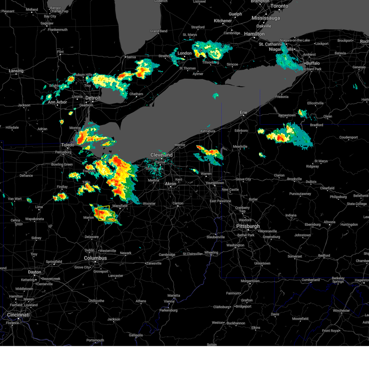 At 155 pm edt, a severe thunderstorm was located near galion, or 9 miles southeast of bucyrus, moving east at 50 mph (radar indicated). Hazards include 60 mph wind gusts and quarter size hail. Minor damage to vehicles is possible. expect damage to trees and power lines. locations impacted include, galion, crestline, iberia and shauck. hail threat, radar indicated max hail size, 1. 00 in wind threat, radar indicated max wind gust, 60 mph. At 155 pm edt, a severe thunderstorm was located near galion, or 9 miles southeast of bucyrus, moving east at 50 mph (radar indicated). Hazards include 60 mph wind gusts and quarter size hail. Minor damage to vehicles is possible. expect damage to trees and power lines. locations impacted include, galion, crestline, iberia and shauck. hail threat, radar indicated max hail size, 1. 00 in wind threat, radar indicated max wind gust, 60 mph.
|
| 8/12/2023 1:40 PM EDT |
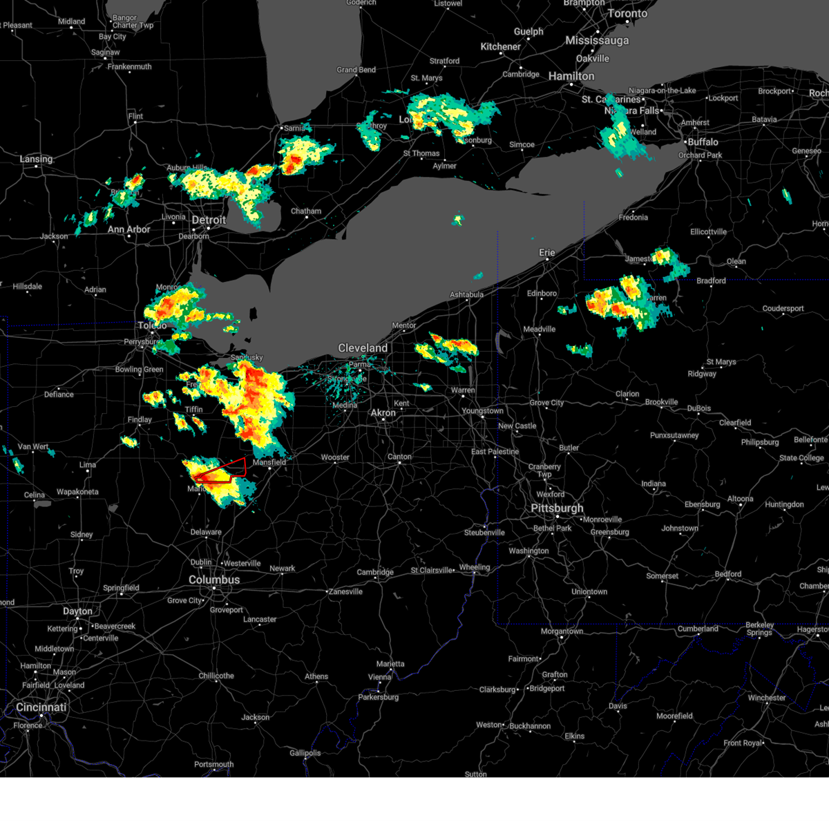 At 140 pm edt, a severe thunderstorm capable of producing a tornado was located 7 miles east of morral, or 7 miles north of marion, moving east at 40 mph (radar indicated rotation). Hazards include tornado and quarter size hail. Flying debris will be dangerous to those caught without shelter. mobile homes will be damaged or destroyed. damage to roofs, windows, and vehicles will occur. tree damage is likely. this dangerous storm will be near, galion around 205 pm edt. crestline around 210 pm edt. Other locations impacted by this tornadic thunderstorm include north robinson. At 140 pm edt, a severe thunderstorm capable of producing a tornado was located 7 miles east of morral, or 7 miles north of marion, moving east at 40 mph (radar indicated rotation). Hazards include tornado and quarter size hail. Flying debris will be dangerous to those caught without shelter. mobile homes will be damaged or destroyed. damage to roofs, windows, and vehicles will occur. tree damage is likely. this dangerous storm will be near, galion around 205 pm edt. crestline around 210 pm edt. Other locations impacted by this tornadic thunderstorm include north robinson.
|
| 8/12/2023 1:29 PM EDT |
 At 129 pm edt, a severe thunderstorm was located near morral, or near marion, moving east at 50 mph (radar indicated). Hazards include 60 mph wind gusts and quarter size hail. Minor damage to vehicles is possible. Expect damage to trees and power lines. At 129 pm edt, a severe thunderstorm was located near morral, or near marion, moving east at 50 mph (radar indicated). Hazards include 60 mph wind gusts and quarter size hail. Minor damage to vehicles is possible. Expect damage to trees and power lines.
|
| 7/29/2023 5:12 AM EDT |
 The severe thunderstorm warning for southern seneca, marion, wyandot and crawford counties will expire at 515 am edt, the storms which prompted the warning have moved out of the area. therefore, the warning will be allowed to expire. a severe thunderstorm watch remains in effect until 1100 am edt for north central and northwestern ohio. The severe thunderstorm warning for southern seneca, marion, wyandot and crawford counties will expire at 515 am edt, the storms which prompted the warning have moved out of the area. therefore, the warning will be allowed to expire. a severe thunderstorm watch remains in effect until 1100 am edt for north central and northwestern ohio.
|
| 7/29/2023 5:04 AM EDT |
 At 504 am edt, severe thunderstorms were located along a line extending from near new washington to near waldo, moving east at 45 mph (radar indicated). Hazards include 60 mph wind gusts. expect damage to trees and power lines At 504 am edt, severe thunderstorms were located along a line extending from near new washington to near waldo, moving east at 45 mph (radar indicated). Hazards include 60 mph wind gusts. expect damage to trees and power lines
|
| 7/29/2023 4:39 AM EDT |
 At 439 am edt, severe thunderstorms were located along a line extending from near bloomville to near la rue, moving east at 60 mph (radar indicated). Hazards include 60 mph wind gusts. Expect damage to trees and power lines. locations impacted include, marion, bucyrus, upper sandusky, galion, crestline, prospect, new washington, bloomville, sycamore, la rue, morral, waldo, chatfield, marseilles, carey, attica, benton, nevada, caledonia and new bloomington. hail threat, radar indicated max hail size, <. 75 in wind threat, radar indicated max wind gust, 60 mph. At 439 am edt, severe thunderstorms were located along a line extending from near bloomville to near la rue, moving east at 60 mph (radar indicated). Hazards include 60 mph wind gusts. Expect damage to trees and power lines. locations impacted include, marion, bucyrus, upper sandusky, galion, crestline, prospect, new washington, bloomville, sycamore, la rue, morral, waldo, chatfield, marseilles, carey, attica, benton, nevada, caledonia and new bloomington. hail threat, radar indicated max hail size, <. 75 in wind threat, radar indicated max wind gust, 60 mph.
|
| 7/29/2023 4:13 AM EDT |
 At 412 am edt, severe thunderstorms were located along a line extending from near findlay to waynesfield, moving east at 60 mph (radar indicated). Hazards include 60 mph wind gusts. expect damage to trees and power lines At 412 am edt, severe thunderstorms were located along a line extending from near findlay to waynesfield, moving east at 60 mph (radar indicated). Hazards include 60 mph wind gusts. expect damage to trees and power lines
|
| 7/28/2023 12:19 PM EDT |
 At 1219 pm edt, severe thunderstorms were located along a line extending from near shelby to sparta, moving east at 35 mph (radar indicated). Hazards include 60 mph wind gusts. expect damage to trees and power lines At 1219 pm edt, severe thunderstorms were located along a line extending from near shelby to sparta, moving east at 35 mph (radar indicated). Hazards include 60 mph wind gusts. expect damage to trees and power lines
|
| 7/20/2023 8:07 PM EDT |
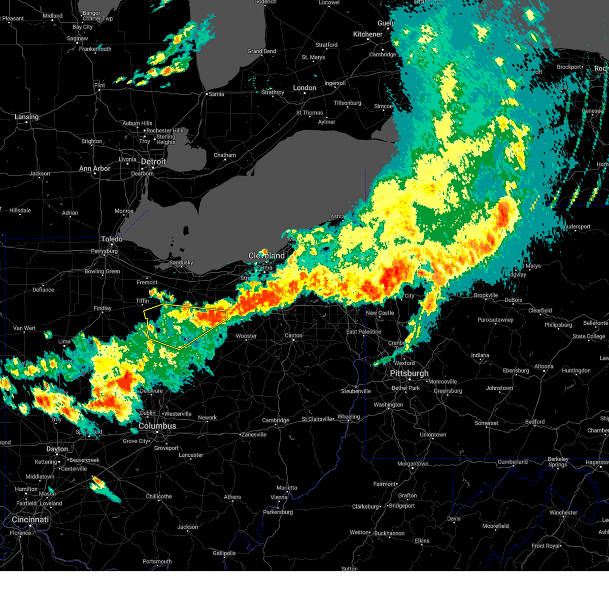 The severe thunderstorm warning for northern richland, southern huron, southeastern seneca, northern ashland and crawford counties will expire at 815 pm edt, the storms which prompted the warning have weakened below severe limits, and no longer pose an immediate threat to life or property. therefore, the warning will be allowed to expire. a severe thunderstorm watch remains in effect until 1100 pm edt for north central, northeastern and northwestern ohio. remember, a severe thunderstorm warning still remains in effect for southeastern huron county, northeastern richland county and ashland county. please see that bulletin for more details. The severe thunderstorm warning for northern richland, southern huron, southeastern seneca, northern ashland and crawford counties will expire at 815 pm edt, the storms which prompted the warning have weakened below severe limits, and no longer pose an immediate threat to life or property. therefore, the warning will be allowed to expire. a severe thunderstorm watch remains in effect until 1100 pm edt for north central, northeastern and northwestern ohio. remember, a severe thunderstorm warning still remains in effect for southeastern huron county, northeastern richland county and ashland county. please see that bulletin for more details.
|
| 7/20/2023 7:46 PM EDT |
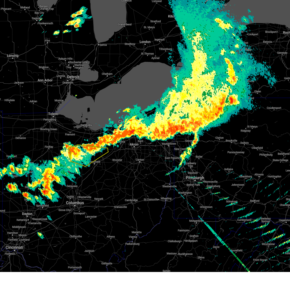 At 745 pm edt, severe thunderstorms were located along a line extending from near new london to near bloomville, moving east at 40 mph (radar indicated). Hazards include 60 mph wind gusts. Expect damage to trees and power lines. locations impacted include, mansfield, bucyrus, galion, shelby, willard, ontario, crestline, new london, plymouth, new washington, bloomville, savannah, chatfield, sullivan, greenwich, attica, benton, bailey lakes, tiro and north robinson. hail threat, radar indicated max hail size, <. 75 in wind threat, radar indicated max wind gust, 60 mph. At 745 pm edt, severe thunderstorms were located along a line extending from near new london to near bloomville, moving east at 40 mph (radar indicated). Hazards include 60 mph wind gusts. Expect damage to trees and power lines. locations impacted include, mansfield, bucyrus, galion, shelby, willard, ontario, crestline, new london, plymouth, new washington, bloomville, savannah, chatfield, sullivan, greenwich, attica, benton, bailey lakes, tiro and north robinson. hail threat, radar indicated max hail size, <. 75 in wind threat, radar indicated max wind gust, 60 mph.
|
| 7/20/2023 7:29 PM EDT |
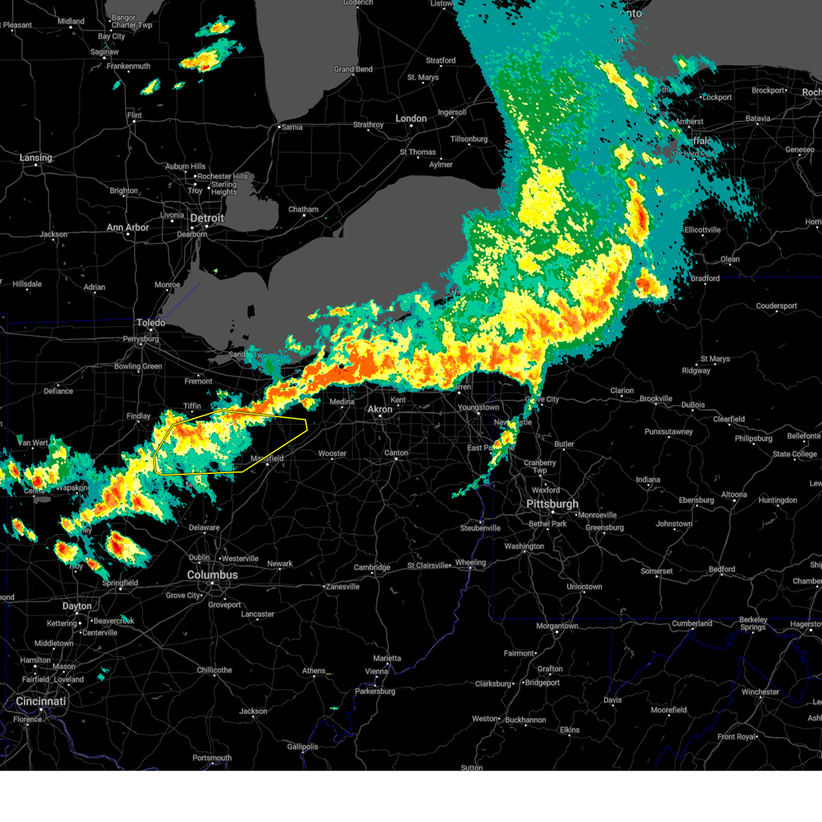 At 729 pm edt, severe thunderstorms were located along a line extending from near norwalk to near sycamore, moving east at 60 mph (radar indicated). Hazards include 60 mph wind gusts. Expect damage to trees and power lines. locations impacted include, mansfield, bucyrus, upper sandusky, galion, shelby, willard, ontario, crestline, new london, plymouth, forest, new washington, bloomville, sycamore, savannah, morral, chatfield, marseilles, carey and sullivan. hail threat, radar indicated max hail size, <. 75 in wind threat, radar indicated max wind gust, 60 mph. At 729 pm edt, severe thunderstorms were located along a line extending from near norwalk to near sycamore, moving east at 60 mph (radar indicated). Hazards include 60 mph wind gusts. Expect damage to trees and power lines. locations impacted include, mansfield, bucyrus, upper sandusky, galion, shelby, willard, ontario, crestline, new london, plymouth, forest, new washington, bloomville, sycamore, savannah, morral, chatfield, marseilles, carey and sullivan. hail threat, radar indicated max hail size, <. 75 in wind threat, radar indicated max wind gust, 60 mph.
|
| 7/20/2023 7:11 PM EDT |
 At 710 pm edt, severe thunderstorms were located along a line extending from 8 miles northeast of bloomville to forest, moving east at 40 mph (radar indicated). Hazards include 60 mph wind gusts and quarter size hail. Minor damage to vehicles is possible. Expect damage to trees and power lines. At 710 pm edt, severe thunderstorms were located along a line extending from 8 miles northeast of bloomville to forest, moving east at 40 mph (radar indicated). Hazards include 60 mph wind gusts and quarter size hail. Minor damage to vehicles is possible. Expect damage to trees and power lines.
|
| 7/17/2023 10:36 PM EDT |
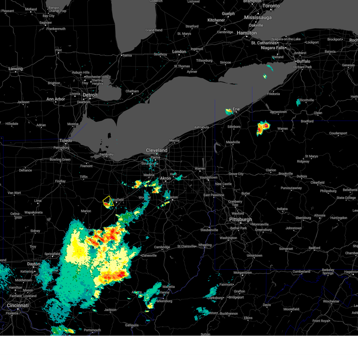 At 1035 pm edt, a severe thunderstorm was located near crestline, or 8 miles west of mansfield, moving northeast at 25 mph (radar indicated). Hazards include quarter size hail. Minor damage to vehicles is possible. locations impacted include, galion, ontario and crestline. hail threat, radar indicated max hail size, 1. 00 in wind threat, radar indicated max wind gust, <50 mph. At 1035 pm edt, a severe thunderstorm was located near crestline, or 8 miles west of mansfield, moving northeast at 25 mph (radar indicated). Hazards include quarter size hail. Minor damage to vehicles is possible. locations impacted include, galion, ontario and crestline. hail threat, radar indicated max hail size, 1. 00 in wind threat, radar indicated max wind gust, <50 mph.
|
| 7/17/2023 10:21 PM EDT |
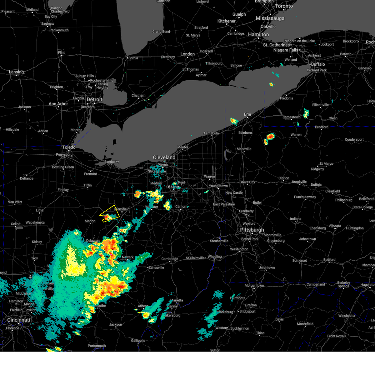 At 1020 pm edt, a severe thunderstorm was located over galion, or 10 miles southeast of bucyrus, moving northeast at 25 mph (radar indicated). Hazards include quarter size hail. minor damage to vehicles is possible At 1020 pm edt, a severe thunderstorm was located over galion, or 10 miles southeast of bucyrus, moving northeast at 25 mph (radar indicated). Hazards include quarter size hail. minor damage to vehicles is possible
|
| 6/15/2023 9:54 PM EDT |
 At 954 pm edt, severe thunderstorms were located along a line extending from near shreve to near loudonville to near mansfield to near galion, moving southeast at 25 mph (radar indicated). Hazards include 60 mph wind gusts and quarter size hail. Minor damage to vehicles is possible. expect damage to trees and power lines. locations impacted include, mansfield, wooster, ontario, lexington, loudonville, bellville, shreve, hayesville, nashville, butler, perrysville, lucas, mifflin, mohicanville and shauck. hail threat, radar indicated max hail size, 1. 00 in wind threat, radar indicated max wind gust, 60 mph. At 954 pm edt, severe thunderstorms were located along a line extending from near shreve to near loudonville to near mansfield to near galion, moving southeast at 25 mph (radar indicated). Hazards include 60 mph wind gusts and quarter size hail. Minor damage to vehicles is possible. expect damage to trees and power lines. locations impacted include, mansfield, wooster, ontario, lexington, loudonville, bellville, shreve, hayesville, nashville, butler, perrysville, lucas, mifflin, mohicanville and shauck. hail threat, radar indicated max hail size, 1. 00 in wind threat, radar indicated max wind gust, 60 mph.
|
| 6/15/2023 9:23 PM EDT |
 At 922 pm edt, severe thunderstorms were located along a line extending from near polk to shelby to 6 miles east of bucyrus, moving southeast at 35 mph (radar indicated). Hazards include 60 mph wind gusts and quarter size hail. Minor damage to vehicles is possible. Expect damage to trees and power lines. At 922 pm edt, severe thunderstorms were located along a line extending from near polk to shelby to 6 miles east of bucyrus, moving southeast at 35 mph (radar indicated). Hazards include 60 mph wind gusts and quarter size hail. Minor damage to vehicles is possible. Expect damage to trees and power lines.
|
| 4/21/2023 5:27 PM EDT |
 At 526 pm edt, severe thunderstorms were located along a line extending from near galion to 7 miles southwest of lexington to near sparta, moving northeast at 55 mph (radar indicated). Hazards include 60 mph wind gusts and penny size hail. Expect damage to trees and power lines. locations impacted include, mount vernon, mount gilead, lexington, fredericktown, bellville, chesterville, sparta, waterford, edison, north liberty, iberia and shauck. hail threat, radar indicated max hail size, 0. 75 in wind threat, radar indicated max wind gust, 60 mph. At 526 pm edt, severe thunderstorms were located along a line extending from near galion to 7 miles southwest of lexington to near sparta, moving northeast at 55 mph (radar indicated). Hazards include 60 mph wind gusts and penny size hail. Expect damage to trees and power lines. locations impacted include, mount vernon, mount gilead, lexington, fredericktown, bellville, chesterville, sparta, waterford, edison, north liberty, iberia and shauck. hail threat, radar indicated max hail size, 0. 75 in wind threat, radar indicated max wind gust, 60 mph.
|
| 4/21/2023 5:13 PM EDT |
 At 512 pm edt, severe thunderstorms were located along a line extending from near waldo to near ashley to near sunbury, moving northeast at 45 mph (radar indicated). Hazards include 60 mph wind gusts and penny size hail. Expect damage to trees and power lines. locations impacted include, mount vernon, mount gilead, lexington, fredericktown, gambier, cardington, bellville, centerburg, ashley, waldo, chesterville, sparta, waterford, caledonia, edison, marengo, fulton, iberia, shauck and state route 229 at us route 23. hail threat, radar indicated max hail size, 0. 75 in wind threat, radar indicated max wind gust, 60 mph. At 512 pm edt, severe thunderstorms were located along a line extending from near waldo to near ashley to near sunbury, moving northeast at 45 mph (radar indicated). Hazards include 60 mph wind gusts and penny size hail. Expect damage to trees and power lines. locations impacted include, mount vernon, mount gilead, lexington, fredericktown, gambier, cardington, bellville, centerburg, ashley, waldo, chesterville, sparta, waterford, caledonia, edison, marengo, fulton, iberia, shauck and state route 229 at us route 23. hail threat, radar indicated max hail size, 0. 75 in wind threat, radar indicated max wind gust, 60 mph.
|
| 4/21/2023 4:52 PM EDT |
 At 452 pm edt, a severe thunderstorm was located over delaware, moving northeast at 55 mph (radar indicated). Hazards include 60 mph wind gusts and quarter size hail. Minor damage to vehicles is possible. Expect damage to trees and power lines. At 452 pm edt, a severe thunderstorm was located over delaware, moving northeast at 55 mph (radar indicated). Hazards include 60 mph wind gusts and quarter size hail. Minor damage to vehicles is possible. Expect damage to trees and power lines.
|
| 4/1/2023 12:23 PM EDT |
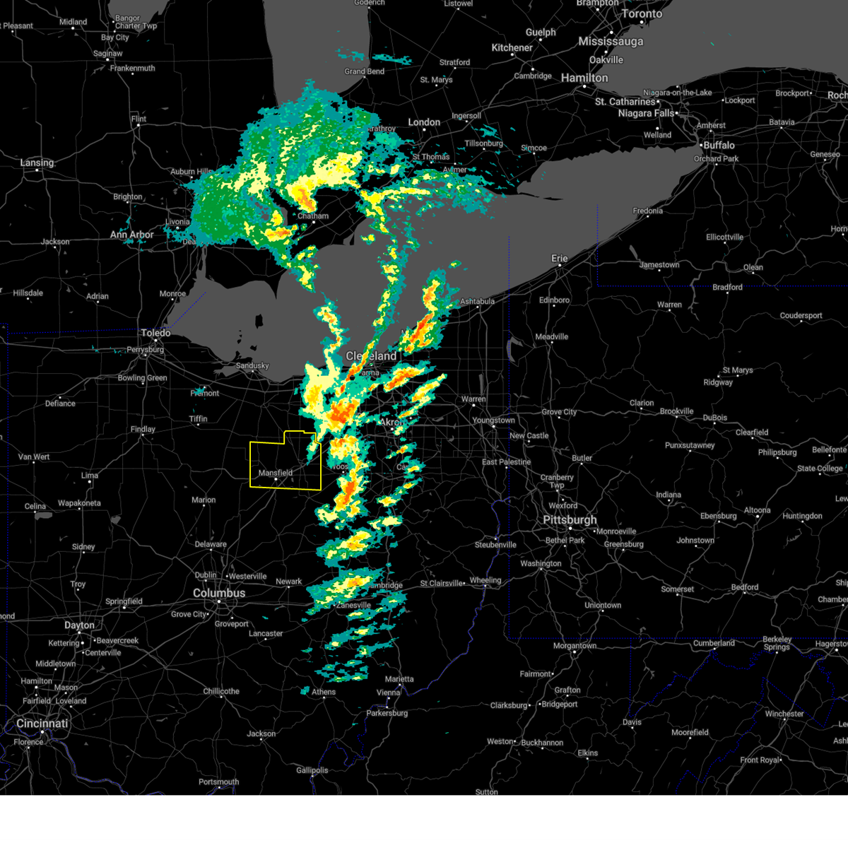 The severe thunderstorm warning for richland and ashland counties will expire at 1230 pm edt, the storms which prompted the warning have moved out of the area. therefore, the warning will be allowed to expire. wind gusts in excess of 50 mph will continue for the next several hours and a wind advisory remains in effect until 800 pm edt. a severe thunderstorm watch remains in effect until 600 pm edt for north central and northeastern ohio. to report severe weather, contact your nearest law enforcement agency. they will relay your report to the national weather service cleveland. The severe thunderstorm warning for richland and ashland counties will expire at 1230 pm edt, the storms which prompted the warning have moved out of the area. therefore, the warning will be allowed to expire. wind gusts in excess of 50 mph will continue for the next several hours and a wind advisory remains in effect until 800 pm edt. a severe thunderstorm watch remains in effect until 600 pm edt for north central and northeastern ohio. to report severe weather, contact your nearest law enforcement agency. they will relay your report to the national weather service cleveland.
|
| 4/1/2023 12:06 PM EDT |
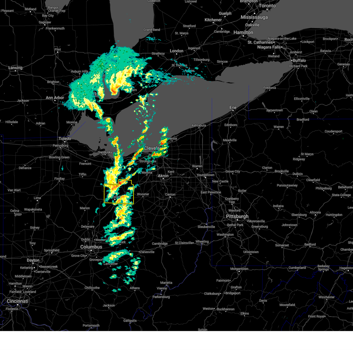 At 1204 pm edt, severe thunderstorms were located along a line extending from 6 miles southwest of wellington to near polk to near hayesville, moving east at 70 mph (radar indicated. at 1153 am edt, a 62 mph wind gust was reported at mansfield airport. at 1203 pm edt, a trained spotter reported an outbuilding roof being removed near ashland). Hazards include 70 mph wind gusts and penny size hail. the strongest winds are expected in northern ashland county. Expect considerable tree damage. damage is likely to mobile homes, roofs, and outbuildings. locations impacted include, mansfield, ashland, shelby, ontario, crestline, new london, plymouth, hayesville, savannah, polk, sullivan, lucas, jeromesville, bailey lakes, mifflin, rowsburg, nova, mohicanville, nankin and shenandoah. thunderstorm damage threat, considerable hail threat, radar indicated max hail size, 0. 75 in wind threat, observed max wind gust, 70 mph. At 1204 pm edt, severe thunderstorms were located along a line extending from 6 miles southwest of wellington to near polk to near hayesville, moving east at 70 mph (radar indicated. at 1153 am edt, a 62 mph wind gust was reported at mansfield airport. at 1203 pm edt, a trained spotter reported an outbuilding roof being removed near ashland). Hazards include 70 mph wind gusts and penny size hail. the strongest winds are expected in northern ashland county. Expect considerable tree damage. damage is likely to mobile homes, roofs, and outbuildings. locations impacted include, mansfield, ashland, shelby, ontario, crestline, new london, plymouth, hayesville, savannah, polk, sullivan, lucas, jeromesville, bailey lakes, mifflin, rowsburg, nova, mohicanville, nankin and shenandoah. thunderstorm damage threat, considerable hail threat, radar indicated max hail size, 0. 75 in wind threat, observed max wind gust, 70 mph.
|
| 4/1/2023 11:42 AM EDT |
 The severe thunderstorm warning for ottawa, seneca, wyandot, sandusky, crawford, wood, eastern hancock and lucas counties will expire at 1145 am edt, the storms which prompted the warning have moved out of the area. therefore, the warning will be allowed to expire. even behind the thunderstorms, gusty winds in excess of 50 mph remain possible early this afternoon. The severe thunderstorm warning for ottawa, seneca, wyandot, sandusky, crawford, wood, eastern hancock and lucas counties will expire at 1145 am edt, the storms which prompted the warning have moved out of the area. therefore, the warning will be allowed to expire. even behind the thunderstorms, gusty winds in excess of 50 mph remain possible early this afternoon.
|
| 4/1/2023 11:33 AM EDT |
 At 1132 am edt, severe thunderstorms were located along a line extending from near bucyrus to near richwood, moving east at 55 mph (radar indicated). Hazards include 60 mph wind gusts and penny size hail. expect damage to trees and power lines At 1132 am edt, severe thunderstorms were located along a line extending from near bucyrus to near richwood, moving east at 55 mph (radar indicated). Hazards include 60 mph wind gusts and penny size hail. expect damage to trees and power lines
|
| 4/1/2023 11:30 AM EDT |
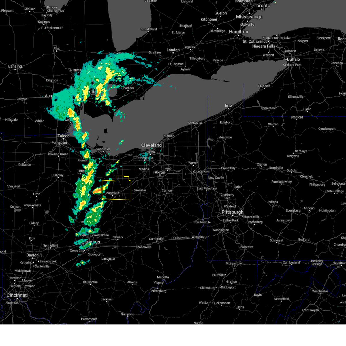 At 1129 am edt, severe thunderstorms were located along a line extending from near bloomville to near bucyrus to 8 miles east of morral, moving east at 70 mph (radar indicated). Hazards include 60 mph wind gusts and penny size hail. expect damage to trees and power lines At 1129 am edt, severe thunderstorms were located along a line extending from near bloomville to near bucyrus to 8 miles east of morral, moving east at 70 mph (radar indicated). Hazards include 60 mph wind gusts and penny size hail. expect damage to trees and power lines
|
| 4/1/2023 11:25 AM EDT |
 At 1124 am edt, severe thunderstorms were located along a line extending from 7 miles north of oak harbor to near bloomville to near morral, moving east at 70 mph. wind gusts in excess of 50 mph are continuing even after the thunderstorms exit (radar indicated). Hazards include 60 mph wind gusts and penny size hail. Expect damage to trees and power lines. locations impacted include, toledo, findlay, bowling green, tiffin, fremont, fostoria, bucyrus, upper sandusky, port clinton, kelleys island, put-in-bay, perrysburg, oregon, sylvania, galion, bellevue, clyde, rossford, waterville and northwood. hail threat, radar indicated max hail size, 0. 75 in wind threat, radar indicated max wind gust, 60 mph. At 1124 am edt, severe thunderstorms were located along a line extending from 7 miles north of oak harbor to near bloomville to near morral, moving east at 70 mph. wind gusts in excess of 50 mph are continuing even after the thunderstorms exit (radar indicated). Hazards include 60 mph wind gusts and penny size hail. Expect damage to trees and power lines. locations impacted include, toledo, findlay, bowling green, tiffin, fremont, fostoria, bucyrus, upper sandusky, port clinton, kelleys island, put-in-bay, perrysburg, oregon, sylvania, galion, bellevue, clyde, rossford, waterville and northwood. hail threat, radar indicated max hail size, 0. 75 in wind threat, radar indicated max wind gust, 60 mph.
|
| 4/1/2023 11:00 AM EDT |
 At 1059 am edt, severe thunderstorms were located along a line extending from lambertville to 6 miles northeast of forest, moving east at 65 mph. toledo express airport and allen county airport gusted to 56 mph with these storms (radar indicated). Hazards include 60 mph wind gusts. expect damage to trees and power lines At 1059 am edt, severe thunderstorms were located along a line extending from lambertville to 6 miles northeast of forest, moving east at 65 mph. toledo express airport and allen county airport gusted to 56 mph with these storms (radar indicated). Hazards include 60 mph wind gusts. expect damage to trees and power lines
|
| 7/23/2022 11:27 AM EDT |
 At 1126 am edt, severe thunderstorms were located along a line extending from near crestline to waldo, moving east at 40 mph (radar indicated). Hazards include 60 mph wind gusts. expect damage to trees and power lines At 1126 am edt, severe thunderstorms were located along a line extending from near crestline to waldo, moving east at 40 mph (radar indicated). Hazards include 60 mph wind gusts. expect damage to trees and power lines
|
| 7/23/2022 10:46 AM EDT |
 At 1045 am edt, severe thunderstorms were located along a line extending from near sycamore to near kenton, moving east at 45 mph (public). Hazards include 60 mph wind gusts and penny size hail. expect damage to trees and power lines At 1045 am edt, severe thunderstorms were located along a line extending from near sycamore to near kenton, moving east at 45 mph (public). Hazards include 60 mph wind gusts and penny size hail. expect damage to trees and power lines
|
| 7/20/2022 7:40 PM EDT |
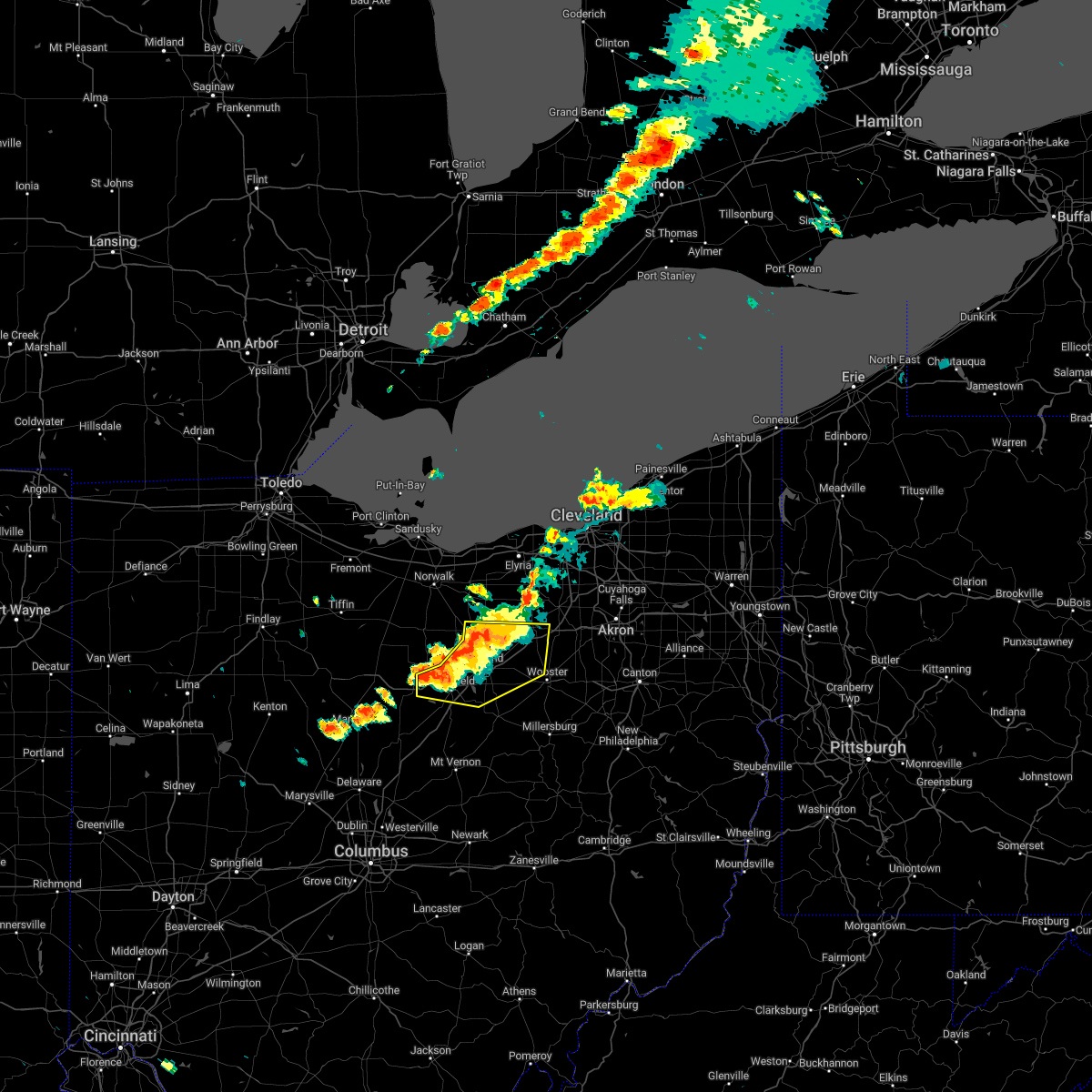 At 739 pm edt, severe thunderstorms were located along a line extending from near new london to ashland to ontario, moving east at 25 mph (radar indicated). Hazards include 60 mph wind gusts. Expect damage to trees and power lines. locations impacted include, mansfield, wooster, ashland, ontario, lodi, new london, west salem, hayesville, savannah, polk, sullivan, westfield center, lucas, jeromesville, bailey lakes, burbank, congress, mifflin, rowsburg and nova. hail threat, radar indicated max hail size, <. 75 in wind threat, radar indicated max wind gust, 60 mph. At 739 pm edt, severe thunderstorms were located along a line extending from near new london to ashland to ontario, moving east at 25 mph (radar indicated). Hazards include 60 mph wind gusts. Expect damage to trees and power lines. locations impacted include, mansfield, wooster, ashland, ontario, lodi, new london, west salem, hayesville, savannah, polk, sullivan, westfield center, lucas, jeromesville, bailey lakes, burbank, congress, mifflin, rowsburg and nova. hail threat, radar indicated max hail size, <. 75 in wind threat, radar indicated max wind gust, 60 mph.
|
| 7/20/2022 7:39 PM EDT |
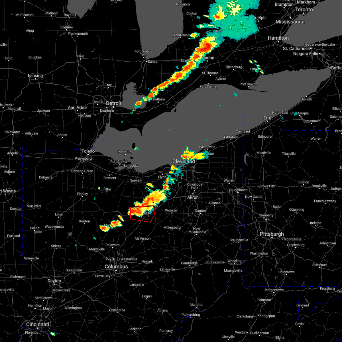 At 739 pm edt, a severe thunderstorm capable of producing a tornado was located near ontario, or 7 miles west of mansfield, moving east at 30 mph (radar indicated rotation). Hazards include tornado. Flying debris will be dangerous to those caught without shelter. mobile homes will be damaged or destroyed. damage to roofs, windows, and vehicles will occur. tree damage is likely. this dangerous storm will be near, ontario around 745 pm edt. mansfield around 755 pm edt. hayesville around 815 pm edt. Other locations impacted by this tornadic thunderstorm include lucas, mifflin and olivesburg. At 739 pm edt, a severe thunderstorm capable of producing a tornado was located near ontario, or 7 miles west of mansfield, moving east at 30 mph (radar indicated rotation). Hazards include tornado. Flying debris will be dangerous to those caught without shelter. mobile homes will be damaged or destroyed. damage to roofs, windows, and vehicles will occur. tree damage is likely. this dangerous storm will be near, ontario around 745 pm edt. mansfield around 755 pm edt. hayesville around 815 pm edt. Other locations impacted by this tornadic thunderstorm include lucas, mifflin and olivesburg.
|
| 7/20/2022 7:30 PM EDT |
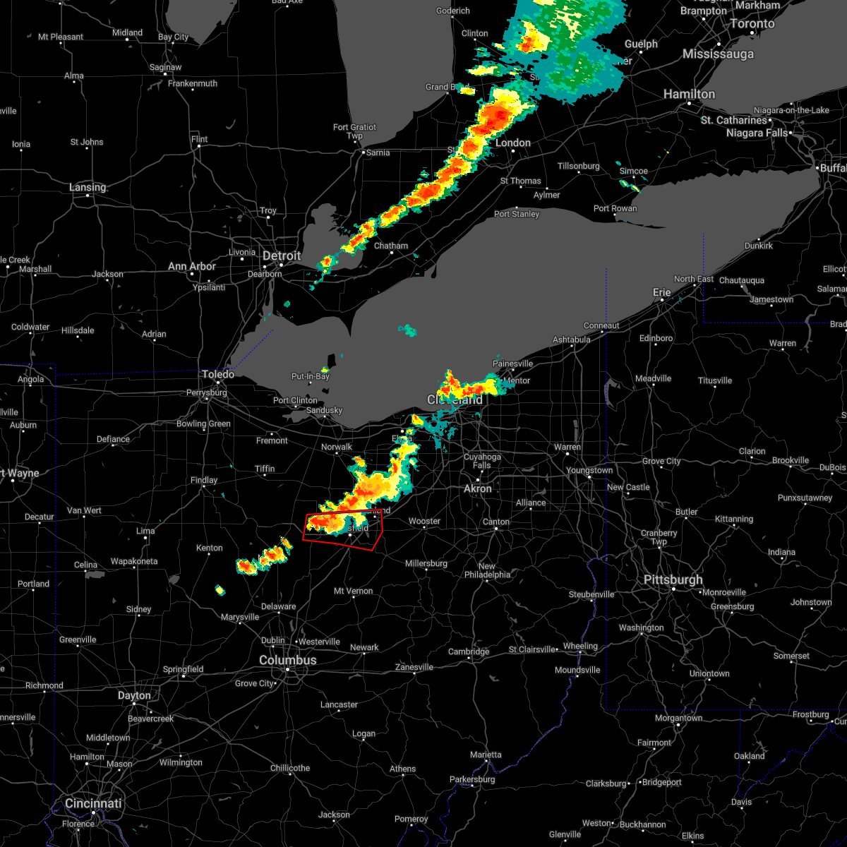 At 730 pm edt, a severe thunderstorm capable of producing a tornado was located over crestline, or 11 miles east of bucyrus, moving east at 25 mph (radar indicated rotation). Hazards include tornado. Flying debris will be dangerous to those caught without shelter. mobile homes will be damaged or destroyed. damage to roofs, windows, and vehicles will occur. tree damage is likely. this dangerous storm will be near, ontario around 745 pm edt. mansfield around 755 pm edt. Other locations impacted by this tornadic thunderstorm include lucas, north robinson, mifflin and olivesburg. At 730 pm edt, a severe thunderstorm capable of producing a tornado was located over crestline, or 11 miles east of bucyrus, moving east at 25 mph (radar indicated rotation). Hazards include tornado. Flying debris will be dangerous to those caught without shelter. mobile homes will be damaged or destroyed. damage to roofs, windows, and vehicles will occur. tree damage is likely. this dangerous storm will be near, ontario around 745 pm edt. mansfield around 755 pm edt. Other locations impacted by this tornadic thunderstorm include lucas, north robinson, mifflin and olivesburg.
|
| 7/20/2022 7:22 PM EDT |
 At 721 pm edt, severe thunderstorms were located along a line extending from near new london to 7 miles west of ashland to crestline, moving east at 25 mph (radar indicated). Hazards include 60 mph wind gusts. expect damage to trees and power lines At 721 pm edt, severe thunderstorms were located along a line extending from near new london to 7 miles west of ashland to crestline, moving east at 25 mph (radar indicated). Hazards include 60 mph wind gusts. expect damage to trees and power lines
|
| 6/16/2022 1:54 PM EDT |
 At 154 pm edt, a severe thunderstorm was located near crestline, or 8 miles northwest of mansfield, moving east at 45 mph (radar indicated). Hazards include 60 mph wind gusts and quarter size hail. Minor damage to vehicles is possible. Expect damage to trees and power lines. At 154 pm edt, a severe thunderstorm was located near crestline, or 8 miles northwest of mansfield, moving east at 45 mph (radar indicated). Hazards include 60 mph wind gusts and quarter size hail. Minor damage to vehicles is possible. Expect damage to trees and power lines.
|
| 6/13/2022 11:24 PM EDT |
 At 1124 pm edt, severe thunderstorms were located along a line extending from near lexington to near chesterville to near ashley, moving southeast at 75 mph (trained weather spotters). Hazards include 70 mph wind gusts and half dollar size hail. People and animals outdoors will be injured. expect hail damage to roofs, siding, windows, and vehicles. expect considerable tree damage. wind damage is also likely to mobile homes, roofs, and outbuildings. locations impacted include, mansfield, ashland, mount vernon, mount gilead, ontario, lexington, crestline, loudonville, fredericktown, gambier, cardington, bellville, centerburg, ashley, danville, hayesville, chesterville, sparta, waterford and butler. thunderstorm damage threat, considerable hail threat, radar indicated max hail size, 1. 25 in wind threat, radar indicated max wind gust, 70 mph. At 1124 pm edt, severe thunderstorms were located along a line extending from near lexington to near chesterville to near ashley, moving southeast at 75 mph (trained weather spotters). Hazards include 70 mph wind gusts and half dollar size hail. People and animals outdoors will be injured. expect hail damage to roofs, siding, windows, and vehicles. expect considerable tree damage. wind damage is also likely to mobile homes, roofs, and outbuildings. locations impacted include, mansfield, ashland, mount vernon, mount gilead, ontario, lexington, crestline, loudonville, fredericktown, gambier, cardington, bellville, centerburg, ashley, danville, hayesville, chesterville, sparta, waterford and butler. thunderstorm damage threat, considerable hail threat, radar indicated max hail size, 1. 25 in wind threat, radar indicated max wind gust, 70 mph.
|
| 6/13/2022 11:18 PM EDT |
 At 1117 pm edt, severe thunderstorms were located along a line extending from near crestline to near mount gilead to near waldo, moving southeast at 55 mph (radar indicated). Hazards include 70 mph wind gusts and half dollar size hail. People and animals outdoors will be injured. expect hail damage to roofs, siding, windows, and vehicles. expect considerable tree damage. wind damage is also likely to mobile homes, roofs, and outbuildings. locations impacted include, marion, bucyrus, galion, crestline, prospect, new washington, la rue, waldo, caledonia, new bloomington, green camp, tiro, north robinson, sulpher springs, iberia and state route 229 at us route 23. thunderstorm damage threat, considerable hail threat, radar indicated max hail size, 1. 25 in wind threat, radar indicated max wind gust, 70 mph. At 1117 pm edt, severe thunderstorms were located along a line extending from near crestline to near mount gilead to near waldo, moving southeast at 55 mph (radar indicated). Hazards include 70 mph wind gusts and half dollar size hail. People and animals outdoors will be injured. expect hail damage to roofs, siding, windows, and vehicles. expect considerable tree damage. wind damage is also likely to mobile homes, roofs, and outbuildings. locations impacted include, marion, bucyrus, galion, crestline, prospect, new washington, la rue, waldo, caledonia, new bloomington, green camp, tiro, north robinson, sulpher springs, iberia and state route 229 at us route 23. thunderstorm damage threat, considerable hail threat, radar indicated max hail size, 1. 25 in wind threat, radar indicated max wind gust, 70 mph.
|
| 6/13/2022 11:12 PM EDT |
 At 1111 pm edt, severe thunderstorms were located along a line extending from crestline to 7 miles northwest of mount gilead to near marion, moving southeast at 75 mph (radar indicated). Hazards include 70 mph wind gusts and quarter size hail. Minor damage to vehicles is possible. expect considerable tree damage. Wind damage is also likely to mobile homes, roofs, and outbuildings. At 1111 pm edt, severe thunderstorms were located along a line extending from crestline to 7 miles northwest of mount gilead to near marion, moving southeast at 75 mph (radar indicated). Hazards include 70 mph wind gusts and quarter size hail. Minor damage to vehicles is possible. expect considerable tree damage. Wind damage is also likely to mobile homes, roofs, and outbuildings.
|
| 6/13/2022 10:53 PM EDT |
 At 1052 pm edt, severe thunderstorms were located along a line extending from near chatfield to near marseilles, moving southeast at 65 mph (radar indicated). Hazards include 70 mph wind gusts and quarter size hail. Minor damage to vehicles is possible. expect considerable tree damage. Wind damage is also likely to mobile homes, roofs, and outbuildings. At 1052 pm edt, severe thunderstorms were located along a line extending from near chatfield to near marseilles, moving southeast at 65 mph (radar indicated). Hazards include 70 mph wind gusts and quarter size hail. Minor damage to vehicles is possible. expect considerable tree damage. Wind damage is also likely to mobile homes, roofs, and outbuildings.
|
| 5/21/2022 4:52 PM EDT |
 The severe thunderstorm warning for southwestern richland and eastern morrow counties will expire at 500 pm edt, the storm which prompted the warning has weakened below severe limits, and no longer poses an immediate threat to life or property. therefore, the warning will be allowed to expire. however gusty winds are still possible with this thunderstorm. a severe thunderstorm watch remains in effect until 1000 pm edt for north central ohio. The severe thunderstorm warning for southwestern richland and eastern morrow counties will expire at 500 pm edt, the storm which prompted the warning has weakened below severe limits, and no longer poses an immediate threat to life or property. therefore, the warning will be allowed to expire. however gusty winds are still possible with this thunderstorm. a severe thunderstorm watch remains in effect until 1000 pm edt for north central ohio.
|
| 5/21/2022 4:32 PM EDT |
 At 432 pm edt, a severe thunderstorm was located near chesterville, or near mount gilead, moving northeast at 25 mph (radar indicated). Hazards include 60 mph wind gusts and quarter size hail. Minor damage to vehicles is possible. expect damage to trees and power lines. locations impacted include, mansfield, mount gilead, shelby, ontario, lexington, crestline, bellville, chesterville, lucas, edison and shauck. hail threat, radar indicated max hail size, 1. 00 in wind threat, radar indicated max wind gust, 60 mph. At 432 pm edt, a severe thunderstorm was located near chesterville, or near mount gilead, moving northeast at 25 mph (radar indicated). Hazards include 60 mph wind gusts and quarter size hail. Minor damage to vehicles is possible. expect damage to trees and power lines. locations impacted include, mansfield, mount gilead, shelby, ontario, lexington, crestline, bellville, chesterville, lucas, edison and shauck. hail threat, radar indicated max hail size, 1. 00 in wind threat, radar indicated max wind gust, 60 mph.
|
| 5/21/2022 4:18 PM EDT |
 At 418 pm edt, a severe thunderstorm was located near mount gilead, moving northeast at 30 mph (radar indicated). Hazards include 60 mph wind gusts and quarter size hail. Minor damage to vehicles is possible. Expect damage to trees and power lines. At 418 pm edt, a severe thunderstorm was located near mount gilead, moving northeast at 30 mph (radar indicated). Hazards include 60 mph wind gusts and quarter size hail. Minor damage to vehicles is possible. Expect damage to trees and power lines.
|
| 5/21/2022 3:15 PM EDT |
 At 315 pm edt, severe thunderstorms were located along a line extending from near shelby to near lexington to chesterville, moving northeast at 30 mph (radar indicated). Hazards include ping pong ball size hail and 60 mph wind gusts. People and animals outdoors will be injured. expect hail damage to roofs, siding, windows, and vehicles. expect damage to trees and power lines. locations impacted include, mansfield, shelby, ontario, lexington, fredericktown, bellville, chesterville, sparta, waterford, butler, lucas, north liberty, shauck, shenandoah and olivesburg. hail threat, radar indicated max hail size, 1. 50 in wind threat, radar indicated max wind gust, 60 mph. At 315 pm edt, severe thunderstorms were located along a line extending from near shelby to near lexington to chesterville, moving northeast at 30 mph (radar indicated). Hazards include ping pong ball size hail and 60 mph wind gusts. People and animals outdoors will be injured. expect hail damage to roofs, siding, windows, and vehicles. expect damage to trees and power lines. locations impacted include, mansfield, shelby, ontario, lexington, fredericktown, bellville, chesterville, sparta, waterford, butler, lucas, north liberty, shauck, shenandoah and olivesburg. hail threat, radar indicated max hail size, 1. 50 in wind threat, radar indicated max wind gust, 60 mph.
|
| 5/21/2022 3:09 PM EDT |
 At 309 pm edt, severe thunderstorms were located along a line extending from shelby to lexington to near chesterville, moving northeast at 30 mph (radar indicated). Hazards include 60 mph wind gusts and quarter size hail. Minor damage to vehicles is possible. expect damage to trees and power lines. locations impacted include, mansfield, mount gilead, shelby, ontario, lexington, crestline, fredericktown, bellville, chesterville, sparta, waterford, butler, lucas, marengo, fulton, north liberty, shauck, shenandoah and olivesburg. hail threat, radar indicated max hail size, 1. 00 in wind threat, radar indicated max wind gust, 60 mph. At 309 pm edt, severe thunderstorms were located along a line extending from shelby to lexington to near chesterville, moving northeast at 30 mph (radar indicated). Hazards include 60 mph wind gusts and quarter size hail. Minor damage to vehicles is possible. expect damage to trees and power lines. locations impacted include, mansfield, mount gilead, shelby, ontario, lexington, crestline, fredericktown, bellville, chesterville, sparta, waterford, butler, lucas, marengo, fulton, north liberty, shauck, shenandoah and olivesburg. hail threat, radar indicated max hail size, 1. 00 in wind threat, radar indicated max wind gust, 60 mph.
|
| 5/21/2022 2:48 PM EDT |
 At 248 pm edt, severe thunderstorms were located along a line extending from crestline to near mount gilead to near ashley, moving northeast at 30 mph (radar indicated). Hazards include 60 mph wind gusts and quarter size hail. Minor damage to vehicles is possible. Expect damage to trees and power lines. At 248 pm edt, severe thunderstorms were located along a line extending from crestline to near mount gilead to near ashley, moving northeast at 30 mph (radar indicated). Hazards include 60 mph wind gusts and quarter size hail. Minor damage to vehicles is possible. Expect damage to trees and power lines.
|
| 8/11/2021 4:30 PM EDT |
 At 429 pm edt, severe thunderstorms were located along a line extending from near bucyrus to near marion to near west mansfield, moving east at 40 mph (radar indicated). Hazards include 60 mph wind gusts. expect damage to trees and power lines At 429 pm edt, severe thunderstorms were located along a line extending from near bucyrus to near marion to near west mansfield, moving east at 40 mph (radar indicated). Hazards include 60 mph wind gusts. expect damage to trees and power lines
|
| 8/11/2021 4:14 PM EDT |
 At 414 pm edt, severe thunderstorms were located along a line extending from near clyde to 7 miles northeast of bloomville to near upper sandusky, moving east at 30 mph (radar indicated). Hazards include 70 mph wind gusts and penny size hail. Expect considerable tree damage. Damage is likely to mobile homes, roofs, and outbuildings. At 414 pm edt, severe thunderstorms were located along a line extending from near clyde to 7 miles northeast of bloomville to near upper sandusky, moving east at 30 mph (radar indicated). Hazards include 70 mph wind gusts and penny size hail. Expect considerable tree damage. Damage is likely to mobile homes, roofs, and outbuildings.
|
| 7/7/2021 4:40 PM EDT |
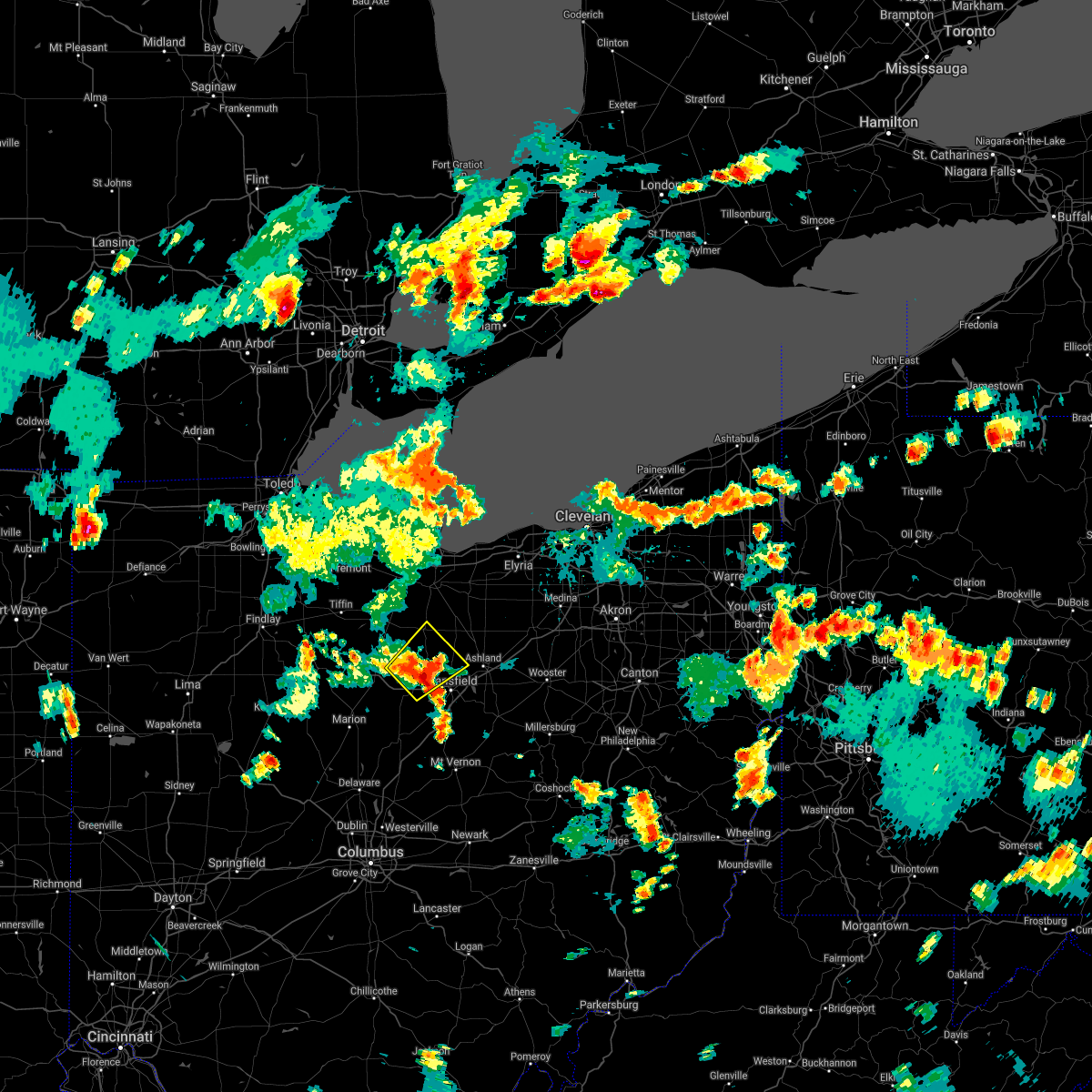 At 440 pm edt, a severe thunderstorm was located near crestline, or 11 miles east of bucyrus, moving northeast at 20 mph (radar indicated). Hazards include 60 mph wind gusts and quarter size hail. Minor damage to vehicles is possible. Expect damage to trees and power lines. At 440 pm edt, a severe thunderstorm was located near crestline, or 11 miles east of bucyrus, moving northeast at 20 mph (radar indicated). Hazards include 60 mph wind gusts and quarter size hail. Minor damage to vehicles is possible. Expect damage to trees and power lines.
|
| 11/15/2020 12:23 PM EST |
 At 1223 pm est, severe thunderstorms were located along a line extending from 6 miles west of northern milan to near bucyrus, moving east at 55 mph (radar indicated). Hazards include 60 mph wind gusts. Expect damage to trees and power lines. Locations impacted include, mansfield, norwalk, western vermilion, shelby, ontario, lexington, crestline, new london, milan, wakeman, greenwich, berlin heights, north fairfield, birmingham and shenandoah. At 1223 pm est, severe thunderstorms were located along a line extending from 6 miles west of northern milan to near bucyrus, moving east at 55 mph (radar indicated). Hazards include 60 mph wind gusts. Expect damage to trees and power lines. Locations impacted include, mansfield, norwalk, western vermilion, shelby, ontario, lexington, crestline, new london, milan, wakeman, greenwich, berlin heights, north fairfield, birmingham and shenandoah.
|
| 11/15/2020 12:08 PM EST |
 At 1208 pm est, severe thunderstorms were located along a line extending from near bellevue to near bucyrus, moving east at 55 mph (radar indicated). Hazards include 70 mph wind gusts. Expect considerable tree damage. damage is likely to mobile homes, roofs, and outbuildings. Locations impacted include, mansfield, sandusky, norwalk, western vermilion, mount gilead, galion, shelby, willard, ontario, lexington, crestline, new london, cardington, plymouth, northern milan, milan, ashley, wakeman, new washington and chesterville. At 1208 pm est, severe thunderstorms were located along a line extending from near bellevue to near bucyrus, moving east at 55 mph (radar indicated). Hazards include 70 mph wind gusts. Expect considerable tree damage. damage is likely to mobile homes, roofs, and outbuildings. Locations impacted include, mansfield, sandusky, norwalk, western vermilion, mount gilead, galion, shelby, willard, ontario, lexington, crestline, new london, cardington, plymouth, northern milan, milan, ashley, wakeman, new washington and chesterville.
|
| 11/15/2020 11:55 AM EST |
 At 1154 am est, severe thunderstorms were located along a line extending from near green springs to morral, moving northeast at 55 mph (radar indicated). Hazards include 70 mph wind gusts. Expect considerable tree damage. damage is likely to mobile homes, roofs, and outbuildings. Locations impacted include, mansfield, marion, sandusky, norwalk, bucyrus, western vermilion, mount gilead, kelleys island, put-in-bay, galion, shelby, bellevue, willard, ontario, lexington, crestline, new london, cardington, plymouth and northern milan. At 1154 am est, severe thunderstorms were located along a line extending from near green springs to morral, moving northeast at 55 mph (radar indicated). Hazards include 70 mph wind gusts. Expect considerable tree damage. damage is likely to mobile homes, roofs, and outbuildings. Locations impacted include, mansfield, marion, sandusky, norwalk, bucyrus, western vermilion, mount gilead, kelleys island, put-in-bay, galion, shelby, bellevue, willard, ontario, lexington, crestline, new london, cardington, plymouth and northern milan.
|
| 11/15/2020 11:38 AM EST |
 At 1138 am est, severe thunderstorms were located along a line extending from near tiffin to near la rue, moving northeast at 55 mph (radar indicated). Hazards include 70 mph wind gusts. Expect considerable tree damage. Damage is likely to mobile homes, roofs, and outbuildings. At 1138 am est, severe thunderstorms were located along a line extending from near tiffin to near la rue, moving northeast at 55 mph (radar indicated). Hazards include 70 mph wind gusts. Expect considerable tree damage. Damage is likely to mobile homes, roofs, and outbuildings.
|
| 8/28/2020 2:27 PM EDT |
 At 227 pm edt, severe thunderstorms were located along a line extending from near crestline to 7 miles southeast of mansfield, moving northeast at 35 mph (radar indicated). Hazards include 60 mph wind gusts. Expect damage to trees and power lines. Locations impacted include, mansfield, ashland, bucyrus, galion, shelby, ontario, crestline, new london, plymouth, savannah, polk, sullivan, bailey lakes, tiro, north robinson, nova, sulpher springs, nankin, shenandoah and olivesburg. At 227 pm edt, severe thunderstorms were located along a line extending from near crestline to 7 miles southeast of mansfield, moving northeast at 35 mph (radar indicated). Hazards include 60 mph wind gusts. Expect damage to trees and power lines. Locations impacted include, mansfield, ashland, bucyrus, galion, shelby, ontario, crestline, new london, plymouth, savannah, polk, sullivan, bailey lakes, tiro, north robinson, nova, sulpher springs, nankin, shenandoah and olivesburg.
|
| 8/28/2020 2:03 PM EDT |
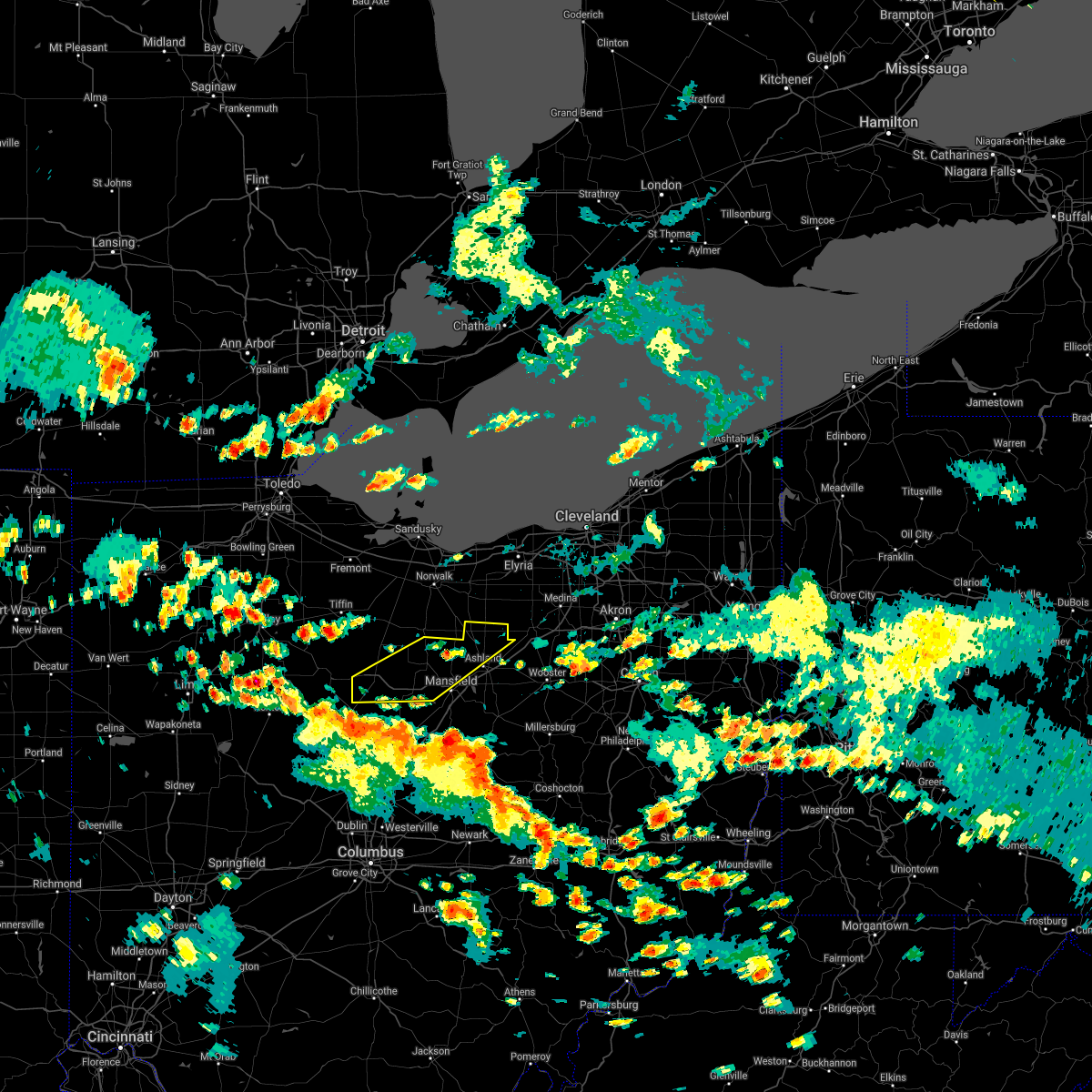 At 203 pm edt, severe thunderstorms were located along a line extending from 7 miles southwest of bucyrus to near bellville, moving northeast at 35 mph (radar indicated). Hazards include 60 mph wind gusts. expect damage to trees and power lines At 203 pm edt, severe thunderstorms were located along a line extending from 7 miles southwest of bucyrus to near bellville, moving northeast at 35 mph (radar indicated). Hazards include 60 mph wind gusts. expect damage to trees and power lines
|
| 7/10/2020 3:41 PM EDT |
 The severe thunderstorm warning for eastern marion, western morrow and crawford counties will expire at 345 pm edt, the storms which prompted the warning have weakened below severe limits, and have exited the warned area. therefore, the warning will be allowed to expire. The severe thunderstorm warning for eastern marion, western morrow and crawford counties will expire at 345 pm edt, the storms which prompted the warning have weakened below severe limits, and have exited the warned area. therefore, the warning will be allowed to expire.
|
| 7/10/2020 3:26 PM EDT |
 At 326 pm edt, severe thunderstorms were located along a line extending from near willard to near mount gilead, moving northeast at 40 mph (radar indicated). Hazards include 60 mph wind gusts. Expect damage to trees and power lines. Locations impacted include, bucyrus, mount gilead, galion, crestline, cardington, ashley, new washington, waldo, chatfield, caledonia, edison, tiro, north robinson, sulpher springs, iberia and state route 229 at us route 23. At 326 pm edt, severe thunderstorms were located along a line extending from near willard to near mount gilead, moving northeast at 40 mph (radar indicated). Hazards include 60 mph wind gusts. Expect damage to trees and power lines. Locations impacted include, bucyrus, mount gilead, galion, crestline, cardington, ashley, new washington, waldo, chatfield, caledonia, edison, tiro, north robinson, sulpher springs, iberia and state route 229 at us route 23.
|
| 7/10/2020 2:59 PM EDT |
 At 259 pm edt, severe thunderstorms were located along a line extending from 6 miles northwest of bucyrus to near waldo, moving northeast at 40 mph (radar indicated). Hazards include 60 mph wind gusts. expect damage to trees and power lines At 259 pm edt, severe thunderstorms were located along a line extending from 6 miles northwest of bucyrus to near waldo, moving northeast at 40 mph (radar indicated). Hazards include 60 mph wind gusts. expect damage to trees and power lines
|
| 7/10/2020 1:56 PM EDT |
 The severe thunderstorm warning for eastern morrow and knox counties will expire at 200 pm edt, the storms which prompted the warning have weakened below severe limits, and no longer pose an immediate threat to life or property. therefore, the warning will be allowed to expire. however gusty winds are still possible with these thunderstorms. The severe thunderstorm warning for eastern morrow and knox counties will expire at 200 pm edt, the storms which prompted the warning have weakened below severe limits, and no longer pose an immediate threat to life or property. therefore, the warning will be allowed to expire. however gusty winds are still possible with these thunderstorms.
|
| 7/10/2020 1:31 PM EDT |
 At 131 pm edt, severe thunderstorms were located along a line extending from 6 miles northeast of mount gilead to near fredericktown to near utica, moving north at 30 mph (radar indicated). Hazards include 60 mph wind gusts. Expect damage to trees and power lines. Locations impacted include, mount vernon, mount gilead, fredericktown, gambier, utica, chesterville, sparta, waterford, martinsburg, north liberty, iberia and shauck. At 131 pm edt, severe thunderstorms were located along a line extending from 6 miles northeast of mount gilead to near fredericktown to near utica, moving north at 30 mph (radar indicated). Hazards include 60 mph wind gusts. Expect damage to trees and power lines. Locations impacted include, mount vernon, mount gilead, fredericktown, gambier, utica, chesterville, sparta, waterford, martinsburg, north liberty, iberia and shauck.
|
| 7/10/2020 1:05 PM EDT |
 At 105 pm edt, severe thunderstorms were located along a line extending from cardington to near sparta to near johnstown, moving northeast at 35 mph (radar indicated). Hazards include 60 mph wind gusts and penny size hail. expect damage to trees and power lines At 105 pm edt, severe thunderstorms were located along a line extending from cardington to near sparta to near johnstown, moving northeast at 35 mph (radar indicated). Hazards include 60 mph wind gusts and penny size hail. expect damage to trees and power lines
|
| 6/18/2020 5:28 PM EDT |
 The severe thunderstorm warning for eastern marion, central morrow and southern crawford counties will expire at 530 pm edt, the storm which prompted the warning has weakened below severe limits, and no longer poses an immediate threat to life or property. therefore, the warning will be allowed to expire. however gusty winds up to 50 mph and heavy rain are still possible with this thunderstorm. The severe thunderstorm warning for eastern marion, central morrow and southern crawford counties will expire at 530 pm edt, the storm which prompted the warning has weakened below severe limits, and no longer poses an immediate threat to life or property. therefore, the warning will be allowed to expire. however gusty winds up to 50 mph and heavy rain are still possible with this thunderstorm.
|
| 6/18/2020 5:07 PM EDT |
 At 506 pm edt, a severe thunderstorm was located over galion, or 10 miles southeast of bucyrus, moving west at 25 mph (radar indicated). Hazards include 60 mph wind gusts and quarter size hail. Minor damage to vehicles is possible. Expect damage to trees and power lines. At 506 pm edt, a severe thunderstorm was located over galion, or 10 miles southeast of bucyrus, moving west at 25 mph (radar indicated). Hazards include 60 mph wind gusts and quarter size hail. Minor damage to vehicles is possible. Expect damage to trees and power lines.
|
| 6/10/2020 6:40 PM EDT |
 The severe thunderstorm warning for eastern marion, morrow and crawford counties will expire at 645 pm edt, the storms which prompted the warning have moved out of the area. therefore, the warning will be allowed to expire. a severe thunderstorm watch remains in effect until 1000 pm edt for north central and northwestern ohio. The severe thunderstorm warning for eastern marion, morrow and crawford counties will expire at 645 pm edt, the storms which prompted the warning have moved out of the area. therefore, the warning will be allowed to expire. a severe thunderstorm watch remains in effect until 1000 pm edt for north central and northwestern ohio.
|
| 6/10/2020 6:25 PM EDT |
 At 625 pm edt, severe thunderstorms were located along a line extending from near galion to chesterville to 6 miles west of sparta, moving northeast at 40 mph (radar indicated). Hazards include 70 mph wind gusts and quarter size hail. Minor damage to vehicles is possible. expect considerable tree damage. Wind damage is also likely to mobile homes, roofs, and outbuildings. At 625 pm edt, severe thunderstorms were located along a line extending from near galion to chesterville to 6 miles west of sparta, moving northeast at 40 mph (radar indicated). Hazards include 70 mph wind gusts and quarter size hail. Minor damage to vehicles is possible. expect considerable tree damage. Wind damage is also likely to mobile homes, roofs, and outbuildings.
|
| 6/10/2020 6:21 PM EDT | Social media report of a semi truck blown over by winds on us 30 near north robinson. time estimated via rada in crawford county OH, 4.8 miles ESE of Galion, OH |
| 6/10/2020 6:18 PM EDT |
 At 618 pm edt, severe thunderstorms were located along a line extending from near bucyrus to near mount gilead, moving northeast at 60 mph (radar indicated). Hazards include 70 mph wind gusts and nickel size hail. Expect considerable tree damage. damage is likely to mobile homes, roofs, and outbuildings. Locations impacted include, bucyrus, mount gilead, galion, crestline, cardington, ashley, new washington, waldo, chatfield, benton, caledonia, edison, tiro, fulton, north robinson, oceola, sulpher springs, iberia and shauck. At 618 pm edt, severe thunderstorms were located along a line extending from near bucyrus to near mount gilead, moving northeast at 60 mph (radar indicated). Hazards include 70 mph wind gusts and nickel size hail. Expect considerable tree damage. damage is likely to mobile homes, roofs, and outbuildings. Locations impacted include, bucyrus, mount gilead, galion, crestline, cardington, ashley, new washington, waldo, chatfield, benton, caledonia, edison, tiro, fulton, north robinson, oceola, sulpher springs, iberia and shauck.
|
| 6/10/2020 5:50 PM EDT |
 At 550 pm edt, severe thunderstorms were located along a line extending from near la rue to near delaware, moving northeast at 60 mph (radar indicated). Hazards include 60 mph wind gusts and quarter size hail. Minor damage to vehicles is possible. Expect damage to trees and power lines. At 550 pm edt, severe thunderstorms were located along a line extending from near la rue to near delaware, moving northeast at 60 mph (radar indicated). Hazards include 60 mph wind gusts and quarter size hail. Minor damage to vehicles is possible. Expect damage to trees and power lines.
|
| 9/13/2019 8:41 PM EDT |
 The national weather service in cleveland has issued a * severe thunderstorm warning for. richland county in north central ohio. ashland county in north central ohio. northeastern morrow county in north central ohio. Until 930 pm edt. The national weather service in cleveland has issued a * severe thunderstorm warning for. richland county in north central ohio. ashland county in north central ohio. northeastern morrow county in north central ohio. Until 930 pm edt.
|
| 8/20/2019 5:21 PM EDT |
 The national weather service in cleveland has issued a * severe thunderstorm warning for. richland county in north central ohio. until 600 pm edt. At 521 pm edt, a severe thunderstorm was located over ontario, or near mansfield, moving northeast at 20 mph. The national weather service in cleveland has issued a * severe thunderstorm warning for. richland county in north central ohio. until 600 pm edt. At 521 pm edt, a severe thunderstorm was located over ontario, or near mansfield, moving northeast at 20 mph.
|
| 7/16/2019 6:42 PM EDT |
 At 641 pm edt, severe thunderstorms were located along a line extending from near bellevue to new washington to near galion, moving northeast at 35 mph (radar indicated). Hazards include 60 mph wind gusts. Expect damage to trees and power lines. Locations impacted include, mansfield, sandusky, norwalk, western vermilion, vermilion, galion, shelby, bellevue, willard, ontario, crestline, new london, plymouth, northern milan, milan, wakeman, new washington, chatfield, greenwich and monroeville. At 641 pm edt, severe thunderstorms were located along a line extending from near bellevue to new washington to near galion, moving northeast at 35 mph (radar indicated). Hazards include 60 mph wind gusts. Expect damage to trees and power lines. Locations impacted include, mansfield, sandusky, norwalk, western vermilion, vermilion, galion, shelby, bellevue, willard, ontario, crestline, new london, plymouth, northern milan, milan, wakeman, new washington, chatfield, greenwich and monroeville.
|
| 7/16/2019 6:21 PM EDT |
 At 621 pm edt, severe thunderstorms were located along a line extending from near bloomville to 6 miles northwest of cardington, moving northeast at 35 mph (radar indicated). Hazards include 60 mph wind gusts. expect damage to trees and power lines At 621 pm edt, severe thunderstorms were located along a line extending from near bloomville to 6 miles northwest of cardington, moving northeast at 35 mph (radar indicated). Hazards include 60 mph wind gusts. expect damage to trees and power lines
|
| 7/2/2019 5:34 PM EDT |
 At 534 pm edt, severe thunderstorms were located along a line extending from near lexington to near ashley, moving southeast at 25 mph (radar indicated). Hazards include 60 mph wind gusts and quarter size hail. Minor damage to vehicles is possible. Expect damage to trees and power lines. At 534 pm edt, severe thunderstorms were located along a line extending from near lexington to near ashley, moving southeast at 25 mph (radar indicated). Hazards include 60 mph wind gusts and quarter size hail. Minor damage to vehicles is possible. Expect damage to trees and power lines.
|
| 6/5/2019 5:23 PM EDT |
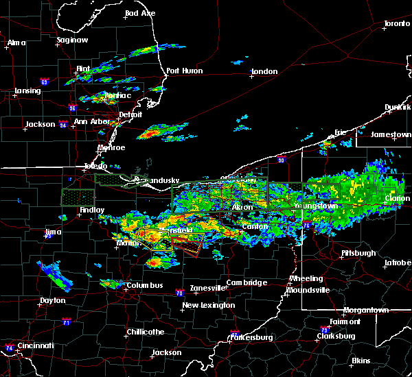 At 523 pm edt, a severe thunderstorm was located over lexington, or near mansfield, moving east at 30 mph (radar indicated). Hazards include 60 mph wind gusts and penny size hail. Expect damage to trees and power lines. Locations impacted include, mansfield, galion, ontario, lexington, crestline, bellville, butler, lucas and shauck. At 523 pm edt, a severe thunderstorm was located over lexington, or near mansfield, moving east at 30 mph (radar indicated). Hazards include 60 mph wind gusts and penny size hail. Expect damage to trees and power lines. Locations impacted include, mansfield, galion, ontario, lexington, crestline, bellville, butler, lucas and shauck.
|
| 6/5/2019 5:02 PM EDT | Tree dow in crawford county OH, 1 miles E of Galion, OH |
| 6/5/2019 4:58 PM EDT | Trees dow in crawford county OH, 1.7 miles ENE of Galion, OH |
| 6/5/2019 4:58 PM EDT | Tree dow in crawford county OH, 0.8 miles N of Galion, OH |
| 6/5/2019 4:58 PM EDT | Garage blew dow in crawford county OH, 0.5 miles ENE of Galion, OH |
| 6/5/2019 4:58 PM EDT | Large tree down at n. east street and murray stree in crawford county OH, 1 miles NNE of Galion, OH |
| 6/5/2019 4:58 PM EDT |
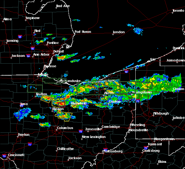 At 457 pm edt, a severe thunderstorm was located over galion, or 9 miles east of bucyrus, moving east at 30 mph. another storm is located over bucyrus, also moving east at 30 mph. this storm has a history of producing funnel clouds (radar indicated). Hazards include 60 mph wind gusts and quarter size hail. Minor damage to vehicles is possible. Expect damage to trees and power lines. At 457 pm edt, a severe thunderstorm was located over galion, or 9 miles east of bucyrus, moving east at 30 mph. another storm is located over bucyrus, also moving east at 30 mph. this storm has a history of producing funnel clouds (radar indicated). Hazards include 60 mph wind gusts and quarter size hail. Minor damage to vehicles is possible. Expect damage to trees and power lines.
|
| 6/5/2019 4:48 PM EDT |
 At 447 pm edt, a severe thunderstorm capable of producing a tornado was located just east of bucyrus, moving east at 30 mph (radar indicated rotation). Hazards include tornado and half dollar size hail. Flying debris will be dangerous to those caught without shelter. mobile homes will be damaged or destroyed. damage to roofs, windows, and vehicles will occur. tree damage is likely. Locations impacted include, galion, crestline and north robinson. At 447 pm edt, a severe thunderstorm capable of producing a tornado was located just east of bucyrus, moving east at 30 mph (radar indicated rotation). Hazards include tornado and half dollar size hail. Flying debris will be dangerous to those caught without shelter. mobile homes will be damaged or destroyed. damage to roofs, windows, and vehicles will occur. tree damage is likely. Locations impacted include, galion, crestline and north robinson.
|
| 6/5/2019 4:38 PM EDT |
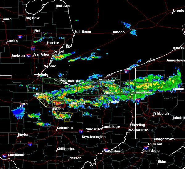 At 437 pm edt, a severe thunderstorm capable of producing a tornado was located over bucyrus, moving east at 35 mph. at 436 pm edt, trained spotters reported a wall cloud near bucyrus (radar indicated rotation). Hazards include tornado and half dollar size hail. Flying debris will be dangerous to those caught without shelter. mobile homes will be damaged or destroyed. damage to roofs, windows, and vehicles will occur. tree damage is likely. Locations impacted include, bucyrus, galion, crestline, north robinson and sulpher springs. At 437 pm edt, a severe thunderstorm capable of producing a tornado was located over bucyrus, moving east at 35 mph. at 436 pm edt, trained spotters reported a wall cloud near bucyrus (radar indicated rotation). Hazards include tornado and half dollar size hail. Flying debris will be dangerous to those caught without shelter. mobile homes will be damaged or destroyed. damage to roofs, windows, and vehicles will occur. tree damage is likely. Locations impacted include, bucyrus, galion, crestline, north robinson and sulpher springs.
|
| 6/5/2019 4:30 PM EDT |
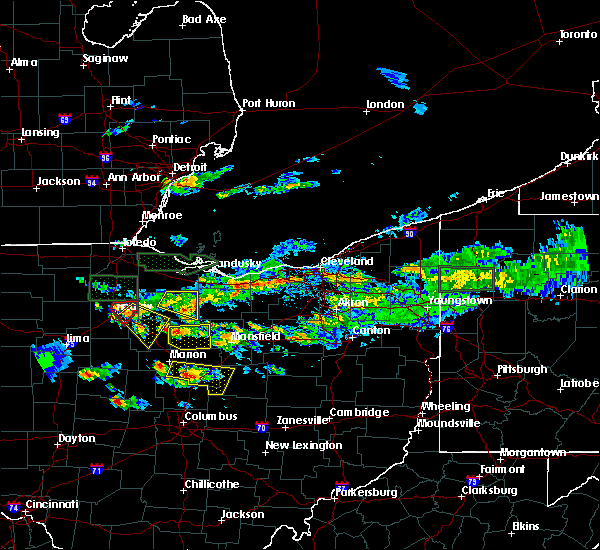 At 430 pm edt, a severe thunderstorm capable of producing a tornado was located near bucyrus, moving east at 35 mph (radar indicated rotation). Hazards include tornado and quarter size hail. Flying debris will be dangerous to those caught without shelter. mobile homes will be damaged or destroyed. damage to roofs, windows, and vehicles will occur. Tree damage is likely. At 430 pm edt, a severe thunderstorm capable of producing a tornado was located near bucyrus, moving east at 35 mph (radar indicated rotation). Hazards include tornado and quarter size hail. Flying debris will be dangerous to those caught without shelter. mobile homes will be damaged or destroyed. damage to roofs, windows, and vehicles will occur. Tree damage is likely.
|
| 6/5/2019 4:26 PM EDT |
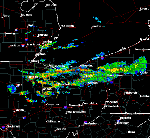 At 426 pm edt, a severe thunderstorm was located near bucyrus, moving east at 25 mph (radar indicated). Hazards include 60 mph wind gusts and penny size hail. Expect damage to trees and power lines. Locations impacted include, bucyrus, galion, crestline, tiro, north robinson, oceola and sulpher springs. At 426 pm edt, a severe thunderstorm was located near bucyrus, moving east at 25 mph (radar indicated). Hazards include 60 mph wind gusts and penny size hail. Expect damage to trees and power lines. Locations impacted include, bucyrus, galion, crestline, tiro, north robinson, oceola and sulpher springs.
|
| 6/5/2019 4:20 PM EDT |
 At 419 pm edt, a severe thunderstorm was located near sycamore, or 7 miles east of upper sandusky, moving east at 25 mph (radar indicated). Hazards include 60 mph wind gusts and penny size hail. expect damage to trees and power lines At 419 pm edt, a severe thunderstorm was located near sycamore, or 7 miles east of upper sandusky, moving east at 25 mph (radar indicated). Hazards include 60 mph wind gusts and penny size hail. expect damage to trees and power lines
|
| 6/2/2019 1:44 AM EDT |
 At 143 am edt, a severe thunderstorm was located near fredericktown, or 12 miles east of mount gilead, moving east at 45 mph (radar indicated). Hazards include 60 mph wind gusts and quarter size hail. Minor damage to vehicles is possible. Expect damage to trees and power lines. At 143 am edt, a severe thunderstorm was located near fredericktown, or 12 miles east of mount gilead, moving east at 45 mph (radar indicated). Hazards include 60 mph wind gusts and quarter size hail. Minor damage to vehicles is possible. Expect damage to trees and power lines.
|
| 6/2/2019 1:44 AM EDT |
 At 142 am edt, a severe thunderstorm was located over lexington, or 8 miles southwest of mansfield, moving east at 30 mph. additional strong storms are also located across central and southern morrow county (radar indicated). Hazards include 60 mph wind gusts and quarter size hail. Minor damage to vehicles is possible. expect damage to trees and power lines. Locations impacted include, mount gilead, cardington, chesterville, edison, fulton, iberia and shauck. At 142 am edt, a severe thunderstorm was located over lexington, or 8 miles southwest of mansfield, moving east at 30 mph. additional strong storms are also located across central and southern morrow county (radar indicated). Hazards include 60 mph wind gusts and quarter size hail. Minor damage to vehicles is possible. expect damage to trees and power lines. Locations impacted include, mount gilead, cardington, chesterville, edison, fulton, iberia and shauck.
|
| 6/2/2019 1:31 AM EDT |
 At 130 am edt, a severe thunderstorm was located near galion, or 7 miles northeast of mount gilead, moving east at 30 mph (radar indicated). Hazards include 60 mph wind gusts and quarter size hail. Minor damage to vehicles is possible. expect damage to trees and power lines. Locations impacted include, marion, bucyrus, mount gilead, galion, crestline, cardington, prospect, waldo, chesterville, caledonia, edison, green camp, tiro, fulton, north robinson, iberia, shauck and state route 229 at us route 23. At 130 am edt, a severe thunderstorm was located near galion, or 7 miles northeast of mount gilead, moving east at 30 mph (radar indicated). Hazards include 60 mph wind gusts and quarter size hail. Minor damage to vehicles is possible. expect damage to trees and power lines. Locations impacted include, marion, bucyrus, mount gilead, galion, crestline, cardington, prospect, waldo, chesterville, caledonia, edison, green camp, tiro, fulton, north robinson, iberia, shauck and state route 229 at us route 23.
|
| 6/2/2019 1:12 AM EDT |
 At 112 am edt, a severe thunderstorm was located 7 miles northwest of mount gilead, moving east at 30 mph (radar indicated). Hazards include 60 mph wind gusts and quarter size hail. Minor damage to vehicles is possible. Expect damage to trees and power lines. At 112 am edt, a severe thunderstorm was located 7 miles northwest of mount gilead, moving east at 30 mph (radar indicated). Hazards include 60 mph wind gusts and quarter size hail. Minor damage to vehicles is possible. Expect damage to trees and power lines.
|
| 5/26/2019 7:44 AM EDT |
 At 744 am edt, severe thunderstorms were located along a line extending from near new washington to crestline to near lexington to sparta, moving east at 50 mph (radar indicated). Hazards include 60 mph wind gusts. Expect damage to trees and power lines. Locations impacted include, mount gilead, galion, crestline, new washington, chesterville, sparta, marengo, tiro, fulton, north robinson, sulpher springs, iberia and shauck. At 744 am edt, severe thunderstorms were located along a line extending from near new washington to crestline to near lexington to sparta, moving east at 50 mph (radar indicated). Hazards include 60 mph wind gusts. Expect damage to trees and power lines. Locations impacted include, mount gilead, galion, crestline, new washington, chesterville, sparta, marengo, tiro, fulton, north robinson, sulpher springs, iberia and shauck.
|
| 5/26/2019 7:23 AM EDT |
 The national weather service in cleveland has issued a * severe thunderstorm warning for. morrow county in north central ohio. crawford county in north central ohio. until 815 am edt. At 723 am edt, severe thunderstorms were located along a line. The national weather service in cleveland has issued a * severe thunderstorm warning for. morrow county in north central ohio. crawford county in north central ohio. until 815 am edt. At 723 am edt, severe thunderstorms were located along a line.
|
| 5/23/2019 7:33 AM EDT |
 At 732 am edt, severe thunderstorms were located along a line extending from 6 miles southeast of sandusky to near prospect, moving east at 60 mph (radar indicated). Hazards include 70 mph wind gusts. Expect considerable tree damage. Damage is likely to mobile homes, roofs, and outbuildings. At 732 am edt, severe thunderstorms were located along a line extending from 6 miles southeast of sandusky to near prospect, moving east at 60 mph (radar indicated). Hazards include 70 mph wind gusts. Expect considerable tree damage. Damage is likely to mobile homes, roofs, and outbuildings.
|
| 4/14/2019 4:50 PM EDT |
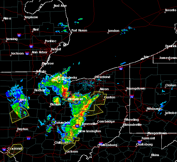 At 452 pm edt, a confirmed tornado was located near shelby, or 12 miles north of mansfield, moving northeast at 55 mph (weather spotters confirmed tornado). Hazards include damaging tornado and half dollar size hail. Flying debris will be dangerous to those caught without shelter. mobile homes will be damaged or destroyed. damage to roofs, windows, and vehicles will occur. tree damage is likely. Locations impacted include, shelby, new london, plymouth, greenwich and shenandoah. At 452 pm edt, a confirmed tornado was located near shelby, or 12 miles north of mansfield, moving northeast at 55 mph (weather spotters confirmed tornado). Hazards include damaging tornado and half dollar size hail. Flying debris will be dangerous to those caught without shelter. mobile homes will be damaged or destroyed. damage to roofs, windows, and vehicles will occur. tree damage is likely. Locations impacted include, shelby, new london, plymouth, greenwich and shenandoah.
|
| 4/14/2019 4:41 PM EDT |
 At 440 pm edt, a severe thunderstorm capable of producing a tornado was located over crestline, or 11 miles east of bucyrus, moving northeast at 50 mph (radar indicated rotation). Hazards include tornado and half dollar size hail. Flying debris will be dangerous to those caught without shelter. mobile homes will be damaged or destroyed. damage to roofs, windows, and vehicles will occur. tree damage is likely. Locations impacted include, crestline, new washington, tiro and sulpher springs. At 440 pm edt, a severe thunderstorm capable of producing a tornado was located over crestline, or 11 miles east of bucyrus, moving northeast at 50 mph (radar indicated rotation). Hazards include tornado and half dollar size hail. Flying debris will be dangerous to those caught without shelter. mobile homes will be damaged or destroyed. damage to roofs, windows, and vehicles will occur. tree damage is likely. Locations impacted include, crestline, new washington, tiro and sulpher springs.
|
| 4/14/2019 4:39 PM EDT |
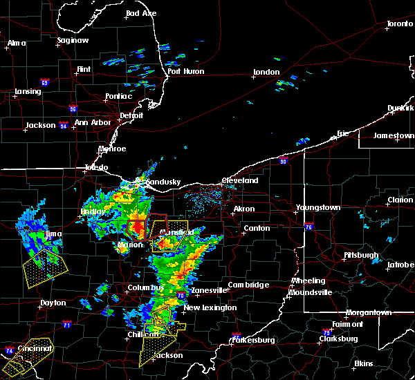 At 439 pm edt, a severe thunderstorm capable of producing a tornado was located over crestline, or 11 miles west of mansfield, moving northeast at 55 mph (radar indicated rotation). Hazards include tornado and half dollar size hail. Flying debris will be dangerous to those caught without shelter. mobile homes will be damaged or destroyed. damage to roofs, windows, and vehicles will occur. Tree damage is likely. At 439 pm edt, a severe thunderstorm capable of producing a tornado was located over crestline, or 11 miles west of mansfield, moving northeast at 55 mph (radar indicated rotation). Hazards include tornado and half dollar size hail. Flying debris will be dangerous to those caught without shelter. mobile homes will be damaged or destroyed. damage to roofs, windows, and vehicles will occur. Tree damage is likely.
|
| 4/14/2019 4:36 PM EDT |
 At 436 pm edt, a severe thunderstorm capable of producing a tornado was located near crestline, or 8 miles east of bucyrus, moving northeast at 55 mph (radar indicated rotation). Hazards include tornado and half dollar size hail. Flying debris will be dangerous to those caught without shelter. mobile homes will be damaged or destroyed. damage to roofs, windows, and vehicles will occur. tree damage is likely. Locations impacted include, bucyrus, galion, crestline, new washington, chatfield, tiro, north robinson and sulpher springs. At 436 pm edt, a severe thunderstorm capable of producing a tornado was located near crestline, or 8 miles east of bucyrus, moving northeast at 55 mph (radar indicated rotation). Hazards include tornado and half dollar size hail. Flying debris will be dangerous to those caught without shelter. mobile homes will be damaged or destroyed. damage to roofs, windows, and vehicles will occur. tree damage is likely. Locations impacted include, bucyrus, galion, crestline, new washington, chatfield, tiro, north robinson and sulpher springs.
|
| 4/14/2019 4:29 PM EDT |
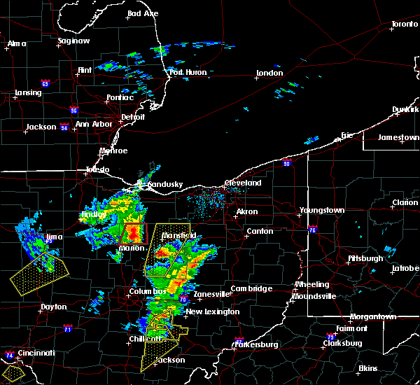 At 429 pm edt, a severe thunderstorm capable of producing a tornado was located near bucyrus, moving northeast at 55 mph (radar indicated rotation). Hazards include tornado and golf ball size hail. Flying debris will be dangerous to those caught without shelter. mobile homes will be damaged or destroyed. damage to roofs, windows, and vehicles will occur. tree damage is likely. Locations impacted include, bucyrus, galion, crestline, new washington, chatfield, tiro, north robinson and sulpher springs. At 429 pm edt, a severe thunderstorm capable of producing a tornado was located near bucyrus, moving northeast at 55 mph (radar indicated rotation). Hazards include tornado and golf ball size hail. Flying debris will be dangerous to those caught without shelter. mobile homes will be damaged or destroyed. damage to roofs, windows, and vehicles will occur. tree damage is likely. Locations impacted include, bucyrus, galion, crestline, new washington, chatfield, tiro, north robinson and sulpher springs.
|
| 4/14/2019 4:25 PM EDT | Large limbs down near st.rte. 19 and beck r in crawford county OH, 5.4 miles ENE of Galion, OH |
| 4/14/2019 4:23 PM EDT |
 At 422 pm edt, a severe thunderstorm capable of producing a tornado was located near bucyrus, moving northeast at 55 mph (radar indicated rotation). Hazards include tornado and golf ball size hail. Flying debris will be dangerous to those caught without shelter. mobile homes will be damaged or destroyed. damage to roofs, windows, and vehicles will occur. tree damage is likely. Locations impacted include, bucyrus, galion, crestline, new washington, chatfield, nevada, caledonia, tiro, north robinson, oceola, iberia and sulpher springs. At 422 pm edt, a severe thunderstorm capable of producing a tornado was located near bucyrus, moving northeast at 55 mph (radar indicated rotation). Hazards include tornado and golf ball size hail. Flying debris will be dangerous to those caught without shelter. mobile homes will be damaged or destroyed. damage to roofs, windows, and vehicles will occur. tree damage is likely. Locations impacted include, bucyrus, galion, crestline, new washington, chatfield, nevada, caledonia, tiro, north robinson, oceola, iberia and sulpher springs.
|
| 4/14/2019 4:17 PM EDT |
 At 417 pm edt, a severe thunderstorm capable of producing a tornado was located near morral, or 7 miles north of marion, moving northeast at 55 mph (radar indicated rotation). Hazards include tornado and golf ball size hail. Flying debris will be dangerous to those caught without shelter. mobile homes will be damaged or destroyed. damage to roofs, windows, and vehicles will occur. tree damage is likely. Locations impacted include, marion, bucyrus, galion, crestline, new washington, morral, chatfield, nevada, caledonia, tiro, north robinson, oceola, sulpher springs and iberia. At 417 pm edt, a severe thunderstorm capable of producing a tornado was located near morral, or 7 miles north of marion, moving northeast at 55 mph (radar indicated rotation). Hazards include tornado and golf ball size hail. Flying debris will be dangerous to those caught without shelter. mobile homes will be damaged or destroyed. damage to roofs, windows, and vehicles will occur. tree damage is likely. Locations impacted include, marion, bucyrus, galion, crestline, new washington, morral, chatfield, nevada, caledonia, tiro, north robinson, oceola, sulpher springs and iberia.
|
| 4/14/2019 4:15 PM EDT |
 At 414 pm edt, a severe thunderstorm capable of producing a tornado was located near marion, moving northeast at 55 mph (radar indicated rotation). Hazards include tornado and quarter size hail. Flying debris will be dangerous to those caught without shelter. mobile homes will be damaged or destroyed. damage to roofs, windows, and vehicles will occur. Tree damage is likely. At 414 pm edt, a severe thunderstorm capable of producing a tornado was located near marion, moving northeast at 55 mph (radar indicated rotation). Hazards include tornado and quarter size hail. Flying debris will be dangerous to those caught without shelter. mobile homes will be damaged or destroyed. damage to roofs, windows, and vehicles will occur. Tree damage is likely.
|
| 7/26/2018 8:09 PM EDT |
 The severe thunderstorm warning for northern marion, southeastern wyandot, northern morrow and crawford counties will expire at 815 pm edt, the storm which prompted the warning has weakened below severe limits, and no longer poses an immediate threat to life or property. therefore, the warning will be allowed to expire. however gusty winds to 50 mph, small hail, and torrential rain are still possible with this thunderstorm. The severe thunderstorm warning for northern marion, southeastern wyandot, northern morrow and crawford counties will expire at 815 pm edt, the storm which prompted the warning has weakened below severe limits, and no longer poses an immediate threat to life or property. therefore, the warning will be allowed to expire. however gusty winds to 50 mph, small hail, and torrential rain are still possible with this thunderstorm.
|
| 7/26/2018 7:13 PM EDT |
 At 713 pm edt, a severe thunderstorm was located near morral, or near upper sandusky, moving northeast at 45 mph (radar indicated). Hazards include 60 mph wind gusts and quarter size hail. Minor damage to vehicles is possible. expect damage to trees and power lines. Locations impacted include, marion, bucyrus, upper sandusky, galion, crestline, new washington, morral, marseilles, nevada, caledonia, tiro, north robinson, harpster, oceola, sulpher springs and iberia. At 713 pm edt, a severe thunderstorm was located near morral, or near upper sandusky, moving northeast at 45 mph (radar indicated). Hazards include 60 mph wind gusts and quarter size hail. Minor damage to vehicles is possible. expect damage to trees and power lines. Locations impacted include, marion, bucyrus, upper sandusky, galion, crestline, new washington, morral, marseilles, nevada, caledonia, tiro, north robinson, harpster, oceola, sulpher springs and iberia.
|
| 7/26/2018 6:40 PM EDT |
 At 639 pm edt, a severe thunderstorm was located near kenton, moving east at 40 mph (radar indicated). Hazards include 60 mph wind gusts and quarter size hail. Minor damage to vehicles is possible. Expect damage to trees and power lines. At 639 pm edt, a severe thunderstorm was located near kenton, moving east at 40 mph (radar indicated). Hazards include 60 mph wind gusts and quarter size hail. Minor damage to vehicles is possible. Expect damage to trees and power lines.
|
| 7/5/2018 3:17 PM EDT |
 At 316 pm edt, a severe thunderstorm was located over shelby, or 10 miles northwest of mansfield, moving east at 10 mph (radar indicated). Hazards include 60 mph wind gusts and quarter size hail and very heavy rainfall. Minor damage to vehicles is possible. Expect damage to trees and power lines. At 316 pm edt, a severe thunderstorm was located over shelby, or 10 miles northwest of mansfield, moving east at 10 mph (radar indicated). Hazards include 60 mph wind gusts and quarter size hail and very heavy rainfall. Minor damage to vehicles is possible. Expect damage to trees and power lines.
|
| 5/22/2018 4:22 PM EDT |
 At 422 pm edt, severe thunderstorms were located along a line extending from near ashland to near mansfield to near galion, moving east at 35 mph (radar indicated). Hazards include 60 mph wind gusts and quarter size hail. Minor damage to vehicles is possible. Expect damage to trees and power lines. At 422 pm edt, severe thunderstorms were located along a line extending from near ashland to near mansfield to near galion, moving east at 35 mph (radar indicated). Hazards include 60 mph wind gusts and quarter size hail. Minor damage to vehicles is possible. Expect damage to trees and power lines.
|
| 5/22/2018 4:11 PM EDT |
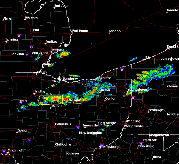 The severe thunderstorm warning for wyandot and crawford counties will expire at 415 pm edt, the storm which prompted the warning has weakened below severe limits, and no longer poses an immediate threat to life or property. therefore the warning will be allowed to expire. however heavy rain is still possible with this thunderstorm. a severe thunderstorm watch remains in effect until 900 pm edt for north central and northwestern ohio. The severe thunderstorm warning for wyandot and crawford counties will expire at 415 pm edt, the storm which prompted the warning has weakened below severe limits, and no longer poses an immediate threat to life or property. therefore the warning will be allowed to expire. however heavy rain is still possible with this thunderstorm. a severe thunderstorm watch remains in effect until 900 pm edt for north central and northwestern ohio.
|
| 5/22/2018 3:46 PM EDT |
 At 344 pm edt, a severe thunderstorm was located near new washington, or 9 miles northeast of bucyrus, moving east at 35 mph. additional strong storms were located across northern crawford and wyandot counties. these were also moving east (radar indicated). Hazards include 60 mph wind gusts and quarter size hail. Minor damage to vehicles is possible. expect damage to trees and power lines. torrential rainfall is also occurring with these storms. Locations impacted include, bucyrus, upper sandusky, galion, crestline, forest, new washington, sycamore, morral, chatfield, marseilles, carey, benton, nevada, wharton, tiro, north robinson, harpster, kirby, oceola and sulpher springs. At 344 pm edt, a severe thunderstorm was located near new washington, or 9 miles northeast of bucyrus, moving east at 35 mph. additional strong storms were located across northern crawford and wyandot counties. these were also moving east (radar indicated). Hazards include 60 mph wind gusts and quarter size hail. Minor damage to vehicles is possible. expect damage to trees and power lines. torrential rainfall is also occurring with these storms. Locations impacted include, bucyrus, upper sandusky, galion, crestline, forest, new washington, sycamore, morral, chatfield, marseilles, carey, benton, nevada, wharton, tiro, north robinson, harpster, kirby, oceola and sulpher springs.
|
| 5/22/2018 3:12 PM EDT |
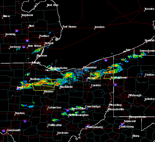 At 312 pm edt, a severe thunderstorm was located over sycamore, or 10 miles south of tiffin, moving east at 35 mph (radar indicated). Hazards include 60 mph wind gusts and quarter size hail. Minor damage to vehicles is possible. Expect damage to trees and power lines. At 312 pm edt, a severe thunderstorm was located over sycamore, or 10 miles south of tiffin, moving east at 35 mph (radar indicated). Hazards include 60 mph wind gusts and quarter size hail. Minor damage to vehicles is possible. Expect damage to trees and power lines.
|
| 5/21/2018 8:22 PM EDT |
 A severe thunderstorm warning remains in effect until 900 pm edt for richland and northeastern morrow counties. at 822 pm edt, a severe thunderstorm was located over lexington, or 8 miles southwest of mansfield, moving east at 25 mph. hazard. 60 mph wind gusts and nickel size hail. source. Radar indicated. A severe thunderstorm warning remains in effect until 900 pm edt for richland and northeastern morrow counties. at 822 pm edt, a severe thunderstorm was located over lexington, or 8 miles southwest of mansfield, moving east at 25 mph. hazard. 60 mph wind gusts and nickel size hail. source. Radar indicated.
|
| 5/21/2018 7:58 PM EDT |
 At 757 pm edt, a severe thunderstorm was located near galion, or 8 miles north of mount gilead, moving east at 15 mph. radar indicates that this storm is beginning to rotate (radar indicated). Hazards include 60 mph wind gusts and nickel size hail. Expect damage to trees and power lines. Locations impacted include, mansfield, galion, ontario, lexington, crestline, bellville, butler, lucas, iberia and shauck. At 757 pm edt, a severe thunderstorm was located near galion, or 8 miles north of mount gilead, moving east at 15 mph. radar indicates that this storm is beginning to rotate (radar indicated). Hazards include 60 mph wind gusts and nickel size hail. Expect damage to trees and power lines. Locations impacted include, mansfield, galion, ontario, lexington, crestline, bellville, butler, lucas, iberia and shauck.
|
| 5/21/2018 7:54 PM EDT |
 At 754 pm edt, severe thunderstorms were located along a line extending from near crestline to 7 miles south of galion to near mount gilead, moving east at 25 mph (radar indicated). Hazards include 60 mph wind gusts and quarter size hail. Minor damage to vehicles is possible. Expect damage to trees and power lines. At 754 pm edt, severe thunderstorms were located along a line extending from near crestline to 7 miles south of galion to near mount gilead, moving east at 25 mph (radar indicated). Hazards include 60 mph wind gusts and quarter size hail. Minor damage to vehicles is possible. Expect damage to trees and power lines.
|
| 5/4/2018 3:42 PM EDT |
 The severe thunderstorm warning for morrow county will expire at 345 pm edt, the storm which prompted the warning has moved out of the area. therefore the warning will be allowed to expire. a severe thunderstorm watch remains in effect until 700 pm edt for north central ohio. The severe thunderstorm warning for morrow county will expire at 345 pm edt, the storm which prompted the warning has moved out of the area. therefore the warning will be allowed to expire. a severe thunderstorm watch remains in effect until 700 pm edt for north central ohio.
|
| 5/4/2018 3:24 PM EDT |
 A severe thunderstorm warning remains in effect until 345 pm edt for morrow county. at 323 pm edt, a severe thunderstorm was located over mount gilead, moving east at 55 mph. hazard. 60 mph wind gusts and nickel size hail. source. Radar indicated. A severe thunderstorm warning remains in effect until 345 pm edt for morrow county. at 323 pm edt, a severe thunderstorm was located over mount gilead, moving east at 55 mph. hazard. 60 mph wind gusts and nickel size hail. source. Radar indicated.
|
| 5/4/2018 3:21 PM EDT |
 At 320 pm edt, a severe thunderstorm was located over crestline, or 10 miles west of mansfield, moving east at 65 mph (radar indicated). Hazards include 60 mph wind gusts and nickel size hail. expect damage to trees and power lines At 320 pm edt, a severe thunderstorm was located over crestline, or 10 miles west of mansfield, moving east at 65 mph (radar indicated). Hazards include 60 mph wind gusts and nickel size hail. expect damage to trees and power lines
|
| 5/4/2018 3:02 PM EDT |
 At 302 pm edt, a severe thunderstorm was located over prospect, or 9 miles southwest of marion, moving east at 55 mph (radar indicated). Hazards include 60 mph wind gusts and nickel size hail. expect damage to trees and power lines At 302 pm edt, a severe thunderstorm was located over prospect, or 9 miles southwest of marion, moving east at 55 mph (radar indicated). Hazards include 60 mph wind gusts and nickel size hail. expect damage to trees and power lines
|
| 11/5/2017 6:04 PM EDT | Several trees... limbs and power lines down. some possible structure damag in crawford county OH, 1.3 miles NE of Galion, OH |
| 11/5/2017 5:51 PM EDT |
 At 451 pm est, severe thunderstorms were located along a line extending from near new washington to 7 miles northwest of mount gilead, moving east at 65 mph (radar indicated). Hazards include 70 mph wind gusts and nickel size hail. Expect considerable tree damage. Damage is likely to mobile homes, roofs, and outbuildings. At 451 pm est, severe thunderstorms were located along a line extending from near new washington to 7 miles northwest of mount gilead, moving east at 65 mph (radar indicated). Hazards include 70 mph wind gusts and nickel size hail. Expect considerable tree damage. Damage is likely to mobile homes, roofs, and outbuildings.
|
| 9/4/2017 11:18 PM EDT |
 At 1118 pm edt, severe thunderstorms were located along a line extending from near polk to 6 miles northeast of hayesville to near loudonville to near bellville to lexington to near mount gilead, moving east at 60 mph (radar indicated). Hazards include 60 mph wind gusts and penny size hail. Expect damage to trees and power lines. Locations impacted include, mansfield, ashland, mount gilead, ontario, lexington, loudonville, bellville, hayesville, polk, waterford, butler, perrysville, lucas, jeromesville, edison, bailey lakes, mifflin, rowsburg, mohicanville and nankin. At 1118 pm edt, severe thunderstorms were located along a line extending from near polk to 6 miles northeast of hayesville to near loudonville to near bellville to lexington to near mount gilead, moving east at 60 mph (radar indicated). Hazards include 60 mph wind gusts and penny size hail. Expect damage to trees and power lines. Locations impacted include, mansfield, ashland, mount gilead, ontario, lexington, loudonville, bellville, hayesville, polk, waterford, butler, perrysville, lucas, jeromesville, edison, bailey lakes, mifflin, rowsburg, mohicanville and nankin.
|
| 9/4/2017 11:01 PM EDT |
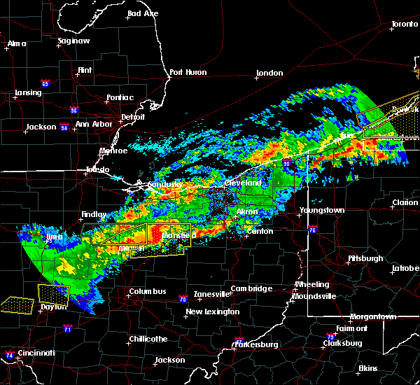 At 1100 pm edt, a severe thunderstorm was located over shelby, or 8 miles northwest of mansfield, moving east at 45 mph (radar indicated). Hazards include 60 mph wind gusts and quarter size hail. Minor damage to vehicles is possible. expect damage to trees and power lines. Locations impacted include, galion, crestline and north robinson. At 1100 pm edt, a severe thunderstorm was located over shelby, or 8 miles northwest of mansfield, moving east at 45 mph (radar indicated). Hazards include 60 mph wind gusts and quarter size hail. Minor damage to vehicles is possible. expect damage to trees and power lines. Locations impacted include, galion, crestline and north robinson.
|
| 9/4/2017 10:59 PM EDT |
 At 1059 pm edt, severe thunderstorms were located along a line extending from 7 miles west of savannah to ontario to near galion, moving east at 45 mph (radar indicated). Hazards include 60 mph wind gusts and quarter size hail. Minor damage to vehicles is possible. Expect damage to trees and power lines. At 1059 pm edt, severe thunderstorms were located along a line extending from 7 miles west of savannah to ontario to near galion, moving east at 45 mph (radar indicated). Hazards include 60 mph wind gusts and quarter size hail. Minor damage to vehicles is possible. Expect damage to trees and power lines.
|
| 9/4/2017 10:58 PM EDT | Quarter sized hail reported 1.3 miles NE of Galion, OH, quarter size hail |
| 9/4/2017 10:43 PM EDT |
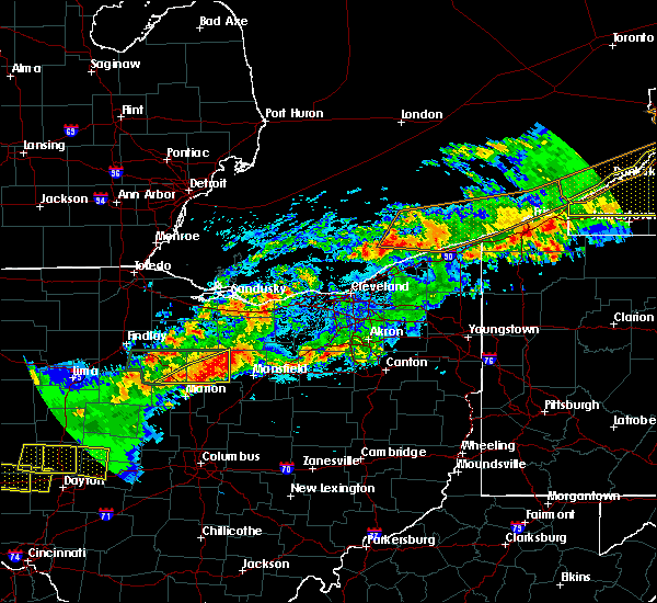 At 1043 pm edt, a severe thunderstorm was located near bucyrus, moving east at 45 mph (radar indicated). Hazards include 60 mph wind gusts and quarter size hail. Minor damage to vehicles is possible. expect damage to trees and power lines. Locations impacted include, bucyrus, galion, crestline, new washington, nevada, tiro, north robinson, harpster, oceola and sulpher springs. At 1043 pm edt, a severe thunderstorm was located near bucyrus, moving east at 45 mph (radar indicated). Hazards include 60 mph wind gusts and quarter size hail. Minor damage to vehicles is possible. expect damage to trees and power lines. Locations impacted include, bucyrus, galion, crestline, new washington, nevada, tiro, north robinson, harpster, oceola and sulpher springs.
|
| 9/4/2017 10:30 PM EDT |
 At 1029 pm edt, a severe thunderstorm was located near bucyrus, moving east at 40 mph (radar indicated). Hazards include 60 mph wind gusts and half dollar size hail. People and animals outdoors will be injured. expect hail damage to roofs, siding, windows, and vehicles. Expect damage to trees and power lines. At 1029 pm edt, a severe thunderstorm was located near bucyrus, moving east at 40 mph (radar indicated). Hazards include 60 mph wind gusts and half dollar size hail. People and animals outdoors will be injured. expect hail damage to roofs, siding, windows, and vehicles. Expect damage to trees and power lines.
|
| 9/4/2017 9:50 PM EDT |
 At 948 pm edt, a severe thunderstorm was located near sycamore, or near upper sandusky, moving east at 35 mph. another severe thunderstorms was located near wharton and was also moving east at around 35 mph (radar indicated). Hazards include 60 mph wind gusts and half dollar size hail. People and animals outdoors will be injured. expect hail damage to roofs, siding, windows, and vehicles. expect damage to trees and power lines. Locations impacted include, bucyrus, upper sandusky, galion, crestline, new washington, sycamore, chatfield, carey, benton, nevada, wharton, tiro, north robinson, harpster, kirby, oceola and sulpher springs. At 948 pm edt, a severe thunderstorm was located near sycamore, or near upper sandusky, moving east at 35 mph. another severe thunderstorms was located near wharton and was also moving east at around 35 mph (radar indicated). Hazards include 60 mph wind gusts and half dollar size hail. People and animals outdoors will be injured. expect hail damage to roofs, siding, windows, and vehicles. expect damage to trees and power lines. Locations impacted include, bucyrus, upper sandusky, galion, crestline, new washington, sycamore, chatfield, carey, benton, nevada, wharton, tiro, north robinson, harpster, kirby, oceola and sulpher springs.
|
| 9/4/2017 9:25 PM EDT |
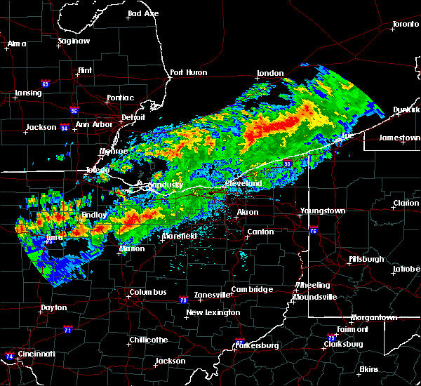 At 925 pm edt, a severe thunderstorm was located near upper sandusky, moving east at 40 mph (radar indicated). Hazards include 60 mph wind gusts and half dollar size hail. People and animals outdoors will be injured. expect hail damage to roofs, siding, windows, and vehicles. Expect damage to trees and power lines. At 925 pm edt, a severe thunderstorm was located near upper sandusky, moving east at 40 mph (radar indicated). Hazards include 60 mph wind gusts and half dollar size hail. People and animals outdoors will be injured. expect hail damage to roofs, siding, windows, and vehicles. Expect damage to trees and power lines.
|
| 7/7/2017 1:27 PM EDT |
 The severe thunderstorm warning for richland, southern ashland, southern wayne and holmes counties will expire at 130 pm edt, the storm which prompted the warning has weakened below severe limits, and no longer poses an immediate threat to life or property. therefore the warning will be allowed to expire. however small hail and gusty winds are still possible with these thunderstorms in the southern parts of richland, ashland, wayne and all of holmes county through 2 pm. a severe thunderstorm watch remains in effect until 500 pm edt for north central ohio. The severe thunderstorm warning for richland, southern ashland, southern wayne and holmes counties will expire at 130 pm edt, the storm which prompted the warning has weakened below severe limits, and no longer poses an immediate threat to life or property. therefore the warning will be allowed to expire. however small hail and gusty winds are still possible with these thunderstorms in the southern parts of richland, ashland, wayne and all of holmes county through 2 pm. a severe thunderstorm watch remains in effect until 500 pm edt for north central ohio.
|
| 7/7/2017 1:00 PM EDT |
 At 1258 pm edt, a severe thunderstorm was located near holmesville, or 8 miles northeast of millersburg, moving east at 45 mph. other strong to potentially severe storms were entering richland county from the west (radar indicated). Hazards include 60 mph wind gusts and quarter size hail. Minor damage to vehicles is possible. expect damage to trees and power lines. Locations impacted include, mansfield, wooster, ashland, millersburg, shelby, berlin, ontario, lexington, crestline, walnut creek, loudonville, sugarcreek, bellville, shreve, killbuck, hayesville, holmesville, glenmont, mount eaton and nashville. At 1258 pm edt, a severe thunderstorm was located near holmesville, or 8 miles northeast of millersburg, moving east at 45 mph. other strong to potentially severe storms were entering richland county from the west (radar indicated). Hazards include 60 mph wind gusts and quarter size hail. Minor damage to vehicles is possible. expect damage to trees and power lines. Locations impacted include, mansfield, wooster, ashland, millersburg, shelby, berlin, ontario, lexington, crestline, walnut creek, loudonville, sugarcreek, bellville, shreve, killbuck, hayesville, holmesville, glenmont, mount eaton and nashville.
|
| 7/7/2017 12:44 PM EDT |
 At 1242 pm edt, a severe thunderstorm was located near mount gilead, moving southeast at 30 mph (radar indicated). Hazards include 60 mph wind gusts and quarter size hail. Minor damage to vehicles is possible. expect damage to trees and power lines. Locations impacted include, marion, bucyrus, mount gilead, galion, crestline, cardington, ashley, prospect, la rue, morral, waldo, chesterville, sparta, caledonia, new bloomington, edison, green camp, marengo, fulton and north robinson. At 1242 pm edt, a severe thunderstorm was located near mount gilead, moving southeast at 30 mph (radar indicated). Hazards include 60 mph wind gusts and quarter size hail. Minor damage to vehicles is possible. expect damage to trees and power lines. Locations impacted include, marion, bucyrus, mount gilead, galion, crestline, cardington, ashley, prospect, la rue, morral, waldo, chesterville, sparta, caledonia, new bloomington, edison, green camp, marengo, fulton and north robinson.
|
| 7/7/2017 12:22 PM EDT |
 At 1221 pm edt, a severe thunderstorm was located near jeromesville, moving east at 35 mph (radar indicated). Hazards include 60 mph wind gusts and quarter size hail. Minor damage to vehicles is possible. Expect damage to trees and power lines. At 1221 pm edt, a severe thunderstorm was located near jeromesville, moving east at 35 mph (radar indicated). Hazards include 60 mph wind gusts and quarter size hail. Minor damage to vehicles is possible. Expect damage to trees and power lines.
|
| 7/7/2017 12:19 PM EDT |
 The national weather service in cleveland has issued a * severe thunderstorm warning for. marion county in north central ohio. southern wyandot county in northwestern ohio. morrow county in north central ohio. Crawford county in north central ohio. The national weather service in cleveland has issued a * severe thunderstorm warning for. marion county in north central ohio. southern wyandot county in northwestern ohio. morrow county in north central ohio. Crawford county in north central ohio.
|
| 7/7/2017 11:37 AM EDT |
 At 1133 am edt, a severe thunderstorm was located near upper sandusky. large hail and torrential rain is likely with this storm. other strong to severe thunderstorms were located near carey and in western crawford county, northwest of bucyrus. the storms were moving east at 20 mph (radar indicated). Hazards include 60 mph wind gusts and quarter size hail. Minor damage to vehicles is possible. expect damage to trees and power lines. Locations impacted include, bucyrus, upper sandusky, galion, crestline, forest, new washington, sycamore, morral, new riegel, chatfield, marseilles, carey, benton, nevada, wharton, tiro, north robinson, harpster, kirby and oceola. At 1133 am edt, a severe thunderstorm was located near upper sandusky. large hail and torrential rain is likely with this storm. other strong to severe thunderstorms were located near carey and in western crawford county, northwest of bucyrus. the storms were moving east at 20 mph (radar indicated). Hazards include 60 mph wind gusts and quarter size hail. Minor damage to vehicles is possible. expect damage to trees and power lines. Locations impacted include, bucyrus, upper sandusky, galion, crestline, forest, new washington, sycamore, morral, new riegel, chatfield, marseilles, carey, benton, nevada, wharton, tiro, north robinson, harpster, kirby and oceola.
|
| 7/7/2017 11:13 AM EDT |
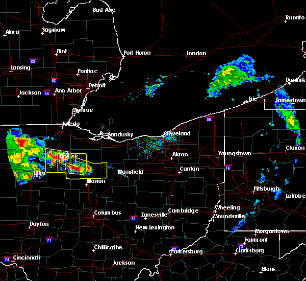 At 1112 am edt, a severe thunderstorm was located near upper sandusky, moving southeast at 55 mph (radar indicated). Hazards include 60 mph wind gusts and quarter size hail. Minor damage to vehicles is possible. Expect damage to trees and power lines. At 1112 am edt, a severe thunderstorm was located near upper sandusky, moving southeast at 55 mph (radar indicated). Hazards include 60 mph wind gusts and quarter size hail. Minor damage to vehicles is possible. Expect damage to trees and power lines.
|
| 7/7/2017 7:28 AM EDT |
 At 727 am edt, a severe thunderstorm was located over shelby, or 8 miles northwest of mansfield, moving east at 35 mph (radar indicated). Hazards include 60 mph wind gusts. expect damage to trees and power lines At 727 am edt, a severe thunderstorm was located over shelby, or 8 miles northwest of mansfield, moving east at 35 mph (radar indicated). Hazards include 60 mph wind gusts. expect damage to trees and power lines
|
| 6/30/2017 7:26 PM EDT |
 At 725 pm edt, a severe thunderstorm was located near ontario, or near mansfield, moving northeast at 25 mph (radar indicated). Hazards include 60 mph wind gusts and quarter size hail. Minor damage to vehicles is possible. expect damage to trees and power lines. Locations impacted include, mansfield, shelby, ontario, lexington, crestline, bellville, lucas, shenandoah and olivesburg. At 725 pm edt, a severe thunderstorm was located near ontario, or near mansfield, moving northeast at 25 mph (radar indicated). Hazards include 60 mph wind gusts and quarter size hail. Minor damage to vehicles is possible. expect damage to trees and power lines. Locations impacted include, mansfield, shelby, ontario, lexington, crestline, bellville, lucas, shenandoah and olivesburg.
|
| 6/30/2017 7:08 PM EDT | Several trees and power poles dow in morrow county OH, 3 miles N of Galion, OH |
| 6/30/2017 7:03 PM EDT |
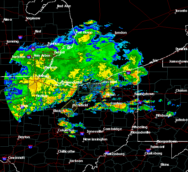 At 703 pm edt, a severe thunderstorm was located near galion, or 10 miles northeast of mount gilead, moving northeast at 25 mph (radar indicated). Hazards include 60 mph wind gusts and quarter size hail. Minor damage to vehicles is possible. Expect damage to trees and power lines. At 703 pm edt, a severe thunderstorm was located near galion, or 10 miles northeast of mount gilead, moving northeast at 25 mph (radar indicated). Hazards include 60 mph wind gusts and quarter size hail. Minor damage to vehicles is possible. Expect damage to trees and power lines.
|
| 6/19/2017 5:07 PM EDT | One tree down across the road at the county lin in crawford county OH, 1.8 miles NNE of Galion, OH |
| 6/19/2017 4:55 PM EDT | One tree down onto a vehicle by thunderstorm wind in crawford county OH, 1.1 miles ESE of Galion, OH |
| 6/19/2017 4:51 PM EDT |
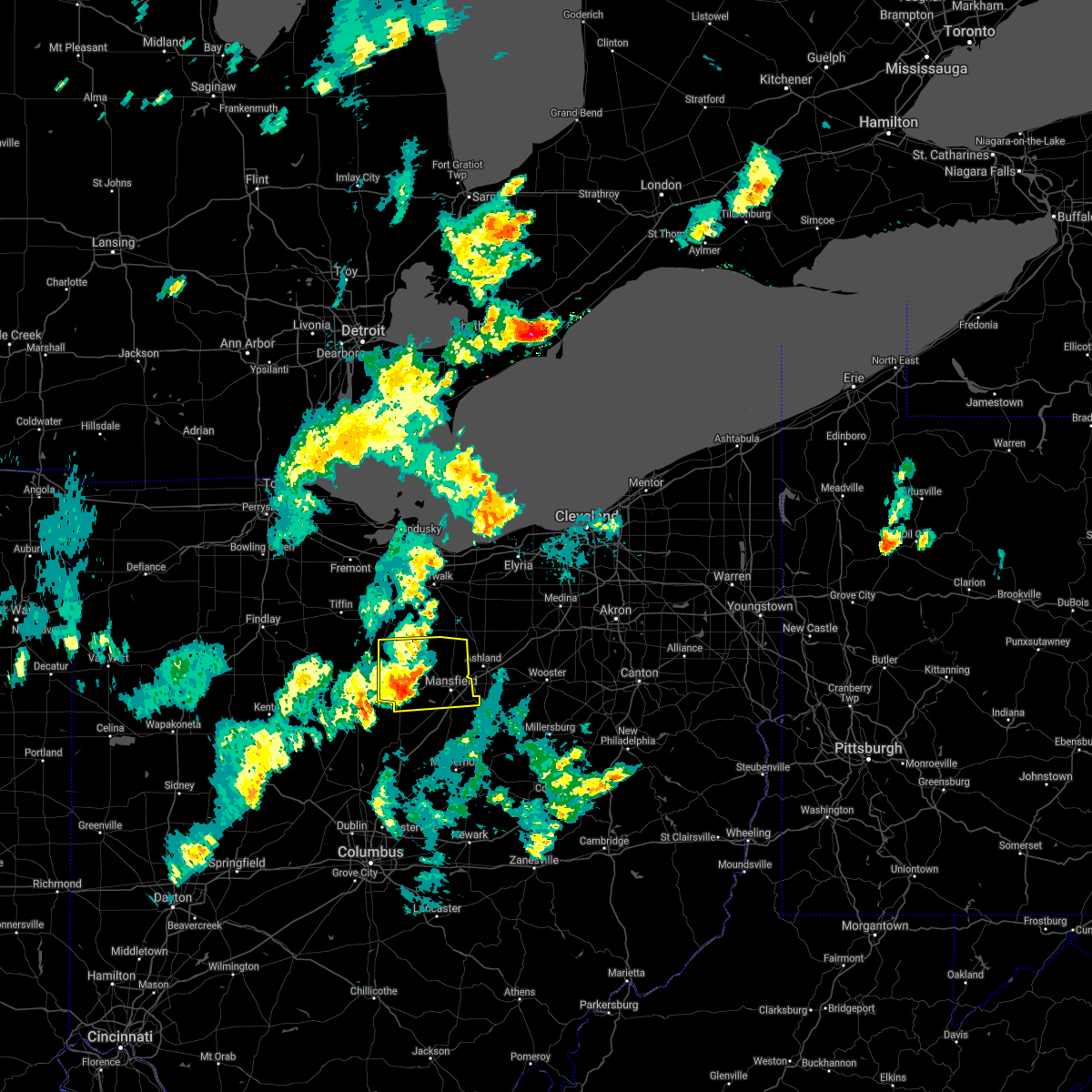 At 450 pm edt, a severe thunderstorm was located over galion, or 8 miles southeast of bucyrus, moving east at 35 mph (radar indicated). Hazards include 60 mph wind gusts and penny size hail. expect damage to trees and power lines At 450 pm edt, a severe thunderstorm was located over galion, or 8 miles southeast of bucyrus, moving east at 35 mph (radar indicated). Hazards include 60 mph wind gusts and penny size hail. expect damage to trees and power lines
|
| 6/13/2017 5:27 PM EDT |
 The severe thunderstorm warning for southern huron. richland and eastern crawford counties will expire at 530 pm edt. the storm which prompted the warning has weakened below severe limits, and no longer poses an immediate threat to life or property. Therefore the warning will be allowed to expire. The severe thunderstorm warning for southern huron. richland and eastern crawford counties will expire at 530 pm edt. the storm which prompted the warning has weakened below severe limits, and no longer poses an immediate threat to life or property. Therefore the warning will be allowed to expire.
|
| 6/13/2017 5:26 PM EDT |
 The severe thunderstorm warning for morrow county will expire at 530 pm edt, the storm which prompted the warning has weakened below severe limits, and no longer poses an immediate threat to life or property. therefore the warning will be allowed to expire. The severe thunderstorm warning for morrow county will expire at 530 pm edt, the storm which prompted the warning has weakened below severe limits, and no longer poses an immediate threat to life or property. therefore the warning will be allowed to expire.
|
| 6/13/2017 4:47 PM EDT |
 At 446 pm edt, a severe thunderstorm was located over willard, or 13 miles southwest of norwalk, moving east at 15 mph (radar indicated). Hazards include two inch hail and 70 mph wind gusts. People and animals outdoors will be injured. expect hail damage to roofs, siding, windows, and vehicles. expect considerable tree damage. wind damage is also likely to mobile homes, roofs, and outbuildings. Locations impacted include, mansfield, galion, shelby, willard, ontario, crestline, plymouth, new washington, greenwich, lucas, north fairfield, tiro, north robinson, sulpher springs, shenandoah and olivesburg. At 446 pm edt, a severe thunderstorm was located over willard, or 13 miles southwest of norwalk, moving east at 15 mph (radar indicated). Hazards include two inch hail and 70 mph wind gusts. People and animals outdoors will be injured. expect hail damage to roofs, siding, windows, and vehicles. expect considerable tree damage. wind damage is also likely to mobile homes, roofs, and outbuildings. Locations impacted include, mansfield, galion, shelby, willard, ontario, crestline, plymouth, new washington, greenwich, lucas, north fairfield, tiro, north robinson, sulpher springs, shenandoah and olivesburg.
|
| 6/13/2017 4:47 PM EDT |
 A severe thunderstorm warning remains in effect until 530 pm edt for southern huron. richland and eastern crawford counties. at 446 pm edt, a severe thunderstorm was located over willard, or 13 miles southwest of norwalk, moving east at 15 mph. hazard. two inch hail and 70 mph wind gusts. source. Radar indicated. A severe thunderstorm warning remains in effect until 530 pm edt for southern huron. richland and eastern crawford counties. at 446 pm edt, a severe thunderstorm was located over willard, or 13 miles southwest of norwalk, moving east at 15 mph. hazard. two inch hail and 70 mph wind gusts. source. Radar indicated.
|
| 6/13/2017 4:37 PM EDT |
 At 436 pm edt, a severe thunderstorm was located near mount gilead, moving southeast at 10 mph (radar indicated). Hazards include 60 mph wind gusts and quarter size hail. Minor damage to vehicles is possible. Expect damage to trees and power lines. At 436 pm edt, a severe thunderstorm was located near mount gilead, moving southeast at 10 mph (radar indicated). Hazards include 60 mph wind gusts and quarter size hail. Minor damage to vehicles is possible. Expect damage to trees and power lines.
|
| 6/13/2017 4:33 PM EDT |
 At 433 pm edt, a severe thunderstorm was located near plymouth, or 16 miles northeast of bucyrus, moving southeast at 25 mph (radar indicated). Hazards include 60 mph wind gusts and quarter size hail. Minor damage to vehicles is possible. Expect damage to trees and power lines. At 433 pm edt, a severe thunderstorm was located near plymouth, or 16 miles northeast of bucyrus, moving southeast at 25 mph (radar indicated). Hazards include 60 mph wind gusts and quarter size hail. Minor damage to vehicles is possible. Expect damage to trees and power lines.
|
| 6/4/2017 5:20 PM EDT |
 At 519 pm edt, a severe thunderstorm was located near shelby, or 7 miles northwest of mansfield, moving east at 35 mph (radar indicated). Hazards include 60 mph wind gusts and quarter size hail. Minor damage to vehicles is possible. Expect damage to trees and power lines. At 519 pm edt, a severe thunderstorm was located near shelby, or 7 miles northwest of mansfield, moving east at 35 mph (radar indicated). Hazards include 60 mph wind gusts and quarter size hail. Minor damage to vehicles is possible. Expect damage to trees and power lines.
|
| 5/29/2017 10:13 PM EDT |
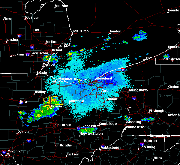 At 1012 pm edt, a severe thunderstorm was located near nevada, moving northeast at 50 mph (radar indicated). Hazards include 60 mph wind gusts and quarter size hail. Minor damage to vehicles is possible. Expect damage to trees and power lines. At 1012 pm edt, a severe thunderstorm was located near nevada, moving northeast at 50 mph (radar indicated). Hazards include 60 mph wind gusts and quarter size hail. Minor damage to vehicles is possible. Expect damage to trees and power lines.
|
| 5/18/2017 10:04 PM EDT |
 At 1003 pm edt, a severe thunderstorm was located near crestline, or 7 miles east of bucyrus, moving east at 25 mph (radar indicated). Hazards include 60 mph wind gusts and quarter size hail. Hail damage to vehicles is expected. expect wind damage to roofs, siding, and trees. Locations impacted include, galion, crestline and north robinson. At 1003 pm edt, a severe thunderstorm was located near crestline, or 7 miles east of bucyrus, moving east at 25 mph (radar indicated). Hazards include 60 mph wind gusts and quarter size hail. Hail damage to vehicles is expected. expect wind damage to roofs, siding, and trees. Locations impacted include, galion, crestline and north robinson.
|
| 5/18/2017 9:32 PM EDT |
 At 932 pm edt, a severe thunderstorm was located near bucyrus, moving east at 30 mph (trained weather spotters reported quarter size hail in bucyrus at 931 pm edt). Hazards include 60 mph wind gusts and quarter size hail. Hail damage to vehicles is expected. Expect wind damage to roofs, siding, and trees. At 932 pm edt, a severe thunderstorm was located near bucyrus, moving east at 30 mph (trained weather spotters reported quarter size hail in bucyrus at 931 pm edt). Hazards include 60 mph wind gusts and quarter size hail. Hail damage to vehicles is expected. Expect wind damage to roofs, siding, and trees.
|
| 3/1/2017 5:13 AM EST |
 At 513 am est, a severe thunderstorm was located 7 miles southeast of galion, or 8 miles northeast of mount gilead, moving east at 70 mph (radar indicated). Hazards include 70 mph wind gusts and penny size hail. Expect considerable tree damage. Damage is likely to mobile homes, roofs, and outbuildings. At 513 am est, a severe thunderstorm was located 7 miles southeast of galion, or 8 miles northeast of mount gilead, moving east at 70 mph (radar indicated). Hazards include 70 mph wind gusts and penny size hail. Expect considerable tree damage. Damage is likely to mobile homes, roofs, and outbuildings.
|
| 3/1/2017 4:38 AM EST |
 At 438 am est, a severe thunderstorm was located over chatfield, or 10 miles north of bucyrus, moving east at 60 mph. damage has been reported in southern seneca county with this storm (radar indicated). Hazards include 60 mph wind gusts and quarter size hail. Hail damage to vehicles is expected. Expect wind damage to roofs, siding, and trees. At 438 am est, a severe thunderstorm was located over chatfield, or 10 miles north of bucyrus, moving east at 60 mph. damage has been reported in southern seneca county with this storm (radar indicated). Hazards include 60 mph wind gusts and quarter size hail. Hail damage to vehicles is expected. Expect wind damage to roofs, siding, and trees.
|
| 3/1/2017 12:55 AM EST |
 At 1254 am est, severe thunderstorms were located along a line extending from near fostoria to 6 miles northwest of crestline to near chesterville, moving northeast at 85 mph (radar indicated). Hazards include 60 mph wind gusts and quarter size hail. Hail damage to vehicles is expected. Expect wind damage to roofs, siding, and trees. At 1254 am est, severe thunderstorms were located along a line extending from near fostoria to 6 miles northwest of crestline to near chesterville, moving northeast at 85 mph (radar indicated). Hazards include 60 mph wind gusts and quarter size hail. Hail damage to vehicles is expected. Expect wind damage to roofs, siding, and trees.
|
| 2/24/2017 9:57 PM EST |
 The severe thunderstorm warning for richland, eastern marion, morrow and southeastern crawford counties will expire at 1000 pm est, the storm which prompted the warning has weakened below severe limits, and no longer pose an immediate threat to life or property. therefore the warning will be allowed to expire. however gusty winds and heavy rain are still possible with this thunderstorm. a severe thunderstorm watch remains in effect until 200 am est for north central ohio. The severe thunderstorm warning for richland, eastern marion, morrow and southeastern crawford counties will expire at 1000 pm est, the storm which prompted the warning has weakened below severe limits, and no longer pose an immediate threat to life or property. therefore the warning will be allowed to expire. however gusty winds and heavy rain are still possible with this thunderstorm. a severe thunderstorm watch remains in effect until 200 am est for north central ohio.
|
| 2/24/2017 9:26 PM EST |
 At 925 pm est, a severe thunderstorm was located 7 miles southwest of galion, or 7 miles northwest of mount gilead, moving northeast at 50 mph (radar indicated). Hazards include 60 mph wind gusts. Expect damage to roofs, siding, and trees. Locations impacted include, mansfield, bucyrus, mount gilead, galion, shelby, ontario, lexington, crestline, cardington, bellville, plymouth, shiloh, lucas, caledonia, edison, tiro, north robinson, iberia, shauck and shenandoah. At 925 pm est, a severe thunderstorm was located 7 miles southwest of galion, or 7 miles northwest of mount gilead, moving northeast at 50 mph (radar indicated). Hazards include 60 mph wind gusts. Expect damage to roofs, siding, and trees. Locations impacted include, mansfield, bucyrus, mount gilead, galion, shelby, ontario, lexington, crestline, cardington, bellville, plymouth, shiloh, lucas, caledonia, edison, tiro, north robinson, iberia, shauck and shenandoah.
|
| 2/24/2017 9:07 PM EST |
 At 906 pm est, a severe thunderstorm was located near marion, moving northeast at 50 mph (radar indicated). Hazards include 60 mph wind gusts. expect damage to roofs, siding, and trees At 906 pm est, a severe thunderstorm was located near marion, moving northeast at 50 mph (radar indicated). Hazards include 60 mph wind gusts. expect damage to roofs, siding, and trees
|
| 1/10/2017 9:07 PM EST |
 At 907 pm est, a severe thunderstorm was located near vanlue, or 10 miles south of fostoria, moving east at 70 mph (radar indicated). Hazards include 60 mph wind gusts. expect damage to roofs, siding, and trees At 907 pm est, a severe thunderstorm was located near vanlue, or 10 miles south of fostoria, moving east at 70 mph (radar indicated). Hazards include 60 mph wind gusts. expect damage to roofs, siding, and trees
|
| 10/30/2016 10:38 AM EDT |
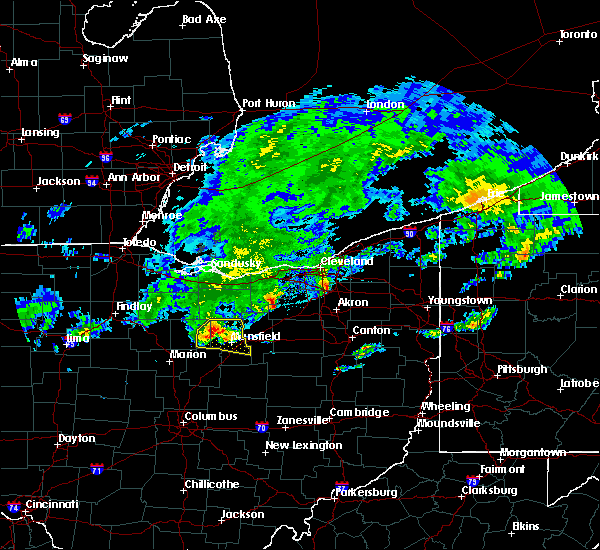 At 1036 am edt, a severe thunderstorm was located over shelby, or 11 miles northwest of mansfield, moving east at 50 mph (radar indicated). Hazards include quarter size hail. Hail damage to vehicles is expected. expect damage to roofs, siding and trees. Locations impacted include, mansfield, galion, shelby, ontario, lexington, crestline, plymouth, shiloh, lucas, tiro, north robinson, olivesburg and shenandoah. At 1036 am edt, a severe thunderstorm was located over shelby, or 11 miles northwest of mansfield, moving east at 50 mph (radar indicated). Hazards include quarter size hail. Hail damage to vehicles is expected. expect damage to roofs, siding and trees. Locations impacted include, mansfield, galion, shelby, ontario, lexington, crestline, plymouth, shiloh, lucas, tiro, north robinson, olivesburg and shenandoah.
|
| 10/30/2016 10:13 AM EDT |
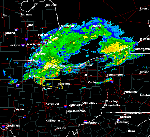 At 1012 am edt, a severe thunderstorm was located near sycamore, or 10 miles northwest of bucyrus, moving east at 55 mph (radar indicated). Hazards include 60 mph wind gusts and quarter size hail. Hail damage to wehicles is expected. Expect damage to roofs, siding and trees. At 1012 am edt, a severe thunderstorm was located near sycamore, or 10 miles northwest of bucyrus, moving east at 55 mph (radar indicated). Hazards include 60 mph wind gusts and quarter size hail. Hail damage to wehicles is expected. Expect damage to roofs, siding and trees.
|
| 8/27/2016 10:09 PM EDT | Tree down in crawford county OH, 1.3 miles NE of Galion, OH |
| 8/27/2016 10:09 PM EDT | Tree down in crawford county OH, 1.3 miles NE of Galion, OH |
| 8/27/2016 6:04 PM EDT | Tree down stevens road. relayed by richland county sheriff. time estimated from rada in richland county OH, 3.8 miles WNW of Galion, OH |
| 8/27/2016 5:56 PM EDT |
 At 556 pm edt, severe thunderstorms were located along a line extending from near crestline to near gambier, moving northeast at 30 mph (radar indicated). Hazards include 60 mph wind gusts and quarter size hail. Hail damage to vehicles is expected. Expect wind damage to roofs, siding and trees. At 556 pm edt, severe thunderstorms were located along a line extending from near crestline to near gambier, moving northeast at 30 mph (radar indicated). Hazards include 60 mph wind gusts and quarter size hail. Hail damage to vehicles is expected. Expect wind damage to roofs, siding and trees.
|
| 6/5/2016 2:47 PM EDT |
 At 246 pm edt, a severe thunderstorm was located near bloomville, or 8 miles southeast of tiffin, moving east at 30 mph. other strong storms were in northern wyandot county (radar indicated). Hazards include 60 mph wind gusts and quarter size hail. Hail damage to vehicles is expected. expect wind damage to roofs, siding and trees. Locations impacted include, norwalk, bucyrus, upper sandusky, galion, bellevue, willard, crestline, new london, plymouth, milan, wakeman, new washington, bloomville, sycamore, morral, chatfield, marseilles, greenwich, monroeville and attica. At 246 pm edt, a severe thunderstorm was located near bloomville, or 8 miles southeast of tiffin, moving east at 30 mph. other strong storms were in northern wyandot county (radar indicated). Hazards include 60 mph wind gusts and quarter size hail. Hail damage to vehicles is expected. expect wind damage to roofs, siding and trees. Locations impacted include, norwalk, bucyrus, upper sandusky, galion, bellevue, willard, crestline, new london, plymouth, milan, wakeman, new washington, bloomville, sycamore, morral, chatfield, marseilles, greenwich, monroeville and attica.
|
| 6/5/2016 2:20 PM EDT |
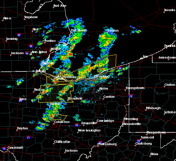 At 218 pm edt, a severe thunderstorm was located over new riegel, or 9 miles southwest of tiffin, moving east at 30 mph. other storms were over seneca crawford and huron counties (radar indicated). Hazards include 60 mph wind gusts and quarter size hail. Hail damage to vehicles is expected. Expect wind damage to roofs, siding and trees. At 218 pm edt, a severe thunderstorm was located over new riegel, or 9 miles southwest of tiffin, moving east at 30 mph. other storms were over seneca crawford and huron counties (radar indicated). Hazards include 60 mph wind gusts and quarter size hail. Hail damage to vehicles is expected. Expect wind damage to roofs, siding and trees.
|
| 5/29/2016 6:26 PM EDT |
 At 626 pm edt, a severe thunderstorm was located near crestline, or 10 miles east of bucyrus, moving east at 20 mph (radar indicated). Hazards include 60 mph wind gusts and quarter size hail. Hail damage to vehicles is expected. expect wind damage to roofs, siding, and trees. Locations impacted include, galion, shelby, ontario, crestline, shiloh, tiro and north robinson. At 626 pm edt, a severe thunderstorm was located near crestline, or 10 miles east of bucyrus, moving east at 20 mph (radar indicated). Hazards include 60 mph wind gusts and quarter size hail. Hail damage to vehicles is expected. expect wind damage to roofs, siding, and trees. Locations impacted include, galion, shelby, ontario, crestline, shiloh, tiro and north robinson.
|
| 5/29/2016 6:03 PM EDT |
 At 603 pm edt, a severe thunderstorm was located near bucyrus, moving east at 15 mph (radar indicated). Hazards include 60 mph wind gusts and quarter size hail. Hail damage to vehicles is expected. Expect wind damage to roofs, siding, and trees. At 603 pm edt, a severe thunderstorm was located near bucyrus, moving east at 15 mph (radar indicated). Hazards include 60 mph wind gusts and quarter size hail. Hail damage to vehicles is expected. Expect wind damage to roofs, siding, and trees.
|
| 6/18/2015 7:06 PM EDT | At 706 pm edt, severe thunderstorms were located along a line extending from near marseilles to near richwood to 7 miles southeast of west mansfield, moving east at 50 mph (radar indicated). Hazards include 70 mph wind gusts. Expect considerable tree damage. Damage is likely to mobile homes, roofs and outbuildings. |
| 6/5/2015 7:33 PM EDT | At 732 pm edt, a severe thunderstorm was located over chatfield, or 10 miles north of bucyrus, moving southeast at 10 mph (radar indicated). Hazards include 60 mph wind gusts and nickel size hail. Expect damage to roofs. Siding and trees. |
| 5/27/2015 8:09 PM EDT | At 808 pm edt, severe thunderstorms were located along a line extending from mansfield to 6 miles east of bellville to near sparta, moving east at 30 mph (radar indicated). Hazards include 60 mph wind gusts and quarter size hail. Hail damage to vehicles is expected. expect wind damage to roofs, siding and trees. Locations impacted include, mansfield, ashland, mount vernon, ontario, lexington, crestline, loudonville, fredericktown, gambier, bellville, centerburg, danville, hayesville, polk, waterford, butler, perrysville, lucas, jeromesville and mifflin. |
| 5/27/2015 7:53 PM EDT | At 753 pm edt, severe thunderstorms were located along a line extending from near ontario to bellville to sparta, moving east at 35 mph (radar indicated). Hazards include 60 mph wind gusts and quarter size hail. Hail damage to vehicles is expected. Expect wind damage to roofs, siding and trees. |
| 5/26/2015 7:37 PM EDT | At 736 pm edt, a severe thunderstorm was located near ontario, or near mansfield, moving northeast at 60 mph (radar indicated). Hazards include 60 mph wind gusts. Expect damage to roofs. Siding and trees. |
| 5/26/2015 7:13 PM EDT | At 712 pm edt, a severe thunderstorm was located near cardington, or 7 miles south of mount gilead, moving northeast at 55 mph (radar indicated). Hazards include 60 mph wind gusts. Expect damage to roofs. Siding and trees. |
| 5/5/2015 5:21 PM EDT | The severe thunderstorm warning for central richland and central crawford counties in north central ohio will expire at 530 pm edt, the storm which prompted the warning has weakened below severe limits, and no longer poses an immediate threat to life or property. |
| 5/5/2015 5:00 PM EDT | At 455 pm edt, a severe thunderstorm was located near shelby, and moving east at 20 mph (radar indicated). Hazards include 60 mph wind gusts and quarter size hail. Hail damage to vehicles is expected. expect wind damage to roofs, siding and trees. locations impacted include, mansfield, shelby and ontario. 1. 00in. |
| 5/5/2015 4:34 PM EDT | At 432 pm edt, a severe thunderstorm was located 7 miles southeast of sycamore, and moving east at 25 mph (radar indicated). Hazards include 60 mph wind gusts and quarter size hail. Hail damage to vehicles is expected. Expect wind damage to roofs, siding and trees. |
| 12/21/2013 11:20 PM EST | Pole building destroyed in new wincheste in crawford county OH, 6.3 miles E of Galion, OH |
| 6/12/2013 10:06 PM EDT | Quarter sized hail reported 1.3 miles NE of Galion, OH |
| 5/31/2013 5:36 PM EDT | A two foot diameter branch fell on a parked van causing major damage. the branch also caused minor damage to a garag in crawford county OH, 1.3 miles NE of Galion, OH |
| 6/29/2012 5:02 PM EDT | Wall of attached garage blown out/damage in crawford county OH, 1.3 miles NE of Galion, OH |
| 1/1/0001 12:00 AM | Quarter sized hail reported 3.4 miles NE of Galion, OH |
| 1/1/0001 12:00 AM | Golf Ball sized hail reported 1.3 miles NE of Galion, OH, several trained spotters in galion reported golf ball size hail. |
| 1/1/0001 12:00 AM | Many large limbs dow in crawford county OH, 1.3 miles NE of Galion, OH |
| 1/1/0001 12:00 AM | Hen Egg sized hail reported 1.3 miles NE of Galion, OH |
Hail Maps for Galion, OH
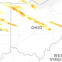
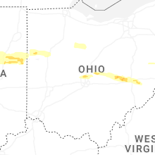

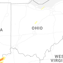


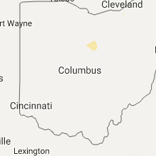


Connect with Interactive Hail Maps