

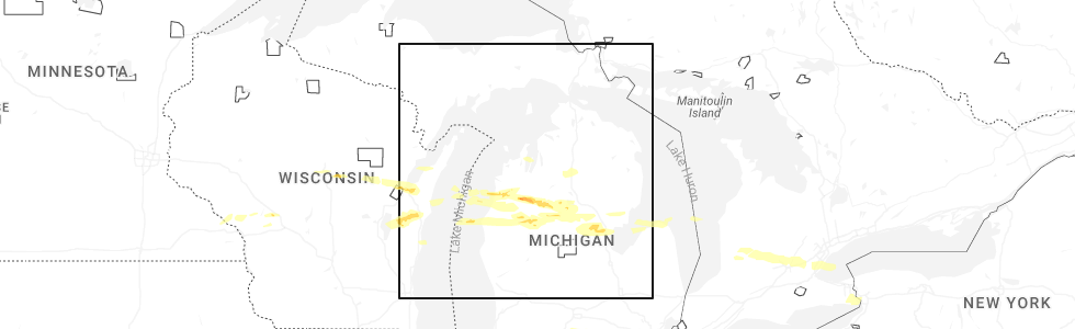
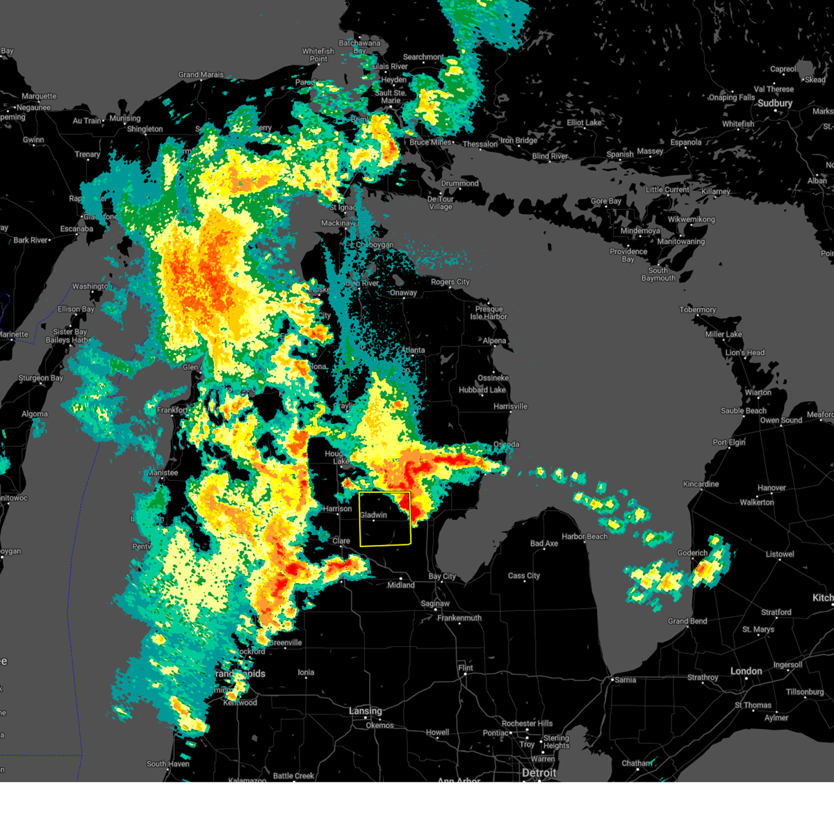
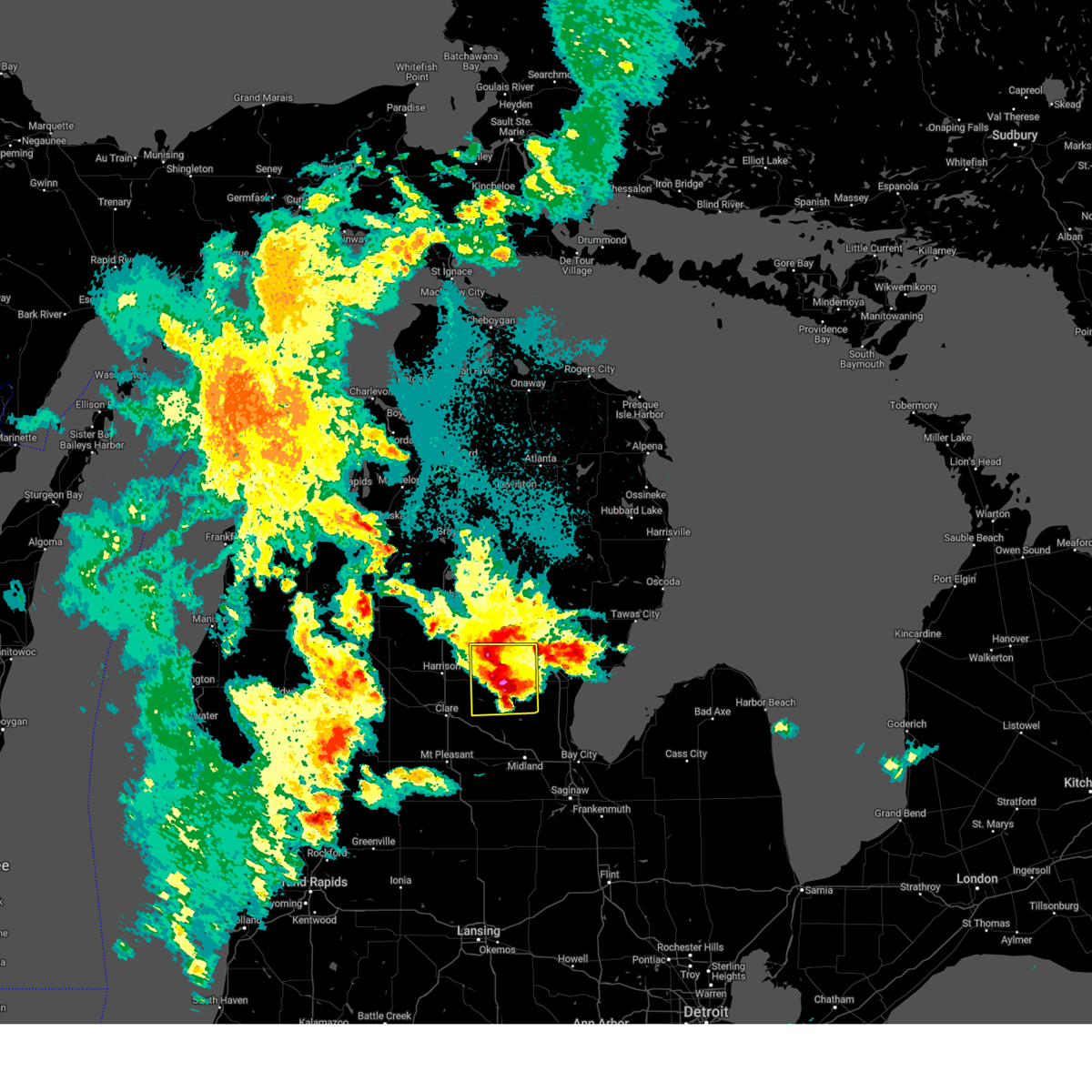
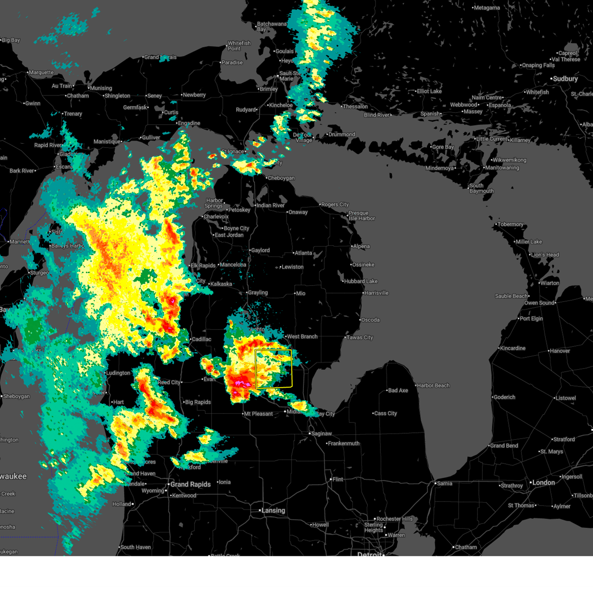
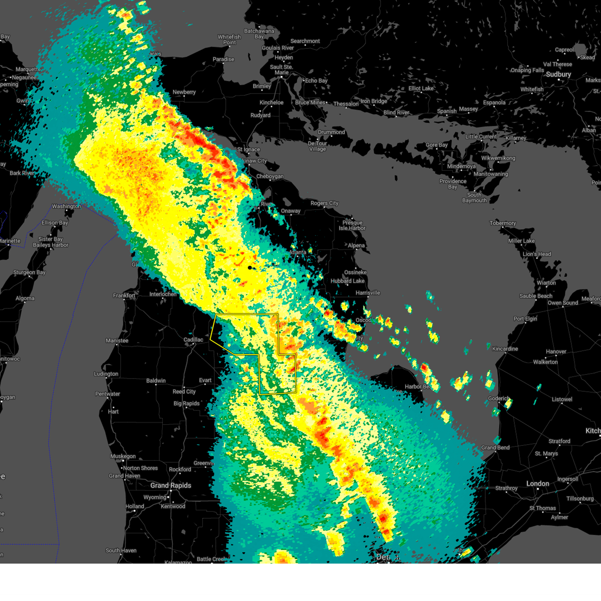
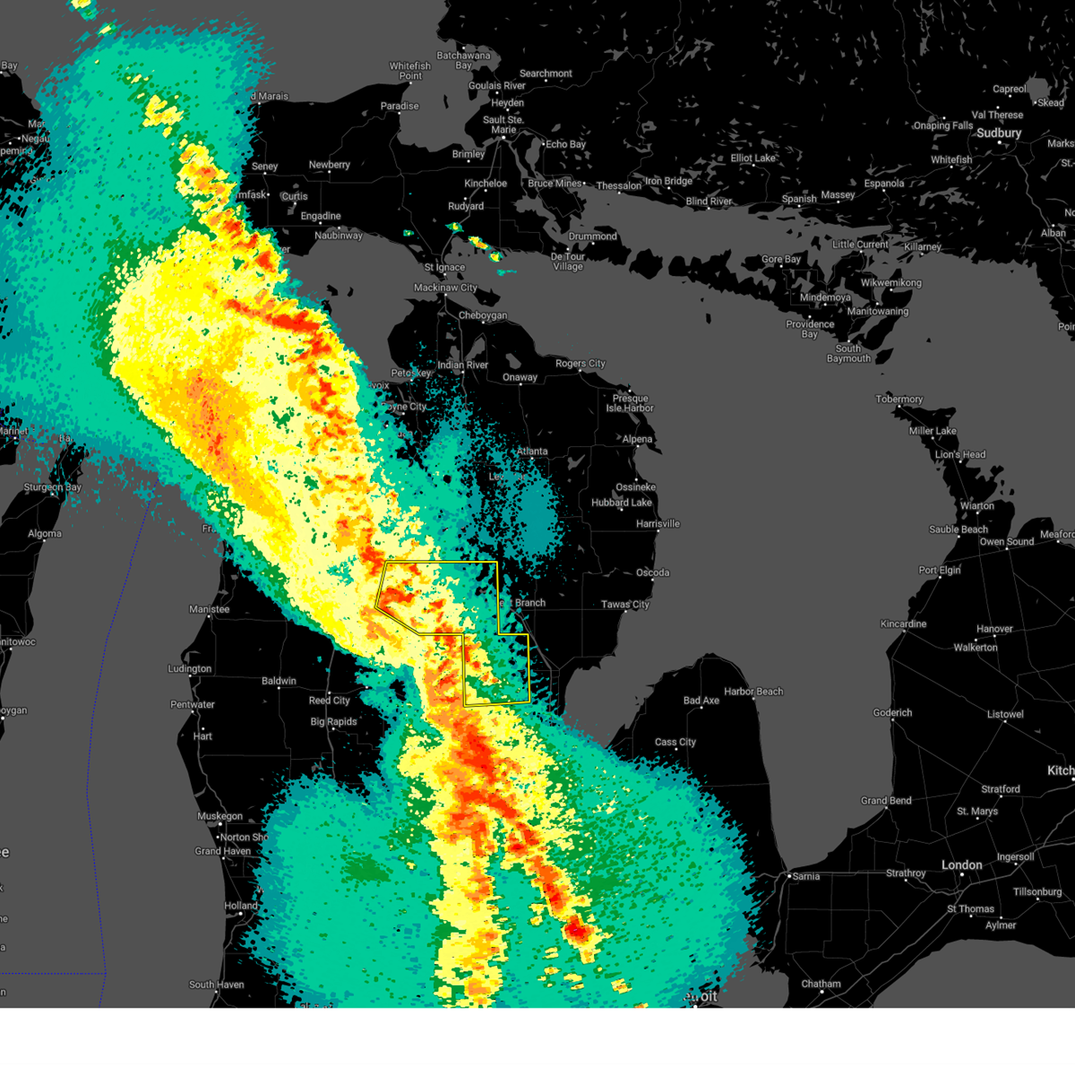
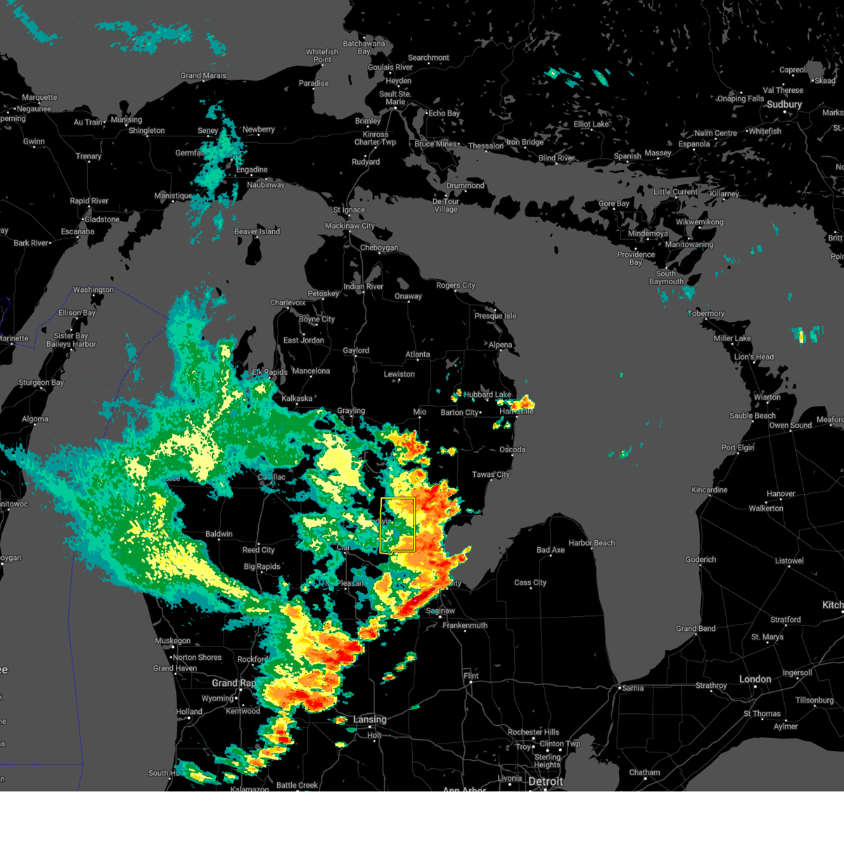
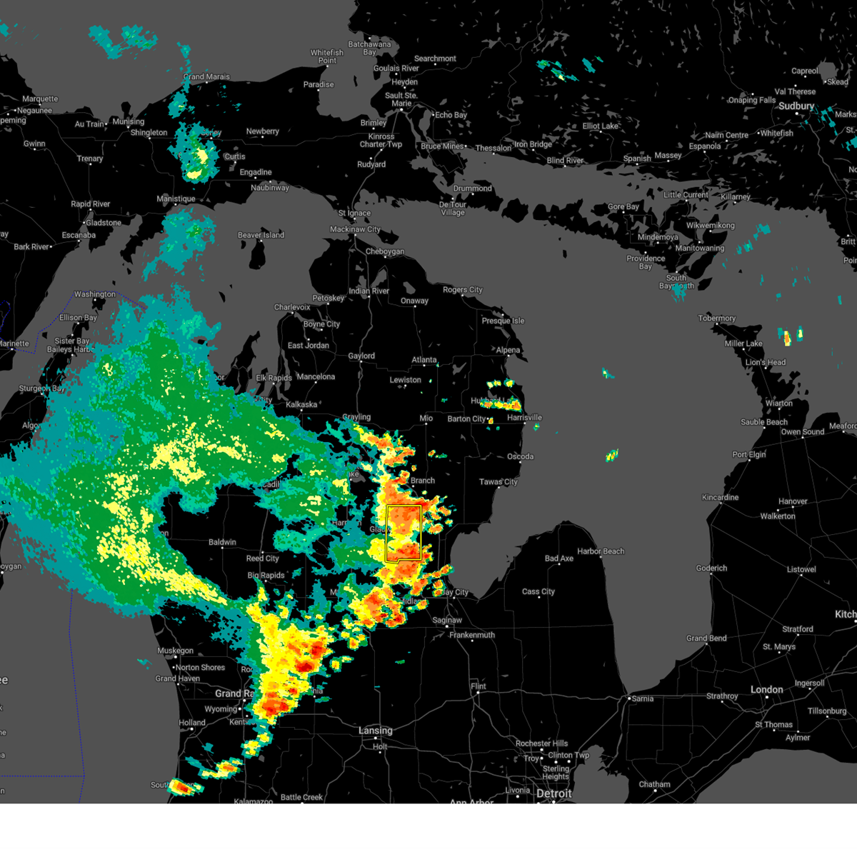
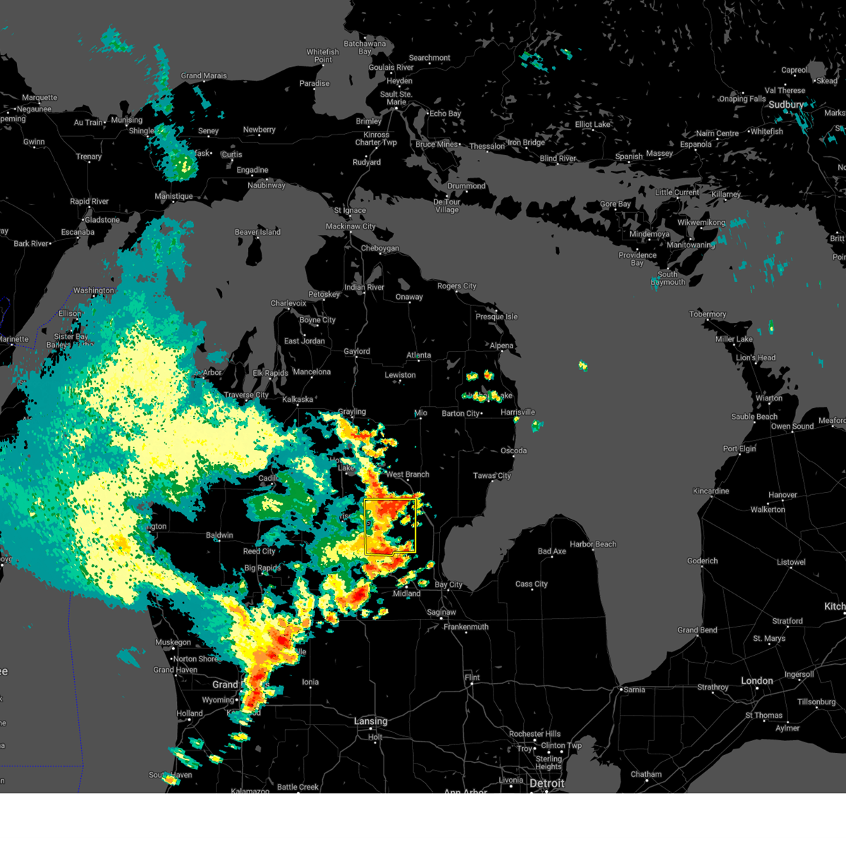
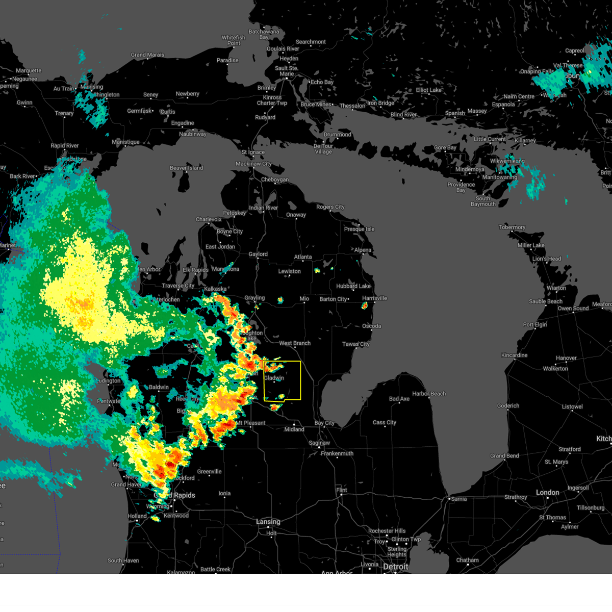
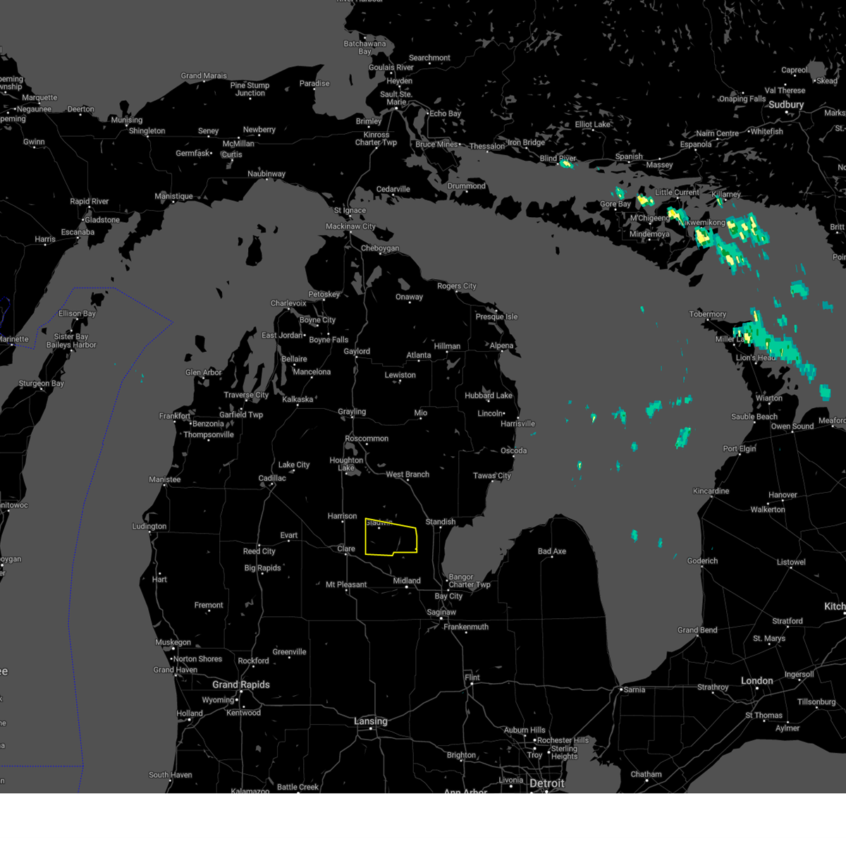
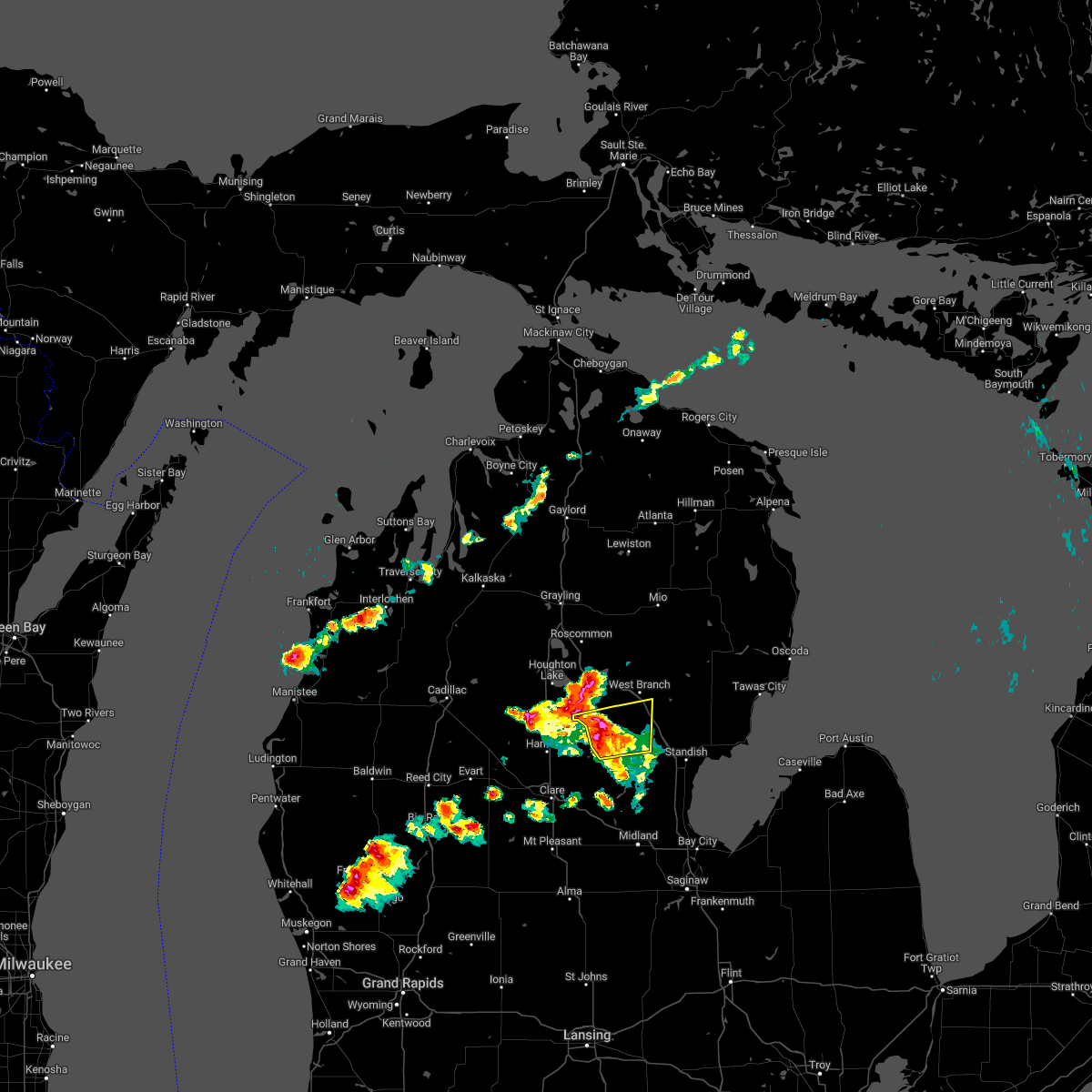
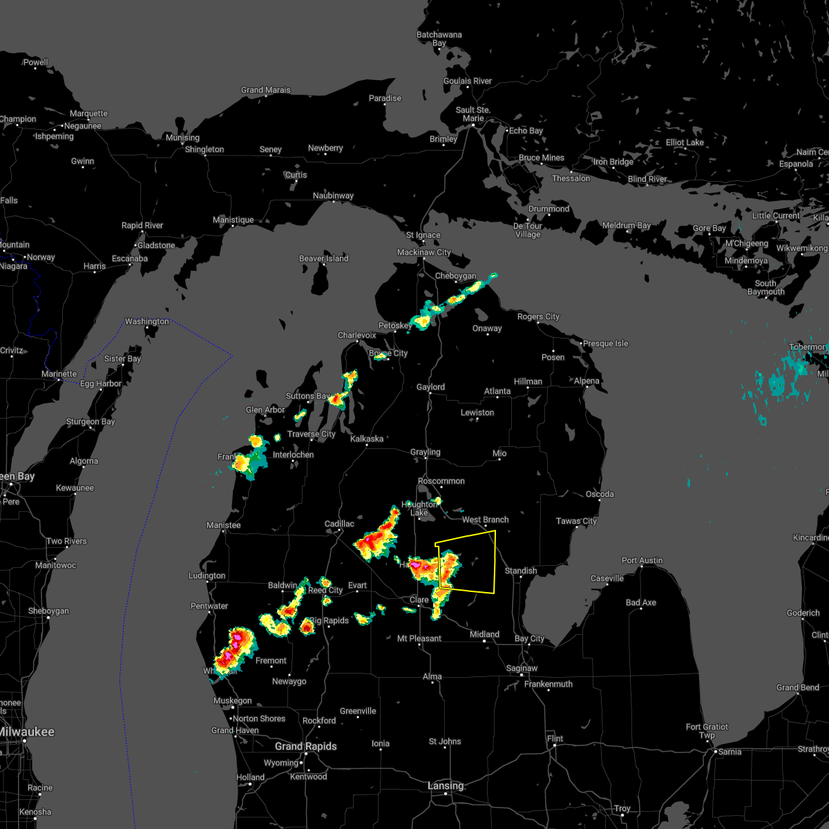
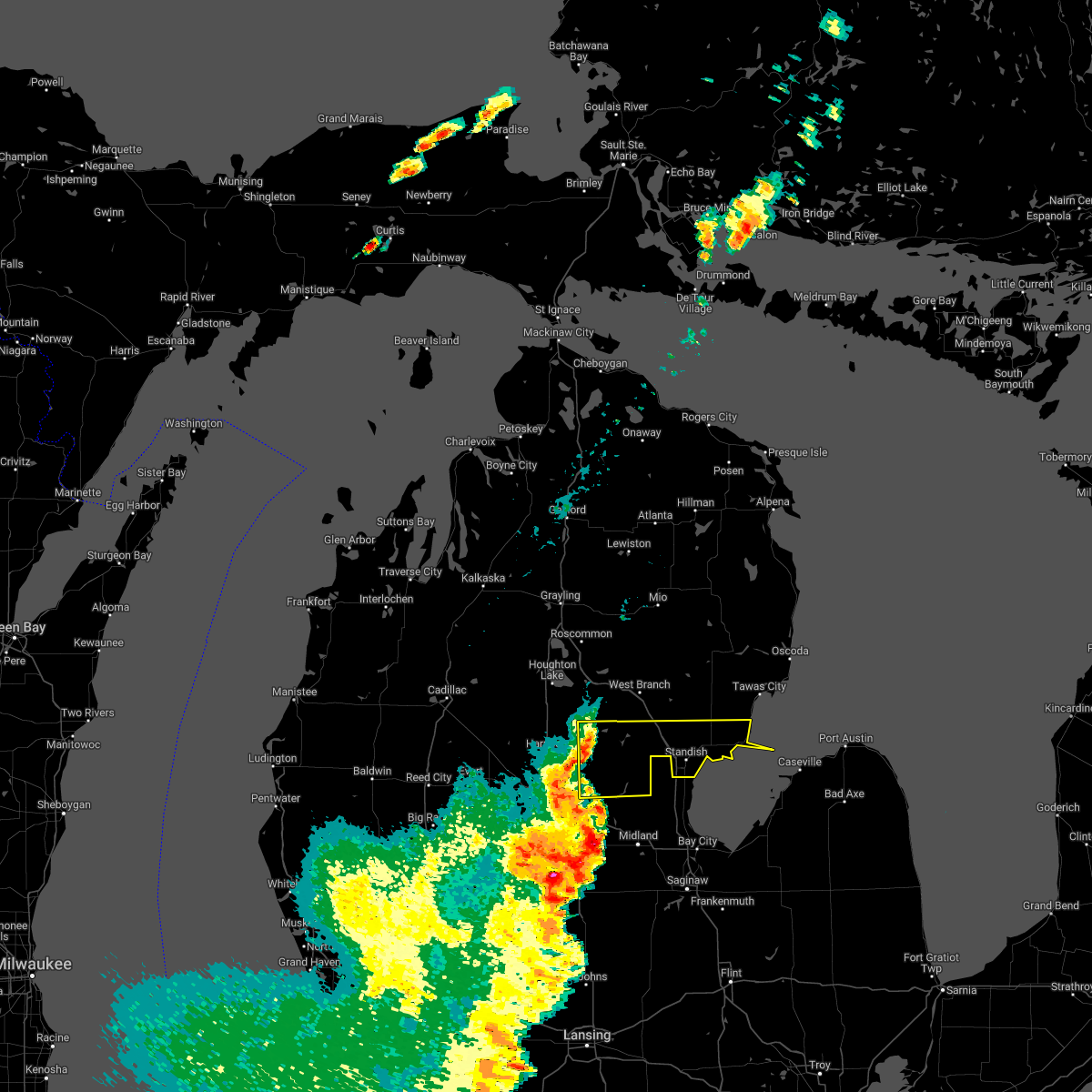
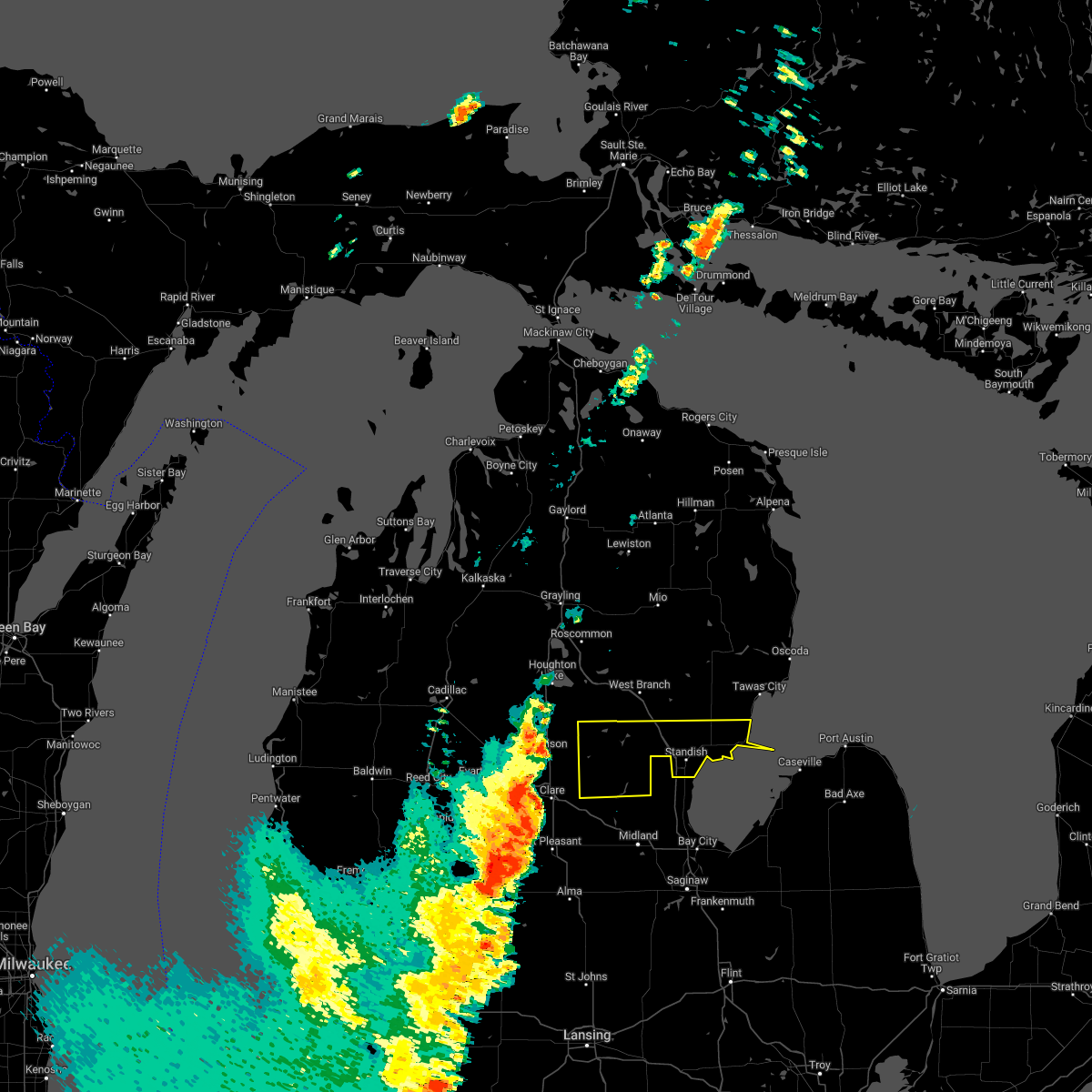
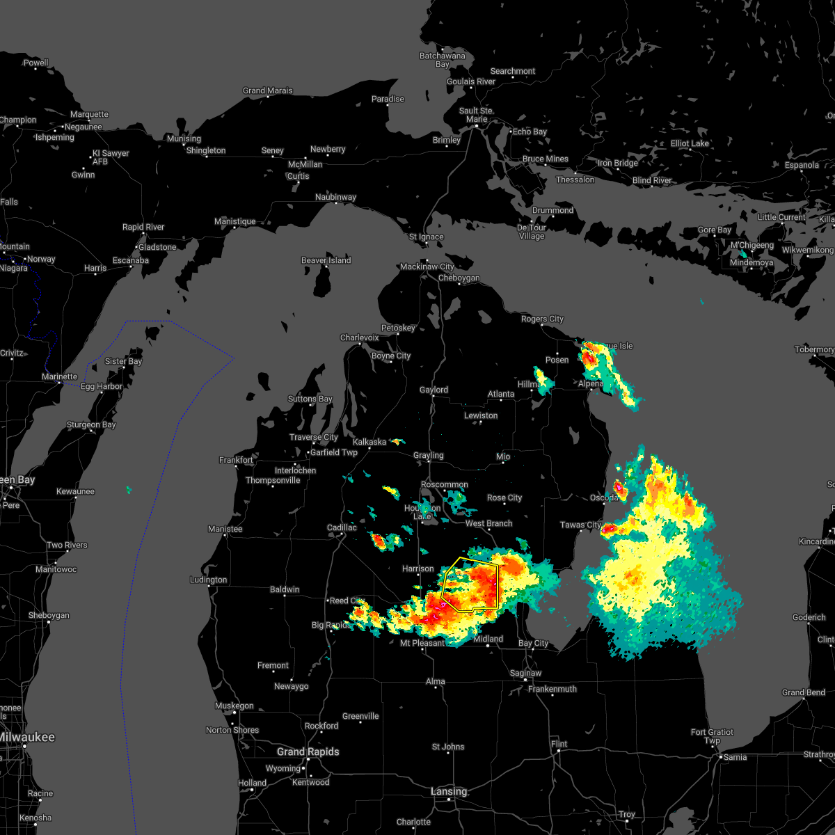
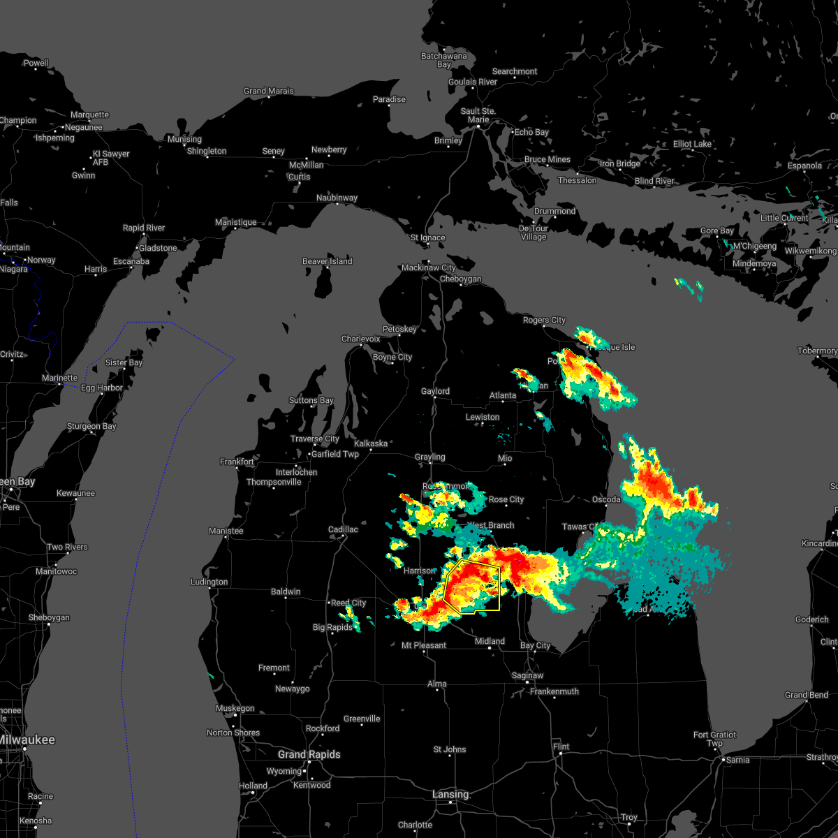
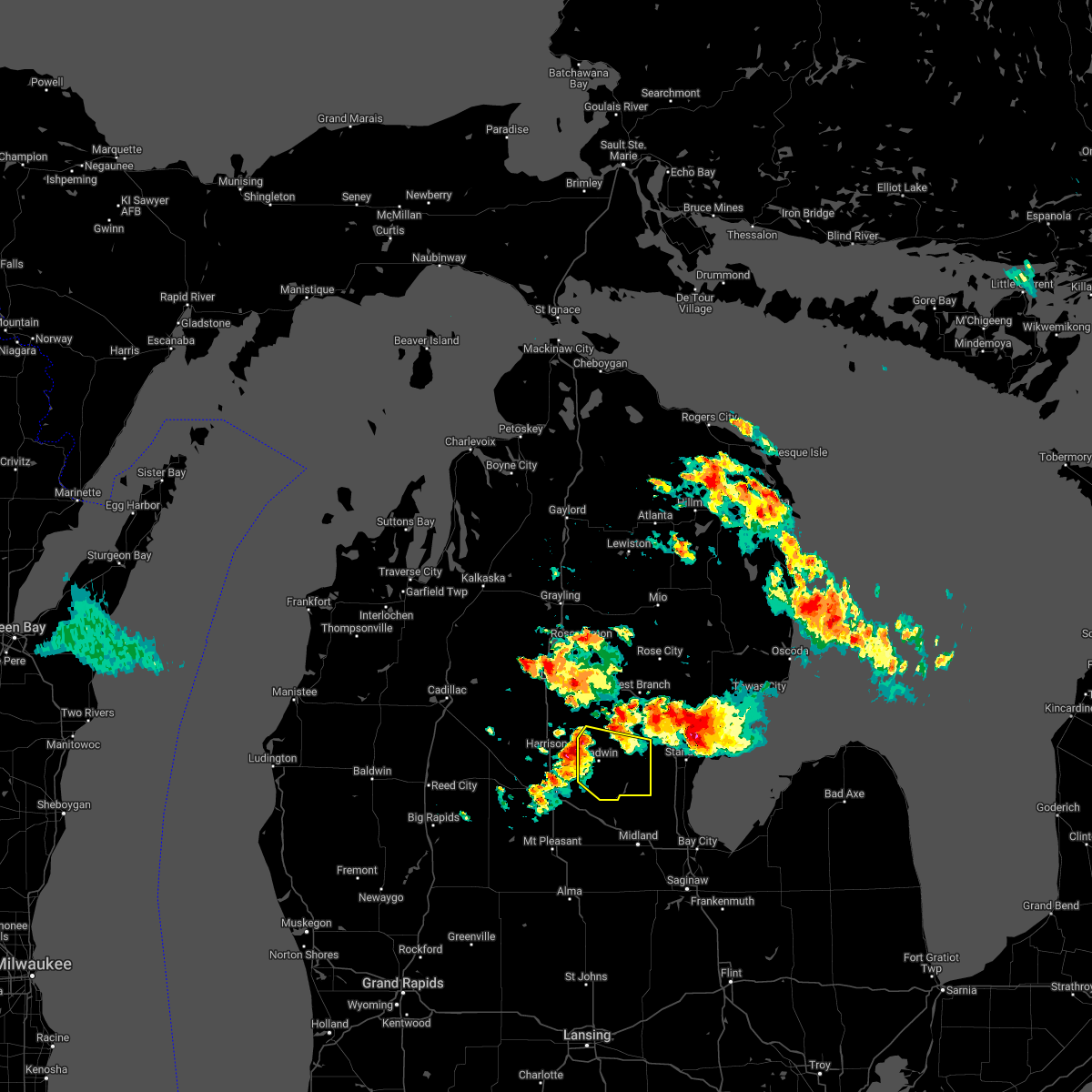
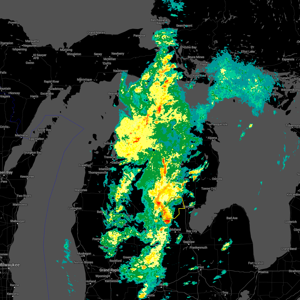
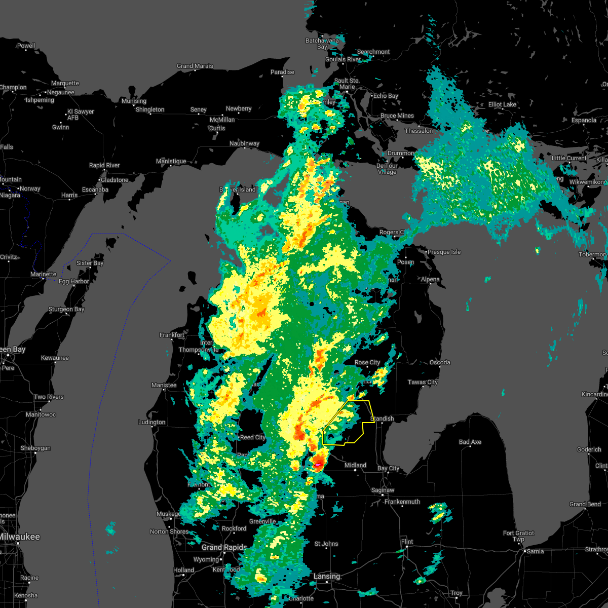
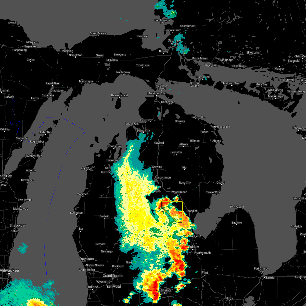
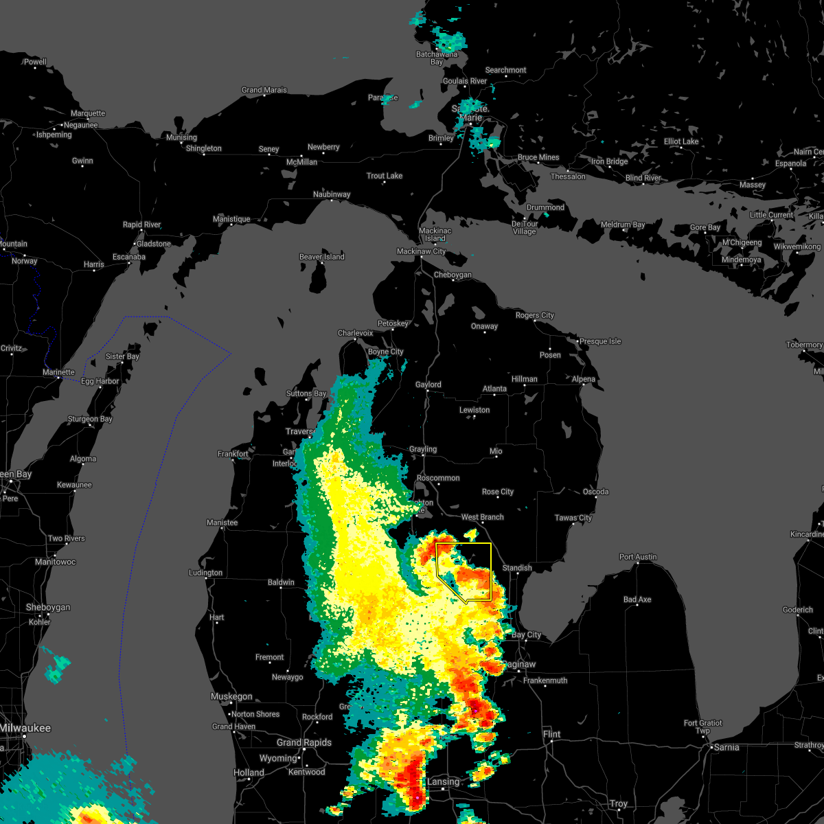
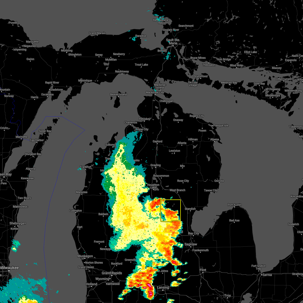
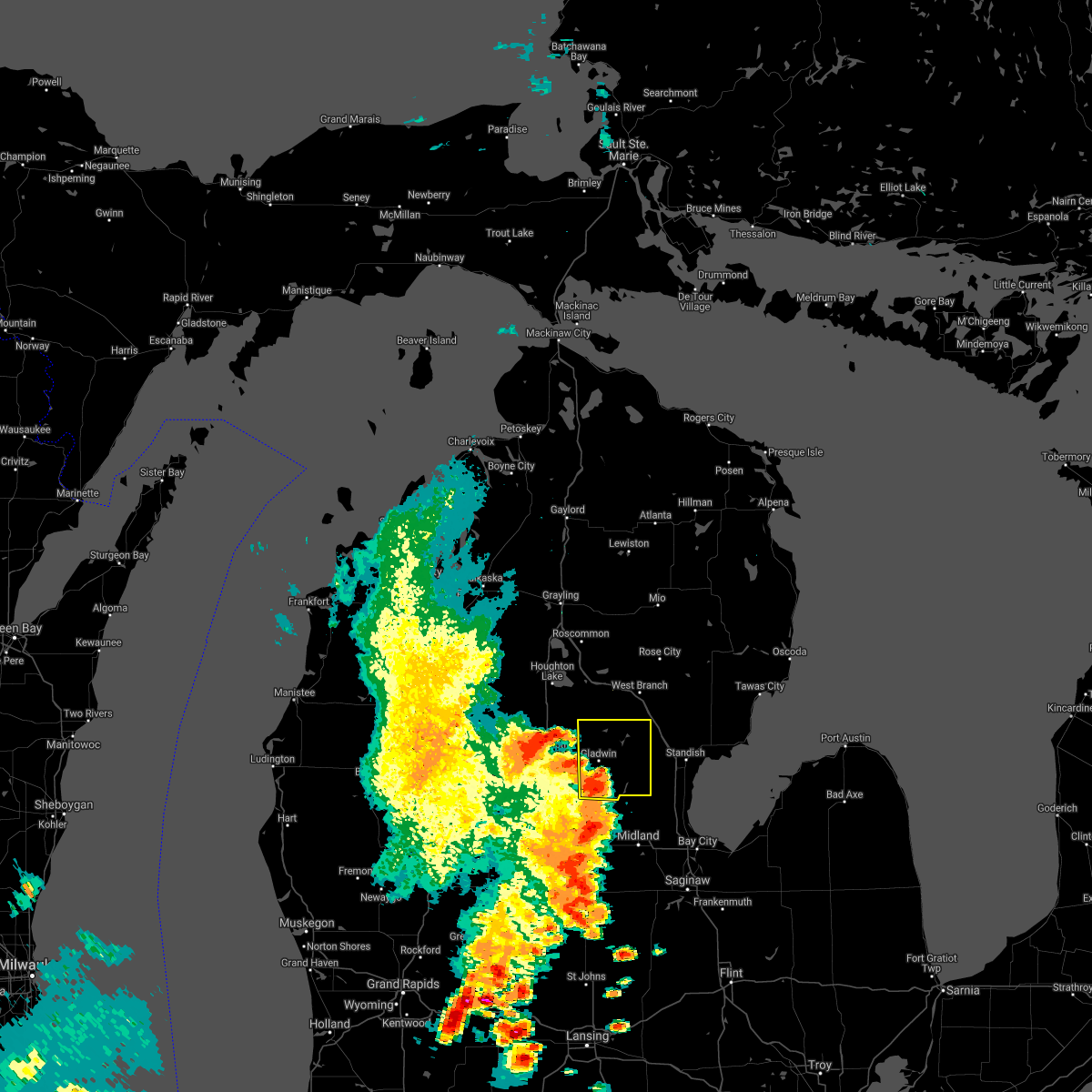
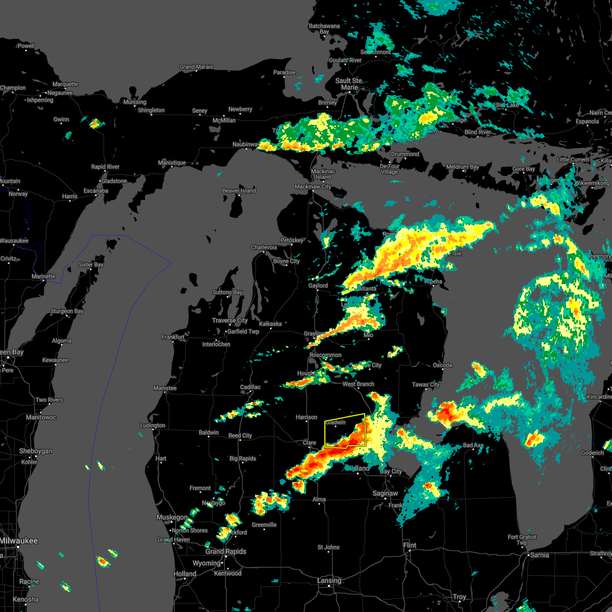
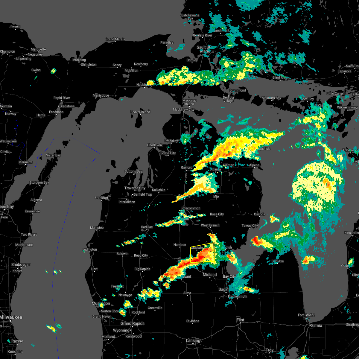
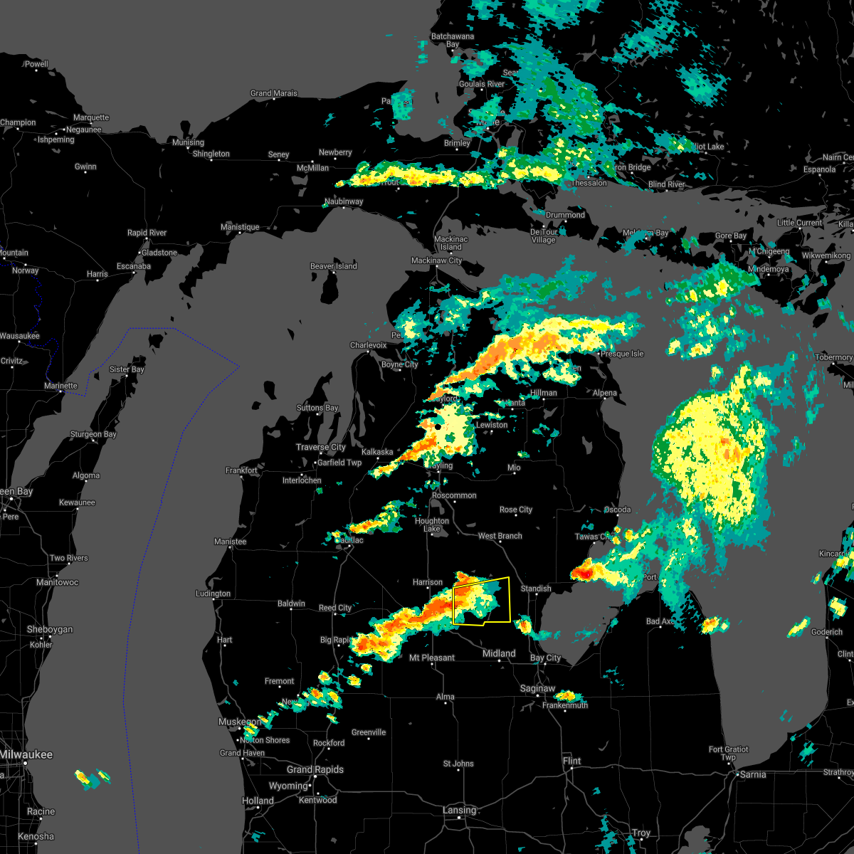
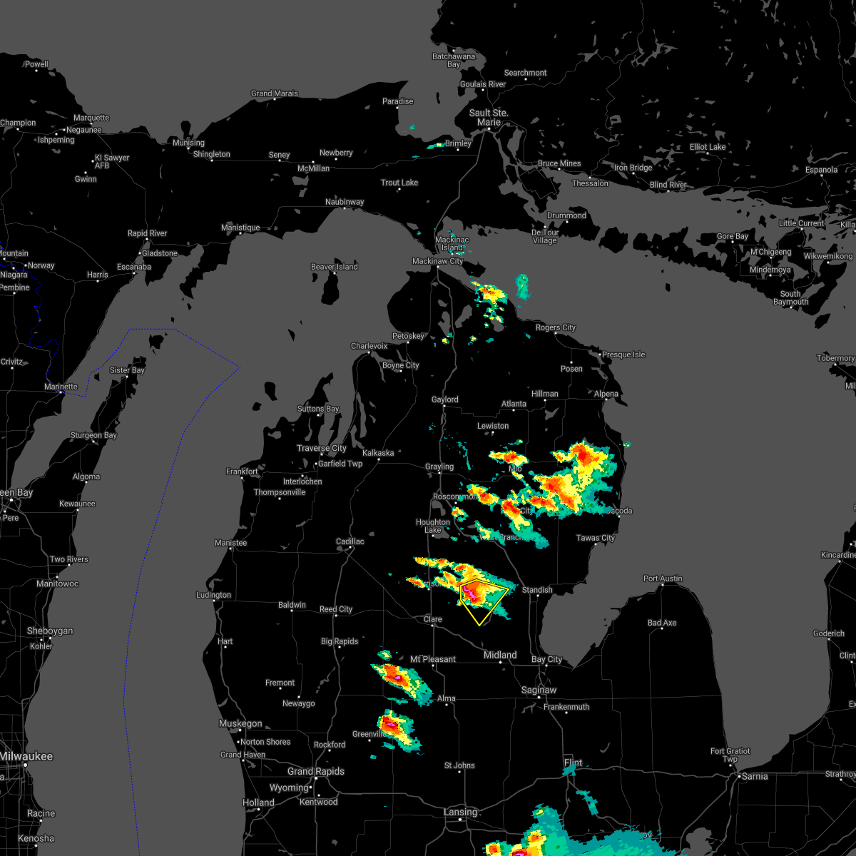
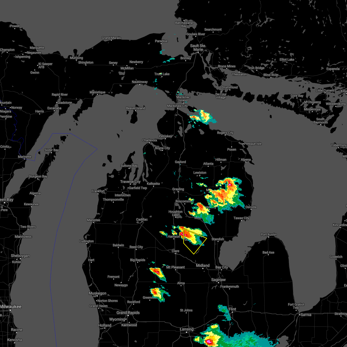
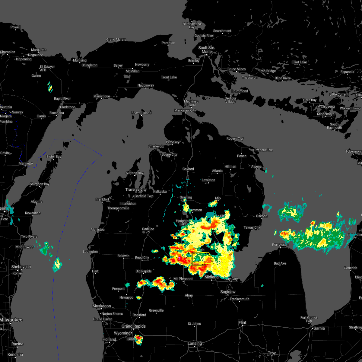
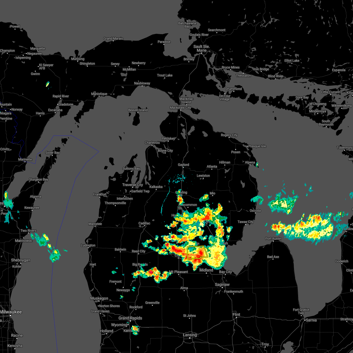
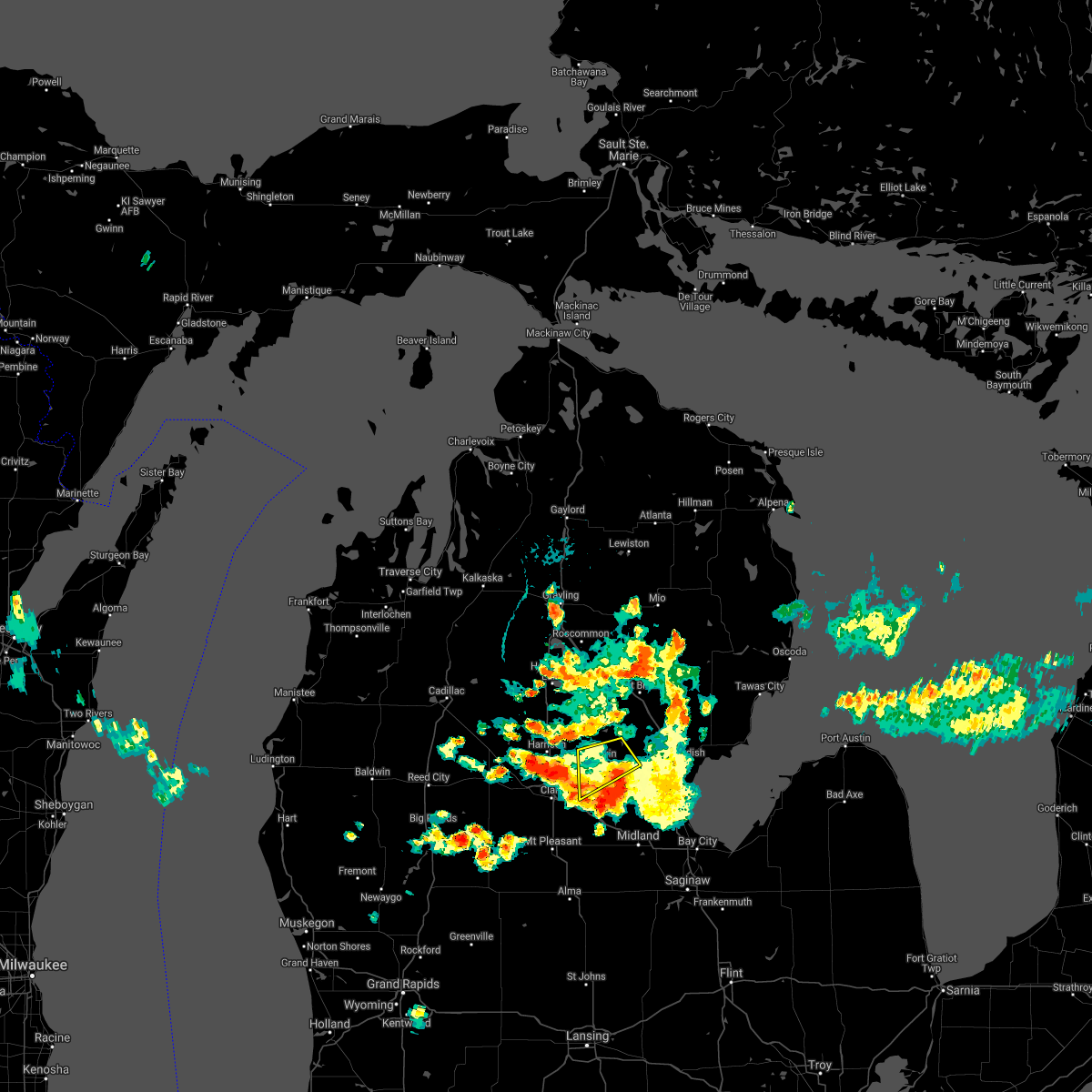
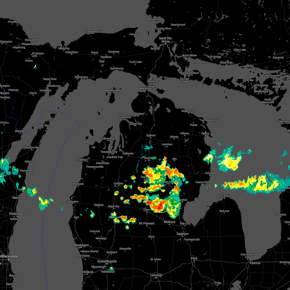
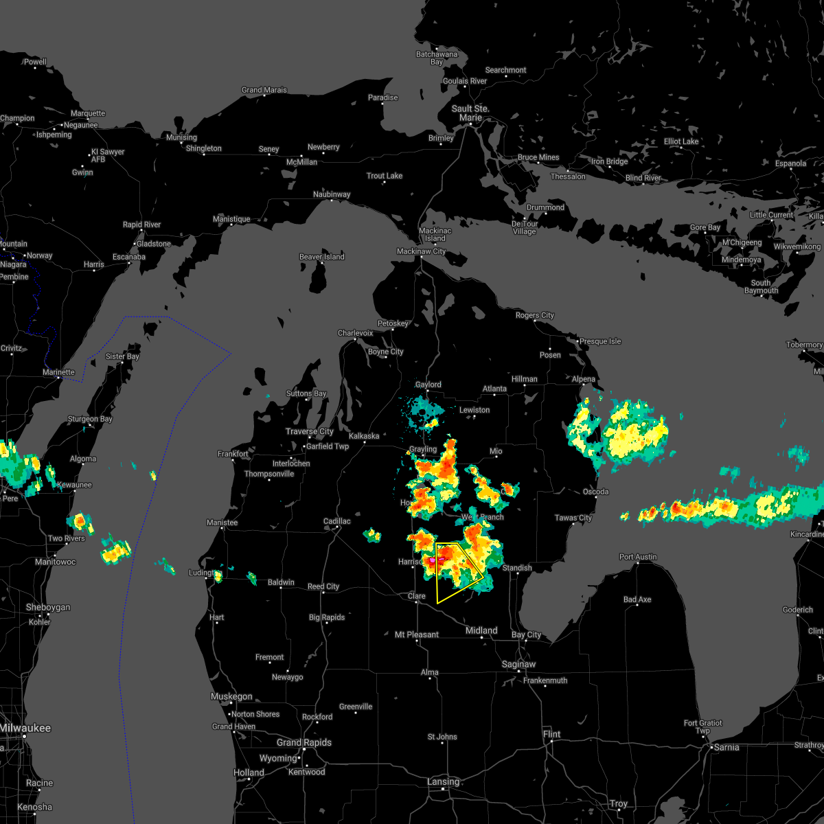
Hail Map for Gladwin, MI
The Gladwin, MI area has had 6 reports of on-the-ground hail by trained spotters, and has been under severe weather warnings 7 times during the past 12 months. Doppler radar has detected hail at or near Gladwin, MI on 36 occasions, including 2 occasions during the past year.
| Name: | Gladwin, MI |
| Where Located: | 77.4 miles SE of Traverse City, MI |
| Map: | Google Map for Gladwin, MI |
| Population: | 2933 |
| Housing Units: | 1421 |
| More Info: | Search Google for Gladwin, MI |
4
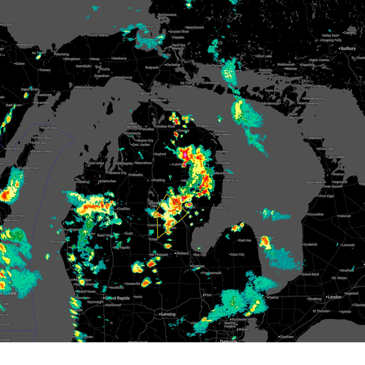
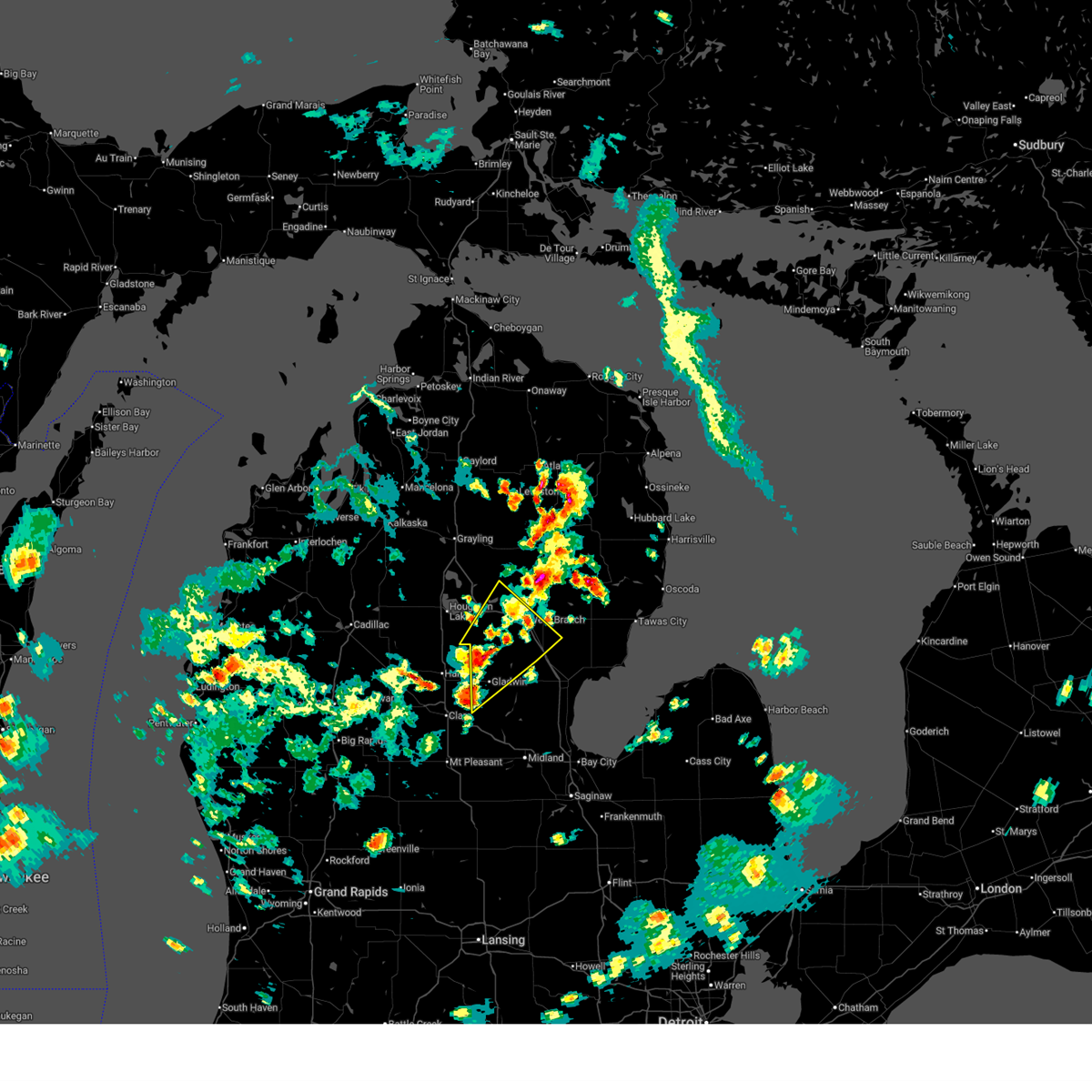
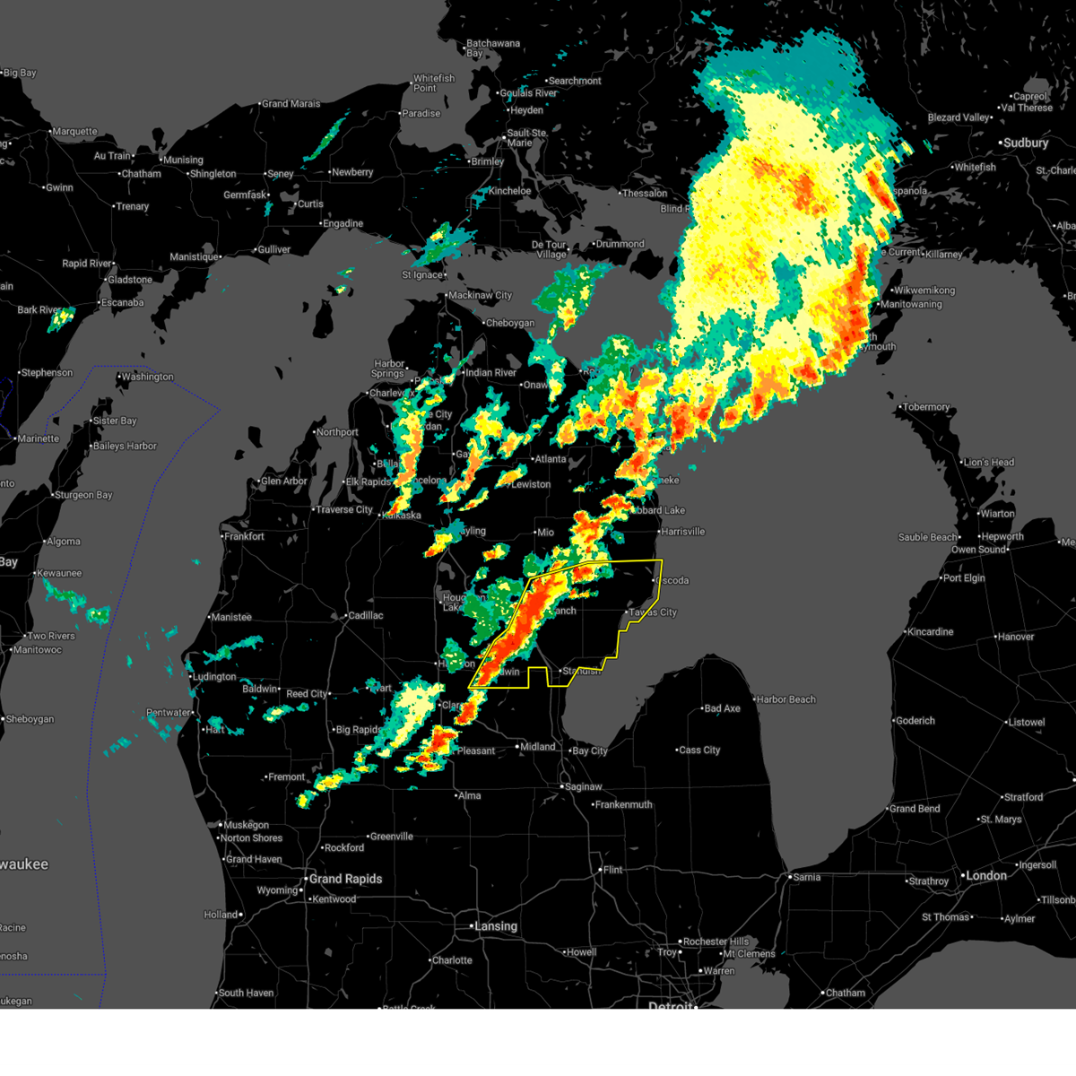
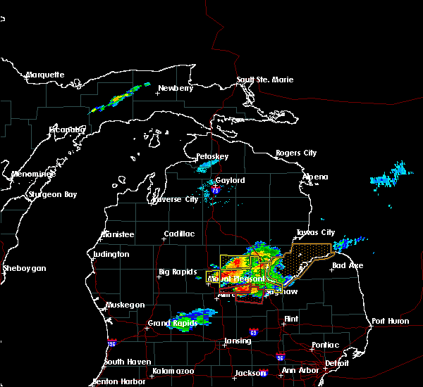
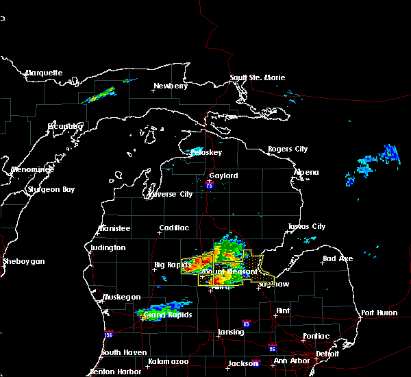
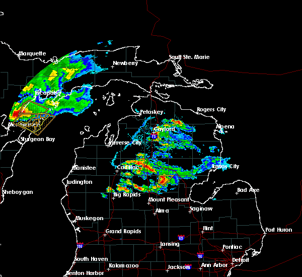
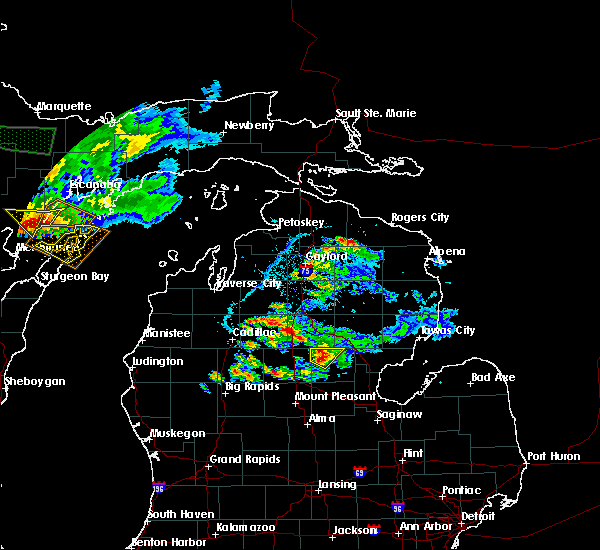
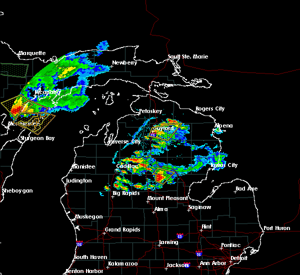
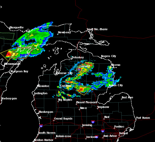
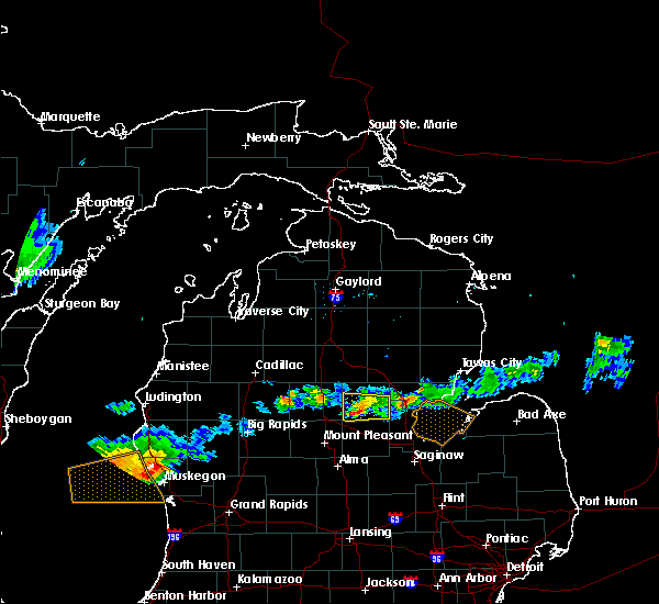
The Top Recent Hail Date for Gladwin, MI is Monday, March 30, 2026 (5th out of 36)
Hail and Wind Damage Spotted near Gladwin, MI
| Date / Time | Report Details |
|---|---|
| 6/16/2026 2:58 PM EDT |
 The storm which prompted the warning has moved out of the area. therefore, the warning will be allowed to expire. however, small hail is still possible with incoming thunderstorms. The storm which prompted the warning has moved out of the area. therefore, the warning will be allowed to expire. however, small hail is still possible with incoming thunderstorms.
|
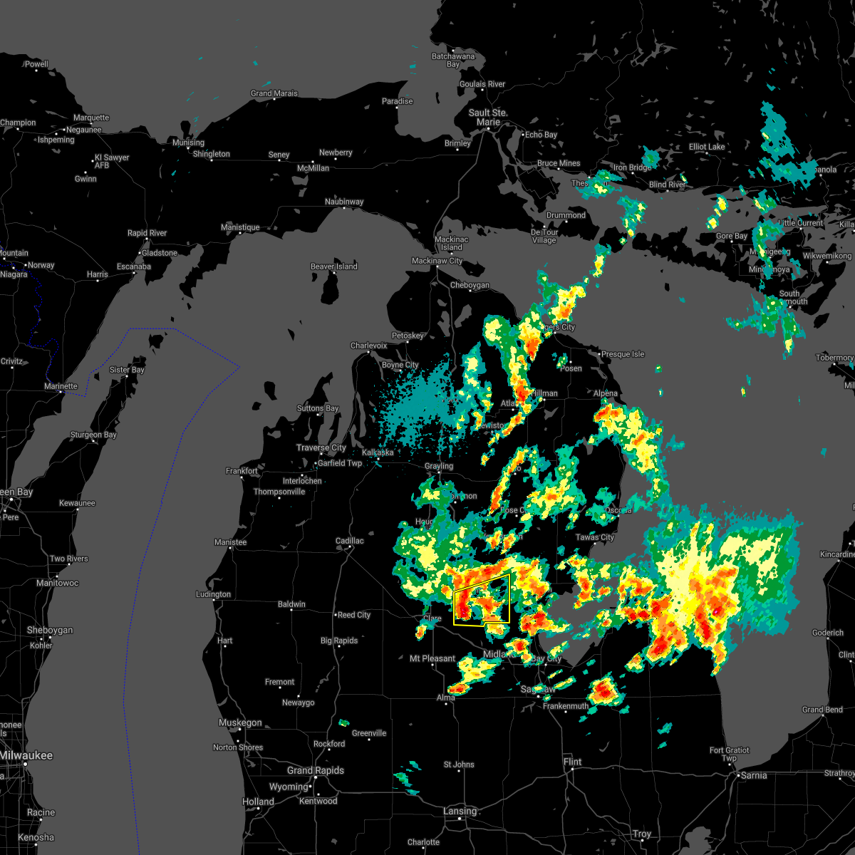
| 6/16/2026 2:25 PM EDT | Quarter sized hail reported 10.4 miles S of Gladwin, MI, time estimated by radar. |
| 6/16/2026 2:16 PM EDT |
 Svrapx the national weather service in gaylord has issued a * severe thunderstorm warning for, northwestern arenac county in northern michigan, gladwin county in northern michigan, southwestern ogemaw county in northern michigan, southeastern roscommon county in northern michigan, * until 300 pm edt. * at 215 pm edt, a severe thunderstorm was located over skeels, or 7 miles northwest of gladwin, moving northeast at 30 mph (radar indicated). Hazards include 60 mph wind gusts and quarter size hail. Hail damage to vehicles is expected. expect wind damage to roofs, siding, and trees. this severe thunderstorm will be near, hockaday and nester township around 220 pm edt. twin lakes area around 225 pm edt. bowmanville around 230 pm edt. west branch around 240 pm edt. st. Helen around 245 pm edt. Svrapx the national weather service in gaylord has issued a * severe thunderstorm warning for, northwestern arenac county in northern michigan, gladwin county in northern michigan, southwestern ogemaw county in northern michigan, southeastern roscommon county in northern michigan, * until 300 pm edt. * at 215 pm edt, a severe thunderstorm was located over skeels, or 7 miles northwest of gladwin, moving northeast at 30 mph (radar indicated). Hazards include 60 mph wind gusts and quarter size hail. Hail damage to vehicles is expected. expect wind damage to roofs, siding, and trees. this severe thunderstorm will be near, hockaday and nester township around 220 pm edt. twin lakes area around 225 pm edt. bowmanville around 230 pm edt. west branch around 240 pm edt. st. Helen around 245 pm edt.
|
| 4/14/2026 5:38 AM EDT |
 At 538 am edt, a severe thunderstorm was located over bentley, or 8 miles southwest of sterling, moving east at 70 mph (radar indicated). Hazards include 60 mph wind gusts. Expect damage to roofs, siding, and trees. This severe thunderstorm will remain over mainly rural areas of southern gladwin county. At 538 am edt, a severe thunderstorm was located over bentley, or 8 miles southwest of sterling, moving east at 70 mph (radar indicated). Hazards include 60 mph wind gusts. Expect damage to roofs, siding, and trees. This severe thunderstorm will remain over mainly rural areas of southern gladwin county.
|
| 4/14/2026 5:22 AM EDT |
 At 522 am edt, a severe thunderstorm was located over beaverton, or 7 miles south of gladwin, moving east at 65 mph (radar indicated). Hazards include 60 mph wind gusts. Expect damage to roofs, siding, and trees. this severe storm will be near, gladwin, beaverton, wooden shoe village, and winegars around 525 am edt. Rhodes around 530 am edt. At 522 am edt, a severe thunderstorm was located over beaverton, or 7 miles south of gladwin, moving east at 65 mph (radar indicated). Hazards include 60 mph wind gusts. Expect damage to roofs, siding, and trees. this severe storm will be near, gladwin, beaverton, wooden shoe village, and winegars around 525 am edt. Rhodes around 530 am edt.
|
| 3/30/2026 11:32 PM EDT |
 At 1132 pm edt, a severe thunderstorm was located near beaverton, or near gladwin, moving east at 40 mph (radar indicated). Hazards include quarter size hail. Damage to vehicles is expected. This severe storm will be near, gladwin, beaverton, wooden shoe village, and winegars around 1135 pm edt. At 1132 pm edt, a severe thunderstorm was located near beaverton, or near gladwin, moving east at 40 mph (radar indicated). Hazards include quarter size hail. Damage to vehicles is expected. This severe storm will be near, gladwin, beaverton, wooden shoe village, and winegars around 1135 pm edt.
|
| 3/30/2026 11:18 PM EDT |
 Svrapx the national weather service in gaylord has issued a * severe thunderstorm warning for, southern gladwin county in northern michigan, * until 1145 pm edt. * at 1117 pm edt, a severe thunderstorm was located 7 miles northeast of clare, moving east at 35 mph (radar indicated). Hazards include quarter size hail. Damage to vehicles is expected. This severe thunderstorm will be near, gladwin and beaverton around 1125 pm edt. Svrapx the national weather service in gaylord has issued a * severe thunderstorm warning for, southern gladwin county in northern michigan, * until 1145 pm edt. * at 1117 pm edt, a severe thunderstorm was located 7 miles northeast of clare, moving east at 35 mph (radar indicated). Hazards include quarter size hail. Damage to vehicles is expected. This severe thunderstorm will be near, gladwin and beaverton around 1125 pm edt.
|
| 7/24/2025 2:32 PM EDT |
 Svrapx the national weather service in gaylord has issued a * severe thunderstorm warning for, arenac county in northern michigan, central gladwin county in northern michigan, ogemaw county in northern michigan, iosco county in northern michigan, * until 330 pm edt. * at 232 pm edt, severe thunderstorms were located along a line extending from near rifle river state park to near alger to near wooden shoe village, moving east at 40 mph (emergency management reported trees and power lines down in northwest gladwin county). Hazards include 60 mph wind gusts and penny size hail. Expect damage to roofs, siding, and trees. severe thunderstorms will be near, alger and skidway lake around 235 pm edt. sterling, long lake, maple ridge, and hale around 240 pm edt. whittemore and plainfield township around 245 pm edt. omer, twining, turner, and national city around 250 pm edt. standish around 255 pm edt. tawas city around 300 pm edt. east tawas and au gres around 305 pm edt. au sable and tawas point state park around 310 pm edt. Other locations impacted by these severe thunderstorms include prescott, wilber, and sid town. Svrapx the national weather service in gaylord has issued a * severe thunderstorm warning for, arenac county in northern michigan, central gladwin county in northern michigan, ogemaw county in northern michigan, iosco county in northern michigan, * until 330 pm edt. * at 232 pm edt, severe thunderstorms were located along a line extending from near rifle river state park to near alger to near wooden shoe village, moving east at 40 mph (emergency management reported trees and power lines down in northwest gladwin county). Hazards include 60 mph wind gusts and penny size hail. Expect damage to roofs, siding, and trees. severe thunderstorms will be near, alger and skidway lake around 235 pm edt. sterling, long lake, maple ridge, and hale around 240 pm edt. whittemore and plainfield township around 245 pm edt. omer, twining, turner, and national city around 250 pm edt. standish around 255 pm edt. tawas city around 300 pm edt. east tawas and au gres around 305 pm edt. au sable and tawas point state park around 310 pm edt. Other locations impacted by these severe thunderstorms include prescott, wilber, and sid town.
|
| 7/24/2025 2:28 PM EDT | Emergency manager reported tree on powerline which fell on a ca in gladwin county MI, 2.1 miles W of Gladwin, MI |
| 7/24/2025 2:20 PM EDT | Trees reported dow in gladwin county MI, 9 miles SSE of Gladwin, MI |
| 7/24/2025 2:18 PM EDT | Emergency manager reports trees down on powerlines northwest of gladwi in gladwin county MI, 5.6 miles SSE of Gladwin, MI |
| 7/24/2025 2:18 PM EDT | Powerline and trees reported dow in gladwin county MI, 9.9 miles SSE of Gladwin, MI |
| 7/6/2025 5:20 PM EDT | Multiple trees down on powerlines near intersection of hockaday rd and armchester dr. report relayed by gladwin county em. time estimated via rada in gladwin county MI, 10.8 miles SSW of Gladwin, MI |
| 5/16/2025 10:35 PM EDT |
 The storm which prompted the warning has moved out of the area. therefore, the warning will be allowed to expire. The storm which prompted the warning has moved out of the area. therefore, the warning will be allowed to expire.
|
| 5/16/2025 10:13 PM EDT |
 At 1012 pm edt, a severe thunderstorm was located over wooden shoe village, or near gladwin, moving northeast at 30 mph (radar indicated). Hazards include golf ball size hail and 60 mph wind gusts. People and animals outdoors will be injured. expect hail damage to roofs, siding, windows, and vehicles. expect wind damage to roofs, siding, and trees. This severe thunderstorm will remain over mainly rural areas of gladwin county. At 1012 pm edt, a severe thunderstorm was located over wooden shoe village, or near gladwin, moving northeast at 30 mph (radar indicated). Hazards include golf ball size hail and 60 mph wind gusts. People and animals outdoors will be injured. expect hail damage to roofs, siding, windows, and vehicles. expect wind damage to roofs, siding, and trees. This severe thunderstorm will remain over mainly rural areas of gladwin county.
|
| 5/16/2025 9:34 PM EDT |
 Svrapx the national weather service in gaylord has issued a * severe thunderstorm warning for, gladwin county in northern michigan, * until 1045 pm edt. * at 932 pm edt, a severe thunderstorm was located near clare, moving northeast at 35 mph (radar indicated). Hazards include ping pong ball size hail and 60 mph wind gusts. People and animals outdoors will be injured. expect hail damage to roofs, siding, windows, and vehicles. expect wind damage to roofs, siding, and trees. this severe thunderstorm will be near, beaverton and gladwin around 945 pm edt. skeels around 950 pm edt. hockaday around 955 pm edt. Bowmanville around 1010 pm edt. Svrapx the national weather service in gaylord has issued a * severe thunderstorm warning for, gladwin county in northern michigan, * until 1045 pm edt. * at 932 pm edt, a severe thunderstorm was located near clare, moving northeast at 35 mph (radar indicated). Hazards include ping pong ball size hail and 60 mph wind gusts. People and animals outdoors will be injured. expect hail damage to roofs, siding, windows, and vehicles. expect wind damage to roofs, siding, and trees. this severe thunderstorm will be near, beaverton and gladwin around 945 pm edt. skeels around 950 pm edt. hockaday around 955 pm edt. Bowmanville around 1010 pm edt.
|
| 5/16/2025 12:34 AM EDT |
 the severe thunderstorm warning has been cancelled and is no longer in effect the severe thunderstorm warning has been cancelled and is no longer in effect
|
| 5/15/2025 11:50 PM EDT |
 Svrapx the national weather service in gaylord has issued a * severe thunderstorm warning for, gladwin county in northern michigan, roscommon county in northern michigan, eastern missaukee county in northern michigan, * until 1245 am edt. * at 1150 pm edt, severe thunderstorms were located along a line extending from near falmouth to near roscommon township to near clare, moving north at 40 mph (radar indicated). Hazards include 60 mph wind gusts. Expect damage to roofs, siding, and trees. severe thunderstorms will be near, prudenville, roscommon township, and houghton lake around 1155 pm edt. moorestown, roscommon county airport, and skeels around 1205 am edt. south higgins lake and higgins lake around 1210 am edt. north higgins lake and nester township around 1215 am edt. roscommon around 1220 am edt. lake st. helen around 1225 am edt. twin lakes area around 1230 am edt. st. helen around 1235 am edt. Other locations impacted by these severe thunderstorms include stittsville and merritt. Svrapx the national weather service in gaylord has issued a * severe thunderstorm warning for, gladwin county in northern michigan, roscommon county in northern michigan, eastern missaukee county in northern michigan, * until 1245 am edt. * at 1150 pm edt, severe thunderstorms were located along a line extending from near falmouth to near roscommon township to near clare, moving north at 40 mph (radar indicated). Hazards include 60 mph wind gusts. Expect damage to roofs, siding, and trees. severe thunderstorms will be near, prudenville, roscommon township, and houghton lake around 1155 pm edt. moorestown, roscommon county airport, and skeels around 1205 am edt. south higgins lake and higgins lake around 1210 am edt. north higgins lake and nester township around 1215 am edt. roscommon around 1220 am edt. lake st. helen around 1225 am edt. twin lakes area around 1230 am edt. st. helen around 1235 am edt. Other locations impacted by these severe thunderstorms include stittsville and merritt.
|
| 8/27/2024 4:07 PM EDT |
 The storms which prompted the warning have moved out of the area. therefore, the warning will be allowed to expire. a severe thunderstorm watch remains in effect until 800 pm edt for northern michigan. The storms which prompted the warning have moved out of the area. therefore, the warning will be allowed to expire. a severe thunderstorm watch remains in effect until 800 pm edt for northern michigan.
|
| 8/27/2024 4:05 PM EDT | Power lines and trees dow in gladwin county MI, 2.8 miles E of Gladwin, MI |
| 8/27/2024 4:01 PM EDT | Trees and power lines down due to damaging wind gust in gladwin county MI, 0.2 miles WNW of Gladwin, MI |
| 8/27/2024 3:53 PM EDT |
 At 353 pm edt, severe thunderstorms were located along a line extending from near twin lakes area to near wooden shoe village to near edenville, moving east at 30 mph (radar indicated). Hazards include 60 mph wind gusts and quarter size hail. Hail damage to vehicles is expected. expect wind damage to roofs, siding, and trees. these severe storms will be near, bowmanville around 400 pm edt. Rhodes around 405 pm edt. At 353 pm edt, severe thunderstorms were located along a line extending from near twin lakes area to near wooden shoe village to near edenville, moving east at 30 mph (radar indicated). Hazards include 60 mph wind gusts and quarter size hail. Hail damage to vehicles is expected. expect wind damage to roofs, siding, and trees. these severe storms will be near, bowmanville around 400 pm edt. Rhodes around 405 pm edt.
|
| 8/27/2024 3:39 PM EDT |
 At 337 pm edt, severe thunderstorms were located along a line extending from nester township to near gladwin to near coleman, moving east at 30 mph (radar indicated. at 335pm, trees were reported down outside of beaverton and gladwin). Hazards include 60 mph wind gusts and quarter size hail. Hail damage to vehicles is expected. expect wind damage to roofs, siding, and trees. these severe storms will be near, gladwin, beaverton, hockaday, wooden shoe village, and winegars around 345 pm edt. bowmanville around 350 pm edt. Rhodes around 405 pm edt. At 337 pm edt, severe thunderstorms were located along a line extending from nester township to near gladwin to near coleman, moving east at 30 mph (radar indicated. at 335pm, trees were reported down outside of beaverton and gladwin). Hazards include 60 mph wind gusts and quarter size hail. Hail damage to vehicles is expected. expect wind damage to roofs, siding, and trees. these severe storms will be near, gladwin, beaverton, hockaday, wooden shoe village, and winegars around 345 pm edt. bowmanville around 350 pm edt. Rhodes around 405 pm edt.
|
| 8/27/2024 3:19 PM EDT |
 Svrapx the national weather service in gaylord has issued a * severe thunderstorm warning for, gladwin county in northern michigan, * until 415 pm edt. * at 318 pm edt, severe thunderstorms were located along a line extending from roscommon township to 6 miles east of harrison to near clare, moving east at 30 mph (radar indicated). Hazards include 60 mph wind gusts. Expect damage to roofs, siding, and trees. severe thunderstorms will be near, gladwin and skeels around 325 pm edt. beaverton around 330 pm edt. hockaday around 335 pm edt. Wooden shoe village, winegars, and bowmanville around 345 pm edt. Svrapx the national weather service in gaylord has issued a * severe thunderstorm warning for, gladwin county in northern michigan, * until 415 pm edt. * at 318 pm edt, severe thunderstorms were located along a line extending from roscommon township to 6 miles east of harrison to near clare, moving east at 30 mph (radar indicated). Hazards include 60 mph wind gusts. Expect damage to roofs, siding, and trees. severe thunderstorms will be near, gladwin and skeels around 325 pm edt. beaverton around 330 pm edt. hockaday around 335 pm edt. Wooden shoe village, winegars, and bowmanville around 345 pm edt.
|
| 7/5/2024 6:07 PM EDT |
 At 607 pm edt, a severe thunderstorm was located near bentley, or near sterling, moving east at 35 mph (radar indicated). Hazards include 60 mph wind gusts and penny size hail. Expect damage to roofs, siding, and trees. Locations impacted include, gladwin, beaverton, wooden shoe village, and winegars. At 607 pm edt, a severe thunderstorm was located near bentley, or near sterling, moving east at 35 mph (radar indicated). Hazards include 60 mph wind gusts and penny size hail. Expect damage to roofs, siding, and trees. Locations impacted include, gladwin, beaverton, wooden shoe village, and winegars.
|
| 7/5/2024 5:58 PM EDT |
 At 557 pm edt, a severe thunderstorm was located near wooden shoe village, or 10 miles southwest of alger, moving east at 35 mph (radar indicated). Hazards include 60 mph wind gusts and penny size hail. Expect damage to roofs, siding, and trees. This severe thunderstorm will remain over mainly rural areas of gladwin county. At 557 pm edt, a severe thunderstorm was located near wooden shoe village, or 10 miles southwest of alger, moving east at 35 mph (radar indicated). Hazards include 60 mph wind gusts and penny size hail. Expect damage to roofs, siding, and trees. This severe thunderstorm will remain over mainly rural areas of gladwin county.
|
| 7/5/2024 5:54 PM EDT | Power lines down in town of gladwi in gladwin county MI, 0.2 miles WNW of Gladwin, MI |
| 7/5/2024 5:54 PM EDT | Power lines down in town of gladwi in gladwin county MI, 0.2 miles WNW of Gladwin, MI |
| 7/5/2024 5:52 PM EDT | Quarter sized hail reported 0.2 miles WNW of Gladwin, MI |
| 7/5/2024 5:23 PM EDT |
 Svrapx the national weather service in gaylord has issued a * severe thunderstorm warning for, gladwin county in northern michigan, * until 615 pm edt. * at 522 pm edt, a severe thunderstorm was located 7 miles east of harrison, or 8 miles west of gladwin, moving east at 35 mph (radar indicated). Hazards include 60 mph wind gusts and penny size hail. Expect damage to roofs, siding, and trees. this severe thunderstorm will be near, gladwin, beaverton, and skeels around 530 pm edt. Hockaday, wooden shoe village, and winegars around 535 pm edt. Svrapx the national weather service in gaylord has issued a * severe thunderstorm warning for, gladwin county in northern michigan, * until 615 pm edt. * at 522 pm edt, a severe thunderstorm was located 7 miles east of harrison, or 8 miles west of gladwin, moving east at 35 mph (radar indicated). Hazards include 60 mph wind gusts and penny size hail. Expect damage to roofs, siding, and trees. this severe thunderstorm will be near, gladwin, beaverton, and skeels around 530 pm edt. Hockaday, wooden shoe village, and winegars around 535 pm edt.
|
| 6/22/2024 4:17 PM EDT | Report of trees and wires down on cedar lake road. possible tornado. time estimated by rada in gladwin county MI, 11.4 miles SW of Gladwin, MI |
| 5/20/2024 8:30 PM EDT |
 the severe thunderstorm warning has been cancelled and is no longer in effect the severe thunderstorm warning has been cancelled and is no longer in effect
|
| 5/20/2024 8:30 PM EDT |
 At 829 pm edt, severe thunderstorms were located along a line extending from near roscommon township to near nester township to gladwin, moving northeast at 40 mph (radar indicated). Hazards include 60 mph wind gusts and penny size hail. Expect damage to roofs, siding, and trees. These severe storms will be near, houghton lake, prudenville, hockaday, twin lakes area, roscommon county airport, and nester township around 835 pm edt. At 829 pm edt, severe thunderstorms were located along a line extending from near roscommon township to near nester township to gladwin, moving northeast at 40 mph (radar indicated). Hazards include 60 mph wind gusts and penny size hail. Expect damage to roofs, siding, and trees. These severe storms will be near, houghton lake, prudenville, hockaday, twin lakes area, roscommon county airport, and nester township around 835 pm edt.
|
| 5/20/2024 8:21 PM EDT | Adams road closed north of m-18 due to downed power lines from thunderstorm winds. time estimated by rada in gladwin county MI, 9.6 miles SSE of Gladwin, MI |
| 5/20/2024 8:04 PM EDT |
 Svrapx the national weather service in gaylord has issued a * severe thunderstorm warning for, northwestern gladwin county in northern michigan, southern roscommon county in northern michigan, southeastern missaukee county in northern michigan, * until 845 pm edt. * at 803 pm edt, severe thunderstorms were located along a line extending from 7 miles south of vogel center to harrison to near clare, moving northeast at 40 mph (radar indicated). Hazards include 60 mph wind gusts and penny size hail. Expect damage to roofs, siding, and trees. severe thunderstorms will be near, moddersville around 810 pm edt. roscommon township and skeels around 815 pm edt. gladwin around 820 pm edt. houghton lake, prudenville, and nester township around 825 pm edt. hockaday, twin lakes area, and roscommon county airport around 830 pm edt. Other locations impacted by these severe thunderstorms include merritt. Svrapx the national weather service in gaylord has issued a * severe thunderstorm warning for, northwestern gladwin county in northern michigan, southern roscommon county in northern michigan, southeastern missaukee county in northern michigan, * until 845 pm edt. * at 803 pm edt, severe thunderstorms were located along a line extending from 7 miles south of vogel center to harrison to near clare, moving northeast at 40 mph (radar indicated). Hazards include 60 mph wind gusts and penny size hail. Expect damage to roofs, siding, and trees. severe thunderstorms will be near, moddersville around 810 pm edt. roscommon township and skeels around 815 pm edt. gladwin around 820 pm edt. houghton lake, prudenville, and nester township around 825 pm edt. hockaday, twin lakes area, and roscommon county airport around 830 pm edt. Other locations impacted by these severe thunderstorms include merritt.
|
| 8/24/2023 6:57 PM EDT |
 The severe thunderstorm warning for southern gladwin county will expire at 700 pm edt, the storm which prompted the warning has weakened below severe limits, and no longer poses an immediate threat to life or property. therefore, the warning will be allowed to expire. however, heavy rain is still possible with this thunderstorm. to report severe weather, contact your nearest law enforcement agency. they will relay your report to the national weather service gaylord. The severe thunderstorm warning for southern gladwin county will expire at 700 pm edt, the storm which prompted the warning has weakened below severe limits, and no longer poses an immediate threat to life or property. therefore, the warning will be allowed to expire. however, heavy rain is still possible with this thunderstorm. to report severe weather, contact your nearest law enforcement agency. they will relay your report to the national weather service gaylord.
|
| 8/24/2023 6:39 PM EDT |
 At 637 pm edt, a severe thunderstorm was located near winegars, or 11 miles southeast of gladwin, moving east at 30 mph (radar indicated). Hazards include 60 mph wind gusts and quarter size hail. Hail damage to vehicles is expected. expect wind damage to roofs, siding, and trees. locations impacted include, gladwin, beaverton, wooden shoe village, rhodes and winegars. hail threat, radar indicated max hail size, 1. 00 in wind threat, radar indicated max wind gust, 60 mph. At 637 pm edt, a severe thunderstorm was located near winegars, or 11 miles southeast of gladwin, moving east at 30 mph (radar indicated). Hazards include 60 mph wind gusts and quarter size hail. Hail damage to vehicles is expected. expect wind damage to roofs, siding, and trees. locations impacted include, gladwin, beaverton, wooden shoe village, rhodes and winegars. hail threat, radar indicated max hail size, 1. 00 in wind threat, radar indicated max wind gust, 60 mph.
|
| 8/24/2023 6:21 PM EDT |
 At 620 pm edt, a severe thunderstorm was located over beaverton, or near gladwin, moving east at 30 mph (radar indicated). Hazards include 60 mph wind gusts and quarter size hail. Hail damage to vehicles is expected. Expect wind damage to roofs, siding, and trees. At 620 pm edt, a severe thunderstorm was located over beaverton, or near gladwin, moving east at 30 mph (radar indicated). Hazards include 60 mph wind gusts and quarter size hail. Hail damage to vehicles is expected. Expect wind damage to roofs, siding, and trees.
|
| 6/25/2023 7:02 PM EDT |
 At 702 pm edt, severe thunderstorms were located along a line extending from near rhodes to near st. helen to 8 miles southeast of sigma, moving northeast at 30 mph (radar indicated). Hazards include 60 mph wind gusts. Expect damage to roofs, siding, and trees. locations impacted include, gladwin, west branch, grayling, roscommon, st. helen, hockaday, rhodes, higgins lake, north higgins lake, lake st. helen, winegars, twin lakes area, wooden shoe village, south branch township, nester township, moorestown, clear lake, bowmanville, south higgins lake and foster township. hail threat, radar indicated max hail size, <. 75 in wind threat, radar indicated max wind gust, 60 mph. At 702 pm edt, severe thunderstorms were located along a line extending from near rhodes to near st. helen to 8 miles southeast of sigma, moving northeast at 30 mph (radar indicated). Hazards include 60 mph wind gusts. Expect damage to roofs, siding, and trees. locations impacted include, gladwin, west branch, grayling, roscommon, st. helen, hockaday, rhodes, higgins lake, north higgins lake, lake st. helen, winegars, twin lakes area, wooden shoe village, south branch township, nester township, moorestown, clear lake, bowmanville, south higgins lake and foster township. hail threat, radar indicated max hail size, <. 75 in wind threat, radar indicated max wind gust, 60 mph.
|
| 6/25/2023 6:48 PM EDT | Report of a tree down on a power line at north bard road and eaton road. em stated that the power line was arcing. time estimated by rada in gladwin county MI, 6.8 miles SE of Gladwin, MI |
| 6/25/2023 6:46 PM EDT |
 At 646 pm edt, severe thunderstorms were located along a line extending from near winegars to near nester township to near moorestown, moving northeast at 30 mph (radar indicated). Hazards include 60 mph wind gusts and penny size hail. expect damage to roofs, siding, and trees At 646 pm edt, severe thunderstorms were located along a line extending from near winegars to near nester township to near moorestown, moving northeast at 30 mph (radar indicated). Hazards include 60 mph wind gusts and penny size hail. expect damage to roofs, siding, and trees
|
| 9/21/2022 8:15 AM EDT |
 At 815 am edt, a severe thunderstorm was located over hockaday, or 9 miles northeast of gladwin, moving east at 45 mph (radar indicated). Hazards include quarter size hail. Damage to vehicles is expected. locations impacted include, gladwin, bowmanville and hockaday. hail threat, radar indicated max hail size, 1. 00 in wind threat, radar indicated max wind gust, <50 mph. At 815 am edt, a severe thunderstorm was located over hockaday, or 9 miles northeast of gladwin, moving east at 45 mph (radar indicated). Hazards include quarter size hail. Damage to vehicles is expected. locations impacted include, gladwin, bowmanville and hockaday. hail threat, radar indicated max hail size, 1. 00 in wind threat, radar indicated max wind gust, <50 mph.
|
| 9/21/2022 8:06 AM EDT | Golf Ball sized hail reported 7.4 miles SSE of Gladwin, MI |
| 9/21/2022 7:59 AM EDT |
 At 758 am edt, a severe thunderstorm was located near skeels, or 8 miles northwest of gladwin, moving east at 40 mph (radar indicated). Hazards include quarter size hail. damage to vehicles is expected At 758 am edt, a severe thunderstorm was located near skeels, or 8 miles northwest of gladwin, moving east at 40 mph (radar indicated). Hazards include quarter size hail. damage to vehicles is expected
|
| 8/29/2022 4:29 PM EDT |
 At 428 pm edt, severe thunderstorms were located along a line extending from near hockaday to near beaverton to near edenville, moving northeast at 45 mph (radar indicated). Hazards include 60 mph wind gusts and penny size hail. Expect damage to roofs, siding, and trees. locations impacted include, alger, gladwin, standish, au gres, sterling, maple ridge, beaverton, omer, twining, turner, hockaday, rhodes, skeels, winegars and wooden shoe village. hail threat, radar indicated max hail size, 0. 75 in wind threat, radar indicated max wind gust, 60 mph. At 428 pm edt, severe thunderstorms were located along a line extending from near hockaday to near beaverton to near edenville, moving northeast at 45 mph (radar indicated). Hazards include 60 mph wind gusts and penny size hail. Expect damage to roofs, siding, and trees. locations impacted include, alger, gladwin, standish, au gres, sterling, maple ridge, beaverton, omer, twining, turner, hockaday, rhodes, skeels, winegars and wooden shoe village. hail threat, radar indicated max hail size, 0. 75 in wind threat, radar indicated max wind gust, 60 mph.
|
| 8/29/2022 4:05 PM EDT |
 At 405 pm edt, severe thunderstorms were located along a line extending from houghton lake to near clare to 8 miles northeast of edmore, moving east at 45 mph (radar indicated). Hazards include 60 mph wind gusts and penny size hail. expect damage to roofs, siding, and trees At 405 pm edt, severe thunderstorms were located along a line extending from houghton lake to near clare to 8 miles northeast of edmore, moving east at 45 mph (radar indicated). Hazards include 60 mph wind gusts and penny size hail. expect damage to roofs, siding, and trees
|
| 5/11/2022 10:24 AM EDT |
 The severe thunderstorm warning for gladwin county will expire at 1030 am edt, the storm which prompted the warning has weakened below severe limits, and no longer poses an immediate threat to life or property. therefore, the warning will be allowed to expire. however small hail, gusty winds and very heavy rain are still possible with this thunderstorm. The severe thunderstorm warning for gladwin county will expire at 1030 am edt, the storm which prompted the warning has weakened below severe limits, and no longer poses an immediate threat to life or property. therefore, the warning will be allowed to expire. however small hail, gusty winds and very heavy rain are still possible with this thunderstorm.
|
| 5/11/2022 10:02 AM EDT |
 At 1001 am edt, a severe thunderstorm was located over wooden shoe village, or near gladwin, moving southeast at 20 mph (radar indicated). Hazards include 60 mph wind gusts and quarter size hail. Hail damage to vehicles is expected. expect wind damage to roofs, siding, and trees. locations impacted include, wooden shoe village, winegars and rhodes. hail threat, radar indicated max hail size, 1. 00 in wind threat, radar indicated max wind gust, 60 mph. At 1001 am edt, a severe thunderstorm was located over wooden shoe village, or near gladwin, moving southeast at 20 mph (radar indicated). Hazards include 60 mph wind gusts and quarter size hail. Hail damage to vehicles is expected. expect wind damage to roofs, siding, and trees. locations impacted include, wooden shoe village, winegars and rhodes. hail threat, radar indicated max hail size, 1. 00 in wind threat, radar indicated max wind gust, 60 mph.
|
| 5/11/2022 9:29 AM EDT |
 At 929 am edt, a severe thunderstorm was located near gladwin, moving southeast at 20 mph (radar indicated). Hazards include 60 mph wind gusts and quarter size hail. Hail damage to vehicles is expected. expect wind damage to roofs, siding, and trees. this severe thunderstorm will be near, gladwin and hockaday around 940 am edt. other locations in the path of this severe thunderstorm include beaverton, wooden shoe village, winegars and rhodes. hail threat, radar indicated max hail size, 1. 00 in wind threat, radar indicated max wind gust, 60 mph. At 929 am edt, a severe thunderstorm was located near gladwin, moving southeast at 20 mph (radar indicated). Hazards include 60 mph wind gusts and quarter size hail. Hail damage to vehicles is expected. expect wind damage to roofs, siding, and trees. this severe thunderstorm will be near, gladwin and hockaday around 940 am edt. other locations in the path of this severe thunderstorm include beaverton, wooden shoe village, winegars and rhodes. hail threat, radar indicated max hail size, 1. 00 in wind threat, radar indicated max wind gust, 60 mph.
|
| 4/24/2022 4:12 PM EDT |
 At 412 pm edt, a severe thunderstorm was located over edenville, or 9 miles north of sanford, moving northeast at 50 mph (radar indicated). Hazards include 60 mph wind gusts and penny size hail. Expect damage to roofs, siding, and trees. locations impacted include, winegars, rhodes, wooden shoe village and alger. hail threat, radar indicated max hail size, 0. 75 in wind threat, radar indicated max wind gust, 60 mph. At 412 pm edt, a severe thunderstorm was located over edenville, or 9 miles north of sanford, moving northeast at 50 mph (radar indicated). Hazards include 60 mph wind gusts and penny size hail. Expect damage to roofs, siding, and trees. locations impacted include, winegars, rhodes, wooden shoe village and alger. hail threat, radar indicated max hail size, 0. 75 in wind threat, radar indicated max wind gust, 60 mph.
|
| 4/24/2022 3:58 PM EDT |
 At 358 pm edt, a severe thunderstorm was located near coleman, moving northeast at 50 mph (radar indicated). Hazards include 60 mph wind gusts and penny size hail. Expect damage to roofs, siding, and trees. this severe thunderstorm will be near, beaverton around 415 pm edt. other locations in the path of this severe thunderstorm include winegars, wooden shoe village, rhodes and alger. hail threat, radar indicated max hail size, 0. 75 in wind threat, radar indicated max wind gust, 60 mph. At 358 pm edt, a severe thunderstorm was located near coleman, moving northeast at 50 mph (radar indicated). Hazards include 60 mph wind gusts and penny size hail. Expect damage to roofs, siding, and trees. this severe thunderstorm will be near, beaverton around 415 pm edt. other locations in the path of this severe thunderstorm include winegars, wooden shoe village, rhodes and alger. hail threat, radar indicated max hail size, 0. 75 in wind threat, radar indicated max wind gust, 60 mph.
|
| 9/7/2021 2:44 PM EDT |
 At 243 pm edt, severe thunderstorms were located along a line extending from skidway lake to near bentley to near edenville, moving east at 50 mph (emergency management. at 241 pm edt, gladwin county emergency management reported penny size hail in gladwin). Hazards include 60 mph wind gusts and quarter size hail. Hail damage to vehicles is expected. expect wind damage to roofs, siding, and trees. these severe storms will be near, sterling, maple ridge and skidway lake around 250 pm edt. standish around 255 pm edt. other locations in the path of these severe thunderstorms include twining, turner and au gres. hail threat, radar indicated max hail size, 1. 00 in wind threat, radar indicated max wind gust, 60 mph. At 243 pm edt, severe thunderstorms were located along a line extending from skidway lake to near bentley to near edenville, moving east at 50 mph (emergency management. at 241 pm edt, gladwin county emergency management reported penny size hail in gladwin). Hazards include 60 mph wind gusts and quarter size hail. Hail damage to vehicles is expected. expect wind damage to roofs, siding, and trees. these severe storms will be near, sterling, maple ridge and skidway lake around 250 pm edt. standish around 255 pm edt. other locations in the path of these severe thunderstorms include twining, turner and au gres. hail threat, radar indicated max hail size, 1. 00 in wind threat, radar indicated max wind gust, 60 mph.
|
| 9/7/2021 2:36 PM EDT |
 At 236 pm edt, severe thunderstorms were located along a line extending from near alger to near wooden shoe village to near beaverton, moving east at 50 mph (radar indicated). Hazards include 60 mph wind gusts and quarter size hail. Hail damage to vehicles is expected. expect wind damage to roofs, siding, and trees. these severe storms will be near, alger around 240 pm edt. other locations in the path of these severe thunderstorms include rhodes, skidway lake, sterling, maple ridge, standish, twining, turner, omer and au gres. hail threat, radar indicated max hail size, 1. 00 in wind threat, radar indicated max wind gust, 60 mph. At 236 pm edt, severe thunderstorms were located along a line extending from near alger to near wooden shoe village to near beaverton, moving east at 50 mph (radar indicated). Hazards include 60 mph wind gusts and quarter size hail. Hail damage to vehicles is expected. expect wind damage to roofs, siding, and trees. these severe storms will be near, alger around 240 pm edt. other locations in the path of these severe thunderstorms include rhodes, skidway lake, sterling, maple ridge, standish, twining, turner, omer and au gres. hail threat, radar indicated max hail size, 1. 00 in wind threat, radar indicated max wind gust, 60 mph.
|
| 9/7/2021 2:22 PM EDT |
 At 222 pm edt, severe thunderstorms were located along a line extending from near twin lakes area to gladwin to near farwell, moving east at 40 mph (radar indicated). Hazards include 60 mph wind gusts and quarter size hail. Hail damage to vehicles is expected. expect wind damage to roofs, siding, and trees. severe thunderstorms will be near, gladwin around 225 pm edt. bowmanville around 230 pm edt. wooden shoe village and hockaday around 235 pm edt. Other locations in the path of these severe thunderstorms include beaverton, skidway lake, alger, sterling, winegars, standish, maple ridge, turner and rhodes. At 222 pm edt, severe thunderstorms were located along a line extending from near twin lakes area to gladwin to near farwell, moving east at 40 mph (radar indicated). Hazards include 60 mph wind gusts and quarter size hail. Hail damage to vehicles is expected. expect wind damage to roofs, siding, and trees. severe thunderstorms will be near, gladwin around 225 pm edt. bowmanville around 230 pm edt. wooden shoe village and hockaday around 235 pm edt. Other locations in the path of these severe thunderstorms include beaverton, skidway lake, alger, sterling, winegars, standish, maple ridge, turner and rhodes.
|
| 8/28/2021 4:30 AM EDT |
 At 429 am edt, severe thunderstorms were located along a line extending from near lake st. helen to near hockaday to near beaverton, moving east at 45 mph (radar indicated). Hazards include 60 mph wind gusts. Expect damage to roofs, siding, and trees. locations impacted include, alger, houghton lake, gladwin, west branch, standish, sterling, prudenville, st. helen, maple ridge, beaverton, rose city, skidway lake, hockaday, rhodes, rifle river state park, twin lakes area, roscommon county airport, wooden shoe village, clear lake and lupton. hail threat, radar indicated max hail size, <. 75 in wind threat, radar indicated max wind gust, 60 mph. At 429 am edt, severe thunderstorms were located along a line extending from near lake st. helen to near hockaday to near beaverton, moving east at 45 mph (radar indicated). Hazards include 60 mph wind gusts. Expect damage to roofs, siding, and trees. locations impacted include, alger, houghton lake, gladwin, west branch, standish, sterling, prudenville, st. helen, maple ridge, beaverton, rose city, skidway lake, hockaday, rhodes, rifle river state park, twin lakes area, roscommon county airport, wooden shoe village, clear lake and lupton. hail threat, radar indicated max hail size, <. 75 in wind threat, radar indicated max wind gust, 60 mph.
|
| 8/28/2021 4:02 AM EDT |
 At 402 am edt, severe thunderstorms were located along a line extending from near houghton lake to 6 miles west of skeels to near farwell, moving east at 40 mph (radar indicated). Hazards include 60 mph wind gusts. Expect damage to roofs, siding, and trees. locations impacted include, alger, houghton lake, gladwin, west branch, standish, sterling, prudenville, st. helen, maple ridge, beaverton, rose city, skidway lake, hockaday, rhodes, rifle river state park, twin lakes area, roscommon county airport, wooden shoe village, clear lake and lupton. hail threat, radar indicated max hail size, <. 75 in wind threat, radar indicated max wind gust, 60 mph. At 402 am edt, severe thunderstorms were located along a line extending from near houghton lake to 6 miles west of skeels to near farwell, moving east at 40 mph (radar indicated). Hazards include 60 mph wind gusts. Expect damage to roofs, siding, and trees. locations impacted include, alger, houghton lake, gladwin, west branch, standish, sterling, prudenville, st. helen, maple ridge, beaverton, rose city, skidway lake, hockaday, rhodes, rifle river state park, twin lakes area, roscommon county airport, wooden shoe village, clear lake and lupton. hail threat, radar indicated max hail size, <. 75 in wind threat, radar indicated max wind gust, 60 mph.
|
| 8/28/2021 3:42 AM EDT |
 At 341 am edt, severe thunderstorms were located along a line extending from near moddersville to 8 miles northwest of farwell, moving east at 45 mph (radar indicated). Hazards include 60 mph wind gusts. expect damage to roofs, siding, and trees At 341 am edt, severe thunderstorms were located along a line extending from near moddersville to 8 miles northwest of farwell, moving east at 45 mph (radar indicated). Hazards include 60 mph wind gusts. expect damage to roofs, siding, and trees
|
| 8/24/2021 7:03 PM EDT |
 At 702 pm edt, severe thunderstorms were located along a line extending from near bowmanville to near pinconning, moving east at 35 mph (radar indicated). Hazards include 60 mph wind gusts. Expect damage to roofs, siding, and trees. these severe thunderstorms will affect northeast gladwin county. hail threat, radar indicated max hail size, <. 75 in wind threat, radar indicated max wind gust, 60 mph. At 702 pm edt, severe thunderstorms were located along a line extending from near bowmanville to near pinconning, moving east at 35 mph (radar indicated). Hazards include 60 mph wind gusts. Expect damage to roofs, siding, and trees. these severe thunderstorms will affect northeast gladwin county. hail threat, radar indicated max hail size, <. 75 in wind threat, radar indicated max wind gust, 60 mph.
|
| 8/24/2021 6:51 PM EDT |
 At 650 pm edt, severe thunderstorms were located along a line extending from near nester township to near rhodes, moving east at 35 mph (radar indicated. a tree and power lines were downed in the beaverton area). Hazards include 60 mph wind gusts. Expect damage to roofs, siding, and trees. these severe storms will be near, rhodes around 655 pm edt. bowmanville around 705 pm edt. hail threat, radar indicated max hail size, <. 75 in wind threat, observed max wind gust, 60 mph. At 650 pm edt, severe thunderstorms were located along a line extending from near nester township to near rhodes, moving east at 35 mph (radar indicated. a tree and power lines were downed in the beaverton area). Hazards include 60 mph wind gusts. Expect damage to roofs, siding, and trees. these severe storms will be near, rhodes around 655 pm edt. bowmanville around 705 pm edt. hail threat, radar indicated max hail size, <. 75 in wind threat, observed max wind gust, 60 mph.
|
| 8/24/2021 6:38 PM EDT |
 At 637 pm edt, severe thunderstorms were located along a line extending from near skeels to near winegars, moving east at 25 mph (radar indicated. power lines were downed in the beaverton area). Hazards include 60 mph wind gusts. Expect damage to roofs, siding, and trees. these severe storms will be near, winegars around 640 pm edt. wooden shoe village around 645 pm edt. rhodes and hockaday around 700 pm edt. bowmanville around 715 pm edt. hail threat, radar indicated max hail size, <. 75 in wind threat, radar indicated max wind gust, 60 mph. At 637 pm edt, severe thunderstorms were located along a line extending from near skeels to near winegars, moving east at 25 mph (radar indicated. power lines were downed in the beaverton area). Hazards include 60 mph wind gusts. Expect damage to roofs, siding, and trees. these severe storms will be near, winegars around 640 pm edt. wooden shoe village around 645 pm edt. rhodes and hockaday around 700 pm edt. bowmanville around 715 pm edt. hail threat, radar indicated max hail size, <. 75 in wind threat, radar indicated max wind gust, 60 mph.
|
| 8/24/2021 6:30 PM EDT | Tree down on m-18 north of gladwin. time estimated from rada in gladwin county MI, 1.3 miles S of Gladwin, MI |
| 8/24/2021 6:25 PM EDT |
 At 624 pm edt, severe thunderstorms were located along a line extending from 6 miles south of roscommon township to near beaverton, moving east at 35 mph (radar indicated). Hazards include 60 mph wind gusts. Expect damage to roofs, siding, and trees. severe thunderstorms will be near, winegars around 630 pm edt. wooden shoe village around 635 pm edt. other locations in the path of these severe thunderstorms include rhodes, hockaday, gladwin and bowmanville. hail threat, radar indicated max hail size, <. 75 in wind threat, radar indicated max wind gust, 60 mph. At 624 pm edt, severe thunderstorms were located along a line extending from 6 miles south of roscommon township to near beaverton, moving east at 35 mph (radar indicated). Hazards include 60 mph wind gusts. Expect damage to roofs, siding, and trees. severe thunderstorms will be near, winegars around 630 pm edt. wooden shoe village around 635 pm edt. other locations in the path of these severe thunderstorms include rhodes, hockaday, gladwin and bowmanville. hail threat, radar indicated max hail size, <. 75 in wind threat, radar indicated max wind gust, 60 mph.
|
| 8/11/2021 12:13 AM EDT | Sporadic tree damage and powerlines down throughout the county. time based off rada in gladwin county MI, 0.2 miles WNW of Gladwin, MI |
| 8/9/2021 1:00 PM EDT | Tree and utility line damage reported by gladwin co. e in gladwin county MI, 13.4 miles SSW of Gladwin, MI |
| 7/24/2021 3:52 PM EDT |
 At 352 pm edt, a severe thunderstorm was located near rhodes, or 12 miles northeast of sanford, moving east at 40 mph (radar indicated). Hazards include 60 mph wind gusts and quarter size hail. Hail damage to vehicles is expected. expect wind damage to roofs, siding, and trees. Locations impacted include, gladwin, beaverton, wooden shoe village, rhodes and winegars. At 352 pm edt, a severe thunderstorm was located near rhodes, or 12 miles northeast of sanford, moving east at 40 mph (radar indicated). Hazards include 60 mph wind gusts and quarter size hail. Hail damage to vehicles is expected. expect wind damage to roofs, siding, and trees. Locations impacted include, gladwin, beaverton, wooden shoe village, rhodes and winegars.
|
| 7/24/2021 3:40 PM EDT |
 At 340 pm edt, a severe thunderstorm was located near beaverton, or 8 miles southeast of gladwin, moving east at 35 mph (radar indicated). Hazards include 60 mph wind gusts and quarter size hail. Hail damage to vehicles is expected. expect wind damage to roofs, siding, and trees. Locations impacted include, rhodes. At 340 pm edt, a severe thunderstorm was located near beaverton, or 8 miles southeast of gladwin, moving east at 35 mph (radar indicated). Hazards include 60 mph wind gusts and quarter size hail. Hail damage to vehicles is expected. expect wind damage to roofs, siding, and trees. Locations impacted include, rhodes.
|
| 7/24/2021 3:21 PM EDT |
 At 320 pm edt, a severe thunderstorm was located 8 miles west of beaverton, or 8 miles northeast of clare, moving east at 30 mph (radar indicated). Hazards include 60 mph wind gusts and penny size hail. Expect damage to roofs, siding, and trees. this severe thunderstorm will be near, gladwin and beaverton around 335 pm edt. Other locations in the path of this severe thunderstorm include winegars, wooden shoe village and rhodes. At 320 pm edt, a severe thunderstorm was located 8 miles west of beaverton, or 8 miles northeast of clare, moving east at 30 mph (radar indicated). Hazards include 60 mph wind gusts and penny size hail. Expect damage to roofs, siding, and trees. this severe thunderstorm will be near, gladwin and beaverton around 335 pm edt. Other locations in the path of this severe thunderstorm include winegars, wooden shoe village and rhodes.
|
| 6/12/2021 7:40 PM EDT |
 At 740 pm edt, a severe thunderstorm was located near winegars, or near gladwin, moving southeast at 40 mph (radar indicated). Hazards include golf ball size hail and 60 mph wind gusts. People and animals outdoors will be injured. expect hail damage to roofs, siding, windows, and vehicles. expect wind damage to roofs, siding, and trees. Locations impacted include, winegars. At 740 pm edt, a severe thunderstorm was located near winegars, or near gladwin, moving southeast at 40 mph (radar indicated). Hazards include golf ball size hail and 60 mph wind gusts. People and animals outdoors will be injured. expect hail damage to roofs, siding, windows, and vehicles. expect wind damage to roofs, siding, and trees. Locations impacted include, winegars.
|
| 6/12/2021 7:22 PM EDT |
 At 722 pm edt, a severe thunderstorm was located over skeels, or 7 miles northwest of gladwin, moving southeast at 25 mph (radar indicated). Hazards include golf ball size hail and 60 mph wind gusts. People and animals outdoors will be injured. expect hail damage to roofs, siding, windows, and vehicles. expect wind damage to roofs, siding, and trees. this severe thunderstorm will be near, hockaday around 735 pm edt. gladwin around 740 pm edt. Other locations in the path of this severe thunderstorm include beaverton, wooden shoe village and winegars. At 722 pm edt, a severe thunderstorm was located over skeels, or 7 miles northwest of gladwin, moving southeast at 25 mph (radar indicated). Hazards include golf ball size hail and 60 mph wind gusts. People and animals outdoors will be injured. expect hail damage to roofs, siding, windows, and vehicles. expect wind damage to roofs, siding, and trees. this severe thunderstorm will be near, hockaday around 735 pm edt. gladwin around 740 pm edt. Other locations in the path of this severe thunderstorm include beaverton, wooden shoe village and winegars.
|
| 6/11/2021 4:26 PM EDT |
 The severe thunderstorm warning for southern gladwin county will expire at 430 pm edt, the storm which prompted the warning has moved out of the area. therefore, the warning will be allowed to expire. however heavy rain is still possible with this thunderstorm. to report severe weather, contact your nearest law enforcement agency. they will relay your report to the national weather service gaylord. The severe thunderstorm warning for southern gladwin county will expire at 430 pm edt, the storm which prompted the warning has moved out of the area. therefore, the warning will be allowed to expire. however heavy rain is still possible with this thunderstorm. to report severe weather, contact your nearest law enforcement agency. they will relay your report to the national weather service gaylord.
|
| 6/11/2021 4:17 PM EDT |
 At 416 pm edt, a severe thunderstorm was located near edenville, or 11 miles north of sanford, moving southeast at 20 mph (radar indicated). Hazards include 60 mph wind gusts and quarter size hail. Hail damage to vehicles is expected. expect wind damage to roofs, siding, and trees. Locations impacted include, gladwin, beaverton and winegars. At 416 pm edt, a severe thunderstorm was located near edenville, or 11 miles north of sanford, moving southeast at 20 mph (radar indicated). Hazards include 60 mph wind gusts and quarter size hail. Hail damage to vehicles is expected. expect wind damage to roofs, siding, and trees. Locations impacted include, gladwin, beaverton and winegars.
|
| 6/11/2021 4:11 PM EDT |
 The severe thunderstorm warning for southern gladwin county will expire at 415 pm edt, the storm which prompted the warning has moved out of the area. therefore, the warning will be allowed to expire. however heavy rain is still possible with this thunderstorm. remember, another severe thunderstorm warning still remains in effect for the southern portion of gladwin county. The severe thunderstorm warning for southern gladwin county will expire at 415 pm edt, the storm which prompted the warning has moved out of the area. therefore, the warning will be allowed to expire. however heavy rain is still possible with this thunderstorm. remember, another severe thunderstorm warning still remains in effect for the southern portion of gladwin county.
|
| 6/11/2021 3:59 PM EDT |
 At 347 pm edt, a severe thunderstorm was located over beaverton, or near gladwin, moving southeast at 20 mph (radar indicated). Hazards include 60 mph wind gusts and quarter size hail. Hail damage to vehicles is expected. expect wind damage to roofs, siding, and trees. This severe thunderstorm will remain over mainly rural areas of southern gladwin county. At 347 pm edt, a severe thunderstorm was located over beaverton, or near gladwin, moving southeast at 20 mph (radar indicated). Hazards include 60 mph wind gusts and quarter size hail. Hail damage to vehicles is expected. expect wind damage to roofs, siding, and trees. This severe thunderstorm will remain over mainly rural areas of southern gladwin county.
|
| 6/11/2021 3:47 PM EDT |
 At 347 pm edt, a severe thunderstorm was located over beaverton, or near gladwin, moving southeast at 20 mph (radar indicated). Hazards include 60 mph wind gusts and quarter size hail. Hail damage to vehicles is expected. expect wind damage to roofs, siding, and trees. This severe thunderstorm will remain over mainly rural areas of southern gladwin county. At 347 pm edt, a severe thunderstorm was located over beaverton, or near gladwin, moving southeast at 20 mph (radar indicated). Hazards include 60 mph wind gusts and quarter size hail. Hail damage to vehicles is expected. expect wind damage to roofs, siding, and trees. This severe thunderstorm will remain over mainly rural areas of southern gladwin county.
|
| 6/11/2021 3:44 PM EDT |
 At 343 pm edt, a severe thunderstorm was located near beaverton, or near gladwin, moving southeast at 20 mph (radar indicated). Hazards include 60 mph wind gusts and quarter size hail. Hail damage to vehicles is expected. expect wind damage to roofs, siding, and trees. This severe thunderstorm will remain over mainly rural areas of southern gladwin county. At 343 pm edt, a severe thunderstorm was located near beaverton, or near gladwin, moving southeast at 20 mph (radar indicated). Hazards include 60 mph wind gusts and quarter size hail. Hail damage to vehicles is expected. expect wind damage to roofs, siding, and trees. This severe thunderstorm will remain over mainly rural areas of southern gladwin county.
|
| 6/11/2021 3:35 PM EDT |
 At 335 pm edt, a severe thunderstorm was located over gladwin, moving southeast at 20 mph (radar indicated). Hazards include 60 mph wind gusts and quarter size hail. Hail damage to vehicles is expected. expect wind damage to roofs, siding, and trees. Locations impacted include, beaverton and winegars. At 335 pm edt, a severe thunderstorm was located over gladwin, moving southeast at 20 mph (radar indicated). Hazards include 60 mph wind gusts and quarter size hail. Hail damage to vehicles is expected. expect wind damage to roofs, siding, and trees. Locations impacted include, beaverton and winegars.
|
| 6/11/2021 3:19 PM EDT |
 At 319 pm edt, a severe thunderstorm was located over skeels, or near gladwin, moving southeast at 10 mph (radar indicated). Hazards include 60 mph wind gusts and quarter size hail. Hail damage to vehicles is expected. expect wind damage to roofs, siding, and trees. this severe thunderstorm will be near, hockaday around 330 pm edt. Other locations in the path of this severe thunderstorm include gladwin, wooden shoe village, beaverton and winegars. At 319 pm edt, a severe thunderstorm was located over skeels, or near gladwin, moving southeast at 10 mph (radar indicated). Hazards include 60 mph wind gusts and quarter size hail. Hail damage to vehicles is expected. expect wind damage to roofs, siding, and trees. this severe thunderstorm will be near, hockaday around 330 pm edt. Other locations in the path of this severe thunderstorm include gladwin, wooden shoe village, beaverton and winegars.
|
| 8/16/2020 3:11 AM EDT |
 At 310 am edt, a severe thunderstorm was located over beaverton, or near gladwin, moving east at 30 mph (radar indicated). Hazards include 60 mph wind gusts and quarter size hail. Hail damage to vehicles is expected. expect wind damage to roofs, siding, and trees. Locations impacted include, gladwin, beaverton, wooden shoe village, rhodes and winegars. At 310 am edt, a severe thunderstorm was located over beaverton, or near gladwin, moving east at 30 mph (radar indicated). Hazards include 60 mph wind gusts and quarter size hail. Hail damage to vehicles is expected. expect wind damage to roofs, siding, and trees. Locations impacted include, gladwin, beaverton, wooden shoe village, rhodes and winegars.
|
| 8/16/2020 2:55 AM EDT |
 At 255 am edt, a severe thunderstorm was located near clare, moving east at 30 mph (radar indicated). Hazards include 60 mph wind gusts and quarter size hail. Hail damage to vehicles is expected. Expect wind damage to roofs, siding, and trees. At 255 am edt, a severe thunderstorm was located near clare, moving east at 30 mph (radar indicated). Hazards include 60 mph wind gusts and quarter size hail. Hail damage to vehicles is expected. Expect wind damage to roofs, siding, and trees.
|
| 7/19/2020 8:41 AM EDT |
 At 841 am edt, severe thunderstorms were located along a line extending from near rhodes to near rosebush, moving east at 40 mph (radar indicated). Hazards include 60 mph wind gusts. Expect damage to roofs, siding, and trees. Locations impacted include, gladwin, standish, au gres, sterling, beaverton, omer, wooden shoe village, rhodes and winegars. At 841 am edt, severe thunderstorms were located along a line extending from near rhodes to near rosebush, moving east at 40 mph (radar indicated). Hazards include 60 mph wind gusts. Expect damage to roofs, siding, and trees. Locations impacted include, gladwin, standish, au gres, sterling, beaverton, omer, wooden shoe village, rhodes and winegars.
|
| 7/19/2020 8:28 AM EDT |
 At 828 am edt, severe thunderstorms were located along a line extending from near hockaday to near coleman, moving east at 45 mph (radar indicated). Hazards include 60 mph wind gusts and penny size hail. expect damage to roofs, siding, and trees At 828 am edt, severe thunderstorms were located along a line extending from near hockaday to near coleman, moving east at 45 mph (radar indicated). Hazards include 60 mph wind gusts and penny size hail. expect damage to roofs, siding, and trees
|
| 4/7/2020 9:11 PM EDT |
 At 910 pm edt, severe thunderstorms were located along a line extending from near maple ridge to sterling to near gladwin, moving east at 65 mph (radar indicated). Hazards include 60 mph wind gusts and quarter size hail. Hail damage to vehicles is expected. expect wind damage to roofs, siding, and trees. these severe storms will be near, standish, sterling, maple ridge and omer around 915 pm edt. twining and turner around 920 pm edt. au gres around 925 pm edt. Rhodes around 930 pm edt. At 910 pm edt, severe thunderstorms were located along a line extending from near maple ridge to sterling to near gladwin, moving east at 65 mph (radar indicated). Hazards include 60 mph wind gusts and quarter size hail. Hail damage to vehicles is expected. expect wind damage to roofs, siding, and trees. these severe storms will be near, standish, sterling, maple ridge and omer around 915 pm edt. twining and turner around 920 pm edt. au gres around 925 pm edt. Rhodes around 930 pm edt.
|
| 4/7/2020 8:53 PM EDT |
 At 852 pm edt, severe thunderstorms were located along a line extending from near twin lakes area to near hockaday to 8 miles southwest of roscommon township, moving southeast at 55 mph (radar indicated). Hazards include 60 mph wind gusts and quarter size hail. Hail damage to vehicles is expected. expect wind damage to roofs, siding, and trees. severe thunderstorms will be near, west branch and bowmanville around 900 pm edt. alger and skidway lake around 910 pm edt. gladwin, sterling and hockaday around 915 pm edt. standish, maple ridge, wooden shoe village and winegars around 920 pm edt. omer around 925 pm edt. twining, turner and rhodes around 930 pm edt. au gres around 935 pm edt. Other locations impacted by these severe thunderstorms include prescott. At 852 pm edt, severe thunderstorms were located along a line extending from near twin lakes area to near hockaday to 8 miles southwest of roscommon township, moving southeast at 55 mph (radar indicated). Hazards include 60 mph wind gusts and quarter size hail. Hail damage to vehicles is expected. expect wind damage to roofs, siding, and trees. severe thunderstorms will be near, west branch and bowmanville around 900 pm edt. alger and skidway lake around 910 pm edt. gladwin, sterling and hockaday around 915 pm edt. standish, maple ridge, wooden shoe village and winegars around 920 pm edt. omer around 925 pm edt. twining, turner and rhodes around 930 pm edt. au gres around 935 pm edt. Other locations impacted by these severe thunderstorms include prescott.
|
| 4/7/2020 7:25 PM EDT |
 The severe thunderstorm warning for gladwin county will expire at 730 pm edt, the storms which prompted the warning have moved out of the area. therefore, the warning will be allowed to expire. The severe thunderstorm warning for gladwin county will expire at 730 pm edt, the storms which prompted the warning have moved out of the area. therefore, the warning will be allowed to expire.
|
| 4/7/2020 7:00 PM EDT |
 At 700 pm edt, severe thunderstorms were located along a line extending from near hockaday to near beaverton to near farwell, moving east at 55 mph (radar indicated). Hazards include 60 mph wind gusts and quarter size hail. Hail damage to vehicles is expected. expect wind damage to roofs, siding, and trees. these severe storms will be near, gladwin, beaverton and wooden shoe village around 705 pm edt. winegars around 710 pm edt. Rhodes around 720 pm edt. At 700 pm edt, severe thunderstorms were located along a line extending from near hockaday to near beaverton to near farwell, moving east at 55 mph (radar indicated). Hazards include 60 mph wind gusts and quarter size hail. Hail damage to vehicles is expected. expect wind damage to roofs, siding, and trees. these severe storms will be near, gladwin, beaverton and wooden shoe village around 705 pm edt. winegars around 710 pm edt. Rhodes around 720 pm edt.
|
| 4/7/2020 6:49 PM EDT |
 At 649 pm edt, severe thunderstorms were located along a line extending from skeels to 9 miles west of gladwin to 7 miles east of evart, moving east at 55 mph (radar indicated). Hazards include 60 mph wind gusts and quarter size hail. Hail damage to vehicles is expected. expect wind damage to roofs, siding, and trees. severe thunderstorms will be near, gladwin and skeels around 655 pm edt. beaverton and hockaday around 700 pm edt. wooden shoe village and winegars around 705 pm edt. Rhodes around 715 pm edt. At 649 pm edt, severe thunderstorms were located along a line extending from skeels to 9 miles west of gladwin to 7 miles east of evart, moving east at 55 mph (radar indicated). Hazards include 60 mph wind gusts and quarter size hail. Hail damage to vehicles is expected. expect wind damage to roofs, siding, and trees. severe thunderstorms will be near, gladwin and skeels around 655 pm edt. beaverton and hockaday around 700 pm edt. wooden shoe village and winegars around 705 pm edt. Rhodes around 715 pm edt.
|
| 9/10/2019 7:05 PM EDT |
 At 637 pm edt, a severe thunderstorm was located near clare, moving east at 35 mph (radar indicated). Hazards include 60 mph wind gusts and quarter size hail. Hail damage to vehicles is expected. Expect wind damage to roofs, siding, and trees. At 637 pm edt, a severe thunderstorm was located near clare, moving east at 35 mph (radar indicated). Hazards include 60 mph wind gusts and quarter size hail. Hail damage to vehicles is expected. Expect wind damage to roofs, siding, and trees.
|
| 9/10/2019 6:38 PM EDT |
 At 637 pm edt, a severe thunderstorm was located near clare, moving east at 35 mph (radar indicated). Hazards include 60 mph wind gusts and quarter size hail. Hail damage to vehicles is expected. Expect wind damage to roofs, siding, and trees. At 637 pm edt, a severe thunderstorm was located near clare, moving east at 35 mph (radar indicated). Hazards include 60 mph wind gusts and quarter size hail. Hail damage to vehicles is expected. Expect wind damage to roofs, siding, and trees.
|
| 7/13/2018 4:46 PM EDT | Several reports of trees down and power line damage across the north half of gladwin count in gladwin county MI, 13.7 miles SSW of Gladwin, MI |
| 5/26/2018 6:14 PM EDT |
 At 613 pm edt, a severe thunderstorm was located near gladwin, moving southeast at 20 mph (radar indicated). Hazards include quarter size hail. Damage to vehicles is expected. Locations impacted include, gladwin, bowmanville and hockaday. At 613 pm edt, a severe thunderstorm was located near gladwin, moving southeast at 20 mph (radar indicated). Hazards include quarter size hail. Damage to vehicles is expected. Locations impacted include, gladwin, bowmanville and hockaday.
|
| 5/26/2018 6:04 PM EDT |
 At 603 pm edt, a severe thunderstorm was located near hockaday, or 8 miles north of gladwin, moving east at 15 mph (radar indicated). Hazards include quarter size hail. Damage to vehicles is expected. Locations impacted include, gladwin, skeels, hockaday and bowmanville. At 603 pm edt, a severe thunderstorm was located near hockaday, or 8 miles north of gladwin, moving east at 15 mph (radar indicated). Hazards include quarter size hail. Damage to vehicles is expected. Locations impacted include, gladwin, skeels, hockaday and bowmanville.
|
| 5/26/2018 6:00 PM EDT | Quarter sized hail reported 8.1 miles SSE of Gladwin, MI |
| 5/26/2018 5:54 PM EDT |
 At 553 pm edt, a severe thunderstorm was located over skeels, or 9 miles north of gladwin, moving southeast at 20 mph (radar indicated). Hazards include ping pong ball size hail and 60 mph wind gusts. People and animals outdoors will be injured. expect hail damage to roofs, siding, windows, and vehicles. expect wind damage to roofs, siding, and trees. Locations impacted include, gladwin, skeels, hockaday, nester township, bowmanville and twin lakes area. At 553 pm edt, a severe thunderstorm was located over skeels, or 9 miles north of gladwin, moving southeast at 20 mph (radar indicated). Hazards include ping pong ball size hail and 60 mph wind gusts. People and animals outdoors will be injured. expect hail damage to roofs, siding, windows, and vehicles. expect wind damage to roofs, siding, and trees. Locations impacted include, gladwin, skeels, hockaday, nester township, bowmanville and twin lakes area.
|
| 5/26/2018 5:43 PM EDT |
 At 543 pm edt, a severe thunderstorm was located near nester township, or 10 miles southeast of prudenville, moving east at 15 mph (radar indicated). Hazards include two inch hail and 60 mph wind gusts. People and animals outdoors will be injured. expect hail damage to roofs, siding, windows, and vehicles. expect wind damage to roofs, siding, and trees. Locations impacted include, gladwin, skeels, hockaday, nester township, bowmanville and twin lakes area. At 543 pm edt, a severe thunderstorm was located near nester township, or 10 miles southeast of prudenville, moving east at 15 mph (radar indicated). Hazards include two inch hail and 60 mph wind gusts. People and animals outdoors will be injured. expect hail damage to roofs, siding, windows, and vehicles. expect wind damage to roofs, siding, and trees. Locations impacted include, gladwin, skeels, hockaday, nester township, bowmanville and twin lakes area.
|
| 5/26/2018 5:26 PM EDT |
 At 526 pm edt, a severe thunderstorm was located near roscommon township, or 8 miles south of prudenville, moving east at 15 mph (radar indicated). Hazards include 60 mph wind gusts and quarter size hail. Hail damage to vehicles is expected. Expect wind damage to roofs, siding, and trees. At 526 pm edt, a severe thunderstorm was located near roscommon township, or 8 miles south of prudenville, moving east at 15 mph (radar indicated). Hazards include 60 mph wind gusts and quarter size hail. Hail damage to vehicles is expected. Expect wind damage to roofs, siding, and trees.
|
| 7/13/2017 3:47 AM EDT |
 At 346 am edt, severe thunderstorms were located along a line extending from alger to near bentley to near edenville, moving east at 35 mph (radar indicated). Hazards include 60 mph wind gusts and penny size hail. Expect damage to roofs, siding, and trees. Locations impacted include, beaverton, wooden shoe village, rhodes, bowmanville and winegars. At 346 am edt, severe thunderstorms were located along a line extending from alger to near bentley to near edenville, moving east at 35 mph (radar indicated). Hazards include 60 mph wind gusts and penny size hail. Expect damage to roofs, siding, and trees. Locations impacted include, beaverton, wooden shoe village, rhodes, bowmanville and winegars.
|
| 7/13/2017 3:35 AM EDT |
 At 334 am edt, severe thunderstorms were located along a line extending from bowmanville to wooden shoe village to beaverton, moving east at 45 mph (radar indicated). Hazards include 60 mph wind gusts and penny size hail. Expect damage to roofs, siding, and trees. Locations impacted include, gladwin, beaverton, wooden shoe village, hockaday, rhodes, bowmanville and winegars. At 334 am edt, severe thunderstorms were located along a line extending from bowmanville to wooden shoe village to beaverton, moving east at 45 mph (radar indicated). Hazards include 60 mph wind gusts and penny size hail. Expect damage to roofs, siding, and trees. Locations impacted include, gladwin, beaverton, wooden shoe village, hockaday, rhodes, bowmanville and winegars.
|
| 7/13/2017 3:22 AM EDT |
 At 321 am edt, severe thunderstorms were located along a line extending from near nester township to near gladwin to near clare, moving east at 35 mph (radar indicated). Hazards include 60 mph wind gusts and penny size hail. Expect damage to roofs, siding, and trees. Locations impacted include, gladwin, beaverton, wooden shoe village, hockaday, rhodes, skeels, bowmanville and winegars. At 321 am edt, severe thunderstorms were located along a line extending from near nester township to near gladwin to near clare, moving east at 35 mph (radar indicated). Hazards include 60 mph wind gusts and penny size hail. Expect damage to roofs, siding, and trees. Locations impacted include, gladwin, beaverton, wooden shoe village, hockaday, rhodes, skeels, bowmanville and winegars.
|
| 7/13/2017 3:08 AM EDT |
 At 307 am edt, severe thunderstorms were located along a line extending from near skeels to near farwell, moving east at 45 mph (radar indicated. this storm downed trees and power lines in lake and osceola counties earlier this morning). Hazards include 60 mph wind gusts and penny size hail. expect damage to roofs, siding, and trees At 307 am edt, severe thunderstorms were located along a line extending from near skeels to near farwell, moving east at 45 mph (radar indicated. this storm downed trees and power lines in lake and osceola counties earlier this morning). Hazards include 60 mph wind gusts and penny size hail. expect damage to roofs, siding, and trees
|
| 9/6/2016 7:33 PM EDT |
 At 732 pm edt, a severe thunderstorm was located over winegars, or 7 miles southeast of gladwin, moving east at 30 mph (radar indicated). Hazards include 60 mph wind gusts. Expect damage to roofs. siding. and trees. Locations impacted include, gladwin, beaverton, winegars, rhodes and wooden shoe village. At 732 pm edt, a severe thunderstorm was located over winegars, or 7 miles southeast of gladwin, moving east at 30 mph (radar indicated). Hazards include 60 mph wind gusts. Expect damage to roofs. siding. and trees. Locations impacted include, gladwin, beaverton, winegars, rhodes and wooden shoe village.
|
| 9/6/2016 7:00 PM EDT |
 At 700 pm edt, a severe thunderstorm was located 8 miles southwest of skeels, or 9 miles west of gladwin, moving east at 25 mph (radar indicated). Hazards include 60 mph wind gusts. Expect damage to roofs. siding. And trees. At 700 pm edt, a severe thunderstorm was located 8 miles southwest of skeels, or 9 miles west of gladwin, moving east at 25 mph (radar indicated). Hazards include 60 mph wind gusts. Expect damage to roofs. siding. And trees.
|
| 9/6/2016 6:49 PM EDT |
 At 648 pm edt, a severe thunderstorm was located 7 miles northeast of wooden shoe village, or 7 miles southwest of alger, moving east at 30 mph (radar indicated). Hazards include 60 mph wind gusts and penny size hail. Expect damage to roofs. siding. and trees. Locations impacted include, gladwin, winegars, rhodes, bowmanville, skeels, hockaday and wooden shoe village. At 648 pm edt, a severe thunderstorm was located 7 miles northeast of wooden shoe village, or 7 miles southwest of alger, moving east at 30 mph (radar indicated). Hazards include 60 mph wind gusts and penny size hail. Expect damage to roofs. siding. and trees. Locations impacted include, gladwin, winegars, rhodes, bowmanville, skeels, hockaday and wooden shoe village.
|
| 9/6/2016 6:20 PM EDT |
 At 619 pm edt, a severe thunderstorm was located near hockaday, or 10 miles north of gladwin, moving east at 30 mph (radar indicated). Hazards include 60 mph wind gusts and penny size hail. Expect damage to roofs. siding. and trees. Locations impacted include, gladwin, winegars, bowmanville, rhodes, twin lakes area, skeels, hockaday, nester township and wooden shoe village. At 619 pm edt, a severe thunderstorm was located near hockaday, or 10 miles north of gladwin, moving east at 30 mph (radar indicated). Hazards include 60 mph wind gusts and penny size hail. Expect damage to roofs. siding. and trees. Locations impacted include, gladwin, winegars, bowmanville, rhodes, twin lakes area, skeels, hockaday, nester township and wooden shoe village.
|
| 9/6/2016 5:57 PM EDT |
 At 556 pm edt, a severe thunderstorm was located near roscommon township, or 9 miles south of prudenville, moving east at 40 mph (radar indicated). Hazards include 60 mph wind gusts and penny size hail. Expect damage to roofs. siding. And trees. At 556 pm edt, a severe thunderstorm was located near roscommon township, or 9 miles south of prudenville, moving east at 40 mph (radar indicated). Hazards include 60 mph wind gusts and penny size hail. Expect damage to roofs. siding. And trees.
|
| 7/27/2016 2:45 PM EDT | Reports of several trees down and resulting damage to homes. time estimated by rada in gladwin county MI, 0.2 miles WNW of Gladwin, MI |
| 7/8/2016 2:24 PM EDT |
 At 223 pm edt, a severe thunderstorm was located over wooden shoe village, or 8 miles east of gladwin, moving east at 35 mph (radar indicated). Hazards include ping pong ball size hail and 60 mph wind gusts. People and animals outdoors will be injured. expect hail damage to roofs, siding, windows, and vehicles. expect wind damage to roofs, siding, and trees. Locations impacted include, alger, gladwin, standish, au gres, sterling, beaverton, omer, twining, winegars, rhodes, hockaday and wooden shoe village. At 223 pm edt, a severe thunderstorm was located over wooden shoe village, or 8 miles east of gladwin, moving east at 35 mph (radar indicated). Hazards include ping pong ball size hail and 60 mph wind gusts. People and animals outdoors will be injured. expect hail damage to roofs, siding, windows, and vehicles. expect wind damage to roofs, siding, and trees. Locations impacted include, alger, gladwin, standish, au gres, sterling, beaverton, omer, twining, winegars, rhodes, hockaday and wooden shoe village.
|
| 7/8/2016 1:59 PM EDT |
 At 158 pm edt, a severe thunderstorm was located over gladwin, moving east at 30 mph (radar indicated). Hazards include 60 mph wind gusts and quarter size hail. Hail damage to vehicles is expected. Expect wind damage to roofs, siding, and trees. At 158 pm edt, a severe thunderstorm was located over gladwin, moving east at 30 mph (radar indicated). Hazards include 60 mph wind gusts and quarter size hail. Hail damage to vehicles is expected. Expect wind damage to roofs, siding, and trees.
|
| 6/6/2016 3:36 PM EDT |
 The severe thunderstorm warning for gladwin county will expire at 345 pm edt, the severe thunderstorm which prompted the warning has moved out of the warned area. therefore, the warning will be allowed to expire. The severe thunderstorm warning for gladwin county will expire at 345 pm edt, the severe thunderstorm which prompted the warning has moved out of the warned area. therefore, the warning will be allowed to expire.
|
| 6/6/2016 3:27 PM EDT | Widespread tree damage and power lines dow in gladwin county MI, 3.5 miles N of Gladwin, MI |
| 6/6/2016 3:11 PM EDT |
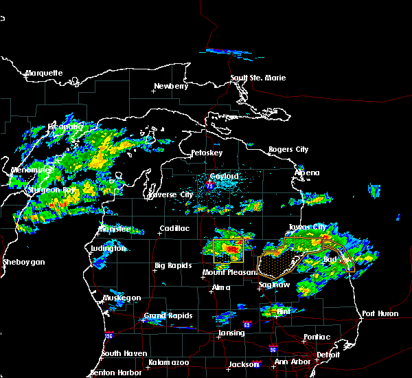 At 310 pm edt, a severe thunderstorm was located over wooden shoe village, or near gladwin, moving east at 40 mph (radar indicated. hail up to 0.50 inches was reported with this storm in gladwin at 305 pm). Hazards include 60 mph wind gusts and quarter size hail. Hail damage to vehicles is expected. expect wind damage to roofs, siding, and trees. Locations impacted include, gladwin, beaverton, winegars, rhodes, bowmanville, skeels, hockaday and wooden shoe village. At 310 pm edt, a severe thunderstorm was located over wooden shoe village, or near gladwin, moving east at 40 mph (radar indicated. hail up to 0.50 inches was reported with this storm in gladwin at 305 pm). Hazards include 60 mph wind gusts and quarter size hail. Hail damage to vehicles is expected. expect wind damage to roofs, siding, and trees. Locations impacted include, gladwin, beaverton, winegars, rhodes, bowmanville, skeels, hockaday and wooden shoe village.
|
| 6/6/2016 3:05 PM EDT | Widespread tree and power line damage throughout the count in gladwin county MI, 0.2 miles WNW of Gladwin, MI |
| 6/6/2016 3:01 PM EDT |
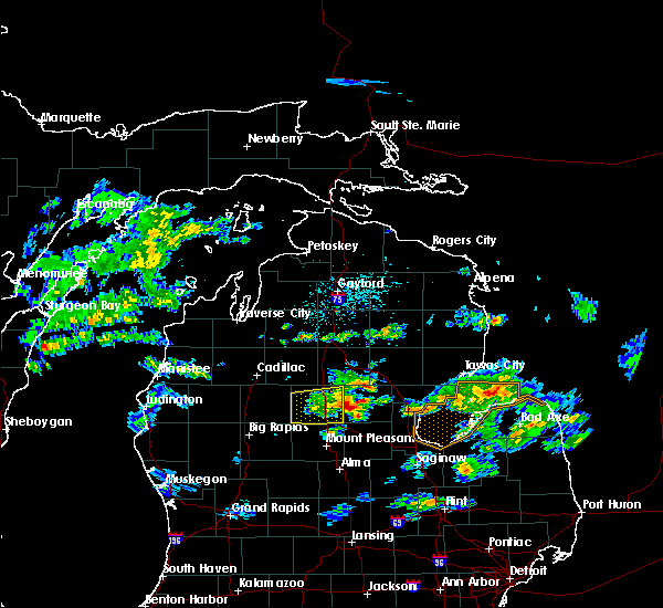 At 301 pm edt, a severe thunderstorm was located over gladwin, moving east at 40 mph (radar indicated). Hazards include 60 mph wind gusts and quarter size hail. Hail damage to vehicles is expected. Expect wind damage to roofs, siding, and trees. At 301 pm edt, a severe thunderstorm was located over gladwin, moving east at 40 mph (radar indicated). Hazards include 60 mph wind gusts and quarter size hail. Hail damage to vehicles is expected. Expect wind damage to roofs, siding, and trees.
|
| 6/6/2016 1:40 PM EDT |
 At 139 pm edt, severe thunderstorms were located along a line extending from near skeels to near beaverton, moving east at 35 mph (radar indicated). Hazards include 60 mph wind gusts and quarter size hail. Hail damage to vehicles is expected. Expect wind damage to roofs, siding, and trees. At 139 pm edt, severe thunderstorms were located along a line extending from near skeels to near beaverton, moving east at 35 mph (radar indicated). Hazards include 60 mph wind gusts and quarter size hail. Hail damage to vehicles is expected. Expect wind damage to roofs, siding, and trees.
|
| 9/8/2015 4:10 PM EDT |
 The severe thunderstorm warning for gladwin and ogemaw counties will expire at 415 pm edt, the storms which prompted the warning have moved out of the warned area. therefore the warning will be allowed to expire. The severe thunderstorm warning for gladwin and ogemaw counties will expire at 415 pm edt, the storms which prompted the warning have moved out of the warned area. therefore the warning will be allowed to expire.
|
| 9/8/2015 3:42 PM EDT |
 At 342 pm edt, severe thunderstorms were located along a line extending from rose city to near coleman, moving northeast at 40 mph (radar indicated). Hazards include 60 mph wind gusts and penny size hail. Expect damage to roofs. siding and trees. Locations impacted include, gladwin, west branch, beaverton, rose city, bowmanville, lupton, clear lake, rifle river state park, skidway lake, hockaday, winegars, rhodes, rose township, selkirk, wooden shoe village and prescott. At 342 pm edt, severe thunderstorms were located along a line extending from rose city to near coleman, moving northeast at 40 mph (radar indicated). Hazards include 60 mph wind gusts and penny size hail. Expect damage to roofs. siding and trees. Locations impacted include, gladwin, west branch, beaverton, rose city, bowmanville, lupton, clear lake, rifle river state park, skidway lake, hockaday, winegars, rhodes, rose township, selkirk, wooden shoe village and prescott.
|
| 9/8/2015 3:20 PM EDT |
 At 319 pm edt, severe thunderstorms were located along a line extending from near clear lake to near rosebush, moving northeast at 35 mph (radar indicated). Hazards include 60 mph wind gusts and penny size hail. Expect damage to roofs. Siding and trees. At 319 pm edt, severe thunderstorms were located along a line extending from near clear lake to near rosebush, moving northeast at 35 mph (radar indicated). Hazards include 60 mph wind gusts and penny size hail. Expect damage to roofs. Siding and trees.
|
| 9/8/2015 2:56 PM EDT |
 At 255 pm edt, severe thunderstorms were located along a line extending from near nester township to 6 miles east of mecosta, moving northeast at 55 mph (radar indicated). Hazards include 60 mph wind gusts and penny size hail. Expect damage to roofs. Siding and trees. At 255 pm edt, severe thunderstorms were located along a line extending from near nester township to 6 miles east of mecosta, moving northeast at 55 mph (radar indicated). Hazards include 60 mph wind gusts and penny size hail. Expect damage to roofs. Siding and trees.
|
| 8/2/2015 7:24 PM EDT |
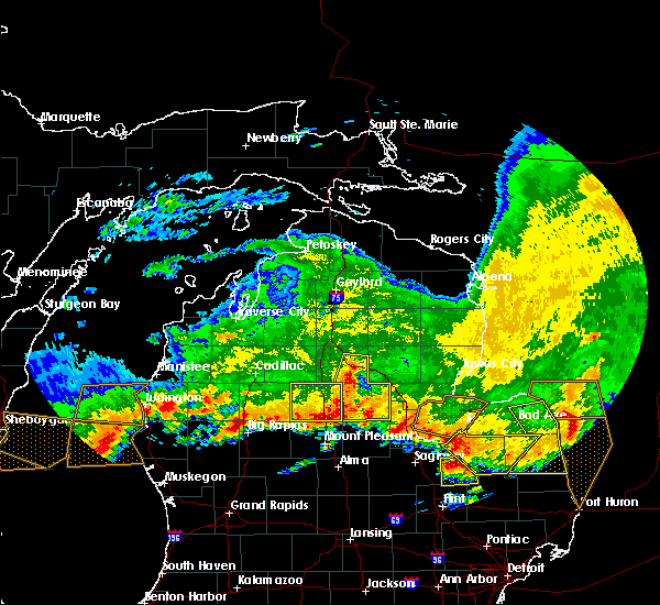 At 723 pm edt, severe thunderstorms were located along a line extending from near lake st. helen to near clare, moving east at 70 mph (radar indicated). Hazards include 60 mph wind gusts and quarter size hail. Hail damage to vehicles is expected. expect wind damage to roofs, siding and trees. locations impacted include, gladwin, st. helen, beaverton, winegars, rhodes, bowmanville, twin lakes area, skeels, lake st. Helen, hockaday, nester township and wooden shoe village. At 723 pm edt, severe thunderstorms were located along a line extending from near lake st. helen to near clare, moving east at 70 mph (radar indicated). Hazards include 60 mph wind gusts and quarter size hail. Hail damage to vehicles is expected. expect wind damage to roofs, siding and trees. locations impacted include, gladwin, st. helen, beaverton, winegars, rhodes, bowmanville, twin lakes area, skeels, lake st. Helen, hockaday, nester township and wooden shoe village.
|
| 8/2/2015 7:08 PM EDT |
 At 707 pm edt, severe thunderstorms were located along a line extending from 6 miles southeast of moorestown to 11 miles southeast of marion, moving east at 70 mph (radar indicated). Hazards include 60 mph wind gusts and quarter size hail. Hail damage to vehicles is expected. Expect wind damage to roofs, siding and trees. At 707 pm edt, severe thunderstorms were located along a line extending from 6 miles southeast of moorestown to 11 miles southeast of marion, moving east at 70 mph (radar indicated). Hazards include 60 mph wind gusts and quarter size hail. Hail damage to vehicles is expected. Expect wind damage to roofs, siding and trees.
|
| 8/2/2015 6:33 PM EDT |
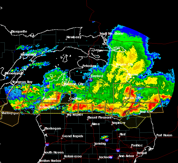 At 630 pm edt, severe thunderstorms were located along a line extending from near omer to 7 miles south of marion, and are nearly stationary (radar indicated). Hazards include 60 mph wind gusts and half dollar size hail. Hail damage to vehicles is expected. expect wind damage to roofs, siding and trees. Locations impacted include, gladwin, beaverton, winegars, rhodes and wooden shoe village. At 630 pm edt, severe thunderstorms were located along a line extending from near omer to 7 miles south of marion, and are nearly stationary (radar indicated). Hazards include 60 mph wind gusts and half dollar size hail. Hail damage to vehicles is expected. expect wind damage to roofs, siding and trees. Locations impacted include, gladwin, beaverton, winegars, rhodes and wooden shoe village.
|
| 8/2/2015 6:15 PM EDT |
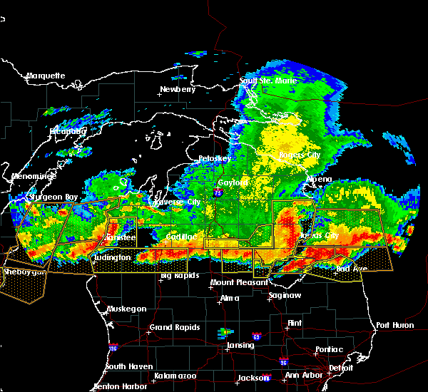 At 614 pm edt, severe thunderstorms were located along a line extending from near omer to 7 miles south of marion, moving south at 20 mph (radar indicated). Hazards include 70 mph wind gusts and quarter size hail. Hail damage to vehicles is expected. expect considerable tree damage. Wind damage is also likely to mobile homes, roofs and outbuildings. At 614 pm edt, severe thunderstorms were located along a line extending from near omer to 7 miles south of marion, moving south at 20 mph (radar indicated). Hazards include 70 mph wind gusts and quarter size hail. Hail damage to vehicles is expected. expect considerable tree damage. Wind damage is also likely to mobile homes, roofs and outbuildings.
|
| 8/2/2015 6:06 PM EDT |
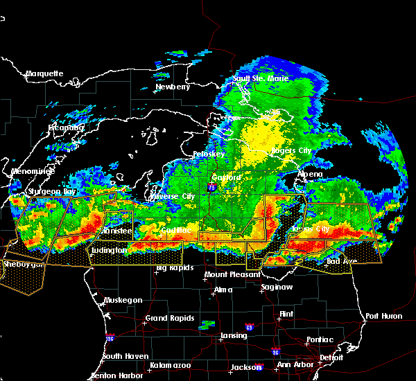 At 605 pm edt, severe thunderstorms were located along a line extending from near skeels to near alger, moving southeast at 25 mph (radar indicated). Hazards include 70 mph wind gusts and quarter size hail. Hail damage to vehicles is expected. expect considerable tree damage. wind damage is also likely to mobile homes, roofs and outbuildings. Locations impacted include, gladwin, beaverton, winegars, rhodes, bowmanville, skeels, hockaday and wooden shoe village. At 605 pm edt, severe thunderstorms were located along a line extending from near skeels to near alger, moving southeast at 25 mph (radar indicated). Hazards include 70 mph wind gusts and quarter size hail. Hail damage to vehicles is expected. expect considerable tree damage. wind damage is also likely to mobile homes, roofs and outbuildings. Locations impacted include, gladwin, beaverton, winegars, rhodes, bowmanville, skeels, hockaday and wooden shoe village.
|
| 8/2/2015 5:43 PM EDT |
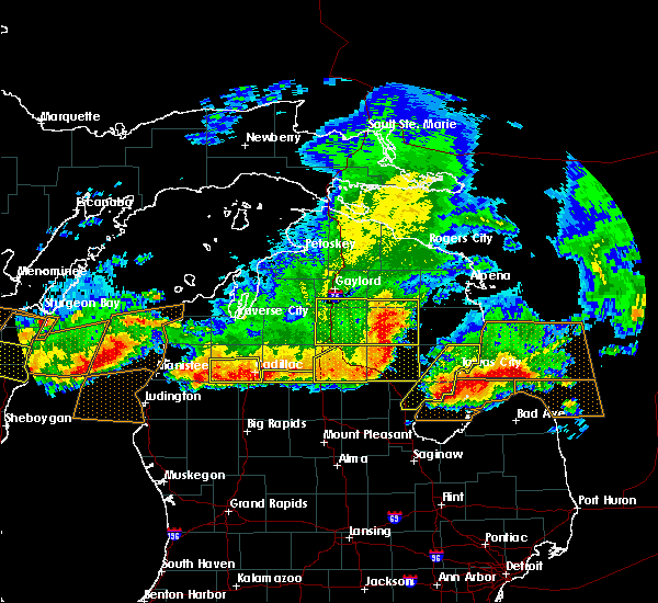 At 541 pm edt, severe thunderstorms were located along a line extending from 6 miles southwest of roscommon township to near twin lakes area, moving southeast at 60 mph (radar indicated). Hazards include 70 mph wind gusts and quarter size hail. Hail damage to vehicles is expected. expect considerable tree damage. Wind damage is also likely to mobile homes, roofs and outbuildings. At 541 pm edt, severe thunderstorms were located along a line extending from 6 miles southwest of roscommon township to near twin lakes area, moving southeast at 60 mph (radar indicated). Hazards include 70 mph wind gusts and quarter size hail. Hail damage to vehicles is expected. expect considerable tree damage. Wind damage is also likely to mobile homes, roofs and outbuildings.
|
| 8/2/2015 1:25 PM EDT | Law enforcement reports numerous trees and powerlines down in gladwin and throughout the county. time estimate in gladwin county MI, 0.2 miles WNW of Gladwin, MI |
| 8/2/2015 1:24 PM EDT |
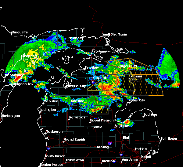 At 124 pm edt, a severe thunderstorm was located near gladwin, moving east at 60 mph (radar indicated). Hazards include 60 mph wind gusts and quarter size hail. Hail damage to vehicles is expected. Expect wind damage to roofs, siding and trees. At 124 pm edt, a severe thunderstorm was located near gladwin, moving east at 60 mph (radar indicated). Hazards include 60 mph wind gusts and quarter size hail. Hail damage to vehicles is expected. Expect wind damage to roofs, siding and trees.
|
| 11/17/2013 4:30 PM EST | Time estimated by rada in gladwin county MI, 0.2 miles WNW of Gladwin, MI |
| 11/17/2013 4:23 PM EST | Several trees and power lines down over roadways in western gladwin county. time estimated by rada in gladwin county MI, 3.4 miles E of Gladwin, MI |
| 7/25/2012 10:58 PM EDT | Reports of large tree limbs down and power outages county wid in gladwin county MI, 0.2 miles WNW of Gladwin, MI |
| 7/25/2012 10:16 PM EDT | Trees down. time estimated by rada in gladwin county MI, 6.1 miles W of Gladwin, MI |
| 7/25/2012 10:05 PM EDT | Reports of large tree limbs down and power outages county wid in gladwin county MI, 0.2 miles WNW of Gladwin, MI |
| 1/1/0001 12:00 AM | Multiple trees and power lines down. lightning struck central dispatchs communications tower...they have no radio communication in gladwin county MI, 0.2 miles WNW of Gladwin, MI |
| 1/1/0001 12:00 AM | Several large maple trees blown dow in gladwin county MI, 1.9 miles SE of Gladwin, MI |
| 1/1/0001 12:00 AM | Large willow tree downed and uprooted. time estimated from rada in gladwin county MI, 6.1 miles W of Gladwin, MI |
| 1/1/0001 12:00 AM | Large willow tree snapped off. time estimated from rada in gladwin county MI, 6.1 miles W of Gladwin, MI |
| 1/1/0001 12:00 AM | 1 tree down. time estimated from rada in gladwin county MI, 2.8 miles N of Gladwin, MI |
| 1/1/0001 12:00 AM | Quarter sized hail reported 6.1 miles W of Gladwin, MI |
| 1/1/0001 12:00 AM | Ping Pong Ball sized hail reported 0.2 miles WNW of Gladwin, MI |
Hail Maps for Gladwin, MI
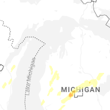


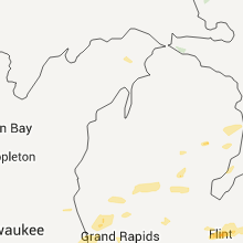

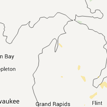


Connect with Interactive Hail Maps