

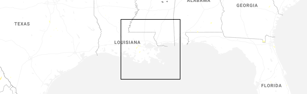
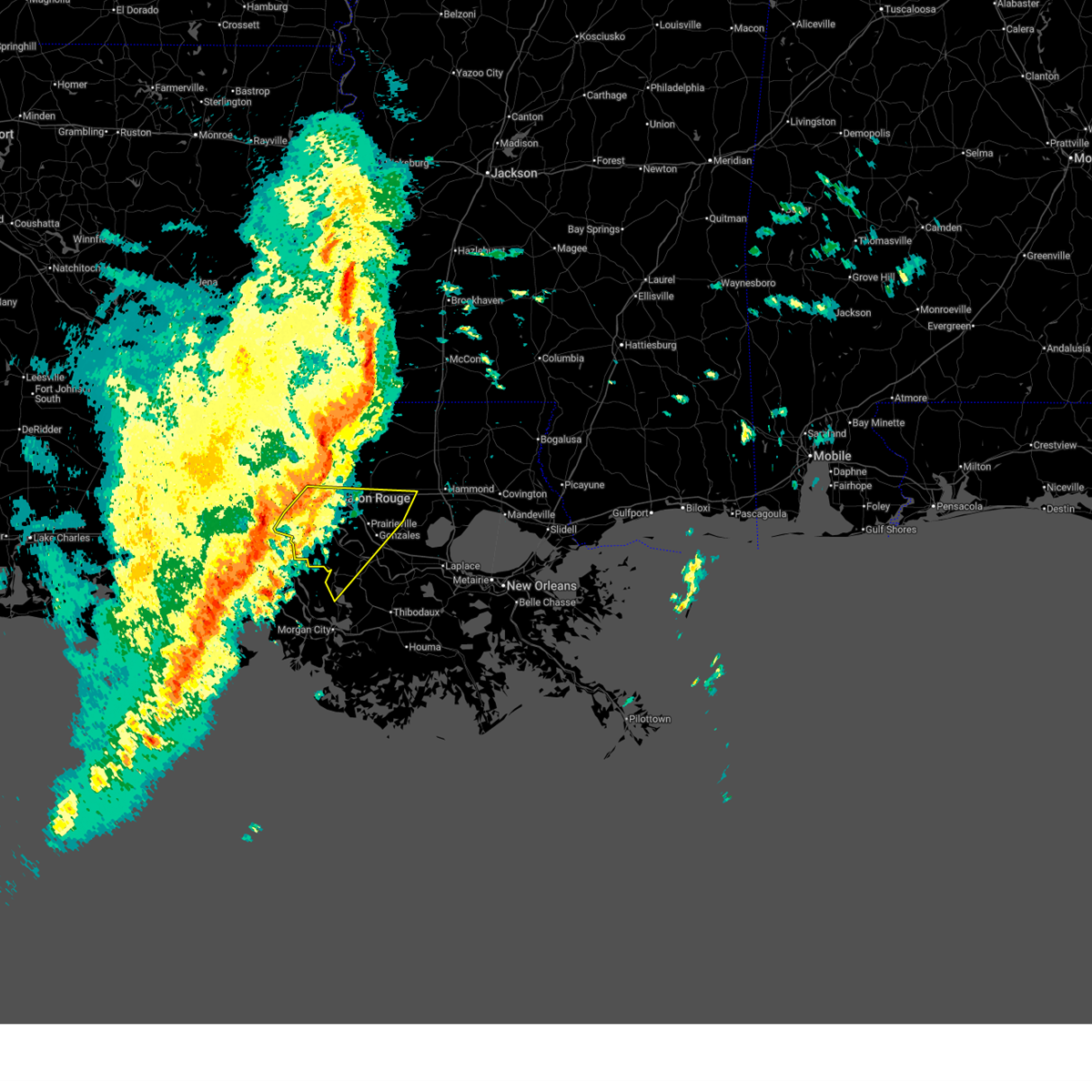
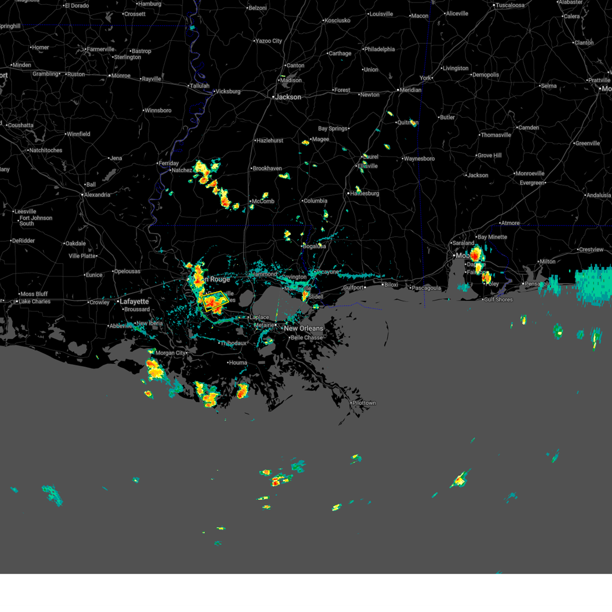
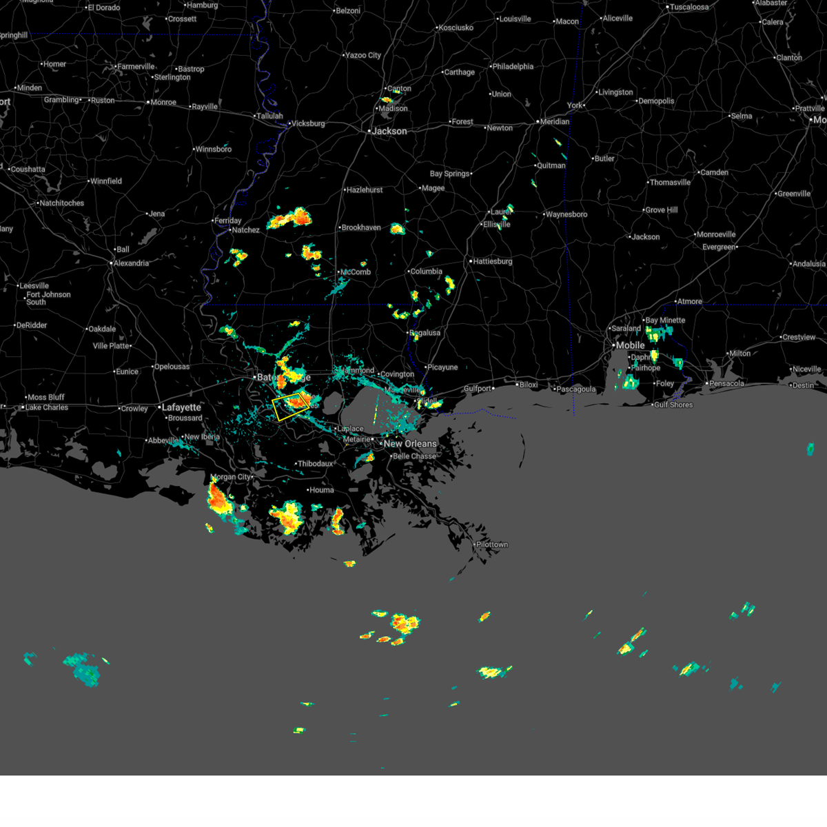
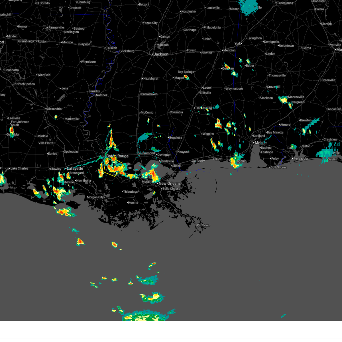
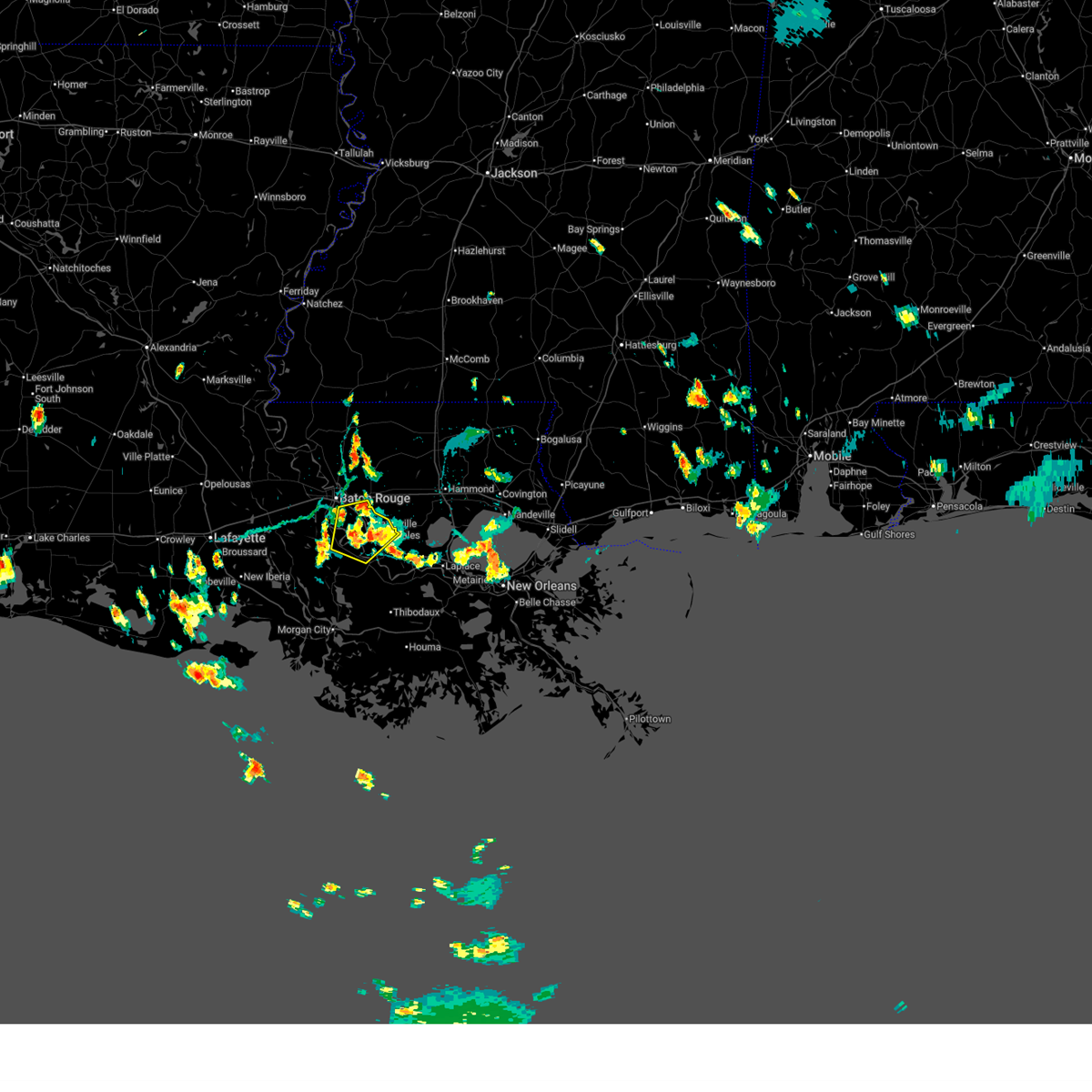
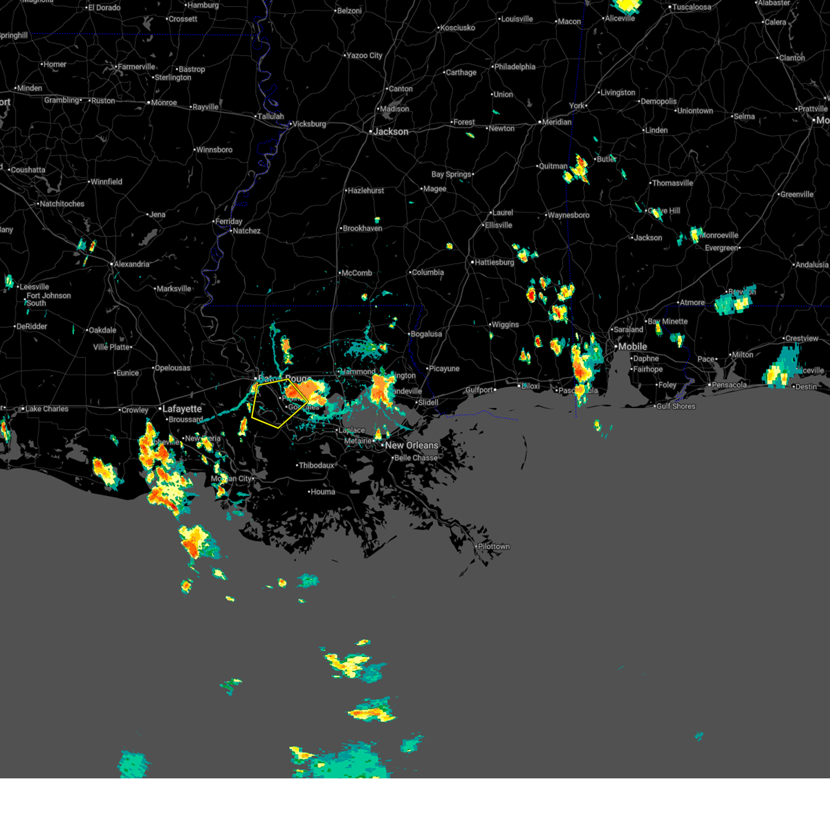
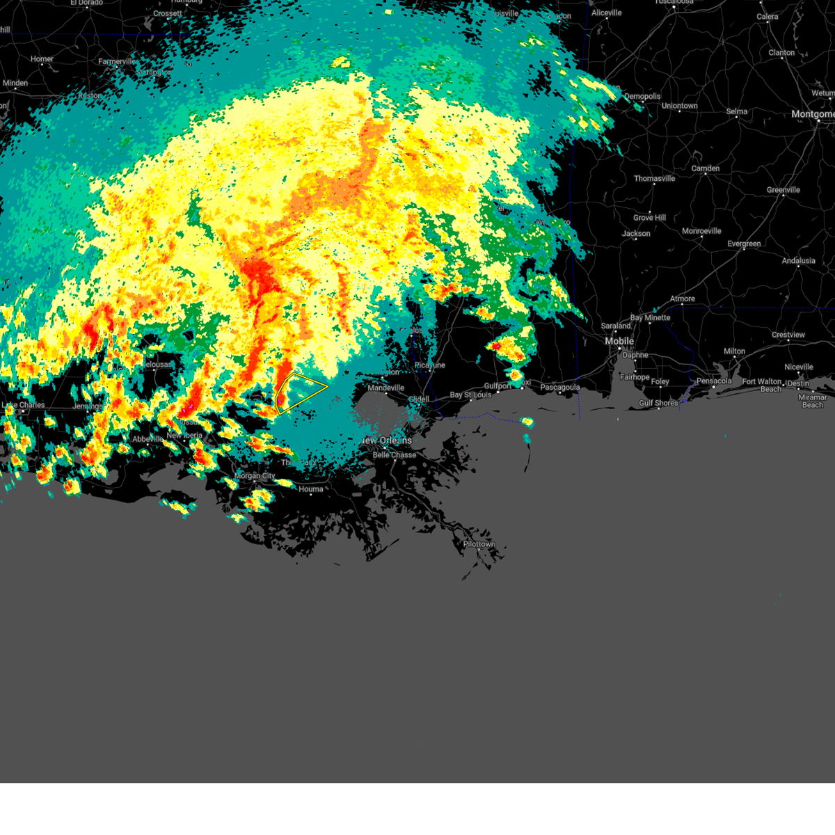
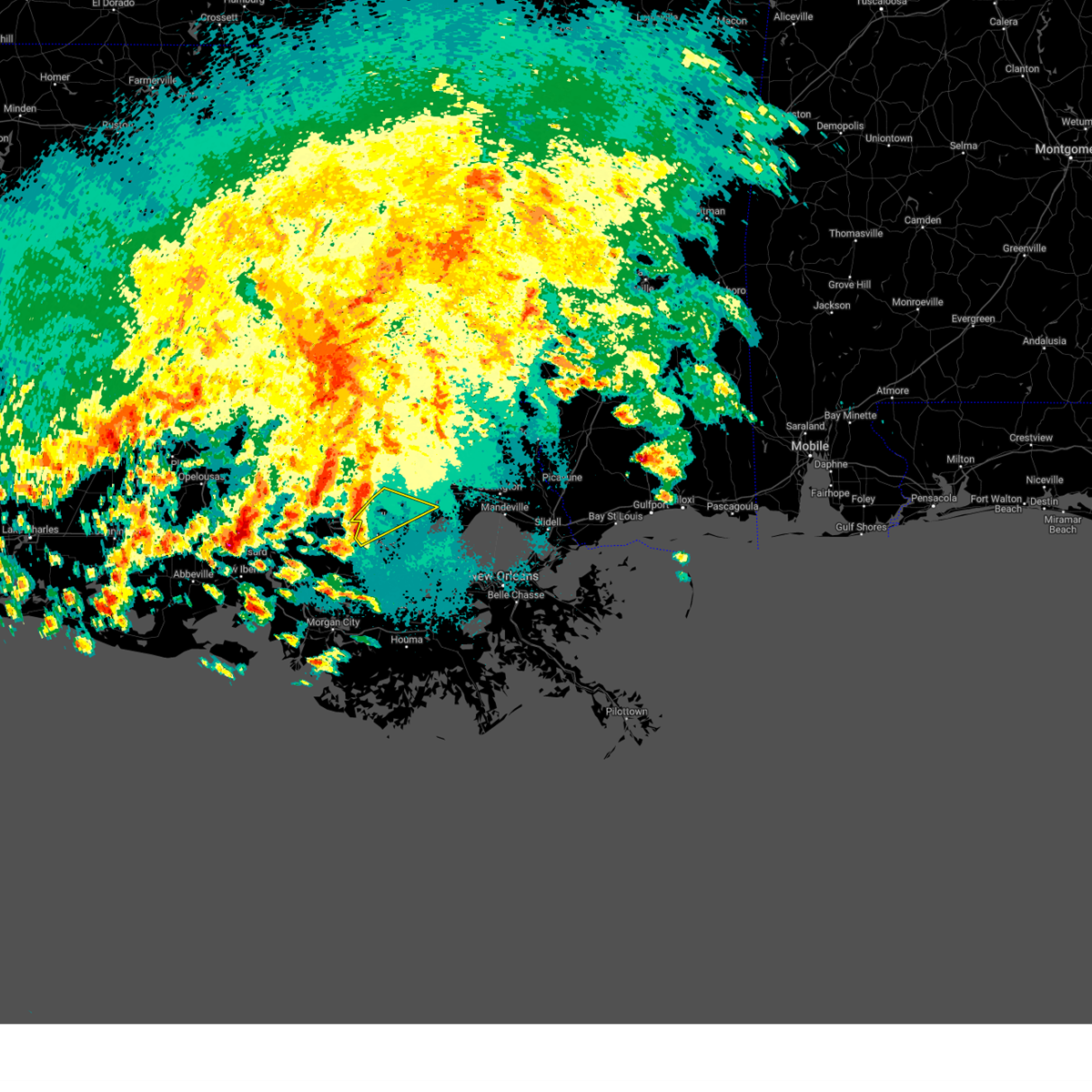
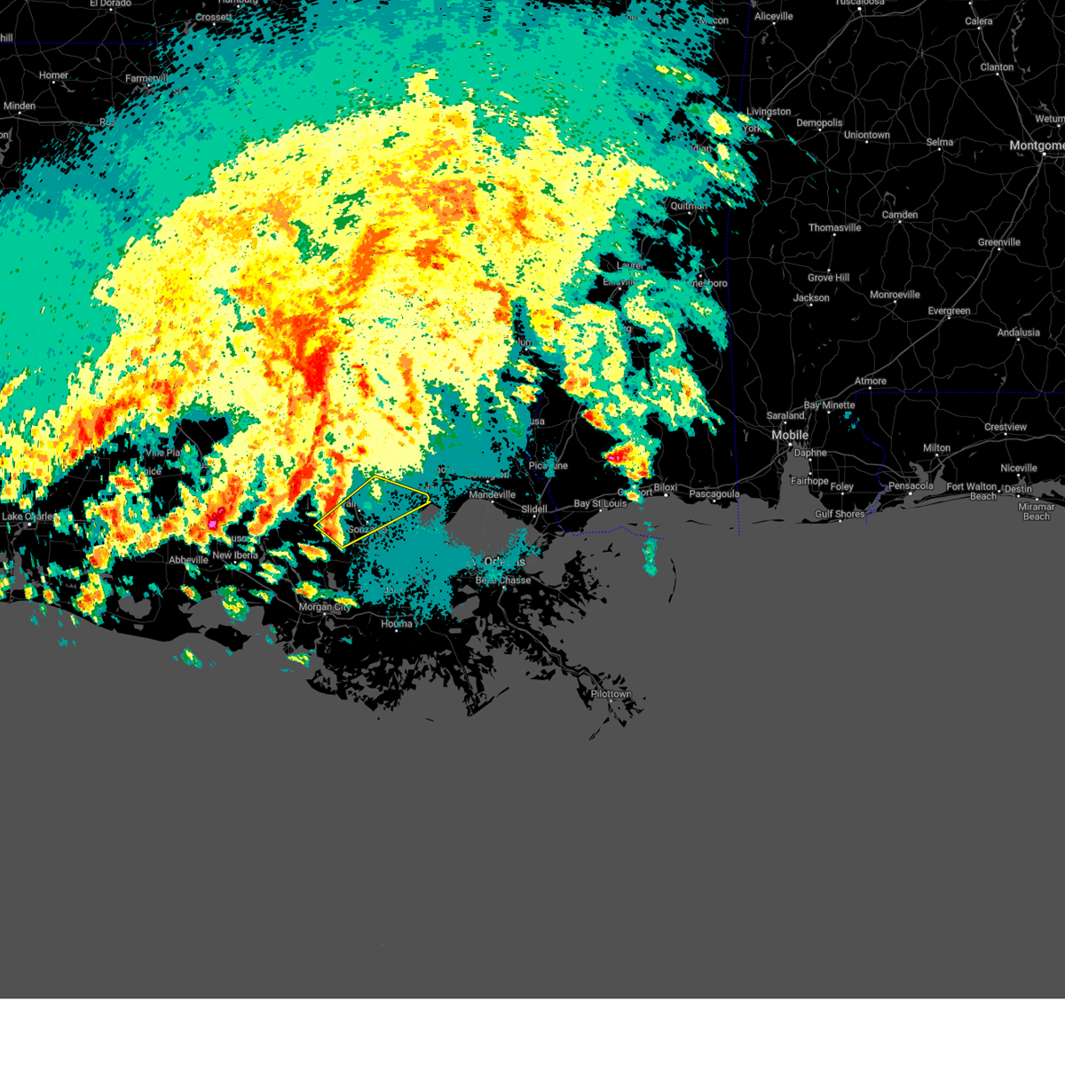
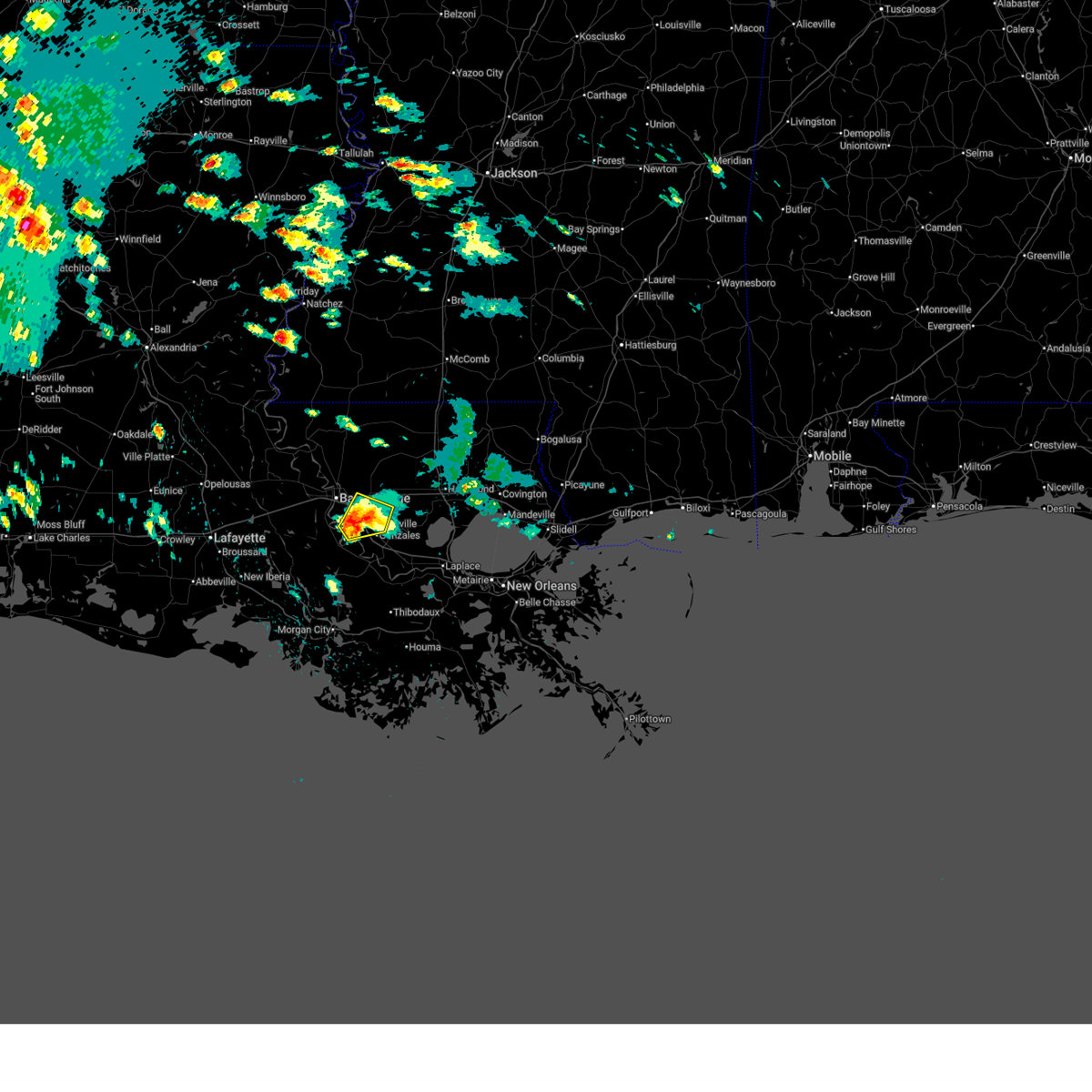
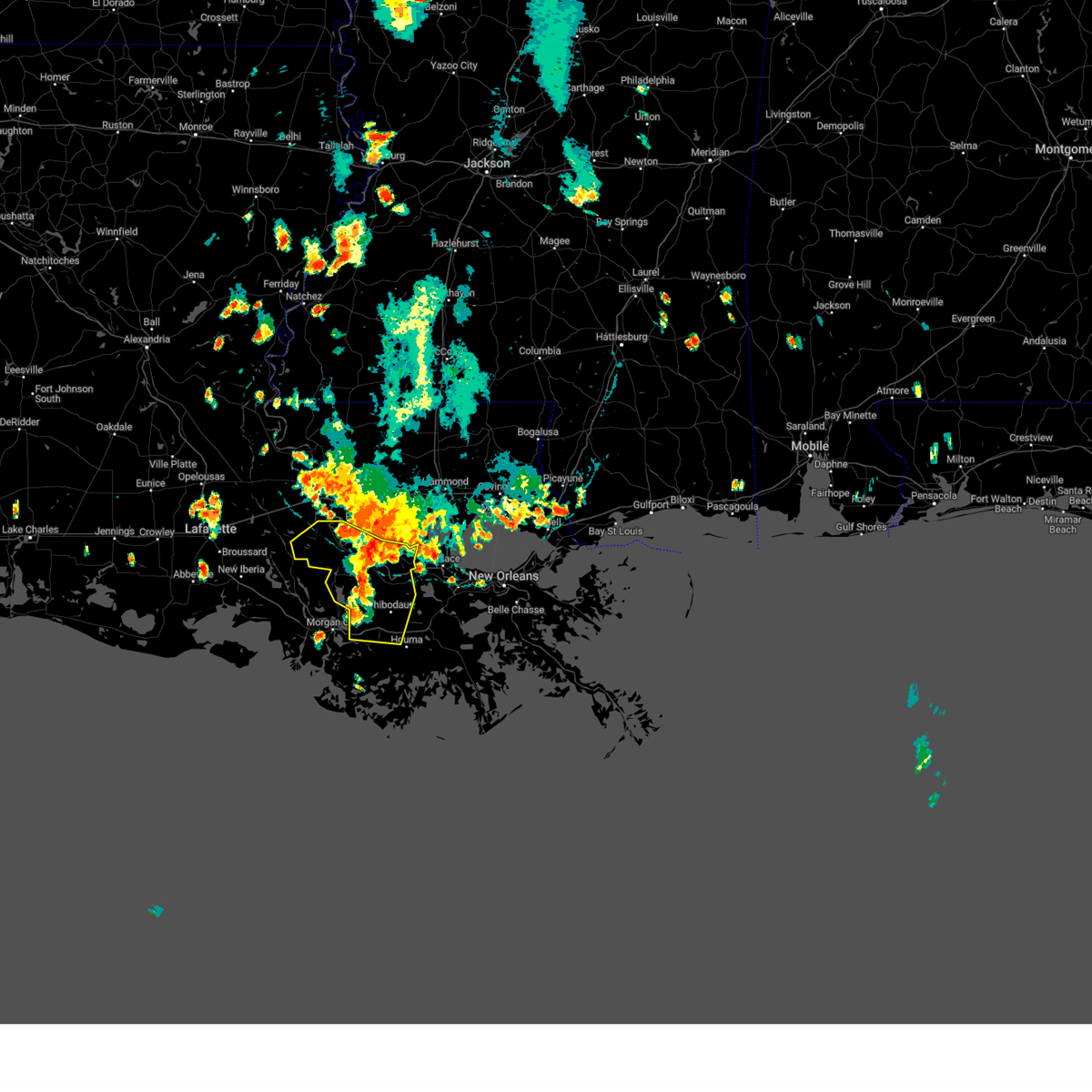
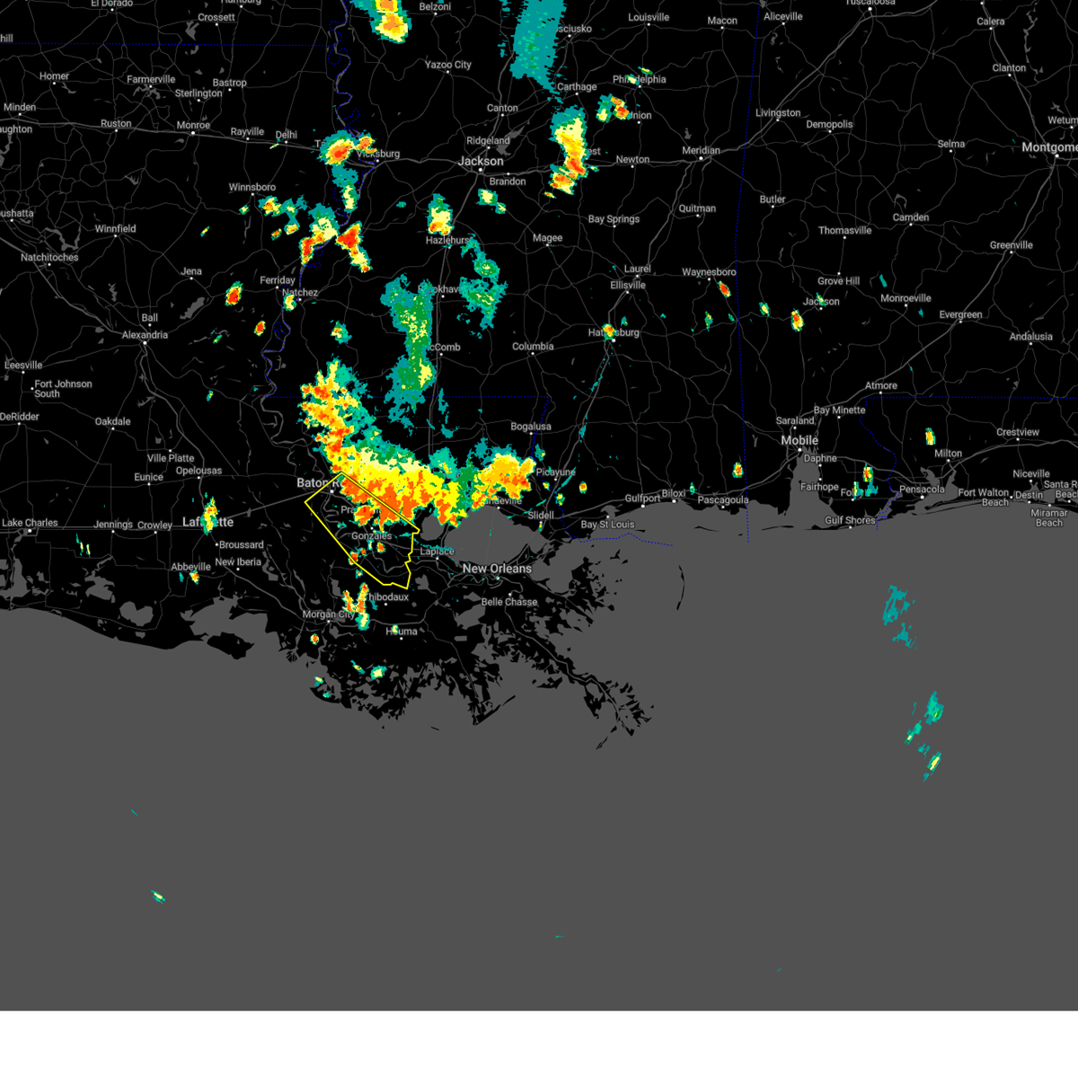
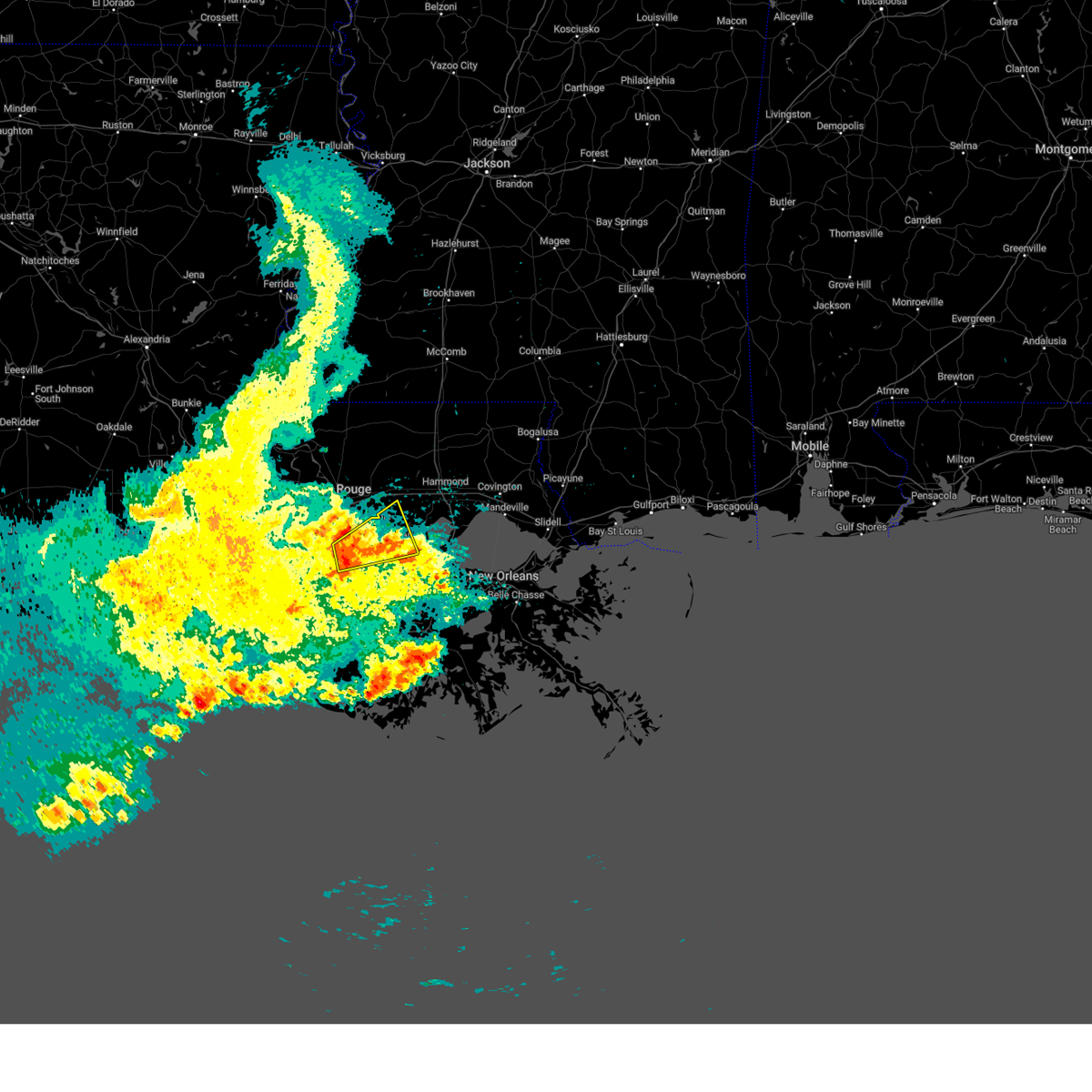
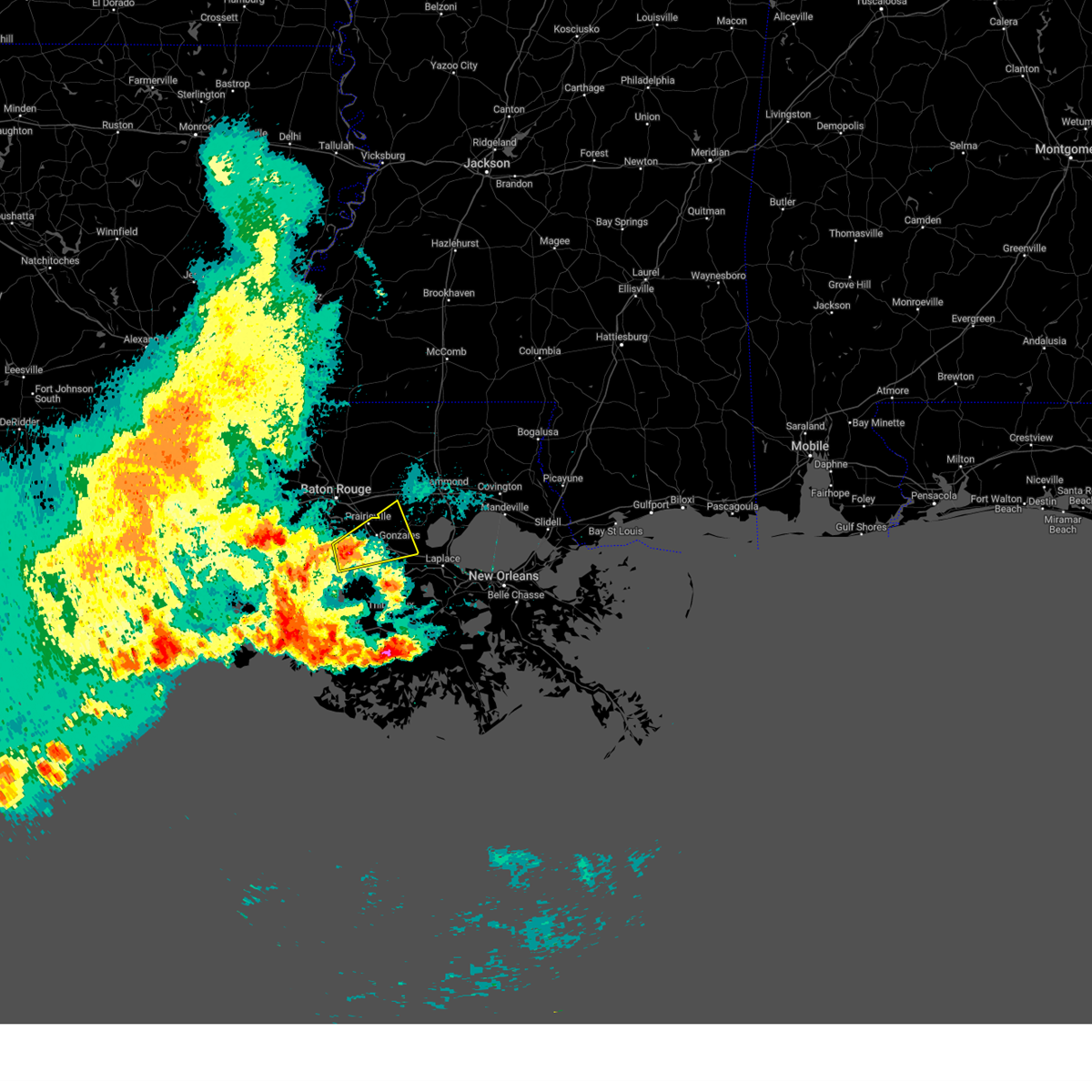
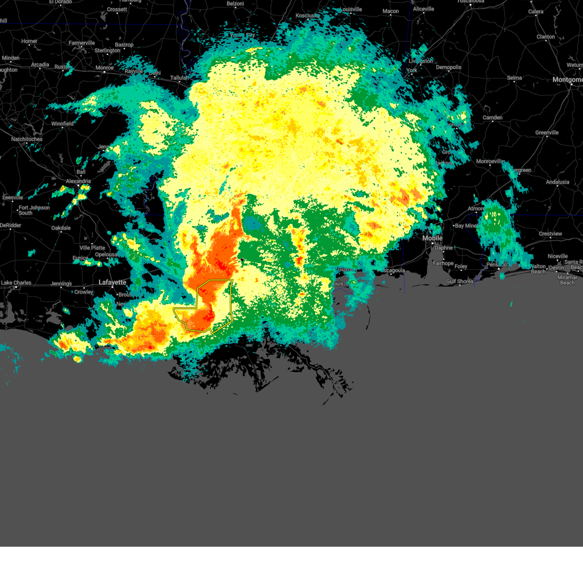
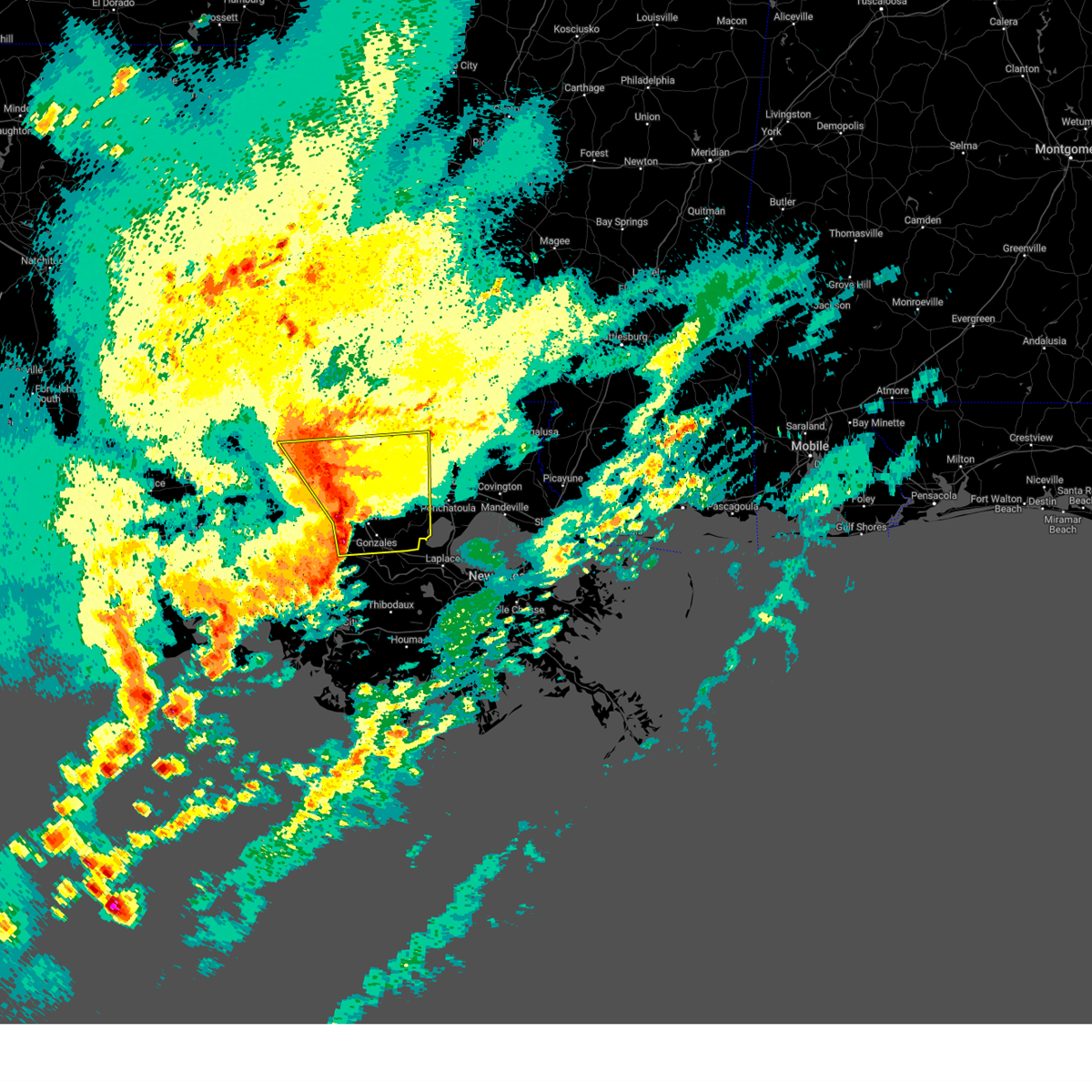
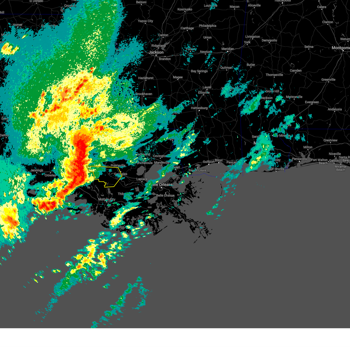
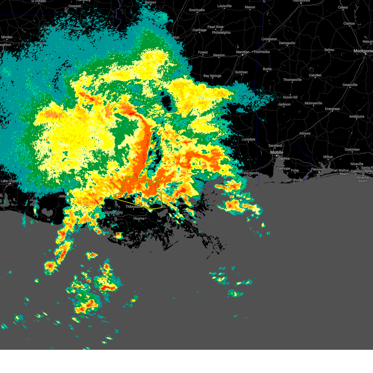
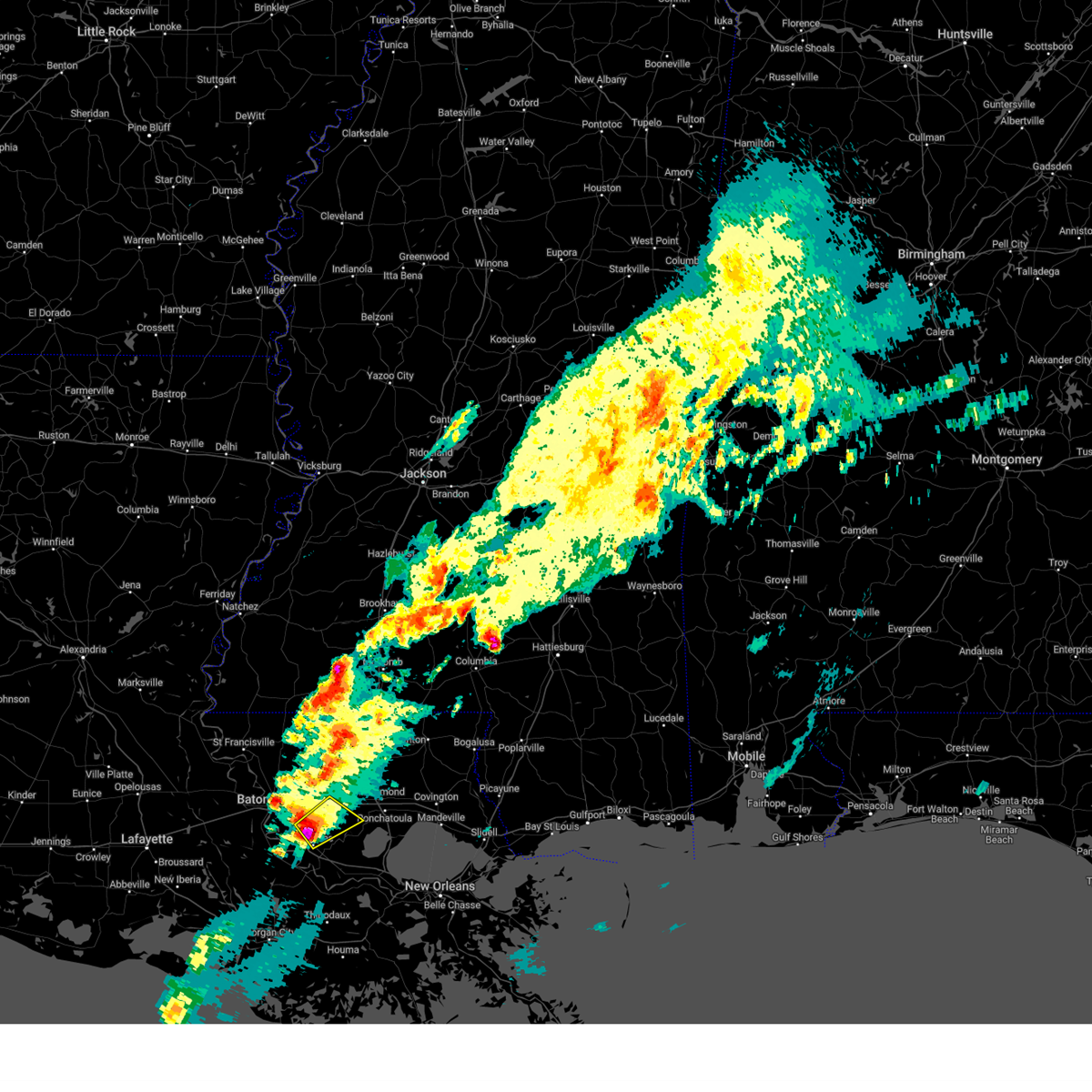
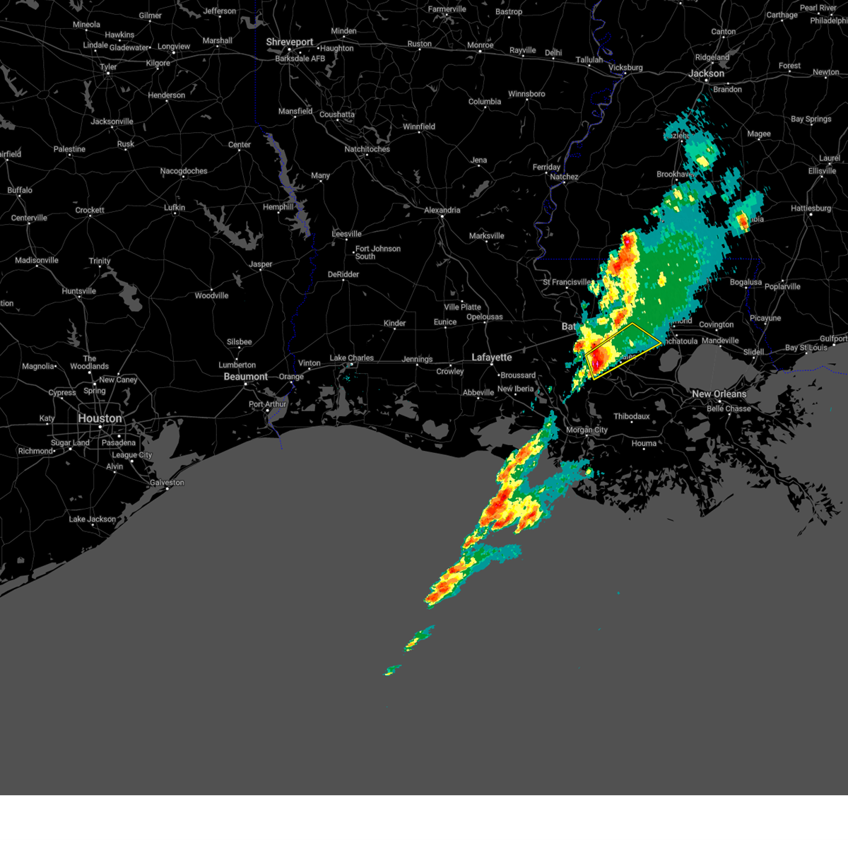
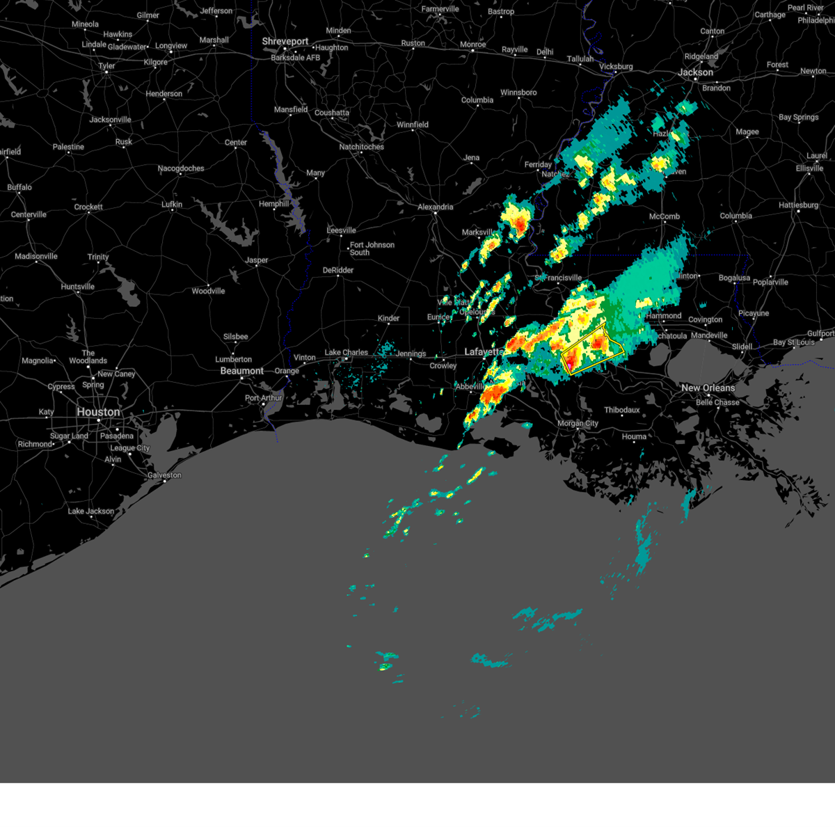
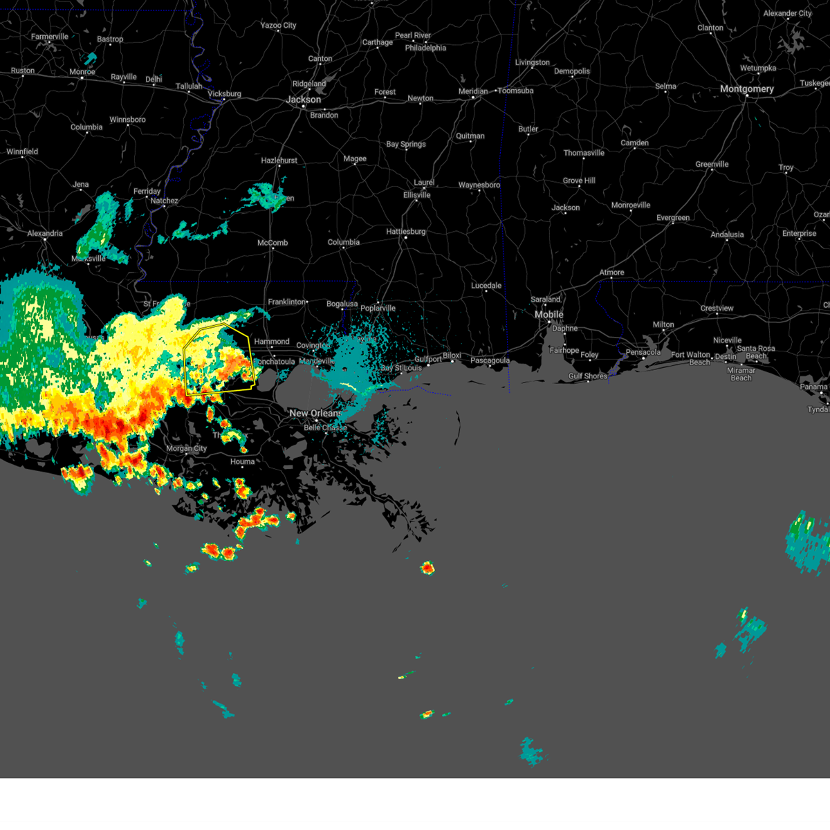
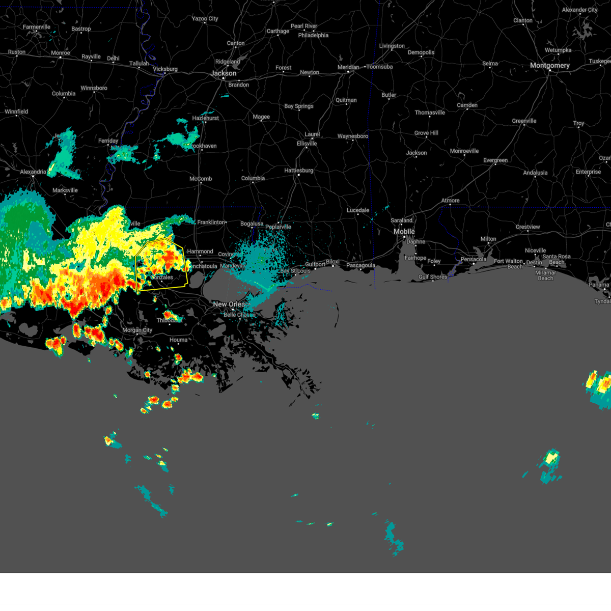
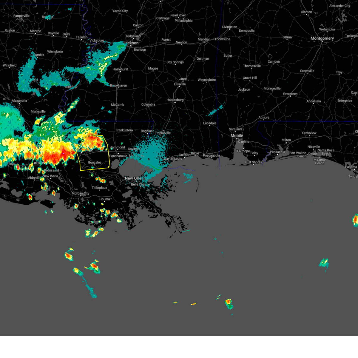
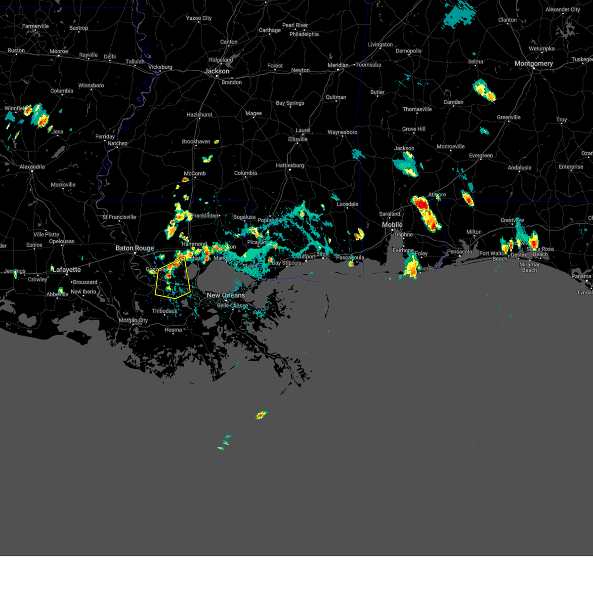
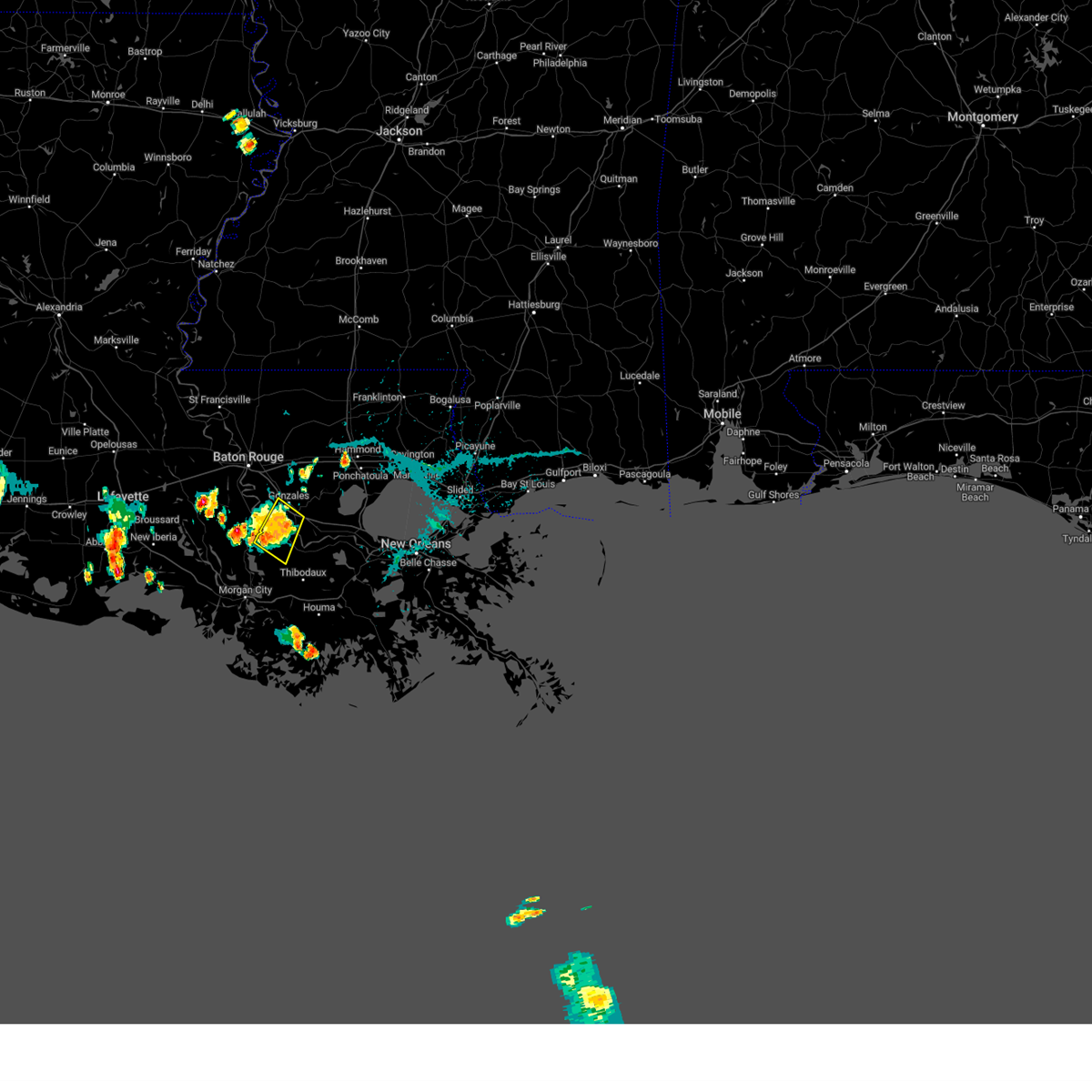
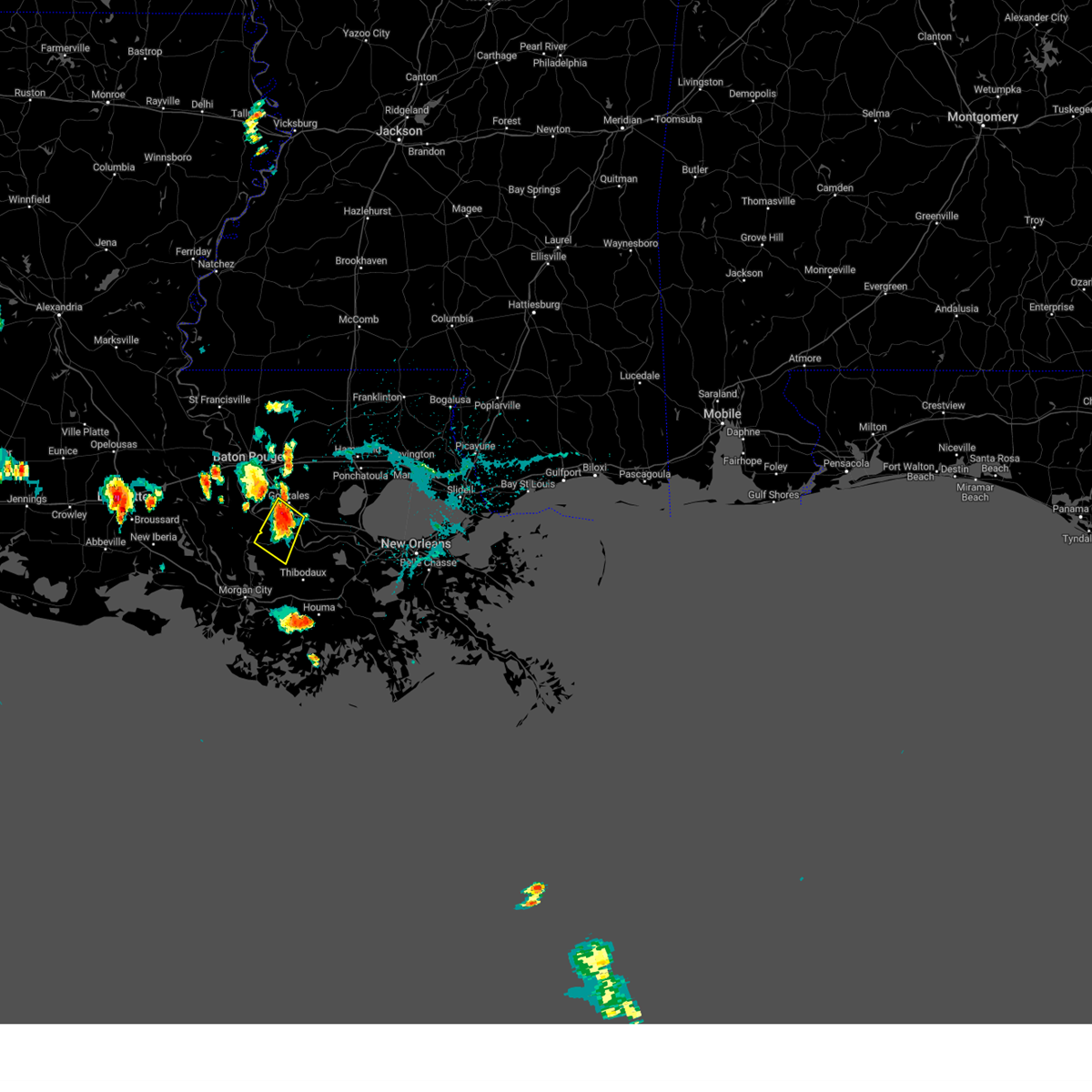
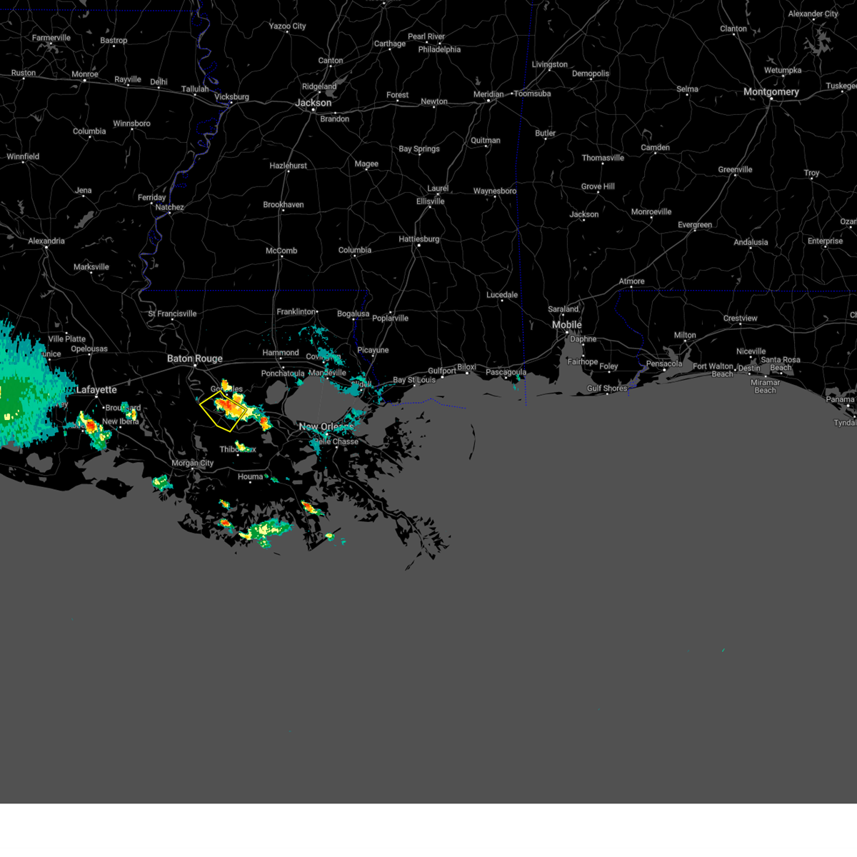
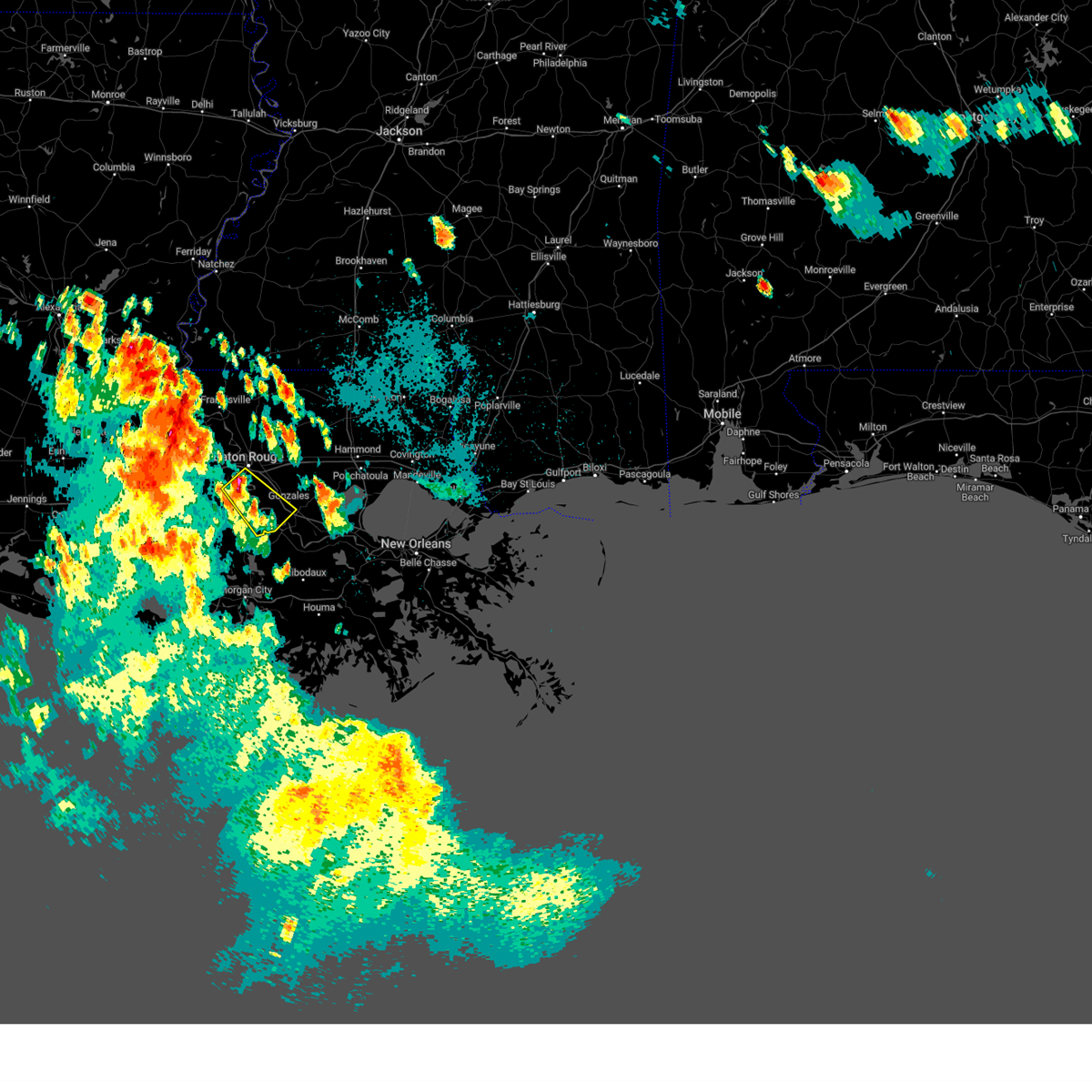
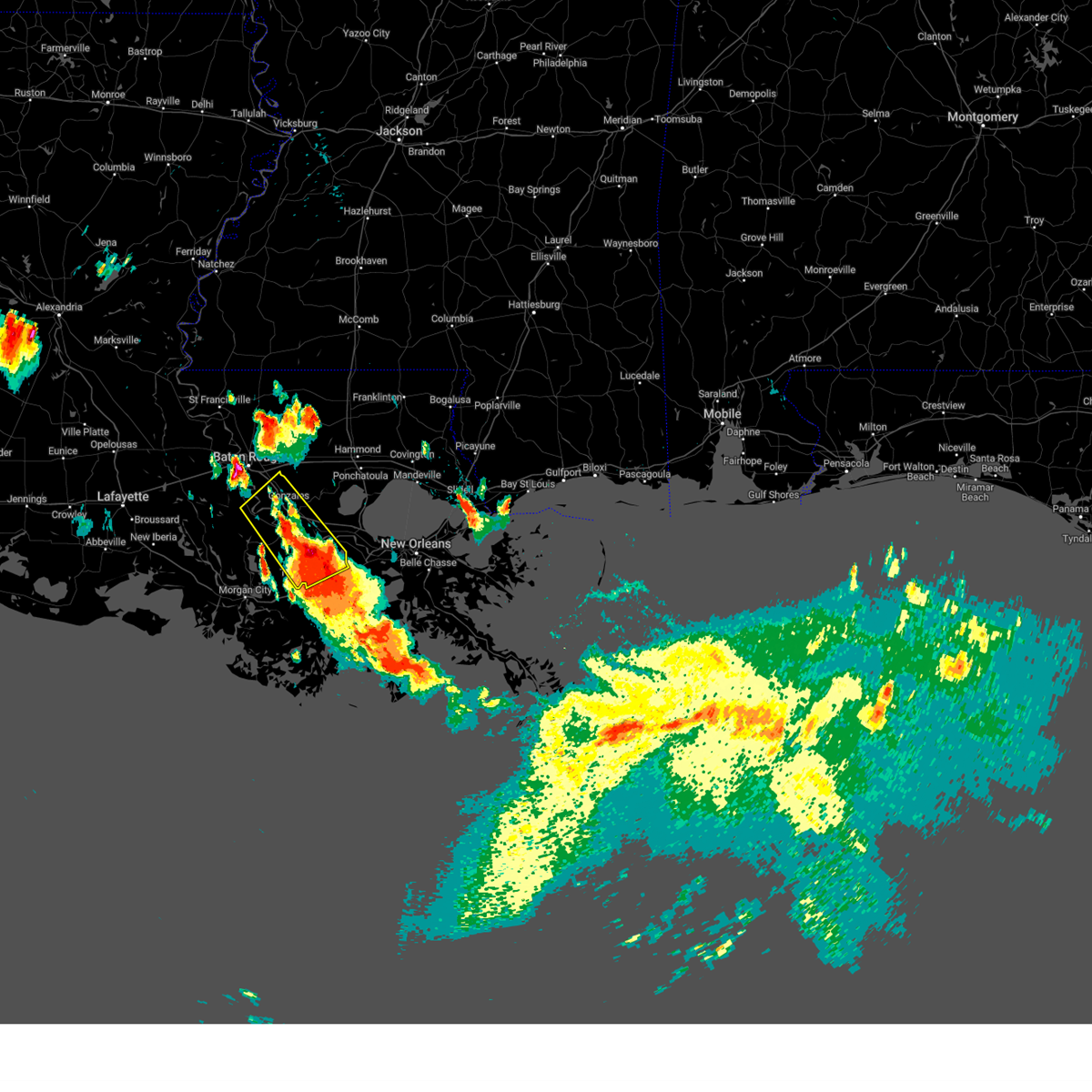
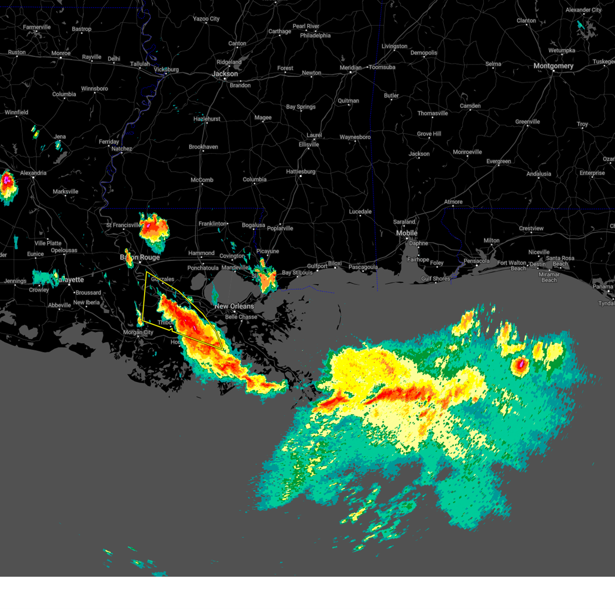
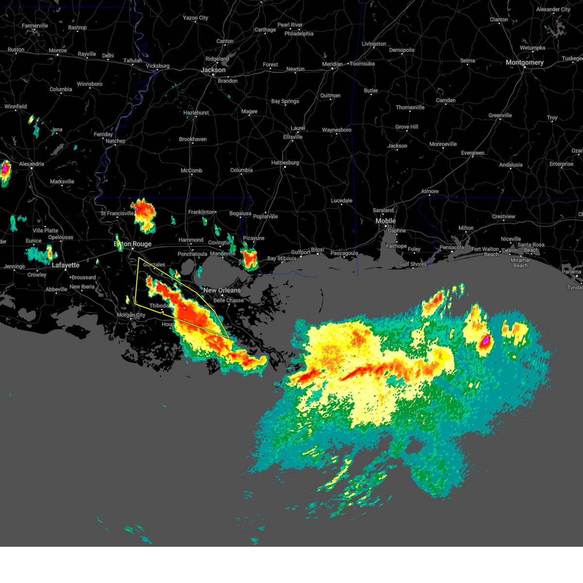
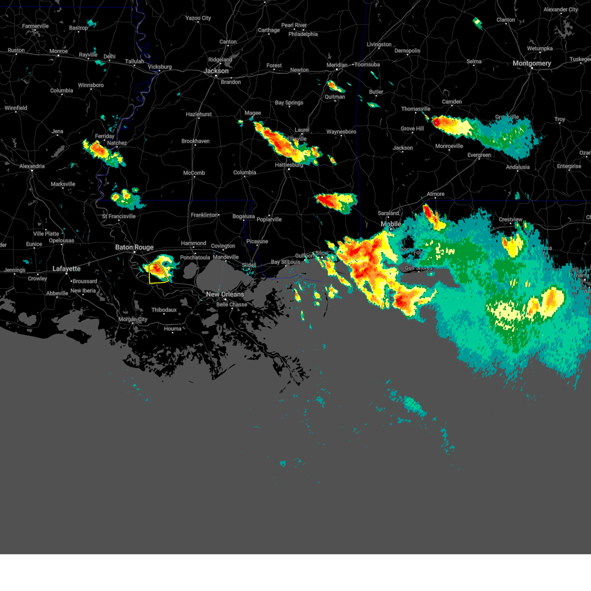
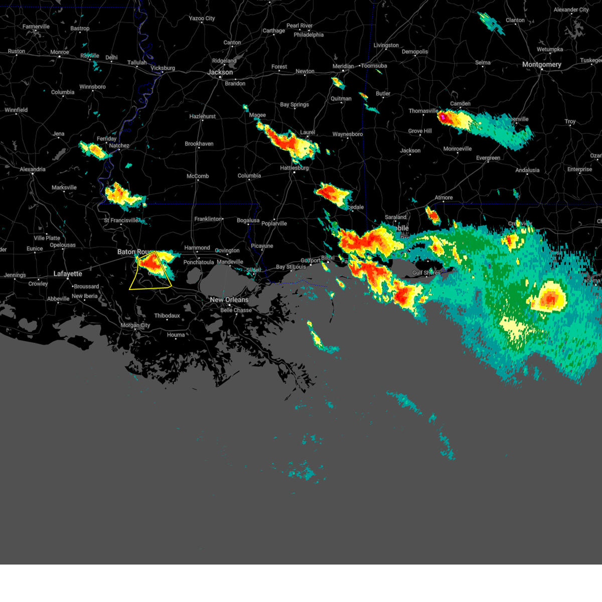
Hail Map for Gonzales, LA
The Gonzales, LA area has had 6 reports of on-the-ground hail by trained spotters, and has been under severe weather warnings 15 times during the past 12 months. Doppler radar has detected hail at or near Gonzales, LA on 57 occasions, including 5 occasions during the past year.
| Name: | Gonzales, LA |
| Where Located: | 54.1 miles WNW of New Orleans, LA |
| Map: | Google Map for Gonzales, LA |
| Population: | 9781 |
| Housing Units: | 4034 |
| More Info: | Search Google for Gonzales, LA |
1
The Top Recent Hail Date for Gonzales, LA is Thursday, August 21, 2025 (18th out of 57)
Hail and Wind Damage Spotted near Gonzales, LA
| Date / Time | Report Details |
|---|---|
| 2/15/2026 12:22 AM CST |
 the severe thunderstorm warning has been cancelled and is no longer in effect the severe thunderstorm warning has been cancelled and is no longer in effect
|
| 2/15/2026 12:22 AM CST |
 At 1222 am cst, severe thunderstorms were located along a line extending from near kentwood to near independence to near sorrento, moving east at 35 mph (radar indicated). Hazards include 60 mph wind gusts and penny size hail. Expect damage to roofs, siding, and trees. locations impacted include, hammond, gonzales, donaldsonville, napoleonville, amite, ponchatoula, amite city, gramercy, lutcher, livingston, independence, sorrento, roseland, french settlement, albany, port vincent, springfield, montpelier, geismar, and wilmer. this includes the following interstates, interstate 10 in louisiana between mile markers 174 and 197. interstate 12 between mile markers 19 and 52. Interstate 55 in louisiana between mile markers 13 and 57. At 1222 am cst, severe thunderstorms were located along a line extending from near kentwood to near independence to near sorrento, moving east at 35 mph (radar indicated). Hazards include 60 mph wind gusts and penny size hail. Expect damage to roofs, siding, and trees. locations impacted include, hammond, gonzales, donaldsonville, napoleonville, amite, ponchatoula, amite city, gramercy, lutcher, livingston, independence, sorrento, roseland, french settlement, albany, port vincent, springfield, montpelier, geismar, and wilmer. this includes the following interstates, interstate 10 in louisiana between mile markers 174 and 197. interstate 12 between mile markers 19 and 52. Interstate 55 in louisiana between mile markers 13 and 57.
|
| 2/14/2026 11:58 PM CST |
 Svrlix the national weather service in new orleans has issued a * severe thunderstorm warning for, central st. john the baptist parish in southeastern louisiana, ascension parish in southeastern louisiana, st. james parish in southeastern louisiana, southeastern west baton rouge parish in southeastern louisiana, southern st. helena parish in southeastern louisiana, livingston parish in southeastern louisiana, southeastern iberville parish in southeastern louisiana, tangipahoa parish in southeastern louisiana, eastern east baton rouge parish in southeastern louisiana, northern assumption parish in southeastern louisiana, * until 1245 am cst. * at 1158 pm cst, severe thunderstorms were located along a line extending from easleyville to near livingston to near white castle, moving east at 35 mph (radar indicated). Hazards include 60 mph wind gusts and penny size hail. expect damage to roofs, siding, and trees Svrlix the national weather service in new orleans has issued a * severe thunderstorm warning for, central st. john the baptist parish in southeastern louisiana, ascension parish in southeastern louisiana, st. james parish in southeastern louisiana, southeastern west baton rouge parish in southeastern louisiana, southern st. helena parish in southeastern louisiana, livingston parish in southeastern louisiana, southeastern iberville parish in southeastern louisiana, tangipahoa parish in southeastern louisiana, eastern east baton rouge parish in southeastern louisiana, northern assumption parish in southeastern louisiana, * until 1245 am cst. * at 1158 pm cst, severe thunderstorms were located along a line extending from easleyville to near livingston to near white castle, moving east at 35 mph (radar indicated). Hazards include 60 mph wind gusts and penny size hail. expect damage to roofs, siding, and trees
|
| 2/14/2026 11:47 PM CST |
 At 1147 pm cst, severe thunderstorms were located along a line extending from 8 miles northeast of watson to old jefferson to 10 miles west of pierre part, moving east at 45 mph (radar indicated). Hazards include 60 mph wind gusts and penny size hail. Expect damage to roofs, siding, and trees. locations impacted include, baton rouge, denham springs, gonzales, donaldsonville, plaquemine, oak hills place, st. gabriel, walker, white castle, livingston, sorrento, french settlement, port vincent, westminster, geismar, bayou sorrel, shenandoah, old jefferson, inniswold, and prairieville. this includes the following interstates, interstate 10 in louisiana between mile markers 157 and 182. Interstate 12 between mile markers 1 and 28. At 1147 pm cst, severe thunderstorms were located along a line extending from 8 miles northeast of watson to old jefferson to 10 miles west of pierre part, moving east at 45 mph (radar indicated). Hazards include 60 mph wind gusts and penny size hail. Expect damage to roofs, siding, and trees. locations impacted include, baton rouge, denham springs, gonzales, donaldsonville, plaquemine, oak hills place, st. gabriel, walker, white castle, livingston, sorrento, french settlement, port vincent, westminster, geismar, bayou sorrel, shenandoah, old jefferson, inniswold, and prairieville. this includes the following interstates, interstate 10 in louisiana between mile markers 157 and 182. Interstate 12 between mile markers 1 and 28.
|
| 2/14/2026 11:12 PM CST |
 Svrlix the national weather service in new orleans has issued a * severe thunderstorm warning for, ascension parish in southeastern louisiana, west baton rouge parish in southeastern louisiana, southwestern livingston parish in southeastern louisiana, iberville parish in southeastern louisiana, southwestern east baton rouge parish in southeastern louisiana, northwestern assumption parish in southeastern louisiana, * until midnight cst. * at 1111 pm cst, severe thunderstorms were located along a line extending from 6 miles west of baker to near ramah to near lydia, moving east at 40 mph (radar indicated). Hazards include 60 mph wind gusts and penny size hail. expect damage to roofs, siding, and trees Svrlix the national weather service in new orleans has issued a * severe thunderstorm warning for, ascension parish in southeastern louisiana, west baton rouge parish in southeastern louisiana, southwestern livingston parish in southeastern louisiana, iberville parish in southeastern louisiana, southwestern east baton rouge parish in southeastern louisiana, northwestern assumption parish in southeastern louisiana, * until midnight cst. * at 1111 pm cst, severe thunderstorms were located along a line extending from 6 miles west of baker to near ramah to near lydia, moving east at 40 mph (radar indicated). Hazards include 60 mph wind gusts and penny size hail. expect damage to roofs, siding, and trees
|
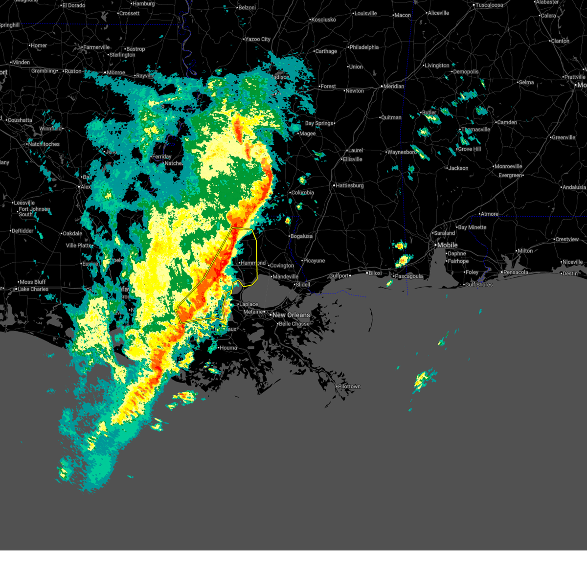
| 8/21/2025 2:45 PM CDT |
 At 245 pm cdt, a severe thunderstorm was located over gonzales, moving west at 10 mph (radar indicated). Hazards include 60 mph wind gusts and quarter size hail. Hail damage to vehicles is expected. expect wind damage to roofs, siding, and trees. locations impacted include, gonzales, donaldsonville, sorrento, and geismar. This includes interstate 10 in louisiana between mile markers 176 and 182. At 245 pm cdt, a severe thunderstorm was located over gonzales, moving west at 10 mph (radar indicated). Hazards include 60 mph wind gusts and quarter size hail. Hail damage to vehicles is expected. expect wind damage to roofs, siding, and trees. locations impacted include, gonzales, donaldsonville, sorrento, and geismar. This includes interstate 10 in louisiana between mile markers 176 and 182.
|
| 8/21/2025 2:31 PM CDT |
 At 230 pm cdt, a severe thunderstorm was located near sorrento, or near gonzales, moving east at 15 mph (radar indicated). Hazards include 60 mph wind gusts and quarter size hail. Hail damage to vehicles is expected. expect wind damage to roofs, siding, and trees. locations impacted include, gonzales, donaldsonville, lutcher, sorrento, geismar, and convent. This includes interstate 10 in louisiana between mile markers 177 and 196. At 230 pm cdt, a severe thunderstorm was located near sorrento, or near gonzales, moving east at 15 mph (radar indicated). Hazards include 60 mph wind gusts and quarter size hail. Hail damage to vehicles is expected. expect wind damage to roofs, siding, and trees. locations impacted include, gonzales, donaldsonville, lutcher, sorrento, geismar, and convent. This includes interstate 10 in louisiana between mile markers 177 and 196.
|
| 8/21/2025 2:31 PM CDT |
 the severe thunderstorm warning has been cancelled and is no longer in effect the severe thunderstorm warning has been cancelled and is no longer in effect
|
| 8/21/2025 2:17 PM CDT |
 Svrlix the national weather service in new orleans has issued a * severe thunderstorm warning for, ascension parish in southeastern louisiana, central st. james parish in southeastern louisiana, southeastern iberville parish in southeastern louisiana, northeastern assumption parish in southeastern louisiana, * until 300 pm cdt. * at 217 pm cdt, a severe thunderstorm was located over sorrento, or near gonzales, moving west at 15 mph (radar indicated). Hazards include 60 mph wind gusts and quarter size hail. Hail damage to vehicles is expected. Expect wind damage to roofs, siding, and trees. Svrlix the national weather service in new orleans has issued a * severe thunderstorm warning for, ascension parish in southeastern louisiana, central st. james parish in southeastern louisiana, southeastern iberville parish in southeastern louisiana, northeastern assumption parish in southeastern louisiana, * until 300 pm cdt. * at 217 pm cdt, a severe thunderstorm was located over sorrento, or near gonzales, moving west at 15 mph (radar indicated). Hazards include 60 mph wind gusts and quarter size hail. Hail damage to vehicles is expected. Expect wind damage to roofs, siding, and trees.
|
| 8/19/2025 5:10 PM CDT |
 The storm which prompted the warning has weakened below severe limits, and no longer poses an immediate threat to life or property. therefore, the warning will be allowed to expire. however, gusty winds are still possible with this thunderstorm. The storm which prompted the warning has weakened below severe limits, and no longer poses an immediate threat to life or property. therefore, the warning will be allowed to expire. however, gusty winds are still possible with this thunderstorm.
|
| 8/19/2025 4:37 PM CDT |
 Svrlix the national weather service in new orleans has issued a * severe thunderstorm warning for, central ascension parish in southeastern louisiana, south central livingston parish in southeastern louisiana, * until 515 pm cdt. * at 436 pm cdt, a severe thunderstorm was located near french settlement, or near gonzales, moving southwest at 10 mph (radar indicated). Hazards include 60 mph wind gusts and quarter size hail. Hail damage to vehicles is expected. Expect wind damage to roofs, siding, and trees. Svrlix the national weather service in new orleans has issued a * severe thunderstorm warning for, central ascension parish in southeastern louisiana, south central livingston parish in southeastern louisiana, * until 515 pm cdt. * at 436 pm cdt, a severe thunderstorm was located near french settlement, or near gonzales, moving southwest at 10 mph (radar indicated). Hazards include 60 mph wind gusts and quarter size hail. Hail damage to vehicles is expected. Expect wind damage to roofs, siding, and trees.
|
| 8/7/2025 6:24 PM CDT |
 The storm which prompted the warning has weakened below severe limits, and no longer poses an immediate threat to life or property. therefore, the warning will be allowed to expire. however, gusty winds and heavy rain are still possible with this thunderstorm. to report severe weather, contact your nearest law enforcement agency. they will relay your report to the national weather service new orleans. The storm which prompted the warning has weakened below severe limits, and no longer poses an immediate threat to life or property. therefore, the warning will be allowed to expire. however, gusty winds and heavy rain are still possible with this thunderstorm. to report severe weather, contact your nearest law enforcement agency. they will relay your report to the national weather service new orleans.
|
| 8/7/2025 6:16 PM CDT |
 At 616 pm cdt, a severe thunderstorm was located over st. gabriel, or 8 miles west of gonzales, moving east at 20 mph (radar indicated). Hazards include 60 mph wind gusts. Expect damage to roofs, siding, and trees. locations impacted include, baton rouge, gonzales, donaldsonville, oak hills place, st. gabriel, white castle, sorrento, port vincent, westminster, old jefferson, geismar, inniswold, prairieville, village st. george, gardere, shenandoah, and carville. This includes interstate 10 in louisiana between mile markers 161 and 183. At 616 pm cdt, a severe thunderstorm was located over st. gabriel, or 8 miles west of gonzales, moving east at 20 mph (radar indicated). Hazards include 60 mph wind gusts. Expect damage to roofs, siding, and trees. locations impacted include, baton rouge, gonzales, donaldsonville, oak hills place, st. gabriel, white castle, sorrento, port vincent, westminster, old jefferson, geismar, inniswold, prairieville, village st. george, gardere, shenandoah, and carville. This includes interstate 10 in louisiana between mile markers 161 and 183.
|
| 8/7/2025 6:16 PM CDT |
 the severe thunderstorm warning has been cancelled and is no longer in effect the severe thunderstorm warning has been cancelled and is no longer in effect
|
| 8/7/2025 5:45 PM CDT | Law enforcement reported of power lines down on george rouyea road near cannon roa in ascension county LA, 2.7 miles SW of Gonzales, LA |
| 8/7/2025 5:45 PM CDT |
 Svrlix the national weather service in new orleans has issued a * severe thunderstorm warning for, ascension parish in southeastern louisiana, southeastern west baton rouge parish in southeastern louisiana, southwestern livingston parish in southeastern louisiana, east central iberville parish in southeastern louisiana, south central east baton rouge parish in southeastern louisiana, * until 630 pm cdt. * at 545 pm cdt, a severe thunderstorm was located over prairieville, or 7 miles north of gonzales, moving southwest at 20 mph (radar indicated). Hazards include 60 mph wind gusts and penny size hail. expect damage to roofs, siding, and trees Svrlix the national weather service in new orleans has issued a * severe thunderstorm warning for, ascension parish in southeastern louisiana, southeastern west baton rouge parish in southeastern louisiana, southwestern livingston parish in southeastern louisiana, east central iberville parish in southeastern louisiana, south central east baton rouge parish in southeastern louisiana, * until 630 pm cdt. * at 545 pm cdt, a severe thunderstorm was located over prairieville, or 7 miles north of gonzales, moving southwest at 20 mph (radar indicated). Hazards include 60 mph wind gusts and penny size hail. expect damage to roofs, siding, and trees
|
| 5/6/2025 8:54 PM CDT |
 At 853 pm cdt, a severe thunderstorm was located over prairieville, or 8 miles north of gonzales, moving northeast at 50 mph (public). Hazards include 60 mph wind gusts and half dollar size hail. Hail damage to vehicles is expected. expect wind damage to roofs, siding, and trees. locations impacted include, prairieville, french settlement, walker, port vincent, old jefferson, gonzales, shenandoah, and denham springs. this includes the following interstates, interstate 10 in louisiana between mile markers 169 and 177. interstate 12 between mile markers 12 and 22. Half dollar size hail was reported in st gabriel. At 853 pm cdt, a severe thunderstorm was located over prairieville, or 8 miles north of gonzales, moving northeast at 50 mph (public). Hazards include 60 mph wind gusts and half dollar size hail. Hail damage to vehicles is expected. expect wind damage to roofs, siding, and trees. locations impacted include, prairieville, french settlement, walker, port vincent, old jefferson, gonzales, shenandoah, and denham springs. this includes the following interstates, interstate 10 in louisiana between mile markers 169 and 177. interstate 12 between mile markers 12 and 22. Half dollar size hail was reported in st gabriel.
|
| 5/6/2025 8:47 PM CDT |
 At 847 pm cdt, a severe thunderstorm was located over prairieville, or near gonzales, moving northeast at 50 mph (radar indicated). Hazards include ping pong ball size hail and 60 mph wind gusts. People and animals outdoors will be injured. expect hail damage to roofs, siding, windows, and vehicles. expect wind damage to roofs, siding, and trees. locations impacted include, prairieville, old jefferson, french settlement, geismar, walker, port vincent, shenandoah, gonzales, killian, denham springs, and st. gabriel. this includes the following interstates, interstate 10 in louisiana between mile markers 166 and 177. Interstate 12 between mile markers 12 and 22. At 847 pm cdt, a severe thunderstorm was located over prairieville, or near gonzales, moving northeast at 50 mph (radar indicated). Hazards include ping pong ball size hail and 60 mph wind gusts. People and animals outdoors will be injured. expect hail damage to roofs, siding, windows, and vehicles. expect wind damage to roofs, siding, and trees. locations impacted include, prairieville, old jefferson, french settlement, geismar, walker, port vincent, shenandoah, gonzales, killian, denham springs, and st. gabriel. this includes the following interstates, interstate 10 in louisiana between mile markers 166 and 177. Interstate 12 between mile markers 12 and 22.
|
| 5/6/2025 8:47 PM CDT |
 the severe thunderstorm warning has been cancelled and is no longer in effect the severe thunderstorm warning has been cancelled and is no longer in effect
|
| 5/6/2025 8:35 PM CDT |
 Svrlix the national weather service in new orleans has issued a * severe thunderstorm warning for, ascension parish in southeastern louisiana, central livingston parish in southeastern louisiana, east central iberville parish in southeastern louisiana, south central east baton rouge parish in southeastern louisiana, * until 915 pm cdt. * at 835 pm cdt, a severe thunderstorm was located over carville, or 8 miles southeast of plaquemine, moving northeast at 50 mph (radar indicated). Hazards include 60 mph wind gusts and quarter size hail. Hail damage to vehicles is expected. Expect wind damage to roofs, siding, and trees. Svrlix the national weather service in new orleans has issued a * severe thunderstorm warning for, ascension parish in southeastern louisiana, central livingston parish in southeastern louisiana, east central iberville parish in southeastern louisiana, south central east baton rouge parish in southeastern louisiana, * until 915 pm cdt. * at 835 pm cdt, a severe thunderstorm was located over carville, or 8 miles southeast of plaquemine, moving northeast at 50 mph (radar indicated). Hazards include 60 mph wind gusts and quarter size hail. Hail damage to vehicles is expected. Expect wind damage to roofs, siding, and trees.
|
| 5/6/2025 2:59 PM CDT |
 the severe thunderstorm warning has been cancelled and is no longer in effect the severe thunderstorm warning has been cancelled and is no longer in effect
|
| 5/6/2025 2:59 PM CDT |
 At 259 pm cdt, a severe thunderstorm was located over oak hills place, moving northeast at 15 mph (radar indicated). Hazards include 60 mph wind gusts and quarter size hail. Hail damage to vehicles is expected. expect wind damage to roofs, siding, and trees. locations impacted include, westminster, old jefferson, inniswold, st. gabriel, port vincent, prairieville, village st. george, shenandoah, oak hills place, carville, gardere, denham springs, and baton rouge. this includes the following interstates, interstate 10 in louisiana between mile markers 162 and 175. Interstate 12 between mile markers 3 and 10. At 259 pm cdt, a severe thunderstorm was located over oak hills place, moving northeast at 15 mph (radar indicated). Hazards include 60 mph wind gusts and quarter size hail. Hail damage to vehicles is expected. expect wind damage to roofs, siding, and trees. locations impacted include, westminster, old jefferson, inniswold, st. gabriel, port vincent, prairieville, village st. george, shenandoah, oak hills place, carville, gardere, denham springs, and baton rouge. this includes the following interstates, interstate 10 in louisiana between mile markers 162 and 175. Interstate 12 between mile markers 3 and 10.
|
| 5/6/2025 2:30 PM CDT |
 Svrlix the national weather service in new orleans has issued a * severe thunderstorm warning for, northwestern ascension parish in southeastern louisiana, southeastern west baton rouge parish in southeastern louisiana, west central livingston parish in southeastern louisiana, east central iberville parish in southeastern louisiana, south central east baton rouge parish in southeastern louisiana, * until 315 pm cdt. * at 230 pm cdt, a severe thunderstorm was located near st. gabriel, or near plaquemine, moving northeast at 15 mph (radar indicated). Hazards include 60 mph wind gusts and quarter size hail. Hail damage to vehicles is expected. Expect wind damage to roofs, siding, and trees. Svrlix the national weather service in new orleans has issued a * severe thunderstorm warning for, northwestern ascension parish in southeastern louisiana, southeastern west baton rouge parish in southeastern louisiana, west central livingston parish in southeastern louisiana, east central iberville parish in southeastern louisiana, south central east baton rouge parish in southeastern louisiana, * until 315 pm cdt. * at 230 pm cdt, a severe thunderstorm was located near st. gabriel, or near plaquemine, moving northeast at 15 mph (radar indicated). Hazards include 60 mph wind gusts and quarter size hail. Hail damage to vehicles is expected. Expect wind damage to roofs, siding, and trees.
|
| 3/31/2025 7:12 AM CDT | Corrects previous tstm wnd dmg report from 3 nne gonzales. sheriffs office reports a tree down near bayou nw road and oneil road in ascension paris in ascension county LA, 2.6 miles SSW of Gonzales, LA |
| 3/4/2025 4:52 PM CST |
 Torlix the national weather service in new orleans has issued a * tornado warning for, ascension parish in southeastern louisiana, northwestern st. james parish in southeastern louisiana, south central livingston parish in southeastern louisiana, northeastern assumption parish in southeastern louisiana, * until 515 pm cst. * at 452 pm cst, a severe thunderstorm capable of producing a tornado was located over donaldsonville, moving northeast at 50 mph (radar indicated rotation). Hazards include tornado. Flying debris will be dangerous to those caught without shelter. mobile homes will be damaged or destroyed. damage to roofs, windows, and vehicles will occur. tree damage is likely. this dangerous storm will be near, gonzales and sorrento around 455 pm cst. whitehall and french settlement around 510 pm cst. This includes interstate 10 in louisiana between mile markers 178 and 193. Torlix the national weather service in new orleans has issued a * tornado warning for, ascension parish in southeastern louisiana, northwestern st. james parish in southeastern louisiana, south central livingston parish in southeastern louisiana, northeastern assumption parish in southeastern louisiana, * until 515 pm cst. * at 452 pm cst, a severe thunderstorm capable of producing a tornado was located over donaldsonville, moving northeast at 50 mph (radar indicated rotation). Hazards include tornado. Flying debris will be dangerous to those caught without shelter. mobile homes will be damaged or destroyed. damage to roofs, windows, and vehicles will occur. tree damage is likely. this dangerous storm will be near, gonzales and sorrento around 455 pm cst. whitehall and french settlement around 510 pm cst. This includes interstate 10 in louisiana between mile markers 178 and 193.
|
| 12/28/2024 7:17 PM CST |
 Svrlix the national weather service in new orleans has issued a * severe thunderstorm warning for, ascension parish in southeastern louisiana, st. james parish in southeastern louisiana, southeastern west baton rouge parish in southeastern louisiana, central livingston parish in southeastern louisiana, southeastern iberville parish in southeastern louisiana, south central east baton rouge parish in southeastern louisiana, northern assumption parish in southeastern louisiana, * until 800 pm cst. * at 716 pm cst, severe thunderstorms were located along a line extending from near walker to 6 miles south of bayou sorrel, moving east at 40 mph (radar indicated). Hazards include 60 mph wind gusts and penny size hail. expect damage to roofs, siding, and trees Svrlix the national weather service in new orleans has issued a * severe thunderstorm warning for, ascension parish in southeastern louisiana, st. james parish in southeastern louisiana, southeastern west baton rouge parish in southeastern louisiana, central livingston parish in southeastern louisiana, southeastern iberville parish in southeastern louisiana, south central east baton rouge parish in southeastern louisiana, northern assumption parish in southeastern louisiana, * until 800 pm cst. * at 716 pm cst, severe thunderstorms were located along a line extending from near walker to 6 miles south of bayou sorrel, moving east at 40 mph (radar indicated). Hazards include 60 mph wind gusts and penny size hail. expect damage to roofs, siding, and trees
|
| 8/15/2024 6:05 PM CDT | Corrects previous tstm wnd dmg report from 3 s gonzales. estimated location of tree down report on la hwy 44 south of gonzales. time estimated by rada in ascension county LA, 3.1 miles N of Gonzales, LA |
| 8/15/2024 5:55 PM CDT |
 Svrlix the national weather service in new orleans has issued a * severe thunderstorm warning for, southern ascension parish in southeastern louisiana, st. james parish in southeastern louisiana, north central terrebonne parish in southeastern louisiana, southeastern iberville parish in southeastern louisiana, northwestern lafourche parish in southeastern louisiana, assumption parish in southeastern louisiana, * until 700 pm cdt. * at 554 pm cdt, severe thunderstorms were located along a line extending from near plaquemine to near convent to near killona, moving south at 35 mph (radar indicated). Hazards include 60 mph wind gusts and quarter size hail. Hail damage to vehicles is expected. Expect wind damage to roofs, siding, and trees. Svrlix the national weather service in new orleans has issued a * severe thunderstorm warning for, southern ascension parish in southeastern louisiana, st. james parish in southeastern louisiana, north central terrebonne parish in southeastern louisiana, southeastern iberville parish in southeastern louisiana, northwestern lafourche parish in southeastern louisiana, assumption parish in southeastern louisiana, * until 700 pm cdt. * at 554 pm cdt, severe thunderstorms were located along a line extending from near plaquemine to near convent to near killona, moving south at 35 mph (radar indicated). Hazards include 60 mph wind gusts and quarter size hail. Hail damage to vehicles is expected. Expect wind damage to roofs, siding, and trees.
|
| 8/15/2024 5:35 PM CDT | Estimated location of tree down report on la hwy 44 south of gonzales. time estimated by rada in ascension county LA, 3.1 miles N of Gonzales, LA |
| 8/15/2024 5:22 PM CDT |
 Svrlix the national weather service in new orleans has issued a * severe thunderstorm warning for, ascension parish in southeastern louisiana, st. james parish in southeastern louisiana, southeastern west baton rouge parish in southeastern louisiana, southwestern livingston parish in southeastern louisiana, east central iberville parish in southeastern louisiana, south central east baton rouge parish in southeastern louisiana, northeastern assumption parish in southeastern louisiana, * until 600 pm cdt. * at 522 pm cdt, severe thunderstorms were located along a line extending from near baton rouge to 6 miles south of whitehall, moving southwest at 15 mph (radar indicated). Hazards include 60 mph wind gusts and penny size hail. expect damage to roofs, siding, and trees Svrlix the national weather service in new orleans has issued a * severe thunderstorm warning for, ascension parish in southeastern louisiana, st. james parish in southeastern louisiana, southeastern west baton rouge parish in southeastern louisiana, southwestern livingston parish in southeastern louisiana, east central iberville parish in southeastern louisiana, south central east baton rouge parish in southeastern louisiana, northeastern assumption parish in southeastern louisiana, * until 600 pm cdt. * at 522 pm cdt, severe thunderstorms were located along a line extending from near baton rouge to 6 miles south of whitehall, moving southwest at 15 mph (radar indicated). Hazards include 60 mph wind gusts and penny size hail. expect damage to roofs, siding, and trees
|
| 5/28/2024 5:30 PM CDT |
 The storm which prompted the warning has weakened below severe limits, and no longer poses an immediate threat to life or property. therefore, the warning will be allowed to expire. The storm which prompted the warning has weakened below severe limits, and no longer poses an immediate threat to life or property. therefore, the warning will be allowed to expire.
|
| 5/28/2024 4:47 PM CDT |
 Svrlix the national weather service in new orleans has issued a * severe thunderstorm warning for, ascension parish in southeastern louisiana, northern st. james parish in southeastern louisiana, southwestern livingston parish in southeastern louisiana, southeastern iberville parish in southeastern louisiana, north central assumption parish in southeastern louisiana, * until 530 pm cdt. * at 446 pm cdt, a severe thunderstorm was located near white castle, or near donaldsonville, moving northeast at 25 mph (radar indicated). Hazards include 60 mph wind gusts and quarter size hail. Hail damage to vehicles is expected. Expect wind damage to roofs, siding, and trees. Svrlix the national weather service in new orleans has issued a * severe thunderstorm warning for, ascension parish in southeastern louisiana, northern st. james parish in southeastern louisiana, southwestern livingston parish in southeastern louisiana, southeastern iberville parish in southeastern louisiana, north central assumption parish in southeastern louisiana, * until 530 pm cdt. * at 446 pm cdt, a severe thunderstorm was located near white castle, or near donaldsonville, moving northeast at 25 mph (radar indicated). Hazards include 60 mph wind gusts and quarter size hail. Hail damage to vehicles is expected. Expect wind damage to roofs, siding, and trees.
|
| 5/16/2024 11:07 PM CDT |
 the severe thunderstorm warning has been cancelled and is no longer in effect the severe thunderstorm warning has been cancelled and is no longer in effect
|
| 5/16/2024 11:07 PM CDT |
 At 1107 pm cdt, severe thunderstorms were located along a line extending from 6 miles southeast of whitehall to near edgard to 7 miles northwest of des allemands to 6 miles north of raceland, moving east at 55 mph (radar indicated). Hazards include 70 mph wind gusts and penny size hail. Expect considerable tree damage. damage is likely to mobile homes, roofs, and outbuildings. locations impacted include, thibodaux, gonzales, napoleonville, reserve, gramercy, lutcher, sorrento, french settlement, edgard, south vacherie, paincourtville, convent, north vacherie, garyville, wallace, supreme, chackbay, labadieville, whitehall, and schriever. This includes interstate 10 in louisiana between mile markers 178 and 202. At 1107 pm cdt, severe thunderstorms were located along a line extending from 6 miles southeast of whitehall to near edgard to 7 miles northwest of des allemands to 6 miles north of raceland, moving east at 55 mph (radar indicated). Hazards include 70 mph wind gusts and penny size hail. Expect considerable tree damage. damage is likely to mobile homes, roofs, and outbuildings. locations impacted include, thibodaux, gonzales, napoleonville, reserve, gramercy, lutcher, sorrento, french settlement, edgard, south vacherie, paincourtville, convent, north vacherie, garyville, wallace, supreme, chackbay, labadieville, whitehall, and schriever. This includes interstate 10 in louisiana between mile markers 178 and 202.
|
| 5/16/2024 10:37 PM CDT |
 Svrlix the national weather service in new orleans has issued a * severe thunderstorm warning for, western st. john the baptist parish in southeastern louisiana, ascension parish in southeastern louisiana, st. james parish in southeastern louisiana, southeastern livingston parish in southeastern louisiana, southeastern iberville parish in southeastern louisiana, northwestern lafourche parish in southeastern louisiana, assumption parish in southeastern louisiana, * until 1115 pm cdt. * at 1036 pm cdt, severe thunderstorms were located along a line extending from st. gabriel to near belle rose to napoleonville to near bayou geneve, moving east at 55 mph (radar indicated). Hazards include 60 mph wind gusts and penny size hail. expect damage to roofs, siding, and trees Svrlix the national weather service in new orleans has issued a * severe thunderstorm warning for, western st. john the baptist parish in southeastern louisiana, ascension parish in southeastern louisiana, st. james parish in southeastern louisiana, southeastern livingston parish in southeastern louisiana, southeastern iberville parish in southeastern louisiana, northwestern lafourche parish in southeastern louisiana, assumption parish in southeastern louisiana, * until 1115 pm cdt. * at 1036 pm cdt, severe thunderstorms were located along a line extending from st. gabriel to near belle rose to napoleonville to near bayou geneve, moving east at 55 mph (radar indicated). Hazards include 60 mph wind gusts and penny size hail. expect damage to roofs, siding, and trees
|
| 5/13/2024 7:38 PM CDT |
 At 737 pm cdt, severe thunderstorms were located along a line extending from near greensburg to convent, moving east at 55 mph. these are destructive storms for portions of livingston and ascension parishes (radar indicated). Hazards include 80 mph wind gusts and quarter size hail. Flying debris will be dangerous to those caught without shelter. mobile homes will be heavily damaged. expect considerable damage to roofs, windows, and vehicles. extensive tree damage and power outages are likely. locations impacted include, denham springs, gonzales, walker, livingston, sorrento, french settlement, albany, port vincent, whitehall, and killian. this includes the following interstates, interstate 10 in louisiana between mile markers 180 and 188. Interstate 12 between mile markers 13 and 33. At 737 pm cdt, severe thunderstorms were located along a line extending from near greensburg to convent, moving east at 55 mph. these are destructive storms for portions of livingston and ascension parishes (radar indicated). Hazards include 80 mph wind gusts and quarter size hail. Flying debris will be dangerous to those caught without shelter. mobile homes will be heavily damaged. expect considerable damage to roofs, windows, and vehicles. extensive tree damage and power outages are likely. locations impacted include, denham springs, gonzales, walker, livingston, sorrento, french settlement, albany, port vincent, whitehall, and killian. this includes the following interstates, interstate 10 in louisiana between mile markers 180 and 188. Interstate 12 between mile markers 13 and 33.
|
| 5/13/2024 7:38 PM CDT |
 the severe thunderstorm warning has been cancelled and is no longer in effect the severe thunderstorm warning has been cancelled and is no longer in effect
|
| 5/13/2024 7:26 PM CDT |
 the severe thunderstorm warning has been cancelled and is no longer in effect the severe thunderstorm warning has been cancelled and is no longer in effect
|
| 5/13/2024 7:26 PM CDT |
 At 725 pm cdt, severe thunderstorms were located along a line extending from 8 miles northeast of pride to near paincourtville, moving east at 55 mph. these are destructive storms for hurricane force winds (radar indicated). Hazards include 80 mph wind gusts and ping pong ball size hail. Flying debris will be dangerous to those caught without shelter. mobile homes will be heavily damaged. expect considerable damage to roofs, windows, and vehicles. extensive tree damage and power outages are likely. locations impacted include, baton rouge, baker, denham springs, gonzales, oak hills place, st. gabriel, walker, livingston, sorrento, french settlement, albany, port vincent, westminster, geismar, watson, shenandoah, greenwell spring, whitehall, old jefferson, and inniswold. this includes the following interstates, interstate 10 in louisiana between mile markers 161 and 189. Interstate 12 between mile markers 1 and 33. At 725 pm cdt, severe thunderstorms were located along a line extending from 8 miles northeast of pride to near paincourtville, moving east at 55 mph. these are destructive storms for hurricane force winds (radar indicated). Hazards include 80 mph wind gusts and ping pong ball size hail. Flying debris will be dangerous to those caught without shelter. mobile homes will be heavily damaged. expect considerable damage to roofs, windows, and vehicles. extensive tree damage and power outages are likely. locations impacted include, baton rouge, baker, denham springs, gonzales, oak hills place, st. gabriel, walker, livingston, sorrento, french settlement, albany, port vincent, westminster, geismar, watson, shenandoah, greenwell spring, whitehall, old jefferson, and inniswold. this includes the following interstates, interstate 10 in louisiana between mile markers 161 and 189. Interstate 12 between mile markers 1 and 33.
|
| 5/13/2024 7:13 PM CDT |
 Svrlix the national weather service in new orleans has issued a * severe thunderstorm warning for, ascension parish in southeastern louisiana, southeastern west feliciana parish in southeastern louisiana, central west baton rouge parish in southeastern louisiana, southern st. helena parish in southeastern louisiana, southeastern pointe coupee parish in southeastern louisiana, livingston parish in southeastern louisiana, southern east feliciana parish in southeastern louisiana, southeastern iberville parish in southeastern louisiana, east baton rouge parish in southeastern louisiana, * until 800 pm cdt. * at 712 pm cdt, severe thunderstorms were located along a line extending from near pride to near pierre part, moving east at 55 mph. these are destructive storms for hurricane force winds (radar indicated). Hazards include 80 mph wind gusts and ping pong ball size hail. Flying debris will be dangerous to those caught without shelter. mobile homes will be heavily damaged. expect considerable damage to roofs, windows, and vehicles. Extensive tree damage and power outages are likely. Svrlix the national weather service in new orleans has issued a * severe thunderstorm warning for, ascension parish in southeastern louisiana, southeastern west feliciana parish in southeastern louisiana, central west baton rouge parish in southeastern louisiana, southern st. helena parish in southeastern louisiana, southeastern pointe coupee parish in southeastern louisiana, livingston parish in southeastern louisiana, southern east feliciana parish in southeastern louisiana, southeastern iberville parish in southeastern louisiana, east baton rouge parish in southeastern louisiana, * until 800 pm cdt. * at 712 pm cdt, severe thunderstorms were located along a line extending from near pride to near pierre part, moving east at 55 mph. these are destructive storms for hurricane force winds (radar indicated). Hazards include 80 mph wind gusts and ping pong ball size hail. Flying debris will be dangerous to those caught without shelter. mobile homes will be heavily damaged. expect considerable damage to roofs, windows, and vehicles. Extensive tree damage and power outages are likely.
|
| 5/13/2024 7:09 PM CDT |
 At 708 pm cdt, severe thunderstorms were located along a line extending from gardere to near white castle to 6 miles northwest of pierre part, moving east at 65 mph. these are destructive storms for white castle and geismar (radar indicated). Hazards include 80 mph wind gusts and quarter size hail. Flying debris will be dangerous to those caught without shelter. mobile homes will be heavily damaged. expect considerable damage to roofs, windows, and vehicles. extensive tree damage and power outages are likely. locations impacted include, gonzales, donaldsonville, plaquemine, st. gabriel, white castle, prairieville, geismar, carville, belle rose, and paincourtville. This includes interstate 10 in louisiana between mile markers 171 and 181. At 708 pm cdt, severe thunderstorms were located along a line extending from gardere to near white castle to 6 miles northwest of pierre part, moving east at 65 mph. these are destructive storms for white castle and geismar (radar indicated). Hazards include 80 mph wind gusts and quarter size hail. Flying debris will be dangerous to those caught without shelter. mobile homes will be heavily damaged. expect considerable damage to roofs, windows, and vehicles. extensive tree damage and power outages are likely. locations impacted include, gonzales, donaldsonville, plaquemine, st. gabriel, white castle, prairieville, geismar, carville, belle rose, and paincourtville. This includes interstate 10 in louisiana between mile markers 171 and 181.
|
| 5/13/2024 6:37 PM CDT |
 Svrlix the national weather service in new orleans has issued a * severe thunderstorm warning for, western ascension parish in southeastern louisiana, iberville parish in southeastern louisiana, northwestern assumption parish in southeastern louisiana, * until 730 pm cdt. * at 635 pm cdt, severe thunderstorms were located along a line extending from near butte la rose to near lake fausse pointe to near new iberia, moving east at 65 mph. these are destructive storms for bayou sorrel and plaquemine (radar indicated). Hazards include 80 mph wind gusts and quarter size hail. Flying debris will be dangerous to those caught without shelter. mobile homes will be heavily damaged. expect considerable damage to roofs, windows, and vehicles. Extensive tree damage and power outages are likely. Svrlix the national weather service in new orleans has issued a * severe thunderstorm warning for, western ascension parish in southeastern louisiana, iberville parish in southeastern louisiana, northwestern assumption parish in southeastern louisiana, * until 730 pm cdt. * at 635 pm cdt, severe thunderstorms were located along a line extending from near butte la rose to near lake fausse pointe to near new iberia, moving east at 65 mph. these are destructive storms for bayou sorrel and plaquemine (radar indicated). Hazards include 80 mph wind gusts and quarter size hail. Flying debris will be dangerous to those caught without shelter. mobile homes will be heavily damaged. expect considerable damage to roofs, windows, and vehicles. Extensive tree damage and power outages are likely.
|
| 4/10/2024 9:05 AM CDT |
 Svrlix the national weather service in new orleans has issued a * severe thunderstorm warning for, st. john the baptist parish in southeastern louisiana, ascension parish in southeastern louisiana, st. james parish in southeastern louisiana, st. charles parish in southeastern louisiana, southern livingston parish in southeastern louisiana, north central lafourche parish in southeastern louisiana, northern assumption parish in southeastern louisiana, * until 1000 am cdt. * at 905 am cdt, severe thunderstorms were located along a line extending from near whitehall to near sorrento to paincourtville, moving east at 45 mph (radar indicated). Hazards include 60 mph wind gusts and penny size hail. expect damage to roofs, siding, and trees Svrlix the national weather service in new orleans has issued a * severe thunderstorm warning for, st. john the baptist parish in southeastern louisiana, ascension parish in southeastern louisiana, st. james parish in southeastern louisiana, st. charles parish in southeastern louisiana, southern livingston parish in southeastern louisiana, north central lafourche parish in southeastern louisiana, northern assumption parish in southeastern louisiana, * until 1000 am cdt. * at 905 am cdt, severe thunderstorms were located along a line extending from near whitehall to near sorrento to paincourtville, moving east at 45 mph (radar indicated). Hazards include 60 mph wind gusts and penny size hail. expect damage to roofs, siding, and trees
|
| 2/12/2024 12:08 AM CST |
 At 1207 am cst, a severe thunderstorm was located near prairieville, or 8 miles north of gonzales, moving northeast at 60 mph (radar indicated). Hazards include golf ball size hail and 60 mph wind gusts. People and animals outdoors will be injured. expect hail damage to roofs, siding, windows, and vehicles. expect wind damage to roofs, siding, and trees. locations impacted include, gonzales, walker, livingston, french settlement, port vincent, prairieville, old jefferson, shenandoah, and killian. this includes the following interstates, interstate 10 in louisiana between mile markers 166 and 170. interstate 12 between mile markers 15 and 23. thunderstorm damage threat, considerable hail threat, radar indicated max hail size, 1. 75 in wind threat, radar indicated max wind gust, 60 mph. At 1207 am cst, a severe thunderstorm was located near prairieville, or 8 miles north of gonzales, moving northeast at 60 mph (radar indicated). Hazards include golf ball size hail and 60 mph wind gusts. People and animals outdoors will be injured. expect hail damage to roofs, siding, windows, and vehicles. expect wind damage to roofs, siding, and trees. locations impacted include, gonzales, walker, livingston, french settlement, port vincent, prairieville, old jefferson, shenandoah, and killian. this includes the following interstates, interstate 10 in louisiana between mile markers 166 and 170. interstate 12 between mile markers 15 and 23. thunderstorm damage threat, considerable hail threat, radar indicated max hail size, 1. 75 in wind threat, radar indicated max wind gust, 60 mph.
|
| 2/12/2024 12:00 AM CST |
 At 1200 am cst, a severe thunderstorm was located near prairieville, or 7 miles northwest of gonzales, moving northeast at 60 mph (radar indicated). Hazards include golf ball size hail and 60 mph wind gusts. People and animals outdoors will be injured. expect hail damage to roofs, siding, windows, and vehicles. expect wind damage to roofs, siding, and trees. locations impacted include, denham springs, gonzales, oak hills place, st. gabriel, walker, livingston, french settlement, port vincent, old jefferson, geismar, prairieville, village st. george, shenandoah, and killian. this includes the following interstates, interstate 10 in louisiana between mile markers 164 and 178. interstate 12 between mile markers 12 and 24. thunderstorm damage threat, considerable hail threat, radar indicated max hail size, 1. 75 in wind threat, radar indicated max wind gust, 60 mph. At 1200 am cst, a severe thunderstorm was located near prairieville, or 7 miles northwest of gonzales, moving northeast at 60 mph (radar indicated). Hazards include golf ball size hail and 60 mph wind gusts. People and animals outdoors will be injured. expect hail damage to roofs, siding, windows, and vehicles. expect wind damage to roofs, siding, and trees. locations impacted include, denham springs, gonzales, oak hills place, st. gabriel, walker, livingston, french settlement, port vincent, old jefferson, geismar, prairieville, village st. george, shenandoah, and killian. this includes the following interstates, interstate 10 in louisiana between mile markers 164 and 178. interstate 12 between mile markers 12 and 24. thunderstorm damage threat, considerable hail threat, radar indicated max hail size, 1. 75 in wind threat, radar indicated max wind gust, 60 mph.
|
| 2/11/2024 11:55 PM CST |
 At 1155 pm cst, a severe thunderstorm was located over carville, or 9 miles east of plaquemine, moving northeast at 60 mph (radar indicated). Hazards include 60 mph wind gusts and quarter size hail. Hail damage to vehicles is expected. Expect wind damage to roofs, siding, and trees. At 1155 pm cst, a severe thunderstorm was located over carville, or 9 miles east of plaquemine, moving northeast at 60 mph (radar indicated). Hazards include 60 mph wind gusts and quarter size hail. Hail damage to vehicles is expected. Expect wind damage to roofs, siding, and trees.
|
| 2/11/2024 9:09 PM CST |
 At 909 pm cst, a severe thunderstorm was located near bayou sorrel, or near plaquemine, moving northeast at 55 mph (radar indicated). Hazards include 60 mph wind gusts and quarter size hail. Hail damage to vehicles is expected. Expect wind damage to roofs, siding, and trees. At 909 pm cst, a severe thunderstorm was located near bayou sorrel, or near plaquemine, moving northeast at 55 mph (radar indicated). Hazards include 60 mph wind gusts and quarter size hail. Hail damage to vehicles is expected. Expect wind damage to roofs, siding, and trees.
|
| 9/8/2023 2:41 PM CDT |
 The severe thunderstorm warning for ascension, southeastern west baton rouge, southwestern st. helena, livingston, east central iberville and east baton rouge parishes will expire at 245 pm cdt, the storm which prompted the warning has weakened below severe limits, and has exited the warned area. therefore, the warning will be allowed to expire. however, gusty winds are still possible with this thunderstorm. The severe thunderstorm warning for ascension, southeastern west baton rouge, southwestern st. helena, livingston, east central iberville and east baton rouge parishes will expire at 245 pm cdt, the storm which prompted the warning has weakened below severe limits, and has exited the warned area. therefore, the warning will be allowed to expire. however, gusty winds are still possible with this thunderstorm.
|
| 9/8/2023 2:21 PM CDT |
 At 221 pm cdt, a severe thunderstorm was located near port vincent, or 8 miles southeast of denham springs, moving south at 30 mph (radar indicated). Hazards include 60 mph wind gusts and quarter size hail. Hail damage to vehicles is expected. expect wind damage to roofs, siding, and trees. locations impacted include, baton rouge, baker, denham springs, gonzales, port allen, oak hills place, st. gabriel, walker, white castle, livingston, sorrento, french settlement, port vincent, westminster, geismar, watson, shenandoah, greenwell spring, whitehall, and old jefferson. this includes the following interstates, interstate 10 in louisiana between mile markers 153 and 183. interstate 12 between mile markers 1 and 28. interstate 110 in louisiana between mile markers 1 and 8. hail threat, radar indicated max hail size, 1. 00 in wind threat, radar indicated max wind gust, 60 mph. At 221 pm cdt, a severe thunderstorm was located near port vincent, or 8 miles southeast of denham springs, moving south at 30 mph (radar indicated). Hazards include 60 mph wind gusts and quarter size hail. Hail damage to vehicles is expected. expect wind damage to roofs, siding, and trees. locations impacted include, baton rouge, baker, denham springs, gonzales, port allen, oak hills place, st. gabriel, walker, white castle, livingston, sorrento, french settlement, port vincent, westminster, geismar, watson, shenandoah, greenwell spring, whitehall, and old jefferson. this includes the following interstates, interstate 10 in louisiana between mile markers 153 and 183. interstate 12 between mile markers 1 and 28. interstate 110 in louisiana between mile markers 1 and 8. hail threat, radar indicated max hail size, 1. 00 in wind threat, radar indicated max wind gust, 60 mph.
|
| 9/8/2023 1:53 PM CDT |
 At 153 pm cdt, a severe thunderstorm was located near watson, or 10 miles northeast of denham springs, moving south at 25 mph (radar indicated). Hazards include 60 mph wind gusts and quarter size hail. Hail damage to vehicles is expected. Expect wind damage to roofs, siding, and trees. At 153 pm cdt, a severe thunderstorm was located near watson, or 10 miles northeast of denham springs, moving south at 25 mph (radar indicated). Hazards include 60 mph wind gusts and quarter size hail. Hail damage to vehicles is expected. Expect wind damage to roofs, siding, and trees.
|
| 9/7/2023 6:16 PM CDT |
 At 615 pm cdt, a severe thunderstorm was located near convent, or near donaldsonville, moving southwest at 20 mph (radar indicated). Hazards include ping pong ball size hail and 60 mph wind gusts. People and animals outdoors will be injured. expect hail damage to roofs, siding, windows, and vehicles. expect wind damage to roofs, siding, and trees. locations impacted include, gonzales, donaldsonville, napoleonville, sorrento, paincourtville, convent, belle rose, supreme, and chackbay. this includes interstate 10 in louisiana between mile markers 178 and 184. hail threat, radar indicated max hail size, 1. 50 in wind threat, radar indicated max wind gust, 60 mph. At 615 pm cdt, a severe thunderstorm was located near convent, or near donaldsonville, moving southwest at 20 mph (radar indicated). Hazards include ping pong ball size hail and 60 mph wind gusts. People and animals outdoors will be injured. expect hail damage to roofs, siding, windows, and vehicles. expect wind damage to roofs, siding, and trees. locations impacted include, gonzales, donaldsonville, napoleonville, sorrento, paincourtville, convent, belle rose, supreme, and chackbay. this includes interstate 10 in louisiana between mile markers 178 and 184. hail threat, radar indicated max hail size, 1. 50 in wind threat, radar indicated max wind gust, 60 mph.
|
| 9/7/2023 6:04 PM CDT | Tree down near germany and airlin in ascension county LA, 4.1 miles SSE of Gonzales, LA |
| 9/7/2023 5:58 PM CDT |
 At 557 pm cdt, a severe thunderstorm was located near convent, or 8 miles east of donaldsonville, moving southwest at 20 mph (radar indicated). Hazards include ping pong ball size hail and 60 mph wind gusts. People and animals outdoors will be injured. expect hail damage to roofs, siding, windows, and vehicles. Expect wind damage to roofs, siding, and trees. At 557 pm cdt, a severe thunderstorm was located near convent, or 8 miles east of donaldsonville, moving southwest at 20 mph (radar indicated). Hazards include ping pong ball size hail and 60 mph wind gusts. People and animals outdoors will be injured. expect hail damage to roofs, siding, windows, and vehicles. Expect wind damage to roofs, siding, and trees.
|
| 8/27/2023 4:08 PM CDT |
 At 408 pm cdt, a severe thunderstorm was located over prairieville, or 7 miles southeast of oak hills place, moving south at 10 mph (radar indicated). Hazards include 60 mph wind gusts and quarter size hail. Hail damage to vehicles is expected. Expect wind damage to roofs, siding, and trees. At 408 pm cdt, a severe thunderstorm was located over prairieville, or 7 miles southeast of oak hills place, moving south at 10 mph (radar indicated). Hazards include 60 mph wind gusts and quarter size hail. Hail damage to vehicles is expected. Expect wind damage to roofs, siding, and trees.
|
| 8/27/2023 3:27 PM CDT |
 At 327 pm cdt, a severe thunderstorm was located over whitehall, or 13 miles east of gonzales, moving south at 15 mph (radar indicated). Hazards include 60 mph wind gusts and quarter size hail. Hail damage to vehicles is expected. Expect wind damage to roofs, siding, and trees. At 327 pm cdt, a severe thunderstorm was located over whitehall, or 13 miles east of gonzales, moving south at 15 mph (radar indicated). Hazards include 60 mph wind gusts and quarter size hail. Hail damage to vehicles is expected. Expect wind damage to roofs, siding, and trees.
|
| 8/26/2023 3:39 PM CDT | Tree damage... as well as damage to a metal building from downburst thunderstorm winds reported by media on denham road in gonzalez. time estimated from rada in ascension county LA, 2.4 miles WSW of Gonzales, LA |
| 8/2/2023 4:44 PM CDT |
 At 444 pm cdt, a severe thunderstorm was located over donaldsonville, moving west at 20 mph (radar indicated). Hazards include 60 mph wind gusts. Expect damage to roofs, siding, and trees. locations impacted include, gonzales, donaldsonville, napoleonville, sorrento, paincourtville and belle rose. this includes interstate 10 in louisiana between mile markers 178 and 188. hail threat, radar indicated max hail size, <. 75 in wind threat, radar indicated max wind gust, 60 mph. At 444 pm cdt, a severe thunderstorm was located over donaldsonville, moving west at 20 mph (radar indicated). Hazards include 60 mph wind gusts. Expect damage to roofs, siding, and trees. locations impacted include, gonzales, donaldsonville, napoleonville, sorrento, paincourtville and belle rose. this includes interstate 10 in louisiana between mile markers 178 and 188. hail threat, radar indicated max hail size, <. 75 in wind threat, radar indicated max wind gust, 60 mph.
|
| 8/2/2023 4:22 PM CDT |
 At 421 pm cdt, a severe thunderstorm was located near sorrento, or near gonzales, moving southwest at 10 mph (radar indicated). Hazards include 60 mph wind gusts. expect damage to roofs, siding, and trees At 421 pm cdt, a severe thunderstorm was located near sorrento, or near gonzales, moving southwest at 10 mph (radar indicated). Hazards include 60 mph wind gusts. expect damage to roofs, siding, and trees
|
| 8/2/2023 4:11 PM CDT |
 At 411 pm cdt, a severe thunderstorm was located over shenandoah, or near denham springs, moving southwest at 15 mph (radar indicated). Hazards include 60 mph wind gusts. Expect damage to roofs, siding, and trees. locations impacted include, denham springs, walker, livingston, french settlement, port vincent, prairieville, old jefferson and shenandoah. this includes the following interstates, interstate 10 in louisiana between mile markers 169 and 172. interstate 12 between mile markers 11 and 24. hail threat, radar indicated max hail size, <. 75 in wind threat, radar indicated max wind gust, 60 mph. At 411 pm cdt, a severe thunderstorm was located over shenandoah, or near denham springs, moving southwest at 15 mph (radar indicated). Hazards include 60 mph wind gusts. Expect damage to roofs, siding, and trees. locations impacted include, denham springs, walker, livingston, french settlement, port vincent, prairieville, old jefferson and shenandoah. this includes the following interstates, interstate 10 in louisiana between mile markers 169 and 172. interstate 12 between mile markers 11 and 24. hail threat, radar indicated max hail size, <. 75 in wind threat, radar indicated max wind gust, 60 mph.
|
| 8/2/2023 3:52 PM CDT |
 At 352 pm cdt, a severe thunderstorm was located over walker, or near denham springs, moving south at 15 mph (radar indicated). Hazards include 60 mph wind gusts. expect damage to roofs, siding, and trees At 352 pm cdt, a severe thunderstorm was located over walker, or near denham springs, moving south at 15 mph (radar indicated). Hazards include 60 mph wind gusts. expect damage to roofs, siding, and trees
|
| 7/31/2023 5:37 PM CDT |
 The severe thunderstorm warning for southwestern ascension, northwestern st. james and northeastern assumption parishes will expire at 545 pm cdt, the storm which prompted the warning has weakened below severe limits, and no longer poses an immediate threat to life or property. therefore, the warning will be allowed to expire. The severe thunderstorm warning for southwestern ascension, northwestern st. james and northeastern assumption parishes will expire at 545 pm cdt, the storm which prompted the warning has weakened below severe limits, and no longer poses an immediate threat to life or property. therefore, the warning will be allowed to expire.
|
| 7/31/2023 5:06 PM CDT |
 At 506 pm cdt, a severe thunderstorm was located near gonzales, moving southwest at 15 mph (radar indicated). Hazards include 60 mph wind gusts and penny size hail. expect damage to roofs, siding, and trees At 506 pm cdt, a severe thunderstorm was located near gonzales, moving southwest at 15 mph (radar indicated). Hazards include 60 mph wind gusts and penny size hail. expect damage to roofs, siding, and trees
|
| 7/17/2023 6:57 PM CDT |
 At 656 pm cdt, severe thunderstorms were located along a line extending from near geismar to near donaldsonville to near convent, moving south at 5 mph (radar indicated). Hazards include 60 mph wind gusts. Expect damage to roofs, siding, and trees. locations impacted include, gonzales, donaldsonville, white castle, sorrento, geismar and belle rose. this includes interstate 10 in louisiana between mile markers 174 and 188. hail threat, radar indicated max hail size, <. 75 in wind threat, radar indicated max wind gust, 60 mph. At 656 pm cdt, severe thunderstorms were located along a line extending from near geismar to near donaldsonville to near convent, moving south at 5 mph (radar indicated). Hazards include 60 mph wind gusts. Expect damage to roofs, siding, and trees. locations impacted include, gonzales, donaldsonville, white castle, sorrento, geismar and belle rose. this includes interstate 10 in louisiana between mile markers 174 and 188. hail threat, radar indicated max hail size, <. 75 in wind threat, radar indicated max wind gust, 60 mph.
|
| 7/17/2023 6:45 PM CDT |
 At 643 pm cdt, severe thunderstorms were located along a line extending from near geismar to near gonzales to near sorrento, moving south at 5 mph (radar indicated). Hazards include 60 mph wind gusts. expect damage to roofs, siding, and trees At 643 pm cdt, severe thunderstorms were located along a line extending from near geismar to near gonzales to near sorrento, moving south at 5 mph (radar indicated). Hazards include 60 mph wind gusts. expect damage to roofs, siding, and trees
|
| 6/20/2023 8:51 PM CDT |
 At 851 pm cdt, a severe thunderstorm was located over addis, or near plaquemine, moving southeast at 20 mph (radar indicated). Hazards include ping pong ball size hail and 60 mph wind gusts. People and animals outdoors will be injured. expect hail damage to roofs, siding, windows, and vehicles. Expect wind damage to roofs, siding, and trees. At 851 pm cdt, a severe thunderstorm was located over addis, or near plaquemine, moving southeast at 20 mph (radar indicated). Hazards include ping pong ball size hail and 60 mph wind gusts. People and animals outdoors will be injured. expect hail damage to roofs, siding, windows, and vehicles. Expect wind damage to roofs, siding, and trees.
|
| 6/20/2023 6:26 PM CDT |
 At 625 pm cdt, severe thunderstorms were located along a line extending from near bayou sorrel to convent, moving south at 35 mph. these are destructive storms for bayou sorrel, white castle, and northwestern portions of donaldsonville (radar indicated). Hazards include baseball size hail and 60 mph wind gusts. People and animals outdoors will be severely injured. expect shattered windows, extensive damage to roofs, siding, and vehicles. locations impacted include, thibodaux, gonzales, donaldsonville, plaquemine, st. gabriel, white castle, sorrento, south vacherie, paincourtville, geismar, convent, chackbay, bayou sorrel, carville, belle rose, north vacherie and schriever. this includes interstate 10 in louisiana between mile markers 174 and 187. thunderstorm damage threat, destructive hail threat, radar indicated max hail size, 2. 75 in wind threat, radar indicated max wind gust, 60 mph. At 625 pm cdt, severe thunderstorms were located along a line extending from near bayou sorrel to convent, moving south at 35 mph. these are destructive storms for bayou sorrel, white castle, and northwestern portions of donaldsonville (radar indicated). Hazards include baseball size hail and 60 mph wind gusts. People and animals outdoors will be severely injured. expect shattered windows, extensive damage to roofs, siding, and vehicles. locations impacted include, thibodaux, gonzales, donaldsonville, plaquemine, st. gabriel, white castle, sorrento, south vacherie, paincourtville, geismar, convent, chackbay, bayou sorrel, carville, belle rose, north vacherie and schriever. this includes interstate 10 in louisiana between mile markers 174 and 187. thunderstorm damage threat, destructive hail threat, radar indicated max hail size, 2. 75 in wind threat, radar indicated max wind gust, 60 mph.
|
| 6/20/2023 6:00 PM CDT |
 At 559 pm cdt, severe thunderstorms were located along a line extending from near carville to near sorrento to near convent, moving south at 25 mph (radar indicated). Hazards include two inch hail and 60 mph wind gusts. People and animals outdoors will be injured. expect hail damage to roofs, siding, windows, and vehicles. Expect wind damage to roofs, siding, and trees. At 559 pm cdt, severe thunderstorms were located along a line extending from near carville to near sorrento to near convent, moving south at 25 mph (radar indicated). Hazards include two inch hail and 60 mph wind gusts. People and animals outdoors will be injured. expect hail damage to roofs, siding, windows, and vehicles. Expect wind damage to roofs, siding, and trees.
|
| 6/20/2023 5:22 PM CDT |
 At 522 pm cdt, severe thunderstorms were located along a line extending from near st. gabriel to near raceland, moving southwest at 5 mph (radar indicated). Hazards include tennis ball size hail and 60 mph wind gusts. People and animals outdoors will be injured. expect hail damage to roofs, siding, windows, and vehicles. Expect wind damage to roofs, siding, and trees. At 522 pm cdt, severe thunderstorms were located along a line extending from near st. gabriel to near raceland, moving southwest at 5 mph (radar indicated). Hazards include tennis ball size hail and 60 mph wind gusts. People and animals outdoors will be injured. expect hail damage to roofs, siding, windows, and vehicles. Expect wind damage to roofs, siding, and trees.
|
| 6/20/2023 5:03 PM CDT |
 At 502 pm cdt, severe thunderstorms were located along a line extending from 6 miles east of belle rose to 9 miles southeast of bayou gauche, moving east at 10 mph (radar indicated. at 433 pm cdt golf ball size hail was reported near kraemer). Hazards include golf ball size hail and 60 mph wind gusts. People and animals outdoors will be injured. expect hail damage to roofs, siding, windows, and vehicles. expect wind damage to roofs, siding, and trees. locations impacted include, thibodaux, gonzales, donaldsonville, napoleonville, st. gabriel, gramercy, lutcher, sorrento, mathews, geismar, supreme, raceland, chackbay, paradis, des allemands, south vacherie, paincourtville, convent, north vacherie and wallace. this includes interstate 10 in louisiana between mile markers 172 and 194. thunderstorm damage threat, considerable hail threat, radar indicated max hail size, 1. 75 in wind threat, radar indicated max wind gust, 60 mph. At 502 pm cdt, severe thunderstorms were located along a line extending from 6 miles east of belle rose to 9 miles southeast of bayou gauche, moving east at 10 mph (radar indicated. at 433 pm cdt golf ball size hail was reported near kraemer). Hazards include golf ball size hail and 60 mph wind gusts. People and animals outdoors will be injured. expect hail damage to roofs, siding, windows, and vehicles. expect wind damage to roofs, siding, and trees. locations impacted include, thibodaux, gonzales, donaldsonville, napoleonville, st. gabriel, gramercy, lutcher, sorrento, mathews, geismar, supreme, raceland, chackbay, paradis, des allemands, south vacherie, paincourtville, convent, north vacherie and wallace. this includes interstate 10 in louisiana between mile markers 172 and 194. thunderstorm damage threat, considerable hail threat, radar indicated max hail size, 1. 75 in wind threat, radar indicated max wind gust, 60 mph.
|
| 6/20/2023 4:45 PM CDT |
 At 443 pm cdt, severe thunderstorms were located along a line extending from near donaldsonville to 7 miles southeast of bayou gauche, moving southwest at 10 mph (radar indicated. at 415 pm cdt quarter size hail was reported near des allemands). Hazards include golf ball size hail and 70 mph wind gusts. People and animals outdoors will be injured. expect hail damage to roofs, siding, windows, and vehicles. expect considerable tree damage. Wind damage is also likely to mobile homes, roofs, and outbuildings. At 443 pm cdt, severe thunderstorms were located along a line extending from near donaldsonville to 7 miles southeast of bayou gauche, moving southwest at 10 mph (radar indicated. at 415 pm cdt quarter size hail was reported near des allemands). Hazards include golf ball size hail and 70 mph wind gusts. People and animals outdoors will be injured. expect hail damage to roofs, siding, windows, and vehicles. expect considerable tree damage. Wind damage is also likely to mobile homes, roofs, and outbuildings.
|
| 6/17/2023 5:42 PM CDT |
 At 540 pm cdt, a severe thunderstorm was located near gonzales, moving southeast at 40 mph (public and automated weather station. at 523 pm cdt, a 65 mph wind gust was reported on lsu campus. scattered wind damage has been reported in baker, denham springs, and baton rouge with this storm. large hail up to quarter size has also been reported.). Hazards include 60 mph wind gusts and penny size hail. Expect damage to roofs, siding, and trees. locations impacted include, gonzales, sorrento and prairieville. this includes interstate 10 in louisiana between mile markers 170 and 189. hail threat, observed max hail size, 0. 75 in wind threat, observed max wind gust, 60 mph. At 540 pm cdt, a severe thunderstorm was located near gonzales, moving southeast at 40 mph (public and automated weather station. at 523 pm cdt, a 65 mph wind gust was reported on lsu campus. scattered wind damage has been reported in baker, denham springs, and baton rouge with this storm. large hail up to quarter size has also been reported.). Hazards include 60 mph wind gusts and penny size hail. Expect damage to roofs, siding, and trees. locations impacted include, gonzales, sorrento and prairieville. this includes interstate 10 in louisiana between mile markers 170 and 189. hail threat, observed max hail size, 0. 75 in wind threat, observed max wind gust, 60 mph.
|
| 6/17/2023 5:31 PM CDT |
 At 527 pm cdt, a severe thunderstorm was located over inniswold, or over oak hills place, moving southeast at 35 mph (public and automated weather station. at 523 pm cdt, a 65 mph wind gust was reported on lsu campus. scattered wind damage has been reported in baker, denham springs, and baton rouge with this storm. large hail up to quarter size has also been reported). Hazards include 70 mph wind gusts and penny size hail. Expect considerable tree damage. damage is likely to mobile homes, roofs, and outbuildings. locations impacted include, baton rouge, denham springs, gonzales, oak hills place, st. gabriel, white castle, sorrento, westminster, old jefferson, geismar, inniswold, prairieville, village st. george, shenandoah, gardere and carville. this includes the following interstates, interstate 10 in louisiana between mile markers 157 and 189. interstate 12 between mile markers 1 and 11. thunderstorm damage threat, considerable hail threat, observed max hail size, 0. 75 in wind threat, observed max wind gust, 70 mph. At 527 pm cdt, a severe thunderstorm was located over inniswold, or over oak hills place, moving southeast at 35 mph (public and automated weather station. at 523 pm cdt, a 65 mph wind gust was reported on lsu campus. scattered wind damage has been reported in baker, denham springs, and baton rouge with this storm. large hail up to quarter size has also been reported). Hazards include 70 mph wind gusts and penny size hail. Expect considerable tree damage. damage is likely to mobile homes, roofs, and outbuildings. locations impacted include, baton rouge, denham springs, gonzales, oak hills place, st. gabriel, white castle, sorrento, westminster, old jefferson, geismar, inniswold, prairieville, village st. george, shenandoah, gardere and carville. this includes the following interstates, interstate 10 in louisiana between mile markers 157 and 189. interstate 12 between mile markers 1 and 11. thunderstorm damage threat, considerable hail threat, observed max hail size, 0. 75 in wind threat, observed max wind gust, 70 mph.
|
| 6/17/2023 5:11 PM CDT |
 At 509 pm cdt, a severe thunderstorm was located over brownfields, or near baker, moving southeast at 35 mph (public and automated weather station. at 449 pm cdt, the baton rouge airport automated weather station reported a wind gust to 67 mph. wind damage was reported in baker. large hail up to quarter size has been reported with this storm as well). Hazards include 70 mph wind gusts and half dollar size hail. Hail damage to vehicles is expected. expect considerable tree damage. Wind damage is also likely to mobile homes, roofs, and outbuildings. At 509 pm cdt, a severe thunderstorm was located over brownfields, or near baker, moving southeast at 35 mph (public and automated weather station. at 449 pm cdt, the baton rouge airport automated weather station reported a wind gust to 67 mph. wind damage was reported in baker. large hail up to quarter size has been reported with this storm as well). Hazards include 70 mph wind gusts and half dollar size hail. Hail damage to vehicles is expected. expect considerable tree damage. Wind damage is also likely to mobile homes, roofs, and outbuildings.
|
| 5/6/2023 8:06 AM CDT |
 At 803 am cdt, severe thunderstorms were located along a line extending from near french settlement to near sorrento to 6 miles west of convent, moving east at 55 mph (radar indicated). Hazards include 60 mph wind gusts. Expect damage to roofs, siding, and trees. locations impacted include, gonzales, donaldsonville, napoleonville, oak hills place, st. gabriel, gramercy, lutcher, livingston, sorrento, french settlement, albany, port vincent, springfield, geismar, garyville, supreme, chackbay, whitehall, old jefferson and south vacherie. this includes the following interstates, interstate 10 in louisiana between mile markers 165 and 200. interstate 12 between mile markers 18 and 37. hail threat, radar indicated max hail size, <. 75 in wind threat, radar indicated max wind gust, 60 mph. At 803 am cdt, severe thunderstorms were located along a line extending from near french settlement to near sorrento to 6 miles west of convent, moving east at 55 mph (radar indicated). Hazards include 60 mph wind gusts. Expect damage to roofs, siding, and trees. locations impacted include, gonzales, donaldsonville, napoleonville, oak hills place, st. gabriel, gramercy, lutcher, livingston, sorrento, french settlement, albany, port vincent, springfield, geismar, garyville, supreme, chackbay, whitehall, old jefferson and south vacherie. this includes the following interstates, interstate 10 in louisiana between mile markers 165 and 200. interstate 12 between mile markers 18 and 37. hail threat, radar indicated max hail size, <. 75 in wind threat, radar indicated max wind gust, 60 mph.
|
| 5/6/2023 8:03 AM CDT |
 At 803 am cdt, severe thunderstorms were located along a line extending from near french settlement to near sorrento to 6 miles west of convent, moving east at 55 mph (radar indicated). Hazards include 60 mph wind gusts. Expect damage to roofs, siding, and trees. locations impacted include, gonzales, donaldsonville, napoleonville, oak hills place, st. gabriel, gramercy, lutcher, livingston, sorrento, french settlement, albany, port vincent, springfield, geismar, garyville, supreme, chackbay, whitehall, old jefferson and south vacherie. this includes the following interstates, interstate 10 in louisiana between mile markers 165 and 200. interstate 12 between mile markers 18 and 37. hail threat, radar indicated max hail size, <. 75 in wind threat, radar indicated max wind gust, 60 mph. At 803 am cdt, severe thunderstorms were located along a line extending from near french settlement to near sorrento to 6 miles west of convent, moving east at 55 mph (radar indicated). Hazards include 60 mph wind gusts. Expect damage to roofs, siding, and trees. locations impacted include, gonzales, donaldsonville, napoleonville, oak hills place, st. gabriel, gramercy, lutcher, livingston, sorrento, french settlement, albany, port vincent, springfield, geismar, garyville, supreme, chackbay, whitehall, old jefferson and south vacherie. this includes the following interstates, interstate 10 in louisiana between mile markers 165 and 200. interstate 12 between mile markers 18 and 37. hail threat, radar indicated max hail size, <. 75 in wind threat, radar indicated max wind gust, 60 mph.
|
| 5/6/2023 8:02 AM CDT |
 At 802 am cdt, severe thunderstorms were located along a line extending from french settlement to near sorrento to near paincourtville, moving east at 55 mph (radar indicated). Hazards include 60 mph wind gusts. Expect damage to roofs, siding, and trees. locations impacted include, gonzales, donaldsonville, napoleonville, oak hills place, st. gabriel, gramercy, lutcher, livingston, sorrento, french settlement, albany, port vincent, springfield, geismar, garyville, supreme, chackbay, whitehall, old jefferson and south vacherie. this includes the following interstates, interstate 10 in louisiana between mile markers 165 and 200. interstate 12 between mile markers 18 and 37. hail threat, radar indicated max hail size, <. 75 in wind threat, radar indicated max wind gust, 60 mph. At 802 am cdt, severe thunderstorms were located along a line extending from french settlement to near sorrento to near paincourtville, moving east at 55 mph (radar indicated). Hazards include 60 mph wind gusts. Expect damage to roofs, siding, and trees. locations impacted include, gonzales, donaldsonville, napoleonville, oak hills place, st. gabriel, gramercy, lutcher, livingston, sorrento, french settlement, albany, port vincent, springfield, geismar, garyville, supreme, chackbay, whitehall, old jefferson and south vacherie. this includes the following interstates, interstate 10 in louisiana between mile markers 165 and 200. interstate 12 between mile markers 18 and 37. hail threat, radar indicated max hail size, <. 75 in wind threat, radar indicated max wind gust, 60 mph.
|
| 5/6/2023 7:49 AM CDT | Ascension so reports trees down in gonzale in ascension county LA, 1.1 miles SSW of Gonzales, LA |
| 5/6/2023 7:31 AM CDT |
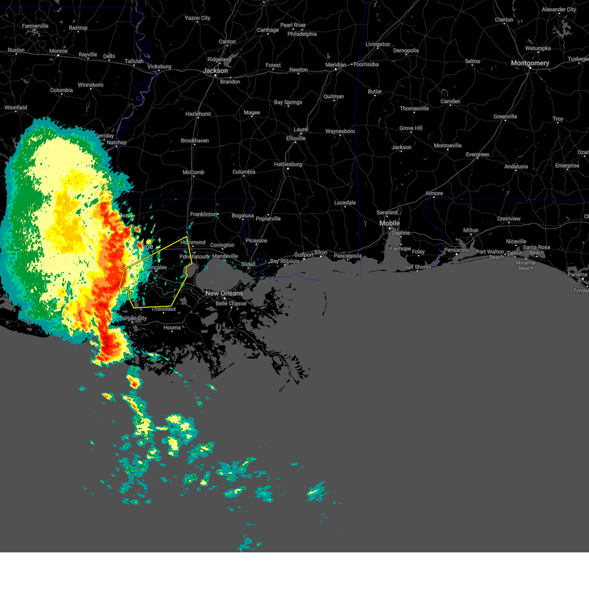 At 731 am cdt, severe thunderstorms were located along a line extending from near plaquemine to 6 miles southeast of bayou sorrel to 9 miles northeast of charenton, moving east at 55 mph (radar indicated). Hazards include 60 mph wind gusts. expect damage to roofs, siding, and trees At 731 am cdt, severe thunderstorms were located along a line extending from near plaquemine to 6 miles southeast of bayou sorrel to 9 miles northeast of charenton, moving east at 55 mph (radar indicated). Hazards include 60 mph wind gusts. expect damage to roofs, siding, and trees
|
| 5/6/2023 7:31 AM CDT |
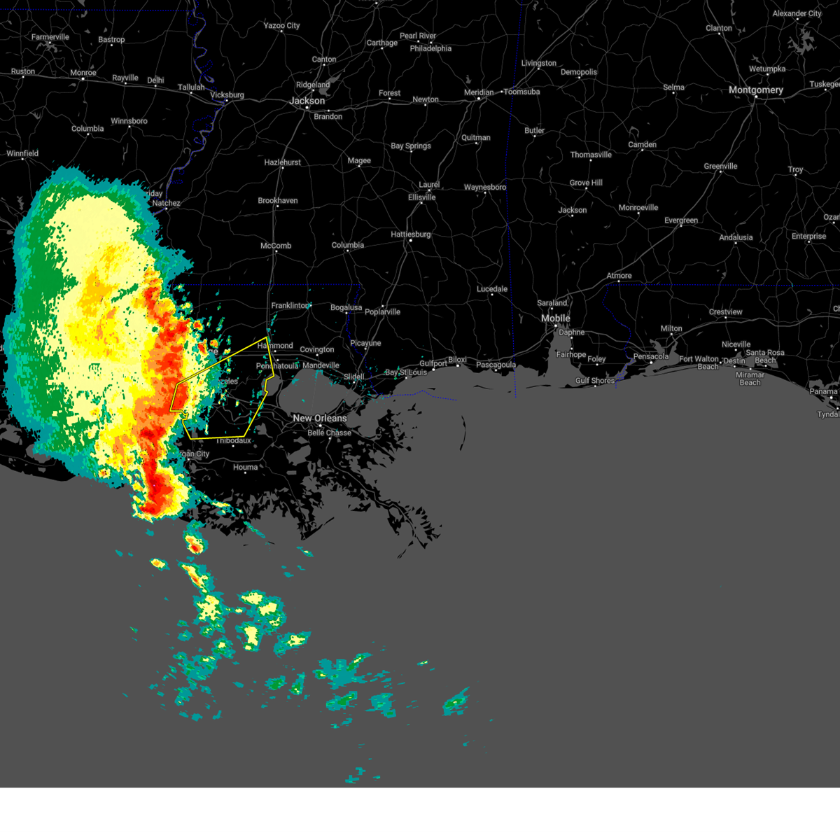 At 731 am cdt, severe thunderstorms were located along a line extending from near plaquemine to 6 miles southeast of bayou sorrel to 9 miles northeast of charenton, moving east at 55 mph (radar indicated). Hazards include 60 mph wind gusts. expect damage to roofs, siding, and trees At 731 am cdt, severe thunderstorms were located along a line extending from near plaquemine to 6 miles southeast of bayou sorrel to 9 miles northeast of charenton, moving east at 55 mph (radar indicated). Hazards include 60 mph wind gusts. expect damage to roofs, siding, and trees
|
| 4/27/2023 5:22 AM CDT |
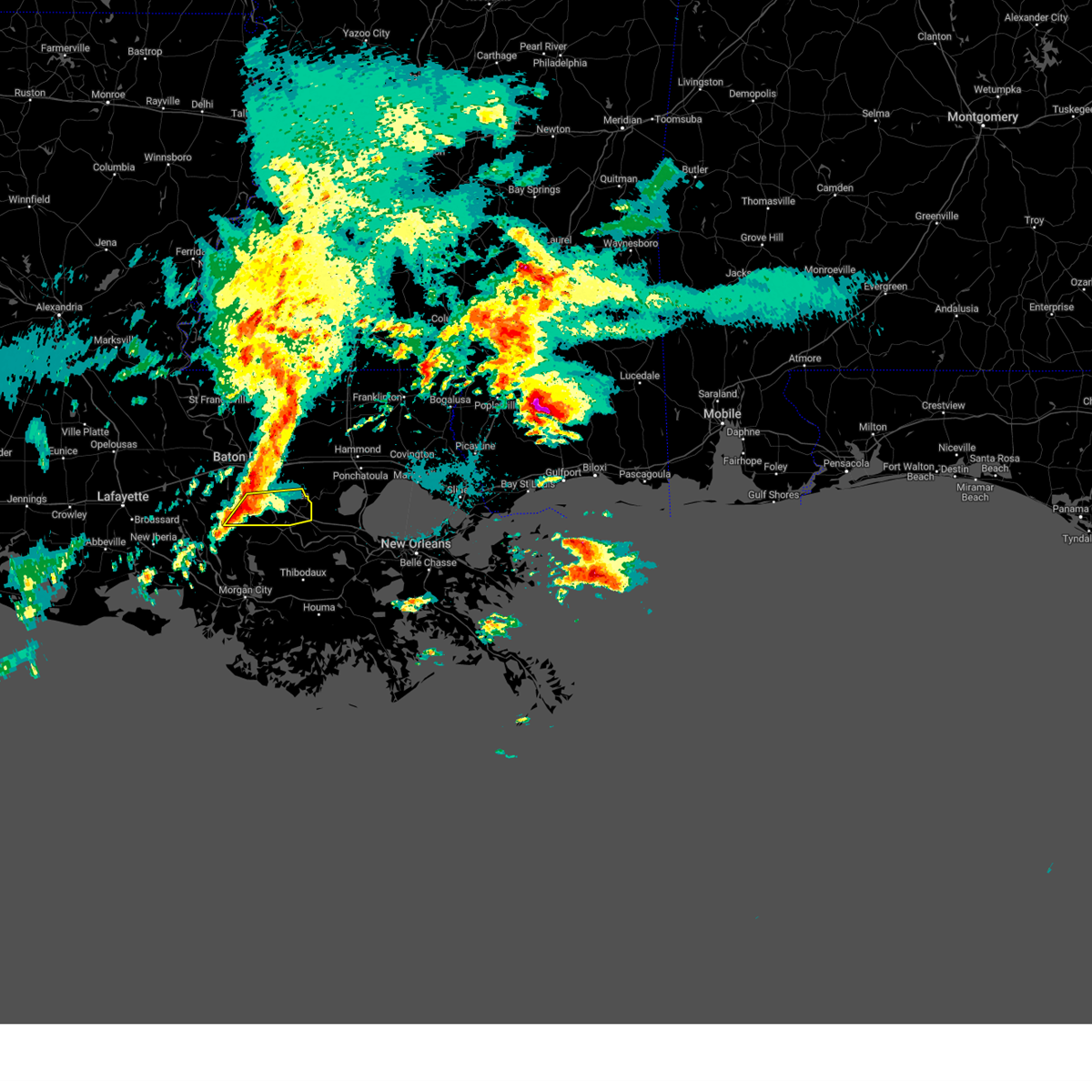 At 521 am cdt, a severe thunderstorm was located near white castle, or near plaquemine, moving east at 25 mph (radar indicated). Hazards include 60 mph wind gusts and quarter size hail. Hail damage to vehicles is expected. expect wind damage to roofs, siding, and trees. locations impacted include, gonzales, donaldsonville, st. gabriel, white castle, sorrento, prairieville, geismar and carville. this includes interstate 10 in louisiana between mile markers 171 and 189. hail threat, radar indicated max hail size, 1. 00 in wind threat, radar indicated max wind gust, 60 mph. At 521 am cdt, a severe thunderstorm was located near white castle, or near plaquemine, moving east at 25 mph (radar indicated). Hazards include 60 mph wind gusts and quarter size hail. Hail damage to vehicles is expected. expect wind damage to roofs, siding, and trees. locations impacted include, gonzales, donaldsonville, st. gabriel, white castle, sorrento, prairieville, geismar and carville. this includes interstate 10 in louisiana between mile markers 171 and 189. hail threat, radar indicated max hail size, 1. 00 in wind threat, radar indicated max wind gust, 60 mph.
|
| 4/27/2023 5:02 AM CDT |
 At 501 am cdt, a severe thunderstorm was located over bayou sorrel, or 9 miles southwest of plaquemine, moving east at 35 mph (radar indicated). Hazards include golf ball size hail and 60 mph wind gusts. People and animals outdoors will be injured. expect hail damage to roofs, siding, windows, and vehicles. Expect wind damage to roofs, siding, and trees. At 501 am cdt, a severe thunderstorm was located over bayou sorrel, or 9 miles southwest of plaquemine, moving east at 35 mph (radar indicated). Hazards include golf ball size hail and 60 mph wind gusts. People and animals outdoors will be injured. expect hail damage to roofs, siding, windows, and vehicles. Expect wind damage to roofs, siding, and trees.
|
| 1/24/2023 8:59 PM CST |
 At 859 pm cst, severe thunderstorms were located along a line extending from near walker to near paincourtville, moving northeast at 70 mph (radar indicated). Hazards include 60 mph wind gusts and penny size hail. expect damage to roofs, siding, and trees At 859 pm cst, severe thunderstorms were located along a line extending from near walker to near paincourtville, moving northeast at 70 mph (radar indicated). Hazards include 60 mph wind gusts and penny size hail. expect damage to roofs, siding, and trees
|
| 1/24/2023 8:35 PM CST |
 At 834 pm cst, severe thunderstorms capable of producing both tornadoes and straight line wind damage were located near white castle, or 7 miles south of plaquemine, moving northeast at 55 mph (radar indicated rotation). Hazards include tornado. Flying debris will be dangerous to those caught without shelter. mobile homes will be damaged or destroyed. damage to roofs, windows, and vehicles will occur. tree damage is likely. these dangerous storms will be near, st. gabriel, carville and geismar around 845 pm cst. village st. george around 850 pm cst. gonzales, prairieville, old jefferson and shenandoah around 855 pm cst. port vincent around 900 pm cst. french settlement around 905 pm cst. walker and livingston around 910 pm cst. other locations impacted by this tornadic thunderstorm include killian. this includes the following interstates, interstate 10 in louisiana between mile markers 166 and 177. Interstate 12 between mile markers 15 and 24. At 834 pm cst, severe thunderstorms capable of producing both tornadoes and straight line wind damage were located near white castle, or 7 miles south of plaquemine, moving northeast at 55 mph (radar indicated rotation). Hazards include tornado. Flying debris will be dangerous to those caught without shelter. mobile homes will be damaged or destroyed. damage to roofs, windows, and vehicles will occur. tree damage is likely. these dangerous storms will be near, st. gabriel, carville and geismar around 845 pm cst. village st. george around 850 pm cst. gonzales, prairieville, old jefferson and shenandoah around 855 pm cst. port vincent around 900 pm cst. french settlement around 905 pm cst. walker and livingston around 910 pm cst. other locations impacted by this tornadic thunderstorm include killian. this includes the following interstates, interstate 10 in louisiana between mile markers 166 and 177. Interstate 12 between mile markers 15 and 24.
|
| 1/24/2023 8:20 PM CST |
 At 819 pm cst, severe thunderstorms were located along a line extending from near port allen to 10 miles west of pierre part, moving northeast at 50 mph (radar indicated). Hazards include 60 mph wind gusts. expect damage to roofs, siding, and trees At 819 pm cst, severe thunderstorms were located along a line extending from near port allen to 10 miles west of pierre part, moving northeast at 50 mph (radar indicated). Hazards include 60 mph wind gusts. expect damage to roofs, siding, and trees
|
| 12/14/2022 12:21 PM CST |
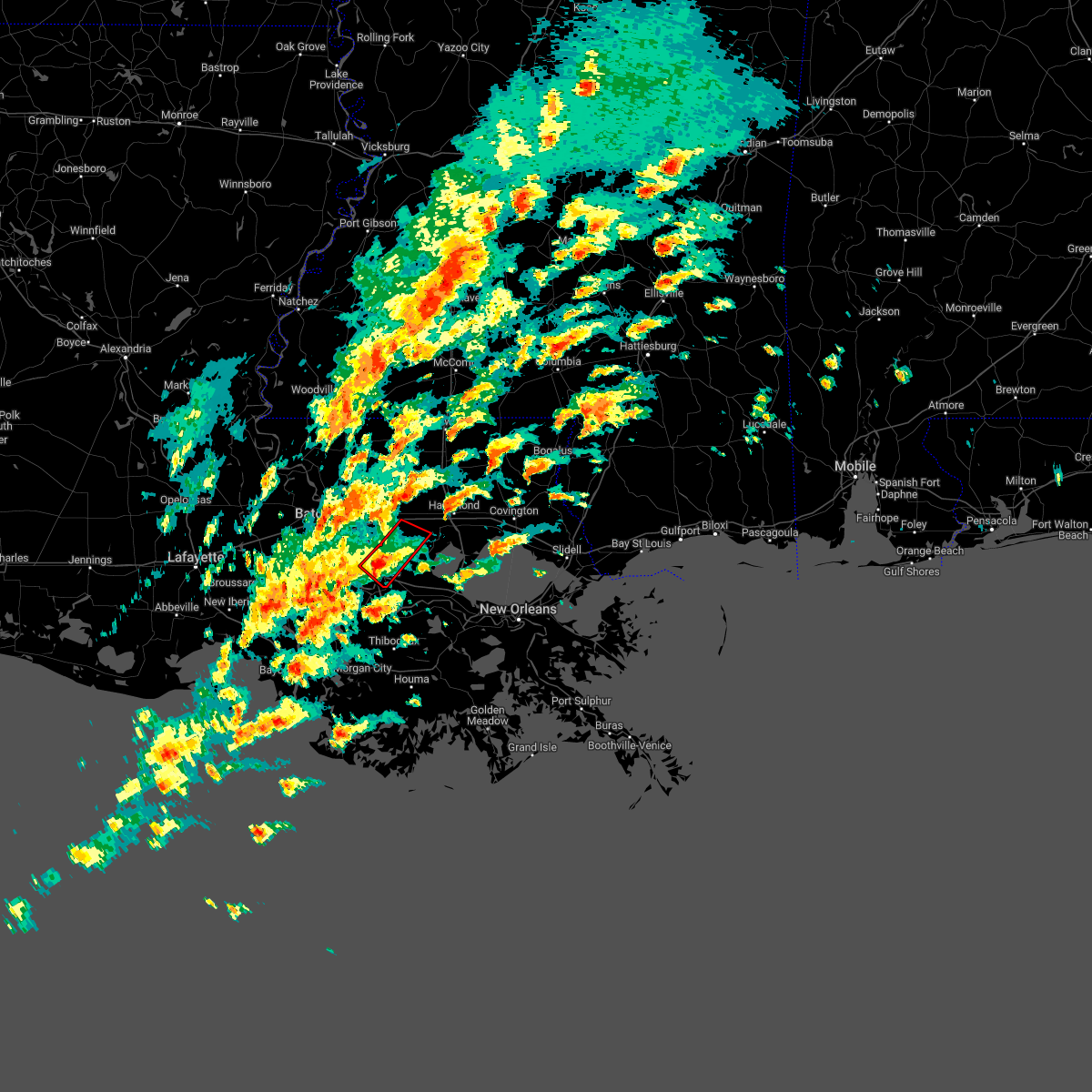 At 1221 pm cst, a severe thunderstorm capable of producing a tornado was located over gonzales, moving northeast at 30 mph (radar indicated rotation). Hazards include tornado. Flying debris will be dangerous to those caught without shelter. mobile homes will be damaged or destroyed. damage to roofs, windows, and vehicles will occur. tree damage is likely. this dangerous storm will be near, french settlement and port vincent around 1240 pm cst. This includes interstate 10 in louisiana between mile markers 174 and 185. At 1221 pm cst, a severe thunderstorm capable of producing a tornado was located over gonzales, moving northeast at 30 mph (radar indicated rotation). Hazards include tornado. Flying debris will be dangerous to those caught without shelter. mobile homes will be damaged or destroyed. damage to roofs, windows, and vehicles will occur. tree damage is likely. this dangerous storm will be near, french settlement and port vincent around 1240 pm cst. This includes interstate 10 in louisiana between mile markers 174 and 185.
|
| 12/14/2022 12:21 PM CST |
 At 1220 pm cst, a severe thunderstorm capable of producing a tornado was located over gonzales, moving northeast at 40 mph (radar indicated rotation). Hazards include tornado. Flying debris will be dangerous to those caught without shelter. mobile homes will be damaged or destroyed. damage to roofs, windows, and vehicles will occur. tree damage is likely. this tornadic thunderstorm will remain over mainly rural areas of central ascension parish. This includes interstate 10 in louisiana between mile markers 176 and 184. At 1220 pm cst, a severe thunderstorm capable of producing a tornado was located over gonzales, moving northeast at 40 mph (radar indicated rotation). Hazards include tornado. Flying debris will be dangerous to those caught without shelter. mobile homes will be damaged or destroyed. damage to roofs, windows, and vehicles will occur. tree damage is likely. this tornadic thunderstorm will remain over mainly rural areas of central ascension parish. This includes interstate 10 in louisiana between mile markers 176 and 184.
|
| 12/14/2022 12:00 PM CST |
 At 1159 am cst, a severe thunderstorm capable of producing a tornado was located over belle rose, or near donaldsonville, moving northeast at 40 mph (radar indicated rotation). Hazards include tornado. Flying debris will be dangerous to those caught without shelter. mobile homes will be damaged or destroyed. damage to roofs, windows, and vehicles will occur. tree damage is likely. this dangerous storm will be near, donaldsonville around 1205 pm cst. geismar around 1215 pm cst. gonzales and sorrento around 1225 pm cst. This includes interstate 10 in louisiana between mile markers 173 and 189. At 1159 am cst, a severe thunderstorm capable of producing a tornado was located over belle rose, or near donaldsonville, moving northeast at 40 mph (radar indicated rotation). Hazards include tornado. Flying debris will be dangerous to those caught without shelter. mobile homes will be damaged or destroyed. damage to roofs, windows, and vehicles will occur. tree damage is likely. this dangerous storm will be near, donaldsonville around 1205 pm cst. geismar around 1215 pm cst. gonzales and sorrento around 1225 pm cst. This includes interstate 10 in louisiana between mile markers 173 and 189.
|
| 5/13/2022 4:10 PM CDT |
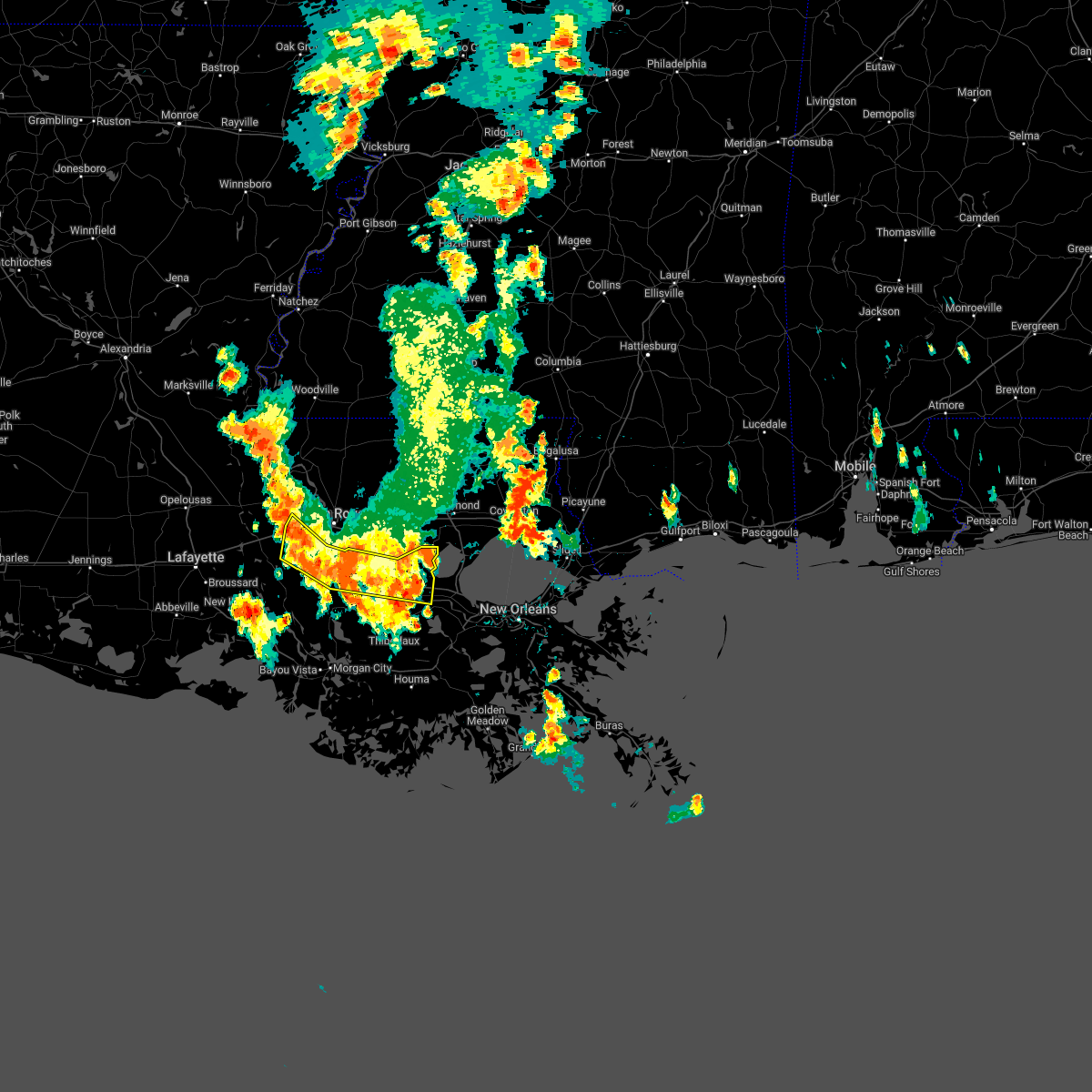 At 409 pm cdt, severe thunderstorms were located along a line extending from near whitehall to near st. gabriel to near grosse tete, moving south at 15 mph (broadcast media). Hazards include 60 mph wind gusts and quarter size hail. Hail damage to vehicles is expected. expect wind damage to roofs, siding, and trees. locations impacted include, gonzales, donaldsonville, plaquemine, reserve, st. gabriel, gramercy, addis, lutcher, white castle, sorrento, french settlement, rosedale, grosse tete, geismar, garyville, carville, whitehall, wallace, edgard and killian. this includes interstate 10 in louisiana between mile markers 137 and 144, and between mile markers 171 and 200. hail threat, observed max hail size, 1. 00 in wind threat, radar indicated max wind gust, 60 mph. At 409 pm cdt, severe thunderstorms were located along a line extending from near whitehall to near st. gabriel to near grosse tete, moving south at 15 mph (broadcast media). Hazards include 60 mph wind gusts and quarter size hail. Hail damage to vehicles is expected. expect wind damage to roofs, siding, and trees. locations impacted include, gonzales, donaldsonville, plaquemine, reserve, st. gabriel, gramercy, addis, lutcher, white castle, sorrento, french settlement, rosedale, grosse tete, geismar, garyville, carville, whitehall, wallace, edgard and killian. this includes interstate 10 in louisiana between mile markers 137 and 144, and between mile markers 171 and 200. hail threat, observed max hail size, 1. 00 in wind threat, radar indicated max wind gust, 60 mph.
|
| 5/13/2022 3:49 PM CDT |
 At 348 pm cdt, severe thunderstorms were located along a line extending from near whitehall to gardere to 6 miles east of grosse tete, moving south at 15 mph (broadcast media. at 345 pm, quarter-sized hail was reported in east baton rouge). Hazards include 60 mph wind gusts and quarter size hail. Hail damage to vehicles is expected. Expect wind damage to roofs, siding, and trees. At 348 pm cdt, severe thunderstorms were located along a line extending from near whitehall to gardere to 6 miles east of grosse tete, moving south at 15 mph (broadcast media. at 345 pm, quarter-sized hail was reported in east baton rouge). Hazards include 60 mph wind gusts and quarter size hail. Hail damage to vehicles is expected. Expect wind damage to roofs, siding, and trees.
|
| 3/15/2022 5:28 AM CDT |
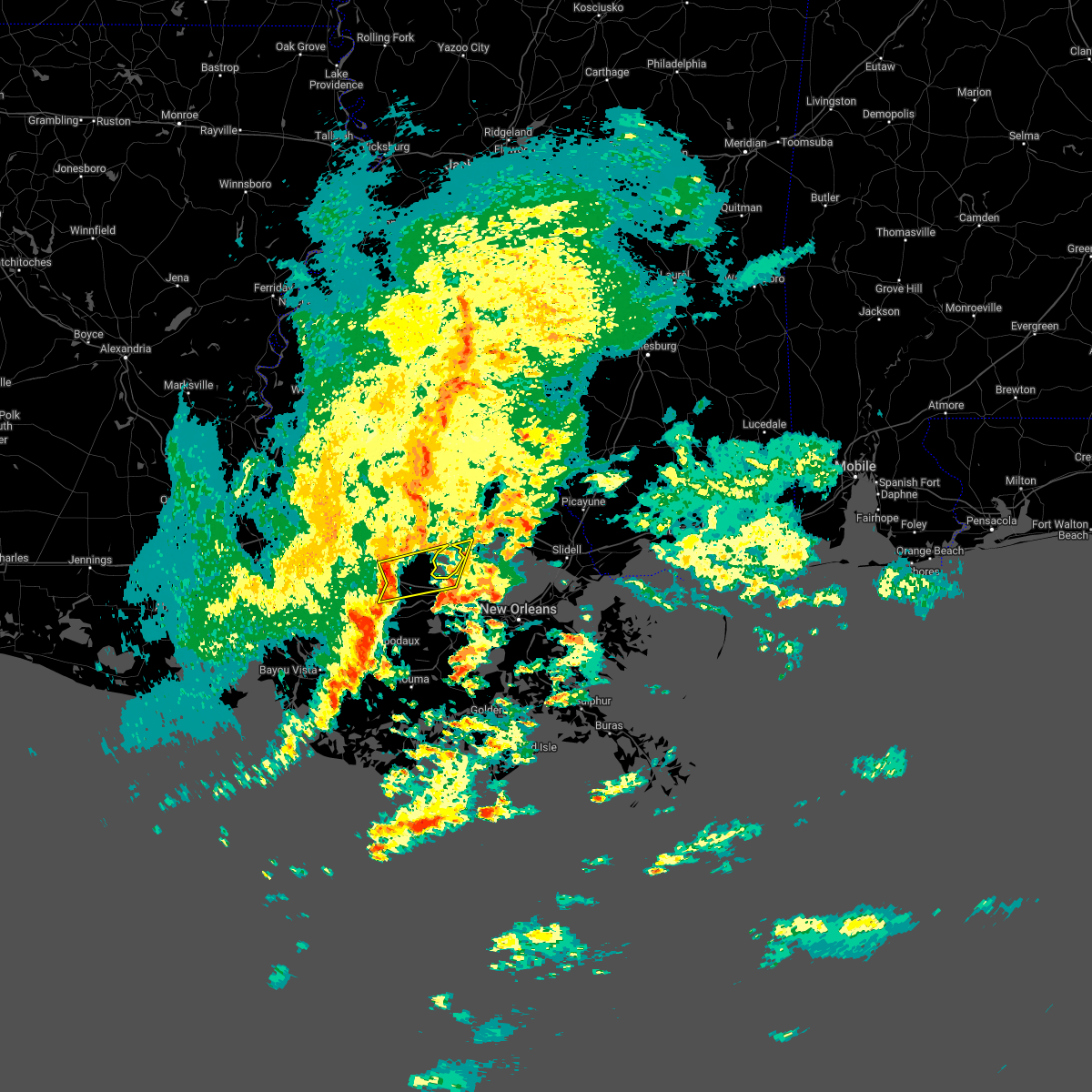 At 528 am cdt, a severe thunderstorm was located near sorrento, or 9 miles east of gonzales, moving east at 45 mph (radar indicated). Hazards include 60 mph wind gusts and penny size hail. Expect damage to roofs, siding, and trees. locations impacted include, gonzales, reserve, laplace, gramercy, lutcher, sorrento, french settlement, whitehall and garyville. this includes the following interstates, interstate 10 in louisiana between mile markers 183 and 204. interstate 55 in louisiana between mile markers 3 and 19. hail threat, radar indicated max hail size, 0. 75 in wind threat, radar indicated max wind gust, 60 mph. At 528 am cdt, a severe thunderstorm was located near sorrento, or 9 miles east of gonzales, moving east at 45 mph (radar indicated). Hazards include 60 mph wind gusts and penny size hail. Expect damage to roofs, siding, and trees. locations impacted include, gonzales, reserve, laplace, gramercy, lutcher, sorrento, french settlement, whitehall and garyville. this includes the following interstates, interstate 10 in louisiana between mile markers 183 and 204. interstate 55 in louisiana between mile markers 3 and 19. hail threat, radar indicated max hail size, 0. 75 in wind threat, radar indicated max wind gust, 60 mph.
|
| 3/15/2022 5:08 AM CDT |
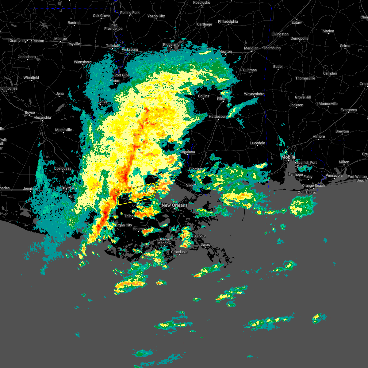 At 508 am cdt, a severe thunderstorm was located over donaldsonville, moving east at 45 mph (radar indicated). Hazards include 60 mph wind gusts and quarter size hail. Hail damage to vehicles is expected. Expect wind damage to roofs, siding, and trees. At 508 am cdt, a severe thunderstorm was located over donaldsonville, moving east at 45 mph (radar indicated). Hazards include 60 mph wind gusts and quarter size hail. Hail damage to vehicles is expected. Expect wind damage to roofs, siding, and trees.
|
| 3/15/2022 5:06 AM CDT |
 At 506 am cdt, severe thunderstorms were located along a line extending from near walker to port vincent, moving east at 45 mph (radar indicated). Hazards include 60 mph wind gusts and penny size hail. expect damage to roofs, siding, and trees At 506 am cdt, severe thunderstorms were located along a line extending from near walker to port vincent, moving east at 45 mph (radar indicated). Hazards include 60 mph wind gusts and penny size hail. expect damage to roofs, siding, and trees
|
| 10/27/2021 5:08 PM CDT |
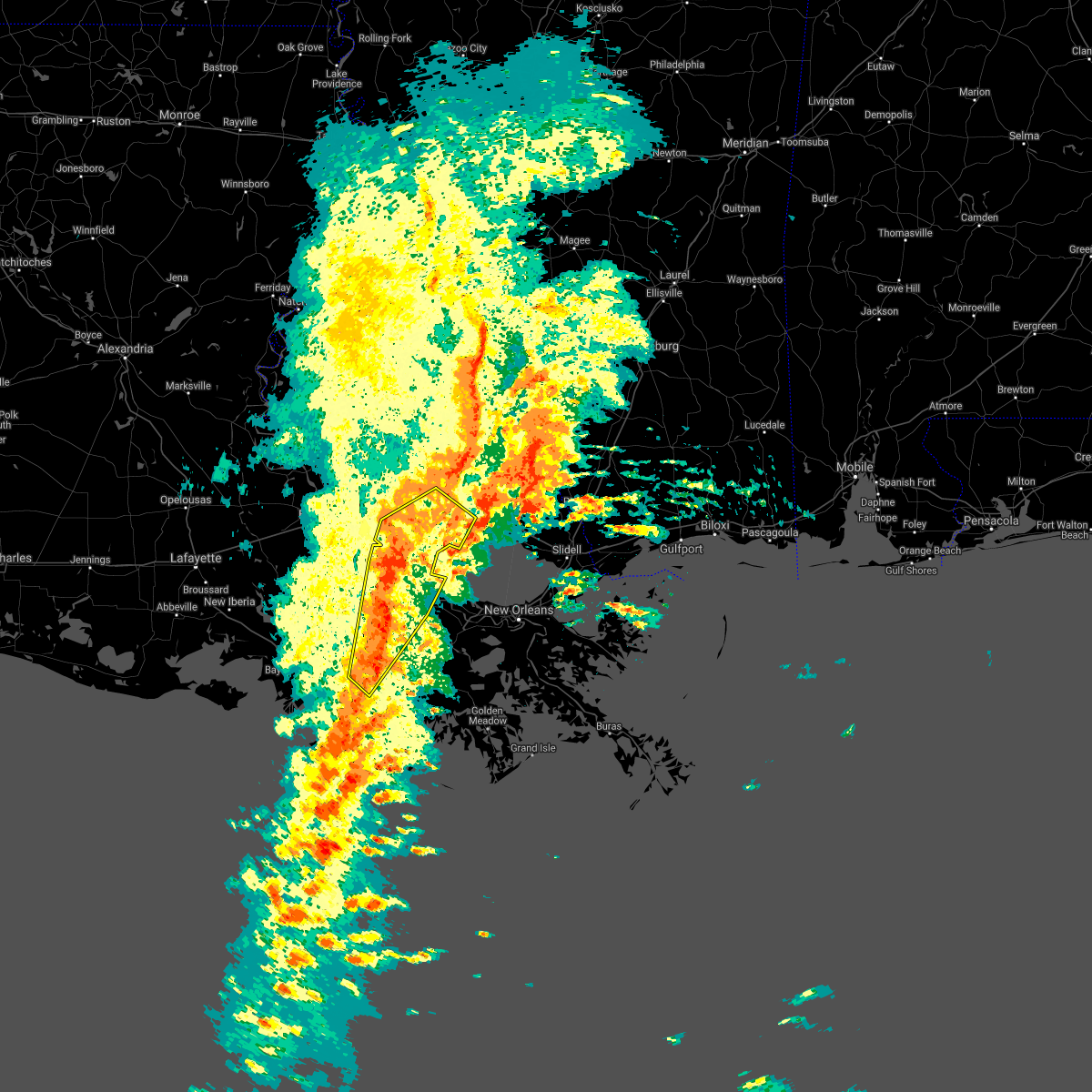 At 507 pm cdt, severe thunderstorms were located along a line extending from near port vincent to near french settlement to near convent to 7 miles southwest of schriever, moving northeast at 30 mph (radar indicated). Hazards include 60 mph wind gusts. Expect damage to roofs, siding, and trees. locations impacted include, hammond, thibodaux, gonzales, donaldsonville, napoleonville, reserve, ponchatoula, walker, gramercy, lutcher, livingston, sorrento, french settlement, albany, port vincent, springfield, schriever, garyville, supreme and natalbany. this includes the following interstates, interstate 10 in louisiana between mile markers 175 and 202. interstate 12 between mile markers 14 and 47. Interstate 55 in louisiana between mile markers 19 and 38. At 507 pm cdt, severe thunderstorms were located along a line extending from near port vincent to near french settlement to near convent to 7 miles southwest of schriever, moving northeast at 30 mph (radar indicated). Hazards include 60 mph wind gusts. Expect damage to roofs, siding, and trees. locations impacted include, hammond, thibodaux, gonzales, donaldsonville, napoleonville, reserve, ponchatoula, walker, gramercy, lutcher, livingston, sorrento, french settlement, albany, port vincent, springfield, schriever, garyville, supreme and natalbany. this includes the following interstates, interstate 10 in louisiana between mile markers 175 and 202. interstate 12 between mile markers 14 and 47. Interstate 55 in louisiana between mile markers 19 and 38.
|
| 10/27/2021 4:46 PM CDT |
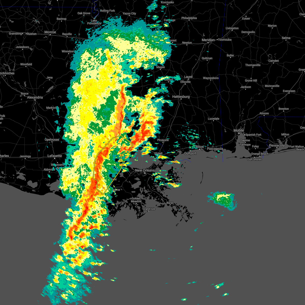 At 445 pm cdt, severe thunderstorms were located along a line extending from near denham springs to port vincent to near bayou geneve, moving northeast at 60 mph (radar indicated). Hazards include 60 mph wind gusts. expect damage to roofs, siding, and trees At 445 pm cdt, severe thunderstorms were located along a line extending from near denham springs to port vincent to near bayou geneve, moving northeast at 60 mph (radar indicated). Hazards include 60 mph wind gusts. expect damage to roofs, siding, and trees
|
| 10/27/2021 4:37 PM CDT |
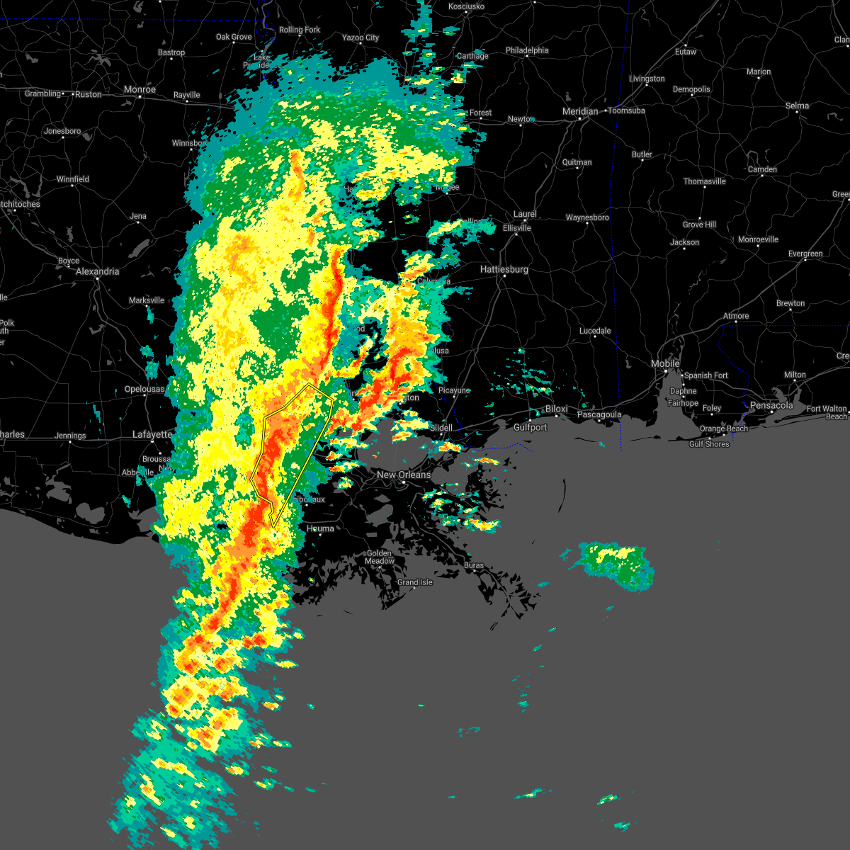 At 436 pm cdt, severe thunderstorms were located along a line extending from inniswold to near prairieville to bayou geneve, moving northeast at 40 mph (radar indicated). Hazards include 60 mph wind gusts. Expect damage to roofs, siding, and trees. locations impacted include, baton rouge, denham springs, gonzales, donaldsonville, napoleonville, oak hills place, st. gabriel, walker, white castle, livingston, sorrento, french settlement, port vincent, geismar, supreme, shenandoah, old jefferson, paincourtville, inniswold and prairieville. this includes the following interstates, interstate 10 in louisiana between mile markers 162 and 188. Interstate 12 between mile markers 7 and 30. At 436 pm cdt, severe thunderstorms were located along a line extending from inniswold to near prairieville to bayou geneve, moving northeast at 40 mph (radar indicated). Hazards include 60 mph wind gusts. Expect damage to roofs, siding, and trees. locations impacted include, baton rouge, denham springs, gonzales, donaldsonville, napoleonville, oak hills place, st. gabriel, walker, white castle, livingston, sorrento, french settlement, port vincent, geismar, supreme, shenandoah, old jefferson, paincourtville, inniswold and prairieville. this includes the following interstates, interstate 10 in louisiana between mile markers 162 and 188. Interstate 12 between mile markers 7 and 30.
|
| 10/27/2021 4:06 PM CDT |
 At 405 pm cdt, severe thunderstorms were located along a line extending from 9 miles west of bayou sorrel to near white castle to 7 miles southwest of patterson, moving northeast at 50 mph (radar indicated). Hazards include 60 mph wind gusts. expect damage to roofs, siding, and trees At 405 pm cdt, severe thunderstorms were located along a line extending from 9 miles west of bayou sorrel to near white castle to 7 miles southwest of patterson, moving northeast at 50 mph (radar indicated). Hazards include 60 mph wind gusts. expect damage to roofs, siding, and trees
|
| 6/15/2021 4:43 PM CDT |
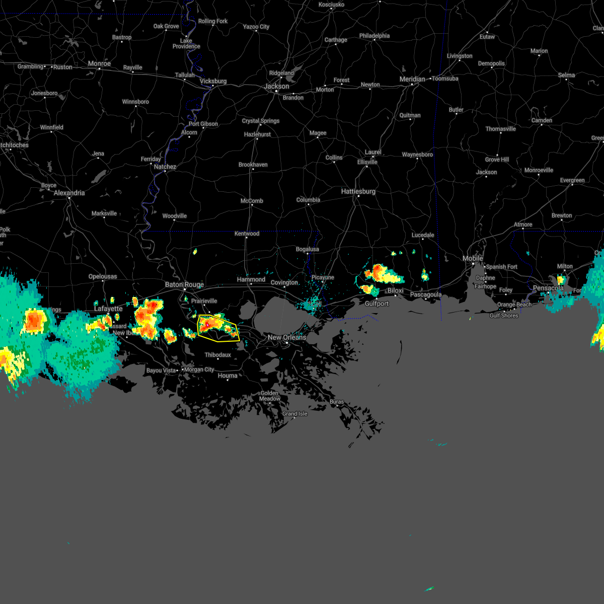 A severe thunderstorm warning remains in effect until 500 pm cdt for southwestern st. john the baptist. southern ascension. st. james and north central assumption parishes. at 442 pm cdt, a severe thunderstorm was located near donaldsonville, moving southwest at 15 mph. hazard. Ping pong ball size hail and 60 mph wind gusts. A severe thunderstorm warning remains in effect until 500 pm cdt for southwestern st. john the baptist. southern ascension. st. james and north central assumption parishes. at 442 pm cdt, a severe thunderstorm was located near donaldsonville, moving southwest at 15 mph. hazard. Ping pong ball size hail and 60 mph wind gusts.
|
| 6/15/2021 4:18 PM CDT |
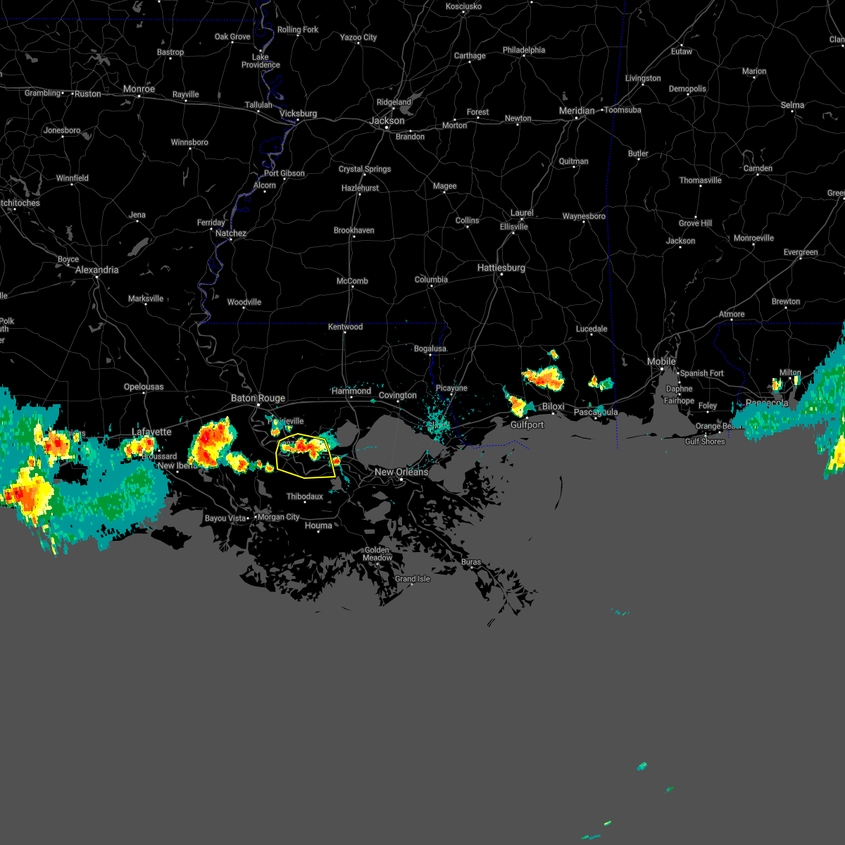 At 418 pm cdt, severe thunderstorms were located along a line extending from near gonzales to sorrento to 6 miles north of lutcher, moving south at 15 mph (radar indicated). Hazards include 60 mph wind gusts and half dollar size hail. Hail damage to vehicles is expected. Expect wind damage to roofs, siding, and trees. At 418 pm cdt, severe thunderstorms were located along a line extending from near gonzales to sorrento to 6 miles north of lutcher, moving south at 15 mph (radar indicated). Hazards include 60 mph wind gusts and half dollar size hail. Hail damage to vehicles is expected. Expect wind damage to roofs, siding, and trees.
|
| 6/6/2021 9:07 AM CDT |
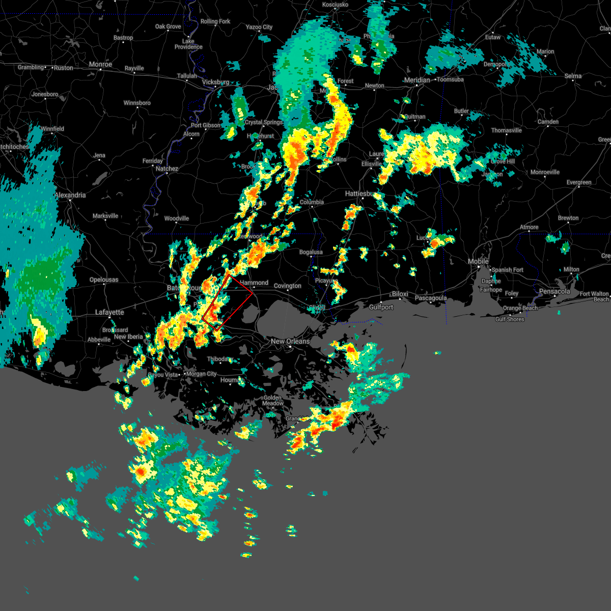 At 906 am cdt, a severe thunderstorm capable of producing a tornado was located over gonzales, moving northeast at 20 mph (radar indicated rotation). Hazards include tornado. Flying debris will be dangerous to those caught without shelter. mobile homes will be damaged or destroyed. damage to roofs, windows, and vehicles will occur. tree damage is likely. this dangerous storm will be near, french settlement, port vincent and whitehall around 935 am cdt. other locations impacted by this tornadic thunderstorm include killian. this includes the following interstates, interstate 10 in louisiana between mile markers 174 and 187. Interstate 12 between mile markers 18 and 36. At 906 am cdt, a severe thunderstorm capable of producing a tornado was located over gonzales, moving northeast at 20 mph (radar indicated rotation). Hazards include tornado. Flying debris will be dangerous to those caught without shelter. mobile homes will be damaged or destroyed. damage to roofs, windows, and vehicles will occur. tree damage is likely. this dangerous storm will be near, french settlement, port vincent and whitehall around 935 am cdt. other locations impacted by this tornadic thunderstorm include killian. this includes the following interstates, interstate 10 in louisiana between mile markers 174 and 187. Interstate 12 between mile markers 18 and 36.
|
| 5/17/2021 6:50 PM CDT |
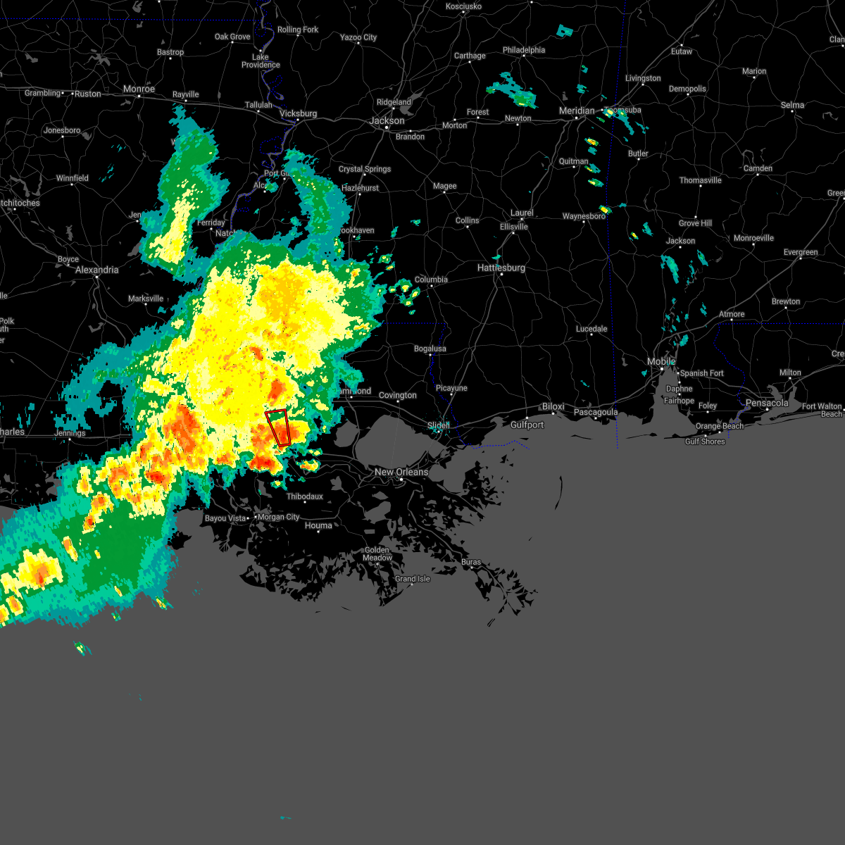 At 649 pm cdt, a severe thunderstorm capable of producing a tornado was located over geismar, or near gonzales, moving north at 20 mph (radar indicated rotation). Hazards include tornado. Flying debris will be dangerous to those caught without shelter. mobile homes will be damaged or destroyed. damage to roofs, windows, and vehicles will occur. tree damage is likely. this dangerous storm will be near, prairieville around 705 pm cdt. oak hills place, st. gabriel, village st. george, old jefferson, shenandoah, inniswold and westminster around 715 pm cdt. This includes interstate 10 in louisiana between mile markers 162 and 178. At 649 pm cdt, a severe thunderstorm capable of producing a tornado was located over geismar, or near gonzales, moving north at 20 mph (radar indicated rotation). Hazards include tornado. Flying debris will be dangerous to those caught without shelter. mobile homes will be damaged or destroyed. damage to roofs, windows, and vehicles will occur. tree damage is likely. this dangerous storm will be near, prairieville around 705 pm cdt. oak hills place, st. gabriel, village st. george, old jefferson, shenandoah, inniswold and westminster around 715 pm cdt. This includes interstate 10 in louisiana between mile markers 162 and 178.
|
| 5/11/2021 10:37 PM CDT |
 At 1037 pm cdt, a severe thunderstorm was located over pierre part, or near belle river, moving northeast at 25 mph (radar indicated). Hazards include 60 mph wind gusts and quarter size hail. Hail damage to vehicles is expected. Expect wind damage to roofs, siding, and trees. At 1037 pm cdt, a severe thunderstorm was located over pierre part, or near belle river, moving northeast at 25 mph (radar indicated). Hazards include 60 mph wind gusts and quarter size hail. Hail damage to vehicles is expected. Expect wind damage to roofs, siding, and trees.
|
| 5/10/2021 9:45 AM CDT |
 At 945 am cdt, severe thunderstorms were located along a line extending from 7 miles east of whitehall to convent, moving east at 45 mph (radar indicated). Hazards include 60 mph wind gusts. Expect damage to roofs, siding, and trees. locations impacted include, gonzales, donaldsonville, reserve, laplace, gramercy, lutcher, sorrento, french settlement, port vincent, south vacherie, geismar, convent, north vacherie, garyville, prairieville, wallace, whitehall, belle rose, edgard and killian. this includes the following interstates, interstate 10 in louisiana between mile markers 169 and 204. Interstate 55 in louisiana between mile markers 16 and 22. At 945 am cdt, severe thunderstorms were located along a line extending from 7 miles east of whitehall to convent, moving east at 45 mph (radar indicated). Hazards include 60 mph wind gusts. Expect damage to roofs, siding, and trees. locations impacted include, gonzales, donaldsonville, reserve, laplace, gramercy, lutcher, sorrento, french settlement, port vincent, south vacherie, geismar, convent, north vacherie, garyville, prairieville, wallace, whitehall, belle rose, edgard and killian. this includes the following interstates, interstate 10 in louisiana between mile markers 169 and 204. Interstate 55 in louisiana between mile markers 16 and 22.
|
| 5/10/2021 9:38 AM CDT |
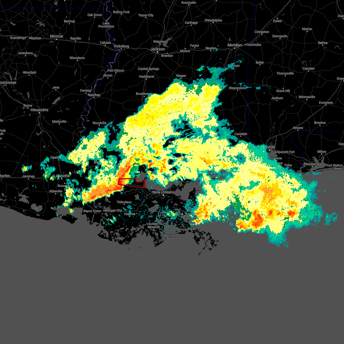 At 937 am cdt, a severe thunderstorm capable of producing a tornado was located over sorrento, or near gonzales, moving east at 40 mph (radar indicated rotation). Hazards include tornado. Flying debris will be dangerous to those caught without shelter. mobile homes will be damaged or destroyed. damage to roofs, windows, and vehicles will occur. tree damage is likely. this dangerous storm will be near, garyville around 1005 am cdt. reserve and laplace around 1010 am cdt. this includes the following interstates, interstate 10 in louisiana between mile markers 180 and 211. Interstate 55 in louisiana between mile markers 1 and 7. At 937 am cdt, a severe thunderstorm capable of producing a tornado was located over sorrento, or near gonzales, moving east at 40 mph (radar indicated rotation). Hazards include tornado. Flying debris will be dangerous to those caught without shelter. mobile homes will be damaged or destroyed. damage to roofs, windows, and vehicles will occur. tree damage is likely. this dangerous storm will be near, garyville around 1005 am cdt. reserve and laplace around 1010 am cdt. this includes the following interstates, interstate 10 in louisiana between mile markers 180 and 211. Interstate 55 in louisiana between mile markers 1 and 7.
|
| 5/10/2021 9:22 AM CDT |
 The severe thunderstorm warning for western ascension, west baton rouge, west central livingston, iberville and southwestern east baton rouge parishes will expire at 930 am cdt, the storm which prompted the warning has moved out of the area. therefore, the warning will be allowed to expire. The severe thunderstorm warning for western ascension, west baton rouge, west central livingston, iberville and southwestern east baton rouge parishes will expire at 930 am cdt, the storm which prompted the warning has moved out of the area. therefore, the warning will be allowed to expire.
|
| 5/10/2021 9:16 AM CDT |
 At 915 am cdt, severe thunderstorms were located along a line extending from near port vincent to 6 miles northeast of pierre part, moving east at 45 mph (radar indicated). Hazards include 60 mph wind gusts. expect damage to roofs, siding, and trees At 915 am cdt, severe thunderstorms were located along a line extending from near port vincent to 6 miles northeast of pierre part, moving east at 45 mph (radar indicated). Hazards include 60 mph wind gusts. expect damage to roofs, siding, and trees
|
| 5/10/2021 8:48 AM CDT |
 At 848 am cdt, a severe thunderstorm was located near st. gabriel, or near plaquemine, moving east at 45 mph (radar indicated). Hazards include 60 mph wind gusts and penny size hail. Expect damage to roofs, siding, and trees. locations impacted include, baton rouge, baker, denham springs, gonzales, donaldsonville, plaquemine, port allen, oak hills place, st. gabriel, walker, addis, brusly, white castle, rosedale, grosse tete, westminster, geismar, ramah, bayou sorrel and shenandoah. this includes the following interstates, interstate 10 in louisiana between mile markers 135 and 180. interstate 12 between mile markers 1 and 16. Interstate 110 in louisiana between mile markers 1 and 8. At 848 am cdt, a severe thunderstorm was located near st. gabriel, or near plaquemine, moving east at 45 mph (radar indicated). Hazards include 60 mph wind gusts and penny size hail. Expect damage to roofs, siding, and trees. locations impacted include, baton rouge, baker, denham springs, gonzales, donaldsonville, plaquemine, port allen, oak hills place, st. gabriel, walker, addis, brusly, white castle, rosedale, grosse tete, westminster, geismar, ramah, bayou sorrel and shenandoah. this includes the following interstates, interstate 10 in louisiana between mile markers 135 and 180. interstate 12 between mile markers 1 and 16. Interstate 110 in louisiana between mile markers 1 and 8.
|
| 5/10/2021 8:28 AM CDT |
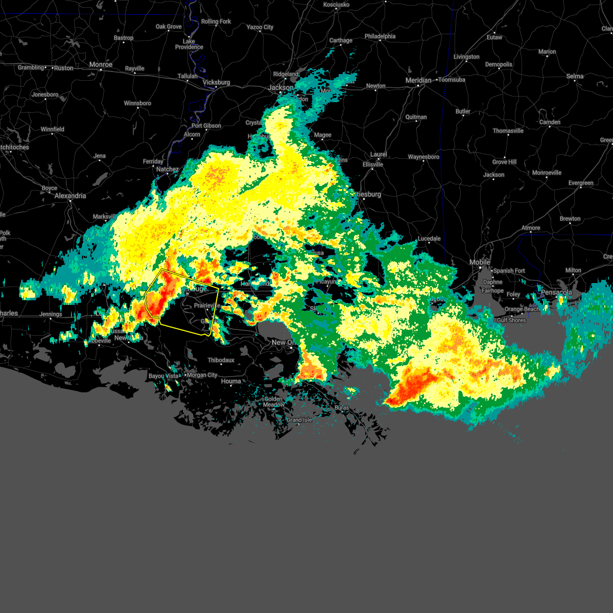 At 827 am cdt, a severe thunderstorm was located near grosse tete, or 10 miles west of plaquemine, moving east at 35 mph (radar indicated). Hazards include 60 mph wind gusts and penny size hail. expect damage to roofs, siding, and trees At 827 am cdt, a severe thunderstorm was located near grosse tete, or 10 miles west of plaquemine, moving east at 35 mph (radar indicated). Hazards include 60 mph wind gusts and penny size hail. expect damage to roofs, siding, and trees
|
| 4/13/2021 11:16 AM CDT | Large tree branches and fence down on norwood rd near stone ridge ave. time estimated from rada in ascension county LA, 4.9 miles SSW of Gonzales, LA |
| 4/13/2021 9:56 AM CDT |
 At 956 am cdt, a severe thunderstorm was located over belle rose, or near donaldsonville, moving northeast at 20 mph (radar indicated). Hazards include 60 mph wind gusts and quarter size hail. Hail damage to vehicles is expected. Expect wind damage to roofs, siding, and trees. At 956 am cdt, a severe thunderstorm was located over belle rose, or near donaldsonville, moving northeast at 20 mph (radar indicated). Hazards include 60 mph wind gusts and quarter size hail. Hail damage to vehicles is expected. Expect wind damage to roofs, siding, and trees.
|
| 4/13/2021 9:38 AM CDT |
 At 938 am cdt, a severe thunderstorm was located near white castle, or 11 miles south of plaquemine, moving northeast at 20 mph (radar indicated). Hazards include 60 mph wind gusts and quarter size hail. Hail damage to vehicles is expected. Expect wind damage to roofs, siding, and trees. At 938 am cdt, a severe thunderstorm was located near white castle, or 11 miles south of plaquemine, moving northeast at 20 mph (radar indicated). Hazards include 60 mph wind gusts and quarter size hail. Hail damage to vehicles is expected. Expect wind damage to roofs, siding, and trees.
|
| 4/10/2021 4:35 AM CDT | Broadcast media reporting trees down and damage to houses near sorrento... acy... and st. amant in ascension paris in ascension county LA, 3.2 miles WNW of Gonzales, LA |
| 3/17/2021 4:59 PM CDT |
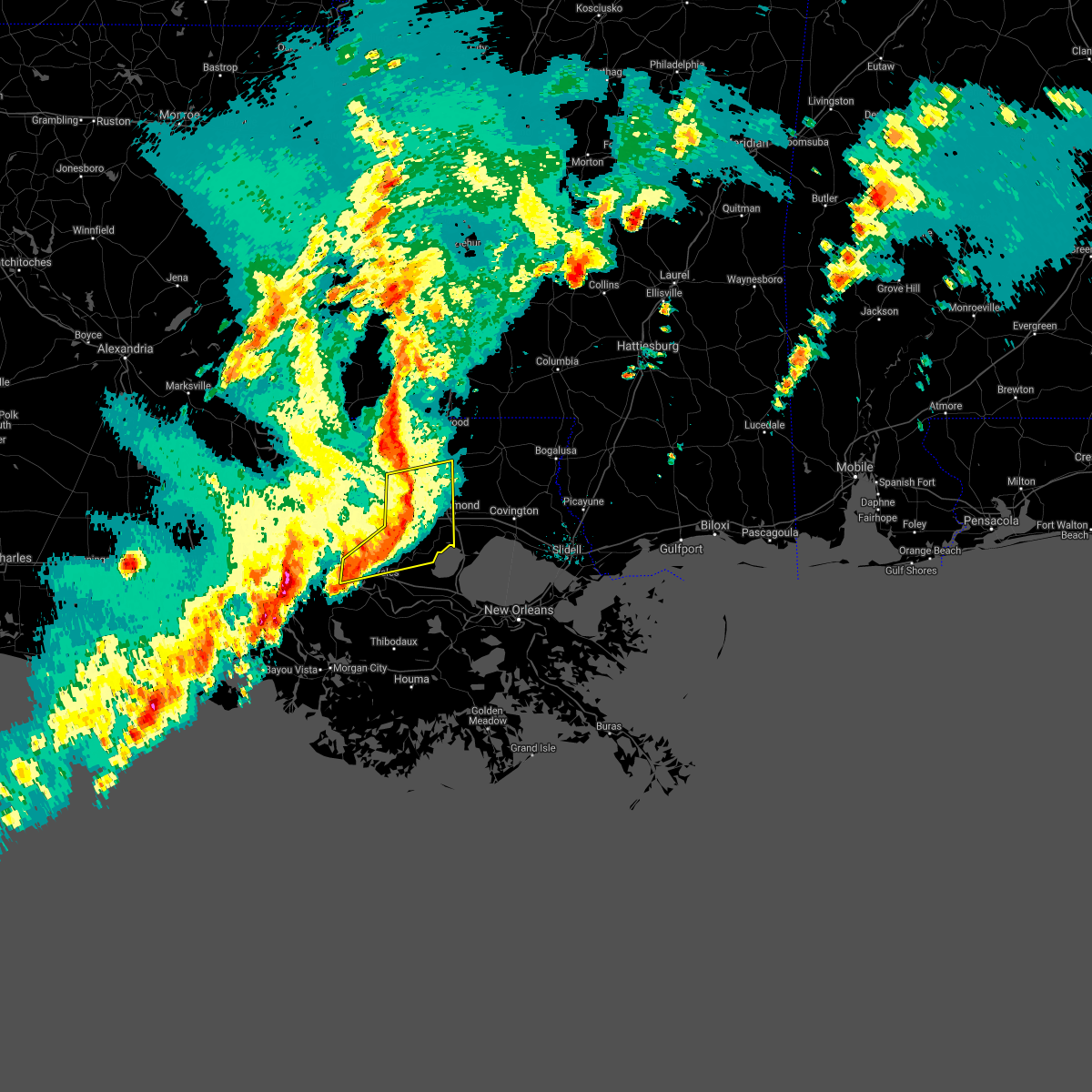 At 459 pm cdt, severe thunderstorms were located along a line extending from greensburg to near albany, moving northeast at 70 mph (radar indicated). Hazards include 60 mph wind gusts. Expect damage to roofs, siding, and trees. locations impacted include, hammond, gonzales, amite, st. Gabriel, walker, amite city, white castle, livingston, independence, sorrento, roseland, french settlement, albany, port vincent, springfield, montpelier, geismar, prairieville, natalbany and carville. At 459 pm cdt, severe thunderstorms were located along a line extending from greensburg to near albany, moving northeast at 70 mph (radar indicated). Hazards include 60 mph wind gusts. Expect damage to roofs, siding, and trees. locations impacted include, hammond, gonzales, amite, st. Gabriel, walker, amite city, white castle, livingston, independence, sorrento, roseland, french settlement, albany, port vincent, springfield, montpelier, geismar, prairieville, natalbany and carville.
|
| 3/17/2021 4:44 PM CDT |
 At 443 pm cdt, severe thunderstorms were located along a line extending from near pride to near shenandoah, moving northeast at 70 mph (radar indicated). Hazards include 60 mph wind gusts. expect damage to roofs, siding, and trees At 443 pm cdt, severe thunderstorms were located along a line extending from near pride to near shenandoah, moving northeast at 70 mph (radar indicated). Hazards include 60 mph wind gusts. expect damage to roofs, siding, and trees
|
| 3/17/2021 4:29 PM CDT |
 At 429 pm cdt, severe thunderstorms were located along a line extending from baton rouge to 8 miles northwest of pierre part, moving northeast at 75 mph (radar indicated). Hazards include 70 mph wind gusts and penny size hail. Expect considerable tree damage. damage is likely to mobile homes, roofs, and outbuildings. locations impacted include, baton rouge, denham springs, gonzales, donaldsonville, plaquemine, port allen, oak hills place, st. Gabriel, walker, addis, brusly, white castle, westminster, geismar, watson, bayou sorrel, shenandoah, greenwell spring, old jefferson and merrydale. At 429 pm cdt, severe thunderstorms were located along a line extending from baton rouge to 8 miles northwest of pierre part, moving northeast at 75 mph (radar indicated). Hazards include 70 mph wind gusts and penny size hail. Expect considerable tree damage. damage is likely to mobile homes, roofs, and outbuildings. locations impacted include, baton rouge, denham springs, gonzales, donaldsonville, plaquemine, port allen, oak hills place, st. Gabriel, walker, addis, brusly, white castle, westminster, geismar, watson, bayou sorrel, shenandoah, greenwell spring, old jefferson and merrydale.
|
| 3/17/2021 4:05 PM CDT |
 At 405 pm cdt, severe thunderstorms were located along a line extending from near butte la rose to near glencoe, moving northeast at 70 mph (radar indicated). Hazards include 70 mph wind gusts. Expect considerable tree damage. Damage is likely to mobile homes, roofs, and outbuildings. At 405 pm cdt, severe thunderstorms were located along a line extending from near butte la rose to near glencoe, moving northeast at 70 mph (radar indicated). Hazards include 70 mph wind gusts. Expect considerable tree damage. Damage is likely to mobile homes, roofs, and outbuildings.
|
| 11/27/2020 4:58 PM CST |
 At 457 pm cst, a severe thunderstorm was located over bayou sorrel, or 9 miles southwest of plaquemine, moving east at 20 mph (radar indicated). Hazards include 60 mph wind gusts and penny size hail. expect damage to roofs, siding, and trees At 457 pm cst, a severe thunderstorm was located over bayou sorrel, or 9 miles southwest of plaquemine, moving east at 20 mph (radar indicated). Hazards include 60 mph wind gusts and penny size hail. expect damage to roofs, siding, and trees
|
| 8/26/2020 2:34 PM CDT |
 At 234 pm cdt, a severe thunderstorm capable of producing a tornado was located near lutcher, or 9 miles northwest of reserve, moving northwest at 35 mph (radar indicated rotation). Hazards include tornado. Flying debris will be dangerous to those caught without shelter. mobile homes will be damaged or destroyed. damage to roofs, windows, and vehicles will occur. tree damage is likely. this dangerous storm will be near, sorrento around 250 pm cdt. Gonzales and prairieville around 300 pm cdt. At 234 pm cdt, a severe thunderstorm capable of producing a tornado was located near lutcher, or 9 miles northwest of reserve, moving northwest at 35 mph (radar indicated rotation). Hazards include tornado. Flying debris will be dangerous to those caught without shelter. mobile homes will be damaged or destroyed. damage to roofs, windows, and vehicles will occur. tree damage is likely. this dangerous storm will be near, sorrento around 250 pm cdt. Gonzales and prairieville around 300 pm cdt.
|
| 8/26/2020 1:54 PM CDT |
 At 153 pm cdt, a severe thunderstorm capable of producing a tornado was located near gonzales, moving northwest at 45 mph (radar indicated rotation). Hazards include tornado. Flying debris will be dangerous to those caught without shelter. mobile homes will be damaged or destroyed. damage to roofs, windows, and vehicles will occur. tree damage is likely. this dangerous storm will be near, prairieville around 205 pm cdt. oak hills place, st. gabriel, village st. George, inniswold, old jefferson and shenandoah around 215 pm cdt. At 153 pm cdt, a severe thunderstorm capable of producing a tornado was located near gonzales, moving northwest at 45 mph (radar indicated rotation). Hazards include tornado. Flying debris will be dangerous to those caught without shelter. mobile homes will be damaged or destroyed. damage to roofs, windows, and vehicles will occur. tree damage is likely. this dangerous storm will be near, prairieville around 205 pm cdt. oak hills place, st. gabriel, village st. George, inniswold, old jefferson and shenandoah around 215 pm cdt.
|
| 6/25/2020 3:05 PM CDT |
 At 305 pm cdt, severe thunderstorms were located along a line extending from near greenwell spring to near convent, moving northeast at 30 mph (radar indicated). Hazards include 60 mph wind gusts. Expect damage to roofs, siding, and trees. Locations impacted include, baton rouge, denham springs, gonzales, reserve, oak hills place, walker, gramercy, lutcher, livingston, sorrento, french settlement, port vincent, watson, garyville, chackbay, shenandoah, whitehall, old jefferson, edgard and south vacherie. At 305 pm cdt, severe thunderstorms were located along a line extending from near greenwell spring to near convent, moving northeast at 30 mph (radar indicated). Hazards include 60 mph wind gusts. Expect damage to roofs, siding, and trees. Locations impacted include, baton rouge, denham springs, gonzales, reserve, oak hills place, walker, gramercy, lutcher, livingston, sorrento, french settlement, port vincent, watson, garyville, chackbay, shenandoah, whitehall, old jefferson, edgard and south vacherie.
|
| 6/25/2020 2:47 PM CDT |
 At 247 pm cdt, severe thunderstorms were located along a line extending from baton rouge to near convent, moving northeast at 30 mph (radar indicated). Hazards include 60 mph wind gusts. expect damage to roofs, siding, and trees At 247 pm cdt, severe thunderstorms were located along a line extending from baton rouge to near convent, moving northeast at 30 mph (radar indicated). Hazards include 60 mph wind gusts. expect damage to roofs, siding, and trees
|
| 6/24/2020 3:26 PM CDT |
 The tornado warning for northwestern ascension and south central east baton rouge parishes will expire at 330 pm cdt, the storm which prompted the warning has weakened below severe limits, and no longer appears capable of producing a tornado. therefore, the warning will be allowed to expire. The tornado warning for northwestern ascension and south central east baton rouge parishes will expire at 330 pm cdt, the storm which prompted the warning has weakened below severe limits, and no longer appears capable of producing a tornado. therefore, the warning will be allowed to expire.
|
| 6/24/2020 3:20 PM CDT |
 At 319 pm cdt, a severe thunderstorm capable of producing a tornado was located over old jefferson, or near oak hills place, moving east at 25 mph (radar indicated rotation). Hazards include tornado. Flying debris will be dangerous to those caught without shelter. mobile homes will be damaged or destroyed. damage to roofs, windows, and vehicles will occur. tree damage is likely. This tornadic thunderstorm will remain over mainly rural areas of northwestern ascension and south central east baton rouge parishes. At 319 pm cdt, a severe thunderstorm capable of producing a tornado was located over old jefferson, or near oak hills place, moving east at 25 mph (radar indicated rotation). Hazards include tornado. Flying debris will be dangerous to those caught without shelter. mobile homes will be damaged or destroyed. damage to roofs, windows, and vehicles will occur. tree damage is likely. This tornadic thunderstorm will remain over mainly rural areas of northwestern ascension and south central east baton rouge parishes.
|
| 6/24/2020 3:00 PM CDT |
 At 259 pm cdt, a severe thunderstorm capable of producing a tornado was located over gardere, or near plaquemine, moving east at 25 mph (radar indicated rotation). Hazards include tornado. Flying debris will be dangerous to those caught without shelter. mobile homes will be damaged or destroyed. damage to roofs, windows, and vehicles will occur. tree damage is likely. this dangerous storm will be near, st. gabriel around 305 pm cdt. oak hills place and westminster around 310 pm cdt. village st. george and inniswold around 315 pm cdt. old jefferson around 320 pm cdt. Shenandoah and prairieville around 325 pm cdt. At 259 pm cdt, a severe thunderstorm capable of producing a tornado was located over gardere, or near plaquemine, moving east at 25 mph (radar indicated rotation). Hazards include tornado. Flying debris will be dangerous to those caught without shelter. mobile homes will be damaged or destroyed. damage to roofs, windows, and vehicles will occur. tree damage is likely. this dangerous storm will be near, st. gabriel around 305 pm cdt. oak hills place and westminster around 310 pm cdt. village st. george and inniswold around 315 pm cdt. old jefferson around 320 pm cdt. Shenandoah and prairieville around 325 pm cdt.
|
| 4/18/2020 5:35 PM CDT | Golf Ball sized hail reported 0.5 miles NW of Gonzales, LA, a few larger hail stones reported around gonzales. multiple pictures forwarded of hail near 1 inch with a few near 2 inches. |
| 4/12/2020 5:07 PM CDT |
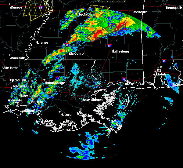 At 506 pm cdt, a severe thunderstorm was located over donaldsonville, moving northeast at 75 mph (radar indicated). Hazards include 60 mph wind gusts and half dollar size hail. Hail damage to vehicles is expected. expect wind damage to roofs, siding, and trees. locations impacted include, gonzales, donaldsonville, livingston, sorrento, french settlement, port vincent, whitehall, belle rose and killian. This storm is moving fast to the northeast. At 506 pm cdt, a severe thunderstorm was located over donaldsonville, moving northeast at 75 mph (radar indicated). Hazards include 60 mph wind gusts and half dollar size hail. Hail damage to vehicles is expected. expect wind damage to roofs, siding, and trees. locations impacted include, gonzales, donaldsonville, livingston, sorrento, french settlement, port vincent, whitehall, belle rose and killian. This storm is moving fast to the northeast.
|
| 4/12/2020 5:05 PM CDT |
 At 505 pm cdt, a severe thunderstorm was located over donaldsonville, moving northeast at 95 mph (radar indicated). Hazards include 60 mph wind gusts and half dollar size hail. Hail damage to vehicles is expected. Expect wind damage to roofs, siding, and trees. At 505 pm cdt, a severe thunderstorm was located over donaldsonville, moving northeast at 95 mph (radar indicated). Hazards include 60 mph wind gusts and half dollar size hail. Hail damage to vehicles is expected. Expect wind damage to roofs, siding, and trees.
|
| 4/9/2020 10:24 PM CDT |
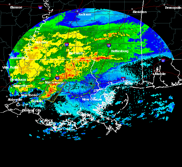 The severe thunderstorm warning for ascension, st. james, southern livingston, northwestern lafourche and northern assumption parishes will expire at 1030 pm cdt, the storms which prompted the warning have weakened below severe limits, and no longer pose an immediate threat to life or property. therefore, the warning will be allowed to expire. however small hail and gusty winds are still possible with these thunderstorms. to report severe weather, contact your nearest law enforcement agency. they will relay your report to the national weather service new orleans. remember, a severe thunderstorm warning still remains in effect until 10:30pm. The severe thunderstorm warning for ascension, st. james, southern livingston, northwestern lafourche and northern assumption parishes will expire at 1030 pm cdt, the storms which prompted the warning have weakened below severe limits, and no longer pose an immediate threat to life or property. therefore, the warning will be allowed to expire. however small hail and gusty winds are still possible with these thunderstorms. to report severe weather, contact your nearest law enforcement agency. they will relay your report to the national weather service new orleans. remember, a severe thunderstorm warning still remains in effect until 10:30pm.
|
| 4/9/2020 10:19 PM CDT |
 At 1018 pm cdt, severe thunderstorms were located along a line extending from near sorrento to near belle rose, moving east at 35 mph (radar indicated). Hazards include 60 mph wind gusts and quarter size hail. Hail damage to vehicles is expected. expect wind damage to roofs, siding, and trees. locations impacted include, gonzales, donaldsonville, napoleonville, st. Gabriel, gramercy, lutcher, sorrento, french settlement, port vincent, paincourtville, geismar, convent, prairieville, whitehall, belle rose, supreme, chackbay and killian. At 1018 pm cdt, severe thunderstorms were located along a line extending from near sorrento to near belle rose, moving east at 35 mph (radar indicated). Hazards include 60 mph wind gusts and quarter size hail. Hail damage to vehicles is expected. expect wind damage to roofs, siding, and trees. locations impacted include, gonzales, donaldsonville, napoleonville, st. Gabriel, gramercy, lutcher, sorrento, french settlement, port vincent, paincourtville, geismar, convent, prairieville, whitehall, belle rose, supreme, chackbay and killian.
|
| 4/9/2020 9:43 PM CDT |
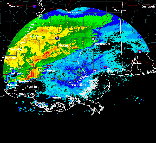 At 943 pm cdt, severe thunderstorms were located along a line extending from near plaquemine to near bayou sorrel, moving east at 35 mph (radar indicated). Hazards include 60 mph wind gusts and quarter size hail. Hail damage to vehicles is expected. Expect wind damage to roofs, siding, and trees. At 943 pm cdt, severe thunderstorms were located along a line extending from near plaquemine to near bayou sorrel, moving east at 35 mph (radar indicated). Hazards include 60 mph wind gusts and quarter size hail. Hail damage to vehicles is expected. Expect wind damage to roofs, siding, and trees.
|
| 10/21/2019 12:00 PM CDT |
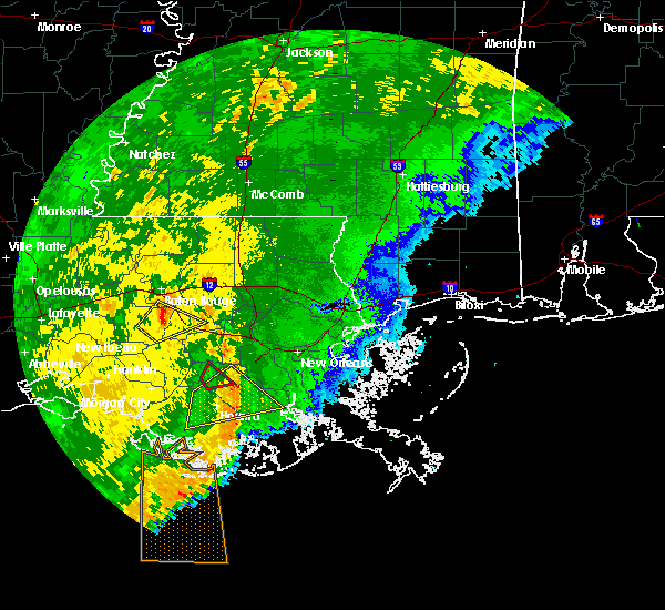 At 1200 pm cdt, a severe thunderstorm was located over carville, or 8 miles west of gonzales, moving northeast at 40 mph (radar indicated). Hazards include 60 mph wind gusts. Expect damage to roofs, siding, and trees. locations impacted include, gonzales, st. Gabriel, white castle, sorrento, geismer, gardere and carville. At 1200 pm cdt, a severe thunderstorm was located over carville, or 8 miles west of gonzales, moving northeast at 40 mph (radar indicated). Hazards include 60 mph wind gusts. Expect damage to roofs, siding, and trees. locations impacted include, gonzales, st. Gabriel, white castle, sorrento, geismer, gardere and carville.
|
| 10/21/2019 11:50 AM CDT |
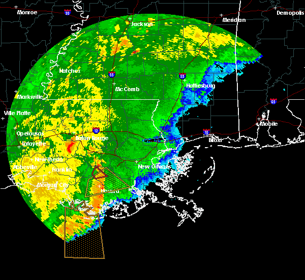 At 1150 am cdt, a severe thunderstorm was located over white castle, or 10 miles southeast of plaquemine, moving northeast at 35 mph (radar indicated). Hazards include 60 mph wind gusts. expect damage to roofs, siding, and trees At 1150 am cdt, a severe thunderstorm was located over white castle, or 10 miles southeast of plaquemine, moving northeast at 35 mph (radar indicated). Hazards include 60 mph wind gusts. expect damage to roofs, siding, and trees
|
| 6/24/2019 5:09 AM CDT |
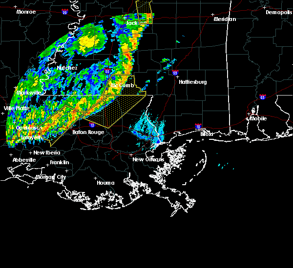 At 509 am cdt, severe thunderstorms were located along a line extending from near watson to 7 miles east of butte la rose, moving south at 40 mph (radar indicated). Hazards include 60 mph wind gusts. expect damage to roofs, siding, and trees At 509 am cdt, severe thunderstorms were located along a line extending from near watson to 7 miles east of butte la rose, moving south at 40 mph (radar indicated). Hazards include 60 mph wind gusts. expect damage to roofs, siding, and trees
|
| 6/6/2019 9:07 AM CDT |
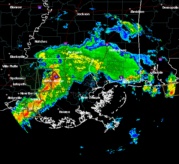 At 907 am cdt, a severe thunderstorm was located over geismer, or near gonzales, moving east at 35 mph (radar indicated). Hazards include 60 mph wind gusts. Expect damage to roofs, siding, and trees. locations impacted include, gonzales, donaldsonville, st. Gabriel, sorrento, prairieville and geismer. At 907 am cdt, a severe thunderstorm was located over geismer, or near gonzales, moving east at 35 mph (radar indicated). Hazards include 60 mph wind gusts. Expect damage to roofs, siding, and trees. locations impacted include, gonzales, donaldsonville, st. Gabriel, sorrento, prairieville and geismer.
|
| 6/6/2019 8:55 AM CDT |
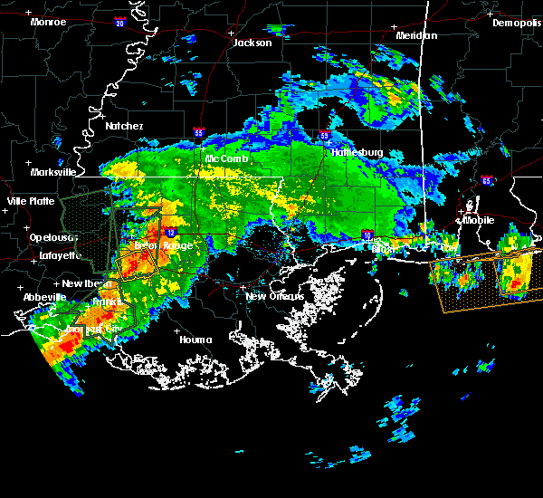 The national weather service in new orleans has issued a * severe thunderstorm warning for. western ascension parish in southeastern louisiana. southeastern iberville parish in southeastern louisiana. until 930 am cdt. At 854 am cdt, a severe thunderstorm was located over white castle,. The national weather service in new orleans has issued a * severe thunderstorm warning for. western ascension parish in southeastern louisiana. southeastern iberville parish in southeastern louisiana. until 930 am cdt. At 854 am cdt, a severe thunderstorm was located over white castle,.
|
| 5/19/2019 9:04 AM CDT |
 At 904 am cdt, a severe thunderstorm was located near sorrento, or near gonzales, moving east at 20 mph (radar indicated). Hazards include 60 mph wind gusts. expect damage to roofs, siding, and trees At 904 am cdt, a severe thunderstorm was located near sorrento, or near gonzales, moving east at 20 mph (radar indicated). Hazards include 60 mph wind gusts. expect damage to roofs, siding, and trees
|
| 5/10/2019 9:36 AM CDT |
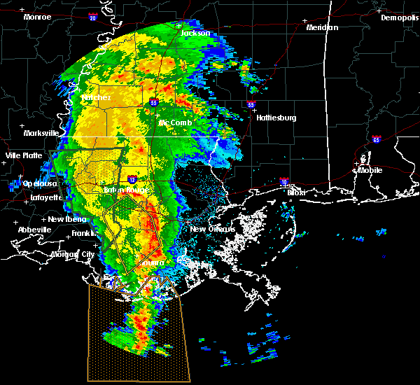 The severe thunderstorm warning for southwestern st. john the baptist, southeastern ascension, st. james, southwestern st. charles, northeastern terrebonne, south central livingston, northwestern lafourche and northeastern assumption parishes will expire at 945 am cdt, the storms which prompted the warning have moved out of the area. therefore, the warning will be allowed to expire. however gusty winds are still possible with these thunderstorms. to report severe weather, contact your nearest law enforcement agency. they will relay your report to the national weather service new orleans. The severe thunderstorm warning for southwestern st. john the baptist, southeastern ascension, st. james, southwestern st. charles, northeastern terrebonne, south central livingston, northwestern lafourche and northeastern assumption parishes will expire at 945 am cdt, the storms which prompted the warning have moved out of the area. therefore, the warning will be allowed to expire. however gusty winds are still possible with these thunderstorms. to report severe weather, contact your nearest law enforcement agency. they will relay your report to the national weather service new orleans.
|
| 5/10/2019 9:11 AM CDT |
 At 911 am cdt, severe thunderstorms were located along a line extending from near napoleonville to schriever to 8 miles southwest of houma, moving northeast at 45 mph (radar indicated). Hazards include 60 mph wind gusts. Expect damage to roofs, siding, and trees. Locations impacted include, houma, thibodaux, gonzales, donaldsonville, napoleonville, reserve, gramercy, lutcher, lockport, sorrento, french settlement, mathews, schriever, garyville, raceland, chackbay, bayou cane, gray, edgard and south vacherie. At 911 am cdt, severe thunderstorms were located along a line extending from near napoleonville to schriever to 8 miles southwest of houma, moving northeast at 45 mph (radar indicated). Hazards include 60 mph wind gusts. Expect damage to roofs, siding, and trees. Locations impacted include, houma, thibodaux, gonzales, donaldsonville, napoleonville, reserve, gramercy, lutcher, lockport, sorrento, french settlement, mathews, schriever, garyville, raceland, chackbay, bayou cane, gray, edgard and south vacherie.
|
| 5/10/2019 8:55 AM CDT |
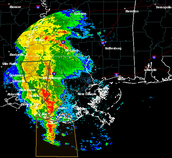 At 854 am cdt, severe thunderstorms were located along a line extending from bayou geneve to 9 miles east of amelia to 13 miles west of dulac, moving northeast at 45 mph (radar indicated). Hazards include 60 mph wind gusts. expect damage to roofs, siding, and trees At 854 am cdt, severe thunderstorms were located along a line extending from bayou geneve to 9 miles east of amelia to 13 miles west of dulac, moving northeast at 45 mph (radar indicated). Hazards include 60 mph wind gusts. expect damage to roofs, siding, and trees
|
| 5/9/2019 8:34 PM CDT |
 At 833 pm cdt, a severe thunderstorm was located near sorrento, or 9 miles east of gonzales, moving east at 25 mph (radar indicated). Hazards include 60 mph wind gusts and quarter size hail. Hail damage to vehicles is expected. expect wind damage to roofs, siding, and trees. Locations impacted include, gonzales, donaldsonville, reserve, lutcher, sorrento, french settlement, geismer, whitehall and garyville. At 833 pm cdt, a severe thunderstorm was located near sorrento, or 9 miles east of gonzales, moving east at 25 mph (radar indicated). Hazards include 60 mph wind gusts and quarter size hail. Hail damage to vehicles is expected. expect wind damage to roofs, siding, and trees. Locations impacted include, gonzales, donaldsonville, reserve, lutcher, sorrento, french settlement, geismer, whitehall and garyville.
|
| 5/9/2019 8:15 PM CDT |
 At 815 pm cdt, a severe thunderstorm was located over sorrento, or near gonzales, moving east at 35 mph (radar indicated). Hazards include 60 mph wind gusts and quarter size hail. Hail damage to vehicles is expected. Expect wind damage to roofs, siding, and trees. At 815 pm cdt, a severe thunderstorm was located over sorrento, or near gonzales, moving east at 35 mph (radar indicated). Hazards include 60 mph wind gusts and quarter size hail. Hail damage to vehicles is expected. Expect wind damage to roofs, siding, and trees.
|
| 5/9/2019 7:52 PM CDT |
 At 752 pm cdt, a severe thunderstorm was located near white castle, or near donaldsonville, moving east at 30 mph (radar indicated). Hazards include ping pong ball size hail and 60 mph wind gusts. People and animals outdoors will be injured. expect hail damage to roofs, siding, windows, and vehicles. expect wind damage to roofs, siding, and trees. locations impacted include, gonzales, donaldsonville, st. Gabriel, white castle, sorrento, prairieville, geismer, carville and belle rose. At 752 pm cdt, a severe thunderstorm was located near white castle, or near donaldsonville, moving east at 30 mph (radar indicated). Hazards include ping pong ball size hail and 60 mph wind gusts. People and animals outdoors will be injured. expect hail damage to roofs, siding, windows, and vehicles. expect wind damage to roofs, siding, and trees. locations impacted include, gonzales, donaldsonville, st. Gabriel, white castle, sorrento, prairieville, geismer, carville and belle rose.
|
| 5/9/2019 7:37 PM CDT |
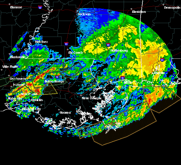 At 737 pm cdt, a severe thunderstorm was located near white castle, or 13 miles west of donaldsonville, moving east at 30 mph (radar indicated). Hazards include 60 mph wind gusts and quarter size hail. Hail damage to vehicles is expected. Expect wind damage to roofs, siding, and trees. At 737 pm cdt, a severe thunderstorm was located near white castle, or 13 miles west of donaldsonville, moving east at 30 mph (radar indicated). Hazards include 60 mph wind gusts and quarter size hail. Hail damage to vehicles is expected. Expect wind damage to roofs, siding, and trees.
|
| 5/4/2019 9:53 AM CDT |
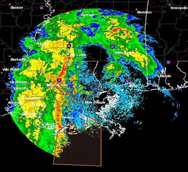 The severe thunderstorm warning for st. john the baptist, central ascension, st. james, northwestern st. charles, south central livingston and north central lafourche parishes will expire at 1000 am cdt, the storm which prompted the warning has weakened below severe limits, and no longer poses an immediate threat to life or property. therefore, the warning will be allowed to expire. however gusty winds are still possible with this thunderstorm. The severe thunderstorm warning for st. john the baptist, central ascension, st. james, northwestern st. charles, south central livingston and north central lafourche parishes will expire at 1000 am cdt, the storm which prompted the warning has weakened below severe limits, and no longer poses an immediate threat to life or property. therefore, the warning will be allowed to expire. however gusty winds are still possible with this thunderstorm.
|
| 5/4/2019 9:45 AM CDT |
 At 944 am cdt, a severe thunderstorm was located over gramercy, or 7 miles west of reserve, moving northeast at 45 mph (radar indicated). Hazards include 60 mph wind gusts. Expect damage to roofs, siding, and trees. Locations impacted include, gonzales, reserve, hahnville, laplace, gramercy, lutcher, sorrento, french settlement, port vincent, killona, norco, montz, edgard, south vacherie, convent, north vacherie, garyville, wallace, taft and new sarpy. At 944 am cdt, a severe thunderstorm was located over gramercy, or 7 miles west of reserve, moving northeast at 45 mph (radar indicated). Hazards include 60 mph wind gusts. Expect damage to roofs, siding, and trees. Locations impacted include, gonzales, reserve, hahnville, laplace, gramercy, lutcher, sorrento, french settlement, port vincent, killona, norco, montz, edgard, south vacherie, convent, north vacherie, garyville, wallace, taft and new sarpy.
|
| 5/4/2019 9:29 AM CDT |
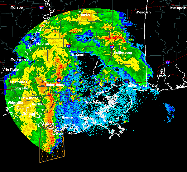 At 928 am cdt, a severe thunderstorm was located over convent, or 10 miles northeast of napoleonville, moving northeast at 45 mph (radar indicated). Hazards include 60 mph wind gusts. expect damage to roofs, siding, and trees At 928 am cdt, a severe thunderstorm was located over convent, or 10 miles northeast of napoleonville, moving northeast at 45 mph (radar indicated). Hazards include 60 mph wind gusts. expect damage to roofs, siding, and trees
|
| 4/25/2019 1:36 PM CDT |
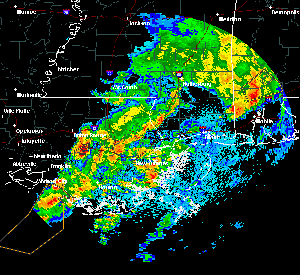 At 136 pm cdt, a severe thunderstorm capable of producing a tornado was located near sorrento, or near donaldsonville, moving northeast at 40 mph (radar indicated rotation). Hazards include tornado. Flying debris will be dangerous to those caught without shelter. mobile homes will be damaged or destroyed. damage to roofs, windows, and vehicles will occur. tree damage is likely. this tornadic thunderstorm will remain over mainly rural areas of south central ascension and northwestern st. James parishes. At 136 pm cdt, a severe thunderstorm capable of producing a tornado was located near sorrento, or near donaldsonville, moving northeast at 40 mph (radar indicated rotation). Hazards include tornado. Flying debris will be dangerous to those caught without shelter. mobile homes will be damaged or destroyed. damage to roofs, windows, and vehicles will occur. tree damage is likely. this tornadic thunderstorm will remain over mainly rural areas of south central ascension and northwestern st. James parishes.
|
| 4/25/2019 1:27 PM CDT |
 At 127 pm cdt, a severe thunderstorm capable of producing a tornado was located over donaldsonville, moving northeast at 40 mph (radar indicated rotation). Hazards include tornado. Flying debris will be dangerous to those caught without shelter. mobile homes will be damaged or destroyed. damage to roofs, windows, and vehicles will occur. tree damage is likely. This dangerous storm will be near, gonzales around 145 pm cdt. At 127 pm cdt, a severe thunderstorm capable of producing a tornado was located over donaldsonville, moving northeast at 40 mph (radar indicated rotation). Hazards include tornado. Flying debris will be dangerous to those caught without shelter. mobile homes will be damaged or destroyed. damage to roofs, windows, and vehicles will occur. tree damage is likely. This dangerous storm will be near, gonzales around 145 pm cdt.
|
| 4/25/2019 1:24 PM CDT |
 At 123 pm cdt, a severe thunderstorm was located over belle rose, or near donaldsonville, moving northeast at 30 mph (radar indicated). Hazards include 60 mph wind gusts. Expect damage to roofs, siding, and trees. Locations impacted include, gonzales, donaldsonville, sorrento and belle rose. At 123 pm cdt, a severe thunderstorm was located over belle rose, or near donaldsonville, moving northeast at 30 mph (radar indicated). Hazards include 60 mph wind gusts. Expect damage to roofs, siding, and trees. Locations impacted include, gonzales, donaldsonville, sorrento and belle rose.
|
| 4/25/2019 1:18 PM CDT |
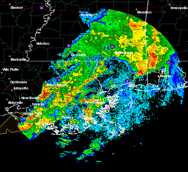 At 117 pm cdt, a severe thunderstorm was located near belle rose, or 8 miles southwest of donaldsonville, moving east at 25 mph (radar indicated). Hazards include 60 mph wind gusts. expect damage to roofs, siding, and trees At 117 pm cdt, a severe thunderstorm was located near belle rose, or 8 miles southwest of donaldsonville, moving east at 25 mph (radar indicated). Hazards include 60 mph wind gusts. expect damage to roofs, siding, and trees
|
| 4/7/2019 7:30 PM CDT | It was reported that a tree fell on a house and powerlines are down near st. amant... la near la22/route 937 along rodgers a... b... and c crossroads.no injuries report in ascension county LA, 3.2 miles NW of Gonzales, LA |
| 4/7/2019 7:30 PM CDT | Multiple houses with major roof damage in st amant. possible tornad in ascension county LA, 3.2 miles WNW of Gonzales, LA |
| 4/7/2019 7:29 PM CDT |
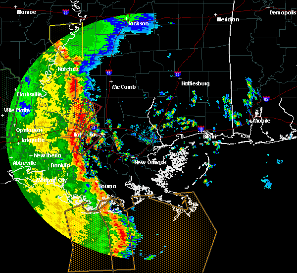 At 729 pm cdt, a severe thunderstorm capable of producing a tornado was located over donaldsonville, moving northeast at 60 mph (radar indicated rotation). Hazards include tornado. Flying debris will be dangerous to those caught without shelter. mobile homes will be damaged or destroyed. damage to roofs, windows, and vehicles will occur. tree damage is likely. this dangerous storm will be near, gonzales and sorrento around 740 pm cdt. french settlement and port vincent around 745 pm cdt. Other locations impacted by this tornadic thunderstorm include killian. At 729 pm cdt, a severe thunderstorm capable of producing a tornado was located over donaldsonville, moving northeast at 60 mph (radar indicated rotation). Hazards include tornado. Flying debris will be dangerous to those caught without shelter. mobile homes will be damaged or destroyed. damage to roofs, windows, and vehicles will occur. tree damage is likely. this dangerous storm will be near, gonzales and sorrento around 740 pm cdt. french settlement and port vincent around 745 pm cdt. Other locations impacted by this tornadic thunderstorm include killian.
|
| 4/4/2019 11:16 AM CDT |
 At 1115 am cdt, severe thunderstorms were located along a line extending from near sorrento to near convent to near chackbay to near labadieville, moving east at 25 mph (radar indicated). Hazards include 60 mph wind gusts. Expect damage to roofs, siding, and trees. Locations impacted include, thibodaux, gonzales, gramercy, lutcher, sorrento, schriever, gray, south vacherie, convent, north vacherie, garyville, wallace, chackbay, edgard and raceland. At 1115 am cdt, severe thunderstorms were located along a line extending from near sorrento to near convent to near chackbay to near labadieville, moving east at 25 mph (radar indicated). Hazards include 60 mph wind gusts. Expect damage to roofs, siding, and trees. Locations impacted include, thibodaux, gonzales, gramercy, lutcher, sorrento, schriever, gray, south vacherie, convent, north vacherie, garyville, wallace, chackbay, edgard and raceland.
|
| 4/4/2019 11:01 AM CDT |
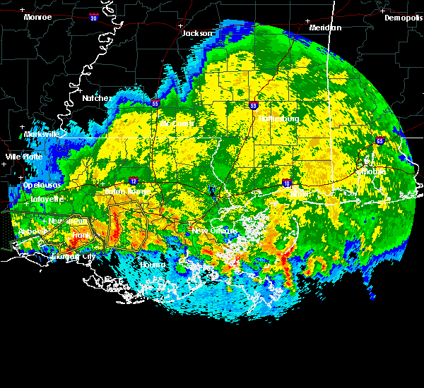 At 1100 am cdt, severe thunderstorms were located along a line extending from near geismer to near donaldsonville to near supreme to near bayou geneve, moving east at 20 mph (radar indicated). Hazards include 60 mph wind gusts. Expect damage to roofs, siding, and trees. Locations impacted include, thibodaux, gonzales, donaldsonville, napoleonville, gramercy, lutcher, sorrento, schriever, gray, geismer, south vacherie, convent, north vacherie, garyville, wallace, supreme, chackbay, labadieville, belle rose and edgard. At 1100 am cdt, severe thunderstorms were located along a line extending from near geismer to near donaldsonville to near supreme to near bayou geneve, moving east at 20 mph (radar indicated). Hazards include 60 mph wind gusts. Expect damage to roofs, siding, and trees. Locations impacted include, thibodaux, gonzales, donaldsonville, napoleonville, gramercy, lutcher, sorrento, schriever, gray, geismer, south vacherie, convent, north vacherie, garyville, wallace, supreme, chackbay, labadieville, belle rose and edgard.
|
| 4/4/2019 10:44 AM CDT |
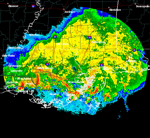 At 1044 am cdt, severe thunderstorms were located along a line extending from near geismer to near belle rose to supreme to near stephensville, moving east at 25 mph (radar indicated). Hazards include 60 mph wind gusts. expect damage to roofs, siding, and trees At 1044 am cdt, severe thunderstorms were located along a line extending from near geismer to near belle rose to supreme to near stephensville, moving east at 25 mph (radar indicated). Hazards include 60 mph wind gusts. expect damage to roofs, siding, and trees
|
| 12/1/2018 1:11 AM CST |
 At 110 am cst, a severe thunderstorm was located over geismer, or near gonzales, moving northeast at 30 mph (radar indicated). Hazards include 60 mph wind gusts. Expect damage to roofs, siding, and trees. Locations impacted include, gonzales, sorrento, geismer and prairieville. At 110 am cst, a severe thunderstorm was located over geismer, or near gonzales, moving northeast at 30 mph (radar indicated). Hazards include 60 mph wind gusts. Expect damage to roofs, siding, and trees. Locations impacted include, gonzales, sorrento, geismer and prairieville.
|
| 12/1/2018 1:02 AM CST |
 At 102 am cst, a severe thunderstorm was located near geismer, or near donaldsonville, moving northeast at 30 mph (radar indicated). Hazards include 60 mph wind gusts. expect damage to roofs, siding, and trees At 102 am cst, a severe thunderstorm was located near geismer, or near donaldsonville, moving northeast at 30 mph (radar indicated). Hazards include 60 mph wind gusts. expect damage to roofs, siding, and trees
|
| 6/4/2018 6:41 PM CDT |
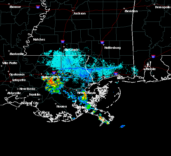 At 641 pm cdt, a severe thunderstorm was located near french settlement, or near gonzales, moving northeast at 15 mph (radar indicated). Hazards include 60 mph wind gusts. expect damage to roofs, siding, and trees At 641 pm cdt, a severe thunderstorm was located near french settlement, or near gonzales, moving northeast at 15 mph (radar indicated). Hazards include 60 mph wind gusts. expect damage to roofs, siding, and trees
|
| 4/14/2018 8:50 AM CDT |
 At 849 am cdt, severe thunderstorms were located along a line extending from livingston to donaldsonville to bayou geneve, moving southeast at 15 mph (radar indicated). Hazards include 60 mph wind gusts. Expect damage to roofs, siding, and trees. locations impacted include, thibodaux, denham springs, gonzales, donaldsonville, napoleonville, st. gabriel, walker, gramercy, lutcher, white castle, livingston, sorrento, french settlement, albany, port vincent, schriever, geismer, supreme, chackbay and shenandoah. A tornado watch remains in effect until 200 pm cdt for southeastern louisiana. At 849 am cdt, severe thunderstorms were located along a line extending from livingston to donaldsonville to bayou geneve, moving southeast at 15 mph (radar indicated). Hazards include 60 mph wind gusts. Expect damage to roofs, siding, and trees. locations impacted include, thibodaux, denham springs, gonzales, donaldsonville, napoleonville, st. gabriel, walker, gramercy, lutcher, white castle, livingston, sorrento, french settlement, albany, port vincent, schriever, geismer, supreme, chackbay and shenandoah. A tornado watch remains in effect until 200 pm cdt for southeastern louisiana.
|
| 4/14/2018 8:01 AM CDT |
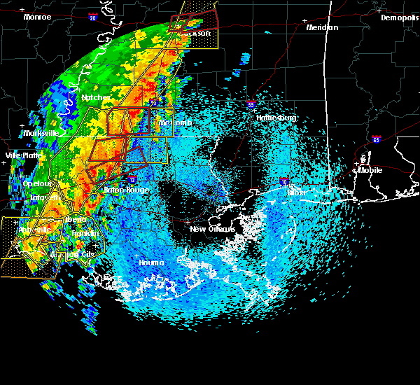 At 800 am cdt, severe thunderstorms were located along a line extending from port allen to 7 miles west of belle river, moving east at 25 mph (radar indicated). Hazards include 60 mph wind gusts. expect damage to roofs, siding, and trees At 800 am cdt, severe thunderstorms were located along a line extending from port allen to 7 miles west of belle river, moving east at 25 mph (radar indicated). Hazards include 60 mph wind gusts. expect damage to roofs, siding, and trees
|
| 8/29/2017 2:00 PM CDT |
 At 200 pm cdt, a severe thunderstorm capable of producing a tornado was located near convent, or 8 miles east of napoleonville, moving northeast at 10 mph (radar indicated rotation). Hazards include tornado. Flying debris will be dangerous to those caught without shelter. mobile homes will be damaged or destroyed. damage to roofs, windows, and vehicles will occur. tree damage is likely. this dangerous storm will be near, convent around 225 pm cdt. Gramercy and lutcher around 245 pm cdt. At 200 pm cdt, a severe thunderstorm capable of producing a tornado was located near convent, or 8 miles east of napoleonville, moving northeast at 10 mph (radar indicated rotation). Hazards include tornado. Flying debris will be dangerous to those caught without shelter. mobile homes will be damaged or destroyed. damage to roofs, windows, and vehicles will occur. tree damage is likely. this dangerous storm will be near, convent around 225 pm cdt. Gramercy and lutcher around 245 pm cdt.
|
| 6/18/2017 3:54 PM CDT |
 The severe thunderstorm warning for northwestern ascension, central livingston, east central iberville and south central east baton rouge parishes will expire at 400 pm cdt, the storms which prompted the warning have weakened below severe limits, and no longer pose an immediate threat to life or property. therefore the warning will be allowed to expire. however gusty winds around 40 mph are still possible with these thunderstorms. The severe thunderstorm warning for northwestern ascension, central livingston, east central iberville and south central east baton rouge parishes will expire at 400 pm cdt, the storms which prompted the warning have weakened below severe limits, and no longer pose an immediate threat to life or property. therefore the warning will be allowed to expire. however gusty winds around 40 mph are still possible with these thunderstorms.
|
| 6/18/2017 3:42 PM CDT |
 At 342 pm cdt, severe thunderstorms were located along a line extending from 7 miles northeast of whitehall to near st. gabriel, moving southeast at 25 mph (radar indicated). Hazards include 60 mph wind gusts and nickel size hail. Expect damage to roofs, siding, and trees. locations impacted include, gonzales, oak hills place, st. gabriel, white castle, livingston, french settlement, port vincent, geismer, old jefferson, prairieville, village st. George, gardere, carville, shenandoah and killian. At 342 pm cdt, severe thunderstorms were located along a line extending from 7 miles northeast of whitehall to near st. gabriel, moving southeast at 25 mph (radar indicated). Hazards include 60 mph wind gusts and nickel size hail. Expect damage to roofs, siding, and trees. locations impacted include, gonzales, oak hills place, st. gabriel, white castle, livingston, french settlement, port vincent, geismer, old jefferson, prairieville, village st. George, gardere, carville, shenandoah and killian.
|
| 6/18/2017 3:21 PM CDT |
 At 321 pm cdt, severe thunderstorms were located along a line extending from near walker to westminster, moving southeast at 10 mph (radar indicated). Hazards include 60 mph wind gusts and quarter size hail. Hail damage to vehicles is expected. Expect wind damage to roofs, siding, and trees. At 321 pm cdt, severe thunderstorms were located along a line extending from near walker to westminster, moving southeast at 10 mph (radar indicated). Hazards include 60 mph wind gusts and quarter size hail. Hail damage to vehicles is expected. Expect wind damage to roofs, siding, and trees.
|
| 5/12/2017 4:43 PM CDT |
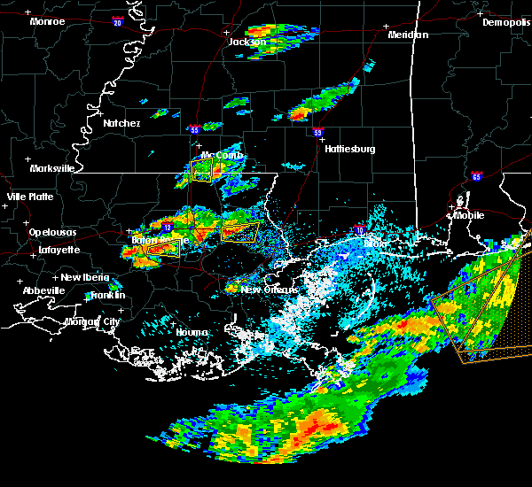 At 443 pm cdt, a severe thunderstorm was located near gonzales, moving east at 30 mph (law enforcement). Hazards include quarter size hail. Damage to vehicles is expected. Locations impacted include, gonzales, french settlement, port vincent and whitehall. At 443 pm cdt, a severe thunderstorm was located near gonzales, moving east at 30 mph (law enforcement). Hazards include quarter size hail. Damage to vehicles is expected. Locations impacted include, gonzales, french settlement, port vincent and whitehall.
|
| 5/12/2017 4:29 PM CDT |
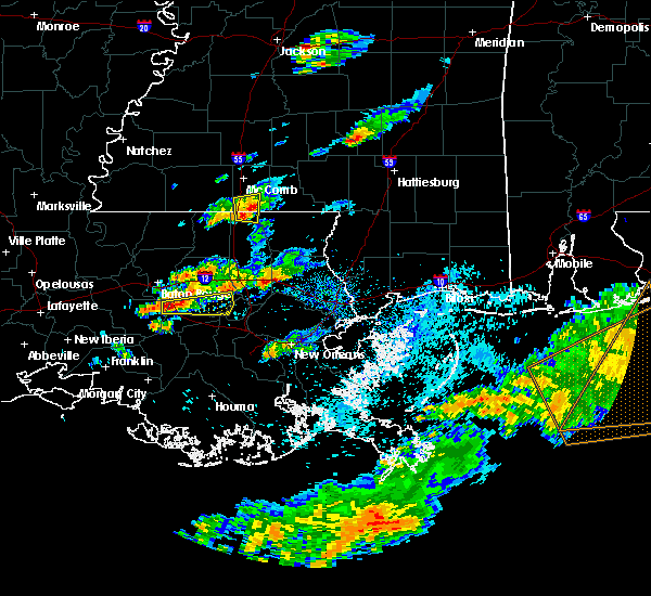 At 429 pm cdt, a severe thunderstorm was located near prairieville, or near gonzales, moving east at 45 mph (radar indicated). Hazards include ping pong ball size hail. People and animals outdoors will be injured. Expect damage to roofs, siding, windows, and vehicles. At 429 pm cdt, a severe thunderstorm was located near prairieville, or near gonzales, moving east at 45 mph (radar indicated). Hazards include ping pong ball size hail. People and animals outdoors will be injured. Expect damage to roofs, siding, windows, and vehicles.
|
| 5/12/2017 9:35 AM CDT |
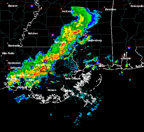 At 935 am cdt, a severe thunderstorm capable of producing a tornado was located over sorrento, or near gonzales, moving east at 30 mph (radar indicated rotation). Hazards include tornado and quarter size hail. Flying debris will be dangerous to those caught without shelter. mobile homes will be damaged or destroyed. damage to roofs, windows, and vehicles will occur. tree damage is likely. This dangerous storm will be near, french settlement around 940 am cdt. At 935 am cdt, a severe thunderstorm capable of producing a tornado was located over sorrento, or near gonzales, moving east at 30 mph (radar indicated rotation). Hazards include tornado and quarter size hail. Flying debris will be dangerous to those caught without shelter. mobile homes will be damaged or destroyed. damage to roofs, windows, and vehicles will occur. tree damage is likely. This dangerous storm will be near, french settlement around 940 am cdt.
|
| 5/12/2017 9:19 AM CDT |
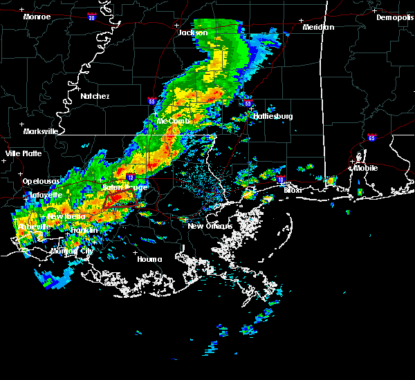 At 918 am cdt, a severe thunderstorm capable of producing a tornado was located over gonzales, moving east at 35 mph (radar indicated rotation). Hazards include tornado and quarter size hail. Flying debris will be dangerous to those caught without shelter. mobile homes will be damaged or destroyed. damage to roofs, windows, and vehicles will occur. tree damage is likely. this dangerous storm will be near, sorrento around 930 am cdt. French settlement around 940 am cdt. At 918 am cdt, a severe thunderstorm capable of producing a tornado was located over gonzales, moving east at 35 mph (radar indicated rotation). Hazards include tornado and quarter size hail. Flying debris will be dangerous to those caught without shelter. mobile homes will be damaged or destroyed. damage to roofs, windows, and vehicles will occur. tree damage is likely. this dangerous storm will be near, sorrento around 930 am cdt. French settlement around 940 am cdt.
|
| 5/12/2017 9:04 AM CDT |
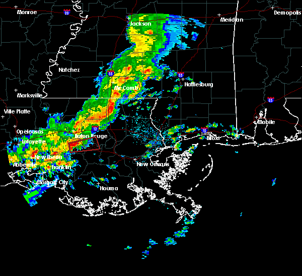 At 904 am cdt, a severe thunderstorm capable of producing a tornado was located over white castle, or 8 miles northwest of donaldsonville, moving east at 35 mph (radar indicated rotation). Hazards include tornado. Flying debris will be dangerous to those caught without shelter. mobile homes will be damaged or destroyed. damage to roofs, windows, and vehicles will occur. tree damage is likely. this dangerous storm will be near, geismer around 915 am cdt. prairieville around 920 am cdt. gonzales around 925 am cdt. Sorrento around 930 am cdt. At 904 am cdt, a severe thunderstorm capable of producing a tornado was located over white castle, or 8 miles northwest of donaldsonville, moving east at 35 mph (radar indicated rotation). Hazards include tornado. Flying debris will be dangerous to those caught without shelter. mobile homes will be damaged or destroyed. damage to roofs, windows, and vehicles will occur. tree damage is likely. this dangerous storm will be near, geismer around 915 am cdt. prairieville around 920 am cdt. gonzales around 925 am cdt. Sorrento around 930 am cdt.
|
| 4/30/2017 8:57 AM CDT |
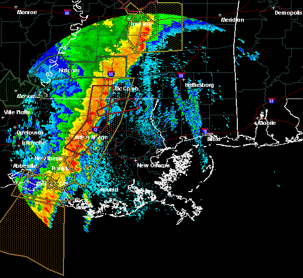 At 857 am cdt, severe thunderstorms were located along a line extending from near summit to montpelier to near stephensville, moving east at 25 mph (radar indicated). Hazards include 60 mph wind gusts. expect damage to roofs, siding, and trees At 857 am cdt, severe thunderstorms were located along a line extending from near summit to montpelier to near stephensville, moving east at 25 mph (radar indicated). Hazards include 60 mph wind gusts. expect damage to roofs, siding, and trees
|
| 4/30/2017 8:40 AM CDT |
 At 839 am cdt, a severe squall line capable of producing both tornadoes and extensive straight line wind damage was located along a line extending from near liberty to 7 miles west of montpelier to near white castle, moving east at 30 mph (radar indicated rotation). Hazards include tornado and quarter size hail. Flying debris will be dangerous to those caught without shelter. mobile homes will be damaged or destroyed. damage to roofs, windows, and vehicles will occur. tree damage is likely. these dangerous storms will be near, liberty around 845 am cdt. montpelier around 855 am cdt. gonzales, greensburg, magnolia and prairieville around 900 am cdt. Other locations impacted by these tornadic storms include tangipahoa and mccomb airport. At 839 am cdt, a severe squall line capable of producing both tornadoes and extensive straight line wind damage was located along a line extending from near liberty to 7 miles west of montpelier to near white castle, moving east at 30 mph (radar indicated rotation). Hazards include tornado and quarter size hail. Flying debris will be dangerous to those caught without shelter. mobile homes will be damaged or destroyed. damage to roofs, windows, and vehicles will occur. tree damage is likely. these dangerous storms will be near, liberty around 845 am cdt. montpelier around 855 am cdt. gonzales, greensburg, magnolia and prairieville around 900 am cdt. Other locations impacted by these tornadic storms include tangipahoa and mccomb airport.
|
| 4/30/2017 8:26 AM CDT |
 At 825 am cdt, severe thunderstorms capable of producing both tornadoes and extensive straight line wind damage were located along a line extending from liberty to near pride to near plaquemine, moving east at 25 mph (radar indicated rotation). Hazards include tornado and quarter size hail. Flying debris will be dangerous to those caught without shelter. mobile homes will be damaged or destroyed. damage to roofs, windows, and vehicles will occur. tree damage is likely. these dangerous storms will be near, liberty and watson around 830 am cdt. gillsberg around 855 am cdt. gonzales, donaldsonville, montpelier, geismer and prairieville around 900 am cdt. Other locations impacted by these tornadic storms include mccomb airport and tangipahoa. At 825 am cdt, severe thunderstorms capable of producing both tornadoes and extensive straight line wind damage were located along a line extending from liberty to near pride to near plaquemine, moving east at 25 mph (radar indicated rotation). Hazards include tornado and quarter size hail. Flying debris will be dangerous to those caught without shelter. mobile homes will be damaged or destroyed. damage to roofs, windows, and vehicles will occur. tree damage is likely. these dangerous storms will be near, liberty and watson around 830 am cdt. gillsberg around 855 am cdt. gonzales, donaldsonville, montpelier, geismer and prairieville around 900 am cdt. Other locations impacted by these tornadic storms include mccomb airport and tangipahoa.
|
| 4/30/2017 8:26 AM CDT |
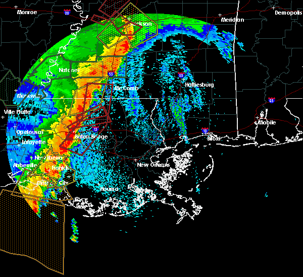 At 825 am cdt, severe thunderstorms capable of producing both tornadoes and extensive straight line wind damage were located along a line extending from liberty to near pride to near plaquemine, moving east at 25 mph (radar indicated rotation). Hazards include tornado and quarter size hail. Flying debris will be dangerous to those caught without shelter. mobile homes will be damaged or destroyed. damage to roofs, windows, and vehicles will occur. tree damage is likely. these dangerous storms will be near, liberty and watson around 830 am cdt. gillsberg around 855 am cdt. gonzales, donaldsonville, montpelier, geismer and prairieville around 900 am cdt. Other locations impacted by these tornadic storms include mccomb airport and tangipahoa. At 825 am cdt, severe thunderstorms capable of producing both tornadoes and extensive straight line wind damage were located along a line extending from liberty to near pride to near plaquemine, moving east at 25 mph (radar indicated rotation). Hazards include tornado and quarter size hail. Flying debris will be dangerous to those caught without shelter. mobile homes will be damaged or destroyed. damage to roofs, windows, and vehicles will occur. tree damage is likely. these dangerous storms will be near, liberty and watson around 830 am cdt. gillsberg around 855 am cdt. gonzales, donaldsonville, montpelier, geismer and prairieville around 900 am cdt. Other locations impacted by these tornadic storms include mccomb airport and tangipahoa.
|
| 4/3/2017 2:19 AM CDT |
 At 218 am cdt, severe thunderstorms were located along a line extending from near watson to 6 miles north of pierre part, moving east at 25 mph (radar indicated). Hazards include 60 mph wind gusts. expect damage to roofs, siding, and trees At 218 am cdt, severe thunderstorms were located along a line extending from near watson to 6 miles north of pierre part, moving east at 25 mph (radar indicated). Hazards include 60 mph wind gusts. expect damage to roofs, siding, and trees
|
| 2/7/2017 11:18 AM CST |
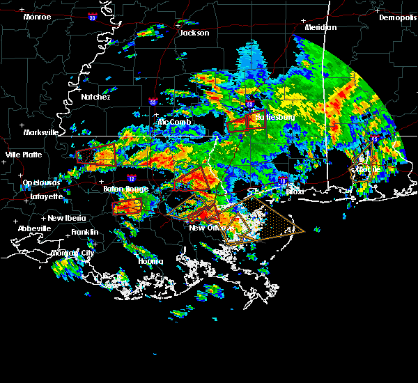 At 1117 am cst, a confirmed tornado was located near sorrento, or near donaldsonville, moving east at 35 mph (emergency management confirmed tornado). Hazards include damaging tornado and quarter size hail. Flying debris will be dangerous to those caught without shelter. mobile homes will be damaged or destroyed. damage to roofs, windows, and vehicles will occur. tree damage is likely. Locations impacted include, gonzales, gramercy, lutcher, sorrento and garyville. At 1117 am cst, a confirmed tornado was located near sorrento, or near donaldsonville, moving east at 35 mph (emergency management confirmed tornado). Hazards include damaging tornado and quarter size hail. Flying debris will be dangerous to those caught without shelter. mobile homes will be damaged or destroyed. damage to roofs, windows, and vehicles will occur. tree damage is likely. Locations impacted include, gonzales, gramercy, lutcher, sorrento and garyville.
|
| 2/7/2017 10:59 AM CST |
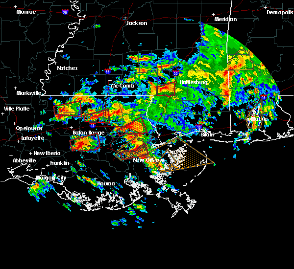 At 1059 am cst, a severe thunderstorm capable of producing a tornado was located near geismer, or near donaldsonville, moving east at 35 mph (radar indicated rotation). Hazards include tornado and quarter size hail. Flying debris will be dangerous to those caught without shelter. mobile homes will be damaged or destroyed. damage to roofs, windows, and vehicles will occur. Tree damage is likely. At 1059 am cst, a severe thunderstorm capable of producing a tornado was located near geismer, or near donaldsonville, moving east at 35 mph (radar indicated rotation). Hazards include tornado and quarter size hail. Flying debris will be dangerous to those caught without shelter. mobile homes will be damaged or destroyed. damage to roofs, windows, and vehicles will occur. Tree damage is likely.
|
| 2/7/2017 10:47 AM CST |
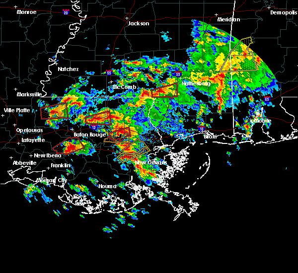 At 1047 am cst, a severe thunderstorm capable of producing a tornado was located over white castle, or 10 miles west of donaldsonville, moving east at 30 mph (radar indicated rotation). Hazards include tornado and ping pong ball size hail. Flying debris will be dangerous to those caught without shelter. mobile homes will be damaged or destroyed. damage to roofs, windows, and vehicles will occur. tree damage is likely. locations impacted include, gonzales, plaquemine, st. Gabriel, white castle, bayou sorrel, carville and geismer. At 1047 am cst, a severe thunderstorm capable of producing a tornado was located over white castle, or 10 miles west of donaldsonville, moving east at 30 mph (radar indicated rotation). Hazards include tornado and ping pong ball size hail. Flying debris will be dangerous to those caught without shelter. mobile homes will be damaged or destroyed. damage to roofs, windows, and vehicles will occur. tree damage is likely. locations impacted include, gonzales, plaquemine, st. Gabriel, white castle, bayou sorrel, carville and geismer.
|
| 2/7/2017 10:28 AM CST |
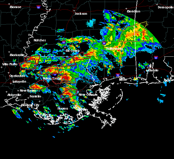 At 1028 am cst, a severe thunderstorm capable of producing a tornado was located near bayou sorrel, or 12 miles south of plaquemine, moving northeast at 30 mph (radar indicated rotation). Hazards include tornado and quarter size hail. Flying debris will be dangerous to those caught without shelter. mobile homes will be damaged or destroyed. damage to roofs, windows, and vehicles will occur. Tree damage is likely. At 1028 am cst, a severe thunderstorm capable of producing a tornado was located near bayou sorrel, or 12 miles south of plaquemine, moving northeast at 30 mph (radar indicated rotation). Hazards include tornado and quarter size hail. Flying debris will be dangerous to those caught without shelter. mobile homes will be damaged or destroyed. damage to roofs, windows, and vehicles will occur. Tree damage is likely.
|
| 2/7/2017 9:46 AM CST |
 At 946 am cst, a severe thunderstorm capable of producing a tornado was located near french settlement, or near gonzales, moving east at 35 mph (radar indicated rotation). Hazards include tornado and quarter size hail. Flying debris will be dangerous to those caught without shelter. mobile homes will be damaged or destroyed. damage to roofs, windows, and vehicles will occur. tree damage is likely. locations impacted include, gonzales, st. Gabriel, sorrento, french settlement, port vincent, prairieville, whitehall and geismer. At 946 am cst, a severe thunderstorm capable of producing a tornado was located near french settlement, or near gonzales, moving east at 35 mph (radar indicated rotation). Hazards include tornado and quarter size hail. Flying debris will be dangerous to those caught without shelter. mobile homes will be damaged or destroyed. damage to roofs, windows, and vehicles will occur. tree damage is likely. locations impacted include, gonzales, st. Gabriel, sorrento, french settlement, port vincent, prairieville, whitehall and geismer.
|
| 2/7/2017 9:26 AM CST |
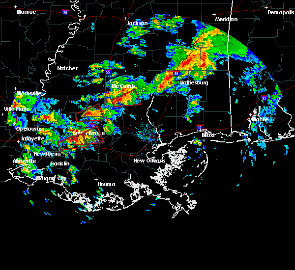 At 926 am cst, a severe thunderstorm capable of producing a tornado was located near geismer, or near gonzales, moving northeast at 40 mph (radar indicated rotation). Hazards include tornado and golf ball size hail. Flying debris will be dangerous to those caught without shelter. mobile homes will be damaged or destroyed. damage to roofs, windows, and vehicles will occur. Tree damage is likely. At 926 am cst, a severe thunderstorm capable of producing a tornado was located near geismer, or near gonzales, moving northeast at 40 mph (radar indicated rotation). Hazards include tornado and golf ball size hail. Flying debris will be dangerous to those caught without shelter. mobile homes will be damaged or destroyed. damage to roofs, windows, and vehicles will occur. Tree damage is likely.
|
| 2/7/2017 9:15 AM CST |
 At 915 am cst, a severe thunderstorm capable of producing a tornado was located over white castle, or 8 miles southeast of plaquemine, moving east at 30 mph (radar indicated rotation). Hazards include tornado and golf ball size hail. Flying debris will be dangerous to those caught without shelter. mobile homes will be damaged or destroyed. damage to roofs, windows, and vehicles will occur. tree damage is likely. locations impacted include, gonzales, st. Gabriel, white castle, sorrento, prairieville, carville and geismer. At 915 am cst, a severe thunderstorm capable of producing a tornado was located over white castle, or 8 miles southeast of plaquemine, moving east at 30 mph (radar indicated rotation). Hazards include tornado and golf ball size hail. Flying debris will be dangerous to those caught without shelter. mobile homes will be damaged or destroyed. damage to roofs, windows, and vehicles will occur. tree damage is likely. locations impacted include, gonzales, st. Gabriel, white castle, sorrento, prairieville, carville and geismer.
|
| 2/7/2017 9:05 AM CST |
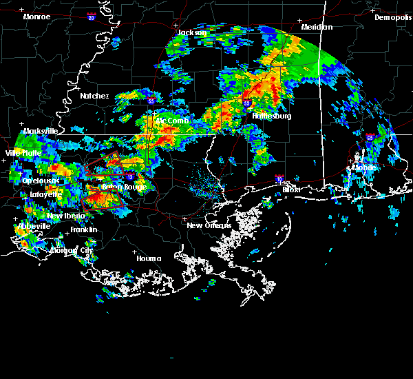 At 904 am cst, a severe thunderstorm capable of producing a tornado was located near white castle, or 7 miles south of plaquemine, moving east at 30 mph (radar indicated rotation). Hazards include tornado and quarter size hail. Flying debris will be dangerous to those caught without shelter. mobile homes will be damaged or destroyed. damage to roofs, windows, and vehicles will occur. Tree damage is likely. At 904 am cst, a severe thunderstorm capable of producing a tornado was located near white castle, or 7 miles south of plaquemine, moving east at 30 mph (radar indicated rotation). Hazards include tornado and quarter size hail. Flying debris will be dangerous to those caught without shelter. mobile homes will be damaged or destroyed. damage to roofs, windows, and vehicles will occur. Tree damage is likely.
|
| 1/2/2017 2:40 PM CST |
 The severe thunderstorm warning for washington, st. tammany, tangipahoa, livingston, northern st. john the baptist, southeastern st. helena and central ascension parishes, walthall and eastern pike counties will expire at 245 pm cst, the storms which prompted the warning have moved out of the area. therefore the warning will be allowed to expire. a tornado watch remains in effect until 800 pm cst for southeastern louisiana, and southern mississippi. remember, a severe thunderstorm warning still remains in effect for this line of storms to the east of your location. The severe thunderstorm warning for washington, st. tammany, tangipahoa, livingston, northern st. john the baptist, southeastern st. helena and central ascension parishes, walthall and eastern pike counties will expire at 245 pm cst, the storms which prompted the warning have moved out of the area. therefore the warning will be allowed to expire. a tornado watch remains in effect until 800 pm cst for southeastern louisiana, and southern mississippi. remember, a severe thunderstorm warning still remains in effect for this line of storms to the east of your location.
|
| 1/2/2017 2:40 PM CST |
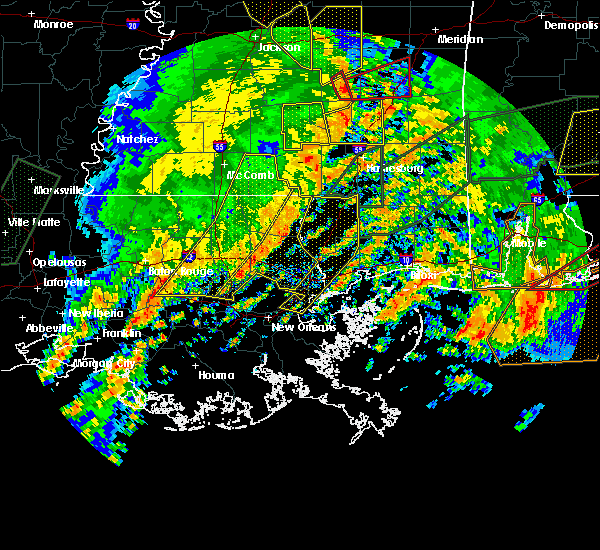 The severe thunderstorm warning for washington, st. tammany, tangipahoa, livingston, northern st. john the baptist, southeastern st. helena and central ascension parishes, walthall and eastern pike counties will expire at 245 pm cst, the storms which prompted the warning have moved out of the area. therefore the warning will be allowed to expire. a tornado watch remains in effect until 800 pm cst for southeastern louisiana, and southern mississippi. remember, a severe thunderstorm warning still remains in effect for this line of storms to the east of your location. The severe thunderstorm warning for washington, st. tammany, tangipahoa, livingston, northern st. john the baptist, southeastern st. helena and central ascension parishes, walthall and eastern pike counties will expire at 245 pm cst, the storms which prompted the warning have moved out of the area. therefore the warning will be allowed to expire. a tornado watch remains in effect until 800 pm cst for southeastern louisiana, and southern mississippi. remember, a severe thunderstorm warning still remains in effect for this line of storms to the east of your location.
|
| 1/2/2017 2:26 PM CST |
 At 226 pm cst, severe thunderstorms were located along a line extending from near improve to 7 miles west of bogalusa to 11 miles north of laplace, moving east at 55 mph (radar indicated). Hazards include 60 mph wind gusts. Expect damage to roofs, siding, and trees. locations impacted include, slidell, hammond, bogalusa, gonzales, covington, franklinton, amite, ponchatoula, amite city, pearl river, abita springs, livingston, independence, tylertown, varnado, sorrento, roseland, french settlement, albany and madisonville. A tornado watch remains in effect until 800 pm cst for southeastern louisiana, and southern mississippi. At 226 pm cst, severe thunderstorms were located along a line extending from near improve to 7 miles west of bogalusa to 11 miles north of laplace, moving east at 55 mph (radar indicated). Hazards include 60 mph wind gusts. Expect damage to roofs, siding, and trees. locations impacted include, slidell, hammond, bogalusa, gonzales, covington, franklinton, amite, ponchatoula, amite city, pearl river, abita springs, livingston, independence, tylertown, varnado, sorrento, roseland, french settlement, albany and madisonville. A tornado watch remains in effect until 800 pm cst for southeastern louisiana, and southern mississippi.
|
| 1/2/2017 1:52 PM CST |
 At 152 pm cst, severe thunderstorms were located along a line extending from jayess to near roseland to gonzales, moving east at 55 mph (radar indicated). Hazards include 60 mph wind gusts. expect damage to roofs, siding, and trees At 152 pm cst, severe thunderstorms were located along a line extending from jayess to near roseland to gonzales, moving east at 55 mph (radar indicated). Hazards include 60 mph wind gusts. expect damage to roofs, siding, and trees
|
| 1/2/2017 1:52 PM CST |
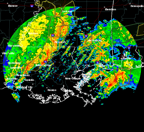 At 152 pm cst, severe thunderstorms were located along a line extending from jayess to near roseland to gonzales, moving east at 55 mph (radar indicated). Hazards include 60 mph wind gusts. expect damage to roofs, siding, and trees At 152 pm cst, severe thunderstorms were located along a line extending from jayess to near roseland to gonzales, moving east at 55 mph (radar indicated). Hazards include 60 mph wind gusts. expect damage to roofs, siding, and trees
|
| 5/19/2016 9:50 PM CDT |
 At 949 pm cdt, severe thunderstorms were located along a line extending from rosedale to 7 miles north of pierre part, moving northeast at 35 mph (radar indicated). Hazards include 70 mph wind gusts and penny size hail. Expect considerable tree damage. Damage is likely to mobile homes, roofs, and outbuildings. At 949 pm cdt, severe thunderstorms were located along a line extending from rosedale to 7 miles north of pierre part, moving northeast at 35 mph (radar indicated). Hazards include 70 mph wind gusts and penny size hail. Expect considerable tree damage. Damage is likely to mobile homes, roofs, and outbuildings.
|
| 5/1/2016 9:19 AM CDT |
 At 917 am cdt, a severe thunderstorm was located near french settlement, or near gonzales, moving northeast at 20 mph (radar indicated). Hazards include 60 mph wind gusts and quarter size hail. Hail damage to vehicles is expected. expect wind damage to roofs, siding, and trees. locations impacted include, denham springs, gonzales, donaldsonville, st. Gabriel, walker, livingston, sorrento, french settlement, albany, port vincent, springfield, geismer, prairieville, whitehall and killian. At 917 am cdt, a severe thunderstorm was located near french settlement, or near gonzales, moving northeast at 20 mph (radar indicated). Hazards include 60 mph wind gusts and quarter size hail. Hail damage to vehicles is expected. expect wind damage to roofs, siding, and trees. locations impacted include, denham springs, gonzales, donaldsonville, st. Gabriel, walker, livingston, sorrento, french settlement, albany, port vincent, springfield, geismer, prairieville, whitehall and killian.
|
| 5/1/2016 9:16 AM CDT | Quarter sized hail reported 0.5 miles NW of Gonzales, LA, dents in car reported |
| 5/1/2016 9:02 AM CDT |
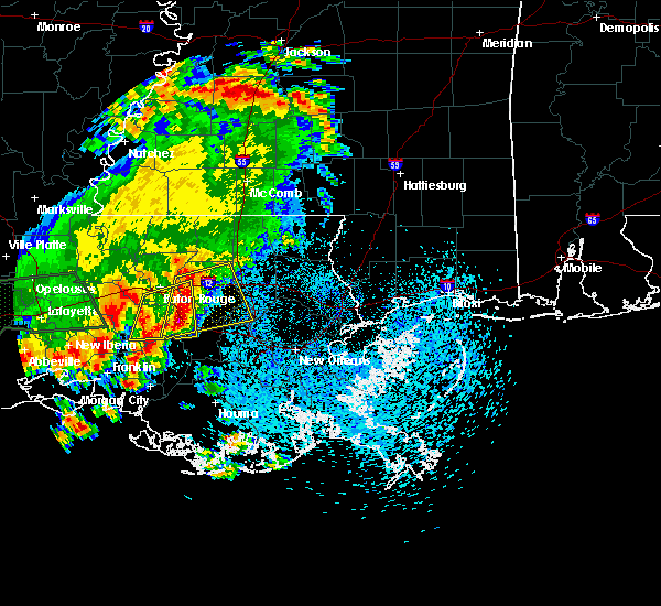 At 900 am cdt, a cluster of severe thunderstorms was located from walker to gonzales, moving east at 20 mph (radar indicated). Hazards include 60 mph wind gusts and quarter size hail. Hail damage to vehicles is expected. Expect wind damage to roofs and trees. At 900 am cdt, a cluster of severe thunderstorms was located from walker to gonzales, moving east at 20 mph (radar indicated). Hazards include 60 mph wind gusts and quarter size hail. Hail damage to vehicles is expected. Expect wind damage to roofs and trees.
|
| 5/1/2016 8:47 AM CDT |
 At 847 am cdt, a severe thunderstorm was located near white castle, or near donaldsonville, moving east at 30 mph (radar indicated). Hazards include quarter size hail. Damage to vehicles is expected. locations impacted include, baton rouge, denham springs, gonzales, donaldsonville, plaquemine, oak hills place, st. gabriel, walker, addis, brusly, white castle, sorrento, shenandoah, inniswold, geismer, old jefferson, prairieville, carville, gardere and village st. George. At 847 am cdt, a severe thunderstorm was located near white castle, or near donaldsonville, moving east at 30 mph (radar indicated). Hazards include quarter size hail. Damage to vehicles is expected. locations impacted include, baton rouge, denham springs, gonzales, donaldsonville, plaquemine, oak hills place, st. gabriel, walker, addis, brusly, white castle, sorrento, shenandoah, inniswold, geismer, old jefferson, prairieville, carville, gardere and village st. George.
|
| 5/1/2016 8:23 AM CDT |
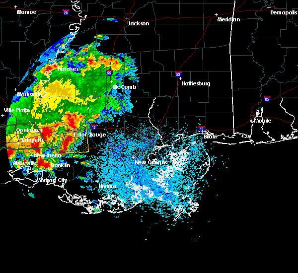 At 823 am cdt, a severe thunderstorm was located near gardere, or near plaquemine, moving east at 20 mph (radar indicated). Hazards include quarter size hail. damage to vehicles is expected At 823 am cdt, a severe thunderstorm was located near gardere, or near plaquemine, moving east at 20 mph (radar indicated). Hazards include quarter size hail. damage to vehicles is expected
|
| 2/23/2016 3:28 PM CST |
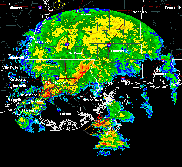 At 328 pm cst, a confirmed large and extremely dangerous tornado was located over belle rose, or near donaldsonville, moving northeast at 55 mph. this is a particularly dangerous situation (radar confirmed tornado). Hazards include damaging tornado. You are in a life threatening situation. flying debris may be deadly to those caught without shelter. mobile homes will be destroyed. considerable damage to homes, businesses and vehicles is likely and complete destruction is possible. the tornado will be near, convent around 340 pm cst. Gramercy and sorrento around 345 pm cst. At 328 pm cst, a confirmed large and extremely dangerous tornado was located over belle rose, or near donaldsonville, moving northeast at 55 mph. this is a particularly dangerous situation (radar confirmed tornado). Hazards include damaging tornado. You are in a life threatening situation. flying debris may be deadly to those caught without shelter. mobile homes will be destroyed. considerable damage to homes, businesses and vehicles is likely and complete destruction is possible. the tornado will be near, convent around 340 pm cst. Gramercy and sorrento around 345 pm cst.
|
| 2/23/2016 3:19 PM CST |
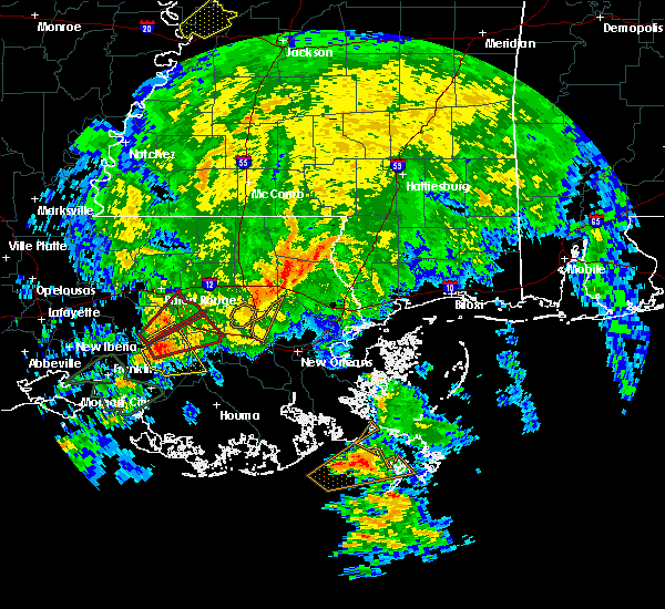 At 319 pm cst, a severe thunderstorm capable of producing a tornado was located near paincourtville, or 7 miles northwest of napoleonville, moving northeast at 55 mph (radar indicated rotation). Hazards include tornado. Flying debris will be dangerous to those caught without shelter. mobile homes will be damaged or destroyed. damage to roofs, windows and vehicles will occur. tree damage is likely. this dangerous storm will be near, donaldsonville and belle rose around 330 pm cst. convent around 340 pm cst. Gramercy, lutcher and sorrento around 345 pm cst. At 319 pm cst, a severe thunderstorm capable of producing a tornado was located near paincourtville, or 7 miles northwest of napoleonville, moving northeast at 55 mph (radar indicated rotation). Hazards include tornado. Flying debris will be dangerous to those caught without shelter. mobile homes will be damaged or destroyed. damage to roofs, windows and vehicles will occur. tree damage is likely. this dangerous storm will be near, donaldsonville and belle rose around 330 pm cst. convent around 340 pm cst. Gramercy, lutcher and sorrento around 345 pm cst.
|
| 2/23/2016 3:11 PM CST |
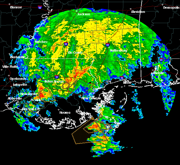 At 310 pm cst, a severe thunderstorm capable of producing a tornado was located near white castle, or 11 miles south of plaquemine, moving northeast at 50 mph (radar indicated rotation). Hazards include tornado. Flying debris will be dangerous to those caught without shelter. mobile homes will be damaged or destroyed. damage to roofs, windows and vehicles will occur. tree damage is likely. this dangerous storm will be near, white castle and carville around 320 pm cst. geismer around 325 pm cst. gonzales, prairieville and old jefferson around 335 pm cst. shenandoah around 340 pm cst. Port vincent around 345 pm cst. At 310 pm cst, a severe thunderstorm capable of producing a tornado was located near white castle, or 11 miles south of plaquemine, moving northeast at 50 mph (radar indicated rotation). Hazards include tornado. Flying debris will be dangerous to those caught without shelter. mobile homes will be damaged or destroyed. damage to roofs, windows and vehicles will occur. tree damage is likely. this dangerous storm will be near, white castle and carville around 320 pm cst. geismer around 325 pm cst. gonzales, prairieville and old jefferson around 335 pm cst. shenandoah around 340 pm cst. Port vincent around 345 pm cst.
|
| 2/23/2016 2:57 PM CST | The severe thunderstorm warning for southwestern tangipahoa, southeastern livingston, northern st. james, northwestern st. john the baptist and central ascension parishes will expire at 300 pm cst, the storm which prompted the warning has weakened below severe limits and exited the warned area. therefore the warning will be allowed to expire. a tornado watch remains in effect until 500 pm cst for southeastern louisiana. a tornado watch also remains in effect until 1000 pm cst for southeastern louisiana. to report severe weather, contact your nearest law enforcement agency. they will relay your report to the national weather service new orleans. |
| 2/23/2016 2:35 PM CST |
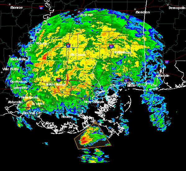 At 235 pm cst, a severe thunderstorm was located over sorrento, or near gonzales, moving northeast at 45 mph (radar indicated). Hazards include 60 mph wind gusts. Expect damage to roofs. Siding and trees. At 235 pm cst, a severe thunderstorm was located over sorrento, or near gonzales, moving northeast at 45 mph (radar indicated). Hazards include 60 mph wind gusts. Expect damage to roofs. Siding and trees.
|
| 2/23/2016 1:30 PM CST |
 At 130 pm cst, a severe thunderstorm was located over donaldsonville, moving northeast at 40 mph (radar indicated). Hazards include 60 mph wind gusts. Expect damage to roofs. Siding and trees. At 130 pm cst, a severe thunderstorm was located over donaldsonville, moving northeast at 40 mph (radar indicated). Hazards include 60 mph wind gusts. Expect damage to roofs. Siding and trees.
|
| 2/23/2016 1:03 PM CST |
 At 102 pm cst, a severe thunderstorm capable of producing a tornado was located near sorrento, or near donaldsonville, moving northeast at 20 mph (radar indicated rotation). Hazards include tornado. Flying debris will be dangerous to those caught without shelter. mobile homes will be damaged or destroyed. damage to roofs, windows and vehicles will occur. tree damage is likely. this dangerous storm will be near, sorrento around 120 pm cst. Gramercy and lutcher around 130 pm cst. At 102 pm cst, a severe thunderstorm capable of producing a tornado was located near sorrento, or near donaldsonville, moving northeast at 20 mph (radar indicated rotation). Hazards include tornado. Flying debris will be dangerous to those caught without shelter. mobile homes will be damaged or destroyed. damage to roofs, windows and vehicles will occur. tree damage is likely. this dangerous storm will be near, sorrento around 120 pm cst. Gramercy and lutcher around 130 pm cst.
|
| 2/23/2016 12:11 PM CST |
 At 1211 pm cst, a severe thunderstorm capable of producing a tornado was located near prairieville, or 8 miles east of oak hills place, moving northeast at 25 mph (radar indicated rotation). Hazards include tornado. Flying debris will be dangerous to those caught without shelter. mobile homes will be damaged or destroyed. damage to roofs, windows and vehicles will occur. tree damage is likely. this dangerous storm will be near, french settlement and port vincent around 1220 pm cst. denham springs around 1230 pm cst. walker around 1235 pm cst. Livingston around 1245 pm cst. At 1211 pm cst, a severe thunderstorm capable of producing a tornado was located near prairieville, or 8 miles east of oak hills place, moving northeast at 25 mph (radar indicated rotation). Hazards include tornado. Flying debris will be dangerous to those caught without shelter. mobile homes will be damaged or destroyed. damage to roofs, windows and vehicles will occur. tree damage is likely. this dangerous storm will be near, french settlement and port vincent around 1220 pm cst. denham springs around 1230 pm cst. walker around 1235 pm cst. Livingston around 1245 pm cst.
|
| 12/28/2015 2:30 AM CST |
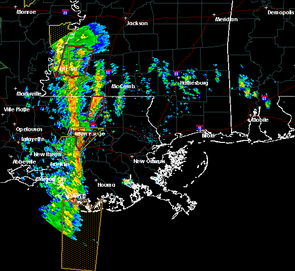 At 229 am cst, a severe thunderstorm capable of producing a tornado was located over old jefferson, or near oak hills place, moving northeast at 50 mph (radar indicated rotation). Hazards include tornado. Flying debris will be dangerous to those caught without shelter. mobile homes will be damaged or destroyed. damage to roofs, windows and vehicles will occur. tree damage is likely. This tornadic thunderstorm will remain over mainly rural areas of west central livingston, south central east baton rouge and western ascension parishes. At 229 am cst, a severe thunderstorm capable of producing a tornado was located over old jefferson, or near oak hills place, moving northeast at 50 mph (radar indicated rotation). Hazards include tornado. Flying debris will be dangerous to those caught without shelter. mobile homes will be damaged or destroyed. damage to roofs, windows and vehicles will occur. tree damage is likely. This tornadic thunderstorm will remain over mainly rural areas of west central livingston, south central east baton rouge and western ascension parishes.
|
| 12/28/2015 2:28 AM CST |
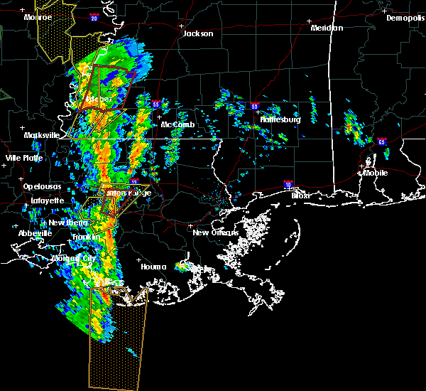 At 228 am cst, a severe thunderstorm was located over old jefferson, or near oak hills place, moving northeast at 50 mph (radar indicated). Hazards include 60 mph wind gusts. Expect damage to roofs. siding and trees. locations impacted include, baton rouge, denham springs, gonzales, donaldsonville, oak hills place, st. gabriel, walker, sorrento, french settlement, port vincent, shenandoah, inniswold, geismer, old jefferson, prairieville, gardere, village st. george and westminster. A tornado watch remains in effect until 500 am cst for southeastern louisiana. At 228 am cst, a severe thunderstorm was located over old jefferson, or near oak hills place, moving northeast at 50 mph (radar indicated). Hazards include 60 mph wind gusts. Expect damage to roofs. siding and trees. locations impacted include, baton rouge, denham springs, gonzales, donaldsonville, oak hills place, st. gabriel, walker, sorrento, french settlement, port vincent, shenandoah, inniswold, geismer, old jefferson, prairieville, gardere, village st. george and westminster. A tornado watch remains in effect until 500 am cst for southeastern louisiana.
|
| 12/28/2015 2:22 AM CST |
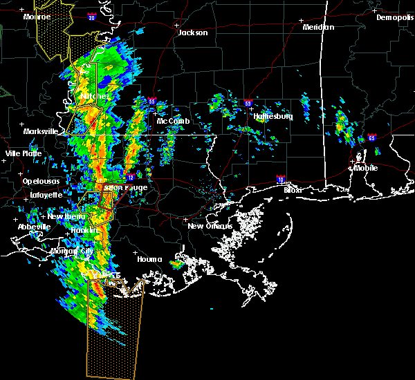 The national weather service in new orleans has issued a * severe thunderstorm warning for. central livingston parish in southeastern louisiana. east central iberville parish in southeastern louisiana. south central east baton rouge parish in southeastern louisiana. Ascension parish in southeastern louisiana. The national weather service in new orleans has issued a * severe thunderstorm warning for. central livingston parish in southeastern louisiana. east central iberville parish in southeastern louisiana. south central east baton rouge parish in southeastern louisiana. Ascension parish in southeastern louisiana.
|
| 12/28/2015 2:17 AM CST |
 At 217 am cst, a severe thunderstorm capable of producing a tornado was located over geismer, or 8 miles west of gonzales, moving northeast at 50 mph (radar indicated rotation). Hazards include tornado. Flying debris will be dangerous to those caught without shelter. mobile homes will be damaged or destroyed. damage to roofs, windows and vehicles will occur. tree damage is likely. this dangerous storm will be near, gonzales, oak hills place and prairieville around 225 am cst. old jefferson, village st. george and inniswold around 230 am cst. Port vincent and shenandoah around 235 am cst. At 217 am cst, a severe thunderstorm capable of producing a tornado was located over geismer, or 8 miles west of gonzales, moving northeast at 50 mph (radar indicated rotation). Hazards include tornado. Flying debris will be dangerous to those caught without shelter. mobile homes will be damaged or destroyed. damage to roofs, windows and vehicles will occur. tree damage is likely. this dangerous storm will be near, gonzales, oak hills place and prairieville around 225 am cst. old jefferson, village st. george and inniswold around 230 am cst. Port vincent and shenandoah around 235 am cst.
|
| 10/31/2015 12:43 PM CDT |
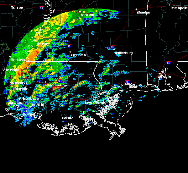 At 1243 pm cdt, a severe thunderstorm capable of producing a tornado was located near port vincent, or near gonzales, moving northeast at 35 mph (radar indicated rotation). Hazards include tornado. Flying debris will be dangerous to those caught without shelter. mobile homes will be damaged or destroyed. damage to roofs, windows and vehicles will occur. tree damage is likely. This tornadic thunderstorm will remain over mainly rural areas of south central livingston and north central ascension parishes. At 1243 pm cdt, a severe thunderstorm capable of producing a tornado was located near port vincent, or near gonzales, moving northeast at 35 mph (radar indicated rotation). Hazards include tornado. Flying debris will be dangerous to those caught without shelter. mobile homes will be damaged or destroyed. damage to roofs, windows and vehicles will occur. tree damage is likely. This tornadic thunderstorm will remain over mainly rural areas of south central livingston and north central ascension parishes.
|
| 10/31/2015 12:28 PM CDT |
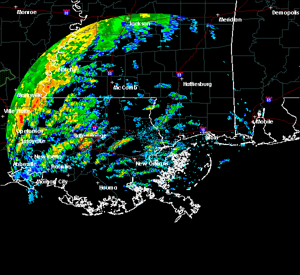 At 1228 pm cdt, a severe thunderstorm capable of producing a tornado was located near gonzales, moving northeast at 40 mph (radar indicated rotation). Hazards include tornado. Expect damage to mobile homes. roofs and vehicles. This dangerous storm will be near, french settlement and port vincent around 1250 pm cdt. At 1228 pm cdt, a severe thunderstorm capable of producing a tornado was located near gonzales, moving northeast at 40 mph (radar indicated rotation). Hazards include tornado. Expect damage to mobile homes. roofs and vehicles. This dangerous storm will be near, french settlement and port vincent around 1250 pm cdt.
|
| 7/30/2015 3:42 PM CDT |
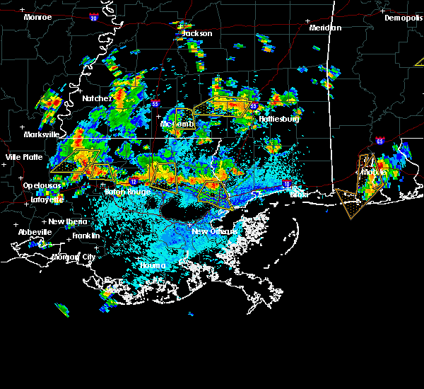 At 342 pm cdt, doppler radar indicated a severe thunderstorm capable of producing damaging winds in excess of 60 mph. this storm was located near walker, or 9 miles southeast of denham springs, and moving southwest at 20 mph. At 342 pm cdt, doppler radar indicated a severe thunderstorm capable of producing damaging winds in excess of 60 mph. this storm was located near walker, or 9 miles southeast of denham springs, and moving southwest at 20 mph.
|
| 4/27/2015 6:02 PM CDT | At 602 pm cdt, doppler radar indicated a line of severe thunderstorms capable of producing quarter size hail and damaging winds in excess of 60 mph. these storms were located along a line extending from zachary to near st. gabriel, and moving east at 45 mph. |
| 4/27/2015 9:49 AM CDT | At 948 am cdt, doppler radar indicated a line of severe thunderstorms capable of producing quarter size hail and destructive winds in excess of 70 mph. these storms were located along a line extending from 7 miles northeast of felps to near edgard, moving east at 60 mph. locations impacted include, baton rouge, hammond, zachary, baker, denham springs, gonzales, oak hills place, amite, st. gabriel, ponchatoula, walker, amite city, livingston, independence, roseland, french settlement, albany, slaughter, port vincent and springfield. a tornado watch remains in effect until 100 pm cdt for southeastern louisiana. |
| 4/27/2015 9:40 AM CDT | At 939 am cdt, doppler radar indicated a line of severe thunderstorms capable of producing quarter size hail and destructive winds in excess of 70 mph. these storms were located along a line extending from near felps to north vacherie. these storms were nearly stationary. locations impacted include, baton rouge, hammond, zachary, baker, denham springs, gonzales, plaquemine, port allen, jackson, clinton, greensburg, oak hills place, amite, st. gabriel, ponchatoula, walker, amite city, addis, brusly and kentwood. a tornado watch remains in effect until 100 pm cdt for southeastern louisiana. |
| 4/27/2015 9:17 AM CDT | At 917 am cdt, doppler radar indicated a line of severe thunderstorms capable of producing quarter size hail and destructive winds in excess of 70 mph. these storms were located along a line extending from near felps to north vacherie, and moving east at 60 mph. |
| 4/27/2015 9:17 AM CDT | The national weather service in new orleans has issued a * severe thunderstorm warning for. east central iberville parish in southeastern louisiana. northwestern washington parish in southeastern louisiana. tangipahoa parish in southeastern louisiana. East baton rouge parish in southeastern louisiana. |
| 4/27/2015 9:17 AM CDT | The national weather service in new orleans has issued a * severe thunderstorm warning for. east central iberville parish in southeastern louisiana. northwestern washington parish in southeastern louisiana. tangipahoa parish in southeastern louisiana. East baton rouge parish in southeastern louisiana. |
| 4/27/2015 9:17 AM CDT | At 917 am cdt, doppler radar indicated a line of severe thunderstorms capable of producing quarter size hail and destructive winds in excess of 70 mph. these storms were located along a line extending from near felps to north vacherie, and moving east at 60 mph. |
| 4/27/2015 8:54 AM CDT | At 853 am cdt, doppler radar indicated a line of severe thunderstorms capable of producing quarter size hail and destructive winds in excess of 70 mph. these storms were located along a line extending from 6 miles south of ramah to 6 miles northeast of lake fausse pointe to near lydia, and moving east at 60 mph. |
| 4/27/2015 8:51 AM CDT | At 849 am cdt, doppler radar indicated a line of severe thunderstorms capable of producing destructive winds in excess of 70 mph. these storms were located along a line extending from woodville to near ramah, and moving east at 55 mph. nickel size hail may also accompany the damaging winds. |
| 4/27/2015 8:51 AM CDT | At 849 am cdt, doppler radar indicated a line of severe thunderstorms capable of producing destructive winds in excess of 70 mph. these storms were located along a line extending from woodville to near ramah, and moving east at 55 mph. nickel size hail may also accompany the damaging winds. |
| 4/25/2015 12:48 PM CDT | At 1247 pm cdt, doppler radar indicated a line of severe thunderstorms capable of producing damaging winds in excess of 60 mph. these storms were located along a line extending from gonzales to near convent to near chackbay to 6 miles southeast of bayou geneve, and moving east at 55 mph. |
| 4/24/2015 4:22 PM CDT | At 421 pm cdt, doppler radar indicated a severe thunderstorm capable of producing large damaging hail up to golf ball size and damaging winds in excess of 60 mph. this storm was located near white castle, or 11 miles south of plaquemine, moving east at 40 mph. locations impacted include, gonzales, donaldsonville, plaquemine, napoleonville, st. gabriel, white castle, sorrento, pierre part, paincourtville, belle rose, geismer, bayou sorrel, carville, pierre part, supreme and labadieville. a tornado watch remains in effect until 800 pm cdt for southeastern louisiana. |
| 4/24/2015 4:03 PM CDT | At 402 pm cdt, doppler radar indicated a severe thunderstorm capable of producing large damaging hail up to golf ball size and damaging winds in excess of 60 mph. this storm was located near bayou sorrel, or 13 miles southwest of plaquemine, and moving southeast at 35 mph. |
| 5/10/2013 5:38 AM CDT | Large tree snapped in st amant area. relayed via socialmedi in ascension county LA, 2.4 miles WNW of Gonzales, LA |
| 3/31/2013 4:03 PM CDT | Quarter sized hail reported 0.5 miles NW of Gonzales, LA, hail larger than quarter size in gonzales along highway 44. |
| 2/25/2013 2:36 PM CST | Quarter sized hail reported 0.5 miles NW of Gonzales, LA |
| 2/25/2013 2:33 PM CST | Golf Ball sized hail reported 2.4 miles S of Gonzales, LA, golf ball hail fell around the galvez community |
| 2/25/2013 2:30 PM CST | Quarter sized hail reported 2.4 miles S of Gonzales, LA |
| 12/20/2012 6:35 AM CST | Section of metal roof on school peeled back. location was near intersection of highway la 30 and 43 in ascension county LA, 0.5 miles NW of Gonzales, LA |
| 1/1/0001 12:00 AM | 90 foot communications tower collapsed about 15 feet above base at ascension parish department of public works building. report received via web posting and confirmed b in ascension county LA, 0.5 miles NW of Gonzales, LA |
| 1/1/0001 12:00 AM | Ascension parish emergency manager reported several trees down in the gonzales and galvez area in ascension county LA, 0.5 miles NW of Gonzales, LA |
| 1/1/0001 12:00 AM | Ascension parish emergency manager reported several trees down in the gonzales are in ascension county LA, 0.5 miles NW of Gonzales, LA |
Hail Maps for Gonzales, LA
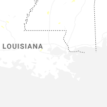
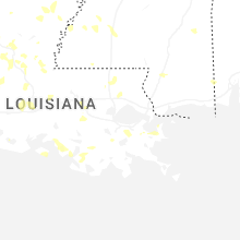
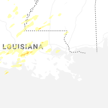


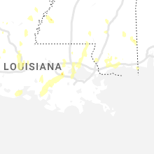

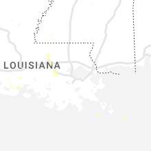


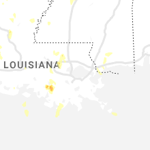
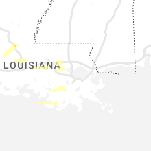
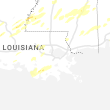

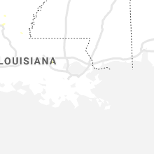
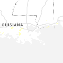
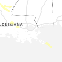


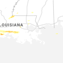
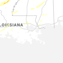
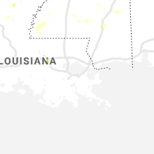
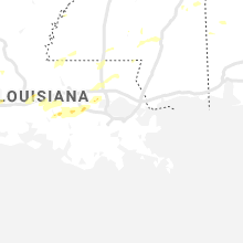
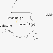
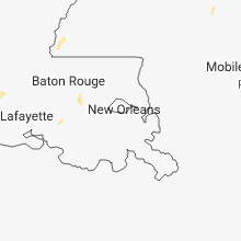


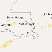

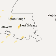
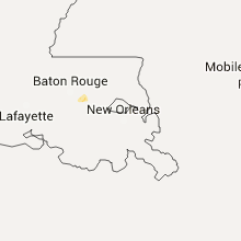


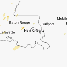
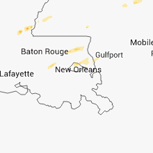

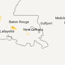
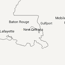


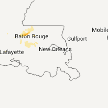

Connect with Interactive Hail Maps