

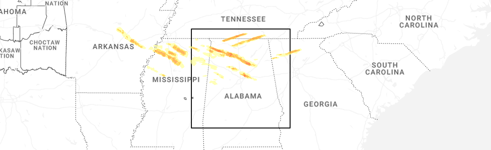
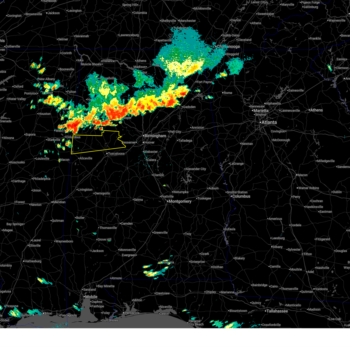
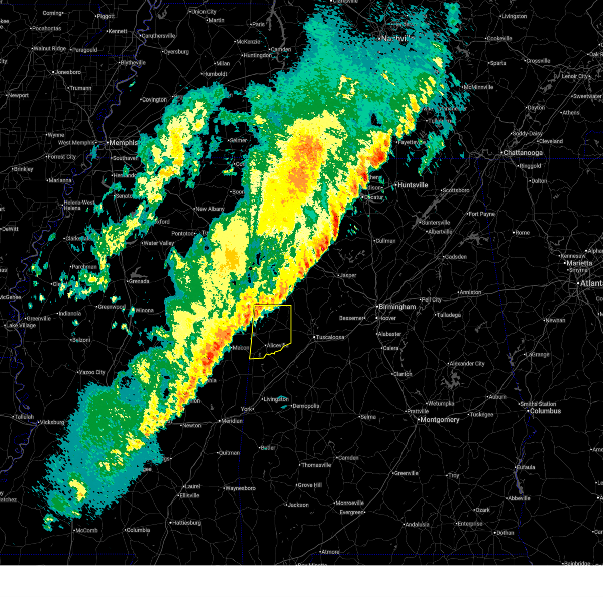
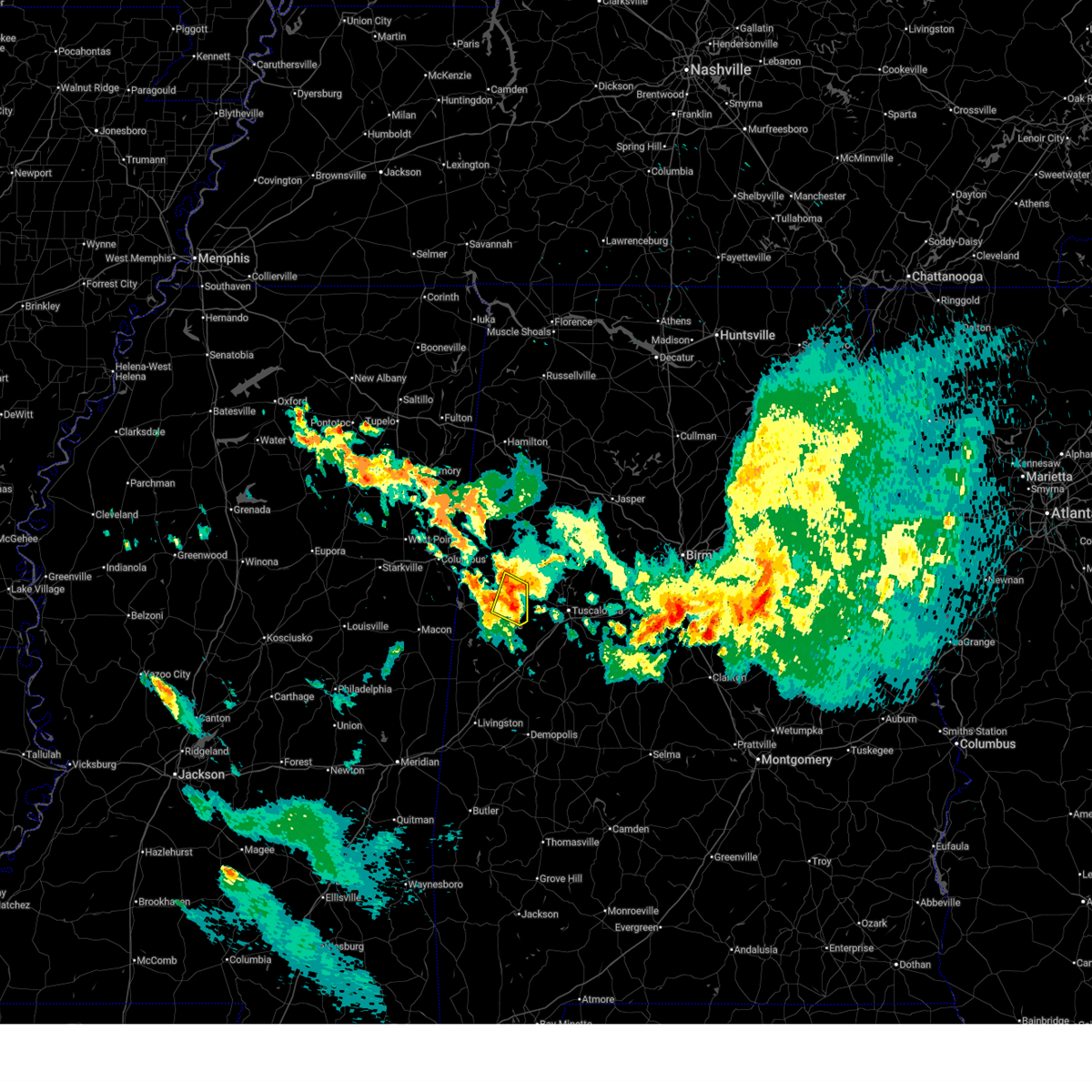
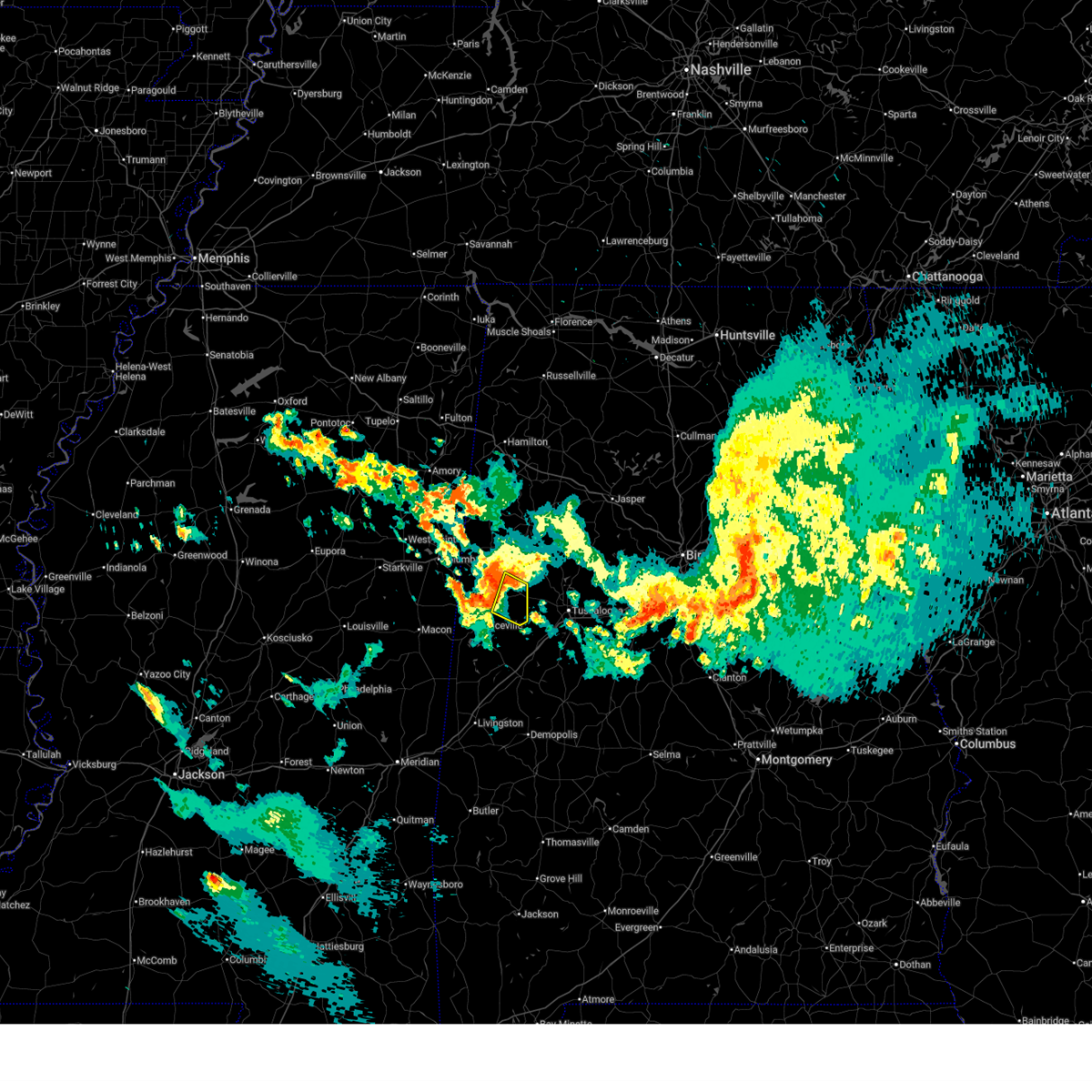
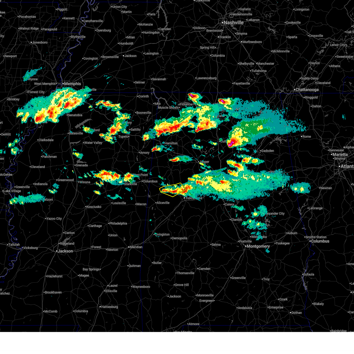
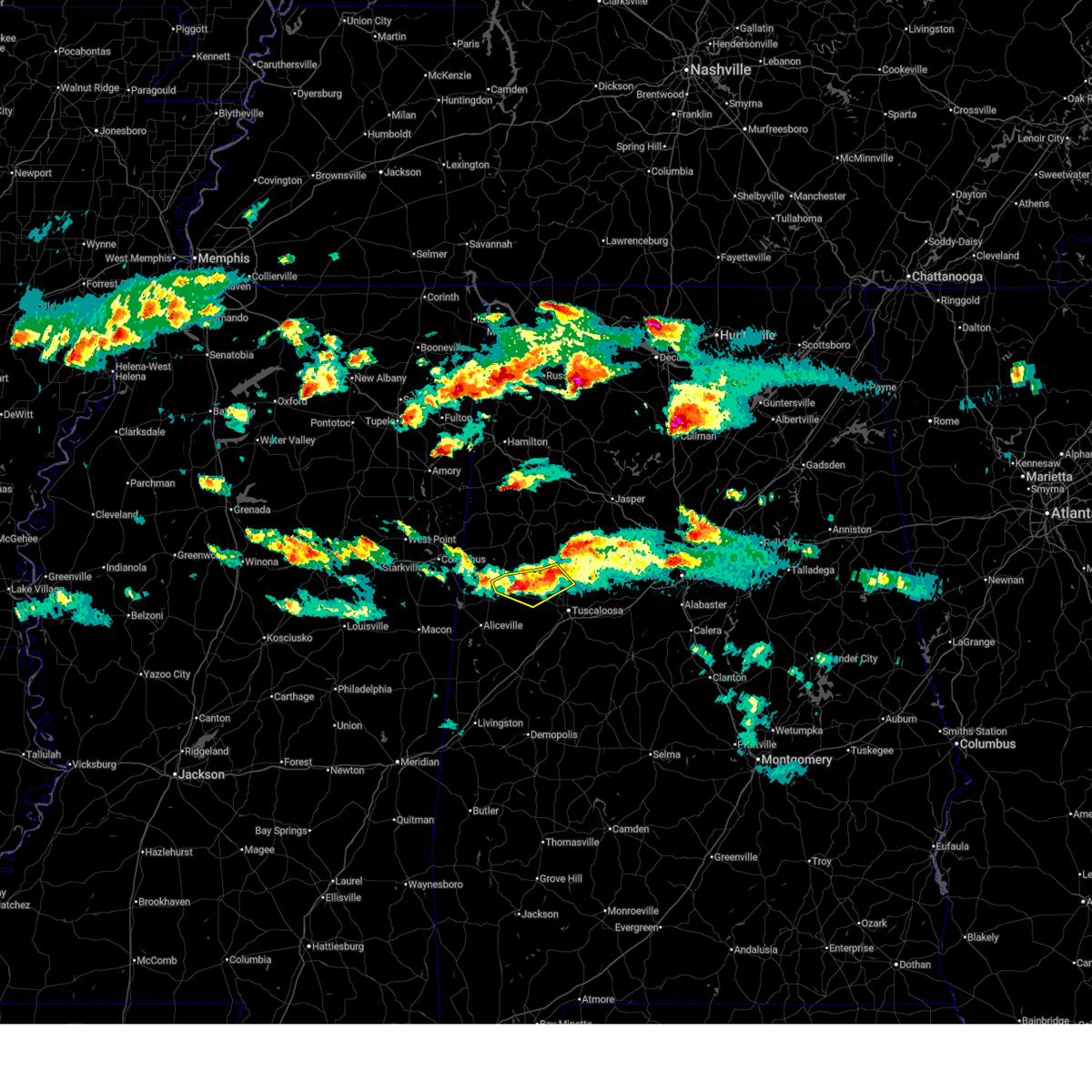
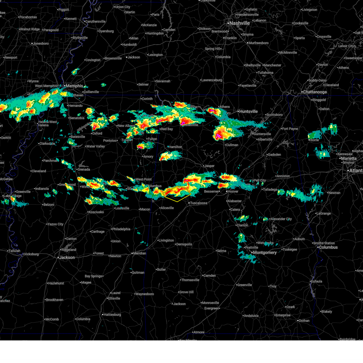
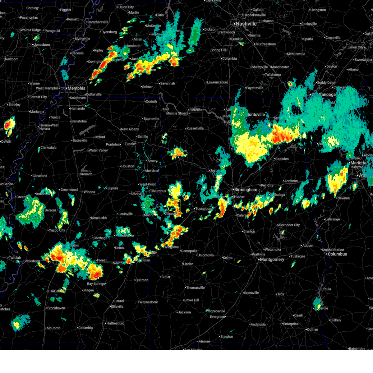
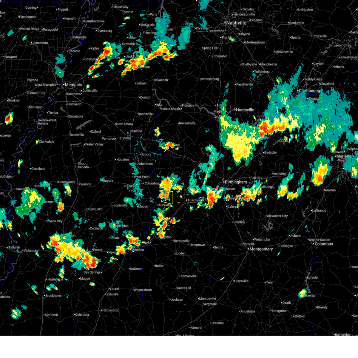
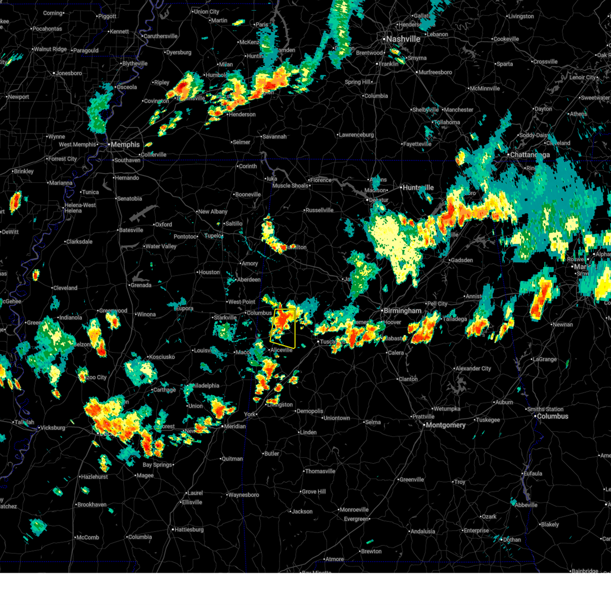
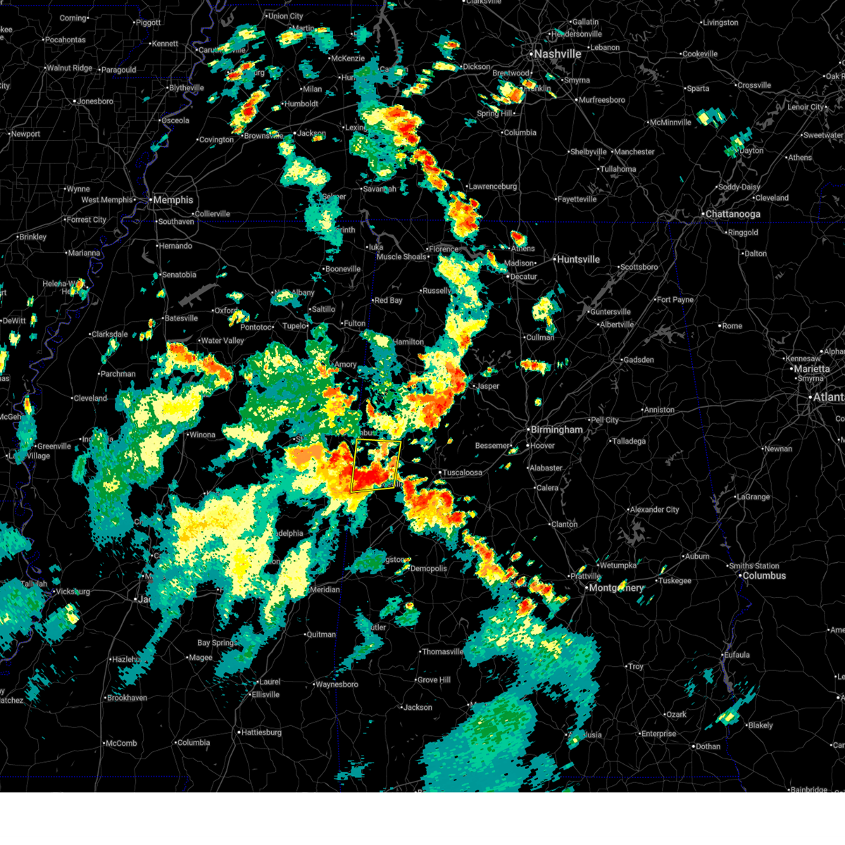
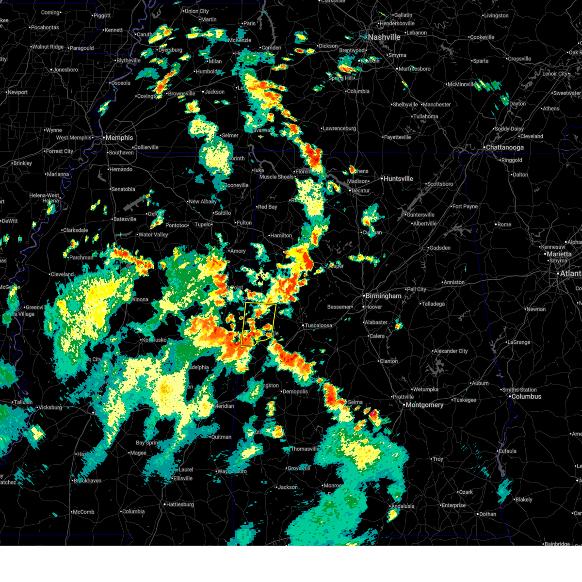
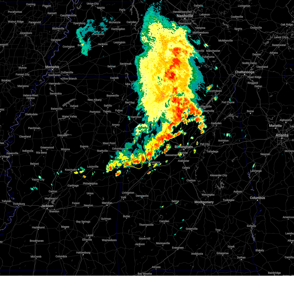
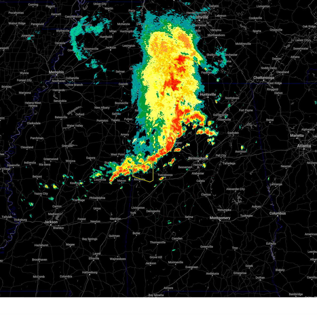
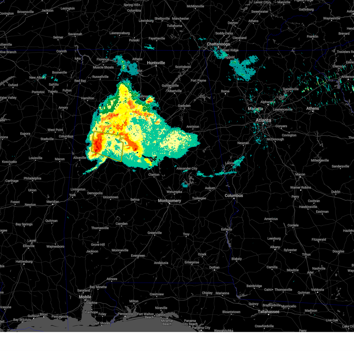
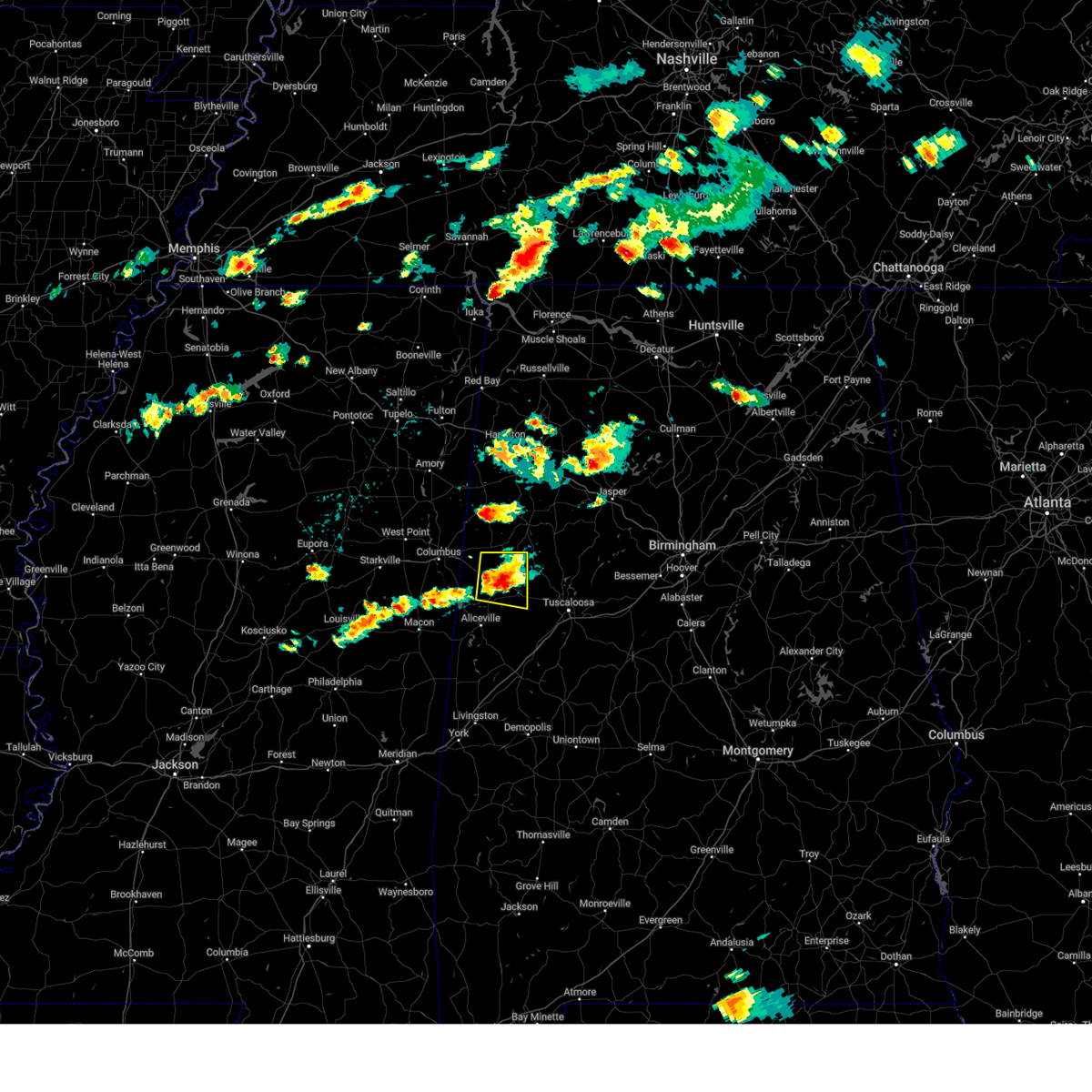
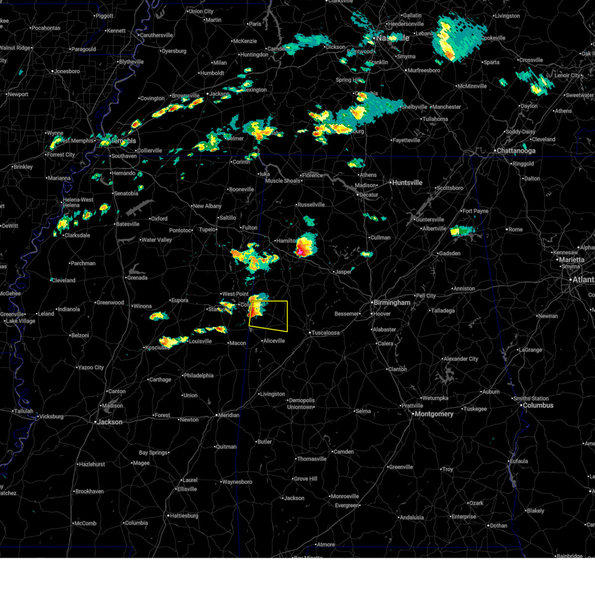
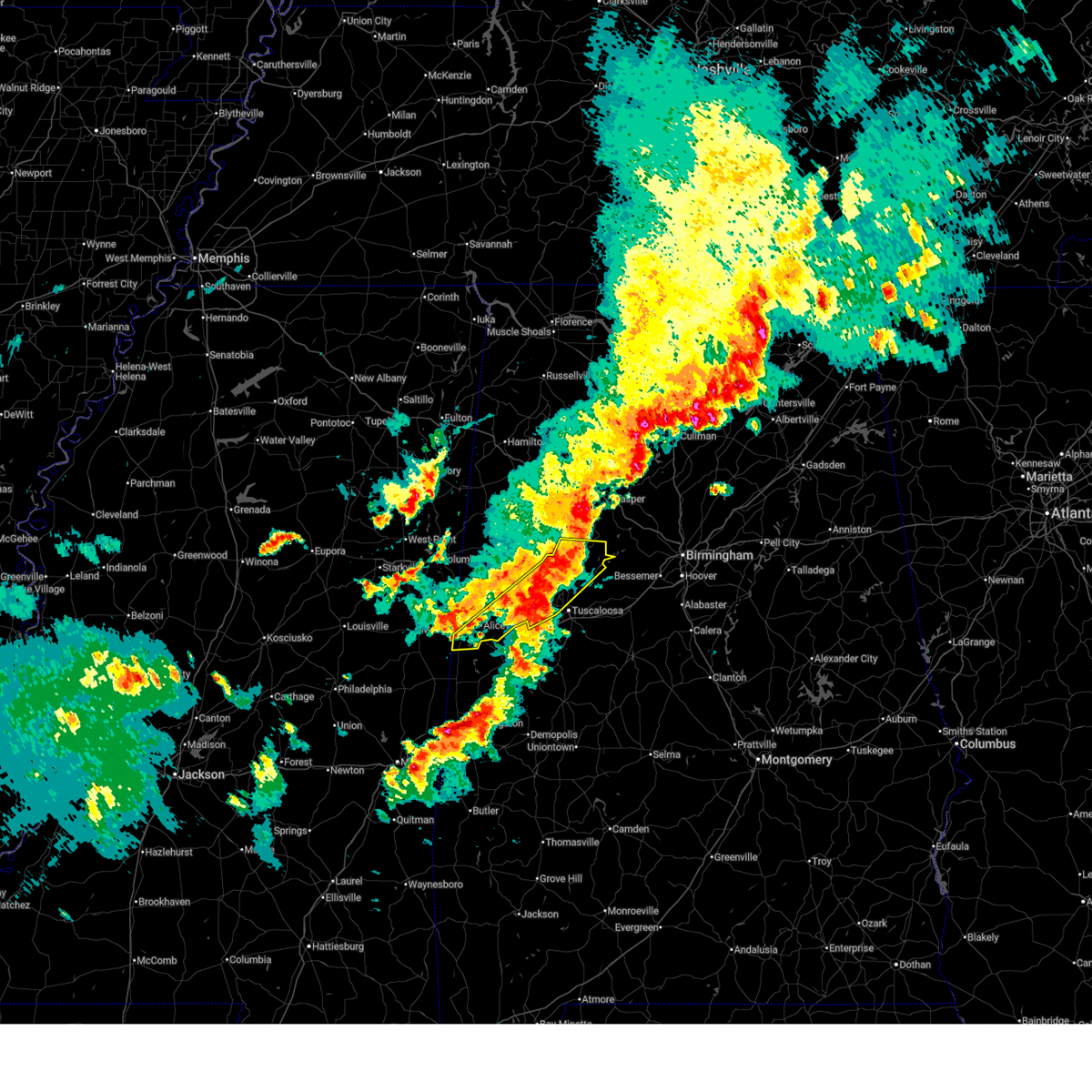
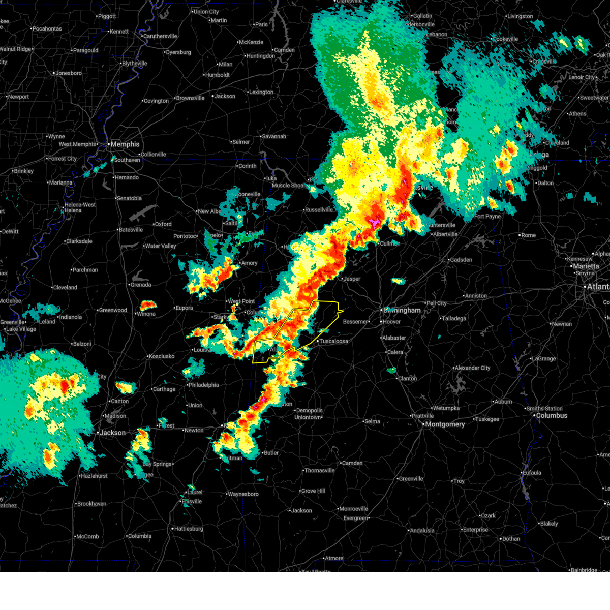
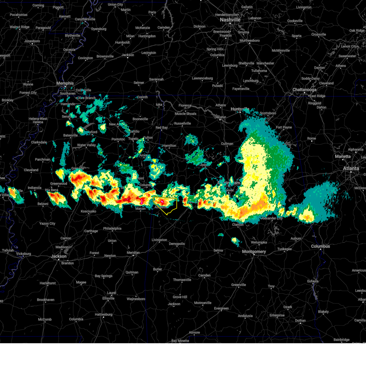
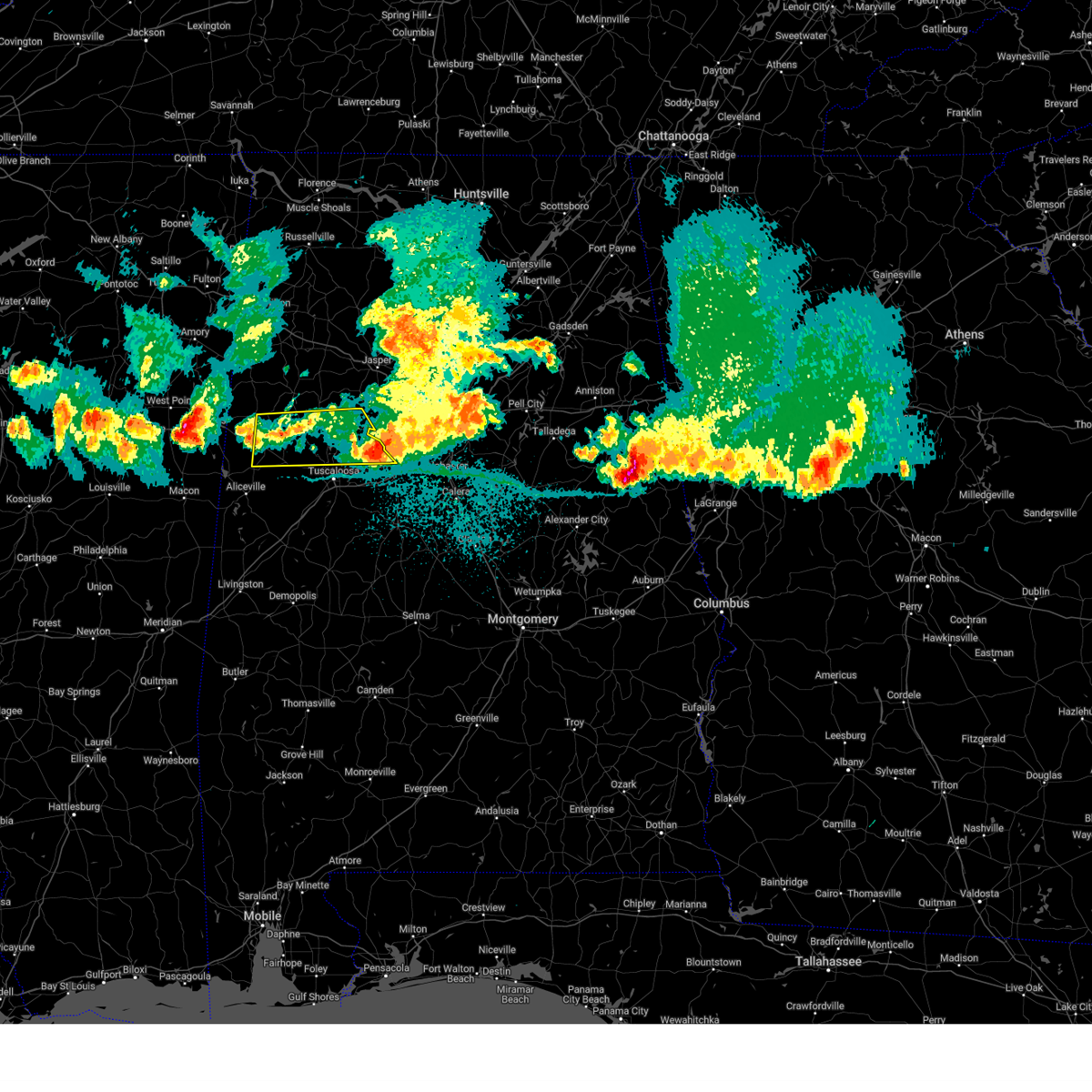
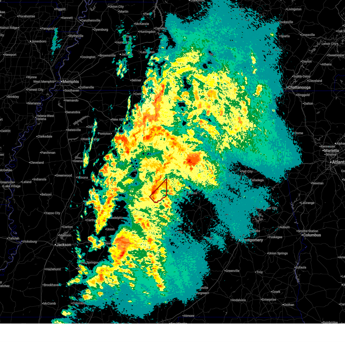
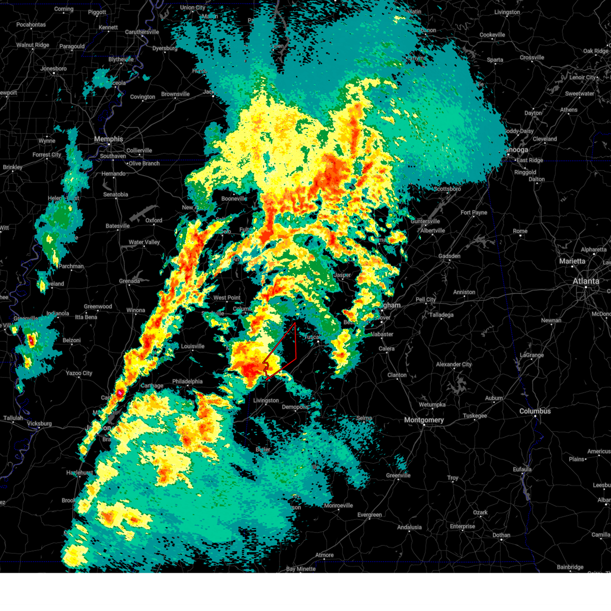
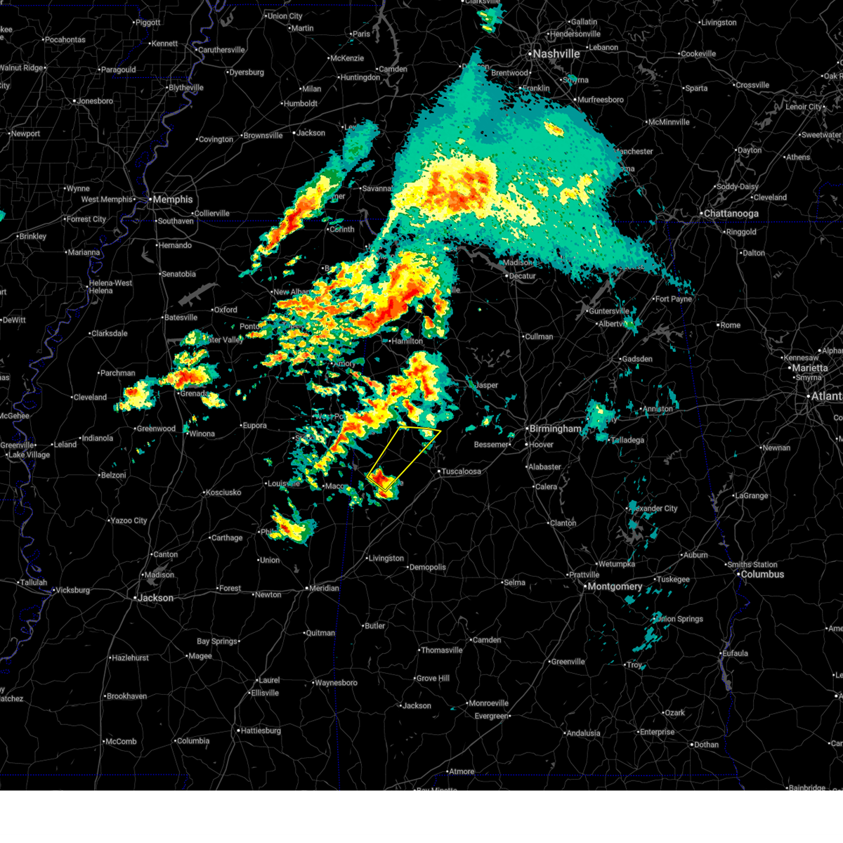
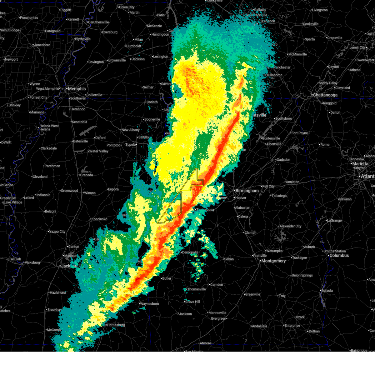
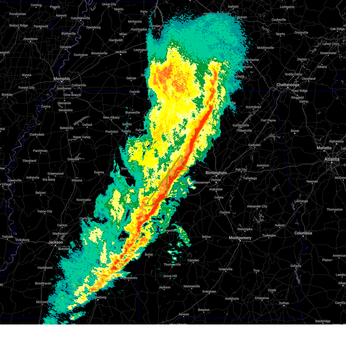
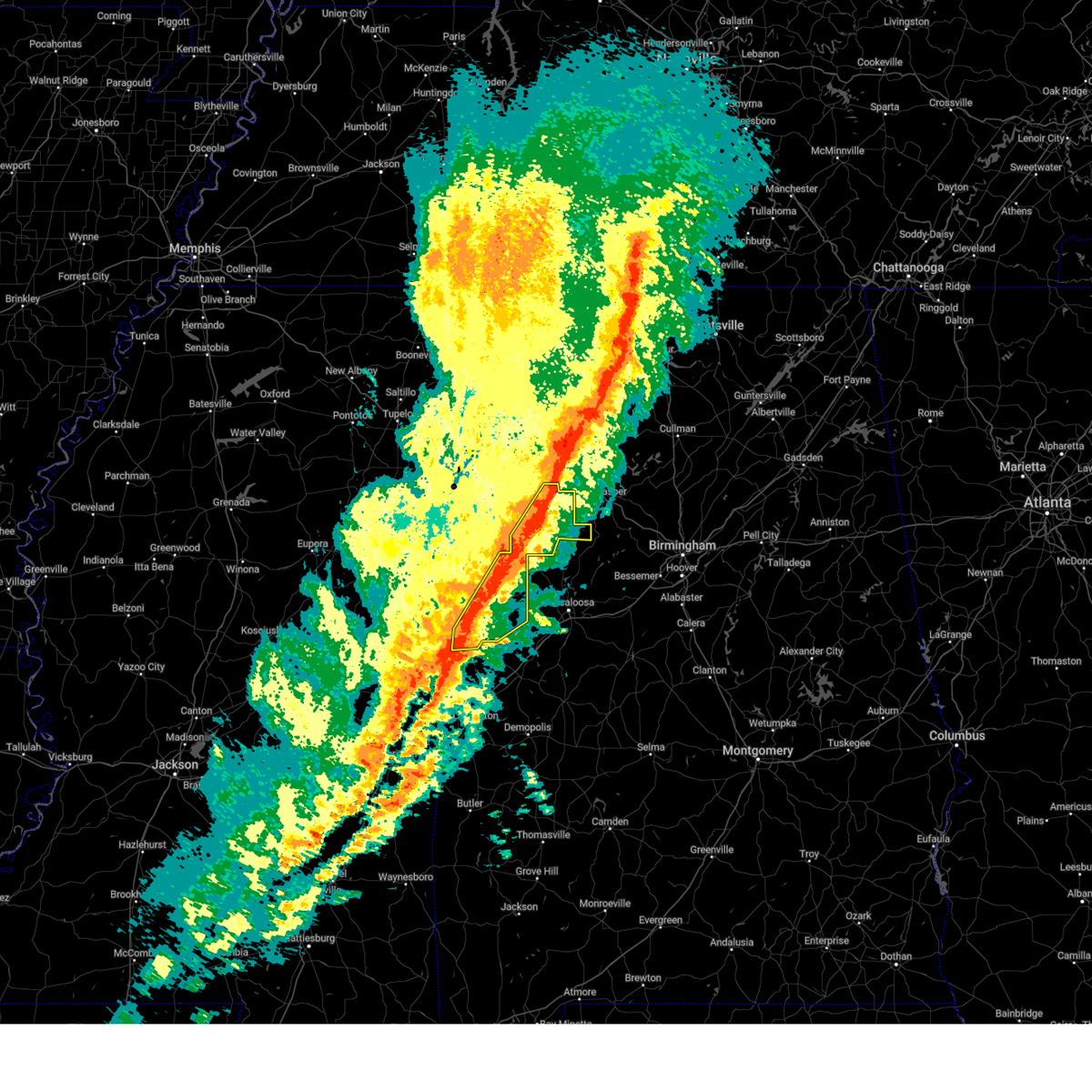
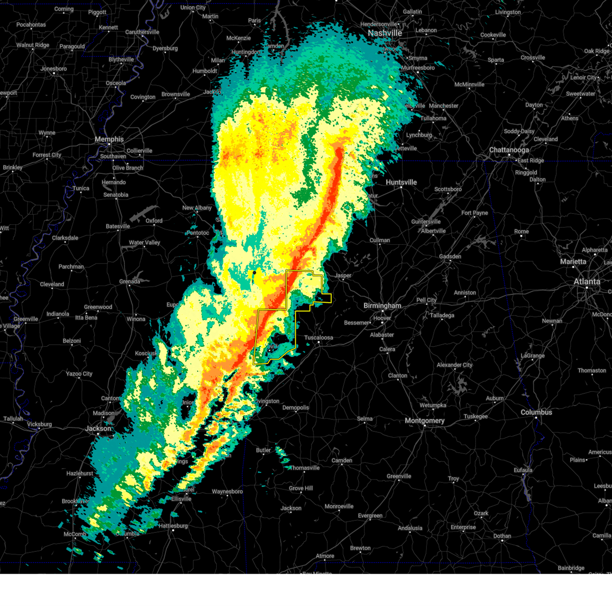
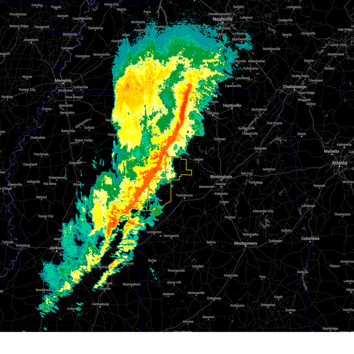
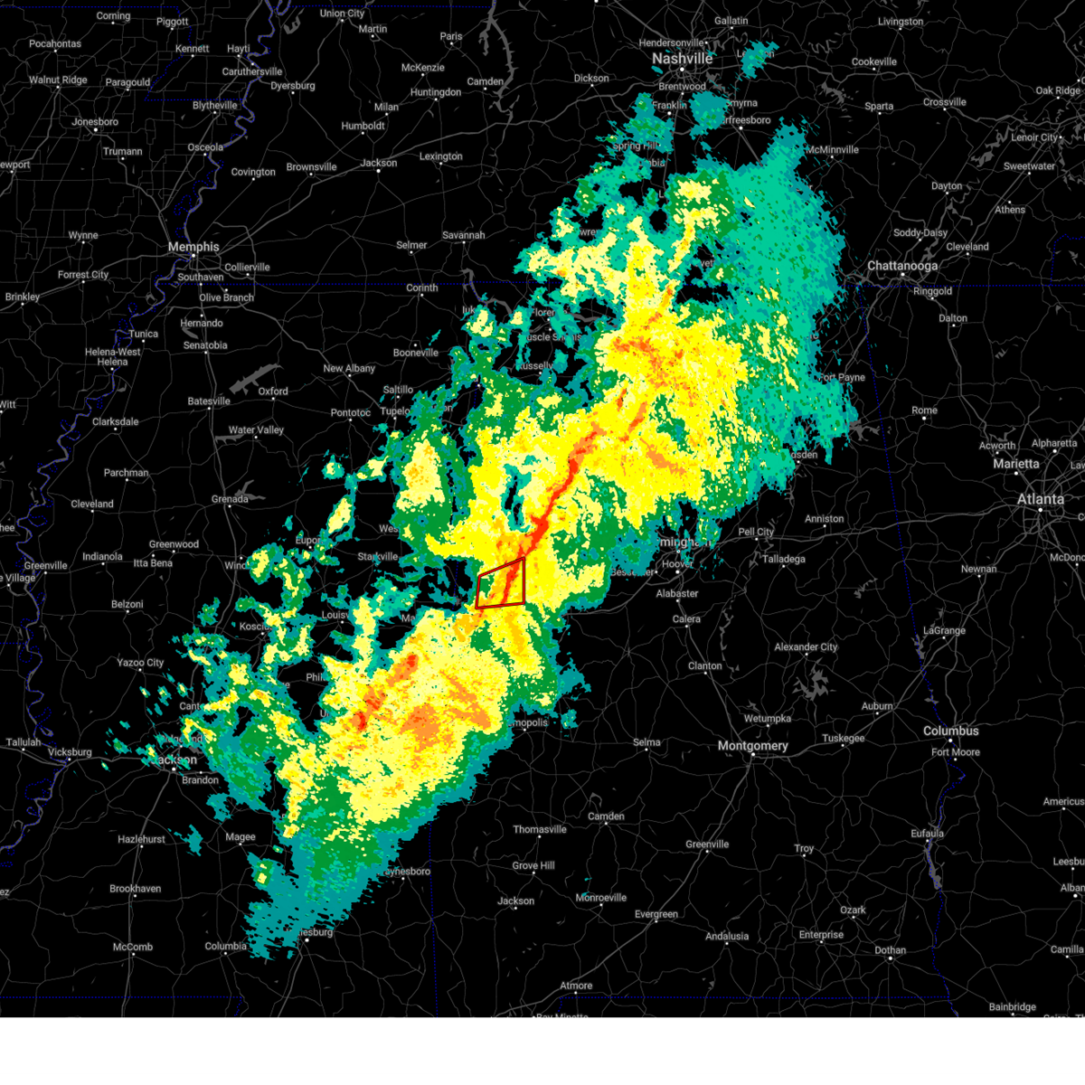
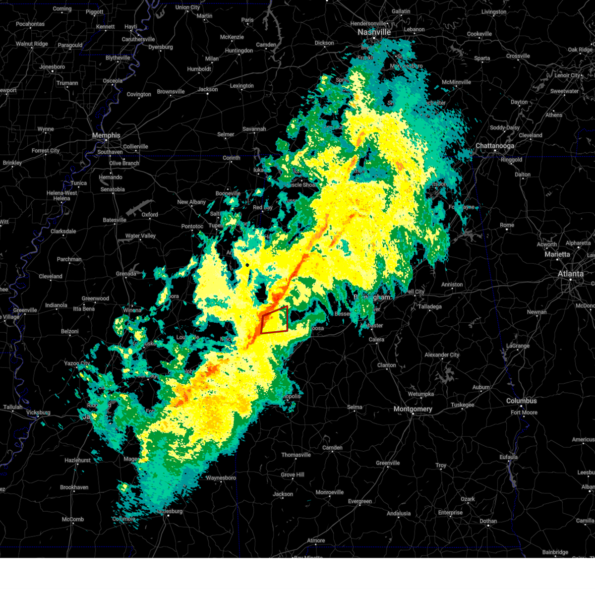
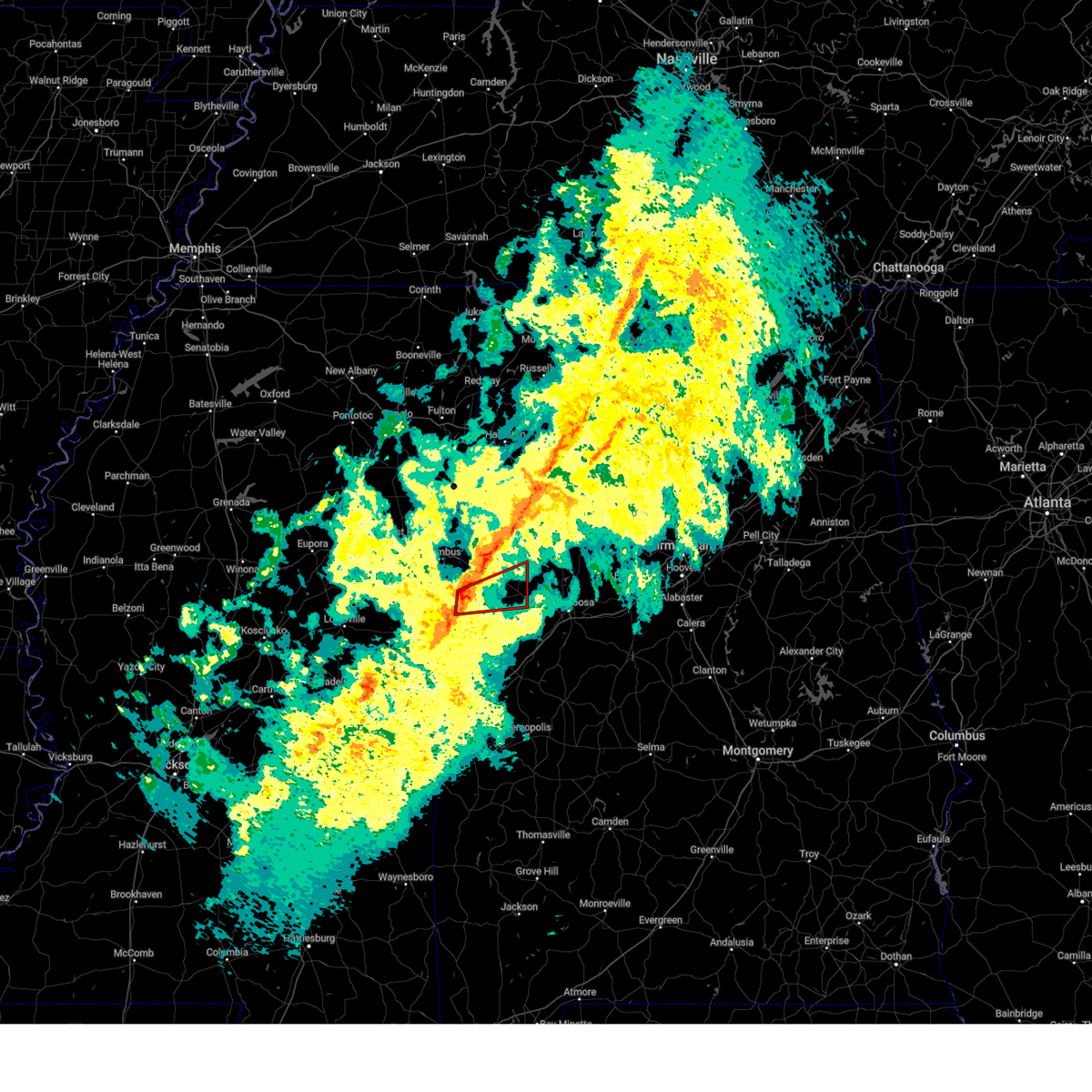
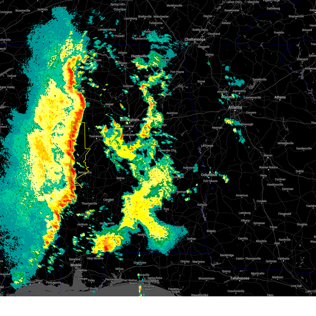
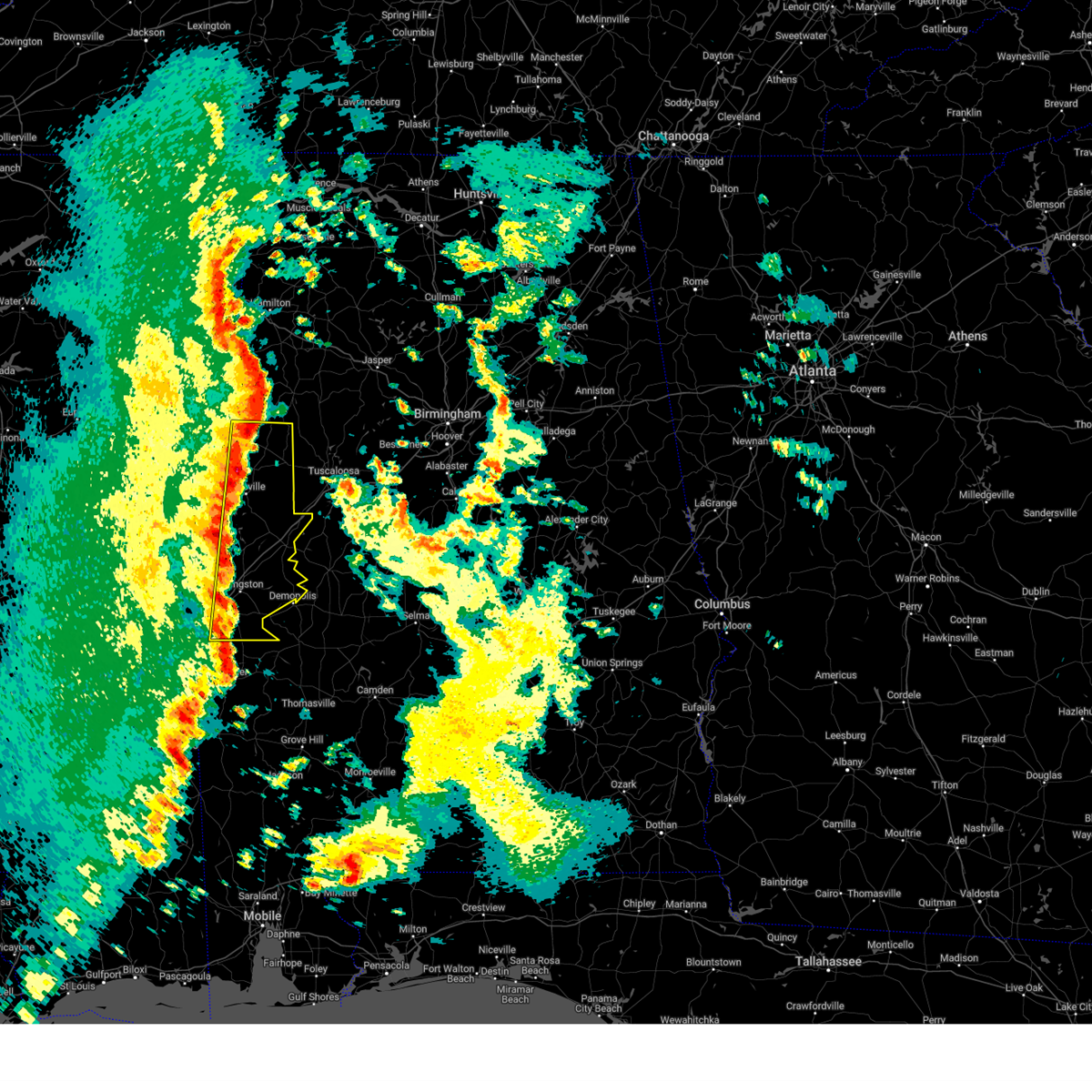
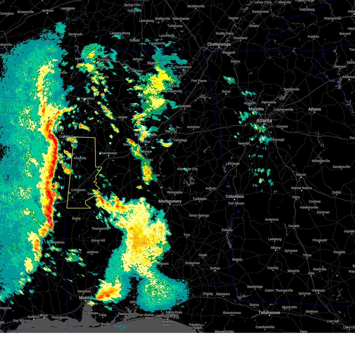
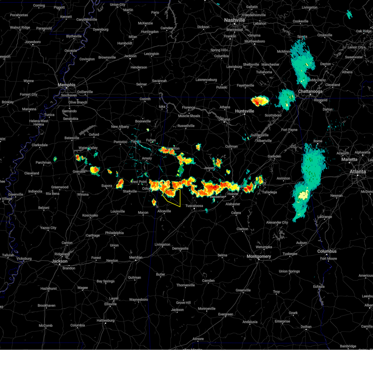
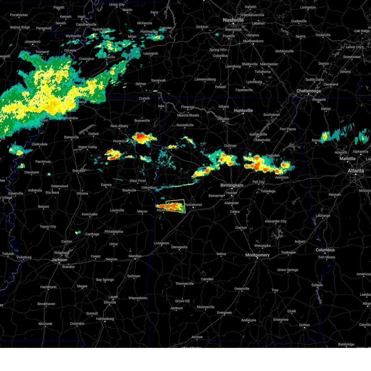
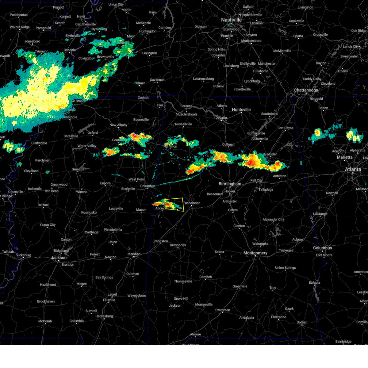
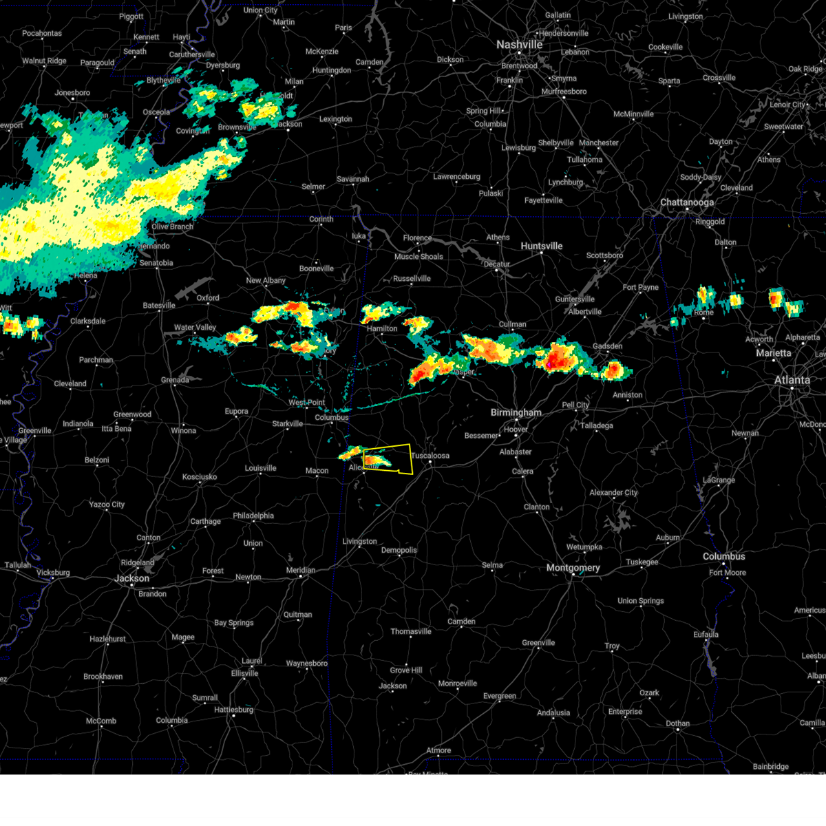
Hail Map for Gordo, AL
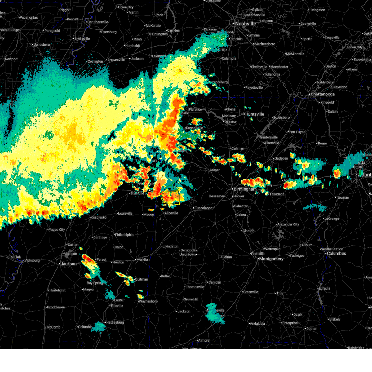
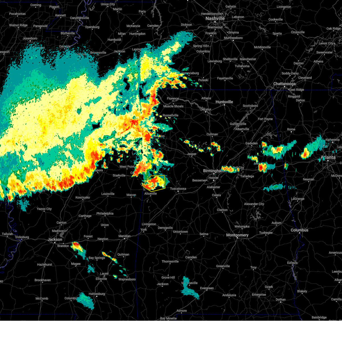
The Gordo, AL area has had 9 reports of on-the-ground hail by trained spotters, and has been under severe weather warnings 18 times during the past 12 months. Doppler radar has detected hail at or near Gordo, AL on 67 occasions, including 3 occasions during the past year.
| Name: | Gordo, AL |
| Where Located: | 53.4 miles E of Starkville, MS |
| Map: | Google Map for Gordo, AL |
| Population: | 1750 |
| Housing Units: | 801 |
| More Info: | Search Google for Gordo, AL |
1
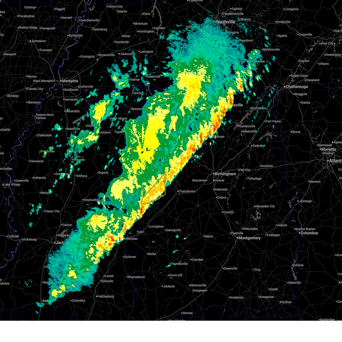
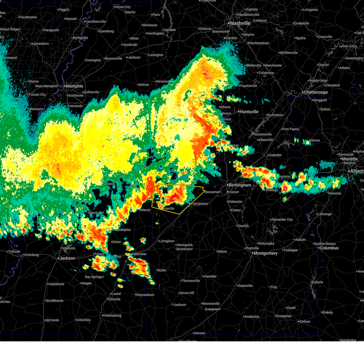
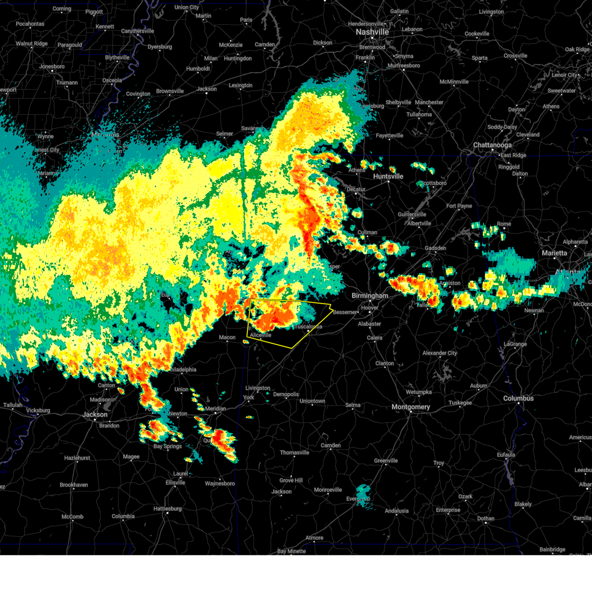
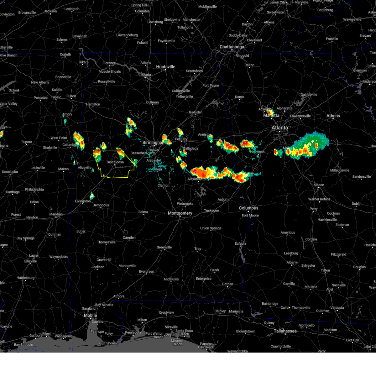
The Top Recent Hail Date for Gordo, AL is Thursday, February 26, 2026 (15th out of 67)
Hail and Wind Damage Spotted near Gordo, AL
| Date / Time | Report Details |
|---|---|
| 6/1/2026 3:09 PM CDT |
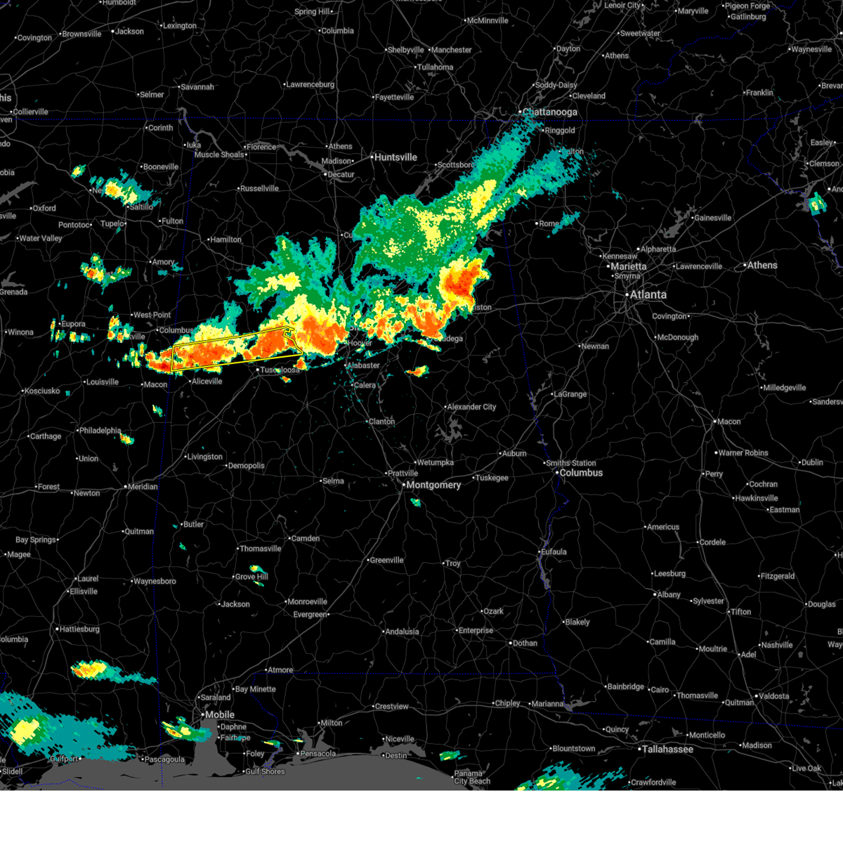 At 309 pm cdt, severe thunderstorms were located along a line extending from near brookwood to near memphis, moving south at 30 mph (radar indicated). Hazards include 60 mph wind gusts and quarter size hail. Hail damage to vehicles is expected. expect wind damage to roofs, siding, and trees. Locations impacted include, northport, gordo, reform, carrollton, pickensville, bull city, samantha, bankhead lock and dam, lake lurleen state park, binion creek landing, bevill lock and dam, lake tuscaloosa, north pickens airport, mcshan, sexton bend, tierce pattton bridge, owens, lake nicol, echola, and highway 69 bridge. At 309 pm cdt, severe thunderstorms were located along a line extending from near brookwood to near memphis, moving south at 30 mph (radar indicated). Hazards include 60 mph wind gusts and quarter size hail. Hail damage to vehicles is expected. expect wind damage to roofs, siding, and trees. Locations impacted include, northport, gordo, reform, carrollton, pickensville, bull city, samantha, bankhead lock and dam, lake lurleen state park, binion creek landing, bevill lock and dam, lake tuscaloosa, north pickens airport, mcshan, sexton bend, tierce pattton bridge, owens, lake nicol, echola, and highway 69 bridge.
|
| 6/1/2026 2:56 PM CDT |
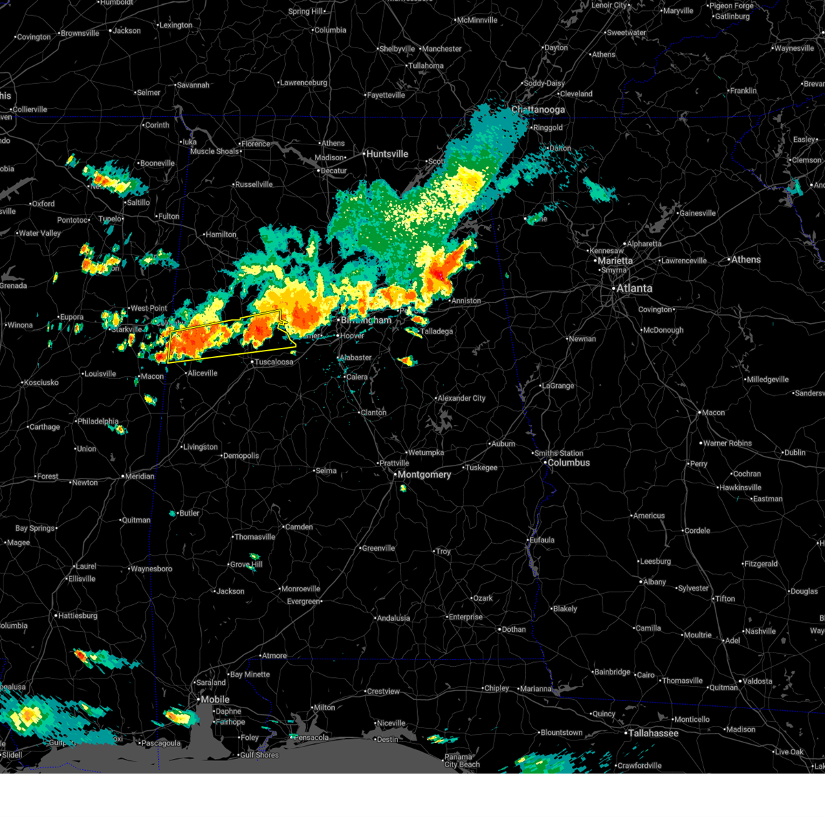 At 256 pm cdt, severe thunderstorms were located along a line extending from 6 miles south of bankhead lock and dam to bevill lock and dam, moving south at 30 mph (radar indicated). Hazards include 60 mph wind gusts and quarter size hail. Hail damage to vehicles is expected. expect wind damage to roofs, siding, and trees. Locations impacted include, northport, gordo, reform, carrollton, pickensville, ethelsville, bull city, samantha, lake lurleen state park, bevill lock and dam, bankhead lock and dam, binion creek landing, whitson, lake tuscaloosa, moores bridge, windham springs, lake nicol, wiley, echola, and highway 69 bridge. At 256 pm cdt, severe thunderstorms were located along a line extending from 6 miles south of bankhead lock and dam to bevill lock and dam, moving south at 30 mph (radar indicated). Hazards include 60 mph wind gusts and quarter size hail. Hail damage to vehicles is expected. expect wind damage to roofs, siding, and trees. Locations impacted include, northport, gordo, reform, carrollton, pickensville, ethelsville, bull city, samantha, lake lurleen state park, bevill lock and dam, bankhead lock and dam, binion creek landing, whitson, lake tuscaloosa, moores bridge, windham springs, lake nicol, wiley, echola, and highway 69 bridge.
|
| 6/1/2026 2:28 PM CDT |
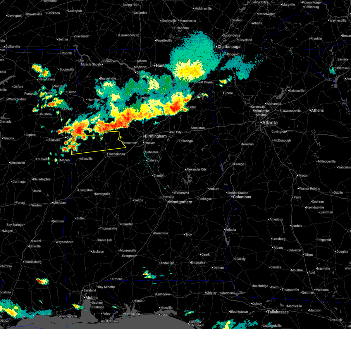 At 228 pm cdt, severe thunderstorms were located along a line extending from 6 miles southeast of boley springs to 8 miles west of ethelsville, moving south at 30 mph (radar indicated). Hazards include 60 mph wind gusts and quarter size hail. Hail damage to vehicles is expected. expect wind damage to roofs, siding, and trees. Locations impacted include, northport, gordo, reform, carrollton, pickensville, ethelsville, bull city, samantha, lake lurleen state park, bevill lock and dam, bankhead lock and dam, binion creek landing, whitson, lake tuscaloosa, moores bridge, windham springs, shaw, lake nicol, wiley, and echola. At 228 pm cdt, severe thunderstorms were located along a line extending from 6 miles southeast of boley springs to 8 miles west of ethelsville, moving south at 30 mph (radar indicated). Hazards include 60 mph wind gusts and quarter size hail. Hail damage to vehicles is expected. expect wind damage to roofs, siding, and trees. Locations impacted include, northport, gordo, reform, carrollton, pickensville, ethelsville, bull city, samantha, lake lurleen state park, bevill lock and dam, bankhead lock and dam, binion creek landing, whitson, lake tuscaloosa, moores bridge, windham springs, shaw, lake nicol, wiley, and echola.
|
| 6/1/2026 2:10 PM CDT |
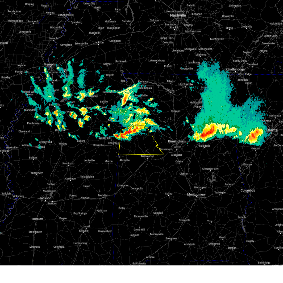
 Svrbmx the national weather service in birmingham has issued a * severe thunderstorm warning for, northern tuscaloosa county in west central alabama, pickens county in west central alabama, * until 315 pm cdt. * at 209 pm cdt, severe thunderstorms were located along a line extending from near boley springs to columbus, moving south at 30 mph (radar indicated). Hazards include 60 mph wind gusts and quarter size hail. Hail damage to vehicles is expected. Expect wind damage to roofs, siding, and trees. Svrbmx the national weather service in birmingham has issued a * severe thunderstorm warning for, northern tuscaloosa county in west central alabama, pickens county in west central alabama, * until 315 pm cdt. * at 209 pm cdt, severe thunderstorms were located along a line extending from near boley springs to columbus, moving south at 30 mph (radar indicated). Hazards include 60 mph wind gusts and quarter size hail. Hail damage to vehicles is expected. Expect wind damage to roofs, siding, and trees.
|
| 3/16/2026 12:35 AM CDT |
 At 1235 am cdt, severe thunderstorms were located along a line extending from 8 miles northwest of samantha to near aliceville, moving east at 60 mph (radar indicated). Hazards include 60 mph wind gusts. Expect damage to roofs, siding, and trees. Locations impacted include, aliceville, gordo, reform, carrollton, mcmullen, garden, benevola, johnston lake, gainesville lake campground, dillburg, george downer airport, owens, kirk, pioneer, cochrane, and lubbub. At 1235 am cdt, severe thunderstorms were located along a line extending from 8 miles northwest of samantha to near aliceville, moving east at 60 mph (radar indicated). Hazards include 60 mph wind gusts. Expect damage to roofs, siding, and trees. Locations impacted include, aliceville, gordo, reform, carrollton, mcmullen, garden, benevola, johnston lake, gainesville lake campground, dillburg, george downer airport, owens, kirk, pioneer, cochrane, and lubbub.
|
| 3/16/2026 12:27 AM CDT |
 At 1227 am cdt, severe thunderstorms were located along a line extending from near ashcraft corner to near panola, moving east at 55 mph (radar indicated). Hazards include 60 mph wind gusts. Expect damage to roofs, siding, and trees. Locations impacted include, aliceville, gordo, reform, carrollton, pickensville, memphis, mcmullen, garden, ashcraft corner, benevola, johnston lake, bevill lock and dam, gainesville lake campground, dillburg, north pickens airport, george downer airport, owens, kirk, pioneer, and cochrane. At 1227 am cdt, severe thunderstorms were located along a line extending from near ashcraft corner to near panola, moving east at 55 mph (radar indicated). Hazards include 60 mph wind gusts. Expect damage to roofs, siding, and trees. Locations impacted include, aliceville, gordo, reform, carrollton, pickensville, memphis, mcmullen, garden, ashcraft corner, benevola, johnston lake, bevill lock and dam, gainesville lake campground, dillburg, north pickens airport, george downer airport, owens, kirk, pioneer, and cochrane.
|
| 3/16/2026 12:06 AM CDT |
 At 1206 am cdt, severe thunderstorms were located along a line extending from ashcraft corner to near prairie point, moving east at 60 mph (radar indicated). Hazards include 60 mph wind gusts. Expect damage to roofs, siding, and trees. Locations impacted include, aliceville, gordo, reform, carrollton, pickensville, ethelsville, memphis, mcmullen, benevola, johnston lake, bevill lock and dam, garden, ashcraft corner, dillburg, shaw, george downer airport, kirk, gainesville lake campground, north pickens airport, and mcshan. At 1206 am cdt, severe thunderstorms were located along a line extending from ashcraft corner to near prairie point, moving east at 60 mph (radar indicated). Hazards include 60 mph wind gusts. Expect damage to roofs, siding, and trees. Locations impacted include, aliceville, gordo, reform, carrollton, pickensville, ethelsville, memphis, mcmullen, benevola, johnston lake, bevill lock and dam, garden, ashcraft corner, dillburg, shaw, george downer airport, kirk, gainesville lake campground, north pickens airport, and mcshan.
|
| 3/15/2026 11:53 PM CDT |
 Svrbmx the national weather service in birmingham has issued a * severe thunderstorm warning for, pickens county in west central alabama, * until 1245 am cdt. * at 1153 pm cdt, severe thunderstorms were located along a line extending from near ethelsville to near mashulaville, moving east at 60 mph (radar indicated). Hazards include 60 mph wind gusts. expect damage to roofs, siding, and trees Svrbmx the national weather service in birmingham has issued a * severe thunderstorm warning for, pickens county in west central alabama, * until 1245 am cdt. * at 1153 pm cdt, severe thunderstorms were located along a line extending from near ethelsville to near mashulaville, moving east at 60 mph (radar indicated). Hazards include 60 mph wind gusts. expect damage to roofs, siding, and trees
|
| 3/9/2026 9:06 PM CDT |
 the severe thunderstorm warning has been cancelled and is no longer in effect the severe thunderstorm warning has been cancelled and is no longer in effect
|
| 3/9/2026 8:48 PM CDT |
 Svrbmx the national weather service in birmingham has issued a * severe thunderstorm warning for, northeastern pickens county in west central alabama, * until 930 pm cdt. * at 848 pm cdt, a severe thunderstorm was located near carrollton, moving southeast at 35 mph (radar indicated). Hazards include 60 mph wind gusts. expect damage to roofs, siding, and trees Svrbmx the national weather service in birmingham has issued a * severe thunderstorm warning for, northeastern pickens county in west central alabama, * until 930 pm cdt. * at 848 pm cdt, a severe thunderstorm was located near carrollton, moving southeast at 35 mph (radar indicated). Hazards include 60 mph wind gusts. expect damage to roofs, siding, and trees
|
| 2/26/2026 7:08 PM CST |
 The storms which prompted the warning have weakened below severe limits, and no longer pose an immediate threat to life or property. therefore, the warning will be allowed to expire. however, small hail and gusty winds are still possible with these thunderstorms. The storms which prompted the warning have weakened below severe limits, and no longer pose an immediate threat to life or property. therefore, the warning will be allowed to expire. however, small hail and gusty winds are still possible with these thunderstorms.
|
| 2/26/2026 6:42 PM CST |
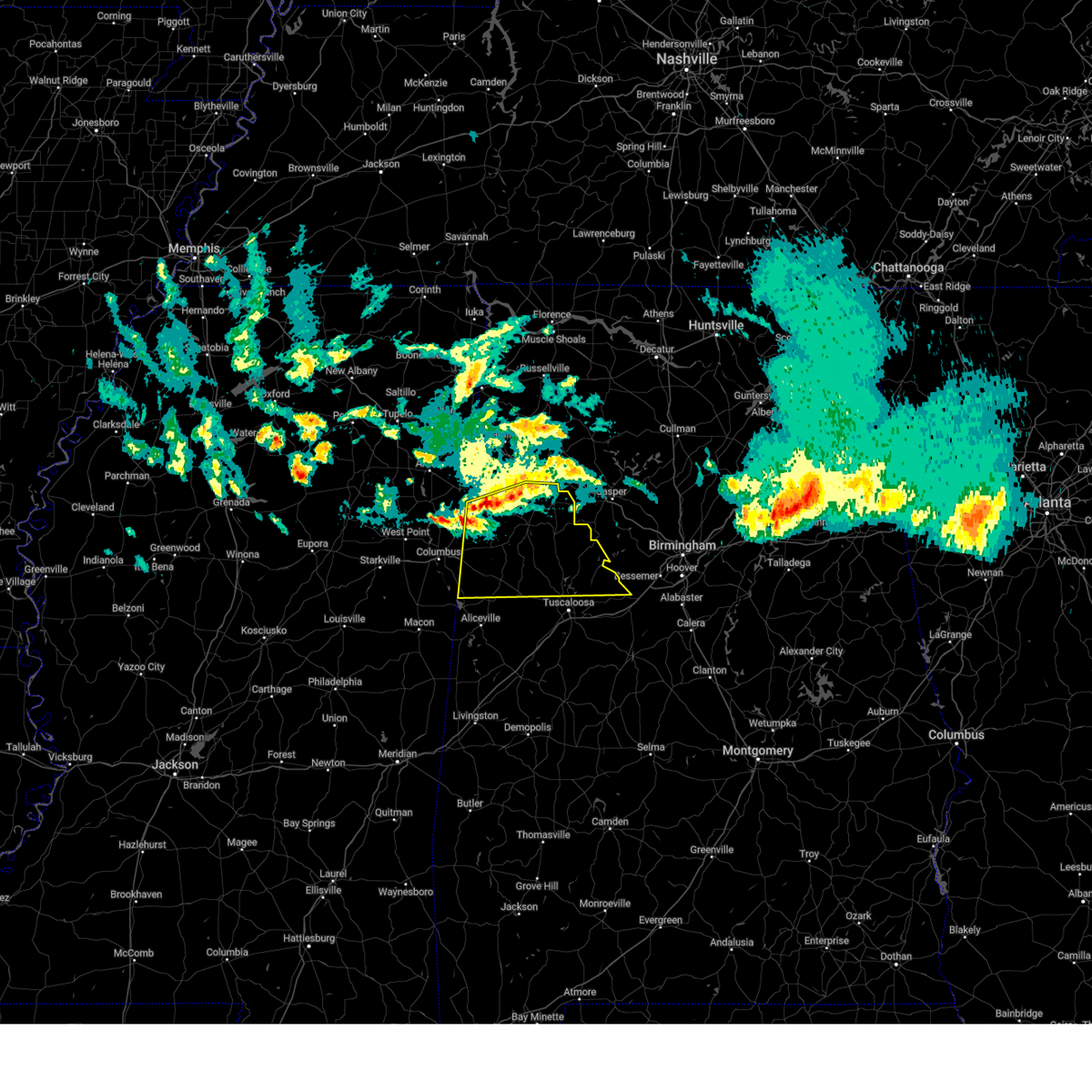
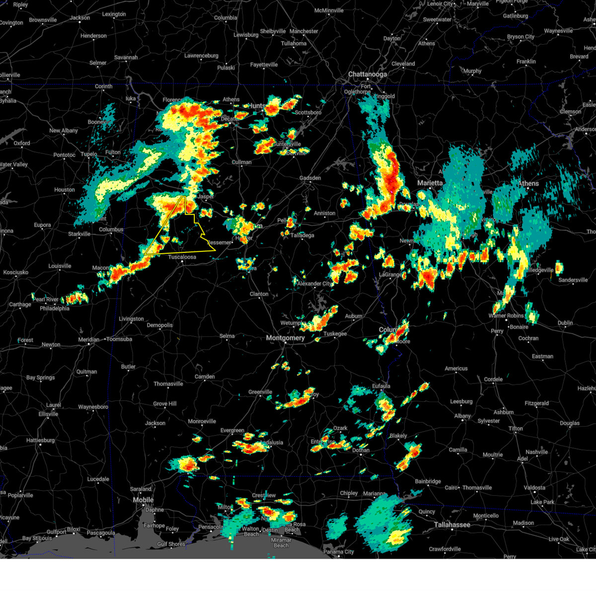
 At 642 pm cst, severe thunderstorms were located along a line extending from near samantha to gordo, moving east at 20 mph (radar indicated). Hazards include 60 mph wind gusts and quarter size hail. Hail damage to vehicles is expected. expect wind damage to roofs, siding, and trees. Locations impacted include, gordo, reform, lake lurleen state park, samantha, binion creek landing, tierce pattton bridge, north pickens airport, echola, buhl, highway 69 bridge, elrod, and lake tuscaloosa. At 642 pm cst, severe thunderstorms were located along a line extending from near samantha to gordo, moving east at 20 mph (radar indicated). Hazards include 60 mph wind gusts and quarter size hail. Hail damage to vehicles is expected. expect wind damage to roofs, siding, and trees. Locations impacted include, gordo, reform, lake lurleen state park, samantha, binion creek landing, tierce pattton bridge, north pickens airport, echola, buhl, highway 69 bridge, elrod, and lake tuscaloosa.
|
| 2/26/2026 6:26 PM CST |
 Svrbmx the national weather service in birmingham has issued a * severe thunderstorm warning for, west central tuscaloosa county in west central alabama, northeastern pickens county in west central alabama, * until 715 pm cst. * at 626 pm cst, severe thunderstorms were located along a line extending from 7 miles west of samantha to near reform, moving east at 20 mph (radar indicated). Hazards include 60 mph wind gusts and quarter size hail. Hail damage to vehicles is expected. Expect wind damage to roofs, siding, and trees. Svrbmx the national weather service in birmingham has issued a * severe thunderstorm warning for, west central tuscaloosa county in west central alabama, northeastern pickens county in west central alabama, * until 715 pm cst. * at 626 pm cst, severe thunderstorms were located along a line extending from 7 miles west of samantha to near reform, moving east at 20 mph (radar indicated). Hazards include 60 mph wind gusts and quarter size hail. Hail damage to vehicles is expected. Expect wind damage to roofs, siding, and trees.
|
| 7/31/2025 5:29 PM CDT |
 the severe thunderstorm warning has been cancelled and is no longer in effect the severe thunderstorm warning has been cancelled and is no longer in effect
|
| 7/31/2025 5:16 PM CDT |
 At 516 pm cdt, a severe thunderstorm was located near gordo, moving southeast at 20 mph (radar indicated). Hazards include 60 mph wind gusts. Expect damage to roofs, siding, and trees. Locations impacted include, gordo, kirk, and pioneer. At 516 pm cdt, a severe thunderstorm was located near gordo, moving southeast at 20 mph (radar indicated). Hazards include 60 mph wind gusts. Expect damage to roofs, siding, and trees. Locations impacted include, gordo, kirk, and pioneer.
|
| 7/31/2025 4:59 PM CDT |
 Svrbmx the national weather service in birmingham has issued a * severe thunderstorm warning for, northeastern pickens county in west central alabama, * until 600 pm cdt. * at 459 pm cdt, a severe thunderstorm was located near reform, moving east at 15 mph (radar indicated). Hazards include 60 mph wind gusts. expect damage to roofs, siding, and trees Svrbmx the national weather service in birmingham has issued a * severe thunderstorm warning for, northeastern pickens county in west central alabama, * until 600 pm cdt. * at 459 pm cdt, a severe thunderstorm was located near reform, moving east at 15 mph (radar indicated). Hazards include 60 mph wind gusts. expect damage to roofs, siding, and trees
|
| 6/16/2025 4:47 PM CDT |
 At 447 pm cdt, a severe thunderstorm was located near carrollton, moving north at 25 mph (radar indicated). Hazards include 60 mph wind gusts. Expect damage to roofs, siding, and trees. Locations impacted include, aliceville, reform, carrollton, pickensville, ethelsville, memphis, mcmullen, garden, benevola, johnston lake, bevill lock and dam, gainesville lake campground, dillburg, north pickens airport, mcshan, george downer airport, owens, and macedonia. At 447 pm cdt, a severe thunderstorm was located near carrollton, moving north at 25 mph (radar indicated). Hazards include 60 mph wind gusts. Expect damage to roofs, siding, and trees. Locations impacted include, aliceville, reform, carrollton, pickensville, ethelsville, memphis, mcmullen, garden, benevola, johnston lake, bevill lock and dam, gainesville lake campground, dillburg, north pickens airport, mcshan, george downer airport, owens, and macedonia.
|
| 6/16/2025 4:27 PM CDT |
 Svrbmx the national weather service in birmingham has issued a * severe thunderstorm warning for, pickens county in west central alabama, * until 515 pm cdt. * at 427 pm cdt, a severe thunderstorm was located near memphis, or 8 miles southwest of aliceville, moving north at 25 mph (radar indicated). Hazards include 60 mph wind gusts. expect damage to roofs, siding, and trees Svrbmx the national weather service in birmingham has issued a * severe thunderstorm warning for, pickens county in west central alabama, * until 515 pm cdt. * at 427 pm cdt, a severe thunderstorm was located near memphis, or 8 miles southwest of aliceville, moving north at 25 mph (radar indicated). Hazards include 60 mph wind gusts. expect damage to roofs, siding, and trees
|
| 6/7/2025 1:59 PM CDT |
 At 159 pm cdt, severe thunderstorms were located along a line extending from near gordo to 8 miles northeast of johnston lake to near garden, moving southeast at 40 mph (radar indicated). Hazards include 60 mph wind gusts and penny size hail. Expect damage to roofs, siding, and trees. Locations impacted include, gordo, carrollton, pickensville, kirk, dillburg, pioneer, and owens. At 159 pm cdt, severe thunderstorms were located along a line extending from near gordo to 8 miles northeast of johnston lake to near garden, moving southeast at 40 mph (radar indicated). Hazards include 60 mph wind gusts and penny size hail. Expect damage to roofs, siding, and trees. Locations impacted include, gordo, carrollton, pickensville, kirk, dillburg, pioneer, and owens.
|
| 6/7/2025 1:41 PM CDT |
 At 141 pm cdt, severe thunderstorms were located along a line extending from 8 miles southeast of ashcraft corner to gordo to near garden, moving east at 60 mph (radar indicated). Hazards include 60 mph wind gusts and penny size hail. Expect damage to roofs, siding, and trees. Locations impacted include, gordo, reform, carrollton, pickensville, ethelsville, dillburg, north pickens airport, mcshan, owens, kirk, pioneer, lubbub, and macedonia. At 141 pm cdt, severe thunderstorms were located along a line extending from 8 miles southeast of ashcraft corner to gordo to near garden, moving east at 60 mph (radar indicated). Hazards include 60 mph wind gusts and penny size hail. Expect damage to roofs, siding, and trees. Locations impacted include, gordo, reform, carrollton, pickensville, ethelsville, dillburg, north pickens airport, mcshan, owens, kirk, pioneer, lubbub, and macedonia.
|
| 6/7/2025 1:30 PM CDT |
 At 130 pm cdt, severe thunderstorms were located along a line extending from ashcraft corner to near reform to near bigbee valley, moving east at 55 mph (radar indicated). Hazards include 60 mph wind gusts and penny size hail. Expect damage to roofs, siding, and trees. Locations impacted include, gordo, reform, carrollton, pickensville, ethelsville, dillburg, north pickens airport, mcshan, shaw, owens, kirk, pioneer, lubbub, macedonia, and forest. At 130 pm cdt, severe thunderstorms were located along a line extending from ashcraft corner to near reform to near bigbee valley, moving east at 55 mph (radar indicated). Hazards include 60 mph wind gusts and penny size hail. Expect damage to roofs, siding, and trees. Locations impacted include, gordo, reform, carrollton, pickensville, ethelsville, dillburg, north pickens airport, mcshan, shaw, owens, kirk, pioneer, lubbub, macedonia, and forest.
|
| 6/7/2025 1:18 PM CDT |
 At 118 pm cdt, severe thunderstorms were located along a line extending from near millport to ethelsville to 6 miles north of deerbrook, moving southeast at 50 mph (radar indicated). Hazards include 60 mph wind gusts and penny size hail. Expect damage to roofs, siding, and trees. Locations impacted include, gordo, reform, carrollton, pickensville, ethelsville, dillburg, north pickens airport, mcshan, shaw, owens, kirk, pioneer, lubbub, macedonia, and forest. At 118 pm cdt, severe thunderstorms were located along a line extending from near millport to ethelsville to 6 miles north of deerbrook, moving southeast at 50 mph (radar indicated). Hazards include 60 mph wind gusts and penny size hail. Expect damage to roofs, siding, and trees. Locations impacted include, gordo, reform, carrollton, pickensville, ethelsville, dillburg, north pickens airport, mcshan, shaw, owens, kirk, pioneer, lubbub, macedonia, and forest.
|
| 6/7/2025 1:04 PM CDT |
 Svrbmx the national weather service in birmingham has issued a * severe thunderstorm warning for, pickens county in west central alabama, * until 215 pm cdt. * at 104 pm cdt, severe thunderstorms were located along a line extending from 7 miles northwest of millport to near artesia, moving east at 55 mph (radar indicated). Hazards include 60 mph wind gusts and penny size hail. expect damage to roofs, siding, and trees Svrbmx the national weather service in birmingham has issued a * severe thunderstorm warning for, pickens county in west central alabama, * until 215 pm cdt. * at 104 pm cdt, severe thunderstorms were located along a line extending from 7 miles northwest of millport to near artesia, moving east at 55 mph (radar indicated). Hazards include 60 mph wind gusts and penny size hail. expect damage to roofs, siding, and trees
|
| 5/25/2025 9:16 PM CDT |
 At 916 pm cdt, severe thunderstorms were located along a line extending from samantha to johnston lake, moving east at 25 mph (radar indicated). Hazards include 60 mph wind gusts and quarter size hail. Hail damage to vehicles is expected. expect wind damage to roofs, siding, and trees. Locations impacted include, northwestern tuscaloosa, northport, aliceville, gordo, reform, carrollton, pickensville, holt, coker, ethelsville, mcmullen, samantha, benevola, johnston lake, lake lurleen state park, tuscaloosa amphitheater, tuscaloosa regional airport, binion creek landing, bevill lock and dam, and bryant denny stadium. At 916 pm cdt, severe thunderstorms were located along a line extending from samantha to johnston lake, moving east at 25 mph (radar indicated). Hazards include 60 mph wind gusts and quarter size hail. Hail damage to vehicles is expected. expect wind damage to roofs, siding, and trees. Locations impacted include, northwestern tuscaloosa, northport, aliceville, gordo, reform, carrollton, pickensville, holt, coker, ethelsville, mcmullen, samantha, benevola, johnston lake, lake lurleen state park, tuscaloosa amphitheater, tuscaloosa regional airport, binion creek landing, bevill lock and dam, and bryant denny stadium.
|
| 5/25/2025 9:04 PM CDT | Trees downed in the gordo are in pickens county AL, 0.5 miles NNW of Gordo, AL |
| 5/25/2025 9:01 PM CDT |
 Svrbmx the national weather service in birmingham has issued a * severe thunderstorm warning for, western tuscaloosa county in west central alabama, pickens county in west central alabama, north central greene county in west central alabama, * until 1000 pm cdt. * at 900 pm cdt, severe thunderstorms were located along a line extending from near samantha to near mcmullen, moving east at 25 mph (radar indicated). Hazards include 60 mph wind gusts and quarter size hail. Hail damage to vehicles is expected. Expect wind damage to roofs, siding, and trees. Svrbmx the national weather service in birmingham has issued a * severe thunderstorm warning for, western tuscaloosa county in west central alabama, pickens county in west central alabama, north central greene county in west central alabama, * until 1000 pm cdt. * at 900 pm cdt, severe thunderstorms were located along a line extending from near samantha to near mcmullen, moving east at 25 mph (radar indicated). Hazards include 60 mph wind gusts and quarter size hail. Hail damage to vehicles is expected. Expect wind damage to roofs, siding, and trees.
|
| 5/25/2025 8:20 PM CDT |
 At 819 pm cdt, a severe thunderstorm was located over reform, moving east at 15 mph (radar indicated). Hazards include 60 mph wind gusts and quarter size hail. Hail damage to vehicles is expected. expect wind damage to roofs, siding, and trees. Locations impacted include, gordo, reform, lubbub, owens, north pickens airport, and mcshan. At 819 pm cdt, a severe thunderstorm was located over reform, moving east at 15 mph (radar indicated). Hazards include 60 mph wind gusts and quarter size hail. Hail damage to vehicles is expected. expect wind damage to roofs, siding, and trees. Locations impacted include, gordo, reform, lubbub, owens, north pickens airport, and mcshan.
|
| 5/25/2025 7:59 PM CDT |
 Svrbmx the national weather service in birmingham has issued a * severe thunderstorm warning for, northern pickens county in west central alabama, * until 900 pm cdt. * at 759 pm cdt, a severe thunderstorm was located near reform, moving east at 15 mph (radar indicated). Hazards include 60 mph wind gusts and quarter size hail. Hail damage to vehicles is expected. Expect wind damage to roofs, siding, and trees. Svrbmx the national weather service in birmingham has issued a * severe thunderstorm warning for, northern pickens county in west central alabama, * until 900 pm cdt. * at 759 pm cdt, a severe thunderstorm was located near reform, moving east at 15 mph (radar indicated). Hazards include 60 mph wind gusts and quarter size hail. Hail damage to vehicles is expected. Expect wind damage to roofs, siding, and trees.
|
| 5/18/2025 5:50 AM CDT |
 At 550 am cdt, a severe thunderstorm was located near binion creek landing, or 11 miles northeast of gordo, moving east at 55 mph (radar indicated). Hazards include 70 mph wind gusts and quarter size hail. Hail damage to vehicles is expected. expect considerable tree damage. wind damage is also likely to mobile homes, roofs, and outbuildings. Locations impacted include, stone wall, lake tuscaloosa, northport, moores bridge, cottondale, east brookwood, windham springs, samantha, flatwoods, brookwood, peterson, holt, lake harris, stillman college, mcfarland mall, lake nicol, wiley, echola, lake lurleen state park, and highway 69 bridge. At 550 am cdt, a severe thunderstorm was located near binion creek landing, or 11 miles northeast of gordo, moving east at 55 mph (radar indicated). Hazards include 70 mph wind gusts and quarter size hail. Hail damage to vehicles is expected. expect considerable tree damage. wind damage is also likely to mobile homes, roofs, and outbuildings. Locations impacted include, stone wall, lake tuscaloosa, northport, moores bridge, cottondale, east brookwood, windham springs, samantha, flatwoods, brookwood, peterson, holt, lake harris, stillman college, mcfarland mall, lake nicol, wiley, echola, lake lurleen state park, and highway 69 bridge.
|
| 5/18/2025 5:33 AM CDT |
 Svrbmx the national weather service in birmingham has issued a * severe thunderstorm warning for, tuscaloosa county in west central alabama, northeastern pickens county in west central alabama, southwestern fayette county in west central alabama, * until 615 am cdt. * at 533 am cdt, a severe thunderstorm was located near ashcraft corner, or near reform, moving east at 55 mph (radar indicated). Hazards include 60 mph wind gusts and penny size hail. expect damage to roofs, siding, and trees Svrbmx the national weather service in birmingham has issued a * severe thunderstorm warning for, tuscaloosa county in west central alabama, northeastern pickens county in west central alabama, southwestern fayette county in west central alabama, * until 615 am cdt. * at 533 am cdt, a severe thunderstorm was located near ashcraft corner, or near reform, moving east at 55 mph (radar indicated). Hazards include 60 mph wind gusts and penny size hail. expect damage to roofs, siding, and trees
|
| 5/17/2025 4:23 AM CDT |
 At 423 am cdt, severe thunderstorms were located along a line extending from near arkadelphia to near carrollton, moving southeast at 35 mph (radar indicated). Hazards include 60 mph wind gusts and quarter size hail. Hail damage to vehicles is expected. expect wind damage to roofs, siding, and trees. Locations impacted include, aliceville, lake tuscaloosa, palmerdale, carrollton, englewood, ralph, northport, smoke rise, samantha, brookwood, mulga, new castle, mcfarland mall, kirk, ensley, miller steam plant, pleasant ridge, wiley, lewiston, and benevola. At 423 am cdt, severe thunderstorms were located along a line extending from near arkadelphia to near carrollton, moving southeast at 35 mph (radar indicated). Hazards include 60 mph wind gusts and quarter size hail. Hail damage to vehicles is expected. expect wind damage to roofs, siding, and trees. Locations impacted include, aliceville, lake tuscaloosa, palmerdale, carrollton, englewood, ralph, northport, smoke rise, samantha, brookwood, mulga, new castle, mcfarland mall, kirk, ensley, miller steam plant, pleasant ridge, wiley, lewiston, and benevola.
|
| 5/17/2025 4:23 AM CDT |
 the severe thunderstorm warning has been cancelled and is no longer in effect the severe thunderstorm warning has been cancelled and is no longer in effect
|
| 5/17/2025 4:00 AM CDT |
 Svrbmx the national weather service in birmingham has issued a * severe thunderstorm warning for, walker county in central alabama, tuscaloosa county in west central alabama, pickens county in west central alabama, southwestern blount county in central alabama, northern greene county in west central alabama, jefferson county in central alabama, southeastern winston county in northwestern alabama, fayette county in west central alabama, southeastern lamar county in west central alabama, * until 500 am cdt. * at 400 am cdt, severe thunderstorms were located along a line extending from smith dam to near ethelsville, moving southeast at 35 mph (radar indicated). Hazards include 60 mph wind gusts and quarter size hail. Hail damage to vehicles is expected. Expect wind damage to roofs, siding, and trees. Svrbmx the national weather service in birmingham has issued a * severe thunderstorm warning for, walker county in central alabama, tuscaloosa county in west central alabama, pickens county in west central alabama, southwestern blount county in central alabama, northern greene county in west central alabama, jefferson county in central alabama, southeastern winston county in northwestern alabama, fayette county in west central alabama, southeastern lamar county in west central alabama, * until 500 am cdt. * at 400 am cdt, severe thunderstorms were located along a line extending from smith dam to near ethelsville, moving southeast at 35 mph (radar indicated). Hazards include 60 mph wind gusts and quarter size hail. Hail damage to vehicles is expected. Expect wind damage to roofs, siding, and trees.
|
| 5/8/2025 6:05 PM CDT |
 The storm which prompted the warning has weakened below severe limits, and has exited the warned area. therefore, the warning will be allowed to expire. however, small hail and gusty winds are still possible with this thunderstorm. a severe thunderstorm watch remains in effect until 1000 pm cdt for west central alabama. The storm which prompted the warning has weakened below severe limits, and has exited the warned area. therefore, the warning will be allowed to expire. however, small hail and gusty winds are still possible with this thunderstorm. a severe thunderstorm watch remains in effect until 1000 pm cdt for west central alabama.
|
| 5/8/2025 5:44 PM CDT |
 At 544 pm cdt, a severe thunderstorm was located near reform, moving east at 30 mph (radar indicated). Hazards include 60 mph wind gusts and quarter size hail. Hail damage to vehicles is expected. expect wind damage to roofs, siding, and trees. Locations impacted include, ashcraft corner, owens, carrollton, kirk, north pickens airport, mcshan, gordo, lubbub, reform, and shaw. At 544 pm cdt, a severe thunderstorm was located near reform, moving east at 30 mph (radar indicated). Hazards include 60 mph wind gusts and quarter size hail. Hail damage to vehicles is expected. expect wind damage to roofs, siding, and trees. Locations impacted include, ashcraft corner, owens, carrollton, kirk, north pickens airport, mcshan, gordo, lubbub, reform, and shaw.
|
| 5/8/2025 5:08 PM CDT |
 Svrbmx the national weather service in birmingham has issued a * severe thunderstorm warning for, northern pickens county in west central alabama, * until 615 pm cdt. * at 507 pm cdt, a severe thunderstorm was located near ethelsville, or 10 miles southeast of columbus, moving east at 30 mph (radar indicated). Hazards include 60 mph wind gusts and quarter size hail. Hail damage to vehicles is expected. Expect wind damage to roofs, siding, and trees. Svrbmx the national weather service in birmingham has issued a * severe thunderstorm warning for, northern pickens county in west central alabama, * until 615 pm cdt. * at 507 pm cdt, a severe thunderstorm was located near ethelsville, or 10 miles southeast of columbus, moving east at 30 mph (radar indicated). Hazards include 60 mph wind gusts and quarter size hail. Hail damage to vehicles is expected. Expect wind damage to roofs, siding, and trees.
|
| 5/2/2025 4:40 PM CDT |
 At 440 pm cdt, severe thunderstorms were located along a line extending from near boley springs to binion creek landing to near aliceville, moving east at 40 mph (radar indicated). Hazards include 60 mph wind gusts and quarter size hail. Hail damage to vehicles is expected. expect wind damage to roofs, siding, and trees. Locations impacted include, aliceville, whitson, lake tuscaloosa, dillburg, northport, windham springs, samantha, flatwoods, george downer airport, kirk, wiley, benevola, johnston lake, echola, lake lurleen state park, highway 69 bridge, tuscaloosa regional airport, elrod, gainesville lake campground, and garden. At 440 pm cdt, severe thunderstorms were located along a line extending from near boley springs to binion creek landing to near aliceville, moving east at 40 mph (radar indicated). Hazards include 60 mph wind gusts and quarter size hail. Hail damage to vehicles is expected. expect wind damage to roofs, siding, and trees. Locations impacted include, aliceville, whitson, lake tuscaloosa, dillburg, northport, windham springs, samantha, flatwoods, george downer airport, kirk, wiley, benevola, johnston lake, echola, lake lurleen state park, highway 69 bridge, tuscaloosa regional airport, elrod, gainesville lake campground, and garden.
|
| 5/2/2025 4:22 PM CDT |
 At 422 pm cdt, severe thunderstorms were located along a line extending from near berry to near lake lurleen state park to near cooksville, moving east at 45 mph (radar indicated). Hazards include 60 mph wind gusts and quarter size hail. Hail damage to vehicles is expected. expect wind damage to roofs, siding, and trees. Locations impacted include, aliceville, whitson, lake tuscaloosa, dillburg, northport, moores bridge, windham springs, samantha, flatwoods, george downer airport, kirk, wiley, benevola, johnston lake, echola, lake lurleen state park, highway 69 bridge, memphis, bevill lock and dam, and tuscaloosa regional airport. At 422 pm cdt, severe thunderstorms were located along a line extending from near berry to near lake lurleen state park to near cooksville, moving east at 45 mph (radar indicated). Hazards include 60 mph wind gusts and quarter size hail. Hail damage to vehicles is expected. expect wind damage to roofs, siding, and trees. Locations impacted include, aliceville, whitson, lake tuscaloosa, dillburg, northport, moores bridge, windham springs, samantha, flatwoods, george downer airport, kirk, wiley, benevola, johnston lake, echola, lake lurleen state park, highway 69 bridge, memphis, bevill lock and dam, and tuscaloosa regional airport.
|
| 5/2/2025 3:59 PM CDT |
 Svrbmx the national weather service in birmingham has issued a * severe thunderstorm warning for, northwestern tuscaloosa county in west central alabama, southern pickens county in west central alabama, * until 500 pm cdt. * at 358 pm cdt, severe thunderstorms were located along a line extending from near bankston to reform to near mashulaville, moving east at 45 mph (radar indicated). Hazards include 60 mph wind gusts and quarter size hail. Hail damage to vehicles is expected. Expect wind damage to roofs, siding, and trees. Svrbmx the national weather service in birmingham has issued a * severe thunderstorm warning for, northwestern tuscaloosa county in west central alabama, southern pickens county in west central alabama, * until 500 pm cdt. * at 358 pm cdt, severe thunderstorms were located along a line extending from near bankston to reform to near mashulaville, moving east at 45 mph (radar indicated). Hazards include 60 mph wind gusts and quarter size hail. Hail damage to vehicles is expected. Expect wind damage to roofs, siding, and trees.
|
| 4/10/2025 9:34 PM CDT |
 At 934 pm cdt, a severe thunderstorm was located near johnston lake, or near carrollton, moving southeast at 50 mph (radar indicated). Hazards include 60 mph wind gusts and quarter size hail. Hail damage to vehicles is expected. expect wind damage to roofs, siding, and trees. Locations impacted include, owens, carrollton, kirk, dillburg, pioneer, benevola, johnston lake, pickensville, garden, mcmullen, gordo, and aliceville. At 934 pm cdt, a severe thunderstorm was located near johnston lake, or near carrollton, moving southeast at 50 mph (radar indicated). Hazards include 60 mph wind gusts and quarter size hail. Hail damage to vehicles is expected. expect wind damage to roofs, siding, and trees. Locations impacted include, owens, carrollton, kirk, dillburg, pioneer, benevola, johnston lake, pickensville, garden, mcmullen, gordo, and aliceville.
|
| 4/10/2025 9:26 PM CDT |
 At 926 pm cdt, a severe thunderstorm was located over carrollton, moving southeast at 50 mph (radar indicated). Hazards include 60 mph wind gusts and quarter size hail. Hail damage to vehicles is expected. expect wind damage to roofs, siding, and trees. Locations impacted include, ethelsville, carrollton, dillburg, north pickens airport, mcshan, gordo, pickensville, owens, kirk, pioneer, benevola, johnston lake, macedonia, reform, garden, mcmullen, and aliceville. At 926 pm cdt, a severe thunderstorm was located over carrollton, moving southeast at 50 mph (radar indicated). Hazards include 60 mph wind gusts and quarter size hail. Hail damage to vehicles is expected. expect wind damage to roofs, siding, and trees. Locations impacted include, ethelsville, carrollton, dillburg, north pickens airport, mcshan, gordo, pickensville, owens, kirk, pioneer, benevola, johnston lake, macedonia, reform, garden, mcmullen, and aliceville.
|
| 4/10/2025 9:08 PM CDT |
 The storms which prompted the warning have weakened below severe limits, and no longer pose an immediate threat to life or property. therefore, the warning will be allowed to expire. however, gusty winds are still possible with these thunderstorms. a severe thunderstorm watch remains in effect until 1100 pm cdt for central and west central alabama. The storms which prompted the warning have weakened below severe limits, and no longer pose an immediate threat to life or property. therefore, the warning will be allowed to expire. however, gusty winds are still possible with these thunderstorms. a severe thunderstorm watch remains in effect until 1100 pm cdt for central and west central alabama.
|
| 4/10/2025 9:07 PM CDT |
 Svrbmx the national weather service in birmingham has issued a * severe thunderstorm warning for, pickens county in west central alabama, * until 945 pm cdt. * at 906 pm cdt, a severe thunderstorm was located 7 miles south of columbus, moving southeast at 50 mph (radar indicated). Hazards include 60 mph wind gusts and quarter size hail. Hail damage to vehicles is expected. Expect wind damage to roofs, siding, and trees. Svrbmx the national weather service in birmingham has issued a * severe thunderstorm warning for, pickens county in west central alabama, * until 945 pm cdt. * at 906 pm cdt, a severe thunderstorm was located 7 miles south of columbus, moving southeast at 50 mph (radar indicated). Hazards include 60 mph wind gusts and quarter size hail. Hail damage to vehicles is expected. Expect wind damage to roofs, siding, and trees.
|
| 4/10/2025 8:59 PM CDT |
 At 859 pm cdt, severe thunderstorms were located along a line extending from helena to near gordo, moving southeast at 50 mph (radar indicated). Hazards include 60 mph wind gusts. Expect damage to roofs, siding, and trees. Locations impacted include, whitson, lake tuscaloosa, bull city, moores bridge, windham springs, samantha, lake nicol, wiley, echola, lake lurleen state park, highway 69 bridge, ashcraft corner, north pickens airport, gordo, sexton bend, new lexington, tierce pattton bridge, owens, bankhead lock and dam, and lubbub. At 859 pm cdt, severe thunderstorms were located along a line extending from helena to near gordo, moving southeast at 50 mph (radar indicated). Hazards include 60 mph wind gusts. Expect damage to roofs, siding, and trees. Locations impacted include, whitson, lake tuscaloosa, bull city, moores bridge, windham springs, samantha, lake nicol, wiley, echola, lake lurleen state park, highway 69 bridge, ashcraft corner, north pickens airport, gordo, sexton bend, new lexington, tierce pattton bridge, owens, bankhead lock and dam, and lubbub.
|
| 4/10/2025 8:45 PM CDT |
 At 845 pm cdt, severe thunderstorms were located along a line extending from near concord to near gordo, moving southeast at 55 mph (radar indicated). Hazards include 60 mph wind gusts. Expect damage to roofs, siding, and trees. Locations impacted include, stone wall, whitson, ethelsville, lake tuscaloosa, bull city, moores bridge, windham springs, samantha, fayette county public lake, shaw, kennedy, lake nicol, wiley, echola, lake lurleen state park, highway 69 bridge, ashcraft corner, boley springs, north pickens airport, and berry. At 845 pm cdt, severe thunderstorms were located along a line extending from near concord to near gordo, moving southeast at 55 mph (radar indicated). Hazards include 60 mph wind gusts. Expect damage to roofs, siding, and trees. Locations impacted include, stone wall, whitson, ethelsville, lake tuscaloosa, bull city, moores bridge, windham springs, samantha, fayette county public lake, shaw, kennedy, lake nicol, wiley, echola, lake lurleen state park, highway 69 bridge, ashcraft corner, boley springs, north pickens airport, and berry.
|
| 4/10/2025 8:33 PM CDT |
 At 832 pm cdt, severe thunderstorms were located along a line extending from 6 miles southwest of gorgas steam plant to near gordo, moving southeast at 65 mph (radar indicated). Hazards include 60 mph wind gusts. Expect damage to roofs, siding, and trees. Locations impacted include, stone wall, whitson, ethelsville, lake tuscaloosa, bankston, bull city, moores bridge, richard arthur field, windham springs, samantha, fayette county public lake, shaw, fayette, kennedy, lake nicol, wiley, echola, lake lurleen state park, highway 69 bridge, and ashcraft corner. At 832 pm cdt, severe thunderstorms were located along a line extending from 6 miles southwest of gorgas steam plant to near gordo, moving southeast at 65 mph (radar indicated). Hazards include 60 mph wind gusts. Expect damage to roofs, siding, and trees. Locations impacted include, stone wall, whitson, ethelsville, lake tuscaloosa, bankston, bull city, moores bridge, richard arthur field, windham springs, samantha, fayette county public lake, shaw, fayette, kennedy, lake nicol, wiley, echola, lake lurleen state park, highway 69 bridge, and ashcraft corner.
|
| 4/10/2025 8:12 PM CDT |
 At 811 pm cdt, severe thunderstorms were located along a line extending from 8 miles northeast of berry to near millport, moving southeast at 65 mph (radar indicated). Hazards include 60 mph wind gusts and quarter size hail. Hail damage to vehicles is expected. expect wind damage to roofs, siding, and trees. Locations impacted include, cody, stone wall, whitson, ethelsville, lake tuscaloosa, bankston, bull city, moores bridge, richard arthur field, windham springs, samantha, fayette county public lake, shaw, fayette, kennedy, lake nicol, wiley, star, echola, and lake lurleen state park. At 811 pm cdt, severe thunderstorms were located along a line extending from 8 miles northeast of berry to near millport, moving southeast at 65 mph (radar indicated). Hazards include 60 mph wind gusts and quarter size hail. Hail damage to vehicles is expected. expect wind damage to roofs, siding, and trees. Locations impacted include, cody, stone wall, whitson, ethelsville, lake tuscaloosa, bankston, bull city, moores bridge, richard arthur field, windham springs, samantha, fayette county public lake, shaw, fayette, kennedy, lake nicol, wiley, star, echola, and lake lurleen state park.
|
| 4/10/2025 7:58 PM CDT |
 At 758 pm cdt, severe thunderstorms were located along a line extending from near glen allen to near caledonia, moving southeast at 50 mph (radar indicated). Hazards include 60 mph wind gusts and quarter size hail. Hail damage to vehicles is expected. expect wind damage to roofs, siding, and trees. Locations impacted include, cody, whitson, ethelsville, lake tuscaloosa, bull city, moores bridge, wayside, richard arthur field, samantha, fayette, wiley, echola, lake lurleen state park, hightogy, crossville, bluff, bazemore, boley springs, blooming grove, and berry. At 758 pm cdt, severe thunderstorms were located along a line extending from near glen allen to near caledonia, moving southeast at 50 mph (radar indicated). Hazards include 60 mph wind gusts and quarter size hail. Hail damage to vehicles is expected. expect wind damage to roofs, siding, and trees. Locations impacted include, cody, whitson, ethelsville, lake tuscaloosa, bull city, moores bridge, wayside, richard arthur field, samantha, fayette, wiley, echola, lake lurleen state park, hightogy, crossville, bluff, bazemore, boley springs, blooming grove, and berry.
|
| 4/10/2025 7:53 PM CDT |
 Svrbmx the national weather service in birmingham has issued a * severe thunderstorm warning for, northern tuscaloosa county in west central alabama, northern pickens county in west central alabama, fayette county in west central alabama, lamar county in west central alabama, * until 915 pm cdt. * at 753 pm cdt, severe thunderstorms were located along a line extending from near bluff to near steens, moving southeast at 65 mph (radar indicated). Hazards include 60 mph wind gusts. expect damage to roofs, siding, and trees Svrbmx the national weather service in birmingham has issued a * severe thunderstorm warning for, northern tuscaloosa county in west central alabama, northern pickens county in west central alabama, fayette county in west central alabama, lamar county in west central alabama, * until 915 pm cdt. * at 753 pm cdt, severe thunderstorms were located along a line extending from near bluff to near steens, moving southeast at 65 mph (radar indicated). Hazards include 60 mph wind gusts. expect damage to roofs, siding, and trees
|
| 3/15/2025 4:48 PM CDT |
 At 448 pm cdt, a confirmed large and extremely dangerous tornado was located over gordo, moving northeast at 55 mph. this is a particularly dangerous situation. take cover now! (radar confirmed tornado). Hazards include damaging tornado. You are in a life-threatening situation. flying debris may be deadly to those caught without shelter. mobile homes will be destroyed. considerable damage to homes, businesses, and vehicles is likely and complete destruction is possible. Locations impacted include, gordo and lubbub. At 448 pm cdt, a confirmed large and extremely dangerous tornado was located over gordo, moving northeast at 55 mph. this is a particularly dangerous situation. take cover now! (radar confirmed tornado). Hazards include damaging tornado. You are in a life-threatening situation. flying debris may be deadly to those caught without shelter. mobile homes will be destroyed. considerable damage to homes, businesses, and vehicles is likely and complete destruction is possible. Locations impacted include, gordo and lubbub.
|
| 3/15/2025 4:42 PM CDT |
 At 441 pm cdt, a confirmed large and extremely dangerous tornado was located near carrollton, moving northeast at 55 mph. this is a particularly dangerous situation. take cover now! (radar confirmed tornado). Hazards include damaging tornado. You are in a life-threatening situation. flying debris may be deadly to those caught without shelter. mobile homes will be destroyed. considerable damage to homes, businesses, and vehicles is likely and complete destruction is possible. Locations impacted include, kirk, gordo, and lubbub. At 441 pm cdt, a confirmed large and extremely dangerous tornado was located near carrollton, moving northeast at 55 mph. this is a particularly dangerous situation. take cover now! (radar confirmed tornado). Hazards include damaging tornado. You are in a life-threatening situation. flying debris may be deadly to those caught without shelter. mobile homes will be destroyed. considerable damage to homes, businesses, and vehicles is likely and complete destruction is possible. Locations impacted include, kirk, gordo, and lubbub.
|
| 3/15/2025 4:39 PM CDT |
 At 439 pm cdt, a confirmed tornado was located near johnston lake, or near carrollton, moving northeast at 55 mph (radar confirmed tornado). Hazards include damaging tornado. Flying debris will be dangerous to those caught without shelter. mobile homes will be damaged or destroyed. damage to roofs, windows, and vehicles will occur. tree damage is likely. Locations impacted include, gordo, kirk, johnston lake, and lubbub. At 439 pm cdt, a confirmed tornado was located near johnston lake, or near carrollton, moving northeast at 55 mph (radar confirmed tornado). Hazards include damaging tornado. Flying debris will be dangerous to those caught without shelter. mobile homes will be damaged or destroyed. damage to roofs, windows, and vehicles will occur. tree damage is likely. Locations impacted include, gordo, kirk, johnston lake, and lubbub.
|
| 3/15/2025 4:35 PM CDT |
 Torbmx the national weather service in birmingham has issued a * tornado warning for, southeastern pickens county in west central alabama, * until 500 pm cdt. * at 435 pm cdt, a severe thunderstorm capable of producing a tornado was located over johnston lake, or near aliceville, moving northeast at 45 mph (radar indicated rotation). Hazards include tornado. Flying debris will be dangerous to those caught without shelter. mobile homes will be damaged or destroyed. damage to roofs, windows, and vehicles will occur. Tree damage is likely. Torbmx the national weather service in birmingham has issued a * tornado warning for, southeastern pickens county in west central alabama, * until 500 pm cdt. * at 435 pm cdt, a severe thunderstorm capable of producing a tornado was located over johnston lake, or near aliceville, moving northeast at 45 mph (radar indicated rotation). Hazards include tornado. Flying debris will be dangerous to those caught without shelter. mobile homes will be damaged or destroyed. damage to roofs, windows, and vehicles will occur. Tree damage is likely.
|
| 3/15/2025 3:38 PM CDT |
 the tornado warning has been cancelled and is no longer in effect the tornado warning has been cancelled and is no longer in effect
|
| 3/15/2025 3:38 PM CDT |
 At 338 pm cdt, a severe thunderstorm capable of producing a tornado was located near gordo, moving northeast at 55 mph (radar indicated rotation). Hazards include tornado and quarter size hail. Flying debris will be dangerous to those caught without shelter. mobile homes will be damaged or destroyed. damage to roofs, windows, and vehicles will occur. tree damage is likely. Locations impacted include, kirk and gordo. At 338 pm cdt, a severe thunderstorm capable of producing a tornado was located near gordo, moving northeast at 55 mph (radar indicated rotation). Hazards include tornado and quarter size hail. Flying debris will be dangerous to those caught without shelter. mobile homes will be damaged or destroyed. damage to roofs, windows, and vehicles will occur. tree damage is likely. Locations impacted include, kirk and gordo.
|
| 3/15/2025 3:22 PM CDT |
 At 322 pm cdt, a severe thunderstorm capable of producing a tornado was located over benevola, or 10 miles east of aliceville, moving northeast at 40 mph (radar indicated rotation). Hazards include tornado and quarter size hail. Flying debris will be dangerous to those caught without shelter. mobile homes will be damaged or destroyed. damage to roofs, windows, and vehicles will occur. tree damage is likely. Locations impacted include, gordo, kirk, jena, pioneer, benevola, and johnston lake. At 322 pm cdt, a severe thunderstorm capable of producing a tornado was located over benevola, or 10 miles east of aliceville, moving northeast at 40 mph (radar indicated rotation). Hazards include tornado and quarter size hail. Flying debris will be dangerous to those caught without shelter. mobile homes will be damaged or destroyed. damage to roofs, windows, and vehicles will occur. tree damage is likely. Locations impacted include, gordo, kirk, jena, pioneer, benevola, and johnston lake.
|
| 3/15/2025 3:14 PM CDT |
 At 314 pm cdt, a severe thunderstorm capable of producing a tornado was located 7 miles southwest of benevola, or 8 miles southeast of aliceville, moving northeast at 45 mph (radar indicated rotation). Hazards include tornado and golf ball size hail. Flying debris will be dangerous to those caught without shelter. mobile homes will be damaged or destroyed. damage to roofs, windows, and vehicles will occur. tree damage is likely. Locations impacted include, kirk, pleasant ridge, pioneer, lewiston, benevola, johnston lake, gordo, mantua, and jena. At 314 pm cdt, a severe thunderstorm capable of producing a tornado was located 7 miles southwest of benevola, or 8 miles southeast of aliceville, moving northeast at 45 mph (radar indicated rotation). Hazards include tornado and golf ball size hail. Flying debris will be dangerous to those caught without shelter. mobile homes will be damaged or destroyed. damage to roofs, windows, and vehicles will occur. tree damage is likely. Locations impacted include, kirk, pleasant ridge, pioneer, lewiston, benevola, johnston lake, gordo, mantua, and jena.
|
| 3/15/2025 3:02 PM CDT |
 At 302 pm cdt, a severe thunderstorm capable of producing a tornado was located near new west greene, or 9 miles south of aliceville, moving northeast at 55 mph (radar indicated rotation). Hazards include tornado and golf ball size hail. Flying debris will be dangerous to those caught without shelter. mobile homes will be damaged or destroyed. damage to roofs, windows, and vehicles will occur. tree damage is likely. Locations impacted include, kirk, pleasant ridge, pioneer, lewiston, benevola, johnston lake, gordo, mantua, and jena. At 302 pm cdt, a severe thunderstorm capable of producing a tornado was located near new west greene, or 9 miles south of aliceville, moving northeast at 55 mph (radar indicated rotation). Hazards include tornado and golf ball size hail. Flying debris will be dangerous to those caught without shelter. mobile homes will be damaged or destroyed. damage to roofs, windows, and vehicles will occur. tree damage is likely. Locations impacted include, kirk, pleasant ridge, pioneer, lewiston, benevola, johnston lake, gordo, mantua, and jena.
|
| 3/15/2025 2:58 PM CDT |
 At 258 pm cdt, a severe thunderstorm capable of producing a tornado was located over panola, or 12 miles south of aliceville, moving northeast at 55 mph (radar indicated rotation). Hazards include tornado. Flying debris will be dangerous to those caught without shelter. mobile homes will be damaged or destroyed. damage to roofs, windows, and vehicles will occur. tree damage is likely. Locations impacted include, kirk, pleasant ridge, pioneer, lewiston, benevola, johnston lake, gordo, mantua, and jena. At 258 pm cdt, a severe thunderstorm capable of producing a tornado was located over panola, or 12 miles south of aliceville, moving northeast at 55 mph (radar indicated rotation). Hazards include tornado. Flying debris will be dangerous to those caught without shelter. mobile homes will be damaged or destroyed. damage to roofs, windows, and vehicles will occur. tree damage is likely. Locations impacted include, kirk, pleasant ridge, pioneer, lewiston, benevola, johnston lake, gordo, mantua, and jena.
|
| 3/15/2025 2:51 PM CDT |
 Torbmx the national weather service in birmingham has issued a * tornado warning for, southeastern pickens county in west central alabama, northwestern greene county in west central alabama, * until 345 pm cdt. * at 250 pm cdt, a severe thunderstorm capable of producing a tornado was located near panola, or 18 miles north of livingston, moving northeast at 55 mph (radar indicated rotation). Hazards include tornado. Flying debris will be dangerous to those caught without shelter. mobile homes will be damaged or destroyed. damage to roofs, windows, and vehicles will occur. Tree damage is likely. Torbmx the national weather service in birmingham has issued a * tornado warning for, southeastern pickens county in west central alabama, northwestern greene county in west central alabama, * until 345 pm cdt. * at 250 pm cdt, a severe thunderstorm capable of producing a tornado was located near panola, or 18 miles north of livingston, moving northeast at 55 mph (radar indicated rotation). Hazards include tornado. Flying debris will be dangerous to those caught without shelter. mobile homes will be damaged or destroyed. damage to roofs, windows, and vehicles will occur. Tree damage is likely.
|
| 3/15/2025 3:51 AM CDT |
 At 351 am cdt, a severe thunderstorm was located over gordo, moving northeast at 60 mph (radar indicated). Hazards include ping pong ball size hail and 60 mph wind gusts. People and animals outdoors will be injured. expect hail damage to roofs, siding, windows, and vehicles. expect wind damage to roofs, siding, and trees. Locations impacted include, echola, gordo, lubbub, kirk, moores bridge, and reform. At 351 am cdt, a severe thunderstorm was located over gordo, moving northeast at 60 mph (radar indicated). Hazards include ping pong ball size hail and 60 mph wind gusts. People and animals outdoors will be injured. expect hail damage to roofs, siding, windows, and vehicles. expect wind damage to roofs, siding, and trees. Locations impacted include, echola, gordo, lubbub, kirk, moores bridge, and reform.
|
| 3/15/2025 3:47 AM CDT | Ping Pong Ball sized hail reported 0.5 miles NNW of Gordo, AL, social media photos of half dollar to ping pong ball size hail in gordo. |
| 3/15/2025 3:38 AM CDT |
 Svrbmx the national weather service in birmingham has issued a * severe thunderstorm warning for, northwestern tuscaloosa county in west central alabama, eastern pickens county in west central alabama, * until 430 am cdt. * at 337 am cdt, a severe thunderstorm was located over johnston lake, or near carrollton, moving northeast at 60 mph (radar indicated). Hazards include ping pong ball size hail and 60 mph wind gusts. People and animals outdoors will be injured. expect hail damage to roofs, siding, windows, and vehicles. Expect wind damage to roofs, siding, and trees. Svrbmx the national weather service in birmingham has issued a * severe thunderstorm warning for, northwestern tuscaloosa county in west central alabama, eastern pickens county in west central alabama, * until 430 am cdt. * at 337 am cdt, a severe thunderstorm was located over johnston lake, or near carrollton, moving northeast at 60 mph (radar indicated). Hazards include ping pong ball size hail and 60 mph wind gusts. People and animals outdoors will be injured. expect hail damage to roofs, siding, windows, and vehicles. Expect wind damage to roofs, siding, and trees.
|
| 2/16/2025 12:21 AM CST |
 The storms which prompted the warning have moved out of the area. therefore, the warning will be allowed to expire. a tornado watch remains in effect until 400 am cst for central and west central alabama. The storms which prompted the warning have moved out of the area. therefore, the warning will be allowed to expire. a tornado watch remains in effect until 400 am cst for central and west central alabama.
|
| 2/16/2025 12:10 AM CST |
 At 1210 am cst, severe thunderstorms were located along a line extending from near curry to near union, moving east at 55 mph (radar indicated). Hazards include 60 mph wind gusts. Expect damage to roofs, siding, and trees. Locations impacted include, aliceville, gordo, berry, boley springs, bankston, benevola, johnston lake, dillburg, fayette county public lake, george downer airport, new lexington, kirk, pioneer, and lubbub. At 1210 am cst, severe thunderstorms were located along a line extending from near curry to near union, moving east at 55 mph (radar indicated). Hazards include 60 mph wind gusts. Expect damage to roofs, siding, and trees. Locations impacted include, aliceville, gordo, berry, boley springs, bankston, benevola, johnston lake, dillburg, fayette county public lake, george downer airport, new lexington, kirk, pioneer, and lubbub.
|
| 2/15/2025 11:54 PM CST |
 At 1154 pm cst, severe thunderstorms were located along a line extending from near carbon hill to near panola, moving east at 55 mph (radar indicated). Hazards include 60 mph wind gusts. Expect damage to roofs, siding, and trees. Locations impacted include, fayette, aliceville, gordo, reform, carrollton, pickensville, berry, glen allen, belk, memphis, mcmullen, bankston, benevola, johnston lake, garden, ashcraft corner, boley springs, stone wall, dillburg, and richard arthur field. At 1154 pm cst, severe thunderstorms were located along a line extending from near carbon hill to near panola, moving east at 55 mph (radar indicated). Hazards include 60 mph wind gusts. Expect damage to roofs, siding, and trees. Locations impacted include, fayette, aliceville, gordo, reform, carrollton, pickensville, berry, glen allen, belk, memphis, mcmullen, bankston, benevola, johnston lake, garden, ashcraft corner, boley springs, stone wall, dillburg, and richard arthur field.
|
| 2/15/2025 11:40 PM CST |
 At 1140 pm cst, severe thunderstorms were located along a line extending from glen allen to near paulette, moving east at 55 mph (radar indicated). Hazards include 60 mph wind gusts. Expect damage to roofs, siding, and trees. Locations impacted include, winfield, fayette, aliceville, gordo, reform, carrollton, pickensville, berry, glen allen, belk, gu- win, ethelsville, memphis, mcmullen, bankston, benevola, johnston lake, bevill lock and dam, bluff, and garden. At 1140 pm cst, severe thunderstorms were located along a line extending from glen allen to near paulette, moving east at 55 mph (radar indicated). Hazards include 60 mph wind gusts. Expect damage to roofs, siding, and trees. Locations impacted include, winfield, fayette, aliceville, gordo, reform, carrollton, pickensville, berry, glen allen, belk, gu- win, ethelsville, memphis, mcmullen, bankston, benevola, johnston lake, bevill lock and dam, bluff, and garden.
|
| 2/15/2025 11:26 PM CST |
 Svrbmx the national weather service in birmingham has issued a * severe thunderstorm warning for, pickens county in west central alabama, fayette county in west central alabama, * until 1230 am cst. * at 1126 pm cst, severe thunderstorms were located along a line extending from near beaverton to near gholson, moving east at 60 mph (radar indicated). Hazards include 60 mph wind gusts. expect damage to roofs, siding, and trees Svrbmx the national weather service in birmingham has issued a * severe thunderstorm warning for, pickens county in west central alabama, fayette county in west central alabama, * until 1230 am cst. * at 1126 pm cst, severe thunderstorms were located along a line extending from near beaverton to near gholson, moving east at 60 mph (radar indicated). Hazards include 60 mph wind gusts. expect damage to roofs, siding, and trees
|
| 1/5/2025 9:11 PM CST |
 the tornado warning has been cancelled and is no longer in effect the tornado warning has been cancelled and is no longer in effect
|
| 1/5/2025 9:00 PM CST |
 At 900 pm cst, a confirmed tornado was located near carrollton, moving east at 40 mph (radar confirmed tornado). Hazards include damaging tornado. Flying debris will be dangerous to those caught without shelter. mobile homes will be damaged or destroyed. damage to roofs, windows, and vehicles will occur. tree damage is likely. Locations impacted include, gordo, reform, carrollton, owens, kirk, north pickens airport, and lubbub. At 900 pm cst, a confirmed tornado was located near carrollton, moving east at 40 mph (radar confirmed tornado). Hazards include damaging tornado. Flying debris will be dangerous to those caught without shelter. mobile homes will be damaged or destroyed. damage to roofs, windows, and vehicles will occur. tree damage is likely. Locations impacted include, gordo, reform, carrollton, owens, kirk, north pickens airport, and lubbub.
|
| 1/5/2025 8:46 PM CST |
 Torbmx the national weather service in birmingham has issued a * tornado warning for, central pickens county in west central alabama, * until 945 pm cst. * at 845 pm cst, a severe thunderstorm capable of producing a tornado was located near pickensville, moving east at 40 mph (radar indicated rotation). Hazards include tornado. Flying debris will be dangerous to those caught without shelter. mobile homes will be damaged or destroyed. damage to roofs, windows, and vehicles will occur. Tree damage is likely. Torbmx the national weather service in birmingham has issued a * tornado warning for, central pickens county in west central alabama, * until 945 pm cst. * at 845 pm cst, a severe thunderstorm capable of producing a tornado was located near pickensville, moving east at 40 mph (radar indicated rotation). Hazards include tornado. Flying debris will be dangerous to those caught without shelter. mobile homes will be damaged or destroyed. damage to roofs, windows, and vehicles will occur. Tree damage is likely.
|
| 12/28/2024 9:59 PM CST | Trees and power lines down on county road 9 near gord in pickens county AL, 1.4 miles NE of Gordo, AL |
| 12/28/2024 9:54 PM CST |
 At 954 pm cst, severe thunderstorms were located along a line extending from near reform to near coatopa, moving east at 55 mph (radar indicated). Hazards include 70 mph wind gusts. Expect considerable tree damage. damage is likely to mobile homes, roofs, and outbuildings. Locations impacted include, demopolis, eutaw, aliceville, gordo, reform, carrollton, forkland, boligee, union, gainesville, epes, walden quarters, west greene, thornhill, benevola, johnston lake, dug hill, tishabee, new west greene, and mantua. At 954 pm cst, severe thunderstorms were located along a line extending from near reform to near coatopa, moving east at 55 mph (radar indicated). Hazards include 70 mph wind gusts. Expect considerable tree damage. damage is likely to mobile homes, roofs, and outbuildings. Locations impacted include, demopolis, eutaw, aliceville, gordo, reform, carrollton, forkland, boligee, union, gainesville, epes, walden quarters, west greene, thornhill, benevola, johnston lake, dug hill, tishabee, new west greene, and mantua.
|
| 12/28/2024 9:36 PM CST |
 At 935 pm cst, severe thunderstorms were located along a line extending from near carrollton to near kinterbish, moving east at 55 mph (radar indicated). Hazards include 70 mph wind gusts. Expect considerable tree damage. damage is likely to mobile homes, roofs, and outbuildings. Locations impacted include, demopolis, livingston, eutaw, york, aliceville, gordo, reform, carrollton, pickensville, cuba, forkland, boligee, union, gainesville, epes, ethelsville, emelle, mcmullen, panola, and west greene. At 935 pm cst, severe thunderstorms were located along a line extending from near carrollton to near kinterbish, moving east at 55 mph (radar indicated). Hazards include 70 mph wind gusts. Expect considerable tree damage. damage is likely to mobile homes, roofs, and outbuildings. Locations impacted include, demopolis, livingston, eutaw, york, aliceville, gordo, reform, carrollton, pickensville, cuba, forkland, boligee, union, gainesville, epes, ethelsville, emelle, mcmullen, panola, and west greene.
|
| 12/28/2024 8:56 PM CST |
 Svrbmx the national weather service in birmingham has issued a * severe thunderstorm warning for, pickens county in west central alabama, greene county in west central alabama, sumter county in west central alabama, * until 1015 pm cst. * at 855 pm cst, severe thunderstorms were located along a line extending from near crawford to near meridian, moving east at 45 mph (radar indicated). Hazards include 70 mph wind gusts. Expect considerable tree damage. Damage is likely to mobile homes, roofs, and outbuildings. Svrbmx the national weather service in birmingham has issued a * severe thunderstorm warning for, pickens county in west central alabama, greene county in west central alabama, sumter county in west central alabama, * until 1015 pm cst. * at 855 pm cst, severe thunderstorms were located along a line extending from near crawford to near meridian, moving east at 45 mph (radar indicated). Hazards include 70 mph wind gusts. Expect considerable tree damage. Damage is likely to mobile homes, roofs, and outbuildings.
|
| 8/18/2024 4:03 PM CDT |
 Svrbmx the national weather service in birmingham has issued a * severe thunderstorm warning for, tuscaloosa county in west central alabama, northeastern pickens county in west central alabama, * until 500 pm cdt. * at 403 pm cdt, severe thunderstorms were located along a line extending from 7 miles southwest of bankhead lock and dam to near gordo, moving southeast at 30 mph (radar indicated). Hazards include 60 mph wind gusts and quarter size hail. Hail damage to vehicles is expected. Expect wind damage to roofs, siding, and trees. Svrbmx the national weather service in birmingham has issued a * severe thunderstorm warning for, tuscaloosa county in west central alabama, northeastern pickens county in west central alabama, * until 500 pm cdt. * at 403 pm cdt, severe thunderstorms were located along a line extending from 7 miles southwest of bankhead lock and dam to near gordo, moving southeast at 30 mph (radar indicated). Hazards include 60 mph wind gusts and quarter size hail. Hail damage to vehicles is expected. Expect wind damage to roofs, siding, and trees.
|
| 8/2/2024 5:35 PM CDT |
 At 534 pm cdt, a severe thunderstorm was located near gordo, moving southeast at 20 mph (radar indicated). Hazards include 60 mph wind gusts. Expect damage to roofs, siding, and trees. Locations impacted include, gordo and reform. At 534 pm cdt, a severe thunderstorm was located near gordo, moving southeast at 20 mph (radar indicated). Hazards include 60 mph wind gusts. Expect damage to roofs, siding, and trees. Locations impacted include, gordo and reform.
|
| 8/2/2024 5:17 PM CDT |
 At 517 pm cdt, a severe thunderstorm was located near reform, moving southeast at 20 mph (radar indicated). Hazards include 60 mph wind gusts. Expect damage to roofs, siding, and trees. Locations impacted include, gordo, reform, lubbub, and north pickens airport. At 517 pm cdt, a severe thunderstorm was located near reform, moving southeast at 20 mph (radar indicated). Hazards include 60 mph wind gusts. Expect damage to roofs, siding, and trees. Locations impacted include, gordo, reform, lubbub, and north pickens airport.
|
| 8/2/2024 4:55 PM CDT |
 Svrbmx the national weather service in birmingham has issued a * severe thunderstorm warning for, northeastern pickens county in west central alabama, * until 545 pm cdt. * at 455 pm cdt, a severe thunderstorm was located near reform, moving southeast at 20 mph (radar indicated). Hazards include 60 mph wind gusts and penny size hail. expect damage to roofs, siding, and trees Svrbmx the national weather service in birmingham has issued a * severe thunderstorm warning for, northeastern pickens county in west central alabama, * until 545 pm cdt. * at 455 pm cdt, a severe thunderstorm was located near reform, moving southeast at 20 mph (radar indicated). Hazards include 60 mph wind gusts and penny size hail. expect damage to roofs, siding, and trees
|
| 6/9/2024 8:05 PM CDT |
 the severe thunderstorm warning has been cancelled and is no longer in effect the severe thunderstorm warning has been cancelled and is no longer in effect
|
| 6/9/2024 7:59 PM CDT |
 At 759 pm cdt, a severe thunderstorm was located near carrollton, moving east at 15 mph (radar indicated). Hazards include 60 mph wind gusts and penny size hail. Expect damage to roofs, siding, and trees. Locations impacted include, gordo, carrollton, owens, kirk, pioneer, buhl, romulus, and elrod. At 759 pm cdt, a severe thunderstorm was located near carrollton, moving east at 15 mph (radar indicated). Hazards include 60 mph wind gusts and penny size hail. Expect damage to roofs, siding, and trees. Locations impacted include, gordo, carrollton, owens, kirk, pioneer, buhl, romulus, and elrod.
|
| 6/9/2024 7:47 PM CDT |
 Svrbmx the national weather service in birmingham has issued a * severe thunderstorm warning for, west central tuscaloosa county in west central alabama, east central pickens county in west central alabama, * until 845 pm cdt. * at 747 pm cdt, a severe thunderstorm was located over carrollton, moving east at 15 mph (radar indicated). Hazards include 60 mph wind gusts and half dollar size hail. Hail damage to vehicles is expected. Expect wind damage to roofs, siding, and trees. Svrbmx the national weather service in birmingham has issued a * severe thunderstorm warning for, west central tuscaloosa county in west central alabama, east central pickens county in west central alabama, * until 845 pm cdt. * at 747 pm cdt, a severe thunderstorm was located over carrollton, moving east at 15 mph (radar indicated). Hazards include 60 mph wind gusts and half dollar size hail. Hail damage to vehicles is expected. Expect wind damage to roofs, siding, and trees.
|
| 5/9/2024 7:14 PM CDT |
 At 714 pm cdt, a severe thunderstorm was located near johnston lake, or near carrollton, moving southeast at 30 mph (radar indicated). Hazards include 60 mph wind gusts and quarter size hail. Hail damage to vehicles is expected. expect wind damage to roofs, siding, and trees. Locations impacted include, gordo, reform, carrollton, benevola, johnston lake, owens, kirk, dillburg, and pioneer. At 714 pm cdt, a severe thunderstorm was located near johnston lake, or near carrollton, moving southeast at 30 mph (radar indicated). Hazards include 60 mph wind gusts and quarter size hail. Hail damage to vehicles is expected. expect wind damage to roofs, siding, and trees. Locations impacted include, gordo, reform, carrollton, benevola, johnston lake, owens, kirk, dillburg, and pioneer.
|
| 5/9/2024 6:58 PM CDT |
 Svrbmx the national weather service in birmingham has issued a * severe thunderstorm warning for, central pickens county in west central alabama, * until 745 pm cdt. * at 657 pm cdt, a severe thunderstorm was located over carrollton, moving southeast at 35 mph (radar indicated). Hazards include 60 mph wind gusts and quarter size hail. Hail damage to vehicles is expected. Expect wind damage to roofs, siding, and trees. Svrbmx the national weather service in birmingham has issued a * severe thunderstorm warning for, central pickens county in west central alabama, * until 745 pm cdt. * at 657 pm cdt, a severe thunderstorm was located over carrollton, moving southeast at 35 mph (radar indicated). Hazards include 60 mph wind gusts and quarter size hail. Hail damage to vehicles is expected. Expect wind damage to roofs, siding, and trees.
|
| 8/6/2023 2:54 PM CDT |
 At 254 pm cdt, severe thunderstorms were located along a line extending from near lake lurleen state park to near panola, moving east at 30 mph (radar indicated). Hazards include 60 mph wind gusts. Expect damage to roofs, siding, and trees. locations impacted include, tuscaloosa, northport, aliceville, gordo, holt, moundville, lake view, brookwood, coaling, vance, coker, akron, union, mcmullen, panola, west greene, mcfarland mall, benevola, johnston lake and lake lurleen state park. hail threat, radar indicated max hail size, <. 75 in wind threat, radar indicated max wind gust, 60 mph. At 254 pm cdt, severe thunderstorms were located along a line extending from near lake lurleen state park to near panola, moving east at 30 mph (radar indicated). Hazards include 60 mph wind gusts. Expect damage to roofs, siding, and trees. locations impacted include, tuscaloosa, northport, aliceville, gordo, holt, moundville, lake view, brookwood, coaling, vance, coker, akron, union, mcmullen, panola, west greene, mcfarland mall, benevola, johnston lake and lake lurleen state park. hail threat, radar indicated max hail size, <. 75 in wind threat, radar indicated max wind gust, 60 mph.
|
| 8/6/2023 2:44 PM CDT |
 At 244 pm cdt, severe thunderstorms were located along a line extending from 7 miles northwest of oakman to 7 miles south of berry to near gordo, moving east at 40 mph (emergency management). Hazards include 60 mph wind gusts. Expect damage to roofs, siding, and trees. locations impacted include, gordo, berry, boley springs, bankston, bull city, samantha, bankhead lock and dam, lake lurleen state park, binion creek landing, whitson, lake tuscaloosa, moores bridge, windham springs, sexton bend, new lexington, tierce pattton bridge, lake nicol, wiley, echola and highway 69 bridge. hail threat, radar indicated max hail size, <. 75 in wind threat, radar indicated max wind gust, 60 mph. At 244 pm cdt, severe thunderstorms were located along a line extending from 7 miles northwest of oakman to 7 miles south of berry to near gordo, moving east at 40 mph (emergency management). Hazards include 60 mph wind gusts. Expect damage to roofs, siding, and trees. locations impacted include, gordo, berry, boley springs, bankston, bull city, samantha, bankhead lock and dam, lake lurleen state park, binion creek landing, whitson, lake tuscaloosa, moores bridge, windham springs, sexton bend, new lexington, tierce pattton bridge, lake nicol, wiley, echola and highway 69 bridge. hail threat, radar indicated max hail size, <. 75 in wind threat, radar indicated max wind gust, 60 mph.
|
| 8/6/2023 2:40 PM CDT |
 At 239 pm cdt, severe thunderstorms were located along a line extending from near gordo to near panola, moving east at 35 mph (radar indicated). Hazards include 60 mph wind gusts. expect damage to roofs, siding, and trees At 239 pm cdt, severe thunderstorms were located along a line extending from near gordo to near panola, moving east at 35 mph (radar indicated). Hazards include 60 mph wind gusts. expect damage to roofs, siding, and trees
|
| 8/6/2023 2:32 PM CDT |
 At 232 pm cdt, severe thunderstorms were located along a line extending from 6 miles southwest of kansas to 8 miles southwest of bankston to near carrollton, moving east at 30 mph (emergency management). Hazards include 60 mph wind gusts. Expect damage to roofs, siding, and trees. locations impacted include, fayette, gordo, reform, berry, bankston, bull city, samantha, lake lurleen state park, ashcraft corner, boley springs, bankhead lock and dam, binion creek landing, stone wall, whitson, lake tuscaloosa, moores bridge, richard arthur field, windham springs, fayette county public lake and lake nicol. hail threat, radar indicated max hail size, <. 75 in wind threat, radar indicated max wind gust, 60 mph. At 232 pm cdt, severe thunderstorms were located along a line extending from 6 miles southwest of kansas to 8 miles southwest of bankston to near carrollton, moving east at 30 mph (emergency management). Hazards include 60 mph wind gusts. Expect damage to roofs, siding, and trees. locations impacted include, fayette, gordo, reform, berry, bankston, bull city, samantha, lake lurleen state park, ashcraft corner, boley springs, bankhead lock and dam, binion creek landing, stone wall, whitson, lake tuscaloosa, moores bridge, richard arthur field, windham springs, fayette county public lake and lake nicol. hail threat, radar indicated max hail size, <. 75 in wind threat, radar indicated max wind gust, 60 mph.
|
| 8/6/2023 2:19 PM CDT |
 At 218 pm cdt, severe thunderstorms were located along a line extending from near fayette to near ashcraft corner to near reform, moving east at 25 mph (emergency management). Hazards include 70 mph wind gusts and quarter size hail. Hail damage to vehicles is expected. expect considerable tree damage. wind damage is also likely to mobile homes, roofs, and outbuildings. locations impacted include, fayette, gordo, reform, carrollton, berry, belk, bankston, bull city, samantha, lake lurleen state park, ashcraft corner, boley springs, bankhead lock and dam, binion creek landing, stone wall, whitson, lake tuscaloosa, moores bridge, richard arthur field and windham springs. thunderstorm damage threat, considerable hail threat, radar indicated max hail size, 1. 00 in wind threat, radar indicated max wind gust, 70 mph. At 218 pm cdt, severe thunderstorms were located along a line extending from near fayette to near ashcraft corner to near reform, moving east at 25 mph (emergency management). Hazards include 70 mph wind gusts and quarter size hail. Hail damage to vehicles is expected. expect considerable tree damage. wind damage is also likely to mobile homes, roofs, and outbuildings. locations impacted include, fayette, gordo, reform, carrollton, berry, belk, bankston, bull city, samantha, lake lurleen state park, ashcraft corner, boley springs, bankhead lock and dam, binion creek landing, stone wall, whitson, lake tuscaloosa, moores bridge, richard arthur field and windham springs. thunderstorm damage threat, considerable hail threat, radar indicated max hail size, 1. 00 in wind threat, radar indicated max wind gust, 70 mph.
|
| 8/6/2023 1:53 PM CDT |
 At 153 pm cdt, severe thunderstorms were located along a line extending from near vernon to near millport to 6 miles northwest of carrollton, moving east at 25 mph (radar indicated). Hazards include 60 mph wind gusts and quarter size hail. Hail damage to vehicles is expected. Expect wind damage to roofs, siding, and trees. At 153 pm cdt, severe thunderstorms were located along a line extending from near vernon to near millport to 6 miles northwest of carrollton, moving east at 25 mph (radar indicated). Hazards include 60 mph wind gusts and quarter size hail. Hail damage to vehicles is expected. Expect wind damage to roofs, siding, and trees.
|
| 8/3/2023 4:52 PM CDT |
 At 451 pm cdt, severe thunderstorms were located along a line extending from near bigbee valley to near jena, moving south at 25 mph (radar indicated). Hazards include 60 mph wind gusts. Expect damage to roofs, siding, and trees. locations impacted include, aliceville, gordo, carrollton, pickensville, memphis, mcmullen, garden, benevola, johnston lake, bevill lock and dam, gainesville lake campground, dillburg, george downer airport, owens, kirk, pioneer, cochrane and macedonia. hail threat, radar indicated max hail size, <. 75 in wind threat, radar indicated max wind gust, 60 mph. At 451 pm cdt, severe thunderstorms were located along a line extending from near bigbee valley to near jena, moving south at 25 mph (radar indicated). Hazards include 60 mph wind gusts. Expect damage to roofs, siding, and trees. locations impacted include, aliceville, gordo, carrollton, pickensville, memphis, mcmullen, garden, benevola, johnston lake, bevill lock and dam, gainesville lake campground, dillburg, george downer airport, owens, kirk, pioneer, cochrane and macedonia. hail threat, radar indicated max hail size, <. 75 in wind threat, radar indicated max wind gust, 60 mph.
|
| 8/3/2023 4:35 PM CDT |
 At 435 pm cdt, severe thunderstorms were located along a line extending from 7 miles south of columbus to near gordo, moving south at 35 mph (radar indicated). Hazards include 60 mph wind gusts. expect damage to roofs, siding, and trees At 435 pm cdt, severe thunderstorms were located along a line extending from 7 miles south of columbus to near gordo, moving south at 35 mph (radar indicated). Hazards include 60 mph wind gusts. expect damage to roofs, siding, and trees
|
| 7/18/2023 9:33 PM CDT |
 At 933 pm cdt, severe thunderstorms were located along a line extending from 6 miles northwest of concord to near deerlick creek campgrounds to northport, moving southeast at 30 mph (radar indicated). Hazards include 60 mph wind gusts and nickel size hail. expect damage to roofs, siding, and trees At 933 pm cdt, severe thunderstorms were located along a line extending from 6 miles northwest of concord to near deerlick creek campgrounds to northport, moving southeast at 30 mph (radar indicated). Hazards include 60 mph wind gusts and nickel size hail. expect damage to roofs, siding, and trees
|
| 7/18/2023 9:32 PM CDT | Trees down in several locations across pickens county including near gord in pickens county AL, 1.4 miles NE of Gordo, AL |
| 6/18/2023 7:25 AM CDT | Trees and powerlines down on mars hill r in pickens county AL, 6 miles N of Gordo, AL |
| 6/16/2023 7:06 PM CDT |
 The severe thunderstorm warning for pickens and southeastern lamar counties will expire at 715 pm cdt, the storms which prompted the warning have moved out of the area. therefore, the warning will be allowed to expire. a severe thunderstorm watch remains in effect until midnight cdt for west central alabama. The severe thunderstorm warning for pickens and southeastern lamar counties will expire at 715 pm cdt, the storms which prompted the warning have moved out of the area. therefore, the warning will be allowed to expire. a severe thunderstorm watch remains in effect until midnight cdt for west central alabama.
|
| 6/16/2023 6:43 PM CDT |
 At 643 pm cdt, severe thunderstorms were located along a line extending from near steens to 6 miles north of deerbrook, moving southeast at 60 mph (radar indicated). Hazards include 60 mph wind gusts and quarter size hail. Hail damage to vehicles is expected. expect wind damage to roofs, siding, and trees. locations impacted include, aliceville, gordo, reform, millport, carrollton, pickensville, ethelsville, mcmullen, garden, ashcraft corner, benevola, johnston lake, bevill lock and dam, dillburg, north pickens airport, mcshan, shaw, george downer airport, owens and kirk. hail threat, radar indicated max hail size, 1. 00 in wind threat, radar indicated max wind gust, 60 mph. At 643 pm cdt, severe thunderstorms were located along a line extending from near steens to 6 miles north of deerbrook, moving southeast at 60 mph (radar indicated). Hazards include 60 mph wind gusts and quarter size hail. Hail damage to vehicles is expected. expect wind damage to roofs, siding, and trees. locations impacted include, aliceville, gordo, reform, millport, carrollton, pickensville, ethelsville, mcmullen, garden, ashcraft corner, benevola, johnston lake, bevill lock and dam, dillburg, north pickens airport, mcshan, shaw, george downer airport, owens and kirk. hail threat, radar indicated max hail size, 1. 00 in wind threat, radar indicated max wind gust, 60 mph.
|
| 6/16/2023 6:31 PM CDT |
 At 631 pm cdt, severe thunderstorms were located along a line extending from steens to near bent oak, moving southeast at 50 mph (radar indicated). Hazards include 60 mph wind gusts and quarter size hail. Hail damage to vehicles is expected. Expect wind damage to roofs, siding, and trees. At 631 pm cdt, severe thunderstorms were located along a line extending from steens to near bent oak, moving southeast at 50 mph (radar indicated). Hazards include 60 mph wind gusts and quarter size hail. Hail damage to vehicles is expected. Expect wind damage to roofs, siding, and trees.
|
| 6/16/2023 6:28 PM CDT |
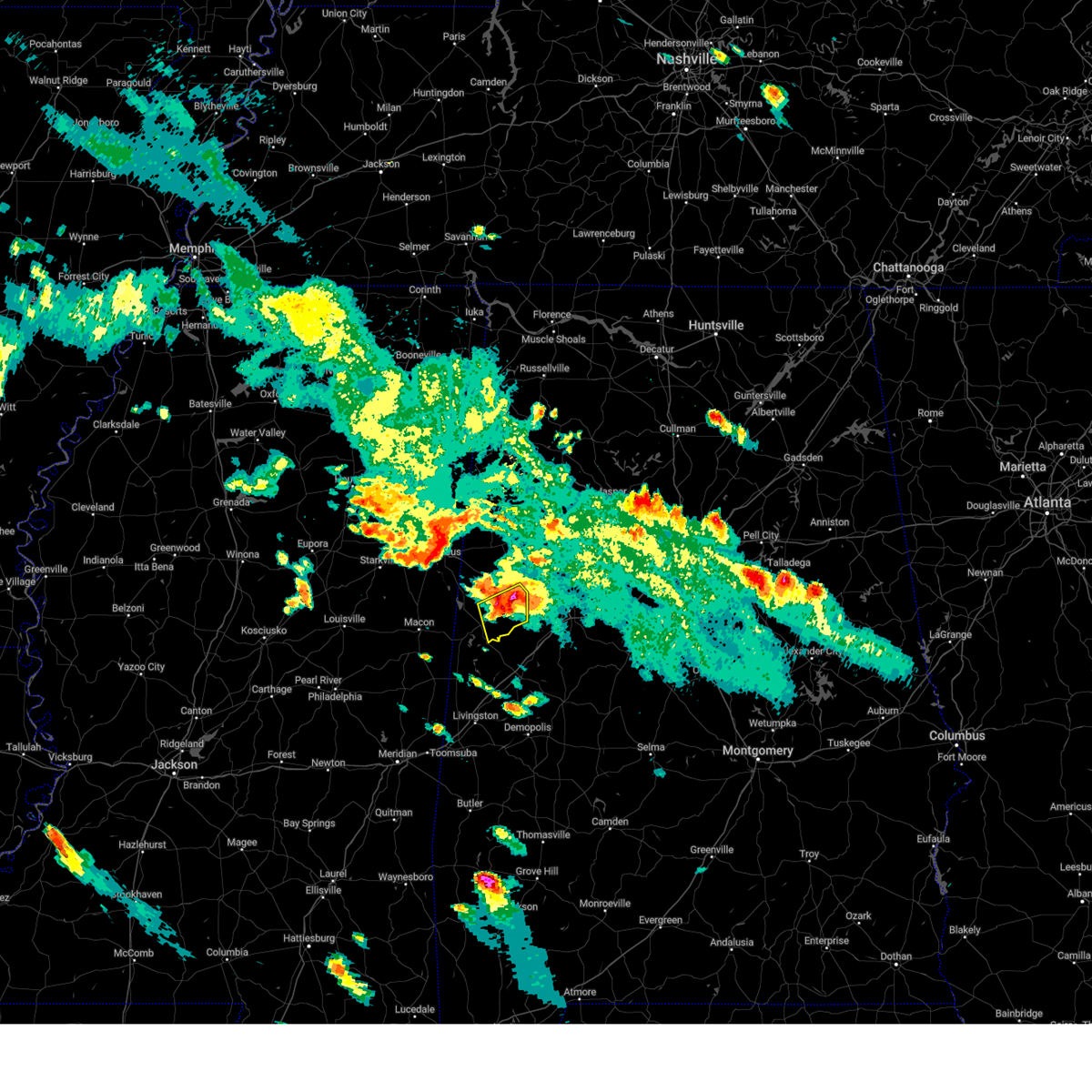 At 627 pm cdt, a severe thunderstorm was located over johnston lake, or 9 miles southeast of carrollton, moving southeast at 30 mph. this is a destructive storm for southern pickens county (radar indicated). Hazards include baseball size hail and 70 mph wind gusts. People and animals outdoors will be severely injured. expect shattered windows, extensive damage to roofs, siding, and vehicles. locations impacted include, gordo, carrollton, benevola, johnston lake, kirk, dillburg and pioneer. thunderstorm damage threat, destructive hail threat, radar indicated max hail size, 2. 75 in wind threat, radar indicated max wind gust, 70 mph. At 627 pm cdt, a severe thunderstorm was located over johnston lake, or 9 miles southeast of carrollton, moving southeast at 30 mph. this is a destructive storm for southern pickens county (radar indicated). Hazards include baseball size hail and 70 mph wind gusts. People and animals outdoors will be severely injured. expect shattered windows, extensive damage to roofs, siding, and vehicles. locations impacted include, gordo, carrollton, benevola, johnston lake, kirk, dillburg and pioneer. thunderstorm damage threat, destructive hail threat, radar indicated max hail size, 2. 75 in wind threat, radar indicated max wind gust, 70 mph.
|
| 6/16/2023 6:22 PM CDT | Tennis Ball sized hail reported 2.7 miles NE of Gordo, AL, ema reports 3 cars with busted windows and a home with busted windows from hail. hail size estimated. |
| 6/16/2023 6:22 PM CDT |
 At 622 pm cdt, a severe thunderstorm was located near carrollton, moving southeast at 30 mph (radar indicated). Hazards include golf ball size hail and 70 mph wind gusts. People and animals outdoors will be injured. expect hail damage to roofs, siding, windows, and vehicles. expect considerable tree damage. wind damage is also likely to mobile homes, roofs, and outbuildings. locations impacted include, gordo, reform, carrollton, owens, kirk, pioneer, north pickens airport and mcshan. thunderstorm damage threat, considerable hail threat, radar indicated max hail size, 1. 75 in wind threat, radar indicated max wind gust, 70 mph. At 622 pm cdt, a severe thunderstorm was located near carrollton, moving southeast at 30 mph (radar indicated). Hazards include golf ball size hail and 70 mph wind gusts. People and animals outdoors will be injured. expect hail damage to roofs, siding, windows, and vehicles. expect considerable tree damage. wind damage is also likely to mobile homes, roofs, and outbuildings. locations impacted include, gordo, reform, carrollton, owens, kirk, pioneer, north pickens airport and mcshan. thunderstorm damage threat, considerable hail threat, radar indicated max hail size, 1. 75 in wind threat, radar indicated max wind gust, 70 mph.
|
| 6/16/2023 6:12 PM CDT |
 At 611 pm cdt, a severe thunderstorm was located over carrollton, moving southeast at 40 mph. this is a destructive storm for mcshan and carrollton (radar indicated). Hazards include baseball size hail and 70 mph wind gusts. People and animals outdoors will be severely injured. Expect shattered windows, extensive damage to roofs, siding, and vehicles. At 611 pm cdt, a severe thunderstorm was located over carrollton, moving southeast at 40 mph. this is a destructive storm for mcshan and carrollton (radar indicated). Hazards include baseball size hail and 70 mph wind gusts. People and animals outdoors will be severely injured. Expect shattered windows, extensive damage to roofs, siding, and vehicles.
|
| 6/16/2023 6:10 PM CDT |
 At 610 pm cdt, a severe thunderstorm was located near ethelsville, or 7 miles northwest of carrollton, moving southeast at 35 mph (radar indicated). Hazards include golf ball size hail and 70 mph wind gusts. People and animals outdoors will be injured. expect hail damage to roofs, siding, windows, and vehicles. expect considerable tree damage. wind damage is also likely to mobile homes, roofs, and outbuildings. locations impacted include, gordo, reform, carrollton, owens, kirk, pioneer, north pickens airport and mcshan. thunderstorm damage threat, considerable hail threat, radar indicated max hail size, 1. 75 in wind threat, radar indicated max wind gust, 70 mph. At 610 pm cdt, a severe thunderstorm was located near ethelsville, or 7 miles northwest of carrollton, moving southeast at 35 mph (radar indicated). Hazards include golf ball size hail and 70 mph wind gusts. People and animals outdoors will be injured. expect hail damage to roofs, siding, windows, and vehicles. expect considerable tree damage. wind damage is also likely to mobile homes, roofs, and outbuildings. locations impacted include, gordo, reform, carrollton, owens, kirk, pioneer, north pickens airport and mcshan. thunderstorm damage threat, considerable hail threat, radar indicated max hail size, 1. 75 in wind threat, radar indicated max wind gust, 70 mph.
|
| 6/16/2023 6:06 PM CDT | Trees were blown down in gordo. at least one home sustained damag in pickens county AL, 0.5 miles NNW of Gordo, AL |
| 6/16/2023 5:58 PM CDT |
 At 558 pm cdt, a severe thunderstorm was located over reform, moving southeast at 25 mph (radar indicated). Hazards include golf ball size hail and 60 mph wind gusts. People and animals outdoors will be injured. expect hail damage to roofs, siding, windows, and vehicles. expect wind damage to roofs, siding, and trees. locations impacted include, gordo, reform, carrollton, owens, kirk, pioneer, north pickens airport and mcshan. thunderstorm damage threat, considerable hail threat, radar indicated max hail size, 1. 75 in wind threat, radar indicated max wind gust, 60 mph. At 558 pm cdt, a severe thunderstorm was located over reform, moving southeast at 25 mph (radar indicated). Hazards include golf ball size hail and 60 mph wind gusts. People and animals outdoors will be injured. expect hail damage to roofs, siding, windows, and vehicles. expect wind damage to roofs, siding, and trees. locations impacted include, gordo, reform, carrollton, owens, kirk, pioneer, north pickens airport and mcshan. thunderstorm damage threat, considerable hail threat, radar indicated max hail size, 1. 75 in wind threat, radar indicated max wind gust, 60 mph.
|
| 6/16/2023 5:46 PM CDT |
 At 546 pm cdt, a severe thunderstorm was located near reform, moving southeast at 30 mph (radar indicated). Hazards include golf ball size hail and 60 mph wind gusts. People and animals outdoors will be injured. expect hail damage to roofs, siding, windows, and vehicles. expect wind damage to roofs, siding, and trees. locations impacted include, gordo, reform, carrollton, owens, kirk, pioneer, north pickens airport and mcshan. thunderstorm damage threat, considerable hail threat, radar indicated max hail size, 1. 75 in wind threat, radar indicated max wind gust, 60 mph. At 546 pm cdt, a severe thunderstorm was located near reform, moving southeast at 30 mph (radar indicated). Hazards include golf ball size hail and 60 mph wind gusts. People and animals outdoors will be injured. expect hail damage to roofs, siding, windows, and vehicles. expect wind damage to roofs, siding, and trees. locations impacted include, gordo, reform, carrollton, owens, kirk, pioneer, north pickens airport and mcshan. thunderstorm damage threat, considerable hail threat, radar indicated max hail size, 1. 75 in wind threat, radar indicated max wind gust, 60 mph.
|
| 6/16/2023 5:37 PM CDT |
 At 537 pm cdt, a severe thunderstorm was located near reform, moving southeast at 30 mph (radar indicated). Hazards include golf ball size hail and 60 mph wind gusts. People and animals outdoors will be injured. expect hail damage to roofs, siding, windows, and vehicles. Expect wind damage to roofs, siding, and trees. At 537 pm cdt, a severe thunderstorm was located near reform, moving southeast at 30 mph (radar indicated). Hazards include golf ball size hail and 60 mph wind gusts. People and animals outdoors will be injured. expect hail damage to roofs, siding, windows, and vehicles. Expect wind damage to roofs, siding, and trees.
|
| 3/3/2023 11:11 AM CST |
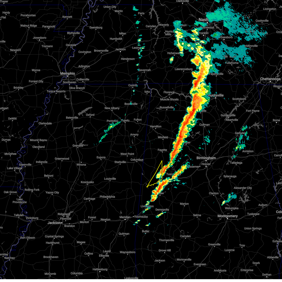 The severe thunderstorm warning for southeastern pickens county will expire at 1115 am cst, the storms which prompted the warning have moved out of the area. therefore, the warning will be allowed to expire. a tornado watch remains in effect until 400 pm cst for west central alabama. The severe thunderstorm warning for southeastern pickens county will expire at 1115 am cst, the storms which prompted the warning have moved out of the area. therefore, the warning will be allowed to expire. a tornado watch remains in effect until 400 pm cst for west central alabama.
|
| 3/3/2023 10:57 AM CST |
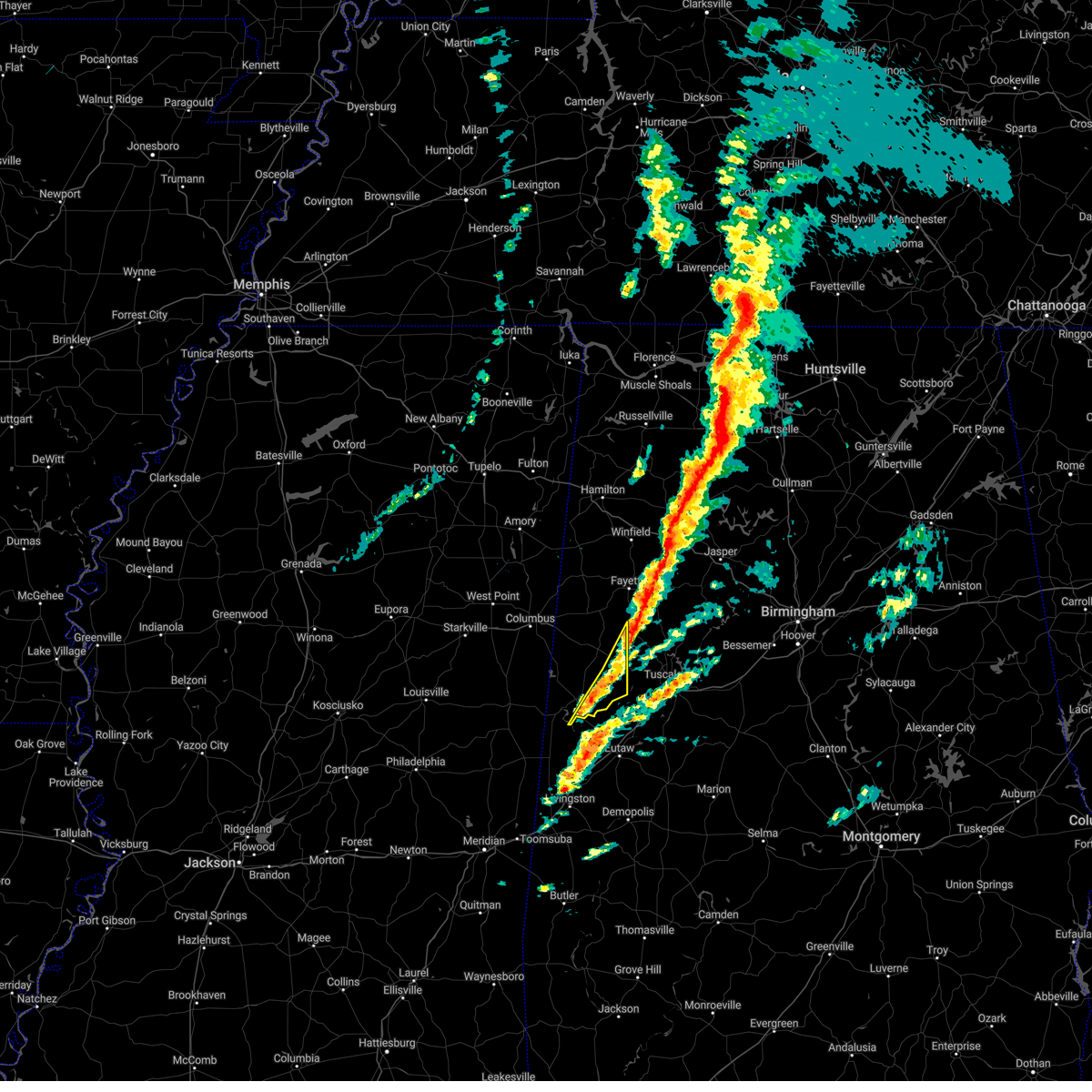 At 1057 am cst, severe thunderstorms were located along a line extending from near fayette to near johnston lake, moving east at 40 mph (radar indicated). Hazards include 60 mph wind gusts. Expect damage to roofs, siding, and trees. locations impacted include, gordo, benevola, johnston lake, lubbub, kirk and pioneer. hail threat, radar indicated max hail size, <. 75 in wind threat, radar indicated max wind gust, 60 mph. At 1057 am cst, severe thunderstorms were located along a line extending from near fayette to near johnston lake, moving east at 40 mph (radar indicated). Hazards include 60 mph wind gusts. Expect damage to roofs, siding, and trees. locations impacted include, gordo, benevola, johnston lake, lubbub, kirk and pioneer. hail threat, radar indicated max hail size, <. 75 in wind threat, radar indicated max wind gust, 60 mph.
|
| 3/3/2023 10:46 AM CST |
 At 1046 am cst, severe thunderstorms were located along a line extending from near belk to near johnston lake, moving northeast at 40 mph (radar indicated). Hazards include 60 mph wind gusts. Expect damage to roofs, siding, and trees. locations impacted include, aliceville, gordo, reform, carrollton, mcmullen, garden, benevola, johnston lake, dillburg, north pickens airport, george downer airport, owens, kirk, pioneer and lubbub. hail threat, radar indicated max hail size, <. 75 in wind threat, radar indicated max wind gust, 60 mph. At 1046 am cst, severe thunderstorms were located along a line extending from near belk to near johnston lake, moving northeast at 40 mph (radar indicated). Hazards include 60 mph wind gusts. Expect damage to roofs, siding, and trees. locations impacted include, aliceville, gordo, reform, carrollton, mcmullen, garden, benevola, johnston lake, dillburg, north pickens airport, george downer airport, owens, kirk, pioneer and lubbub. hail threat, radar indicated max hail size, <. 75 in wind threat, radar indicated max wind gust, 60 mph.
|
| 3/3/2023 10:31 AM CST |
 At 1030 am cst, severe thunderstorms were located along a line extending from near kennedy to near memphis, moving east at 40 mph (radar indicated). Hazards include 60 mph wind gusts. Expect damage to roofs, siding, and trees. locations impacted include, aliceville, gordo, reform, carrollton, pickensville, mcmullen, garden, benevola, johnston lake, gainesville lake campground, dillburg, north pickens airport, mcshan, shaw, george downer airport, owens, kirk, pioneer, cochrane and lubbub. hail threat, radar indicated max hail size, <. 75 in wind threat, radar indicated max wind gust, 60 mph. At 1030 am cst, severe thunderstorms were located along a line extending from near kennedy to near memphis, moving east at 40 mph (radar indicated). Hazards include 60 mph wind gusts. Expect damage to roofs, siding, and trees. locations impacted include, aliceville, gordo, reform, carrollton, pickensville, mcmullen, garden, benevola, johnston lake, gainesville lake campground, dillburg, north pickens airport, mcshan, shaw, george downer airport, owens, kirk, pioneer, cochrane and lubbub. hail threat, radar indicated max hail size, <. 75 in wind threat, radar indicated max wind gust, 60 mph.
|
| 3/3/2023 10:11 AM CST |
 At 1011 am cst, severe thunderstorms were located along a line extending from near steens to near paulette, moving northeast at 40 mph (radar indicated). Hazards include 60 mph wind gusts. expect damage to roofs, siding, and trees At 1011 am cst, severe thunderstorms were located along a line extending from near steens to near paulette, moving northeast at 40 mph (radar indicated). Hazards include 60 mph wind gusts. expect damage to roofs, siding, and trees
|
| 1/3/2023 7:55 PM CST |
 At 754 pm cst, a severe thunderstorm was located near aliceville, moving northeast at 35 mph (radar indicated). Hazards include 60 mph wind gusts and quarter size hail. Hail damage to vehicles is expected. expect wind damage to roofs, siding, and trees. locations impacted include, aliceville, gordo, union, mcmullen, new west greene, mantua, jena, west greene, benevola, johnston lake, snoddy, dillburg, kirk, pleasant ridge, pioneer and lewiston. hail threat, radar indicated max hail size, 1. 00 in wind threat, radar indicated max wind gust, 60 mph. At 754 pm cst, a severe thunderstorm was located near aliceville, moving northeast at 35 mph (radar indicated). Hazards include 60 mph wind gusts and quarter size hail. Hail damage to vehicles is expected. expect wind damage to roofs, siding, and trees. locations impacted include, aliceville, gordo, union, mcmullen, new west greene, mantua, jena, west greene, benevola, johnston lake, snoddy, dillburg, kirk, pleasant ridge, pioneer and lewiston. hail threat, radar indicated max hail size, 1. 00 in wind threat, radar indicated max wind gust, 60 mph.
|
| 1/3/2023 7:29 PM CST |
 At 729 pm cst, a severe thunderstorm was located over panola, or 14 miles southwest of aliceville, moving northeast at 35 mph (radar indicated). Hazards include ping pong ball size hail and 60 mph wind gusts. People and animals outdoors will be injured. expect hail damage to roofs, siding, windows, and vehicles. Expect wind damage to roofs, siding, and trees. At 729 pm cst, a severe thunderstorm was located over panola, or 14 miles southwest of aliceville, moving northeast at 35 mph (radar indicated). Hazards include ping pong ball size hail and 60 mph wind gusts. People and animals outdoors will be injured. expect hail damage to roofs, siding, windows, and vehicles. Expect wind damage to roofs, siding, and trees.
|
| 11/30/2022 12:28 AM CST |
 At 1227 am cst, severe thunderstorms were located along a line extending from near smith dam to 7 miles southeast of boley springs to near gordo, moving east at 60 mph (radar indicated). Hazards include 60 mph wind gusts. Expect damage to roofs, siding, and trees. locations impacted include, tuscaloosa, northport, jasper, sumiton, cordova, dora, gordo, carrollton, holt, brookwood, parrish, coker, oakman, sipsey, west jefferson, gorgas steam plant, samantha, lake lurleen state park, tuscaloosa amphitheater and tuscaloosa regional airport. hail threat, radar indicated max hail size, <. 75 in wind threat, radar indicated max wind gust, 60 mph. At 1227 am cst, severe thunderstorms were located along a line extending from near smith dam to 7 miles southeast of boley springs to near gordo, moving east at 60 mph (radar indicated). Hazards include 60 mph wind gusts. Expect damage to roofs, siding, and trees. locations impacted include, tuscaloosa, northport, jasper, sumiton, cordova, dora, gordo, carrollton, holt, brookwood, parrish, coker, oakman, sipsey, west jefferson, gorgas steam plant, samantha, lake lurleen state park, tuscaloosa amphitheater and tuscaloosa regional airport. hail threat, radar indicated max hail size, <. 75 in wind threat, radar indicated max wind gust, 60 mph.
|
| 11/30/2022 12:14 AM CST |
 At 1213 am cst, severe thunderstorms were located along a line extending from near carbon hill to 7 miles south of bankston to near carrollton, moving east at 60 mph (radar indicated). Hazards include 60 mph wind gusts. Expect damage to roofs, siding, and trees. locations impacted include, tuscaloosa, northport, jasper, sumiton, cordova, dora, carbon hill, gordo, reform, carrollton, pickensville, holt, brookwood, berry, parrish, coker, oakman, sipsey, west jefferson and kansas. hail threat, radar indicated max hail size, <. 75 in wind threat, radar indicated max wind gust, 60 mph. At 1213 am cst, severe thunderstorms were located along a line extending from near carbon hill to 7 miles south of bankston to near carrollton, moving east at 60 mph (radar indicated). Hazards include 60 mph wind gusts. Expect damage to roofs, siding, and trees. locations impacted include, tuscaloosa, northport, jasper, sumiton, cordova, dora, carbon hill, gordo, reform, carrollton, pickensville, holt, brookwood, berry, parrish, coker, oakman, sipsey, west jefferson and kansas. hail threat, radar indicated max hail size, <. 75 in wind threat, radar indicated max wind gust, 60 mph.
|
| 11/30/2022 12:00 AM CST |
 At 1200 am cst, severe thunderstorms were located along a line extending from near glen allen to near ashcraft corner to near pickensville, moving east at 60 mph (radar indicated). Hazards include 60 mph wind gusts. expect damage to roofs, siding, and trees At 1200 am cst, severe thunderstorms were located along a line extending from near glen allen to near ashcraft corner to near pickensville, moving east at 60 mph (radar indicated). Hazards include 60 mph wind gusts. expect damage to roofs, siding, and trees
|
| 10/13/2022 12:50 AM CDT |
 The severe thunderstorm warning for northern pickens county will expire at 100 am cdt, the storm which prompted the warning has weakened below severe limits, and no longer poses an immediate threat to life or property. therefore, the warning will be allowed to expire. however gusty winds are still possible with this thunderstorm. The severe thunderstorm warning for northern pickens county will expire at 100 am cdt, the storm which prompted the warning has weakened below severe limits, and no longer poses an immediate threat to life or property. therefore, the warning will be allowed to expire. however gusty winds are still possible with this thunderstorm.
|
| 10/13/2022 12:40 AM CDT |
 At 1239 am cdt, a severe thunderstorm was located near reform, moving southeast at 45 mph (radar indicated). Hazards include 60 mph wind gusts. Expect damage to roofs, siding, and trees. locations impacted include, gordo, reform, ethelsville, north pickens airport, mcshan, lubbub, macedonia, shaw and owens. hail threat, radar indicated max hail size, <. 75 in wind threat, radar indicated max wind gust, 60 mph. At 1239 am cdt, a severe thunderstorm was located near reform, moving southeast at 45 mph (radar indicated). Hazards include 60 mph wind gusts. Expect damage to roofs, siding, and trees. locations impacted include, gordo, reform, ethelsville, north pickens airport, mcshan, lubbub, macedonia, shaw and owens. hail threat, radar indicated max hail size, <. 75 in wind threat, radar indicated max wind gust, 60 mph.
|
| 10/13/2022 12:24 AM CDT |
 At 1224 am cdt, severe thunderstorms were located along a line extending from near kennedy to near millport to near ethelsville, moving southeast at 50 mph (radar indicated). Hazards include 60 mph wind gusts. Expect damage to roofs, siding, and trees. locations impacted include, fayette, gordo, reform, millport, kennedy, belk, ethelsville, ashcraft corner, cody, north pickens airport, mcshan, shaw, lubbub, hightogy, macedonia, forest and owens. hail threat, radar indicated max hail size, <. 75 in wind threat, radar indicated max wind gust, 60 mph. At 1224 am cdt, severe thunderstorms were located along a line extending from near kennedy to near millport to near ethelsville, moving southeast at 50 mph (radar indicated). Hazards include 60 mph wind gusts. Expect damage to roofs, siding, and trees. locations impacted include, fayette, gordo, reform, millport, kennedy, belk, ethelsville, ashcraft corner, cody, north pickens airport, mcshan, shaw, lubbub, hightogy, macedonia, forest and owens. hail threat, radar indicated max hail size, <. 75 in wind threat, radar indicated max wind gust, 60 mph.
|
| 10/13/2022 12:14 AM CDT |
 At 1213 am cdt, a severe thunderstorm was located near steens, or 7 miles west of millport, moving southeast at 50 mph (radar indicated). Hazards include 60 mph wind gusts. expect damage to roofs, siding, and trees At 1213 am cdt, a severe thunderstorm was located near steens, or 7 miles west of millport, moving southeast at 50 mph (radar indicated). Hazards include 60 mph wind gusts. expect damage to roofs, siding, and trees
|
| 4/13/2022 10:02 PM CDT |
 At 1002 pm cdt, severe thunderstorms were located along a line extending from 8 miles west of samantha to 6 miles east of moundville to near chickasaw state park, moving east at 55 mph (radar indicated). Hazards include 70 mph wind gusts and penny size hail. Expect considerable tree damage. damage is likely to mobile homes, roofs, and outbuildings. Locations impacted include, tuscaloosa, northport, demopolis, greensboro, linden, gordo, reform, holt, jefferson, moundville, brookwood, coaling, vance, coker, akron, newbern, faunsdale, dayton, samantha and mcfarland mall. At 1002 pm cdt, severe thunderstorms were located along a line extending from 8 miles west of samantha to 6 miles east of moundville to near chickasaw state park, moving east at 55 mph (radar indicated). Hazards include 70 mph wind gusts and penny size hail. Expect considerable tree damage. damage is likely to mobile homes, roofs, and outbuildings. Locations impacted include, tuscaloosa, northport, demopolis, greensboro, linden, gordo, reform, holt, jefferson, moundville, brookwood, coaling, vance, coker, akron, newbern, faunsdale, dayton, samantha and mcfarland mall.
|
| 4/13/2022 9:55 PM CDT |
 At 954 pm cdt, severe thunderstorms were located along a line extending from 6 miles southeast of ashcraft corner to moundville to jefferson, moving east at 55 mph (radar indicated). Hazards include 70 mph wind gusts and penny size hail. Expect considerable tree damage. damage is likely to mobile homes, roofs, and outbuildings. Locations impacted include, tuscaloosa, northport, demopolis, greensboro, linden, gordo, reform, holt, jefferson, moundville, brookwood, coaling, vance, coker, forkland, akron, newbern, faunsdale, ethelsville and dayton. At 954 pm cdt, severe thunderstorms were located along a line extending from 6 miles southeast of ashcraft corner to moundville to jefferson, moving east at 55 mph (radar indicated). Hazards include 70 mph wind gusts and penny size hail. Expect considerable tree damage. damage is likely to mobile homes, roofs, and outbuildings. Locations impacted include, tuscaloosa, northport, demopolis, greensboro, linden, gordo, reform, holt, jefferson, moundville, brookwood, coaling, vance, coker, forkland, akron, newbern, faunsdale, ethelsville and dayton.
|
| 4/13/2022 9:33 PM CDT |
 At 933 pm cdt, severe thunderstorms were located along a line extending from near ethelsville to near union to near kinterbish, moving east at 55 mph (radar indicated). Hazards include 70 mph wind gusts and penny size hail. Expect considerable tree damage. Damage is likely to mobile homes, roofs, and outbuildings. At 933 pm cdt, severe thunderstorms were located along a line extending from near ethelsville to near union to near kinterbish, moving east at 55 mph (radar indicated). Hazards include 70 mph wind gusts and penny size hail. Expect considerable tree damage. Damage is likely to mobile homes, roofs, and outbuildings.
|
| 4/13/2022 9:05 PM CDT |
 At 905 pm cdt, severe thunderstorms were located along a line extending from near deerbrook to near prairie point to near panola to kewanee, moving east at 55 mph (radar indicated). Hazards include 70 mph wind gusts and penny size hail. Expect considerable tree damage. damage is likely to mobile homes, roofs, and outbuildings. Locations impacted include, demopolis, livingston, eutaw, york, aliceville, gordo, reform, carrollton, pickensville, cuba, forkland, boligee, union, gainesville, epes, ethelsville, emelle, mcmullen, panola and west greene. At 905 pm cdt, severe thunderstorms were located along a line extending from near deerbrook to near prairie point to near panola to kewanee, moving east at 55 mph (radar indicated). Hazards include 70 mph wind gusts and penny size hail. Expect considerable tree damage. damage is likely to mobile homes, roofs, and outbuildings. Locations impacted include, demopolis, livingston, eutaw, york, aliceville, gordo, reform, carrollton, pickensville, cuba, forkland, boligee, union, gainesville, epes, ethelsville, emelle, mcmullen, panola and west greene.
|
| 4/13/2022 8:46 PM CDT |
 At 845 pm cdt, severe thunderstorms were located along a line extending from 6 miles south of oktoc to near macon to 8 miles northeast of de kalb to meridian, moving east at 70 mph (radar indicated). Hazards include 60 mph wind gusts and penny size hail. expect damage to roofs, siding, and trees At 845 pm cdt, severe thunderstorms were located along a line extending from 6 miles south of oktoc to near macon to 8 miles northeast of de kalb to meridian, moving east at 70 mph (radar indicated). Hazards include 60 mph wind gusts and penny size hail. expect damage to roofs, siding, and trees
|
| 4/6/2022 2:03 PM CDT |
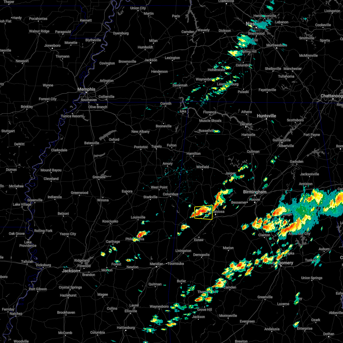 At 201 pm cdt, a severe thunderstorm was located near gordo, moving east at 20 mph. another strong thunderstorm was located near kirk (radar indicated). Hazards include 60 mph wind gusts and quarter size hail. Hail damage to vehicles is expected. expect wind damage to roofs, siding, and trees. locations impacted include, northport, gordo, coker, lake lurleen state park, kirk, pioneer, buhl, echola, flatwoods, romulus and elrod. hail threat, radar indicated max hail size, 1. 00 in wind threat, radar indicated max wind gust, 60 mph. At 201 pm cdt, a severe thunderstorm was located near gordo, moving east at 20 mph. another strong thunderstorm was located near kirk (radar indicated). Hazards include 60 mph wind gusts and quarter size hail. Hail damage to vehicles is expected. expect wind damage to roofs, siding, and trees. locations impacted include, northport, gordo, coker, lake lurleen state park, kirk, pioneer, buhl, echola, flatwoods, romulus and elrod. hail threat, radar indicated max hail size, 1. 00 in wind threat, radar indicated max wind gust, 60 mph.
|
| 4/6/2022 1:45 PM CDT |
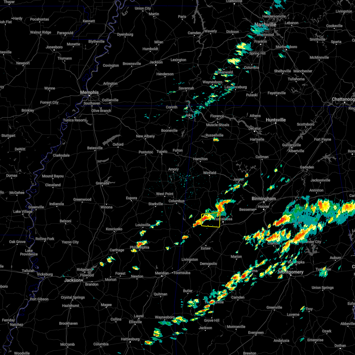 At 145 pm cdt, a severe thunderstorm was located near gordo, moving east at 20 mph (radar indicated). Hazards include 60 mph wind gusts and quarter size hail. Hail damage to vehicles is expected. Expect wind damage to roofs, siding, and trees. At 145 pm cdt, a severe thunderstorm was located near gordo, moving east at 20 mph (radar indicated). Hazards include 60 mph wind gusts and quarter size hail. Hail damage to vehicles is expected. Expect wind damage to roofs, siding, and trees.
|
| 4/6/2022 1:21 PM CDT |
 At 120 pm cdt, a severe thunderstorm was located near carrollton, moving east at 35 mph (radar indicated). Hazards include 60 mph wind gusts and quarter size hail. Hail damage to vehicles is expected. expect wind damage to roofs, siding, and trees. locations impacted include, gordo, reform, carrollton, owens, kirk and dillburg. hail threat, radar indicated max hail size, 1. 00 in wind threat, radar indicated max wind gust, 60 mph. At 120 pm cdt, a severe thunderstorm was located near carrollton, moving east at 35 mph (radar indicated). Hazards include 60 mph wind gusts and quarter size hail. Hail damage to vehicles is expected. expect wind damage to roofs, siding, and trees. locations impacted include, gordo, reform, carrollton, owens, kirk and dillburg. hail threat, radar indicated max hail size, 1. 00 in wind threat, radar indicated max wind gust, 60 mph.
|
| 4/6/2022 12:49 PM CDT |
 At 1249 pm cdt, a severe thunderstorm was located over carrollton, moving east at 45 mph (radar indicated). Hazards include 60 mph wind gusts and quarter size hail. Hail damage to vehicles is expected. Expect wind damage to roofs, siding, and trees. At 1249 pm cdt, a severe thunderstorm was located over carrollton, moving east at 45 mph (radar indicated). Hazards include 60 mph wind gusts and quarter size hail. Hail damage to vehicles is expected. Expect wind damage to roofs, siding, and trees.
|
| 3/30/2022 9:13 PM CDT |
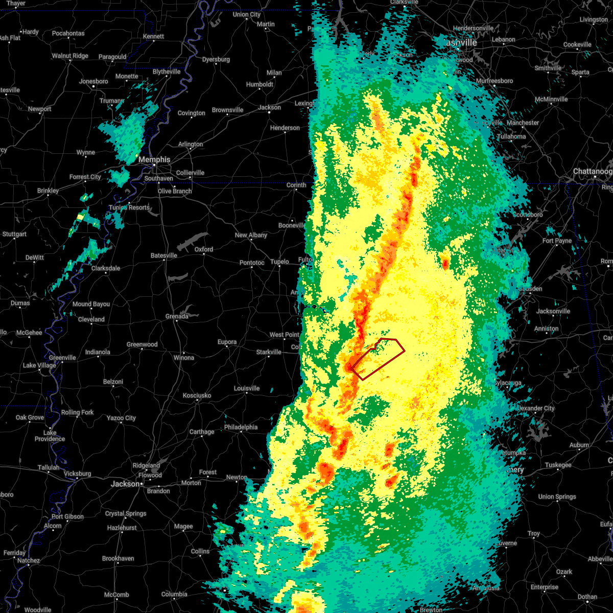 At 913 pm cdt, a confirmed tornado was located near gordo, moving northeast at 55 mph (radar confirmed tornado). Hazards include damaging tornado. Flying debris will be dangerous to those caught without shelter. mobile homes will be damaged or destroyed. damage to roofs, windows, and vehicles will occur. tree damage is likely. Locations impacted include, gordo, samantha, binion creek landing, wiley, moores bridge, echola, windham springs, new lexington, elrod and lake tuscaloosa. At 913 pm cdt, a confirmed tornado was located near gordo, moving northeast at 55 mph (radar confirmed tornado). Hazards include damaging tornado. Flying debris will be dangerous to those caught without shelter. mobile homes will be damaged or destroyed. damage to roofs, windows, and vehicles will occur. tree damage is likely. Locations impacted include, gordo, samantha, binion creek landing, wiley, moores bridge, echola, windham springs, new lexington, elrod and lake tuscaloosa.
|
| 3/30/2022 9:03 PM CDT | Damage to a mobile/manufactured home. possible extension of the tds track noted to the northeas in pickens county AL, 7.3 miles N of Gordo, AL |
| 3/30/2022 9:03 PM CDT |
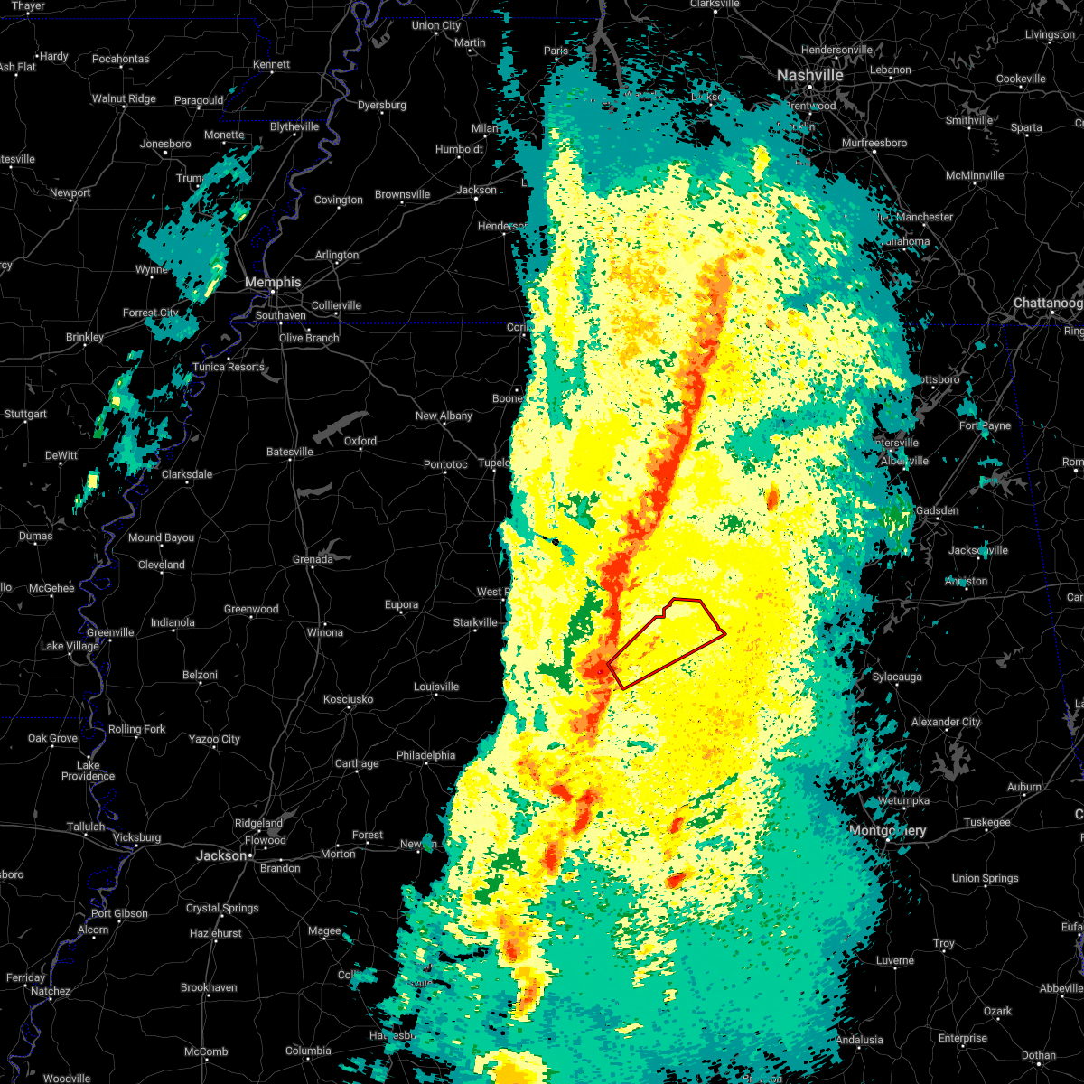 At 903 pm cdt, a severe thunderstorm capable of producing a tornado was located near gordo, moving northeast at 50 mph (radar indicated rotation). Hazards include tornado. Flying debris will be dangerous to those caught without shelter. mobile homes will be damaged or destroyed. damage to roofs, windows, and vehicles will occur. Tree damage is likely. At 903 pm cdt, a severe thunderstorm capable of producing a tornado was located near gordo, moving northeast at 50 mph (radar indicated rotation). Hazards include tornado. Flying debris will be dangerous to those caught without shelter. mobile homes will be damaged or destroyed. damage to roofs, windows, and vehicles will occur. Tree damage is likely.
|
| 3/30/2022 8:55 PM CDT |
 At 855 pm cdt, severe thunderstorms were located along a line extending from near ashcraft corner to 8 miles northeast of kinterbish, moving northeast at 35 mph (radar indicated). Hazards include 60 mph wind gusts. Expect damage to roofs, siding, and trees. locations impacted include, livingston, eutaw, york, aliceville, gordo, reform, carrollton, forkland, boligee, union, gainesville, epes, mcmullen, west greene, thornhill, benevola, johnston lake, knoxville, coatopa and kinterbish. hail threat, radar indicated max hail size, <. 75 in wind threat, radar indicated max wind gust, 60 mph. At 855 pm cdt, severe thunderstorms were located along a line extending from near ashcraft corner to 8 miles northeast of kinterbish, moving northeast at 35 mph (radar indicated). Hazards include 60 mph wind gusts. Expect damage to roofs, siding, and trees. locations impacted include, livingston, eutaw, york, aliceville, gordo, reform, carrollton, forkland, boligee, union, gainesville, epes, mcmullen, west greene, thornhill, benevola, johnston lake, knoxville, coatopa and kinterbish. hail threat, radar indicated max hail size, <. 75 in wind threat, radar indicated max wind gust, 60 mph.
|
| 3/30/2022 8:44 PM CDT |
 At 844 pm cdt, a severe thunderstorm capable of producing a tornado was located over aliceville, moving northeast at 45 mph (radar indicated rotation). Hazards include tornado. Flying debris will be dangerous to those caught without shelter. mobile homes will be damaged or destroyed. damage to roofs, windows, and vehicles will occur. tree damage is likely. Locations impacted include, aliceville, gordo, carrollton, mcmullen, garden, jena, benevola, johnston lake, gainesville lake campground, warsaw, dillburg, george downer airport, kirk, pleasant ridge, pioneer, cochrane and lewiston. At 844 pm cdt, a severe thunderstorm capable of producing a tornado was located over aliceville, moving northeast at 45 mph (radar indicated rotation). Hazards include tornado. Flying debris will be dangerous to those caught without shelter. mobile homes will be damaged or destroyed. damage to roofs, windows, and vehicles will occur. tree damage is likely. Locations impacted include, aliceville, gordo, carrollton, mcmullen, garden, jena, benevola, johnston lake, gainesville lake campground, warsaw, dillburg, george downer airport, kirk, pleasant ridge, pioneer, cochrane and lewiston.
|
| 3/30/2022 8:44 PM CDT |
 At 844 pm cdt, a severe thunderstorm capable of producing a tornado was located near reform, moving northeast at 55 mph (radar indicated rotation). Hazards include tornado. Flying debris will be dangerous to those caught without shelter. mobile homes will be damaged or destroyed. damage to roofs, windows, and vehicles will occur. tree damage is likely. Locations impacted include, gordo, reform, carrollton, owens, north pickens airport, mcshan, lubbub and shaw. At 844 pm cdt, a severe thunderstorm capable of producing a tornado was located near reform, moving northeast at 55 mph (radar indicated rotation). Hazards include tornado. Flying debris will be dangerous to those caught without shelter. mobile homes will be damaged or destroyed. damage to roofs, windows, and vehicles will occur. tree damage is likely. Locations impacted include, gordo, reform, carrollton, owens, north pickens airport, mcshan, lubbub and shaw.
|
| 3/30/2022 8:34 PM CDT |
 At 833 pm cdt, a severe thunderstorm capable of producing a tornado was located near panola, or 10 miles south of aliceville, moving northeast at 45 mph (radar indicated rotation). Hazards include tornado. Flying debris will be dangerous to those caught without shelter. mobile homes will be damaged or destroyed. damage to roofs, windows, and vehicles will occur. tree damage is likely. Locations impacted include, aliceville, gordo, carrollton, mcmullen, garden, new west greene, panola, jena, benevola, johnston lake, gainesville lake campground, warsaw, dillburg, george downer airport, kirk, pleasant ridge, pioneer, cochrane and lewiston. At 833 pm cdt, a severe thunderstorm capable of producing a tornado was located near panola, or 10 miles south of aliceville, moving northeast at 45 mph (radar indicated rotation). Hazards include tornado. Flying debris will be dangerous to those caught without shelter. mobile homes will be damaged or destroyed. damage to roofs, windows, and vehicles will occur. tree damage is likely. Locations impacted include, aliceville, gordo, carrollton, mcmullen, garden, new west greene, panola, jena, benevola, johnston lake, gainesville lake campground, warsaw, dillburg, george downer airport, kirk, pleasant ridge, pioneer, cochrane and lewiston.
|
| 3/30/2022 8:25 PM CDT |
 At 824 pm cdt, severe thunderstorms were located along a line extending from ethelsville to snell, moving northeast at 55 mph (radar indicated). Hazards include 60 mph wind gusts. Expect damage to roofs, siding, and trees. locations impacted include, demopolis, livingston, eutaw, york, aliceville, gordo, reform, carrollton, pickensville, cuba, forkland, boligee, union, gainesville, epes, ethelsville, emelle, mcmullen, panola and west greene. hail threat, radar indicated max hail size, <. 75 in wind threat, radar indicated max wind gust, 60 mph. At 824 pm cdt, severe thunderstorms were located along a line extending from ethelsville to snell, moving northeast at 55 mph (radar indicated). Hazards include 60 mph wind gusts. Expect damage to roofs, siding, and trees. locations impacted include, demopolis, livingston, eutaw, york, aliceville, gordo, reform, carrollton, pickensville, cuba, forkland, boligee, union, gainesville, epes, ethelsville, emelle, mcmullen, panola and west greene. hail threat, radar indicated max hail size, <. 75 in wind threat, radar indicated max wind gust, 60 mph.
|
| 3/30/2022 8:25 PM CDT |
 At 825 pm cdt, a severe thunderstorm capable of producing a tornado was located near pickensville, moving northeast at 55 mph (radar indicated rotation). Hazards include tornado. Flying debris will be dangerous to those caught without shelter. mobile homes will be damaged or destroyed. damage to roofs, windows, and vehicles will occur. tree damage is likely. Locations impacted include, gordo, reform, carrollton, pickensville, ethelsville, bevill lock and dam, owens, north pickens airport, mcshan, lubbub and shaw. At 825 pm cdt, a severe thunderstorm capable of producing a tornado was located near pickensville, moving northeast at 55 mph (radar indicated rotation). Hazards include tornado. Flying debris will be dangerous to those caught without shelter. mobile homes will be damaged or destroyed. damage to roofs, windows, and vehicles will occur. tree damage is likely. Locations impacted include, gordo, reform, carrollton, pickensville, ethelsville, bevill lock and dam, owens, north pickens airport, mcshan, lubbub and shaw.
|
| 3/30/2022 8:17 PM CDT |
 At 817 pm cdt, a severe thunderstorm capable of producing a tornado was located 7 miles north of emelle, or 18 miles northwest of livingston, moving northeast at 55 mph (radar indicated rotation). Hazards include tornado. Flying debris will be dangerous to those caught without shelter. mobile homes will be damaged or destroyed. damage to roofs, windows, and vehicles will occur. Tree damage is likely. At 817 pm cdt, a severe thunderstorm capable of producing a tornado was located 7 miles north of emelle, or 18 miles northwest of livingston, moving northeast at 55 mph (radar indicated rotation). Hazards include tornado. Flying debris will be dangerous to those caught without shelter. mobile homes will be damaged or destroyed. damage to roofs, windows, and vehicles will occur. Tree damage is likely.
|
| 3/30/2022 8:13 PM CDT |
 At 813 pm cdt, a severe thunderstorm capable of producing a tornado was located over prairie point, or 9 miles southwest of pickensville, moving northeast at 55 mph (radar indicated rotation). Hazards include tornado. Flying debris will be dangerous to those caught without shelter. mobile homes will be damaged or destroyed. damage to roofs, windows, and vehicles will occur. Tree damage is likely. At 813 pm cdt, a severe thunderstorm capable of producing a tornado was located over prairie point, or 9 miles southwest of pickensville, moving northeast at 55 mph (radar indicated rotation). Hazards include tornado. Flying debris will be dangerous to those caught without shelter. mobile homes will be damaged or destroyed. damage to roofs, windows, and vehicles will occur. Tree damage is likely.
|
| 3/30/2022 8:00 PM CDT |
 At 800 pm cdt, severe thunderstorms were located along a line extending from near deerbrook to near stonewall, moving northeast at 55 mph (radar indicated). Hazards include 60 mph wind gusts. expect damage to roofs, siding, and trees At 800 pm cdt, severe thunderstorms were located along a line extending from near deerbrook to near stonewall, moving northeast at 55 mph (radar indicated). Hazards include 60 mph wind gusts. expect damage to roofs, siding, and trees
|
| 3/22/2022 4:24 PM CDT |
 The severe thunderstorm warning for pickens and lamar counties will expire at 430 pm cdt, the storms which prompted the warning have weakened below severe limits, and no longer pose an immediate threat to life or property. therefore, the warning will be allowed to expire. however gusty winds are still possible with these thunderstorms. a tornado watch remains in effect until 700 pm cdt for northwestern and west central alabama. The severe thunderstorm warning for pickens and lamar counties will expire at 430 pm cdt, the storms which prompted the warning have weakened below severe limits, and no longer pose an immediate threat to life or property. therefore, the warning will be allowed to expire. however gusty winds are still possible with these thunderstorms. a tornado watch remains in effect until 700 pm cdt for northwestern and west central alabama.
|
| 3/22/2022 3:52 PM CDT |
 At 352 pm cdt, severe thunderstorms were located along a line extending from near tremont to near vernon to near electric mills, moving northeast at 45 mph (radar indicated). Hazards include 60 mph wind gusts and penny size hail. Expect damage to roofs, siding, and trees. locations impacted include, aliceville, vernon, sulligent, gordo, reform, millport, carrollton, pickensville, kennedy, detroit, beaverton, ethelsville, mcmullen, benevola, johnston lake, bevill lock and dam, garden, blooming grove, lamar county airport and crews. hail threat, radar indicated max hail size, 0. 75 in wind threat, radar indicated max wind gust, 60 mph. At 352 pm cdt, severe thunderstorms were located along a line extending from near tremont to near vernon to near electric mills, moving northeast at 45 mph (radar indicated). Hazards include 60 mph wind gusts and penny size hail. Expect damage to roofs, siding, and trees. locations impacted include, aliceville, vernon, sulligent, gordo, reform, millport, carrollton, pickensville, kennedy, detroit, beaverton, ethelsville, mcmullen, benevola, johnston lake, bevill lock and dam, garden, blooming grove, lamar county airport and crews. hail threat, radar indicated max hail size, 0. 75 in wind threat, radar indicated max wind gust, 60 mph.
|
| 3/22/2022 3:27 PM CDT |
 At 326 pm cdt, severe thunderstorms were located along a line extending from near smithville to near steens to near paulette, moving east at 45 mph (radar indicated). Hazards include 60 mph wind gusts and quarter size hail. Hail damage to vehicles is expected. expect wind damage to roofs, siding, and trees. locations impacted include, aliceville, vernon, sulligent, gordo, reform, millport, carrollton, pickensville, kennedy, detroit, beaverton, ethelsville, mcmullen, benevola, johnston lake, bevill lock and dam, garden, blooming grove, lamar county airport and crews. hail threat, radar indicated max hail size, 1. 00 in wind threat, radar indicated max wind gust, 60 mph. At 326 pm cdt, severe thunderstorms were located along a line extending from near smithville to near steens to near paulette, moving east at 45 mph (radar indicated). Hazards include 60 mph wind gusts and quarter size hail. Hail damage to vehicles is expected. expect wind damage to roofs, siding, and trees. locations impacted include, aliceville, vernon, sulligent, gordo, reform, millport, carrollton, pickensville, kennedy, detroit, beaverton, ethelsville, mcmullen, benevola, johnston lake, bevill lock and dam, garden, blooming grove, lamar county airport and crews. hail threat, radar indicated max hail size, 1. 00 in wind threat, radar indicated max wind gust, 60 mph.
|
| 3/22/2022 3:09 PM CDT |
 At 308 pm cdt, severe thunderstorms were located along a line extending from near west point to 8 miles east of gholson, moving northeast at 50 mph (radar indicated). Hazards include 60 mph wind gusts and quarter size hail. Hail damage to vehicles is expected. Expect wind damage to roofs, siding, and trees. At 308 pm cdt, severe thunderstorms were located along a line extending from near west point to 8 miles east of gholson, moving northeast at 50 mph (radar indicated). Hazards include 60 mph wind gusts and quarter size hail. Hail damage to vehicles is expected. Expect wind damage to roofs, siding, and trees.
|
| 2/17/2022 4:05 PM CST |
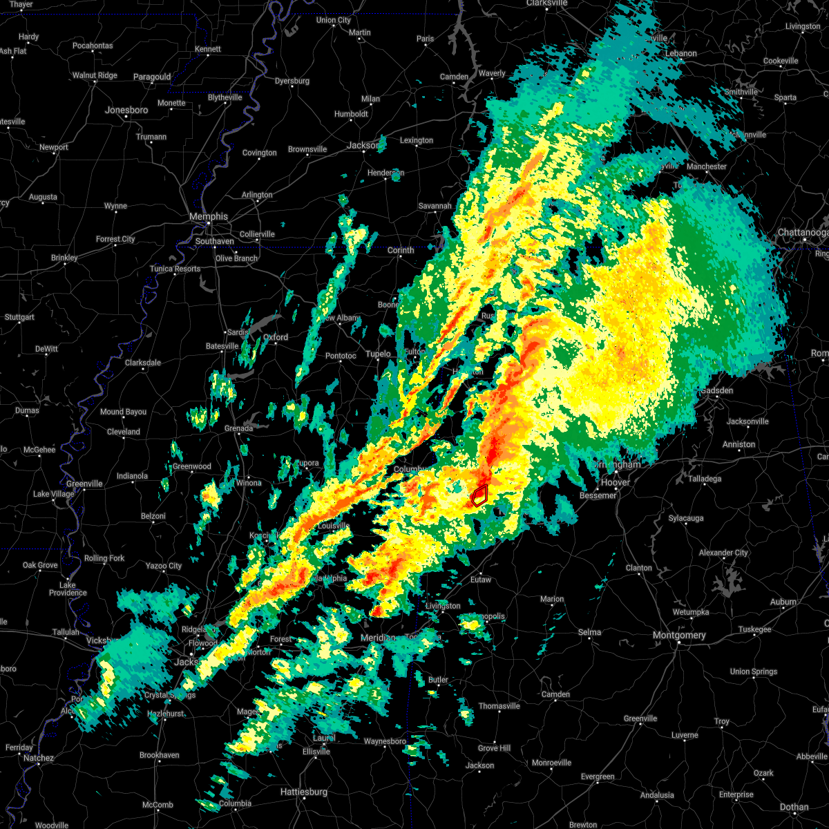 The tornado warning for east central pickens county will expire at 415 pm cst, the storm which prompted the warning has moved out of the area. therefore, the warning will be allowed to expire. a tornado watch remains in effect until 800 pm cst for west central alabama. The tornado warning for east central pickens county will expire at 415 pm cst, the storm which prompted the warning has moved out of the area. therefore, the warning will be allowed to expire. a tornado watch remains in effect until 800 pm cst for west central alabama.
|
| 2/17/2022 4:00 PM CST |
 At 400 pm cst, a severe thunderstorm capable of producing a tornado was located over gordo, moving northeast at 65 mph (radar indicated rotation). Hazards include tornado. Flying debris will be dangerous to those caught without shelter. mobile homes will be damaged or destroyed. damage to roofs, windows, and vehicles will occur. tree damage is likely. Locations impacted include, gordo. At 400 pm cst, a severe thunderstorm capable of producing a tornado was located over gordo, moving northeast at 65 mph (radar indicated rotation). Hazards include tornado. Flying debris will be dangerous to those caught without shelter. mobile homes will be damaged or destroyed. damage to roofs, windows, and vehicles will occur. tree damage is likely. Locations impacted include, gordo.
|
| 2/17/2022 3:51 PM CST |
 At 351 pm cst, a severe thunderstorm capable of producing a tornado was located near carrollton, moving northeast at 65 mph (radar indicated rotation). Hazards include tornado. Flying debris will be dangerous to those caught without shelter. mobile homes will be damaged or destroyed. damage to roofs, windows, and vehicles will occur. tree damage is likely. Locations impacted include, gordo, reform, carrollton, lubbub, owens and north pickens airport. At 351 pm cst, a severe thunderstorm capable of producing a tornado was located near carrollton, moving northeast at 65 mph (radar indicated rotation). Hazards include tornado. Flying debris will be dangerous to those caught without shelter. mobile homes will be damaged or destroyed. damage to roofs, windows, and vehicles will occur. tree damage is likely. Locations impacted include, gordo, reform, carrollton, lubbub, owens and north pickens airport.
|
| 2/17/2022 3:41 PM CST |
 At 341 pm cst, a severe thunderstorm capable of producing a tornado was located near garden, or near pickensville, moving northeast at 65 mph (radar indicated rotation). Hazards include tornado. Flying debris will be dangerous to those caught without shelter. mobile homes will be damaged or destroyed. damage to roofs, windows, and vehicles will occur. tree damage is likely. Locations impacted include, gordo, reform, carrollton, pickensville, bevill lock and dam, owens, dillburg, north pickens airport and lubbub. At 341 pm cst, a severe thunderstorm capable of producing a tornado was located near garden, or near pickensville, moving northeast at 65 mph (radar indicated rotation). Hazards include tornado. Flying debris will be dangerous to those caught without shelter. mobile homes will be damaged or destroyed. damage to roofs, windows, and vehicles will occur. tree damage is likely. Locations impacted include, gordo, reform, carrollton, pickensville, bevill lock and dam, owens, dillburg, north pickens airport and lubbub.
|
| 2/17/2022 3:30 PM CST |
 At 330 pm cst, a severe thunderstorm capable of producing a tornado was located over prairie point, or 9 miles southwest of pickensville, moving northeast at 65 mph (radar indicated rotation). Hazards include tornado. Flying debris will be dangerous to those caught without shelter. mobile homes will be damaged or destroyed. damage to roofs, windows, and vehicles will occur. Tree damage is likely. At 330 pm cst, a severe thunderstorm capable of producing a tornado was located over prairie point, or 9 miles southwest of pickensville, moving northeast at 65 mph (radar indicated rotation). Hazards include tornado. Flying debris will be dangerous to those caught without shelter. mobile homes will be damaged or destroyed. damage to roofs, windows, and vehicles will occur. Tree damage is likely.
|
| 12/6/2021 8:49 AM CST |
 At 849 am cst, severe thunderstorms were located along a line extending from near bankston to near reform to near prairie point, moving east at 40 mph (radar indicated). Hazards include 60 mph wind gusts. Expect damage to roofs, siding, and trees. locations impacted include, tuscaloosa, northport, aliceville, gordo, reform, carrollton, pickensville, holt, lake view, brookwood, coaling, vance, berry, coker, mcmullen, samantha, mcfarland mall, benevola, johnston lake and lake lurleen state park. hail threat, radar indicated max hail size, <. 75 in wind threat, radar indicated max wind gust, 60 mph. At 849 am cst, severe thunderstorms were located along a line extending from near bankston to near reform to near prairie point, moving east at 40 mph (radar indicated). Hazards include 60 mph wind gusts. Expect damage to roofs, siding, and trees. locations impacted include, tuscaloosa, northport, aliceville, gordo, reform, carrollton, pickensville, holt, lake view, brookwood, coaling, vance, berry, coker, mcmullen, samantha, mcfarland mall, benevola, johnston lake and lake lurleen state park. hail threat, radar indicated max hail size, <. 75 in wind threat, radar indicated max wind gust, 60 mph.
|
| 12/6/2021 8:36 AM CST |
 At 834 am cst, severe thunderstorms were located along a line extending from near fayette to near ethelsville to near deerbrook, moving east at 40 mph (radar indicated). Hazards include 60 mph wind gusts. expect damage to roofs, siding, and trees At 834 am cst, severe thunderstorms were located along a line extending from near fayette to near ethelsville to near deerbrook, moving east at 40 mph (radar indicated). Hazards include 60 mph wind gusts. expect damage to roofs, siding, and trees
|
| 4/9/2021 6:16 PM CDT | Golf Ball sized hail reported 4.1 miles NW of Gordo, AL, golf ball size hail near gordo. received pictures through social media. |
| 4/9/2021 6:08 PM CDT | Ping Pong Ball sized hail reported 6.7 miles W of Gordo, AL, one and a half inch diameter size hail as reported in echola. picture received from social media. |
| 4/9/2021 6:00 PM CDT |
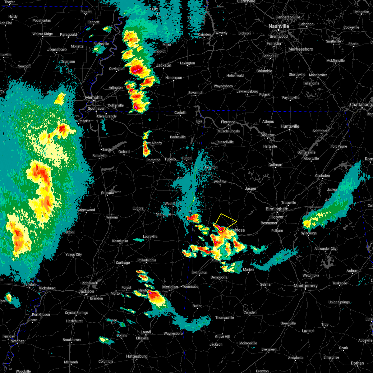 At 559 pm cdt, a severe thunderstorm was located near lake lurleen state park, or near gordo, moving northeast at 25 mph (radar indicated). Hazards include 60 mph wind gusts and quarter size hail. Hail damage to vehicles is expected. expect wind damage to roofs, siding, and trees. Locations impacted include, gordo, lake lurleen state park, binion creek landing, tierce pattton bridge, moores bridge, buhl, echola, elrod and lake tuscaloosa. At 559 pm cdt, a severe thunderstorm was located near lake lurleen state park, or near gordo, moving northeast at 25 mph (radar indicated). Hazards include 60 mph wind gusts and quarter size hail. Hail damage to vehicles is expected. expect wind damage to roofs, siding, and trees. Locations impacted include, gordo, lake lurleen state park, binion creek landing, tierce pattton bridge, moores bridge, buhl, echola, elrod and lake tuscaloosa.
|
| 4/9/2021 5:55 PM CDT | Golf Ball sized hail reported 4.1 miles NW of Gordo, AL, corrects previous hail report from 4 ne kirk. golf ball size hail near gordo. received pictures through social media. |
| 4/9/2021 5:48 PM CDT |
 At 548 pm cdt, a severe thunderstorm was located near gordo, moving northeast at 20 mph (radar indicated). Hazards include 60 mph wind gusts and quarter size hail. Hail damage to vehicles is expected. expect wind damage to roofs, siding, and trees. Locations impacted include, gordo, coker, lake lurleen state park, binion creek landing, tierce pattton bridge, kirk, moores bridge, buhl, echola, highway 69 bridge, elrod and lake tuscaloosa. At 548 pm cdt, a severe thunderstorm was located near gordo, moving northeast at 20 mph (radar indicated). Hazards include 60 mph wind gusts and quarter size hail. Hail damage to vehicles is expected. expect wind damage to roofs, siding, and trees. Locations impacted include, gordo, coker, lake lurleen state park, binion creek landing, tierce pattton bridge, kirk, moores bridge, buhl, echola, highway 69 bridge, elrod and lake tuscaloosa.
|
| 4/9/2021 5:47 PM CDT |
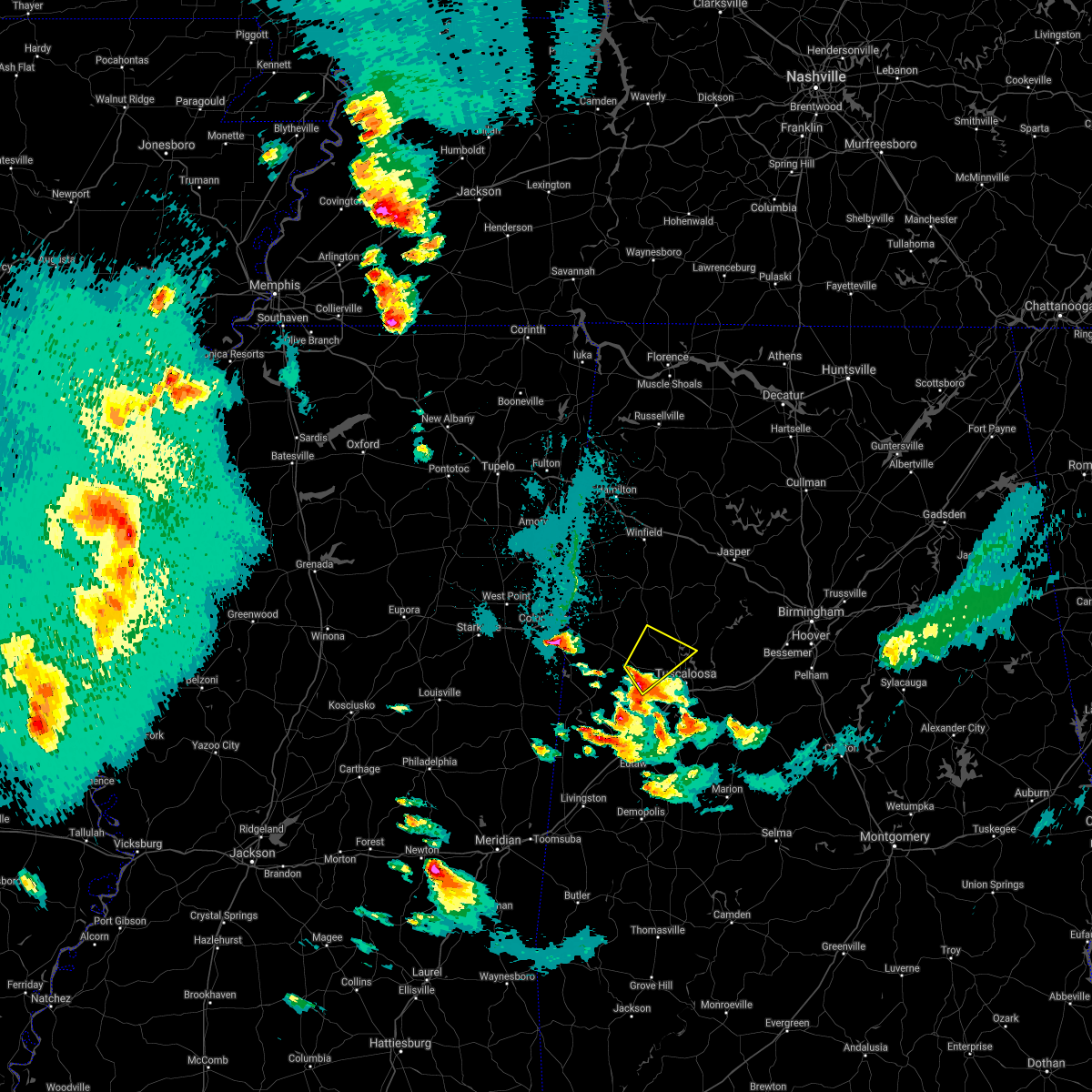 At 547 pm cdt, a severe thunderstorm was located near jena, or 8 miles south of gordo, moving northeast at 25 mph (radar indicated). Hazards include 60 mph wind gusts and quarter size hail. Hail damage to vehicles is expected. Expect wind damage to roofs, siding, and trees. At 547 pm cdt, a severe thunderstorm was located near jena, or 8 miles south of gordo, moving northeast at 25 mph (radar indicated). Hazards include 60 mph wind gusts and quarter size hail. Hail damage to vehicles is expected. Expect wind damage to roofs, siding, and trees.
|
| 3/17/2021 1:57 PM CDT | Baseball sized hail reported 0.5 miles NNW of Gordo, AL, baseball and golfball size hail in gordo. relayed through social media pictures. |
| 3/17/2021 1:49 PM CDT |
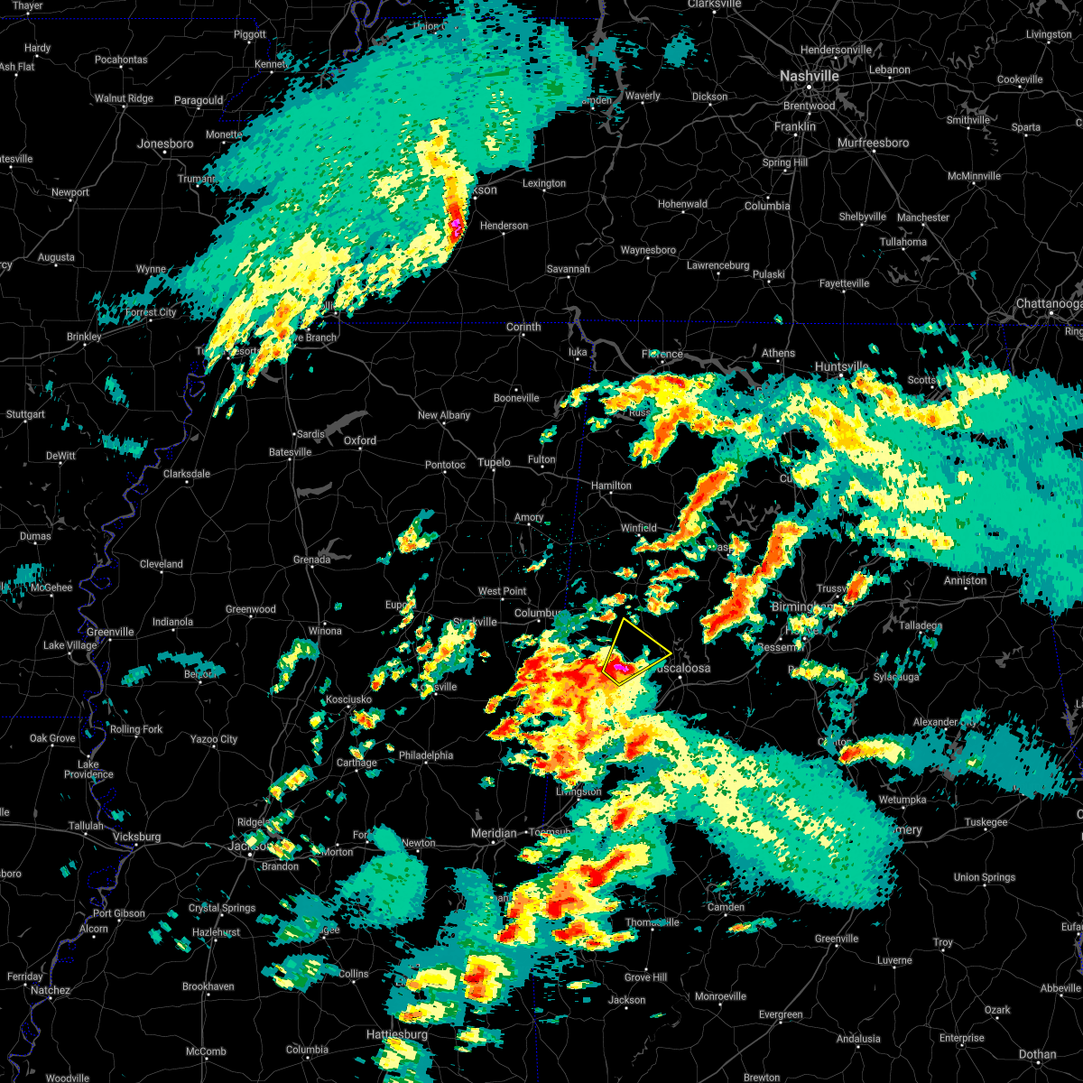 At 149 pm cdt, a severe thunderstorm was located near gordo, moving northeast at 40 mph (radar indicated). Hazards include ping pong ball size hail and 60 mph wind gusts. People and animals outdoors will be injured. expect hail damage to roofs, siding, windows, and vehicles. expect wind damage to roofs, siding, and trees. Locations impacted include, gordo, lake lurleen state park, echola, lubbub, kirk and elrod. At 149 pm cdt, a severe thunderstorm was located near gordo, moving northeast at 40 mph (radar indicated). Hazards include ping pong ball size hail and 60 mph wind gusts. People and animals outdoors will be injured. expect hail damage to roofs, siding, windows, and vehicles. expect wind damage to roofs, siding, and trees. Locations impacted include, gordo, lake lurleen state park, echola, lubbub, kirk and elrod.
|
| 3/17/2021 1:40 PM CDT |
 At 140 pm cdt, a severe thunderstorm was located over johnston lake, or 7 miles southeast of carrollton, moving northeast at 40 mph (radar indicated). Hazards include 60 mph wind gusts and quarter size hail. Hail damage to vehicles is expected. Expect wind damage to roofs, siding, and trees. At 140 pm cdt, a severe thunderstorm was located over johnston lake, or 7 miles southeast of carrollton, moving northeast at 40 mph (radar indicated). Hazards include 60 mph wind gusts and quarter size hail. Hail damage to vehicles is expected. Expect wind damage to roofs, siding, and trees.
|
| 8/27/2020 2:11 PM CDT |
 At 211 pm cdt, severe thunderstorms were located along a line extending from near gordo to near lake lurleen state park to near holt, moving north at 45 mph (radar indicated). Hazards include 60 mph wind gusts and penny size hail. expect damage to roofs, siding, and trees At 211 pm cdt, severe thunderstorms were located along a line extending from near gordo to near lake lurleen state park to near holt, moving north at 45 mph (radar indicated). Hazards include 60 mph wind gusts and penny size hail. expect damage to roofs, siding, and trees
|
| 8/27/2020 1:57 PM CDT |
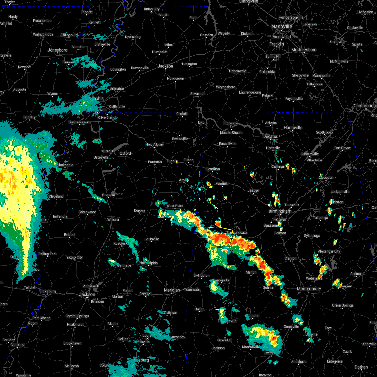 At 156 pm cdt, a severe thunderstorm was located near jena, or 12 miles south of gordo, moving north at 30 mph (radar indicated). Hazards include 60 mph wind gusts and nickel size hail. Expect damage to roofs, siding, and trees. Locations impacted include, gordo, coker, mantua, jena, benevola, johnston lake, ralph, buhl, owens, kirk, pioneer, romulus and elrod. At 156 pm cdt, a severe thunderstorm was located near jena, or 12 miles south of gordo, moving north at 30 mph (radar indicated). Hazards include 60 mph wind gusts and nickel size hail. Expect damage to roofs, siding, and trees. Locations impacted include, gordo, coker, mantua, jena, benevola, johnston lake, ralph, buhl, owens, kirk, pioneer, romulus and elrod.
|
| 8/27/2020 1:44 PM CDT |
 At 143 pm cdt, a severe thunderstorm was located over mantua, or 12 miles north of eutaw, moving north at 30 mph (radar indicated). Hazards include 60 mph wind gusts and nickel size hail. expect damage to roofs, siding, and trees At 143 pm cdt, a severe thunderstorm was located over mantua, or 12 miles north of eutaw, moving north at 30 mph (radar indicated). Hazards include 60 mph wind gusts and nickel size hail. expect damage to roofs, siding, and trees
|
| 5/23/2020 6:10 PM CDT | Trees down near gordo. time estimated by rada in pickens county AL, 0.5 miles NNE of Gordo, AL |
| 5/23/2020 5:58 PM CDT |
 At 558 pm cdt, a severe thunderstorm was located near carrollton, moving northeast at 45 mph (radar indicated). Hazards include 60 mph wind gusts and nickel size hail. expect damage to roofs, siding, and trees At 558 pm cdt, a severe thunderstorm was located near carrollton, moving northeast at 45 mph (radar indicated). Hazards include 60 mph wind gusts and nickel size hail. expect damage to roofs, siding, and trees
|
| 4/19/2020 11:01 AM CDT |
 At 1100 am cdt, a severe thunderstorm was located over gordo, moving east at 50 mph (radar indicated). Hazards include 60 mph wind gusts and quarter size hail. Hail damage to vehicles is expected. expect wind damage to roofs, siding, and trees. Locations impacted include, gordo, reform, lubbub, owens and north pickens airport. At 1100 am cdt, a severe thunderstorm was located over gordo, moving east at 50 mph (radar indicated). Hazards include 60 mph wind gusts and quarter size hail. Hail damage to vehicles is expected. expect wind damage to roofs, siding, and trees. Locations impacted include, gordo, reform, lubbub, owens and north pickens airport.
|
| 4/19/2020 10:45 AM CDT |
 At 1044 am cdt, a severe thunderstorm was located near ethelsville, or 7 miles northwest of carrollton, moving east at 50 mph (radar indicated). Hazards include 60 mph wind gusts and quarter size hail. Hail damage to vehicles is expected. Expect wind damage to roofs, siding, and trees. At 1044 am cdt, a severe thunderstorm was located near ethelsville, or 7 miles northwest of carrollton, moving east at 50 mph (radar indicated). Hazards include 60 mph wind gusts and quarter size hail. Hail damage to vehicles is expected. Expect wind damage to roofs, siding, and trees.
|
| 4/19/2020 4:53 AM CDT |
 At 453 am cdt, severe thunderstorms were located along a line extending from ashcraft corner to 6 miles north of jena to near west greene, moving east at 55 mph (radar indicated). Hazards include 70 mph wind gusts and quarter size hail. Hail damage to vehicles is expected. expect considerable tree damage. Wind damage is also likely to mobile homes, roofs, and outbuildings. At 453 am cdt, severe thunderstorms were located along a line extending from ashcraft corner to 6 miles north of jena to near west greene, moving east at 55 mph (radar indicated). Hazards include 70 mph wind gusts and quarter size hail. Hail damage to vehicles is expected. expect considerable tree damage. Wind damage is also likely to mobile homes, roofs, and outbuildings.
|
| 4/12/2020 4:23 PM CDT | Trees were blown down along highway 82 east of gord in pickens county AL, 1.4 miles NW of Gordo, AL |
| 4/12/2020 4:20 PM CDT | Trees uprooted or snapped; roof blown of in pickens county AL, 1.4 miles NW of Gordo, AL |
| 4/12/2020 4:04 PM CDT |
 At 404 pm cdt, a severe thunderstorm capable of producing a tornado was located near reform, moving northeast at 55 mph (radar indicated rotation). Hazards include tornado. Flying debris will be dangerous to those caught without shelter. mobile homes will be damaged or destroyed. damage to roofs, windows, and vehicles will occur. tree damage is likely. Locations impacted include, gordo, reform, carrollton, ethelsville, ashcraft corner, owens, north pickens airport, mcshan, lubbub and shaw. At 404 pm cdt, a severe thunderstorm capable of producing a tornado was located near reform, moving northeast at 55 mph (radar indicated rotation). Hazards include tornado. Flying debris will be dangerous to those caught without shelter. mobile homes will be damaged or destroyed. damage to roofs, windows, and vehicles will occur. tree damage is likely. Locations impacted include, gordo, reform, carrollton, ethelsville, ashcraft corner, owens, north pickens airport, mcshan, lubbub and shaw.
|
| 4/12/2020 3:54 PM CDT |
 At 354 pm cdt, a severe thunderstorm capable of producing a tornado was located near pickensville, moving northeast at 55 mph (radar indicated rotation). Hazards include tornado. Flying debris will be dangerous to those caught without shelter. mobile homes will be damaged or destroyed. damage to roofs, windows, and vehicles will occur. tree damage is likely. Locations impacted include, gordo, reform, carrollton, pickensville, ethelsville, ashcraft corner, bevill lock and dam, owens, north pickens airport, mcshan, lubbub and shaw. At 354 pm cdt, a severe thunderstorm capable of producing a tornado was located near pickensville, moving northeast at 55 mph (radar indicated rotation). Hazards include tornado. Flying debris will be dangerous to those caught without shelter. mobile homes will be damaged or destroyed. damage to roofs, windows, and vehicles will occur. tree damage is likely. Locations impacted include, gordo, reform, carrollton, pickensville, ethelsville, ashcraft corner, bevill lock and dam, owens, north pickens airport, mcshan, lubbub and shaw.
|
| 4/12/2020 3:42 PM CDT |
 At 342 pm cdt, a severe thunderstorm capable of producing a tornado was located near bigbee valley, or 7 miles west of pickensville, moving northeast at 55 mph (radar indicated rotation). Hazards include tornado. Flying debris will be dangerous to those caught without shelter. mobile homes will be damaged or destroyed. damage to roofs, windows, and vehicles will occur. tree damage is likely. Locations impacted include, aliceville, gordo, reform, carrollton, pickensville, ethelsville, mcmullen, garden, ashcraft corner, bevill lock and dam, dillburg, north pickens airport, mcshan, shaw, george downer airport, owens, kirk, lubbub and gainesville lake campground. At 342 pm cdt, a severe thunderstorm capable of producing a tornado was located near bigbee valley, or 7 miles west of pickensville, moving northeast at 55 mph (radar indicated rotation). Hazards include tornado. Flying debris will be dangerous to those caught without shelter. mobile homes will be damaged or destroyed. damage to roofs, windows, and vehicles will occur. tree damage is likely. Locations impacted include, aliceville, gordo, reform, carrollton, pickensville, ethelsville, mcmullen, garden, ashcraft corner, bevill lock and dam, dillburg, north pickens airport, mcshan, shaw, george downer airport, owens, kirk, lubbub and gainesville lake campground.
|
| 4/12/2020 3:35 PM CDT |
 At 335 pm cdt, a confirmed tornado was located near deerbrook, or 15 miles west of pickensville, moving east at 50 mph (radar confirmed tornado). Hazards include damaging tornado. Flying debris will be dangerous to those caught without shelter. mobile homes will be damaged or destroyed. damage to roofs, windows, and vehicles will occur. tree damage is likely. Locations impacted include, aliceville, gordo, reform, carrollton, pickensville, ethelsville, mcmullen, garden, ashcraft corner, bevill lock and dam, dillburg, north pickens airport, mcshan, shaw, george downer airport, owens, kirk, lubbub and gainesville lake campground. At 335 pm cdt, a confirmed tornado was located near deerbrook, or 15 miles west of pickensville, moving east at 50 mph (radar confirmed tornado). Hazards include damaging tornado. Flying debris will be dangerous to those caught without shelter. mobile homes will be damaged or destroyed. damage to roofs, windows, and vehicles will occur. tree damage is likely. Locations impacted include, aliceville, gordo, reform, carrollton, pickensville, ethelsville, mcmullen, garden, ashcraft corner, bevill lock and dam, dillburg, north pickens airport, mcshan, shaw, george downer airport, owens, kirk, lubbub and gainesville lake campground.
|
| 4/12/2020 3:26 PM CDT |
 At 326 pm cdt, a severe thunderstorm capable of producing a tornado was located near macon, or 21 miles northeast of preston, moving northeast at 65 mph (radar indicated rotation). Hazards include tornado. Flying debris will be dangerous to those caught without shelter. mobile homes will be damaged or destroyed. damage to roofs, windows, and vehicles will occur. Tree damage is likely. At 326 pm cdt, a severe thunderstorm capable of producing a tornado was located near macon, or 21 miles northeast of preston, moving northeast at 65 mph (radar indicated rotation). Hazards include tornado. Flying debris will be dangerous to those caught without shelter. mobile homes will be damaged or destroyed. damage to roofs, windows, and vehicles will occur. Tree damage is likely.
|
| 4/9/2020 5:38 AM CDT |
 The severe thunderstorm warning for pickens county will expire at 545 am cdt, the storm which prompted the warning has moved out of the area. therefore, the warning will be allowed to expire. to report severe weather, contact your nearest law enforcement agency. they will relay your report to the national weather service birmingham. The severe thunderstorm warning for pickens county will expire at 545 am cdt, the storm which prompted the warning has moved out of the area. therefore, the warning will be allowed to expire. to report severe weather, contact your nearest law enforcement agency. they will relay your report to the national weather service birmingham.
|
| 4/9/2020 5:24 AM CDT |
 At 523 am cdt, a severe thunderstorm was located over garden, or over aliceville, moving southeast at 55 mph (radar indicated). Hazards include 60 mph wind gusts and quarter size hail. Hail damage to vehicles is expected. expect wind damage to roofs, siding, and trees. Locations impacted include, aliceville, gordo, reform, carrollton, pickensville, mcmullen, garden, benevola, johnston lake, bevill lock and dam, gainesville lake campground, dillburg, north pickens airport, mcshan, george downer airport, owens, kirk, pioneer and cochrane. At 523 am cdt, a severe thunderstorm was located over garden, or over aliceville, moving southeast at 55 mph (radar indicated). Hazards include 60 mph wind gusts and quarter size hail. Hail damage to vehicles is expected. expect wind damage to roofs, siding, and trees. Locations impacted include, aliceville, gordo, reform, carrollton, pickensville, mcmullen, garden, benevola, johnston lake, bevill lock and dam, gainesville lake campground, dillburg, north pickens airport, mcshan, george downer airport, owens, kirk, pioneer and cochrane.
|
| 4/9/2020 5:01 AM CDT |
 At 500 am cdt, a severe thunderstorm was located 8 miles south of columbus, moving southeast at 60 mph (radar indicated). Hazards include 60 mph wind gusts and quarter size hail. Hail damage to vehicles is expected. Expect wind damage to roofs, siding, and trees. At 500 am cdt, a severe thunderstorm was located 8 miles south of columbus, moving southeast at 60 mph (radar indicated). Hazards include 60 mph wind gusts and quarter size hail. Hail damage to vehicles is expected. Expect wind damage to roofs, siding, and trees.
|
| 3/29/2020 3:01 AM CDT |
 At 249 am cdt, a severe thunderstorm was located near mcmullen, or near aliceville, moving northeast at 60 mph (radar indicated). Hazards include 60 mph wind gusts and quarter size hail. Hail damage to vehicles is expected. expect wind damage to roofs, siding, and trees. Locations impacted include, aliceville, gordo, carrollton, pickensville, mcmullen, garden, benevola, johnston lake, bevill lock and dam, gainesville lake campground, dillburg, george downer airport, owens, kirk, pioneer and cochrane. At 249 am cdt, a severe thunderstorm was located near mcmullen, or near aliceville, moving northeast at 60 mph (radar indicated). Hazards include 60 mph wind gusts and quarter size hail. Hail damage to vehicles is expected. expect wind damage to roofs, siding, and trees. Locations impacted include, aliceville, gordo, carrollton, pickensville, mcmullen, garden, benevola, johnston lake, bevill lock and dam, gainesville lake campground, dillburg, george downer airport, owens, kirk, pioneer and cochrane.
|
| 3/29/2020 2:49 AM CDT |
 At 249 am cdt, a severe thunderstorm was located near mcmullen, or near aliceville, moving northeast at 60 mph (radar indicated). Hazards include 60 mph wind gusts and quarter size hail. Hail damage to vehicles is expected. expect wind damage to roofs, siding, and trees. Locations impacted include, aliceville, gordo, carrollton, pickensville, mcmullen, garden, benevola, johnston lake, bevill lock and dam, gainesville lake campground, dillburg, george downer airport, owens, kirk, pioneer and cochrane. At 249 am cdt, a severe thunderstorm was located near mcmullen, or near aliceville, moving northeast at 60 mph (radar indicated). Hazards include 60 mph wind gusts and quarter size hail. Hail damage to vehicles is expected. expect wind damage to roofs, siding, and trees. Locations impacted include, aliceville, gordo, carrollton, pickensville, mcmullen, garden, benevola, johnston lake, bevill lock and dam, gainesville lake campground, dillburg, george downer airport, owens, kirk, pioneer and cochrane.
|
| 3/29/2020 2:33 AM CDT |
 At 233 am cdt, a severe thunderstorm was located near paulette, or 13 miles southwest of pickensville, moving northeast at 60 mph (radar indicated). Hazards include golf ball size hail and 60 mph wind gusts. People and animals outdoors will be injured. expect hail damage to roofs, siding, windows, and vehicles. Expect wind damage to roofs, siding, and trees. At 233 am cdt, a severe thunderstorm was located near paulette, or 13 miles southwest of pickensville, moving northeast at 60 mph (radar indicated). Hazards include golf ball size hail and 60 mph wind gusts. People and animals outdoors will be injured. expect hail damage to roofs, siding, windows, and vehicles. Expect wind damage to roofs, siding, and trees.
|
| 1/11/2020 11:46 AM CST |
 At 1145 am cst, severe thunderstorms were located along a line extending from near glen allen to near coker to near jefferson, moving northeast at 50 mph (radar indicated). Hazards include 60 mph wind gusts. Expect damage to roofs, siding, and trees. Locations impacted include, tuscaloosa, northport, demopolis, winfield, fayette, eutaw, greensboro, uniontown, gordo, holt, jefferson, moundville, berry, coker, forkland, glen allen, akron, union, newbern and faunsdale. At 1145 am cst, severe thunderstorms were located along a line extending from near glen allen to near coker to near jefferson, moving northeast at 50 mph (radar indicated). Hazards include 60 mph wind gusts. Expect damage to roofs, siding, and trees. Locations impacted include, tuscaloosa, northport, demopolis, winfield, fayette, eutaw, greensboro, uniontown, gordo, holt, jefferson, moundville, berry, coker, forkland, glen allen, akron, union, newbern and faunsdale.
|
| 1/11/2020 11:29 AM CST |
 At 1129 am cst, a severe thunderstorm capable of producing a tornado was located over reform, moving northeast at 40 mph (radar indicated rotation). Hazards include tornado. Flying debris will be dangerous to those caught without shelter. mobile homes will be damaged or destroyed. damage to roofs, windows, and vehicles will occur. tree damage is likely. Locations impacted include, reform, ashcraft corner, lubbub and north pickens airport. At 1129 am cst, a severe thunderstorm capable of producing a tornado was located over reform, moving northeast at 40 mph (radar indicated rotation). Hazards include tornado. Flying debris will be dangerous to those caught without shelter. mobile homes will be damaged or destroyed. damage to roofs, windows, and vehicles will occur. tree damage is likely. Locations impacted include, reform, ashcraft corner, lubbub and north pickens airport.
|
| 1/11/2020 11:27 AM CST |
 At 1127 am cst, severe thunderstorms were located along a line extending from near fayette to near coatopa, moving northeast at 45 mph (radar indicated). Hazards include 60 mph wind gusts. expect damage to roofs, siding, and trees At 1127 am cst, severe thunderstorms were located along a line extending from near fayette to near coatopa, moving northeast at 45 mph (radar indicated). Hazards include 60 mph wind gusts. expect damage to roofs, siding, and trees
|
| 1/11/2020 11:21 AM CST |
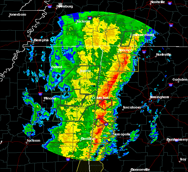 At 1121 am cst, a confirmed tornado was located near reform, moving northeast at 50 mph (radar confirmed tornado). Hazards include damaging tornado. Flying debris will be dangerous to those caught without shelter. mobile homes will be damaged or destroyed. damage to roofs, windows, and vehicles will occur. tree damage is likely. Locations impacted include, gordo, reform, carrollton, ashcraft corner, owens, north pickens airport, mcshan and lubbub. At 1121 am cst, a confirmed tornado was located near reform, moving northeast at 50 mph (radar confirmed tornado). Hazards include damaging tornado. Flying debris will be dangerous to those caught without shelter. mobile homes will be damaged or destroyed. damage to roofs, windows, and vehicles will occur. tree damage is likely. Locations impacted include, gordo, reform, carrollton, ashcraft corner, owens, north pickens airport, mcshan and lubbub.
|
| 1/11/2020 11:16 AM CST |
 At 1116 am cst, a confirmed large and extremely dangerous tornado was located over carrollton, moving northeast at 65 mph. this is a particularly dangerous situation. take cover now! (radar confirmed tornado). Hazards include damaging tornado. You are in a life-threatening situation. flying debris may be deadly to those caught without shelter. mobile homes will be destroyed. considerable damage to homes, businesses, and vehicles is likely and complete destruction is possible. Locations impacted include, gordo, reform, carrollton, ashcraft corner, owens, dillburg, north pickens airport, mcshan and lubbub. At 1116 am cst, a confirmed large and extremely dangerous tornado was located over carrollton, moving northeast at 65 mph. this is a particularly dangerous situation. take cover now! (radar confirmed tornado). Hazards include damaging tornado. You are in a life-threatening situation. flying debris may be deadly to those caught without shelter. mobile homes will be destroyed. considerable damage to homes, businesses, and vehicles is likely and complete destruction is possible. Locations impacted include, gordo, reform, carrollton, ashcraft corner, owens, dillburg, north pickens airport, mcshan and lubbub.
|
| 1/11/2020 11:11 AM CST |
 At 1111 am cst, a severe thunderstorm capable of producing a tornado was located near carrollton, moving northeast at 55 mph (radar indicated rotation). Hazards include tornado. Flying debris will be dangerous to those caught without shelter. mobile homes will be damaged or destroyed. damage to roofs, windows, and vehicles will occur. tree damage is likely. Locations impacted include, aliceville, gordo, reform, carrollton, pickensville, mcmullen, garden, ashcraft corner, bevill lock and dam, dillburg, north pickens airport, mcshan, shaw, owens and lubbub. At 1111 am cst, a severe thunderstorm capable of producing a tornado was located near carrollton, moving northeast at 55 mph (radar indicated rotation). Hazards include tornado. Flying debris will be dangerous to those caught without shelter. mobile homes will be damaged or destroyed. damage to roofs, windows, and vehicles will occur. tree damage is likely. Locations impacted include, aliceville, gordo, reform, carrollton, pickensville, mcmullen, garden, ashcraft corner, bevill lock and dam, dillburg, north pickens airport, mcshan, shaw, owens and lubbub.
|
| 1/11/2020 11:08 AM CST |
 At 1108 am cst, severe thunderstorms were located along a line extending from 6 miles northwest of carrollton to near west greene to 7 miles east of kinterbish, moving northeast at 55 mph (radar indicated). Hazards include 60 mph wind gusts. Expect damage to roofs, siding, and trees. Locations impacted include, demopolis, livingston, eutaw, york, aliceville, gordo, reform, carrollton, pickensville, cuba, forkland, boligee, union, gainesville, epes, ethelsville, emelle, mcmullen, panola and west greene. At 1108 am cst, severe thunderstorms were located along a line extending from 6 miles northwest of carrollton to near west greene to 7 miles east of kinterbish, moving northeast at 55 mph (radar indicated). Hazards include 60 mph wind gusts. Expect damage to roofs, siding, and trees. Locations impacted include, demopolis, livingston, eutaw, york, aliceville, gordo, reform, carrollton, pickensville, cuba, forkland, boligee, union, gainesville, epes, ethelsville, emelle, mcmullen, panola and west greene.
|
| 1/11/2020 11:01 AM CST |
 At 1101 am cst, a severe thunderstorm capable of producing a tornado was located 7 miles southwest of mcmullen, or 7 miles west of aliceville, moving northeast at 50 mph (radar indicated rotation). Hazards include tornado. Flying debris will be dangerous to those caught without shelter. mobile homes will be damaged or destroyed. damage to roofs, windows, and vehicles will occur. Tree damage is likely. At 1101 am cst, a severe thunderstorm capable of producing a tornado was located 7 miles southwest of mcmullen, or 7 miles west of aliceville, moving northeast at 50 mph (radar indicated rotation). Hazards include tornado. Flying debris will be dangerous to those caught without shelter. mobile homes will be damaged or destroyed. damage to roofs, windows, and vehicles will occur. Tree damage is likely.
|
| 1/11/2020 10:36 AM CST |
 At 1035 am cst, severe thunderstorms were located along a line extending from near macon to near electric mills to middleton, moving northeast at 55 mph (radar indicated). Hazards include 60 mph wind gusts. expect damage to roofs, siding, and trees At 1035 am cst, severe thunderstorms were located along a line extending from near macon to near electric mills to middleton, moving northeast at 55 mph (radar indicated). Hazards include 60 mph wind gusts. expect damage to roofs, siding, and trees
|
| 7/8/2019 2:43 PM CDT | Trees and powerlines down near the intersection of highway 82 and 2nd street in gord in pickens county AL, 0.5 miles NNW of Gordo, AL |
| 6/20/2019 1:41 AM CDT |
 At 141 am cdt, severe thunderstorms were located along a line extending from near beaverton to kennedy to near aliceville, moving east at 50 mph (radar indicated). Hazards include 60 mph wind gusts and penny size hail. Expect damage to roofs, siding, and trees. Locations impacted include, winfield, fayette, aliceville, vernon, sulligent, gordo, reform, millport, carrollton, pickensville, kennedy, detroit, belk, beaverton, gu- win, ethelsville, mcmullen, benevola, johnston lake and bluff. At 141 am cdt, severe thunderstorms were located along a line extending from near beaverton to kennedy to near aliceville, moving east at 50 mph (radar indicated). Hazards include 60 mph wind gusts and penny size hail. Expect damage to roofs, siding, and trees. Locations impacted include, winfield, fayette, aliceville, vernon, sulligent, gordo, reform, millport, carrollton, pickensville, kennedy, detroit, belk, beaverton, gu- win, ethelsville, mcmullen, benevola, johnston lake and bluff.
|
| 6/20/2019 1:12 AM CDT |
 At 112 am cdt, severe thunderstorms were located along a line extending from 8 miles southeast of amory to near columbus to 7 miles northeast of gholson, moving east at 55 mph (radar indicated). Hazards include 60 mph wind gusts and penny size hail. expect damage to roofs, siding, and trees At 112 am cdt, severe thunderstorms were located along a line extending from 8 miles southeast of amory to near columbus to 7 miles northeast of gholson, moving east at 55 mph (radar indicated). Hazards include 60 mph wind gusts and penny size hail. expect damage to roofs, siding, and trees
|
| 4/18/2019 5:31 PM CDT |
 At 530 pm cdt, severe thunderstorms were located along a line extending from johnston lake to near mantua to near allison, moving northeast at 55 mph (radar indicated). Hazards include 60 mph wind gusts. Expect damage to roofs, siding, and trees. locations impacted include, eutaw, aliceville, gordo, carrollton, pickensville, forkland, boligee, union, gainesville, epes, mcmullen, walden quarters, west greene, thornhill, benevola, johnston lake, bevill lock and dam, tishabee, garden and new west greene. A tornado watch remains in effect until 1100 pm cdt for west central alabama. At 530 pm cdt, severe thunderstorms were located along a line extending from johnston lake to near mantua to near allison, moving northeast at 55 mph (radar indicated). Hazards include 60 mph wind gusts. Expect damage to roofs, siding, and trees. locations impacted include, eutaw, aliceville, gordo, carrollton, pickensville, forkland, boligee, union, gainesville, epes, mcmullen, walden quarters, west greene, thornhill, benevola, johnston lake, bevill lock and dam, tishabee, garden and new west greene. A tornado watch remains in effect until 1100 pm cdt for west central alabama.
|
| 4/18/2019 5:07 PM CDT |
 At 506 pm cdt, severe thunderstorms were located along a line extending from near cooksville to 7 miles south of panola to near boyd, moving northeast at 55 mph (radar indicated). Hazards include 60 mph wind gusts. expect damage to roofs, siding, and trees At 506 pm cdt, severe thunderstorms were located along a line extending from near cooksville to 7 miles south of panola to near boyd, moving northeast at 55 mph (radar indicated). Hazards include 60 mph wind gusts. expect damage to roofs, siding, and trees
|
| 4/18/2019 5:07 PM CDT |
 At 505 pm cdt, severe thunderstorms were located along a line extending from near cooksville to 7 miles south of panola to near boyd, moving northeast at 55 mph (radar indicated). Hazards include 60 mph wind gusts. expect damage to roofs, siding, and trees At 505 pm cdt, severe thunderstorms were located along a line extending from near cooksville to 7 miles south of panola to near boyd, moving northeast at 55 mph (radar indicated). Hazards include 60 mph wind gusts. expect damage to roofs, siding, and trees
|
| 4/14/2019 12:00 AM CDT |
 At 1200 am cdt, a severe thunderstorm capable of producing a tornado was located near aliceville, moving northeast at 45 mph (radar indicated rotation). Hazards include tornado. Flying debris will be dangerous to those caught without shelter. mobile homes will be damaged or destroyed. damage to roofs, windows, and vehicles will occur. tree damage is likely. Locations impacted include, aliceville, gordo, reform, carrollton, pickensville, ethelsville, mcmullen, garden, ashcraft corner, johnston lake, bevill lock and dam, gainesville lake campground, dillburg, north pickens airport, mcshan, shaw, george downer airport, owens, kirk and cochrane. At 1200 am cdt, a severe thunderstorm capable of producing a tornado was located near aliceville, moving northeast at 45 mph (radar indicated rotation). Hazards include tornado. Flying debris will be dangerous to those caught without shelter. mobile homes will be damaged or destroyed. damage to roofs, windows, and vehicles will occur. tree damage is likely. Locations impacted include, aliceville, gordo, reform, carrollton, pickensville, ethelsville, mcmullen, garden, ashcraft corner, johnston lake, bevill lock and dam, gainesville lake campground, dillburg, north pickens airport, mcshan, shaw, george downer airport, owens, kirk and cochrane.
|
| 4/13/2019 11:48 PM CDT |
 At 1147 pm cdt, a severe thunderstorm capable of producing a tornado was located near cooksville, or 15 miles southwest of aliceville, moving northeast at 50 mph (radar indicated rotation). Hazards include tornado. Flying debris will be dangerous to those caught without shelter. mobile homes will be damaged or destroyed. damage to roofs, windows, and vehicles will occur. tree damage is likely. Locations impacted include, aliceville, gordo, reform, carrollton, pickensville, ethelsville, mcmullen, panola, johnston lake, bevill lock and dam, garden, ashcraft corner, geiger, dillburg, shaw, george downer airport, kirk, gainesville lake campground, warsaw and north pickens airport. At 1147 pm cdt, a severe thunderstorm capable of producing a tornado was located near cooksville, or 15 miles southwest of aliceville, moving northeast at 50 mph (radar indicated rotation). Hazards include tornado. Flying debris will be dangerous to those caught without shelter. mobile homes will be damaged or destroyed. damage to roofs, windows, and vehicles will occur. tree damage is likely. Locations impacted include, aliceville, gordo, reform, carrollton, pickensville, ethelsville, mcmullen, panola, johnston lake, bevill lock and dam, garden, ashcraft corner, geiger, dillburg, shaw, george downer airport, kirk, gainesville lake campground, warsaw and north pickens airport.
|
| 4/13/2019 11:38 PM CDT |
 At 1138 pm cdt, a severe thunderstorm capable of producing a tornado was located near electric mills, or 21 miles northwest of livingston, moving northeast at 50 mph (radar indicated rotation). Hazards include tornado. Flying debris will be dangerous to those caught without shelter. mobile homes will be damaged or destroyed. damage to roofs, windows, and vehicles will occur. Tree damage is likely. At 1138 pm cdt, a severe thunderstorm capable of producing a tornado was located near electric mills, or 21 miles northwest of livingston, moving northeast at 50 mph (radar indicated rotation). Hazards include tornado. Flying debris will be dangerous to those caught without shelter. mobile homes will be damaged or destroyed. damage to roofs, windows, and vehicles will occur. Tree damage is likely.
|
| 4/6/2019 7:55 PM CDT |
 The severe thunderstorm warning for southern pickens and northern greene counties will expire at 800 pm cdt, the storm which prompted the warning has moved out of the area. therefore, the warning will be allowed to expire. however gusty winds are still possible with this thunderstorm. to report severe weather, contact your nearest law enforcement agency. they will relay your report to the national weather service birmingham. The severe thunderstorm warning for southern pickens and northern greene counties will expire at 800 pm cdt, the storm which prompted the warning has moved out of the area. therefore, the warning will be allowed to expire. however gusty winds are still possible with this thunderstorm. to report severe weather, contact your nearest law enforcement agency. they will relay your report to the national weather service birmingham.
|
| 4/6/2019 7:36 PM CDT |
 At 736 pm cdt, a severe thunderstorm was located over mantua, or 12 miles east of aliceville, moving northeast at 35 mph (radar indicated). Hazards include 60 mph wind gusts and quarter size hail. Hail damage to vehicles is expected. expect wind damage to roofs, siding, and trees. Locations impacted include, aliceville, gordo, union, mcmullen, new west greene, mantua, jena, west greene, benevola, johnston lake, garden, snoddy, dillburg, clinton, george downer airport, kirk, pleasant ridge, pioneer and lewiston. At 736 pm cdt, a severe thunderstorm was located over mantua, or 12 miles east of aliceville, moving northeast at 35 mph (radar indicated). Hazards include 60 mph wind gusts and quarter size hail. Hail damage to vehicles is expected. expect wind damage to roofs, siding, and trees. Locations impacted include, aliceville, gordo, union, mcmullen, new west greene, mantua, jena, west greene, benevola, johnston lake, garden, snoddy, dillburg, clinton, george downer airport, kirk, pleasant ridge, pioneer and lewiston.
|
| 4/6/2019 7:08 PM CDT |
 At 708 pm cdt, a severe thunderstorm was located near panola, or 9 miles south of aliceville, moving east at 35 mph (radar indicated). Hazards include 60 mph wind gusts and quarter size hail. Hail damage to vehicles is expected. Expect wind damage to roofs, siding, and trees. At 708 pm cdt, a severe thunderstorm was located near panola, or 9 miles south of aliceville, moving east at 35 mph (radar indicated). Hazards include 60 mph wind gusts and quarter size hail. Hail damage to vehicles is expected. Expect wind damage to roofs, siding, and trees.
|
| 4/6/2019 6:48 PM CDT |
 At 647 pm cdt, severe thunderstorms were located along a line extending from near prairie to waverly to near prairie point, moving northeast at 55 mph (radar indicated). Hazards include 60 mph wind gusts and penny size hail. expect damage to roofs, siding, and trees At 647 pm cdt, severe thunderstorms were located along a line extending from near prairie to waverly to near prairie point, moving northeast at 55 mph (radar indicated). Hazards include 60 mph wind gusts and penny size hail. expect damage to roofs, siding, and trees
|
| 6/28/2018 4:48 PM CDT |
 At 448 pm cdt, severe thunderstorms were located along a line extending from near sulligent to near knoxville, moving southwest at 20 mph (radar indicated). Hazards include 60 mph wind gusts. expect damage to roofs, siding, and trees At 448 pm cdt, severe thunderstorms were located along a line extending from near sulligent to near knoxville, moving southwest at 20 mph (radar indicated). Hazards include 60 mph wind gusts. expect damage to roofs, siding, and trees
|
| 6/28/2018 4:13 PM CDT |
 At 413 pm cdt, severe thunderstorms were located along a line extending from near ashcraft corner to near heiberger, moving south at 30 mph (radar indicated). Hazards include 60 mph wind gusts. expect damage to roofs, siding, and trees At 413 pm cdt, severe thunderstorms were located along a line extending from near ashcraft corner to near heiberger, moving south at 30 mph (radar indicated). Hazards include 60 mph wind gusts. expect damage to roofs, siding, and trees
|
| 4/14/2018 12:51 PM CDT |
 The severe thunderstorm warning for pickens and greene counties will expire at 100 pm cdt, the storms which prompted the warning have moved out of the area. therefore the warning will be allowed to expire. a tornado watch remains in effect until 700 pm cdt for west central alabama. The severe thunderstorm warning for pickens and greene counties will expire at 100 pm cdt, the storms which prompted the warning have moved out of the area. therefore the warning will be allowed to expire. a tornado watch remains in effect until 700 pm cdt for west central alabama.
|
| 4/14/2018 12:17 PM CDT |
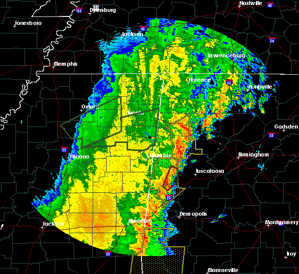 At 1217 pm cdt, a severe thunderstorm capable of producing a tornado was located near benevola, or 8 miles southeast of aliceville, moving northeast at 35 mph (radar indicated rotation). Hazards include tornado. Flying debris will be dangerous to those caught without shelter. mobile homes will be damaged or destroyed. damage to roofs, windows, and vehicles will occur. tree damage is likely. Locations impacted include, gordo, benevola, johnston lake, mantua, jena, kirk, pioneer and lewiston. At 1217 pm cdt, a severe thunderstorm capable of producing a tornado was located near benevola, or 8 miles southeast of aliceville, moving northeast at 35 mph (radar indicated rotation). Hazards include tornado. Flying debris will be dangerous to those caught without shelter. mobile homes will be damaged or destroyed. damage to roofs, windows, and vehicles will occur. tree damage is likely. Locations impacted include, gordo, benevola, johnston lake, mantua, jena, kirk, pioneer and lewiston.
|
| 4/14/2018 12:05 PM CDT |
 At 1204 pm cdt, a severe thunderstorm capable of producing a tornado was located near west greene, or 9 miles south of aliceville, moving northeast at 50 mph (radar indicated rotation). Hazards include tornado. Flying debris will be dangerous to those caught without shelter. mobile homes will be damaged or destroyed. damage to roofs, windows, and vehicles will occur. Tree damage is likely. At 1204 pm cdt, a severe thunderstorm capable of producing a tornado was located near west greene, or 9 miles south of aliceville, moving northeast at 50 mph (radar indicated rotation). Hazards include tornado. Flying debris will be dangerous to those caught without shelter. mobile homes will be damaged or destroyed. damage to roofs, windows, and vehicles will occur. Tree damage is likely.
|
| 4/14/2018 11:55 AM CDT |
 At 1155 am cdt, severe thunderstorms were located along a line extending from 7 miles southwest of mcmullen to new west greene to near livingston, moving northeast at 40 mph (radar indicated). Hazards include 60 mph wind gusts. expect damage to roofs, siding, and trees At 1155 am cdt, severe thunderstorms were located along a line extending from 7 miles southwest of mcmullen to new west greene to near livingston, moving northeast at 40 mph (radar indicated). Hazards include 60 mph wind gusts. expect damage to roofs, siding, and trees
|
| 4/14/2018 11:24 AM CDT |
 At 1124 am cdt, severe thunderstorms were located along a line extending from near vernon to near ethelsville, moving east at 25 mph (radar indicated). Hazards include 60 mph wind gusts. Expect damage to roofs, siding, and trees. locations impacted include, vernon, gordo, reform, millport, carrollton, kennedy, blooming grove, cody, north pickens airport, mcshan, shaw, owens, lubbub and hightogy. A tornado watch remains in effect until 700 pm cdt for west central alabama. At 1124 am cdt, severe thunderstorms were located along a line extending from near vernon to near ethelsville, moving east at 25 mph (radar indicated). Hazards include 60 mph wind gusts. Expect damage to roofs, siding, and trees. locations impacted include, vernon, gordo, reform, millport, carrollton, kennedy, blooming grove, cody, north pickens airport, mcshan, shaw, owens, lubbub and hightogy. A tornado watch remains in effect until 700 pm cdt for west central alabama.
|
| 4/14/2018 11:08 AM CDT |
 At 1107 am cdt, severe thunderstorms were located along a line extending from near caledonia to near bigbee valley, moving east at 25 mph (radar indicated). Hazards include 60 mph wind gusts. expect damage to roofs, siding, and trees At 1107 am cdt, severe thunderstorms were located along a line extending from near caledonia to near bigbee valley, moving east at 25 mph (radar indicated). Hazards include 60 mph wind gusts. expect damage to roofs, siding, and trees
|
| 6/15/2017 3:51 PM CDT |
 The severe thunderstorm warning for southern pickens county will expire at 400 pm cdt, the storms which prompted the warning have weakened below severe limits, and no longer pose an immediate threat to life or property. therefore the warning will be allowed to expire. The severe thunderstorm warning for southern pickens county will expire at 400 pm cdt, the storms which prompted the warning have weakened below severe limits, and no longer pose an immediate threat to life or property. therefore the warning will be allowed to expire.
|
| 6/15/2017 3:47 PM CDT |
 At 347 pm cdt, severe thunderstorms were located along a line extending from near mcmullen to near johnston lake to 9 miles southeast of ashcraft corner, moving southeast at 40 mph (radar indicated). Hazards include 60 mph wind gusts. Expect damage to roofs, siding, and trees. Locations impacted include, aliceville, gordo, carrollton, mcmullen, garden, benevola, johnston lake, gainesville lake boat ramp and campground, dillburg, george downer airport, kirk, pioneer, cochrane and lubbub. At 347 pm cdt, severe thunderstorms were located along a line extending from near mcmullen to near johnston lake to 9 miles southeast of ashcraft corner, moving southeast at 40 mph (radar indicated). Hazards include 60 mph wind gusts. Expect damage to roofs, siding, and trees. Locations impacted include, aliceville, gordo, carrollton, mcmullen, garden, benevola, johnston lake, gainesville lake boat ramp and campground, dillburg, george downer airport, kirk, pioneer, cochrane and lubbub.
|
| 6/15/2017 3:32 PM CDT |
 At 332 pm cdt, severe thunderstorms were located along a line extending from near bevill lock and dam to near carrollton to near ashcraft corner, moving southeast at 45 mph (radar indicated). Hazards include 60 mph wind gusts. Expect damage to roofs, siding, and trees. Locations impacted include, aliceville, gordo, reform, carrollton, pickensville, ethelsville, mcmullen, benevola, johnston lake, bevill lock and dam, garden, ashcraft corner, gainesville lake boat ramp and campground, dillburg, shaw, george downer airport, kirk, north pickens airport, mcshan and owens. At 332 pm cdt, severe thunderstorms were located along a line extending from near bevill lock and dam to near carrollton to near ashcraft corner, moving southeast at 45 mph (radar indicated). Hazards include 60 mph wind gusts. Expect damage to roofs, siding, and trees. Locations impacted include, aliceville, gordo, reform, carrollton, pickensville, ethelsville, mcmullen, benevola, johnston lake, bevill lock and dam, garden, ashcraft corner, gainesville lake boat ramp and campground, dillburg, shaw, george downer airport, kirk, north pickens airport, mcshan and owens.
|
| 6/15/2017 3:16 PM CDT |
 At 316 pm cdt, severe thunderstorms were located along a line extending from near deerbrook to near millport, moving southeast at 40 mph (radar indicated). Hazards include 60 mph wind gusts. expect damage to roofs, siding, and trees At 316 pm cdt, severe thunderstorms were located along a line extending from near deerbrook to near millport, moving southeast at 40 mph (radar indicated). Hazards include 60 mph wind gusts. expect damage to roofs, siding, and trees
|
| 4/30/2017 12:12 PM CDT |
 At 1212 pm cdt, severe thunderstorms were located along a line extending from millport to near gordo to near epes, moving northeast at 50 mph (radar indicated). Hazards include 70 mph wind gusts. Expect considerable tree damage. Damage is likely to mobile homes, roofs, and outbuildings. At 1212 pm cdt, severe thunderstorms were located along a line extending from millport to near gordo to near epes, moving northeast at 50 mph (radar indicated). Hazards include 70 mph wind gusts. Expect considerable tree damage. Damage is likely to mobile homes, roofs, and outbuildings.
|
| 4/30/2017 11:11 AM CDT |
 At 1110 am cdt, severe thunderstorms were located along a line extending from near crawford to 7 miles north of electric mills to near meridian, moving east at 60 mph (radar indicated). Hazards include 60 mph wind gusts. expect damage to roofs, siding, and trees At 1110 am cdt, severe thunderstorms were located along a line extending from near crawford to 7 miles north of electric mills to near meridian, moving east at 60 mph (radar indicated). Hazards include 60 mph wind gusts. expect damage to roofs, siding, and trees
|
| 4/27/2017 12:27 AM CDT |
 At 1227 am cdt, a severe thunderstorm capable of producing a tornado was located over carrollton, moving northeast at 45 mph (radar indicated rotation). Hazards include tornado. Flying debris will be dangerous to those caught without shelter. mobile homes will be damaged or destroyed. damage to roofs, windows, and vehicles will occur. tree damage is likely. Locations impacted include, gordo, reform, carrollton, owens, kirk, dillburg and lubbub. At 1227 am cdt, a severe thunderstorm capable of producing a tornado was located over carrollton, moving northeast at 45 mph (radar indicated rotation). Hazards include tornado. Flying debris will be dangerous to those caught without shelter. mobile homes will be damaged or destroyed. damage to roofs, windows, and vehicles will occur. tree damage is likely. Locations impacted include, gordo, reform, carrollton, owens, kirk, dillburg and lubbub.
|
| 4/27/2017 12:14 AM CDT |
 At 1214 am cdt, a severe thunderstorm capable of producing a tornado was located over garden, or near aliceville, moving northeast at 40 mph (radar indicated rotation). Hazards include tornado. Flying debris will be dangerous to those caught without shelter. mobile homes will be damaged or destroyed. damage to roofs, windows, and vehicles will occur. tree damage is likely. Locations impacted include, aliceville, gordo, reform, carrollton, pickensville, mcmullen, garden, dillburg, north pickens airport, george downer airport, owens, kirk and lubbub. At 1214 am cdt, a severe thunderstorm capable of producing a tornado was located over garden, or near aliceville, moving northeast at 40 mph (radar indicated rotation). Hazards include tornado. Flying debris will be dangerous to those caught without shelter. mobile homes will be damaged or destroyed. damage to roofs, windows, and vehicles will occur. tree damage is likely. Locations impacted include, aliceville, gordo, reform, carrollton, pickensville, mcmullen, garden, dillburg, north pickens airport, george downer airport, owens, kirk and lubbub.
|
| 4/27/2017 12:07 AM CDT |
 At 1207 am cdt, a severe thunderstorm capable of producing a tornado was located near bevill lock and dam, or near pickensville, moving northeast at 45 mph (radar indicated rotation). Hazards include tornado. Flying debris will be dangerous to those caught without shelter. mobile homes will be damaged or destroyed. damage to roofs, windows, and vehicles will occur. Tree damage is likely. At 1207 am cdt, a severe thunderstorm capable of producing a tornado was located near bevill lock and dam, or near pickensville, moving northeast at 45 mph (radar indicated rotation). Hazards include tornado. Flying debris will be dangerous to those caught without shelter. mobile homes will be damaged or destroyed. damage to roofs, windows, and vehicles will occur. Tree damage is likely.
|
| 3/7/2017 1:43 PM CST |
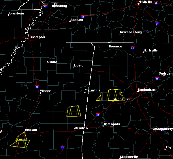 At 143 pm cst, severe thunderstorms were located along a line extending from near ashcraft corner to 11 miles northwest of lake lurleen state park to gordo, moving east at 40 mph (radar indicated). Hazards include 60 mph wind gusts. Expect damage to roofs, siding, and trees. Locations impacted include, gordo and lubbub. At 143 pm cst, severe thunderstorms were located along a line extending from near ashcraft corner to 11 miles northwest of lake lurleen state park to gordo, moving east at 40 mph (radar indicated). Hazards include 60 mph wind gusts. Expect damage to roofs, siding, and trees. Locations impacted include, gordo and lubbub.
|
| 3/7/2017 1:35 PM CST |
 At 135 pm cst, severe thunderstorms were located along a line extending from ashcraft corner to 7 miles north of gordo to near reform, moving east at 40 mph (radar indicated). Hazards include 60 mph wind gusts. Expect damage to roofs, siding, and trees. Locations impacted include, gordo, reform, carrollton, lubbub, owens and north pickens airport. At 135 pm cst, severe thunderstorms were located along a line extending from ashcraft corner to 7 miles north of gordo to near reform, moving east at 40 mph (radar indicated). Hazards include 60 mph wind gusts. Expect damage to roofs, siding, and trees. Locations impacted include, gordo, reform, carrollton, lubbub, owens and north pickens airport.
|
| 3/7/2017 1:27 PM CST |
 At 127 pm cst, severe thunderstorms were located along a line extending from near millport to near reform to near carrollton, moving east at 40 mph (radar indicated). Hazards include 60 mph wind gusts. Expect damage to roofs, siding, and trees. Locations impacted include, gordo, reform, carrollton, owens, north pickens airport, mcshan, lubbub and shaw. At 127 pm cst, severe thunderstorms were located along a line extending from near millport to near reform to near carrollton, moving east at 40 mph (radar indicated). Hazards include 60 mph wind gusts. Expect damage to roofs, siding, and trees. Locations impacted include, gordo, reform, carrollton, owens, north pickens airport, mcshan, lubbub and shaw.
|
| 3/7/2017 1:18 PM CST |
 At 117 pm cst, severe thunderstorms were located along a line extending from near millport to 6 miles northwest of reform to 6 miles northeast of pickensville, moving east at 40 mph (radar indicated). Hazards include 60 mph wind gusts. expect damage to roofs, siding, and trees At 117 pm cst, severe thunderstorms were located along a line extending from near millport to 6 miles northwest of reform to 6 miles northeast of pickensville, moving east at 40 mph (radar indicated). Hazards include 60 mph wind gusts. expect damage to roofs, siding, and trees
|
| 1/21/2017 11:32 PM CST |
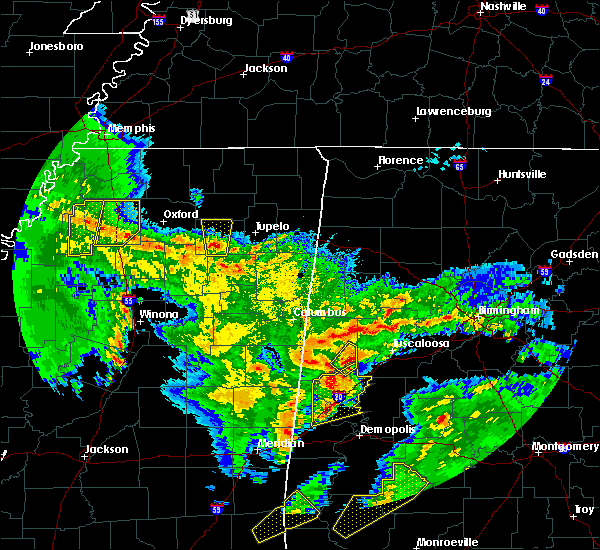 At 1132 pm cst, a severe thunderstorm was located over benevola, or 12 miles east of aliceville, moving northeast at 40 mph (radar indicated). Hazards include 60 mph wind gusts and quarter size hail. Hail damage to vehicles is expected. expect wind damage to roofs, siding, and trees. locations impacted include, gordo, mantua, jena, johnston lake, benevola, pioneer and kirk. A tornado watch remains in effect until 300 am cst for west central alabama. At 1132 pm cst, a severe thunderstorm was located over benevola, or 12 miles east of aliceville, moving northeast at 40 mph (radar indicated). Hazards include 60 mph wind gusts and quarter size hail. Hail damage to vehicles is expected. expect wind damage to roofs, siding, and trees. locations impacted include, gordo, mantua, jena, johnston lake, benevola, pioneer and kirk. A tornado watch remains in effect until 300 am cst for west central alabama.
|
| 1/21/2017 11:17 PM CST |
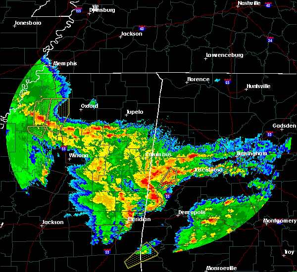 At 1116 pm cst, a severe thunderstorm was located near west greene, or 8 miles southeast of aliceville, moving northeast at 35 mph (radar indicated). Hazards include 60 mph wind gusts and quarter size hail. Hail damage to vehicles is expected. expect wind damage to roofs, siding, and trees. locations impacted include, gordo, mantua, jena, johnston lake, benevola, lewiston, pleasant ridge, pioneer and kirk. A tornado watch remains in effect until 300 am cst for west central alabama. At 1116 pm cst, a severe thunderstorm was located near west greene, or 8 miles southeast of aliceville, moving northeast at 35 mph (radar indicated). Hazards include 60 mph wind gusts and quarter size hail. Hail damage to vehicles is expected. expect wind damage to roofs, siding, and trees. locations impacted include, gordo, mantua, jena, johnston lake, benevola, lewiston, pleasant ridge, pioneer and kirk. A tornado watch remains in effect until 300 am cst for west central alabama.
|
| 1/21/2017 11:05 PM CST |
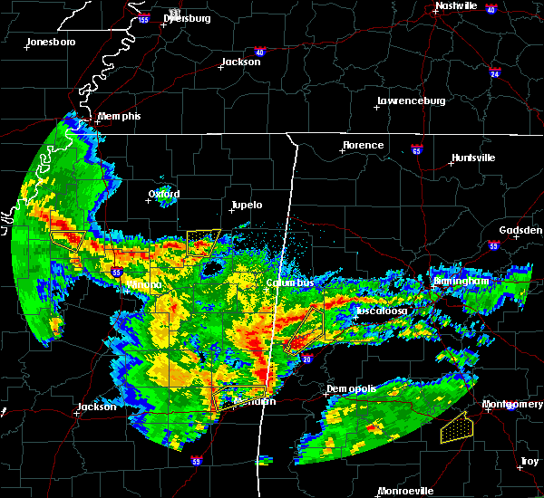 At 1105 pm cst, a severe thunderstorm was located over new west greene, or 12 miles south of aliceville, moving northeast at 35 mph (radar indicated). Hazards include 60 mph wind gusts and quarter size hail. Hail damage to vehicles is expected. Expect wind damage to roofs, siding, and trees. At 1105 pm cst, a severe thunderstorm was located over new west greene, or 12 miles south of aliceville, moving northeast at 35 mph (radar indicated). Hazards include 60 mph wind gusts and quarter size hail. Hail damage to vehicles is expected. Expect wind damage to roofs, siding, and trees.
|
| 11/29/2016 6:55 PM CST |
 At 655 pm cst, a severe thunderstorm was located over ethelsville, or 10 miles west of reform, moving northeast at 45 mph (radar indicated). Hazards include 60 mph wind gusts. Expect damage to roofs. siding. and trees. locations impacted include, gordo, reform, ethelsville, shaw, pine grove, north pickens airport, lubbub, owens, mcshan and forest. A tornado watch remains in effect until 1000 pm cst for west central alabama. At 655 pm cst, a severe thunderstorm was located over ethelsville, or 10 miles west of reform, moving northeast at 45 mph (radar indicated). Hazards include 60 mph wind gusts. Expect damage to roofs. siding. and trees. locations impacted include, gordo, reform, ethelsville, shaw, pine grove, north pickens airport, lubbub, owens, mcshan and forest. A tornado watch remains in effect until 1000 pm cst for west central alabama.
|
| 11/29/2016 6:35 PM CST |
 At 635 pm cst, a severe thunderstorm was located over bigbee valley, or 8 miles west of pickensville, moving northeast at 45 mph (radar indicated). Hazards include 60 mph wind gusts. Expect damage to roofs. siding. And trees. At 635 pm cst, a severe thunderstorm was located over bigbee valley, or 8 miles west of pickensville, moving northeast at 45 mph (radar indicated). Hazards include 60 mph wind gusts. Expect damage to roofs. siding. And trees.
|
| 7/14/2016 7:31 PM CDT |
 At 731 pm cdt, a severe thunderstorm was located near gordo, moving east at 40 mph (radar indicated). Hazards include 60 mph wind gusts. Expect damage to roofs. siding. And trees. At 731 pm cdt, a severe thunderstorm was located near gordo, moving east at 40 mph (radar indicated). Hazards include 60 mph wind gusts. Expect damage to roofs. siding. And trees.
|
| 6/17/2016 2:46 PM CDT |
 At 246 pm cdt, severe thunderstorms were located along a line extending from near gordo to near pickensville, moving southeast at 25 mph (radar indicated). Hazards include 60 mph wind gusts and quarter size hail. Hail damage to vehicles is expected. expect wind damage to roofs, siding, and trees. Locations impacted include, aliceville, gordo, reform, carrollton, pickensville, mcmullen, bevill lock and dam, johnston lake, garden, benevola, gainesville lake campground, george downer airport, pine grove, north pickens airport, pioneer, kirk, lubbub, cochrane, mcshan and dillburg. At 246 pm cdt, severe thunderstorms were located along a line extending from near gordo to near pickensville, moving southeast at 25 mph (radar indicated). Hazards include 60 mph wind gusts and quarter size hail. Hail damage to vehicles is expected. expect wind damage to roofs, siding, and trees. Locations impacted include, aliceville, gordo, reform, carrollton, pickensville, mcmullen, bevill lock and dam, johnston lake, garden, benevola, gainesville lake campground, george downer airport, pine grove, north pickens airport, pioneer, kirk, lubbub, cochrane, mcshan and dillburg.
|
| 6/17/2016 2:31 PM CDT |
 At 231 pm cdt, severe thunderstorms were located along a line extending from near reform to 6 miles north of pickensville, moving southeast at 25 mph (radar indicated). Hazards include 60 mph wind gusts and quarter size hail. Hail damage to vehicles is expected. expect wind damage to roofs, siding, and trees. Locations impacted include, aliceville, gordo, reform, carrollton, pickensville, ethelsville, mcmullen, bevill lock and dam, johnston lake, garden, benevola, gainesville lake campground, george downer airport, pine grove, north pickens airport, pioneer, kirk, lubbub, cochrane and mcshan. At 231 pm cdt, severe thunderstorms were located along a line extending from near reform to 6 miles north of pickensville, moving southeast at 25 mph (radar indicated). Hazards include 60 mph wind gusts and quarter size hail. Hail damage to vehicles is expected. expect wind damage to roofs, siding, and trees. Locations impacted include, aliceville, gordo, reform, carrollton, pickensville, ethelsville, mcmullen, bevill lock and dam, johnston lake, garden, benevola, gainesville lake campground, george downer airport, pine grove, north pickens airport, pioneer, kirk, lubbub, cochrane and mcshan.
|
| 6/17/2016 2:11 PM CDT |
 At 211 pm cdt, severe thunderstorms were located along a line extending from near kennedy to 6 miles west of ethelsville, moving southeast at 25 mph (radar indicated). Hazards include 60 mph wind gusts and quarter size hail. Hail damage to vehicles is expected. Expect wind damage to roofs, siding, and trees. At 211 pm cdt, severe thunderstorms were located along a line extending from near kennedy to 6 miles west of ethelsville, moving southeast at 25 mph (radar indicated). Hazards include 60 mph wind gusts and quarter size hail. Hail damage to vehicles is expected. Expect wind damage to roofs, siding, and trees.
|
| 4/29/2016 5:48 PM CDT |
 At 548 pm cdt, a severe thunderstorm was located near ethelsville, or 8 miles north of pickensville, moving east at 15 mph (radar indicated). Hazards include 60 mph wind gusts and half dollar size hail. Hail damage to vehicles is expected. Expect wind damage to roofs, siding, and trees. At 548 pm cdt, a severe thunderstorm was located near ethelsville, or 8 miles north of pickensville, moving east at 15 mph (radar indicated). Hazards include 60 mph wind gusts and half dollar size hail. Hail damage to vehicles is expected. Expect wind damage to roofs, siding, and trees.
|
| 2/2/2016 5:45 PM CST | Several trees down several miles south of kennedy. possible tornad in pickens county AL, 8.6 miles S of Gordo, AL |
| 2/2/2016 5:02 PM CST |
 At 501 pm cst, a confirmed large and extremely dangerous tornado was located over carrollton, moving northeast at 45 mph. this is a particularly dangerous situation (weather spotters confirmed tornado). Hazards include damaging tornado. You are in a life threatening situation. flying debris may be deadly to those caught without shelter. mobile homes will be destroyed. considerable damage to homes, businesses and vehicles is likely and complete destruction is possible. the tornado will be near, reform around 515 pm cst. kennedy and ashcraft corner around 530 pm cst. belk around 535 pm cst. fayette and bankston around 550 pm cst. berry around 555 pm cst. Other locations impacted by this tornadic thunderstorm include richard arthur field, fayette county public lake, moores bridge, north pickens airport, stone wall, bevill state college fayette, lubbub, new lexington and cody. At 501 pm cst, a confirmed large and extremely dangerous tornado was located over carrollton, moving northeast at 45 mph. this is a particularly dangerous situation (weather spotters confirmed tornado). Hazards include damaging tornado. You are in a life threatening situation. flying debris may be deadly to those caught without shelter. mobile homes will be destroyed. considerable damage to homes, businesses and vehicles is likely and complete destruction is possible. the tornado will be near, reform around 515 pm cst. kennedy and ashcraft corner around 530 pm cst. belk around 535 pm cst. fayette and bankston around 550 pm cst. berry around 555 pm cst. Other locations impacted by this tornadic thunderstorm include richard arthur field, fayette county public lake, moores bridge, north pickens airport, stone wall, bevill state college fayette, lubbub, new lexington and cody.
|
| 2/2/2016 4:46 PM CST |
 At 445 pm cst, a confirmed large and extremely dangerous tornado was located near garden, or near aliceville, moving northeast at 45 mph. this is a particularly dangerous situation (weather spotters confirmed tornado). Hazards include damaging tornado. You are in a life threatening situation. flying debris may be deadly to those caught without shelter. mobile homes will be destroyed. considerable damage to homes, businesses and vehicles is likely and complete destruction is possible. the tornado will be near, pickensville and memphis around 450 pm cst. carrollton around 500 pm cst. reform around 515 pm cst. Other locations impacted by this tornadic thunderstorm include george downer airport, dillburg, owens and mcshan. At 445 pm cst, a confirmed large and extremely dangerous tornado was located near garden, or near aliceville, moving northeast at 45 mph. this is a particularly dangerous situation (weather spotters confirmed tornado). Hazards include damaging tornado. You are in a life threatening situation. flying debris may be deadly to those caught without shelter. mobile homes will be destroyed. considerable damage to homes, businesses and vehicles is likely and complete destruction is possible. the tornado will be near, pickensville and memphis around 450 pm cst. carrollton around 500 pm cst. reform around 515 pm cst. Other locations impacted by this tornadic thunderstorm include george downer airport, dillburg, owens and mcshan.
|
| 2/2/2016 4:38 PM CST |
 At 438 pm cst, a confirmed tornado was located 7 miles southeast of prairie point, or 8 miles west of aliceville, moving northeast at 40 mph (radar confirmed tornado). Hazards include damaging tornado. Flying debris will be dangerous to those caught without shelter. mobile homes will be damaged or destroyed. damage to roofs, windows and vehicles will occur. tree damage is likely. this tornado will be near, memphis around 445 pm cst. aliceville, mcmullen and garden around 450 pm cst. carrollton around 505 pm cst. reform around 515 pm cst. gordo around 520 pm cst. Other locations impacted by this tornadic thunderstorm include gainesville lake campground, george downer airport, dillburg, cochrane, owens and mcshan. At 438 pm cst, a confirmed tornado was located 7 miles southeast of prairie point, or 8 miles west of aliceville, moving northeast at 40 mph (radar confirmed tornado). Hazards include damaging tornado. Flying debris will be dangerous to those caught without shelter. mobile homes will be damaged or destroyed. damage to roofs, windows and vehicles will occur. tree damage is likely. this tornado will be near, memphis around 445 pm cst. aliceville, mcmullen and garden around 450 pm cst. carrollton around 505 pm cst. reform around 515 pm cst. gordo around 520 pm cst. Other locations impacted by this tornadic thunderstorm include gainesville lake campground, george downer airport, dillburg, cochrane, owens and mcshan.
|
| 2/2/2016 4:23 PM CST |
 At 422 pm cst, a tornado producing storm was located over cooksville, or 17 miles southwest of aliceville, moving northeast at 45 mph (radar confirmed tornado). Hazards include damaging tornado. Flying debris will be dangerous to those caught without shelter. mobile homes will be damaged or destroyed. damage to roofs, windows and vehicles will occur. tree damage is likely. this tornadic storm will be near, memphis around 440 pm cst. aliceville, mcmullen and garden around 445 pm cst. pickensville around 450 pm cst. carrollton around 500 pm cst. reform around 510 pm cst. gordo around 515 pm cst. Other locations impacted by this tornadic thunderstorm include gainesville lake campground, george downer airport, dillburg, cochrane, owens and mcshan. At 422 pm cst, a tornado producing storm was located over cooksville, or 17 miles southwest of aliceville, moving northeast at 45 mph (radar confirmed tornado). Hazards include damaging tornado. Flying debris will be dangerous to those caught without shelter. mobile homes will be damaged or destroyed. damage to roofs, windows and vehicles will occur. tree damage is likely. this tornadic storm will be near, memphis around 440 pm cst. aliceville, mcmullen and garden around 445 pm cst. pickensville around 450 pm cst. carrollton around 500 pm cst. reform around 510 pm cst. gordo around 515 pm cst. Other locations impacted by this tornadic thunderstorm include gainesville lake campground, george downer airport, dillburg, cochrane, owens and mcshan.
|
| 8/10/2015 8:56 PM CDT |
 At 855 pm cdt, severe thunderstorms were located along a line extending from near bankhead lock and dam to near ethelsville, moving south at 20 mph (radar indicated). Hazards include 60 mph wind gusts and quarter size hail. Hail damage to vehicles is expected. Expect wind damage to roofs, siding and trees. At 855 pm cdt, severe thunderstorms were located along a line extending from near bankhead lock and dam to near ethelsville, moving south at 20 mph (radar indicated). Hazards include 60 mph wind gusts and quarter size hail. Hail damage to vehicles is expected. Expect wind damage to roofs, siding and trees.
|
| 5/24/2015 3:49 PM CDT | At 349 pm cdt, a severe thunderstorm was located near millport, moving north at 40 mph (radar indicated). Hazards include 60 mph wind gusts and quarter size hail. Hail damage to vehicles is expected. expect wind damage to roofs, siding and trees. Locations impacted include, fayette, vernon, sulligent, gordo, reform, millport, kennedy, belk, ethelsville, blooming grove, lamar county airport, ashcraft corner, bluff, bedford, lubbub, mcshan, melborne, wayside, cody and pine grove. |
| 5/24/2015 3:32 PM CDT | At 332 pm cdt, a severe thunderstorm was located near reform, moving north at 40 mph (radar indicated). Hazards include 60 mph wind gusts and quarter size hail. Hail damage to vehicles is expected. Expect wind damage to roofs, siding and trees. |
| 3/31/2015 4:51 PM CST | Quarter sized hail reported 0.5 miles NNW of Gordo, AL, via social media with photo. |
| 3/31/2015 5:26 PM CDT | The national weather service in birmingham has issued a * severe thunderstorm warning for. southwestern tuscaloosa county in west central alabama. northeastern pickens county in west central alabama. until 615 pm cdt * at 525 pm cdt. A severe thunderstorm was located near gordo. |
| 7/2/2014 6:45 PM CDT | Large hardwood tree down on a house in gordo. from social medi in pickens county AL, 0.5 miles NNW of Gordo, AL |
| 6/9/2014 7:46 PM CDT | Ping Pong Ball sized hail reported 8.6 miles S of Gordo, AL |
| 5/2/2012 6:36 PM CDT | Quarter sized hail reported 7.1 miles SW of Gordo, AL |
| 1/1/0001 12:00 AM | Trees down on highway 140 and holeman church road. time estimated from rada in tuscaloosa county AL, 5.9 miles WNW of Gordo, AL |
| 1/1/0001 12:00 AM | Multiple trees down on cr 57 in pickens county AL, 0.5 miles NNW of Gordo, AL |
| 1/1/0001 12:00 AM | Trees and powerlines down on sr 86 at mile marker 15 and us 82 at mile marker 3 in pickens county AL, 1.2 miles NNE of Gordo, AL |
Hail Maps for Gordo, AL

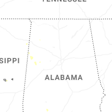

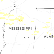


Connect with Interactive Hail Maps