

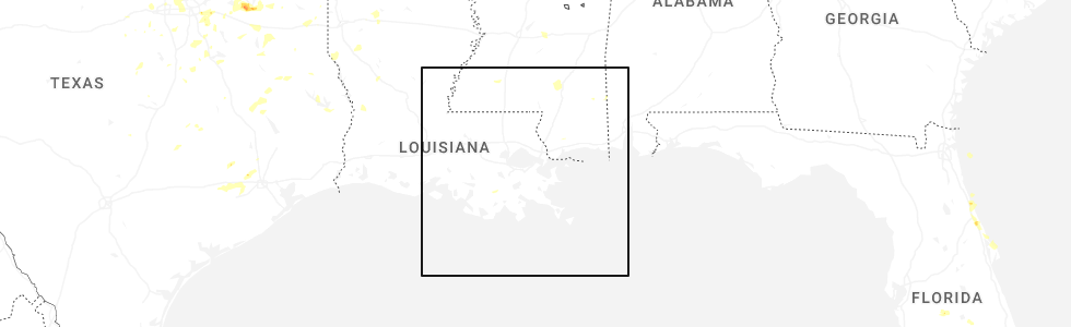
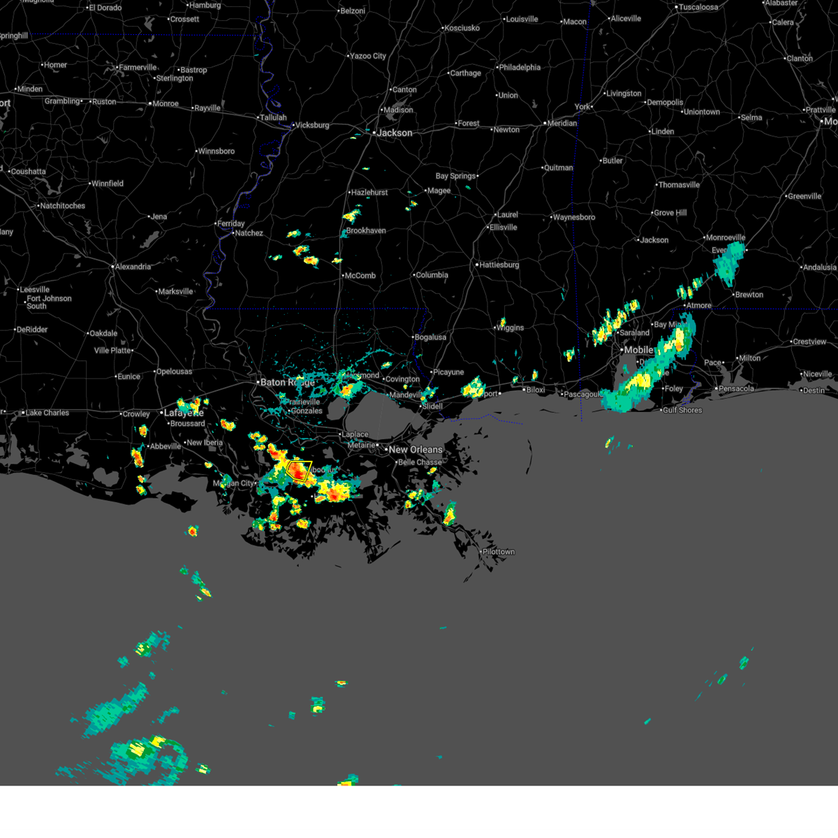
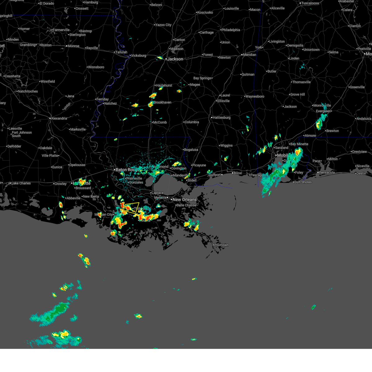
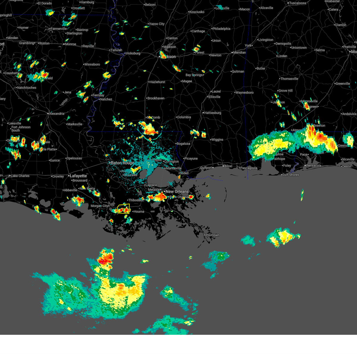
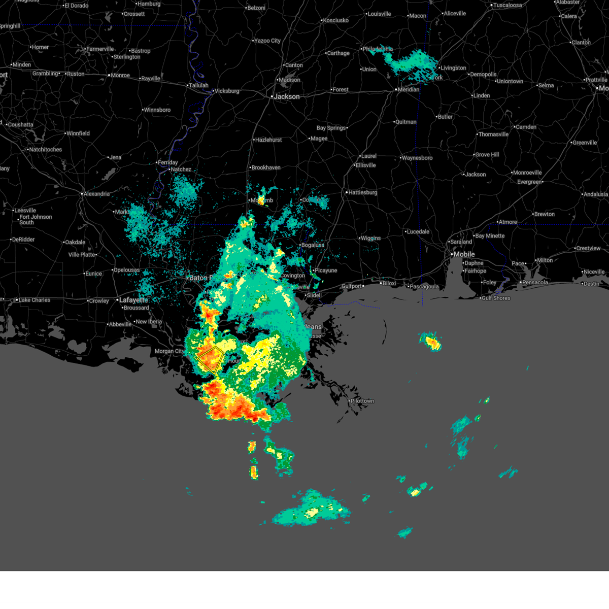
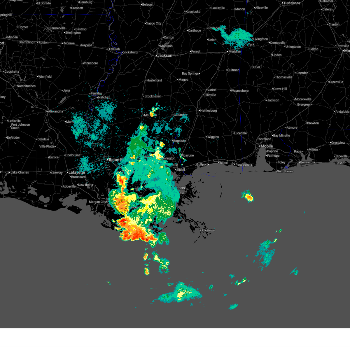
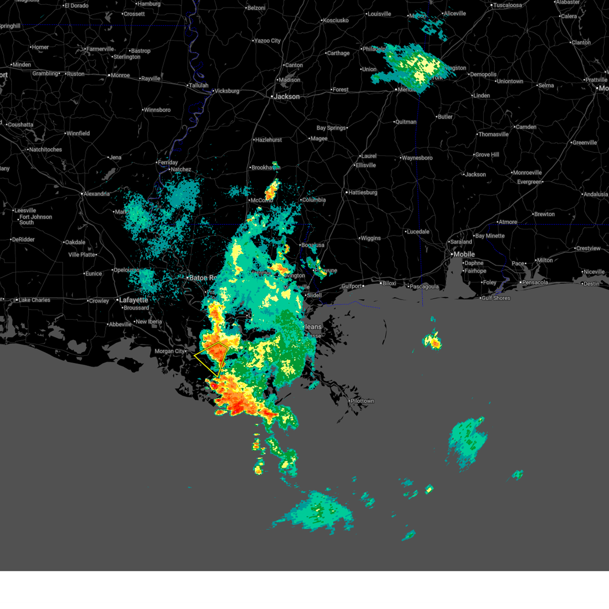
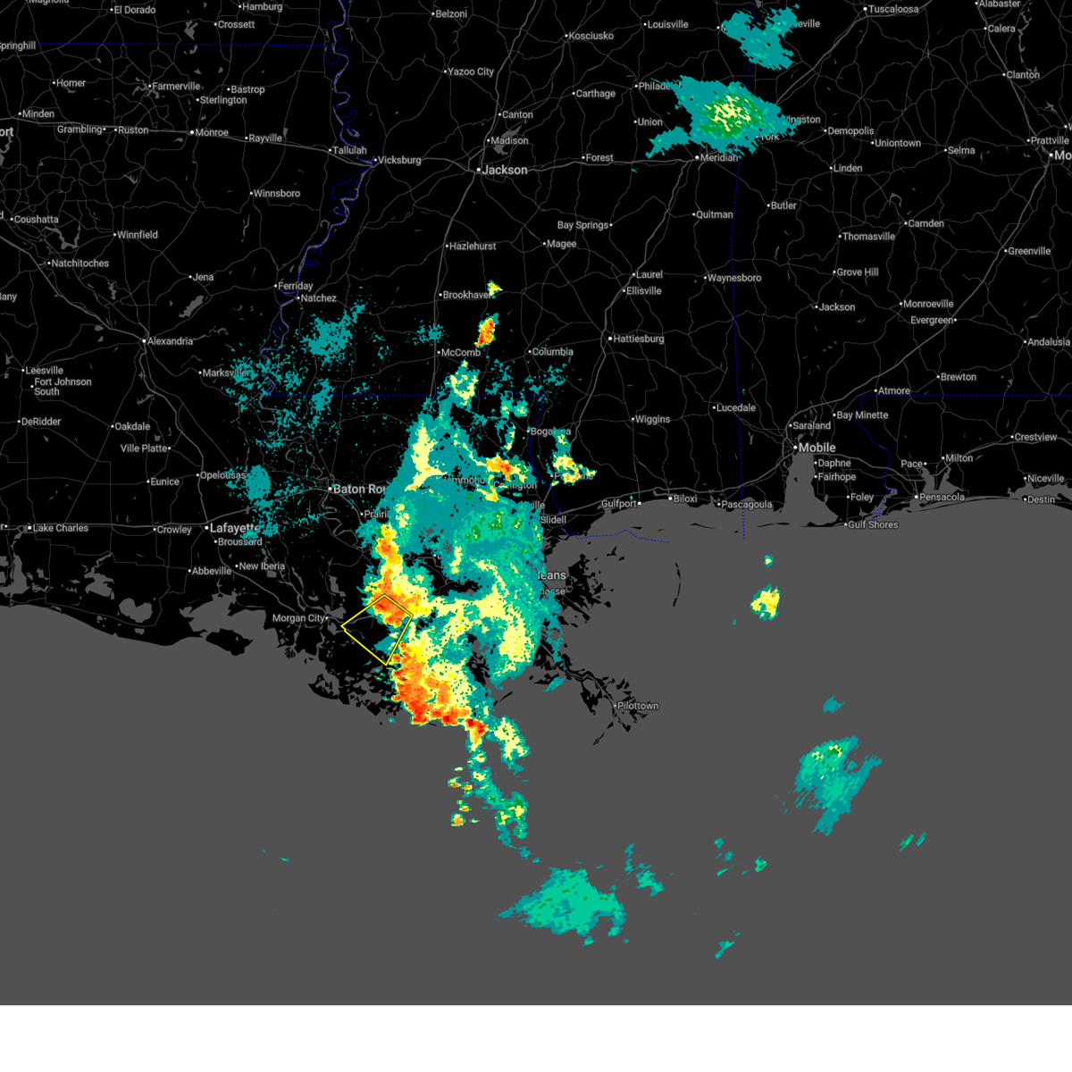
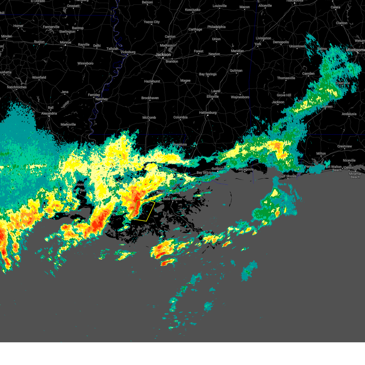
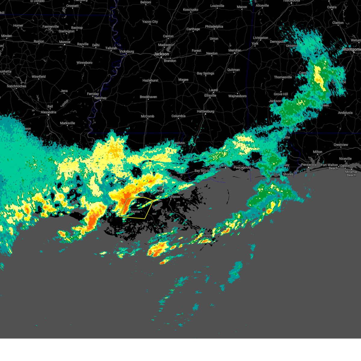
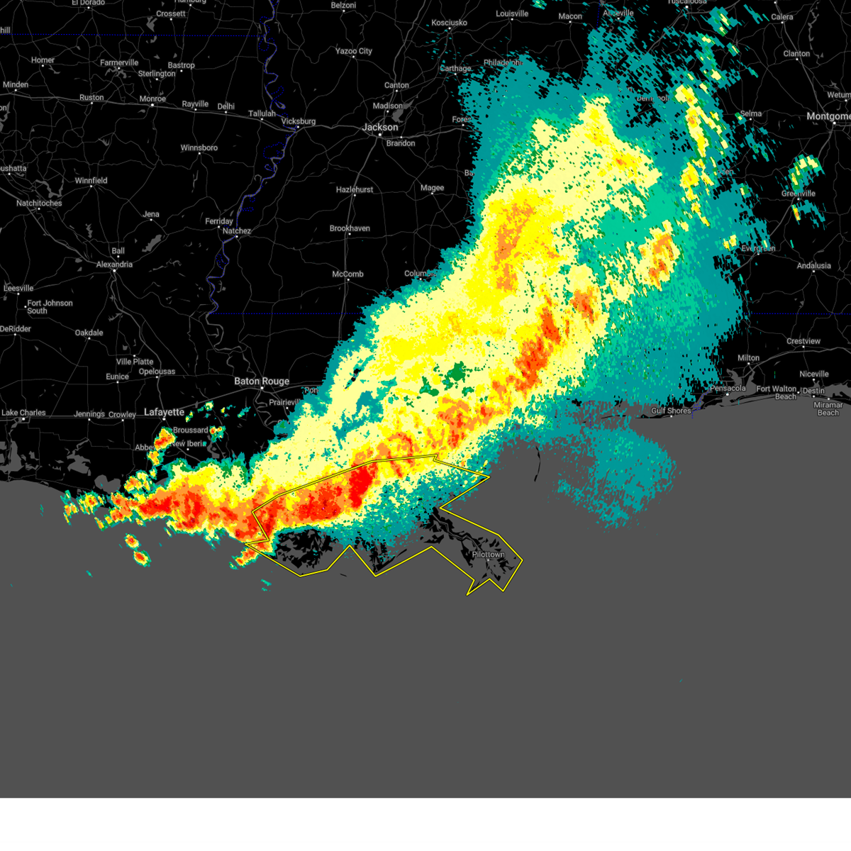
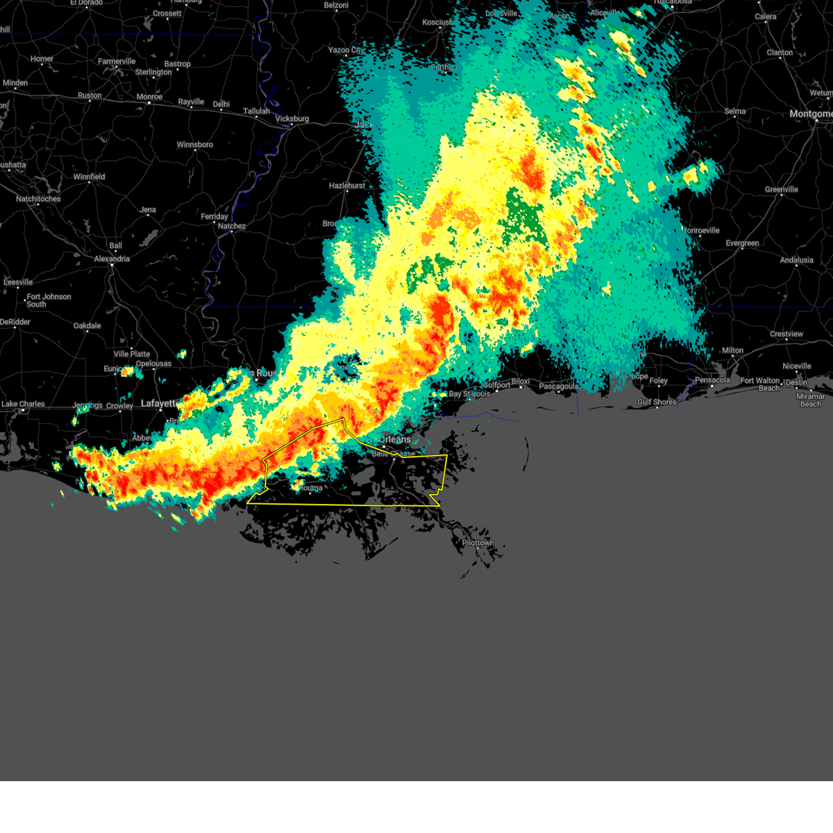
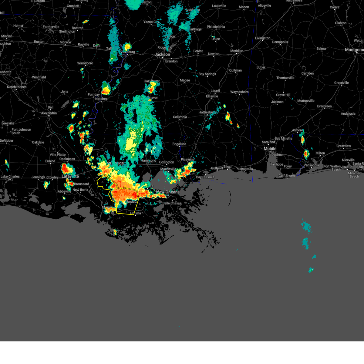
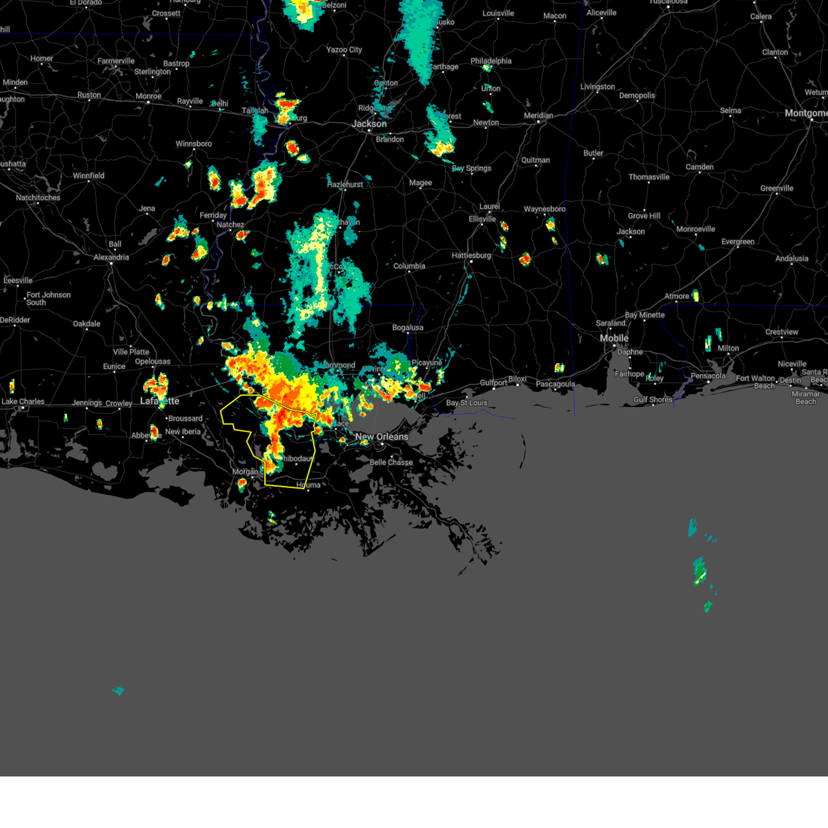
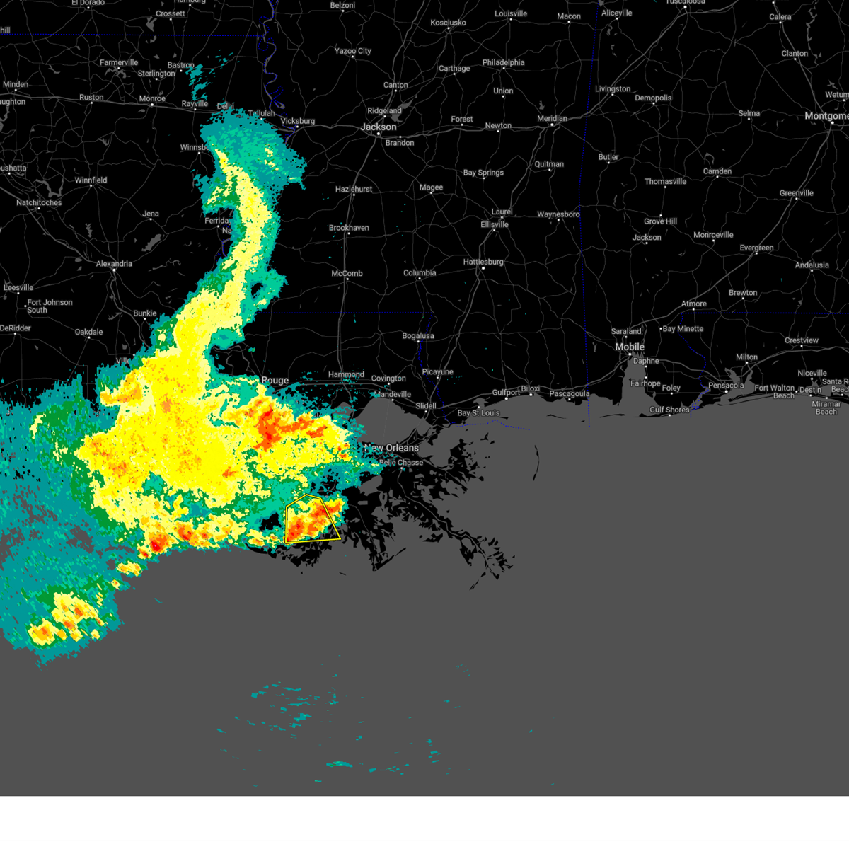
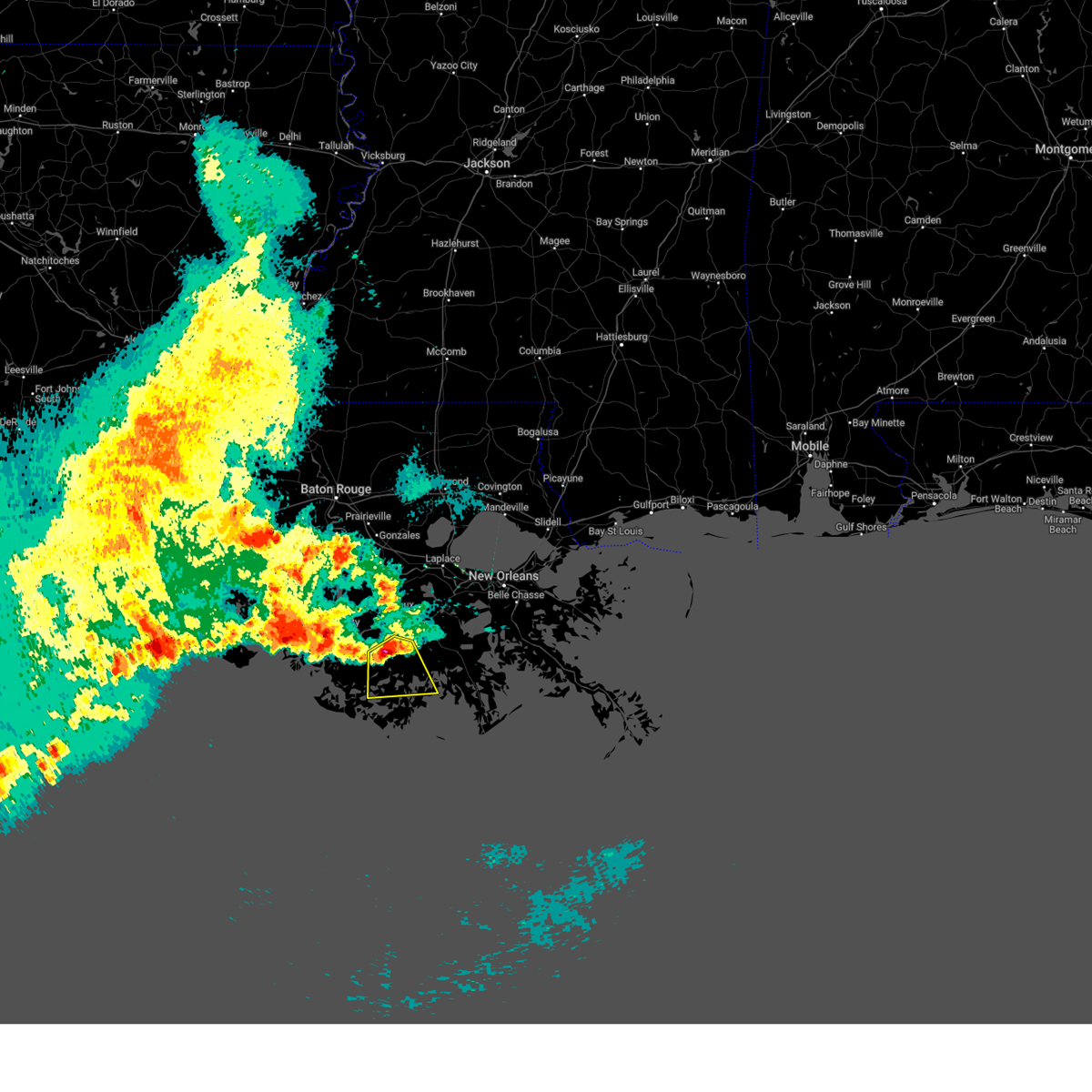
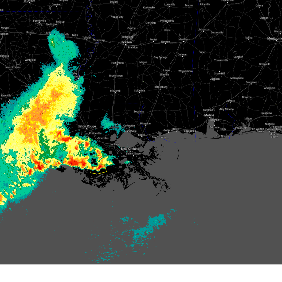
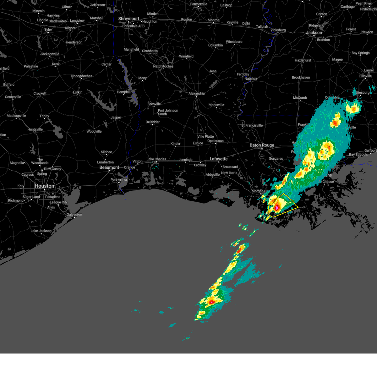
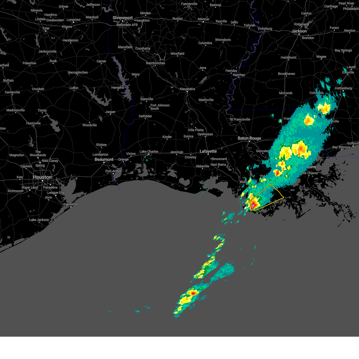
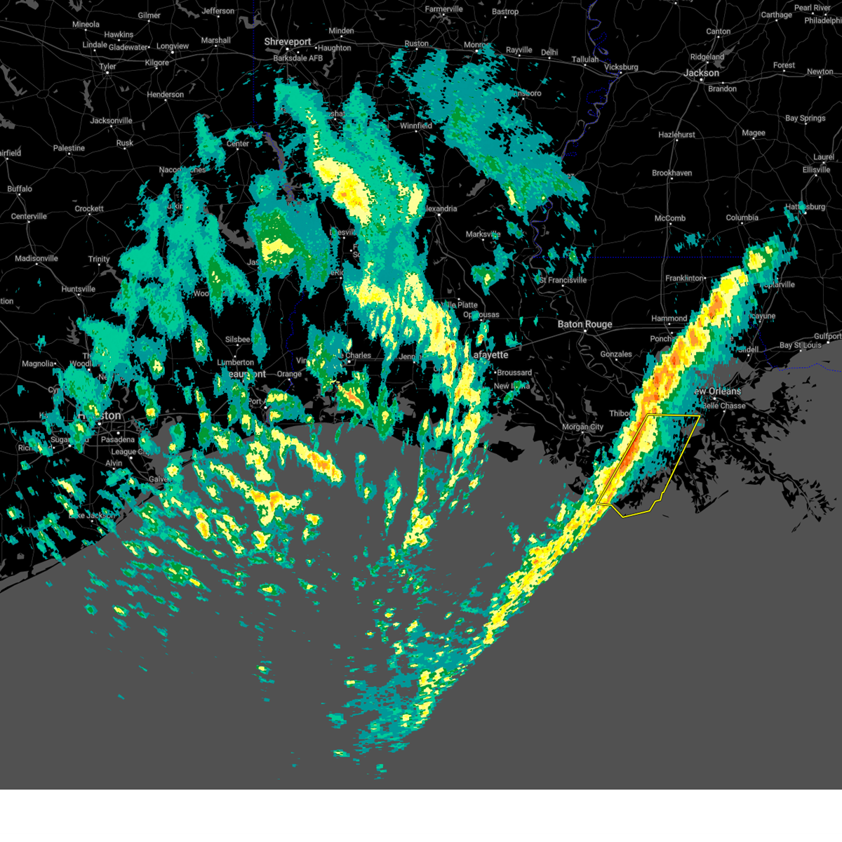
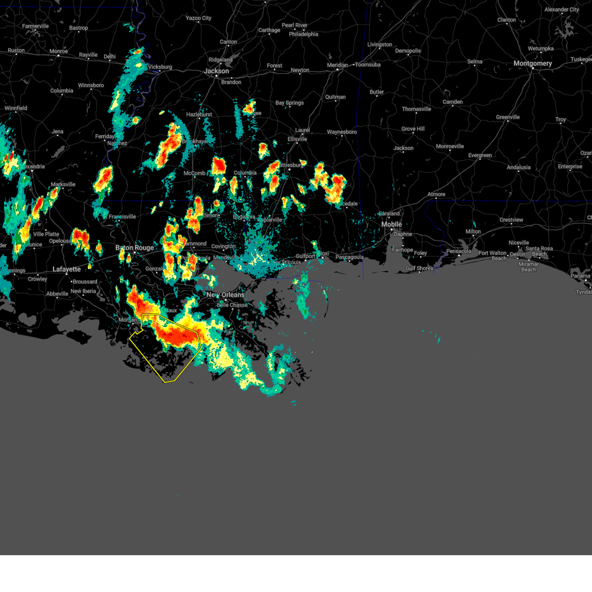
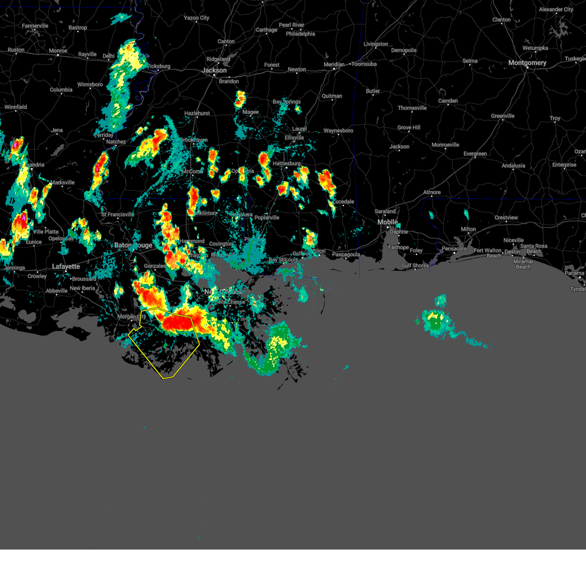
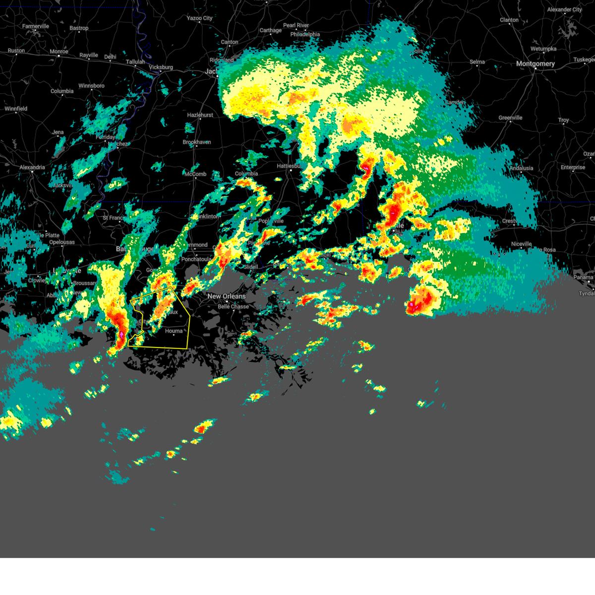
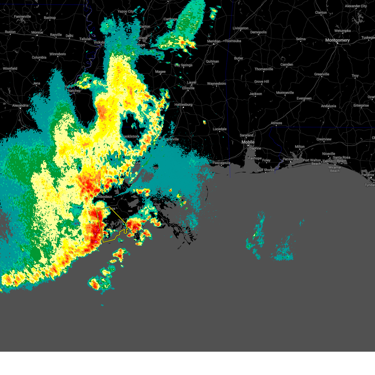
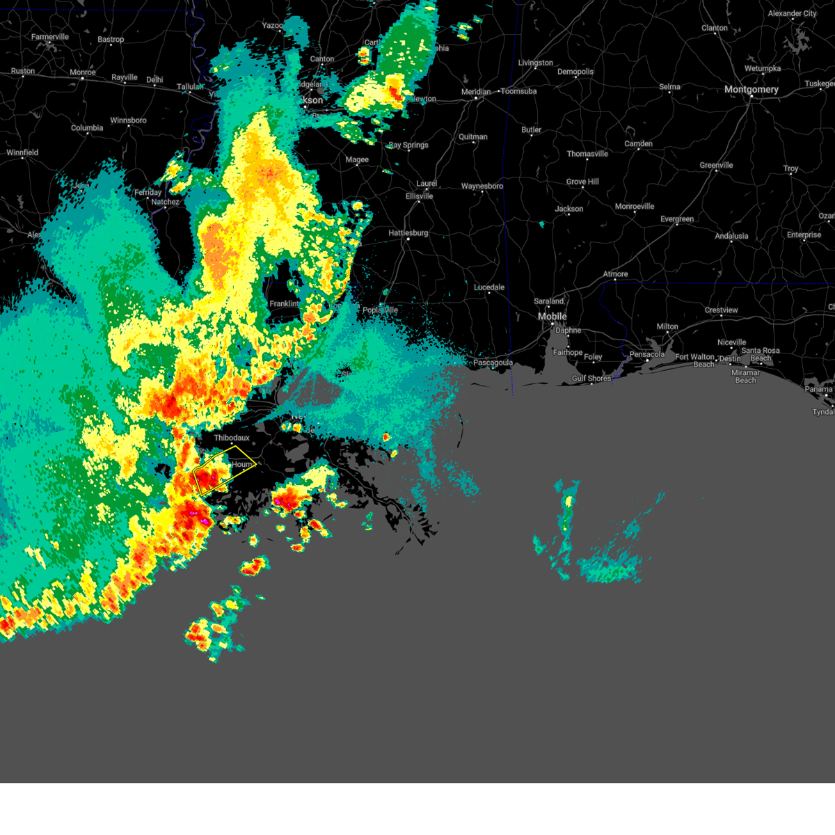
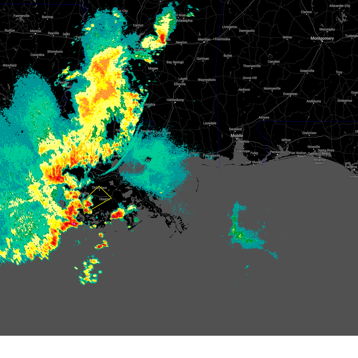
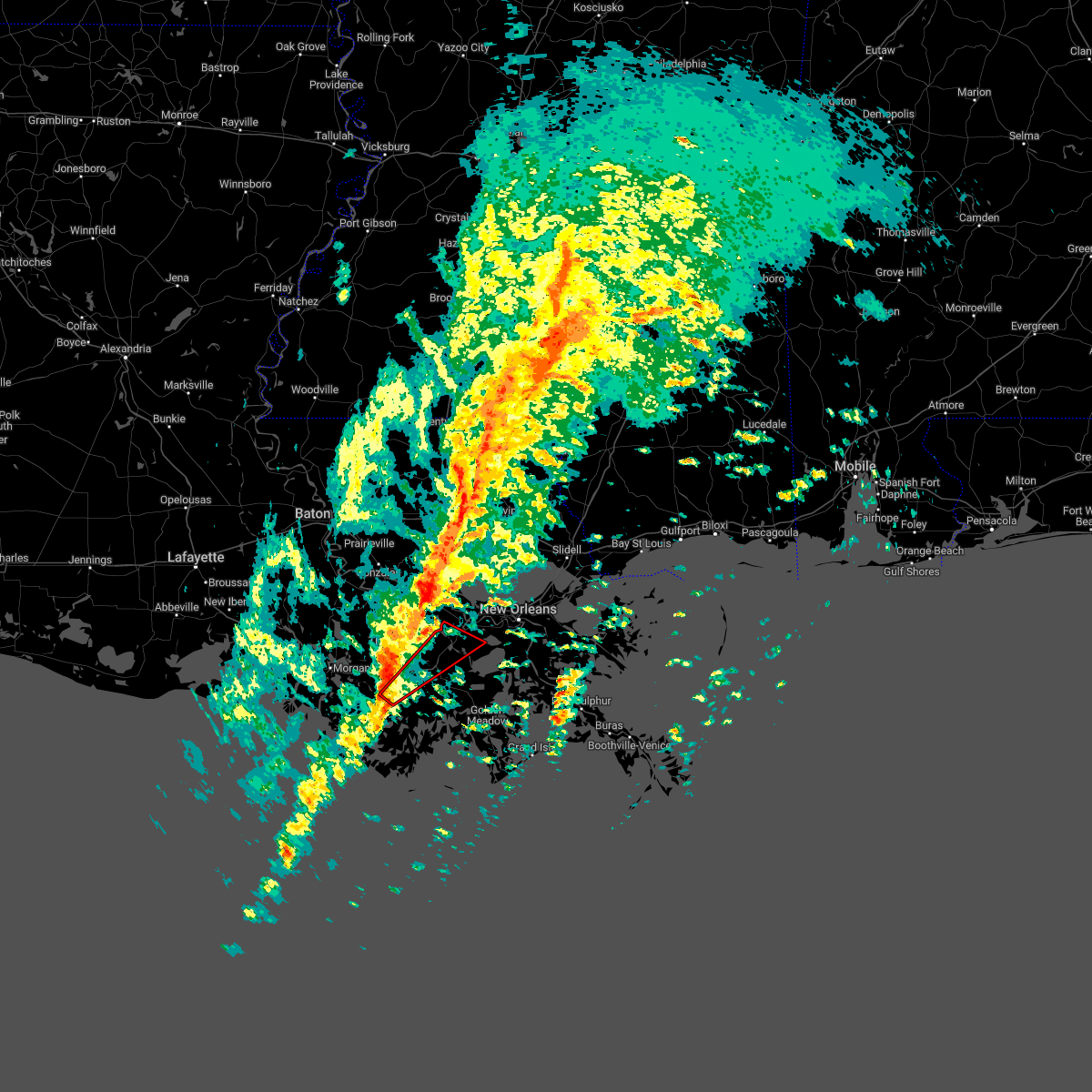
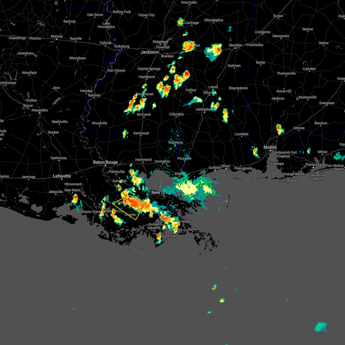
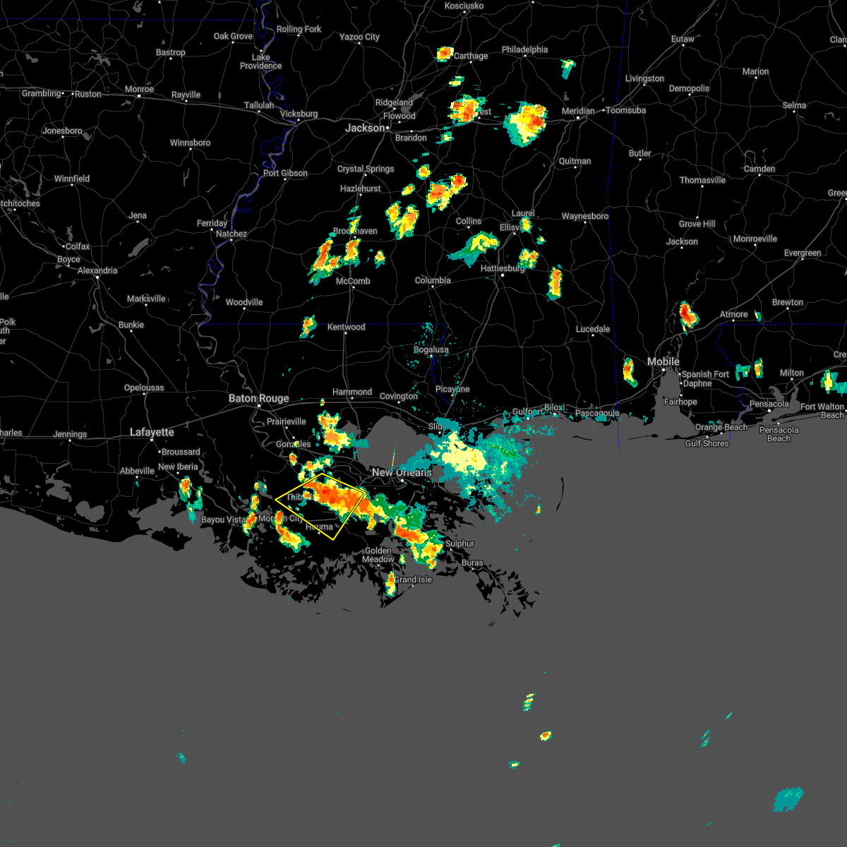
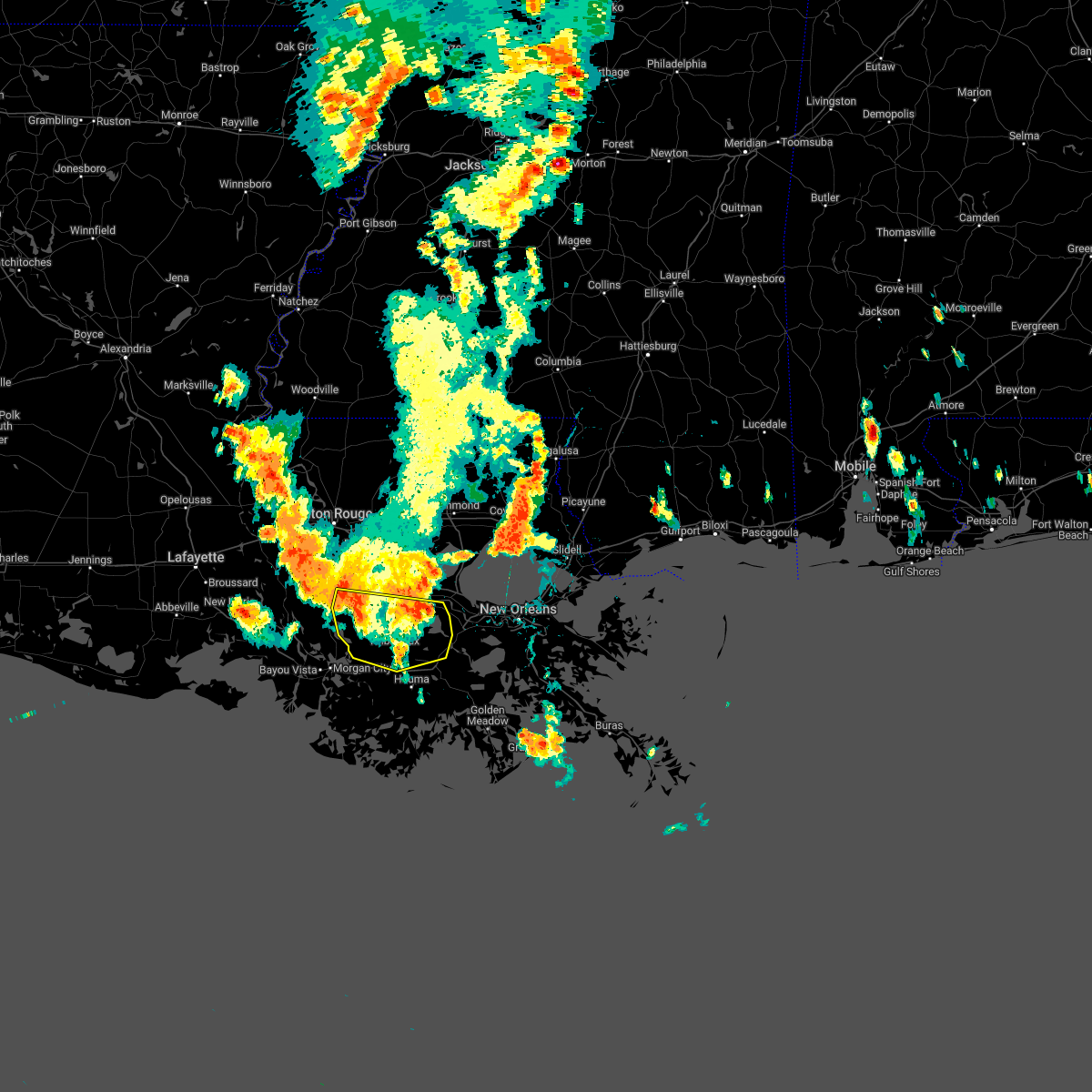
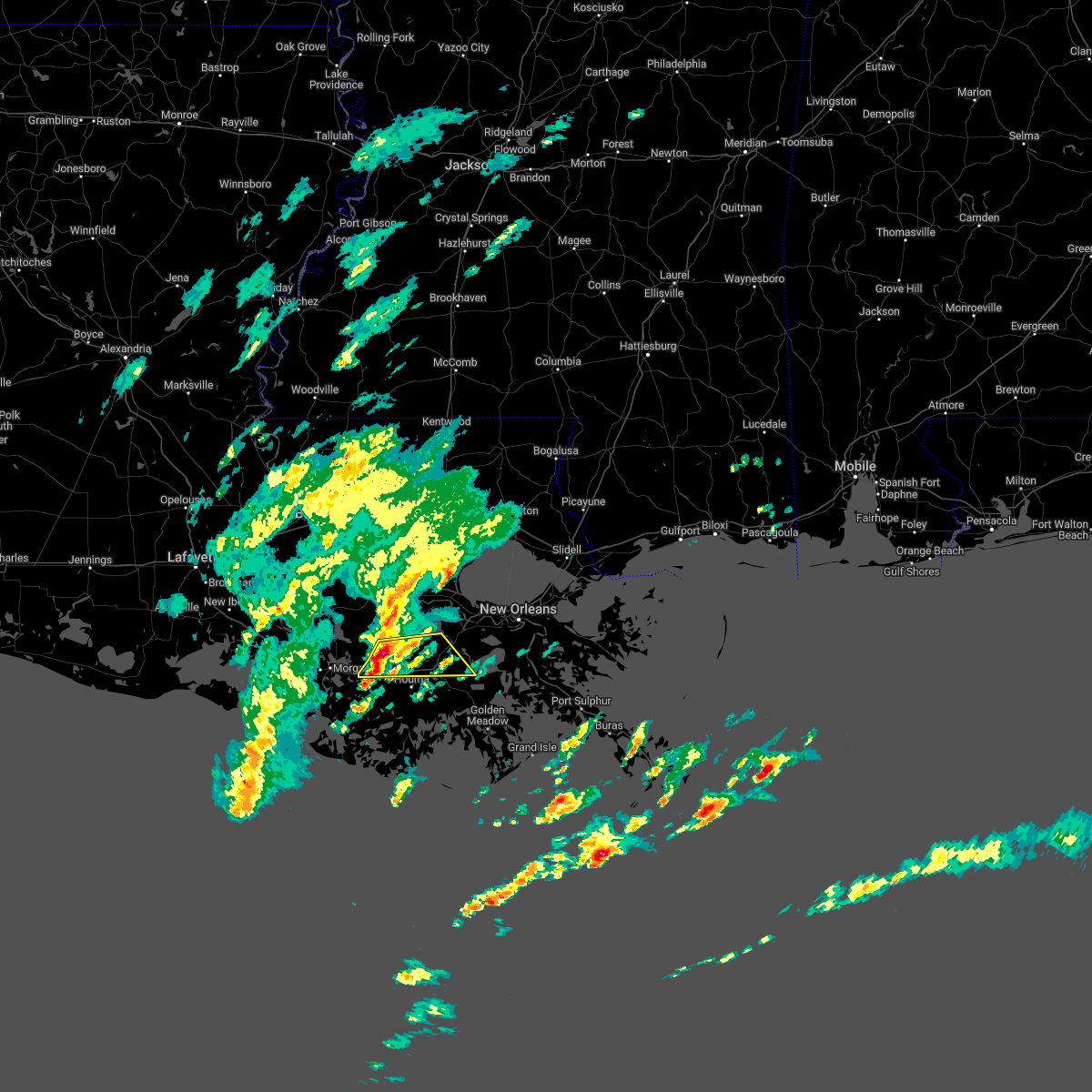
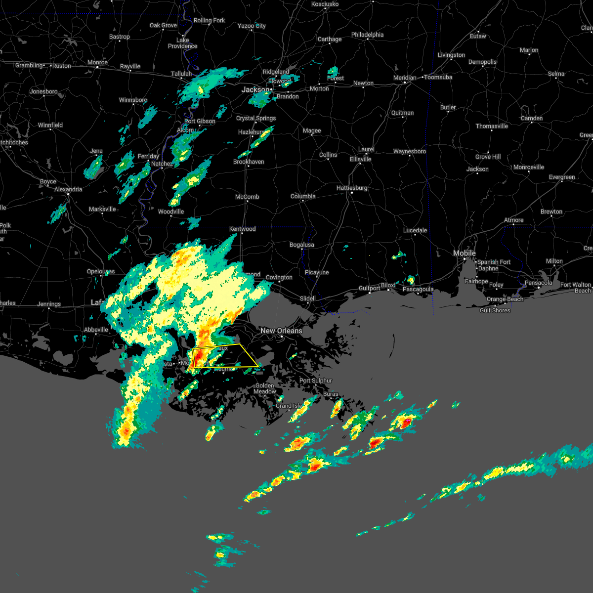
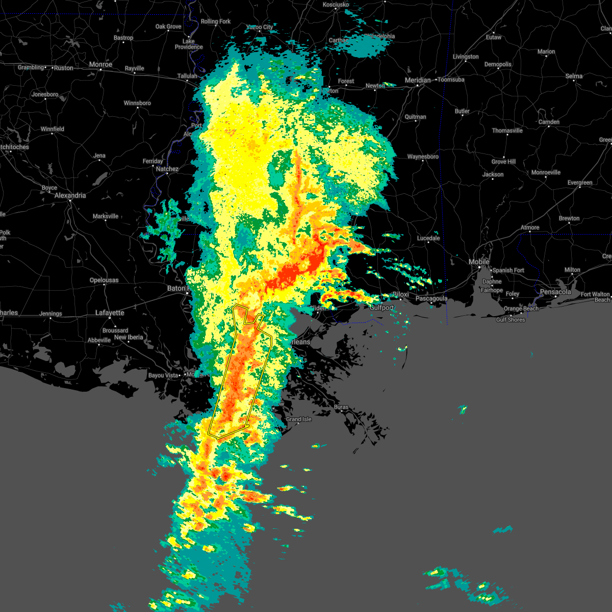
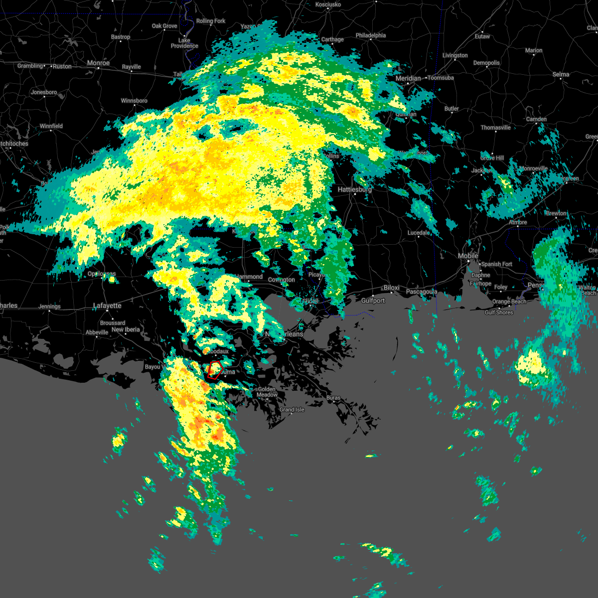
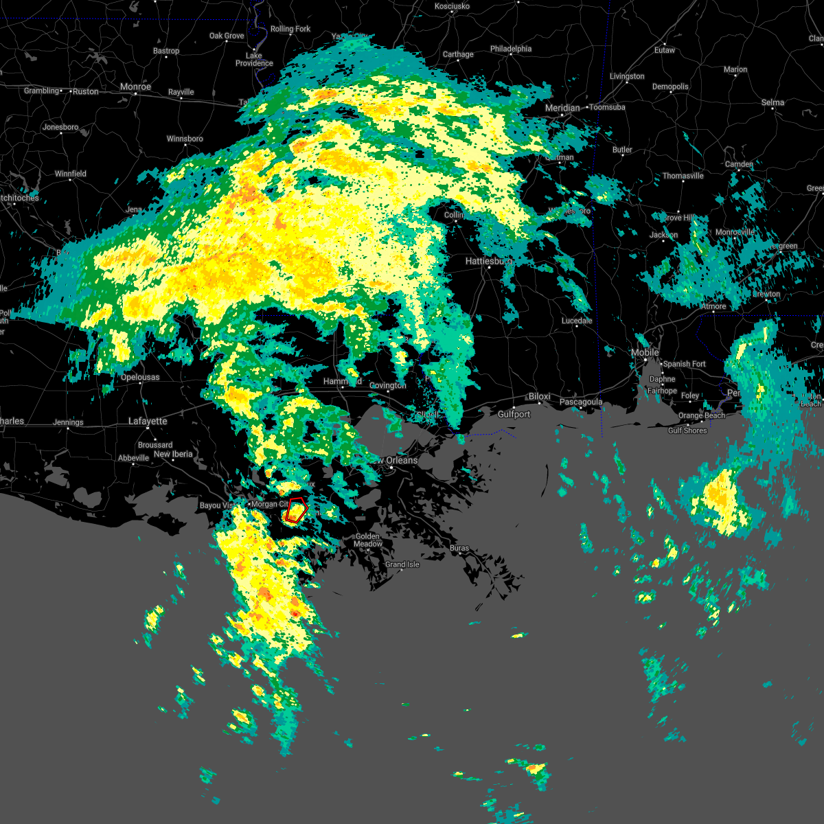
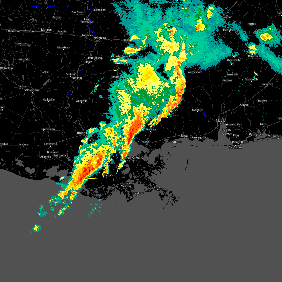
Hail Map for Gray, LA
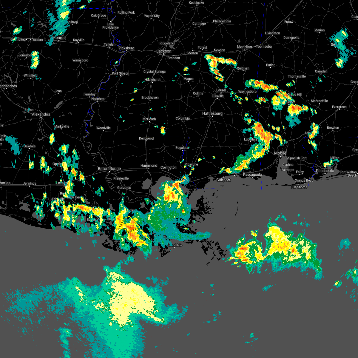
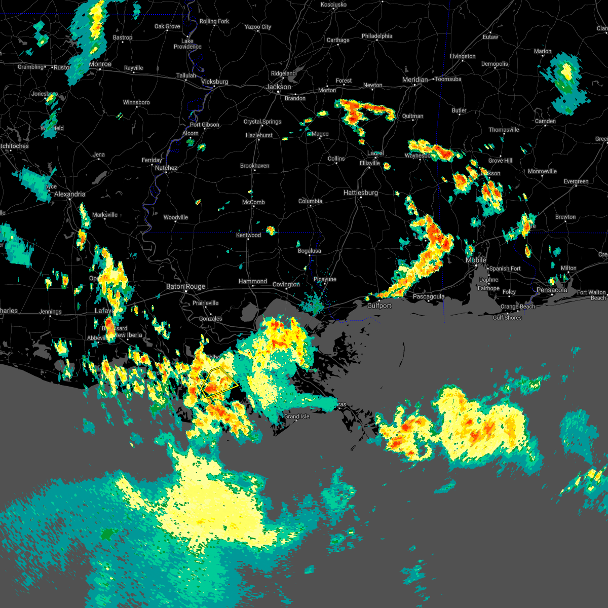
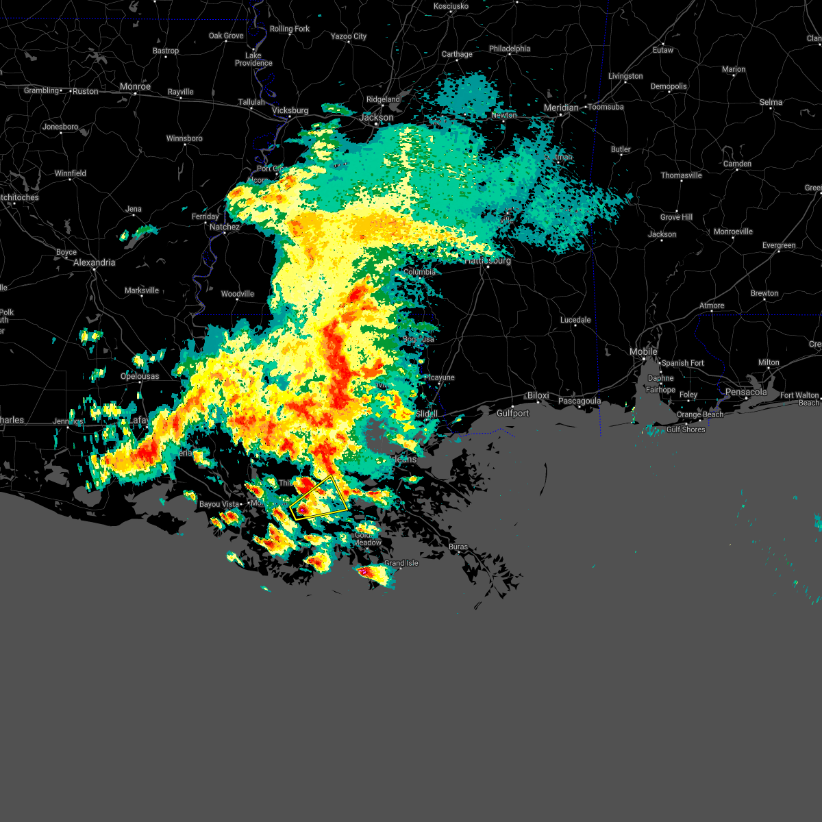
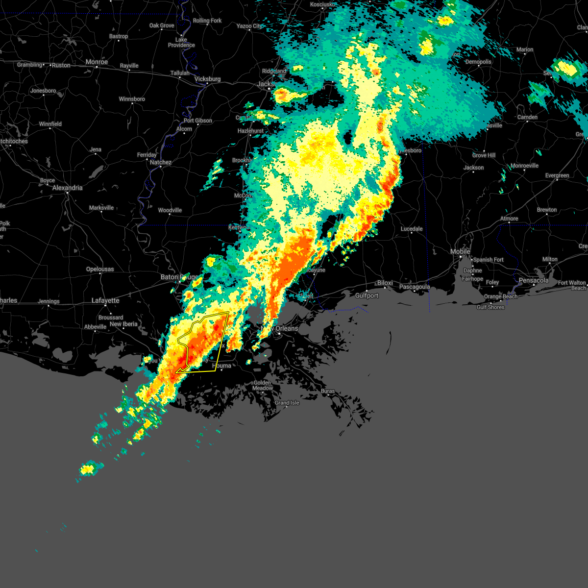
The Gray, LA area has had 3 reports of on-the-ground hail by trained spotters, and has been under severe weather warnings 16 times during the past 12 months. Doppler radar has detected hail at or near Gray, LA on 34 occasions, including 4 occasions during the past year.
| Name: | Gray, LA |
| Where Located: | 46 miles WSW of New Orleans, LA |
| Map: | Google Map for Gray, LA |
| Population: | 5584 |
| Housing Units: | 2078 |
| More Info: | Search Google for Gray, LA |
0
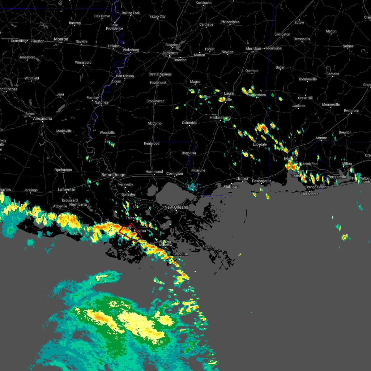
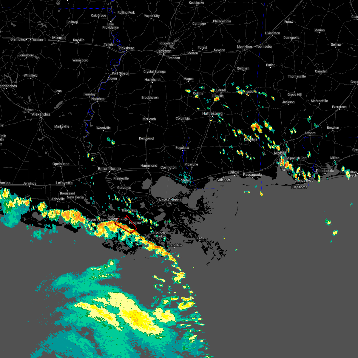
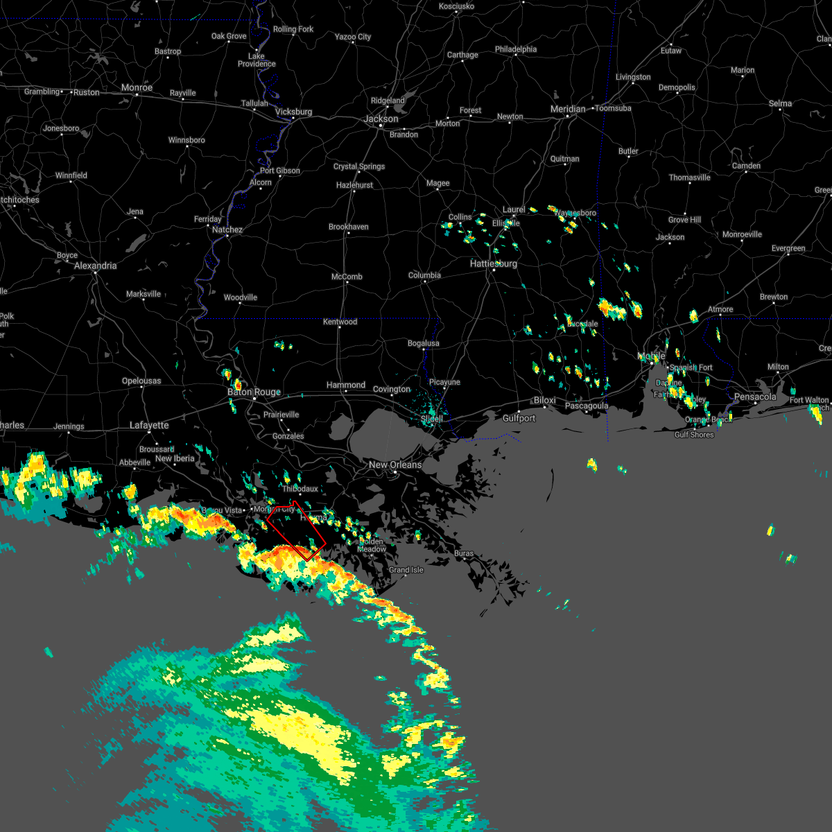
The Top Recent Hail Date for Gray, LA is Tuesday, June 2, 2026 (34th out of 34)
Hail and Wind Damage Spotted near Gray, LA
| Date / Time | Report Details |
|---|---|
| 2/15/2026 1:06 AM CST |
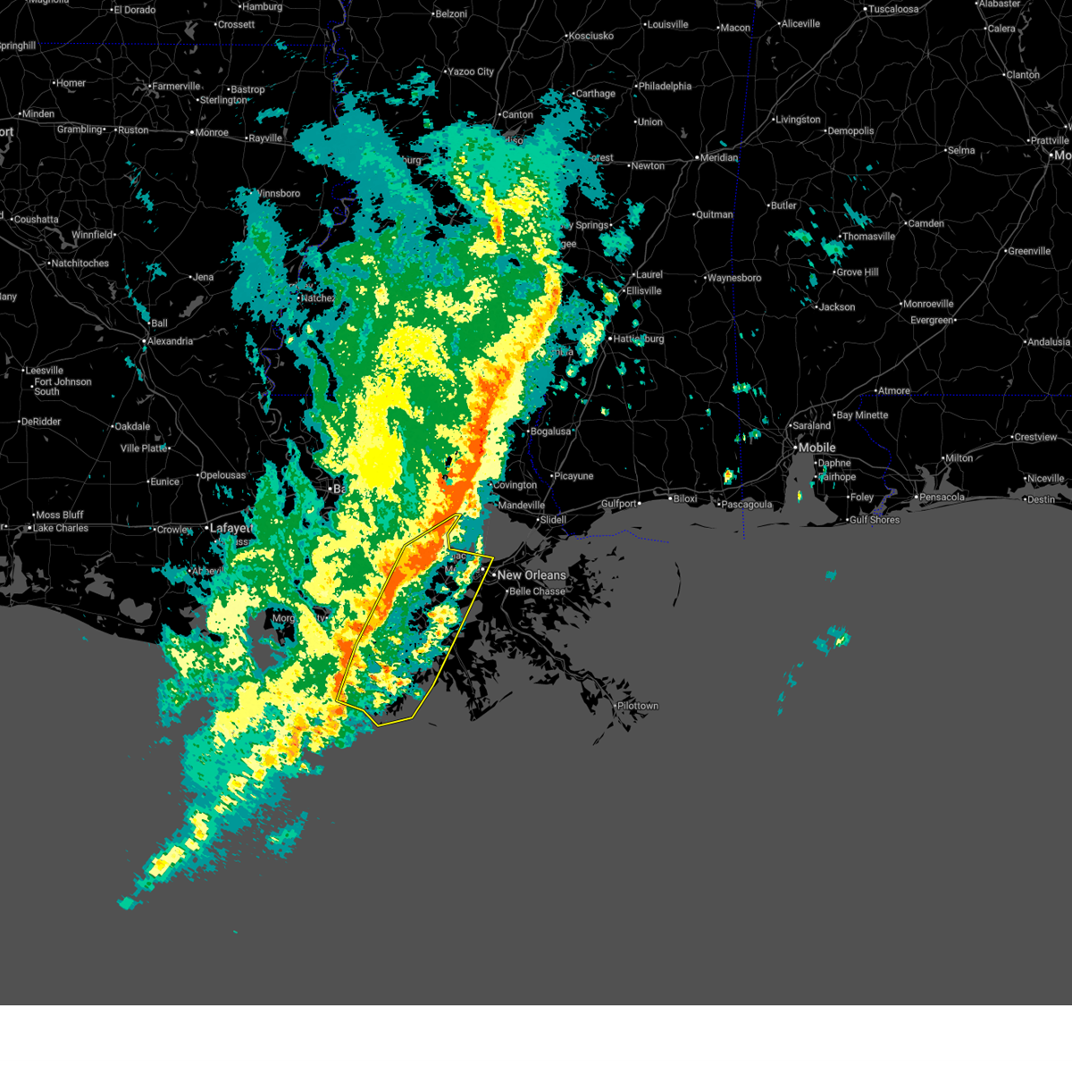
 At 105 am cst, severe thunderstorms were located along a line extending from near mandeville to 10 miles north of kenner to near killona to 13 miles southwest of bayou cane, moving east at 45 mph (radar indicated). Hazards include 60 mph wind gusts and penny size hail. Expect damage to roofs, siding, and trees. locations impacted include, new orleans, kenner, houma, thibodaux, reserve, metairie, hahnville, laplace, avondale, larose, cut off, jefferson, harahan, westwego, gramercy, lutcher, lockport, mathews, schriever, and montz. this includes the following interstates, interstate 10 in louisiana between mile markers 196 and 231. interstate 55 in louisiana between mile markers 1 and 13. Interstate 310 between mile markers 1 and 11. At 105 am cst, severe thunderstorms were located along a line extending from near mandeville to 10 miles north of kenner to near killona to 13 miles southwest of bayou cane, moving east at 45 mph (radar indicated). Hazards include 60 mph wind gusts and penny size hail. Expect damage to roofs, siding, and trees. locations impacted include, new orleans, kenner, houma, thibodaux, reserve, metairie, hahnville, laplace, avondale, larose, cut off, jefferson, harahan, westwego, gramercy, lutcher, lockport, mathews, schriever, and montz. this includes the following interstates, interstate 10 in louisiana between mile markers 196 and 231. interstate 55 in louisiana between mile markers 1 and 13. Interstate 310 between mile markers 1 and 11.
|
| 2/15/2026 1:06 AM CST |
 the severe thunderstorm warning has been cancelled and is no longer in effect the severe thunderstorm warning has been cancelled and is no longer in effect
|
| 2/15/2026 12:44 AM CST |
 Svrlix the national weather service in new orleans has issued a * severe thunderstorm warning for, st. john the baptist parish in southeastern louisiana, southeastern ascension parish in southeastern louisiana, st. james parish in southeastern louisiana, st. charles parish in southeastern louisiana, western orleans parish in southeastern louisiana, terrebonne parish in southeastern louisiana, southeastern livingston parish in southeastern louisiana, northwestern jefferson parish in southeastern louisiana, northwestern lafourche parish in southeastern louisiana, southeastern tangipahoa parish in southeastern louisiana, southeastern assumption parish in southeastern louisiana, * until 145 am cst. * at 1244 am cst, severe thunderstorms were located along a line extending from 8 miles southeast of ponchatoula to near reserve to near chackbay to 10 miles southwest of amelia, moving east at 45 mph (radar indicated). Hazards include 60 mph wind gusts and penny size hail. expect damage to roofs, siding, and trees Svrlix the national weather service in new orleans has issued a * severe thunderstorm warning for, st. john the baptist parish in southeastern louisiana, southeastern ascension parish in southeastern louisiana, st. james parish in southeastern louisiana, st. charles parish in southeastern louisiana, western orleans parish in southeastern louisiana, terrebonne parish in southeastern louisiana, southeastern livingston parish in southeastern louisiana, northwestern jefferson parish in southeastern louisiana, northwestern lafourche parish in southeastern louisiana, southeastern tangipahoa parish in southeastern louisiana, southeastern assumption parish in southeastern louisiana, * until 145 am cst. * at 1244 am cst, severe thunderstorms were located along a line extending from 8 miles southeast of ponchatoula to near reserve to near chackbay to 10 miles southwest of amelia, moving east at 45 mph (radar indicated). Hazards include 60 mph wind gusts and penny size hail. expect damage to roofs, siding, and trees
|
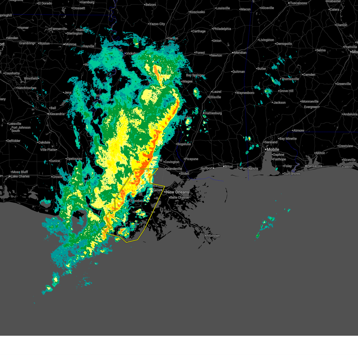
| 2/15/2026 12:14 AM CST |
 Svrlix the national weather service in new orleans has issued a * severe thunderstorm warning for, southern st. james parish in southeastern louisiana, terrebonne parish in southeastern louisiana, northwestern lafourche parish in southeastern louisiana, assumption parish in southeastern louisiana, * until 1245 am cst. * at 1214 am cst, severe thunderstorms were located along a line extending from paincourtville to stephensville to near bayou vista to 11 miles south of burns point, moving east at 30 mph (radar indicated). Hazards include 60 mph wind gusts and penny size hail. expect damage to roofs, siding, and trees Svrlix the national weather service in new orleans has issued a * severe thunderstorm warning for, southern st. james parish in southeastern louisiana, terrebonne parish in southeastern louisiana, northwestern lafourche parish in southeastern louisiana, assumption parish in southeastern louisiana, * until 1245 am cst. * at 1214 am cst, severe thunderstorms were located along a line extending from paincourtville to stephensville to near bayou vista to 11 miles south of burns point, moving east at 30 mph (radar indicated). Hazards include 60 mph wind gusts and penny size hail. expect damage to roofs, siding, and trees
|
| 10/26/2025 6:12 AM CDT | The storm which prompted the warning has moved out of the area. therefore, the warning will be allowed to expire. a tornado watch remains in effect until noon cdt for southeastern louisiana. |
| 10/26/2025 5:56 AM CDT | Torlix the national weather service in new orleans has issued a * tornado warning for, northeastern terrebonne parish in southeastern louisiana, north central lafourche parish in southeastern louisiana, * until 630 am cdt. * at 556 am cdt, a severe thunderstorm capable of producing a tornado was located over bayou cane, or near houma, moving northeast at 30 mph (radar indicated rotation). Hazards include tornado. Flying debris will be dangerous to those caught without shelter. mobile homes will be damaged or destroyed. damage to roofs, windows, and vehicles will occur. tree damage is likely. this dangerous storm will be near, houma and gray around 600 am cdt. raceland around 605 am cdt. Mathews around 610 am cdt. |
| 10/26/2025 5:41 AM CDT | Torlix the national weather service in new orleans has issued a * tornado warning for, north central terrebonne parish in southeastern louisiana, northwestern lafourche parish in southeastern louisiana, * until 615 am cdt. * at 541 am cdt, a severe thunderstorm capable of producing a tornado was located near gray, or 10 miles west of houma, moving northeast at 25 mph (radar indicated rotation). Hazards include tornado and quarter size hail. Flying debris will be dangerous to those caught without shelter. mobile homes will be damaged or destroyed. damage to roofs, windows, and vehicles will occur. Tree damage is likely. |
| 8/5/2025 3:25 PM CDT |
 the severe thunderstorm warning has been cancelled and is no longer in effect the severe thunderstorm warning has been cancelled and is no longer in effect
|
| 8/5/2025 3:25 PM CDT |
 At 325 pm cdt, a severe thunderstorm was located near thibodaux, moving east at 10 mph (radar indicated). Hazards include 60 mph wind gusts and quarter size hail. Hail damage to vehicles is expected. expect wind damage to roofs, siding, and trees. Locations impacted include, thibodaux, schriever, chackbay, and gray. At 325 pm cdt, a severe thunderstorm was located near thibodaux, moving east at 10 mph (radar indicated). Hazards include 60 mph wind gusts and quarter size hail. Hail damage to vehicles is expected. expect wind damage to roofs, siding, and trees. Locations impacted include, thibodaux, schriever, chackbay, and gray.
|
| 8/5/2025 3:07 PM CDT |
 Svrlix the national weather service in new orleans has issued a * severe thunderstorm warning for, northern terrebonne parish in southeastern louisiana, northwestern lafourche parish in southeastern louisiana, east central assumption parish in southeastern louisiana, * until 345 pm cdt. * at 307 pm cdt, a severe thunderstorm was located over labadieville, or near thibodaux, moving east at 10 mph (radar indicated). Hazards include 60 mph wind gusts and quarter size hail. Hail damage to vehicles is expected. Expect wind damage to roofs, siding, and trees. Svrlix the national weather service in new orleans has issued a * severe thunderstorm warning for, northern terrebonne parish in southeastern louisiana, northwestern lafourche parish in southeastern louisiana, east central assumption parish in southeastern louisiana, * until 345 pm cdt. * at 307 pm cdt, a severe thunderstorm was located over labadieville, or near thibodaux, moving east at 10 mph (radar indicated). Hazards include 60 mph wind gusts and quarter size hail. Hail damage to vehicles is expected. Expect wind damage to roofs, siding, and trees.
|
| 7/30/2025 2:05 PM CDT |
 Svrlix the national weather service in new orleans has issued a * severe thunderstorm warning for, north central terrebonne parish in southeastern louisiana, * until 245 pm cdt. * at 205 pm cdt, a severe thunderstorm was located 9 miles east of amelia, or 14 miles southwest of thibodaux, and is nearly stationary (radar indicated). Hazards include 60 mph wind gusts and penny size hail. expect damage to roofs, siding, and trees Svrlix the national weather service in new orleans has issued a * severe thunderstorm warning for, north central terrebonne parish in southeastern louisiana, * until 245 pm cdt. * at 205 pm cdt, a severe thunderstorm was located 9 miles east of amelia, or 14 miles southwest of thibodaux, and is nearly stationary (radar indicated). Hazards include 60 mph wind gusts and penny size hail. expect damage to roofs, siding, and trees
|
| 7/16/2025 11:42 PM CDT |
 the severe thunderstorm warning has been cancelled and is no longer in effect the severe thunderstorm warning has been cancelled and is no longer in effect
|
| 7/16/2025 11:35 PM CDT |
 the severe thunderstorm warning has been cancelled and is no longer in effect the severe thunderstorm warning has been cancelled and is no longer in effect
|
| 7/16/2025 11:35 PM CDT |
 At 1135 pm cdt, a severe thunderstorm was located 7 miles southwest of gray, or 10 miles west of houma, moving southwest at 25 mph (radar indicated). Hazards include 60 mph wind gusts. Expect damage to roofs, siding, and trees. Locations impacted include, gray and schriever. At 1135 pm cdt, a severe thunderstorm was located 7 miles southwest of gray, or 10 miles west of houma, moving southwest at 25 mph (radar indicated). Hazards include 60 mph wind gusts. Expect damage to roofs, siding, and trees. Locations impacted include, gray and schriever.
|
| 7/16/2025 11:24 PM CDT |
 At 1124 pm cdt, a severe thunderstorm was located over gray, or 8 miles northwest of houma, moving southwest at 25 mph (radar indicated). Hazards include 60 mph wind gusts. Expect damage to roofs, siding, and trees. Locations impacted include, thibodaux, schriever, gray, and bayou cane. At 1124 pm cdt, a severe thunderstorm was located over gray, or 8 miles northwest of houma, moving southwest at 25 mph (radar indicated). Hazards include 60 mph wind gusts. Expect damage to roofs, siding, and trees. Locations impacted include, thibodaux, schriever, gray, and bayou cane.
|
| 7/16/2025 11:13 PM CDT |
 Svrlix the national weather service in new orleans has issued a * severe thunderstorm warning for, north central terrebonne parish in southeastern louisiana, northwestern lafourche parish in southeastern louisiana, south central assumption parish in southeastern louisiana, * until midnight cdt. * at 1113 pm cdt, a severe thunderstorm was located over gray, or 7 miles southeast of thibodaux, moving southwest at 25 mph (radar indicated). Hazards include 60 mph wind gusts. expect damage to roofs, siding, and trees Svrlix the national weather service in new orleans has issued a * severe thunderstorm warning for, north central terrebonne parish in southeastern louisiana, northwestern lafourche parish in southeastern louisiana, south central assumption parish in southeastern louisiana, * until midnight cdt. * at 1113 pm cdt, a severe thunderstorm was located over gray, or 7 miles southeast of thibodaux, moving southwest at 25 mph (radar indicated). Hazards include 60 mph wind gusts. expect damage to roofs, siding, and trees
|
| 5/7/2025 8:23 AM CDT |
 At 823 am cdt, severe thunderstorms were located along a line extending from near raceland to bayou cane, moving east at 40 mph (radar indicated). Hazards include 60 mph wind gusts and penny size hail. Expect damage to roofs, siding, and trees. Locations impacted include, mathews, des allemands, raceland, houma, bayou gauche, lockport, bayou cane, paradis, and gray. At 823 am cdt, severe thunderstorms were located along a line extending from near raceland to bayou cane, moving east at 40 mph (radar indicated). Hazards include 60 mph wind gusts and penny size hail. Expect damage to roofs, siding, and trees. Locations impacted include, mathews, des allemands, raceland, houma, bayou gauche, lockport, bayou cane, paradis, and gray.
|
| 5/7/2025 8:06 AM CDT |
 Svrlix the national weather service in new orleans has issued a * severe thunderstorm warning for, southwestern st. charles parish in southeastern louisiana, northeastern terrebonne parish in southeastern louisiana, northwestern lafourche parish in southeastern louisiana, * until 845 am cdt. * at 805 am cdt, severe thunderstorms were located along a line extending from thibodaux to 9 miles southwest of gray, moving east at 40 mph (radar indicated). Hazards include 60 mph wind gusts and quarter size hail. Hail damage to vehicles is expected. Expect wind damage to roofs, siding, and trees. Svrlix the national weather service in new orleans has issued a * severe thunderstorm warning for, southwestern st. charles parish in southeastern louisiana, northeastern terrebonne parish in southeastern louisiana, northwestern lafourche parish in southeastern louisiana, * until 845 am cdt. * at 805 am cdt, severe thunderstorms were located along a line extending from thibodaux to 9 miles southwest of gray, moving east at 40 mph (radar indicated). Hazards include 60 mph wind gusts and quarter size hail. Hail damage to vehicles is expected. Expect wind damage to roofs, siding, and trees.
|
| 4/22/2025 1:50 PM CDT |
 The storm which prompted the warning has weakened below severe limits, and no longer poses an immediate threat to life or property. therefore, the warning will be allowed to expire. to report severe weather, contact your nearest law enforcement agency. they will relay your report to the national weather service new orleans. The storm which prompted the warning has weakened below severe limits, and no longer poses an immediate threat to life or property. therefore, the warning will be allowed to expire. to report severe weather, contact your nearest law enforcement agency. they will relay your report to the national weather service new orleans.
|
| 4/22/2025 1:33 PM CDT |
 Svrlix the national weather service in new orleans has issued a * severe thunderstorm warning for, northeastern terrebonne parish in southeastern louisiana, northwestern lafourche parish in southeastern louisiana, * until 200 pm cdt. * at 133 pm cdt, a severe thunderstorm was located near raceland, or 8 miles southeast of thibodaux, and is nearly stationary (radar indicated). Hazards include 60 mph wind gusts and quarter size hail. Hail damage to vehicles is expected. Expect wind damage to roofs, siding, and trees. Svrlix the national weather service in new orleans has issued a * severe thunderstorm warning for, northeastern terrebonne parish in southeastern louisiana, northwestern lafourche parish in southeastern louisiana, * until 200 pm cdt. * at 133 pm cdt, a severe thunderstorm was located near raceland, or 8 miles southeast of thibodaux, and is nearly stationary (radar indicated). Hazards include 60 mph wind gusts and quarter size hail. Hail damage to vehicles is expected. Expect wind damage to roofs, siding, and trees.
|
| 3/31/2025 9:43 AM CDT |
 the severe thunderstorm warning has been cancelled and is no longer in effect the severe thunderstorm warning has been cancelled and is no longer in effect
|
| 3/31/2025 9:01 AM CDT |
 Svrlix the national weather service in new orleans has issued a * severe thunderstorm warning for, st. bernard parish in southeastern louisiana, southern st. charles parish in southeastern louisiana, southwestern orleans parish in southeastern louisiana, terrebonne parish in southeastern louisiana, jefferson parish in southeastern louisiana, lafourche parish in southeastern louisiana, plaquemines parish in southeastern louisiana, * until 1000 am cdt. * at 900 am cdt, a severe thunderstorm was located near barataria, or 13 miles northeast of larose, moving east at 45 mph (radar indicated). Hazards include 60 mph wind gusts and quarter size hail. Hail damage to vehicles is expected. Expect wind damage to roofs, siding, and trees. Svrlix the national weather service in new orleans has issued a * severe thunderstorm warning for, st. bernard parish in southeastern louisiana, southern st. charles parish in southeastern louisiana, southwestern orleans parish in southeastern louisiana, terrebonne parish in southeastern louisiana, jefferson parish in southeastern louisiana, lafourche parish in southeastern louisiana, plaquemines parish in southeastern louisiana, * until 1000 am cdt. * at 900 am cdt, a severe thunderstorm was located near barataria, or 13 miles northeast of larose, moving east at 45 mph (radar indicated). Hazards include 60 mph wind gusts and quarter size hail. Hail damage to vehicles is expected. Expect wind damage to roofs, siding, and trees.
|
| 3/31/2025 8:38 AM CDT |
 At 838 am cdt, a severe thunderstorm was located over lockport, or 8 miles northwest of larose, moving east at 40 mph (radar indicated). Hazards include 60 mph wind gusts and penny size hail. Expect damage to roofs, siding, and trees. locations impacted include, mathews, schriever, cut off, luling, poydras, boutte, river ridge, jean lafitte, myrtle grove, raceland, ama, larose, avondale, estelle, bayou cane, st. rose, woodmere, paradis, gray, and des allemands. This includes interstate 310 between mile markers 7 and 11. At 838 am cdt, a severe thunderstorm was located over lockport, or 8 miles northwest of larose, moving east at 40 mph (radar indicated). Hazards include 60 mph wind gusts and penny size hail. Expect damage to roofs, siding, and trees. locations impacted include, mathews, schriever, cut off, luling, poydras, boutte, river ridge, jean lafitte, myrtle grove, raceland, ama, larose, avondale, estelle, bayou cane, st. rose, woodmere, paradis, gray, and des allemands. This includes interstate 310 between mile markers 7 and 11.
|
| 3/31/2025 8:38 AM CDT |
 the severe thunderstorm warning has been cancelled and is no longer in effect the severe thunderstorm warning has been cancelled and is no longer in effect
|
| 3/31/2025 8:21 AM CDT |
 the severe thunderstorm warning has been cancelled and is no longer in effect the severe thunderstorm warning has been cancelled and is no longer in effect
|
| 3/31/2025 8:21 AM CDT |
 At 821 am cdt, severe thunderstorms were located along a line extending from river ridge to 7 miles southeast of amelia, moving southeast at 30 mph (radar indicated). Hazards include 60 mph wind gusts and penny size hail. Expect damage to roofs, siding, and trees. locations impacted include, mathews, schriever, cut off, ama, chackbay, estelle, thibodaux, norco, gray, terrytown, hahnville, bridge city, marrero, westwego, harahan, labadieville, shell beach, taft, new sarpy, and luling. This includes interstate 310 between mile markers 1 and 11. At 821 am cdt, severe thunderstorms were located along a line extending from river ridge to 7 miles southeast of amelia, moving southeast at 30 mph (radar indicated). Hazards include 60 mph wind gusts and penny size hail. Expect damage to roofs, siding, and trees. locations impacted include, mathews, schriever, cut off, ama, chackbay, estelle, thibodaux, norco, gray, terrytown, hahnville, bridge city, marrero, westwego, harahan, labadieville, shell beach, taft, new sarpy, and luling. This includes interstate 310 between mile markers 1 and 11.
|
| 3/31/2025 7:57 AM CDT |
 Svrlix the national weather service in new orleans has issued a * severe thunderstorm warning for, st. john the baptist parish in southeastern louisiana, southern st. james parish in southeastern louisiana, central st. bernard parish in southeastern louisiana, st. charles parish in southeastern louisiana, southwestern orleans parish in southeastern louisiana, northern terrebonne parish in southeastern louisiana, jefferson parish in southeastern louisiana, lafourche parish in southeastern louisiana, northwestern plaquemines parish in southeastern louisiana, southeastern assumption parish in southeastern louisiana, * until 900 am cdt. * at 756 am cdt, a severe thunderstorm was located near wallace, or near reserve, moving east at 40 mph (radar indicated). Hazards include 60 mph wind gusts. expect damage to roofs, siding, and trees Svrlix the national weather service in new orleans has issued a * severe thunderstorm warning for, st. john the baptist parish in southeastern louisiana, southern st. james parish in southeastern louisiana, central st. bernard parish in southeastern louisiana, st. charles parish in southeastern louisiana, southwestern orleans parish in southeastern louisiana, northern terrebonne parish in southeastern louisiana, jefferson parish in southeastern louisiana, lafourche parish in southeastern louisiana, northwestern plaquemines parish in southeastern louisiana, southeastern assumption parish in southeastern louisiana, * until 900 am cdt. * at 756 am cdt, a severe thunderstorm was located near wallace, or near reserve, moving east at 40 mph (radar indicated). Hazards include 60 mph wind gusts. expect damage to roofs, siding, and trees
|
| 3/24/2025 10:09 AM CDT |
 Svrlix the national weather service in new orleans has issued a * severe thunderstorm warning for, northeastern terrebonne parish in southeastern louisiana, northwestern lafourche parish in southeastern louisiana, * until 1100 am cdt. * at 1009 am cdt, a severe thunderstorm was located near bayou cane, or near houma, moving east at 35 mph (radar indicated). Hazards include 60 mph wind gusts and quarter size hail. Hail damage to vehicles is expected. Expect wind damage to roofs, siding, and trees. Svrlix the national weather service in new orleans has issued a * severe thunderstorm warning for, northeastern terrebonne parish in southeastern louisiana, northwestern lafourche parish in southeastern louisiana, * until 1100 am cdt. * at 1009 am cdt, a severe thunderstorm was located near bayou cane, or near houma, moving east at 35 mph (radar indicated). Hazards include 60 mph wind gusts and quarter size hail. Hail damage to vehicles is expected. Expect wind damage to roofs, siding, and trees.
|
| 8/15/2024 7:01 PM CDT |
 The storms which prompted the warning have weakened below severe limits, and no longer pose an immediate threat to life or property. therefore, the warning has been allowed to expire. however, heavy rain is still possible with these thunderstorms. to report severe weather, contact your nearest law enforcement agency. they will relay your report to the national weather service new orleans. The storms which prompted the warning have weakened below severe limits, and no longer pose an immediate threat to life or property. therefore, the warning has been allowed to expire. however, heavy rain is still possible with these thunderstorms. to report severe weather, contact your nearest law enforcement agency. they will relay your report to the national weather service new orleans.
|
| 8/15/2024 6:50 PM CDT |
 the severe thunderstorm warning has been cancelled and is no longer in effect the severe thunderstorm warning has been cancelled and is no longer in effect
|
| 8/15/2024 6:50 PM CDT |
 At 650 pm cdt, severe thunderstorms were located along a line extending from 8 miles east of charenton to near amelia to near bayou cane, moving southwest at 30 mph (radar indicated). Hazards include 60 mph wind gusts. Expect damage to roofs, siding, and trees. Locations impacted include, thibodaux, napoleonville, schriever, supreme, gray, chackbay, paincourtville, labadieville, belle rose, bayou cane, and south vacherie. At 650 pm cdt, severe thunderstorms were located along a line extending from 8 miles east of charenton to near amelia to near bayou cane, moving southwest at 30 mph (radar indicated). Hazards include 60 mph wind gusts. Expect damage to roofs, siding, and trees. Locations impacted include, thibodaux, napoleonville, schriever, supreme, gray, chackbay, paincourtville, labadieville, belle rose, bayou cane, and south vacherie.
|
| 8/15/2024 6:28 PM CDT |
 At 627 pm cdt, severe thunderstorms were located along a line extending from 9 miles south of bayou sorrel to near supreme to near raceland, moving southwest at 30 mph (radar indicated). Hazards include 60 mph wind gusts. Expect damage to roofs, siding, and trees. Locations impacted include, thibodaux, napoleonville, white castle, schriever, gray, south vacherie, paincourtville, convent, north vacherie, supreme, chackbay, bayou sorrel, labadieville, belle rose, and bayou cane. At 627 pm cdt, severe thunderstorms were located along a line extending from 9 miles south of bayou sorrel to near supreme to near raceland, moving southwest at 30 mph (radar indicated). Hazards include 60 mph wind gusts. Expect damage to roofs, siding, and trees. Locations impacted include, thibodaux, napoleonville, white castle, schriever, gray, south vacherie, paincourtville, convent, north vacherie, supreme, chackbay, bayou sorrel, labadieville, belle rose, and bayou cane.
|
| 8/15/2024 6:28 PM CDT |
 the severe thunderstorm warning has been cancelled and is no longer in effect the severe thunderstorm warning has been cancelled and is no longer in effect
|
| 8/15/2024 5:55 PM CDT |
 Svrlix the national weather service in new orleans has issued a * severe thunderstorm warning for, southern ascension parish in southeastern louisiana, st. james parish in southeastern louisiana, north central terrebonne parish in southeastern louisiana, southeastern iberville parish in southeastern louisiana, northwestern lafourche parish in southeastern louisiana, assumption parish in southeastern louisiana, * until 700 pm cdt. * at 554 pm cdt, severe thunderstorms were located along a line extending from near plaquemine to near convent to near killona, moving south at 35 mph (radar indicated). Hazards include 60 mph wind gusts and quarter size hail. Hail damage to vehicles is expected. Expect wind damage to roofs, siding, and trees. Svrlix the national weather service in new orleans has issued a * severe thunderstorm warning for, southern ascension parish in southeastern louisiana, st. james parish in southeastern louisiana, north central terrebonne parish in southeastern louisiana, southeastern iberville parish in southeastern louisiana, northwestern lafourche parish in southeastern louisiana, assumption parish in southeastern louisiana, * until 700 pm cdt. * at 554 pm cdt, severe thunderstorms were located along a line extending from near plaquemine to near convent to near killona, moving south at 35 mph (radar indicated). Hazards include 60 mph wind gusts and quarter size hail. Hail damage to vehicles is expected. Expect wind damage to roofs, siding, and trees.
|
| 5/28/2024 5:26 PM CDT |
 The storm which prompted the warning has weakened below severe limits, and no longer poses an immediate threat to life or property. therefore, the warning will be allowed to expire. The storm which prompted the warning has weakened below severe limits, and no longer poses an immediate threat to life or property. therefore, the warning will be allowed to expire.
|
| 5/28/2024 4:43 PM CDT |
 Svrlix the national weather service in new orleans has issued a * severe thunderstorm warning for, central terrebonne parish in southeastern louisiana, * until 530 pm cdt. * at 443 pm cdt, a severe thunderstorm was located 7 miles southwest of bayou cane, or 9 miles west of houma, moving south at 15 mph (radar indicated). Hazards include 60 mph wind gusts and quarter size hail. Hail damage to vehicles is expected. Expect wind damage to roofs, siding, and trees. Svrlix the national weather service in new orleans has issued a * severe thunderstorm warning for, central terrebonne parish in southeastern louisiana, * until 530 pm cdt. * at 443 pm cdt, a severe thunderstorm was located 7 miles southwest of bayou cane, or 9 miles west of houma, moving south at 15 mph (radar indicated). Hazards include 60 mph wind gusts and quarter size hail. Hail damage to vehicles is expected. Expect wind damage to roofs, siding, and trees.
|
| 5/28/2024 4:35 PM CDT |
 the severe thunderstorm warning has been cancelled and is no longer in effect the severe thunderstorm warning has been cancelled and is no longer in effect
|
| 5/28/2024 4:35 PM CDT |
 At 435 pm cdt, a severe thunderstorm was located 7 miles west of bayou cane, or 9 miles west of houma, moving south at 15 mph (radar indicated). Hazards include 60 mph wind gusts and half dollar size hail. Hail damage to vehicles is expected. expect wind damage to roofs, siding, and trees. Locations impacted include, houma, bayou cane, and gray. At 435 pm cdt, a severe thunderstorm was located 7 miles west of bayou cane, or 9 miles west of houma, moving south at 15 mph (radar indicated). Hazards include 60 mph wind gusts and half dollar size hail. Hail damage to vehicles is expected. expect wind damage to roofs, siding, and trees. Locations impacted include, houma, bayou cane, and gray.
|
| 5/28/2024 4:15 PM CDT |
 the severe thunderstorm warning has been cancelled and is no longer in effect the severe thunderstorm warning has been cancelled and is no longer in effect
|
| 5/28/2024 4:15 PM CDT |
 At 415 pm cdt, a severe thunderstorm was located near gray, or 10 miles southwest of thibodaux, moving south at 15 mph (radar indicated). Hazards include 60 mph wind gusts and quarter size hail. Hail damage to vehicles is expected. expect wind damage to roofs, siding, and trees. Locations impacted include, houma, thibodaux, schriever, gray, and bayou cane. At 415 pm cdt, a severe thunderstorm was located near gray, or 10 miles southwest of thibodaux, moving south at 15 mph (radar indicated). Hazards include 60 mph wind gusts and quarter size hail. Hail damage to vehicles is expected. expect wind damage to roofs, siding, and trees. Locations impacted include, houma, thibodaux, schriever, gray, and bayou cane.
|
| 5/28/2024 4:04 PM CDT |
 At 404 pm cdt, a severe thunderstorm was located near schriever, or 8 miles southwest of thibodaux, moving south at 15 mph (radar indicated). Hazards include 60 mph wind gusts and half dollar size hail. Hail damage to vehicles is expected. expect wind damage to roofs, siding, and trees. Locations impacted include, houma, thibodaux, schriever, gray, and bayou cane. At 404 pm cdt, a severe thunderstorm was located near schriever, or 8 miles southwest of thibodaux, moving south at 15 mph (radar indicated). Hazards include 60 mph wind gusts and half dollar size hail. Hail damage to vehicles is expected. expect wind damage to roofs, siding, and trees. Locations impacted include, houma, thibodaux, schriever, gray, and bayou cane.
|
| 5/28/2024 3:55 PM CDT |
 Svrlix the national weather service in new orleans has issued a * severe thunderstorm warning for, north central terrebonne parish in southeastern louisiana, northwestern lafourche parish in southeastern louisiana, southeastern assumption parish in southeastern louisiana, * until 445 pm cdt. * at 355 pm cdt, a severe thunderstorm was located near schriever, or 7 miles southwest of thibodaux, moving south at 15 mph (radar indicated). Hazards include 60 mph wind gusts and quarter size hail. Hail damage to vehicles is expected. Expect wind damage to roofs, siding, and trees. Svrlix the national weather service in new orleans has issued a * severe thunderstorm warning for, north central terrebonne parish in southeastern louisiana, northwestern lafourche parish in southeastern louisiana, southeastern assumption parish in southeastern louisiana, * until 445 pm cdt. * at 355 pm cdt, a severe thunderstorm was located near schriever, or 7 miles southwest of thibodaux, moving south at 15 mph (radar indicated). Hazards include 60 mph wind gusts and quarter size hail. Hail damage to vehicles is expected. Expect wind damage to roofs, siding, and trees.
|
| 5/17/2024 1:01 AM CDT |
 At 101 am cdt, a severe thunderstorm was located over thibodaux, moving east at 45 mph (radar indicated). Hazards include 60 mph wind gusts and nickel size hail. Expect damage to roofs, siding, and trees. Locations impacted include, thibodaux, schriever, chackbay, and gray. At 101 am cdt, a severe thunderstorm was located over thibodaux, moving east at 45 mph (radar indicated). Hazards include 60 mph wind gusts and nickel size hail. Expect damage to roofs, siding, and trees. Locations impacted include, thibodaux, schriever, chackbay, and gray.
|
| 5/17/2024 1:01 AM CDT |
 the severe thunderstorm warning has been cancelled and is no longer in effect the severe thunderstorm warning has been cancelled and is no longer in effect
|
| 5/17/2024 12:43 AM CDT |
 At 1242 am cdt, a severe thunderstorm was located near bayou geneve, or near stephensville, moving east at 45 mph (radar indicated). Hazards include 60 mph wind gusts and quarter size hail. Hail damage to vehicles is expected. expect wind damage to roofs, siding, and trees. Locations impacted include, thibodaux, schriever, supreme, gray, chackbay, labadieville, south vacherie, and bayou cane. At 1242 am cdt, a severe thunderstorm was located near bayou geneve, or near stephensville, moving east at 45 mph (radar indicated). Hazards include 60 mph wind gusts and quarter size hail. Hail damage to vehicles is expected. expect wind damage to roofs, siding, and trees. Locations impacted include, thibodaux, schriever, supreme, gray, chackbay, labadieville, south vacherie, and bayou cane.
|
| 5/17/2024 12:28 AM CDT |
 Svrlix the national weather service in new orleans has issued a * severe thunderstorm warning for, southwestern st. james parish in southeastern louisiana, north central terrebonne parish in southeastern louisiana, northwestern lafourche parish in southeastern louisiana, assumption parish in southeastern louisiana, * until 115 am cdt. * at 1228 am cdt, a severe thunderstorm was located near stephensville, moving east at 40 mph (radar indicated). Hazards include 60 mph wind gusts and quarter size hail. Hail damage to vehicles is expected. Expect wind damage to roofs, siding, and trees. Svrlix the national weather service in new orleans has issued a * severe thunderstorm warning for, southwestern st. james parish in southeastern louisiana, north central terrebonne parish in southeastern louisiana, northwestern lafourche parish in southeastern louisiana, assumption parish in southeastern louisiana, * until 115 am cdt. * at 1228 am cdt, a severe thunderstorm was located near stephensville, moving east at 40 mph (radar indicated). Hazards include 60 mph wind gusts and quarter size hail. Hail damage to vehicles is expected. Expect wind damage to roofs, siding, and trees.
|
| 5/16/2024 11:05 PM CDT |
 Svrlix the national weather service in new orleans has issued a * severe thunderstorm warning for, st. john the baptist parish in southeastern louisiana, southeastern st. james parish in southeastern louisiana, northwestern st. bernard parish in southeastern louisiana, st. charles parish in southeastern louisiana, orleans parish in southeastern louisiana, north central terrebonne parish in southeastern louisiana, jefferson parish in southeastern louisiana, northern lafourche parish in southeastern louisiana, northwestern plaquemines parish in southeastern louisiana, * until midnight cdt. * at 1105 pm cdt, severe thunderstorms were located along a line extending from near edgard to raceland, moving east at 55 mph (radar indicated). Hazards include 70 mph wind gusts and penny size hail. Expect considerable tree damage. Damage is likely to mobile homes, roofs, and outbuildings. Svrlix the national weather service in new orleans has issued a * severe thunderstorm warning for, st. john the baptist parish in southeastern louisiana, southeastern st. james parish in southeastern louisiana, northwestern st. bernard parish in southeastern louisiana, st. charles parish in southeastern louisiana, orleans parish in southeastern louisiana, north central terrebonne parish in southeastern louisiana, jefferson parish in southeastern louisiana, northern lafourche parish in southeastern louisiana, northwestern plaquemines parish in southeastern louisiana, * until midnight cdt. * at 1105 pm cdt, severe thunderstorms were located along a line extending from near edgard to raceland, moving east at 55 mph (radar indicated). Hazards include 70 mph wind gusts and penny size hail. Expect considerable tree damage. Damage is likely to mobile homes, roofs, and outbuildings.
|
| 2/12/2024 2:26 AM CST |
 At 226 am cst, a severe thunderstorm was located over houma, moving northeast at 50 mph (radar indicated). Hazards include 60 mph wind gusts and half dollar size hail. Hail damage to vehicles is expected. expect wind damage to roofs, siding, and trees. Locations impacted include, houma, bayou cane, and gray. At 226 am cst, a severe thunderstorm was located over houma, moving northeast at 50 mph (radar indicated). Hazards include 60 mph wind gusts and half dollar size hail. Hail damage to vehicles is expected. expect wind damage to roofs, siding, and trees. Locations impacted include, houma, bayou cane, and gray.
|
| 2/12/2024 2:11 AM CST |
 At 211 am cst, a severe thunderstorm was located 12 miles northwest of dulac, or 13 miles southwest of houma, moving northeast at 50 mph (radar indicated). Hazards include 60 mph wind gusts and quarter size hail. Hail damage to vehicles is expected. expect wind damage to roofs, siding, and trees. Locations impacted include, houma, gray, montegut, bayou cane, chauvin, and dulac. At 211 am cst, a severe thunderstorm was located 12 miles northwest of dulac, or 13 miles southwest of houma, moving northeast at 50 mph (radar indicated). Hazards include 60 mph wind gusts and quarter size hail. Hail damage to vehicles is expected. expect wind damage to roofs, siding, and trees. Locations impacted include, houma, gray, montegut, bayou cane, chauvin, and dulac.
|
| 2/12/2024 1:56 AM CST |
 At 156 am cst, a severe thunderstorm was located 21 miles south of amelia, or 25 miles south of morgan city, moving northeast at 50 mph (radar indicated). Hazards include 60 mph wind gusts and quarter size hail. Hail damage to vehicles is expected. Expect wind damage to roofs, siding, and trees. At 156 am cst, a severe thunderstorm was located 21 miles south of amelia, or 25 miles south of morgan city, moving northeast at 50 mph (radar indicated). Hazards include 60 mph wind gusts and quarter size hail. Hail damage to vehicles is expected. Expect wind damage to roofs, siding, and trees.
|
| 1/9/2024 1:01 AM CST |
 The national weather service in new orleans has issued a * severe thunderstorm warning for. southern st. charles parish in southeastern louisiana. central terrebonne parish in southeastern louisiana. north central lafourche parish in southeastern louisiana. Until 145 am cst. The national weather service in new orleans has issued a * severe thunderstorm warning for. southern st. charles parish in southeastern louisiana. central terrebonne parish in southeastern louisiana. north central lafourche parish in southeastern louisiana. Until 145 am cst.
|
| 9/7/2023 6:53 PM CDT |
 At 653 pm cdt, a severe thunderstorm was located 8 miles southwest of houma, moving southwest at 30 mph (radar indicated). Hazards include 60 mph wind gusts and quarter size hail. Hail damage to vehicles is expected. expect wind damage to roofs, siding, and trees. locations impacted include, houma, thibodaux, larose, lockport, schriever, gray, chauvin, dulac, montegut, bayou cane, cocodrie, tambour bay buoy, and lumcon center buoy. hail threat, radar indicated max hail size, 1. 00 in wind threat, radar indicated max wind gust, 60 mph. At 653 pm cdt, a severe thunderstorm was located 8 miles southwest of houma, moving southwest at 30 mph (radar indicated). Hazards include 60 mph wind gusts and quarter size hail. Hail damage to vehicles is expected. expect wind damage to roofs, siding, and trees. locations impacted include, houma, thibodaux, larose, lockport, schriever, gray, chauvin, dulac, montegut, bayou cane, cocodrie, tambour bay buoy, and lumcon center buoy. hail threat, radar indicated max hail size, 1. 00 in wind threat, radar indicated max wind gust, 60 mph.
|
| 9/7/2023 6:35 PM CDT |
 At 635 pm cdt, a severe thunderstorm was located over bayou cane, or near houma, moving southwest at 30 mph (radar indicated). Hazards include 60 mph wind gusts and quarter size hail. Hail damage to vehicles is expected. Expect wind damage to roofs, siding, and trees. At 635 pm cdt, a severe thunderstorm was located over bayou cane, or near houma, moving southwest at 30 mph (radar indicated). Hazards include 60 mph wind gusts and quarter size hail. Hail damage to vehicles is expected. Expect wind damage to roofs, siding, and trees.
|
| 9/7/2023 6:24 PM CDT | Tree down on home on west main s in terrebonne county LA, 1.2 miles SE of Gray, LA |
| 9/7/2023 6:11 PM CDT |
 At 611 pm cdt, a severe thunderstorm was located over schriever, or near thibodaux, moving southwest at 35 mph (radar indicated). Hazards include 60 mph wind gusts and quarter size hail. Hail damage to vehicles is expected. Expect wind damage to roofs, siding, and trees. At 611 pm cdt, a severe thunderstorm was located over schriever, or near thibodaux, moving southwest at 35 mph (radar indicated). Hazards include 60 mph wind gusts and quarter size hail. Hail damage to vehicles is expected. Expect wind damage to roofs, siding, and trees.
|
| 8/27/2023 5:51 PM CDT |
 The severe thunderstorm warning for central terrebonne parish will expire at 600 pm cdt, the storm which prompted the warning has moved out of the area. therefore, the warning will be allowed to expire. however, gusty winds are still possible with this thunderstorm. The severe thunderstorm warning for central terrebonne parish will expire at 600 pm cdt, the storm which prompted the warning has moved out of the area. therefore, the warning will be allowed to expire. however, gusty winds are still possible with this thunderstorm.
|
| 8/27/2023 5:22 PM CDT |
 At 522 pm cdt, a severe thunderstorm was located 7 miles southwest of bayou cane, or 7 miles west of houma, moving south at 25 mph (radar indicated). Hazards include 60 mph wind gusts and quarter size hail. Hail damage to vehicles is expected. Expect wind damage to roofs, siding, and trees. At 522 pm cdt, a severe thunderstorm was located 7 miles southwest of bayou cane, or 7 miles west of houma, moving south at 25 mph (radar indicated). Hazards include 60 mph wind gusts and quarter size hail. Hail damage to vehicles is expected. Expect wind damage to roofs, siding, and trees.
|
| 6/20/2023 4:27 PM CDT |
 At 427 pm cdt, severe thunderstorms were located along a line extending from raceland to larose, moving southwest at 25 mph (radar indicated). Hazards include 70 mph wind gusts and half dollar size hail. Hail damage to vehicles is expected. expect considerable tree damage. Wind damage is also likely to mobile homes, roofs, and outbuildings. At 427 pm cdt, severe thunderstorms were located along a line extending from raceland to larose, moving southwest at 25 mph (radar indicated). Hazards include 70 mph wind gusts and half dollar size hail. Hail damage to vehicles is expected. expect considerable tree damage. Wind damage is also likely to mobile homes, roofs, and outbuildings.
|
| 6/4/2023 3:39 PM CDT |
 At 338 pm cdt, a severe thunderstorm was located over bayou cane, or over houma, moving northwest at 5 mph (emergency management). Hazards include 60 mph wind gusts and penny size hail. Expect damage to roofs, siding, and trees. locations impacted include, houma, bayou cane and gray. hail threat, radar indicated max hail size, 0. 75 in wind threat, radar indicated max wind gust, 60 mph. At 338 pm cdt, a severe thunderstorm was located over bayou cane, or over houma, moving northwest at 5 mph (emergency management). Hazards include 60 mph wind gusts and penny size hail. Expect damage to roofs, siding, and trees. locations impacted include, houma, bayou cane and gray. hail threat, radar indicated max hail size, 0. 75 in wind threat, radar indicated max wind gust, 60 mph.
|
| 6/4/2023 3:13 PM CDT |
 At 313 pm cdt, a severe thunderstorm was located over houma, moving northwest at 5 mph (radar indicated). Hazards include 60 mph wind gusts and quarter size hail. Hail damage to vehicles is expected. Expect wind damage to roofs, siding, and trees. At 313 pm cdt, a severe thunderstorm was located over houma, moving northwest at 5 mph (radar indicated). Hazards include 60 mph wind gusts and quarter size hail. Hail damage to vehicles is expected. Expect wind damage to roofs, siding, and trees.
|
| 5/6/2023 8:28 AM CDT |
 The severe thunderstorm warning for southwestern st. john the baptist, southeastern st. james, southwestern st. charles, northern terrebonne, northwestern lafourche and central assumption parishes will expire at 830 am cdt, the storms which prompted the warning have weakened below severe limits, and no longer pose an immediate threat to life or property. therefore, the warning will be allowed to expire. however gusty winds are still possible with these thunderstorms. to report severe weather, contact your nearest law enforcement agency. they will relay your report to the national weather service new orleans. remember, a severe thunderstorm warning still remains in effect for portions of st. james, st. john the baptist, and st. charles. The severe thunderstorm warning for southwestern st. john the baptist, southeastern st. james, southwestern st. charles, northern terrebonne, northwestern lafourche and central assumption parishes will expire at 830 am cdt, the storms which prompted the warning have weakened below severe limits, and no longer pose an immediate threat to life or property. therefore, the warning will be allowed to expire. however gusty winds are still possible with these thunderstorms. to report severe weather, contact your nearest law enforcement agency. they will relay your report to the national weather service new orleans. remember, a severe thunderstorm warning still remains in effect for portions of st. james, st. john the baptist, and st. charles.
|
| 5/6/2023 7:54 AM CDT |
 At 754 am cdt, severe thunderstorms were located along a line extending from near napoleonville to near stephensville to 14 miles south of bayou vista, moving east at 65 mph (radar indicated). Hazards include 60 mph wind gusts. expect damage to roofs, siding, and trees At 754 am cdt, severe thunderstorms were located along a line extending from near napoleonville to near stephensville to 14 miles south of bayou vista, moving east at 65 mph (radar indicated). Hazards include 60 mph wind gusts. expect damage to roofs, siding, and trees
|
| 4/27/2023 8:23 AM CDT |
 At 823 am cdt, a severe thunderstorm was located 10 miles southwest of gray, or 12 miles west of houma, moving east at 45 mph (radar indicated). Hazards include 60 mph wind gusts and quarter size hail. Hail damage to vehicles is expected. expect wind damage to roofs, siding, and trees. locations impacted include, houma, thibodaux, lockport, mathews, schriever, gray, raceland, montegut, bayou cane and chauvin. hail threat, radar indicated max hail size, 1. 00 in wind threat, radar indicated max wind gust, 60 mph. At 823 am cdt, a severe thunderstorm was located 10 miles southwest of gray, or 12 miles west of houma, moving east at 45 mph (radar indicated). Hazards include 60 mph wind gusts and quarter size hail. Hail damage to vehicles is expected. expect wind damage to roofs, siding, and trees. locations impacted include, houma, thibodaux, lockport, mathews, schriever, gray, raceland, montegut, bayou cane and chauvin. hail threat, radar indicated max hail size, 1. 00 in wind threat, radar indicated max wind gust, 60 mph.
|
| 4/27/2023 7:54 AM CDT |
 At 754 am cdt, severe thunderstorms were located along a line extending from 9 miles west of belle river to berwick to 13 miles south of bayou vista, moving east at 45 mph (radar indicated). Hazards include 60 mph wind gusts and quarter size hail. Hail damage to vehicles is expected. Expect wind damage to roofs, siding, and trees. At 754 am cdt, severe thunderstorms were located along a line extending from 9 miles west of belle river to berwick to 13 miles south of bayou vista, moving east at 45 mph (radar indicated). Hazards include 60 mph wind gusts and quarter size hail. Hail damage to vehicles is expected. Expect wind damage to roofs, siding, and trees.
|
| 4/16/2023 2:01 AM CDT |
 At 200 am cdt, severe thunderstorms were located along a line extending from near bayou cane to 10 miles southwest of cocodrie, moving northeast at 45 mph (radar indicated). Hazards include 60 mph wind gusts and half dollar size hail. Hail damage to vehicles is expected. Expect wind damage to roofs, siding, and trees. At 200 am cdt, severe thunderstorms were located along a line extending from near bayou cane to 10 miles southwest of cocodrie, moving northeast at 45 mph (radar indicated). Hazards include 60 mph wind gusts and half dollar size hail. Hail damage to vehicles is expected. Expect wind damage to roofs, siding, and trees.
|
| 4/16/2023 1:44 AM CDT |
 At 143 am cdt, a severe thunderstorm was located 7 miles west of gray, or 11 miles southwest of thibodaux, moving northeast at 25 mph (radar indicated). Hazards include 60 mph wind gusts and half dollar size hail. Hail damage to vehicles is expected. expect wind damage to roofs, siding, and trees. locations impacted include, houma, thibodaux, schriever, gray and bayou cane. hail threat, radar indicated max hail size, 1. 25 in wind threat, radar indicated max wind gust, 60 mph. At 143 am cdt, a severe thunderstorm was located 7 miles west of gray, or 11 miles southwest of thibodaux, moving northeast at 25 mph (radar indicated). Hazards include 60 mph wind gusts and half dollar size hail. Hail damage to vehicles is expected. expect wind damage to roofs, siding, and trees. locations impacted include, houma, thibodaux, schriever, gray and bayou cane. hail threat, radar indicated max hail size, 1. 25 in wind threat, radar indicated max wind gust, 60 mph.
|
| 4/16/2023 1:22 AM CDT |
 At 122 am cdt, a severe thunderstorm was located 8 miles southeast of amelia, or 13 miles southeast of morgan city, moving northeast at 25 mph (radar indicated). Hazards include 60 mph wind gusts and half dollar size hail. Hail damage to vehicles is expected. Expect wind damage to roofs, siding, and trees. At 122 am cdt, a severe thunderstorm was located 8 miles southeast of amelia, or 13 miles southeast of morgan city, moving northeast at 25 mph (radar indicated). Hazards include 60 mph wind gusts and half dollar size hail. Hail damage to vehicles is expected. Expect wind damage to roofs, siding, and trees.
|
| 1/24/2023 9:51 PM CST |
 At 950 pm cst, severe thunderstorms capable of producing both tornadoes and straight line wind damage were located 7 miles southwest of bayou cane, or 8 miles west of houma, moving northeast at 55 mph (radar indicated rotation). Hazards include tornado. Flying debris will be dangerous to those caught without shelter. mobile homes will be damaged or destroyed. damage to roofs, windows, and vehicles will occur. tree damage is likely. these dangerous storms will be near, houma, bayou cane and gray around 1000 pm cst. mathews around 1010 pm cst. raceland around 1015 pm cst. des allemands around 1025 pm cst. Boutte, paradis and bayou gauche around 1030 pm cst. At 950 pm cst, severe thunderstorms capable of producing both tornadoes and straight line wind damage were located 7 miles southwest of bayou cane, or 8 miles west of houma, moving northeast at 55 mph (radar indicated rotation). Hazards include tornado. Flying debris will be dangerous to those caught without shelter. mobile homes will be damaged or destroyed. damage to roofs, windows, and vehicles will occur. tree damage is likely. these dangerous storms will be near, houma, bayou cane and gray around 1000 pm cst. mathews around 1010 pm cst. raceland around 1015 pm cst. des allemands around 1025 pm cst. Boutte, paradis and bayou gauche around 1030 pm cst.
|
| 1/4/2023 12:55 AM CST |
 At 1254 am cst, a severe thunderstorm was located over bayou cane, or near houma, moving northeast at 55 mph (radar indicated). Hazards include 60 mph wind gusts and half dollar size hail. Hail damage to vehicles is expected. expect wind damage to roofs, siding, and trees. locations impacted include, houma, thibodaux, lockport, mathews, schriever, gray, raceland, bayou cane, chackbay and south vacherie. hail threat, radar indicated max hail size, 1. 25 in wind threat, radar indicated max wind gust, 60 mph. At 1254 am cst, a severe thunderstorm was located over bayou cane, or near houma, moving northeast at 55 mph (radar indicated). Hazards include 60 mph wind gusts and half dollar size hail. Hail damage to vehicles is expected. expect wind damage to roofs, siding, and trees. locations impacted include, houma, thibodaux, lockport, mathews, schriever, gray, raceland, bayou cane, chackbay and south vacherie. hail threat, radar indicated max hail size, 1. 25 in wind threat, radar indicated max wind gust, 60 mph.
|
| 1/4/2023 12:32 AM CST |
 At 1232 am cst, a severe thunderstorm was located 13 miles southeast of amelia, or 15 miles west of houma, moving northeast at 40 mph (radar indicated). Hazards include 60 mph wind gusts and quarter size hail. Hail damage to vehicles is expected. Expect wind damage to roofs, siding, and trees. At 1232 am cst, a severe thunderstorm was located 13 miles southeast of amelia, or 15 miles west of houma, moving northeast at 40 mph (radar indicated). Hazards include 60 mph wind gusts and quarter size hail. Hail damage to vehicles is expected. Expect wind damage to roofs, siding, and trees.
|
| 7/16/2022 6:05 PM CDT |
 The severe thunderstorm warning for southwestern st. john the baptist, southeastern st. james, west central st. charles, northeastern terrebonne, northwestern lafourche and east central assumption parishes will expire at 615 pm cdt, the storm which prompted the warning has weakened below severe limits, and no longer poses an immediate threat to life or property. therefore, the warning will be allowed to expire. however small hail, gusty winds and heavy rain are still possible with this thunderstorm. to report severe weather, contact your nearest law enforcement agency. they will relay your report to the national weather service new orleans. The severe thunderstorm warning for southwestern st. john the baptist, southeastern st. james, west central st. charles, northeastern terrebonne, northwestern lafourche and east central assumption parishes will expire at 615 pm cdt, the storm which prompted the warning has weakened below severe limits, and no longer poses an immediate threat to life or property. therefore, the warning will be allowed to expire. however small hail, gusty winds and heavy rain are still possible with this thunderstorm. to report severe weather, contact your nearest law enforcement agency. they will relay your report to the national weather service new orleans.
|
| 7/16/2022 5:46 PM CDT |
 At 546 pm cdt, a severe thunderstorm was located near schriever, or 7 miles southwest of thibodaux, moving west at 30 mph (radar indicated). Hazards include 60 mph wind gusts and nickel size hail. Expect damage to roofs, siding, and trees. locations impacted include, thibodaux, mathews, schriever, gray, des allemands, raceland, south vacherie, chackbay, labadieville, bayou cane, bayou gauche and supreme. hail threat, radar indicated max hail size, 0. 88 in wind threat, radar indicated max wind gust, 60 mph. At 546 pm cdt, a severe thunderstorm was located near schriever, or 7 miles southwest of thibodaux, moving west at 30 mph (radar indicated). Hazards include 60 mph wind gusts and nickel size hail. Expect damage to roofs, siding, and trees. locations impacted include, thibodaux, mathews, schriever, gray, des allemands, raceland, south vacherie, chackbay, labadieville, bayou cane, bayou gauche and supreme. hail threat, radar indicated max hail size, 0. 88 in wind threat, radar indicated max wind gust, 60 mph.
|
| 7/16/2022 5:35 PM CDT |
 At 534 pm cdt, a severe thunderstorm was located near thibodaux, moving west at 35 mph (radar indicated). Hazards include 60 mph wind gusts and nickel size hail. expect damage to roofs, siding, and trees At 534 pm cdt, a severe thunderstorm was located near thibodaux, moving west at 35 mph (radar indicated). Hazards include 60 mph wind gusts and nickel size hail. expect damage to roofs, siding, and trees
|
| 5/13/2022 4:45 PM CDT |
 At 445 pm cdt, severe thunderstorms were located along a line extending from edgard to near chackbay, moving southeast at 15 mph (radar indicated). Hazards include 60 mph wind gusts and nickel size hail. Expect damage to roofs, siding, and trees. locations impacted include, thibodaux, napoleonville, gramercy, lutcher, schriever, edgard, south vacherie, north vacherie, wallace, supreme, raceland, chackbay, labadieville, des allemands, gray, killona and garyville. hail threat, radar indicated max hail size, 0. 88 in wind threat, radar indicated max wind gust, 60 mph. At 445 pm cdt, severe thunderstorms were located along a line extending from edgard to near chackbay, moving southeast at 15 mph (radar indicated). Hazards include 60 mph wind gusts and nickel size hail. Expect damage to roofs, siding, and trees. locations impacted include, thibodaux, napoleonville, gramercy, lutcher, schriever, edgard, south vacherie, north vacherie, wallace, supreme, raceland, chackbay, labadieville, des allemands, gray, killona and garyville. hail threat, radar indicated max hail size, 0. 88 in wind threat, radar indicated max wind gust, 60 mph.
|
| 5/13/2022 4:20 PM CDT |
 At 420 pm cdt, severe thunderstorms were located along a line extending from near edgard to paincourtville, moving south at 10 mph (radar indicated). Hazards include 60 mph wind gusts and quarter size hail. Hail damage to vehicles is expected. Expect wind damage to roofs, siding, and trees. At 420 pm cdt, severe thunderstorms were located along a line extending from near edgard to paincourtville, moving south at 10 mph (radar indicated). Hazards include 60 mph wind gusts and quarter size hail. Hail damage to vehicles is expected. Expect wind damage to roofs, siding, and trees.
|
| 3/11/2022 6:11 PM CST |
 At 611 pm cst, a severe thunderstorm was located near schriever, or near thibodaux, moving east at 40 mph (radar indicated). Hazards include 60 mph wind gusts and quarter size hail. Hail damage to vehicles is expected. expect wind damage to roofs, siding, and trees. locations impacted include, thibodaux, mathews, schriever, gray, des allemands, raceland, chackbay and bayou cane. hail threat, radar indicated max hail size, 1. 00 in wind threat, radar indicated max wind gust, 60 mph. At 611 pm cst, a severe thunderstorm was located near schriever, or near thibodaux, moving east at 40 mph (radar indicated). Hazards include 60 mph wind gusts and quarter size hail. Hail damage to vehicles is expected. expect wind damage to roofs, siding, and trees. locations impacted include, thibodaux, mathews, schriever, gray, des allemands, raceland, chackbay and bayou cane. hail threat, radar indicated max hail size, 1. 00 in wind threat, radar indicated max wind gust, 60 mph.
|
| 3/11/2022 5:59 PM CST |
 At 559 pm cst, a severe thunderstorm was located near labadieville, or 9 miles west of thibodaux, moving east at 45 mph (radar indicated). Hazards include 60 mph wind gusts and quarter size hail. Hail damage to vehicles is expected. Expect wind damage to roofs, siding, and trees. At 559 pm cst, a severe thunderstorm was located near labadieville, or 9 miles west of thibodaux, moving east at 45 mph (radar indicated). Hazards include 60 mph wind gusts and quarter size hail. Hail damage to vehicles is expected. Expect wind damage to roofs, siding, and trees.
|
| 10/27/2021 5:45 PM CDT |
 At 545 pm cdt, severe thunderstorms were located along a line extending from 7 miles east of whitehall to near laplace to 6 miles southwest of larose to near cocodrie, moving northeast at 50 mph (radar indicated). Hazards include 60 mph wind gusts. Expect damage to roofs, siding, and trees. locations impacted include, houma, reserve, hahnville, laplace, lockport, mathews, montz, chauvin, dulac, luling, garyville, boutte, raceland, ama, destrehan, montegut, bayou cane, cocodrie, st. rose and killona. this includes the following interstates, interstate 10 in louisiana between mile markers 196 and 221. interstate 55 in louisiana between mile markers 1 and 12. Interstate 310 between mile markers 1 and 11. At 545 pm cdt, severe thunderstorms were located along a line extending from 7 miles east of whitehall to near laplace to 6 miles southwest of larose to near cocodrie, moving northeast at 50 mph (radar indicated). Hazards include 60 mph wind gusts. Expect damage to roofs, siding, and trees. locations impacted include, houma, reserve, hahnville, laplace, lockport, mathews, montz, chauvin, dulac, luling, garyville, boutte, raceland, ama, destrehan, montegut, bayou cane, cocodrie, st. rose and killona. this includes the following interstates, interstate 10 in louisiana between mile markers 196 and 221. interstate 55 in louisiana between mile markers 1 and 12. Interstate 310 between mile markers 1 and 11.
|
| 10/27/2021 5:22 PM CDT |
 At 521 pm cdt, severe thunderstorms were located along a line extending from whitehall to wallace to 15 miles west of cocodrie, moving northeast at 45 mph (radar indicated). Hazards include 60 mph wind gusts. expect damage to roofs, siding, and trees At 521 pm cdt, severe thunderstorms were located along a line extending from whitehall to wallace to 15 miles west of cocodrie, moving northeast at 45 mph (radar indicated). Hazards include 60 mph wind gusts. expect damage to roofs, siding, and trees
|
| 9/14/2021 11:07 PM CDT |
 The tornado warning for north central terrebonne parish will expire at 1115 pm cdt, the storm which prompted the warning has weakened below severe limits, and no longer appears capable of producing a waterspout or a tornado. therefore, the warning will be allowed to expire. however gusty winds and heavy rain are still possible with this storm. The tornado warning for north central terrebonne parish will expire at 1115 pm cdt, the storm which prompted the warning has weakened below severe limits, and no longer appears capable of producing a waterspout or a tornado. therefore, the warning will be allowed to expire. however gusty winds and heavy rain are still possible with this storm.
|
| 9/14/2021 11:03 PM CDT |
 At 1103 pm cdt, a severe thunderstorm capable of producing a tornado was located near gray, or 8 miles northwest of houma, moving northeast at 15 mph (radar indicated rotation). Hazards include tornado. Flying debris will be dangerous to those caught without shelter. mobile homes will be damaged or destroyed. damage to roofs, windows, and vehicles will occur. tree damage is likely. this dangerous storm will be near, gray around 1125 pm cdt. Schriever around 1135 pm cdt. At 1103 pm cdt, a severe thunderstorm capable of producing a tornado was located near gray, or 8 miles northwest of houma, moving northeast at 15 mph (radar indicated rotation). Hazards include tornado. Flying debris will be dangerous to those caught without shelter. mobile homes will be damaged or destroyed. damage to roofs, windows, and vehicles will occur. tree damage is likely. this dangerous storm will be near, gray around 1125 pm cdt. Schriever around 1135 pm cdt.
|
| 9/14/2021 10:38 PM CDT |
 At 1037 pm cdt, a severe thunderstorm capable of producing a tornado was located 10 miles southwest of bayou cane, or 11 miles west of houma, moving northeast at 15 mph (radar indicated rotation). Hazards include tornado. Flying debris will be dangerous to those caught without shelter. mobile homes will be damaged or destroyed. damage to roofs, windows, and vehicles will occur. tree damage is likely. this dangerous storm will be near, houma around 1110 pm cdt. Bayou cane, gray and schriever around 1115 pm cdt. At 1037 pm cdt, a severe thunderstorm capable of producing a tornado was located 10 miles southwest of bayou cane, or 11 miles west of houma, moving northeast at 15 mph (radar indicated rotation). Hazards include tornado. Flying debris will be dangerous to those caught without shelter. mobile homes will be damaged or destroyed. damage to roofs, windows, and vehicles will occur. tree damage is likely. this dangerous storm will be near, houma around 1110 pm cdt. Bayou cane, gray and schriever around 1115 pm cdt.
|
| 6/21/2021 3:21 PM CDT |
 At 321 pm cdt, a severe thunderstorm was located 9 miles southwest of bayou cane, or 10 miles west of houma, moving northeast at 15 mph (radar indicated). Hazards include 60 mph wind gusts. Expect damage to roofs, siding, and trees. Locations impacted include, houma, schriever, gray and bayou cane. At 321 pm cdt, a severe thunderstorm was located 9 miles southwest of bayou cane, or 10 miles west of houma, moving northeast at 15 mph (radar indicated). Hazards include 60 mph wind gusts. Expect damage to roofs, siding, and trees. Locations impacted include, houma, schriever, gray and bayou cane.
|
| 6/21/2021 3:03 PM CDT |
 At 302 pm cdt, a severe thunderstorm was located 13 miles southeast of amelia, or 16 miles west of houma, moving northeast at 15 mph (radar indicated). Hazards include 60 mph wind gusts. expect damage to roofs, siding, and trees At 302 pm cdt, a severe thunderstorm was located 13 miles southeast of amelia, or 16 miles west of houma, moving northeast at 15 mph (radar indicated). Hazards include 60 mph wind gusts. expect damage to roofs, siding, and trees
|
| 4/13/2021 11:54 AM CDT |
 At 1154 am cdt, a severe thunderstorm was located over gray, or near houma, moving northeast at 30 mph (radar indicated). Hazards include 60 mph wind gusts and quarter size hail. Hail damage to vehicles is expected. Expect wind damage to roofs, siding, and trees. At 1154 am cdt, a severe thunderstorm was located over gray, or near houma, moving northeast at 30 mph (radar indicated). Hazards include 60 mph wind gusts and quarter size hail. Hail damage to vehicles is expected. Expect wind damage to roofs, siding, and trees.
|
| 3/17/2021 7:20 PM CDT |
 The severe thunderstorm warning for st. james, northwestern terrebonne, northwestern lafourche and assumption parishes will expire at 730 pm cdt, the storms which prompted the warning have weakened below severe limits, and no longer pose an immediate threat to life or property. therefore, the warning will be allowed to expire. however gusty winds and heavy rain are still possible with these thunderstorms. a tornado watch remains in effect until 900 pm cdt for southeastern louisiana. The severe thunderstorm warning for st. james, northwestern terrebonne, northwestern lafourche and assumption parishes will expire at 730 pm cdt, the storms which prompted the warning have weakened below severe limits, and no longer pose an immediate threat to life or property. therefore, the warning will be allowed to expire. however gusty winds and heavy rain are still possible with these thunderstorms. a tornado watch remains in effect until 900 pm cdt for southeastern louisiana.
|
| 3/17/2021 7:05 PM CDT |
 At 704 pm cdt, severe thunderstorms were located along a line extending from 6 miles northwest of garyville to labadieville, moving east at 50 mph (radar indicated). Hazards include 60 mph wind gusts and penny size hail. Expect damage to roofs, siding, and trees. Locations impacted include, thibodaux, napoleonville, gramercy, lutcher, schriever, gray, paincourtville, convent, north vacherie, supreme, chackbay, labadieville, south vacherie, belle rose, wallace and garyville. At 704 pm cdt, severe thunderstorms were located along a line extending from 6 miles northwest of garyville to labadieville, moving east at 50 mph (radar indicated). Hazards include 60 mph wind gusts and penny size hail. Expect damage to roofs, siding, and trees. Locations impacted include, thibodaux, napoleonville, gramercy, lutcher, schriever, gray, paincourtville, convent, north vacherie, supreme, chackbay, labadieville, south vacherie, belle rose, wallace and garyville.
|
| 3/17/2021 6:27 PM CDT |
 At 627 pm cdt, severe thunderstorms were located along a line extending from near pierre part to near patterson memorial airport, moving east at 50 mph (radar indicated). Hazards include 60 mph wind gusts and nickel size hail. expect damage to roofs, siding, and trees At 627 pm cdt, severe thunderstorms were located along a line extending from near pierre part to near patterson memorial airport, moving east at 50 mph (radar indicated). Hazards include 60 mph wind gusts and nickel size hail. expect damage to roofs, siding, and trees
|
| 8/26/2020 12:37 PM CDT |
 The tornado warning for north central terrebonne parish will expire at 1245 pm cdt, the tornado threat has diminished and the tornado warning will be allowed to expire. however, damaging winds remain likely and a severe thunderstorm warning remains in effect for the area. remember, a severe thunderstorm warning still remains in effect for terrebonne parish until 1245 pm cdt. The tornado warning for north central terrebonne parish will expire at 1245 pm cdt, the tornado threat has diminished and the tornado warning will be allowed to expire. however, damaging winds remain likely and a severe thunderstorm warning remains in effect for the area. remember, a severe thunderstorm warning still remains in effect for terrebonne parish until 1245 pm cdt.
|
| 8/26/2020 12:30 PM CDT |
 At 1230 pm cdt, a severe squall line capable of producing both tornadoes and extensive straight line wind damage was located near houma, moving northwest at 55 mph (radar indicated rotation). Hazards include tornado. Flying debris will be dangerous to those caught without shelter. mobile homes will be damaged or destroyed. damage to roofs, windows, and vehicles will occur. tree damage is likely. Locations impacted include, houma, bayou cane, gray and schriever. At 1230 pm cdt, a severe squall line capable of producing both tornadoes and extensive straight line wind damage was located near houma, moving northwest at 55 mph (radar indicated rotation). Hazards include tornado. Flying debris will be dangerous to those caught without shelter. mobile homes will be damaged or destroyed. damage to roofs, windows, and vehicles will occur. tree damage is likely. Locations impacted include, houma, bayou cane, gray and schriever.
|
| 8/26/2020 12:17 PM CDT |
 At 1217 pm cdt, severe thunderstorms capable of producing both tornadoes and extensive straight line wind damage were located 8 miles southwest of houma, moving northwest at 55 mph (radar indicated rotation). Hazards include tornado. Flying debris will be dangerous to those caught without shelter. mobile homes will be damaged or destroyed. damage to roofs, windows, and vehicles will occur. tree damage is likely. This tornadic thunderstorm will remain over mainly rural areas of north central terrebonne parish. At 1217 pm cdt, severe thunderstorms capable of producing both tornadoes and extensive straight line wind damage were located 8 miles southwest of houma, moving northwest at 55 mph (radar indicated rotation). Hazards include tornado. Flying debris will be dangerous to those caught without shelter. mobile homes will be damaged or destroyed. damage to roofs, windows, and vehicles will occur. tree damage is likely. This tornadic thunderstorm will remain over mainly rural areas of north central terrebonne parish.
|
| 8/26/2020 12:14 PM CDT |
 At 1213 pm cdt, severe thunderstorms were located along a line extending from 20 miles south of bayou vista to 12 miles south of amelia to 13 miles southwest of bayou cane to 7 miles southwest of houma to 11 miles west of leeville, moving north at 45 mph (radar indicated). Hazards include 60 mph wind gusts. expect damage to roofs, siding, and trees At 1213 pm cdt, severe thunderstorms were located along a line extending from 20 miles south of bayou vista to 12 miles south of amelia to 13 miles southwest of bayou cane to 7 miles southwest of houma to 11 miles west of leeville, moving north at 45 mph (radar indicated). Hazards include 60 mph wind gusts. expect damage to roofs, siding, and trees
|
| 7/27/2020 6:30 AM CDT |
 At 630 am cdt, a severe thunderstorm capable of producing a tornado was located near houma, moving northeast at 10 mph (radar indicated rotation). Hazards include tornado. Flying debris will be dangerous to those caught without shelter. mobile homes will be damaged or destroyed. damage to roofs, windows, and vehicles will occur. tree damage is likely. this dangerous storm will be near, houma around 650 am cdt. Lockport around 700 am cdt. At 630 am cdt, a severe thunderstorm capable of producing a tornado was located near houma, moving northeast at 10 mph (radar indicated rotation). Hazards include tornado. Flying debris will be dangerous to those caught without shelter. mobile homes will be damaged or destroyed. damage to roofs, windows, and vehicles will occur. tree damage is likely. this dangerous storm will be near, houma around 650 am cdt. Lockport around 700 am cdt.
|
| 7/15/2020 9:41 PM CDT |
 At 940 pm cdt, severe thunderstorms were located along a line extending from st. rose to 6 miles southeast of bayou gauche to near raceland, moving south at 30 mph (radar indicated). Hazards include 60 mph wind gusts. Expect damage to roofs, siding, and trees. locations impacted include, houma, hahnville, lockport, mathews, killona, norco, paradis, des allemands, montz, luling, boutte, raceland, ama, bayou gauche, destrehan, taft, new sarpy, bayou cane, st. Rose and gray. At 940 pm cdt, severe thunderstorms were located along a line extending from st. rose to 6 miles southeast of bayou gauche to near raceland, moving south at 30 mph (radar indicated). Hazards include 60 mph wind gusts. Expect damage to roofs, siding, and trees. locations impacted include, houma, hahnville, lockport, mathews, killona, norco, paradis, des allemands, montz, luling, boutte, raceland, ama, bayou gauche, destrehan, taft, new sarpy, bayou cane, st. Rose and gray.
|
| 7/15/2020 9:15 PM CDT |
 At 915 pm cdt, severe thunderstorms were located along a line extending from near st. rose to near hahnville, moving southwest at 25 mph (radar indicated). Hazards include 70 mph wind gusts. Expect considerable tree damage. Damage is likely to mobile homes, roofs, and outbuildings. At 915 pm cdt, severe thunderstorms were located along a line extending from near st. rose to near hahnville, moving southwest at 25 mph (radar indicated). Hazards include 70 mph wind gusts. Expect considerable tree damage. Damage is likely to mobile homes, roofs, and outbuildings.
|
| 6/22/2020 7:29 AM CDT |
 At 728 am cdt, severe thunderstorms were located along a line extending from near south vacherie to near mathews to 6 miles north of montegut to dulac, moving east at 35 mph (radar indicated). Hazards include 70 mph wind gusts. Expect considerable tree damage. Damage is likely to mobile homes, roofs, and outbuildings. At 728 am cdt, severe thunderstorms were located along a line extending from near south vacherie to near mathews to 6 miles north of montegut to dulac, moving east at 35 mph (radar indicated). Hazards include 70 mph wind gusts. Expect considerable tree damage. Damage is likely to mobile homes, roofs, and outbuildings.
|
| 6/22/2020 7:18 AM CDT |
 At 717 am cdt, severe thunderstorms were located along a line extending from thibodaux to near bayou cane to near houma, moving east at 35 mph (radar indicated). Hazards include 60 mph wind gusts. Expect damage to roofs, siding, and trees. Locations impacted include, houma, thibodaux, lockport, mathews, schriever, gray, raceland, chackbay, chauvin, montegut, bayou cane and south vacherie. At 717 am cdt, severe thunderstorms were located along a line extending from thibodaux to near bayou cane to near houma, moving east at 35 mph (radar indicated). Hazards include 60 mph wind gusts. Expect damage to roofs, siding, and trees. Locations impacted include, houma, thibodaux, lockport, mathews, schriever, gray, raceland, chackbay, chauvin, montegut, bayou cane and south vacherie.
|
| 6/22/2020 6:57 AM CDT |
 The national weather service in new orleans has issued a * severe thunderstorm warning for. northeastern terrebonne parish in southeastern louisiana. northwestern lafourche parish in southeastern louisiana. southeastern assumption parish in southeastern louisiana. Until 730 am cdt. The national weather service in new orleans has issued a * severe thunderstorm warning for. northeastern terrebonne parish in southeastern louisiana. northwestern lafourche parish in southeastern louisiana. southeastern assumption parish in southeastern louisiana. Until 730 am cdt.
|
| 10/21/2019 11:38 AM CDT |
 At 1138 am cdt, a severe thunderstorm was located near raceland, or 8 miles southeast of thibodaux, moving northeast at 50 mph (radar indicated). Hazards include 60 mph wind gusts. Expect damage to roofs, siding, and trees. Locations impacted include, houma, larose, cut off, lockport, mathews, gray, raceland, bayou cane, schriever, montegut and des allemands. At 1138 am cdt, a severe thunderstorm was located near raceland, or 8 miles southeast of thibodaux, moving northeast at 50 mph (radar indicated). Hazards include 60 mph wind gusts. Expect damage to roofs, siding, and trees. Locations impacted include, houma, larose, cut off, lockport, mathews, gray, raceland, bayou cane, schriever, montegut and des allemands.
|
| 10/21/2019 11:37 AM CDT |
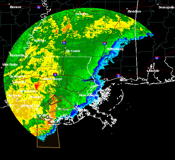 At 1137 am cdt, a severe thunderstorm capable of producing a tornado was located over schriever, or near thibodaux, moving northeast at 40 mph (radar indicated rotation). Hazards include tornado. Flying debris will be dangerous to those caught without shelter. mobile homes will be damaged or destroyed. damage to roofs, windows, and vehicles will occur. tree damage is likely. This dangerous storm will be near, chackbay around 1150 am cdt. At 1137 am cdt, a severe thunderstorm capable of producing a tornado was located over schriever, or near thibodaux, moving northeast at 40 mph (radar indicated rotation). Hazards include tornado. Flying debris will be dangerous to those caught without shelter. mobile homes will be damaged or destroyed. damage to roofs, windows, and vehicles will occur. tree damage is likely. This dangerous storm will be near, chackbay around 1150 am cdt.
|
| 10/21/2019 11:29 AM CDT |
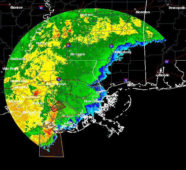 At 1129 am cdt, a severe thunderstorm capable of producing a tornado was located over schriever, or near thibodaux, moving northeast at 50 mph (radar indicated rotation). Hazards include tornado. Flying debris will be dangerous to those caught without shelter. mobile homes will be damaged or destroyed. damage to roofs, windows, and vehicles will occur. tree damage is likely. This dangerous storm will be near, chackbay around 1145 am cdt. At 1129 am cdt, a severe thunderstorm capable of producing a tornado was located over schriever, or near thibodaux, moving northeast at 50 mph (radar indicated rotation). Hazards include tornado. Flying debris will be dangerous to those caught without shelter. mobile homes will be damaged or destroyed. damage to roofs, windows, and vehicles will occur. tree damage is likely. This dangerous storm will be near, chackbay around 1145 am cdt.
|
| 10/21/2019 11:19 AM CDT |
 At 1118 am cdt, a severe thunderstorm was located 9 miles southwest of gray, or 11 miles west of houma, moving northeast at 50 mph (radar indicated). Hazards include 60 mph wind gusts. expect damage to roofs, siding, and trees At 1118 am cdt, a severe thunderstorm was located 9 miles southwest of gray, or 11 miles west of houma, moving northeast at 50 mph (radar indicated). Hazards include 60 mph wind gusts. expect damage to roofs, siding, and trees
|
| 6/27/2019 6:25 PM CDT |
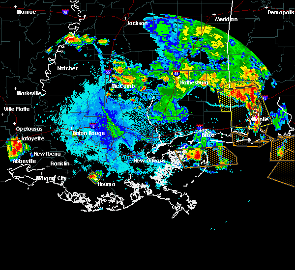 At 625 pm cdt, a severe thunderstorm was located over bayou cane, or near houma, moving southeast at 5 mph (radar indicated). Hazards include 60 mph wind gusts and nickel size hail. expect damage to roofs, siding, and trees At 625 pm cdt, a severe thunderstorm was located over bayou cane, or near houma, moving southeast at 5 mph (radar indicated). Hazards include 60 mph wind gusts and nickel size hail. expect damage to roofs, siding, and trees
|
| 6/27/2019 5:48 PM CDT |
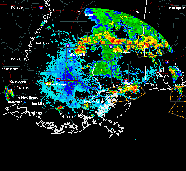 At 548 pm cdt, a severe thunderstorm was located near gray, or near thibodaux, and is nearly stationary (radar indicated). Hazards include 60 mph wind gusts and quarter size hail. Hail damage to vehicles is expected. Expect wind damage to roofs, siding, and trees. At 548 pm cdt, a severe thunderstorm was located near gray, or near thibodaux, and is nearly stationary (radar indicated). Hazards include 60 mph wind gusts and quarter size hail. Hail damage to vehicles is expected. Expect wind damage to roofs, siding, and trees.
|
| 6/6/2019 10:14 AM CDT |
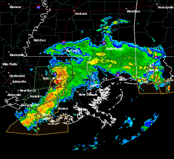 At 1014 am cdt, severe thunderstorms were located along a line extending from near labadieville to 25 miles southeast of burns point, moving northeast at 35 mph (radar indicated). Hazards include 60 mph wind gusts. expect damage to roofs, siding, and trees At 1014 am cdt, severe thunderstorms were located along a line extending from near labadieville to 25 miles southeast of burns point, moving northeast at 35 mph (radar indicated). Hazards include 60 mph wind gusts. expect damage to roofs, siding, and trees
|
| 6/6/2019 9:47 AM CDT |
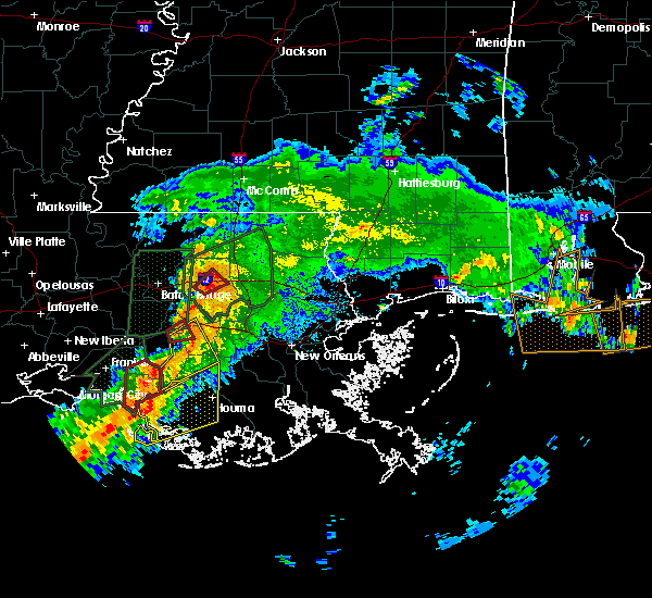 At 947 am cdt, a severe thunderstorm was located 9 miles south of amelia, or 12 miles south of morgan city, moving east at 30 mph (radar indicated). Hazards include 60 mph wind gusts. expect damage to roofs, siding, and trees At 947 am cdt, a severe thunderstorm was located 9 miles south of amelia, or 12 miles south of morgan city, moving east at 30 mph (radar indicated). Hazards include 60 mph wind gusts. expect damage to roofs, siding, and trees
|
| 5/10/2019 9:36 AM CDT |
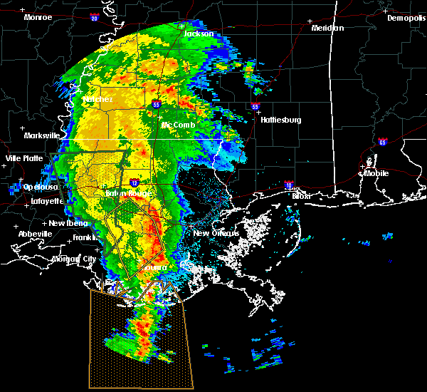 The severe thunderstorm warning for southwestern st. john the baptist, southeastern ascension, st. james, southwestern st. charles, northeastern terrebonne, south central livingston, northwestern lafourche and northeastern assumption parishes will expire at 945 am cdt, the storms which prompted the warning have moved out of the area. therefore, the warning will be allowed to expire. however gusty winds are still possible with these thunderstorms. to report severe weather, contact your nearest law enforcement agency. they will relay your report to the national weather service new orleans. The severe thunderstorm warning for southwestern st. john the baptist, southeastern ascension, st. james, southwestern st. charles, northeastern terrebonne, south central livingston, northwestern lafourche and northeastern assumption parishes will expire at 945 am cdt, the storms which prompted the warning have moved out of the area. therefore, the warning will be allowed to expire. however gusty winds are still possible with these thunderstorms. to report severe weather, contact your nearest law enforcement agency. they will relay your report to the national weather service new orleans.
|
| 5/10/2019 9:11 AM CDT |
 At 911 am cdt, severe thunderstorms were located along a line extending from near napoleonville to schriever to 8 miles southwest of houma, moving northeast at 45 mph (radar indicated). Hazards include 60 mph wind gusts. Expect damage to roofs, siding, and trees. Locations impacted include, houma, thibodaux, gonzales, donaldsonville, napoleonville, reserve, gramercy, lutcher, lockport, sorrento, french settlement, mathews, schriever, garyville, raceland, chackbay, bayou cane, gray, edgard and south vacherie. At 911 am cdt, severe thunderstorms were located along a line extending from near napoleonville to schriever to 8 miles southwest of houma, moving northeast at 45 mph (radar indicated). Hazards include 60 mph wind gusts. Expect damage to roofs, siding, and trees. Locations impacted include, houma, thibodaux, gonzales, donaldsonville, napoleonville, reserve, gramercy, lutcher, lockport, sorrento, french settlement, mathews, schriever, garyville, raceland, chackbay, bayou cane, gray, edgard and south vacherie.
|
| 5/10/2019 8:55 AM CDT |
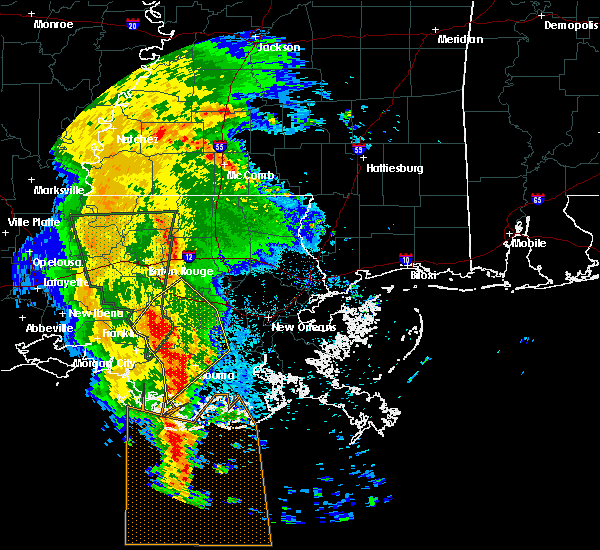 At 854 am cdt, severe thunderstorms were located along a line extending from bayou geneve to 9 miles east of amelia to 13 miles west of dulac, moving northeast at 45 mph (radar indicated). Hazards include 60 mph wind gusts. expect damage to roofs, siding, and trees At 854 am cdt, severe thunderstorms were located along a line extending from bayou geneve to 9 miles east of amelia to 13 miles west of dulac, moving northeast at 45 mph (radar indicated). Hazards include 60 mph wind gusts. expect damage to roofs, siding, and trees
|
| 4/4/2019 11:16 AM CDT |
 At 1115 am cdt, severe thunderstorms were located along a line extending from near sorrento to near convent to near chackbay to near labadieville, moving east at 25 mph (radar indicated). Hazards include 60 mph wind gusts. Expect damage to roofs, siding, and trees. Locations impacted include, thibodaux, gonzales, gramercy, lutcher, sorrento, schriever, gray, south vacherie, convent, north vacherie, garyville, wallace, chackbay, edgard and raceland. At 1115 am cdt, severe thunderstorms were located along a line extending from near sorrento to near convent to near chackbay to near labadieville, moving east at 25 mph (radar indicated). Hazards include 60 mph wind gusts. Expect damage to roofs, siding, and trees. Locations impacted include, thibodaux, gonzales, gramercy, lutcher, sorrento, schriever, gray, south vacherie, convent, north vacherie, garyville, wallace, chackbay, edgard and raceland.
|
| 4/4/2019 11:01 AM CDT |
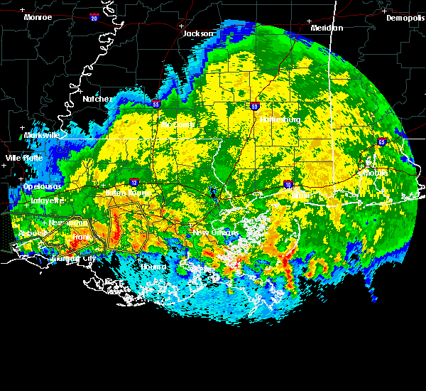 At 1100 am cdt, severe thunderstorms were located along a line extending from near geismer to near donaldsonville to near supreme to near bayou geneve, moving east at 20 mph (radar indicated). Hazards include 60 mph wind gusts. Expect damage to roofs, siding, and trees. Locations impacted include, thibodaux, gonzales, donaldsonville, napoleonville, gramercy, lutcher, sorrento, schriever, gray, geismer, south vacherie, convent, north vacherie, garyville, wallace, supreme, chackbay, labadieville, belle rose and edgard. At 1100 am cdt, severe thunderstorms were located along a line extending from near geismer to near donaldsonville to near supreme to near bayou geneve, moving east at 20 mph (radar indicated). Hazards include 60 mph wind gusts. Expect damage to roofs, siding, and trees. Locations impacted include, thibodaux, gonzales, donaldsonville, napoleonville, gramercy, lutcher, sorrento, schriever, gray, geismer, south vacherie, convent, north vacherie, garyville, wallace, supreme, chackbay, labadieville, belle rose and edgard.
|
| 4/4/2019 10:44 AM CDT |
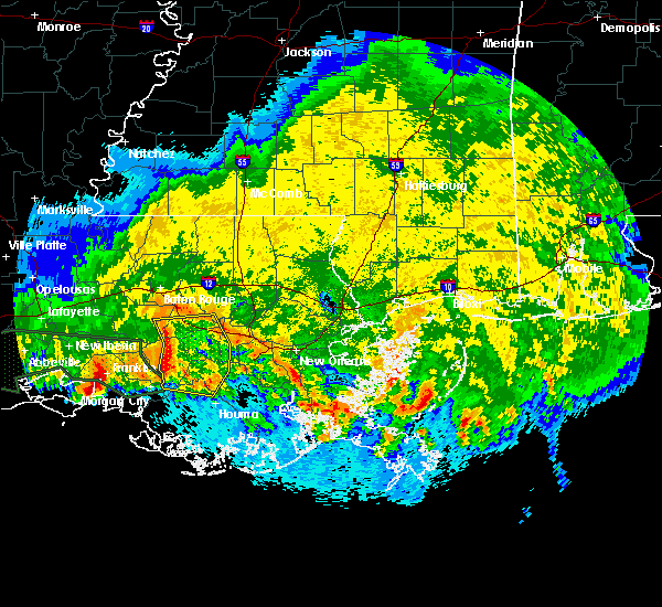 At 1044 am cdt, severe thunderstorms were located along a line extending from near geismer to near belle rose to supreme to near stephensville, moving east at 25 mph (radar indicated). Hazards include 60 mph wind gusts. expect damage to roofs, siding, and trees At 1044 am cdt, severe thunderstorms were located along a line extending from near geismer to near belle rose to supreme to near stephensville, moving east at 25 mph (radar indicated). Hazards include 60 mph wind gusts. expect damage to roofs, siding, and trees
|
| 11/25/2018 11:52 AM CST |
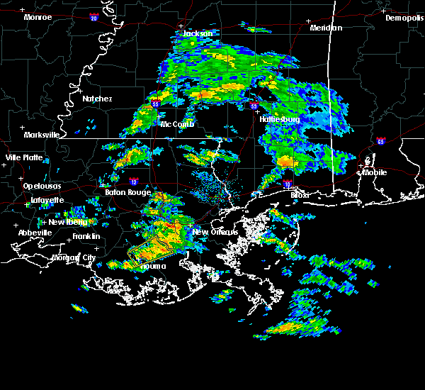 At 1151 am cst, a severe thunderstorm was located over bayou cane, or near houma, moving northeast at 20 mph (radar indicated). Hazards include 60 mph wind gusts. expect damage to roofs, siding, and trees At 1151 am cst, a severe thunderstorm was located over bayou cane, or near houma, moving northeast at 20 mph (radar indicated). Hazards include 60 mph wind gusts. expect damage to roofs, siding, and trees
|
| 11/1/2018 4:38 AM CDT |
 At 437 am cdt, severe thunderstorms were located along a line extending from supreme to 10 miles southeast of amelia, moving northeast at 45 mph (radar indicated). Hazards include 60 mph wind gusts and penny size hail. Expect damage to roofs, siding, and trees. locations impacted include, houma, thibodaux, schriever, gray, bayou cane, chackbay, south vacherie and raceland. A tornado watch remains in effect until 700 am cdt for southeastern louisiana. At 437 am cdt, severe thunderstorms were located along a line extending from supreme to 10 miles southeast of amelia, moving northeast at 45 mph (radar indicated). Hazards include 60 mph wind gusts and penny size hail. Expect damage to roofs, siding, and trees. locations impacted include, houma, thibodaux, schriever, gray, bayou cane, chackbay, south vacherie and raceland. A tornado watch remains in effect until 700 am cdt for southeastern louisiana.
|
| 11/1/2018 4:15 AM CDT |
 At 414 am cdt, severe thunderstorms were located along a line extending from morgan city to 19 miles south of amelia, moving northeast at 45 mph (radar indicated). Hazards include 60 mph wind gusts and penny size hail. expect damage to roofs, siding, and trees At 414 am cdt, severe thunderstorms were located along a line extending from morgan city to 19 miles south of amelia, moving northeast at 45 mph (radar indicated). Hazards include 60 mph wind gusts and penny size hail. expect damage to roofs, siding, and trees
|
| 6/11/2018 1:44 PM CDT |
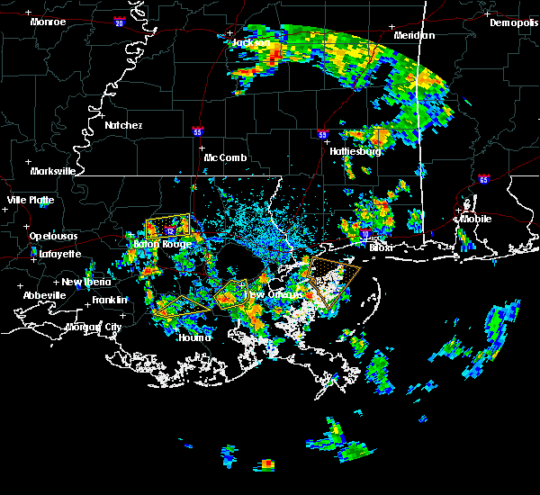 At 144 pm cdt, a severe thunderstorm was located over schriever, or over thibodaux, moving northeast at 10 mph (radar indicated). Hazards include 60 mph wind gusts. Expect damage to roofs, siding, and trees. Locations impacted include, thibodaux, schriever, raceland, gray, bayou gauche and des allemands. At 144 pm cdt, a severe thunderstorm was located over schriever, or over thibodaux, moving northeast at 10 mph (radar indicated). Hazards include 60 mph wind gusts. Expect damage to roofs, siding, and trees. Locations impacted include, thibodaux, schriever, raceland, gray, bayou gauche and des allemands.
|
| 6/11/2018 1:20 PM CDT |
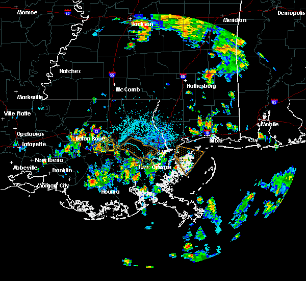 At 120 pm cdt, a severe thunderstorm was located over gray, or 7 miles south of thibodaux, moving northeast at 20 mph (radar indicated). Hazards include 60 mph wind gusts. expect damage to roofs, siding, and trees At 120 pm cdt, a severe thunderstorm was located over gray, or 7 miles south of thibodaux, moving northeast at 20 mph (radar indicated). Hazards include 60 mph wind gusts. expect damage to roofs, siding, and trees
|
| 4/14/2018 10:55 AM CDT |
 At 1055 am cdt, severe thunderstorms were located along a line extending from near st. rose to 20 miles west of dulac, moving east at 20 mph (radar indicated). Hazards include 60 mph wind gusts and penny size hail. Expect damage to roofs, siding, and trees. these severe storms will be near, river ridge, waggaman, ama, st. rose and destrehan around 1100 am cdt. jefferson, harahan and elmwood around 1105 am cdt. avondale and bridge city around 1110 am cdt. metairie and westwego around 1115 am cdt. other locations impacted by these severe thunderstorms include new orleans armstrong airport and lakefront airport. A tornado watch remains in effect until 200 pm cdt for southeastern louisiana. At 1055 am cdt, severe thunderstorms were located along a line extending from near st. rose to 20 miles west of dulac, moving east at 20 mph (radar indicated). Hazards include 60 mph wind gusts and penny size hail. Expect damage to roofs, siding, and trees. these severe storms will be near, river ridge, waggaman, ama, st. rose and destrehan around 1100 am cdt. jefferson, harahan and elmwood around 1105 am cdt. avondale and bridge city around 1110 am cdt. metairie and westwego around 1115 am cdt. other locations impacted by these severe thunderstorms include new orleans armstrong airport and lakefront airport. A tornado watch remains in effect until 200 pm cdt for southeastern louisiana.
|
| 4/14/2018 10:26 AM CDT |
 At 1024 am cdt, severe thunderstorms were located along a line extending from killona to 13 miles west of dulac, moving east at 30 mph (radar indicated). Hazards include 60 mph wind gusts and nickel size hail. Expect damage to roofs, siding, and trees. severe thunderstorms will be near, hahnville, taft, montz and killona around 1030 am cdt. norco, new sarpy, luling and boutte around 1035 am cdt. destrehan around 1040 am cdt. st. rose around 1045 am cdt. dulac and ama around 1050 am cdt. river ridge and waggaman around 1055 am cdt. avondale, jefferson, harahan, elmwood and bridge city around 1100 am cdt. westwego and chauvin around 1105 am cdt. other locations impacted by these severe thunderstorms include new orleans armstrong airport and lakefront airport. A tornado watch remains in effect until 200 pm cdt for southeastern louisiana. At 1024 am cdt, severe thunderstorms were located along a line extending from killona to 13 miles west of dulac, moving east at 30 mph (radar indicated). Hazards include 60 mph wind gusts and nickel size hail. Expect damage to roofs, siding, and trees. severe thunderstorms will be near, hahnville, taft, montz and killona around 1030 am cdt. norco, new sarpy, luling and boutte around 1035 am cdt. destrehan around 1040 am cdt. st. rose around 1045 am cdt. dulac and ama around 1050 am cdt. river ridge and waggaman around 1055 am cdt. avondale, jefferson, harahan, elmwood and bridge city around 1100 am cdt. westwego and chauvin around 1105 am cdt. other locations impacted by these severe thunderstorms include new orleans armstrong airport and lakefront airport. A tornado watch remains in effect until 200 pm cdt for southeastern louisiana.
|
| 4/14/2018 10:01 AM CDT |
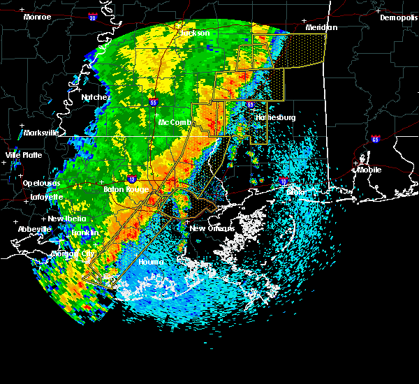 At 1000 am cdt, severe thunderstorms were located along a line extending from north vacherie to schriever to 13 miles south of amelia, moving northeast at 30 mph (radar indicated). Hazards include 70 mph wind gusts. Expect considerable tree damage. damage is likely to mobile homes, roofs, and outbuildings. locations impacted include, houma, thibodaux, reserve, hahnville, laplace, gramercy, lutcher, schriever, montz, garyville, boutte, raceland, chackbay, destrehan, bayou cane, killona, norco, paradis, gray and edgard. A tornado watch remains in effect until 200 pm cdt for southeastern louisiana. At 1000 am cdt, severe thunderstorms were located along a line extending from north vacherie to schriever to 13 miles south of amelia, moving northeast at 30 mph (radar indicated). Hazards include 70 mph wind gusts. Expect considerable tree damage. damage is likely to mobile homes, roofs, and outbuildings. locations impacted include, houma, thibodaux, reserve, hahnville, laplace, gramercy, lutcher, schriever, montz, garyville, boutte, raceland, chackbay, destrehan, bayou cane, killona, norco, paradis, gray and edgard. A tornado watch remains in effect until 200 pm cdt for southeastern louisiana.
|
| 4/14/2018 9:44 AM CDT |
 At 943 am cdt, severe thunderstorms were located along a line extending from 8 miles south of ponchatoula to 21 miles southeast of burns point, moving east at 15 mph (radar indicated). Hazards include 60 mph wind gusts. expect damage to roofs, siding, and trees At 943 am cdt, severe thunderstorms were located along a line extending from 8 miles south of ponchatoula to 21 miles southeast of burns point, moving east at 15 mph (radar indicated). Hazards include 60 mph wind gusts. expect damage to roofs, siding, and trees
|
| 4/14/2018 9:22 AM CDT |
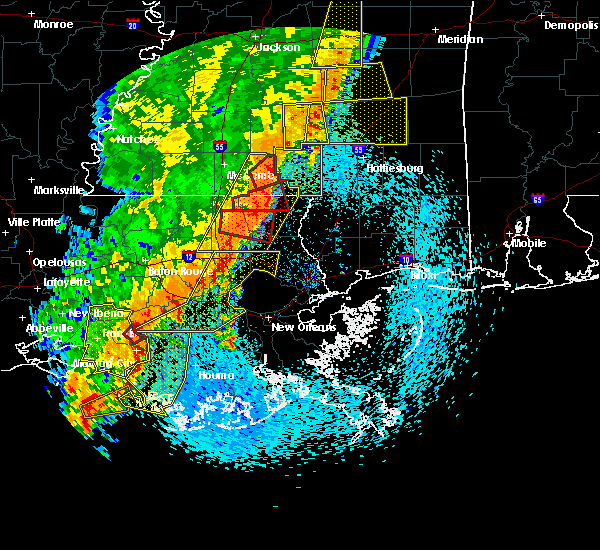 At 921 am cdt, severe thunderstorms were located along a line extending from near belle river to 11 miles southwest of amelia to 28 miles south of burns point, moving east at 25 mph (radar indicated). Hazards include 60 mph wind gusts. expect damage to roofs, siding, and trees At 921 am cdt, severe thunderstorms were located along a line extending from near belle river to 11 miles southwest of amelia to 28 miles south of burns point, moving east at 25 mph (radar indicated). Hazards include 60 mph wind gusts. expect damage to roofs, siding, and trees
|
| 4/14/2018 8:50 AM CDT |
 At 849 am cdt, severe thunderstorms were located along a line extending from livingston to donaldsonville to bayou geneve, moving southeast at 15 mph (radar indicated). Hazards include 60 mph wind gusts. Expect damage to roofs, siding, and trees. locations impacted include, thibodaux, denham springs, gonzales, donaldsonville, napoleonville, st. gabriel, walker, gramercy, lutcher, white castle, livingston, sorrento, french settlement, albany, port vincent, schriever, geismer, supreme, chackbay and shenandoah. A tornado watch remains in effect until 200 pm cdt for southeastern louisiana. At 849 am cdt, severe thunderstorms were located along a line extending from livingston to donaldsonville to bayou geneve, moving southeast at 15 mph (radar indicated). Hazards include 60 mph wind gusts. Expect damage to roofs, siding, and trees. locations impacted include, thibodaux, denham springs, gonzales, donaldsonville, napoleonville, st. gabriel, walker, gramercy, lutcher, white castle, livingston, sorrento, french settlement, albany, port vincent, schriever, geismer, supreme, chackbay and shenandoah. A tornado watch remains in effect until 200 pm cdt for southeastern louisiana.
|
| 4/14/2018 8:01 AM CDT |
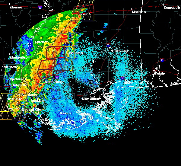 At 800 am cdt, severe thunderstorms were located along a line extending from port allen to 7 miles west of belle river, moving east at 25 mph (radar indicated). Hazards include 60 mph wind gusts. expect damage to roofs, siding, and trees At 800 am cdt, severe thunderstorms were located along a line extending from port allen to 7 miles west of belle river, moving east at 25 mph (radar indicated). Hazards include 60 mph wind gusts. expect damage to roofs, siding, and trees
|
| 8/19/2017 6:24 PM CDT |
 The severe thunderstorm warning for north central terrebonne, northwestern lafourche and east central assumption parishes will expire at 630 pm cdt, the storm which prompted the warning has weakened below severe limits, and no longer poses an immediate threat to life or property. therefore the warning will be allowed to expire. however gusty winds are still possible with this thunderstorm. The severe thunderstorm warning for north central terrebonne, northwestern lafourche and east central assumption parishes will expire at 630 pm cdt, the storm which prompted the warning has weakened below severe limits, and no longer poses an immediate threat to life or property. therefore the warning will be allowed to expire. however gusty winds are still possible with this thunderstorm.
|
| 8/19/2017 5:54 PM CDT |
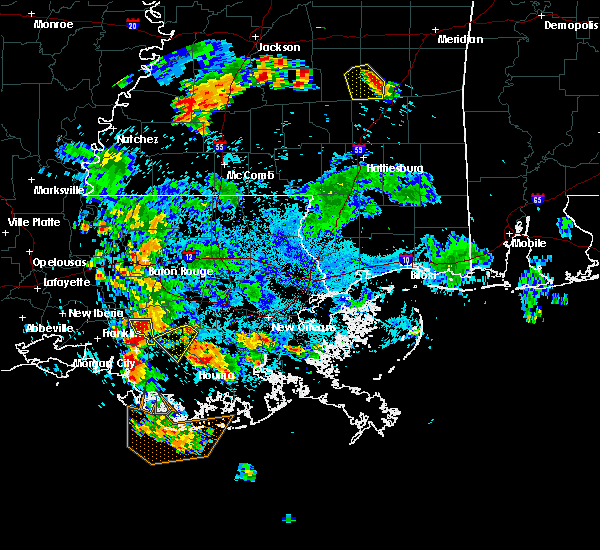 At 554 pm cdt, a severe thunderstorm was located near chackbay, or 7 miles northeast of thibodaux, moving southwest at 20 mph (radar indicated). Hazards include 60 mph wind gusts. expect damage to roofs, siding, and trees At 554 pm cdt, a severe thunderstorm was located near chackbay, or 7 miles northeast of thibodaux, moving southwest at 20 mph (radar indicated). Hazards include 60 mph wind gusts. expect damage to roofs, siding, and trees
|
| 5/19/2016 10:01 PM CDT |
 At 1001 pm cdt, severe thunderstorms were located along a line extending from near napoleonville to near gray to 8 miles west of cocodrie, moving northeast at 35 mph (radar indicated). Hazards include 70 mph wind gusts and penny size hail. Expect considerable tree damage. Damage is likely to mobile homes, roofs, and outbuildings. At 1001 pm cdt, severe thunderstorms were located along a line extending from near napoleonville to near gray to 8 miles west of cocodrie, moving northeast at 35 mph (radar indicated). Hazards include 70 mph wind gusts and penny size hail. Expect considerable tree damage. Damage is likely to mobile homes, roofs, and outbuildings.
|
| 3/18/2016 10:32 AM CDT | Half Dollar sized hail reported 0.4 miles N of Gray, LA, public report of half dollar hail. |
| 3/18/2016 10:14 AM CDT |
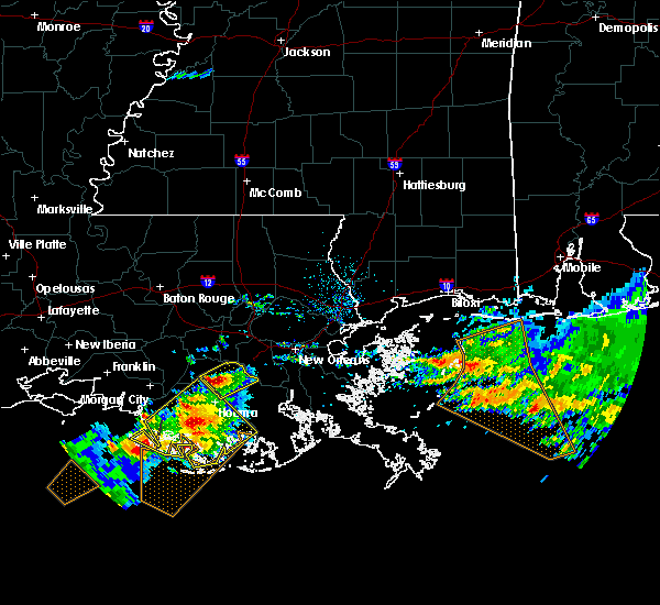 At 1014 am cdt, a severe thunderstorm was located 9 miles west of dulac, or 14 miles southwest of houma, moving northeast at 15 mph (radar indicated). Hazards include 60 mph wind gusts and half dollar size hail. Hail damage to vehicles is expected. Expect wind damage to roofs, siding and trees. At 1014 am cdt, a severe thunderstorm was located 9 miles west of dulac, or 14 miles southwest of houma, moving northeast at 15 mph (radar indicated). Hazards include 60 mph wind gusts and half dollar size hail. Hail damage to vehicles is expected. Expect wind damage to roofs, siding and trees.
|
| 3/18/2016 9:58 AM CDT | Half Dollar sized hail reported 0.4 miles N of Gray, LA, public report relayed by the media |
| 3/11/2016 4:11 AM CST | Tree blown over at 3839 bayou black drive. time estimated from rada in terrebonne county LA, 11.2 miles NE of Gray, LA |
| 3/11/2016 4:06 AM CST |
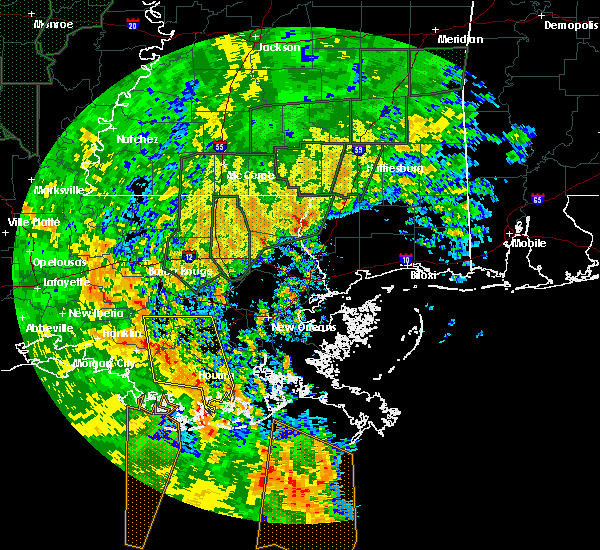 At 406 am cst, severe thunderstorms were located along a line extending from 14 miles southeast of amelia to near chauvin to 20 miles south of cocodrie, moving north at 60 mph (radar indicated). Hazards include 60 mph wind gusts. Expect damage to roofs. Siding and trees. At 406 am cst, severe thunderstorms were located along a line extending from 14 miles southeast of amelia to near chauvin to 20 miles south of cocodrie, moving north at 60 mph (radar indicated). Hazards include 60 mph wind gusts. Expect damage to roofs. Siding and trees.
|
| 12/28/2015 3:05 AM CST |
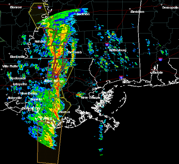 At 305 am cst, a severe thunderstorm was located 8 miles southwest of houma, moving northeast at 55 mph (radar indicated). Hazards include 60 mph wind gusts. Expect damage to roofs. Siding and trees. At 305 am cst, a severe thunderstorm was located 8 miles southwest of houma, moving northeast at 55 mph (radar indicated). Hazards include 60 mph wind gusts. Expect damage to roofs. Siding and trees.
|
| 4/27/2015 9:46 AM CDT | At 945 am cdt, doppler radar indicated a line of severe thunderstorms capable of producing quarter size hail and destructive winds in excess of 70 mph. these storms were located along a line extending from 7 miles east of sorrento to near chackbay to 6 miles south of amelia, and moving east at 60 mph. |
| 2/24/2013 7:37 PM CST | Quarter sized hail reported 0.4 miles N of Gray, LA, hail lasted 15 to 20 minutes. |
| 1/1/0001 12:00 AM | Entergy reporting 357 customers without powe in terrebonne county LA, 0.4 miles N of Gray, LA |
Hail Maps for Gray, LA

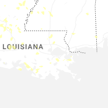
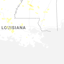
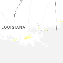


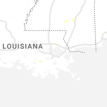

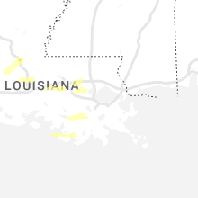
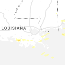
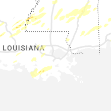


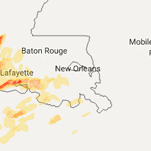
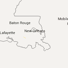
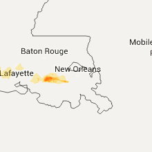

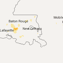


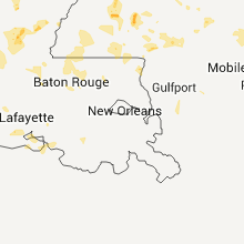

Connect with Interactive Hail Maps