

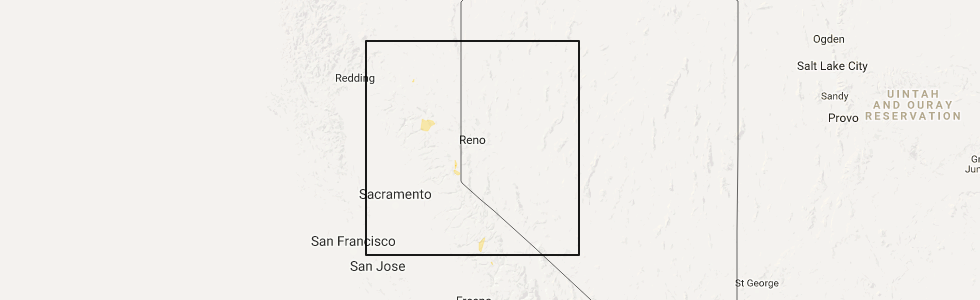
Hail Map for Greenhorn, CA
The Greenhorn, CA area has had 0 reports of on-the-ground hail by trained spotters, and has been under severe weather warnings 2 times during the past 12 months. Doppler radar has detected hail at or near Greenhorn, CA on 8 occasions.
| Name: | Greenhorn, CA |
| Where Located: | 56.8 miles WNW of Reno, NV |
| Map: | Google Map for Greenhorn, CA |
| Population: | 236 |
| Housing Units: | 140 |
| More Info: | Search Google for Greenhorn, CA |
5
The Top Recent Hail Date for Greenhorn, CA is Wednesday, August 2, 2017 (1st out of 8)
Hail and Wind Damage Spotted near Greenhorn, CA
| Date / Time | Report Details |
|---|---|
| 5/3/2026 3:07 PM PDT |
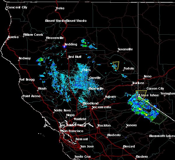
 The storm which prompted the warning has weakened below severe limits, and no longer poses an immediate threat to life or property. therefore, the warning will be allowed to expire. small hail and gusty winds to 35 mph will still be possible. The storm which prompted the warning has weakened below severe limits, and no longer poses an immediate threat to life or property. therefore, the warning will be allowed to expire. small hail and gusty winds to 35 mph will still be possible.
|
| 5/3/2026 2:34 PM PDT |
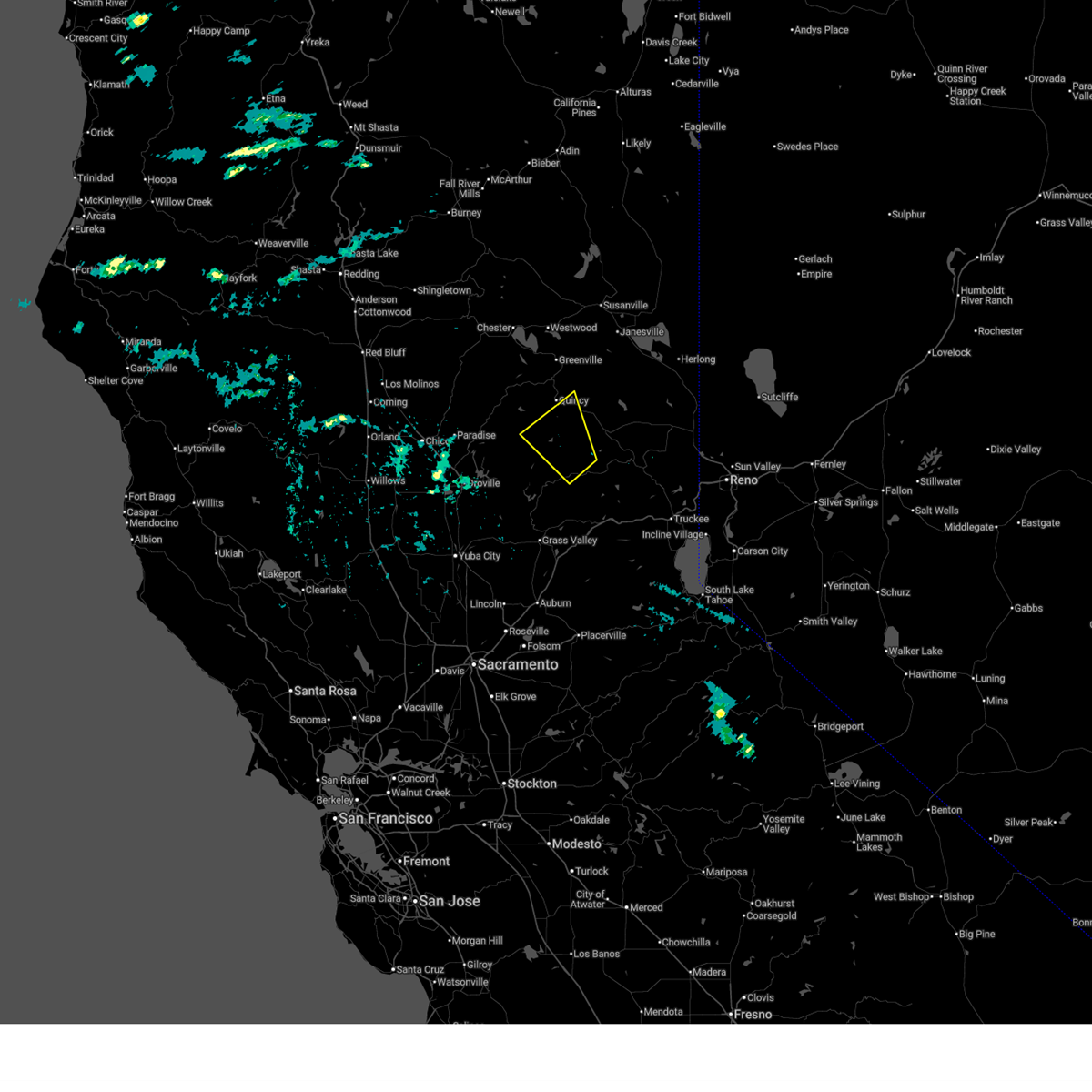
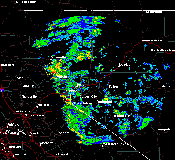
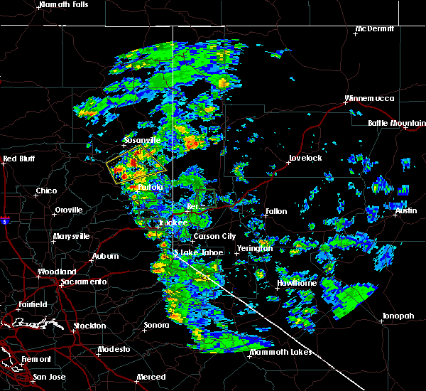
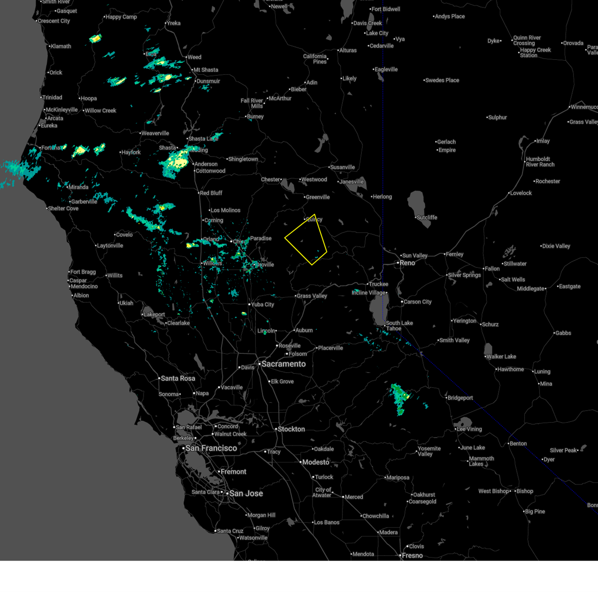 Svrsto the national weather service in sacramento has issued a * severe thunderstorm warning for, southeastern plumas county in northern california, northwestern sierra county in northern california, northeastern yuba county in central california, * until 315 pm pdt. * at 233 pm pdt, a severe thunderstorm was located 7 miles north of downieville, moving northwest at 30 mph (radar indicated). Hazards include quarter size hail. damage to vehicles is expected Svrsto the national weather service in sacramento has issued a * severe thunderstorm warning for, southeastern plumas county in northern california, northwestern sierra county in northern california, northeastern yuba county in central california, * until 315 pm pdt. * at 233 pm pdt, a severe thunderstorm was located 7 miles north of downieville, moving northwest at 30 mph (radar indicated). Hazards include quarter size hail. damage to vehicles is expected
|
| 8/2/2017 7:35 PM PDT |
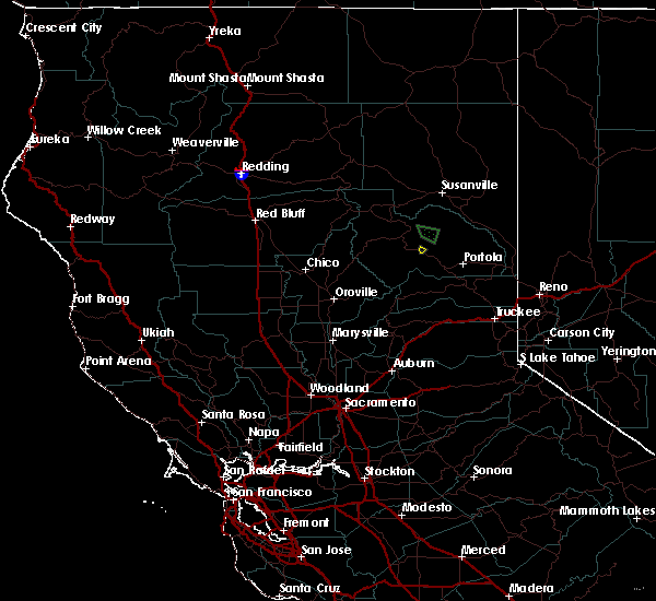 At 734 pm pdt, a severe thunderstorm was located over spring garden, or near quincy, moving southwest at 15 mph (radar indicated). Hazards include quarter size hail. Damage to vehicles is expected. Locations impacted include, spring garden. At 734 pm pdt, a severe thunderstorm was located over spring garden, or near quincy, moving southwest at 15 mph (radar indicated). Hazards include quarter size hail. Damage to vehicles is expected. Locations impacted include, spring garden.
|
| 8/2/2017 7:18 PM PDT |
 At 718 pm pdt, a severe thunderstorm was located over spring garden, or near quincy, moving south-southwest at 10 mph (radar indicated). Hazards include quarter size hail. damage to vehicles is expected At 718 pm pdt, a severe thunderstorm was located over spring garden, or near quincy, moving south-southwest at 10 mph (radar indicated). Hazards include quarter size hail. damage to vehicles is expected
|
| 7/21/2015 3:51 PM PDT |
 At 347 pm pdt, doppler radar indicated severe thunderstorms capable of producing quarter size hail and damaging winds in excess of 60 mph over northern plumas county and over lassen county near honey lake. the storms are moving east at 10 mph. locations impacted include, herlong, janesville, antelope lake, standish, genesee, long point campground, lone rock campground, boulder creek campground and honey lake. At 347 pm pdt, doppler radar indicated severe thunderstorms capable of producing quarter size hail and damaging winds in excess of 60 mph over northern plumas county and over lassen county near honey lake. the storms are moving east at 10 mph. locations impacted include, herlong, janesville, antelope lake, standish, genesee, long point campground, lone rock campground, boulder creek campground and honey lake.
|
| 7/21/2015 3:36 PM PDT |
 At 335 pm pdt, doppler radar indicated severe thunderstorms capable of producing quarter size hail and damaging winds in excess of 60 mph. the storms are over northern plumas county moving toward highway 395 near honey lake. At 335 pm pdt, doppler radar indicated severe thunderstorms capable of producing quarter size hail and damaging winds in excess of 60 mph. the storms are over northern plumas county moving toward highway 395 near honey lake.
|
| 7/8/2015 1:02 PM PDT |
 At 101 pm pdt, doppler radar indicated a severe thunderstorm capable of producing quarter size hail and damaging winds in excess of 60 mph. this storm was located near spring garden, or 9 miles east of quincy, and moving north at 10 mph. * this storm is also producing torrential rains that will impact areas north of sloat and south of genesee. expect localized flash flooding. do not drive into flooded areas. At 101 pm pdt, doppler radar indicated a severe thunderstorm capable of producing quarter size hail and damaging winds in excess of 60 mph. this storm was located near spring garden, or 9 miles east of quincy, and moving north at 10 mph. * this storm is also producing torrential rains that will impact areas north of sloat and south of genesee. expect localized flash flooding. do not drive into flooded areas.
|
Hail Maps for Greenhorn, CA


Connect with Interactive Hail Maps