

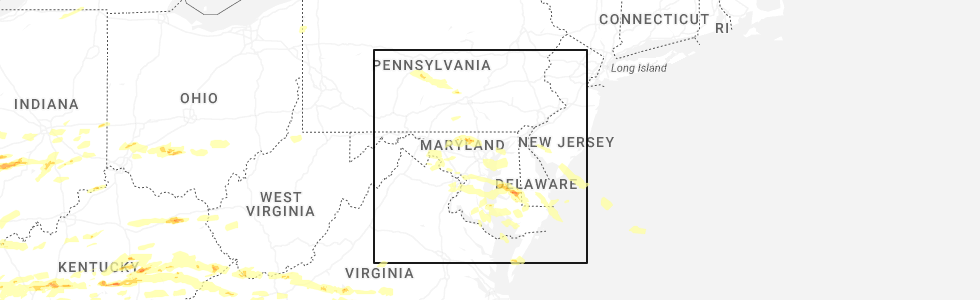
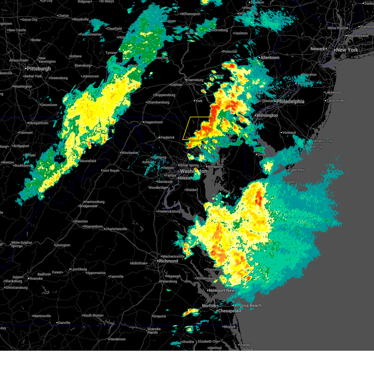
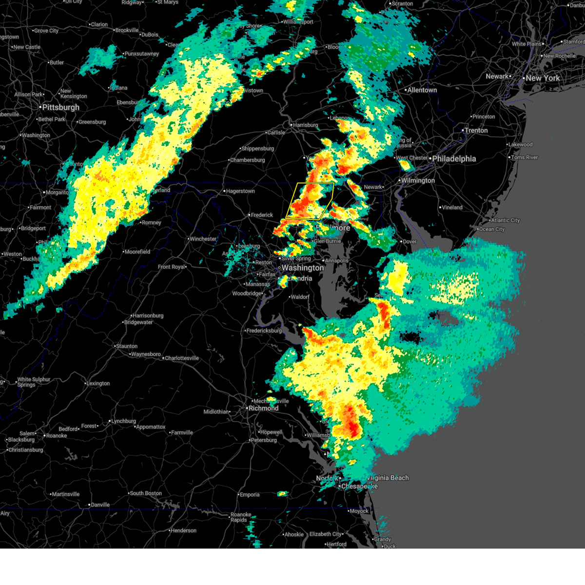
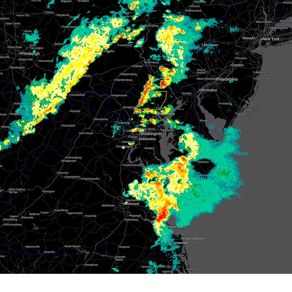
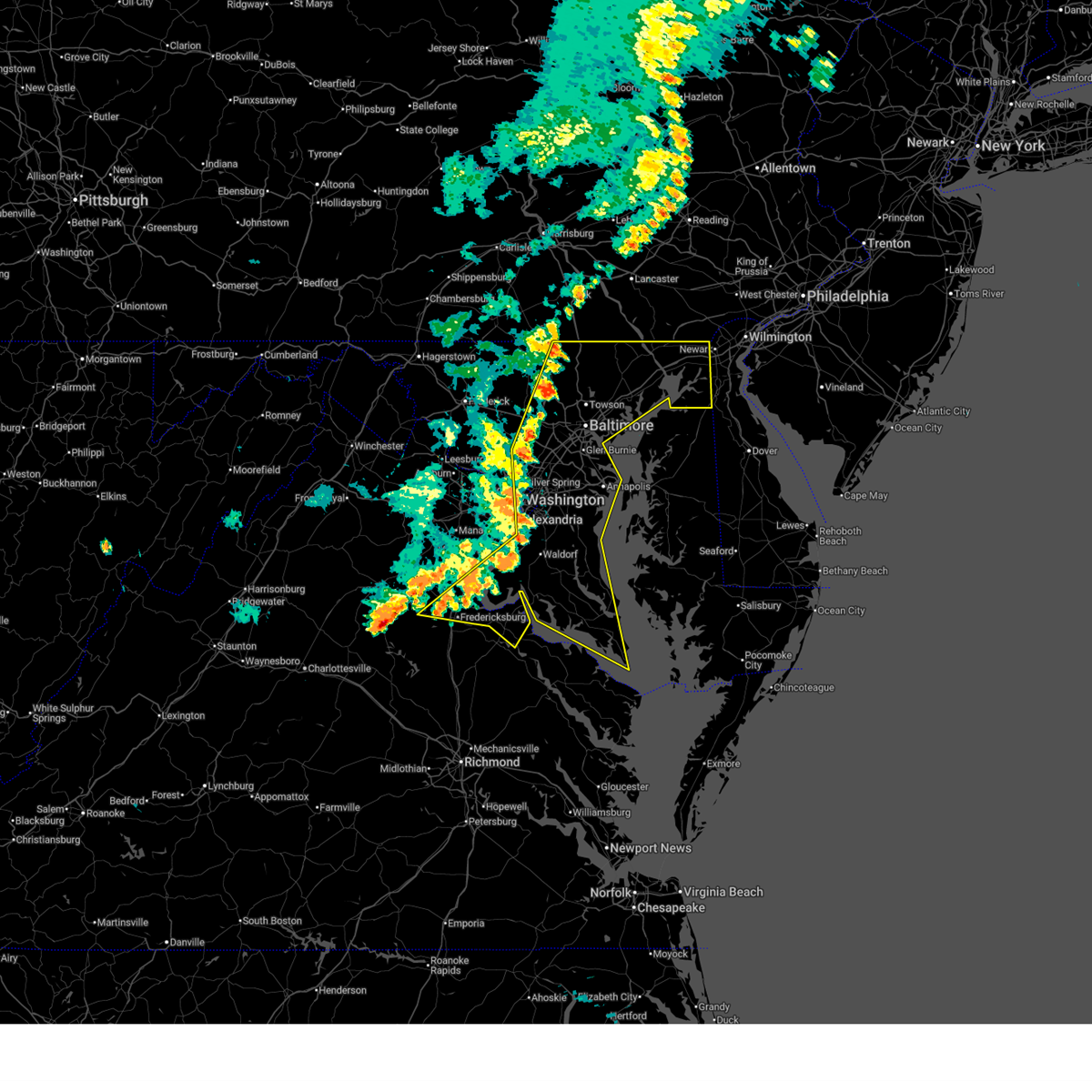
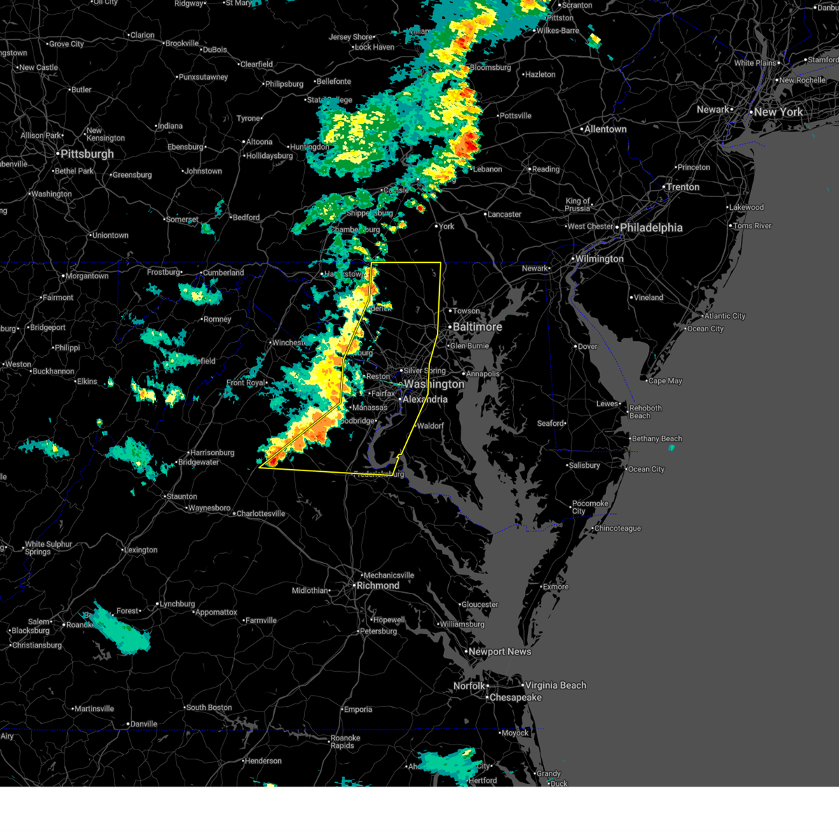
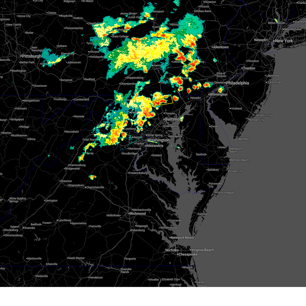
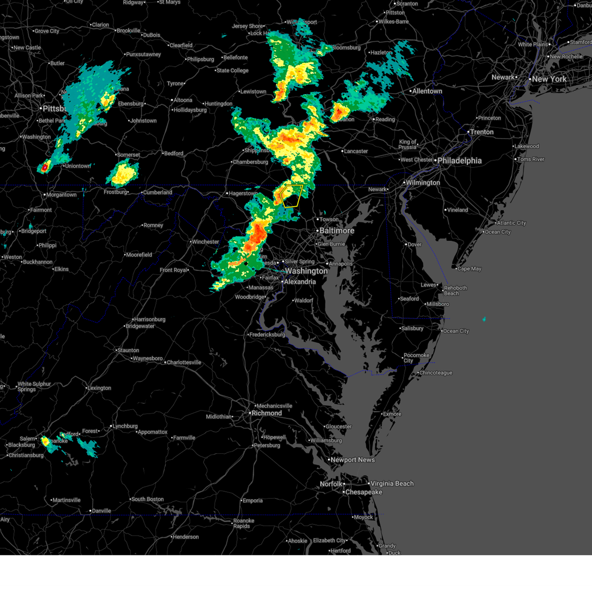
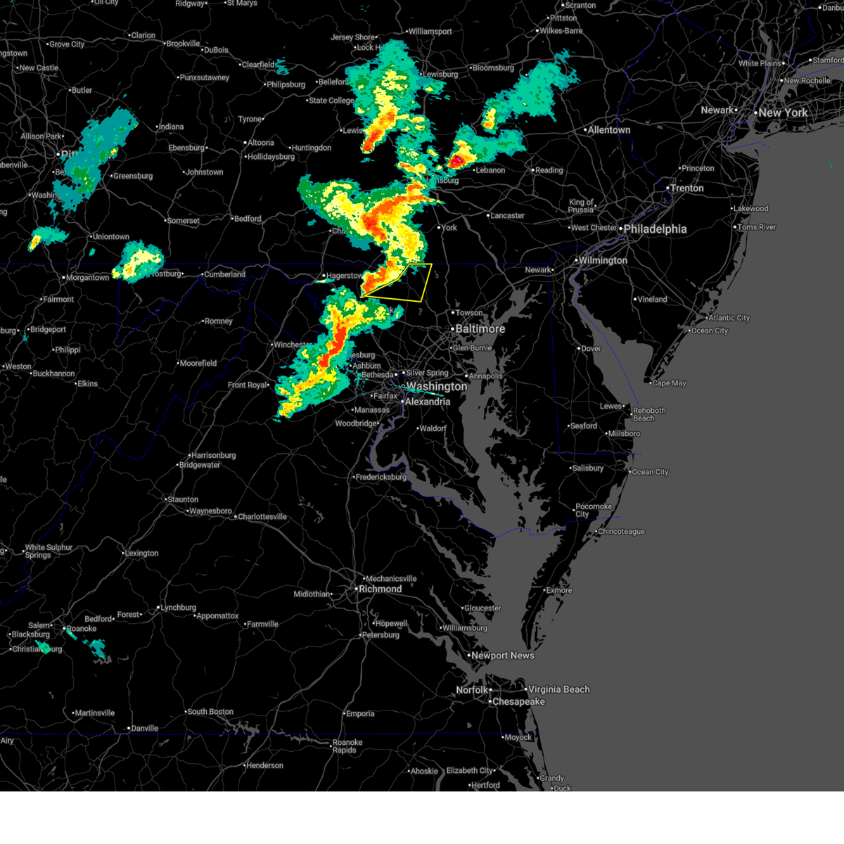
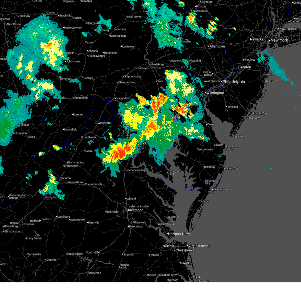
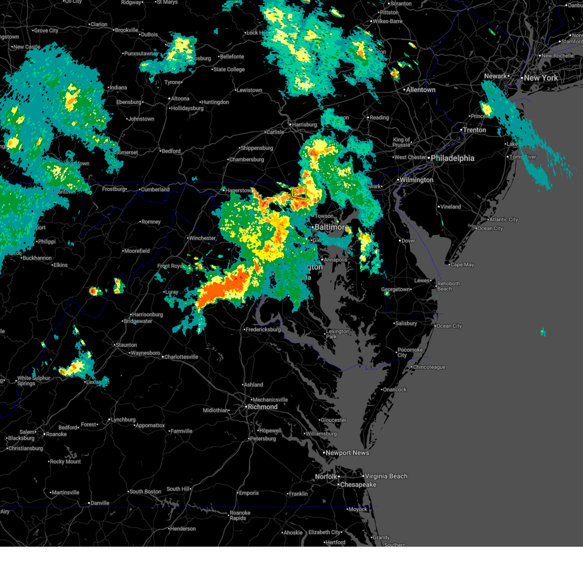
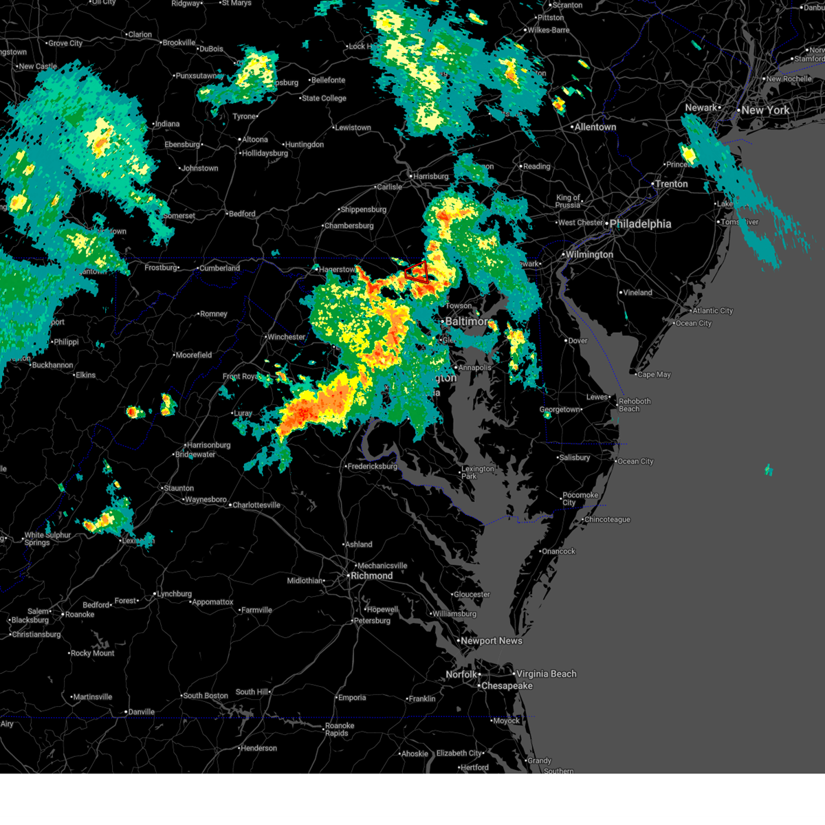
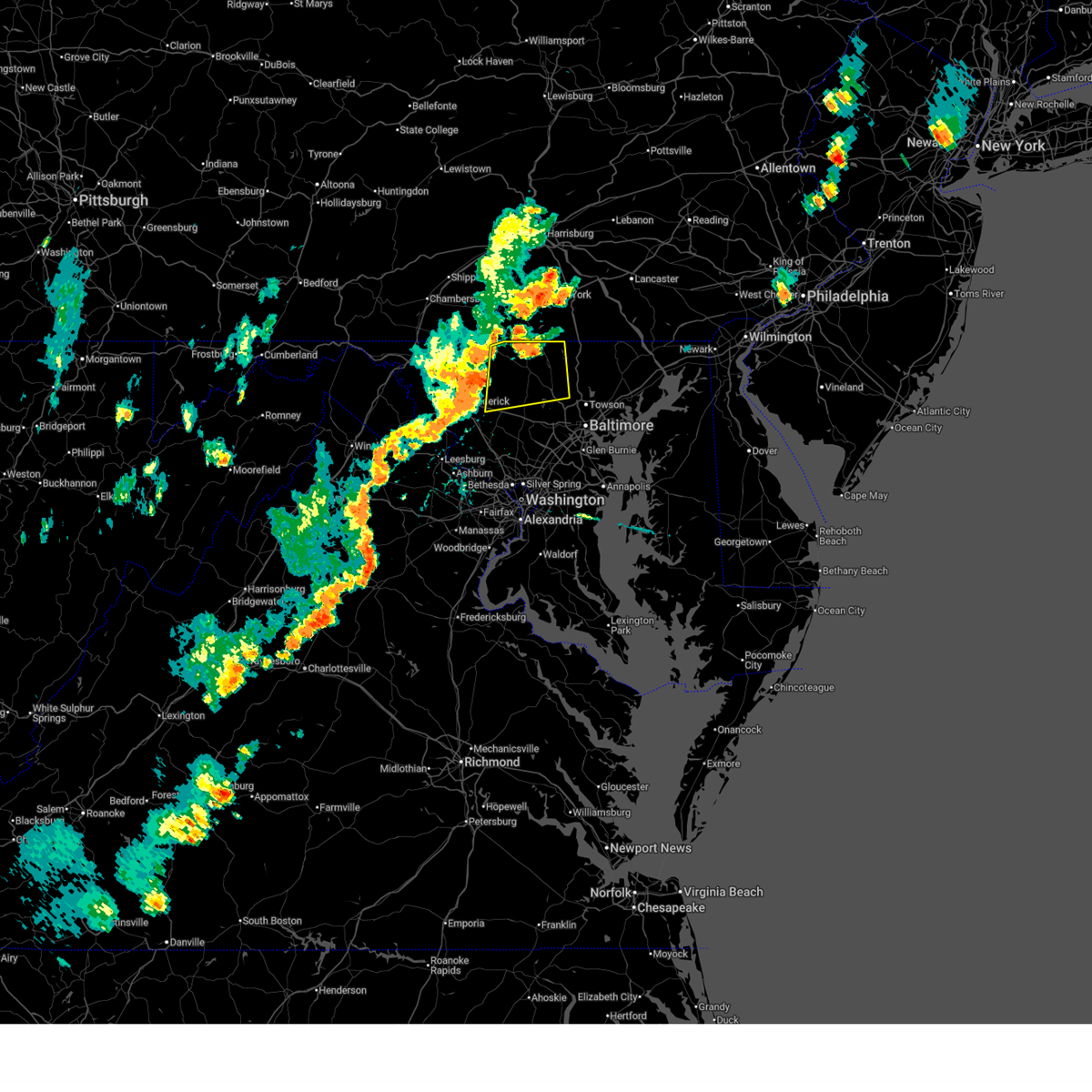
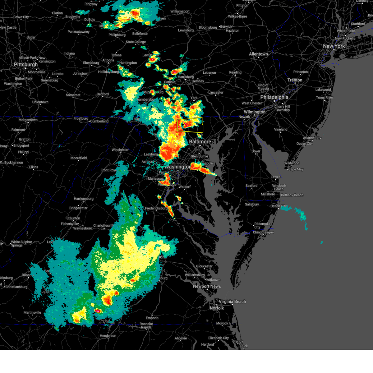
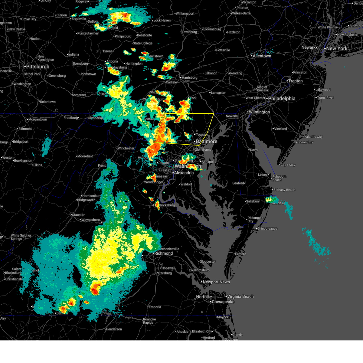
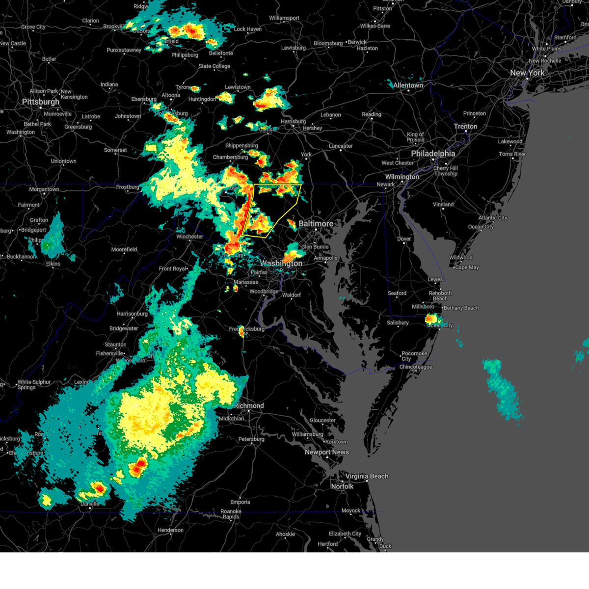
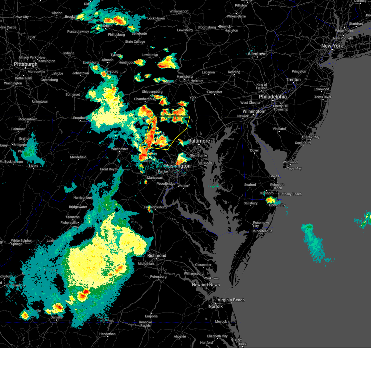
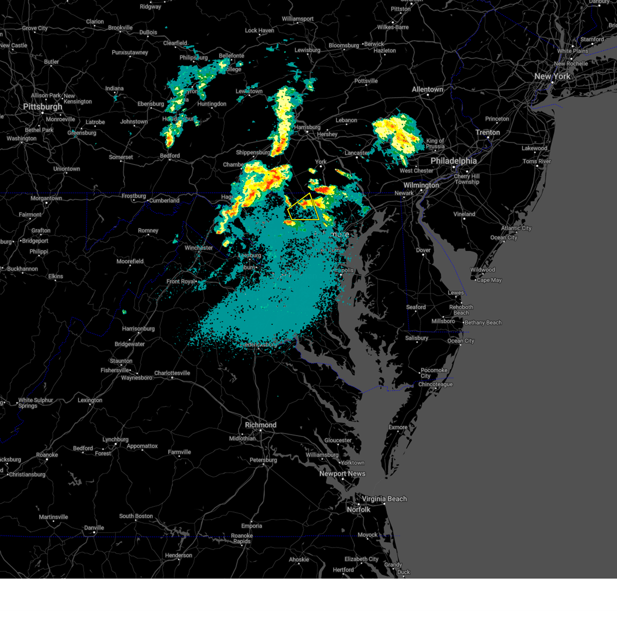
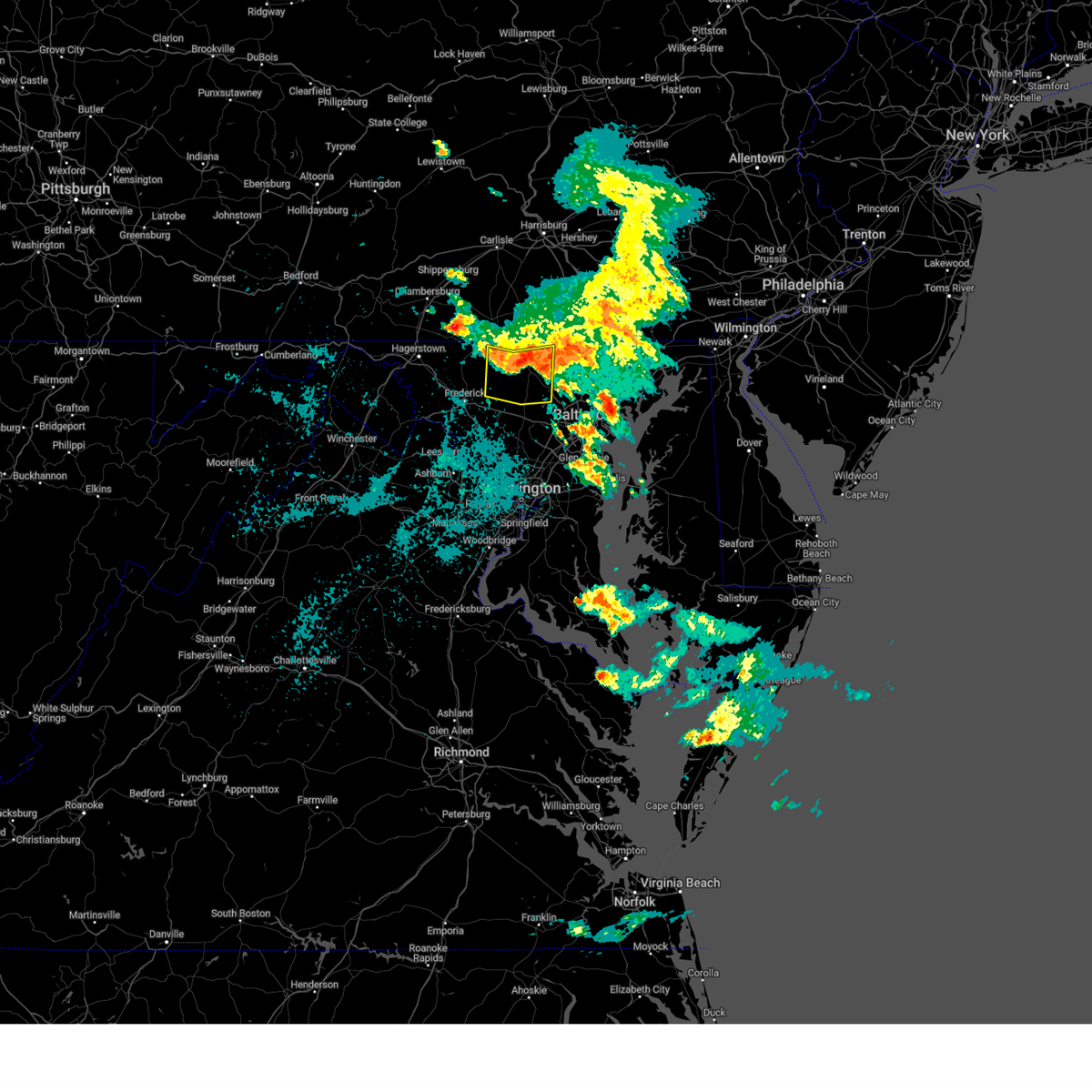
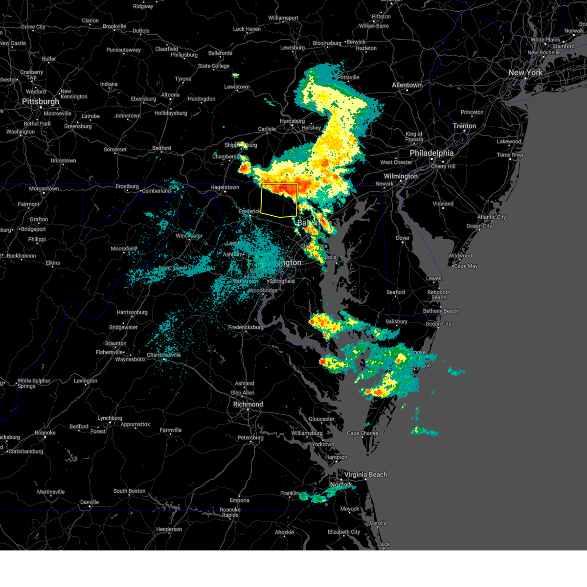
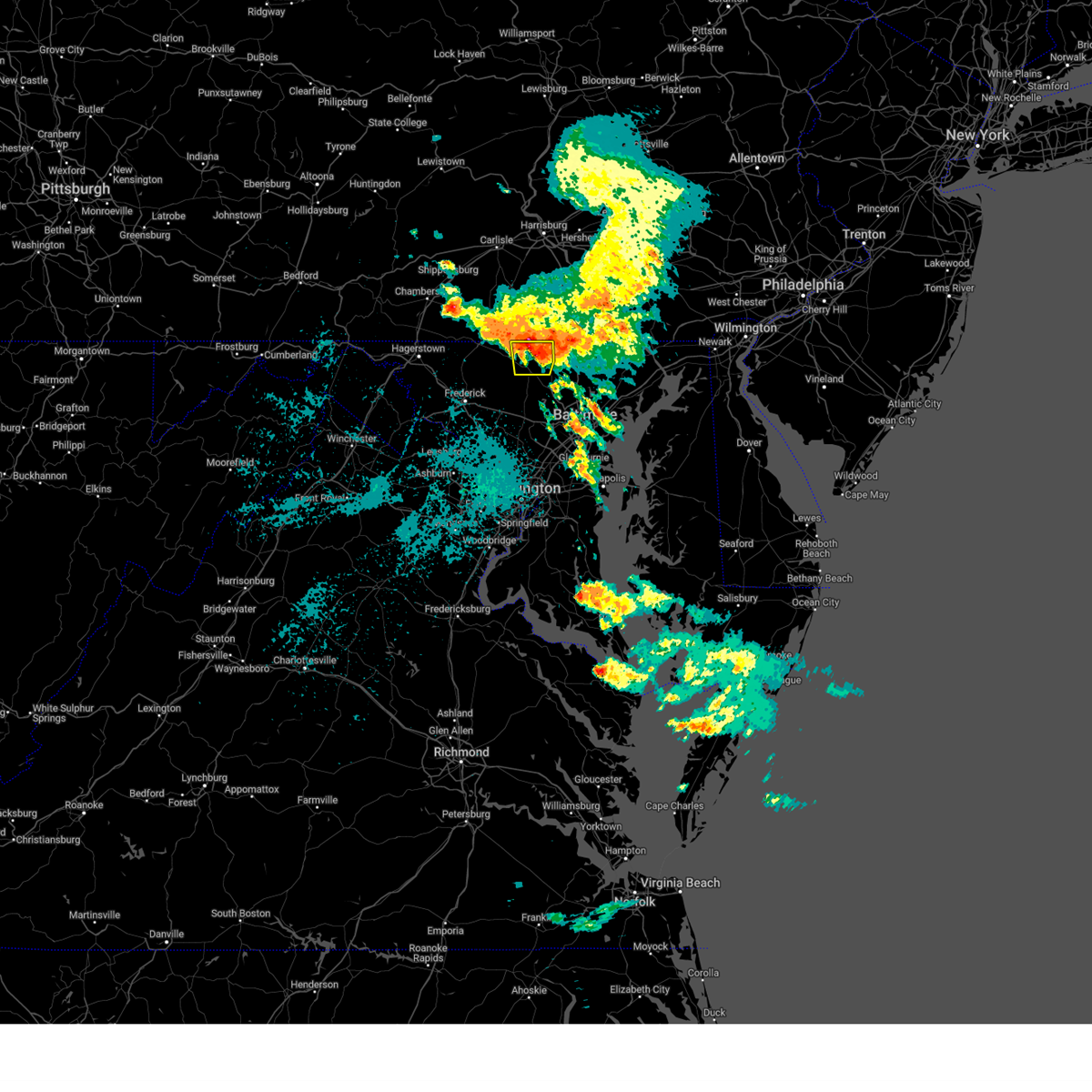
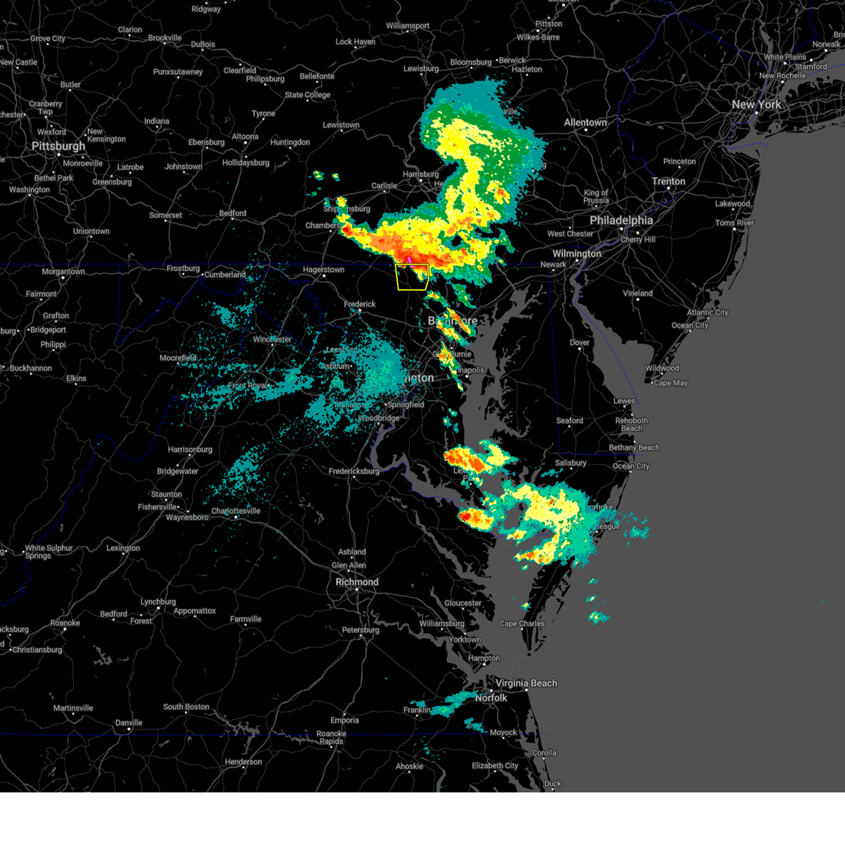
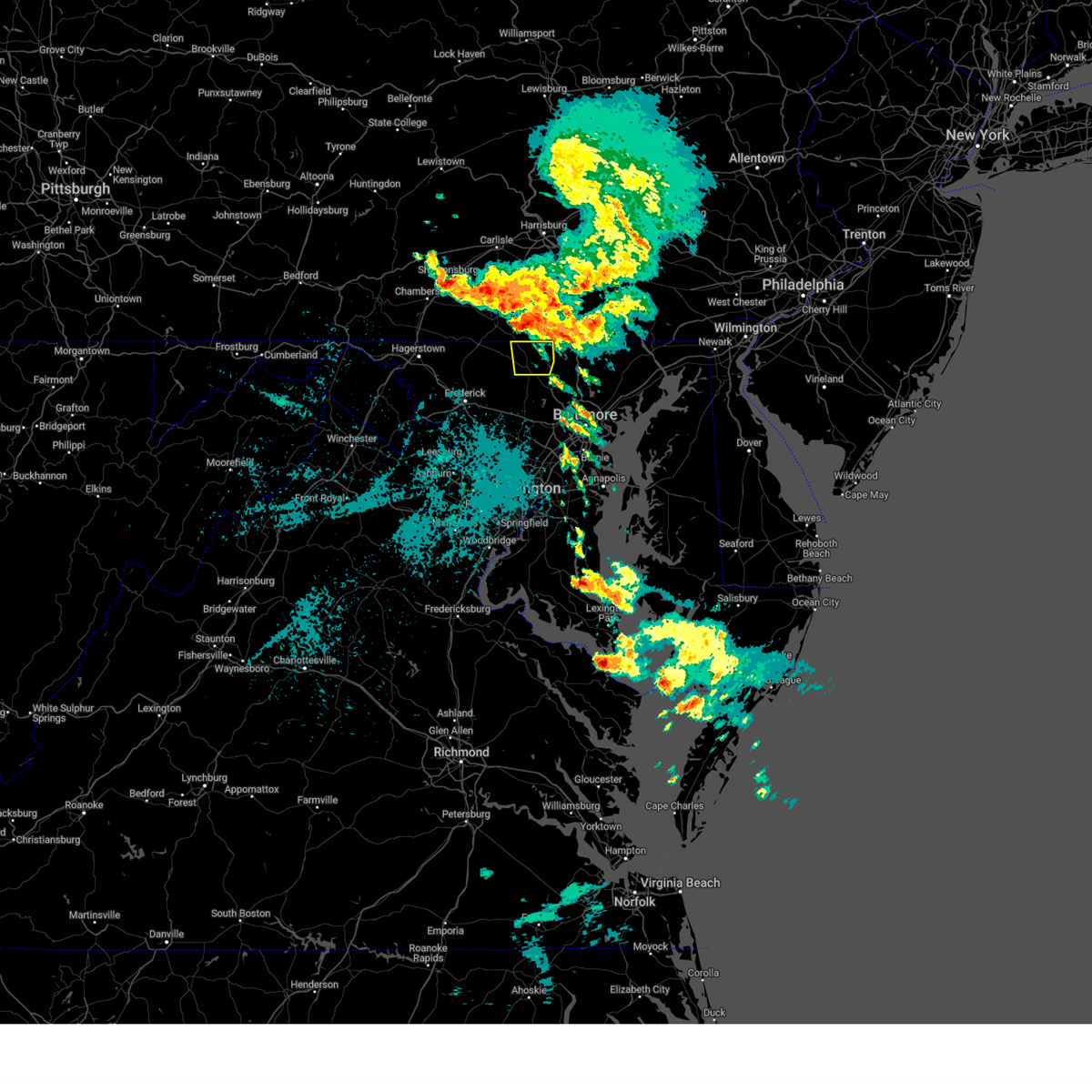
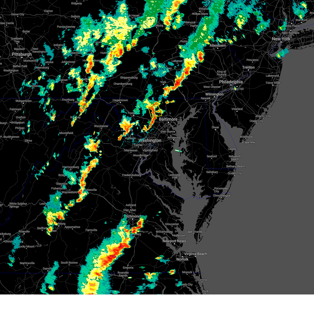
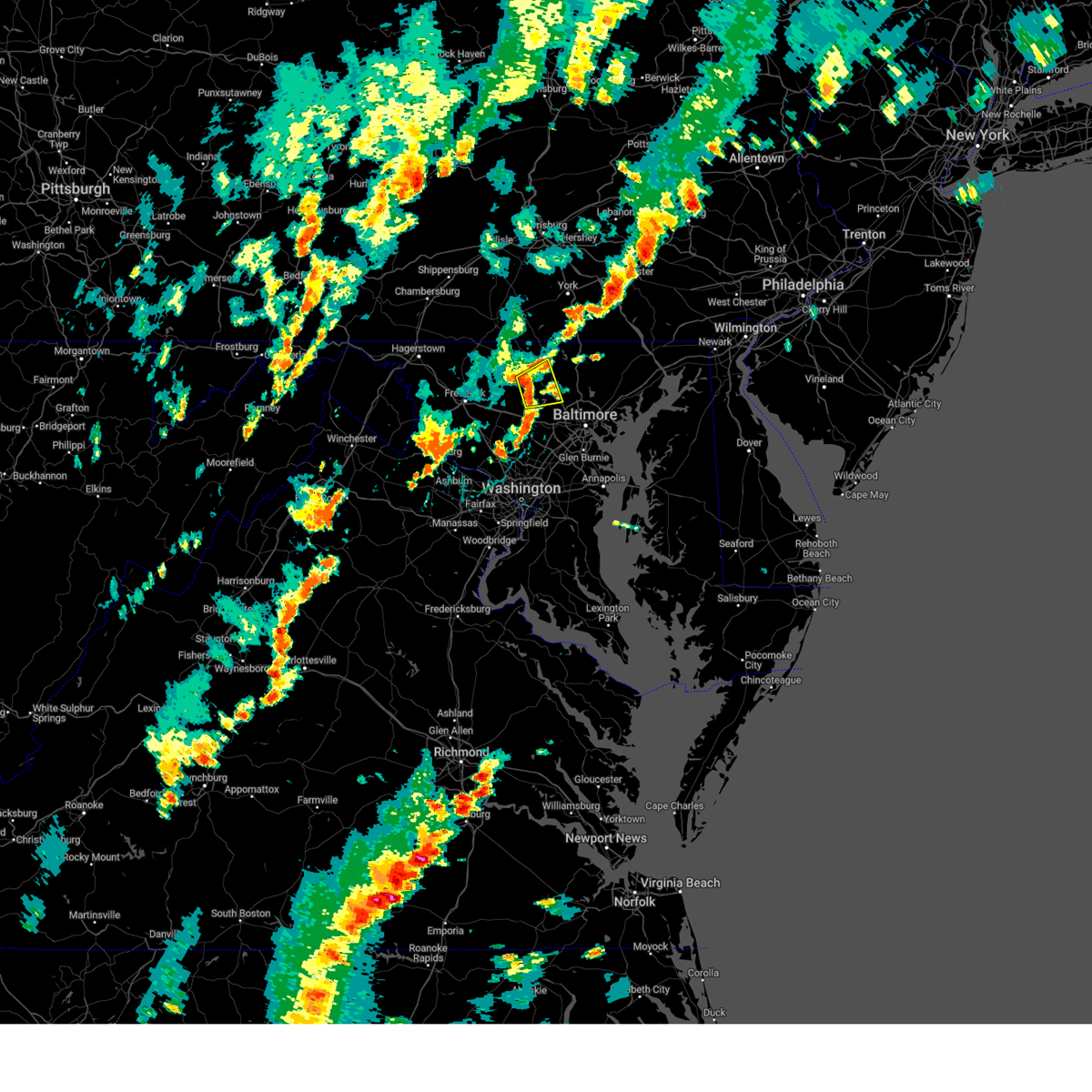
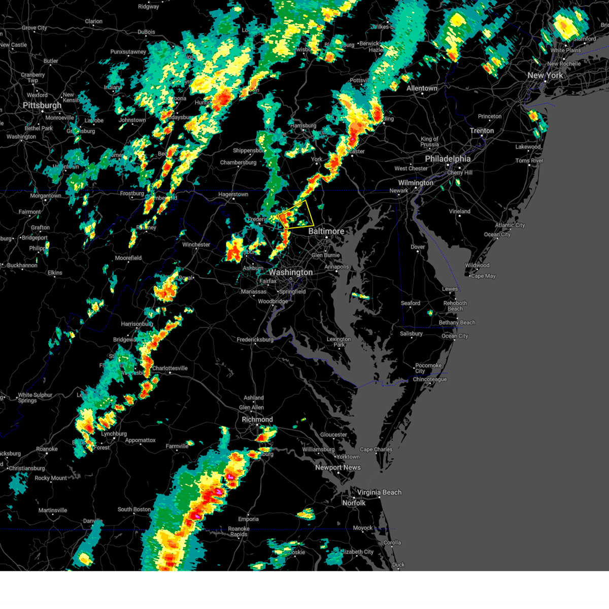
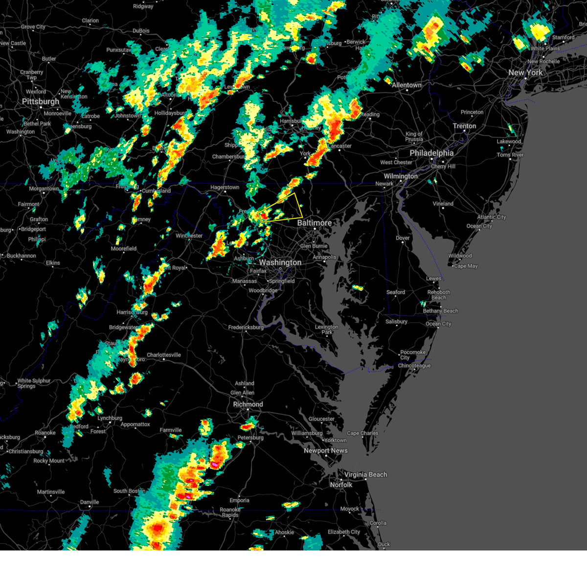
Hail Map for Hampstead, MD
The Hampstead, MD area has had 3 reports of on-the-ground hail by trained spotters, and has been under severe weather warnings 23 times during the past 12 months. Doppler radar has detected hail at or near Hampstead, MD on 34 occasions.
| Name: | Hampstead, MD |
| Where Located: | 25.6 miles NNW of Baltimore, MD |
| Map: | Google Map for Hampstead, MD |
| Population: | 6323 |
| Housing Units: | 2500 |
| More Info: | Search Google for Hampstead, MD |
2
The Top Recent Hail Date for Hampstead, MD is Friday, May 16, 2025 (2nd out of 34)
Hail and Wind Damage Spotted near Hampstead, MD
| Date / Time | Report Details |
|---|---|
| 6/14/2026 9:40 PM EDT |
 The storms which prompted the warning have weakened below severe limits, and have exited the warned area. therefore, the warning will be allowed to expire. however, gusty winds and heavy rain are still possible with these thunderstorms. a severe thunderstorm watch remains in effect until 1100 pm edt for northern maryland. to report severe weather, contact your nearest law enforcement agency. they will relay your report to the national weather service sterling virginia. remember, a severe thunderstorm warning still remains in effect for harford and cecil counties. The storms which prompted the warning have weakened below severe limits, and have exited the warned area. therefore, the warning will be allowed to expire. however, gusty winds and heavy rain are still possible with these thunderstorms. a severe thunderstorm watch remains in effect until 1100 pm edt for northern maryland. to report severe weather, contact your nearest law enforcement agency. they will relay your report to the national weather service sterling virginia. remember, a severe thunderstorm warning still remains in effect for harford and cecil counties.
|
| 6/14/2026 9:16 PM EDT |
 At 916 pm edt, severe thunderstorms were located along a line extending from near stewartstown to near pikesville, moving east at 45 mph (radar indicated). Hazards include 60 mph wind gusts. Damaging winds will cause some trees and large branches to fall. this could injure those outdoors, as well as damage homes and vehicles. roadways may become blocked by downed trees. localized power outages are possible. unsecured light objects may become projectiles. Locations impacted include, pikesville, cockeysville, towson, randallstown, parkville, owings mills, bel air north, eldersburg, carney, reisterstown, mays chapel, timonium, fallston, hampstead, hampton, jarrettsville, oakland, lutherville-timonium, garrison, and lutherville. At 916 pm edt, severe thunderstorms were located along a line extending from near stewartstown to near pikesville, moving east at 45 mph (radar indicated). Hazards include 60 mph wind gusts. Damaging winds will cause some trees and large branches to fall. this could injure those outdoors, as well as damage homes and vehicles. roadways may become blocked by downed trees. localized power outages are possible. unsecured light objects may become projectiles. Locations impacted include, pikesville, cockeysville, towson, randallstown, parkville, owings mills, bel air north, eldersburg, carney, reisterstown, mays chapel, timonium, fallston, hampstead, hampton, jarrettsville, oakland, lutherville-timonium, garrison, and lutherville.
|
| 6/14/2026 8:56 PM EDT |
 Svrlwx the national weather service in sterling virginia has issued a * severe thunderstorm warning for, eastern carroll county in north central maryland, northeastern baltimore city in northern maryland, northwestern harford county in northern maryland, baltimore county in northern maryland, * until 945 pm edt. * at 856 pm edt, severe thunderstorms were located along a line extending from near railroad to gamber, moving east at 35 mph (radar indicated). Hazards include 60 mph wind gusts. Damaging winds will cause some trees and large branches to fall. this could injure those outdoors, as well as damage homes and vehicles. roadways may become blocked by downed trees. localized power outages are possible. Unsecured light objects may become projectiles. Svrlwx the national weather service in sterling virginia has issued a * severe thunderstorm warning for, eastern carroll county in north central maryland, northeastern baltimore city in northern maryland, northwestern harford county in northern maryland, baltimore county in northern maryland, * until 945 pm edt. * at 856 pm edt, severe thunderstorms were located along a line extending from near railroad to gamber, moving east at 35 mph (radar indicated). Hazards include 60 mph wind gusts. Damaging winds will cause some trees and large branches to fall. this could injure those outdoors, as well as damage homes and vehicles. roadways may become blocked by downed trees. localized power outages are possible. Unsecured light objects may become projectiles.
|
| 6/11/2026 8:29 PM EDT |
 Svrlwx the national weather service in sterling virginia has issued a * severe thunderstorm warning for, the district of columbia, baltimore city in northern maryland, st. marys county in southern maryland, howard county in central maryland, southeastern montgomery county in central maryland, calvert county in southern maryland, baltimore county in northern maryland, prince georges county in central maryland, eastern carroll county in north central maryland, anne arundel county in central maryland, harford county in northern maryland, cecil county in northeastern maryland, charles county in southern maryland, stafford county in northern virginia, the city of fredericksburg in central virginia, southeastern fairfax county in northern virginia, southeastern culpeper county in northern virginia, southeastern prince william county in northern virginia, king george county in central virginia, southeastern arlington county in northern virginia, the eastern city of alexandria in northern virginia, northeastern spotsylvania county in central virginia, * until 930 pm edt. * at 827 pm edt, severe thunderstorms were located along a line extending from near shrewsbury to elkridge to near beltsville to near waldorf to near dahlgren, moving east at 40 mph (emergency management has reported many instances of trees down with this line of storms). Hazards include 60 mph wind gusts. Damaging winds will cause some trees and large branches to fall. this could injure those outdoors, as well as damage homes and vehicles. roadways may become blocked by downed trees. localized power outages are possible. Unsecured light objects may become projectiles. Svrlwx the national weather service in sterling virginia has issued a * severe thunderstorm warning for, the district of columbia, baltimore city in northern maryland, st. marys county in southern maryland, howard county in central maryland, southeastern montgomery county in central maryland, calvert county in southern maryland, baltimore county in northern maryland, prince georges county in central maryland, eastern carroll county in north central maryland, anne arundel county in central maryland, harford county in northern maryland, cecil county in northeastern maryland, charles county in southern maryland, stafford county in northern virginia, the city of fredericksburg in central virginia, southeastern fairfax county in northern virginia, southeastern culpeper county in northern virginia, southeastern prince william county in northern virginia, king george county in central virginia, southeastern arlington county in northern virginia, the eastern city of alexandria in northern virginia, northeastern spotsylvania county in central virginia, * until 930 pm edt. * at 827 pm edt, severe thunderstorms were located along a line extending from near shrewsbury to elkridge to near beltsville to near waldorf to near dahlgren, moving east at 40 mph (emergency management has reported many instances of trees down with this line of storms). Hazards include 60 mph wind gusts. Damaging winds will cause some trees and large branches to fall. this could injure those outdoors, as well as damage homes and vehicles. roadways may become blocked by downed trees. localized power outages are possible. Unsecured light objects may become projectiles.
|
| 6/11/2026 7:54 PM EDT |
 Svrlwx the national weather service in sterling virginia has issued a * severe thunderstorm warning for, the district of columbia, western baltimore county in northern maryland, carroll county in north central maryland, northwestern anne arundel county in central maryland, northwestern charles county in southern maryland, howard county in central maryland, montgomery county in central maryland, eastern frederick county in north central maryland, central prince georges county in central maryland, northeastern orange county in central virginia, the northern city of fredericksburg in central virginia, southeastern fauquier county in northern virginia, the city of manassas park in northern virginia, the city of manassas in northern virginia, east central madison county in northwestern virginia, the city of fairfax in northern virginia, arlington county in northern virginia, north central spotsylvania county in central virginia, stafford county in northern virginia, southeastern loudoun county in northern virginia, the city of falls church in northern virginia, fairfax county in northern virginia, southern culpeper county in northern virginia, prince william county in northern virginia, northwestern king george county in central virginia, the city of alexandria in northern virginia, * until 830 pm edt. * at 753 pm edt, severe thunderstorms were located along a line extending from 8 miles west of stafford to near burke to near great falls to near montgomery village to near mount airy to 8 miles northwest of sykesville to near littlestown, moving east at 45 mph (emergency management has reported many instances of trees down with this line of storms). Hazards include 60 mph wind gusts. Damaging winds will cause some trees and large branches to fall. this could injure those outdoors, as well as damage homes and vehicles. roadways may become blocked by downed trees. localized power outages are possible. Unsecured light objects may become projectiles. Svrlwx the national weather service in sterling virginia has issued a * severe thunderstorm warning for, the district of columbia, western baltimore county in northern maryland, carroll county in north central maryland, northwestern anne arundel county in central maryland, northwestern charles county in southern maryland, howard county in central maryland, montgomery county in central maryland, eastern frederick county in north central maryland, central prince georges county in central maryland, northeastern orange county in central virginia, the northern city of fredericksburg in central virginia, southeastern fauquier county in northern virginia, the city of manassas park in northern virginia, the city of manassas in northern virginia, east central madison county in northwestern virginia, the city of fairfax in northern virginia, arlington county in northern virginia, north central spotsylvania county in central virginia, stafford county in northern virginia, southeastern loudoun county in northern virginia, the city of falls church in northern virginia, fairfax county in northern virginia, southern culpeper county in northern virginia, prince william county in northern virginia, northwestern king george county in central virginia, the city of alexandria in northern virginia, * until 830 pm edt. * at 753 pm edt, severe thunderstorms were located along a line extending from 8 miles west of stafford to near burke to near great falls to near montgomery village to near mount airy to 8 miles northwest of sykesville to near littlestown, moving east at 45 mph (emergency management has reported many instances of trees down with this line of storms). Hazards include 60 mph wind gusts. Damaging winds will cause some trees and large branches to fall. this could injure those outdoors, as well as damage homes and vehicles. roadways may become blocked by downed trees. localized power outages are possible. Unsecured light objects may become projectiles.
|
| 6/6/2026 6:22 PM EDT |
 At 622 pm edt, severe thunderstorms were located along a line extending from near delta to near cockeysville to randallstown, moving east at 55 mph (radar indicated). Hazards include 60 mph wind gusts. Damaging winds will cause some trees and large branches to fall. this could injure those outdoors, as well as damage homes and vehicles. roadways may become blocked by downed trees. localized power outages are possible. unsecured light objects may become projectiles. Locations impacted include, pikesville, cockeysville, aberdeen, havre de grace, aberdeen proving ground, calvert, towson, bel air south, parkville, owings mills, bel air north, eldersburg, carney, perry hall, reisterstown, rossville, mays chapel, timonium, white marsh, and fallston. At 622 pm edt, severe thunderstorms were located along a line extending from near delta to near cockeysville to randallstown, moving east at 55 mph (radar indicated). Hazards include 60 mph wind gusts. Damaging winds will cause some trees and large branches to fall. this could injure those outdoors, as well as damage homes and vehicles. roadways may become blocked by downed trees. localized power outages are possible. unsecured light objects may become projectiles. Locations impacted include, pikesville, cockeysville, aberdeen, havre de grace, aberdeen proving ground, calvert, towson, bel air south, parkville, owings mills, bel air north, eldersburg, carney, perry hall, reisterstown, rossville, mays chapel, timonium, white marsh, and fallston.
|
| 6/6/2026 5:51 PM EDT |
 Svrlwx the national weather service in sterling virginia has issued a * severe thunderstorm warning for, carroll county in north central maryland, harford county in northern maryland, northeastern frederick county in north central maryland, baltimore county in northern maryland, northwestern cecil county in northeastern maryland, * until 645 pm edt. * at 551 pm edt, severe thunderstorms were located along a line extending from codorus to near westminster to linganore-bartonsville, moving east at 55 mph (radar indicated). Hazards include 70 mph wind gusts. Damaging winds will cause some trees and large branches to fall. this could injure those outdoors, as well as damage homes and vehicles. roadways may become blocked by downed trees. localized power outages are possible. Unsecured light objects may become projectiles. Svrlwx the national weather service in sterling virginia has issued a * severe thunderstorm warning for, carroll county in north central maryland, harford county in northern maryland, northeastern frederick county in north central maryland, baltimore county in northern maryland, northwestern cecil county in northeastern maryland, * until 645 pm edt. * at 551 pm edt, severe thunderstorms were located along a line extending from codorus to near westminster to linganore-bartonsville, moving east at 55 mph (radar indicated). Hazards include 70 mph wind gusts. Damaging winds will cause some trees and large branches to fall. this could injure those outdoors, as well as damage homes and vehicles. roadways may become blocked by downed trees. localized power outages are possible. Unsecured light objects may become projectiles.
|
| 5/20/2026 4:19 PM EDT |
 Svrlwx the national weather service in sterling virginia has issued a * severe thunderstorm warning for, east central carroll county in north central maryland, northwestern harford county in northern maryland, northwestern baltimore county in northern maryland, * until 500 pm edt. * at 419 pm edt, a severe thunderstorm was located near hampstead, or 10 miles northwest of cockeysville, moving east at 25 mph (radar indicated). Hazards include 60 mph wind gusts. Damaging winds will cause some trees and large branches to fall. this could injure those outdoors, as well as damage homes and vehicles. roadways may become blocked by downed trees. localized power outages are possible. Unsecured light objects may become projectiles. Svrlwx the national weather service in sterling virginia has issued a * severe thunderstorm warning for, east central carroll county in north central maryland, northwestern harford county in northern maryland, northwestern baltimore county in northern maryland, * until 500 pm edt. * at 419 pm edt, a severe thunderstorm was located near hampstead, or 10 miles northwest of cockeysville, moving east at 25 mph (radar indicated). Hazards include 60 mph wind gusts. Damaging winds will cause some trees and large branches to fall. this could injure those outdoors, as well as damage homes and vehicles. roadways may become blocked by downed trees. localized power outages are possible. Unsecured light objects may become projectiles.
|
| 3/16/2026 12:29 PM EDT |
 The storms which prompted the warning have weakened below severe limits, and no longer pose an immediate threat to life or property. therefore, the warning will be allowed to expire. a tornado watch remains in effect until 700 pm edt for northern, central and north central maryland. to report severe weather, contact your nearest law enforcement agency. they will relay your report to the national weather service sterling virginia. The storms which prompted the warning have weakened below severe limits, and no longer pose an immediate threat to life or property. therefore, the warning will be allowed to expire. a tornado watch remains in effect until 700 pm edt for northern, central and north central maryland. to report severe weather, contact your nearest law enforcement agency. they will relay your report to the national weather service sterling virginia.
|
| 3/16/2026 12:05 PM EDT |
 the severe thunderstorm warning has been cancelled and is no longer in effect the severe thunderstorm warning has been cancelled and is no longer in effect
|
| 3/16/2026 12:05 PM EDT |
 At 1204 pm edt, severe thunderstorms were located along a line extending from near gettysburg to near parkville to near westminster to near gamber to 6 miles southeast of mount airy, moving northeast at 80 mph (radar indicated). Hazards include 70 mph wind gusts. Damaging winds will cause some trees and large branches to fall. this could injure those outdoors, as well as damage homes and vehicles. roadways may become blocked by downed trees. localized power outages are possible. unsecured light objects may become projectiles. Locations impacted include, pikesville, cockeysville, westminster, randallstown, owings mills, eldersburg, milford mill, reisterstown, lochearn, mays chapel, mount airy, taneytown, hampstead, manchester, sykesville, oakland, gamber, garrison, new windsor, and carrollton. At 1204 pm edt, severe thunderstorms were located along a line extending from near gettysburg to near parkville to near westminster to near gamber to 6 miles southeast of mount airy, moving northeast at 80 mph (radar indicated). Hazards include 70 mph wind gusts. Damaging winds will cause some trees and large branches to fall. this could injure those outdoors, as well as damage homes and vehicles. roadways may become blocked by downed trees. localized power outages are possible. unsecured light objects may become projectiles. Locations impacted include, pikesville, cockeysville, westminster, randallstown, owings mills, eldersburg, milford mill, reisterstown, lochearn, mays chapel, mount airy, taneytown, hampstead, manchester, sykesville, oakland, gamber, garrison, new windsor, and carrollton.
|
| 3/16/2026 11:40 AM EDT |
 Svrlwx the national weather service in sterling virginia has issued a * severe thunderstorm warning for, northeastern washington county in north central maryland, carroll county in north central maryland, northwestern baltimore city in northern maryland, northern howard county in central maryland, central montgomery county in central maryland, central frederick county in north central maryland, northwestern baltimore county in northern maryland, eastern loudoun county in northern virginia, northern fairfax county in northern virginia, * until 1230 pm edt. * at 1140 am edt, severe thunderstorms were located along a line extending from rouzerville to near new market to near germantown to near boyds, moving northeast at 50 mph (radar indicated). Hazards include 60 mph wind gusts. Damaging winds will cause some trees and large branches to fall. this could injure those outdoors, as well as damage homes and vehicles. roadways may become blocked by downed trees. localized power outages are possible. Unsecured light objects may become projectiles. Svrlwx the national weather service in sterling virginia has issued a * severe thunderstorm warning for, northeastern washington county in north central maryland, carroll county in north central maryland, northwestern baltimore city in northern maryland, northern howard county in central maryland, central montgomery county in central maryland, central frederick county in north central maryland, northwestern baltimore county in northern maryland, eastern loudoun county in northern virginia, northern fairfax county in northern virginia, * until 1230 pm edt. * at 1140 am edt, severe thunderstorms were located along a line extending from rouzerville to near new market to near germantown to near boyds, moving northeast at 50 mph (radar indicated). Hazards include 60 mph wind gusts. Damaging winds will cause some trees and large branches to fall. this could injure those outdoors, as well as damage homes and vehicles. roadways may become blocked by downed trees. localized power outages are possible. Unsecured light objects may become projectiles.
|
| 3/11/2026 7:01 PM EDT |
 the severe thunderstorm warning has been cancelled and is no longer in effect the severe thunderstorm warning has been cancelled and is no longer in effect
|
| 3/11/2026 7:01 PM EDT |
 At 701 pm edt, a severe thunderstorm was located over westminster, moving east at 45 mph (radar indicated). Hazards include 60 mph wind gusts. Damaging winds will cause some trees and large branches to fall. this could injure those outdoors, as well as damage homes and vehicles. roadways may become blocked by downed trees. localized power outages are possible. unsecured light objects may become projectiles. Locations impacted include, westminster, hampstead, manchester, carrollton, lineboro, patapsco, reese, millers, and greenmount. At 701 pm edt, a severe thunderstorm was located over westminster, moving east at 45 mph (radar indicated). Hazards include 60 mph wind gusts. Damaging winds will cause some trees and large branches to fall. this could injure those outdoors, as well as damage homes and vehicles. roadways may become blocked by downed trees. localized power outages are possible. unsecured light objects may become projectiles. Locations impacted include, westminster, hampstead, manchester, carrollton, lineboro, patapsco, reese, millers, and greenmount.
|
| 3/11/2026 6:40 PM EDT |
 Svrlwx the national weather service in sterling virginia has issued a * severe thunderstorm warning for, northern carroll county in north central maryland, east central frederick county in north central maryland, * until 715 pm edt. * at 640 pm edt, a severe thunderstorm was located 7 miles northeast of walkersville, or 8 miles southeast of thurmont, moving east at 45 mph (radar indicated). Hazards include 60 mph wind gusts. Damaging winds will cause some trees and large branches to fall. this could injure those outdoors, as well as damage homes and vehicles. roadways may become blocked by downed trees. localized power outages are possible. Unsecured light objects may become projectiles. Svrlwx the national weather service in sterling virginia has issued a * severe thunderstorm warning for, northern carroll county in north central maryland, east central frederick county in north central maryland, * until 715 pm edt. * at 640 pm edt, a severe thunderstorm was located 7 miles northeast of walkersville, or 8 miles southeast of thurmont, moving east at 45 mph (radar indicated). Hazards include 60 mph wind gusts. Damaging winds will cause some trees and large branches to fall. this could injure those outdoors, as well as damage homes and vehicles. roadways may become blocked by downed trees. localized power outages are possible. Unsecured light objects may become projectiles.
|
| 11/5/2025 10:05 PM EST | The storms which prompted the warning have moved out of the area. therefore, the warning will be allowed to expire. to report severe weather, contact your nearest law enforcement agency. they will relay your report to the national weather service sterling virginia. |
| 11/5/2025 9:41 PM EST | At 941 pm est, severe thunderstorms were located along a line extending from near jarrettsville to near reisterstown to near mount airy, moving east at 55 mph (radar indicated and observed wind gusts). Hazards include 60 mph wind gusts. Damaging winds will cause some trees and large branches to fall. this could injure those outdoors, as well as damage homes and vehicles. roadways may become blocked by downed trees. localized power outages are possible. unsecured light objects may become projectiles. Locations impacted include, frederick, pikesville, cockeysville, westminster, harry grove stadium, randallstown, owings mills, bel air north, eldersburg, reisterstown, ballenger creek, mays chapel, timonium, mount airy, fallston, taneytown, hampstead, walkersville, manchester, and sykesville. |
| 11/5/2025 9:23 PM EST | Svrlwx the national weather service in sterling virginia has issued a * severe thunderstorm warning for, carroll county in north central maryland, northwestern harford county in northern maryland, northeastern frederick county in north central maryland, northern baltimore county in northern maryland, * until 1015 pm est. * at 923 pm est, severe thunderstorms were located along a line extending from near manchester to near westminster to clover hill, moving east at 55 mph (radar indicated and observed wind at hagerstown regional airport and near thurmont). Hazards include 60 mph wind gusts. Damaging winds will cause some trees and large branches to fall. this could injure those outdoors, as well as damage homes and vehicles. roadways may become blocked by downed trees. localized power outages are possible. Unsecured light objects may become projectiles. |
| 7/16/2025 9:21 PM EDT |
 The storm which prompted the warning has moved out of the area. therefore, the warning will be allowed to expire. however, heavy rain is still possible with this thunderstorm. to report severe weather, contact your nearest law enforcement agency. they will relay your report to the national weather service sterling virginia. The storm which prompted the warning has moved out of the area. therefore, the warning will be allowed to expire. however, heavy rain is still possible with this thunderstorm. to report severe weather, contact your nearest law enforcement agency. they will relay your report to the national weather service sterling virginia.
|
| 7/16/2025 8:58 PM EDT |
 Svrlwx the national weather service in sterling virginia has issued a * severe thunderstorm warning for, east central carroll county in north central maryland, northwestern baltimore county in northern maryland, * until 930 pm edt. * at 857 pm edt, a severe thunderstorm was located over hampstead, or 9 miles east of westminster, moving east at 10 mph (emergency management reported lines down in westminster). Hazards include 60 mph wind gusts and quarter size hail. Damaging winds will cause some trees and large branches to fall. this could injure those outdoors, as well as damage homes and vehicles. roadways may become blocked by downed trees. localized power outages are possible. Unsecured light objects may become projectiles. Svrlwx the national weather service in sterling virginia has issued a * severe thunderstorm warning for, east central carroll county in north central maryland, northwestern baltimore county in northern maryland, * until 930 pm edt. * at 857 pm edt, a severe thunderstorm was located over hampstead, or 9 miles east of westminster, moving east at 10 mph (emergency management reported lines down in westminster). Hazards include 60 mph wind gusts and quarter size hail. Damaging winds will cause some trees and large branches to fall. this could injure those outdoors, as well as damage homes and vehicles. roadways may become blocked by downed trees. localized power outages are possible. Unsecured light objects may become projectiles.
|
| 7/16/2025 8:58 PM EDT |
 The tornado threat has diminished and the tornado warning has been cancelled. however, large hail and damaging winds remain likely and a severe thunderstorm warning remains in effect for the area. however, gusty winds are still possible with this thunderstorm. The tornado threat has diminished and the tornado warning has been cancelled. however, large hail and damaging winds remain likely and a severe thunderstorm warning remains in effect for the area. however, gusty winds are still possible with this thunderstorm.
|
| 7/16/2025 8:36 PM EDT |
 At 835 pm edt, a severe thunderstorm capable of producing a tornado was located over hampstead, or 7 miles east of westminster, moving east at 10 mph (radar indicated rotation). Hazards include tornado and quarter size hail. For those in the direct path of a tornado touchdown, flying debris will be dangerous to those caught without shelter. damage to roofs, siding, and windows may occur. mobile homes may be damaged or destroyed. tree damage is likely. Locations impacted include, hampstead, manchester, and greenmount. At 835 pm edt, a severe thunderstorm capable of producing a tornado was located over hampstead, or 7 miles east of westminster, moving east at 10 mph (radar indicated rotation). Hazards include tornado and quarter size hail. For those in the direct path of a tornado touchdown, flying debris will be dangerous to those caught without shelter. damage to roofs, siding, and windows may occur. mobile homes may be damaged or destroyed. tree damage is likely. Locations impacted include, hampstead, manchester, and greenmount.
|
| 7/16/2025 8:26 PM EDT |
 Torlwx the national weather service in sterling virginia has issued a * tornado warning for, northeastern carroll county in north central maryland, northwestern baltimore county in northern maryland, * until 900 pm edt. * at 826 pm edt, a severe thunderstorm capable of producing a tornado was located near hampstead, or near westminster, moving east at 10 mph (radar indicated rotation). Hazards include tornado and golf ball size hail. For those in the direct path of a tornado touchdown, flying debris will be dangerous to those caught without shelter. damage to roofs, siding, and windows may occur. mobile homes may be damaged or destroyed. Tree damage is likely. Torlwx the national weather service in sterling virginia has issued a * tornado warning for, northeastern carroll county in north central maryland, northwestern baltimore county in northern maryland, * until 900 pm edt. * at 826 pm edt, a severe thunderstorm capable of producing a tornado was located near hampstead, or near westminster, moving east at 10 mph (radar indicated rotation). Hazards include tornado and golf ball size hail. For those in the direct path of a tornado touchdown, flying debris will be dangerous to those caught without shelter. damage to roofs, siding, and windows may occur. mobile homes may be damaged or destroyed. Tree damage is likely.
|
| 6/26/2025 6:06 PM EDT | Tree down near the 16800 block of ridge roa in baltimore county MD, 3.7 miles WNW of Hampstead, MD |
| 6/26/2025 5:51 PM EDT | Tree down near the intersection of brickstore rd and upper beckleysville r in baltimore county MD, 3.1 miles SW of Hampstead, MD |
| 6/26/2025 5:50 PM EDT | Tree down near the intersection of falls rd and grave run r in baltimore county MD, 2.4 miles WSW of Hampstead, MD |
| 6/19/2025 3:57 PM EDT |
 The storm which prompted the warning has moved out of the area. therefore, the warning will be allowed to expire. however, heavy rain is still possible with this thunderstorm. a severe thunderstorm watch remains in effect until 900 pm edt for northern and north central maryland. to report severe weather, contact your nearest law enforcement agency. they will relay your report to the national weather service sterling virginia. The storm which prompted the warning has moved out of the area. therefore, the warning will be allowed to expire. however, heavy rain is still possible with this thunderstorm. a severe thunderstorm watch remains in effect until 900 pm edt for northern and north central maryland. to report severe weather, contact your nearest law enforcement agency. they will relay your report to the national weather service sterling virginia.
|
| 6/19/2025 3:45 PM EDT | Trees blew down on md-25 falls road near benson mill roa in baltimore county MD, 6.2 miles WNW of Hampstead, MD |
| 6/19/2025 3:14 PM EDT |
 Svrlwx the national weather service in sterling virginia has issued a * severe thunderstorm warning for, carroll county in north central maryland, northeastern frederick county in north central maryland, northwestern baltimore county in northern maryland, * until 400 pm edt. * at 314 pm edt, a severe thunderstorm was located near walkersville, or 8 miles northeast of frederick, moving east at 45 mph (emergency management reports a history of downed trees with this line of storms). Hazards include 60 mph wind gusts. Damaging winds will cause some trees and large branches to fall. this could injure those outdoors, as well as damage homes and vehicles. roadways may become blocked by downed trees. localized power outages are possible. Unsecured light objects may become projectiles. Svrlwx the national weather service in sterling virginia has issued a * severe thunderstorm warning for, carroll county in north central maryland, northeastern frederick county in north central maryland, northwestern baltimore county in northern maryland, * until 400 pm edt. * at 314 pm edt, a severe thunderstorm was located near walkersville, or 8 miles northeast of frederick, moving east at 45 mph (emergency management reports a history of downed trees with this line of storms). Hazards include 60 mph wind gusts. Damaging winds will cause some trees and large branches to fall. this could injure those outdoors, as well as damage homes and vehicles. roadways may become blocked by downed trees. localized power outages are possible. Unsecured light objects may become projectiles.
|
| 5/16/2025 5:54 PM EDT |
 The storm which prompted the warning has moved out of the area. therefore, the warning will be allowed to expire. however, small hail, gusty winds and heavy rain are still possible with this thunderstorm. a severe thunderstorm watch remains in effect until 1000 pm edt for northern and north central maryland. to report severe weather, contact your nearest law enforcement agency. they will relay your report to the national weather service sterling virginia. remember, a severe thunderstorm warning still remains in effect for portions of carroll and baltimore counties until 615 pm. The storm which prompted the warning has moved out of the area. therefore, the warning will be allowed to expire. however, small hail, gusty winds and heavy rain are still possible with this thunderstorm. a severe thunderstorm watch remains in effect until 1000 pm edt for northern and north central maryland. to report severe weather, contact your nearest law enforcement agency. they will relay your report to the national weather service sterling virginia. remember, a severe thunderstorm warning still remains in effect for portions of carroll and baltimore counties until 615 pm.
|
| 5/16/2025 5:45 PM EDT |
 At 545 pm edt, severe thunderstorms were located along a line extending from near railroad to cockeysville to woodlawn, moving east at 35 mph (law enforcement has reported numerous trees down in frederick county maryland. a trained spotter has reported golf ball sized hail in westminster). Hazards include golf ball size hail and 70 mph wind gusts. Expect wind damage to trees and power lines. hail is large enough to dent and damage vehicles. some hail damage to roofs, siding, and windows is possible. Locations impacted include, nottingham, glen arm, carrollton, upperco, cardiff, parkville, hampstead, riderwood, mays chapel, carney, bradshaw, forest hill, dundalk, eastpoint, mcdonogh, street, loch raven village, joppa, bel air north, and upper falls. At 545 pm edt, severe thunderstorms were located along a line extending from near railroad to cockeysville to woodlawn, moving east at 35 mph (law enforcement has reported numerous trees down in frederick county maryland. a trained spotter has reported golf ball sized hail in westminster). Hazards include golf ball size hail and 70 mph wind gusts. Expect wind damage to trees and power lines. hail is large enough to dent and damage vehicles. some hail damage to roofs, siding, and windows is possible. Locations impacted include, nottingham, glen arm, carrollton, upperco, cardiff, parkville, hampstead, riderwood, mays chapel, carney, bradshaw, forest hill, dundalk, eastpoint, mcdonogh, street, loch raven village, joppa, bel air north, and upper falls.
|
| 5/16/2025 5:45 PM EDT |
 the severe thunderstorm warning has been cancelled and is no longer in effect the severe thunderstorm warning has been cancelled and is no longer in effect
|
| 5/16/2025 5:43 PM EDT |
 At 543 pm edt, a severe thunderstorm was located near hampstead, or 10 miles northwest of cockeysville, moving east at 40 mph. this is a destructive storm for northern carroll and northern baltimore counties (radar indicated). Hazards include 80 mph wind gusts and two inch hail. Expect considerable damage to trees and power lines. your life is at significant risk if outdoors. in addition to some trees falling into homes, wind damage is possible to roofs, sheds, open garages, and mobile homes. Locations impacted include, glencoe, carrollton, upperco, hunt valley, hampstead, sparks, boring, bentley springs, patapsco, parkton, manchester, phoenix, hereford, millers, greenmount, jacksonville, butler, monkton, and cockeysville. At 543 pm edt, a severe thunderstorm was located near hampstead, or 10 miles northwest of cockeysville, moving east at 40 mph. this is a destructive storm for northern carroll and northern baltimore counties (radar indicated). Hazards include 80 mph wind gusts and two inch hail. Expect considerable damage to trees and power lines. your life is at significant risk if outdoors. in addition to some trees falling into homes, wind damage is possible to roofs, sheds, open garages, and mobile homes. Locations impacted include, glencoe, carrollton, upperco, hunt valley, hampstead, sparks, boring, bentley springs, patapsco, parkton, manchester, phoenix, hereford, millers, greenmount, jacksonville, butler, monkton, and cockeysville.
|
| 5/16/2025 5:34 PM EDT | Carroll county em reports numerous trees downed in the hampstead are in carroll county MD, 0.8 miles SSE of Hampstead, MD |
| 5/16/2025 5:31 PM EDT |
 At 530 pm edt, severe thunderstorms were located along a line extending from near manchester to near reisterstown to near ellicott city, moving east at 35 mph (law enforcement reported numerous downed trees. trained spotter reported golf ball sized hail in westminster). Hazards include golf ball size hail and 70 mph wind gusts. Expect wind damage to trees and power lines. hail is large enough to dent and damage vehicles. some hail damage to roofs, siding, and windows is possible. Locations impacted include, nottingham, carrollton, henryton, owings mills, parkville, hampstead, riderwood, gaither, dundalk, eastpoint, halethorpe, mcdonogh, sykesville, street, upper falls, rossville, monkton, ellicott city, benson, and lisbon. At 530 pm edt, severe thunderstorms were located along a line extending from near manchester to near reisterstown to near ellicott city, moving east at 35 mph (law enforcement reported numerous downed trees. trained spotter reported golf ball sized hail in westminster). Hazards include golf ball size hail and 70 mph wind gusts. Expect wind damage to trees and power lines. hail is large enough to dent and damage vehicles. some hail damage to roofs, siding, and windows is possible. Locations impacted include, nottingham, carrollton, henryton, owings mills, parkville, hampstead, riderwood, gaither, dundalk, eastpoint, halethorpe, mcdonogh, sykesville, street, upper falls, rossville, monkton, ellicott city, benson, and lisbon.
|
| 5/16/2025 5:28 PM EDT | Tennis Ball sized hail reported 3.5 miles NNW of Hampstead, MD |
| 5/16/2025 5:27 PM EDT |
 Svrlwx the national weather service in sterling virginia has issued a * severe thunderstorm warning for, northeastern carroll county in north central maryland, northwestern baltimore county in northern maryland, * until 600 pm edt. * at 526 pm edt, a severe thunderstorm was located over westminster, moving east at 40 mph. this is a destructive storm for northern carroll and northern baltimore counties (radar indicated). Hazards include 80 mph wind gusts and two inch hail. Expect considerable damage to trees and power lines. your life is at significant risk if outdoors. In addition to some trees falling into homes, wind damage is possible to roofs, sheds, open garages, and mobile homes. Svrlwx the national weather service in sterling virginia has issued a * severe thunderstorm warning for, northeastern carroll county in north central maryland, northwestern baltimore county in northern maryland, * until 600 pm edt. * at 526 pm edt, a severe thunderstorm was located over westminster, moving east at 40 mph. this is a destructive storm for northern carroll and northern baltimore counties (radar indicated). Hazards include 80 mph wind gusts and two inch hail. Expect considerable damage to trees and power lines. your life is at significant risk if outdoors. In addition to some trees falling into homes, wind damage is possible to roofs, sheds, open garages, and mobile homes.
|
| 5/16/2025 5:12 PM EDT |
 Svrlwx the national weather service in sterling virginia has issued a * severe thunderstorm warning for, carroll county in north central maryland, baltimore city in northern maryland, northern anne arundel county in central maryland, northern howard county in central maryland, north central montgomery county in central maryland, northwestern harford county in northern maryland, eastern frederick county in north central maryland, baltimore county in northern maryland, northwestern cecil county in northeastern maryland, * until 615 pm edt. * at 512 pm edt, severe thunderstorms were located along a line extending from manchester to near gamber to mount airy, moving east at 35 mph (law enforcement has reported significant tree damage in frederick county maryland. a trained spotter reported golf ball sized hail in westminster). Hazards include golf ball size hail and 70 mph wind gusts. Expect wind damage to trees and power lines. hail is large enough to dent and damage vehicles. Some hail damage to roofs, siding, and windows is possible. Svrlwx the national weather service in sterling virginia has issued a * severe thunderstorm warning for, carroll county in north central maryland, baltimore city in northern maryland, northern anne arundel county in central maryland, northern howard county in central maryland, north central montgomery county in central maryland, northwestern harford county in northern maryland, eastern frederick county in north central maryland, baltimore county in northern maryland, northwestern cecil county in northeastern maryland, * until 615 pm edt. * at 512 pm edt, severe thunderstorms were located along a line extending from manchester to near gamber to mount airy, moving east at 35 mph (law enforcement has reported significant tree damage in frederick county maryland. a trained spotter reported golf ball sized hail in westminster). Hazards include golf ball size hail and 70 mph wind gusts. Expect wind damage to trees and power lines. hail is large enough to dent and damage vehicles. Some hail damage to roofs, siding, and windows is possible.
|
| 5/16/2025 5:04 PM EDT |
 the severe thunderstorm warning has been cancelled and is no longer in effect the severe thunderstorm warning has been cancelled and is no longer in effect
|
| 5/16/2025 5:04 PM EDT |
 At 503 pm edt, severe thunderstorms were located along a line extending from near emmitsburg to discovery-spring garden to 7 miles northwest of boyds, moving east at 35 mph (law enforcement has reported tree damage with these storms in frederick county maryland. a wind gust of 62 mph was observed at the martinsburg airport). Hazards include 70 mph wind gusts. Damaging winds will cause some trees and large branches to fall. this could injure those outdoors, as well as damage homes and vehicles. roadways may become blocked by downed trees. localized power outages are possible. unsecured light objects may become projectiles. Locations impacted include, westminster, carrollton, doubs, hampstead, ballenger creek, new windsor, libertytown, utica, union bridge, emmitsburg, keysville, buckeystown, ijamsville, frederick, clarksburg, mount pleasant, adamstown, ladiesburg, watersville, and rocky ridge. At 503 pm edt, severe thunderstorms were located along a line extending from near emmitsburg to discovery-spring garden to 7 miles northwest of boyds, moving east at 35 mph (law enforcement has reported tree damage with these storms in frederick county maryland. a wind gust of 62 mph was observed at the martinsburg airport). Hazards include 70 mph wind gusts. Damaging winds will cause some trees and large branches to fall. this could injure those outdoors, as well as damage homes and vehicles. roadways may become blocked by downed trees. localized power outages are possible. unsecured light objects may become projectiles. Locations impacted include, westminster, carrollton, doubs, hampstead, ballenger creek, new windsor, libertytown, utica, union bridge, emmitsburg, keysville, buckeystown, ijamsville, frederick, clarksburg, mount pleasant, adamstown, ladiesburg, watersville, and rocky ridge.
|
| 5/16/2025 4:56 PM EDT |
 At 455 pm edt, severe thunderstorms were located along a line extending from near thurmont to clover hill to point of rocks, moving east at 35 mph (law enforcement reported tree damage with this storm, and a gust to 62 mph was observed at the martinsburg airport). Hazards include 70 mph wind gusts. Damaging winds will cause some trees and large branches to fall. this could injure those outdoors, as well as damage homes and vehicles. roadways may become blocked by downed trees. localized power outages are possible. unsecured light objects may become projectiles. Locations impacted include, westminster, carrollton, doubs, hampstead, ballenger creek, new windsor, libertytown, utica, thurmont, petersville, union bridge, emmitsburg, keysville, buckeystown, brunswick, ijamsville, frederick, clarksburg, rosemont, and mount pleasant. At 455 pm edt, severe thunderstorms were located along a line extending from near thurmont to clover hill to point of rocks, moving east at 35 mph (law enforcement reported tree damage with this storm, and a gust to 62 mph was observed at the martinsburg airport). Hazards include 70 mph wind gusts. Damaging winds will cause some trees and large branches to fall. this could injure those outdoors, as well as damage homes and vehicles. roadways may become blocked by downed trees. localized power outages are possible. unsecured light objects may become projectiles. Locations impacted include, westminster, carrollton, doubs, hampstead, ballenger creek, new windsor, libertytown, utica, thurmont, petersville, union bridge, emmitsburg, keysville, buckeystown, brunswick, ijamsville, frederick, clarksburg, rosemont, and mount pleasant.
|
| 5/16/2025 4:51 PM EDT |
 At 451 pm edt, severe thunderstorms were located along a line extending from near thurmont to near point of rocks, moving east at 40 mph (law enforcement reported tree damage with this storm, and a gust to 62 mph was observed at the martinsburg airport). Hazards include 70 mph wind gusts. Damaging winds will cause some trees and large branches to fall. this could injure those outdoors, as well as damage homes and vehicles. roadways may become blocked by downed trees. localized power outages are possible. unsecured light objects may become projectiles. Locations impacted include, westminster, carrollton, brownsville, doubs, hampstead, ballenger creek, new windsor, libertytown, utica, thurmont, petersville, union bridge, emmitsburg, keysville, buckeystown, brunswick, ijamsville, frederick, clarksburg, and rosemont. At 451 pm edt, severe thunderstorms were located along a line extending from near thurmont to near point of rocks, moving east at 40 mph (law enforcement reported tree damage with this storm, and a gust to 62 mph was observed at the martinsburg airport). Hazards include 70 mph wind gusts. Damaging winds will cause some trees and large branches to fall. this could injure those outdoors, as well as damage homes and vehicles. roadways may become blocked by downed trees. localized power outages are possible. unsecured light objects may become projectiles. Locations impacted include, westminster, carrollton, brownsville, doubs, hampstead, ballenger creek, new windsor, libertytown, utica, thurmont, petersville, union bridge, emmitsburg, keysville, buckeystown, brunswick, ijamsville, frederick, clarksburg, and rosemont.
|
| 5/16/2025 4:34 PM EDT |
 Svrlwx the national weather service in sterling virginia has issued a * severe thunderstorm warning for, eastern washington county in north central maryland, carroll county in north central maryland, northwestern howard county in central maryland, northwestern montgomery county in central maryland, frederick county in north central maryland, north central loudoun county in northern virginia, * until 515 pm edt. * at 434 pm edt, severe thunderstorms were located along a line extending from near rouzerville to brunswick, moving east at 35 mph (law enforcement has reported downted trees with these storms. the martinsburg airport gusted to 62 mph). Hazards include 60 mph wind gusts and quarter size hail. Damaging winds will cause some trees and large branches to fall. this could injure those outdoors, as well as damage homes and vehicles. roadways may become blocked by downed trees. localized power outages are possible. Unsecured light objects may become projectiles. Svrlwx the national weather service in sterling virginia has issued a * severe thunderstorm warning for, eastern washington county in north central maryland, carroll county in north central maryland, northwestern howard county in central maryland, northwestern montgomery county in central maryland, frederick county in north central maryland, north central loudoun county in northern virginia, * until 515 pm edt. * at 434 pm edt, severe thunderstorms were located along a line extending from near rouzerville to brunswick, moving east at 35 mph (law enforcement has reported downted trees with these storms. the martinsburg airport gusted to 62 mph). Hazards include 60 mph wind gusts and quarter size hail. Damaging winds will cause some trees and large branches to fall. this could injure those outdoors, as well as damage homes and vehicles. roadways may become blocked by downed trees. localized power outages are possible. Unsecured light objects may become projectiles.
|
| 4/19/2025 10:45 PM EDT | Numerous reports of trees down in the northern portion of baltimore county. some on cars and structures. area near prettyboy reservoir has the most widespread damage. l in baltimore county MD, 7.7 miles W of Hampstead, MD |
| 4/19/2025 10:40 PM EDT |
 At 1039 pm edt, a severe thunderstorm was located near hampstead, or 9 miles northwest of cockeysville, moving east at 75 mph (observations at multiple locations to the west of this line). Hazards include 60 mph wind gusts. Damaging winds will cause some trees and large branches to fall. this could injure those outdoors, as well as damage homes and vehicles. roadways may become blocked by downed trees. localized power outages are possible. unsecured light objects may become projectiles. Locations impacted include, upperco, freeland, norrisville, hampstead, bentley springs, phoenix, fallston, jacksonville, butler, monkton, glencoe, lineboro, jarrettsville, sparks, boring, chrome hill, parkton, rocks, hereford, and millers. At 1039 pm edt, a severe thunderstorm was located near hampstead, or 9 miles northwest of cockeysville, moving east at 75 mph (observations at multiple locations to the west of this line). Hazards include 60 mph wind gusts. Damaging winds will cause some trees and large branches to fall. this could injure those outdoors, as well as damage homes and vehicles. roadways may become blocked by downed trees. localized power outages are possible. unsecured light objects may become projectiles. Locations impacted include, upperco, freeland, norrisville, hampstead, bentley springs, phoenix, fallston, jacksonville, butler, monkton, glencoe, lineboro, jarrettsville, sparks, boring, chrome hill, parkton, rocks, hereford, and millers.
|
| 4/19/2025 10:24 PM EDT |
 Svrlwx the national weather service in sterling virginia has issued a * severe thunderstorm warning for, northeastern carroll county in north central maryland, northwestern harford county in northern maryland, northern baltimore county in northern maryland, * until 1100 pm edt. * at 1024 pm edt, a severe thunderstorm was located near taneytown, or near westminster, moving east at 75 mph (radar indicated). Hazards include 60 mph wind gusts and quarter size hail. Damaging winds will cause some trees and large branches to fall. this could injure those outdoors, as well as damage homes and vehicles. roadways may become blocked by downed trees. localized power outages are possible. Unsecured light objects may become projectiles. Svrlwx the national weather service in sterling virginia has issued a * severe thunderstorm warning for, northeastern carroll county in north central maryland, northwestern harford county in northern maryland, northern baltimore county in northern maryland, * until 1100 pm edt. * at 1024 pm edt, a severe thunderstorm was located near taneytown, or near westminster, moving east at 75 mph (radar indicated). Hazards include 60 mph wind gusts and quarter size hail. Damaging winds will cause some trees and large branches to fall. this could injure those outdoors, as well as damage homes and vehicles. roadways may become blocked by downed trees. localized power outages are possible. Unsecured light objects may become projectiles.
|
| 4/5/2025 10:22 PM EDT |
 The storm which prompted the warning has weakened below severe limits, and no longer poses an immediate threat to life or property. therefore, the warning has been allowed to expire. however, small hail is still possible with this thunderstorm. The storm which prompted the warning has weakened below severe limits, and no longer poses an immediate threat to life or property. therefore, the warning has been allowed to expire. however, small hail is still possible with this thunderstorm.
|
| 4/5/2025 10:00 PM EDT |
 At 1000 pm edt, a severe thunderstorm was located near westminster, moving east at 30 mph (radar indicated). Hazards include 60 mph wind gusts and quarter size hail. Damaging winds will cause some trees and large branches to fall. this could injure those outdoors, as well as damage homes and vehicles. roadways may become blocked by downed trees. localized power outages are possible. unsecured light objects may become projectiles. Locations impacted include, westminster, finksburg, carrollton, upperco, hampstead, new windsor, boring, patapsco, reese, manchester, wagners mill, millers, greenmount, and reisterstown. At 1000 pm edt, a severe thunderstorm was located near westminster, moving east at 30 mph (radar indicated). Hazards include 60 mph wind gusts and quarter size hail. Damaging winds will cause some trees and large branches to fall. this could injure those outdoors, as well as damage homes and vehicles. roadways may become blocked by downed trees. localized power outages are possible. unsecured light objects may become projectiles. Locations impacted include, westminster, finksburg, carrollton, upperco, hampstead, new windsor, boring, patapsco, reese, manchester, wagners mill, millers, greenmount, and reisterstown.
|
| 4/5/2025 10:00 PM EDT |
 the severe thunderstorm warning has been cancelled and is no longer in effect the severe thunderstorm warning has been cancelled and is no longer in effect
|
| 4/5/2025 9:40 PM EDT |
 Svrlwx the national weather service in sterling virginia has issued a * severe thunderstorm warning for, central carroll county in north central maryland, east central frederick county in north central maryland, west central baltimore county in northern maryland, * until 1015 pm edt. * at 940 pm edt, a severe thunderstorm was located 8 miles north of mount airy, or 8 miles southwest of westminster, moving east at 35 mph (radar indicated). Hazards include 60 mph wind gusts and quarter size hail. Damaging winds will cause some trees and large branches to fall. this could injure those outdoors, as well as damage homes and vehicles. roadways may become blocked by downed trees. localized power outages are possible. Unsecured light objects may become projectiles. Svrlwx the national weather service in sterling virginia has issued a * severe thunderstorm warning for, central carroll county in north central maryland, east central frederick county in north central maryland, west central baltimore county in northern maryland, * until 1015 pm edt. * at 940 pm edt, a severe thunderstorm was located 8 miles north of mount airy, or 8 miles southwest of westminster, moving east at 35 mph (radar indicated). Hazards include 60 mph wind gusts and quarter size hail. Damaging winds will cause some trees and large branches to fall. this could injure those outdoors, as well as damage homes and vehicles. roadways may become blocked by downed trees. localized power outages are possible. Unsecured light objects may become projectiles.
|
| 9/22/2024 2:04 AM EDT |
 At 204 am edt, severe thunderstorms were located along a line extending from near reisterstown to near gamber to 8 miles north of mount airy, moving south at 25 mph (radar indicated). Hazards include 60 mph wind gusts and quarter size hail. Damaging winds will cause some trees and large branches to fall. this could injure those outdoors, as well as damage homes and vehicles. roadways may become blocked by downed trees. localized power outages are possible. unsecured light objects may become projectiles. Locations impacted include, westminster, eldersburg, reisterstown, oakland, gamber, libertytown, finksburg, carrollton, upperco, winfield, louisville, patapsco, reese, and unionville. At 204 am edt, severe thunderstorms were located along a line extending from near reisterstown to near gamber to 8 miles north of mount airy, moving south at 25 mph (radar indicated). Hazards include 60 mph wind gusts and quarter size hail. Damaging winds will cause some trees and large branches to fall. this could injure those outdoors, as well as damage homes and vehicles. roadways may become blocked by downed trees. localized power outages are possible. unsecured light objects may become projectiles. Locations impacted include, westminster, eldersburg, reisterstown, oakland, gamber, libertytown, finksburg, carrollton, upperco, winfield, louisville, patapsco, reese, and unionville.
|
| 9/22/2024 1:59 AM EDT |
 At 158 am edt, severe thunderstorms were located along a line extending from near gamber to 6 miles south of westminster to 9 miles south of taneytown, moving south at 25 mph (radar indicated and mesonet measured wind gust). Hazards include 60 mph wind gusts and quarter size hail. Damaging winds will cause some trees and large branches to fall. this could injure those outdoors, as well as damage homes and vehicles. roadways may become blocked by downed trees. localized power outages are possible. unsecured light objects may become projectiles. Locations impacted include, westminster, eldersburg, reisterstown, hampstead, manchester, oakland, gamber, new windsor, union bridge, libertytown, finksburg, carrollton, upperco, winfield, louisville, linwood, uniontown, keysville, unionville, and ladiesburg. At 158 am edt, severe thunderstorms were located along a line extending from near gamber to 6 miles south of westminster to 9 miles south of taneytown, moving south at 25 mph (radar indicated and mesonet measured wind gust). Hazards include 60 mph wind gusts and quarter size hail. Damaging winds will cause some trees and large branches to fall. this could injure those outdoors, as well as damage homes and vehicles. roadways may become blocked by downed trees. localized power outages are possible. unsecured light objects may become projectiles. Locations impacted include, westminster, eldersburg, reisterstown, hampstead, manchester, oakland, gamber, new windsor, union bridge, libertytown, finksburg, carrollton, upperco, winfield, louisville, linwood, uniontown, keysville, unionville, and ladiesburg.
|
| 9/22/2024 1:47 AM EDT |
 At 147 am edt, severe thunderstorms were located along a line extending from near hampstead to near westminster to near taneytown, moving south at 30 mph (radar indicated). Hazards include 60 mph wind gusts and quarter size hail. Damaging winds will cause some trees and large branches to fall. this could injure those outdoors, as well as damage homes and vehicles. roadways may become blocked by downed trees. localized power outages are possible. unsecured light objects may become projectiles. Locations impacted include, westminster, eldersburg, reisterstown, taneytown, hampstead, manchester, oakland, gamber, new windsor, union bridge, libertytown, finksburg, carrollton, upperco, winfield, louisville, linwood, uniontown, keysville, and unionville. At 147 am edt, severe thunderstorms were located along a line extending from near hampstead to near westminster to near taneytown, moving south at 30 mph (radar indicated). Hazards include 60 mph wind gusts and quarter size hail. Damaging winds will cause some trees and large branches to fall. this could injure those outdoors, as well as damage homes and vehicles. roadways may become blocked by downed trees. localized power outages are possible. unsecured light objects may become projectiles. Locations impacted include, westminster, eldersburg, reisterstown, taneytown, hampstead, manchester, oakland, gamber, new windsor, union bridge, libertytown, finksburg, carrollton, upperco, winfield, louisville, linwood, uniontown, keysville, and unionville.
|
| 9/22/2024 1:37 AM EDT |
 Svrlwx the national weather service in sterling virginia has issued a * severe thunderstorm warning for, carroll county in north central maryland, northeastern frederick county in north central maryland, west central baltimore county in northern maryland, * until 215 am edt. * at 137 am edt, severe thunderstorms were located along a line extending from near manchester to near westminster to near taneytown, moving south at 20 mph (radar indicated). Hazards include 60 mph wind gusts and quarter size hail. Damaging winds will cause some trees and large branches to fall. this could injure those outdoors, as well as damage homes and vehicles. roadways may become blocked by downed trees. localized power outages are possible. Unsecured light objects may become projectiles. Svrlwx the national weather service in sterling virginia has issued a * severe thunderstorm warning for, carroll county in north central maryland, northeastern frederick county in north central maryland, west central baltimore county in northern maryland, * until 215 am edt. * at 137 am edt, severe thunderstorms were located along a line extending from near manchester to near westminster to near taneytown, moving south at 20 mph (radar indicated). Hazards include 60 mph wind gusts and quarter size hail. Damaging winds will cause some trees and large branches to fall. this could injure those outdoors, as well as damage homes and vehicles. roadways may become blocked by downed trees. localized power outages are possible. Unsecured light objects may become projectiles.
|
| 9/22/2024 1:28 AM EDT |
 At 128 am edt, a severe thunderstorm was located near manchester, or near westminster, moving south at 15 mph (radar indicated). Hazards include 60 mph wind gusts and half dollar size hail. Damaging winds will cause some trees and large branches to fall. this could injure those outdoors, as well as damage homes and vehicles. roadways may become blocked by downed trees. localized power outages are possible. unsecured light objects may become projectiles. Locations impacted include, westminster, hampstead, manchester, carrollton, lineboro, wagners mill, millers, and greenmount. At 128 am edt, a severe thunderstorm was located near manchester, or near westminster, moving south at 15 mph (radar indicated). Hazards include 60 mph wind gusts and half dollar size hail. Damaging winds will cause some trees and large branches to fall. this could injure those outdoors, as well as damage homes and vehicles. roadways may become blocked by downed trees. localized power outages are possible. unsecured light objects may become projectiles. Locations impacted include, westminster, hampstead, manchester, carrollton, lineboro, wagners mill, millers, and greenmount.
|
| 9/22/2024 1:19 AM EDT |
 At 119 am edt, a severe thunderstorm was located near manchester, or near parkville, moving south at 20 mph (radar indicated). Hazards include ping pong ball size hail and 60 mph wind gusts. Damaging winds will cause some trees and large branches to fall. this could injure those outdoors, as well as damage homes and vehicles. roadways may become blocked by downed trees. localized power outages are possible. unsecured light objects may become projectiles. Locations impacted include, westminster, hampstead, manchester, carrollton, lineboro, wagners mill, millers, and greenmount. At 119 am edt, a severe thunderstorm was located near manchester, or near parkville, moving south at 20 mph (radar indicated). Hazards include ping pong ball size hail and 60 mph wind gusts. Damaging winds will cause some trees and large branches to fall. this could injure those outdoors, as well as damage homes and vehicles. roadways may become blocked by downed trees. localized power outages are possible. unsecured light objects may become projectiles. Locations impacted include, westminster, hampstead, manchester, carrollton, lineboro, wagners mill, millers, and greenmount.
|
| 9/22/2024 1:07 AM EDT |
 Svrlwx the national weather service in sterling virginia has issued a * severe thunderstorm warning for, northeastern carroll county in north central maryland, * until 145 am edt. * at 107 am edt, a severe thunderstorm was located over pennville, or over parkville, moving south at 15 mph (radar indicated). Hazards include ping pong ball size hail and 60 mph wind gusts. Damaging winds will cause some trees and large branches to fall. this could injure those outdoors, as well as damage homes and vehicles. roadways may become blocked by downed trees. localized power outages are possible. Unsecured light objects may become projectiles. Svrlwx the national weather service in sterling virginia has issued a * severe thunderstorm warning for, northeastern carroll county in north central maryland, * until 145 am edt. * at 107 am edt, a severe thunderstorm was located over pennville, or over parkville, moving south at 15 mph (radar indicated). Hazards include ping pong ball size hail and 60 mph wind gusts. Damaging winds will cause some trees and large branches to fall. this could injure those outdoors, as well as damage homes and vehicles. roadways may become blocked by downed trees. localized power outages are possible. Unsecured light objects may become projectiles.
|
| 8/3/2024 4:28 PM EDT |
 The storm which prompted the warning has weakened below severe limits, and no longer poses an immediate threat to life or property. therefore, the warning will be allowed to expire. a severe thunderstorm watch remains in effect until 900 pm edt for northern and north central maryland. to report severe weather, contact your nearest law enforcement agency. they will relay your report to the national weather service sterling virginia. The storm which prompted the warning has weakened below severe limits, and no longer poses an immediate threat to life or property. therefore, the warning will be allowed to expire. a severe thunderstorm watch remains in effect until 900 pm edt for northern and north central maryland. to report severe weather, contact your nearest law enforcement agency. they will relay your report to the national weather service sterling virginia.
|
| 8/3/2024 4:21 PM EDT |
 the severe thunderstorm warning has been cancelled and is no longer in effect the severe thunderstorm warning has been cancelled and is no longer in effect
|
| 8/3/2024 4:21 PM EDT |
 At 420 pm edt, a severe thunderstorm was located over gamber, or near westminster, moving east at 30 mph (radar indicated). Hazards include 60 mph wind gusts and quarter size hail. Damaging winds will cause some trees and large branches to fall. this could injure those outdoors, as well as damage homes and vehicles. roadways may become blocked by downed trees. localized power outages are possible. unsecured light objects may become projectiles. Locations impacted include, westminster, owings mills, eldersburg, reisterstown, hampstead, oakland, gamber, garrison, finksburg, carrollton, upperco, louisville, glyndon, boring, patapsco, reese, and carrolltowne. At 420 pm edt, a severe thunderstorm was located over gamber, or near westminster, moving east at 30 mph (radar indicated). Hazards include 60 mph wind gusts and quarter size hail. Damaging winds will cause some trees and large branches to fall. this could injure those outdoors, as well as damage homes and vehicles. roadways may become blocked by downed trees. localized power outages are possible. unsecured light objects may become projectiles. Locations impacted include, westminster, owings mills, eldersburg, reisterstown, hampstead, oakland, gamber, garrison, finksburg, carrollton, upperco, louisville, glyndon, boring, patapsco, reese, and carrolltowne.
|
| 8/3/2024 4:10 PM EDT |
 At 409 pm edt, a severe thunderstorm was located near gamber, or 8 miles south of westminster, moving east at 35 mph (radar indicated). Hazards include 60 mph wind gusts and quarter size hail. Damaging winds will cause some trees and large branches to fall. this could injure those outdoors, as well as damage homes and vehicles. roadways may become blocked by downed trees. localized power outages are possible. unsecured light objects may become projectiles. Locations impacted include, westminster, owings mills, eldersburg, reisterstown, hampstead, sykesville, oakland, gamber, garrison, finksburg, carrollton, upperco, winfield, louisville, glyndon, boring, patapsco, reese, carrolltowne, and marston. At 409 pm edt, a severe thunderstorm was located near gamber, or 8 miles south of westminster, moving east at 35 mph (radar indicated). Hazards include 60 mph wind gusts and quarter size hail. Damaging winds will cause some trees and large branches to fall. this could injure those outdoors, as well as damage homes and vehicles. roadways may become blocked by downed trees. localized power outages are possible. unsecured light objects may become projectiles. Locations impacted include, westminster, owings mills, eldersburg, reisterstown, hampstead, sykesville, oakland, gamber, garrison, finksburg, carrollton, upperco, winfield, louisville, glyndon, boring, patapsco, reese, carrolltowne, and marston.
|
| 8/3/2024 3:51 PM EDT |
 Svrlwx the national weather service in sterling virginia has issued a * severe thunderstorm warning for, southeastern carroll county in north central maryland, east central frederick county in north central maryland, west central baltimore county in northern maryland, * until 430 pm edt. * at 351 pm edt, a severe thunderstorm was located near new market, or 9 miles north of damascus, moving east at 35 mph (radar indicated). Hazards include 60 mph wind gusts and quarter size hail. Damaging winds will cause some trees and large branches to fall. this could injure those outdoors, as well as damage homes and vehicles. roadways may become blocked by downed trees. localized power outages are possible. Unsecured light objects may become projectiles. Svrlwx the national weather service in sterling virginia has issued a * severe thunderstorm warning for, southeastern carroll county in north central maryland, east central frederick county in north central maryland, west central baltimore county in northern maryland, * until 430 pm edt. * at 351 pm edt, a severe thunderstorm was located near new market, or 9 miles north of damascus, moving east at 35 mph (radar indicated). Hazards include 60 mph wind gusts and quarter size hail. Damaging winds will cause some trees and large branches to fall. this could injure those outdoors, as well as damage homes and vehicles. roadways may become blocked by downed trees. localized power outages are possible. Unsecured light objects may become projectiles.
|
| 7/16/2024 7:52 PM EDT |
 Svrlwx the national weather service in sterling virginia has issued a * severe thunderstorm warning for, northeastern carroll county in north central maryland, northwestern harford county in northern maryland, northwestern baltimore county in northern maryland, * until 845 pm edt. * at 752 pm edt, a severe thunderstorm was located near manchester, or 11 miles southeast of parkville, moving east at 20 mph (radar indicated). Hazards include 60 mph wind gusts. Damaging winds will cause some trees and large branches to fall. this could injure those outdoors, as well as damage homes and vehicles. roadways may become blocked by downed trees. localized power outages are possible. Unsecured light objects may become projectiles. Svrlwx the national weather service in sterling virginia has issued a * severe thunderstorm warning for, northeastern carroll county in north central maryland, northwestern harford county in northern maryland, northwestern baltimore county in northern maryland, * until 845 pm edt. * at 752 pm edt, a severe thunderstorm was located near manchester, or 11 miles southeast of parkville, moving east at 20 mph (radar indicated). Hazards include 60 mph wind gusts. Damaging winds will cause some trees and large branches to fall. this could injure those outdoors, as well as damage homes and vehicles. roadways may become blocked by downed trees. localized power outages are possible. Unsecured light objects may become projectiles.
|
| 7/15/2024 5:36 PM EDT |
 At 536 pm edt, a severe thunderstorm was located over hampstead, or 8 miles east of westminster, moving northeast at 25 mph (radar indicated). Hazards include 60 mph wind gusts and half dollar size hail. Damaging winds will cause some trees and large branches to fall. this could injure those outdoors, as well as damage homes and vehicles. roadways may become blocked by downed trees. localized power outages are possible. unsecured light objects may become projectiles. Locations impacted include, hampstead and greenmount. At 536 pm edt, a severe thunderstorm was located over hampstead, or 8 miles east of westminster, moving northeast at 25 mph (radar indicated). Hazards include 60 mph wind gusts and half dollar size hail. Damaging winds will cause some trees and large branches to fall. this could injure those outdoors, as well as damage homes and vehicles. roadways may become blocked by downed trees. localized power outages are possible. unsecured light objects may become projectiles. Locations impacted include, hampstead and greenmount.
|
| 7/15/2024 5:35 PM EDT | Quarter sized hail reported 0.8 miles NNE of Hampstead, MD |
| 7/15/2024 5:33 PM EDT | Hampstead volunteer fire department ambient weather station gusted to 62 mph at 5:33 p in carroll county MD, 0.8 miles SSE of Hampstead, MD |
| 7/15/2024 5:31 PM EDT | Numerous trees down along dave rill road between gross mill road and upper beckleysville roa in carroll county MD, 1.6 miles SSW of Hampstead, MD |
| 7/15/2024 5:31 PM EDT | Several large tree branches down on dave rill road... and in a property along the roadwa in carroll county MD, 2.3 miles SW of Hampstead, MD |
| 7/15/2024 5:30 PM EDT | Trained spotter reports significant tree damage along md 482 (hampstead-mexico road) with multiple wires/power lines downed near the intersection of brilhart mill roa in carroll county MD, 1.9 miles E of Hampstead, MD |
| 7/15/2024 5:29 PM EDT |
 Svrlwx the national weather service in sterling virginia has issued a * severe thunderstorm warning for, east central carroll county in north central maryland, northwestern baltimore county in northern maryland, * until 600 pm edt. * at 529 pm edt, a severe thunderstorm was located over hampstead, or 7 miles east of westminster, moving northeast at 25 mph (radar indicated). Hazards include 60 mph wind gusts and half dollar size hail. Damaging winds will cause some trees and large branches to fall. this could injure those outdoors, as well as damage homes and vehicles. roadways may become blocked by downed trees. localized power outages are possible. Unsecured light objects may become projectiles. Svrlwx the national weather service in sterling virginia has issued a * severe thunderstorm warning for, east central carroll county in north central maryland, northwestern baltimore county in northern maryland, * until 600 pm edt. * at 529 pm edt, a severe thunderstorm was located over hampstead, or 7 miles east of westminster, moving northeast at 25 mph (radar indicated). Hazards include 60 mph wind gusts and half dollar size hail. Damaging winds will cause some trees and large branches to fall. this could injure those outdoors, as well as damage homes and vehicles. roadways may become blocked by downed trees. localized power outages are possible. Unsecured light objects may become projectiles.
|
| 7/15/2024 5:27 PM EDT |
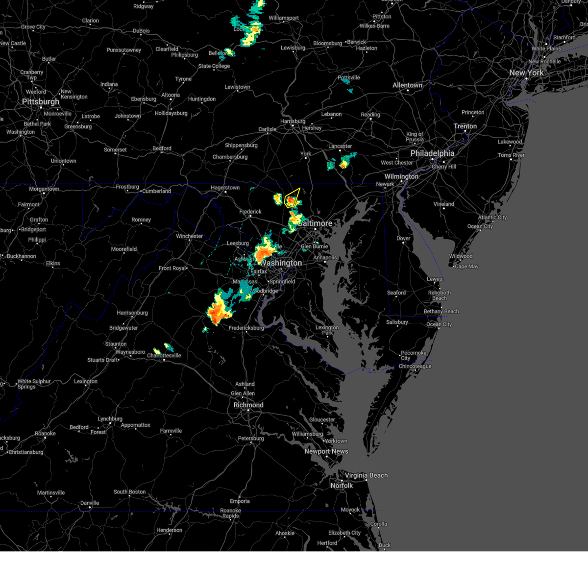 At 527 pm edt, a severe thunderstorm was located near hampstead, or near westminster, moving northeast at 25 mph (radar indicated). Hazards include 60 mph wind gusts and half dollar size hail. Damaging winds will cause some trees and large branches to fall. this could injure those outdoors, as well as damage homes and vehicles. roadways may become blocked by downed trees. localized power outages are possible. unsecured light objects may become projectiles. Locations impacted include, westminster, hampstead, manchester, carrollton, patapsco, reese, and greenmount. At 527 pm edt, a severe thunderstorm was located near hampstead, or near westminster, moving northeast at 25 mph (radar indicated). Hazards include 60 mph wind gusts and half dollar size hail. Damaging winds will cause some trees and large branches to fall. this could injure those outdoors, as well as damage homes and vehicles. roadways may become blocked by downed trees. localized power outages are possible. unsecured light objects may become projectiles. Locations impacted include, westminster, hampstead, manchester, carrollton, patapsco, reese, and greenmount.
|
| 7/15/2024 5:23 PM EDT |
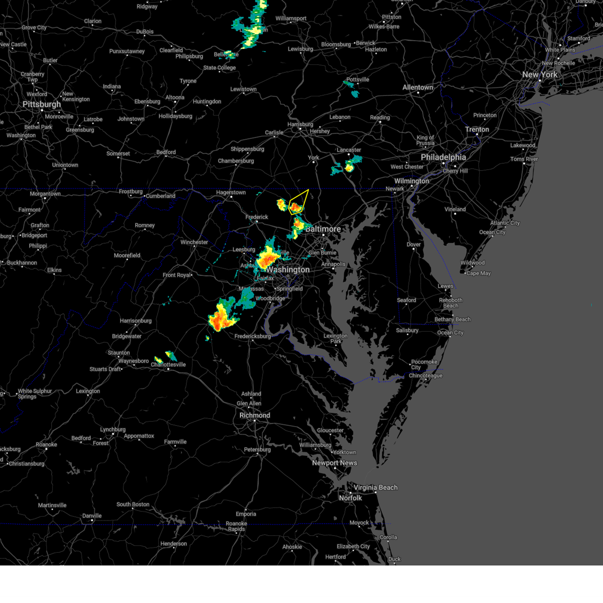 At 523 pm edt, a severe thunderstorm was located near westminster, moving northeast at 25 mph (radar indicated). Hazards include 60 mph wind gusts and half dollar size hail. Damaging winds will cause some trees and large branches to fall. this could injure those outdoors, as well as damage homes and vehicles. roadways may become blocked by downed trees. localized power outages are possible. unsecured light objects may become projectiles. Locations impacted include, westminster, hampstead, manchester, carrollton, patapsco, reese, millers, and greenmount. At 523 pm edt, a severe thunderstorm was located near westminster, moving northeast at 25 mph (radar indicated). Hazards include 60 mph wind gusts and half dollar size hail. Damaging winds will cause some trees and large branches to fall. this could injure those outdoors, as well as damage homes and vehicles. roadways may become blocked by downed trees. localized power outages are possible. unsecured light objects may become projectiles. Locations impacted include, westminster, hampstead, manchester, carrollton, patapsco, reese, millers, and greenmount.
|
| 7/15/2024 5:16 PM EDT |
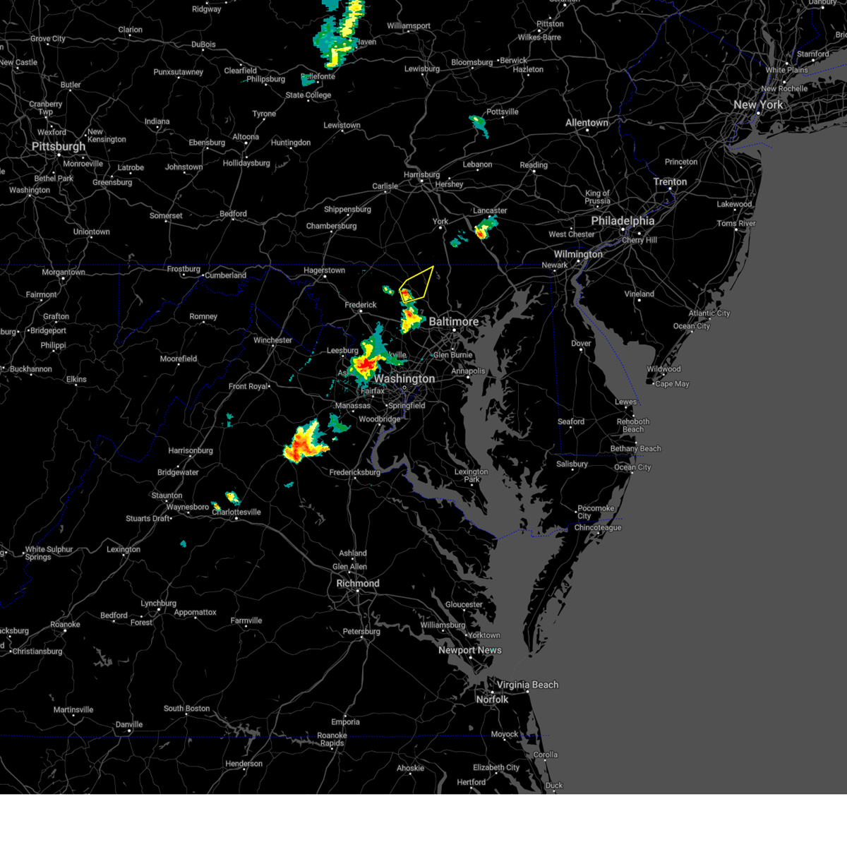 At 516 pm edt, a severe thunderstorm was located over westminster, moving northeast at 25 mph (radar indicated). Hazards include 60 mph wind gusts and quarter size hail. Damaging winds will cause some trees and large branches to fall. this could injure those outdoors, as well as damage homes and vehicles. roadways may become blocked by downed trees. localized power outages are possible. unsecured light objects may become projectiles. Locations impacted include, westminster, hampstead, manchester, carrollton, patapsco, reese, wagners mill, millers, and greenmount. At 516 pm edt, a severe thunderstorm was located over westminster, moving northeast at 25 mph (radar indicated). Hazards include 60 mph wind gusts and quarter size hail. Damaging winds will cause some trees and large branches to fall. this could injure those outdoors, as well as damage homes and vehicles. roadways may become blocked by downed trees. localized power outages are possible. unsecured light objects may become projectiles. Locations impacted include, westminster, hampstead, manchester, carrollton, patapsco, reese, wagners mill, millers, and greenmount.
|
| 7/15/2024 5:06 PM EDT |
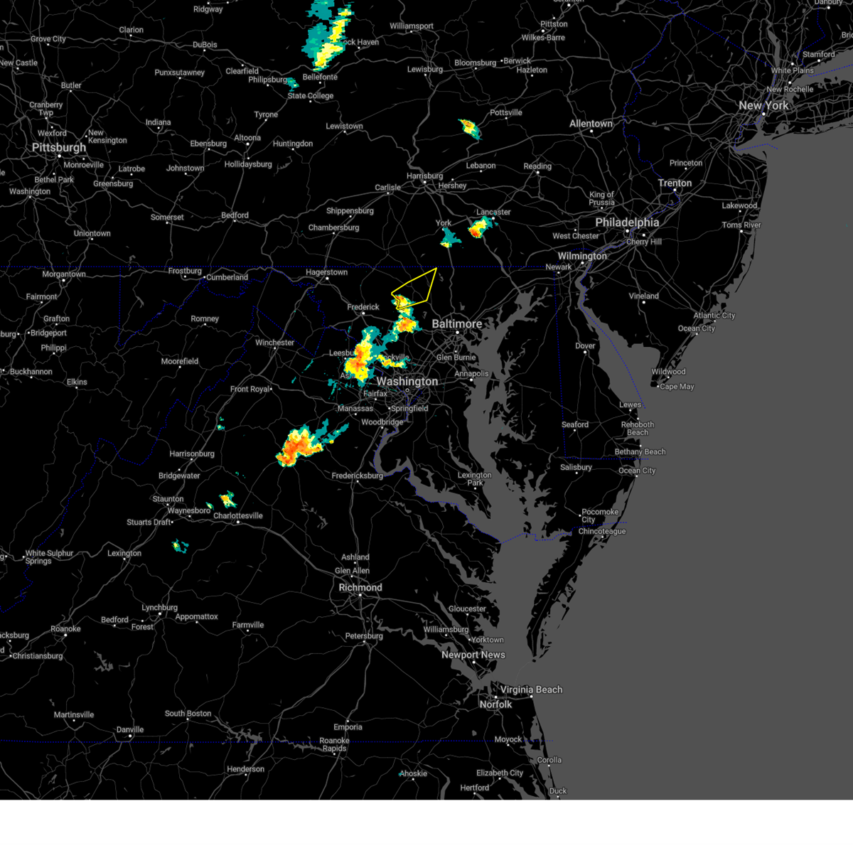 Svrlwx the national weather service in sterling virginia has issued a * severe thunderstorm warning for, northeastern carroll county in north central maryland, * until 545 pm edt. * at 506 pm edt, a severe thunderstorm was located near westminster, moving northeast at 25 mph (radar indicated). Hazards include 60 mph wind gusts and quarter size hail. Damaging winds will cause some trees and large branches to fall. this could injure those outdoors, as well as damage homes and vehicles. roadways may become blocked by downed trees. localized power outages are possible. Unsecured light objects may become projectiles. Svrlwx the national weather service in sterling virginia has issued a * severe thunderstorm warning for, northeastern carroll county in north central maryland, * until 545 pm edt. * at 506 pm edt, a severe thunderstorm was located near westminster, moving northeast at 25 mph (radar indicated). Hazards include 60 mph wind gusts and quarter size hail. Damaging winds will cause some trees and large branches to fall. this could injure those outdoors, as well as damage homes and vehicles. roadways may become blocked by downed trees. localized power outages are possible. Unsecured light objects may become projectiles.
|
| 6/30/2024 4:15 PM EDT |
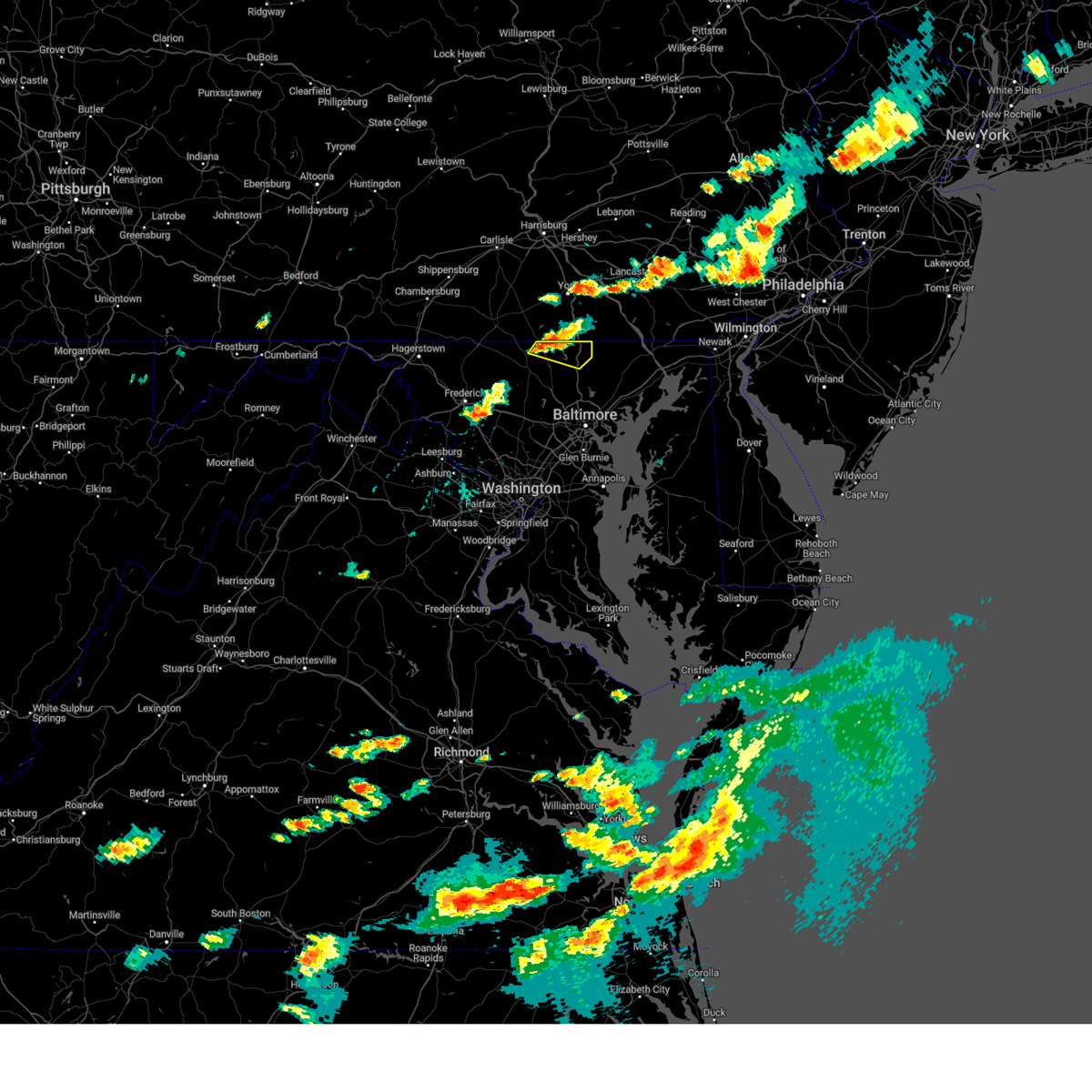 At 415 pm edt, a severe thunderstorm was located over manchester, or 8 miles southeast of parkville, moving east at 25 mph (radar indicated). Hazards include 60 mph wind gusts. Damaging winds will cause some trees and large branches to fall. this could injure those outdoors, as well as damage homes and vehicles. roadways may become blocked by downed trees. localized power outages are possible. unsecured light objects may become projectiles. Locations impacted include, hampstead, manchester, bentley springs, freeland, lineboro, parkton, hereford, millers, greenmount, and maryland line. At 415 pm edt, a severe thunderstorm was located over manchester, or 8 miles southeast of parkville, moving east at 25 mph (radar indicated). Hazards include 60 mph wind gusts. Damaging winds will cause some trees and large branches to fall. this could injure those outdoors, as well as damage homes and vehicles. roadways may become blocked by downed trees. localized power outages are possible. unsecured light objects may become projectiles. Locations impacted include, hampstead, manchester, bentley springs, freeland, lineboro, parkton, hereford, millers, greenmount, and maryland line.
|
| 6/30/2024 4:03 PM EDT |
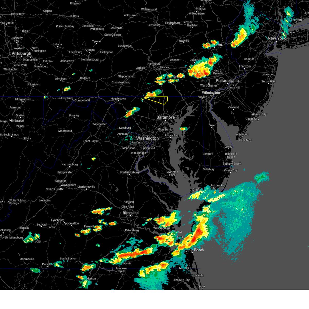 Svrlwx the national weather service in sterling virginia has issued a * severe thunderstorm warning for, northeastern carroll county in north central maryland, northwestern baltimore county in northern maryland, * until 445 pm edt. * at 402 pm edt, a severe thunderstorm was located near manchester, or near parkville, moving east at 30 mph (radar indicated). Hazards include 60 mph wind gusts. Damaging winds will cause some trees and large branches to fall. this could injure those outdoors, as well as damage homes and vehicles. roadways may become blocked by downed trees. localized power outages are possible. Unsecured light objects may become projectiles. Svrlwx the national weather service in sterling virginia has issued a * severe thunderstorm warning for, northeastern carroll county in north central maryland, northwestern baltimore county in northern maryland, * until 445 pm edt. * at 402 pm edt, a severe thunderstorm was located near manchester, or near parkville, moving east at 30 mph (radar indicated). Hazards include 60 mph wind gusts. Damaging winds will cause some trees and large branches to fall. this could injure those outdoors, as well as damage homes and vehicles. roadways may become blocked by downed trees. localized power outages are possible. Unsecured light objects may become projectiles.
|
| 6/5/2024 6:25 PM EDT |
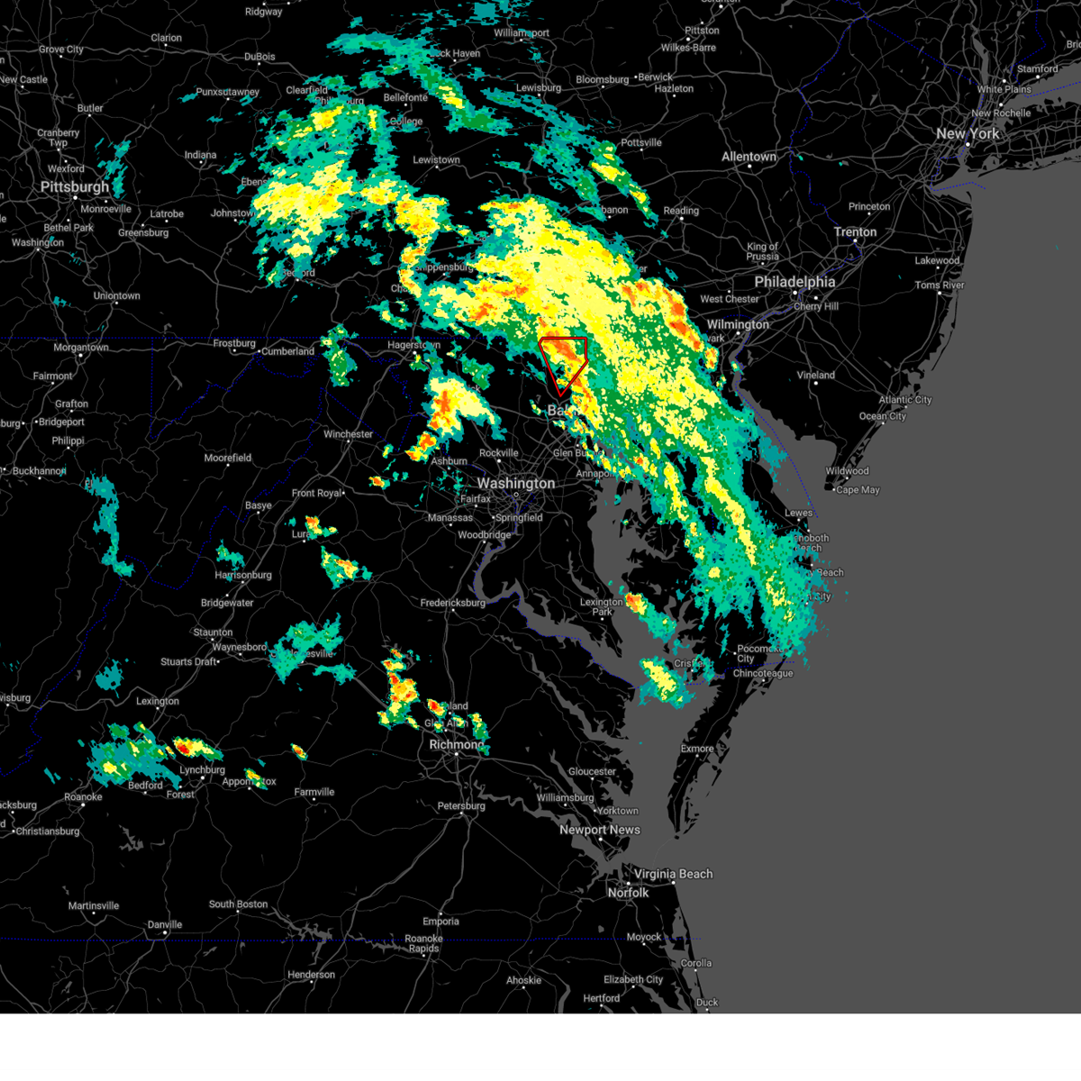 At 625 pm edt, a severe squall line capable of producing tornadoes was located along a line extending from near manchester to near owings mills, moving northeast at 20 mph (radar indicated rotation). Hazards include tornado. For those in the direct path of a tornado touchdown, flying debris will be dangerous to those caught without shelter. damage to roofs, siding, and windows may occur. mobile homes may be damaged or destroyed. tree damage is likely. these dangerous storms will be near, cockeysville around 630 pm edt. Other locations impacted by these tornadic storms include bentley springs, glencoe, freeland, lineboro, parkton, hereford, millers, sparks, butler, and maryland line. At 625 pm edt, a severe squall line capable of producing tornadoes was located along a line extending from near manchester to near owings mills, moving northeast at 20 mph (radar indicated rotation). Hazards include tornado. For those in the direct path of a tornado touchdown, flying debris will be dangerous to those caught without shelter. damage to roofs, siding, and windows may occur. mobile homes may be damaged or destroyed. tree damage is likely. these dangerous storms will be near, cockeysville around 630 pm edt. Other locations impacted by these tornadic storms include bentley springs, glencoe, freeland, lineboro, parkton, hereford, millers, sparks, butler, and maryland line.
|
| 6/5/2024 6:17 PM EDT |
 Torlwx the national weather service in sterling virginia has issued a * tornado warning for, northeastern carroll county in north central maryland, northwestern baltimore county in northern maryland, * until 645 pm edt. * at 617 pm edt, severe thunderstorms capable of producing a tornado were located along a line extending from hampstead to near owings mills, moving northeast at 20 mph (radar indicated rotation). Hazards include tornado. For those in the direct path of a tornado touchdown, flying debris will be dangerous to those caught without shelter. damage to roofs, siding, and windows may occur. mobile homes may be damaged or destroyed. tree damage is likely. these dangerous storms will be near, cockeysville, owings mills, hampstead, and manchester around 620 pm edt. Other locations impacted by these tornadic storms include glencoe, upperco, freeland, lineboro, glyndon, sparks, boring, bentley springs, parkton, and hereford. Torlwx the national weather service in sterling virginia has issued a * tornado warning for, northeastern carroll county in north central maryland, northwestern baltimore county in northern maryland, * until 645 pm edt. * at 617 pm edt, severe thunderstorms capable of producing a tornado were located along a line extending from hampstead to near owings mills, moving northeast at 20 mph (radar indicated rotation). Hazards include tornado. For those in the direct path of a tornado touchdown, flying debris will be dangerous to those caught without shelter. damage to roofs, siding, and windows may occur. mobile homes may be damaged or destroyed. tree damage is likely. these dangerous storms will be near, cockeysville, owings mills, hampstead, and manchester around 620 pm edt. Other locations impacted by these tornadic storms include glencoe, upperco, freeland, lineboro, glyndon, sparks, boring, bentley springs, parkton, and hereford.
|
| 9/8/2023 8:09 PM EDT |
 At 809 pm edt, a severe thunderstorm was located over owings mills, or near pikesville, moving northeast at 20 mph (emergency management have reported wind damage to trees and power lines in howard and baltimore counties. trained spotters have reported quarter sized hail in cockeysville). Hazards include 70 mph wind gusts and quarter size hail. Damaging winds will cause some trees and large branches to fall. this could injure those outdoors, as well as damage homes and vehicles. roadways may become blocked by downed trees. localized power outages are possible. unsecured light objects may become projectiles. locations impacted include, pikesville, cockeysville, randallstown, owings mills, eldersburg, milford mill, reisterstown, lochearn, mays chapel, timonium, hampstead, manchester, oakland, gamber, lutherville-timonium, garrison, finksburg, carrollton, upperco, and louisville. thunderstorm damage threat, considerable hail threat, observed max hail size, 1. 00 in wind threat, observed max wind gust, 70 mph. At 809 pm edt, a severe thunderstorm was located over owings mills, or near pikesville, moving northeast at 20 mph (emergency management have reported wind damage to trees and power lines in howard and baltimore counties. trained spotters have reported quarter sized hail in cockeysville). Hazards include 70 mph wind gusts and quarter size hail. Damaging winds will cause some trees and large branches to fall. this could injure those outdoors, as well as damage homes and vehicles. roadways may become blocked by downed trees. localized power outages are possible. unsecured light objects may become projectiles. locations impacted include, pikesville, cockeysville, randallstown, owings mills, eldersburg, milford mill, reisterstown, lochearn, mays chapel, timonium, hampstead, manchester, oakland, gamber, lutherville-timonium, garrison, finksburg, carrollton, upperco, and louisville. thunderstorm damage threat, considerable hail threat, observed max hail size, 1. 00 in wind threat, observed max wind gust, 70 mph.
|
| 9/8/2023 8:00 PM EDT |
 At 758 pm edt, a severe thunderstorm was located over oakland, or 8 miles west of pikesville, moving northeast at 20 mph (emergency management reported hail near west friendship in howard county. a mesonet in randallstown measured a peak wind gust of 68 mph). Hazards include 70 mph wind gusts and quarter size hail. Damaging winds will cause some trees and large branches to fall. this could injure those outdoors, as well as damage homes and vehicles. roadways may become blocked by downed trees. localized power outages are possible. Unsecured light objects may become projectiles. At 758 pm edt, a severe thunderstorm was located over oakland, or 8 miles west of pikesville, moving northeast at 20 mph (emergency management reported hail near west friendship in howard county. a mesonet in randallstown measured a peak wind gust of 68 mph). Hazards include 70 mph wind gusts and quarter size hail. Damaging winds will cause some trees and large branches to fall. this could injure those outdoors, as well as damage homes and vehicles. roadways may become blocked by downed trees. localized power outages are possible. Unsecured light objects may become projectiles.
|
| 9/7/2023 3:23 PM EDT |
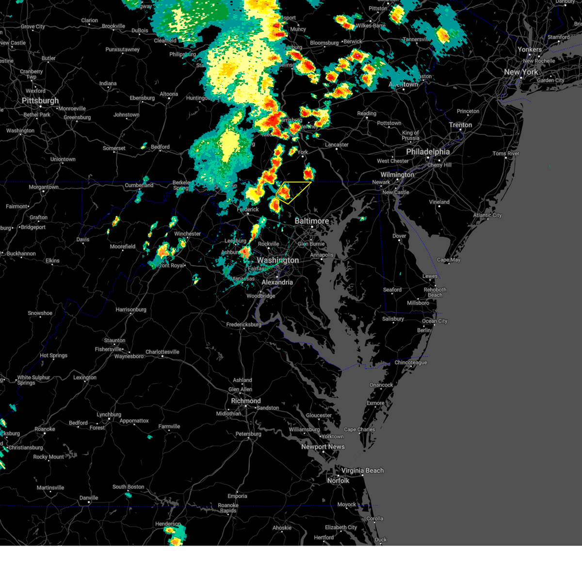 At 323 pm edt, a severe thunderstorm was located over manchester, or near westminster, moving northeast at 20 mph (radar indicated). Hazards include 60 mph wind gusts and quarter size hail. Damaging winds will cause some trees and large branches to fall. this could injure those outdoors, as well as damage homes and vehicles. roadways may become blocked by downed trees. localized power outages are possible. unsecured light objects may become projectiles. locations impacted include, westminster, hampstead, manchester, carrollton, freeland, lineboro, patapsco, reese, millers, greenmount, maryland line, and upperco. hail threat, radar indicated max hail size, 1. 00 in wind threat, radar indicated max wind gust, 60 mph. At 323 pm edt, a severe thunderstorm was located over manchester, or near westminster, moving northeast at 20 mph (radar indicated). Hazards include 60 mph wind gusts and quarter size hail. Damaging winds will cause some trees and large branches to fall. this could injure those outdoors, as well as damage homes and vehicles. roadways may become blocked by downed trees. localized power outages are possible. unsecured light objects may become projectiles. locations impacted include, westminster, hampstead, manchester, carrollton, freeland, lineboro, patapsco, reese, millers, greenmount, maryland line, and upperco. hail threat, radar indicated max hail size, 1. 00 in wind threat, radar indicated max wind gust, 60 mph.
|
| 9/7/2023 3:14 PM EDT |
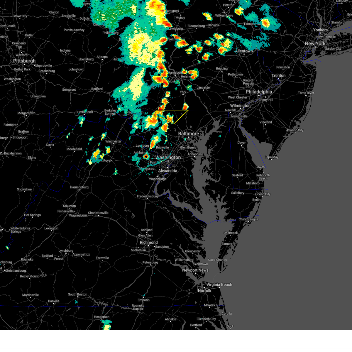 At 314 pm edt, severe thunderstorms were located along a line extending from near taneytown to near westminster, moving northeast at 15 mph (radar indicated). Hazards include 60 mph wind gusts and quarter size hail. Damaging winds will cause some trees and large branches to fall. this could injure those outdoors, as well as damage homes and vehicles. roadways may become blocked by downed trees. localized power outages are possible. Unsecured light objects may become projectiles. At 314 pm edt, severe thunderstorms were located along a line extending from near taneytown to near westminster, moving northeast at 15 mph (radar indicated). Hazards include 60 mph wind gusts and quarter size hail. Damaging winds will cause some trees and large branches to fall. this could injure those outdoors, as well as damage homes and vehicles. roadways may become blocked by downed trees. localized power outages are possible. Unsecured light objects may become projectiles.
|
| 8/7/2023 5:07 PM EDT | Dozens of reports of downed trees in hampstead. many roads close in carroll county MD, 0.8 miles SSE of Hampstead, MD |
| 8/7/2023 5:06 PM EDT |
 At 505 pm edt, severe thunderstorms were located along a line extending from hampstead to near ellicott city to near north potomac, moving east at 55 mph (radar indicated). Hazards include 60 mph wind gusts. Damaging winds will cause some trees and large branches to fall. this could injure those outdoors, as well as damage homes and vehicles. roadways may become blocked by downed trees. localized power outages are possible. Unsecured light objects may become projectiles. At 505 pm edt, severe thunderstorms were located along a line extending from hampstead to near ellicott city to near north potomac, moving east at 55 mph (radar indicated). Hazards include 60 mph wind gusts. Damaging winds will cause some trees and large branches to fall. this could injure those outdoors, as well as damage homes and vehicles. roadways may become blocked by downed trees. localized power outages are possible. Unsecured light objects may become projectiles.
|
| 8/7/2023 5:02 PM EDT | *** 1 inj *** a large tree fell onto a home injuring one person. time estimated from rada in carroll county MD, 1.9 miles SW of Hampstead, MD |
| 8/7/2023 4:56 PM EDT |
 At 455 pm edt, severe thunderstorms were located along a line extending from near gamber to near haymarket, moving east at 55 mph (emergency management continues to report widespread wind damage with this storm). Hazards include 70 mph wind gusts. Damaging winds will cause some trees and large branches to fall. this could injure those outdoors, as well as damage homes and vehicles. roadways may become blocked by downed trees. localized power outages are possible. unsecured light objects may become projectiles. locations impacted include, germantown, frederick, rockville, bethesda, gaithersburg, reston, leesburg, olney, herndon, westminster, damascus, broadlands, lansdowne, lowes island, poolesville, mclean, american legion bridge, harry grove stadium, ellicott city and aspen hill. thunderstorm damage threat, considerable hail threat, radar indicated max hail size, <. 75 in wind threat, radar indicated max wind gust, 70 mph. At 455 pm edt, severe thunderstorms were located along a line extending from near gamber to near haymarket, moving east at 55 mph (emergency management continues to report widespread wind damage with this storm). Hazards include 70 mph wind gusts. Damaging winds will cause some trees and large branches to fall. this could injure those outdoors, as well as damage homes and vehicles. roadways may become blocked by downed trees. localized power outages are possible. unsecured light objects may become projectiles. locations impacted include, germantown, frederick, rockville, bethesda, gaithersburg, reston, leesburg, olney, herndon, westminster, damascus, broadlands, lansdowne, lowes island, poolesville, mclean, american legion bridge, harry grove stadium, ellicott city and aspen hill. thunderstorm damage threat, considerable hail threat, radar indicated max hail size, <. 75 in wind threat, radar indicated max wind gust, 70 mph.
|
| 8/7/2023 4:25 PM EDT |
 At 424 pm edt, severe thunderstorms were located along a line extending from near thurmont to 7 miles north of linden, moving east at 55 mph (emergency management reports widespread wind damage with this line of storms across md and northern va). Hazards include 70 mph wind gusts and quarter size hail. Damaging winds will cause some trees and large branches to fall. this could injure those outdoors, as well as damage homes and vehicles. roadways may become blocked by downed trees. localized power outages are possible. Unsecured light objects may become projectiles. At 424 pm edt, severe thunderstorms were located along a line extending from near thurmont to 7 miles north of linden, moving east at 55 mph (emergency management reports widespread wind damage with this line of storms across md and northern va). Hazards include 70 mph wind gusts and quarter size hail. Damaging winds will cause some trees and large branches to fall. this could injure those outdoors, as well as damage homes and vehicles. roadways may become blocked by downed trees. localized power outages are possible. Unsecured light objects may become projectiles.
|
| 7/28/2023 7:32 PM EDT |
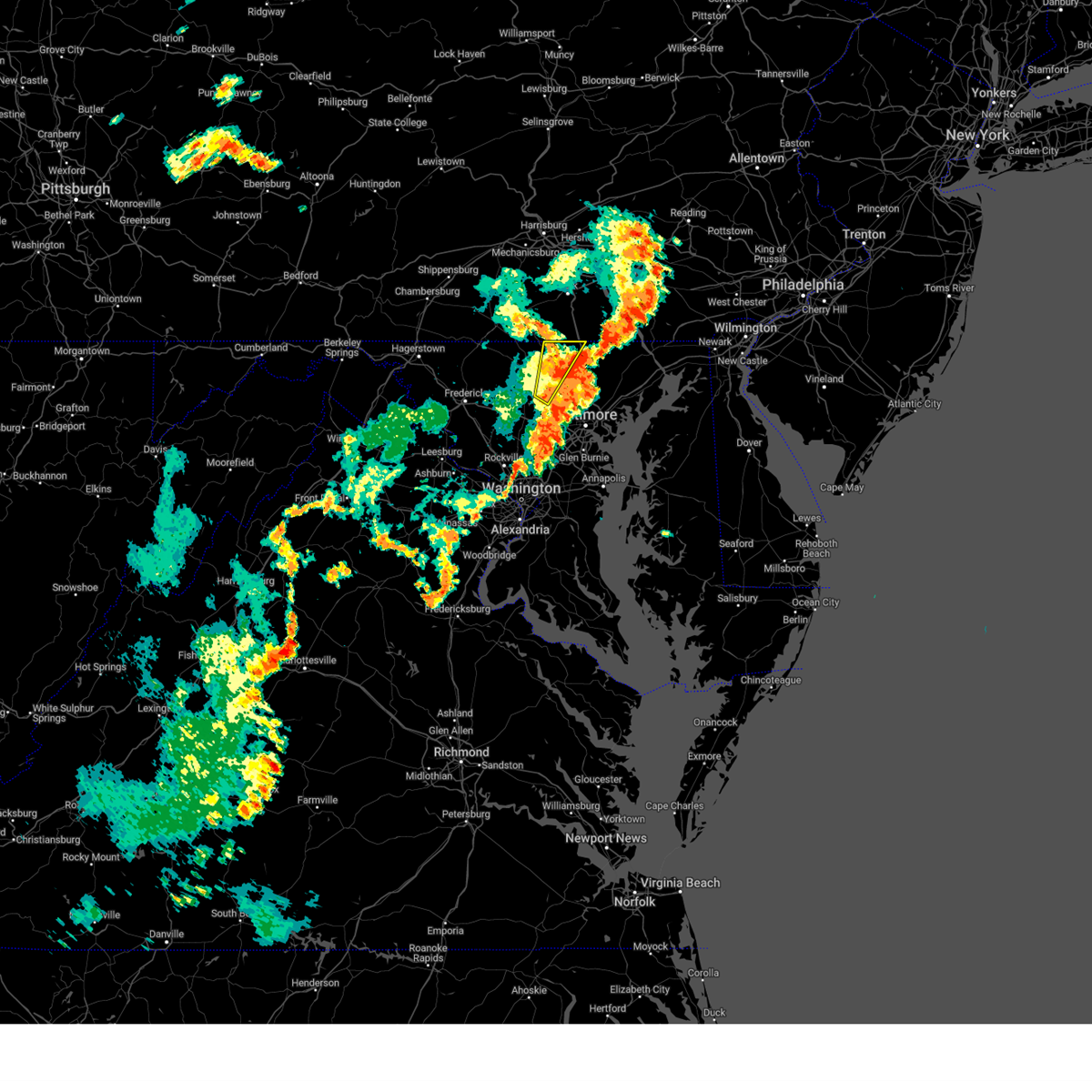 At 731 pm edt, a severe thunderstorm was located 7 miles east of hampstead, or 10 miles northwest of cockeysville, moving northeast at 35 mph (emergency management). Hazards include 70 mph wind gusts and quarter size hail. Damaging winds will cause some trees and large branches to fall. this could injure those outdoors, as well as damage homes and vehicles. roadways may become blocked by downed trees. localized power outages are possible. unsecured light objects may become projectiles. locations impacted include, eldersburg, reisterstown, hampstead, manchester, gamber, finksburg, carrollton, upperco, freeland, lineboro, louisville, glyndon, boring, bentley springs, patapsco, millers, greenmount and maryland line. thunderstorm damage threat, considerable hail threat, radar indicated max hail size, 1. 00 in wind threat, radar indicated max wind gust, 70 mph. At 731 pm edt, a severe thunderstorm was located 7 miles east of hampstead, or 10 miles northwest of cockeysville, moving northeast at 35 mph (emergency management). Hazards include 70 mph wind gusts and quarter size hail. Damaging winds will cause some trees and large branches to fall. this could injure those outdoors, as well as damage homes and vehicles. roadways may become blocked by downed trees. localized power outages are possible. unsecured light objects may become projectiles. locations impacted include, eldersburg, reisterstown, hampstead, manchester, gamber, finksburg, carrollton, upperco, freeland, lineboro, louisville, glyndon, boring, bentley springs, patapsco, millers, greenmount and maryland line. thunderstorm damage threat, considerable hail threat, radar indicated max hail size, 1. 00 in wind threat, radar indicated max wind gust, 70 mph.
|
| 7/28/2023 7:23 PM EDT |
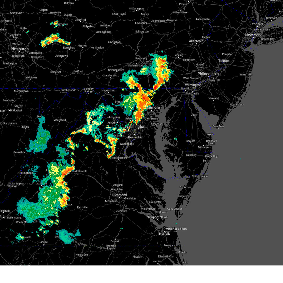 At 722 pm edt, a severe thunderstorm was located near hampstead, or 8 miles northwest of cockeysville, moving northeast at 30 mph. this is a destructive storm for northern baltimore county (emergency management). Hazards include 80 mph wind gusts and quarter size hail. Expect considerable damage to trees and power lines. your life is at significant risk if outdoors. in addition to some trees falling into homes, wind damage is possible to roofs, sheds, open garages, and mobile homes. locations impacted include, cockeysville, hampstead, glencoe, upperco, parkton, hunt valley, hereford, sparks, boring, butler and monkton. thunderstorm damage threat, destructive hail threat, radar indicated max hail size, 1. 00 in wind threat, observed max wind gust, 80 mph. At 722 pm edt, a severe thunderstorm was located near hampstead, or 8 miles northwest of cockeysville, moving northeast at 30 mph. this is a destructive storm for northern baltimore county (emergency management). Hazards include 80 mph wind gusts and quarter size hail. Expect considerable damage to trees and power lines. your life is at significant risk if outdoors. in addition to some trees falling into homes, wind damage is possible to roofs, sheds, open garages, and mobile homes. locations impacted include, cockeysville, hampstead, glencoe, upperco, parkton, hunt valley, hereford, sparks, boring, butler and monkton. thunderstorm damage threat, destructive hail threat, radar indicated max hail size, 1. 00 in wind threat, observed max wind gust, 80 mph.
|
| 7/28/2023 7:17 PM EDT |
 At 716 pm edt, a severe thunderstorm was located near reisterstown, or 7 miles west of cockeysville, moving northeast at 30 mph. this is a destructive storm for northern baltimore county (emergency management). Hazards include 80 mph wind gusts and quarter size hail. Expect considerable damage to trees and power lines. your life is at significant risk if outdoors. In addition to some trees falling into homes, wind damage is possible to roofs, sheds, open garages, and mobile homes. At 716 pm edt, a severe thunderstorm was located near reisterstown, or 7 miles west of cockeysville, moving northeast at 30 mph. this is a destructive storm for northern baltimore county (emergency management). Hazards include 80 mph wind gusts and quarter size hail. Expect considerable damage to trees and power lines. your life is at significant risk if outdoors. In addition to some trees falling into homes, wind damage is possible to roofs, sheds, open garages, and mobile homes.
|
| 7/28/2023 7:02 PM EDT |
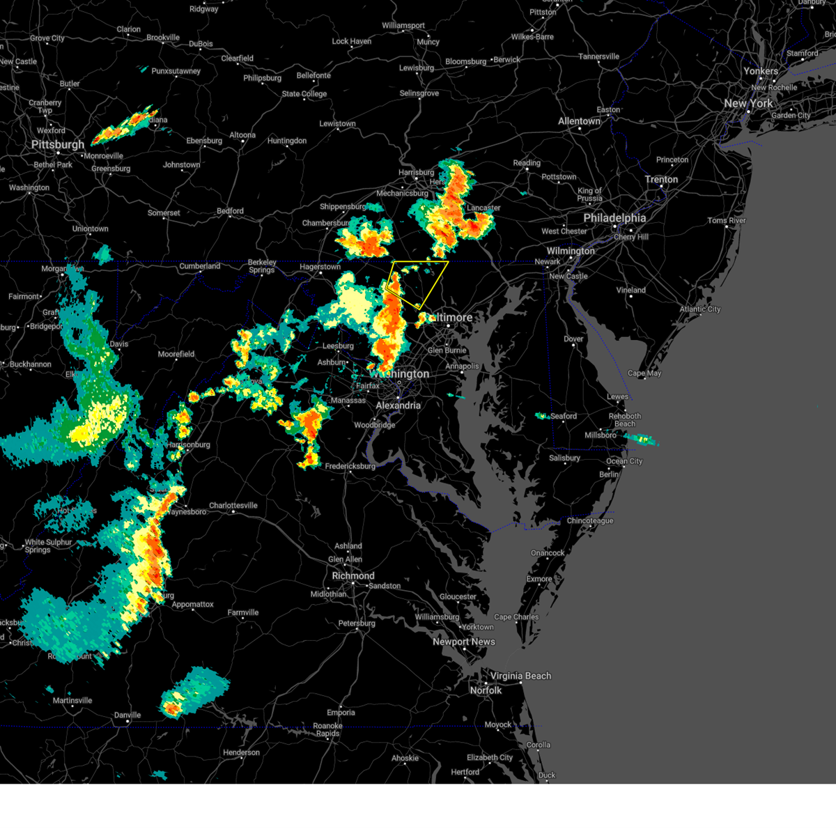 At 702 pm edt, a severe thunderstorm was located over westminster, moving northeast at 25 mph (radar indicated). Hazards include 70 mph wind gusts and quarter size hail. Damaging winds will cause some trees and large branches to fall. this could injure those outdoors, as well as damage homes and vehicles. roadways may become blocked by downed trees. localized power outages are possible. unsecured light objects may become projectiles. locations impacted include, westminster, eldersburg, reisterstown, hampstead, manchester, gamber, new windsor, finksburg, carrollton, upperco, freeland, lineboro, louisville, glyndon, boring, bentley springs, patapsco, reese, uniontown and wagners mill. thunderstorm damage threat, considerable hail threat, radar indicated max hail size, 1. 00 in wind threat, radar indicated max wind gust, 70 mph. At 702 pm edt, a severe thunderstorm was located over westminster, moving northeast at 25 mph (radar indicated). Hazards include 70 mph wind gusts and quarter size hail. Damaging winds will cause some trees and large branches to fall. this could injure those outdoors, as well as damage homes and vehicles. roadways may become blocked by downed trees. localized power outages are possible. unsecured light objects may become projectiles. locations impacted include, westminster, eldersburg, reisterstown, hampstead, manchester, gamber, new windsor, finksburg, carrollton, upperco, freeland, lineboro, louisville, glyndon, boring, bentley springs, patapsco, reese, uniontown and wagners mill. thunderstorm damage threat, considerable hail threat, radar indicated max hail size, 1. 00 in wind threat, radar indicated max wind gust, 70 mph.
|
| 7/28/2023 6:46 PM EDT |
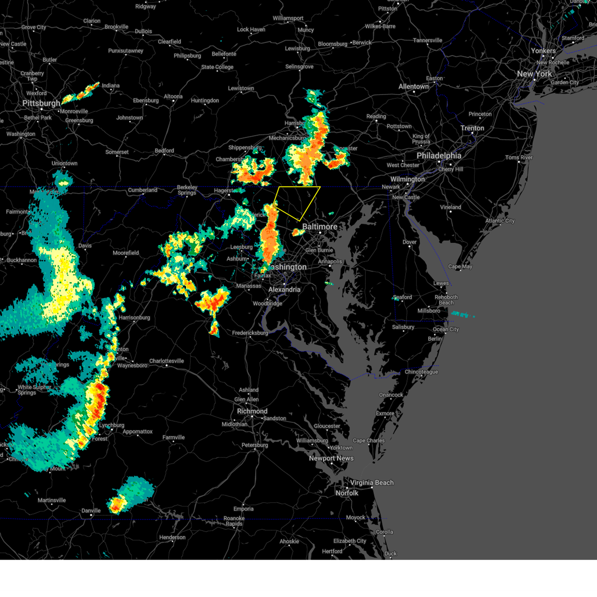 At 646 pm edt, a severe thunderstorm was located 7 miles west of gamber, or 7 miles southwest of westminster, moving northeast at 55 mph (radar indicated). Hazards include 70 mph wind gusts and quarter size hail. Damaging winds will cause some trees and large branches to fall. this could injure those outdoors, as well as damage homes and vehicles. roadways may become blocked by downed trees. localized power outages are possible. Unsecured light objects may become projectiles. At 646 pm edt, a severe thunderstorm was located 7 miles west of gamber, or 7 miles southwest of westminster, moving northeast at 55 mph (radar indicated). Hazards include 70 mph wind gusts and quarter size hail. Damaging winds will cause some trees and large branches to fall. this could injure those outdoors, as well as damage homes and vehicles. roadways may become blocked by downed trees. localized power outages are possible. Unsecured light objects may become projectiles.
|
| 4/22/2023 2:57 PM EDT | A tree down was reported on mount zion r in baltimore county MD, 4.4 miles NW of Hampstead, MD |
| 4/22/2023 2:33 PM EDT |
 At 232 pm edt, a severe thunderstorm was located near mount airy, or 10 miles south of westminster, moving northeast at 45 mph (radar indicated). Hazards include 60 mph wind gusts. Damaging winds will cause some trees and large branches to fall. this could injure those outdoors, as well as damage homes and vehicles. roadways may become blocked by downed trees. localized power outages are possible. unsecured light objects may become projectiles. locations impacted include, columbia, pikesville, westminster, historic ellicott city, ellicott city, woodlawn, randallstown, owings mills, eldersburg, milford mill, reisterstown, lochearn, mays chapel, mount airy, hampstead, sykesville, oakland, gamber, garrison and fulton. hail threat, radar indicated max hail size, <. 75 in wind threat, radar indicated max wind gust, 60 mph. At 232 pm edt, a severe thunderstorm was located near mount airy, or 10 miles south of westminster, moving northeast at 45 mph (radar indicated). Hazards include 60 mph wind gusts. Damaging winds will cause some trees and large branches to fall. this could injure those outdoors, as well as damage homes and vehicles. roadways may become blocked by downed trees. localized power outages are possible. unsecured light objects may become projectiles. locations impacted include, columbia, pikesville, westminster, historic ellicott city, ellicott city, woodlawn, randallstown, owings mills, eldersburg, milford mill, reisterstown, lochearn, mays chapel, mount airy, hampstead, sykesville, oakland, gamber, garrison and fulton. hail threat, radar indicated max hail size, <. 75 in wind threat, radar indicated max wind gust, 60 mph.
|
| 4/22/2023 2:18 PM EDT |
 At 218 pm edt, a severe thunderstorm was located near green valley, or near damascus, moving northeast at 45 mph (radar indicated). Hazards include 60 mph wind gusts. Damaging winds will cause some trees and large branches to fall. this could injure those outdoors, as well as damage homes and vehicles. roadways may become blocked by downed trees. localized power outages are possible. unsecured light objects may become projectiles. locations impacted include, columbia, rockville, olney, pikesville, westminster, damascus, historic ellicott city, ellicott city, aspen hill, north bethesda, woodlawn, randallstown, montgomery village, owings mills, eldersburg, milford mill, reisterstown, lochearn, white oak and redland. hail threat, radar indicated max hail size, <. 75 in wind threat, radar indicated max wind gust, 60 mph. At 218 pm edt, a severe thunderstorm was located near green valley, or near damascus, moving northeast at 45 mph (radar indicated). Hazards include 60 mph wind gusts. Damaging winds will cause some trees and large branches to fall. this could injure those outdoors, as well as damage homes and vehicles. roadways may become blocked by downed trees. localized power outages are possible. unsecured light objects may become projectiles. locations impacted include, columbia, rockville, olney, pikesville, westminster, damascus, historic ellicott city, ellicott city, aspen hill, north bethesda, woodlawn, randallstown, montgomery village, owings mills, eldersburg, milford mill, reisterstown, lochearn, white oak and redland. hail threat, radar indicated max hail size, <. 75 in wind threat, radar indicated max wind gust, 60 mph.
|
| 4/22/2023 2:02 PM EDT |
 At 202 pm edt, a severe thunderstorm was located over boyds, or near germantown, moving northeast at 45 mph (radar indicated). Hazards include 60 mph wind gusts. Damaging winds will cause some trees and large branches to fall. this could injure those outdoors, as well as damage homes and vehicles. roadways may become blocked by downed trees. localized power outages are possible. Unsecured light objects may become projectiles. At 202 pm edt, a severe thunderstorm was located over boyds, or near germantown, moving northeast at 45 mph (radar indicated). Hazards include 60 mph wind gusts. Damaging winds will cause some trees and large branches to fall. this could injure those outdoors, as well as damage homes and vehicles. roadways may become blocked by downed trees. localized power outages are possible. Unsecured light objects may become projectiles.
|
| 4/1/2023 5:56 PM EDT |
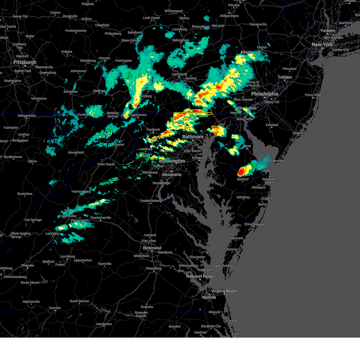 At 555 pm edt, severe thunderstorms were located along a line extending from near stewartstown to near westminster, moving east at 20 mph (radar indicated). Hazards include 60 mph wind gusts and quarter size hail. Damaging winds will cause some trees and large branches to fall. this could injure those outdoors, as well as damage homes and vehicles. roadways may become blocked by downed trees. localized power outages are possible. Unsecured light objects may become projectiles. At 555 pm edt, severe thunderstorms were located along a line extending from near stewartstown to near westminster, moving east at 20 mph (radar indicated). Hazards include 60 mph wind gusts and quarter size hail. Damaging winds will cause some trees and large branches to fall. this could injure those outdoors, as well as damage homes and vehicles. roadways may become blocked by downed trees. localized power outages are possible. Unsecured light objects may become projectiles.
|
| 7/18/2022 4:22 PM EDT |
 At 422 pm edt, severe thunderstorms were located along a line extending from hampstead to near reisterstown to near pikesville, moving northeast at 35 mph (radar indicated). Hazards include 60 mph wind gusts. Damaging winds will cause some trees and large branches to fall. this could injure those outdoors, as well as damage homes and vehicles. roadways may become blocked by downed trees. localized power outages are possible. Unsecured light objects may become projectiles. At 422 pm edt, severe thunderstorms were located along a line extending from hampstead to near reisterstown to near pikesville, moving northeast at 35 mph (radar indicated). Hazards include 60 mph wind gusts. Damaging winds will cause some trees and large branches to fall. this could injure those outdoors, as well as damage homes and vehicles. roadways may become blocked by downed trees. localized power outages are possible. Unsecured light objects may become projectiles.
|
| 7/18/2022 4:20 PM EDT | Trees and wires blew down near the intersection of shiloh road and wellesley cour in carroll county MD, 1.1 miles NE of Hampstead, MD |
| 7/18/2022 4:14 PM EDT |
 At 414 pm edt, severe thunderstorms were located along a line extending from hampstead to near reisterstown to near randallstown to near sykesville, moving east at 40 mph (radar indicated). Hazards include 60 mph wind gusts. Damaging winds will cause some trees and large branches to fall. this could injure those outdoors, as well as damage homes and vehicles. roadways may become blocked by downed trees. localized power outages are possible. unsecured light objects may become projectiles. locations impacted include, pikesville, westminster, ellicott city, woodlawn, randallstown, owings mills, eldersburg, milford mill, reisterstown, lochearn, hampstead, manchester, oakland, gamber, garrison, finksburg, carrollton, upperco, henryton and louisville. hail threat, radar indicated max hail size, <. 75 in wind threat, radar indicated max wind gust, 60 mph. At 414 pm edt, severe thunderstorms were located along a line extending from hampstead to near reisterstown to near randallstown to near sykesville, moving east at 40 mph (radar indicated). Hazards include 60 mph wind gusts. Damaging winds will cause some trees and large branches to fall. this could injure those outdoors, as well as damage homes and vehicles. roadways may become blocked by downed trees. localized power outages are possible. unsecured light objects may become projectiles. locations impacted include, pikesville, westminster, ellicott city, woodlawn, randallstown, owings mills, eldersburg, milford mill, reisterstown, lochearn, hampstead, manchester, oakland, gamber, garrison, finksburg, carrollton, upperco, henryton and louisville. hail threat, radar indicated max hail size, <. 75 in wind threat, radar indicated max wind gust, 60 mph.
|
| 7/18/2022 4:12 PM EDT |
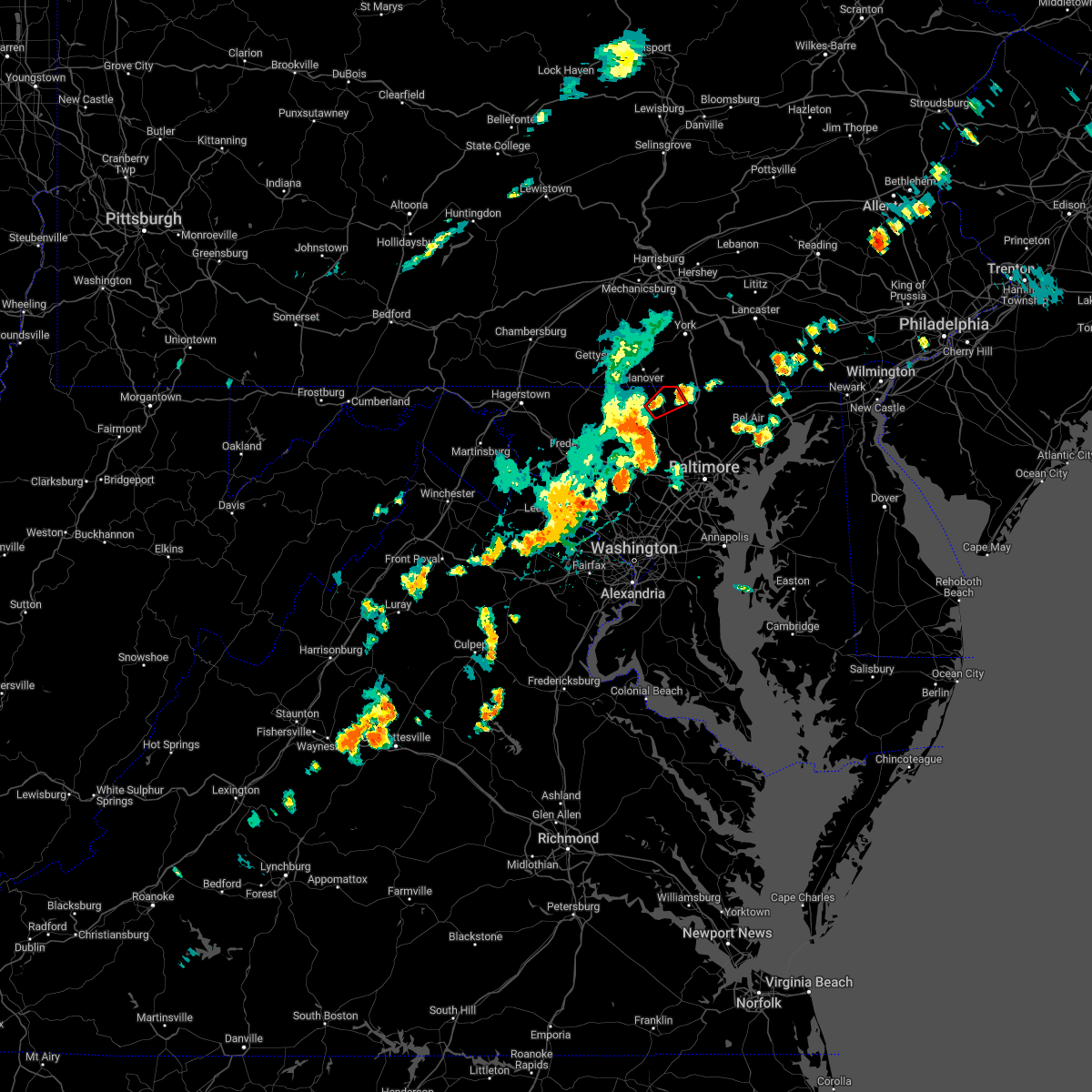 At 412 pm edt, a severe thunderstorm capable of producing a tornado was located over westminster, moving northeast at 30 mph (radar indicated rotation). Hazards include tornado. For those in the direct path of a tornado touchdown, flying debris will be dangerous to those caught without shelter. damage to roofs, siding, and windows may occur. mobile homes may be damaged or destroyed. tree damage is likely. this dangerous storm will be near, hampstead and manchester around 425 pm edt. Other locations impacted by this tornadic thunderstorm include lineboro, millers and greenmount. At 412 pm edt, a severe thunderstorm capable of producing a tornado was located over westminster, moving northeast at 30 mph (radar indicated rotation). Hazards include tornado. For those in the direct path of a tornado touchdown, flying debris will be dangerous to those caught without shelter. damage to roofs, siding, and windows may occur. mobile homes may be damaged or destroyed. tree damage is likely. this dangerous storm will be near, hampstead and manchester around 425 pm edt. Other locations impacted by this tornadic thunderstorm include lineboro, millers and greenmount.
|
| 7/18/2022 3:50 PM EDT |
 At 350 pm edt, severe thunderstorms were located along a line extending from near westminster to 7 miles west of gamber to near mount airy to damascus, moving east at 40 mph (radar indicated). Hazards include 70 mph wind gusts. Damaging winds will cause some trees and large branches to fall. this could injure those outdoors, as well as damage homes and vehicles. roadways may become blocked by downed trees. localized power outages are possible. unsecured light objects may become projectiles. locations impacted include, pikesville, westminster, damascus, ellicott city, woodlawn, randallstown, owings mills, eldersburg, milford mill, reisterstown, lochearn, mount airy, hampstead, manchester, sykesville, oakland, gamber, garrison, new windsor and union bridge. thunderstorm damage threat, considerable hail threat, radar indicated max hail size, <. 75 in wind threat, radar indicated max wind gust, 70 mph. At 350 pm edt, severe thunderstorms were located along a line extending from near westminster to 7 miles west of gamber to near mount airy to damascus, moving east at 40 mph (radar indicated). Hazards include 70 mph wind gusts. Damaging winds will cause some trees and large branches to fall. this could injure those outdoors, as well as damage homes and vehicles. roadways may become blocked by downed trees. localized power outages are possible. unsecured light objects may become projectiles. locations impacted include, pikesville, westminster, damascus, ellicott city, woodlawn, randallstown, owings mills, eldersburg, milford mill, reisterstown, lochearn, mount airy, hampstead, manchester, sykesville, oakland, gamber, garrison, new windsor and union bridge. thunderstorm damage threat, considerable hail threat, radar indicated max hail size, <. 75 in wind threat, radar indicated max wind gust, 70 mph.
|
| 7/18/2022 3:38 PM EDT |
 At 338 pm edt, severe thunderstorms were located along a line extending from 7 miles south of taneytown to 6 miles north of mount airy to near green valley to near boyds, moving east at 40 mph (radar indicated). Hazards include 60 mph wind gusts. Damaging winds will cause some trees and large branches to fall. this could injure those outdoors, as well as damage homes and vehicles. roadways may become blocked by downed trees. localized power outages are possible. Unsecured light objects may become projectiles. At 338 pm edt, severe thunderstorms were located along a line extending from 7 miles south of taneytown to 6 miles north of mount airy to near green valley to near boyds, moving east at 40 mph (radar indicated). Hazards include 60 mph wind gusts. Damaging winds will cause some trees and large branches to fall. this could injure those outdoors, as well as damage homes and vehicles. roadways may become blocked by downed trees. localized power outages are possible. Unsecured light objects may become projectiles.
|
| 7/12/2022 4:27 PM EDT |
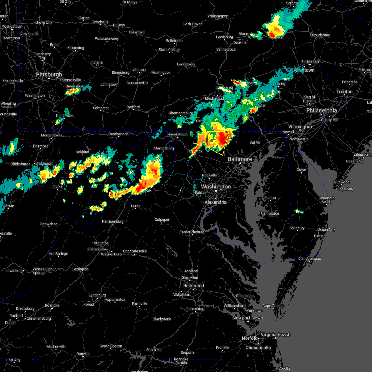 The severe thunderstorm warning for carroll and eastern frederick counties in north central maryland will expire at 430 pm edt, the storms which prompted the warning have moved out of the area. therefore, the warning will be allowed to expire. a severe thunderstorm watch remains in effect until 1000 pm edt for north central maryland. remember, a severe thunderstorm warning still remains in effect for northeastern carroll county as the storm has moved downstream. The severe thunderstorm warning for carroll and eastern frederick counties in north central maryland will expire at 430 pm edt, the storms which prompted the warning have moved out of the area. therefore, the warning will be allowed to expire. a severe thunderstorm watch remains in effect until 1000 pm edt for north central maryland. remember, a severe thunderstorm warning still remains in effect for northeastern carroll county as the storm has moved downstream.
|
| 7/12/2022 4:25 PM EDT | Numerous large trees and branches down in the 1200 block of allview driv in carroll county MD, 1.4 miles E of Hampstead, MD |
| 7/12/2022 4:25 PM EDT | Roofing partially removed from a bank in upperco in baltimore county MD, 4.9 miles N of Hampstead, MD |
| 7/12/2022 4:21 PM EDT | Numerous trees down in hampstead are in carroll county MD, 1.4 miles E of Hampstead, MD |
| 7/12/2022 4:20 PM EDT |
 At 420 pm edt, a severe thunderstorm was located near westminster, moving east at 50 mph (radar indicated). Hazards include 60 mph wind gusts and quarter size hail. Damaging winds will cause some trees and large branches to fall. this could injure those outdoors, as well as damage homes and vehicles. roadways may become blocked by downed trees. localized power outages are possible. Unsecured light objects may become projectiles. At 420 pm edt, a severe thunderstorm was located near westminster, moving east at 50 mph (radar indicated). Hazards include 60 mph wind gusts and quarter size hail. Damaging winds will cause some trees and large branches to fall. this could injure those outdoors, as well as damage homes and vehicles. roadways may become blocked by downed trees. localized power outages are possible. Unsecured light objects may become projectiles.
|
| 7/12/2022 4:14 PM EDT |
 At 414 pm edt, severe thunderstorms were located along a line extending from near manchester to 6 miles south of taneytown to walkersville, moving east at 50 mph (radar indicated). Hazards include 60 mph wind gusts and quarter size hail. Damaging winds will cause some trees and large branches to fall. this could injure those outdoors, as well as damage homes and vehicles. roadways may become blocked by downed trees. localized power outages are possible. unsecured light objects may become projectiles. locations impacted include, westminster, eldersburg, taneytown, hampstead, manchester, gamber, new windsor, union bridge, finksburg, carrollton, louisville, linwood, patapsco, reese, uniontown, wagners mill, millers, greenmount and marston. hail threat, radar indicated max hail size, 1. 00 in wind threat, radar indicated max wind gust, 60 mph. At 414 pm edt, severe thunderstorms were located along a line extending from near manchester to 6 miles south of taneytown to walkersville, moving east at 50 mph (radar indicated). Hazards include 60 mph wind gusts and quarter size hail. Damaging winds will cause some trees and large branches to fall. this could injure those outdoors, as well as damage homes and vehicles. roadways may become blocked by downed trees. localized power outages are possible. unsecured light objects may become projectiles. locations impacted include, westminster, eldersburg, taneytown, hampstead, manchester, gamber, new windsor, union bridge, finksburg, carrollton, louisville, linwood, patapsco, reese, uniontown, wagners mill, millers, greenmount and marston. hail threat, radar indicated max hail size, 1. 00 in wind threat, radar indicated max wind gust, 60 mph.
|
| 7/12/2022 3:48 PM EDT |
 At 348 pm edt, severe thunderstorms were located along a line extending from near emmitsburg to near wolfsville to near saint james, moving east at 50 mph (radar indicated). Hazards include 60 mph wind gusts and quarter size hail. Damaging winds will cause some trees and large branches to fall. this could injure those outdoors, as well as damage homes and vehicles. roadways may become blocked by downed trees. localized power outages are possible. Unsecured light objects may become projectiles. At 348 pm edt, severe thunderstorms were located along a line extending from near emmitsburg to near wolfsville to near saint james, moving east at 50 mph (radar indicated). Hazards include 60 mph wind gusts and quarter size hail. Damaging winds will cause some trees and large branches to fall. this could injure those outdoors, as well as damage homes and vehicles. roadways may become blocked by downed trees. localized power outages are possible. Unsecured light objects may become projectiles.
|
| 7/1/2022 3:10 PM EDT |
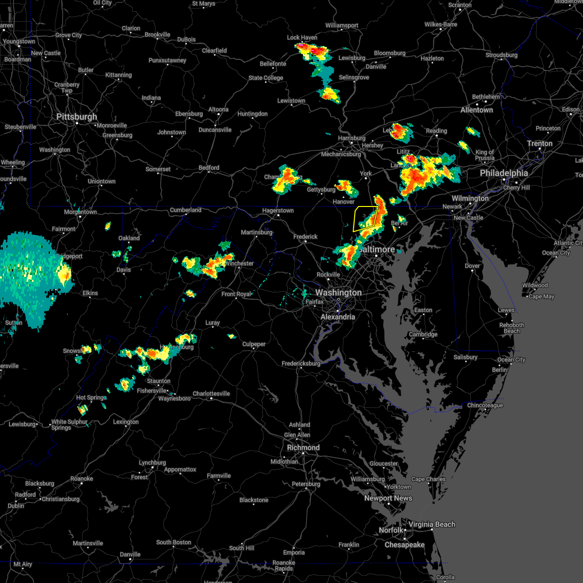 The severe thunderstorm warning for northeastern carroll and northwestern baltimore counties will expire at 315 pm edt, the storm which prompted the warning has moved out of the area. therefore, the warning will be allowed to expire. a severe thunderstorm watch remains in effect until 700 pm edt for northern and north central maryland. The severe thunderstorm warning for northeastern carroll and northwestern baltimore counties will expire at 315 pm edt, the storm which prompted the warning has moved out of the area. therefore, the warning will be allowed to expire. a severe thunderstorm watch remains in effect until 700 pm edt for northern and north central maryland.
|
| 7/1/2022 2:53 PM EDT |
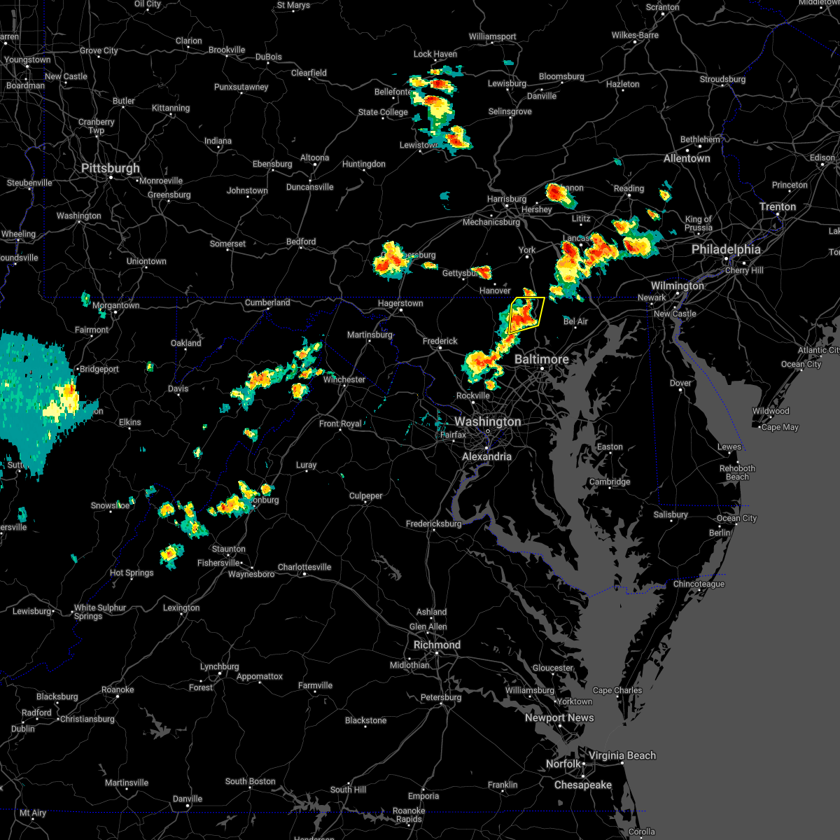 At 252 pm edt, a severe thunderstorm was located near hampstead, or 12 miles southeast of parkville, moving northeast at 25 mph (radar indicated). Hazards include 60 mph wind gusts and quarter size hail. Damaging winds will cause some trees and large branches to fall. this could injure those outdoors, as well as damage homes and vehicles. roadways may become blocked by downed trees. localized power outages are possible. unsecured light objects may become projectiles. locations impacted include, hampstead, bentley springs, upperco, freeland, parkton, hereford, boring, butler, maryland line and millers. hail threat, radar indicated max hail size, 1. 00 in wind threat, radar indicated max wind gust, 60 mph. At 252 pm edt, a severe thunderstorm was located near hampstead, or 12 miles southeast of parkville, moving northeast at 25 mph (radar indicated). Hazards include 60 mph wind gusts and quarter size hail. Damaging winds will cause some trees and large branches to fall. this could injure those outdoors, as well as damage homes and vehicles. roadways may become blocked by downed trees. localized power outages are possible. unsecured light objects may become projectiles. locations impacted include, hampstead, bentley springs, upperco, freeland, parkton, hereford, boring, butler, maryland line and millers. hail threat, radar indicated max hail size, 1. 00 in wind threat, radar indicated max wind gust, 60 mph.
|
| 7/1/2022 2:33 PM EDT |
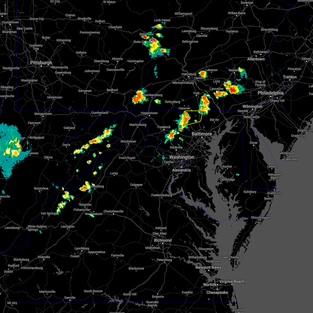 At 233 pm edt, a severe thunderstorm was located over hampstead, or near westminster, moving northeast at 35 mph (radar indicated). Hazards include 60 mph wind gusts and quarter size hail. Damaging winds will cause some trees and large branches to fall. this could injure those outdoors, as well as damage homes and vehicles. roadways may become blocked by downed trees. localized power outages are possible. Unsecured light objects may become projectiles. At 233 pm edt, a severe thunderstorm was located over hampstead, or near westminster, moving northeast at 35 mph (radar indicated). Hazards include 60 mph wind gusts and quarter size hail. Damaging winds will cause some trees and large branches to fall. this could injure those outdoors, as well as damage homes and vehicles. roadways may become blocked by downed trees. localized power outages are possible. Unsecured light objects may become projectiles.
|
| 6/8/2022 7:09 PM EDT |
 At 709 pm edt, a severe thunderstorm was located over eldersburg, or 11 miles south of westminster, moving northeast at 25 mph (radar indicated). Hazards include 60 mph wind gusts and quarter size hail. Damaging winds will cause some trees and large branches to fall. this could injure those outdoors, as well as damage homes and vehicles. roadways may become blocked by downed trees. localized power outages are possible. Unsecured light objects may become projectiles. At 709 pm edt, a severe thunderstorm was located over eldersburg, or 11 miles south of westminster, moving northeast at 25 mph (radar indicated). Hazards include 60 mph wind gusts and quarter size hail. Damaging winds will cause some trees and large branches to fall. this could injure those outdoors, as well as damage homes and vehicles. roadways may become blocked by downed trees. localized power outages are possible. Unsecured light objects may become projectiles.
|
| 5/27/2022 12:55 PM EDT |
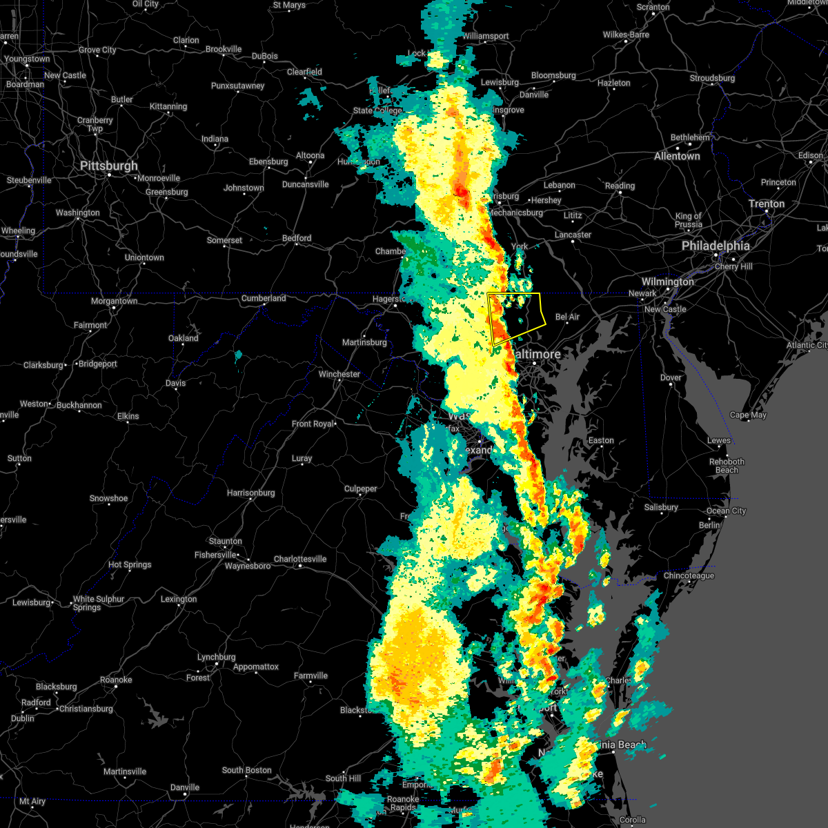 At 1255 pm edt, severe thunderstorms were located along a line extending from near manchester to near hampstead to near randallstown, moving northeast at 35 mph (radar indicated). Hazards include 60 mph wind gusts. Damaging winds will cause some trees and large branches to fall. this could injure those outdoors, as well as damage homes and vehicles. roadways may become blocked by downed trees. localized power outages are possible. unsecured light objects may become projectiles. Locations impacted include, cockeysville, eldersburg, reisterstown, hampstead, manchester, oakland, gamber, finksburg, carrollton, upperco, freeland, louisville, bentley springs, phoenix, jacksonville, butler, monkton, glencoe, lineboro and hunt valley. At 1255 pm edt, severe thunderstorms were located along a line extending from near manchester to near hampstead to near randallstown, moving northeast at 35 mph (radar indicated). Hazards include 60 mph wind gusts. Damaging winds will cause some trees and large branches to fall. this could injure those outdoors, as well as damage homes and vehicles. roadways may become blocked by downed trees. localized power outages are possible. unsecured light objects may become projectiles. Locations impacted include, cockeysville, eldersburg, reisterstown, hampstead, manchester, oakland, gamber, finksburg, carrollton, upperco, freeland, louisville, bentley springs, phoenix, jacksonville, butler, monkton, glencoe, lineboro and hunt valley.
|
| 5/27/2022 12:36 PM EDT |
 At 1235 pm edt, severe thunderstorms were located along a line extending from near littlestown to near eldersburg to near olney, moving east at 35 mph (radar indicated). Hazards include 60 mph wind gusts. Damaging winds will cause some trees and large branches to fall. this could injure those outdoors, as well as damage homes and vehicles. roadways may become blocked by downed trees. localized power outages are possible. Unsecured light objects may become projectiles. At 1235 pm edt, severe thunderstorms were located along a line extending from near littlestown to near eldersburg to near olney, moving east at 35 mph (radar indicated). Hazards include 60 mph wind gusts. Damaging winds will cause some trees and large branches to fall. this could injure those outdoors, as well as damage homes and vehicles. roadways may become blocked by downed trees. localized power outages are possible. Unsecured light objects may become projectiles.
|
| 3/31/2022 7:42 PM EDT |
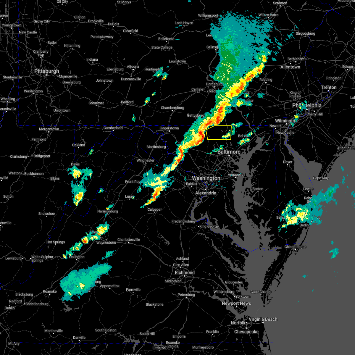 At 742 pm edt, severe thunderstorms were located along a line extending from 6 miles west of manchester to westminster to near gamber, moving east at 50 mph (radar indicated). Hazards include 60 mph wind gusts and quarter size hail. Damaging winds will cause some trees and large branches to fall. this could injure those outdoors, as well as damage homes and vehicles. roadways may become blocked by downed trees. localized power outages are possible. Unsecured light objects may become projectiles. At 742 pm edt, severe thunderstorms were located along a line extending from 6 miles west of manchester to westminster to near gamber, moving east at 50 mph (radar indicated). Hazards include 60 mph wind gusts and quarter size hail. Damaging winds will cause some trees and large branches to fall. this could injure those outdoors, as well as damage homes and vehicles. roadways may become blocked by downed trees. localized power outages are possible. Unsecured light objects may become projectiles.
|
| 3/31/2022 7:04 PM EDT |
 At 704 pm edt, severe thunderstorms were located along a line extending from littlestown to near taneytown to near walkersville, moving east at 45 mph (radar indicated). Hazards include 60 mph wind gusts and quarter size hail. Damaging winds will cause some trees and large branches to fall. this could injure those outdoors, as well as damage homes and vehicles. roadways may become blocked by downed trees. localized power outages are possible. Unsecured light objects may become projectiles. At 704 pm edt, severe thunderstorms were located along a line extending from littlestown to near taneytown to near walkersville, moving east at 45 mph (radar indicated). Hazards include 60 mph wind gusts and quarter size hail. Damaging winds will cause some trees and large branches to fall. this could injure those outdoors, as well as damage homes and vehicles. roadways may become blocked by downed trees. localized power outages are possible. Unsecured light objects may become projectiles.
|
| 3/7/2022 7:48 PM EST |
 At 748 pm est, severe thunderstorms were located along a line extending from near manchester to near linganore-bartonsville, moving east at 45 mph (radar indicated). Hazards include 60 mph wind gusts. Damaging winds will cause some trees and large branches to fall. this could injure those outdoors, as well as damage homes and vehicles. roadways may become blocked by downed trees. localized power outages are possible. unsecured light objects may become projectiles. locations impacted include, frederick, pikesville, cockeysville, westminster, harry grove stadium, randallstown, owings mills, eldersburg, milford mill, reisterstown, lochearn, ballenger creek, mays chapel, mount airy, taneytown, hampstead, walkersville, manchester, sykesville and jarrettsville. hail threat, radar indicated max hail size, <. 75 in wind threat, radar indicated max wind gust, 60 mph. At 748 pm est, severe thunderstorms were located along a line extending from near manchester to near linganore-bartonsville, moving east at 45 mph (radar indicated). Hazards include 60 mph wind gusts. Damaging winds will cause some trees and large branches to fall. this could injure those outdoors, as well as damage homes and vehicles. roadways may become blocked by downed trees. localized power outages are possible. unsecured light objects may become projectiles. locations impacted include, frederick, pikesville, cockeysville, westminster, harry grove stadium, randallstown, owings mills, eldersburg, milford mill, reisterstown, lochearn, ballenger creek, mays chapel, mount airy, taneytown, hampstead, walkersville, manchester, sykesville and jarrettsville. hail threat, radar indicated max hail size, <. 75 in wind threat, radar indicated max wind gust, 60 mph.
|
| 3/7/2022 7:24 PM EST |
 At 724 pm est, severe thunderstorms were located along a line extending from near emmitsburg to braddock heights, moving east at 55 mph (radar indicated). Hazards include 60 mph wind gusts. Damaging winds will cause some trees and large branches to fall. this could injure those outdoors, as well as damage homes and vehicles. roadways may become blocked by downed trees. localized power outages are possible. Unsecured light objects may become projectiles. At 724 pm est, severe thunderstorms were located along a line extending from near emmitsburg to braddock heights, moving east at 55 mph (radar indicated). Hazards include 60 mph wind gusts. Damaging winds will cause some trees and large branches to fall. this could injure those outdoors, as well as damage homes and vehicles. roadways may become blocked by downed trees. localized power outages are possible. Unsecured light objects may become projectiles.
|
| 9/22/2021 6:40 PM EDT |
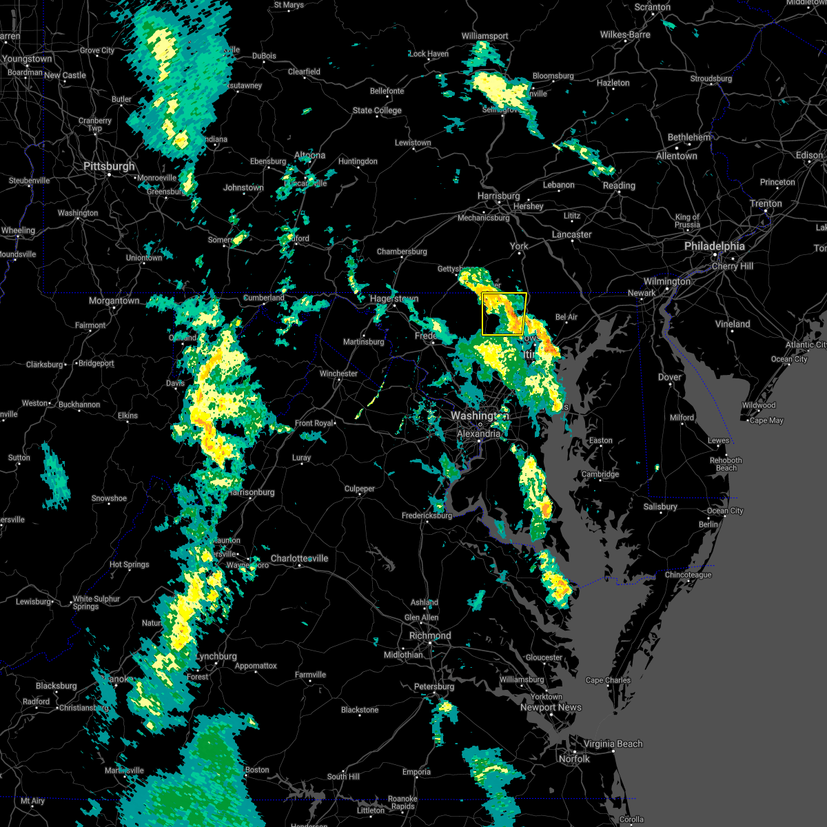 The severe thunderstorm warning for northeastern carroll and northwestern baltimore counties will expire at 645 pm edt, the storm which prompted the warning has weakened below severe limits, and no longer poses an immediate threat to life or property. therefore, the warning will be allowed to expire. however gusty winds are still possible with this thunderstorm. The severe thunderstorm warning for northeastern carroll and northwestern baltimore counties will expire at 645 pm edt, the storm which prompted the warning has weakened below severe limits, and no longer poses an immediate threat to life or property. therefore, the warning will be allowed to expire. however gusty winds are still possible with this thunderstorm.
|
| 9/22/2021 6:20 PM EDT |
 At 620 pm edt, a severe thunderstorm was located over reisterstown, or 9 miles northwest of pikesville, moving north at 50 mph (radar indicated). Hazards include 60 mph wind gusts. Damaging winds will cause some trees and large branches to fall. this could injure those outdoors, as well as damage homes and vehicles. roadways may become blocked by downed trees. localized power outages are possible. Unsecured light objects may become projectiles. At 620 pm edt, a severe thunderstorm was located over reisterstown, or 9 miles northwest of pikesville, moving north at 50 mph (radar indicated). Hazards include 60 mph wind gusts. Damaging winds will cause some trees and large branches to fall. this could injure those outdoors, as well as damage homes and vehicles. roadways may become blocked by downed trees. localized power outages are possible. Unsecured light objects may become projectiles.
|
| 8/27/2021 4:50 PM EDT |
 The severe thunderstorm warning for northeastern carroll county will expire at 500 pm edt, the storm which prompted the warning has weakened below severe limits, and no longer poses an immediate threat to life or property. therefore, the warning will be allowed to expire. however heavy rain is still possible with this thunderstorm. The severe thunderstorm warning for northeastern carroll county will expire at 500 pm edt, the storm which prompted the warning has weakened below severe limits, and no longer poses an immediate threat to life or property. therefore, the warning will be allowed to expire. however heavy rain is still possible with this thunderstorm.
|
| 8/27/2021 4:46 PM EDT |
 At 445 pm edt, a severe thunderstorm was located near taneytown, or near westminster, moving northeast at 15 mph (radar indicated). Hazards include 60 mph wind gusts and quarter size hail. Damaging winds will cause some trees and large branches to fall. this could injure those outdoors, as well as damage homes and vehicles. roadways may become blocked by downed trees. localized power outages are possible. unsecured light objects may become projectiles. locations impacted include, westminster, taneytown, hampstead, manchester and greenmount. hail threat, radar indicated max hail size, 1. 00 in wind threat, radar indicated max wind gust, 60 mph. At 445 pm edt, a severe thunderstorm was located near taneytown, or near westminster, moving northeast at 15 mph (radar indicated). Hazards include 60 mph wind gusts and quarter size hail. Damaging winds will cause some trees and large branches to fall. this could injure those outdoors, as well as damage homes and vehicles. roadways may become blocked by downed trees. localized power outages are possible. unsecured light objects may become projectiles. locations impacted include, westminster, taneytown, hampstead, manchester and greenmount. hail threat, radar indicated max hail size, 1. 00 in wind threat, radar indicated max wind gust, 60 mph.
|
| 8/27/2021 4:30 PM EDT |
 At 430 pm edt, a severe thunderstorm was located near taneytown, or near westminster, moving northeast at 15 mph (radar indicated). Hazards include 60 mph wind gusts and quarter size hail. Damaging winds will cause some trees and large branches to fall. this could injure those outdoors, as well as damage homes and vehicles. roadways may become blocked by downed trees. localized power outages are possible. unsecured light objects may become projectiles. locations impacted include, westminster, taneytown, hampstead, manchester, new windsor, union bridge, linwood, uniontown, wagners mill, greenmount and keysville. hail threat, radar indicated max hail size, 1. 00 in wind threat, radar indicated max wind gust, 60 mph. At 430 pm edt, a severe thunderstorm was located near taneytown, or near westminster, moving northeast at 15 mph (radar indicated). Hazards include 60 mph wind gusts and quarter size hail. Damaging winds will cause some trees and large branches to fall. this could injure those outdoors, as well as damage homes and vehicles. roadways may become blocked by downed trees. localized power outages are possible. unsecured light objects may become projectiles. locations impacted include, westminster, taneytown, hampstead, manchester, new windsor, union bridge, linwood, uniontown, wagners mill, greenmount and keysville. hail threat, radar indicated max hail size, 1. 00 in wind threat, radar indicated max wind gust, 60 mph.
|
| 8/27/2021 4:14 PM EDT |
 At 414 pm edt, a severe thunderstorm was located near taneytown, or 9 miles west of westminster, moving northeast at 15 mph (radar indicated). Hazards include 60 mph wind gusts and quarter size hail. Damaging winds will cause some trees and large branches to fall. this could injure those outdoors, as well as damage homes and vehicles. roadways may become blocked by downed trees. localized power outages are possible. Unsecured light objects may become projectiles. At 414 pm edt, a severe thunderstorm was located near taneytown, or 9 miles west of westminster, moving northeast at 15 mph (radar indicated). Hazards include 60 mph wind gusts and quarter size hail. Damaging winds will cause some trees and large branches to fall. this could injure those outdoors, as well as damage homes and vehicles. roadways may become blocked by downed trees. localized power outages are possible. Unsecured light objects may become projectiles.
|
| 8/11/2021 4:22 PM EDT |
 At 422 pm edt, severe thunderstorms were located along a line extending from near westminster to near mount airy to boyds, moving east at 20 mph (radar indicated). Hazards include 60 mph wind gusts. Damaging winds will cause some trees and large branches to fall. this could injure those outdoors, as well as damage homes and vehicles. roadways may become blocked by downed trees. localized power outages are possible. unsecured light objects may become projectiles. locations impacted include, germantown, rockville, gaithersburg, olney, westminster, damascus, poolesville, ellicott city, aspen hill, randallstown, montgomery village, owings mills, eldersburg, reisterstown, redland, mount airy, hampstead, manchester, sykesville and oakland. hail threat, radar indicated max hail size, <. 75 in wind threat, radar indicated max wind gust, 60 mph. At 422 pm edt, severe thunderstorms were located along a line extending from near westminster to near mount airy to boyds, moving east at 20 mph (radar indicated). Hazards include 60 mph wind gusts. Damaging winds will cause some trees and large branches to fall. this could injure those outdoors, as well as damage homes and vehicles. roadways may become blocked by downed trees. localized power outages are possible. unsecured light objects may become projectiles. locations impacted include, germantown, rockville, gaithersburg, olney, westminster, damascus, poolesville, ellicott city, aspen hill, randallstown, montgomery village, owings mills, eldersburg, reisterstown, redland, mount airy, hampstead, manchester, sykesville and oakland. hail threat, radar indicated max hail size, <. 75 in wind threat, radar indicated max wind gust, 60 mph.
|
| 8/11/2021 4:06 PM EDT |
 At 405 pm edt, severe thunderstorms were located along a line extending from 6 miles south of taneytown to green valley to near poolesville, moving east at 20 mph (radar indicated). Hazards include 60 mph wind gusts. Damaging winds will cause some trees and large branches to fall. this could injure those outdoors, as well as damage homes and vehicles. roadways may become blocked by downed trees. localized power outages are possible. Unsecured light objects may become projectiles. At 405 pm edt, severe thunderstorms were located along a line extending from 6 miles south of taneytown to green valley to near poolesville, moving east at 20 mph (radar indicated). Hazards include 60 mph wind gusts. Damaging winds will cause some trees and large branches to fall. this could injure those outdoors, as well as damage homes and vehicles. roadways may become blocked by downed trees. localized power outages are possible. Unsecured light objects may become projectiles.
|
| 8/10/2021 6:14 PM EDT |
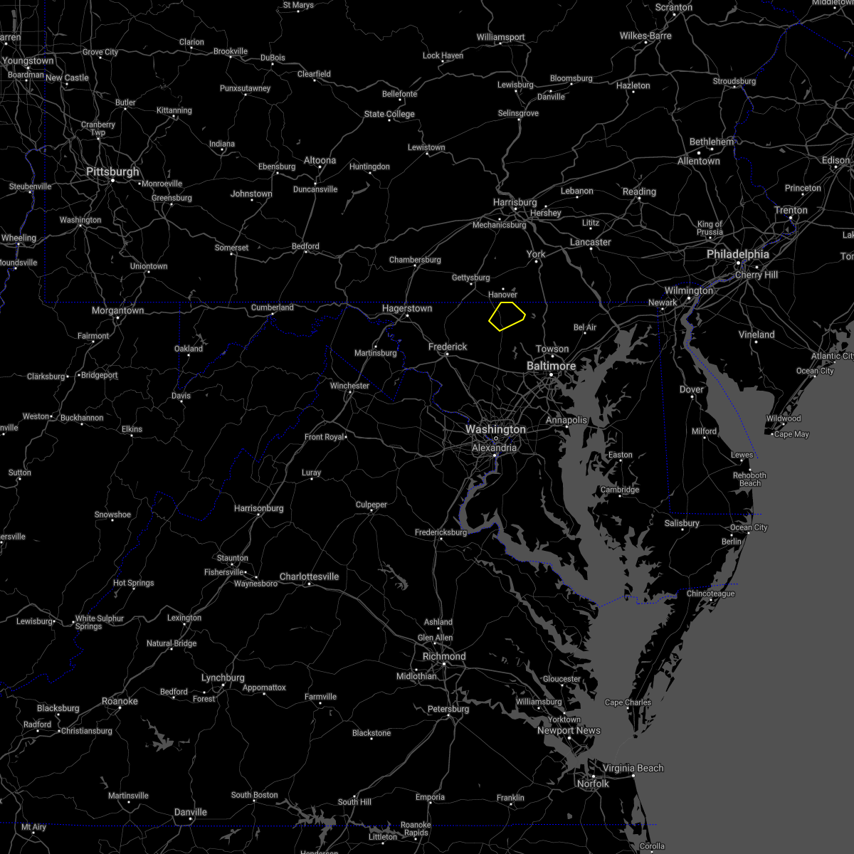 At 614 pm edt, a severe thunderstorm was located over westminster, moving northeast at 15 mph (radar indicated). Hazards include 60 mph wind gusts. Damaging winds will cause some trees and large branches to fall. this could injure those outdoors, as well as damage homes and vehicles. roadways may become blocked by downed trees. localized power outages are possible. Unsecured light objects may become projectiles. At 614 pm edt, a severe thunderstorm was located over westminster, moving northeast at 15 mph (radar indicated). Hazards include 60 mph wind gusts. Damaging winds will cause some trees and large branches to fall. this could injure those outdoors, as well as damage homes and vehicles. roadways may become blocked by downed trees. localized power outages are possible. Unsecured light objects may become projectiles.
|
| 7/29/2021 4:36 PM EDT |
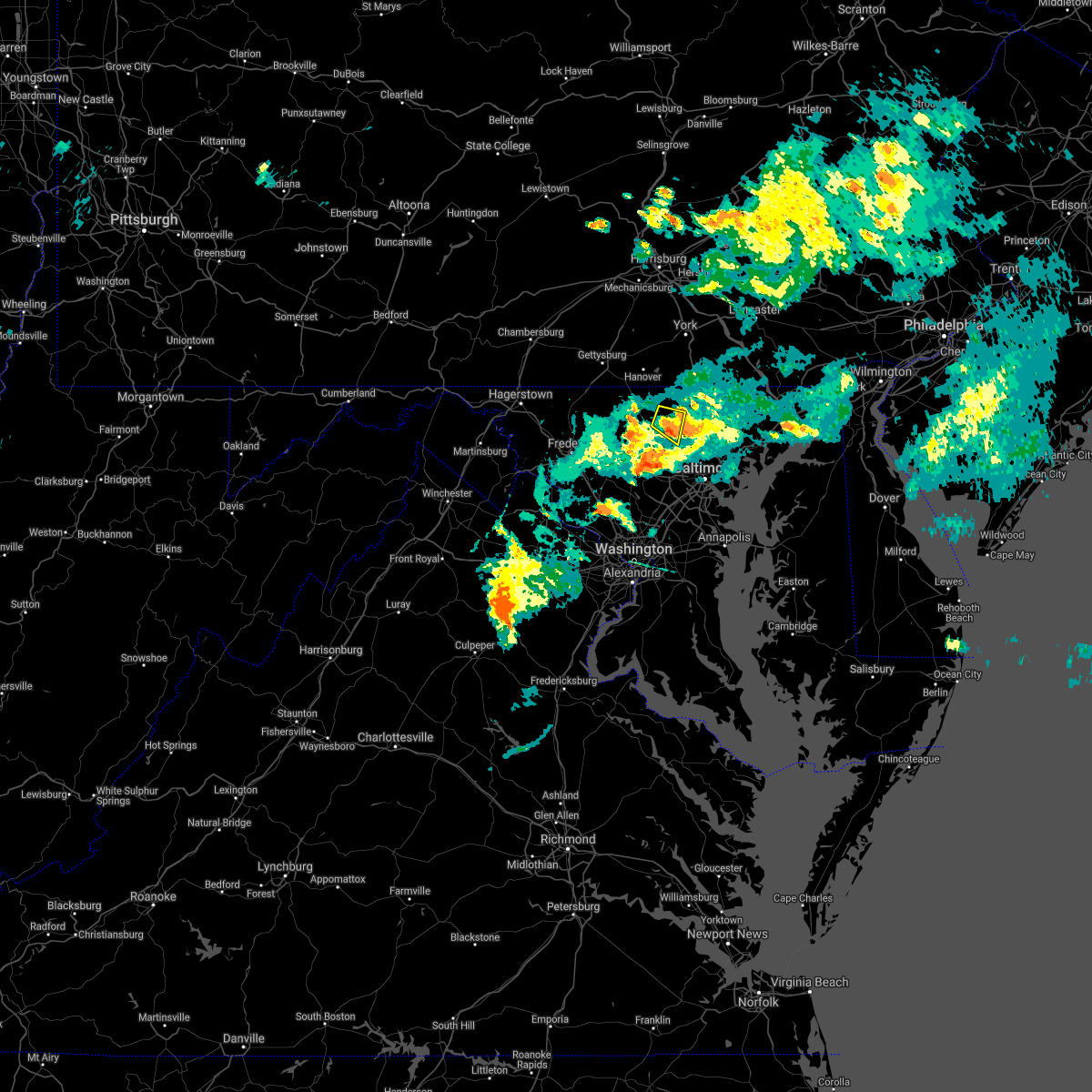 The severe thunderstorm warning for east central carroll and west central baltimore counties will expire at 445 pm edt, the storm which prompted the warning has weakened below severe limits, and no longer poses an immediate threat to life or property. therefore, the warning will be allowed to expire. a tornado watch remains in effect until 900 pm edt for northern and north central maryland. to report severe weather, contact your nearest law enforcement agency. they will relay your report to the national weather service sterling virginia. The severe thunderstorm warning for east central carroll and west central baltimore counties will expire at 445 pm edt, the storm which prompted the warning has weakened below severe limits, and no longer poses an immediate threat to life or property. therefore, the warning will be allowed to expire. a tornado watch remains in effect until 900 pm edt for northern and north central maryland. to report severe weather, contact your nearest law enforcement agency. they will relay your report to the national weather service sterling virginia.
|
| 7/29/2021 4:28 PM EDT |
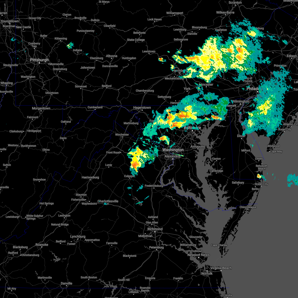 At 428 pm edt, a severe thunderstorm was located over hampstead, or 8 miles east of westminster, moving east at 25 mph (radar indicated). Hazards include 60 mph wind gusts and quarter size hail. Damaging winds will cause some trees and large branches to fall. this could injure those outdoors, as well as damage homes and vehicles. roadways may become blocked by downed trees. localized power outages are possible. unsecured light objects may become projectiles. Locations impacted include, hampstead, carrollton, glyndon, upperco, boring and patapsco. At 428 pm edt, a severe thunderstorm was located over hampstead, or 8 miles east of westminster, moving east at 25 mph (radar indicated). Hazards include 60 mph wind gusts and quarter size hail. Damaging winds will cause some trees and large branches to fall. this could injure those outdoors, as well as damage homes and vehicles. roadways may become blocked by downed trees. localized power outages are possible. unsecured light objects may become projectiles. Locations impacted include, hampstead, carrollton, glyndon, upperco, boring and patapsco.
|
| 7/29/2021 4:18 PM EDT |
 At 418 pm edt, a severe thunderstorm was located near hampstead, or near westminster, moving east at 25 mph (radar indicated). Hazards include 60 mph wind gusts and quarter size hail. Damaging winds will cause some trees and large branches to fall. this could injure those outdoors, as well as damage homes and vehicles. roadways may become blocked by downed trees. localized power outages are possible. unsecured light objects may become projectiles. Locations impacted include, westminster, reisterstown, hampstead, manchester, carrollton, upperco, patapsco, reese, millers, greenmount, glyndon and boring. At 418 pm edt, a severe thunderstorm was located near hampstead, or near westminster, moving east at 25 mph (radar indicated). Hazards include 60 mph wind gusts and quarter size hail. Damaging winds will cause some trees and large branches to fall. this could injure those outdoors, as well as damage homes and vehicles. roadways may become blocked by downed trees. localized power outages are possible. unsecured light objects may become projectiles. Locations impacted include, westminster, reisterstown, hampstead, manchester, carrollton, upperco, patapsco, reese, millers, greenmount, glyndon and boring.
|
| 7/29/2021 4:09 PM EDT |
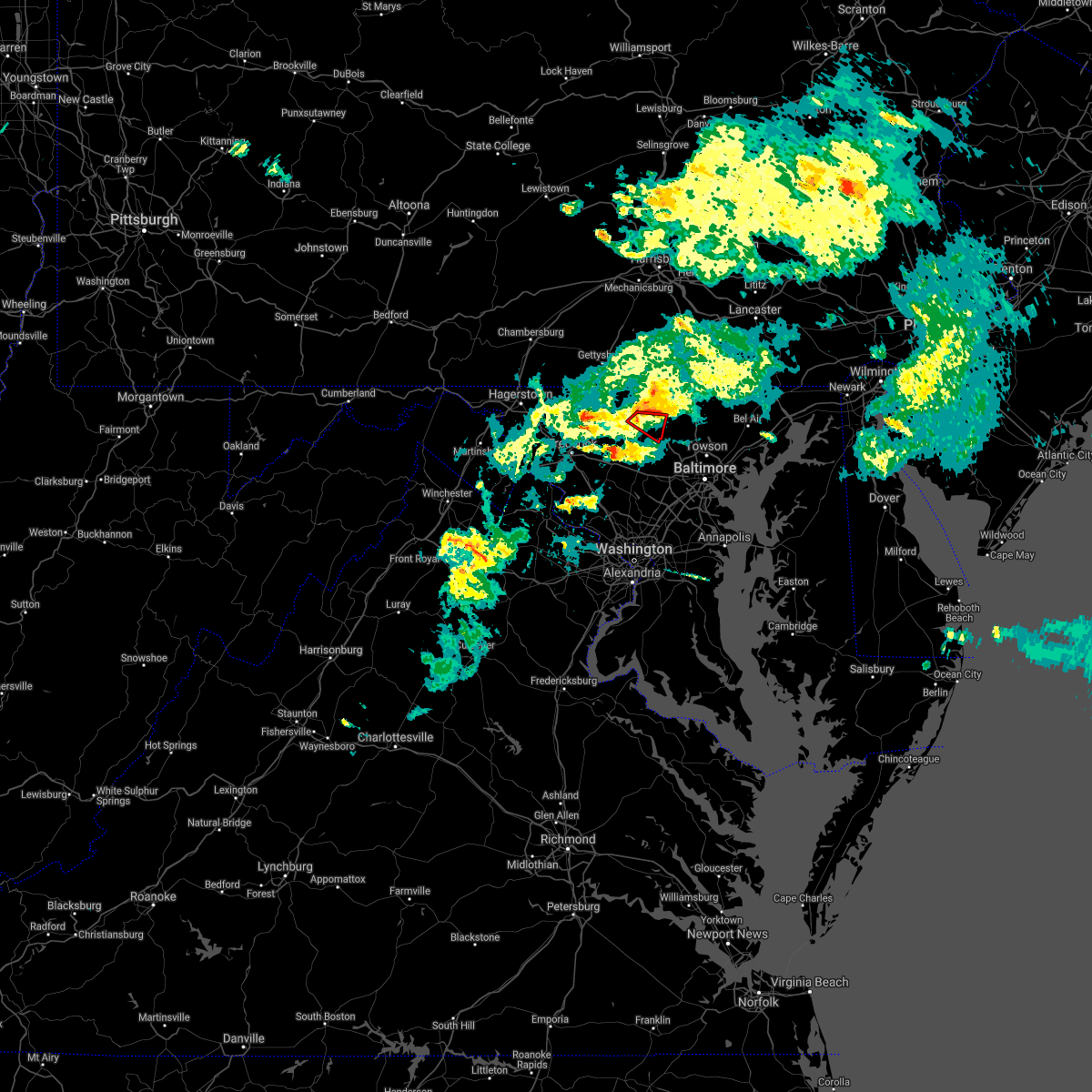 At 408 pm edt, a severe thunderstorm capable of producing a tornado was located over westminster, moving east at 25 mph (radar indicated rotation). Hazards include tornado and quarter size hail. For those in the direct path of a tornado touchdown, flying debris will be dangerous to those caught without shelter. damage to roofs, siding, and windows may occur. mobile homes may be damaged or destroyed. tree damage is likely. This tornadic thunderstorm will remain over mainly rural areas of east central carroll county, including the following locations, wagners mill, finksburg, carrollton, patapsco and reese. At 408 pm edt, a severe thunderstorm capable of producing a tornado was located over westminster, moving east at 25 mph (radar indicated rotation). Hazards include tornado and quarter size hail. For those in the direct path of a tornado touchdown, flying debris will be dangerous to those caught without shelter. damage to roofs, siding, and windows may occur. mobile homes may be damaged or destroyed. tree damage is likely. This tornadic thunderstorm will remain over mainly rural areas of east central carroll county, including the following locations, wagners mill, finksburg, carrollton, patapsco and reese.
|
| 7/29/2021 4:01 PM EDT |
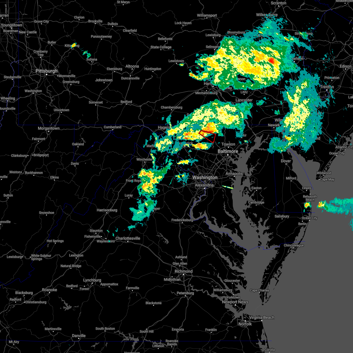 At 401 pm edt, a severe thunderstorm capable of producing a tornado was located near westminster, moving east at 25 mph (radar indicated rotation). Hazards include tornado and quarter size hail. For those in the direct path of a tornado touchdown, flying debris will be dangerous to those caught without shelter. damage to roofs, siding, and windows may occur. mobile homes may be damaged or destroyed. tree damage is likely. this dangerous storm will be near, westminster around 410 pm edt. hampstead around 425 pm edt. Other locations impacted by this tornadic thunderstorm include wagners mill, finksburg, carrollton, patapsco, reese and uniontown. At 401 pm edt, a severe thunderstorm capable of producing a tornado was located near westminster, moving east at 25 mph (radar indicated rotation). Hazards include tornado and quarter size hail. For those in the direct path of a tornado touchdown, flying debris will be dangerous to those caught without shelter. damage to roofs, siding, and windows may occur. mobile homes may be damaged or destroyed. tree damage is likely. this dangerous storm will be near, westminster around 410 pm edt. hampstead around 425 pm edt. Other locations impacted by this tornadic thunderstorm include wagners mill, finksburg, carrollton, patapsco, reese and uniontown.
|
| 7/29/2021 4:00 PM EDT |
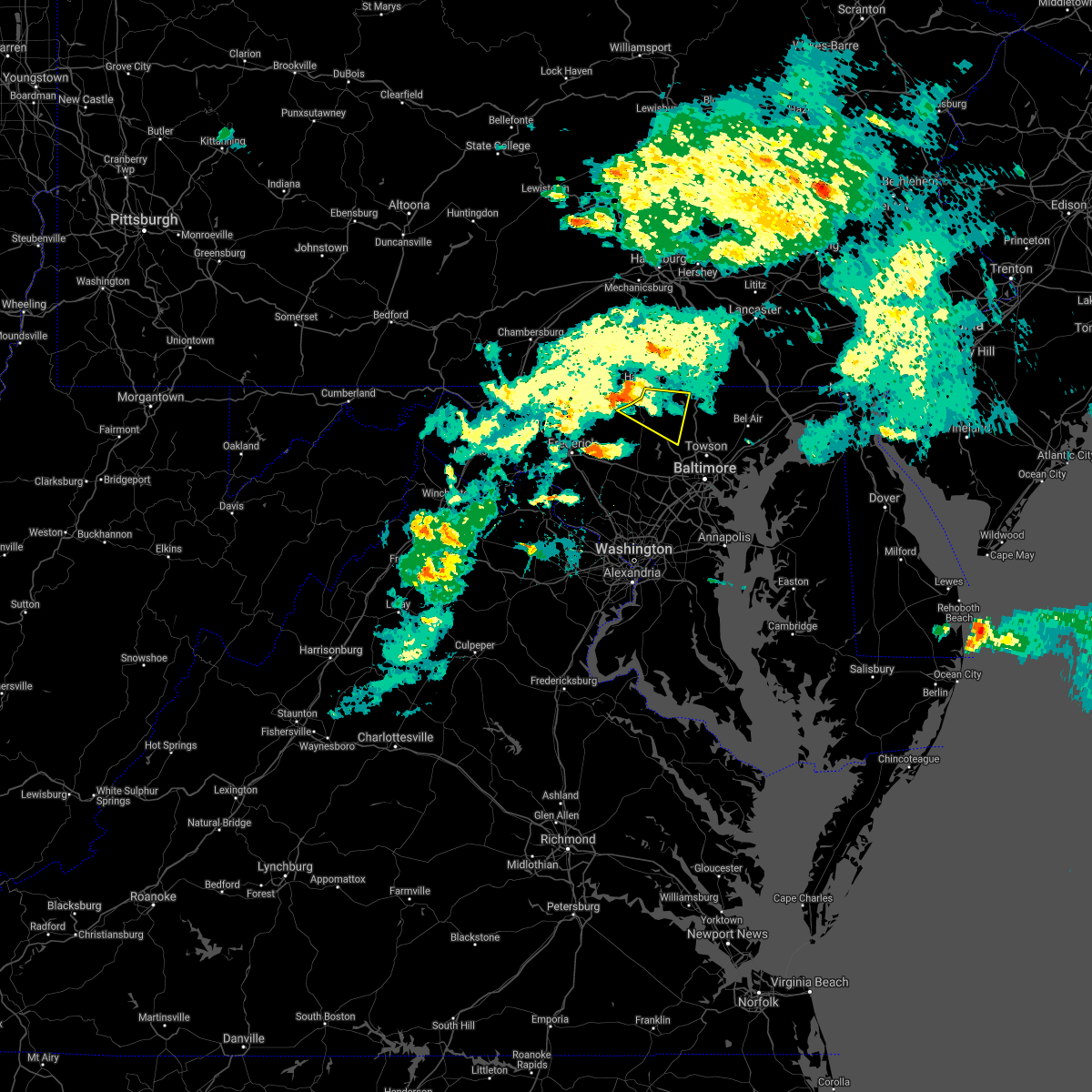 At 400 pm edt, a severe thunderstorm was located near westminster, moving east at 25 mph (radar indicated). Hazards include 60 mph wind gusts and quarter size hail. Damaging winds will cause some trees and large branches to fall. this could injure those outdoors, as well as damage homes and vehicles. roadways may become blocked by downed trees. localized power outages are possible. Unsecured light objects may become projectiles. At 400 pm edt, a severe thunderstorm was located near westminster, moving east at 25 mph (radar indicated). Hazards include 60 mph wind gusts and quarter size hail. Damaging winds will cause some trees and large branches to fall. this could injure those outdoors, as well as damage homes and vehicles. roadways may become blocked by downed trees. localized power outages are possible. Unsecured light objects may become projectiles.
|
| 7/21/2021 2:07 PM EDT |
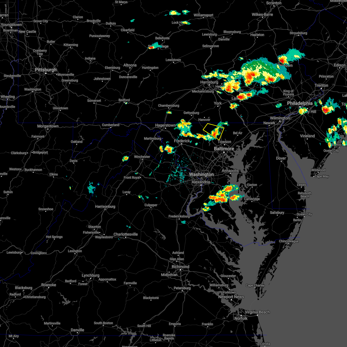 The severe thunderstorm warning for northeastern carroll and northwestern baltimore counties will expire at 215 pm edt, the storm which prompted the warning has weakened below severe limits, and no longer poses an immediate threat to life or property. therefore, the warning will be allowed to expire. a severe thunderstorm watch remains in effect until 800 pm edt for northern and north central maryland. The severe thunderstorm warning for northeastern carroll and northwestern baltimore counties will expire at 215 pm edt, the storm which prompted the warning has weakened below severe limits, and no longer poses an immediate threat to life or property. therefore, the warning will be allowed to expire. a severe thunderstorm watch remains in effect until 800 pm edt for northern and north central maryland.
|
| 7/21/2021 1:49 PM EDT |
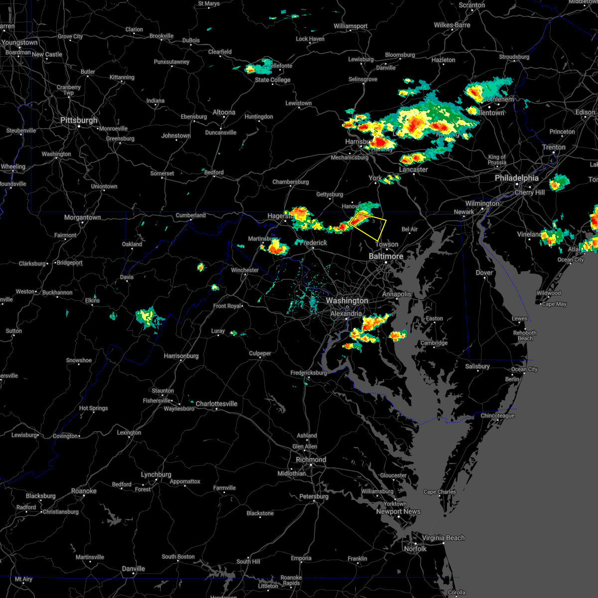 At 149 pm edt, a severe thunderstorm was located near manchester, or near westminster, moving southeast at 25 mph (radar indicated). Hazards include 60 mph wind gusts. Damaging winds will cause some trees and large branches to fall. this could injure those outdoors, as well as damage homes and vehicles. roadways may become blocked by downed trees. localized power outages are possible. unsecured light objects may become projectiles. Locations impacted include, westminster, hampstead, manchester, upperco, parkton, hereford, millers, greenmount, boring and butler. At 149 pm edt, a severe thunderstorm was located near manchester, or near westminster, moving southeast at 25 mph (radar indicated). Hazards include 60 mph wind gusts. Damaging winds will cause some trees and large branches to fall. this could injure those outdoors, as well as damage homes and vehicles. roadways may become blocked by downed trees. localized power outages are possible. unsecured light objects may become projectiles. Locations impacted include, westminster, hampstead, manchester, upperco, parkton, hereford, millers, greenmount, boring and butler.
|
| 7/21/2021 1:26 PM EDT |
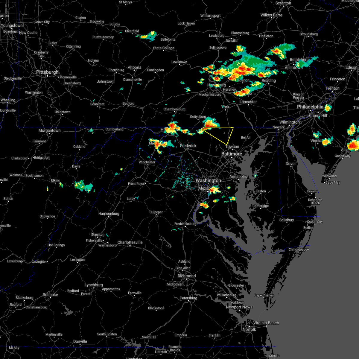 At 125 pm edt, a severe thunderstorm was located near littlestown, or near parkville, moving southeast at 25 mph (radar indicated). Hazards include 60 mph wind gusts. Damaging winds will cause some trees and large branches to fall. this could injure those outdoors, as well as damage homes and vehicles. roadways may become blocked by downed trees. localized power outages are possible. Unsecured light objects may become projectiles. At 125 pm edt, a severe thunderstorm was located near littlestown, or near parkville, moving southeast at 25 mph (radar indicated). Hazards include 60 mph wind gusts. Damaging winds will cause some trees and large branches to fall. this could injure those outdoors, as well as damage homes and vehicles. roadways may become blocked by downed trees. localized power outages are possible. Unsecured light objects may become projectiles.
|
| 7/17/2021 7:55 PM EDT |
 At 754 pm edt, severe thunderstorms were located along a line extending from near manchester to hampstead to gamber, moving east at 40 mph (radar indicated). Hazards include 60 mph wind gusts. Damaging winds will cause some trees and large branches to fall. this could injure those outdoors, as well as damage homes and vehicles. roadways may become blocked by downed trees. localized power outages are possible. Unsecured light objects may become projectiles. At 754 pm edt, severe thunderstorms were located along a line extending from near manchester to hampstead to gamber, moving east at 40 mph (radar indicated). Hazards include 60 mph wind gusts. Damaging winds will cause some trees and large branches to fall. this could injure those outdoors, as well as damage homes and vehicles. roadways may become blocked by downed trees. localized power outages are possible. Unsecured light objects may become projectiles.
|
| 7/17/2021 7:40 PM EDT |
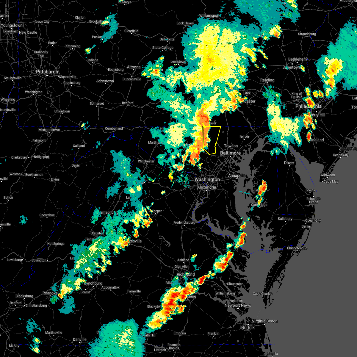 At 739 pm edt, severe thunderstorms were located along a line extending from near littlestown to westminster to near sykesville, moving east at 30 mph (radar indicated). Hazards include 60 mph wind gusts. Damaging winds will cause some trees and large branches to fall. this could injure those outdoors, as well as damage homes and vehicles. roadways may become blocked by downed trees. localized power outages are possible. unsecured light objects may become projectiles. Locations impacted include, westminster, eldersburg, hampstead, manchester, sykesville, oakland, gamber, new windsor, finksburg, carrollton, lineboro, henryton, winfield, louisville, gaither, patapsco, reese, wagners mill, marriottsville and carrolltowne. At 739 pm edt, severe thunderstorms were located along a line extending from near littlestown to westminster to near sykesville, moving east at 30 mph (radar indicated). Hazards include 60 mph wind gusts. Damaging winds will cause some trees and large branches to fall. this could injure those outdoors, as well as damage homes and vehicles. roadways may become blocked by downed trees. localized power outages are possible. unsecured light objects may become projectiles. Locations impacted include, westminster, eldersburg, hampstead, manchester, sykesville, oakland, gamber, new windsor, finksburg, carrollton, lineboro, henryton, winfield, louisville, gaither, patapsco, reese, wagners mill, marriottsville and carrolltowne.
|
| 7/17/2021 7:11 PM EDT |
 At 711 pm edt, severe thunderstorms were located along a line extending from carroll valley to near walkersville to near green valley, moving east at 40 mph (radar indicated). Hazards include 60 mph wind gusts. Damaging winds will cause some trees and large branches to fall. this could injure those outdoors, as well as damage homes and vehicles. roadways may become blocked by downed trees. localized power outages are possible. Unsecured light objects may become projectiles. At 711 pm edt, severe thunderstorms were located along a line extending from carroll valley to near walkersville to near green valley, moving east at 40 mph (radar indicated). Hazards include 60 mph wind gusts. Damaging winds will cause some trees and large branches to fall. this could injure those outdoors, as well as damage homes and vehicles. roadways may become blocked by downed trees. localized power outages are possible. Unsecured light objects may become projectiles.
|
| 7/17/2021 3:24 PM EDT |
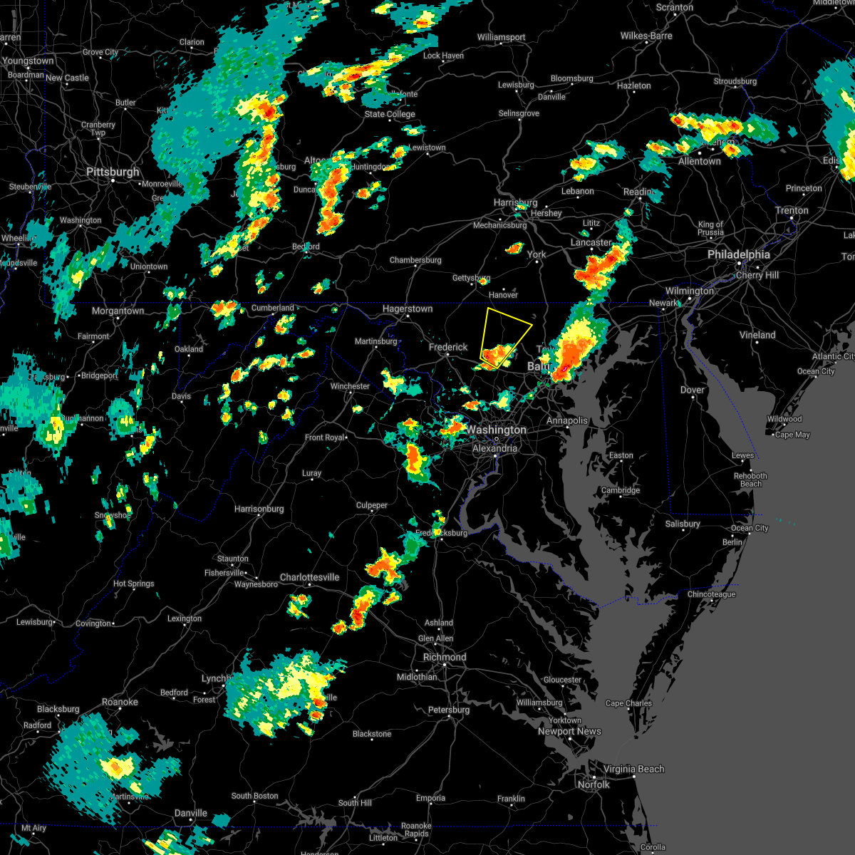 At 323 pm edt, a severe thunderstorm was located near mount airy, or 11 miles south of westminster, moving northeast at 30 mph (radar indicated). Hazards include 60 mph wind gusts and quarter size hail. Damaging winds will cause some trees and large branches to fall. this could injure those outdoors, as well as damage homes and vehicles. roadways may become blocked by downed trees. localized power outages are possible. Unsecured light objects may become projectiles. At 323 pm edt, a severe thunderstorm was located near mount airy, or 11 miles south of westminster, moving northeast at 30 mph (radar indicated). Hazards include 60 mph wind gusts and quarter size hail. Damaging winds will cause some trees and large branches to fall. this could injure those outdoors, as well as damage homes and vehicles. roadways may become blocked by downed trees. localized power outages are possible. Unsecured light objects may become projectiles.
|
| 7/9/2021 6:55 PM EDT |
 At 655 pm edt, a severe thunderstorm was located near taneytown, or 8 miles west of westminster, moving east at 20 mph (radar indicated). Hazards include 60 mph wind gusts. Damaging winds will cause some trees and large branches to fall. this could injure those outdoors, as well as damage homes and vehicles. roadways may become blocked by downed trees. localized power outages are possible. Unsecured light objects may become projectiles. At 655 pm edt, a severe thunderstorm was located near taneytown, or 8 miles west of westminster, moving east at 20 mph (radar indicated). Hazards include 60 mph wind gusts. Damaging winds will cause some trees and large branches to fall. this could injure those outdoors, as well as damage homes and vehicles. roadways may become blocked by downed trees. localized power outages are possible. Unsecured light objects may become projectiles.
|
| 6/21/2021 5:52 PM EDT |
 The severe thunderstorm warning for northeastern carroll and eastern frederick counties in north central maryland will expire at 600 pm edt, the storms which prompted the warning have weakened below severe limits, and have exited the warned area. therefore, the warning will be allowed to expire. however heavy rain is still possible with these thunderstorms. a severe thunderstorm watch remains in effect until 1000 pm edt for northern and north central maryland. to report severe weather, contact your nearest law enforcement agency. they will relay your report to the national weather service sterling virginia. The severe thunderstorm warning for northeastern carroll and eastern frederick counties in north central maryland will expire at 600 pm edt, the storms which prompted the warning have weakened below severe limits, and have exited the warned area. therefore, the warning will be allowed to expire. however heavy rain is still possible with these thunderstorms. a severe thunderstorm watch remains in effect until 1000 pm edt for northern and north central maryland. to report severe weather, contact your nearest law enforcement agency. they will relay your report to the national weather service sterling virginia.
|
| 6/21/2021 5:38 PM EDT |
 At 538 pm edt, severe thunderstorms were located along a line extending from near manchester to 6 miles north of mount airy, moving east at 35 mph (radar indicated). Hazards include 60 mph wind gusts. Damaging winds will cause some trees and large branches to fall. this could injure those outdoors, as well as damage homes and vehicles. roadways may become blocked by downed trees. localized power outages are possible. unsecured light objects may become projectiles. Locations impacted include, westminster, hampstead, manchester, new windsor, finksburg, carrollton, lineboro, linwood, patapsco, reese, uniontown, wagners mill, millers, greenmount, marston and unionville. At 538 pm edt, severe thunderstorms were located along a line extending from near manchester to 6 miles north of mount airy, moving east at 35 mph (radar indicated). Hazards include 60 mph wind gusts. Damaging winds will cause some trees and large branches to fall. this could injure those outdoors, as well as damage homes and vehicles. roadways may become blocked by downed trees. localized power outages are possible. unsecured light objects may become projectiles. Locations impacted include, westminster, hampstead, manchester, new windsor, finksburg, carrollton, lineboro, linwood, patapsco, reese, uniontown, wagners mill, millers, greenmount, marston and unionville.
|
| 6/21/2021 5:10 PM EDT |
 At 510 pm edt, severe thunderstorms were located along a line extending from near taneytown to clover hill, moving east at 35 mph (radar indicated). Hazards include 60 mph wind gusts. Damaging winds will cause some trees and large branches to fall. this could injure those outdoors, as well as damage homes and vehicles. roadways may become blocked by downed trees. localized power outages are possible. Unsecured light objects may become projectiles. At 510 pm edt, severe thunderstorms were located along a line extending from near taneytown to clover hill, moving east at 35 mph (radar indicated). Hazards include 60 mph wind gusts. Damaging winds will cause some trees and large branches to fall. this could injure those outdoors, as well as damage homes and vehicles. roadways may become blocked by downed trees. localized power outages are possible. Unsecured light objects may become projectiles.
|
| 5/26/2021 7:53 PM EDT |
 At 752 pm edt, severe thunderstorms were located along a line extending from westminster to near sykesville, moving east at 50 mph (radar indicated). Hazards include 60 mph wind gusts. Damaging winds will cause some trees and large branches to fall. this could injure those outdoors, as well as damage homes and vehicles. roadways may become blocked by downed trees. localized power outages are possible. Unsecured light objects may become projectiles. At 752 pm edt, severe thunderstorms were located along a line extending from westminster to near sykesville, moving east at 50 mph (radar indicated). Hazards include 60 mph wind gusts. Damaging winds will cause some trees and large branches to fall. this could injure those outdoors, as well as damage homes and vehicles. roadways may become blocked by downed trees. localized power outages are possible. Unsecured light objects may become projectiles.
|
| 5/26/2021 7:52 PM EDT |
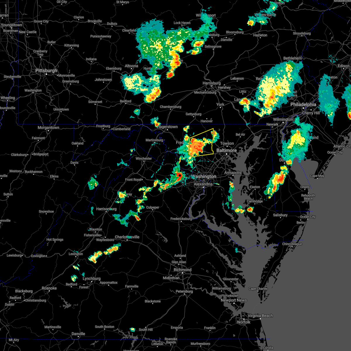 At 752 pm edt, severe thunderstorms were located along a line extending from 7 miles north of mount airy to 6 miles east of damascus, moving east at 50 mph (radar indicated). Hazards include 60 mph wind gusts. Damaging winds will cause some trees and large branches to fall. this could injure those outdoors, as well as damage homes and vehicles. roadways may become blocked by downed trees. localized power outages are possible. unsecured light objects may become projectiles. Locations impacted include, westminster, damascus, ellicott city, eldersburg, mount airy, hampstead, manchester, sykesville, oakland, new market, gamber, green valley, linganore-bartonsville, new windsor, libertytown, monrovia, finksburg, carrollton, henryton and west friendship. At 752 pm edt, severe thunderstorms were located along a line extending from 7 miles north of mount airy to 6 miles east of damascus, moving east at 50 mph (radar indicated). Hazards include 60 mph wind gusts. Damaging winds will cause some trees and large branches to fall. this could injure those outdoors, as well as damage homes and vehicles. roadways may become blocked by downed trees. localized power outages are possible. unsecured light objects may become projectiles. Locations impacted include, westminster, damascus, ellicott city, eldersburg, mount airy, hampstead, manchester, sykesville, oakland, new market, gamber, green valley, linganore-bartonsville, new windsor, libertytown, monrovia, finksburg, carrollton, henryton and west friendship.
|
| 5/26/2021 7:36 PM EDT |
 At 736 pm edt, severe thunderstorms were located along a line extending from near linganore-bartonsville to near damascus, moving east at 50 mph (radar indicated). Hazards include 60 mph wind gusts. Damaging winds will cause some trees and large branches to fall. this could injure those outdoors, as well as damage homes and vehicles. roadways may become blocked by downed trees. localized power outages are possible. unsecured light objects may become projectiles. Locations impacted include, frederick, westminster, damascus, harry grove stadium, ellicott city, eldersburg, ballenger creek, mount airy, hampstead, walkersville, manchester, sykesville, oakland, new market, green valley, gamber, discovery-spring garden, linganore-bartonsville, clover hill and clarksburg. At 736 pm edt, severe thunderstorms were located along a line extending from near linganore-bartonsville to near damascus, moving east at 50 mph (radar indicated). Hazards include 60 mph wind gusts. Damaging winds will cause some trees and large branches to fall. this could injure those outdoors, as well as damage homes and vehicles. roadways may become blocked by downed trees. localized power outages are possible. unsecured light objects may become projectiles. Locations impacted include, frederick, westminster, damascus, harry grove stadium, ellicott city, eldersburg, ballenger creek, mount airy, hampstead, walkersville, manchester, sykesville, oakland, new market, green valley, gamber, discovery-spring garden, linganore-bartonsville, clover hill and clarksburg.
|
| 5/26/2021 7:21 PM EDT |
 At 721 pm edt, severe thunderstorms were located along a line extending from braddock heights to near point of rocks, moving east at 50 mph (radar indicated). Hazards include 60 mph wind gusts. Damaging winds will cause some trees and large branches to fall. this could injure those outdoors, as well as damage homes and vehicles. roadways may become blocked by downed trees. localized power outages are possible. Unsecured light objects may become projectiles. At 721 pm edt, severe thunderstorms were located along a line extending from braddock heights to near point of rocks, moving east at 50 mph (radar indicated). Hazards include 60 mph wind gusts. Damaging winds will cause some trees and large branches to fall. this could injure those outdoors, as well as damage homes and vehicles. roadways may become blocked by downed trees. localized power outages are possible. Unsecured light objects may become projectiles.
|
| 5/3/2021 9:14 PM EDT |
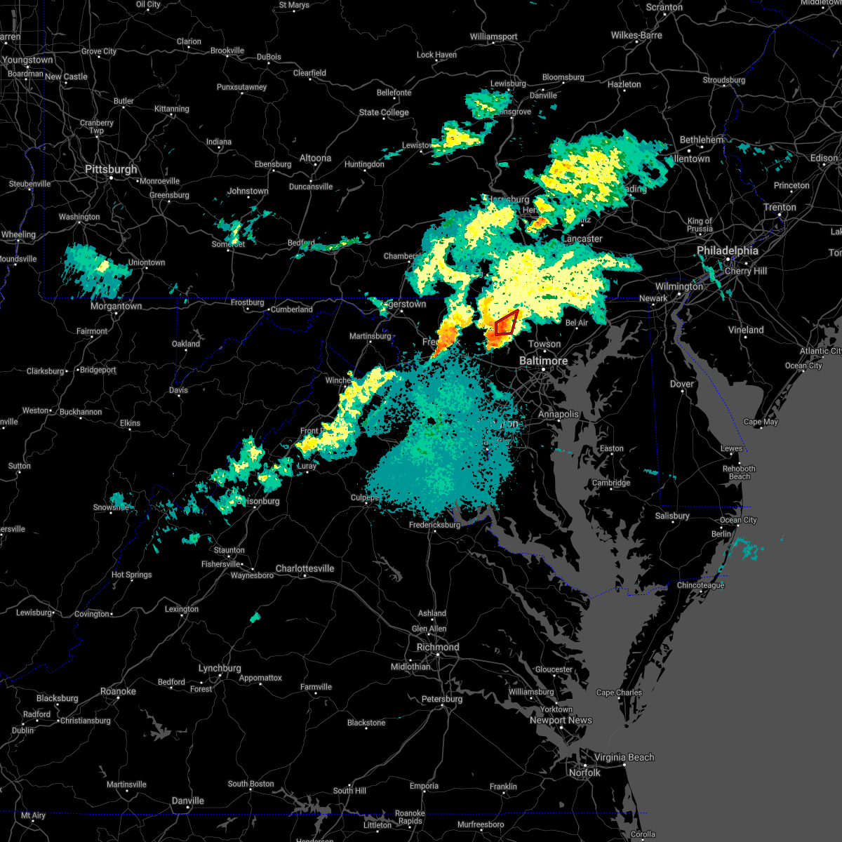 At 914 pm edt, a severe thunderstorm capable of producing a tornado was located near westminster, moving east at 20 mph (radar indicated rotation). Hazards include tornado. For those in the direct path of a tornado touchdown, flying debris will be dangerous to those caught without shelter. damage to roofs, siding, and windows may occur. mobile homes may be damaged or destroyed. tree damage is likely. Locations impacted include, westminster, hampstead, carrollton, patapsco and reese. At 914 pm edt, a severe thunderstorm capable of producing a tornado was located near westminster, moving east at 20 mph (radar indicated rotation). Hazards include tornado. For those in the direct path of a tornado touchdown, flying debris will be dangerous to those caught without shelter. damage to roofs, siding, and windows may occur. mobile homes may be damaged or destroyed. tree damage is likely. Locations impacted include, westminster, hampstead, carrollton, patapsco and reese.
|
| 5/3/2021 8:56 PM EDT |
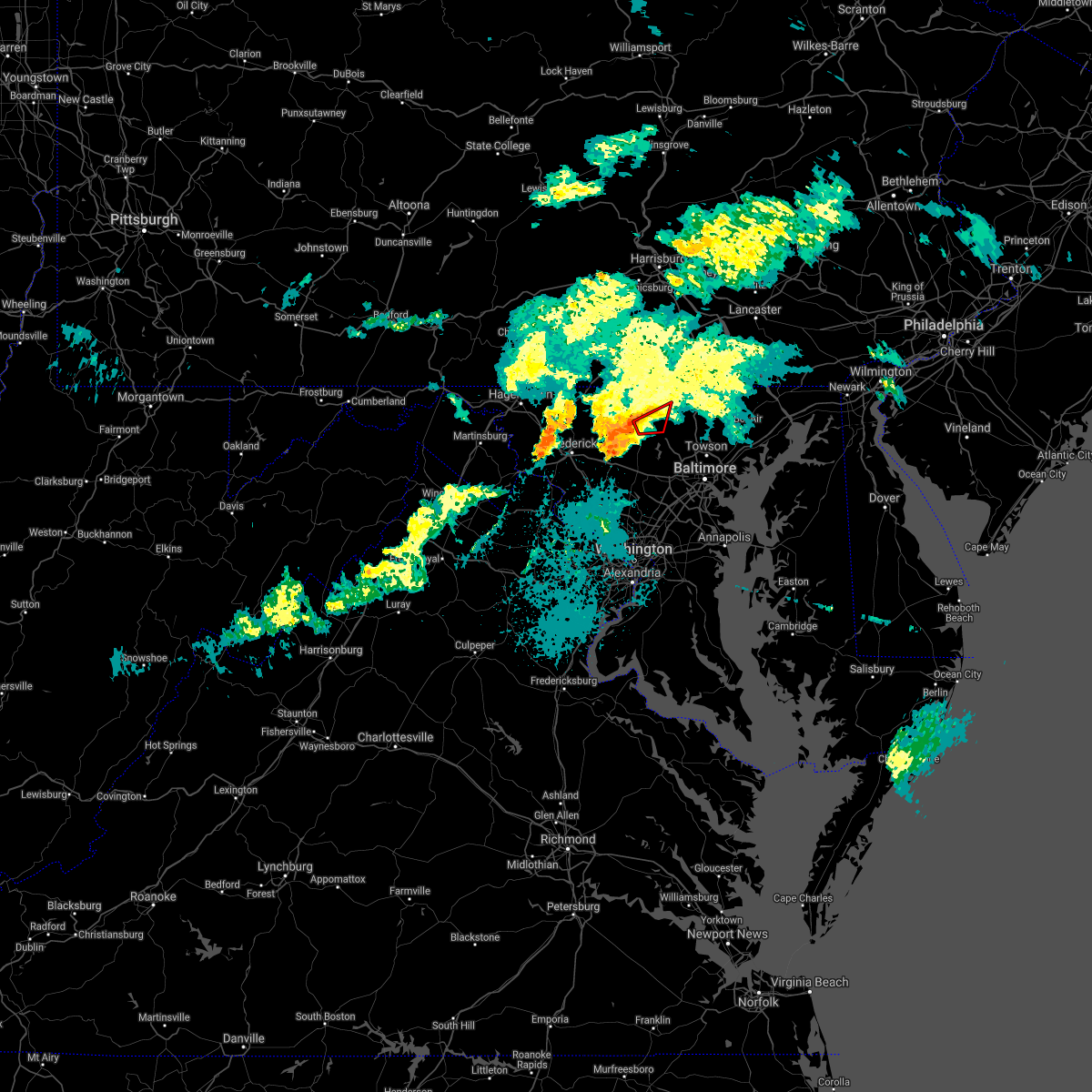 At 856 pm edt, a severe thunderstorm capable of producing a tornado was located over westminster, moving east at 25 mph (radar indicated rotation). Hazards include tornado. For those in the direct path of a tornado touchdown, flying debris will be dangerous to those caught without shelter. damage to roofs, siding, and windows may occur. mobile homes may be damaged or destroyed. Tree damage is likely. At 856 pm edt, a severe thunderstorm capable of producing a tornado was located over westminster, moving east at 25 mph (radar indicated rotation). Hazards include tornado. For those in the direct path of a tornado touchdown, flying debris will be dangerous to those caught without shelter. damage to roofs, siding, and windows may occur. mobile homes may be damaged or destroyed. Tree damage is likely.
|
| 4/30/2021 4:54 PM EDT |
 The severe thunderstorm warning for carroll county in north central maryland, western howard and montgomery counties in central maryland, eastern frederick county in north central maryland, west central baltimore county in northern maryland and east central loudoun counties in northern virginia will expire at 500 pm edt, the showers which prompted the warning have moved out of the area. therefore, the warning will be allowed to expire. however, high winds remain possible through this evening. a high wind warning remains in effect through late tonight. The severe thunderstorm warning for carroll county in north central maryland, western howard and montgomery counties in central maryland, eastern frederick county in north central maryland, west central baltimore county in northern maryland and east central loudoun counties in northern virginia will expire at 500 pm edt, the showers which prompted the warning have moved out of the area. therefore, the warning will be allowed to expire. however, high winds remain possible through this evening. a high wind warning remains in effect through late tonight.
|
| 4/30/2021 4:47 PM EDT |
 At 446 pm edt, severe thunderstorms were located along a line extending from near thurmont to new market to near poolesville, moving east at 60 mph (radar indicated). Hazards include 60 mph wind gusts. Damaging winds will cause some trees and large branches to fall. this could injure those outdoors, as well as damage homes and vehicles. roadways may become blocked by downed trees. localized power outages are possible. unsecured light objects may become projectiles. Locations impacted include, columbia, germantown, rockville, bethesda, gaithersburg, olney, westminster, damascus, lansdowne, lowes island, thurmont, poolesville, emmitsburg, ellicott city, aspen hill, potomac, north bethesda, ashburn, randallstown and montgomery village. At 446 pm edt, severe thunderstorms were located along a line extending from near thurmont to new market to near poolesville, moving east at 60 mph (radar indicated). Hazards include 60 mph wind gusts. Damaging winds will cause some trees and large branches to fall. this could injure those outdoors, as well as damage homes and vehicles. roadways may become blocked by downed trees. localized power outages are possible. unsecured light objects may become projectiles. Locations impacted include, columbia, germantown, rockville, bethesda, gaithersburg, olney, westminster, damascus, lansdowne, lowes island, thurmont, poolesville, emmitsburg, ellicott city, aspen hill, potomac, north bethesda, ashburn, randallstown and montgomery village.
|
| 4/30/2021 4:31 PM EDT |
 At 430 pm edt, severe thunderstorms were located along a line extending from near smithsburg to braddock heights to near purcellville, moving east at 60 mph (radar indicated). Hazards include 60 mph wind gusts. Damaging winds will cause some trees and large branches to fall. this could injure those outdoors, as well as damage homes and vehicles. roadways may become blocked by downed trees. localized power outages are possible. Unsecured light objects may become projectiles. At 430 pm edt, severe thunderstorms were located along a line extending from near smithsburg to braddock heights to near purcellville, moving east at 60 mph (radar indicated). Hazards include 60 mph wind gusts. Damaging winds will cause some trees and large branches to fall. this could injure those outdoors, as well as damage homes and vehicles. roadways may become blocked by downed trees. localized power outages are possible. Unsecured light objects may become projectiles.
|
| 3/28/2021 5:23 PM EDT |
 At 522 pm edt, severe thunderstorms with a history of producing wind damage and measured wind gusts to near 60 mph were located along a line extending from near manchester to near sykesville to germantown, moving east at 45 mph (radar indicated and observed wind). Hazards include 60 mph wind gusts. Damaging winds will cause some trees and large branches to fall. this could injure those outdoors, as well as damage homes and vehicles. roadways may become blocked by downed trees. localized power outages are possible. unsecured light objects may become projectiles. Locations impacted include, columbia, germantown, rockville, gaithersburg, olney, pikesville, cockeysville, westminster, damascus, historic ellicott city, ellicott city, aspen hill, potomac, north bethesda, catonsville, woodlawn, randallstown, montgomery village, owings mills and eldersburg. At 522 pm edt, severe thunderstorms with a history of producing wind damage and measured wind gusts to near 60 mph were located along a line extending from near manchester to near sykesville to germantown, moving east at 45 mph (radar indicated and observed wind). Hazards include 60 mph wind gusts. Damaging winds will cause some trees and large branches to fall. this could injure those outdoors, as well as damage homes and vehicles. roadways may become blocked by downed trees. localized power outages are possible. unsecured light objects may become projectiles. Locations impacted include, columbia, germantown, rockville, gaithersburg, olney, pikesville, cockeysville, westminster, damascus, historic ellicott city, ellicott city, aspen hill, potomac, north bethesda, catonsville, woodlawn, randallstown, montgomery village, owings mills and eldersburg.
|
| 3/28/2021 5:05 PM EDT |
 At 504 pm edt, severe thunderstorms with a history of producing wind damage and measured wind gusts to near 60 mph were located along a line extending from near littlestown to near boyds, moving east at 45 mph (radar indicated). Hazards include 60 mph wind gusts. Damaging winds will cause some trees and large branches to fall. this could injure those outdoors, as well as damage homes and vehicles. roadways may become blocked by downed trees. localized power outages are possible. Unsecured light objects may become projectiles. At 504 pm edt, severe thunderstorms with a history of producing wind damage and measured wind gusts to near 60 mph were located along a line extending from near littlestown to near boyds, moving east at 45 mph (radar indicated). Hazards include 60 mph wind gusts. Damaging winds will cause some trees and large branches to fall. this could injure those outdoors, as well as damage homes and vehicles. roadways may become blocked by downed trees. localized power outages are possible. Unsecured light objects may become projectiles.
|
| 11/15/2020 6:28 PM EST |
 At 628 pm est, severe thunderstorms were located along a line extending from glen rock to near westminster to green valley, moving east at 30 mph (radar indicated). Hazards include 60 mph wind gusts. Damaging winds will cause some trees and large branches to fall. this could injure those outdoors, as well as damage homes and vehicles. roadways may become blocked by downed trees. localized power outages are possible. Unsecured light objects may become projectiles. At 628 pm est, severe thunderstorms were located along a line extending from glen rock to near westminster to green valley, moving east at 30 mph (radar indicated). Hazards include 60 mph wind gusts. Damaging winds will cause some trees and large branches to fall. this could injure those outdoors, as well as damage homes and vehicles. roadways may become blocked by downed trees. localized power outages are possible. Unsecured light objects may become projectiles.
|
| 11/15/2020 6:11 PM EST |
 At 610 pm est, severe thunderstorms were located along a line extending from near littlestown to near taneytown to frederick, moving southeast at 25 mph (radar indicated). Hazards include 60 mph wind gusts. Damaging winds will cause some trees and large branches to fall. this could injure those outdoors, as well as damage homes and vehicles. roadways may become blocked by downed trees. localized power outages are possible. unsecured light objects may become projectiles. Locations impacted include, frederick, westminster, harry grove stadium, eldersburg, ballenger creek, mount airy, taneytown, hampstead, brunswick, walkersville, manchester, braddock heights, new market, green valley, gamber, clover hill, discovery-spring garden, point of rocks, linganore-bartonsville and adamstown. At 610 pm est, severe thunderstorms were located along a line extending from near littlestown to near taneytown to frederick, moving southeast at 25 mph (radar indicated). Hazards include 60 mph wind gusts. Damaging winds will cause some trees and large branches to fall. this could injure those outdoors, as well as damage homes and vehicles. roadways may become blocked by downed trees. localized power outages are possible. unsecured light objects may become projectiles. Locations impacted include, frederick, westminster, harry grove stadium, eldersburg, ballenger creek, mount airy, taneytown, hampstead, brunswick, walkersville, manchester, braddock heights, new market, green valley, gamber, clover hill, discovery-spring garden, point of rocks, linganore-bartonsville and adamstown.
|
| 11/15/2020 5:37 PM EST |
 At 537 pm est, severe thunderstorms were located along a line extending from near lake heritage to near thurmont to near mount lena, moving southeast at 25 mph (radar indicated). Hazards include 60 mph wind gusts. Damaging winds will cause some trees and large branches to fall. this could injure those outdoors, as well as damage homes and vehicles. roadways may become blocked by downed trees. localized power outages are possible. Unsecured light objects may become projectiles. At 537 pm est, severe thunderstorms were located along a line extending from near lake heritage to near thurmont to near mount lena, moving southeast at 25 mph (radar indicated). Hazards include 60 mph wind gusts. Damaging winds will cause some trees and large branches to fall. this could injure those outdoors, as well as damage homes and vehicles. roadways may become blocked by downed trees. localized power outages are possible. Unsecured light objects may become projectiles.
|
| 9/2/2020 7:39 PM EDT |
 At 739 pm edt, severe thunderstorms were located along a line extending from near railroad to 7 miles east of hampstead to near gamber, moving east at 35 mph (radar indicated). Hazards include 60 mph wind gusts. Damaging winds will cause some trees and large branches to fall. this could injure those outdoors, as well as damage homes and vehicles. roadways may become blocked by downed trees. localized power outages are possible. unsecured light objects may become projectiles. Locations impacted include, westminster, eldersburg, mount airy, hampstead, manchester, new windsor, union bridge, carrollton, lineboro, winfield, linwood, patapsco, reese, uniontown, wagners mill, millers, greenmount and marston. At 739 pm edt, severe thunderstorms were located along a line extending from near railroad to 7 miles east of hampstead to near gamber, moving east at 35 mph (radar indicated). Hazards include 60 mph wind gusts. Damaging winds will cause some trees and large branches to fall. this could injure those outdoors, as well as damage homes and vehicles. roadways may become blocked by downed trees. localized power outages are possible. unsecured light objects may become projectiles. Locations impacted include, westminster, eldersburg, mount airy, hampstead, manchester, new windsor, union bridge, carrollton, lineboro, winfield, linwood, patapsco, reese, uniontown, wagners mill, millers, greenmount and marston.
|
| 9/2/2020 7:36 PM EDT |
 At 735 pm edt, severe thunderstorms were located along a line extending from near railroad to near gamber to near mount airy, moving east at 30 mph (radar indicated). Hazards include 60 mph wind gusts. Damaging winds will cause some trees and large branches to fall. this could injure those outdoors, as well as damage homes and vehicles. roadways may become blocked by downed trees. localized power outages are possible. Unsecured light objects may become projectiles. At 735 pm edt, severe thunderstorms were located along a line extending from near railroad to near gamber to near mount airy, moving east at 30 mph (radar indicated). Hazards include 60 mph wind gusts. Damaging winds will cause some trees and large branches to fall. this could injure those outdoors, as well as damage homes and vehicles. roadways may become blocked by downed trees. localized power outages are possible. Unsecured light objects may become projectiles.
|
| 9/2/2020 7:29 PM EDT |
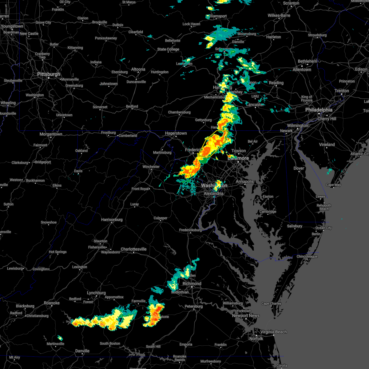 At 729 pm edt, severe thunderstorms were located along a line extending from near manchester to hampstead to near gamber, moving east at 35 mph (radar indicated). Hazards include 60 mph wind gusts. Damaging winds will cause some trees and large branches to fall. this could injure those outdoors, as well as damage homes and vehicles. roadways may become blocked by downed trees. localized power outages are possible. unsecured light objects may become projectiles. Locations impacted include, westminster, eldersburg, mount airy, hampstead, manchester, new market, linganore-bartonsville, new windsor, union bridge, libertytown, monrovia, carrollton, lineboro, winfield, linwood, patapsco, reese, uniontown, wagners mill and millers. At 729 pm edt, severe thunderstorms were located along a line extending from near manchester to hampstead to near gamber, moving east at 35 mph (radar indicated). Hazards include 60 mph wind gusts. Damaging winds will cause some trees and large branches to fall. this could injure those outdoors, as well as damage homes and vehicles. roadways may become blocked by downed trees. localized power outages are possible. unsecured light objects may become projectiles. Locations impacted include, westminster, eldersburg, mount airy, hampstead, manchester, new market, linganore-bartonsville, new windsor, union bridge, libertytown, monrovia, carrollton, lineboro, winfield, linwood, patapsco, reese, uniontown, wagners mill and millers.
|
| 9/2/2020 7:13 PM EDT |
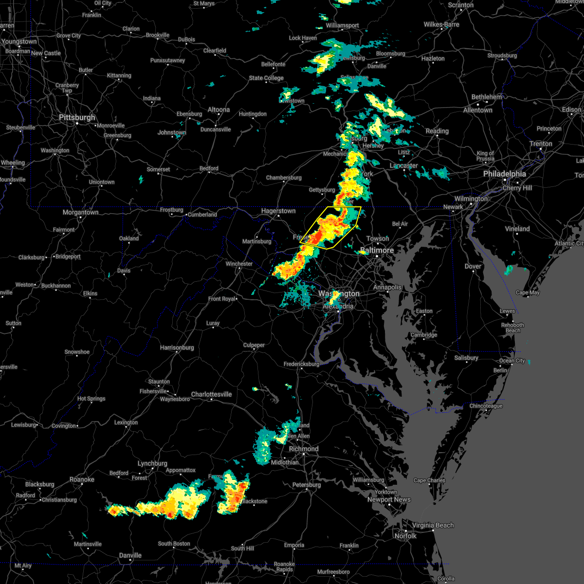 At 713 pm edt, severe thunderstorms were located along a line extending from near littlestown to near westminster to 6 miles north of mount airy, moving east at 35 mph (radar indicated). Hazards include 60 mph wind gusts. Damaging winds will cause some trees and large branches to fall. this could injure those outdoors, as well as damage homes and vehicles. roadways may become blocked by downed trees. localized power outages are possible. unsecured light objects may become projectiles. Locations impacted include, frederick, westminster, harry grove stadium, eldersburg, ballenger creek, mount airy, taneytown, hampstead, walkersville, manchester, new market, clover hill, discovery-spring garden, linganore-bartonsville, new windsor, woodsboro, union bridge, libertytown, monrovia and carrollton. At 713 pm edt, severe thunderstorms were located along a line extending from near littlestown to near westminster to 6 miles north of mount airy, moving east at 35 mph (radar indicated). Hazards include 60 mph wind gusts. Damaging winds will cause some trees and large branches to fall. this could injure those outdoors, as well as damage homes and vehicles. roadways may become blocked by downed trees. localized power outages are possible. unsecured light objects may become projectiles. Locations impacted include, frederick, westminster, harry grove stadium, eldersburg, ballenger creek, mount airy, taneytown, hampstead, walkersville, manchester, new market, clover hill, discovery-spring garden, linganore-bartonsville, new windsor, woodsboro, union bridge, libertytown, monrovia and carrollton.
|
| 9/2/2020 6:54 PM EDT |
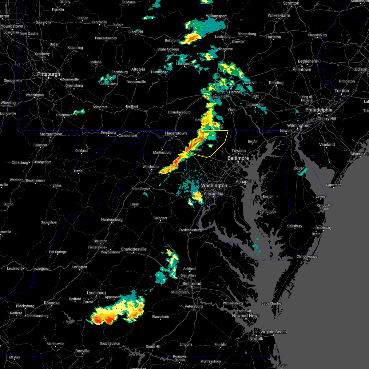 At 654 pm edt, severe thunderstorms were located along a line extending from near taneytown to 8 miles southeast of emmitsburg to discovery-spring garden, moving east at 35 mph (radar indicated). Hazards include 60 mph wind gusts. Damaging winds will cause some trees and large branches to fall. this could injure those outdoors, as well as damage homes and vehicles. roadways may become blocked by downed trees. localized power outages are possible. Unsecured light objects may become projectiles. At 654 pm edt, severe thunderstorms were located along a line extending from near taneytown to 8 miles southeast of emmitsburg to discovery-spring garden, moving east at 35 mph (radar indicated). Hazards include 60 mph wind gusts. Damaging winds will cause some trees and large branches to fall. this could injure those outdoors, as well as damage homes and vehicles. roadways may become blocked by downed trees. localized power outages are possible. Unsecured light objects may become projectiles.
|
| 8/28/2020 3:40 PM EDT |
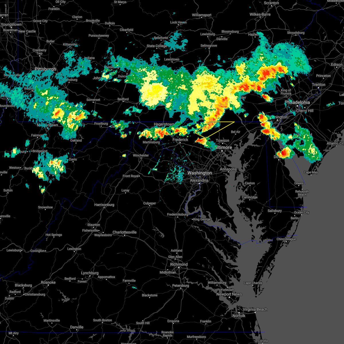 At 339 pm edt, severe thunderstorms were located along a line extending from red lion to shrewsbury to near manchester to near westminster, moving east at 35 mph (radar indicated). Hazards include 60 mph wind gusts. Damaging winds will cause some trees and large branches to fall. this could injure those outdoors, as well as damage homes and vehicles. roadways may become blocked by downed trees. localized power outages are possible. unsecured light objects may become projectiles. Locations impacted include, westminster, hampstead, manchester, new windsor, carrollton, freeland, upperco, norrisville, boring, bentley springs, patapsco, reese, parkton, wagners mill, millers, greenmount, maryland line and finksburg. At 339 pm edt, severe thunderstorms were located along a line extending from red lion to shrewsbury to near manchester to near westminster, moving east at 35 mph (radar indicated). Hazards include 60 mph wind gusts. Damaging winds will cause some trees and large branches to fall. this could injure those outdoors, as well as damage homes and vehicles. roadways may become blocked by downed trees. localized power outages are possible. unsecured light objects may become projectiles. Locations impacted include, westminster, hampstead, manchester, new windsor, carrollton, freeland, upperco, norrisville, boring, bentley springs, patapsco, reese, parkton, wagners mill, millers, greenmount, maryland line and finksburg.
|
| 8/28/2020 3:19 PM EDT |
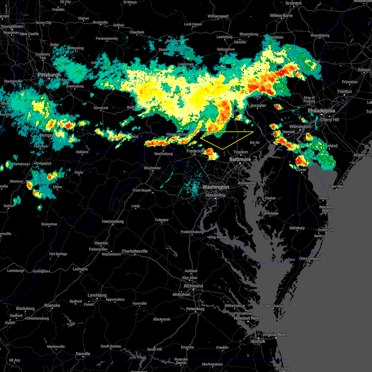 At 319 pm edt, severe thunderstorms were located along a line extending from near west york to codorus to near pennville to near taneytown, moving east at 35 mph (radar indicated). Hazards include 60 mph wind gusts. Damaging winds will cause some trees and large branches to fall. this could injure those outdoors, as well as damage homes and vehicles. roadways may become blocked by downed trees. localized power outages are possible. Unsecured light objects may become projectiles. At 319 pm edt, severe thunderstorms were located along a line extending from near west york to codorus to near pennville to near taneytown, moving east at 35 mph (radar indicated). Hazards include 60 mph wind gusts. Damaging winds will cause some trees and large branches to fall. this could injure those outdoors, as well as damage homes and vehicles. roadways may become blocked by downed trees. localized power outages are possible. Unsecured light objects may become projectiles.
|
| 7/6/2020 9:04 PM EDT |
 At 904 pm edt, severe thunderstorms were located along a line extending from codorus to near littlestown, moving southeast at 20 mph (radar indicated). Hazards include 60 mph wind gusts. Damaging winds will cause some trees and large branches to fall. this could injure those outdoors, as well as damage homes and vehicles. roadways may become blocked by downed trees. localized power outages are possible. Unsecured light objects may become projectiles. At 904 pm edt, severe thunderstorms were located along a line extending from codorus to near littlestown, moving southeast at 20 mph (radar indicated). Hazards include 60 mph wind gusts. Damaging winds will cause some trees and large branches to fall. this could injure those outdoors, as well as damage homes and vehicles. roadways may become blocked by downed trees. localized power outages are possible. Unsecured light objects may become projectiles.
|
| 6/22/2020 6:22 PM EDT | Tree down on md-88 black rock road near benson mill roa in baltimore county MD, 5.6 miles NW of Hampstead, MD |
| 6/22/2020 5:49 PM EDT | Tree down on md-88 black rock road near benson mill roa in baltimore county MD, 5.6 miles NW of Hampstead, MD |
| 6/22/2020 5:47 PM EDT | Tree down on md-88 black rock road near benson mill roa in baltimore county MD, 5.6 miles NW of Hampstead, MD |
| 6/22/2020 5:35 PM EDT |
 At 535 pm edt, a severe thunderstorm was located over reisterstown, or 7 miles northwest of pikesville, moving northeast at 35 mph (radar indicated). Hazards include 60 mph wind gusts. Damaging winds will cause some trees and large branches to fall. this could injure those outdoors, as well as damage homes and vehicles. roadways may become blocked by downed trees. localized power outages are possible. unsecured light objects may become projectiles. Locations impacted include, pikesville, cockeysville, ellicott city, randallstown, owings mills, eldersburg, milford mill, reisterstown, lochearn, mays chapel, timonium, fallston, hampstead, jarrettsville, oakland, gamber, lutherville-timonium, garrison, finksburg and carrollton. At 535 pm edt, a severe thunderstorm was located over reisterstown, or 7 miles northwest of pikesville, moving northeast at 35 mph (radar indicated). Hazards include 60 mph wind gusts. Damaging winds will cause some trees and large branches to fall. this could injure those outdoors, as well as damage homes and vehicles. roadways may become blocked by downed trees. localized power outages are possible. unsecured light objects may become projectiles. Locations impacted include, pikesville, cockeysville, ellicott city, randallstown, owings mills, eldersburg, milford mill, reisterstown, lochearn, mays chapel, timonium, fallston, hampstead, jarrettsville, oakland, gamber, lutherville-timonium, garrison, finksburg and carrollton.
|
| 6/22/2020 5:18 PM EDT |
 At 518 pm edt, a severe thunderstorm was located near sykesville, or 7 miles northwest of historic ellicott city, moving northeast at 30 mph (radar indicated). Hazards include 60 mph wind gusts. Damaging winds will cause some trees and large branches to fall. this could injure those outdoors, as well as damage homes and vehicles. roadways may become blocked by downed trees. localized power outages are possible. unsecured light objects may become projectiles. Locations impacted include, pikesville, cockeysville, ellicott city, randallstown, owings mills, eldersburg, milford mill, reisterstown, lochearn, mays chapel, timonium, fallston, hampstead, sykesville, jarrettsville, oakland, gamber, lutherville-timonium, garrison and carrollton. At 518 pm edt, a severe thunderstorm was located near sykesville, or 7 miles northwest of historic ellicott city, moving northeast at 30 mph (radar indicated). Hazards include 60 mph wind gusts. Damaging winds will cause some trees and large branches to fall. this could injure those outdoors, as well as damage homes and vehicles. roadways may become blocked by downed trees. localized power outages are possible. unsecured light objects may become projectiles. Locations impacted include, pikesville, cockeysville, ellicott city, randallstown, owings mills, eldersburg, milford mill, reisterstown, lochearn, mays chapel, timonium, fallston, hampstead, sykesville, jarrettsville, oakland, gamber, lutherville-timonium, garrison and carrollton.
|
| 6/22/2020 4:54 PM EDT |
 At 454 pm edt, severe thunderstorms were located along a line extending from near mount airy to near sykesville to near ellicott city, moving northeast at 35 mph (radar indicated). Hazards include 60 mph wind gusts. Damaging winds will cause some trees and large branches to fall. this could injure those outdoors, as well as damage homes and vehicles. roadways may become blocked by downed trees. localized power outages are possible. Unsecured light objects may become projectiles. At 454 pm edt, severe thunderstorms were located along a line extending from near mount airy to near sykesville to near ellicott city, moving northeast at 35 mph (radar indicated). Hazards include 60 mph wind gusts. Damaging winds will cause some trees and large branches to fall. this could injure those outdoors, as well as damage homes and vehicles. roadways may become blocked by downed trees. localized power outages are possible. Unsecured light objects may become projectiles.
|
| 6/22/2020 4:25 PM EDT |
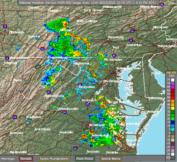 The severe thunderstorm warning for northern carroll and northern frederick counties in north central maryland will expire at 430 pm edt, the storms which prompted the warning have weakened below severe limits, and no longer pose an immediate threat to life or property. therefore, the warning will be allowed to expire. The severe thunderstorm warning for northern carroll and northern frederick counties in north central maryland will expire at 430 pm edt, the storms which prompted the warning have weakened below severe limits, and no longer pose an immediate threat to life or property. therefore, the warning will be allowed to expire.
|
| 6/22/2020 4:15 PM EDT |
 At 414 pm edt, severe thunderstorms were located along a line extending from near taneytown to near manchester, moving north at 20 mph (radar indicated). Hazards include 60 mph wind gusts and quarter size hail. Damaging winds will cause some trees and large branches to fall. this could injure those outdoors, as well as damage homes and vehicles. roadways may become blocked by downed trees. localized power outages are possible. unsecured light objects may become projectiles. Locations impacted include, westminster, taneytown, hampstead, manchester, harney, lineboro and millers. At 414 pm edt, severe thunderstorms were located along a line extending from near taneytown to near manchester, moving north at 20 mph (radar indicated). Hazards include 60 mph wind gusts and quarter size hail. Damaging winds will cause some trees and large branches to fall. this could injure those outdoors, as well as damage homes and vehicles. roadways may become blocked by downed trees. localized power outages are possible. unsecured light objects may become projectiles. Locations impacted include, westminster, taneytown, hampstead, manchester, harney, lineboro and millers.
|
| 6/22/2020 3:41 PM EDT |
 At 341 pm edt, severe thunderstorms were located along a line extending from near taneytown to near eldersburg, moving north at 25 mph (radar indicated). Hazards include 60 mph wind gusts and quarter size hail. Damaging winds will cause some trees and large branches to fall. this could injure those outdoors, as well as damage homes and vehicles. roadways may become blocked by downed trees. localized power outages are possible. Unsecured light objects may become projectiles. At 341 pm edt, severe thunderstorms were located along a line extending from near taneytown to near eldersburg, moving north at 25 mph (radar indicated). Hazards include 60 mph wind gusts and quarter size hail. Damaging winds will cause some trees and large branches to fall. this could injure those outdoors, as well as damage homes and vehicles. roadways may become blocked by downed trees. localized power outages are possible. Unsecured light objects may become projectiles.
|
| 6/10/2020 10:45 PM EDT |
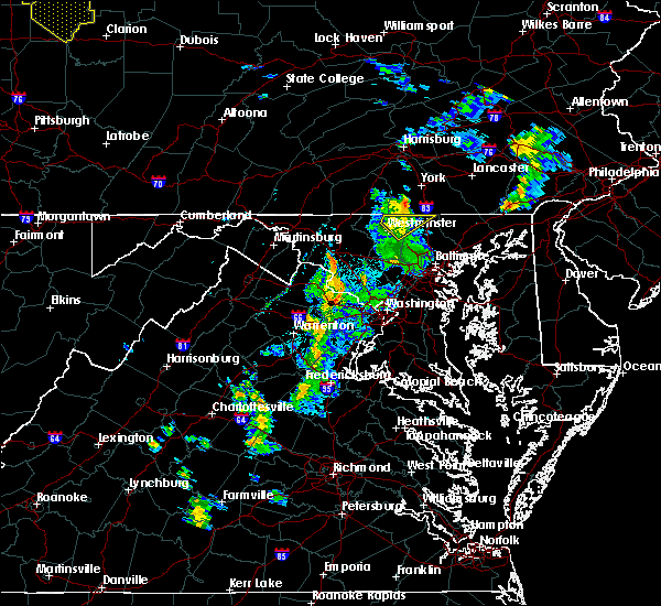 At 1045 pm edt, severe thunderstorms with a history of producing wind damage were located along a line extending from near parkville to manchester, moving northeast at 40 mph (radar indicated and storm reports. there were reports of tree damage near monrovia with these storms just before 10:15 pm). Hazards include 60 mph wind gusts. Damaging winds will cause some trees and large branches to fall. this could injure those outdoors, as well as damage homes and vehicles. roadways may become blocked by downed trees. localized power outages are possible. unsecured light objects may become projectiles. Locations impacted include, westminster, hampstead, manchester, bentley springs, carrollton, freeland, lineboro, patapsco, reese, millers, greenmount and maryland line. At 1045 pm edt, severe thunderstorms with a history of producing wind damage were located along a line extending from near parkville to manchester, moving northeast at 40 mph (radar indicated and storm reports. there were reports of tree damage near monrovia with these storms just before 10:15 pm). Hazards include 60 mph wind gusts. Damaging winds will cause some trees and large branches to fall. this could injure those outdoors, as well as damage homes and vehicles. roadways may become blocked by downed trees. localized power outages are possible. unsecured light objects may become projectiles. Locations impacted include, westminster, hampstead, manchester, bentley springs, carrollton, freeland, lineboro, patapsco, reese, millers, greenmount and maryland line.
|
| 6/10/2020 10:34 PM EDT |
 At 1034 pm edt, severe thunderstorms were located along a line extending from 6 miles southeast of littlestown to near westminster, moving northeast at 40 mph (radar indicated). Hazards include 60 mph wind gusts. Damaging winds will cause some trees and large branches to fall. this could injure those outdoors, as well as damage homes and vehicles. roadways may become blocked by downed trees. localized power outages are possible. unsecured light objects may become projectiles. Locations impacted include, westminster, hampstead, manchester, new windsor, carrollton, freeland, lineboro, bentley springs, patapsco, reese, uniontown, wagners mill, millers, greenmount and maryland line. At 1034 pm edt, severe thunderstorms were located along a line extending from 6 miles southeast of littlestown to near westminster, moving northeast at 40 mph (radar indicated). Hazards include 60 mph wind gusts. Damaging winds will cause some trees and large branches to fall. this could injure those outdoors, as well as damage homes and vehicles. roadways may become blocked by downed trees. localized power outages are possible. unsecured light objects may become projectiles. Locations impacted include, westminster, hampstead, manchester, new windsor, carrollton, freeland, lineboro, bentley springs, patapsco, reese, uniontown, wagners mill, millers, greenmount and maryland line.
|
| 6/10/2020 10:24 PM EDT |
 At 1024 pm edt, severe thunderstorms were located along a line extending from near westminster to 6 miles northwest of gamber, moving northeast at 40 mph (radar indicated). Hazards include 60 mph wind gusts. Damaging winds will cause some trees and large branches to fall. this could injure those outdoors, as well as damage homes and vehicles. roadways may become blocked by downed trees. localized power outages are possible. Unsecured light objects may become projectiles. At 1024 pm edt, severe thunderstorms were located along a line extending from near westminster to 6 miles northwest of gamber, moving northeast at 40 mph (radar indicated). Hazards include 60 mph wind gusts. Damaging winds will cause some trees and large branches to fall. this could injure those outdoors, as well as damage homes and vehicles. roadways may become blocked by downed trees. localized power outages are possible. Unsecured light objects may become projectiles.
|
| 6/4/2020 7:56 PM EDT |
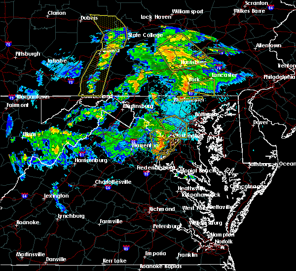 At 756 pm edt, a severe thunderstorm was located near manchester, or 9 miles southeast of parkville, moving east at 25 mph (radar indicated). Hazards include 60 mph wind gusts and quarter size hail. Damaging winds will cause some trees and large branches to fall. this could injure those outdoors, as well as damage homes and vehicles. roadways may become blocked by downed trees. localized power outages are possible. Unsecured light objects may become projectiles. At 756 pm edt, a severe thunderstorm was located near manchester, or 9 miles southeast of parkville, moving east at 25 mph (radar indicated). Hazards include 60 mph wind gusts and quarter size hail. Damaging winds will cause some trees and large branches to fall. this could injure those outdoors, as well as damage homes and vehicles. roadways may become blocked by downed trees. localized power outages are possible. Unsecured light objects may become projectiles.
|
| 4/13/2020 2:12 PM EDT |
 At 211 pm edt, severe thunderstorms were located along a line extending from near shrewsbury to gamber, moving east at 50 mph (radar indicated). Hazards include 60 to 70 mph wind gusts. Damaging winds will cause some trees and large branches to fall. this could injure those outdoors, as well as damage homes and vehicles. roadways may become blocked by downed trees. localized power outages are possible. unsecured light objects may become projectiles. Locations impacted include, pikesville, cockeysville, towson, randallstown, parkville, owings mills, bel air north, eldersburg, carney, perry hall, reisterstown, mays chapel, timonium, fallston, hampstead, hampton, sykesville, jarrettsville, oakland and lutherville-timonium. At 211 pm edt, severe thunderstorms were located along a line extending from near shrewsbury to gamber, moving east at 50 mph (radar indicated). Hazards include 60 to 70 mph wind gusts. Damaging winds will cause some trees and large branches to fall. this could injure those outdoors, as well as damage homes and vehicles. roadways may become blocked by downed trees. localized power outages are possible. unsecured light objects may become projectiles. Locations impacted include, pikesville, cockeysville, towson, randallstown, parkville, owings mills, bel air north, eldersburg, carney, perry hall, reisterstown, mays chapel, timonium, fallston, hampstead, hampton, sykesville, jarrettsville, oakland and lutherville-timonium.
|
| 4/13/2020 2:00 PM EDT |
 At 200 pm edt, severe thunderstorms were located along a line extending from near manchester to 6 miles northwest of eldersburg, moving east at 50 mph (radar indicated). Hazards include 60 mph wind gusts. Damaging winds will cause some trees and large branches to fall. this could injure those outdoors, as well as damage homes and vehicles. roadways may become blocked by downed trees. localized power outages are possible. Unsecured light objects may become projectiles. At 200 pm edt, severe thunderstorms were located along a line extending from near manchester to 6 miles northwest of eldersburg, moving east at 50 mph (radar indicated). Hazards include 60 mph wind gusts. Damaging winds will cause some trees and large branches to fall. this could injure those outdoors, as well as damage homes and vehicles. roadways may become blocked by downed trees. localized power outages are possible. Unsecured light objects may become projectiles.
|
| 4/13/2020 1:48 PM EDT |
 At 148 pm edt, severe thunderstorms were located along a line extending from 9 miles south of taneytown to near new market to 6 miles southwest of green valley, moving east at 45 mph (radar indicated). Hazards include 60 mph wind gusts. Damaging winds will cause some trees and large branches to fall. this could injure those outdoors, as well as damage homes and vehicles. roadways may become blocked by downed trees. localized power outages are possible. unsecured light objects may become projectiles. Locations impacted include, germantown, gaithersburg, olney, westminster, damascus, poolesville, aspen hill, montgomery village, eldersburg, redland, mount airy, hampstead, manchester, sykesville, new market, green valley, gamber, boyds, rossmoor and linganore-bartonsville. At 148 pm edt, severe thunderstorms were located along a line extending from 9 miles south of taneytown to near new market to 6 miles southwest of green valley, moving east at 45 mph (radar indicated). Hazards include 60 mph wind gusts. Damaging winds will cause some trees and large branches to fall. this could injure those outdoors, as well as damage homes and vehicles. roadways may become blocked by downed trees. localized power outages are possible. unsecured light objects may become projectiles. Locations impacted include, germantown, gaithersburg, olney, westminster, damascus, poolesville, aspen hill, montgomery village, eldersburg, redland, mount airy, hampstead, manchester, sykesville, new market, green valley, gamber, boyds, rossmoor and linganore-bartonsville.
|
| 4/13/2020 1:20 PM EDT |
 At 119 pm edt, severe thunderstorms were located along a line extending from near boonsboro to near brunswick to 6 miles south of harpers ferry, moving east at 45 mph (radar indicated). Hazards include 60 mph wind gusts. Damaging winds will cause some trees and large branches to fall. this could injure those outdoors, as well as damage homes and vehicles. roadways may become blocked by downed trees. localized power outages are possible. Unsecured light objects may become projectiles. At 119 pm edt, severe thunderstorms were located along a line extending from near boonsboro to near brunswick to 6 miles south of harpers ferry, moving east at 45 mph (radar indicated). Hazards include 60 mph wind gusts. Damaging winds will cause some trees and large branches to fall. this could injure those outdoors, as well as damage homes and vehicles. roadways may become blocked by downed trees. localized power outages are possible. Unsecured light objects may become projectiles.
|
| 4/9/2020 12:16 PM EDT |
 At 1216 pm edt, severe thunderstorms were located along a line extending from manchester to new market, moving east at 50 mph (radar indicated). Hazards include 60 mph wind gusts. Damaging winds will cause some trees and large branches to fall. this could injure those outdoors, as well as damage homes and vehicles. roadways may become blocked by downed trees. localized power outages are possible. unsecured light objects may become projectiles. Locations impacted include, frederick, westminster, damascus, harry grove stadium, ellicott city, randallstown, owings mills, eldersburg, reisterstown, ballenger creek, mount airy, taneytown, hampstead, walkersville, manchester, sykesville, braddock heights, oakland, new market and green valley. At 1216 pm edt, severe thunderstorms were located along a line extending from manchester to new market, moving east at 50 mph (radar indicated). Hazards include 60 mph wind gusts. Damaging winds will cause some trees and large branches to fall. this could injure those outdoors, as well as damage homes and vehicles. roadways may become blocked by downed trees. localized power outages are possible. unsecured light objects may become projectiles. Locations impacted include, frederick, westminster, damascus, harry grove stadium, ellicott city, randallstown, owings mills, eldersburg, reisterstown, ballenger creek, mount airy, taneytown, hampstead, walkersville, manchester, sykesville, braddock heights, oakland, new market and green valley.
|
| 4/9/2020 11:51 AM EDT |
 At 1151 am edt, severe thunderstorms were located along a line extending from near emmitsburg to near brunswick, moving east at 50 mph (radar indicated). Hazards include 60 mph wind gusts. Damaging winds will cause some trees and large branches to fall. this could injure those outdoors, as well as damage homes and vehicles. roadways may become blocked by downed trees. localized power outages are possible. Unsecured light objects may become projectiles. At 1151 am edt, severe thunderstorms were located along a line extending from near emmitsburg to near brunswick, moving east at 50 mph (radar indicated). Hazards include 60 mph wind gusts. Damaging winds will cause some trees and large branches to fall. this could injure those outdoors, as well as damage homes and vehicles. roadways may become blocked by downed trees. localized power outages are possible. Unsecured light objects may become projectiles.
|
| 4/8/2020 3:53 AM EDT |
 At 353 am edt, severe thunderstorms were located along a line extending from near hampstead to near gamber to mount airy, moving southeast at 45 mph (radar indicated). Hazards include 60 mph wind gusts and quarter size hail. Damaging winds will cause some trees and large branches to fall. this could injure those outdoors, as well as damage homes and vehicles. roadways may become blocked by downed trees. localized power outages are possible. Unsecured light objects may become projectiles. At 353 am edt, severe thunderstorms were located along a line extending from near hampstead to near gamber to mount airy, moving southeast at 45 mph (radar indicated). Hazards include 60 mph wind gusts and quarter size hail. Damaging winds will cause some trees and large branches to fall. this could injure those outdoors, as well as damage homes and vehicles. roadways may become blocked by downed trees. localized power outages are possible. Unsecured light objects may become projectiles.
|
| 3/3/2020 11:39 PM EST | Tree down on falls road in carroll county MD, 4.2 miles SW of Hampstead, MD |
| 2/7/2020 8:01 AM EST |
 At 800 am est, a severe thunderstorm capable of producing a tornado was located near westminster, moving northeast at 55 mph (radar indicated rotation). Hazards include tornado. For those in the direct path of a tornado touchdown, flying debris will be dangerous to those caught without shelter. damage to roofs, siding, and windows may occur. mobile homes may be damaged or destroyed. tree damage is likely. this dangerous storm will be near, westminster around 810 am est. hampstead and manchester around 815 am est. Other locations impacted by this tornadic thunderstorm include wagners mill, greenmount, new windsor and marston. At 800 am est, a severe thunderstorm capable of producing a tornado was located near westminster, moving northeast at 55 mph (radar indicated rotation). Hazards include tornado. For those in the direct path of a tornado touchdown, flying debris will be dangerous to those caught without shelter. damage to roofs, siding, and windows may occur. mobile homes may be damaged or destroyed. tree damage is likely. this dangerous storm will be near, westminster around 810 am est. hampstead and manchester around 815 am est. Other locations impacted by this tornadic thunderstorm include wagners mill, greenmount, new windsor and marston.
|
| 2/7/2020 7:46 AM EST |
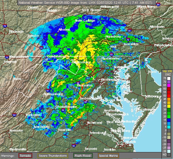 At 745 am est, a severe thunderstorm capable of producing a tornado was located over new market, or 7 miles north of damascus, moving northeast at 55 mph (radar indicated rotation). Hazards include tornado. For those in the direct path of a tornado touchdown, flying debris will be dangerous to those caught without shelter. damage to roofs, siding, and windows may occur. mobile homes may be damaged or destroyed. tree damage is likely. this dangerous storm will be near, mount airy around 750 am est. westminster around 810 am est. hampstead and manchester around 815 am est. Other locations impacted by this tornadic thunderstorm include carrollton, reese, monrovia, wagners mill, greenmount, new windsor, marston and unionville. At 745 am est, a severe thunderstorm capable of producing a tornado was located over new market, or 7 miles north of damascus, moving northeast at 55 mph (radar indicated rotation). Hazards include tornado. For those in the direct path of a tornado touchdown, flying debris will be dangerous to those caught without shelter. damage to roofs, siding, and windows may occur. mobile homes may be damaged or destroyed. tree damage is likely. this dangerous storm will be near, mount airy around 750 am est. westminster around 810 am est. hampstead and manchester around 815 am est. Other locations impacted by this tornadic thunderstorm include carrollton, reese, monrovia, wagners mill, greenmount, new windsor, marston and unionville.
|
| 9/2/2019 5:38 PM EDT |
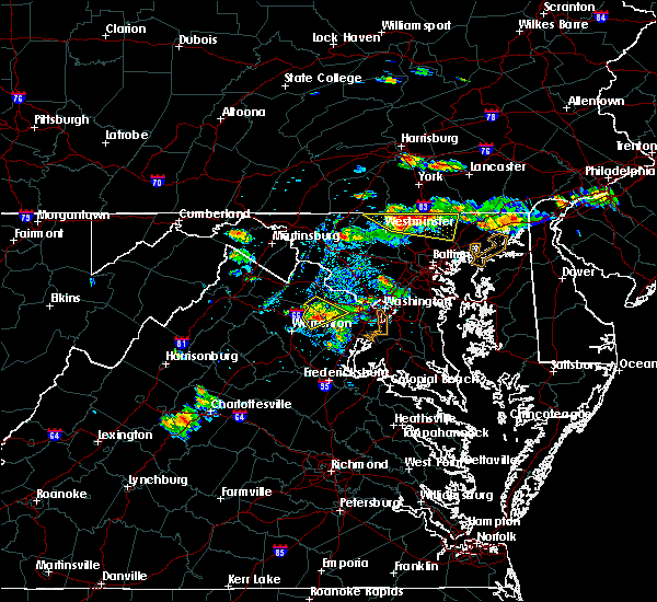 At 537 pm edt, a severe thunderstorm was located near stewartstown, or 14 miles south of red lion, moving east at 40 mph (radar indicated). Hazards include 60 mph wind gusts and quarter size hail. Damaging winds will cause some trees and large branches to fall. this could injure those outdoors, as well as damage homes and vehicles. roadways may become blocked by downed trees. localized power outages are possible. unsecured light objects may become projectiles. Locations impacted include, bel air north, fallston, hampstead, manchester, jarrettsville, pylesville, glencoe, freeland, upperco, norrisville, sparks, bentley springs, chrome hill, parkton, rocks, hereford, millers, greenmount, jacksonville and maryland line. At 537 pm edt, a severe thunderstorm was located near stewartstown, or 14 miles south of red lion, moving east at 40 mph (radar indicated). Hazards include 60 mph wind gusts and quarter size hail. Damaging winds will cause some trees and large branches to fall. this could injure those outdoors, as well as damage homes and vehicles. roadways may become blocked by downed trees. localized power outages are possible. unsecured light objects may become projectiles. Locations impacted include, bel air north, fallston, hampstead, manchester, jarrettsville, pylesville, glencoe, freeland, upperco, norrisville, sparks, bentley springs, chrome hill, parkton, rocks, hereford, millers, greenmount, jacksonville and maryland line.
|
| 9/2/2019 5:10 PM EDT |
 At 510 pm edt, a severe thunderstorm was located near manchester, or near parkville, moving east at 30 mph (radar indicated). Hazards include 60 mph wind gusts and quarter size hail. Damaging winds will cause some trees and large branches to fall. this could injure those outdoors, as well as damage homes and vehicles. roadways may become blocked by downed trees. localized power outages are possible. Unsecured light objects may become projectiles. At 510 pm edt, a severe thunderstorm was located near manchester, or near parkville, moving east at 30 mph (radar indicated). Hazards include 60 mph wind gusts and quarter size hail. Damaging winds will cause some trees and large branches to fall. this could injure those outdoors, as well as damage homes and vehicles. roadways may become blocked by downed trees. localized power outages are possible. Unsecured light objects may become projectiles.
|
| 8/22/2019 7:35 PM EDT |
 A severe thunderstorm warning remains in effect until 815 pm edt for southeastern carroll and west central baltimore counties. at 735 pm edt, severe thunderstorms were located along a line extending from near reisterstown to near eldersburg, moving east at 25 mph. hazard. 60 mph wind gusts. A severe thunderstorm warning remains in effect until 815 pm edt for southeastern carroll and west central baltimore counties. at 735 pm edt, severe thunderstorms were located along a line extending from near reisterstown to near eldersburg, moving east at 25 mph. hazard. 60 mph wind gusts.
|
| 8/22/2019 7:27 PM EDT |
 At 727 pm edt, severe thunderstorms were located along a line extending from near hampstead to near eldersburg, moving southeast at 25 mph (radar indicated). Hazards include 60 mph wind gusts. Damaging winds will cause some trees and large branches to fall. this could injure those outdoors, as well as damage homes and vehicles. roadways may become blocked by downed trees. localized power outages are possible. Unsecured light objects may become projectiles. At 727 pm edt, severe thunderstorms were located along a line extending from near hampstead to near eldersburg, moving southeast at 25 mph (radar indicated). Hazards include 60 mph wind gusts. Damaging winds will cause some trees and large branches to fall. this could injure those outdoors, as well as damage homes and vehicles. roadways may become blocked by downed trees. localized power outages are possible. Unsecured light objects may become projectiles.
|
| 8/22/2019 7:11 PM EDT |
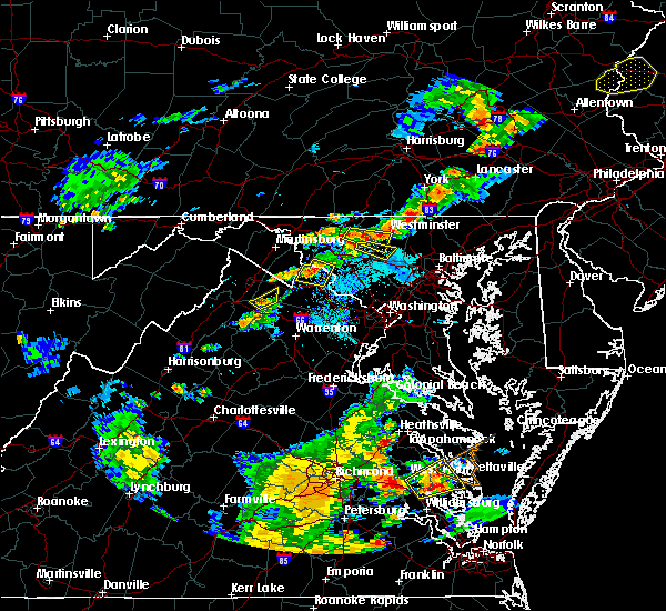 The national weather service in sterling virginia has issued a * severe thunderstorm warning for. northeastern carroll county in north central maryland. northwestern harford county in northern maryland. northwestern baltimore county in northern maryland. Until 800 pm edt. The national weather service in sterling virginia has issued a * severe thunderstorm warning for. northeastern carroll county in north central maryland. northwestern harford county in northern maryland. northwestern baltimore county in northern maryland. Until 800 pm edt.
|
| 8/7/2019 2:53 PM EDT |
 The severe thunderstorm warning for east central carroll and northwestern baltimore counties will expire at 300 pm edt, the storm which prompted the warning has moved out of the area. therefore, the warning will be allowed to expire. however small hail, gusty winds and heavy rain are still possible with this thunderstorm. a severe thunderstorm watch remains in effect until 800 pm edt for northern and north central maryland. The severe thunderstorm warning for east central carroll and northwestern baltimore counties will expire at 300 pm edt, the storm which prompted the warning has moved out of the area. therefore, the warning will be allowed to expire. however small hail, gusty winds and heavy rain are still possible with this thunderstorm. a severe thunderstorm watch remains in effect until 800 pm edt for northern and north central maryland.
|
| 8/7/2019 2:46 PM EDT |
 At 246 pm edt, a severe thunderstorm was located near reisterstown, or 9 miles west of cockeysville, moving northeast at 25 mph (radar indicated). Hazards include 60 mph wind gusts and quarter size hail. Damaging winds will cause some trees and large branches to fall. this could injure those outdoors, as well as damage homes and vehicles. roadways may become blocked by downed trees. localized power outages are possible. unsecured light objects may become projectiles. Locations impacted include, cockeysville, owings mills, reisterstown, mays chapel, timonium, hampstead, lutherville-timonium, garrison, finksburg, upperco, glyndon, boring, patapsco and butler. At 246 pm edt, a severe thunderstorm was located near reisterstown, or 9 miles west of cockeysville, moving northeast at 25 mph (radar indicated). Hazards include 60 mph wind gusts and quarter size hail. Damaging winds will cause some trees and large branches to fall. this could injure those outdoors, as well as damage homes and vehicles. roadways may become blocked by downed trees. localized power outages are possible. unsecured light objects may become projectiles. Locations impacted include, cockeysville, owings mills, reisterstown, mays chapel, timonium, hampstead, lutherville-timonium, garrison, finksburg, upperco, glyndon, boring, patapsco and butler.
|
| 8/7/2019 2:18 PM EDT |
 At 218 pm edt, a severe thunderstorm was located over eldersburg, or 10 miles south of westminster, moving northeast at 25 mph (radar indicated). Hazards include 60 mph wind gusts and quarter size hail. Damaging winds will cause some trees and large branches to fall. this could injure those outdoors, as well as damage homes and vehicles. roadways may become blocked by downed trees. localized power outages are possible. Unsecured light objects may become projectiles. At 218 pm edt, a severe thunderstorm was located over eldersburg, or 10 miles south of westminster, moving northeast at 25 mph (radar indicated). Hazards include 60 mph wind gusts and quarter size hail. Damaging winds will cause some trees and large branches to fall. this could injure those outdoors, as well as damage homes and vehicles. roadways may become blocked by downed trees. localized power outages are possible. Unsecured light objects may become projectiles.
|
| 7/22/2019 9:46 PM EDT |
 At 946 pm edt, a severe thunderstorm was located over manchester, or near parkville, moving east at 25 mph (radar indicated). Hazards include 60 mph wind gusts. Damaging winds will cause some trees and large branches to fall. this could injure those outdoors, as well as damage homes and vehicles. roadways may become blocked by downed trees. localized power outages are possible. Unsecured light objects may become projectiles. At 946 pm edt, a severe thunderstorm was located over manchester, or near parkville, moving east at 25 mph (radar indicated). Hazards include 60 mph wind gusts. Damaging winds will cause some trees and large branches to fall. this could injure those outdoors, as well as damage homes and vehicles. roadways may become blocked by downed trees. localized power outages are possible. Unsecured light objects may become projectiles.
|
| 7/22/2019 3:47 PM EDT |
 At 347 pm edt, severe thunderstorms with a history of producing wind damage and measured wind gusts to nearly 60 mph were located along a line extending from near westminster to near oakland, moving northeast at 50 mph (radar indicated). Hazards include 60 to 75 mph wind gusts. Damaging winds will cause some trees and large branches to fall. this could injure those outdoors, as well as damage homes and vehicles. roadways may become blocked by downed trees. localized power outages are possible. unsecured light objects may become projectiles. Locations impacted include, pikesville, cockeysville, aberdeen, havre de grace, towson, bel air south, randallstown, parkville, owings mills, bel air north, carney, milford mill, perry hall, reisterstown, lochearn, mays chapel, timonium, white marsh, fallston and riverside. At 347 pm edt, severe thunderstorms with a history of producing wind damage and measured wind gusts to nearly 60 mph were located along a line extending from near westminster to near oakland, moving northeast at 50 mph (radar indicated). Hazards include 60 to 75 mph wind gusts. Damaging winds will cause some trees and large branches to fall. this could injure those outdoors, as well as damage homes and vehicles. roadways may become blocked by downed trees. localized power outages are possible. unsecured light objects may become projectiles. Locations impacted include, pikesville, cockeysville, aberdeen, havre de grace, towson, bel air south, randallstown, parkville, owings mills, bel air north, carney, milford mill, perry hall, reisterstown, lochearn, mays chapel, timonium, white marsh, fallston and riverside.
|
| 7/22/2019 3:39 PM EDT |
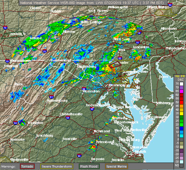 At 334 pm edt, a severe thunderstorm capable of producing a tornado was located near westminster, moving northeast at 35 mph (radar indicated rotation). Hazards include tornado. For those in the direct path of a tornado touchdown, flying debris will be dangerous to those caught without shelter. damage to roofs, siding, and windows may occur. mobile homes may be damaged or destroyed. tree damage is likely. Other locations impacted by this tornadic thunderstorm include hereford, carrollton, upperco, boring, patapsco and reese. At 334 pm edt, a severe thunderstorm capable of producing a tornado was located near westminster, moving northeast at 35 mph (radar indicated rotation). Hazards include tornado. For those in the direct path of a tornado touchdown, flying debris will be dangerous to those caught without shelter. damage to roofs, siding, and windows may occur. mobile homes may be damaged or destroyed. tree damage is likely. Other locations impacted by this tornadic thunderstorm include hereford, carrollton, upperco, boring, patapsco and reese.
|
| 7/22/2019 3:37 PM EDT |
 At 336 pm edt, severe thunderstorms with a history of producing wind damage and measured wind gusts to near 60 mph were located along a line extending from westminster to sykesville, moving northeast at 50 mph. these are dangerous storms! (radar indicated). Hazards include 60 to 80 mph wind gusts. Damaging winds will cause some trees and large branches to fall. this could injure those outdoors, as well as damage homes and vehicles. roadways may become blocked by downed trees. localized power outages are possible. unsecured light objects may become projectiles. Locations impacted include, pikesville, cockeysville, westminster, aberdeen, havre de grace, towson, bel air south, randallstown, parkville, owings mills, bel air north, eldersburg, carney, milford mill, perry hall, reisterstown, lochearn, mays chapel, timonium and white marsh. At 336 pm edt, severe thunderstorms with a history of producing wind damage and measured wind gusts to near 60 mph were located along a line extending from westminster to sykesville, moving northeast at 50 mph. these are dangerous storms! (radar indicated). Hazards include 60 to 80 mph wind gusts. Damaging winds will cause some trees and large branches to fall. this could injure those outdoors, as well as damage homes and vehicles. roadways may become blocked by downed trees. localized power outages are possible. unsecured light objects may become projectiles. Locations impacted include, pikesville, cockeysville, westminster, aberdeen, havre de grace, towson, bel air south, randallstown, parkville, owings mills, bel air north, eldersburg, carney, milford mill, perry hall, reisterstown, lochearn, mays chapel, timonium and white marsh.
|
| 7/22/2019 3:35 PM EDT |
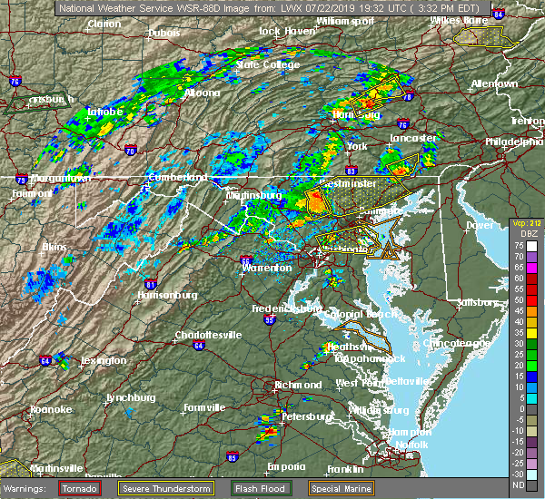 At 334 pm edt, a severe thunderstorm capable of producing a tornado was located near westminster, moving northeast at 35 mph (radar indicated rotation). Hazards include tornado. For those in the direct path of a tornado touchdown, flying debris will be dangerous to those caught without shelter. damage to roofs, siding, and windows may occur. mobile homes may be damaged or destroyed. tree damage is likely. Other locations impacted by this tornadic thunderstorm include hereford, carrollton, upperco, boring, patapsco and reese. At 334 pm edt, a severe thunderstorm capable of producing a tornado was located near westminster, moving northeast at 35 mph (radar indicated rotation). Hazards include tornado. For those in the direct path of a tornado touchdown, flying debris will be dangerous to those caught without shelter. damage to roofs, siding, and windows may occur. mobile homes may be damaged or destroyed. tree damage is likely. Other locations impacted by this tornadic thunderstorm include hereford, carrollton, upperco, boring, patapsco and reese.
|
| 7/22/2019 3:23 PM EDT |
 At 322 pm edt, severe thunderstorms with a history of producing wind damage and measured wind gusts to nearly 60 mph were located along a line extending from 9 miles northeast of new market to near mount airy, moving northeast at 50 mph (radar indicated). Hazards include 60 to 75 mph wind gusts. Damaging winds will cause some trees and large branches to fall. this could injure those outdoors, as well as damage homes and vehicles. roadways may become blocked by downed trees. localized power outages are possible. Unsecured light objects may become projectiles. At 322 pm edt, severe thunderstorms with a history of producing wind damage and measured wind gusts to nearly 60 mph were located along a line extending from 9 miles northeast of new market to near mount airy, moving northeast at 50 mph (radar indicated). Hazards include 60 to 75 mph wind gusts. Damaging winds will cause some trees and large branches to fall. this could injure those outdoors, as well as damage homes and vehicles. roadways may become blocked by downed trees. localized power outages are possible. Unsecured light objects may become projectiles.
|
| 7/22/2019 2:57 PM EDT |
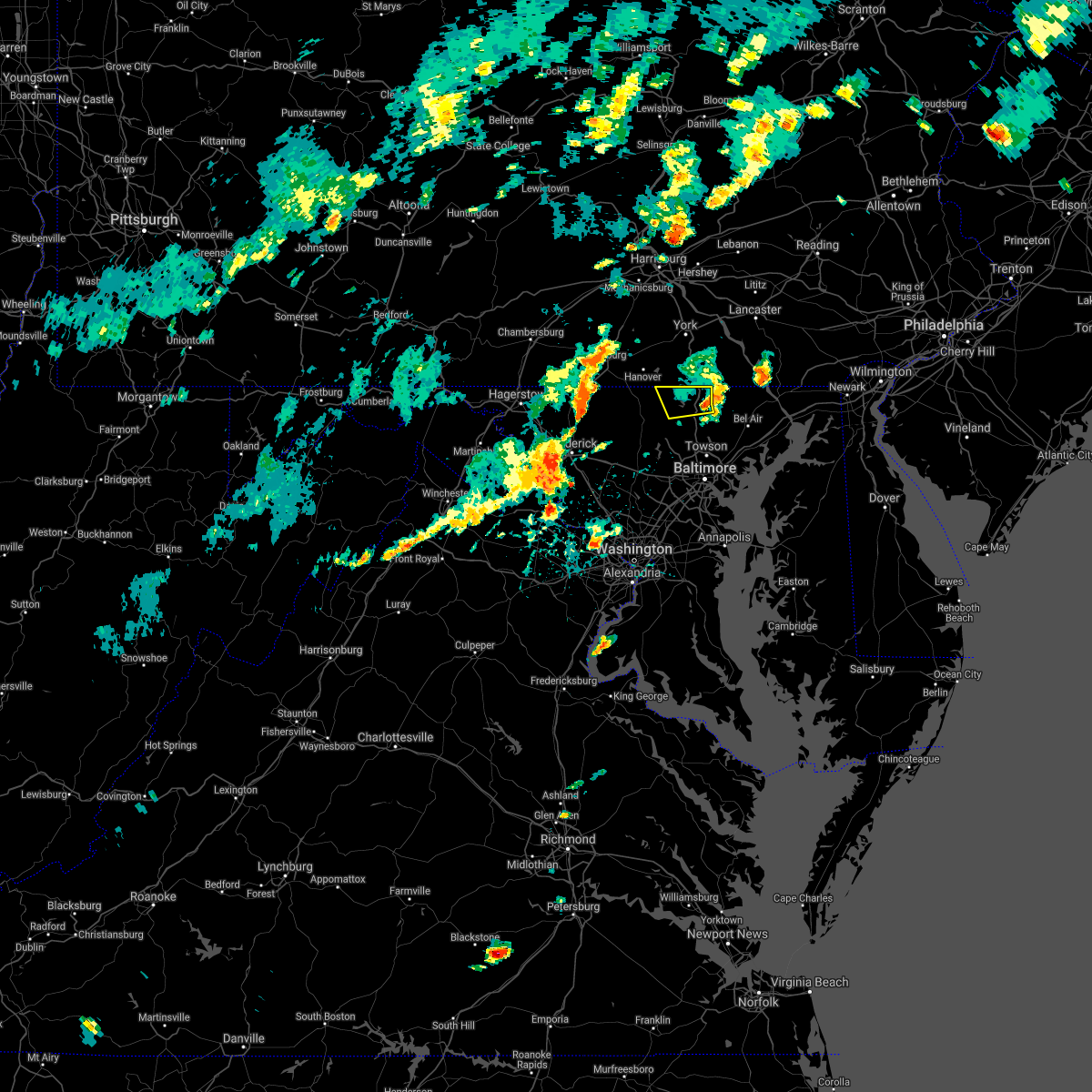 The severe thunderstorm warning for northeastern carroll and northwestern baltimore counties will expire at 300 pm edt, the storm which prompted the warning has moved out of the area. therefore, the warning will be allowed to expire. a severe thunderstorm watch remains in effect until 1000 pm edt for northern and north central maryland. The severe thunderstorm warning for northeastern carroll and northwestern baltimore counties will expire at 300 pm edt, the storm which prompted the warning has moved out of the area. therefore, the warning will be allowed to expire. a severe thunderstorm watch remains in effect until 1000 pm edt for northern and north central maryland.
|
| 7/22/2019 2:30 PM EDT |
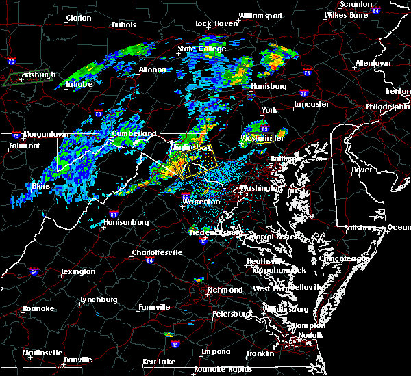 At 230 pm edt, a severe thunderstorm was located near hampstead, or 13 miles southeast of parkville, moving east at 30 mph (radar indicated). Hazards include 60 mph wind gusts and quarter size hail. Damaging winds will cause some trees and large branches to fall. this could injure those outdoors, as well as damage homes and vehicles. roadways may become blocked by downed trees. localized power outages are possible. unsecured light objects may become projectiles. Locations impacted include, hampstead, manchester, bentley springs, freeland, lineboro, parkton, hereford, millers, maryland line and greenmount. At 230 pm edt, a severe thunderstorm was located near hampstead, or 13 miles southeast of parkville, moving east at 30 mph (radar indicated). Hazards include 60 mph wind gusts and quarter size hail. Damaging winds will cause some trees and large branches to fall. this could injure those outdoors, as well as damage homes and vehicles. roadways may become blocked by downed trees. localized power outages are possible. unsecured light objects may become projectiles. Locations impacted include, hampstead, manchester, bentley springs, freeland, lineboro, parkton, hereford, millers, maryland line and greenmount.
|
| 7/22/2019 2:13 PM EDT |
 At 213 pm edt, a severe thunderstorm was located near manchester, or near westminster, moving east at 30 mph (radar indicated). Hazards include 60 mph wind gusts and quarter size hail. Damaging winds will cause some trees and large branches to fall. this could injure those outdoors, as well as damage homes and vehicles. roadways may become blocked by downed trees. localized power outages are possible. unsecured light objects may become projectiles. Locations impacted include, westminster, hampstead, manchester, bentley springs, freeland, lineboro, parkton, hereford, millers, greenmount and maryland line. At 213 pm edt, a severe thunderstorm was located near manchester, or near westminster, moving east at 30 mph (radar indicated). Hazards include 60 mph wind gusts and quarter size hail. Damaging winds will cause some trees and large branches to fall. this could injure those outdoors, as well as damage homes and vehicles. roadways may become blocked by downed trees. localized power outages are possible. unsecured light objects may become projectiles. Locations impacted include, westminster, hampstead, manchester, bentley springs, freeland, lineboro, parkton, hereford, millers, greenmount and maryland line.
|
| 7/22/2019 2:01 PM EDT |
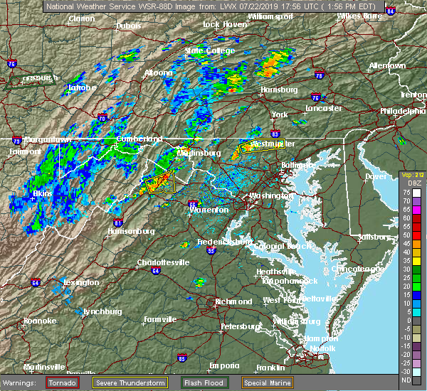 At 200 pm edt, a severe thunderstorm was located over westminster, moving east at 30 mph (radar indicated). Hazards include 60 mph wind gusts and quarter size hail. Damaging winds will cause some trees and large branches to fall. this could injure those outdoors, as well as damage homes and vehicles. roadways may become blocked by downed trees. localized power outages are possible. Unsecured light objects may become projectiles. At 200 pm edt, a severe thunderstorm was located over westminster, moving east at 30 mph (radar indicated). Hazards include 60 mph wind gusts and quarter size hail. Damaging winds will cause some trees and large branches to fall. this could injure those outdoors, as well as damage homes and vehicles. roadways may become blocked by downed trees. localized power outages are possible. Unsecured light objects may become projectiles.
|
| 7/21/2019 8:57 PM EDT |
 The severe thunderstorm warning for southeastern carroll county will expire at 900 pm edt, the storm which prompted the warning has moved out of the area. therefore, the warning will be allowed to expire. The severe thunderstorm warning for southeastern carroll county will expire at 900 pm edt, the storm which prompted the warning has moved out of the area. therefore, the warning will be allowed to expire.
|
| 7/21/2019 8:26 PM EDT |
 At 825 pm edt, severe thunderstorms were located along a line extending from near railroad to near gamber to near sykesville, moving east at 20 mph (radar indicated). Hazards include 60 mph wind gusts. Damaging winds will cause some trees and large branches to fall. this could injure those outdoors, as well as damage homes and vehicles. roadways may become blocked by downed trees. localized power outages are possible. Unsecured light objects may become projectiles. At 825 pm edt, severe thunderstorms were located along a line extending from near railroad to near gamber to near sykesville, moving east at 20 mph (radar indicated). Hazards include 60 mph wind gusts. Damaging winds will cause some trees and large branches to fall. this could injure those outdoors, as well as damage homes and vehicles. roadways may become blocked by downed trees. localized power outages are possible. Unsecured light objects may become projectiles.
|
| 7/21/2019 8:25 PM EDT |
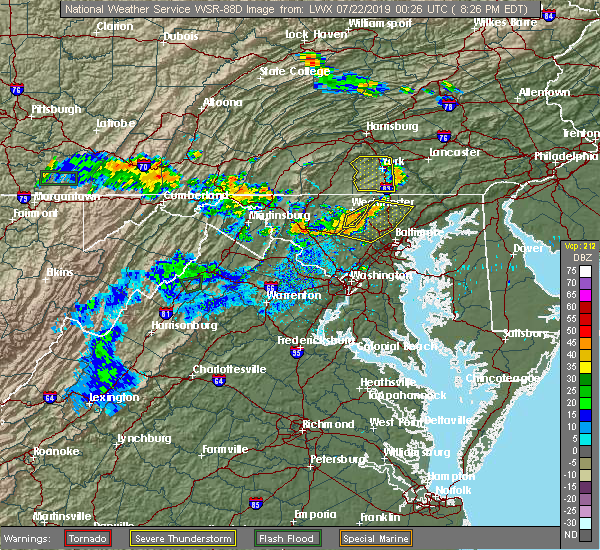 At 824 pm edt, a severe thunderstorm was located near gamber, or near westminster, moving east at 20 mph (radar indicated). Hazards include 60 mph wind gusts. Damaging winds will cause some trees and large branches to fall. this could injure those outdoors, as well as damage homes and vehicles. roadways may become blocked by downed trees. localized power outages are possible. unsecured light objects may become projectiles. Locations impacted include, westminster, eldersburg, hampstead, gamber, carrollton, patapsco, winfield and reese. At 824 pm edt, a severe thunderstorm was located near gamber, or near westminster, moving east at 20 mph (radar indicated). Hazards include 60 mph wind gusts. Damaging winds will cause some trees and large branches to fall. this could injure those outdoors, as well as damage homes and vehicles. roadways may become blocked by downed trees. localized power outages are possible. unsecured light objects may become projectiles. Locations impacted include, westminster, eldersburg, hampstead, gamber, carrollton, patapsco, winfield and reese.
|
| 7/21/2019 7:59 PM EDT |
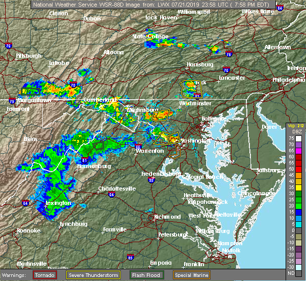 At 757 pm edt, a severe thunderstorm was located near new market, or 10 miles east of frederick, and is nearly stationary. other storms are starting to develop along a gust front that extends across carroll county from marston to reese to hempstead. these storms are expect to produce scattered wind damage (radar indicated). Hazards include 60 mph wind gusts. Damaging winds will cause some trees and large branches to fall. this could injure those outdoors, as well as damage homes and vehicles. roadways may become blocked by downed trees. localized power outages are possible. Unsecured light objects may become projectiles. At 757 pm edt, a severe thunderstorm was located near new market, or 10 miles east of frederick, and is nearly stationary. other storms are starting to develop along a gust front that extends across carroll county from marston to reese to hempstead. these storms are expect to produce scattered wind damage (radar indicated). Hazards include 60 mph wind gusts. Damaging winds will cause some trees and large branches to fall. this could injure those outdoors, as well as damage homes and vehicles. roadways may become blocked by downed trees. localized power outages are possible. Unsecured light objects may become projectiles.
|
| 7/17/2019 5:40 PM EDT |
 At 540 pm edt, a severe thunderstorm was located over oakland, or 9 miles west of pikesville, moving northeast at 40 mph (radar indicated). Hazards include 60 mph wind gusts. Damaging winds will cause some trees and large branches to fall. this could injure those outdoors, as well as damage homes and vehicles. roadways may become blocked by downed trees. localized power outages are possible. unsecured light objects may become projectiles. Locations impacted include, pikesville, historic ellicott city, ellicott city, woodlawn, randallstown, owings mills, eldersburg, milford mill, reisterstown, lochearn, sykesville, oakland, gamber, garrison, finksburg, carrollton, upperco, henryton, west friendship and winfield. At 540 pm edt, a severe thunderstorm was located over oakland, or 9 miles west of pikesville, moving northeast at 40 mph (radar indicated). Hazards include 60 mph wind gusts. Damaging winds will cause some trees and large branches to fall. this could injure those outdoors, as well as damage homes and vehicles. roadways may become blocked by downed trees. localized power outages are possible. unsecured light objects may become projectiles. Locations impacted include, pikesville, historic ellicott city, ellicott city, woodlawn, randallstown, owings mills, eldersburg, milford mill, reisterstown, lochearn, sykesville, oakland, gamber, garrison, finksburg, carrollton, upperco, henryton, west friendship and winfield.
|
| 7/17/2019 5:12 PM EDT |
 At 512 pm edt, a severe thunderstorm was located over damascus, moving northeast at 40 mph (radar indicated). Hazards include 60 mph wind gusts. Damaging winds will cause some trees and large branches to fall. this could injure those outdoors, as well as damage homes and vehicles. roadways may become blocked by downed trees. localized power outages are possible. Unsecured light objects may become projectiles. At 512 pm edt, a severe thunderstorm was located over damascus, moving northeast at 40 mph (radar indicated). Hazards include 60 mph wind gusts. Damaging winds will cause some trees and large branches to fall. this could injure those outdoors, as well as damage homes and vehicles. roadways may become blocked by downed trees. localized power outages are possible. Unsecured light objects may become projectiles.
|
| 7/17/2019 4:53 PM EDT |
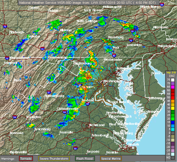 The national weather service in sterling virginia has issued a * severe thunderstorm warning for. northern carroll county in north central maryland. northeastern frederick county in north central maryland. until 545 pm edt. At 453 pm edt, a severe thunderstorm was located near taneytown, or. The national weather service in sterling virginia has issued a * severe thunderstorm warning for. northern carroll county in north central maryland. northeastern frederick county in north central maryland. until 545 pm edt. At 453 pm edt, a severe thunderstorm was located near taneytown, or.
|
| 7/2/2019 7:09 PM EDT |
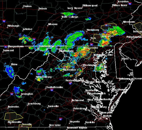 At 708 pm edt, a severe thunderstorm was located over hampstead, or 8 miles east of westminster, moving east at 30 mph (radar indicated). Hazards include 60 mph wind gusts. Damaging winds will cause some trees and large branches to fall. this could injure those outdoors, as well as damage homes and vehicles. roadways may become blocked by downed trees. localized power outages are possible. Unsecured light objects may become projectiles. At 708 pm edt, a severe thunderstorm was located over hampstead, or 8 miles east of westminster, moving east at 30 mph (radar indicated). Hazards include 60 mph wind gusts. Damaging winds will cause some trees and large branches to fall. this could injure those outdoors, as well as damage homes and vehicles. roadways may become blocked by downed trees. localized power outages are possible. Unsecured light objects may become projectiles.
|
| 7/2/2019 7:06 PM EDT | Power line down at the intersection of trenton rd. and dark hollow r in baltimore county MD, 3.3 miles NNW of Hampstead, MD |
| 7/2/2019 6:39 PM EDT |
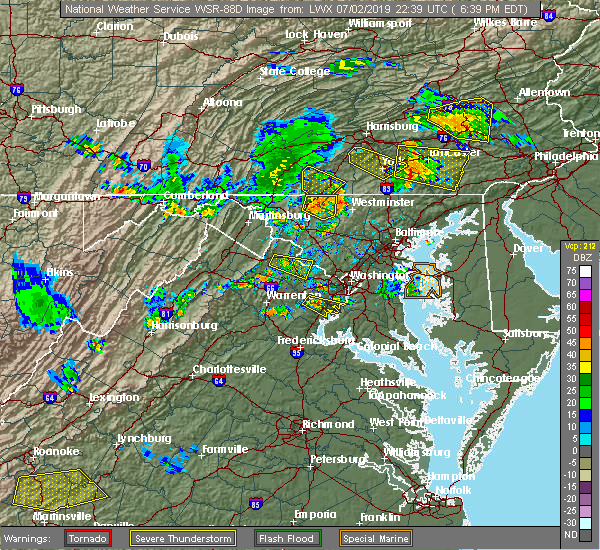 At 637 pm edt, severe thunderstorms were located along a line extending from near taneytown to 8 miles east of walkersville, moving southeast at 25 mph (radar indicated). Hazards include 60 mph wind gusts. Damaging winds will cause some trees and large branches to fall. this could injure those outdoors, as well as damage homes and vehicles. roadways may become blocked by downed trees. localized power outages are possible. Unsecured light objects may become projectiles. At 637 pm edt, severe thunderstorms were located along a line extending from near taneytown to 8 miles east of walkersville, moving southeast at 25 mph (radar indicated). Hazards include 60 mph wind gusts. Damaging winds will cause some trees and large branches to fall. this could injure those outdoors, as well as damage homes and vehicles. roadways may become blocked by downed trees. localized power outages are possible. Unsecured light objects may become projectiles.
|
| 6/29/2019 11:05 PM EDT |
 At 1105 pm edt, a severe thunderstorm was located near hampstead, or 10 miles east of westminster, moving east at 40 mph (radar indicated). Hazards include 60 mph wind gusts. Damaging winds will cause some trees and large branches to fall. this could injure those outdoors, as well as damage homes and vehicles. roadways may become blocked by downed trees. localized power outages are possible. unsecured light objects may become projectiles. Locations impacted include, pikesville, cockeysville, towson, owings mills, reisterstown, mays chapel, timonium, hampstead, hampton, manchester, lutherville-timonium, lutherville, finksburg, carrollton, upperco, riderwood, brooklandville, phoenix, jacksonville and butler. At 1105 pm edt, a severe thunderstorm was located near hampstead, or 10 miles east of westminster, moving east at 40 mph (radar indicated). Hazards include 60 mph wind gusts. Damaging winds will cause some trees and large branches to fall. this could injure those outdoors, as well as damage homes and vehicles. roadways may become blocked by downed trees. localized power outages are possible. unsecured light objects may become projectiles. Locations impacted include, pikesville, cockeysville, towson, owings mills, reisterstown, mays chapel, timonium, hampstead, hampton, manchester, lutherville-timonium, lutherville, finksburg, carrollton, upperco, riderwood, brooklandville, phoenix, jacksonville and butler.
|
| 6/29/2019 10:47 PM EDT |
 At 1047 pm edt, a severe thunderstorm was located over westminster, moving east at 35 mph (radar indicated). Hazards include 60 mph wind gusts and quarter size hail. Damaging winds will cause some trees and large branches to fall. this could injure those outdoors, as well as damage homes and vehicles. roadways may become blocked by downed trees. localized power outages are possible. Unsecured light objects may become projectiles. At 1047 pm edt, a severe thunderstorm was located over westminster, moving east at 35 mph (radar indicated). Hazards include 60 mph wind gusts and quarter size hail. Damaging winds will cause some trees and large branches to fall. this could injure those outdoors, as well as damage homes and vehicles. roadways may become blocked by downed trees. localized power outages are possible. Unsecured light objects may become projectiles.
|
| 6/29/2019 3:29 PM EDT |
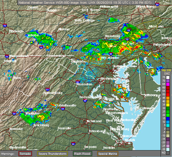 The national weather service in sterling virginia has issued a * severe thunderstorm warning for. carroll county in north central maryland. northeastern frederick county in north central maryland. until 415 pm edt. At 328 pm edt, a severe thunderstorm was located near westminster,. The national weather service in sterling virginia has issued a * severe thunderstorm warning for. carroll county in north central maryland. northeastern frederick county in north central maryland. until 415 pm edt. At 328 pm edt, a severe thunderstorm was located near westminster,.
|
| 6/13/2019 5:44 PM EDT |
 At 543 pm edt, a severe thunderstorm was located near hampstead, or 10 miles east of westminster, moving east at 40 mph (radar indicated). Hazards include 60 mph wind gusts. Damaging winds will cause some trees and large branches to fall. this could injure those outdoors, as well as damage homes and vehicles. roadways may become blocked by downed trees. localized power outages are possible. Unsecured light objects may become projectiles. At 543 pm edt, a severe thunderstorm was located near hampstead, or 10 miles east of westminster, moving east at 40 mph (radar indicated). Hazards include 60 mph wind gusts. Damaging winds will cause some trees and large branches to fall. this could injure those outdoors, as well as damage homes and vehicles. roadways may become blocked by downed trees. localized power outages are possible. Unsecured light objects may become projectiles.
|
| 6/13/2019 5:43 PM EDT | Eight inch diameter trees snappe in carroll county MD, 2.8 miles N of Hampstead, MD |
| 6/13/2019 5:38 PM EDT | Tree down at carrollton road and houcksville road in carroll county MD, 3.7 miles NNE of Hampstead, MD |
| 6/13/2019 5:37 PM EDT |
 A severe thunderstorm warning remains in effect until 545 pm edt for northeastern carroll county. at 536 pm edt, a severe thunderstorm was located over manchester, or near westminster, moving east at 35 mph. hazard. 60 mph wind gusts. source. Radar indicated. A severe thunderstorm warning remains in effect until 545 pm edt for northeastern carroll county. at 536 pm edt, a severe thunderstorm was located over manchester, or near westminster, moving east at 35 mph. hazard. 60 mph wind gusts. source. Radar indicated.
|
| 6/13/2019 5:22 PM EDT |
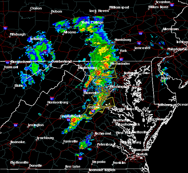 At 522 pm edt, a severe thunderstorm was located near westminster, moving east at 35 mph (radar indicated). Hazards include 60 mph wind gusts. Damaging winds will cause some trees and large branches to fall. this could injure those outdoors, as well as damage homes and vehicles. roadways may become blocked by downed trees. localized power outages are possible. unsecured light objects may become projectiles. Locations impacted include, westminster, taneytown, hampstead, manchester, new windsor, union bridge, carrollton, lineboro, linwood, patapsco, reese, uniontown, wagners mill, millers, greenmount and marston. At 522 pm edt, a severe thunderstorm was located near westminster, moving east at 35 mph (radar indicated). Hazards include 60 mph wind gusts. Damaging winds will cause some trees and large branches to fall. this could injure those outdoors, as well as damage homes and vehicles. roadways may become blocked by downed trees. localized power outages are possible. unsecured light objects may become projectiles. Locations impacted include, westminster, taneytown, hampstead, manchester, new windsor, union bridge, carrollton, lineboro, linwood, patapsco, reese, uniontown, wagners mill, millers, greenmount and marston.
|
| 6/13/2019 4:59 PM EDT |
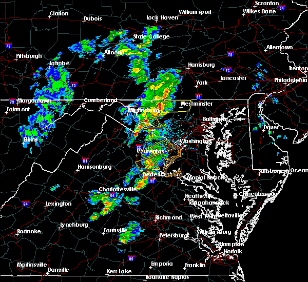 At 459 pm edt, a severe thunderstorm was located near thurmont, moving east at 35 mph (radar indicated). Hazards include 60 mph wind gusts. Damaging winds will cause some trees and large branches to fall. this could injure those outdoors, as well as damage homes and vehicles. roadways may become blocked by downed trees. localized power outages are possible. Unsecured light objects may become projectiles. At 459 pm edt, a severe thunderstorm was located near thurmont, moving east at 35 mph (radar indicated). Hazards include 60 mph wind gusts. Damaging winds will cause some trees and large branches to fall. this could injure those outdoors, as well as damage homes and vehicles. roadways may become blocked by downed trees. localized power outages are possible. Unsecured light objects may become projectiles.
|
| 5/29/2019 4:50 PM EDT |
 At 449 pm edt, a severe thunderstorm was located near mount airy, or 9 miles north of damascus, moving east at 30 mph (radar indicated). Hazards include 60 mph wind gusts and quarter size hail. Damaging winds will cause some trees and large branches to fall. this could injure those outdoors, as well as damage homes and vehicles. roadways may become blocked by downed trees. localized power outages are possible. unsecured light objects may become projectiles. Locations impacted include, frederick, westminster, eldersburg, ballenger creek, mount airy, hampstead, sykesville, oakland, new market, gamber, discovery-spring garden, green valley, linganore-bartonsville, libertytown, monrovia, finksburg, carrollton, winfield, louisville and gaither. At 449 pm edt, a severe thunderstorm was located near mount airy, or 9 miles north of damascus, moving east at 30 mph (radar indicated). Hazards include 60 mph wind gusts and quarter size hail. Damaging winds will cause some trees and large branches to fall. this could injure those outdoors, as well as damage homes and vehicles. roadways may become blocked by downed trees. localized power outages are possible. unsecured light objects may become projectiles. Locations impacted include, frederick, westminster, eldersburg, ballenger creek, mount airy, hampstead, sykesville, oakland, new market, gamber, discovery-spring garden, green valley, linganore-bartonsville, libertytown, monrovia, finksburg, carrollton, winfield, louisville and gaither.
|
| 5/29/2019 4:46 PM EDT |
 At 446 pm edt, a severe thunderstorm was located over new market, or 9 miles north of damascus, moving east at 30 mph (radar indicated). Hazards include 60 mph wind gusts and quarter size hail. Damaging winds will cause some trees and large branches to fall. this could injure those outdoors, as well as damage homes and vehicles. roadways may become blocked by downed trees. localized power outages are possible. Unsecured light objects may become projectiles. At 446 pm edt, a severe thunderstorm was located over new market, or 9 miles north of damascus, moving east at 30 mph (radar indicated). Hazards include 60 mph wind gusts and quarter size hail. Damaging winds will cause some trees and large branches to fall. this could injure those outdoors, as well as damage homes and vehicles. roadways may become blocked by downed trees. localized power outages are possible. Unsecured light objects may become projectiles.
|
| 4/14/2019 7:41 PM EDT |
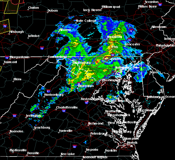 At 741 pm edt, a severe thunderstorm capable of producing a tornado was located over manchester, or 8 miles southeast of parkville, moving northeast at 50 mph (radar indicated rotation). Hazards include tornado. For those in the direct path of a tornado touchdown, flying debris will be dangerous to those caught without shelter. damage to roofs, siding, and windows may occur. mobile homes may be damaged or destroyed. tree damage is likely. This tornadic thunderstorm will remain over mainly rural areas of northeastern carroll and northwestern baltimore counties, including the following locations, lineboro, millers and greenmount. At 741 pm edt, a severe thunderstorm capable of producing a tornado was located over manchester, or 8 miles southeast of parkville, moving northeast at 50 mph (radar indicated rotation). Hazards include tornado. For those in the direct path of a tornado touchdown, flying debris will be dangerous to those caught without shelter. damage to roofs, siding, and windows may occur. mobile homes may be damaged or destroyed. tree damage is likely. This tornadic thunderstorm will remain over mainly rural areas of northeastern carroll and northwestern baltimore counties, including the following locations, lineboro, millers and greenmount.
|
| 4/14/2019 7:34 PM EDT |
 At 733 pm edt, severe thunderstorms were located over east-central frederick and northern caroll counties, moving northeast at 40 mph (radar indicated). Hazards include 60 mph wind gusts. Damaging winds will cause some trees and large branches to fall. this could injure those outdoors, as well as damage homes and vehicles. roadways may become blocked by downed trees. localized power outages are possible. unsecured light objects may become projectiles. Locations impacted include, westminster, taneytown, hampstead, walkersville, manchester, new market, linganore-bartonsville, new windsor, woodsboro, union bridge, libertytown, carrollton, lineboro, mount pleasant, ladiesburg, linwood, reese, uniontown, wagners mill and millers. At 733 pm edt, severe thunderstorms were located over east-central frederick and northern caroll counties, moving northeast at 40 mph (radar indicated). Hazards include 60 mph wind gusts. Damaging winds will cause some trees and large branches to fall. this could injure those outdoors, as well as damage homes and vehicles. roadways may become blocked by downed trees. localized power outages are possible. unsecured light objects may become projectiles. Locations impacted include, westminster, taneytown, hampstead, walkersville, manchester, new market, linganore-bartonsville, new windsor, woodsboro, union bridge, libertytown, carrollton, lineboro, mount pleasant, ladiesburg, linwood, reese, uniontown, wagners mill and millers.
|
| 4/14/2019 7:31 PM EDT |
 At 731 pm edt, a severe thunderstorm capable of producing a tornado was located over westminster, moving northeast at 35 mph (radar indicated rotation). Hazards include tornado. For those in the direct path of a tornado touchdown, flying debris will be dangerous to those caught without shelter. damage to roofs, siding, and windows may occur. mobile homes may be damaged or destroyed. tree damage is likely. this dangerous storm will be near, hampstead and manchester around 745 pm edt. Other locations impacted by this tornadic thunderstorm include lineboro, millers and greenmount. At 731 pm edt, a severe thunderstorm capable of producing a tornado was located over westminster, moving northeast at 35 mph (radar indicated rotation). Hazards include tornado. For those in the direct path of a tornado touchdown, flying debris will be dangerous to those caught without shelter. damage to roofs, siding, and windows may occur. mobile homes may be damaged or destroyed. tree damage is likely. this dangerous storm will be near, hampstead and manchester around 745 pm edt. Other locations impacted by this tornadic thunderstorm include lineboro, millers and greenmount.
|
| 4/14/2019 7:16 PM EDT |
 At 716 pm edt, severe thunderstorms were moving across eastern frederick and caroll counties, moving northeast at 40 mph (radar indicated). Hazards include 60 mph wind gusts. Damaging winds will cause some trees and large branches to fall. this could injure those outdoors, as well as damage homes and vehicles. roadways may become blocked by downed trees. localized power outages are possible. unsecured light objects may become projectiles. Locations impacted include, frederick, westminster, harry grove stadium, ballenger creek, mount airy, taneytown, hampstead, walkersville, manchester, braddock heights, new market, clover hill, discovery-spring garden, linganore-bartonsville, adamstown, new windsor, woodsboro, buckeystown, union bridge and libertytown. At 716 pm edt, severe thunderstorms were moving across eastern frederick and caroll counties, moving northeast at 40 mph (radar indicated). Hazards include 60 mph wind gusts. Damaging winds will cause some trees and large branches to fall. this could injure those outdoors, as well as damage homes and vehicles. roadways may become blocked by downed trees. localized power outages are possible. unsecured light objects may become projectiles. Locations impacted include, frederick, westminster, harry grove stadium, ballenger creek, mount airy, taneytown, hampstead, walkersville, manchester, braddock heights, new market, clover hill, discovery-spring garden, linganore-bartonsville, adamstown, new windsor, woodsboro, buckeystown, union bridge and libertytown.
|
| 4/14/2019 7:07 PM EDT |
 At 707 pm edt, multiple severe thunderstorms were moving across frederick and carroll counties, moving northeast at 40 mph (radar indicated). Hazards include 60 mph wind gusts and quarter size hail. Damaging winds will cause some trees and large branches to fall. this could injure those outdoors, as well as damage homes and vehicles. roadways may become blocked by downed trees. localized power outages are possible. unsecured light objects may become projectiles. Locations impacted include, frederick, westminster, emmitsburg, harry grove stadium, eldersburg, ballenger creek, mount airy, taneytown, hampstead, walkersville, manchester, braddock heights, new market, green valley, clover hill, discovery-spring garden, point of rocks, linganore-bartonsville, adamstown and jefferson. At 707 pm edt, multiple severe thunderstorms were moving across frederick and carroll counties, moving northeast at 40 mph (radar indicated). Hazards include 60 mph wind gusts and quarter size hail. Damaging winds will cause some trees and large branches to fall. this could injure those outdoors, as well as damage homes and vehicles. roadways may become blocked by downed trees. localized power outages are possible. unsecured light objects may become projectiles. Locations impacted include, frederick, westminster, emmitsburg, harry grove stadium, eldersburg, ballenger creek, mount airy, taneytown, hampstead, walkersville, manchester, braddock heights, new market, green valley, clover hill, discovery-spring garden, point of rocks, linganore-bartonsville, adamstown and jefferson.
|
| 4/14/2019 6:55 PM EDT |
 At 654 pm edt, multiple severe thunderstorms were tracking across northern loudoun, frederick and carroll counnties, moving northeast at 40 mph (radar indicated). Hazards include 60 mph wind gusts and quarter size hail. Damaging winds will cause some trees and large branches to fall. this could injure those outdoors, as well as damage homes and vehicles. roadways may become blocked by downed trees. localized power outages are possible. Unsecured light objects may become projectiles. At 654 pm edt, multiple severe thunderstorms were tracking across northern loudoun, frederick and carroll counnties, moving northeast at 40 mph (radar indicated). Hazards include 60 mph wind gusts and quarter size hail. Damaging winds will cause some trees and large branches to fall. this could injure those outdoors, as well as damage homes and vehicles. roadways may become blocked by downed trees. localized power outages are possible. Unsecured light objects may become projectiles.
|
| 4/14/2019 6:19 PM EDT |
 At 619 pm edt, a severe thunderstorm was located near ballenger creek, or 7 miles south of harry grove stadium, moving northeast at 45 mph (radar indicated). Hazards include 60 mph wind gusts. Damaging winds will cause some trees and large branches to fall. this could injure those outdoors, as well as damage homes and vehicles. roadways may become blocked by downed trees. localized power outages are possible. Unsecured light objects may become projectiles. At 619 pm edt, a severe thunderstorm was located near ballenger creek, or 7 miles south of harry grove stadium, moving northeast at 45 mph (radar indicated). Hazards include 60 mph wind gusts. Damaging winds will cause some trees and large branches to fall. this could injure those outdoors, as well as damage homes and vehicles. roadways may become blocked by downed trees. localized power outages are possible. Unsecured light objects may become projectiles.
|
| 12/21/2018 5:24 PM EST |
 The severe thunderstorm warning for northeastern carroll, northwestern harford and northwestern baltimore counties will expire at 530 pm est, the severe thunderstorm which prompted the warning has moved out of the warned area. therefore, the warning will be allowed to expire. The severe thunderstorm warning for northeastern carroll, northwestern harford and northwestern baltimore counties will expire at 530 pm est, the severe thunderstorm which prompted the warning has moved out of the warned area. therefore, the warning will be allowed to expire.
|
| 12/21/2018 5:12 PM EST |
 At 512 pm est, a severe thunderstorm was located over glen rock, or 9 miles east of parkville, moving northeast at 45 mph (radar indicated). Hazards include 60 mph wind gusts. Damaging winds will cause some trees and large branches to fall. this could injure those outdoors, as well as damage homes and vehicles. roadways may become blocked by downed trees. localized power outages are possible. unsecured light objects may become projectiles. Locations impacted include, westminster, reisterstown, hampstead, manchester, finksburg, carrollton, freeland, upperco, lineboro, glyndon, boring, bentley springs, patapsco, reese, parkton, millers, greenmount and maryland line. At 512 pm est, a severe thunderstorm was located over glen rock, or 9 miles east of parkville, moving northeast at 45 mph (radar indicated). Hazards include 60 mph wind gusts. Damaging winds will cause some trees and large branches to fall. this could injure those outdoors, as well as damage homes and vehicles. roadways may become blocked by downed trees. localized power outages are possible. unsecured light objects may become projectiles. Locations impacted include, westminster, reisterstown, hampstead, manchester, finksburg, carrollton, freeland, upperco, lineboro, glyndon, boring, bentley springs, patapsco, reese, parkton, millers, greenmount and maryland line.
|
| 12/21/2018 4:54 PM EST |
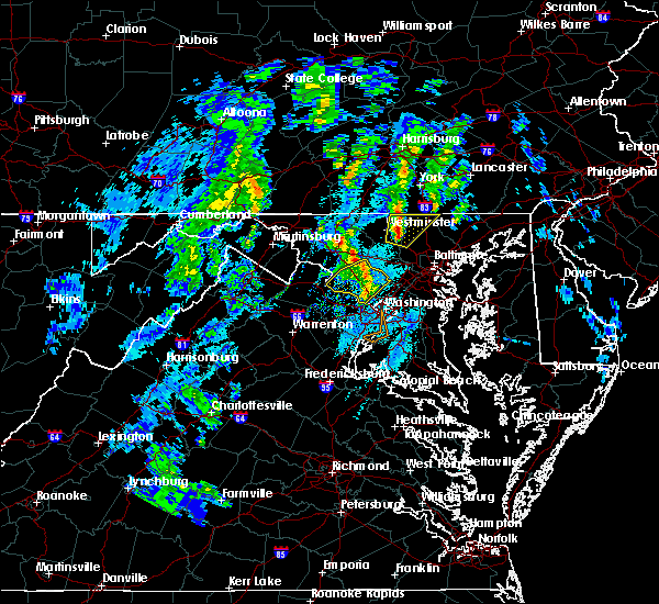 At 453 pm est, a severe thunderstorm was located over hampstead, or near westminster, moving northeast at 45 mph (radar indicated). Hazards include 60 mph wind gusts and quarter size hail. quarter size hail has been reported with this storm in westminster. Damaging winds will cause some trees and large branches to fall. this could injure those outdoors, as well as damage homes and vehicles. roadways may become blocked by downed trees. localized power outages are possible. unsecured light objects may become projectiles. Locations impacted include, westminster, reisterstown, hampstead, manchester, finksburg, carrollton, freeland, upperco, lineboro, glyndon, boring, bentley springs, patapsco, reese, parkton, millers, greenmount and maryland line. At 453 pm est, a severe thunderstorm was located over hampstead, or near westminster, moving northeast at 45 mph (radar indicated). Hazards include 60 mph wind gusts and quarter size hail. quarter size hail has been reported with this storm in westminster. Damaging winds will cause some trees and large branches to fall. this could injure those outdoors, as well as damage homes and vehicles. roadways may become blocked by downed trees. localized power outages are possible. unsecured light objects may become projectiles. Locations impacted include, westminster, reisterstown, hampstead, manchester, finksburg, carrollton, freeland, upperco, lineboro, glyndon, boring, bentley springs, patapsco, reese, parkton, millers, greenmount and maryland line.
|
| 12/21/2018 4:52 PM EST |
 At 452 pm est, a severe thunderstorm was located near hampstead, or near westminster, moving northeast at 45 mph (radar indicated). Hazards include 60 mph wind gusts and quarter size hail. Damaging winds will cause some trees and large branches to fall. this could injure those outdoors, as well as damage homes and vehicles. roadways may become blocked by downed trees. localized power outages are possible. unsecured light objects may become projectiles. Locations impacted include, westminster, reisterstown, hampstead, manchester, finksburg, carrollton, freeland, upperco, lineboro, glyndon, boring, bentley springs, patapsco, reese, parkton, millers, greenmount and maryland line. At 452 pm est, a severe thunderstorm was located near hampstead, or near westminster, moving northeast at 45 mph (radar indicated). Hazards include 60 mph wind gusts and quarter size hail. Damaging winds will cause some trees and large branches to fall. this could injure those outdoors, as well as damage homes and vehicles. roadways may become blocked by downed trees. localized power outages are possible. unsecured light objects may become projectiles. Locations impacted include, westminster, reisterstown, hampstead, manchester, finksburg, carrollton, freeland, upperco, lineboro, glyndon, boring, bentley springs, patapsco, reese, parkton, millers, greenmount and maryland line.
|
| 12/21/2018 4:45 PM EST |
 At 445 pm est, a severe thunderstorm was located near gamber, or near westminster, moving northeast at 45 mph (radar indicated). Hazards include 60 mph wind gusts. Damaging winds will cause some trees and large branches to fall. this could injure those outdoors, as well as damage homes and vehicles. roadways may become blocked by downed trees. localized power outages are possible. Unsecured light objects may become projectiles. At 445 pm est, a severe thunderstorm was located near gamber, or near westminster, moving northeast at 45 mph (radar indicated). Hazards include 60 mph wind gusts. Damaging winds will cause some trees and large branches to fall. this could injure those outdoors, as well as damage homes and vehicles. roadways may become blocked by downed trees. localized power outages are possible. Unsecured light objects may become projectiles.
|
| 11/2/2018 9:05 PM EDT | Storm damage reported in carroll county MD, 1.4 miles E of Hampstead, MD |
| 11/2/2018 8:55 PM EDT |
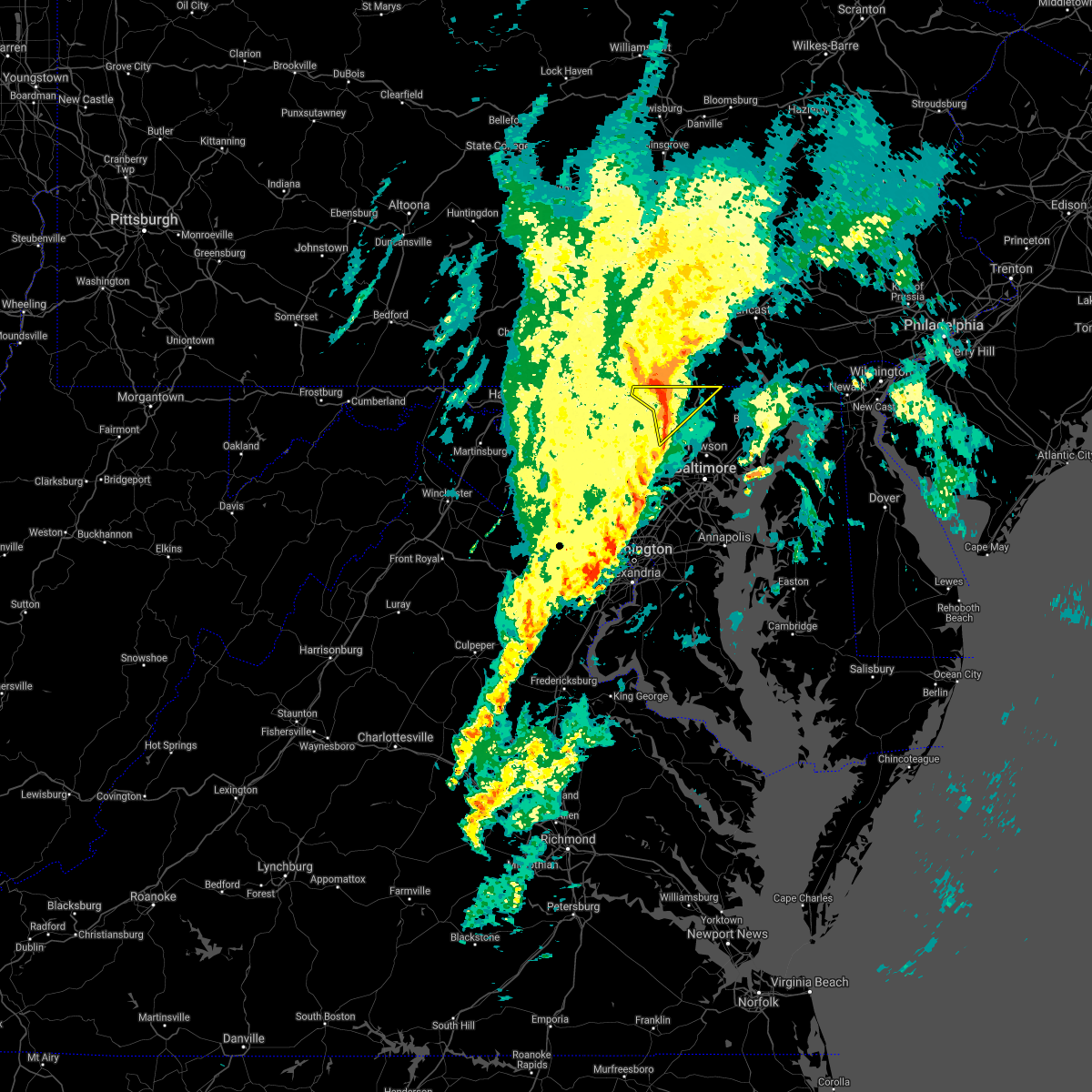 At 855 pm edt, a severe thunderstorm was located over hampstead, or 9 miles east of westminster, moving northeast at 45 mph (radar indicated). Hazards include 60 mph wind gusts. Damaging winds will cause some trees and large branches to fall. this could injure those outdoors, as well as damage homes and vehicles. roadways may become blocked by downed trees. localized power outages are possible. unsecured light objects may become projectiles. Locations impacted include, hampstead, manchester, finksburg, freeland, upperco, lineboro, norrisville, boring, bentley springs, patapsco, parkton, millers, greenmount and maryland line. At 855 pm edt, a severe thunderstorm was located over hampstead, or 9 miles east of westminster, moving northeast at 45 mph (radar indicated). Hazards include 60 mph wind gusts. Damaging winds will cause some trees and large branches to fall. this could injure those outdoors, as well as damage homes and vehicles. roadways may become blocked by downed trees. localized power outages are possible. unsecured light objects may become projectiles. Locations impacted include, hampstead, manchester, finksburg, freeland, upperco, lineboro, norrisville, boring, bentley springs, patapsco, parkton, millers, greenmount and maryland line.
|
| 11/2/2018 8:38 PM EDT |
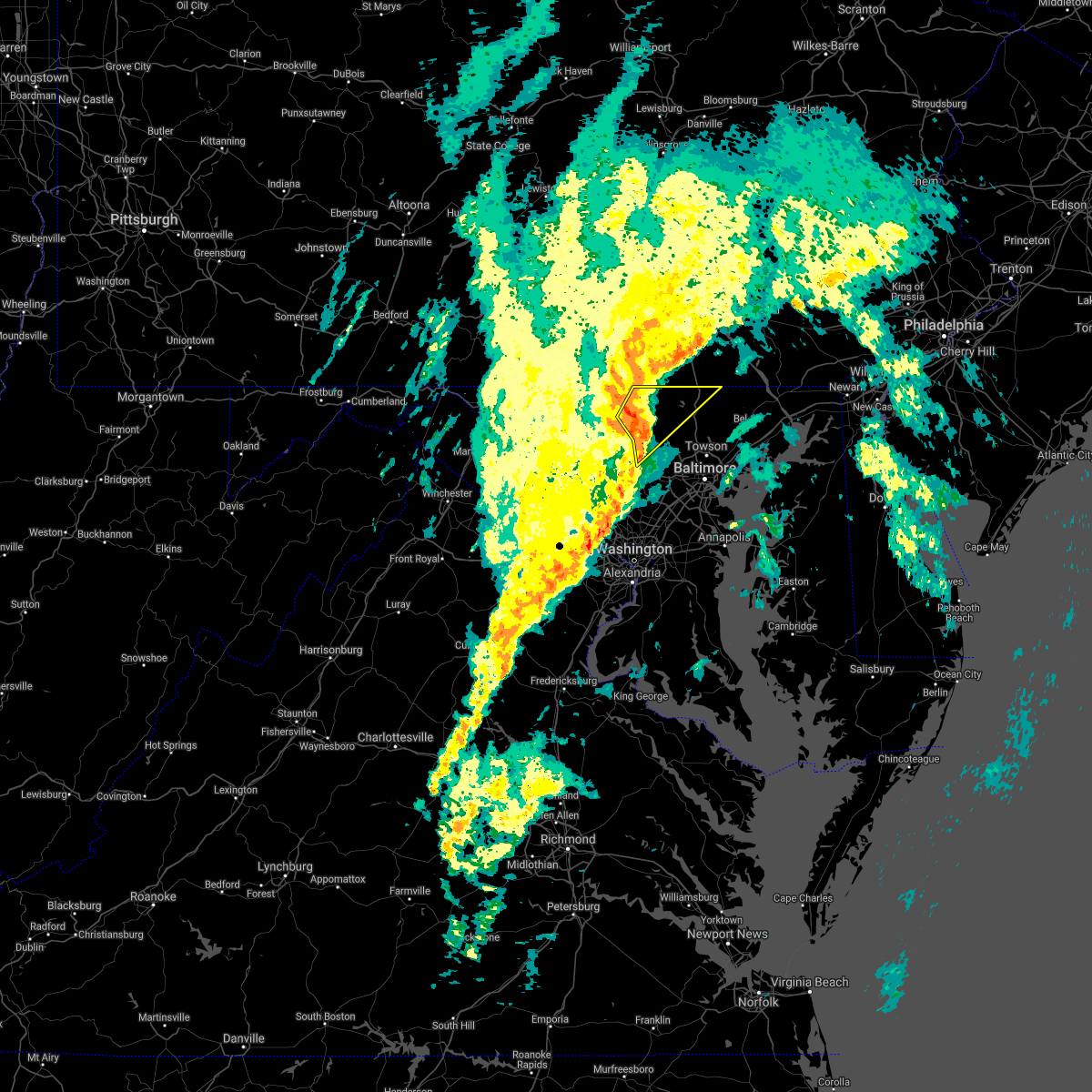 At 838 pm edt, a severe thunderstorm was located near gamber, or near westminster, moving northeast at 50 mph (radar indicated). Hazards include 60 mph wind gusts. Damaging winds will cause some trees and large branches to fall. this could injure those outdoors, as well as damage homes and vehicles. roadways may become blocked by downed trees. localized power outages are possible. unsecured light objects may become projectiles. Locations impacted include, westminster, eldersburg, hampstead, manchester, sykesville, gamber, new windsor, finksburg, carrollton, freeland, upperco, lineboro, norrisville, louisville, boring, bentley springs, patapsco, reese, uniontown and parkton. At 838 pm edt, a severe thunderstorm was located near gamber, or near westminster, moving northeast at 50 mph (radar indicated). Hazards include 60 mph wind gusts. Damaging winds will cause some trees and large branches to fall. this could injure those outdoors, as well as damage homes and vehicles. roadways may become blocked by downed trees. localized power outages are possible. unsecured light objects may become projectiles. Locations impacted include, westminster, eldersburg, hampstead, manchester, sykesville, gamber, new windsor, finksburg, carrollton, freeland, upperco, lineboro, norrisville, louisville, boring, bentley springs, patapsco, reese, uniontown and parkton.
|
| 11/2/2018 8:26 PM EDT |
 At 826 pm edt, a severe thunderstorm was located near mount airy, or 11 miles northeast of damascus, moving northeast at 50 mph (radar indicated). Hazards include 60 mph wind gusts. Damaging winds will cause some trees and large branches to fall. this could injure those outdoors, as well as damage homes and vehicles. roadways may become blocked by downed trees. localized power outages are possible. Unsecured light objects may become projectiles. At 826 pm edt, a severe thunderstorm was located near mount airy, or 11 miles northeast of damascus, moving northeast at 50 mph (radar indicated). Hazards include 60 mph wind gusts. Damaging winds will cause some trees and large branches to fall. this could injure those outdoors, as well as damage homes and vehicles. roadways may become blocked by downed trees. localized power outages are possible. Unsecured light objects may become projectiles.
|
| 8/8/2018 10:11 PM EDT |
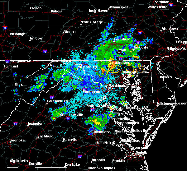 At 1011 pm edt, severe thunderstorms were located along a line extending from near manchester to gamber, moving east at 35 mph (radar indicated). Hazards include 60 mph wind gusts. Damaging winds will cause some trees and large branches to fall. this could injure those outdoors, as well as damage homes and vehicles. roadways may become blocked by downed trees. localized power outages are possible. unsecured light objects may become projectiles. Locations impacted include, westminster, eldersburg, reisterstown, hampstead, manchester, gamber, finksburg, carrollton, freeland, upperco, lineboro, glyndon, boring, bentley springs, patapsco, reese, parkton, millers, greenmount and maryland line. At 1011 pm edt, severe thunderstorms were located along a line extending from near manchester to gamber, moving east at 35 mph (radar indicated). Hazards include 60 mph wind gusts. Damaging winds will cause some trees and large branches to fall. this could injure those outdoors, as well as damage homes and vehicles. roadways may become blocked by downed trees. localized power outages are possible. unsecured light objects may become projectiles. Locations impacted include, westminster, eldersburg, reisterstown, hampstead, manchester, gamber, finksburg, carrollton, freeland, upperco, lineboro, glyndon, boring, bentley springs, patapsco, reese, parkton, millers, greenmount and maryland line.
|
| 8/8/2018 9:55 PM EDT |
 At 955 pm edt, severe thunderstorms were located along a line extending from near parkville to 6 miles west of gamber, moving east at 35 mph (radar indicated). Hazards include 60 mph wind gusts. Damaging winds will cause some trees and large branches to fall. this could injure those outdoors, as well as damage homes and vehicles. roadways may become blocked by downed trees. localized power outages are possible. unsecured light objects may become projectiles. Locations impacted include, westminster, eldersburg, reisterstown, hampstead, manchester, gamber, new windsor, finksburg, carrollton, freeland, upperco, bentley springs, uniontown, butler, lineboro, glyndon, boring, patapsco, reese and parkton. At 955 pm edt, severe thunderstorms were located along a line extending from near parkville to 6 miles west of gamber, moving east at 35 mph (radar indicated). Hazards include 60 mph wind gusts. Damaging winds will cause some trees and large branches to fall. this could injure those outdoors, as well as damage homes and vehicles. roadways may become blocked by downed trees. localized power outages are possible. unsecured light objects may become projectiles. Locations impacted include, westminster, eldersburg, reisterstown, hampstead, manchester, gamber, new windsor, finksburg, carrollton, freeland, upperco, bentley springs, uniontown, butler, lineboro, glyndon, boring, patapsco, reese and parkton.
|
| 8/8/2018 9:38 PM EDT |
 At 938 pm edt, severe thunderstorms were located along a line extending from near littlestown to 8 miles east of walkersville, moving east at 35 mph (radar indicated). Hazards include 60 mph wind gusts. Damaging winds will cause some trees and large branches to fall. this could injure those outdoors, as well as damage homes and vehicles. roadways may become blocked by downed trees. localized power outages are possible. Unsecured light objects may become projectiles. At 938 pm edt, severe thunderstorms were located along a line extending from near littlestown to 8 miles east of walkersville, moving east at 35 mph (radar indicated). Hazards include 60 mph wind gusts. Damaging winds will cause some trees and large branches to fall. this could injure those outdoors, as well as damage homes and vehicles. roadways may become blocked by downed trees. localized power outages are possible. Unsecured light objects may become projectiles.
|
| 6/24/2018 6:37 PM EDT |
 The severe thunderstorm warning for carroll county in north central maryland, northwestern harford county in northern maryland, frederick county in north central maryland and northwestern baltimore counties in northern maryland will expire at 645 pm edt, the storms which prompted the warning have weakened. therefore, the warning will be allowed to expire. The severe thunderstorm warning for carroll county in north central maryland, northwestern harford county in northern maryland, frederick county in north central maryland and northwestern baltimore counties in northern maryland will expire at 645 pm edt, the storms which prompted the warning have weakened. therefore, the warning will be allowed to expire.
|
| 6/24/2018 6:17 PM EDT |
 At 616 pm edt, severe thunderstorms were located along a line extending from stewartstown to near new market to near brunswick, moving southeast at 40 mph (radar indicated). Hazards include 60 mph wind gusts. Damaging winds will cause some trees and large branches to fall. this could injure those outdoors, as well as damage homes and vehicles. roadways may become blocked by downed trees. localized power outages are possible. unsecured light objects may become projectiles. Locations impacted include, frederick, cockeysville, westminster, harry grove stadium, owings mills, eldersburg, reisterstown, ballenger creek, mount airy, fallston, taneytown, hampstead, brunswick, walkersville, manchester, sykesville, jarrettsville, braddock heights, oakland and new market. At 616 pm edt, severe thunderstorms were located along a line extending from stewartstown to near new market to near brunswick, moving southeast at 40 mph (radar indicated). Hazards include 60 mph wind gusts. Damaging winds will cause some trees and large branches to fall. this could injure those outdoors, as well as damage homes and vehicles. roadways may become blocked by downed trees. localized power outages are possible. unsecured light objects may become projectiles. Locations impacted include, frederick, cockeysville, westminster, harry grove stadium, owings mills, eldersburg, reisterstown, ballenger creek, mount airy, fallston, taneytown, hampstead, brunswick, walkersville, manchester, sykesville, jarrettsville, braddock heights, oakland and new market.
|
| 6/24/2018 5:58 PM EDT |
 The national weather service in sterling virginia has issued a * severe thunderstorm warning for. southeastern washington county in north central maryland. carroll county in north central maryland. northwestern harford county in northern maryland. Frederick county in north central maryland. The national weather service in sterling virginia has issued a * severe thunderstorm warning for. southeastern washington county in north central maryland. carroll county in north central maryland. northwestern harford county in northern maryland. Frederick county in north central maryland.
|
| 6/24/2018 5:50 PM EDT |
 The severe thunderstorm warning for northern carroll and northeastern frederick counties in north central maryland will expire at 600 pm edt, the storm which prompted the warning has weakened below severe limits, and no longer pose an immediate threat to life or property. therefore the warning will be allowed to expire. however gusty winds and heavy rain are still possible with this thunderstorm. The severe thunderstorm warning for northern carroll and northeastern frederick counties in north central maryland will expire at 600 pm edt, the storm which prompted the warning has weakened below severe limits, and no longer pose an immediate threat to life or property. therefore the warning will be allowed to expire. however gusty winds and heavy rain are still possible with this thunderstorm.
|
| 6/24/2018 5:37 PM EDT |
 At 537 pm edt, a severe thunderstorm was located near lake heritage, or near gettysburg, moving east at 35 mph (radar indicated). Hazards include 60 mph wind gusts. Damaging winds will cause some trees and large branches to fall. this could injure those outdoors, as well as damage homes and vehicles. roadways may become blocked by downed trees. localized power outages are possible. Unsecured light objects may become projectiles. At 537 pm edt, a severe thunderstorm was located near lake heritage, or near gettysburg, moving east at 35 mph (radar indicated). Hazards include 60 mph wind gusts. Damaging winds will cause some trees and large branches to fall. this could injure those outdoors, as well as damage homes and vehicles. roadways may become blocked by downed trees. localized power outages are possible. Unsecured light objects may become projectiles.
|
| 6/5/2018 7:38 PM EDT |
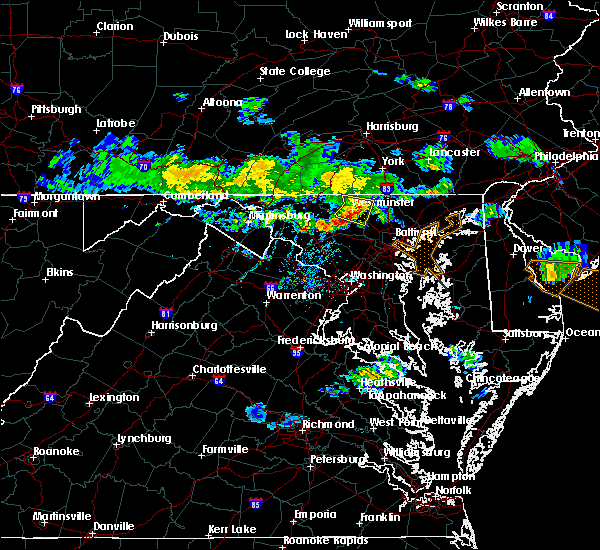 At 738 pm edt, a severe thunderstorm was located over gamber, or 7 miles southeast of westminster, moving southeast at 50 mph (radar indicated). Hazards include 60 mph wind gusts. Damaging winds will cause some trees and large branches to fall. this could injure those outdoors, as well as damage homes and vehicles. roadways may become blocked by downed trees. localized power outages are possible. unsecured light objects may become projectiles. Locations impacted include, westminster, eldersburg, hampstead, manchester, gamber, new windsor, finksburg, carrollton, louisville, linwood, patapsco, reese, uniontown, wagners mill, millers, greenmount and marston. At 738 pm edt, a severe thunderstorm was located over gamber, or 7 miles southeast of westminster, moving southeast at 50 mph (radar indicated). Hazards include 60 mph wind gusts. Damaging winds will cause some trees and large branches to fall. this could injure those outdoors, as well as damage homes and vehicles. roadways may become blocked by downed trees. localized power outages are possible. unsecured light objects may become projectiles. Locations impacted include, westminster, eldersburg, hampstead, manchester, gamber, new windsor, finksburg, carrollton, louisville, linwood, patapsco, reese, uniontown, wagners mill, millers, greenmount and marston.
|
| 6/5/2018 7:23 PM EDT |
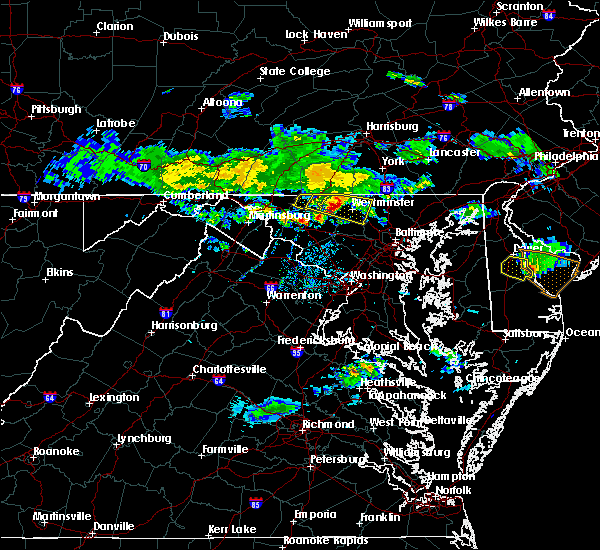 At 723 pm edt, a severe thunderstorm was located near taneytown, or near westminster, moving southeast at 50 mph (radar indicated. large tree limbs were blown down in emmitsburg). Hazards include 60 mph wind gusts. Damaging winds will cause some trees and large branches to fall. this could injure those outdoors, as well as damage homes and vehicles. roadways may become blocked by downed trees. localized power outages are possible. unsecured light objects may become projectiles. Locations impacted include, westminster, thurmont, emmitsburg, eldersburg, taneytown, hampstead, manchester, gamber, new windsor, union bridge, finksburg, carrollton, new midway, linwood, uniontown, keysville, graceham, harney, ladiesburg and rocky ridge. At 723 pm edt, a severe thunderstorm was located near taneytown, or near westminster, moving southeast at 50 mph (radar indicated. large tree limbs were blown down in emmitsburg). Hazards include 60 mph wind gusts. Damaging winds will cause some trees and large branches to fall. this could injure those outdoors, as well as damage homes and vehicles. roadways may become blocked by downed trees. localized power outages are possible. unsecured light objects may become projectiles. Locations impacted include, westminster, thurmont, emmitsburg, eldersburg, taneytown, hampstead, manchester, gamber, new windsor, union bridge, finksburg, carrollton, new midway, linwood, uniontown, keysville, graceham, harney, ladiesburg and rocky ridge.
|
| 6/5/2018 7:12 PM EDT |
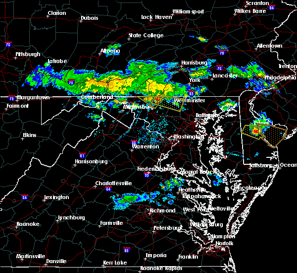 At 711 pm edt, a severe thunderstorm was located near emmitsburg, moving southeast at 50 mph (radar indicated. this storm knocked down large tree limbs in smithsburg). Hazards include 60 mph wind gusts. Damaging winds will cause some trees and large branches to fall. this could injure those outdoors, as well as damage homes and vehicles. roadways may become blocked by downed trees. localized power outages are possible. Unsecured light objects may become projectiles. At 711 pm edt, a severe thunderstorm was located near emmitsburg, moving southeast at 50 mph (radar indicated. this storm knocked down large tree limbs in smithsburg). Hazards include 60 mph wind gusts. Damaging winds will cause some trees and large branches to fall. this could injure those outdoors, as well as damage homes and vehicles. roadways may become blocked by downed trees. localized power outages are possible. Unsecured light objects may become projectiles.
|
| 5/27/2018 3:38 PM EDT | Tree down near the intersection of md-30 hanover pike and basler roa in carroll county MD, 2.2 miles SSE of Hampstead, MD |
| 5/27/2018 3:37 PM EDT |
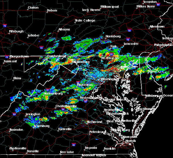 At 337 pm edt, a severe thunderstorm capable of producing a tornado was located near manchester, or 11 miles southeast of parkville, moving southeast at 20 mph (radar indicated rotation). Hazards include tornado. For those in the direct path of a tornado touchdown, flying debris will be dangerous to those caught without shelter. damage to roofs, siding, and windows may occur. mobile homes may be damaged or destroyed. tree damage is likely. This tornadic thunderstorm will remain over mainly rural areas of northeastern carroll and northwestern baltimore counties, including the following locations, bentley springs, glencoe, parkton, hereford, millers, sparks and monkton. At 337 pm edt, a severe thunderstorm capable of producing a tornado was located near manchester, or 11 miles southeast of parkville, moving southeast at 20 mph (radar indicated rotation). Hazards include tornado. For those in the direct path of a tornado touchdown, flying debris will be dangerous to those caught without shelter. damage to roofs, siding, and windows may occur. mobile homes may be damaged or destroyed. tree damage is likely. This tornadic thunderstorm will remain over mainly rural areas of northeastern carroll and northwestern baltimore counties, including the following locations, bentley springs, glencoe, parkton, hereford, millers, sparks and monkton.
|
| 5/15/2018 7:25 PM EDT |
 At 725 pm edt, severe thunderstorms were located along a line extending from near havre de grace to discovery-spring garden, moving south at 10 mph (radar indicated). Hazards include quarter size hail. Some hail damage to agriculture is expected. Locations impacted include, frederick, westminster, havre de grace, thurmont, bel air north, fallston, hampstead, walkersville, manchester, jarrettsville, discovery-spring garden, linganore-bartonsville, new windsor, woodsboro, union bridge, libertytown, darlington, carrollton, upperco and churchville. At 725 pm edt, severe thunderstorms were located along a line extending from near havre de grace to discovery-spring garden, moving south at 10 mph (radar indicated). Hazards include quarter size hail. Some hail damage to agriculture is expected. Locations impacted include, frederick, westminster, havre de grace, thurmont, bel air north, fallston, hampstead, walkersville, manchester, jarrettsville, discovery-spring garden, linganore-bartonsville, new windsor, woodsboro, union bridge, libertytown, darlington, carrollton, upperco and churchville.
|
| 5/15/2018 7:16 PM EDT |
 At 716 pm edt, severe thunderstorms were located along a line extending from near havre de grace to discovery-spring garden, moving south at 10 mph (radar indicated). Hazards include quarter size hail. some hail damage to agriculture is expected At 716 pm edt, severe thunderstorms were located along a line extending from near havre de grace to discovery-spring garden, moving south at 10 mph (radar indicated). Hazards include quarter size hail. some hail damage to agriculture is expected
|
| 5/15/2018 7:04 PM EDT |
 At 633 pm edt, severe thunderstorms were located along a line extending from rock springs to near manchester, moving south at 15 mph (radar indicated). Hazards include 60 mph wind gusts and quarter size hail. nickel size hail was reported in whiteford. Damaging winds will cause some trees and large branches to fall. this could injure those outdoors, as well as damage homes and vehicles. roadways may become blocked by downed trees. localized power outages are possible. Unsecured light objects may become projectiles. At 633 pm edt, severe thunderstorms were located along a line extending from rock springs to near manchester, moving south at 15 mph (radar indicated). Hazards include 60 mph wind gusts and quarter size hail. nickel size hail was reported in whiteford. Damaging winds will cause some trees and large branches to fall. this could injure those outdoors, as well as damage homes and vehicles. roadways may become blocked by downed trees. localized power outages are possible. Unsecured light objects may become projectiles.
|
| 5/15/2018 6:33 PM EDT |
 At 633 pm edt, severe thunderstorms were located along a line extending from rock springs to near manchester, moving south at 15 mph (radar indicated). Hazards include 60 mph wind gusts and quarter size hail. nickel size hail was reported in whiteford. Damaging winds will cause some trees and large branches to fall. this could injure those outdoors, as well as damage homes and vehicles. roadways may become blocked by downed trees. localized power outages are possible. Unsecured light objects may become projectiles. At 633 pm edt, severe thunderstorms were located along a line extending from rock springs to near manchester, moving south at 15 mph (radar indicated). Hazards include 60 mph wind gusts and quarter size hail. nickel size hail was reported in whiteford. Damaging winds will cause some trees and large branches to fall. this could injure those outdoors, as well as damage homes and vehicles. roadways may become blocked by downed trees. localized power outages are possible. Unsecured light objects may become projectiles.
|
| 5/15/2018 6:28 PM EDT |
 At 628 pm edt, severe thunderstorms were located along a line extending from near westminster to near walkersville, moving southeast at 25 mph (radar indicated). Hazards include 60 mph wind gusts and quarter size hail. Damaging winds will cause some trees and large branches to fall. this could injure those outdoors, as well as damage homes and vehicles. roadways may become blocked by downed trees. localized power outages are possible. unsecured light objects may become projectiles. Locations impacted include, frederick, westminster, thurmont, taneytown, hampstead, walkersville, clover hill, discovery-spring garden, new windsor, woodsboro, union bridge, libertytown, new midway, utica, linwood, uniontown, keysville, graceham, lewistown and harney. At 628 pm edt, severe thunderstorms were located along a line extending from near westminster to near walkersville, moving southeast at 25 mph (radar indicated). Hazards include 60 mph wind gusts and quarter size hail. Damaging winds will cause some trees and large branches to fall. this could injure those outdoors, as well as damage homes and vehicles. roadways may become blocked by downed trees. localized power outages are possible. unsecured light objects may become projectiles. Locations impacted include, frederick, westminster, thurmont, taneytown, hampstead, walkersville, clover hill, discovery-spring garden, new windsor, woodsboro, union bridge, libertytown, new midway, utica, linwood, uniontown, keysville, graceham, lewistown and harney.
|
| 5/15/2018 6:07 PM EDT |
 At 606 pm edt, severe thunderstorms were located along a line extending from near littlestown to thurmont, moving southeast at 25 mph (radar indicated). Hazards include 60 mph wind gusts and quarter size hail. Damaging winds will cause some trees and large branches to fall. this could injure those outdoors, as well as damage homes and vehicles. roadways may become blocked by downed trees. localized power outages are possible. Unsecured light objects may become projectiles. At 606 pm edt, severe thunderstorms were located along a line extending from near littlestown to thurmont, moving southeast at 25 mph (radar indicated). Hazards include 60 mph wind gusts and quarter size hail. Damaging winds will cause some trees and large branches to fall. this could injure those outdoors, as well as damage homes and vehicles. roadways may become blocked by downed trees. localized power outages are possible. Unsecured light objects may become projectiles.
|
| 5/12/2018 7:51 PM EDT |
 At 750 pm edt, a line of severe thunderstorms was located along a line extending from near sunnyburn to near manchester, moving east at 35 mph (radar and trained spotters). Hazards include 60 mph wind gusts and quarter size hail. Damaging winds will cause some trees and large branches to fall. this could injure those outdoors, as well as damage homes and vehicles. roadways may become blocked by downed trees. localized power outages are possible. unsecured light objects may become projectiles. locations impacted include, cockeysville, bel air south, bel air north, carney, perry hall, timonium, fallston, hampstead, hampton, kingsville, pleasant hills, jarrettsville, lutherville-timonium, pylesville, darlington, glen arm, fork, freeland, upperco and cardiff. A tornado watch remains in effect until 100 am edt for northern and north central maryland. At 750 pm edt, a line of severe thunderstorms was located along a line extending from near sunnyburn to near manchester, moving east at 35 mph (radar and trained spotters). Hazards include 60 mph wind gusts and quarter size hail. Damaging winds will cause some trees and large branches to fall. this could injure those outdoors, as well as damage homes and vehicles. roadways may become blocked by downed trees. localized power outages are possible. unsecured light objects may become projectiles. locations impacted include, cockeysville, bel air south, bel air north, carney, perry hall, timonium, fallston, hampstead, hampton, kingsville, pleasant hills, jarrettsville, lutherville-timonium, pylesville, darlington, glen arm, fork, freeland, upperco and cardiff. A tornado watch remains in effect until 100 am edt for northern and north central maryland.
|
| 5/12/2018 7:34 PM EDT |
 At 733 pm edt, severe thunderstorms were located along a line extending from near brogue to manchester, moving east at 35 mph (trained spotters reported quarter size hail in northeastern carroll county). Hazards include quarter to golf ball size hail and wind gusts to around 60 mph. Damaging winds will cause some trees and large branches to fall. this could injure those outdoors, as well as damage homes and vehicles. roadways may become blocked by downed trees. localized power outages are possible. unsecured light objects may become projectiles. locations impacted include, cockeysville, bel air south, bel air north, carney, perry hall, timonium, fallston, hampstead, hampton, manchester, kingsville, pleasant hills, jarrettsville, lutherville-timonium, pylesville, darlington, glen arm, upperco, cardiff and forest hill. A tornado watch remains in effect until 100 am edt for northern and north central maryland. At 733 pm edt, severe thunderstorms were located along a line extending from near brogue to manchester, moving east at 35 mph (trained spotters reported quarter size hail in northeastern carroll county). Hazards include quarter to golf ball size hail and wind gusts to around 60 mph. Damaging winds will cause some trees and large branches to fall. this could injure those outdoors, as well as damage homes and vehicles. roadways may become blocked by downed trees. localized power outages are possible. unsecured light objects may become projectiles. locations impacted include, cockeysville, bel air south, bel air north, carney, perry hall, timonium, fallston, hampstead, hampton, manchester, kingsville, pleasant hills, jarrettsville, lutherville-timonium, pylesville, darlington, glen arm, upperco, cardiff and forest hill. A tornado watch remains in effect until 100 am edt for northern and north central maryland.
|
| 5/12/2018 7:04 PM EDT |
 At 703 pm edt, severe thunderstorms were located along a line extending from near york airport to near lake heritage, moving east at 35 mph (radar indicated). Hazards include 60 mph wind gusts and quarter size hail. Damaging winds will cause some trees and large branches to fall. this could injure those outdoors, as well as damage homes and vehicles. roadways may become blocked by downed trees. localized power outages are possible. unsecured light objects may become projectiles. locations impacted include, cockeysville, westminster, bel air south, bel air north, carney, perry hall, mays chapel, timonium, fallston, taneytown, hampstead, hampton, manchester, kingsville, pleasant hills, jarrettsville, lutherville-timonium, lutherville, pylesville and darlington. A tornado watch remains in effect until 100 am edt for northern and north central maryland. At 703 pm edt, severe thunderstorms were located along a line extending from near york airport to near lake heritage, moving east at 35 mph (radar indicated). Hazards include 60 mph wind gusts and quarter size hail. Damaging winds will cause some trees and large branches to fall. this could injure those outdoors, as well as damage homes and vehicles. roadways may become blocked by downed trees. localized power outages are possible. unsecured light objects may become projectiles. locations impacted include, cockeysville, westminster, bel air south, bel air north, carney, perry hall, mays chapel, timonium, fallston, taneytown, hampstead, hampton, manchester, kingsville, pleasant hills, jarrettsville, lutherville-timonium, lutherville, pylesville and darlington. A tornado watch remains in effect until 100 am edt for northern and north central maryland.
|
| 5/12/2018 6:55 PM EDT |
 At 655 pm edt, severe thunderstorms were located along a line extending from york airport to near gettysburg, moving east at 35 mph (radar indicated). Hazards include 60 mph wind gusts and quarter size hail. Damaging winds will cause some trees and large branches to fall. this could injure those outdoors, as well as damage homes and vehicles. roadways may become blocked by downed trees. localized power outages are possible. Unsecured light objects may become projectiles. At 655 pm edt, severe thunderstorms were located along a line extending from york airport to near gettysburg, moving east at 35 mph (radar indicated). Hazards include 60 mph wind gusts and quarter size hail. Damaging winds will cause some trees and large branches to fall. this could injure those outdoors, as well as damage homes and vehicles. roadways may become blocked by downed trees. localized power outages are possible. Unsecured light objects may become projectiles.
|
| 5/10/2018 5:31 PM EDT |
 At 530 pm edt, a severe thunderstorm was located over gamber, or 10 miles southeast of westminster, moving northeast at 40 mph (radar indicated). Hazards include ping pong ball size hail and 60 mph wind gusts. Damaging winds will cause some trees and large branches to fall. this could injure those outdoors, as well as damage homes and vehicles. roadways may become blocked by downed trees. localized power outages are possible. unsecured light objects may become projectiles. Locations impacted include, pikesville, cockeysville, towson, owings mills, eldersburg, reisterstown, mays chapel, timonium, hampstead, hampton, oakland, gamber, lutherville-timonium, garrison, lutherville, finksburg, carrollton, freeland, upperco and louisville. At 530 pm edt, a severe thunderstorm was located over gamber, or 10 miles southeast of westminster, moving northeast at 40 mph (radar indicated). Hazards include ping pong ball size hail and 60 mph wind gusts. Damaging winds will cause some trees and large branches to fall. this could injure those outdoors, as well as damage homes and vehicles. roadways may become blocked by downed trees. localized power outages are possible. unsecured light objects may become projectiles. Locations impacted include, pikesville, cockeysville, towson, owings mills, eldersburg, reisterstown, mays chapel, timonium, hampstead, hampton, oakland, gamber, lutherville-timonium, garrison, lutherville, finksburg, carrollton, freeland, upperco and louisville.
|
| 5/10/2018 5:17 PM EDT |
 At 517 pm edt, a severe thunderstorm was located near mount airy, or 9 miles northeast of damascus, moving east at 30 mph (radar indicated). Hazards include 60 mph wind gusts and quarter size hail. Damaging winds will cause some trees and large branches to fall. this could injure those outdoors, as well as damage homes and vehicles. roadways may become blocked by downed trees. localized power outages are possible. Unsecured light objects may become projectiles. At 517 pm edt, a severe thunderstorm was located near mount airy, or 9 miles northeast of damascus, moving east at 30 mph (radar indicated). Hazards include 60 mph wind gusts and quarter size hail. Damaging winds will cause some trees and large branches to fall. this could injure those outdoors, as well as damage homes and vehicles. roadways may become blocked by downed trees. localized power outages are possible. Unsecured light objects may become projectiles.
|
| 8/4/2017 11:31 PM EDT |
 At 1131 pm edt, severe thunderstorms were located along a line extending from near railroad to near manchester, moving east at 30 mph (radar indicated). Hazards include 60 mph wind gusts. Damaging winds will cause some trees and large branches to fall. this could injure those outdoors, as well as damage homes and vehicles. roadways may become blocked by downed trees. localized power outages are possible. unsecured light objects may become projectiles. Locations impacted include, hampstead, bentley springs, millers, freeland, lineboro and maryland line. At 1131 pm edt, severe thunderstorms were located along a line extending from near railroad to near manchester, moving east at 30 mph (radar indicated). Hazards include 60 mph wind gusts. Damaging winds will cause some trees and large branches to fall. this could injure those outdoors, as well as damage homes and vehicles. roadways may become blocked by downed trees. localized power outages are possible. unsecured light objects may become projectiles. Locations impacted include, hampstead, bentley springs, millers, freeland, lineboro and maryland line.
|
| 8/4/2017 11:10 PM EDT |
 At 1109 pm edt, severe thunderstorms were located along a line extending from near parkville to westminster, moving east at 35 mph (radar indicated). Hazards include 60 mph wind gusts. Damaging winds will cause some trees and large branches to fall. this could injure those outdoors, as well as damage homes and vehicles. roadways may become blocked by downed trees. localized power outages are possible. Unsecured light objects may become projectiles. At 1109 pm edt, severe thunderstorms were located along a line extending from near parkville to westminster, moving east at 35 mph (radar indicated). Hazards include 60 mph wind gusts. Damaging winds will cause some trees and large branches to fall. this could injure those outdoors, as well as damage homes and vehicles. roadways may become blocked by downed trees. localized power outages are possible. Unsecured light objects may become projectiles.
|
| 7/17/2017 3:56 PM EDT |
 The severe thunderstorm warning for southeastern carroll and west central baltimore counties will expire at 400 pm edt, the storm which prompted the warning has weakened below severe limits, and no longer pose an immediate threat to life or property. therefore the warning will be allowed to expire. however small hail and heavy rain are still possible with this thunderstorm. The severe thunderstorm warning for southeastern carroll and west central baltimore counties will expire at 400 pm edt, the storm which prompted the warning has weakened below severe limits, and no longer pose an immediate threat to life or property. therefore the warning will be allowed to expire. however small hail and heavy rain are still possible with this thunderstorm.
|
| 7/17/2017 3:34 PM EDT |
 At 333 pm edt, a severe thunderstorm was located over reisterstown, or 8 miles northwest of pikesville, moving northeast at 5 mph (radar indicated). Hazards include 60 mph wind gusts and quarter size hail. Damaging winds will cause some trees and large branches to fall. this could injure those outdoors, as well as damage homes and vehicles. roadways may become blocked by downed trees. localized power outages are possible. unsecured light objects may become projectiles. Locations impacted include, pikesville, randallstown, owings mills, eldersburg, reisterstown, mays chapel, hampstead, oakland, gamber, garrison, finksburg, carrollton, upperco, louisville, glyndon, boring, patapsco, stevenson and mcdonogh. At 333 pm edt, a severe thunderstorm was located over reisterstown, or 8 miles northwest of pikesville, moving northeast at 5 mph (radar indicated). Hazards include 60 mph wind gusts and quarter size hail. Damaging winds will cause some trees and large branches to fall. this could injure those outdoors, as well as damage homes and vehicles. roadways may become blocked by downed trees. localized power outages are possible. unsecured light objects may become projectiles. Locations impacted include, pikesville, randallstown, owings mills, eldersburg, reisterstown, mays chapel, hampstead, oakland, gamber, garrison, finksburg, carrollton, upperco, louisville, glyndon, boring, patapsco, stevenson and mcdonogh.
|
| 7/17/2017 3:13 PM EDT |
 At 313 pm edt, a severe thunderstorm was located over gamber, or 10 miles northwest of pikesville, and is nearly stationary (radar indicated). Hazards include 60 mph wind gusts and quarter size hail. Damaging winds will cause some trees and large branches to fall. this could injure those outdoors, as well as damage homes and vehicles. roadways may become blocked by downed trees. localized power outages are possible. Unsecured light objects may become projectiles. At 313 pm edt, a severe thunderstorm was located over gamber, or 10 miles northwest of pikesville, and is nearly stationary (radar indicated). Hazards include 60 mph wind gusts and quarter size hail. Damaging winds will cause some trees and large branches to fall. this could injure those outdoors, as well as damage homes and vehicles. roadways may become blocked by downed trees. localized power outages are possible. Unsecured light objects may become projectiles.
|
| 7/17/2017 2:54 PM EDT |
 The severe thunderstorm warning for northeastern carroll and northern baltimore counties will expire at 300 pm edt, the storm which prompted the warning has weakened below severe limits, and have exited the warned area. therefore the warning will be allowed to expire. however gusty winds are still possible with this thunderstorm. The severe thunderstorm warning for northeastern carroll and northern baltimore counties will expire at 300 pm edt, the storm which prompted the warning has weakened below severe limits, and have exited the warned area. therefore the warning will be allowed to expire. however gusty winds are still possible with this thunderstorm.
|
| 7/17/2017 2:39 PM EDT |
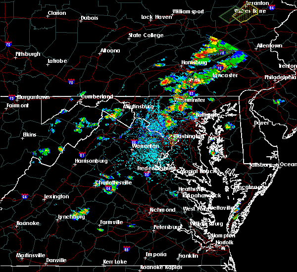 At 239 pm edt, a severe thunderstorm was located over manchester, or near parkville, and is nearly stationary (radar indicated). Hazards include 60 mph wind gusts and quarter size hail. Damaging winds will cause some trees and large branches to fall. this could injure those outdoors, as well as damage homes and vehicles. roadways may become blocked by downed trees. localized power outages are possible. unsecured light objects may become projectiles. Locations impacted include, hampstead, manchester, millers, greenmount and lineboro. At 239 pm edt, a severe thunderstorm was located over manchester, or near parkville, and is nearly stationary (radar indicated). Hazards include 60 mph wind gusts and quarter size hail. Damaging winds will cause some trees and large branches to fall. this could injure those outdoors, as well as damage homes and vehicles. roadways may become blocked by downed trees. localized power outages are possible. unsecured light objects may become projectiles. Locations impacted include, hampstead, manchester, millers, greenmount and lineboro.
|
| 7/17/2017 2:21 PM EDT |
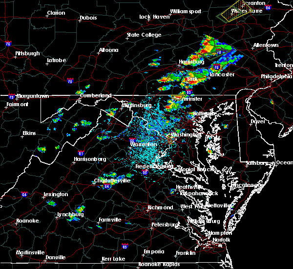 At 221 pm edt, a severe thunderstorm was located over manchester, or 8 miles south of parkville, and is nearly stationary (radar indicated). Hazards include 60 mph wind gusts and quarter size hail. Damaging winds will cause some trees and large branches to fall. this could injure those outdoors, as well as damage homes and vehicles. roadways may become blocked by downed trees. localized power outages are possible. Unsecured light objects may become projectiles. At 221 pm edt, a severe thunderstorm was located over manchester, or 8 miles south of parkville, and is nearly stationary (radar indicated). Hazards include 60 mph wind gusts and quarter size hail. Damaging winds will cause some trees and large branches to fall. this could injure those outdoors, as well as damage homes and vehicles. roadways may become blocked by downed trees. localized power outages are possible. Unsecured light objects may become projectiles.
|
| 5/18/2017 6:24 PM EDT |
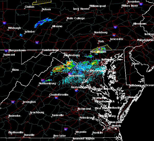 The severe thunderstorm warning for northeastern carroll county will expire at 630 pm edt, the storm which prompted the warning has moved out of the area. therefore the warning will be allowed to expire. The severe thunderstorm warning for northeastern carroll county will expire at 630 pm edt, the storm which prompted the warning has moved out of the area. therefore the warning will be allowed to expire.
|
| 5/18/2017 6:14 PM EDT |
 At 614 pm edt, a severe thunderstorm was located near glen rock, or 9 miles east of parkville, moving northeast at 25 mph (radar indicated). Hazards include 60 mph wind gusts and quarter size hail. Damaging winds will cause some trees and large branches to fall. this could injure those outdoors, as well as damage homes and vehicles. roadways may become blocked by downed trees. localized power outages are possible. unsecured light objects may become projectiles. Locations impacted include, hampstead, manchester, millers and lineboro. At 614 pm edt, a severe thunderstorm was located near glen rock, or 9 miles east of parkville, moving northeast at 25 mph (radar indicated). Hazards include 60 mph wind gusts and quarter size hail. Damaging winds will cause some trees and large branches to fall. this could injure those outdoors, as well as damage homes and vehicles. roadways may become blocked by downed trees. localized power outages are possible. unsecured light objects may become projectiles. Locations impacted include, hampstead, manchester, millers and lineboro.
|
| 5/18/2017 5:57 PM EDT |
 At 556 pm edt, a severe thunderstorm was located near manchester, or near parkville, moving northeast at 35 mph (radar indicated). Hazards include 60 mph wind gusts and quarter size hail. Damaging winds will cause some trees and large branches to fall. this could injure those outdoors, as well as damage homes and vehicles. roadways may become blocked by downed trees. localized power outages are possible. unsecured light objects may become projectiles. Locations impacted include, westminster, hampstead, manchester, millers and lineboro. At 556 pm edt, a severe thunderstorm was located near manchester, or near parkville, moving northeast at 35 mph (radar indicated). Hazards include 60 mph wind gusts and quarter size hail. Damaging winds will cause some trees and large branches to fall. this could injure those outdoors, as well as damage homes and vehicles. roadways may become blocked by downed trees. localized power outages are possible. unsecured light objects may become projectiles. Locations impacted include, westminster, hampstead, manchester, millers and lineboro.
|
| 5/18/2017 5:44 PM EDT |
 At 544 pm edt, a severe thunderstorm was located near littlestown, or near westminster, moving northeast at 30 mph (radar indicated). Hazards include 60 mph wind gusts and quarter size hail. Damaging winds will cause some trees and large branches to fall. this could injure those outdoors, as well as damage homes and vehicles. roadways may become blocked by downed trees. localized power outages are possible. Unsecured light objects may become projectiles. At 544 pm edt, a severe thunderstorm was located near littlestown, or near westminster, moving northeast at 30 mph (radar indicated). Hazards include 60 mph wind gusts and quarter size hail. Damaging winds will cause some trees and large branches to fall. this could injure those outdoors, as well as damage homes and vehicles. roadways may become blocked by downed trees. localized power outages are possible. Unsecured light objects may become projectiles.
|
| 3/1/2017 1:54 PM EST |
 The severe thunderstorm warning for carroll, howard, northeastern montgomery, western baltimore and north central prince georges counties will expire at 200 pm est, the storms which prompted the warning have moved out of the area. therefore the warning will be allowed to expire. a severe thunderstorm watch remains in effect until 500 pm est for central, northern and north central maryland. remember, a severe thunderstorm warning still remains in effect for portions of carroll, baltimore, howard, montgomery and prince georges counties until 2:45 pm. The severe thunderstorm warning for carroll, howard, northeastern montgomery, western baltimore and north central prince georges counties will expire at 200 pm est, the storms which prompted the warning have moved out of the area. therefore the warning will be allowed to expire. a severe thunderstorm watch remains in effect until 500 pm est for central, northern and north central maryland. remember, a severe thunderstorm warning still remains in effect for portions of carroll, baltimore, howard, montgomery and prince georges counties until 2:45 pm.
|
| 3/1/2017 1:47 PM EST |
 At 147 pm est, severe thunderstorms were located along a line extending from near stewartstown to towson to near fort meade, moving east at 60 mph (radar indicated). Hazards include 60 mph wind gusts. Damaging winds will cause some trees and large branches to fall. this could injure those outdoors, as well as damage homes and vehicles. roadways may become blocked by downed trees. localized power outages are possible. Unsecured light objects may become projectiles. At 147 pm est, severe thunderstorms were located along a line extending from near stewartstown to towson to near fort meade, moving east at 60 mph (radar indicated). Hazards include 60 mph wind gusts. Damaging winds will cause some trees and large branches to fall. this could injure those outdoors, as well as damage homes and vehicles. roadways may become blocked by downed trees. localized power outages are possible. Unsecured light objects may become projectiles.
|
| 3/1/2017 1:46 PM EST |
 At 146 pm est, severe thunderstorms were located along a line extending from pennville to near gamber to olney, moving east at 50 mph (radar indicated). Hazards include 60 mph wind gusts. Damaging winds will cause some trees and large branches to fall. this could injure those outdoors, as well as damage homes and vehicles. roadways may become blocked by downed trees. localized power outages are possible. unsecured light objects may become projectiles. Locations impacted include, columbia, olney, pikesville, cockeysville, westminster, elkridge, ellicott city, aspen hill, catonsville, woodlawn, randallstown, owings mills, eldersburg, milford mill, reisterstown, lochearn, laurel, fairland, colesville and hampstead. At 146 pm est, severe thunderstorms were located along a line extending from pennville to near gamber to olney, moving east at 50 mph (radar indicated). Hazards include 60 mph wind gusts. Damaging winds will cause some trees and large branches to fall. this could injure those outdoors, as well as damage homes and vehicles. roadways may become blocked by downed trees. localized power outages are possible. unsecured light objects may become projectiles. Locations impacted include, columbia, olney, pikesville, cockeysville, westminster, elkridge, ellicott city, aspen hill, catonsville, woodlawn, randallstown, owings mills, eldersburg, milford mill, reisterstown, lochearn, laurel, fairland, colesville and hampstead.
|
| 3/1/2017 1:41 PM EST |
 At 140 pm est, severe thunderstorms were located along a line extending from littlestown to 6 miles northeast of mount airy to redland, moving east at 50 mph (radar indicated). Hazards include 60 mph wind gusts. Damaging winds will cause some trees and large branches to fall. this could injure those outdoors, as well as damage homes and vehicles. roadways may become blocked by downed trees. localized power outages are possible. unsecured light objects may become projectiles. Locations impacted include, columbia, germantown, rockville, gaithersburg, olney, pikesville, cockeysville, westminster, beltsville, elkridge, damascus, ellicott city, aspen hill, catonsville, woodlawn, randallstown, montgomery village, owings mills, eldersburg and milford mill. At 140 pm est, severe thunderstorms were located along a line extending from littlestown to 6 miles northeast of mount airy to redland, moving east at 50 mph (radar indicated). Hazards include 60 mph wind gusts. Damaging winds will cause some trees and large branches to fall. this could injure those outdoors, as well as damage homes and vehicles. roadways may become blocked by downed trees. localized power outages are possible. unsecured light objects may become projectiles. Locations impacted include, columbia, germantown, rockville, gaithersburg, olney, pikesville, cockeysville, westminster, beltsville, elkridge, damascus, ellicott city, aspen hill, catonsville, woodlawn, randallstown, montgomery village, owings mills, eldersburg and milford mill.
|
| 3/1/2017 1:32 PM EST |
 At 132 pm est, severe thunderstorms were located along a line extending from near taneytown to near new market to near north potomac, moving east at 60 mph (radar indicated). Hazards include 60 mph wind gusts. Damaging winds will cause some trees and large branches to fall. this could injure those outdoors, as well as damage homes and vehicles. roadways may become blocked by downed trees. localized power outages are possible. unsecured light objects may become projectiles. Locations impacted include, columbia, germantown, rockville, gaithersburg, olney, pikesville, cockeysville, westminster, elkridge, damascus, ellicott city, aspen hill, catonsville, woodlawn, randallstown, montgomery village, owings mills, eldersburg, milford mill and reisterstown. At 132 pm est, severe thunderstorms were located along a line extending from near taneytown to near new market to near north potomac, moving east at 60 mph (radar indicated). Hazards include 60 mph wind gusts. Damaging winds will cause some trees and large branches to fall. this could injure those outdoors, as well as damage homes and vehicles. roadways may become blocked by downed trees. localized power outages are possible. unsecured light objects may become projectiles. Locations impacted include, columbia, germantown, rockville, gaithersburg, olney, pikesville, cockeysville, westminster, elkridge, damascus, ellicott city, aspen hill, catonsville, woodlawn, randallstown, montgomery village, owings mills, eldersburg, milford mill and reisterstown.
|
| 3/1/2017 1:14 PM EST |
 At 113 pm est, severe thunderstorms were located along a line extending from emmitsburg to frederick to lansdowne, moving east at 50 mph (radar indicated). Hazards include 60 mph wind gusts. Damaging winds will cause some trees and large branches to fall. this could injure those outdoors, as well as damage homes and vehicles. roadways may become blocked by downed trees. localized power outages are possible. Unsecured light objects may become projectiles. At 113 pm est, severe thunderstorms were located along a line extending from emmitsburg to frederick to lansdowne, moving east at 50 mph (radar indicated). Hazards include 60 mph wind gusts. Damaging winds will cause some trees and large branches to fall. this could injure those outdoors, as well as damage homes and vehicles. roadways may become blocked by downed trees. localized power outages are possible. Unsecured light objects may become projectiles.
|
| 2/25/2017 2:52 PM EST |
 At 251 pm est, severe thunderstorms were located along a line extending from near parkville to gamber, moving east at 40 mph (radar indicated). Hazards include 60 mph wind gusts and quarter size hail. Damaging winds will cause some trees and large branches to fall. this could injure those outdoors, as well as damage homes and vehicles. roadways may become blocked by downed trees. localized power outages are possible. unsecured light objects may become projectiles. Locations impacted include, westminster, eldersburg, hampstead, manchester, gamber, finksburg, carrollton, freeland, upperco, lineboro, boring, bentley springs, patapsco, reese, parkton, hereford, millers, greenmount and maryland line. At 251 pm est, severe thunderstorms were located along a line extending from near parkville to gamber, moving east at 40 mph (radar indicated). Hazards include 60 mph wind gusts and quarter size hail. Damaging winds will cause some trees and large branches to fall. this could injure those outdoors, as well as damage homes and vehicles. roadways may become blocked by downed trees. localized power outages are possible. unsecured light objects may become projectiles. Locations impacted include, westminster, eldersburg, hampstead, manchester, gamber, finksburg, carrollton, freeland, upperco, lineboro, boring, bentley springs, patapsco, reese, parkton, hereford, millers, greenmount and maryland line.
|
| 2/25/2017 2:39 PM EST |
 At 238 pm est, severe thunderstorms were located along a line extending from near littlestown to near eldersburg, moving east at 40 mph (radar indicated). Hazards include 60 mph wind gusts and quarter size hail. Damaging winds will cause some trees and large branches to fall. this could injure those outdoors, as well as damage homes and vehicles. roadways may become blocked by downed trees. localized power outages are possible. Unsecured light objects may become projectiles. At 238 pm est, severe thunderstorms were located along a line extending from near littlestown to near eldersburg, moving east at 40 mph (radar indicated). Hazards include 60 mph wind gusts and quarter size hail. Damaging winds will cause some trees and large branches to fall. this could injure those outdoors, as well as damage homes and vehicles. roadways may become blocked by downed trees. localized power outages are possible. Unsecured light objects may become projectiles.
|
| 2/12/2017 10:47 PM EST |
 At 1046 pm est, severe thunderstorms were located along a line extending from near hampstead to near damascus, moving east at 55 mph (radar indicated). Hazards include 60 mph wind gusts. Damaging winds will cause some trees and large branches to fall. this could injure those outdoors, as well as damage homes and vehicles. roadways may become blocked by downed trees. localized power outages are possible. unsecured light objects may become projectiles. Locations impacted include, baltimore, columbia, germantown, severn, olney, pikesville, middle river, cockeysville, elkridge, damascus, aberdeen, havre de grace, riviera beach, aberdeen proving ground, baltimore-washington airport, fort smallwood state park, gibson island, sillery bay, millers island and north point state park. At 1046 pm est, severe thunderstorms were located along a line extending from near hampstead to near damascus, moving east at 55 mph (radar indicated). Hazards include 60 mph wind gusts. Damaging winds will cause some trees and large branches to fall. this could injure those outdoors, as well as damage homes and vehicles. roadways may become blocked by downed trees. localized power outages are possible. unsecured light objects may become projectiles. Locations impacted include, baltimore, columbia, germantown, severn, olney, pikesville, middle river, cockeysville, elkridge, damascus, aberdeen, havre de grace, riviera beach, aberdeen proving ground, baltimore-washington airport, fort smallwood state park, gibson island, sillery bay, millers island and north point state park.
|
| 2/12/2017 10:29 PM EST |
 At 1029 pm est, severe thunderstorms were located along a line extending from near littlestown to near point of rocks, moving east at 55 mph (radar indicated). Hazards include 60 mph wind gusts. Damaging winds will cause some trees and large branches to fall. this could injure those outdoors, as well as damage homes and vehicles. roadways may become blocked by downed trees. localized power outages are possible. Unsecured light objects may become projectiles. At 1029 pm est, severe thunderstorms were located along a line extending from near littlestown to near point of rocks, moving east at 55 mph (radar indicated). Hazards include 60 mph wind gusts. Damaging winds will cause some trees and large branches to fall. this could injure those outdoors, as well as damage homes and vehicles. roadways may become blocked by downed trees. localized power outages are possible. Unsecured light objects may become projectiles.
|
| 8/16/2016 4:10 PM EDT |
 At 409 pm edt, a severe thunderstorm was located near hampstead, or 7 miles east of westminster, moving east at 30 mph (radar indicated). Hazards include 60 mph wind gusts. Damaging winds will cause some trees and large branches to fall. this could injure those outdoors, as well as damage homes and vehicles. roadways may become blocked by downed trees. localized power outages are possible. unsecured light objects may become projectiles. Locations impacted include, cockeysville, reisterstown, timonium, hampstead, manchester, gamber, lutherville-timonium, parkton, upperco, greenmount, phoenix, finksburg, glyndon, jacksonville, millers, patapsco, monkton, hunt valley, bentley springs and hereford. At 409 pm edt, a severe thunderstorm was located near hampstead, or 7 miles east of westminster, moving east at 30 mph (radar indicated). Hazards include 60 mph wind gusts. Damaging winds will cause some trees and large branches to fall. this could injure those outdoors, as well as damage homes and vehicles. roadways may become blocked by downed trees. localized power outages are possible. unsecured light objects may become projectiles. Locations impacted include, cockeysville, reisterstown, timonium, hampstead, manchester, gamber, lutherville-timonium, parkton, upperco, greenmount, phoenix, finksburg, glyndon, jacksonville, millers, patapsco, monkton, hunt valley, bentley springs and hereford.
|
| 8/16/2016 3:55 PM EDT |
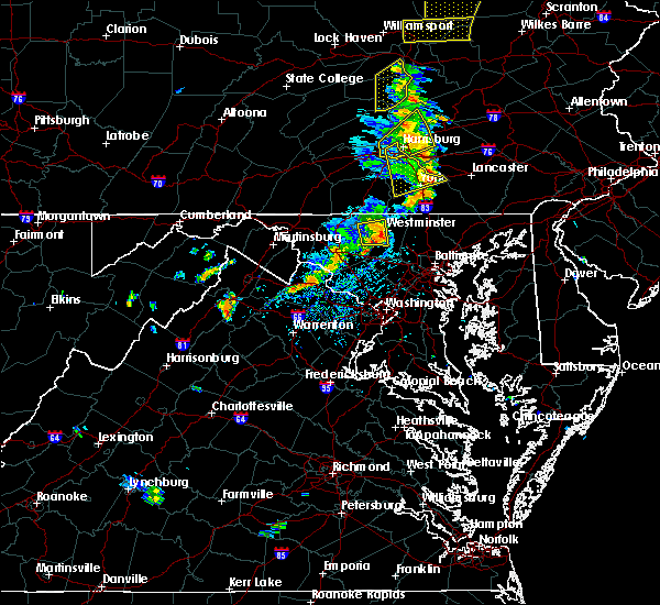 At 354 pm edt, a severe thunderstorm was located over westminster, moving east at 30 mph (radar indicated). Hazards include 60 mph wind gusts. Damaging winds will cause some trees and large branches to fall. this could injure those outdoors, as well as damage homes and vehicles. roadways may become blocked by downed trees. localized power outages are possible. Unsecured light objects may become projectiles. At 354 pm edt, a severe thunderstorm was located over westminster, moving east at 30 mph (radar indicated). Hazards include 60 mph wind gusts. Damaging winds will cause some trees and large branches to fall. this could injure those outdoors, as well as damage homes and vehicles. roadways may become blocked by downed trees. localized power outages are possible. Unsecured light objects may become projectiles.
|
| 8/13/2016 8:28 PM EDT |
 At 828 pm edt, a severe thunderstorm was located near smithsburg, or near thurmont, moving east at 35 mph (radar indicated). Hazards include 60 mph wind gusts. Damaging winds will cause some trees and large branches to fall. this could injure those outdoors, as well as damage homes and vehicles. roadways may become blocked by downed trees. localized power outages are possible. Unsecured light objects may become projectiles. At 828 pm edt, a severe thunderstorm was located near smithsburg, or near thurmont, moving east at 35 mph (radar indicated). Hazards include 60 mph wind gusts. Damaging winds will cause some trees and large branches to fall. this could injure those outdoors, as well as damage homes and vehicles. roadways may become blocked by downed trees. localized power outages are possible. Unsecured light objects may become projectiles.
|
| 7/18/2016 3:38 PM EDT |
 At 338 pm edt, severe thunderstorms were located along a line extending from near manchester to near hampstead to near gamber, moving east at 35 mph (radar indicated). Hazards include 60 mph wind gusts. Damaging winds will cause some trees and large branches to fall. this could injure those outdoors, as well as damage homes and vehicles. roadways may become blocked by downed trees. localized power outages are possible. Unsecured light objects may become projectiles. At 338 pm edt, severe thunderstorms were located along a line extending from near manchester to near hampstead to near gamber, moving east at 35 mph (radar indicated). Hazards include 60 mph wind gusts. Damaging winds will cause some trees and large branches to fall. this could injure those outdoors, as well as damage homes and vehicles. roadways may become blocked by downed trees. localized power outages are possible. Unsecured light objects may become projectiles.
|
| 6/28/2016 5:18 PM EDT |
 At 518 pm edt, severe thunderstorms were located along a line extending from near gamber to near sykesville, moving southeast at 25 mph (radar indicated). Hazards include 60 mph wind gusts. Damaging winds will cause some trees and large branches to fall. this could injure those outdoors, as well as damage homes and vehicles. roadways may become blocked by downed trees. localized power outages are possible. Unsecured light objects may become projectiles. At 518 pm edt, severe thunderstorms were located along a line extending from near gamber to near sykesville, moving southeast at 25 mph (radar indicated). Hazards include 60 mph wind gusts. Damaging winds will cause some trees and large branches to fall. this could injure those outdoors, as well as damage homes and vehicles. roadways may become blocked by downed trees. localized power outages are possible. Unsecured light objects may become projectiles.
|
| 6/21/2016 1:01 PM EDT |
 At 101 pm edt, doppler radar indicated a line of severe thunderstorms capable of producing quarter size hail and damaging winds in excess of 60 mph. these storms were located along a line extending from near littlestown to near boonsboro, and moving southeast at 35 mph. At 101 pm edt, doppler radar indicated a line of severe thunderstorms capable of producing quarter size hail and damaging winds in excess of 60 mph. these storms were located along a line extending from near littlestown to near boonsboro, and moving southeast at 35 mph.
|
| 6/8/2016 10:28 AM EDT |
 At 1027 am edt, strong showers with damaging winds were located along a line extending from near manchester to near westminster to near new market, moving southeast at 35 mph (radar indicated). Hazards include 60 mph wind gusts. Damaging winds will cause some trees and large branches to fall. this could injure those outdoors, as well as damage homes and vehicles. roadways may become blocked by downed trees. localized power outages are possible. Unsecured light objects may become projectiles. At 1027 am edt, strong showers with damaging winds were located along a line extending from near manchester to near westminster to near new market, moving southeast at 35 mph (radar indicated). Hazards include 60 mph wind gusts. Damaging winds will cause some trees and large branches to fall. this could injure those outdoors, as well as damage homes and vehicles. roadways may become blocked by downed trees. localized power outages are possible. Unsecured light objects may become projectiles.
|
| 6/5/2016 4:24 PM EDT |
 The severe thunderstorm warning for baltimore county in northern maryland, carroll county in north central maryland, howard county in central maryland, northwestern harford county in northern maryland, northern montgomery county in central maryland and southeastern frederick counties in north central maryland and baltimore city will expire at 430 pm edt, the storms which prompted the warning have moved out of the area. therefore the warning will be allowed to expire. however gusty winds and heavy rain are still possible with these thunderstorms. a severe thunderstorm watch remains in effect until 1000 pm edt for northern maryland, and northern virginia. The severe thunderstorm warning for baltimore county in northern maryland, carroll county in north central maryland, howard county in central maryland, northwestern harford county in northern maryland, northern montgomery county in central maryland and southeastern frederick counties in north central maryland and baltimore city will expire at 430 pm edt, the storms which prompted the warning have moved out of the area. therefore the warning will be allowed to expire. however gusty winds and heavy rain are still possible with these thunderstorms. a severe thunderstorm watch remains in effect until 1000 pm edt for northern maryland, and northern virginia.
|
| 6/5/2016 3:52 PM EDT |
 At 351 pm edt, severe thunderstorms were located along a line extending from near littlestown to near mount airy to near point of rocks, moving east at 40 mph (radar indicated). Hazards include 60 mph wind gusts. Damaging winds will cause some trees and large branches to fall. this could injure those outdoors, as well as damage homes and vehicles. roadways may become blocked by downed trees. localized power outages are possible. Unsecured light objects may become projectiles. At 351 pm edt, severe thunderstorms were located along a line extending from near littlestown to near mount airy to near point of rocks, moving east at 40 mph (radar indicated). Hazards include 60 mph wind gusts. Damaging winds will cause some trees and large branches to fall. this could injure those outdoors, as well as damage homes and vehicles. roadways may become blocked by downed trees. localized power outages are possible. Unsecured light objects may become projectiles.
|
| 6/5/2016 3:37 PM EDT |
 At 335 pm edt, severe thunderstorms were located along a line extending from near carroll valley to near walkersville to near braddock heights, moving east at 50 mph. multiple trees and wires down were reported in the hagerstown area as the line of storms moved through (radar indicated). Hazards include 60 mph wind gusts. Damaging winds will cause some trees and large branches to fall. this could injure those outdoors, as well as damage homes and vehicles. roadways may become blocked by downed trees. localized power outages are possible. unsecured light objects may become projectiles. Locations impacted include, frederick, westminster, thurmont, emmitsburg, harry grove stadium, eldersburg, ballenger creek, mount airy, taneytown, hampstead, walkersville, manchester, sykesville, braddock heights, oakland, new market, clover hill, point of rocks, linganore-bartonsville and discovery-spring garden. At 335 pm edt, severe thunderstorms were located along a line extending from near carroll valley to near walkersville to near braddock heights, moving east at 50 mph. multiple trees and wires down were reported in the hagerstown area as the line of storms moved through (radar indicated). Hazards include 60 mph wind gusts. Damaging winds will cause some trees and large branches to fall. this could injure those outdoors, as well as damage homes and vehicles. roadways may become blocked by downed trees. localized power outages are possible. unsecured light objects may become projectiles. Locations impacted include, frederick, westminster, thurmont, emmitsburg, harry grove stadium, eldersburg, ballenger creek, mount airy, taneytown, hampstead, walkersville, manchester, sykesville, braddock heights, oakland, new market, clover hill, point of rocks, linganore-bartonsville and discovery-spring garden.
|
| 6/5/2016 3:13 PM EDT |
 At 312 pm edt, severe thunderstorms were located along a line extending from near long meadow to boonsboro to ranson, moving east at 35 mph. numerous trees down have been reported in and around hagerstown (radar indicated). Hazards include 60 mph wind gusts. Damaging winds will cause some trees and large branches to fall. this could injure those outdoors, as well as damage homes and vehicles. roadways may become blocked by downed trees. localized power outages are possible. Unsecured light objects may become projectiles. At 312 pm edt, severe thunderstorms were located along a line extending from near long meadow to boonsboro to ranson, moving east at 35 mph. numerous trees down have been reported in and around hagerstown (radar indicated). Hazards include 60 mph wind gusts. Damaging winds will cause some trees and large branches to fall. this could injure those outdoors, as well as damage homes and vehicles. roadways may become blocked by downed trees. localized power outages are possible. Unsecured light objects may become projectiles.
|
| 2/24/2016 6:24 PM EST |
 At 623 pm est, doppler radar indicated a line of severe thunderstorms capable of producing damaging winds in excess of 60 mph. these storms were located along a line extending from 6 miles northeast of manchester to near catonsville, moving east at 45 mph. locations impacted include, baltimore, aberdeen, bel air, union square, guilford, howard park, baltimore inner harbor, locust point, camden yards, roland park, fallstaff, cockeysville, pikesville, gwynns falls, middle river, clifton park, columbia, hampstead, manchester and oakland. a tornado watch remains in effect until 1100 pm est for northern maryland. At 623 pm est, doppler radar indicated a line of severe thunderstorms capable of producing damaging winds in excess of 60 mph. these storms were located along a line extending from 6 miles northeast of manchester to near catonsville, moving east at 45 mph. locations impacted include, baltimore, aberdeen, bel air, union square, guilford, howard park, baltimore inner harbor, locust point, camden yards, roland park, fallstaff, cockeysville, pikesville, gwynns falls, middle river, clifton park, columbia, hampstead, manchester and oakland. a tornado watch remains in effect until 1100 pm est for northern maryland.
|
| 2/24/2016 5:54 PM EST |
 At 554 pm est, doppler radar indicated a line of severe thunderstorms capable of producing damaging winds in excess of 60 mph. these storms were located along a line extending from near littlestown to montgomery village, moving east at 50 mph. locations impacted include, baltimore, rockville, gaithersburg, westminster, aberdeen, bel air, union square, guilford, howard park, olney, baltimore inner harbor, damascus, locust point, camden yards, germantown, gwynns falls, clifton park, roland park, fallstaff and cockeysville. a tornado watch remains in effect until 1100 pm est for northern maryland. At 554 pm est, doppler radar indicated a line of severe thunderstorms capable of producing damaging winds in excess of 60 mph. these storms were located along a line extending from near littlestown to montgomery village, moving east at 50 mph. locations impacted include, baltimore, rockville, gaithersburg, westminster, aberdeen, bel air, union square, guilford, howard park, olney, baltimore inner harbor, damascus, locust point, camden yards, germantown, gwynns falls, clifton park, roland park, fallstaff and cockeysville. a tornado watch remains in effect until 1100 pm est for northern maryland.
|
| 2/24/2016 5:46 PM EST |
 At 545 pm est, doppler radar indicated a line of severe thunderstorms capable of producing damaging winds in excess of 60 mph. these storms were located along a line extending from near littlestown to near damascus, and moving northeast at 50 mph. At 545 pm est, doppler radar indicated a line of severe thunderstorms capable of producing damaging winds in excess of 60 mph. these storms were located along a line extending from near littlestown to near damascus, and moving northeast at 50 mph.
|
| 10/28/2015 9:00 PM EDT |
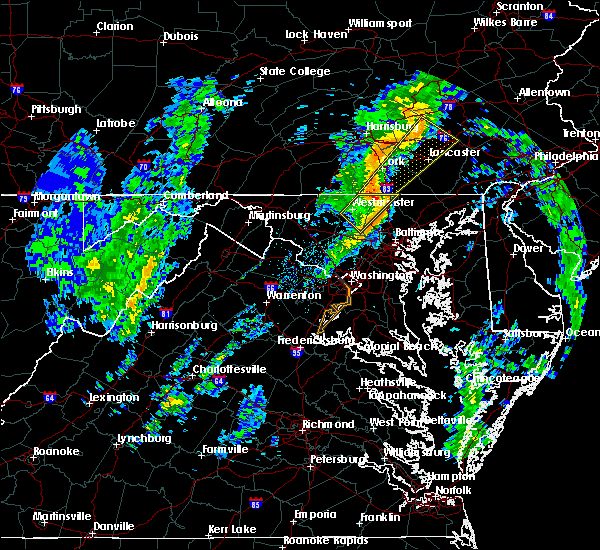 At 900 pm edt, doppler radar indicated a severe thunderstorm capable of producing damaging winds in excess of 60 mph. this storm was located over shrewsbury, or near dallastown, moving northeast at 55 mph. locations impacted include, westminster, hampstead, manchester, reisterstown, parkton, upperco, lineboro, freeland, greenmount, finksburg, glyndon, millers, reese, patapsco, bentley springs, boring, carrollton and maryland line. At 900 pm edt, doppler radar indicated a severe thunderstorm capable of producing damaging winds in excess of 60 mph. this storm was located over shrewsbury, or near dallastown, moving northeast at 55 mph. locations impacted include, westminster, hampstead, manchester, reisterstown, parkton, upperco, lineboro, freeland, greenmount, finksburg, glyndon, millers, reese, patapsco, bentley springs, boring, carrollton and maryland line.
|
| 10/28/2015 8:44 PM EDT |
 At 843 pm edt, doppler radar indicated a severe thunderstorm capable of producing damaging winds in excess of 60 mph. this storm was located over hampstead, or 9 miles east of westminster, and moving northeast at 55 mph. At 843 pm edt, doppler radar indicated a severe thunderstorm capable of producing damaging winds in excess of 60 mph. this storm was located over hampstead, or 9 miles east of westminster, and moving northeast at 55 mph.
|
| 10/9/2015 4:54 PM EDT |
 At 454 pm edt, doppler radar indicated a line of severe thunderstorms capable of producing damaging winds in excess of 60 mph. these storms were located along a line extending from near cross roads to near new freedom to hampstead, moving east at 40 mph. locations impacted include, manchester, jarrettsville, parkton, street, lineboro, freeland, darlington, cardiff, pylesville, millers, norrisville, chrome hill, rocks, bentley springs, scarboro, whiteford and maryland line. At 454 pm edt, doppler radar indicated a line of severe thunderstorms capable of producing damaging winds in excess of 60 mph. these storms were located along a line extending from near cross roads to near new freedom to hampstead, moving east at 40 mph. locations impacted include, manchester, jarrettsville, parkton, street, lineboro, freeland, darlington, cardiff, pylesville, millers, norrisville, chrome hill, rocks, bentley springs, scarboro, whiteford and maryland line.
|
| 10/9/2015 4:31 PM EDT |
 At 430 pm edt, doppler radar indicated a line of severe thunderstorms capable of producing damaging winds in excess of 60 mph. these storms were located along a line extending from near jacobus to near manchester, and moving east at 50 mph. At 430 pm edt, doppler radar indicated a line of severe thunderstorms capable of producing damaging winds in excess of 60 mph. these storms were located along a line extending from near jacobus to near manchester, and moving east at 50 mph.
|
| 8/4/2015 3:22 AM EDT |
 At 322 am edt, doppler radar indicated a severe thunderstorm capable of producing quarter size hail and damaging winds in excess of 60 mph. this storm was located near manchester, or near parkville, moving east at 45 mph. locations impacted include, emmitsburg, taneytown, hampstead, manchester, parkton, harney, lineboro, freeland, greenmount, millers, monkton, bentley springs, hereford and maryland line. At 322 am edt, doppler radar indicated a severe thunderstorm capable of producing quarter size hail and damaging winds in excess of 60 mph. this storm was located near manchester, or near parkville, moving east at 45 mph. locations impacted include, emmitsburg, taneytown, hampstead, manchester, parkton, harney, lineboro, freeland, greenmount, millers, monkton, bentley springs, hereford and maryland line.
|
| 8/4/2015 2:59 AM EDT |
 At 259 am edt, doppler radar indicated a severe thunderstorm capable of producing quarter size hail and damaging winds in excess of 60 mph. this storm was located near emmitsburg, and moving east at 45 mph. At 259 am edt, doppler radar indicated a severe thunderstorm capable of producing quarter size hail and damaging winds in excess of 60 mph. this storm was located near emmitsburg, and moving east at 45 mph.
|
| 7/9/2015 6:08 PM EDT |
 The severe thunderstorm warning for carroll and northeastern frederick counties will expire at 615 pm edt, the storms which prompted the warning have weakened below severe limits, and no longer poses an immediate threat to life or property. therefore the warning will be allowed to expire. however gusty winds and heavy rain are still possible with these thunderstorms. remember, a tornado warning still remains in effect for carroll and frederick counties maryland until 9pm. The severe thunderstorm warning for carroll and northeastern frederick counties will expire at 615 pm edt, the storms which prompted the warning have weakened below severe limits, and no longer poses an immediate threat to life or property. therefore the warning will be allowed to expire. however gusty winds and heavy rain are still possible with these thunderstorms. remember, a tornado warning still remains in effect for carroll and frederick counties maryland until 9pm.
|
| 7/9/2015 5:48 PM EDT |
 At 547 pm edt, doppler radar indicated a line of severe thunderstorms capable of producing damaging winds in excess of 60 mph. these storms were located along a line extending from near littlestown to near walkersville, moving east at 40 mph. locations impacted include, frederick, westminster, taneytown, hampstead, walkersville, manchester, discovery-spring garden, clover hill, new windsor, woodsboro, union bridge, middleburg, detour, harney, lineboro, greenmount, winfield, marston, rocky ridge and reese. a tornado watch remains in effect until 900 pm edt for north central maryland. At 547 pm edt, doppler radar indicated a line of severe thunderstorms capable of producing damaging winds in excess of 60 mph. these storms were located along a line extending from near littlestown to near walkersville, moving east at 40 mph. locations impacted include, frederick, westminster, taneytown, hampstead, walkersville, manchester, discovery-spring garden, clover hill, new windsor, woodsboro, union bridge, middleburg, detour, harney, lineboro, greenmount, winfield, marston, rocky ridge and reese. a tornado watch remains in effect until 900 pm edt for north central maryland.
|
| 7/9/2015 5:23 PM EDT |
 At 522 pm edt, doppler radar indicated a line of severe thunderstorms capable of producing damaging winds in excess of 60 mph. these storms were located along a line extending from near emmitsburg to near wolfsville, and moving east at 40 mph. At 522 pm edt, doppler radar indicated a line of severe thunderstorms capable of producing damaging winds in excess of 60 mph. these storms were located along a line extending from near emmitsburg to near wolfsville, and moving east at 40 mph.
|
| 6/23/2015 6:24 PM EDT |
 The severe thunderstorm warning for central carroll, northwestern baltimore and east central frederick counties will expire at 630 pm edt, the storm which prompted the warning has moved out of the area. therefore the warning will be allowed to expire. however heavy rain is still possible with this thunderstorm. The severe thunderstorm warning for central carroll, northwestern baltimore and east central frederick counties will expire at 630 pm edt, the storm which prompted the warning has moved out of the area. therefore the warning will be allowed to expire. however heavy rain is still possible with this thunderstorm.
|
| 6/23/2015 5:51 PM EDT |
 At 551 pm edt, doppler radar indicated a severe thunderstorm capable of producing quarter size hail and damaging winds in excess of 60 mph. this storm was located 8 miles southwest of westminster, and moving east at 30 mph. At 551 pm edt, doppler radar indicated a severe thunderstorm capable of producing quarter size hail and damaging winds in excess of 60 mph. this storm was located 8 miles southwest of westminster, and moving east at 30 mph.
|
| 6/8/2015 7:24 PM EDT | At 724 pm edt, doppler radar indicated a line of severe thunderstorms capable of producing quarter size hail and damaging winds in excess of 60 mph. these storms were located along a line extending from near new freedom to near sykesville, moving east at 35 mph. locations impacted include, hampstead, sykesville, oakland, eldersburg, owings mills, randallstown, reisterstown, gamber, ellicott city, milford mill, louisville, freeland, greenmount, finksburg, glyndon, reese, garrison, gaither, bentley springs and carrolltowne. a tornado watch remains in effect until 800 pm edt for northern maryland. |
| 6/8/2015 6:54 PM EDT | At 653 pm edt, doppler radar indicated a line of severe thunderstorms capable of producing quarter size hail and damaging winds in excess of 60 mph. these storms were located along a line extending from near manchester to green valley, and moving east at 40 mph. |
| 5/31/2015 8:17 PM EDT | At 816 pm edt, doppler radar indicated a severe thunderstorm capable of producing quarter size hail and damaging winds in excess of 60 mph. this storm was located near hampstead, or 9 miles northwest of cockeysville, moving northeast at 30 mph. locations impacted include, cockeysville, reisterstown, owings mills, upperco, phoenix, glyndon, patapsco, hunt valley, hereford, sparks, boring, glencoe, butler and garrison. |
| 5/31/2015 7:54 PM EDT | At 753 pm edt, doppler radar indicated a severe thunderstorm capable of producing quarter size hail and damaging winds in excess of 60 mph. this storm was located over gamber, or 9 miles southeast of westminster, and moving northeast at 30 mph. |
| 7/27/2014 11:33 PM EDT | Tree down on falls rd near the intersection of mt carmel rd in baltimore county MD, 4.5 miles W of Hampstead, MD |
| 7/27/2014 11:33 AM EDT | Tree down on falls rd near the intersection of mt carmel rd in baltimore county MD, 4.5 miles W of Hampstead, MD |
| 7/3/2014 5:05 PM EDT | Quarter sized hail reported 7.7 miles W of Hampstead, MD |
| 7/3/2014 4:24 PM EDT | A tree was reported down on shiloh roa in carroll county MD, 0.8 miles NNE of Hampstead, MD |
| 8/7/2013 8:51 PM EDT | Tree down along brodbeck roa in carroll county MD, 1.1 miles SE of Hampstead, MD |
| 7/28/2013 8:28 AM EDT | Numerous trees down. some uprooted and some toppe in baltimore county MD, 4.2 miles WSW of Hampstead, MD |
| 9/18/2012 3:04 PM EDT | Tree onto wires along tank roa in carroll county MD, 5.9 miles NNE of Hampstead, MD |
| 9/18/2012 2:55 PM EDT | Coon club road closed due to tree limbs across road in carroll county MD, 3.2 miles NE of Hampstead, MD |
| 9/8/2012 2:39 PM EDT | Tree down at dark hallow rd and dover rd in baltimore county MD, 4.8 miles NNW of Hampstead, MD |
| 7/26/2012 9:08 PM EDT | Tree down on rt 30 south of carroll county lin in baltimore county MD, 4.2 miles N of Hampstead, MD |
| 6/2/2012 4:15 PM EDT | Two trees down near coon club road at academy driv in carroll county MD, 3.2 miles NE of Hampstead, MD |
| 6/1/2012 4:28 PM EDT | Two trees down near millers station road and rohrbaugh roa in carroll county MD, 3.9 miles SSW of Hampstead, MD |
| 6/1/2012 4:15 PM EDT | Two trees down near coon club road at academy driv in carroll county MD, 3.2 miles NE of Hampstead, MD |
| 6/1/2012 3:45 PM EDT | Damaged trees near hampstea in carroll county MD, 0.7 miles W of Hampstead, MD |
| 1/1/0001 12:00 AM | Tree down on gunpowder rd near beckleysville r in baltimore county MD, 3.5 miles WSW of Hampstead, MD |
| 1/1/0001 12:00 AM | Tree down on falls rd at beckleysville rd in baltimore county MD, 4 miles SW of Hampstead, MD |
| 1/1/0001 12:00 AM | Several small branches brought down from thunderstorm wind in carroll county MD, 2.5 miles NE of Hampstead, MD |
| 1/1/0001 12:00 AM | Large 3 to 4 inch diameter branches brought down from thunderstorm wind in carroll county MD, 2.5 miles NE of Hampstead, MD |
Hail Maps for Hampstead, MD


Connect with Interactive Hail Maps