

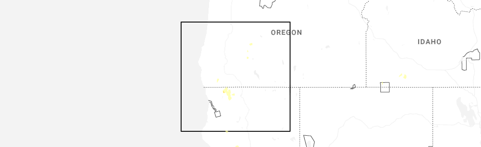
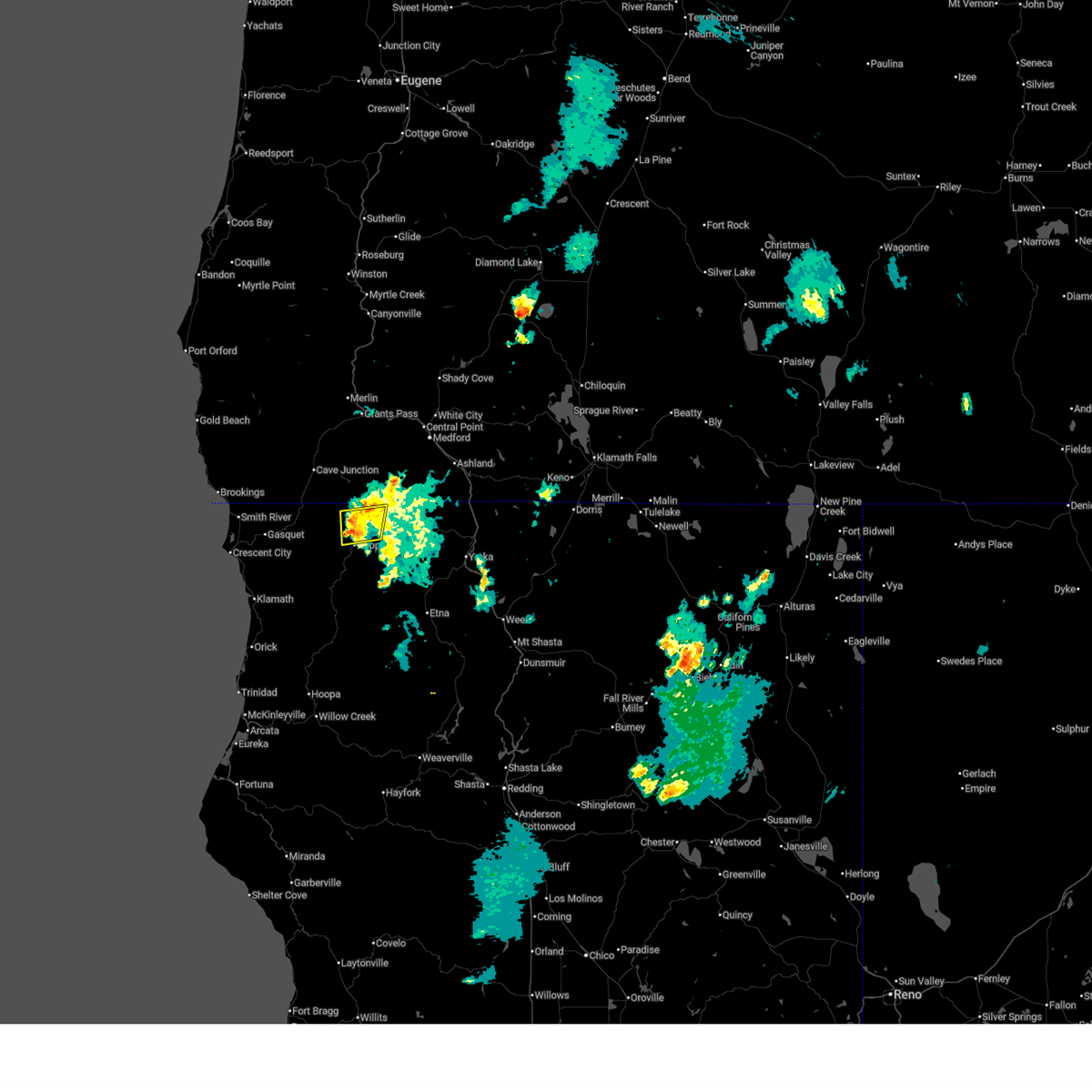
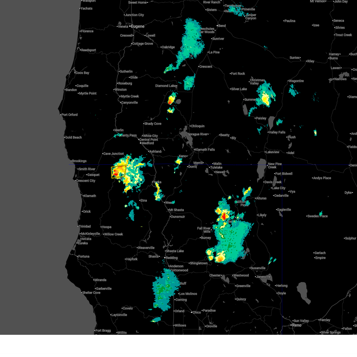
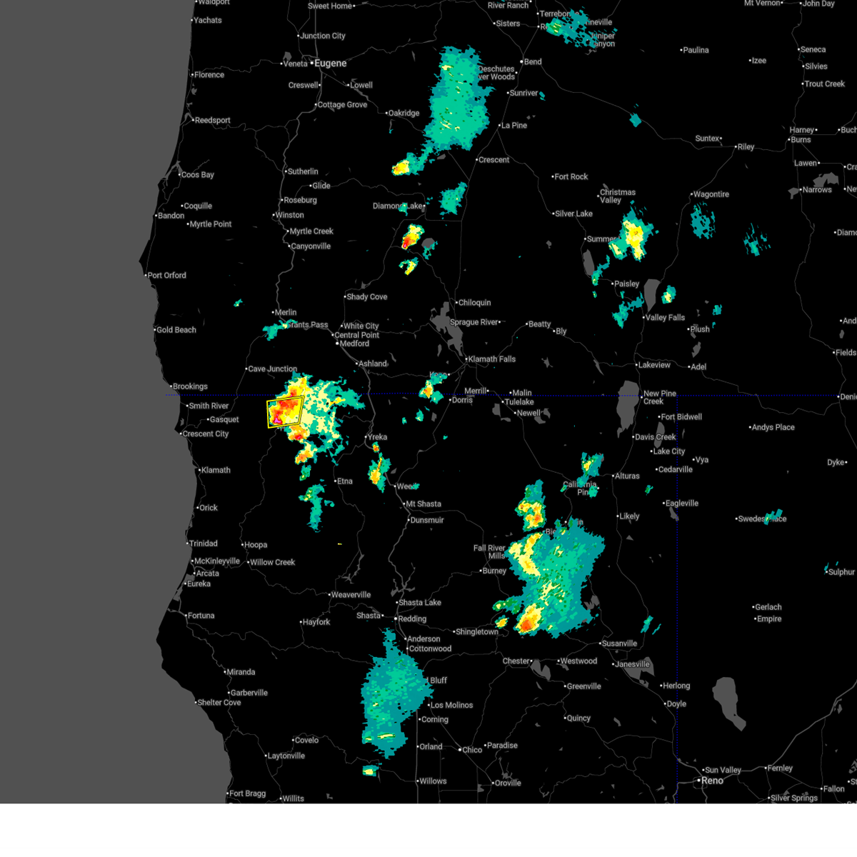
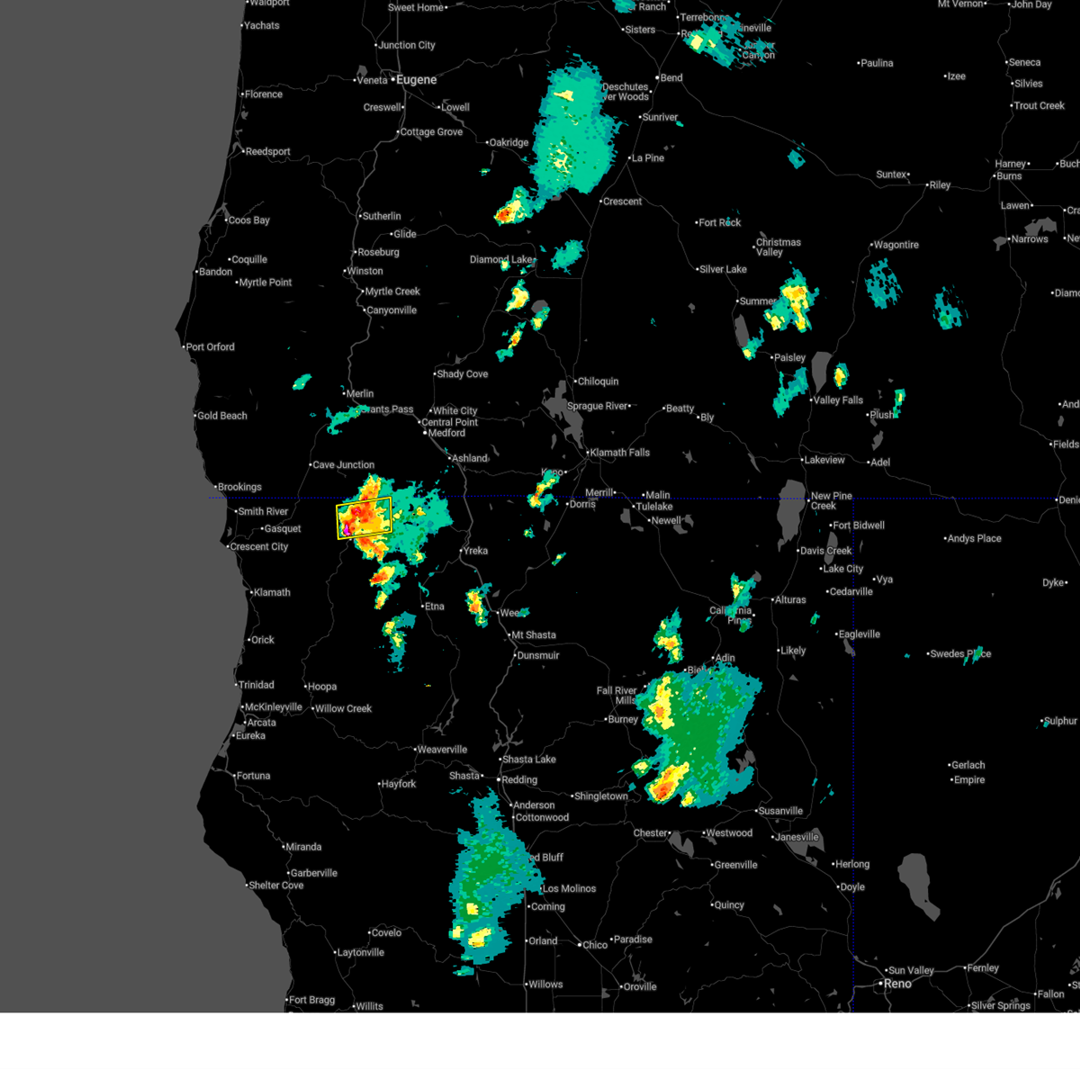
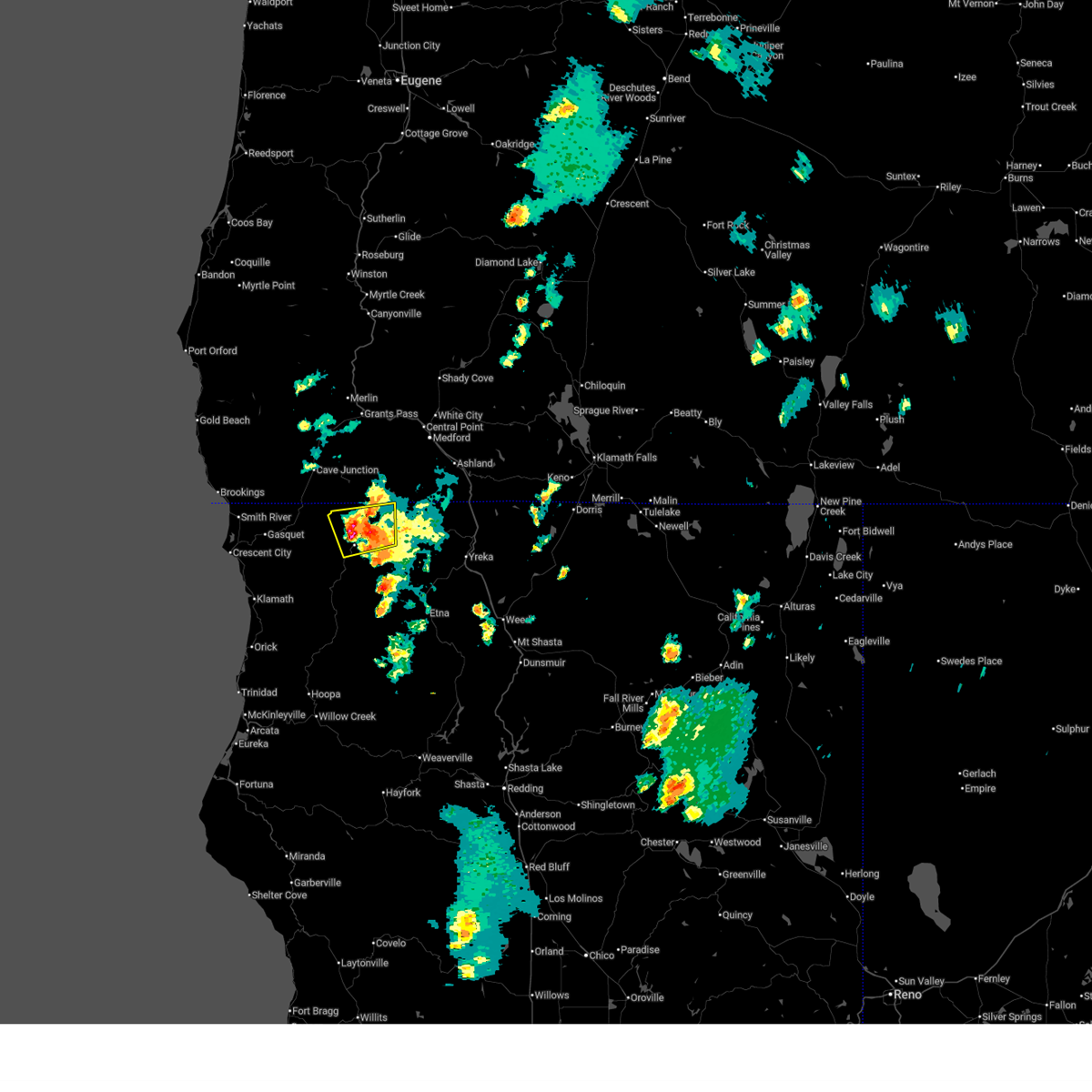
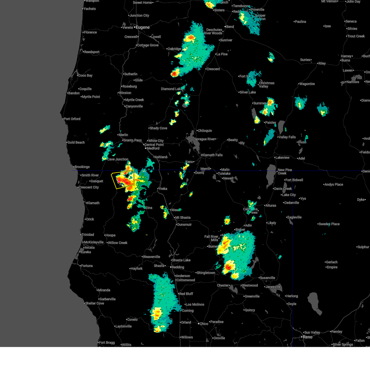
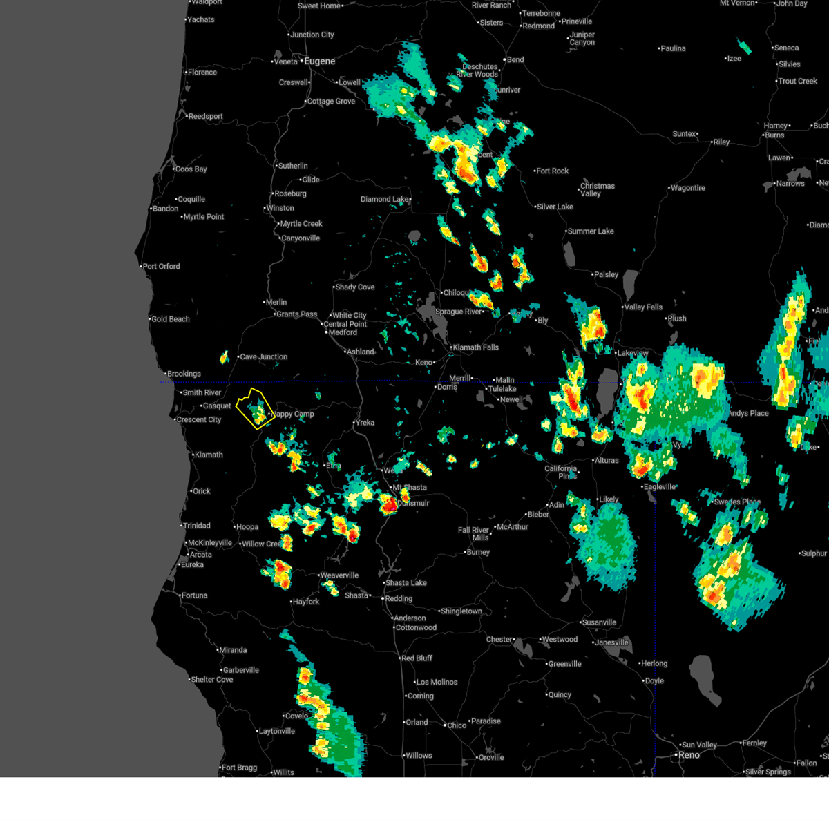
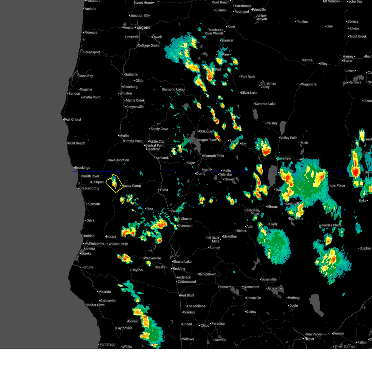
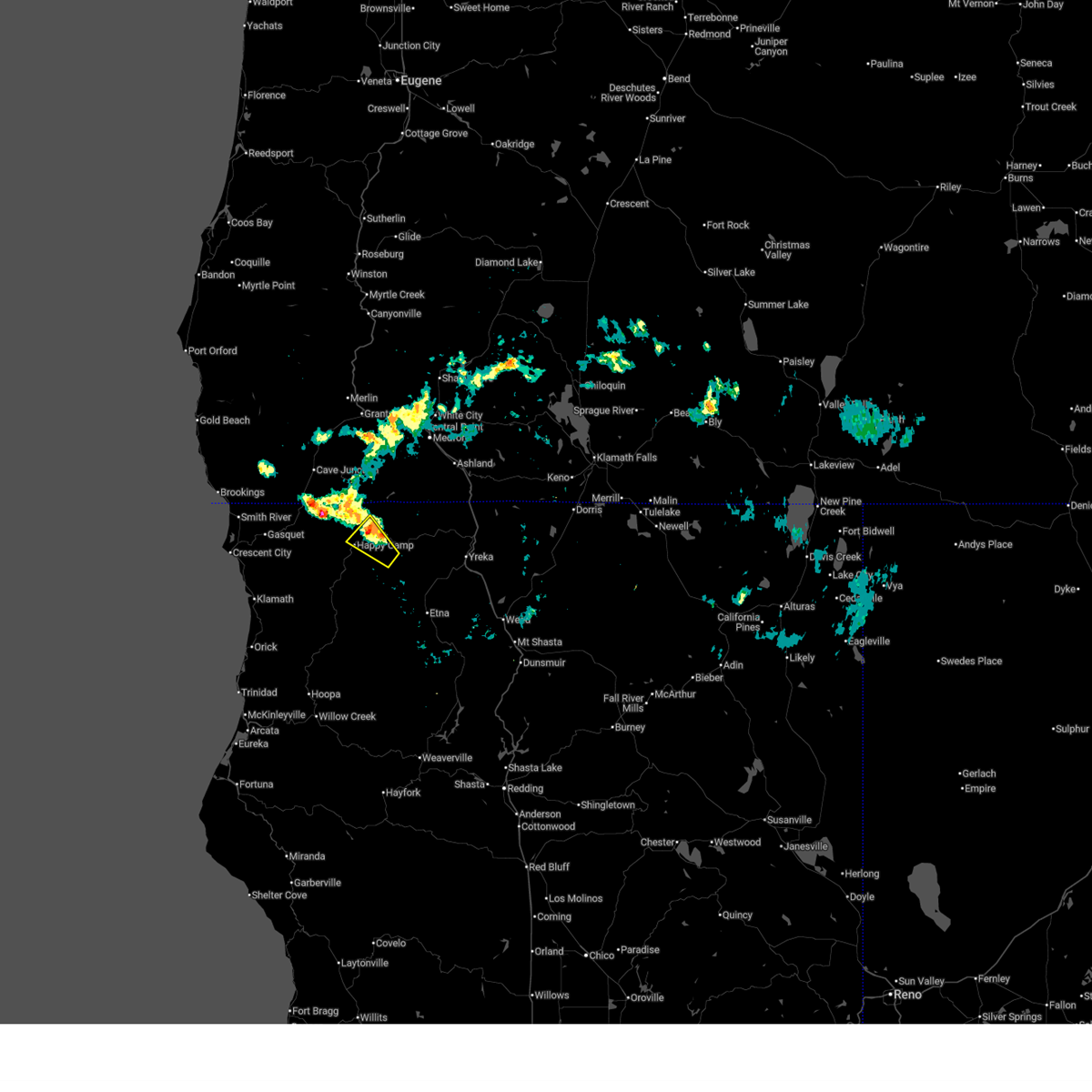
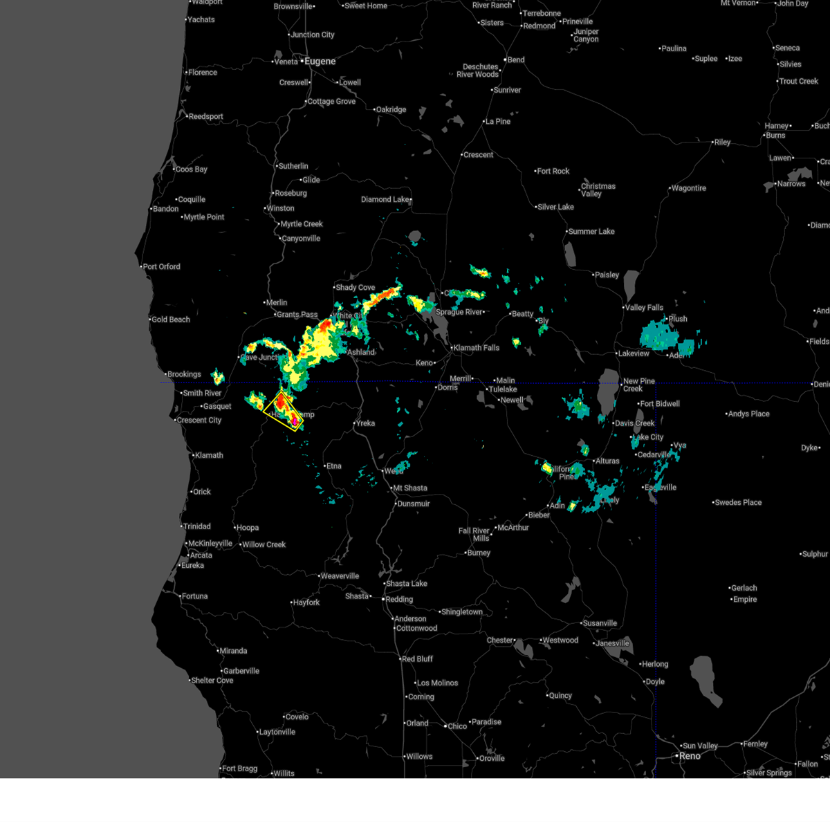
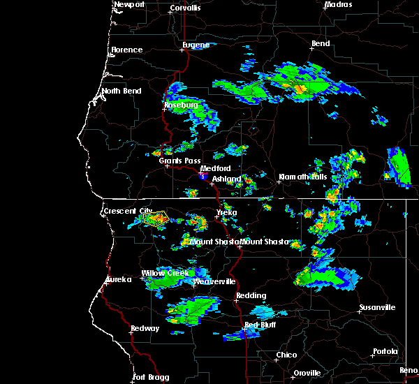
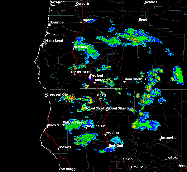
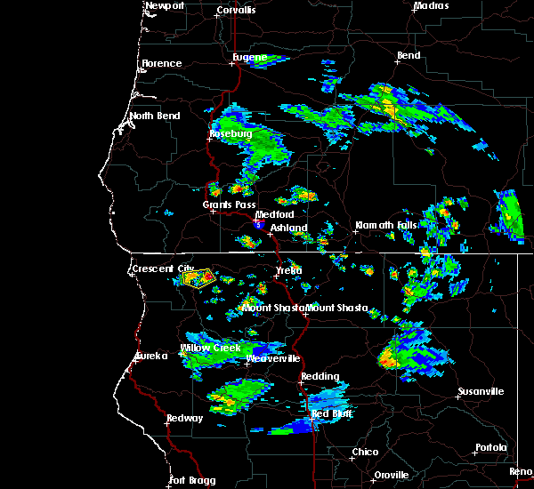
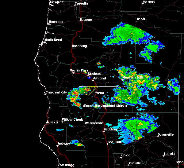
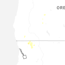
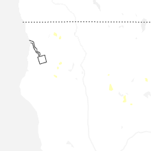
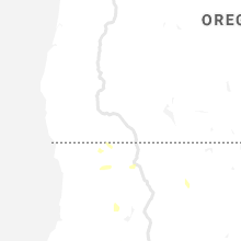
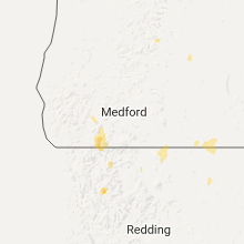
Hail Map for Happy Camp, CA
The Happy Camp, CA area has had 0 reports of on-the-ground hail by trained spotters, and has been under severe weather warnings 10 times during the past 12 months. Doppler radar has detected hail at or near Happy Camp, CA on 7 occasions, including 2 occasions during the past year.
| Name: | Happy Camp, CA |
| Where Located: | 44.1 miles SW of Medford, OR |
| Map: | Google Map for Happy Camp, CA |
| Population: | 1190 |
| Housing Units: | 646 |
| More Info: | Search Google for Happy Camp, CA |
5
The Top Recent Hail Date for Happy Camp, CA is Friday, August 1, 2025 (2nd out of 7)
Hail and Wind Damage Spotted near Happy Camp, CA
| Date / Time | Report Details |
|---|---|
| 8/1/2025 6:41 PM PDT |
 The storm which prompted the warning has weakened below severe limits, and no longer poses an immediate threat to life or property. therefore, the warning will be allowed to expire. however small hail and gusty winds are still possible with this thunderstorm. The storm which prompted the warning has weakened below severe limits, and no longer poses an immediate threat to life or property. therefore, the warning will be allowed to expire. however small hail and gusty winds are still possible with this thunderstorm.
|
| 8/1/2025 6:36 PM PDT |
 At 636 pm pdt, a severe thunderstorm was located 7 miles north of seiad valley, or 12 miles northeast of happy camp, moving north at 5 mph (radar indicated). Hazards include 60 mph wind gusts and half dollar size hail. Hail damage to vehicles is expected. expect wind damage to roofs, siding, and trees. This severe thunderstorm will remain over mainly rural areas of northwestern siskiyou county. At 636 pm pdt, a severe thunderstorm was located 7 miles north of seiad valley, or 12 miles northeast of happy camp, moving north at 5 mph (radar indicated). Hazards include 60 mph wind gusts and half dollar size hail. Hail damage to vehicles is expected. expect wind damage to roofs, siding, and trees. This severe thunderstorm will remain over mainly rural areas of northwestern siskiyou county.
|
| 8/1/2025 6:26 PM PDT |
 At 626 pm pdt, a severe thunderstorm was located near seiad valley, or 11 miles northeast of happy camp, moving north at 5 mph (radar indicated). Hazards include 60 mph wind gusts and half dollar size hail. Hail damage to vehicles is expected. expect wind damage to roofs, siding, and trees. This severe thunderstorm will remain over mainly rural areas of northwestern siskiyou county. At 626 pm pdt, a severe thunderstorm was located near seiad valley, or 11 miles northeast of happy camp, moving north at 5 mph (radar indicated). Hazards include 60 mph wind gusts and half dollar size hail. Hail damage to vehicles is expected. expect wind damage to roofs, siding, and trees. This severe thunderstorm will remain over mainly rural areas of northwestern siskiyou county.
|
| 8/1/2025 6:15 PM PDT |
 At 614 pm pdt, a severe thunderstorm was located near seiad valley, or 10 miles northeast of happy camp, moving north at 5 mph (radar indicated). Hazards include 60 mph wind gusts and half dollar size hail. Hail damage to vehicles is expected. expect wind damage to roofs, siding, and trees. Locations impacted include, seiad valley. At 614 pm pdt, a severe thunderstorm was located near seiad valley, or 10 miles northeast of happy camp, moving north at 5 mph (radar indicated). Hazards include 60 mph wind gusts and half dollar size hail. Hail damage to vehicles is expected. expect wind damage to roofs, siding, and trees. Locations impacted include, seiad valley.
|
| 8/1/2025 6:03 PM PDT |
 At 602 pm pdt, a severe thunderstorm was located near seiad valley, or 8 miles northeast of happy camp, moving north at 5 mph (radar indicated). Hazards include 60 mph wind gusts and half dollar size hail. Hail damage to vehicles is expected. expect wind damage to roofs, siding, and trees. Locations impacted include, happy camp, curley jack campground, and seiad valley. At 602 pm pdt, a severe thunderstorm was located near seiad valley, or 8 miles northeast of happy camp, moving north at 5 mph (radar indicated). Hazards include 60 mph wind gusts and half dollar size hail. Hail damage to vehicles is expected. expect wind damage to roofs, siding, and trees. Locations impacted include, happy camp, curley jack campground, and seiad valley.
|
| 8/1/2025 5:53 PM PDT |
 Svrmfr the national weather service in medford has issued a * severe thunderstorm warning for, northwestern siskiyou county in northern california, * until 645 pm pdt. * at 553 pm pdt, a severe thunderstorm was located over seiad valley, or 8 miles northeast of happy camp, moving north at 5 mph (radar indicated). Hazards include 60 mph wind gusts and quarter size hail. Hail damage to vehicles is expected. Expect wind damage to roofs, siding, and trees. Svrmfr the national weather service in medford has issued a * severe thunderstorm warning for, northwestern siskiyou county in northern california, * until 645 pm pdt. * at 553 pm pdt, a severe thunderstorm was located over seiad valley, or 8 miles northeast of happy camp, moving north at 5 mph (radar indicated). Hazards include 60 mph wind gusts and quarter size hail. Hail damage to vehicles is expected. Expect wind damage to roofs, siding, and trees.
|
| 7/30/2025 4:53 PM PDT |
 the severe thunderstorm warning has been cancelled and is no longer in effect the severe thunderstorm warning has been cancelled and is no longer in effect
|
| 7/30/2025 4:29 PM PDT |
 Svrmfr the national weather service in medford has issued a * severe thunderstorm warning for, northwestern siskiyou county in northern california, * until 515 pm pdt. * at 429 pm pdt, a severe thunderstorm was located near curley jack campground, or near happy camp, moving northwest at 10 mph (radar indicated). Hazards include 60 mph wind gusts and quarter size hail. Hail damage to vehicles is expected. Expect wind damage to roofs, siding, and trees. Svrmfr the national weather service in medford has issued a * severe thunderstorm warning for, northwestern siskiyou county in northern california, * until 515 pm pdt. * at 429 pm pdt, a severe thunderstorm was located near curley jack campground, or near happy camp, moving northwest at 10 mph (radar indicated). Hazards include 60 mph wind gusts and quarter size hail. Hail damage to vehicles is expected. Expect wind damage to roofs, siding, and trees.
|
| 7/7/2025 8:38 PM PDT |
 The storm which prompted the warning has weakened below severe limits, and no longer poses an immediate threat to life or property. therefore, the warning will be allowed to expire. however gusty winds and heavy rain are still possible with this thunderstorm. The storm which prompted the warning has weakened below severe limits, and no longer poses an immediate threat to life or property. therefore, the warning will be allowed to expire. however gusty winds and heavy rain are still possible with this thunderstorm.
|
| 7/7/2025 8:13 PM PDT |
 Svrmfr the national weather service in medford has issued a * severe thunderstorm warning for, northwestern siskiyou county in northern california, * until 845 pm pdt. * at 813 pm pdt, a severe thunderstorm was located near seiad valley, or 10 miles east of happy camp, moving northwest at 20 mph (radar indicated). Hazards include 60 mph wind gusts and quarter size hail. Hail damage to vehicles is expected. Expect wind damage to roofs, siding, and trees. Svrmfr the national weather service in medford has issued a * severe thunderstorm warning for, northwestern siskiyou county in northern california, * until 845 pm pdt. * at 813 pm pdt, a severe thunderstorm was located near seiad valley, or 10 miles east of happy camp, moving northwest at 20 mph (radar indicated). Hazards include 60 mph wind gusts and quarter size hail. Hail damage to vehicles is expected. Expect wind damage to roofs, siding, and trees.
|
| 8/10/2017 5:40 PM PDT |
 The severe thunderstorm warning for west central siskiyou county will expire at 545 pm pdt, the storm which prompted the warning has weakened below severe limits, and no longer poses an immediate threat to life or property. therefore the warning will be allowed to expire. however small hail, gusty winds and heavy rain are still possible with this thunderstorm. The severe thunderstorm warning for west central siskiyou county will expire at 545 pm pdt, the storm which prompted the warning has weakened below severe limits, and no longer poses an immediate threat to life or property. therefore the warning will be allowed to expire. however small hail, gusty winds and heavy rain are still possible with this thunderstorm.
|
| 8/10/2017 5:33 PM PDT |
 At 532 pm pdt, a severe thunderstorm was located near curley jack campground, or near happy camp, moving southwest at 10 mph (radar indicated). Hazards include quarter size hail. Damage to vehicles is expected. locations impacted include, happy camp and curley jack campground and the clear wildfire. This includes, highway 96 in california between mile markers 24 and 42, and near mile marker 44. At 532 pm pdt, a severe thunderstorm was located near curley jack campground, or near happy camp, moving southwest at 10 mph (radar indicated). Hazards include quarter size hail. Damage to vehicles is expected. locations impacted include, happy camp and curley jack campground and the clear wildfire. This includes, highway 96 in california between mile markers 24 and 42, and near mile marker 44.
|
| 8/10/2017 5:17 PM PDT |
 At 516 pm pdt, a severe thunderstorm was located near curley jack campground, or near happy camp, moving southwest at 10 mph (radar indicated). Hazards include quarter size hail. damage to vehicles is expected At 516 pm pdt, a severe thunderstorm was located near curley jack campground, or near happy camp, moving southwest at 10 mph (radar indicated). Hazards include quarter size hail. damage to vehicles is expected
|
| 7/7/2015 5:11 PM PDT |
 At 509 pm pdt, doppler radar indicated a severe thunderstorm capable of producing quarter size hail and damaging winds in excess of 60 mph. this storm was located near happy camp, and moving west at 30 mph. * there is increased potential for runoff in the vicinity of a burn scar in happy camp. At 509 pm pdt, doppler radar indicated a severe thunderstorm capable of producing quarter size hail and damaging winds in excess of 60 mph. this storm was located near happy camp, and moving west at 30 mph. * there is increased potential for runoff in the vicinity of a burn scar in happy camp.
|
| 8/5/2012 6:20 PM PDT | Several trees down in siskiyou county CA, 2 miles SSW of Happy Camp, CA |
Hail Maps for Happy Camp, CA


Connect with Interactive Hail Maps