

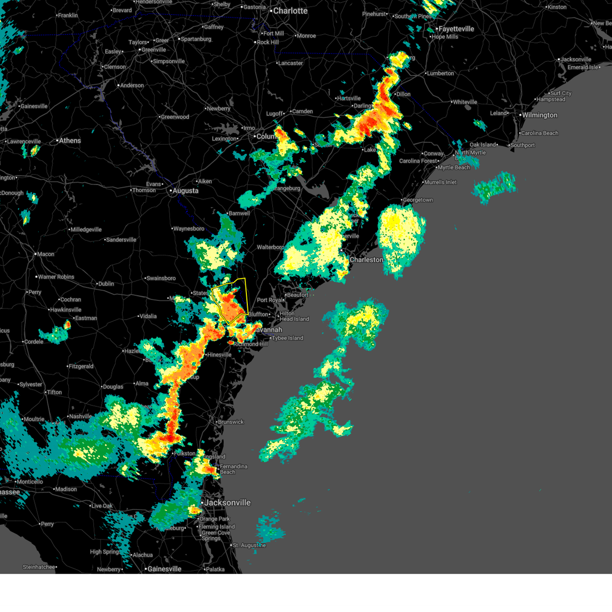
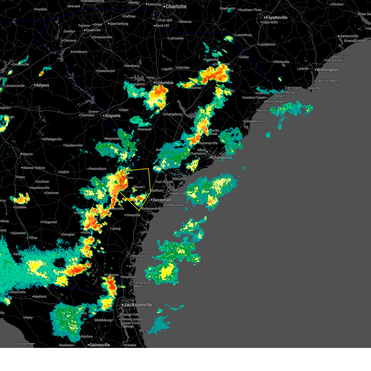
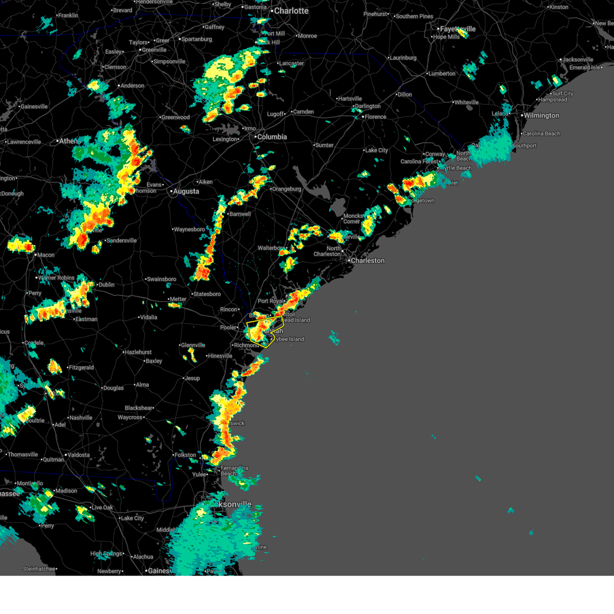
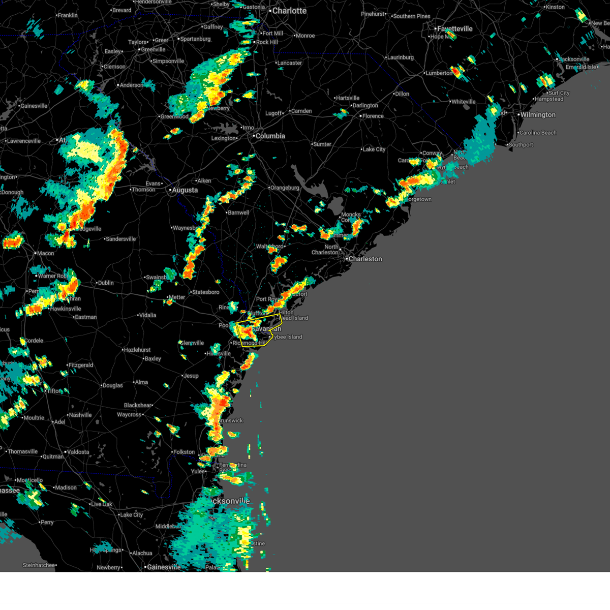
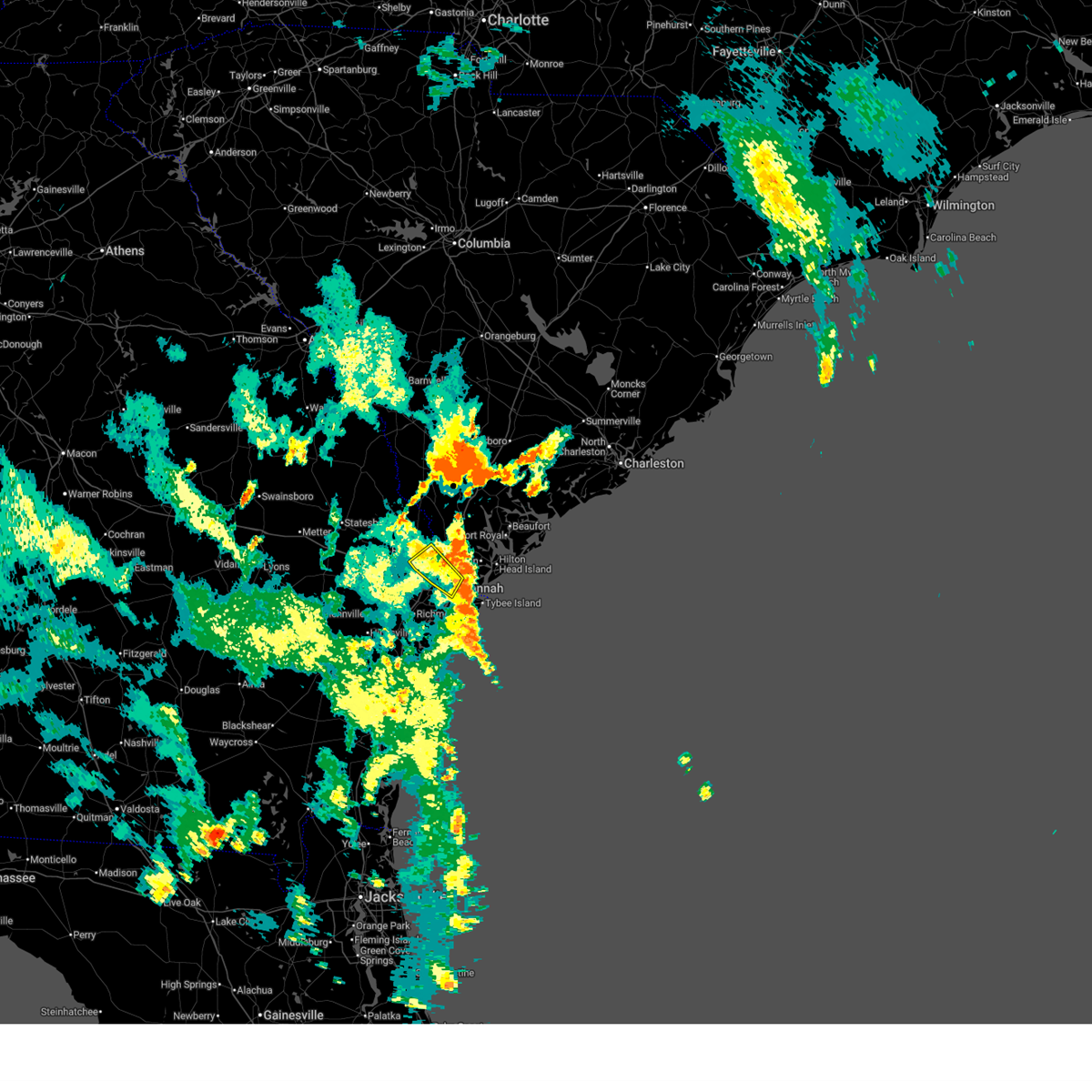
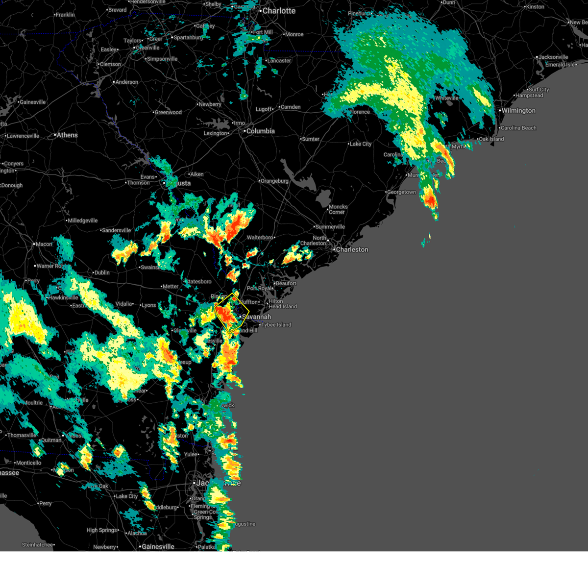
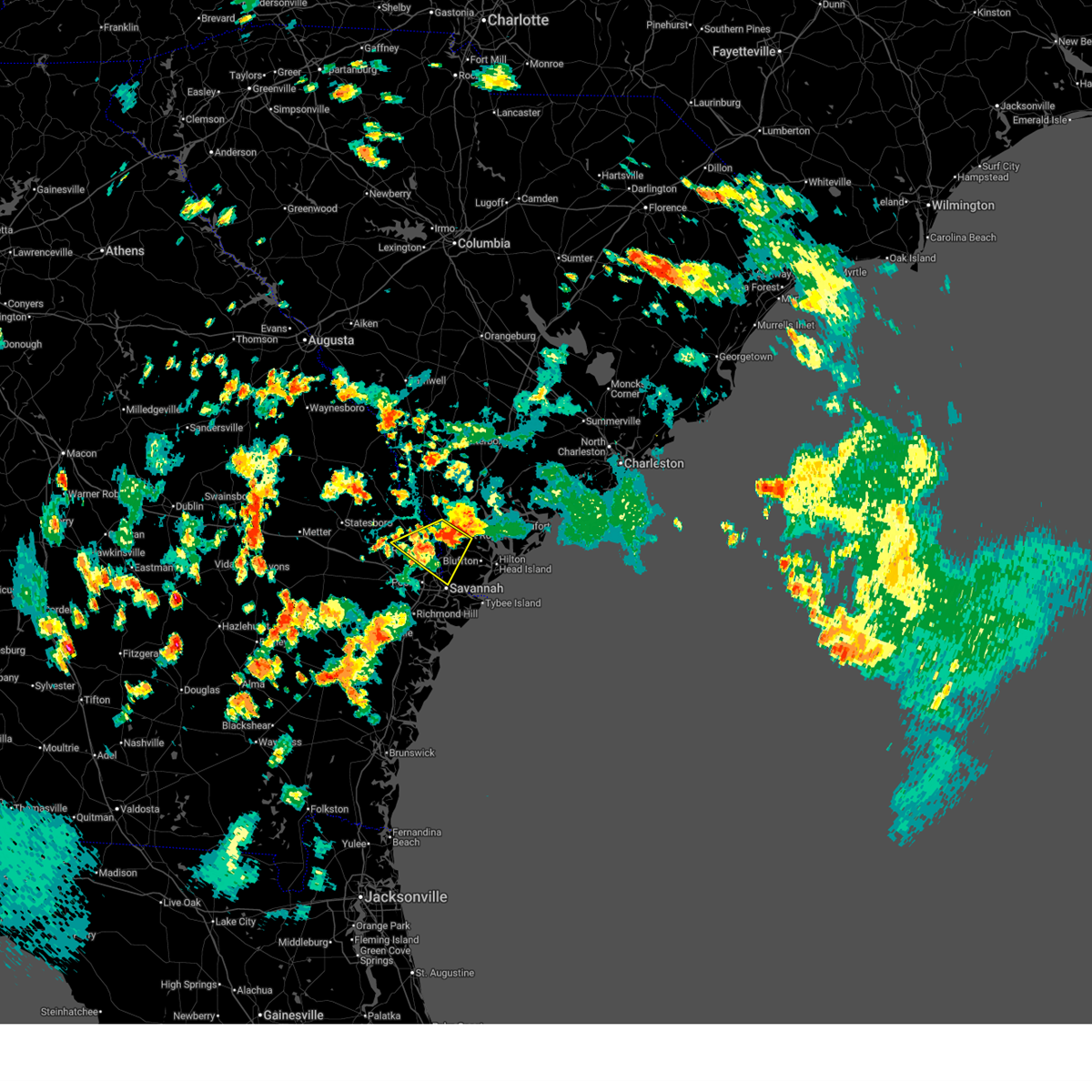
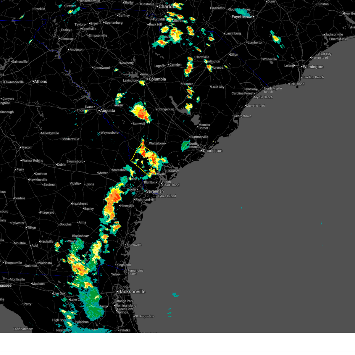
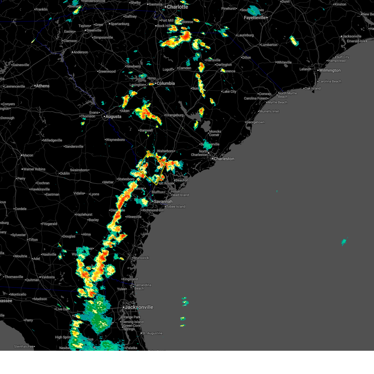
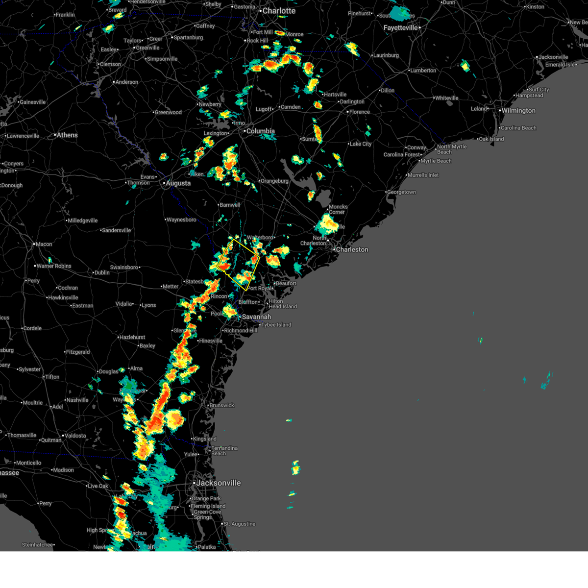
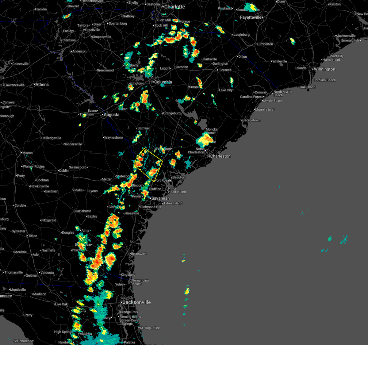
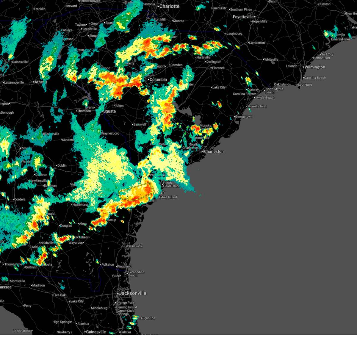
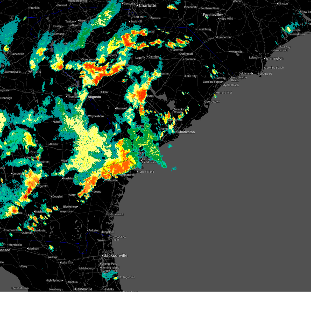
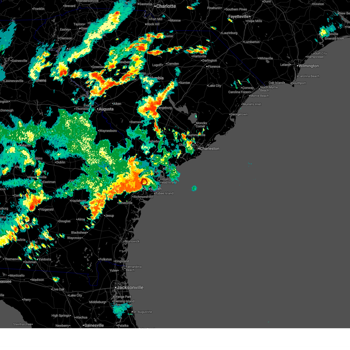
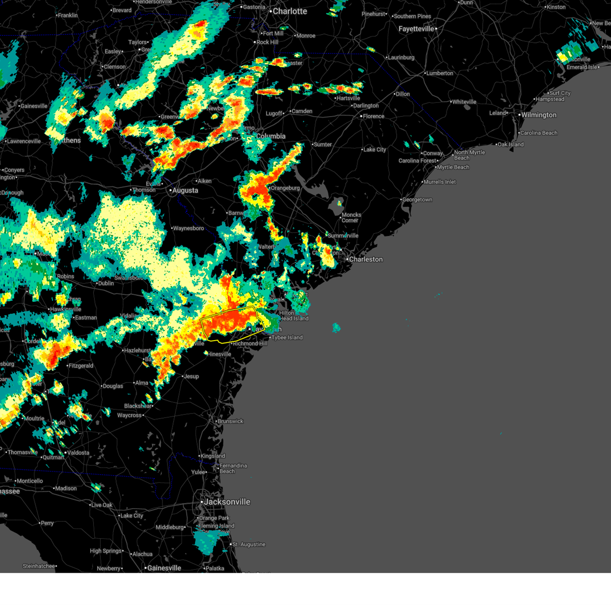
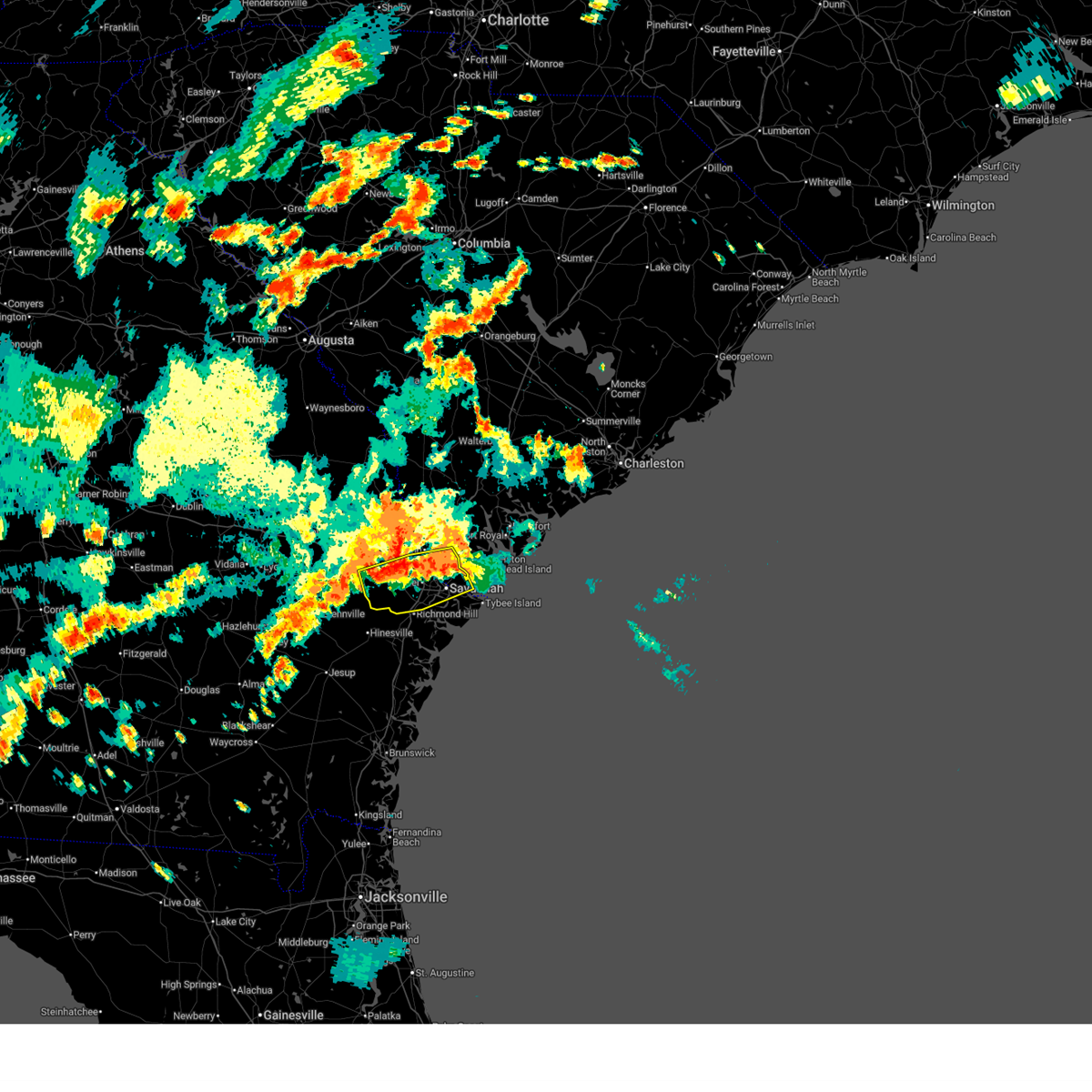
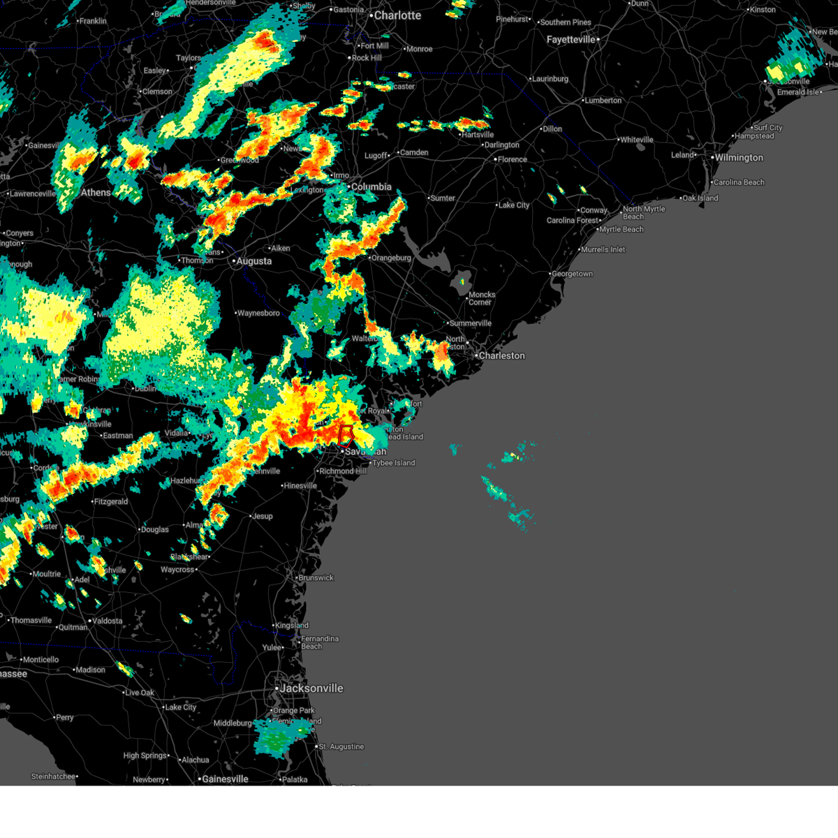
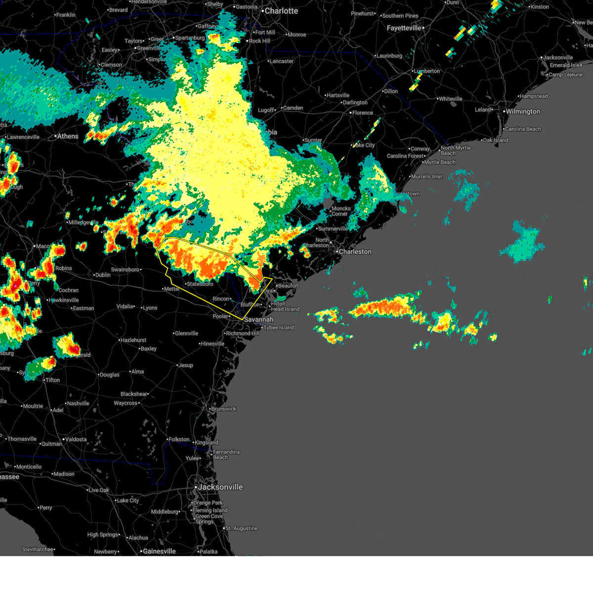
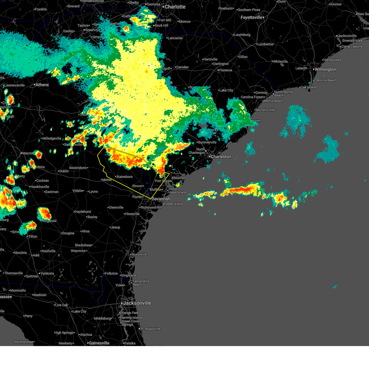
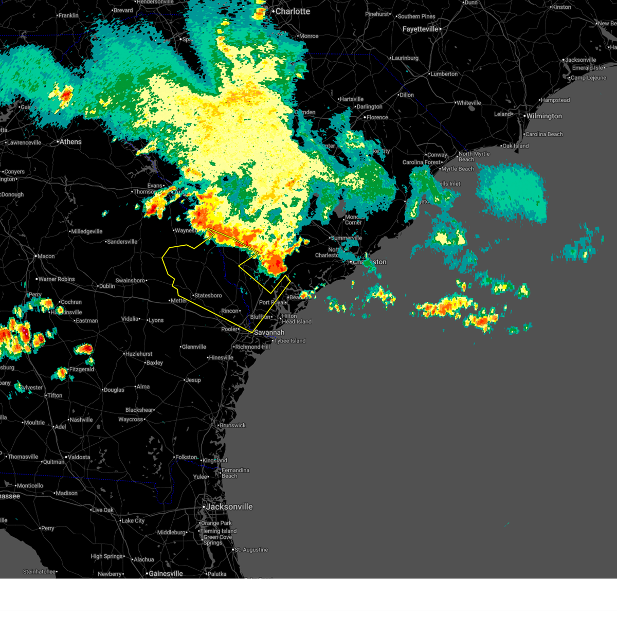
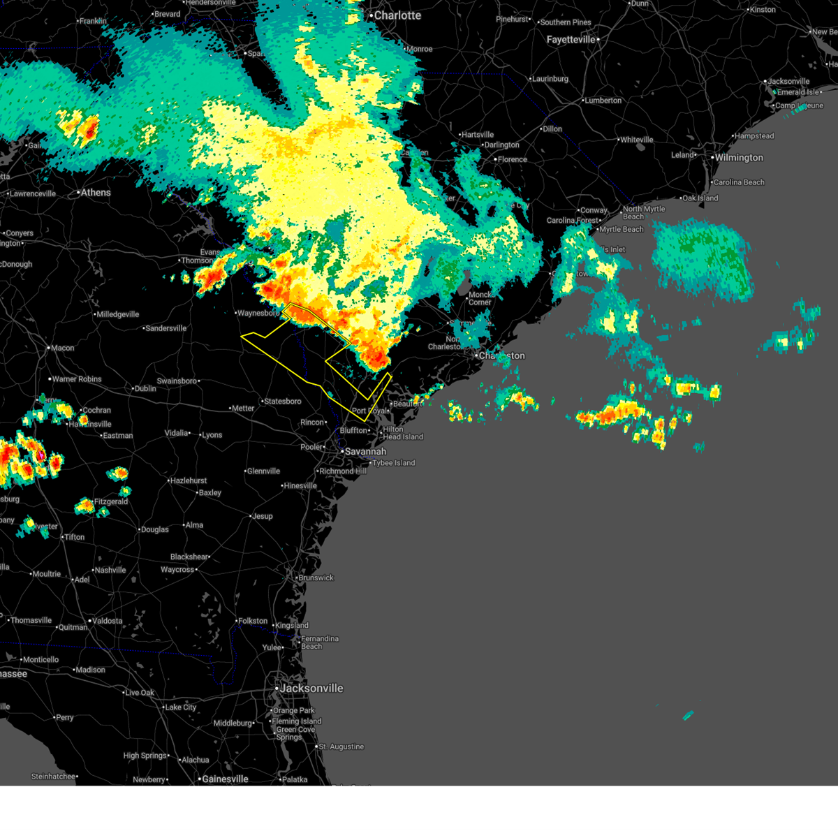
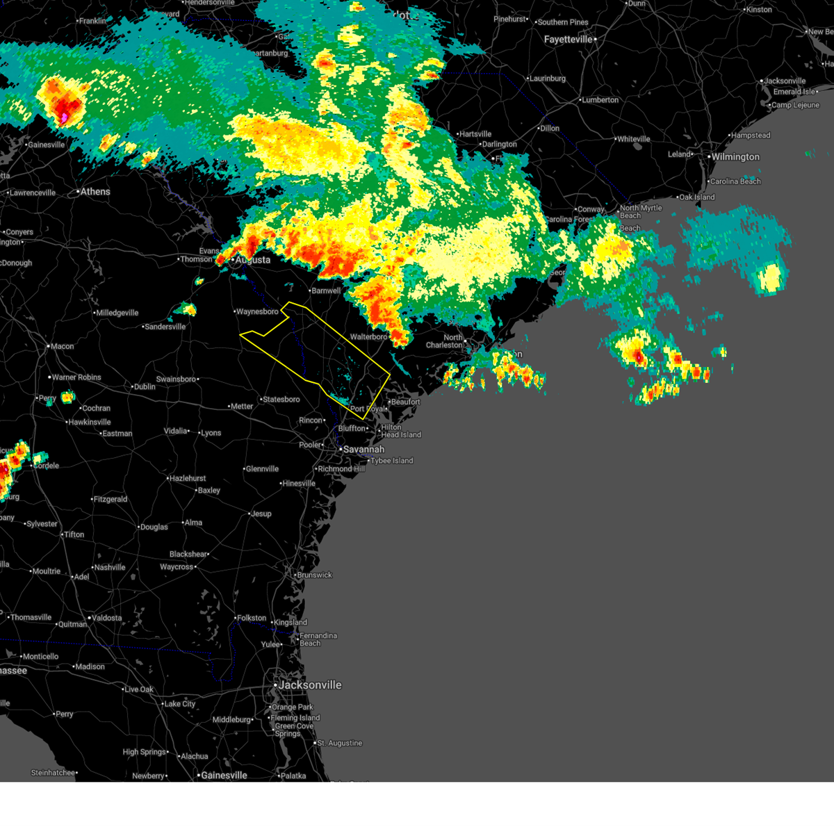
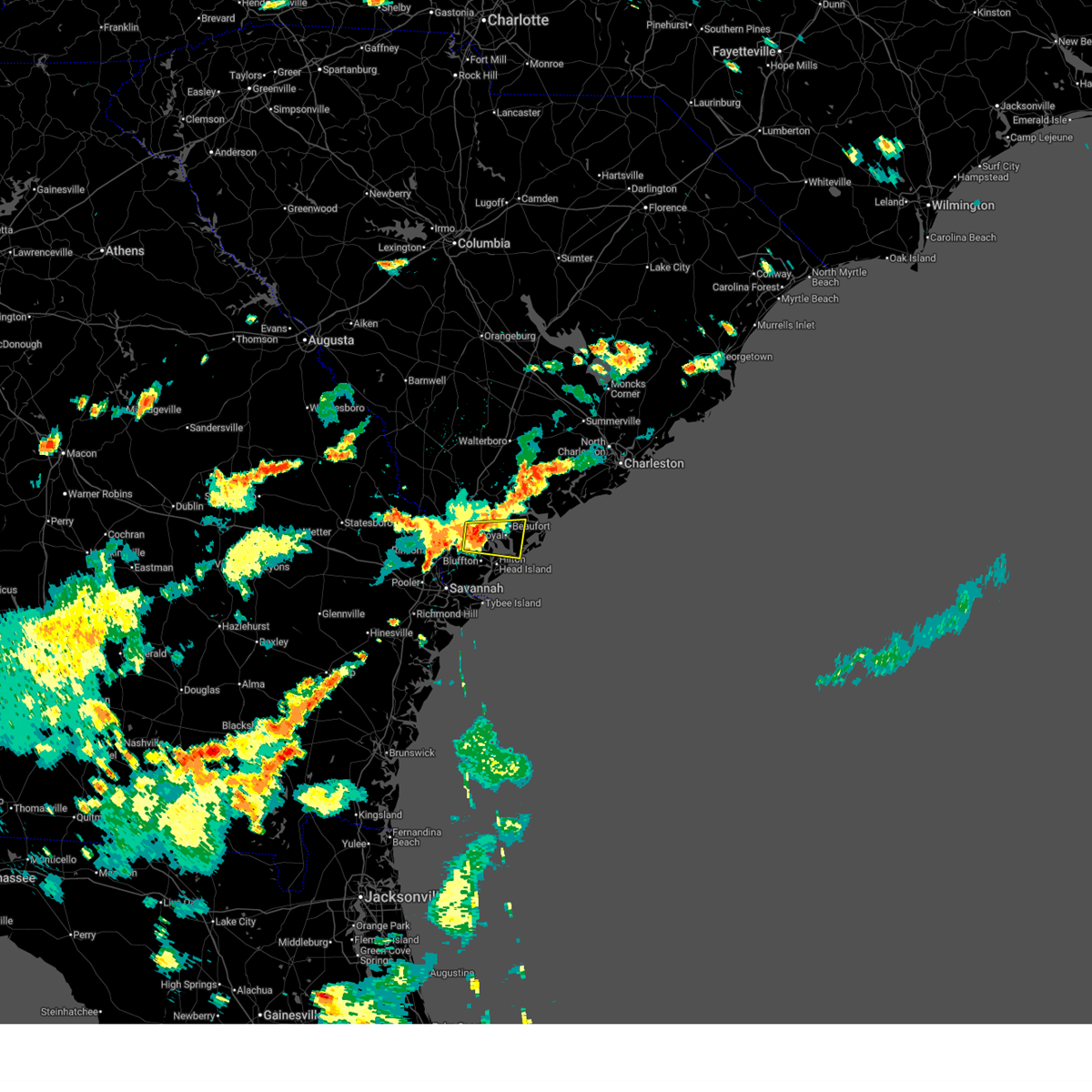
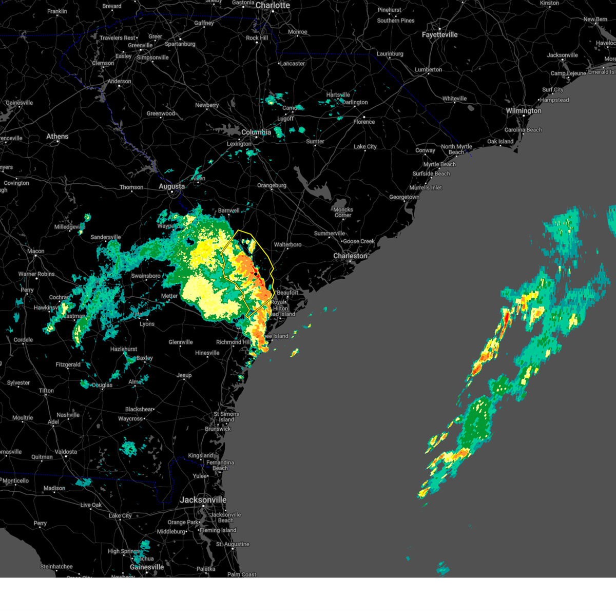
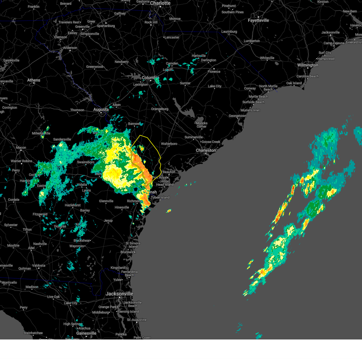
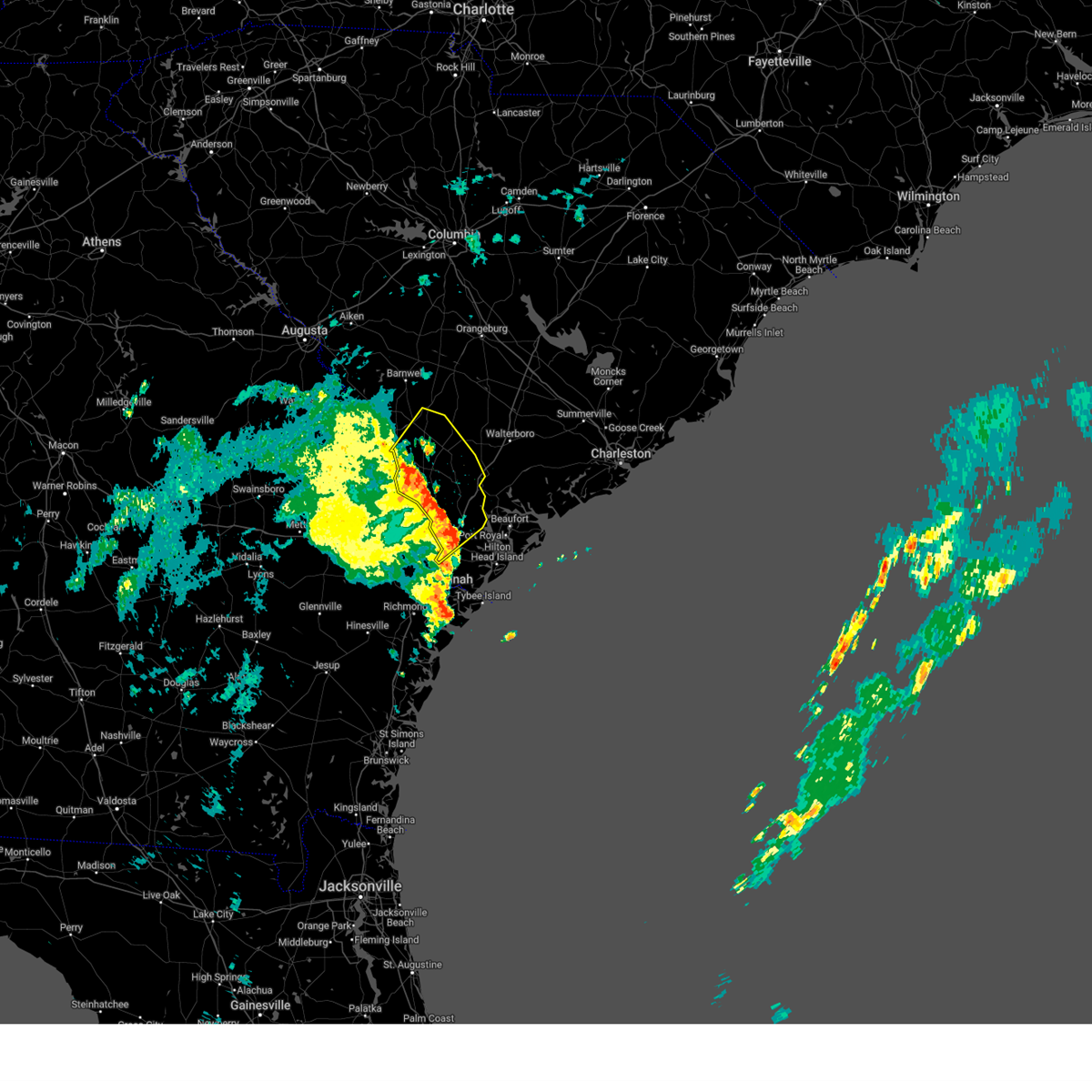
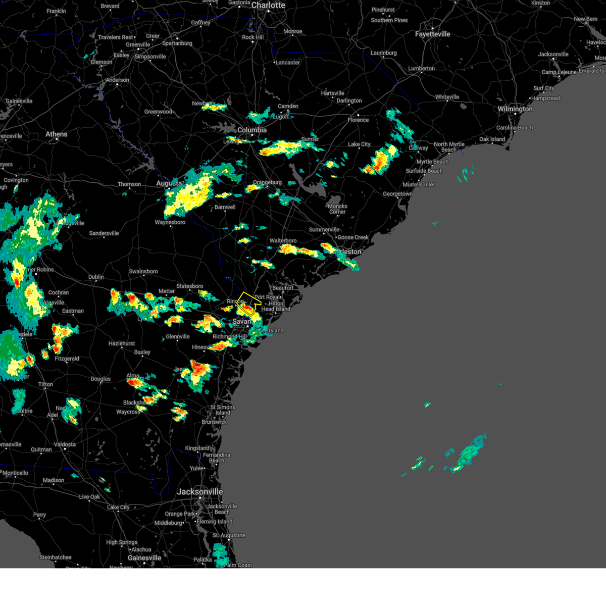
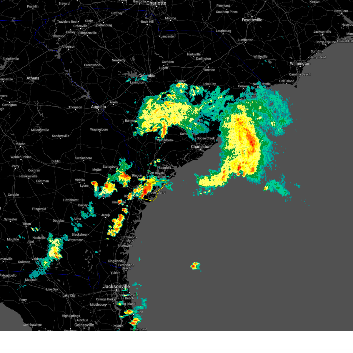
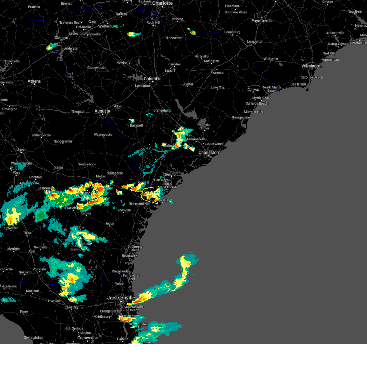
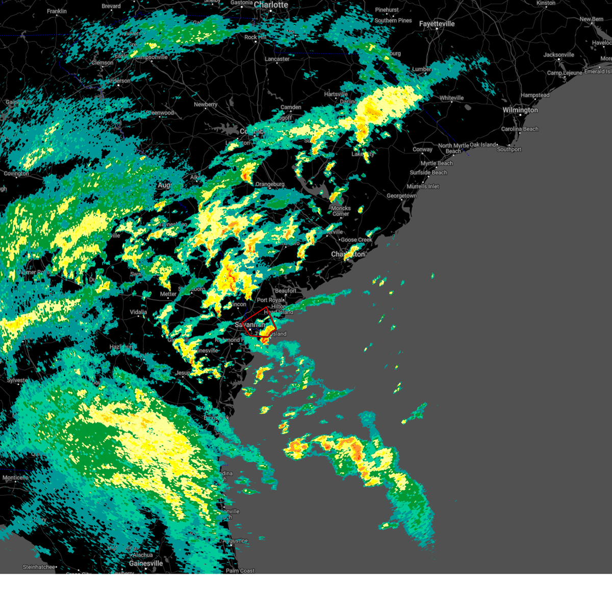
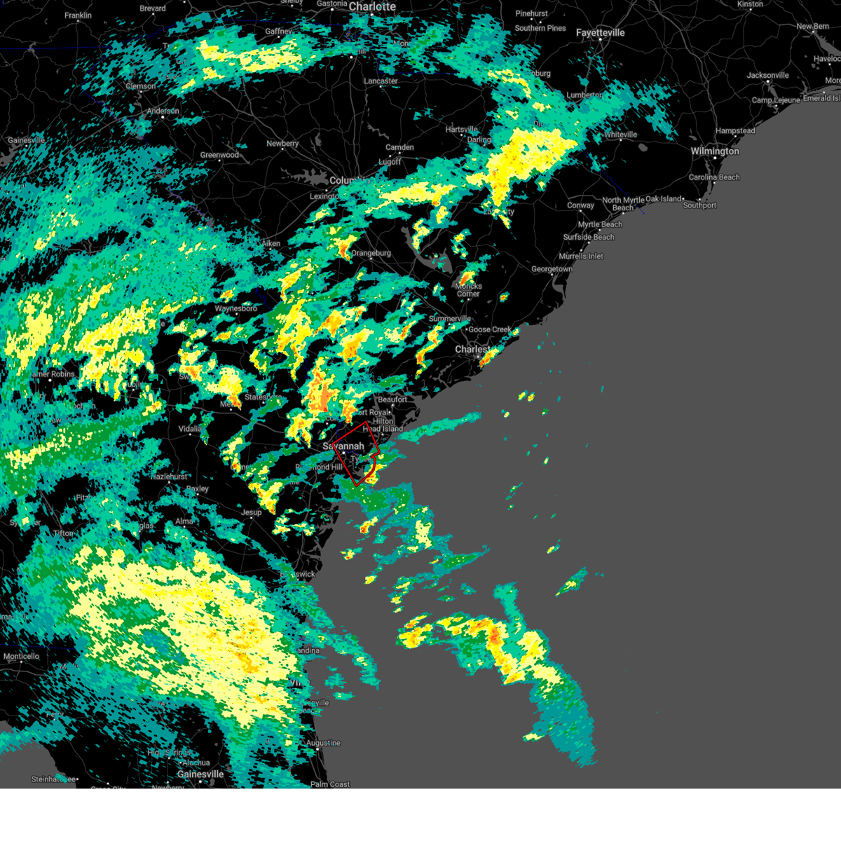
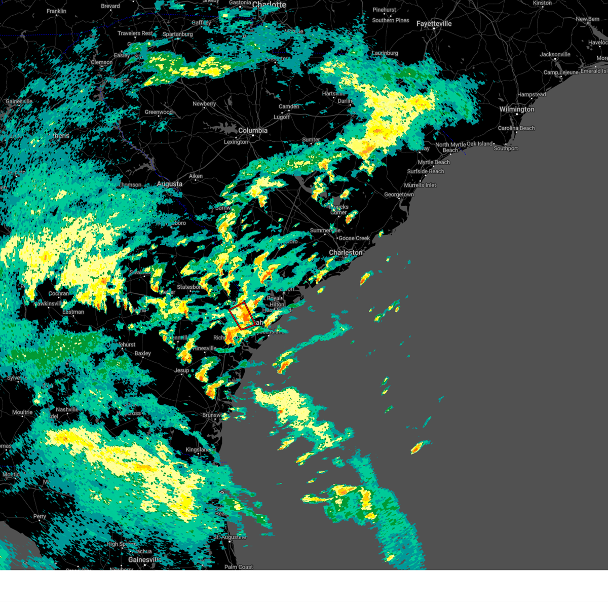
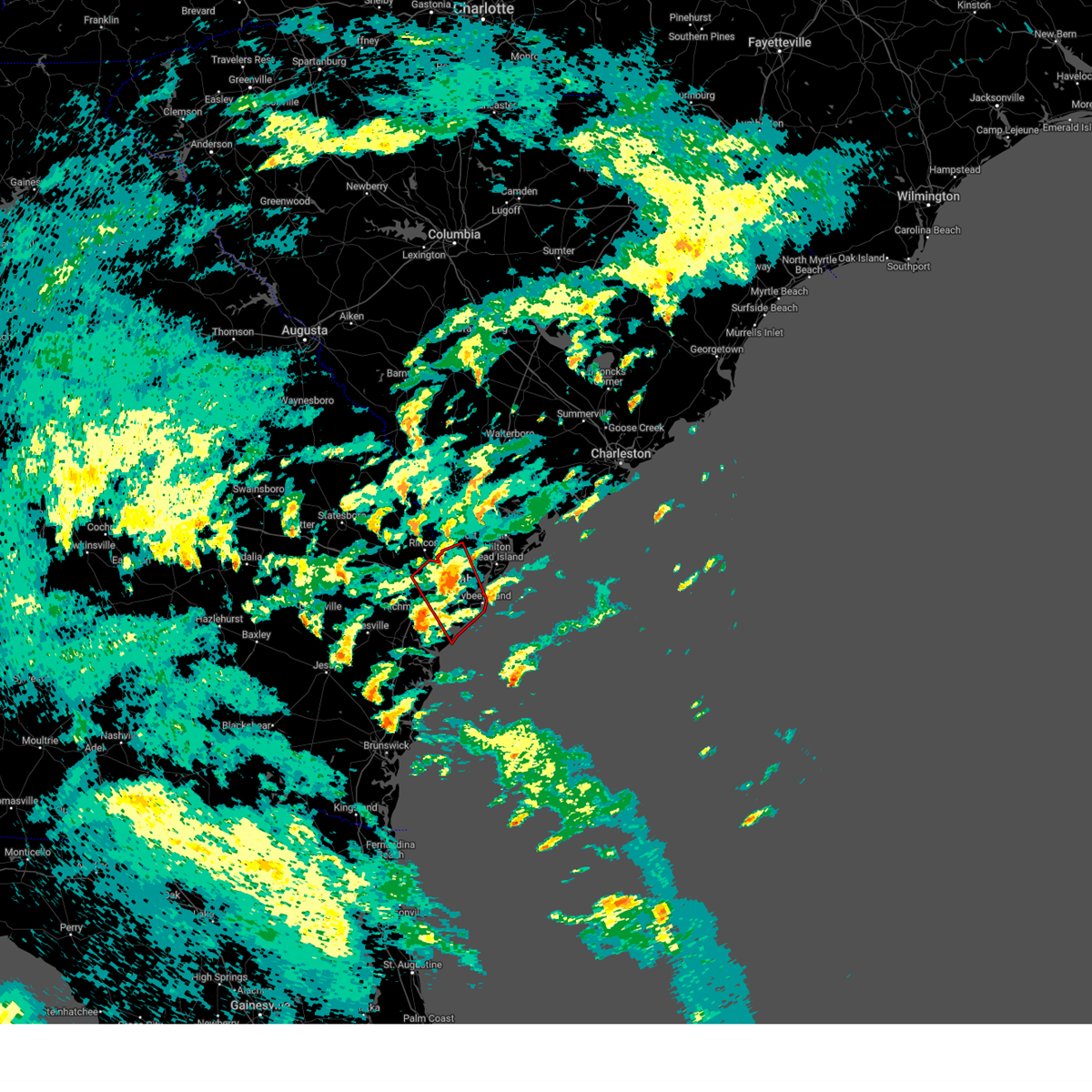
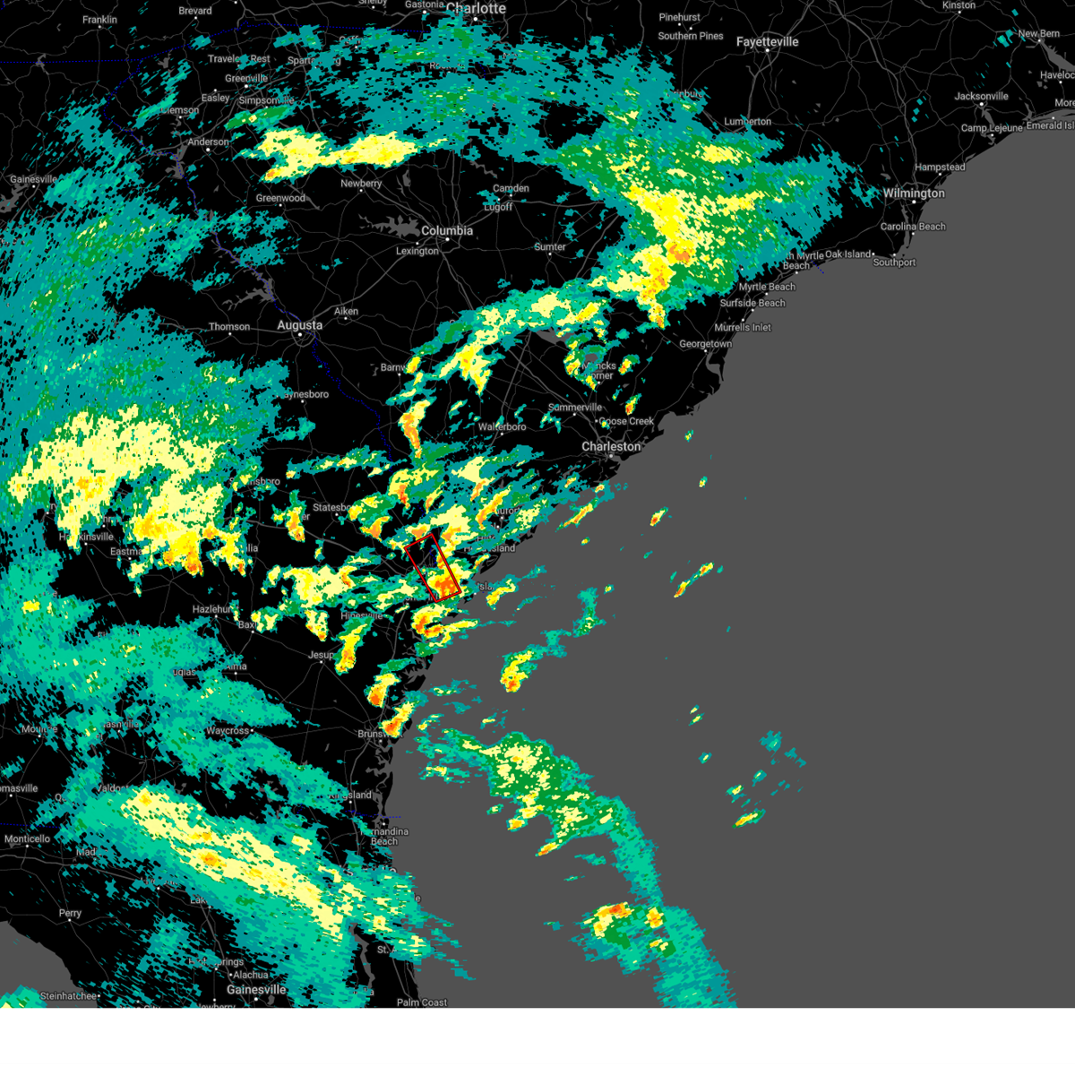
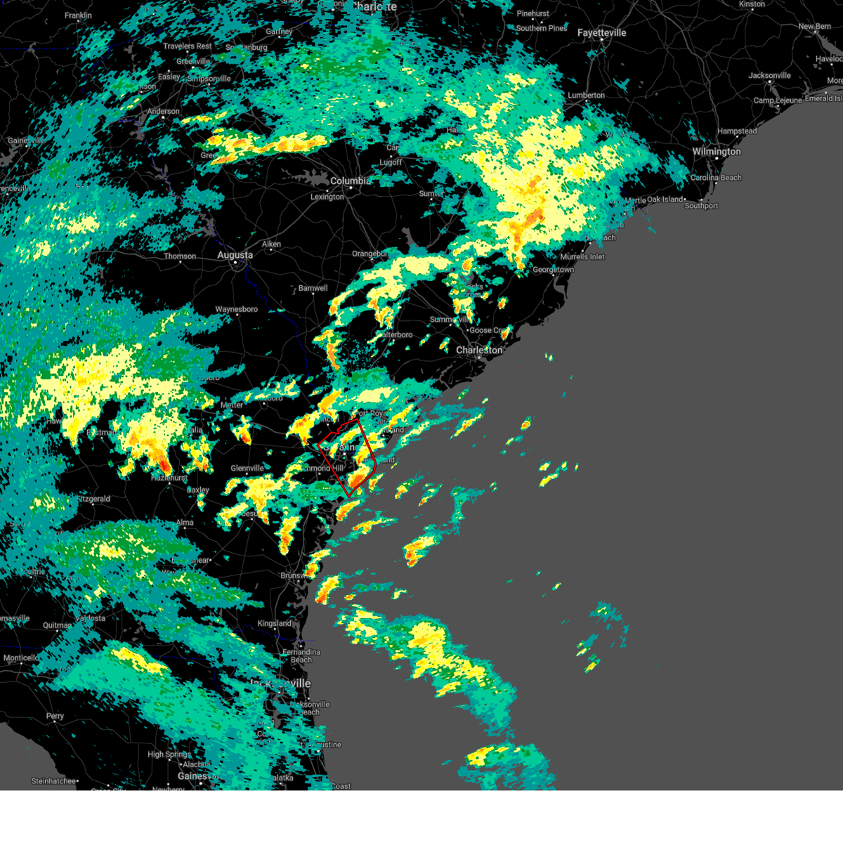
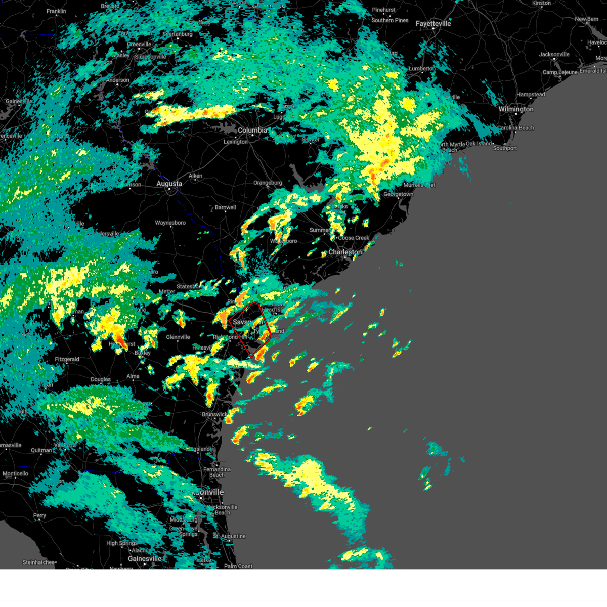
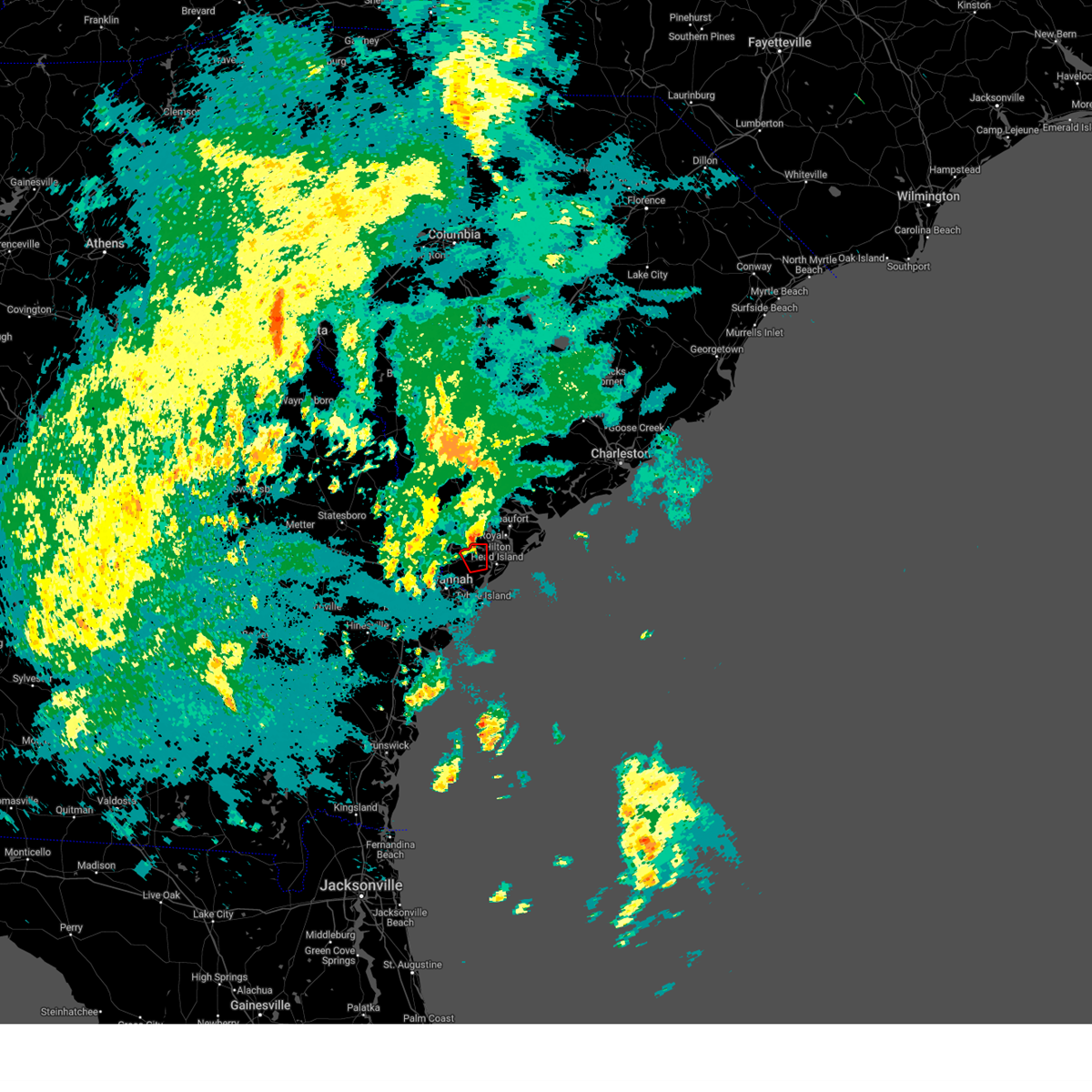
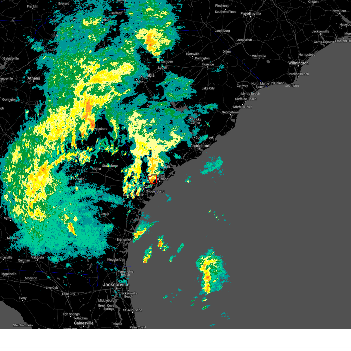
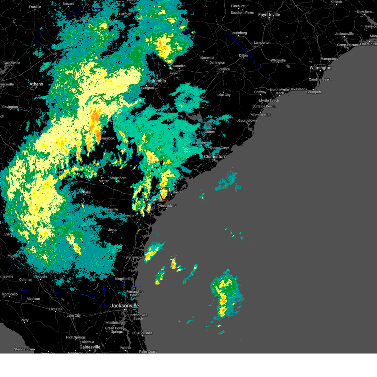
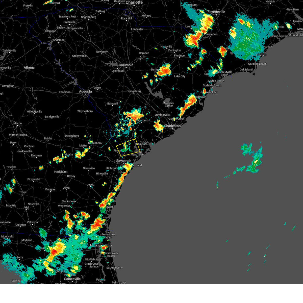
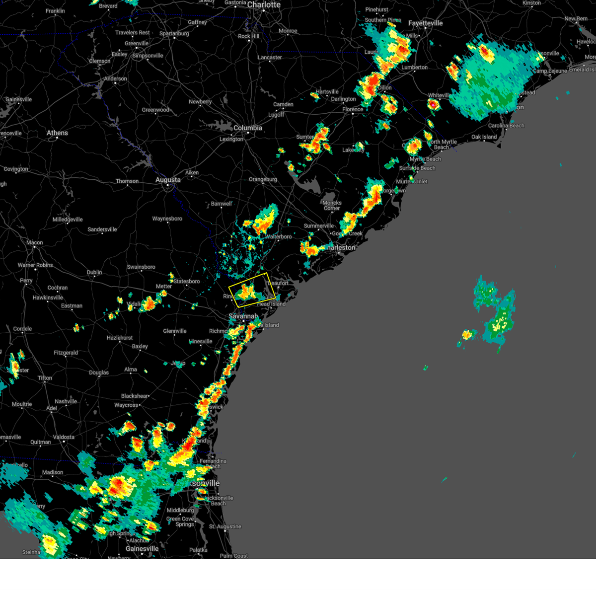
Hail Map for Hardeeville, SC
The Hardeeville, SC area has had 6 reports of on-the-ground hail by trained spotters, and has been under severe weather warnings 33 times during the past 12 months. Doppler radar has detected hail at or near Hardeeville, SC on 114 occasions, including 2 occasions during the past year.
| Name: | Hardeeville, SC |
| Where Located: | 14.4 miles N of Savannah, GA |
| Map: | Google Map for Hardeeville, SC |
| Population: | 2952 |
| Housing Units: | 1292 |
| More Info: | Search Google for Hardeeville, SC |
1
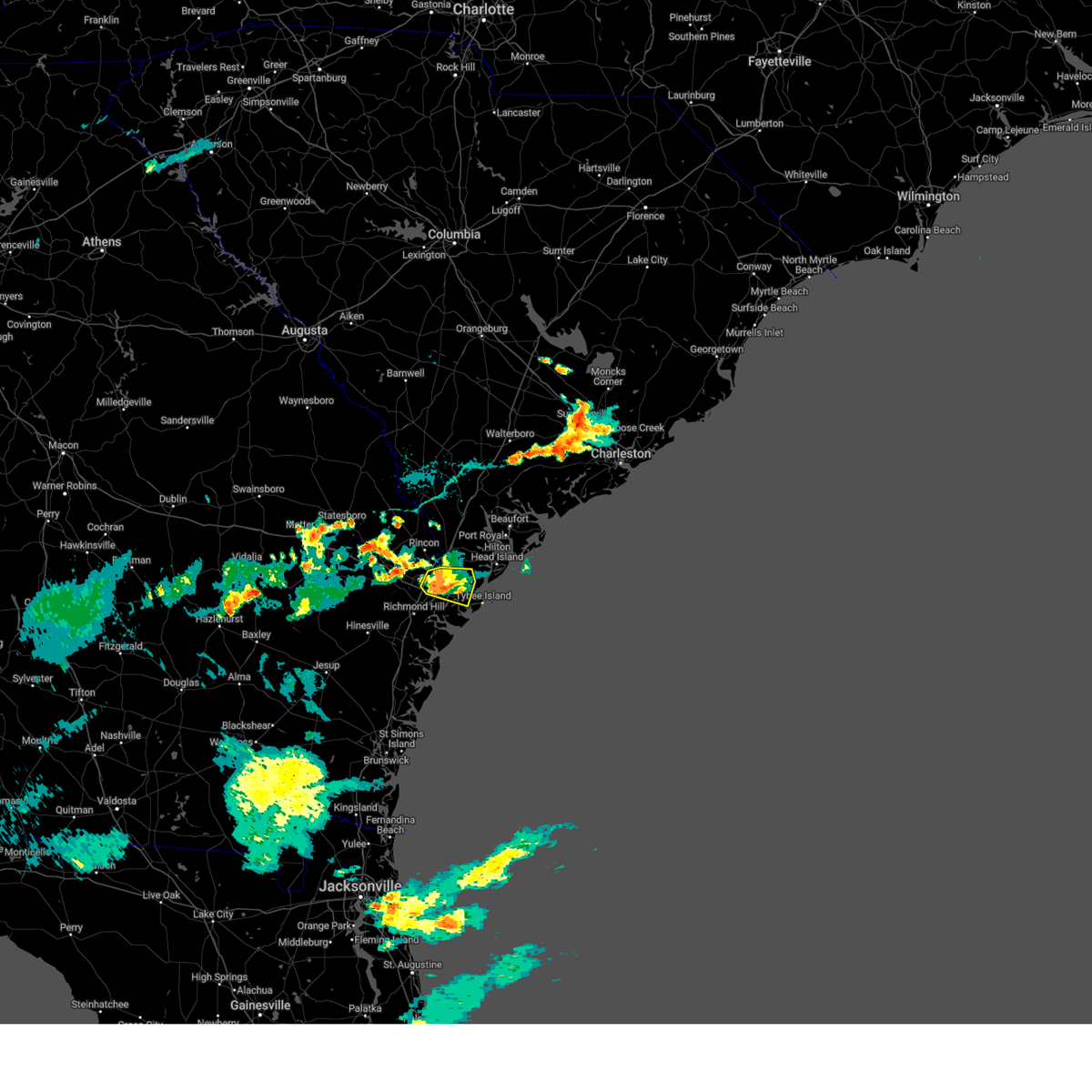
The Top Recent Hail Date for Hardeeville, SC is Tuesday, July 22, 2025 (34th out of 114)
Hail and Wind Damage Spotted near Hardeeville, SC
| Date / Time | Report Details |
|---|---|
| 6/18/2026 4:43 PM EDT |
 Svrchs the national weather service in charleston has issued a * severe thunderstorm warning for portions of, beaufort county in southeastern south carolina, colleton county in southeastern south carolina, jasper county in southeastern south carolina, * until 515 pm edt. * at 443 pm edt, severe thunderstorms were located along a line from near old house to 6 miles north of fort pulaski national monument, moving east at 30 mph (radar indicated). Hazards include 60 mph wind gusts. expect damage to roofs, siding, and trees Svrchs the national weather service in charleston has issued a * severe thunderstorm warning for portions of, beaufort county in southeastern south carolina, colleton county in southeastern south carolina, jasper county in southeastern south carolina, * until 515 pm edt. * at 443 pm edt, severe thunderstorms were located along a line from near old house to 6 miles north of fort pulaski national monument, moving east at 30 mph (radar indicated). Hazards include 60 mph wind gusts. expect damage to roofs, siding, and trees
|
| 6/18/2026 4:27 PM EDT |
 The severe thunderstorm warning that was previously in effect has been reissued for beaufort, hampton, and jasper counties and is in effect until 515 pm edt. please refer to that bulletin for the latest severe weather information. The severe thunderstorm warning that was previously in effect has been reissued for beaufort, hampton, and jasper counties and is in effect until 515 pm edt. please refer to that bulletin for the latest severe weather information.
|
| 6/18/2026 3:52 PM EDT |
 Svrchs the national weather service in charleston has issued a * severe thunderstorm warning for portions of, chatham county in southeastern georgia, effingham county in southeastern georgia, beaufort county in southeastern south carolina, hampton county in southeastern south carolina, jasper county in southeastern south carolina, * until 430 pm edt. * at 352 pm edt, severe thunderstorms were located along a line from over egypt to over bloomingdale, moving northeast at 35 mph (radar indicated). Hazards include 60 mph wind gusts. expect damage to roofs, siding, and trees Svrchs the national weather service in charleston has issued a * severe thunderstorm warning for portions of, chatham county in southeastern georgia, effingham county in southeastern georgia, beaufort county in southeastern south carolina, hampton county in southeastern south carolina, jasper county in southeastern south carolina, * until 430 pm edt. * at 352 pm edt, severe thunderstorms were located along a line from over egypt to over bloomingdale, moving northeast at 35 mph (radar indicated). Hazards include 60 mph wind gusts. expect damage to roofs, siding, and trees
|
| 6/14/2026 6:44 PM EDT |
 At 644 pm edt, severe thunderstorms were located along a line from over tarboro to near richmond hill, moving east at 35 mph (radar indicated). Hazards include 60 mph wind gusts. Expect damage to roofs, siding, and trees. locations impacted include, springfield, rincon, hardeeville, guyton, stillwell, clyo, ebenezer, pineora, shawnee and marlow. This includes i-95 in south carolina between mile markers 2 and 3. At 644 pm edt, severe thunderstorms were located along a line from over tarboro to near richmond hill, moving east at 35 mph (radar indicated). Hazards include 60 mph wind gusts. Expect damage to roofs, siding, and trees. locations impacted include, springfield, rincon, hardeeville, guyton, stillwell, clyo, ebenezer, pineora, shawnee and marlow. This includes i-95 in south carolina between mile markers 2 and 3.
|
| 6/14/2026 6:14 PM EDT |
 Svrchs the national weather service in charleston has issued a * severe thunderstorm warning for portions of, bryan county in southeastern georgia, bulloch county in southeastern georgia, chatham county in southeastern georgia, effingham county in southeastern georgia, screven county in southeastern georgia, hampton county in southeastern south carolina, jasper county in southeastern south carolina, * until 715 pm edt. * at 614 pm edt, severe thunderstorms were located along a line from over kildare to 6 miles north of fort stewart, moving east at 35 mph (radar indicated). Hazards include 60 mph wind gusts. expect damage to roofs, siding, and trees Svrchs the national weather service in charleston has issued a * severe thunderstorm warning for portions of, bryan county in southeastern georgia, bulloch county in southeastern georgia, chatham county in southeastern georgia, effingham county in southeastern georgia, screven county in southeastern georgia, hampton county in southeastern south carolina, jasper county in southeastern south carolina, * until 715 pm edt. * at 614 pm edt, severe thunderstorms were located along a line from over kildare to 6 miles north of fort stewart, moving east at 35 mph (radar indicated). Hazards include 60 mph wind gusts. expect damage to roofs, siding, and trees
|
| 6/14/2026 3:45 PM EDT |
 At 345 pm edt, a severe thunderstorm was located over whitemarsh island, moving east at 20 mph (radar indicated). Hazards include 60 mph wind gusts. Expect damage to roofs, siding, and trees. locations impacted include, hilton head island, bluffton, tybee island, fort pulaski national monument, wilmington island, bellinger hill area, hutchinson island, downtown savannah, midtown savannah and thunderbolt. This includes i-16 between mile markers 167 and 168. At 345 pm edt, a severe thunderstorm was located over whitemarsh island, moving east at 20 mph (radar indicated). Hazards include 60 mph wind gusts. Expect damage to roofs, siding, and trees. locations impacted include, hilton head island, bluffton, tybee island, fort pulaski national monument, wilmington island, bellinger hill area, hutchinson island, downtown savannah, midtown savannah and thunderbolt. This includes i-16 between mile markers 167 and 168.
|
| 6/14/2026 3:31 PM EDT |
 Svrchs the national weather service in charleston has issued a * severe thunderstorm warning for portions of, chatham county in southeastern georgia, beaufort county in southeastern south carolina, jasper county in southeastern south carolina, * until 430 pm edt. * at 331 pm edt, a severe thunderstorm was located over savannah historic district, moving east at 20 mph (radar indicated). Hazards include 60 mph wind gusts. expect damage to roofs, siding, and trees Svrchs the national weather service in charleston has issued a * severe thunderstorm warning for portions of, chatham county in southeastern georgia, beaufort county in southeastern south carolina, jasper county in southeastern south carolina, * until 430 pm edt. * at 331 pm edt, a severe thunderstorm was located over savannah historic district, moving east at 20 mph (radar indicated). Hazards include 60 mph wind gusts. expect damage to roofs, siding, and trees
|
| 8/5/2025 5:58 PM EDT |
 the severe thunderstorm warning has been cancelled and is no longer in effect the severe thunderstorm warning has been cancelled and is no longer in effect
|
| 8/5/2025 5:44 PM EDT |
 At 544 pm edt, a severe thunderstorm was located over monteith, moving northeast at 10 mph. at 513 pm, the savannah / hilton head airport reported a peak wind gust of 60 mph (trained spotters reported). Hazards include 60 mph wind gusts. Expect damage to roofs, siding, and trees. locations impacted include, pooler, savannah international airport, godley station, hutchinson island, downtown savannah, bellinger hill area, rincon, garden city, port wentworth and hardeeville. this includes the following highways, i-16 between mile markers 167 and 168. i-95 in georgia between mile markers 106 and 112. i-95 in south carolina between mile markers 2 and 4. I-516 between mile markers 7 and 9. At 544 pm edt, a severe thunderstorm was located over monteith, moving northeast at 10 mph. at 513 pm, the savannah / hilton head airport reported a peak wind gust of 60 mph (trained spotters reported). Hazards include 60 mph wind gusts. Expect damage to roofs, siding, and trees. locations impacted include, pooler, savannah international airport, godley station, hutchinson island, downtown savannah, bellinger hill area, rincon, garden city, port wentworth and hardeeville. this includes the following highways, i-16 between mile markers 167 and 168. i-95 in georgia between mile markers 106 and 112. i-95 in south carolina between mile markers 2 and 4. I-516 between mile markers 7 and 9.
|
| 8/5/2025 5:31 PM EDT |
 At 531 pm edt, a severe thunderstorm was located over savannah international airport, moving northeast at 10 mph. at 513 pm, the savannah / hilton head airport reported a gust of 60 mph (trained spotters reported). Hazards include 60 mph wind gusts. Expect damage to roofs, siding, and trees. locations impacted include, pooler, savannah international airport, godley station, hutchinson island, downtown savannah, hunter army airfield, bellinger hill area, midtown savannah, rincon and garden city. this includes the following highways, i-16 between mile markers 162 and 168. i-95 in georgia between mile markers 102 and 112. i-95 in south carolina between mile markers 2 and 4. I-516 between mile markers 3 and 9. At 531 pm edt, a severe thunderstorm was located over savannah international airport, moving northeast at 10 mph. at 513 pm, the savannah / hilton head airport reported a gust of 60 mph (trained spotters reported). Hazards include 60 mph wind gusts. Expect damage to roofs, siding, and trees. locations impacted include, pooler, savannah international airport, godley station, hutchinson island, downtown savannah, hunter army airfield, bellinger hill area, midtown savannah, rincon and garden city. this includes the following highways, i-16 between mile markers 162 and 168. i-95 in georgia between mile markers 102 and 112. i-95 in south carolina between mile markers 2 and 4. I-516 between mile markers 3 and 9.
|
| 8/5/2025 5:20 PM EDT |
 At 520 pm edt, a severe thunderstorm was located over savannah international airport, moving northeast at 10 mph. at 513 pm, the savannah / hilton head airport reported a gust of 60 mph (trained spotters reported). Hazards include 60 mph wind gusts. Expect damage to roofs, siding, and trees. locations impacted include, pooler, savannah international airport, i-16/i-95 interchange, godley station, downtown savannah, hunter army airfield, hutchinson island, windsor forest, midtown savannah and coffee bluff. this includes the following highways, i-16 between mile markers 150 and 168. i-95 in georgia between mile markers 94 and 112. i-95 in south carolina between mile markers 2 and 4. I-516 between mile markers 3 and 9. At 520 pm edt, a severe thunderstorm was located over savannah international airport, moving northeast at 10 mph. at 513 pm, the savannah / hilton head airport reported a gust of 60 mph (trained spotters reported). Hazards include 60 mph wind gusts. Expect damage to roofs, siding, and trees. locations impacted include, pooler, savannah international airport, i-16/i-95 interchange, godley station, downtown savannah, hunter army airfield, hutchinson island, windsor forest, midtown savannah and coffee bluff. this includes the following highways, i-16 between mile markers 150 and 168. i-95 in georgia between mile markers 94 and 112. i-95 in south carolina between mile markers 2 and 4. I-516 between mile markers 3 and 9.
|
| 8/5/2025 5:08 PM EDT |
 Svrchs the national weather service in charleston has issued a * severe thunderstorm warning for portions of, chatham county in southeastern georgia, effingham county in southeastern georgia, jasper county in southeastern south carolina, * until 615 pm edt. * at 508 pm edt, a severe thunderstorm was located over pooler, moving northeast at 10 mph (radar indicated). Hazards include 60 mph wind gusts. expect damage to roofs, siding, and trees Svrchs the national weather service in charleston has issued a * severe thunderstorm warning for portions of, chatham county in southeastern georgia, effingham county in southeastern georgia, jasper county in southeastern south carolina, * until 615 pm edt. * at 508 pm edt, a severe thunderstorm was located over pooler, moving northeast at 10 mph (radar indicated). Hazards include 60 mph wind gusts. expect damage to roofs, siding, and trees
|
| 7/22/2025 6:27 PM EDT |
 the severe thunderstorm warning has been cancelled and is no longer in effect the severe thunderstorm warning has been cancelled and is no longer in effect
|
| 7/22/2025 6:11 PM EDT |
 the severe thunderstorm warning has been cancelled and is no longer in effect the severe thunderstorm warning has been cancelled and is no longer in effect
|
| 7/22/2025 6:11 PM EDT |
 At 611 pm edt, a severe thunderstorm was located over purysburgh, moving southwest at 10 mph (radar indicated). Hazards include 60 mph wind gusts and small hail. Expect damage to roofs, siding, and trees. locations impacted include, springfield, rincon, port wentworth, hardeeville, guyton, purysburgh, ebenezer, stillwell, monteith and meinhard. this includes the following highways, i-95 in georgia between mile markers 109 and 112. I-95 in south carolina between mile markers 2 and 14. At 611 pm edt, a severe thunderstorm was located over purysburgh, moving southwest at 10 mph (radar indicated). Hazards include 60 mph wind gusts and small hail. Expect damage to roofs, siding, and trees. locations impacted include, springfield, rincon, port wentworth, hardeeville, guyton, purysburgh, ebenezer, stillwell, monteith and meinhard. this includes the following highways, i-95 in georgia between mile markers 109 and 112. I-95 in south carolina between mile markers 2 and 14.
|
| 7/22/2025 6:01 PM EDT | Powerpole down and tree down in the 700 block of shirley stree in jasper county SC, 1 miles ENE of Hardeeville, SC |
| 7/22/2025 5:47 PM EDT |
 Svrchs the national weather service in charleston has issued a * severe thunderstorm warning for portions of, chatham county in southeastern georgia, effingham county in southeastern georgia, beaufort county in southeastern south carolina, jasper county in southeastern south carolina, * until 645 pm edt. * at 547 pm edt, a severe thunderstorm was located near hardeeville, moving southwest at 10 mph (radar indicated). Hazards include 60 mph wind gusts and small hail. expect damage to roofs, siding, and trees Svrchs the national weather service in charleston has issued a * severe thunderstorm warning for portions of, chatham county in southeastern georgia, effingham county in southeastern georgia, beaufort county in southeastern south carolina, jasper county in southeastern south carolina, * until 645 pm edt. * at 547 pm edt, a severe thunderstorm was located near hardeeville, moving southwest at 10 mph (radar indicated). Hazards include 60 mph wind gusts and small hail. expect damage to roofs, siding, and trees
|
| 7/14/2025 5:40 PM EDT |
 The storm which prompted the warning has weakened below severe limits, and no longer poses an immediate threat to life or property. therefore, the warning will be allowed to expire. however, gusty winds are still possible with this thunderstorm. The storm which prompted the warning has weakened below severe limits, and no longer poses an immediate threat to life or property. therefore, the warning will be allowed to expire. however, gusty winds are still possible with this thunderstorm.
|
| 7/14/2025 5:16 PM EDT |
 At 516 pm edt, a severe thunderstorm was located over grays, moving west at 20 mph (radar indicated). Hazards include 60 mph wind gusts and small hail. Expect damage to roofs, siding, and trees. locations impacted include, ridgeland, hampton, yemassee, lake warren state park, varnville, estill, furman, scotia, luray and pineland. This includes i-95 in south carolina between mile markers 13 and 33, and between mile markers 35 and 39. At 516 pm edt, a severe thunderstorm was located over grays, moving west at 20 mph (radar indicated). Hazards include 60 mph wind gusts and small hail. Expect damage to roofs, siding, and trees. locations impacted include, ridgeland, hampton, yemassee, lake warren state park, varnville, estill, furman, scotia, luray and pineland. This includes i-95 in south carolina between mile markers 13 and 33, and between mile markers 35 and 39.
|
| 7/14/2025 5:03 PM EDT |
 At 503 pm edt, a severe thunderstorm was located over robertville, moving east at 15 mph (radar indicated). Hazards include 60 mph wind gusts and quarter size hail. Hail damage to vehicles is expected. expect wind damage to roofs, siding, and trees. locations impacted include, ridgeland, hampton, yemassee, lake warren state park, varnville, estill, furman, scotia, luray and pineland. This includes i-95 in south carolina between mile markers 13 and 33, and between mile markers 35 and 39. At 503 pm edt, a severe thunderstorm was located over robertville, moving east at 15 mph (radar indicated). Hazards include 60 mph wind gusts and quarter size hail. Hail damage to vehicles is expected. expect wind damage to roofs, siding, and trees. locations impacted include, ridgeland, hampton, yemassee, lake warren state park, varnville, estill, furman, scotia, luray and pineland. This includes i-95 in south carolina between mile markers 13 and 33, and between mile markers 35 and 39.
|
| 7/14/2025 4:42 PM EDT |
 Svrchs the national weather service in charleston has issued a * severe thunderstorm warning for portions of, hampton county in southeastern south carolina, jasper county in southeastern south carolina, * until 545 pm edt. * at 442 pm edt, a severe thunderstorm was located over garnett, moving east at 15 mph (radar indicated). Hazards include 60 mph wind gusts and quarter size hail. Hail damage to vehicles is expected. Expect wind damage to roofs, siding, and trees. Svrchs the national weather service in charleston has issued a * severe thunderstorm warning for portions of, hampton county in southeastern south carolina, jasper county in southeastern south carolina, * until 545 pm edt. * at 442 pm edt, a severe thunderstorm was located over garnett, moving east at 15 mph (radar indicated). Hazards include 60 mph wind gusts and quarter size hail. Hail damage to vehicles is expected. Expect wind damage to roofs, siding, and trees.
|
| 7/10/2025 6:11 PM EDT |
 The storms which prompted the warning have moved out of the area. therefore, the warning will be allowed to expire. however, gusty winds are still possible with these thunderstorms. The storms which prompted the warning have moved out of the area. therefore, the warning will be allowed to expire. however, gusty winds are still possible with these thunderstorms.
|
| 7/10/2025 6:03 PM EDT | The jasper county warning point reported a tree down on a power line on bellinger hill roa in jasper county SC, 9.7 miles NNW of Hardeeville, SC |
| 7/10/2025 5:49 PM EDT |
 At 549 pm edt, severe thunderstorms were located along a line from 8 miles south of lanier to over whitemarsh island, moving southeast at 15 mph (radar indicated). Hazards include 60 mph wind gusts and small hail. Expect damage to roofs, siding, and trees. locations impacted include, pooler, bluffton, richmond hill, i-16/i-95 interchange, savannah international airport, godley station, hunter army airfield, windsor forest, downtown savannah and hutchinson island. this includes the following highways, i-16 between mile markers 147 and 168. i-95 in georgia between mile markers 90 and 110. I-516 between mile markers 3 and 9. At 549 pm edt, severe thunderstorms were located along a line from 8 miles south of lanier to over whitemarsh island, moving southeast at 15 mph (radar indicated). Hazards include 60 mph wind gusts and small hail. Expect damage to roofs, siding, and trees. locations impacted include, pooler, bluffton, richmond hill, i-16/i-95 interchange, savannah international airport, godley station, hunter army airfield, windsor forest, downtown savannah and hutchinson island. this includes the following highways, i-16 between mile markers 147 and 168. i-95 in georgia between mile markers 90 and 110. I-516 between mile markers 3 and 9.
|
| 7/10/2025 5:41 PM EDT |
 the tornado warning has been cancelled and is no longer in effect the tornado warning has been cancelled and is no longer in effect
|
| 7/10/2025 5:31 PM EDT |
 At 531 pm edt, severe thunderstorms were located along a line from near lanier to near bellinger hill area, moving southeast at 15 mph (radar indicated). Hazards include 60 mph wind gusts and small hail. Expect damage to roofs, siding, and trees. locations impacted include, pooler, bluffton, richmond hill, pembroke, i-16/i-95 interchange, godley station, savannah international airport, hunter army airfield, downtown savannah and windsor forest. this includes the following highways, i-16 between mile markers 139 and 168. i-95 in georgia between mile markers 90 and 112. i-95 in south carolina between mile markers 2 and 8. I-516 between mile markers 3 and 9. At 531 pm edt, severe thunderstorms were located along a line from near lanier to near bellinger hill area, moving southeast at 15 mph (radar indicated). Hazards include 60 mph wind gusts and small hail. Expect damage to roofs, siding, and trees. locations impacted include, pooler, bluffton, richmond hill, pembroke, i-16/i-95 interchange, godley station, savannah international airport, hunter army airfield, downtown savannah and windsor forest. this includes the following highways, i-16 between mile markers 139 and 168. i-95 in georgia between mile markers 90 and 112. i-95 in south carolina between mile markers 2 and 8. I-516 between mile markers 3 and 9.
|
| 7/10/2025 5:24 PM EDT |
 At 524 pm edt, a severe thunderstorm capable of producing a tornado was located 5 miles east of monteith, moving northwest at 15 mph (radar indicated rotation). Hazards include tornado. Flying debris will be dangerous to those caught without shelter. mobile homes will be damaged or destroyed. damage to roofs, windows and vehicles will occur. tree damage is likely. Locations impacted include, limehouse and levy. At 524 pm edt, a severe thunderstorm capable of producing a tornado was located 5 miles east of monteith, moving northwest at 15 mph (radar indicated rotation). Hazards include tornado. Flying debris will be dangerous to those caught without shelter. mobile homes will be damaged or destroyed. damage to roofs, windows and vehicles will occur. tree damage is likely. Locations impacted include, limehouse and levy.
|
| 7/10/2025 5:16 PM EDT |
 Svrchs the national weather service in charleston has issued a * severe thunderstorm warning for portions of, bryan county in southeastern georgia, chatham county in southeastern georgia, effingham county in southeastern georgia, jasper county in southeastern south carolina, * until 615 pm edt. * at 516 pm edt, severe thunderstorms were located along a line from over pembroke to over bellinger hill area, moving south at 10 mph (radar indicated). Hazards include 60 mph wind gusts and small hail. expect damage to roofs, siding, and trees Svrchs the national weather service in charleston has issued a * severe thunderstorm warning for portions of, bryan county in southeastern georgia, chatham county in southeastern georgia, effingham county in southeastern georgia, jasper county in southeastern south carolina, * until 615 pm edt. * at 516 pm edt, severe thunderstorms were located along a line from over pembroke to over bellinger hill area, moving south at 10 mph (radar indicated). Hazards include 60 mph wind gusts and small hail. expect damage to roofs, siding, and trees
|
| 7/10/2025 5:13 PM EDT |
 Torchs the national weather service in charleston has issued a * tornado warning for portions of, jasper county in southeastern south carolina, * until 600 pm edt. * at 513 pm edt, a severe thunderstorm capable of producing a tornado was located near hutchinson island, moving north at 5 mph (radar indicated rotation). Hazards include tornado. Flying debris will be dangerous to those caught without shelter. mobile homes will be damaged or destroyed. damage to roofs, windows and vehicles will occur. Tree damage is likely. Torchs the national weather service in charleston has issued a * tornado warning for portions of, jasper county in southeastern south carolina, * until 600 pm edt. * at 513 pm edt, a severe thunderstorm capable of producing a tornado was located near hutchinson island, moving north at 5 mph (radar indicated rotation). Hazards include tornado. Flying debris will be dangerous to those caught without shelter. mobile homes will be damaged or destroyed. damage to roofs, windows and vehicles will occur. Tree damage is likely.
|
| 6/25/2025 11:40 PM EDT |
 The severe thunderstorm warning that was previously in effect has been reissued for screven, jenkins, effingham, and bulloch counties and is in effect until 1230 am edt. please refer to that bulletin for the latest severe weather information. a severe thunderstorm watch remains in effect until 400 am edt for portions of southeast georgia and southeast south carolina. The severe thunderstorm warning that was previously in effect has been reissued for screven, jenkins, effingham, and bulloch counties and is in effect until 1230 am edt. please refer to that bulletin for the latest severe weather information. a severe thunderstorm watch remains in effect until 400 am edt for portions of southeast georgia and southeast south carolina.
|
| 6/25/2025 11:22 PM EDT |
 At 1122 pm edt, severe thunderstorms were located along a line from over old house to over millen, moving southwest at 30 mph (law enforcement reported. at 1020 pm, law enforcement officials reported trees down near sylvania as well as other portions of screven county). Hazards include 60 mph wind gusts and small hail. Expect damage to roofs, siding, and trees. locations impacted include, beaufort, sylvania, ridgeland, millen, springfield, statesboro, bluffton, godley station, savannah international airport and pooler. this includes the following highways, i-95 in georgia between mile markers 106 and 112. I-95 in south carolina between mile markers 2 and 25. At 1122 pm edt, severe thunderstorms were located along a line from over old house to over millen, moving southwest at 30 mph (law enforcement reported. at 1020 pm, law enforcement officials reported trees down near sylvania as well as other portions of screven county). Hazards include 60 mph wind gusts and small hail. Expect damage to roofs, siding, and trees. locations impacted include, beaufort, sylvania, ridgeland, millen, springfield, statesboro, bluffton, godley station, savannah international airport and pooler. this includes the following highways, i-95 in georgia between mile markers 106 and 112. I-95 in south carolina between mile markers 2 and 25.
|
| 6/25/2025 10:49 PM EDT |
 Svrchs the national weather service in charleston has issued a * severe thunderstorm warning for portions of, bulloch county in southeastern georgia, chatham county in southeastern georgia, effingham county in southeastern georgia, jenkins county in southeastern georgia, screven county in southeastern georgia, allendale county in southeastern south carolina, beaufort county in southeastern south carolina, hampton county in southeastern south carolina, jasper county in southeastern south carolina, * until 1145 pm edt. * at 1049 pm edt, severe thunderstorms were located along a line from near sheldon to 12 miles northeast of perkins, moving southwest at 30 mph (radar indicated). Hazards include 60 mph wind gusts and small hail. expect damage to roofs, siding, and trees Svrchs the national weather service in charleston has issued a * severe thunderstorm warning for portions of, bulloch county in southeastern georgia, chatham county in southeastern georgia, effingham county in southeastern georgia, jenkins county in southeastern georgia, screven county in southeastern georgia, allendale county in southeastern south carolina, beaufort county in southeastern south carolina, hampton county in southeastern south carolina, jasper county in southeastern south carolina, * until 1145 pm edt. * at 1049 pm edt, severe thunderstorms were located along a line from near sheldon to 12 miles northeast of perkins, moving southwest at 30 mph (radar indicated). Hazards include 60 mph wind gusts and small hail. expect damage to roofs, siding, and trees
|
| 6/25/2025 10:43 PM EDT |
 At 1043 pm edt, severe thunderstorms were located along a line from over gardens corner to 12 miles northwest of millhaven, moving southwest at 30 mph (radar indicated). Hazards include 60 mph wind gusts and small hail. Expect damage to roofs, siding, and trees. locations impacted include, ridgeland, allendale, sylvania, hampton, lake warren state park, clarendon, jasper, varnville, estill and fairfax. This includes i-95 in south carolina between mile markers 14 and 25. At 1043 pm edt, severe thunderstorms were located along a line from over gardens corner to 12 miles northwest of millhaven, moving southwest at 30 mph (radar indicated). Hazards include 60 mph wind gusts and small hail. Expect damage to roofs, siding, and trees. locations impacted include, ridgeland, allendale, sylvania, hampton, lake warren state park, clarendon, jasper, varnville, estill and fairfax. This includes i-95 in south carolina between mile markers 14 and 25.
|
| 6/25/2025 10:43 PM EDT |
 the severe thunderstorm warning has been cancelled and is no longer in effect the severe thunderstorm warning has been cancelled and is no longer in effect
|
| 6/25/2025 10:04 PM EDT |
 Svrchs the national weather service in charleston has issued a * severe thunderstorm warning for portions of, jenkins county in southeastern georgia, screven county in southeastern georgia, allendale county in southeastern south carolina, beaufort county in southeastern south carolina, colleton county in southeastern south carolina, hampton county in southeastern south carolina, jasper county in southeastern south carolina, * until 1100 pm edt. * at 1004 pm edt, severe thunderstorms were located along a line from over hendersonville to 16 miles north of millett, moving southwest at 30 mph (radar indicated). Hazards include 60 mph wind gusts and small hail. expect damage to roofs, siding, and trees Svrchs the national weather service in charleston has issued a * severe thunderstorm warning for portions of, jenkins county in southeastern georgia, screven county in southeastern georgia, allendale county in southeastern south carolina, beaufort county in southeastern south carolina, colleton county in southeastern south carolina, hampton county in southeastern south carolina, jasper county in southeastern south carolina, * until 1100 pm edt. * at 1004 pm edt, severe thunderstorms were located along a line from over hendersonville to 16 miles north of millett, moving southwest at 30 mph (radar indicated). Hazards include 60 mph wind gusts and small hail. expect damage to roofs, siding, and trees
|
| 6/15/2025 5:13 PM EDT |
 Svrchs the national weather service in charleston has issued a * severe thunderstorm warning for portions of, beaufort county in southeastern south carolina, jasper county in southeastern south carolina, * until 600 pm edt. * at 513 pm edt, a severe thunderstorm was located over calawassie island, moving east at 15 mph (radar indicated). Hazards include 60 mph wind gusts and small hail. expect damage to roofs, siding, and trees Svrchs the national weather service in charleston has issued a * severe thunderstorm warning for portions of, beaufort county in southeastern south carolina, jasper county in southeastern south carolina, * until 600 pm edt. * at 513 pm edt, a severe thunderstorm was located over calawassie island, moving east at 15 mph (radar indicated). Hazards include 60 mph wind gusts and small hail. expect damage to roofs, siding, and trees
|
| 6/10/2025 9:26 AM EDT |
 the severe thunderstorm warning has been cancelled and is no longer in effect the severe thunderstorm warning has been cancelled and is no longer in effect
|
| 6/10/2025 9:14 AM EDT |
 the severe thunderstorm warning has been cancelled and is no longer in effect the severe thunderstorm warning has been cancelled and is no longer in effect
|
| 6/10/2025 9:14 AM EDT |
 At 914 am edt, severe thunderstorms were located along a line from over luray to over ridgeland, moving northeast at 55 mph (radar indicated). Hazards include 60 mph wind gusts and small hail. Expect damage to roofs, siding, and trees. locations impacted include, ridgeland, allendale, hampton, yemassee, lake warren state park, hardeeville, varnville, estill, fairfax and brunson. This includes i-95 in south carolina between mile markers 2 and 41. At 914 am edt, severe thunderstorms were located along a line from over luray to over ridgeland, moving northeast at 55 mph (radar indicated). Hazards include 60 mph wind gusts and small hail. Expect damage to roofs, siding, and trees. locations impacted include, ridgeland, allendale, hampton, yemassee, lake warren state park, hardeeville, varnville, estill, fairfax and brunson. This includes i-95 in south carolina between mile markers 2 and 41.
|
| 6/10/2025 9:08 AM EDT |
 the severe thunderstorm warning has been cancelled and is no longer in effect the severe thunderstorm warning has been cancelled and is no longer in effect
|
| 6/10/2025 9:08 AM EDT |
 At 908 am edt, severe thunderstorms were located along a line from 6 miles west of estill to near switzerland, moving northeast at 55 mph (radar indicated). Hazards include 60 mph wind gusts and small hail. Expect damage to roofs, siding, and trees. locations impacted include, ridgeland, allendale, springfield, hampton, yemassee, lake warren state park, rincon, hardeeville, varnville and estill. This includes i-95 in south carolina between mile markers 2 and 41. At 908 am edt, severe thunderstorms were located along a line from 6 miles west of estill to near switzerland, moving northeast at 55 mph (radar indicated). Hazards include 60 mph wind gusts and small hail. Expect damage to roofs, siding, and trees. locations impacted include, ridgeland, allendale, springfield, hampton, yemassee, lake warren state park, rincon, hardeeville, varnville and estill. This includes i-95 in south carolina between mile markers 2 and 41.
|
| 6/10/2025 8:49 AM EDT |
 Svrchs the national weather service in charleston has issued a * severe thunderstorm warning for portions of, bulloch county in southeastern georgia, effingham county in southeastern georgia, screven county in southeastern georgia, allendale county in southeastern south carolina, hampton county in southeastern south carolina, jasper county in southeastern south carolina, * until 930 am edt. * at 849 am edt, severe thunderstorms were located along a line from over newington to over rincon, moving northeast at 55 mph (radar indicated). Hazards include 60 mph wind gusts. expect damage to roofs, siding, and trees Svrchs the national weather service in charleston has issued a * severe thunderstorm warning for portions of, bulloch county in southeastern georgia, effingham county in southeastern georgia, screven county in southeastern georgia, allendale county in southeastern south carolina, hampton county in southeastern south carolina, jasper county in southeastern south carolina, * until 930 am edt. * at 849 am edt, severe thunderstorms were located along a line from over newington to over rincon, moving northeast at 55 mph (radar indicated). Hazards include 60 mph wind gusts. expect damage to roofs, siding, and trees
|
| 5/29/2025 3:05 PM EDT |
 At 305 pm edt, a severe thunderstorm was located over jasper, moving northeast at 30 mph (radar indicated). Hazards include 60 mph wind gusts and small hail. Expect damage to roofs, siding, and trees. locations impacted include, bluffton, beaufort, ridgeland, clarendon, jasper, hardeeville, old house, grahamville, lemon island and calawassie island. This includes i-95 in south carolina between mile markers 7 and 32. At 305 pm edt, a severe thunderstorm was located over jasper, moving northeast at 30 mph (radar indicated). Hazards include 60 mph wind gusts and small hail. Expect damage to roofs, siding, and trees. locations impacted include, bluffton, beaufort, ridgeland, clarendon, jasper, hardeeville, old house, grahamville, lemon island and calawassie island. This includes i-95 in south carolina between mile markers 7 and 32.
|
| 5/29/2025 2:40 PM EDT |
 Svrchs the national weather service in charleston has issued a * severe thunderstorm warning for portions of, beaufort county in southeastern south carolina, jasper county in southeastern south carolina, * until 345 pm edt. * at 240 pm edt, a severe thunderstorm was located over bellinger hill area, moving northeast at 30 mph (radar indicated). Hazards include 60 mph wind gusts and quarter size hail. Hail damage to vehicles is expected. Expect wind damage to roofs, siding, and trees. Svrchs the national weather service in charleston has issued a * severe thunderstorm warning for portions of, beaufort county in southeastern south carolina, jasper county in southeastern south carolina, * until 345 pm edt. * at 240 pm edt, a severe thunderstorm was located over bellinger hill area, moving northeast at 30 mph (radar indicated). Hazards include 60 mph wind gusts and quarter size hail. Hail damage to vehicles is expected. Expect wind damage to roofs, siding, and trees.
|
| 5/26/2025 6:06 PM EDT |
 The storms which prompted the warning have weakened below severe limits, and no longer pose an immediate threat to life or property. therefore, the warning will be allowed to expire. however, gusty winds and heavy rain are still possible with these thunderstorms. The storms which prompted the warning have weakened below severe limits, and no longer pose an immediate threat to life or property. therefore, the warning will be allowed to expire. however, gusty winds and heavy rain are still possible with these thunderstorms.
|
| 5/26/2025 5:59 PM EDT |
 the severe thunderstorm warning has been cancelled and is no longer in effect the severe thunderstorm warning has been cancelled and is no longer in effect
|
| 5/26/2025 5:59 PM EDT |
 At 559 pm edt, severe thunderstorms were located along a line from over purysburgh to near hardeeville, moving northeast at 15 mph (emergency management reported. at 558 pm, emergency management and law enforcement officials are reporting trees down and power lines down across portions of the warned area). Hazards include 60 mph wind gusts and half dollar size hail. Hail damage to vehicles is expected. expect wind damage to roofs, siding, and trees. locations impacted include, limehouse, hardeeville, bluffton, purysburgh, morgan, coastal carolina hospital, deerfield and okatie. This includes i-95 in south carolina between mile markers 3 and 13. At 559 pm edt, severe thunderstorms were located along a line from over purysburgh to near hardeeville, moving northeast at 15 mph (emergency management reported. at 558 pm, emergency management and law enforcement officials are reporting trees down and power lines down across portions of the warned area). Hazards include 60 mph wind gusts and half dollar size hail. Hail damage to vehicles is expected. expect wind damage to roofs, siding, and trees. locations impacted include, limehouse, hardeeville, bluffton, purysburgh, morgan, coastal carolina hospital, deerfield and okatie. This includes i-95 in south carolina between mile markers 3 and 13.
|
| 5/26/2025 5:50 PM EDT | Quarter sized hail reported 1 miles ENE of Hardeeville, SC, a storm chaser relayed a report of quarter size hail off exit 5 along i-95 in hardeeville. time estimated based on radar. |
| 5/26/2025 5:44 PM EDT |
 At 544 pm edt, severe thunderstorms were located along a line from near rincon to 5 miles south of hardeeville, moving northeast at 15 mph (emergency management reported. at 541 pm, emergency management officials reported a tree on a home and power lines down near port wentworth, georgia). Hazards include 60 mph wind gusts and half dollar size hail. Hail damage to vehicles is expected. expect wind damage to roofs, siding, and trees. locations impacted include, port wentworth, o'leary, limehouse, rincon, hardeeville, bluffton, purysburgh, morgan, coastal carolina hospital and deerfield. this includes the following highways, i-95 in georgia between mile markers 111 and 112. I-95 in south carolina between mile markers 2 and 13. At 544 pm edt, severe thunderstorms were located along a line from near rincon to 5 miles south of hardeeville, moving northeast at 15 mph (emergency management reported. at 541 pm, emergency management officials reported a tree on a home and power lines down near port wentworth, georgia). Hazards include 60 mph wind gusts and half dollar size hail. Hail damage to vehicles is expected. expect wind damage to roofs, siding, and trees. locations impacted include, port wentworth, o'leary, limehouse, rincon, hardeeville, bluffton, purysburgh, morgan, coastal carolina hospital and deerfield. this includes the following highways, i-95 in georgia between mile markers 111 and 112. I-95 in south carolina between mile markers 2 and 13.
|
| 5/26/2025 5:33 PM EDT |
 At 533 pm edt, a severe thunderstorm was located over port wentworth, moving northeast at 15 mph (radar indicated). Hazards include 60 mph wind gusts and half dollar size hail. Hail damage to vehicles is expected. expect wind damage to roofs, siding, and trees. locations impacted include, savannah international airport, garden city, godley station, port wentworth, monteith, rincon, bluffton, purysburgh, hardeeville and ebenezer. this includes the following highways, i-95 in georgia between mile markers 107 and 112. I-95 in south carolina between mile markers 2 and 14. At 533 pm edt, a severe thunderstorm was located over port wentworth, moving northeast at 15 mph (radar indicated). Hazards include 60 mph wind gusts and half dollar size hail. Hail damage to vehicles is expected. expect wind damage to roofs, siding, and trees. locations impacted include, savannah international airport, garden city, godley station, port wentworth, monteith, rincon, bluffton, purysburgh, hardeeville and ebenezer. this includes the following highways, i-95 in georgia between mile markers 107 and 112. I-95 in south carolina between mile markers 2 and 14.
|
| 5/26/2025 5:21 PM EDT |
 Svrchs the national weather service in charleston has issued a * severe thunderstorm warning for portions of, chatham county in southeastern georgia, effingham county in southeastern georgia, jasper county in southeastern south carolina, * until 615 pm edt. * at 521 pm edt, a severe thunderstorm was located over monteith, moving northeast at 15 mph (radar indicated). Hazards include 60 mph wind gusts and half dollar size hail. Hail damage to vehicles is expected. Expect wind damage to roofs, siding, and trees. Svrchs the national weather service in charleston has issued a * severe thunderstorm warning for portions of, chatham county in southeastern georgia, effingham county in southeastern georgia, jasper county in southeastern south carolina, * until 615 pm edt. * at 521 pm edt, a severe thunderstorm was located over monteith, moving northeast at 15 mph (radar indicated). Hazards include 60 mph wind gusts and half dollar size hail. Hail damage to vehicles is expected. Expect wind damage to roofs, siding, and trees.
|
| 5/25/2025 2:31 PM EDT |
 Svrchs the national weather service in charleston has issued a * severe thunderstorm warning for portions of, chatham county in southeastern georgia, beaufort county in southeastern south carolina, jasper county in southeastern south carolina, * until 315 pm edt. * at 231 pm edt, severe thunderstorms were located along a line from over bluffton to over montgomery, moving east at 20 mph (radar indicated). Hazards include 60 mph wind gusts and small hail. expect damage to roofs, siding, and trees Svrchs the national weather service in charleston has issued a * severe thunderstorm warning for portions of, chatham county in southeastern georgia, beaufort county in southeastern south carolina, jasper county in southeastern south carolina, * until 315 pm edt. * at 231 pm edt, severe thunderstorms were located along a line from over bluffton to over montgomery, moving east at 20 mph (radar indicated). Hazards include 60 mph wind gusts and small hail. expect damage to roofs, siding, and trees
|
| 5/9/2025 7:48 PM EDT |
 the severe thunderstorm warning has been cancelled and is no longer in effect the severe thunderstorm warning has been cancelled and is no longer in effect
|
| 5/9/2025 7:41 PM EDT |
 At 741 pm edt, a severe thunderstorm was located over savannah historic district, moving east at 10 mph (radar indicated). Hazards include 60 mph wind gusts and quarter size hail. Hail damage to vehicles is expected. expect wind damage to roofs, siding, and trees. locations impacted include, pooler, savannah international airport, i-16/i-95 interchange, downtown savannah, hutchinson island, hunter army airfield, midtown savannah, wilmington island, bellinger hill area and bluffton. this includes the following highways, i-16 between mile markers 159 and 168. i-95 in georgia between mile markers 101 and 103, and near mile marker 108. I-516 between mile markers 3 and 9. At 741 pm edt, a severe thunderstorm was located over savannah historic district, moving east at 10 mph (radar indicated). Hazards include 60 mph wind gusts and quarter size hail. Hail damage to vehicles is expected. expect wind damage to roofs, siding, and trees. locations impacted include, pooler, savannah international airport, i-16/i-95 interchange, downtown savannah, hutchinson island, hunter army airfield, midtown savannah, wilmington island, bellinger hill area and bluffton. this includes the following highways, i-16 between mile markers 159 and 168. i-95 in georgia between mile markers 101 and 103, and near mile marker 108. I-516 between mile markers 3 and 9.
|
| 5/9/2025 7:28 PM EDT |
 At 728 pm edt, a severe thunderstorm was located over garden city, moving east at 10 mph (radar indicated). Hazards include 60 mph wind gusts and quarter size hail. Hail damage to vehicles is expected. expect wind damage to roofs, siding, and trees. locations impacted include, pooler, savannah international airport, i-16/i-95 interchange, hunter army airfield, downtown savannah, hutchinson island, midtown savannah, bellinger hill area, bluffton and wilmington island. this includes the following highways, i-16 between mile markers 159 and 168. i-95 in georgia between mile markers 101 and 112. I-516 between mile markers 3 and 9. At 728 pm edt, a severe thunderstorm was located over garden city, moving east at 10 mph (radar indicated). Hazards include 60 mph wind gusts and quarter size hail. Hail damage to vehicles is expected. expect wind damage to roofs, siding, and trees. locations impacted include, pooler, savannah international airport, i-16/i-95 interchange, hunter army airfield, downtown savannah, hutchinson island, midtown savannah, bellinger hill area, bluffton and wilmington island. this includes the following highways, i-16 between mile markers 159 and 168. i-95 in georgia between mile markers 101 and 112. I-516 between mile markers 3 and 9.
|
| 5/9/2025 7:02 PM EDT |
 At 702 pm edt, a severe thunderstorm was located over savannah international airport, moving east at 10 mph (radar indicated). Hazards include 60 mph wind gusts and quarter size hail. Hail damage to vehicles is expected. expect wind damage to roofs, siding, and trees. locations impacted include, pooler, godley station, savannah international airport, hunter army airfield, downtown savannah, midtown savannah, hutchinson island, bellinger hill area, bluffton and wilmington island. this includes the following highways, i-16 between mile markers 159 and 168. i-95 in georgia between mile markers 101 and 111. I-516 between mile markers 3 and 9. At 702 pm edt, a severe thunderstorm was located over savannah international airport, moving east at 10 mph (radar indicated). Hazards include 60 mph wind gusts and quarter size hail. Hail damage to vehicles is expected. expect wind damage to roofs, siding, and trees. locations impacted include, pooler, godley station, savannah international airport, hunter army airfield, downtown savannah, midtown savannah, hutchinson island, bellinger hill area, bluffton and wilmington island. this includes the following highways, i-16 between mile markers 159 and 168. i-95 in georgia between mile markers 101 and 111. I-516 between mile markers 3 and 9.
|
| 5/9/2025 6:58 PM EDT |
 Svrchs the national weather service in charleston has issued a * severe thunderstorm warning for portions of, chatham county in southeastern georgia, beaufort county in southeastern south carolina, jasper county in southeastern south carolina, * until 800 pm edt. * at 658 pm edt, a severe thunderstorm was located over savannah international airport, moving east at 10 mph (radar indicated). Hazards include 60 mph wind gusts and quarter size hail. Hail damage to vehicles is expected. Expect wind damage to roofs, siding, and trees. Svrchs the national weather service in charleston has issued a * severe thunderstorm warning for portions of, chatham county in southeastern georgia, beaufort county in southeastern south carolina, jasper county in southeastern south carolina, * until 800 pm edt. * at 658 pm edt, a severe thunderstorm was located over savannah international airport, moving east at 10 mph (radar indicated). Hazards include 60 mph wind gusts and quarter size hail. Hail damage to vehicles is expected. Expect wind damage to roofs, siding, and trees.
|
| 9/26/2024 10:42 PM EDT |
 the tornado warning has been cancelled and is no longer in effect the tornado warning has been cancelled and is no longer in effect
|
| 9/26/2024 10:30 PM EDT |
 At 1030 pm edt, a severe thunderstorm capable of producing a tornado was located near purysburgh, moving northwest at 45 mph (radar indicated rotation). Hazards include tornado. Flying debris will be dangerous to those caught without shelter. mobile homes will be damaged or destroyed. damage to roofs, windows and vehicles will occur. tree damage is likely. locations impacted include, bluffton, bellinger hill area, hardeeville, purysburgh, morgan, coastal carolina hospital, limehouse, levy and deerfield. This includes i-95 in south carolina between mile markers 4 and 16. At 1030 pm edt, a severe thunderstorm capable of producing a tornado was located near purysburgh, moving northwest at 45 mph (radar indicated rotation). Hazards include tornado. Flying debris will be dangerous to those caught without shelter. mobile homes will be damaged or destroyed. damage to roofs, windows and vehicles will occur. tree damage is likely. locations impacted include, bluffton, bellinger hill area, hardeeville, purysburgh, morgan, coastal carolina hospital, limehouse, levy and deerfield. This includes i-95 in south carolina between mile markers 4 and 16.
|
| 9/26/2024 10:30 PM EDT |
 the tornado warning has been cancelled and is no longer in effect the tornado warning has been cancelled and is no longer in effect
|
| 9/26/2024 10:15 PM EDT |
 Torchs the national weather service in charleston has issued a * tornado warning for portions of, beaufort county in southeastern south carolina, jasper county in southeastern south carolina, * until 1100 pm edt. * at 1015 pm edt, a severe thunderstorm capable of producing a tornado was located over bellinger hill area, moving north at 45 mph (radar indicated rotation). Hazards include tornado. Flying debris will be dangerous to those caught without shelter. mobile homes will be damaged or destroyed. damage to roofs, windows and vehicles will occur. Tree damage is likely. Torchs the national weather service in charleston has issued a * tornado warning for portions of, beaufort county in southeastern south carolina, jasper county in southeastern south carolina, * until 1100 pm edt. * at 1015 pm edt, a severe thunderstorm capable of producing a tornado was located over bellinger hill area, moving north at 45 mph (radar indicated rotation). Hazards include tornado. Flying debris will be dangerous to those caught without shelter. mobile homes will be damaged or destroyed. damage to roofs, windows and vehicles will occur. Tree damage is likely.
|
| 9/26/2024 10:08 PM EDT |
 At 1008 pm edt, a severe thunderstorm capable of producing a tornado was located near bellinger hill area, moving northwest at 40 mph (radar indicated rotation). Hazards include tornado. Flying debris will be dangerous to those caught without shelter. mobile homes will be damaged or destroyed. damage to roofs, windows and vehicles will occur. tree damage is likely. locations impacted include, hilton head island, bluffton, tybee island, bellinger hill area, hutchinson island, wilmington island, fort pulaski national monument, downtown savannah, midtown savannah and savannah international airport. this includes the following highways, i-16 between mile markers 166 and 168. I-516 between mile markers 7 and 9. At 1008 pm edt, a severe thunderstorm capable of producing a tornado was located near bellinger hill area, moving northwest at 40 mph (radar indicated rotation). Hazards include tornado. Flying debris will be dangerous to those caught without shelter. mobile homes will be damaged or destroyed. damage to roofs, windows and vehicles will occur. tree damage is likely. locations impacted include, hilton head island, bluffton, tybee island, bellinger hill area, hutchinson island, wilmington island, fort pulaski national monument, downtown savannah, midtown savannah and savannah international airport. this includes the following highways, i-16 between mile markers 166 and 168. I-516 between mile markers 7 and 9.
|
| 9/26/2024 9:50 PM EDT |
 Torchs the national weather service in charleston has issued a * tornado warning for portions of, chatham county in southeastern georgia, beaufort county in southeastern south carolina, jasper county in southeastern south carolina, * until 1015 pm edt. * at 950 pm edt, a confirmed waterspout was located 5 miles south of tybee island, moving northwest at 50 mph (weather spotters confirmed waterspout moving onshore). Hazards include tornado. Flying debris will be dangerous to those caught without shelter. mobile homes will be damaged or destroyed. damage to roofs, windows and vehicles will occur. Tree damage is likely. Torchs the national weather service in charleston has issued a * tornado warning for portions of, chatham county in southeastern georgia, beaufort county in southeastern south carolina, jasper county in southeastern south carolina, * until 1015 pm edt. * at 950 pm edt, a confirmed waterspout was located 5 miles south of tybee island, moving northwest at 50 mph (weather spotters confirmed waterspout moving onshore). Hazards include tornado. Flying debris will be dangerous to those caught without shelter. mobile homes will be damaged or destroyed. damage to roofs, windows and vehicles will occur. Tree damage is likely.
|
| 9/26/2024 9:22 PM EDT |
 At 922 pm edt, a severe thunderstorm capable of producing a tornado was located near hutchinson island, moving northwest at 55 mph (radar indicated rotation). Hazards include tornado. Flying debris will be dangerous to those caught without shelter. mobile homes will be damaged or destroyed. damage to roofs, windows and vehicles will occur. tree damage is likely. locations impacted include, pooler, savannah international airport, godley station, hutchinson island, downtown savannah, rincon, garden city, port wentworth, hardeeville and monteith. this includes the following highways, i-16 between mile markers 162 and 164. i-95 in georgia between mile markers 106 and 112. i-95 in south carolina between mile markers 2 and 4. I-516 between mile markers 7 and 9. At 922 pm edt, a severe thunderstorm capable of producing a tornado was located near hutchinson island, moving northwest at 55 mph (radar indicated rotation). Hazards include tornado. Flying debris will be dangerous to those caught without shelter. mobile homes will be damaged or destroyed. damage to roofs, windows and vehicles will occur. tree damage is likely. locations impacted include, pooler, savannah international airport, godley station, hutchinson island, downtown savannah, rincon, garden city, port wentworth, hardeeville and monteith. this includes the following highways, i-16 between mile markers 162 and 164. i-95 in georgia between mile markers 106 and 112. i-95 in south carolina between mile markers 2 and 4. I-516 between mile markers 7 and 9.
|
| 9/26/2024 9:15 PM EDT |
 The tornado warning that was previously in effect has been reissued for chatham and jasper counties and is in effect until 945 pm edt. please refer to that bulletin for the latest severe weather information. to report severe weather, contact your nearest law enforcement agency. they will send your report to the national weather service office. a tornado watch remains in effect until 800 am edt friday for portions of southeast georgia and southeast south carolina. The tornado warning that was previously in effect has been reissued for chatham and jasper counties and is in effect until 945 pm edt. please refer to that bulletin for the latest severe weather information. to report severe weather, contact your nearest law enforcement agency. they will send your report to the national weather service office. a tornado watch remains in effect until 800 am edt friday for portions of southeast georgia and southeast south carolina.
|
| 9/26/2024 9:10 PM EDT |
 Torchs the national weather service in charleston has issued a * tornado warning for portions of, chatham county in southeastern georgia, effingham county in southeastern georgia, jasper county in southeastern south carolina, * until 945 pm edt. * at 910 pm edt, a severe thunderstorm capable of producing a tornado was located over thunderbolt, moving northwest at 45 mph (radar indicated rotation). Hazards include tornado. Flying debris will be dangerous to those caught without shelter. mobile homes will be damaged or destroyed. damage to roofs, windows and vehicles will occur. Tree damage is likely. Torchs the national weather service in charleston has issued a * tornado warning for portions of, chatham county in southeastern georgia, effingham county in southeastern georgia, jasper county in southeastern south carolina, * until 945 pm edt. * at 910 pm edt, a severe thunderstorm capable of producing a tornado was located over thunderbolt, moving northwest at 45 mph (radar indicated rotation). Hazards include tornado. Flying debris will be dangerous to those caught without shelter. mobile homes will be damaged or destroyed. damage to roofs, windows and vehicles will occur. Tree damage is likely.
|
| 9/26/2024 9:04 PM EDT |
 At 904 pm edt, a severe thunderstorm capable of producing a tornado was located over isle of hope, moving northwest at 45 mph (radar indicated rotation). Hazards include tornado. Flying debris will be dangerous to those caught without shelter. mobile homes will be damaged or destroyed. damage to roofs, windows and vehicles will occur. tree damage is likely. locations impacted include, pooler, bluffton, tybee island, hutchinson island, downtown savannah, midtown savannah, bellinger hill area, wilmington island, hunter army airfield and windsor forest. this includes the following highways, i-16 between mile markers 157 and 168. i-95 in georgia between mile markers 99 and 112. i-95 in south carolina between mile markers 2 and 9. I-516 between mile markers 3 and 9. At 904 pm edt, a severe thunderstorm capable of producing a tornado was located over isle of hope, moving northwest at 45 mph (radar indicated rotation). Hazards include tornado. Flying debris will be dangerous to those caught without shelter. mobile homes will be damaged or destroyed. damage to roofs, windows and vehicles will occur. tree damage is likely. locations impacted include, pooler, bluffton, tybee island, hutchinson island, downtown savannah, midtown savannah, bellinger hill area, wilmington island, hunter army airfield and windsor forest. this includes the following highways, i-16 between mile markers 157 and 168. i-95 in georgia between mile markers 99 and 112. i-95 in south carolina between mile markers 2 and 9. I-516 between mile markers 3 and 9.
|
| 9/26/2024 8:42 PM EDT |
 Torchs the national weather service in charleston has issued a * tornado warning for portions of, chatham county in southeastern georgia, beaufort county in southeastern south carolina, jasper county in southeastern south carolina, * until 915 pm edt. * at 842 pm edt, a severe thunderstorm capable of producing a tornado was located 5 miles northeast of wassaw island, moving north at 40 mph (radar indicated rotation). Hazards include tornado. Flying debris will be dangerous to those caught without shelter. mobile homes will be damaged or destroyed. damage to roofs, windows and vehicles will occur. Tree damage is likely. Torchs the national weather service in charleston has issued a * tornado warning for portions of, chatham county in southeastern georgia, beaufort county in southeastern south carolina, jasper county in southeastern south carolina, * until 915 pm edt. * at 842 pm edt, a severe thunderstorm capable of producing a tornado was located 5 miles northeast of wassaw island, moving north at 40 mph (radar indicated rotation). Hazards include tornado. Flying debris will be dangerous to those caught without shelter. mobile homes will be damaged or destroyed. damage to roofs, windows and vehicles will occur. Tree damage is likely.
|
| 9/26/2024 7:41 AM EDT |
 The storm which prompted the warning has weakened below severe limits, and no longer appears capable of producing a tornado. therefore, the warning will be allowed to expire. The storm which prompted the warning has weakened below severe limits, and no longer appears capable of producing a tornado. therefore, the warning will be allowed to expire.
|
| 9/26/2024 7:24 AM EDT |
 At 724 am edt, a tornado producing storm was located near rose hill, moving north at 25 mph (radar confirmed tornado). Hazards include damaging tornado. Flying debris will be dangerous to those caught without shelter. mobile homes will be damaged or destroyed. damage to roofs, windows and vehicles will occur. tree damage is likely. Locations impacted include, bluffton, rose hill, pritchardville, sun city, calawassie island, palmetto bluff, myrtle island and brighton beach. At 724 am edt, a tornado producing storm was located near rose hill, moving north at 25 mph (radar confirmed tornado). Hazards include damaging tornado. Flying debris will be dangerous to those caught without shelter. mobile homes will be damaged or destroyed. damage to roofs, windows and vehicles will occur. tree damage is likely. Locations impacted include, bluffton, rose hill, pritchardville, sun city, calawassie island, palmetto bluff, myrtle island and brighton beach.
|
| 9/26/2024 7:17 AM EDT |
 At 717 am edt, a tornado producing storm was located over bluffton, moving north at 25 mph (radar confirmed tornado). Hazards include damaging tornado. Flying debris will be dangerous to those caught without shelter. mobile homes will be damaged or destroyed. damage to roofs, windows and vehicles will occur. tree damage is likely. Locations impacted include, hilton head island, bluffton, rose hill, pritchardville, sun city, calawassie island, palmetto bluff, myrtle island and brighton beach. At 717 am edt, a tornado producing storm was located over bluffton, moving north at 25 mph (radar confirmed tornado). Hazards include damaging tornado. Flying debris will be dangerous to those caught without shelter. mobile homes will be damaged or destroyed. damage to roofs, windows and vehicles will occur. tree damage is likely. Locations impacted include, hilton head island, bluffton, rose hill, pritchardville, sun city, calawassie island, palmetto bluff, myrtle island and brighton beach.
|
| 9/26/2024 7:13 AM EDT |
 Torchs the national weather service in charleston has issued a * tornado warning for portions of, beaufort county in southeastern south carolina, * until 745 am edt. * at 713 am edt, a severe thunderstorm capable of producing a tornado was located near bluffton, moving north at 25 mph (radar indicated rotation). Hazards include tornado. Flying debris will be dangerous to those caught without shelter. mobile homes will be damaged or destroyed. damage to roofs, windows and vehicles will occur. Tree damage is likely. Torchs the national weather service in charleston has issued a * tornado warning for portions of, beaufort county in southeastern south carolina, * until 745 am edt. * at 713 am edt, a severe thunderstorm capable of producing a tornado was located near bluffton, moving north at 25 mph (radar indicated rotation). Hazards include tornado. Flying debris will be dangerous to those caught without shelter. mobile homes will be damaged or destroyed. damage to roofs, windows and vehicles will occur. Tree damage is likely.
|
| 8/5/2024 4:37 PM EDT |
 The storm which prompted the warning has weakened below severe limits, and no longer appears capable of producing a tornado. therefore, the warning will be allowed to expire. a tornado watch remains in effect until 100 am edt for southeastern georgia, and southeastern south carolina. The storm which prompted the warning has weakened below severe limits, and no longer appears capable of producing a tornado. therefore, the warning will be allowed to expire. a tornado watch remains in effect until 100 am edt for southeastern georgia, and southeastern south carolina.
|
| 8/5/2024 4:11 PM EDT |
 Torchs the national weather service in charleston has issued a * tornado warning for portions of, bryan county in southeastern georgia, chatham county in southeastern georgia, jasper county in southeastern south carolina, * until 445 pm edt. * at 410 pm edt, a severe thunderstorm capable of producing a tornado was located over wassaw island, moving northwest at 55 mph (radar indicated rotation). Hazards include tornado. Flying debris will be dangerous to those caught without shelter. mobile homes will be damaged or destroyed. damage to roofs, windows, and vehicles will occur. tree damage is likely. locations impacted include: pooler, wilmington island, bellinger hill area, midtown savannah, downtown savannah, coffee bluff, savannah international airport, i-16/i-95 interchange, hunter army airfield, godley station, montgomery, garden city, port wentworth, hardeeville, and bloomingdale. this warning includes the following interstates: i-16 between mile markers 154 and 168. i-516 between mile markers 3 and 9. i-95 in south carolina between mile markers 2 and 6. I-95 in georgia between mile markers 92 and 112. Torchs the national weather service in charleston has issued a * tornado warning for portions of, bryan county in southeastern georgia, chatham county in southeastern georgia, jasper county in southeastern south carolina, * until 445 pm edt. * at 410 pm edt, a severe thunderstorm capable of producing a tornado was located over wassaw island, moving northwest at 55 mph (radar indicated rotation). Hazards include tornado. Flying debris will be dangerous to those caught without shelter. mobile homes will be damaged or destroyed. damage to roofs, windows, and vehicles will occur. tree damage is likely. locations impacted include: pooler, wilmington island, bellinger hill area, midtown savannah, downtown savannah, coffee bluff, savannah international airport, i-16/i-95 interchange, hunter army airfield, godley station, montgomery, garden city, port wentworth, hardeeville, and bloomingdale. this warning includes the following interstates: i-16 between mile markers 154 and 168. i-516 between mile markers 3 and 9. i-95 in south carolina between mile markers 2 and 6. I-95 in georgia between mile markers 92 and 112.
|
| 8/2/2024 2:43 PM EDT |
 the severe thunderstorm warning has been cancelled and is no longer in effect the severe thunderstorm warning has been cancelled and is no longer in effect
|
| 8/2/2024 2:29 PM EDT |
 At 228 pm edt, a severe thunderstorm was located near purysburgh, moving northeast at 10 mph (radar indicated). Hazards include 60 mph wind gusts and quarter size hail. Minor hail damage to vehicles is possible. expect wind damage to trees and powerlines. locations impacted include: port royal, ridgeland, clarendon, jasper, hardeeville, grahamville, ebenezer, lemon island, rose hill, sun city, switzerland, purysburgh, shell point, burton, and calawassie island. This warning includes i-95 in south carolina between mile markers 2 and 25. At 228 pm edt, a severe thunderstorm was located near purysburgh, moving northeast at 10 mph (radar indicated). Hazards include 60 mph wind gusts and quarter size hail. Minor hail damage to vehicles is possible. expect wind damage to trees and powerlines. locations impacted include: port royal, ridgeland, clarendon, jasper, hardeeville, grahamville, ebenezer, lemon island, rose hill, sun city, switzerland, purysburgh, shell point, burton, and calawassie island. This warning includes i-95 in south carolina between mile markers 2 and 25.
|
| 8/2/2024 1:56 PM EDT |
 Svrchs the national weather service in charleston has issued a * severe thunderstorm warning for portions of, effingham county in southeastern georgia, beaufort county in southeastern south carolina, jasper county in southeastern south carolina, * until 300 pm edt. * at 156 pm edt, a severe thunderstorm was located over purysburgh, moving northeast at 10 mph (radar indicated). Hazards include 60 mph wind gusts and quarter size hail. Minor hail damage to vehicles is possible. expect wind damage to trees and powerlines. locations impacted include: port royal, ridgeland, clarendon, jasper, hardeeville, grahamville, ebenezer, lemon island, rose hill, sun city, switzerland, purysburgh, shell point, burton, and calawassie island. This warning includes i-95 in south carolina between mile markers 2 and 25. Svrchs the national weather service in charleston has issued a * severe thunderstorm warning for portions of, effingham county in southeastern georgia, beaufort county in southeastern south carolina, jasper county in southeastern south carolina, * until 300 pm edt. * at 156 pm edt, a severe thunderstorm was located over purysburgh, moving northeast at 10 mph (radar indicated). Hazards include 60 mph wind gusts and quarter size hail. Minor hail damage to vehicles is possible. expect wind damage to trees and powerlines. locations impacted include: port royal, ridgeland, clarendon, jasper, hardeeville, grahamville, ebenezer, lemon island, rose hill, sun city, switzerland, purysburgh, shell point, burton, and calawassie island. This warning includes i-95 in south carolina between mile markers 2 and 25.
|
| 7/20/2024 6:45 PM EDT |
 The storms which prompted the warning have weakened below severe limits, and no longer pose an immediate threat to life or property. therefore, the warning has been allowed to expire. however, gusty winds and heavy rain are still possible with these thunderstorms. The storms which prompted the warning have weakened below severe limits, and no longer pose an immediate threat to life or property. therefore, the warning has been allowed to expire. however, gusty winds and heavy rain are still possible with these thunderstorms.
|
| 7/20/2024 6:21 PM EDT |
 At 621 pm edt, severe thunderstorms were located along a line from 6 miles northeast of ladys island to near hardeeville, moving east at 15 mph (radar indicated). Hazards include 60 mph wind gusts and small hail. Expect damage to roofs, siding, and trees. locations impacted include, bluffton, beaufort, port royal, bellinger hill area, clarendon, jasper, hardeeville, lemon island, calawassie island and old house. This includes i-95 in south carolina between mile markers 2 and 19. At 621 pm edt, severe thunderstorms were located along a line from 6 miles northeast of ladys island to near hardeeville, moving east at 15 mph (radar indicated). Hazards include 60 mph wind gusts and small hail. Expect damage to roofs, siding, and trees. locations impacted include, bluffton, beaufort, port royal, bellinger hill area, clarendon, jasper, hardeeville, lemon island, calawassie island and old house. This includes i-95 in south carolina between mile markers 2 and 19.
|
| 7/20/2024 5:51 PM EDT |
 Svrchs the national weather service in charleston has issued a * severe thunderstorm warning for portions of, beaufort county in southeastern south carolina, jasper county in southeastern south carolina, * until 645 pm edt. * at 551 pm edt, a severe thunderstorm was located near sheldon, moving east at 20 mph (radar indicated). Hazards include 60 mph wind gusts and quarter size hail. Hail damage to vehicles is expected. Expect wind damage to roofs, siding, and trees. Svrchs the national weather service in charleston has issued a * severe thunderstorm warning for portions of, beaufort county in southeastern south carolina, jasper county in southeastern south carolina, * until 645 pm edt. * at 551 pm edt, a severe thunderstorm was located near sheldon, moving east at 20 mph (radar indicated). Hazards include 60 mph wind gusts and quarter size hail. Hail damage to vehicles is expected. Expect wind damage to roofs, siding, and trees.
|
| 7/19/2024 5:33 PM EDT |
 the severe thunderstorm warning has been cancelled and is no longer in effect the severe thunderstorm warning has been cancelled and is no longer in effect
|
| 7/19/2024 5:05 PM EDT |
 At 505 pm edt, a severe thunderstorm was located over jasper. this storm was stationary (radar indicated). Hazards include 60 mph wind gusts and quarter size hail. Hail damage to vehicles is expected. expect wind damage to roofs, siding, and trees. locations impacted include, bluffton, jasper, calawassie island, sun city, rose hill, old house, lemon island, switzerland, pritchardville and chelsea. This includes i-95 in south carolina between mile markers 12 and 18. At 505 pm edt, a severe thunderstorm was located over jasper. this storm was stationary (radar indicated). Hazards include 60 mph wind gusts and quarter size hail. Hail damage to vehicles is expected. expect wind damage to roofs, siding, and trees. locations impacted include, bluffton, jasper, calawassie island, sun city, rose hill, old house, lemon island, switzerland, pritchardville and chelsea. This includes i-95 in south carolina between mile markers 12 and 18.
|
| 7/19/2024 4:47 PM EDT |
 Svrchs the national weather service in charleston has issued a * severe thunderstorm warning for portions of, beaufort county in southeastern south carolina, jasper county in southeastern south carolina, * until 545 pm edt. * at 447 pm edt, a severe thunderstorm was located over jasper. this storm was nearly stationary (radar indicated). Hazards include 60 mph wind gusts and quarter size hail. Hail damage to vehicles is expected. Expect wind damage to roofs, siding, and trees. Svrchs the national weather service in charleston has issued a * severe thunderstorm warning for portions of, beaufort county in southeastern south carolina, jasper county in southeastern south carolina, * until 545 pm edt. * at 447 pm edt, a severe thunderstorm was located over jasper. this storm was nearly stationary (radar indicated). Hazards include 60 mph wind gusts and quarter size hail. Hail damage to vehicles is expected. Expect wind damage to roofs, siding, and trees.
|
| 7/15/2024 5:11 PM EDT |
 The storm which prompted the warning has weakened below severe limits, and no longer poses an immediate threat to life or property. therefore, the warning will be allowed to expire. however, gusty winds and heavy rain are still possible with this thunderstorm. The storm which prompted the warning has weakened below severe limits, and no longer poses an immediate threat to life or property. therefore, the warning will be allowed to expire. however, gusty winds and heavy rain are still possible with this thunderstorm.
|
| 7/15/2024 4:41 PM EDT |
 At 441 pm edt, a severe thunderstorm was located near tillman, moving northeast at 10 mph (radar indicated). Hazards include 60 mph wind gusts and quarter size hail. Hail damage to vehicles is expected. expect wind damage to roofs, siding, and trees. locations impacted include, ridgeland, yemassee, clarendon, coosawhatchie, gillisonville, grahamville, grays, old house, mcphersonville and switzerland. This includes i-95 in south carolina between mile markers 13 and 41. At 441 pm edt, a severe thunderstorm was located near tillman, moving northeast at 10 mph (radar indicated). Hazards include 60 mph wind gusts and quarter size hail. Hail damage to vehicles is expected. expect wind damage to roofs, siding, and trees. locations impacted include, ridgeland, yemassee, clarendon, coosawhatchie, gillisonville, grahamville, grays, old house, mcphersonville and switzerland. This includes i-95 in south carolina between mile markers 13 and 41.
|
| 7/15/2024 4:18 PM EDT |
 Svrchs the national weather service in charleston has issued a * severe thunderstorm warning for portions of, beaufort county in southeastern south carolina, hampton county in southeastern south carolina, jasper county in southeastern south carolina, * until 515 pm edt. * at 418 pm edt, a severe thunderstorm was located over tillman, moving northeast at 10 mph (radar indicated). Hazards include 60 mph wind gusts and quarter size hail. Hail damage to vehicles is expected. Expect wind damage to roofs, siding, and trees. Svrchs the national weather service in charleston has issued a * severe thunderstorm warning for portions of, beaufort county in southeastern south carolina, hampton county in southeastern south carolina, jasper county in southeastern south carolina, * until 515 pm edt. * at 418 pm edt, a severe thunderstorm was located over tillman, moving northeast at 10 mph (radar indicated). Hazards include 60 mph wind gusts and quarter size hail. Hail damage to vehicles is expected. Expect wind damage to roofs, siding, and trees.
|
| 6/10/2024 6:33 PM EDT |
 At 632 pm edt, a severe thunderstorm was located near switzerland, moving northeast at 30 mph (radar indicated). Hazards include golf ball size hail and 60 mph wind gusts. People and animals outdoors will be injured. expect hail damage to roofs, siding, windows, and vehicles. expect wind damage to trees and powerlines. locations impacted include: port royal, ridgeland, jasper, hardeeville, grahamville, lemon island, sun city, switzerland, shell point, calawassie island, old house, tillman, burton, laurel bay, and parris island. This warning includes i-95 in south carolina between mile markers 7 and 27. At 632 pm edt, a severe thunderstorm was located near switzerland, moving northeast at 30 mph (radar indicated). Hazards include golf ball size hail and 60 mph wind gusts. People and animals outdoors will be injured. expect hail damage to roofs, siding, windows, and vehicles. expect wind damage to trees and powerlines. locations impacted include: port royal, ridgeland, jasper, hardeeville, grahamville, lemon island, sun city, switzerland, shell point, calawassie island, old house, tillman, burton, laurel bay, and parris island. This warning includes i-95 in south carolina between mile markers 7 and 27.
|
| 6/10/2024 6:33 PM EDT |
 the severe thunderstorm warning has been cancelled and is no longer in effect the severe thunderstorm warning has been cancelled and is no longer in effect
|
| 6/10/2024 6:05 PM EDT |
 At 604 pm edt, a severe thunderstorm was located near switzerland, moving northeast at 25 mph (radar indicated). Hazards include golf ball size hail and 60 mph wind gusts. People and animals outdoors will be injured. expect hail damage to roofs, siding, windows, and vehicles. expect wind damage to trees and powerlines. locations impacted include: port royal, ridgeland, springfield, jasper, rincon, port wentworth, hardeeville, grahamville, ebenezer, lemon island, sun city, stillwell, switzerland, purysburgh, and shell point. this warning includes the following interstates: i-95 in south carolina between mile markers 2 and 27. I-95 in georgia between mile markers 111 and 112. At 604 pm edt, a severe thunderstorm was located near switzerland, moving northeast at 25 mph (radar indicated). Hazards include golf ball size hail and 60 mph wind gusts. People and animals outdoors will be injured. expect hail damage to roofs, siding, windows, and vehicles. expect wind damage to trees and powerlines. locations impacted include: port royal, ridgeland, springfield, jasper, rincon, port wentworth, hardeeville, grahamville, ebenezer, lemon island, sun city, stillwell, switzerland, purysburgh, and shell point. this warning includes the following interstates: i-95 in south carolina between mile markers 2 and 27. I-95 in georgia between mile markers 111 and 112.
|
| 6/10/2024 5:45 PM EDT |
 Svrchs the national weather service in charleston has issued a * severe thunderstorm warning for portions of, effingham county in southeastern georgia, chatham county in southeastern georgia, beaufort county in southeastern south carolina, jasper county in southeastern south carolina, * until 645 pm edt. * at 545 pm edt, a severe thunderstorm was located near rincon, moving northeast at 25 mph (radar indicated). Hazards include 60 mph wind gusts and half dollar size hail. Minor hail damage to vehicles is possible. expect wind damage to trees and powerlines. locations impacted include: port royal, ridgeland, springfield, jasper, rincon, port wentworth, hardeeville, grahamville, ebenezer, lemon island, sun city, stillwell, switzerland, purysburgh, and shell point. this warning includes the following interstates: i-95 in south carolina between mile markers 2 and 27. I-95 in georgia between mile markers 111 and 112. Svrchs the national weather service in charleston has issued a * severe thunderstorm warning for portions of, effingham county in southeastern georgia, chatham county in southeastern georgia, beaufort county in southeastern south carolina, jasper county in southeastern south carolina, * until 645 pm edt. * at 545 pm edt, a severe thunderstorm was located near rincon, moving northeast at 25 mph (radar indicated). Hazards include 60 mph wind gusts and half dollar size hail. Minor hail damage to vehicles is possible. expect wind damage to trees and powerlines. locations impacted include: port royal, ridgeland, springfield, jasper, rincon, port wentworth, hardeeville, grahamville, ebenezer, lemon island, sun city, stillwell, switzerland, purysburgh, and shell point. this warning includes the following interstates: i-95 in south carolina between mile markers 2 and 27. I-95 in georgia between mile markers 111 and 112.
|
| 5/24/2024 4:48 PM EDT |
 the severe thunderstorm warning has been cancelled and is no longer in effect the severe thunderstorm warning has been cancelled and is no longer in effect
|
| 5/24/2024 4:48 PM EDT |
 At 447 pm edt, a severe thunderstorm was located near hilton head island, moving east at 15 mph (radar indicated). Hazards include 60 mph wind gusts and penny size hail. Expect damage to trees and powerlines. Locations impacted include: hilton head island, bluffton, calawassie island, hilton head airport, pritchardville, forest beach, rose hill, parris island, sun city, folly field, and shell point. At 447 pm edt, a severe thunderstorm was located near hilton head island, moving east at 15 mph (radar indicated). Hazards include 60 mph wind gusts and penny size hail. Expect damage to trees and powerlines. Locations impacted include: hilton head island, bluffton, calawassie island, hilton head airport, pritchardville, forest beach, rose hill, parris island, sun city, folly field, and shell point.
|
| 5/24/2024 4:33 PM EDT |
 Svrchs the national weather service in charleston has issued a * severe thunderstorm warning for portions of, beaufort county in southeastern south carolina, jasper county in southeastern south carolina, * until 530 pm edt. * at 432 pm edt, a severe thunderstorm was located over rose hill, moving east at 15 mph (radar indicated). Hazards include 60 mph wind gusts and penny size hail. Expect damage to trees and powerlines. locations impacted include: hilton head island, bluffton, jasper, hardeeville, rose hill, sun city, calawassie island, hilton head airport, pritchardville, forest beach, parris island, folly field, and shell point. This warning includes i-95 in south carolina between mile markers 4 and 12. Svrchs the national weather service in charleston has issued a * severe thunderstorm warning for portions of, beaufort county in southeastern south carolina, jasper county in southeastern south carolina, * until 530 pm edt. * at 432 pm edt, a severe thunderstorm was located over rose hill, moving east at 15 mph (radar indicated). Hazards include 60 mph wind gusts and penny size hail. Expect damage to trees and powerlines. locations impacted include: hilton head island, bluffton, jasper, hardeeville, rose hill, sun city, calawassie island, hilton head airport, pritchardville, forest beach, parris island, folly field, and shell point. This warning includes i-95 in south carolina between mile markers 4 and 12.
|
| 5/9/2024 3:29 PM EDT |
 At 328 pm edt, severe thunderstorms were located along a line extending from monteith to near i-16/i-95 interchange to near mcintosh, moving east at 35 mph (radar indicated). Hazards include 60 mph wind gusts and penny size hail. Expect damage to trees and powerlines. locations impacted include: hinesville, pooler, richmond hill, midtown savannah, downtown savannah, coffee bluff, savannah international airport, fort stewart, i-16/i-95 interchange, hunter army airfield, godley station, montgomery, rincon, garden city, and port wentworth. this warning includes the following interstates: i-16 between mile markers 148 and 168. i-516 between mile markers 3 and 9. i-95 in south carolina between mile markers 2 and 5. I-95 in georgia between mile markers 80 and 112. At 328 pm edt, severe thunderstorms were located along a line extending from monteith to near i-16/i-95 interchange to near mcintosh, moving east at 35 mph (radar indicated). Hazards include 60 mph wind gusts and penny size hail. Expect damage to trees and powerlines. locations impacted include: hinesville, pooler, richmond hill, midtown savannah, downtown savannah, coffee bluff, savannah international airport, fort stewart, i-16/i-95 interchange, hunter army airfield, godley station, montgomery, rincon, garden city, and port wentworth. this warning includes the following interstates: i-16 between mile markers 148 and 168. i-516 between mile markers 3 and 9. i-95 in south carolina between mile markers 2 and 5. I-95 in georgia between mile markers 80 and 112.
|
| 5/9/2024 3:29 PM EDT |
 the severe thunderstorm warning has been cancelled and is no longer in effect the severe thunderstorm warning has been cancelled and is no longer in effect
|
| 5/9/2024 3:17 PM EDT |
 At 317 pm edt, severe thunderstorms were located along a line extending from marlow to 6 miles south of meldrim to flemington, moving east at 45 mph (radar indicated). Hazards include 60 mph wind gusts and penny size hail. Expect damage to trees and powerlines. locations impacted include: hinesville, pooler, richmond hill, midtown savannah, downtown savannah, coffee bluff, savannah international airport, fort stewart, i-16/i-95 interchange, hunter army airfield, godley station, lanier, montgomery, rincon, and garden city. this warning includes the following interstates: i-16 between mile markers 135 and 168. i-516 between mile markers 3 and 9. i-95 in south carolina between mile markers 2 and 4. I-95 in georgia between mile markers 81 and 112. At 317 pm edt, severe thunderstorms were located along a line extending from marlow to 6 miles south of meldrim to flemington, moving east at 45 mph (radar indicated). Hazards include 60 mph wind gusts and penny size hail. Expect damage to trees and powerlines. locations impacted include: hinesville, pooler, richmond hill, midtown savannah, downtown savannah, coffee bluff, savannah international airport, fort stewart, i-16/i-95 interchange, hunter army airfield, godley station, lanier, montgomery, rincon, and garden city. this warning includes the following interstates: i-16 between mile markers 135 and 168. i-516 between mile markers 3 and 9. i-95 in south carolina between mile markers 2 and 4. I-95 in georgia between mile markers 81 and 112.
|
| 5/9/2024 2:48 PM EDT |
 Svrchs the national weather service in charleston has issued a * severe thunderstorm warning for portions of, bryan county in southeastern georgia, liberty county in southeastern georgia, bulloch county in southeastern georgia, effingham county in southeastern georgia, chatham county in southeastern georgia, jasper county in southeastern south carolina, * until 345 pm edt. * at 247 pm edt, severe thunderstorms were located along a line extending from near denmark to near groveland to 6 miles north of donald, moving east at 35 mph (radar indicated). Hazards include 60 mph wind gusts and penny size hail. Expect damage to trees and powerlines. locations impacted include: hinesville, pooler, richmond hill, midtown savannah, downtown savannah, coffee bluff, savannah international airport, fort stewart, i-16/i-95 interchange, hunter army airfield, godley station, lanier, montgomery, rincon, and garden city. this warning includes the following interstates: i-16 between mile markers 135 and 168. i-516 between mile markers 3 and 9. i-95 in south carolina between mile markers 2 and 4. I-95 in georgia between mile markers 81 and 112. Svrchs the national weather service in charleston has issued a * severe thunderstorm warning for portions of, bryan county in southeastern georgia, liberty county in southeastern georgia, bulloch county in southeastern georgia, effingham county in southeastern georgia, chatham county in southeastern georgia, jasper county in southeastern south carolina, * until 345 pm edt. * at 247 pm edt, severe thunderstorms were located along a line extending from near denmark to near groveland to 6 miles north of donald, moving east at 35 mph (radar indicated). Hazards include 60 mph wind gusts and penny size hail. Expect damage to trees and powerlines. locations impacted include: hinesville, pooler, richmond hill, midtown savannah, downtown savannah, coffee bluff, savannah international airport, fort stewart, i-16/i-95 interchange, hunter army airfield, godley station, lanier, montgomery, rincon, and garden city. this warning includes the following interstates: i-16 between mile markers 135 and 168. i-516 between mile markers 3 and 9. i-95 in south carolina between mile markers 2 and 4. I-95 in georgia between mile markers 81 and 112.
|
| 1/9/2024 3:33 PM EST |
 At 333 pm est, severe thunderstorms were located along a line extending from switzerland to sunbury, moving northeast at 50 mph (radar indicated). Hazards include 60 mph wind gusts. Expect damage to trees and powerlines. locations impacted include: hilton head island, bluffton, beaufort, port royal, ridgeland, tybee island, bellinger hill area, wilmington island, fort pulaski national monument, midtown savannah, downtown savannah, coffee bluff, hunter army airfield, clarendon, and jasper. this warning includes the following interstates: i-16 between mile markers 162 and 168. i-516 between mile markers 3 and 9. i-95 in south carolina between mile markers 3 and 22. hail threat, radar indicated max hail size, <. 75 in wind threat, radar indicated max wind gust, 60 mph. At 333 pm est, severe thunderstorms were located along a line extending from switzerland to sunbury, moving northeast at 50 mph (radar indicated). Hazards include 60 mph wind gusts. Expect damage to trees and powerlines. locations impacted include: hilton head island, bluffton, beaufort, port royal, ridgeland, tybee island, bellinger hill area, wilmington island, fort pulaski national monument, midtown savannah, downtown savannah, coffee bluff, hunter army airfield, clarendon, and jasper. this warning includes the following interstates: i-16 between mile markers 162 and 168. i-516 between mile markers 3 and 9. i-95 in south carolina between mile markers 3 and 22. hail threat, radar indicated max hail size, <. 75 in wind threat, radar indicated max wind gust, 60 mph.
|
| 1/9/2024 3:30 PM EST |
 At 330 pm est, severe thunderstorms were located along a line extending from near coosawhatchie to halfmoon landing, moving northeast at 55 mph (radar indicated). Hazards include 60 mph wind gusts. Expect damage to trees and powerlines. locations impacted include: hilton head island, pooler, bluffton, richmond hill, ridgeland, tybee island, darien, bellinger hill area, wilmington island, fort pulaski national monument, midtown savannah, downtown savannah, coffee bluff, hunter army airfield, and savannah international airport. this warning includes the following interstates: i-16 between mile markers 159 and 168. i-516 between mile markers 3 and 9. i-95 in south carolina between mile markers 2 and 21. i-95 in georgia between mile markers 48 and 84. hail threat, radar indicated max hail size, <. 75 in wind threat, radar indicated max wind gust, 60 mph. At 330 pm est, severe thunderstorms were located along a line extending from near coosawhatchie to halfmoon landing, moving northeast at 55 mph (radar indicated). Hazards include 60 mph wind gusts. Expect damage to trees and powerlines. locations impacted include: hilton head island, pooler, bluffton, richmond hill, ridgeland, tybee island, darien, bellinger hill area, wilmington island, fort pulaski national monument, midtown savannah, downtown savannah, coffee bluff, hunter army airfield, and savannah international airport. this warning includes the following interstates: i-16 between mile markers 159 and 168. i-516 between mile markers 3 and 9. i-95 in south carolina between mile markers 2 and 21. i-95 in georgia between mile markers 48 and 84. hail threat, radar indicated max hail size, <. 75 in wind threat, radar indicated max wind gust, 60 mph.
|
| 1/9/2024 3:09 PM EST |
 At 309 pm est, severe thunderstorms were located along a line extending from near ebenezer to near townsend, moving northeast at 50 mph (radar indicated). Hazards include 60 mph wind gusts. Expect damage to trees and powerlines. locations impacted include: hilton head island, pooler, bluffton, richmond hill, ridgeland, tybee island, springfield, darien, bellinger hill area, savannah international airport, wilmington island, fort pulaski national monument, midtown savannah, downtown savannah, and coffee bluff. this warning includes the following interstates: i-16 between mile markers 147 and 168. i-516 between mile markers 3 and 9. i-95 in south carolina between mile markers 2 and 22. i-95 in georgia between mile markers 50 and 112. hail threat, radar indicated max hail size, <. 75 in wind threat, radar indicated max wind gust, 60 mph. At 309 pm est, severe thunderstorms were located along a line extending from near ebenezer to near townsend, moving northeast at 50 mph (radar indicated). Hazards include 60 mph wind gusts. Expect damage to trees and powerlines. locations impacted include: hilton head island, pooler, bluffton, richmond hill, ridgeland, tybee island, springfield, darien, bellinger hill area, savannah international airport, wilmington island, fort pulaski national monument, midtown savannah, downtown savannah, and coffee bluff. this warning includes the following interstates: i-16 between mile markers 147 and 168. i-516 between mile markers 3 and 9. i-95 in south carolina between mile markers 2 and 22. i-95 in georgia between mile markers 50 and 112. hail threat, radar indicated max hail size, <. 75 in wind threat, radar indicated max wind gust, 60 mph.
|
| 1/9/2024 2:42 PM EST |
 At 242 pm est, severe thunderstorms were located along a line extending from near shawnee to allenhurst, moving northeast at 55 mph (radar indicated). Hazards include 60 mph wind gusts. Expect damage to trees and powerlines. locations impacted include: hilton head island, hinesville, pooler, bluffton, richmond hill, ridgeland, tybee island, springfield, darien, tibet, bellinger hill area, savannah international airport, fort stewart, wilmington island, and fort pulaski national monument. this warning includes the following interstates: i-16 between mile markers 139 and 168. i-516 between mile markers 3 and 9. i-95 in south carolina between mile markers 2 and 22. i-95 in georgia between mile markers 50 and 112. hail threat, radar indicated max hail size, <. 75 in wind threat, radar indicated max wind gust, 60 mph. At 242 pm est, severe thunderstorms were located along a line extending from near shawnee to allenhurst, moving northeast at 55 mph (radar indicated). Hazards include 60 mph wind gusts. Expect damage to trees and powerlines. locations impacted include: hilton head island, hinesville, pooler, bluffton, richmond hill, ridgeland, tybee island, springfield, darien, tibet, bellinger hill area, savannah international airport, fort stewart, wilmington island, and fort pulaski national monument. this warning includes the following interstates: i-16 between mile markers 139 and 168. i-516 between mile markers 3 and 9. i-95 in south carolina between mile markers 2 and 22. i-95 in georgia between mile markers 50 and 112. hail threat, radar indicated max hail size, <. 75 in wind threat, radar indicated max wind gust, 60 mph.
|
| 12/10/2023 4:12 PM EST |
 At 411 pm est, a severe thunderstorm was located over skidaway island, moving northeast at 45 mph (radar indicated). Hazards include 60 mph wind gusts. Expect damage to trees and powerlines. this severe thunderstorm will remain over mainly rural areas of chatham, beaufort and jasper counties, including the following locations, talmadge memorial bridge, oglethorpe mall, union junction, armstrong atlantic state university, grubbs, cresthill, edgemere, clearview, shelter cove, and wilmington park. this warning includes the following interstates: i-16 between mile markers 162 and 168. i-516 between mile markers 3 and 9. hail threat, radar indicated max hail size, <. 75 in wind threat, radar indicated max wind gust, 60 mph. At 411 pm est, a severe thunderstorm was located over skidaway island, moving northeast at 45 mph (radar indicated). Hazards include 60 mph wind gusts. Expect damage to trees and powerlines. this severe thunderstorm will remain over mainly rural areas of chatham, beaufort and jasper counties, including the following locations, talmadge memorial bridge, oglethorpe mall, union junction, armstrong atlantic state university, grubbs, cresthill, edgemere, clearview, shelter cove, and wilmington park. this warning includes the following interstates: i-16 between mile markers 162 and 168. i-516 between mile markers 3 and 9. hail threat, radar indicated max hail size, <. 75 in wind threat, radar indicated max wind gust, 60 mph.
|
| 12/10/2023 4:00 PM EST |
 At 359 pm est, a severe thunderstorm was located over skidaway island, moving northeast at 55 mph (radar indicated). Hazards include 60 mph wind gusts. Expect damage to trees and powerlines. this severe thunderstorm will remain over mainly rural areas of bryan, effingham, chatham, beaufort and jasper counties, including the following locations, talmadge memorial bridge, hamer, oglethorpe mall, union junction, armstrong atlantic state university, grubbs, cresthill, edgemere, silk hope, and sweet hill. this warning includes the following interstates: i-16 between mile markers 154 and 168. i-516 between mile markers 3 and 9. i-95 in south carolina between mile markers 2 and 14. i-95 in georgia between mile markers 92 and 112. hail threat, radar indicated max hail size, <. 75 in wind threat, radar indicated max wind gust, 60 mph. At 359 pm est, a severe thunderstorm was located over skidaway island, moving northeast at 55 mph (radar indicated). Hazards include 60 mph wind gusts. Expect damage to trees and powerlines. this severe thunderstorm will remain over mainly rural areas of bryan, effingham, chatham, beaufort and jasper counties, including the following locations, talmadge memorial bridge, hamer, oglethorpe mall, union junction, armstrong atlantic state university, grubbs, cresthill, edgemere, silk hope, and sweet hill. this warning includes the following interstates: i-16 between mile markers 154 and 168. i-516 between mile markers 3 and 9. i-95 in south carolina between mile markers 2 and 14. i-95 in georgia between mile markers 92 and 112. hail threat, radar indicated max hail size, <. 75 in wind threat, radar indicated max wind gust, 60 mph.
|
| 12/10/2023 3:37 PM EST |
 At 337 pm est, a severe thunderstorm was located over halfmoon landing, moving northeast at 50 mph (radar indicated). Hazards include 60 mph wind gusts and quarter size hail. Minor hail damage to vehicles is possible. expect wind damage to trees and powerlines. locations impacted include: hilton head island, pooler, bluffton, richmond hill, tybee island, bellinger hill area, savannah international airport, wilmington island, fort pulaski national monument, midtown savannah, downtown savannah, coffee bluff, i-16/i-95 interchange, hunter army airfield, and godley station. this warning includes the following interstates: i-16 between mile markers 154 and 168. i-516 between mile markers 3 and 9. i-95 in south carolina between mile markers 2 and 14. i-95 in georgia between mile markers 72 and 112. hail threat, radar indicated max hail size, 1. 00 in wind threat, radar indicated max wind gust, 60 mph. At 337 pm est, a severe thunderstorm was located over halfmoon landing, moving northeast at 50 mph (radar indicated). Hazards include 60 mph wind gusts and quarter size hail. Minor hail damage to vehicles is possible. expect wind damage to trees and powerlines. locations impacted include: hilton head island, pooler, bluffton, richmond hill, tybee island, bellinger hill area, savannah international airport, wilmington island, fort pulaski national monument, midtown savannah, downtown savannah, coffee bluff, i-16/i-95 interchange, hunter army airfield, and godley station. this warning includes the following interstates: i-16 between mile markers 154 and 168. i-516 between mile markers 3 and 9. i-95 in south carolina between mile markers 2 and 14. i-95 in georgia between mile markers 72 and 112. hail threat, radar indicated max hail size, 1. 00 in wind threat, radar indicated max wind gust, 60 mph.
|
| 8/8/2023 8:43 PM EDT |
 At 843 pm edt, a severe thunderstorm was located near rose hill, moving east at 25 mph (radar indicated). Hazards include 60 mph wind gusts. Expect damage to trees and powerlines. locations impacted include: hilton head island, bluffton, beaufort, port royal, ridgeland, clarendon, jasper, bennetts point, grahamville, rose hill, burton, pritchardville, ladys island, parris island, and folly field. this warning includes i-95 in south carolina between mile markers 16 and 24. hail threat, radar indicated max hail size, <. 75 in wind threat, radar indicated max wind gust, 60 mph. At 843 pm edt, a severe thunderstorm was located near rose hill, moving east at 25 mph (radar indicated). Hazards include 60 mph wind gusts. Expect damage to trees and powerlines. locations impacted include: hilton head island, bluffton, beaufort, port royal, ridgeland, clarendon, jasper, bennetts point, grahamville, rose hill, burton, pritchardville, ladys island, parris island, and folly field. this warning includes i-95 in south carolina between mile markers 16 and 24. hail threat, radar indicated max hail size, <. 75 in wind threat, radar indicated max wind gust, 60 mph.
|
| 8/8/2023 8:31 PM EDT | Tree down on paynesville and deerfield road. time estimated from rada in jasper county SC, 1.6 miles ENE of Hardeeville, SC |
| 8/8/2023 8:28 PM EDT | Jasper county dispatch reported a tree down near the intersection of deerfield road and deer lan in jasper county SC, 3.1 miles SE of Hardeeville, SC |
| 8/8/2023 8:26 PM EDT | Jasper county dispatch reported a tree down near the intersection of deerfield road and old charleston highwa in jasper county SC, 4.2 miles SSE of Hardeeville, SC |
| 8/8/2023 8:24 PM EDT | Jasper county dispatch reported a tree down near the intersection of moorer avenue and burke stree in jasper county SC, 1.9 miles NE of Hardeeville, SC |
| 8/8/2023 8:18 PM EDT |
 At 817 pm edt, a severe thunderstorm was located over stillwell, moving east at 45 mph (radar indicated). Hazards include 60 mph wind gusts. Expect damage to trees and powerlines. locations impacted include: hilton head island, bluffton, beaufort, port royal, ridgeland, clarendon, jasper, rincon, port wentworth, hardeeville, bennetts point, grahamville, coosawhatchie, gardens corner, and tarboro. this warning includes the following interstates: i-95 in south carolina between mile markers 2 and 35. i-95 in georgia between mile markers 111 and 112. hail threat, radar indicated max hail size, <. 75 in wind threat, radar indicated max wind gust, 60 mph. At 817 pm edt, a severe thunderstorm was located over stillwell, moving east at 45 mph (radar indicated). Hazards include 60 mph wind gusts. Expect damage to trees and powerlines. locations impacted include: hilton head island, bluffton, beaufort, port royal, ridgeland, clarendon, jasper, rincon, port wentworth, hardeeville, bennetts point, grahamville, coosawhatchie, gardens corner, and tarboro. this warning includes the following interstates: i-95 in south carolina between mile markers 2 and 35. i-95 in georgia between mile markers 111 and 112. hail threat, radar indicated max hail size, <. 75 in wind threat, radar indicated max wind gust, 60 mph.
|
| 8/8/2023 8:03 PM EDT | Tree reported down on cooks landing road. time estimated from rada in jasper county SC, 6.2 miles NNW of Hardeeville, SC |
| 8/8/2023 8:03 PM EDT | Tree reported down on bellinger hill and zig zag road. time estimated from rada in jasper county SC, 9.7 miles NNW of Hardeeville, SC |
| 8/8/2023 7:26 PM EDT |
 At 726 pm edt, a severe thunderstorm was located near meldrim, moving east at 20 mph (radar indicated). Hazards include 60 mph wind gusts and penny size hail. Expect damage to trees and powerlines. locations impacted include: hilton head island, pooler, bluffton, richmond hill, tybee island, wilmington island, fort pulaski national monument, bellinger hill area, midtown savannah, downtown savannah, coffee bluff, savannah international airport, i-16/i-95 interchange, hunter army airfield, and godley station. this warning includes the following interstates: i-16 between mile markers 149 and 168. i-516 between mile markers 3 and 9. i-95 in georgia between mile markers 84 and 112. hail threat, radar indicated max hail size, 0. 75 in wind threat, radar indicated max wind gust, 60 mph. At 726 pm edt, a severe thunderstorm was located near meldrim, moving east at 20 mph (radar indicated). Hazards include 60 mph wind gusts and penny size hail. Expect damage to trees and powerlines. locations impacted include: hilton head island, pooler, bluffton, richmond hill, tybee island, wilmington island, fort pulaski national monument, bellinger hill area, midtown savannah, downtown savannah, coffee bluff, savannah international airport, i-16/i-95 interchange, hunter army airfield, and godley station. this warning includes the following interstates: i-16 between mile markers 149 and 168. i-516 between mile markers 3 and 9. i-95 in georgia between mile markers 84 and 112. hail threat, radar indicated max hail size, 0. 75 in wind threat, radar indicated max wind gust, 60 mph.
|
| 8/7/2023 8:44 PM EDT |
 At 844 pm edt, a severe thunderstorm was located over garnett, moving east at 40 mph (radar indicated). Hazards include 60 mph wind gusts. Expect damage to trees and powerlines. locations impacted include: lake warren state park, varnville, estill, furman, scotia, luray, ebenezer, shawnee, lena, tarboro, grays, stillwell, garnett, pineland, and shirley. this warning includes i-95 in south carolina between mile markers 13 and 14. hail threat, radar indicated max hail size, <. 75 in wind threat, radar indicated max wind gust, 60 mph. At 844 pm edt, a severe thunderstorm was located over garnett, moving east at 40 mph (radar indicated). Hazards include 60 mph wind gusts. Expect damage to trees and powerlines. locations impacted include: lake warren state park, varnville, estill, furman, scotia, luray, ebenezer, shawnee, lena, tarboro, grays, stillwell, garnett, pineland, and shirley. this warning includes i-95 in south carolina between mile markers 13 and 14. hail threat, radar indicated max hail size, <. 75 in wind threat, radar indicated max wind gust, 60 mph.
|
| 8/7/2023 8:10 PM EDT |
 At 809 pm edt, a severe thunderstorm was located near captolo, moving east at 25 mph (radar indicated). Hazards include 60 mph wind gusts. Expect damage to trees and powerlines. locations impacted include: sylvania, lake warren state park, varnville, estill, newington, furman, oliver, scotia, luray, egypt, tarboro, grays, stillwell, captolo, and shirley. this warning includes i-95 in south carolina between mile markers 13 and 14. hail threat, radar indicated max hail size, <. 75 in wind threat, radar indicated max wind gust, 60 mph. At 809 pm edt, a severe thunderstorm was located near captolo, moving east at 25 mph (radar indicated). Hazards include 60 mph wind gusts. Expect damage to trees and powerlines. locations impacted include: sylvania, lake warren state park, varnville, estill, newington, furman, oliver, scotia, luray, egypt, tarboro, grays, stillwell, captolo, and shirley. this warning includes i-95 in south carolina between mile markers 13 and 14. hail threat, radar indicated max hail size, <. 75 in wind threat, radar indicated max wind gust, 60 mph.
|
| 7/30/2023 9:13 PM EDT |
 At 913 pm edt, severe thunderstorms were located along a line extending from near sun city to near montgomery, moving northeast at 25 mph (radar indicated). Hazards include 60 mph wind gusts and penny size hail. Expect damage to trees and powerlines. locations impacted include: hilton head island, bluffton, tybee island, wilmington island, fort pulaski national monument, bellinger hill area, midtown savannah, downtown savannah, coffee bluff, hunter army airfield, montgomery, thunderbolt, vernonburg, rose hill, and isle of hope. this warning includes i-16 between mile markers 166 and 168. hail threat, radar indicated max hail size, 0. 75 in wind threat, radar indicated max wind gust, 60 mph. At 913 pm edt, severe thunderstorms were located along a line extending from near sun city to near montgomery, moving northeast at 25 mph (radar indicated). Hazards include 60 mph wind gusts and penny size hail. Expect damage to trees and powerlines. locations impacted include: hilton head island, bluffton, tybee island, wilmington island, fort pulaski national monument, bellinger hill area, midtown savannah, downtown savannah, coffee bluff, hunter army airfield, montgomery, thunderbolt, vernonburg, rose hill, and isle of hope. this warning includes i-16 between mile markers 166 and 168. hail threat, radar indicated max hail size, 0. 75 in wind threat, radar indicated max wind gust, 60 mph.
|
| 7/30/2023 9:08 PM EDT |
 At 908 pm edt, severe thunderstorms were located along a line extending from pritchardville to near montgomery, moving northeast at 25 mph (radar indicated). Hazards include 60 mph wind gusts. Expect damage to trees and powerlines. locations impacted include: hilton head island, bluffton, tybee island, wilmington island, fort pulaski national monument, bellinger hill area, midtown savannah, downtown savannah, coffee bluff, hunter army airfield, montgomery, thunderbolt, vernonburg, rose hill, and isle of hope. this warning includes i-16 between mile markers 166 and 168. hail threat, radar indicated max hail size, <. 75 in wind threat, radar indicated max wind gust, 60 mph. At 908 pm edt, severe thunderstorms were located along a line extending from pritchardville to near montgomery, moving northeast at 25 mph (radar indicated). Hazards include 60 mph wind gusts. Expect damage to trees and powerlines. locations impacted include: hilton head island, bluffton, tybee island, wilmington island, fort pulaski national monument, bellinger hill area, midtown savannah, downtown savannah, coffee bluff, hunter army airfield, montgomery, thunderbolt, vernonburg, rose hill, and isle of hope. this warning includes i-16 between mile markers 166 and 168. hail threat, radar indicated max hail size, <. 75 in wind threat, radar indicated max wind gust, 60 mph.
|
| 6/14/2023 8:10 PM EDT |
 The tornado warning for portions of beaufort and jasper counties will expire at 815 pm edt, the tornado threat has diminished and the tornado warning has been cancelled. however, damaging winds remain likely and a severe thunderstorm warning remains in effect for the area. The tornado warning for portions of beaufort and jasper counties will expire at 815 pm edt, the tornado threat has diminished and the tornado warning has been cancelled. however, damaging winds remain likely and a severe thunderstorm warning remains in effect for the area.
|
| 6/14/2023 8:02 PM EDT |
 At 801 pm edt, a severe thunderstorm capable of producing a tornado was located over jasper, moving east at 45 mph (radar indicated rotation). Hazards include tornado. Flying debris will be dangerous to those caught without shelter. mobile homes will be damaged or destroyed. damage to roofs, windows, and vehicles will occur. tree damage is likely. locations impacted include: hilton head island, bluffton, beaufort, port royal, jasper, hardeeville, lemon island, rose hill, sun city, shell point, burton, calawassie island, laurel bay, and parris island. This warning includes i-95 in south carolina between mile markers 8 and 17. At 801 pm edt, a severe thunderstorm capable of producing a tornado was located over jasper, moving east at 45 mph (radar indicated rotation). Hazards include tornado. Flying debris will be dangerous to those caught without shelter. mobile homes will be damaged or destroyed. damage to roofs, windows, and vehicles will occur. tree damage is likely. locations impacted include: hilton head island, bluffton, beaufort, port royal, jasper, hardeeville, lemon island, rose hill, sun city, shell point, burton, calawassie island, laurel bay, and parris island. This warning includes i-95 in south carolina between mile markers 8 and 17.
|
| 6/14/2023 7:59 PM EDT | A 911 call center reported trees and power lines down along the 1500 block of brick yard rd. time was estimated via radar dat in jasper county SC, 1.7 miles WSW of Hardeeville, SC |
| 6/14/2023 7:58 PM EDT | Tree blown down on an apartment comple in beaufort county SC, 4.4 miles W of Hardeeville, SC |
| 6/14/2023 7:55 PM EDT | A 911 call center reported a downed tree on an apartment building near the 100 block of walsh dr. structural damage was reported... but the extent is unknown. time was in jasper county SC, 1 miles ENE of Hardeeville, SC |
| 6/14/2023 7:54 PM EDT | A 911 call center reported numerous downed trees and power lines in the hardeeville area. time was estimated via radar dat in jasper county SC, 1.5 miles E of Hardeeville, SC |
| 6/14/2023 7:52 PM EDT |
 At 751 pm edt, a confirmed tornado was located over purysburgh, moving east at 45 mph (weather spotters confirmed tornado). Hazards include damaging tornado. Flying debris will be dangerous to those caught without shelter. mobile homes will be damaged or destroyed. damage to roofs, windows, and vehicles will occur. tree damage is likely. locations impacted include: hilton head island, bluffton, beaufort, port royal, jasper, hardeeville, lemon island, rose hill, sun city, purysburgh, shell point, burton, calawassie island, laurel bay, and parris island. This warning includes i-95 in south carolina between mile markers 6 and 17. At 751 pm edt, a confirmed tornado was located over purysburgh, moving east at 45 mph (weather spotters confirmed tornado). Hazards include damaging tornado. Flying debris will be dangerous to those caught without shelter. mobile homes will be damaged or destroyed. damage to roofs, windows, and vehicles will occur. tree damage is likely. locations impacted include: hilton head island, bluffton, beaufort, port royal, jasper, hardeeville, lemon island, rose hill, sun city, purysburgh, shell point, burton, calawassie island, laurel bay, and parris island. This warning includes i-95 in south carolina between mile markers 6 and 17.
|
| 6/14/2023 7:51 PM EDT | Media reports power lines down across i-95 in hardeeville. both southbound and northbound lanes are closed near exit 5. time was estimated via radar dat in jasper county SC, 1.9 miles NE of Hardeeville, SC |
| 6/14/2023 7:46 PM EDT |
 At 746 pm edt, a confirmed tornado was located over ebenezer, moving east at 45 mph (weather spotters confirmed tornado. at 745 pm, a trained weather spotter reported a tornado along highway 21 near rincon). Hazards include damaging tornado. Flying debris will be dangerous to those caught without shelter. mobile homes will be damaged or destroyed. damage to roofs, windows, and vehicles will occur. tree damage is likely. locations impacted include: springfield, rincon, port wentworth, hardeeville, purysburgh, ebenezer, and stillwell. This warning includes i-95 in south carolina between mile markers 2 and 15. At 746 pm edt, a confirmed tornado was located over ebenezer, moving east at 45 mph (weather spotters confirmed tornado. at 745 pm, a trained weather spotter reported a tornado along highway 21 near rincon). Hazards include damaging tornado. Flying debris will be dangerous to those caught without shelter. mobile homes will be damaged or destroyed. damage to roofs, windows, and vehicles will occur. tree damage is likely. locations impacted include: springfield, rincon, port wentworth, hardeeville, purysburgh, ebenezer, and stillwell. This warning includes i-95 in south carolina between mile markers 2 and 15.
|
| 6/14/2023 7:35 PM EDT |
 At 735 pm edt, a severe thunderstorm capable of producing a tornado was located over springfield, moving east at 45 mph (radar indicated rotation). Hazards include tornado. Flying debris will be dangerous to those caught without shelter. mobile homes will be damaged or destroyed. damage to roofs, windows, and vehicles will occur. tree damage is likely. locations impacted include: springfield, rincon, hardeeville, guyton, purysburgh, pineora, ebenezer, and stillwell. This warning includes i-95 in south carolina between mile markers 2 and 15. At 735 pm edt, a severe thunderstorm capable of producing a tornado was located over springfield, moving east at 45 mph (radar indicated rotation). Hazards include tornado. Flying debris will be dangerous to those caught without shelter. mobile homes will be damaged or destroyed. damage to roofs, windows, and vehicles will occur. tree damage is likely. locations impacted include: springfield, rincon, hardeeville, guyton, purysburgh, pineora, ebenezer, and stillwell. This warning includes i-95 in south carolina between mile markers 2 and 15.
|
| 6/11/2023 6:13 PM EDT |
 The severe thunderstorm warning for portions of bryan, liberty, effingham, chatham, beaufort and jasper counties will expire at 615 pm edt, the storms which prompted the warning have weakened below severe limits, and no longer pose an immediate threat to life or property. therefore, the warning will be allowed to expire. however, gusty winds and heavy rain are still possible with these thunderstorms. a flood advisory remains in effect for chatham county until 730 pm edt. The severe thunderstorm warning for portions of bryan, liberty, effingham, chatham, beaufort and jasper counties will expire at 615 pm edt, the storms which prompted the warning have weakened below severe limits, and no longer pose an immediate threat to life or property. therefore, the warning will be allowed to expire. however, gusty winds and heavy rain are still possible with these thunderstorms. a flood advisory remains in effect for chatham county until 730 pm edt.
|
| 6/11/2023 5:33 PM EDT |
 At 532 pm edt, severe thunderstorms were located along a line extending from near hendersonville to hardeeville, moving northeast at 25 mph (law enforcement). Hazards include 60 mph wind gusts and penny size hail. Expect damage to trees and powerlines. locations impacted include: bluffton, beaufort, port royal, ridgeland, clarendon, jasper, hardeeville, grahamville, rose hill, stillwell, purysburgh, burton, green pond, ladys island, and ebenezer. this warning includes i-95 in south carolina between mile markers 7 and 28. hail threat, radar indicated max hail size, 0. 75 in wind threat, radar indicated max wind gust, 60 mph. At 532 pm edt, severe thunderstorms were located along a line extending from near hendersonville to hardeeville, moving northeast at 25 mph (law enforcement). Hazards include 60 mph wind gusts and penny size hail. Expect damage to trees and powerlines. locations impacted include: bluffton, beaufort, port royal, ridgeland, clarendon, jasper, hardeeville, grahamville, rose hill, stillwell, purysburgh, burton, green pond, ladys island, and ebenezer. this warning includes i-95 in south carolina between mile markers 7 and 28. hail threat, radar indicated max hail size, 0. 75 in wind threat, radar indicated max wind gust, 60 mph.
|
| 6/11/2023 5:19 PM EDT |
 At 519 pm edt, severe thunderstorms were located along a line extending from rincon to near ellabell, moving east at 10 mph (radar indicated). Hazards include 60 mph wind gusts and penny size hail. Expect damage to trees and powerlines. locations impacted include: pooler, bluffton, richmond hill, bellinger hill area, midtown savannah, downtown savannah, coffee bluff, savannah international airport, i-16/i-95 interchange, hunter army airfield, godley station, montgomery, rincon, garden city, and port wentworth. this warning includes the following interstates: i-16 between mile markers 146 and 168. i-516 between mile markers 3 and 9. i-95 in south carolina between mile markers 2 and 6. i-95 in georgia between mile markers 81 and 112. hail threat, radar indicated max hail size, 0. 75 in wind threat, radar indicated max wind gust, 60 mph. At 519 pm edt, severe thunderstorms were located along a line extending from rincon to near ellabell, moving east at 10 mph (radar indicated). Hazards include 60 mph wind gusts and penny size hail. Expect damage to trees and powerlines. locations impacted include: pooler, bluffton, richmond hill, bellinger hill area, midtown savannah, downtown savannah, coffee bluff, savannah international airport, i-16/i-95 interchange, hunter army airfield, godley station, montgomery, rincon, garden city, and port wentworth. this warning includes the following interstates: i-16 between mile markers 146 and 168. i-516 between mile markers 3 and 9. i-95 in south carolina between mile markers 2 and 6. i-95 in georgia between mile markers 81 and 112. hail threat, radar indicated max hail size, 0. 75 in wind threat, radar indicated max wind gust, 60 mph.
|
| 6/11/2023 5:03 PM EDT |
 At 502 pm edt, severe thunderstorms were located along a line extending from near reevesville to mcphersonville to near ebenezer, moving east at 45 mph (law enforcement. at 502 pm, colleton county officials reported trees blown down in multiple locations across the county). Hazards include 60 mph wind gusts and penny size hail. Expect damage to trees and powerlines. locations impacted include: bluffton, beaufort, port royal, walterboro, ridgeland, springfield, saint george, givhans ferry state park, dorchester, clarendon, jasper, rincon, hardeeville, ridgeville, and cottageville. this warning includes the following interstates: i-26 between mile markers 172 and 191. i-95 in south carolina between mile markers 6 and 28. hail threat, radar indicated max hail size, 0. 75 in wind threat, radar indicated max wind gust, 60 mph. At 502 pm edt, severe thunderstorms were located along a line extending from near reevesville to mcphersonville to near ebenezer, moving east at 45 mph (law enforcement. at 502 pm, colleton county officials reported trees blown down in multiple locations across the county). Hazards include 60 mph wind gusts and penny size hail. Expect damage to trees and powerlines. locations impacted include: bluffton, beaufort, port royal, walterboro, ridgeland, springfield, saint george, givhans ferry state park, dorchester, clarendon, jasper, rincon, hardeeville, ridgeville, and cottageville. this warning includes the following interstates: i-26 between mile markers 172 and 191. i-95 in south carolina between mile markers 6 and 28. hail threat, radar indicated max hail size, 0. 75 in wind threat, radar indicated max wind gust, 60 mph.
|
| 6/8/2023 7:29 PM EDT |
 At 728 pm edt, a severe thunderstorm was located over bloomingdale, moving southeast at 25 mph (radar indicated). Hazards include 60 mph wind gusts and half dollar size hail. Minor hail damage to vehicles is possible. expect wind damage to trees and powerlines. locations impacted include: pooler, bluffton, tybee island, wilmington island, fort pulaski national monument, bellinger hill area, midtown savannah, downtown savannah, savannah international airport, i-16/i-95 interchange, hunter army airfield, godley station, windsor forest, garden city, and port wentworth. this warning includes the following interstates: i-16 between mile markers 150 and 168. i-516 between mile markers 3 and 9. i-95 in georgia between mile markers 98 and 110. hail threat, radar indicated max hail size, 1. 25 in wind threat, radar indicated max wind gust, 60 mph. At 728 pm edt, a severe thunderstorm was located over bloomingdale, moving southeast at 25 mph (radar indicated). Hazards include 60 mph wind gusts and half dollar size hail. Minor hail damage to vehicles is possible. expect wind damage to trees and powerlines. locations impacted include: pooler, bluffton, tybee island, wilmington island, fort pulaski national monument, bellinger hill area, midtown savannah, downtown savannah, savannah international airport, i-16/i-95 interchange, hunter army airfield, godley station, windsor forest, garden city, and port wentworth. this warning includes the following interstates: i-16 between mile markers 150 and 168. i-516 between mile markers 3 and 9. i-95 in georgia between mile markers 98 and 110. hail threat, radar indicated max hail size, 1. 25 in wind threat, radar indicated max wind gust, 60 mph.
|
| 6/8/2023 7:23 PM EDT |
 At 723 pm edt, a severe thunderstorm was located over bloomingdale, moving east at 20 mph (radar indicated). Hazards include 60 mph wind gusts and quarter size hail. Minor hail damage to vehicles is possible. expect wind damage to trees and powerlines. locations impacted include: pooler, bluffton, tybee island, wilmington island, fort pulaski national monument, bellinger hill area, midtown savannah, downtown savannah, savannah international airport, i-16/i-95 interchange, hunter army airfield, godley station, windsor forest, garden city, and port wentworth. this warning includes the following interstates: i-16 between mile markers 147 and 168. i-516 between mile markers 3 and 9. i-95 in georgia between mile markers 98 and 110. hail threat, radar indicated max hail size, 1. 00 in wind threat, radar indicated max wind gust, 60 mph. At 723 pm edt, a severe thunderstorm was located over bloomingdale, moving east at 20 mph (radar indicated). Hazards include 60 mph wind gusts and quarter size hail. Minor hail damage to vehicles is possible. expect wind damage to trees and powerlines. locations impacted include: pooler, bluffton, tybee island, wilmington island, fort pulaski national monument, bellinger hill area, midtown savannah, downtown savannah, savannah international airport, i-16/i-95 interchange, hunter army airfield, godley station, windsor forest, garden city, and port wentworth. this warning includes the following interstates: i-16 between mile markers 147 and 168. i-516 between mile markers 3 and 9. i-95 in georgia between mile markers 98 and 110. hail threat, radar indicated max hail size, 1. 00 in wind threat, radar indicated max wind gust, 60 mph.
|
| 6/8/2023 7:10 PM EDT |
 At 709 pm edt, a severe thunderstorm was located over meldrim, moving east at 25 mph (radar indicated). Hazards include 60 mph wind gusts and quarter size hail. Minor hail damage to vehicles is possible. expect wind damage to trees and powerlines. locations impacted include: pooler, bluffton, tybee island, wilmington island, fort pulaski national monument, bellinger hill area, midtown savannah, downtown savannah, savannah international airport, i-16/i-95 interchange, hunter army airfield, godley station, windsor forest, garden city, and port wentworth. this warning includes the following interstates: i-16 between mile markers 144 and 168. i-516 between mile markers 3 and 9. i-95 in georgia between mile markers 98 and 112. hail threat, radar indicated max hail size, 1. 00 in wind threat, radar indicated max wind gust, 60 mph. At 709 pm edt, a severe thunderstorm was located over meldrim, moving east at 25 mph (radar indicated). Hazards include 60 mph wind gusts and quarter size hail. Minor hail damage to vehicles is possible. expect wind damage to trees and powerlines. locations impacted include: pooler, bluffton, tybee island, wilmington island, fort pulaski national monument, bellinger hill area, midtown savannah, downtown savannah, savannah international airport, i-16/i-95 interchange, hunter army airfield, godley station, windsor forest, garden city, and port wentworth. this warning includes the following interstates: i-16 between mile markers 144 and 168. i-516 between mile markers 3 and 9. i-95 in georgia between mile markers 98 and 112. hail threat, radar indicated max hail size, 1. 00 in wind threat, radar indicated max wind gust, 60 mph.
|
| 1/22/2023 8:51 PM EST |
 The severe thunderstorm warning for portions of chatham, beaufort and jasper counties will expire at 900 pm est, the storm which prompted the warning has moved out of the area. therefore, the warning will be allowed to expire. The severe thunderstorm warning for portions of chatham, beaufort and jasper counties will expire at 900 pm est, the storm which prompted the warning has moved out of the area. therefore, the warning will be allowed to expire.
|
| 1/22/2023 8:29 PM EST |
 At 828 pm est, a severe thunderstorm was located near whitemarsh island, moving east at 40 mph (radar indicated). Hazards include 60 mph wind gusts. Expect damage to trees and powerlines. locations impacted include: hilton head island, bluffton, tybee island, wilmington island, hutchinson island, downtown savannah, montgomery, thunderbolt, sandfly, isle of hope, whitemarsh island. hail threat, radar indicated max hail size, <. 75 in wind threat, radar indicated max wind gust, 60 mph. At 828 pm est, a severe thunderstorm was located near whitemarsh island, moving east at 40 mph (radar indicated). Hazards include 60 mph wind gusts. Expect damage to trees and powerlines. locations impacted include: hilton head island, bluffton, tybee island, wilmington island, hutchinson island, downtown savannah, montgomery, thunderbolt, sandfly, isle of hope, whitemarsh island. hail threat, radar indicated max hail size, <. 75 in wind threat, radar indicated max wind gust, 60 mph.
|
| 1/22/2023 8:20 PM EST |
 At 820 pm est, a severe thunderstorm was located over downtown savannah, moving east at 45 mph (radar indicated). Hazards include 60 mph wind gusts. Expect damage to trees and powerlines. locations impacted include: hilton head island, bluffton, tybee island, wilmington island, hunter army airfield, downtown savannah, coffee bluff, montgomery, thunderbolt, vernonburg and sandfly. this warning includes the following interstates: i-16 between mile markers 163 and 168. i-516 between mile markers 3 and 9. hail threat, radar indicated max hail size, <. 75 in wind threat, radar indicated max wind gust, 60 mph. At 820 pm est, a severe thunderstorm was located over downtown savannah, moving east at 45 mph (radar indicated). Hazards include 60 mph wind gusts. Expect damage to trees and powerlines. locations impacted include: hilton head island, bluffton, tybee island, wilmington island, hunter army airfield, downtown savannah, coffee bluff, montgomery, thunderbolt, vernonburg and sandfly. this warning includes the following interstates: i-16 between mile markers 163 and 168. i-516 between mile markers 3 and 9. hail threat, radar indicated max hail size, <. 75 in wind threat, radar indicated max wind gust, 60 mph.
|
| 1/22/2023 8:10 PM EST |
 At 810 pm est, a severe thunderstorm was located over burroughs, moving east at 40 mph (radar indicated). Hazards include 60 mph wind gusts. Expect damage to trees and powerlines. locations impacted include: hilton head island, pooler, bluffton, richmond hill, tybee island, wilmington island, fort pulaski national monument, bellinger hill area, midtown savannah, downtown savannah, coffee bluff, i-16/i-95 interchange, hunter army airfield, savannah international airport and montgomery. this warning includes the following interstates: i-16 between mile markers 156 and 168. i-516 between mile markers 3 and 9. I-95 in georgia between mile markers 93 and 102. At 810 pm est, a severe thunderstorm was located over burroughs, moving east at 40 mph (radar indicated). Hazards include 60 mph wind gusts. Expect damage to trees and powerlines. locations impacted include: hilton head island, pooler, bluffton, richmond hill, tybee island, wilmington island, fort pulaski national monument, bellinger hill area, midtown savannah, downtown savannah, coffee bluff, i-16/i-95 interchange, hunter army airfield, savannah international airport and montgomery. this warning includes the following interstates: i-16 between mile markers 156 and 168. i-516 between mile markers 3 and 9. I-95 in georgia between mile markers 93 and 102.
|
| 8/21/2022 5:02 PM EDT |
 At 502 pm edt, severe thunderstorms were located along a line extending from near rose hill to near bellinger hill area, moving southeast at 5 mph (radar indicated. recently there has been a report of a tree down near okatie). Hazards include 60 mph wind gusts and penny size hail. Expect damage to trees and powerlines. locations impacted include: hilton head island, bluffton, bellinger hill area, jasper, hardeeville, calawassie island, pritchardville, rose hill and sun city. this warning includes i-95 in south carolina between mile markers 6 and 12. hail threat, radar indicated max hail size, 0. 75 in wind threat, radar indicated max wind gust, 60 mph. At 502 pm edt, severe thunderstorms were located along a line extending from near rose hill to near bellinger hill area, moving southeast at 5 mph (radar indicated. recently there has been a report of a tree down near okatie). Hazards include 60 mph wind gusts and penny size hail. Expect damage to trees and powerlines. locations impacted include: hilton head island, bluffton, bellinger hill area, jasper, hardeeville, calawassie island, pritchardville, rose hill and sun city. this warning includes i-95 in south carolina between mile markers 6 and 12. hail threat, radar indicated max hail size, 0. 75 in wind threat, radar indicated max wind gust, 60 mph.
|
| 8/21/2022 4:32 PM EDT |
 At 432 pm edt, a severe thunderstorm was located over pritchardville, moving northeast at 5 mph (radar indicated). Hazards include 60 mph wind gusts and quarter size hail. Minor hail damage to vehicles is possible. expect wind damage to trees and powerlines. locations impacted include: hilton head island, bluffton, bellinger hill area, jasper, hardeeville, calawassie island, pritchardville, rose hill and sun city. this warning includes i-95 in south carolina between mile markers 6 and 12. hail threat, radar indicated max hail size, 1. 00 in wind threat, radar indicated max wind gust, 60 mph. At 432 pm edt, a severe thunderstorm was located over pritchardville, moving northeast at 5 mph (radar indicated). Hazards include 60 mph wind gusts and quarter size hail. Minor hail damage to vehicles is possible. expect wind damage to trees and powerlines. locations impacted include: hilton head island, bluffton, bellinger hill area, jasper, hardeeville, calawassie island, pritchardville, rose hill and sun city. this warning includes i-95 in south carolina between mile markers 6 and 12. hail threat, radar indicated max hail size, 1. 00 in wind threat, radar indicated max wind gust, 60 mph.
|
| 8/19/2022 7:01 PM EDT |
 At 700 pm edt, severe thunderstorms were located along a line extending from grahamville to near calawassie island to near monteith, moving east at 45 mph (radar indicated). Hazards include 60 mph wind gusts. Expect damage to trees and powerlines. locations impacted include: hilton head island, bluffton, beaufort, port royal, ridgeland, springfield, bellinger hill area, godley station, savannah international airport, clarendon, jasper, rincon, port wentworth, hardeeville and grahamville. this warning includes the following interstates: i-95 in south carolina between mile markers 2 and 34. i-95 in georgia between mile markers 107 and 112. hail threat, radar indicated max hail size, <. 75 in wind threat, radar indicated max wind gust, 60 mph. At 700 pm edt, severe thunderstorms were located along a line extending from grahamville to near calawassie island to near monteith, moving east at 45 mph (radar indicated). Hazards include 60 mph wind gusts. Expect damage to trees and powerlines. locations impacted include: hilton head island, bluffton, beaufort, port royal, ridgeland, springfield, bellinger hill area, godley station, savannah international airport, clarendon, jasper, rincon, port wentworth, hardeeville and grahamville. this warning includes the following interstates: i-95 in south carolina between mile markers 2 and 34. i-95 in georgia between mile markers 107 and 112. hail threat, radar indicated max hail size, <. 75 in wind threat, radar indicated max wind gust, 60 mph.
|
| 8/19/2022 6:37 PM EDT |
 At 636 pm edt, severe thunderstorms were located along a line extending from clyo to ebenezer to near marlow, moving east at 45 mph (radar indicated. at 6:20 pm the effingham 911 center reported a tree down in the springfield area). Hazards include 60 mph wind gusts. Expect damage to trees and powerlines. locations impacted include: hilton head island, pooler, bluffton, beaufort, port royal, ridgeland, springfield, bellinger hill area, godley station, savannah international airport, clarendon, jasper, rincon, port wentworth and hardeeville. this warning includes the following interstates: i-95 in south carolina between mile markers 2 and 34. i-95 in georgia between mile markers 107 and 112. hail threat, radar indicated max hail size, <. 75 in wind threat, radar indicated max wind gust, 60 mph. At 636 pm edt, severe thunderstorms were located along a line extending from clyo to ebenezer to near marlow, moving east at 45 mph (radar indicated. at 6:20 pm the effingham 911 center reported a tree down in the springfield area). Hazards include 60 mph wind gusts. Expect damage to trees and powerlines. locations impacted include: hilton head island, pooler, bluffton, beaufort, port royal, ridgeland, springfield, bellinger hill area, godley station, savannah international airport, clarendon, jasper, rincon, port wentworth and hardeeville. this warning includes the following interstates: i-95 in south carolina between mile markers 2 and 34. i-95 in georgia between mile markers 107 and 112. hail threat, radar indicated max hail size, <. 75 in wind threat, radar indicated max wind gust, 60 mph.
|
| 8/19/2022 6:18 PM EDT |
 At 618 pm edt, severe thunderstorms were located along a line extending from kildare to near springfield to near blitchton, moving east at 45 mph (radar indicated). Hazards include 60 mph wind gusts and quarter size hail. Minor hail damage to vehicles is possible. expect wind damage to trees and powerlines. locations impacted include: hilton head island, pooler, bluffton, beaufort, port royal, ridgeland, springfield, bellinger hill area, godley station, savannah international airport, clarendon, jasper, rincon, port wentworth and hardeeville. this warning includes the following interstates: i-95 in south carolina between mile markers 2 and 34. i-95 in georgia between mile markers 107 and 112. hail threat, radar indicated max hail size, 1. 00 in wind threat, radar indicated max wind gust, 60 mph. At 618 pm edt, severe thunderstorms were located along a line extending from kildare to near springfield to near blitchton, moving east at 45 mph (radar indicated). Hazards include 60 mph wind gusts and quarter size hail. Minor hail damage to vehicles is possible. expect wind damage to trees and powerlines. locations impacted include: hilton head island, pooler, bluffton, beaufort, port royal, ridgeland, springfield, bellinger hill area, godley station, savannah international airport, clarendon, jasper, rincon, port wentworth and hardeeville. this warning includes the following interstates: i-95 in south carolina between mile markers 2 and 34. i-95 in georgia between mile markers 107 and 112. hail threat, radar indicated max hail size, 1. 00 in wind threat, radar indicated max wind gust, 60 mph.
|
| 7/24/2022 4:51 PM EDT |
 At 450 pm edt, a severe thunderstorm was located over meinhard, and is nearly stationary (radar indicated). Hazards include 60 mph wind gusts and quarter size hail. Minor hail damage to vehicles is possible. expect wind damage to trees and powerlines. locations impacted include: pooler, i-16/i-95 interchange, hunter army airfield, godley station, savannah international airport, downtown savannah, windsor forest, rincon, garden city, port wentworth, bloomingdale, meinhard and monteith. this warning includes the following interstates: i-16 between mile markers 150 and 167. i-516 between mile markers 3 and 9. i-95 in south carolina near mile marker 2. i-95 in georgia between mile markers 98 and 112. hail threat, radar indicated max hail size, 1. 00 in wind threat, radar indicated max wind gust, 60 mph. At 450 pm edt, a severe thunderstorm was located over meinhard, and is nearly stationary (radar indicated). Hazards include 60 mph wind gusts and quarter size hail. Minor hail damage to vehicles is possible. expect wind damage to trees and powerlines. locations impacted include: pooler, i-16/i-95 interchange, hunter army airfield, godley station, savannah international airport, downtown savannah, windsor forest, rincon, garden city, port wentworth, bloomingdale, meinhard and monteith. this warning includes the following interstates: i-16 between mile markers 150 and 167. i-516 between mile markers 3 and 9. i-95 in south carolina near mile marker 2. i-95 in georgia between mile markers 98 and 112. hail threat, radar indicated max hail size, 1. 00 in wind threat, radar indicated max wind gust, 60 mph.
|
| 7/24/2022 4:35 PM EDT |
 At 435 pm edt, a severe thunderstorm was located over hardeeville, moving south at 5 mph (radar indicated). Hazards include 60 mph wind gusts and quarter size hail. Minor hail damage to vehicles is possible. expect wind damage to trees and powerlines. locations impacted include: bluffton, jasper, rincon, port wentworth, hardeeville, purysburgh, pritchardville and sun city. this warning includes the following interstates: i-95 in south carolina between mile markers 2 and 15. i-95 in georgia between mile markers 110 and 112. hail threat, radar indicated max hail size, 1. 00 in wind threat, radar indicated max wind gust, 60 mph. At 435 pm edt, a severe thunderstorm was located over hardeeville, moving south at 5 mph (radar indicated). Hazards include 60 mph wind gusts and quarter size hail. Minor hail damage to vehicles is possible. expect wind damage to trees and powerlines. locations impacted include: bluffton, jasper, rincon, port wentworth, hardeeville, purysburgh, pritchardville and sun city. this warning includes the following interstates: i-95 in south carolina between mile markers 2 and 15. i-95 in georgia between mile markers 110 and 112. hail threat, radar indicated max hail size, 1. 00 in wind threat, radar indicated max wind gust, 60 mph.
|
| 7/24/2022 4:32 PM EDT |
 At 431 pm edt, a severe thunderstorm was located near monteith, moving south at 5 mph (radar indicated). Hazards include 60 mph wind gusts and quarter size hail. Minor hail damage to vehicles is possible. expect wind damage to trees and powerlines. locations impacted include: pooler, i-16/i-95 interchange, hunter army airfield, midtown savannah, downtown savannah, godley station, savannah international airport, windsor forest, rincon, garden city, port wentworth, hardeeville, bloomingdale, thunderbolt and sandfly. this warning includes the following interstates: i-16 between mile markers 150 and 168. i-516 between mile markers 3 and 9. i-95 in south carolina between mile markers 2 and 4. i-95 in georgia between mile markers 98 and 112. hail threat, radar indicated max hail size, 1. 00 in wind threat, radar indicated max wind gust, 60 mph. At 431 pm edt, a severe thunderstorm was located near monteith, moving south at 5 mph (radar indicated). Hazards include 60 mph wind gusts and quarter size hail. Minor hail damage to vehicles is possible. expect wind damage to trees and powerlines. locations impacted include: pooler, i-16/i-95 interchange, hunter army airfield, midtown savannah, downtown savannah, godley station, savannah international airport, windsor forest, rincon, garden city, port wentworth, hardeeville, bloomingdale, thunderbolt and sandfly. this warning includes the following interstates: i-16 between mile markers 150 and 168. i-516 between mile markers 3 and 9. i-95 in south carolina between mile markers 2 and 4. i-95 in georgia between mile markers 98 and 112. hail threat, radar indicated max hail size, 1. 00 in wind threat, radar indicated max wind gust, 60 mph.
|
| 7/24/2022 4:14 PM EDT |
 At 413 pm edt, a severe thunderstorm was located near hardeeville, and is nearly stationary (radar indicated). Hazards include 60 mph wind gusts and quarter size hail. Minor hail damage to vehicles is possible. expect wind damage to trees and powerlines. locations impacted include: bluffton, ridgeland, jasper, rincon, port wentworth, hardeeville, purysburgh, pritchardville, tillman, sun city and switzerland. this warning includes the following interstates: i-95 in south carolina between mile markers 2 and 19. i-95 in georgia between mile markers 110 and 112. hail threat, radar indicated max hail size, 1. 00 in wind threat, radar indicated max wind gust, 60 mph. At 413 pm edt, a severe thunderstorm was located near hardeeville, and is nearly stationary (radar indicated). Hazards include 60 mph wind gusts and quarter size hail. Minor hail damage to vehicles is possible. expect wind damage to trees and powerlines. locations impacted include: bluffton, ridgeland, jasper, rincon, port wentworth, hardeeville, purysburgh, pritchardville, tillman, sun city and switzerland. this warning includes the following interstates: i-95 in south carolina between mile markers 2 and 19. i-95 in georgia between mile markers 110 and 112. hail threat, radar indicated max hail size, 1. 00 in wind threat, radar indicated max wind gust, 60 mph.
|
| 7/24/2022 4:04 PM EDT | Tree down near the intersection of deerfield road and thomas egg farm road. time estimated by rada in jasper county SC, 3.6 miles SE of Hardeeville, SC |
| 7/24/2022 4:04 PM EDT | South carolina highway patrol and 911 call center reported a tree down near the intersection of deerfield road and old charleston road. time estimated by rada in jasper county SC, 4.2 miles SSE of Hardeeville, SC |
| 7/24/2022 3:58 PM EDT |
 At 358 pm edt, a severe thunderstorm was located near jasper, and is nearly stationary (radar indicated). Hazards include 60 mph wind gusts and quarter size hail. Minor hail damage to vehicles is possible. expect wind damage to trees and powerlines. locations impacted include: bluffton, ridgeland, jasper, rincon, port wentworth, hardeeville, purysburgh, pritchardville, tillman, sun city and switzerland. this warning includes the following interstates: i-95 in south carolina between mile markers 2 and 19. i-95 in georgia between mile markers 110 and 112. hail threat, radar indicated max hail size, 1. 00 in wind threat, radar indicated max wind gust, 60 mph. At 358 pm edt, a severe thunderstorm was located near jasper, and is nearly stationary (radar indicated). Hazards include 60 mph wind gusts and quarter size hail. Minor hail damage to vehicles is possible. expect wind damage to trees and powerlines. locations impacted include: bluffton, ridgeland, jasper, rincon, port wentworth, hardeeville, purysburgh, pritchardville, tillman, sun city and switzerland. this warning includes the following interstates: i-95 in south carolina between mile markers 2 and 19. i-95 in georgia between mile markers 110 and 112. hail threat, radar indicated max hail size, 1. 00 in wind threat, radar indicated max wind gust, 60 mph.
|
| 7/14/2022 6:24 PM EDT |
 The severe thunderstorm warning for portions of effingham, chatham and jasper counties will expire at 630 pm edt, the storms which prompted the warning have weakened below severe limits, and no longer pose an immediate threat to life or property. therefore, the warning will be allowed to expire. however, gusty winds are still possible with these thunderstorms. The severe thunderstorm warning for portions of effingham, chatham and jasper counties will expire at 630 pm edt, the storms which prompted the warning have weakened below severe limits, and no longer pose an immediate threat to life or property. therefore, the warning will be allowed to expire. however, gusty winds are still possible with these thunderstorms.
|
| 7/14/2022 6:14 PM EDT |
 At 612 pm edt, severe thunderstorms were located along a line extending from near hardeeville to pooler, and are nearly stationary (radar indicated). Hazards include 60 mph wind gusts and penny size hail. Expect damage to trees and powerlines. locations impacted include: pooler, godley station, savannah international airport, rincon, garden city, port wentworth, hardeeville, purysburgh, meinhard, monteith and switzerland. this warning includes the following interstates: i-16 between mile markers 159 and 161. i-516 near mile marker 9. i-95 in south carolina between mile markers 2 and 17. i-95 in georgia between mile markers 101 and 112. hail threat, radar indicated max hail size, 0. 75 in wind threat, radar indicated max wind gust, 60 mph. At 612 pm edt, severe thunderstorms were located along a line extending from near hardeeville to pooler, and are nearly stationary (radar indicated). Hazards include 60 mph wind gusts and penny size hail. Expect damage to trees and powerlines. locations impacted include: pooler, godley station, savannah international airport, rincon, garden city, port wentworth, hardeeville, purysburgh, meinhard, monteith and switzerland. this warning includes the following interstates: i-16 between mile markers 159 and 161. i-516 near mile marker 9. i-95 in south carolina between mile markers 2 and 17. i-95 in georgia between mile markers 101 and 112. hail threat, radar indicated max hail size, 0. 75 in wind threat, radar indicated max wind gust, 60 mph.
|
| 7/14/2022 5:59 PM EDT |
 At 558 pm edt, severe thunderstorms were located along a line extending from near hardeeville to pooler, moving northeast at 10 mph (radar indicated). Hazards include 60 mph wind gusts and nickel size hail. Expect damage to trees and powerlines. locations impacted include: pooler, bluffton, godley station, savannah international airport, jasper, rincon, garden city, port wentworth, hardeeville, rose hill, sun city, switzerland, purysburgh, calawassie island and meinhard. this warning includes the following interstates: i-16 between mile markers 159 and 161. i-516 near mile marker 9. i-95 in south carolina between mile markers 2 and 19. i-95 in georgia between mile markers 101 and 112. hail threat, radar indicated max hail size, 0. 88 in wind threat, radar indicated max wind gust, 60 mph. At 558 pm edt, severe thunderstorms were located along a line extending from near hardeeville to pooler, moving northeast at 10 mph (radar indicated). Hazards include 60 mph wind gusts and nickel size hail. Expect damage to trees and powerlines. locations impacted include: pooler, bluffton, godley station, savannah international airport, jasper, rincon, garden city, port wentworth, hardeeville, rose hill, sun city, switzerland, purysburgh, calawassie island and meinhard. this warning includes the following interstates: i-16 between mile markers 159 and 161. i-516 near mile marker 9. i-95 in south carolina between mile markers 2 and 19. i-95 in georgia between mile markers 101 and 112. hail threat, radar indicated max hail size, 0. 88 in wind threat, radar indicated max wind gust, 60 mph.
|
| 7/14/2022 5:25 PM EDT |
 At 525 pm edt, clusters of severe thunderstorms were located along a line extending from calawassie island to near monteith. the storms were nearly stationary (radar indicated). Hazards include 60 mph wind gusts and nickel size hail. Expect damage to trees and powerlines. locations impacted include: pooler, bluffton, godley station, savannah international airport, jasper, rincon, garden city, port wentworth, hardeeville, rose hill, sun city, switzerland, purysburgh, calawassie island and meinhard. this warning includes the following interstates: i-16 between mile markers 159 and 161. i-516 near mile marker 9. i-95 in south carolina between mile markers 2 and 19. i-95 in georgia between mile markers 101 and 112. hail threat, radar indicated max hail size, 0. 88 in wind threat, radar indicated max wind gust, 60 mph. At 525 pm edt, clusters of severe thunderstorms were located along a line extending from calawassie island to near monteith. the storms were nearly stationary (radar indicated). Hazards include 60 mph wind gusts and nickel size hail. Expect damage to trees and powerlines. locations impacted include: pooler, bluffton, godley station, savannah international airport, jasper, rincon, garden city, port wentworth, hardeeville, rose hill, sun city, switzerland, purysburgh, calawassie island and meinhard. this warning includes the following interstates: i-16 between mile markers 159 and 161. i-516 near mile marker 9. i-95 in south carolina between mile markers 2 and 19. i-95 in georgia between mile markers 101 and 112. hail threat, radar indicated max hail size, 0. 88 in wind threat, radar indicated max wind gust, 60 mph.
|
| 7/13/2022 3:43 PM EDT | South carolina highway patrol reported a tree down at red dam road and hurricane alle in jasper county SC, 3.1 miles SSW of Hardeeville, SC |
| 6/17/2022 9:34 PM EDT |
 At 933 pm edt, severe thunderstorms were located along a line extending from near dale to near purysburgh, moving southeast at 45 mph (emergency management). Hazards include 60 mph wind gusts and penny size hail. Expect damage to trees and powerlines. locations impacted include: beaufort, port royal, ridgeland, springfield, clarendon, jasper, rincon, hardeeville, grahamville, coosawhatchie, gardens corner, stillwell, purysburgh, burton and pocotaligo. this warning includes i-95 in south carolina between mile markers 2 and 34. hail threat, radar indicated max hail size, 0. 75 in wind threat, radar indicated max wind gust, 60 mph. At 933 pm edt, severe thunderstorms were located along a line extending from near dale to near purysburgh, moving southeast at 45 mph (emergency management). Hazards include 60 mph wind gusts and penny size hail. Expect damage to trees and powerlines. locations impacted include: beaufort, port royal, ridgeland, springfield, clarendon, jasper, rincon, hardeeville, grahamville, coosawhatchie, gardens corner, stillwell, purysburgh, burton and pocotaligo. this warning includes i-95 in south carolina between mile markers 2 and 34. hail threat, radar indicated max hail size, 0. 75 in wind threat, radar indicated max wind gust, 60 mph.
|
| 6/17/2022 9:27 PM EDT |
 At 927 pm edt, severe thunderstorms were located along a line extending from near ladys island to near hardeeville to near meldrim, moving southeast at 30 mph (radar indicated). Hazards include 60 mph wind gusts and quarter size hail. Minor hail damage to vehicles is possible. expect wind damage to trees and powerlines. locations impacted include: hilton head island, pooler, bluffton, beaufort, port royal, tybee island, wilmington island, fort pulaski national monument, bellinger hill area, midtown savannah, downtown savannah, coffee bluff, savannah international airport, i-16/i-95 interchange and hunter army airfield. this warning includes the following interstates: i-16 between mile markers 150 and 168. i-516 between mile markers 3 and 9. i-95 in georgia between mile markers 94 and 110. hail threat, radar indicated max hail size, 1. 00 in wind threat, radar indicated max wind gust, 60 mph. At 927 pm edt, severe thunderstorms were located along a line extending from near ladys island to near hardeeville to near meldrim, moving southeast at 30 mph (radar indicated). Hazards include 60 mph wind gusts and quarter size hail. Minor hail damage to vehicles is possible. expect wind damage to trees and powerlines. locations impacted include: hilton head island, pooler, bluffton, beaufort, port royal, tybee island, wilmington island, fort pulaski national monument, bellinger hill area, midtown savannah, downtown savannah, coffee bluff, savannah international airport, i-16/i-95 interchange and hunter army airfield. this warning includes the following interstates: i-16 between mile markers 150 and 168. i-516 between mile markers 3 and 9. i-95 in georgia between mile markers 94 and 110. hail threat, radar indicated max hail size, 1. 00 in wind threat, radar indicated max wind gust, 60 mph.
|
| 6/17/2022 8:45 PM EDT |
 At 844 pm edt, severe thunderstorms were located along a line extending from near islandton to oliver, moving southeast at 20 mph (emergency management). Hazards include 70 mph wind gusts and nickel size hail. Expect considerable tree damage. damage is likely to mobile homes, roofs, and outbuildings. locations impacted include: beaufort, port royal, ridgeland, springfield, hampton, yemassee, clarendon, jasper, rincon, hardeeville, varnville, estill, newington, furman and oliver. this warning includes i-95 in south carolina between mile markers 2 and 42. thunderstorm damage threat, considerable hail threat, radar indicated max hail size, 0. 88 in wind threat, radar indicated max wind gust, 70 mph. At 844 pm edt, severe thunderstorms were located along a line extending from near islandton to oliver, moving southeast at 20 mph (emergency management). Hazards include 70 mph wind gusts and nickel size hail. Expect considerable tree damage. damage is likely to mobile homes, roofs, and outbuildings. locations impacted include: beaufort, port royal, ridgeland, springfield, hampton, yemassee, clarendon, jasper, rincon, hardeeville, varnville, estill, newington, furman and oliver. this warning includes i-95 in south carolina between mile markers 2 and 42. thunderstorm damage threat, considerable hail threat, radar indicated max hail size, 0. 88 in wind threat, radar indicated max wind gust, 70 mph.
|
| 6/14/2022 2:53 PM EDT |
 The severe thunderstorm warning for portions of bryan, liberty, chatham, beaufort and jasper counties will expire at 300 pm edt, the storm which prompted the warning has moved out of the area. therefore, the warning will be allowed to expire. however, gusty winds are still possible with this thunderstorm. The severe thunderstorm warning for portions of bryan, liberty, chatham, beaufort and jasper counties will expire at 300 pm edt, the storm which prompted the warning has moved out of the area. therefore, the warning will be allowed to expire. however, gusty winds are still possible with this thunderstorm.
|
| 6/14/2022 2:34 PM EDT |
 At 233 pm edt, a severe thunderstorm was located over downtown savannah, moving east at 35 mph (radar indicated). Hazards include 60 mph wind gusts. Expect damage to trees and powerlines. locations impacted include: hilton head island, hinesville, pooler, bluffton, richmond hill, bellinger hill area, downtown savannah, savannah international airport, windsor forest, fort stewart, i-16/i-95 interchange, hunter army airfield, midtown savannah, mcintosh and garden city. this warning includes the following interstates: i-16 between mile markers 153 and 168. i-516 between mile markers 3 and 9. i-95 in georgia between mile markers 86 and 105. hail threat, radar indicated max hail size, <. 75 in wind threat, radar indicated max wind gust, 60 mph. At 233 pm edt, a severe thunderstorm was located over downtown savannah, moving east at 35 mph (radar indicated). Hazards include 60 mph wind gusts. Expect damage to trees and powerlines. locations impacted include: hilton head island, hinesville, pooler, bluffton, richmond hill, bellinger hill area, downtown savannah, savannah international airport, windsor forest, fort stewart, i-16/i-95 interchange, hunter army airfield, midtown savannah, mcintosh and garden city. this warning includes the following interstates: i-16 between mile markers 153 and 168. i-516 between mile markers 3 and 9. i-95 in georgia between mile markers 86 and 105. hail threat, radar indicated max hail size, <. 75 in wind threat, radar indicated max wind gust, 60 mph.
|
| 6/14/2022 2:23 PM EDT |
 At 221 pm edt, severe thunderstorms were located along a line extending from bluffton to 9 miles northwest of fort stewart, moving southeast at 30 mph (radar indicated). Hazards include 60 mph wind gusts. Expect damage to trees and powerlines. locations impacted include: hilton head island, hinesville, pooler, bluffton, richmond hill, pembroke, bellinger hill area, downtown savannah, savannah international airport, windsor forest, fort stewart, i-16/i-95 interchange, hunter army airfield, godley station and midtown savannah. this warning includes the following interstates: i-16 between mile markers 143 and 168. i-516 between mile markers 3 and 9. i-95 in south carolina between mile markers 2 and 10. i-95 in georgia between mile markers 86 and 112. hail threat, radar indicated max hail size, <. 75 in wind threat, radar indicated max wind gust, 60 mph. At 221 pm edt, severe thunderstorms were located along a line extending from bluffton to 9 miles northwest of fort stewart, moving southeast at 30 mph (radar indicated). Hazards include 60 mph wind gusts. Expect damage to trees and powerlines. locations impacted include: hilton head island, hinesville, pooler, bluffton, richmond hill, pembroke, bellinger hill area, downtown savannah, savannah international airport, windsor forest, fort stewart, i-16/i-95 interchange, hunter army airfield, godley station and midtown savannah. this warning includes the following interstates: i-16 between mile markers 143 and 168. i-516 between mile markers 3 and 9. i-95 in south carolina between mile markers 2 and 10. i-95 in georgia between mile markers 86 and 112. hail threat, radar indicated max hail size, <. 75 in wind threat, radar indicated max wind gust, 60 mph.
|
| 6/14/2022 1:56 PM EDT |
 At 156 pm edt, severe thunderstorms were located along a line extending from hardeeville to near daisy, moving southeast at 20 mph (radar indicated). Hazards include 60 mph wind gusts and quarter size hail. Minor hail damage to vehicles is possible. expect wind damage to trees and powerlines. locations impacted include: hilton head island, hinesville, pooler, bluffton, richmond hill, pembroke, bellinger hill area, downtown savannah, savannah international airport, windsor forest, fort stewart, i-16/i-95 interchange, hunter army airfield, godley station and midtown savannah. this warning includes the following interstates: i-16 between mile markers 135 and 168. i-516 between mile markers 3 and 9. i-95 in south carolina between mile markers 2 and 14. i-95 in georgia between mile markers 86 and 112. hail threat, radar indicated max hail size, 1. 00 in wind threat, radar indicated max wind gust, 60 mph. At 156 pm edt, severe thunderstorms were located along a line extending from hardeeville to near daisy, moving southeast at 20 mph (radar indicated). Hazards include 60 mph wind gusts and quarter size hail. Minor hail damage to vehicles is possible. expect wind damage to trees and powerlines. locations impacted include: hilton head island, hinesville, pooler, bluffton, richmond hill, pembroke, bellinger hill area, downtown savannah, savannah international airport, windsor forest, fort stewart, i-16/i-95 interchange, hunter army airfield, godley station and midtown savannah. this warning includes the following interstates: i-16 between mile markers 135 and 168. i-516 between mile markers 3 and 9. i-95 in south carolina between mile markers 2 and 14. i-95 in georgia between mile markers 86 and 112. hail threat, radar indicated max hail size, 1. 00 in wind threat, radar indicated max wind gust, 60 mph.
|
| 6/9/2022 5:43 PM EDT |
 The severe thunderstorm warning for portions of chatham and jasper counties will expire at 545 pm edt, the storms which prompted the warning have weakened below severe limits, and no longer pose an immediate threat to life or property. therefore, the warning will be allowed to expire. however, gusty winds and heavy rain are still possible with these thunderstorms. The severe thunderstorm warning for portions of chatham and jasper counties will expire at 545 pm edt, the storms which prompted the warning have weakened below severe limits, and no longer pose an immediate threat to life or property. therefore, the warning will be allowed to expire. however, gusty winds and heavy rain are still possible with these thunderstorms.
|
| 6/9/2022 5:07 PM EDT |
 At 506 pm edt, severe thunderstorms were located along a line extending from near whitemarsh island to near i-16/i-95 interchange, moving southeast at 10 mph (radar indicated. at 503 pm, chatham emergency management reported trees and powerlines down across parts of the savannah metro area). Hazards include 60 mph wind gusts. Expect damage to trees and powerlines. locations impacted include: pooler, tybee island, wilmington island, fort pulaski national monument, i-16/i-95 interchange, hunter army airfield, midtown savannah, downtown savannah, savannah international airport, montgomery, garden city, port wentworth, thunderbolt, vernonburg and sandfly. this warning includes the following interstates: i-16 between mile markers 158 and 168. i-516 between mile markers 3 and 9. i-95 in georgia between mile markers 97 and 101. hail threat, radar indicated max hail size, <. 75 in wind threat, radar indicated max wind gust, 60 mph. At 506 pm edt, severe thunderstorms were located along a line extending from near whitemarsh island to near i-16/i-95 interchange, moving southeast at 10 mph (radar indicated. at 503 pm, chatham emergency management reported trees and powerlines down across parts of the savannah metro area). Hazards include 60 mph wind gusts. Expect damage to trees and powerlines. locations impacted include: pooler, tybee island, wilmington island, fort pulaski national monument, i-16/i-95 interchange, hunter army airfield, midtown savannah, downtown savannah, savannah international airport, montgomery, garden city, port wentworth, thunderbolt, vernonburg and sandfly. this warning includes the following interstates: i-16 between mile markers 158 and 168. i-516 between mile markers 3 and 9. i-95 in georgia between mile markers 97 and 101. hail threat, radar indicated max hail size, <. 75 in wind threat, radar indicated max wind gust, 60 mph.
|
| 6/9/2022 4:42 PM EDT |
 At 441 pm edt, severe thunderstorms were located along a line extending from near forest beach to 9 miles south of fripp island, moving east at 30 mph (radar indicated). Hazards include 60 mph wind gusts. Expect damage to trees and powerlines. locations impacted include: hilton head island, bluffton and bellinger hill area. hail threat, radar indicated max hail size, <. 75 in wind threat, radar indicated max wind gust, 60 mph. At 441 pm edt, severe thunderstorms were located along a line extending from near forest beach to 9 miles south of fripp island, moving east at 30 mph (radar indicated). Hazards include 60 mph wind gusts. Expect damage to trees and powerlines. locations impacted include: hilton head island, bluffton and bellinger hill area. hail threat, radar indicated max hail size, <. 75 in wind threat, radar indicated max wind gust, 60 mph.
|
| 6/9/2022 4:38 PM EDT |
 At 438 pm edt, a severe thunderstorm was located over garden city, moving east at 15 mph (radar indicated). Hazards include 60 mph wind gusts and nickel size hail. Expect damage to trees and powerlines. locations impacted include: pooler, tybee island, wilmington island, fort pulaski national monument, i-16/i-95 interchange, hunter army airfield, midtown savannah, downtown savannah, savannah international airport, montgomery, garden city, port wentworth, thunderbolt, vernonburg and sandfly. this warning includes the following interstates: i-16 between mile markers 158 and 168. i-516 between mile markers 3 and 9. i-95 in georgia between mile markers 97 and 101. hail threat, radar indicated max hail size, 0. 88 in wind threat, radar indicated max wind gust, 60 mph. At 438 pm edt, a severe thunderstorm was located over garden city, moving east at 15 mph (radar indicated). Hazards include 60 mph wind gusts and nickel size hail. Expect damage to trees and powerlines. locations impacted include: pooler, tybee island, wilmington island, fort pulaski national monument, i-16/i-95 interchange, hunter army airfield, midtown savannah, downtown savannah, savannah international airport, montgomery, garden city, port wentworth, thunderbolt, vernonburg and sandfly. this warning includes the following interstates: i-16 between mile markers 158 and 168. i-516 between mile markers 3 and 9. i-95 in georgia between mile markers 97 and 101. hail threat, radar indicated max hail size, 0. 88 in wind threat, radar indicated max wind gust, 60 mph.
|
| 6/9/2022 3:59 PM EDT |
 At 359 pm edt, severe thunderstorms were located along a line extending from near bellinger hill area to near hilton head island, moving east at 30 mph (radar indicated). Hazards include 60 mph wind gusts and nickel size hail. Expect damage to trees and powerlines. locations impacted include: hilton head island, bluffton, bellinger hill area, folly field, hilton head airport and forest beach. hail threat, radar indicated max hail size, 0. 88 in wind threat, radar indicated max wind gust, 60 mph. At 359 pm edt, severe thunderstorms were located along a line extending from near bellinger hill area to near hilton head island, moving east at 30 mph (radar indicated). Hazards include 60 mph wind gusts and nickel size hail. Expect damage to trees and powerlines. locations impacted include: hilton head island, bluffton, bellinger hill area, folly field, hilton head airport and forest beach. hail threat, radar indicated max hail size, 0. 88 in wind threat, radar indicated max wind gust, 60 mph.
|
| 6/9/2022 3:01 PM EDT |
 At 301 pm edt, severe thunderstorms were located along a line extending from near beaufort marine corps air station to old house, moving east at 35 mph (radar indicated). Hazards include 60 mph wind gusts and nickel size hail. Expect damage to trees and powerlines. locations impacted include: beaufort, port royal, clarendon, jasper, lemon island, shell point, burton, calawassie island, old house, laurel bay, dale, beaufort marine corps air station and parris island. hail threat, radar indicated max hail size, 0. 88 in wind threat, radar indicated max wind gust, 60 mph. At 301 pm edt, severe thunderstorms were located along a line extending from near beaufort marine corps air station to old house, moving east at 35 mph (radar indicated). Hazards include 60 mph wind gusts and nickel size hail. Expect damage to trees and powerlines. locations impacted include: beaufort, port royal, clarendon, jasper, lemon island, shell point, burton, calawassie island, old house, laurel bay, dale, beaufort marine corps air station and parris island. hail threat, radar indicated max hail size, 0. 88 in wind threat, radar indicated max wind gust, 60 mph.
|
| 6/9/2022 2:55 PM EDT |
 At 254 pm edt, severe thunderstorms were located along a line extending from beaufort marine corps air station to near grahamville, moving east at 35 mph (radar indicated. this storm has produced some tree damage near ridgeland and tillman). Hazards include 60 mph wind gusts. Expect damage to trees and powerlines. locations impacted include: beaufort, port royal, ridgeland, clarendon, grahamville, lemon island, switzerland, shell point, burton, calawassie island, old house, laurel bay, dale, tillman and beaufort marine corps air station. this warning includes i-95 in south carolina between mile markers 15 and 28. hail threat, radar indicated max hail size, <. 75 in wind threat, radar indicated max wind gust, 60 mph. At 254 pm edt, severe thunderstorms were located along a line extending from beaufort marine corps air station to near grahamville, moving east at 35 mph (radar indicated. this storm has produced some tree damage near ridgeland and tillman). Hazards include 60 mph wind gusts. Expect damage to trees and powerlines. locations impacted include: beaufort, port royal, ridgeland, clarendon, grahamville, lemon island, switzerland, shell point, burton, calawassie island, old house, laurel bay, dale, tillman and beaufort marine corps air station. this warning includes i-95 in south carolina between mile markers 15 and 28. hail threat, radar indicated max hail size, <. 75 in wind threat, radar indicated max wind gust, 60 mph.
|
| 6/9/2022 2:47 PM EDT |
 At 247 pm edt, severe thunderstorms were located along a line extending from near clarendon to near switzerland, moving east at 35 mph (radar indicated). Hazards include 60 mph wind gusts. Expect damage to trees and powerlines. locations impacted include: beaufort, port royal, ridgeland, clarendon, grahamville, lemon island, switzerland, shell point, burton, calawassie island, old house, laurel bay, dale, tillman and beaufort marine corps air station. this warning includes i-95 in south carolina between mile markers 15 and 28. hail threat, radar indicated max hail size, <. 75 in wind threat, radar indicated max wind gust, 60 mph. At 247 pm edt, severe thunderstorms were located along a line extending from near clarendon to near switzerland, moving east at 35 mph (radar indicated). Hazards include 60 mph wind gusts. Expect damage to trees and powerlines. locations impacted include: beaufort, port royal, ridgeland, clarendon, grahamville, lemon island, switzerland, shell point, burton, calawassie island, old house, laurel bay, dale, tillman and beaufort marine corps air station. this warning includes i-95 in south carolina between mile markers 15 and 28. hail threat, radar indicated max hail size, <. 75 in wind threat, radar indicated max wind gust, 60 mph.
|
| 6/9/2022 2:35 PM EDT |
 At 235 pm edt, a severe thunderstorm was located near ridgeland, moving east at 30 mph (radar indicated). Hazards include 60 mph wind gusts. Expect damage to trees and powerlines. locations impacted include: beaufort, port royal, ridgeland, clarendon, jasper, grahamville, lemon island, tarboro, switzerland, shell point, burton, calawassie island, old house, laurel bay and dale. this warning includes i-95 in south carolina between mile markers 13 and 28. hail threat, radar indicated max hail size, <. 75 in wind threat, radar indicated max wind gust, 60 mph. At 235 pm edt, a severe thunderstorm was located near ridgeland, moving east at 30 mph (radar indicated). Hazards include 60 mph wind gusts. Expect damage to trees and powerlines. locations impacted include: beaufort, port royal, ridgeland, clarendon, jasper, grahamville, lemon island, tarboro, switzerland, shell point, burton, calawassie island, old house, laurel bay and dale. this warning includes i-95 in south carolina between mile markers 13 and 28. hail threat, radar indicated max hail size, <. 75 in wind threat, radar indicated max wind gust, 60 mph.
|
| 5/23/2022 6:57 PM EDT |
 The severe thunderstorm warning for portions of bryan, liberty, mcintosh, chatham and jasper counties will expire at 700 pm edt, the storms which prompted the warning have weakened below severe limits, and no longer pose an immediate threat to life or property. therefore, the warning will be allowed to expire. these thunderstorms will still remain capable of producing gusty winds and frequent lightning. The severe thunderstorm warning for portions of bryan, liberty, mcintosh, chatham and jasper counties will expire at 700 pm edt, the storms which prompted the warning have weakened below severe limits, and no longer pose an immediate threat to life or property. therefore, the warning will be allowed to expire. these thunderstorms will still remain capable of producing gusty winds and frequent lightning.
|
| 5/23/2022 6:42 PM EDT |
 At 642 pm edt, severe thunderstorms were located along a line extending from rincon to near burroughs to near riceboro, moving northeast at 40 mph (radar indicated). Hazards include 60 mph wind gusts. Expect damage to trees and powerlines. locations impacted include: pooler, bluffton, richmond hill, tybee island, darien, bellinger hill area, savannah international airport, wilmington island, fort pulaski national monument, midtown savannah, downtown savannah, coffee bluff, i-16/i-95 interchange, hunter army airfield and godley station. this warning includes the following interstates: i-16 between mile markers 152 and 168. i-516 between mile markers 3 and 9. i-95 in south carolina between mile markers 2 and 8. i-95 in georgia between mile markers 50 and 112. hail threat, radar indicated max hail size, <. 75 in wind threat, radar indicated max wind gust, 60 mph. At 642 pm edt, severe thunderstorms were located along a line extending from rincon to near burroughs to near riceboro, moving northeast at 40 mph (radar indicated). Hazards include 60 mph wind gusts. Expect damage to trees and powerlines. locations impacted include: pooler, bluffton, richmond hill, tybee island, darien, bellinger hill area, savannah international airport, wilmington island, fort pulaski national monument, midtown savannah, downtown savannah, coffee bluff, i-16/i-95 interchange, hunter army airfield and godley station. this warning includes the following interstates: i-16 between mile markers 152 and 168. i-516 between mile markers 3 and 9. i-95 in south carolina between mile markers 2 and 8. i-95 in georgia between mile markers 50 and 112. hail threat, radar indicated max hail size, <. 75 in wind threat, radar indicated max wind gust, 60 mph.
|
| 5/23/2022 6:15 PM EDT |
 At 614 pm edt, severe thunderstorms were located along a line extending from near ashton to near clyo to near meldrim, moving east at 40 mph (radar indicated). Hazards include 60 mph wind gusts and penny size hail. Expect damage to trees and powerlines. locations impacted include: ridgeland, springfield, hampton, lake warren state park, godley station, lanier, rincon, port wentworth, hardeeville, varnville, estill, guyton, brunson, gifford and furman. this warning includes the following interstates: i-16 between mile markers 138 and 150. i-95 in south carolina between mile markers 8 and 18. hail threat, radar indicated max hail size, 0. 75 in wind threat, radar indicated max wind gust, 60 mph. At 614 pm edt, severe thunderstorms were located along a line extending from near ashton to near clyo to near meldrim, moving east at 40 mph (radar indicated). Hazards include 60 mph wind gusts and penny size hail. Expect damage to trees and powerlines. locations impacted include: ridgeland, springfield, hampton, lake warren state park, godley station, lanier, rincon, port wentworth, hardeeville, varnville, estill, guyton, brunson, gifford and furman. this warning includes the following interstates: i-16 between mile markers 138 and 150. i-95 in south carolina between mile markers 8 and 18. hail threat, radar indicated max hail size, 0. 75 in wind threat, radar indicated max wind gust, 60 mph.
|
| 5/23/2022 6:06 PM EDT |
 At 605 pm edt, severe thunderstorms were located along a line extending from near ellabell to mcintosh to near tibet, moving northeast at 40 mph (radar indicated). Hazards include 60 mph wind gusts and penny size hail. Expect damage to trees and powerlines. locations impacted include: hinesville, pooler, bluffton, richmond hill, tybee island, darien, tibet, bellinger hill area, savannah international airport, fort stewart, wilmington island, fort pulaski national monument, midtown savannah, downtown savannah and coffee bluff. this warning includes the following interstates: i-16 between mile markers 147 and 168. i-516 between mile markers 3 and 9. i-95 in south carolina between mile markers 2 and 10. i-95 in georgia between mile markers 50 and 112. hail threat, radar indicated max hail size, 0. 75 in wind threat, radar indicated max wind gust, 60 mph. At 605 pm edt, severe thunderstorms were located along a line extending from near ellabell to mcintosh to near tibet, moving northeast at 40 mph (radar indicated). Hazards include 60 mph wind gusts and penny size hail. Expect damage to trees and powerlines. locations impacted include: hinesville, pooler, bluffton, richmond hill, tybee island, darien, tibet, bellinger hill area, savannah international airport, fort stewart, wilmington island, fort pulaski national monument, midtown savannah, downtown savannah and coffee bluff. this warning includes the following interstates: i-16 between mile markers 147 and 168. i-516 between mile markers 3 and 9. i-95 in south carolina between mile markers 2 and 10. i-95 in georgia between mile markers 50 and 112. hail threat, radar indicated max hail size, 0. 75 in wind threat, radar indicated max wind gust, 60 mph.
|
| 5/23/2022 6:03 PM EDT |
 At 603 pm edt, severe thunderstorms were located along a line extending from near rivers bridge state park to near clyo to near ellabell, moving east at 35 mph (radar indicated). Hazards include 60 mph wind gusts and penny size hail. Expect damage to trees and powerlines. locations impacted include: ridgeland, springfield, hampton, pembroke, lake warren state park, godley station, lanier, rincon, port wentworth, hardeeville, varnville, estill, guyton, brunson and gifford. this warning includes the following interstates: i-16 between mile markers 133 and 150. i-95 in south carolina between mile markers 8 and 18. hail threat, radar indicated max hail size, 0. 75 in wind threat, radar indicated max wind gust, 60 mph. At 603 pm edt, severe thunderstorms were located along a line extending from near rivers bridge state park to near clyo to near ellabell, moving east at 35 mph (radar indicated). Hazards include 60 mph wind gusts and penny size hail. Expect damage to trees and powerlines. locations impacted include: ridgeland, springfield, hampton, pembroke, lake warren state park, godley station, lanier, rincon, port wentworth, hardeeville, varnville, estill, guyton, brunson and gifford. this warning includes the following interstates: i-16 between mile markers 133 and 150. i-95 in south carolina between mile markers 8 and 18. hail threat, radar indicated max hail size, 0. 75 in wind threat, radar indicated max wind gust, 60 mph.
|
| 5/23/2022 5:29 PM EDT |
 At 529 pm edt, severe thunderstorms were located along a line extending from hunters to near pembroke, moving northeast at 45 mph (radar indicated). Hazards include 60 mph wind gusts and penny size hail. Expect damage to trees and powerlines. locations impacted include: ridgeland, springfield, hampton, pembroke, lake warren state park, godley station, lanier, rincon, port wentworth, hardeeville, varnville, estill, guyton, brooklet and brunson. this warning includes the following interstates: i-16 between mile markers 126 and 150. i-95 in south carolina between mile markers 8 and 18. hail threat, radar indicated max hail size, 0. 75 in wind threat, radar indicated max wind gust, 60 mph. At 529 pm edt, severe thunderstorms were located along a line extending from hunters to near pembroke, moving northeast at 45 mph (radar indicated). Hazards include 60 mph wind gusts and penny size hail. Expect damage to trees and powerlines. locations impacted include: ridgeland, springfield, hampton, pembroke, lake warren state park, godley station, lanier, rincon, port wentworth, hardeeville, varnville, estill, guyton, brooklet and brunson. this warning includes the following interstates: i-16 between mile markers 126 and 150. i-95 in south carolina between mile markers 8 and 18. hail threat, radar indicated max hail size, 0. 75 in wind threat, radar indicated max wind gust, 60 mph.
|
| 4/5/2022 7:23 PM EDT |
 The severe thunderstorm warning for portions of beaufort and jasper counties will expire at 730 pm edt, the storm which prompted the warning has moved out of the area. therefore, the warning will be allowed to expire. The severe thunderstorm warning for portions of beaufort and jasper counties will expire at 730 pm edt, the storm which prompted the warning has moved out of the area. therefore, the warning will be allowed to expire.
|
| 4/5/2022 7:14 PM EDT |
 At 714 pm edt, a severe thunderstorm was located over rose hill, moving east at 55 mph (radar indicated). Hazards include 60 mph wind gusts. Expect damage to trees and powerlines. locations impacted include: yemassee, jasper, hardeeville, calawassie island, old house, rose hill, sun city and pocotaligo. hail threat, radar indicated max hail size, <. 75 in wind threat, radar indicated max wind gust, 60 mph. At 714 pm edt, a severe thunderstorm was located over rose hill, moving east at 55 mph (radar indicated). Hazards include 60 mph wind gusts. Expect damage to trees and powerlines. locations impacted include: yemassee, jasper, hardeeville, calawassie island, old house, rose hill, sun city and pocotaligo. hail threat, radar indicated max hail size, <. 75 in wind threat, radar indicated max wind gust, 60 mph.
|
| 4/5/2022 6:41 PM EDT |
 At 640 pm edt, severe thunderstorms were located along a line extending from crocketville to near pineland to near godley station, moving east at 60 mph (radar indicated). Hazards include 60 mph wind gusts and penny size hail. Expect damage to trees and powerlines. locations impacted include: ridgeland, springfield, yemassee, godley station, jasper, rincon, port wentworth, hardeeville, varnville, guyton, furman, grahamville, coosawhatchie, eden and tarboro. this warning includes the following interstates: i-16 between mile markers 143 and 147. i-95 in south carolina between mile markers 2 and 43. i-95 in georgia between mile markers 110 and 112. hail threat, radar indicated max hail size, 0. 75 in wind threat, radar indicated max wind gust, 60 mph. At 640 pm edt, severe thunderstorms were located along a line extending from crocketville to near pineland to near godley station, moving east at 60 mph (radar indicated). Hazards include 60 mph wind gusts and penny size hail. Expect damage to trees and powerlines. locations impacted include: ridgeland, springfield, yemassee, godley station, jasper, rincon, port wentworth, hardeeville, varnville, guyton, furman, grahamville, coosawhatchie, eden and tarboro. this warning includes the following interstates: i-16 between mile markers 143 and 147. i-95 in south carolina between mile markers 2 and 43. i-95 in georgia between mile markers 110 and 112. hail threat, radar indicated max hail size, 0. 75 in wind threat, radar indicated max wind gust, 60 mph.
|
| 4/5/2022 6:24 PM EDT |
 At 624 pm edt, a severe thunderstorm capable of producing a tornado was located near old house, moving northeast at 30 mph (radar indicated rotation). Hazards include tornado. Flying debris will be dangerous to those caught without shelter. mobile homes will be damaged or destroyed. damage to roofs, windows, and vehicles will occur. tree damage is likely. locations impacted include: beaufort, port royal, ridgeland, clarendon, jasper, grahamville, gardens corner, lemon island, sun city, switzerland, shell point, burton, calawassie island, old house and laurel bay. This warning includes i-95 in south carolina between mile markers 15 and 32. At 624 pm edt, a severe thunderstorm capable of producing a tornado was located near old house, moving northeast at 30 mph (radar indicated rotation). Hazards include tornado. Flying debris will be dangerous to those caught without shelter. mobile homes will be damaged or destroyed. damage to roofs, windows, and vehicles will occur. tree damage is likely. locations impacted include: beaufort, port royal, ridgeland, clarendon, jasper, grahamville, gardens corner, lemon island, sun city, switzerland, shell point, burton, calawassie island, old house and laurel bay. This warning includes i-95 in south carolina between mile markers 15 and 32.
|
| 4/5/2022 6:13 PM EDT |
 At 612 pm edt, a severe thunderstorm capable of producing a tornado was located near switzerland, moving northeast at 30 mph (radar indicated rotation). Hazards include tornado. Flying debris will be dangerous to those caught without shelter. mobile homes will be damaged or destroyed. damage to roofs, windows, and vehicles will occur. tree damage is likely. locations impacted include: beaufort, port royal, ridgeland, clarendon, jasper, hardeeville, grahamville, gardens corner, lemon island, sun city, switzerland, shell point, burton, calawassie island and old house. This warning includes i-95 in south carolina between mile markers 8 and 29, and between mile markers 31 and 32. At 612 pm edt, a severe thunderstorm capable of producing a tornado was located near switzerland, moving northeast at 30 mph (radar indicated rotation). Hazards include tornado. Flying debris will be dangerous to those caught without shelter. mobile homes will be damaged or destroyed. damage to roofs, windows, and vehicles will occur. tree damage is likely. locations impacted include: beaufort, port royal, ridgeland, clarendon, jasper, hardeeville, grahamville, gardens corner, lemon island, sun city, switzerland, shell point, burton, calawassie island and old house. This warning includes i-95 in south carolina between mile markers 8 and 29, and between mile markers 31 and 32.
|
| 4/5/2022 5:41 PM EDT |
 At 540 pm edt, a confirmed tornado was located over eden, moving east at 45 mph (law enforcement confirmed tornado). Hazards include damaging tornado and quarter size hail. Flying debris will be dangerous to those caught without shelter. mobile homes will be damaged or destroyed. damage to roofs, windows, and vehicles will occur. tree damage is likely. locations impacted include: pooler, springfield, savannah international airport, godley station, downtown savannah, rincon, garden city, port wentworth, hardeeville, bloomingdale, guyton, eden, tarboro, stillwell and purysburgh. this warning includes the following interstates: i-16 between mile markers 140 and 154. i-516 between mile markers 8 and 9. i-95 in south carolina between mile markers 2 and 13. I-95 in georgia between mile markers 102 and 112. At 540 pm edt, a confirmed tornado was located over eden, moving east at 45 mph (law enforcement confirmed tornado). Hazards include damaging tornado and quarter size hail. Flying debris will be dangerous to those caught without shelter. mobile homes will be damaged or destroyed. damage to roofs, windows, and vehicles will occur. tree damage is likely. locations impacted include: pooler, springfield, savannah international airport, godley station, downtown savannah, rincon, garden city, port wentworth, hardeeville, bloomingdale, guyton, eden, tarboro, stillwell and purysburgh. this warning includes the following interstates: i-16 between mile markers 140 and 154. i-516 between mile markers 8 and 9. i-95 in south carolina between mile markers 2 and 13. I-95 in georgia between mile markers 102 and 112.
|
| 4/5/2022 5:27 PM EDT |
 At 527 pm edt, a confirmed tornado was located over pembroke, moving east at 45 mph (law enforcement confirmed tornado). Hazards include damaging tornado. Flying debris will be dangerous to those caught without shelter. mobile homes will be damaged or destroyed. damage to roofs, windows, and vehicles will occur. tree damage is likely. locations impacted include: pooler, springfield, pembroke, savannah international airport, i-16/i-95 interchange, godley station, downtown savannah, lanier, rincon, garden city, port wentworth, hardeeville, bloomingdale, guyton and egypt. this warning includes the following interstates: i-16 between mile markers 132 and 159. i-516 between mile markers 7 and 9. i-95 in south carolina between mile markers 2 and 13. I-95 in georgia between mile markers 101 and 112. At 527 pm edt, a confirmed tornado was located over pembroke, moving east at 45 mph (law enforcement confirmed tornado). Hazards include damaging tornado. Flying debris will be dangerous to those caught without shelter. mobile homes will be damaged or destroyed. damage to roofs, windows, and vehicles will occur. tree damage is likely. locations impacted include: pooler, springfield, pembroke, savannah international airport, i-16/i-95 interchange, godley station, downtown savannah, lanier, rincon, garden city, port wentworth, hardeeville, bloomingdale, guyton and egypt. this warning includes the following interstates: i-16 between mile markers 132 and 159. i-516 between mile markers 7 and 9. i-95 in south carolina between mile markers 2 and 13. I-95 in georgia between mile markers 101 and 112.
|
| 4/5/2022 5:26 PM EDT |
 At 526 pm edt, a confirmed tornado was located over lanier, moving east at 45 mph (law enforcement confirmed tornado). Hazards include damaging tornado and quarter size hail. Flying debris will be dangerous to those caught without shelter. mobile homes will be damaged or destroyed. damage to roofs, windows, and vehicles will occur. tree damage is likely. locations impacted include: pooler, springfield, pembroke, savannah international airport, i-16/i-95 interchange, godley station, downtown savannah, lanier, rincon, garden city, port wentworth, hardeeville, bloomingdale, guyton and egypt. this warning includes the following interstates: i-16 between mile markers 132 and 159. i-516 between mile markers 7 and 9. i-95 in south carolina between mile markers 2 and 13. I-95 in georgia between mile markers 101 and 112. At 526 pm edt, a confirmed tornado was located over lanier, moving east at 45 mph (law enforcement confirmed tornado). Hazards include damaging tornado and quarter size hail. Flying debris will be dangerous to those caught without shelter. mobile homes will be damaged or destroyed. damage to roofs, windows, and vehicles will occur. tree damage is likely. locations impacted include: pooler, springfield, pembroke, savannah international airport, i-16/i-95 interchange, godley station, downtown savannah, lanier, rincon, garden city, port wentworth, hardeeville, bloomingdale, guyton and egypt. this warning includes the following interstates: i-16 between mile markers 132 and 159. i-516 between mile markers 7 and 9. i-95 in south carolina between mile markers 2 and 13. I-95 in georgia between mile markers 101 and 112.
|
| 7/18/2021 3:09 PM EDT |
 At 309 pm edt, a severe thunderstorm was located over hunter army airfield, moving northeast at 20 mph (radar indicated). Hazards include 60 mph wind gusts and quarter size hail. Minor hail damage to vehicles is possible. Expect wind damage to trees and powerlines. At 309 pm edt, a severe thunderstorm was located over hunter army airfield, moving northeast at 20 mph (radar indicated). Hazards include 60 mph wind gusts and quarter size hail. Minor hail damage to vehicles is possible. Expect wind damage to trees and powerlines.
|
| 7/17/2021 3:11 PM EDT |
 At 311 pm edt, a severe thunderstorm was located near purysburgh, moving northeast at 15 mph (radar indicated). Hazards include 60 mph wind gusts and quarter size hail. Minor hail damage to vehicles is possible. Expect wind damage to trees and powerlines. At 311 pm edt, a severe thunderstorm was located near purysburgh, moving northeast at 15 mph (radar indicated). Hazards include 60 mph wind gusts and quarter size hail. Minor hail damage to vehicles is possible. Expect wind damage to trees and powerlines.
|
| 7/8/2021 12:22 AM EDT |
 The severe thunderstorm warning for portions of beaufort, colleton and jasper counties will expire at 1230 am edt, the storm which prompted the warning has weakened below severe limits. therefore the warning will be allowed to expire. a tropical storm warning remains in effect. The severe thunderstorm warning for portions of beaufort, colleton and jasper counties will expire at 1230 am edt, the storm which prompted the warning has weakened below severe limits. therefore the warning will be allowed to expire. a tropical storm warning remains in effect.
|
| 7/7/2021 11:23 PM EDT |
 At 1123 pm edt, severe thunderstorms with damaging winds were located over forest beach, moving northeast at 45 mph. this is a very dangerous storm (radar indicated). Hazards include 80 mph wind gusts. Flying debris will be dangerous to those caught without shelter. mobile homes will be heavily damaged. expect considerable damage to roofs, windows, and vehicles. Extensive tree damage and power outages are likely. At 1123 pm edt, severe thunderstorms with damaging winds were located over forest beach, moving northeast at 45 mph. this is a very dangerous storm (radar indicated). Hazards include 80 mph wind gusts. Flying debris will be dangerous to those caught without shelter. mobile homes will be heavily damaged. expect considerable damage to roofs, windows, and vehicles. Extensive tree damage and power outages are likely.
|
| 6/15/2021 11:20 PM EDT |
 The severe thunderstorm warning for portions of beaufort and jasper counties will expire at 1130 pm edt, the storms which prompted the warning have weakened below severe limits, and no longer pose an immediate threat to life or property. therefore the warning will be allowed to expire. The severe thunderstorm warning for portions of beaufort and jasper counties will expire at 1130 pm edt, the storms which prompted the warning have weakened below severe limits, and no longer pose an immediate threat to life or property. therefore the warning will be allowed to expire.
|
| 6/15/2021 11:04 PM EDT |
 At 1103 pm edt, severe thunderstorms were located along a line extending from bluffton to hilton head airport, moving east at 30 mph (trained weather spotters. this line of storms has a history of producing large hail and damaging winds as it moved across hardeville and areas near pritchardville). Hazards include 60 mph wind gusts and quarter size hail. Minor hail damage to vehicles is possible. expect wind damage to trees and powerlines. Locations impacted include, hilton head island, bluffton, bellinger hill area, folly field, hilton head airport and forest beach. At 1103 pm edt, severe thunderstorms were located along a line extending from bluffton to hilton head airport, moving east at 30 mph (trained weather spotters. this line of storms has a history of producing large hail and damaging winds as it moved across hardeville and areas near pritchardville). Hazards include 60 mph wind gusts and quarter size hail. Minor hail damage to vehicles is possible. expect wind damage to trees and powerlines. Locations impacted include, hilton head island, bluffton, bellinger hill area, folly field, hilton head airport and forest beach.
|
| 6/15/2021 10:41 PM EDT |
 At 1040 pm edt, severe thunderstorms were located along a line extending from near port wentworth to rose hill, moving east at 35 mph (trained weather spotters. at 1037 pm, a trainer weather spotter reported hail to the size of quarters north of prichardville). Hazards include 60 mph wind gusts and quarter size hail. Minor hail damage to vehicles is possible. expect wind damage to trees and powerlines. locations impacted include, hilton head island, bluffton, beaufort, port royal, bellinger hill area, godley station, savannah international airport, jasper, rincon, port wentworth, hardeeville, rose hill, purysburgh, pritchardville and parris island. this warning includes the following interstates: i-95 in south carolina between mile markers 2 and 12. I-95 in georgia between mile markers 108 and 112. At 1040 pm edt, severe thunderstorms were located along a line extending from near port wentworth to rose hill, moving east at 35 mph (trained weather spotters. at 1037 pm, a trainer weather spotter reported hail to the size of quarters north of prichardville). Hazards include 60 mph wind gusts and quarter size hail. Minor hail damage to vehicles is possible. expect wind damage to trees and powerlines. locations impacted include, hilton head island, bluffton, beaufort, port royal, bellinger hill area, godley station, savannah international airport, jasper, rincon, port wentworth, hardeeville, rose hill, purysburgh, pritchardville and parris island. this warning includes the following interstates: i-95 in south carolina between mile markers 2 and 12. I-95 in georgia between mile markers 108 and 112.
|
| 6/15/2021 10:37 PM EDT | Quarter sized hail reported 4.5 miles WSW of Hardeeville, SC, a trained spotter reported quarter size hail near sunbeam drive. |
| 6/15/2021 10:26 PM EDT |
 At 1026 pm edt, severe thunderstorms were located along a line extending from near marlow to near hardeeville, moving east at 20 mph (radar indicated). Hazards include 60 mph wind gusts and quarter size hail. Minor hail damage to vehicles is possible. Expect wind damage to trees and powerlines. At 1026 pm edt, severe thunderstorms were located along a line extending from near marlow to near hardeeville, moving east at 20 mph (radar indicated). Hazards include 60 mph wind gusts and quarter size hail. Minor hail damage to vehicles is possible. Expect wind damage to trees and powerlines.
|
| 6/15/2021 7:31 PM EDT | The public reported a tree down on church roa in jasper county SC, 2.8 miles ESE of Hardeeville, SC |
| 2/15/2021 7:27 PM EST |
 At 726 pm est, a severe thunderstorm was located near ebenezer, moving north at 70 mph (radar indicated). Hazards include ping pong ball size hail and 60 mph wind gusts. People and animals outdoors will be injured. expect hail damage to roofs, siding, windows, and vehicles. Expect wind damage to trees and powerlines. At 726 pm est, a severe thunderstorm was located near ebenezer, moving north at 70 mph (radar indicated). Hazards include ping pong ball size hail and 60 mph wind gusts. People and animals outdoors will be injured. expect hail damage to roofs, siding, windows, and vehicles. Expect wind damage to trees and powerlines.
|
| 2/15/2021 7:20 PM EST |
 The severe thunderstorm warning for effingham, chatham and jasper counties will expire at 730 pm est, the storm which prompted the warning has weakened below severe limits, and has exited the warned area. therefore the warning will be allowed to expire. The severe thunderstorm warning for effingham, chatham and jasper counties will expire at 730 pm est, the storm which prompted the warning has weakened below severe limits, and has exited the warned area. therefore the warning will be allowed to expire.
|
| 2/15/2021 7:10 PM EST |
 At 710 pm est, a severe thunderstorm was located over meinhard, moving north at 65 mph (public). Hazards include 60 mph wind gusts and quarter size hail. Minor hail damage to vehicles is possible. expect wind damage to trees and powerlines. locations impacted include, pooler, godley station, savannah international airport, rincon, garden city, port wentworth, hardeeville, bloomingdale, meinhard and monteith. this warning includes, i-16 between mile markers 163 and 165. i-516 between mile markers 5 and 9. i-95 in south carolina between mile markers 2 and 5. I-95 in georgia between mile markers 102 and 112. At 710 pm est, a severe thunderstorm was located over meinhard, moving north at 65 mph (public). Hazards include 60 mph wind gusts and quarter size hail. Minor hail damage to vehicles is possible. expect wind damage to trees and powerlines. locations impacted include, pooler, godley station, savannah international airport, rincon, garden city, port wentworth, hardeeville, bloomingdale, meinhard and monteith. this warning includes, i-16 between mile markers 163 and 165. i-516 between mile markers 5 and 9. i-95 in south carolina between mile markers 2 and 5. I-95 in georgia between mile markers 102 and 112.
|
| 2/15/2021 7:01 PM EST |
 At 701 pm est, a severe thunderstorm was located over i-16/i-95 interchange, moving north at 65 mph (radar indicated). Hazards include 60 mph wind gusts and quarter size hail. Minor hail damage to vehicles is possible. Expect wind damage to trees and powerlines. At 701 pm est, a severe thunderstorm was located over i-16/i-95 interchange, moving north at 65 mph (radar indicated). Hazards include 60 mph wind gusts and quarter size hail. Minor hail damage to vehicles is possible. Expect wind damage to trees and powerlines.
|
| 12/24/2020 7:07 PM EST |
 The severe thunderstorm warning for bryan, liberty, mcintosh, chatham, beaufort and jasper counties will expire at 715 pm est, the storms which prompted the warning have mostly moved out of the area. therefore the warning will be allowed to expire at 715 pm. report damage directly to the charleston national weather service at 888-383-2024 when it is safe to do so. The severe thunderstorm warning for bryan, liberty, mcintosh, chatham, beaufort and jasper counties will expire at 715 pm est, the storms which prompted the warning have mostly moved out of the area. therefore the warning will be allowed to expire at 715 pm. report damage directly to the charleston national weather service at 888-383-2024 when it is safe to do so.
|
| 12/24/2020 6:44 PM EST |
 At 643 pm est, severe thunderstorms were located along a line extending from near pritchardville to wolf island, moving east at 40 mph (emergency management reporated a tree down on a power line near savannah around 630). Hazards include 60 mph wind gusts. Expect damage to trees and powerlines. locations impacted include, hilton head island, bluffton, wilmington island, bellinger hill area, midtown savannah, downtown savannah, coffee bluff, hunter army airfield, montgomery, garden city, thunderbolt, vernonburg, harris neck, valona and isle of hope. this warning includes, i-16 between mile markers 163 and 168. I-516 between mile markers 3 and 9. At 643 pm est, severe thunderstorms were located along a line extending from near pritchardville to wolf island, moving east at 40 mph (emergency management reporated a tree down on a power line near savannah around 630). Hazards include 60 mph wind gusts. Expect damage to trees and powerlines. locations impacted include, hilton head island, bluffton, wilmington island, bellinger hill area, midtown savannah, downtown savannah, coffee bluff, hunter army airfield, montgomery, garden city, thunderbolt, vernonburg, harris neck, valona and isle of hope. this warning includes, i-16 between mile markers 163 and 168. I-516 between mile markers 3 and 9.
|
| 12/24/2020 6:23 PM EST |
 At 622 pm est, severe thunderstorms were located along a line extending from eden to near cox, moving east at 30 mph (public). Hazards include 60 mph wind gusts. expect damage to trees and powerlines At 622 pm est, severe thunderstorms were located along a line extending from eden to near cox, moving east at 30 mph (public). Hazards include 60 mph wind gusts. expect damage to trees and powerlines
|
| 11/30/2020 6:43 AM EST |
 The severe thunderstorm warning for bryan, chatham and jasper counties will expire at 645 am est, the storm which prompted the warning no longer poses an immediate significant threat to life or property. therefore the warning will be allowed to expire. The severe thunderstorm warning for bryan, chatham and jasper counties will expire at 645 am est, the storm which prompted the warning no longer poses an immediate significant threat to life or property. therefore the warning will be allowed to expire.
|
| 11/30/2020 6:36 AM EST |
 At 636 am est, a severe thunderstorm was located over whitemarsh island, moving northeast at 55 mph (radar indicated). Hazards include 60 mph wind gusts. Expect damage to trees and powerlines. locations impacted include, bluffton, richmond hill, tybee island, wilmington island, fort pulaski national monument, bellinger hill area, midtown savannah, downtown savannah, coffee bluff, hunter army airfield, montgomery, garden city, thunderbolt, vernonburg and isle of hope. this warning includes, i-16 between mile markers 162 and 168. I-516 between mile markers 3 and 9. At 636 am est, a severe thunderstorm was located over whitemarsh island, moving northeast at 55 mph (radar indicated). Hazards include 60 mph wind gusts. Expect damage to trees and powerlines. locations impacted include, bluffton, richmond hill, tybee island, wilmington island, fort pulaski national monument, bellinger hill area, midtown savannah, downtown savannah, coffee bluff, hunter army airfield, montgomery, garden city, thunderbolt, vernonburg and isle of hope. this warning includes, i-16 between mile markers 162 and 168. I-516 between mile markers 3 and 9.
|
| 11/30/2020 6:06 AM EST |
 At 606 am est, a severe thunderstorm was located over midway, moving northeast at 55 mph (radar indicated). Hazards include 60 mph wind gusts. expect damage to trees and powerlines At 606 am est, a severe thunderstorm was located over midway, moving northeast at 55 mph (radar indicated). Hazards include 60 mph wind gusts. expect damage to trees and powerlines
|
| 8/26/2020 6:50 PM EDT | The south carolina highway patrol reports a tree down on us-17. time estimated based on rada in jasper county SC, 3.7 miles S of Hardeeville, SC |
| 8/14/2020 6:22 PM EDT |
 The severe thunderstorm warning for beaufort and jasper counties will expire at 630 pm edt, the storm which prompted the warning has moved out of the area. therefore the warning will be allowed to expire. The severe thunderstorm warning for beaufort and jasper counties will expire at 630 pm edt, the storm which prompted the warning has moved out of the area. therefore the warning will be allowed to expire.
|
| 8/14/2020 5:59 PM EDT |
 At 558 pm edt, a severe thunderstorm was located over grahamville, moving northeast at 30 mph (emergency management). Hazards include 70 mph wind gusts and penny size hail. Expect considerable tree damage. damage is likely to mobile homes, roofs, and outbuildings. locations impacted include, bluffton, beaufort, port royal, ridgeland, clarendon, jasper, grahamville, coosawhatchie, lemon island, rose hill, sun city, switzerland, shell point, burton and calawassie island. This warning includes i-95 in south carolina between mile markers 10 and 34. At 558 pm edt, a severe thunderstorm was located over grahamville, moving northeast at 30 mph (emergency management). Hazards include 70 mph wind gusts and penny size hail. Expect considerable tree damage. damage is likely to mobile homes, roofs, and outbuildings. locations impacted include, bluffton, beaufort, port royal, ridgeland, clarendon, jasper, grahamville, coosawhatchie, lemon island, rose hill, sun city, switzerland, shell point, burton and calawassie island. This warning includes i-95 in south carolina between mile markers 10 and 34.
|
| 8/14/2020 5:33 PM EDT |
 At 533 pm edt, a severe thunderstorm was located over hardeeville, moving northeast at 30 mph (radar indicated). Hazards include 60 mph wind gusts. expect damage to trees and powerlines At 533 pm edt, a severe thunderstorm was located over hardeeville, moving northeast at 30 mph (radar indicated). Hazards include 60 mph wind gusts. expect damage to trees and powerlines
|
| 8/6/2020 5:27 PM EDT |
 The severe thunderstorm warning for effingham and jasper counties will expire at 530 pm edt, the storm which prompted the warning has weakened below severe limits, and no longer pose an immediate threat to life or property. therefore the warning will be allowed to expire. however gusty winds and heavy rain are still possible with this thunderstorm. The severe thunderstorm warning for effingham and jasper counties will expire at 530 pm edt, the storm which prompted the warning has weakened below severe limits, and no longer pose an immediate threat to life or property. therefore the warning will be allowed to expire. however gusty winds and heavy rain are still possible with this thunderstorm.
|
| 8/6/2020 5:16 PM EDT |
 At 515 pm edt, a severe thunderstorm was located over purysburgh, moving north at 5 mph (radar indicated). Hazards include 60 mph wind gusts. Expect damage to trees and powerlines. locations impacted include, rincon, hardeeville and purysburgh. This warning includes i-95 in south carolina between mile markers 2 and 9. At 515 pm edt, a severe thunderstorm was located over purysburgh, moving north at 5 mph (radar indicated). Hazards include 60 mph wind gusts. Expect damage to trees and powerlines. locations impacted include, rincon, hardeeville and purysburgh. This warning includes i-95 in south carolina between mile markers 2 and 9.
|
| 8/6/2020 4:57 PM EDT |
 A severe thunderstorm warning remains in effect until 530 pm edt for effingham and jasper counties. at 456 pm edt, a severe thunderstorm was located over purysburgh, moving northeast at 5 mph. hazard. 60 mph wind gusts and penny size hail. source. Radar indicated. A severe thunderstorm warning remains in effect until 530 pm edt for effingham and jasper counties. at 456 pm edt, a severe thunderstorm was located over purysburgh, moving northeast at 5 mph. hazard. 60 mph wind gusts and penny size hail. source. Radar indicated.
|
| 8/6/2020 4:57 PM EDT |
 At 456 pm edt, a severe thunderstorm was located over purysburgh, moving northeast at 5 mph (radar indicated). Hazards include 60 mph wind gusts and penny size hail. Expect damage to trees and powerlines. locations impacted include, rincon, hardeeville and purysburgh. This warning includes i-95 in south carolina between mile markers 2 and 9. At 456 pm edt, a severe thunderstorm was located over purysburgh, moving northeast at 5 mph (radar indicated). Hazards include 60 mph wind gusts and penny size hail. Expect damage to trees and powerlines. locations impacted include, rincon, hardeeville and purysburgh. This warning includes i-95 in south carolina between mile markers 2 and 9.
|
| 8/6/2020 4:36 PM EDT |
 At 435 pm edt, a severe thunderstorm was located near port wentworth, and is nearly stationary (radar indicated). Hazards include 60 mph wind gusts and quarter size hail. Minor hail damage to vehicles is possible. Expect wind damage to trees and powerlines. At 435 pm edt, a severe thunderstorm was located near port wentworth, and is nearly stationary (radar indicated). Hazards include 60 mph wind gusts and quarter size hail. Minor hail damage to vehicles is possible. Expect wind damage to trees and powerlines.
|
| 8/4/2020 5:32 PM EDT |
 At 532 pm edt, a severe thunderstorm was located near switzerland, moving northeast at 20 mph (radar indicated). Hazards include 60 mph wind gusts and nickel size hail. expect damage to trees and powerlines At 532 pm edt, a severe thunderstorm was located near switzerland, moving northeast at 20 mph (radar indicated). Hazards include 60 mph wind gusts and nickel size hail. expect damage to trees and powerlines
|
| 8/4/2020 5:24 PM EDT |
 The severe thunderstorm warning for effingham, chatham and jasper counties will expire at 530 pm edt, the storm which prompted the warning has moved out of the area. therefore, the warning will be allowed to expire. The severe thunderstorm warning for effingham, chatham and jasper counties will expire at 530 pm edt, the storm which prompted the warning has moved out of the area. therefore, the warning will be allowed to expire.
|
| 8/4/2020 4:58 PM EDT |
 At 440 pm edt, a severe thunderstorm was located over pooler, moving northeast at 20 mph (radar indicated). Hazards include 60 mph wind gusts. expect damage to trees and powerlines At 440 pm edt, a severe thunderstorm was located over pooler, moving northeast at 20 mph (radar indicated). Hazards include 60 mph wind gusts. expect damage to trees and powerlines
|
| 8/4/2020 4:40 PM EDT |
 At 440 pm edt, a severe thunderstorm was located over pooler, moving northeast at 20 mph (radar indicated). Hazards include 60 mph wind gusts. expect damage to trees and powerlines At 440 pm edt, a severe thunderstorm was located over pooler, moving northeast at 20 mph (radar indicated). Hazards include 60 mph wind gusts. expect damage to trees and powerlines
|
| 6/23/2020 8:52 PM EDT |
 The severe thunderstorm warning for chatham, beaufort and jasper counties will expire at 900 pm edt, the storms which prompted the warning have weakened below severe limits, and no longer pose an immediate threat to life or property. therefore the warning will be allowed to expire. however, heavy rain is still possible with these thunderstorms. The severe thunderstorm warning for chatham, beaufort and jasper counties will expire at 900 pm edt, the storms which prompted the warning have weakened below severe limits, and no longer pose an immediate threat to life or property. therefore the warning will be allowed to expire. however, heavy rain is still possible with these thunderstorms.
|
| 6/23/2020 8:32 PM EDT |
 At 832 pm edt, severe thunderstorms were located along a line extending from near whitemarsh island to savannah international airport, moving east at 20 mph (radar indicated). Hazards include 60 mph wind gusts and penny size hail. Expect damage to trees and powerlines. locations impacted include, hilton head island, pooler, bluffton, tybee island, wilmington island, fort pulaski national monument, bellinger hill area, downtown savannah, savannah international airport, midtown savannah, garden city, port wentworth, thunderbolt, savannah historic district and whitemarsh island. this warning includes, i-16 between mile markers 161 and 168. i-516 between mile markers 3 and 9. I-95 in georgia between mile markers 101 and 102. At 832 pm edt, severe thunderstorms were located along a line extending from near whitemarsh island to savannah international airport, moving east at 20 mph (radar indicated). Hazards include 60 mph wind gusts and penny size hail. Expect damage to trees and powerlines. locations impacted include, hilton head island, pooler, bluffton, tybee island, wilmington island, fort pulaski national monument, bellinger hill area, downtown savannah, savannah international airport, midtown savannah, garden city, port wentworth, thunderbolt, savannah historic district and whitemarsh island. this warning includes, i-16 between mile markers 161 and 168. i-516 between mile markers 3 and 9. I-95 in georgia between mile markers 101 and 102.
|
| 6/23/2020 8:08 PM EDT |
 At 808 pm edt, severe thunderstorms were located along a line extending from near pritchardville to garden city, moving east at 25 mph (radar indicated). Hazards include 60 mph wind gusts and penny size hail. expect damage to trees and powerlines At 808 pm edt, severe thunderstorms were located along a line extending from near pritchardville to garden city, moving east at 25 mph (radar indicated). Hazards include 60 mph wind gusts and penny size hail. expect damage to trees and powerlines
|
| 6/9/2020 5:30 PM EDT |
 At 529 pm edt, a severe thunderstorm was located over switzerland, moving northeast at 10 mph (radar indicated. at 505 pm edt a tree was reported down near old miller road and may river road in the pritchardville area of beaufort county). Hazards include 60 mph wind gusts and penny size hail. Expect damage to trees and powerlines. locations impacted include, switzerland. This warning includes i-95 in south carolina between mile markers 13 and 20. At 529 pm edt, a severe thunderstorm was located over switzerland, moving northeast at 10 mph (radar indicated. at 505 pm edt a tree was reported down near old miller road and may river road in the pritchardville area of beaufort county). Hazards include 60 mph wind gusts and penny size hail. Expect damage to trees and powerlines. locations impacted include, switzerland. This warning includes i-95 in south carolina between mile markers 13 and 20.
|
| 6/9/2020 5:03 PM EDT |
 At 502 pm edt, a severe thunderstorm was located near hardeeville, and is nearly stationary (radar indicated). Hazards include 60 mph wind gusts and penny size hail. expect damage to trees and powerlines At 502 pm edt, a severe thunderstorm was located near hardeeville, and is nearly stationary (radar indicated). Hazards include 60 mph wind gusts and penny size hail. expect damage to trees and powerlines
|
| 4/19/2020 12:13 PM EDT | A tree was reported down on pine arbor roa in jasper county SC, 0.6 miles NNW of Hardeeville, SC |
| 4/13/2020 7:08 AM EDT |
 At 707 am edt, severe thunderstorms were located along a line extending from near coosawhatchie to 9 miles northwest of fort stewart, moving east at 40 mph (radar indicated). Hazards include 70 mph wind gusts and penny size hail. Expect considerable tree damage. Damage is likely to mobile homes, roofs, and outbuildings. At 707 am edt, severe thunderstorms were located along a line extending from near coosawhatchie to 9 miles northwest of fort stewart, moving east at 40 mph (radar indicated). Hazards include 70 mph wind gusts and penny size hail. Expect considerable tree damage. Damage is likely to mobile homes, roofs, and outbuildings.
|
| 7/17/2019 6:52 PM EDT |
 At 651 pm edt, a severe thunderstorm was located over bellinger hill area, moving east at 10 mph (radar indicated). Hazards include 60 mph wind gusts. Expect damage to trees and powerlines. locations impacted include, bluffton, bellinger hill area, hardeeville, sun city and pritchardville. This warning includes i-95 in south carolina between mile markers 3 and 7. At 651 pm edt, a severe thunderstorm was located over bellinger hill area, moving east at 10 mph (radar indicated). Hazards include 60 mph wind gusts. Expect damage to trees and powerlines. locations impacted include, bluffton, bellinger hill area, hardeeville, sun city and pritchardville. This warning includes i-95 in south carolina between mile markers 3 and 7.
|
| 7/17/2019 6:35 PM EDT |
 At 635 pm edt, a severe thunderstorm was located near bellinger hill area, moving east at 15 mph (radar indicated). Hazards include 60 mph wind gusts and quarter size hail. Minor hail damage to vehicles is possible. Expect wind damage to trees and powerlines. At 635 pm edt, a severe thunderstorm was located near bellinger hill area, moving east at 15 mph (radar indicated). Hazards include 60 mph wind gusts and quarter size hail. Minor hail damage to vehicles is possible. Expect wind damage to trees and powerlines.
|
| 7/4/2019 3:37 PM EDT |
 The severe thunderstorm warning for jasper county will expire at 345 pm edt, the storm which prompted the warning has weakened below severe limits, and no longer pose an immediate threat to life or property. therefore the warning will be allowed to expire. however gusty winds and heavy rain are still possible with this thunderstorm. The severe thunderstorm warning for jasper county will expire at 345 pm edt, the storm which prompted the warning has weakened below severe limits, and no longer pose an immediate threat to life or property. therefore the warning will be allowed to expire. however gusty winds and heavy rain are still possible with this thunderstorm.
|
| 7/4/2019 3:24 PM EDT |
 At 324 pm edt, a severe thunderstorm was located 10 miles northwest of ridgeland, moving northwest at 30 mph (radar indicated). Hazards include 60 mph wind gusts and quarter size hail. Minor hail damage to vehicles is possible. expect wind damage to trees and powerlines. locations impacted include, ridgeland, purysburgh, grahamville, coosawhatchie, old house, pineland, tillman and tarboro. This warning includes i-95 in south carolina between mile markers 10 and 33. At 324 pm edt, a severe thunderstorm was located 10 miles northwest of ridgeland, moving northwest at 30 mph (radar indicated). Hazards include 60 mph wind gusts and quarter size hail. Minor hail damage to vehicles is possible. expect wind damage to trees and powerlines. locations impacted include, ridgeland, purysburgh, grahamville, coosawhatchie, old house, pineland, tillman and tarboro. This warning includes i-95 in south carolina between mile markers 10 and 33.
|
| 7/4/2019 3:06 PM EDT |
 At 306 pm edt, a severe thunderstorm was located over ridgeland, moving northwest at 15 mph (radar indicated). Hazards include 60 mph wind gusts and quarter size hail. Minor hail damage to vehicles is possible. expect wind damage to trees and powerlines. locations impacted include, bluffton, ridgeland, bellinger hill area, jasper, hardeeville, grahamville, coosawhatchie and lemon island. This warning includes i-95 in south carolina between mile markers 3 and 33. At 306 pm edt, a severe thunderstorm was located over ridgeland, moving northwest at 15 mph (radar indicated). Hazards include 60 mph wind gusts and quarter size hail. Minor hail damage to vehicles is possible. expect wind damage to trees and powerlines. locations impacted include, bluffton, ridgeland, bellinger hill area, jasper, hardeeville, grahamville, coosawhatchie and lemon island. This warning includes i-95 in south carolina between mile markers 3 and 33.
|
| 7/4/2019 2:43 PM EDT |
 At 243 pm edt, a severe thunderstorm was located 9 miles northwest of bluffton, moving north at 10 mph (radar indicated). Hazards include 60 mph wind gusts and quarter size hail. Minor hail damage to vehicles is possible. Expect wind damage to trees and powerlines. At 243 pm edt, a severe thunderstorm was located 9 miles northwest of bluffton, moving north at 10 mph (radar indicated). Hazards include 60 mph wind gusts and quarter size hail. Minor hail damage to vehicles is possible. Expect wind damage to trees and powerlines.
|
| 6/22/2019 7:07 AM EDT |
 The severe thunderstorm warning for beaufort, colleton and jasper counties will expire at 715 am edt, the storms which prompted the warning have weakened below severe limits, and no longer pose an immediate threat to life or property. therefore the warning will be allowed to expire. however gusty winds are still possible with these thunderstorms. The severe thunderstorm warning for beaufort, colleton and jasper counties will expire at 715 am edt, the storms which prompted the warning have weakened below severe limits, and no longer pose an immediate threat to life or property. therefore the warning will be allowed to expire. however gusty winds are still possible with these thunderstorms.
|
| 6/22/2019 6:47 AM EDT |
 At 646 am edt, severe thunderstorms were located along a line extending from 6 miles south of yawkey south island to 14 miles southeast of fort sumter to near hilton head island, moving east at 40 mph (radar indicated). Hazards include 60 mph wind gusts and quarter size hail. Minor hail damage to vehicles is possible. expect wind damage to trees and powerlines. Locations impacted include, hilton head island, bluffton, beaufort, port royal, edisto beach, bellinger hill area, bennetts point and fripp island. At 646 am edt, severe thunderstorms were located along a line extending from 6 miles south of yawkey south island to 14 miles southeast of fort sumter to near hilton head island, moving east at 40 mph (radar indicated). Hazards include 60 mph wind gusts and quarter size hail. Minor hail damage to vehicles is possible. expect wind damage to trees and powerlines. Locations impacted include, hilton head island, bluffton, beaufort, port royal, edisto beach, bellinger hill area, bennetts point and fripp island.
|
| 6/22/2019 6:36 AM EDT |
 The severe thunderstorm warning for bulloch, candler, effingham, beaufort, hampton and jasper counties will expire at 645 am edt, the storms which prompted the warning have moved out of the area. therefore the warning will be allowed to expire. to report severe weather, contact your nearest law enforcement agency. they will relay your report to the national weather service charleston. The severe thunderstorm warning for bulloch, candler, effingham, beaufort, hampton and jasper counties will expire at 645 am edt, the storms which prompted the warning have moved out of the area. therefore the warning will be allowed to expire. to report severe weather, contact your nearest law enforcement agency. they will relay your report to the national weather service charleston.
|
| 6/22/2019 6:28 AM EDT |
 At 628 am edt, severe thunderstorms were located along a line extending from 6 miles northeast of mcclellanville to 8 miles southwest of fort sumter to near hilton head island, moving southeast at 50 mph (radar indicated). Hazards include 60 mph wind gusts and quarter size hail. Minor hail damage to vehicles is possible. expect wind damage to trees and powerlines. locations impacted include, charleston, north charleston, mount pleasant, hilton head island, goose creek, hanahan, bluffton and beaufort. this warning includes, i-26 between mile markers 210 and 221. I-526 between mile markers 11 and 31. At 628 am edt, severe thunderstorms were located along a line extending from 6 miles northeast of mcclellanville to 8 miles southwest of fort sumter to near hilton head island, moving southeast at 50 mph (radar indicated). Hazards include 60 mph wind gusts and quarter size hail. Minor hail damage to vehicles is possible. expect wind damage to trees and powerlines. locations impacted include, charleston, north charleston, mount pleasant, hilton head island, goose creek, hanahan, bluffton and beaufort. this warning includes, i-26 between mile markers 210 and 221. I-526 between mile markers 11 and 31.
|
| 6/22/2019 6:20 AM EDT | Power lines down at the intersection of main street and epps avenue. time estimated by rada in jasper county SC, 1.6 miles ENE of Hardeeville, SC |
| 6/22/2019 6:10 AM EDT |
 At 610 am edt, severe thunderstorms were located along a line extending from 6 miles southwest of yemassee to near bay, moving east at 45 mph (radar indicated). Hazards include 60 mph wind gusts and quarter size hail. Minor hail damage to vehicles is possible. expect wind damage to trees and powerlines. locations impacted include, statesboro, metter, ridgeland, springfield, yemassee, lake warren state park, westside and bay. this warning includes, i-16 between mile markers 96 and 137. I-95 in south carolina between mile markers 2 and 42. At 610 am edt, severe thunderstorms were located along a line extending from 6 miles southwest of yemassee to near bay, moving east at 45 mph (radar indicated). Hazards include 60 mph wind gusts and quarter size hail. Minor hail damage to vehicles is possible. expect wind damage to trees and powerlines. locations impacted include, statesboro, metter, ridgeland, springfield, yemassee, lake warren state park, westside and bay. this warning includes, i-16 between mile markers 96 and 137. I-95 in south carolina between mile markers 2 and 42.
|
| 6/22/2019 6:09 AM EDT |
 The national weather service in charleston has issued a * severe thunderstorm warning for portions of. beaufort county in southeastern south carolina. charleston county in southeastern south carolina. colleton county in southeastern south carolina. Berkeley county in southeastern south carolina. The national weather service in charleston has issued a * severe thunderstorm warning for portions of. beaufort county in southeastern south carolina. charleston county in southeastern south carolina. colleton county in southeastern south carolina. Berkeley county in southeastern south carolina.
|
| 6/22/2019 5:40 AM EDT |
 At 540 am edt, severe thunderstorms were located along a line extending from 11 miles southwest of lake warren state park to 6 miles south of westside, moving east at 45 mph (radar indicated). Hazards include 60 mph wind gusts and quarter size hail. Minor hail damage to vehicles is possible. Expect wind damage to trees and powerlines. At 540 am edt, severe thunderstorms were located along a line extending from 11 miles southwest of lake warren state park to 6 miles south of westside, moving east at 45 mph (radar indicated). Hazards include 60 mph wind gusts and quarter size hail. Minor hail damage to vehicles is possible. Expect wind damage to trees and powerlines.
|
| 6/20/2019 8:28 PM EDT | Schp reported a tree down on okatie hwy at speedway blv in jasper county SC, 9.5 miles N of Hardeeville, SC |
| 6/20/2019 7:29 PM EDT |
 At 729 pm edt, severe thunderstorms were located along a line extending from 7 miles southeast of yemassee to 10 miles west of ridgeland, moving southeast at 30 mph (radar indicated). Hazards include 60 mph wind gusts. expect damage to trees and powerlines At 729 pm edt, severe thunderstorms were located along a line extending from 7 miles southeast of yemassee to 10 miles west of ridgeland, moving southeast at 30 mph (radar indicated). Hazards include 60 mph wind gusts. expect damage to trees and powerlines
|
| 6/8/2019 8:41 PM EDT |
 The severe thunderstorm warning for hampton and jasper counties will expire at 845 pm edt, the storm which prompted the warning has weakened below severe limits, and have exited the warned area. therefore the warning will be allowed to expire. The severe thunderstorm warning for hampton and jasper counties will expire at 845 pm edt, the storm which prompted the warning has weakened below severe limits, and have exited the warned area. therefore the warning will be allowed to expire.
|
| 6/8/2019 8:18 PM EDT |
 At 818 pm edt, a severe thunderstorm was located near ridgeland, moving northeast at 40 mph (radar indicated). Hazards include 60 mph wind gusts. Expect damage to trees and powerlines. locations impacted include, ridgeland, jasper, hardeeville, furman, scotia, grahamville, tarboro and switzerland. This warning includes i-95 in south carolina between mile markers 8 and 25. At 818 pm edt, a severe thunderstorm was located near ridgeland, moving northeast at 40 mph (radar indicated). Hazards include 60 mph wind gusts. Expect damage to trees and powerlines. locations impacted include, ridgeland, jasper, hardeeville, furman, scotia, grahamville, tarboro and switzerland. This warning includes i-95 in south carolina between mile markers 8 and 25.
|
| 6/8/2019 8:07 PM EDT |
 At 807 pm edt, a severe thunderstorm was located 8 miles east of springfield, moving northeast at 30 mph (radar indicated). Hazards include 60 mph wind gusts. Expect damage to trees and powerlines. locations impacted include, ridgeland, jasper, rincon, hardeeville, furman, scotia, grahamville and ebenezer. This warning includes i-95 in south carolina between mile markers 2 and 25. At 807 pm edt, a severe thunderstorm was located 8 miles east of springfield, moving northeast at 30 mph (radar indicated). Hazards include 60 mph wind gusts. Expect damage to trees and powerlines. locations impacted include, ridgeland, jasper, rincon, hardeeville, furman, scotia, grahamville and ebenezer. This warning includes i-95 in south carolina between mile markers 2 and 25.
|
| 6/8/2019 7:42 PM EDT |
 At 742 pm edt, a severe thunderstorm was located 8 miles south of springfield, moving northeast at 30 mph (radar indicated). Hazards include 60 mph wind gusts. expect damage to trees and powerlines At 742 pm edt, a severe thunderstorm was located 8 miles south of springfield, moving northeast at 30 mph (radar indicated). Hazards include 60 mph wind gusts. expect damage to trees and powerlines
|
| 4/19/2019 1:26 PM EDT |
 At 123 pm edt, severe thunderstorms were located along a line extending from 7 miles northeast of allendale to 8 miles northwest of beaufort, moving northeast at 55 mph (radar indicated). Hazards include 70 mph wind gusts. Expect considerable tree damage. damage is likely to mobile homes, roofs, and outbuildings. locations impacted include, hilton head island, bluffton, beaufort, port royal, walterboro, ridgeland, allendale and hampton. those attending the rbc heritage golf tournament at harbour town are in the path of this storm and should prepare for imminent, dangerous weather conditions. Seek shelter now! this warning includes i-95 in south carolina between mile markers 15 and 66. At 123 pm edt, severe thunderstorms were located along a line extending from 7 miles northeast of allendale to 8 miles northwest of beaufort, moving northeast at 55 mph (radar indicated). Hazards include 70 mph wind gusts. Expect considerable tree damage. damage is likely to mobile homes, roofs, and outbuildings. locations impacted include, hilton head island, bluffton, beaufort, port royal, walterboro, ridgeland, allendale and hampton. those attending the rbc heritage golf tournament at harbour town are in the path of this storm and should prepare for imminent, dangerous weather conditions. Seek shelter now! this warning includes i-95 in south carolina between mile markers 15 and 66.
|
| 4/19/2019 1:08 PM EDT |
 The tornado warning for jasper county will expire at 115 pm edt, the storm which prompted the warning has weakened below severe limits, and have exited the warned area. therefore the warning will be allowed to expire. to report severe weather, contact your nearest law enforcement agency. they will relay your report to the national weather service charleston. The tornado warning for jasper county will expire at 115 pm edt, the storm which prompted the warning has weakened below severe limits, and have exited the warned area. therefore the warning will be allowed to expire. to report severe weather, contact your nearest law enforcement agency. they will relay your report to the national weather service charleston.
|
| 4/19/2019 1:07 PM EDT |
 At 104 pm edt, severe thunderstorms were located along a line extending from 8 miles southwest of allendale to 7 miles northwest of bluffton, moving northeast at 55 mph (radar indicated. these thunderstorms have been producing wind damage). Hazards include 70 mph wind gusts. Expect considerable tree damage. damage is likely to mobile homes, roofs, and outbuildings. locations impacted include, hilton head island, bluffton, beaufort, port royal, walterboro, ridgeland, allendale and hampton. those attending the rbc heritage golf tournament at harbour town are in the path of this storm and should prepare for imminent, dangerous weather conditions. Seek shelter now! this warning includes i-95 in south carolina between mile markers 2 and 66. At 104 pm edt, severe thunderstorms were located along a line extending from 8 miles southwest of allendale to 7 miles northwest of bluffton, moving northeast at 55 mph (radar indicated. these thunderstorms have been producing wind damage). Hazards include 70 mph wind gusts. Expect considerable tree damage. damage is likely to mobile homes, roofs, and outbuildings. locations impacted include, hilton head island, bluffton, beaufort, port royal, walterboro, ridgeland, allendale and hampton. those attending the rbc heritage golf tournament at harbour town are in the path of this storm and should prepare for imminent, dangerous weather conditions. Seek shelter now! this warning includes i-95 in south carolina between mile markers 2 and 66.
|
| 4/19/2019 1:00 PM EDT | Tree down on okatie village d in jasper county SC, 6.2 miles SW of Hardeeville, SC |
| 4/19/2019 12:59 PM EDT |
 At 1258 pm edt, a severe thunderstorm capable of producing a tornado was located 11 miles east of springfield, moving northeast at 55 mph (radar indicated rotation). Hazards include tornado. Flying debris will be dangerous to those caught without shelter. mobile homes will be damaged or destroyed. damage to roofs, windows, and vehicles will occur. tree damage is likely. locations impacted include, rincon, hardeeville, purysburgh, ebenezer, tillman, stillwell and switzerland. This warning includes i-95 in south carolina between mile markers 2 and 4, and between mile markers 10 and 18. At 1258 pm edt, a severe thunderstorm capable of producing a tornado was located 11 miles east of springfield, moving northeast at 55 mph (radar indicated rotation). Hazards include tornado. Flying debris will be dangerous to those caught without shelter. mobile homes will be damaged or destroyed. damage to roofs, windows, and vehicles will occur. tree damage is likely. locations impacted include, rincon, hardeeville, purysburgh, ebenezer, tillman, stillwell and switzerland. This warning includes i-95 in south carolina between mile markers 2 and 4, and between mile markers 10 and 18.
|
| 4/19/2019 12:54 PM EDT | Tree down on deerfield r in jasper county SC, 1.5 miles E of Hardeeville, SC |
| 4/19/2019 12:52 PM EDT |
 At 1252 pm edt, a severe thunderstorm capable of producing a tornado was located 10 miles north of pooler, moving northeast at 55 mph (radar indicated rotation). Hazards include tornado. Flying debris will be dangerous to those caught without shelter. mobile homes will be damaged or destroyed. damage to roofs, windows, and vehicles will occur. Tree damage is likely. At 1252 pm edt, a severe thunderstorm capable of producing a tornado was located 10 miles north of pooler, moving northeast at 55 mph (radar indicated rotation). Hazards include tornado. Flying debris will be dangerous to those caught without shelter. mobile homes will be damaged or destroyed. damage to roofs, windows, and vehicles will occur. Tree damage is likely.
|
| 4/19/2019 12:52 PM EDT |
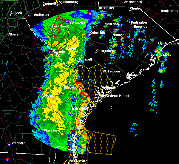 At 1252 pm edt, a severe thunderstorm capable of producing a tornado was located 10 miles north of pooler, moving northeast at 55 mph (radar indicated rotation). Hazards include tornado. Flying debris will be dangerous to those caught without shelter. mobile homes will be damaged or destroyed. damage to roofs, windows, and vehicles will occur. Tree damage is likely. At 1252 pm edt, a severe thunderstorm capable of producing a tornado was located 10 miles north of pooler, moving northeast at 55 mph (radar indicated rotation). Hazards include tornado. Flying debris will be dangerous to those caught without shelter. mobile homes will be damaged or destroyed. damage to roofs, windows, and vehicles will occur. Tree damage is likely.
|
| 4/19/2019 12:49 PM EDT |
 At 1247 pm edt, severe thunderstorms were located along a line extending from 6 miles east of sylvania to 6 miles north of savannah, moving northeast at 55 mph (radar indicated. at 1246 pm edt a wind gust to 66 mph was reported at the savannah airport). Hazards include 70 mph wind gusts. Expect considerable tree damage. Damage is likely to mobile homes, roofs, and outbuildings. At 1247 pm edt, severe thunderstorms were located along a line extending from 6 miles east of sylvania to 6 miles north of savannah, moving northeast at 55 mph (radar indicated. at 1246 pm edt a wind gust to 66 mph was reported at the savannah airport). Hazards include 70 mph wind gusts. Expect considerable tree damage. Damage is likely to mobile homes, roofs, and outbuildings.
|
| 4/19/2019 12:47 PM EDT | Savannah national wildlife refuge raws (svns1) gusted to 62 mp in chatham county GA, 13 miles N of Hardeeville, SC |
| 4/9/2019 8:17 PM EDT | Multiple trees reported down on sc 170 in the savannah national wildlife refuge by south carolina highway patrol. time estimated by rada in jasper county SC, 8.7 miles NNE of Hardeeville, SC |
| 10/10/2018 10:59 PM EDT |
 At 1058 pm edt, a severe thunderstorm capable of producing a tornado was located over bellinger hill area, moving north at 45 mph (radar indicated rotation). Hazards include tornado. Flying debris will be dangerous to those caught without shelter. mobile homes will be damaged or destroyed. damage to roofs, windows, and vehicles will occur. tree damage is likely. locations impacted include, hilton head island, bluffton, bellinger hill area, hardeeville, pritchardville, forest beach, rose hill and sun city. This warning includes i-95 in south carolina between mile markers 6 and 7. At 1058 pm edt, a severe thunderstorm capable of producing a tornado was located over bellinger hill area, moving north at 45 mph (radar indicated rotation). Hazards include tornado. Flying debris will be dangerous to those caught without shelter. mobile homes will be damaged or destroyed. damage to roofs, windows, and vehicles will occur. tree damage is likely. locations impacted include, hilton head island, bluffton, bellinger hill area, hardeeville, pritchardville, forest beach, rose hill and sun city. This warning includes i-95 in south carolina between mile markers 6 and 7.
|
| 10/10/2018 10:50 PM EDT |
 At 1049 pm edt, a severe thunderstorm capable of producing a tornado was located over fort pulaski national monument, moving north at 45 mph (radar indicated rotation). Hazards include tornado. Flying debris will be dangerous to those caught without shelter. mobile homes will be damaged or destroyed. damage to roofs, windows, and vehicles will occur. Tree damage is likely. At 1049 pm edt, a severe thunderstorm capable of producing a tornado was located over fort pulaski national monument, moving north at 45 mph (radar indicated rotation). Hazards include tornado. Flying debris will be dangerous to those caught without shelter. mobile homes will be damaged or destroyed. damage to roofs, windows, and vehicles will occur. Tree damage is likely.
|
| 9/29/2018 1:21 PM EDT |
 The severe thunderstorm warning for beaufort county will expire at 130 pm edt, the storm which prompted the warning has weakened below severe limits, and no longer pose an immediate threat to life or property. therefore the warning will be allowed to expire. however heavy rain is still possible with these thunderstorms. The severe thunderstorm warning for beaufort county will expire at 130 pm edt, the storm which prompted the warning has weakened below severe limits, and no longer pose an immediate threat to life or property. therefore the warning will be allowed to expire. however heavy rain is still possible with these thunderstorms.
|
| 9/29/2018 12:58 PM EDT |
 At 1258 pm edt, a severe thunderstorm was located near bluffton, moving southeast at 15 mph (radar indicated). Hazards include 60 mph wind gusts. Expect damage to trees and powerlines. Locations impacted include, hilton head island, bluffton, beaufort, port royal, fripp island, lemon island, rose hill and sun city. At 1258 pm edt, a severe thunderstorm was located near bluffton, moving southeast at 15 mph (radar indicated). Hazards include 60 mph wind gusts. Expect damage to trees and powerlines. Locations impacted include, hilton head island, bluffton, beaufort, port royal, fripp island, lemon island, rose hill and sun city.
|
| 9/29/2018 12:45 PM EDT |
 At 1244 pm edt, a severe thunderstorm was located 8 miles north of bluffton, moving southeast at 15 mph (radar indicated). Hazards include 60 mph wind gusts. Expect damage to trees and powerlines. locations impacted include, hilton head island, bluffton, beaufort, port royal, jasper, hardeeville and grahamville. This warning includes i-95 in south carolina between mile markers 8 and 23. At 1244 pm edt, a severe thunderstorm was located 8 miles north of bluffton, moving southeast at 15 mph (radar indicated). Hazards include 60 mph wind gusts. Expect damage to trees and powerlines. locations impacted include, hilton head island, bluffton, beaufort, port royal, jasper, hardeeville and grahamville. This warning includes i-95 in south carolina between mile markers 8 and 23.
|
| 9/29/2018 12:30 PM EDT |
 At 1229 pm edt, a severe thunderstorm was located near ridgeland, moving southeast at 10 mph (radar indicated). Hazards include 60 mph wind gusts. expect damage to trees and powerlines At 1229 pm edt, a severe thunderstorm was located near ridgeland, moving southeast at 10 mph (radar indicated). Hazards include 60 mph wind gusts. expect damage to trees and powerlines
|
| 8/14/2018 6:26 PM EDT |
 At 602 pm edt, severe thunderstorms were located along a line extending from near pooler to near bellinger hill area, moving west at 10 mph (radar indicated). Hazards include 60 mph wind gusts and penny size hail. expect damage to trees and powerlines At 602 pm edt, severe thunderstorms were located along a line extending from near pooler to near bellinger hill area, moving west at 10 mph (radar indicated). Hazards include 60 mph wind gusts and penny size hail. expect damage to trees and powerlines
|
| 8/14/2018 6:26 PM EDT |
 At 626 pm edt, severe thunderstorms were located along a line extending from near pooler to near savannah, moving west at 5 mph (radar indicated). Hazards include 60 mph wind gusts and penny size hail. Expect damage to trees and powerlines. locations impacted include, savannah, pooler, i-16/i-95 interchange, garden city, port wentworth, bloomingdale, savannah airport and meinhard. this warning includes, i-16 between mile markers 153 and 168. i-516 between mile markers 3 and 9. I-95 in georgia between mile markers 99 and 112. At 626 pm edt, severe thunderstorms were located along a line extending from near pooler to near savannah, moving west at 5 mph (radar indicated). Hazards include 60 mph wind gusts and penny size hail. Expect damage to trees and powerlines. locations impacted include, savannah, pooler, i-16/i-95 interchange, garden city, port wentworth, bloomingdale, savannah airport and meinhard. this warning includes, i-16 between mile markers 153 and 168. i-516 between mile markers 3 and 9. I-95 in georgia between mile markers 99 and 112.
|
| 8/14/2018 6:02 PM EDT |
 At 602 pm edt, severe thunderstorms were located along a line extending from near pooler to near bellinger hill area, moving west at 10 mph (radar indicated). Hazards include 60 mph wind gusts and penny size hail. expect damage to trees and powerlines At 602 pm edt, severe thunderstorms were located along a line extending from near pooler to near bellinger hill area, moving west at 10 mph (radar indicated). Hazards include 60 mph wind gusts and penny size hail. expect damage to trees and powerlines
|
| 8/14/2018 5:56 PM EDT |
 The severe thunderstorm warning for beaufort and jasper counties will expire at 600 pm edt, the storm which prompted the warning has weakened below severe limits, and no longer pose an immediate threat to life or property. therefore the warning will be allowed to expire. however gusty winds are still possible with this thunderstorm. the storm could strengthen as it moves into chatham county. to report severe weather, contact your nearest law enforcement agency. they will relay your report to the national weather service charleston. The severe thunderstorm warning for beaufort and jasper counties will expire at 600 pm edt, the storm which prompted the warning has weakened below severe limits, and no longer pose an immediate threat to life or property. therefore the warning will be allowed to expire. however gusty winds are still possible with this thunderstorm. the storm could strengthen as it moves into chatham county. to report severe weather, contact your nearest law enforcement agency. they will relay your report to the national weather service charleston.
|
| 8/14/2018 5:43 PM EDT |
 At 543 pm edt, a severe thunderstorm was located near bellinger hill area, and is nearly stationary (radar indicated). Hazards include 60 mph wind gusts and nickel size hail. Expect damage to trees and powerlines. locations impacted include, bluffton, bellinger hill area, hardeeville, sun city and pritchardville. This warning includes i-95 in south carolina between mile markers 2 and 10. At 543 pm edt, a severe thunderstorm was located near bellinger hill area, and is nearly stationary (radar indicated). Hazards include 60 mph wind gusts and nickel size hail. Expect damage to trees and powerlines. locations impacted include, bluffton, bellinger hill area, hardeeville, sun city and pritchardville. This warning includes i-95 in south carolina between mile markers 2 and 10.
|
| 8/14/2018 5:36 PM EDT | South carolina highway patrol reported tree down at the intersection of levy road and freedom parkway. time estimated based on rada in jasper county SC, 5.4 miles N of Hardeeville, SC |
| 8/14/2018 5:18 PM EDT |
 At 518 pm edt, a severe thunderstorm was located near bellinger hill area, and is nearly stationary (radar indicated). Hazards include 60 mph wind gusts and nickel size hail. Expect damage to trees and powerlines. locations impacted include, bluffton, bellinger hill area, jasper, hardeeville, purysburgh, pritchardville, rose hill and sun city. This warning includes i-95 in south carolina between mile markers 2 and 16. At 518 pm edt, a severe thunderstorm was located near bellinger hill area, and is nearly stationary (radar indicated). Hazards include 60 mph wind gusts and nickel size hail. Expect damage to trees and powerlines. locations impacted include, bluffton, bellinger hill area, jasper, hardeeville, purysburgh, pritchardville, rose hill and sun city. This warning includes i-95 in south carolina between mile markers 2 and 16.
|
| 8/14/2018 5:00 PM EDT |
 At 459 pm edt, a severe thunderstorm was located 7 miles north of bellinger hill area, moving northeast at 10 mph (radar indicated). Hazards include 60 mph wind gusts and nickel size hail. expect damage to trees and powerlines At 459 pm edt, a severe thunderstorm was located 7 miles north of bellinger hill area, moving northeast at 10 mph (radar indicated). Hazards include 60 mph wind gusts and nickel size hail. expect damage to trees and powerlines
|
| 7/26/2018 5:39 PM EDT |
 At 539 pm edt, severe thunderstorms were located along a line extending from 7 miles north of bluffton to 10 miles northwest of bellinger hill area, and are nearly stationary (radar indicated). Hazards include 60 mph wind gusts and penny size hail. Expect damage to trees and powerlines. locations impacted include, jasper, hardeeville, calawassie island, rose hill and sun city. This warning includes i-95 in south carolina between mile markers 5 and 15. At 539 pm edt, severe thunderstorms were located along a line extending from 7 miles north of bluffton to 10 miles northwest of bellinger hill area, and are nearly stationary (radar indicated). Hazards include 60 mph wind gusts and penny size hail. Expect damage to trees and powerlines. locations impacted include, jasper, hardeeville, calawassie island, rose hill and sun city. This warning includes i-95 in south carolina between mile markers 5 and 15.
|
| 7/26/2018 5:17 PM EDT |
 At 517 pm edt, severe thunderstorms were located along a line extending from 6 miles west of port royal to 11 miles north of bellinger hill area, and are nearly stationary (radar indicated). Hazards include 60 mph wind gusts and penny size hail. Expect damage to trees and powerlines. locations impacted include, jasper, hardeeville, lemon island, calawassie island, rose hill and sun city. This warning includes i-95 in south carolina between mile markers 5 and 16. At 517 pm edt, severe thunderstorms were located along a line extending from 6 miles west of port royal to 11 miles north of bellinger hill area, and are nearly stationary (radar indicated). Hazards include 60 mph wind gusts and penny size hail. Expect damage to trees and powerlines. locations impacted include, jasper, hardeeville, lemon island, calawassie island, rose hill and sun city. This warning includes i-95 in south carolina between mile markers 5 and 16.
|
| 7/26/2018 5:01 PM EDT |
 At 501 pm edt, severe thunderstorms were located along a line extending from 6 miles west of port royal to 9 miles south of ridgeland, and are nearly stationary (radar indicated). Hazards include 60 mph wind gusts and penny size hail. expect damage to trees and powerlines At 501 pm edt, severe thunderstorms were located along a line extending from 6 miles west of port royal to 9 miles south of ridgeland, and are nearly stationary (radar indicated). Hazards include 60 mph wind gusts and penny size hail. expect damage to trees and powerlines
|
| 6/25/2018 5:21 PM EDT |
 At 520 pm edt, a severe thunderstorm was located 7 miles west of bellinger hill area, moving northeast at 10 mph (radar indicated). Hazards include 60 mph wind gusts and penny size hail. Expect damage to trees and powerlines. locations impacted include, savannah, pooler, i-16/i-95 interchange, bellinger hill area, rincon, garden city, port wentworth and hardeeville. this warning includes, i-16 between mile markers 159 and 168. i-516 between mile markers 3 and 9. i-95 in south carolina between mile markers 2 and 15. I-95 in georgia between mile markers 101 and 112. At 520 pm edt, a severe thunderstorm was located 7 miles west of bellinger hill area, moving northeast at 10 mph (radar indicated). Hazards include 60 mph wind gusts and penny size hail. Expect damage to trees and powerlines. locations impacted include, savannah, pooler, i-16/i-95 interchange, bellinger hill area, rincon, garden city, port wentworth and hardeeville. this warning includes, i-16 between mile markers 159 and 168. i-516 between mile markers 3 and 9. i-95 in south carolina between mile markers 2 and 15. I-95 in georgia between mile markers 101 and 112.
|
| 6/25/2018 4:55 PM EDT |
 At 455 pm edt, a severe thunderstorm was located near pooler, moving northeast at 15 mph (radar indicated). Hazards include 60 mph wind gusts and penny size hail. expect damage to trees and powerlines At 455 pm edt, a severe thunderstorm was located near pooler, moving northeast at 15 mph (radar indicated). Hazards include 60 mph wind gusts and penny size hail. expect damage to trees and powerlines
|
| 6/25/2018 4:41 PM EDT |
 The severe thunderstorm warning for beaufort county will expire at 445 pm edt, the storm which prompted the warning has moved out of the area. therefore the warning will be allowed to expire. to report severe weather, contact your nearest law enforcement agency. they will relay your report to the national weather service charleston. The severe thunderstorm warning for beaufort county will expire at 445 pm edt, the storm which prompted the warning has moved out of the area. therefore the warning will be allowed to expire. to report severe weather, contact your nearest law enforcement agency. they will relay your report to the national weather service charleston.
|
| 6/25/2018 4:18 PM EDT |
 At 418 pm edt, a severe thunderstorm was located near bluffton, moving northeast at 5 mph (radar indicated). Hazards include 60 mph wind gusts. Expect damage to trees and powerlines. Locations impacted include, bluffton, calawassie island, rose hill, sun city and pritchardville. At 418 pm edt, a severe thunderstorm was located near bluffton, moving northeast at 5 mph (radar indicated). Hazards include 60 mph wind gusts. Expect damage to trees and powerlines. Locations impacted include, bluffton, calawassie island, rose hill, sun city and pritchardville.
|
| 6/25/2018 3:45 PM EDT |
 At 345 pm edt, a severe thunderstorm was located over bluffton, moving northeast at 15 mph (radar indicated). Hazards include 60 mph wind gusts and penny size hail. expect damage to trees and powerlines At 345 pm edt, a severe thunderstorm was located over bluffton, moving northeast at 15 mph (radar indicated). Hazards include 60 mph wind gusts and penny size hail. expect damage to trees and powerlines
|
| 6/25/2018 1:50 AM EDT |
 The severe thunderstorm warning for beaufort, colleton and jasper counties will expire at 200 am edt, the immediate risk for severe weather will end by 2 am. The severe thunderstorm warning for beaufort, colleton and jasper counties will expire at 200 am edt, the immediate risk for severe weather will end by 2 am.
|
| 6/25/2018 12:58 AM EDT |
 At 1257 am edt, severe thunderstorms were located along a line extending from 7 miles west of edisto beach to 8 miles northwest of bellinger hill area, moving southeast at 35 mph (radar indicated). Hazards include 60 mph wind gusts. expect damage to trees and powerlines At 1257 am edt, severe thunderstorms were located along a line extending from 7 miles west of edisto beach to 8 miles northwest of bellinger hill area, moving southeast at 35 mph (radar indicated). Hazards include 60 mph wind gusts. expect damage to trees and powerlines
|
| 6/25/2018 12:48 AM EDT |
 At 1248 am edt, severe thunderstorms were located along a line extending from 13 miles north of edisto beach to 6 miles north of bluffton to 9 miles east of bay, moving southeast at 35 mph (radar indicated). Hazards include 60 mph wind gusts. Expect damage to trees and powerlines. locations impacted include, bluffton, beaufort, port royal, ridgeland, springfield, yemassee, clarendon and jasper. this warning includes, i-95 in south carolina between mile markers 2 and 38. I-95 in georgia between mile markers 109 and 112. At 1248 am edt, severe thunderstorms were located along a line extending from 13 miles north of edisto beach to 6 miles north of bluffton to 9 miles east of bay, moving southeast at 35 mph (radar indicated). Hazards include 60 mph wind gusts. Expect damage to trees and powerlines. locations impacted include, bluffton, beaufort, port royal, ridgeland, springfield, yemassee, clarendon and jasper. this warning includes, i-95 in south carolina between mile markers 2 and 38. I-95 in georgia between mile markers 109 and 112.
|
| 6/25/2018 12:29 AM EDT |
 At 1229 am edt, severe thunderstorms were located along a line extending from 14 miles southeast of walterboro to near ridgeland to 9 miles north of bay, moving southeast at 40 mph (radar indicated). Hazards include 60 mph wind gusts. Expect damage to trees and powerlines. locations impacted include, bluffton, beaufort, port royal, walterboro, ridgeland, springfield, yemassee and clarendon. this warning includes, i-95 in south carolina between mile markers 2 and 64. I-95 in georgia between mile markers 109 and 112. At 1229 am edt, severe thunderstorms were located along a line extending from 14 miles southeast of walterboro to near ridgeland to 9 miles north of bay, moving southeast at 40 mph (radar indicated). Hazards include 60 mph wind gusts. Expect damage to trees and powerlines. locations impacted include, bluffton, beaufort, port royal, walterboro, ridgeland, springfield, yemassee and clarendon. this warning includes, i-95 in south carolina between mile markers 2 and 64. I-95 in georgia between mile markers 109 and 112.
|
| 6/24/2018 11:58 PM EDT |
 At 1158 pm edt, severe thunderstorms were located along a line extending from near walterboro to 16 miles south of lake warren state park to middleground, moving southeast at 35 mph (radar indicated). Hazards include 60 mph wind gusts. expect damage to trees and powerlines At 1158 pm edt, severe thunderstorms were located along a line extending from near walterboro to 16 miles south of lake warren state park to middleground, moving southeast at 35 mph (radar indicated). Hazards include 60 mph wind gusts. expect damage to trees and powerlines
|
| 6/2/2018 5:20 PM EDT |
 At 520 pm edt, severe thunderstorms were located along a line extending from ridgeland to 6 miles northwest of bluffton, moving east at 40 mph (radar indicated). Hazards include 60 mph wind gusts. Expect damage to trees and powerlines. locations impacted include, ridgeland, jasper, hardeeville, grahamville, pritchardville, tillman, sun city and switzerland. This warning includes i-95 in south carolina between mile markers 5 and 24. At 520 pm edt, severe thunderstorms were located along a line extending from ridgeland to 6 miles northwest of bluffton, moving east at 40 mph (radar indicated). Hazards include 60 mph wind gusts. Expect damage to trees and powerlines. locations impacted include, ridgeland, jasper, hardeeville, grahamville, pritchardville, tillman, sun city and switzerland. This warning includes i-95 in south carolina between mile markers 5 and 24.
|
| 6/2/2018 5:02 PM EDT |
 At 446 pm edt, severe thunderstorms were located along a line extending from 17 miles west of ridgeland to near springfield, moving east at 40 mph (radar indicated). Hazards include 60 mph wind gusts and quarter size hail. Minor hail damage to vehicles is possible. Expect wind damage to trees and powerlines. At 446 pm edt, severe thunderstorms were located along a line extending from 17 miles west of ridgeland to near springfield, moving east at 40 mph (radar indicated). Hazards include 60 mph wind gusts and quarter size hail. Minor hail damage to vehicles is possible. Expect wind damage to trees and powerlines.
|
| 6/2/2018 5:02 PM EDT |
 At 502 pm edt, severe thunderstorms were located along a line extending from 9 miles west of ridgeland to 7 miles southeast of springfield, moving east at 30 mph (radar indicated). Hazards include 60 mph wind gusts and quarter size hail. Minor hail damage to vehicles is possible. expect wind damage to trees and powerlines. locations impacted include, ridgeland, springfield, jasper, rincon, hardeeville, grahamville, ebenezer and sun city. This warning includes i-95 in south carolina between mile markers 2 and 24. At 502 pm edt, severe thunderstorms were located along a line extending from 9 miles west of ridgeland to 7 miles southeast of springfield, moving east at 30 mph (radar indicated). Hazards include 60 mph wind gusts and quarter size hail. Minor hail damage to vehicles is possible. expect wind damage to trees and powerlines. locations impacted include, ridgeland, springfield, jasper, rincon, hardeeville, grahamville, ebenezer and sun city. This warning includes i-95 in south carolina between mile markers 2 and 24.
|
| 6/2/2018 4:46 PM EDT |
 At 446 pm edt, severe thunderstorms were located along a line extending from 17 miles west of ridgeland to near springfield, moving east at 40 mph (radar indicated). Hazards include 60 mph wind gusts and quarter size hail. Minor hail damage to vehicles is possible. Expect wind damage to trees and powerlines. At 446 pm edt, severe thunderstorms were located along a line extending from 17 miles west of ridgeland to near springfield, moving east at 40 mph (radar indicated). Hazards include 60 mph wind gusts and quarter size hail. Minor hail damage to vehicles is possible. Expect wind damage to trees and powerlines.
|
| 3/20/2018 2:41 PM EDT |
 At 241 pm edt, a severe thunderstorm was located near bellinger hill area, moving northeast at 50 mph (radar indicated). Hazards include golf ball size hail and 60 mph wind gusts. People and animals outdoors will be injured. expect hail damage to roofs, siding, windows, and vehicles. expect wind damage to trees and powerlines. Locations impacted include, hilton head island, bluffton, beaufort, port royal, wilmington island, fort pulaski national monument, bellinger hill area and fripp island. At 241 pm edt, a severe thunderstorm was located near bellinger hill area, moving northeast at 50 mph (radar indicated). Hazards include golf ball size hail and 60 mph wind gusts. People and animals outdoors will be injured. expect hail damage to roofs, siding, windows, and vehicles. expect wind damage to trees and powerlines. Locations impacted include, hilton head island, bluffton, beaufort, port royal, wilmington island, fort pulaski national monument, bellinger hill area and fripp island.
|
| 3/20/2018 2:28 PM EDT |
 At 228 pm edt, a severe thunderstorm was located over savannah, moving northeast at 55 mph (radar indicated). Hazards include 60 mph wind gusts and quarter size hail. Minor hail damage to vehicles is possible. Expect wind damage to trees and powerlines. At 228 pm edt, a severe thunderstorm was located over savannah, moving northeast at 55 mph (radar indicated). Hazards include 60 mph wind gusts and quarter size hail. Minor hail damage to vehicles is possible. Expect wind damage to trees and powerlines.
|
| 9/1/2017 6:06 PM EDT |
 The severe thunderstorm warning for beaufort, colleton and jasper counties will expire at 615 pm edt, the storm which prompted the warning has weakened below severe limits, and no longer poses an immediate threat to life or property. therefore the warning will be allowed to expire. however heavy rain and frequent lightning is still possible with this thunderstorm. The severe thunderstorm warning for beaufort, colleton and jasper counties will expire at 615 pm edt, the storm which prompted the warning has weakened below severe limits, and no longer poses an immediate threat to life or property. therefore the warning will be allowed to expire. however heavy rain and frequent lightning is still possible with this thunderstorm.
|
| 9/1/2017 5:44 PM EDT |
 At 543 pm edt, a severe thunderstorm was located near beaufort, moving northeast at 40 mph (radar indicated). Hazards include 60 mph wind gusts and penny size hail. Expect damage to trees and powerlines. Locations impacted include, bluffton, beaufort, port royal, clarendon, jasper, bennetts point, gardens corner and lemon island. At 543 pm edt, a severe thunderstorm was located near beaufort, moving northeast at 40 mph (radar indicated). Hazards include 60 mph wind gusts and penny size hail. Expect damage to trees and powerlines. Locations impacted include, bluffton, beaufort, port royal, clarendon, jasper, bennetts point, gardens corner and lemon island.
|
| 9/1/2017 5:19 PM EDT |
 At 519 pm edt, a severe thunderstorm was located 8 miles southeast of ridgeland, moving northeast at 30 mph (radar indicated). Hazards include 60 mph wind gusts and penny size hail. expect damage to trees and powerlines At 519 pm edt, a severe thunderstorm was located 8 miles southeast of ridgeland, moving northeast at 30 mph (radar indicated). Hazards include 60 mph wind gusts and penny size hail. expect damage to trees and powerlines
|
| 9/1/2017 4:25 PM EDT | South carolina highway patrol reported a tree down on highway 321 near the intersection with honey hill roa in jasper county SC, 3.1 miles SE of Hardeeville, SC |
| 9/1/2017 4:25 PM EDT | Jasper county dispatch reported a tree down on highway 32 in jasper county SC, 3.6 miles SE of Hardeeville, SC |
| 7/20/2017 3:47 PM EDT |
 At 347 pm edt, a severe thunderstorm was located 10 miles southeast of springfield, moving west at 10 mph (radar indicated). Hazards include 60 mph wind gusts and quarter size hail. Hail damage to vehicles is expected. expect wind damage to roofs, siding, and trees. Locations impacted include, savannah, pooler, rincon, garden city, port wentworth, hardeeville, savannah airport and ebenezer. At 347 pm edt, a severe thunderstorm was located 10 miles southeast of springfield, moving west at 10 mph (radar indicated). Hazards include 60 mph wind gusts and quarter size hail. Hail damage to vehicles is expected. expect wind damage to roofs, siding, and trees. Locations impacted include, savannah, pooler, rincon, garden city, port wentworth, hardeeville, savannah airport and ebenezer.
|
| 7/20/2017 3:33 PM EDT |
 At 333 pm edt, a severe thunderstorm was located 10 miles northwest of bellinger hill area, and is nearly stationary (radar indicated). Hazards include 60 mph wind gusts and quarter size hail. Hail damage to vehicles is expected. Expect wind damage to roofs, siding, and trees. At 333 pm edt, a severe thunderstorm was located 10 miles northwest of bellinger hill area, and is nearly stationary (radar indicated). Hazards include 60 mph wind gusts and quarter size hail. Hail damage to vehicles is expected. Expect wind damage to roofs, siding, and trees.
|
| 7/19/2017 6:52 PM EDT |
 At 652 pm edt, a severe thunderstorm was located 8 miles west of port royal, moving southwest at 15 mph (radar indicated). Hazards include 60 mph wind gusts and penny size hail. Expect damage to trees and powerlines. locations impacted include, bluffton, port royal, jasper, shell point, calawassie island, lemon island, rose hill and laurel bay. This warning includes i-95 in south carolina between mile markers 13 and 16. At 652 pm edt, a severe thunderstorm was located 8 miles west of port royal, moving southwest at 15 mph (radar indicated). Hazards include 60 mph wind gusts and penny size hail. Expect damage to trees and powerlines. locations impacted include, bluffton, port royal, jasper, shell point, calawassie island, lemon island, rose hill and laurel bay. This warning includes i-95 in south carolina between mile markers 13 and 16.
|
| 7/19/2017 6:34 PM EDT |
 At 634 pm edt, a severe thunderstorm was located near beaufort, moving southwest at 15 mph (radar indicated). Hazards include 70 mph wind gusts and half dollar size hail. Minor hail damage to vehicles is possible. expect considerable tree damage. wind damage is also likely to mobile homes, roofs, and outbuildings. locations impacted include, bluffton, beaufort, port royal, ridgeland, clarendon, jasper, grahamville and lemon island. This warning includes i-95 in south carolina between mile markers 13 and 27. At 634 pm edt, a severe thunderstorm was located near beaufort, moving southwest at 15 mph (radar indicated). Hazards include 70 mph wind gusts and half dollar size hail. Minor hail damage to vehicles is possible. expect considerable tree damage. wind damage is also likely to mobile homes, roofs, and outbuildings. locations impacted include, bluffton, beaufort, port royal, ridgeland, clarendon, jasper, grahamville and lemon island. This warning includes i-95 in south carolina between mile markers 13 and 27.
|
| 7/19/2017 6:23 PM EDT |
 At 623 pm edt, a severe thunderstorm was located near beaufort, moving southwest at 15 mph (radar indicated). Hazards include 60 mph wind gusts and quarter size hail. Minor hail damage to vehicles is possible. Expect wind damage to trees and powerlines. At 623 pm edt, a severe thunderstorm was located near beaufort, moving southwest at 15 mph (radar indicated). Hazards include 60 mph wind gusts and quarter size hail. Minor hail damage to vehicles is possible. Expect wind damage to trees and powerlines.
|
| 7/10/2017 5:23 PM EDT | South carolina highway patrol reported a tree down in the road near the intersection of highway 321 and locked roa in jasper county SC, 8.9 miles SSE of Hardeeville, SC |
| 7/8/2017 9:24 PM EDT |
 At 923 pm edt, a severe thunderstorm was located over savannah, moving northeast at 30 mph (radar indicated). Hazards include 60 mph wind gusts and penny size hail. Expect damage to trees and powerlines. locations impacted include, savannah, pooler, richmond hill, wilmington island, i-16/i-95 interchange, fort pulaski national monument, bellinger hill area and montgomery. this warning includes, i-16 between mile markers 157 and 168. i-516 between mile markers 3 and 9. I-95 in georgia between mile markers 93 and 103. At 923 pm edt, a severe thunderstorm was located over savannah, moving northeast at 30 mph (radar indicated). Hazards include 60 mph wind gusts and penny size hail. Expect damage to trees and powerlines. locations impacted include, savannah, pooler, richmond hill, wilmington island, i-16/i-95 interchange, fort pulaski national monument, bellinger hill area and montgomery. this warning includes, i-16 between mile markers 157 and 168. i-516 between mile markers 3 and 9. I-95 in georgia between mile markers 93 and 103.
|
| 7/8/2017 9:03 PM EDT |
 At 903 pm edt, a severe thunderstorm was located near richmond hill, moving northeast at 25 mph (radar indicated). Hazards include 60 mph wind gusts and penny size hail. Expect damage to trees and powerlines. locations impacted include, savannah, pooler, richmond hill, wilmington island, i-16/i-95 interchange, fort pulaski national monument, bellinger hill area and montgomery. this warning includes, i-16 between mile markers 157 and 168. i-516 between mile markers 3 and 9. I-95 in georgia between mile markers 84 and 104. At 903 pm edt, a severe thunderstorm was located near richmond hill, moving northeast at 25 mph (radar indicated). Hazards include 60 mph wind gusts and penny size hail. Expect damage to trees and powerlines. locations impacted include, savannah, pooler, richmond hill, wilmington island, i-16/i-95 interchange, fort pulaski national monument, bellinger hill area and montgomery. this warning includes, i-16 between mile markers 157 and 168. i-516 between mile markers 3 and 9. I-95 in georgia between mile markers 84 and 104.
|
| 7/8/2017 8:47 PM EDT |
 At 847 pm edt, a severe thunderstorm was located near richmond hill, moving northeast at 25 mph (radar indicated). Hazards include 60 mph wind gusts and quarter size hail. Minor hail damage to vehicles is possible. Expect wind damage to trees and powerlines. At 847 pm edt, a severe thunderstorm was located near richmond hill, moving northeast at 25 mph (radar indicated). Hazards include 60 mph wind gusts and quarter size hail. Minor hail damage to vehicles is possible. Expect wind damage to trees and powerlines.
|
| 7/5/2017 9:46 PM EDT |
 At 945 pm edt, a severe thunderstorm was located over savannah, moving east at 30 mph. this storm has produced wind gusts in excess of 60 mph, as measured at the savannah international airport (radar indicated). Hazards include 60 mph wind gusts and quarter size hail. Minor hail damage to vehicles is possible. expect wind damage to trees and powerlines. locations impacted include, savannah, pooler, bluffton, wilmington island, i-16/i-95 interchange, fort pulaski national monument, bellinger hill area and montgomery. this warning includes, i-16 between mile markers 156 and 168. i-516 between mile markers 3 and 9. I-95 in georgia between mile markers 96 and 109. At 945 pm edt, a severe thunderstorm was located over savannah, moving east at 30 mph. this storm has produced wind gusts in excess of 60 mph, as measured at the savannah international airport (radar indicated). Hazards include 60 mph wind gusts and quarter size hail. Minor hail damage to vehicles is possible. expect wind damage to trees and powerlines. locations impacted include, savannah, pooler, bluffton, wilmington island, i-16/i-95 interchange, fort pulaski national monument, bellinger hill area and montgomery. this warning includes, i-16 between mile markers 156 and 168. i-516 between mile markers 3 and 9. I-95 in georgia between mile markers 96 and 109.
|
| 7/5/2017 9:30 PM EDT |
 At 930 pm edt, a severe thunderstorm was located over i-16/i-95 interchange, moving east at 30 mph (radar indicated). Hazards include 60 mph wind gusts and quarter size hail. Minor hail damage to vehicles is possible. Expect wind damage to trees and powerlines. At 930 pm edt, a severe thunderstorm was located over i-16/i-95 interchange, moving east at 30 mph (radar indicated). Hazards include 60 mph wind gusts and quarter size hail. Minor hail damage to vehicles is possible. Expect wind damage to trees and powerlines.
|
| 6/25/2017 3:02 PM EDT |
 At 302 pm edt, a severe thunderstorm was located near hilton head island, moving east at 35 mph (radar indicated). Hazards include 60 mph wind gusts and quarter size hail. Minor hail damage to vehicles is possible. Expect wind damage to trees and powerlines. At 302 pm edt, a severe thunderstorm was located near hilton head island, moving east at 35 mph (radar indicated). Hazards include 60 mph wind gusts and quarter size hail. Minor hail damage to vehicles is possible. Expect wind damage to trees and powerlines.
|
| 6/25/2017 2:40 PM EDT | Tree down at john smith rd and independence blvd. time estimated based on radar and time report was recieve in jasper county SC, 1.8 miles SSW of Hardeeville, SC |
| 6/25/2017 2:32 PM EDT | Tree down near the walmart on bluffton road. time estimated based on rada in jasper county SC, 4.6 miles WSW of Hardeeville, SC |
| 5/22/2017 5:25 PM EDT |
 The severe thunderstorm warning for chatham, beaufort and jasper counties will expire at 530 pm edt, the storm which prompted the warning has weakened below severe limits, and no longer pose an immediate threat to life or property. therefore the warning will be allowed to expire. however torrential rain is likely with this thunderstorm and a flood advisory remains in effect for the area. The severe thunderstorm warning for chatham, beaufort and jasper counties will expire at 530 pm edt, the storm which prompted the warning has weakened below severe limits, and no longer pose an immediate threat to life or property. therefore the warning will be allowed to expire. however torrential rain is likely with this thunderstorm and a flood advisory remains in effect for the area.
|
| 5/22/2017 5:07 PM EDT |
 At 504 pm edt, a severe thunderstorm was located near pooler, moving east at 15 mph (radar indicated). Hazards include 60 mph wind gusts and quarter size hail. Minor hail damage to vehicles is possible. expect wind damage to trees and powerlines. locations impacted include, savannah, pooler, bluffton, bellinger hill area, garden city, port wentworth, hardeeville and savannah airport. this warning includes, i-516 between mile markers 7 and 9. i-95 in south carolina between mile markers 2 and 5. I-95 in georgia between mile markers 103 and 105, and between mile markers 107 and 108. At 504 pm edt, a severe thunderstorm was located near pooler, moving east at 15 mph (radar indicated). Hazards include 60 mph wind gusts and quarter size hail. Minor hail damage to vehicles is possible. expect wind damage to trees and powerlines. locations impacted include, savannah, pooler, bluffton, bellinger hill area, garden city, port wentworth, hardeeville and savannah airport. this warning includes, i-516 between mile markers 7 and 9. i-95 in south carolina between mile markers 2 and 5. I-95 in georgia between mile markers 103 and 105, and between mile markers 107 and 108.
|
| 5/22/2017 4:32 PM EDT |
 At 432 pm edt, a severe thunderstorm was located near bellinger hill area, moving east at 20 mph (radar indicated). Hazards include 60 mph wind gusts and quarter size hail. Minor hail damage to vehicles is possible. Expect wind damage to trees and powerlines. At 432 pm edt, a severe thunderstorm was located near bellinger hill area, moving east at 20 mph (radar indicated). Hazards include 60 mph wind gusts and quarter size hail. Minor hail damage to vehicles is possible. Expect wind damage to trees and powerlines.
|
| 5/13/2017 3:15 PM EDT |
 At 315 pm edt, severe thunderstorms were located along a line extending from 10 miles southeast of springfield to near i-16/i-95 interchange, moving northeast at 30 mph (radar indicated). Hazards include 60 mph wind gusts. Expect damage to trees and powerlines. locations impacted include, savannah, pooler, i-16/i-95 interchange, rincon, garden city, port wentworth, hardeeville and bloomingdale. this warning includes, i-16 between mile markers 154 and 168. i-516 between mile markers 3 and 9. i-95 in south carolina between mile markers 2 and 9. I-95 in georgia between mile markers 95 and 112. At 315 pm edt, severe thunderstorms were located along a line extending from 10 miles southeast of springfield to near i-16/i-95 interchange, moving northeast at 30 mph (radar indicated). Hazards include 60 mph wind gusts. Expect damage to trees and powerlines. locations impacted include, savannah, pooler, i-16/i-95 interchange, rincon, garden city, port wentworth, hardeeville and bloomingdale. this warning includes, i-16 between mile markers 154 and 168. i-516 between mile markers 3 and 9. i-95 in south carolina between mile markers 2 and 9. I-95 in georgia between mile markers 95 and 112.
|
| 5/13/2017 2:55 PM EDT |
 At 255 pm edt, severe thunderstorms were located along a line extending from 9 miles northwest of pooler to near richmond hill, moving northeast at 40 mph (radar indicated). Hazards include 60 mph wind gusts. expect damage to trees and powerlines At 255 pm edt, severe thunderstorms were located along a line extending from 9 miles northwest of pooler to near richmond hill, moving northeast at 40 mph (radar indicated). Hazards include 60 mph wind gusts. expect damage to trees and powerlines
|
| 5/13/2017 2:41 PM EDT | Highway patrol reported tree blocking roadway near the intersection of independence boulevard and brickyard roa in jasper county SC, 1.6 miles S of Hardeeville, SC |
| 5/4/2017 6:27 PM EDT |
 At 627 pm edt, a severe thunderstorm was located 7 miles northwest of bellinger hill area, moving north at 35 mph (radar indicated). Hazards include 60 mph wind gusts. expect damage to trees and powerlines At 627 pm edt, a severe thunderstorm was located 7 miles northwest of bellinger hill area, moving north at 35 mph (radar indicated). Hazards include 60 mph wind gusts. expect damage to trees and powerlines
|
| 4/5/2017 6:41 PM EDT |
 At 640 pm edt, a severe thunderstorm was located near ridgeland, moving northeast at 40 mph (radar indicated). Hazards include 60 mph wind gusts and quarter size hail. Hail damage to vehicles is expected. expect wind damage to roofs, siding, and trees. locations impacted include, ridgeland, springfield, jasper, rincon, port wentworth, hardeeville, guyton and grahamville. A tornado watch remains in effect until 800 pm edt for southeastern georgia, and southeastern south carolina. At 640 pm edt, a severe thunderstorm was located near ridgeland, moving northeast at 40 mph (radar indicated). Hazards include 60 mph wind gusts and quarter size hail. Hail damage to vehicles is expected. expect wind damage to roofs, siding, and trees. locations impacted include, ridgeland, springfield, jasper, rincon, port wentworth, hardeeville, guyton and grahamville. A tornado watch remains in effect until 800 pm edt for southeastern georgia, and southeastern south carolina.
|
| 4/5/2017 6:25 PM EDT |
 At 624 pm edt, a severe thunderstorm was located 11 miles northeast of springfield, moving east at 45 mph (radar indicated. at 610 pm edt a trained spotter reported nickel sized hail north of springfield). Hazards include 60 mph wind gusts and quarter size hail. Hail damage to vehicles is expected. expect wind damage to roofs, siding, and trees. locations impacted include, ridgeland, springfield, jasper, rincon, port wentworth, hardeeville, guyton and grahamville. A tornado watch remains in effect until 800 pm edt for southeastern georgia, and southeastern south carolina. At 624 pm edt, a severe thunderstorm was located 11 miles northeast of springfield, moving east at 45 mph (radar indicated. at 610 pm edt a trained spotter reported nickel sized hail north of springfield). Hazards include 60 mph wind gusts and quarter size hail. Hail damage to vehicles is expected. expect wind damage to roofs, siding, and trees. locations impacted include, ridgeland, springfield, jasper, rincon, port wentworth, hardeeville, guyton and grahamville. A tornado watch remains in effect until 800 pm edt for southeastern georgia, and southeastern south carolina.
|
| 4/5/2017 6:05 PM EDT |
 At 605 pm edt, a severe thunderstorm was located near springfield, moving northeast at 40 mph (radar indicated). Hazards include 60 mph wind gusts and quarter size hail. Hail damage to vehicles is expected. Expect wind damage to roofs, siding, and trees. At 605 pm edt, a severe thunderstorm was located near springfield, moving northeast at 40 mph (radar indicated). Hazards include 60 mph wind gusts and quarter size hail. Hail damage to vehicles is expected. Expect wind damage to roofs, siding, and trees.
|
| 1/22/2017 6:35 AM EST |
 At 635 am est, severe thunderstorms were located along a line extending from 10 miles west of springfield to 6 miles northwest of ludowici, moving east at 55 mph (radar indicated). Hazards include 60 mph wind gusts and quarter size hail. Hail damage to vehicles is expected. Expect wind damage to roofs, siding, and trees. At 635 am est, severe thunderstorms were located along a line extending from 10 miles west of springfield to 6 miles northwest of ludowici, moving east at 55 mph (radar indicated). Hazards include 60 mph wind gusts and quarter size hail. Hail damage to vehicles is expected. Expect wind damage to roofs, siding, and trees.
|
| 1/21/2017 4:37 PM EST |
 The severe thunderstorm warning for bryan, liberty, chatham, beaufort and jasper counties will expire at 445 pm est, the storms which prompted the warning have weakened below severe limits, and no longer pose an immediate threat to life or property. therefore the warning will be allowed to expire. to report severe weather, contact your nearest law enforcement agency. they will relay your report to the national weather service charleston. The severe thunderstorm warning for bryan, liberty, chatham, beaufort and jasper counties will expire at 445 pm est, the storms which prompted the warning have weakened below severe limits, and no longer pose an immediate threat to life or property. therefore the warning will be allowed to expire. to report severe weather, contact your nearest law enforcement agency. they will relay your report to the national weather service charleston.
|
| 1/21/2017 4:02 PM EST |
 At 402 pm est, severe thunderstorms were located along a line extending from near port royal to near savannah to 13 miles south of richmond hill, moving northeast at 60 mph (radar indicated). Hazards include 60 mph wind gusts and penny size hail. Expect damage to roofs, siding, and trees. locations impacted include, savannah, hilton head island, pooler, bluffton, port royal, richmond hill, bellinger hill area and wilmington island. A tornado watch remains in effect until 700 pm est for southeastern georgia, and southeastern south carolina. At 402 pm est, severe thunderstorms were located along a line extending from near port royal to near savannah to 13 miles south of richmond hill, moving northeast at 60 mph (radar indicated). Hazards include 60 mph wind gusts and penny size hail. Expect damage to roofs, siding, and trees. locations impacted include, savannah, hilton head island, pooler, bluffton, port royal, richmond hill, bellinger hill area and wilmington island. A tornado watch remains in effect until 700 pm est for southeastern georgia, and southeastern south carolina.
|
| 1/21/2017 3:38 PM EST |
 At 338 pm est, a severe thunderstorm was located 8 miles east of hinesville, moving east at 65 mph (radar indicated). Hazards include 60 mph wind gusts. expect damage to roofs, siding, and trees At 338 pm est, a severe thunderstorm was located 8 miles east of hinesville, moving east at 65 mph (radar indicated). Hazards include 60 mph wind gusts. expect damage to roofs, siding, and trees
|
| 1/21/2017 3:31 PM EST |
 At 330 pm est, severe thunderstorms were located along a line extending from 14 miles northeast of hampton to near ridgeland to 7 miles east of hinesville, moving east at 65 mph (radar indicated). Hazards include 60 mph wind gusts and penny size hail. Expect damage to roofs, siding, and trees. locations impacted include, hinesville, ridgeland, allendale, springfield, hampton, pembroke, ludowici and yemassee. A tornado watch remains in effect until 700 pm est for southeastern georgia, and southeastern south carolina. At 330 pm est, severe thunderstorms were located along a line extending from 14 miles northeast of hampton to near ridgeland to 7 miles east of hinesville, moving east at 65 mph (radar indicated). Hazards include 60 mph wind gusts and penny size hail. Expect damage to roofs, siding, and trees. locations impacted include, hinesville, ridgeland, allendale, springfield, hampton, pembroke, ludowici and yemassee. A tornado watch remains in effect until 700 pm est for southeastern georgia, and southeastern south carolina.
|
| 1/21/2017 3:06 PM EST |
 At 304 pm est, severe thunderstorms were located along a line extending from 9 miles west of allendale to 12 miles northwest of springfield to 14 miles northwest of ludowici, moving east at 65 mph (radar indicated). Hazards include 60 mph wind gusts and penny size hail. expect damage to roofs, siding, and trees At 304 pm est, severe thunderstorms were located along a line extending from 9 miles west of allendale to 12 miles northwest of springfield to 14 miles northwest of ludowici, moving east at 65 mph (radar indicated). Hazards include 60 mph wind gusts and penny size hail. expect damage to roofs, siding, and trees
|
| 10/7/2016 2:29 PM EDT |
 At 229 pm edt, a severe thunderstorm capable of producing a tornado was located 8 miles northwest of bellinger hill area, moving west at 45 mph (radar indicated rotation). Hazards include tornado. Flying debris will be dangerous to those caught without shelter. mobile homes will be damaged or destroyed. damage to roofs, windows, and vehicles will occur. Tree damage is likely. At 229 pm edt, a severe thunderstorm capable of producing a tornado was located 8 miles northwest of bellinger hill area, moving west at 45 mph (radar indicated rotation). Hazards include tornado. Flying debris will be dangerous to those caught without shelter. mobile homes will be damaged or destroyed. damage to roofs, windows, and vehicles will occur. Tree damage is likely.
|
| 9/11/2016 7:05 PM EDT |
 At 705 pm edt, severe thunderstorms were located along a line extending from 9 miles northwest of ridgeland to 6 miles south of yemassee, moving west at 10 mph (radar indicated). Hazards include 60 mph wind gusts and nickel size hail. Expect damage to roofs. siding. and trees. Locations impacted include, ridgeland, tarboro, coosawhatchie, grahamville, old house, tillman, switzerland and ebenezer. At 705 pm edt, severe thunderstorms were located along a line extending from 9 miles northwest of ridgeland to 6 miles south of yemassee, moving west at 10 mph (radar indicated). Hazards include 60 mph wind gusts and nickel size hail. Expect damage to roofs. siding. and trees. Locations impacted include, ridgeland, tarboro, coosawhatchie, grahamville, old house, tillman, switzerland and ebenezer.
|
| 9/11/2016 6:54 PM EDT |
 At 654 pm edt, severe thunderstorms were located along a line extending from 8 miles northwest of ridgeland to 6 miles southeast of yemassee, moving west at 10 mph (radar indicated). Hazards include 60 mph wind gusts and nickel size hail. Expect damage to roofs. siding. and trees. Locations impacted include, ridgeland, clarendon, tarboro, coosawhatchie, grahamville, old house, sheldon and tillman. At 654 pm edt, severe thunderstorms were located along a line extending from 8 miles northwest of ridgeland to 6 miles southeast of yemassee, moving west at 10 mph (radar indicated). Hazards include 60 mph wind gusts and nickel size hail. Expect damage to roofs. siding. and trees. Locations impacted include, ridgeland, clarendon, tarboro, coosawhatchie, grahamville, old house, sheldon and tillman.
|
| 9/11/2016 6:43 PM EDT |
 At 643 pm edt, severe thunderstorms were located along a line extending from 6 miles northwest of ridgeland to 7 miles southeast of yemassee, moving southwest at 5 mph (radar indicated). Hazards include 60 mph wind gusts and nickel size hail. Expect damage to roofs. siding. And trees. At 643 pm edt, severe thunderstorms were located along a line extending from 6 miles northwest of ridgeland to 7 miles southeast of yemassee, moving southwest at 5 mph (radar indicated). Hazards include 60 mph wind gusts and nickel size hail. Expect damage to roofs. siding. And trees.
|
| 7/20/2016 5:54 PM EDT |
 At 553 pm edt, a severe thunderstorm was located 8 miles northeast of springfield, moving southwest at 25 mph (radar indicated). Hazards include 60 mph wind gusts and quarter size hail. Hail damage to vehicles is expected. expect wind damage to roofs, siding, and trees. Locations impacted include, ridgeland, hardeeville, tarboro, grahamville, tillman, robertville, pineland and shawnee. At 553 pm edt, a severe thunderstorm was located 8 miles northeast of springfield, moving southwest at 25 mph (radar indicated). Hazards include 60 mph wind gusts and quarter size hail. Hail damage to vehicles is expected. expect wind damage to roofs, siding, and trees. Locations impacted include, ridgeland, hardeeville, tarboro, grahamville, tillman, robertville, pineland and shawnee.
|
| 7/20/2016 5:32 PM EDT |
 At 532 pm edt, a severe thunderstorm was located 11 miles northwest of ridgeland, moving southwest at 20 mph (radar indicated). Hazards include 60 mph wind gusts and quarter size hail. Hail damage to vehicles is expected. Expect wind damage to roofs, siding, and trees. At 532 pm edt, a severe thunderstorm was located 11 miles northwest of ridgeland, moving southwest at 20 mph (radar indicated). Hazards include 60 mph wind gusts and quarter size hail. Hail damage to vehicles is expected. Expect wind damage to roofs, siding, and trees.
|
| 7/20/2016 4:03 PM EDT |
 At 403 pm edt, severe thunderstorms were located along a line extending from near bellinger hill area to near fort pulaski national monument, moving southwest at 10 mph (radar indicated). Hazards include 60 mph wind gusts and quarter size hail. Hail damage to vehicles is expected. expect wind damage to roofs, siding, and trees. Locations impacted include, savannah, hilton head island, bluffton, wilmington island, bellinger hill area, fort pulaski national monument, montgomery, tybee island and garden city. At 403 pm edt, severe thunderstorms were located along a line extending from near bellinger hill area to near fort pulaski national monument, moving southwest at 10 mph (radar indicated). Hazards include 60 mph wind gusts and quarter size hail. Hail damage to vehicles is expected. expect wind damage to roofs, siding, and trees. Locations impacted include, savannah, hilton head island, bluffton, wilmington island, bellinger hill area, fort pulaski national monument, montgomery, tybee island and garden city.
|
| 7/20/2016 3:40 PM EDT |
 At 340 pm edt, severe thunderstorms were located along a line extending from near bellinger hill area to 6 miles north of fort pulaski national monument, moving northwest at 10 mph (radar indicated). Hazards include 60 mph wind gusts and quarter size hail. Hail damage to vehicles is expected. Expect wind damage to roofs, siding, and trees. At 340 pm edt, severe thunderstorms were located along a line extending from near bellinger hill area to 6 miles north of fort pulaski national monument, moving northwest at 10 mph (radar indicated). Hazards include 60 mph wind gusts and quarter size hail. Hail damage to vehicles is expected. Expect wind damage to roofs, siding, and trees.
|
| 7/14/2016 3:46 PM EDT |
 At 346 pm edt, a severe thunderstorm was located near bluffton, moving northeast at 25 mph (radar indicated). Hazards include 60 mph wind gusts and quarter size hail. Hail damage to vehicles is expected. expect wind damage to roofs, siding, and trees. Locations impacted include, hilton head island, bluffton, bellinger hill area, jasper, hardeeville, rose hill, lemon island and sun city. At 346 pm edt, a severe thunderstorm was located near bluffton, moving northeast at 25 mph (radar indicated). Hazards include 60 mph wind gusts and quarter size hail. Hail damage to vehicles is expected. expect wind damage to roofs, siding, and trees. Locations impacted include, hilton head island, bluffton, bellinger hill area, jasper, hardeeville, rose hill, lemon island and sun city.
|
| 7/14/2016 3:43 PM EDT |
 At 342 pm edt, a severe thunderstorm was located near bellinger hill area, moving northeast at 25 mph (radar indicated). Hazards include 60 mph wind gusts and quarter size hail. Hail damage to vehicles is expected. expect wind damage to roofs, siding, and trees. Locations impacted include, hilton head island, bluffton, bellinger hill area, jasper, tybee island, hardeeville, rose hill and lemon island. At 342 pm edt, a severe thunderstorm was located near bellinger hill area, moving northeast at 25 mph (radar indicated). Hazards include 60 mph wind gusts and quarter size hail. Hail damage to vehicles is expected. expect wind damage to roofs, siding, and trees. Locations impacted include, hilton head island, bluffton, bellinger hill area, jasper, tybee island, hardeeville, rose hill and lemon island.
|
| 7/14/2016 3:13 PM EDT |
 At 313 pm edt, a severe thunderstorm was located over savannah, moving northeast at 25 mph (radar indicated). Hazards include 60 mph wind gusts and quarter size hail. Hail damage to vehicles is expected. Expect wind damage to roofs, siding, and trees. At 313 pm edt, a severe thunderstorm was located over savannah, moving northeast at 25 mph (radar indicated). Hazards include 60 mph wind gusts and quarter size hail. Hail damage to vehicles is expected. Expect wind damage to roofs, siding, and trees.
|
| 7/9/2016 3:52 PM EDT |
 At 351 pm edt, severe thunderstorms were located along a line extending from 7 miles north of edisto beach to 10 miles northeast of beaufort to near bluffton, moving southeast at 25 mph (radar indicated). Hazards include 60 mph wind gusts and quarter size hail. Hail damage to vehicles is expected. Expect wind damage to roofs, siding, and trees. At 351 pm edt, severe thunderstorms were located along a line extending from 7 miles north of edisto beach to 10 miles northeast of beaufort to near bluffton, moving southeast at 25 mph (radar indicated). Hazards include 60 mph wind gusts and quarter size hail. Hail damage to vehicles is expected. Expect wind damage to roofs, siding, and trees.
|
| 7/9/2016 3:47 PM EDT | Tree reported down near the intersection of bellinger hill rd with s okatie hwy. time estimated based on rada in jasper county SC, 7.5 miles N of Hardeeville, SC |
| 7/9/2016 3:38 PM EDT | Tree reported down near the intersection of plantation dr and blue grouse pt. time estimated based on rada in jasper county SC, 1.2 miles NNE of Hardeeville, SC |
| 7/6/2016 6:14 PM EDT |
 At 613 pm edt, severe thunderstorms were located along a line extending from 10 miles northwest of edisto beach to near bluffton, moving southeast at 30 mph (radar indicated). Hazards include 60 mph wind gusts. Expect damage to roofs. siding. and trees. Locations impacted include, charleston, hilton head island, bluffton, beaufort, port royal, ridgeland, yemassee and edisto beach. At 613 pm edt, severe thunderstorms were located along a line extending from 10 miles northwest of edisto beach to near bluffton, moving southeast at 30 mph (radar indicated). Hazards include 60 mph wind gusts. Expect damage to roofs. siding. and trees. Locations impacted include, charleston, hilton head island, bluffton, beaufort, port royal, ridgeland, yemassee and edisto beach.
|
| 7/6/2016 5:58 PM EDT |
 At 558 pm edt, a severe thunderstorm was located near yemassee, moving east at 50 mph (radar indicated). Hazards include 60 mph wind gusts. Expect damage to roofs. siding. And trees. At 558 pm edt, a severe thunderstorm was located near yemassee, moving east at 50 mph (radar indicated). Hazards include 60 mph wind gusts. Expect damage to roofs. siding. And trees.
|
| 7/4/2016 5:27 PM EDT |
 The severe thunderstorm warning for hampton, beaufort and jasper counties will expire at 530 pm edt, the storms which prompted the warning have moved out of the area. therefore the warning will be allowed to expire. to report severe weather, contact your nearest law enforcement agency. they will relay your report to the national weather service charleston. The severe thunderstorm warning for hampton, beaufort and jasper counties will expire at 530 pm edt, the storms which prompted the warning have moved out of the area. therefore the warning will be allowed to expire. to report severe weather, contact your nearest law enforcement agency. they will relay your report to the national weather service charleston.
|
| 7/4/2016 5:12 PM EDT |
 At 512 pm edt, severe thunderstorms were located along a line extending from near ridgeland to 12 miles west of beaufort, moving northeast at 30 mph (radar indicated). Hazards include 60 mph wind gusts. Expect damage to roofs. siding. and trees. Locations impacted include, ridgeland, coosawhatchie, grahamville, old house, gillisonville and switzerland. At 512 pm edt, severe thunderstorms were located along a line extending from near ridgeland to 12 miles west of beaufort, moving northeast at 30 mph (radar indicated). Hazards include 60 mph wind gusts. Expect damage to roofs. siding. and trees. Locations impacted include, ridgeland, coosawhatchie, grahamville, old house, gillisonville and switzerland.
|
| 7/4/2016 4:52 PM EDT |
 At 452 pm edt, severe thunderstorms were located along a line extending from 13 miles northeast of springfield to 9 miles southwest of ridgeland, moving northeast at 30 mph (radar indicated). Hazards include 60 mph wind gusts. Expect damage to roofs. siding. and trees. Locations impacted include, ridgeland, yemassee, early branch, grahamville, almeda intersection, switzerland, tarboro and coosawhatchie. At 452 pm edt, severe thunderstorms were located along a line extending from 13 miles northeast of springfield to 9 miles southwest of ridgeland, moving northeast at 30 mph (radar indicated). Hazards include 60 mph wind gusts. Expect damage to roofs. siding. and trees. Locations impacted include, ridgeland, yemassee, early branch, grahamville, almeda intersection, switzerland, tarboro and coosawhatchie.
|
| 7/4/2016 4:31 PM EDT |
 At 431 pm edt, severe thunderstorms were located along a line extending from 7 miles north of springfield to 12 miles north of pooler, moving northeast at 35 mph (radar indicated). Hazards include 60 mph wind gusts. Expect damage to roofs. siding. And trees. At 431 pm edt, severe thunderstorms were located along a line extending from 7 miles north of springfield to 12 miles north of pooler, moving northeast at 35 mph (radar indicated). Hazards include 60 mph wind gusts. Expect damage to roofs. siding. And trees.
|
| 6/29/2016 4:40 PM EDT |
 The severe thunderstorm warning for chatham, effingham, beaufort and jasper counties will expire at 445 pm edt, the storms which prompted the warning have weakened below severe limits, and no longer pose an immediate threat to life or property. therefore the warning will be allowed to expire. however gusty winds are still possible with these thunderstorms. The severe thunderstorm warning for chatham, effingham, beaufort and jasper counties will expire at 445 pm edt, the storms which prompted the warning have weakened below severe limits, and no longer pose an immediate threat to life or property. therefore the warning will be allowed to expire. however gusty winds are still possible with these thunderstorms.
|
| 6/29/2016 4:09 PM EDT |
 At 409 pm edt, severe thunderstorms were located along a line extending from port royal to near bellinger hill area to 6 miles northwest of pooler, moving southeast at 30 mph (radar indicated). Hazards include 60 mph wind gusts. Expect damage to roofs. siding. and trees. Locations impacted include, savannah, hilton head island, pooler, bluffton, beaufort, port royal, bellinger hill area and rincon. At 409 pm edt, severe thunderstorms were located along a line extending from port royal to near bellinger hill area to 6 miles northwest of pooler, moving southeast at 30 mph (radar indicated). Hazards include 60 mph wind gusts. Expect damage to roofs. siding. and trees. Locations impacted include, savannah, hilton head island, pooler, bluffton, beaufort, port royal, bellinger hill area and rincon.
|
| 6/29/2016 4:03 PM EDT |
 At 402 pm edt, severe thunderstorms were located along a line extending from 8 miles north of bluffton to 9 miles southeast of springfield, moving southeast at 25 mph (radar indicated). Hazards include 60 mph wind gusts. Expect damage to roofs. siding. and trees. Locations impacted include, bluffton, beaufort, jasper, rincon, hardeeville, sun city, old house and purysburgh. At 402 pm edt, severe thunderstorms were located along a line extending from 8 miles north of bluffton to 9 miles southeast of springfield, moving southeast at 25 mph (radar indicated). Hazards include 60 mph wind gusts. Expect damage to roofs. siding. and trees. Locations impacted include, bluffton, beaufort, jasper, rincon, hardeeville, sun city, old house and purysburgh.
|
| 6/29/2016 3:54 PM EDT |
 At 353 pm edt, severe thunderstorms were located along a line extending from 7 miles north of bluffton to 7 miles north of pooler, moving southeast at 15 mph (radar indicated). Hazards include 70 mph wind gusts and penny size hail. Expect considerable tree damage. damage is likely to mobile homes, roofs, and outbuildings. Locations impacted include, savannah, hilton head island, pooler, bluffton, beaufort, port royal, bellinger hill area and rincon. At 353 pm edt, severe thunderstorms were located along a line extending from 7 miles north of bluffton to 7 miles north of pooler, moving southeast at 15 mph (radar indicated). Hazards include 70 mph wind gusts and penny size hail. Expect considerable tree damage. damage is likely to mobile homes, roofs, and outbuildings. Locations impacted include, savannah, hilton head island, pooler, bluffton, beaufort, port royal, bellinger hill area and rincon.
|
| 6/29/2016 3:47 PM EDT |
 At 346 pm edt, severe thunderstorms were located along a line extending from 8 miles north of bluffton to 7 miles north of pooler, moving southeast at 25 mph (radar indicated). Hazards include 60 mph wind gusts and penny size hail. Expect damage to roofs. siding. And trees. At 346 pm edt, severe thunderstorms were located along a line extending from 8 miles north of bluffton to 7 miles north of pooler, moving southeast at 25 mph (radar indicated). Hazards include 60 mph wind gusts and penny size hail. Expect damage to roofs. siding. And trees.
|
| 6/29/2016 3:35 PM EDT |
 At 335 pm edt, severe thunderstorms were located along a line extending from near ridgeland to 8 miles southeast of springfield, moving east at 20 mph (radar indicated). Hazards include 60 mph wind gusts and penny size hail. Expect damage to roofs. siding. and trees. Locations impacted include, bluffton, beaufort, ridgeland, springfield, clarendon, jasper, rincon and hardeeville. At 335 pm edt, severe thunderstorms were located along a line extending from near ridgeland to 8 miles southeast of springfield, moving east at 20 mph (radar indicated). Hazards include 60 mph wind gusts and penny size hail. Expect damage to roofs. siding. and trees. Locations impacted include, bluffton, beaufort, ridgeland, springfield, clarendon, jasper, rincon and hardeeville.
|
| 6/29/2016 3:23 PM EDT |
 At 323 pm edt, severe thunderstorms were located along a line extending from near ridgeland to near springfield, moving southeast at 10 mph (radar indicated). Hazards include 60 mph wind gusts. Expect damage to roofs. siding. and trees. Locations impacted include, bluffton, beaufort, ridgeland, springfield, clarendon, jasper, rincon and hardeeville. At 323 pm edt, severe thunderstorms were located along a line extending from near ridgeland to near springfield, moving southeast at 10 mph (radar indicated). Hazards include 60 mph wind gusts. Expect damage to roofs. siding. and trees. Locations impacted include, bluffton, beaufort, ridgeland, springfield, clarendon, jasper, rincon and hardeeville.
|
| 6/29/2016 3:09 PM EDT |
 At 309 pm edt, severe thunderstorms were located along a line extending from near ridgeland to near springfield, moving east at 20 mph (radar indicated). Hazards include 60 mph wind gusts. Expect damage to roofs. siding. And trees. At 309 pm edt, severe thunderstorms were located along a line extending from near ridgeland to near springfield, moving east at 20 mph (radar indicated). Hazards include 60 mph wind gusts. Expect damage to roofs. siding. And trees.
|
| 6/28/2016 9:18 PM EDT |
 At 918 pm edt, severe thunderstorms were located along a line extending from near bellinger hill area to near wilmington island, moving east at 10 mph (radar indicated). Hazards include 60 mph wind gusts. Expect damage to roofs. siding. and trees. Locations impacted include, savannah, hilton head island, bluffton, wilmington island, fort pulaski national monument, bellinger hill area, tybee island and thunderbolt. At 918 pm edt, severe thunderstorms were located along a line extending from near bellinger hill area to near wilmington island, moving east at 10 mph (radar indicated). Hazards include 60 mph wind gusts. Expect damage to roofs. siding. and trees. Locations impacted include, savannah, hilton head island, bluffton, wilmington island, fort pulaski national monument, bellinger hill area, tybee island and thunderbolt.
|
| 6/28/2016 8:57 PM EDT |
 At 856 pm edt, severe thunderstorms were located along a line extending from 6 miles north of bellinger hill area to near wilmington island, moving east at 10 mph (radar indicated). Hazards include 60 mph wind gusts. Expect damage to roofs. siding. And trees. At 856 pm edt, severe thunderstorms were located along a line extending from 6 miles north of bellinger hill area to near wilmington island, moving east at 10 mph (radar indicated). Hazards include 60 mph wind gusts. Expect damage to roofs. siding. And trees.
|
| 6/28/2016 8:42 PM EDT | Tree reported down on us-17 near the intersection with sc-315. time estimated based on rada in jasper county SC, 9.5 miles N of Hardeeville, SC |
| 6/17/2016 6:35 PM EDT |
 At 634 pm edt, severe thunderstorms were located along a line extending from near springfield to 7 miles southwest of lyons, moving southeast at 30 mph (trained weather spotters). Hazards include 60 mph wind gusts and penny size hail. Expect damage to roofs. siding. and trees. Locations impacted include, savannah, pooler, reidsville, claxton, pembroke, i-16/i-95 interchange, lanier and rincon. At 634 pm edt, severe thunderstorms were located along a line extending from near springfield to 7 miles southwest of lyons, moving southeast at 30 mph (trained weather spotters). Hazards include 60 mph wind gusts and penny size hail. Expect damage to roofs. siding. and trees. Locations impacted include, savannah, pooler, reidsville, claxton, pembroke, i-16/i-95 interchange, lanier and rincon.
|
| 6/17/2016 6:32 PM EDT |
 At 631 pm edt, severe thunderstorms were located along a line extending from 6 miles southwest of savannah to near fort pulaski national monument, moving southeast at 35 mph (radar indicated). Hazards include 60 mph wind gusts. Expect damage to roofs. siding. and trees. Locations impacted include, savannah, hilton head island, pooler, bluffton, richmond hill, wilmington island, i-16/i-95 interchange and bellinger hill area. At 631 pm edt, severe thunderstorms were located along a line extending from 6 miles southwest of savannah to near fort pulaski national monument, moving southeast at 35 mph (radar indicated). Hazards include 60 mph wind gusts. Expect damage to roofs. siding. and trees. Locations impacted include, savannah, hilton head island, pooler, bluffton, richmond hill, wilmington island, i-16/i-95 interchange and bellinger hill area.
|
| 6/17/2016 6:17 PM EDT |
 At 616 pm edt, severe thunderstorms were located along a line extending from near i-16/i-95 interchange to near fort pulaski national monument, moving south at 25 mph (radar indicated). Hazards include 60 mph wind gusts. Expect damage to roofs. siding. and trees. Locations impacted include, savannah, hilton head island, pooler, bluffton, richmond hill, wilmington island, i-16/i-95 interchange and bellinger hill area. At 616 pm edt, severe thunderstorms were located along a line extending from near i-16/i-95 interchange to near fort pulaski national monument, moving south at 25 mph (radar indicated). Hazards include 60 mph wind gusts. Expect damage to roofs. siding. and trees. Locations impacted include, savannah, hilton head island, pooler, bluffton, richmond hill, wilmington island, i-16/i-95 interchange and bellinger hill area.
|
| 6/17/2016 6:13 PM EDT |
 At 613 pm edt, severe thunderstorms were located along a line extending from 12 miles northwest of springfield to near mount vernon, moving southeast at 30 mph (radar indicated). Hazards include 60 mph wind gusts and penny size hail. Expect damage to roofs. siding. And trees. At 613 pm edt, severe thunderstorms were located along a line extending from 12 miles northwest of springfield to near mount vernon, moving southeast at 30 mph (radar indicated). Hazards include 60 mph wind gusts and penny size hail. Expect damage to roofs. siding. And trees.
|
| 6/17/2016 5:56 PM EDT |
 At 556 pm edt, severe thunderstorms were located along a line extending from near savannah to 9 miles southeast of port royal, moving southeast at 35 mph (radar indicated). Hazards include 70 mph wind gusts and nickel size hail. Expect considerable tree damage. damage is likely to mobile homes, roofs, and outbuildings. Locations impacted include, savannah, hilton head island, pooler, bluffton, richmond hill, wilmington island, i-16/i-95 interchange and bellinger hill area. At 556 pm edt, severe thunderstorms were located along a line extending from near savannah to 9 miles southeast of port royal, moving southeast at 35 mph (radar indicated). Hazards include 70 mph wind gusts and nickel size hail. Expect considerable tree damage. damage is likely to mobile homes, roofs, and outbuildings. Locations impacted include, savannah, hilton head island, pooler, bluffton, richmond hill, wilmington island, i-16/i-95 interchange and bellinger hill area.
|
| 6/17/2016 5:47 PM EDT | Sc state hwy patrol reports tree down across the road at the intersection of s okatie hwy and us 17. time estiamted from radar in jasper county SC, 9.5 miles N of Hardeeville, SC |
| 6/17/2016 5:41 PM EDT |
 At 541 pm edt, severe thunderstorms were located along a line extending from near bellinger hill area to 12 miles east of port royal, moving southeast at 35 mph (radar indicated). Hazards include 70 mph wind gusts and nickel size hail. Expect considerable tree damage. Damage is likely to mobile homes, roofs, and outbuildings. At 541 pm edt, severe thunderstorms were located along a line extending from near bellinger hill area to 12 miles east of port royal, moving southeast at 35 mph (radar indicated). Hazards include 70 mph wind gusts and nickel size hail. Expect considerable tree damage. Damage is likely to mobile homes, roofs, and outbuildings.
|
| 6/17/2016 5:33 PM EDT |
 At 532 pm edt, severe thunderstorms were located along a line extending from near bluffton to near edisto beach, moving southeast at 45 mph (radar indicated). Hazards include 70 mph wind gusts. Expect considerable tree damage. damage is likely to mobile homes, roofs, and outbuildings. Locations impacted include, hilton head island, bluffton, beaufort, port royal, ridgeland, edisto beach, bellinger hill area and clarendon. At 532 pm edt, severe thunderstorms were located along a line extending from near bluffton to near edisto beach, moving southeast at 45 mph (radar indicated). Hazards include 70 mph wind gusts. Expect considerable tree damage. damage is likely to mobile homes, roofs, and outbuildings. Locations impacted include, hilton head island, bluffton, beaufort, port royal, ridgeland, edisto beach, bellinger hill area and clarendon.
|
| 6/17/2016 5:23 PM EDT |
 At 523 pm edt, severe thunderstorms were located along a line extending from near ridgeland to 6 miles northwest of edisto beach, moving east at 35 mph (radar indicated). Hazards include 70 mph wind gusts. Expect considerable tree damage. damage is likely to mobile homes, roofs, and outbuildings. Locations impacted include, hilton head island, bluffton, beaufort, port royal, ridgeland, edisto beach, bellinger hill area and clarendon. At 523 pm edt, severe thunderstorms were located along a line extending from near ridgeland to 6 miles northwest of edisto beach, moving east at 35 mph (radar indicated). Hazards include 70 mph wind gusts. Expect considerable tree damage. damage is likely to mobile homes, roofs, and outbuildings. Locations impacted include, hilton head island, bluffton, beaufort, port royal, ridgeland, edisto beach, bellinger hill area and clarendon.
|
| 6/17/2016 5:07 PM EDT |
 At 507 pm edt, severe thunderstorms were located along a line extending from near ridgeland to 12 miles northwest of edisto beach, moving southeast at 40 mph (radar indicated). Hazards include 60 mph wind gusts and nickel size hail. Expect damage to roofs. siding. and trees. Locations impacted include, hilton head island, bluffton, beaufort, port royal, ridgeland, edisto beach, bellinger hill area and clarendon. At 507 pm edt, severe thunderstorms were located along a line extending from near ridgeland to 12 miles northwest of edisto beach, moving southeast at 40 mph (radar indicated). Hazards include 60 mph wind gusts and nickel size hail. Expect damage to roofs. siding. and trees. Locations impacted include, hilton head island, bluffton, beaufort, port royal, ridgeland, edisto beach, bellinger hill area and clarendon.
|
| 6/17/2016 4:50 PM EDT |
 At 449 pm edt, severe thunderstorms were located along a line extending from 11 miles northwest of ridgeland to 14 miles southeast of walterboro, moving southeast at 40 mph (radar indicated). Hazards include 70 mph wind gusts and quarter size hail. Hail damage to vehicles is expected. expect considerable tree damage. Wind damage is also likely to mobile homes, roofs, and outbuildings. At 449 pm edt, severe thunderstorms were located along a line extending from 11 miles northwest of ridgeland to 14 miles southeast of walterboro, moving southeast at 40 mph (radar indicated). Hazards include 70 mph wind gusts and quarter size hail. Hail damage to vehicles is expected. expect considerable tree damage. Wind damage is also likely to mobile homes, roofs, and outbuildings.
|
| 6/14/2016 3:47 PM EDT |
 At 346 pm edt, severe thunderstorms were located along a line extending from near savannah to 11 miles east of richmond hill, moving northeast at 35 mph (radar indicated). Hazards include 60 mph wind gusts. Expect damage to roofs. siding. and trees. Locations impacted include, savannah, hilton head island, pooler, bluffton, richmond hill, wilmington island, i-16/i-95 interchange and bellinger hill area. At 346 pm edt, severe thunderstorms were located along a line extending from near savannah to 11 miles east of richmond hill, moving northeast at 35 mph (radar indicated). Hazards include 60 mph wind gusts. Expect damage to roofs. siding. and trees. Locations impacted include, savannah, hilton head island, pooler, bluffton, richmond hill, wilmington island, i-16/i-95 interchange and bellinger hill area.
|
| 6/14/2016 3:36 PM EDT |
 At 335 pm edt, severe thunderstorms were located along a line extending from near savannah to 7 miles southeast of richmond hill, moving east at 25 mph (radar indicated). Hazards include 60 mph wind gusts. Expect damage to roofs. siding. and trees. locations impacted include, savannah, hilton head island, pooler, bluffton, richmond hill, wilmington island, i-16/i-95 interchange and bellinger hill area. There have already been reports of several trees and power lines down in the pooler and bloomingdale areas. At 335 pm edt, severe thunderstorms were located along a line extending from near savannah to 7 miles southeast of richmond hill, moving east at 25 mph (radar indicated). Hazards include 60 mph wind gusts. Expect damage to roofs. siding. and trees. locations impacted include, savannah, hilton head island, pooler, bluffton, richmond hill, wilmington island, i-16/i-95 interchange and bellinger hill area. There have already been reports of several trees and power lines down in the pooler and bloomingdale areas.
|
| 6/14/2016 3:24 PM EDT |
 At 324 pm edt, severe thunderstorms were located along a line extending from 7 miles west of bellinger hill area to 6 miles southwest of richmond hill, moving east at 30 mph (radar indicated). Hazards include 60 mph wind gusts. Expect damage to roofs. siding. and trees. Locations impacted include, savannah, hilton head island, pooler, bluffton, richmond hill, springfield, pembroke and fort pulaski national monument. At 324 pm edt, severe thunderstorms were located along a line extending from 7 miles west of bellinger hill area to 6 miles southwest of richmond hill, moving east at 30 mph (radar indicated). Hazards include 60 mph wind gusts. Expect damage to roofs. siding. and trees. Locations impacted include, savannah, hilton head island, pooler, bluffton, richmond hill, springfield, pembroke and fort pulaski national monument.
|
| 6/14/2016 3:00 PM EDT |
 The national weather service in charleston has issued a * severe thunderstorm warning for portions of. chatham county in southeastern georgia. bulloch county in southeastern georgia. liberty county in southeastern georgia. Bryan county in southeastern georgia. The national weather service in charleston has issued a * severe thunderstorm warning for portions of. chatham county in southeastern georgia. bulloch county in southeastern georgia. liberty county in southeastern georgia. Bryan county in southeastern georgia.
|
| 5/3/2016 8:14 PM EDT |
 At 813 pm edt, a severe thunderstorm was located near bluffton, moving east at 30 mph. additional severe thunderstorms will affect areas west of interstate 95 (radar indicated). Hazards include 60 mph wind gusts and quarter size hail. Hail damage to vehicles is expected. Expect wind damage to roofs, siding, and trees. At 813 pm edt, a severe thunderstorm was located near bluffton, moving east at 30 mph. additional severe thunderstorms will affect areas west of interstate 95 (radar indicated). Hazards include 60 mph wind gusts and quarter size hail. Hail damage to vehicles is expected. Expect wind damage to roofs, siding, and trees.
|
| 3/26/2016 4:57 PM EDT |
 At 456 pm edt, a severe thunderstorm was located 7 miles northwest of bellinger hill area, moving east at 20 mph (radar indicated). Hazards include 60 mph wind gusts and quarter size hail. Hail damage to vehicles is expected. expect wind damage to roofs, siding, and trees. Locations impacted include, ridgeland, hardeeville, purysburgh and switzerland. At 456 pm edt, a severe thunderstorm was located 7 miles northwest of bellinger hill area, moving east at 20 mph (radar indicated). Hazards include 60 mph wind gusts and quarter size hail. Hail damage to vehicles is expected. expect wind damage to roofs, siding, and trees. Locations impacted include, ridgeland, hardeeville, purysburgh and switzerland.
|
| 3/26/2016 4:44 PM EDT |
 At 444 pm edt, a severe thunderstorm was located 11 miles southeast of springfield, moving east at 15 mph (radar indicated). Hazards include quarter size hail. damage to vehicles is expected At 444 pm edt, a severe thunderstorm was located 11 miles southeast of springfield, moving east at 15 mph (radar indicated). Hazards include quarter size hail. damage to vehicles is expected
|
| 2/16/2016 2:30 AM EST |
 At 229 am est, severe thunderstorms were located along a line extending from 8 miles north of pooler to 11 miles southeast of richmond hill, moving northeast at 50 mph (radar indicated). Hazards include 60 mph wind gusts. Expect damage to roofs. siding. and trees. Locations impacted include, savannah, pooler, wilmington island, montgomery, garden city, port wentworth, hardeeville and thunderbolt. At 229 am est, severe thunderstorms were located along a line extending from 8 miles north of pooler to 11 miles southeast of richmond hill, moving northeast at 50 mph (radar indicated). Hazards include 60 mph wind gusts. Expect damage to roofs. siding. and trees. Locations impacted include, savannah, pooler, wilmington island, montgomery, garden city, port wentworth, hardeeville and thunderbolt.
|
| 2/16/2016 2:07 AM EST |
 At 207 am est, severe thunderstorms were located along a line extending from 11 miles southeast of pembroke to 14 miles east of tibet, moving northeast at 50 mph (radar indicated). Hazards include 60 mph wind gusts. Expect damage to roofs. siding. And trees. At 207 am est, severe thunderstorms were located along a line extending from 11 miles southeast of pembroke to 14 miles east of tibet, moving northeast at 50 mph (radar indicated). Hazards include 60 mph wind gusts. Expect damage to roofs. siding. And trees.
|
| 9/4/2015 5:36 PM EDT |
 At 536 pm edt, severe thunderstorms were located along a line extending from 9 miles northeast of springfield to near ridgeland, moving southwest at 15 mph (radar indicated). Hazards include 60 mph wind gusts. Expect damage to roofs. siding and trees. Locations impacted include, ridgeland, springfield, tarboro, tillman, robertville, stillwell, pineland and switzerland. At 536 pm edt, severe thunderstorms were located along a line extending from 9 miles northeast of springfield to near ridgeland, moving southwest at 15 mph (radar indicated). Hazards include 60 mph wind gusts. Expect damage to roofs. siding and trees. Locations impacted include, ridgeland, springfield, tarboro, tillman, robertville, stillwell, pineland and switzerland.
|
| 9/4/2015 5:18 PM EDT |
 At 517 pm edt, severe thunderstorms were located along a line extending from 12 miles northeast of springfield to near ridgeland, moving southwest at 15 mph (radar indicated. at 515 pm...law enforcement report numerous trees down near gillisonville). Hazards include 60 mph wind gusts. Expect damage to roofs. siding and trees. Locations impacted include, ridgeland, springfield, jasper, grahamville, switzerland, ebenezer, tarboro and coosawhatchie. At 517 pm edt, severe thunderstorms were located along a line extending from 12 miles northeast of springfield to near ridgeland, moving southwest at 15 mph (radar indicated. at 515 pm...law enforcement report numerous trees down near gillisonville). Hazards include 60 mph wind gusts. Expect damage to roofs. siding and trees. Locations impacted include, ridgeland, springfield, jasper, grahamville, switzerland, ebenezer, tarboro and coosawhatchie.
|
| 9/4/2015 5:08 PM EDT |
 At 508 pm edt, severe thunderstorms were located along a line extending from 13 miles northeast of springfield to 6 miles northeast of ridgeland, moving southwest at 15 mph (radar indicated). Hazards include 60 mph wind gusts. Expect damage to roofs. Siding and trees. At 508 pm edt, severe thunderstorms were located along a line extending from 13 miles northeast of springfield to 6 miles northeast of ridgeland, moving southwest at 15 mph (radar indicated). Hazards include 60 mph wind gusts. Expect damage to roofs. Siding and trees.
|
| 8/22/2015 6:17 PM EDT |
 At 617 pm edt, severe thunderstorms were located along a line extending from 6 miles northeast of hilton head island to near i-16/i-95 interchange, moving southeast at 45 mph (radar indicated). Hazards include 60 mph wind gusts. Expect damage to roofs. siding and trees. Locations impacted include, savannah, hilton head island, pooler, bluffton, beaufort, port royal, wilmington island and i-16/i-95 interchange. At 617 pm edt, severe thunderstorms were located along a line extending from 6 miles northeast of hilton head island to near i-16/i-95 interchange, moving southeast at 45 mph (radar indicated). Hazards include 60 mph wind gusts. Expect damage to roofs. siding and trees. Locations impacted include, savannah, hilton head island, pooler, bluffton, beaufort, port royal, wilmington island and i-16/i-95 interchange.
|
| 8/22/2015 5:49 PM EDT |
 At 549 pm edt, severe thunderstorms were located along a line extending from near beaufort to near i-16/i-95 interchange, moving southeast at 40 mph (radar indicated). Hazards include 60 mph wind gusts. Expect damage to roofs. siding and trees. Locations impacted include, savannah, hilton head island, pooler, bluffton, beaufort, port royal, ridgeland and fort pulaski national monument. At 549 pm edt, severe thunderstorms were located along a line extending from near beaufort to near i-16/i-95 interchange, moving southeast at 40 mph (radar indicated). Hazards include 60 mph wind gusts. Expect damage to roofs. siding and trees. Locations impacted include, savannah, hilton head island, pooler, bluffton, beaufort, port royal, ridgeland and fort pulaski national monument.
|
| 8/22/2015 5:25 PM EDT |
 At 525 pm edt, severe thunderstorms were located along a line extending from 7 miles north of beaufort to near springfield, moving southeast at 45 mph (radar indicated). Hazards include 60 mph wind gusts. Expect damage to roofs. Siding and trees. At 525 pm edt, severe thunderstorms were located along a line extending from 7 miles north of beaufort to near springfield, moving southeast at 45 mph (radar indicated). Hazards include 60 mph wind gusts. Expect damage to roofs. Siding and trees.
|
| 7/23/2015 6:51 PM EDT |
 At 650 pm edt, severe thunderstorms were located along a line extending from near savannah to tibet, moving southeast at 20 mph (law enforcement has reported multiple trees down in and around savannah georgia). Hazards include 60 mph wind gusts. Expect damage to roofs. Siding and trees. At 650 pm edt, severe thunderstorms were located along a line extending from near savannah to tibet, moving southeast at 20 mph (law enforcement has reported multiple trees down in and around savannah georgia). Hazards include 60 mph wind gusts. Expect damage to roofs. Siding and trees.
|
| 7/21/2015 5:04 PM EDT |
 At 504 pm edt, severe thunderstorms were located along a line extending from near bluffton to 13 miles east of port royal, moving east at 20 mph (radar indicated). Hazards include 60 mph wind gusts and nickel size hail. Expect damage to roofs. siding and trees. Locations impacted include, hilton head island, bluffton, beaufort, port royal, bellinger hill area, jasper, hardeeville and fripp island. At 504 pm edt, severe thunderstorms were located along a line extending from near bluffton to 13 miles east of port royal, moving east at 20 mph (radar indicated). Hazards include 60 mph wind gusts and nickel size hail. Expect damage to roofs. siding and trees. Locations impacted include, hilton head island, bluffton, beaufort, port royal, bellinger hill area, jasper, hardeeville and fripp island.
|
| 7/21/2015 4:43 PM EDT |
 At 442 pm edt, severe thunderstorms were located along a line extending from 11 miles northwest of bellinger hill area to 9 miles southeast of port royal, moving east at 15 mph (radar indicated). Hazards include 60 mph wind gusts and nickel size hail. Expect damage to roofs. Siding and trees. At 442 pm edt, severe thunderstorms were located along a line extending from 11 miles northwest of bellinger hill area to 9 miles southeast of port royal, moving east at 15 mph (radar indicated). Hazards include 60 mph wind gusts and nickel size hail. Expect damage to roofs. Siding and trees.
|
| 7/21/2015 4:27 PM EDT |
 At 427 pm edt, severe thunderstorms were located along a line extending from near beaufort to 7 miles north of bellinger hill area, moving southeast at 15 mph (radar indicated). Hazards include 60 mph wind gusts and quarter size hail. Hail damage to vehicles is expected. expect wind damage to roofs, siding and trees. Locations impacted include, hilton head island, bluffton, beaufort, port royal, bellinger hill area, jasper, hardeeville and burton. At 427 pm edt, severe thunderstorms were located along a line extending from near beaufort to 7 miles north of bellinger hill area, moving southeast at 15 mph (radar indicated). Hazards include 60 mph wind gusts and quarter size hail. Hail damage to vehicles is expected. expect wind damage to roofs, siding and trees. Locations impacted include, hilton head island, bluffton, beaufort, port royal, bellinger hill area, jasper, hardeeville and burton.
|
| 7/21/2015 4:25 PM EDT | A tree was blown down at the intersection of red dam and brickyard roads. time of event was estimated from radar dat in jasper county SC, 1.8 miles SSW of Hardeeville, SC |
| 7/21/2015 4:08 PM EDT |
 At 408 pm edt, severe thunderstorms were located along a line extending from beaufort to 10 miles northwest of bellinger hill area, moving east at 15 mph (radar indicated). Hazards include 60 mph wind gusts. Expect damage to roofs. siding and trees. Locations impacted include, hilton head island, bluffton, beaufort, port royal, bellinger hill area, jasper, hardeeville and burton. At 408 pm edt, severe thunderstorms were located along a line extending from beaufort to 10 miles northwest of bellinger hill area, moving east at 15 mph (radar indicated). Hazards include 60 mph wind gusts. Expect damage to roofs. siding and trees. Locations impacted include, hilton head island, bluffton, beaufort, port royal, bellinger hill area, jasper, hardeeville and burton.
|
| 7/21/2015 3:37 PM EDT |
 At 337 pm edt, a severe thunderstorm was located near ridgeland, moving southeast at 15 mph (radar indicated). Hazards include 60 mph wind gusts. Expect damage to roofs. Siding and trees. At 337 pm edt, a severe thunderstorm was located near ridgeland, moving southeast at 15 mph (radar indicated). Hazards include 60 mph wind gusts. Expect damage to roofs. Siding and trees.
|
| 7/19/2015 4:46 PM EDT | Sc state hwy patrol reports tree down on us hwy 321 in jasper county SC, 7.6 miles SSE of Hardeeville, SC |
| 7/19/2015 3:41 PM EDT |
 The severe thunderstorm warning for effingham, jasper and beaufort counties will expire at 345 pm edt, the storm which prompted the warning has weakened below severe limits, and no longer pose an immediate threat to life or property. therefore the warning will be allowed to expire. The severe thunderstorm warning for effingham, jasper and beaufort counties will expire at 345 pm edt, the storm which prompted the warning has weakened below severe limits, and no longer pose an immediate threat to life or property. therefore the warning will be allowed to expire.
|
| 7/19/2015 3:13 PM EDT |
 At 312 pm edt, a severe thunderstorm was located 8 miles northwest of bluffton, moving southeast at 15 to 20 mph (radar indicated). Hazards include 60 mph wind gusts and quarter size hail. Hail damage to vehicles is expected. expect wind damage to roofs, siding and trees. Locations impacted include, ridgeland, jasper, hardeeville, sun city, purysburgh, switzerland and grahamville. At 312 pm edt, a severe thunderstorm was located 8 miles northwest of bluffton, moving southeast at 15 to 20 mph (radar indicated). Hazards include 60 mph wind gusts and quarter size hail. Hail damage to vehicles is expected. expect wind damage to roofs, siding and trees. Locations impacted include, ridgeland, jasper, hardeeville, sun city, purysburgh, switzerland and grahamville.
|
| 7/19/2015 3:10 PM EDT |
 At 310 pm edt, severe thunderstorms were located along a line extending from 6 miles west of port royal to bellinger hill area, moving southeast at 30 mph (radar indicated). Hazards include 60 mph wind gusts and quarter size hail. Hail damage to vehicles is expected. Expect wind damage to roofs, siding and trees. At 310 pm edt, severe thunderstorms were located along a line extending from 6 miles west of port royal to bellinger hill area, moving southeast at 30 mph (radar indicated). Hazards include 60 mph wind gusts and quarter size hail. Hail damage to vehicles is expected. Expect wind damage to roofs, siding and trees.
|
| 7/19/2015 2:56 PM EDT | Sc state hwy patrol reports tree down on us hwy 321 near the dearfield sand pit in jasper county SC, 7.6 miles SSE of Hardeeville, SC |
| 7/19/2015 2:51 PM EDT |
 At 250 pm edt, a severe thunderstorm was located 10 miles southwest of ridgeland, moving south at 15 mph (radar indicated). Hazards include 60 mph wind gusts and quarter size hail. Hail damage to vehicles is expected. Expect wind damage to roofs, siding and trees. At 250 pm edt, a severe thunderstorm was located 10 miles southwest of ridgeland, moving south at 15 mph (radar indicated). Hazards include 60 mph wind gusts and quarter size hail. Hail damage to vehicles is expected. Expect wind damage to roofs, siding and trees.
|
| 7/5/2015 5:51 PM EDT |
 The severe thunderstorm warning for bryan, chatham, beaufort and jasper counties will expire at 600 pm edt, the storms which prompted the warning have weakened below severe limits, and no longer pose an immediate threat to life or property. therefore the warning will be allowed to expire. to report severe weather, contact your nearest law enforcement agency. they will relay your report to the national weather service charleston. The severe thunderstorm warning for bryan, chatham, beaufort and jasper counties will expire at 600 pm edt, the storms which prompted the warning have weakened below severe limits, and no longer pose an immediate threat to life or property. therefore the warning will be allowed to expire. to report severe weather, contact your nearest law enforcement agency. they will relay your report to the national weather service charleston.
|
| 7/5/2015 5:32 PM EDT |
 At 532 pm edt, severe thunderstorms were located along a line extending from near fort pulaski national monument to near ossabaw sound, moving northeast at 25 mph (radar indicated). Hazards include 60 mph wind gusts. Expect damage to roofs. siding and trees. Locations impacted include, savannah, hilton head island, pooler, bluffton, beaufort, port royal, wilmington island and fort pulaski national monument. At 532 pm edt, severe thunderstorms were located along a line extending from near fort pulaski national monument to near ossabaw sound, moving northeast at 25 mph (radar indicated). Hazards include 60 mph wind gusts. Expect damage to roofs. siding and trees. Locations impacted include, savannah, hilton head island, pooler, bluffton, beaufort, port royal, wilmington island and fort pulaski national monument.
|
| 7/5/2015 5:16 PM EDT |
 At 515 pm edt, severe thunderstorms were located along a line extending from near whitemarsh island to ossabaw sound, moving northeast at 30 mph (radar indicated. at 443 pm these thunderstorms blew down tree limbs and power lines near windsor forest). Hazards include 60 mph wind gusts. Expect damage to roofs. siding and trees. Locations impacted include, savannah, hilton head island, pooler, bluffton, beaufort, port royal, wilmington island and fort pulaski national monument. At 515 pm edt, severe thunderstorms were located along a line extending from near whitemarsh island to ossabaw sound, moving northeast at 30 mph (radar indicated. at 443 pm these thunderstorms blew down tree limbs and power lines near windsor forest). Hazards include 60 mph wind gusts. Expect damage to roofs. siding and trees. Locations impacted include, savannah, hilton head island, pooler, bluffton, beaufort, port royal, wilmington island and fort pulaski national monument.
|
| 7/5/2015 5:00 PM EDT |
 At 459 pm edt, severe thunderstorms were located along a line extending from thunderbolt to near keller, moving northeast at 30 mph (radar indicated). Hazards include 60 mph wind gusts and penny size hail. Expect damage to roofs. Siding and trees. At 459 pm edt, severe thunderstorms were located along a line extending from thunderbolt to near keller, moving northeast at 30 mph (radar indicated). Hazards include 60 mph wind gusts and penny size hail. Expect damage to roofs. Siding and trees.
|
| 7/3/2015 2:52 PM EDT |
 The severe thunderstorm warning for jasper county will expire at 300 pm edt, the storms which prompted the warning have moved out of the area. therefore the warning will be allowed to expire. however gusty winds to 45 mph are still possible. a severe thunderstorm watch remains in effect until 600 pm edt for southeastern georgia and southeastern south carolina. The severe thunderstorm warning for jasper county will expire at 300 pm edt, the storms which prompted the warning have moved out of the area. therefore the warning will be allowed to expire. however gusty winds to 45 mph are still possible. a severe thunderstorm watch remains in effect until 600 pm edt for southeastern georgia and southeastern south carolina.
|
| 7/3/2015 2:40 PM EDT |
 At 239 pm edt, severe thunderstorms were located along a line extending from near green pond to near clyo, moving east at 35 mph (radar indicated). Hazards include 60 mph wind gusts. Expect damage to roofs. siding and trees. Locations impacted include, ridgeland. At 239 pm edt, severe thunderstorms were located along a line extending from near green pond to near clyo, moving east at 35 mph (radar indicated). Hazards include 60 mph wind gusts. Expect damage to roofs. siding and trees. Locations impacted include, ridgeland.
|
| 7/3/2015 2:27 PM EDT |
 At 227 pm edt, severe thunderstorms were located along a line extending from near white hall to near shawnee, moving east at 35 mph (radar indicated). Hazards include 60 mph wind gusts. Expect damage to roofs. siding and trees. Locations impacted include, ridgeland and yemassee. At 227 pm edt, severe thunderstorms were located along a line extending from near white hall to near shawnee, moving east at 35 mph (radar indicated). Hazards include 60 mph wind gusts. Expect damage to roofs. siding and trees. Locations impacted include, ridgeland and yemassee.
|
| 7/3/2015 2:18 PM EDT |
 At 218 pm edt, severe thunderstorms were located along a line extending from near yemassee to kildare, moving east at 35 mph (radar indicated). Hazards include 60 mph wind gusts. Expect damage to roofs. siding and trees. locations impacted include, ridgeland, springfield and yemassee. This line of thunderstorms has a history of producing wind damage to trees and power lines. At 218 pm edt, severe thunderstorms were located along a line extending from near yemassee to kildare, moving east at 35 mph (radar indicated). Hazards include 60 mph wind gusts. Expect damage to roofs. siding and trees. locations impacted include, ridgeland, springfield and yemassee. This line of thunderstorms has a history of producing wind damage to trees and power lines.
|
| 7/3/2015 2:01 PM EDT |
 At 201 pm edt, severe thunderstorms were located along a line extending from cummings to near oliver, moving east at 35 mph (radar indicated). Hazards include 60 mph wind gusts. Expect damage to roofs. Siding and trees. At 201 pm edt, severe thunderstorms were located along a line extending from cummings to near oliver, moving east at 35 mph (radar indicated). Hazards include 60 mph wind gusts. Expect damage to roofs. Siding and trees.
|
| 7/2/2015 7:42 PM EDT |
 At 740 pm edt, severe thunderstorms were located along a line extending from near jamestown to near calawassie island, moving east at 55 mph (radar indicated). Hazards include 70 mph wind gusts. Expect considerable tree damage. damage is likely to mobile homes, roofs and outbuildings. locations impacted include, beaufort, parris island, fripp island, charleston, north charleston, mount pleasant, summerville, hilton head island, goose creek, hanahan and bluffton. those attending the music festival in the north charleston park circle area at river front park are in the path of these storms and should prepare for imminent dangerous weather conditions. Seek shelter now!. At 740 pm edt, severe thunderstorms were located along a line extending from near jamestown to near calawassie island, moving east at 55 mph (radar indicated). Hazards include 70 mph wind gusts. Expect considerable tree damage. damage is likely to mobile homes, roofs and outbuildings. locations impacted include, beaufort, parris island, fripp island, charleston, north charleston, mount pleasant, summerville, hilton head island, goose creek, hanahan and bluffton. those attending the music festival in the north charleston park circle area at river front park are in the path of these storms and should prepare for imminent dangerous weather conditions. Seek shelter now!.
|
| 7/2/2015 7:33 PM EDT |
 At 731 pm edt, severe thunderstorms were located along a line extending from near bonneau to old house, moving east at 70 mph (radar indicated). Hazards include 60 mph wind gusts. Expect damage to roofs. siding and trees. locations impacted include, charleston, north charleston, mount pleasant, summerville, hilton head island, goose creek, moncks corner, hanahan, laurel bay, ashepoo, jacksonboro and bluffton. those attending the music festival at river front park in north charleston and park circle area are in the path of these storms and should prepare for imminent dangerous weather conditions. Seek shelter now!. At 731 pm edt, severe thunderstorms were located along a line extending from near bonneau to old house, moving east at 70 mph (radar indicated). Hazards include 60 mph wind gusts. Expect damage to roofs. siding and trees. locations impacted include, charleston, north charleston, mount pleasant, summerville, hilton head island, goose creek, moncks corner, hanahan, laurel bay, ashepoo, jacksonboro and bluffton. those attending the music festival at river front park in north charleston and park circle area are in the path of these storms and should prepare for imminent dangerous weather conditions. Seek shelter now!.
|
| 7/2/2015 7:32 PM EDT |
 At 732 pm edt, severe thunderstorms were located along a line extending from near rincon to ridgeville, and are nearly stationary (radar indicated). Hazards include 60 mph wind gusts. Expect damage to roofs. siding and trees. Locations impacted include, savannah, pooler, bluffton, richmond hill, wilmington island, i-16/i-95 interchange, fort pulaski national monument and bellinger hill area. At 732 pm edt, severe thunderstorms were located along a line extending from near rincon to ridgeville, and are nearly stationary (radar indicated). Hazards include 60 mph wind gusts. Expect damage to roofs. siding and trees. Locations impacted include, savannah, pooler, bluffton, richmond hill, wilmington island, i-16/i-95 interchange, fort pulaski national monument and bellinger hill area.
|
| 7/2/2015 7:07 PM EDT |
 At 706 pm edt, severe thunderstorms were located along a line extending from st. stephen to near white hall, moving east at 65 mph (radar indicated). Hazards include 60 mph wind gusts. Expect damage to roofs. Siding and trees. At 706 pm edt, severe thunderstorms were located along a line extending from st. stephen to near white hall, moving east at 65 mph (radar indicated). Hazards include 60 mph wind gusts. Expect damage to roofs. Siding and trees.
|
| 7/2/2015 7:05 PM EDT |
 At 705 pm edt, severe thunderstorms were located along a line extending from near rincon to ridgeville, moving east at 35 mph (radar indicated). Hazards include 60 mph wind gusts. Expect damage to roofs. siding and trees. Locations impacted include, savannah, pooler, bluffton, richmond hill, darien, wilmington island, i-16/i-95 interchange and fort pulaski national monument. At 705 pm edt, severe thunderstorms were located along a line extending from near rincon to ridgeville, moving east at 35 mph (radar indicated). Hazards include 60 mph wind gusts. Expect damage to roofs. siding and trees. Locations impacted include, savannah, pooler, bluffton, richmond hill, darien, wilmington island, i-16/i-95 interchange and fort pulaski national monument.
|
| 7/2/2015 6:52 PM EDT |
 At 651 pm edt, severe thunderstorms were located along a line extending from pineora to near darien, moving east at 35 mph (radar indicated). Hazards include 60 mph wind gusts. Expect damage to roofs. Siding and trees. At 651 pm edt, severe thunderstorms were located along a line extending from pineora to near darien, moving east at 35 mph (radar indicated). Hazards include 60 mph wind gusts. Expect damage to roofs. Siding and trees.
|
| 7/2/2015 6:44 PM EDT |
 At 642 pm edt, severe thunderstorms were located along a line extending from ashton to scotia to near stilson, moving east at 30 mph (radar indicated). Hazards include 60 mph wind gusts. Expect damage to roofs. siding and trees. Locations impacted include, walterboro, ridgeland, springfield, hampton, yemassee, islandton, varnville, lake warren state park, ashton, kildare, oaky, shawnee and pineland. At 642 pm edt, severe thunderstorms were located along a line extending from ashton to scotia to near stilson, moving east at 30 mph (radar indicated). Hazards include 60 mph wind gusts. Expect damage to roofs. siding and trees. Locations impacted include, walterboro, ridgeland, springfield, hampton, yemassee, islandton, varnville, lake warren state park, ashton, kildare, oaky, shawnee and pineland.
|
| 7/2/2015 6:21 PM EDT |
 At 620 pm edt, severe thunderstorms were located along a line extending from near sycamore to near shirley to near denmark, moving east at 40 mph (radar indicated). Hazards include 60 mph wind gusts and penny size hail. Expect damage to roofs. Siding and trees. At 620 pm edt, severe thunderstorms were located along a line extending from near sycamore to near shirley to near denmark, moving east at 40 mph (radar indicated). Hazards include 60 mph wind gusts and penny size hail. Expect damage to roofs. Siding and trees.
|
| 7/1/2015 11:01 PM EDT |
 The national weather service in charleston has issued a * severe thunderstorm warning for portions of. effingham county in southeastern georgia. hampton county in southeastern south carolina. jasper county in southeastern south carolina. Until 1145 pm edt. The national weather service in charleston has issued a * severe thunderstorm warning for portions of. effingham county in southeastern georgia. hampton county in southeastern south carolina. jasper county in southeastern south carolina. Until 1145 pm edt.
|
| 6/22/2015 8:32 PM EDT |
 At 831 pm edt, a severe thunderstorm was located over dale, or near beaufort, and is nearly stationary (radar indicated). Hazards include 60 mph wind gusts and penny size hail. Expect damage to roofs. siding and trees. Locations impacted include, bluffton, beaufort, port royal, walterboro, ridgeland and yemassee. At 831 pm edt, a severe thunderstorm was located over dale, or near beaufort, and is nearly stationary (radar indicated). Hazards include 60 mph wind gusts and penny size hail. Expect damage to roofs. siding and trees. Locations impacted include, bluffton, beaufort, port royal, walterboro, ridgeland and yemassee.
|
| 6/22/2015 8:11 PM EDT |
 At 811 pm edt, severe thunderstorms were located along a line extending from near ladys island to near yemassee, moving southeast at 10 mph (radar indicated). Hazards include 60 mph wind gusts and quarter size hail. Hail damage to vehicles is expected. expect wind damage to roofs, siding and trees. Locations impacted include, bluffton, beaufort, port royal, walterboro, ridgeland and yemassee. At 811 pm edt, severe thunderstorms were located along a line extending from near ladys island to near yemassee, moving southeast at 10 mph (radar indicated). Hazards include 60 mph wind gusts and quarter size hail. Hail damage to vehicles is expected. expect wind damage to roofs, siding and trees. Locations impacted include, bluffton, beaufort, port royal, walterboro, ridgeland and yemassee.
|
| 6/22/2015 7:55 PM EDT |
 The severe thunderstorm warning for bryan, chatham, liberty, mcintosh, beaufort and jasper counties will expire at 800 pm edt, the storm which prompted the warning has weakened below severe limits, and no longer pose an immediate threat to life or property. therefore the warning will be allowed to expire. The severe thunderstorm warning for bryan, chatham, liberty, mcintosh, beaufort and jasper counties will expire at 800 pm edt, the storm which prompted the warning has weakened below severe limits, and no longer pose an immediate threat to life or property. therefore the warning will be allowed to expire.
|
| 6/22/2015 7:55 PM EDT |
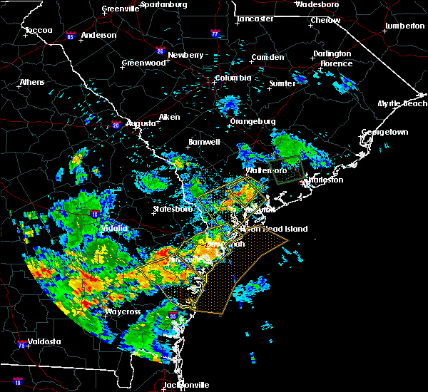 The severe thunderstorm warning for bryan, chatham, liberty, mcintosh, beaufort and jasper counties will expire at 800 pm edt, the storm which prompted the warning has weakened below severe limits, and no longer pose an immediate threat to life or property. therefore the warning will be allowed to expire. The severe thunderstorm warning for bryan, chatham, liberty, mcintosh, beaufort and jasper counties will expire at 800 pm edt, the storm which prompted the warning has weakened below severe limits, and no longer pose an immediate threat to life or property. therefore the warning will be allowed to expire.
|
| 6/22/2015 7:53 PM EDT |
 At 753 pm edt, a severe thunderstorm was located near white hall, or near yemassee, moving southwest at 15 mph (radar indicated). Hazards include 60 mph wind gusts and quarter size hail. Hail damage to vehicles is expected. Expect wind damage to roofs, siding and trees. At 753 pm edt, a severe thunderstorm was located near white hall, or near yemassee, moving southwest at 15 mph (radar indicated). Hazards include 60 mph wind gusts and quarter size hail. Hail damage to vehicles is expected. Expect wind damage to roofs, siding and trees.
|
| 6/22/2015 7:35 PM EDT |
 At 730 pm edt, a severe thunderstorm was located near white bluff, or near savannah, moving southeast at 20 mph (radar indicated. at 722 pm a 68 mph wind gust was measured at the savannah airport). Hazards include 60 mph wind gusts and quarter size hail. Hail damage to vehicles is expected. expect wind damage to roofs, siding and trees. Locations impacted include, savannah, hilton head island, pooler, bluffton, richmond hill, wilmington island, i-16/i-95 interchange and fort pulaski national monument. At 730 pm edt, a severe thunderstorm was located near white bluff, or near savannah, moving southeast at 20 mph (radar indicated. at 722 pm a 68 mph wind gust was measured at the savannah airport). Hazards include 60 mph wind gusts and quarter size hail. Hail damage to vehicles is expected. expect wind damage to roofs, siding and trees. Locations impacted include, savannah, hilton head island, pooler, bluffton, richmond hill, wilmington island, i-16/i-95 interchange and fort pulaski national monument.
|
| 6/22/2015 7:02 PM EDT |
 At 701 pm edt, a severe thunderstorm was located over hutchinson island, or near savannah, moving southeast at 30 mph (radar indicated). Hazards include 60 mph wind gusts and quarter size hail. Hail damage to vehicles is expected. Expect wind damage to roofs, siding and trees. At 701 pm edt, a severe thunderstorm was located over hutchinson island, or near savannah, moving southeast at 30 mph (radar indicated). Hazards include 60 mph wind gusts and quarter size hail. Hail damage to vehicles is expected. Expect wind damage to roofs, siding and trees.
|
| 6/22/2015 6:53 PM EDT |
 At 649 pm edt, a severe thunderstorm was located over port wentworth, or near pooler, moving southeast at 15 mph (trained weather spotter. at 648 pm quarter size hail and wind gusts between 40 to 50 mph was reported on interstate 95). Hazards include 60 mph wind gusts and quarter size hail. Hail damage to vehicles is expected. expect wind damage to roofs, siding and trees. Locations impacted include, savannah, pooler and bluffton. At 649 pm edt, a severe thunderstorm was located over port wentworth, or near pooler, moving southeast at 15 mph (trained weather spotter. at 648 pm quarter size hail and wind gusts between 40 to 50 mph was reported on interstate 95). Hazards include 60 mph wind gusts and quarter size hail. Hail damage to vehicles is expected. expect wind damage to roofs, siding and trees. Locations impacted include, savannah, pooler and bluffton.
|
| 6/22/2015 6:23 PM EDT |
 At 623 pm edt, a severe thunderstorm was located near purysburgh, or 11 miles northeast of pooler, moving southeast at 10 mph (radar indicated). Hazards include 60 mph wind gusts and quarter size hail. Hail damage to vehicles is expected. Expect wind damage to roofs, siding and trees. At 623 pm edt, a severe thunderstorm was located near purysburgh, or 11 miles northeast of pooler, moving southeast at 10 mph (radar indicated). Hazards include 60 mph wind gusts and quarter size hail. Hail damage to vehicles is expected. Expect wind damage to roofs, siding and trees.
|
| 6/9/2015 8:25 PM EDT |
 The severe thunderstorm warning for beaufort and jasper counties will expire at 830 pm edt, the storms which prompted the warning have moved out of the area. therefore the warning will be allowed to expire. a severe thunderstorm warning remains in effect for eastern beaufort county until 845 pm edt. to report severe weather, contact your nearest law enforcement agency. they will relay your report to the national weather service charleston. The severe thunderstorm warning for beaufort and jasper counties will expire at 830 pm edt, the storms which prompted the warning have moved out of the area. therefore the warning will be allowed to expire. a severe thunderstorm warning remains in effect for eastern beaufort county until 845 pm edt. to report severe weather, contact your nearest law enforcement agency. they will relay your report to the national weather service charleston.
|
| 6/9/2015 8:12 PM EDT |
 At 811 pm edt, severe thunderstorms were located along a line extending from port royal to hilton head airport to near fort pulaski national monument, moving east at 30 mph (radar indicated). Hazards include 60 mph wind gusts and quarter size hail. Hail damage to vehicles is expected. expect wind damage to roofs, siding and trees. Locations impacted include, hilton head island, bluffton, port royal and bellinger hill area. At 811 pm edt, severe thunderstorms were located along a line extending from port royal to hilton head airport to near fort pulaski national monument, moving east at 30 mph (radar indicated). Hazards include 60 mph wind gusts and quarter size hail. Hail damage to vehicles is expected. expect wind damage to roofs, siding and trees. Locations impacted include, hilton head island, bluffton, port royal and bellinger hill area.
|
| 6/9/2015 8:11 PM EDT | Tree in roadway on shady oak circl in jasper county SC, 4.7 miles N of Hardeeville, SC |
| 6/9/2015 7:49 PM EDT |
 At 748 pm edt, severe thunderstorms were located along a line extending from near jasper to near bluffton to savannah historic district, moving northeast at 25 mph (radar indicated). Hazards include 60 mph wind gusts and quarter size hail. Hail damage to vehicles is expected. expect wind damage to roofs, siding and trees. Locations impacted include, savannah, hilton head island, bluffton, port royal, bellinger hill area and wilmington island. At 748 pm edt, severe thunderstorms were located along a line extending from near jasper to near bluffton to savannah historic district, moving northeast at 25 mph (radar indicated). Hazards include 60 mph wind gusts and quarter size hail. Hail damage to vehicles is expected. expect wind damage to roofs, siding and trees. Locations impacted include, savannah, hilton head island, bluffton, port royal, bellinger hill area and wilmington island.
|
| 6/9/2015 7:29 PM EDT |
 At 729 pm edt, a severe thunderstorm was located near port wentworth, or 7 miles west of bellinger hill area, moving northeast at 25 mph (radar indicated). Hazards include 60 mph wind gusts and quarter size hail. Hail damage to vehicles is expected. Expect wind damage to roofs, siding and trees. At 729 pm edt, a severe thunderstorm was located near port wentworth, or 7 miles west of bellinger hill area, moving northeast at 25 mph (radar indicated). Hazards include 60 mph wind gusts and quarter size hail. Hail damage to vehicles is expected. Expect wind damage to roofs, siding and trees.
|
| 6/9/2015 7:07 PM EDT |
 At 707 pm edt, a severe thunderstorm was located near switzerland, or near ridgeland, moving northeast at 10 mph (radar indicated). Hazards include 60 mph wind gusts and quarter size hail. Hail damage to vehicles is expected. expect wind damage to roofs, siding and trees. Locations impacted include, ridgeland. At 707 pm edt, a severe thunderstorm was located near switzerland, or near ridgeland, moving northeast at 10 mph (radar indicated). Hazards include 60 mph wind gusts and quarter size hail. Hail damage to vehicles is expected. expect wind damage to roofs, siding and trees. Locations impacted include, ridgeland.
|
| 6/9/2015 6:49 PM EDT |
 The national weather service in charleston has issued a * severe thunderstorm warning for portions of. jasper county in southeastern south carolina. until 745 pm edt * at 649 pm edt. a severe thunderstorm was located near tillman. or 7 miles southwest of ridgeland. Moving northeast at 10 mph. The national weather service in charleston has issued a * severe thunderstorm warning for portions of. jasper county in southeastern south carolina. until 745 pm edt * at 649 pm edt. a severe thunderstorm was located near tillman. or 7 miles southwest of ridgeland. Moving northeast at 10 mph.
|
| 6/2/2015 4:46 PM EDT | At 444 pm edt, a severe thunderstorm was located near hardeeville, or near bellinger hill area, moving northeast at 10 mph (radar indicated). Hazards include 60 mph wind gusts and quarter size hail. Hail damage to vehicles is expected. expect wind damage to roofs, siding and trees. Locations impacted include, bluffton and bellinger hill area. |
| 6/2/2015 4:35 PM EDT | Law enforcement called in with trees down near mile marker 2 on interstate 9 in jasper county SC, 4.6 miles NE of Hardeeville, SC |
| 6/2/2015 4:24 PM EDT | At 423 pm edt, a severe thunderstorm was located near port wentworth, or near bellinger hill area, moving northeast at 5 mph (radar indicated). Hazards include 60 mph wind gusts and quarter size hail. Hail damage to vehicles is expected. Expect wind damage to roofs, siding and trees. |
| 5/12/2015 8:18 PM EDT | At 816 pm edt, a severe thunderstorm was located over parris island, or near port royal, moving east at 30 mph (radar indicated. these thunderstorms have blown down scattered trees in jasper county). Hazards include 60 mph wind gusts. Expect damage to roofs. siding and trees. locations impacted include, hilton head island, bluffton, beaufort, port royal and edisto beach. 75in. |
| 5/12/2015 7:56 PM EDT | At 755 pm edt, a severe thunderstorm was located over lemon island, or 8 miles west of port royal, moving southeast at 20 mph (radar indicated). Hazards include 60 mph wind gusts. Expect damage to roofs. siding and trees. locations impacted include, hilton head island, bluffton, beaufort, port royal, ridgeland and edisto beach. 75in. |
| 5/12/2015 7:42 PM EDT | At 741 pm edt, a severe thunderstorm was located over laurel bay, or 7 miles west of beaufort, moving southeast at 35 mph (radar indicated). Hazards include 60 mph wind gusts and penny size hail. Expect damage to roofs. siding and trees. locations impacted include, hilton head island, bluffton, beaufort, port royal, ridgeland and edisto beach. 0. 75in. |
| 5/12/2015 7:32 PM EDT | At 732 pm edt, a severe thunderstorm was located near sheldon, or near yemassee, moving east at 30 mph (radar indicated). Hazards include 60 mph wind gusts and penny size hail. Expect damage to roofs. Siding and trees. |
| 4/25/2015 9:20 PM EDT | At 917 pm edt, severe thunderstorms were located along a line extending from near bellinger hill area to near wilmington island to near isle of hope, moving east at 50 mph. these are very dangerous storms (radar indicated). Hazards include 80 mph wind gusts. Flying debris will be dangerous to those caught without shelter. mobile homes will be heavily damaged. expect considerable damage to roofs, windows and vehicles. extensive tree damage and power outages are likely. locations impacted include, savannah, hilton head island, pooler, bluffton, beaufort, port royal, richmond hill and wilmington island. 75in. |
| 4/25/2015 9:20 PM EDT | At 917 pm edt, severe thunderstorms were located along a line extending from near bellinger hill area to near wilmington island to near isle of hope, moving east at 50 mph. these are very dangerous storms (radar indicated). Hazards include 80 mph wind gusts. Flying debris will be dangerous to those caught without shelter. mobile homes will be heavily damaged. expect considerable damage to roofs, windows and vehicles. extensive tree damage and power outages are likely. locations impacted include, savannah, hilton head island, pooler, bluffton, beaufort, port royal, richmond hill and wilmington island. 75in. |
| 4/25/2015 9:05 PM EDT | At 903 pm edt, severe thunderstorms were located along a line extending from near port wentworth to hutchinson island to near white bluff, moving east at 75 mph. these are very dangerous storms (radar indicated). Hazards include 80 mph wind gusts. Flying debris will be dangerous to those caught without shelter. mobile homes will be heavily damaged. expect considerable damage to roofs, windows and vehicles. extensive tree damage and power outages are likely. locations impacted include, savannah, hilton head island, pooler, bluffton, beaufort, port royal, richmond hill and ridgeland. 75in. |
| 4/25/2015 9:05 PM EDT | At 903 pm edt, severe thunderstorms were located along a line extending from near port wentworth to hutchinson island to near white bluff, moving east at 75 mph. these are very dangerous storms (radar indicated). Hazards include 80 mph wind gusts. Flying debris will be dangerous to those caught without shelter. mobile homes will be heavily damaged. expect considerable damage to roofs, windows and vehicles. extensive tree damage and power outages are likely. locations impacted include, savannah, hilton head island, pooler, bluffton, beaufort, port royal, richmond hill and ridgeland. 75in. |
| 4/25/2015 8:58 PM EDT | At 857 pm edt, severe thunderstorms were located along a line extending from near hilton head island to 6 miles northwest of richmond hill, moving southeast at 40 mph (radar indicated). Hazards include quarter size hail and 60 mph wind gusts. Hail damage to vehicles is expected. Expect wind damage to roofs, siding and trees. |
| 4/25/2015 8:58 PM EDT | At 857 pm edt, severe thunderstorms were located along a line extending from near hilton head island to 6 miles northwest of richmond hill, moving southeast at 40 mph (radar indicated). Hazards include quarter size hail and 60 mph wind gusts. Hail damage to vehicles is expected. Expect wind damage to roofs, siding and trees. |
| 4/25/2015 8:39 PM EDT | At 838 pm edt, a severe thunderstorm was located near hardeeville, or 7 miles northwest of bellinger hill area, moving east at 30 mph (radar indicated). Hazards include quarter size hail and 60 mph wind gusts. Hail damage to vehicles is expected. expect wind damage to roofs, siding and trees. locations impacted include, savannah, hilton head island, pooler, bluffton, beaufort, port royal, springfield and pembroke. 1. 00in. |
| 4/25/2015 8:39 PM EDT | At 838 pm edt, a severe thunderstorm was located near hardeeville, or 7 miles northwest of bellinger hill area, moving east at 30 mph (radar indicated). Hazards include quarter size hail and 60 mph wind gusts. Hail damage to vehicles is expected. expect wind damage to roofs, siding and trees. locations impacted include, savannah, hilton head island, pooler, bluffton, beaufort, port royal, springfield and pembroke. 1. 00in. |
| 4/25/2015 8:07 PM EDT | At 806 pm edt, a severe thunderstorm was located over monteith, or 7 miles northeast of pooler, moving east at 35 mph (radar indicated). Hazards include quarter size hail and 60 mph wind gusts. Hail damage to vehicles is expected. Expect wind damage to roofs, siding and trees. |
| 4/25/2015 8:07 PM EDT | At 806 pm edt, a severe thunderstorm was located over monteith, or 7 miles northeast of pooler, moving east at 35 mph (radar indicated). Hazards include quarter size hail and 60 mph wind gusts. Hail damage to vehicles is expected. Expect wind damage to roofs, siding and trees. |
| 4/19/2015 4:54 PM EDT | The severe thunderstorm warning for effingham and jasper counties will expire at 500 pm edt, the line of storms which prompted the warning have moved out of the area. therefore the warning will be allowed to expire. however gusty winds are still possible with these thunderstorms. another severe thnuderstorm warning remains in effect for jasper county until 545 pm. a tornado watch remains in effect until 800 pm edt for southeastern georgia and southeastern south carolina. |
| 4/19/2015 4:54 PM EDT | The severe thunderstorm warning for effingham and jasper counties will expire at 500 pm edt, the line of storms which prompted the warning have moved out of the area. therefore the warning will be allowed to expire. however gusty winds are still possible with these thunderstorms. another severe thnuderstorm warning remains in effect for jasper county until 545 pm. a tornado watch remains in effect until 800 pm edt for southeastern georgia and southeastern south carolina. |
| 4/19/2015 4:47 PM EDT | this alert has expired |
| 4/19/2015 4:44 PM EDT | At 443 pm edt, severe thunderstorms were located along a line extending from pineland to near hardeeville, moving northeast at 40 mph (trained weather spotter. at 440 pm...a tree was reported down on route 70 near hardeeville). Hazards include 60 mph wind gusts. Expect damage to roofs. siding and trees. these severe thunderstorms will remain over mainly rural areas of effingham and jasper counties, including the following locations, tuckasee king, coastal carolina hospital, deerfield and morgan. a tornado watch remains in effect until 800 pm edt for southeastern georgia and southeastern south carolina. 75in. |
| 4/19/2015 4:44 PM EDT | At 443 pm edt, severe thunderstorms were located along a line extending from pineland to near hardeeville, moving northeast at 40 mph (trained weather spotter. at 440 pm...a tree was reported down on route 70 near hardeeville). Hazards include 60 mph wind gusts. Expect damage to roofs. siding and trees. these severe thunderstorms will remain over mainly rural areas of effingham and jasper counties, including the following locations, tuckasee king, coastal carolina hospital, deerfield and morgan. a tornado watch remains in effect until 800 pm edt for southeastern georgia and southeastern south carolina. 75in. |
| 4/19/2015 4:38 PM EDT | Tree down across route 170... just east of route 1 in jasper county SC, 1.5 miles E of Hardeeville, SC |
| 4/19/2015 4:38 PM EDT | Tree down across route 170... just east of route 1 in jasper county SC, 4.6 miles N of Hardeeville, SC |
| 4/19/2015 4:35 PM EDT | Sc highway patrol reports a tree down and in the roadway on okatie highway in the bellinger hill area. time estimated from rada in jasper county SC, 8.2 miles N of Hardeeville, SC |
| 4/19/2015 4:32 PM EDT | Sc highway patrol reports a tree down and in the roadway on hw-315 near hw-17. time estimated from rada in jasper county SC, 9.5 miles N of Hardeeville, SC |
| 4/19/2015 4:29 PM EDT | At 429 pm edt, severe thunderstorms were located along a line extending from near meinhard to white bluff to near st. catherines island, moving northeast at 35 mph (radar indicated). Hazards include 60 mph wind gusts. Expect damage to roofs. siding and trees. locations impacted include, savannah, pooler, bluffton, wilmington island, fort pulaski national monument and bellinger hill area. a tornado watch remains in effect until 800 pm edt for southeastern georgia and southeastern south carolina. 75in. |
| 4/19/2015 4:29 PM EDT | At 429 pm edt, severe thunderstorms were located along a line extending from near meinhard to white bluff to near st. catherines island, moving northeast at 35 mph (radar indicated). Hazards include 60 mph wind gusts. Expect damage to roofs. siding and trees. locations impacted include, savannah, pooler, bluffton, wilmington island, fort pulaski national monument and bellinger hill area. a tornado watch remains in effect until 800 pm edt for southeastern georgia and southeastern south carolina. 75in. |
| 4/19/2015 4:21 PM EDT | At 420 pm edt, severe thunderstorms were located along a line extending from near shawnee to near meinhard, moving northeast at 60 mph (radar indicated). Hazards include 60 mph wind gusts. Expect damage to roofs. siding and trees. locations impacted include, springfield. a tornado watch remains in effect until 800 pm edt for southeastern georgia and southeastern south carolina. 75in. |
| 4/19/2015 4:21 PM EDT | At 420 pm edt, severe thunderstorms were located along a line extending from near shawnee to near meinhard, moving northeast at 60 mph (radar indicated). Hazards include 60 mph wind gusts. Expect damage to roofs. siding and trees. locations impacted include, springfield. a tornado watch remains in effect until 800 pm edt for southeastern georgia and southeastern south carolina. 75in. |
| 4/19/2015 4:11 PM EDT | At 410 pm edt, severe thunderstorms were located along a line extending from lanier to near richmond hill to near st. catherines island, moving northeast at 35 mph (radar indicated). Hazards include 60 mph wind gusts. Expect damage to roofs. siding and trees. locations impacted include, savannah, pooler, bluffton, richmond hill, wilmington island, i-16/i-95 interchange, fort pulaski national monument and bellinger hill area. a tornado watch remains in effect until 800 pm edt for southeastern georgia and southeastern south carolina. 75in. |
| 4/19/2015 4:11 PM EDT | At 410 pm edt, severe thunderstorms were located along a line extending from lanier to near richmond hill to near st. catherines island, moving northeast at 35 mph (radar indicated). Hazards include 60 mph wind gusts. Expect damage to roofs. siding and trees. locations impacted include, savannah, pooler, bluffton, richmond hill, wilmington island, i-16/i-95 interchange, fort pulaski national monument and bellinger hill area. a tornado watch remains in effect until 800 pm edt for southeastern georgia and southeastern south carolina. 75in. |
| 4/19/2015 4:05 PM EDT | At 404 pm edt, severe thunderstorms were located along a line extending from leefield to ellabell, moving east at 60 mph (radar indicated). Hazards include 60 mph wind gusts. Expect damage to roofs. Siding and trees. |
| 4/19/2015 4:05 PM EDT | At 404 pm edt, severe thunderstorms were located along a line extending from leefield to ellabell, moving east at 60 mph (radar indicated). Hazards include 60 mph wind gusts. Expect damage to roofs. Siding and trees. |
| 4/19/2015 3:47 PM EDT | At 345 pm edt, severe thunderstorms were located along a line extending from near groveland to near mcintosh to near cox, moving northeast at 35 mph (radar indicated. at 333 pm edt...the public reported numerous powerlines blown down along highway 84 near walthourville). Hazards include 70 mph wind gusts. Expect considerable tree damage. Damage is likely to mobile homes, roofs and outbuildings. |
| 4/19/2015 3:47 PM EDT | At 345 pm edt, severe thunderstorms were located along a line extending from near groveland to near mcintosh to near cox, moving northeast at 35 mph (radar indicated. at 333 pm edt...the public reported numerous powerlines blown down along highway 84 near walthourville). Hazards include 70 mph wind gusts. Expect considerable tree damage. Damage is likely to mobile homes, roofs and outbuildings. |
| 10/14/2014 5:34 PM EDT | Tree down in roadway near the intersection of john st. and moorer ave. report from sc highway patro in jasper county SC, 1.5 miles NE of Hardeeville, SC |
| 7/15/2014 5:00 PM EDT | Several small pine trees snapped by strong thunderstorm winds. winds estimated to be around 60 mp in jasper county SC, 6.8 miles WSW of Hardeeville, SC |
| 6/11/2014 4:19 PM EDT | Hardeeville police reported one tree down and covering a portion of deerfield roa in jasper county SC, 5.4 miles SSE of Hardeeville, SC |
| 6/11/2014 4:10 PM EDT | Hardeeville police department reported one tree down along highway 1 in jasper county SC, 1.6 miles ENE of Hardeeville, SC |
| 6/11/2014 4:07 PM EDT | South carolina highway patrol reports tree down along purrysburg roa in jasper county SC, 5.3 miles SE of Hardeeville, SC |
| 7/31/2013 4:48 PM EDT | Warning point reported tree down on power lines near the intersection of freedom parkway and ford lan in jasper county SC, 4.6 miles N of Hardeeville, SC |
| 6/26/2013 6:24 PM EDT | Tree down on jasper station r in jasper county SC, 7.6 miles WSW of Hardeeville, SC |
| 6/10/2013 7:30 PM EDT | Tree down reported at intersection of independence boulevard and interstate 9 in jasper county SC, 1.6 miles S of Hardeeville, SC |
| 6/10/2013 7:29 PM EDT | 3 trees were reported down near the intersection of purrysburg road and church road and purrysburg road and honey hill roa in jasper county SC, 3.9 miles ESE of Hardeeville, SC |
| 6/10/2013 7:28 PM EDT | One tree down on hardee blvd near the intersection of main street and boyd stree in jasper county SC, 1.9 miles NE of Hardeeville, SC |
| 6/10/2013 7:25 PM EDT | Tree down reported on highway 17 near the napa stor in jasper county SC, 1.9 miles NE of Hardeeville, SC |
| 4/29/2013 4:35 PM EDT | Golf Ball sized hail reported 5.6 miles W of Hardeeville, SC |
| 4/29/2013 4:32 PM EDT | Quarter sized hail reported 5.2 miles WSW of Hardeeville, SC, one inch hail reported on new river parkway. |
| 12/17/2012 3:56 PM EST | South carolina highway patrol reported a tree down on highway 170 and highway 1 in jasper county SC, 8.1 miles N of Hardeeville, SC |
| 12/17/2012 3:51 PM EST | A tree was blown down onto interstate 95 near mile marker 4. time was estimated from radar dat in jasper county SC, 2.4 miles ENE of Hardeeville, SC |
| 8/28/2012 5:25 PM EDT | Sc highway patrol reports a tree down blocking the roadway on hw-321 near floyd roa in jasper county SC, 9.5 miles SSE of Hardeeville, SC |
| 7/29/2012 3:50 PM EDT | Tree down on sc hwy 46 in hardeevill in jasper county SC, 1.5 miles E of Hardeeville, SC |
| 7/28/2012 5:21 PM EDT | Law enforcement reported one tree and power line down along deerfield road in hardeevill in jasper county SC, 1.5 miles E of Hardeeville, SC |
| 7/27/2012 5:02 PM EDT | The jasper county 911 call center reported a tree down on best stree in jasper county SC, 1.3 miles SE of Hardeeville, SC |
| 7/27/2012 5:02 PM EDT | The jasper county 911 call center relayed a report of a tree down on moorer avenu in jasper county SC, 1 miles ENE of Hardeeville, SC |
| 6/11/2012 5:28 PM EDT | Spotter reports a tree down and on a powerline on jasper road. also...other trees down in the woods on either side of the road uprooted and snapped of in jasper county SC, 8 miles SW of Hardeeville, SC |
| 6/11/2012 5:15 PM EDT | 1 tree down on i-95 between mile marker 11 and mile marker 1 in jasper county SC, 5.9 miles SSW of Hardeeville, SC |
| 3/24/2012 2:05 PM EDT | One tree reported down along interstate 95 near mile marker 10. time estimated by rada in jasper county SC, 6.8 miles SSW of Hardeeville, SC |
| 1/1/0001 12:00 AM | Tree down on becks ferry rd near hwy 32 in jasper county SC, 5.3 miles SE of Hardeeville, SC |
| 1/1/0001 12:00 AM | The hardeeville fire department reported 4 trees down in hardeevill in jasper county SC, 1.5 miles E of Hardeeville, SC |
| 1/1/0001 12:00 AM | Quarter sized hail reported 5.6 miles W of Hardeeville, SC |
| 1/1/0001 12:00 AM | Quarter sized hail reported 1.5 miles E of Hardeeville, SC |
Hail Maps for Hardeeville, SC
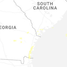
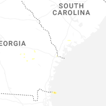
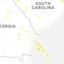


Connect with Interactive Hail Maps