

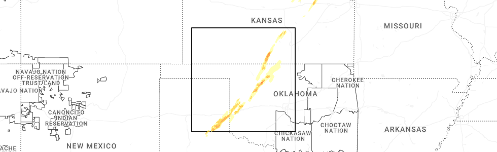
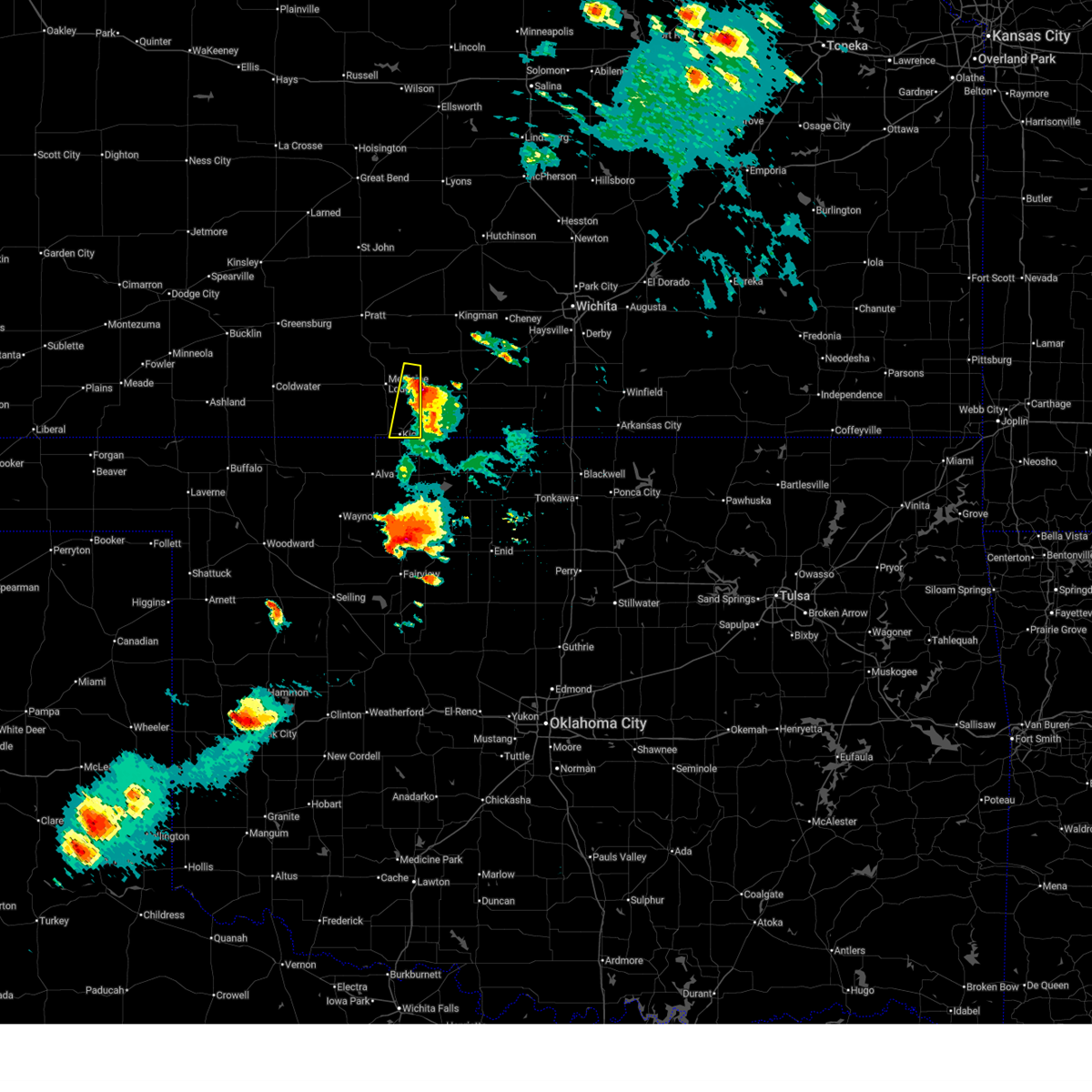
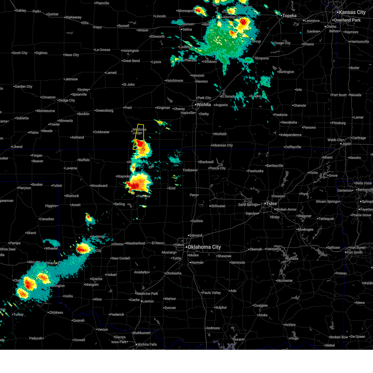
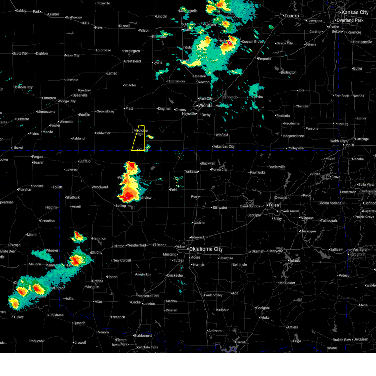
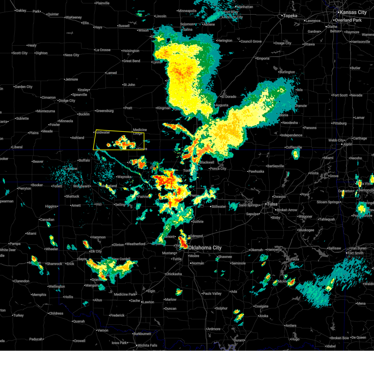
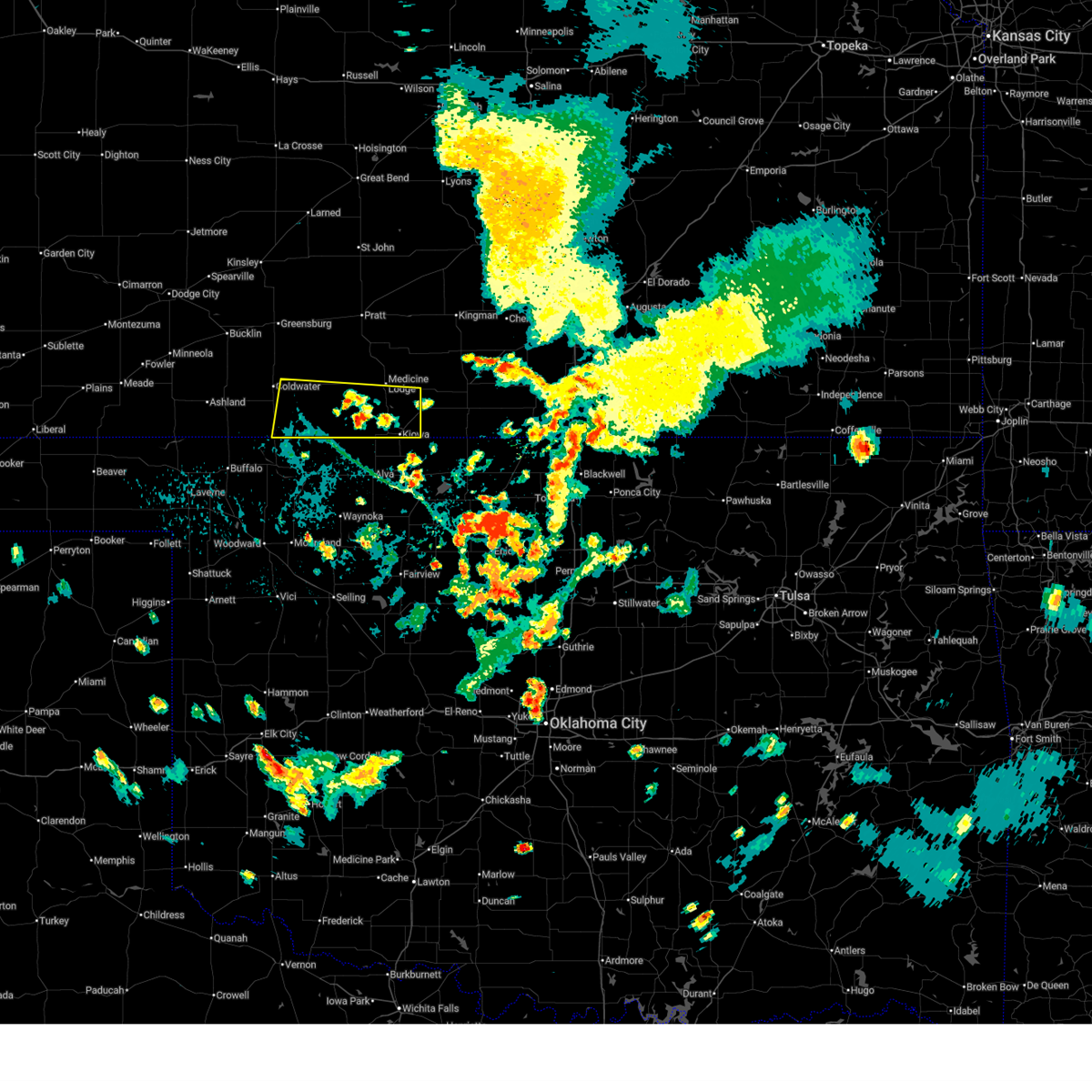
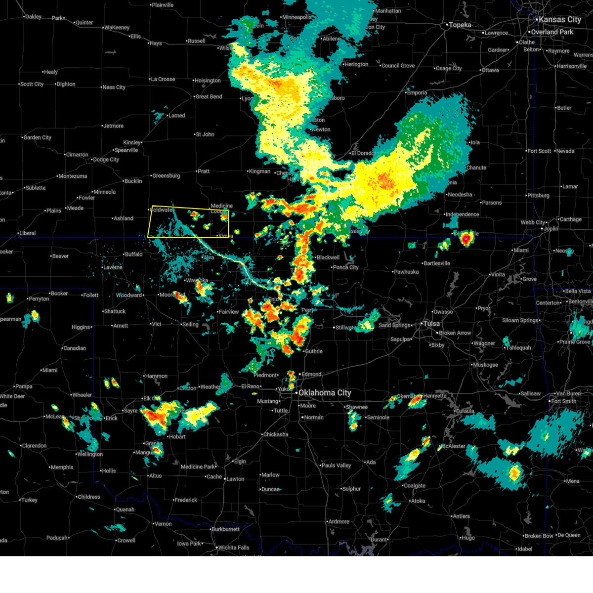
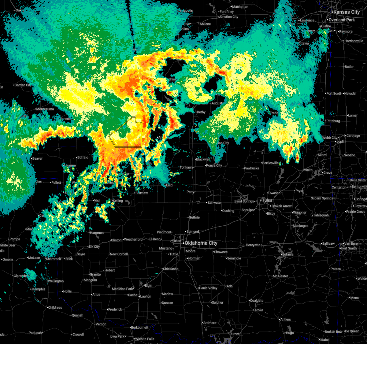
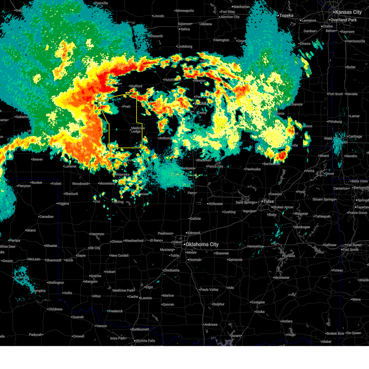
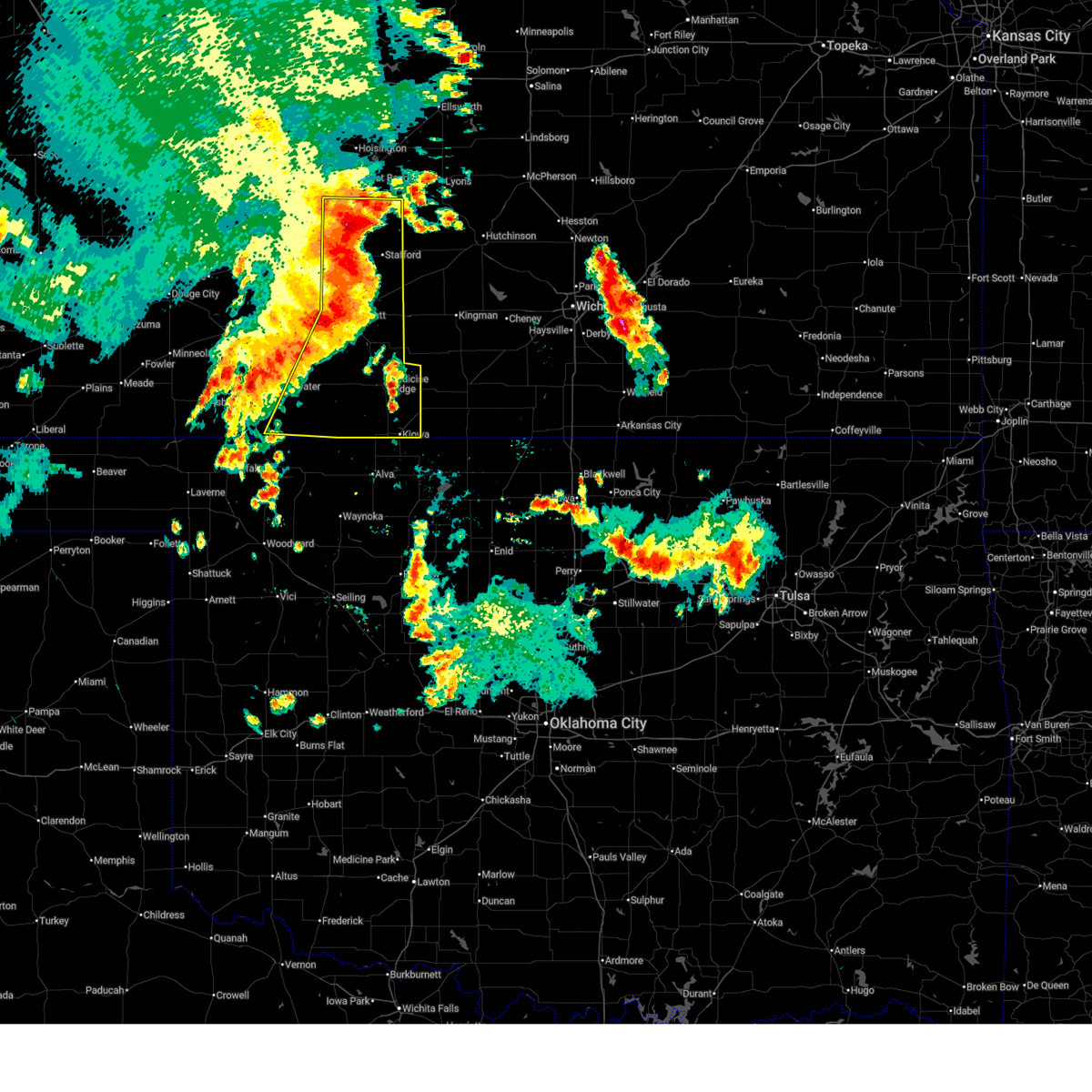
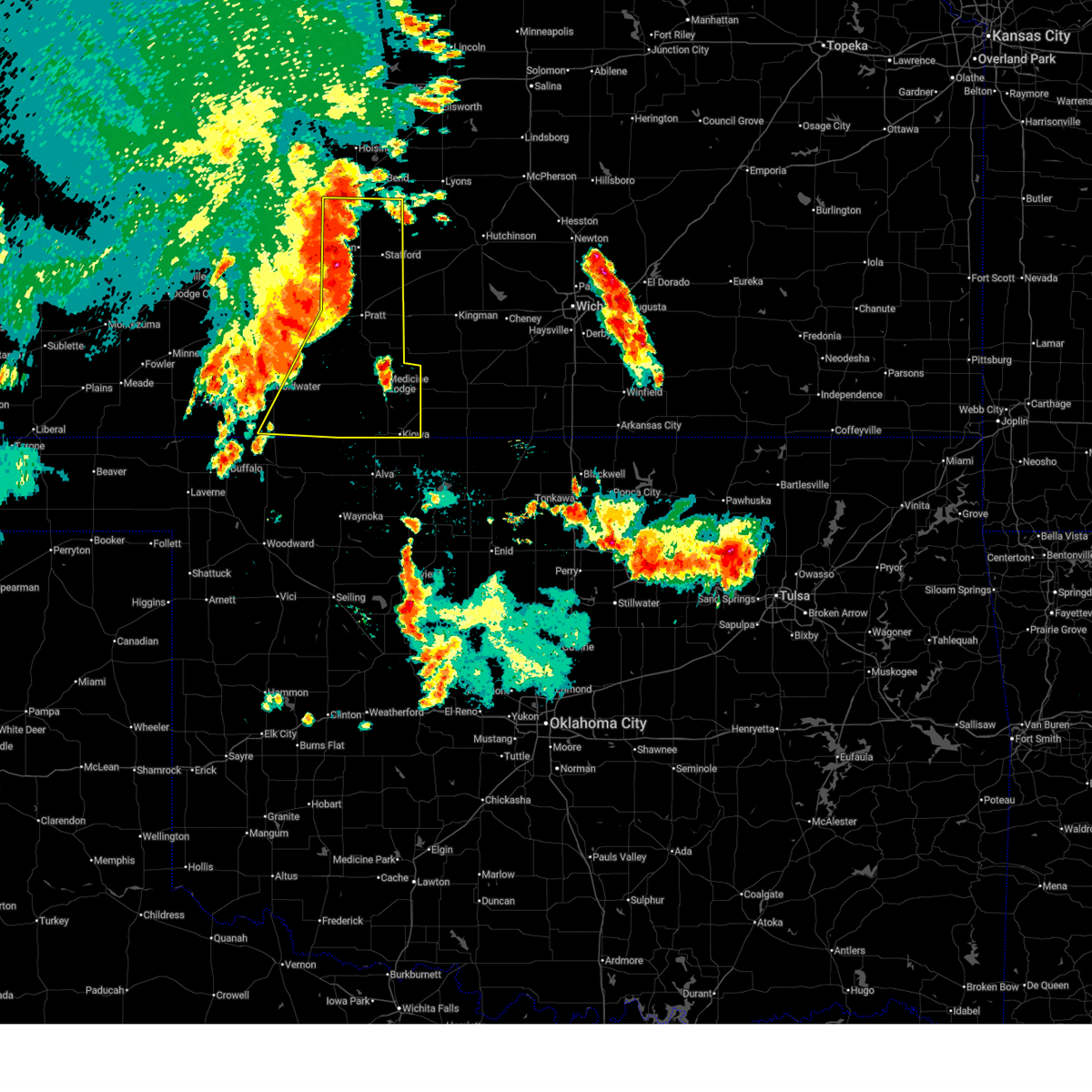
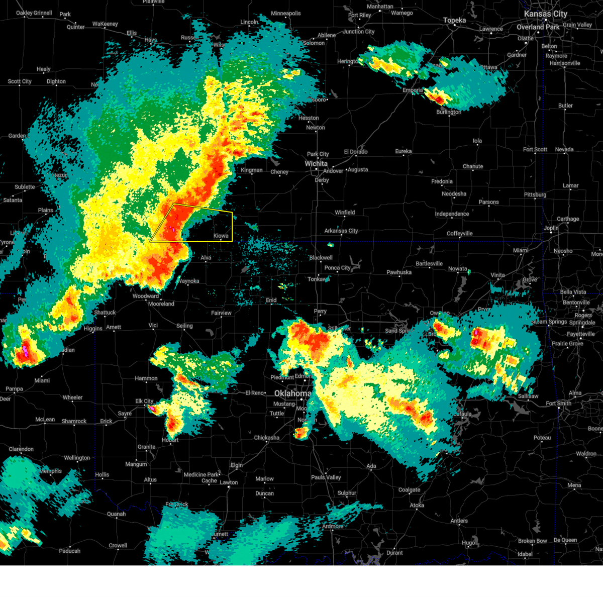
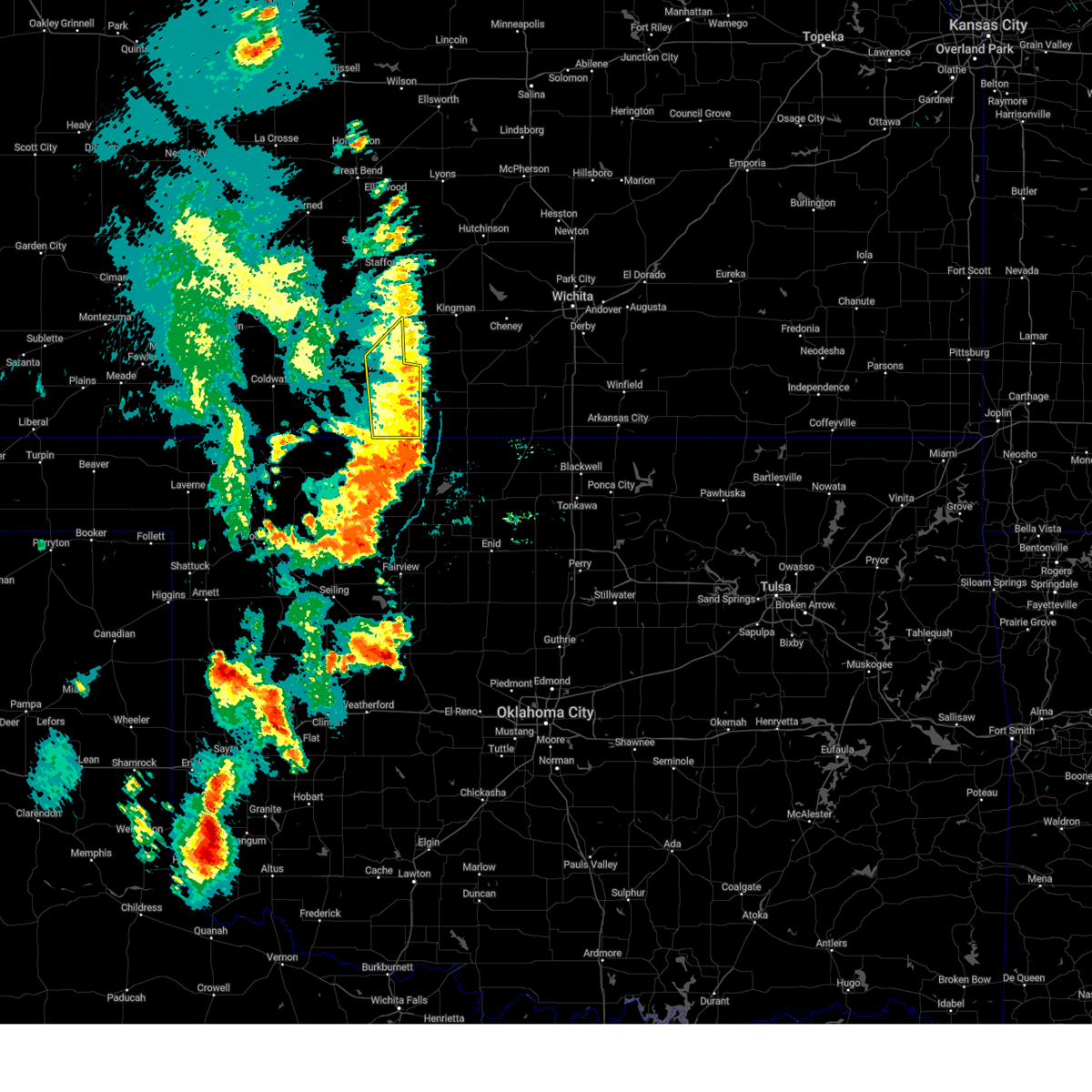
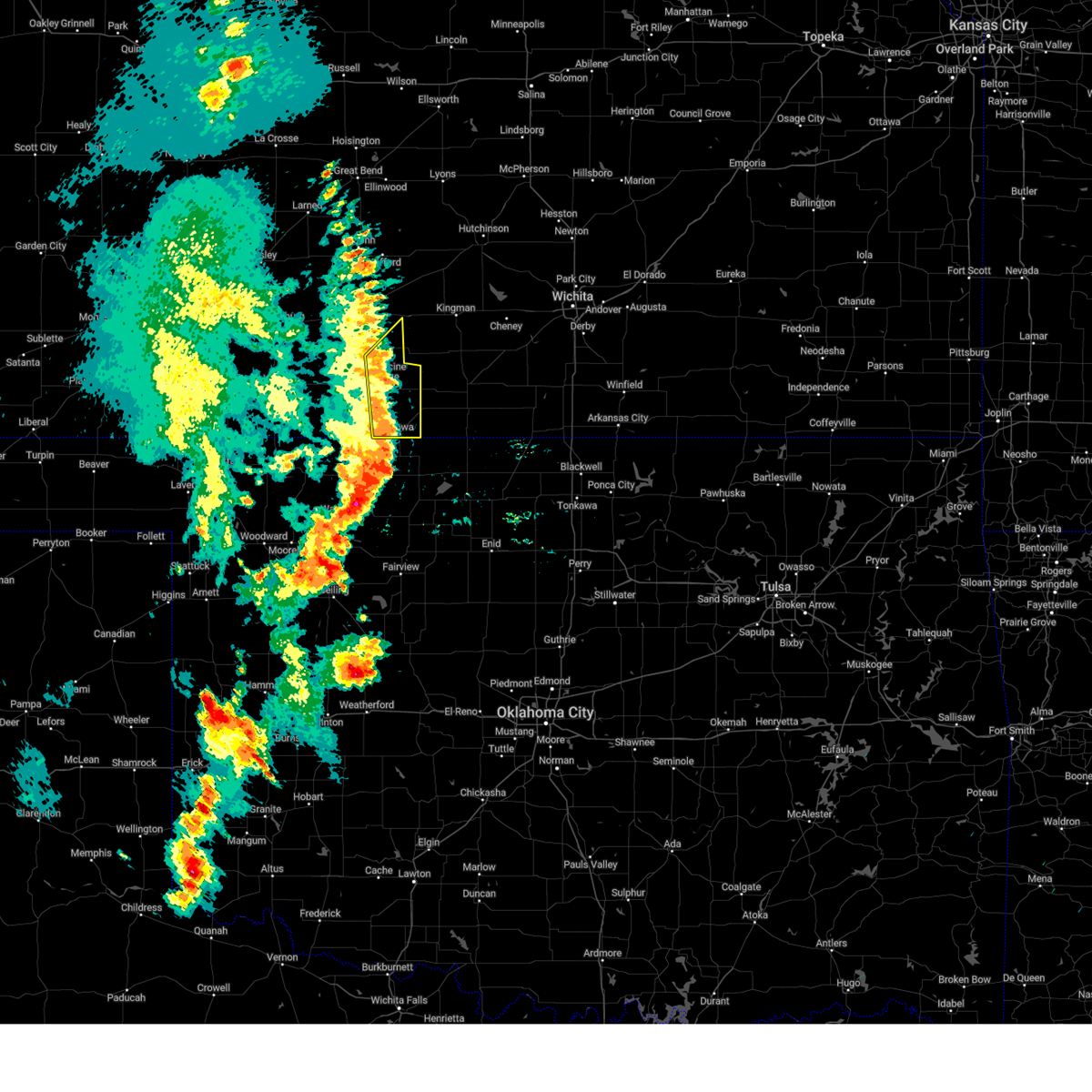
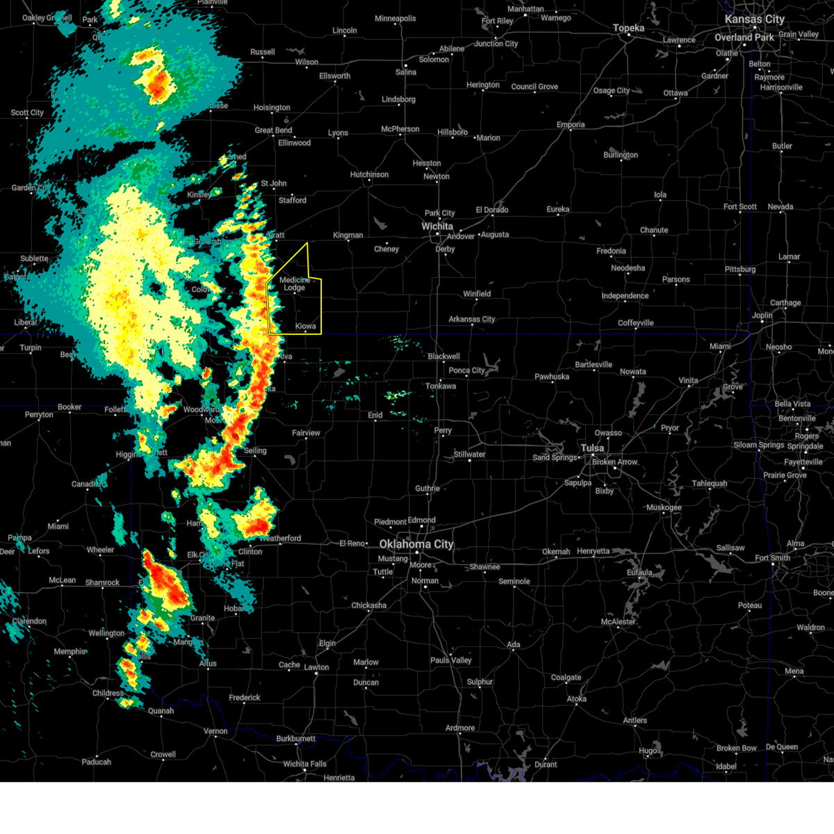
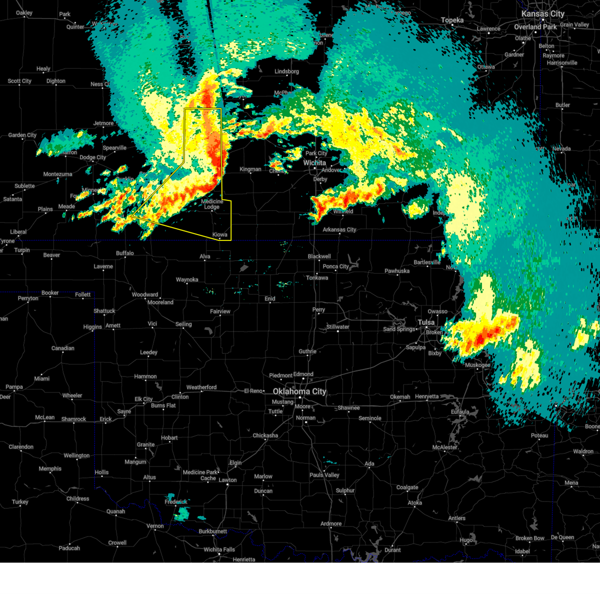
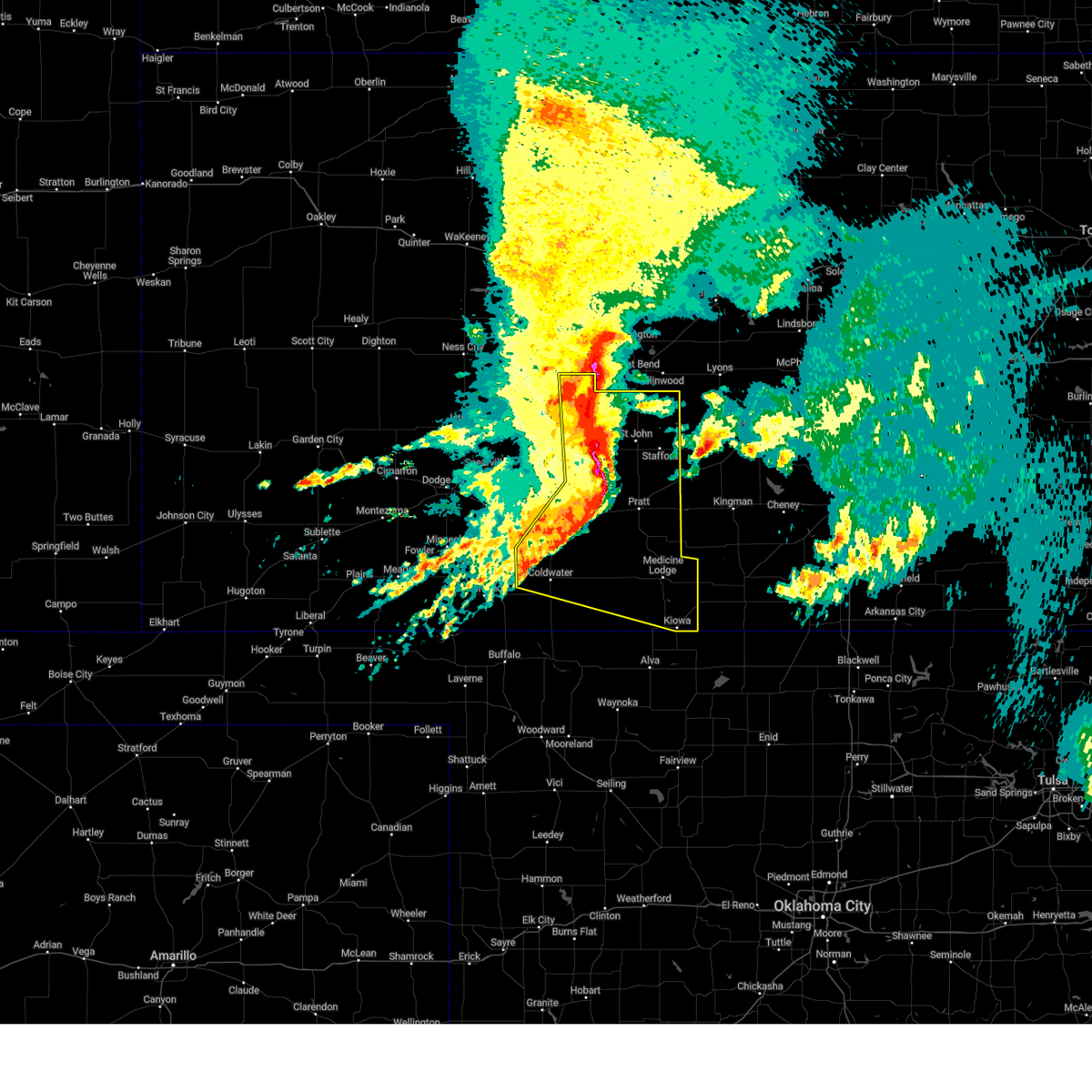
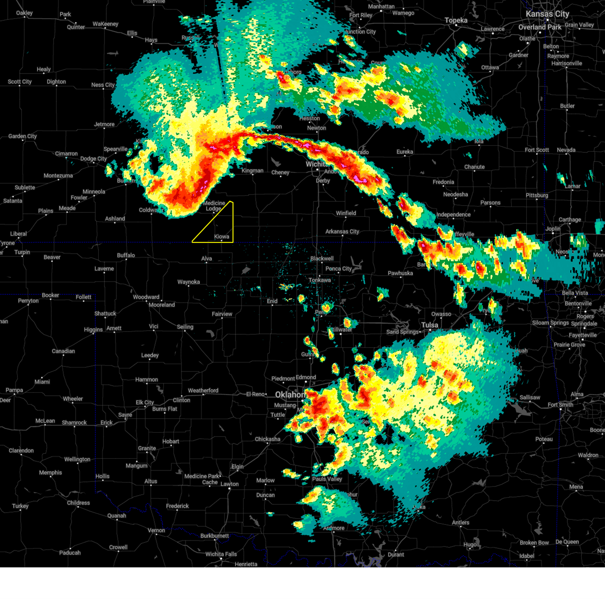
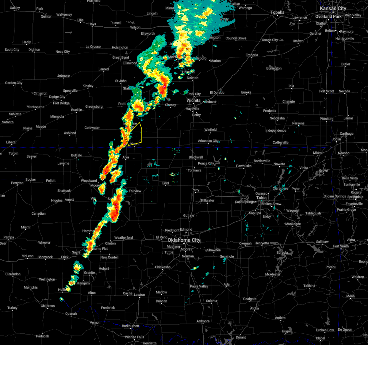
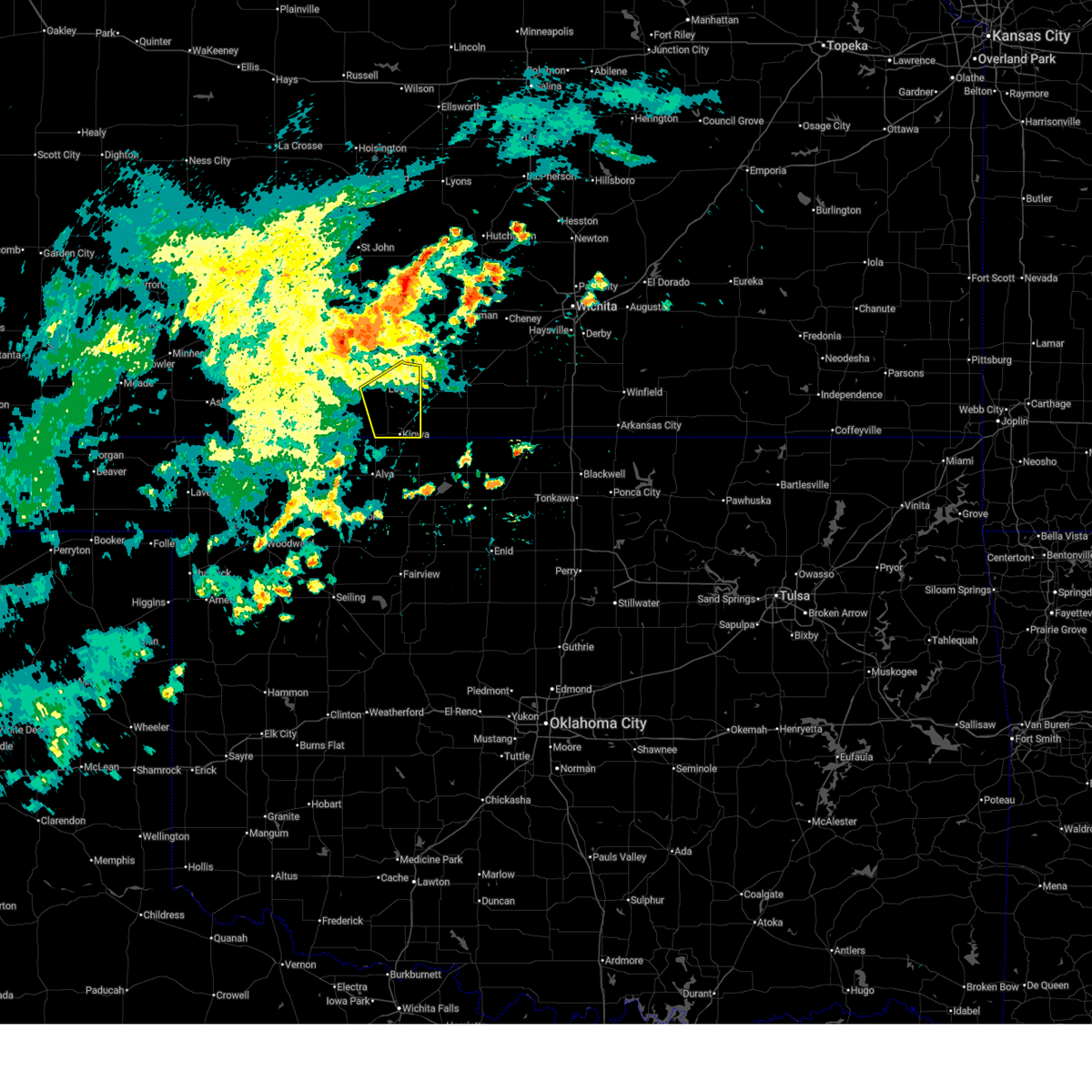
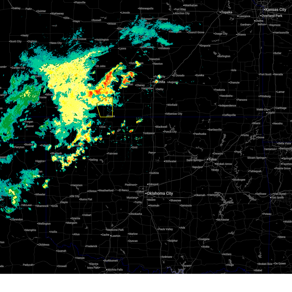
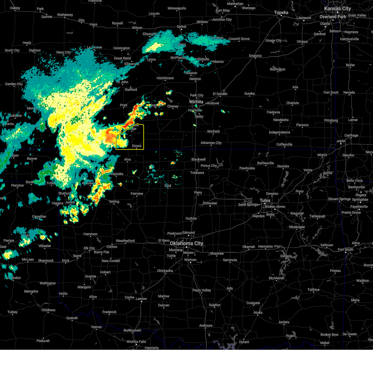
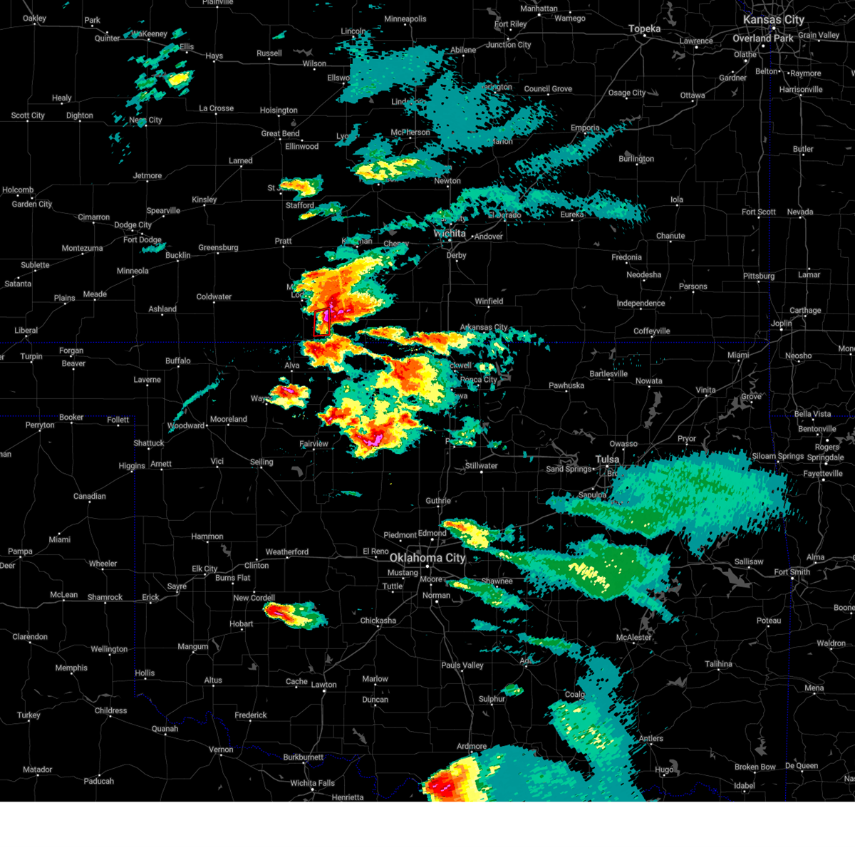
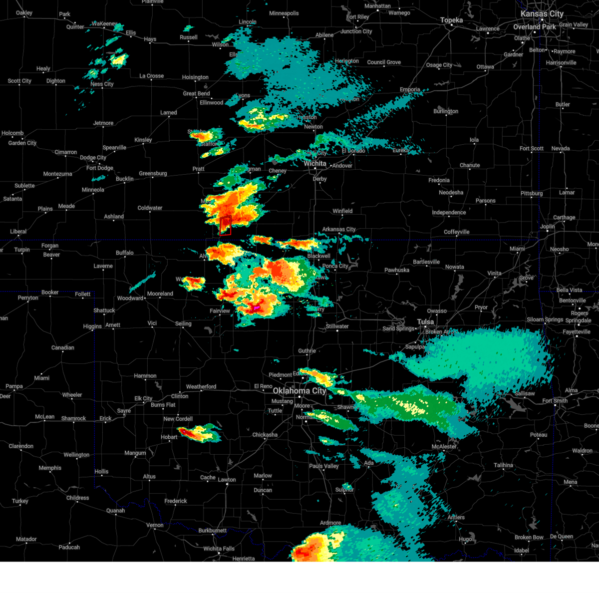
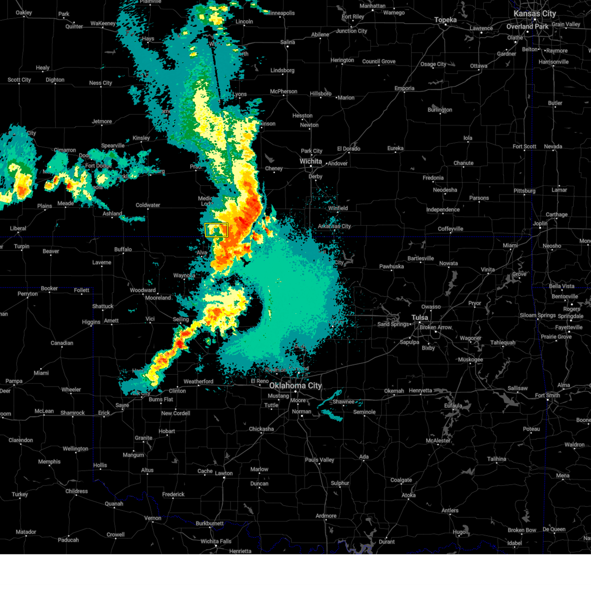
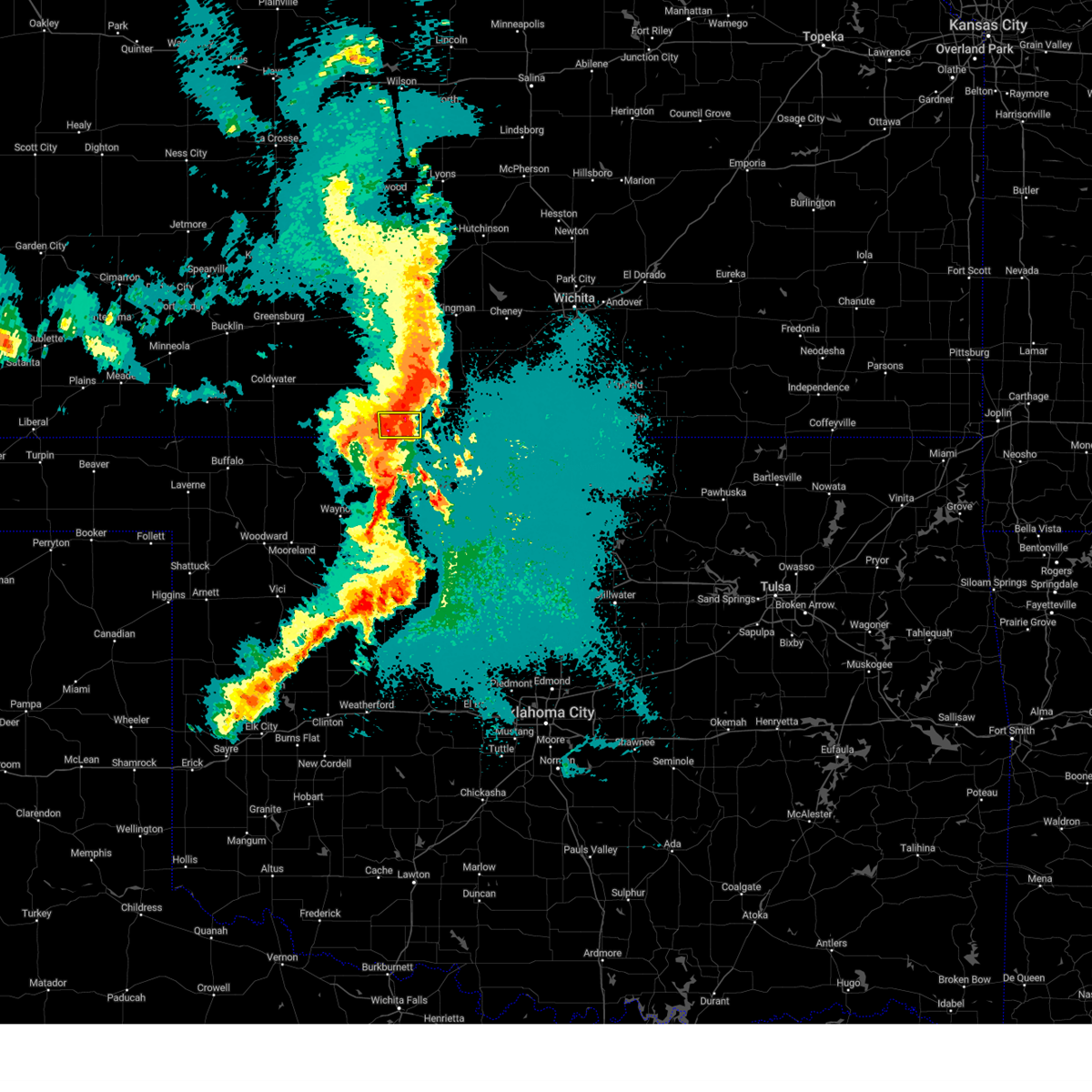
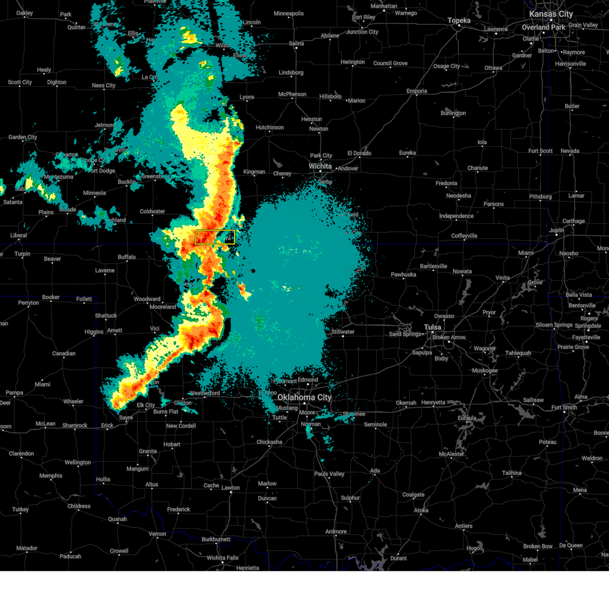
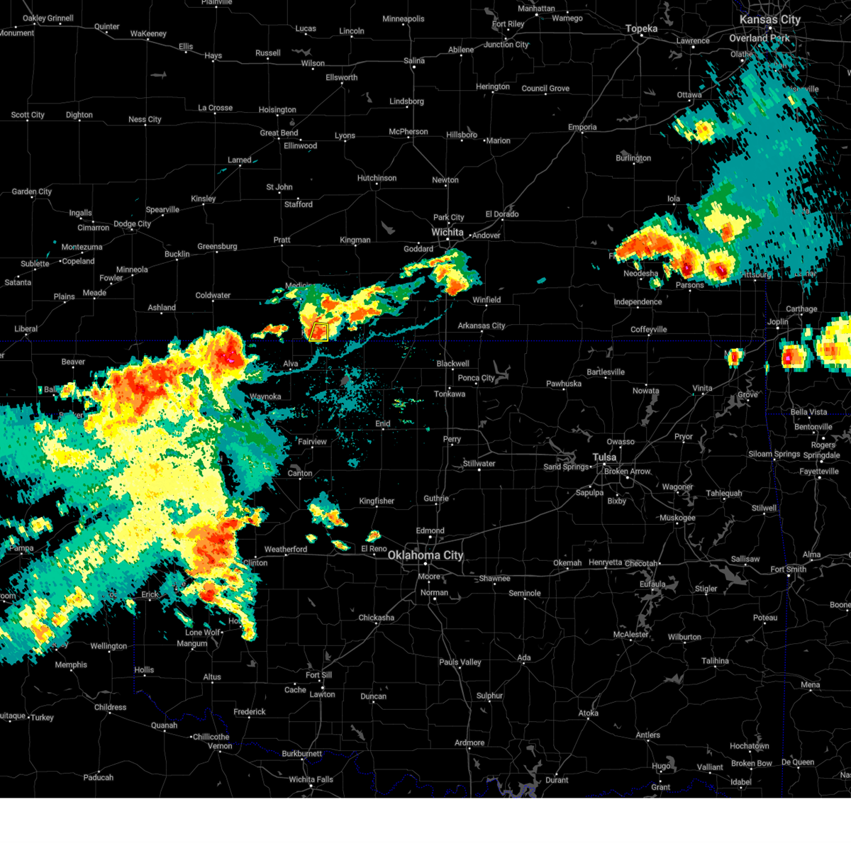
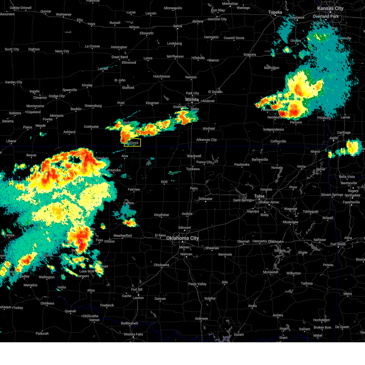
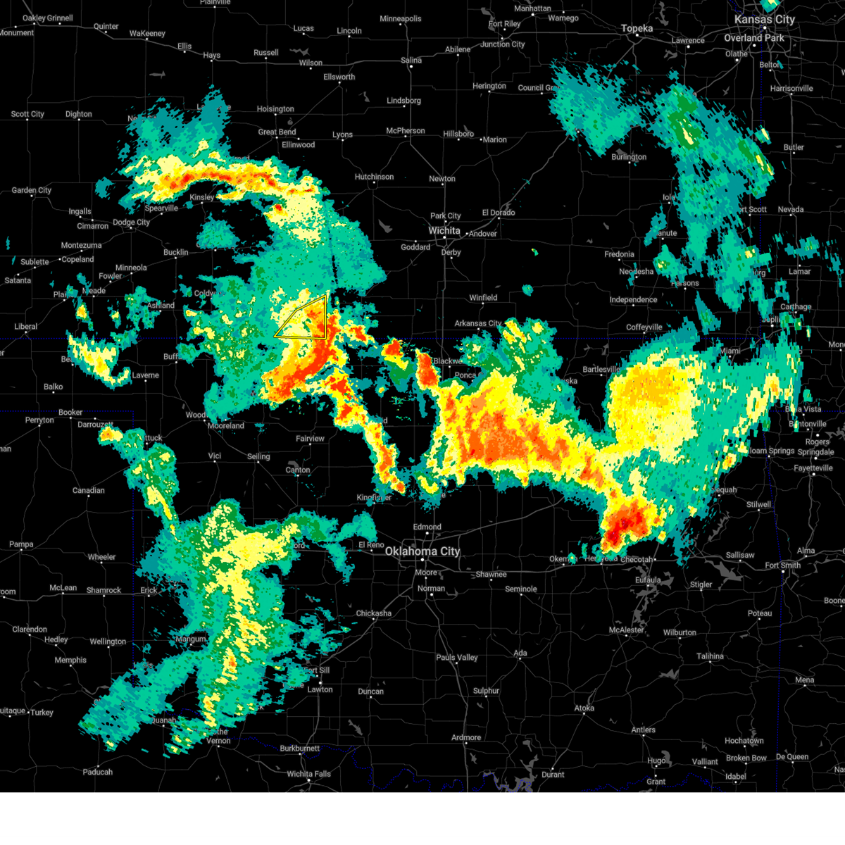
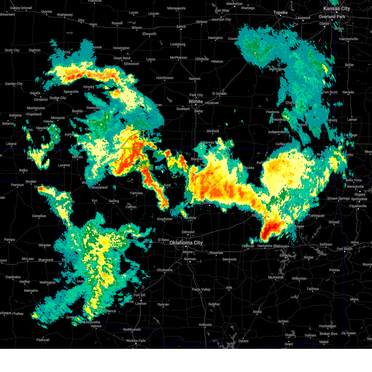
Hail Map for Hazelton, KS
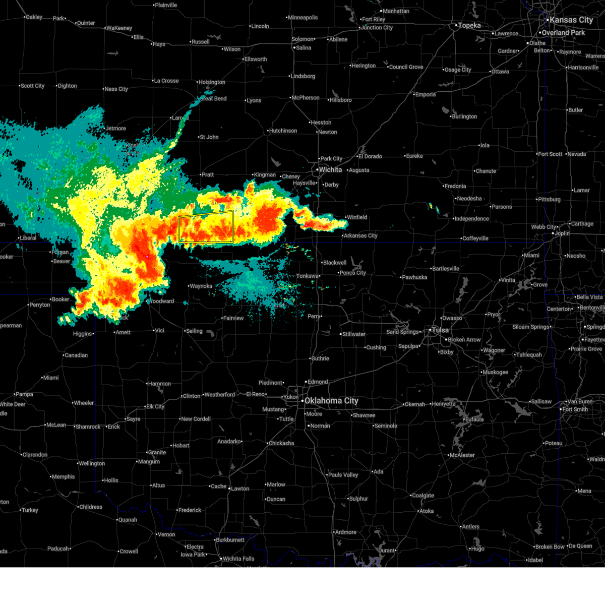
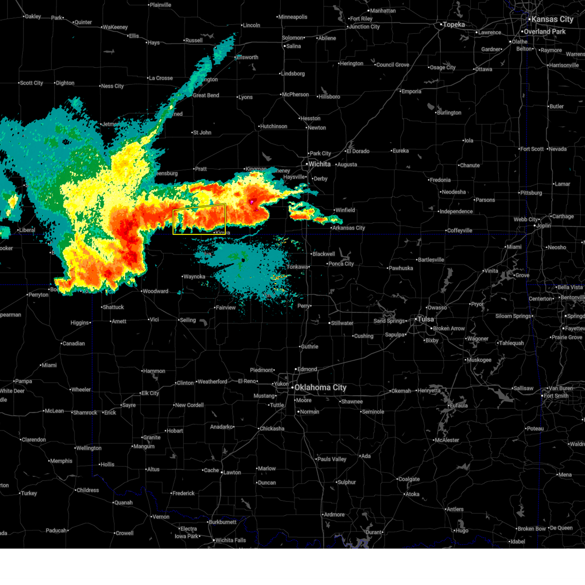
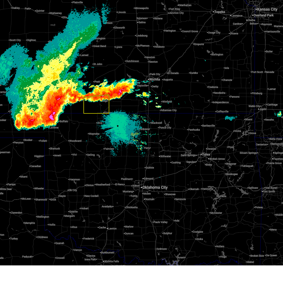
The Hazelton, KS area has had 7 reports of on-the-ground hail by trained spotters, and has been under severe weather warnings 20 times during the past 12 months. Doppler radar has detected hail at or near Hazelton, KS on 83 occasions, including 4 occasions during the past year.
| Name: | Hazelton, KS |
| Where Located: | 71.4 miles NE of Woodward, OK |
| Map: | Google Map for Hazelton, KS |
| Population: | 93 |
| Housing Units: | 58 |
| More Info: | Search Google for Hazelton, KS |
1
The Top Recent Hail Date for Hazelton, KS is Thursday, March 5, 2026 (6th out of 83)
Hail and Wind Damage Spotted near Hazelton, KS
| Date / Time | Report Details |
|---|---|
| 6/21/2026 11:27 PM CDT |
 The storms which prompted the warning have weakened below severe limits, and no longer pose an immediate threat to life or property. therefore, the warning will be allowed to expire. however, gusty winds and heavy rain are still possible with these thunderstorms. a severe thunderstorm watch remains in effect until 100 am cdt for south central kansas. The storms which prompted the warning have weakened below severe limits, and no longer pose an immediate threat to life or property. therefore, the warning will be allowed to expire. however, gusty winds and heavy rain are still possible with these thunderstorms. a severe thunderstorm watch remains in effect until 100 am cdt for south central kansas.
|
| 6/21/2026 11:17 PM CDT |
 At 1116 pm cdt, severe thunderstorms were located along a line extending from near hazelton to near aetna, moving south at 40 mph (radar indicated). Hazards include 60 mph wind gusts. Expect damage to roofs, siding, and trees. Locations impacted include, kiowa, hardtner and hazelton. At 1116 pm cdt, severe thunderstorms were located along a line extending from near hazelton to near aetna, moving south at 40 mph (radar indicated). Hazards include 60 mph wind gusts. Expect damage to roofs, siding, and trees. Locations impacted include, kiowa, hardtner and hazelton.
|
| 6/21/2026 10:42 PM CDT |
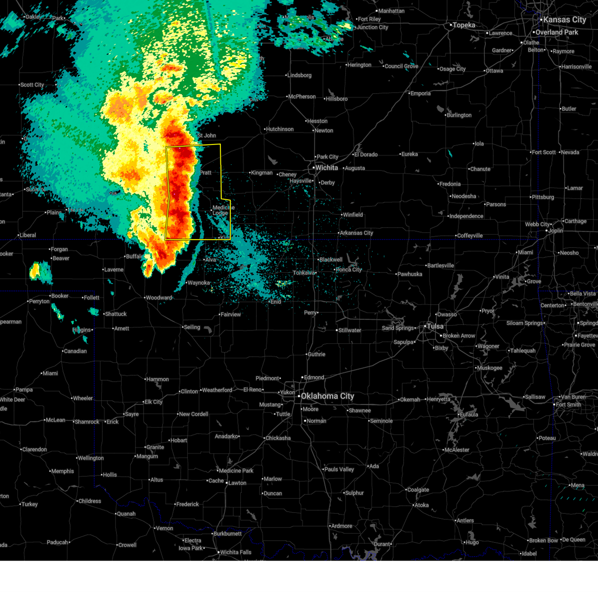
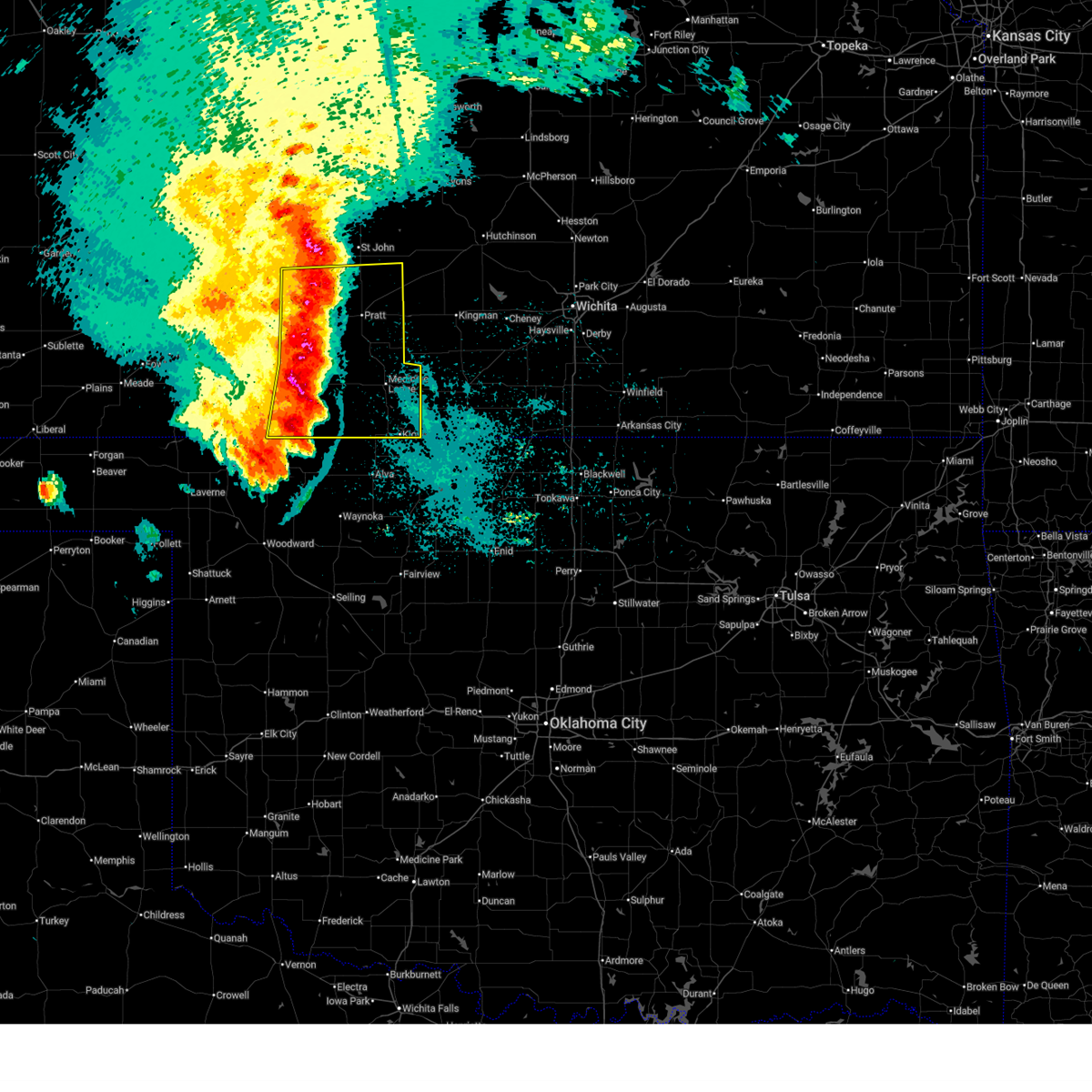
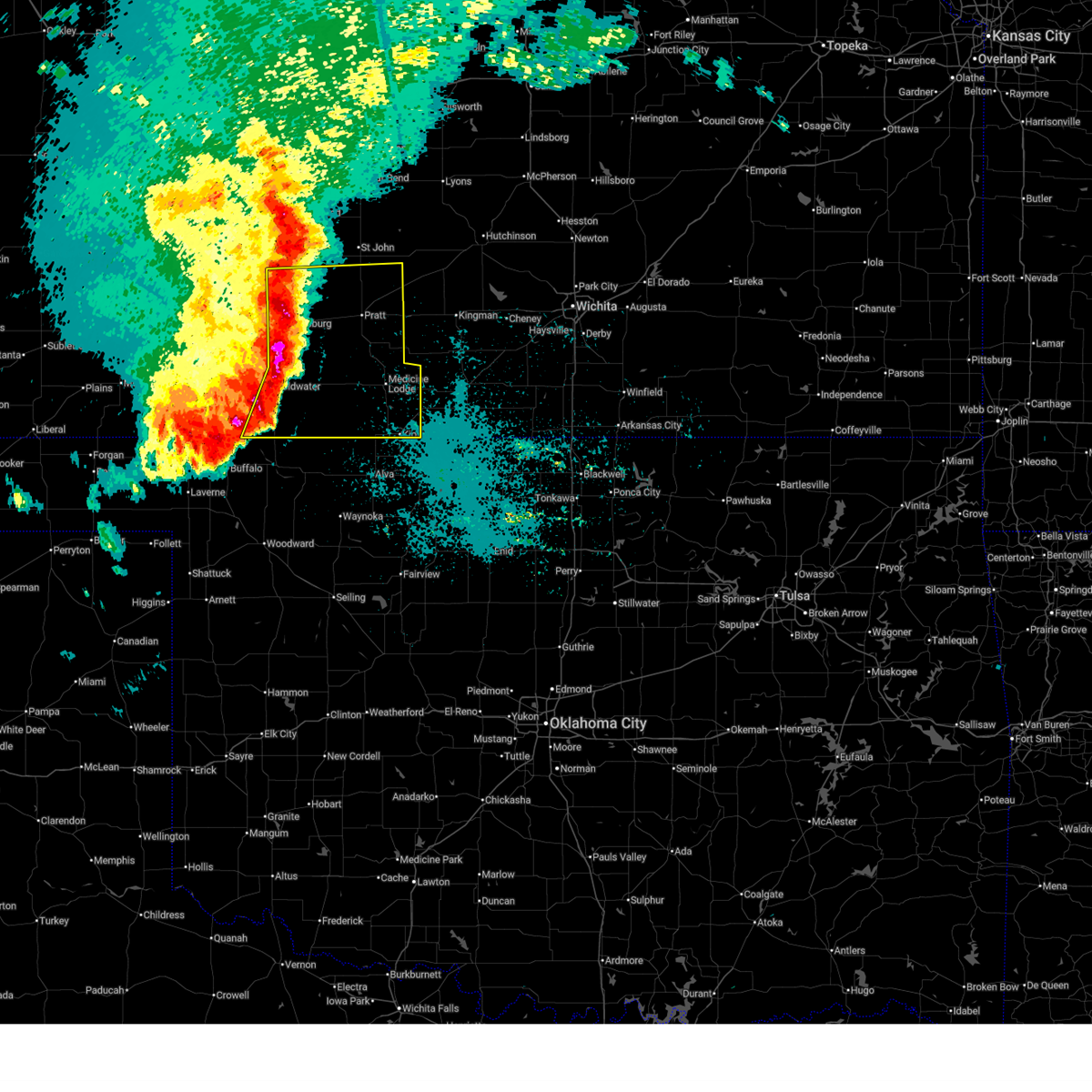
 Svrddc the national weather service in dodge city has issued a * severe thunderstorm warning for, barber county in south central kansas, * until 1130 pm cdt. * at 1041 pm cdt, severe thunderstorms were located along a line extending from near sharon to 6 miles southwest of sun city, moving south at 15 mph (radar indicated). Hazards include 60 mph wind gusts and quarter size hail. Hail damage to vehicles is expected. expect wind damage to roofs, siding, and trees. severe thunderstorms will be near, medicine lodge and sharon around 1045 pm cdt. This warning replaces the previous warning for northern barber county. Svrddc the national weather service in dodge city has issued a * severe thunderstorm warning for, barber county in south central kansas, * until 1130 pm cdt. * at 1041 pm cdt, severe thunderstorms were located along a line extending from near sharon to 6 miles southwest of sun city, moving south at 15 mph (radar indicated). Hazards include 60 mph wind gusts and quarter size hail. Hail damage to vehicles is expected. expect wind damage to roofs, siding, and trees. severe thunderstorms will be near, medicine lodge and sharon around 1045 pm cdt. This warning replaces the previous warning for northern barber county.
|
| 6/21/2026 12:21 AM CDT |
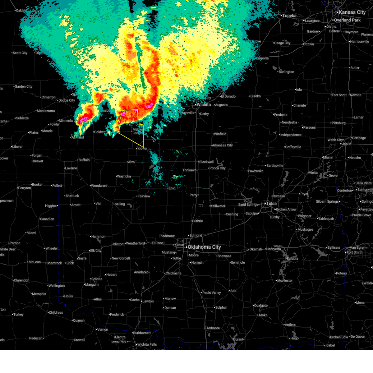 Svrddc the national weather service in dodge city has issued a * severe thunderstorm warning for, northeastern barber county in south central kansas, southeastern pratt county in south central kansas, * until 100 am cdt. * at 1220 am cdt, a severe thunderstorm was located near lake city, moving southeast at 40 mph (radar indicated). Hazards include golf ball size hail and 70 mph wind gusts. People and animals outdoors will be injured. expect hail damage to roofs, siding, windows, and vehicles. expect considerable tree damage. wind damage is also likely to mobile homes, roofs, and outbuildings. this severe thunderstorm will be near, medicine lodge around 1225 am cdt. Sharon around 1240 am cdt. Svrddc the national weather service in dodge city has issued a * severe thunderstorm warning for, northeastern barber county in south central kansas, southeastern pratt county in south central kansas, * until 100 am cdt. * at 1220 am cdt, a severe thunderstorm was located near lake city, moving southeast at 40 mph (radar indicated). Hazards include golf ball size hail and 70 mph wind gusts. People and animals outdoors will be injured. expect hail damage to roofs, siding, windows, and vehicles. expect considerable tree damage. wind damage is also likely to mobile homes, roofs, and outbuildings. this severe thunderstorm will be near, medicine lodge around 1225 am cdt. Sharon around 1240 am cdt.
|
| 6/2/2026 12:17 AM CDT |
 At 1217 am cdt, severe thunderstorms were located along a line extending from near sylvia to near kiowa, moving east at 25 mph (radar indicated). Hazards include 60 mph wind gusts. Expect damage to roofs, siding, and trees. These severe thunderstorms will remain over mainly rural areas of eastern barber, southeastern stafford and eastern pratt counties. At 1217 am cdt, severe thunderstorms were located along a line extending from near sylvia to near kiowa, moving east at 25 mph (radar indicated). Hazards include 60 mph wind gusts. Expect damage to roofs, siding, and trees. These severe thunderstorms will remain over mainly rural areas of eastern barber, southeastern stafford and eastern pratt counties.
|
| 6/1/2026 11:52 PM CDT |
 At 1152 pm cdt, severe thunderstorms were located along a line extending from near neola to near hardtner, moving east at 25 mph (radar indicated). Hazards include 70 mph wind gusts. Expect considerable tree damage. damage is likely to mobile homes, roofs, and outbuildings. these severe storms will be near, medicine lodge, kiowa, preston, isabel, cairo, and neola around 1155 pm cdt. Other locations in the path of these severe thunderstorms include sharon and hazelton. At 1152 pm cdt, severe thunderstorms were located along a line extending from near neola to near hardtner, moving east at 25 mph (radar indicated). Hazards include 70 mph wind gusts. Expect considerable tree damage. damage is likely to mobile homes, roofs, and outbuildings. these severe storms will be near, medicine lodge, kiowa, preston, isabel, cairo, and neola around 1155 pm cdt. Other locations in the path of these severe thunderstorms include sharon and hazelton.
|
| 6/1/2026 11:40 PM CDT |
 Svrddc the national weather service in dodge city has issued a * severe thunderstorm warning for, barber county in south central kansas, southern stafford county in south central kansas, pratt county in south central kansas, * until 1230 am cdt. * at 1140 pm cdt, severe thunderstorms were located along a line extending from 6 miles southwest of stafford to near hardtner, moving east at 25 mph (radar indicated). Hazards include 70 mph wind gusts. Expect considerable tree damage. damage is likely to mobile homes, roofs, and outbuildings. severe thunderstorms will be near, medicine lodge, hardtner, preston, isabel, and cairo around 1145 pm cdt. kiowa and neola around 1150 pm cdt. sharon around 1200 am cdt. Other locations in the path of these severe thunderstorms include hazelton. Svrddc the national weather service in dodge city has issued a * severe thunderstorm warning for, barber county in south central kansas, southern stafford county in south central kansas, pratt county in south central kansas, * until 1230 am cdt. * at 1140 pm cdt, severe thunderstorms were located along a line extending from 6 miles southwest of stafford to near hardtner, moving east at 25 mph (radar indicated). Hazards include 70 mph wind gusts. Expect considerable tree damage. damage is likely to mobile homes, roofs, and outbuildings. severe thunderstorms will be near, medicine lodge, hardtner, preston, isabel, and cairo around 1145 pm cdt. kiowa and neola around 1150 pm cdt. sharon around 1200 am cdt. Other locations in the path of these severe thunderstorms include hazelton.
|
| 6/1/2026 11:28 PM CDT |
 At 1128 pm cdt, severe thunderstorms were located along a line extending from near iuka to near sawyer to 8 miles southeast of aetna, moving east at 30 mph (radar indicated). Hazards include 70 mph wind gusts. Expect considerable tree damage. damage is likely to mobile homes, roofs, and outbuildings. Locations impacted include, pratt, medicine lodge, kiowa, haviland, hardtner, iuka, preston, sharon, sawyer, cullison, hazelton, isabel, coats, lake city, sun city, byers, aetna, hopewell, wellsford, and croft. At 1128 pm cdt, severe thunderstorms were located along a line extending from near iuka to near sawyer to 8 miles southeast of aetna, moving east at 30 mph (radar indicated). Hazards include 70 mph wind gusts. Expect considerable tree damage. damage is likely to mobile homes, roofs, and outbuildings. Locations impacted include, pratt, medicine lodge, kiowa, haviland, hardtner, iuka, preston, sharon, sawyer, cullison, hazelton, isabel, coats, lake city, sun city, byers, aetna, hopewell, wellsford, and croft.
|
| 6/1/2026 11:08 PM CDT |
 At 1108 pm cdt, severe thunderstorms were located along a line extending from near byers to near sun city to 11 miles north of freedom, moving east at 30 mph (radar indicated). Hazards include 70 mph wind gusts. Expect considerable tree damage. damage is likely to mobile homes, roofs, and outbuildings. Locations impacted include, pratt, medicine lodge, kiowa, coldwater, greensburg, haviland, hardtner, iuka, preston, sharon, sawyer, cullison, hazelton, isabel, coats, lake city, wilmore, sun city, byers, and aetna. At 1108 pm cdt, severe thunderstorms were located along a line extending from near byers to near sun city to 11 miles north of freedom, moving east at 30 mph (radar indicated). Hazards include 70 mph wind gusts. Expect considerable tree damage. damage is likely to mobile homes, roofs, and outbuildings. Locations impacted include, pratt, medicine lodge, kiowa, coldwater, greensburg, haviland, hardtner, iuka, preston, sharon, sawyer, cullison, hazelton, isabel, coats, lake city, wilmore, sun city, byers, and aetna.
|
| 6/1/2026 10:41 PM CDT |
 Svrddc the national weather service in dodge city has issued a * severe thunderstorm warning for, kiowa county in south central kansas, barber county in south central kansas, comanche county in south central kansas, southern stafford county in south central kansas, southeastern edwards county in south central kansas, pratt county in south central kansas, * until 1145 pm cdt. * at 1040 pm cdt, severe thunderstorms were located along a line extending from near trousdale to near wilmore to 9 miles south of buttermilk, moving east at 30 mph (radar indicated). Hazards include 60 mph wind gusts. Expect damage to roofs, siding, and trees. severe thunderstorms will be near, belvidere, croft, and wellsford around 1045 pm cdt. cullison and sun city around 1055 pm cdt. Other locations in the path of these severe thunderstorms include coats, lake city, aetna, pratt, iuka, sawyer, medicine lodge, isabel and cairo. Svrddc the national weather service in dodge city has issued a * severe thunderstorm warning for, kiowa county in south central kansas, barber county in south central kansas, comanche county in south central kansas, southern stafford county in south central kansas, southeastern edwards county in south central kansas, pratt county in south central kansas, * until 1145 pm cdt. * at 1040 pm cdt, severe thunderstorms were located along a line extending from near trousdale to near wilmore to 9 miles south of buttermilk, moving east at 30 mph (radar indicated). Hazards include 60 mph wind gusts. Expect damage to roofs, siding, and trees. severe thunderstorms will be near, belvidere, croft, and wellsford around 1045 pm cdt. cullison and sun city around 1055 pm cdt. Other locations in the path of these severe thunderstorms include coats, lake city, aetna, pratt, iuka, sawyer, medicine lodge, isabel and cairo.
|
| 5/29/2026 5:54 PM CDT |
 Svrddc the national weather service in dodge city has issued a * severe thunderstorm warning for, southeastern barber county in south central kansas, * until 645 pm cdt. * at 554 pm cdt, a severe thunderstorm was located near capron, or near kiowa, moving northeast at 30 mph (radar indicated). Hazards include 60 mph wind gusts and quarter size hail. Hail damage to vehicles is expected. expect wind damage to roofs, siding, and trees. this severe thunderstorm will be near, kiowa around 600 pm cdt. Other locations in the path of this severe thunderstorm include hazelton. Svrddc the national weather service in dodge city has issued a * severe thunderstorm warning for, southeastern barber county in south central kansas, * until 645 pm cdt. * at 554 pm cdt, a severe thunderstorm was located near capron, or near kiowa, moving northeast at 30 mph (radar indicated). Hazards include 60 mph wind gusts and quarter size hail. Hail damage to vehicles is expected. expect wind damage to roofs, siding, and trees. this severe thunderstorm will be near, kiowa around 600 pm cdt. Other locations in the path of this severe thunderstorm include hazelton.
|
| 3/5/2026 8:50 PM CST |
 The storm which prompted the warning has moved out of the area. therefore, the warning will be allowed to expire. The storm which prompted the warning has moved out of the area. therefore, the warning will be allowed to expire.
|
| 3/5/2026 8:36 PM CST |
 At 836 pm cst, a severe thunderstorm was located near hazelton, moving north at 55 mph (radar indicated). Hazards include ping pong ball size hail and 60 mph wind gusts. People and animals outdoors will be injured. expect hail damage to roofs, siding, windows, and vehicles. expect wind damage to roofs, siding, and trees. Locations impacted include, sharon. At 836 pm cst, a severe thunderstorm was located near hazelton, moving north at 55 mph (radar indicated). Hazards include ping pong ball size hail and 60 mph wind gusts. People and animals outdoors will be injured. expect hail damage to roofs, siding, windows, and vehicles. expect wind damage to roofs, siding, and trees. Locations impacted include, sharon.
|
| 3/5/2026 8:17 PM CST |
 Svrddc the national weather service in dodge city has issued a * severe thunderstorm warning for, southeastern barber county in south central kansas, * until 900 pm cst. * at 816 pm cst, a severe thunderstorm was located near capron, or 8 miles south of kiowa, moving north at 50 mph (radar indicated). Hazards include ping pong ball size hail and 60 mph wind gusts. People and animals outdoors will be injured. expect hail damage to roofs, siding, windows, and vehicles. expect wind damage to roofs, siding, and trees. this severe thunderstorm will be near, kiowa around 820 pm cst. hazelton around 830 pm cst. Sharon around 845 pm cst. Svrddc the national weather service in dodge city has issued a * severe thunderstorm warning for, southeastern barber county in south central kansas, * until 900 pm cst. * at 816 pm cst, a severe thunderstorm was located near capron, or 8 miles south of kiowa, moving north at 50 mph (radar indicated). Hazards include ping pong ball size hail and 60 mph wind gusts. People and animals outdoors will be injured. expect hail damage to roofs, siding, windows, and vehicles. expect wind damage to roofs, siding, and trees. this severe thunderstorm will be near, kiowa around 820 pm cst. hazelton around 830 pm cst. Sharon around 845 pm cst.
|
| 9/23/2025 1:09 AM CDT | Svrddc the national weather service in dodge city has issued a * severe thunderstorm warning for, eastern barber county in south central kansas, pratt county in south central kansas, * until 200 am cdt. * at 109 am cdt, severe thunderstorms were located along a line extending from near cullison to isabel to near hazelton, moving northeast at 30 mph (radar indicated). Hazards include 60 mph wind gusts. Expect damage to roofs, siding, and trees. severe thunderstorms will be near, pratt around 115 am cdt. cairo around 120 am cdt. iuka around 125 am cdt. Other locations in the path of these severe thunderstorms include preston. |
| 8/19/2025 6:20 PM CDT |
 The storm which prompted the warning has weakened below severe limits, and no longer poses an immediate threat to life or property. therefore, the warning will be allowed to expire. however, gusty winds are still possible with this thunderstorm. The storm which prompted the warning has weakened below severe limits, and no longer poses an immediate threat to life or property. therefore, the warning will be allowed to expire. however, gusty winds are still possible with this thunderstorm.
|
| 8/19/2025 6:01 PM CDT |
 At 600 pm cdt, a severe thunderstorm was located near hardtner, moving south at 10 mph (radar indicated). Hazards include 60 mph wind gusts. Expect damage to roofs, siding, and trees. Locations impacted include, kiowa, hardtner, sharon, hazelton, and aetna. At 600 pm cdt, a severe thunderstorm was located near hardtner, moving south at 10 mph (radar indicated). Hazards include 60 mph wind gusts. Expect damage to roofs, siding, and trees. Locations impacted include, kiowa, hardtner, sharon, hazelton, and aetna.
|
| 8/19/2025 5:42 PM CDT |
 Svrddc the national weather service in dodge city has issued a * severe thunderstorm warning for, barber county in south central kansas, eastern comanche county in south central kansas, * until 630 pm cdt. * at 542 pm cdt, a severe thunderstorm was located 10 miles southwest of medicine lodge, moving south at 25 mph (radar indicated). Hazards include 60 mph wind gusts. Expect damage to roofs, siding, and trees. This severe thunderstorm will remain over mainly rural areas of barber and eastern comanche counties. Svrddc the national weather service in dodge city has issued a * severe thunderstorm warning for, barber county in south central kansas, eastern comanche county in south central kansas, * until 630 pm cdt. * at 542 pm cdt, a severe thunderstorm was located 10 miles southwest of medicine lodge, moving south at 25 mph (radar indicated). Hazards include 60 mph wind gusts. Expect damage to roofs, siding, and trees. This severe thunderstorm will remain over mainly rural areas of barber and eastern comanche counties.
|
| 8/11/2025 2:49 AM CDT |
 Svrddc the national weather service in dodge city has issued a * severe thunderstorm warning for, barber county in south central kansas, * until 315 am cdt. * at 248 am cdt, a severe thunderstorm was located 8 miles south of medicine lodge, moving northeast at 30 mph (radar indicated). Hazards include 60 mph wind gusts. Expect damage to roofs, siding, and trees. This severe thunderstorm will be near, sharon around 255 am cdt. Svrddc the national weather service in dodge city has issued a * severe thunderstorm warning for, barber county in south central kansas, * until 315 am cdt. * at 248 am cdt, a severe thunderstorm was located 8 miles south of medicine lodge, moving northeast at 30 mph (radar indicated). Hazards include 60 mph wind gusts. Expect damage to roofs, siding, and trees. This severe thunderstorm will be near, sharon around 255 am cdt.
|
| 8/11/2025 1:40 AM CDT |
 Svrddc the national weather service in dodge city has issued a * severe thunderstorm warning for, northeastern kiowa county in south central kansas, barber county in south central kansas, pratt county in south central kansas, * until 245 am cdt. * at 140 am cdt, severe thunderstorms were located along a line extending from near centerview to near belvidere to 7 miles west of aetna, moving east at 45 mph (radar indicated). Hazards include 60 mph wind gusts. Expect damage to roofs, siding, and trees. severe thunderstorms will be near, haviland, aetna, and croft around 145 am cdt. sun city and wellsford around 150 am cdt. cullison and coats around 155 am cdt. lake city around 200 am cdt. Other locations in the path of these severe thunderstorms include pratt, sawyer, byers, iuka, medicine lodge, isabel and cairo. Svrddc the national weather service in dodge city has issued a * severe thunderstorm warning for, northeastern kiowa county in south central kansas, barber county in south central kansas, pratt county in south central kansas, * until 245 am cdt. * at 140 am cdt, severe thunderstorms were located along a line extending from near centerview to near belvidere to 7 miles west of aetna, moving east at 45 mph (radar indicated). Hazards include 60 mph wind gusts. Expect damage to roofs, siding, and trees. severe thunderstorms will be near, haviland, aetna, and croft around 145 am cdt. sun city and wellsford around 150 am cdt. cullison and coats around 155 am cdt. lake city around 200 am cdt. Other locations in the path of these severe thunderstorms include pratt, sawyer, byers, iuka, medicine lodge, isabel and cairo.
|
| 6/14/2025 6:35 AM CDT |
 At 635 am cdt, severe thunderstorms were located along a line extending from near hudson to near cairo to 10 miles southeast of wilmore, moving east at 45 mph (radar indicated). Hazards include 70 mph wind gusts and penny size hail. Expect considerable tree damage. damage is likely to mobile homes, roofs, and outbuildings. these severe storms will be near, sawyer, isabel, lake city, zenith, cairo, and neola around 640 am cdt. Other locations in the path of these severe thunderstorms include medicine lodge and sharon. At 635 am cdt, severe thunderstorms were located along a line extending from near hudson to near cairo to 10 miles southeast of wilmore, moving east at 45 mph (radar indicated). Hazards include 70 mph wind gusts and penny size hail. Expect considerable tree damage. damage is likely to mobile homes, roofs, and outbuildings. these severe storms will be near, sawyer, isabel, lake city, zenith, cairo, and neola around 640 am cdt. Other locations in the path of these severe thunderstorms include medicine lodge and sharon.
|
| 6/14/2025 6:22 AM CDT |
 Svrddc the national weather service in dodge city has issued a * severe thunderstorm warning for, southeastern kiowa county in south central kansas, barber county in south central kansas, eastern comanche county in south central kansas, southeastern pawnee county in south central kansas, stafford county in south central kansas, pratt county in south central kansas, * until 700 am cdt. * at 621 am cdt, severe thunderstorms were located along a line extending from near seward to near pratt to near lake coldwater, moving east at 45 mph (radar indicated). Hazards include 60 mph wind gusts and penny size hail. Expect damage to roofs, siding, and trees. severe thunderstorms will be near, pratt, st. john, iuka, hudson, coats, and croft around 625 am cdt. stafford, preston, sawyer, sun city, and cairo around 630 am cdt. lake city, zenith, and neola around 635 am cdt. isabel around 640 am cdt. Other locations in the path of these severe thunderstorms include medicine lodge. Svrddc the national weather service in dodge city has issued a * severe thunderstorm warning for, southeastern kiowa county in south central kansas, barber county in south central kansas, eastern comanche county in south central kansas, southeastern pawnee county in south central kansas, stafford county in south central kansas, pratt county in south central kansas, * until 700 am cdt. * at 621 am cdt, severe thunderstorms were located along a line extending from near seward to near pratt to near lake coldwater, moving east at 45 mph (radar indicated). Hazards include 60 mph wind gusts and penny size hail. Expect damage to roofs, siding, and trees. severe thunderstorms will be near, pratt, st. john, iuka, hudson, coats, and croft around 625 am cdt. stafford, preston, sawyer, sun city, and cairo around 630 am cdt. lake city, zenith, and neola around 635 am cdt. isabel around 640 am cdt. Other locations in the path of these severe thunderstorms include medicine lodge.
|
| 6/7/2025 1:32 AM CDT |
 the severe thunderstorm warning has been cancelled and is no longer in effect the severe thunderstorm warning has been cancelled and is no longer in effect
|
| 6/7/2025 1:17 AM CDT |
 the severe thunderstorm warning has been cancelled and is no longer in effect the severe thunderstorm warning has been cancelled and is no longer in effect
|
| 6/7/2025 1:17 AM CDT |
 At 116 am cdt, a severe thunderstorm was located near hardtner, moving east at 55 mph (radar indicated). Hazards include 60 mph wind gusts. Expect damage to roofs, siding, and trees. Locations impacted include, medicine lodge, kiowa, hardtner, sharon, hazelton, and aetna. At 116 am cdt, a severe thunderstorm was located near hardtner, moving east at 55 mph (radar indicated). Hazards include 60 mph wind gusts. Expect damage to roofs, siding, and trees. Locations impacted include, medicine lodge, kiowa, hardtner, sharon, hazelton, and aetna.
|
| 6/7/2025 12:57 AM CDT |
 Svrddc the national weather service in dodge city has issued a * severe thunderstorm warning for, barber county in south central kansas, eastern comanche county in south central kansas, * until 145 am cdt. * at 1257 am cdt, a severe thunderstorm was located 7 miles east of aetna, moving east at 55 mph (radar indicated). Hazards include 70 mph wind gusts and penny size hail. Expect considerable tree damage. Damage is likely to mobile homes, roofs, and outbuildings. Svrddc the national weather service in dodge city has issued a * severe thunderstorm warning for, barber county in south central kansas, eastern comanche county in south central kansas, * until 145 am cdt. * at 1257 am cdt, a severe thunderstorm was located 7 miles east of aetna, moving east at 55 mph (radar indicated). Hazards include 70 mph wind gusts and penny size hail. Expect considerable tree damage. Damage is likely to mobile homes, roofs, and outbuildings.
|
| 6/2/2025 9:06 PM CDT |
 The storms which prompted the warning have moved out of the area. therefore, the warning will be allowed to expire. a severe thunderstorm watch remains in effect until 100 am cdt for south central kansas. to report severe weather, contact your nearest law enforcement agency. they will relay your report to the national weather service dodge city. The storms which prompted the warning have moved out of the area. therefore, the warning will be allowed to expire. a severe thunderstorm watch remains in effect until 100 am cdt for south central kansas. to report severe weather, contact your nearest law enforcement agency. they will relay your report to the national weather service dodge city.
|
| 6/2/2025 8:50 PM CDT |
 At 850 pm cdt, severe thunderstorms were located along a line extending from near medicine lodge to kiowa, moving east at 35 mph (radar indicated). Hazards include 60 mph wind gusts. Expect damage to roofs, siding, and trees. Locations impacted include, sharon and hazelton. At 850 pm cdt, severe thunderstorms were located along a line extending from near medicine lodge to kiowa, moving east at 35 mph (radar indicated). Hazards include 60 mph wind gusts. Expect damage to roofs, siding, and trees. Locations impacted include, sharon and hazelton.
|
| 6/2/2025 8:33 PM CDT |
 Svrddc the national weather service in dodge city has issued a * severe thunderstorm warning for, barber county in south central kansas, southeastern pratt county in south central kansas, * until 915 pm cdt. * at 833 pm cdt, severe thunderstorms were located along a line extending from 6 miles east of lake city to near hardtner, moving east at 35 mph (radar indicated). Hazards include 60 mph wind gusts. Expect damage to roofs, siding, and trees. severe thunderstorms will be near, medicine lodge and kiowa around 840 pm cdt. Sharon and hazelton around 850 pm cdt. Svrddc the national weather service in dodge city has issued a * severe thunderstorm warning for, barber county in south central kansas, southeastern pratt county in south central kansas, * until 915 pm cdt. * at 833 pm cdt, severe thunderstorms were located along a line extending from 6 miles east of lake city to near hardtner, moving east at 35 mph (radar indicated). Hazards include 60 mph wind gusts. Expect damage to roofs, siding, and trees. severe thunderstorms will be near, medicine lodge and kiowa around 840 pm cdt. Sharon and hazelton around 850 pm cdt.
|
| 5/25/2025 6:27 AM CDT |
 the severe thunderstorm warning has been cancelled and is no longer in effect the severe thunderstorm warning has been cancelled and is no longer in effect
|
| 5/25/2025 6:27 AM CDT |
 At 627 am cdt, severe thunderstorms were located along a line extending from 7 miles west of raymond to near cunningham to near lake city, moving east at 55 mph (radar indicated). Hazards include 70 mph wind gusts and penny size hail. Expect considerable tree damage. damage is likely to mobile homes, roofs, and outbuildings. Locations impacted include, sawyer, isabel, lake city, zenith, medicine lodge and sharon. At 627 am cdt, severe thunderstorms were located along a line extending from 7 miles west of raymond to near cunningham to near lake city, moving east at 55 mph (radar indicated). Hazards include 70 mph wind gusts and penny size hail. Expect considerable tree damage. damage is likely to mobile homes, roofs, and outbuildings. Locations impacted include, sawyer, isabel, lake city, zenith, medicine lodge and sharon.
|
| 5/25/2025 5:59 AM CDT |
 Svrddc the national weather service in dodge city has issued a * severe thunderstorm warning for, kiowa county in south central kansas, barber county in south central kansas, northern comanche county in south central kansas, eastern pawnee county in south central kansas, stafford county in south central kansas, southeastern edwards county in south central kansas, pratt county in south central kansas, * until 700 am cdt. * at 558 am cdt, severe thunderstorms were located along a line extending from near pawnee rock to near hopewell to 9 miles northwest of wilmore, moving east at 55 mph (radar indicated). Hazards include 70 mph wind gusts and penny size hail. Expect considerable tree damage. damage is likely to mobile homes, roofs, and outbuildings. severe thunderstorms will be near, pratt, st. john, iuka, cullison, seward, byers, radium, dillwyn, belvidere, and croft around 605 am cdt. stafford, hudson, coats, and sun city around 615 am cdt. Other locations in the path of these severe thunderstorms include preston, sawyer, cairo, neola, lake city, zenith, isabel, medicine lodge and sharon. Svrddc the national weather service in dodge city has issued a * severe thunderstorm warning for, kiowa county in south central kansas, barber county in south central kansas, northern comanche county in south central kansas, eastern pawnee county in south central kansas, stafford county in south central kansas, southeastern edwards county in south central kansas, pratt county in south central kansas, * until 700 am cdt. * at 558 am cdt, severe thunderstorms were located along a line extending from near pawnee rock to near hopewell to 9 miles northwest of wilmore, moving east at 55 mph (radar indicated). Hazards include 70 mph wind gusts and penny size hail. Expect considerable tree damage. damage is likely to mobile homes, roofs, and outbuildings. severe thunderstorms will be near, pratt, st. john, iuka, cullison, seward, byers, radium, dillwyn, belvidere, and croft around 605 am cdt. stafford, hudson, coats, and sun city around 615 am cdt. Other locations in the path of these severe thunderstorms include preston, sawyer, cairo, neola, lake city, zenith, isabel, medicine lodge and sharon.
|
| 5/24/2025 3:21 AM CDT |
 The storms which prompted the warning have moved out of the area. therefore, the warning will be allowed to expire. a severe thunderstorm watch remains in effect until 600 am cdt for south central kansas. The storms which prompted the warning have moved out of the area. therefore, the warning will be allowed to expire. a severe thunderstorm watch remains in effect until 600 am cdt for south central kansas.
|
| 5/24/2025 2:58 AM CDT |
 Svrddc the national weather service in dodge city has issued a * severe thunderstorm warning for, southeastern barber county in south central kansas, * until 330 am cdt. * at 257 am cdt, severe thunderstorms were located along a line extending from near sharon to near hardtner, moving southeast at 35 mph (radar indicated). Hazards include 60 mph wind gusts and penny size hail. Expect damage to roofs, siding, and trees. severe thunderstorms will be near, kiowa and hazelton around 305 am cdt. This new warning extends the previous warning for southeastern barber county. Svrddc the national weather service in dodge city has issued a * severe thunderstorm warning for, southeastern barber county in south central kansas, * until 330 am cdt. * at 257 am cdt, severe thunderstorms were located along a line extending from near sharon to near hardtner, moving southeast at 35 mph (radar indicated). Hazards include 60 mph wind gusts and penny size hail. Expect damage to roofs, siding, and trees. severe thunderstorms will be near, kiowa and hazelton around 305 am cdt. This new warning extends the previous warning for southeastern barber county.
|
| 5/24/2025 2:22 AM CDT |
 Svrddc the national weather service in dodge city has issued a * severe thunderstorm warning for, southeastern barber county in south central kansas, * until 300 am cdt. * at 221 am cdt, severe thunderstorms were located along a line extending from near isabel to near lake city to 9 miles south of sun city, moving southeast at 35 mph (radar indicated). Hazards include 60 mph wind gusts and penny size hail. expect damage to roofs, siding, and trees Svrddc the national weather service in dodge city has issued a * severe thunderstorm warning for, southeastern barber county in south central kansas, * until 300 am cdt. * at 221 am cdt, severe thunderstorms were located along a line extending from near isabel to near lake city to 9 miles south of sun city, moving southeast at 35 mph (radar indicated). Hazards include 60 mph wind gusts and penny size hail. expect damage to roofs, siding, and trees
|
| 3/3/2025 10:41 PM CST |
 The storm which prompted the warning has weakened below severe limits, and has exited the warned area. therefore, the warning will be allowed to expire. however, small hail is still possible with this thunderstorm. a severe thunderstorm watch remains in effect until 300 am cst for south central kansas. The storm which prompted the warning has weakened below severe limits, and has exited the warned area. therefore, the warning will be allowed to expire. however, small hail is still possible with this thunderstorm. a severe thunderstorm watch remains in effect until 300 am cst for south central kansas.
|
| 3/3/2025 10:28 PM CST |
 At 1028 pm cst, a severe thunderstorm was located near nashville, or near isabel, moving northeast at 60 mph (radar indicated). Hazards include ping pong ball size hail and 60 mph wind gusts. People and animals outdoors will be injured. expect hail damage to roofs, siding, windows, and vehicles. expect wind damage to roofs, siding, and trees. This severe thunderstorm will remain over mainly rural areas of eastern barber county. At 1028 pm cst, a severe thunderstorm was located near nashville, or near isabel, moving northeast at 60 mph (radar indicated). Hazards include ping pong ball size hail and 60 mph wind gusts. People and animals outdoors will be injured. expect hail damage to roofs, siding, windows, and vehicles. expect wind damage to roofs, siding, and trees. This severe thunderstorm will remain over mainly rural areas of eastern barber county.
|
| 3/3/2025 9:57 PM CST |
 Svrddc the national weather service in dodge city has issued a * severe thunderstorm warning for, central barber county in south central kansas, * until 1045 pm cst. * at 957 pm cst, a severe thunderstorm was located near aetna, moving northeast at 60 mph (radar indicated). Hazards include ping pong ball size hail and 60 mph wind gusts. People and animals outdoors will be injured. expect hail damage to roofs, siding, windows, and vehicles. expect wind damage to roofs, siding, and trees. This severe thunderstorm will be near, medicine lodge around 1015 pm cst. Svrddc the national weather service in dodge city has issued a * severe thunderstorm warning for, central barber county in south central kansas, * until 1045 pm cst. * at 957 pm cst, a severe thunderstorm was located near aetna, moving northeast at 60 mph (radar indicated). Hazards include ping pong ball size hail and 60 mph wind gusts. People and animals outdoors will be injured. expect hail damage to roofs, siding, windows, and vehicles. expect wind damage to roofs, siding, and trees. This severe thunderstorm will be near, medicine lodge around 1015 pm cst.
|
| 10/30/2024 3:22 PM CDT |
 Svrddc the national weather service in dodge city has issued a * severe thunderstorm warning for, southeastern barber county in south central kansas, * until 345 pm cdt. * at 321 pm cdt, a severe thunderstorm was located 9 miles south of medicine lodge, moving northeast at 60 mph (radar indicated). Hazards include 60 mph wind gusts and quarter size hail. Hail damage to vehicles is expected. expect wind damage to roofs, siding, and trees. This severe thunderstorm will be near, sharon around 330 pm cdt. Svrddc the national weather service in dodge city has issued a * severe thunderstorm warning for, southeastern barber county in south central kansas, * until 345 pm cdt. * at 321 pm cdt, a severe thunderstorm was located 9 miles south of medicine lodge, moving northeast at 60 mph (radar indicated). Hazards include 60 mph wind gusts and quarter size hail. Hail damage to vehicles is expected. expect wind damage to roofs, siding, and trees. This severe thunderstorm will be near, sharon around 330 pm cdt.
|
| 9/21/2024 4:06 PM CDT |
 The storm which prompted the warning has moved out of the area. therefore, the warning will be allowed to expire. however, gusty winds up to 50mph are still possible with these thunderstorm through 5 pm. The storm which prompted the warning has moved out of the area. therefore, the warning will be allowed to expire. however, gusty winds up to 50mph are still possible with these thunderstorm through 5 pm.
|
| 9/21/2024 3:54 PM CDT |
 At 353 pm cdt, a severe thunderstorm was located 8 miles south of medicine lodge, moving northeast at 25 mph (radar indicated). Hazards include 60 mph wind gusts. Expect damage to roofs, siding, and trees. Locations impacted include, medicine lodge, kiowa, hardtner, sharon, and hazelton. At 353 pm cdt, a severe thunderstorm was located 8 miles south of medicine lodge, moving northeast at 25 mph (radar indicated). Hazards include 60 mph wind gusts. Expect damage to roofs, siding, and trees. Locations impacted include, medicine lodge, kiowa, hardtner, sharon, and hazelton.
|
| 9/21/2024 3:32 PM CDT |
 Svrddc the national weather service in dodge city has issued a * severe thunderstorm warning for, southeastern barber county in south central kansas, * until 415 pm cdt. * at 331 pm cdt, a severe thunderstorm was located 9 miles northwest of hardtner, moving northeast at 30 mph (radar indicated). Hazards include 60 mph wind gusts. Expect damage to roofs, siding, and trees. This severe thunderstorm will remain over mainly rural areas of southeastern barber county. Svrddc the national weather service in dodge city has issued a * severe thunderstorm warning for, southeastern barber county in south central kansas, * until 415 pm cdt. * at 331 pm cdt, a severe thunderstorm was located 9 miles northwest of hardtner, moving northeast at 30 mph (radar indicated). Hazards include 60 mph wind gusts. Expect damage to roofs, siding, and trees. This severe thunderstorm will remain over mainly rural areas of southeastern barber county.
|
| 6/28/2024 2:04 AM CDT |
 At 204 am cdt, severe thunderstorms were located along a line extending from 6 miles southwest of nashville to near hardtner, moving east at 35 mph (radar indicated). Hazards include 60 mph wind gusts and penny size hail. Expect damage to roofs, siding, and trees. Locations impacted include, kiowa, sharon and hazelton. At 204 am cdt, severe thunderstorms were located along a line extending from 6 miles southwest of nashville to near hardtner, moving east at 35 mph (radar indicated). Hazards include 60 mph wind gusts and penny size hail. Expect damage to roofs, siding, and trees. Locations impacted include, kiowa, sharon and hazelton.
|
| 6/28/2024 1:45 AM CDT |
 Svrddc the national weather service in dodge city has issued a * severe thunderstorm warning for, barber county in south central kansas, * until 230 am cdt. * at 145 am cdt, severe thunderstorms were located along a line extending from near medicine lodge to 8 miles west of hardtner, moving east at 35 mph (radar indicated). Hazards include 60 mph wind gusts and penny size hail. Expect damage to roofs, siding, and trees. severe thunderstorms will be near, medicine lodge and hardtner around 150 am cdt. sharon around 205 am cdt. Other locations in the path of these severe thunderstorms include kiowa and hazelton. Svrddc the national weather service in dodge city has issued a * severe thunderstorm warning for, barber county in south central kansas, * until 230 am cdt. * at 145 am cdt, severe thunderstorms were located along a line extending from near medicine lodge to 8 miles west of hardtner, moving east at 35 mph (radar indicated). Hazards include 60 mph wind gusts and penny size hail. Expect damage to roofs, siding, and trees. severe thunderstorms will be near, medicine lodge and hardtner around 150 am cdt. sharon around 205 am cdt. Other locations in the path of these severe thunderstorms include kiowa and hazelton.
|
| 6/27/2024 11:38 PM CDT |
 The storms which prompted the warning is weakening below severe limits. therefore, the warning will be allowed to expire at 1145 pm. The storms which prompted the warning is weakening below severe limits. therefore, the warning will be allowed to expire at 1145 pm.
|
| 6/27/2024 11:17 PM CDT |
 At 1116 pm cdt, severe thunderstorms were located along a line extending from near cunningham to near hardtner, moving east at 25 mph (radar indicated). Hazards include 60 mph wind gusts and nickel size hail. Expect damage to roofs, siding, and trees. Locations impacted include, medicine lodge, hardtner and sharon. At 1116 pm cdt, severe thunderstorms were located along a line extending from near cunningham to near hardtner, moving east at 25 mph (radar indicated). Hazards include 60 mph wind gusts and nickel size hail. Expect damage to roofs, siding, and trees. Locations impacted include, medicine lodge, hardtner and sharon.
|
| 6/27/2024 10:59 PM CDT |
 Svrddc the national weather service in dodge city has issued a * severe thunderstorm warning for, barber county in south central kansas, southeastern pratt county in south central kansas, * until 1145 pm cdt. * at 1059 pm cdt, severe thunderstorms were located along a line extending from near cunningham to 6 miles west of hardtner, moving east at 30 mph (radar indicated). Hazards include 60 mph wind gusts and penny size hail. Expect damage to roofs, siding, and trees. severe thunderstorms will be near, medicine lodge and hardtner around 1105 pm cdt. Other locations in the path of these severe thunderstorms include sharon and kiowa. Svrddc the national weather service in dodge city has issued a * severe thunderstorm warning for, barber county in south central kansas, southeastern pratt county in south central kansas, * until 1145 pm cdt. * at 1059 pm cdt, severe thunderstorms were located along a line extending from near cunningham to 6 miles west of hardtner, moving east at 30 mph (radar indicated). Hazards include 60 mph wind gusts and penny size hail. Expect damage to roofs, siding, and trees. severe thunderstorms will be near, medicine lodge and hardtner around 1105 pm cdt. Other locations in the path of these severe thunderstorms include sharon and kiowa.
|
| 6/13/2024 9:24 PM CDT |
 the severe thunderstorm warning has been cancelled and is no longer in effect the severe thunderstorm warning has been cancelled and is no longer in effect
|
| 6/13/2024 9:13 PM CDT |
 At 913 pm cdt, severe thunderstorms were located along a line extending from near sharon to near buffalo, moving southeast at 35 mph (radar indicated). Hazards include 60 mph wind gusts. Expect damage to roofs, siding, and trees. Locations impacted include, medicine lodge, kiowa, coldwater, protection, hardtner, sharon, hazelton, isabel, lake city, aetna, and buttermilk. At 913 pm cdt, severe thunderstorms were located along a line extending from near sharon to near buffalo, moving southeast at 35 mph (radar indicated). Hazards include 60 mph wind gusts. Expect damage to roofs, siding, and trees. Locations impacted include, medicine lodge, kiowa, coldwater, protection, hardtner, sharon, hazelton, isabel, lake city, aetna, and buttermilk.
|
| 6/13/2024 8:43 PM CDT |
 Svrddc the national weather service in dodge city has issued a * severe thunderstorm warning for, barber county in south central kansas, comanche county in south central kansas, southeastern clark county in southwestern kansas, * until 945 pm cdt. * at 843 pm cdt, severe thunderstorms were located along a line extending from near isabel to 6 miles southwest of sitka, moving southeast at 35 mph (radar indicated). Hazards include 60 mph wind gusts. expect damage to roofs, siding, and trees Svrddc the national weather service in dodge city has issued a * severe thunderstorm warning for, barber county in south central kansas, comanche county in south central kansas, southeastern clark county in southwestern kansas, * until 945 pm cdt. * at 843 pm cdt, severe thunderstorms were located along a line extending from near isabel to 6 miles southwest of sitka, moving southeast at 35 mph (radar indicated). Hazards include 60 mph wind gusts. expect damage to roofs, siding, and trees
|
| 6/13/2024 8:43 PM CDT |
 The storms which prompted the warning have moved out of the area. therefore, the warning will be allowed to expire. however, small hail, gusty winds and heavy rain are still possible with these thunderstorms. a severe thunderstorm watch remains in effect until 1100 pm cdt for south central and southwestern kansas. to report severe weather, contact your nearest law enforcement agency. they will relay your report to the national weather service dodge city. The storms which prompted the warning have moved out of the area. therefore, the warning will be allowed to expire. however, small hail, gusty winds and heavy rain are still possible with these thunderstorms. a severe thunderstorm watch remains in effect until 1100 pm cdt for south central and southwestern kansas. to report severe weather, contact your nearest law enforcement agency. they will relay your report to the national weather service dodge city.
|
| 6/13/2024 8:31 PM CDT |
 At 830 pm cdt, severe thunderstorms were located along a line extending from near lake city to near rosston, moving southeast at 40 mph (radar indicated). Hazards include 60 mph wind gusts. Expect damage to roofs, siding, and trees. Locations impacted include, medicine lodge, kiowa, ashland, coldwater, protection, hardtner, hazelton, englewood, sitka, lake city, sun city, wilmore, aetna, lake coldwater, acres, and buttermilk. At 830 pm cdt, severe thunderstorms were located along a line extending from near lake city to near rosston, moving southeast at 40 mph (radar indicated). Hazards include 60 mph wind gusts. Expect damage to roofs, siding, and trees. Locations impacted include, medicine lodge, kiowa, ashland, coldwater, protection, hardtner, hazelton, englewood, sitka, lake city, sun city, wilmore, aetna, lake coldwater, acres, and buttermilk.
|
| 6/13/2024 8:31 PM CDT |
 the severe thunderstorm warning has been cancelled and is no longer in effect the severe thunderstorm warning has been cancelled and is no longer in effect
|
| 6/13/2024 8:10 PM CDT |
 At 810 pm cdt, severe thunderstorms were located along a line extending from near coats to near englewood, moving southeast at 40 mph (radar indicated). Hazards include 60 mph wind gusts and quarter size hail. Hail damage to vehicles is expected. expect wind damage to roofs, siding, and trees. Locations impacted include, medicine lodge, kiowa, ashland, coldwater, haviland, protection, hardtner, cullison, hazelton, coats, englewood, sitka, lake city, sun city, wilmore, aetna, wellsford, croft, lake coldwater, and acres. At 810 pm cdt, severe thunderstorms were located along a line extending from near coats to near englewood, moving southeast at 40 mph (radar indicated). Hazards include 60 mph wind gusts and quarter size hail. Hail damage to vehicles is expected. expect wind damage to roofs, siding, and trees. Locations impacted include, medicine lodge, kiowa, ashland, coldwater, haviland, protection, hardtner, cullison, hazelton, coats, englewood, sitka, lake city, sun city, wilmore, aetna, wellsford, croft, lake coldwater, and acres.
|
| 6/13/2024 8:10 PM CDT |
 the severe thunderstorm warning has been cancelled and is no longer in effect the severe thunderstorm warning has been cancelled and is no longer in effect
|
| 6/13/2024 7:57 PM CDT |
 the severe thunderstorm warning has been cancelled and is no longer in effect the severe thunderstorm warning has been cancelled and is no longer in effect
|
| 6/13/2024 7:57 PM CDT |
 At 757 pm cdt, severe thunderstorms were located along a line extending from near cullison to 11 miles southeast of meade state park, moving southeast at 40 mph (radar indicated). Hazards include 60 mph wind gusts and quarter size hail. Hail damage to vehicles is expected. expect wind damage to roofs, siding, and trees. Locations impacted include, medicine lodge, kiowa, ashland, coldwater, haviland, protection, hardtner, cullison, hazelton, coats, englewood, sitka, lake city, sun city, wilmore, aetna, clark state lake, wellsford, croft, and lake coldwater. At 757 pm cdt, severe thunderstorms were located along a line extending from near cullison to 11 miles southeast of meade state park, moving southeast at 40 mph (radar indicated). Hazards include 60 mph wind gusts and quarter size hail. Hail damage to vehicles is expected. expect wind damage to roofs, siding, and trees. Locations impacted include, medicine lodge, kiowa, ashland, coldwater, haviland, protection, hardtner, cullison, hazelton, coats, englewood, sitka, lake city, sun city, wilmore, aetna, clark state lake, wellsford, croft, and lake coldwater.
|
| 6/13/2024 7:35 PM CDT |
 Svrddc the national weather service in dodge city has issued a * severe thunderstorm warning for, southeastern ford county in southwestern kansas, kiowa county in south central kansas, southern meade county in southwestern kansas, barber county in south central kansas, comanche county in south central kansas, western pratt county in south central kansas, southeastern edwards county in south central kansas, clark county in southwestern kansas, * until 845 pm cdt. * at 735 pm cdt, severe thunderstorms were located along a line extending from near trousdale to near meade state park, moving southeast at 40 mph (radar indicated). Hazards include 60 mph wind gusts and quarter size hail. Hail damage to vehicles is expected. Expect wind damage to roofs, siding, and trees. Svrddc the national weather service in dodge city has issued a * severe thunderstorm warning for, southeastern ford county in southwestern kansas, kiowa county in south central kansas, southern meade county in southwestern kansas, barber county in south central kansas, comanche county in south central kansas, western pratt county in south central kansas, southeastern edwards county in south central kansas, clark county in southwestern kansas, * until 845 pm cdt. * at 735 pm cdt, severe thunderstorms were located along a line extending from near trousdale to near meade state park, moving southeast at 40 mph (radar indicated). Hazards include 60 mph wind gusts and quarter size hail. Hail damage to vehicles is expected. Expect wind damage to roofs, siding, and trees.
|
| 6/9/2024 1:37 AM CDT |
 The storms which prompted the warning have moved out of the area. therefore, the warning will be allowed to expire. however, gusty winds are still possible with these thunderstorms. a severe thunderstorm watch remains in effect until 300 am cdt for south central kansas. The storms which prompted the warning have moved out of the area. therefore, the warning will be allowed to expire. however, gusty winds are still possible with these thunderstorms. a severe thunderstorm watch remains in effect until 300 am cdt for south central kansas.
|
| 6/9/2024 1:26 AM CDT |
 At 125 am cdt, severe thunderstorms were located along a line extending from near nashville to near sharon to near hardtner, moving east at 35 mph (medicine lodge airport reported a 60 mph wind gust at 120 am). Hazards include 60 mph wind gusts. Expect damage to roofs, siding, and trees. Locations impacted include, kiowa and hazelton. At 125 am cdt, severe thunderstorms were located along a line extending from near nashville to near sharon to near hardtner, moving east at 35 mph (medicine lodge airport reported a 60 mph wind gust at 120 am). Hazards include 60 mph wind gusts. Expect damage to roofs, siding, and trees. Locations impacted include, kiowa and hazelton.
|
| 6/9/2024 1:07 AM CDT |
 Svrddc the national weather service in dodge city has issued a * severe thunderstorm warning for, southeastern barber county in south central kansas, * until 145 am cdt. * at 106 am cdt, severe thunderstorms were located along a line extending from isabel to near medicine lodge to 9 miles southeast of aetna, moving east at 35 mph (radar indicated). Hazards include 60 mph wind gusts. Expect damage to roofs, siding, and trees. severe thunderstorms will be near, medicine lodge around 110 am cdt. hardtner and sharon around 115 am cdt. Kiowa and hazelton around 125 am cdt. Svrddc the national weather service in dodge city has issued a * severe thunderstorm warning for, southeastern barber county in south central kansas, * until 145 am cdt. * at 106 am cdt, severe thunderstorms were located along a line extending from isabel to near medicine lodge to 9 miles southeast of aetna, moving east at 35 mph (radar indicated). Hazards include 60 mph wind gusts. Expect damage to roofs, siding, and trees. severe thunderstorms will be near, medicine lodge around 110 am cdt. hardtner and sharon around 115 am cdt. Kiowa and hazelton around 125 am cdt.
|
| 6/3/2024 6:27 AM CDT |
 The severe thunderstorm which prompted the warning is weakening and moving out of the warned area. therefore, the warning will be allowed to expire. a severe thunderstorm watch remains in effect until 700 am cdt for south central kansas. The severe thunderstorm which prompted the warning is weakening and moving out of the warned area. therefore, the warning will be allowed to expire. a severe thunderstorm watch remains in effect until 700 am cdt for south central kansas.
|
| 6/3/2024 6:13 AM CDT |
 The storms which prompted the warning are moving out of the warned area. therefore, the warning will be allowed to expire. a severe thunderstorm watch remains in effect until 700 am cdt for south central kansas. The storms which prompted the warning are moving out of the warned area. therefore, the warning will be allowed to expire. a severe thunderstorm watch remains in effect until 700 am cdt for south central kansas.
|
| 6/3/2024 5:49 AM CDT |
 Svrddc the national weather service in dodge city has issued a * severe thunderstorm warning for, barber county in south central kansas, * until 630 am cdt. * at 549 am cdt, a severe thunderstorm was located near lake city, moving east at 30 mph. this is a destructive storm for barber county (radar indicated. these storms have a history of damaging wind gusts of 60-80 mph). Hazards include 80 mph wind gusts and nickel size hail. Flying debris will be dangerous to those caught without shelter. mobile homes will be heavily damaged. expect considerable damage to roofs, windows, and vehicles. extensive tree damage and power outages are likely. This severe thunderstorm will be near, medicine lodge around 600 am cdt. Svrddc the national weather service in dodge city has issued a * severe thunderstorm warning for, barber county in south central kansas, * until 630 am cdt. * at 549 am cdt, a severe thunderstorm was located near lake city, moving east at 30 mph. this is a destructive storm for barber county (radar indicated. these storms have a history of damaging wind gusts of 60-80 mph). Hazards include 80 mph wind gusts and nickel size hail. Flying debris will be dangerous to those caught without shelter. mobile homes will be heavily damaged. expect considerable damage to roofs, windows, and vehicles. extensive tree damage and power outages are likely. This severe thunderstorm will be near, medicine lodge around 600 am cdt.
|
| 6/3/2024 5:26 AM CDT |
 Svrddc the national weather service in dodge city has issued a * severe thunderstorm warning for, eastern kiowa county in south central kansas, barber county in south central kansas, eastern comanche county in south central kansas, pratt county in south central kansas, southeastern edwards county in south central kansas, * until 615 am cdt. * at 525 am cdt, severe thunderstorms were located along a line extending from near hopewell to 12 miles northwest of freedom, moving east at 65 mph (radar indicated). Hazards include 70 mph wind gusts and penny size hail. these storms have a history of producing wind damage. Expect considerable tree damage. damage is likely to mobile homes, roofs, and outbuildings. severe thunderstorms will be near, pratt, cullison, coats, sun city, aetna, and croft around 530 am cdt. iuka and lake city around 535 am cdt. preston and sawyer around 540 am cdt. medicine lodge, isabel, and cairo around 545 am cdt. Other locations in the path of these severe thunderstorms include hardtner, kiowa, sharon and hazelton. Svrddc the national weather service in dodge city has issued a * severe thunderstorm warning for, eastern kiowa county in south central kansas, barber county in south central kansas, eastern comanche county in south central kansas, pratt county in south central kansas, southeastern edwards county in south central kansas, * until 615 am cdt. * at 525 am cdt, severe thunderstorms were located along a line extending from near hopewell to 12 miles northwest of freedom, moving east at 65 mph (radar indicated). Hazards include 70 mph wind gusts and penny size hail. these storms have a history of producing wind damage. Expect considerable tree damage. damage is likely to mobile homes, roofs, and outbuildings. severe thunderstorms will be near, pratt, cullison, coats, sun city, aetna, and croft around 530 am cdt. iuka and lake city around 535 am cdt. preston and sawyer around 540 am cdt. medicine lodge, isabel, and cairo around 545 am cdt. Other locations in the path of these severe thunderstorms include hardtner, kiowa, sharon and hazelton.
|
| 5/25/2024 7:35 PM CDT | Quarter sized hail reported 8.4 miles NW of Hazelton, KS |
| 5/25/2024 7:28 PM CDT |
 The storm which prompted the warning has moved out of the area. therefore, the warning will be allowed to expire. however, small hail is still possible with this thunderstorm. a tornado watch remains in effect until 1100 pm cdt for south central kansas. The storm which prompted the warning has moved out of the area. therefore, the warning will be allowed to expire. however, small hail is still possible with this thunderstorm. a tornado watch remains in effect until 1100 pm cdt for south central kansas.
|
| 5/25/2024 7:24 PM CDT |
 At 723 pm cdt, a confirmed tornado was located near hazelton, moving northeast at 40 mph (weather spotters confirmed tornado. at 720 pm cdt was reported 12 miles west of anthony). Hazards include damaging tornado and two inch hail. Flying debris will be dangerous to those caught without shelter. mobile homes will be damaged or destroyed. damage to roofs, windows, and vehicles will occur. tree damage is likely. Locations impacted include, hazelton. At 723 pm cdt, a confirmed tornado was located near hazelton, moving northeast at 40 mph (weather spotters confirmed tornado. at 720 pm cdt was reported 12 miles west of anthony). Hazards include damaging tornado and two inch hail. Flying debris will be dangerous to those caught without shelter. mobile homes will be damaged or destroyed. damage to roofs, windows, and vehicles will occur. tree damage is likely. Locations impacted include, hazelton.
|
| 5/25/2024 7:20 PM CDT | Report of suspected tornad in barber county KS, 3.7 miles SSE of Hazelton, KS |
| 5/25/2024 7:17 PM CDT |
 Torddc the national weather service in dodge city has issued a * tornado warning for, southeastern barber county in south central kansas, * until 730 pm cdt. * at 717 pm cdt, a severe thunderstorm capable of producing a tornado was located near hazelton, moving northeast at 40 mph (weather spotters reported funnel cloud). Hazards include tornado and hail up to two inches in diameter. Flying debris will be dangerous to those caught without shelter. mobile homes will be damaged or destroyed. damage to roofs, windows, and vehicles will occur. tree damage is likely. This tornadic thunderstorm will remain over mainly rural areas of southeastern barber county. Torddc the national weather service in dodge city has issued a * tornado warning for, southeastern barber county in south central kansas, * until 730 pm cdt. * at 717 pm cdt, a severe thunderstorm capable of producing a tornado was located near hazelton, moving northeast at 40 mph (weather spotters reported funnel cloud). Hazards include tornado and hail up to two inches in diameter. Flying debris will be dangerous to those caught without shelter. mobile homes will be damaged or destroyed. damage to roofs, windows, and vehicles will occur. tree damage is likely. This tornadic thunderstorm will remain over mainly rural areas of southeastern barber county.
|
| 5/25/2024 7:11 PM CDT |
 At 711 pm cdt, a severe thunderstorm was located near sharon, moving northeast at 40 mph (radar indicated). Hazards include tennis ball size hail and 60 mph wind gusts. People and animals outdoors will be injured. expect hail damage to roofs, siding, windows, and vehicles. expect wind damage to roofs, siding, and trees. Locations impacted include, medicine lodge, sharon, and hazelton. At 711 pm cdt, a severe thunderstorm was located near sharon, moving northeast at 40 mph (radar indicated). Hazards include tennis ball size hail and 60 mph wind gusts. People and animals outdoors will be injured. expect hail damage to roofs, siding, windows, and vehicles. expect wind damage to roofs, siding, and trees. Locations impacted include, medicine lodge, sharon, and hazelton.
|
| 5/25/2024 6:52 PM CDT |
 At 651 pm cdt, a severe thunderstorm was located near medicine lodge, moving northeast at 40 mph (radar indicated). Hazards include tennis ball size hail and 60 mph wind gusts. People and animals outdoors will be injured. expect hail damage to roofs, siding, windows, and vehicles. expect wind damage to roofs, siding, and trees. Locations impacted include, medicine lodge, hardtner, sharon, and hazelton. At 651 pm cdt, a severe thunderstorm was located near medicine lodge, moving northeast at 40 mph (radar indicated). Hazards include tennis ball size hail and 60 mph wind gusts. People and animals outdoors will be injured. expect hail damage to roofs, siding, windows, and vehicles. expect wind damage to roofs, siding, and trees. Locations impacted include, medicine lodge, hardtner, sharon, and hazelton.
|
| 5/25/2024 6:45 PM CDT |
 At 645 pm cdt, a severe thunderstorm was located 9 miles north of hardtner, moving northeast at 40 mph (radar indicated). Hazards include two inch hail and 60 mph wind gusts. People and animals outdoors will be injured. expect hail damage to roofs, siding, windows, and vehicles. expect wind damage to roofs, siding, and trees. Locations impacted include, medicine lodge, hardtner, sharon, and hazelton. At 645 pm cdt, a severe thunderstorm was located 9 miles north of hardtner, moving northeast at 40 mph (radar indicated). Hazards include two inch hail and 60 mph wind gusts. People and animals outdoors will be injured. expect hail damage to roofs, siding, windows, and vehicles. expect wind damage to roofs, siding, and trees. Locations impacted include, medicine lodge, hardtner, sharon, and hazelton.
|
| 5/25/2024 6:39 PM CDT |
 Svrddc the national weather service in dodge city has issued a * severe thunderstorm warning for, barber county in south central kansas, * until 730 pm cdt. * at 639 pm cdt, a severe thunderstorm was located 8 miles northwest of hardtner, moving northeast at 40 mph (radar indicated). Hazards include ping pong ball size hail and 60 mph wind gusts. People and animals outdoors will be injured. expect hail damage to roofs, siding, windows, and vehicles. Expect wind damage to roofs, siding, and trees. Svrddc the national weather service in dodge city has issued a * severe thunderstorm warning for, barber county in south central kansas, * until 730 pm cdt. * at 639 pm cdt, a severe thunderstorm was located 8 miles northwest of hardtner, moving northeast at 40 mph (radar indicated). Hazards include ping pong ball size hail and 60 mph wind gusts. People and animals outdoors will be injured. expect hail damage to roofs, siding, windows, and vehicles. Expect wind damage to roofs, siding, and trees.
|
| 5/19/2024 7:26 PM CDT |
 the severe thunderstorm warning has been cancelled and is no longer in effect the severe thunderstorm warning has been cancelled and is no longer in effect
|
| 5/19/2024 7:26 PM CDT |
 At 726 pm cdt, severe thunderstorms were located along a line extending from near lorraine to near nickerson to near turon, moving northeast at 55 mph (radar indicated). Hazards include 60 mph wind gusts and penny size hail. Expect damage to roofs, siding, and trees. locations impacted include, pratt, medicine lodge, st. John, stafford, kiowa, iuka, preston, sharon, hudson, sawyer, cullison, hazelton, isabel, coats, seward, lake city, sun city, byers, croft, and zenith. At 726 pm cdt, severe thunderstorms were located along a line extending from near lorraine to near nickerson to near turon, moving northeast at 55 mph (radar indicated). Hazards include 60 mph wind gusts and penny size hail. Expect damage to roofs, siding, and trees. locations impacted include, pratt, medicine lodge, st. John, stafford, kiowa, iuka, preston, sharon, hudson, sawyer, cullison, hazelton, isabel, coats, seward, lake city, sun city, byers, croft, and zenith.
|
| 5/19/2024 7:08 PM CDT |
 At 708 pm cdt, severe thunderstorms were located along a line extending from near claflin to near plevna to near pratt, moving northeast at 55 mph (radar indicated). Hazards include 60 mph wind gusts and penny size hail. Expect damage to roofs, siding, and trees. locations impacted include, pratt, medicine lodge, st. John, stafford, kiowa, coldwater, haviland, hardtner, iuka, preston, sharon, hudson, sawyer, cullison, hazelton, isabel, coats, seward, lake city, and wilmore. At 708 pm cdt, severe thunderstorms were located along a line extending from near claflin to near plevna to near pratt, moving northeast at 55 mph (radar indicated). Hazards include 60 mph wind gusts and penny size hail. Expect damage to roofs, siding, and trees. locations impacted include, pratt, medicine lodge, st. John, stafford, kiowa, coldwater, haviland, hardtner, iuka, preston, sharon, hudson, sawyer, cullison, hazelton, isabel, coats, seward, lake city, and wilmore.
|
| 5/19/2024 7:08 PM CDT |
 the severe thunderstorm warning has been cancelled and is no longer in effect the severe thunderstorm warning has been cancelled and is no longer in effect
|
| 5/19/2024 6:59 PM CDT |
 At 658 pm cdt, severe thunderstorms were located along a line extending from near hoisington to zenith to near cullison, moving northeast at 55 mph (radar indicated). Hazards include 60 mph wind gusts and penny size hail. Expect damage to roofs, siding, and trees. Locations impacted include, pratt, iuka, preston, zenith and neola. At 658 pm cdt, severe thunderstorms were located along a line extending from near hoisington to zenith to near cullison, moving northeast at 55 mph (radar indicated). Hazards include 60 mph wind gusts and penny size hail. Expect damage to roofs, siding, and trees. Locations impacted include, pratt, iuka, preston, zenith and neola.
|
| 5/19/2024 6:44 PM CDT |
 Svrddc the national weather service in dodge city has issued a * severe thunderstorm warning for, kiowa county in south central kansas, barber county in south central kansas, comanche county in south central kansas, southeastern pawnee county in south central kansas, stafford county in south central kansas, pratt county in south central kansas, southeastern edwards county in south central kansas, * until 745 pm cdt. * at 644 pm cdt, severe thunderstorms were located along a line extending from 6 miles west of great bend to 8 miles southwest of stafford to near croft, moving northeast at 55 mph. these are destructive storms for stafford and pratt counties (radar indicated). Hazards include 80 mph wind gusts and quarter size hail. Flying debris will be dangerous to those caught without shelter. mobile homes will be heavily damaged. expect considerable damage to roofs, windows, and vehicles. extensive tree damage and power outages are likely. severe thunderstorms will be near, pratt, stafford, iuka, hudson, and cullison around 650 pm cdt. zenith and neola around 655 pm cdt. Preston around 700 pm cdt. Svrddc the national weather service in dodge city has issued a * severe thunderstorm warning for, kiowa county in south central kansas, barber county in south central kansas, comanche county in south central kansas, southeastern pawnee county in south central kansas, stafford county in south central kansas, pratt county in south central kansas, southeastern edwards county in south central kansas, * until 745 pm cdt. * at 644 pm cdt, severe thunderstorms were located along a line extending from 6 miles west of great bend to 8 miles southwest of stafford to near croft, moving northeast at 55 mph. these are destructive storms for stafford and pratt counties (radar indicated). Hazards include 80 mph wind gusts and quarter size hail. Flying debris will be dangerous to those caught without shelter. mobile homes will be heavily damaged. expect considerable damage to roofs, windows, and vehicles. extensive tree damage and power outages are likely. severe thunderstorms will be near, pratt, stafford, iuka, hudson, and cullison around 650 pm cdt. zenith and neola around 655 pm cdt. Preston around 700 pm cdt.
|
| 5/4/2024 12:18 AM CDT |
 the severe thunderstorm warning has been cancelled and is no longer in effect the severe thunderstorm warning has been cancelled and is no longer in effect
|
| 5/3/2024 11:56 PM CDT |
 At 1156 pm cdt, a severe thunderstorm was located near kiowa, moving east at 20 mph (radar indicated). Hazards include 60 mph wind gusts and quarter size hail. Hail damage to vehicles is expected. expect wind damage to roofs, siding, and trees. This severe storm will be near, hazelton around 1200 am cdt. At 1156 pm cdt, a severe thunderstorm was located near kiowa, moving east at 20 mph (radar indicated). Hazards include 60 mph wind gusts and quarter size hail. Hail damage to vehicles is expected. expect wind damage to roofs, siding, and trees. This severe storm will be near, hazelton around 1200 am cdt.
|
| 5/3/2024 11:44 PM CDT |
 Svrddc the national weather service in dodge city has issued a * severe thunderstorm warning for, southeastern barber county in south central kansas, * until 1230 am cdt. * at 1144 pm cdt, a severe thunderstorm was located near hardtner, moving east at 20 mph (radar indicated). Hazards include 60 mph wind gusts and quarter size hail. Hail damage to vehicles is expected. expect wind damage to roofs, siding, and trees. this severe thunderstorm will be near, hardtner around 1150 pm cdt. Other locations in the path of this severe thunderstorm include kiowa. Svrddc the national weather service in dodge city has issued a * severe thunderstorm warning for, southeastern barber county in south central kansas, * until 1230 am cdt. * at 1144 pm cdt, a severe thunderstorm was located near hardtner, moving east at 20 mph (radar indicated). Hazards include 60 mph wind gusts and quarter size hail. Hail damage to vehicles is expected. expect wind damage to roofs, siding, and trees. this severe thunderstorm will be near, hardtner around 1150 pm cdt. Other locations in the path of this severe thunderstorm include kiowa.
|
| 8/13/2023 8:59 PM CDT |
 At 859 pm cdt, a severe thunderstorm was located near hazelton, moving east at 30 mph (radar indicated). Hazards include 60 mph wind gusts and quarter size hail. Hail damage to vehicles is expected. expect wind damage to roofs, siding, and trees. this severe thunderstorm will remain over mainly rural areas of southeastern barber county. hail threat, radar indicated max hail size, 1. 00 in wind threat, radar indicated max wind gust, 60 mph. At 859 pm cdt, a severe thunderstorm was located near hazelton, moving east at 30 mph (radar indicated). Hazards include 60 mph wind gusts and quarter size hail. Hail damage to vehicles is expected. expect wind damage to roofs, siding, and trees. this severe thunderstorm will remain over mainly rural areas of southeastern barber county. hail threat, radar indicated max hail size, 1. 00 in wind threat, radar indicated max wind gust, 60 mph.
|
| 8/13/2023 8:40 PM CDT |
 At 840 pm cdt, a severe thunderstorm was located near kiowa, moving east at 30 mph (radar indicated). Hazards include 60 mph wind gusts and half dollar size hail. Hail damage to vehicles is expected. expect wind damage to roofs, siding, and trees. this severe thunderstorm will be near, kiowa around 845 pm cdt. hazelton around 855 pm cdt. hail threat, radar indicated max hail size, 1. 25 in wind threat, radar indicated max wind gust, 60 mph. At 840 pm cdt, a severe thunderstorm was located near kiowa, moving east at 30 mph (radar indicated). Hazards include 60 mph wind gusts and half dollar size hail. Hail damage to vehicles is expected. expect wind damage to roofs, siding, and trees. this severe thunderstorm will be near, kiowa around 845 pm cdt. hazelton around 855 pm cdt. hail threat, radar indicated max hail size, 1. 25 in wind threat, radar indicated max wind gust, 60 mph.
|
| 8/6/2023 2:35 AM CDT |
 The severe thunderstorm warning for southeastern barber county will expire at 245 am cdt, the storm which prompted the warning has moved out of the area. therefore, the warning will be allowed to expire. The severe thunderstorm warning for southeastern barber county will expire at 245 am cdt, the storm which prompted the warning has moved out of the area. therefore, the warning will be allowed to expire.
|
| 8/6/2023 2:26 AM CDT |
 At 225 am cdt, a severe thunderstorm was located near hazelton, moving east at 40 mph (radar indicated). Hazards include 60 mph wind gusts and penny size hail. Expect damage to roofs, siding, and trees. this severe thunderstorm will remain over mainly rural areas of southeastern barber county. hail threat, radar indicated max hail size, 0. 75 in wind threat, radar indicated max wind gust, 60 mph. At 225 am cdt, a severe thunderstorm was located near hazelton, moving east at 40 mph (radar indicated). Hazards include 60 mph wind gusts and penny size hail. Expect damage to roofs, siding, and trees. this severe thunderstorm will remain over mainly rural areas of southeastern barber county. hail threat, radar indicated max hail size, 0. 75 in wind threat, radar indicated max wind gust, 60 mph.
|
| 8/6/2023 1:54 AM CDT |
 At 154 am cdt, a severe thunderstorm was located 9 miles east of aetna, moving east at 40 mph (radar indicated). Hazards include 60 mph wind gusts and penny size hail. Expect damage to roofs, siding, and trees. locations impacted include, hardtner, kiowa and hazelton. hail threat, radar indicated max hail size, 0. 75 in wind threat, radar indicated max wind gust, 60 mph. At 154 am cdt, a severe thunderstorm was located 9 miles east of aetna, moving east at 40 mph (radar indicated). Hazards include 60 mph wind gusts and penny size hail. Expect damage to roofs, siding, and trees. locations impacted include, hardtner, kiowa and hazelton. hail threat, radar indicated max hail size, 0. 75 in wind threat, radar indicated max wind gust, 60 mph.
|
| 8/6/2023 1:43 AM CDT |
 At 142 am cdt, a severe thunderstorm was located 9 miles west of aetna, moving east at 40 mph (radar indicated). Hazards include 60 mph wind gusts and penny size hail. Expect damage to roofs, siding, and trees. this severe thunderstorm will be near, aetna around 150 am cdt. other locations in the path of this severe thunderstorm include hardtner, kiowa and hazelton. hail threat, radar indicated max hail size, 0. 75 in wind threat, radar indicated max wind gust, 60 mph. At 142 am cdt, a severe thunderstorm was located 9 miles west of aetna, moving east at 40 mph (radar indicated). Hazards include 60 mph wind gusts and penny size hail. Expect damage to roofs, siding, and trees. this severe thunderstorm will be near, aetna around 150 am cdt. other locations in the path of this severe thunderstorm include hardtner, kiowa and hazelton. hail threat, radar indicated max hail size, 0. 75 in wind threat, radar indicated max wind gust, 60 mph.
|
| 8/5/2023 4:36 AM CDT |
 At 435 am cdt, severe thunderstorms were located along a line extending from near isabel to near sharon to near kiowa, moving east at 30 mph (radar indicated). Hazards include 70 mph wind gusts. Expect considerable tree damage. damage is likely to mobile homes, roofs, and outbuildings. locations impacted include, medicine lodge, kiowa, hardtner, sharon, hazelton and isabel. thunderstorm damage threat, considerable hail threat, radar indicated max hail size, <. 75 in wind threat, radar indicated max wind gust, 70 mph. At 435 am cdt, severe thunderstorms were located along a line extending from near isabel to near sharon to near kiowa, moving east at 30 mph (radar indicated). Hazards include 70 mph wind gusts. Expect considerable tree damage. damage is likely to mobile homes, roofs, and outbuildings. locations impacted include, medicine lodge, kiowa, hardtner, sharon, hazelton and isabel. thunderstorm damage threat, considerable hail threat, radar indicated max hail size, <. 75 in wind threat, radar indicated max wind gust, 70 mph.
|
| 8/5/2023 4:20 AM CDT |
 At 419 am cdt, severe thunderstorms were located along a line extending from near sawyer to near medicine lodge to near hardtner, moving east at 45 mph (radar indicated). Hazards include 70 mph wind gusts. Expect considerable tree damage. damage is likely to mobile homes, roofs, and outbuildings. locations impacted include, kiowa, isabel, sharon and hazelton. thunderstorm damage threat, considerable hail threat, radar indicated max hail size, <. 75 in wind threat, radar indicated max wind gust, 70 mph. At 419 am cdt, severe thunderstorms were located along a line extending from near sawyer to near medicine lodge to near hardtner, moving east at 45 mph (radar indicated). Hazards include 70 mph wind gusts. Expect considerable tree damage. damage is likely to mobile homes, roofs, and outbuildings. locations impacted include, kiowa, isabel, sharon and hazelton. thunderstorm damage threat, considerable hail threat, radar indicated max hail size, <. 75 in wind threat, radar indicated max wind gust, 70 mph.
|
| 8/5/2023 3:57 AM CDT |
 At 356 am cdt, severe thunderstorms were located along a line extending from near sun city to near freedom, oklahoma, moving east at 30 mph (radar indicated). Hazards include 60 mph wind gusts. Expect damage to roofs, siding, and trees. severe thunderstorms will be near, lake city around 410 am cdt. other locations in the path of these severe thunderstorms include sawyer, isabel, medicine lodge and sharon. hail threat, radar indicated max hail size, <. 75 in wind threat, radar indicated max wind gust, 60 mph. At 356 am cdt, severe thunderstorms were located along a line extending from near sun city to near freedom, oklahoma, moving east at 30 mph (radar indicated). Hazards include 60 mph wind gusts. Expect damage to roofs, siding, and trees. severe thunderstorms will be near, lake city around 410 am cdt. other locations in the path of these severe thunderstorms include sawyer, isabel, medicine lodge and sharon. hail threat, radar indicated max hail size, <. 75 in wind threat, radar indicated max wind gust, 60 mph.
|
| 7/7/2023 6:21 AM CDT |
 The severe thunderstorm warning for barber and eastern comanche counties will expire at 630 am cdt, the severe thunderstorm which prompted the warning has weakened below severe limits. therefore, the warning will be allowed to expire. The severe thunderstorm warning for barber and eastern comanche counties will expire at 630 am cdt, the severe thunderstorm which prompted the warning has weakened below severe limits. therefore, the warning will be allowed to expire.
|
| 7/7/2023 6:10 AM CDT |
 At 609 am cdt, a severe thunderstorm was located near medicine lodge, moving southeast at 55 mph (radar indicated). Hazards include 60 mph wind gusts. Expect damage to roofs, siding, and trees. locations impacted include, sharon. hail threat, radar indicated max hail size, <. 75 in wind threat, radar indicated max wind gust, 60 mph. At 609 am cdt, a severe thunderstorm was located near medicine lodge, moving southeast at 55 mph (radar indicated). Hazards include 60 mph wind gusts. Expect damage to roofs, siding, and trees. locations impacted include, sharon. hail threat, radar indicated max hail size, <. 75 in wind threat, radar indicated max wind gust, 60 mph.
|
| 7/7/2023 5:49 AM CDT |
 At 548 am cdt, a severe thunderstorm was located near pratt, moving southeast at 40 mph (automated equipment. pratt airport measured a wind gust of 60 mph at 535 pm). Hazards include 60 mph wind gusts. Expect damage to roofs, siding, and trees. this severe thunderstorm will be near, isabel around 600 am cdt. other locations in the path of this severe thunderstorm include sharon. hail threat, radar indicated max hail size, <. 75 in wind threat, radar indicated max wind gust, 60 mph. At 548 am cdt, a severe thunderstorm was located near pratt, moving southeast at 40 mph (automated equipment. pratt airport measured a wind gust of 60 mph at 535 pm). Hazards include 60 mph wind gusts. Expect damage to roofs, siding, and trees. this severe thunderstorm will be near, isabel around 600 am cdt. other locations in the path of this severe thunderstorm include sharon. hail threat, radar indicated max hail size, <. 75 in wind threat, radar indicated max wind gust, 60 mph.
|
| 6/27/2023 10:26 PM CDT |
 At 1026 pm cdt, a severe thunderstorm was located near hazelton, moving east at 35 mph (radar indicated). Hazards include 60 mph wind gusts. Expect damage to roofs, siding, and trees. hail threat, radar indicated max hail size, <. 75 in wind threat, radar indicated max wind gust, 60 mph. At 1026 pm cdt, a severe thunderstorm was located near hazelton, moving east at 35 mph (radar indicated). Hazards include 60 mph wind gusts. Expect damage to roofs, siding, and trees. hail threat, radar indicated max hail size, <. 75 in wind threat, radar indicated max wind gust, 60 mph.
|
| 6/27/2023 10:11 PM CDT |
 The severe thunderstorm warning for barber and pratt counties will expire at 1015 pm cdt, the storm which prompted the warning has moved out of the area. therefore, the warning will be allowed to expire. however gusty winds are still possible with this thunderstorm. a severe thunderstorm watch remains in effect until 200 am cdt for south central kansas. The severe thunderstorm warning for barber and pratt counties will expire at 1015 pm cdt, the storm which prompted the warning has moved out of the area. therefore, the warning will be allowed to expire. however gusty winds are still possible with this thunderstorm. a severe thunderstorm watch remains in effect until 200 am cdt for south central kansas.
|
| 6/27/2023 10:11 PM CDT |
 At 1011 pm cdt, a severe thunderstorm was located 8 miles northwest of kiowa, moving east at 40 mph (radar indicated). Hazards include 60 mph wind gusts. Expect damage to roofs, siding, and trees. hail threat, radar indicated max hail size, <. 75 in wind threat, radar indicated max wind gust, 60 mph. At 1011 pm cdt, a severe thunderstorm was located 8 miles northwest of kiowa, moving east at 40 mph (radar indicated). Hazards include 60 mph wind gusts. Expect damage to roofs, siding, and trees. hail threat, radar indicated max hail size, <. 75 in wind threat, radar indicated max wind gust, 60 mph.
|
| 6/27/2023 10:02 PM CDT |
 At 1001 pm cdt, a severe thunderstorm was located 8 miles north of hardtner, moving east at 50 mph (radar indicated). Hazards include 60 mph wind gusts. Expect damage to roofs, siding, and trees. hail threat, radar indicated max hail size, <. 75 in wind threat, radar indicated max wind gust, 60 mph. At 1001 pm cdt, a severe thunderstorm was located 8 miles north of hardtner, moving east at 50 mph (radar indicated). Hazards include 60 mph wind gusts. Expect damage to roofs, siding, and trees. hail threat, radar indicated max hail size, <. 75 in wind threat, radar indicated max wind gust, 60 mph.
|
| 6/27/2023 9:34 PM CDT |
 At 934 pm cdt, a severe thunderstorm was located 10 miles east of buttermilk, moving east at 45 mph (radar indicated). Hazards include 60 mph wind gusts. Expect damage to roofs, siding, and trees. hail threat, radar indicated max hail size, <. 75 in wind threat, radar indicated max wind gust, 60 mph. At 934 pm cdt, a severe thunderstorm was located 10 miles east of buttermilk, moving east at 45 mph (radar indicated). Hazards include 60 mph wind gusts. Expect damage to roofs, siding, and trees. hail threat, radar indicated max hail size, <. 75 in wind threat, radar indicated max wind gust, 60 mph.
|
| 6/27/2023 9:17 PM CDT |
 At 917 pm cdt, a severe thunderstorm was located near protection, moving east at 50 mph (radar indicated). Hazards include 60 mph wind gusts and penny size hail. Expect damage to roofs, siding, and trees. hail threat, radar indicated max hail size, 0. 75 in wind threat, radar indicated max wind gust, 60 mph. At 917 pm cdt, a severe thunderstorm was located near protection, moving east at 50 mph (radar indicated). Hazards include 60 mph wind gusts and penny size hail. Expect damage to roofs, siding, and trees. hail threat, radar indicated max hail size, 0. 75 in wind threat, radar indicated max wind gust, 60 mph.
|
| 6/21/2023 8:20 AM CDT |
 The severe thunderstorm warning for southern barber and southeastern comanche counties will expire at 830 am cdt, the storms which prompted the warning have weakened below severe limits, and no longer pose an immediate threat to life or property. therefore, the warning will be allowed to expire. however small hail, gusty winds and heavy rain are still possible with these thunderstorms. a severe thunderstorm watch remains in effect until 1100 am cdt for south central kansas. The severe thunderstorm warning for southern barber and southeastern comanche counties will expire at 830 am cdt, the storms which prompted the warning have weakened below severe limits, and no longer pose an immediate threat to life or property. therefore, the warning will be allowed to expire. however small hail, gusty winds and heavy rain are still possible with these thunderstorms. a severe thunderstorm watch remains in effect until 1100 am cdt for south central kansas.
|
| 6/21/2023 8:08 AM CDT |
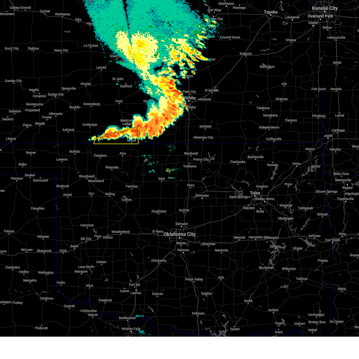 At 808 am cdt, severe thunderstorms were located along a line extending from near sharon to 8 miles west of aetna, moving south at 25 mph (radar indicated). Hazards include 60 mph wind gusts and quarter size hail. Hail damage to vehicles is expected. expect wind damage to roofs, siding, and trees. hail threat, radar indicated max hail size, 1. 00 in wind threat, radar indicated max wind gust, 60 mph. At 808 am cdt, severe thunderstorms were located along a line extending from near sharon to 8 miles west of aetna, moving south at 25 mph (radar indicated). Hazards include 60 mph wind gusts and quarter size hail. Hail damage to vehicles is expected. expect wind damage to roofs, siding, and trees. hail threat, radar indicated max hail size, 1. 00 in wind threat, radar indicated max wind gust, 60 mph.
|
| 6/21/2023 7:46 AM CDT |
 At 746 am cdt, severe thunderstorms were located along a line extending from near sharon to 10 miles northwest of aetna, moving southeast at 20 mph (radar indicated). Hazards include 60 mph wind gusts and quarter size hail. Hail damage to vehicles is expected. expect wind damage to roofs, siding, and trees. hail threat, radar indicated max hail size, 1. 00 in wind threat, radar indicated max wind gust, 60 mph. At 746 am cdt, severe thunderstorms were located along a line extending from near sharon to 10 miles northwest of aetna, moving southeast at 20 mph (radar indicated). Hazards include 60 mph wind gusts and quarter size hail. Hail damage to vehicles is expected. expect wind damage to roofs, siding, and trees. hail threat, radar indicated max hail size, 1. 00 in wind threat, radar indicated max wind gust, 60 mph.
|
| 6/21/2023 7:26 AM CDT |
 At 726 am cdt, severe thunderstorms were located along a line extending from near nashville to 6 miles south of wilmore, moving south at 25 mph (radar indicated). Hazards include 60 mph wind gusts and quarter size hail. Hail damage to vehicles is expected. expect wind damage to roofs, siding, and trees. hail threat, radar indicated max hail size, 1. 00 in wind threat, radar indicated max wind gust, 60 mph. At 726 am cdt, severe thunderstorms were located along a line extending from near nashville to 6 miles south of wilmore, moving south at 25 mph (radar indicated). Hazards include 60 mph wind gusts and quarter size hail. Hail damage to vehicles is expected. expect wind damage to roofs, siding, and trees. hail threat, radar indicated max hail size, 1. 00 in wind threat, radar indicated max wind gust, 60 mph.
|
| 6/21/2023 7:12 AM CDT |
 At 711 am cdt, a severe thunderstorm was located near lake city, moving southeast at 20 mph (radar indicated). Hazards include 60 mph wind gusts and quarter size hail. Hail damage to vehicles is expected. expect wind damage to roofs, siding, and trees. hail threat, radar indicated max hail size, 1. 00 in wind threat, radar indicated max wind gust, 60 mph. At 711 am cdt, a severe thunderstorm was located near lake city, moving southeast at 20 mph (radar indicated). Hazards include 60 mph wind gusts and quarter size hail. Hail damage to vehicles is expected. expect wind damage to roofs, siding, and trees. hail threat, radar indicated max hail size, 1. 00 in wind threat, radar indicated max wind gust, 60 mph.
|
| 6/21/2023 7:00 AM CDT | At 700 am cdt, a severe thunderstorm was located 7 miles south of sun city, moving southeast at 35 mph (radar indicated). Hazards include 60 mph wind gusts and quarter size hail. Hail damage to vehicles is expected. expect wind damage to roofs, siding, and trees. hail threat, radar indicated max hail size, 1. 00 in wind threat, radar indicated max wind gust, 60 mph. |
| 6/21/2023 6:32 AM CDT |
 At 632 am cdt, a severe thunderstorm was located near belvidere, moving southeast at 35 mph (radar indicated). Hazards include 60 mph wind gusts and quarter size hail. Hail damage to vehicles is expected. expect wind damage to roofs, siding, and trees. other locations in the path of this severe thunderstorm include aetna and hardtner. hail threat, radar indicated max hail size, 1. 00 in wind threat, radar indicated max wind gust, 60 mph. At 632 am cdt, a severe thunderstorm was located near belvidere, moving southeast at 35 mph (radar indicated). Hazards include 60 mph wind gusts and quarter size hail. Hail damage to vehicles is expected. expect wind damage to roofs, siding, and trees. other locations in the path of this severe thunderstorm include aetna and hardtner. hail threat, radar indicated max hail size, 1. 00 in wind threat, radar indicated max wind gust, 60 mph.
|
| 6/17/2023 9:50 PM CDT |
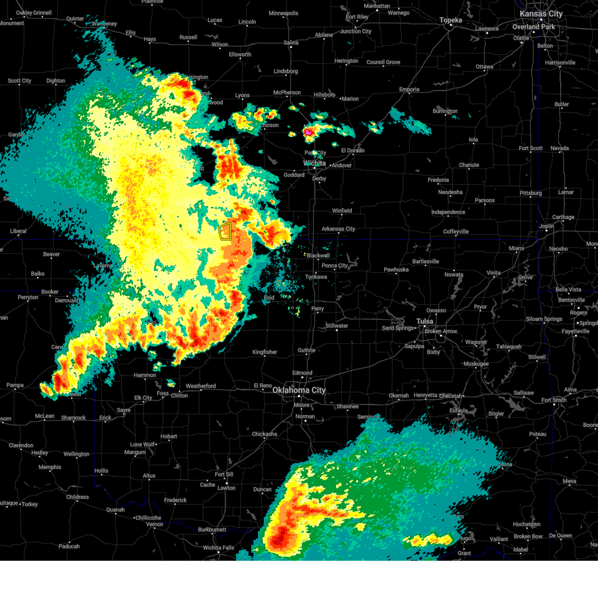 The severe thunderstorm warning for southeastern barber county will expire at 1000 pm cdt, the storm which prompted the warning has moved out of the area. therefore, the warning will be allowed to expire. however gusty winds are still possible with this thunderstorm. a tornado watch remains in effect until 1100 pm cdt for south central kansas. The severe thunderstorm warning for southeastern barber county will expire at 1000 pm cdt, the storm which prompted the warning has moved out of the area. therefore, the warning will be allowed to expire. however gusty winds are still possible with this thunderstorm. a tornado watch remains in effect until 1100 pm cdt for south central kansas.
|
| 6/17/2023 9:40 PM CDT |
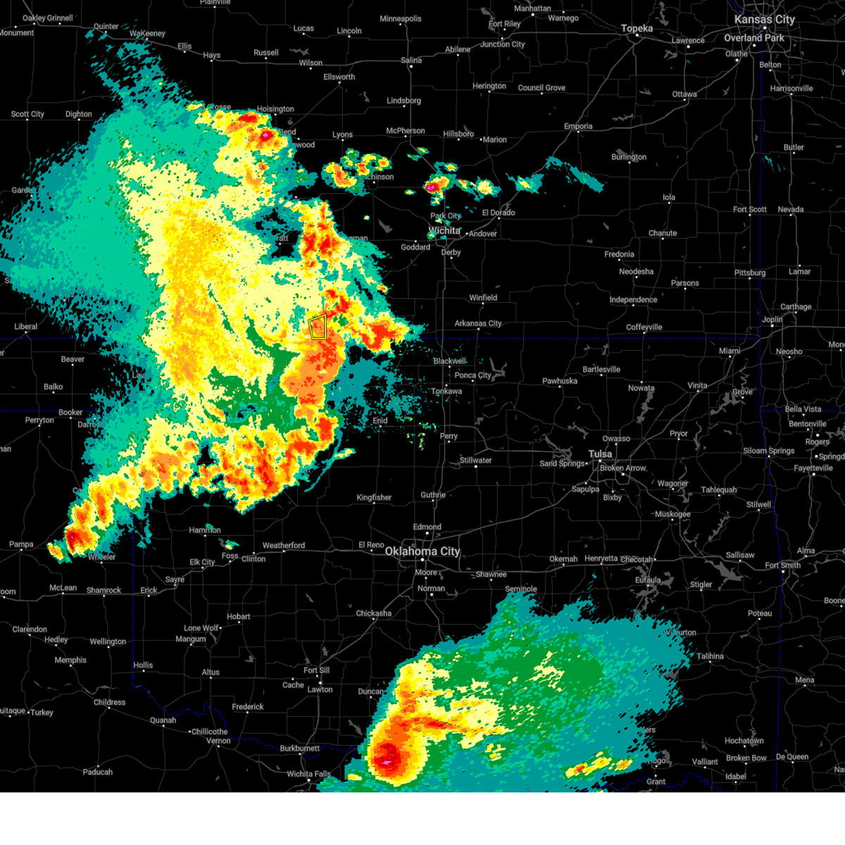 At 940 pm cdt, a severe thunderstorm was located near hazelton, moving east at 20 mph (radar indicated). Hazards include 60 mph wind gusts. Expect damage to roofs, siding, and trees. this severe thunderstorm will remain over mainly rural areas of southeastern barber county. hail threat, radar indicated max hail size, <. 75 in wind threat, radar indicated max wind gust, 60 mph. At 940 pm cdt, a severe thunderstorm was located near hazelton, moving east at 20 mph (radar indicated). Hazards include 60 mph wind gusts. Expect damage to roofs, siding, and trees. this severe thunderstorm will remain over mainly rural areas of southeastern barber county. hail threat, radar indicated max hail size, <. 75 in wind threat, radar indicated max wind gust, 60 mph.
|
| 6/17/2023 9:25 PM CDT |
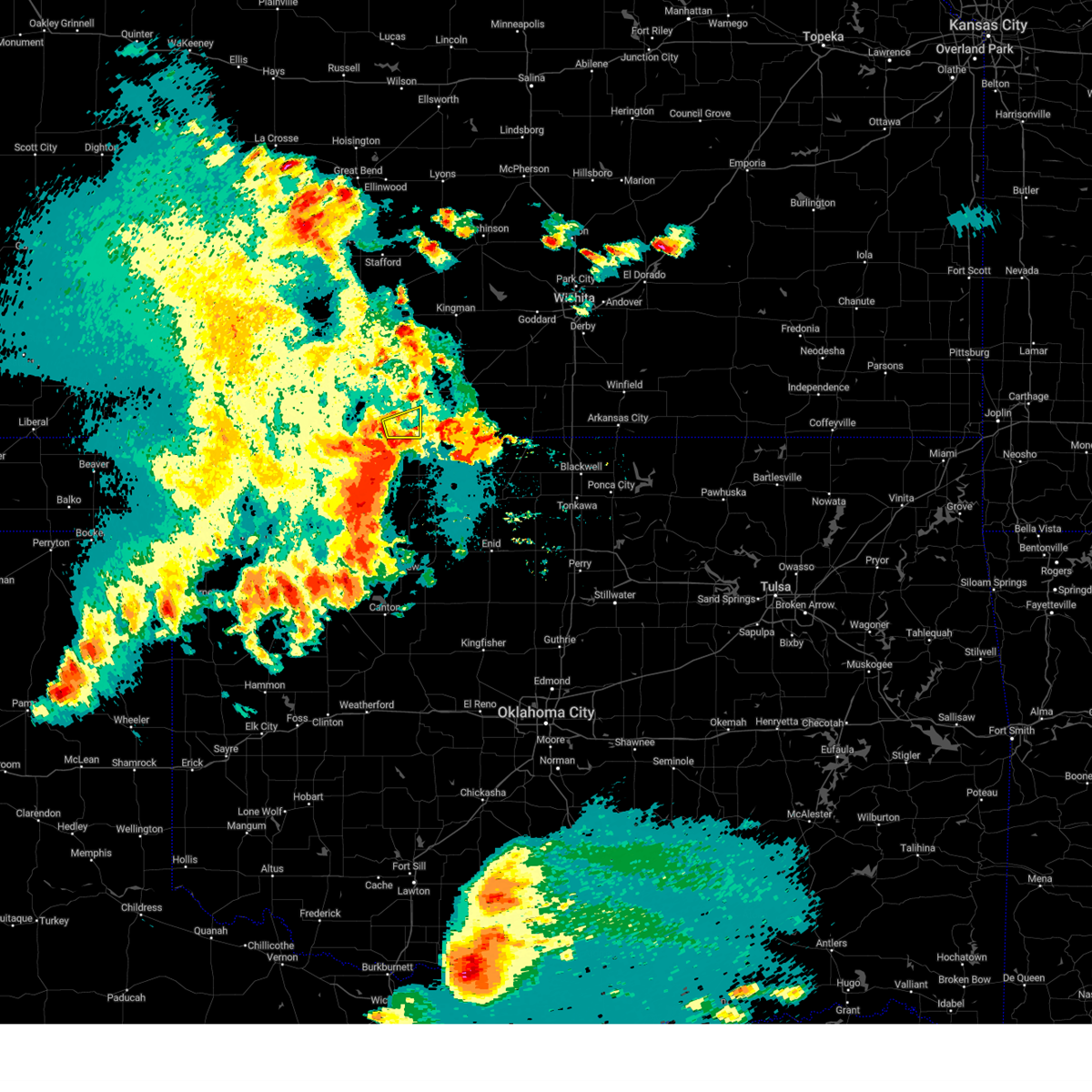 At 925 pm cdt, a severe thunderstorm was located very near kiowa, moving east at 20 mph (radar indicated). Hazards include 60 mph wind gusts. Expect damage to roofs, siding, and trees. this severe thunderstorm will be near, hazelton around 945 pm cdt. hail threat, radar indicated max hail size, <. 75 in wind threat, radar indicated max wind gust, 60 mph. At 925 pm cdt, a severe thunderstorm was located very near kiowa, moving east at 20 mph (radar indicated). Hazards include 60 mph wind gusts. Expect damage to roofs, siding, and trees. this severe thunderstorm will be near, hazelton around 945 pm cdt. hail threat, radar indicated max hail size, <. 75 in wind threat, radar indicated max wind gust, 60 mph.
|
| 6/15/2023 7:20 PM CDT |
 The severe thunderstorm warning for barber and pratt counties will expire at 730 pm cdt, the storms which prompted the warning have weakened below severe limits, and no longer pose an immediate threat to life or property. therefore, the warning will be allowed to expire. however gusty winds are still possible with these thunderstorms. a severe thunderstorm watch remains in effect until 800 pm cdt for south central kansas. The severe thunderstorm warning for barber and pratt counties will expire at 730 pm cdt, the storms which prompted the warning have weakened below severe limits, and no longer pose an immediate threat to life or property. therefore, the warning will be allowed to expire. however gusty winds are still possible with these thunderstorms. a severe thunderstorm watch remains in effect until 800 pm cdt for south central kansas.
|
| 6/15/2023 6:57 PM CDT |
 At 657 pm cdt, severe thunderstorms were located along a line extending from near hopewell to near coats to near aetna, moving east at 35 mph (radar indicated). Hazards include 60 mph wind gusts and penny size hail. Expect damage to roofs, siding, and trees. locations impacted include, coats, sawyer, iuka, pratt, hardtner, isabel, kiowa, cairo and hazelton. hail threat, radar indicated max hail size, 0. 75 in wind threat, radar indicated max wind gust, 60 mph. At 657 pm cdt, severe thunderstorms were located along a line extending from near hopewell to near coats to near aetna, moving east at 35 mph (radar indicated). Hazards include 60 mph wind gusts and penny size hail. Expect damage to roofs, siding, and trees. locations impacted include, coats, sawyer, iuka, pratt, hardtner, isabel, kiowa, cairo and hazelton. hail threat, radar indicated max hail size, 0. 75 in wind threat, radar indicated max wind gust, 60 mph.
|
| 6/15/2023 6:34 PM CDT |
 At 633 pm cdt, severe thunderstorms were located along a line extending from near fellsburg to near belvidere to 8 miles southwest of aetna, moving east at 45 mph (radar indicated). Hazards include 60 mph wind gusts and penny size hail. Expect damage to roofs, siding, and trees. severe thunderstorms will be near, aetna and croft around 640 pm cdt. other locations in the path of these severe thunderstorms include coats, hardtner, iuka, sawyer, isabel, kiowa and hazelton. hail threat, radar indicated max hail size, 0. 75 in wind threat, radar indicated max wind gust, 60 mph. At 633 pm cdt, severe thunderstorms were located along a line extending from near fellsburg to near belvidere to 8 miles southwest of aetna, moving east at 45 mph (radar indicated). Hazards include 60 mph wind gusts and penny size hail. Expect damage to roofs, siding, and trees. severe thunderstorms will be near, aetna and croft around 640 pm cdt. other locations in the path of these severe thunderstorms include coats, hardtner, iuka, sawyer, isabel, kiowa and hazelton. hail threat, radar indicated max hail size, 0. 75 in wind threat, radar indicated max wind gust, 60 mph.
|
| 2/26/2023 8:22 PM CST |
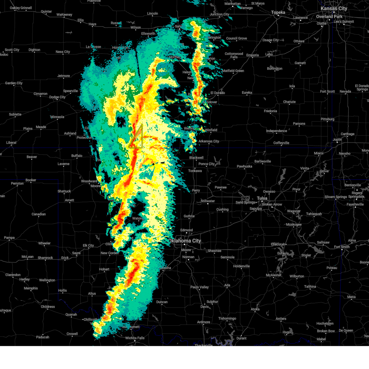 At 822 pm cst, a severe thunderstorm was located near kiowa, moving northeast at 55 mph (radar indicated). Hazards include 60 mph wind gusts and nickel size hail. Expect damage to roofs, siding, and trees. this severe thunderstorm will be near, sharon around 835 pm cst. hail threat, radar indicated max hail size, 0. 88 in wind threat, radar indicated max wind gust, 60 mph. At 822 pm cst, a severe thunderstorm was located near kiowa, moving northeast at 55 mph (radar indicated). Hazards include 60 mph wind gusts and nickel size hail. Expect damage to roofs, siding, and trees. this severe thunderstorm will be near, sharon around 835 pm cst. hail threat, radar indicated max hail size, 0. 88 in wind threat, radar indicated max wind gust, 60 mph.
|
| 5/31/2022 8:20 PM CDT |
 At 820 pm cdt, a severe thunderstorm was located near medicine lodge, moving north at 20 mph (radar indicated). Hazards include 60 mph wind gusts and quarter size hail. Hail damage to vehicles is expected. expect wind damage to roofs, siding, and trees. locations impacted include, medicine lodge, kiowa, hardtner, sharon, sawyer, hazelton and isabel. hail threat, radar indicated max hail size, 1. 00 in wind threat, radar indicated max wind gust, 60 mph. At 820 pm cdt, a severe thunderstorm was located near medicine lodge, moving north at 20 mph (radar indicated). Hazards include 60 mph wind gusts and quarter size hail. Hail damage to vehicles is expected. expect wind damage to roofs, siding, and trees. locations impacted include, medicine lodge, kiowa, hardtner, sharon, sawyer, hazelton and isabel. hail threat, radar indicated max hail size, 1. 00 in wind threat, radar indicated max wind gust, 60 mph.
|
| 5/31/2022 7:54 PM CDT |
 At 753 pm cdt, a severe thunderstorm was located 10 miles north of hardtner, moving northeast at 40 mph (radar indicated). Hazards include 60 mph wind gusts and quarter size hail. Hail damage to vehicles is expected. Expect wind damage to roofs, siding, and trees. At 753 pm cdt, a severe thunderstorm was located 10 miles north of hardtner, moving northeast at 40 mph (radar indicated). Hazards include 60 mph wind gusts and quarter size hail. Hail damage to vehicles is expected. Expect wind damage to roofs, siding, and trees.
|
| 5/14/2022 9:28 PM CDT |
 At 928 pm cdt, a severe thunderstorm was located near sharon, moving southeast at 20 mph (radar indicated). Hazards include 60 mph wind gusts and quarter size hail. Hail damage to vehicles is expected. expect wind damage to roofs, siding, and trees. locations impacted include, medicine lodge, kiowa, sharon and hazelton. hail threat, radar indicated max hail size, 1. 00 in wind threat, radar indicated max wind gust, 60 mph. At 928 pm cdt, a severe thunderstorm was located near sharon, moving southeast at 20 mph (radar indicated). Hazards include 60 mph wind gusts and quarter size hail. Hail damage to vehicles is expected. expect wind damage to roofs, siding, and trees. locations impacted include, medicine lodge, kiowa, sharon and hazelton. hail threat, radar indicated max hail size, 1. 00 in wind threat, radar indicated max wind gust, 60 mph.
|
| 5/14/2022 9:09 PM CDT |
 At 909 pm cdt, a severe thunderstorm was located near medicine lodge, moving southeast at 20 mph (radar indicated). Hazards include 60 mph wind gusts and quarter size hail. Hail damage to vehicles is expected. Expect wind damage to roofs, siding, and trees. At 909 pm cdt, a severe thunderstorm was located near medicine lodge, moving southeast at 20 mph (radar indicated). Hazards include 60 mph wind gusts and quarter size hail. Hail damage to vehicles is expected. Expect wind damage to roofs, siding, and trees.
|
| 5/14/2022 9:09 PM CDT |
 The severe thunderstorm warning for barber and southeastern pratt counties will expire at 915 pm cdt, the storm which prompted the warning has moved out of the area. therefore, the warning will be allowed to expire. however small hail, gusty winds and heavy rain are still possible with this thunderstorm. a severe thunderstorm watch remains in effect until midnight cdt for south central kansas. The severe thunderstorm warning for barber and southeastern pratt counties will expire at 915 pm cdt, the storm which prompted the warning has moved out of the area. therefore, the warning will be allowed to expire. however small hail, gusty winds and heavy rain are still possible with this thunderstorm. a severe thunderstorm watch remains in effect until midnight cdt for south central kansas.
|
| 5/14/2022 8:57 PM CDT |
 At 857 pm cdt, a severe thunderstorm was located 7 miles northwest of medicine lodge, moving southeast at 30 mph (radar indicated). Hazards include 60 mph wind gusts and quarter size hail. Hail damage to vehicles is expected. expect wind damage to roofs, siding, and trees. locations impacted include, medicine lodge, kiowa, hardtner, sharon, sawyer, hazelton, isabel and lake city. hail threat, radar indicated max hail size, 1. 00 in wind threat, radar indicated max wind gust, 60 mph. At 857 pm cdt, a severe thunderstorm was located 7 miles northwest of medicine lodge, moving southeast at 30 mph (radar indicated). Hazards include 60 mph wind gusts and quarter size hail. Hail damage to vehicles is expected. expect wind damage to roofs, siding, and trees. locations impacted include, medicine lodge, kiowa, hardtner, sharon, sawyer, hazelton, isabel and lake city. hail threat, radar indicated max hail size, 1. 00 in wind threat, radar indicated max wind gust, 60 mph.
|
| 5/14/2022 8:43 PM CDT |
 At 843 pm cdt, a severe thunderstorm was located near lake city, moving southeast at 25 mph (radar indicated). Hazards include 60 mph wind gusts and quarter size hail. Hail damage to vehicles is expected. expect wind damage to roofs, siding, and trees. locations impacted include, medicine lodge, kiowa, hardtner, sharon, sawyer, hazelton, isabel, coats, lake city and sun city. hail threat, radar indicated max hail size, 1. 00 in wind threat, radar indicated max wind gust, 60 mph. At 843 pm cdt, a severe thunderstorm was located near lake city, moving southeast at 25 mph (radar indicated). Hazards include 60 mph wind gusts and quarter size hail. Hail damage to vehicles is expected. expect wind damage to roofs, siding, and trees. locations impacted include, medicine lodge, kiowa, hardtner, sharon, sawyer, hazelton, isabel, coats, lake city and sun city. hail threat, radar indicated max hail size, 1. 00 in wind threat, radar indicated max wind gust, 60 mph.
|
| 5/14/2022 8:29 PM CDT |
 At 829 pm cdt, a severe thunderstorm was located near coats, moving southeast at 35 mph (radar indicated). Hazards include golf ball size hail and 70 mph wind gusts. People and animals outdoors will be injured. expect hail damage to roofs, siding, windows, and vehicles. expect considerable tree damage. wind damage is also likely to mobile homes, roofs, and outbuildings. locations impacted include, pratt, medicine lodge, kiowa, hardtner, sharon, sawyer, cullison, hazelton, isabel, coats, lake city, sun city and cairo. thunderstorm damage threat, considerable hail threat, radar indicated max hail size, 1. 75 in wind threat, radar indicated max wind gust, 70 mph. At 829 pm cdt, a severe thunderstorm was located near coats, moving southeast at 35 mph (radar indicated). Hazards include golf ball size hail and 70 mph wind gusts. People and animals outdoors will be injured. expect hail damage to roofs, siding, windows, and vehicles. expect considerable tree damage. wind damage is also likely to mobile homes, roofs, and outbuildings. locations impacted include, pratt, medicine lodge, kiowa, hardtner, sharon, sawyer, cullison, hazelton, isabel, coats, lake city, sun city and cairo. thunderstorm damage threat, considerable hail threat, radar indicated max hail size, 1. 75 in wind threat, radar indicated max wind gust, 70 mph.
|
| 5/14/2022 8:11 PM CDT |
 At 811 pm cdt, a severe thunderstorm was located near croft, moving southeast at 35 mph (radar indicated). Hazards include two inch hail and 60 mph wind gusts. People and animals outdoors will be injured. expect hail damage to roofs, siding, windows, and vehicles. Expect wind damage to roofs, siding, and trees. At 811 pm cdt, a severe thunderstorm was located near croft, moving southeast at 35 mph (radar indicated). Hazards include two inch hail and 60 mph wind gusts. People and animals outdoors will be injured. expect hail damage to roofs, siding, windows, and vehicles. Expect wind damage to roofs, siding, and trees.
|
| 4/12/2022 11:52 PM CDT |
 The severe thunderstorm warning for southeastern barber county will expire at midnight cdt, the storms which prompted the warning have exited the warned area. therefore, the warning will be allowed to expire. to report severe weather, contact your nearest law enforcement agency. they will relay your report to the national weather service dodge city. The severe thunderstorm warning for southeastern barber county will expire at midnight cdt, the storms which prompted the warning have exited the warned area. therefore, the warning will be allowed to expire. to report severe weather, contact your nearest law enforcement agency. they will relay your report to the national weather service dodge city.
|
| 4/12/2022 11:36 PM CDT |
 At 1135 pm cdt, severe thunderstorms were located along a line extending from 6 miles southeast of sharon to near kiowa, moving east at 20 mph (radar indicated). Hazards include 60 mph wind gusts and quarter size hail. Hail damage to vehicles is expected. expect wind damage to roofs, siding, and trees. locations impacted include, kiowa and hazelton. hail threat, radar indicated max hail size, 1. 00 in wind threat, radar indicated max wind gust, 60 mph. At 1135 pm cdt, severe thunderstorms were located along a line extending from 6 miles southeast of sharon to near kiowa, moving east at 20 mph (radar indicated). Hazards include 60 mph wind gusts and quarter size hail. Hail damage to vehicles is expected. expect wind damage to roofs, siding, and trees. locations impacted include, kiowa and hazelton. hail threat, radar indicated max hail size, 1. 00 in wind threat, radar indicated max wind gust, 60 mph.
|
| 4/12/2022 11:13 PM CDT |
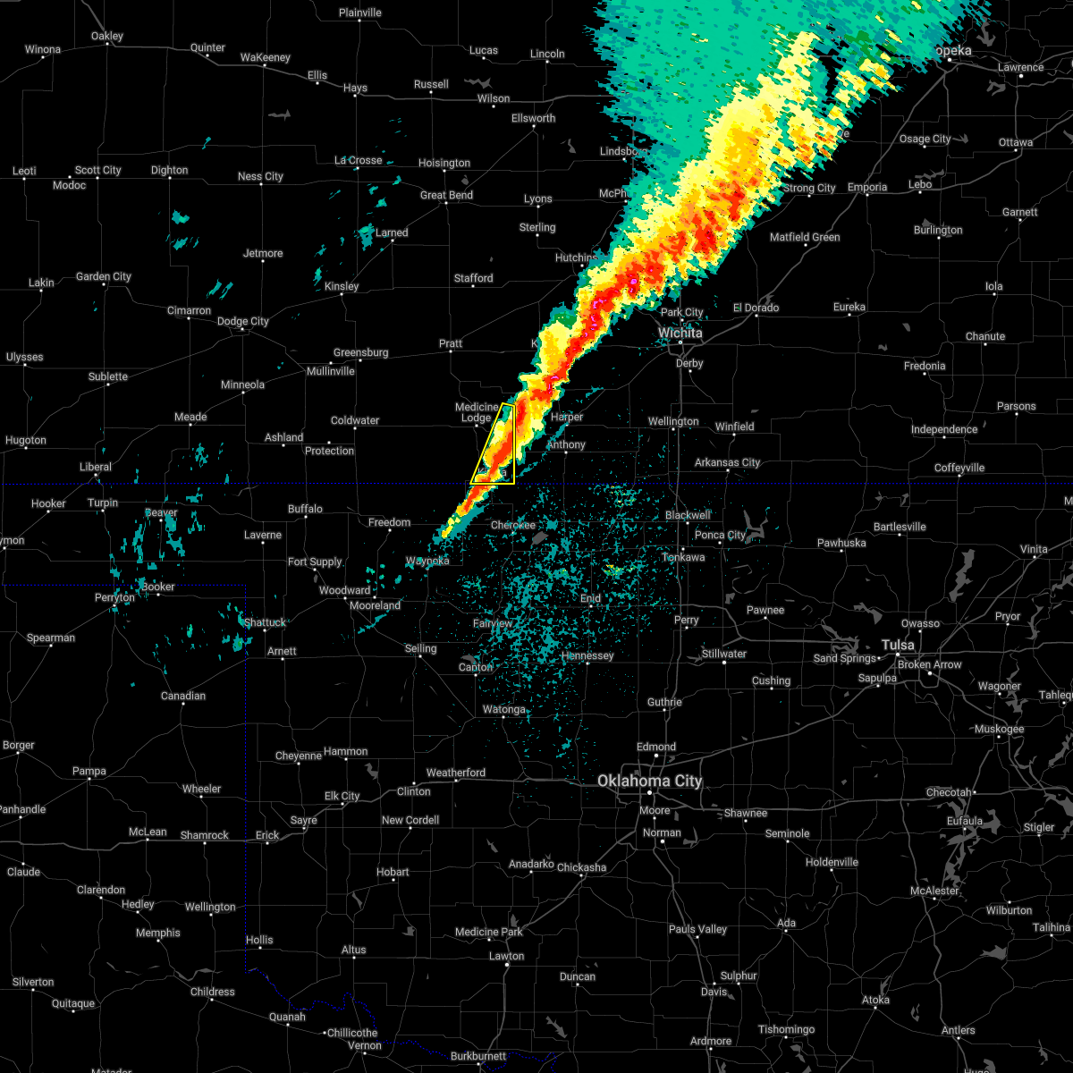 At 1112 pm cdt, severe thunderstorms were located along a line extending from 8 miles northwest of attica to near kiowa, moving northeast at 30 mph (radar indicated). Hazards include 60 mph wind gusts and quarter size hail. Hail damage to vehicles is expected. Expect wind damage to roofs, siding, and trees. At 1112 pm cdt, severe thunderstorms were located along a line extending from 8 miles northwest of attica to near kiowa, moving northeast at 30 mph (radar indicated). Hazards include 60 mph wind gusts and quarter size hail. Hail damage to vehicles is expected. Expect wind damage to roofs, siding, and trees.
|
| 4/12/2022 10:55 PM CDT |
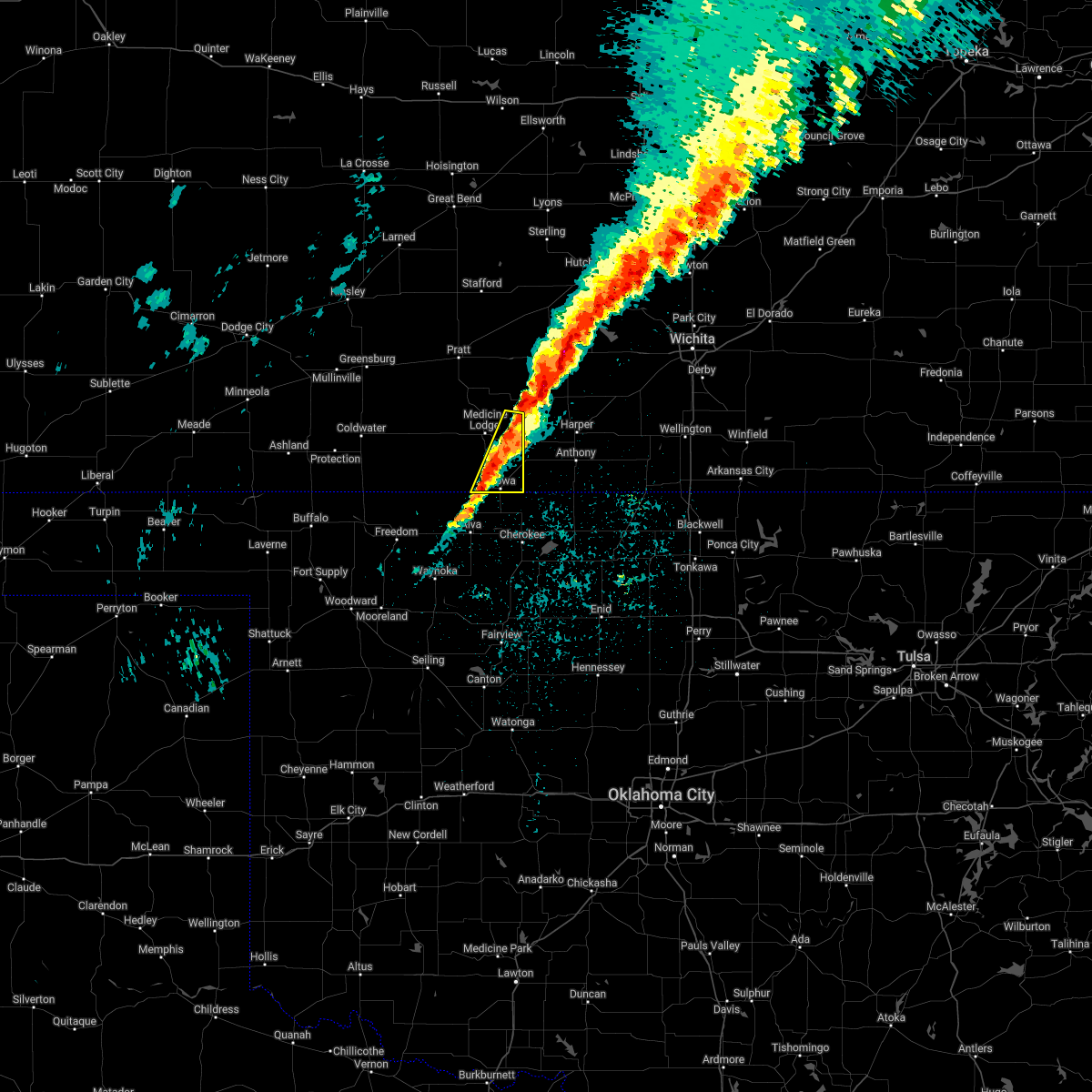 At 1055 pm cdt, severe thunderstorms were located along a line extending from near nashville to near kiowa, moving east at 15 mph (radar indicated). Hazards include 60 mph wind gusts and quarter size hail. Hail damage to vehicles is expected. expect wind damage to roofs, siding, and trees. locations impacted include, kiowa, hardtner, sharon and hazelton. hail threat, radar indicated max hail size, 1. 00 in wind threat, radar indicated max wind gust, 60 mph. At 1055 pm cdt, severe thunderstorms were located along a line extending from near nashville to near kiowa, moving east at 15 mph (radar indicated). Hazards include 60 mph wind gusts and quarter size hail. Hail damage to vehicles is expected. expect wind damage to roofs, siding, and trees. locations impacted include, kiowa, hardtner, sharon and hazelton. hail threat, radar indicated max hail size, 1. 00 in wind threat, radar indicated max wind gust, 60 mph.
|
| 4/12/2022 10:34 PM CDT |
 At 1033 pm cdt, severe thunderstorms were located along a line extending from near nashville to near hardtner, moving east at 15 mph (radar indicated). Hazards include 60 mph wind gusts and quarter size hail. Hail damage to vehicles is expected. Expect wind damage to roofs, siding, and trees. At 1033 pm cdt, severe thunderstorms were located along a line extending from near nashville to near hardtner, moving east at 15 mph (radar indicated). Hazards include 60 mph wind gusts and quarter size hail. Hail damage to vehicles is expected. Expect wind damage to roofs, siding, and trees.
|
| 3/29/2022 8:20 PM CDT |
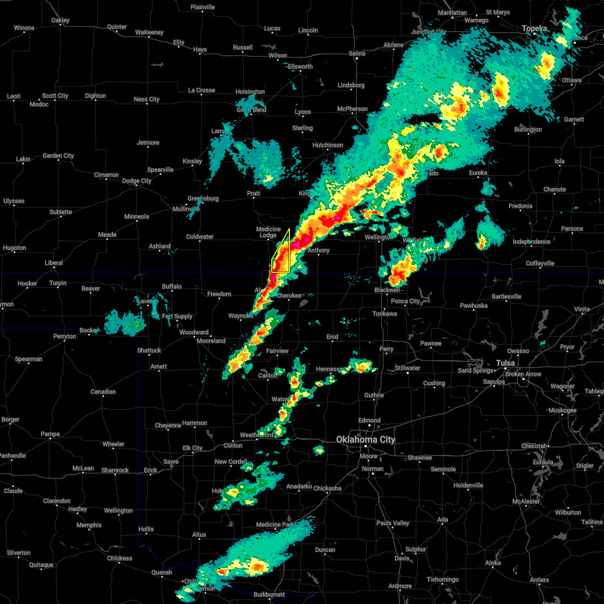 At 820 pm cdt, a severe thunderstorm was located very near hazelton, moving northeast at 40 mph (radar indicated). Hazards include 60 mph wind gusts and quarter size hail. Hail damage to vehicles is expected. expect wind damage to roofs, siding, and trees. this severe thunderstorm will remain over mainly rural areas of southeastern barber county. hail threat, radar indicated max hail size, 1. 00 in wind threat, radar indicated max wind gust, 60 mph. At 820 pm cdt, a severe thunderstorm was located very near hazelton, moving northeast at 40 mph (radar indicated). Hazards include 60 mph wind gusts and quarter size hail. Hail damage to vehicles is expected. expect wind damage to roofs, siding, and trees. this severe thunderstorm will remain over mainly rural areas of southeastern barber county. hail threat, radar indicated max hail size, 1. 00 in wind threat, radar indicated max wind gust, 60 mph.
|
| 3/29/2022 8:06 PM CDT |
 At 805 pm cdt, a severe thunderstorm was located near kiowa, moving northeast at 40 mph (radar indicated). Hazards include 60 mph wind gusts and quarter size hail. Hail damage to vehicles is expected. expect wind damage to roofs, siding, and trees. this severe thunderstorm will be near, kiowa around 810 pm cdt. hazelton around 825 pm cdt. hail threat, radar indicated max hail size, 1. 00 in wind threat, radar indicated max wind gust, 60 mph. At 805 pm cdt, a severe thunderstorm was located near kiowa, moving northeast at 40 mph (radar indicated). Hazards include 60 mph wind gusts and quarter size hail. Hail damage to vehicles is expected. expect wind damage to roofs, siding, and trees. this severe thunderstorm will be near, kiowa around 810 pm cdt. hazelton around 825 pm cdt. hail threat, radar indicated max hail size, 1. 00 in wind threat, radar indicated max wind gust, 60 mph.
|
| 3/29/2022 7:58 PM CDT |
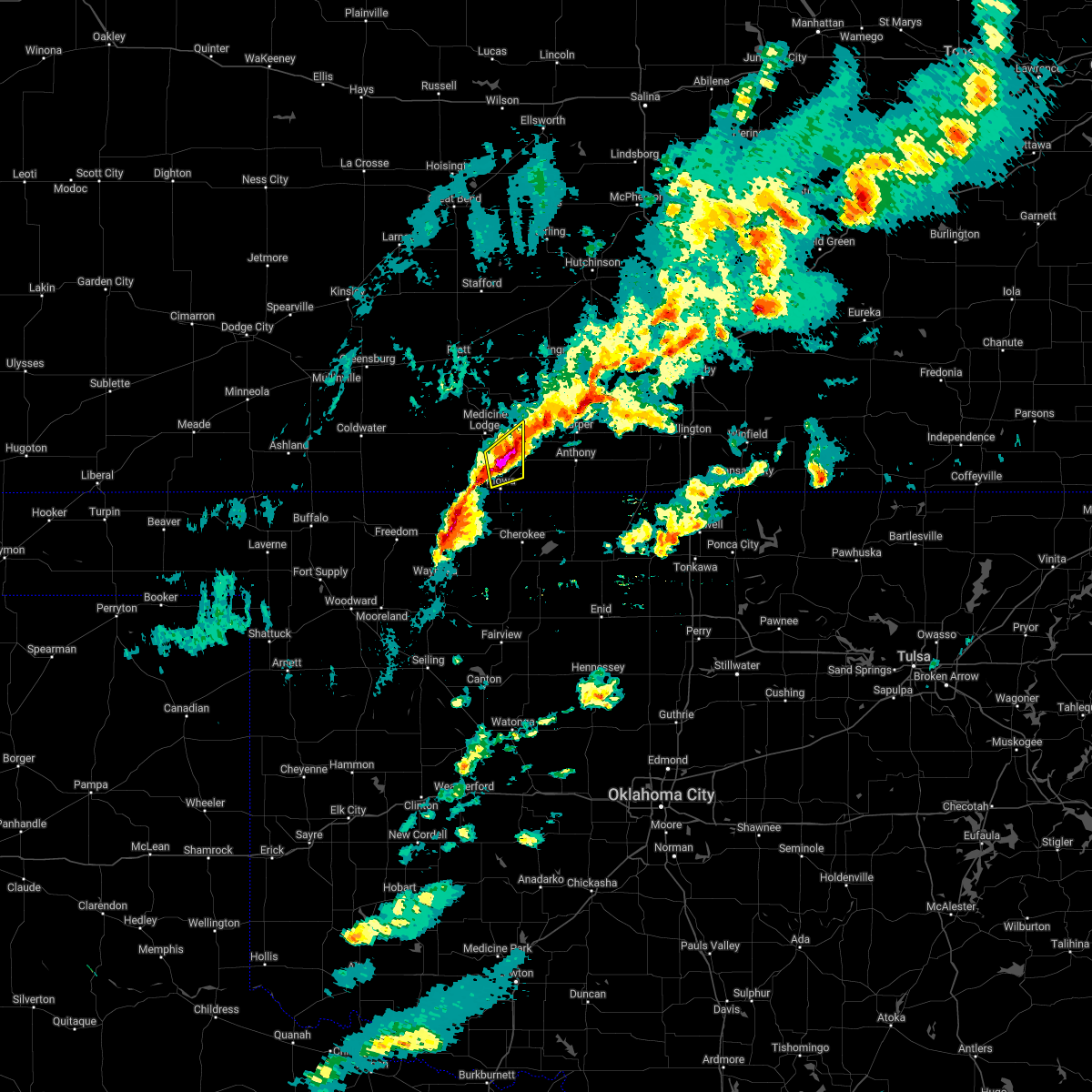 At 757 pm cdt, a severe thunderstorm was located near hazelton, moving northeast at 40 mph (radar indicated). Hazards include 60 mph wind gusts and quarter size hail. Hail damage to vehicles is expected. expect wind damage to roofs, siding, and trees. this severe thunderstorm will remain over mainly rural areas of southeastern barber county. hail threat, radar indicated max hail size, 1. 00 in wind threat, radar indicated max wind gust, 60 mph. At 757 pm cdt, a severe thunderstorm was located near hazelton, moving northeast at 40 mph (radar indicated). Hazards include 60 mph wind gusts and quarter size hail. Hail damage to vehicles is expected. expect wind damage to roofs, siding, and trees. this severe thunderstorm will remain over mainly rural areas of southeastern barber county. hail threat, radar indicated max hail size, 1. 00 in wind threat, radar indicated max wind gust, 60 mph.
|
| 10/13/2021 1:57 AM CDT |
 At 156 am cdt, severe thunderstorms were located along a line extending from near windom to 6 miles southwest of cairo, moving northeast at 60 mph (radar indicated). Hazards include 60 mph wind gusts and penny size hail. Expect damage to roofs, siding, and trees. Locations impacted include, medicine lodge, kiowa, hardtner, sharon, hazelton, isabel and cairo. At 156 am cdt, severe thunderstorms were located along a line extending from near windom to 6 miles southwest of cairo, moving northeast at 60 mph (radar indicated). Hazards include 60 mph wind gusts and penny size hail. Expect damage to roofs, siding, and trees. Locations impacted include, medicine lodge, kiowa, hardtner, sharon, hazelton, isabel and cairo.
|
| 10/13/2021 1:42 AM CDT |
 At 142 am cdt, severe thunderstorms were located along a line extending from near nickerson to near lake city, moving northeast at 55 mph (radar indicated). Hazards include 70 mph wind gusts and penny size hail. Expect considerable tree damage. damage is likely to mobile homes, roofs, and outbuildings. Locations impacted include, medicine lodge, kiowa, hardtner, preston, sharon, sawyer, hazelton, isabel, lake city, aetna and cairo. At 142 am cdt, severe thunderstorms were located along a line extending from near nickerson to near lake city, moving northeast at 55 mph (radar indicated). Hazards include 70 mph wind gusts and penny size hail. Expect considerable tree damage. damage is likely to mobile homes, roofs, and outbuildings. Locations impacted include, medicine lodge, kiowa, hardtner, preston, sharon, sawyer, hazelton, isabel, lake city, aetna and cairo.
|
| 10/13/2021 1:09 AM CDT |
 At 109 am cdt, severe thunderstorms were located along a line extending from near turon to 8 miles southwest of aetna, moving northeast at 55 mph (radar indicated). Hazards include 70 mph wind gusts and penny size hail. Expect considerable tree damage. Damage is likely to mobile homes, roofs, and outbuildings. At 109 am cdt, severe thunderstorms were located along a line extending from near turon to 8 miles southwest of aetna, moving northeast at 55 mph (radar indicated). Hazards include 70 mph wind gusts and penny size hail. Expect considerable tree damage. Damage is likely to mobile homes, roofs, and outbuildings.
|
| 6/25/2021 6:59 PM CDT |
 At 616 pm cdt, severe thunderstorms were located along a line extending from near lake city to 6 miles northeast of hardtner, moving northeast at 45 mph (radar indicated). Hazards include 60 mph wind gusts and quarter size hail. Hail damage to vehicles is expected. expect wind damage to roofs, siding, and trees. severe thunderstorms will be near, sawyer and hazelton around 630 pm cdt. sharon and isabel around 635 pm cdt. Other locations in the path of these severe thunderstorms include cairo. At 616 pm cdt, severe thunderstorms were located along a line extending from near lake city to 6 miles northeast of hardtner, moving northeast at 45 mph (radar indicated). Hazards include 60 mph wind gusts and quarter size hail. Hail damage to vehicles is expected. expect wind damage to roofs, siding, and trees. severe thunderstorms will be near, sawyer and hazelton around 630 pm cdt. sharon and isabel around 635 pm cdt. Other locations in the path of these severe thunderstorms include cairo.
|
| 6/25/2021 6:17 PM CDT |
 At 616 pm cdt, severe thunderstorms were located along a line extending from near lake city to 6 miles northeast of hardtner, moving northeast at 45 mph (radar indicated). Hazards include 60 mph wind gusts and quarter size hail. Hail damage to vehicles is expected. expect wind damage to roofs, siding, and trees. severe thunderstorms will be near, sawyer and hazelton around 630 pm cdt. sharon and isabel around 635 pm cdt. Other locations in the path of these severe thunderstorms include cairo. At 616 pm cdt, severe thunderstorms were located along a line extending from near lake city to 6 miles northeast of hardtner, moving northeast at 45 mph (radar indicated). Hazards include 60 mph wind gusts and quarter size hail. Hail damage to vehicles is expected. expect wind damage to roofs, siding, and trees. severe thunderstorms will be near, sawyer and hazelton around 630 pm cdt. sharon and isabel around 635 pm cdt. Other locations in the path of these severe thunderstorms include cairo.
|
| 4/7/2021 12:38 AM CDT |
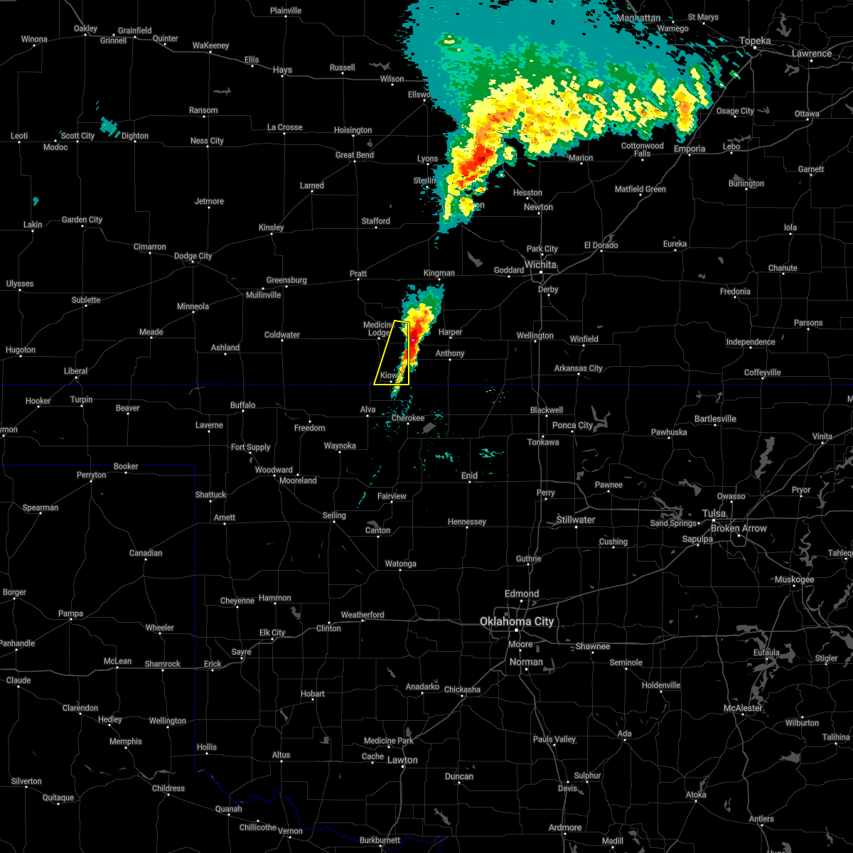 The severe thunderstorm warning for southeastern barber county will expire at 1245 am cdt, the storms which prompted the warning have moved out of the area. therefore, the warning will be allowed to expire. to report severe weather, contact your nearest law enforcement agency. they will relay your report to the national weather service dodge city. The severe thunderstorm warning for southeastern barber county will expire at 1245 am cdt, the storms which prompted the warning have moved out of the area. therefore, the warning will be allowed to expire. to report severe weather, contact your nearest law enforcement agency. they will relay your report to the national weather service dodge city.
|
| 4/7/2021 12:17 AM CDT |
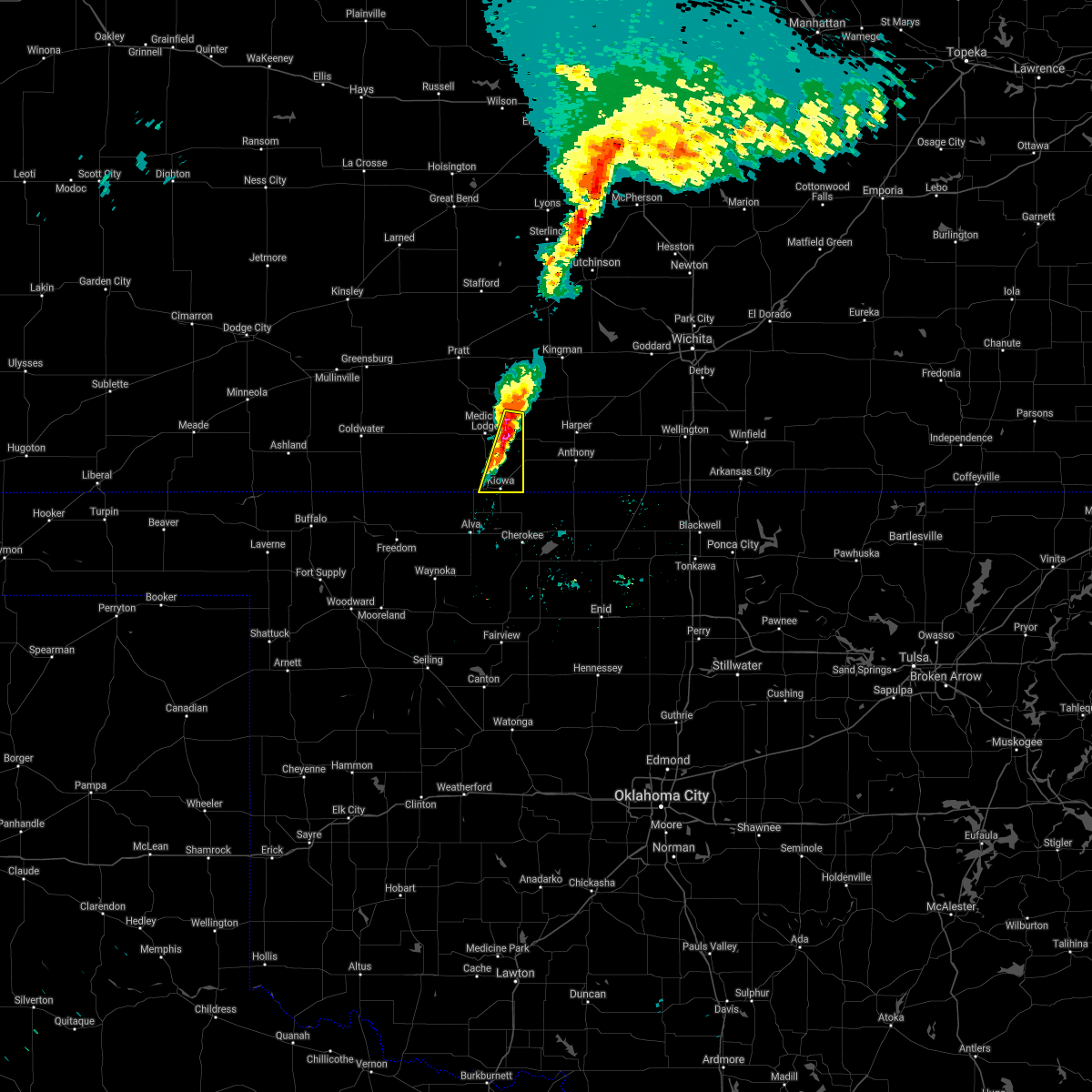 At 1216 am cdt, severe thunderstorms were located along a line extending from near nashville to near sharon to near kiowa, moving east at 20 mph (radar indicated). Hazards include 60 mph wind gusts and quarter size hail. Hail damage to vehicles is expected. expect wind damage to roofs, siding, and trees. Locations impacted include, kiowa, sharon and hazelton. At 1216 am cdt, severe thunderstorms were located along a line extending from near nashville to near sharon to near kiowa, moving east at 20 mph (radar indicated). Hazards include 60 mph wind gusts and quarter size hail. Hail damage to vehicles is expected. expect wind damage to roofs, siding, and trees. Locations impacted include, kiowa, sharon and hazelton.
|
| 4/6/2021 11:50 PM CDT |
 At 1150 pm cdt, severe thunderstorms were located along a line extending from near isabel to near medicine lodge to near hardtner, moving east at 20 mph (radar indicated). Hazards include 60 mph wind gusts and half dollar size hail. Hail damage to vehicles is expected. Expect wind damage to roofs, siding, and trees. At 1150 pm cdt, severe thunderstorms were located along a line extending from near isabel to near medicine lodge to near hardtner, moving east at 20 mph (radar indicated). Hazards include 60 mph wind gusts and half dollar size hail. Hail damage to vehicles is expected. Expect wind damage to roofs, siding, and trees.
|
| 11/24/2020 4:50 PM CST | Wind gust of unknown intensity damaged a carport near hazelton... k in barber county KS, 0.3 miles W of Hazelton, KS |
| 11/9/2020 11:51 PM CST |
 The severe thunderstorm warning for barber and southeastern pratt counties will expire at midnight cst, the storms which prompted the warning have weakened below severe limits, and no longer pose an immediate threat to life or property. therefore, the warning will be allowed to expire. however gusty winds are still possible with these thunderstorms. The severe thunderstorm warning for barber and southeastern pratt counties will expire at midnight cst, the storms which prompted the warning have weakened below severe limits, and no longer pose an immediate threat to life or property. therefore, the warning will be allowed to expire. however gusty winds are still possible with these thunderstorms.
|
| 11/9/2020 11:35 PM CST |
 At 1135 pm cst, severe thunderstorms were located along a line extending from near isabel to 7 miles southwest of medicine lodge, moving east at 40 mph (radar indicated). Hazards include 60 mph wind gusts and penny size hail. Expect damage to roofs, siding, and trees. Locations impacted include, medicine lodge, kiowa, sharon, sawyer, hazelton, isabel and cairo. At 1135 pm cst, severe thunderstorms were located along a line extending from near isabel to 7 miles southwest of medicine lodge, moving east at 40 mph (radar indicated). Hazards include 60 mph wind gusts and penny size hail. Expect damage to roofs, siding, and trees. Locations impacted include, medicine lodge, kiowa, sharon, sawyer, hazelton, isabel and cairo.
|
| 11/9/2020 11:19 PM CST |
 At 1119 pm cst, severe thunderstorms were located along a line extending from near cairo to 10 miles northwest of hardtner, moving east at 45 mph (radar indicated). Hazards include 60 mph wind gusts and penny size hail. expect damage to roofs, siding, and trees At 1119 pm cst, severe thunderstorms were located along a line extending from near cairo to 10 miles northwest of hardtner, moving east at 45 mph (radar indicated). Hazards include 60 mph wind gusts and penny size hail. expect damage to roofs, siding, and trees
|
| 8/10/2020 4:29 PM CDT |
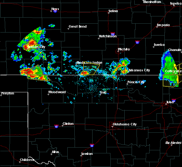 At 429 pm cdt, a severe thunderstorm was located near hazelton, moving northeast at 15 mph (radar indicated). Hazards include quarter size hail. damage to vehicles is expected At 429 pm cdt, a severe thunderstorm was located near hazelton, moving northeast at 15 mph (radar indicated). Hazards include quarter size hail. damage to vehicles is expected
|
| 6/21/2020 8:21 PM CDT |
 At 821 pm cdt, severe thunderstorms were located along a line extending from 9 miles southwest of buttermilk to near hazelton, moving south at 20 mph (radar indicated). Hazards include 60 mph wind gusts and penny size hail. Expect damage to roofs, siding, and trees. Locations impacted include, medicine lodge, kiowa, hardtner, sharon, hazelton, aetna and buttermilk. At 821 pm cdt, severe thunderstorms were located along a line extending from 9 miles southwest of buttermilk to near hazelton, moving south at 20 mph (radar indicated). Hazards include 60 mph wind gusts and penny size hail. Expect damage to roofs, siding, and trees. Locations impacted include, medicine lodge, kiowa, hardtner, sharon, hazelton, aetna and buttermilk.
|
| 6/21/2020 7:45 PM CDT |
 At 745 pm cdt, a severe thunderstorm was located 8 miles south of sun city, moving southeast at 30 mph (radar indicated). Hazards include 60 mph wind gusts and quarter size hail. Hail damage to vehicles is expected. Expect wind damage to roofs, siding, and trees. At 745 pm cdt, a severe thunderstorm was located 8 miles south of sun city, moving southeast at 30 mph (radar indicated). Hazards include 60 mph wind gusts and quarter size hail. Hail damage to vehicles is expected. Expect wind damage to roofs, siding, and trees.
|
| 6/21/2020 6:56 PM CDT |
 At 656 pm cdt, severe thunderstorms were located along a line extending from near turon to near coats to near lake coldwater, moving southeast at 35 mph. these are very dangerous storms (radar indicated). Hazards include 80 mph wind gusts and quarter size hail. Flying debris will be dangerous to those caught without shelter. mobile homes will be heavily damaged. expect considerable damage to roofs, windows, and vehicles. Extensive tree damage and power outages are likely. At 656 pm cdt, severe thunderstorms were located along a line extending from near turon to near coats to near lake coldwater, moving southeast at 35 mph. these are very dangerous storms (radar indicated). Hazards include 80 mph wind gusts and quarter size hail. Flying debris will be dangerous to those caught without shelter. mobile homes will be heavily damaged. expect considerable damage to roofs, windows, and vehicles. Extensive tree damage and power outages are likely.
|
| 6/21/2020 2:36 AM CDT |
 The severe thunderstorm warning for barber and southeastern pratt counties will expire at 245 am cdt, the storms which prompted the warning have weakened below severe limits, and have exited the warned area. therefore, the warning will be allowed to expire. The severe thunderstorm warning for barber and southeastern pratt counties will expire at 245 am cdt, the storms which prompted the warning have weakened below severe limits, and have exited the warned area. therefore, the warning will be allowed to expire.
|
| 6/21/2020 2:10 AM CDT |
 At 210 am cdt, severe thunderstorms were located along a line extending from near nashville to 7 miles southeast of aetna, moving southeast at 20 mph (radar indicated). Hazards include 60 mph wind gusts. Expect damage to roofs, siding, and trees. Locations impacted include, medicine lodge, kiowa, hardtner, sharon, hazelton and isabel. At 210 am cdt, severe thunderstorms were located along a line extending from near nashville to 7 miles southeast of aetna, moving southeast at 20 mph (radar indicated). Hazards include 60 mph wind gusts. Expect damage to roofs, siding, and trees. Locations impacted include, medicine lodge, kiowa, hardtner, sharon, hazelton and isabel.
|
| 6/21/2020 1:58 AM CDT |
 At 157 am cdt, severe thunderstorms were located along a line extending from 7 miles southeast of nashville to near aetna, moving southeast at 35 mph (radar indicated). Hazards include 60 mph wind gusts. expect damage to roofs, siding, and trees At 157 am cdt, severe thunderstorms were located along a line extending from 7 miles southeast of nashville to near aetna, moving southeast at 35 mph (radar indicated). Hazards include 60 mph wind gusts. expect damage to roofs, siding, and trees
|
| 9/24/2019 9:55 PM CDT |
 At 954 pm cdt, a severe thunderstorm was located near medicine lodge, moving southeast at 25 mph (radar indicated). Hazards include 60 mph wind gusts and quarter size hail. Hail damage to vehicles is expected. expect wind damage to roofs, siding, and trees. Locations impacted include, medicine lodge, kiowa, hardtner, sharon and hazelton. At 954 pm cdt, a severe thunderstorm was located near medicine lodge, moving southeast at 25 mph (radar indicated). Hazards include 60 mph wind gusts and quarter size hail. Hail damage to vehicles is expected. expect wind damage to roofs, siding, and trees. Locations impacted include, medicine lodge, kiowa, hardtner, sharon and hazelton.
|
| 9/24/2019 9:46 PM CDT |
 At 946 pm cdt, a severe thunderstorm was located near sawyer, moving east at 20 mph (radar indicated). Hazards include 60 mph wind gusts and quarter size hail. Hail damage to vehicles is expected. expect wind damage to roofs, siding, and trees. Locations impacted include, medicine lodge, kiowa, coldwater, hardtner, sharon, sawyer, hazelton, isabel, coats, lake city, sun city, wilmore, aetna, croft and belvidere. At 946 pm cdt, a severe thunderstorm was located near sawyer, moving east at 20 mph (radar indicated). Hazards include 60 mph wind gusts and quarter size hail. Hail damage to vehicles is expected. expect wind damage to roofs, siding, and trees. Locations impacted include, medicine lodge, kiowa, coldwater, hardtner, sharon, sawyer, hazelton, isabel, coats, lake city, sun city, wilmore, aetna, croft and belvidere.
|
| 9/24/2019 9:24 PM CDT |
 At 923 pm cdt, a severe thunderstorm capable of producing a tornado was located near lake city, moving east at 20 mph (radar indicated rotation). Hazards include tornado and half dollar size hail. Flying debris will be dangerous to those caught without shelter. mobile homes will be damaged or destroyed. damage to roofs, windows, and vehicles will occur. tree damage is likely. this dangerous storm will be near, sawyer around 930 pm cdt. Medicine lodge and isabel around 950 pm cdt. At 923 pm cdt, a severe thunderstorm capable of producing a tornado was located near lake city, moving east at 20 mph (radar indicated rotation). Hazards include tornado and half dollar size hail. Flying debris will be dangerous to those caught without shelter. mobile homes will be damaged or destroyed. damage to roofs, windows, and vehicles will occur. tree damage is likely. this dangerous storm will be near, sawyer around 930 pm cdt. Medicine lodge and isabel around 950 pm cdt.
|
| 9/24/2019 9:12 PM CDT |
 At 912 pm cdt, a severe thunderstorm capable of producing a tornado was located near lake city, moving east at 25 mph (radar indicated rotation). Hazards include tornado and golf ball size hail. Flying debris will be dangerous to those caught without shelter. mobile homes will be damaged or destroyed. damage to roofs, windows, and vehicles will occur. tree damage is likely. this dangerous storm will be near, sawyer around 920 pm cdt. Isabel around 930 pm cdt. At 912 pm cdt, a severe thunderstorm capable of producing a tornado was located near lake city, moving east at 25 mph (radar indicated rotation). Hazards include tornado and golf ball size hail. Flying debris will be dangerous to those caught without shelter. mobile homes will be damaged or destroyed. damage to roofs, windows, and vehicles will occur. tree damage is likely. this dangerous storm will be near, sawyer around 920 pm cdt. Isabel around 930 pm cdt.
|
| 9/24/2019 9:09 PM CDT |
 At 909 pm cdt, a severe thunderstorm was located near sun city, moving northeast at 20 mph (radar indicated). Hazards include 70 mph wind gusts and half dollar size hail. Hail damage to vehicles is expected. expect considerable tree damage. Wind damage is also likely to mobile homes, roofs, and outbuildings. At 909 pm cdt, a severe thunderstorm was located near sun city, moving northeast at 20 mph (radar indicated). Hazards include 70 mph wind gusts and half dollar size hail. Hail damage to vehicles is expected. expect considerable tree damage. Wind damage is also likely to mobile homes, roofs, and outbuildings.
|
| 9/24/2019 9:03 PM CDT |
 At 903 pm cdt, a severe thunderstorm was located near sun city, moving northeast at 20 mph (radar indicated). Hazards include 60 mph wind gusts and half dollar size hail. Hail damage to vehicles is expected. Expect wind damage to roofs, siding, and trees. At 903 pm cdt, a severe thunderstorm was located near sun city, moving northeast at 20 mph (radar indicated). Hazards include 60 mph wind gusts and half dollar size hail. Hail damage to vehicles is expected. Expect wind damage to roofs, siding, and trees.
|
| 9/24/2019 7:08 PM CDT |
 At 708 pm cdt, a severe thunderstorm was located near sawyer, moving southeast at 20 mph (radar indicated). Hazards include 70 mph wind gusts and ping pong ball size hail. People and animals outdoors will be injured. expect hail damage to roofs, siding, windows, and vehicles. expect considerable tree damage. wind damage is also likely to mobile homes, roofs, and outbuildings. Locations impacted include, medicine lodge, sharon, sawyer, hazelton and isabel. At 708 pm cdt, a severe thunderstorm was located near sawyer, moving southeast at 20 mph (radar indicated). Hazards include 70 mph wind gusts and ping pong ball size hail. People and animals outdoors will be injured. expect hail damage to roofs, siding, windows, and vehicles. expect considerable tree damage. wind damage is also likely to mobile homes, roofs, and outbuildings. Locations impacted include, medicine lodge, sharon, sawyer, hazelton and isabel.
|
| 9/24/2019 6:59 PM CDT |
 At 659 pm cdt, a severe thunderstorm was located very near sawyer, moving southeast at 20 mph (radar indicated). Hazards include two inch hail and 70 mph wind gusts. People and animals outdoors will be injured. expect hail damage to roofs, siding, windows, and vehicles. expect considerable tree damage. wind damage is also likely to mobile homes, roofs, and outbuildings. Locations impacted include, pratt, medicine lodge, sharon, sawyer, hazelton, isabel, coats and cairo. At 659 pm cdt, a severe thunderstorm was located very near sawyer, moving southeast at 20 mph (radar indicated). Hazards include two inch hail and 70 mph wind gusts. People and animals outdoors will be injured. expect hail damage to roofs, siding, windows, and vehicles. expect considerable tree damage. wind damage is also likely to mobile homes, roofs, and outbuildings. Locations impacted include, pratt, medicine lodge, sharon, sawyer, hazelton, isabel, coats and cairo.
|
| 9/24/2019 6:49 PM CDT |
 At 648 pm cdt, a severe thunderstorm was located near coats, moving southeast at 25 mph (radar indicated). Hazards include two inch hail and 70 mph wind gusts. People and animals outdoors will be injured. expect hail damage to roofs, siding, windows, and vehicles. expect considerable tree damage. Wind damage is also likely to mobile homes, roofs, and outbuildings. At 648 pm cdt, a severe thunderstorm was located near coats, moving southeast at 25 mph (radar indicated). Hazards include two inch hail and 70 mph wind gusts. People and animals outdoors will be injured. expect hail damage to roofs, siding, windows, and vehicles. expect considerable tree damage. Wind damage is also likely to mobile homes, roofs, and outbuildings.
|
| 8/30/2019 12:10 AM CDT |
 At 1210 am cdt, severe thunderstorms were located along a line extending from near nashville to 9 miles south of aetna, moving southeast at 20 mph (radar indicated). Hazards include 70 mph wind gusts and nickel size hail. Expect considerable tree damage. Damage is likely to mobile homes, roofs, and outbuildings. At 1210 am cdt, severe thunderstorms were located along a line extending from near nashville to 9 miles south of aetna, moving southeast at 20 mph (radar indicated). Hazards include 70 mph wind gusts and nickel size hail. Expect considerable tree damage. Damage is likely to mobile homes, roofs, and outbuildings.
|
| 8/29/2019 11:56 PM CDT |
 At 1155 pm cdt, severe thunderstorms were located along a line extending from near isabel to near buttermilk, moving southeast at 20 mph (radar indicated). Hazards include 70 mph wind gusts and nickel size hail. Expect considerable tree damage. damage is likely to mobile homes, roofs, and outbuildings. Locations impacted include, pratt, medicine lodge, kiowa, hardtner, sharon, sawyer, hazelton, isabel, coats, lake city, sun city, aetna and cairo. At 1155 pm cdt, severe thunderstorms were located along a line extending from near isabel to near buttermilk, moving southeast at 20 mph (radar indicated). Hazards include 70 mph wind gusts and nickel size hail. Expect considerable tree damage. damage is likely to mobile homes, roofs, and outbuildings. Locations impacted include, pratt, medicine lodge, kiowa, hardtner, sharon, sawyer, hazelton, isabel, coats, lake city, sun city, aetna and cairo.
|
| 8/29/2019 11:46 PM CDT |
 At 1146 pm cdt, severe thunderstorms were located along a line extending from near sawyer to near buttermilk, moving southeast at 25 mph (radar indicated). Hazards include 70 mph wind gusts and nickel size hail. Expect considerable tree damage. damage is likely to mobile homes, roofs, and outbuildings. Locations impacted include, pratt, medicine lodge, kiowa, hardtner, sharon, sawyer, hazelton, isabel, coats, lake city, sun city, aetna and cairo. At 1146 pm cdt, severe thunderstorms were located along a line extending from near sawyer to near buttermilk, moving southeast at 25 mph (radar indicated). Hazards include 70 mph wind gusts and nickel size hail. Expect considerable tree damage. damage is likely to mobile homes, roofs, and outbuildings. Locations impacted include, pratt, medicine lodge, kiowa, hardtner, sharon, sawyer, hazelton, isabel, coats, lake city, sun city, aetna and cairo.
|
| 8/29/2019 11:28 PM CDT |
 At 1128 pm cdt, severe thunderstorms were located along a line extending from near sawyer to 7 miles south of buttermilk, moving southeast at 25 mph (radar indicated). Hazards include 70 mph wind gusts and nickel size hail. Expect considerable tree damage. Damage is likely to mobile homes, roofs, and outbuildings. At 1128 pm cdt, severe thunderstorms were located along a line extending from near sawyer to 7 miles south of buttermilk, moving southeast at 25 mph (radar indicated). Hazards include 70 mph wind gusts and nickel size hail. Expect considerable tree damage. Damage is likely to mobile homes, roofs, and outbuildings.
|
| 8/13/2019 10:37 PM CDT |
 The severe thunderstorm warning for barber and southeastern comanche counties will expire at 1045 pm cdt, the storms which prompted the warning have moved out of the area. therefore, the warning will be allowed to expire. a severe thunderstorm watch remains in effect until 200 am cdt for south central kansas. The severe thunderstorm warning for barber and southeastern comanche counties will expire at 1045 pm cdt, the storms which prompted the warning have moved out of the area. therefore, the warning will be allowed to expire. a severe thunderstorm watch remains in effect until 200 am cdt for south central kansas.
|
| 8/13/2019 9:56 PM CDT |
 At 955 pm cdt, severe thunderstorms were located along a line extending from near sawyer to 12 miles southeast of buttermilk, moving southeast at 35 mph (radar indicated). Hazards include 60 mph wind gusts and quarter size hail. Hail damage to vehicles is expected. Expect wind damage to roofs, siding, and trees. At 955 pm cdt, severe thunderstorms were located along a line extending from near sawyer to 12 miles southeast of buttermilk, moving southeast at 35 mph (radar indicated). Hazards include 60 mph wind gusts and quarter size hail. Hail damage to vehicles is expected. Expect wind damage to roofs, siding, and trees.
|
| 8/13/2019 9:37 PM CDT |
 At 937 pm cdt, severe thunderstorms were located along a line extending from near sawyer to 6 miles northeast of aetna to 9 miles south of buttermilk, moving east at 50 mph (radar indicated). Hazards include 60 mph wind gusts and penny size hail. Expect damage to roofs, siding, and trees. Locations impacted include, medicine lodge, kiowa, coldwater, protection, hardtner, sharon, hazelton, lake city, sun city, wilmore, aetna, croft, lake coldwater, belvidere and buttermilk. At 937 pm cdt, severe thunderstorms were located along a line extending from near sawyer to 6 miles northeast of aetna to 9 miles south of buttermilk, moving east at 50 mph (radar indicated). Hazards include 60 mph wind gusts and penny size hail. Expect damage to roofs, siding, and trees. Locations impacted include, medicine lodge, kiowa, coldwater, protection, hardtner, sharon, hazelton, lake city, sun city, wilmore, aetna, croft, lake coldwater, belvidere and buttermilk.
|
| 8/13/2019 9:05 PM CDT |
 At 905 pm cdt, severe thunderstorms were located along a line extending from croft to near protection to near englewood, moving southeast at 45 mph (radar indicated). Hazards include 60 mph wind gusts. expect damage to roofs, siding, and trees At 905 pm cdt, severe thunderstorms were located along a line extending from croft to near protection to near englewood, moving southeast at 45 mph (radar indicated). Hazards include 60 mph wind gusts. expect damage to roofs, siding, and trees
|
| 7/6/2019 12:11 AM CDT |
 At 1208 am cdt, severe thunderstorms were located along a line extending from 10 miles south of kingman to 8 miles north of selman, moving southeast at 25 mph (radar indicated). Hazards include 70 mph wind gusts and quarter size hail. Hail damage to vehicles is expected. expect considerable tree damage. wind damage is also likely to mobile homes, roofs, and outbuildings. Locations impacted include, medicine lodge, kiowa, hardtner, sharon, hazelton, isabel, lake city, sun city, aetna and buttermilk. At 1208 am cdt, severe thunderstorms were located along a line extending from 10 miles south of kingman to 8 miles north of selman, moving southeast at 25 mph (radar indicated). Hazards include 70 mph wind gusts and quarter size hail. Hail damage to vehicles is expected. expect considerable tree damage. wind damage is also likely to mobile homes, roofs, and outbuildings. Locations impacted include, medicine lodge, kiowa, hardtner, sharon, hazelton, isabel, lake city, sun city, aetna and buttermilk.
|
| 7/5/2019 11:29 PM CDT |
 At 1128 pm cdt, severe thunderstorms were located along a line extending from near cunningham to 10 miles southeast of acres, moving southeast at 25 mph (radar indicated). Hazards include 60 mph wind gusts and quarter size hail. Hail damage to vehicles is expected. Expect wind damage to roofs, siding, and trees. At 1128 pm cdt, severe thunderstorms were located along a line extending from near cunningham to 10 miles southeast of acres, moving southeast at 25 mph (radar indicated). Hazards include 60 mph wind gusts and quarter size hail. Hail damage to vehicles is expected. Expect wind damage to roofs, siding, and trees.
|
| 6/19/2019 7:05 PM CDT |
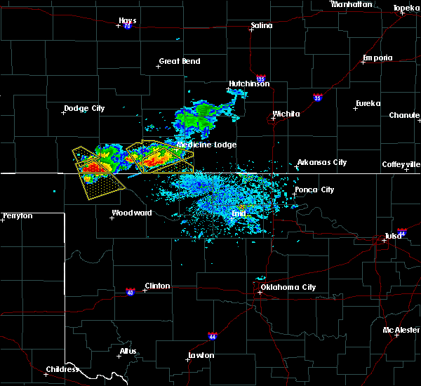 At 705 pm cdt, a severe thunderstorm was located 9 miles east of aetna, moving southeast at 35 mph (public). Hazards include 60 mph wind gusts and quarter size hail. Hail damage to vehicles is expected. expect wind damage to roofs, siding, and trees. Locations impacted include, kiowa, hardtner, hazelton and aetna. At 705 pm cdt, a severe thunderstorm was located 9 miles east of aetna, moving southeast at 35 mph (public). Hazards include 60 mph wind gusts and quarter size hail. Hail damage to vehicles is expected. expect wind damage to roofs, siding, and trees. Locations impacted include, kiowa, hardtner, hazelton and aetna.
|
| 6/19/2019 6:56 PM CDT |
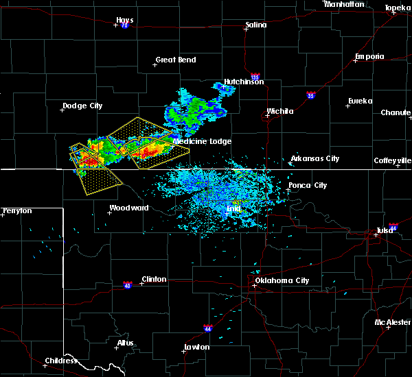 At 655 pm cdt, a severe thunderstorm was located 8 miles northeast of aetna, moving southeast at 35 mph (public. public reported ping pong ball size hail 14 east of coldwater). Hazards include two inch hail and 70 mph wind gusts. People and animals outdoors will be injured. expect hail damage to roofs, siding, windows, and vehicles. expect considerable tree damage. Wind damage is also likely to mobile homes, roofs, and outbuildings. At 655 pm cdt, a severe thunderstorm was located 8 miles northeast of aetna, moving southeast at 35 mph (public. public reported ping pong ball size hail 14 east of coldwater). Hazards include two inch hail and 70 mph wind gusts. People and animals outdoors will be injured. expect hail damage to roofs, siding, windows, and vehicles. expect considerable tree damage. Wind damage is also likely to mobile homes, roofs, and outbuildings.
|
| 6/15/2019 1:09 AM CDT |
 The severe thunderstorm warning for southeastern barber county will expire at 115 am cdt, the storm which prompted the warning has moved out of the area. therefore, the warning will be allowed to expire. however gusty winds are still possible with this thunderstorm. a severe thunderstorm watch remains in effect until 500 am cdt for south central kansas. to report severe weather, contact your nearest law enforcement agency. they will relay your report to the national weather service dodge city. The severe thunderstorm warning for southeastern barber county will expire at 115 am cdt, the storm which prompted the warning has moved out of the area. therefore, the warning will be allowed to expire. however gusty winds are still possible with this thunderstorm. a severe thunderstorm watch remains in effect until 500 am cdt for south central kansas. to report severe weather, contact your nearest law enforcement agency. they will relay your report to the national weather service dodge city.
|
| 6/15/2019 12:54 AM CDT |
 At 1254 am cdt, a severe thunderstorm was located near hazelton, moving east at 40 mph (radar indicated). Hazards include 60 mph wind gusts. Expect damage to roofs, siding, and trees. Locations impacted include, kiowa, hardtner and hazelton. At 1254 am cdt, a severe thunderstorm was located near hazelton, moving east at 40 mph (radar indicated). Hazards include 60 mph wind gusts. Expect damage to roofs, siding, and trees. Locations impacted include, kiowa, hardtner and hazelton.
|
| 6/15/2019 12:29 AM CDT |
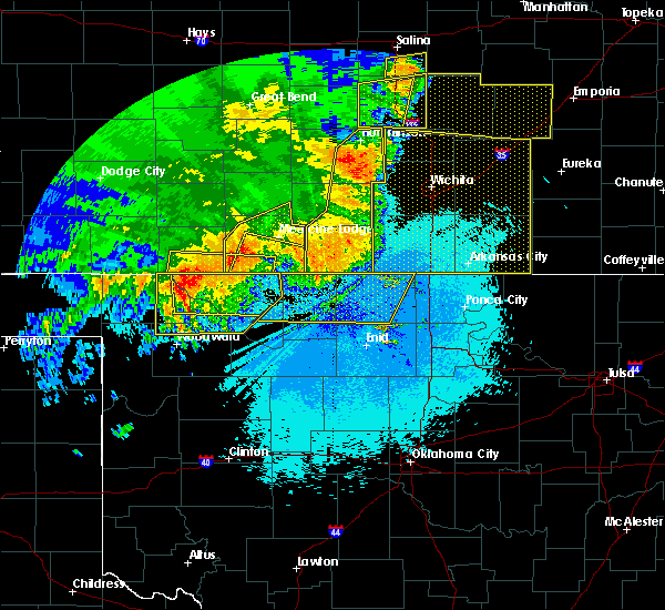 At 1229 am cdt, a severe thunderstorm was located near hardtner, moving east at 45 mph (radar indicated). Hazards include 60 mph wind gusts. expect damage to roofs, siding, and trees At 1229 am cdt, a severe thunderstorm was located near hardtner, moving east at 45 mph (radar indicated). Hazards include 60 mph wind gusts. expect damage to roofs, siding, and trees
|
| 6/15/2019 12:01 AM CDT |
 A severe thunderstorm warning remains in effect until 1230 am cdt for barber and southeastern pratt counties. at 1201 am cdt, a severe thunderstorm was located near attica, moving east at 55 mph. hazard. 70 mph wind gusts and penny size hail. source. Radar indicated. A severe thunderstorm warning remains in effect until 1230 am cdt for barber and southeastern pratt counties. at 1201 am cdt, a severe thunderstorm was located near attica, moving east at 55 mph. hazard. 70 mph wind gusts and penny size hail. source. Radar indicated.
|
| 6/14/2019 11:38 PM CDT |
 At 1137 pm cdt, a line of severe thunderstorms extended from north of pratt to southeast of coldwater, moving east at 55 mph (radar indicated). Hazards include 70 mph wind gusts and penny size hail. Expect considerable tree damage. Damage is likely to mobile homes, roofs, and outbuildings. At 1137 pm cdt, a line of severe thunderstorms extended from north of pratt to southeast of coldwater, moving east at 55 mph (radar indicated). Hazards include 70 mph wind gusts and penny size hail. Expect considerable tree damage. Damage is likely to mobile homes, roofs, and outbuildings.
|
| 5/27/2019 12:40 AM CDT |
 The severe thunderstorm warning for barber, stafford and pratt counties will expire at 1245 am cdt, the storms which prompted the warning have moved out of the area. therefore, the warning will be allowed to expire. however gusty winds are still possible with these thunderstorms in eastern barber county through 1 am. a severe thunderstorm watch remains in effect until 200 am cdt for south central kansas. The severe thunderstorm warning for barber, stafford and pratt counties will expire at 1245 am cdt, the storms which prompted the warning have moved out of the area. therefore, the warning will be allowed to expire. however gusty winds are still possible with these thunderstorms in eastern barber county through 1 am. a severe thunderstorm watch remains in effect until 200 am cdt for south central kansas.
|
| 5/27/2019 12:24 AM CDT |
 At 1223 am cdt, severe thunderstorms were located along a line extending from near ellinwood to near cairo to near hardtner, moving northeast at 50 mph (radar indicated. at 1215 am the pratt airport reported a wind gust of 71 mph). Hazards include 70 mph wind gusts and penny size hail. Expect considerable tree damage. damage is likely to mobile homes, roofs, and outbuildings. locations impacted include, pratt, medicine lodge, st. john, stafford, kiowa, hardtner, iuka, preston, sharon, hudson, sawyer, hazelton, isabel, lake city, zenith, cairo and neola. Time, mot, loc 0523z 205deg 139kt 3831 9864 3761 9853 3700 9867. At 1223 am cdt, severe thunderstorms were located along a line extending from near ellinwood to near cairo to near hardtner, moving northeast at 50 mph (radar indicated. at 1215 am the pratt airport reported a wind gust of 71 mph). Hazards include 70 mph wind gusts and penny size hail. Expect considerable tree damage. damage is likely to mobile homes, roofs, and outbuildings. locations impacted include, pratt, medicine lodge, st. john, stafford, kiowa, hardtner, iuka, preston, sharon, hudson, sawyer, hazelton, isabel, lake city, zenith, cairo and neola. Time, mot, loc 0523z 205deg 139kt 3831 9864 3761 9853 3700 9867.
|
| 5/26/2019 11:51 PM CDT |
 At 1151 pm cdt, severe thunderstorms were located along a line extending from near ash valley to wellsford to near aetna, moving east at 45 mph (radar indicated). Hazards include 70 mph wind gusts and penny size hail. Expect considerable tree damage. Damage is likely to mobile homes, roofs, and outbuildings. At 1151 pm cdt, severe thunderstorms were located along a line extending from near ash valley to wellsford to near aetna, moving east at 45 mph (radar indicated). Hazards include 70 mph wind gusts and penny size hail. Expect considerable tree damage. Damage is likely to mobile homes, roofs, and outbuildings.
|
| 5/25/2019 7:38 PM CDT |
 The severe thunderstorm warning for southeastern barber county will expire at 745 pm cdt, the storm which prompted the warning has moved out of the area. therefore, the warning will be allowed to expire. however small hail, gusty winds and heavy rain are still possible with this thunderstorm. a tornado watch remains in effect until 1000 pm cdt for south central kansas. The severe thunderstorm warning for southeastern barber county will expire at 745 pm cdt, the storm which prompted the warning has moved out of the area. therefore, the warning will be allowed to expire. however small hail, gusty winds and heavy rain are still possible with this thunderstorm. a tornado watch remains in effect until 1000 pm cdt for south central kansas.
|
| 5/25/2019 7:33 PM CDT |
 At 733 pm cdt, a severe thunderstorm was located 8 miles southwest of anthony, moving east at 55 mph (radar indicated). Hazards include 60 mph wind gusts and penny size hail. Expect damage to roofs, siding, and trees. Locations impacted include, medicine lodge, kiowa, sharon and hazelton. At 733 pm cdt, a severe thunderstorm was located 8 miles southwest of anthony, moving east at 55 mph (radar indicated). Hazards include 60 mph wind gusts and penny size hail. Expect damage to roofs, siding, and trees. Locations impacted include, medicine lodge, kiowa, sharon and hazelton.
|
| 5/25/2019 7:13 PM CDT |
 At 713 pm cdt, a severe thunderstorm was located near kiowa, moving east at 55 mph (radar indicated). Hazards include 60 mph wind gusts and penny size hail. expect damage to roofs, siding, and trees At 713 pm cdt, a severe thunderstorm was located near kiowa, moving east at 55 mph (radar indicated). Hazards include 60 mph wind gusts and penny size hail. expect damage to roofs, siding, and trees
|
| 5/7/2019 9:07 PM CDT |
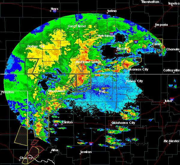 The severe thunderstorm warning for east central barber county will expire at 915 pm cdt, the storm which prompted the warning has moved out of the area. therefore, the warning will be allowed to expire. however heavy rain is still possible with this thunderstorm. The severe thunderstorm warning for east central barber county will expire at 915 pm cdt, the storm which prompted the warning has moved out of the area. therefore, the warning will be allowed to expire. however heavy rain is still possible with this thunderstorm.
|
| 5/7/2019 8:48 PM CDT |
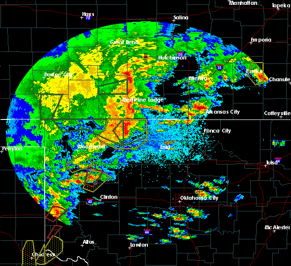 At 848 pm cdt, a severe thunderstorm was located near sharon, moving northeast at 20 mph (radar indicated). Hazards include 60 mph wind gusts and penny size hail. expect damage to roofs, siding, and trees At 848 pm cdt, a severe thunderstorm was located near sharon, moving northeast at 20 mph (radar indicated). Hazards include 60 mph wind gusts and penny size hail. expect damage to roofs, siding, and trees
|
| 9/2/2018 6:37 PM CDT |
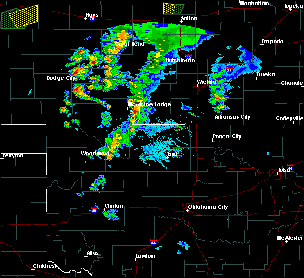 At 636 pm cdt, a severe thunderstorm was located near sharon, moving northeast at 25 mph (radar indicated). Hazards include ping pong ball size hail and 60 mph wind gusts. People and animals outdoors will be injured. expect hail damage to roofs, siding, windows, and vehicles. Expect wind damage to roofs, siding, and trees. At 636 pm cdt, a severe thunderstorm was located near sharon, moving northeast at 25 mph (radar indicated). Hazards include ping pong ball size hail and 60 mph wind gusts. People and animals outdoors will be injured. expect hail damage to roofs, siding, windows, and vehicles. Expect wind damage to roofs, siding, and trees.
|
| 7/30/2018 7:42 PM CDT |
 At 741 pm cdt, a severe thunderstorm was located very near lake city, moving south at 35 mph (public and radar indicated). Hazards include two inch hail and 60 mph wind gusts. People and animals outdoors will be injured. expect hail damage to roofs, siding, windows, and vehicles. expect wind damage to roofs, siding, and trees. locations impacted include, medicine lodge, kiowa, hardtner, hazelton, lake city and aetna. At 738 pm cdt, two inch diameter hail was reported 5 miles south of coats. At 741 pm cdt, a severe thunderstorm was located very near lake city, moving south at 35 mph (public and radar indicated). Hazards include two inch hail and 60 mph wind gusts. People and animals outdoors will be injured. expect hail damage to roofs, siding, windows, and vehicles. expect wind damage to roofs, siding, and trees. locations impacted include, medicine lodge, kiowa, hardtner, hazelton, lake city and aetna. At 738 pm cdt, two inch diameter hail was reported 5 miles south of coats.
|
| 7/30/2018 7:29 PM CDT |
 At 729 pm cdt, a severe thunderstorm was located very near coats, moving southeast at 35 mph (radar indicated). Hazards include 60 mph wind gusts and quarter size hail. Hail damage to vehicles is expected. Expect wind damage to roofs, siding, and trees. At 729 pm cdt, a severe thunderstorm was located very near coats, moving southeast at 35 mph (radar indicated). Hazards include 60 mph wind gusts and quarter size hail. Hail damage to vehicles is expected. Expect wind damage to roofs, siding, and trees.
|
| 6/30/2018 6:22 PM CDT |
 The severe thunderstorm warning for eastern barber county will expire at 630 pm cdt, the storm which prompted the warning has weakened below severe limits, and no longer poses an immediate threat to life or property. therefore, the warning will be allowed to expire. The severe thunderstorm warning for eastern barber county will expire at 630 pm cdt, the storm which prompted the warning has weakened below severe limits, and no longer poses an immediate threat to life or property. therefore, the warning will be allowed to expire.
|
| 6/30/2018 6:16 PM CDT |
 At 616 pm cdt, a severe thunderstorm was located very near sharon, moving north at 20 mph. at 5:52 pm the medicine lodge airport reported a 52 mph wind gust (radar indicated). Hazards include 60 mph wind gusts and nickel size hail. Expect damage to roofs, siding, and trees. Locations impacted include, kiowa, sharon and hazelton. At 616 pm cdt, a severe thunderstorm was located very near sharon, moving north at 20 mph. at 5:52 pm the medicine lodge airport reported a 52 mph wind gust (radar indicated). Hazards include 60 mph wind gusts and nickel size hail. Expect damage to roofs, siding, and trees. Locations impacted include, kiowa, sharon and hazelton.
|
| 6/30/2018 5:59 PM CDT |
 At 537 pm cdt, severe thunderstorms were located along a line extending from 4 miles west of capron to kiowa to near byron, moving north at 20 mph (radar indicated). Hazards include 60 mph wind gusts and penny size hail. expect damage to roofs, siding, and trees At 537 pm cdt, severe thunderstorms were located along a line extending from 4 miles west of capron to kiowa to near byron, moving north at 20 mph (radar indicated). Hazards include 60 mph wind gusts and penny size hail. expect damage to roofs, siding, and trees
|
| 6/30/2018 5:37 PM CDT |
 At 537 pm cdt, severe thunderstorms were located along a line extending from 4 miles west of capron to kiowa to near byron, moving north at 20 mph (radar indicated). Hazards include 60 mph wind gusts and penny size hail. expect damage to roofs, siding, and trees At 537 pm cdt, severe thunderstorms were located along a line extending from 4 miles west of capron to kiowa to near byron, moving north at 20 mph (radar indicated). Hazards include 60 mph wind gusts and penny size hail. expect damage to roofs, siding, and trees
|
| 6/24/2018 11:49 PM CDT |
 At 1149 pm cdt, severe thunderstorms were located along a line extending from 6 miles southeast of nashville to 8 miles southeast of aetna, moving east at 40 mph (radar indicated). Hazards include 60 mph wind gusts and penny size hail. Expect damage to roofs, siding, and trees. Locations impacted include, medicine lodge, kiowa, hardtner, sharon, hazelton, isabel, lake city and aetna. At 1149 pm cdt, severe thunderstorms were located along a line extending from 6 miles southeast of nashville to 8 miles southeast of aetna, moving east at 40 mph (radar indicated). Hazards include 60 mph wind gusts and penny size hail. Expect damage to roofs, siding, and trees. Locations impacted include, medicine lodge, kiowa, hardtner, sharon, hazelton, isabel, lake city and aetna.
|
| 6/24/2018 11:23 PM CDT |
 At 1123 pm cdt, severe thunderstorms were located along a line extending from 7 miles south of cunningham to 8 miles southeast of buttermilk, moving east at 45 mph (radar indicated). Hazards include 60 mph wind gusts and penny size hail. expect damage to roofs, siding, and trees At 1123 pm cdt, severe thunderstorms were located along a line extending from 7 miles south of cunningham to 8 miles southeast of buttermilk, moving east at 45 mph (radar indicated). Hazards include 60 mph wind gusts and penny size hail. expect damage to roofs, siding, and trees
|
| 6/24/2018 11:07 PM CDT |
 At 1107 pm cdt, severe thunderstorms were located along a line extending from 6 miles south of cunningham to 9 miles southwest of buttermilk, moving east at 60 mph (radar indicated). Hazards include 70 mph wind gusts and quarter size hail. Hail damage to vehicles is expected. expect considerable tree damage. wind damage is also likely to mobile homes, roofs, and outbuildings. Locations impacted include, pratt, medicine lodge, kiowa, coldwater, protection, hardtner, sharon, sawyer, cullison, hazelton, isabel, coats, sitka, lake city, sun city, wilmore, aetna, croft, lake coldwater and cairo. At 1107 pm cdt, severe thunderstorms were located along a line extending from 6 miles south of cunningham to 9 miles southwest of buttermilk, moving east at 60 mph (radar indicated). Hazards include 70 mph wind gusts and quarter size hail. Hail damage to vehicles is expected. expect considerable tree damage. wind damage is also likely to mobile homes, roofs, and outbuildings. Locations impacted include, pratt, medicine lodge, kiowa, coldwater, protection, hardtner, sharon, sawyer, cullison, hazelton, isabel, coats, sitka, lake city, sun city, wilmore, aetna, croft, lake coldwater and cairo.
|
| 6/24/2018 10:37 PM CDT |
 At 1037 pm cdt, severe thunderstorms were located along a line extending from 2 miles northeast of belvidere to 6 miles southwest of englewood, moving east at 50 mph (radar indicated). Hazards include 70 mph wind gusts and quarter size hail. Hail damage to vehicles is expected. expect considerable tree damage. Wind damage is also likely to mobile homes, roofs, and outbuildings. At 1037 pm cdt, severe thunderstorms were located along a line extending from 2 miles northeast of belvidere to 6 miles southwest of englewood, moving east at 50 mph (radar indicated). Hazards include 70 mph wind gusts and quarter size hail. Hail damage to vehicles is expected. expect considerable tree damage. Wind damage is also likely to mobile homes, roofs, and outbuildings.
|
| 6/24/2018 1:49 AM CDT |
 At 149 am cdt, severe thunderstorms were located along a line extending from 4 miles northeast of sharon to 2 miles south of hazelton to 4 miles northwest of capron, moving southeast at 30 mph (radar indicated). Hazards include 70 mph wind gusts and quarter size hail. Hail damage to vehicles is expected. expect considerable tree damage. wind damage is also likely to mobile homes, roofs, and outbuildings. Locations impacted include, medicine lodge, kiowa, hardtner, sharon and hazelton. At 149 am cdt, severe thunderstorms were located along a line extending from 4 miles northeast of sharon to 2 miles south of hazelton to 4 miles northwest of capron, moving southeast at 30 mph (radar indicated). Hazards include 70 mph wind gusts and quarter size hail. Hail damage to vehicles is expected. expect considerable tree damage. wind damage is also likely to mobile homes, roofs, and outbuildings. Locations impacted include, medicine lodge, kiowa, hardtner, sharon and hazelton.
|
| 6/24/2018 1:28 AM CDT |
 At 128 am cdt, severe thunderstorms were located along a line extending from 4 miles north of sharon to 5 miles north of kiowa to 6 miles southwest of hardtner, moving southeast at 40 mph (radar indicated). Hazards include 60 mph wind gusts and penny size hail. expect damage to roofs, siding, and trees At 128 am cdt, severe thunderstorms were located along a line extending from 4 miles north of sharon to 5 miles north of kiowa to 6 miles southwest of hardtner, moving southeast at 40 mph (radar indicated). Hazards include 60 mph wind gusts and penny size hail. expect damage to roofs, siding, and trees
|
| 6/24/2018 1:21 AM CDT |
 At 120 am cdt, severe thunderstorms were located along a line extending from near cairo to 9 miles north of hardtner to 12 miles northeast of freedom, moving southeast at 30 mph (radar indicated). Hazards include 60 mph wind gusts and penny size hail. Expect damage to roofs, siding, and trees. Locations impacted include, pratt, medicine lodge, kiowa, hardtner, iuka, preston, sharon, sawyer, hazelton, isabel, lake city, aetna and cairo. At 120 am cdt, severe thunderstorms were located along a line extending from near cairo to 9 miles north of hardtner to 12 miles northeast of freedom, moving southeast at 30 mph (radar indicated). Hazards include 60 mph wind gusts and penny size hail. Expect damage to roofs, siding, and trees. Locations impacted include, pratt, medicine lodge, kiowa, hardtner, iuka, preston, sharon, sawyer, hazelton, isabel, lake city, aetna and cairo.
|
| 6/24/2018 12:54 AM CDT |
 At 1253 am cdt, severe thunderstorms were located along a line extending from iuka to 9 miles south of lake city to 11 miles north of freedom, moving southeast at 40 mph (radar indicated). Hazards include 60 mph wind gusts and penny size hail. Expect damage to roofs, siding, and trees. Locations impacted include, pratt, medicine lodge, kiowa, hardtner, iuka, preston, sharon, sawyer, cullison, hazelton, isabel, coats, lake city, sun city, byers, aetna, croft, cairo and buttermilk. At 1253 am cdt, severe thunderstorms were located along a line extending from iuka to 9 miles south of lake city to 11 miles north of freedom, moving southeast at 40 mph (radar indicated). Hazards include 60 mph wind gusts and penny size hail. Expect damage to roofs, siding, and trees. Locations impacted include, pratt, medicine lodge, kiowa, hardtner, iuka, preston, sharon, sawyer, cullison, hazelton, isabel, coats, lake city, sun city, byers, aetna, croft, cairo and buttermilk.
|
| 6/24/2018 12:35 AM CDT |
 At 1234 am cdt, severe thunderstorms were located along a line extending from near hopewell to 8 miles southwest of sun city to 6 miles south of buttermilk, moving southeast at 40 mph (radar indicated). Hazards include 60 mph wind gusts and penny size hail. Expect damage to roofs, siding, and trees. Locations impacted include, pratt, medicine lodge, kiowa, coldwater, haviland, hardtner, iuka, preston, sharon, sawyer, cullison, hazelton, isabel, belpre, coats, lake city, wilmore, sun city, byers and aetna. At 1234 am cdt, severe thunderstorms were located along a line extending from near hopewell to 8 miles southwest of sun city to 6 miles south of buttermilk, moving southeast at 40 mph (radar indicated). Hazards include 60 mph wind gusts and penny size hail. Expect damage to roofs, siding, and trees. Locations impacted include, pratt, medicine lodge, kiowa, coldwater, haviland, hardtner, iuka, preston, sharon, sawyer, cullison, hazelton, isabel, belpre, coats, lake city, wilmore, sun city, byers and aetna.
|
| 6/24/2018 12:14 AM CDT |
 At 1214 am cdt, severe thunderstorms were located along a line extending from 3 miles northwest of trousdale to 2 miles northeast of wilmore to 10 miles southeast of acres, moving southeast at 40 mph (radar indicated). Hazards include 60 mph wind gusts and penny size hail. expect damage to roofs, siding, and trees At 1214 am cdt, severe thunderstorms were located along a line extending from 3 miles northwest of trousdale to 2 miles northeast of wilmore to 10 miles southeast of acres, moving southeast at 40 mph (radar indicated). Hazards include 60 mph wind gusts and penny size hail. expect damage to roofs, siding, and trees
|
| 6/22/2018 8:39 PM CDT |
 At 839 pm cdt, severe thunderstorms were located along a line extending from 4 miles east of nashville to 11 miles southeast of aetna, moving southeast at 25 mph (radar indicated). Hazards include 60 mph wind gusts and penny size hail. Expect damage to roofs, siding, and trees. Locations impacted include, medicine lodge, kiowa, hardtner, sharon and hazelton. At 839 pm cdt, severe thunderstorms were located along a line extending from 4 miles east of nashville to 11 miles southeast of aetna, moving southeast at 25 mph (radar indicated). Hazards include 60 mph wind gusts and penny size hail. Expect damage to roofs, siding, and trees. Locations impacted include, medicine lodge, kiowa, hardtner, sharon and hazelton.
|
| 6/22/2018 8:18 PM CDT |
 At 818 pm cdt, severe thunderstorms were located along a line extending from 5 miles east of preston to 6 miles west of medicine lodge to 9 miles southeast of buttermilk, moving east at 65 mph (radar indicated). Hazards include 70 mph wind gusts and penny size hail. Expect considerable tree damage. damage is likely to mobile homes, roofs, and outbuildings. locations impacted include, pratt, medicine lodge, kiowa, hardtner, preston, sharon, sawyer, hazelton, isabel, coats, lake city, sun city, aetna and cairo. Numerous reports of 60 to 70 mph wind gusts have been reported with this line of storms since 745 pm cdt. At 818 pm cdt, severe thunderstorms were located along a line extending from 5 miles east of preston to 6 miles west of medicine lodge to 9 miles southeast of buttermilk, moving east at 65 mph (radar indicated). Hazards include 70 mph wind gusts and penny size hail. Expect considerable tree damage. damage is likely to mobile homes, roofs, and outbuildings. locations impacted include, pratt, medicine lodge, kiowa, hardtner, preston, sharon, sawyer, hazelton, isabel, coats, lake city, sun city, aetna and cairo. Numerous reports of 60 to 70 mph wind gusts have been reported with this line of storms since 745 pm cdt.
|
| 6/22/2018 7:55 PM CDT |
 At 755 pm cdt, severe thunderstorms were located along a line extending from 2 miles east of byers to 6 miles southeast of wilmore to 7 miles southeast of acres, moving southeast at 55 mph (radar indicated). Hazards include 70 mph wind gusts and penny size hail. Expect considerable tree damage. Damage is likely to mobile homes, roofs, and outbuildings. At 755 pm cdt, severe thunderstorms were located along a line extending from 2 miles east of byers to 6 miles southeast of wilmore to 7 miles southeast of acres, moving southeast at 55 mph (radar indicated). Hazards include 70 mph wind gusts and penny size hail. Expect considerable tree damage. Damage is likely to mobile homes, roofs, and outbuildings.
|
| 6/7/2018 3:49 AM CDT |
 At 326 am cdt, severe thunderstorms were located along a line extending from 2 miles southeast of preston to 5 miles west of hardtner, moving east at 30 mph (radar indicated). Hazards include 70 mph wind gusts and nickel size hail. Expect considerable tree damage. Damage is likely to mobile homes, roofs, and outbuildings. At 326 am cdt, severe thunderstorms were located along a line extending from 2 miles southeast of preston to 5 miles west of hardtner, moving east at 30 mph (radar indicated). Hazards include 70 mph wind gusts and nickel size hail. Expect considerable tree damage. Damage is likely to mobile homes, roofs, and outbuildings.
|
| 6/7/2018 3:26 AM CDT |
 At 326 am cdt, severe thunderstorms were located along a line extending from 2 miles southeast of preston to 5 miles west of hardtner, moving east at 30 mph (radar indicated). Hazards include 70 mph wind gusts and nickel size hail. Expect considerable tree damage. Damage is likely to mobile homes, roofs, and outbuildings. At 326 am cdt, severe thunderstorms were located along a line extending from 2 miles southeast of preston to 5 miles west of hardtner, moving east at 30 mph (radar indicated). Hazards include 70 mph wind gusts and nickel size hail. Expect considerable tree damage. Damage is likely to mobile homes, roofs, and outbuildings.
|
| 6/7/2018 3:22 AM CDT |
 At 322 am cdt, severe thunderstorms were located along a line extending from 3 miles south of hudson to 9 miles north of hardtner, moving east at 35 mph (radar indicated). Hazards include 70 mph wind gusts and quarter size hail. Hail damage to vehicles is expected. expect considerable tree damage. wind damage is also likely to mobile homes, roofs, and outbuildings. locations impacted include, pratt, larned, medicine lodge, st. John, stafford, kiowa, coldwater, greensburg, haviland, macksville, lewis, garfield, hardtner, iuka, preston, sharon, hudson, sawyer, cullison and hazelton. At 322 am cdt, severe thunderstorms were located along a line extending from 3 miles south of hudson to 9 miles north of hardtner, moving east at 35 mph (radar indicated). Hazards include 70 mph wind gusts and quarter size hail. Hail damage to vehicles is expected. expect considerable tree damage. wind damage is also likely to mobile homes, roofs, and outbuildings. locations impacted include, pratt, larned, medicine lodge, st. John, stafford, kiowa, coldwater, greensburg, haviland, macksville, lewis, garfield, hardtner, iuka, preston, sharon, hudson, sawyer, cullison and hazelton.
|
| 6/7/2018 2:45 AM CDT |
 At 244 am cdt, severe thunderstorms were located along a line extending from zook to 7 miles northwest of aetna, moving east at 35 mph (radar indicated). Hazards include 70 mph wind gusts and quarter size hail. Hail damage to vehicles is expected. expect considerable tree damage. Wind damage is also likely to mobile homes, roofs, and outbuildings. At 244 am cdt, severe thunderstorms were located along a line extending from zook to 7 miles northwest of aetna, moving east at 35 mph (radar indicated). Hazards include 70 mph wind gusts and quarter size hail. Hail damage to vehicles is expected. expect considerable tree damage. Wind damage is also likely to mobile homes, roofs, and outbuildings.
|
| 5/31/2018 12:41 AM CDT |
 The severe thunderstorm warning for southeastern barber county will expire at 1245 am cdt, the severe thunderstorm which prompted the warning is moving out of the warned area. therefore, the warning will be allowed to expire. a severe thunderstorm watch remains in effect until 500 am cdt for south central kansas. The severe thunderstorm warning for southeastern barber county will expire at 1245 am cdt, the severe thunderstorm which prompted the warning is moving out of the warned area. therefore, the warning will be allowed to expire. a severe thunderstorm watch remains in effect until 500 am cdt for south central kansas.
|
| 5/31/2018 12:23 AM CDT |
 At 1222 am cdt, a severe thunderstorm was located 5 miles northwest of hazelton, moving east at 30 mph (radar indicated). Hazards include 60 mph wind gusts and quarter size hail. Hail damage to vehicles is expected. expect wind damage to roofs, siding, and trees. Locations impacted include, medicine lodge, kiowa, hardtner, sharon and hazelton. At 1222 am cdt, a severe thunderstorm was located 5 miles northwest of hazelton, moving east at 30 mph (radar indicated). Hazards include 60 mph wind gusts and quarter size hail. Hail damage to vehicles is expected. expect wind damage to roofs, siding, and trees. Locations impacted include, medicine lodge, kiowa, hardtner, sharon and hazelton.
|
| 5/31/2018 12:00 AM CDT |
 The national weather service in dodge city has issued a * severe thunderstorm warning for. southeastern barber county in south central kansas. Until 1245 am cdt * at 1200 am cdt, a severe thunderstorm was located 7 miles northwest of hardtner, moving east at 20 mph. The national weather service in dodge city has issued a * severe thunderstorm warning for. southeastern barber county in south central kansas. Until 1245 am cdt * at 1200 am cdt, a severe thunderstorm was located 7 miles northwest of hardtner, moving east at 20 mph.
|
| 5/18/2018 9:43 PM CDT |
 The severe thunderstorm warning for barber, southern stafford and pratt counties will expire at 945 pm cdt, the the leading edge of the storms which prompted the warning have moved out of the area. therefore the warning will be allowed to expire. however small hail, gusty winds and heavy rain are still possible with these thunderstorms. a severe thunderstorm watch remains in effect until 1100 pm cdt for south central kansas. The severe thunderstorm warning for barber, southern stafford and pratt counties will expire at 945 pm cdt, the the leading edge of the storms which prompted the warning have moved out of the area. therefore the warning will be allowed to expire. however small hail, gusty winds and heavy rain are still possible with these thunderstorms. a severe thunderstorm watch remains in effect until 1100 pm cdt for south central kansas.
|
| 5/18/2018 8:57 PM CDT |
 At 856 pm cdt, the leading edge of severe thunderstorms were located along a line extending from 2 miles northwest of dillwyn to 3 miles northeast of coats to 6 miles west of hardtner, moving east at 30 mph (radar indicated). Hazards include 60 mph wind gusts and quarter size hail. Hail damage to vehicles is expected. expect wind damage to roofs, siding, and trees. This warning replaces the previous warning for barber, southern stafford and pratt county. At 856 pm cdt, the leading edge of severe thunderstorms were located along a line extending from 2 miles northwest of dillwyn to 3 miles northeast of coats to 6 miles west of hardtner, moving east at 30 mph (radar indicated). Hazards include 60 mph wind gusts and quarter size hail. Hail damage to vehicles is expected. expect wind damage to roofs, siding, and trees. This warning replaces the previous warning for barber, southern stafford and pratt county.
|
| 5/18/2018 8:46 PM CDT |
 At 846 pm cdt, the leading edge of severe thunderstorms were located along a line extending from 3 miles northwest of macksville to 2 miles west of coats to 8 miles southeast of aetna, moving east at 60 mph (radar indicated). Hazards include 70 mph wind gusts and quarter size hail. Hail damage to vehicles is expected. expect considerable tree damage. wind damage is also likely to mobile homes, roofs, and outbuildings. locations impacted include, pratt, medicine lodge, st. John, stafford, kiowa, haviland, macksville, lewis, hardtner, iuka, preston, sharon, sawyer, cullison, hazelton, isabel, belpre, coats, lake city and sun city. At 846 pm cdt, the leading edge of severe thunderstorms were located along a line extending from 3 miles northwest of macksville to 2 miles west of coats to 8 miles southeast of aetna, moving east at 60 mph (radar indicated). Hazards include 70 mph wind gusts and quarter size hail. Hail damage to vehicles is expected. expect considerable tree damage. wind damage is also likely to mobile homes, roofs, and outbuildings. locations impacted include, pratt, medicine lodge, st. John, stafford, kiowa, haviland, macksville, lewis, hardtner, iuka, preston, sharon, sawyer, cullison, hazelton, isabel, belpre, coats, lake city and sun city.
|
| 5/18/2018 8:28 PM CDT |
 At 828 pm cdt, the leading edge of severe thunderstorms were located along a line extending from 3 miles east of lewis to near belvidere to 8 miles southwest of aetna, moving east at 25 mph (radar indicated). Hazards include 70 mph wind gusts and quarter size hail. Hail damage to vehicles is expected. expect considerable tree damage. wind damage is also likely to mobile homes, roofs, and outbuildings. locations impacted include, pratt, medicine lodge, kinsley, st. John, stafford, kiowa, coldwater, greensburg, haviland, macksville, lewis, offerle, hardtner, iuka, preston, sharon, sawyer, cullison, hazelton and isabel. At 828 pm cdt, the leading edge of severe thunderstorms were located along a line extending from 3 miles east of lewis to near belvidere to 8 miles southwest of aetna, moving east at 25 mph (radar indicated). Hazards include 70 mph wind gusts and quarter size hail. Hail damage to vehicles is expected. expect considerable tree damage. wind damage is also likely to mobile homes, roofs, and outbuildings. locations impacted include, pratt, medicine lodge, kinsley, st. John, stafford, kiowa, coldwater, greensburg, haviland, macksville, lewis, offerle, hardtner, iuka, preston, sharon, sawyer, cullison, hazelton and isabel.
|
| 5/18/2018 8:00 PM CDT |
 The national weather service in dodge city has issued a * severe thunderstorm warning for. kiowa county in south central kansas. barber county in south central kansas. comanche county in south central kansas. Southern stafford county in south central kansas. The national weather service in dodge city has issued a * severe thunderstorm warning for. kiowa county in south central kansas. barber county in south central kansas. comanche county in south central kansas. Southern stafford county in south central kansas.
|
| 5/13/2018 9:27 PM CDT |
 At 926 pm cdt, severe thunderstorms were located along a line extending from 3 miles south of coats to 7 miles west of hardtner, moving east at 25 mph (radar indicated). Hazards include 60 mph wind gusts. Expect damage to roofs, siding, and trees. Locations impacted include, medicine lodge, kiowa, hardtner, sharon, sawyer, hazelton, isabel, coats, lake city, sun city, aetna, croft and belvidere. At 926 pm cdt, severe thunderstorms were located along a line extending from 3 miles south of coats to 7 miles west of hardtner, moving east at 25 mph (radar indicated). Hazards include 60 mph wind gusts. Expect damage to roofs, siding, and trees. Locations impacted include, medicine lodge, kiowa, hardtner, sharon, sawyer, hazelton, isabel, coats, lake city, sun city, aetna, croft and belvidere.
|
| 5/13/2018 9:02 PM CDT |
 The national weather service in dodge city has issued a * severe thunderstorm warning for. southeastern kiowa county in south central kansas. barber county in south central kansas. eastern comanche county in south central kansas. Southern pratt county in south central kansas. The national weather service in dodge city has issued a * severe thunderstorm warning for. southeastern kiowa county in south central kansas. barber county in south central kansas. eastern comanche county in south central kansas. Southern pratt county in south central kansas.
|
| 10/6/2017 10:15 PM CDT |
 At 1014 pm cdt, a severe thunderstorm was located 3 miles north of hardtner, or 9 miles west of kiowa, moving east at 40 mph (radar indicated). Hazards include 60 mph wind gusts and nickel size hail. expect damage to roofs, siding, and trees At 1014 pm cdt, a severe thunderstorm was located 3 miles north of hardtner, or 9 miles west of kiowa, moving east at 40 mph (radar indicated). Hazards include 60 mph wind gusts and nickel size hail. expect damage to roofs, siding, and trees
|
| 8/16/2017 5:10 PM CDT | Ping Pong Ball sized hail reported 0.3 miles W of Hazelton, KS, maximum hail size around 1.5 inch. reported by emergency management. |
| 8/16/2017 5:08 PM CDT |
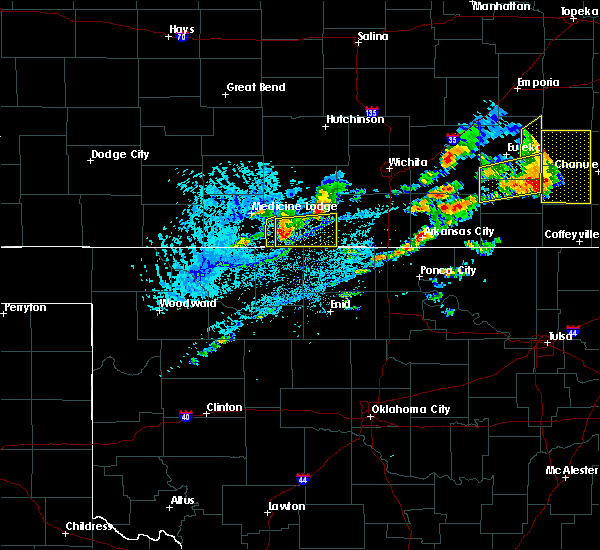 The severe thunderstorm warning for southeastern barber county will expire at 515 pm cdt, the severe thunderstorm which prompted the warning is exiting the warned area. therefore, the warning will be allowed to expire. The severe thunderstorm warning for southeastern barber county will expire at 515 pm cdt, the severe thunderstorm which prompted the warning is exiting the warned area. therefore, the warning will be allowed to expire.
|
| 8/16/2017 5:01 PM CDT |
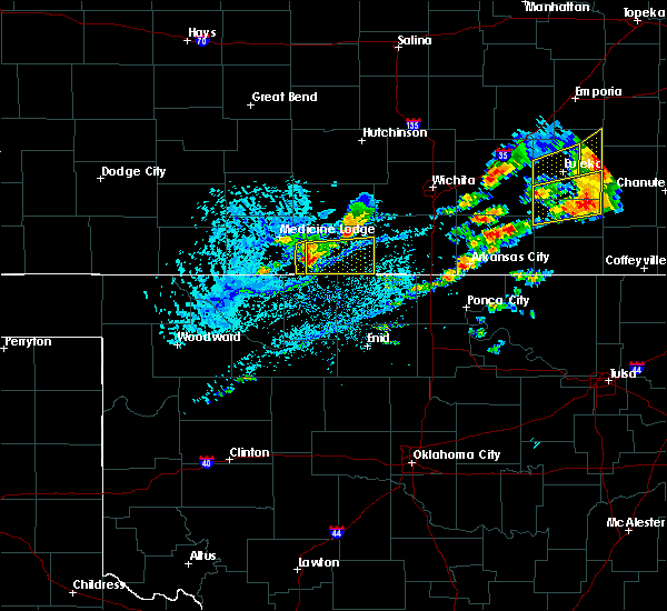 At 501 pm cdt, a severe thunderstorm was located near hazelton, or 8 miles northeast of kiowa, moving east at 20 mph. this is a very dangerous storm (radar indicated). Hazards include baseball size hail and 70 mph wind gusts. People and animals outdoors will be severely injured. expect shattered windows, extensive damage to roofs, siding, and vehicles. Locations impacted include, hazelton. At 501 pm cdt, a severe thunderstorm was located near hazelton, or 8 miles northeast of kiowa, moving east at 20 mph. this is a very dangerous storm (radar indicated). Hazards include baseball size hail and 70 mph wind gusts. People and animals outdoors will be severely injured. expect shattered windows, extensive damage to roofs, siding, and vehicles. Locations impacted include, hazelton.
|
| 8/16/2017 5:00 PM CDT | Half Dollar sized hail reported 0.3 miles W of Hazelton, KS |
| 8/16/2017 4:55 PM CDT | Hen Egg sized hail reported 0.3 miles E of Hazelton, KS, very strong winds accompanied the hail... but no estimate was available. |
| 8/16/2017 4:53 PM CDT |
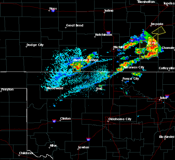 At 453 pm cdt, a severe thunderstorm was located very near hazelton, or 7 miles northeast of kiowa, moving southeast at 35 mph. this is a very dangerous storm (radar indicated). Hazards include three inch hail and 70 mph wind gusts. People and animals outdoors will be severely injured. expect shattered windows, extensive damage to roofs, siding, and vehicles. Locations impacted include, kiowa, sharon and hazelton. At 453 pm cdt, a severe thunderstorm was located very near hazelton, or 7 miles northeast of kiowa, moving southeast at 35 mph. this is a very dangerous storm (radar indicated). Hazards include three inch hail and 70 mph wind gusts. People and animals outdoors will be severely injured. expect shattered windows, extensive damage to roofs, siding, and vehicles. Locations impacted include, kiowa, sharon and hazelton.
|
| 8/16/2017 4:47 PM CDT |
 At 447 pm cdt, a severe thunderstorm was located 3 miles northwest of hazelton, or 7 miles north of kiowa, moving east at 35 mph (public). Hazards include tennis ball size hail and 70 mph wind gusts. People and animals outdoors will be injured. expect hail damage to roofs, siding, windows, and vehicles. expect considerable tree damage. wind damage is also likely to mobile homes, roofs, and outbuildings. Locations impacted include, medicine lodge, kiowa, sharon and hazelton. At 447 pm cdt, a severe thunderstorm was located 3 miles northwest of hazelton, or 7 miles north of kiowa, moving east at 35 mph (public). Hazards include tennis ball size hail and 70 mph wind gusts. People and animals outdoors will be injured. expect hail damage to roofs, siding, windows, and vehicles. expect considerable tree damage. wind damage is also likely to mobile homes, roofs, and outbuildings. Locations impacted include, medicine lodge, kiowa, sharon and hazelton.
|
| 8/16/2017 4:42 PM CDT |
 At 442 pm cdt, a severe thunderstorm was located 6 miles northwest of hazelton, or 9 miles north of kiowa, moving east at 35 mph (public). Hazards include two inch hail and 60 mph wind gusts. People and animals outdoors will be injured. expect hail damage to roofs, siding, windows, and vehicles. expect wind damage to roofs, siding, and trees. Locations impacted include, medicine lodge, kiowa, sharon and hazelton. At 442 pm cdt, a severe thunderstorm was located 6 miles northwest of hazelton, or 9 miles north of kiowa, moving east at 35 mph (public). Hazards include two inch hail and 60 mph wind gusts. People and animals outdoors will be injured. expect hail damage to roofs, siding, windows, and vehicles. expect wind damage to roofs, siding, and trees. Locations impacted include, medicine lodge, kiowa, sharon and hazelton.
|
| 8/16/2017 4:32 PM CDT |
 At 431 pm cdt, two severe thunderstorm were located about 9 miles north of hardtner, or 9 miles south of medicine lodge, moving northeast at 25 mph (public. the public has reported wind gusts near 60 mph from these storms). Hazards include ping pong ball size hail and 60 mph wind gusts. People and animals outdoors will be injured. expect hail damage to roofs, siding, windows, and vehicles. Expect wind damage to roofs, siding, and trees. At 431 pm cdt, two severe thunderstorm were located about 9 miles north of hardtner, or 9 miles south of medicine lodge, moving northeast at 25 mph (public. the public has reported wind gusts near 60 mph from these storms). Hazards include ping pong ball size hail and 60 mph wind gusts. People and animals outdoors will be injured. expect hail damage to roofs, siding, windows, and vehicles. Expect wind damage to roofs, siding, and trees.
|
| 8/9/2017 8:26 PM CDT |
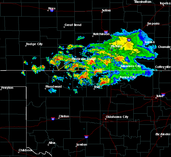 At 826 pm cdt, a severe thunderstorm was located 3 miles west of hazelton, or 5 miles north of kiowa, moving southeast at 30 mph (radar indicated). Hazards include ping pong ball size hail and 60 mph wind gusts. People and animals outdoors will be injured. expect hail damage to roofs, siding, windows, and vehicles. Expect wind damage to roofs, siding, and trees. At 826 pm cdt, a severe thunderstorm was located 3 miles west of hazelton, or 5 miles north of kiowa, moving southeast at 30 mph (radar indicated). Hazards include ping pong ball size hail and 60 mph wind gusts. People and animals outdoors will be injured. expect hail damage to roofs, siding, windows, and vehicles. Expect wind damage to roofs, siding, and trees.
|
| 8/9/2017 7:58 PM CDT |
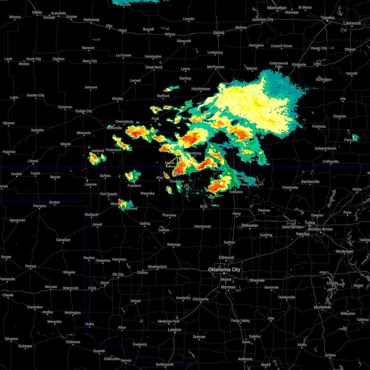 The severe thunderstorm warning for southeastern barber county will expire at 800 pm cdt, the storm which prompted the warning has moved out of the area. therefore the warning will be allowed to expire. to report severe weather, contact your nearest law enforcement agency. they will relay your report to the national weather service dodge city. The severe thunderstorm warning for southeastern barber county will expire at 800 pm cdt, the storm which prompted the warning has moved out of the area. therefore the warning will be allowed to expire. to report severe weather, contact your nearest law enforcement agency. they will relay your report to the national weather service dodge city.
|
| 8/9/2017 7:43 PM CDT |
 At 742 pm cdt, a severe thunderstorm was located near kiowa, moving southeast at 30 mph (radar indicated). Hazards include tennis ball size hail and 70 mph wind gusts. People and animals outdoors will be injured. expect hail damage to roofs, siding, windows, and vehicles. expect considerable tree damage. Wind damage is also likely to mobile homes, roofs, and outbuildings. At 742 pm cdt, a severe thunderstorm was located near kiowa, moving southeast at 30 mph (radar indicated). Hazards include tennis ball size hail and 70 mph wind gusts. People and animals outdoors will be injured. expect hail damage to roofs, siding, windows, and vehicles. expect considerable tree damage. Wind damage is also likely to mobile homes, roofs, and outbuildings.
|
| 8/9/2017 7:27 PM CDT |
 At 726 pm cdt, a severe thunderstorm was located 6 miles north of kiowa, moving southeast at 20 mph. this is a very dangerous storm! (radar indicated). Hazards include three inch diameter hail and 70 mph wind gusts. People and animals outdoors will be severely injured. expect shattered windows, extensive damage to roofs, siding, and vehicles. Locations impacted include, kiowa and hazelton. At 726 pm cdt, a severe thunderstorm was located 6 miles north of kiowa, moving southeast at 20 mph. this is a very dangerous storm! (radar indicated). Hazards include three inch diameter hail and 70 mph wind gusts. People and animals outdoors will be severely injured. expect shattered windows, extensive damage to roofs, siding, and vehicles. Locations impacted include, kiowa and hazelton.
|
| 8/9/2017 7:14 PM CDT |
 At 714 pm cdt, a severe thunderstorm was located 9 miles south of medicine lodge, moving southeast at 20 mph. this is a very dangerous storm! (radar indicated). Hazards include softball size hail and 70 mph wind gusts. People and animals outdoors will be severely injured. expect shattered windows, extensive damage to roofs, siding, and vehicles. Locations impacted include, kiowa, hardtner and hazelton. At 714 pm cdt, a severe thunderstorm was located 9 miles south of medicine lodge, moving southeast at 20 mph. this is a very dangerous storm! (radar indicated). Hazards include softball size hail and 70 mph wind gusts. People and animals outdoors will be severely injured. expect shattered windows, extensive damage to roofs, siding, and vehicles. Locations impacted include, kiowa, hardtner and hazelton.
|
| 8/9/2017 6:52 PM CDT |
 At 652 pm cdt, a severe thunderstorm was located 4 miles southwest of medicine lodge, moving southeast at 20 mph (radar indicated). Hazards include tennis ball size hail and 70 mph wind gusts. People and animals outdoors will be injured. expect hail damage to roofs, siding, windows, and vehicles. expect considerable tree damage. Wind damage is also likely to mobile homes, roofs, and outbuildings. At 652 pm cdt, a severe thunderstorm was located 4 miles southwest of medicine lodge, moving southeast at 20 mph (radar indicated). Hazards include tennis ball size hail and 70 mph wind gusts. People and animals outdoors will be injured. expect hail damage to roofs, siding, windows, and vehicles. expect considerable tree damage. Wind damage is also likely to mobile homes, roofs, and outbuildings.
|
| 8/5/2017 6:39 PM CDT |
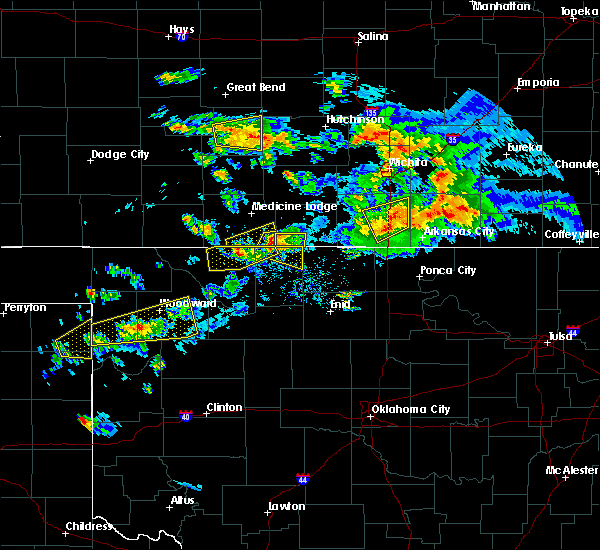 At 639 pm cdt, a severe thunderstorm was located near hardtner, or 11 miles west of kiowa, moving east at 20 mph (radar indicated). Hazards include 60 mph wind gusts and half dollar size hail. Hail damage to vehicles is expected. Expect wind damage to roofs, siding, and trees. At 639 pm cdt, a severe thunderstorm was located near hardtner, or 11 miles west of kiowa, moving east at 20 mph (radar indicated). Hazards include 60 mph wind gusts and half dollar size hail. Hail damage to vehicles is expected. Expect wind damage to roofs, siding, and trees.
|
| 8/5/2017 6:33 PM CDT |
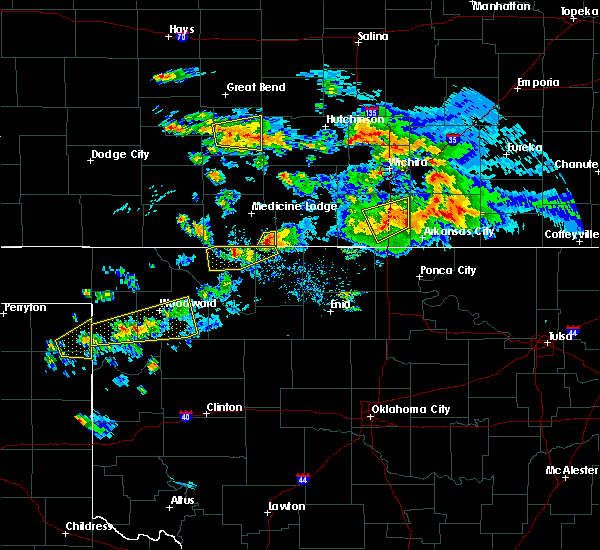 At 633 pm cdt, a severe thunderstorm was located 4 miles south of hazelton, or 5 miles east of kiowa, moving east at 20 mph (radar indicated). Hazards include tennis ball size hail and 70 mph wind gusts. People and animals outdoors will be injured. expect hail damage to roofs, siding, windows, and vehicles. expect considerable tree damage. wind damage is also likely to mobile homes, roofs, and outbuildings. Locations impacted include, kiowa and hazelton. At 633 pm cdt, a severe thunderstorm was located 4 miles south of hazelton, or 5 miles east of kiowa, moving east at 20 mph (radar indicated). Hazards include tennis ball size hail and 70 mph wind gusts. People and animals outdoors will be injured. expect hail damage to roofs, siding, windows, and vehicles. expect considerable tree damage. wind damage is also likely to mobile homes, roofs, and outbuildings. Locations impacted include, kiowa and hazelton.
|
| 8/5/2017 6:21 PM CDT |
 At 621 pm cdt, a severe thunderstorm was located near kiowa, moving east at 20 mph (radar indicated). Hazards include tennis ball size hail and 70 mph wind gusts. People and animals outdoors will be injured. expect hail damage to roofs, siding, windows, and vehicles. expect considerable tree damage. wind damage is also likely to mobile homes, roofs, and outbuildings. Locations impacted include, kiowa and hazelton. At 621 pm cdt, a severe thunderstorm was located near kiowa, moving east at 20 mph (radar indicated). Hazards include tennis ball size hail and 70 mph wind gusts. People and animals outdoors will be injured. expect hail damage to roofs, siding, windows, and vehicles. expect considerable tree damage. wind damage is also likely to mobile homes, roofs, and outbuildings. Locations impacted include, kiowa and hazelton.
|
| 8/5/2017 6:12 PM CDT |
 At 612 pm cdt, a severe thunderstorm was located near kiowa, moving east at 20 mph (radar indicated). Hazards include two inch hail and 70 mph wind gusts. People and animals outdoors will be injured. expect hail damage to roofs, siding, windows, and vehicles. expect considerable tree damage. Wind damage is also likely to mobile homes, roofs, and outbuildings. At 612 pm cdt, a severe thunderstorm was located near kiowa, moving east at 20 mph (radar indicated). Hazards include two inch hail and 70 mph wind gusts. People and animals outdoors will be injured. expect hail damage to roofs, siding, windows, and vehicles. expect considerable tree damage. Wind damage is also likely to mobile homes, roofs, and outbuildings.
|
| 8/5/2017 6:01 PM CDT |
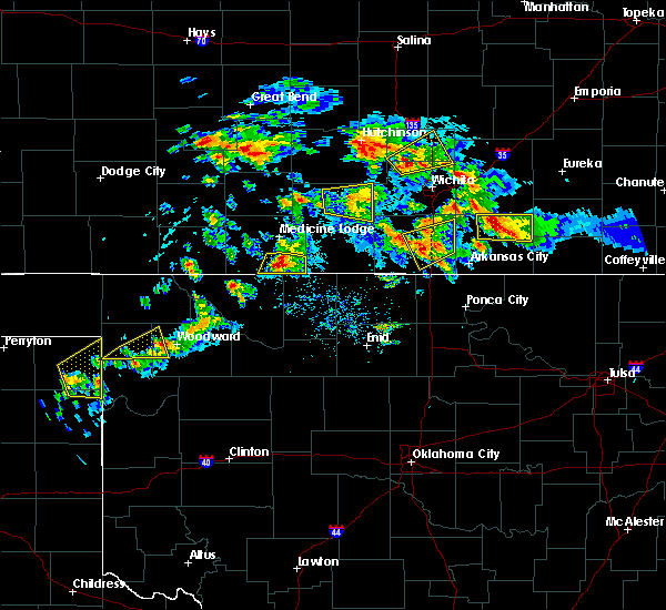 At 601 pm cdt, a severe thunderstorm was located 5 miles northwest of kiowa, moving southeast at 30 mph (radar indicated). Hazards include two inch hail and 70 mph wind gusts. People and animals outdoors will be injured. expect hail damage to roofs, siding, windows, and vehicles. expect considerable tree damage. wind damage is also likely to mobile homes, roofs, and outbuildings. Locations impacted include, kiowa, hardtner and hazelton. At 601 pm cdt, a severe thunderstorm was located 5 miles northwest of kiowa, moving southeast at 30 mph (radar indicated). Hazards include two inch hail and 70 mph wind gusts. People and animals outdoors will be injured. expect hail damage to roofs, siding, windows, and vehicles. expect considerable tree damage. wind damage is also likely to mobile homes, roofs, and outbuildings. Locations impacted include, kiowa, hardtner and hazelton.
|
| 8/5/2017 5:54 PM CDT |
 At 554 pm cdt, a severe thunderstorm was located 9 miles south of medicine lodge, moving east at 20 mph (radar indicated). Hazards include two inch hail and 60 mph wind gusts. People and animals outdoors will be injured. expect hail damage to roofs, siding, windows, and vehicles. expect wind damage to roofs, siding, and trees. Locations impacted include, medicine lodge, kiowa, hardtner, sharon and hazelton. At 554 pm cdt, a severe thunderstorm was located 9 miles south of medicine lodge, moving east at 20 mph (radar indicated). Hazards include two inch hail and 60 mph wind gusts. People and animals outdoors will be injured. expect hail damage to roofs, siding, windows, and vehicles. expect wind damage to roofs, siding, and trees. Locations impacted include, medicine lodge, kiowa, hardtner, sharon and hazelton.
|
| 8/5/2017 5:49 PM CDT |
 At 548 pm cdt, a severe thunderstorm was located 6 miles south of medicine lodge, moving east at 20 mph (radar indicated). Hazards include ping pong ball size hail and 60 mph wind gusts. People and animals outdoors will be injured. expect hail damage to roofs, siding, windows, and vehicles. expect wind damage to roofs, siding, and trees. Locations impacted include, medicine lodge, kiowa, hardtner, sharon and hazelton. At 548 pm cdt, a severe thunderstorm was located 6 miles south of medicine lodge, moving east at 20 mph (radar indicated). Hazards include ping pong ball size hail and 60 mph wind gusts. People and animals outdoors will be injured. expect hail damage to roofs, siding, windows, and vehicles. expect wind damage to roofs, siding, and trees. Locations impacted include, medicine lodge, kiowa, hardtner, sharon and hazelton.
|
| 8/5/2017 5:27 PM CDT |
 At 527 pm cdt, a severe thunderstorm was located 10 miles southeast of deerhead, or 11 miles southwest of medicine lodge, moving east at 20 mph (radar indicated). Hazards include 60 mph wind gusts and quarter size hail. Hail damage to vehicles is expected. Expect wind damage to roofs, siding, and trees. At 527 pm cdt, a severe thunderstorm was located 10 miles southeast of deerhead, or 11 miles southwest of medicine lodge, moving east at 20 mph (radar indicated). Hazards include 60 mph wind gusts and quarter size hail. Hail damage to vehicles is expected. Expect wind damage to roofs, siding, and trees.
|
| 8/5/2017 5:07 PM CDT |
 At 507 pm cdt, a severe thunderstorm was located 6 miles southeast of deerhead, or 16 miles southwest of medicine lodge, moving east at 30 mph (radar indicated). Hazards include 60 mph wind gusts and half dollar size hail. Hail damage to vehicles is expected. expect wind damage to roofs, siding, and trees. Locations impacted include, medicine lodge, kiowa, lake arrowhead, hardtner, hazelton, deerhead and aetna. At 507 pm cdt, a severe thunderstorm was located 6 miles southeast of deerhead, or 16 miles southwest of medicine lodge, moving east at 30 mph (radar indicated). Hazards include 60 mph wind gusts and half dollar size hail. Hail damage to vehicles is expected. expect wind damage to roofs, siding, and trees. Locations impacted include, medicine lodge, kiowa, lake arrowhead, hardtner, hazelton, deerhead and aetna.
|
| 8/5/2017 4:49 PM CDT |
 At 449 pm cdt, a severe thunderstorm was located 4 miles north of aetna, or 22 miles east of coldwater, moving northeast at 25 mph (radar indicated). Hazards include 60 mph wind gusts and quarter size hail. Hail damage to vehicles is expected. expect wind damage to roofs, siding, and trees. Locations impacted include, medicine lodge, kiowa, lake arrowhead, hardtner, hazelton, deerhead and aetna. At 449 pm cdt, a severe thunderstorm was located 4 miles north of aetna, or 22 miles east of coldwater, moving northeast at 25 mph (radar indicated). Hazards include 60 mph wind gusts and quarter size hail. Hail damage to vehicles is expected. expect wind damage to roofs, siding, and trees. Locations impacted include, medicine lodge, kiowa, lake arrowhead, hardtner, hazelton, deerhead and aetna.
|
| 8/5/2017 4:30 PM CDT |
 At 429 pm cdt, a severe thunderstorm was located 5 miles west of aetna, or 19 miles southeast of coldwater, moving east at 30 mph (radar indicated). Hazards include ping pong ball size hail and 60 mph wind gusts. People and animals outdoors will be injured. expect hail damage to roofs, siding, windows, and vehicles. Expect wind damage to roofs, siding, and trees. At 429 pm cdt, a severe thunderstorm was located 5 miles west of aetna, or 19 miles southeast of coldwater, moving east at 30 mph (radar indicated). Hazards include ping pong ball size hail and 60 mph wind gusts. People and animals outdoors will be injured. expect hail damage to roofs, siding, windows, and vehicles. Expect wind damage to roofs, siding, and trees.
|
| 8/5/2017 4:30 PM CDT |
 At 429 pm cdt, a severe thunderstorm was located 5 miles west of aetna, or 19 miles southeast of coldwater, moving east at 40 mph (radar indicated). Hazards include ping pong ball size hail and 60 mph wind gusts. People and animals outdoors will be injured. expect hail damage to roofs, siding, windows, and vehicles. Expect wind damage to roofs, siding, and trees. At 429 pm cdt, a severe thunderstorm was located 5 miles west of aetna, or 19 miles southeast of coldwater, moving east at 40 mph (radar indicated). Hazards include ping pong ball size hail and 60 mph wind gusts. People and animals outdoors will be injured. expect hail damage to roofs, siding, windows, and vehicles. Expect wind damage to roofs, siding, and trees.
|
| 6/29/2017 8:25 PM CDT |
 At 124 am cdt, a severe thunderstorm was located 7 miles southwest of anthony, moving east at 50 mph (radar indicated). Hazards include up to 70 mph wind gusts and half dollar size hail. Hail damage to vehicles is expected. expect considerable tree damage. wind damage is also likely to mobile homes, roofs, and outbuildings. Locations impacted include, medicine lodge, kiowa, hardtner, sharon and hazelton. At 124 am cdt, a severe thunderstorm was located 7 miles southwest of anthony, moving east at 50 mph (radar indicated). Hazards include up to 70 mph wind gusts and half dollar size hail. Hail damage to vehicles is expected. expect considerable tree damage. wind damage is also likely to mobile homes, roofs, and outbuildings. Locations impacted include, medicine lodge, kiowa, hardtner, sharon and hazelton.
|
| 6/29/2017 7:59 PM CDT |
 At 1259 am cdt, a severe thunderstorm was located 3 miles north of kiowa, moving east at 50 mph. this is a very dangerous storm (radar indicated). Hazards include 80 mph wind gusts and half dollar size hail. Flying debris will be dangerous to those caught without shelter. mobile homes will be heavily damaged. expect considerable damage to roofs, windows, and vehicles. Extensive tree damage and power outages are likely. At 1259 am cdt, a severe thunderstorm was located 3 miles north of kiowa, moving east at 50 mph. this is a very dangerous storm (radar indicated). Hazards include 80 mph wind gusts and half dollar size hail. Flying debris will be dangerous to those caught without shelter. mobile homes will be heavily damaged. expect considerable damage to roofs, windows, and vehicles. Extensive tree damage and power outages are likely.
|
| 6/29/2017 7:52 PM CDT |
 At 1251 am cdt, a severe thunderstorm was located near hardtner, or 9 miles west of kiowa, moving east at 60 mph. this is a very dangerous storm (radar indicated). Hazards include 80 mph wind gusts and two inch hail. Flying debris will be dangerous to those caught without shelter. mobile homes will be heavily damaged. expect considerable damage to roofs, windows, and vehicles. extensive tree damage and power outages are likely. Locations impacted include, medicine lodge, kiowa, hardtner, sharon, hazelton, lake city, deerhead and aetna. At 1251 am cdt, a severe thunderstorm was located near hardtner, or 9 miles west of kiowa, moving east at 60 mph. this is a very dangerous storm (radar indicated). Hazards include 80 mph wind gusts and two inch hail. Flying debris will be dangerous to those caught without shelter. mobile homes will be heavily damaged. expect considerable damage to roofs, windows, and vehicles. extensive tree damage and power outages are likely. Locations impacted include, medicine lodge, kiowa, hardtner, sharon, hazelton, lake city, deerhead and aetna.
|
| 6/29/2017 7:36 PM CDT |
 At 1235 am cdt, one severe thunderstorm was located 3 miles southeast of aetna, or 21 miles northwest of alva. a second severe thunderstorm was located 6 miles southwest of medicine lodge. both storms were moving east at 35 mph (radar indicated). Hazards include two inch hail and 70 mph wind gusts. People and animals outdoors will be injured. expect hail damage to roofs, siding, windows, and vehicles. expect considerable tree damage. wind damage is also likely to mobile homes, roofs, and outbuildings. Locations impacted include, medicine lodge, kiowa, hardtner, sharon, hazelton, lake city, wilmore, deerhead, aetna and buttermilk. At 1235 am cdt, one severe thunderstorm was located 3 miles southeast of aetna, or 21 miles northwest of alva. a second severe thunderstorm was located 6 miles southwest of medicine lodge. both storms were moving east at 35 mph (radar indicated). Hazards include two inch hail and 70 mph wind gusts. People and animals outdoors will be injured. expect hail damage to roofs, siding, windows, and vehicles. expect considerable tree damage. wind damage is also likely to mobile homes, roofs, and outbuildings. Locations impacted include, medicine lodge, kiowa, hardtner, sharon, hazelton, lake city, wilmore, deerhead, aetna and buttermilk.
|
| 6/29/2017 7:12 PM CDT |
 At 1211 am cdt, a severe thunderstorm was located 4 miles west of aetna, or 20 miles southeast of coldwater, moving east at 60 mph. this is a very dangerous storm (radar indicated). Hazards include 80 mph wind gusts and two inch hail. Flying debris will be dangerous to those caught without shelter. mobile homes will be heavily damaged. expect considerable damage to roofs, windows, and vehicles. Extensive tree damage and power outages are likely. At 1211 am cdt, a severe thunderstorm was located 4 miles west of aetna, or 20 miles southeast of coldwater, moving east at 60 mph. this is a very dangerous storm (radar indicated). Hazards include 80 mph wind gusts and two inch hail. Flying debris will be dangerous to those caught without shelter. mobile homes will be heavily damaged. expect considerable damage to roofs, windows, and vehicles. Extensive tree damage and power outages are likely.
|
| 6/15/2017 7:36 PM CDT |
 The severe thunderstorm warning for eastern barber county will expire at 745 pm cdt, the severe thunderstorm which prompted the warning has moved out of the warned area. additional showers and thunderstorms will continue through 830 pm. further severe weather is not expected. therefore, the severe thunderstorm warning will be allowed to expire at 745 pm cdt. a severe thunderstorm watch remains in effect until 200 am cdt for south central kansas. The severe thunderstorm warning for eastern barber county will expire at 745 pm cdt, the severe thunderstorm which prompted the warning has moved out of the warned area. additional showers and thunderstorms will continue through 830 pm. further severe weather is not expected. therefore, the severe thunderstorm warning will be allowed to expire at 745 pm cdt. a severe thunderstorm watch remains in effect until 200 am cdt for south central kansas.
|
| 6/15/2017 7:22 PM CDT |
 At 720 pm cdt, a severe thunderstorm was located 5 miles southwest of sharon, or 5 miles southeast of medicine lodge, moving east at 35 mph (wind gusts of 60 mph have been recorded with this storm at the medicine lodge airport. trained spotters have reported hail to golfball size). Hazards include golf ball size hail and 70 mph wind gusts. People and animals outdoors will be injured. expect hail damage to roofs, siding, windows, and vehicles. expect considerable tree damage. wind damage is also likely to mobile homes, roofs, and outbuildings. Locations impacted include, medicine lodge, kiowa, lake arrowhead, sharon, hazelton and elm mills. At 720 pm cdt, a severe thunderstorm was located 5 miles southwest of sharon, or 5 miles southeast of medicine lodge, moving east at 35 mph (wind gusts of 60 mph have been recorded with this storm at the medicine lodge airport. trained spotters have reported hail to golfball size). Hazards include golf ball size hail and 70 mph wind gusts. People and animals outdoors will be injured. expect hail damage to roofs, siding, windows, and vehicles. expect considerable tree damage. wind damage is also likely to mobile homes, roofs, and outbuildings. Locations impacted include, medicine lodge, kiowa, lake arrowhead, sharon, hazelton and elm mills.
|
| 6/15/2017 7:02 PM CDT |
 At 702 pm cdt, a severe thunderstorm was located 9 miles southwest of medicine lodge, moving northeast at 30 mph (radar indicated). Hazards include golf ball size hail and 70 mph wind gusts. People and animals outdoors will be injured. expect hail damage to roofs, siding, windows, and vehicles. expect considerable tree damage. Wind damage is also likely to mobile homes, roofs, and outbuildings. At 702 pm cdt, a severe thunderstorm was located 9 miles southwest of medicine lodge, moving northeast at 30 mph (radar indicated). Hazards include golf ball size hail and 70 mph wind gusts. People and animals outdoors will be injured. expect hail damage to roofs, siding, windows, and vehicles. expect considerable tree damage. Wind damage is also likely to mobile homes, roofs, and outbuildings.
|
| 6/14/2017 1:52 AM CDT |
 The severe thunderstorm warning for eastern barber county will expire at 200 am cdt, the storm which prompted the warning has moved out of the area. therefore the warning will be allowed to expire. however small hail, gusty winds and heavy rain are still possible with this thunderstorm. The severe thunderstorm warning for eastern barber county will expire at 200 am cdt, the storm which prompted the warning has moved out of the area. therefore the warning will be allowed to expire. however small hail, gusty winds and heavy rain are still possible with this thunderstorm.
|
| 6/14/2017 1:25 AM CDT |
 At 125 am cdt, a severe thunderstorm was located 3 miles north of sharon, or 8 miles east of medicine lodge, moving east at 55 mph (radar indicated). Hazards include 60 mph wind gusts and quarter size hail. Hail damage to vehicles is expected. expect wind damage to roofs, siding, and trees. Locations impacted include, medicine lodge, kiowa, lake arrowhead, hardtner, sharon, hazelton and elm mills. At 125 am cdt, a severe thunderstorm was located 3 miles north of sharon, or 8 miles east of medicine lodge, moving east at 55 mph (radar indicated). Hazards include 60 mph wind gusts and quarter size hail. Hail damage to vehicles is expected. expect wind damage to roofs, siding, and trees. Locations impacted include, medicine lodge, kiowa, lake arrowhead, hardtner, sharon, hazelton and elm mills.
|
| 6/14/2017 12:52 AM CDT |
 At 1252 am cdt, a severe thunderstorm was located very near deerhead, or 17 miles west of medicine lodge, moving northeast at 55 mph (radar indicated). Hazards include 60 mph wind gusts and quarter size hail. Hail damage to vehicles is expected. Expect wind damage to roofs, siding, and trees. At 1252 am cdt, a severe thunderstorm was located very near deerhead, or 17 miles west of medicine lodge, moving northeast at 55 mph (radar indicated). Hazards include 60 mph wind gusts and quarter size hail. Hail damage to vehicles is expected. Expect wind damage to roofs, siding, and trees.
|
| 5/18/2017 5:00 PM CDT |
 At 459 pm cdt, a severe thunderstorm capable of producing a tornado was located 5 miles west of capron, or 6 miles north of alva, moving northeast at 45 mph (radar indicated rotation). Hazards include tornado and tennis ball size hail. Flying debris will be dangerous to those caught without shelter. mobile homes will be damaged or destroyed. damage to roofs, windows, and vehicles will occur. tree damage is likely. this dangerous storm will be near, hardtner around 510 pm cdt. kiowa around 520 pm cdt. Hazelton around 530 pm cdt. At 459 pm cdt, a severe thunderstorm capable of producing a tornado was located 5 miles west of capron, or 6 miles north of alva, moving northeast at 45 mph (radar indicated rotation). Hazards include tornado and tennis ball size hail. Flying debris will be dangerous to those caught without shelter. mobile homes will be damaged or destroyed. damage to roofs, windows, and vehicles will occur. tree damage is likely. this dangerous storm will be near, hardtner around 510 pm cdt. kiowa around 520 pm cdt. Hazelton around 530 pm cdt.
|
| 5/18/2017 4:45 PM CDT |
 At 445 pm cdt, severe thunderstorms were located along a line extending from 4 miles east of buttermilk to near hazelton, moving northeast at 30 mph (radar indicated). Hazards include golf ball size hail and 60 mph wind gusts. People and animals outdoors will be injured. expect hail damage to roofs, siding, windows, and vehicles. expect wind damage to roofs, siding, and trees. locations impacted include, medicine lodge, kiowa, hardtner, sharon, hazelton, lake city, sun city, wilmore, deerhead and aetna. A tornado watch remains in effect until 1100 pm cdt for south central kansas. At 445 pm cdt, severe thunderstorms were located along a line extending from 4 miles east of buttermilk to near hazelton, moving northeast at 30 mph (radar indicated). Hazards include golf ball size hail and 60 mph wind gusts. People and animals outdoors will be injured. expect hail damage to roofs, siding, windows, and vehicles. expect wind damage to roofs, siding, and trees. locations impacted include, medicine lodge, kiowa, hardtner, sharon, hazelton, lake city, sun city, wilmore, deerhead and aetna. A tornado watch remains in effect until 1100 pm cdt for south central kansas.
|
| 5/18/2017 4:20 PM CDT |
 At 420 pm cdt, severe thunderstorms were located along a line extending from 11 miles south of buttermilk to 3 miles northwest of burlington, moving northeast at 30 mph (radar indicated). Hazards include two inch hail and 60 mph wind gusts. People and animals outdoors will be injured. expect hail damage to roofs, siding, windows, and vehicles. Expect wind damage to roofs, siding, and trees. At 420 pm cdt, severe thunderstorms were located along a line extending from 11 miles south of buttermilk to 3 miles northwest of burlington, moving northeast at 30 mph (radar indicated). Hazards include two inch hail and 60 mph wind gusts. People and animals outdoors will be injured. expect hail damage to roofs, siding, windows, and vehicles. Expect wind damage to roofs, siding, and trees.
|
| 5/11/2017 1:43 PM CDT | Quarter sized hail reported 5.8 miles SSE of Hazelton, KS |
| 6/28/2016 4:41 PM CDT |
 At 440 pm cdt, a severe thunderstorm was located 6 miles northeast of aetna, moving south at 15 mph (radar indicated). Hazards include 60 mph wind gusts and quarter size hail. Hail damage to vehicles is expected. expect wind damage to roofs, siding and trees. Locations impacted include, kiowa, hardtner and hazelton. At 440 pm cdt, a severe thunderstorm was located 6 miles northeast of aetna, moving south at 15 mph (radar indicated). Hazards include 60 mph wind gusts and quarter size hail. Hail damage to vehicles is expected. expect wind damage to roofs, siding and trees. Locations impacted include, kiowa, hardtner and hazelton.
|
| 6/28/2016 4:27 PM CDT |
 At 427 pm cdt, a severe thunderstorm was located 8 miles northeast of aetna, moving southwest at 10 mph (radar indicated). Hazards include ping pong ball size hail and 60 mph wind gusts. People and animals outdoors will be injured. expect hail damage to roofs, siding, windows and vehicles. expect wind damage to roofs, siding and trees. Locations impacted include, kiowa, hardtner and hazelton. At 427 pm cdt, a severe thunderstorm was located 8 miles northeast of aetna, moving southwest at 10 mph (radar indicated). Hazards include ping pong ball size hail and 60 mph wind gusts. People and animals outdoors will be injured. expect hail damage to roofs, siding, windows and vehicles. expect wind damage to roofs, siding and trees. Locations impacted include, kiowa, hardtner and hazelton.
|
| 6/28/2016 4:07 PM CDT |
 At 407 pm cdt, a severe thunderstorm was located 7 miles north of hardtner, moving south at 15 mph (radar indicated). Hazards include golf ball size hail and 60 mph wind gusts. People and animals outdoors will be injured. expect hail damage to roofs, siding, windows and vehicles. Expect wind damage to roofs, siding and trees. At 407 pm cdt, a severe thunderstorm was located 7 miles north of hardtner, moving south at 15 mph (radar indicated). Hazards include golf ball size hail and 60 mph wind gusts. People and animals outdoors will be injured. expect hail damage to roofs, siding, windows and vehicles. Expect wind damage to roofs, siding and trees.
|
| 6/26/2016 4:15 PM CDT |
 At 414 pm cdt, a severe thunderstorm was located 4 miles northwest of medicine lodge, moving east at 10 mph (radar indicated). Hazards include 70 mph wind gusts and quarter size hail. Hail damage to vehicles is expected. expect considerable tree damage. Wind damage is also likely to mobile homes, roofs and outbuildings. At 414 pm cdt, a severe thunderstorm was located 4 miles northwest of medicine lodge, moving east at 10 mph (radar indicated). Hazards include 70 mph wind gusts and quarter size hail. Hail damage to vehicles is expected. expect considerable tree damage. Wind damage is also likely to mobile homes, roofs and outbuildings.
|
| 5/9/2016 4:16 PM CDT |
 At 416 pm cdt, a severe thunderstorm was located 5 miles northeast of sharon, moving northeast at 20 mph (radar indicated). Hazards include 60 mph wind gusts and quarter size hail. Hail damage to vehicles is expected. expect wind damage to roofs, siding and trees. Locations impacted include, kiowa, sharon and hazelton. At 416 pm cdt, a severe thunderstorm was located 5 miles northeast of sharon, moving northeast at 20 mph (radar indicated). Hazards include 60 mph wind gusts and quarter size hail. Hail damage to vehicles is expected. expect wind damage to roofs, siding and trees. Locations impacted include, kiowa, sharon and hazelton.
|
| 5/9/2016 3:54 PM CDT |
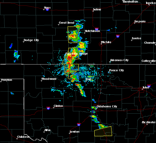 At 353 pm cdt, a severe thunderstorm was located very near sharon, moving northeast at 20 mph. this is a very dangerous storm (radar indicated). Hazards include up to three inch hail and 60 mph wind gusts. People and animals outdoors will be severely injured. expect shattered windows, extensive damage to roofs, siding and vehicles. Locations impacted include, kiowa, sharon and hazelton. At 353 pm cdt, a severe thunderstorm was located very near sharon, moving northeast at 20 mph. this is a very dangerous storm (radar indicated). Hazards include up to three inch hail and 60 mph wind gusts. People and animals outdoors will be severely injured. expect shattered windows, extensive damage to roofs, siding and vehicles. Locations impacted include, kiowa, sharon and hazelton.
|
| 5/9/2016 3:40 PM CDT |
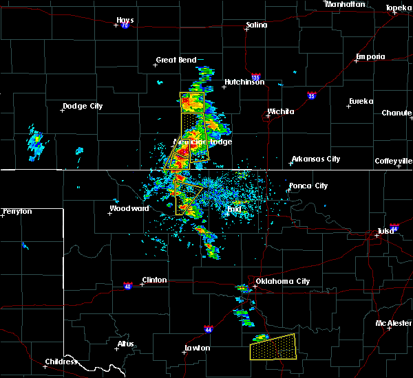 At 340 pm cdt, a severe thunderstorm was located 5 miles southwest of sharon, moving northeast at 20 mph. this is a very dangerous storm (radar indicated). Hazards include up to three inch hail and 60 mph wind gusts. People and animals outdoors will be severely injured. Expect shattered windows, extensive damage to roofs, siding and vehicles. At 340 pm cdt, a severe thunderstorm was located 5 miles southwest of sharon, moving northeast at 20 mph. this is a very dangerous storm (radar indicated). Hazards include up to three inch hail and 60 mph wind gusts. People and animals outdoors will be severely injured. Expect shattered windows, extensive damage to roofs, siding and vehicles.
|
| 5/9/2016 2:55 PM CDT | Quarter sized hail reported 5.8 miles SSE of Hazelton, KS, wasn't home at the time of event but quarters still remained when arriving home. most likely larger hail. |
| 5/9/2016 2:49 PM CDT |
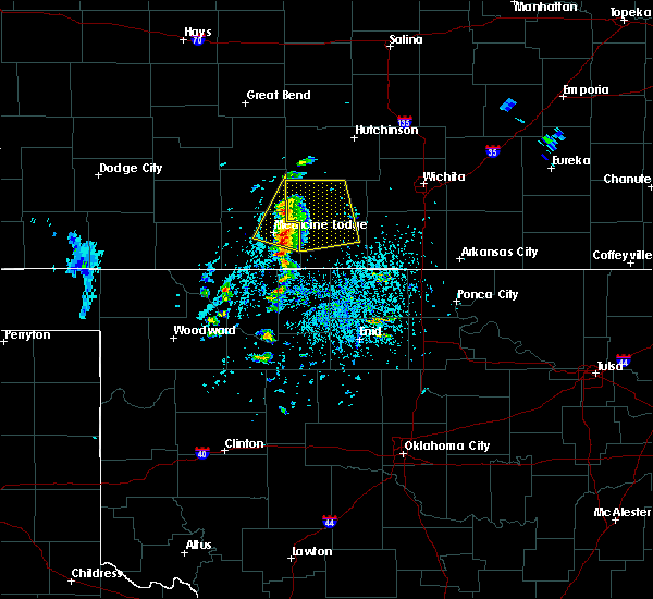 At 249 pm cdt, a severe thunderstorm was located 5 miles west of hazelton, moving northeast at 40 mph (radar indicated). Hazards include up to two inch hail and 60 mph wind gusts. People and animals outdoors will be injured. expect hail damage to roofs, siding, windows and vehicles. Expect wind damage to roofs, siding and trees. At 249 pm cdt, a severe thunderstorm was located 5 miles west of hazelton, moving northeast at 40 mph (radar indicated). Hazards include up to two inch hail and 60 mph wind gusts. People and animals outdoors will be injured. expect hail damage to roofs, siding, windows and vehicles. Expect wind damage to roofs, siding and trees.
|
| 4/26/2016 7:40 PM CDT |
 The severe thunderstorm warning for southeastern barber county will expire at 745 pm cdt, the storm which prompted the warning has moved out of the area. therefore the warning will be allowed to expire. however small. The severe thunderstorm warning for southeastern barber county will expire at 745 pm cdt, the storm which prompted the warning has moved out of the area. therefore the warning will be allowed to expire. however small.
|
| 4/26/2016 7:26 PM CDT |
 At 725 pm cdt, a severe thunderstorm was located 4 miles north of hazelton, moving northeast at 40 mph (public). Hazards include golf ball size hail and 60 mph wind gusts. People and animals outdoors will be injured. expect hail damage to roofs, siding, windows and vehicles. expect wind damage to roofs, siding and trees. Locations impacted include, kiowa and hazelton. At 725 pm cdt, a severe thunderstorm was located 4 miles north of hazelton, moving northeast at 40 mph (public). Hazards include golf ball size hail and 60 mph wind gusts. People and animals outdoors will be injured. expect hail damage to roofs, siding, windows and vehicles. expect wind damage to roofs, siding and trees. Locations impacted include, kiowa and hazelton.
|
| 4/26/2016 7:17 PM CDT |
 At 717 pm cdt, a severe thunderstorm was located very near hazelton, moving northeast at 30 mph (radar indicated). Hazards include 60 mph wind gusts and half dollar size hail. Hail damage to vehicles is expected. expect wind damage to roofs, siding and trees. Locations impacted include, kiowa and hazelton. At 717 pm cdt, a severe thunderstorm was located very near hazelton, moving northeast at 30 mph (radar indicated). Hazards include 60 mph wind gusts and half dollar size hail. Hail damage to vehicles is expected. expect wind damage to roofs, siding and trees. Locations impacted include, kiowa and hazelton.
|
| 4/26/2016 6:58 PM CDT |
 At 658 pm cdt, a severe thunderstorm was located 4 miles south of kiowa, moving northeast at 40 mph (radar indicated). Hazards include ping pong ball size hail and 60 mph wind gusts. People and animals outdoors will be injured. expect hail damage to roofs, siding, windows and vehicles. Expect wind damage to roofs, siding and trees. At 658 pm cdt, a severe thunderstorm was located 4 miles south of kiowa, moving northeast at 40 mph (radar indicated). Hazards include ping pong ball size hail and 60 mph wind gusts. People and animals outdoors will be injured. expect hail damage to roofs, siding, windows and vehicles. Expect wind damage to roofs, siding and trees.
|
| 5/9/2015 11:36 AM CDT | At 1135 am cdt, a severe thunderstorm was located 3 miles northwest of cairo, moving north at 40 mph. another area of strong thunderstorms were located in southern barber, moving north at 40 mph (radar indicated). Hazards include 60 mph wind gusts and quarter size hail. Hail damage to vehicles is expected. Expect wind damage to roofs, siding and trees. |
| 4/18/2015 5:15 PM CDT | Quarter sized hail reported 3.1 miles ENE of Hazelton, KS, hail was covering the ground. |
| 4/18/2015 5:11 PM CDT | At 511 pm cdt, a severe thunderstorm was located very near hazelton, moving northeast at 35 mph (radar indicated). Hazards include two inch hail and 60 mph wind gusts. People and animals outdoors will be injured. expect hail damage to roofs, siding, windows and vehicles. Expect wind damage to roofs, siding and trees. |
| 4/12/2015 10:43 PM CDT | The severe thunderstorm warning for southeastern barber county will expire at 1045 pm cdt. the storm which prompted the warning has moved out of the area. Therefore the warning will be allowed to expire. |
| 4/12/2015 10:29 PM CDT | The national weather service in dodge city has issued a * severe thunderstorm warning for. southeastern barber county in south central kansas. until 1045 pm cdt * at 1029 pm cdt. a severe thunderstorm was located very near hazelton. Moving east at 30 mph. |
| 4/8/2015 5:38 PM CDT | The severe thunderstorm warning for barber county will expire at 545 pm cdt. the storms which prompted the warning has weakened below severe limits. and no longer pose an immediate threat to life or property. therefore the warning will be allowed to expire. A tornado watch remains in effect until midnight cdt for south. |
| 4/8/2015 5:22 PM CDT | A severe thunderstorm warning remains in effect until 545 pm cdt for barber county. at 522 pm cdt. a severe thunderstorm was located near sharon. moving northeast at 30 mph. hazard. 60 mph wind gusts and quarter size hail. source. Radar indicated. |
| 4/8/2015 4:52 PM CDT | The national weather service in dodge city has issued a * severe thunderstorm warning for. barber county in south central kansas. until 545 pm cdt * at 451 pm cdt. a severe thunderstorm was located over hardtner. moving northeast at 30 mph. A second severe thunderstorm was located. |
| 1/1/0001 12:00 AM | Lawn furniture and bbq grill were blown across yar in barber county KS, 4.1 miles SE of Hazelton, KS |
| 1/1/0001 12:00 AM | Resident is currently without electricit in barber county KS, 8.2 miles ESE of Hazelton, KS |
Hail Maps for Hazelton, KS
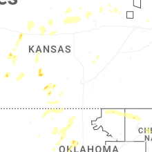

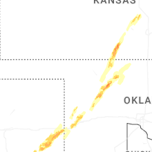
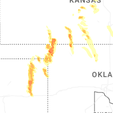
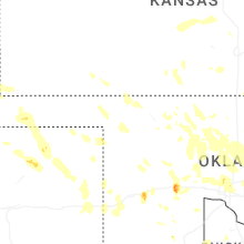


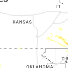


Connect with Interactive Hail Maps