

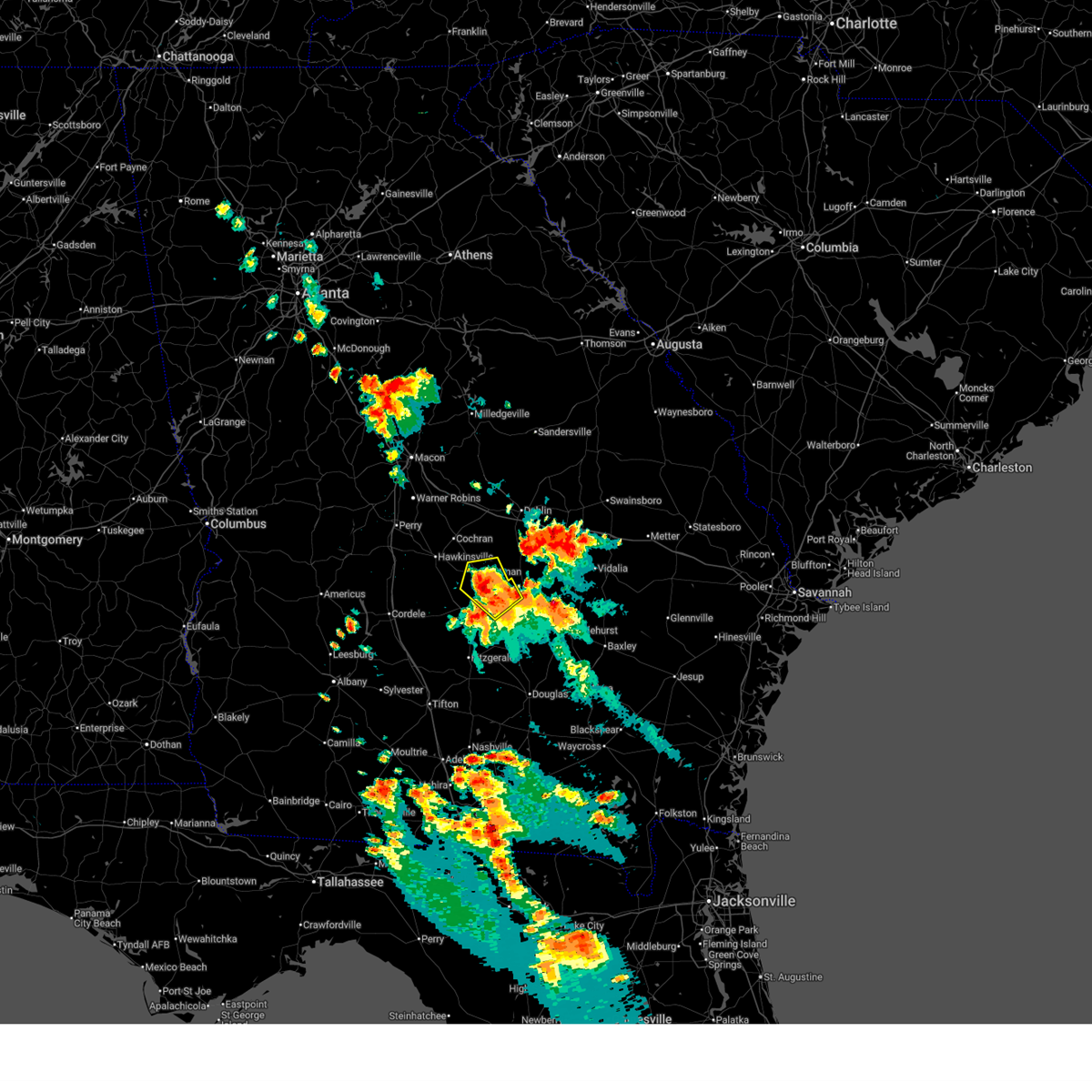
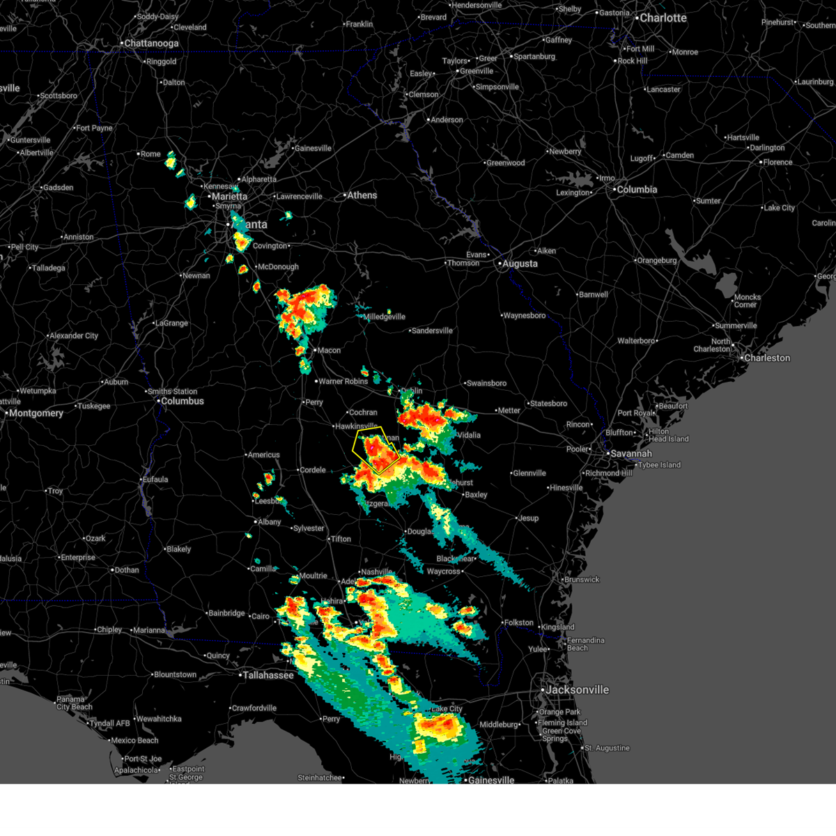
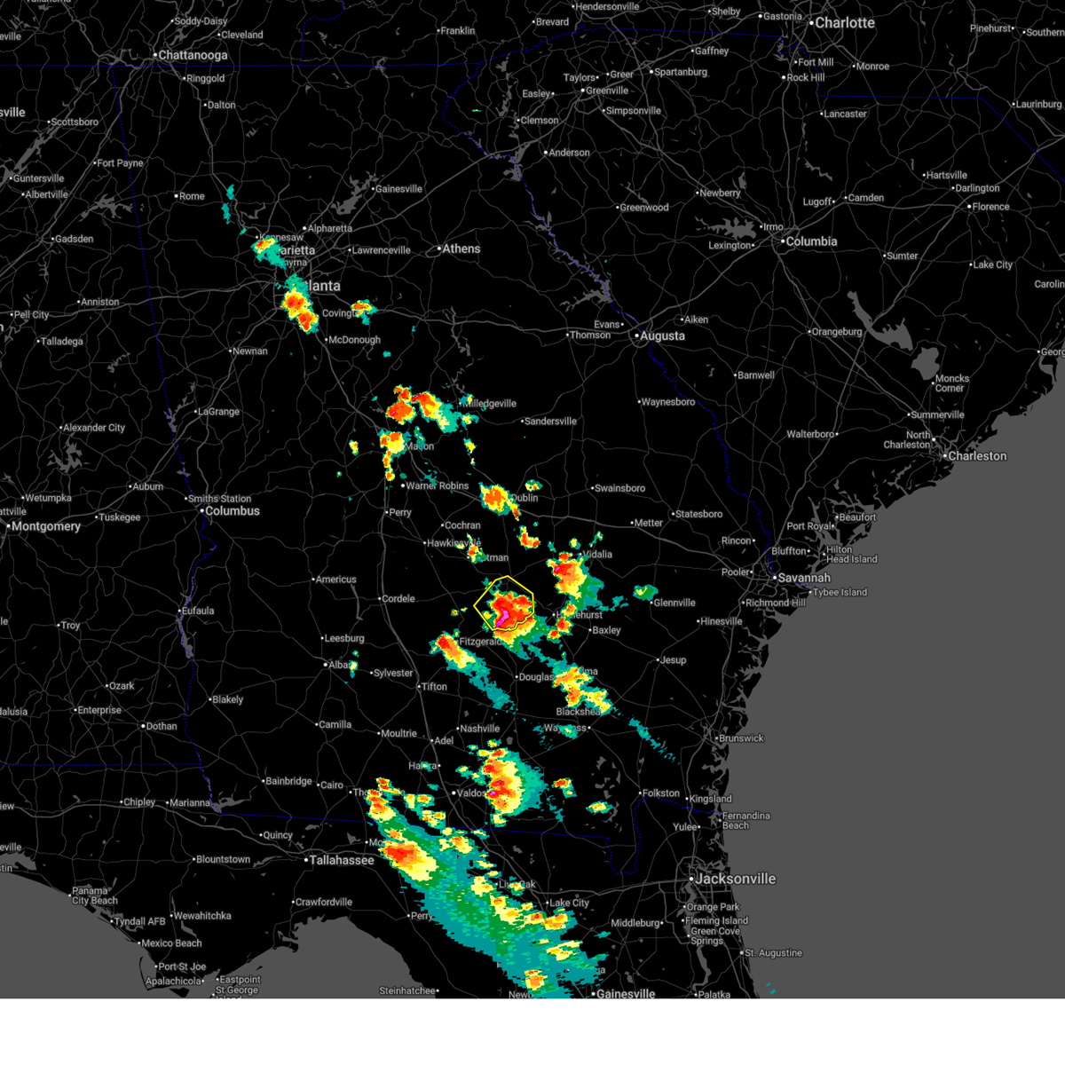
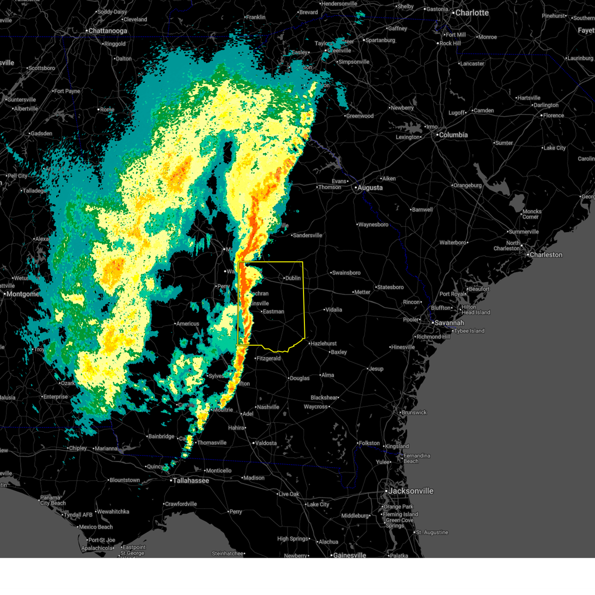
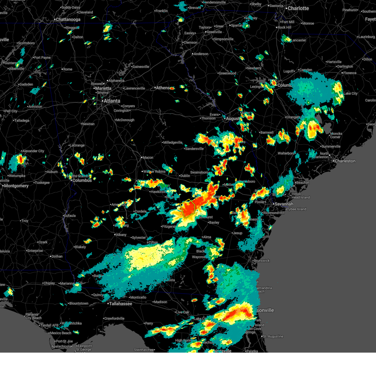
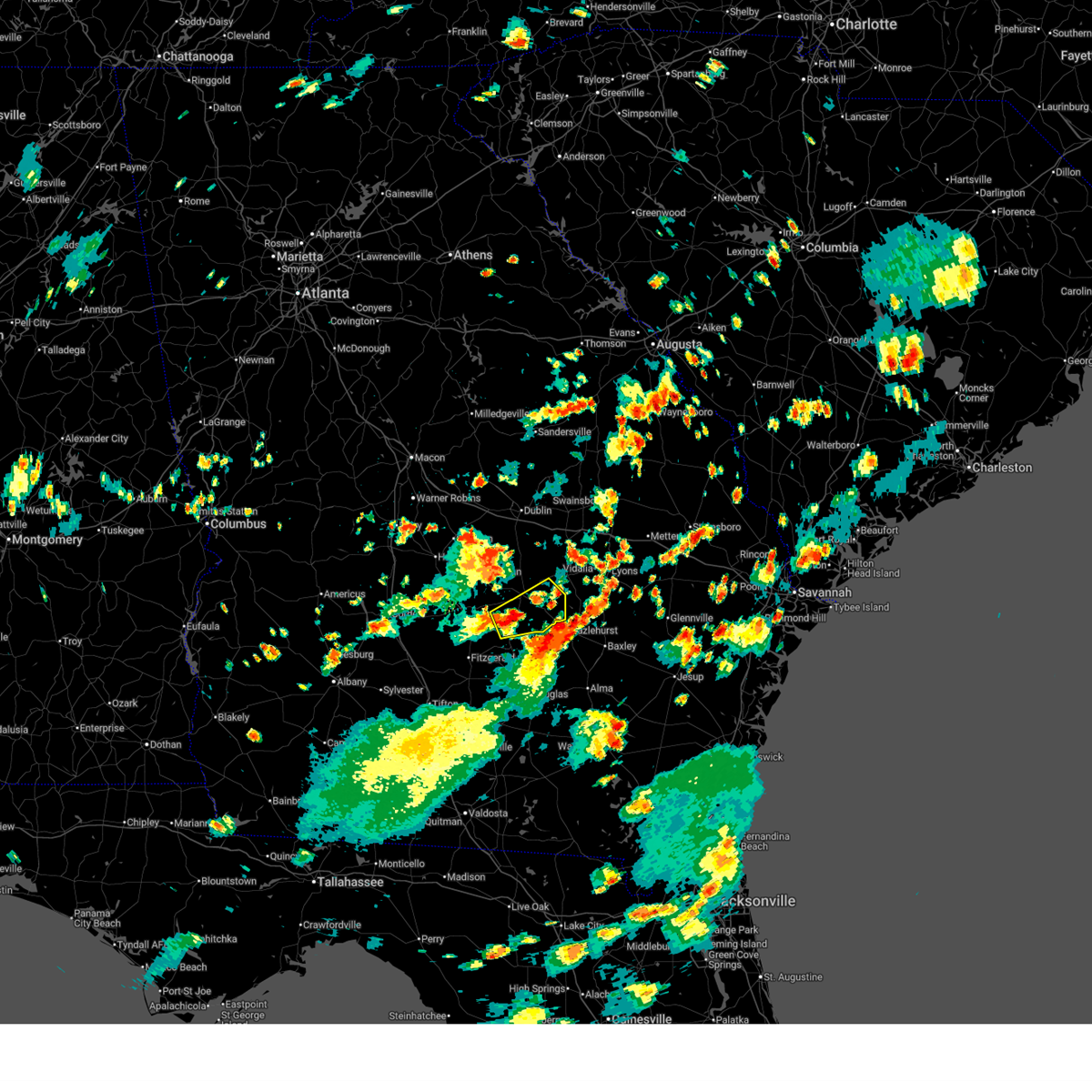
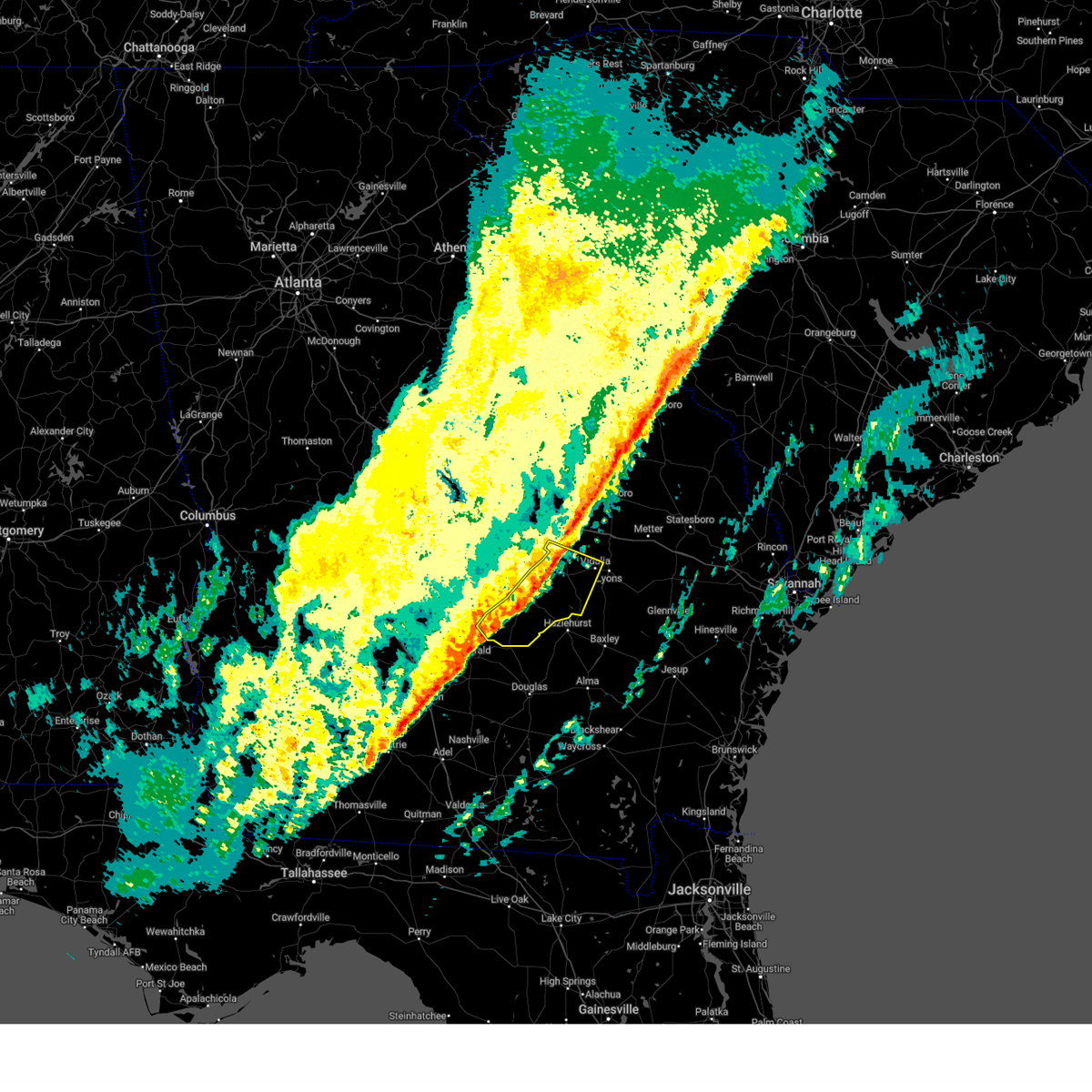
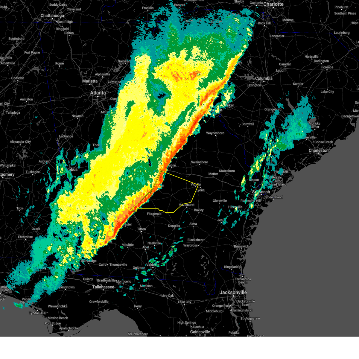
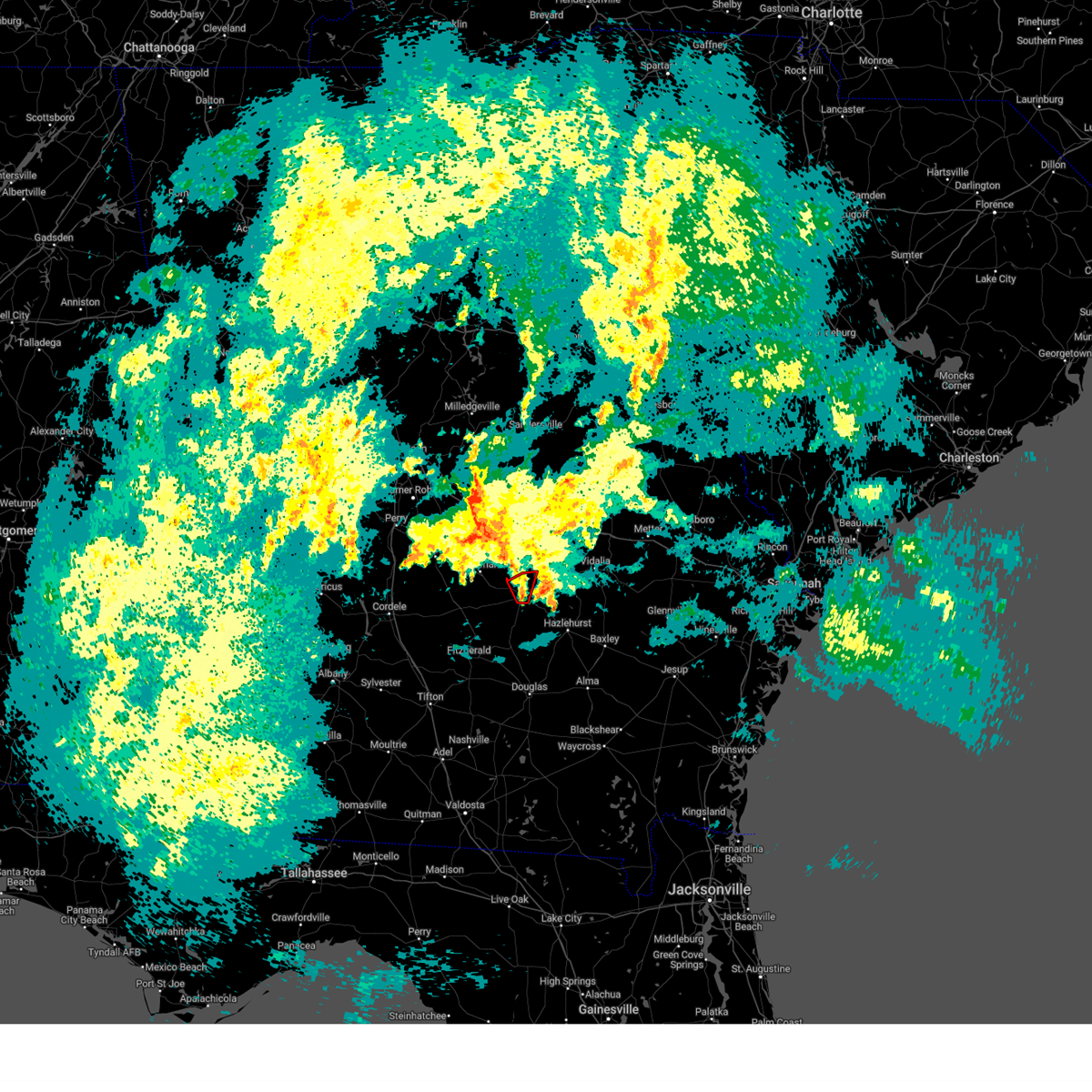
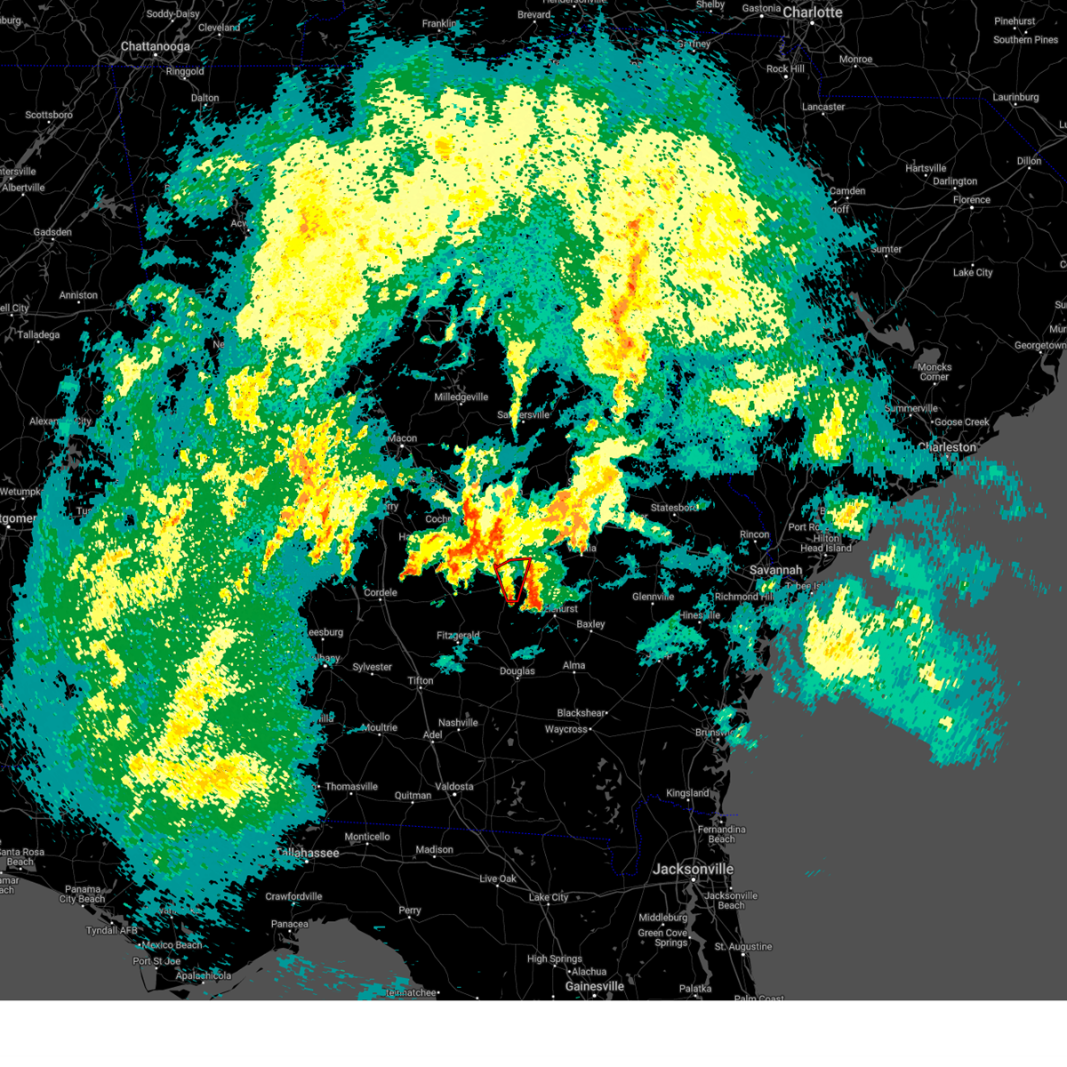
Hail Map for Helena, GA
The Helena, GA area has had 2 reports of on-the-ground hail by trained spotters, and has been under severe weather warnings 16 times during the past 12 months. Doppler radar has detected hail at or near Helena, GA on 68 occasions, including 4 occasions during the past year.
| Name: | Helena, GA |
| Where Located: | 39.7 miles N of Douglas, GA |
| Map: | Google Map for Helena, GA |
| Population: | 2883 |
| Housing Units: | 825 |
| More Info: | Search Google for Helena, GA |
0
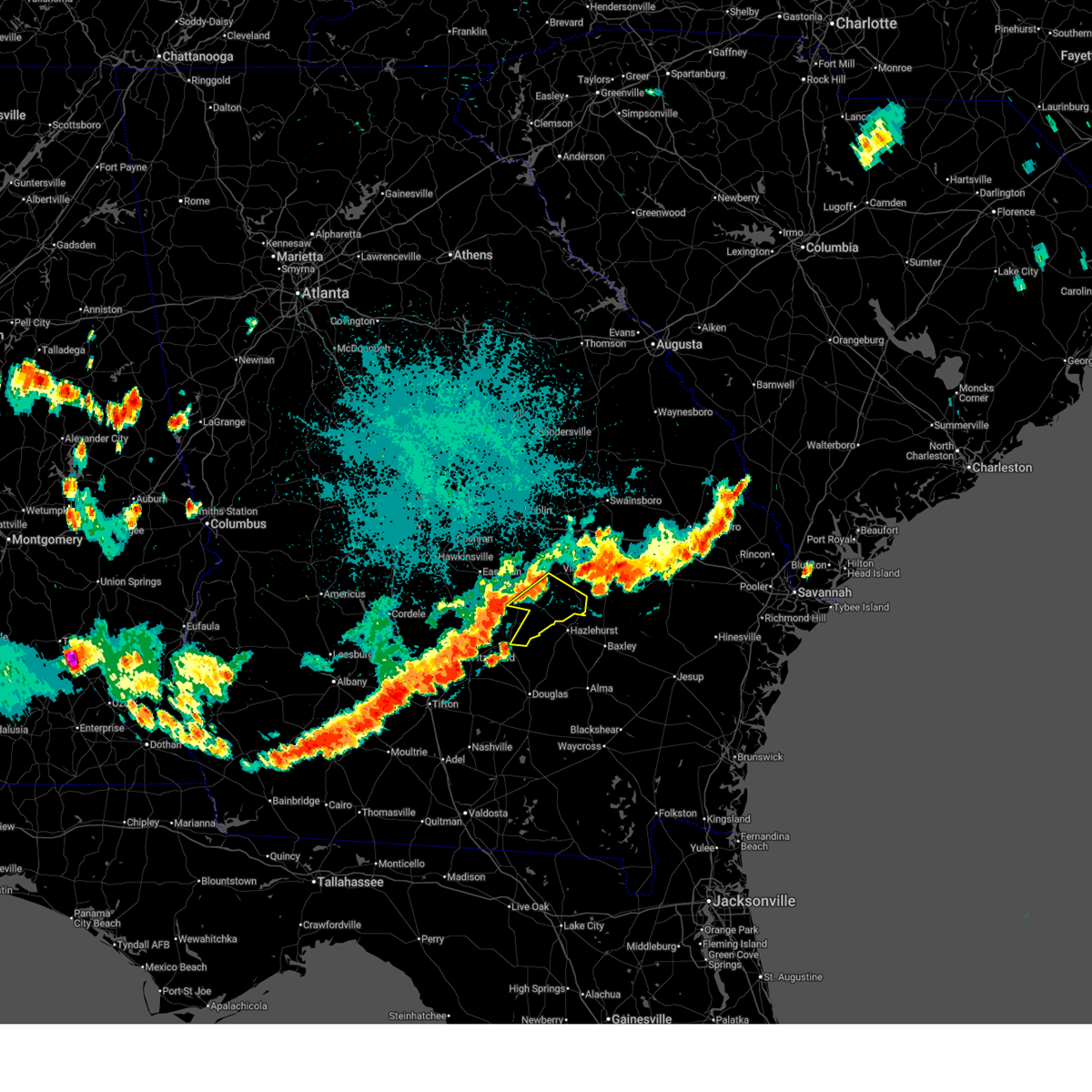
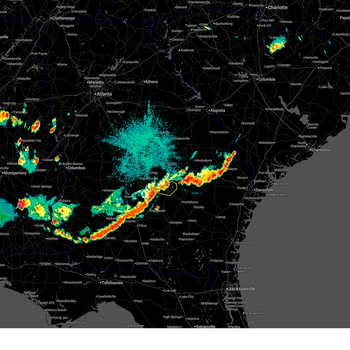
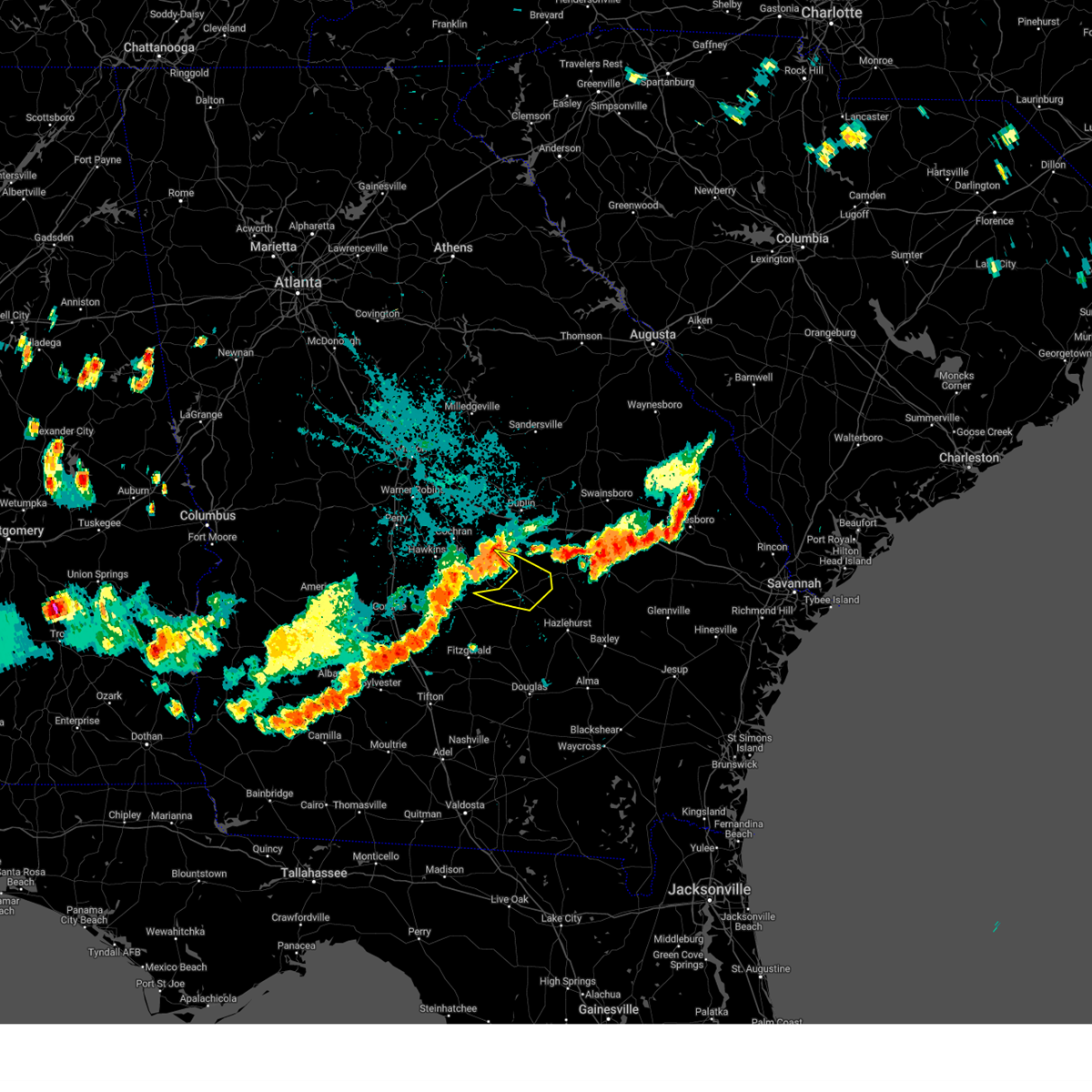
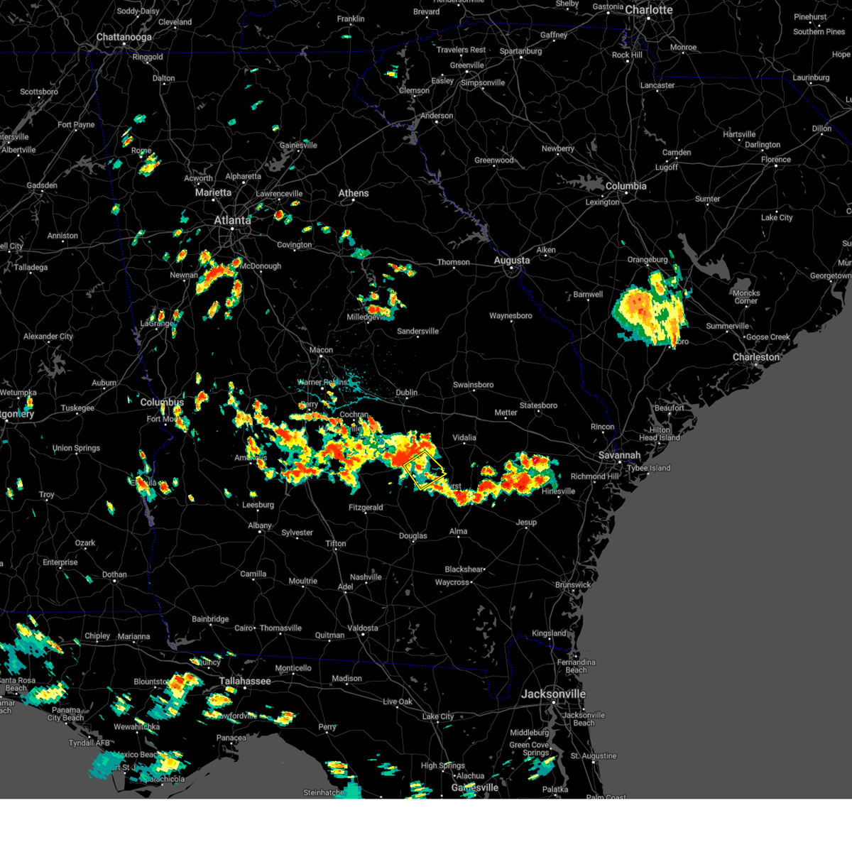
The Top Recent Hail Date for Helena, GA is Sunday, May 24, 2026 (53rd out of 68)

Hail and Wind Damage Spotted near Helena, GA
| Date / Time | Report Details |
|---|---|
| 5/17/2026 5:24 PM EDT |
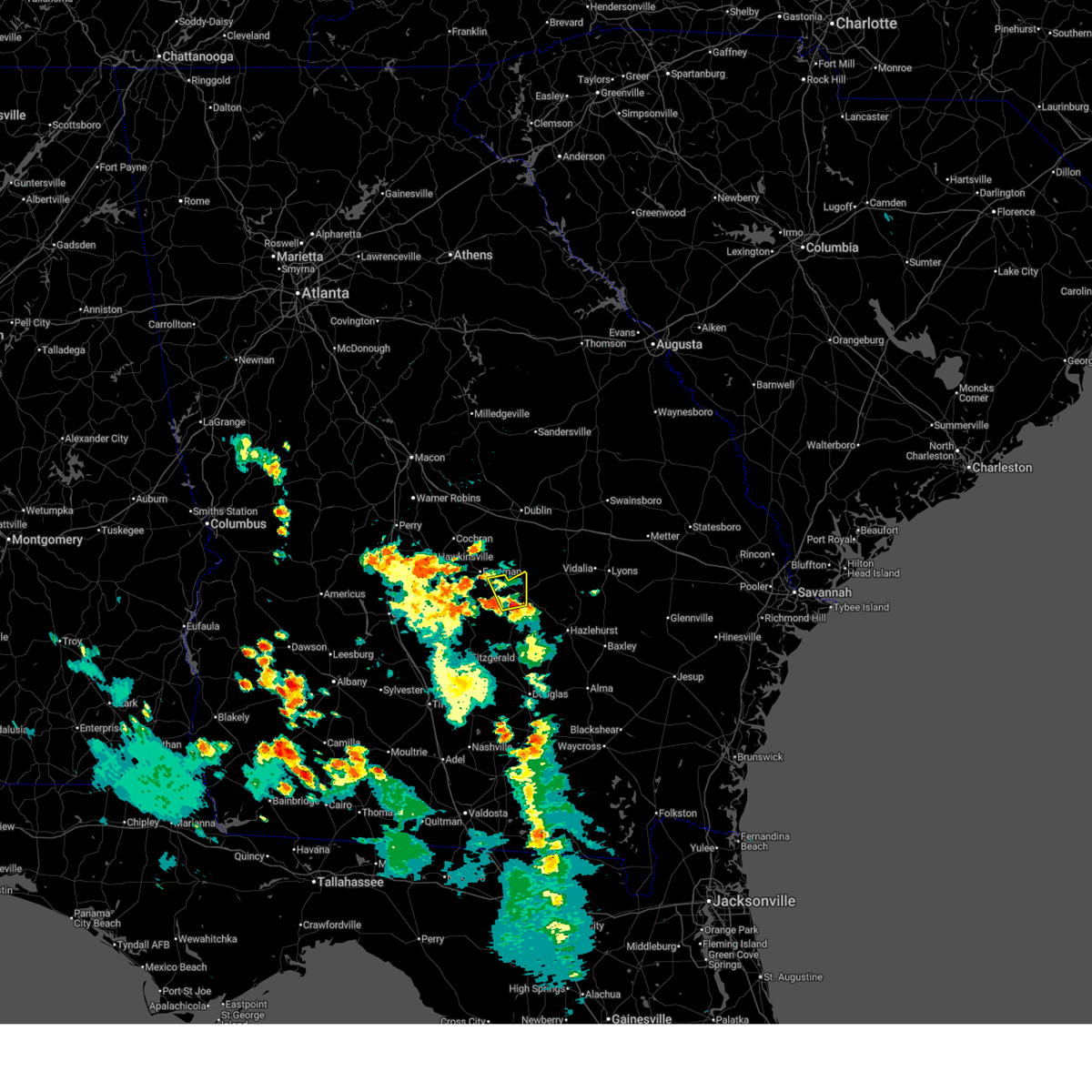
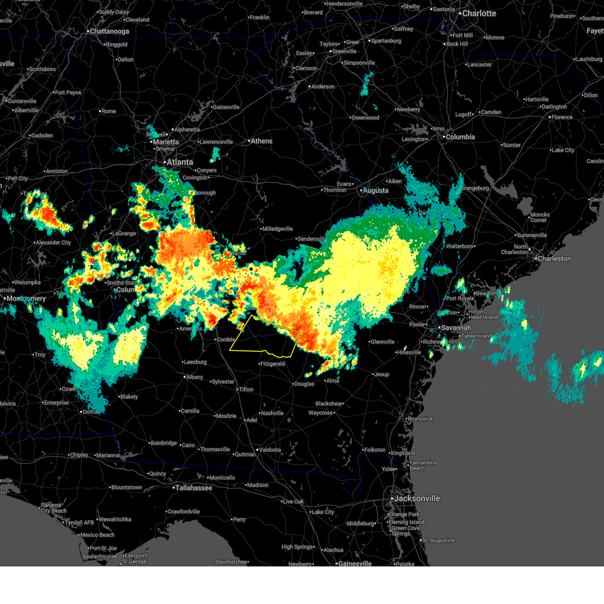
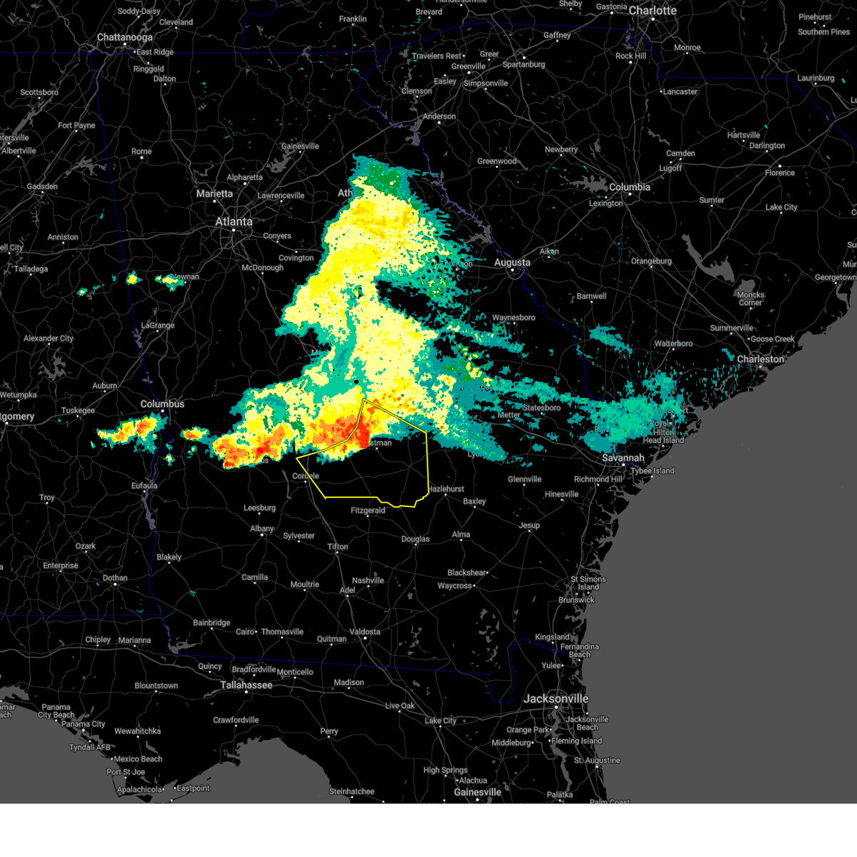
 At 523 pm edt, a severe thunderstorm was located over milan, or 9 miles west of mcrae, moving northwest at 15 mph (radar indicated). Hazards include 60 mph wind gusts and half dollar size hail. Hail damage to vehicles is expected. expect wind damage to roofs, siding, and trees. Locations impacted include, mcrae, eastman, helena, milan, chauncey, union, jay bird springs, five points, achord, and godwinsville. At 523 pm edt, a severe thunderstorm was located over milan, or 9 miles west of mcrae, moving northwest at 15 mph (radar indicated). Hazards include 60 mph wind gusts and half dollar size hail. Hail damage to vehicles is expected. expect wind damage to roofs, siding, and trees. Locations impacted include, mcrae, eastman, helena, milan, chauncey, union, jay bird springs, five points, achord, and godwinsville.
|
| 5/17/2026 5:17 PM EDT |
 Svrffc the national weather service in peachtree city has issued a * severe thunderstorm warning for, central dodge county in central georgia, northwestern telfair county in central georgia, * until 545 pm edt. * at 517 pm edt, a severe thunderstorm was located over milan, or 8 miles west of mcrae, moving northwest at 20 mph (radar indicated). Hazards include 60 mph wind gusts and quarter size hail. Hail damage to vehicles is expected. Expect wind damage to roofs, siding, and trees. Svrffc the national weather service in peachtree city has issued a * severe thunderstorm warning for, central dodge county in central georgia, northwestern telfair county in central georgia, * until 545 pm edt. * at 517 pm edt, a severe thunderstorm was located over milan, or 8 miles west of mcrae, moving northwest at 20 mph (radar indicated). Hazards include 60 mph wind gusts and quarter size hail. Hail damage to vehicles is expected. Expect wind damage to roofs, siding, and trees.
|
| 5/17/2026 4:47 PM EDT |
 Svrffc the national weather service in peachtree city has issued a * severe thunderstorm warning for, telfair county in central georgia, * until 515 pm edt. * at 447 pm edt, a severe thunderstorm was located over jacksonville, or 15 miles north of broxton, moving northwest at 15 mph (radar indicated). Hazards include 60 mph wind gusts and quarter size hail. Hail damage to vehicles is expected. Expect wind damage to roofs, siding, and trees. Svrffc the national weather service in peachtree city has issued a * severe thunderstorm warning for, telfair county in central georgia, * until 515 pm edt. * at 447 pm edt, a severe thunderstorm was located over jacksonville, or 15 miles north of broxton, moving northwest at 15 mph (radar indicated). Hazards include 60 mph wind gusts and quarter size hail. Hail damage to vehicles is expected. Expect wind damage to roofs, siding, and trees.
|
| 4/3/2026 7:01 PM EDT |
 the severe thunderstorm warning has been cancelled and is no longer in effect the severe thunderstorm warning has been cancelled and is no longer in effect
|
| 4/3/2026 6:58 PM EDT |
 the severe thunderstorm warning has been cancelled and is no longer in effect the severe thunderstorm warning has been cancelled and is no longer in effect
|
| 4/3/2026 6:58 PM EDT |
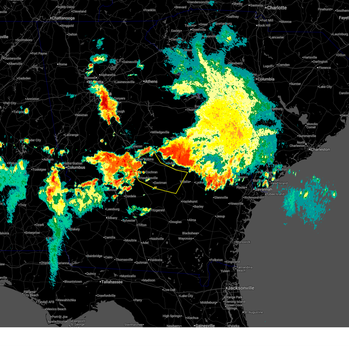
 At 658 pm edt, a severe thunderstorm was located over achord, or near mcrae, moving north at 15 mph (radar indicated). Hazards include 60 mph wind gusts and quarter size hail. Hail damage to vehicles is expected. expect wind damage to roofs, siding, and trees. Locations impacted include, mcrae, helena, chauncey, jay bird springs, and achord. At 658 pm edt, a severe thunderstorm was located over achord, or near mcrae, moving north at 15 mph (radar indicated). Hazards include 60 mph wind gusts and quarter size hail. Hail damage to vehicles is expected. expect wind damage to roofs, siding, and trees. Locations impacted include, mcrae, helena, chauncey, jay bird springs, and achord.
|
| 4/3/2026 6:45 PM EDT |
 Svrffc the national weather service in peachtree city has issued a * severe thunderstorm warning for, east central dodge county in central georgia, north central telfair county in central georgia, west central wheeler county in central georgia, * until 715 pm edt. * at 645 pm edt, a severe thunderstorm was located near achord, or near mcrae, moving north at 20 mph (radar indicated). Hazards include 60 mph wind gusts and quarter size hail. Hail damage to vehicles is expected. Expect wind damage to roofs, siding, and trees. Svrffc the national weather service in peachtree city has issued a * severe thunderstorm warning for, east central dodge county in central georgia, north central telfair county in central georgia, west central wheeler county in central georgia, * until 715 pm edt. * at 645 pm edt, a severe thunderstorm was located near achord, or near mcrae, moving north at 20 mph (radar indicated). Hazards include 60 mph wind gusts and quarter size hail. Hail damage to vehicles is expected. Expect wind damage to roofs, siding, and trees.
|
| 3/12/2026 8:41 AM EDT |
 The storms which prompted the warning have moved out of the area. therefore, the warning will be allowed to expire. a tornado watch remains in effect until 900 am edt for central, southeastern and east central georgia. remember, a severe thunderstorm warning still remains in effect for portions of emanuel, toombs, jefferson, treulten, and montgomery counties. The storms which prompted the warning have moved out of the area. therefore, the warning will be allowed to expire. a tornado watch remains in effect until 900 am edt for central, southeastern and east central georgia. remember, a severe thunderstorm warning still remains in effect for portions of emanuel, toombs, jefferson, treulten, and montgomery counties.
|
| 3/12/2026 8:04 AM EDT |
 the severe thunderstorm warning has been cancelled and is no longer in effect the severe thunderstorm warning has been cancelled and is no longer in effect
|
| 3/12/2026 8:04 AM EDT |
 At 804 am edt, severe thunderstorms were located along a line extending from near brewton to near pridgen, moving east at 50 mph (radar indicated). Hazards include 60 mph wind gusts. Expect damage to roofs, siding, and trees. Locations impacted include, dublin, mcrae, alamo, wrightsville, helena, east dublin, lumber city, glenwood, scotland, rentz, jacksonville, towns, spann, horse creek wma, spring hill, cedar grove, rockledge, barnhill, minter, and lovett. At 804 am edt, severe thunderstorms were located along a line extending from near brewton to near pridgen, moving east at 50 mph (radar indicated). Hazards include 60 mph wind gusts. Expect damage to roofs, siding, and trees. Locations impacted include, dublin, mcrae, alamo, wrightsville, helena, east dublin, lumber city, glenwood, scotland, rentz, jacksonville, towns, spann, horse creek wma, spring hill, cedar grove, rockledge, barnhill, minter, and lovett.
|
| 3/12/2026 8:03 AM EDT |
 Svrffc the national weather service in peachtree city has issued a * severe thunderstorm warning for, laurens county in central georgia, toombs county in southeastern georgia, east central dodge county in central georgia, emanuel county in east central georgia, central telfair county in central georgia, treutlen county in east central georgia, southeastern washington county in east central georgia, johnson county in east central georgia, wheeler county in central georgia, south central jefferson county in east central georgia, montgomery county in central georgia, * until 845 am edt. * at 803 am edt, severe thunderstorms were located along a line extending from tuckers crossroad to horse creek wma, moving east at 50 mph (radar indicated). Hazards include 60 mph wind gusts. expect damage to roofs, siding, and trees Svrffc the national weather service in peachtree city has issued a * severe thunderstorm warning for, laurens county in central georgia, toombs county in southeastern georgia, east central dodge county in central georgia, emanuel county in east central georgia, central telfair county in central georgia, treutlen county in east central georgia, southeastern washington county in east central georgia, johnson county in east central georgia, wheeler county in central georgia, south central jefferson county in east central georgia, montgomery county in central georgia, * until 845 am edt. * at 803 am edt, severe thunderstorms were located along a line extending from tuckers crossroad to horse creek wma, moving east at 50 mph (radar indicated). Hazards include 60 mph wind gusts. expect damage to roofs, siding, and trees
|
| 3/12/2026 7:25 AM EDT |
 Svrffc the national weather service in peachtree city has issued a * severe thunderstorm warning for, southeastern wilkinson county in central georgia, laurens county in central georgia, dodge county in central georgia, eastern pulaski county in central georgia, southeastern twiggs county in central georgia, telfair county in central georgia, southwestern treutlen county in east central georgia, central wilcox county in central georgia, bleckley county in central georgia, central johnson county in east central georgia, wheeler county in central georgia, * until 815 am edt. * at 725 am edt, severe thunderstorms were located along a line extending from near district path to arp, moving east at 50 mph (radar indicated). Hazards include 60 mph wind gusts. expect damage to roofs, siding, and trees Svrffc the national weather service in peachtree city has issued a * severe thunderstorm warning for, southeastern wilkinson county in central georgia, laurens county in central georgia, dodge county in central georgia, eastern pulaski county in central georgia, southeastern twiggs county in central georgia, telfair county in central georgia, southwestern treutlen county in east central georgia, central wilcox county in central georgia, bleckley county in central georgia, central johnson county in east central georgia, wheeler county in central georgia, * until 815 am edt. * at 725 am edt, severe thunderstorms were located along a line extending from near district path to arp, moving east at 50 mph (radar indicated). Hazards include 60 mph wind gusts. expect damage to roofs, siding, and trees
|
| 7/9/2025 3:05 PM EDT |
 At 305 pm edt, a severe thunderstorm was located over towns, or 10 miles southeast of mcrae, and is nearly stationary (radar indicated). Hazards include 60 mph wind gusts and quarter size hail. Hail damage to vehicles is expected. expect wind damage to roofs, siding, and trees. Locations impacted include, mcrae, lumber city, scotland, towns, jordan, and spring hill. At 305 pm edt, a severe thunderstorm was located over towns, or 10 miles southeast of mcrae, and is nearly stationary (radar indicated). Hazards include 60 mph wind gusts and quarter size hail. Hail damage to vehicles is expected. expect wind damage to roofs, siding, and trees. Locations impacted include, mcrae, lumber city, scotland, towns, jordan, and spring hill.
|
| 7/9/2025 2:40 PM EDT |
 Svrffc the national weather service in peachtree city has issued a * severe thunderstorm warning for, telfair county in central georgia, southern wheeler county in central georgia, * until 315 pm edt. * at 240 pm edt, a severe thunderstorm was located over workmore, or 7 miles south of mcrae, moving east at 5 mph (radar indicated). Hazards include 60 mph wind gusts and quarter size hail. Hail damage to vehicles is expected. Expect wind damage to roofs, siding, and trees. Svrffc the national weather service in peachtree city has issued a * severe thunderstorm warning for, telfair county in central georgia, southern wheeler county in central georgia, * until 315 pm edt. * at 240 pm edt, a severe thunderstorm was located over workmore, or 7 miles south of mcrae, moving east at 5 mph (radar indicated). Hazards include 60 mph wind gusts and quarter size hail. Hail damage to vehicles is expected. Expect wind damage to roofs, siding, and trees.
|
| 6/26/2025 1:19 AM EDT |
 Svrffc the national weather service in peachtree city has issued a * severe thunderstorm warning for, southwestern dodge county in central georgia, southeastern pulaski county in central georgia, telfair county in central georgia, wilcox county in central georgia, * until 200 am edt. * at 119 am edt, severe thunderstorms were located along a line extending from near ocmulgee banks to near milan to towns, moving southwest at 30 mph (radar indicated). Hazards include 60 mph wind gusts and penny size hail. expect damage to roofs, siding, and trees Svrffc the national weather service in peachtree city has issued a * severe thunderstorm warning for, southwestern dodge county in central georgia, southeastern pulaski county in central georgia, telfair county in central georgia, wilcox county in central georgia, * until 200 am edt. * at 119 am edt, severe thunderstorms were located along a line extending from near ocmulgee banks to near milan to towns, moving southwest at 30 mph (radar indicated). Hazards include 60 mph wind gusts and penny size hail. expect damage to roofs, siding, and trees
|
| 6/26/2025 12:32 AM EDT |
 Svrffc the national weather service in peachtree city has issued a * severe thunderstorm warning for, southwestern wilkinson county in central georgia, laurens county in central georgia, dodge county in central georgia, central pulaski county in central georgia, southern twiggs county in central georgia, north central telfair county in central georgia, southwestern treutlen county in east central georgia, bleckley county in central georgia, eastern houston county in central georgia, wheeler county in central georgia, northwestern montgomery county in central georgia, * until 130 am edt. * at 1232 am edt, severe thunderstorms were located along a line extending from near danville to near dudley to near lowery to near zaidee, moving southwest at 30 mph (radar indicated). Hazards include 60 mph wind gusts and quarter size hail. Hail damage to vehicles is expected. Expect wind damage to roofs, siding, and trees. Svrffc the national weather service in peachtree city has issued a * severe thunderstorm warning for, southwestern wilkinson county in central georgia, laurens county in central georgia, dodge county in central georgia, central pulaski county in central georgia, southern twiggs county in central georgia, north central telfair county in central georgia, southwestern treutlen county in east central georgia, bleckley county in central georgia, eastern houston county in central georgia, wheeler county in central georgia, northwestern montgomery county in central georgia, * until 130 am edt. * at 1232 am edt, severe thunderstorms were located along a line extending from near danville to near dudley to near lowery to near zaidee, moving southwest at 30 mph (radar indicated). Hazards include 60 mph wind gusts and quarter size hail. Hail damage to vehicles is expected. Expect wind damage to roofs, siding, and trees.
|
| 5/18/2025 11:59 AM EDT |
 the severe thunderstorm warning has been cancelled and is no longer in effect the severe thunderstorm warning has been cancelled and is no longer in effect
|
| 5/18/2025 11:49 AM EDT |
 the severe thunderstorm warning has been cancelled and is no longer in effect the severe thunderstorm warning has been cancelled and is no longer in effect
|
| 5/18/2025 11:49 AM EDT |
 At 1149 am edt, severe thunderstorms were located along a line extending from near plainfield to chauncey to near milan to abbeville to near rochelle, moving southeast at 45 mph (radar indicated). Hazards include 60 mph wind gusts. Expect damage to roofs, siding, and trees. Locations impacted include, mcrae, eastman, abbeville, alamo, helena, rochelle, milan, cadwell, pineview, rhine, scotland, chauncey, jacksonville, union, towns, horse creek wma, plainfield, cedar grove, ocmulgee banks, and jay bird springs. At 1149 am edt, severe thunderstorms were located along a line extending from near plainfield to chauncey to near milan to abbeville to near rochelle, moving southeast at 45 mph (radar indicated). Hazards include 60 mph wind gusts. Expect damage to roofs, siding, and trees. Locations impacted include, mcrae, eastman, abbeville, alamo, helena, rochelle, milan, cadwell, pineview, rhine, scotland, chauncey, jacksonville, union, towns, horse creek wma, plainfield, cedar grove, ocmulgee banks, and jay bird springs.
|
| 5/18/2025 11:27 AM EDT |
 Svrffc the national weather service in peachtree city has issued a * severe thunderstorm warning for, southern laurens county in central georgia, dodge county in central georgia, southern pulaski county in central georgia, telfair county in central georgia, wilcox county in central georgia, southeastern dooly county in central georgia, central bleckley county in central georgia, western wheeler county in central georgia, northeastern crisp county in central georgia, * until 1215 pm edt. * at 1124 am edt, severe thunderstorms were located along a line extending from near cochran to dubois to near ocmulgee banks to near finleyson to near vienna, moving southeast at 45 mph (radar indicated). Hazards include 60 mph wind gusts. expect damage to roofs, siding, and trees Svrffc the national weather service in peachtree city has issued a * severe thunderstorm warning for, southern laurens county in central georgia, dodge county in central georgia, southern pulaski county in central georgia, telfair county in central georgia, wilcox county in central georgia, southeastern dooly county in central georgia, central bleckley county in central georgia, western wheeler county in central georgia, northeastern crisp county in central georgia, * until 1215 pm edt. * at 1124 am edt, severe thunderstorms were located along a line extending from near cochran to dubois to near ocmulgee banks to near finleyson to near vienna, moving southeast at 45 mph (radar indicated). Hazards include 60 mph wind gusts. expect damage to roofs, siding, and trees
|
| 3/31/2025 3:59 PM EDT |
 the severe thunderstorm warning has been cancelled and is no longer in effect the severe thunderstorm warning has been cancelled and is no longer in effect
|
| 3/31/2025 3:59 PM EDT |
 At 358 pm edt, severe thunderstorms were located along a line extending from alamo to near jacksonville, moving east at 45 mph (radar indicated). Hazards include 60 mph wind gusts. Expect damage to roofs, siding, and trees. Locations impacted include, horse creek wma, spring hill, cedar grove, scotland, barnhill, uvalda, towns, china hill, mount vernon, helena, alston, jordan, jacksonville, ailey, alamo, higgston, landsburg, glenwood, tarrytown, and mcrae. At 358 pm edt, severe thunderstorms were located along a line extending from alamo to near jacksonville, moving east at 45 mph (radar indicated). Hazards include 60 mph wind gusts. Expect damage to roofs, siding, and trees. Locations impacted include, horse creek wma, spring hill, cedar grove, scotland, barnhill, uvalda, towns, china hill, mount vernon, helena, alston, jordan, jacksonville, ailey, alamo, higgston, landsburg, glenwood, tarrytown, and mcrae.
|
| 3/31/2025 3:39 PM EDT |
 Svrffc the national weather service in peachtree city has issued a * severe thunderstorm warning for, southeastern laurens county in central georgia, southeastern dodge county in central georgia, telfair county in central georgia, southern treutlen county in east central georgia, southeastern wilcox county in central georgia, wheeler county in central georgia, montgomery county in central georgia, * until 430 pm edt. * at 338 pm edt, severe thunderstorms were located along a line extending from chauncey to bowens mill, moving east at 45 mph (radar indicated). Hazards include 60 mph wind gusts. expect damage to roofs, siding, and trees Svrffc the national weather service in peachtree city has issued a * severe thunderstorm warning for, southeastern laurens county in central georgia, southeastern dodge county in central georgia, telfair county in central georgia, southern treutlen county in east central georgia, southeastern wilcox county in central georgia, wheeler county in central georgia, montgomery county in central georgia, * until 430 pm edt. * at 338 pm edt, severe thunderstorms were located along a line extending from chauncey to bowens mill, moving east at 45 mph (radar indicated). Hazards include 60 mph wind gusts. expect damage to roofs, siding, and trees
|
| 2/16/2025 7:37 AM EST |
 At 736 am est, severe thunderstorms were located along a line extending from near landsburg to towns to ocilla, moving southeast at 45 mph (radar indicated). Hazards include 60 mph wind gusts. Expect damage to roofs, siding, and trees. Locations impacted include, mcrae, alamo, mount vernon, vidalia, helena, lumber city, glenwood, milan, uvalda, ailey, scotland, higgston, alston, jacksonville, tarrytown, towns, horse creek wma, spring hill, barnhill, and china hill. At 736 am est, severe thunderstorms were located along a line extending from near landsburg to towns to ocilla, moving southeast at 45 mph (radar indicated). Hazards include 60 mph wind gusts. Expect damage to roofs, siding, and trees. Locations impacted include, mcrae, alamo, mount vernon, vidalia, helena, lumber city, glenwood, milan, uvalda, ailey, scotland, higgston, alston, jacksonville, tarrytown, towns, horse creek wma, spring hill, barnhill, and china hill.
|
| 2/16/2025 7:37 AM EST |
 the severe thunderstorm warning has been cancelled and is no longer in effect the severe thunderstorm warning has been cancelled and is no longer in effect
|
| 2/16/2025 6:57 AM EST |
 Svrffc the national weather service in peachtree city has issued a * severe thunderstorm warning for, southern laurens county in central georgia, northwestern toombs county in southeastern georgia, dodge county in central georgia, telfair county in central georgia, southwestern treutlen county in east central georgia, wilcox county in central georgia, wheeler county in central georgia, southeastern crisp county in central georgia, montgomery county in central georgia, * until 800 am est. * at 657 am est, severe thunderstorms were located along a line extending from dexter to near eastman to dakota, moving southeast at 45 mph (radar indicated). Hazards include 60 mph wind gusts. expect damage to roofs, siding, and trees Svrffc the national weather service in peachtree city has issued a * severe thunderstorm warning for, southern laurens county in central georgia, northwestern toombs county in southeastern georgia, dodge county in central georgia, telfair county in central georgia, southwestern treutlen county in east central georgia, wilcox county in central georgia, wheeler county in central georgia, southeastern crisp county in central georgia, montgomery county in central georgia, * until 800 am est. * at 657 am est, severe thunderstorms were located along a line extending from dexter to near eastman to dakota, moving southeast at 45 mph (radar indicated). Hazards include 60 mph wind gusts. expect damage to roofs, siding, and trees
|
| 9/26/2024 3:38 PM EDT |
 The storm which prompted the warning has weakened below severe limits, and no longer appears capable of producing a tornado. therefore, the warning will be allowed to expire. a tornado watch remains in effect until 900 pm edt for central georgia. The storm which prompted the warning has weakened below severe limits, and no longer appears capable of producing a tornado. therefore, the warning will be allowed to expire. a tornado watch remains in effect until 900 pm edt for central georgia.
|
| 9/26/2024 3:32 PM EDT |
 At 331 pm edt, a severe thunderstorm capable of producing a tornado was located over mcrae, moving north at 25 mph (radar indicated rotation). Hazards include tornado. Flying debris will be dangerous to those caught without shelter. mobile homes will be damaged or destroyed. damage to roofs, windows, and vehicles will occur. tree damage is likely. Locations impacted include, mcrae, helena, little ocmulgee state park, and achord. At 331 pm edt, a severe thunderstorm capable of producing a tornado was located over mcrae, moving north at 25 mph (radar indicated rotation). Hazards include tornado. Flying debris will be dangerous to those caught without shelter. mobile homes will be damaged or destroyed. damage to roofs, windows, and vehicles will occur. tree damage is likely. Locations impacted include, mcrae, helena, little ocmulgee state park, and achord.
|
| 9/26/2024 3:18 PM EDT |
 Torffc the national weather service in peachtree city has issued a * tornado warning for, east central dodge county in central georgia, north central telfair county in central georgia, west central wheeler county in central georgia, * until 345 pm edt. * at 318 pm edt, a severe thunderstorm capable of producing a tornado was located near workmore, or near mcrae, moving north at 25 mph (radar indicated rotation). Hazards include tornado. Flying debris will be dangerous to those caught without shelter. mobile homes will be damaged or destroyed. damage to roofs, windows, and vehicles will occur. Tree damage is likely. Torffc the national weather service in peachtree city has issued a * tornado warning for, east central dodge county in central georgia, north central telfair county in central georgia, west central wheeler county in central georgia, * until 345 pm edt. * at 318 pm edt, a severe thunderstorm capable of producing a tornado was located near workmore, or near mcrae, moving north at 25 mph (radar indicated rotation). Hazards include tornado. Flying debris will be dangerous to those caught without shelter. mobile homes will be damaged or destroyed. damage to roofs, windows, and vehicles will occur. Tree damage is likely.
|
| 8/18/2024 9:07 PM EDT |
 Svrffc the national weather service in peachtree city has issued a * severe thunderstorm warning for, eastern telfair county in central georgia, southern wheeler county in central georgia, southwestern montgomery county in central georgia, * until 945 pm edt. * at 907 pm edt, severe thunderstorms were located along a line extending from near uvalda to near horse creek wma, moving east at 25 mph (radar indicated). Hazards include 60 mph wind gusts. expect damage to roofs, siding, and trees Svrffc the national weather service in peachtree city has issued a * severe thunderstorm warning for, eastern telfair county in central georgia, southern wheeler county in central georgia, southwestern montgomery county in central georgia, * until 945 pm edt. * at 907 pm edt, severe thunderstorms were located along a line extending from near uvalda to near horse creek wma, moving east at 25 mph (radar indicated). Hazards include 60 mph wind gusts. expect damage to roofs, siding, and trees
|
| 8/18/2024 9:01 PM EDT |
 At 901 pm edt, a severe thunderstorm was located over scotland, or near alamo, moving southeast at 35 mph (radar indicated). Hazards include 60 mph wind gusts. Expect damage to roofs, siding, and trees. Locations impacted include, mcrae, alamo, helena, milan, scotland, chauncey, jay bird springs, five points, achord, and little ocmulgee state park. At 901 pm edt, a severe thunderstorm was located over scotland, or near alamo, moving southeast at 35 mph (radar indicated). Hazards include 60 mph wind gusts. Expect damage to roofs, siding, and trees. Locations impacted include, mcrae, alamo, helena, milan, scotland, chauncey, jay bird springs, five points, achord, and little ocmulgee state park.
|
| 8/18/2024 9:01 PM EDT |
 the severe thunderstorm warning has been cancelled and is no longer in effect the severe thunderstorm warning has been cancelled and is no longer in effect
|
| 8/18/2024 8:34 PM EDT |
 Svrffc the national weather service in peachtree city has issued a * severe thunderstorm warning for, south central laurens county in central georgia, southeastern dodge county in central georgia, north central telfair county in central georgia, northwestern wheeler county in central georgia, * until 915 pm edt. * at 834 pm edt, a severe thunderstorm was located over jay bird springs, or 9 miles northwest of mcrae, moving southeast at 35 mph (radar indicated). Hazards include 60 mph wind gusts. expect damage to roofs, siding, and trees Svrffc the national weather service in peachtree city has issued a * severe thunderstorm warning for, south central laurens county in central georgia, southeastern dodge county in central georgia, north central telfair county in central georgia, northwestern wheeler county in central georgia, * until 915 pm edt. * at 834 pm edt, a severe thunderstorm was located over jay bird springs, or 9 miles northwest of mcrae, moving southeast at 35 mph (radar indicated). Hazards include 60 mph wind gusts. expect damage to roofs, siding, and trees
|
| 7/31/2024 3:07 PM EDT |
 Svrffc the national weather service in peachtree city has issued a * severe thunderstorm warning for, northeastern telfair county in central georgia, southern wheeler county in central georgia, * until 345 pm edt. * at 307 pm edt, a severe thunderstorm was located over scotland, or near mcrae, moving southeast at 15 mph (radar indicated). Hazards include 60 mph wind gusts and quarter size hail. Hail damage to vehicles is expected. Expect wind damage to roofs, siding, and trees. Svrffc the national weather service in peachtree city has issued a * severe thunderstorm warning for, northeastern telfair county in central georgia, southern wheeler county in central georgia, * until 345 pm edt. * at 307 pm edt, a severe thunderstorm was located over scotland, or near mcrae, moving southeast at 15 mph (radar indicated). Hazards include 60 mph wind gusts and quarter size hail. Hail damage to vehicles is expected. Expect wind damage to roofs, siding, and trees.
|
| 6/10/2024 4:52 PM EDT |
 At 452 pm edt, a severe thunderstorm was located near cedar grove, or near alamo, moving northeast at 25 mph (radar indicated). Hazards include 60 mph wind gusts and quarter size hail. Hail damage to vehicles is expected. expect wind damage to roofs, siding, and trees. Locations impacted include, mcrae, alamo, helena, glenwood, chauncey, jay bird springs, achord, cedar grove, and little ocmulgee state park. At 452 pm edt, a severe thunderstorm was located near cedar grove, or near alamo, moving northeast at 25 mph (radar indicated). Hazards include 60 mph wind gusts and quarter size hail. Hail damage to vehicles is expected. expect wind damage to roofs, siding, and trees. Locations impacted include, mcrae, alamo, helena, glenwood, chauncey, jay bird springs, achord, cedar grove, and little ocmulgee state park.
|
| 6/10/2024 4:23 PM EDT |
 Svrffc the national weather service in peachtree city has issued a * severe thunderstorm warning for, south central laurens county in central georgia, central dodge county in central georgia, northwestern telfair county in central georgia, northwestern wheeler county in central georgia, * until 515 pm edt. * at 423 pm edt, a severe thunderstorm was located over chauncey, or 9 miles southeast of eastman, moving northeast at 25 mph (radar indicated). Hazards include 60 mph wind gusts and quarter size hail. Hail damage to vehicles is expected. Expect wind damage to roofs, siding, and trees. Svrffc the national weather service in peachtree city has issued a * severe thunderstorm warning for, south central laurens county in central georgia, central dodge county in central georgia, northwestern telfair county in central georgia, northwestern wheeler county in central georgia, * until 515 pm edt. * at 423 pm edt, a severe thunderstorm was located over chauncey, or 9 miles southeast of eastman, moving northeast at 25 mph (radar indicated). Hazards include 60 mph wind gusts and quarter size hail. Hail damage to vehicles is expected. Expect wind damage to roofs, siding, and trees.
|
| 5/25/2024 3:13 PM EDT |
 The storm which prompted the warning has weakened below severe limits, and no longer poses an immediate threat to life or property. therefore, the warning will be allowed to expire. however, small hail, gusty winds, and heavy rain are still possible with this thunderstorm. a severe thunderstorm watch remains in effect until 800 pm edt for central georgia. to report severe weather, contact your nearest law enforcement agency. they will relay your report to the national weather service peachtree city. The storm which prompted the warning has weakened below severe limits, and no longer poses an immediate threat to life or property. therefore, the warning will be allowed to expire. however, small hail, gusty winds, and heavy rain are still possible with this thunderstorm. a severe thunderstorm watch remains in effect until 800 pm edt for central georgia. to report severe weather, contact your nearest law enforcement agency. they will relay your report to the national weather service peachtree city.
|
| 5/25/2024 2:36 PM EDT |
 Svrffc the national weather service in peachtree city has issued a * severe thunderstorm warning for, south central laurens county in central georgia, east central dodge county in central georgia, north central telfair county in central georgia, northwestern wheeler county in central georgia, * until 315 pm edt. * at 236 pm edt, a severe thunderstorm was located near cedar grove, or 13 miles northeast of eastman, moving southeast at 15 mph (radar indicated). Hazards include 60 mph wind gusts and quarter size hail. Hail damage to vehicles is expected. Expect wind damage to roofs, siding, and trees. Svrffc the national weather service in peachtree city has issued a * severe thunderstorm warning for, south central laurens county in central georgia, east central dodge county in central georgia, north central telfair county in central georgia, northwestern wheeler county in central georgia, * until 315 pm edt. * at 236 pm edt, a severe thunderstorm was located near cedar grove, or 13 miles northeast of eastman, moving southeast at 15 mph (radar indicated). Hazards include 60 mph wind gusts and quarter size hail. Hail damage to vehicles is expected. Expect wind damage to roofs, siding, and trees.
|
| 4/3/2024 5:52 AM EDT |
 Torffc the national weather service in peachtree city has issued a * tornado warning for, southeastern laurens county in central georgia, central dodge county in central georgia, north central telfair county in central georgia, northwestern wheeler county in central georgia, * until 615 am edt. * at 552 am edt, a severe thunderstorm capable of producing a tornado was located over chauncey, or 7 miles southeast of eastman, moving east at 35 mph (radar indicated rotation). Hazards include tornado. Flying debris will be dangerous to those caught without shelter. mobile homes will be damaged or destroyed. damage to roofs, windows, and vehicles will occur. Tree damage is likely. Torffc the national weather service in peachtree city has issued a * tornado warning for, southeastern laurens county in central georgia, central dodge county in central georgia, north central telfair county in central georgia, northwestern wheeler county in central georgia, * until 615 am edt. * at 552 am edt, a severe thunderstorm capable of producing a tornado was located over chauncey, or 7 miles southeast of eastman, moving east at 35 mph (radar indicated rotation). Hazards include tornado. Flying debris will be dangerous to those caught without shelter. mobile homes will be damaged or destroyed. damage to roofs, windows, and vehicles will occur. Tree damage is likely.
|
| 3/15/2024 6:21 PM EDT |
 The storm which prompted the warning has weakened below severe limits, and no longer poses an immediate threat to life or property. therefore, the warning will be allowed to expire. The storm which prompted the warning has weakened below severe limits, and no longer poses an immediate threat to life or property. therefore, the warning will be allowed to expire.
|
| 3/15/2024 6:13 PM EDT |
 the severe thunderstorm warning has been cancelled and is no longer in effect the severe thunderstorm warning has been cancelled and is no longer in effect
|
| 3/15/2024 6:13 PM EDT |
 At 613 pm edt, a severe thunderstorm was located near scotland, or near mcrae, moving east at 40 mph (radar indicated). Hazards include 60 mph wind gusts and quarter size hail. Hail damage to vehicles is expected. expect wind damage to roofs, siding, and trees. Locations impacted include, mcrae, helena, scotland, towns, jordan, and spring hill. At 613 pm edt, a severe thunderstorm was located near scotland, or near mcrae, moving east at 40 mph (radar indicated). Hazards include 60 mph wind gusts and quarter size hail. Hail damage to vehicles is expected. expect wind damage to roofs, siding, and trees. Locations impacted include, mcrae, helena, scotland, towns, jordan, and spring hill.
|
| 3/15/2024 6:01 PM EDT |
 At 601 pm edt, a severe thunderstorm was located near milan, or near mcrae, moving east at 40 mph (radar indicated). Hazards include 60 mph wind gusts and quarter size hail. Hail damage to vehicles is expected. expect wind damage to roofs, siding, and trees. Locations impacted include, mcrae, helena, milan, scotland, towns, spring hill, jordan, workmore, and achord. At 601 pm edt, a severe thunderstorm was located near milan, or near mcrae, moving east at 40 mph (radar indicated). Hazards include 60 mph wind gusts and quarter size hail. Hail damage to vehicles is expected. expect wind damage to roofs, siding, and trees. Locations impacted include, mcrae, helena, milan, scotland, towns, spring hill, jordan, workmore, and achord.
|
| 3/15/2024 5:51 PM EDT |
 At 551 pm edt, a severe thunderstorm was located over milan, or 11 miles east of abbeville, moving east at 40 mph (radar indicated). Hazards include 60 mph wind gusts and quarter size hail. Hail damage to vehicles is expected. expect wind damage to roofs, siding, and trees. Locations impacted include, mcrae, helena, milan, scotland, chauncey, towns, spring hill, jordan, and workmore. At 551 pm edt, a severe thunderstorm was located over milan, or 11 miles east of abbeville, moving east at 40 mph (radar indicated). Hazards include 60 mph wind gusts and quarter size hail. Hail damage to vehicles is expected. expect wind damage to roofs, siding, and trees. Locations impacted include, mcrae, helena, milan, scotland, chauncey, towns, spring hill, jordan, and workmore.
|
| 3/15/2024 5:43 PM EDT |
 Svrffc the national weather service in peachtree city has issued a * severe thunderstorm warning for, southern dodge county in central georgia, telfair county in central georgia, southwestern wheeler county in central georgia, * until 630 pm edt. * at 543 pm edt, a severe thunderstorm was located over five points, or 7 miles northeast of abbeville, moving east at 40 mph (radar indicated). Hazards include 60 mph wind gusts and quarter size hail. Hail damage to vehicles is expected. Expect wind damage to roofs, siding, and trees. Svrffc the national weather service in peachtree city has issued a * severe thunderstorm warning for, southern dodge county in central georgia, telfair county in central georgia, southwestern wheeler county in central georgia, * until 630 pm edt. * at 543 pm edt, a severe thunderstorm was located over five points, or 7 miles northeast of abbeville, moving east at 40 mph (radar indicated). Hazards include 60 mph wind gusts and quarter size hail. Hail damage to vehicles is expected. Expect wind damage to roofs, siding, and trees.
|
| 1/9/2024 12:27 PM EST |
 At 1227 pm est, severe thunderstorms were located along a line extending from alamo to near horse creek wma, moving east at 35 mph (radar indicated). Hazards include 60 mph wind gusts. Expect damage to roofs, siding, and trees. Locations impacted include, mcrae, alamo, mount vernon, helena, lumber city, glenwood, scotland, jacksonville, towns, horse creek wma, spring hill, little ocmulgee state park, jordan, and workmore. At 1227 pm est, severe thunderstorms were located along a line extending from alamo to near horse creek wma, moving east at 35 mph (radar indicated). Hazards include 60 mph wind gusts. Expect damage to roofs, siding, and trees. Locations impacted include, mcrae, alamo, mount vernon, helena, lumber city, glenwood, scotland, jacksonville, towns, horse creek wma, spring hill, little ocmulgee state park, jordan, and workmore.
|
| 1/9/2024 12:07 PM EST |
 At 1206 pm est, severe thunderstorms were located along a line extending from near jay bird springs to near china hill, moving east at 35 mph (radar indicated). Hazards include 60 mph wind gusts. expect damage to roofs, siding, and trees At 1206 pm est, severe thunderstorms were located along a line extending from near jay bird springs to near china hill, moving east at 35 mph (radar indicated). Hazards include 60 mph wind gusts. expect damage to roofs, siding, and trees
|
| 1/9/2024 11:37 AM EST |
 At 1137 am est, severe thunderstorms were located along a line extending from near union to owensboro, moving east at 30 mph (radar indicated). Hazards include 60 mph wind gusts. expect damage to roofs, siding, and trees At 1137 am est, severe thunderstorms were located along a line extending from near union to owensboro, moving east at 30 mph (radar indicated). Hazards include 60 mph wind gusts. expect damage to roofs, siding, and trees
|
| 9/7/2023 9:09 PM EDT |
 The severe thunderstorm warning for dodge, southern pulaski, central telfair, wilcox, southeastern dooly and eastern crisp counties will expire at 915 pm edt, the storms which prompted the warning have weakened below severe limits, and no longer pose an immediate threat to life or property. therefore, the warning will be allowed to expire. however, gusty winds are still possible with these thunderstorms. The severe thunderstorm warning for dodge, southern pulaski, central telfair, wilcox, southeastern dooly and eastern crisp counties will expire at 915 pm edt, the storms which prompted the warning have weakened below severe limits, and no longer pose an immediate threat to life or property. therefore, the warning will be allowed to expire. however, gusty winds are still possible with these thunderstorms.
|
| 9/7/2023 8:49 PM EDT |
 At 849 pm edt, severe thunderstorms were located along a line extending from near godwinsville to near finleyson to near hatley, moving southeast at 25 mph (radar indicated). Hazards include 60 mph wind gusts and quarter size hail. Hail damage to vehicles is expected. expect wind damage to roofs, siding, and trees. locations impacted include, cordele, mcrae, eastman, abbeville, helena, rochelle, milan, arabi, pineview, rhine, chauncey, pitts, union, seville, ocmulgee banks, finleyson, jay bird springs, pleasant view, tippettville, and double run. hail threat, radar indicated max hail size, 1. 00 in wind threat, radar indicated max wind gust, 60 mph. At 849 pm edt, severe thunderstorms were located along a line extending from near godwinsville to near finleyson to near hatley, moving southeast at 25 mph (radar indicated). Hazards include 60 mph wind gusts and quarter size hail. Hail damage to vehicles is expected. expect wind damage to roofs, siding, and trees. locations impacted include, cordele, mcrae, eastman, abbeville, helena, rochelle, milan, arabi, pineview, rhine, chauncey, pitts, union, seville, ocmulgee banks, finleyson, jay bird springs, pleasant view, tippettville, and double run. hail threat, radar indicated max hail size, 1. 00 in wind threat, radar indicated max wind gust, 60 mph.
|
| 9/7/2023 8:25 PM EDT |
 At 825 pm edt, severe thunderstorms were located along a line extending from near plainfield to near mock springs to near cordele, moving southeast at 25 mph (radar indicated). Hazards include 60 mph wind gusts and quarter size hail. Hail damage to vehicles is expected. Expect wind damage to roofs, siding, and trees. At 825 pm edt, severe thunderstorms were located along a line extending from near plainfield to near mock springs to near cordele, moving southeast at 25 mph (radar indicated). Hazards include 60 mph wind gusts and quarter size hail. Hail damage to vehicles is expected. Expect wind damage to roofs, siding, and trees.
|
| 9/7/2023 4:35 PM EDT |
 At 435 pm edt, a severe thunderstorm was located over godwinsville, or near eastman, moving east at 15 mph (radar indicated). Hazards include 60 mph wind gusts and quarter size hail. Hail damage to vehicles is expected. Expect wind damage to roofs, siding, and trees. At 435 pm edt, a severe thunderstorm was located over godwinsville, or near eastman, moving east at 15 mph (radar indicated). Hazards include 60 mph wind gusts and quarter size hail. Hail damage to vehicles is expected. Expect wind damage to roofs, siding, and trees.
|
| 8/8/2023 6:20 PM EDT |
 The severe thunderstorm warning for southern dodge, telfair, wilcox, central wheeler and southeastern crisp counties will expire at 630 pm edt, the storms which prompted the warning have weakened below severe limits, and have exited the warned area. therefore, the warning will be allowed to expire. a severe thunderstorm watch remains in effect until 900 pm edt for central georgia. a severe thunderstorm watch also remains in effect until 1100 pm edt for central georgia. The severe thunderstorm warning for southern dodge, telfair, wilcox, central wheeler and southeastern crisp counties will expire at 630 pm edt, the storms which prompted the warning have weakened below severe limits, and have exited the warned area. therefore, the warning will be allowed to expire. a severe thunderstorm watch remains in effect until 900 pm edt for central georgia. a severe thunderstorm watch also remains in effect until 1100 pm edt for central georgia.
|
| 8/8/2023 5:49 PM EDT |
 At 549 pm edt, severe thunderstorms were located along a line extending from near jay bird springs to near milan to double run, moving east at 55 mph (radar indicated). Hazards include 60 mph wind gusts and quarter size hail. Hail damage to vehicles is expected. Expect wind damage to roofs, siding, and trees. At 549 pm edt, severe thunderstorms were located along a line extending from near jay bird springs to near milan to double run, moving east at 55 mph (radar indicated). Hazards include 60 mph wind gusts and quarter size hail. Hail damage to vehicles is expected. Expect wind damage to roofs, siding, and trees.
|
| 6/25/2023 10:20 PM EDT |
 The severe thunderstorm warning for south central dodge, telfair, southern wilcox, southern wheeler and southern crisp counties will expire at 1030 pm edt, the storms which prompted the warning have moved out of the area. therefore, the warning will be allowed to expire. The severe thunderstorm warning for south central dodge, telfair, southern wilcox, southern wheeler and southern crisp counties will expire at 1030 pm edt, the storms which prompted the warning have moved out of the area. therefore, the warning will be allowed to expire.
|
| 6/25/2023 9:56 PM EDT |
 At 956 pm edt, severe thunderstorms were located along a line extending from near jordan to near browning to near arabi, moving southeast at 35 mph (radar indicated). Hazards include 60 mph wind gusts. Expect damage to roofs, siding, and trees. locations impacted include, cordele, mcrae, abbeville, alamo, helena, lumber city, rochelle, glenwood, milan, arabi, rhine, scotland, pitts, jacksonville, towns, horse creek wma, spring hill, china hill, raines and double run. hail threat, radar indicated max hail size, <. 75 in wind threat, radar indicated max wind gust, 60 mph. At 956 pm edt, severe thunderstorms were located along a line extending from near jordan to near browning to near arabi, moving southeast at 35 mph (radar indicated). Hazards include 60 mph wind gusts. Expect damage to roofs, siding, and trees. locations impacted include, cordele, mcrae, abbeville, alamo, helena, lumber city, rochelle, glenwood, milan, arabi, rhine, scotland, pitts, jacksonville, towns, horse creek wma, spring hill, china hill, raines and double run. hail threat, radar indicated max hail size, <. 75 in wind threat, radar indicated max wind gust, 60 mph.
|
| 6/25/2023 9:27 PM EDT |
 At 927 pm edt, severe thunderstorms were located along a line extending from near cedar grove to near union to near georgia veterans memorial st pk, moving southeast at 35 mph (radar indicated). Hazards include 60 mph wind gusts. expect damage to roofs, siding, and trees At 927 pm edt, severe thunderstorms were located along a line extending from near cedar grove to near union to near georgia veterans memorial st pk, moving southeast at 35 mph (radar indicated). Hazards include 60 mph wind gusts. expect damage to roofs, siding, and trees
|
| 6/14/2023 9:10 AM EDT |
 The tornado warning for south central laurens, east central dodge, north central telfair and west central wheeler counties will expire at 915 am edt, the tornado threat has diminished and the tornado warning has been cancelled. however, damaging winds remain likely and a severe thunderstorm warning remains in effect for the area. however gusty winds are still possible with this thunderstorm. The tornado warning for south central laurens, east central dodge, north central telfair and west central wheeler counties will expire at 915 am edt, the tornado threat has diminished and the tornado warning has been cancelled. however, damaging winds remain likely and a severe thunderstorm warning remains in effect for the area. however gusty winds are still possible with this thunderstorm.
|
| 6/14/2023 9:03 AM EDT |
 At 902 am edt, a severe thunderstorm capable of producing a tornado was located over jay bird springs, or 7 miles northwest of mcrae, moving east at 40 mph (radar indicated rotation). Hazards include tornado. Flying debris will be dangerous to those caught without shelter. mobile homes will be damaged or destroyed. damage to roofs, windows, and vehicles will occur. tree damage is likely. Locations impacted include, mcrae, helena, chauncey, jay bird springs, little ocmulgee state park and achord. At 902 am edt, a severe thunderstorm capable of producing a tornado was located over jay bird springs, or 7 miles northwest of mcrae, moving east at 40 mph (radar indicated rotation). Hazards include tornado. Flying debris will be dangerous to those caught without shelter. mobile homes will be damaged or destroyed. damage to roofs, windows, and vehicles will occur. tree damage is likely. Locations impacted include, mcrae, helena, chauncey, jay bird springs, little ocmulgee state park and achord.
|
| 6/14/2023 9:01 AM EDT |
 At 901 am edt, severe thunderstorms were located along a line extending from near rentz to chauncey to near rhine, moving east at 45 mph (radar indicated). Hazards include 60 mph wind gusts. Expect damage to roofs, siding, and trees. locations impacted include, mcrae, eastman, helena, milan, cadwell, rhine, chauncey, rentz, plainfield, cedar grove, jay bird springs, five points, achord, little ocmulgee state park and godwinsville. hail threat, radar indicated max hail size, <. 75 in wind threat, radar indicated max wind gust, 60 mph. At 901 am edt, severe thunderstorms were located along a line extending from near rentz to chauncey to near rhine, moving east at 45 mph (radar indicated). Hazards include 60 mph wind gusts. Expect damage to roofs, siding, and trees. locations impacted include, mcrae, eastman, helena, milan, cadwell, rhine, chauncey, rentz, plainfield, cedar grove, jay bird springs, five points, achord, little ocmulgee state park and godwinsville. hail threat, radar indicated max hail size, <. 75 in wind threat, radar indicated max wind gust, 60 mph.
|
| 6/14/2023 8:48 AM EDT |
 At 848 am edt, a severe thunderstorm capable of producing a tornado was located over godwinsville, or near eastman, moving east at 40 mph (radar indicated rotation). Hazards include tornado. Flying debris will be dangerous to those caught without shelter. mobile homes will be damaged or destroyed. damage to roofs, windows, and vehicles will occur. Tree damage is likely. At 848 am edt, a severe thunderstorm capable of producing a tornado was located over godwinsville, or near eastman, moving east at 40 mph (radar indicated rotation). Hazards include tornado. Flying debris will be dangerous to those caught without shelter. mobile homes will be damaged or destroyed. damage to roofs, windows, and vehicles will occur. Tree damage is likely.
|
| 6/14/2023 8:44 AM EDT |
 At 844 am edt, severe thunderstorms were located along a line extending from near chester to near eastman to near cedar creek, moving east at 40 mph (radar indicated). Hazards include 60 mph wind gusts. expect damage to roofs, siding, and trees At 844 am edt, severe thunderstorms were located along a line extending from near chester to near eastman to near cedar creek, moving east at 40 mph (radar indicated). Hazards include 60 mph wind gusts. expect damage to roofs, siding, and trees
|
| 6/12/2023 6:26 PM EDT |
 At 626 pm edt, a severe thunderstorm was located near scotland, or near alamo, moving southeast at 45 mph (radar indicated). Hazards include 70 mph wind gusts and quarter size hail. Hail damage to vehicles is expected. expect considerable tree damage. wind damage is also likely to mobile homes, roofs, and outbuildings. locations impacted include, mcrae, alamo, helena, lumber city, uvalda, scotland, chauncey, towns, spring hill, jay bird springs, achord, little ocmulgee state park, jordan and charlotteville. thunderstorm damage threat, considerable hail threat, radar indicated max hail size, 1. 00 in wind threat, radar indicated max wind gust, 70 mph. At 626 pm edt, a severe thunderstorm was located near scotland, or near alamo, moving southeast at 45 mph (radar indicated). Hazards include 70 mph wind gusts and quarter size hail. Hail damage to vehicles is expected. expect considerable tree damage. wind damage is also likely to mobile homes, roofs, and outbuildings. locations impacted include, mcrae, alamo, helena, lumber city, uvalda, scotland, chauncey, towns, spring hill, jay bird springs, achord, little ocmulgee state park, jordan and charlotteville. thunderstorm damage threat, considerable hail threat, radar indicated max hail size, 1. 00 in wind threat, radar indicated max wind gust, 70 mph.
|
| 6/12/2023 6:06 PM EDT |
 At 605 pm edt, a severe thunderstorm was located near jay bird springs, or 7 miles east of eastman, moving southeast at 40 mph (radar indicated). Hazards include 60 mph wind gusts and quarter size hail. Hail damage to vehicles is expected. Expect wind damage to roofs, siding, and trees. At 605 pm edt, a severe thunderstorm was located near jay bird springs, or 7 miles east of eastman, moving southeast at 40 mph (radar indicated). Hazards include 60 mph wind gusts and quarter size hail. Hail damage to vehicles is expected. Expect wind damage to roofs, siding, and trees.
|
| 6/12/2023 3:05 PM EDT |
 At 305 pm edt, a severe thunderstorm was located near milan, or 11 miles east of abbeville, moving east at 35 mph (radar indicated). Hazards include 60 mph wind gusts and half dollar size hail. Hail damage to vehicles is expected. Expect wind damage to roofs, siding, and trees. At 305 pm edt, a severe thunderstorm was located near milan, or 11 miles east of abbeville, moving east at 35 mph (radar indicated). Hazards include 60 mph wind gusts and half dollar size hail. Hail damage to vehicles is expected. Expect wind damage to roofs, siding, and trees.
|
| 4/1/2023 3:07 PM EDT |
 At 306 pm edt, severe thunderstorms were located along a line extending from kibbee to near workmore, moving east at 45 mph (radar indicated). Hazards include 60 mph wind gusts and penny size hail. Expect damage to roofs, siding, and trees. Locations impacted include, mcrae, alamo, helena, lumber city, glenwood, scotland, jacksonville, towns, horse creek wma, spring hill, landsburg, little ocmulgee state park, jordan and workmore. At 306 pm edt, severe thunderstorms were located along a line extending from kibbee to near workmore, moving east at 45 mph (radar indicated). Hazards include 60 mph wind gusts and penny size hail. Expect damage to roofs, siding, and trees. Locations impacted include, mcrae, alamo, helena, lumber city, glenwood, scotland, jacksonville, towns, horse creek wma, spring hill, landsburg, little ocmulgee state park, jordan and workmore.
|
| 4/1/2023 2:59 PM EDT |
 At 258 pm edt, severe thunderstorms were located along a line extending from near landsburg to near workmore, moving east at 45 mph (radar indicated). Hazards include 60 mph wind gusts and penny size hail. Expect damage to roofs, siding, and trees. Locations impacted include, mcrae, alamo, helena, lumber city, glenwood, scotland, jacksonville, towns, horse creek wma, spring hill, landsburg, little ocmulgee state park, jordan and workmore. At 258 pm edt, severe thunderstorms were located along a line extending from near landsburg to near workmore, moving east at 45 mph (radar indicated). Hazards include 60 mph wind gusts and penny size hail. Expect damage to roofs, siding, and trees. Locations impacted include, mcrae, alamo, helena, lumber city, glenwood, scotland, jacksonville, towns, horse creek wma, spring hill, landsburg, little ocmulgee state park, jordan and workmore.
|
| 4/1/2023 2:46 PM EDT |
 At 245 pm edt, severe thunderstorms were located along a line extending from near cedar grove to temperance, moving east at 45 mph (radar indicated). Hazards include 60 mph wind gusts and penny size hail. Expect damage to roofs, siding, and trees. Locations impacted include, mcrae, alamo, helena, lumber city, glenwood, milan, scotland, jacksonville, towns, horse creek wma, spring hill, landsburg, cedar grove, jay bird springs, temperance, china hill, achord, little ocmulgee state park, jordan and workmore. At 245 pm edt, severe thunderstorms were located along a line extending from near cedar grove to temperance, moving east at 45 mph (radar indicated). Hazards include 60 mph wind gusts and penny size hail. Expect damage to roofs, siding, and trees. Locations impacted include, mcrae, alamo, helena, lumber city, glenwood, milan, scotland, jacksonville, towns, horse creek wma, spring hill, landsburg, cedar grove, jay bird springs, temperance, china hill, achord, little ocmulgee state park, jordan and workmore.
|
| 4/1/2023 2:15 PM EDT |
 At 215 pm edt, severe thunderstorms were located along a line extending from near plainfield to near pitts, moving east at 45 mph (radar indicated). Hazards include 60 mph wind gusts and penny size hail. expect damage to roofs, siding, and trees At 215 pm edt, severe thunderstorms were located along a line extending from near plainfield to near pitts, moving east at 45 mph (radar indicated). Hazards include 60 mph wind gusts and penny size hail. expect damage to roofs, siding, and trees
|
| 1/12/2023 7:29 PM EST |
 At 728 pm est, a severe thunderstorm capable of producing a tornado was located over achord, or near mcrae, moving east at 50 mph (radar indicated rotation). Hazards include tornado and half dollar size hail. Flying debris will be dangerous to those caught without shelter. mobile homes will be damaged or destroyed. damage to roofs, windows, and vehicles will occur. Tree damage is likely. At 728 pm est, a severe thunderstorm capable of producing a tornado was located over achord, or near mcrae, moving east at 50 mph (radar indicated rotation). Hazards include tornado and half dollar size hail. Flying debris will be dangerous to those caught without shelter. mobile homes will be damaged or destroyed. damage to roofs, windows, and vehicles will occur. Tree damage is likely.
|
| 1/12/2023 7:17 PM EST |
 At 716 pm est, severe thunderstorms were located along a line extending from eastman to godwinsville to rhine to near antioch church, moving east at 55 mph (radar indicated). Hazards include golf ball size hail and 60 mph wind gusts. People and animals outdoors will be injured. expect hail damage to roofs, siding, windows, and vehicles. expect wind damage to roofs, siding, and trees. Locations impacted include, mcrae, eastman, abbeville, alamo, mount vernon, helena, lumber city, glenwood, milan, cadwell, ailey, rhine, scotland, chauncey, higgston, jacksonville, union, towns, lothair and spring hill. At 716 pm est, severe thunderstorms were located along a line extending from eastman to godwinsville to rhine to near antioch church, moving east at 55 mph (radar indicated). Hazards include golf ball size hail and 60 mph wind gusts. People and animals outdoors will be injured. expect hail damage to roofs, siding, windows, and vehicles. expect wind damage to roofs, siding, and trees. Locations impacted include, mcrae, eastman, abbeville, alamo, mount vernon, helena, lumber city, glenwood, milan, cadwell, ailey, rhine, scotland, chauncey, higgston, jacksonville, union, towns, lothair and spring hill.
|
| 1/12/2023 7:14 PM EST |
 At 713 pm est, severe thunderstorms were located along a line extending from near eastman to near godwinsville to rhine to near antioch church, moving east at 55 mph (radar indicated). Hazards include 60 mph wind gusts. expect damage to roofs, siding, and trees At 713 pm est, severe thunderstorms were located along a line extending from near eastman to near godwinsville to rhine to near antioch church, moving east at 55 mph (radar indicated). Hazards include 60 mph wind gusts. expect damage to roofs, siding, and trees
|
| 7/20/2022 4:54 PM EDT |
 The severe thunderstorm warning for south central laurens, southern dodge, northwestern telfair and west central wheeler counties will expire at 500 pm edt, the storm which prompted the warning has weakened below severe limits, and no longer poses an immediate threat to life or property. therefore, the warning will be allowed to expire. The severe thunderstorm warning for south central laurens, southern dodge, northwestern telfair and west central wheeler counties will expire at 500 pm edt, the storm which prompted the warning has weakened below severe limits, and no longer poses an immediate threat to life or property. therefore, the warning will be allowed to expire.
|
| 7/20/2022 4:34 PM EDT |
 At 433 pm edt, a severe thunderstorm was located over chauncey, or 8 miles southeast of eastman, moving northeast at 20 mph (radar indicated). Hazards include 60 mph wind gusts and penny size hail. Expect damage to roofs, siding, and trees. locations impacted include, mcrae, eastman, helena, milan, rhine, chauncey, union, jay bird springs, five points, achord, little ocmulgee state park and godwinsville. hail threat, radar indicated max hail size, 0. 75 in wind threat, radar indicated max wind gust, 60 mph. At 433 pm edt, a severe thunderstorm was located over chauncey, or 8 miles southeast of eastman, moving northeast at 20 mph (radar indicated). Hazards include 60 mph wind gusts and penny size hail. Expect damage to roofs, siding, and trees. locations impacted include, mcrae, eastman, helena, milan, rhine, chauncey, union, jay bird springs, five points, achord, little ocmulgee state park and godwinsville. hail threat, radar indicated max hail size, 0. 75 in wind threat, radar indicated max wind gust, 60 mph.
|
| 7/20/2022 4:18 PM EDT |
 At 417 pm edt, a severe thunderstorm was located over five points, or 8 miles east of abbeville, moving northeast at 20 mph (radar indicated). Hazards include 60 mph wind gusts and penny size hail. expect damage to roofs, siding, and trees At 417 pm edt, a severe thunderstorm was located over five points, or 8 miles east of abbeville, moving northeast at 20 mph (radar indicated). Hazards include 60 mph wind gusts and penny size hail. expect damage to roofs, siding, and trees
|
| 7/8/2022 5:29 PM EDT |
 At 529 pm edt, severe thunderstorms were located along a line extending from near antioch church to near workmore to near scotland, moving east at 10 mph (radar indicated). Hazards include 60 mph wind gusts and penny size hail. Expect damage to roofs, siding, and trees. locations impacted include, mcrae, alamo, helena, milan, rhine, scotland, little ocmulgee state park and workmore. hail threat, radar indicated max hail size, 0. 75 in wind threat, radar indicated max wind gust, 60 mph. At 529 pm edt, severe thunderstorms were located along a line extending from near antioch church to near workmore to near scotland, moving east at 10 mph (radar indicated). Hazards include 60 mph wind gusts and penny size hail. Expect damage to roofs, siding, and trees. locations impacted include, mcrae, alamo, helena, milan, rhine, scotland, little ocmulgee state park and workmore. hail threat, radar indicated max hail size, 0. 75 in wind threat, radar indicated max wind gust, 60 mph.
|
| 7/8/2022 5:00 PM EDT |
 At 500 pm edt, severe thunderstorms were located along a line extending from near antioch church to near milan to near little ocmulgee state park, moving east at 10 mph (radar indicated). Hazards include 60 mph wind gusts and penny size hail. expect damage to roofs, siding, and trees At 500 pm edt, severe thunderstorms were located along a line extending from near antioch church to near milan to near little ocmulgee state park, moving east at 10 mph (radar indicated). Hazards include 60 mph wind gusts and penny size hail. expect damage to roofs, siding, and trees
|
| 6/14/2022 2:29 PM EDT |
 At 229 pm edt, severe thunderstorms were located along a line extending from near mcrae to near towns to near charlotteville, moving north at 10 mph (radar indicated). Hazards include 60 mph wind gusts and quarter size hail. Hail damage to vehicles is expected. Expect wind damage to roofs, siding, and trees. At 229 pm edt, severe thunderstorms were located along a line extending from near mcrae to near towns to near charlotteville, moving north at 10 mph (radar indicated). Hazards include 60 mph wind gusts and quarter size hail. Hail damage to vehicles is expected. Expect wind damage to roofs, siding, and trees.
|
| 6/6/2022 2:57 PM EDT |
 At 256 pm edt, a severe thunderstorm was located over little ocmulgee state park, or over mcrae, and is nearly stationary (radar indicated). Hazards include 60 mph wind gusts and quarter size hail. Hail damage to vehicles is expected. Expect wind damage to roofs, siding, and trees. At 256 pm edt, a severe thunderstorm was located over little ocmulgee state park, or over mcrae, and is nearly stationary (radar indicated). Hazards include 60 mph wind gusts and quarter size hail. Hail damage to vehicles is expected. Expect wind damage to roofs, siding, and trees.
|
| 5/24/2022 5:54 PM EDT |
 The severe thunderstorm warning for central telfair and west central wheeler counties will expire at 600 pm edt, the storm which prompted the warning has weakened below severe limits, and no longer poses an immediate threat to life or property. therefore, the warning will be allowed to expire. to report severe weather, contact your nearest law enforcement agency. they will relay your report to the national weather service peachtree city. The severe thunderstorm warning for central telfair and west central wheeler counties will expire at 600 pm edt, the storm which prompted the warning has weakened below severe limits, and no longer poses an immediate threat to life or property. therefore, the warning will be allowed to expire. to report severe weather, contact your nearest law enforcement agency. they will relay your report to the national weather service peachtree city.
|
| 5/24/2022 5:39 PM EDT |
 At 538 pm edt, a severe thunderstorm was located near workmore, or near mcrae, moving north at 20 mph (radar indicated). Hazards include 60 mph wind gusts and quarter size hail. Hail damage to vehicles is expected. expect wind damage to roofs, siding, and trees. locations impacted include, mcrae, helena, milan, scotland, workmore and little ocmulgee state park. hail threat, radar indicated max hail size, 1. 00 in wind threat, radar indicated max wind gust, 60 mph. At 538 pm edt, a severe thunderstorm was located near workmore, or near mcrae, moving north at 20 mph (radar indicated). Hazards include 60 mph wind gusts and quarter size hail. Hail damage to vehicles is expected. expect wind damage to roofs, siding, and trees. locations impacted include, mcrae, helena, milan, scotland, workmore and little ocmulgee state park. hail threat, radar indicated max hail size, 1. 00 in wind threat, radar indicated max wind gust, 60 mph.
|
| 5/24/2022 5:27 PM EDT |
 At 527 pm edt, a severe thunderstorm was located near workmore, or 10 miles south of mcrae, moving north at 20 mph (radar indicated). Hazards include 60 mph wind gusts and quarter size hail. Hail damage to vehicles is expected. Expect wind damage to roofs, siding, and trees. At 527 pm edt, a severe thunderstorm was located near workmore, or 10 miles south of mcrae, moving north at 20 mph (radar indicated). Hazards include 60 mph wind gusts and quarter size hail. Hail damage to vehicles is expected. Expect wind damage to roofs, siding, and trees.
|
| 5/22/2022 4:52 PM EDT |
 At 451 pm edt, a severe thunderstorm was located over alamo, moving east at 25 mph (radar indicated). Hazards include 60 mph wind gusts and quarter size hail. Hail damage to vehicles is expected. Expect wind damage to roofs, siding, and trees. At 451 pm edt, a severe thunderstorm was located over alamo, moving east at 25 mph (radar indicated). Hazards include 60 mph wind gusts and quarter size hail. Hail damage to vehicles is expected. Expect wind damage to roofs, siding, and trees.
|
| 5/22/2022 4:11 PM EDT |
 At 411 pm edt, a severe thunderstorm was located over five points, or 7 miles south of eastman, moving northeast at 35 mph (radar indicated). Hazards include 60 mph wind gusts and quarter size hail. Hail damage to vehicles is expected. Expect wind damage to roofs, siding, and trees. At 411 pm edt, a severe thunderstorm was located over five points, or 7 miles south of eastman, moving northeast at 35 mph (radar indicated). Hazards include 60 mph wind gusts and quarter size hail. Hail damage to vehicles is expected. Expect wind damage to roofs, siding, and trees.
|
| 4/5/2022 4:47 PM EDT |
 At 446 pm edt, severe thunderstorms were located along a line extending from donovan to lowery to near china hill, moving northeast at 60 mph (radar indicated). Hazards include 60 mph wind gusts and penny size hail. expect damage to roofs, siding, and trees At 446 pm edt, severe thunderstorms were located along a line extending from donovan to lowery to near china hill, moving northeast at 60 mph (radar indicated). Hazards include 60 mph wind gusts and penny size hail. expect damage to roofs, siding, and trees
|
| 4/5/2022 4:36 PM EDT |
 At 436 pm edt, severe thunderstorms were located along a line extending from 6 miles northeast of chappells mill to near milan, moving northeast at 55 mph (radar indicated). Hazards include 60 mph wind gusts and penny size hail. Expect damage to roofs, siding, and trees. locations impacted include, dublin, mcrae, eastman, abbeville, wrightsville, helena, east dublin, chester, milan, dexter, dudley, cadwell, rhine, scotland, chauncey, rentz, union, towns, spann and plainfield. hail threat, radar indicated max hail size, 0. 75 in wind threat, radar indicated max wind gust, 60 mph. At 436 pm edt, severe thunderstorms were located along a line extending from 6 miles northeast of chappells mill to near milan, moving northeast at 55 mph (radar indicated). Hazards include 60 mph wind gusts and penny size hail. Expect damage to roofs, siding, and trees. locations impacted include, dublin, mcrae, eastman, abbeville, wrightsville, helena, east dublin, chester, milan, dexter, dudley, cadwell, rhine, scotland, chauncey, rentz, union, towns, spann and plainfield. hail threat, radar indicated max hail size, 0. 75 in wind threat, radar indicated max wind gust, 60 mph.
|
| 4/5/2022 4:33 PM EDT |
 At 432 pm edt, a confirmed tornado was located over rhine, or 8 miles east of abbeville, moving northeast at 75 mph (radar confirmed tornado). Hazards include damaging tornado. Flying debris will be dangerous to those caught without shelter. mobile homes will be damaged or destroyed. damage to roofs, windows, and vehicles will occur. tree damage is likely. Locations impacted include, mcrae, helena, milan, rhine, chauncey, jay bird springs and achord. At 432 pm edt, a confirmed tornado was located over rhine, or 8 miles east of abbeville, moving northeast at 75 mph (radar confirmed tornado). Hazards include damaging tornado. Flying debris will be dangerous to those caught without shelter. mobile homes will be damaged or destroyed. damage to roofs, windows, and vehicles will occur. tree damage is likely. Locations impacted include, mcrae, helena, milan, rhine, chauncey, jay bird springs and achord.
|
| 4/5/2022 4:30 PM EDT |
 At 430 pm edt, a severe thunderstorm capable of producing a tornado was located just west of rhine, or 4 miles east of abbeville, moving northeast at 50 mph (radar indicated rotation). Hazards include tornado. Flying debris will be dangerous to those caught without shelter. mobile homes will be damaged or destroyed. damage to roofs, windows, and vehicles will occur. tree damage is likely. Locations impacted include, mcrae, helena, milan, rhine, chauncey, jay bird springs and achord. At 430 pm edt, a severe thunderstorm capable of producing a tornado was located just west of rhine, or 4 miles east of abbeville, moving northeast at 50 mph (radar indicated rotation). Hazards include tornado. Flying debris will be dangerous to those caught without shelter. mobile homes will be damaged or destroyed. damage to roofs, windows, and vehicles will occur. tree damage is likely. Locations impacted include, mcrae, helena, milan, rhine, chauncey, jay bird springs and achord.
|
| 4/5/2022 4:27 PM EDT |
 At 427 pm edt, severe thunderstorms were located along a line extending from nicklesville to near milan, moving northeast at 55 mph (radar indicated). Hazards include 60 mph wind gusts and penny size hail. Expect damage to roofs, siding, and trees. locations impacted include, dublin, mcrae, cochran, eastman, abbeville, wrightsville, helena, east dublin, chester, milan, dexter, dudley, cadwell, rhine, scotland, chauncey, rentz, danville, montrose and allentown. hail threat, radar indicated max hail size, 0. 75 in wind threat, radar indicated max wind gust, 60 mph. At 427 pm edt, severe thunderstorms were located along a line extending from nicklesville to near milan, moving northeast at 55 mph (radar indicated). Hazards include 60 mph wind gusts and penny size hail. Expect damage to roofs, siding, and trees. locations impacted include, dublin, mcrae, cochran, eastman, abbeville, wrightsville, helena, east dublin, chester, milan, dexter, dudley, cadwell, rhine, scotland, chauncey, rentz, danville, montrose and allentown. hail threat, radar indicated max hail size, 0. 75 in wind threat, radar indicated max wind gust, 60 mph.
|
| 4/5/2022 4:23 PM EDT | At 423 pm edt, a severe thunderstorm capable of producing a tornado was located over antioch church, or near abbeville, moving northeast at 55 mph (radar indicated rotation). Hazards include tornado. Flying debris will be dangerous to those caught without shelter. mobile homes will be damaged or destroyed. damage to roofs, windows, and vehicles will occur. Tree damage is likely. |
| 4/5/2022 4:06 PM EDT |
 At 405 pm edt, severe thunderstorms were located along a line extending from district path to near antioch church, moving northeast at 55 mph (radar indicated). Hazards include 60 mph wind gusts and penny size hail. expect damage to roofs, siding, and trees At 405 pm edt, severe thunderstorms were located along a line extending from district path to near antioch church, moving northeast at 55 mph (radar indicated). Hazards include 60 mph wind gusts and penny size hail. expect damage to roofs, siding, and trees
|
| 1/2/2022 5:23 PM EST |
 At 522 pm est, a severe thunderstorm was located over antioch church, or near abbeville, moving northeast at 45 mph (radar indicated). Hazards include 60 mph wind gusts and nickel size hail. expect damage to roofs, siding, and trees At 522 pm est, a severe thunderstorm was located over antioch church, or near abbeville, moving northeast at 45 mph (radar indicated). Hazards include 60 mph wind gusts and nickel size hail. expect damage to roofs, siding, and trees
|
| 12/30/2021 1:32 PM EST |
 At 131 pm est, a severe thunderstorm was located over scotland, or near mcrae, moving northeast at 30 mph (radar indicated). Hazards include 60 mph wind gusts and penny size hail. expect damage to roofs, siding, and trees At 131 pm est, a severe thunderstorm was located over scotland, or near mcrae, moving northeast at 30 mph (radar indicated). Hazards include 60 mph wind gusts and penny size hail. expect damage to roofs, siding, and trees
|
| 4/23/2020 11:18 AM EDT |
 At 1117 am edt, severe thunderstorms were located along a line extending from plainfield to near pitts, moving east at 55 mph (radar indicated). Hazards include 60 mph wind gusts and penny size hail. expect damage to roofs, siding, and trees At 1117 am edt, severe thunderstorms were located along a line extending from plainfield to near pitts, moving east at 55 mph (radar indicated). Hazards include 60 mph wind gusts and penny size hail. expect damage to roofs, siding, and trees
|
| 4/13/2020 5:36 AM EDT |
 At 536 am edt, a severe thunderstorm was located over workmore, or 9 miles southwest of mcrae, moving east at 55 mph (radar indicated). Hazards include 60 mph wind gusts. expect damage to roofs, siding, and trees At 536 am edt, a severe thunderstorm was located over workmore, or 9 miles southwest of mcrae, moving east at 55 mph (radar indicated). Hazards include 60 mph wind gusts. expect damage to roofs, siding, and trees
|
| 4/13/2020 5:13 AM EDT |
 At 512 am edt, severe thunderstorms were located along a line extending from near stillmore to near lumber city, moving east at 45 mph (radar indicated). Hazards include 60 mph wind gusts. Expect damage to roofs, siding, and trees. Locations impacted include, mcrae, eastman, abbeville, alamo, mount vernon, helena, rochelle, glenwood, milan, ailey, rhine, scotland, chauncey, pitts, tarrytown, union, towns, spring hill, seville and ocmulgee banks. At 512 am edt, severe thunderstorms were located along a line extending from near stillmore to near lumber city, moving east at 45 mph (radar indicated). Hazards include 60 mph wind gusts. Expect damage to roofs, siding, and trees. Locations impacted include, mcrae, eastman, abbeville, alamo, mount vernon, helena, rochelle, glenwood, milan, ailey, rhine, scotland, chauncey, pitts, tarrytown, union, towns, spring hill, seville and ocmulgee banks.
|
| 4/13/2020 5:01 AM EDT |
 At 500 am edt, severe thunderstorms were located along a line extending from nunez to near workmore, moving east at 45 mph (radar indicated). Hazards include 60 mph wind gusts. Expect damage to roofs, siding, and trees. Locations impacted include, cordele, mcrae, eastman, soperton, abbeville, alamo, mount vernon, helena, rochelle, glenwood, milan, arabi, ailey, rhine, scotland, chauncey, pitts, tarrytown, union and towns. At 500 am edt, severe thunderstorms were located along a line extending from nunez to near workmore, moving east at 45 mph (radar indicated). Hazards include 60 mph wind gusts. Expect damage to roofs, siding, and trees. Locations impacted include, cordele, mcrae, eastman, soperton, abbeville, alamo, mount vernon, helena, rochelle, glenwood, milan, arabi, ailey, rhine, scotland, chauncey, pitts, tarrytown, union and towns.
|
| 4/13/2020 4:38 AM EDT |
 At 438 am edt, severe thunderstorms were located along a line extending from orianna to near bowens mill, moving east at 45 mph (radar indicated). Hazards include 60 mph wind gusts. Expect damage to roofs, siding, and trees. Locations impacted include, dublin, cordele, mcrae, eastman, soperton, abbeville, alamo, mount vernon, helena, rochelle, glenwood, milan, arabi, cadwell, ailey, rhine, scotland, chauncey, pitts and rentz. At 438 am edt, severe thunderstorms were located along a line extending from orianna to near bowens mill, moving east at 45 mph (radar indicated). Hazards include 60 mph wind gusts. Expect damage to roofs, siding, and trees. Locations impacted include, dublin, cordele, mcrae, eastman, soperton, abbeville, alamo, mount vernon, helena, rochelle, glenwood, milan, arabi, cadwell, ailey, rhine, scotland, chauncey, pitts and rentz.
|
| 4/13/2020 4:17 AM EDT |
 At 416 am edt, severe thunderstorms were located along a line extending from near dublin to near owensboro, moving east at 45 mph (radar indicated). Hazards include 60 mph wind gusts. expect damage to roofs, siding, and trees At 416 am edt, severe thunderstorms were located along a line extending from near dublin to near owensboro, moving east at 45 mph (radar indicated). Hazards include 60 mph wind gusts. expect damage to roofs, siding, and trees
|
| 4/8/2020 7:44 PM EDT |
 At 744 pm edt, a severe thunderstorm was located over five points, or 7 miles south of eastman, moving east at 45 mph (radar indicated). Hazards include 60 mph wind gusts and quarter size hail. Hail damage to vehicles is expected. expect wind damage to roofs, siding, and trees. Locations impacted include, mcrae, eastman, abbeville, helena, milan, rhine, chauncey, union, jay bird springs, temperance, china hill, five points, achord, little ocmulgee state park, godwinsville and workmore. At 744 pm edt, a severe thunderstorm was located over five points, or 7 miles south of eastman, moving east at 45 mph (radar indicated). Hazards include 60 mph wind gusts and quarter size hail. Hail damage to vehicles is expected. expect wind damage to roofs, siding, and trees. Locations impacted include, mcrae, eastman, abbeville, helena, milan, rhine, chauncey, union, jay bird springs, temperance, china hill, five points, achord, little ocmulgee state park, godwinsville and workmore.
|
| 4/8/2020 7:27 PM EDT |
 At 726 pm edt, a severe thunderstorm was located over ocmulgee banks, or 9 miles south of hawkinsville, moving east at 50 mph (radar indicated). Hazards include 60 mph wind gusts and quarter size hail. Hail damage to vehicles is expected. Expect wind damage to roofs, siding, and trees. At 726 pm edt, a severe thunderstorm was located over ocmulgee banks, or 9 miles south of hawkinsville, moving east at 50 mph (radar indicated). Hazards include 60 mph wind gusts and quarter size hail. Hail damage to vehicles is expected. Expect wind damage to roofs, siding, and trees.
|
| 3/31/2020 3:27 PM EDT |
 The severe thunderstorm warning for central telfair and southwestern wheeler counties will expire at 330 pm edt, the storm which prompted the warning has weakened below severe limits and has exited the warned area. therefore, the warning will be allowed to expire. a tornado watch remains in effect until 900 pm edt for central georgia. The severe thunderstorm warning for central telfair and southwestern wheeler counties will expire at 330 pm edt, the storm which prompted the warning has weakened below severe limits and has exited the warned area. therefore, the warning will be allowed to expire. a tornado watch remains in effect until 900 pm edt for central georgia.
|
| 3/31/2020 3:13 PM EDT |
 At 312 pm edt, a severe thunderstorm was located over scotland, or near mcrae, moving east at 55 mph (radar indicated). Hazards include 60 mph wind gusts. Expect damage to roofs, siding, and trees. Locations impacted include, mcrae, alamo, helena, lumber city, scotland, towns, china hill, spring hill, little ocmulgee state park and workmore. At 312 pm edt, a severe thunderstorm was located over scotland, or near mcrae, moving east at 55 mph (radar indicated). Hazards include 60 mph wind gusts. Expect damage to roofs, siding, and trees. Locations impacted include, mcrae, alamo, helena, lumber city, scotland, towns, china hill, spring hill, little ocmulgee state park and workmore.
|
| 3/31/2020 3:01 PM EDT |
 At 300 pm edt, a severe thunderstorm was located over milan, or 10 miles southwest of mcrae, moving east at 55 mph (radar indicated). Hazards include 60 mph wind gusts. Expect damage to roofs, siding, and trees. Locations impacted include, mcrae, alamo, helena, lumber city, milan, scotland, chauncey, towns, spring hill, jay bird springs, temperance, china hill, achord, little ocmulgee state park and workmore. At 300 pm edt, a severe thunderstorm was located over milan, or 10 miles southwest of mcrae, moving east at 55 mph (radar indicated). Hazards include 60 mph wind gusts. Expect damage to roofs, siding, and trees. Locations impacted include, mcrae, alamo, helena, lumber city, milan, scotland, chauncey, towns, spring hill, jay bird springs, temperance, china hill, achord, little ocmulgee state park and workmore.
|
| 3/31/2020 2:40 PM EDT |
 At 240 pm edt, a severe thunderstorm was located over antioch church, or near abbeville, moving east at 55 mph (radar indicated). Hazards include 60 mph wind gusts. expect damage to roofs, siding, and trees At 240 pm edt, a severe thunderstorm was located over antioch church, or near abbeville, moving east at 55 mph (radar indicated). Hazards include 60 mph wind gusts. expect damage to roofs, siding, and trees
|
| 9/9/2019 2:51 PM EDT |
 The national weather service in peachtree city has issued a * severe thunderstorm warning for. northeastern telfair county in central georgia. southern wheeler county in central georgia. until 330 pm edt. At 251 pm edt, a severe thunderstorm was located over scotland, or. The national weather service in peachtree city has issued a * severe thunderstorm warning for. northeastern telfair county in central georgia. southern wheeler county in central georgia. until 330 pm edt. At 251 pm edt, a severe thunderstorm was located over scotland, or.
|
| 8/24/2019 2:48 PM EDT | Several trees reported down along new bethel church roa in dodge county GA, 5.1 miles SSE of Helena, GA |
| 8/24/2019 2:37 PM EDT |
 At 237 pm edt, a severe thunderstorm was located near achord, or near mcrae, and is nearly stationary (radar indicated). Hazards include 60 mph wind gusts. expect damage to roofs, siding, and trees At 237 pm edt, a severe thunderstorm was located near achord, or near mcrae, and is nearly stationary (radar indicated). Hazards include 60 mph wind gusts. expect damage to roofs, siding, and trees
|
| 6/22/2019 10:20 PM EDT |
 At 1019 pm edt, severe thunderstorms were located along a line extending from near mount vernon to near horse creek wma, moving east at 40 mph (radar indicated). Hazards include 60 mph wind gusts and quarter size hail. Hail damage to vehicles is expected. Expect wind damage to roofs, siding, and trees. At 1019 pm edt, severe thunderstorms were located along a line extending from near mount vernon to near horse creek wma, moving east at 40 mph (radar indicated). Hazards include 60 mph wind gusts and quarter size hail. Hail damage to vehicles is expected. Expect wind damage to roofs, siding, and trees.
|
| 6/20/2019 6:36 PM EDT |
 At 636 pm edt, a severe thunderstorm was located near mount vernon, moving east at 45 mph (radar indicated). Hazards include 60 mph wind gusts. Expect damage to roofs, siding, and trees. Locations impacted include, mcrae, lyons, soperton, alamo, mount vernon, vidalia, helena, lumber city, glenwood, uvalda, stillmore, oak park, ailey, scotland, higgston, santa claus, alston, jacksonville, tarrytown and towns. At 636 pm edt, a severe thunderstorm was located near mount vernon, moving east at 45 mph (radar indicated). Hazards include 60 mph wind gusts. Expect damage to roofs, siding, and trees. Locations impacted include, mcrae, lyons, soperton, alamo, mount vernon, vidalia, helena, lumber city, glenwood, uvalda, stillmore, oak park, ailey, scotland, higgston, santa claus, alston, jacksonville, tarrytown and towns.
|
| 6/20/2019 6:17 PM EDT |
 At 616 pm edt, a severe thunderstorm was located near alamo, moving east at 45 mph (radar indicated). Hazards include 60 mph wind gusts. expect damage to roofs, siding, and trees At 616 pm edt, a severe thunderstorm was located near alamo, moving east at 45 mph (radar indicated). Hazards include 60 mph wind gusts. expect damage to roofs, siding, and trees
|
| 4/19/2019 11:12 AM EDT |
 At 1112 am edt, severe thunderstorms were located along a line extending from near cadwell to near jay bird springs to near milan, moving northeast at 55 mph (radar indicated). Hazards include 60 mph wind gusts and penny size hail. expect damage to roofs, siding, and trees At 1112 am edt, severe thunderstorms were located along a line extending from near cadwell to near jay bird springs to near milan, moving northeast at 55 mph (radar indicated). Hazards include 60 mph wind gusts and penny size hail. expect damage to roofs, siding, and trees
|
| 4/14/2019 3:52 PM EDT |
 At 351 pm edt, a severe thunderstorm was located near five points, or 9 miles south of eastman, moving northeast at 40 mph (radar indicated). Hazards include 60 mph wind gusts and an enhanced risk of a tornado. expect damage to roofs, siding, and trees At 351 pm edt, a severe thunderstorm was located near five points, or 9 miles south of eastman, moving northeast at 40 mph (radar indicated). Hazards include 60 mph wind gusts and an enhanced risk of a tornado. expect damage to roofs, siding, and trees
|
| 4/14/2019 3:02 PM EDT |
 At 301 pm edt, a severe thunderstorm capable of producing a tornado was located over cedar grove, or 7 miles northwest of alamo, moving northeast at 50 mph (radar indicated rotation). Hazards include tornado. Flying debris will be dangerous to those caught without shelter. mobile homes will be damaged or destroyed. damage to roofs, windows, and vehicles will occur. tree damage is likely. Locations impacted include, alamo, helena, jay bird springs, achord, landsburg, cedar grove and little ocmulgee state park. At 301 pm edt, a severe thunderstorm capable of producing a tornado was located over cedar grove, or 7 miles northwest of alamo, moving northeast at 50 mph (radar indicated rotation). Hazards include tornado. Flying debris will be dangerous to those caught without shelter. mobile homes will be damaged or destroyed. damage to roofs, windows, and vehicles will occur. tree damage is likely. Locations impacted include, alamo, helena, jay bird springs, achord, landsburg, cedar grove and little ocmulgee state park.
|
| 4/14/2019 2:41 PM EDT |
 At 241 pm edt, a severe thunderstorm capable of producing a tornado was located over milan, or 10 miles west of mcrae, moving northeast at 50 mph (radar indicated rotation). Hazards include tornado. Flying debris will be dangerous to those caught without shelter. mobile homes will be damaged or destroyed. damage to roofs, windows, and vehicles will occur. Tree damage is likely. At 241 pm edt, a severe thunderstorm capable of producing a tornado was located over milan, or 10 miles west of mcrae, moving northeast at 50 mph (radar indicated rotation). Hazards include tornado. Flying debris will be dangerous to those caught without shelter. mobile homes will be damaged or destroyed. damage to roofs, windows, and vehicles will occur. Tree damage is likely.
|
| 3/3/2019 5:06 PM EST |
 At 506 pm est, a severe thunderstorm was located near temperance, or 8 miles southeast of abbeville, moving east at 50 mph (radar indicated). Hazards include 60 mph wind gusts and quarter size hail. Hail damage to vehicles is expected. Expect wind damage to roofs, siding, and trees. At 506 pm est, a severe thunderstorm was located near temperance, or 8 miles southeast of abbeville, moving east at 50 mph (radar indicated). Hazards include 60 mph wind gusts and quarter size hail. Hail damage to vehicles is expected. Expect wind damage to roofs, siding, and trees.
|
| 7/22/2018 5:01 PM EDT |
 At 501 pm edt, a severe thunderstorm was located near cadwell, or 10 miles northeast of eastman, moving southeast at 20 mph (radar indicated). Hazards include 60 mph wind gusts and quarter size hail. Hail damage to vehicles is expected. Expect wind damage to roofs, siding, and trees. At 501 pm edt, a severe thunderstorm was located near cadwell, or 10 miles northeast of eastman, moving southeast at 20 mph (radar indicated). Hazards include 60 mph wind gusts and quarter size hail. Hail damage to vehicles is expected. Expect wind damage to roofs, siding, and trees.
|
| 6/28/2018 3:36 PM EDT |
 At 336 pm edt, severe thunderstorms were located along a line extending from near uvalda to near mcrae, moving southeast at 30 mph (radar indicated). Hazards include 60 mph wind gusts. Expect damage to roofs, siding, and trees. Locations impacted include, mcrae, alamo, mount vernon, helena, lumber city, glenwood, uvalda, ailey, scotland, towns, spring hill, landsburg, little ocmulgee state park, jordan and charlotteville. At 336 pm edt, severe thunderstorms were located along a line extending from near uvalda to near mcrae, moving southeast at 30 mph (radar indicated). Hazards include 60 mph wind gusts. Expect damage to roofs, siding, and trees. Locations impacted include, mcrae, alamo, mount vernon, helena, lumber city, glenwood, uvalda, ailey, scotland, towns, spring hill, landsburg, little ocmulgee state park, jordan and charlotteville.
|
| 6/28/2018 3:15 PM EDT |
 At 315 pm edt, severe thunderstorms were located along a line extending from mount vernon to near achord, moving southeast at 30 mph (radar indicated). Hazards include 60 mph wind gusts. expect damage to roofs, siding, and trees At 315 pm edt, severe thunderstorms were located along a line extending from mount vernon to near achord, moving southeast at 30 mph (radar indicated). Hazards include 60 mph wind gusts. expect damage to roofs, siding, and trees
|
| 5/28/2018 4:31 PM EDT |
 At 431 pm edt, a severe thunderstorm was located near scotland, or near mcrae, moving north at 35 mph (radar indicated). Hazards include 60 mph wind gusts. Expect damage to roofs, siding, and trees. Locations impacted include, mcrae, alamo, helena, milan, scotland, towns, spring hill, little ocmulgee state park and workmore. At 431 pm edt, a severe thunderstorm was located near scotland, or near mcrae, moving north at 35 mph (radar indicated). Hazards include 60 mph wind gusts. Expect damage to roofs, siding, and trees. Locations impacted include, mcrae, alamo, helena, milan, scotland, towns, spring hill, little ocmulgee state park and workmore.
|
| 5/28/2018 4:13 PM EDT |
 At 413 pm edt, a severe thunderstorm was located near snipesville, or 10 miles west of hazlehurst, moving north at 35 mph (radar indicated). Hazards include 60 mph wind gusts. expect damage to roofs, siding, and trees At 413 pm edt, a severe thunderstorm was located near snipesville, or 10 miles west of hazlehurst, moving north at 35 mph (radar indicated). Hazards include 60 mph wind gusts. expect damage to roofs, siding, and trees
|
| 9/21/2017 5:41 PM EDT |
 At 541 pm edt, a severe thunderstorm was located over alamo, moving south at 10 mph (radar indicated). Hazards include 60 mph wind gusts and quarter size hail. Hail damage to vehicles is expected. Expect wind damage to roofs, siding, and trees. At 541 pm edt, a severe thunderstorm was located over alamo, moving south at 10 mph (radar indicated). Hazards include 60 mph wind gusts and quarter size hail. Hail damage to vehicles is expected. Expect wind damage to roofs, siding, and trees.
|
| 7/16/2017 4:53 PM EDT |
 At 452 pm edt, a severe thunderstorm was located over spring hill, or 10 miles south of alamo, moving northeast at 25 mph (radar indicated). Hazards include 60 mph wind gusts and penny size hail. Expect damage to roofs, siding, and trees. Locations impacted include, mcrae, alamo, helena, lumber city, scotland, towns, spring hill, little ocmulgee state park, jordan and workmore. At 452 pm edt, a severe thunderstorm was located over spring hill, or 10 miles south of alamo, moving northeast at 25 mph (radar indicated). Hazards include 60 mph wind gusts and penny size hail. Expect damage to roofs, siding, and trees. Locations impacted include, mcrae, alamo, helena, lumber city, scotland, towns, spring hill, little ocmulgee state park, jordan and workmore.
|
| 7/16/2017 4:18 PM EDT |
 At 418 pm edt, a severe thunderstorm was located near workmore, or 12 miles south of mcrae, moving northeast at 25 mph (radar indicated). Hazards include 60 mph wind gusts and quarter size hail. Hail damage to vehicles is expected. Expect wind damage to roofs, siding, and trees. At 418 pm edt, a severe thunderstorm was located near workmore, or 12 miles south of mcrae, moving northeast at 25 mph (radar indicated). Hazards include 60 mph wind gusts and quarter size hail. Hail damage to vehicles is expected. Expect wind damage to roofs, siding, and trees.
|
| 4/5/2017 4:30 PM EDT |
 At 429 pm edt, a severe thunderstorm was located over workmore, or 11 miles south of mcrae, moving northeast at 35 mph (radar indicated). Hazards include 60 mph wind gusts and quarter size hail. Hail damage to vehicles is expected. expect wind damage to roofs, siding, and trees. locations impacted include, mcrae, alamo, mount vernon, vidalia, helena, lumber city, glenwood, milan, uvalda, ailey, scotland, chauncey, higgston, alston, jacksonville, towns, horse creek wma, spring hill, mcnatt falls and jay bird springs. A tornado watch remains in effect until 800 pm edt for central and southeastern georgia. At 429 pm edt, a severe thunderstorm was located over workmore, or 11 miles south of mcrae, moving northeast at 35 mph (radar indicated). Hazards include 60 mph wind gusts and quarter size hail. Hail damage to vehicles is expected. expect wind damage to roofs, siding, and trees. locations impacted include, mcrae, alamo, mount vernon, vidalia, helena, lumber city, glenwood, milan, uvalda, ailey, scotland, chauncey, higgston, alston, jacksonville, towns, horse creek wma, spring hill, mcnatt falls and jay bird springs. A tornado watch remains in effect until 800 pm edt for central and southeastern georgia.
|
| 4/5/2017 4:04 PM EDT |
 At 404 pm edt, a severe thunderstorm was located over china hill, or 14 miles northeast of fitzgerald, moving east at 60 mph (radar indicated). Hazards include 60 mph wind gusts and quarter size hail. Hail damage to vehicles is expected. Expect wind damage to roofs, siding, and trees. At 404 pm edt, a severe thunderstorm was located over china hill, or 14 miles northeast of fitzgerald, moving east at 60 mph (radar indicated). Hazards include 60 mph wind gusts and quarter size hail. Hail damage to vehicles is expected. Expect wind damage to roofs, siding, and trees.
|
| 4/3/2017 3:51 PM EDT |
 The severe thunderstorm warning for southeastern laurens, southeastern dodge, northern toombs, central telfair, southern treutlen, wheeler and montgomery counties will expire at 400 pm edt, the storm which prompted the warning has moved out of the area. therefore the warning will be allowed to expire. however gusty winds and heavy rain are still possible with this thunderstorm. a tornado watch remains in effect until 900 pm edt for central, southeastern and east central georgia. The severe thunderstorm warning for southeastern laurens, southeastern dodge, northern toombs, central telfair, southern treutlen, wheeler and montgomery counties will expire at 400 pm edt, the storm which prompted the warning has moved out of the area. therefore the warning will be allowed to expire. however gusty winds and heavy rain are still possible with this thunderstorm. a tornado watch remains in effect until 900 pm edt for central, southeastern and east central georgia.
|
| 4/3/2017 3:10 PM EDT |
 At 310 pm edt, a severe thunderstorm was located over milan, or 9 miles west of mcrae, moving northeast at 55 mph (radar indicated). Hazards include 60 mph wind gusts and quarter size hail. Hail damage to vehicles is expected. Expect wind damage to roofs, siding, and trees. At 310 pm edt, a severe thunderstorm was located over milan, or 9 miles west of mcrae, moving northeast at 55 mph (radar indicated). Hazards include 60 mph wind gusts and quarter size hail. Hail damage to vehicles is expected. Expect wind damage to roofs, siding, and trees.
|
| 4/3/2017 2:32 PM EDT |
 At 231 pm edt, severe thunderstorms were located along a line extending from montrose to near gresston to amboy, moving east at 45 mph (radar indicated). Hazards include 60 mph wind gusts and penny size hail. expect damage to roofs, siding, and trees At 231 pm edt, severe thunderstorms were located along a line extending from montrose to near gresston to amboy, moving east at 45 mph (radar indicated). Hazards include 60 mph wind gusts and penny size hail. expect damage to roofs, siding, and trees
|
| 1/22/2017 4:40 PM EST |
 At 438 pm est, a severe thunderstorm capable of producing a tornado was located over chauncey, or 8 miles southeast of eastman, moving northeast at 60 mph (radar indicated rotation. this storm has had a history of producing a very strong tornado with extensive damage observed). Hazards include tornado and quarter size hail. Flying debris will be dangerous to those caught without shelter. mobile homes will be damaged or destroyed. damage to roofs, windows, and vehicles will occur. tree damage is likely. Locations impacted include, mcrae, eastman, alamo, helena, milan, rhine, scotland, chauncey, union, cedar grove, jay bird springs, five points, achord, little ocmulgee state park and godwinsville. At 438 pm est, a severe thunderstorm capable of producing a tornado was located over chauncey, or 8 miles southeast of eastman, moving northeast at 60 mph (radar indicated rotation. this storm has had a history of producing a very strong tornado with extensive damage observed). Hazards include tornado and quarter size hail. Flying debris will be dangerous to those caught without shelter. mobile homes will be damaged or destroyed. damage to roofs, windows, and vehicles will occur. tree damage is likely. Locations impacted include, mcrae, eastman, alamo, helena, milan, rhine, scotland, chauncey, union, cedar grove, jay bird springs, five points, achord, little ocmulgee state park and godwinsville.
|
| 1/22/2017 4:25 PM EST |
 At 424 pm est, a confirmed large and extremely dangerous tornado was located over abbeville, moving northeast at 60 mph. this is a particularly dangerous situation. take cover now! (public confirmed tornado). Hazards include damaging tornado. You are in a life-threatening situation. flying debris may be deadly to those caught without shelter. mobile homes will be destroyed. considerable damage to homes, businesses, and vehicles is likely and complete destruction is possible. Locations impacted include, mcrae, eastman, abbeville, alamo, helena, milan, cadwell, rhine, scotland, chauncey, union, cedar grove, antioch church, jay bird springs, browning, five points, achord, little ocmulgee state park and godwinsville. At 424 pm est, a confirmed large and extremely dangerous tornado was located over abbeville, moving northeast at 60 mph. this is a particularly dangerous situation. take cover now! (public confirmed tornado). Hazards include damaging tornado. You are in a life-threatening situation. flying debris may be deadly to those caught without shelter. mobile homes will be destroyed. considerable damage to homes, businesses, and vehicles is likely and complete destruction is possible. Locations impacted include, mcrae, eastman, abbeville, alamo, helena, milan, cadwell, rhine, scotland, chauncey, union, cedar grove, antioch church, jay bird springs, browning, five points, achord, little ocmulgee state park and godwinsville.
|
| 1/22/2017 4:13 PM EST |
 At 412 pm est, a confirmed large and extremely dangerous tornado was located over owensboro, or 11 miles southwest of abbeville, moving northeast at 60 mph. this is a particularly dangerous situation. take cover now! (public confirmed tornado). Hazards include damaging tornado. You are in a life-threatening situation. flying debris may be deadly to those caught without shelter. mobile homes will be destroyed. Considerable damage to homes, businesses, and vehicles is likely and complete destruction is possible. At 412 pm est, a confirmed large and extremely dangerous tornado was located over owensboro, or 11 miles southwest of abbeville, moving northeast at 60 mph. this is a particularly dangerous situation. take cover now! (public confirmed tornado). Hazards include damaging tornado. You are in a life-threatening situation. flying debris may be deadly to those caught without shelter. mobile homes will be destroyed. Considerable damage to homes, businesses, and vehicles is likely and complete destruction is possible.
|
| 1/21/2017 1:31 PM EST |
 At 130 pm est, severe thunderstorms were located extending from near lowery to near jay bird springs to near bowens mill, moving east at 50 mph (radar indicated). Hazards include 60 mph wind gusts. expect damage to roofs, siding, and trees At 130 pm est, severe thunderstorms were located extending from near lowery to near jay bird springs to near bowens mill, moving east at 50 mph (radar indicated). Hazards include 60 mph wind gusts. expect damage to roofs, siding, and trees
|
| 1/2/2017 11:31 PM EST |
 At 1131 pm est, a severe thunderstorm was located near chauncey, or 9 miles southeast of eastman, moving northeast at 40 mph (radar indicated). Hazards include 60 mph wind gusts. expect damage to roofs, siding, and trees At 1131 pm est, a severe thunderstorm was located near chauncey, or 9 miles southeast of eastman, moving northeast at 40 mph (radar indicated). Hazards include 60 mph wind gusts. expect damage to roofs, siding, and trees
|
| 12/13/2016 3:27 PM EST |
 The tornado warning for wheeler county will expire at 330 pm est, the storm which prompted the warning has weakened below severe limits, and no longer appears capable of producing a tornado. therefore the warning will be allowed to expire. The tornado warning for wheeler county will expire at 330 pm est, the storm which prompted the warning has weakened below severe limits, and no longer appears capable of producing a tornado. therefore the warning will be allowed to expire.
|
| 12/13/2016 3:14 PM EST |
 At 314 pm est, a severe thunderstorm capable of producing a tornado was located near alamo, moving east at 35 mph (radar indicated rotation). Hazards include tornado. Flying debris will be dangerous to those caught without shelter. mobile homes will be damaged or destroyed. damage to roofs, windows, and vehicles will occur. tree damage is likely. Locations impacted include, alamo, glenwood, scotland, landsburg, jordan and little ocmulgee state park. At 314 pm est, a severe thunderstorm capable of producing a tornado was located near alamo, moving east at 35 mph (radar indicated rotation). Hazards include tornado. Flying debris will be dangerous to those caught without shelter. mobile homes will be damaged or destroyed. damage to roofs, windows, and vehicles will occur. tree damage is likely. Locations impacted include, alamo, glenwood, scotland, landsburg, jordan and little ocmulgee state park.
|
| 12/13/2016 2:53 PM EST |
 At 252 pm est, a severe thunderstorm capable of producing a tornado was located near jay bird springs, or 9 miles east of eastman, moving east at 35 mph (radar indicated rotation). Hazards include tornado. Flying debris will be dangerous to those caught without shelter. mobile homes will be damaged or destroyed. damage to roofs, windows, and vehicles will occur. Tree damage is likely. At 252 pm est, a severe thunderstorm capable of producing a tornado was located near jay bird springs, or 9 miles east of eastman, moving east at 35 mph (radar indicated rotation). Hazards include tornado. Flying debris will be dangerous to those caught without shelter. mobile homes will be damaged or destroyed. damage to roofs, windows, and vehicles will occur. Tree damage is likely.
|
| 6/17/2016 9:00 PM EDT |
 At 900 pm edt, severe thunderstorms were located along a line extending from near milan to near rhine, moving east at 35 mph (radar indicated). Hazards include 60 mph wind gusts and quarter size hail. Hail damage to vehicles is expected. expect wind damage to roofs, siding, and trees. Other locations in the warning include but are not limited to mcrae, helena, milan, scotland, jacksonville, workmore, china hill, horse creek wma and temperance. At 900 pm edt, severe thunderstorms were located along a line extending from near milan to near rhine, moving east at 35 mph (radar indicated). Hazards include 60 mph wind gusts and quarter size hail. Hail damage to vehicles is expected. expect wind damage to roofs, siding, and trees. Other locations in the warning include but are not limited to mcrae, helena, milan, scotland, jacksonville, workmore, china hill, horse creek wma and temperance.
|
| 6/17/2016 8:44 PM EDT |
 At 844 pm edt, severe thunderstorms were located along a line extending from near chauncey to near abbeville, moving southeast at 35 mph (radar indicated). Hazards include 60 mph wind gusts and quarter size hail. Hail damage to vehicles is expected. expect wind damage to roofs, siding, and trees. Other locations in the warning include but are not limited to mcrae, eastman, helena, milan, scotland, chauncey, jacksonville, workmore, little ocmulgee state park, china hill, godwinsville, achord, five points, horse creek wma, temperance and jay bird springs. At 844 pm edt, severe thunderstorms were located along a line extending from near chauncey to near abbeville, moving southeast at 35 mph (radar indicated). Hazards include 60 mph wind gusts and quarter size hail. Hail damage to vehicles is expected. expect wind damage to roofs, siding, and trees. Other locations in the warning include but are not limited to mcrae, eastman, helena, milan, scotland, chauncey, jacksonville, workmore, little ocmulgee state park, china hill, godwinsville, achord, five points, horse creek wma, temperance and jay bird springs.
|
| 6/17/2016 8:04 PM EDT |
 At 804 pm edt, a severe thunderstorm was located over eastman, moving southeast at 40 mph (radar indicated). Hazards include 60 mph wind gusts and quarter size hail. Hail damage to vehicles is expected. expect wind damage to roofs, siding, and trees. Other locations in the warning include but are not limited to mcrae, eastman, helena, milan, scotland, chauncey, workmore, godwinsville, achord, five points, little ocmulgee state park, jay bird springs and plainfield. At 804 pm edt, a severe thunderstorm was located over eastman, moving southeast at 40 mph (radar indicated). Hazards include 60 mph wind gusts and quarter size hail. Hail damage to vehicles is expected. expect wind damage to roofs, siding, and trees. Other locations in the warning include but are not limited to mcrae, eastman, helena, milan, scotland, chauncey, workmore, godwinsville, achord, five points, little ocmulgee state park, jay bird springs and plainfield.
|
| 6/17/2016 6:51 PM EDT |
 At 651 pm edt, severe thunderstorms were located along a line extending from 7 miles west of uvalda to rhine, moving south at 15 mph (radar indicated). Hazards include 60 mph wind gusts and quarter size hail. Hail damage to vehicles is expected. expect wind damage to roofs, siding, and trees. Other locations in the warning include but are not limited to mcrae, helena, lumber city, milan, rhine, scotland, chauncey, jacksonville, towns, workmore, little ocmulgee state park, china hill, jordan, achord, five points, horse creek wma, temperance and spring hill. At 651 pm edt, severe thunderstorms were located along a line extending from 7 miles west of uvalda to rhine, moving south at 15 mph (radar indicated). Hazards include 60 mph wind gusts and quarter size hail. Hail damage to vehicles is expected. expect wind damage to roofs, siding, and trees. Other locations in the warning include but are not limited to mcrae, helena, lumber city, milan, rhine, scotland, chauncey, jacksonville, towns, workmore, little ocmulgee state park, china hill, jordan, achord, five points, horse creek wma, temperance and spring hill.
|
| 6/17/2016 6:27 PM EDT |
 At 627 pm edt, severe thunderstorms were located along a line extending from near glenwood to near rhine, moving southeast at 35 mph (radar indicated). Hazards include 60 mph wind gusts and quarter size hail. Hail damage to vehicles is expected. expect wind damage to roofs, siding, and trees. Other locations in the warning include but are not limited to mcrae, eastman, alamo, helena, lumber city, glenwood, milan, rhine, scotland, chauncey, jacksonville, union, towns, workmore, china hill, jordan, horse creek wma, landsburg, spring hill and little ocmulgee state park. At 627 pm edt, severe thunderstorms were located along a line extending from near glenwood to near rhine, moving southeast at 35 mph (radar indicated). Hazards include 60 mph wind gusts and quarter size hail. Hail damage to vehicles is expected. expect wind damage to roofs, siding, and trees. Other locations in the warning include but are not limited to mcrae, eastman, alamo, helena, lumber city, glenwood, milan, rhine, scotland, chauncey, jacksonville, union, towns, workmore, china hill, jordan, horse creek wma, landsburg, spring hill and little ocmulgee state park.
|
| 6/17/2016 6:19 PM EDT |
 At 619 pm edt, severe thunderstorms were located along a line extending from near alamo to near chauncey, moving southeast at 45 mph (radar indicated). Hazards include 60 mph wind gusts and quarter size hail. Hail damage to vehicles is expected. expect wind damage to roofs, siding, and trees. Other locations in the warning include but are not limited to mcrae, eastman, alamo, helena, glenwood, milan, scotland, chauncey, union, little ocmulgee state park, godwinsville, achord, five points, cedar grove and jay bird springs. At 619 pm edt, severe thunderstorms were located along a line extending from near alamo to near chauncey, moving southeast at 45 mph (radar indicated). Hazards include 60 mph wind gusts and quarter size hail. Hail damage to vehicles is expected. expect wind damage to roofs, siding, and trees. Other locations in the warning include but are not limited to mcrae, eastman, alamo, helena, glenwood, milan, scotland, chauncey, union, little ocmulgee state park, godwinsville, achord, five points, cedar grove and jay bird springs.
|
| 6/17/2016 6:07 PM EDT |
 At 607 pm edt, severe thunderstorms were located along a line extending from 9 miles northwest of alamo to eastman, moving southeast at 35 mph (radar indicated). Hazards include 60 mph wind gusts and quarter size hail. Hail damage to vehicles is expected. expect wind damage to roofs, siding, and trees. Other locations in the warning include but are not limited to mcrae, eastman, alamo, helena, glenwood, milan, cadwell, scotland, chauncey, union, little ocmulgee state park, godwinsville, achord, five points, cedar grove, jay bird springs, gresston and plainfield. At 607 pm edt, severe thunderstorms were located along a line extending from 9 miles northwest of alamo to eastman, moving southeast at 35 mph (radar indicated). Hazards include 60 mph wind gusts and quarter size hail. Hail damage to vehicles is expected. expect wind damage to roofs, siding, and trees. Other locations in the warning include but are not limited to mcrae, eastman, alamo, helena, glenwood, milan, cadwell, scotland, chauncey, union, little ocmulgee state park, godwinsville, achord, five points, cedar grove, jay bird springs, gresston and plainfield.
|
| 6/17/2016 5:49 PM EDT |
 At 549 pm edt, severe thunderstorms were located along a line extending from near chester to near cochran, moving southeast at 45 mph (radar indicated). Hazards include 60 mph wind gusts and quarter size hail. Hail damage to vehicles is expected. expect wind damage to roofs, siding, and trees. Other locations in the warning include but are not limited to mcrae, cochran, eastman, alamo, helena, chester, glenwood, milan, cadwell, scotland, chauncey, rentz, union, yonkers, gresston, dubois, little ocmulgee state park, roddy, godwinsville and achord. At 549 pm edt, severe thunderstorms were located along a line extending from near chester to near cochran, moving southeast at 45 mph (radar indicated). Hazards include 60 mph wind gusts and quarter size hail. Hail damage to vehicles is expected. expect wind damage to roofs, siding, and trees. Other locations in the warning include but are not limited to mcrae, cochran, eastman, alamo, helena, chester, glenwood, milan, cadwell, scotland, chauncey, rentz, union, yonkers, gresston, dubois, little ocmulgee state park, roddy, godwinsville and achord.
|
| 5/3/2016 6:30 PM EDT |
 At 630 pm edt, a severe thunderstorm was located near scotland, or 8 miles southeast of mcrae, moving northeast at 45 mph (radar indicated). Hazards include 60 mph wind gusts and quarter size hail. Hail damage to vehicles is expected. expect wind damage to roofs, siding, and trees. Other locations in the warning include but are not limited to mcrae, helena, lumber city, scotland, towns, workmore and horse creek wma. At 630 pm edt, a severe thunderstorm was located near scotland, or 8 miles southeast of mcrae, moving northeast at 45 mph (radar indicated). Hazards include 60 mph wind gusts and quarter size hail. Hail damage to vehicles is expected. expect wind damage to roofs, siding, and trees. Other locations in the warning include but are not limited to mcrae, helena, lumber city, scotland, towns, workmore and horse creek wma.
|
| 5/3/2016 6:05 PM EDT |
 At 605 pm edt, a severe thunderstorm was located near jacksonville, or 13 miles northeast of fitzgerald, moving northeast at 35 mph (radar indicated). Hazards include 60 mph wind gusts and quarter size hail. Hail damage to vehicles is expected. expect wind damage to roofs, siding, and trees. Other locations in the warning include but are not limited to mcrae, helena, lumber city, milan, scotland, jacksonville, towns, workmore, china hill, horse creek wma and temperance. At 605 pm edt, a severe thunderstorm was located near jacksonville, or 13 miles northeast of fitzgerald, moving northeast at 35 mph (radar indicated). Hazards include 60 mph wind gusts and quarter size hail. Hail damage to vehicles is expected. expect wind damage to roofs, siding, and trees. Other locations in the warning include but are not limited to mcrae, helena, lumber city, milan, scotland, jacksonville, towns, workmore, china hill, horse creek wma and temperance.
|
| 7/10/2015 7:23 PM EDT |
 The severe thunderstorm warning for telfair county will expire at 730 pm edt, the storm which prompted the warning has weakened below severe limits, and no longer pose an immediate threat to life or property. therefore the warning will be allowed to expire. to report severe weather, contact your nearest law enforcement agency. they will relay your report to the national weather service peachtree city. The severe thunderstorm warning for telfair county will expire at 730 pm edt, the storm which prompted the warning has weakened below severe limits, and no longer pose an immediate threat to life or property. therefore the warning will be allowed to expire. to report severe weather, contact your nearest law enforcement agency. they will relay your report to the national weather service peachtree city.
|
| 7/10/2015 6:46 PM EDT |
 At 645 pm edt, a severe thunderstorm was located near scotland, or 7 miles southeast of mcrae, moving southwest at 10 mph (radar indicated). Hazards include 60 mph wind gusts and penny size hail. Expect damage to roofs. siding and trees. Other locations in the warning include but are not limited to mcrae, lumber city, scotland, jacksonville, towns, workmore, china hill and horse creek wma. At 645 pm edt, a severe thunderstorm was located near scotland, or 7 miles southeast of mcrae, moving southwest at 10 mph (radar indicated). Hazards include 60 mph wind gusts and penny size hail. Expect damage to roofs. siding and trees. Other locations in the warning include but are not limited to mcrae, lumber city, scotland, jacksonville, towns, workmore, china hill and horse creek wma.
|
| 7/2/2015 4:19 PM EDT |
 At 419 pm edt, a severe thunderstorm was located over chauncey, or 9 miles southeast of eastman, moving east at 25 mph (radar indicated). Hazards include 60 mph wind gusts and quarter size hail. Hail damage to vehicles is expected. expect wind damage to roofs, siding and trees. Other locations in the warning include but are not limited to mcrae, helena, milan, rhine, chauncey, workmore, godwinsville, achord, five points, jay bird springs and china hill. At 419 pm edt, a severe thunderstorm was located over chauncey, or 9 miles southeast of eastman, moving east at 25 mph (radar indicated). Hazards include 60 mph wind gusts and quarter size hail. Hail damage to vehicles is expected. expect wind damage to roofs, siding and trees. Other locations in the warning include but are not limited to mcrae, helena, milan, rhine, chauncey, workmore, godwinsville, achord, five points, jay bird springs and china hill.
|
| 7/2/2015 4:06 PM EDT |
 At 406 pm edt, a severe thunderstorm was located near eastman, moving east at 25 mph (radar indicated). Hazards include 60 mph wind gusts and quarter size hail. Hail damage to vehicles is expected. expect wind damage to roofs, siding and trees. Other locations in the warning include but are not limited to mcrae, eastman, helena, milan, rhine, chauncey, union, workmore, godwinsville, achord, five points, jay bird springs and china hill. At 406 pm edt, a severe thunderstorm was located near eastman, moving east at 25 mph (radar indicated). Hazards include 60 mph wind gusts and quarter size hail. Hail damage to vehicles is expected. expect wind damage to roofs, siding and trees. Other locations in the warning include but are not limited to mcrae, eastman, helena, milan, rhine, chauncey, union, workmore, godwinsville, achord, five points, jay bird springs and china hill.
|
| 6/3/2015 2:37 PM EDT | The severe thunderstorm warning for central wheeler and northeastern telfair counties will expire at 245 pm edt, the storm which prompted the warning is weakening, and therefore the warning will be allowed to expire. however small hail, .gusty winds and heavy rain are still possible with this thunderstorm. to report severe weather, contact your nearest law enforcement agency. they will relay your report to the national weather service peachtree city. |
| 6/3/2015 2:13 PM EDT | At 212 pm edt, a severe thunderstorm was located over mcrae, moving southeast at 10 mph (radar indicated). Hazards include 60 mph wind gusts and quarter size hail. Hail damage to vehicles is expected. expect wind damage to roofs, siding and trees. Other locations in the warning include but are not limited to mcrae, alamo, helena, scotland, towns, jordan, the little ocmulgee state park and spring hill. |
| 4/25/2015 8:17 PM EDT | At 817 pm edt, severe thunderstorms were located along a line extending from near scotland to near lumber city, moving east at 50 mph (radar indicated). Hazards include 65 mph wind gusts and penny size hail. Expect damage to roofs. siding and trees. other locations in the warning include but are not limited to mcrae, alamo, lumber city, uvalda, scotland, alston, towns, cedar crossing, johnson corner, rock springs, charlotteville, toombs central, jordan, south thompson, english eddy, grays landing, spring hill, mcnatt falls and little ocmulgee state park. 0. 75in. |
| 4/25/2015 7:57 PM EDT | At 756 pm edt, severe thunderstorms were located along a line extending from near milan to jacksonville, moving east at 50 mph (radar indicated). Hazards include 60 mph wind gusts and penny size hail. Expect damage to roofs. siding and trees. other locations in the warning include but are not limited to mcrae, alamo, helena, lumber city, milan, uvalda, scotland, alston, jacksonville, towns, workmore, cedar crossing, johnson corner, rock springs, charlotteville, little ocmulgee state park, toombs central, jordan, south thompson and horse creek wma. 0. 75in. |
| 3/31/2015 10:07 PM EDT | The national weather service in peachtree city has issued a * severe thunderstorm warning for. montgomery county in central georgia. toombs county in southeastern georgia. wheeler county in central georgia. Eastern telfair county in central georgia. |
| 3/24/2013 6:57 AM EDT | A few trees were blown down on the golf cours in wheeler county GA, 1.2 miles SW of Helena, GA |
| 1/1/0001 12:00 AM | Quarter sized hail reported 1.6 miles ENE of Helena, GA |
| 10/13/2011 6:07 PM EDT | Quarter sized hail reported 0.7 miles NNE of Helena, GA |
| 1/1/0001 12:00 AM | Storm damage reported in telfair county GA, 0.7 miles NNE of Helena, GA |
| 1/1/0001 12:00 AM | Telfair-wheeler 911 reported 1 downed trees in wheeler count in wheeler county GA, 3.4 miles SW of Helena, GA |
| 1/1/0001 12:00 AM | Telfair-wheeler 911 reported 2 downed trees in wheeler and telfair countie in wheeler county GA, 3.4 miles SW of Helena, GA |
Hail Maps for Helena, GA

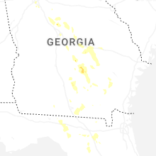
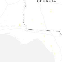
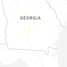
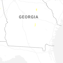


Connect with Interactive Hail Maps