

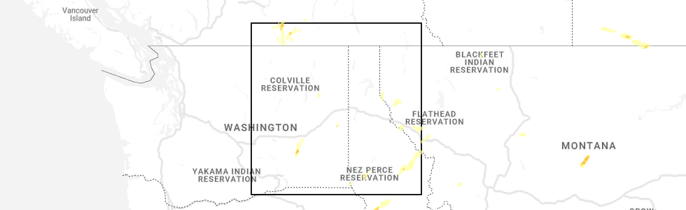
Hail Map for Heron, MT
The Heron, MT area has had 0 reports of on-the-ground hail by trained spotters, and has been under severe weather warnings 1 time during the past 12 months. Doppler radar has detected hail at or near Heron, MT on 1 occasion.
| Name: | Heron, MT |
| Where Located: | 72.9 miles ENE of Spokane, WA |
| Map: | Google Map for Heron, MT |
| Population: | 282 |
| Housing Units: | 125 |
| More Info: | Search Google for Heron, MT |
5
The Top Recent Hail Date for Heron, MT is Friday, August 12, 2022 (1st out of 1)
Hail and Wind Damage Spotted near Heron, MT
| Date / Time | Report Details |
|---|---|
| 5/11/2025 7:01 PM MDT |
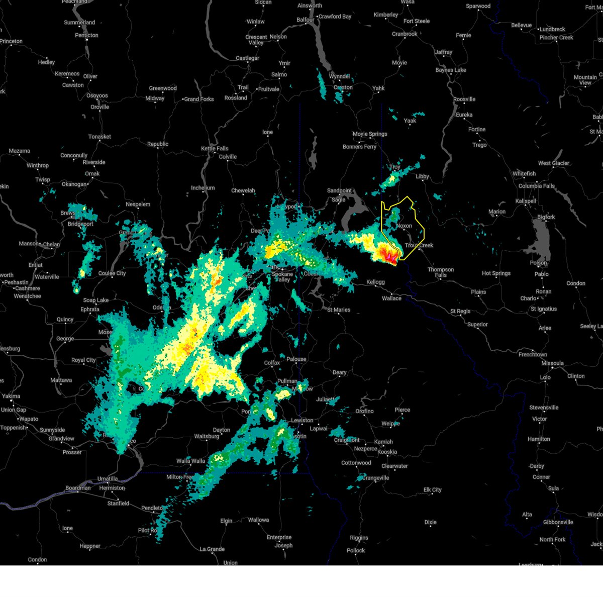 Svrmso the national weather service in missoula has issued a * severe thunderstorm warning for, northwestern sanders county in northwestern montana, * until 745 pm mdt. * at 701 pm mdt, a severe thunderstorm was located 14 miles southwest of noxon, or 20 miles northeast of kellogg, moving northeast at 40 mph (radar indicated). Hazards include ping pong ball size hail and 60 mph wind gusts. People and animals outdoors will be injured. expect hail damage to roofs, siding, windows, and vehicles. Expect wind damage to roofs, siding, and trees. Svrmso the national weather service in missoula has issued a * severe thunderstorm warning for, northwestern sanders county in northwestern montana, * until 745 pm mdt. * at 701 pm mdt, a severe thunderstorm was located 14 miles southwest of noxon, or 20 miles northeast of kellogg, moving northeast at 40 mph (radar indicated). Hazards include ping pong ball size hail and 60 mph wind gusts. People and animals outdoors will be injured. expect hail damage to roofs, siding, windows, and vehicles. Expect wind damage to roofs, siding, and trees.
|
| 7/20/2012 4:44 PM MDT | Power outage across town in sanders county MT, 6.6 miles SW of Heron, MT |
Hail Maps for Heron, MT

Connect with Interactive Hail Maps