

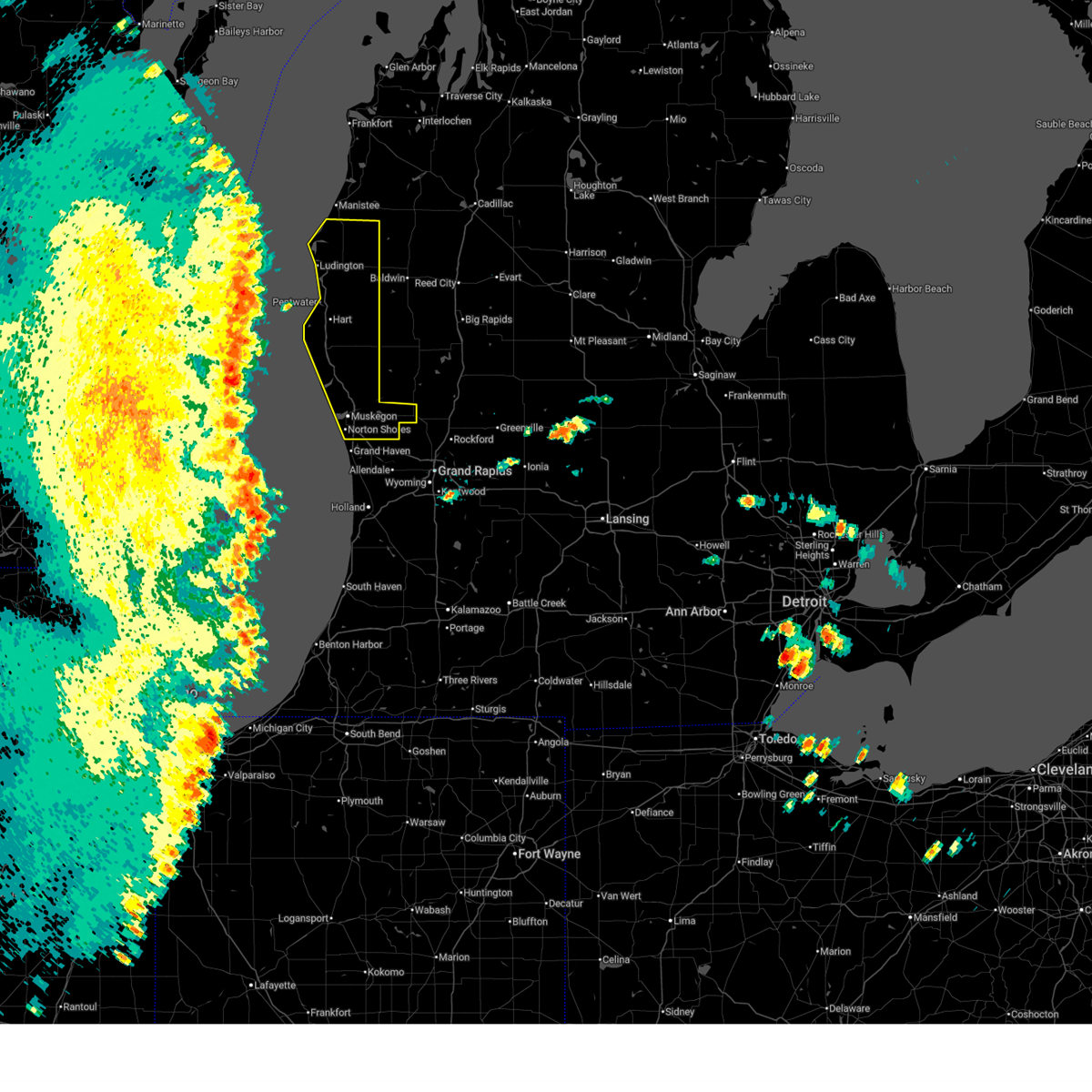
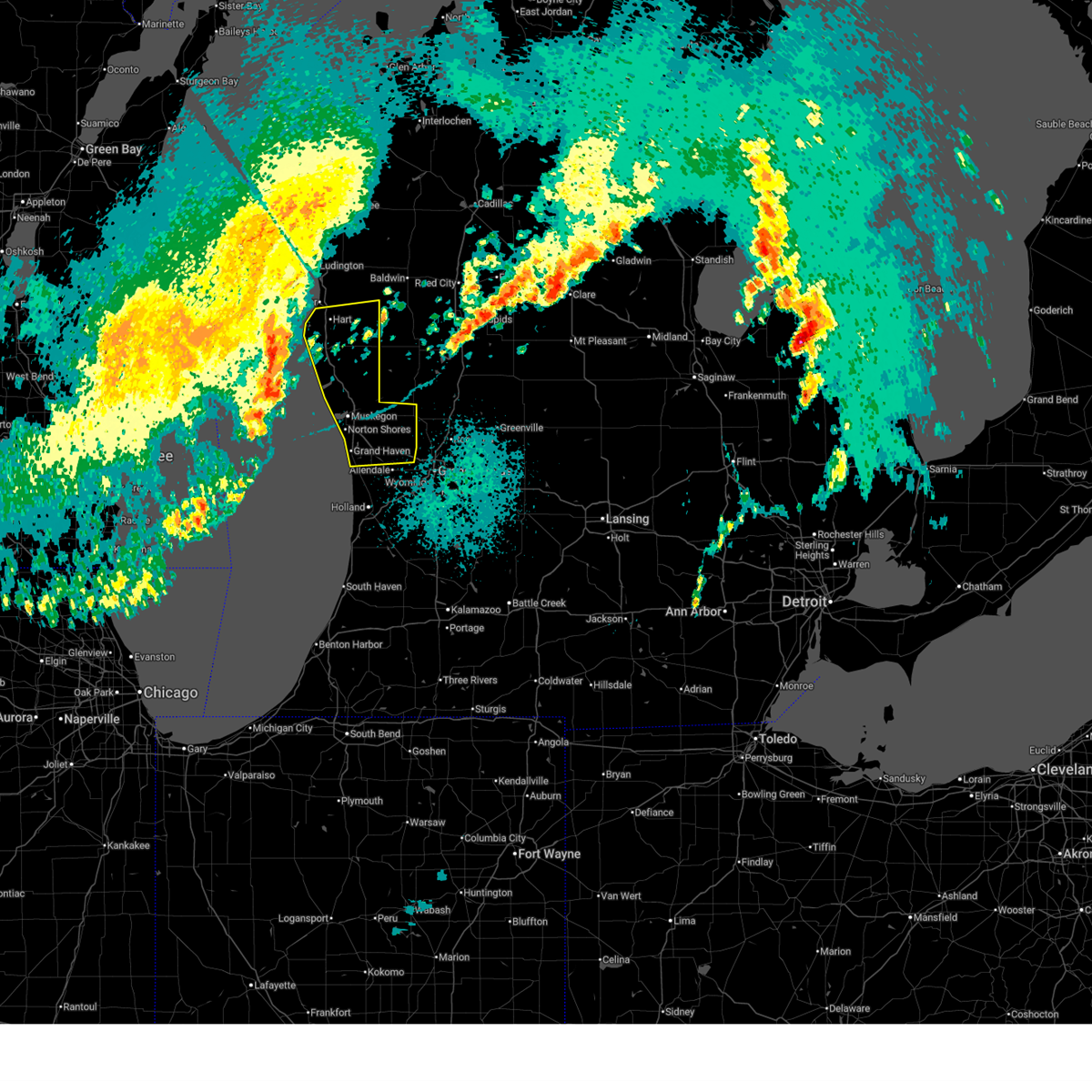
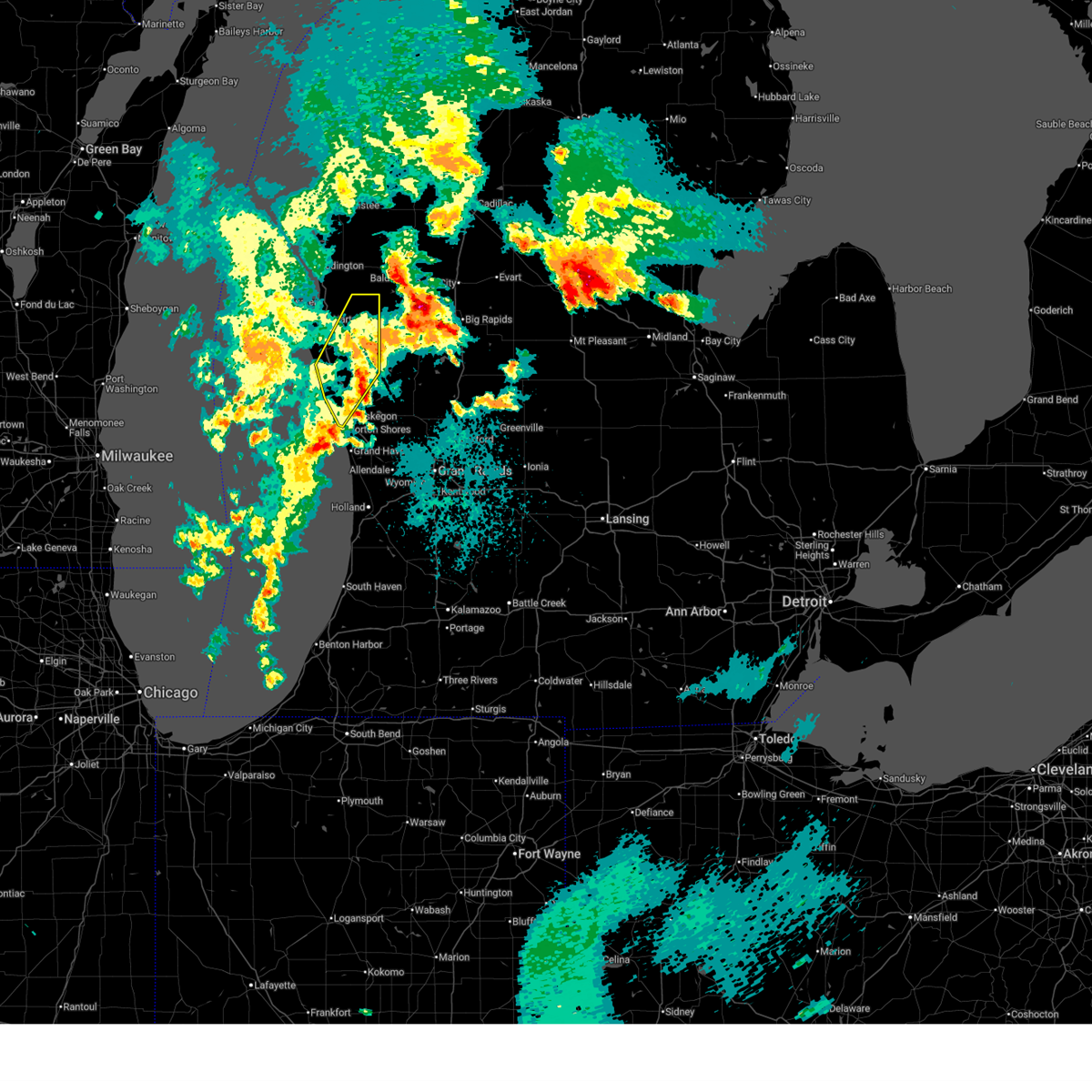
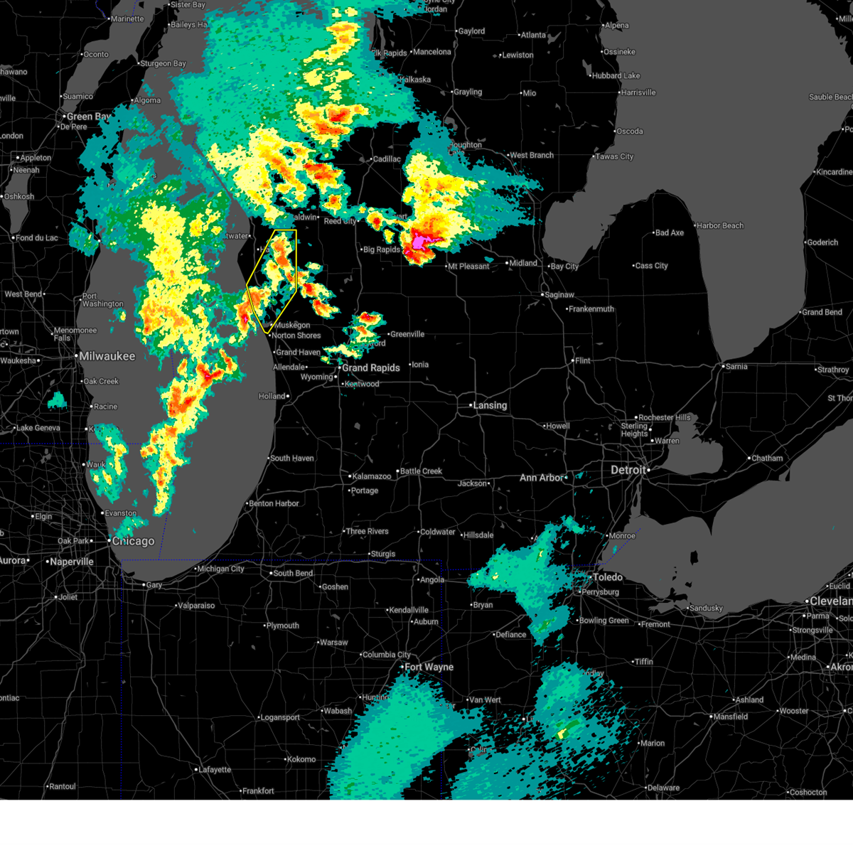
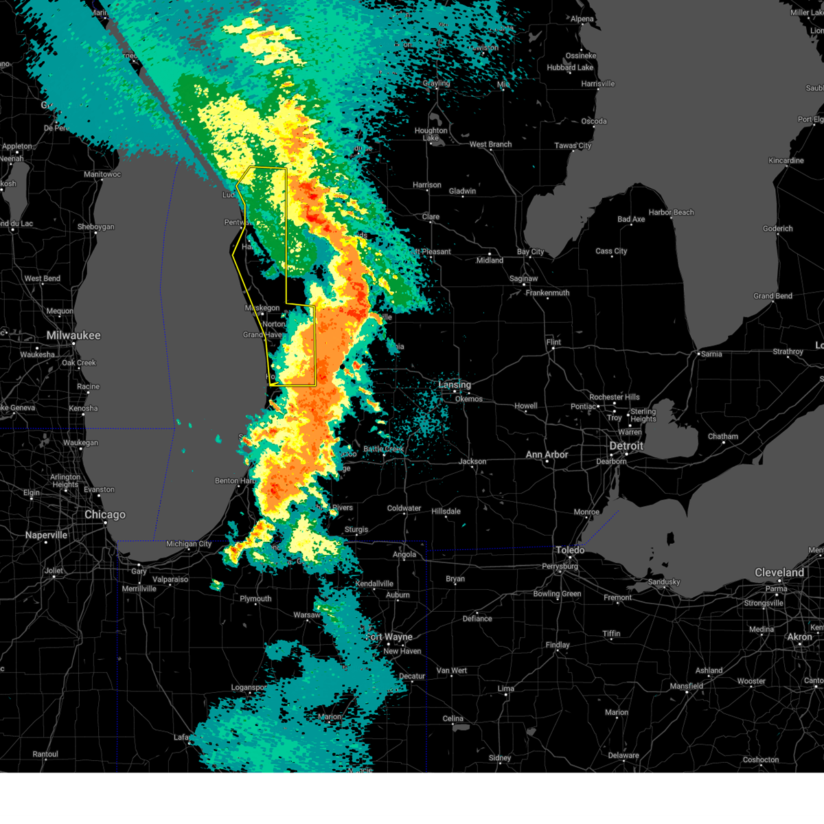
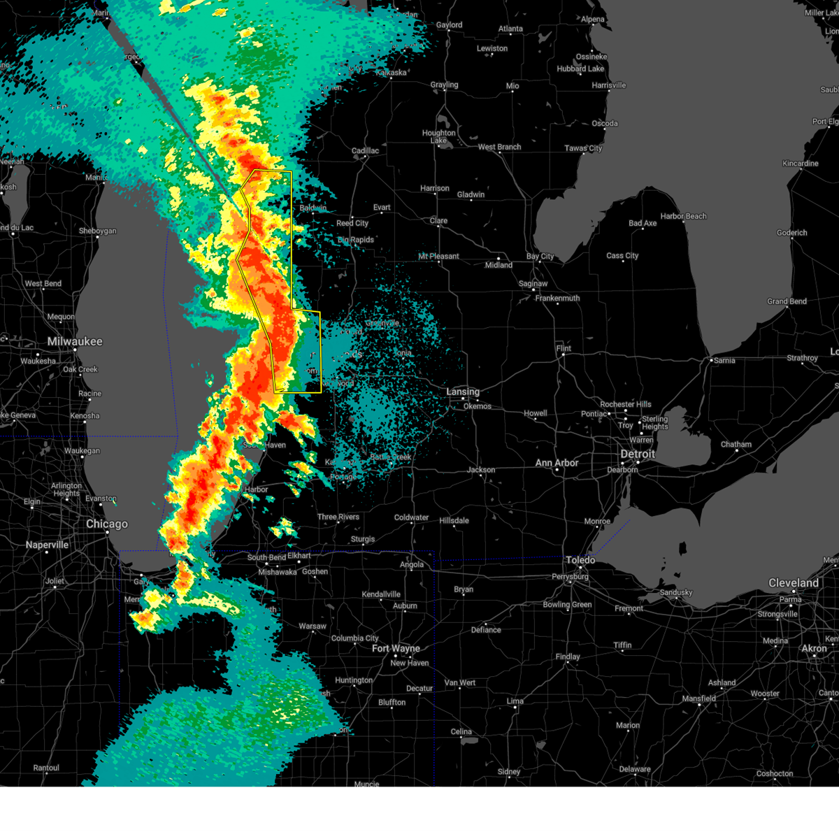
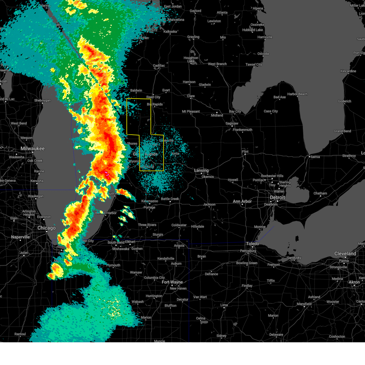
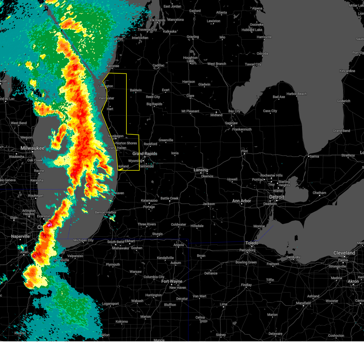
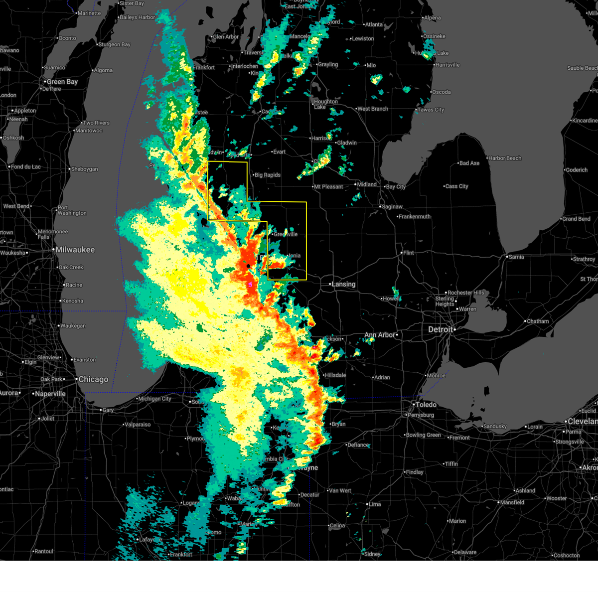
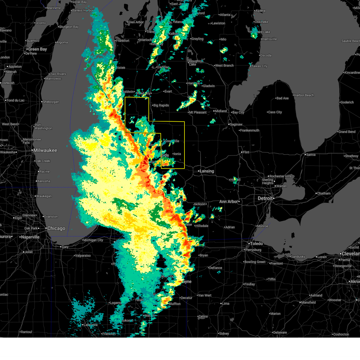
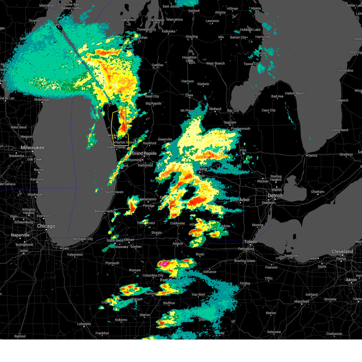
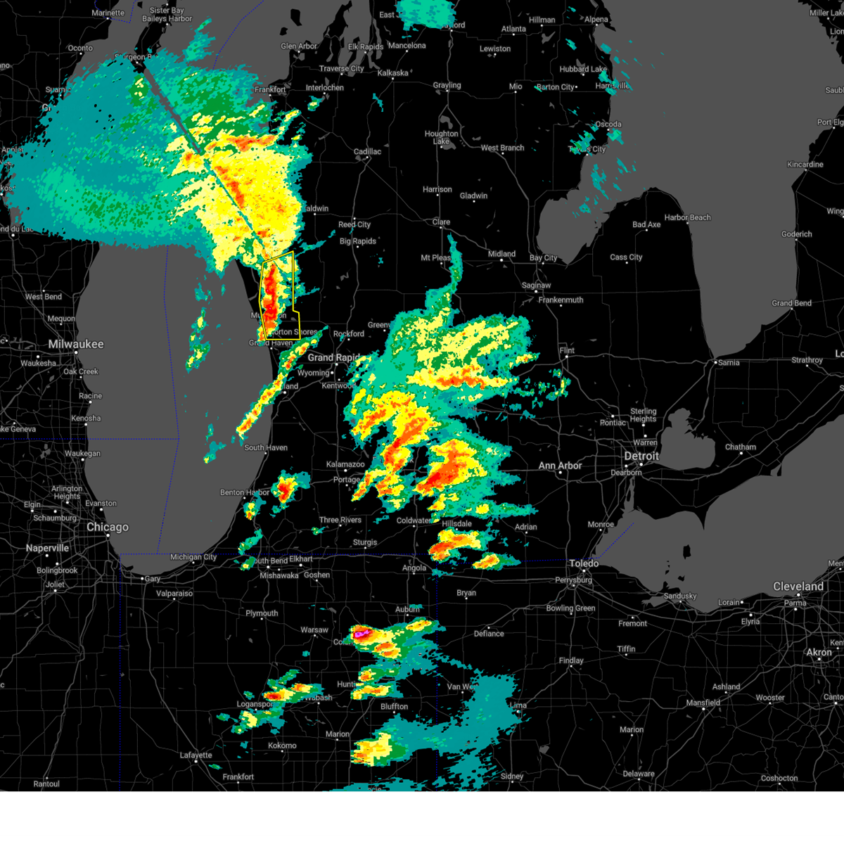
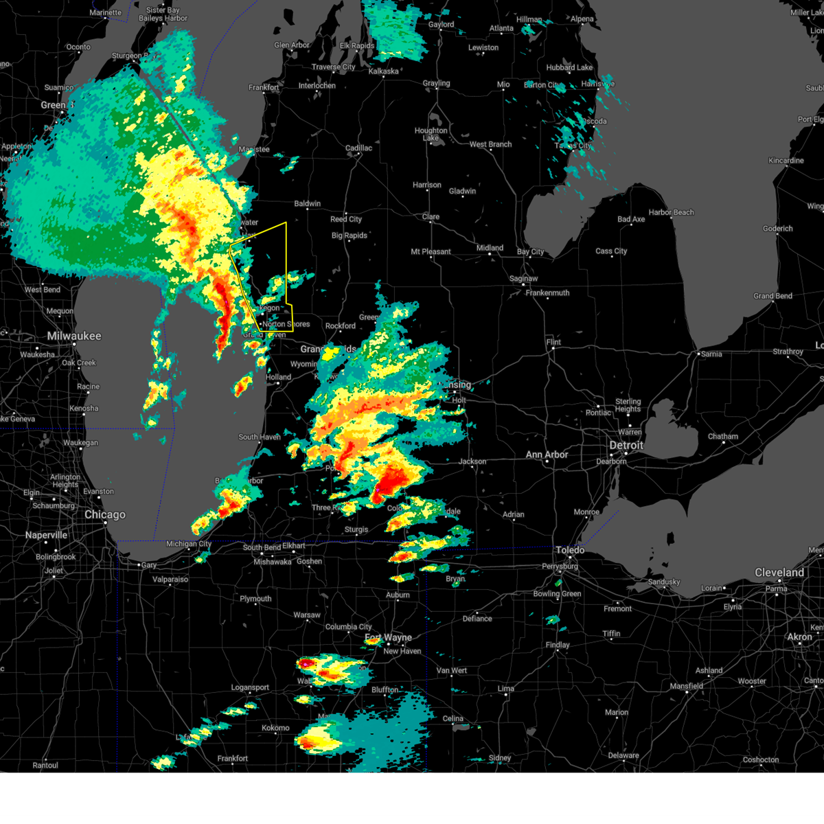
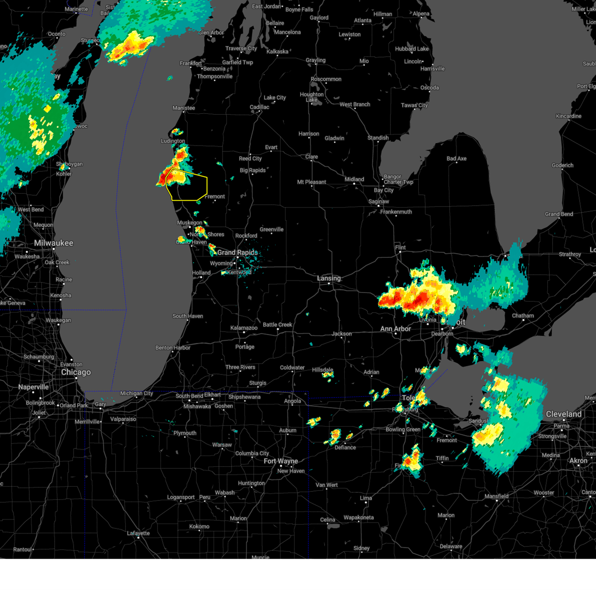
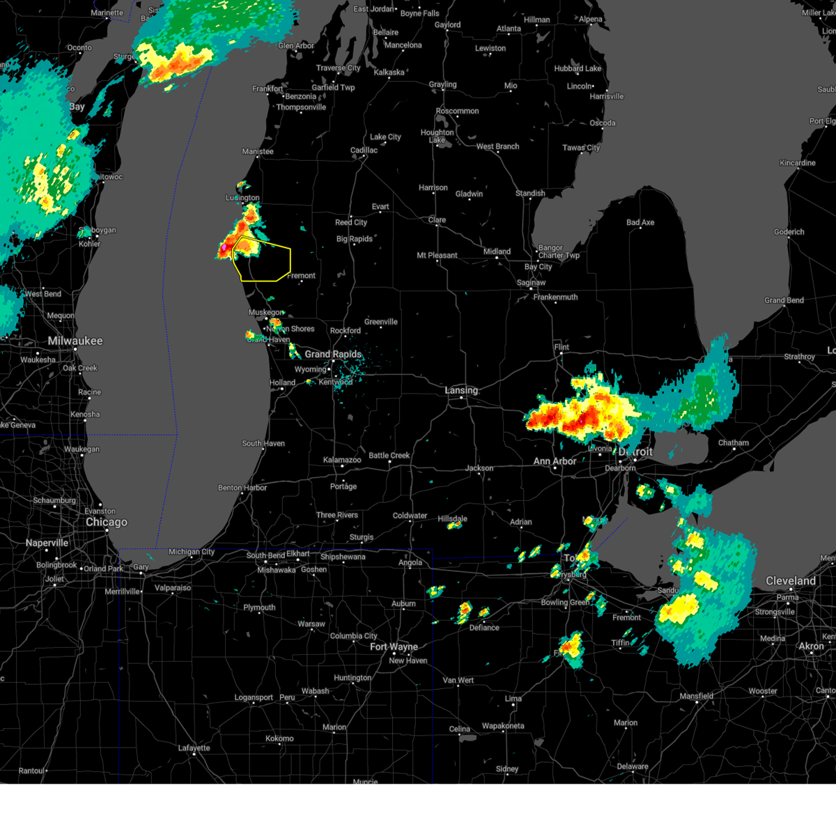
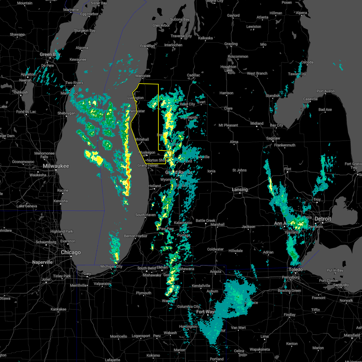
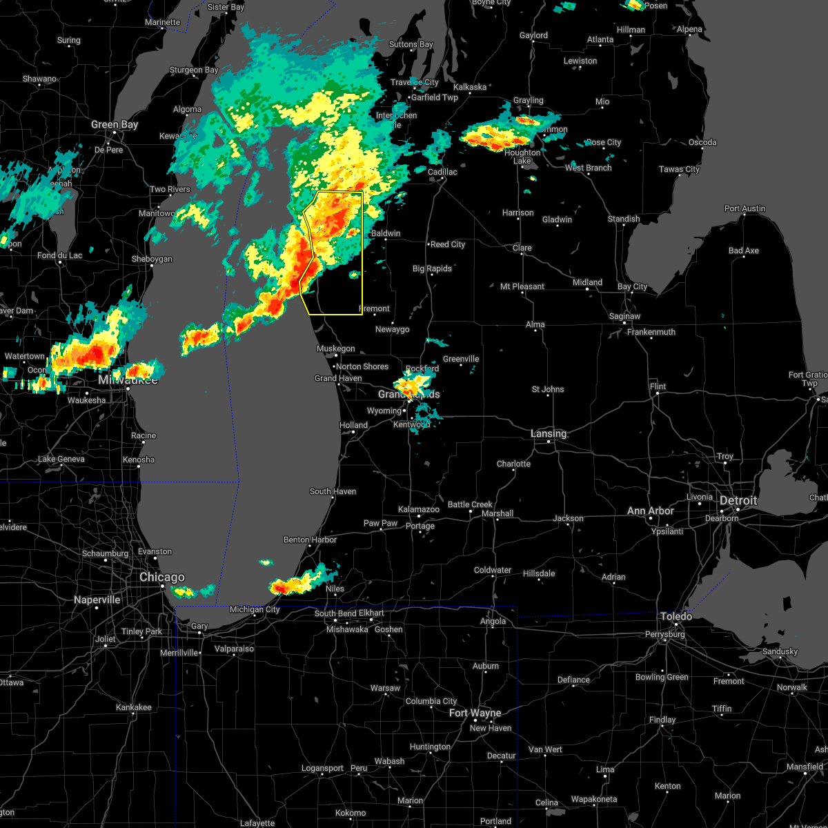
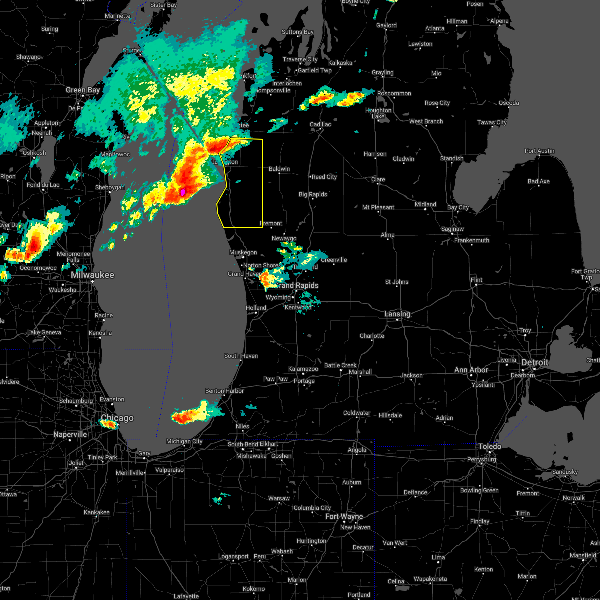
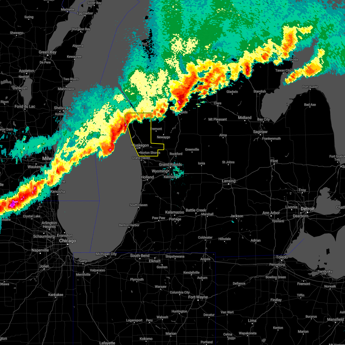
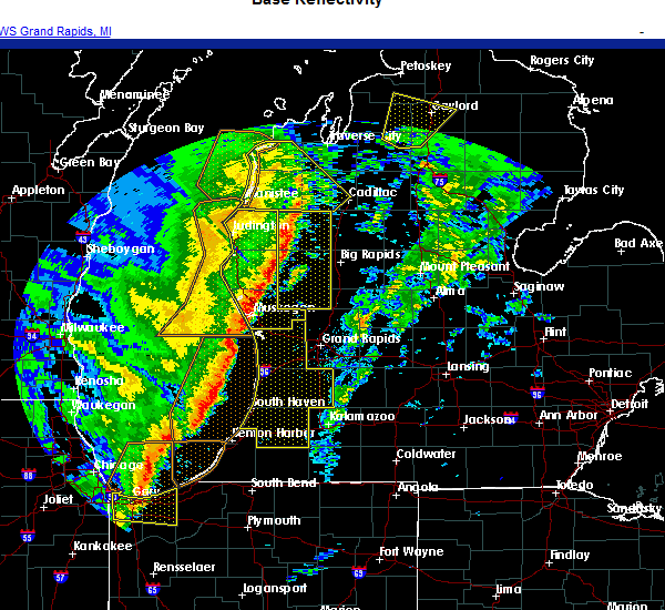
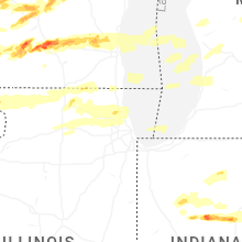
Hail Map for Hesperia, MI
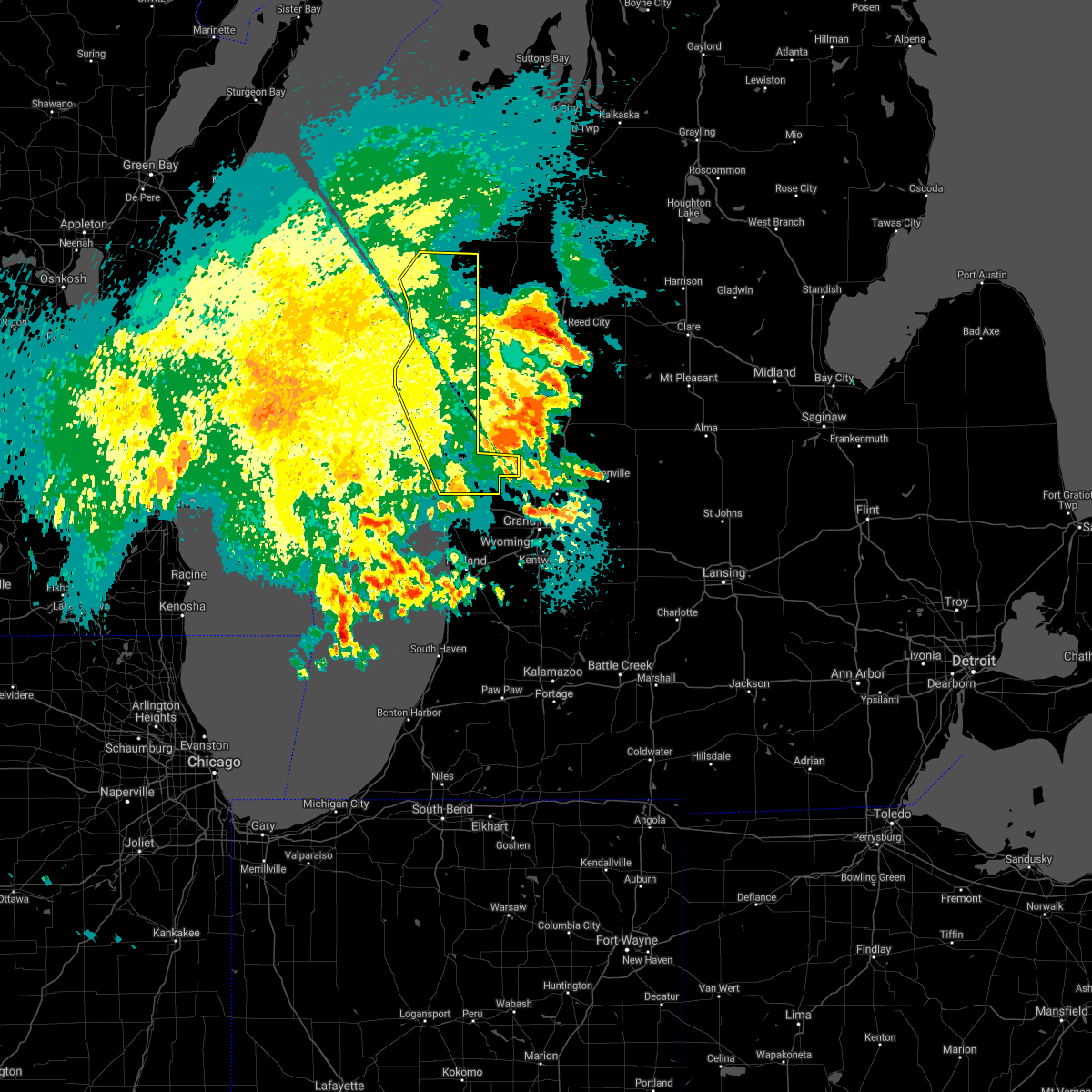
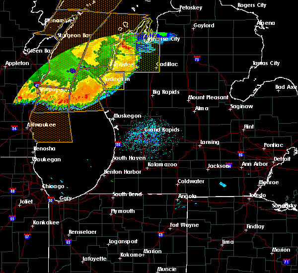
The Hesperia, MI area has had 3 reports of on-the-ground hail by trained spotters, and has been under severe weather warnings 6 times during the past 12 months. Doppler radar has detected hail at or near Hesperia, MI on 19 occasions, including 1 occasion during the past year.
| Name: | Hesperia, MI |
| Where Located: | 45.6 miles NNW of Grand Rapids, MI |
| Map: | Google Map for Hesperia, MI |
| Population: | 954 |
| Housing Units: | 431 |
| More Info: | Search Google for Hesperia, MI |
0
The Top Recent Hail Date for Hesperia, MI is Tuesday, April 14, 2026 (11th out of 19)
Hail and Wind Damage Spotted near Hesperia, MI
| Date / Time | Report Details |
|---|---|
| 6/10/2026 6:57 PM EDT |
 At 656 pm edt, severe thunderstorms were located along a line extending from 5 miles east of dublin to near grant, moving east at 50 mph (radar indicated). Hazards include 60 mph wind gusts and penny size hail. Expect damage to roofs, siding, and trees. Locations impacted include, newaygo, white cloud, baldwin, fremont, hesperia, grant, luther, croton, bridgeton, chase, brohman, reeman, nirvana, idlewild, bristol, woodland park, hawkins, big star lake, wolf lake, woodville,. At 656 pm edt, severe thunderstorms were located along a line extending from 5 miles east of dublin to near grant, moving east at 50 mph (radar indicated). Hazards include 60 mph wind gusts and penny size hail. Expect damage to roofs, siding, and trees. Locations impacted include, newaygo, white cloud, baldwin, fremont, hesperia, grant, luther, croton, bridgeton, chase, brohman, reeman, nirvana, idlewild, bristol, woodland park, hawkins, big star lake, wolf lake, woodville,.
|
| 6/10/2026 6:35 PM EDT |
 Svrgrr the national weather service in grand rapids has issued a * severe thunderstorm warning for, newaygo county in west central michigan, lake county in west central michigan, * until 730 pm edt. * at 633 pm edt, severe thunderstorms were located along a line extending from 5 miles east of free soil to near ravenna, moving northeast at 50 mph. a wind gust of 56 mph was reported at the muskegon county airport (radar indicated). Hazards include 60 mph wind gusts and penny size hail. expect damage to roofs, siding, and trees Svrgrr the national weather service in grand rapids has issued a * severe thunderstorm warning for, newaygo county in west central michigan, lake county in west central michigan, * until 730 pm edt. * at 633 pm edt, severe thunderstorms were located along a line extending from 5 miles east of free soil to near ravenna, moving northeast at 50 mph. a wind gust of 56 mph was reported at the muskegon county airport (radar indicated). Hazards include 60 mph wind gusts and penny size hail. expect damage to roofs, siding, and trees
|
| 6/10/2026 6:30 PM EDT |
 At 629 pm edt, severe thunderstorms were located along a line extending from near parkdale to 8 miles northeast of hart to near roosevelt park, moving east at 50 mph (weather station. at 628 pm 59 mph winds were reported at muskegon asos). Hazards include 60 mph wind gusts and penny size hail. winds may occur along or several miles ahead of thunderstorms. Expect damage to roofs, siding, and trees. Locations impacted include, muskegon, ludington, hart, shelby, muskegon heights, roosevelt park, north muskegon, whitehall, montague, lakewood club, ravenna, scottville, fruitport, hesperia, pentwater, fountain, free soil, hamlin lake, mears sp, mears,. At 629 pm edt, severe thunderstorms were located along a line extending from near parkdale to 8 miles northeast of hart to near roosevelt park, moving east at 50 mph (weather station. at 628 pm 59 mph winds were reported at muskegon asos). Hazards include 60 mph wind gusts and penny size hail. winds may occur along or several miles ahead of thunderstorms. Expect damage to roofs, siding, and trees. Locations impacted include, muskegon, ludington, hart, shelby, muskegon heights, roosevelt park, north muskegon, whitehall, montague, lakewood club, ravenna, scottville, fruitport, hesperia, pentwater, fountain, free soil, hamlin lake, mears sp, mears,.
|
| 6/10/2026 6:12 PM EDT |
 At 612 pm edt, severe thunderstorms were located along a line extending from 7 miles west of manistee to near silver lake sp to 15 miles west of roosevelt park, moving east at 65 mph (radar indicated). Hazards include 60 mph wind gusts and penny size hail. Expect damage to roofs, siding, and trees. Locations impacted include, muskegon, ludington, hart, shelby, muskegon heights, roosevelt park, north muskegon, whitehall, montague, lakewood club, ravenna, scottville, fruitport, hesperia, pentwater, fountain, free soil, hamlin lake, mears sp, mears,. At 612 pm edt, severe thunderstorms were located along a line extending from 7 miles west of manistee to near silver lake sp to 15 miles west of roosevelt park, moving east at 65 mph (radar indicated). Hazards include 60 mph wind gusts and penny size hail. Expect damage to roofs, siding, and trees. Locations impacted include, muskegon, ludington, hart, shelby, muskegon heights, roosevelt park, north muskegon, whitehall, montague, lakewood club, ravenna, scottville, fruitport, hesperia, pentwater, fountain, free soil, hamlin lake, mears sp, mears,.
|
| 6/10/2026 5:49 PM EDT |
 Svrgrr the national weather service in grand rapids has issued a * severe thunderstorm warning for, mason county in west central michigan, muskegon county in west central michigan, oceana county in west central michigan, * until 645 pm edt. * at 549 pm edt, severe thunderstorms were located along a line extending from 20 miles northwest of ludington sp to 32 miles southwest of montague, moving east at 50 mph (radar indicated). Hazards include 60 mph wind gusts and penny size hail. expect damage to roofs, siding, and trees Svrgrr the national weather service in grand rapids has issued a * severe thunderstorm warning for, mason county in west central michigan, muskegon county in west central michigan, oceana county in west central michigan, * until 645 pm edt. * at 549 pm edt, severe thunderstorms were located along a line extending from 20 miles northwest of ludington sp to 32 miles southwest of montague, moving east at 50 mph (radar indicated). Hazards include 60 mph wind gusts and penny size hail. expect damage to roofs, siding, and trees
|
| 4/14/2026 3:43 AM EDT |
 Svrgrr the national weather service in grand rapids has issued a * severe thunderstorm warning for, northern ottawa county in southwestern michigan, muskegon county in west central michigan, oceana county in west central michigan, * until 445 am edt. * at 343 am edt, severe thunderstorms were located along a line extending from 9 miles west of silver lake sp to 15 miles west of montague to 25 miles southwest of roosevelt park, moving east at 50 mph (radar indicated). Hazards include 60 mph wind gusts. expect damage to roofs, siding, and trees Svrgrr the national weather service in grand rapids has issued a * severe thunderstorm warning for, northern ottawa county in southwestern michigan, muskegon county in west central michigan, oceana county in west central michigan, * until 445 am edt. * at 343 am edt, severe thunderstorms were located along a line extending from 9 miles west of silver lake sp to 15 miles west of montague to 25 miles southwest of roosevelt park, moving east at 50 mph (radar indicated). Hazards include 60 mph wind gusts. expect damage to roofs, siding, and trees
|
| 5/16/2025 9:43 PM EDT |
 the severe thunderstorm warning has been cancelled and is no longer in effect the severe thunderstorm warning has been cancelled and is no longer in effect
|
| 5/16/2025 9:13 PM EDT |
 Svrgrr the national weather service in grand rapids has issued a * severe thunderstorm warning for, western muskegon county in west central michigan, oceana county in west central michigan, * until 1000 pm edt. * at 913 pm edt, a severe thunderstorm was located 9 miles southwest of whitehall, or 10 miles northwest of muskegon, moving northeast at 55 mph (radar indicated). Hazards include 60 mph wind gusts and quarter size hail. Hail damage to vehicles is expected. Expect wind damage to roofs, siding, and trees. Svrgrr the national weather service in grand rapids has issued a * severe thunderstorm warning for, western muskegon county in west central michigan, oceana county in west central michigan, * until 1000 pm edt. * at 913 pm edt, a severe thunderstorm was located 9 miles southwest of whitehall, or 10 miles northwest of muskegon, moving northeast at 55 mph (radar indicated). Hazards include 60 mph wind gusts and quarter size hail. Hail damage to vehicles is expected. Expect wind damage to roofs, siding, and trees.
|
| 5/15/2025 10:44 PM EDT |
 The storms which prompted the warning have weakened below severe limits, and no longer pose an immediate threat to life or property. therefore, the warning will be allowed to expire. however, gusty winds around 50 mph and frequent lightning are still possible with these thunderstorms through 1100 pm, particularly over parts of eastern ottawa county. a tornado watch remains in effect until 300 am edt for southwestern and west central michigan. The storms which prompted the warning have weakened below severe limits, and no longer pose an immediate threat to life or property. therefore, the warning will be allowed to expire. however, gusty winds around 50 mph and frequent lightning are still possible with these thunderstorms through 1100 pm, particularly over parts of eastern ottawa county. a tornado watch remains in effect until 300 am edt for southwestern and west central michigan.
|
| 5/15/2025 10:00 PM EDT |
 At 958 pm edt, severe thunderstorms were located along a line extending from near hart to near coopersville to near beechwood, moving east at 60 mph. these are destructive storms for muskegon and ottawa counties! (radar indicated). Hazards include 80 mph wind gusts and penny size hail. Flying debris will be dangerous to those caught without shelter. mobile homes will be heavily damaged. expect considerable damage to roofs, windows, and vehicles. extensive tree damage and power outages are likely. Locations impacted include, muskegon, holland, grand haven, hart, walker, shelby, muskegon heights, hudsonville, zeeland, coopersville, roosevelt park, north muskegon, ferrysburg, whitehall, montague, spring lake, lakewood club, ravenna, scottville, fruitport,. At 958 pm edt, severe thunderstorms were located along a line extending from near hart to near coopersville to near beechwood, moving east at 60 mph. these are destructive storms for muskegon and ottawa counties! (radar indicated). Hazards include 80 mph wind gusts and penny size hail. Flying debris will be dangerous to those caught without shelter. mobile homes will be heavily damaged. expect considerable damage to roofs, windows, and vehicles. extensive tree damage and power outages are likely. Locations impacted include, muskegon, holland, grand haven, hart, walker, shelby, muskegon heights, hudsonville, zeeland, coopersville, roosevelt park, north muskegon, ferrysburg, whitehall, montague, spring lake, lakewood club, ravenna, scottville, fruitport,.
|
| 5/15/2025 9:52 PM EDT |
 Svrgrr the national weather service in grand rapids has issued a * severe thunderstorm warning for, kent county in southwestern michigan, newaygo county in west central michigan, * until 1115 pm edt. * at 951 pm edt, severe thunderstorms were located along a line extending from near shelby to 6 miles west of coopersville to 5 miles west of holland sp, moving east at 65 mph. these are destructive storms for kent and newaygo counties (radar indicated). Hazards include 80 mph wind gusts and penny size hail. Flying debris will be dangerous to those caught without shelter. mobile homes will be heavily damaged. expect considerable damage to roofs, windows, and vehicles. Extensive tree damage and power outages are likely. Svrgrr the national weather service in grand rapids has issued a * severe thunderstorm warning for, kent county in southwestern michigan, newaygo county in west central michigan, * until 1115 pm edt. * at 951 pm edt, severe thunderstorms were located along a line extending from near shelby to 6 miles west of coopersville to 5 miles west of holland sp, moving east at 65 mph. these are destructive storms for kent and newaygo counties (radar indicated). Hazards include 80 mph wind gusts and penny size hail. Flying debris will be dangerous to those caught without shelter. mobile homes will be heavily damaged. expect considerable damage to roofs, windows, and vehicles. Extensive tree damage and power outages are likely.
|
| 5/15/2025 9:16 PM EDT |
 Svrgrr the national weather service in grand rapids has issued a * severe thunderstorm warning for, ottawa county in southwestern michigan, mason county in west central michigan, muskegon county in west central michigan, oceana county in west central michigan, * until 1045 pm edt. * at 915 pm edt, severe thunderstorms were located along a line extending from 19 miles northwest of ludington sp to 23 miles southwest of montague to 38 miles east of wind point, moving east at 55 mph (radar indicated). Hazards include 70 mph wind gusts and penny size hail. Expect considerable tree damage. Damage is likely to mobile homes, roofs, and outbuildings. Svrgrr the national weather service in grand rapids has issued a * severe thunderstorm warning for, ottawa county in southwestern michigan, mason county in west central michigan, muskegon county in west central michigan, oceana county in west central michigan, * until 1045 pm edt. * at 915 pm edt, severe thunderstorms were located along a line extending from 19 miles northwest of ludington sp to 23 miles southwest of montague to 38 miles east of wind point, moving east at 55 mph (radar indicated). Hazards include 70 mph wind gusts and penny size hail. Expect considerable tree damage. Damage is likely to mobile homes, roofs, and outbuildings.
|
| 3/30/2025 6:02 PM EDT |
 At 601 pm edt, severe thunderstorms were located along a line extending from near hesperia to near freeport, moving east at 60 mph. these are destructive storms for western michigan (at 5:50 pm 80 mph winds were observed at grand rapids asos). Hazards include 80 mph wind gusts and penny size hail. Flying debris will be dangerous to those caught without shelter. mobile homes will be heavily damaged. expect considerable damage to roofs, windows, and vehicles. extensive tree damage and power outages are likely. Locations impacted include, clarksville, reeman, cedar lake, stanton, vestaburg, wyman, newaygo, orleans, langston, hawkins, lakeview, greenville, six lakes, pierson, woodville, sidney, sheridan, howard city, belding, carson city,. At 601 pm edt, severe thunderstorms were located along a line extending from near hesperia to near freeport, moving east at 60 mph. these are destructive storms for western michigan (at 5:50 pm 80 mph winds were observed at grand rapids asos). Hazards include 80 mph wind gusts and penny size hail. Flying debris will be dangerous to those caught without shelter. mobile homes will be heavily damaged. expect considerable damage to roofs, windows, and vehicles. extensive tree damage and power outages are likely. Locations impacted include, clarksville, reeman, cedar lake, stanton, vestaburg, wyman, newaygo, orleans, langston, hawkins, lakeview, greenville, six lakes, pierson, woodville, sidney, sheridan, howard city, belding, carson city,.
|
| 3/30/2025 5:48 PM EDT |
 Svrgrr the national weather service in grand rapids has issued a * severe thunderstorm warning for, newaygo county in west central michigan, ionia county in south central michigan, montcalm county in central michigan, * until 645 pm edt. * at 547 pm edt, severe thunderstorms were located along a line extending from 6 miles northeast of hart to near middleville, moving northeast at 85 mph (radar indicated). Hazards include 70 mph wind gusts and penny size hail. Expect considerable tree damage. Damage is likely to mobile homes, roofs, and outbuildings. Svrgrr the national weather service in grand rapids has issued a * severe thunderstorm warning for, newaygo county in west central michigan, ionia county in south central michigan, montcalm county in central michigan, * until 645 pm edt. * at 547 pm edt, severe thunderstorms were located along a line extending from 6 miles northeast of hart to near middleville, moving northeast at 85 mph (radar indicated). Hazards include 70 mph wind gusts and penny size hail. Expect considerable tree damage. Damage is likely to mobile homes, roofs, and outbuildings.
|
| 5/20/2024 6:14 PM EDT |
 Svrgrr the national weather service in grand rapids has issued a * severe thunderstorm warning for, newaygo county in west central michigan, * until 715 pm edt. * at 614 pm edt, severe thunderstorms were located along a line extending from near hesperia to 6 miles west of grant, moving northeast at 30 mph (radar indicated). Hazards include 60 mph wind gusts. expect damage to roofs, siding, and trees Svrgrr the national weather service in grand rapids has issued a * severe thunderstorm warning for, newaygo county in west central michigan, * until 715 pm edt. * at 614 pm edt, severe thunderstorms were located along a line extending from near hesperia to 6 miles west of grant, moving northeast at 30 mph (radar indicated). Hazards include 60 mph wind gusts. expect damage to roofs, siding, and trees
|
| 5/7/2024 6:56 PM EDT |
 the severe thunderstorm warning has been cancelled and is no longer in effect the severe thunderstorm warning has been cancelled and is no longer in effect
|
| 5/7/2024 6:43 PM EDT |
 At 643 pm edt, severe thunderstorms were located along a line extending from 6 miles west of hesperia to near fruitport, moving northeast at 40 mph (radar indicated). Hazards include 60 mph wind gusts. Expect damage to roofs, siding, and trees. locations impacted include, muskegon, muskegon heights, roosevelt park, north muskegon, whitehall, lakewood club, fruitport, hesperia, norton shores, dalton, holton, sullivan, brunswick, moorland, big blue lake, wolf lake, twin lake, cloverville, st. Huberts,. At 643 pm edt, severe thunderstorms were located along a line extending from 6 miles west of hesperia to near fruitport, moving northeast at 40 mph (radar indicated). Hazards include 60 mph wind gusts. Expect damage to roofs, siding, and trees. locations impacted include, muskegon, muskegon heights, roosevelt park, north muskegon, whitehall, lakewood club, fruitport, hesperia, norton shores, dalton, holton, sullivan, brunswick, moorland, big blue lake, wolf lake, twin lake, cloverville, st. Huberts,.
|
| 5/7/2024 6:11 PM EDT |
 Svrgrr the national weather service in grand rapids has issued a * severe thunderstorm warning for, muskegon county in west central michigan, oceana county in west central michigan, * until 715 pm edt. * at 611 pm edt, severe thunderstorms were located along a line extending from 9 miles west of montague to 15 miles west of grand haven, moving east at 40 mph (radar indicated). Hazards include 60 mph wind gusts and quarter size hail. Hail damage to vehicles is expected. Expect wind damage to roofs, siding, and trees. Svrgrr the national weather service in grand rapids has issued a * severe thunderstorm warning for, muskegon county in west central michigan, oceana county in west central michigan, * until 715 pm edt. * at 611 pm edt, severe thunderstorms were located along a line extending from 9 miles west of montague to 15 miles west of grand haven, moving east at 40 mph (radar indicated). Hazards include 60 mph wind gusts and quarter size hail. Hail damage to vehicles is expected. Expect wind damage to roofs, siding, and trees.
|
| 8/11/2023 11:06 PM EDT |
 The severe thunderstorm warning for oceana county will expire at 1115 pm edt, the storm which prompted the warning has weakened below severe limits, and no longer poses an immediate threat to life or property. therefore, the warning will be allowed to expire. The severe thunderstorm warning for oceana county will expire at 1115 pm edt, the storm which prompted the warning has weakened below severe limits, and no longer poses an immediate threat to life or property. therefore, the warning will be allowed to expire.
|
| 8/11/2023 10:30 PM EDT |
 At 1030 pm edt, a severe thunderstorm was located near silver lake sp, or 10 miles west of hart, moving southeast at 25 mph (radar indicated). Hazards include 60 mph wind gusts and quarter size hail. Hail damage to vehicles is expected. Expect wind damage to roofs, siding, and trees. At 1030 pm edt, a severe thunderstorm was located near silver lake sp, or 10 miles west of hart, moving southeast at 25 mph (radar indicated). Hazards include 60 mph wind gusts and quarter size hail. Hail damage to vehicles is expected. Expect wind damage to roofs, siding, and trees.
|
| 4/20/2023 8:38 PM EDT |
 At 838 pm edt, severe thunderstorms were located along a line extending from near shelby to near grand haven to near saugatuck, moving northeast at 25 mph (radar indicated). Hazards include 60 mph wind gusts and penny size hail. expect damage to roofs, siding, and trees At 838 pm edt, severe thunderstorms were located along a line extending from near shelby to near grand haven to near saugatuck, moving northeast at 25 mph (radar indicated). Hazards include 60 mph wind gusts and penny size hail. expect damage to roofs, siding, and trees
|
| 11/5/2022 3:13 PM EDT |
 At 313 pm edt, severe thunderstorms were located along a line extending from near hamlin lake to 13 miles west of roosevelt park, moving northeast at 45 mph (radar indicated). Hazards include 60 mph wind gusts. Expect damage to roofs, siding, and trees. locations impacted include, muskegon, ludington, hart, shelby, muskegon heights, roosevelt park, north muskegon, whitehall, montague, lakewood club, ravenna, scottville, fruitport, hesperia, pentwater, fountain, free soil, hamlin lake, mears sp, ludington sp, hail threat, radar indicated max hail size, <. 75 in wind threat, radar indicated max wind gust, 60 mph. At 313 pm edt, severe thunderstorms were located along a line extending from near hamlin lake to 13 miles west of roosevelt park, moving northeast at 45 mph (radar indicated). Hazards include 60 mph wind gusts. Expect damage to roofs, siding, and trees. locations impacted include, muskegon, ludington, hart, shelby, muskegon heights, roosevelt park, north muskegon, whitehall, montague, lakewood club, ravenna, scottville, fruitport, hesperia, pentwater, fountain, free soil, hamlin lake, mears sp, ludington sp, hail threat, radar indicated max hail size, <. 75 in wind threat, radar indicated max wind gust, 60 mph.
|
| 11/5/2022 2:39 PM EDT |
 At 238 pm edt, severe thunderstorms were located along a line extending from 15 miles northwest of silver lake sp to 30 miles west of grand haven, moving northeast at 65 mph (radar indicated). Hazards include 60 mph wind gusts. expect damage to roofs, siding, and trees At 238 pm edt, severe thunderstorms were located along a line extending from 15 miles northwest of silver lake sp to 30 miles west of grand haven, moving northeast at 65 mph (radar indicated). Hazards include 60 mph wind gusts. expect damage to roofs, siding, and trees
|
| 8/29/2022 3:01 PM EDT | At 301 pm edt, a severe thunderstorm was located near white cloud, moving east at 50 mph (radar indicated). Hazards include 60 mph wind gusts and quarter size hail. Hail damage to vehicles is expected. Expect wind damage to roofs, siding, and trees. |
| 8/29/2022 1:47 PM EDT | At 147 pm edt, a severe thunderstorm was located 7 miles northeast of hesperia, or 11 miles northwest of white cloud, moving northeast at 35 mph (radar indicated). Hazards include 60 mph wind gusts and quarter size hail. Hail damage to vehicles is expected. Expect wind damage to roofs, siding, and trees. |
| 7/11/2022 9:13 PM EDT |
 The severe thunderstorm warning for mason and oceana counties will expire at 915 pm edt, the storms which prompted the warning have weakened below severe limits, and have exited the warned area. therefore, the warning will be allowed to expire. however, small hail and gusty winds to 50 mph are still possible with these thunderstorms. The severe thunderstorm warning for mason and oceana counties will expire at 915 pm edt, the storms which prompted the warning have weakened below severe limits, and have exited the warned area. therefore, the warning will be allowed to expire. however, small hail and gusty winds to 50 mph are still possible with these thunderstorms.
|
| 7/11/2022 8:45 PM EDT |
 At 845 pm edt, severe thunderstorms were located along a line extending from 5 miles east of fountain to near hart to 14 miles southwest of silver lake sp, moving east at 50 mph (radar indicated). Hazards include 60 mph wind gusts and penny size hail. Expect damage to roofs, siding, and trees. locations impacted include, ludington, hart, ludington sp, shelby, scottville, hesperia, pentwater, fountain, free soil, hamlin lake, mears sp, silver lake sp, weare, elbridge, colfax, new era, rothbury, custer, walkerville, walhalla, hail threat, radar indicated max hail size, 0. 75 in wind threat, radar indicated max wind gust, 60 mph. At 845 pm edt, severe thunderstorms were located along a line extending from 5 miles east of fountain to near hart to 14 miles southwest of silver lake sp, moving east at 50 mph (radar indicated). Hazards include 60 mph wind gusts and penny size hail. Expect damage to roofs, siding, and trees. locations impacted include, ludington, hart, ludington sp, shelby, scottville, hesperia, pentwater, fountain, free soil, hamlin lake, mears sp, silver lake sp, weare, elbridge, colfax, new era, rothbury, custer, walkerville, walhalla, hail threat, radar indicated max hail size, 0. 75 in wind threat, radar indicated max wind gust, 60 mph.
|
| 7/11/2022 8:20 PM EDT |
 At 820 pm edt, a severe thunderstorm was located 12 miles northwest of silver lake sp, or 17 miles southwest of ludington, moving east at 45 mph (radar indicated). Hazards include 60 mph wind gusts and quarter size hail. Hail damage to vehicles is expected. expect wind damage to roofs, siding, and trees. this severe thunderstorm will be near, silver lake sp around 835 pm edt. pentwater, mears sp and mears around 840 pm edt. other locations in the path of this severe thunderstorm include hart. hail threat, radar indicated max hail size, 1. 00 in wind threat, radar indicated max wind gust, 60 mph. At 820 pm edt, a severe thunderstorm was located 12 miles northwest of silver lake sp, or 17 miles southwest of ludington, moving east at 45 mph (radar indicated). Hazards include 60 mph wind gusts and quarter size hail. Hail damage to vehicles is expected. expect wind damage to roofs, siding, and trees. this severe thunderstorm will be near, silver lake sp around 835 pm edt. pentwater, mears sp and mears around 840 pm edt. other locations in the path of this severe thunderstorm include hart. hail threat, radar indicated max hail size, 1. 00 in wind threat, radar indicated max wind gust, 60 mph.
|
| 5/11/2022 2:40 PM EDT |
 The severe thunderstorm warning for west central newaygo county will expire at 245 pm edt, the storm which prompted the warning for newaygo county has weakened below severe limits, and the warning will be allowed to expire at 245 pm edt. however, small hail, lightning, and flooding are still possible with this thunderstorm. The severe thunderstorm warning for west central newaygo county will expire at 245 pm edt, the storm which prompted the warning for newaygo county has weakened below severe limits, and the warning will be allowed to expire at 245 pm edt. however, small hail, lightning, and flooding are still possible with this thunderstorm.
|
| 5/11/2022 2:22 PM EDT |
 At 220 pm edt, a severe thunderstorm was located near white cloud, moving southwest at 20 mph (radar indicated. at 215 pm edt, trees were reported down north of white cloud). Hazards include 60 mph wind gusts and quarter size hail. Hail damage to vehicles is expected. expect wind damage to roofs, siding, and trees. locations impacted include, white cloud, fremont, hesperia, reeman, wooster, hail threat, radar indicated max hail size, 1. 00 in wind threat, radar indicated max wind gust, 60 mph. At 220 pm edt, a severe thunderstorm was located near white cloud, moving southwest at 20 mph (radar indicated. at 215 pm edt, trees were reported down north of white cloud). Hazards include 60 mph wind gusts and quarter size hail. Hail damage to vehicles is expected. expect wind damage to roofs, siding, and trees. locations impacted include, white cloud, fremont, hesperia, reeman, wooster, hail threat, radar indicated max hail size, 1. 00 in wind threat, radar indicated max wind gust, 60 mph.
|
| 5/11/2022 2:04 PM EDT |
 At 204 pm edt, severe thunderstorms were located along a line extending from near hesperia to near white cloud, moving south at 15 mph (radar indicated). Hazards include golf ball size hail and 60 mph wind gusts. People and animals outdoors will be injured. expect hail damage to roofs, siding, windows, and vehicles. expect wind damage to roofs, siding, and trees. locations impacted include, newaygo, white cloud, fremont, hesperia, croton, brohman, reeman, woodville, croton heights, wooster, thunderstorm damage threat, considerable hail threat, radar indicated max hail size, 1. 75 in wind threat, radar indicated max wind gust, 60 mph. At 204 pm edt, severe thunderstorms were located along a line extending from near hesperia to near white cloud, moving south at 15 mph (radar indicated). Hazards include golf ball size hail and 60 mph wind gusts. People and animals outdoors will be injured. expect hail damage to roofs, siding, windows, and vehicles. expect wind damage to roofs, siding, and trees. locations impacted include, newaygo, white cloud, fremont, hesperia, croton, brohman, reeman, woodville, croton heights, wooster, thunderstorm damage threat, considerable hail threat, radar indicated max hail size, 1. 75 in wind threat, radar indicated max wind gust, 60 mph.
|
| 5/11/2022 1:58 PM EDT |
 At 158 pm edt, severe thunderstorms were located along a line extending from near hesperia to near white cloud, moving south at 15 mph (radar indicated). Hazards include 60 mph wind gusts and quarter size hail. Hail damage to vehicles is expected. Expect wind damage to roofs, siding, and trees. At 158 pm edt, severe thunderstorms were located along a line extending from near hesperia to near white cloud, moving south at 15 mph (radar indicated). Hazards include 60 mph wind gusts and quarter size hail. Hail damage to vehicles is expected. Expect wind damage to roofs, siding, and trees.
|
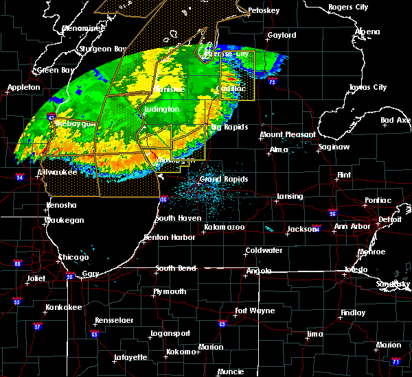
| 9/12/2021 4:04 PM EDT | Quarter sized hail reported 0.1 miles SSW of Hesperia, MI, photo relayed from wzzm tv. location approximate. time estimated from radar. |
| 9/7/2021 2:20 PM EDT |
 At 219 pm edt, a severe thunderstorm was located over white cloud, moving east at 65 mph (radar indicated). Hazards include 60 mph wind gusts and penny size hail. expect damage to roofs, siding, and trees At 219 pm edt, a severe thunderstorm was located over white cloud, moving east at 65 mph (radar indicated). Hazards include 60 mph wind gusts and penny size hail. expect damage to roofs, siding, and trees
|
| 9/7/2021 2:05 PM EDT |
 At 204 pm edt, severe thunderstorms were located along a line extending from near montague to 11 miles west of north muskegon, moving east at 65 mph. these are destructive storms for muskegon (radar indicated). Hazards include baseball size hail and 70 mph wind gusts. People and animals outdoors will be severely injured. expect shattered windows, extensive damage to roofs, siding, and vehicles. Locations impacted include, muskegon, hart, shelby, muskegon heights, roosevelt park, north muskegon, whitehall, montague, lakewood club, ravenna, fruitport, hesperia, silver lake sp, norton shores, dalton, holton, sullivan, elbridge, new era, rothbury,. At 204 pm edt, severe thunderstorms were located along a line extending from near montague to 11 miles west of north muskegon, moving east at 65 mph. these are destructive storms for muskegon (radar indicated). Hazards include baseball size hail and 70 mph wind gusts. People and animals outdoors will be severely injured. expect shattered windows, extensive damage to roofs, siding, and vehicles. Locations impacted include, muskegon, hart, shelby, muskegon heights, roosevelt park, north muskegon, whitehall, montague, lakewood club, ravenna, fruitport, hesperia, silver lake sp, norton shores, dalton, holton, sullivan, elbridge, new era, rothbury,.
|
| 9/7/2021 1:51 PM EDT |
 At 150 pm edt, a severe thunderstorm was located 20 miles southwest of montague, or 23 miles west of muskegon, moving east at 65 mph (radar indicated). Hazards include 60 mph wind gusts and quarter size hail. Hail damage to vehicles is expected. Expect wind damage to roofs, siding, and trees. At 150 pm edt, a severe thunderstorm was located 20 miles southwest of montague, or 23 miles west of muskegon, moving east at 65 mph (radar indicated). Hazards include 60 mph wind gusts and quarter size hail. Hail damage to vehicles is expected. Expect wind damage to roofs, siding, and trees.
|
| 9/7/2021 12:54 PM EDT |
 At 1254 pm edt, a severe thunderstorm was located near silver lake sp, or 8 miles west of hart, moving east at 55 mph (radar indicated). Hazards include 60 mph wind gusts and penny size hail. expect damage to roofs, siding, and trees At 1254 pm edt, a severe thunderstorm was located near silver lake sp, or 8 miles west of hart, moving east at 55 mph (radar indicated). Hazards include 60 mph wind gusts and penny size hail. expect damage to roofs, siding, and trees
|
| 8/24/2021 4:43 PM EDT |
 At 443 pm edt, a severe thunderstorm was located near hesperia, or 12 miles northwest of white cloud, moving east at 30 mph (radar indicated). Hazards include 60 mph wind gusts. expect damage to roofs, siding, and trees At 443 pm edt, a severe thunderstorm was located near hesperia, or 12 miles northwest of white cloud, moving east at 30 mph (radar indicated). Hazards include 60 mph wind gusts. expect damage to roofs, siding, and trees
|
| 8/10/2021 10:13 PM EDT |
 At 1013 pm edt, severe thunderstorms were located along a line extending from near free soil to near hartford, moving east at 60 mph (radar indicated). Hazards include 60 mph wind gusts. Expect damage to roofs, siding, and trees. locations impacted include, muskegon, holland, grand haven, ludington, allegan, south haven, paw paw, hart, ludington sp, walker, shelby, muskegon heights, hudsonville, zeeland, coopersville, wayland, otsego, roosevelt park, plainwell, north muskegon, hail threat, radar indicated max hail size, <. 75 in wind threat, radar indicated max wind gust, 60 mph. At 1013 pm edt, severe thunderstorms were located along a line extending from near free soil to near hartford, moving east at 60 mph (radar indicated). Hazards include 60 mph wind gusts. Expect damage to roofs, siding, and trees. locations impacted include, muskegon, holland, grand haven, ludington, allegan, south haven, paw paw, hart, ludington sp, walker, shelby, muskegon heights, hudsonville, zeeland, coopersville, wayland, otsego, roosevelt park, plainwell, north muskegon, hail threat, radar indicated max hail size, <. 75 in wind threat, radar indicated max wind gust, 60 mph.
|
| 8/10/2021 9:40 PM EDT |
 At 939 pm edt, severe thunderstorms were located along a line extending from 20 miles west of ludington state park to 15 miles northwest of st. joseph, moving east at 50 mph (radar indicated). Hazards include 60 mph wind gusts. expect damage to roofs, siding, and trees At 939 pm edt, severe thunderstorms were located along a line extending from 20 miles west of ludington state park to 15 miles northwest of st. joseph, moving east at 50 mph (radar indicated). Hazards include 60 mph wind gusts. expect damage to roofs, siding, and trees
|
| 11/10/2020 7:59 PM EST |
 At 734 pm est, severe thunderstorms were located along a line extending from 7 miles northeast of hart to 19 miles southwest of muskegon, moving northeast at 65 mph (radar indicated). Hazards include 60 mph wind gusts. expect damage to roofs, siding, and trees At 734 pm est, severe thunderstorms were located along a line extending from 7 miles northeast of hart to 19 miles southwest of muskegon, moving northeast at 65 mph (radar indicated). Hazards include 60 mph wind gusts. expect damage to roofs, siding, and trees
|
| 11/10/2020 7:55 PM EST |
 At 755 pm est, severe thunderstorms were located along a line extending from 7 miles north of hesperia to near muskegon, moving east at 40 mph (radar indicated). Hazards include 60 mph wind gusts. Expect damage to roofs, siding, and trees. Locations impacted include, muskegon, muskegon heights, roosevelt park, north muskegon, whitehall, montague, lakewood club, ravenna, fruitport, hesperia, norton shores, dalton, holton, sullivan, colfax, rothbury, casnovia, walkerville, cloverville, bailey,. At 755 pm est, severe thunderstorms were located along a line extending from 7 miles north of hesperia to near muskegon, moving east at 40 mph (radar indicated). Hazards include 60 mph wind gusts. Expect damage to roofs, siding, and trees. Locations impacted include, muskegon, muskegon heights, roosevelt park, north muskegon, whitehall, montague, lakewood club, ravenna, fruitport, hesperia, norton shores, dalton, holton, sullivan, colfax, rothbury, casnovia, walkerville, cloverville, bailey,.
|
| 11/10/2020 7:35 PM EST |
 At 734 pm est, severe thunderstorms were located along a line extending from 7 miles northeast of hart to 19 miles southwest of muskegon, moving northeast at 65 mph (radar indicated). Hazards include 60 mph wind gusts. expect damage to roofs, siding, and trees At 734 pm est, severe thunderstorms were located along a line extending from 7 miles northeast of hart to 19 miles southwest of muskegon, moving northeast at 65 mph (radar indicated). Hazards include 60 mph wind gusts. expect damage to roofs, siding, and trees
|
| 11/10/2020 7:31 PM EST |
 At 730 pm est, severe thunderstorms were located along a line extending from 6 miles south of manistee, to near hart, to 28 miles west of grand haven, moving northeast at 65 mph (radar indicated). Hazards include 60 mph wind gusts. Expect damage to roofs, siding, and trees. Locations impacted include, muskegon, ludington, hart, ludington sp, shelby, muskegon heights, roosevelt park, north muskegon, whitehall, montague, lakewood club, ravenna, scottville, fruitport, hesperia, pentwater, fountain, free soil, hamlin lake, mears sp,. At 730 pm est, severe thunderstorms were located along a line extending from 6 miles south of manistee, to near hart, to 28 miles west of grand haven, moving northeast at 65 mph (radar indicated). Hazards include 60 mph wind gusts. Expect damage to roofs, siding, and trees. Locations impacted include, muskegon, ludington, hart, ludington sp, shelby, muskegon heights, roosevelt park, north muskegon, whitehall, montague, lakewood club, ravenna, scottville, fruitport, hesperia, pentwater, fountain, free soil, hamlin lake, mears sp,.
|
| 11/10/2020 6:52 PM EST |
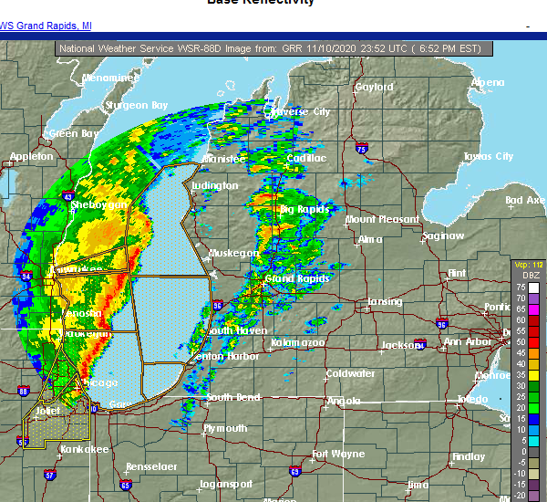 At 651 pm est, severe thunderstorms were located along a line extending from 20 miles west of silver lake sp to 40 miles west of muskegon, moving northeast at 70 mph (radar indicated). Hazards include 60 mph wind gusts. expect damage to roofs, siding, and trees At 651 pm est, severe thunderstorms were located along a line extending from 20 miles west of silver lake sp to 40 miles west of muskegon, moving northeast at 70 mph (radar indicated). Hazards include 60 mph wind gusts. expect damage to roofs, siding, and trees
|
| 6/3/2020 12:30 AM EDT |
 At 1230 am edt, severe thunderstorms were located along a line extending from 7 miles northwest of reed city to 6 miles east of newaygo, moving east at 35 mph (radar indicated). Hazards include 60 mph wind gusts. Expect damage to roofs, siding, and trees. Locations impacted include, newaygo, white cloud, baldwin, fremont, hesperia, grant, luther, croton, bridgeton, chase, brohman, woodland park, hawkins, reeman, nirvana, wolf lake, woodville, idlewild, irons, bristol,. At 1230 am edt, severe thunderstorms were located along a line extending from 7 miles northwest of reed city to 6 miles east of newaygo, moving east at 35 mph (radar indicated). Hazards include 60 mph wind gusts. Expect damage to roofs, siding, and trees. Locations impacted include, newaygo, white cloud, baldwin, fremont, hesperia, grant, luther, croton, bridgeton, chase, brohman, woodland park, hawkins, reeman, nirvana, wolf lake, woodville, idlewild, irons, bristol,.
|
| 6/3/2020 12:27 AM EDT |
 The severe thunderstorm warning for mason, muskegon and oceana counties will expire at 1230 am edt, the storms which prompted the warning have moved out of the area. therefore, the warning will be allowed to expire. however gusty winds are still possible through 100 am. a severe thunderstorm watch remains in effect until 400 am edt for southwestern and west central michigan. The severe thunderstorm warning for mason, muskegon and oceana counties will expire at 1230 am edt, the storms which prompted the warning have moved out of the area. therefore, the warning will be allowed to expire. however gusty winds are still possible through 100 am. a severe thunderstorm watch remains in effect until 400 am edt for southwestern and west central michigan.
|
| 6/3/2020 12:12 AM EDT | Trees down across road. scattered tree damage across north half of county... but concentrated from near hesperia to brohma in newaygo county MI, 5.8 miles SW of Hesperia, MI |
| 6/2/2020 11:51 PM EDT |
 At 1150 pm edt, severe thunderstorms were located along a line extending from near fountain to near ferrysburg, moving east at 45 mph (radar indicated). Hazards include 60 mph wind gusts and quarter size hail. Hail damage to vehicles is expected. expect wind damage to roofs, siding, and trees. Locations impacted include, muskegon, ludington, hart, ludington sp, shelby, muskegon heights, roosevelt park, north muskegon, whitehall, montague, lakewood club, ravenna, scottville, fruitport, hesperia, fountain, free soil, mears sp, silver lake sp, freesoil,. At 1150 pm edt, severe thunderstorms were located along a line extending from near fountain to near ferrysburg, moving east at 45 mph (radar indicated). Hazards include 60 mph wind gusts and quarter size hail. Hail damage to vehicles is expected. expect wind damage to roofs, siding, and trees. Locations impacted include, muskegon, ludington, hart, ludington sp, shelby, muskegon heights, roosevelt park, north muskegon, whitehall, montague, lakewood club, ravenna, scottville, fruitport, hesperia, fountain, free soil, mears sp, silver lake sp, freesoil,.
|
| 6/2/2020 11:43 PM EDT |
 At 1142 pm edt, severe thunderstorms were located along a line extending from 5 miles east of scottville to near whitehall, moving east at 50 mph (radar indicated). Hazards include 60 mph wind gusts. expect damage to roofs, siding, and trees At 1142 pm edt, severe thunderstorms were located along a line extending from 5 miles east of scottville to near whitehall, moving east at 50 mph (radar indicated). Hazards include 60 mph wind gusts. expect damage to roofs, siding, and trees
|
| 6/2/2020 11:07 PM EDT |
 At 1105 pm edt, severe thunderstorms were located along a line extending from 25 miles west of ludington to 40 miles west of muskegon, moving east at 45 mph (radar indicated). Hazards include 60 mph wind gusts. expect damage to roofs, siding, and trees At 1105 pm edt, severe thunderstorms were located along a line extending from 25 miles west of ludington to 40 miles west of muskegon, moving east at 45 mph (radar indicated). Hazards include 60 mph wind gusts. expect damage to roofs, siding, and trees
|
| 9/11/2019 6:26 PM EDT |
 At 610 pm edt, a severe thunderstorm was located near shelby and new era, or 11 miles south of hart, moving east at 40 mph (radar indicated). Hazards include 60 mph wind gusts. Expect damage to roofs, siding, and trees. locations impacted include, shelby, hesperia, new era, rothbury, st. Huberts, stony lake,. At 610 pm edt, a severe thunderstorm was located near shelby and new era, or 11 miles south of hart, moving east at 40 mph (radar indicated). Hazards include 60 mph wind gusts. Expect damage to roofs, siding, and trees. locations impacted include, shelby, hesperia, new era, rothbury, st. Huberts, stony lake,.
|
| 9/11/2019 6:11 PM EDT |
 At 610 pm edt, a severe thunderstorm was located near shelby and new era, or 11 miles south of hart, moving east at 40 mph (radar indicated). Hazards include 60 mph wind gusts. Expect damage to roofs, siding, and trees. locations impacted include, shelby, hesperia, new era, rothbury, st. Huberts, stony lake,. At 610 pm edt, a severe thunderstorm was located near shelby and new era, or 11 miles south of hart, moving east at 40 mph (radar indicated). Hazards include 60 mph wind gusts. Expect damage to roofs, siding, and trees. locations impacted include, shelby, hesperia, new era, rothbury, st. Huberts, stony lake,.
|
| 9/11/2019 5:41 PM EDT |
 The national weather service in grand rapids has issued a * severe thunderstorm warning for. oceana county in west central michigan. until 630 pm edt. At 541 pm edt, a severe thunderstorm was located 7 miles southwest of silver lake sp, or 14 miles west of hart, moving east at 50 mph. The national weather service in grand rapids has issued a * severe thunderstorm warning for. oceana county in west central michigan. until 630 pm edt. At 541 pm edt, a severe thunderstorm was located 7 miles southwest of silver lake sp, or 14 miles west of hart, moving east at 50 mph.
|
| 7/20/2019 3:40 PM EDT |
 The severe thunderstorm warning for newaygo county will expire at 345 pm edt, the storm which prompted the warning has moved out of the area. therefore, the warning will be allowed to expire. a severe thunderstorm watch remains in effect until 1000 pm edt for central and west central michigan. The severe thunderstorm warning for newaygo county will expire at 345 pm edt, the storm which prompted the warning has moved out of the area. therefore, the warning will be allowed to expire. a severe thunderstorm watch remains in effect until 1000 pm edt for central and west central michigan.
|
| 7/20/2019 3:07 PM EDT |
 At 306 pm edt, a severe thunderstorm was located near white cloud, moving east at 40 mph (radar indicated). Hazards include 60 mph wind gusts and penny size hail. radar indicates some rotation is occurring along the front of the line of storms. Expect damage to roofs, siding, and trees. Locations impacted include, newaygo, white cloud, fremont, hesperia, grant, croton, bridgeton, brohman, woodland park, hawkins, reeman, woodville, bitely, croton heights, wooster, brunswick,. At 306 pm edt, a severe thunderstorm was located near white cloud, moving east at 40 mph (radar indicated). Hazards include 60 mph wind gusts and penny size hail. radar indicates some rotation is occurring along the front of the line of storms. Expect damage to roofs, siding, and trees. Locations impacted include, newaygo, white cloud, fremont, hesperia, grant, croton, bridgeton, brohman, woodland park, hawkins, reeman, woodville, bitely, croton heights, wooster, brunswick,.
|
| 7/20/2019 2:46 PM EDT |
 At 246 pm edt, a severe thunderstorm was located near hesperia, or 15 miles northwest of white cloud, moving east at 40 mph (radar indicated). Hazards include 60 mph wind gusts and penny size hail. expect damage to roofs, siding, and trees At 246 pm edt, a severe thunderstorm was located near hesperia, or 15 miles northwest of white cloud, moving east at 40 mph (radar indicated). Hazards include 60 mph wind gusts and penny size hail. expect damage to roofs, siding, and trees
|
| 7/20/2019 2:07 PM EDT |
 At 206 pm edt, a severe thunderstorm was located 7 miles west of silver lake state park, or 15 miles west of hart, moving east at 60 mph (radar indicated). Hazards include 60 mph wind gusts and penny size hail. expect damage to roofs, siding, and trees At 206 pm edt, a severe thunderstorm was located 7 miles west of silver lake state park, or 15 miles west of hart, moving east at 60 mph (radar indicated). Hazards include 60 mph wind gusts and penny size hail. expect damage to roofs, siding, and trees
|
| 7/20/2019 1:38 AM EDT |
 The severe thunderstorm warning for newaygo county will expire at 145 am edt, the storms which prompted the warning have moved out of the area. therefore, the warning will be allowed to expire. however heavy rain is still possible with these thunderstorms. a severe thunderstorm watch remains in effect until 600 am edt for central and west central michigan. The severe thunderstorm warning for newaygo county will expire at 145 am edt, the storms which prompted the warning have moved out of the area. therefore, the warning will be allowed to expire. however heavy rain is still possible with these thunderstorms. a severe thunderstorm watch remains in effect until 600 am edt for central and west central michigan.
|
| 7/20/2019 1:10 AM EDT |
 At 110 am edt, severe thunderstorms were located along a line extending from near big rapids to near newaygo, moving east at 50 mph (radar indicated). Hazards include 60 mph wind gusts. Expect damage to roofs, siding, and trees. Locations impacted include, newaygo, white cloud, fremont, hesperia, grant, croton, bridgeton, reeman, woodville, croton heights, wooster,. At 110 am edt, severe thunderstorms were located along a line extending from near big rapids to near newaygo, moving east at 50 mph (radar indicated). Hazards include 60 mph wind gusts. Expect damage to roofs, siding, and trees. Locations impacted include, newaygo, white cloud, fremont, hesperia, grant, croton, bridgeton, reeman, woodville, croton heights, wooster,.
|
| 7/20/2019 1:10 AM EDT |
 The severe thunderstorm warning for oceana county will expire at 115 am edt, the storms which prompted the warning have moved out of the area. therefore, the warning will be allowed to expire. however heavy rain is still possible with these thunderstorms. a severe thunderstorm watch remains in effect until 600 am edt for west central michigan. The severe thunderstorm warning for oceana county will expire at 115 am edt, the storms which prompted the warning have moved out of the area. therefore, the warning will be allowed to expire. however heavy rain is still possible with these thunderstorms. a severe thunderstorm watch remains in effect until 600 am edt for west central michigan.
|
| 7/20/2019 12:59 AM EDT |
 At 1259 am edt, severe thunderstorms were located along a line extending from near hesperia to 7 miles southwest of whitehall, moving southeast at 45 mph (radar indicated). Hazards include 60 mph wind gusts. Expect damage to roofs, siding, and trees. locations impacted include, shelby, hesperia, elbridge, colfax, new era, rothbury, walkerville, st. Huberts, stony lake,. At 1259 am edt, severe thunderstorms were located along a line extending from near hesperia to 7 miles southwest of whitehall, moving southeast at 45 mph (radar indicated). Hazards include 60 mph wind gusts. Expect damage to roofs, siding, and trees. locations impacted include, shelby, hesperia, elbridge, colfax, new era, rothbury, walkerville, st. Huberts, stony lake,.
|
| 7/20/2019 12:39 AM EDT |
 At 1239 am edt, severe thunderstorms were located along a line extending from 5 miles northeast of baldwin to 9 miles east of hart, moving southeast at 50 mph (radar indicated). Hazards include 60 mph wind gusts. expect damage to roofs, siding, and trees At 1239 am edt, severe thunderstorms were located along a line extending from 5 miles northeast of baldwin to 9 miles east of hart, moving southeast at 50 mph (radar indicated). Hazards include 60 mph wind gusts. expect damage to roofs, siding, and trees
|
| 7/20/2019 12:38 AM EDT |
 At 1237 am edt, severe thunderstorms were located along a line extending from 7 miles east of hart to 14 miles southwest of silver lake sp, moving southeast at 45 mph (radar indicated and 911 call center. trees have been reported down across mason county). Hazards include 60 mph wind gusts. Expect damage to roofs, siding, and trees. locations impacted include, hart, shelby, hesperia, mears sp, silver lake sp, weare, elbridge, colfax, new era, rothbury, walkerville, st. Huberts, stony lake, crystal valley,. At 1237 am edt, severe thunderstorms were located along a line extending from 7 miles east of hart to 14 miles southwest of silver lake sp, moving southeast at 45 mph (radar indicated and 911 call center. trees have been reported down across mason county). Hazards include 60 mph wind gusts. Expect damage to roofs, siding, and trees. locations impacted include, hart, shelby, hesperia, mears sp, silver lake sp, weare, elbridge, colfax, new era, rothbury, walkerville, st. Huberts, stony lake, crystal valley,.
|
| 7/20/2019 12:15 AM EDT |
 The national weather service in grand rapids has issued a * severe thunderstorm warning for. oceana county in west central michigan. until 115 am edt. At 1214 am edt, severe thunderstorms were located along a line extending from near ludington to 17 miles west of silver lake sp,. The national weather service in grand rapids has issued a * severe thunderstorm warning for. oceana county in west central michigan. until 115 am edt. At 1214 am edt, severe thunderstorms were located along a line extending from near ludington to 17 miles west of silver lake sp,.
|
| 8/28/2018 7:37 PM EDT |
 At 737 pm edt, severe thunderstorms were located along a line extending from mitchell state park to 9 miles southeast of baldwin to 6 miles northwest of white cloud to 7 miles west of fremont, moving east at 75 mph (radar indicated). Hazards include 60 mph wind gusts. Expect damage to roofs, siding, and trees. Locations impacted include, big rapids, newaygo, evart, white cloud, baldwin, fremont, reed city, hesperia, grant, marion, morley, mecosta, barryton, luther, canadian lakes, croton, bridgeton, highland, chase, paris,. At 737 pm edt, severe thunderstorms were located along a line extending from mitchell state park to 9 miles southeast of baldwin to 6 miles northwest of white cloud to 7 miles west of fremont, moving east at 75 mph (radar indicated). Hazards include 60 mph wind gusts. Expect damage to roofs, siding, and trees. Locations impacted include, big rapids, newaygo, evart, white cloud, baldwin, fremont, reed city, hesperia, grant, marion, morley, mecosta, barryton, luther, canadian lakes, croton, bridgeton, highland, chase, paris,.
|
| 8/28/2018 7:14 PM EDT |
 At 714 pm edt, severe thunderstorms were located along a line extending from near dublin to 7 miles east of hart to 5 miles south of shelby to 11 miles west of montague, moving east at 75 mph (radar indicated). Hazards include 60 mph wind gusts. expect damage to roofs, siding, and trees At 714 pm edt, severe thunderstorms were located along a line extending from near dublin to 7 miles east of hart to 5 miles south of shelby to 11 miles west of montague, moving east at 75 mph (radar indicated). Hazards include 60 mph wind gusts. expect damage to roofs, siding, and trees
|
| 7/1/2018 8:00 PM EDT | Report of trees down north of hesperia. time estimate in newaygo county MI, 7.7 miles S of Hesperia, MI |
| 7/1/2018 7:47 PM EDT |
 At 746 pm edt, severe thunderstorms were located along a line extending from near irons to 5 miles southwest of fremont, moving northeast at 50 mph (law enforcement). Hazards include 60 mph wind gusts. expect damage to roofs, siding, and trees At 746 pm edt, severe thunderstorms were located along a line extending from near irons to 5 miles southwest of fremont, moving northeast at 50 mph (law enforcement). Hazards include 60 mph wind gusts. expect damage to roofs, siding, and trees
|
| 7/1/2018 7:27 PM EDT |
 At 727 pm edt, severe thunderstorms were located along a line extending from near free soil to 9 miles southeast of scottville to 6 miles northeast of montague, moving northeast at 50 mph (radar indicated). Hazards include 60 mph wind gusts. Expect damage to roofs, siding, and trees. locations impacted include, hart, shelby, scottville, hesperia, fountain, free soil, freesoil, weare, elbridge, colfax, new era, rothbury, custer, walkerville, walhalla, st. Huberts, crystal valley,. At 727 pm edt, severe thunderstorms were located along a line extending from near free soil to 9 miles southeast of scottville to 6 miles northeast of montague, moving northeast at 50 mph (radar indicated). Hazards include 60 mph wind gusts. Expect damage to roofs, siding, and trees. locations impacted include, hart, shelby, scottville, hesperia, fountain, free soil, freesoil, weare, elbridge, colfax, new era, rothbury, custer, walkerville, walhalla, st. Huberts, crystal valley,.
|
| 7/1/2018 7:14 PM EDT |
 At 645 pm edt, severe thunderstorms were located along a line extending from 12 miles west of ludington to 18 miles west of montague, moving northeast at 45 mph (radar indicated). Hazards include 60 mph wind gusts. expect damage to roofs, siding, and trees At 645 pm edt, severe thunderstorms were located along a line extending from 12 miles west of ludington to 18 miles west of montague, moving northeast at 45 mph (radar indicated). Hazards include 60 mph wind gusts. expect damage to roofs, siding, and trees
|
| 7/1/2018 6:49 PM EDT |
 At 645 pm edt, severe thunderstorms were located along a line extending from 12 miles west of ludington to 18 miles west of montague, moving northeast at 45 mph (radar indicated). Hazards include 60 mph wind gusts. expect damage to roofs, siding, and trees At 645 pm edt, severe thunderstorms were located along a line extending from 12 miles west of ludington to 18 miles west of montague, moving northeast at 45 mph (radar indicated). Hazards include 60 mph wind gusts. expect damage to roofs, siding, and trees
|
| 5/2/2018 11:14 PM EDT |
 At 1114 pm edt, severe thunderstorms were located along a line extending from 10 miles north of hesperia to 11 miles southwest of grand haven, moving east at 60 mph (radar indicated). Hazards include 60 mph wind gusts and penny size hail. Expect damage to roofs, siding, and trees. Locations impacted include, muskegon, holland, grand haven, walker, shelby, muskegon heights, hudsonville, zeeland, coopersville, roosevelt park, north muskegon, ferrysburg, whitehall, montague, lakewood club, ravenna, fruitport, hesperia, beechwood, jenison,. At 1114 pm edt, severe thunderstorms were located along a line extending from 10 miles north of hesperia to 11 miles southwest of grand haven, moving east at 60 mph (radar indicated). Hazards include 60 mph wind gusts and penny size hail. Expect damage to roofs, siding, and trees. Locations impacted include, muskegon, holland, grand haven, walker, shelby, muskegon heights, hudsonville, zeeland, coopersville, roosevelt park, north muskegon, ferrysburg, whitehall, montague, lakewood club, ravenna, fruitport, hesperia, beechwood, jenison,.
|
| 5/2/2018 10:42 PM EDT |
 At 1041 pm edt, severe thunderstorms were located along a line extending from 12 miles northwest of silver lake sp to 37 miles west of saugatuck sp, moving southeast at 65 mph. these are very dangerous storms. seek shelter in a sturdy structure now! a tornado is also possible in addition to destructive wind gusts of 85 mph (radar indicated). Hazards include 85 mph wind gusts and penny size hail. Flying debris will be dangerous to those caught without shelter. mobile homes will be heavily damaged. expect considerable damage to roofs, windows, and vehicles. extensive tree damage and power outages are likely. Locations impacted include, muskegon, holland, grand haven, walker, shelby, muskegon heights, hudsonville, zeeland, coopersville, roosevelt park, north muskegon, ferrysburg, whitehall, montague, lakewood club, ravenna, fruitport, hesperia, beechwood, jenison,. At 1041 pm edt, severe thunderstorms were located along a line extending from 12 miles northwest of silver lake sp to 37 miles west of saugatuck sp, moving southeast at 65 mph. these are very dangerous storms. seek shelter in a sturdy structure now! a tornado is also possible in addition to destructive wind gusts of 85 mph (radar indicated). Hazards include 85 mph wind gusts and penny size hail. Flying debris will be dangerous to those caught without shelter. mobile homes will be heavily damaged. expect considerable damage to roofs, windows, and vehicles. extensive tree damage and power outages are likely. Locations impacted include, muskegon, holland, grand haven, walker, shelby, muskegon heights, hudsonville, zeeland, coopersville, roosevelt park, north muskegon, ferrysburg, whitehall, montague, lakewood club, ravenna, fruitport, hesperia, beechwood, jenison,.
|
| 5/2/2018 10:37 PM EDT |
 At 1036 pm edt, severe thunderstorms were located along a line extending from 18 miles northwest of silver lake sp to 38 miles east of wind point, moving southeast at 65 mph (radar indicated). Hazards include 60 mph wind gusts and penny size hail. expect damage to roofs, siding, and trees At 1036 pm edt, severe thunderstorms were located along a line extending from 18 miles northwest of silver lake sp to 38 miles east of wind point, moving southeast at 65 mph (radar indicated). Hazards include 60 mph wind gusts and penny size hail. expect damage to roofs, siding, and trees
|
| 5/16/2017 1:08 AM EDT |
 At 107 am edt, severe thunderstorms were located along a line extending from near silver lake sp to 9 miles northwest of montague, moving east at 55 mph (radar indicated). Hazards include quarter size hail. damage to vehicles is expected At 107 am edt, severe thunderstorms were located along a line extending from near silver lake sp to 9 miles northwest of montague, moving east at 55 mph (radar indicated). Hazards include quarter size hail. damage to vehicles is expected
|
| 7/24/2016 12:12 PM EDT |
 The severe thunderstorm warning for southern mason and oceana counties will expire at 1215 pm edt, the storms which prompted the warning have weakened below severe limits, and no longer pose an immediate threat to life or property. therefore the warning will be allowed to expire. however gusty winds and heavy rain are still possible with these thunderstorms. to report severe weather, contact your nearest law enforcement agency. they will relay your report to the national weather service grand rapids. The severe thunderstorm warning for southern mason and oceana counties will expire at 1215 pm edt, the storms which prompted the warning have weakened below severe limits, and no longer pose an immediate threat to life or property. therefore the warning will be allowed to expire. however gusty winds and heavy rain are still possible with these thunderstorms. to report severe weather, contact your nearest law enforcement agency. they will relay your report to the national weather service grand rapids.
|
| 7/24/2016 11:56 AM EDT |
 At 1156 am edt, severe thunderstorms were located along a line extending from 9 miles southeast of scottville to near shelby, moving east at 40 mph (radar indicated). Hazards include 60 mph wind gusts. Expect damage to roofs. siding and trees. locations impacted include, hart, shelby, hesperia, mears sp, silver lake sp, weare, elbridge, colfax, new era, rothbury, walkerville, crystal valley, st. Huberts, stony lake,. At 1156 am edt, severe thunderstorms were located along a line extending from 9 miles southeast of scottville to near shelby, moving east at 40 mph (radar indicated). Hazards include 60 mph wind gusts. Expect damage to roofs. siding and trees. locations impacted include, hart, shelby, hesperia, mears sp, silver lake sp, weare, elbridge, colfax, new era, rothbury, walkerville, crystal valley, st. Huberts, stony lake,.
|
| 7/24/2016 11:19 AM EDT |
 At 1118 am edt, severe thunderstorms were located along a line extending from just off shore of ludington state park to 12 miles west of silver lake state park, moving east at 40 mph (radar indicated). Hazards include 60 mph wind gusts. Expect damage to roofs. Siding and trees. At 1118 am edt, severe thunderstorms were located along a line extending from just off shore of ludington state park to 12 miles west of silver lake state park, moving east at 40 mph (radar indicated). Hazards include 60 mph wind gusts. Expect damage to roofs. Siding and trees.
|
| 8/2/2015 8:15 PM EDT | Large tree down on arthur road in oceana count in oceana county MI, 4 miles ENE of Hesperia, MI |
| 8/2/2015 8:04 PM EDT | Power lines dow in oceana county MI, 4.6 miles E of Hesperia, MI |
| 8/2/2015 7:31 PM EDT |
 At 731 pm edt, a severe thunderstorm was located 7 miles southwest of hart, moving east at 90 mph (radar indicated). Hazards include 60 mph wind gusts and quarter size hail. Hail damage to vehicles is expected. Expect wind damage to roofs, siding and trees. At 731 pm edt, a severe thunderstorm was located 7 miles southwest of hart, moving east at 90 mph (radar indicated). Hazards include 60 mph wind gusts and quarter size hail. Hail damage to vehicles is expected. Expect wind damage to roofs, siding and trees.
|
| 7/18/2015 8:31 AM EDT |
 At 831 am edt, severe thunderstorms were located along a line extending from 20 miles west of manistee to 19 miles west of pentwater to 32 miles west of montague, moving east at 45 mph (radar indicated). Hazards include 60 mph wind gusts. Expect damage to roofs. Siding and trees. At 831 am edt, severe thunderstorms were located along a line extending from 20 miles west of manistee to 19 miles west of pentwater to 32 miles west of montague, moving east at 45 mph (radar indicated). Hazards include 60 mph wind gusts. Expect damage to roofs. Siding and trees.
|
| 5/7/2014 7:15 PM EDT | Quarter sized hail reported 8.6 miles E of Hesperia, MI |
| 4/12/2014 8:38 PM EDT | Quarter sized hail reported 4 miles E of Hesperia, MI |
| 7/31/2012 12:34 AM EDT | Fox 17 viewer reports trees down in hesperi in newaygo county MI, 0.1 miles SSW of Hesperia, MI |
| 7/31/2012 12:15 AM EDT | About a hundred trees down across newaygo county north and east of a line from hesperia to newayg in newaygo county MI, 0.1 miles SSW of Hesperia, MI |
| 5/15/2012 7:33 PM EDT | Two rotten trees down near green and 8s in newaygo county MI, 0.1 miles SSW of Hesperia, MI |
| 5/15/2012 7:33 PM EDT | Two trees down near green and 8s in newaygo county MI, 0.1 miles SSW of Hesperia, MI |
| 5/15/2012 7:33 PM EDT | Two rotten trees down near green and 8s in newaygo county MI, 3.6 miles NW of Hesperia, MI |
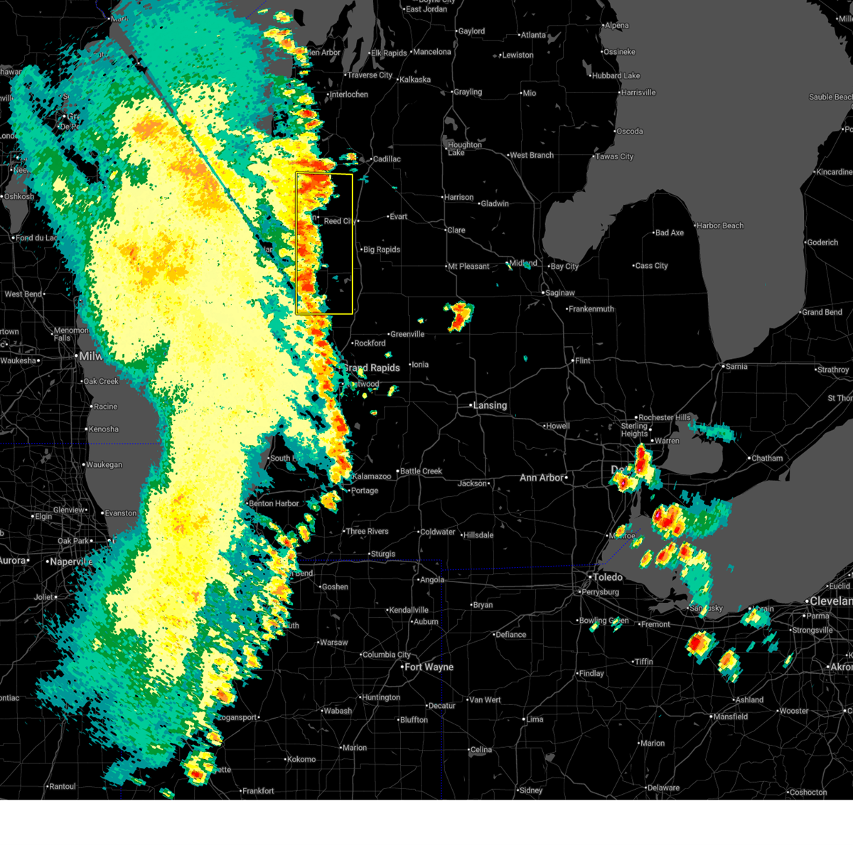
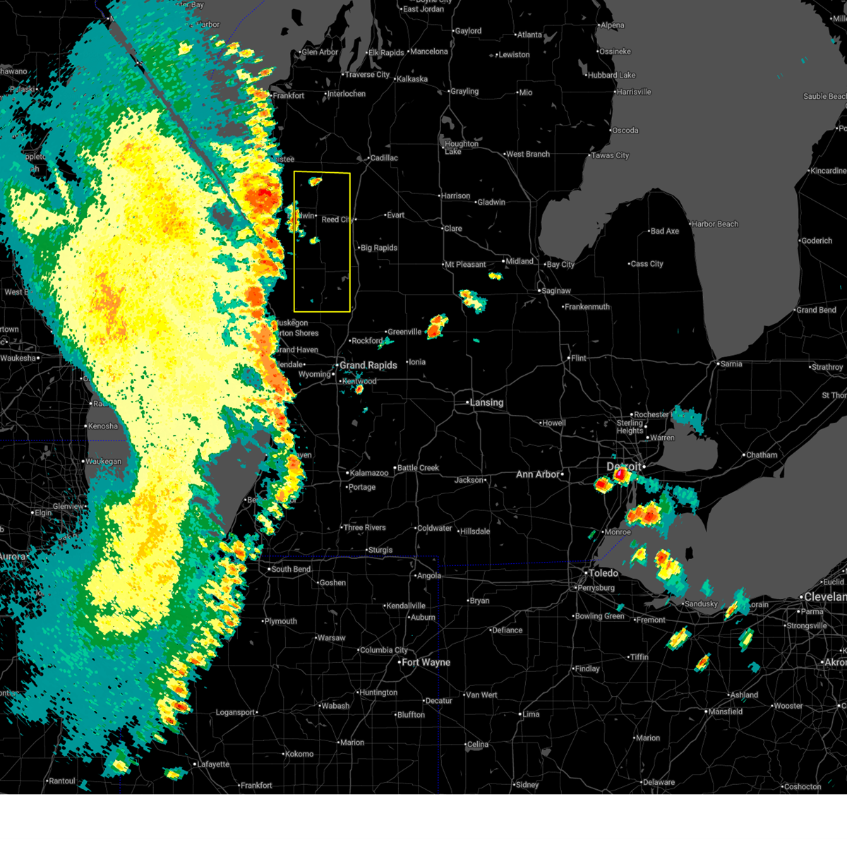
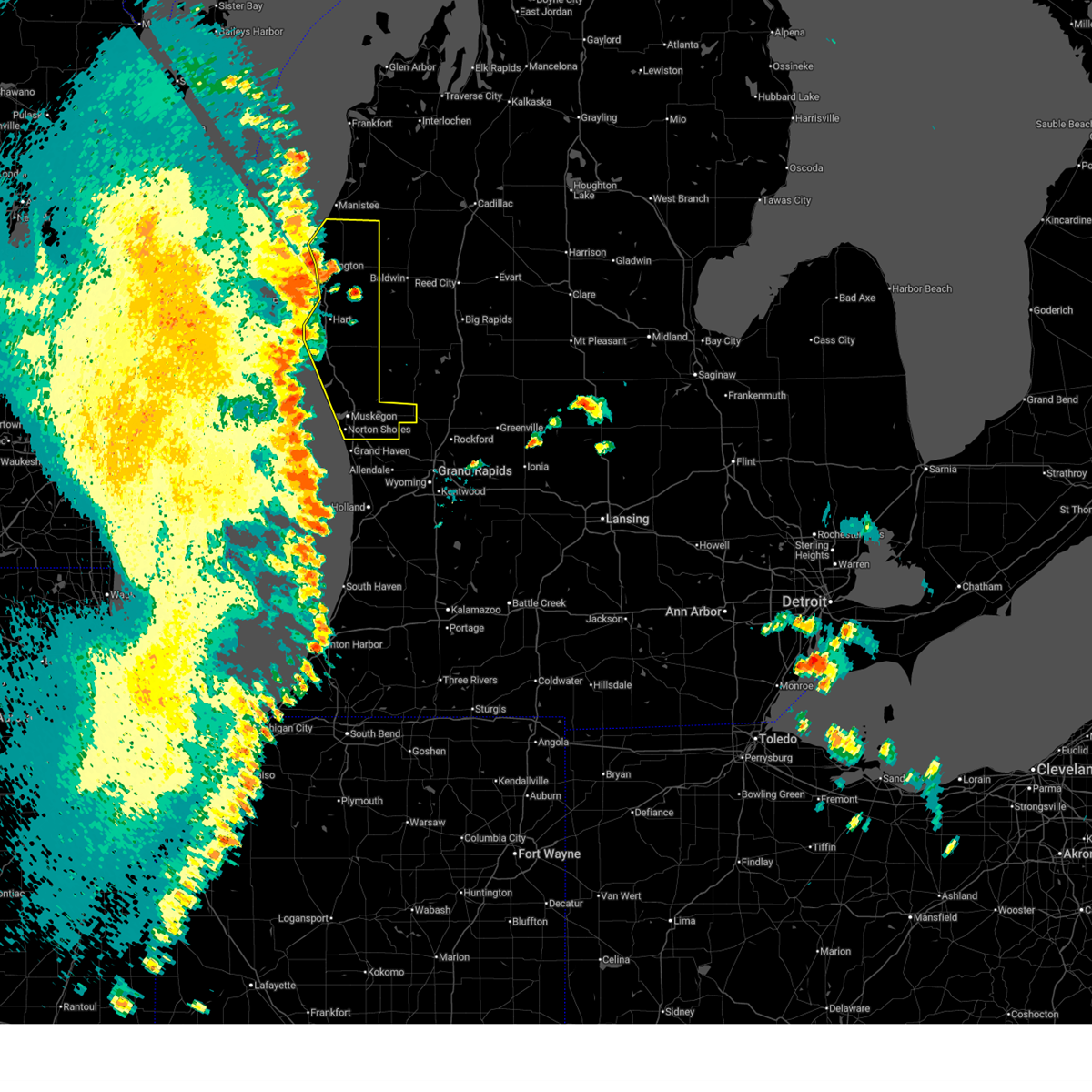
Hail Maps for Hesperia, MI


Connect with Interactive Hail Maps