

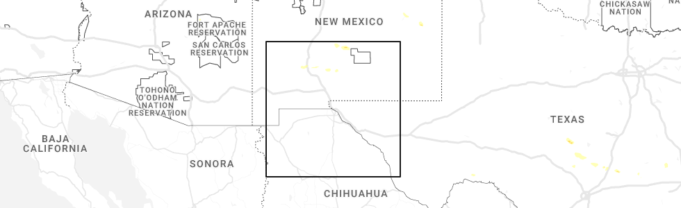
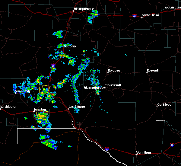
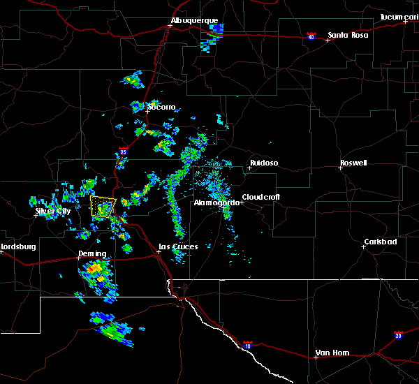
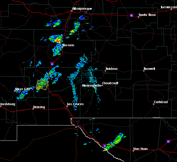
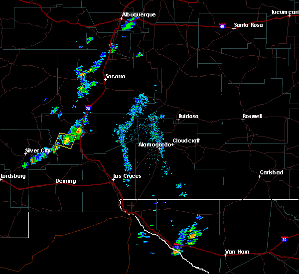
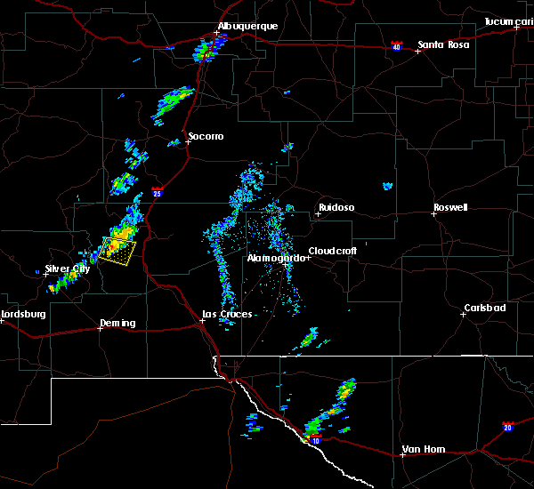
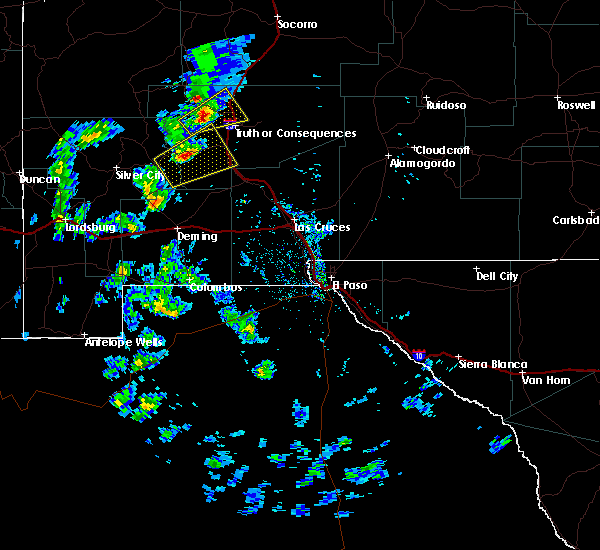
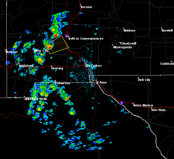
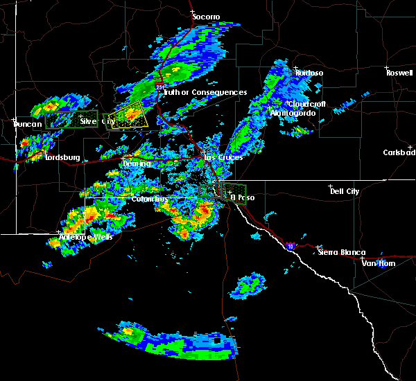
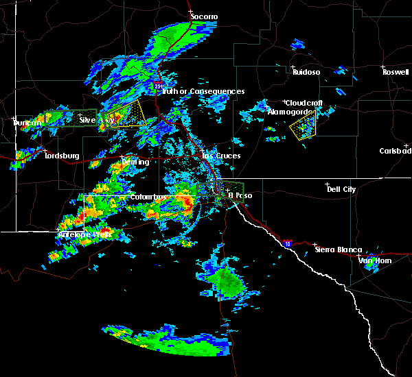
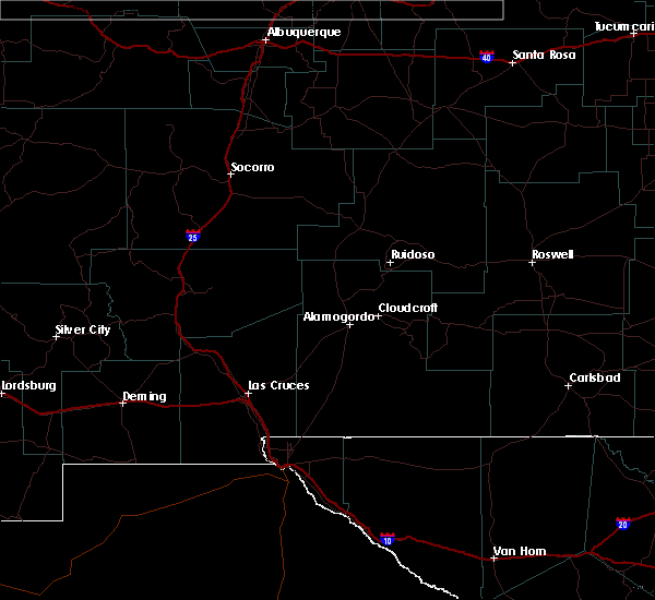
Hail Map for Hillsboro, NM
The Hillsboro, NM area has had 1 report of on-the-ground hail by trained spotters, and has been under severe weather warnings 1 time during the past 12 months. Doppler radar has detected hail at or near Hillsboro, NM on 5 occasions, including 1 occasion during the past year.
| Name: | Hillsboro, NM |
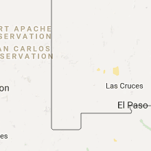
| Where Located: | 41.6 miles ENE of Silver City, NM |
| Map: | Google Map for Hillsboro, NM |
| Population: | 124 |
| Housing Units: | 129 |
| More Info: | Search Google for Hillsboro, NM |
0
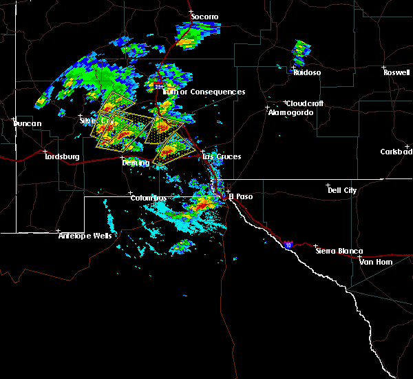
The Top Recent Hail Date for Hillsboro, NM is Thursday, September 14, 2023 (5th out of 5)
Hail and Wind Damage Spotted near Hillsboro, NM
| Date / Time | Report Details |
|---|---|
| 9/14/2023 1:35 PM MDT |
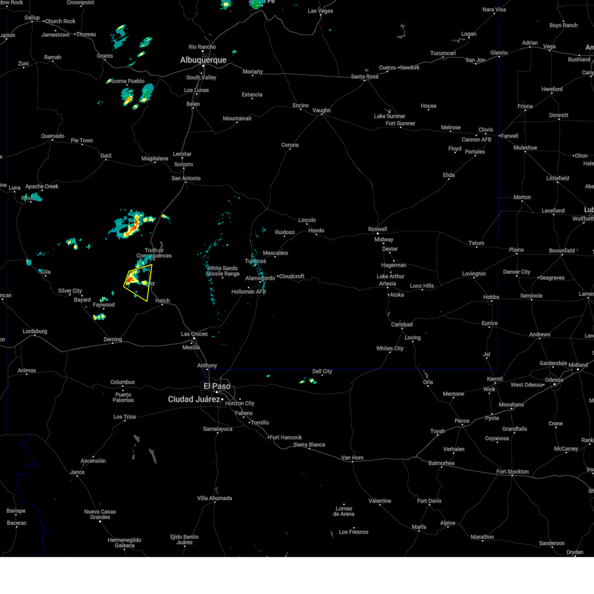 At 135 pm mdt, a severe thunderstorm was located over hillsboro, moving east at 25 mph (radar indicated). Hazards include 60 mph wind gusts and quarter size hail. Hail damage to vehicles is expected. Expect wind damage to roofs, siding, and trees. At 135 pm mdt, a severe thunderstorm was located over hillsboro, moving east at 25 mph (radar indicated). Hazards include 60 mph wind gusts and quarter size hail. Hail damage to vehicles is expected. Expect wind damage to roofs, siding, and trees.
|
| 5/11/2020 1:59 PM MDT |
 At 153 pm mdt, a severe thunderstorm was located 5 miles east of hillsboro, moving northeast at 25 mph (radar indicated). Hazards include 60 mph wind gusts, nickel size hail, and localized flooding of low water crossings. expect damage to roofs, siding, and trees At 153 pm mdt, a severe thunderstorm was located 5 miles east of hillsboro, moving northeast at 25 mph (radar indicated). Hazards include 60 mph wind gusts, nickel size hail, and localized flooding of low water crossings. expect damage to roofs, siding, and trees
|
| 6/13/2018 2:51 PM MDT |
 The severe thunderstorm warning for south central sierra county will expire at 300 pm mdt, the storm which prompted the warning has weakened below severe limits, and no longer pose an immediate threat to life or property. therefore, the warning will be allowed to expire. however gusty winds are still possible with this thunderstorm. The severe thunderstorm warning for south central sierra county will expire at 300 pm mdt, the storm which prompted the warning has weakened below severe limits, and no longer pose an immediate threat to life or property. therefore, the warning will be allowed to expire. however gusty winds are still possible with this thunderstorm.
|
| 6/13/2018 2:40 PM MDT |
 At 240 pm mdt, a severe thunderstorm was located 5 miles east of hillsboro, moving north at 5 mph (radar indicated). Hazards include 60 mph wind gusts and quarter size hail. Hail damage to vehicles is expected. expect wind damage to roofs, siding, and trees. Locations impacted include, caballo, hillsboro, and caballo lake state park. At 240 pm mdt, a severe thunderstorm was located 5 miles east of hillsboro, moving north at 5 mph (radar indicated). Hazards include 60 mph wind gusts and quarter size hail. Hail damage to vehicles is expected. expect wind damage to roofs, siding, and trees. Locations impacted include, caballo, hillsboro, and caballo lake state park.
|
| 6/13/2018 2:20 PM MDT |
 At 219 pm mdt, a severe thunderstorm was located 6 miles southeast of hillsboro, moving north at 5 mph (radar indicated). Hazards include 60 mph wind gusts and quarter size hail. Hail damage to vehicles is expected. Expect wind damage to roofs, siding, and trees. At 219 pm mdt, a severe thunderstorm was located 6 miles southeast of hillsboro, moving north at 5 mph (radar indicated). Hazards include 60 mph wind gusts and quarter size hail. Hail damage to vehicles is expected. Expect wind damage to roofs, siding, and trees.
|
| 10/19/2017 1:49 PM MDT | Golf Ball sized hail reported 0.7 miles W of Hillsboro, NM |
| 10/19/2017 1:39 PM MDT |
 At 138 pm mdt, a severe thunderstorm was located near hillsboro, moving southeast at 20 mph (radar indicated). Hazards include 60 mph wind gusts and quarter size hail. Hail damage to vehicles is expected. Expect wind damage to roofs, siding, and trees. At 138 pm mdt, a severe thunderstorm was located near hillsboro, moving southeast at 20 mph (radar indicated). Hazards include 60 mph wind gusts and quarter size hail. Hail damage to vehicles is expected. Expect wind damage to roofs, siding, and trees.
|
| 8/12/2017 4:10 PM MDT |
 The severe thunderstorm warning for southwestern sierra county will expire at 415 pm mdt, the storms which prompted the warning have weakened below severe limits, and no longer pose an immediate threat to life or property. therefore the warning will be allowed to expire. however gusty winds and heavy rain are still possible with these thunderstorms. The severe thunderstorm warning for southwestern sierra county will expire at 415 pm mdt, the storms which prompted the warning have weakened below severe limits, and no longer pose an immediate threat to life or property. therefore the warning will be allowed to expire. however gusty winds and heavy rain are still possible with these thunderstorms.
|
| 8/12/2017 3:43 PM MDT |
 At 343 pm mdt, severe thunderstorms were located along a line extending from 3 miles west of caballo to near kingston, moving south at 30 mph (radar indicated). Hazards include 60 mph wind gusts and penny size hail. Expect damage to roofs, siding, and trees. Locations impacted include, caballo, hillsboro, kingston, arrey and caballo lake state park. At 343 pm mdt, severe thunderstorms were located along a line extending from 3 miles west of caballo to near kingston, moving south at 30 mph (radar indicated). Hazards include 60 mph wind gusts and penny size hail. Expect damage to roofs, siding, and trees. Locations impacted include, caballo, hillsboro, kingston, arrey and caballo lake state park.
|
| 8/12/2017 3:23 PM MDT |
 At 322 pm mdt, severe thunderstorms were located along a line extending from 7 miles west of las palomas to 6 miles north of emory pass, moving southeast at 10 mph (radar indicated). Hazards include 60 mph wind gusts and half dollar size hail. Hail damage to vehicles is expected. Expect wind damage to roofs, siding, and trees. At 322 pm mdt, severe thunderstorms were located along a line extending from 7 miles west of las palomas to 6 miles north of emory pass, moving southeast at 10 mph (radar indicated). Hazards include 60 mph wind gusts and half dollar size hail. Hail damage to vehicles is expected. Expect wind damage to roofs, siding, and trees.
|
| 11/4/2016 4:46 PM MDT |
 At 446 pm mdt, a severe thunderstorm was located near san lorenzo, moving northeast at 25 mph (radar indicated). Hazards include 60 mph wind gusts and nickel size hail. Expect damage to roofs. siding. And trees. At 446 pm mdt, a severe thunderstorm was located near san lorenzo, moving northeast at 25 mph (radar indicated). Hazards include 60 mph wind gusts and nickel size hail. Expect damage to roofs. siding. And trees.
|
| 8/22/2016 3:24 PM MDT |
 The severe thunderstorm warning for west central sierra county will expire at 330 pm mdt, the storm which prompted the warning has weakened below severe limits, and no longer pose an immediate threat to life or property. therefore, the warning will be allowed to expire. however heavy rain is still possible with this thunderstorm. The severe thunderstorm warning for west central sierra county will expire at 330 pm mdt, the storm which prompted the warning has weakened below severe limits, and no longer pose an immediate threat to life or property. therefore, the warning will be allowed to expire. however heavy rain is still possible with this thunderstorm.
|
| 8/22/2016 2:43 PM MDT |
 At 241 pm mdt, a severe thunderstorm was located 5 miles north of hillsboro, moving east at 10 mph (radar indicated). Hazards include 60 mph wind gusts and quarter size hail. Hail damage to vehicles is expected. Expect wind damage to roofs, siding, and trees. At 241 pm mdt, a severe thunderstorm was located 5 miles north of hillsboro, moving east at 10 mph (radar indicated). Hazards include 60 mph wind gusts and quarter size hail. Hail damage to vehicles is expected. Expect wind damage to roofs, siding, and trees.
|
| 8/22/2016 2:05 PM MDT |
 At 205 pm mdt, a severe thunderstorm was located 8 miles northeast of kingston, or 8 miles northwest of hillsboro, moving east at 15 mph (radar indicated). Hazards include 60 mph wind gusts and quarter size hail. Hail damage to vehicles is expected. Expect wind damage to roofs, siding, and trees. At 205 pm mdt, a severe thunderstorm was located 8 miles northeast of kingston, or 8 miles northwest of hillsboro, moving east at 15 mph (radar indicated). Hazards include 60 mph wind gusts and quarter size hail. Hail damage to vehicles is expected. Expect wind damage to roofs, siding, and trees.
|
| 4/8/2016 4:50 PM MDT |
 At 450 pm mdt, a severe thunderstorm was located 6 miles northwest of caballo, moving northeast at 25 mph (radar indicated). Hazards include 60 mph wind gusts and quarter size hail. Hail damage to vehicles is expected. expect wind damage to roofs, siding, and trees. Locations impacted include, hillsboro, lake valley in sierra county, emory pass, arrey, kingston, iron creek campground, caballo lake state park. At 450 pm mdt, a severe thunderstorm was located 6 miles northwest of caballo, moving northeast at 25 mph (radar indicated). Hazards include 60 mph wind gusts and quarter size hail. Hail damage to vehicles is expected. expect wind damage to roofs, siding, and trees. Locations impacted include, hillsboro, lake valley in sierra county, emory pass, arrey, kingston, iron creek campground, caballo lake state park.
|
| 4/8/2016 4:23 PM MDT |
 At 423 pm mdt, a severe thunderstorm was located 4 miles south of kingston, or 8 miles southwest of hillsboro, moving northeast at 25 mph (radar indicated). Hazards include 60 mph wind gusts and quarter size hail. Hail damage to vehicles is expected. Expect wind damage to roofs, siding, and trees. At 423 pm mdt, a severe thunderstorm was located 4 miles south of kingston, or 8 miles southwest of hillsboro, moving northeast at 25 mph (radar indicated). Hazards include 60 mph wind gusts and quarter size hail. Hail damage to vehicles is expected. Expect wind damage to roofs, siding, and trees.
|
| 7/10/2015 7:22 PM MDT |
 The severe thunderstorm warning for eastern grant and southwestern sierra counties will expire at 730 pm mdt, the storm which prompted the warning has weakened below severe limits, and no longer poses an immediate threat to life or property. therefore the warning will be allowed to expire. however heavy rain is still possible with this thunderstorm. The severe thunderstorm warning for eastern grant and southwestern sierra counties will expire at 730 pm mdt, the storm which prompted the warning has weakened below severe limits, and no longer poses an immediate threat to life or property. therefore the warning will be allowed to expire. however heavy rain is still possible with this thunderstorm.
|
| 7/10/2015 6:44 PM MDT |
 At 644 pm mdt, a severe thunderstorm was located 5 miles east of sherman, or 8 miles southeast of san lorenzo, moving east at 25 mph (radar indicated). Hazards include 60 mph wind gusts and quarter size hail. Hail damage to vehicles is expected. Expect wind damage to roofs, siding and trees. At 644 pm mdt, a severe thunderstorm was located 5 miles east of sherman, or 8 miles southeast of san lorenzo, moving east at 25 mph (radar indicated). Hazards include 60 mph wind gusts and quarter size hail. Hail damage to vehicles is expected. Expect wind damage to roofs, siding and trees.
|
| 7/8/2015 1:13 PM MDT |
 At 111 pm mdt, a severe thunderstorm was located 7 miles southeast of hermosa, or 11 miles northwest of hillsboro, moving southeast at 5 mph (radar indicated). Hazards include ping pong ball size hail and 60 mph wind gusts. People and animals outdoors will be injured. expect hail damage to roofs, siding, windows and vehicles. Expect wind damage to roofs, siding and trees. At 111 pm mdt, a severe thunderstorm was located 7 miles southeast of hermosa, or 11 miles northwest of hillsboro, moving southeast at 5 mph (radar indicated). Hazards include ping pong ball size hail and 60 mph wind gusts. People and animals outdoors will be injured. expect hail damage to roofs, siding, windows and vehicles. Expect wind damage to roofs, siding and trees.
|
Hail Maps for Hillsboro, NM


Connect with Interactive Hail Maps