

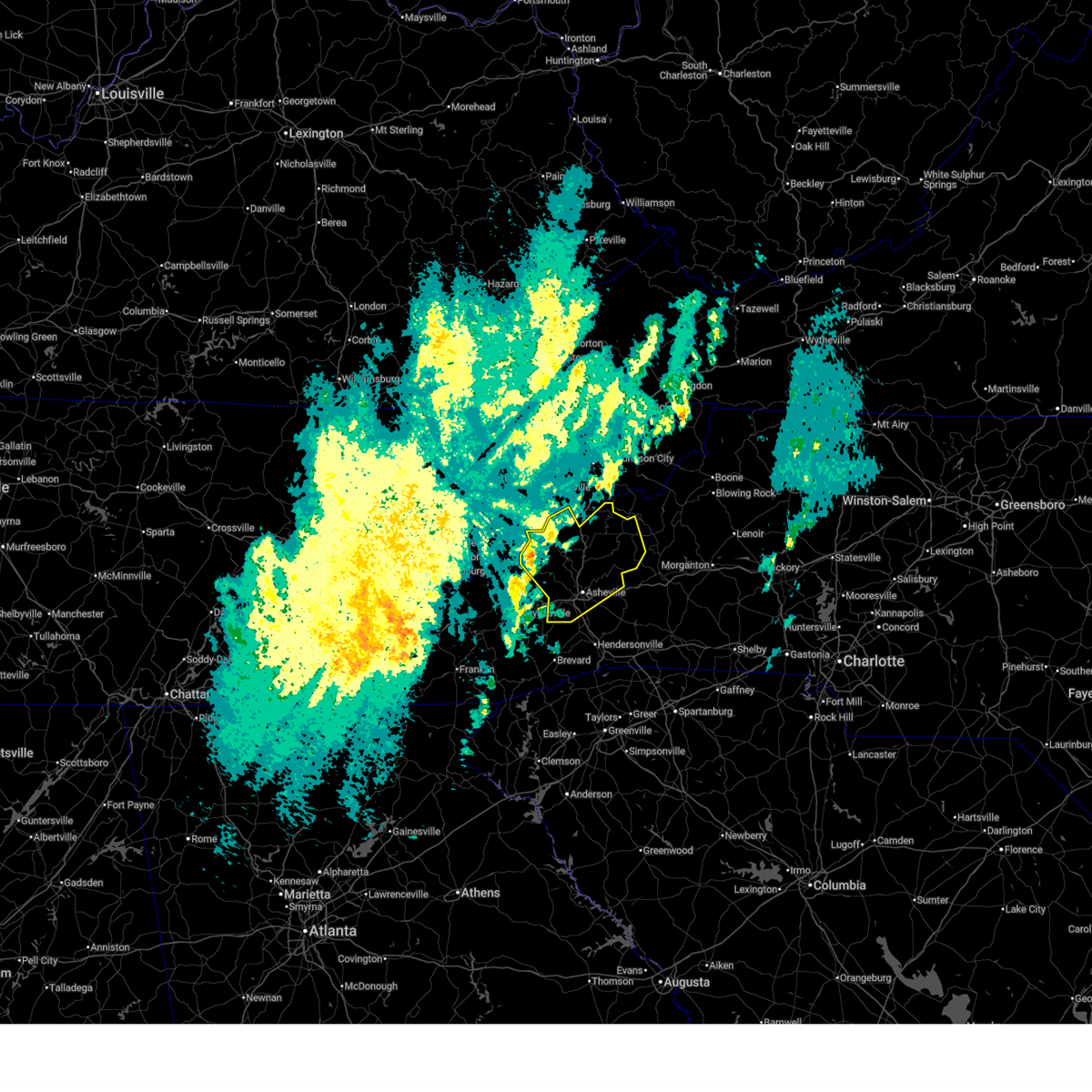
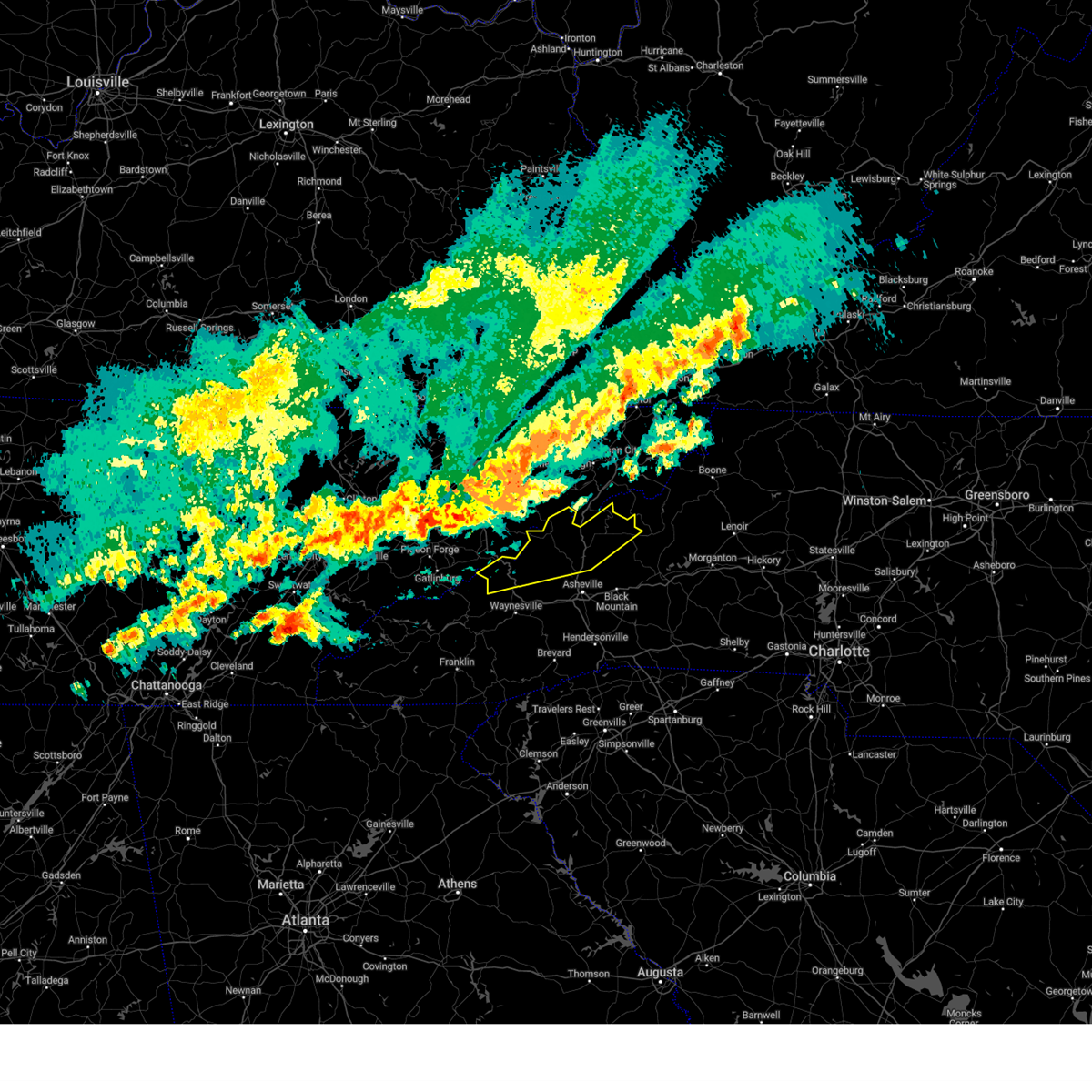
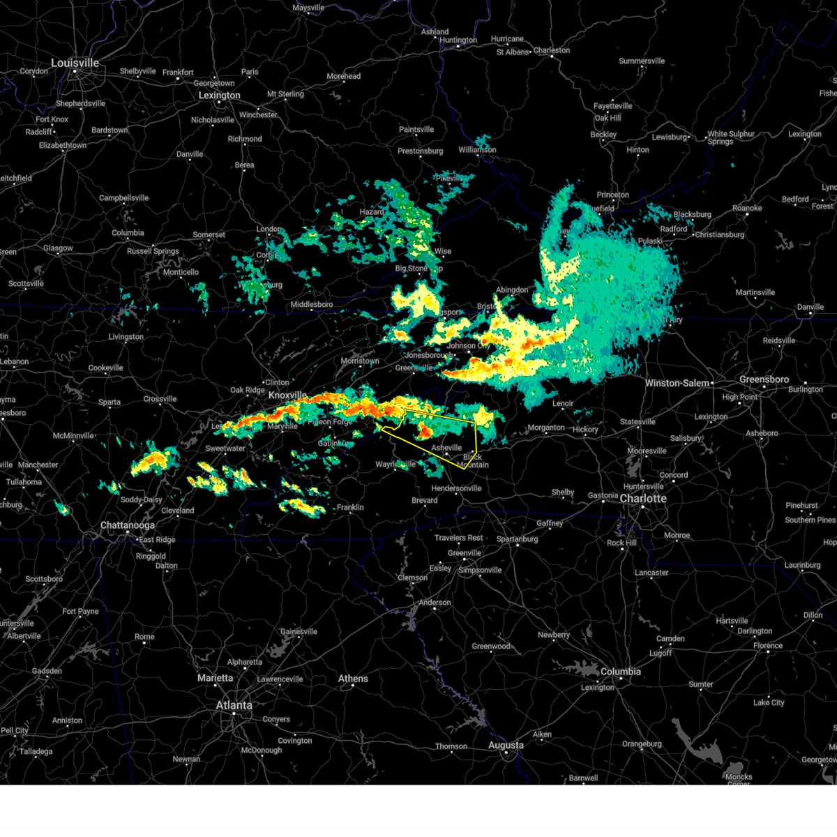
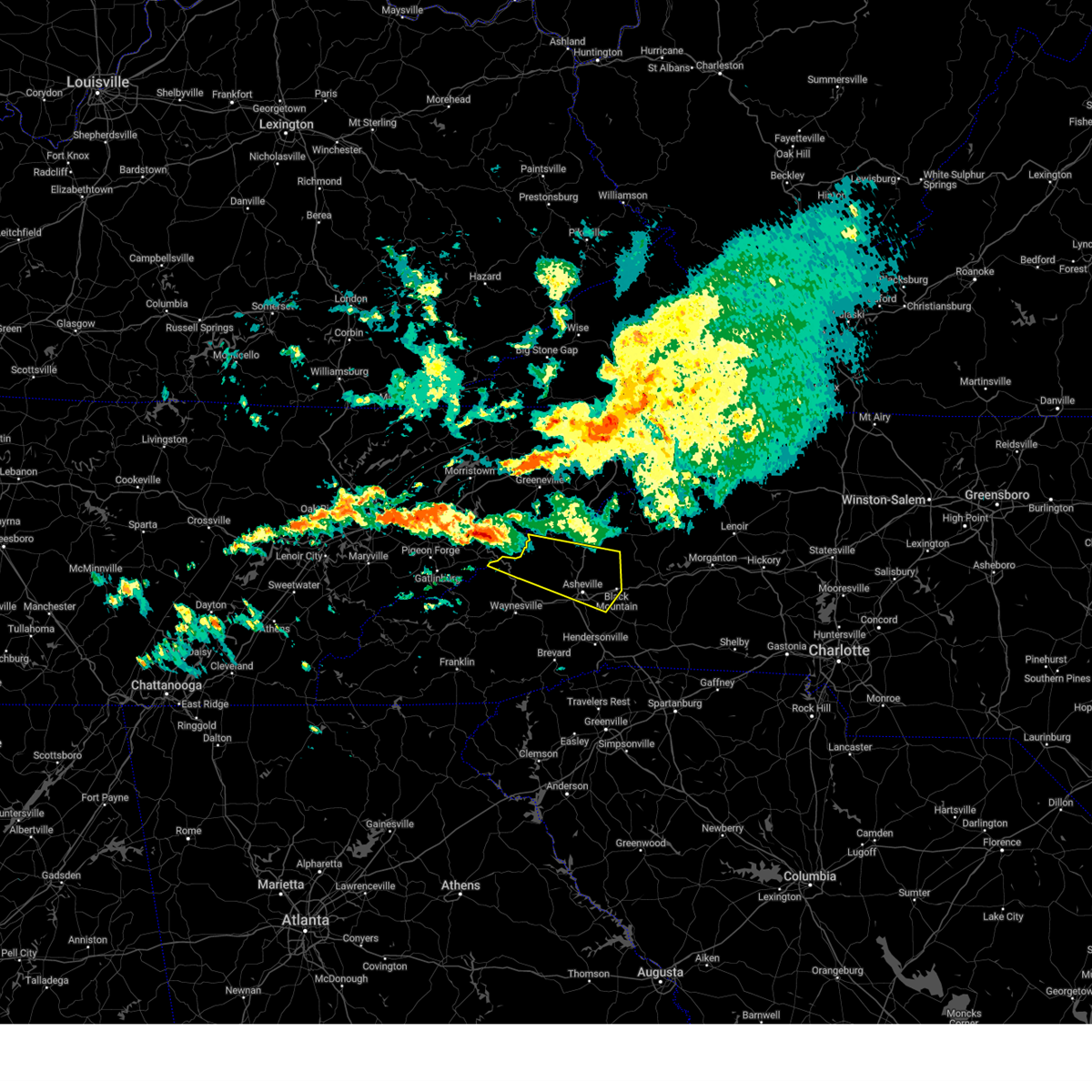
Hail Map for Hot Springs, NC
The Hot Springs, NC area has had 0 reports of on-the-ground hail by trained spotters, and has been under severe weather warnings 1 time during the past 12 months. Doppler radar has detected hail at or near Hot Springs, NC on 23 occasions.
| Name: | Hot Springs, NC |
| Where Located: | 59 miles SW of Bristol, TN |
| Map: | Google Map for Hot Springs, NC |
| Population: | 560 |
| Housing Units: | 361 |
| More Info: | Search Google for Hot Springs, NC |
0
The Top Recent Hail Date for Hot Springs, NC is Thursday, May 8, 2025 (11th out of 23)

Hail and Wind Damage Spotted near Hot Springs, NC
| Date / Time | Report Details |
|---|---|
| 3/16/2026 6:40 AM EDT |
 Svrgsp the national weather service in greenville-spartanburg has issued a * severe thunderstorm warning for, madison county in western north carolina, buncombe county in western north carolina, yancey county in western north carolina, * until 745 am edt. * at 640 am edt, a severe thunderstorm was located 10 miles west of marshall, or 7 miles south of hot springs, moving northeast at 45 mph (radar indicated). Hazards include 60 mph wind gusts. expect damage to trees and power lines Svrgsp the national weather service in greenville-spartanburg has issued a * severe thunderstorm warning for, madison county in western north carolina, buncombe county in western north carolina, yancey county in western north carolina, * until 745 am edt. * at 640 am edt, a severe thunderstorm was located 10 miles west of marshall, or 7 miles south of hot springs, moving northeast at 45 mph (radar indicated). Hazards include 60 mph wind gusts. expect damage to trees and power lines
|
| 5/17/2025 2:56 AM EDT |
 Svrgsp the national weather service in greenville-spartanburg has issued a * severe thunderstorm warning for, madison county in western north carolina, northwestern buncombe county in western north carolina, northwestern haywood county in western north carolina, yancey county in western north carolina, * until 400 am edt. * at 255 am edt, severe thunderstorms were located along a line extending from 8 miles south of greeneville to 10 miles east of newport to near sevierville, moving southeast at 35 mph (radar indicated). Hazards include 60 mph wind gusts and quarter size hail. Minor hail damage to vehicles is expected. Expect wind damage to trees and power lines. Svrgsp the national weather service in greenville-spartanburg has issued a * severe thunderstorm warning for, madison county in western north carolina, northwestern buncombe county in western north carolina, northwestern haywood county in western north carolina, yancey county in western north carolina, * until 400 am edt. * at 255 am edt, severe thunderstorms were located along a line extending from 8 miles south of greeneville to 10 miles east of newport to near sevierville, moving southeast at 35 mph (radar indicated). Hazards include 60 mph wind gusts and quarter size hail. Minor hail damage to vehicles is expected. Expect wind damage to trees and power lines.
|
| 2/6/2025 10:49 PM EST |
 Svrgsp the national weather service in greenville-spartanburg has issued a * severe thunderstorm warning for, southern madison county in western north carolina, buncombe county in western north carolina, north central haywood county in western north carolina, south central yancey county in western north carolina, * until 1130 pm est. * at 1048 pm est, a severe thunderstorm was located 15 miles west of marshall, or 9 miles southwest of hot springs, moving east at 45 mph (radar indicated). Hazards include 60 mph wind gusts and quarter size hail. Minor hail damage to vehicles is expected. Expect wind damage to trees and power lines. Svrgsp the national weather service in greenville-spartanburg has issued a * severe thunderstorm warning for, southern madison county in western north carolina, buncombe county in western north carolina, north central haywood county in western north carolina, south central yancey county in western north carolina, * until 1130 pm est. * at 1048 pm est, a severe thunderstorm was located 15 miles west of marshall, or 9 miles southwest of hot springs, moving east at 45 mph (radar indicated). Hazards include 60 mph wind gusts and quarter size hail. Minor hail damage to vehicles is expected. Expect wind damage to trees and power lines.
|
| 2/6/2025 10:09 PM EST |
 Svrgsp the national weather service in greenville-spartanburg has issued a * severe thunderstorm warning for, southern madison county in western north carolina, buncombe county in western north carolina, northeastern haywood county in western north carolina, south central yancey county in western north carolina, * until 1100 pm est. * at 1007 pm est, a severe thunderstorm was located near sevierville, moving east at 45 mph (radar indicated). Hazards include 60 mph wind gusts and quarter size hail. Minor hail damage to vehicles is expected. Expect wind damage to trees and power lines. Svrgsp the national weather service in greenville-spartanburg has issued a * severe thunderstorm warning for, southern madison county in western north carolina, buncombe county in western north carolina, northeastern haywood county in western north carolina, south central yancey county in western north carolina, * until 1100 pm est. * at 1007 pm est, a severe thunderstorm was located near sevierville, moving east at 45 mph (radar indicated). Hazards include 60 mph wind gusts and quarter size hail. Minor hail damage to vehicles is expected. Expect wind damage to trees and power lines.
|
| 6/9/2024 6:25 PM EDT | Trees and powerlines down along round mountain rd. time approximat in cocke county TN, 8.3 miles ENE of Hot Springs, NC |
| 6/9/2024 6:05 PM EDT |
 Svrgsp the national weather service in greenville-spartanburg has issued a * severe thunderstorm warning for, southern madison county in western north carolina, northern haywood county in western north carolina, buncombe county in western north carolina, * until 700 pm edt. * at 604 pm edt, severe thunderstorms were located along a line extending from 7 miles east of newport to 9 miles east of gatlinburg, moving southeast at 50 mph (radar indicated). Hazards include 70 mph wind gusts and penny size hail. Expect considerable tree damage. Damage is likely to mobile homes, roofs, and outbuildings. Svrgsp the national weather service in greenville-spartanburg has issued a * severe thunderstorm warning for, southern madison county in western north carolina, northern haywood county in western north carolina, buncombe county in western north carolina, * until 700 pm edt. * at 604 pm edt, severe thunderstorms were located along a line extending from 7 miles east of newport to 9 miles east of gatlinburg, moving southeast at 50 mph (radar indicated). Hazards include 70 mph wind gusts and penny size hail. Expect considerable tree damage. Damage is likely to mobile homes, roofs, and outbuildings.
|
| 5/27/2024 4:56 AM EDT |
 At 455 am edt, severe thunderstorms were located along a line extending from 12 miles west of burnsville to 6 miles south of marshall to 6 miles north of waynesville, moving east at 35 mph (radar indicated). Hazards include 60 mph wind gusts and penny size hail. Expect damage to trees and power lines. Locations impacted include, asheville, burnsville, marshall, woodfin, canton, and lake junaluska. At 455 am edt, severe thunderstorms were located along a line extending from 12 miles west of burnsville to 6 miles south of marshall to 6 miles north of waynesville, moving east at 35 mph (radar indicated). Hazards include 60 mph wind gusts and penny size hail. Expect damage to trees and power lines. Locations impacted include, asheville, burnsville, marshall, woodfin, canton, and lake junaluska.
|
| 5/27/2024 4:41 AM EDT |
 Svrgsp the national weather service in greenville-spartanburg has issued a * severe thunderstorm warning for, madison county in western north carolina, haywood county in western north carolina, central buncombe county in western north carolina, northwestern yancey county in western north carolina, * until 530 am edt. * at 441 am edt, severe thunderstorms were located along a line extending from 15 miles southwest of erwin to 5 miles southwest of marshall to 10 miles northwest of waynesville, moving east at 35 mph (radar indicated). Hazards include 60 mph wind gusts and penny size hail. expect damage to trees and power lines Svrgsp the national weather service in greenville-spartanburg has issued a * severe thunderstorm warning for, madison county in western north carolina, haywood county in western north carolina, central buncombe county in western north carolina, northwestern yancey county in western north carolina, * until 530 am edt. * at 441 am edt, severe thunderstorms were located along a line extending from 15 miles southwest of erwin to 5 miles southwest of marshall to 10 miles northwest of waynesville, moving east at 35 mph (radar indicated). Hazards include 60 mph wind gusts and penny size hail. expect damage to trees and power lines
|
| 5/27/2024 4:29 AM EDT |
 At 429 am edt, severe thunderstorms were located along a line extending from 11 miles southeast of greeneville to 6 miles northwest of marshall to 15 miles north of waynesville, moving east at 45 mph (radar indicated). Hazards include 60 mph wind gusts and penny size hail. Expect damage to trees and power lines. Locations impacted include, marshall, hot springs, smoky mountains-cataloochee, smoky mountains-big creek, waterville, fines creek, max patch, allenstand, walnut, and luck. At 429 am edt, severe thunderstorms were located along a line extending from 11 miles southeast of greeneville to 6 miles northwest of marshall to 15 miles north of waynesville, moving east at 45 mph (radar indicated). Hazards include 60 mph wind gusts and penny size hail. Expect damage to trees and power lines. Locations impacted include, marshall, hot springs, smoky mountains-cataloochee, smoky mountains-big creek, waterville, fines creek, max patch, allenstand, walnut, and luck.
|
| 5/27/2024 4:09 AM EDT |
 Svrgsp the national weather service in greenville-spartanburg has issued a * severe thunderstorm warning for, madison county in western north carolina, northwestern haywood county in western north carolina, * until 445 am edt. * at 409 am edt, severe thunderstorms were located along a line extending from 9 miles southwest of greeneville to 9 miles southeast of newport to 10 miles east of gatlinburg, moving east at 45 mph (radar indicated). Hazards include 60 mph wind gusts and penny size hail. expect damage to trees and power lines Svrgsp the national weather service in greenville-spartanburg has issued a * severe thunderstorm warning for, madison county in western north carolina, northwestern haywood county in western north carolina, * until 445 am edt. * at 409 am edt, severe thunderstorms were located along a line extending from 9 miles southwest of greeneville to 9 miles southeast of newport to 10 miles east of gatlinburg, moving east at 45 mph (radar indicated). Hazards include 60 mph wind gusts and penny size hail. expect damage to trees and power lines
|
| 5/26/2024 6:05 PM EDT |
 the severe thunderstorm warning has been cancelled and is no longer in effect the severe thunderstorm warning has been cancelled and is no longer in effect
|
| 5/26/2024 6:05 PM EDT |
 At 604 pm edt, a severe thunderstorm was located near marshall, moving east at 40 mph (radar indicated). Hazards include 60 mph wind gusts and penny size hail. Expect damage to trees and power lines. Locations impacted include, marshall, mars hill, hot springs, faust, walnut, wolf ridge, spring creek, and canto. At 604 pm edt, a severe thunderstorm was located near marshall, moving east at 40 mph (radar indicated). Hazards include 60 mph wind gusts and penny size hail. Expect damage to trees and power lines. Locations impacted include, marshall, mars hill, hot springs, faust, walnut, wolf ridge, spring creek, and canto.
|
| 5/26/2024 5:40 PM EDT |
 Svrgsp the national weather service in greenville-spartanburg has issued a * severe thunderstorm warning for, madison county in western north carolina, north central haywood county in western north carolina, * until 700 pm edt. * at 539 pm edt, a severe thunderstorm was located 10 miles south of newport, or 5 miles northwest of smoky mountains-big creek, moving east at 30 mph (radar indicated). Hazards include 60 mph wind gusts and half dollar size hail. Minor hail damage to vehicles is expected. Expect wind damage to trees and power lines. Svrgsp the national weather service in greenville-spartanburg has issued a * severe thunderstorm warning for, madison county in western north carolina, north central haywood county in western north carolina, * until 700 pm edt. * at 539 pm edt, a severe thunderstorm was located 10 miles south of newport, or 5 miles northwest of smoky mountains-big creek, moving east at 30 mph (radar indicated). Hazards include 60 mph wind gusts and half dollar size hail. Minor hail damage to vehicles is expected. Expect wind damage to trees and power lines.
|
| 5/8/2024 11:15 PM EDT |
 Svrgsp the national weather service in greenville-spartanburg has issued a * severe thunderstorm warning for, western macon county in western north carolina, northwestern jackson county in western north carolina, madison county in western north carolina, swain county in western north carolina, graham county in western north carolina, haywood county in western north carolina, northern buncombe county in western north carolina, * until 1215 am edt. * at 1114 pm edt, severe thunderstorms were located along a line extending from 13 miles south of greeneville to 17 miles southeast of maryville to 12 miles northwest of robbinsville to 11 miles north of murphy, moving southeast at 35 mph (radar indicated). Hazards include 60 mph wind gusts. expect damage to trees and power lines Svrgsp the national weather service in greenville-spartanburg has issued a * severe thunderstorm warning for, western macon county in western north carolina, northwestern jackson county in western north carolina, madison county in western north carolina, swain county in western north carolina, graham county in western north carolina, haywood county in western north carolina, northern buncombe county in western north carolina, * until 1215 am edt. * at 1114 pm edt, severe thunderstorms were located along a line extending from 13 miles south of greeneville to 17 miles southeast of maryville to 12 miles northwest of robbinsville to 11 miles north of murphy, moving southeast at 35 mph (radar indicated). Hazards include 60 mph wind gusts. expect damage to trees and power lines
|
| 5/8/2024 12:17 PM EDT |
 Svrgsp the national weather service in greenville-spartanburg has issued a * severe thunderstorm warning for, madison county in western north carolina, * until 130 pm edt. * at 1217 pm edt, a severe thunderstorm was located 9 miles east of newport, or 5 miles southeast of parrottsville, moving east at 40 mph (radar indicated). Hazards include 60 mph wind gusts and half dollar size hail. Minor hail damage to vehicles is expected. Expect wind damage to trees and power lines. Svrgsp the national weather service in greenville-spartanburg has issued a * severe thunderstorm warning for, madison county in western north carolina, * until 130 pm edt. * at 1217 pm edt, a severe thunderstorm was located 9 miles east of newport, or 5 miles southeast of parrottsville, moving east at 40 mph (radar indicated). Hazards include 60 mph wind gusts and half dollar size hail. Minor hail damage to vehicles is expected. Expect wind damage to trees and power lines.
|
| 2/28/2024 1:51 PM EST |
 The storm which prompted the warning has weakened below severe limits, and no longer poses an immediate threat to life or property. therefore, the warning will be allowed to expire. however, gusty winds are still possible with this thunderstorm. to report severe weather to the national weather service greenville-spartanburg, call toll free, 1, 800, 2 6 7, 8 1 0 1, or post on our facebook page, or tweet it using hashtag nwsgsp. your message should describe the event and the specific location where it occurred. The storm which prompted the warning has weakened below severe limits, and no longer poses an immediate threat to life or property. therefore, the warning will be allowed to expire. however, gusty winds are still possible with this thunderstorm. to report severe weather to the national weather service greenville-spartanburg, call toll free, 1, 800, 2 6 7, 8 1 0 1, or post on our facebook page, or tweet it using hashtag nwsgsp. your message should describe the event and the specific location where it occurred.
|
| 2/28/2024 1:25 PM EST |
 Svrgsp the national weather service in greenville-spartanburg has issued a * severe thunderstorm warning for, northeastern madison county in western north carolina, northwestern mitchell county in western north carolina, northern yancey county in western north carolina, * until 200 pm est. * at 125 pm est, a severe thunderstorm was located 11 miles south of greeneville, or 9 miles northeast of hot springs, moving east at 60 mph (radar indicated). Hazards include 60 mph wind gusts. expect damage to trees and power lines Svrgsp the national weather service in greenville-spartanburg has issued a * severe thunderstorm warning for, northeastern madison county in western north carolina, northwestern mitchell county in western north carolina, northern yancey county in western north carolina, * until 200 pm est. * at 125 pm est, a severe thunderstorm was located 11 miles south of greeneville, or 9 miles northeast of hot springs, moving east at 60 mph (radar indicated). Hazards include 60 mph wind gusts. expect damage to trees and power lines
|
| 2/12/2024 10:41 PM EST |
 The severe thunderstorm warning for central madison, mitchell and northern yancey counties will expire at 1045 pm est, the storms which prompted the warning have weakened below severe limits, and no longer pose an immediate threat to life or property. therefore, the warning will be allowed to expire. however, gusty winds are still possible with these thunderstorms. The severe thunderstorm warning for central madison, mitchell and northern yancey counties will expire at 1045 pm est, the storms which prompted the warning have weakened below severe limits, and no longer pose an immediate threat to life or property. therefore, the warning will be allowed to expire. however, gusty winds are still possible with these thunderstorms.
|
| 2/12/2024 9:42 PM EST |
 At 940 pm est, severe thunderstorms were located along a line extending from 16 miles southwest of kingsport to 9 miles southeast of greeneville to 12 miles west of marshall, moving east at 45 mph (radar indicated). Hazards include 60 mph wind gusts. expect damage to trees and power lines At 940 pm est, severe thunderstorms were located along a line extending from 16 miles southwest of kingsport to 9 miles southeast of greeneville to 12 miles west of marshall, moving east at 45 mph (radar indicated). Hazards include 60 mph wind gusts. expect damage to trees and power lines
|
| 8/12/2023 5:09 PM EDT |
 At 508 pm edt, severe thunderstorms were located along a line extending from 9 miles east of greeneville to near marshall, moving east at 35 mph (radar indicated). Hazards include 60 mph wind gusts. Expect damage to trees and power lines. locations impacted include, marshall, mars hill, faust, allenstand, walnut, wolf ridge, barnardsville, flat creek and hot springs. hail threat, radar indicated max hail size, <. 75 in wind threat, radar indicated max wind gust, 60 mph. At 508 pm edt, severe thunderstorms were located along a line extending from 9 miles east of greeneville to near marshall, moving east at 35 mph (radar indicated). Hazards include 60 mph wind gusts. Expect damage to trees and power lines. locations impacted include, marshall, mars hill, faust, allenstand, walnut, wolf ridge, barnardsville, flat creek and hot springs. hail threat, radar indicated max hail size, <. 75 in wind threat, radar indicated max wind gust, 60 mph.
|
| 8/12/2023 4:41 PM EDT |
 At 441 pm edt, severe thunderstorms were located along a line extending from 8 miles southwest of greeneville to 14 miles west of marshall, moving east at 30 mph (radar indicated). Hazards include 60 mph wind gusts. expect damage to trees and power lines At 441 pm edt, severe thunderstorms were located along a line extending from 8 miles southwest of greeneville to 14 miles west of marshall, moving east at 30 mph (radar indicated). Hazards include 60 mph wind gusts. expect damage to trees and power lines
|
| 8/7/2023 3:34 PM EDT |
 At 334 pm edt, severe thunderstorms were located along a line extending from 14 miles southwest of marshall to 7 miles south of waynesville to 9 miles south of sylva, moving east at 50 mph (radar indicated). Hazards include 70 mph wind gusts and quarter size hail. Minor hail damage to vehicles is expected. expect considerable tree damage. Wind damage is also likely to mobile homes, roofs, and outbuildings. At 334 pm edt, severe thunderstorms were located along a line extending from 14 miles southwest of marshall to 7 miles south of waynesville to 9 miles south of sylva, moving east at 50 mph (radar indicated). Hazards include 70 mph wind gusts and quarter size hail. Minor hail damage to vehicles is expected. expect considerable tree damage. Wind damage is also likely to mobile homes, roofs, and outbuildings.
|
| 8/7/2023 3:25 PM EDT | Madison county 911 call center reported numerous trees down in and near the spring creek community. time estimated from rada in madison county NC, 7.6 miles NNE of Hot Springs, NC |
| 8/7/2023 3:15 PM EDT |
 At 315 pm edt, severe thunderstorms were located along a line extending from 12 miles south of greeneville to 14 miles north of waynesville, moving east at 70 mph (radar indicated). Hazards include 70 mph wind gusts and quarter size hail. Minor hail damage to vehicles is expected. expect considerable tree damage. Wind damage is also likely to mobile homes, roofs, and outbuildings. At 315 pm edt, severe thunderstorms were located along a line extending from 12 miles south of greeneville to 14 miles north of waynesville, moving east at 70 mph (radar indicated). Hazards include 70 mph wind gusts and quarter size hail. Minor hail damage to vehicles is expected. expect considerable tree damage. Wind damage is also likely to mobile homes, roofs, and outbuildings.
|
| 8/7/2023 2:46 PM EDT |
 At 246 pm edt, severe thunderstorms were located along a line extending from 7 miles south of johnson city to 5 miles southeast of erwin to 11 miles northeast of marshall, moving east at 50 mph (radar indicated). Hazards include 60 mph wind gusts and quarter size hail. Minor hail damage to vehicles is expected. expect wind damage to trees and power lines. Locations impacted include, hot springs, buladean, ramseytown, faust, allenstand, walnut, wolf ridge, poplar, green mountain and swiss. At 246 pm edt, severe thunderstorms were located along a line extending from 7 miles south of johnson city to 5 miles southeast of erwin to 11 miles northeast of marshall, moving east at 50 mph (radar indicated). Hazards include 60 mph wind gusts and quarter size hail. Minor hail damage to vehicles is expected. expect wind damage to trees and power lines. Locations impacted include, hot springs, buladean, ramseytown, faust, allenstand, walnut, wolf ridge, poplar, green mountain and swiss.
|
| 8/7/2023 2:23 PM EDT |
 At 223 pm edt, severe thunderstorms were located along a line extending from 18 miles northwest of erwin to 7 miles southeast of greeneville to 15 miles east of newport, moving east at 50 mph (radar indicated). Hazards include 60 mph wind gusts and quarter size hail. Minor hail damage to vehicles is expected. Expect wind damage to trees and power lines. At 223 pm edt, severe thunderstorms were located along a line extending from 18 miles northwest of erwin to 7 miles southeast of greeneville to 15 miles east of newport, moving east at 50 mph (radar indicated). Hazards include 60 mph wind gusts and quarter size hail. Minor hail damage to vehicles is expected. Expect wind damage to trees and power lines.
|
| 7/29/2023 5:24 PM EDT |
 At 523 pm edt, severe thunderstorms were located along a line extending from 11 miles southwest of greeneville tennessee to 10 miles southeast of newport to 11 miles northeast of gatlinburg, moving southeast at 25 mph (radar indicated). Hazards include 60 mph wind gusts. expect damage to trees and power lines At 523 pm edt, severe thunderstorms were located along a line extending from 11 miles southwest of greeneville tennessee to 10 miles southeast of newport to 11 miles northeast of gatlinburg, moving southeast at 25 mph (radar indicated). Hazards include 60 mph wind gusts. expect damage to trees and power lines
|
| 6/26/2023 3:11 AM EDT |
 At 309 am edt, severe thunderstorms were located along a line extending from 13 miles south of greeneville to 14 miles east of gatlinburg in tennessee, moving southeast at 45 mph (radar indicated). Hazards include 60 mph wind gusts and penny size hail. expect damage to trees and power lines At 309 am edt, severe thunderstorms were located along a line extending from 13 miles south of greeneville to 14 miles east of gatlinburg in tennessee, moving southeast at 45 mph (radar indicated). Hazards include 60 mph wind gusts and penny size hail. expect damage to trees and power lines
|
| 5/16/2023 7:50 PM EDT |
 At 750 pm edt, a severe thunderstorm was located 11 miles northwest of marshall, or near hot springs, moving east at 50 mph (radar indicated). Hazards include 60 mph wind gusts. expect damage to trees and power lines At 750 pm edt, a severe thunderstorm was located 11 miles northwest of marshall, or near hot springs, moving east at 50 mph (radar indicated). Hazards include 60 mph wind gusts. expect damage to trees and power lines
|
| 3/25/2023 5:01 AM EDT |
 At 500 am edt, severe thunderstorms were located along a line extending from 8 miles southeast of greeneville to 13 miles northeast of waynesville to 5 miles east of sylva, moving east at 50 mph (radar indicated). Hazards include 60 mph wind gusts. Expect damage to trees and power lines. locations impacted include, sylva, waynesville, marshall, cherokee, canton, cullowhee, lake junaluska, clyde, maggie valley and hot springs. hail threat, radar indicated max hail size, <. 75 in wind threat, radar indicated max wind gust, 60 mph. At 500 am edt, severe thunderstorms were located along a line extending from 8 miles southeast of greeneville to 13 miles northeast of waynesville to 5 miles east of sylva, moving east at 50 mph (radar indicated). Hazards include 60 mph wind gusts. Expect damage to trees and power lines. locations impacted include, sylva, waynesville, marshall, cherokee, canton, cullowhee, lake junaluska, clyde, maggie valley and hot springs. hail threat, radar indicated max hail size, <. 75 in wind threat, radar indicated max wind gust, 60 mph.
|
| 3/25/2023 4:28 AM EDT |
 At 426 am edt, severe thunderstorms were located along a line extending from 9 miles east of morristown to 9 miles east of gatlinburg to 8 miles west of bryson city, moving east at 50 mph (radar indicated). Hazards include 60 mph wind gusts. expect damage to trees and power lines At 426 am edt, severe thunderstorms were located along a line extending from 9 miles east of morristown to 9 miles east of gatlinburg to 8 miles west of bryson city, moving east at 50 mph (radar indicated). Hazards include 60 mph wind gusts. expect damage to trees and power lines
|
| 1/12/2023 2:08 PM EST |
 At 208 pm est, severe thunderstorms were located along a line extending from 7 miles south of kingsport to 5 miles northwest of erwin to 10 miles north of marshall to 11 miles north of waynesville, moving east at 60 mph (radar indicated). Hazards include 60 mph wind gusts. Expect damage to trees and power lines. locations impacted include, burnsville, marshall, weaverville, mars hill, hot springs, elk park, bakersville, leicester, mount mitchell state park and buladean. hail threat, radar indicated max hail size, <. 75 in wind threat, radar indicated max wind gust, 60 mph. At 208 pm est, severe thunderstorms were located along a line extending from 7 miles south of kingsport to 5 miles northwest of erwin to 10 miles north of marshall to 11 miles north of waynesville, moving east at 60 mph (radar indicated). Hazards include 60 mph wind gusts. Expect damage to trees and power lines. locations impacted include, burnsville, marshall, weaverville, mars hill, hot springs, elk park, bakersville, leicester, mount mitchell state park and buladean. hail threat, radar indicated max hail size, <. 75 in wind threat, radar indicated max wind gust, 60 mph.
|
| 1/12/2023 1:44 PM EST |
 At 144 pm est, severe thunderstorms were located along a line extending from 10 miles northwest of greeneville to 16 miles east of newport to 8 miles northeast of bryson city, moving east at 60 mph (radar indicated). Hazards include 70 mph wind gusts. Expect considerable tree damage. Damage is likely to mobile homes, roofs, and outbuildings. At 144 pm est, severe thunderstorms were located along a line extending from 10 miles northwest of greeneville to 16 miles east of newport to 8 miles northeast of bryson city, moving east at 60 mph (radar indicated). Hazards include 70 mph wind gusts. Expect considerable tree damage. Damage is likely to mobile homes, roofs, and outbuildings.
|
| 6/17/2022 3:10 PM EDT |
 At 310 pm edt, severe thunderstorms were located along a line extending from 8 miles south of greeneville to 14 miles southeast of newport, moving east at 25 mph (radar indicated). Hazards include 60 mph wind gusts and quarter size hail. Minor hail damage to vehicles is expected. Expect wind damage to trees and power lines. At 310 pm edt, severe thunderstorms were located along a line extending from 8 miles south of greeneville to 14 miles southeast of newport, moving east at 25 mph (radar indicated). Hazards include 60 mph wind gusts and quarter size hail. Minor hail damage to vehicles is expected. Expect wind damage to trees and power lines.
|
| 5/6/2022 5:35 PM EDT | Shingles blown off of a roof on a hous in madison county NC, 0.7 miles NW of Hot Springs, NC |
| 8/15/2021 3:35 PM EDT |
 At 335 pm edt, a severe thunderstorm was located 5 miles north of marshall, moving northwest at 20 mph (radar indicated). Hazards include 60 mph wind gusts and quarter size hail. Minor hail damage to vehicles is expected. Expect wind damage to trees and power lines. At 335 pm edt, a severe thunderstorm was located 5 miles north of marshall, moving northwest at 20 mph (radar indicated). Hazards include 60 mph wind gusts and quarter size hail. Minor hail damage to vehicles is expected. Expect wind damage to trees and power lines.
|
| 7/31/2020 7:45 PM EDT |
 At 744 pm edt, a severe thunderstorm was located 5 miles north of marshall, moving east at 25 mph (radar indicated). Hazards include 60 mph wind gusts. Expect damage to trees and power lines. Locations impacted include, marshall, mars hill, hot springs, faust, allenstand, walnut, wolf ridge, barnardsville, spring creek and swiss. At 744 pm edt, a severe thunderstorm was located 5 miles north of marshall, moving east at 25 mph (radar indicated). Hazards include 60 mph wind gusts. Expect damage to trees and power lines. Locations impacted include, marshall, mars hill, hot springs, faust, allenstand, walnut, wolf ridge, barnardsville, spring creek and swiss.
|
| 7/31/2020 7:13 PM EDT |
 At 713 pm edt, a severe thunderstorm was located 12 miles west of marshall, or 6 miles southwest of hot springs, moving east at 25 mph (radar indicated). Hazards include 60 mph wind gusts and penny size hail. expect damage to trees and power lines At 713 pm edt, a severe thunderstorm was located 12 miles west of marshall, or 6 miles southwest of hot springs, moving east at 25 mph (radar indicated). Hazards include 60 mph wind gusts and penny size hail. expect damage to trees and power lines
|
| 6/21/2020 6:41 PM EDT | Several trees dow in cocke county TN, 8.3 miles ESE of Hot Springs, NC |
| 6/21/2020 5:55 PM EDT |
 The severe thunderstorm warning for southwestern madison county will expire at 600 pm edt, the storm which prompted the warning has weakened below severe limits, and no longer poses an immediate threat to life or property. therefore, the warning will be allowed to expire on schedule at 6 pm. however, gusty winds and heavy rain are still possible across madison county with this thunderstorm. The severe thunderstorm warning for southwestern madison county will expire at 600 pm edt, the storm which prompted the warning has weakened below severe limits, and no longer poses an immediate threat to life or property. therefore, the warning will be allowed to expire on schedule at 6 pm. however, gusty winds and heavy rain are still possible across madison county with this thunderstorm.
|
| 6/21/2020 5:42 PM EDT |
 At 541 pm edt, a severe thunderstorm was located 9 miles west of marshall, or 8 miles south of hot springs, moving northeast at 25 mph (radar indicated). Hazards include 60 mph wind gusts and quarter size hail. Minor hail damage to vehicles is expected. expect wind damage to trees and power lines. Locations impacted include, marshall, hot springs, walnut, luck, spring creek, max patch and canto. At 541 pm edt, a severe thunderstorm was located 9 miles west of marshall, or 8 miles south of hot springs, moving northeast at 25 mph (radar indicated). Hazards include 60 mph wind gusts and quarter size hail. Minor hail damage to vehicles is expected. expect wind damage to trees and power lines. Locations impacted include, marshall, hot springs, walnut, luck, spring creek, max patch and canto.
|
| 6/21/2020 5:14 PM EDT |
 At 514 pm edt, a severe thunderstorm was located 10 miles north of waynesville, or 6 miles east of smoky mountains-cataloochee, moving northeast at 20 mph (radar indicated). Hazards include 60 mph wind gusts and quarter size hail. Minor hail damage to vehicles is expected. Expect wind damage to trees and power lines. At 514 pm edt, a severe thunderstorm was located 10 miles north of waynesville, or 6 miles east of smoky mountains-cataloochee, moving northeast at 20 mph (radar indicated). Hazards include 60 mph wind gusts and quarter size hail. Minor hail damage to vehicles is expected. Expect wind damage to trees and power lines.
|
| 6/14/2020 3:02 PM EDT |
 At 302 pm edt, a severe thunderstorm was located 7 miles northwest of marshall, or near hot springs, moving southeast at 15 mph (radar indicated). Hazards include 60 mph wind gusts and penny size hail. Expect damage to trees and power lines. Locations impacted include, hot springs, spring creek, walnut and luck. At 302 pm edt, a severe thunderstorm was located 7 miles northwest of marshall, or near hot springs, moving southeast at 15 mph (radar indicated). Hazards include 60 mph wind gusts and penny size hail. Expect damage to trees and power lines. Locations impacted include, hot springs, spring creek, walnut and luck.
|
| 6/14/2020 2:33 PM EDT |
 At 232 pm edt, severe thunderstorms were located along a line extending from 6 miles southeast of greeneville tennessee to 14 miles northwest of marshall, moving southeast at 15 mph (radar indicated). Hazards include 60 mph wind gusts and quarter size hail. Minor hail damage to vehicles is expected. Expect wind damage to trees and power lines. At 232 pm edt, severe thunderstorms were located along a line extending from 6 miles southeast of greeneville tennessee to 14 miles northwest of marshall, moving southeast at 15 mph (radar indicated). Hazards include 60 mph wind gusts and quarter size hail. Minor hail damage to vehicles is expected. Expect wind damage to trees and power lines.
|
| 1/11/2020 6:31 PM EST |
 At 631 pm est, severe thunderstorms were located along a line extending from 16 miles southeast of newport to 16 miles north of walhalla, moving east at 40 mph (radar indicated). Hazards include 60 mph wind gusts. expect damage to trees and power lines At 631 pm est, severe thunderstorms were located along a line extending from 16 miles southeast of newport to 16 miles north of walhalla, moving east at 40 mph (radar indicated). Hazards include 60 mph wind gusts. expect damage to trees and power lines
|
| 8/13/2019 1:46 PM EDT |
 At 146 pm edt, a severe thunderstorm was located 13 miles south of greeneville, or 5 miles north of hot springs, moving southeast at 30 mph (radar indicated). Hazards include 60 mph wind gusts and penny size hail. expect damage to trees and power lines At 146 pm edt, a severe thunderstorm was located 13 miles south of greeneville, or 5 miles north of hot springs, moving southeast at 30 mph (radar indicated). Hazards include 60 mph wind gusts and penny size hail. expect damage to trees and power lines
|
| 7/31/2019 6:30 PM EDT |
 At 630 pm edt, a severe thunderstorm was located 9 miles northwest of marshall, or over hot springs, moving northeast at 15 mph (radar indicated). Hazards include 60 mph wind gusts and quarter size hail. Minor hail damage to vehicles is expected. expect wind damage to trees and power lines. Locations impacted include, hot springs and walnut. At 630 pm edt, a severe thunderstorm was located 9 miles northwest of marshall, or over hot springs, moving northeast at 15 mph (radar indicated). Hazards include 60 mph wind gusts and quarter size hail. Minor hail damage to vehicles is expected. expect wind damage to trees and power lines. Locations impacted include, hot springs and walnut.
|
| 7/31/2019 6:17 PM EDT |
 At 616 pm edt, a severe thunderstorm was located 11 miles west of marshall, or near hot springs, moving northeast at 15 mph (radar indicated). Hazards include 60 mph wind gusts and quarter size hail. Minor hail damage to vehicles is expected. Expect wind damage to trees and power lines. At 616 pm edt, a severe thunderstorm was located 11 miles west of marshall, or near hot springs, moving northeast at 15 mph (radar indicated). Hazards include 60 mph wind gusts and quarter size hail. Minor hail damage to vehicles is expected. Expect wind damage to trees and power lines.
|
| 6/22/2019 12:31 AM EDT |
 At 1231 am edt, severe thunderstorms were located along a line extending from 6 miles northwest of greeneville to 12 miles northwest of waynesville, moving southeast at 40 mph (radar indicated). Hazards include 60 mph wind gusts and nickel size hail. expect damage to trees and power lines At 1231 am edt, severe thunderstorms were located along a line extending from 6 miles northwest of greeneville to 12 miles northwest of waynesville, moving southeast at 40 mph (radar indicated). Hazards include 60 mph wind gusts and nickel size hail. expect damage to trees and power lines
|
| 5/3/2019 7:15 PM EDT | Hail... size unknown... and a few trees dow in cocke county TN, 4.7 miles ESE of Hot Springs, NC |
| 5/3/2019 7:13 PM EDT | Hail... size unknown and a few trees dow in cocke county TN, 5.1 miles E of Hot Springs, NC |
| 8/8/2018 4:25 PM EDT |
 At 425 pm edt, a severe thunderstorm was located 9 miles west of marshall, or near hot springs, moving east at 40 mph (radar indicated). Hazards include 60 mph wind gusts. expect damage to trees and power lines At 425 pm edt, a severe thunderstorm was located 9 miles west of marshall, or near hot springs, moving east at 40 mph (radar indicated). Hazards include 60 mph wind gusts. expect damage to trees and power lines
|
| 7/20/2018 10:51 PM EDT |
 At 1050 pm edt, severe thunderstorms were located along a line extending from near johnson city to 6 miles south of newport, moving southeast at 40 mph (radar indicated). Hazards include 60 mph wind gusts and penny size hail. expect damage to trees and power lines At 1050 pm edt, severe thunderstorms were located along a line extending from near johnson city to 6 miles south of newport, moving southeast at 40 mph (radar indicated). Hazards include 60 mph wind gusts and penny size hail. expect damage to trees and power lines
|
| 6/26/2018 6:49 PM EDT |
 At 648 pm edt, severe thunderstorms were located along a line extending from near marshall to 13 miles west of downtown asheville to 3 miles northeast of waynesville, moving southeast at 30 mph (radar indicated). Hazards include 60 mph wind gusts and quarter size hail. Minor hail damage to vehicles is expected. Expect wind damage to trees and power lines. At 648 pm edt, severe thunderstorms were located along a line extending from near marshall to 13 miles west of downtown asheville to 3 miles northeast of waynesville, moving southeast at 30 mph (radar indicated). Hazards include 60 mph wind gusts and quarter size hail. Minor hail damage to vehicles is expected. Expect wind damage to trees and power lines.
|
| 6/26/2018 6:18 PM EDT |
 At 618 pm edt, severe thunderstorms were located along a line extending from 12 miles south of greeneville to 16 miles west of marshall, moving east at 20 mph (radar indicated). Hazards include 60 mph wind gusts and penny size hail. expect damage to trees and power lines At 618 pm edt, severe thunderstorms were located along a line extending from 12 miles south of greeneville to 16 miles west of marshall, moving east at 20 mph (radar indicated). Hazards include 60 mph wind gusts and penny size hail. expect damage to trees and power lines
|
| 6/26/2018 6:02 PM EDT |
 At 601 pm edt, a severe thunderstorm was located 4 miles north of marshall, moving southeast at 30 mph. behind this thunderstorm, another line of storms will move into the western part of madison county around 615 pm. another warning will likely be needed (radar indicated). Hazards include 60 mph wind gusts and quarter size hail. Minor hail damage to vehicles is expected. expect wind damage to trees and power lines. Locations impacted include, marshall, mars hill, hot springs, faust, allenstand, walnut, luck, wolf ridge, spring creek and max patch. At 601 pm edt, a severe thunderstorm was located 4 miles north of marshall, moving southeast at 30 mph. behind this thunderstorm, another line of storms will move into the western part of madison county around 615 pm. another warning will likely be needed (radar indicated). Hazards include 60 mph wind gusts and quarter size hail. Minor hail damage to vehicles is expected. expect wind damage to trees and power lines. Locations impacted include, marshall, mars hill, hot springs, faust, allenstand, walnut, luck, wolf ridge, spring creek and max patch.
|
| 6/26/2018 5:36 PM EDT |
 At 535 pm edt, a severe thunderstorm was located 15 miles east of newport, or 6 miles northwest of hot springs, moving southeast at 30 mph (radar indicated). Hazards include 60 mph wind gusts and quarter size hail. Minor hail damage to vehicles is expected. Expect wind damage to trees and power lines. At 535 pm edt, a severe thunderstorm was located 15 miles east of newport, or 6 miles northwest of hot springs, moving southeast at 30 mph (radar indicated). Hazards include 60 mph wind gusts and quarter size hail. Minor hail damage to vehicles is expected. Expect wind damage to trees and power lines.
|
| 6/24/2018 5:41 PM EDT |
 The severe thunderstorm warning for madison county will expire at 545 pm edt, the storm which prompted the warning has weakened below severe limits, and no longer poses an immediate threat to life or property. therefore the warning will be allowed to expire. however, gusty winds are still possible with this thunderstorm. The severe thunderstorm warning for madison county will expire at 545 pm edt, the storm which prompted the warning has weakened below severe limits, and no longer poses an immediate threat to life or property. therefore the warning will be allowed to expire. however, gusty winds are still possible with this thunderstorm.
|
| 6/24/2018 5:27 PM EDT |
 At 527 pm edt, a severe thunderstorm was located 5 miles northwest of marshall, moving southeast at 30 mph (radar indicated). Hazards include 60 mph wind gusts and quarter size hail. Minor hail damage to vehicles is expected. expect wind damage to trees and power lines. Locations impacted include, marshall, hot springs, spring creek, allenstand, walnut and faust. At 527 pm edt, a severe thunderstorm was located 5 miles northwest of marshall, moving southeast at 30 mph (radar indicated). Hazards include 60 mph wind gusts and quarter size hail. Minor hail damage to vehicles is expected. expect wind damage to trees and power lines. Locations impacted include, marshall, hot springs, spring creek, allenstand, walnut and faust.
|
| 6/24/2018 5:16 PM EDT | Multiple power lines blown dow in madison county NC, 0.7 miles NW of Hot Springs, NC |
| 6/24/2018 5:07 PM EDT |
 At 507 pm edt, a severe thunderstorm was located 15 miles northwest of marshall, or 5 miles northwest of hot springs, moving east at 15 mph (radar indicated). Hazards include 60 mph wind gusts and quarter size hail. Minor hail damage to vehicles is expected. Expect wind damage to trees and power lines. At 507 pm edt, a severe thunderstorm was located 15 miles northwest of marshall, or 5 miles northwest of hot springs, moving east at 15 mph (radar indicated). Hazards include 60 mph wind gusts and quarter size hail. Minor hail damage to vehicles is expected. Expect wind damage to trees and power lines.
|
| 6/17/2018 3:03 PM EDT |
 At 303 pm edt, a severe thunderstorm was located 5 miles northwest of marshall, moving west at 15 mph (radar indicated). Hazards include 60 mph wind gusts. Expect damage to trees and power lines. Locations impacted include, marshall, hot springs, faust, walnut and wolf ridge. At 303 pm edt, a severe thunderstorm was located 5 miles northwest of marshall, moving west at 15 mph (radar indicated). Hazards include 60 mph wind gusts. Expect damage to trees and power lines. Locations impacted include, marshall, hot springs, faust, walnut and wolf ridge.
|
| 6/17/2018 2:45 PM EDT |
 At 244 pm edt, a severe thunderstorm was located 7 miles north of marshall, or 6 miles northwest of mars hill, and is nearly stationary (radar indicated). Hazards include 60 mph wind gusts and nickel size hail. expect damage to trees and power lines At 244 pm edt, a severe thunderstorm was located 7 miles north of marshall, or 6 miles northwest of mars hill, and is nearly stationary (radar indicated). Hazards include 60 mph wind gusts and nickel size hail. expect damage to trees and power lines
|
| 5/31/2018 8:31 PM EDT |
 At 830 pm edt, a severe thunderstorm was located 6 miles south of marshall, or 4 miles north of leicester, moving southeast at 55 mph (radar indicated). Hazards include 60 mph wind gusts. Expect damage to trees and power lines. Locations impacted include, marshall, north asheville, woodfin, weaverville, mars hill, hot springs, leicester, max patch, faust and allenstand. At 830 pm edt, a severe thunderstorm was located 6 miles south of marshall, or 4 miles north of leicester, moving southeast at 55 mph (radar indicated). Hazards include 60 mph wind gusts. Expect damage to trees and power lines. Locations impacted include, marshall, north asheville, woodfin, weaverville, mars hill, hot springs, leicester, max patch, faust and allenstand.
|
| 5/31/2018 8:15 PM EDT |
 At 815 pm edt, a severe thunderstorm was located 8 miles northwest of marshall, or near hot springs, moving southeast at 30 mph (radar indicated). Hazards include 60 mph wind gusts. expect damage to trees and power lines At 815 pm edt, a severe thunderstorm was located 8 miles northwest of marshall, or near hot springs, moving southeast at 30 mph (radar indicated). Hazards include 60 mph wind gusts. expect damage to trees and power lines
|
| 5/28/2017 12:27 AM EDT |
 The severe thunderstorm warning for northeastern transylvania, western henderson, madison, buncombe and northwestern yancey counties will expire at 1230 am edt, the storms which prompted the warning have moved out of the area. therefore the warning will be allowed to expire. however gusty winds and heavy rain are still possible with these thunderstorms. a severe thunderstorm watch remains in effect until 200 am edt for western north carolina. a severe thunderstorm watch also remains in effect until 600 am edt for upstate south carolina. The severe thunderstorm warning for northeastern transylvania, western henderson, madison, buncombe and northwestern yancey counties will expire at 1230 am edt, the storms which prompted the warning have moved out of the area. therefore the warning will be allowed to expire. however gusty winds and heavy rain are still possible with these thunderstorms. a severe thunderstorm watch remains in effect until 200 am edt for western north carolina. a severe thunderstorm watch also remains in effect until 600 am edt for upstate south carolina.
|
| 5/27/2017 11:37 PM EDT |
 At 1136 pm edt, severe thunderstorms were located along a line extending from 5 miles west of greeneville to 4 miles northeast of sylva, moving east at 45 mph (radar indicated). Hazards include 60 mph wind gusts and nickel size hail. expect damage to trees and power lines At 1136 pm edt, severe thunderstorms were located along a line extending from 5 miles west of greeneville to 4 miles northeast of sylva, moving east at 45 mph (radar indicated). Hazards include 60 mph wind gusts and nickel size hail. expect damage to trees and power lines
|
| 8/14/2016 2:35 PM EDT |
 At 235 pm edt, a severe thunderstorm was located 8 miles northwest of marshall, or 4 miles east of hot springs, moving north at 10 mph (radar indicated). Hazards include 60 mph wind gusts and quarter size hail. Hail damage to vehicles is expected. Expect wind damage to roofs, siding and trees. At 235 pm edt, a severe thunderstorm was located 8 miles northwest of marshall, or 4 miles east of hot springs, moving north at 10 mph (radar indicated). Hazards include 60 mph wind gusts and quarter size hail. Hail damage to vehicles is expected. Expect wind damage to roofs, siding and trees.
|
| 7/8/2016 6:53 PM EDT |
 At 653 pm edt, a severe thunderstorm was located 10 miles north of marshall, or 7 miles northeast of hot springs, moving east at 30 mph (radar indicated). Hazards include 60 mph wind gusts and quarter size hail. Hail damage to vehicles is expected. Expect wind damage to roofs, siding and trees. At 653 pm edt, a severe thunderstorm was located 10 miles north of marshall, or 7 miles northeast of hot springs, moving east at 30 mph (radar indicated). Hazards include 60 mph wind gusts and quarter size hail. Hail damage to vehicles is expected. Expect wind damage to roofs, siding and trees.
|
| 7/7/2016 7:59 PM EDT |
 At 759 pm edt, severe thunderstorms were located along a line extending from 12 miles southwest of greeneville to 5 miles west of waynesville, moving southeast at 60 mph (radar indicated). Hazards include 60 mph wind gusts. Expect damage to roofs. Siding and trees. At 759 pm edt, severe thunderstorms were located along a line extending from 12 miles southwest of greeneville to 5 miles west of waynesville, moving southeast at 60 mph (radar indicated). Hazards include 60 mph wind gusts. Expect damage to roofs. Siding and trees.
|
| 7/6/2016 9:07 PM EDT |
 The severe thunderstorm warning for madison, west central yancey and northwestern buncombe counties will expire at 915 pm edt, the storm which prompted the warning has weakened below severe limits, and have exited the warned area. therefore the warning will be allowed to expire. The severe thunderstorm warning for madison, west central yancey and northwestern buncombe counties will expire at 915 pm edt, the storm which prompted the warning has weakened below severe limits, and have exited the warned area. therefore the warning will be allowed to expire.
|
| 7/6/2016 8:29 PM EDT |
 At 829 pm edt, a severe thunderstorm was located near marshall, moving southeast at 20 mph (radar indicated). Hazards include 60 mph wind gusts. Expect damage to roofs. Siding and trees. At 829 pm edt, a severe thunderstorm was located near marshall, moving southeast at 20 mph (radar indicated). Hazards include 60 mph wind gusts. Expect damage to roofs. Siding and trees.
|
| 7/6/2016 8:20 PM EDT | Trees down between hot springs and spring cree in madison county NC, 3.3 miles N of Hot Springs, NC |
| 5/2/2016 6:47 PM EDT |
 At 646 pm edt, a severe thunderstorm was located 10 miles northwest of marshall, or over hot springs, moving east at 30 mph (radar indicated). Hazards include 60 mph wind gusts and quarter size hail. Hail damage to vehicles is expected. Expect wind damage to roofs, siding and trees. At 646 pm edt, a severe thunderstorm was located 10 miles northwest of marshall, or over hot springs, moving east at 30 mph (radar indicated). Hazards include 60 mph wind gusts and quarter size hail. Hail damage to vehicles is expected. Expect wind damage to roofs, siding and trees.
|
| 7/13/2015 7:35 PM EDT |
 At 734 pm edt, doppler radar indicated a line of severe thunderstorms with a history of producing damaging winds in excess of 60 mph. these storms were located along a line extending from 4 miles south of deep gap to 3 miles northeast of spruce pine to 6 miles west of marshall, moving southeast at 40 mph. penny size hail may also accompany the damaging winds. locations impacted include, lenoir, spruce pine, burnsville, marshall, newland, beech mountain, gamewell, cajah`s mountain, mars hill and banner elk. At 734 pm edt, doppler radar indicated a line of severe thunderstorms with a history of producing damaging winds in excess of 60 mph. these storms were located along a line extending from 4 miles south of deep gap to 3 miles northeast of spruce pine to 6 miles west of marshall, moving southeast at 40 mph. penny size hail may also accompany the damaging winds. locations impacted include, lenoir, spruce pine, burnsville, marshall, newland, beech mountain, gamewell, cajah`s mountain, mars hill and banner elk.
|
| 7/13/2015 7:25 PM EDT | Multiple trees blown down in madison county NC, 2.3 miles S of Hot Springs, NC |
| 7/13/2015 6:59 PM EDT |
 At 657 pm edt, doppler radar indicated a line of severe thunderstorms capable of producing damaging winds in excess of 60 mph. these storms were located along a line extending from near whitetop to 9 miles northwest of beech mountain to 11 miles east of morristown, and moving southeast at 30 mph. nickel size hail may also accompany the damaging winds. At 657 pm edt, doppler radar indicated a line of severe thunderstorms capable of producing damaging winds in excess of 60 mph. these storms were located along a line extending from near whitetop to 9 miles northwest of beech mountain to 11 miles east of morristown, and moving southeast at 30 mph. nickel size hail may also accompany the damaging winds.
|
| 5/11/2015 5:31 PM EDT | At 528 pm edt, doppler radar indicated a severe thunderstorm capable of producing quarter size hail and damaging winds in excess of 60 mph. this storm was located near erwin, or over banner hill. this storm was moving slowly to the east. in addition, wind damage was reported aong cutsall town road near white rock in northwest madison county. locations impacted include, hot springs and allenstand. |
| 5/11/2015 5:15 PM EDT | A porch roof was blown off along with several tiles on a house tin roo in madison county NC, 10.6 miles WSW of Hot Springs, NC |
| 5/11/2015 5:01 PM EDT | At 500 pm edt, doppler radar indicated a severe thunderstorm capable of producing damaging winds in excess of 60 mph. this storm was located 11 miles northwest of marshall, or over hot springs, and moving slowly northeast. |
| 8/20/2014 5:05 PM EDT | 1 small tree knocked dow in madison county NC, 1.7 miles SSW of Hot Springs, NC |
| 7/28/2014 12:10 AM EDT | Several trees reported down across the county.the spring creek area had the greatest number of power outages. time determined from radar dat in madison county NC, 6.7 miles N of Hot Springs, NC |
| 6/27/2013 3:15 AM EDT | Several trees down on paint rock roa in madison county NC, 3.7 miles SE of Hot Springs, NC |
| 6/13/2013 2:48 PM EDT | Two trees down near laure in madison county NC, 11.9 miles WSW of Hot Springs, NC |
| 6/13/2013 2:35 PM EDT | Tree down on cutshall road in madison county NC, 11 miles SW of Hot Springs, NC |
| 1/1/0001 12:00 AM | Tree down on garage in walnut communit in madison county NC, 5.9 miles WNW of Hot Springs, NC |
| 1/1/0001 12:00 AM | One tree down on hw-208 in the laurel are in madison county NC, 4 miles SW of Hot Springs, NC |
| 1/1/0001 12:00 AM | Roofs blown off of houses. possible tornad in madison county NC, 0.7 miles NW of Hot Springs, NC |
Hail Maps for Hot Springs, NC


Connect with Interactive Hail Maps