

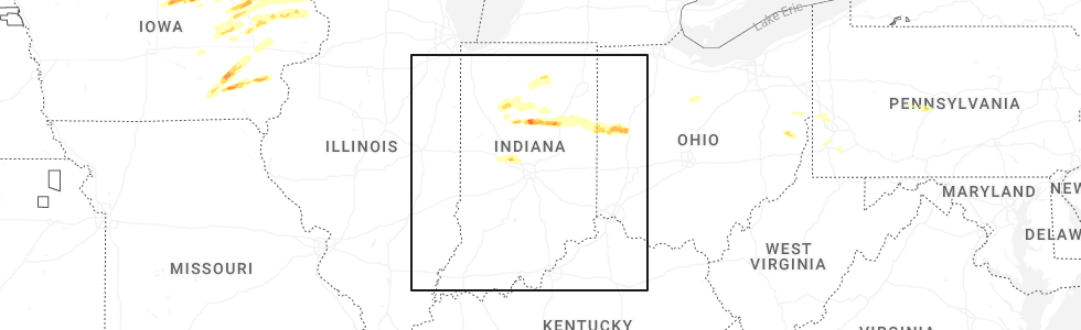
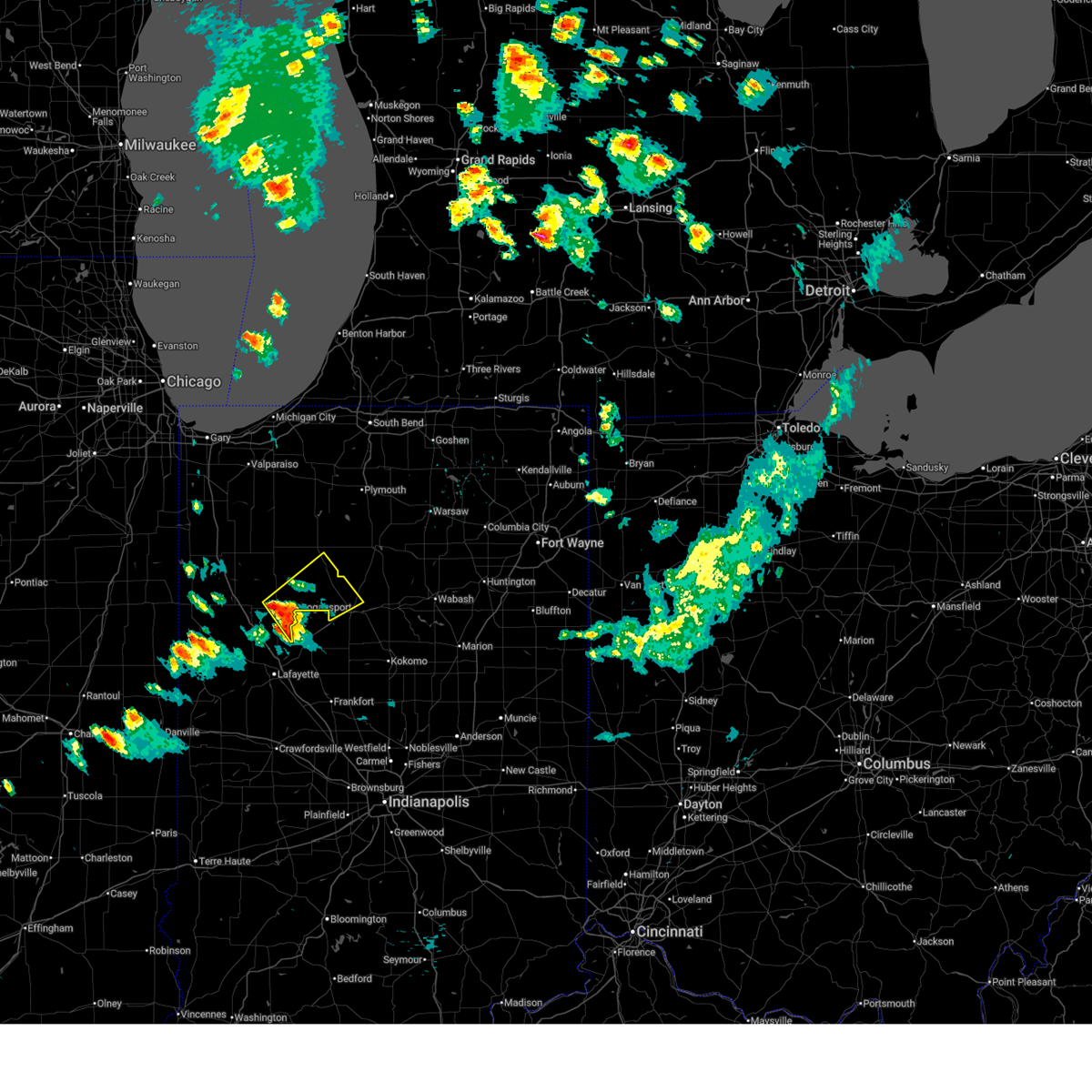
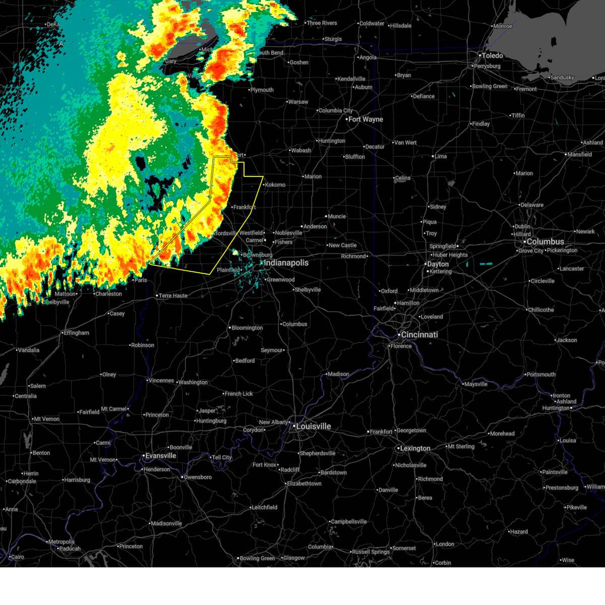
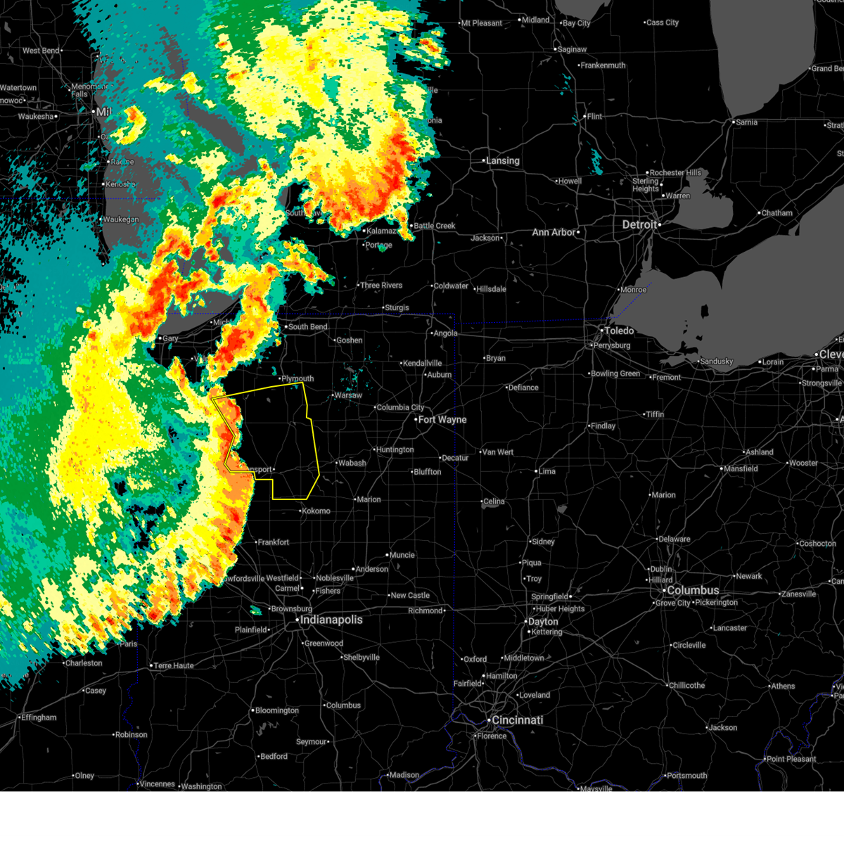
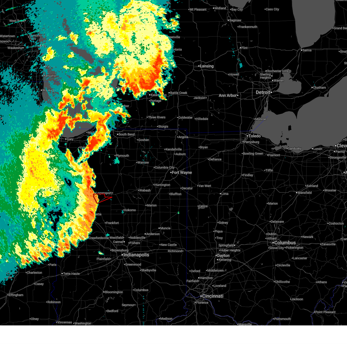
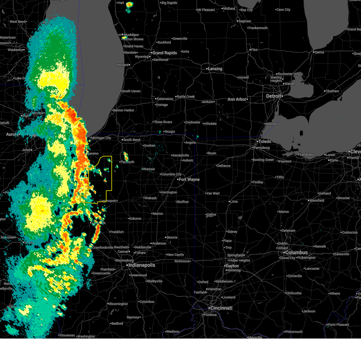
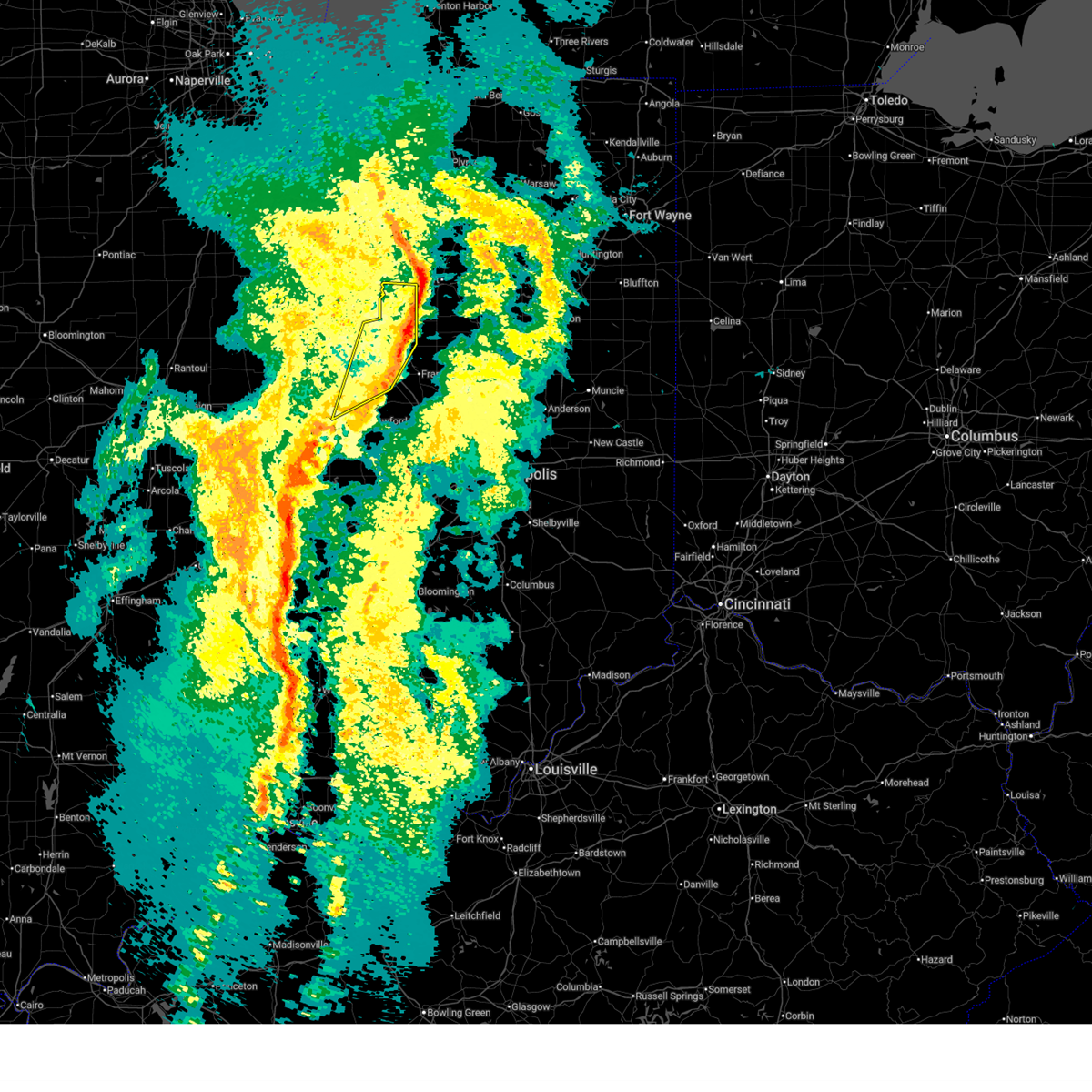
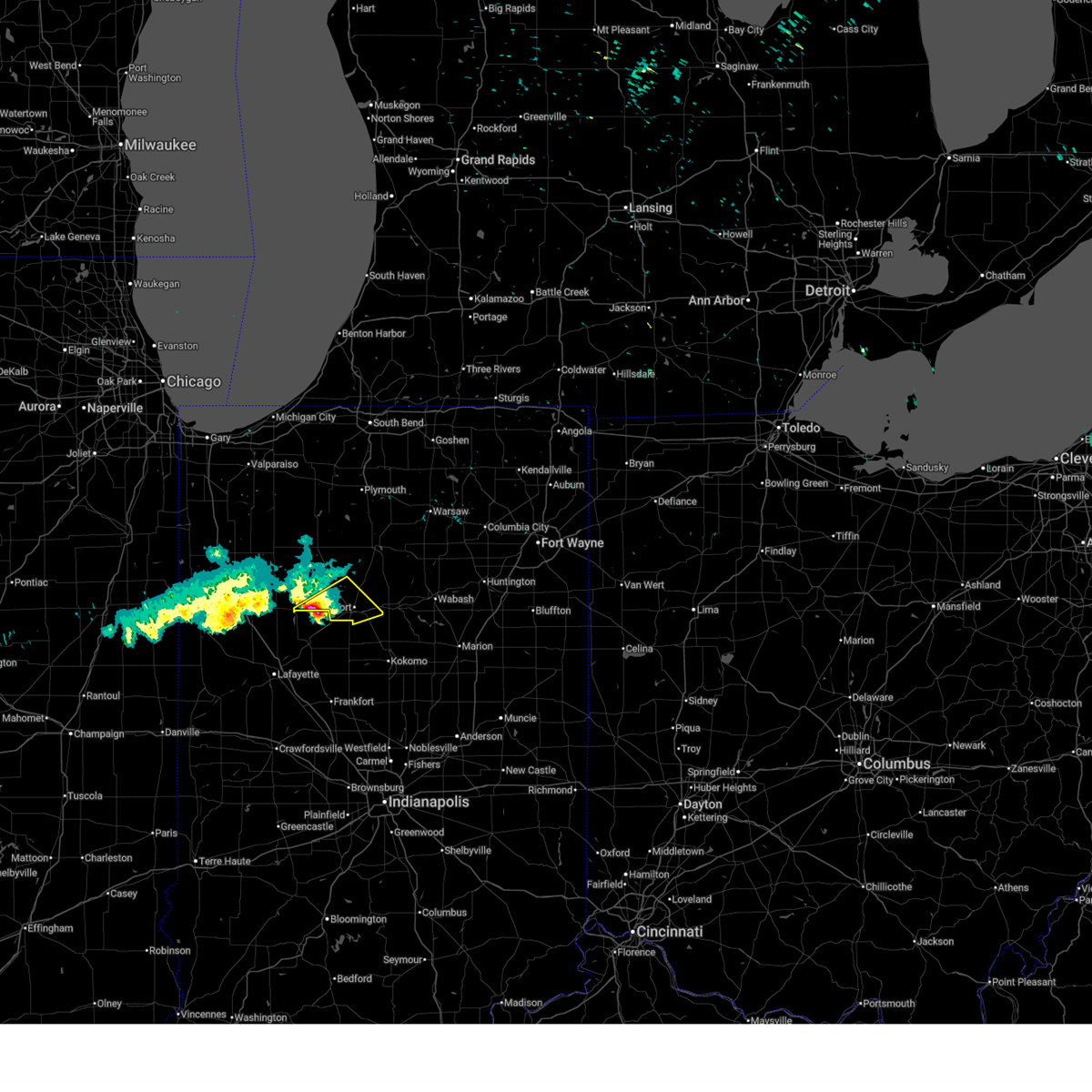
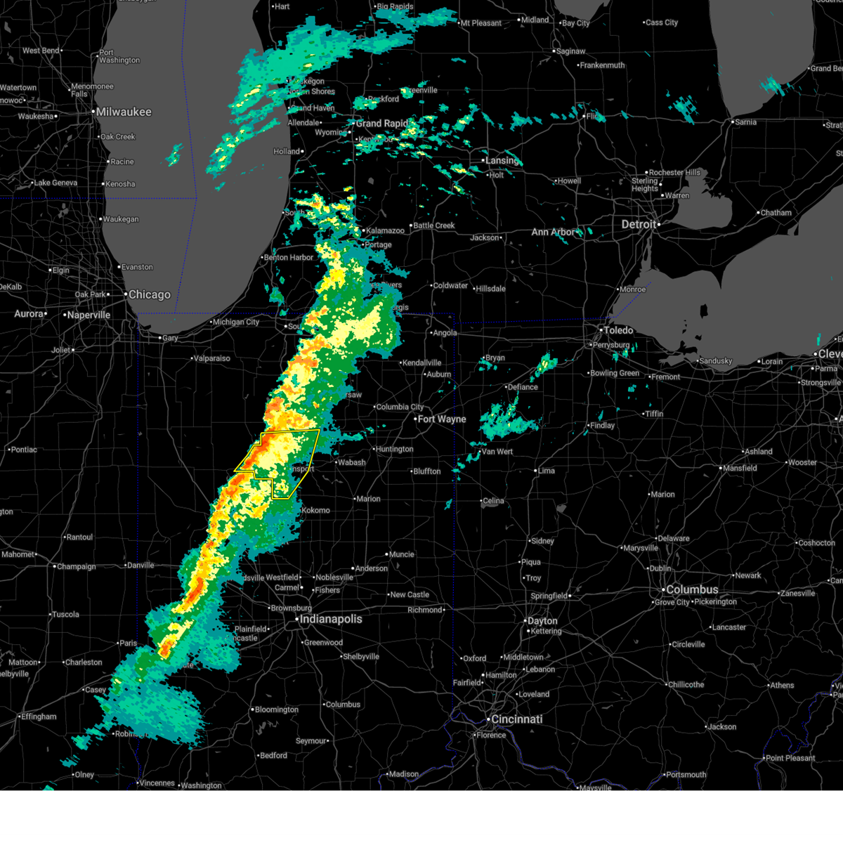
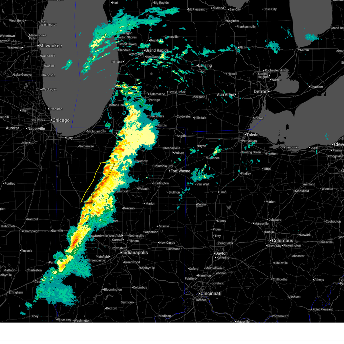
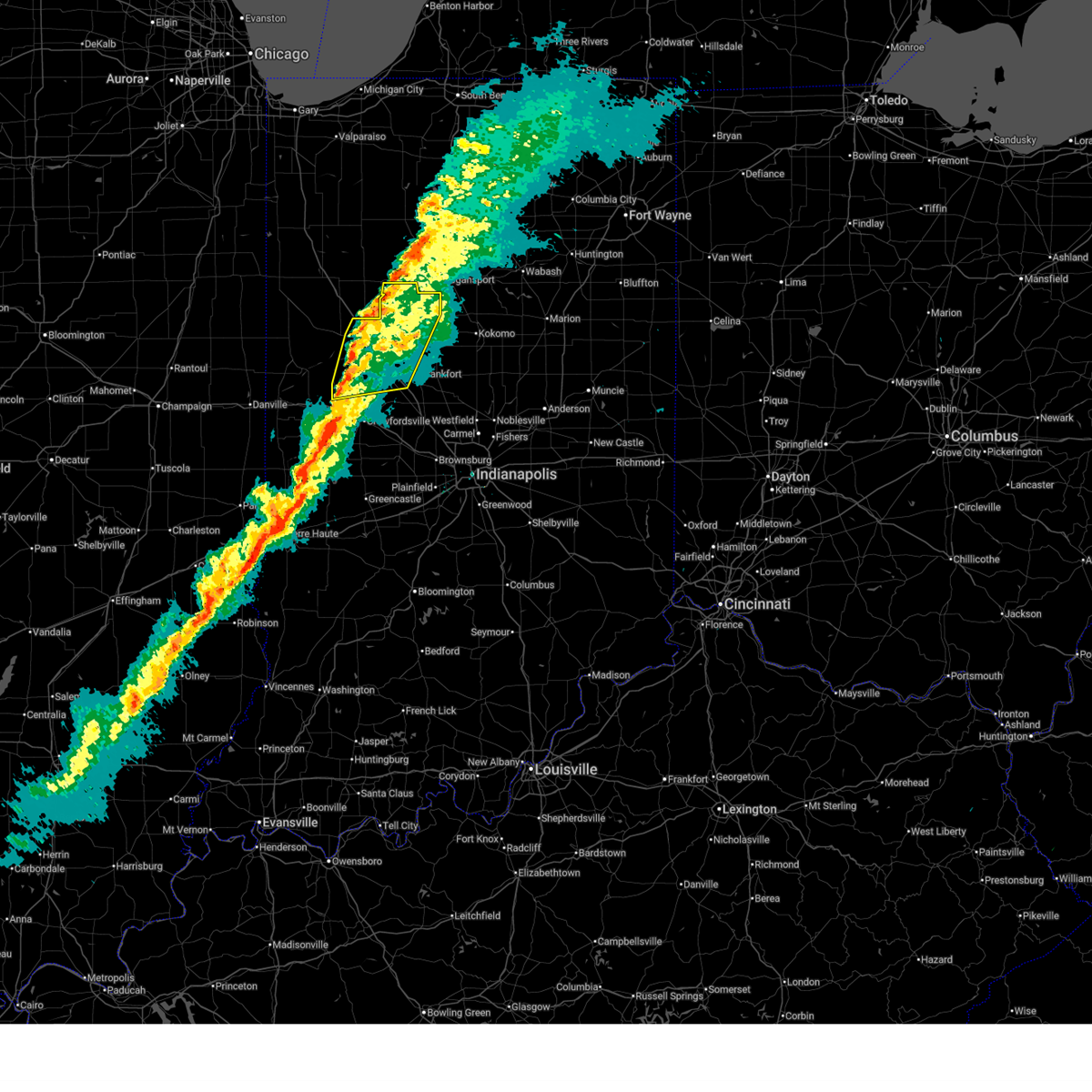
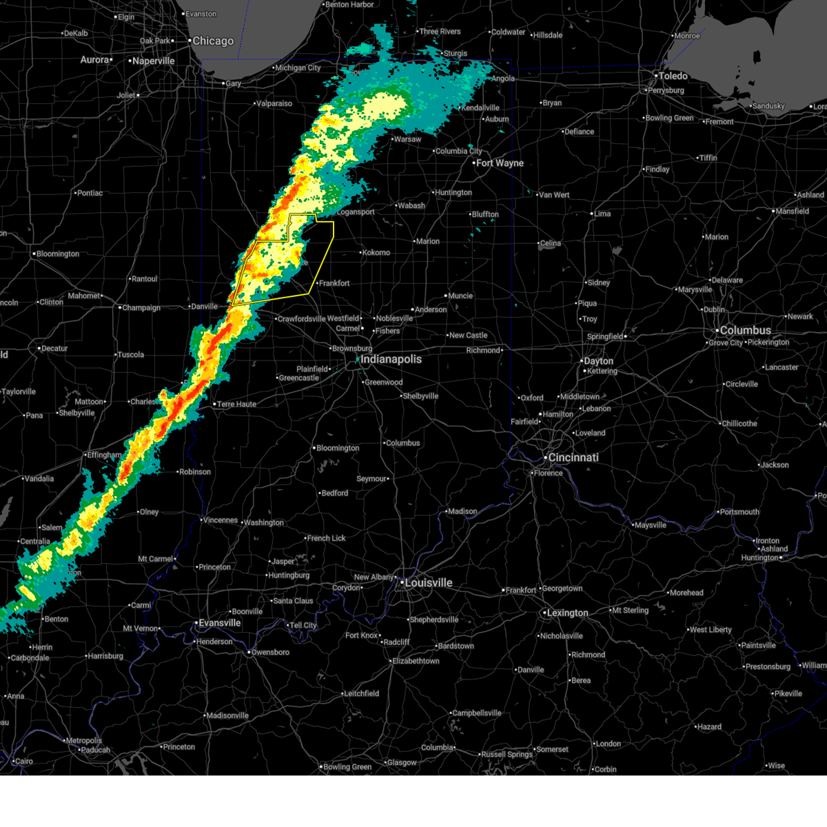
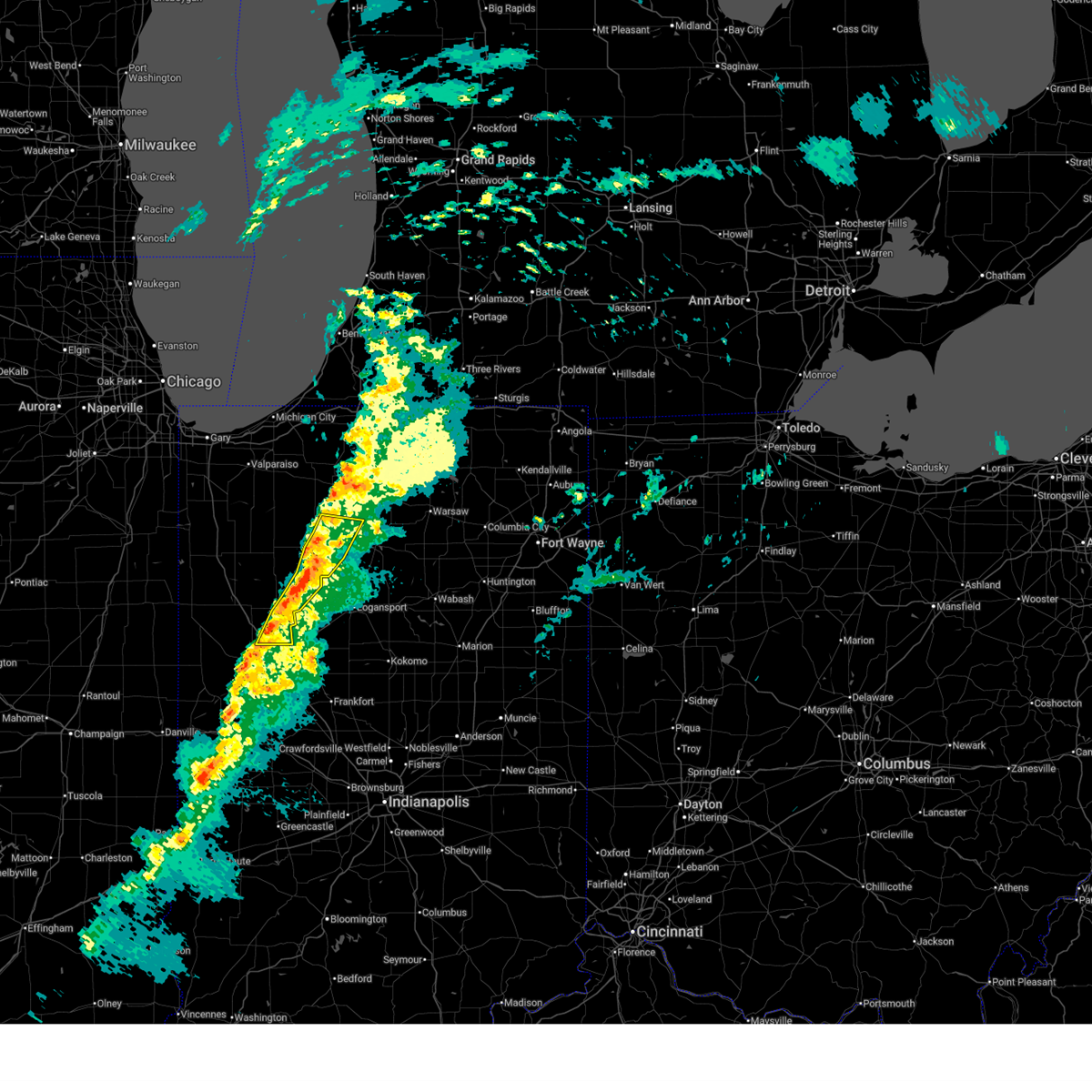
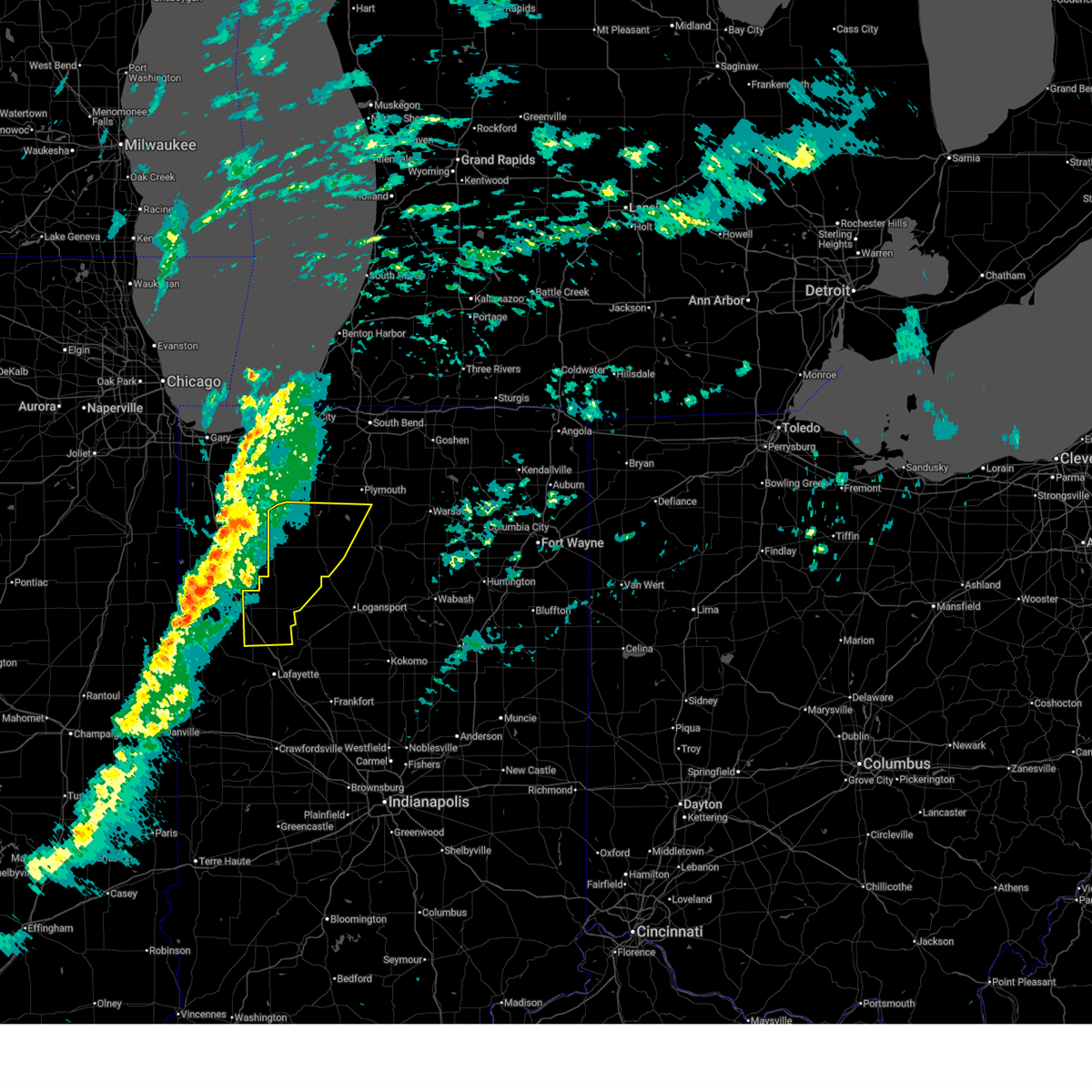
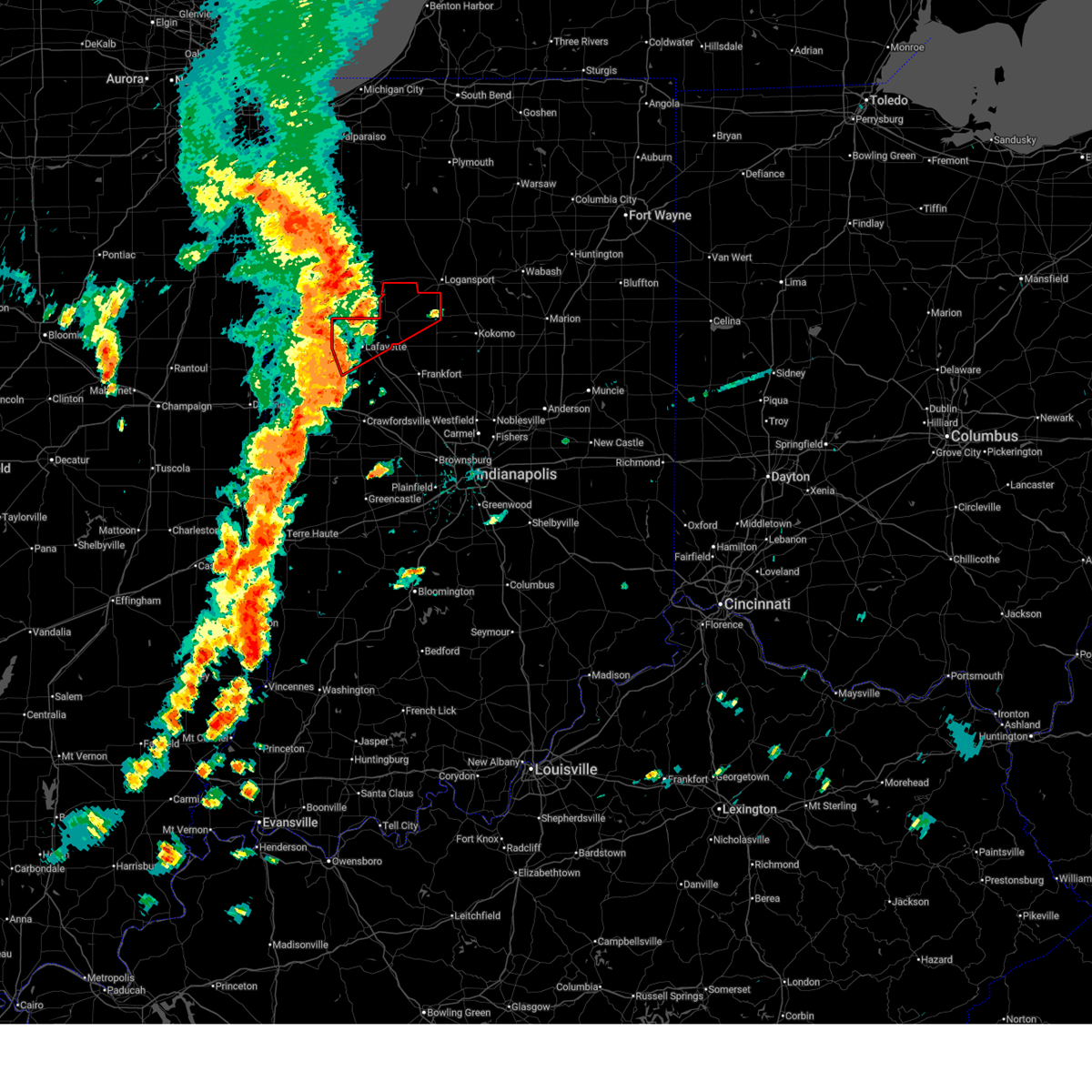
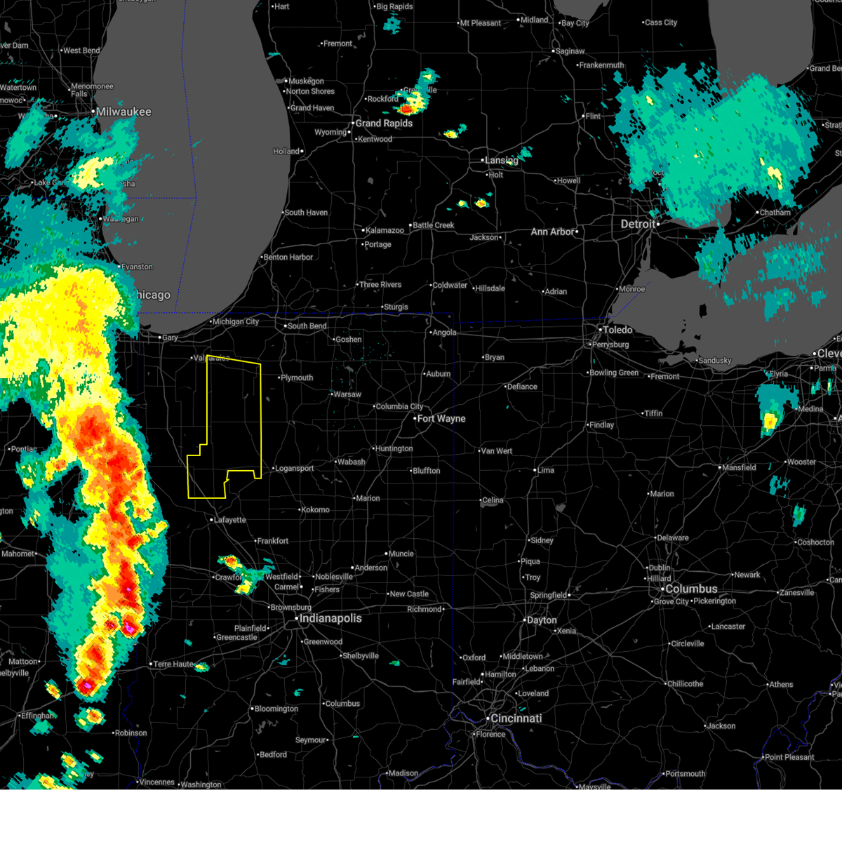
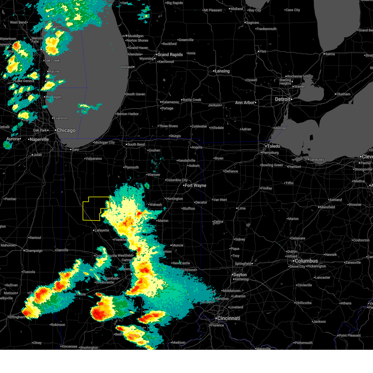
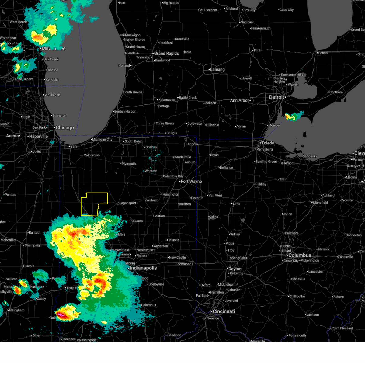
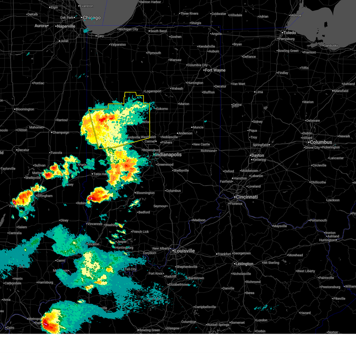
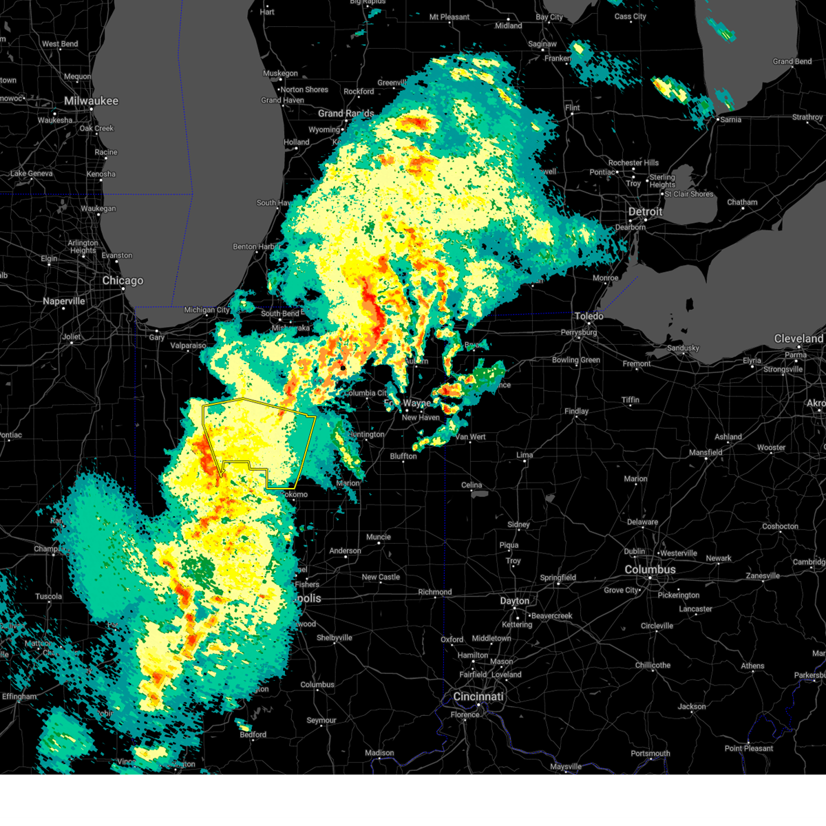
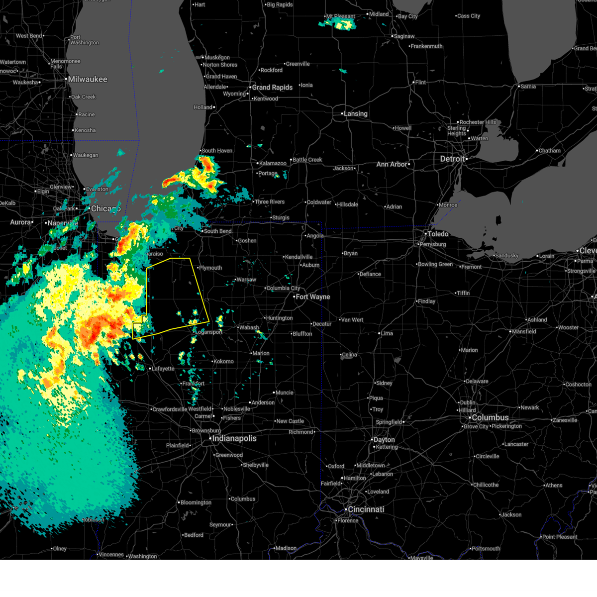
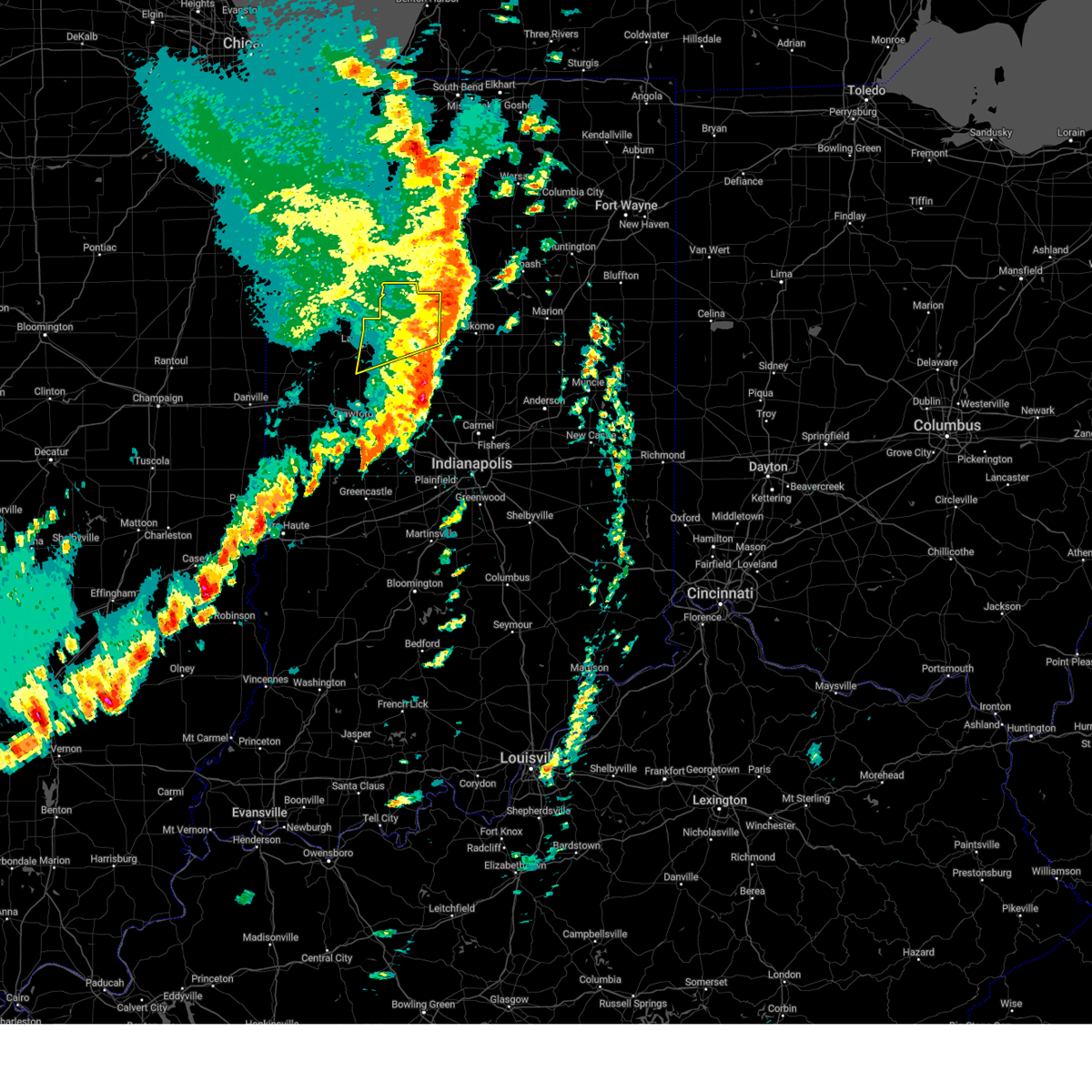
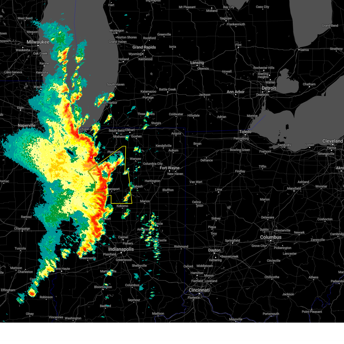
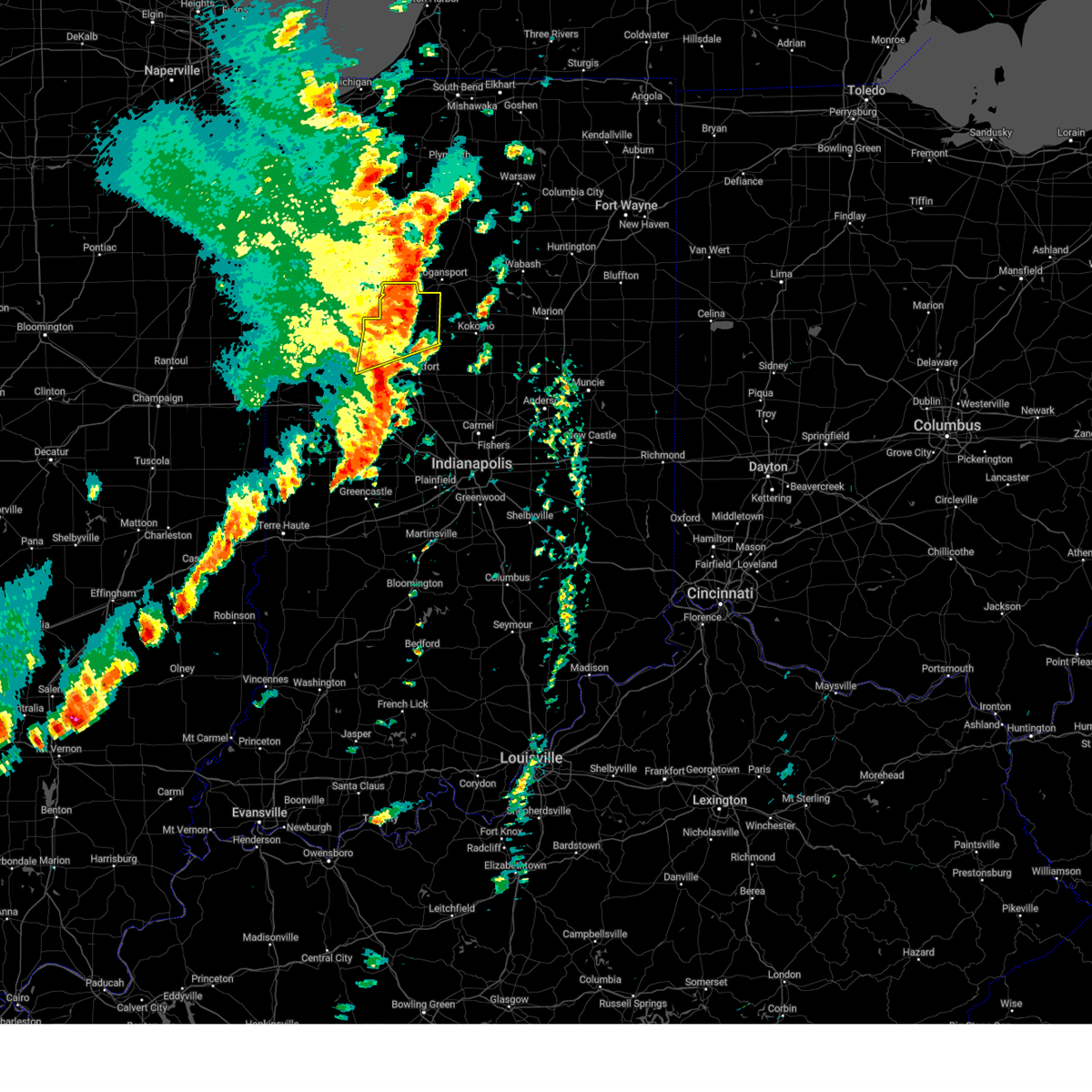
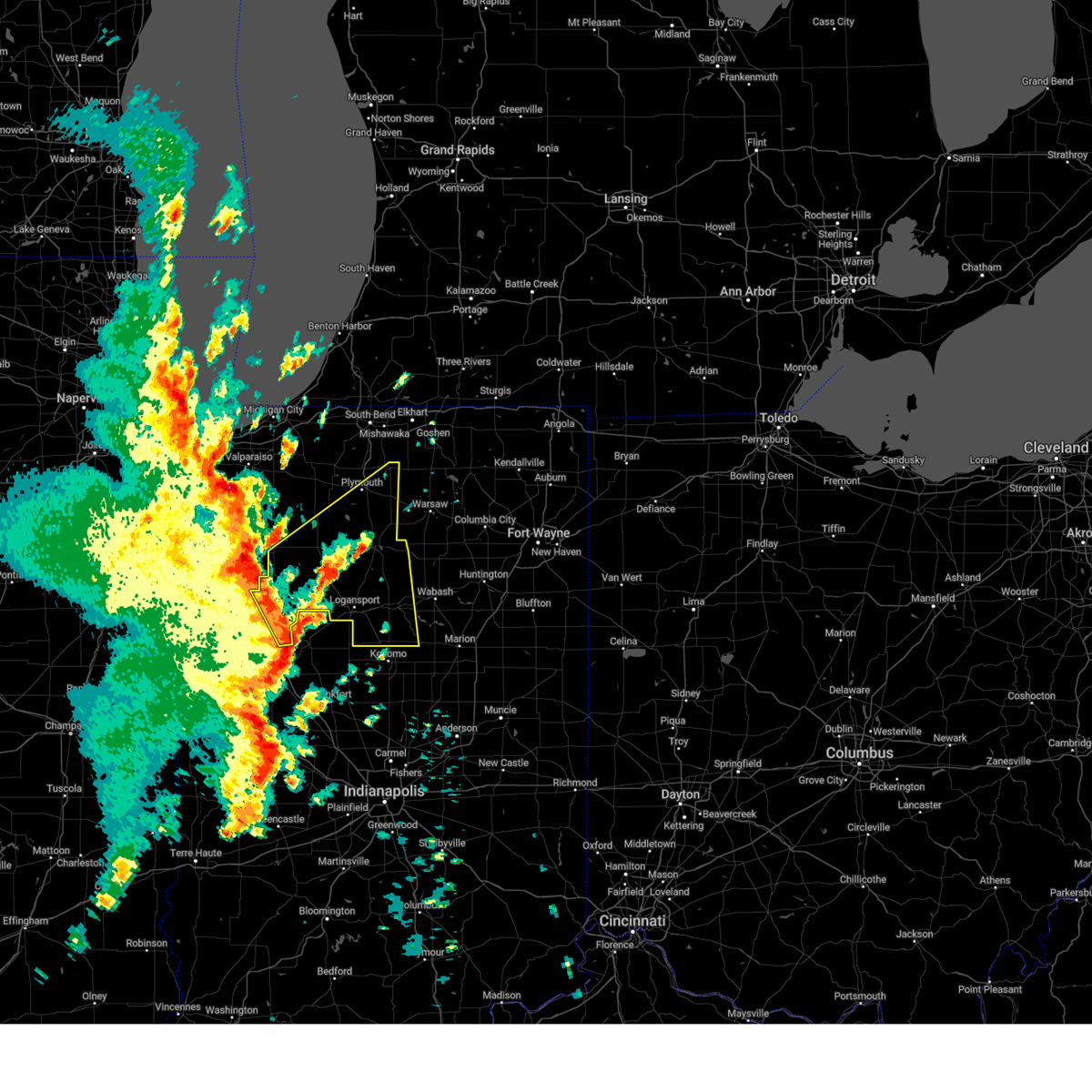
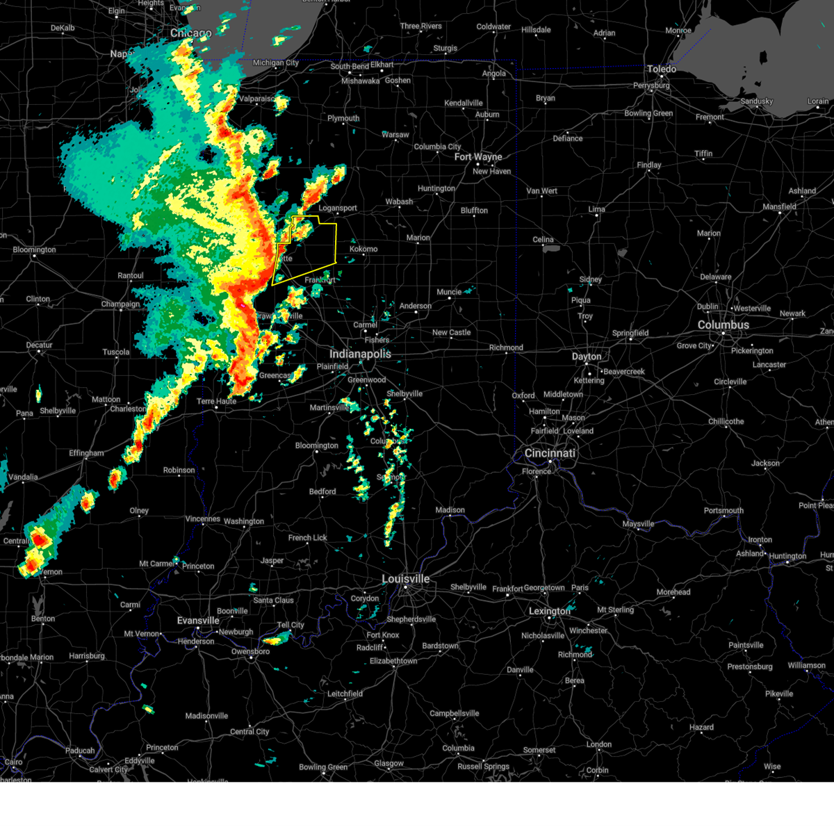
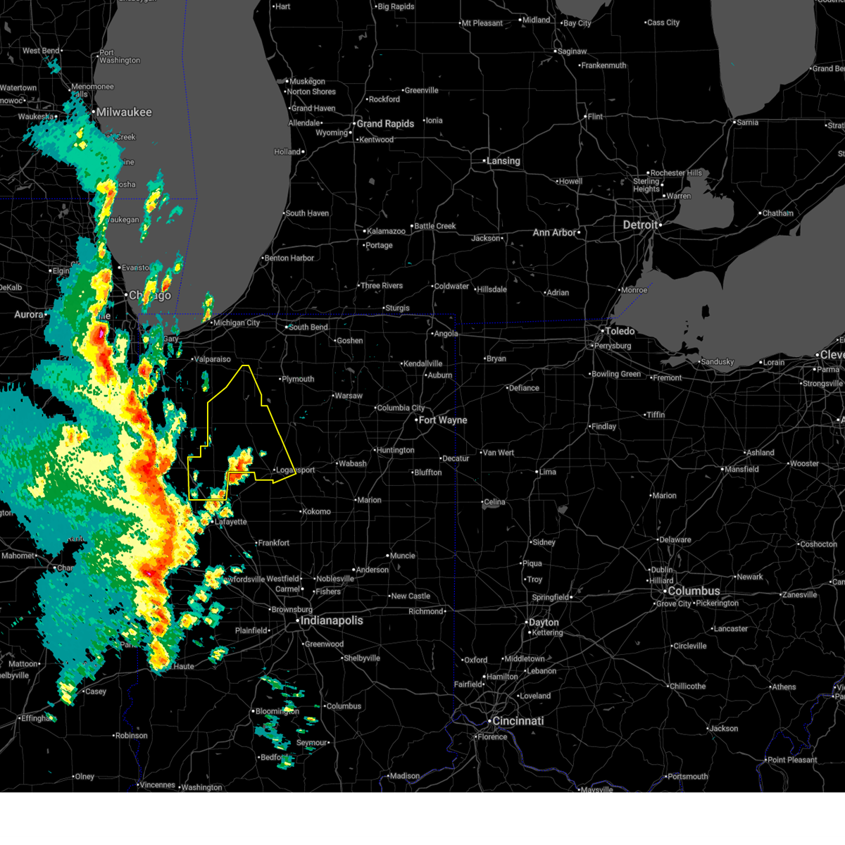
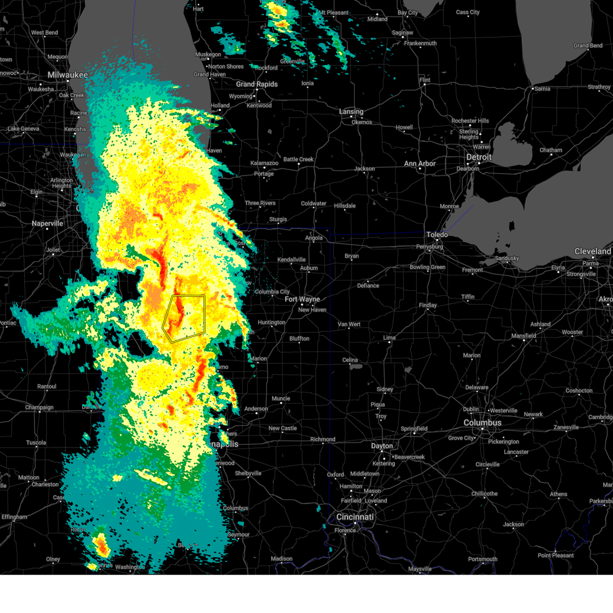
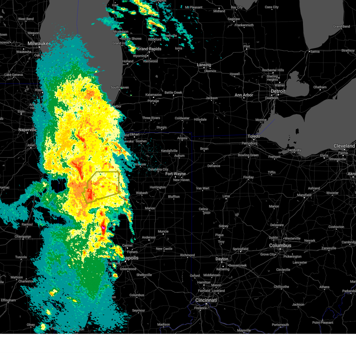
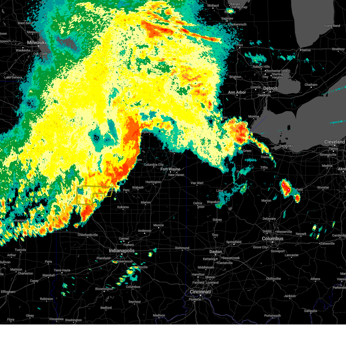
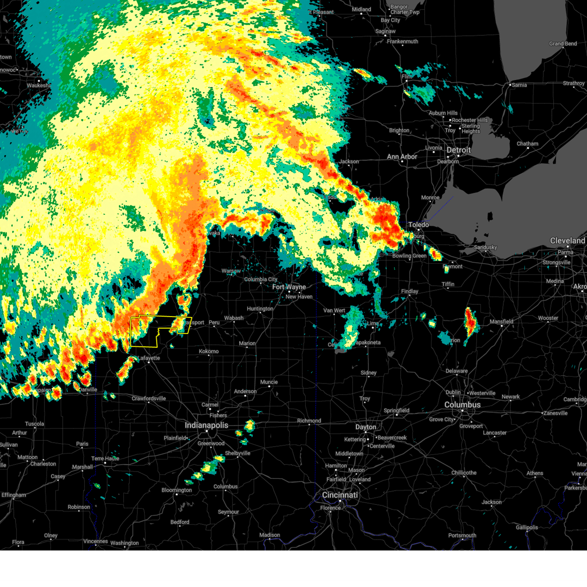
Hail Map for Idaville, IN
The Idaville, IN area has had 0 reports of on-the-ground hail by trained spotters, and has been under severe weather warnings 40 times during the past 12 months. Doppler radar has detected hail at or near Idaville, IN on 55 occasions, including 6 occasions during the past year.
| Name: | Idaville, IN |
| Where Located: | 73.4 miles NNW of Indianapolis, IN |
| Map: | Google Map for Idaville, IN |
| Population: | 461 |
| Housing Units: | 198 |
| More Info: | Search Google for Idaville, IN |
2
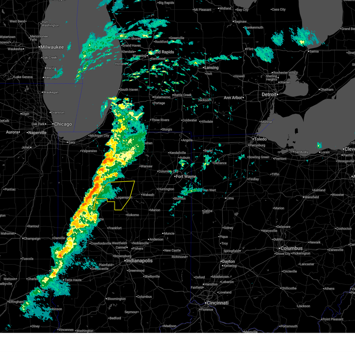
The Top Recent Hail Date for Idaville, IN is Tuesday, April 14, 2026 (2nd out of 55)
Hail and Wind Damage Spotted near Idaville, IN
| Date / Time | Report Details |
|---|---|
| 6/16/2026 5:26 PM EDT |
 The severe thunderstorm which prompted the warning has weakened. therefore, the warning will be allowed to expire. a severe thunderstorm watch remains in effect until 1100 pm edt for north central and northwestern indiana. The severe thunderstorm which prompted the warning has weakened. therefore, the warning will be allowed to expire. a severe thunderstorm watch remains in effect until 1100 pm edt for north central and northwestern indiana.
|
| 6/16/2026 5:17 PM EDT |
 At 517 pm edt, a severe thunderstorm was located near royal center, or 12 miles south of winamac, moving northeast at 35 mph (radar indicated). Hazards include 60 mph wind gusts and quarter size hail. Hail damage to vehicles is expected. expect wind damage to roofs, siding, and trees. Locations impacted include, logansport, monticello, royal center, burnettsville, headlee, golden hill, indiana beach, norway, idaville, sitka, star city, thornhope, cedar point, lucerne, bell center, lake cicott, and buffalo. At 517 pm edt, a severe thunderstorm was located near royal center, or 12 miles south of winamac, moving northeast at 35 mph (radar indicated). Hazards include 60 mph wind gusts and quarter size hail. Hail damage to vehicles is expected. expect wind damage to roofs, siding, and trees. Locations impacted include, logansport, monticello, royal center, burnettsville, headlee, golden hill, indiana beach, norway, idaville, sitka, star city, thornhope, cedar point, lucerne, bell center, lake cicott, and buffalo.
|
| 6/16/2026 5:09 PM EDT |
 Svrind the national weather service in indianapolis has issued a * severe thunderstorm warning for, northern carroll county in north central indiana, * until 545 pm edt. * at 509 pm edt, a severe thunderstorm was located over delphi, or 10 miles southeast of monticello, moving northeast at 35 mph (radar indicated). Hazards include 60 mph wind gusts and quarter size hail. Hail damage to vehicles is expected. Expect wind damage to roofs, siding, and trees. Svrind the national weather service in indianapolis has issued a * severe thunderstorm warning for, northern carroll county in north central indiana, * until 545 pm edt. * at 509 pm edt, a severe thunderstorm was located over delphi, or 10 miles southeast of monticello, moving northeast at 35 mph (radar indicated). Hazards include 60 mph wind gusts and quarter size hail. Hail damage to vehicles is expected. Expect wind damage to roofs, siding, and trees.
|
| 6/16/2026 4:52 PM EDT |
 Svriwx the national weather service in northern indiana has issued a * severe thunderstorm warning for, eastern white county in northwestern indiana, southeastern pulaski county in northwestern indiana, northwestern cass county in north central indiana, * until 530 pm edt. * at 452 pm edt, a severe thunderstorm was located over monticello, moving northeast at 35 mph (radar indicated). Hazards include 60 mph wind gusts and quarter size hail. Hail damage to vehicles is expected. Expect wind damage to roofs, siding, and trees. Svriwx the national weather service in northern indiana has issued a * severe thunderstorm warning for, eastern white county in northwestern indiana, southeastern pulaski county in northwestern indiana, northwestern cass county in north central indiana, * until 530 pm edt. * at 452 pm edt, a severe thunderstorm was located over monticello, moving northeast at 35 mph (radar indicated). Hazards include 60 mph wind gusts and quarter size hail. Hail damage to vehicles is expected. Expect wind damage to roofs, siding, and trees.
|
| 6/11/2026 9:46 PM EDT |
 At 945 pm edt, severe thunderstorms were located along a line extending from 9 miles southwest of logansport to 8 miles northwest of frankfort to 8 miles southwest of crawfordsville, moving east at 60 mph (radar indicated). Hazards include 60 mph wind gusts. Expect damage to roofs, siding, and trees. locations impacted include, kokomo, frankfort, crawfordsville, lebanon, delphi, rockville, flora, rossville, thorntown, dayton, mulberry, russiaville, montezuma, ladoga, jamestown, waynetown, roachdale, darlington, kirklin, and linden. this includes the following highways, interstate 65 between mile markers 139 and 167. Interstate 74 between mile markers 25 and 55. At 945 pm edt, severe thunderstorms were located along a line extending from 9 miles southwest of logansport to 8 miles northwest of frankfort to 8 miles southwest of crawfordsville, moving east at 60 mph (radar indicated). Hazards include 60 mph wind gusts. Expect damage to roofs, siding, and trees. locations impacted include, kokomo, frankfort, crawfordsville, lebanon, delphi, rockville, flora, rossville, thorntown, dayton, mulberry, russiaville, montezuma, ladoga, jamestown, waynetown, roachdale, darlington, kirklin, and linden. this includes the following highways, interstate 65 between mile markers 139 and 167. Interstate 74 between mile markers 25 and 55.
|
| 6/11/2026 9:43 PM EDT |
 Svriwx the national weather service in northern indiana has issued a * severe thunderstorm warning for, northeastern white county in northwestern indiana, pulaski county in northwestern indiana, fulton county in north central indiana, cass county in north central indiana, miami county in north central indiana, southern starke county in northwestern indiana, southern marshall county in north central indiana, * until 1030 pm edt/930 pm cdt/. * at 943 pm edt/843 pm cdt/, severe thunderstorms were located along a line extending from near north judson to near winamac to near monticello to 7 miles northeast of delphi to 10 miles northwest of frankfort, moving east at 65 mph (radar indicated). Hazards include 60 mph wind gusts. expect damage to roofs, siding, and trees Svriwx the national weather service in northern indiana has issued a * severe thunderstorm warning for, northeastern white county in northwestern indiana, pulaski county in northwestern indiana, fulton county in north central indiana, cass county in north central indiana, miami county in north central indiana, southern starke county in northwestern indiana, southern marshall county in north central indiana, * until 1030 pm edt/930 pm cdt/. * at 943 pm edt/843 pm cdt/, severe thunderstorms were located along a line extending from near north judson to near winamac to near monticello to 7 miles northeast of delphi to 10 miles northwest of frankfort, moving east at 65 mph (radar indicated). Hazards include 60 mph wind gusts. expect damage to roofs, siding, and trees
|
| 6/11/2026 9:38 PM EDT |
 Torind the national weather service in indianapolis has issued a * tornado warning for, northern carroll county in north central indiana, * until 1000 pm edt. * at 938 pm edt, severe thunderstorms capable of producing both tornadoes and extensive straight line wind damage were located near delphi, or 8 miles southeast of monticello, moving northeast at 65 mph (radar indicated rotation). Hazards include tornado. Flying debris will be dangerous to those caught without shelter. mobile homes will be damaged or destroyed. damage to roofs, windows, and vehicles will occur. Tree damage is likely. Torind the national weather service in indianapolis has issued a * tornado warning for, northern carroll county in north central indiana, * until 1000 pm edt. * at 938 pm edt, severe thunderstorms capable of producing both tornadoes and extensive straight line wind damage were located near delphi, or 8 miles southeast of monticello, moving northeast at 65 mph (radar indicated rotation). Hazards include tornado. Flying debris will be dangerous to those caught without shelter. mobile homes will be damaged or destroyed. damage to roofs, windows, and vehicles will occur. Tree damage is likely.
|
| 6/11/2026 9:27 PM EDT |
 Svrind the national weather service in indianapolis has issued a * severe thunderstorm warning for, carroll county in north central indiana, southeastern fountain county in west central indiana, tippecanoe county in west central indiana, clinton county in central indiana, western howard county in central indiana, northwestern hendricks county in central indiana, parke county in west central indiana, western boone county in central indiana, northwestern tipton county in central indiana, central vermillion county in west central indiana, montgomery county in west central indiana, northern putnam county in west central indiana, * until 1000 pm edt. * at 927 pm edt, severe thunderstorms were located along a line extending from near brookston to near lafayette to near newport, moving east at 70 mph (radar indicated). Hazards include 60 mph wind gusts. expect damage to roofs, siding, and trees Svrind the national weather service in indianapolis has issued a * severe thunderstorm warning for, carroll county in north central indiana, southeastern fountain county in west central indiana, tippecanoe county in west central indiana, clinton county in central indiana, western howard county in central indiana, northwestern hendricks county in central indiana, parke county in west central indiana, western boone county in central indiana, northwestern tipton county in central indiana, central vermillion county in west central indiana, montgomery county in west central indiana, northern putnam county in west central indiana, * until 1000 pm edt. * at 927 pm edt, severe thunderstorms were located along a line extending from near brookston to near lafayette to near newport, moving east at 70 mph (radar indicated). Hazards include 60 mph wind gusts. expect damage to roofs, siding, and trees
|
| 6/11/2026 9:20 PM EDT |
 At 919 pm edt, severe thunderstorms were located along a line extending from 8 miles north of rensselaer to near wolcott to otterbein, moving east at 65 mph (radar indicated). Hazards include 70 mph wind gusts and penny size hail. Expect considerable tree damage. damage is likely to mobile homes, roofs, and outbuildings. locations impacted include, monticello, winamac, monon, brookston, wolcott, francesville, medaryville, pulaski, ripley, reynolds, chalmers, burnettsville, smithson, denham, indiana beach, clarks, idaville, sitka, buffalo, and badger grove. This includes interstate 65 between mile markers 185 and 198. At 919 pm edt, severe thunderstorms were located along a line extending from 8 miles north of rensselaer to near wolcott to otterbein, moving east at 65 mph (radar indicated). Hazards include 70 mph wind gusts and penny size hail. Expect considerable tree damage. damage is likely to mobile homes, roofs, and outbuildings. locations impacted include, monticello, winamac, monon, brookston, wolcott, francesville, medaryville, pulaski, ripley, reynolds, chalmers, burnettsville, smithson, denham, indiana beach, clarks, idaville, sitka, buffalo, and badger grove. This includes interstate 65 between mile markers 185 and 198.
|
| 6/11/2026 9:00 PM EDT |
 Svriwx the national weather service in northern indiana has issued a * severe thunderstorm warning for, white county in northwestern indiana, pulaski county in northwestern indiana, * until 945 pm edt. * at 900 pm edt, severe thunderstorms were located along a line extending from near morocco to earl park to 8 miles south of boswell, moving east at 60 mph (radar indicated). Hazards include 70 mph wind gusts and penny size hail. Expect considerable tree damage. Damage is likely to mobile homes, roofs, and outbuildings. Svriwx the national weather service in northern indiana has issued a * severe thunderstorm warning for, white county in northwestern indiana, pulaski county in northwestern indiana, * until 945 pm edt. * at 900 pm edt, severe thunderstorms were located along a line extending from near morocco to earl park to 8 miles south of boswell, moving east at 60 mph (radar indicated). Hazards include 70 mph wind gusts and penny size hail. Expect considerable tree damage. Damage is likely to mobile homes, roofs, and outbuildings.
|
| 5/18/2026 12:58 PM EDT |
 At 1257 pm edt/1157 am cdt/, a severe thunderstorm was located near winamac, moving east at 45 mph (radar indicated). Hazards include 60 mph wind gusts. Expect damage to roofs, siding, and trees. Locations impacted include, monticello, knox, winamac, monon, north judson, wolcott, francesville, hamlet, medaryville, koontz lake, pulaski, oak grove, ripley, reynolds, burnettsville, monterey, beardstown, ober, english lake, and denham. At 1257 pm edt/1157 am cdt/, a severe thunderstorm was located near winamac, moving east at 45 mph (radar indicated). Hazards include 60 mph wind gusts. Expect damage to roofs, siding, and trees. Locations impacted include, monticello, knox, winamac, monon, north judson, wolcott, francesville, hamlet, medaryville, koontz lake, pulaski, oak grove, ripley, reynolds, burnettsville, monterey, beardstown, ober, english lake, and denham.
|
| 5/18/2026 12:43 PM EDT |
 Svriwx the national weather service in northern indiana has issued a * severe thunderstorm warning for, white county in northwestern indiana, pulaski county in northwestern indiana, starke county in northwestern indiana, * until 130 pm edt/1230 pm cdt/. * at 1243 pm edt/1143 am cdt/, a severe thunderstorm was located over francesville, or 12 miles east of rensselaer, moving east at 45 mph (radar indicated). Hazards include 60 mph wind gusts. expect damage to roofs, siding, and trees Svriwx the national weather service in northern indiana has issued a * severe thunderstorm warning for, white county in northwestern indiana, pulaski county in northwestern indiana, starke county in northwestern indiana, * until 130 pm edt/1230 pm cdt/. * at 1243 pm edt/1143 am cdt/, a severe thunderstorm was located over francesville, or 12 miles east of rensselaer, moving east at 45 mph (radar indicated). Hazards include 60 mph wind gusts. expect damage to roofs, siding, and trees
|
| 4/14/2026 4:36 PM EDT |
 Svriwx the national weather service in northern indiana has issued a * severe thunderstorm warning for, northeastern white county in northwestern indiana, fulton county in north central indiana, pulaski county in northwestern indiana, cass county in north central indiana, northwestern miami county in north central indiana, south central marshall county in north central indiana, * until 500 pm edt. * at 436 pm edt, severe thunderstorms were located along a line extending from near francesville to 6 miles east of monticello, moving east at 45 mph (radar indicated). Hazards include 60 mph wind gusts and quarter size hail. Hail damage to vehicles is expected. Expect wind damage to roofs, siding, and trees. Svriwx the national weather service in northern indiana has issued a * severe thunderstorm warning for, northeastern white county in northwestern indiana, fulton county in north central indiana, pulaski county in northwestern indiana, cass county in north central indiana, northwestern miami county in north central indiana, south central marshall county in north central indiana, * until 500 pm edt. * at 436 pm edt, severe thunderstorms were located along a line extending from near francesville to 6 miles east of monticello, moving east at 45 mph (radar indicated). Hazards include 60 mph wind gusts and quarter size hail. Hail damage to vehicles is expected. Expect wind damage to roofs, siding, and trees.
|
| 4/2/2026 7:35 PM EDT |
 The storm which prompted the warning has moved out of the area. therefore, the warning will be allowed to expire. The storm which prompted the warning has moved out of the area. therefore, the warning will be allowed to expire.
|
| 4/2/2026 7:15 PM EDT |
 Svriwx the national weather service in northern indiana has issued a * severe thunderstorm warning for, central white county in northwestern indiana, * until 745 pm edt. * at 715 pm edt, a severe thunderstorm was located near monticello, moving east at 45 mph (radar indicated). Hazards include 60 mph wind gusts. expect damage to roofs, siding, and trees Svriwx the national weather service in northern indiana has issued a * severe thunderstorm warning for, central white county in northwestern indiana, * until 745 pm edt. * at 715 pm edt, a severe thunderstorm was located near monticello, moving east at 45 mph (radar indicated). Hazards include 60 mph wind gusts. expect damage to roofs, siding, and trees
|
| 3/15/2026 10:02 PM EDT |
 the severe thunderstorm warning has been cancelled and is no longer in effect the severe thunderstorm warning has been cancelled and is no longer in effect
|
| 3/15/2026 9:53 PM EDT |
 Svriwx the national weather service in northern indiana has issued a * severe thunderstorm warning for, northeastern white county in northwestern indiana, western fulton county in north central indiana, southeastern pulaski county in northwestern indiana, cass county in north central indiana, northwestern miami county in north central indiana, * until 1030 pm edt. * at 953 pm edt, a severe thunderstorm was located 8 miles south of royal center, or 9 miles west of logansport, moving northeast at 75 mph (radar indicated). Hazards include 60 mph wind gusts. expect damage to roofs, siding, and trees Svriwx the national weather service in northern indiana has issued a * severe thunderstorm warning for, northeastern white county in northwestern indiana, western fulton county in north central indiana, southeastern pulaski county in northwestern indiana, cass county in north central indiana, northwestern miami county in north central indiana, * until 1030 pm edt. * at 953 pm edt, a severe thunderstorm was located 8 miles south of royal center, or 9 miles west of logansport, moving northeast at 75 mph (radar indicated). Hazards include 60 mph wind gusts. expect damage to roofs, siding, and trees
|
| 3/15/2026 9:52 PM EDT |
 Svriwx the national weather service in northern indiana has issued a * severe thunderstorm warning for, northeastern white county in northwestern indiana, western fulton county in north central indiana, southeastern pulaski county in northwestern indiana, cass county in north central indiana, northwestern miami county in north central indiana, * until 1030 pm edt. * at 952 pm edt, a severe thunderstorm was located 8 miles south of royal center, or 9 miles west of logansport, moving northeast at 75 mph (radar indicated). Hazards include 60 mph wind gusts. expect damage to roofs, siding, and trees Svriwx the national weather service in northern indiana has issued a * severe thunderstorm warning for, northeastern white county in northwestern indiana, western fulton county in north central indiana, southeastern pulaski county in northwestern indiana, cass county in north central indiana, northwestern miami county in north central indiana, * until 1030 pm edt. * at 952 pm edt, a severe thunderstorm was located 8 miles south of royal center, or 9 miles west of logansport, moving northeast at 75 mph (radar indicated). Hazards include 60 mph wind gusts. expect damage to roofs, siding, and trees
|
| 3/15/2026 9:43 PM EDT |
 Svrind the national weather service in indianapolis has issued a * severe thunderstorm warning for, western carroll county in north central indiana, tippecanoe county in west central indiana, northwestern clinton county in central indiana, northern montgomery county in west central indiana, * until 1030 pm edt. * at 943 pm edt, a severe thunderstorm was located near delphi, or 11 miles northeast of lafayette, moving northeast at 55 mph (radar indicated. winds of 50 mph were reported at west lafayette). Hazards include 60 mph wind gusts. expect damage to roofs, siding, and trees Svrind the national weather service in indianapolis has issued a * severe thunderstorm warning for, western carroll county in north central indiana, tippecanoe county in west central indiana, northwestern clinton county in central indiana, northern montgomery county in west central indiana, * until 1030 pm edt. * at 943 pm edt, a severe thunderstorm was located near delphi, or 11 miles northeast of lafayette, moving northeast at 55 mph (radar indicated. winds of 50 mph were reported at west lafayette). Hazards include 60 mph wind gusts. expect damage to roofs, siding, and trees
|
| 2/19/2026 4:03 AM EST |
 the severe thunderstorm warning has been cancelled and is no longer in effect the severe thunderstorm warning has been cancelled and is no longer in effect
|
| 2/19/2026 3:59 AM EST |
 At 358 am est, a severe thunderstorm was located 8 miles southwest of royal center, or 9 miles east of monticello, moving northeast at 30 mph (radar indicated). Hazards include quarter size hail. Damage to vehicles is expected. Locations impacted include, logansport, monticello, royal center, burnettsville, clymers, idaville, leases corner, adamsboro, lucerne, lake cicott, and anoka. At 358 am est, a severe thunderstorm was located 8 miles southwest of royal center, or 9 miles east of monticello, moving northeast at 30 mph (radar indicated). Hazards include quarter size hail. Damage to vehicles is expected. Locations impacted include, logansport, monticello, royal center, burnettsville, clymers, idaville, leases corner, adamsboro, lucerne, lake cicott, and anoka.
|
| 2/19/2026 3:48 AM EST |
 At 347 am est, a severe thunderstorm was located 7 miles east of monticello, moving northeast at 35 mph (radar indicated). Hazards include quarter size hail. Damage to vehicles is expected. This severe thunderstorm will remain over mainly rural areas of northwestern carroll county. At 347 am est, a severe thunderstorm was located 7 miles east of monticello, moving northeast at 35 mph (radar indicated). Hazards include quarter size hail. Damage to vehicles is expected. This severe thunderstorm will remain over mainly rural areas of northwestern carroll county.
|
| 2/19/2026 3:37 AM EST |
 Svriwx the national weather service in northern indiana has issued a * severe thunderstorm warning for, southeastern white county in northwestern indiana, central cass county in north central indiana, * until 415 am est. * at 337 am est, a severe thunderstorm was located near monticello, moving northeast at 55 mph (radar indicated). Hazards include quarter size hail. damage to vehicles is expected Svriwx the national weather service in northern indiana has issued a * severe thunderstorm warning for, southeastern white county in northwestern indiana, central cass county in north central indiana, * until 415 am est. * at 337 am est, a severe thunderstorm was located near monticello, moving northeast at 55 mph (radar indicated). Hazards include quarter size hail. damage to vehicles is expected
|
| 2/19/2026 3:30 AM EST |
 Svrind the national weather service in indianapolis has issued a * severe thunderstorm warning for, northern carroll county in north central indiana, * until 415 am est. * at 330 am est, a severe thunderstorm was located near brookston, or 7 miles south of monticello, moving northeast at 35 mph (radar indicated). Hazards include quarter size hail. damage to vehicles is expected Svrind the national weather service in indianapolis has issued a * severe thunderstorm warning for, northern carroll county in north central indiana, * until 415 am est. * at 330 am est, a severe thunderstorm was located near brookston, or 7 miles south of monticello, moving northeast at 35 mph (radar indicated). Hazards include quarter size hail. damage to vehicles is expected
|
| 12/28/2025 6:30 PM EST |
 the severe thunderstorm warning has been cancelled and is no longer in effect the severe thunderstorm warning has been cancelled and is no longer in effect
|
| 12/28/2025 6:30 PM EST |
 At 629 pm est, severe thunderstorms were located along a line extending from 11 miles southwest of rochester to near royal center to delphi, moving east at 50 mph (radar indicated). Hazards include 60 mph wind gusts. Expect damage to roofs, siding, and trees. Locations impacted include, logansport, peru, grissom afb, walton, royal center, mexico, lincoln, wells, denver, burnettsville, fulton, macy, onward, clymers, nyena lake, leases corner, deedsville, hoover, idaville, and lucerne. At 629 pm est, severe thunderstorms were located along a line extending from 11 miles southwest of rochester to near royal center to delphi, moving east at 50 mph (radar indicated). Hazards include 60 mph wind gusts. Expect damage to roofs, siding, and trees. Locations impacted include, logansport, peru, grissom afb, walton, royal center, mexico, lincoln, wells, denver, burnettsville, fulton, macy, onward, clymers, nyena lake, leases corner, deedsville, hoover, idaville, and lucerne.
|
| 12/28/2025 6:25 PM EST |
 The storms which prompted the warning have moved out of the area. therefore, the warning will be allowed to expire. however, gusty winds are still possible with these thunderstorms. a tornado watch remains in effect until 900 pm est/800 pm cst/ for north central and northwestern indiana. The storms which prompted the warning have moved out of the area. therefore, the warning will be allowed to expire. however, gusty winds are still possible with these thunderstorms. a tornado watch remains in effect until 900 pm est/800 pm cst/ for north central and northwestern indiana.
|
| 12/28/2025 6:24 PM EST |
 At 624 pm est, severe thunderstorms were located along a line extending from 6 miles southwest of delphi to 11 miles north of crawfordsville, moving east at 55 mph (radar indicated). Hazards include 60 mph wind gusts. Expect damage to roofs, siding, and trees. locations impacted include, lafayette, frankfort, west lafayette, delphi, flora, rossville, shadeland, dayton, battle ground, mulberry, linden, camden, clarks hill, new richmond, wingate, yeoman, and purdue university. This includes interstate 65 between mile markers 153 and 183. At 624 pm est, severe thunderstorms were located along a line extending from 6 miles southwest of delphi to 11 miles north of crawfordsville, moving east at 55 mph (radar indicated). Hazards include 60 mph wind gusts. Expect damage to roofs, siding, and trees. locations impacted include, lafayette, frankfort, west lafayette, delphi, flora, rossville, shadeland, dayton, battle ground, mulberry, linden, camden, clarks hill, new richmond, wingate, yeoman, and purdue university. This includes interstate 65 between mile markers 153 and 183.
|
| 12/28/2025 6:24 PM EST |
 the severe thunderstorm warning has been cancelled and is no longer in effect the severe thunderstorm warning has been cancelled and is no longer in effect
|
| 12/28/2025 6:15 PM EST |
 the severe thunderstorm warning has been cancelled and is no longer in effect the severe thunderstorm warning has been cancelled and is no longer in effect
|
| 12/28/2025 6:15 PM EST |
 At 614 pm est, severe thunderstorms were located along a line extending from near west lafayette to 10 miles northeast of veedersburg, moving east at 55 mph (radar indicated). Hazards include 60 mph wind gusts. Expect damage to roofs, siding, and trees. locations impacted include, lafayette, frankfort, west lafayette, delphi, flora, rossville, shadeland, dayton, battle ground, mulberry, linden, camden, clarks hill, new richmond, wingate, newtown, mellott, yeoman, and purdue university. This includes interstate 65 between mile markers 153 and 184. At 614 pm est, severe thunderstorms were located along a line extending from near west lafayette to 10 miles northeast of veedersburg, moving east at 55 mph (radar indicated). Hazards include 60 mph wind gusts. Expect damage to roofs, siding, and trees. locations impacted include, lafayette, frankfort, west lafayette, delphi, flora, rossville, shadeland, dayton, battle ground, mulberry, linden, camden, clarks hill, new richmond, wingate, newtown, mellott, yeoman, and purdue university. This includes interstate 65 between mile markers 153 and 184.
|
| 12/28/2025 6:14 PM EST |
 At 614 pm est/514 pm cst/, severe thunderstorms were located along a line extending from near plymouth to near winamac to near brookston, moving east at 50 mph (radar indicated). Hazards include 60 mph wind gusts. Expect damage to roofs, siding, and trees. locations impacted include, monticello, winamac, brookston, pulaski, kewanna, reynolds, chalmers, monterey, leiters ford, beardstown, smithson, indiana beach, delong, sitka, lake bruce, star city, thornhope, buffalo, badger grove, and vanmeter park. This includes interstate 65 between mile markers 185 and 188. At 614 pm est/514 pm cst/, severe thunderstorms were located along a line extending from near plymouth to near winamac to near brookston, moving east at 50 mph (radar indicated). Hazards include 60 mph wind gusts. Expect damage to roofs, siding, and trees. locations impacted include, monticello, winamac, brookston, pulaski, kewanna, reynolds, chalmers, monterey, leiters ford, beardstown, smithson, indiana beach, delong, sitka, lake bruce, star city, thornhope, buffalo, badger grove, and vanmeter park. This includes interstate 65 between mile markers 185 and 188.
|
| 12/28/2025 6:06 PM EST |
 Svriwx the national weather service in northern indiana has issued a * severe thunderstorm warning for, eastern white county in northwestern indiana, southern fulton county in north central indiana, southeastern pulaski county in northwestern indiana, cass county in north central indiana, northwestern miami county in north central indiana, * until 700 pm est. * at 606 pm est, severe thunderstorms were located along a line extending from 6 miles south of winamac to near monticello to near brookston, moving east at 50 mph (radar indicated). Hazards include 60 mph wind gusts. expect damage to roofs, siding, and trees Svriwx the national weather service in northern indiana has issued a * severe thunderstorm warning for, eastern white county in northwestern indiana, southern fulton county in north central indiana, southeastern pulaski county in northwestern indiana, cass county in north central indiana, northwestern miami county in north central indiana, * until 700 pm est. * at 606 pm est, severe thunderstorms were located along a line extending from 6 miles south of winamac to near monticello to near brookston, moving east at 50 mph (radar indicated). Hazards include 60 mph wind gusts. expect damage to roofs, siding, and trees
|
| 12/28/2025 5:58 PM EST |
 Svrind the national weather service in indianapolis has issued a * severe thunderstorm warning for, carroll county in north central indiana, central fountain county in west central indiana, tippecanoe county in west central indiana, western clinton county in central indiana, eastern warren county in west central indiana, north central vermillion county in west central indiana, northern montgomery county in west central indiana, * until 645 pm est. * at 558 pm est, severe thunderstorms were located along a line extending from near oxford to near covington, moving east at 55 mph (radar indicated). Hazards include 60 mph wind gusts. expect damage to roofs, siding, and trees Svrind the national weather service in indianapolis has issued a * severe thunderstorm warning for, carroll county in north central indiana, central fountain county in west central indiana, tippecanoe county in west central indiana, western clinton county in central indiana, eastern warren county in west central indiana, north central vermillion county in west central indiana, northern montgomery county in west central indiana, * until 645 pm est. * at 558 pm est, severe thunderstorms were located along a line extending from near oxford to near covington, moving east at 55 mph (radar indicated). Hazards include 60 mph wind gusts. expect damage to roofs, siding, and trees
|
| 12/28/2025 5:56 PM EST |
 At 555 pm est/455 pm cst/, severe thunderstorms were located along a line extending from near hamlet to near francesville to 8 miles north of otterbein, moving east at 50 mph (radar indicated). Hazards include 60 mph wind gusts. Expect damage to roofs, siding, and trees. locations impacted include, monticello, knox, winamac, monon, north judson, brookston, culver, wolcott, francesville, medaryville, pulaski, ripley, kewanna, reynolds, chalmers, monterey, leiters ford, beardstown, ober, and smithson. This includes interstate 65 between mile markers 185 and 198. At 555 pm est/455 pm cst/, severe thunderstorms were located along a line extending from near hamlet to near francesville to 8 miles north of otterbein, moving east at 50 mph (radar indicated). Hazards include 60 mph wind gusts. Expect damage to roofs, siding, and trees. locations impacted include, monticello, knox, winamac, monon, north judson, brookston, culver, wolcott, francesville, medaryville, pulaski, ripley, kewanna, reynolds, chalmers, monterey, leiters ford, beardstown, ober, and smithson. This includes interstate 65 between mile markers 185 and 198.
|
| 12/28/2025 5:27 PM EST |
 Svriwx the national weather service in northern indiana has issued a * severe thunderstorm warning for, white county in northwestern indiana, northwestern fulton county in north central indiana, pulaski county in northwestern indiana, southern starke county in northwestern indiana, southwestern marshall county in north central indiana, * until 630 pm est/530 pm cst/. * at 526 pm est/426 pm cst/, severe thunderstorms were located along a line extending from near wheatfield to near goodland to near hoopeston, moving east at 55 mph (radar indicated). Hazards include 60 mph wind gusts. expect damage to roofs, siding, and trees Svriwx the national weather service in northern indiana has issued a * severe thunderstorm warning for, white county in northwestern indiana, northwestern fulton county in north central indiana, pulaski county in northwestern indiana, southern starke county in northwestern indiana, southwestern marshall county in north central indiana, * until 630 pm est/530 pm cst/. * at 526 pm est/426 pm cst/, severe thunderstorms were located along a line extending from near wheatfield to near goodland to near hoopeston, moving east at 55 mph (radar indicated). Hazards include 60 mph wind gusts. expect damage to roofs, siding, and trees
|
| 8/16/2025 8:51 PM EDT |
 The storm which prompted the warning has weakened below severe limits, and no longer poses an immediate threat to life or property. therefore, the warning will be allowed to expire. The storm which prompted the warning has weakened below severe limits, and no longer poses an immediate threat to life or property. therefore, the warning will be allowed to expire.
|
| 8/16/2025 8:40 PM EDT |
 At 839 pm edt, a severe thunderstorm was located near monon, or 10 miles northwest of monticello, moving southeast at 35 mph (radar indicated). Hazards include 60 mph wind gusts. Expect damage to roofs, siding, and trees. Locations impacted include, monticello, monon, wolcott, reynolds, burnettsville, smithson, lee, golden hill, indiana beach, norway, idaville, sitka, cedar point, and buffalo. At 839 pm edt, a severe thunderstorm was located near monon, or 10 miles northwest of monticello, moving southeast at 35 mph (radar indicated). Hazards include 60 mph wind gusts. Expect damage to roofs, siding, and trees. Locations impacted include, monticello, monon, wolcott, reynolds, burnettsville, smithson, lee, golden hill, indiana beach, norway, idaville, sitka, cedar point, and buffalo.
|
| 8/16/2025 8:40 PM EDT |
 the severe thunderstorm warning has been cancelled and is no longer in effect the severe thunderstorm warning has been cancelled and is no longer in effect
|
| 8/16/2025 8:20 PM EDT |
 Svriwx the national weather service in northern indiana has issued a * severe thunderstorm warning for, white county in northwestern indiana, southwestern pulaski county in northwestern indiana, * until 900 pm edt. * at 820 pm edt, a severe thunderstorm was located near rensselaer, moving southeast at 35 mph (radar indicated). Hazards include 60 mph wind gusts and penny size hail. expect damage to roofs, siding, and trees Svriwx the national weather service in northern indiana has issued a * severe thunderstorm warning for, white county in northwestern indiana, southwestern pulaski county in northwestern indiana, * until 900 pm edt. * at 820 pm edt, a severe thunderstorm was located near rensselaer, moving southeast at 35 mph (radar indicated). Hazards include 60 mph wind gusts and penny size hail. expect damage to roofs, siding, and trees
|
| 6/18/2025 3:43 PM EDT | Svrind the national weather service in indianapolis has issued a * severe thunderstorm warning for, carroll county in north central indiana, southeastern fountain county in west central indiana, eastern tippecanoe county in west central indiana, clinton county in central indiana, howard county in central indiana, northeastern parke county in west central indiana, boone county in central indiana, western tipton county in central indiana, montgomery county in west central indiana, * until 430 pm edt. * at 343 pm edt, severe thunderstorms were located along a line extending from 9 miles southwest of logansport to 7 miles south of crawfordsville, moving northeast at 45 mph (radar indicated). Hazards include 60 mph wind gusts and penny size hail. expect damage to roofs, siding, and trees |
| 6/18/2025 3:30 PM EDT | Svriwx the national weather service in northern indiana has issued a * severe thunderstorm warning for, white county in northwestern indiana, southwestern st. joseph county in north central indiana, fulton county in north central indiana, pulaski county in northwestern indiana, northwestern cass county in north central indiana, starke county in northwestern indiana, western marshall county in north central indiana, la porte county in northwestern indiana, * until 415 pm edt/315 pm cdt/. * at 330 pm edt/230 pm cdt/, severe thunderstorms were located along a line extending from near la crosse to 6 miles northwest of winamac to near royal center, moving northeast at 50 mph (radar indicated). Hazards include 70 mph wind gusts. Expect considerable tree damage. Damage is likely to mobile homes, roofs, and outbuildings. |
| 6/18/2025 3:22 PM EDT | At 320 pm edt, severe thunderstorms were located along a line extending from 7 miles south of wolcott to west lafayette to 7 miles northwest of crawfordsville, moving northeast at 60 mph (radar indicated). Hazards include 70 mph wind gusts and penny size hail. Expect considerable tree damage. damage is likely to mobile homes, roofs, and outbuildings. locations impacted include, lafayette, crawfordsville, west lafayette, delphi, veedersburg, rossville, shadeland, dayton, battle ground, mulberry, montezuma, ladoga, waynetown, darlington, linden, colfax, new market, camden, clarks hill, and hillsboro. this includes the following highways, interstate 65 between mile markers 157 and 184. Interstate 74 between mile markers 14 and 44. |
| 6/18/2025 3:21 PM EDT | At 321 pm edt, a severe thunderstorm capable of producing a tornado was located near delphi, or 11 miles south of monticello, moving northeast at 65 mph (radar indicated rotation). Hazards include tornado. Flying debris will be dangerous to those caught without shelter. mobile homes will be damaged or destroyed. damage to roofs, windows, and vehicles will occur. tree damage is likely. Locations impacted include, delphi, flora, camden, and yeoman. |
| 6/18/2025 3:07 PM EDT |
 Torind the national weather service in indianapolis has issued a * tornado warning for, carroll county in north central indiana, tippecanoe county in west central indiana, * until 345 pm edt. * at 305 pm edt, a severe thunderstorm capable of producing a tornado was located near west lafayette, or near otterbein, moving northeast at 65 mph (radar indicated rotation). Hazards include tornado. Flying debris will be dangerous to those caught without shelter. mobile homes will be damaged or destroyed. damage to roofs, windows, and vehicles will occur. Tree damage is likely. Torind the national weather service in indianapolis has issued a * tornado warning for, carroll county in north central indiana, tippecanoe county in west central indiana, * until 345 pm edt. * at 305 pm edt, a severe thunderstorm capable of producing a tornado was located near west lafayette, or near otterbein, moving northeast at 65 mph (radar indicated rotation). Hazards include tornado. Flying debris will be dangerous to those caught without shelter. mobile homes will be damaged or destroyed. damage to roofs, windows, and vehicles will occur. Tree damage is likely.
|
| 6/18/2025 3:00 PM EDT |
 At 259 pm edt/159 pm cdt/, severe thunderstorms were located along a line extending from roselawn to near wolcott to near brookston, moving northeast at 75 mph (radar indicated). Hazards include 70 mph wind gusts and penny size hail. Expect considerable tree damage. damage is likely to mobile homes, roofs, and outbuildings. locations impacted include, monticello, knox, winamac, monon, north judson, brookston, wanatah, wolcott, francesville, royal center, hamlet, medaryville, la crosse, koontz lake, pulaski, oak grove, ripley, hanna, reynolds, and chalmers. This includes interstate 65 between mile markers 185 and 198. At 259 pm edt/159 pm cdt/, severe thunderstorms were located along a line extending from roselawn to near wolcott to near brookston, moving northeast at 75 mph (radar indicated). Hazards include 70 mph wind gusts and penny size hail. Expect considerable tree damage. damage is likely to mobile homes, roofs, and outbuildings. locations impacted include, monticello, knox, winamac, monon, north judson, brookston, wanatah, wolcott, francesville, royal center, hamlet, medaryville, la crosse, koontz lake, pulaski, oak grove, ripley, hanna, reynolds, and chalmers. This includes interstate 65 between mile markers 185 and 198.
|
| 6/18/2025 2:57 PM EDT |
 At 256 pm edt, severe thunderstorms were located along a line extending from near boswell to 6 miles southeast of williamsport to 7 miles east of newport, moving east at 60 mph (radar indicated). Hazards include 70 mph wind gusts and quarter size hail. Hail damage to vehicles is expected. expect considerable tree damage. wind damage is also likely to mobile homes, roofs, and outbuildings. locations impacted include, lafayette, crawfordsville, west lafayette, delphi, covington, veedersburg, williamsport, newport, attica, rossville, shadeland, dayton, battle ground, mulberry, cayuga, montezuma, ladoga, waynetown, darlington, and linden. this includes the following highways, interstate 65 between mile markers 157 and 183. Interstate 74 between mile markers 2 and 44. At 256 pm edt, severe thunderstorms were located along a line extending from near boswell to 6 miles southeast of williamsport to 7 miles east of newport, moving east at 60 mph (radar indicated). Hazards include 70 mph wind gusts and quarter size hail. Hail damage to vehicles is expected. expect considerable tree damage. wind damage is also likely to mobile homes, roofs, and outbuildings. locations impacted include, lafayette, crawfordsville, west lafayette, delphi, covington, veedersburg, williamsport, newport, attica, rossville, shadeland, dayton, battle ground, mulberry, cayuga, montezuma, ladoga, waynetown, darlington, and linden. this includes the following highways, interstate 65 between mile markers 157 and 183. Interstate 74 between mile markers 2 and 44.
|
| 6/18/2025 2:54 PM EDT |
 Svrind the national weather service in indianapolis has issued a * severe thunderstorm warning for, western carroll county in north central indiana, fountain county in west central indiana, tippecanoe county in west central indiana, western clinton county in central indiana, northern parke county in west central indiana, warren county in west central indiana, vermillion county in west central indiana, montgomery county in west central indiana, * until 345 pm edt. * at 254 pm edt, severe thunderstorms were located along a line extending from near boswell to 6 miles southeast of williamsport to 8 miles northeast of newport, moving northeast at 55 mph (radar indicated). Hazards include 60 mph wind gusts and quarter size hail. Hail damage to vehicles is expected. Expect wind damage to roofs, siding, and trees. Svrind the national weather service in indianapolis has issued a * severe thunderstorm warning for, western carroll county in north central indiana, fountain county in west central indiana, tippecanoe county in west central indiana, western clinton county in central indiana, northern parke county in west central indiana, warren county in west central indiana, vermillion county in west central indiana, montgomery county in west central indiana, * until 345 pm edt. * at 254 pm edt, severe thunderstorms were located along a line extending from near boswell to 6 miles southeast of williamsport to 8 miles northeast of newport, moving northeast at 55 mph (radar indicated). Hazards include 60 mph wind gusts and quarter size hail. Hail damage to vehicles is expected. Expect wind damage to roofs, siding, and trees.
|
| 6/18/2025 2:31 PM EDT |
 Svriwx the national weather service in northern indiana has issued a * severe thunderstorm warning for, white county in northwestern indiana, pulaski county in northwestern indiana, northwestern cass county in north central indiana, starke county in northwestern indiana, southern la porte county in northwestern indiana, * until 330 pm edt/230 pm cdt/. * at 230 pm edt/130 pm cdt/, severe thunderstorms were located along a line extending from near bradley to morocco to 6 miles northwest of williamsport, moving northeast at 50 mph (radar indicated). Hazards include 70 mph wind gusts and penny size hail. Expect considerable tree damage. Damage is likely to mobile homes, roofs, and outbuildings. Svriwx the national weather service in northern indiana has issued a * severe thunderstorm warning for, white county in northwestern indiana, pulaski county in northwestern indiana, northwestern cass county in north central indiana, starke county in northwestern indiana, southern la porte county in northwestern indiana, * until 330 pm edt/230 pm cdt/. * at 230 pm edt/130 pm cdt/, severe thunderstorms were located along a line extending from near bradley to morocco to 6 miles northwest of williamsport, moving northeast at 50 mph (radar indicated). Hazards include 70 mph wind gusts and penny size hail. Expect considerable tree damage. Damage is likely to mobile homes, roofs, and outbuildings.
|
| 5/20/2025 7:23 PM EDT |
 The storm which prompted the warning has weakened below severe limits, and no longer poses an immediate threat to life or property. therefore, the warning will be allowed to expire. however, gusty winds are still possible with this thunderstorm. The storm which prompted the warning has weakened below severe limits, and no longer poses an immediate threat to life or property. therefore, the warning will be allowed to expire. however, gusty winds are still possible with this thunderstorm.
|
| 5/20/2025 6:51 PM EDT |
 Svriwx the national weather service in northern indiana has issued a * severe thunderstorm warning for, white county in northwestern indiana, * until 730 pm edt. * at 650 pm edt, a cluster of severe thunderstorms was located near goodland, or near remington, moving northeast at 35 mph (radar indicated). Hazards include 60 mph wind gusts and quarter size hail. Hail damage to vehicles is expected. Expect wind damage to roofs, siding, and trees. Svriwx the national weather service in northern indiana has issued a * severe thunderstorm warning for, white county in northwestern indiana, * until 730 pm edt. * at 650 pm edt, a cluster of severe thunderstorms was located near goodland, or near remington, moving northeast at 35 mph (radar indicated). Hazards include 60 mph wind gusts and quarter size hail. Hail damage to vehicles is expected. Expect wind damage to roofs, siding, and trees.
|
| 5/16/2025 7:20 PM EDT |
 The storms which prompted the warning have weakened below severe limits, and have exited the warned area. therefore, the warning will be allowed to expire. a tornado watch remains in effect until 1100 pm edt for central, north central and west central indiana. The storms which prompted the warning have weakened below severe limits, and have exited the warned area. therefore, the warning will be allowed to expire. a tornado watch remains in effect until 1100 pm edt for central, north central and west central indiana.
|
| 5/16/2025 7:19 PM EDT |
 the severe thunderstorm warning has been cancelled and is no longer in effect the severe thunderstorm warning has been cancelled and is no longer in effect
|
| 5/16/2025 7:05 PM EDT |
 At 705 pm edt, severe thunderstorms were located along a line extending from 6 miles northwest of royal center to 8 miles southwest of kokomo, moving east at 70 mph (radar indicated). Hazards include 60 mph wind gusts. Expect damage to roofs, siding, and trees. locations impacted include, lafayette, frankfort, west lafayette, delphi, flora, rossville, dayton, battle ground, mulberry, russiaville, camden, burlington, michigantown, and yeoman. This includes interstate 65 between mile markers 153 and 184. At 705 pm edt, severe thunderstorms were located along a line extending from 6 miles northwest of royal center to 8 miles southwest of kokomo, moving east at 70 mph (radar indicated). Hazards include 60 mph wind gusts. Expect damage to roofs, siding, and trees. locations impacted include, lafayette, frankfort, west lafayette, delphi, flora, rossville, dayton, battle ground, mulberry, russiaville, camden, burlington, michigantown, and yeoman. This includes interstate 65 between mile markers 153 and 184.
|
| 5/16/2025 7:05 PM EDT |
 the severe thunderstorm warning has been cancelled and is no longer in effect the severe thunderstorm warning has been cancelled and is no longer in effect
|
| 5/16/2025 6:58 PM EDT |
 At 658 pm edt, a severe thunderstorm was located near brookston, or 8 miles southwest of monticello, moving northeast at 50 mph (radar indicated). Hazards include 60 mph wind gusts. Expect damage to roofs, siding, and trees. locations impacted include, monticello, monon, brookston, wolcott, reynolds, chalmers, burnettsville, badger grove, smithson, headlee, lee, golden hill, indiana beach, norway, idaville, sitka, cedar point, bell center, and buffalo. This includes interstate 65 between mile markers 185 and 198. At 658 pm edt, a severe thunderstorm was located near brookston, or 8 miles southwest of monticello, moving northeast at 50 mph (radar indicated). Hazards include 60 mph wind gusts. Expect damage to roofs, siding, and trees. locations impacted include, monticello, monon, brookston, wolcott, reynolds, chalmers, burnettsville, badger grove, smithson, headlee, lee, golden hill, indiana beach, norway, idaville, sitka, cedar point, bell center, and buffalo. This includes interstate 65 between mile markers 185 and 198.
|
| 5/16/2025 6:53 PM EDT |
 the severe thunderstorm warning has been cancelled and is no longer in effect the severe thunderstorm warning has been cancelled and is no longer in effect
|
| 5/16/2025 6:53 PM EDT |
 At 653 pm edt, severe thunderstorms were located along a line extending from near monticello to 6 miles east of frankfort, moving east at 70 mph (radar indicated). Hazards include 60 mph wind gusts. Expect damage to roofs, siding, and trees. locations impacted include, lafayette, frankfort, west lafayette, lebanon, delphi, flora, rossville, shadeland, thorntown, dayton, battle ground, mulberry, russiaville, darlington, kirklin, linden, colfax, camden, clarks hill, and burlington. this includes the following highways, interstate 65 between mile markers 136 and 184. Interstate 74 between mile markers 35 and 50. At 653 pm edt, severe thunderstorms were located along a line extending from near monticello to 6 miles east of frankfort, moving east at 70 mph (radar indicated). Hazards include 60 mph wind gusts. Expect damage to roofs, siding, and trees. locations impacted include, lafayette, frankfort, west lafayette, lebanon, delphi, flora, rossville, shadeland, thorntown, dayton, battle ground, mulberry, russiaville, darlington, kirklin, linden, colfax, camden, clarks hill, and burlington. this includes the following highways, interstate 65 between mile markers 136 and 184. Interstate 74 between mile markers 35 and 50.
|
| 5/16/2025 6:28 PM EDT |
 Svriwx the national weather service in northern indiana has issued a * severe thunderstorm warning for, white county in northwestern indiana, * until 730 pm edt. * at 626 pm edt, severe thunderstorms were located along a line extending from 6 miles northwest of williamsport to 9 miles east of veedersburg, moving northeast at 55 mph (radar indicated). Hazards include 60 mph wind gusts. expect damage to roofs, siding, and trees Svriwx the national weather service in northern indiana has issued a * severe thunderstorm warning for, white county in northwestern indiana, * until 730 pm edt. * at 626 pm edt, severe thunderstorms were located along a line extending from 6 miles northwest of williamsport to 9 miles east of veedersburg, moving northeast at 55 mph (radar indicated). Hazards include 60 mph wind gusts. expect damage to roofs, siding, and trees
|
| 5/16/2025 6:28 PM EDT |
 Svrind the national weather service in indianapolis has issued a * severe thunderstorm warning for, carroll county in north central indiana, fountain county in west central indiana, tippecanoe county in west central indiana, clinton county in central indiana, western howard county in central indiana, northeastern parke county in west central indiana, boone county in central indiana, warren county in west central indiana, montgomery county in west central indiana, * until 730 pm edt. * at 627 pm edt, severe thunderstorms were located along a line extending from near oxford to 7 miles southeast of crawfordsville, moving northeast at 50 mph (emergency management). Hazards include 60 mph wind gusts. expect damage to roofs, siding, and trees Svrind the national weather service in indianapolis has issued a * severe thunderstorm warning for, carroll county in north central indiana, fountain county in west central indiana, tippecanoe county in west central indiana, clinton county in central indiana, western howard county in central indiana, northeastern parke county in west central indiana, boone county in central indiana, warren county in west central indiana, montgomery county in west central indiana, * until 730 pm edt. * at 627 pm edt, severe thunderstorms were located along a line extending from near oxford to 7 miles southeast of crawfordsville, moving northeast at 50 mph (emergency management). Hazards include 60 mph wind gusts. expect damage to roofs, siding, and trees
|
| 4/2/2025 8:42 PM EDT |
 Svriwx the national weather service in northern indiana has issued a * severe thunderstorm warning for, northeastern white county in northwestern indiana, fulton county in north central indiana, pulaski county in northwestern indiana, cass county in north central indiana, western miami county in north central indiana, * until 930 pm edt. * at 842 pm edt, severe thunderstorms were located along a line extending from near monon to 6 miles southeast of delphi to 7 miles southeast of lafayette, moving northeast at 60 mph (radar indicated). Hazards include 60 mph wind gusts and quarter size hail. Hail damage to vehicles is expected. Expect wind damage to roofs, siding, and trees. Svriwx the national weather service in northern indiana has issued a * severe thunderstorm warning for, northeastern white county in northwestern indiana, fulton county in north central indiana, pulaski county in northwestern indiana, cass county in north central indiana, western miami county in north central indiana, * until 930 pm edt. * at 842 pm edt, severe thunderstorms were located along a line extending from near monon to 6 miles southeast of delphi to 7 miles southeast of lafayette, moving northeast at 60 mph (radar indicated). Hazards include 60 mph wind gusts and quarter size hail. Hail damage to vehicles is expected. Expect wind damage to roofs, siding, and trees.
|
| 4/2/2025 6:39 PM EDT |
 Svriwx the national weather service in northern indiana has issued a * severe thunderstorm warning for, northern white county in northwestern indiana, western fulton county in north central indiana, pulaski county in northwestern indiana, northern cass county in north central indiana, starke county in northwestern indiana, southwestern marshall county in north central indiana, southwestern la porte county in northwestern indiana, * until 800 pm edt/700 pm cdt/. * at 637 pm edt/537 pm cdt/, severe thunderstorms were located along a line extending from demotte to 6 miles northeast of oxford, moving east at 50 mph (radar indicated). Hazards include 60 mph wind gusts and half dollar size hail. Hail damage to vehicles is expected. Expect wind damage to roofs, siding, and trees. Svriwx the national weather service in northern indiana has issued a * severe thunderstorm warning for, northern white county in northwestern indiana, western fulton county in north central indiana, pulaski county in northwestern indiana, northern cass county in north central indiana, starke county in northwestern indiana, southwestern marshall county in north central indiana, southwestern la porte county in northwestern indiana, * until 800 pm edt/700 pm cdt/. * at 637 pm edt/537 pm cdt/, severe thunderstorms were located along a line extending from demotte to 6 miles northeast of oxford, moving east at 50 mph (radar indicated). Hazards include 60 mph wind gusts and half dollar size hail. Hail damage to vehicles is expected. Expect wind damage to roofs, siding, and trees.
|
| 3/30/2025 4:26 PM EDT |
 The storm which prompted the warning has moved out of the area. therefore, the warning will be allowed to expire. a tornado watch remains in effect until 800 pm edt for central, north central and west central indiana. remember, a tornado warning still remains in effect. The storm which prompted the warning has moved out of the area. therefore, the warning will be allowed to expire. a tornado watch remains in effect until 800 pm edt for central, north central and west central indiana. remember, a tornado warning still remains in effect.
|
| 3/30/2025 4:11 PM EDT |
 At 411 pm edt/311 pm cdt/, severe thunderstorms were located along a line extending from near winamac to royal center, moving northeast at 75 mph (radar indicated). Hazards include 70 mph wind gusts and nickel size hail. Expect considerable tree damage. damage is likely to mobile homes, roofs, and outbuildings. Locations impacted include, clymers, akron, beardstown, bennetts switch, nyena lake, erie, deedsville, macy, hibbard, tippecanoe, peoria, star city, tiosa, thornhope, lincoln, nead, talma, twin lakes, inwood, and rochester. At 411 pm edt/311 pm cdt/, severe thunderstorms were located along a line extending from near winamac to royal center, moving northeast at 75 mph (radar indicated). Hazards include 70 mph wind gusts and nickel size hail. Expect considerable tree damage. damage is likely to mobile homes, roofs, and outbuildings. Locations impacted include, clymers, akron, beardstown, bennetts switch, nyena lake, erie, deedsville, macy, hibbard, tippecanoe, peoria, star city, tiosa, thornhope, lincoln, nead, talma, twin lakes, inwood, and rochester.
|
| 3/30/2025 4:07 PM EDT |
 At 406 pm edt, a severe thunderstorm was located 7 miles northeast of delphi, or 12 miles southeast of monticello, moving northeast at 45 mph (radar indicated). Hazards include 60 mph wind gusts and penny size hail. Expect damage to roofs, siding, and trees. locations impacted include, battle ground, camden, lafayette, flora, yeoman, burlington, rossville, delphi, dayton, and mulberry. This includes interstate 65 between mile markers 165 and 178. At 406 pm edt, a severe thunderstorm was located 7 miles northeast of delphi, or 12 miles southeast of monticello, moving northeast at 45 mph (radar indicated). Hazards include 60 mph wind gusts and penny size hail. Expect damage to roofs, siding, and trees. locations impacted include, battle ground, camden, lafayette, flora, yeoman, burlington, rossville, delphi, dayton, and mulberry. This includes interstate 65 between mile markers 165 and 178.
|
| 3/30/2025 3:54 PM EDT |
 Svriwx the national weather service in northern indiana has issued a * severe thunderstorm warning for, white county in northwestern indiana, fulton county in north central indiana, pulaski county in northwestern indiana, cass county in north central indiana, miami county in north central indiana, southeastern starke county in northwestern indiana, marshall county in north central indiana, * until 445 pm edt/345 pm cdt/. * at 354 pm edt/254 pm cdt/, severe thunderstorms were located along a line extending from near hanging grove to near brookston, moving northeast at 85 mph (radar indicated). Hazards include 70 mph wind gusts and nickel size hail. Expect considerable tree damage. Damage is likely to mobile homes, roofs, and outbuildings. Svriwx the national weather service in northern indiana has issued a * severe thunderstorm warning for, white county in northwestern indiana, fulton county in north central indiana, pulaski county in northwestern indiana, cass county in north central indiana, miami county in north central indiana, southeastern starke county in northwestern indiana, marshall county in north central indiana, * until 445 pm edt/345 pm cdt/. * at 354 pm edt/254 pm cdt/, severe thunderstorms were located along a line extending from near hanging grove to near brookston, moving northeast at 85 mph (radar indicated). Hazards include 70 mph wind gusts and nickel size hail. Expect considerable tree damage. Damage is likely to mobile homes, roofs, and outbuildings.
|
| 3/30/2025 3:47 PM EDT |
 Svrind the national weather service in indianapolis has issued a * severe thunderstorm warning for, carroll county in north central indiana, eastern tippecanoe county in west central indiana, northwestern clinton county in central indiana, * until 430 pm edt. * at 346 pm edt, severe thunderstorms were located along a line extending from near wolcott to brookston to near lafayette, moving northeast at 80 mph (radar indicated). Hazards include 60 mph wind gusts and penny size hail. expect damage to roofs, siding, and trees Svrind the national weather service in indianapolis has issued a * severe thunderstorm warning for, carroll county in north central indiana, eastern tippecanoe county in west central indiana, northwestern clinton county in central indiana, * until 430 pm edt. * at 346 pm edt, severe thunderstorms were located along a line extending from near wolcott to brookston to near lafayette, moving northeast at 80 mph (radar indicated). Hazards include 60 mph wind gusts and penny size hail. expect damage to roofs, siding, and trees
|
| 3/30/2025 3:31 PM EDT |
 Svriwx the national weather service in northern indiana has issued a * severe thunderstorm warning for, white county in northwestern indiana, western fulton county in north central indiana, pulaski county in northwestern indiana, cass county in north central indiana, starke county in northwestern indiana, * until 400 pm edt/300 pm cdt/. * at 330 pm edt/230 pm cdt/, severe thunderstorms were located along a line extending from earl park to near oxford, moving northeast at 55 mph (radar indicated). Hazards include 70 mph wind gusts and nickel size hail. Expect considerable tree damage. Damage is likely to mobile homes, roofs, and outbuildings. Svriwx the national weather service in northern indiana has issued a * severe thunderstorm warning for, white county in northwestern indiana, western fulton county in north central indiana, pulaski county in northwestern indiana, cass county in north central indiana, starke county in northwestern indiana, * until 400 pm edt/300 pm cdt/. * at 330 pm edt/230 pm cdt/, severe thunderstorms were located along a line extending from earl park to near oxford, moving northeast at 55 mph (radar indicated). Hazards include 70 mph wind gusts and nickel size hail. Expect considerable tree damage. Damage is likely to mobile homes, roofs, and outbuildings.
|
| 3/15/2025 3:26 AM EDT |
 At 326 am edt, severe thunderstorms were located along a line extending from 7 miles south of knox to near winamac to near royal center, moving northeast at 75 mph (radar indicated). Hazards include 60 mph wind gusts. Expect damage to roofs, siding, and trees. Locations impacted include, leiters ford, beardstown, leases corner, pulaski, delong, idaville, lake bruce, sitka, star city, thornhope, kewanna, royal center, lucerne, buffalo, vanmeter park, lakeside in pulaski county, headlee, winamac, ripley, and lawton. At 326 am edt, severe thunderstorms were located along a line extending from 7 miles south of knox to near winamac to near royal center, moving northeast at 75 mph (radar indicated). Hazards include 60 mph wind gusts. Expect damage to roofs, siding, and trees. Locations impacted include, leiters ford, beardstown, leases corner, pulaski, delong, idaville, lake bruce, sitka, star city, thornhope, kewanna, royal center, lucerne, buffalo, vanmeter park, lakeside in pulaski county, headlee, winamac, ripley, and lawton.
|
| 3/15/2025 3:07 AM EDT |
 Svriwx the national weather service in northern indiana has issued a * severe thunderstorm warning for, northern white county in northwestern indiana, western fulton county in north central indiana, pulaski county in northwestern indiana, northwestern cass county in north central indiana, * until 345 am edt. * at 306 am edt, a severe thunderstorm was located near monon, or near monticello, moving northeast at 55 mph (radar indicated). Hazards include 60 mph wind gusts. expect damage to roofs, siding, and trees Svriwx the national weather service in northern indiana has issued a * severe thunderstorm warning for, northern white county in northwestern indiana, western fulton county in north central indiana, pulaski county in northwestern indiana, northwestern cass county in north central indiana, * until 345 am edt. * at 306 am edt, a severe thunderstorm was located near monon, or near monticello, moving northeast at 55 mph (radar indicated). Hazards include 60 mph wind gusts. expect damage to roofs, siding, and trees
|
| 7/16/2024 12:16 AM EDT |
 Svrind the national weather service in indianapolis has issued a * severe thunderstorm warning for, northwestern madison county in central indiana, carroll county in north central indiana, eastern tippecanoe county in west central indiana, clinton county in central indiana, howard county in central indiana, northern boone county in central indiana, northern hamilton county in central indiana, tipton county in central indiana, northern montgomery county in west central indiana, * until 1245 am edt. * at 1216 am edt, severe thunderstorms were located along a line extending from near logansport to 11 miles northeast of frankfort to 12 miles northwest of lebanon, moving east at 60 mph (radar indicated). Hazards include 70 mph wind gusts. Expect considerable tree damage. Damage is likely to mobile homes, roofs, and outbuildings. Svrind the national weather service in indianapolis has issued a * severe thunderstorm warning for, northwestern madison county in central indiana, carroll county in north central indiana, eastern tippecanoe county in west central indiana, clinton county in central indiana, howard county in central indiana, northern boone county in central indiana, northern hamilton county in central indiana, tipton county in central indiana, northern montgomery county in west central indiana, * until 1245 am edt. * at 1216 am edt, severe thunderstorms were located along a line extending from near logansport to 11 miles northeast of frankfort to 12 miles northwest of lebanon, moving east at 60 mph (radar indicated). Hazards include 70 mph wind gusts. Expect considerable tree damage. Damage is likely to mobile homes, roofs, and outbuildings.
|
| 7/16/2024 12:04 AM EDT |
 At 1204 am edt, severe thunderstorms were located along a line extending from near bourbon to near royal center to 6 miles southwest of delphi, moving east at 45 mph (radar indicated). Hazards include 70 mph wind gusts. Expect considerable tree damage. damage is likely to mobile homes, roofs, and outbuildings. locations impacted include, logansport, rochester, monticello, winamac, brookston, royal center, pulaski, kewanna, reynolds, chalmers, burnettsville, fulton, monterey, clymers, leiters ford, smithson, leases corner, indiana beach, delong, and idaville. This includes interstate 65 between mile markers 185 and 193. At 1204 am edt, severe thunderstorms were located along a line extending from near bourbon to near royal center to 6 miles southwest of delphi, moving east at 45 mph (radar indicated). Hazards include 70 mph wind gusts. Expect considerable tree damage. damage is likely to mobile homes, roofs, and outbuildings. locations impacted include, logansport, rochester, monticello, winamac, brookston, royal center, pulaski, kewanna, reynolds, chalmers, burnettsville, fulton, monterey, clymers, leiters ford, smithson, leases corner, indiana beach, delong, and idaville. This includes interstate 65 between mile markers 185 and 193.
|
| 7/15/2024 11:55 PM EDT |
 At 1155 pm edt, severe thunderstorms were located along a line extending from near plymouth to near royal center to 6 miles northeast of lafayette, moving east at 55 mph (radar indicated). Hazards include 70 mph wind gusts. Expect considerable tree damage. damage is likely to mobile homes, roofs, and outbuildings. locations impacted include, logansport, rochester, monticello, winamac, monon, brookston, wolcott, royal center, pulaski, ripley, kewanna, reynolds, chalmers, burnettsville, fulton, monterey, clymers, leiters ford, beardstown, and smithson. This includes interstate 65 between mile markers 185 and 198. At 1155 pm edt, severe thunderstorms were located along a line extending from near plymouth to near royal center to 6 miles northeast of lafayette, moving east at 55 mph (radar indicated). Hazards include 70 mph wind gusts. Expect considerable tree damage. damage is likely to mobile homes, roofs, and outbuildings. locations impacted include, logansport, rochester, monticello, winamac, monon, brookston, wolcott, royal center, pulaski, ripley, kewanna, reynolds, chalmers, burnettsville, fulton, monterey, clymers, leiters ford, beardstown, and smithson. This includes interstate 65 between mile markers 185 and 198.
|
| 7/15/2024 11:30 PM EDT |
 At 1129 pm edt, severe thunderstorms were located along a line extending from 6 miles southeast of wanatah to near wolcott to near oxford, moving east at 55 mph (radar indicated). Hazards include 70 mph wind gusts. Expect considerable tree damage. damage is likely to mobile homes, roofs, and outbuildings. locations impacted include, logansport, rochester, monticello, winamac, monon, brookston, wolcott, francesville, royal center, medaryville, pulaski, ripley, kewanna, reynolds, chalmers, burnettsville, fulton, monterey, clymers, and beardstown. This includes interstate 65 between mile markers 185 and 198. At 1129 pm edt, severe thunderstorms were located along a line extending from 6 miles southeast of wanatah to near wolcott to near oxford, moving east at 55 mph (radar indicated). Hazards include 70 mph wind gusts. Expect considerable tree damage. damage is likely to mobile homes, roofs, and outbuildings. locations impacted include, logansport, rochester, monticello, winamac, monon, brookston, wolcott, francesville, royal center, medaryville, pulaski, ripley, kewanna, reynolds, chalmers, burnettsville, fulton, monterey, clymers, and beardstown. This includes interstate 65 between mile markers 185 and 198.
|
| 7/15/2024 11:21 PM EDT |
 Svrind the national weather service in indianapolis has issued a * severe thunderstorm warning for, carroll county in north central indiana, fountain county in west central indiana, tippecanoe county in west central indiana, western clinton county in central indiana, parke county in west central indiana, northwestern boone county in central indiana, warren county in west central indiana, vermillion county in west central indiana, montgomery county in west central indiana, northwestern putnam county in west central indiana, * until midnight edt. * at 1121 pm edt, severe thunderstorms were located along a line extending from 6 miles south of rensselaer to near rossville to near arcola to near sullivan, moving southeast at 60 mph (radar indicated). Hazards include 60 mph wind gusts. expect damage to roofs, siding, and trees Svrind the national weather service in indianapolis has issued a * severe thunderstorm warning for, carroll county in north central indiana, fountain county in west central indiana, tippecanoe county in west central indiana, western clinton county in central indiana, parke county in west central indiana, northwestern boone county in central indiana, warren county in west central indiana, vermillion county in west central indiana, montgomery county in west central indiana, northwestern putnam county in west central indiana, * until midnight edt. * at 1121 pm edt, severe thunderstorms were located along a line extending from 6 miles south of rensselaer to near rossville to near arcola to near sullivan, moving southeast at 60 mph (radar indicated). Hazards include 60 mph wind gusts. expect damage to roofs, siding, and trees
|
| 7/15/2024 11:14 PM EDT |
 Svriwx the national weather service in northern indiana has issued a * severe thunderstorm warning for, white county in northwestern indiana, fulton county in north central indiana, pulaski county in northwestern indiana, northwestern cass county in north central indiana, * until 1215 am edt. * at 1113 pm edt, severe thunderstorms were located along a line extending from near kouts to near goodland to 6 miles southwest of boswell, moving east at 50 mph (radar indicated). Hazards include 70 mph wind gusts. Expect considerable tree damage. Damage is likely to mobile homes, roofs, and outbuildings. Svriwx the national weather service in northern indiana has issued a * severe thunderstorm warning for, white county in northwestern indiana, fulton county in north central indiana, pulaski county in northwestern indiana, northwestern cass county in north central indiana, * until 1215 am edt. * at 1113 pm edt, severe thunderstorms were located along a line extending from near kouts to near goodland to 6 miles southwest of boswell, moving east at 50 mph (radar indicated). Hazards include 70 mph wind gusts. Expect considerable tree damage. Damage is likely to mobile homes, roofs, and outbuildings.
|
| 7/29/2023 2:12 AM EDT |
 The severe thunderstorm warning for white and northwestern cass counties will expire at 215 am edt, the storms which prompted the warning have moved out of the area. therefore, the warning will be allowed to expire. a severe thunderstorm watch remains in effect until 500 am edt for north central and northwestern indiana. The severe thunderstorm warning for white and northwestern cass counties will expire at 215 am edt, the storms which prompted the warning have moved out of the area. therefore, the warning will be allowed to expire. a severe thunderstorm watch remains in effect until 500 am edt for north central and northwestern indiana.
|
| 7/29/2023 1:35 AM EDT |
 At 135 am edt, severe thunderstorms were located along a line extending from near hanging grove to otterbein, moving east at 45 mph (radar indicated). Hazards include 60 mph wind gusts. expect damage to roofs, siding, and trees At 135 am edt, severe thunderstorms were located along a line extending from near hanging grove to otterbein, moving east at 45 mph (radar indicated). Hazards include 60 mph wind gusts. expect damage to roofs, siding, and trees
|
| 6/29/2023 4:13 PM EDT |
 The severe thunderstorm warning for carroll, eastern tippecanoe, clinton, western howard, northeastern boone, northwestern hamilton and western tipton counties will expire at 415 pm edt, the storms which prompted the warning have moved out of the area. therefore, the warning will be allowed to expire. a severe thunderstorm watch remains in effect until 800 pm edt for central, north central and west central indiana. The severe thunderstorm warning for carroll, eastern tippecanoe, clinton, western howard, northeastern boone, northwestern hamilton and western tipton counties will expire at 415 pm edt, the storms which prompted the warning have moved out of the area. therefore, the warning will be allowed to expire. a severe thunderstorm watch remains in effect until 800 pm edt for central, north central and west central indiana.
|
| 6/29/2023 3:23 PM EDT |
 At 323 pm edt, severe thunderstorms were located along a line extending from near goodland to 13 miles northwest of danville, moving east at 65 mph (radar indicated). Hazards include 60 mph wind gusts and quarter size hail. Hail damage to vehicles is expected. Expect wind damage to roofs, siding, and trees. At 323 pm edt, severe thunderstorms were located along a line extending from near goodland to 13 miles northwest of danville, moving east at 65 mph (radar indicated). Hazards include 60 mph wind gusts and quarter size hail. Hail damage to vehicles is expected. Expect wind damage to roofs, siding, and trees.
|
| 6/25/2023 3:00 PM EDT |
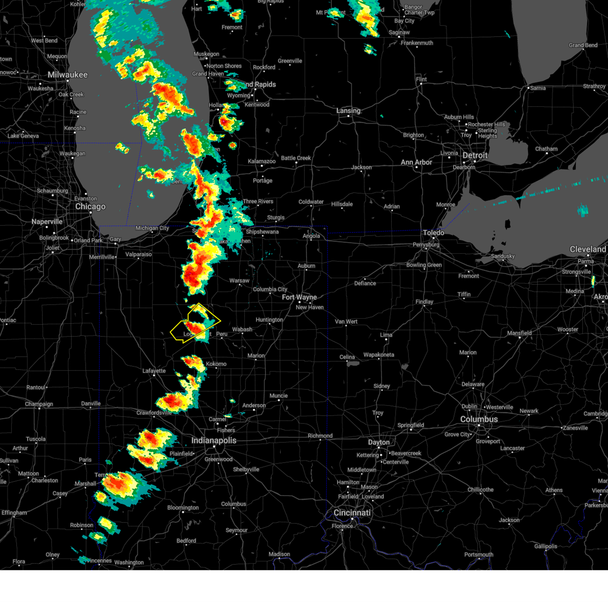 At 259 pm edt, a severe thunderstorm was located near royal center, or 8 miles north of logansport, moving northeast at 35 mph (trained weather spotters). Hazards include 60 mph wind gusts and quarter size hail. Hail damage to vehicles is expected. expect wind damage to roofs, siding, and trees. locations impacted include, royal center, kewanna, burnettsville, fulton, nyena lake, leases corner, deedsville, twelve mile, metea, grass creek, fletcher, lucerne, marshtown and lake cicott. hail threat, radar indicated max hail size, 1. 00 in wind threat, radar indicated max wind gust, 60 mph. At 259 pm edt, a severe thunderstorm was located near royal center, or 8 miles north of logansport, moving northeast at 35 mph (trained weather spotters). Hazards include 60 mph wind gusts and quarter size hail. Hail damage to vehicles is expected. expect wind damage to roofs, siding, and trees. locations impacted include, royal center, kewanna, burnettsville, fulton, nyena lake, leases corner, deedsville, twelve mile, metea, grass creek, fletcher, lucerne, marshtown and lake cicott. hail threat, radar indicated max hail size, 1. 00 in wind threat, radar indicated max wind gust, 60 mph.
|
| 6/25/2023 2:43 PM EDT |
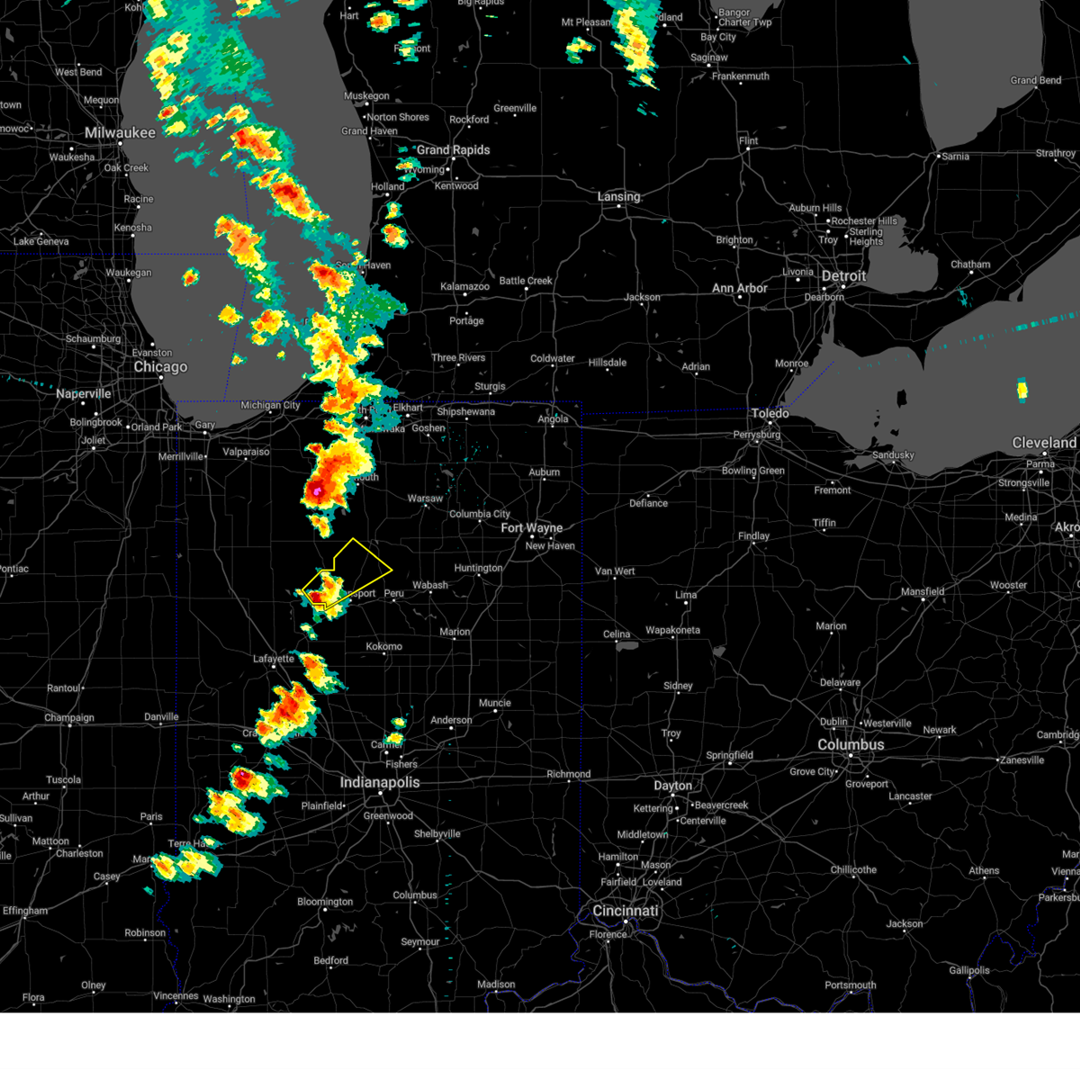 At 243 pm edt, a severe thunderstorm was located near royal center, or 10 miles west of logansport, moving northeast at 35 mph (radar indicated). Hazards include 60 mph wind gusts and quarter size hail. Hail damage to vehicles is expected. Expect wind damage to roofs, siding, and trees. At 243 pm edt, a severe thunderstorm was located near royal center, or 10 miles west of logansport, moving northeast at 35 mph (radar indicated). Hazards include 60 mph wind gusts and quarter size hail. Hail damage to vehicles is expected. Expect wind damage to roofs, siding, and trees.
|
| 5/7/2023 1:08 AM EDT |
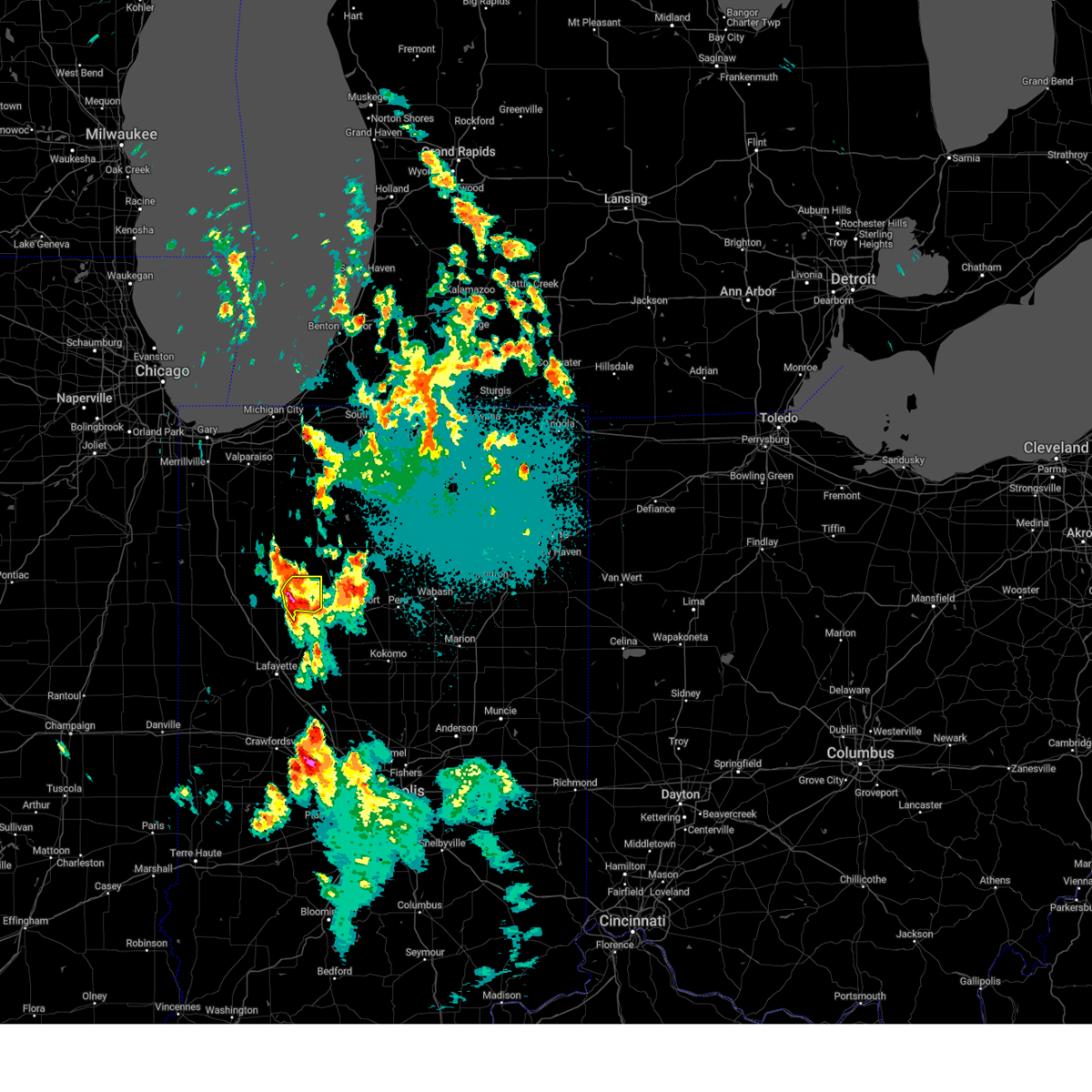 At 108 am edt, a severe thunderstorm was located near monticello, moving northeast at 30 mph (radar indicated). Hazards include 60 mph wind gusts and half dollar size hail. Hail damage to vehicles is expected. expect wind damage to roofs, siding, and trees. locations impacted include, monticello, burnettsville, golden hill, indiana beach, norway, idaville, sitka, headlee, cedar point, bell center and buffalo. hail threat, radar indicated max hail size, 1. 25 in wind threat, radar indicated max wind gust, 60 mph. At 108 am edt, a severe thunderstorm was located near monticello, moving northeast at 30 mph (radar indicated). Hazards include 60 mph wind gusts and half dollar size hail. Hail damage to vehicles is expected. expect wind damage to roofs, siding, and trees. locations impacted include, monticello, burnettsville, golden hill, indiana beach, norway, idaville, sitka, headlee, cedar point, bell center and buffalo. hail threat, radar indicated max hail size, 1. 25 in wind threat, radar indicated max wind gust, 60 mph.
|
| 5/7/2023 1:06 AM EDT |
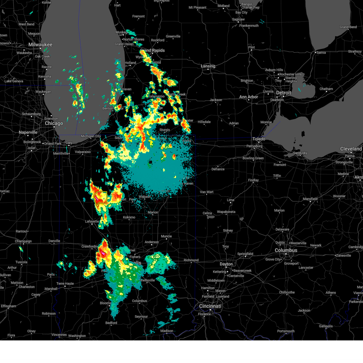 At 106 am edt, a severe thunderstorm was located near monticello, moving northeast at 30 mph (radar indicated). Hazards include 60 mph wind gusts and quarter size hail. Hail damage to vehicles is expected. expect wind damage to roofs, siding, and trees. locations impacted include, monticello, burnettsville, golden hill, indiana beach, norway, idaville, sitka, headlee, cedar point, bell center and buffalo. hail threat, radar indicated max hail size, 1. 00 in wind threat, radar indicated max wind gust, 60 mph. At 106 am edt, a severe thunderstorm was located near monticello, moving northeast at 30 mph (radar indicated). Hazards include 60 mph wind gusts and quarter size hail. Hail damage to vehicles is expected. expect wind damage to roofs, siding, and trees. locations impacted include, monticello, burnettsville, golden hill, indiana beach, norway, idaville, sitka, headlee, cedar point, bell center and buffalo. hail threat, radar indicated max hail size, 1. 00 in wind threat, radar indicated max wind gust, 60 mph.
|
| 5/7/2023 12:56 AM EDT |
 At 1256 am edt, a severe thunderstorm was located over monticello, moving northeast at 35 mph (radar indicated). Hazards include 60 mph wind gusts and quarter size hail. Hail damage to vehicles is expected. expect wind damage to roofs, siding, and trees. locations impacted include, monticello, reynolds, chalmers, burnettsville, smithson, headlee, golden hill, indiana beach, norway, idaville, sitka, cedar point, bell center and buffalo. hail threat, radar indicated max hail size, 1. 00 in wind threat, radar indicated max wind gust, 60 mph. At 1256 am edt, a severe thunderstorm was located over monticello, moving northeast at 35 mph (radar indicated). Hazards include 60 mph wind gusts and quarter size hail. Hail damage to vehicles is expected. expect wind damage to roofs, siding, and trees. locations impacted include, monticello, reynolds, chalmers, burnettsville, smithson, headlee, golden hill, indiana beach, norway, idaville, sitka, cedar point, bell center and buffalo. hail threat, radar indicated max hail size, 1. 00 in wind threat, radar indicated max wind gust, 60 mph.
|
| 5/7/2023 12:35 AM EDT |
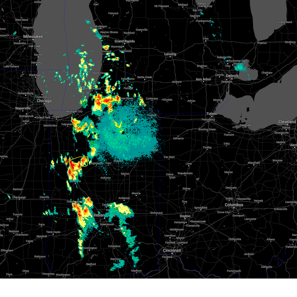 At 1234 am edt, a severe thunderstorm was located 7 miles west of monticello, moving northeast at 30 mph (radar indicated). Hazards include quarter size hail. Damage to vehicles is expected. locations impacted include, monticello, monon, reynolds, chalmers, burnettsville, smithson, headlee, golden hill, indiana beach, norway, idaville, sitka, cedar point, bell center and buffalo. hail threat, radar indicated max hail size, 1. 00 in wind threat, radar indicated max wind gust, <50 mph. At 1234 am edt, a severe thunderstorm was located 7 miles west of monticello, moving northeast at 30 mph (radar indicated). Hazards include quarter size hail. Damage to vehicles is expected. locations impacted include, monticello, monon, reynolds, chalmers, burnettsville, smithson, headlee, golden hill, indiana beach, norway, idaville, sitka, cedar point, bell center and buffalo. hail threat, radar indicated max hail size, 1. 00 in wind threat, radar indicated max wind gust, <50 mph.
|
| 5/7/2023 12:23 AM EDT |
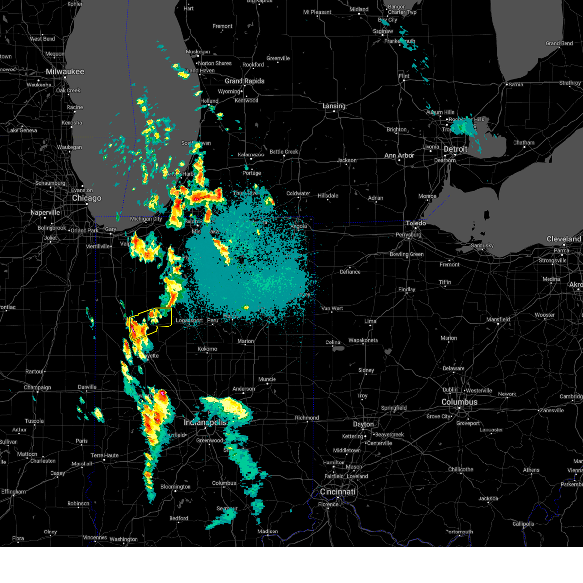 At 1223 am edt, a severe thunderstorm was located near wolcott, or 8 miles southeast of remington, moving northeast at 30 mph (radar indicated). Hazards include quarter size hail. damage to vehicles is expected At 1223 am edt, a severe thunderstorm was located near wolcott, or 8 miles southeast of remington, moving northeast at 30 mph (radar indicated). Hazards include quarter size hail. damage to vehicles is expected
|
| 4/5/2023 10:51 AM EDT |
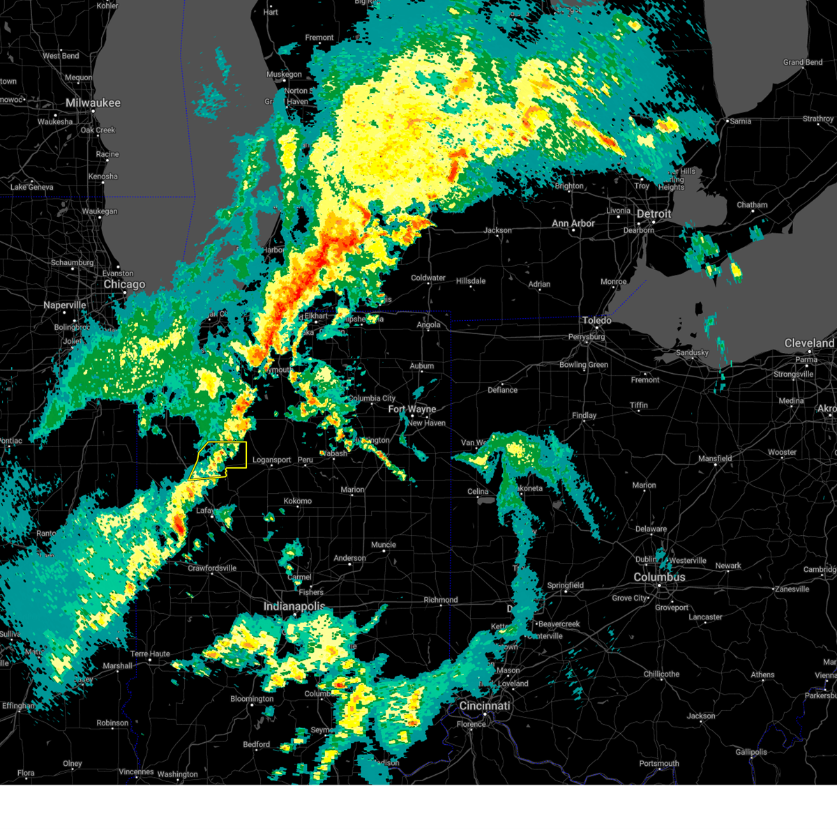 The severe thunderstorm warning for white county will expire at 1100 am edt, the storm which prompted the warning has weakened below severe limits, and no longer poses an immediate threat to life or property. therefore, the warning will be allowed to expire. a tornado watch remains in effect until 400 pm edt for north central and northwestern indiana. The severe thunderstorm warning for white county will expire at 1100 am edt, the storm which prompted the warning has weakened below severe limits, and no longer poses an immediate threat to life or property. therefore, the warning will be allowed to expire. a tornado watch remains in effect until 400 pm edt for north central and northwestern indiana.
|
| 4/5/2023 10:42 AM EDT |
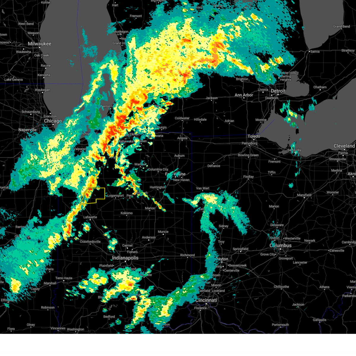 At 1041 am edt, a severe thunderstorm was located 7 miles southeast of francesville, or 10 miles southwest of winamac, moving northeast at 65 mph (radar indicated). Hazards include 60 mph wind gusts and penny size hail. Expect damage to roofs, siding, and trees. this severe thunderstorm will remain over mainly rural areas of white county, including the following locations, golden hill, indiana beach, burnettsville, norway, reynolds, smithson, idaville, sitka, headlee and cedar point. this includes interstate 65 between mile markers 193 and 195. hail threat, radar indicated max hail size, 0. 75 in wind threat, radar indicated max wind gust, 60 mph. At 1041 am edt, a severe thunderstorm was located 7 miles southeast of francesville, or 10 miles southwest of winamac, moving northeast at 65 mph (radar indicated). Hazards include 60 mph wind gusts and penny size hail. Expect damage to roofs, siding, and trees. this severe thunderstorm will remain over mainly rural areas of white county, including the following locations, golden hill, indiana beach, burnettsville, norway, reynolds, smithson, idaville, sitka, headlee and cedar point. this includes interstate 65 between mile markers 193 and 195. hail threat, radar indicated max hail size, 0. 75 in wind threat, radar indicated max wind gust, 60 mph.
|
| 4/5/2023 10:21 AM EDT |
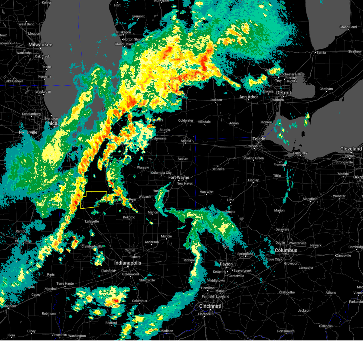 At 1021 am edt, a severe thunderstorm was located over remington, moving northeast at 65 mph (radar indicated). Hazards include 60 mph wind gusts and penny size hail. Expect damage to roofs, siding, and trees. this severe thunderstorm will be near, wolcott around 1025 am edt. monon around 1035 am edt. this includes interstate 65 between mile markers 193 and 198. hail threat, radar indicated max hail size, 0. 75 in wind threat, radar indicated max wind gust, 60 mph. At 1021 am edt, a severe thunderstorm was located over remington, moving northeast at 65 mph (radar indicated). Hazards include 60 mph wind gusts and penny size hail. Expect damage to roofs, siding, and trees. this severe thunderstorm will be near, wolcott around 1025 am edt. monon around 1035 am edt. this includes interstate 65 between mile markers 193 and 198. hail threat, radar indicated max hail size, 0. 75 in wind threat, radar indicated max wind gust, 60 mph.
|
| 8/29/2022 8:24 PM EDT |
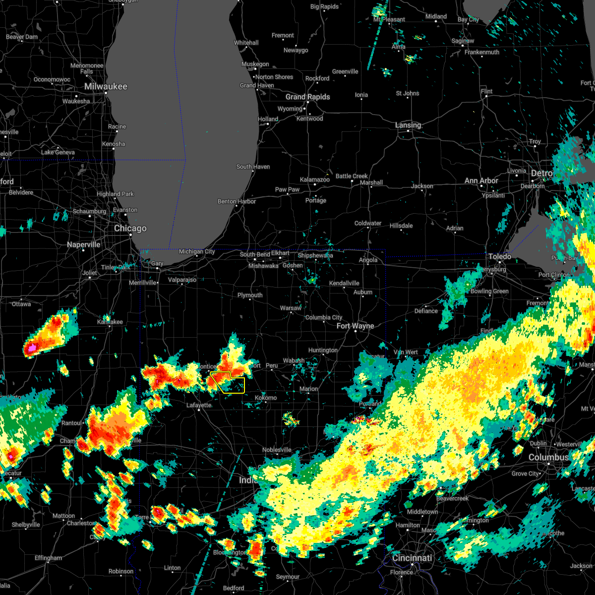 At 824 pm edt, a severe thunderstorm was located 7 miles northeast of delphi, or 12 miles southeast of monticello, moving southeast at 30 mph (radar indicated). Hazards include 60 mph wind gusts and quarter size hail. Hail damage to vehicles is expected. expect wind damage to roofs, siding, and trees. this severe thunderstorm will remain over mainly rural areas of northern carroll county. hail threat, radar indicated max hail size, 1. 00 in wind threat, radar indicated max wind gust, 60 mph. At 824 pm edt, a severe thunderstorm was located 7 miles northeast of delphi, or 12 miles southeast of monticello, moving southeast at 30 mph (radar indicated). Hazards include 60 mph wind gusts and quarter size hail. Hail damage to vehicles is expected. expect wind damage to roofs, siding, and trees. this severe thunderstorm will remain over mainly rural areas of northern carroll county. hail threat, radar indicated max hail size, 1. 00 in wind threat, radar indicated max wind gust, 60 mph.
|
| 8/29/2022 8:11 PM EDT |
 At 810 pm edt, a severe thunderstorm was located near monticello, moving southeast at 30 mph (radar indicated). Hazards include 60 mph wind gusts and quarter size hail. Hail damage to vehicles is expected. Expect wind damage to roofs, siding, and trees. At 810 pm edt, a severe thunderstorm was located near monticello, moving southeast at 30 mph (radar indicated). Hazards include 60 mph wind gusts and quarter size hail. Hail damage to vehicles is expected. Expect wind damage to roofs, siding, and trees.
|
| 8/29/2022 8:11 PM EDT |
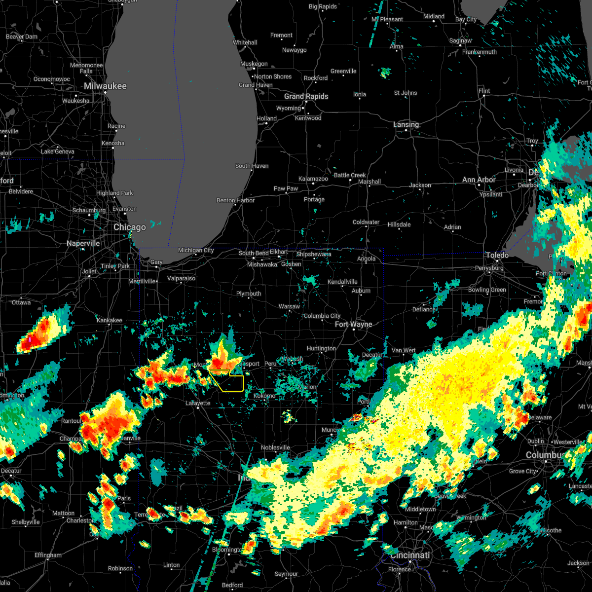 At 811 pm edt, a severe thunderstorm was located near monticello, moving southeast at 40 mph (radar indicated). Hazards include 60 mph wind gusts and quarter size hail. Hail damage to vehicles is expected. expect wind damage to roofs, siding, and trees. this severe thunderstorm will be near, camden around 825 pm edt. hail threat, radar indicated max hail size, 1. 00 in wind threat, radar indicated max wind gust, 60 mph. At 811 pm edt, a severe thunderstorm was located near monticello, moving southeast at 40 mph (radar indicated). Hazards include 60 mph wind gusts and quarter size hail. Hail damage to vehicles is expected. expect wind damage to roofs, siding, and trees. this severe thunderstorm will be near, camden around 825 pm edt. hail threat, radar indicated max hail size, 1. 00 in wind threat, radar indicated max wind gust, 60 mph.
|
| 8/3/2022 5:33 PM EDT |
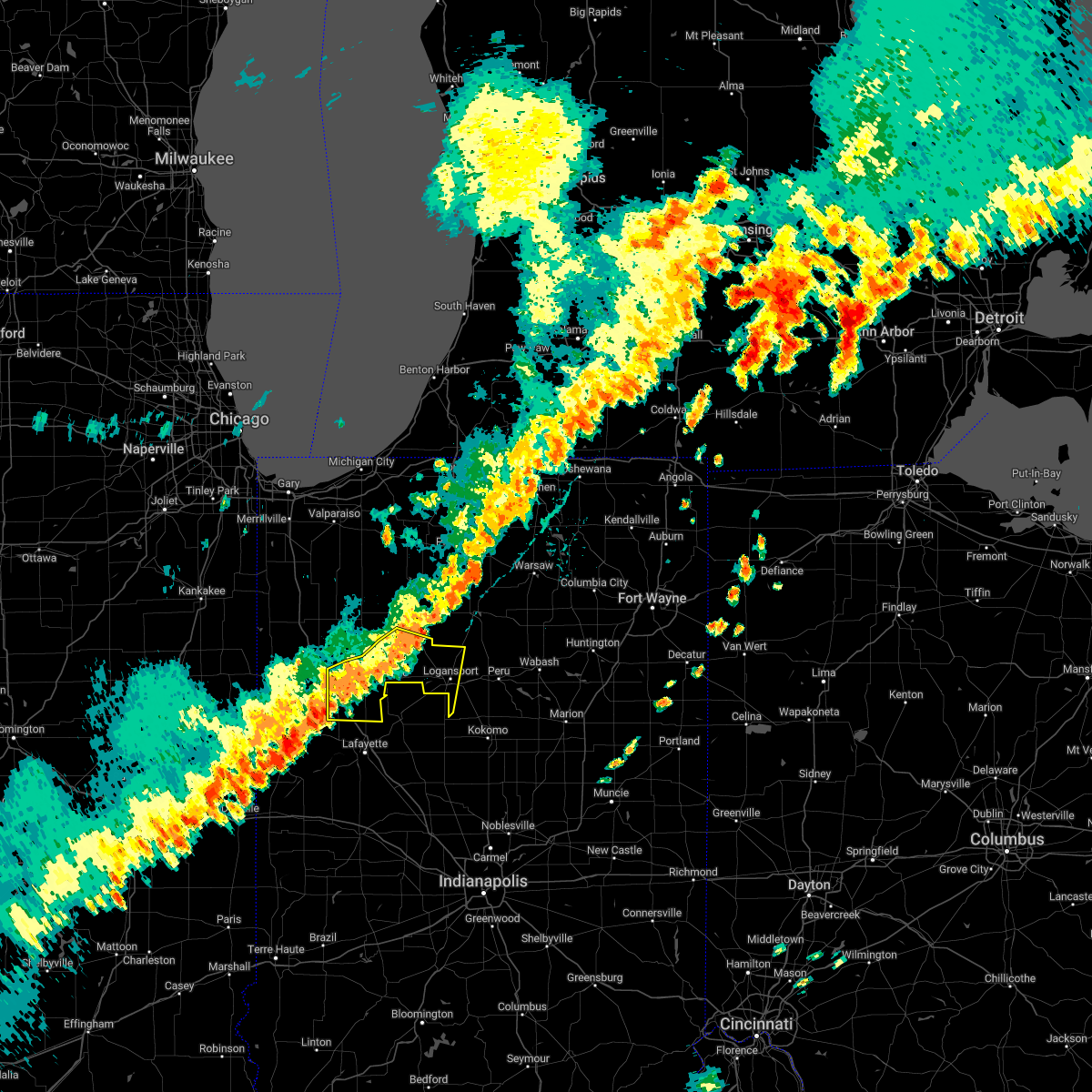 At 533 pm edt, severe thunderstorms were located along a line extending from near winamac to near monticello to near otterbein, moving southeast at 20 mph (radar indicated). Hazards include 60 mph wind gusts. Expect damage to roofs, siding, and trees. locations impacted include, logansport, monticello, monon, brookston, wolcott, royal center, pulaski, reynolds, chalmers, burnettsville, clymers, smithson, leases corner, indiana beach, idaville, sitka, thornhope, lucerne, buffalo and badger grove. this includes interstate 65 between mile markers 185 and 198. hail threat, radar indicated max hail size, <. 75 in wind threat, radar indicated max wind gust, 60 mph. At 533 pm edt, severe thunderstorms were located along a line extending from near winamac to near monticello to near otterbein, moving southeast at 20 mph (radar indicated). Hazards include 60 mph wind gusts. Expect damage to roofs, siding, and trees. locations impacted include, logansport, monticello, monon, brookston, wolcott, royal center, pulaski, reynolds, chalmers, burnettsville, clymers, smithson, leases corner, indiana beach, idaville, sitka, thornhope, lucerne, buffalo and badger grove. this includes interstate 65 between mile markers 185 and 198. hail threat, radar indicated max hail size, <. 75 in wind threat, radar indicated max wind gust, 60 mph.
|
| 8/3/2022 5:14 PM EDT |
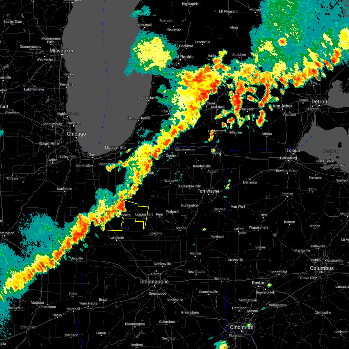 At 513 pm edt, severe thunderstorms were located along a line extending from 7 miles southwest of winamac to near monticello to near atkinson, moving southeast at 35 mph (radar indicated). Hazards include 60 mph wind gusts. expect damage to roofs, siding, and trees At 513 pm edt, severe thunderstorms were located along a line extending from 7 miles southwest of winamac to near monticello to near atkinson, moving southeast at 35 mph (radar indicated). Hazards include 60 mph wind gusts. expect damage to roofs, siding, and trees
|
| 7/23/2022 1:18 PM EDT |
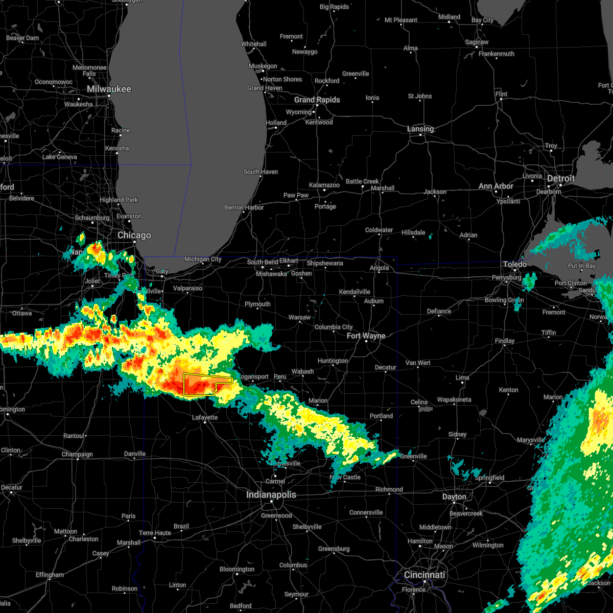 At 118 pm edt, a severe thunderstorm was located 7 miles west of monticello, moving east at 55 mph (radar indicated). Hazards include 60 mph wind gusts and quarter size hail. Hail damage to vehicles is expected. expect wind damage to roofs, siding, and trees. locations impacted include, monticello, wolcott, reynolds, chalmers, burnettsville, golden hill, indiana beach, norway, smithson, idaville and cedar point. this includes interstate 65 between mile markers 191 and 198. hail threat, radar indicated max hail size, 1. 00 in wind threat, radar indicated max wind gust, 60 mph. At 118 pm edt, a severe thunderstorm was located 7 miles west of monticello, moving east at 55 mph (radar indicated). Hazards include 60 mph wind gusts and quarter size hail. Hail damage to vehicles is expected. expect wind damage to roofs, siding, and trees. locations impacted include, monticello, wolcott, reynolds, chalmers, burnettsville, golden hill, indiana beach, norway, smithson, idaville and cedar point. this includes interstate 65 between mile markers 191 and 198. hail threat, radar indicated max hail size, 1. 00 in wind threat, radar indicated max wind gust, 60 mph.
|
| 7/23/2022 12:42 PM EDT |
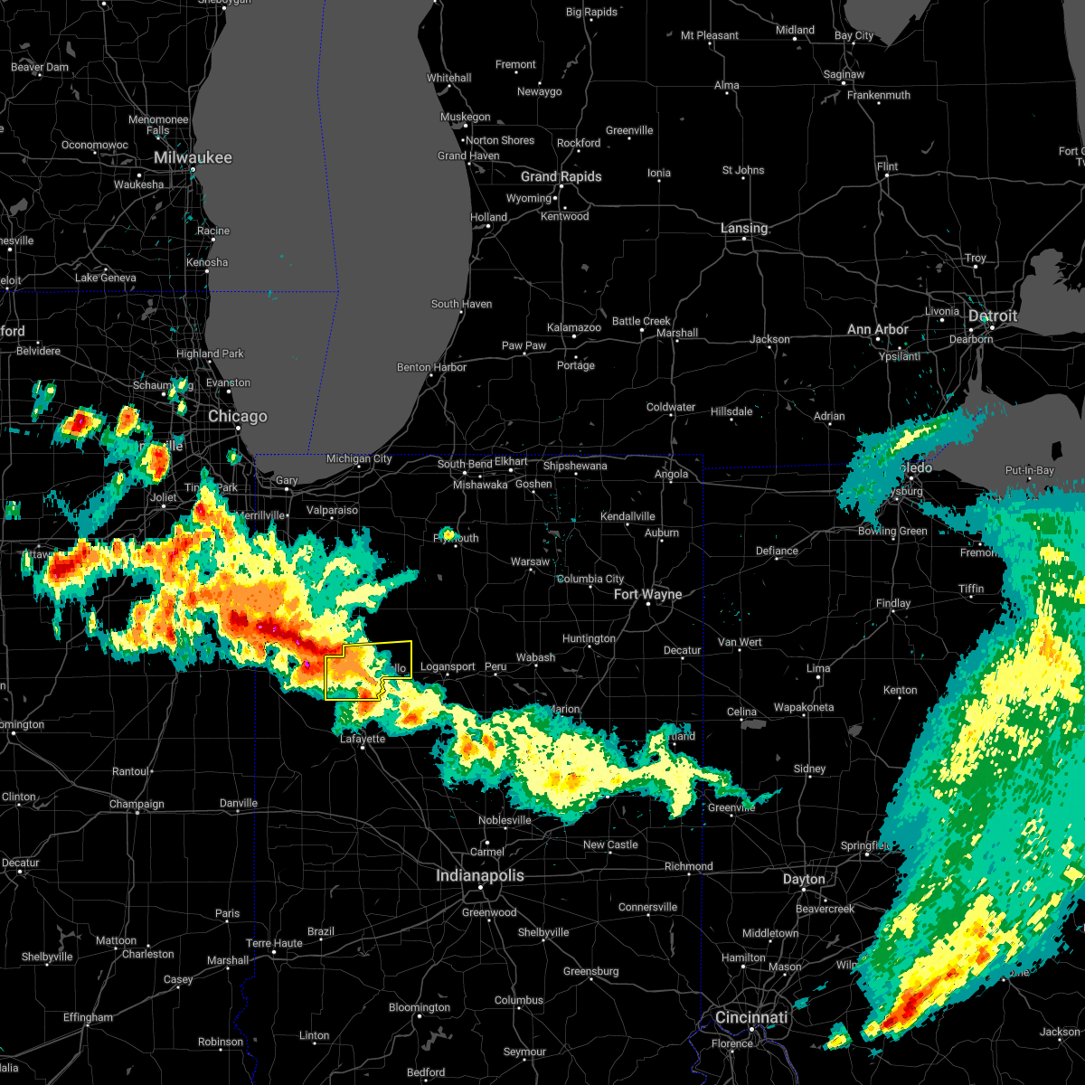 At 1242 pm edt, a severe thunderstorm was located over perkins, moving east at 35 mph (radar indicated). Hazards include 60 mph wind gusts and quarter size hail. Hail damage to vehicles is expected. Expect wind damage to roofs, siding, and trees. At 1242 pm edt, a severe thunderstorm was located over perkins, moving east at 35 mph (radar indicated). Hazards include 60 mph wind gusts and quarter size hail. Hail damage to vehicles is expected. Expect wind damage to roofs, siding, and trees.
|
| 7/23/2022 9:27 AM EDT |
 The severe thunderstorm warning for carroll, northern tippecanoe and northern howard counties will expire at 930 am edt, the storm which prompted the warning has moved out of the area. therefore, the warning will be allowed to expire. however gusty winds are still possible with this thunderstorm. a severe thunderstorm watch remains in effect until 200 pm edt for central and north central indiana. The severe thunderstorm warning for carroll, northern tippecanoe and northern howard counties will expire at 930 am edt, the storm which prompted the warning has moved out of the area. therefore, the warning will be allowed to expire. however gusty winds are still possible with this thunderstorm. a severe thunderstorm watch remains in effect until 200 pm edt for central and north central indiana.
|
| 7/23/2022 9:14 AM EDT |
 At 913 am edt, a severe thunderstorm was located 7 miles west of kokomo, moving southeast at 45 mph (radar indicated). Hazards include 60 mph wind gusts. Expect damage to roofs, siding, and trees. locations impacted include, kokomo, west lafayette, delphi, flora, battle ground, camden, burlington and yeoman. this includes interstate 65 between mile markers 175 and 184. hail threat, radar indicated max hail size, <. 75 in wind threat, radar indicated max wind gust, 60 mph. At 913 am edt, a severe thunderstorm was located 7 miles west of kokomo, moving southeast at 45 mph (radar indicated). Hazards include 60 mph wind gusts. Expect damage to roofs, siding, and trees. locations impacted include, kokomo, west lafayette, delphi, flora, battle ground, camden, burlington and yeoman. this includes interstate 65 between mile markers 175 and 184. hail threat, radar indicated max hail size, <. 75 in wind threat, radar indicated max wind gust, 60 mph.
|
| 7/23/2022 8:59 AM EDT |
 At 859 am edt, a severe thunderstorm was located 11 miles east of delphi, or 13 miles south of logansport, moving southeast at 30 mph (radar indicated). Hazards include 60 mph wind gusts. Expect damage to roofs, siding, and trees. locations impacted include, burlington and kokomo. this includes interstate 65 between mile markers 175 and 184. hail threat, radar indicated max hail size, <. 75 in wind threat, radar indicated max wind gust, 60 mph. At 859 am edt, a severe thunderstorm was located 11 miles east of delphi, or 13 miles south of logansport, moving southeast at 30 mph (radar indicated). Hazards include 60 mph wind gusts. Expect damage to roofs, siding, and trees. locations impacted include, burlington and kokomo. this includes interstate 65 between mile markers 175 and 184. hail threat, radar indicated max hail size, <. 75 in wind threat, radar indicated max wind gust, 60 mph.
|
| 7/23/2022 8:42 AM EDT |
 At 841 am edt, severe thunderstorms were located along a line extending from near akron to near logansport to monticello, moving southeast at 65 mph (radar indicated). Hazards include 60 mph wind gusts and penny size hail. Expect damage to roofs, siding, and trees. locations impacted include, logansport, rochester, monticello, brookston, akron, wolcott, royal center, reynolds, chalmers, burnettsville, fulton, macy, clymers, smithson, nyena lake, leases corner, deedsville, indiana beach, hoover and idaville. this includes interstate 65 between mile markers 185 and 198. hail threat, radar indicated max hail size, 0. 75 in wind threat, radar indicated max wind gust, 60 mph. At 841 am edt, severe thunderstorms were located along a line extending from near akron to near logansport to monticello, moving southeast at 65 mph (radar indicated). Hazards include 60 mph wind gusts and penny size hail. Expect damage to roofs, siding, and trees. locations impacted include, logansport, rochester, monticello, brookston, akron, wolcott, royal center, reynolds, chalmers, burnettsville, fulton, macy, clymers, smithson, nyena lake, leases corner, deedsville, indiana beach, hoover and idaville. this includes interstate 65 between mile markers 185 and 198. hail threat, radar indicated max hail size, 0. 75 in wind threat, radar indicated max wind gust, 60 mph.
|
| 7/23/2022 8:40 AM EDT |
 At 839 am edt, a severe thunderstorm was located 7 miles east of monticello, moving southeast at 45 mph (radar indicated). Hazards include 60 mph wind gusts. Expect damage to roofs, siding, and trees. this severe thunderstorm will be near, camden around 850 am edt. other locations in the path of this severe thunderstorm include kokomo. this includes interstate 65 between mile markers 175 and 184. hail threat, radar indicated max hail size, <. 75 in wind threat, radar indicated max wind gust, 60 mph. At 839 am edt, a severe thunderstorm was located 7 miles east of monticello, moving southeast at 45 mph (radar indicated). Hazards include 60 mph wind gusts. Expect damage to roofs, siding, and trees. this severe thunderstorm will be near, camden around 850 am edt. other locations in the path of this severe thunderstorm include kokomo. this includes interstate 65 between mile markers 175 and 184. hail threat, radar indicated max hail size, <. 75 in wind threat, radar indicated max wind gust, 60 mph.
|
| 7/23/2022 8:08 AM EDT |
 At 808 am edt/708 am cdt/, severe thunderstorms were located along a line extending from near north judson to near medaryville to brook, moving southeast at 45 mph (radar indicated). Hazards include 60 mph wind gusts and penny size hail. expect damage to roofs, siding, and trees At 808 am edt/708 am cdt/, severe thunderstorms were located along a line extending from near north judson to near medaryville to brook, moving southeast at 45 mph (radar indicated). Hazards include 60 mph wind gusts and penny size hail. expect damage to roofs, siding, and trees
|
| 3/6/2022 2:14 AM EST |
 At 213 am est, a severe thunderstorm was located 7 miles southwest of walton, or 10 miles south of logansport, moving east at 75 mph (radar indicated). Hazards include 60 mph wind gusts. Expect damage to roofs, siding, and trees. this severe thunderstorm will remain over mainly rural areas of carroll, northeastern fountain, tippecanoe, western clinton and northern montgomery counties. this includes the following highways, interstate 65 between mile markers 154 and 178. interstate 74 between mile markers 14 and 22. hail threat, radar indicated max hail size, <. 75 in wind threat, radar indicated max wind gust, 60 mph. At 213 am est, a severe thunderstorm was located 7 miles southwest of walton, or 10 miles south of logansport, moving east at 75 mph (radar indicated). Hazards include 60 mph wind gusts. Expect damage to roofs, siding, and trees. this severe thunderstorm will remain over mainly rural areas of carroll, northeastern fountain, tippecanoe, western clinton and northern montgomery counties. this includes the following highways, interstate 65 between mile markers 154 and 178. interstate 74 between mile markers 14 and 22. hail threat, radar indicated max hail size, <. 75 in wind threat, radar indicated max wind gust, 60 mph.
|
| 3/6/2022 1:47 AM EST |
 At 146 am est, a severe thunderstorm was located 9 miles south of otterbein, moving east at 75 mph (radar indicated). Hazards include 60 mph wind gusts. Expect damage to roofs, siding, and trees. this severe thunderstorm will be near, lafayette, west lafayette, shadeland and purdue university around 155 am est. dayton and battle ground around 205 am est. delphi and rossville around 210 am est. other locations in the path of this severe thunderstorm include flora, camden and burlington. this includes the following highways, interstate 65 between mile markers 154 and 184. interstate 74 between mile markers 1 and 22. hail threat, radar indicated max hail size, <. 75 in wind threat, radar indicated max wind gust, 60 mph. At 146 am est, a severe thunderstorm was located 9 miles south of otterbein, moving east at 75 mph (radar indicated). Hazards include 60 mph wind gusts. Expect damage to roofs, siding, and trees. this severe thunderstorm will be near, lafayette, west lafayette, shadeland and purdue university around 155 am est. dayton and battle ground around 205 am est. delphi and rossville around 210 am est. other locations in the path of this severe thunderstorm include flora, camden and burlington. this includes the following highways, interstate 65 between mile markers 154 and 184. interstate 74 between mile markers 1 and 22. hail threat, radar indicated max hail size, <. 75 in wind threat, radar indicated max wind gust, 60 mph.
|
| 3/6/2022 1:46 AM EST |
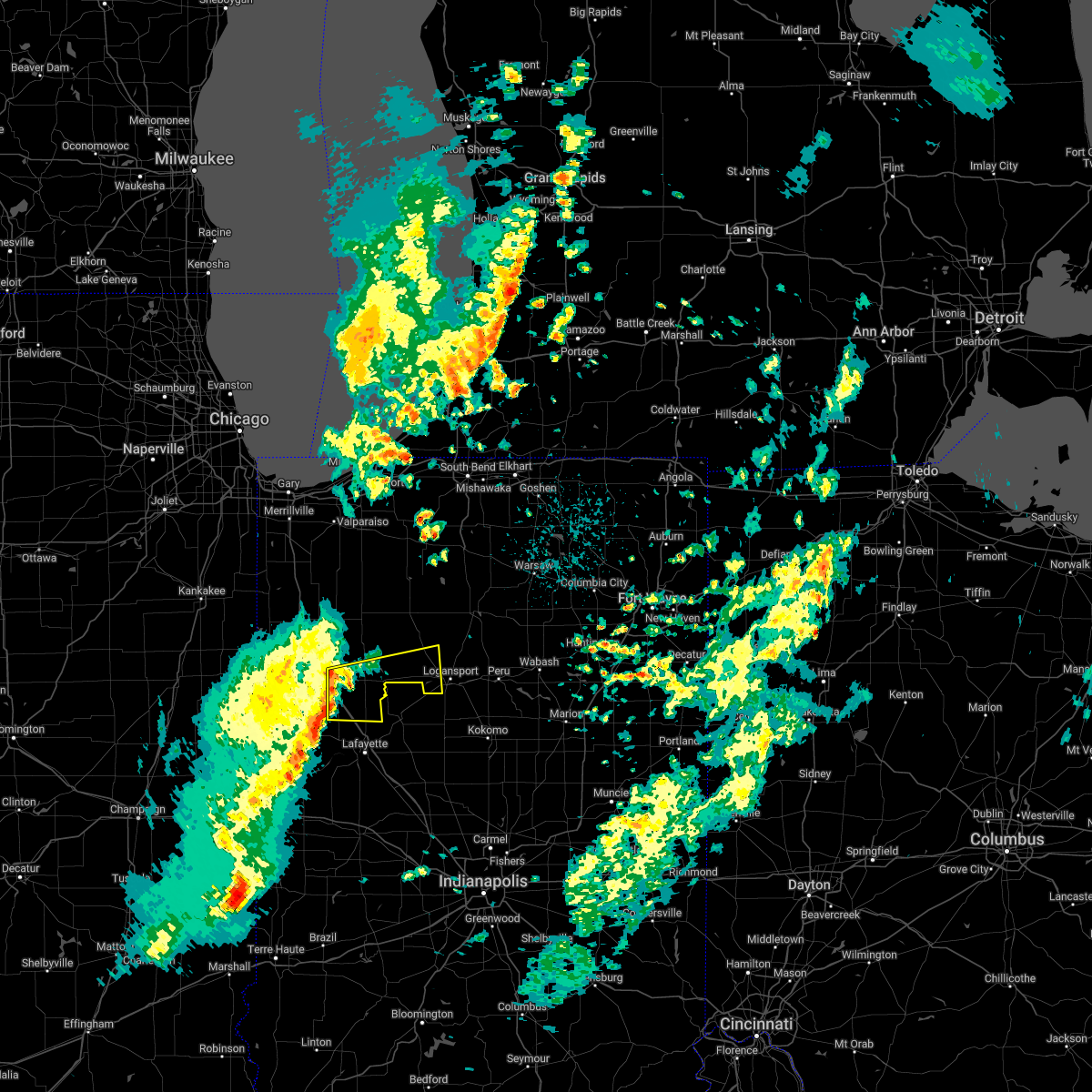 At 146 am est, severe thunderstorms were located along a line extending from near wolcott to near otterbein to williamsport, moving east at 60 mph (radar indicated). Hazards include 60 mph wind gusts. Expect damage to roofs, siding, and trees. locations impacted include, monticello, brookston, wolcott, royal center, reynolds, chalmers, burnettsville, clymers, badger grove, smithson, golden hill, indiana beach, norway, idaville, sitka, cedar point, bell center and lake cicott. this includes interstate 65 between mile markers 185 and 198. hail threat, radar indicated max hail size, <. 75 in wind threat, radar indicated max wind gust, 60 mph. At 146 am est, severe thunderstorms were located along a line extending from near wolcott to near otterbein to williamsport, moving east at 60 mph (radar indicated). Hazards include 60 mph wind gusts. Expect damage to roofs, siding, and trees. locations impacted include, monticello, brookston, wolcott, royal center, reynolds, chalmers, burnettsville, clymers, badger grove, smithson, golden hill, indiana beach, norway, idaville, sitka, cedar point, bell center and lake cicott. this includes interstate 65 between mile markers 185 and 198. hail threat, radar indicated max hail size, <. 75 in wind threat, radar indicated max wind gust, 60 mph.
|
| 3/6/2022 1:31 AM EST |
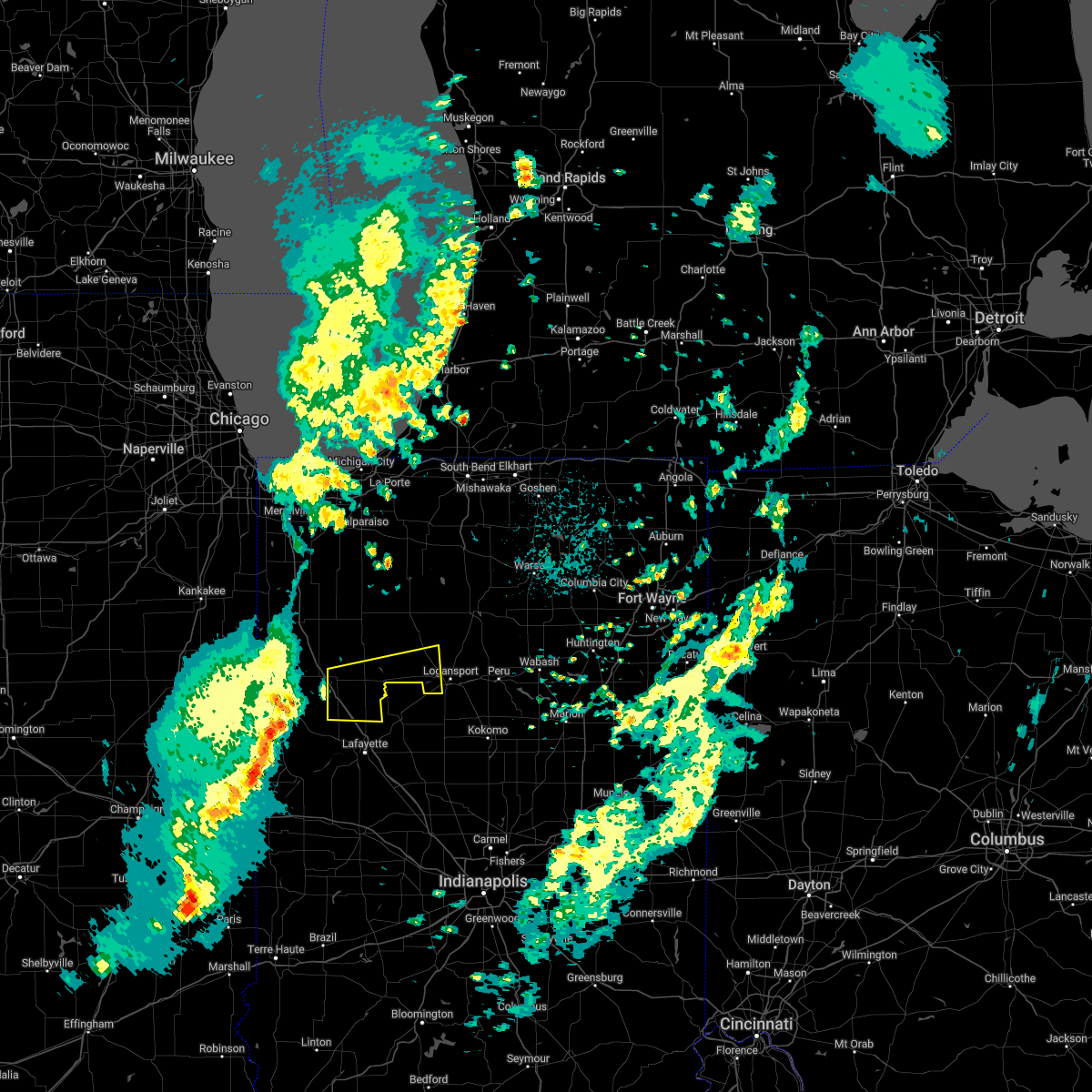 At 131 am est, severe thunderstorms were located along a line extending from near perkins to near boswell to 10 miles northwest of covington, moving east at 60 mph (radar indicated). Hazards include 60 mph wind gusts. expect damage to roofs, siding, and trees At 131 am est, severe thunderstorms were located along a line extending from near perkins to near boswell to 10 miles northwest of covington, moving east at 60 mph (radar indicated). Hazards include 60 mph wind gusts. expect damage to roofs, siding, and trees
|
| 10/11/2021 6:12 PM EDT |
 The severe thunderstorm warning for carroll, northeastern tippecanoe and northwestern clinton counties will expire at 615 pm edt, the storm which prompted the warning has moved out of the area. therefore, the warning will be allowed to expire. however gusty winds are still possible with this thunderstorm. The severe thunderstorm warning for carroll, northeastern tippecanoe and northwestern clinton counties will expire at 615 pm edt, the storm which prompted the warning has moved out of the area. therefore, the warning will be allowed to expire. however gusty winds are still possible with this thunderstorm.
|
| 10/11/2021 5:59 PM EDT |
 At 558 pm edt, a severe thunderstorm was located near delphi, or 10 miles southeast of monticello, moving northeast at 60 mph (radar indicated). Hazards include 60 mph wind gusts and nickel size hail. Expect damage to roofs, siding, and trees. this severe thunderstorm will remain over mainly rural areas of carroll, northeastern tippecanoe and northwestern clinton counties. this includes interstate 65 between mile markers 176 and 184. hail threat, radar indicated max hail size, 0. 88 in wind threat, radar indicated max wind gust, 60 mph. At 558 pm edt, a severe thunderstorm was located near delphi, or 10 miles southeast of monticello, moving northeast at 60 mph (radar indicated). Hazards include 60 mph wind gusts and nickel size hail. Expect damage to roofs, siding, and trees. this severe thunderstorm will remain over mainly rural areas of carroll, northeastern tippecanoe and northwestern clinton counties. this includes interstate 65 between mile markers 176 and 184. hail threat, radar indicated max hail size, 0. 88 in wind threat, radar indicated max wind gust, 60 mph.
|
| 10/11/2021 5:52 PM EDT |
 At 552 pm edt/452 pm cdt/, severe thunderstorms were located along a line extending from near monticello to near delphi to 11 miles northeast of frankfort, moving north at 65 mph (radar indicated). Hazards include 60 mph wind gusts and quarter size hail. Hail damage to vehicles is expected. Expect wind damage to roofs, siding, and trees. At 552 pm edt/452 pm cdt/, severe thunderstorms were located along a line extending from near monticello to near delphi to 11 miles northeast of frankfort, moving north at 65 mph (radar indicated). Hazards include 60 mph wind gusts and quarter size hail. Hail damage to vehicles is expected. Expect wind damage to roofs, siding, and trees.
|
| 10/11/2021 5:44 PM EDT |
 At 544 pm edt, a severe thunderstorm was located 8 miles southwest of delphi, or 8 miles northeast of lafayette, moving northeast at 60 mph (radar indicated). Hazards include 60 mph wind gusts and nickel size hail. Expect damage to roofs, siding, and trees. this severe thunderstorm will be near, delphi, flora, camden and yeoman around 555 pm edt. this includes interstate 65 between mile markers 176 and 184. hail threat, radar indicated max hail size, 0. 88 in wind threat, radar indicated max wind gust, 60 mph. At 544 pm edt, a severe thunderstorm was located 8 miles southwest of delphi, or 8 miles northeast of lafayette, moving northeast at 60 mph (radar indicated). Hazards include 60 mph wind gusts and nickel size hail. Expect damage to roofs, siding, and trees. this severe thunderstorm will be near, delphi, flora, camden and yeoman around 555 pm edt. this includes interstate 65 between mile markers 176 and 184. hail threat, radar indicated max hail size, 0. 88 in wind threat, radar indicated max wind gust, 60 mph.
|
| 6/26/2021 8:11 PM EDT |
 At 810 pm edt/710 pm cdt/, severe thunderstorms were located along a line extending from near knox to 7 miles northeast of atkinson, moving northeast at 45 mph (radar indicated). Hazards include 60 mph wind gusts. Expect damage to roofs, siding, and trees. Locations impacted include, monticello, winamac, monon, wolcott, francesville, medaryville, pulaski, ripley, reynolds, monterey, beardstown, smithson, denham, indiana beach, sitka, star city, buffalo, vanmeter park, lakeside in pulaski county and headlee. At 810 pm edt/710 pm cdt/, severe thunderstorms were located along a line extending from near knox to 7 miles northeast of atkinson, moving northeast at 45 mph (radar indicated). Hazards include 60 mph wind gusts. Expect damage to roofs, siding, and trees. Locations impacted include, monticello, winamac, monon, wolcott, francesville, medaryville, pulaski, ripley, reynolds, monterey, beardstown, smithson, denham, indiana beach, sitka, star city, buffalo, vanmeter park, lakeside in pulaski county and headlee.
|
| 6/26/2021 7:49 PM EDT |
 At 749 pm edt/649 pm cdt/, severe thunderstorms were located along a line extending from near north judson to boswell, moving northeast at 40 mph (radar indicated). Hazards include 60 mph wind gusts. expect damage to roofs, siding, and trees At 749 pm edt/649 pm cdt/, severe thunderstorms were located along a line extending from near north judson to boswell, moving northeast at 40 mph (radar indicated). Hazards include 60 mph wind gusts. expect damage to roofs, siding, and trees
|
| 8/10/2020 6:26 PM EDT |
 At 626 pm edt, severe thunderstorms were located along a line extending from near winamac to near royal center to 8 miles west of logansport, moving east at 50 mph. these are very dangerous storms (radar indicated). Hazards include 80 mph wind gusts and quarter size hail. Flying debris will be dangerous to those caught without shelter. mobile homes will be heavily damaged. expect considerable damage to roofs, windows, and vehicles. extensive tree damage and power outages are likely. these severe storms will be near, logansport around 635 pm edt. rochester, walton and mexico around 645 pm edt. peru, grissom afb and bunker hill around 650 pm edt. Other locations impacted by these severe thunderstorms include clymers, bennetts switch, nyena lake, deedsville, macy, star city, tiosa, thornhope, lincoln and nead. At 626 pm edt, severe thunderstorms were located along a line extending from near winamac to near royal center to 8 miles west of logansport, moving east at 50 mph. these are very dangerous storms (radar indicated). Hazards include 80 mph wind gusts and quarter size hail. Flying debris will be dangerous to those caught without shelter. mobile homes will be heavily damaged. expect considerable damage to roofs, windows, and vehicles. extensive tree damage and power outages are likely. these severe storms will be near, logansport around 635 pm edt. rochester, walton and mexico around 645 pm edt. peru, grissom afb and bunker hill around 650 pm edt. Other locations impacted by these severe thunderstorms include clymers, bennetts switch, nyena lake, deedsville, macy, star city, tiosa, thornhope, lincoln and nead.
|
| 8/10/2020 5:46 PM EDT |
 At 546 pm edt/446 pm cdt/, severe thunderstorms were located along a line extending from near gifford to near mccoysburg to near remington, moving east at 50 mph. these are very dangerous storms (radar indicated). Hazards include 80 mph wind gusts and quarter size hail. Flying debris will be dangerous to those caught without shelter. mobile homes will be heavily damaged. expect considerable damage to roofs, windows, and vehicles. extensive tree damage and power outages are likely. these severe storms will be near, monon around 555 pm edt. francesville and medaryville around 600 pm edt. monticello around 610 pm edt. winamac around 615 pm edt. royal center around 620 pm edt. logansport around 635 pm edt. rochester and walton around 640 pm edt. peru, grissom afb and mexico around 645 pm edt. Other locations impacted by these severe thunderstorms include clymers, beardstown, bennetts switch, smithson, nyena lake, deedsville, macy, clarks, star city and tiosa. At 546 pm edt/446 pm cdt/, severe thunderstorms were located along a line extending from near gifford to near mccoysburg to near remington, moving east at 50 mph. these are very dangerous storms (radar indicated). Hazards include 80 mph wind gusts and quarter size hail. Flying debris will be dangerous to those caught without shelter. mobile homes will be heavily damaged. expect considerable damage to roofs, windows, and vehicles. extensive tree damage and power outages are likely. these severe storms will be near, monon around 555 pm edt. francesville and medaryville around 600 pm edt. monticello around 610 pm edt. winamac around 615 pm edt. royal center around 620 pm edt. logansport around 635 pm edt. rochester and walton around 640 pm edt. peru, grissom afb and mexico around 645 pm edt. Other locations impacted by these severe thunderstorms include clymers, beardstown, bennetts switch, smithson, nyena lake, deedsville, macy, clarks, star city and tiosa.
|
| 8/10/2020 5:22 PM EDT |
 At 522 pm edt/422 pm cdt/, severe thunderstorms were located along a line extending from near conrad to brook to near raub, moving east at 50 mph. these are very dangerous storms (radar indicated). Hazards include 80 mph wind gusts and quarter size hail. Flying debris will be dangerous to those caught without shelter. mobile homes will be heavily damaged. expect considerable damage to roofs, windows, and vehicles. extensive tree damage and power outages are likely. severe thunderstorms will be near, wolcott around 550 pm edt. monon and medaryville around 555 pm edt. monticello, brookston and francesville around 600 pm edt. winamac and royal center around 615 pm edt. logansport around 630 pm edt. rochester and walton around 640 pm edt. peru, grissom afb and mexico around 645 pm edt. bunker hill around 650 pm edt. This includes interstate 65 between mile markers 185 and 198. At 522 pm edt/422 pm cdt/, severe thunderstorms were located along a line extending from near conrad to brook to near raub, moving east at 50 mph. these are very dangerous storms (radar indicated). Hazards include 80 mph wind gusts and quarter size hail. Flying debris will be dangerous to those caught without shelter. mobile homes will be heavily damaged. expect considerable damage to roofs, windows, and vehicles. extensive tree damage and power outages are likely. severe thunderstorms will be near, wolcott around 550 pm edt. monon and medaryville around 555 pm edt. monticello, brookston and francesville around 600 pm edt. winamac and royal center around 615 pm edt. logansport around 630 pm edt. rochester and walton around 640 pm edt. peru, grissom afb and mexico around 645 pm edt. bunker hill around 650 pm edt. This includes interstate 65 between mile markers 185 and 198.
|
| 7/19/2020 1:25 PM EDT |
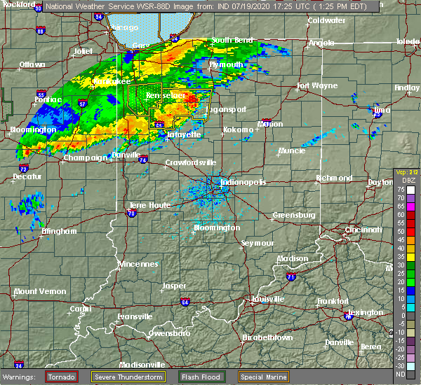 At 125 pm edt, a severe thunderstorm was located near delphi, or 9 miles southeast of monticello, moving east at 55 mph (radar indicated). Hazards include 60 mph wind gusts. expect damage to roofs, siding, and trees At 125 pm edt, a severe thunderstorm was located near delphi, or 9 miles southeast of monticello, moving east at 55 mph (radar indicated). Hazards include 60 mph wind gusts. expect damage to roofs, siding, and trees
|
| 7/19/2020 1:22 PM EDT |
 At 121 pm edt, severe thunderstorms were located along a line extending from near winamac to near monticello to near brookston, moving east at 60 mph (radar indicated). Hazards include 60 mph wind gusts and penny size hail. Expect damage to roofs, siding, and trees. Locations impacted include, logansport, monticello, winamac, monon, brookston, wolcott, francesville, royal center, medaryville, pulaski, kewanna, reynolds, chalmers, burnettsville, clymers, smithson, leases corner, indiana beach, idaville and sitka. At 121 pm edt, severe thunderstorms were located along a line extending from near winamac to near monticello to near brookston, moving east at 60 mph (radar indicated). Hazards include 60 mph wind gusts and penny size hail. Expect damage to roofs, siding, and trees. Locations impacted include, logansport, monticello, winamac, monon, brookston, wolcott, francesville, royal center, medaryville, pulaski, kewanna, reynolds, chalmers, burnettsville, clymers, smithson, leases corner, indiana beach, idaville and sitka.
|
| 7/19/2020 1:04 PM EDT |
 At 104 pm edt, severe thunderstorms were located along a line extending from near surrey to goodland to dunnington, and are nearly stationary (radar indicated). Hazards include 70 mph wind gusts and penny size hail. Expect considerable tree damage. damage is likely to mobile homes, roofs, and outbuildings. Locations impacted include, logansport, monticello, winamac, monon, brookston, wolcott, francesville, royal center, medaryville, pulaski, kewanna, reynolds, chalmers, burnettsville, clymers, smithson, leases corner, indiana beach, idaville and sitka. At 104 pm edt, severe thunderstorms were located along a line extending from near surrey to goodland to dunnington, and are nearly stationary (radar indicated). Hazards include 70 mph wind gusts and penny size hail. Expect considerable tree damage. damage is likely to mobile homes, roofs, and outbuildings. Locations impacted include, logansport, monticello, winamac, monon, brookston, wolcott, francesville, royal center, medaryville, pulaski, kewanna, reynolds, chalmers, burnettsville, clymers, smithson, leases corner, indiana beach, idaville and sitka.
|
| 7/19/2020 12:51 PM EDT |
 At 1250 pm edt, severe thunderstorms were located along a line extending from near surrey to goodland to dunnington, moving east at 55 mph (radar indicated). Hazards include 60 mph wind gusts and penny size hail. expect damage to roofs, siding, and trees At 1250 pm edt, severe thunderstorms were located along a line extending from near surrey to goodland to dunnington, moving east at 55 mph (radar indicated). Hazards include 60 mph wind gusts and penny size hail. expect damage to roofs, siding, and trees
|
| 5/23/2019 4:38 AM EDT |
 The severe thunderstorm warning for carroll, southern fountain, tippecanoe, western clinton, northwestern parke, central vermillion and montgomery counties will expire at 445 am edt, the storms which prompted the warning have moved out of the area. therefore, the warning will be allowed to expire. however gusty winds and heavy rain are still possible with these thunderstorms. a severe thunderstorm watch remains in effect until 1000 am edt for central, north central and west central indiana. to report severe weather, contact your nearest law enforcement agency. they will relay your report to the national weather service indianapolis. The severe thunderstorm warning for carroll, southern fountain, tippecanoe, western clinton, northwestern parke, central vermillion and montgomery counties will expire at 445 am edt, the storms which prompted the warning have moved out of the area. therefore, the warning will be allowed to expire. however gusty winds and heavy rain are still possible with these thunderstorms. a severe thunderstorm watch remains in effect until 1000 am edt for central, north central and west central indiana. to report severe weather, contact your nearest law enforcement agency. they will relay your report to the national weather service indianapolis.
|
| 5/23/2019 4:26 AM EDT |
 The severe thunderstorm warning for eastern white, southwestern st. joseph, eastern pulaski, fulton, western cass, eastern starke and marshall counties will expire at 430 am edt/330 am cdt/, the storms which prompted the warning have moved out of the area. therefore, the warning will be allowed to expire. a severe thunderstorm watch remains in effect until 1000 am edt/900 am cdt/ for north central and northwestern indiana. The severe thunderstorm warning for eastern white, southwestern st. joseph, eastern pulaski, fulton, western cass, eastern starke and marshall counties will expire at 430 am edt/330 am cdt/, the storms which prompted the warning have moved out of the area. therefore, the warning will be allowed to expire. a severe thunderstorm watch remains in effect until 1000 am edt/900 am cdt/ for north central and northwestern indiana.
|
| 5/23/2019 4:13 AM EDT |
 At 411 am edt/311 am cdt/, severe thunderstorms were located along a line extending from near gulivoire park to 6 miles south of culver to 7 miles east of delphi, moving northeast at 65 mph (radar indicated). Hazards include 70 mph wind gusts. Expect considerable tree damage. damage is likely to mobile homes, roofs, and outbuildings. locations impacted include, logansport, plymouth, rochester, monticello, bremen, knox, winamac, walkerton, argos, brookston, culver, royal center, hamlet, lakeville, koontz lake, pulaski, walnut, oak grove, ripley and kewanna. this is a dangerous line of storms. These storms have a history of producing damaging wind gusts to 70 mph. At 411 am edt/311 am cdt/, severe thunderstorms were located along a line extending from near gulivoire park to 6 miles south of culver to 7 miles east of delphi, moving northeast at 65 mph (radar indicated). Hazards include 70 mph wind gusts. Expect considerable tree damage. damage is likely to mobile homes, roofs, and outbuildings. locations impacted include, logansport, plymouth, rochester, monticello, bremen, knox, winamac, walkerton, argos, brookston, culver, royal center, hamlet, lakeville, koontz lake, pulaski, walnut, oak grove, ripley and kewanna. this is a dangerous line of storms. These storms have a history of producing damaging wind gusts to 70 mph.
|
| 5/23/2019 4:06 AM EDT |
 At 404 am edt, severe thunderstorms were located along a line extending from near monticello to 6 miles south of lafayette to near newport, moving east at 60 mph (radar indicated. at 357 am edt, media reported a measured wind gust of 62 mph 3 miles west of west lafayette). Hazards include 70 mph wind gusts and penny size hail. Expect considerable tree damage. damage is likely to mobile homes, roofs, and outbuildings. locations impacted include, lafayette, crawfordsville, west lafayette, delphi, veedersburg, newport, flora, rossville, shadeland, dayton, battle ground, mulberry, cayuga, waynetown, darlington, linden, colfax, new market, camden and clarks hill. this includes the following highways, interstate 65 between mile markers 157 and 183. Interstate 74 between mile markers 17 and 41. At 404 am edt, severe thunderstorms were located along a line extending from near monticello to 6 miles south of lafayette to near newport, moving east at 60 mph (radar indicated. at 357 am edt, media reported a measured wind gust of 62 mph 3 miles west of west lafayette). Hazards include 70 mph wind gusts and penny size hail. Expect considerable tree damage. damage is likely to mobile homes, roofs, and outbuildings. locations impacted include, lafayette, crawfordsville, west lafayette, delphi, veedersburg, newport, flora, rossville, shadeland, dayton, battle ground, mulberry, cayuga, waynetown, darlington, linden, colfax, new market, camden and clarks hill. this includes the following highways, interstate 65 between mile markers 157 and 183. Interstate 74 between mile markers 17 and 41.
|
| 5/23/2019 3:48 AM EDT |
 At 347 am edt/247 am cdt/, severe thunderstorms were located along a line extending from near kingsford heights to near francesville to near west lafayette, moving northeast at 65 mph (radar indicated). Hazards include 70 mph wind gusts and penny size hail. Expect considerable tree damage. damage is likely to mobile homes, roofs, and outbuildings. locations impacted include, logansport, plymouth, rochester, monticello, bremen, knox, winamac, walkerton, monon, north judson, argos, brookston, culver, wolcott, francesville, royal center, hamlet, lakeville, medaryville and la crosse. this is a very dangerous storm. This storm has a history of producing 70 to 80 mph wind gusts across northeast illinois. At 347 am edt/247 am cdt/, severe thunderstorms were located along a line extending from near kingsford heights to near francesville to near west lafayette, moving northeast at 65 mph (radar indicated). Hazards include 70 mph wind gusts and penny size hail. Expect considerable tree damage. damage is likely to mobile homes, roofs, and outbuildings. locations impacted include, logansport, plymouth, rochester, monticello, bremen, knox, winamac, walkerton, monon, north judson, argos, brookston, culver, wolcott, francesville, royal center, hamlet, lakeville, medaryville and la crosse. this is a very dangerous storm. This storm has a history of producing 70 to 80 mph wind gusts across northeast illinois.
|
| 5/23/2019 3:40 AM EDT |
 At 339 am edt, severe thunderstorms were located along a line extending from 6 miles east of lochiel to near williamsport to 7 miles northwest of newport, moving northeast at 60 mph (radar indicated). Hazards include 70 mph wind gusts. Expect considerable tree damage. Damage is likely to mobile homes, roofs, and outbuildings. At 339 am edt, severe thunderstorms were located along a line extending from 6 miles east of lochiel to near williamsport to 7 miles northwest of newport, moving northeast at 60 mph (radar indicated). Hazards include 70 mph wind gusts. Expect considerable tree damage. Damage is likely to mobile homes, roofs, and outbuildings.
|
| 5/23/2019 3:15 AM EDT |
 At 313 am edt/213 am cdt/, severe thunderstorms were located along a line extending from near momence to raub to near danville, moving northeast at 65 mph (radar indicated). Hazards include 70 mph wind gusts and penny size hail. Expect considerable tree damage. Damage is likely to mobile homes, roofs, and outbuildings. At 313 am edt/213 am cdt/, severe thunderstorms were located along a line extending from near momence to raub to near danville, moving northeast at 65 mph (radar indicated). Hazards include 70 mph wind gusts and penny size hail. Expect considerable tree damage. Damage is likely to mobile homes, roofs, and outbuildings.
|
| 5/19/2019 5:12 PM EDT |
 The severe thunderstorm warning for carroll, eastern tippecanoe, western clinton and northeastern montgomery counties will expire at 515 pm edt, the storms which prompted the warning have weakened below severe limits, and no longer pose an immediate threat to life or property. therefore, the warning will be allowed to expire. however gusty winds are still possible with these thunderstorms. a severe thunderstorm watch remains in effect until 1000 pm edt for central, north central and west central indiana. The severe thunderstorm warning for carroll, eastern tippecanoe, western clinton and northeastern montgomery counties will expire at 515 pm edt, the storms which prompted the warning have weakened below severe limits, and no longer pose an immediate threat to life or property. therefore, the warning will be allowed to expire. however gusty winds are still possible with these thunderstorms. a severe thunderstorm watch remains in effect until 1000 pm edt for central, north central and west central indiana.
|
| 5/19/2019 4:54 PM EDT |
 At 454 pm edt, severe thunderstorms were located along a line extending from near delphi to 9 miles northwest of crawfordsville, moving east at 35 mph (radar indicated). Hazards include 60 mph wind gusts and quarter size hail. Hail damage to vehicles is expected. expect wind damage to roofs, siding, and trees. locations impacted include, lafayette, frankfort, delphi, flora, rossville, shadeland, dayton, mulberry, linden, colfax, camden, clarks hill, new richmond and yeoman. This includes interstate 65 between mile markers 152 and 176. At 454 pm edt, severe thunderstorms were located along a line extending from near delphi to 9 miles northwest of crawfordsville, moving east at 35 mph (radar indicated). Hazards include 60 mph wind gusts and quarter size hail. Hail damage to vehicles is expected. expect wind damage to roofs, siding, and trees. locations impacted include, lafayette, frankfort, delphi, flora, rossville, shadeland, dayton, mulberry, linden, colfax, camden, clarks hill, new richmond and yeoman. This includes interstate 65 between mile markers 152 and 176.
|
| 5/19/2019 4:40 PM EDT |
 At 439 pm edt, a severe thunderstorm was located near brookston, or 11 miles south of monticello, moving east at 45 mph (radar indicated). Hazards include 60 mph wind gusts and penny size hail. Expect damage to roofs, siding, and trees. Locations impacted include, monticello, brookston, chalmers, burnettsville, golden hill, idaville and cedar point. At 439 pm edt, a severe thunderstorm was located near brookston, or 11 miles south of monticello, moving east at 45 mph (radar indicated). Hazards include 60 mph wind gusts and penny size hail. Expect damage to roofs, siding, and trees. Locations impacted include, monticello, brookston, chalmers, burnettsville, golden hill, idaville and cedar point.
|
| 5/19/2019 4:27 PM EDT |
 At 426 pm edt, severe thunderstorms were located along a line extending from 6 miles northeast of otterbein to near veedersburg, moving east at 35 mph (radar indicated). Hazards include 60 mph wind gusts and penny size hail. expect damage to roofs, siding, and trees At 426 pm edt, severe thunderstorms were located along a line extending from 6 miles northeast of otterbein to near veedersburg, moving east at 35 mph (radar indicated). Hazards include 60 mph wind gusts and penny size hail. expect damage to roofs, siding, and trees
|
| 5/19/2019 4:13 PM EDT |
 At 412 pm edt, a severe thunderstorm was located near templeton, moving east at 45 mph (radar indicated). Hazards include 60 mph wind gusts and penny size hail. expect damage to roofs, siding, and trees At 412 pm edt, a severe thunderstorm was located near templeton, moving east at 45 mph (radar indicated). Hazards include 60 mph wind gusts and penny size hail. expect damage to roofs, siding, and trees
|
| 10/6/2018 4:32 PM EDT |
 At 431 pm edt, severe thunderstorms were located along a line extending from near delphi to 10 miles east of west lafayette to 7 miles east of lafayette, moving east at 40 mph (radar indicated). Hazards include 60 mph wind gusts and penny size hail. Expect damage to roofs, siding, and trees. locations impacted include, lafayette, delphi, flora, rossville, battle ground, camden and yeoman. This includes interstate 65 between mile markers 170 and 178. At 431 pm edt, severe thunderstorms were located along a line extending from near delphi to 10 miles east of west lafayette to 7 miles east of lafayette, moving east at 40 mph (radar indicated). Hazards include 60 mph wind gusts and penny size hail. Expect damage to roofs, siding, and trees. locations impacted include, lafayette, delphi, flora, rossville, battle ground, camden and yeoman. This includes interstate 65 between mile markers 170 and 178.
|
| 10/6/2018 4:22 PM EDT |
 At 422 pm edt, severe thunderstorms were located along a line extending from near brookston to near west lafayette to lafayette, moving east at 35 mph (radar indicated). Hazards include 60 mph wind gusts and penny size hail. expect damage to roofs, siding, and trees At 422 pm edt, severe thunderstorms were located along a line extending from near brookston to near west lafayette to lafayette, moving east at 35 mph (radar indicated). Hazards include 60 mph wind gusts and penny size hail. expect damage to roofs, siding, and trees
|
| 8/20/2018 7:32 PM EDT |
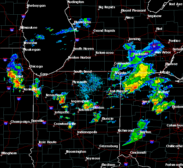 The national weather service in northern indiana has issued a * severe thunderstorm warning for. northeastern white county in northwestern indiana. northwestern cass county in north central indiana. until 815 pm edt. At 731 pm edt, a severe thunderstorm was located near royal center,. The national weather service in northern indiana has issued a * severe thunderstorm warning for. northeastern white county in northwestern indiana. northwestern cass county in north central indiana. until 815 pm edt. At 731 pm edt, a severe thunderstorm was located near royal center,.
|
| 8/2/2018 8:05 PM EDT |
 At 804 pm edt/704 pm cdt/, a severe thunderstorm was located near monticello, moving east at 30 mph. additional strong thunderstorms were developing near wolcott and moving east (radar indicated). Hazards include 60 mph wind gusts and quarter size hail. Hail damage to vehicles is expected. expect wind damage to roofs, siding, and trees. Locations impacted include, monticello, monon, wolcott, reynolds, burnettsville, lakeside in pulaski county, headlee, lee, indiana beach, norway, idaville, sitka, bell center and buffalo. At 804 pm edt/704 pm cdt/, a severe thunderstorm was located near monticello, moving east at 30 mph. additional strong thunderstorms were developing near wolcott and moving east (radar indicated). Hazards include 60 mph wind gusts and quarter size hail. Hail damage to vehicles is expected. expect wind damage to roofs, siding, and trees. Locations impacted include, monticello, monon, wolcott, reynolds, burnettsville, lakeside in pulaski county, headlee, lee, indiana beach, norway, idaville, sitka, bell center and buffalo.
|
| 8/2/2018 7:45 PM EDT |
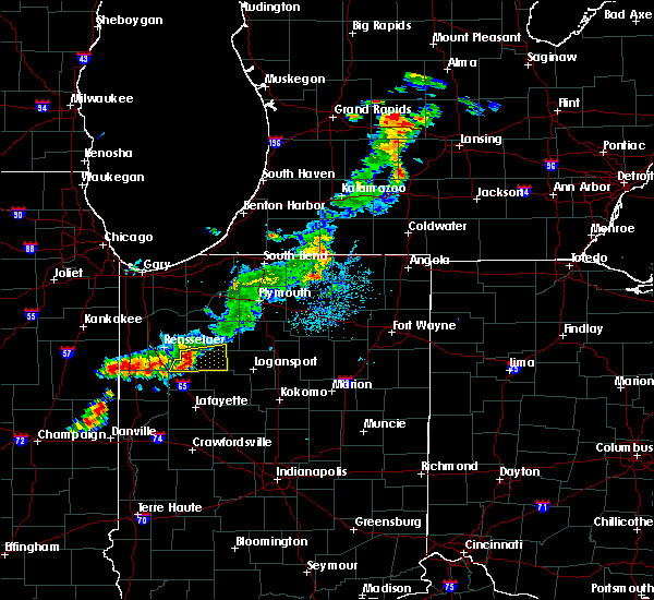 At 744 pm edt/644 pm cdt/, a severe thunderstorm was located near monon, or 8 miles southeast of mccoysburg, moving east at 15 mph. doppler radar also indicated weak rotation with this storm (radar indicated). Hazards include 60 mph wind gusts and quarter size hail. Hail damage to vehicles is expected. Expect wind damage to roofs, siding, and trees. At 744 pm edt/644 pm cdt/, a severe thunderstorm was located near monon, or 8 miles southeast of mccoysburg, moving east at 15 mph. doppler radar also indicated weak rotation with this storm (radar indicated). Hazards include 60 mph wind gusts and quarter size hail. Hail damage to vehicles is expected. Expect wind damage to roofs, siding, and trees.
|
| 9/4/2017 6:34 PM EDT |
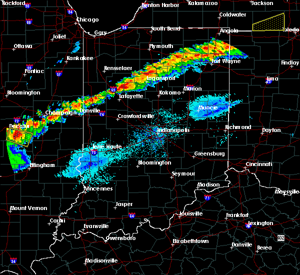 At 633 pm edt, a severe thunderstorm was located near brookston, or near monticello, moving east at 40 mph (radar indicated). Hazards include 60 mph wind gusts and quarter size hail. Hail damage to vehicles is expected. Expect wind damage to roofs, siding, and trees. At 633 pm edt, a severe thunderstorm was located near brookston, or near monticello, moving east at 40 mph (radar indicated). Hazards include 60 mph wind gusts and quarter size hail. Hail damage to vehicles is expected. Expect wind damage to roofs, siding, and trees.
|
| 7/23/2017 3:43 PM EDT | Several power lines downed and trees uprooted along n 1250 in white county IN, 3.8 miles SSW of Idaville, IN |
| 7/23/2017 3:40 PM EDT | Branches down and a roof collapse in white county IN, 4.3 miles S of Idaville, IN |
| 7/23/2017 3:39 PM EDT | Pole dow in white county IN, 4.3 miles S of Idaville, IN |
| 7/22/2017 2:16 AM EDT |
 At 215 am edt, severe thunderstorms were located along a line extending from near monticello to 6 miles northeast of williamsport, moving east at 50 mph (radar indicated). Hazards include 70 mph wind gusts. Expect considerable tree damage. damage is likely to mobile homes, roofs, and outbuildings. locations impacted include, lafayette, crawfordsville, monticello, west lafayette, delphi, veedersburg, williamsport, attica, flora, rossville, shadeland, dayton, battle ground, mulberry, waynetown, linden, west lebanon, camden, clarks hill and hillsboro. this includes the following highways, interstate 65 between mile markers 158 and 183. Interstate 74 between mile markers 15 and 37. At 215 am edt, severe thunderstorms were located along a line extending from near monticello to 6 miles northeast of williamsport, moving east at 50 mph (radar indicated). Hazards include 70 mph wind gusts. Expect considerable tree damage. damage is likely to mobile homes, roofs, and outbuildings. locations impacted include, lafayette, crawfordsville, monticello, west lafayette, delphi, veedersburg, williamsport, attica, flora, rossville, shadeland, dayton, battle ground, mulberry, waynetown, linden, west lebanon, camden, clarks hill and hillsboro. this includes the following highways, interstate 65 between mile markers 158 and 183. Interstate 74 between mile markers 15 and 37.
|
| 7/22/2017 1:57 AM EDT |
 The national weather service in indianapolis has issued a * severe thunderstorm warning for. carroll county in north central indiana. eastern fountain county in west central indiana. tippecanoe county in west central indiana. Northwestern clinton county in central indiana. The national weather service in indianapolis has issued a * severe thunderstorm warning for. carroll county in north central indiana. eastern fountain county in west central indiana. tippecanoe county in west central indiana. Northwestern clinton county in central indiana.
|
| 7/22/2017 1:54 AM EDT |
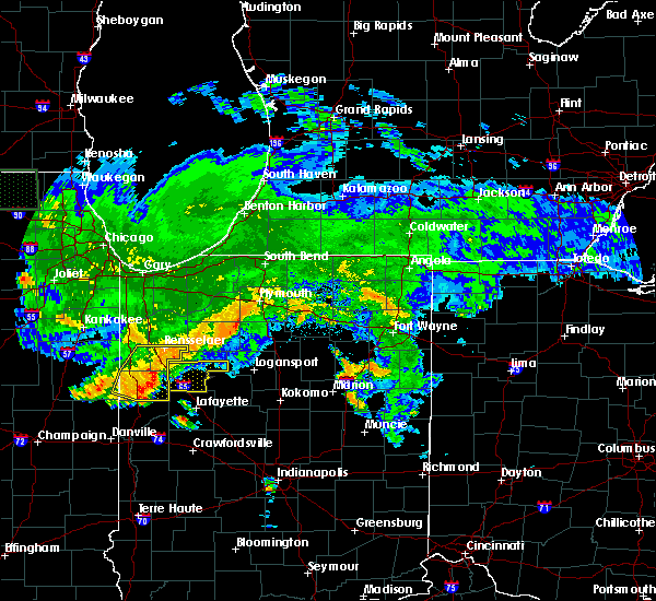 At 153 am edt, severe thunderstorms were located along a line extending from near goodland to near wadena to barce, moving east at 50 mph (radar indicated). Hazards include 60 mph wind gusts. Expect damage to roofs, siding, and trees. severe thunderstorms will be near, wolcott around 205 am edt. brookston around 220 am edt. monticello around 225 am edt. other locations impacted by these severe thunderstorms include badger grove, golden hill, indiana beach, burnettsville, norway, reynolds, smithson, idaville, sitka and chalmers. This includes interstate 65 between mile markers 185 and 198. At 153 am edt, severe thunderstorms were located along a line extending from near goodland to near wadena to barce, moving east at 50 mph (radar indicated). Hazards include 60 mph wind gusts. Expect damage to roofs, siding, and trees. severe thunderstorms will be near, wolcott around 205 am edt. brookston around 220 am edt. monticello around 225 am edt. other locations impacted by these severe thunderstorms include badger grove, golden hill, indiana beach, burnettsville, norway, reynolds, smithson, idaville, sitka and chalmers. This includes interstate 65 between mile markers 185 and 198.
|
| 7/12/2017 2:10 PM EDT |
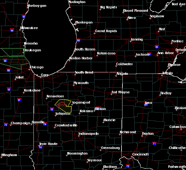 At 209 pm edt, a severe thunderstorm was located near monticello, moving southeast at 30 mph (radar indicated). Hazards include 60 mph wind gusts and quarter size hail. Hail damage to vehicles is expected. expect wind damage to roofs, siding, and trees. Locations impacted include, monticello, royal center, reynolds, burnettsville, headlee, golden hill, indiana beach, norway, idaville, sitka, cedar point, lucerne, bell center, buffalo and lake cicott. At 209 pm edt, a severe thunderstorm was located near monticello, moving southeast at 30 mph (radar indicated). Hazards include 60 mph wind gusts and quarter size hail. Hail damage to vehicles is expected. expect wind damage to roofs, siding, and trees. Locations impacted include, monticello, royal center, reynolds, burnettsville, headlee, golden hill, indiana beach, norway, idaville, sitka, cedar point, lucerne, bell center, buffalo and lake cicott.
|
| 7/12/2017 2:05 PM EDT |
 At 204 pm edt, severe thunderstorms were located along a line extending from royal center to near monticello, moving southeast at 25 mph (radar indicated). Hazards include 60 mph wind gusts and penny size hail. expect damage to roofs, siding, and trees At 204 pm edt, severe thunderstorms were located along a line extending from royal center to near monticello, moving southeast at 25 mph (radar indicated). Hazards include 60 mph wind gusts and penny size hail. expect damage to roofs, siding, and trees
|
| 7/12/2017 2:03 PM EDT |
 At 203 pm edt, a severe thunderstorm capable of producing a tornado was located over monticello, moving southeast at 50 mph (radar indicated rotation). Hazards include tornado and quarter size hail. Flying debris will be dangerous to those caught without shelter. mobile homes will be damaged or destroyed. damage to roofs, windows, and vehicles will occur. tree damage is likely. This tornadic thunderstorm will remain over mainly rural areas of east central white county, including the following locations: golden hill, burnettsville, cedar point and idaville. At 203 pm edt, a severe thunderstorm capable of producing a tornado was located over monticello, moving southeast at 50 mph (radar indicated rotation). Hazards include tornado and quarter size hail. Flying debris will be dangerous to those caught without shelter. mobile homes will be damaged or destroyed. damage to roofs, windows, and vehicles will occur. tree damage is likely. This tornadic thunderstorm will remain over mainly rural areas of east central white county, including the following locations: golden hill, burnettsville, cedar point and idaville.
|
| 7/12/2017 1:52 PM EDT |
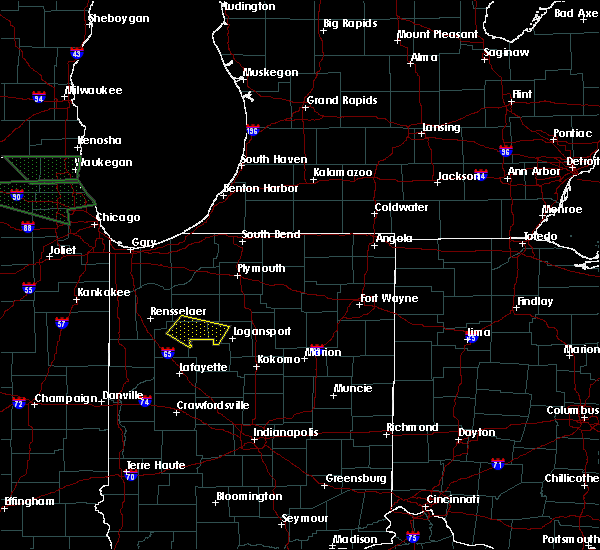 At 151 pm edt/1251 pm cdt/, a severe thunderstorm was located over monon, or 8 miles southeast of hanging grove, moving southeast at 25 mph (radar indicated). Hazards include 60 mph wind gusts and quarter size hail. Hail damage to vehicles is expected. Expect wind damage to roofs, siding, and trees. At 151 pm edt/1251 pm cdt/, a severe thunderstorm was located over monon, or 8 miles southeast of hanging grove, moving southeast at 25 mph (radar indicated). Hazards include 60 mph wind gusts and quarter size hail. Hail damage to vehicles is expected. Expect wind damage to roofs, siding, and trees.
|
| 6/29/2017 5:27 PM EDT |
 At 926 pm edt/826 pm cdt/, a severe thunderstorm was located near royal center, or 11 miles south of winamac, moving east at 25 mph (radar indicated). Hazards include 60 mph wind gusts and quarter size hail. Hail damage to vehicles is possible. wind damage to roofs, siding, and trees is possible. Locations impacted include, monticello, monon, royal center, pulaski, reynolds, burnettsville, lakeside in pulaski county, headlee, lawton, indiana beach, norway, idaville, sitka, star city, thornhope, bell center and buffalo. At 926 pm edt/826 pm cdt/, a severe thunderstorm was located near royal center, or 11 miles south of winamac, moving east at 25 mph (radar indicated). Hazards include 60 mph wind gusts and quarter size hail. Hail damage to vehicles is possible. wind damage to roofs, siding, and trees is possible. Locations impacted include, monticello, monon, royal center, pulaski, reynolds, burnettsville, lakeside in pulaski county, headlee, lawton, indiana beach, norway, idaville, sitka, star city, thornhope, bell center and buffalo.
|
| 6/29/2017 4:57 PM EDT |
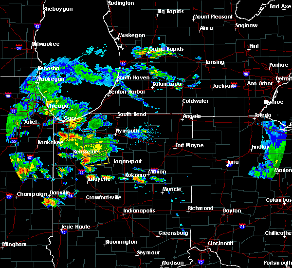 The national weather service in northern indiana has issued a * severe thunderstorm warning for. northeastern white county in northwestern indiana. southeastern pulaski county in northwestern indiana. northwestern cass county in north central indiana. Until 945 pm edt/845 pm cdt/. The national weather service in northern indiana has issued a * severe thunderstorm warning for. northeastern white county in northwestern indiana. southeastern pulaski county in northwestern indiana. northwestern cass county in north central indiana. Until 945 pm edt/845 pm cdt/.
|
| 6/18/2017 12:02 AM EDT |
 At 1201 am edt, severe thunderstorms were located along a line extending from near monon to near otterbein, moving east at 50 mph (radar indicated). Hazards include 60 mph wind gusts. Expect damage to roofs, siding, and trees. Locations impacted include, monticello, monon, brookston, wolcott, reynolds, chalmers, burnettsville, badger grove, smithson, headlee, lee, golden hill, indiana beach, norway, idaville, sitka, cedar point, bell center and buffalo. At 1201 am edt, severe thunderstorms were located along a line extending from near monon to near otterbein, moving east at 50 mph (radar indicated). Hazards include 60 mph wind gusts. Expect damage to roofs, siding, and trees. Locations impacted include, monticello, monon, brookston, wolcott, reynolds, chalmers, burnettsville, badger grove, smithson, headlee, lee, golden hill, indiana beach, norway, idaville, sitka, cedar point, bell center and buffalo.
|
| 6/17/2017 11:40 PM EDT |
 At 1139 pm edt, severe thunderstorms were located along a line extending from percy junction to near boswell, moving east at 40 mph (radar indicated). Hazards include 60 mph wind gusts. expect damage to roofs, siding, and trees At 1139 pm edt, severe thunderstorms were located along a line extending from percy junction to near boswell, moving east at 40 mph (radar indicated). Hazards include 60 mph wind gusts. expect damage to roofs, siding, and trees
|
| 5/20/2017 8:27 PM EDT |
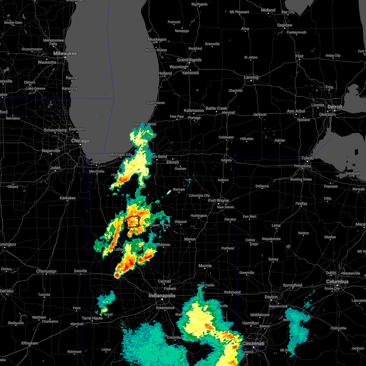 The tornado warning for northeastern white county will expire at 830 pm edt, the storm which prompted the warning has weakened below severe limits, and no longer appears capable of producing a tornado. therefore the warning will be allowed to expire. The tornado warning for northeastern white county will expire at 830 pm edt, the storm which prompted the warning has weakened below severe limits, and no longer appears capable of producing a tornado. therefore the warning will be allowed to expire.
|
| 5/20/2017 8:16 PM EDT |
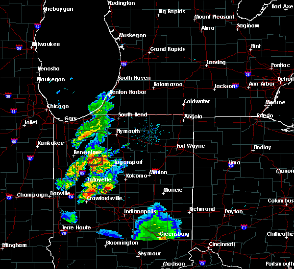 At 815 pm edt, a severe thunderstorm capable of producing a tornado was located near monticello, moving northeast at 25 mph (radar indicated rotation). Hazards include tornado. Flying debris will be dangerous to those caught without shelter. mobile homes will be damaged or destroyed. damage to roofs, windows, and vehicles will occur. tree damage is likely. This tornadic thunderstorm will remain over mainly rural areas of northeastern white county, including the following locations: indiana beach, norway, sitka, headlee, bell center, buffalo and burnettsville. At 815 pm edt, a severe thunderstorm capable of producing a tornado was located near monticello, moving northeast at 25 mph (radar indicated rotation). Hazards include tornado. Flying debris will be dangerous to those caught without shelter. mobile homes will be damaged or destroyed. damage to roofs, windows, and vehicles will occur. tree damage is likely. This tornadic thunderstorm will remain over mainly rural areas of northeastern white county, including the following locations: indiana beach, norway, sitka, headlee, bell center, buffalo and burnettsville.
|
| 5/20/2017 7:59 PM EDT |
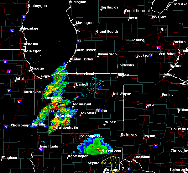 At 759 pm edt, a severe thunderstorm capable of producing a tornado was located 7 miles east of wolcott, or 7 miles west of monticello, moving east at 30 mph (weather spotters reported funnel cloud). Hazards include tornado. Flying debris will be dangerous to those caught without shelter. mobile homes will be damaged or destroyed. damage to roofs, windows, and vehicles will occur. tree damage is likely. this dangerous storm will be near, monticello around 815 pm edt. Other locations impacted by this tornadic thunderstorm include golden hill, indiana beach, burnettsville, norway, reynolds, smithson, idaville, sitka, headlee and cedar point. At 759 pm edt, a severe thunderstorm capable of producing a tornado was located 7 miles east of wolcott, or 7 miles west of monticello, moving east at 30 mph (weather spotters reported funnel cloud). Hazards include tornado. Flying debris will be dangerous to those caught without shelter. mobile homes will be damaged or destroyed. damage to roofs, windows, and vehicles will occur. tree damage is likely. this dangerous storm will be near, monticello around 815 pm edt. Other locations impacted by this tornadic thunderstorm include golden hill, indiana beach, burnettsville, norway, reynolds, smithson, idaville, sitka, headlee and cedar point.
|
| 4/10/2017 10:08 PM EDT |
 At 1007 pm edt, a severe thunderstorm was located near delphi, or 10 miles northeast of lafayette, moving northeast at 55 mph (radar indicated). Hazards include quarter size hail. Damage to vehicles is expected. locations impacted include, lafayette, monticello, west lafayette, delphi, flora, shadeland, battle ground, camden, yeoman and purdue university. This includes interstate 65 between mile markers 174 and 184. At 1007 pm edt, a severe thunderstorm was located near delphi, or 10 miles northeast of lafayette, moving northeast at 55 mph (radar indicated). Hazards include quarter size hail. Damage to vehicles is expected. locations impacted include, lafayette, monticello, west lafayette, delphi, flora, shadeland, battle ground, camden, yeoman and purdue university. This includes interstate 65 between mile markers 174 and 184.
|
| 4/10/2017 9:54 PM EDT |
 At 954 pm edt, a severe thunderstorm was located near west lafayette, or near otterbein, moving northeast at 55 mph (radar indicated). Hazards include quarter size hail. damage to vehicles is expected At 954 pm edt, a severe thunderstorm was located near west lafayette, or near otterbein, moving northeast at 55 mph (radar indicated). Hazards include quarter size hail. damage to vehicles is expected
|
| 3/7/2017 4:25 AM EST |
 The severe thunderstorm warning for carroll, central tippecanoe and northwestern clinton counties will expire at 430 am est, the storms which prompted the warning have moved out of the area. therefore the warning will be allowed to expire. however gusty winds and heavy rain are still possible with these thunderstorms. to report severe weather, contact your nearest law enforcement agency. they will relay your report to the national weather service indianapolis. The severe thunderstorm warning for carroll, central tippecanoe and northwestern clinton counties will expire at 430 am est, the storms which prompted the warning have moved out of the area. therefore the warning will be allowed to expire. however gusty winds and heavy rain are still possible with these thunderstorms. to report severe weather, contact your nearest law enforcement agency. they will relay your report to the national weather service indianapolis.
|
| 3/7/2017 4:04 AM EST |
 At 403 am est, severe thunderstorms were located along a line extending from near royal center to near delphi to 11 miles southwest of lafayette, moving east at 50 mph. a 54 mph wind gust was measured at the purdue university airport at 354 am (radar indicated). Hazards include 60 mph wind gusts and penny size hail. Expect damage to roofs, siding, and trees. locations impacted include, lafayette, monticello, west lafayette, delphi, flora, rossville, shadeland, dayton, battle ground, mulberry, camden, yeoman and purdue university. This includes interstate 65 between mile markers 163 and 178. At 403 am est, severe thunderstorms were located along a line extending from near royal center to near delphi to 11 miles southwest of lafayette, moving east at 50 mph. a 54 mph wind gust was measured at the purdue university airport at 354 am (radar indicated). Hazards include 60 mph wind gusts and penny size hail. Expect damage to roofs, siding, and trees. locations impacted include, lafayette, monticello, west lafayette, delphi, flora, rossville, shadeland, dayton, battle ground, mulberry, camden, yeoman and purdue university. This includes interstate 65 between mile markers 163 and 178.
|
| 3/7/2017 3:49 AM EST |
 At 349 am est, severe thunderstorms were located along a line extending from 8 miles west of royal center to near brookston to 6 miles southeast of williamsport, moving east at 50 mph (radar indicated). Hazards include 60 mph wind gusts. expect damage to roofs, siding, and trees At 349 am est, severe thunderstorms were located along a line extending from 8 miles west of royal center to near brookston to 6 miles southeast of williamsport, moving east at 50 mph (radar indicated). Hazards include 60 mph wind gusts. expect damage to roofs, siding, and trees
|
| 3/7/2017 3:44 AM EST |
 At 344 am est, a severe thunderstorm was located near monticello, moving east at 55 mph (radar indicated). Hazards include 60 mph wind gusts and penny size hail. expect damage to roofs, siding, and trees At 344 am est, a severe thunderstorm was located near monticello, moving east at 55 mph (radar indicated). Hazards include 60 mph wind gusts and penny size hail. expect damage to roofs, siding, and trees
|
| 11/18/2016 5:25 PM EST |
 The severe thunderstorm warning for carroll, northwestern boone, clinton, central montgomery, eastern tippecanoe and northwestern howard counties will expire at 530 pm est, the storms which prompted the warning have weakened below severe limits, and no longer pose an immediate threat to life or property. therefore, the warning will be allowed to expire. however gusty winds to around 50 mph are still possible with these thunderstorms. The severe thunderstorm warning for carroll, northwestern boone, clinton, central montgomery, eastern tippecanoe and northwestern howard counties will expire at 530 pm est, the storms which prompted the warning have weakened below severe limits, and no longer pose an immediate threat to life or property. therefore, the warning will be allowed to expire. however gusty winds to around 50 mph are still possible with these thunderstorms.
|
| 11/18/2016 5:11 PM EST |
 At 511 pm est, severe thunderstorms were located along a line extending from 9 miles south of royal center to 10 miles southeast of delphi to near crawfordsville, moving northeast at 65 mph (radar indicated). Hazards include 60 mph wind gusts. Expect damage to roofs. siding. and trees. locations impacted include, lafayette, frankfort, crawfordsville, monticello, delphi, flora, rossville, thorntown, dayton, battle ground, mulberry, darlington, linden, colfax, clarks hill, camden, burlington, advance, michigantown and yeoman. this includes the following highways, interstate 65 between mile markers 147 and 178. Interstate 74 between mile markers 29 and 45. At 511 pm est, severe thunderstorms were located along a line extending from 9 miles south of royal center to 10 miles southeast of delphi to near crawfordsville, moving northeast at 65 mph (radar indicated). Hazards include 60 mph wind gusts. Expect damage to roofs. siding. and trees. locations impacted include, lafayette, frankfort, crawfordsville, monticello, delphi, flora, rossville, thorntown, dayton, battle ground, mulberry, darlington, linden, colfax, clarks hill, camden, burlington, advance, michigantown and yeoman. this includes the following highways, interstate 65 between mile markers 147 and 178. Interstate 74 between mile markers 29 and 45.
|
| 11/18/2016 4:54 PM EST |
 At 453 pm est, severe thunderstorms were located along a line extending from near brookston to 7 miles south of lafayette to 9 miles southwest of crawfordsville, moving northeast at 65 mph (radar indicated). Hazards include 60 mph wind gusts. Expect damage to roofs. siding. And trees. At 453 pm est, severe thunderstorms were located along a line extending from near brookston to 7 miles south of lafayette to 9 miles southwest of crawfordsville, moving northeast at 65 mph (radar indicated). Hazards include 60 mph wind gusts. Expect damage to roofs. siding. And trees.
|
| 11/18/2016 4:53 PM EST |
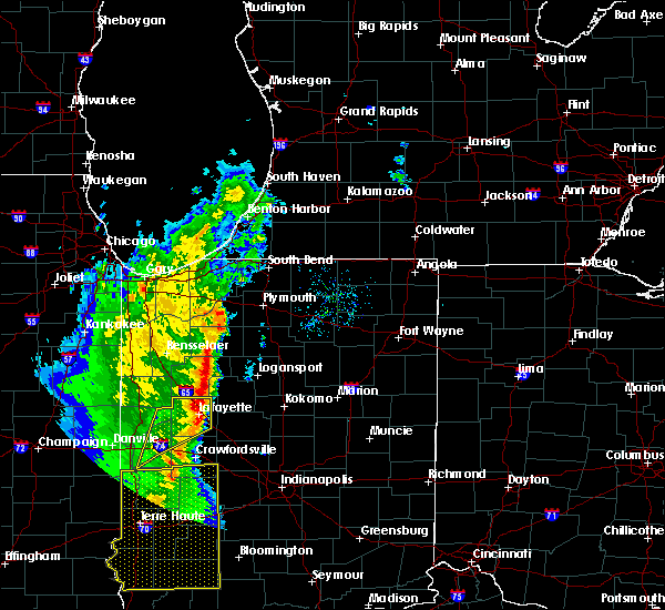 At 452 pm est/352 pm cst/, severe thunderstorms were located along a line extending from near francesville to near brookston, moving northeast at 50 mph (radar indicated). Hazards include 60 mph wind gusts. Expect damage to roofs. siding. and trees. severe thunderstorms will be near, winamac around 505 pm est. royal center around 420 pm cst. Other locations impacted by these severe thunderstorms include bell center, grass creek, leiters ford, burnettsville, idaville, clymers, kewanna, headlee, golden hill and monterey. At 452 pm est/352 pm cst/, severe thunderstorms were located along a line extending from near francesville to near brookston, moving northeast at 50 mph (radar indicated). Hazards include 60 mph wind gusts. Expect damage to roofs. siding. and trees. severe thunderstorms will be near, winamac around 505 pm est. royal center around 420 pm cst. Other locations impacted by these severe thunderstorms include bell center, grass creek, leiters ford, burnettsville, idaville, clymers, kewanna, headlee, golden hill and monterey.
|
| 7/13/2016 8:36 PM EDT |
 The severe thunderstorm warning for southwestern pulaski and white counties will expire at 845 pm edt, the storms which prompted the warning have weakened below severe limits, and no longer pose an immediate threat to life or property. therefore the warning will be allowed to expire. however gusty winds and heavy rain are still possible with these thunderstorms. a severe thunderstorm watch remains in effect until 100 am edt/midnight cdt/ for indiana. The severe thunderstorm warning for southwestern pulaski and white counties will expire at 845 pm edt, the storms which prompted the warning have weakened below severe limits, and no longer pose an immediate threat to life or property. therefore the warning will be allowed to expire. however gusty winds and heavy rain are still possible with these thunderstorms. a severe thunderstorm watch remains in effect until 100 am edt/midnight cdt/ for indiana.
|
| 7/13/2016 8:18 PM EDT |
 At 816 pm edt /716 pm cdt/, severe thunderstorms were located along a line extending from near remington to 7 miles northwest of brookston to near delphi, moving northeast at 40 mph. thunderstorms were occurring across all of white county with additional damaging wind potential from across southeast white county (radar indicated). Hazards include 60 mph wind gusts. Expect damage to roofs. siding and trees. locations impacted include, monticello, monon, brookston, wolcott, francesville, reynolds, chalmers, burnettsville, bell center, idaville, indiana beach, sitka, headlee, lee, cedar point, golden hill, lakeside in pulaski county, norway, badger grove and smithson. This includes interstate 65 between mile markers 185 and 198. At 816 pm edt /716 pm cdt/, severe thunderstorms were located along a line extending from near remington to 7 miles northwest of brookston to near delphi, moving northeast at 40 mph. thunderstorms were occurring across all of white county with additional damaging wind potential from across southeast white county (radar indicated). Hazards include 60 mph wind gusts. Expect damage to roofs. siding and trees. locations impacted include, monticello, monon, brookston, wolcott, francesville, reynolds, chalmers, burnettsville, bell center, idaville, indiana beach, sitka, headlee, lee, cedar point, golden hill, lakeside in pulaski county, norway, badger grove and smithson. This includes interstate 65 between mile markers 185 and 198.
|
| 7/13/2016 7:53 PM EDT |
 At 752 pm edt /652 pm cdt/, severe thunderstorms were located along a line extending from near kentland to fowler to near otterbein, moving northeast at 40 mph (radar indicated). Hazards include 60 mph wind gusts. Expect damage to roofs. Siding and trees. At 752 pm edt /652 pm cdt/, severe thunderstorms were located along a line extending from near kentland to fowler to near otterbein, moving northeast at 40 mph (radar indicated). Hazards include 60 mph wind gusts. Expect damage to roofs. Siding and trees.
|
| 6/22/2016 11:58 PM EDT |
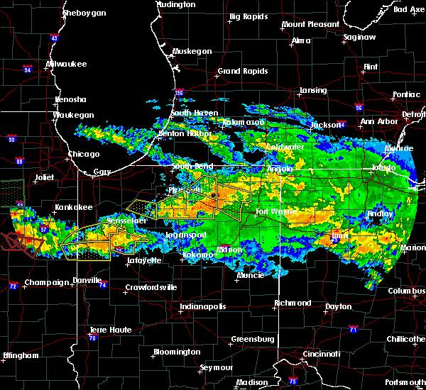 At 1157 pm edt, a severe thunderstorm was located over remington, or 9 miles east of percy junction, moving southeast at 40 mph (radar indicated). Hazards include 70 mph wind gusts. Expect considerable tree damage. damage is likely to mobile homes, roofs and outbuildings. this severe thunderstorm will be near, monticello and brookston around 1225 am edt. other locations impacted by this severe thunderstorm include reynolds, cedar point, golden hill, burnettsville, idaville, indiana beach, norway, chalmers, smithson and badger grove. this includes interstate 65 between mile markers 186 and 198. A tornado watch remains in effect until 500 am edt for northwestern indiana. At 1157 pm edt, a severe thunderstorm was located over remington, or 9 miles east of percy junction, moving southeast at 40 mph (radar indicated). Hazards include 70 mph wind gusts. Expect considerable tree damage. damage is likely to mobile homes, roofs and outbuildings. this severe thunderstorm will be near, monticello and brookston around 1225 am edt. other locations impacted by this severe thunderstorm include reynolds, cedar point, golden hill, burnettsville, idaville, indiana beach, norway, chalmers, smithson and badger grove. this includes interstate 65 between mile markers 186 and 198. A tornado watch remains in effect until 500 am edt for northwestern indiana.
|
| 6/20/2016 6:04 PM EDT |
 At 603 pm edt, a severe thunderstorm was located over delphi, or 11 miles south of monticello, moving southeast at 35 mph (trained weather spotters. at 556 pm...amateur radio operators reoprted a tree down 2 miles northwest battle ground due to thunderstorm winds). Hazards include 60 mph wind gusts and quarter size hail. Hail damage to vehicles is expected. expect wind damage to roofs, siding, and trees. locations impacted include, monticello, delphi, flora, rossville, dayton, battle ground, mulberry, camden and yeoman. This includes interstate 65 between mile markers 176 and 184. At 603 pm edt, a severe thunderstorm was located over delphi, or 11 miles south of monticello, moving southeast at 35 mph (trained weather spotters. at 556 pm...amateur radio operators reoprted a tree down 2 miles northwest battle ground due to thunderstorm winds). Hazards include 60 mph wind gusts and quarter size hail. Hail damage to vehicles is expected. expect wind damage to roofs, siding, and trees. locations impacted include, monticello, delphi, flora, rossville, dayton, battle ground, mulberry, camden and yeoman. This includes interstate 65 between mile markers 176 and 184.
|
| 6/20/2016 5:50 PM EDT |
 At 550 pm edt, a severe thunderstorm was located near brookston, or 7 miles southwest of monticello, moving southeast at 35 mph (radar indicated). Hazards include 60 mph wind gusts and quarter size hail. Hail damage to vehicles is expected. Expect wind damage to roofs, siding, and trees. At 550 pm edt, a severe thunderstorm was located near brookston, or 7 miles southwest of monticello, moving southeast at 35 mph (radar indicated). Hazards include 60 mph wind gusts and quarter size hail. Hail damage to vehicles is expected. Expect wind damage to roofs, siding, and trees.
|
| 6/20/2016 5:43 PM EDT |
 At 542 pm edt, a severe thunderstorm was located near wolcott, or 9 miles west of monticello, moving southeast at 45 mph (radar indicated). Hazards include 60 mph wind gusts and quarter size hail. Hail damage to vehicles is expected. Expect wind damage to roofs, siding and trees. At 542 pm edt, a severe thunderstorm was located near wolcott, or 9 miles west of monticello, moving southeast at 45 mph (radar indicated). Hazards include 60 mph wind gusts and quarter size hail. Hail damage to vehicles is expected. Expect wind damage to roofs, siding and trees.
|
| 9/18/2015 10:41 PM EDT |
 At 1040 pm edt, severe thunderstorms were located along a line extending from 10 miles west of logansport to near west lafayette, moving east at 40 mph (radar indicated). Hazards include 60 mph wind gusts and half dollar size hail. Hail damage to vehicles is expected. expect wind damage to roofs, siding and trees. locations impacted include, lafayette, monticello, west lafayette, delphi, flora, shadeland, battle ground, camden, burlington, yeoman and purdue university. This includes interstate 65 between mile markers 171 and 183. At 1040 pm edt, severe thunderstorms were located along a line extending from 10 miles west of logansport to near west lafayette, moving east at 40 mph (radar indicated). Hazards include 60 mph wind gusts and half dollar size hail. Hail damage to vehicles is expected. expect wind damage to roofs, siding and trees. locations impacted include, lafayette, monticello, west lafayette, delphi, flora, shadeland, battle ground, camden, burlington, yeoman and purdue university. This includes interstate 65 between mile markers 171 and 183.
|
| 9/18/2015 10:25 PM EDT |
 At 1024 pm edt, severe thunderstorms were located along a line extending from near monticello to 6 miles west of brookston, moving east at 45 mph (radar indicated). Hazards include 60 mph wind gusts and penny size hail. Expect damage to roofs. siding and trees. these severe storms will be near, monticello around 1030 pm edt. other locations impacted by these severe thunderstorms include reynolds, cedar point, golden hill, burnettsville, idaville, indiana beach, sitka, norway, chalmers and badger grove. This includes interstate 65 between mile markers 185 and 197. At 1024 pm edt, severe thunderstorms were located along a line extending from near monticello to 6 miles west of brookston, moving east at 45 mph (radar indicated). Hazards include 60 mph wind gusts and penny size hail. Expect damage to roofs. siding and trees. these severe storms will be near, monticello around 1030 pm edt. other locations impacted by these severe thunderstorms include reynolds, cedar point, golden hill, burnettsville, idaville, indiana beach, sitka, norway, chalmers and badger grove. This includes interstate 65 between mile markers 185 and 197.
|
| 9/18/2015 10:19 PM EDT |
 At 1019 pm edt, severe thunderstorms were located along a line extending from near monticello to near templeton, moving east at 40 mph (radar indicated). Hazards include 60 mph wind gusts and half dollar size hail. Hail damage to vehicles is expected. Expect wind damage to roofs, siding and trees. At 1019 pm edt, severe thunderstorms were located along a line extending from near monticello to near templeton, moving east at 40 mph (radar indicated). Hazards include 60 mph wind gusts and half dollar size hail. Hail damage to vehicles is expected. Expect wind damage to roofs, siding and trees.
|
| 9/18/2015 10:02 PM EDT |
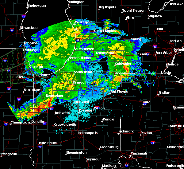 At 1001 pm edt, severe thunderstorms were located along a line extending from near wolcott to near atkinson, moving east at 50 mph (radar indicated). Hazards include 60 mph wind gusts and penny size hail. Expect damage to roofs. siding and trees. severe thunderstorms will be near, wolcott around 1005 pm edt. monon around 1010 pm edt. monticello around 1015 pm edt. brookston around 1030 pm edt. other locations impacted by these severe thunderstorms include bell center, burnettsville, idaville, indiana beach, sitka, chalmers, lee, reynolds, cedar point and golden hill. This includes interstate 65 between mile markers 185 and 198. At 1001 pm edt, severe thunderstorms were located along a line extending from near wolcott to near atkinson, moving east at 50 mph (radar indicated). Hazards include 60 mph wind gusts and penny size hail. Expect damage to roofs. siding and trees. severe thunderstorms will be near, wolcott around 1005 pm edt. monon around 1010 pm edt. monticello around 1015 pm edt. brookston around 1030 pm edt. other locations impacted by these severe thunderstorms include bell center, burnettsville, idaville, indiana beach, sitka, chalmers, lee, reynolds, cedar point and golden hill. This includes interstate 65 between mile markers 185 and 198.
|
| 9/4/2015 3:25 PM EDT |
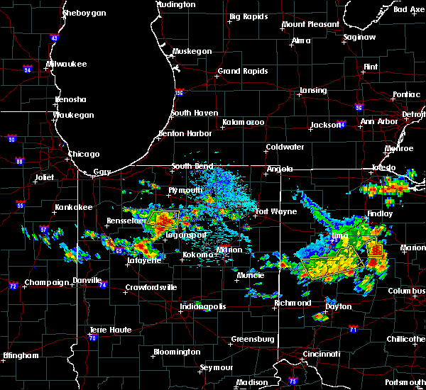 At 324 pm edt, a severe thunderstorm was located near monticello, moving east at 10 mph (radar indicated). Hazards include quarter size hail. damage to vehicles is expected At 324 pm edt, a severe thunderstorm was located near monticello, moving east at 10 mph (radar indicated). Hazards include quarter size hail. damage to vehicles is expected
|
| 8/3/2015 2:40 AM EDT |
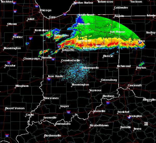 At 239 am edt, a severe thunderstorm was located near brookston, or 7 miles southwest of monticello, moving east at 35 mph (radar indicated). Hazards include 60 mph wind gusts and quarter size hail. Hail damage to vehicles is expected. Expect wind damage to roofs, siding and trees. At 239 am edt, a severe thunderstorm was located near brookston, or 7 miles southwest of monticello, moving east at 35 mph (radar indicated). Hazards include 60 mph wind gusts and quarter size hail. Hail damage to vehicles is expected. Expect wind damage to roofs, siding and trees.
|
| 6/23/2015 12:48 AM EDT |
 At 1247 am edt, a severe thunderstorm was located 7 miles northwest of monticello, and moving southeast at 55 mph (radar indicated). Hazards include 70 mph wind gusts. Expect considerable tree damage. damage is likely to mobile homes, roofs and outbuildings. Locations impacted include, delphi, yeoman and camden. At 1247 am edt, a severe thunderstorm was located 7 miles northwest of monticello, and moving southeast at 55 mph (radar indicated). Hazards include 70 mph wind gusts. Expect considerable tree damage. damage is likely to mobile homes, roofs and outbuildings. Locations impacted include, delphi, yeoman and camden.
|
| 6/23/2015 12:34 AM EDT |
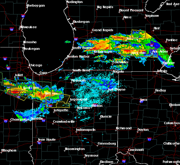 At 1232 am edt, a severe thunderstorm was located 9 miles north of wolcott, and moving east at 50 mph (radar indicated). Hazards include 70 mph wind gusts. Expect considerable tree damage. Damage is likely to mobile homes, roofs and outbuildings. At 1232 am edt, a severe thunderstorm was located 9 miles north of wolcott, and moving east at 50 mph (radar indicated). Hazards include 70 mph wind gusts. Expect considerable tree damage. Damage is likely to mobile homes, roofs and outbuildings.
|
| 6/23/2015 12:31 AM EDT |
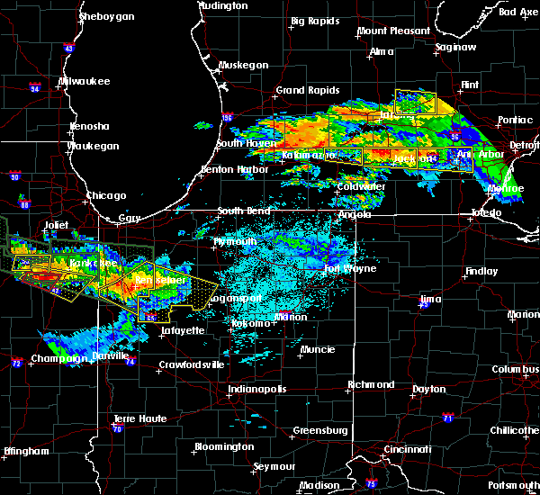 At 1230 am edt /1130 pm cdt/, severe thunderstorms were located along a line extending from near winamac to 6 miles northeast of monon to remington, moving southeast at 35 mph (radar indicated). Hazards include 60 mph wind gusts. Expect damage to roofs. siding and trees. locations impacted include, monticello, monon, brookston, wolcott, francesville, royal center, pulaski, reynolds, chalmers, burnettsville, norway, buffalo, lakeside in pulaski county, idaville, clymers, lucerne, badger grove, star city, headlee and grass creek. this includes interstate 65 between mile markers 185 and 198. A tornado watch remains in effect until 300 am edt/200 am cdt/ for northwestern indiana. At 1230 am edt /1130 pm cdt/, severe thunderstorms were located along a line extending from near winamac to 6 miles northeast of monon to remington, moving southeast at 35 mph (radar indicated). Hazards include 60 mph wind gusts. Expect damage to roofs. siding and trees. locations impacted include, monticello, monon, brookston, wolcott, francesville, royal center, pulaski, reynolds, chalmers, burnettsville, norway, buffalo, lakeside in pulaski county, idaville, clymers, lucerne, badger grove, star city, headlee and grass creek. this includes interstate 65 between mile markers 185 and 198. A tornado watch remains in effect until 300 am edt/200 am cdt/ for northwestern indiana.
|
| 6/23/2015 12:04 AM EDT |
 At 1203 am edt /1103 pm cdt/, severe thunderstorms were located along a line extending from near dunns bridge to near moody to near sheldon, moving southeast at 40 mph (radar indicated). Hazards include 60 mph wind gusts. Expect damage to roofs. Siding and trees. At 1203 am edt /1103 pm cdt/, severe thunderstorms were located along a line extending from near dunns bridge to near moody to near sheldon, moving southeast at 40 mph (radar indicated). Hazards include 60 mph wind gusts. Expect damage to roofs. Siding and trees.
|
| 6/21/2015 1:36 AM EDT |
 At 135 am edt, severe thunderstorms were located along a line extending from 6 miles southwest of logansport to crawfordsville, and moving east at 30 mph (radar indicated). Hazards include 60 mph wind gusts. Expect damage to roofs. siding and trees. locations impacted include, clarks hill, darlington, ladoga and new ross. this includes interstate 65 between mile markers 161 and 173. This includes interstate 74 between mile markers 28 and 45. At 135 am edt, severe thunderstorms were located along a line extending from 6 miles southwest of logansport to crawfordsville, and moving east at 30 mph (radar indicated). Hazards include 60 mph wind gusts. Expect damage to roofs. siding and trees. locations impacted include, clarks hill, darlington, ladoga and new ross. this includes interstate 65 between mile markers 161 and 173. This includes interstate 74 between mile markers 28 and 45.
|
| 6/21/2015 1:27 AM EDT |
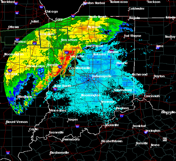 At 123 am edt, severe thunderstorms were located along a line extending from 8 miles southwest of logansport to 12 miles west of lebanon, and moving east at 30 mph (radar indicated). Hazards include 60 mph wind gusts. Expect damage to roofs. Siding and trees. At 123 am edt, severe thunderstorms were located along a line extending from 8 miles southwest of logansport to 12 miles west of lebanon, and moving east at 30 mph (radar indicated). Hazards include 60 mph wind gusts. Expect damage to roofs. Siding and trees.
|
| 6/21/2015 1:23 AM EDT |
 At 121 am edt, severe thunderstorms were located along a line extending from 9 miles northeast of delphi to 9 miles west of crawfordsville, and moving east at 30 mph (radar indicated). Hazards include 60 mph wind gusts. Expect damage to roofs. siding and trees. locations impacted include, crawfordsville, linden, new market, clarks hill, darlington and ladoga. this includes interstate 65 between mile markers 161 and 180. This includes interstate 74 between mile markers 23 and 45. At 121 am edt, severe thunderstorms were located along a line extending from 9 miles northeast of delphi to 9 miles west of crawfordsville, and moving east at 30 mph (radar indicated). Hazards include 60 mph wind gusts. Expect damage to roofs. siding and trees. locations impacted include, crawfordsville, linden, new market, clarks hill, darlington and ladoga. this includes interstate 65 between mile markers 161 and 180. This includes interstate 74 between mile markers 23 and 45.
|
| 6/21/2015 1:03 AM EDT |
 At 102 am edt, severe thunderstorms were located along a line extending from monticello to 8 miles south of veedersburg, and moving east at 30 mph (radar indicated). Hazards include 60 mph wind gusts. Expect damage to roofs. Siding and trees. At 102 am edt, severe thunderstorms were located along a line extending from monticello to 8 miles south of veedersburg, and moving east at 30 mph (radar indicated). Hazards include 60 mph wind gusts. Expect damage to roofs. Siding and trees.
|
| 6/12/2015 5:01 PM EDT |
 At 501 pm edt, a severe thunderstorm was located near brookston, or 7 miles southwest of monticello, moving southeast at 20 mph (radar indicated). Hazards include 60 mph wind gusts and quarter size hail. Hail damage to vehicles is expected. expect wind damage to roofs, siding and trees. this severe thunderstorm will remain over mainly rural areas of eastern white county, including the following locations, smithson, chalmers, norway, indiana beach, golden hill, cedar point and badger grove. This includes interstate 65 between mile markers 185 and 186. At 501 pm edt, a severe thunderstorm was located near brookston, or 7 miles southwest of monticello, moving southeast at 20 mph (radar indicated). Hazards include 60 mph wind gusts and quarter size hail. Hail damage to vehicles is expected. expect wind damage to roofs, siding and trees. this severe thunderstorm will remain over mainly rural areas of eastern white county, including the following locations, smithson, chalmers, norway, indiana beach, golden hill, cedar point and badger grove. This includes interstate 65 between mile markers 185 and 186.
|
| 6/12/2015 4:59 PM EDT |
 At 456 pm edt, severe thunderstorms were located along a line extending from logansport to brookston, and moving east at 30 mph (radar indicated). Hazards include 60 mph wind gusts and quarter size hail. Hail damage to vehicles is expected. expect wind damage to roofs, siding and trees. locations impacted include, delphi, camden and flora. This includes interstate 65 between mile markers 182 and 184. At 456 pm edt, severe thunderstorms were located along a line extending from logansport to brookston, and moving east at 30 mph (radar indicated). Hazards include 60 mph wind gusts and quarter size hail. Hail damage to vehicles is expected. expect wind damage to roofs, siding and trees. locations impacted include, delphi, camden and flora. This includes interstate 65 between mile markers 182 and 184.
|
| 6/12/2015 4:45 PM EDT |
 At 443 pm edt, severe thunderstorms were located along a line extending from 7 miles northwest of logansport to brookston, and moving east at 30 mph (radar indicated). Hazards include 60 mph wind gusts and quarter size hail. Hail damage to vehicles is expected. Expect wind damage to roofs, siding and trees. At 443 pm edt, severe thunderstorms were located along a line extending from 7 miles northwest of logansport to brookston, and moving east at 30 mph (radar indicated). Hazards include 60 mph wind gusts and quarter size hail. Hail damage to vehicles is expected. Expect wind damage to roofs, siding and trees.
|
| 6/12/2015 4:41 PM EDT |
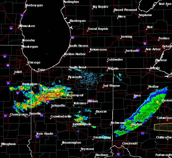 At 440 pm edt, a severe thunderstorm was located 7 miles southeast of wolcott, or 8 miles west of monticello, moving east at 40 mph (radar indicated). Hazards include 60 mph wind gusts and quarter size hail. Hail damage to vehicles is expected. expect wind damage to roofs, siding and trees. this severe thunderstorm will be near, monticello around 455 pm edt. other locations impacted by this severe thunderstorm include smithson, chalmers, norway, buffalo, sitka, indiana beach, reynolds, golden hill, cedar point and badger grove. This includes interstate 65 between mile markers 185 and 188. At 440 pm edt, a severe thunderstorm was located 7 miles southeast of wolcott, or 8 miles west of monticello, moving east at 40 mph (radar indicated). Hazards include 60 mph wind gusts and quarter size hail. Hail damage to vehicles is expected. expect wind damage to roofs, siding and trees. this severe thunderstorm will be near, monticello around 455 pm edt. other locations impacted by this severe thunderstorm include smithson, chalmers, norway, buffalo, sitka, indiana beach, reynolds, golden hill, cedar point and badger grove. This includes interstate 65 between mile markers 185 and 188.
|
| 6/12/2015 4:36 PM EDT |
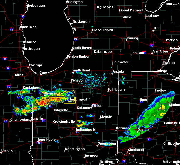 At 436 pm edt, a severe thunderstorm was located 7 miles southwest of royal center, or 10 miles east of monticello, moving east at 40 mph (radar indicated). Hazards include 60 mph wind gusts and quarter size hail. Hail damage to vehicles is expected. expect wind damage to roofs, siding and trees. this severe storm will be near, royal center around 440 pm edt. logansport around 450 pm edt. Other locations impacted by this severe thunderstorm include bell center, burnettsville, metea, idaville, clymers, lucerne, twelve mile, lake cicott, leases corner and anoka. At 436 pm edt, a severe thunderstorm was located 7 miles southwest of royal center, or 10 miles east of monticello, moving east at 40 mph (radar indicated). Hazards include 60 mph wind gusts and quarter size hail. Hail damage to vehicles is expected. expect wind damage to roofs, siding and trees. this severe storm will be near, royal center around 440 pm edt. logansport around 450 pm edt. Other locations impacted by this severe thunderstorm include bell center, burnettsville, metea, idaville, clymers, lucerne, twelve mile, lake cicott, leases corner and anoka.
|
| 6/12/2015 4:18 PM EDT |
 At 417 pm edt /317 pm cdt/, a severe thunderstorm was located near monticello, moving east at 40 mph (radar indicated). Hazards include 60 mph wind gusts and quarter size hail. Hail damage to vehicles is expected. expect wind damage to roofs, siding and trees. this severe thunderstorm will be near, royal center around 430 pm edt. Other locations impacted by this severe thunderstorm include lakeside in pulaski county, burnettsville, metea, idaville, clymers, lucerne, fletcher, star city, headlee and lawton. At 417 pm edt /317 pm cdt/, a severe thunderstorm was located near monticello, moving east at 40 mph (radar indicated). Hazards include 60 mph wind gusts and quarter size hail. Hail damage to vehicles is expected. expect wind damage to roofs, siding and trees. this severe thunderstorm will be near, royal center around 430 pm edt. Other locations impacted by this severe thunderstorm include lakeside in pulaski county, burnettsville, metea, idaville, clymers, lucerne, fletcher, star city, headlee and lawton.
|
| 6/8/2015 8:27 PM EDT | At 825 pm edt, a severe thunderstorm was located 5 miles southeast of wolcott, and moving east at 35 mph (radar indicated). Hazards include quarter size hail and 60 mph wind gusts. Hail damage to vehicles is expected. expect wind damage to roofs, siding and trees. locations impacted include, monticello, brookston, badger grove, reynolds, smithson and chalmers. At 815 pm edt, a trained spotter measured a 59 mph thunderstorm wind gust in wolcott. |
| 6/8/2015 8:10 PM EDT | At 708 pm cdt, a severe thunderstorm was located near remington, and moving east at 25 mph (radar indicated). Hazards include quarter size hail and 60 mph wind gusts. Hail damage to vehicles is expected. Expect wind damage to roofs, siding and trees. |
| 1/1/0001 12:00 AM | Trees larger than 6 inches in diameter and branches down throughout idaville in white county IN, 0.3 miles WSW of Idaville, IN |
Hail Maps for Idaville, IN
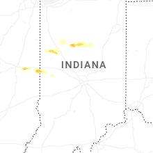
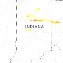
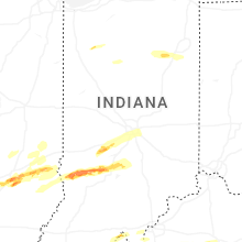

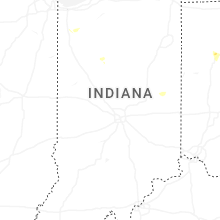
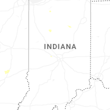
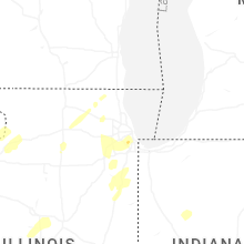


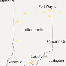


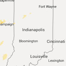


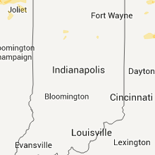


Connect with Interactive Hail Maps