

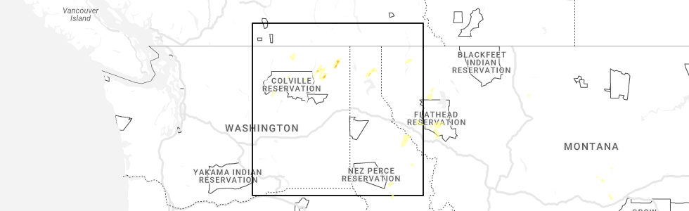
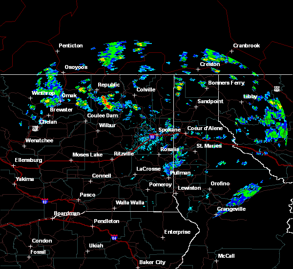
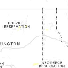
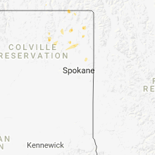
Hail Map for Inchelium, WA
The Inchelium, WA area has had 1 report of on-the-ground hail by trained spotters, and has been under severe weather warnings 1 time during the past 12 months. Doppler radar has detected hail at or near Inchelium, WA on 9 occasions, including 1 occasion during the past year.
| Name: | Inchelium, WA |
| Where Located: | 60.8 miles NW of Spokane, WA |
| Map: | Google Map for Inchelium, WA |
| Population: | 409 |
| Housing Units: | 175 |
| More Info: | Search Google for Inchelium, WA |
0
The Top Recent Hail Date for Inchelium, WA is Sunday, May 21, 2023 (6th out of 9)
Hail and Wind Damage Spotted near Inchelium, WA
| Date / Time | Report Details |
|---|---|
| 6/8/2023 6:30 PM PDT | Time estimated from observation. large tree down measured 7.5 feet diameter. highest gust recorded was 41 mph in kettle falls at 1830ds in stevens county WA, 7.1 miles SSW of Inchelium, WA |
| 6/8/2023 6:00 PM PDT | Two large trees down along orin rice road. storm spotter stevens 43. time estimated from rada in stevens county WA, 9.6 miles SW of Inchelium, WA |
| 5/21/2023 2:00 PM PDT | Quarter sized hail reported 2.9 miles SW of Inchelium, WA, via social media. |
| 5/21/2023 1:33 PM PDT |
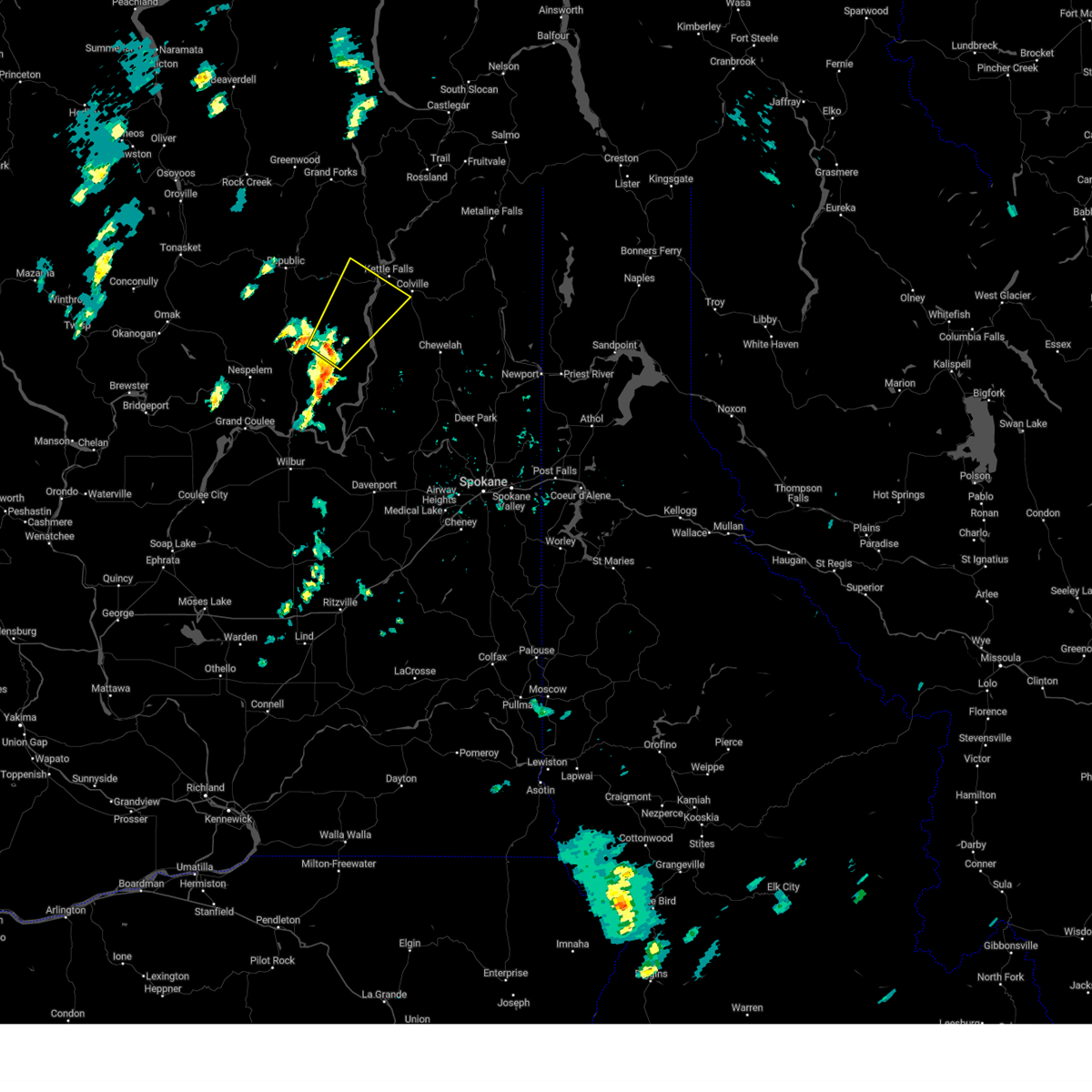 At 133 pm pdt, a severe thunderstorm was located 19 miles south of sherman pass, moving northeast at 30 mph (radar indicated). Hazards include 60 mph wind gusts and half dollar size hail. Hail damage to vehicles is expected. Expect wind damage to roofs, siding, and trees. At 133 pm pdt, a severe thunderstorm was located 19 miles south of sherman pass, moving northeast at 30 mph (radar indicated). Hazards include 60 mph wind gusts and half dollar size hail. Hail damage to vehicles is expected. Expect wind damage to roofs, siding, and trees.
|
| 6/3/2022 3:05 PM PDT |
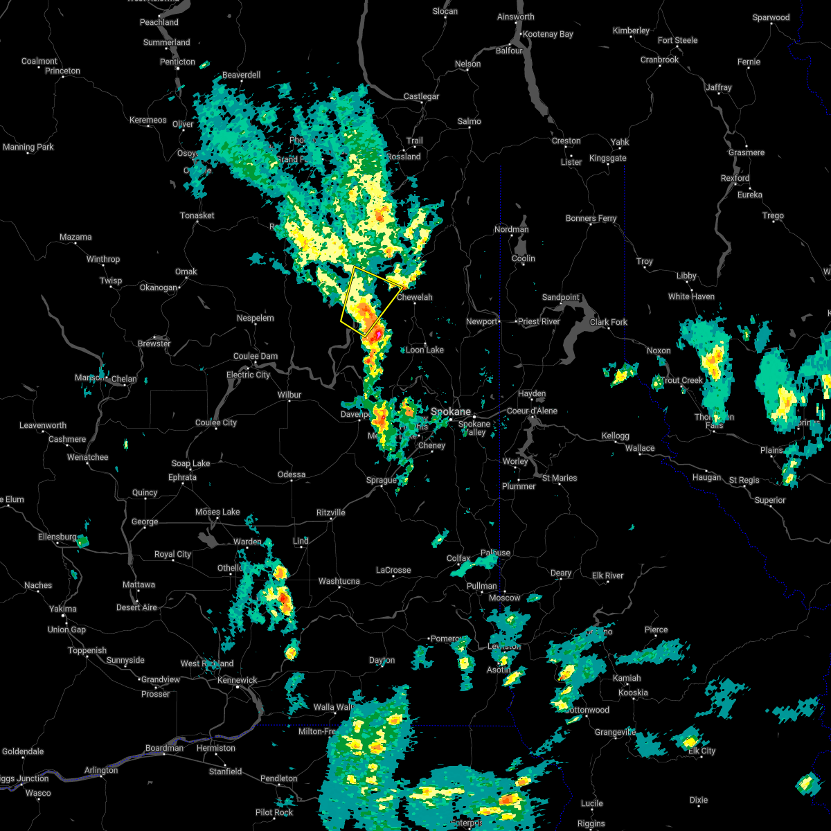 The severe thunderstorm warning for west central stevens and east central ferry counties will expire at 315 pm pdt, the storm which prompted the warning has weakened below severe limits, and no longer poses an immediate threat to life or property. therefore, the warning will be allowed to expire. however heavy rain is still possible with this thunderstorm. The severe thunderstorm warning for west central stevens and east central ferry counties will expire at 315 pm pdt, the storm which prompted the warning has weakened below severe limits, and no longer poses an immediate threat to life or property. therefore, the warning will be allowed to expire. however heavy rain is still possible with this thunderstorm.
|
| 6/3/2022 2:44 PM PDT |
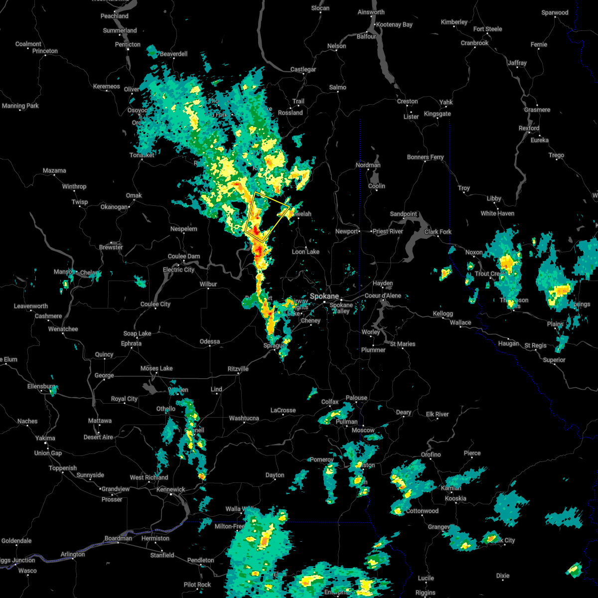 At 243 pm pdt, a severe thunderstorm was located 21 miles west of chewelah, or 49 miles northwest of spokane, moving northeast at 25 mph (radar indicated). Hazards include half dollar size hail. damage to vehicles is expected At 243 pm pdt, a severe thunderstorm was located 21 miles west of chewelah, or 49 miles northwest of spokane, moving northeast at 25 mph (radar indicated). Hazards include half dollar size hail. damage to vehicles is expected
|
| 6/21/2018 1:15 PM PDT |
 At 115 pm pdt, a severe thunderstorm was located 22 miles south of sherman pass, or 50 miles east of omak, moving southeast at 5 mph (radar indicated). Hazards include golf ball size hail. People and animals outdoors will be injured. Expect damage to roofs, siding, windows, and vehicles. At 115 pm pdt, a severe thunderstorm was located 22 miles south of sherman pass, or 50 miles east of omak, moving southeast at 5 mph (radar indicated). Hazards include golf ball size hail. People and animals outdoors will be injured. Expect damage to roofs, siding, windows, and vehicles.
|
| 7/23/2014 4:48 PM PDT | Law enforcement reported trees and powerlines down in the community of incheliu in ferry county WA, 0.6 miles E of Inchelium, WA |
| 8/25/2013 9:25 PM PDT | Stevens county emergency manager reports numerous trees down...power outages and damage to property throughout southern stevens count in stevens county WA, 18.9 miles N of Inchelium, WA |
Hail Maps for Inchelium, WA


Connect with Interactive Hail Maps