

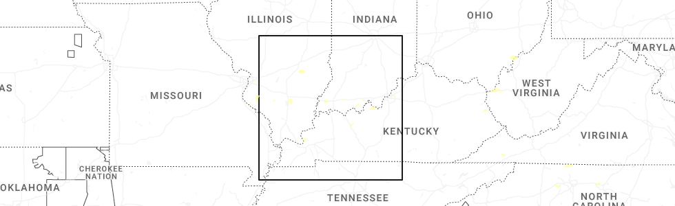
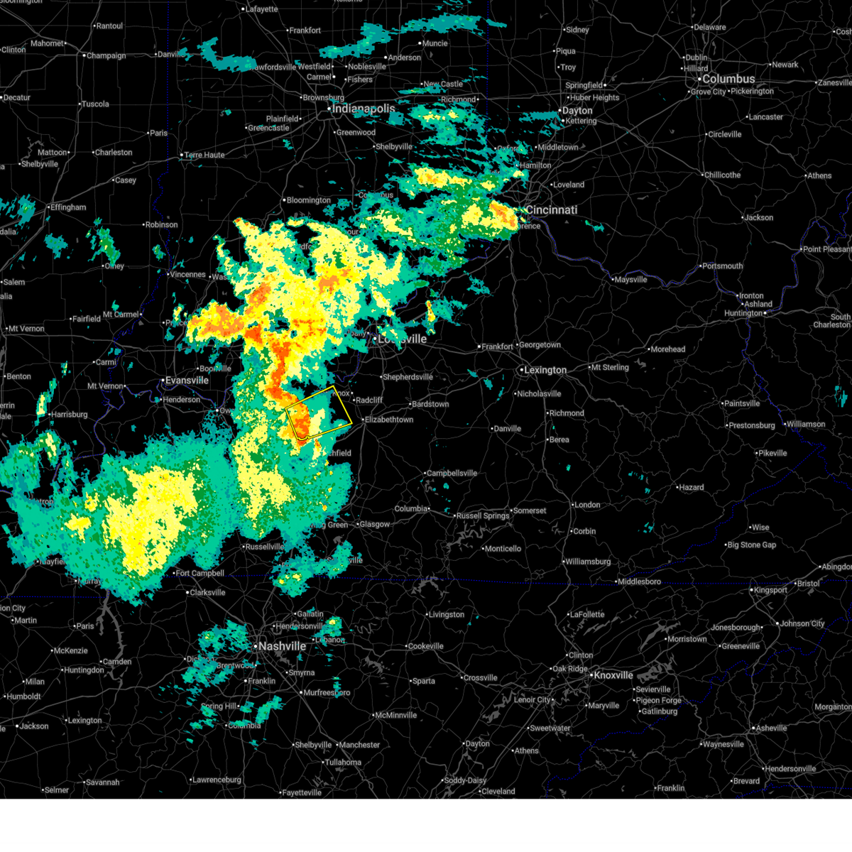
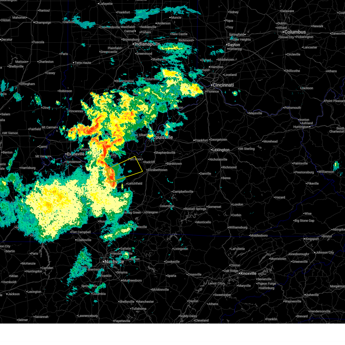
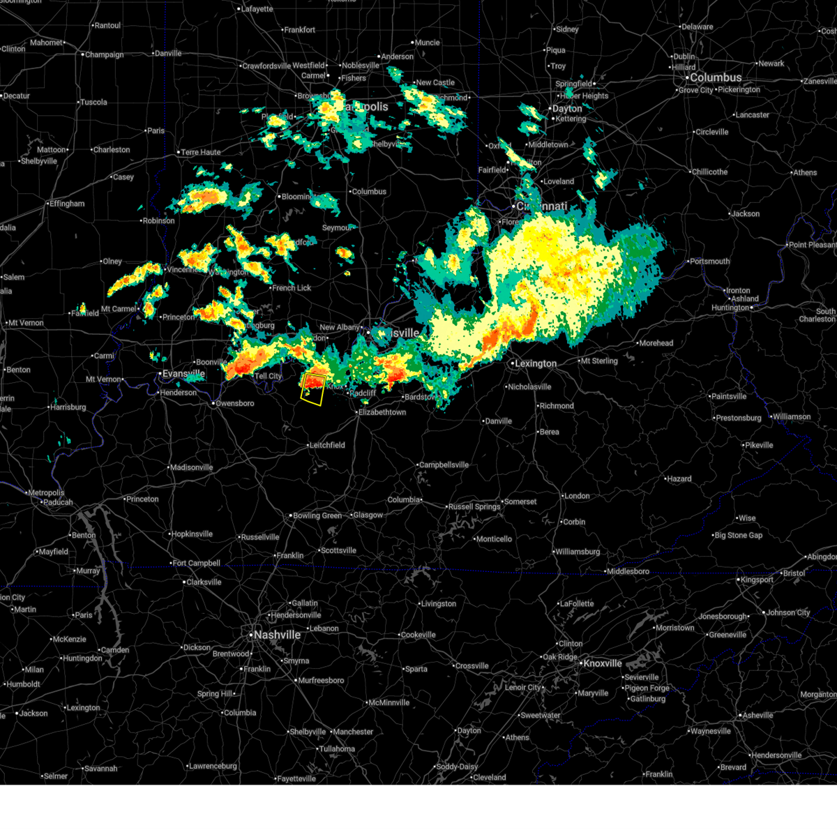
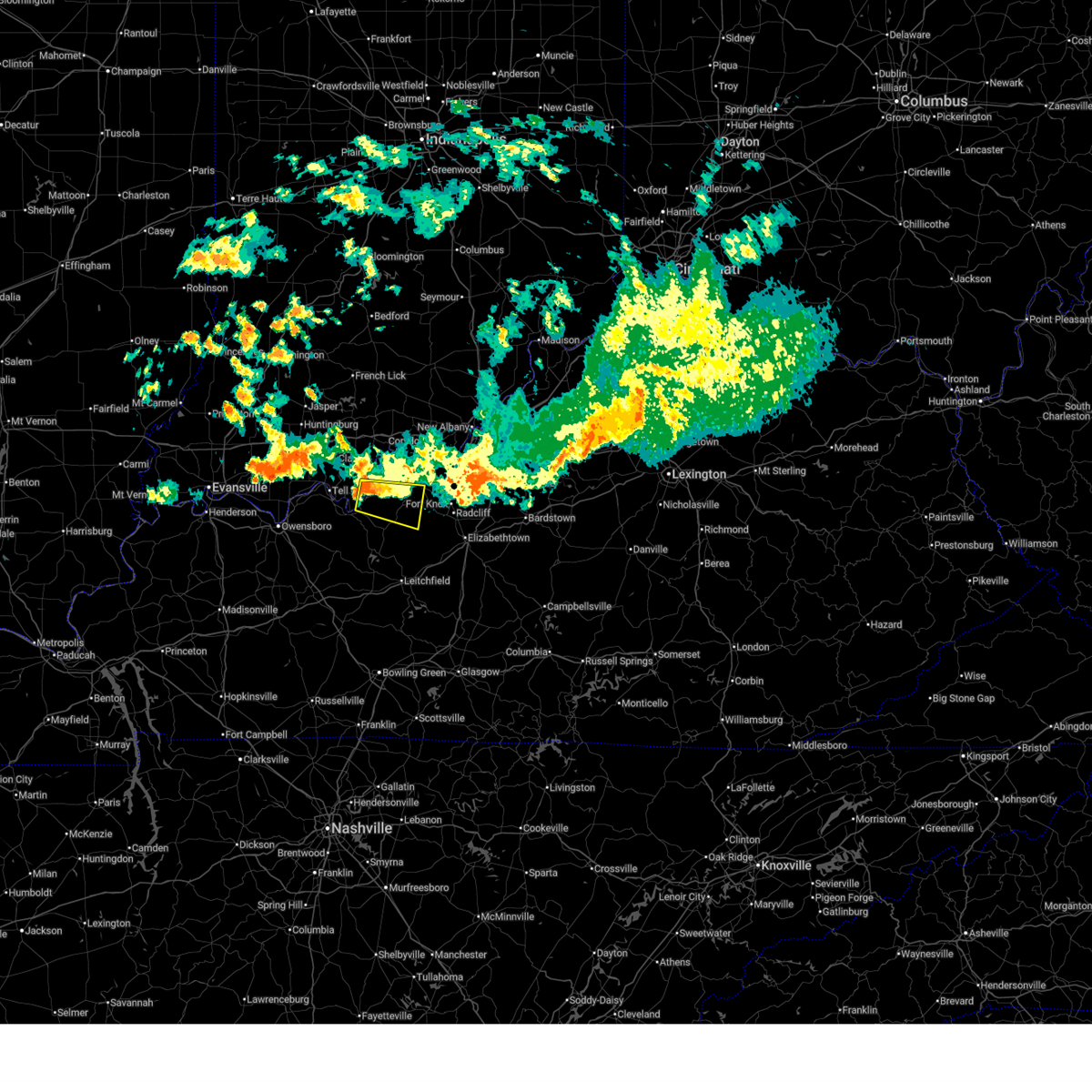
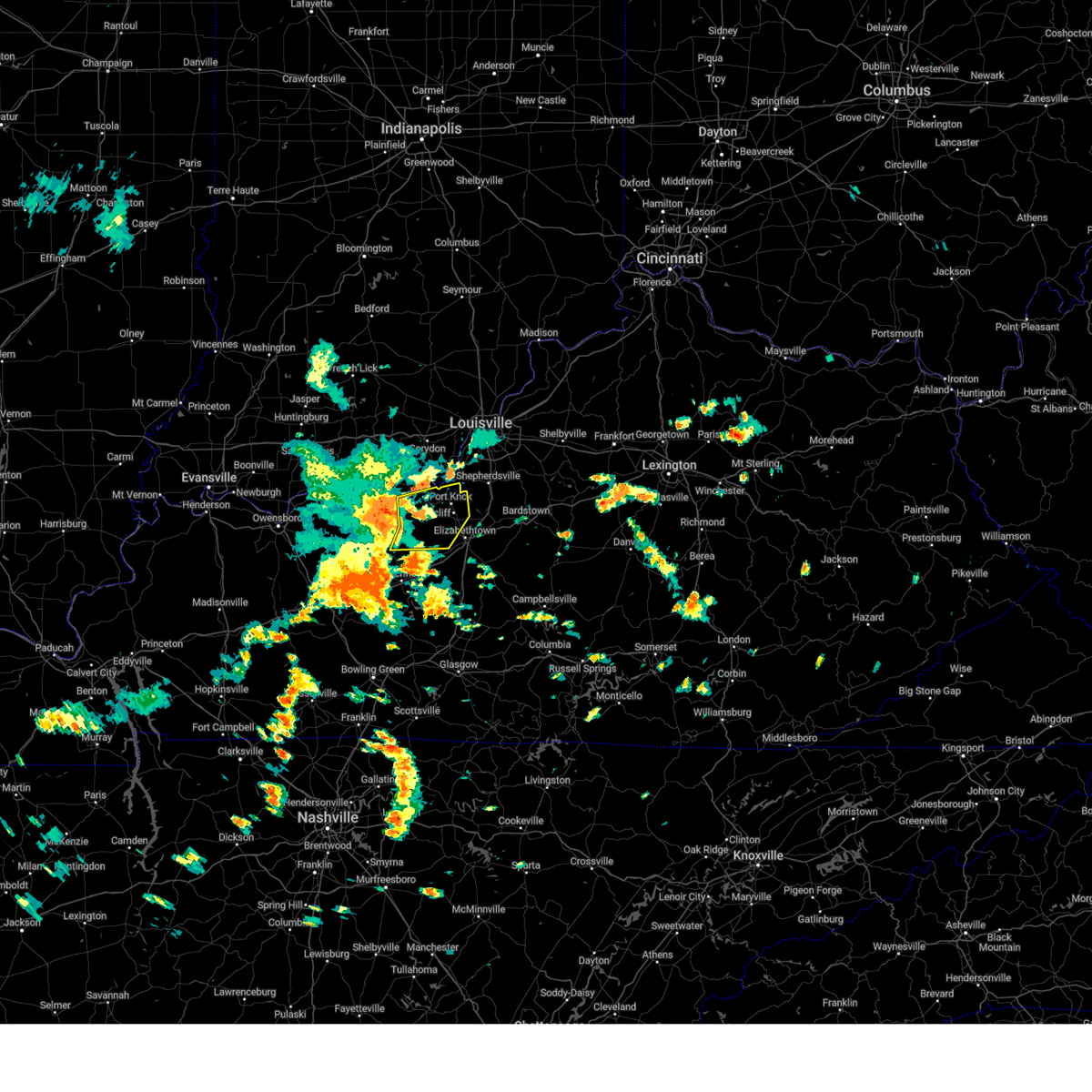
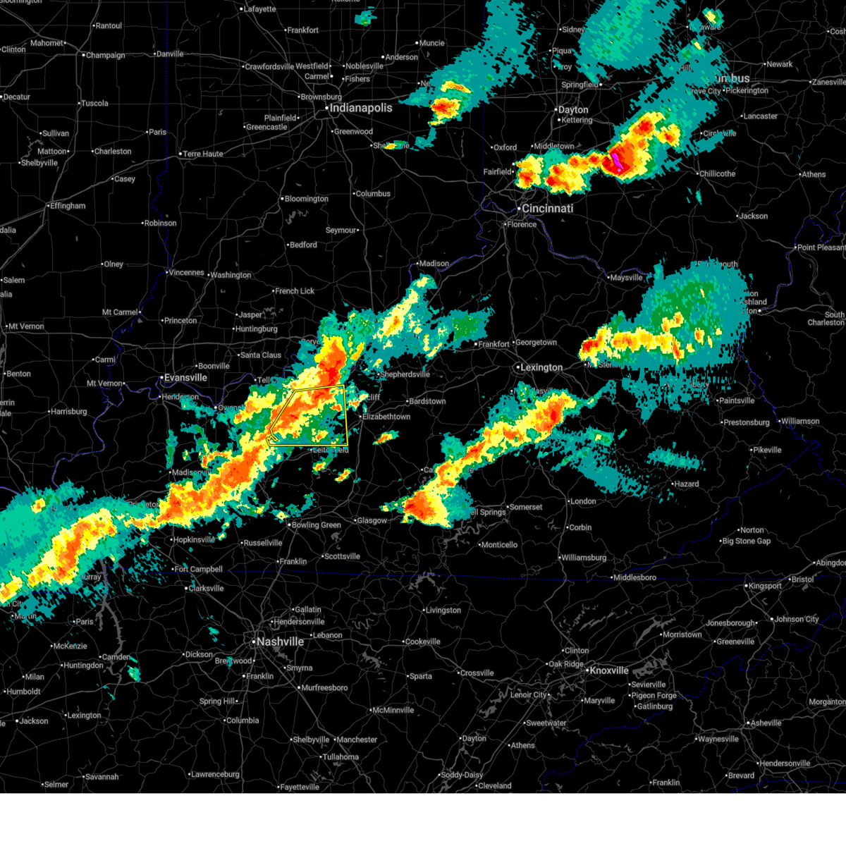
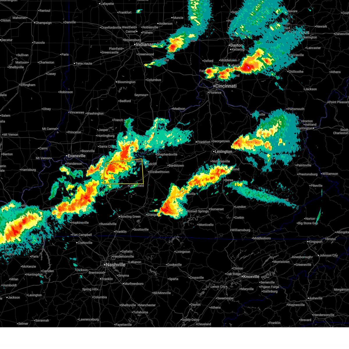
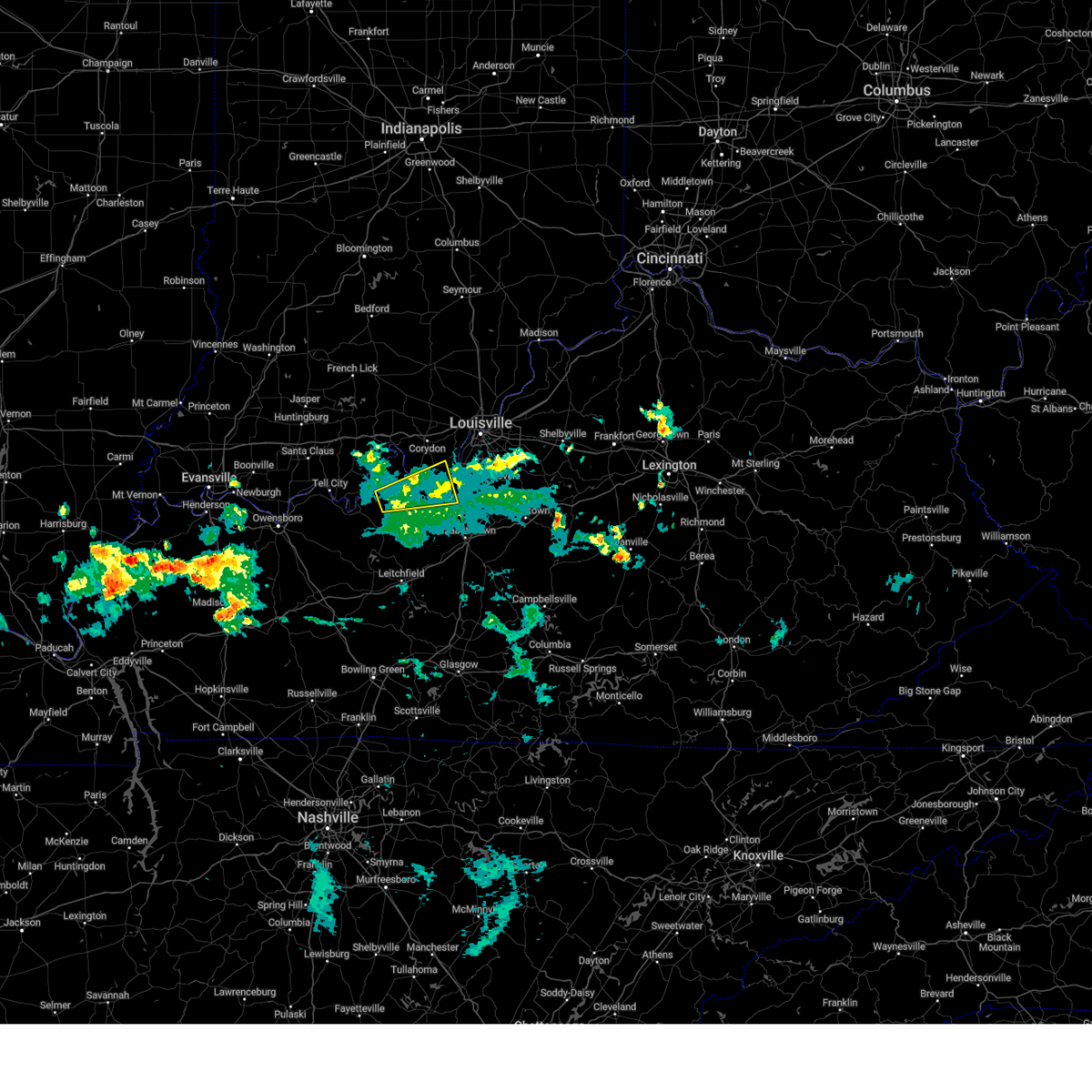
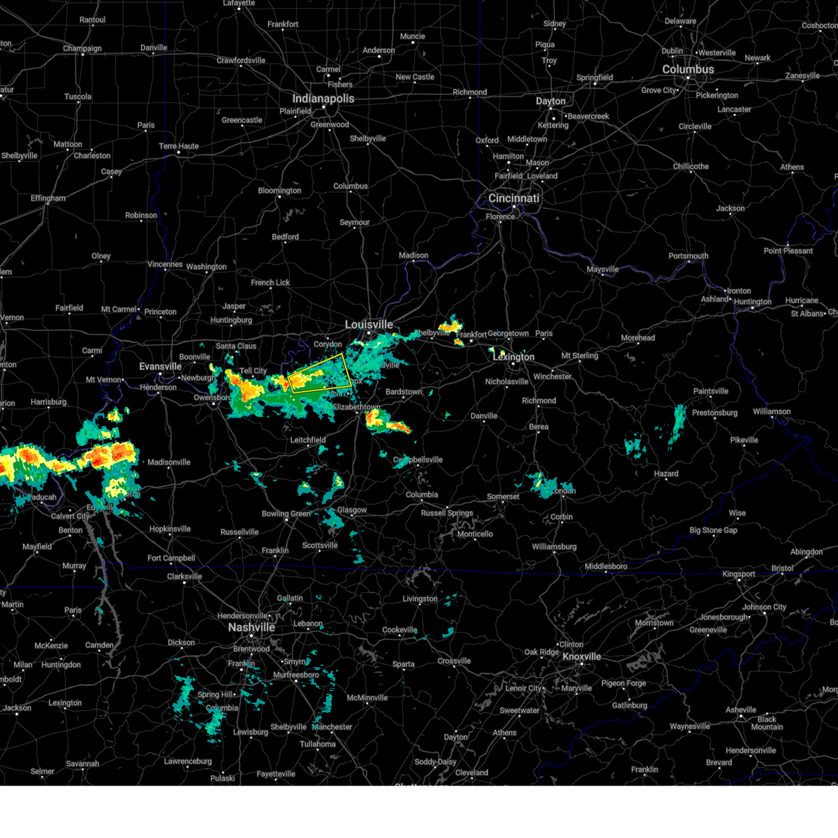
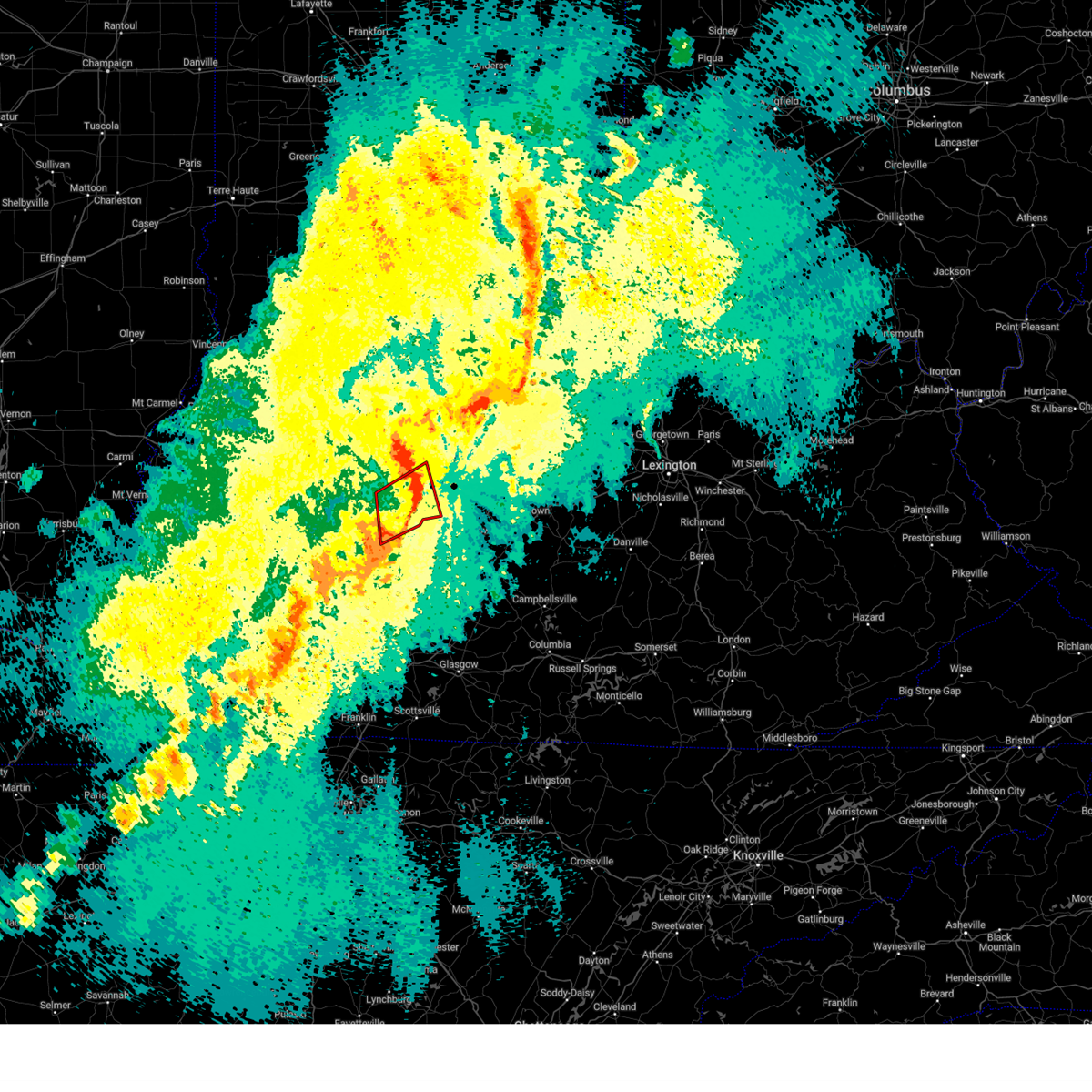
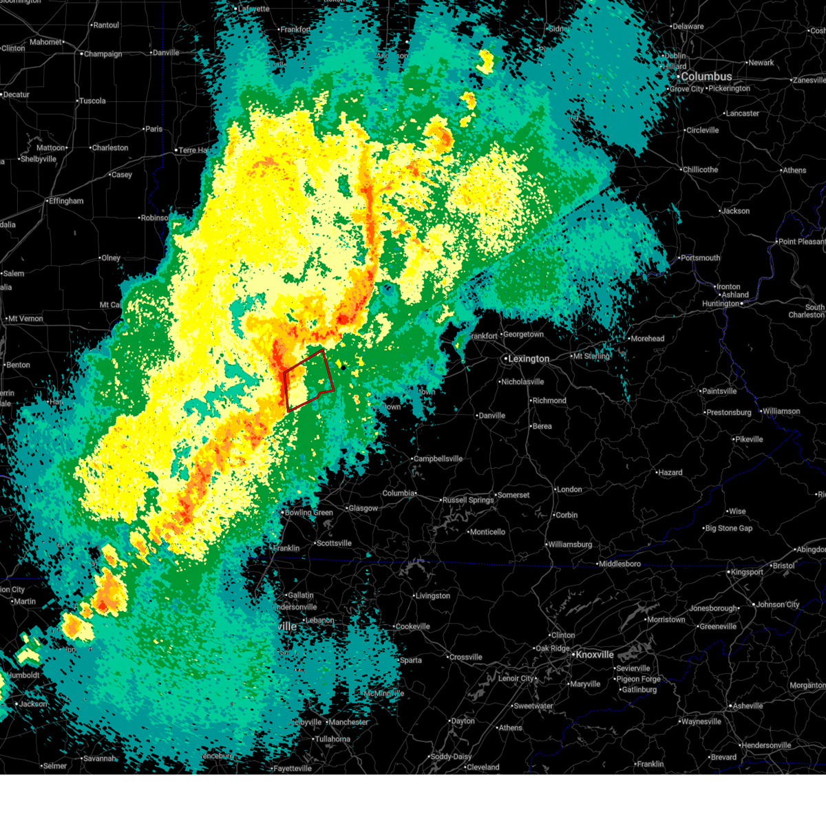
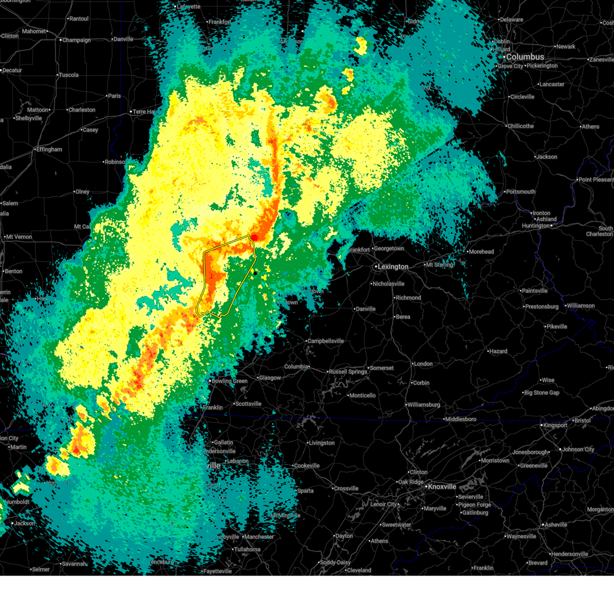
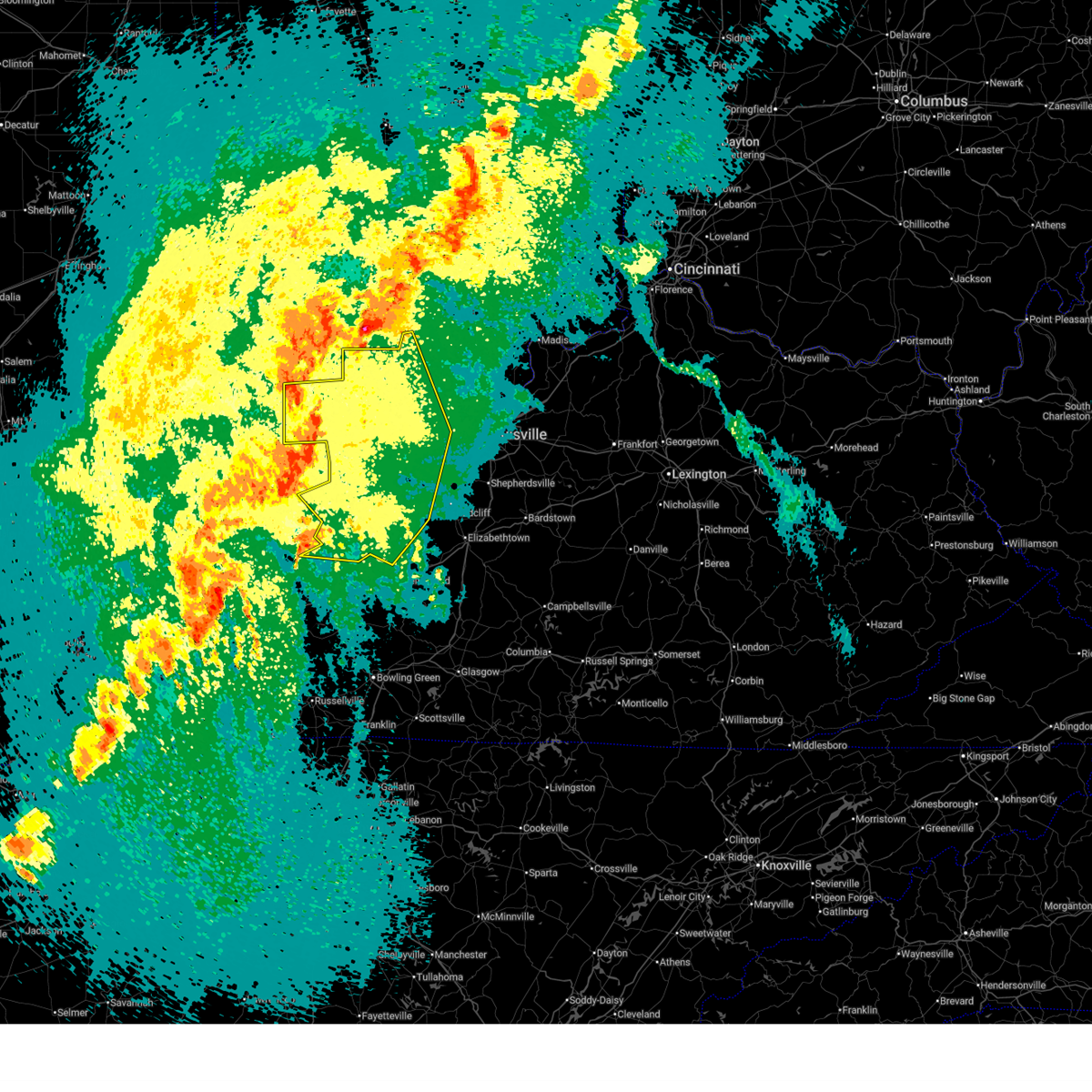
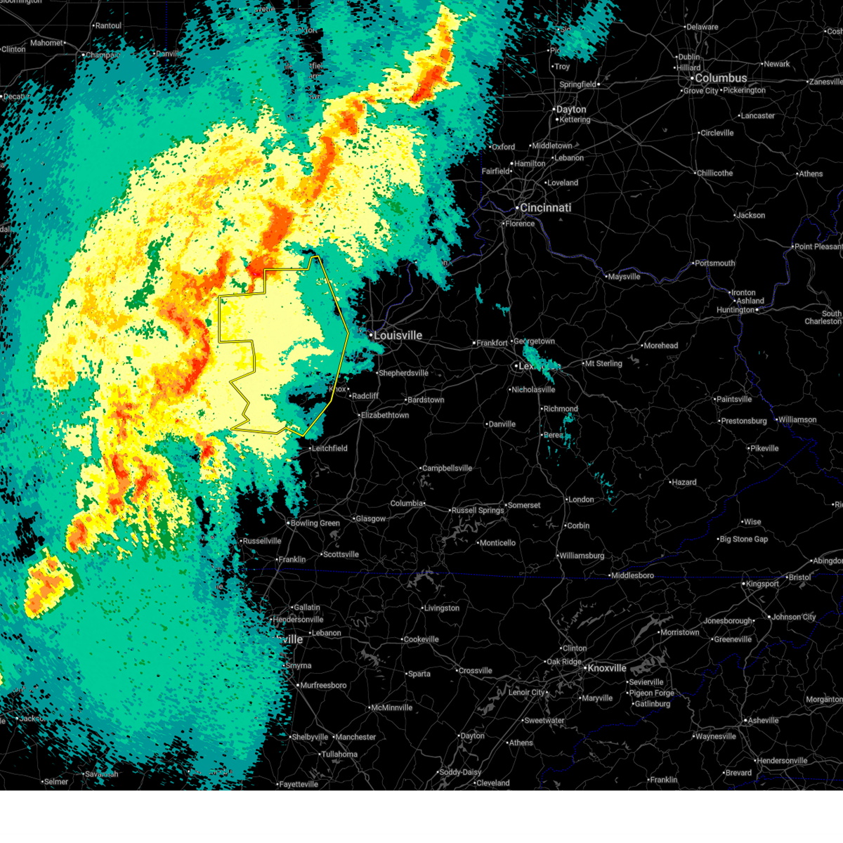
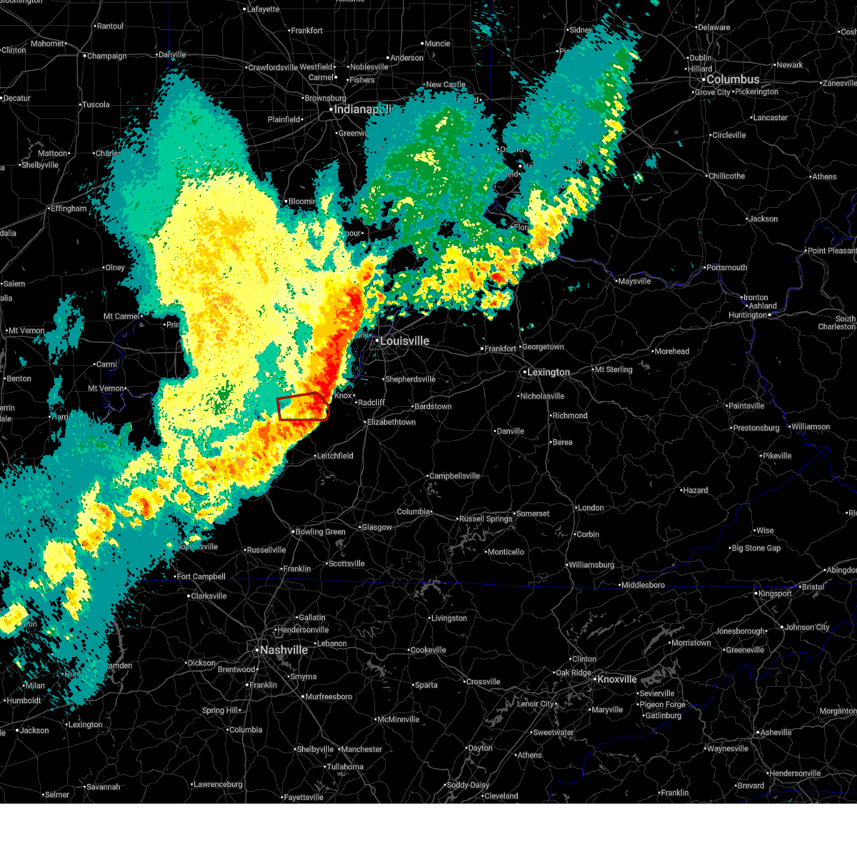
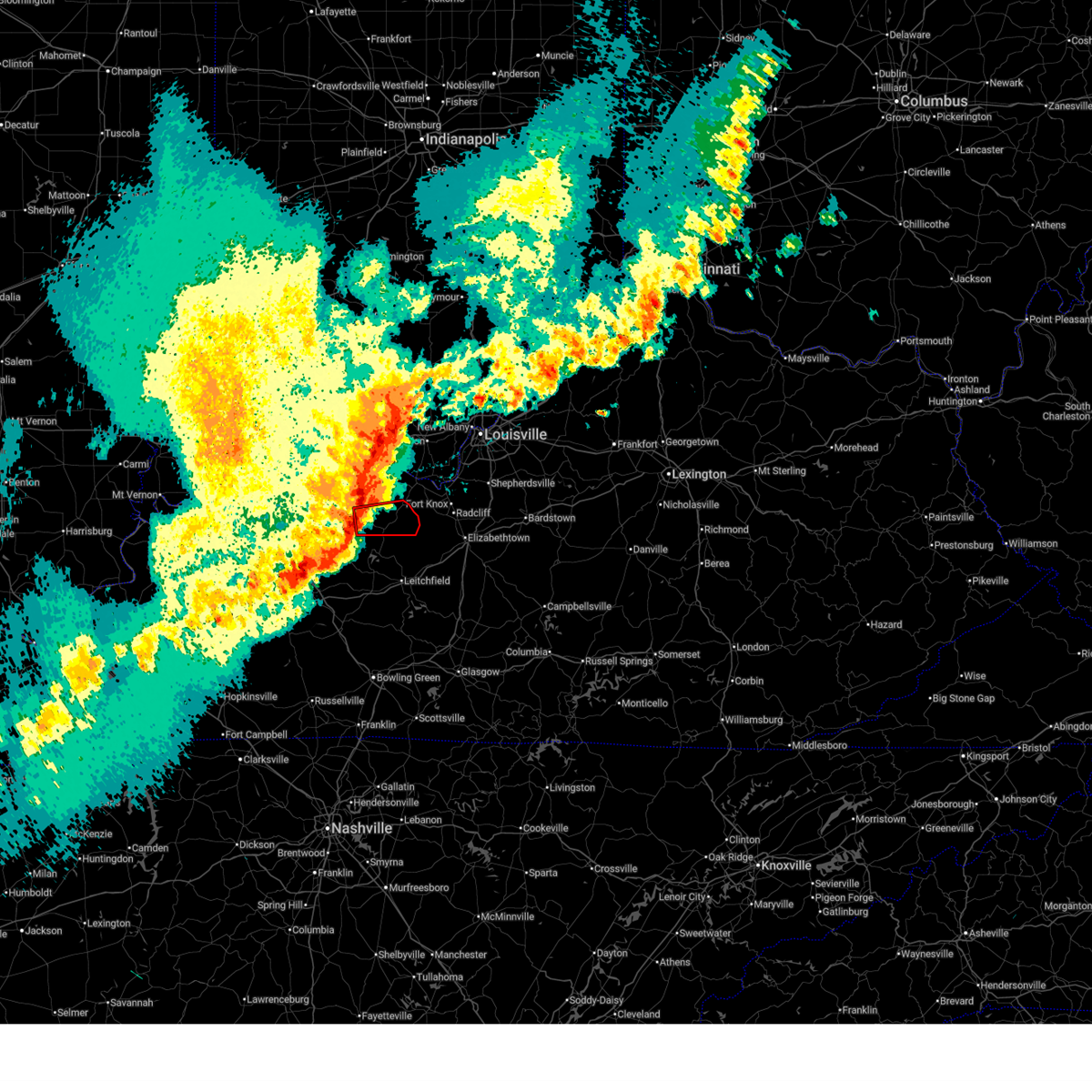
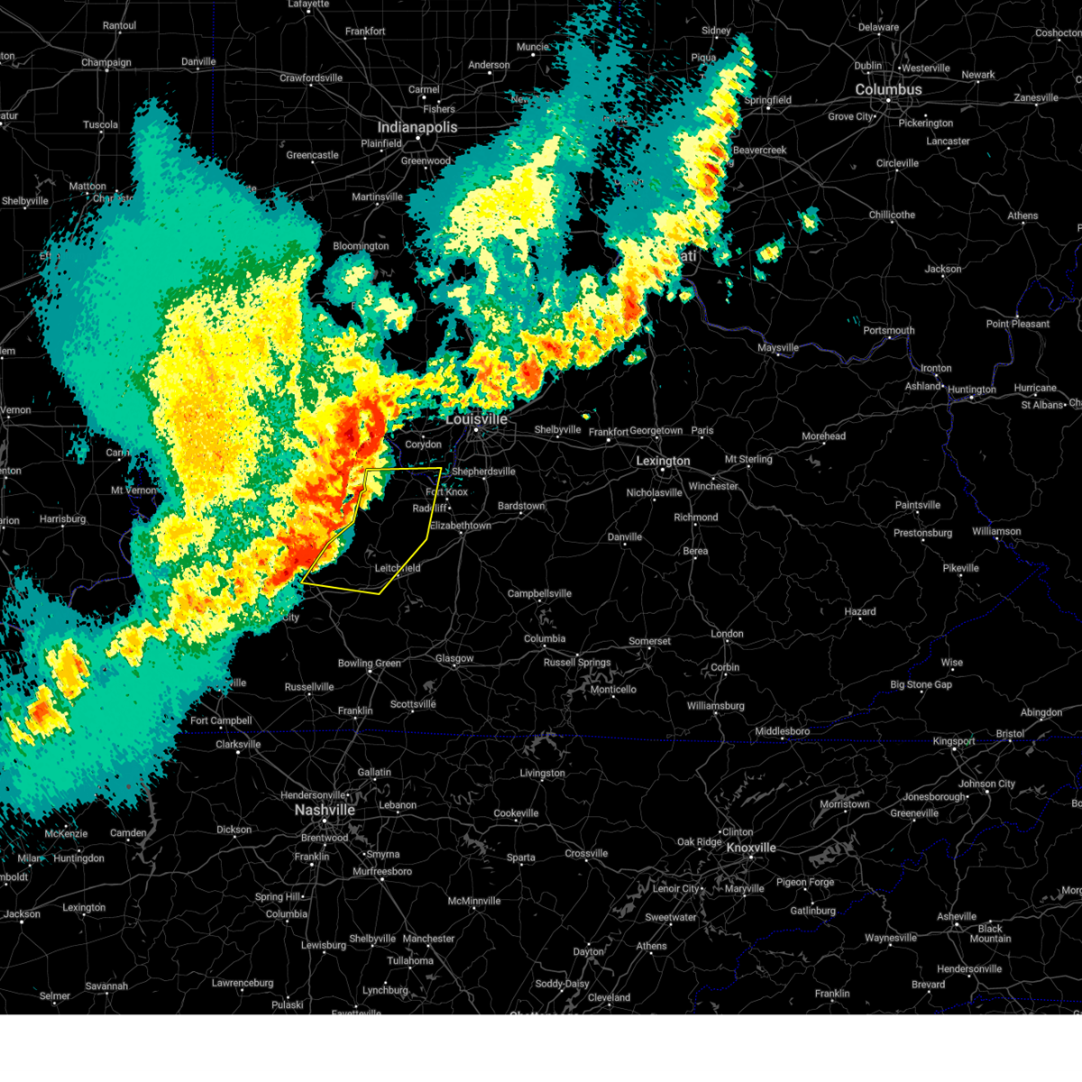
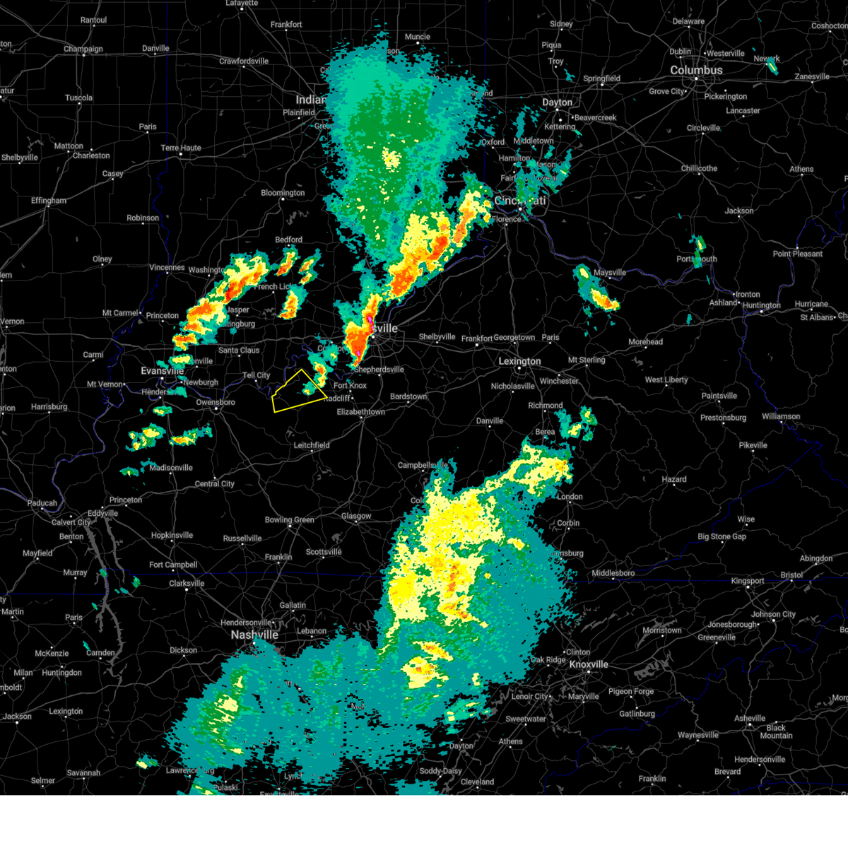
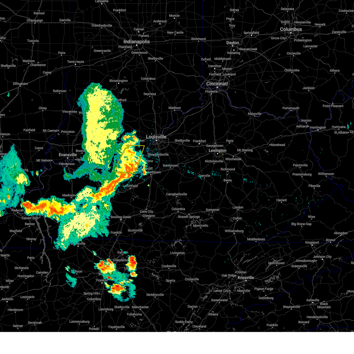
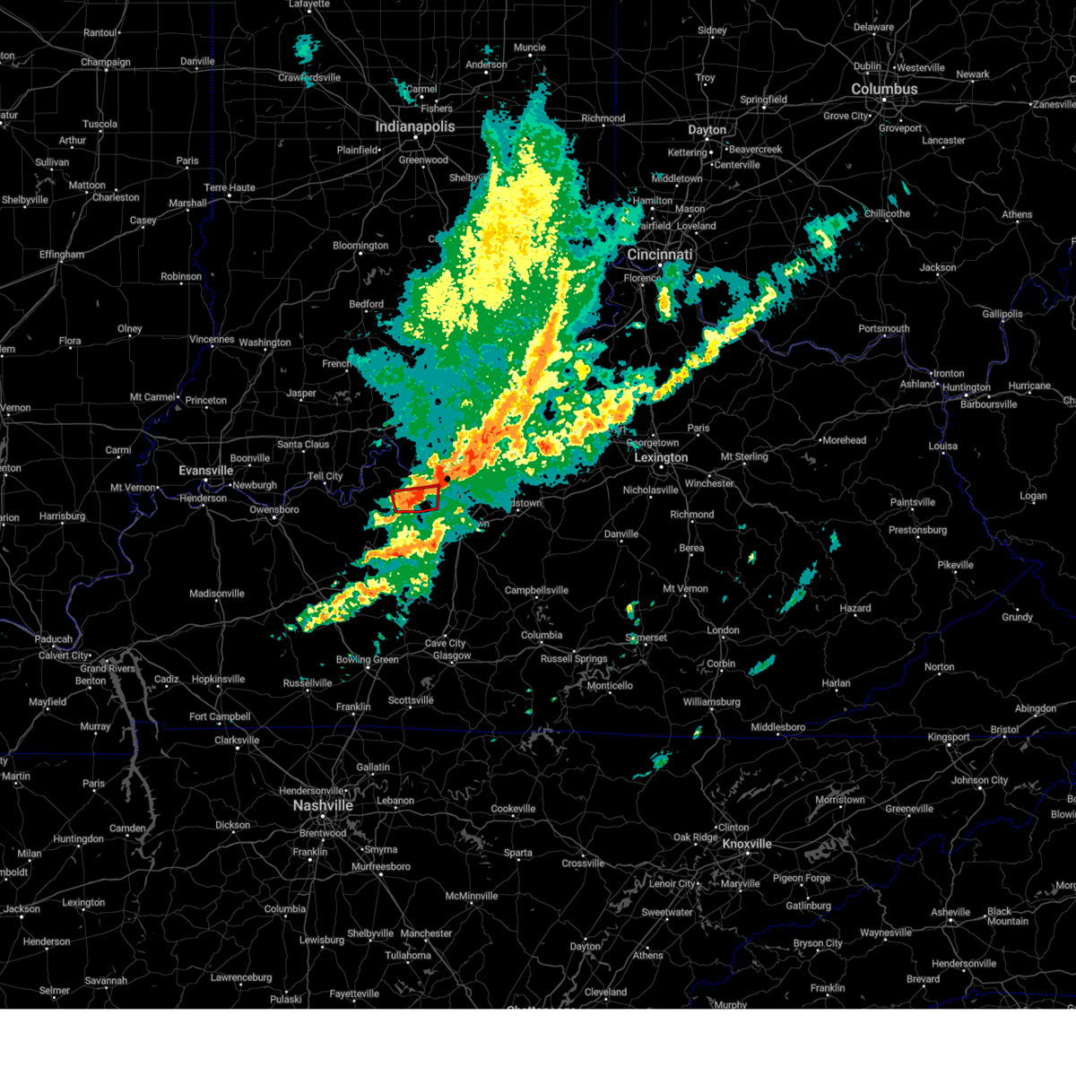
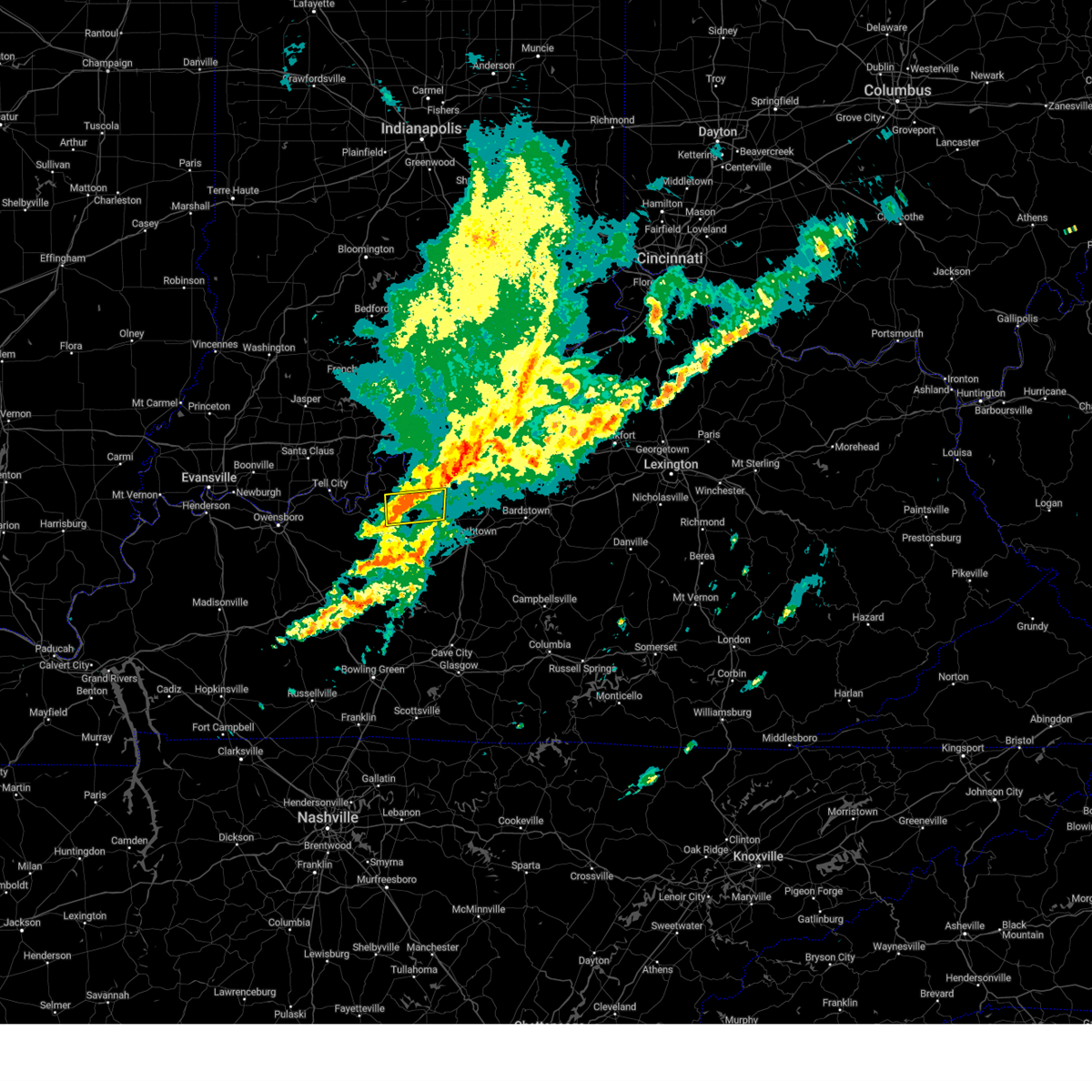
Hail Map for Irvington, KY
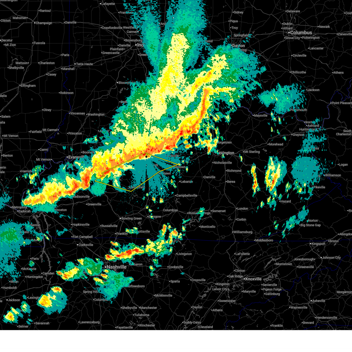
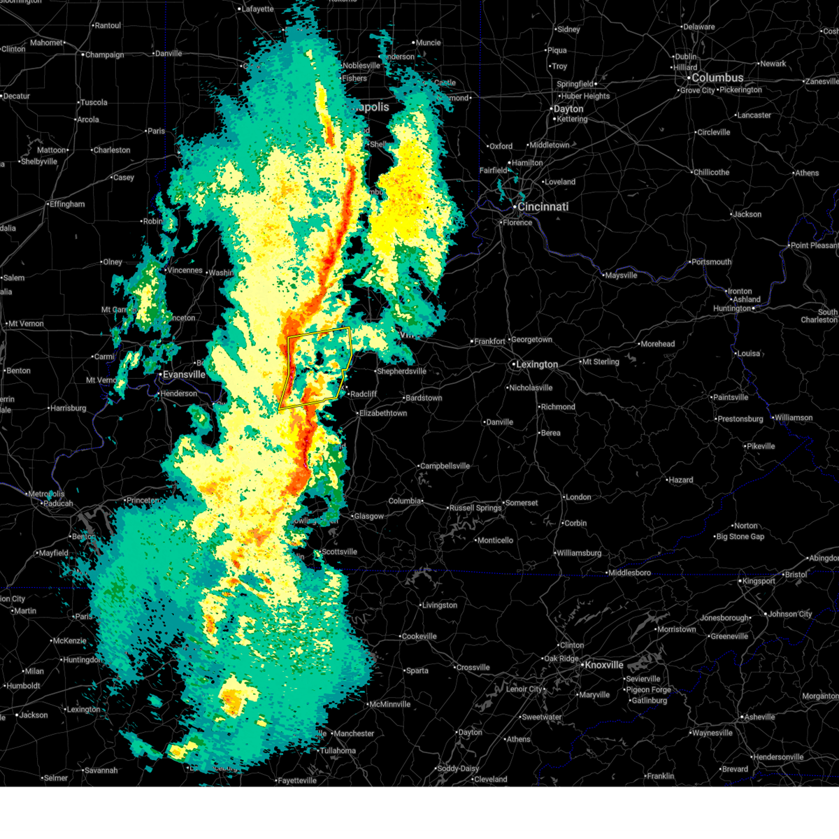
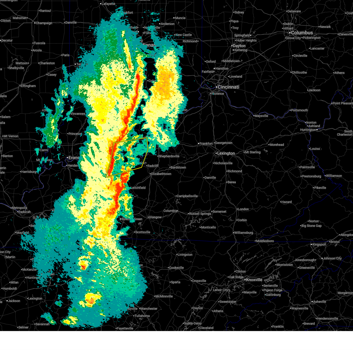
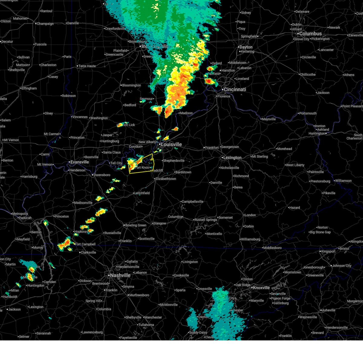
The Irvington, KY area has had 8 reports of on-the-ground hail by trained spotters, and has been under severe weather warnings 13 times during the past 12 months. Doppler radar has detected hail at or near Irvington, KY on 59 occasions, including 1 occasion during the past year.
| Name: | Irvington, KY |
| Where Located: | 32 miles WSW of Louisville, KY |
| Map: | Google Map for Irvington, KY |
| Population: | 1181 |
| Housing Units: | 548 |
| More Info: | Search Google for Irvington, KY |
0
The Top Recent Hail Date for Irvington, KY is Thursday, July 17, 2025 (35th out of 59)
Hail and Wind Damage Spotted near Irvington, KY
| Date / Time | Report Details |
|---|---|
| 7/9/2026 8:45 PM CDT |
 the severe thunderstorm warning has been cancelled and is no longer in effect the severe thunderstorm warning has been cancelled and is no longer in effect
|
| 7/9/2026 8:45 PM CDT |
 At 944 pm edt/844 pm cdt/, a severe thunderstorm was located near hardinsburg, moving east at 30 mph (radar indicated). Hazards include 60 mph wind gusts and penny size hail. Expect damage to roofs, siding, and trees. Locations impacted include, hardinsburg, webster, irvington, ekron, guston, mcquady, raymond, mystic, frymire, and garfield. At 944 pm edt/844 pm cdt/, a severe thunderstorm was located near hardinsburg, moving east at 30 mph (radar indicated). Hazards include 60 mph wind gusts and penny size hail. Expect damage to roofs, siding, and trees. Locations impacted include, hardinsburg, webster, irvington, ekron, guston, mcquady, raymond, mystic, frymire, and garfield.
|
| 7/9/2026 8:22 PM CDT |
 Svrlmk the national weather service in louisville has issued a * severe thunderstorm warning for, southeastern perry county in south central indiana, southwestern meade county in central kentucky, east central hancock county in central kentucky, breckinridge county in central kentucky, * until 1000 pm edt/900 pm cdt/. * at 922 pm edt/822 pm cdt/, a severe thunderstorm was located 8 miles northwest of hardinsburg, moving east at 30 mph (radar indicated). Hazards include 60 mph wind gusts and penny size hail. expect damage to roofs, siding, and trees Svrlmk the national weather service in louisville has issued a * severe thunderstorm warning for, southeastern perry county in south central indiana, southwestern meade county in central kentucky, east central hancock county in central kentucky, breckinridge county in central kentucky, * until 1000 pm edt/900 pm cdt/. * at 922 pm edt/822 pm cdt/, a severe thunderstorm was located 8 miles northwest of hardinsburg, moving east at 30 mph (radar indicated). Hazards include 60 mph wind gusts and penny size hail. expect damage to roofs, siding, and trees
|
| 6/26/2026 7:47 PM EDT |
 At 747 pm edt/647 pm cdt/, a severe thunderstorm was located 12 miles north of hardinsburg, moving northeast at 30 mph (radar indicated). Hazards include 60 mph wind gusts. Expect damage to roofs, siding, and trees. Locations impacted include, brandenburg, irvington, leavenworth, ekron, mauckport, new amsterdam, guston, raymond, frymire, and andyville. At 747 pm edt/647 pm cdt/, a severe thunderstorm was located 12 miles north of hardinsburg, moving northeast at 30 mph (radar indicated). Hazards include 60 mph wind gusts. Expect damage to roofs, siding, and trees. Locations impacted include, brandenburg, irvington, leavenworth, ekron, mauckport, new amsterdam, guston, raymond, frymire, and andyville.
|
| 6/26/2026 6:34 PM CDT |
 Svrlmk the national weather service in louisville has issued a * severe thunderstorm warning for, southwestern harrison county in south central indiana, southeastern crawford county in south central indiana, meade county in central kentucky, northern breckinridge county in central kentucky, * until 815 pm edt/715 pm cdt/. * at 734 pm edt/634 pm cdt/, a severe thunderstorm was located 8 miles north of hardinsburg, moving northeast at 30 mph (radar indicated). Hazards include 60 mph wind gusts. expect damage to roofs, siding, and trees Svrlmk the national weather service in louisville has issued a * severe thunderstorm warning for, southwestern harrison county in south central indiana, southeastern crawford county in south central indiana, meade county in central kentucky, northern breckinridge county in central kentucky, * until 815 pm edt/715 pm cdt/. * at 734 pm edt/634 pm cdt/, a severe thunderstorm was located 8 miles north of hardinsburg, moving northeast at 30 mph (radar indicated). Hazards include 60 mph wind gusts. expect damage to roofs, siding, and trees
|
| 6/26/2026 6:31 PM CDT |
 At 730 pm edt/630 pm cdt/, a severe thunderstorm was located 8 miles southeast of hardinsburg, moving northeast at 40 mph (radar indicated). Hazards include 60 mph wind gusts and penny size hail. Expect damage to roofs, siding, and trees. Locations impacted include, hardinsburg, irvington, guston, dyer, constantine, garfield, se ree, westview, buras, and big spring. At 730 pm edt/630 pm cdt/, a severe thunderstorm was located 8 miles southeast of hardinsburg, moving northeast at 40 mph (radar indicated). Hazards include 60 mph wind gusts and penny size hail. Expect damage to roofs, siding, and trees. Locations impacted include, hardinsburg, irvington, guston, dyer, constantine, garfield, se ree, westview, buras, and big spring.
|
| 6/26/2026 6:12 PM CDT |
 Svrlmk the national weather service in louisville has issued a * severe thunderstorm warning for, south central meade county in central kentucky, southeastern hancock county in central kentucky, northwestern grayson county in central kentucky, breckinridge county in central kentucky, west central hardin county in central kentucky, northeastern ohio county in central kentucky, * until 800 pm edt/700 pm cdt/. * at 712 pm edt/612 pm cdt/, a severe thunderstorm was located 10 miles southwest of hardinsburg, moving northeast at 40 mph (radar indicated). Hazards include 60 mph wind gusts and penny size hail. expect damage to roofs, siding, and trees Svrlmk the national weather service in louisville has issued a * severe thunderstorm warning for, south central meade county in central kentucky, southeastern hancock county in central kentucky, northwestern grayson county in central kentucky, breckinridge county in central kentucky, west central hardin county in central kentucky, northeastern ohio county in central kentucky, * until 800 pm edt/700 pm cdt/. * at 712 pm edt/612 pm cdt/, a severe thunderstorm was located 10 miles southwest of hardinsburg, moving northeast at 40 mph (radar indicated). Hazards include 60 mph wind gusts and penny size hail. expect damage to roofs, siding, and trees
|
| 6/21/2026 11:28 PM CDT |
 At 1227 am edt/1127 pm cdt/, a severe thunderstorm was located 10 miles south of brandenburg, moving east at 30 mph (radar indicated). Hazards include 60 mph wind gusts and penny size hail. Expect damage to roofs, siding, and trees. Locations impacted include, irvington, ekron, guston, hillgrove, high plains, bewleyville, basin spring, corners, rosetta, and haysville. At 1227 am edt/1127 pm cdt/, a severe thunderstorm was located 10 miles south of brandenburg, moving east at 30 mph (radar indicated). Hazards include 60 mph wind gusts and penny size hail. Expect damage to roofs, siding, and trees. Locations impacted include, irvington, ekron, guston, hillgrove, high plains, bewleyville, basin spring, corners, rosetta, and haysville.
|
| 6/21/2026 10:58 PM CDT |
 Svrlmk the national weather service in louisville has issued a * severe thunderstorm warning for, southeastern perry county in south central indiana, southwestern meade county in central kentucky, central breckinridge county in central kentucky, * until 1245 am edt/1145 pm cdt/. * at 1158 pm edt/1058 pm cdt/, a severe thunderstorm was located 9 miles north of hardinsburg, moving east at 30 mph (radar indicated). Hazards include 60 mph wind gusts and quarter size hail. Hail damage to vehicles is expected. Expect wind damage to roofs, siding, and trees. Svrlmk the national weather service in louisville has issued a * severe thunderstorm warning for, southeastern perry county in south central indiana, southwestern meade county in central kentucky, central breckinridge county in central kentucky, * until 1245 am edt/1145 pm cdt/. * at 1158 pm edt/1058 pm cdt/, a severe thunderstorm was located 9 miles north of hardinsburg, moving east at 30 mph (radar indicated). Hazards include 60 mph wind gusts and quarter size hail. Hail damage to vehicles is expected. Expect wind damage to roofs, siding, and trees.
|
| 4/28/2026 12:12 AM CDT |
 Svrlmk the national weather service in louisville has issued a * severe thunderstorm warning for, southeastern harrison county in south central indiana, northwestern nelson county in central kentucky, southeastern meade county in central kentucky, southeastern hancock county in central kentucky, central grayson county in central kentucky, southwestern bullitt county in central kentucky, breckinridge county in central kentucky, hardin county in central kentucky, northeastern ohio county in central kentucky, * until 200 am edt/100 am cdt/. * at 112 am edt/1212 am cdt/, severe thunderstorms were located along a line extending from 7 miles southwest of valley station to 6 miles southeast of masonville, moving southeast at 45 mph (radar indicated). Hazards include 60 mph wind gusts and penny size hail. expect damage to roofs, siding, and trees Svrlmk the national weather service in louisville has issued a * severe thunderstorm warning for, southeastern harrison county in south central indiana, northwestern nelson county in central kentucky, southeastern meade county in central kentucky, southeastern hancock county in central kentucky, central grayson county in central kentucky, southwestern bullitt county in central kentucky, breckinridge county in central kentucky, hardin county in central kentucky, northeastern ohio county in central kentucky, * until 200 am edt/100 am cdt/. * at 112 am edt/1212 am cdt/, severe thunderstorms were located along a line extending from 7 miles southwest of valley station to 6 miles southeast of masonville, moving southeast at 45 mph (radar indicated). Hazards include 60 mph wind gusts and penny size hail. expect damage to roofs, siding, and trees
|
| 3/15/2026 11:28 PM EDT |
 the severe thunderstorm warning has been cancelled and is no longer in effect the severe thunderstorm warning has been cancelled and is no longer in effect
|
| 3/15/2026 11:28 PM EDT |
 At 1127 pm edt/1027 pm cdt/, severe thunderstorms were located along a line extending from near carefree town to 13 miles west of brandenburg to near hardinsburg, moving east at 55 mph (radar indicated). Hazards include 60 mph wind gusts. Expect damage to roofs, siding, and trees. Locations impacted include, corydon, brandenburg, hardinsburg, webster, irvington, muldraugh, lanesville, leavenworth, elizabeth, and ekron. At 1127 pm edt/1027 pm cdt/, severe thunderstorms were located along a line extending from near carefree town to 13 miles west of brandenburg to near hardinsburg, moving east at 55 mph (radar indicated). Hazards include 60 mph wind gusts. Expect damage to roofs, siding, and trees. Locations impacted include, corydon, brandenburg, hardinsburg, webster, irvington, muldraugh, lanesville, leavenworth, elizabeth, and ekron.
|
| 3/15/2026 10:27 PM CDT | Few trees down on 86 but roadway is passable. powerlines down on vertress near consstintine rd. time estimated from rada in breckinridge county KY, 9.8 miles NNW of Irvington, KY |
| 3/15/2026 11:13 PM EDT |
 Svrlmk the national weather service in louisville has issued a * severe thunderstorm warning for, harrison county in south central indiana, southeastern crawford county in south central indiana, central perry county in south central indiana, southwestern floyd county in south central indiana, meade county in central kentucky, southeastern hancock county in central kentucky, breckinridge county in central kentucky, northwestern hardin county in central kentucky, north central ohio county in central kentucky, * until midnight edt/1100 pm cdt/. * at 1112 pm edt/1012 pm cdt/, severe thunderstorms were located along a line extending from 12 miles southwest of english to 7 miles east of tell city to 7 miles east of whitesville, moving east at 55 mph (radar indicated). Hazards include 60 mph wind gusts. expect damage to roofs, siding, and trees Svrlmk the national weather service in louisville has issued a * severe thunderstorm warning for, harrison county in south central indiana, southeastern crawford county in south central indiana, central perry county in south central indiana, southwestern floyd county in south central indiana, meade county in central kentucky, southeastern hancock county in central kentucky, breckinridge county in central kentucky, northwestern hardin county in central kentucky, north central ohio county in central kentucky, * until midnight edt/1100 pm cdt/. * at 1112 pm edt/1012 pm cdt/, severe thunderstorms were located along a line extending from 12 miles southwest of english to 7 miles east of tell city to 7 miles east of whitesville, moving east at 55 mph (radar indicated). Hazards include 60 mph wind gusts. expect damage to roofs, siding, and trees
|
| 6/18/2025 6:21 PM EDT |
 Svrlmk the national weather service in louisville has issued a * severe thunderstorm warning for, southeastern harrison county in south central indiana, southeastern meade county in central kentucky, west central bullitt county in central kentucky, northeastern breckinridge county in central kentucky, north central hardin county in central kentucky, * until 645 pm edt/545 pm cdt/. * at 621 pm edt/521 pm cdt/, a severe thunderstorm was located 9 miles northeast of hardinsburg, moving east at 45 mph (radar indicated). Hazards include 60 mph wind gusts and quarter size hail. Hail damage to vehicles is expected. Expect wind damage to roofs, siding, and trees. Svrlmk the national weather service in louisville has issued a * severe thunderstorm warning for, southeastern harrison county in south central indiana, southeastern meade county in central kentucky, west central bullitt county in central kentucky, northeastern breckinridge county in central kentucky, north central hardin county in central kentucky, * until 645 pm edt/545 pm cdt/. * at 621 pm edt/521 pm cdt/, a severe thunderstorm was located 9 miles northeast of hardinsburg, moving east at 45 mph (radar indicated). Hazards include 60 mph wind gusts and quarter size hail. Hail damage to vehicles is expected. Expect wind damage to roofs, siding, and trees.
|
| 6/6/2025 12:41 PM EDT |
 Svrlmk the national weather service in louisville has issued a * severe thunderstorm warning for, southeastern meade county in central kentucky, southeastern breckinridge county in central kentucky, central hardin county in central kentucky, * until 115 pm edt/1215 pm cdt/. * at 1240 pm edt/1140 am cdt/, severe thunderstorms were located along a line extending from 7 miles southwest of brandenburg to 10 miles southeast of hardinsburg, moving east at 45 mph (radar indicated). Hazards include 60 mph wind gusts. expect damage to roofs, siding, and trees Svrlmk the national weather service in louisville has issued a * severe thunderstorm warning for, southeastern meade county in central kentucky, southeastern breckinridge county in central kentucky, central hardin county in central kentucky, * until 115 pm edt/1215 pm cdt/. * at 1240 pm edt/1140 am cdt/, severe thunderstorms were located along a line extending from 7 miles southwest of brandenburg to 10 miles southeast of hardinsburg, moving east at 45 mph (radar indicated). Hazards include 60 mph wind gusts. expect damage to roofs, siding, and trees
|
| 5/16/2025 9:04 PM CDT |
 At 1004 pm edt/904 pm cdt/, a severe thunderstorm was located near hardinsburg, moving east at 45 mph (radar indicated). Hazards include 60 mph wind gusts and quarter size hail. Hail damage to vehicles is expected. expect wind damage to roofs, siding, and trees. Locations impacted include, leitchfield, hardinsburg, webster, vine grove, irvington, concord, mcquady, dyer, se ree, and saint paul. At 1004 pm edt/904 pm cdt/, a severe thunderstorm was located near hardinsburg, moving east at 45 mph (radar indicated). Hazards include 60 mph wind gusts and quarter size hail. Hail damage to vehicles is expected. expect wind damage to roofs, siding, and trees. Locations impacted include, leitchfield, hardinsburg, webster, vine grove, irvington, concord, mcquady, dyer, se ree, and saint paul.
|
| 5/16/2025 9:04 PM CDT |
 the severe thunderstorm warning has been cancelled and is no longer in effect the severe thunderstorm warning has been cancelled and is no longer in effect
|
| 5/16/2025 9:50 PM EDT | Tree down over the intersection of new state road and highway 37 in meade county KY, 8.1 miles SSE of Irvington, KY |
| 5/16/2025 8:43 PM CDT |
 Svrlmk the national weather service in louisville has issued a * severe thunderstorm warning for, southeastern meade county in central kentucky, southeastern hancock county in central kentucky, northern grayson county in central kentucky, breckinridge county in central kentucky, southwestern hardin county in central kentucky, northeastern ohio county in central kentucky, * until 1030 pm edt/930 pm cdt/. * at 943 pm edt/843 pm cdt/, a severe thunderstorm was located 11 miles southeast of hawesville, moving east at 45 mph (radar indicated). Hazards include 60 mph wind gusts and quarter size hail. Hail damage to vehicles is expected. Expect wind damage to roofs, siding, and trees. Svrlmk the national weather service in louisville has issued a * severe thunderstorm warning for, southeastern meade county in central kentucky, southeastern hancock county in central kentucky, northern grayson county in central kentucky, breckinridge county in central kentucky, southwestern hardin county in central kentucky, northeastern ohio county in central kentucky, * until 1030 pm edt/930 pm cdt/. * at 943 pm edt/843 pm cdt/, a severe thunderstorm was located 11 miles southeast of hawesville, moving east at 45 mph (radar indicated). Hazards include 60 mph wind gusts and quarter size hail. Hail damage to vehicles is expected. Expect wind damage to roofs, siding, and trees.
|
| 5/16/2025 5:22 AM EDT |
 The storm which prompted the warning has weakened below severe limits, and no longer poses an immediate threat to life or property. therefore, the warning will be allowed to expire. a severe thunderstorm watch remains in effect until 1000 am edt/900 am cdt/ for central kentucky. The storm which prompted the warning has weakened below severe limits, and no longer poses an immediate threat to life or property. therefore, the warning will be allowed to expire. a severe thunderstorm watch remains in effect until 1000 am edt/900 am cdt/ for central kentucky.
|
| 5/16/2025 5:01 AM EDT |
 Svrlmk the national weather service in louisville has issued a * severe thunderstorm warning for, southeastern harrison county in south central indiana, southern meade county in central kentucky, northeastern breckinridge county in central kentucky, north central hardin county in central kentucky, * until 530 am edt/430 am cdt/. * at 501 am edt/401 am cdt/, a severe thunderstorm was located 9 miles north of hardinsburg, moving east at 50 mph (radar indicated). Hazards include 60 mph wind gusts and nickel size hail. expect damage to roofs, siding, and trees Svrlmk the national weather service in louisville has issued a * severe thunderstorm warning for, southeastern harrison county in south central indiana, southern meade county in central kentucky, northeastern breckinridge county in central kentucky, north central hardin county in central kentucky, * until 530 am edt/430 am cdt/. * at 501 am edt/401 am cdt/, a severe thunderstorm was located 9 miles north of hardinsburg, moving east at 50 mph (radar indicated). Hazards include 60 mph wind gusts and nickel size hail. expect damage to roofs, siding, and trees
|
| 4/2/2025 10:58 PM CDT |
 The storm which prompted the warning has moved out of the area. therefore, the warning will be allowed to expire. a tornado watch remains in effect until 200 am edt/100 am cdt/ for south central indiana, and central kentucky. The storm which prompted the warning has moved out of the area. therefore, the warning will be allowed to expire. a tornado watch remains in effect until 200 am edt/100 am cdt/ for south central indiana, and central kentucky.
|
| 4/2/2025 10:49 PM CDT |
 At 1149 pm edt/1049 pm cdt/, a severe thunderstorm capable of producing a tornado was located 10 miles southwest of brandenburg, moving east at 75 mph (radar indicated rotation). Hazards include tornado. Flying debris will be dangerous to those caught without shelter. mobile homes will be damaged or destroyed. damage to roofs, windows, and vehicles will occur. tree damage is likely. Locations impacted include, brandenburg, hardinsburg, webster, irvington, ekron, mauckport, guston, mystic, raymond, and frymire. At 1149 pm edt/1049 pm cdt/, a severe thunderstorm capable of producing a tornado was located 10 miles southwest of brandenburg, moving east at 75 mph (radar indicated rotation). Hazards include tornado. Flying debris will be dangerous to those caught without shelter. mobile homes will be damaged or destroyed. damage to roofs, windows, and vehicles will occur. tree damage is likely. Locations impacted include, brandenburg, hardinsburg, webster, irvington, ekron, mauckport, guston, mystic, raymond, and frymire.
|
| 4/2/2025 10:48 PM CDT |
 At 1146 pm edt/1046 pm cdt/, severe thunderstorms were located along a line extending from 9 miles southwest of carefree town to 12 miles southwest of brandenburg to 8 miles south of hardinsburg, moving east at 55 mph (radar indicated). Hazards include 60 mph wind gusts. Expect damage to roofs, siding, and trees. Locations impacted include, corydon, brandenburg, hardinsburg, mount pleasant, webster, irvington, lanesville, leavenworth, elizabeth, and crandall. At 1146 pm edt/1046 pm cdt/, severe thunderstorms were located along a line extending from 9 miles southwest of carefree town to 12 miles southwest of brandenburg to 8 miles south of hardinsburg, moving east at 55 mph (radar indicated). Hazards include 60 mph wind gusts. Expect damage to roofs, siding, and trees. Locations impacted include, corydon, brandenburg, hardinsburg, mount pleasant, webster, irvington, lanesville, leavenworth, elizabeth, and crandall.
|
| 4/2/2025 10:48 PM CDT |
 the severe thunderstorm warning has been cancelled and is no longer in effect the severe thunderstorm warning has been cancelled and is no longer in effect
|
| 4/2/2025 10:43 PM CDT |
 At 1143 pm edt/1043 pm cdt/, a severe thunderstorm capable of producing a tornado was located near hardinsburg, moving east at 75 mph (radar indicated rotation). Hazards include tornado. Flying debris will be dangerous to those caught without shelter. mobile homes will be damaged or destroyed. damage to roofs, windows, and vehicles will occur. tree damage is likely. This tornadic thunderstorm will remain over mainly rural areas of south central harrison, southern meade and central breckinridge counties, including the following locations, guston, mcquady, mauckport, mystic, raymond, frymire, garfield, westview, big spring, and buck grove. At 1143 pm edt/1043 pm cdt/, a severe thunderstorm capable of producing a tornado was located near hardinsburg, moving east at 75 mph (radar indicated rotation). Hazards include tornado. Flying debris will be dangerous to those caught without shelter. mobile homes will be damaged or destroyed. damage to roofs, windows, and vehicles will occur. tree damage is likely. This tornadic thunderstorm will remain over mainly rural areas of south central harrison, southern meade and central breckinridge counties, including the following locations, guston, mcquady, mauckport, mystic, raymond, frymire, garfield, westview, big spring, and buck grove.
|
| 4/2/2025 10:43 PM CDT |
 the tornado warning has been cancelled and is no longer in effect the tornado warning has been cancelled and is no longer in effect
|
| 4/2/2025 10:31 PM CDT |
 Torlmk the national weather service in louisville has issued a * tornado warning for, south central harrison county in south central indiana, south central perry county in south central indiana, southern meade county in central kentucky, southeastern hancock county in central kentucky, breckinridge county in central kentucky, northeastern ohio county in central kentucky, * until midnight edt/1100 pm cdt/. * at 1131 pm edt/1031 pm cdt/, a severe thunderstorm capable of producing a tornado was located 11 miles east of whitesville, moving east at 75 mph (radar indicated rotation). Hazards include tornado. Flying debris will be dangerous to those caught without shelter. mobile homes will be damaged or destroyed. damage to roofs, windows, and vehicles will occur. tree damage is likely. this dangerous storm will be near, hardinsburg around 1035 pm cdt. Other locations impacted by this tornadic thunderstorm include mcquady, frymire, big spring, buck grove, tar fork, kirk, vanzant, rockvale, bewleyville, and basin spring. Torlmk the national weather service in louisville has issued a * tornado warning for, south central harrison county in south central indiana, south central perry county in south central indiana, southern meade county in central kentucky, southeastern hancock county in central kentucky, breckinridge county in central kentucky, northeastern ohio county in central kentucky, * until midnight edt/1100 pm cdt/. * at 1131 pm edt/1031 pm cdt/, a severe thunderstorm capable of producing a tornado was located 11 miles east of whitesville, moving east at 75 mph (radar indicated rotation). Hazards include tornado. Flying debris will be dangerous to those caught without shelter. mobile homes will be damaged or destroyed. damage to roofs, windows, and vehicles will occur. tree damage is likely. this dangerous storm will be near, hardinsburg around 1035 pm cdt. Other locations impacted by this tornadic thunderstorm include mcquady, frymire, big spring, buck grove, tar fork, kirk, vanzant, rockvale, bewleyville, and basin spring.
|
| 4/2/2025 10:26 PM CDT |
 At 1125 pm edt/1025 pm cdt/, severe thunderstorms were located along a line extending from brownstown to 13 miles north of corydon to 8 miles northeast of hardinsburg, moving east at 60 mph (radar indicated). Hazards include 60 mph wind gusts. Expect damage to roofs, siding, and trees. Locations impacted include, tell city, salem, corydon, brandenburg, hardinsburg, hawesville, english, carefree town, mount pleasant, and webster. At 1125 pm edt/1025 pm cdt/, severe thunderstorms were located along a line extending from brownstown to 13 miles north of corydon to 8 miles northeast of hardinsburg, moving east at 60 mph (radar indicated). Hazards include 60 mph wind gusts. Expect damage to roofs, siding, and trees. Locations impacted include, tell city, salem, corydon, brandenburg, hardinsburg, hawesville, english, carefree town, mount pleasant, and webster.
|
| 4/2/2025 10:26 PM CDT |
 the severe thunderstorm warning has been cancelled and is no longer in effect the severe thunderstorm warning has been cancelled and is no longer in effect
|
| 4/2/2025 10:00 PM CDT |
 The storms which prompted the warning have moved out of the area. therefore, the warning will be allowed to expire. however, gusty winds and heavy rain are still possible with these thunderstorms. a tornado watch remains in effect until 200 am edt/100 am cdt/ for south central indiana, and central kentucky. to report severe weather, contact your nearest law enforcement agency. they will relay your report to the national weather service louisville. remember, a severe thunderstorm warning still remains in effect. The storms which prompted the warning have moved out of the area. therefore, the warning will be allowed to expire. however, gusty winds and heavy rain are still possible with these thunderstorms. a tornado watch remains in effect until 200 am edt/100 am cdt/ for south central indiana, and central kentucky. to report severe weather, contact your nearest law enforcement agency. they will relay your report to the national weather service louisville. remember, a severe thunderstorm warning still remains in effect.
|
| 4/2/2025 9:58 PM CDT |
 Svrlmk the national weather service in louisville has issued a * severe thunderstorm warning for, harrison county in south central indiana, northwestern clark county in south central indiana, crawford county in south central indiana, perry county in south central indiana, floyd county in south central indiana, orange county in south central indiana, washington county in south central indiana, meade county in central kentucky, hancock county in central kentucky, breckinridge county in central kentucky, northeastern ohio county in central kentucky, * until midnight edt/1100 pm cdt/. * at 1058 pm edt/958 pm cdt/, severe thunderstorms were located along a line extending from 10 miles south of bedford to 7 miles southwest of english to near whitesville, moving northeast at 55 mph (radar indicated). Hazards include 60 mph wind gusts. expect damage to roofs, siding, and trees Svrlmk the national weather service in louisville has issued a * severe thunderstorm warning for, harrison county in south central indiana, northwestern clark county in south central indiana, crawford county in south central indiana, perry county in south central indiana, floyd county in south central indiana, orange county in south central indiana, washington county in south central indiana, meade county in central kentucky, hancock county in central kentucky, breckinridge county in central kentucky, northeastern ohio county in central kentucky, * until midnight edt/1100 pm cdt/. * at 1058 pm edt/958 pm cdt/, severe thunderstorms were located along a line extending from 10 miles south of bedford to 7 miles southwest of english to near whitesville, moving northeast at 55 mph (radar indicated). Hazards include 60 mph wind gusts. expect damage to roofs, siding, and trees
|
| 4/2/2025 9:37 PM CDT |
 At 1037 pm edt/937 pm cdt/, severe thunderstorms were located along a line extending from 11 miles southwest of shoals to 10 miles northeast of santa claus to grandview, moving northeast at 60 mph (radar indicated). Hazards include 70 mph wind gusts and nickel size hail. Expect considerable tree damage. damage is likely to mobile homes, roofs, and outbuildings. Locations impacted include, jasper, tell city, paoli, corydon, brandenburg, hardinsburg, hawesville, english, carefree town, and mount pleasant. At 1037 pm edt/937 pm cdt/, severe thunderstorms were located along a line extending from 11 miles southwest of shoals to 10 miles northeast of santa claus to grandview, moving northeast at 60 mph (radar indicated). Hazards include 70 mph wind gusts and nickel size hail. Expect considerable tree damage. damage is likely to mobile homes, roofs, and outbuildings. Locations impacted include, jasper, tell city, paoli, corydon, brandenburg, hardinsburg, hawesville, english, carefree town, and mount pleasant.
|
| 4/2/2025 9:19 PM CDT |
 Svrlmk the national weather service in louisville has issued a * severe thunderstorm warning for, harrison county in south central indiana, dubois county in south central indiana, crawford county in south central indiana, perry county in south central indiana, orange county in south central indiana, western washington county in south central indiana, meade county in central kentucky, hancock county in central kentucky, breckinridge county in central kentucky, northeastern ohio county in central kentucky, * until 1100 pm edt/1000 pm cdt/. * at 1018 pm edt/918 pm cdt/, severe thunderstorms were located along a line extending from near petersburg to near folsomville to stanley, moving northeast at 75 mph (radar indicated). Hazards include 70 mph wind gusts and nickel size hail. Expect considerable tree damage. Damage is likely to mobile homes, roofs, and outbuildings. Svrlmk the national weather service in louisville has issued a * severe thunderstorm warning for, harrison county in south central indiana, dubois county in south central indiana, crawford county in south central indiana, perry county in south central indiana, orange county in south central indiana, western washington county in south central indiana, meade county in central kentucky, hancock county in central kentucky, breckinridge county in central kentucky, northeastern ohio county in central kentucky, * until 1100 pm edt/1000 pm cdt/. * at 1018 pm edt/918 pm cdt/, severe thunderstorms were located along a line extending from near petersburg to near folsomville to stanley, moving northeast at 75 mph (radar indicated). Hazards include 70 mph wind gusts and nickel size hail. Expect considerable tree damage. Damage is likely to mobile homes, roofs, and outbuildings.
|
| 3/30/2025 8:35 PM CDT |
 The storm which prompted the warning has moved out of the area. therefore, the warning will be allowed to expire. a tornado watch remains in effect until midnight cdt for south central indiana, and central kentucky. The storm which prompted the warning has moved out of the area. therefore, the warning will be allowed to expire. a tornado watch remains in effect until midnight cdt for south central indiana, and central kentucky.
|
| 3/30/2025 8:13 PM CDT |
 Torlmk the national weather service in louisville has issued a * tornado warning for, central breckinridge county in central kentucky, * until 845 pm cdt. * at 813 pm cdt, a severe thunderstorm capable of producing a tornado was located near hardinsburg, moving east at 50 mph (radar indicated rotation). Hazards include tornado and quarter size hail. Flying debris will be dangerous to those caught without shelter. mobile homes will be damaged or destroyed. damage to roofs, windows, and vehicles will occur. tree damage is likely. this dangerous storm will be near, hardinsburg around 820 pm cdt. Other locations impacted by this tornadic thunderstorm include garfield, high plains corner, locust hill, irvington, graysville, clifton mills, webster, kirk, high plains, and bewleyville. Torlmk the national weather service in louisville has issued a * tornado warning for, central breckinridge county in central kentucky, * until 845 pm cdt. * at 813 pm cdt, a severe thunderstorm capable of producing a tornado was located near hardinsburg, moving east at 50 mph (radar indicated rotation). Hazards include tornado and quarter size hail. Flying debris will be dangerous to those caught without shelter. mobile homes will be damaged or destroyed. damage to roofs, windows, and vehicles will occur. tree damage is likely. this dangerous storm will be near, hardinsburg around 820 pm cdt. Other locations impacted by this tornadic thunderstorm include garfield, high plains corner, locust hill, irvington, graysville, clifton mills, webster, kirk, high plains, and bewleyville.
|
| 3/30/2025 8:09 PM CDT |
 Svrlmk the national weather service in louisville has issued a * severe thunderstorm warning for, south central harrison county in south central indiana, meade county in central kentucky, southeastern hancock county in central kentucky, western grayson county in central kentucky, breckinridge county in central kentucky, west central hardin county in central kentucky, northeastern ohio county in central kentucky, * until 945 pm edt/845 pm cdt/. * at 908 pm edt/808 pm cdt/, severe thunderstorms were located along a line extending from 15 miles southwest of carefree town to 8 miles west of hardinsburg to hartford, moving east at 55 mph (radar indicated). Hazards include 60 mph wind gusts and quarter size hail. Hail damage to vehicles is expected. Expect wind damage to roofs, siding, and trees. Svrlmk the national weather service in louisville has issued a * severe thunderstorm warning for, south central harrison county in south central indiana, meade county in central kentucky, southeastern hancock county in central kentucky, western grayson county in central kentucky, breckinridge county in central kentucky, west central hardin county in central kentucky, northeastern ohio county in central kentucky, * until 945 pm edt/845 pm cdt/. * at 908 pm edt/808 pm cdt/, severe thunderstorms were located along a line extending from 15 miles southwest of carefree town to 8 miles west of hardinsburg to hartford, moving east at 55 mph (radar indicated). Hazards include 60 mph wind gusts and quarter size hail. Hail damage to vehicles is expected. Expect wind damage to roofs, siding, and trees.
|
| 3/19/2025 10:04 PM EDT |
 Svrlmk the national weather service in louisville has issued a * severe thunderstorm warning for, southeastern meade county in central kentucky, southeastern breckinridge county in central kentucky, central hardin county in central kentucky, * until 1030 pm edt/930 pm cdt/. * at 1004 pm edt/904 pm cdt/, a severe thunderstorm was located near hardinsburg, moving northeast at 55 mph (radar indicated). Hazards include 60 mph wind gusts and quarter size hail. Hail damage to vehicles is expected. Expect wind damage to roofs, siding, and trees. Svrlmk the national weather service in louisville has issued a * severe thunderstorm warning for, southeastern meade county in central kentucky, southeastern breckinridge county in central kentucky, central hardin county in central kentucky, * until 1030 pm edt/930 pm cdt/. * at 1004 pm edt/904 pm cdt/, a severe thunderstorm was located near hardinsburg, moving northeast at 55 mph (radar indicated). Hazards include 60 mph wind gusts and quarter size hail. Hail damage to vehicles is expected. Expect wind damage to roofs, siding, and trees.
|
| 3/19/2025 8:45 PM CDT | Quarter sized hail reported 4.2 miles SE of Irvington, KY, quarter sized hail reported near irvington. |
| 3/19/2025 8:42 PM CDT |
 At 941 pm edt/841 pm cdt/, a severe thunderstorm was located 9 miles west of brandenburg, moving northeast at 50 mph (radar indicated). Hazards include 60 mph wind gusts and quarter size hail. Hail damage to vehicles is expected. expect wind damage to roofs, siding, and trees. Locations impacted include, brandenburg, hardinsburg, webster, irvington, cloverport, ekron, mauckport, new amsterdam, guston, and mystic. At 941 pm edt/841 pm cdt/, a severe thunderstorm was located 9 miles west of brandenburg, moving northeast at 50 mph (radar indicated). Hazards include 60 mph wind gusts and quarter size hail. Hail damage to vehicles is expected. expect wind damage to roofs, siding, and trees. Locations impacted include, brandenburg, hardinsburg, webster, irvington, cloverport, ekron, mauckport, new amsterdam, guston, and mystic.
|
| 3/19/2025 8:26 PM CDT |
 Svrlmk the national weather service in louisville has issued a * severe thunderstorm warning for, southwestern harrison county in south central indiana, southeastern perry county in south central indiana, central meade county in central kentucky, east central hancock county in central kentucky, central breckinridge county in central kentucky, * until 1000 pm edt/900 pm cdt/. * at 925 pm edt/825 pm cdt/, a severe thunderstorm was located 7 miles northwest of hardinsburg, moving northeast at 50 mph (radar indicated). Hazards include 60 mph wind gusts and quarter size hail. Hail damage to vehicles is expected. Expect wind damage to roofs, siding, and trees. Svrlmk the national weather service in louisville has issued a * severe thunderstorm warning for, southwestern harrison county in south central indiana, southeastern perry county in south central indiana, central meade county in central kentucky, east central hancock county in central kentucky, central breckinridge county in central kentucky, * until 1000 pm edt/900 pm cdt/. * at 925 pm edt/825 pm cdt/, a severe thunderstorm was located 7 miles northwest of hardinsburg, moving northeast at 50 mph (radar indicated). Hazards include 60 mph wind gusts and quarter size hail. Hail damage to vehicles is expected. Expect wind damage to roofs, siding, and trees.
|
| 3/15/2025 6:23 AM CDT |
 The storm which prompted the warning has weakened below severe limits, and no longer poses an immediate threat to life or property. therefore, the warning will be allowed to expire. a tornado watch remains in effect until 1000 am edt/900 am cdt/ for south central indiana, and central kentucky. to report severe weather, contact your nearest law enforcement agency. they will relay your report to the national weather service louisville. The storm which prompted the warning has weakened below severe limits, and no longer poses an immediate threat to life or property. therefore, the warning will be allowed to expire. a tornado watch remains in effect until 1000 am edt/900 am cdt/ for south central indiana, and central kentucky. to report severe weather, contact your nearest law enforcement agency. they will relay your report to the national weather service louisville.
|
| 3/15/2025 6:09 AM CDT |
 the severe thunderstorm warning has been cancelled and is no longer in effect the severe thunderstorm warning has been cancelled and is no longer in effect
|
| 3/15/2025 6:09 AM CDT |
 At 709 am edt/609 am cdt/, a severe thunderstorm was located near hardinsburg, moving northeast at 60 mph (radar indicated). Hazards include 60 mph wind gusts and quarter size hail. Hail damage to vehicles is expected. expect wind damage to roofs, siding, and trees. Locations impacted include, hardinsburg, webster, irvington, cloverport, guston, mystic, raymond, frymire, sample, and clifton mills. At 709 am edt/609 am cdt/, a severe thunderstorm was located near hardinsburg, moving northeast at 60 mph (radar indicated). Hazards include 60 mph wind gusts and quarter size hail. Hail damage to vehicles is expected. expect wind damage to roofs, siding, and trees. Locations impacted include, hardinsburg, webster, irvington, cloverport, guston, mystic, raymond, frymire, sample, and clifton mills.
|
| 3/15/2025 5:58 AM CDT |
 Svrlmk the national weather service in louisville has issued a * severe thunderstorm warning for, southeastern perry county in south central indiana, southwestern meade county in central kentucky, southeastern hancock county in central kentucky, central breckinridge county in central kentucky, northern ohio county in central kentucky, * until 730 am edt/630 am cdt/. * at 658 am edt/558 am cdt/, a severe thunderstorm was located 9 miles south of hawesville, moving northeast at 60 mph (radar indicated). Hazards include 60 mph wind gusts and quarter size hail. Hail damage to vehicles is expected. Expect wind damage to roofs, siding, and trees. Svrlmk the national weather service in louisville has issued a * severe thunderstorm warning for, southeastern perry county in south central indiana, southwestern meade county in central kentucky, southeastern hancock county in central kentucky, central breckinridge county in central kentucky, northern ohio county in central kentucky, * until 730 am edt/630 am cdt/. * at 658 am edt/558 am cdt/, a severe thunderstorm was located 9 miles south of hawesville, moving northeast at 60 mph (radar indicated). Hazards include 60 mph wind gusts and quarter size hail. Hail damage to vehicles is expected. Expect wind damage to roofs, siding, and trees.
|
| 3/15/2025 6:50 AM EDT |
 Svrlmk the national weather service in louisville has issued a * severe thunderstorm warning for, southwestern harrison county in south central indiana, southeastern perry county in south central indiana, meade county in central kentucky, northern breckinridge county in central kentucky, * until 715 am edt/615 am cdt/. * at 650 am edt/550 am cdt/, a severe thunderstorm was located 11 miles north of hardinsburg, moving northeast at 60 mph (radar indicated). Hazards include 60 mph wind gusts and half dollar size hail. Hail damage to vehicles is expected. Expect wind damage to roofs, siding, and trees. Svrlmk the national weather service in louisville has issued a * severe thunderstorm warning for, southwestern harrison county in south central indiana, southeastern perry county in south central indiana, meade county in central kentucky, northern breckinridge county in central kentucky, * until 715 am edt/615 am cdt/. * at 650 am edt/550 am cdt/, a severe thunderstorm was located 11 miles north of hardinsburg, moving northeast at 60 mph (radar indicated). Hazards include 60 mph wind gusts and half dollar size hail. Hail damage to vehicles is expected. Expect wind damage to roofs, siding, and trees.
|
| 7/30/2024 8:54 PM EDT |
 The storms which prompted the warning have weakened below severe limits. however, gusty winds are still possible with these thunderstorms. to report severe weather, contact your nearest law enforcement agency and ask them to relay your report to the national weather service louisville. The storms which prompted the warning have weakened below severe limits. however, gusty winds are still possible with these thunderstorms. to report severe weather, contact your nearest law enforcement agency and ask them to relay your report to the national weather service louisville.
|
| 7/30/2024 7:49 PM CDT | Trees dow in breckinridge county KY, 5.4 miles N of Irvington, KY |
| 7/30/2024 7:47 PM CDT | Trees dow in breckinridge county KY, 6.7 miles NNE of Irvington, KY |
| 7/30/2024 8:42 PM EDT |
 At 841 pm edt/741 pm cdt/, severe thunderstorms were located along a line extending from 9 miles southeast of carefree town to near brandenburg to hardinsburg, moving southeast at 45 mph (radar indicated). Hazards include 60 mph wind gusts. Expect damage to roofs, siding, and trees. Locations impacted include, brandenburg, hardinsburg, webster, irvington, ekron, new middletown, mauckport, laconia, new amsterdam, and frymire. At 841 pm edt/741 pm cdt/, severe thunderstorms were located along a line extending from 9 miles southeast of carefree town to near brandenburg to hardinsburg, moving southeast at 45 mph (radar indicated). Hazards include 60 mph wind gusts. Expect damage to roofs, siding, and trees. Locations impacted include, brandenburg, hardinsburg, webster, irvington, ekron, new middletown, mauckport, laconia, new amsterdam, and frymire.
|
| 7/30/2024 8:42 PM EDT |
 the severe thunderstorm warning has been cancelled and is no longer in effect the severe thunderstorm warning has been cancelled and is no longer in effect
|
| 7/30/2024 8:24 PM EDT |
 Svrlmk the national weather service in louisville has issued a * severe thunderstorm warning for, southwestern harrison county in south central indiana, southeastern perry county in south central indiana, meade county in central kentucky, breckinridge county in central kentucky, * until 900 pm edt/800 pm cdt/. * at 823 pm edt/723 pm cdt/, severe thunderstorms were located along a line extending from 8 miles southwest of carefree town to 8 miles southeast of hawesville, moving east at 50 mph (radar indicated). Hazards include 60 mph wind gusts. expect damage to roofs, siding, and trees Svrlmk the national weather service in louisville has issued a * severe thunderstorm warning for, southwestern harrison county in south central indiana, southeastern perry county in south central indiana, meade county in central kentucky, breckinridge county in central kentucky, * until 900 pm edt/800 pm cdt/. * at 823 pm edt/723 pm cdt/, severe thunderstorms were located along a line extending from 8 miles southwest of carefree town to 8 miles southeast of hawesville, moving east at 50 mph (radar indicated). Hazards include 60 mph wind gusts. expect damage to roofs, siding, and trees
|
| 7/30/2024 12:40 PM CDT | Trees and power lines down in irvingto in breckinridge county KY, 0.4 miles WSW of Irvington, KY |
| 7/30/2024 1:04 PM EDT |
 Svrlmk the national weather service in louisville has issued a * severe thunderstorm warning for, harrison county in south central indiana, west central clark county in south central indiana, eastern crawford county in south central indiana, southeastern perry county in south central indiana, western floyd county in south central indiana, southwestern washington county in south central indiana, meade county in central kentucky, central breckinridge county in central kentucky, * until 130 pm edt/1230 pm cdt/. * at 103 pm edt/1203 pm cdt/, a severe thunderstorm was located 12 miles south of carefree town, moving east at 50 mph (radar indicated). Hazards include 60 mph wind gusts. expect damage to roofs, siding, and trees Svrlmk the national weather service in louisville has issued a * severe thunderstorm warning for, harrison county in south central indiana, west central clark county in south central indiana, eastern crawford county in south central indiana, southeastern perry county in south central indiana, western floyd county in south central indiana, southwestern washington county in south central indiana, meade county in central kentucky, central breckinridge county in central kentucky, * until 130 pm edt/1230 pm cdt/. * at 103 pm edt/1203 pm cdt/, a severe thunderstorm was located 12 miles south of carefree town, moving east at 50 mph (radar indicated). Hazards include 60 mph wind gusts. expect damage to roofs, siding, and trees
|
| 5/26/2024 9:54 PM CDT | Power outages reported in irvingto in breckinridge county KY, 0.4 miles WSW of Irvington, KY |
| 5/26/2024 10:49 PM EDT |
 Svrlmk the national weather service in louisville has issued a * severe thunderstorm warning for, southern harrison county in south central indiana, meade county in central kentucky, northeastern breckinridge county in central kentucky, north central hardin county in central kentucky, * until 1115 pm edt/1015 pm cdt/. * at 1048 pm edt/948 pm cdt/, a severe thunderstorm was located 9 miles northeast of hardinsburg, moving east at 60 mph (radar indicated). Hazards include 60 mph wind gusts. expect damage to roofs, siding, and trees Svrlmk the national weather service in louisville has issued a * severe thunderstorm warning for, southern harrison county in south central indiana, meade county in central kentucky, northeastern breckinridge county in central kentucky, north central hardin county in central kentucky, * until 1115 pm edt/1015 pm cdt/. * at 1048 pm edt/948 pm cdt/, a severe thunderstorm was located 9 miles northeast of hardinsburg, moving east at 60 mph (radar indicated). Hazards include 60 mph wind gusts. expect damage to roofs, siding, and trees
|
| 5/26/2024 11:34 AM EDT |
 At 1133 am edt/1033 am cdt/, a severe thunderstorm was located 12 miles west of elizabethtown, moving northeast at 50 mph (radar indicated). Hazards include 70 mph wind gusts. Expect considerable tree damage. damage is likely to mobile homes, roofs, and outbuildings. Locations impacted include, elizabethtown, bardstown, hodgenville, radcliff, vine grove, lebanon junction, irvington, new haven, upton, and sonora. At 1133 am edt/1033 am cdt/, a severe thunderstorm was located 12 miles west of elizabethtown, moving northeast at 50 mph (radar indicated). Hazards include 70 mph wind gusts. Expect considerable tree damage. damage is likely to mobile homes, roofs, and outbuildings. Locations impacted include, elizabethtown, bardstown, hodgenville, radcliff, vine grove, lebanon junction, irvington, new haven, upton, and sonora.
|
| 5/26/2024 11:24 AM EDT |
 Svrlmk the national weather service in louisville has issued a * severe thunderstorm warning for, nelson county in central kentucky, southeastern meade county in central kentucky, northwestern green county in central kentucky, larue county in central kentucky, northwestern marion county in central kentucky, northwestern hart county in central kentucky, eastern grayson county in central kentucky, west central washington county in central kentucky, southwestern bullitt county in central kentucky, southeastern breckinridge county in central kentucky, hardin county in central kentucky, * until noon edt/1100 am cdt/. * at 1124 am edt/1024 am cdt/, a severe thunderstorm was located 14 miles south of brandenburg, moving east at 50 mph (radar indicated). Hazards include 60 mph wind gusts. expect damage to roofs, siding, and trees Svrlmk the national weather service in louisville has issued a * severe thunderstorm warning for, nelson county in central kentucky, southeastern meade county in central kentucky, northwestern green county in central kentucky, larue county in central kentucky, northwestern marion county in central kentucky, northwestern hart county in central kentucky, eastern grayson county in central kentucky, west central washington county in central kentucky, southwestern bullitt county in central kentucky, southeastern breckinridge county in central kentucky, hardin county in central kentucky, * until noon edt/1100 am cdt/. * at 1124 am edt/1024 am cdt/, a severe thunderstorm was located 14 miles south of brandenburg, moving east at 50 mph (radar indicated). Hazards include 60 mph wind gusts. expect damage to roofs, siding, and trees
|
| 4/18/2024 11:38 PM EDT |
 Svrlmk the national weather service in louisville has issued a * severe thunderstorm warning for, meade county in central kentucky, central breckinridge county in central kentucky, central hardin county in central kentucky, * until 1215 am edt/1115 pm cdt/. * at 1138 pm edt/1038 pm cdt/, severe thunderstorms were located along a line extending from 9 miles west of brandenburg to near hardinsburg, moving east at 50 mph (radar indicated). Hazards include 60 mph wind gusts. expect damage to roofs, siding, and trees Svrlmk the national weather service in louisville has issued a * severe thunderstorm warning for, meade county in central kentucky, central breckinridge county in central kentucky, central hardin county in central kentucky, * until 1215 am edt/1115 pm cdt/. * at 1138 pm edt/1038 pm cdt/, severe thunderstorms were located along a line extending from 9 miles west of brandenburg to near hardinsburg, moving east at 50 mph (radar indicated). Hazards include 60 mph wind gusts. expect damage to roofs, siding, and trees
|
| 4/2/2024 8:24 AM EDT |
 At 824 am edt/724 am cdt/, a severe thunderstorm capable of producing a tornado was located 9 miles south of brandenburg, moving east at 60 mph (radar indicated rotation). Hazards include tornado. Flying debris will be dangerous to those caught without shelter. mobile homes will be damaged or destroyed. damage to roofs, windows, and vehicles will occur. tree damage is likely. Locations impacted include, irvington, buck grove, maples corner, guston, hillgrove, garrett, bewleyville, grahamton, flaherty, and haysville. At 824 am edt/724 am cdt/, a severe thunderstorm capable of producing a tornado was located 9 miles south of brandenburg, moving east at 60 mph (radar indicated rotation). Hazards include tornado. Flying debris will be dangerous to those caught without shelter. mobile homes will be damaged or destroyed. damage to roofs, windows, and vehicles will occur. tree damage is likely. Locations impacted include, irvington, buck grove, maples corner, guston, hillgrove, garrett, bewleyville, grahamton, flaherty, and haysville.
|
| 4/2/2024 8:21 AM EDT |
 At 821 am edt/721 am cdt/, a severe thunderstorm was located 10 miles south of brandenburg, moving east at 50 mph (radar indicated). Hazards include 60 mph wind gusts. Expect damage to roofs, siding, and trees. Locations impacted include, webster, irvington, ekron, maples corner, guston, garfield, rock haven, grahamton, clifton mills, and big spring. At 821 am edt/721 am cdt/, a severe thunderstorm was located 10 miles south of brandenburg, moving east at 50 mph (radar indicated). Hazards include 60 mph wind gusts. Expect damage to roofs, siding, and trees. Locations impacted include, webster, irvington, ekron, maples corner, guston, garfield, rock haven, grahamton, clifton mills, and big spring.
|
| 4/2/2024 8:17 AM EDT |
 Torlmk the national weather service in louisville has issued a * tornado warning for, southeastern meade county in central kentucky, east central breckinridge county in central kentucky, * until 845 am edt/745 am cdt/. * at 816 am edt/716 am cdt/, a severe thunderstorm capable of producing a tornado was located 7 miles northeast of hardinsburg, moving east at 50 mph (radar indicated rotation). Hazards include tornado. Flying debris will be dangerous to those caught without shelter. mobile homes will be damaged or destroyed. damage to roofs, windows, and vehicles will occur. tree damage is likely. This tornadic thunderstorm will remain over mainly rural areas of southeastern meade and east central breckinridge counties, including the following locations, maples corner, guston, grahamton, irvington, clifton mills, haysville, buck grove, webster, hillgrove, and garrett. Torlmk the national weather service in louisville has issued a * tornado warning for, southeastern meade county in central kentucky, east central breckinridge county in central kentucky, * until 845 am edt/745 am cdt/. * at 816 am edt/716 am cdt/, a severe thunderstorm capable of producing a tornado was located 7 miles northeast of hardinsburg, moving east at 50 mph (radar indicated rotation). Hazards include tornado. Flying debris will be dangerous to those caught without shelter. mobile homes will be damaged or destroyed. damage to roofs, windows, and vehicles will occur. tree damage is likely. This tornadic thunderstorm will remain over mainly rural areas of southeastern meade and east central breckinridge counties, including the following locations, maples corner, guston, grahamton, irvington, clifton mills, haysville, buck grove, webster, hillgrove, and garrett.
|
| 4/2/2024 7:09 AM CDT |
 Svrlmk the national weather service in louisville has issued a * severe thunderstorm warning for, southeastern meade county in central kentucky, central breckinridge county in central kentucky, west central hardin county in central kentucky, * until 830 am edt/730 am cdt/. * at 809 am edt/709 am cdt/, a severe thunderstorm was located 9 miles northeast of hardinsburg, moving east at 60 mph (radar indicated). Hazards include 60 mph wind gusts. expect damage to roofs, siding, and trees Svrlmk the national weather service in louisville has issued a * severe thunderstorm warning for, southeastern meade county in central kentucky, central breckinridge county in central kentucky, west central hardin county in central kentucky, * until 830 am edt/730 am cdt/. * at 809 am edt/709 am cdt/, a severe thunderstorm was located 9 miles northeast of hardinsburg, moving east at 60 mph (radar indicated). Hazards include 60 mph wind gusts. expect damage to roofs, siding, and trees
|
| 3/14/2024 10:42 PM CDT | Tree across rosetta road near stinnettsvill in breckinridge county KY, 7.4 miles N of Irvington, KY |
| 3/14/2024 11:41 PM EDT | Trees down in the area of us 60 and state road 428. trees have since been remove in meade county KY, 3.6 miles W of Irvington, KY |
| 3/14/2024 11:39 PM EDT |
 Torlmk the national weather service in louisville has issued a * tornado warning for, southeastern meade county in central kentucky, northeastern breckinridge county in central kentucky, northwestern hardin county in central kentucky, * until 1215 am edt/1115 pm cdt/. * at 1139 pm edt/1039 pm cdt/, a severe thunderstorm capable of producing a tornado was located 7 miles southwest of brandenburg, moving east at 50 mph (radar indicated rotation). Hazards include tornado and quarter size hail. Flying debris will be dangerous to those caught without shelter. mobile homes will be damaged or destroyed. damage to roofs, windows, and vehicles will occur. tree damage is likely. This tornadic thunderstorm will remain over mainly rural areas of southeastern meade, northeastern breckinridge and northwestern hardin counties, including the following locations, maples corner, guston, long view, rock haven, grahamton, irvington, radcliff, big spring, haysville, and buck grove. Torlmk the national weather service in louisville has issued a * tornado warning for, southeastern meade county in central kentucky, northeastern breckinridge county in central kentucky, northwestern hardin county in central kentucky, * until 1215 am edt/1115 pm cdt/. * at 1139 pm edt/1039 pm cdt/, a severe thunderstorm capable of producing a tornado was located 7 miles southwest of brandenburg, moving east at 50 mph (radar indicated rotation). Hazards include tornado and quarter size hail. Flying debris will be dangerous to those caught without shelter. mobile homes will be damaged or destroyed. damage to roofs, windows, and vehicles will occur. tree damage is likely. This tornadic thunderstorm will remain over mainly rural areas of southeastern meade, northeastern breckinridge and northwestern hardin counties, including the following locations, maples corner, guston, long view, rock haven, grahamton, irvington, radcliff, big spring, haysville, and buck grove.
|
| 3/14/2024 10:37 PM CDT |
 At 1137 pm edt/1037 pm cdt/, a severe thunderstorm capable of producing a tornado was located near hardinsburg, moving east at 50 mph (radar indicated rotation). Hazards include tornado and quarter size hail. Flying debris will be dangerous to those caught without shelter. mobile homes will be damaged or destroyed. damage to roofs, windows, and vehicles will occur. tree damage is likely. This tornadic thunderstorm will remain over mainly rural areas of southeastern meade, east central breckinridge and west central hardin counties, including the following locations, maples corner, garfield, vertrees, high plains corner, graysville, clifton mills, big spring, high plains, bewleyville, and basin spring. At 1137 pm edt/1037 pm cdt/, a severe thunderstorm capable of producing a tornado was located near hardinsburg, moving east at 50 mph (radar indicated rotation). Hazards include tornado and quarter size hail. Flying debris will be dangerous to those caught without shelter. mobile homes will be damaged or destroyed. damage to roofs, windows, and vehicles will occur. tree damage is likely. This tornadic thunderstorm will remain over mainly rural areas of southeastern meade, east central breckinridge and west central hardin counties, including the following locations, maples corner, garfield, vertrees, high plains corner, graysville, clifton mills, big spring, high plains, bewleyville, and basin spring.
|
| 3/14/2024 10:31 PM CDT |
 Torlmk the national weather service in louisville has issued a * tornado warning for, southeastern meade county in central kentucky, central breckinridge county in central kentucky, west central hardin county in central kentucky, * until midnight edt/1100 pm cdt/. * at 1131 pm edt/1031 pm cdt/, a severe thunderstorm capable of producing a tornado was located near hardinsburg, moving east at 50 mph (radar indicated rotation). Hazards include tornado and quarter size hail. Flying debris will be dangerous to those caught without shelter. mobile homes will be damaged or destroyed. damage to roofs, windows, and vehicles will occur. tree damage is likely. this dangerous storm will be near, hardinsburg around 1035 pm cdt. Other locations impacted by this tornadic thunderstorm include maples corner, garfield, vertrees, high plains corner, irvington, graysville, clifton mills, big spring, webster, and high plains. Torlmk the national weather service in louisville has issued a * tornado warning for, southeastern meade county in central kentucky, central breckinridge county in central kentucky, west central hardin county in central kentucky, * until midnight edt/1100 pm cdt/. * at 1131 pm edt/1031 pm cdt/, a severe thunderstorm capable of producing a tornado was located near hardinsburg, moving east at 50 mph (radar indicated rotation). Hazards include tornado and quarter size hail. Flying debris will be dangerous to those caught without shelter. mobile homes will be damaged or destroyed. damage to roofs, windows, and vehicles will occur. tree damage is likely. this dangerous storm will be near, hardinsburg around 1035 pm cdt. Other locations impacted by this tornadic thunderstorm include maples corner, garfield, vertrees, high plains corner, irvington, graysville, clifton mills, big spring, webster, and high plains.
|
| 3/14/2024 10:46 AM CDT | Power lines down on the 4500 block of state road 86... just outside of custe in breckinridge county KY, 11.3 miles NNW of Irvington, KY |
| 3/6/2024 10:06 AM EST |
 Torlmk the national weather service in louisville has issued a * this is a test message. tornado warning for, meade county in central kentucky, larue county in central kentucky, jessamine county in central kentucky, nicholas county in central kentucky, adair county in south central kentucky, bourbon county in central kentucky, warren county in south central kentucky, cumberland county in south central kentucky, henry county in central kentucky, russell county in south central kentucky, taylor county in central kentucky, jefferson county in central kentucky, hardin county in central kentucky, spencer county in central kentucky, scott county in central kentucky, hancock county in central kentucky, trimble county in central kentucky, monroe county in south central kentucky, metcalfe county in south central kentucky, shelby county in central kentucky, logan county in south central kentucky, nelson county in central kentucky, anderson county in central kentucky, clark county in central kentucky, marion county in central kentucky, simpson county in south central kentucky, grayson county in central kentucky, casey county in central kentucky, franklin county in central kentucky, edmonson county in south central kentucky, lincoln county in central kentucky, woodford county in central kentucky, butler county in south central kentucky, madison county in central kentucky, barren county in south central kentucky, ohio county in central kentucky, oldham county in central kentucky, garrard county in central kentucky, hart county in central kentucky, bullitt county in central kentucky, harrison county in central kentucky, mercer county in central kentucky, clinton county in south central kentucky, green county in central kentucky, allen county in south central kentucky, washington county in central kentucky, boyle county in central kentucky, breckinridge county in central kentucky, fayette county in central kentucky, * this is a test message. until 1030 am est/930 am cst/. * this is a test message. Torlmk the national weather service in louisville has issued a * this is a test message. tornado warning for, meade county in central kentucky, larue county in central kentucky, jessamine county in central kentucky, nicholas county in central kentucky, adair county in south central kentucky, bourbon county in central kentucky, warren county in south central kentucky, cumberland county in south central kentucky, henry county in central kentucky, russell county in south central kentucky, taylor county in central kentucky, jefferson county in central kentucky, hardin county in central kentucky, spencer county in central kentucky, scott county in central kentucky, hancock county in central kentucky, trimble county in central kentucky, monroe county in south central kentucky, metcalfe county in south central kentucky, shelby county in central kentucky, logan county in south central kentucky, nelson county in central kentucky, anderson county in central kentucky, clark county in central kentucky, marion county in central kentucky, simpson county in south central kentucky, grayson county in central kentucky, casey county in central kentucky, franklin county in central kentucky, edmonson county in south central kentucky, lincoln county in central kentucky, woodford county in central kentucky, butler county in south central kentucky, madison county in central kentucky, barren county in south central kentucky, ohio county in central kentucky, oldham county in central kentucky, garrard county in central kentucky, hart county in central kentucky, bullitt county in central kentucky, harrison county in central kentucky, mercer county in central kentucky, clinton county in south central kentucky, green county in central kentucky, allen county in south central kentucky, washington county in central kentucky, boyle county in central kentucky, breckinridge county in central kentucky, fayette county in central kentucky, * this is a test message. until 1030 am est/930 am cst/. * this is a test message.
|
| 2/28/2024 4:17 AM CST |
 At 417 am cst, a severe thunderstorm was located over hardinsburg, moving east at 70 mph (radar indicated). Hazards include golf ball size hail and 60 mph wind gusts. People and animals outdoors will be injured. expect hail damage to roofs, siding, windows, and vehicles. expect wind damage to roofs, siding, and trees. Locations impacted include, hardinsburg, irvington, mcquady, dyer, constantine, garfield, se ree, westview, buras, and big spring. At 417 am cst, a severe thunderstorm was located over hardinsburg, moving east at 70 mph (radar indicated). Hazards include golf ball size hail and 60 mph wind gusts. People and animals outdoors will be injured. expect hail damage to roofs, siding, windows, and vehicles. expect wind damage to roofs, siding, and trees. Locations impacted include, hardinsburg, irvington, mcquady, dyer, constantine, garfield, se ree, westview, buras, and big spring.
|
| 2/28/2024 4:01 AM CST |
 Svrlmk the national weather service in louisville has issued a * severe thunderstorm warning for, southeastern hancock county in central kentucky, breckinridge county in central kentucky, northeastern ohio county in central kentucky, * until 430 am cst. * at 400 am cst, a severe thunderstorm was located over whitesville, moving east at 75 mph (radar indicated). Hazards include 60 mph wind gusts and quarter size hail. Hail damage to vehicles is expected. Expect wind damage to roofs, siding, and trees. Svrlmk the national weather service in louisville has issued a * severe thunderstorm warning for, southeastern hancock county in central kentucky, breckinridge county in central kentucky, northeastern ohio county in central kentucky, * until 430 am cst. * at 400 am cst, a severe thunderstorm was located over whitesville, moving east at 75 mph (radar indicated). Hazards include 60 mph wind gusts and quarter size hail. Hail damage to vehicles is expected. Expect wind damage to roofs, siding, and trees.
|
| 2/28/2024 2:38 AM CST |
 The storm which prompted the warning has weakened below severe limits, and no longer poses an immediate threat to life or property. therefore, the warning will be allowed to expire. however, small hail and gusty winds are still possible with this thunderstorm. a tornado watch remains in effect until 500 am cst for central kentucky. The storm which prompted the warning has weakened below severe limits, and no longer poses an immediate threat to life or property. therefore, the warning will be allowed to expire. however, small hail and gusty winds are still possible with this thunderstorm. a tornado watch remains in effect until 500 am cst for central kentucky.
|
| 2/28/2024 2:34 AM CST |
 At 234 am cst, a severe thunderstorm was located near hardinsburg, moving east at 55 mph (radar indicated). Hazards include 60 mph wind gusts and quarter size hail. Hail damage to vehicles is expected. expect wind damage to roofs, siding, and trees. Locations impacted include, hardinsburg, webster, irvington, garfield, bewleyville, basin spring, graysville, corners, clifton mills, and harned. At 234 am cst, a severe thunderstorm was located near hardinsburg, moving east at 55 mph (radar indicated). Hazards include 60 mph wind gusts and quarter size hail. Hail damage to vehicles is expected. expect wind damage to roofs, siding, and trees. Locations impacted include, hardinsburg, webster, irvington, garfield, bewleyville, basin spring, graysville, corners, clifton mills, and harned.
|
| 2/28/2024 2:18 AM CST |
 At 218 am cst, a severe thunderstorm was located 9 miles southeast of hawesville, moving east at 55 mph (radar indicated). Hazards include golf ball size hail and 70 mph wind gusts. People and animals outdoors will be injured. expect hail damage to roofs, siding, windows, and vehicles. expect considerable tree damage. wind damage is also likely to mobile homes, roofs, and outbuildings. Locations impacted include, hardinsburg, webster, irvington, cloverport, mystic, garfield, tobinsport, sunny corner, kirk, and bewleyville. At 218 am cst, a severe thunderstorm was located 9 miles southeast of hawesville, moving east at 55 mph (radar indicated). Hazards include golf ball size hail and 70 mph wind gusts. People and animals outdoors will be injured. expect hail damage to roofs, siding, windows, and vehicles. expect considerable tree damage. wind damage is also likely to mobile homes, roofs, and outbuildings. Locations impacted include, hardinsburg, webster, irvington, cloverport, mystic, garfield, tobinsport, sunny corner, kirk, and bewleyville.
|
| 2/28/2024 2:09 AM CST |
 At 209 am cst, a severe thunderstorm was located near knottsville, moving east at 55 mph (radar indicated). Hazards include 60 mph wind gusts and quarter size hail. Hail damage to vehicles is expected. expect wind damage to roofs, siding, and trees. Locations impacted include, hardinsburg, hawesville, webster, cannelton, irvington, cloverport, mcquady, skillman, goering, and se ree. At 209 am cst, a severe thunderstorm was located near knottsville, moving east at 55 mph (radar indicated). Hazards include 60 mph wind gusts and quarter size hail. Hail damage to vehicles is expected. expect wind damage to roofs, siding, and trees. Locations impacted include, hardinsburg, hawesville, webster, cannelton, irvington, cloverport, mcquady, skillman, goering, and se ree.
|
| 2/28/2024 2:06 AM CST |
 Svrlmk the national weather service in louisville has issued a * severe thunderstorm warning for, southeastern perry county in south central indiana, hancock county in central kentucky, breckinridge county in central kentucky, northeastern ohio county in central kentucky, * until 245 am cst. * at 206 am cst, a severe thunderstorm was located over knottsville, moving east at 55 mph (radar indicated). Hazards include 60 mph wind gusts and quarter size hail. Hail damage to vehicles is expected. Expect wind damage to roofs, siding, and trees. Svrlmk the national weather service in louisville has issued a * severe thunderstorm warning for, southeastern perry county in south central indiana, hancock county in central kentucky, breckinridge county in central kentucky, northeastern ohio county in central kentucky, * until 245 am cst. * at 206 am cst, a severe thunderstorm was located over knottsville, moving east at 55 mph (radar indicated). Hazards include 60 mph wind gusts and quarter size hail. Hail damage to vehicles is expected. Expect wind damage to roofs, siding, and trees.
|
| 7/29/2023 9:45 PM CDT |
 At 1045 pm edt/945 pm cdt/, severe thunderstorms were located along a line extending from near carefree town to 6 miles west of brandenburg to near hardinsburg, moving east at 35 mph (radar indicated). Hazards include 60 mph wind gusts. Expect damage to roofs, siding, and trees. locations impacted include, brandenburg, hardinsburg, webster, irvington, ekron, mauckport, laconia, guston, mystic and raymond. hail threat, radar indicated max hail size, <. 75 in wind threat, radar indicated max wind gust, 60 mph. At 1045 pm edt/945 pm cdt/, severe thunderstorms were located along a line extending from near carefree town to 6 miles west of brandenburg to near hardinsburg, moving east at 35 mph (radar indicated). Hazards include 60 mph wind gusts. Expect damage to roofs, siding, and trees. locations impacted include, brandenburg, hardinsburg, webster, irvington, ekron, mauckport, laconia, guston, mystic and raymond. hail threat, radar indicated max hail size, <. 75 in wind threat, radar indicated max wind gust, 60 mph.
|
| 7/29/2023 9:36 PM CDT |
 At 1036 pm edt/936 pm cdt/, severe thunderstorms were located along a line extending from 7 miles southwest of carefree town to 10 miles west of brandenburg to hardinsburg, moving east at 40 mph (radar indicated). Hazards include 60 mph wind gusts. Expect damage to roofs, siding, and trees. locations impacted include, brandenburg, hardinsburg, mount pleasant, webster, irvington, ekron, mauckport, alton, laconia and new amsterdam. hail threat, radar indicated max hail size, <. 75 in wind threat, radar indicated max wind gust, 60 mph. At 1036 pm edt/936 pm cdt/, severe thunderstorms were located along a line extending from 7 miles southwest of carefree town to 10 miles west of brandenburg to hardinsburg, moving east at 40 mph (radar indicated). Hazards include 60 mph wind gusts. Expect damage to roofs, siding, and trees. locations impacted include, brandenburg, hardinsburg, mount pleasant, webster, irvington, ekron, mauckport, alton, laconia and new amsterdam. hail threat, radar indicated max hail size, <. 75 in wind threat, radar indicated max wind gust, 60 mph.
|
| 7/29/2023 10:30 PM EDT | Trees down along highway 376. time estimated by rada in meade county KY, 7.9 miles SSE of Irvington, KY |
| 7/29/2023 9:24 PM CDT |
 At 1024 pm edt/924 pm cdt/, severe thunderstorms were located along a line extending from 11 miles northeast of santa claus to 11 miles northeast of tell city to near hardinsburg, moving east at 35 mph (radar indicated). Hazards include 60 mph wind gusts. Expect damage to roofs, siding, and trees. locations impacted include, corydon, brandenburg, hardinsburg, carefree town, mount pleasant, webster, irvington, cloverport, leopold and leavenworth. hail threat, radar indicated max hail size, <. 75 in wind threat, radar indicated max wind gust, 60 mph. At 1024 pm edt/924 pm cdt/, severe thunderstorms were located along a line extending from 11 miles northeast of santa claus to 11 miles northeast of tell city to near hardinsburg, moving east at 35 mph (radar indicated). Hazards include 60 mph wind gusts. Expect damage to roofs, siding, and trees. locations impacted include, corydon, brandenburg, hardinsburg, carefree town, mount pleasant, webster, irvington, cloverport, leopold and leavenworth. hail threat, radar indicated max hail size, <. 75 in wind threat, radar indicated max wind gust, 60 mph.
|
| 7/29/2023 9:12 PM CDT |
 At 1012 pm edt/912 pm cdt/, severe thunderstorms were located along a line extending from 9 miles southeast of jasper to 11 miles northeast of tell city to 6 miles east of hawesville, moving east at 35 mph (radar indicated). Hazards include 60 mph wind gusts. expect damage to roofs, siding, and trees At 1012 pm edt/912 pm cdt/, severe thunderstorms were located along a line extending from 9 miles southeast of jasper to 11 miles northeast of tell city to 6 miles east of hawesville, moving east at 35 mph (radar indicated). Hazards include 60 mph wind gusts. expect damage to roofs, siding, and trees
|
| 7/2/2023 5:55 PM EDT |
 At 554 pm edt/454 pm cdt/, a severe thunderstorm was located 7 miles south of brandenburg, moving east at 45 mph (radar indicated). Hazards include 60 mph wind gusts. Expect damage to roofs, siding, and trees. locations impacted include, elizabethtown, brandenburg, radcliff, vine grove, irvington, muldraugh, west point, ekron, mauckport and laconia. hail threat, radar indicated max hail size, <. 75 in wind threat, radar indicated max wind gust, 60 mph. At 554 pm edt/454 pm cdt/, a severe thunderstorm was located 7 miles south of brandenburg, moving east at 45 mph (radar indicated). Hazards include 60 mph wind gusts. Expect damage to roofs, siding, and trees. locations impacted include, elizabethtown, brandenburg, radcliff, vine grove, irvington, muldraugh, west point, ekron, mauckport and laconia. hail threat, radar indicated max hail size, <. 75 in wind threat, radar indicated max wind gust, 60 mph.
|
| 7/2/2023 5:40 PM EDT |
 At 540 pm edt/440 pm cdt/, a severe thunderstorm was located 9 miles southwest of brandenburg, moving east at 45 mph (radar indicated). Hazards include 60 mph wind gusts. Expect damage to roofs, siding, and trees. locations impacted include, elizabethtown, brandenburg, hardinsburg, radcliff, webster, vine grove, irvington, muldraugh, west point and ekron. hail threat, radar indicated max hail size, <. 75 in wind threat, radar indicated max wind gust, 60 mph. At 540 pm edt/440 pm cdt/, a severe thunderstorm was located 9 miles southwest of brandenburg, moving east at 45 mph (radar indicated). Hazards include 60 mph wind gusts. Expect damage to roofs, siding, and trees. locations impacted include, elizabethtown, brandenburg, hardinsburg, radcliff, webster, vine grove, irvington, muldraugh, west point and ekron. hail threat, radar indicated max hail size, <. 75 in wind threat, radar indicated max wind gust, 60 mph.
|
| 7/2/2023 5:39 PM EDT |
 At 538 pm edt/438 pm cdt/, a severe thunderstorm was located 10 miles northeast of hardinsburg, moving east at 45 mph (radar indicated). Hazards include 60 mph wind gusts. expect damage to roofs, siding, and trees At 538 pm edt/438 pm cdt/, a severe thunderstorm was located 10 miles northeast of hardinsburg, moving east at 45 mph (radar indicated). Hazards include 60 mph wind gusts. expect damage to roofs, siding, and trees
|
| 7/2/2023 3:40 PM EDT |
 At 339 pm edt/239 pm cdt/, severe thunderstorms were located near brandenburg, moving east at 35 mph (radar indicated). Hazards include 70 mph wind gusts and half dollar size hail. Hail damage to vehicles is expected. expect considerable tree damage. wind damage is also likely to mobile homes, roofs, and outbuildings. locations impacted include, brandenburg, webster, irvington, muldraugh, west point, ekron, mauckport, laconia, guston and raymond. thunderstorm damage threat, considerable hail threat, radar indicated max hail size, 1. 25 in wind threat, radar indicated max wind gust, 70 mph. At 339 pm edt/239 pm cdt/, severe thunderstorms were located near brandenburg, moving east at 35 mph (radar indicated). Hazards include 70 mph wind gusts and half dollar size hail. Hail damage to vehicles is expected. expect considerable tree damage. wind damage is also likely to mobile homes, roofs, and outbuildings. locations impacted include, brandenburg, webster, irvington, muldraugh, west point, ekron, mauckport, laconia, guston and raymond. thunderstorm damage threat, considerable hail threat, radar indicated max hail size, 1. 25 in wind threat, radar indicated max wind gust, 70 mph.
|
| 7/2/2023 3:23 PM EDT |
 At 323 pm edt/223 pm cdt/, a severe thunderstorm was located 10 miles southwest of brandenburg, moving east at 35 mph (radar indicated). Hazards include 60 mph wind gusts and quarter size hail. Hail damage to vehicles is expected. Expect wind damage to roofs, siding, and trees. At 323 pm edt/223 pm cdt/, a severe thunderstorm was located 10 miles southwest of brandenburg, moving east at 35 mph (radar indicated). Hazards include 60 mph wind gusts and quarter size hail. Hail damage to vehicles is expected. Expect wind damage to roofs, siding, and trees.
|
| 7/2/2023 2:50 PM EDT |
 At 250 pm edt/150 pm cdt/, a severe thunderstorm was located 8 miles southwest of valley station, moving east at 35 mph (radar indicated). Hazards include 60 mph wind gusts and quarter size hail. Hail damage to vehicles is expected. expect wind damage to roofs, siding, and trees. locations impacted include, valley station, irvington, muldraugh, west point, guston, new boston, rock haven, grahamton, hughes landing and pitts point. hail threat, radar indicated max hail size, 1. 00 in wind threat, radar indicated max wind gust, 60 mph. At 250 pm edt/150 pm cdt/, a severe thunderstorm was located 8 miles southwest of valley station, moving east at 35 mph (radar indicated). Hazards include 60 mph wind gusts and quarter size hail. Hail damage to vehicles is expected. expect wind damage to roofs, siding, and trees. locations impacted include, valley station, irvington, muldraugh, west point, guston, new boston, rock haven, grahamton, hughes landing and pitts point. hail threat, radar indicated max hail size, 1. 00 in wind threat, radar indicated max wind gust, 60 mph.
|
| 7/2/2023 2:50 PM EDT |
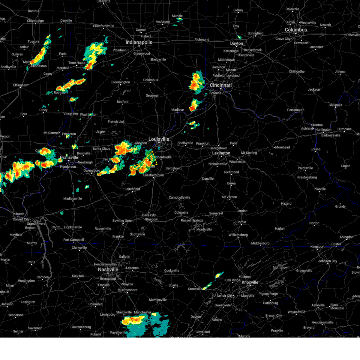 At 250 pm edt/150 pm cdt/, a severe thunderstorm was located 8 miles southwest of valley station, moving east at 35 mph (radar indicated). Hazards include 60 mph wind gusts and quarter size hail. Hail damage to vehicles is expected. expect wind damage to roofs, siding, and trees. locations impacted include, valley station, irvington, muldraugh, west point, guston, new boston, rock haven, grahamton, hughes landing and pitts point. hail threat, radar indicated max hail size, 1. 00 in wind threat, radar indicated max wind gust, 60 mph. At 250 pm edt/150 pm cdt/, a severe thunderstorm was located 8 miles southwest of valley station, moving east at 35 mph (radar indicated). Hazards include 60 mph wind gusts and quarter size hail. Hail damage to vehicles is expected. expect wind damage to roofs, siding, and trees. locations impacted include, valley station, irvington, muldraugh, west point, guston, new boston, rock haven, grahamton, hughes landing and pitts point. hail threat, radar indicated max hail size, 1. 00 in wind threat, radar indicated max wind gust, 60 mph.
|
| 7/2/2023 2:36 PM EDT |
 At 236 pm edt/136 pm cdt/, a severe thunderstorm was located near brandenburg, moving east at 35 mph (radar indicated). Hazards include 60 mph wind gusts and quarter size hail. Hail damage to vehicles is expected. expect wind damage to roofs, siding, and trees. locations impacted include, brandenburg, valley station, irvington, muldraugh, west point, ekron, laconia, guston, new boston and rock haven. hail threat, radar indicated max hail size, 1. 00 in wind threat, radar indicated max wind gust, 60 mph. At 236 pm edt/136 pm cdt/, a severe thunderstorm was located near brandenburg, moving east at 35 mph (radar indicated). Hazards include 60 mph wind gusts and quarter size hail. Hail damage to vehicles is expected. expect wind damage to roofs, siding, and trees. locations impacted include, brandenburg, valley station, irvington, muldraugh, west point, ekron, laconia, guston, new boston and rock haven. hail threat, radar indicated max hail size, 1. 00 in wind threat, radar indicated max wind gust, 60 mph.
|
| 7/2/2023 1:32 PM CDT |
 At 232 pm edt/132 pm cdt/, a severe thunderstorm was located 7 miles southwest of brandenburg, moving east at 20 mph (radar indicated). Hazards include 60 mph wind gusts and quarter size hail. Hail damage to vehicles is expected. expect wind damage to roofs, siding, and trees. locations impacted include, hardinsburg, webster, irvington, bewleyville, basin spring, clifton mills and haysville. hail threat, radar indicated max hail size, 1. 00 in wind threat, radar indicated max wind gust, 60 mph. At 232 pm edt/132 pm cdt/, a severe thunderstorm was located 7 miles southwest of brandenburg, moving east at 20 mph (radar indicated). Hazards include 60 mph wind gusts and quarter size hail. Hail damage to vehicles is expected. expect wind damage to roofs, siding, and trees. locations impacted include, hardinsburg, webster, irvington, bewleyville, basin spring, clifton mills and haysville. hail threat, radar indicated max hail size, 1. 00 in wind threat, radar indicated max wind gust, 60 mph.
|
| 7/2/2023 1:19 PM CDT |
 At 219 pm edt/119 pm cdt/, a severe thunderstorm was located 10 miles northeast of hardinsburg, moving east at 20 mph (radar indicated). Hazards include 60 mph wind gusts and quarter size hail. Hail damage to vehicles is expected. expect wind damage to roofs, siding, and trees. locations impacted include, hardinsburg, webster, irvington, mystic, raymond, payneville, lodiburg, bewleyville, basin spring and clifton mills. hail threat, radar indicated max hail size, 1. 00 in wind threat, radar indicated max wind gust, 60 mph. At 219 pm edt/119 pm cdt/, a severe thunderstorm was located 10 miles northeast of hardinsburg, moving east at 20 mph (radar indicated). Hazards include 60 mph wind gusts and quarter size hail. Hail damage to vehicles is expected. expect wind damage to roofs, siding, and trees. locations impacted include, hardinsburg, webster, irvington, mystic, raymond, payneville, lodiburg, bewleyville, basin spring and clifton mills. hail threat, radar indicated max hail size, 1. 00 in wind threat, radar indicated max wind gust, 60 mph.
|
| 7/2/2023 2:16 PM EDT |
 At 216 pm edt/116 pm cdt/, a severe thunderstorm was located 9 miles southwest of brandenburg, moving east at 35 mph (radar indicated). Hazards include 60 mph wind gusts and quarter size hail. Hail damage to vehicles is expected. Expect wind damage to roofs, siding, and trees. At 216 pm edt/116 pm cdt/, a severe thunderstorm was located 9 miles southwest of brandenburg, moving east at 35 mph (radar indicated). Hazards include 60 mph wind gusts and quarter size hail. Hail damage to vehicles is expected. Expect wind damage to roofs, siding, and trees.
|
| 7/2/2023 12:53 PM CDT |
 At 153 pm edt/1253 pm cdt/, a severe thunderstorm was located 7 miles north of hardinsburg, moving east at 20 mph (radar indicated). Hazards include 60 mph wind gusts and quarter size hail. Hail damage to vehicles is expected. Expect wind damage to roofs, siding, and trees. At 153 pm edt/1253 pm cdt/, a severe thunderstorm was located 7 miles north of hardinsburg, moving east at 20 mph (radar indicated). Hazards include 60 mph wind gusts and quarter size hail. Hail damage to vehicles is expected. Expect wind damage to roofs, siding, and trees.
|
| 7/1/2023 10:24 PM EDT |
 The severe thunderstorm warning for southeastern meade, central hardin and east central breckinridge counties will expire at 1030 pm edt/930 pm cdt/, the storm which prompted the warning has weakened below severe limits, and no longer poses an immediate threat to life or property. therefore, the warning will be allowed to expire. however gusty winds are still possible with this thunderstorm. a severe thunderstorm watch remains in effect until 1100 pm edt/1000 pm cdt/ for central kentucky. The severe thunderstorm warning for southeastern meade, central hardin and east central breckinridge counties will expire at 1030 pm edt/930 pm cdt/, the storm which prompted the warning has weakened below severe limits, and no longer poses an immediate threat to life or property. therefore, the warning will be allowed to expire. however gusty winds are still possible with this thunderstorm. a severe thunderstorm watch remains in effect until 1100 pm edt/1000 pm cdt/ for central kentucky.
|
| 7/1/2023 10:21 PM EDT |
 At 1020 pm edt/920 pm cdt/, a severe thunderstorm was located 10 miles south of brandenburg, moving east at 50 mph (radar indicated). Hazards include 60 mph wind gusts and quarter size hail. Hail damage to vehicles is expected. expect wind damage to roofs, siding, and trees. locations impacted include, brandenburg, radcliff, vine grove, irvington, ekron, guston, garfield, rock haven, grahamton and big spring. hail threat, radar indicated max hail size, 1. 00 in wind threat, radar indicated max wind gust, 60 mph. At 1020 pm edt/920 pm cdt/, a severe thunderstorm was located 10 miles south of brandenburg, moving east at 50 mph (radar indicated). Hazards include 60 mph wind gusts and quarter size hail. Hail damage to vehicles is expected. expect wind damage to roofs, siding, and trees. locations impacted include, brandenburg, radcliff, vine grove, irvington, ekron, guston, garfield, rock haven, grahamton and big spring. hail threat, radar indicated max hail size, 1. 00 in wind threat, radar indicated max wind gust, 60 mph.
|
| 7/1/2023 9:08 PM CDT |
 At 1008 pm edt/908 pm cdt/, a severe thunderstorm was located 10 miles east of hardinsburg, moving northeast at 50 mph (radar indicated). Hazards include 60 mph wind gusts and quarter size hail. Hail damage to vehicles is expected. expect wind damage to roofs, siding, and trees. locations impacted include, brandenburg, hardinsburg, radcliff, vine grove, irvington, ekron, guston, garfield, buras and rock haven. hail threat, radar indicated max hail size, 1. 00 in wind threat, radar indicated max wind gust, 60 mph. At 1008 pm edt/908 pm cdt/, a severe thunderstorm was located 10 miles east of hardinsburg, moving northeast at 50 mph (radar indicated). Hazards include 60 mph wind gusts and quarter size hail. Hail damage to vehicles is expected. expect wind damage to roofs, siding, and trees. locations impacted include, brandenburg, hardinsburg, radcliff, vine grove, irvington, ekron, guston, garfield, buras and rock haven. hail threat, radar indicated max hail size, 1. 00 in wind threat, radar indicated max wind gust, 60 mph.
|
| 7/1/2023 8:58 PM CDT |
 At 958 pm edt/858 pm cdt/, a severe thunderstorm was located near hardinsburg, moving northeast at 50 mph (radar indicated). Hazards include 60 mph wind gusts and quarter size hail. Hail damage to vehicles is expected. Expect wind damage to roofs, siding, and trees. At 958 pm edt/858 pm cdt/, a severe thunderstorm was located near hardinsburg, moving northeast at 50 mph (radar indicated). Hazards include 60 mph wind gusts and quarter size hail. Hail damage to vehicles is expected. Expect wind damage to roofs, siding, and trees.
|
| 6/29/2023 3:42 PM CDT |
 At 442 pm edt/342 pm cdt/, severe thunderstorms were located along a line extending from 8 miles southwest of valley station to near hardinsburg to near whitesville, moving southeast at 55 mph (radar indicated). Hazards include 60 mph wind gusts. expect damage to roofs, siding, and trees At 442 pm edt/342 pm cdt/, severe thunderstorms were located along a line extending from 8 miles southwest of valley station to near hardinsburg to near whitesville, moving southeast at 55 mph (radar indicated). Hazards include 60 mph wind gusts. expect damage to roofs, siding, and trees
|
| 6/25/2023 10:19 PM CDT | Quarter sized hail reported 4.2 miles ESE of Irvington, KY |
| 6/25/2023 9:52 PM EDT |
 At 951 pm edt/851 pm cdt/, a severe thunderstorm was located 11 miles south of brandenburg, moving southeast at 30 mph (radar indicated). Hazards include ping pong ball size hail and 60 mph wind gusts. People and animals outdoors will be injured. expect hail damage to roofs, siding, windows, and vehicles. expect wind damage to roofs, siding, and trees. locations impacted include, radcliff, vine grove, maples corner, guston, high plains corner, big spring, haysville, four corners, hillgrove and garrett. hail threat, radar indicated max hail size, 1. 50 in wind threat, radar indicated max wind gust, 60 mph. At 951 pm edt/851 pm cdt/, a severe thunderstorm was located 11 miles south of brandenburg, moving southeast at 30 mph (radar indicated). Hazards include ping pong ball size hail and 60 mph wind gusts. People and animals outdoors will be injured. expect hail damage to roofs, siding, windows, and vehicles. expect wind damage to roofs, siding, and trees. locations impacted include, radcliff, vine grove, maples corner, guston, high plains corner, big spring, haysville, four corners, hillgrove and garrett. hail threat, radar indicated max hail size, 1. 50 in wind threat, radar indicated max wind gust, 60 mph.
|
| 6/25/2023 8:51 PM CDT |
 At 950 pm edt/850 pm cdt/, a severe thunderstorm was located 13 miles southeast of brandenburg, moving east at 45 mph (radar indicated). Hazards include 70 mph wind gusts and ping pong ball size hail. People and animals outdoors will be injured. expect hail damage to roofs, siding, windows, and vehicles. expect considerable tree damage. wind damage is also likely to mobile homes, roofs, and outbuildings. locations impacted include, radcliff, webster, vine grove, irvington, muldraugh, ekron, guston, mystic, raymond and frymire. thunderstorm damage threat, considerable hail threat, radar indicated max hail size, 1. 50 in wind threat, radar indicated max wind gust, 70 mph. At 950 pm edt/850 pm cdt/, a severe thunderstorm was located 13 miles southeast of brandenburg, moving east at 45 mph (radar indicated). Hazards include 70 mph wind gusts and ping pong ball size hail. People and animals outdoors will be injured. expect hail damage to roofs, siding, windows, and vehicles. expect considerable tree damage. wind damage is also likely to mobile homes, roofs, and outbuildings. locations impacted include, radcliff, webster, vine grove, irvington, muldraugh, ekron, guston, mystic, raymond and frymire. thunderstorm damage threat, considerable hail threat, radar indicated max hail size, 1. 50 in wind threat, radar indicated max wind gust, 70 mph.
|
| 6/25/2023 8:43 PM CDT | Trees on ca in breckinridge county KY, 1.6 miles S of Irvington, KY |
| 6/25/2023 8:33 PM CDT | Quarter sized hail reported 5.9 miles SE of Irvington, KY |
| 6/25/2023 8:19 PM CDT |
 At 919 pm edt/819 pm cdt/, a severe thunderstorm was located 12 miles north of hardinsburg, moving southeast at 45 mph (radar indicated). Hazards include 60 mph wind gusts and quarter size hail. Hail damage to vehicles is expected. Expect wind damage to roofs, siding, and trees. At 919 pm edt/819 pm cdt/, a severe thunderstorm was located 12 miles north of hardinsburg, moving southeast at 45 mph (radar indicated). Hazards include 60 mph wind gusts and quarter size hail. Hail damage to vehicles is expected. Expect wind damage to roofs, siding, and trees.
|
| 4/5/2023 4:23 PM EDT |
 At 423 pm edt/323 pm cdt/, severe thunderstorms were located along a line extending from 7 miles southwest of carefree town to near hardinsburg, moving east at 55 mph (radar indicated). Hazards include 60 mph wind gusts. expect damage to roofs, siding, and trees At 423 pm edt/323 pm cdt/, severe thunderstorms were located along a line extending from 7 miles southwest of carefree town to near hardinsburg, moving east at 55 mph (radar indicated). Hazards include 60 mph wind gusts. expect damage to roofs, siding, and trees
|
| 3/3/2023 2:35 PM EST |
 At 234 pm est/134 pm cst/, severe thunderstorms were located along a line extending from 6 miles southwest of carefree town to 16 miles east of hardinsburg, moving northeast at 75 mph. these are destructive storms! (trained weather spotters). Hazards include 80 mph wind gusts. Flying debris will be dangerous to those caught without shelter. mobile homes will be heavily damaged. expect considerable damage to roofs, windows, and vehicles. extensive tree damage and power outages are likely. Locations impacted include, corydon, brandenburg, carefree town, mount pleasant, webster, irvington, palmyra, milltown, lanesville and leavenworth. At 234 pm est/134 pm cst/, severe thunderstorms were located along a line extending from 6 miles southwest of carefree town to 16 miles east of hardinsburg, moving northeast at 75 mph. these are destructive storms! (trained weather spotters). Hazards include 80 mph wind gusts. Flying debris will be dangerous to those caught without shelter. mobile homes will be heavily damaged. expect considerable damage to roofs, windows, and vehicles. extensive tree damage and power outages are likely. Locations impacted include, corydon, brandenburg, carefree town, mount pleasant, webster, irvington, palmyra, milltown, lanesville and leavenworth.
|
| 3/3/2023 2:32 PM EST |
 At 231 pm est/131 pm cst/, severe thunderstorms were located along a line extending from near english to near brandenburg, moving northeast at 80 mph. these are destructive storms! (weather observing stations). Hazards include 80 mph wind gusts. Flying debris will be dangerous to those caught without shelter. mobile homes will be heavily damaged. expect considerable damage to roofs, windows, and vehicles. extensive tree damage and power outages are likely. Locations impacted include, corydon. At 231 pm est/131 pm cst/, severe thunderstorms were located along a line extending from near english to near brandenburg, moving northeast at 80 mph. these are destructive storms! (weather observing stations). Hazards include 80 mph wind gusts. Flying debris will be dangerous to those caught without shelter. mobile homes will be heavily damaged. expect considerable damage to roofs, windows, and vehicles. extensive tree damage and power outages are likely. Locations impacted include, corydon.
|
| 3/3/2023 1:22 PM CST |
 At 222 pm est/122 pm cst/, severe thunderstorms were located along a line extending from 11 miles northeast of tell city to leitchfield, moving northeast at 80 mph (radar indicated). Hazards include 70 mph wind gusts. Expect considerable tree damage. damage is likely to mobile homes, roofs, and outbuildings. Locations impacted include, hardinsburg, webster, irvington, leopold, dyer, frymire, se ree, gerald, buras and rome. At 222 pm est/122 pm cst/, severe thunderstorms were located along a line extending from 11 miles northeast of tell city to leitchfield, moving northeast at 80 mph (radar indicated). Hazards include 70 mph wind gusts. Expect considerable tree damage. damage is likely to mobile homes, roofs, and outbuildings. Locations impacted include, hardinsburg, webster, irvington, leopold, dyer, frymire, se ree, gerald, buras and rome.
|
| 3/3/2023 2:20 PM EST |
 At 220 pm est/120 pm cst/, severe thunderstorms were located along a line extending from 11 miles southwest of english to 8 miles east of hardinsburg, moving northeast at 80 mph (radar indicated). Hazards include 70 mph wind gusts. Expect considerable tree damage. damage is likely to mobile homes, roofs, and outbuildings. severe thunderstorms will be near, brandenburg around 235 pm est. Other locations in the path of these severe thunderstorms include corydon. At 220 pm est/120 pm cst/, severe thunderstorms were located along a line extending from 11 miles southwest of english to 8 miles east of hardinsburg, moving northeast at 80 mph (radar indicated). Hazards include 70 mph wind gusts. Expect considerable tree damage. damage is likely to mobile homes, roofs, and outbuildings. severe thunderstorms will be near, brandenburg around 235 pm est. Other locations in the path of these severe thunderstorms include corydon.
|
| 3/3/2023 1:13 PM CST |
 At 213 pm est/113 pm cst/, severe thunderstorms were located along a line extending from tell city to 9 miles southwest of leitchfield, moving northeast at 70 mph (radar indicated). Hazards include 70 mph wind gusts. Expect considerable tree damage. damage is likely to mobile homes, roofs, and outbuildings. Locations impacted include, tell city, leitchfield, hardinsburg, hawesville, webster, cannelton, irvington, cloverport, clarkson and leopold. At 213 pm est/113 pm cst/, severe thunderstorms were located along a line extending from tell city to 9 miles southwest of leitchfield, moving northeast at 70 mph (radar indicated). Hazards include 70 mph wind gusts. Expect considerable tree damage. damage is likely to mobile homes, roofs, and outbuildings. Locations impacted include, tell city, leitchfield, hardinsburg, hawesville, webster, cannelton, irvington, cloverport, clarkson and leopold.
|
| 3/3/2023 1:02 PM CST |
 At 201 pm est/101 pm cst/, severe thunderstorms were located along a line extending from near hawesville to 6 miles east of morgantown, moving northeast at 75 mph. these are destructive storms! (radar indicated). Hazards include 80 mph wind gusts. Flying debris will be dangerous to those caught without shelter. mobile homes will be heavily damaged. expect considerable damage to roofs, windows, and vehicles. extensive tree damage and power outages are likely. Locations impacted include, tell city, hawesville and leitchfield. At 201 pm est/101 pm cst/, severe thunderstorms were located along a line extending from near hawesville to 6 miles east of morgantown, moving northeast at 75 mph. these are destructive storms! (radar indicated). Hazards include 80 mph wind gusts. Flying debris will be dangerous to those caught without shelter. mobile homes will be heavily damaged. expect considerable damage to roofs, windows, and vehicles. extensive tree damage and power outages are likely. Locations impacted include, tell city, hawesville and leitchfield.
|
| 3/3/2023 12:40 PM CST |
 At 140 pm est/1240 pm cst/, severe thunderstorms were located along a line extending from 6 miles north of livermore to near russellville, moving northeast at 80 mph. these are destructive storms! (radar indicated). Hazards include 80 mph wind gusts. Flying debris will be dangerous to those caught without shelter. mobile homes will be heavily damaged. expect considerable damage to roofs, windows, and vehicles. extensive tree damage and power outages are likely. severe thunderstorms will be near, morgantown and hawesville around 100 pm cst. other locations in the path of these severe thunderstorms include tell city and leitchfield. thunderstorm damage threat, destructive hail threat, radar indicated max hail size, <. 75 in wind threat, radar indicated max wind gust, 80 mph. At 140 pm est/1240 pm cst/, severe thunderstorms were located along a line extending from 6 miles north of livermore to near russellville, moving northeast at 80 mph. these are destructive storms! (radar indicated). Hazards include 80 mph wind gusts. Flying debris will be dangerous to those caught without shelter. mobile homes will be heavily damaged. expect considerable damage to roofs, windows, and vehicles. extensive tree damage and power outages are likely. severe thunderstorms will be near, morgantown and hawesville around 100 pm cst. other locations in the path of these severe thunderstorms include tell city and leitchfield. thunderstorm damage threat, destructive hail threat, radar indicated max hail size, <. 75 in wind threat, radar indicated max wind gust, 80 mph.
|
| 5/19/2022 5:25 PM CDT |
 The severe thunderstorm warning for central breckinridge county will expire at 530 pm cdt, the storm which prompted the warning has weakened below severe limits, and no longer poses an immediate threat to life or property. therefore, the warning will be allowed to expire. however small hail and gusty winds are still possible with this thunderstorm. a severe thunderstorm watch remains in effect until 700 pm cdt for central kentucky. The severe thunderstorm warning for central breckinridge county will expire at 530 pm cdt, the storm which prompted the warning has weakened below severe limits, and no longer poses an immediate threat to life or property. therefore, the warning will be allowed to expire. however small hail and gusty winds are still possible with this thunderstorm. a severe thunderstorm watch remains in effect until 700 pm cdt for central kentucky.
|
| 5/19/2022 5:20 PM CDT |
 At 519 pm cdt, a severe thunderstorm was located over hardinsburg, moving northeast at 30 mph (radar indicated). Hazards include 60 mph wind gusts and quarter size hail. Hail damage to vehicles is expected. expect wind damage to roofs, siding, and trees. this severe thunderstorm will remain over mainly rural areas of central breckinridge county, including the following locations, mystic, raymond, frymire, garfield, sample, irvington, clifton mills, webster, lodiburg and bewleyville. hail threat, radar indicated max hail size, 1. 00 in wind threat, radar indicated max wind gust, 60 mph. At 519 pm cdt, a severe thunderstorm was located over hardinsburg, moving northeast at 30 mph (radar indicated). Hazards include 60 mph wind gusts and quarter size hail. Hail damage to vehicles is expected. expect wind damage to roofs, siding, and trees. this severe thunderstorm will remain over mainly rural areas of central breckinridge county, including the following locations, mystic, raymond, frymire, garfield, sample, irvington, clifton mills, webster, lodiburg and bewleyville. hail threat, radar indicated max hail size, 1. 00 in wind threat, radar indicated max wind gust, 60 mph.
|
| 5/19/2022 5:02 PM CDT |
 At 502 pm cdt, a severe thunderstorm was located near hardinsburg, moving northeast at 30 mph (radar indicated). Hazards include 60 mph wind gusts and half dollar size hail. Hail damage to vehicles is expected. expect wind damage to roofs, siding, and trees. this severe thunderstorm will be near, hardinsburg around 515 pm cdt. hail threat, radar indicated max hail size, 1. 25 in wind threat, radar indicated max wind gust, 60 mph. At 502 pm cdt, a severe thunderstorm was located near hardinsburg, moving northeast at 30 mph (radar indicated). Hazards include 60 mph wind gusts and half dollar size hail. Hail damage to vehicles is expected. expect wind damage to roofs, siding, and trees. this severe thunderstorm will be near, hardinsburg around 515 pm cdt. hail threat, radar indicated max hail size, 1. 25 in wind threat, radar indicated max wind gust, 60 mph.
|
| 5/19/2022 4:38 PM CDT |
 At 438 pm cdt, a severe thunderstorm was located 10 miles southwest of hardinsburg, moving northeast at 30 mph (radar indicated). Hazards include 60 mph wind gusts and quarter size hail. Hail damage to vehicles is expected. Expect wind damage to roofs, siding, and trees. At 438 pm cdt, a severe thunderstorm was located 10 miles southwest of hardinsburg, moving northeast at 30 mph (radar indicated). Hazards include 60 mph wind gusts and quarter size hail. Hail damage to vehicles is expected. Expect wind damage to roofs, siding, and trees.
|
| 5/19/2022 3:49 PM CDT |
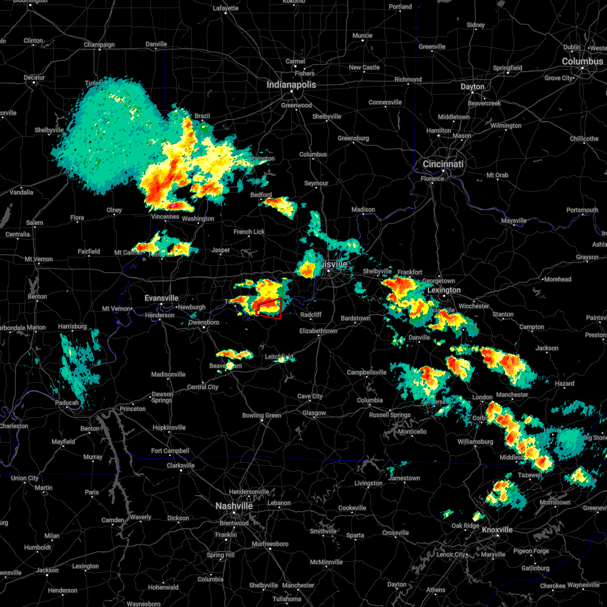 At 449 pm edt/349 pm cdt/, a severe thunderstorm capable of producing a tornado was located 9 miles north of hardinsburg, moving east at 25 mph (radar indicated rotation). Hazards include tornado and half dollar size hail. Flying debris will be dangerous to those caught without shelter. mobile homes will be damaged or destroyed. damage to roofs, windows, and vehicles will occur. tree damage is likely. Locations impacted include, webster, irvington, mystic, raymond, frymire, sample, clifton mills, ammons, sirocco and payneville. At 449 pm edt/349 pm cdt/, a severe thunderstorm capable of producing a tornado was located 9 miles north of hardinsburg, moving east at 25 mph (radar indicated rotation). Hazards include tornado and half dollar size hail. Flying debris will be dangerous to those caught without shelter. mobile homes will be damaged or destroyed. damage to roofs, windows, and vehicles will occur. tree damage is likely. Locations impacted include, webster, irvington, mystic, raymond, frymire, sample, clifton mills, ammons, sirocco and payneville.
|
| 5/19/2022 3:36 PM CDT |
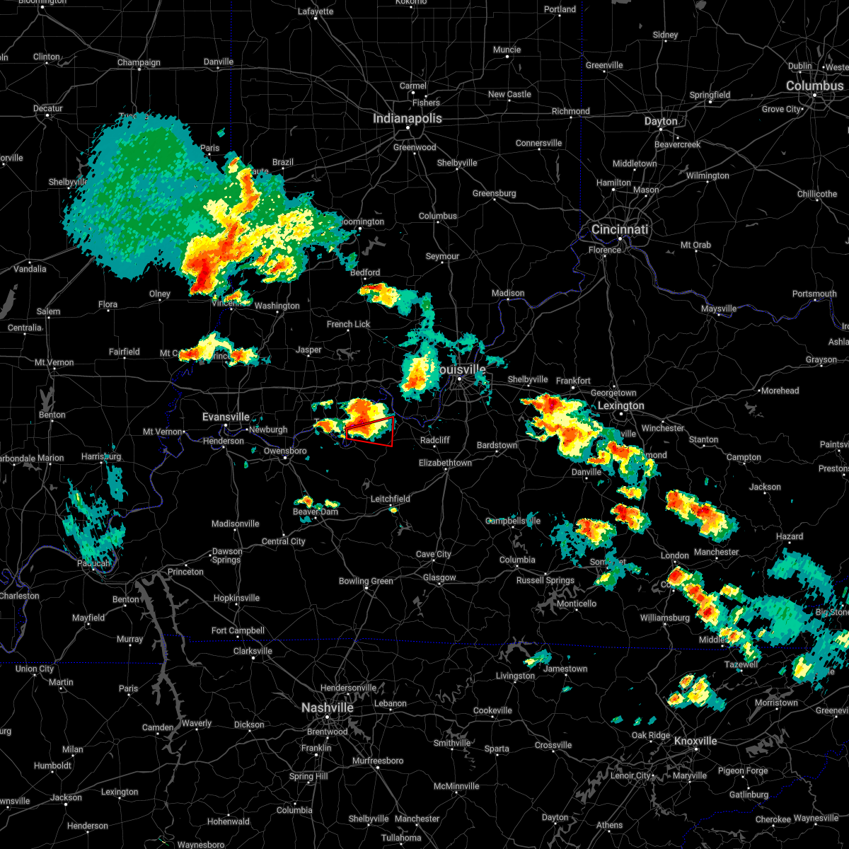 At 436 pm edt/336 pm cdt/, a severe thunderstorm capable of producing a tornado was located 8 miles east of hawesville, moving east at 25 mph (radar indicated rotation). Hazards include tornado and half dollar size hail. Flying debris will be dangerous to those caught without shelter. mobile homes will be damaged or destroyed. damage to roofs, windows, and vehicles will occur. tree damage is likely. This tornadic thunderstorm will remain over mainly rural areas of southeastern perry, west central meade and northwestern breckinridge counties, including the following locations, mystic, raymond, frymire, sample, irvington, clifton mills, holt, ammons, sirocco and webster. At 436 pm edt/336 pm cdt/, a severe thunderstorm capable of producing a tornado was located 8 miles east of hawesville, moving east at 25 mph (radar indicated rotation). Hazards include tornado and half dollar size hail. Flying debris will be dangerous to those caught without shelter. mobile homes will be damaged or destroyed. damage to roofs, windows, and vehicles will occur. tree damage is likely. This tornadic thunderstorm will remain over mainly rural areas of southeastern perry, west central meade and northwestern breckinridge counties, including the following locations, mystic, raymond, frymire, sample, irvington, clifton mills, holt, ammons, sirocco and webster.
|
| 5/19/2022 3:36 PM CDT |
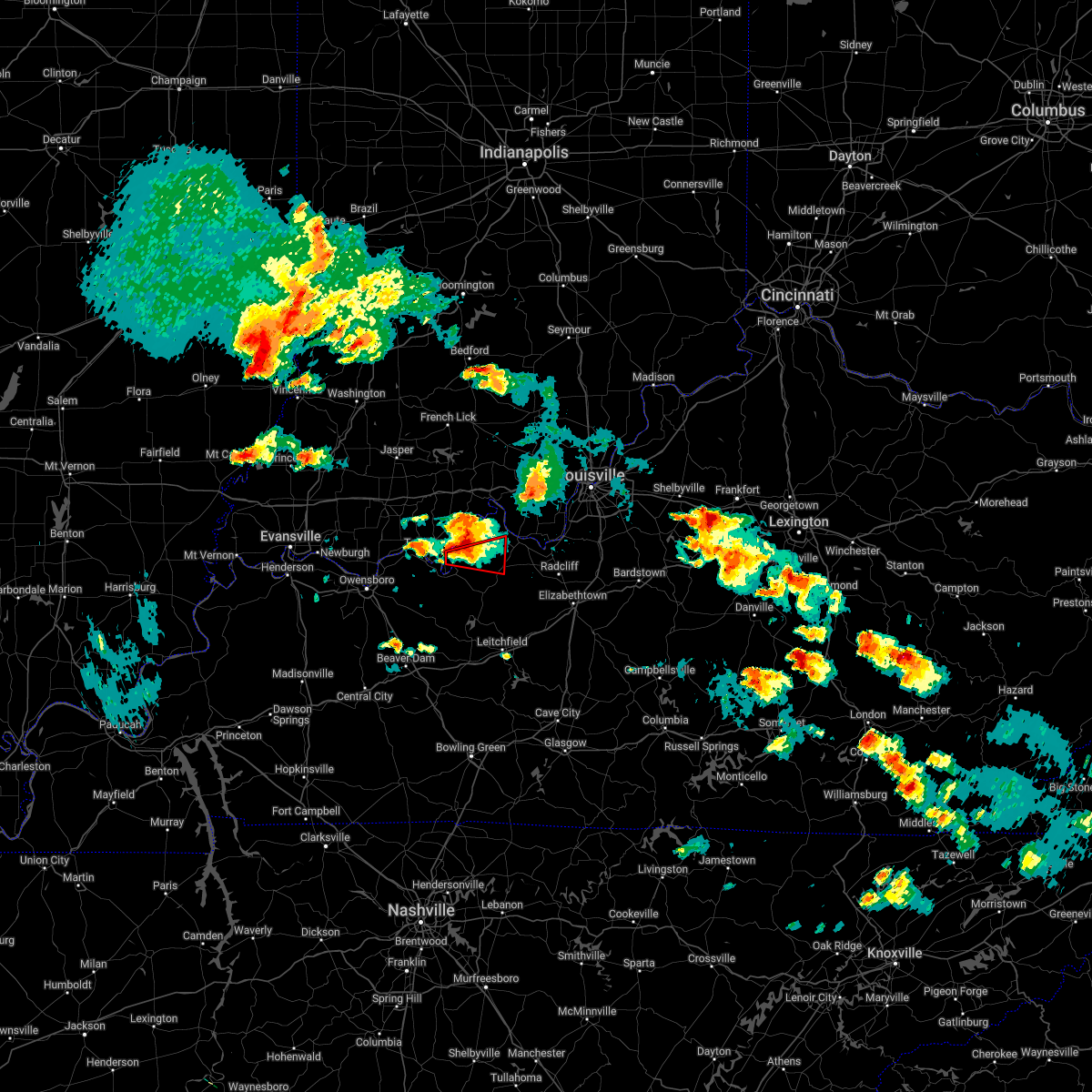 At 436 pm edt/336 pm cdt/, a severe thunderstorm capable of producing a tornado was located 8 miles east of hawesville, moving east at 25 mph (radar indicated rotation). Hazards include tornado and half dollar size hail. Flying debris will be dangerous to those caught without shelter. mobile homes will be damaged or destroyed. damage to roofs, windows, and vehicles will occur. tree damage is likely. This tornadic thunderstorm will remain over mainly rural areas of southeastern perry, west central meade and northwestern breckinridge counties, including the following locations, mystic, raymond, frymire, sample, irvington, clifton mills, holt, ammons, sirocco and webster. At 436 pm edt/336 pm cdt/, a severe thunderstorm capable of producing a tornado was located 8 miles east of hawesville, moving east at 25 mph (radar indicated rotation). Hazards include tornado and half dollar size hail. Flying debris will be dangerous to those caught without shelter. mobile homes will be damaged or destroyed. damage to roofs, windows, and vehicles will occur. tree damage is likely. This tornadic thunderstorm will remain over mainly rural areas of southeastern perry, west central meade and northwestern breckinridge counties, including the following locations, mystic, raymond, frymire, sample, irvington, clifton mills, holt, ammons, sirocco and webster.
|
| 4/13/2022 7:11 PM CDT |
 The severe thunderstorm warning for east central butler, grayson, northeastern warren, southwestern hardin, southeastern breckinridge and edmonson counties will expire at 815 pm edt/715 pm cdt/, the storms which prompted the warning have moved out of the area. therefore, the warning will be allowed to expire. a tornado watch remains in effect until 1100 pm edt/1000 pm cdt/ for south central and central kentucky. The severe thunderstorm warning for east central butler, grayson, northeastern warren, southwestern hardin, southeastern breckinridge and edmonson counties will expire at 815 pm edt/715 pm cdt/, the storms which prompted the warning have moved out of the area. therefore, the warning will be allowed to expire. a tornado watch remains in effect until 1100 pm edt/1000 pm cdt/ for south central and central kentucky.
|
| 4/13/2022 6:56 PM CDT |
 At 755 pm edt/655 pm cdt/, severe thunderstorms were located along a line extending from 13 miles south of carefree town to 10 miles northwest of brownsville, moving northeast at 60 mph (radar indicated). Hazards include 70 mph wind gusts and quarter size hail. Hail damage to vehicles is expected. expect considerable tree damage. wind damage is also likely to mobile homes, roofs, and outbuildings. Locations impacted include, bowling green, leitchfield, hardinsburg, brownsville, plum springs, mount victor, irvington, clarkson, smiths grove and park city. At 755 pm edt/655 pm cdt/, severe thunderstorms were located along a line extending from 13 miles south of carefree town to 10 miles northwest of brownsville, moving northeast at 60 mph (radar indicated). Hazards include 70 mph wind gusts and quarter size hail. Hail damage to vehicles is expected. expect considerable tree damage. wind damage is also likely to mobile homes, roofs, and outbuildings. Locations impacted include, bowling green, leitchfield, hardinsburg, brownsville, plum springs, mount victor, irvington, clarkson, smiths grove and park city.
|
| 4/13/2022 6:37 PM CDT |
 At 737 pm edt/637 pm cdt/, severe thunderstorms were located along a line extending from 8 miles southeast of hawesville to 10 miles southeast of morgantown, moving northeast at 60 mph (radar indicated). Hazards include 70 mph wind gusts and quarter size hail. Hail damage to vehicles is expected. expect considerable tree damage. wind damage is also likely to mobile homes, roofs, and outbuildings. Locations impacted include, bowling green, leitchfield, morgantown, hardinsburg, brownsville, plum springs, mount victor, crestmoor, casey and webster. At 737 pm edt/637 pm cdt/, severe thunderstorms were located along a line extending from 8 miles southeast of hawesville to 10 miles southeast of morgantown, moving northeast at 60 mph (radar indicated). Hazards include 70 mph wind gusts and quarter size hail. Hail damage to vehicles is expected. expect considerable tree damage. wind damage is also likely to mobile homes, roofs, and outbuildings. Locations impacted include, bowling green, leitchfield, morgantown, hardinsburg, brownsville, plum springs, mount victor, crestmoor, casey and webster.
|
| 4/13/2022 6:31 PM CDT |
 At 730 pm edt/630 pm cdt/, severe thunderstorms were located along a line extending from 8 miles southeast of hawesville to 10 miles northwest of crestmoor, moving northeast at 60 mph (radar indicated). Hazards include 70 mph wind gusts and penny size hail. Expect considerable tree damage. Damage is likely to mobile homes, roofs, and outbuildings. At 730 pm edt/630 pm cdt/, severe thunderstorms were located along a line extending from 8 miles southeast of hawesville to 10 miles northwest of crestmoor, moving northeast at 60 mph (radar indicated). Hazards include 70 mph wind gusts and penny size hail. Expect considerable tree damage. Damage is likely to mobile homes, roofs, and outbuildings.
|
| 3/18/2022 9:43 PM CDT | Via nws chat... trained spotter reported power lines down in thornhill estates and damage reports from firefighters of damage in the neighborhoo in breckinridge county KY, 7 miles NNE of Irvington, KY |
| 3/18/2022 10:22 PM EDT |
 At 1022 pm edt/922 pm cdt/, a severe thunderstorm was located 11 miles east of hardinsburg, moving northeast at 30 mph (radar indicated). Hazards include 70 mph wind gusts. Expect considerable tree damage. damage is likely to mobile homes, roofs, and outbuildings. Locations impacted include, irvington, ekron, maples corner, guston, big spring, buck grove, hillgrove, garrett, bewleyville and basin spring. At 1022 pm edt/922 pm cdt/, a severe thunderstorm was located 11 miles east of hardinsburg, moving northeast at 30 mph (radar indicated). Hazards include 70 mph wind gusts. Expect considerable tree damage. damage is likely to mobile homes, roofs, and outbuildings. Locations impacted include, irvington, ekron, maples corner, guston, big spring, buck grove, hillgrove, garrett, bewleyville and basin spring.
|
| 3/18/2022 9:18 PM CDT |
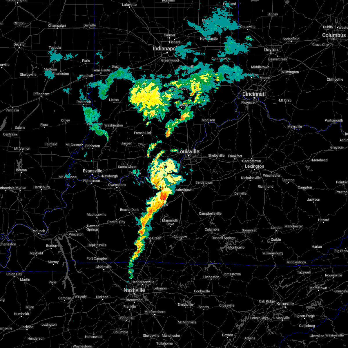 At 1018 pm edt/918 pm cdt/, a severe thunderstorm was located 9 miles east of hardinsburg, moving northeast at 30 mph (radar indicated). Hazards include 60 mph wind gusts. Expect damage to roofs, siding, and trees. This severe thunderstorm will remain over mainly rural areas of southeastern meade and east central breckinridge counties, including the following locations, maples corner, guston, garfield, graysville, big spring, buck grove, hillgrove, ekron, garrett and bewleyville. At 1018 pm edt/918 pm cdt/, a severe thunderstorm was located 9 miles east of hardinsburg, moving northeast at 30 mph (radar indicated). Hazards include 60 mph wind gusts. Expect damage to roofs, siding, and trees. This severe thunderstorm will remain over mainly rural areas of southeastern meade and east central breckinridge counties, including the following locations, maples corner, guston, garfield, graysville, big spring, buck grove, hillgrove, ekron, garrett and bewleyville.
|
| 7/10/2021 9:08 PM CDT |
 At 907 pm cdt, severe thunderstorms were located along a line extending from near hardinsburg to 12 miles northwest of leitchfield, moving northeast at 40 mph (radar indicated). Hazards include 60 mph wind gusts. Expect damage to roofs, siding, and trees. These severe thunderstorms will remain over mainly rural areas of southeastern breckinridge county, including the following locations, mcquady, dyer, constantine, garfield, se ree, westview, buras, big spring, kirk and bewleyville. At 907 pm cdt, severe thunderstorms were located along a line extending from near hardinsburg to 12 miles northwest of leitchfield, moving northeast at 40 mph (radar indicated). Hazards include 60 mph wind gusts. Expect damage to roofs, siding, and trees. These severe thunderstorms will remain over mainly rural areas of southeastern breckinridge county, including the following locations, mcquady, dyer, constantine, garfield, se ree, westview, buras, big spring, kirk and bewleyville.
|
| 7/6/2021 1:25 PM CDT | Fallen tree down over roadway... now has been cleared on highway 60 northeast of garfiel in breckinridge county KY, 6.7 miles NNE of Irvington, KY |
| 7/6/2021 1:20 PM CDT |
 At 120 pm cdt, a severe thunderstorm was located 10 miles east of hardinsburg, moving southwest at 15 mph (radar indicated). Hazards include 60 mph wind gusts and nickel size hail. expect damage to roofs, siding, and trees At 120 pm cdt, a severe thunderstorm was located 10 miles east of hardinsburg, moving southwest at 15 mph (radar indicated). Hazards include 60 mph wind gusts and nickel size hail. expect damage to roofs, siding, and trees
|
| 4/8/2020 9:40 PM CDT |
 At 1040 pm edt/940 pm cdt/, severe thunderstorms were located along a line extending from near brandenburg to 6 miles east of whitesville, moving east at 55 mph (radar indicated). Hazards include 60 mph wind gusts. expect damage to roofs, siding, and trees At 1040 pm edt/940 pm cdt/, severe thunderstorms were located along a line extending from near brandenburg to 6 miles east of whitesville, moving east at 55 mph (radar indicated). Hazards include 60 mph wind gusts. expect damage to roofs, siding, and trees
|
| 3/28/2020 10:17 PM EDT |
 At 1017 pm edt/917 pm cdt/, a severe thunderstorm was located near hardinsburg, moving northeast at 55 mph (radar indicated). Hazards include 60 mph wind gusts and quarter size hail. Hail damage to vehicles is expected. Expect wind damage to roofs, siding, and trees. At 1017 pm edt/917 pm cdt/, a severe thunderstorm was located near hardinsburg, moving northeast at 55 mph (radar indicated). Hazards include 60 mph wind gusts and quarter size hail. Hail damage to vehicles is expected. Expect wind damage to roofs, siding, and trees.
|
| 1/11/2020 9:00 AM CST | Em reported metal blocking roadway of the 4300 block of hwy 477 in breckinridge county... ky. time estimate in breckinridge county KY, 3.7 miles SE of Irvington, KY |
| 1/11/2020 8:52 AM CST |
 At 952 am est/852 am cst/, a severe thunderstorm was located near hardinsburg, moving northeast at 55 mph (radar indicated). Hazards include 60 mph wind gusts. expect damage to roofs, siding, and trees At 952 am est/852 am cst/, a severe thunderstorm was located near hardinsburg, moving northeast at 55 mph (radar indicated). Hazards include 60 mph wind gusts. expect damage to roofs, siding, and trees
|
| 8/20/2019 3:57 PM CDT |
 At 456 pm edt/356 pm cdt/, a severe thunderstorm was located 12 miles east of hardinsburg (radar indicated). Hazards include 60 mph wind gusts. Expect damage to roofs, siding, and trees. Locations impacted include, hardinsburg, irvington, mcquady, dyer, constantine, garfield, se ree, westview, buras and big spring. At 456 pm edt/356 pm cdt/, a severe thunderstorm was located 12 miles east of hardinsburg (radar indicated). Hazards include 60 mph wind gusts. Expect damage to roofs, siding, and trees. Locations impacted include, hardinsburg, irvington, mcquady, dyer, constantine, garfield, se ree, westview, buras and big spring.
|
| 8/20/2019 3:39 PM CDT |
 At 439 pm edt/339 pm cdt/, a severe thunderstorm was located 7 miles east of hardinsburg, moving east at 20 mph (radar indicated). Hazards include 60 mph wind gusts. expect damage to roofs, siding, and trees At 439 pm edt/339 pm cdt/, a severe thunderstorm was located 7 miles east of hardinsburg, moving east at 20 mph (radar indicated). Hazards include 60 mph wind gusts. expect damage to roofs, siding, and trees
|
| 6/30/2019 8:10 PM EDT |
 At 809 pm edt/709 pm cdt/, severe thunderstorms were located along a line extending from near carefree town to 11 miles southeast of brandenburg, moving southwest at 15 mph (radar indicated). Hazards include 60 mph wind gusts. Expect damage to roofs, siding, and trees. Locations impacted include, corydon, brandenburg, carefree town, radcliff, webster, vine grove, irvington, muldraugh, milltown and west point. At 809 pm edt/709 pm cdt/, severe thunderstorms were located along a line extending from near carefree town to 11 miles southeast of brandenburg, moving southwest at 15 mph (radar indicated). Hazards include 60 mph wind gusts. Expect damage to roofs, siding, and trees. Locations impacted include, corydon, brandenburg, carefree town, radcliff, webster, vine grove, irvington, muldraugh, milltown and west point.
|
| 6/30/2019 7:45 PM EDT |
 At 745 pm edt/645 pm cdt/, severe thunderstorms were located along a line extending from 9 miles northeast of carefree town to 11 miles southeast of brandenburg, moving southwest at 15 mph (radar indicated). Hazards include 60 mph wind gusts. expect damage to roofs, siding, and trees At 745 pm edt/645 pm cdt/, severe thunderstorms were located along a line extending from 9 miles northeast of carefree town to 11 miles southeast of brandenburg, moving southwest at 15 mph (radar indicated). Hazards include 60 mph wind gusts. expect damage to roofs, siding, and trees
|
| 6/23/2019 7:23 PM CDT |
 The severe thunderstorm warning for southern perry, central meade, eastern hancock, grayson, west central hardin and breckinridge counties will expire at 830 pm edt/730 pm cdt/, the storms which prompted the warning have weakened below severe limits, and no longer pose an immediate threat to life or property. therefore, the warning will be allowed to expire. however gusty winds and heavy rain are still possible with these thunderstorms. report severe weather to local law enforcement, post your report to the national weather service louisville facebook page, or tweet your report using hashtag l, m, k, spotter. The severe thunderstorm warning for southern perry, central meade, eastern hancock, grayson, west central hardin and breckinridge counties will expire at 830 pm edt/730 pm cdt/, the storms which prompted the warning have weakened below severe limits, and no longer pose an immediate threat to life or property. therefore, the warning will be allowed to expire. however gusty winds and heavy rain are still possible with these thunderstorms. report severe weather to local law enforcement, post your report to the national weather service louisville facebook page, or tweet your report using hashtag l, m, k, spotter.
|
| 6/23/2019 6:53 PM CDT |
 At 753 pm edt/653 pm cdt/, severe thunderstorms were located along a line extending from near knottsville to 6 miles east of whitesville to 10 miles east of hartford to 9 miles northwest of morgantown, moving northeast at 55 mph (radar indicated). Hazards include 60 mph wind gusts. expect damage to roofs, siding, and trees At 753 pm edt/653 pm cdt/, severe thunderstorms were located along a line extending from near knottsville to 6 miles east of whitesville to 10 miles east of hartford to 9 miles northwest of morgantown, moving northeast at 55 mph (radar indicated). Hazards include 60 mph wind gusts. expect damage to roofs, siding, and trees
|
| 6/23/2019 4:25 PM EDT |
 The severe thunderstorm warning for central harrison, southeastern crawford, southeastern perry, western meade and central breckinridge counties will expire at 430 pm edt/330 pm cdt/, the storms which prompted the warning have moved out of the area. therefore, the warning will be allowed to expire. however gusty winds are still possible with these thunderstorms. a severe thunderstorm watch remains in effect until 800 pm edt/700 pm cdt/ for south central indiana. a severe thunderstorm watch also remains in effect until 800 pm edt/700 pm cdt/ for central kentucky. report severe weather to local law enforcement, post your report to the national weather service louisville facebook page, or tweet your report using hashtag l, m, k, spotter. The severe thunderstorm warning for central harrison, southeastern crawford, southeastern perry, western meade and central breckinridge counties will expire at 430 pm edt/330 pm cdt/, the storms which prompted the warning have moved out of the area. therefore, the warning will be allowed to expire. however gusty winds are still possible with these thunderstorms. a severe thunderstorm watch remains in effect until 800 pm edt/700 pm cdt/ for south central indiana. a severe thunderstorm watch also remains in effect until 800 pm edt/700 pm cdt/ for central kentucky. report severe weather to local law enforcement, post your report to the national weather service louisville facebook page, or tweet your report using hashtag l, m, k, spotter.
|
| 6/23/2019 4:09 PM EDT |
 At 409 pm edt/309 pm cdt/, severe thunderstorms were located along a line extending from near carefree town to near hardinsburg, moving east at 30 mph (radar indicated). Hazards include 70 mph wind gusts and quarter size hail. Hail damage to vehicles is expected. expect considerable tree damage. wind damage is also likely to mobile homes, roofs, and outbuildings. Locations impacted include, corydon, brandenburg, hardinsburg, carefree town, webster, irvington, leavenworth, crandall, ekron and mauckport. At 409 pm edt/309 pm cdt/, severe thunderstorms were located along a line extending from near carefree town to near hardinsburg, moving east at 30 mph (radar indicated). Hazards include 70 mph wind gusts and quarter size hail. Hail damage to vehicles is expected. expect considerable tree damage. wind damage is also likely to mobile homes, roofs, and outbuildings. Locations impacted include, corydon, brandenburg, hardinsburg, carefree town, webster, irvington, leavenworth, crandall, ekron and mauckport.
|
| 6/23/2019 3:56 PM EDT |
 At 356 pm edt/256 pm cdt/, severe thunderstorms were located along a line extending from near carefree town to 7 miles west of hardinsburg, moving east at 30 mph (radar indicated). Hazards include 70 mph wind gusts and quarter size hail. Hail damage to vehicles is expected. expect considerable tree damage. Wind damage is also likely to mobile homes, roofs, and outbuildings. At 356 pm edt/256 pm cdt/, severe thunderstorms were located along a line extending from near carefree town to 7 miles west of hardinsburg, moving east at 30 mph (radar indicated). Hazards include 70 mph wind gusts and quarter size hail. Hail damage to vehicles is expected. expect considerable tree damage. Wind damage is also likely to mobile homes, roofs, and outbuildings.
|
| 6/23/2019 2:46 PM CDT |
 At 345 pm edt/245 pm cdt/, a severe thunderstorm was located 7 miles northeast of hawesville, moving east at 50 mph (radar indicated). Hazards include 60 mph wind gusts and quarter size hail. Hail damage to vehicles is expected. Expect wind damage to roofs, siding, and trees. At 345 pm edt/245 pm cdt/, a severe thunderstorm was located 7 miles northeast of hawesville, moving east at 50 mph (radar indicated). Hazards include 60 mph wind gusts and quarter size hail. Hail damage to vehicles is expected. Expect wind damage to roofs, siding, and trees.
|
| 6/21/2019 6:20 PM CDT | Report of tree fallen on power lines near w hwy 86. power lines on the ground... and local power outage in breckinridge county KY, 7 miles NNE of Irvington, KY |
| 6/21/2019 5:58 PM CDT |
 At 658 pm edt/558 pm cdt/, severe thunderstorms were located along a line extending from near brandenburg to 10 miles southwest of hardinsburg, moving east at 45 mph (radar indicated). Hazards include 60 mph wind gusts. expect damage to roofs, siding, and trees At 658 pm edt/558 pm cdt/, severe thunderstorms were located along a line extending from near brandenburg to 10 miles southwest of hardinsburg, moving east at 45 mph (radar indicated). Hazards include 60 mph wind gusts. expect damage to roofs, siding, and trees
|
| 5/1/2019 5:51 PM CDT | Shed damaged by thunderstorm wind in breckinridge county KY, 0.4 miles WSW of Irvington, KY |
| 5/1/2019 6:36 PM EDT |
 At 636 pm edt/536 pm cdt/, a severe thunderstorm was located over hardinsburg, moving northeast at 35 mph (radar indicated). Hazards include 60 mph wind gusts and half dollar size hail. Hail damage to vehicles is expected. Expect wind damage to roofs, siding, and trees. At 636 pm edt/536 pm cdt/, a severe thunderstorm was located over hardinsburg, moving northeast at 35 mph (radar indicated). Hazards include 60 mph wind gusts and half dollar size hail. Hail damage to vehicles is expected. Expect wind damage to roofs, siding, and trees.
|
| 12/31/2018 3:25 PM EST |
 At 325 pm est/225 pm cst/, a severe thunderstorm was located 9 miles south of brandenburg, moving northeast at 55 mph (radar indicated). Hazards include 70 mph wind gusts. Expect considerable tree damage. Damage is likely to mobile homes, roofs, and outbuildings. At 325 pm est/225 pm cst/, a severe thunderstorm was located 9 miles south of brandenburg, moving northeast at 55 mph (radar indicated). Hazards include 70 mph wind gusts. Expect considerable tree damage. Damage is likely to mobile homes, roofs, and outbuildings.
|
| 8/31/2018 3:39 PM CDT |
 The severe thunderstorm warning for south central meade, west central hardin and east central breckinridge counties will expire at 445 pm edt/345 pm cdt/, the storm which prompted the warning has weakened. therefore, the warning will be allowed to expire. however, gusty winds and heavy rain are still possible with this thunderstorm. The severe thunderstorm warning for south central meade, west central hardin and east central breckinridge counties will expire at 445 pm edt/345 pm cdt/, the storm which prompted the warning has weakened. therefore, the warning will be allowed to expire. however, gusty winds and heavy rain are still possible with this thunderstorm.
|
| 8/31/2018 3:34 PM CDT |
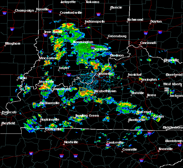 At 433 pm edt/333 pm cdt/, a severe thunderstorm was located 13 miles east of hardinsburg, moving north at 20 mph (radar indicated). Hazards include 60 mph wind gusts. Expect damage to roofs, siding, and trees. Locations impacted include, irvington, maples corner, high plains, bewleyville, custer, corners, big spring, and rosetta. At 433 pm edt/333 pm cdt/, a severe thunderstorm was located 13 miles east of hardinsburg, moving north at 20 mph (radar indicated). Hazards include 60 mph wind gusts. Expect damage to roofs, siding, and trees. Locations impacted include, irvington, maples corner, high plains, bewleyville, custer, corners, big spring, and rosetta.
|
| 8/31/2018 3:19 PM CDT |
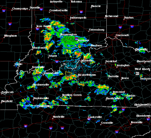 At 418 pm edt/318 pm cdt/, a severe thunderstorm was located 12 miles southeast of hardinsburg, moving north at 20 mph (radar indicated). Hazards include 60 mph wind gusts and penny size hail. expect damage to roofs, siding, and trees At 418 pm edt/318 pm cdt/, a severe thunderstorm was located 12 miles southeast of hardinsburg, moving north at 20 mph (radar indicated). Hazards include 60 mph wind gusts and penny size hail. expect damage to roofs, siding, and trees
|
| 8/16/2018 1:23 AM EDT |
 The severe thunderstorm warning for southwestern harrison, meade, west central hardin and northeastern breckinridge counties will expire at 130 am edt/1230 am cdt/, the storms which prompted the warning have weakened below severe limits, and no longer pose an immediate threat to life or property. therefore, the warning will be allowed to expire. however gusty winds and heavy rain are still possible with these thunderstorms. report severe weather to local law enforcement, post your report to the national weather service louisville facebook page, or tweet your report using hashtag l, m, k, spotter. The severe thunderstorm warning for southwestern harrison, meade, west central hardin and northeastern breckinridge counties will expire at 130 am edt/1230 am cdt/, the storms which prompted the warning have weakened below severe limits, and no longer pose an immediate threat to life or property. therefore, the warning will be allowed to expire. however gusty winds and heavy rain are still possible with these thunderstorms. report severe weather to local law enforcement, post your report to the national weather service louisville facebook page, or tweet your report using hashtag l, m, k, spotter.
|
| 8/16/2018 1:14 AM EDT |
 At 114 am edt/1214 am cdt/, severe thunderstorms were located along a line extending from brandenburg to 19 miles east of hardinsburg, moving northeast at 45 mph (radar indicated). Hazards include 60 mph wind gusts. Expect damage to roofs, siding, and trees. Locations impacted include, brandenburg, vine grove, irvington, ekron, mauckport, laconia, guston, dyer, rock haven and central. At 114 am edt/1214 am cdt/, severe thunderstorms were located along a line extending from brandenburg to 19 miles east of hardinsburg, moving northeast at 45 mph (radar indicated). Hazards include 60 mph wind gusts. Expect damage to roofs, siding, and trees. Locations impacted include, brandenburg, vine grove, irvington, ekron, mauckport, laconia, guston, dyer, rock haven and central.
|
| 8/15/2018 11:47 PM CDT |
 At 1247 am edt/1147 pm cdt/, severe thunderstorms were located along a line extending from 15 miles east of hawesville to hardinsburg, moving northeast at 35 mph (radar indicated). Hazards include 60 mph wind gusts. expect damage to roofs, siding, and trees At 1247 am edt/1147 pm cdt/, severe thunderstorms were located along a line extending from 15 miles east of hawesville to hardinsburg, moving northeast at 35 mph (radar indicated). Hazards include 60 mph wind gusts. expect damage to roofs, siding, and trees
|
| 8/15/2018 6:57 PM CDT | Power pole down along highway 47 in breckinridge county KY, 5.4 miles SE of Irvington, KY |
| 8/15/2018 7:49 PM EDT |
 At 748 pm edt/648 pm cdt/, severe thunderstorms were located along a line extending from near seymour to new providence town to 10 miles southeast of hardinsburg, moving northeast at 45 mph (radar indicated). Hazards include 60 mph wind gusts. expect damage to roofs, siding, and trees At 748 pm edt/648 pm cdt/, severe thunderstorms were located along a line extending from near seymour to new providence town to 10 miles southeast of hardinsburg, moving northeast at 45 mph (radar indicated). Hazards include 60 mph wind gusts. expect damage to roofs, siding, and trees
|
| 8/15/2018 6:39 PM CDT |
 At 738 pm edt/638 pm cdt/, severe thunderstorms were located along a line extending from near new albany to 16 miles east of hardinsburg, moving northeast at 35 mph (trained weather spotters. at 723 pm a trained spotter reported observing a brief funnel cloud south of fordsville). Hazards include 60 mph wind gusts. Expect damage to roofs, siding, and trees. Locations impacted include, corydon, brandenburg, hardinsburg, webster, irvington, cloverport, fordsville, mauckport, new amsterdam and mcquady. At 738 pm edt/638 pm cdt/, severe thunderstorms were located along a line extending from near new albany to 16 miles east of hardinsburg, moving northeast at 35 mph (trained weather spotters. at 723 pm a trained spotter reported observing a brief funnel cloud south of fordsville). Hazards include 60 mph wind gusts. Expect damage to roofs, siding, and trees. Locations impacted include, corydon, brandenburg, hardinsburg, webster, irvington, cloverport, fordsville, mauckport, new amsterdam and mcquady.
|
| 8/15/2018 6:27 PM CDT |
 At 727 pm edt/627 pm cdt/, severe thunderstorms were located along a line extending from 10 miles south of carefree town to 12 miles southeast of whitesville, moving northeast at 35 mph (radar indicated). Hazards include 60 mph wind gusts. Expect damage to roofs, siding, and trees. Locations impacted include, corydon, brandenburg, hardinsburg, webster, irvington, cloverport, fordsville, mauckport, new amsterdam and mcquady. At 727 pm edt/627 pm cdt/, severe thunderstorms were located along a line extending from 10 miles south of carefree town to 12 miles southeast of whitesville, moving northeast at 35 mph (radar indicated). Hazards include 60 mph wind gusts. Expect damage to roofs, siding, and trees. Locations impacted include, corydon, brandenburg, hardinsburg, webster, irvington, cloverport, fordsville, mauckport, new amsterdam and mcquady.
|
| 8/15/2018 6:09 PM CDT |
 The national weather service in louisville has issued a * severe thunderstorm warning for. southwestern harrison county in south central indiana. southern perry county in south central indiana. western meade county in central kentucky. Eastern hancock county in central kentucky. The national weather service in louisville has issued a * severe thunderstorm warning for. southwestern harrison county in south central indiana. southern perry county in south central indiana. western meade county in central kentucky. Eastern hancock county in central kentucky.
|
| 8/15/2018 6:09 PM CDT |
 At 709 pm edt/609 pm cdt/, severe thunderstorms were located along a line extending from 11 miles northeast of tell city to 11 miles southeast of whitesville, moving east at 40 mph (radar indicated). Hazards include 70 mph wind gusts. Expect considerable tree damage. Damage is likely to mobile homes, roofs, and outbuildings. At 709 pm edt/609 pm cdt/, severe thunderstorms were located along a line extending from 11 miles northeast of tell city to 11 miles southeast of whitesville, moving east at 40 mph (radar indicated). Hazards include 70 mph wind gusts. Expect considerable tree damage. Damage is likely to mobile homes, roofs, and outbuildings.
|
| 7/20/2018 9:56 PM CDT |
 At 1055 pm edt/955 pm cdt/, severe thunderstorms were located along a line extending from 8 miles east of hawesville to 11 miles east of hardinsburg to 10 miles north of elizabethtown to near shepherdsville, moving east at 40 mph (radar indicated). Hazards include 70 mph wind gusts and quarter size hail. Hail damage to vehicles is expected. expect considerable tree damage. wind damage is also likely to mobile homes, roofs, and outbuildings. locations impacted include, shepherdsville, hardinsburg, radcliff, vine grove, lebanon junction, irvington, cloverport, muldraugh, west point and ekron. A tornado watch remains in effect until 300 am edt/200 am cdt/ for central kentucky. At 1055 pm edt/955 pm cdt/, severe thunderstorms were located along a line extending from 8 miles east of hawesville to 11 miles east of hardinsburg to 10 miles north of elizabethtown to near shepherdsville, moving east at 40 mph (radar indicated). Hazards include 70 mph wind gusts and quarter size hail. Hail damage to vehicles is expected. expect considerable tree damage. wind damage is also likely to mobile homes, roofs, and outbuildings. locations impacted include, shepherdsville, hardinsburg, radcliff, vine grove, lebanon junction, irvington, cloverport, muldraugh, west point and ekron. A tornado watch remains in effect until 300 am edt/200 am cdt/ for central kentucky.
|
| 7/20/2018 9:40 PM CDT |
 At 1040 pm edt/940 pm cdt/, severe thunderstorms were located along a line extending from near tell city to 7 miles northwest of hardinsburg to 7 miles south of brandenburg to 9 miles southwest of valley station, moving east at 35 mph (radar indicated). Hazards include 60 mph wind gusts and quarter size hail. Hail damage to vehicles is expected. Expect wind damage to roofs, siding, and trees. At 1040 pm edt/940 pm cdt/, severe thunderstorms were located along a line extending from near tell city to 7 miles northwest of hardinsburg to 7 miles south of brandenburg to 9 miles southwest of valley station, moving east at 35 mph (radar indicated). Hazards include 60 mph wind gusts and quarter size hail. Hail damage to vehicles is expected. Expect wind damage to roofs, siding, and trees.
|
| 7/20/2018 10:19 PM EDT |
 At 1018 pm edt/918 pm cdt/, a severe thunderstorm was located near brandenburg, moving east at 35 mph (radar indicated). Hazards include 60 mph wind gusts and quarter size hail. Hail damage to vehicles is expected. Expect wind damage to roofs, siding, and trees. At 1018 pm edt/918 pm cdt/, a severe thunderstorm was located near brandenburg, moving east at 35 mph (radar indicated). Hazards include 60 mph wind gusts and quarter size hail. Hail damage to vehicles is expected. Expect wind damage to roofs, siding, and trees.
|
| 6/26/2018 12:25 PM CDT | Tree down 7 n of hardinsburg area of ky 227 in breckinridge county KY, 9 miles E of Irvington, KY |
| 6/26/2018 12:01 PM CDT | Tree down on s state road 33 in breckinridge county KY, 4.1 miles NW of Irvington, KY |
| 6/26/2018 12:46 PM EDT |
 At 1246 pm edt/1146 am cdt/, severe thunderstorms were located along a line extending from near hardinsburg to 12 miles northwest of munfordville, moving northeast at 40 mph (radar indicated). Hazards include 60 mph wind gusts. expect damage to roofs, siding, and trees At 1246 pm edt/1146 am cdt/, severe thunderstorms were located along a line extending from near hardinsburg to 12 miles northwest of munfordville, moving northeast at 40 mph (radar indicated). Hazards include 60 mph wind gusts. expect damage to roofs, siding, and trees
|
| 6/26/2018 11:45 AM CDT | Corrects previous tstm wnd dmg report from 4 s union star. tree down 7 n of hardinsburg area of ky 227 in breckinridge county KY, 9 miles E of Irvington, KY |
| 6/12/2018 4:13 PM CDT |
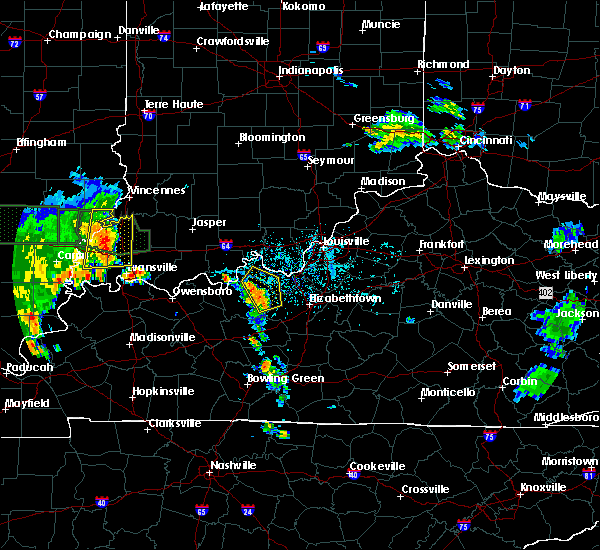 At 513 pm edt/413 pm cdt/, severe thunderstorms were located along a line extending from 10 miles southwest of brandenburg to 20 miles northwest of elizabethtown to 15 miles east of hardinsburg, moving northeast at 35 mph (radar indicated). Hazards include 60 mph wind gusts and nickel size hail. Expect damage to roofs, siding, and trees. Locations impacted include, webster, irvington, ekron, guston, dyer, mystic, raymond, constantine, frymire and garfield. At 513 pm edt/413 pm cdt/, severe thunderstorms were located along a line extending from 10 miles southwest of brandenburg to 20 miles northwest of elizabethtown to 15 miles east of hardinsburg, moving northeast at 35 mph (radar indicated). Hazards include 60 mph wind gusts and nickel size hail. Expect damage to roofs, siding, and trees. Locations impacted include, webster, irvington, ekron, guston, dyer, mystic, raymond, constantine, frymire and garfield.
|
| 6/12/2018 3:57 PM CDT |
 At 456 pm edt/356 pm cdt/, severe thunderstorms were located along a line extending from near hardinsburg to 21 miles southwest of brandenburg to 10 miles northwest of leitchfield, moving northeast at 25 mph (radar indicated). Hazards include 60 mph wind gusts and nickel size hail. Expect damage to roofs, siding, and trees. Locations impacted include, hardinsburg, webster, irvington, ekron, dyer, frymire, se ree, buras, big spring and kirk. At 456 pm edt/356 pm cdt/, severe thunderstorms were located along a line extending from near hardinsburg to 21 miles southwest of brandenburg to 10 miles northwest of leitchfield, moving northeast at 25 mph (radar indicated). Hazards include 60 mph wind gusts and nickel size hail. Expect damage to roofs, siding, and trees. Locations impacted include, hardinsburg, webster, irvington, ekron, dyer, frymire, se ree, buras, big spring and kirk.
|
| 6/12/2018 3:43 PM CDT |
 At 443 pm edt/343 pm cdt/, severe thunderstorms were located along a line extending from near hardinsburg to 23 miles southeast of hawesville to 9 miles northwest of leitchfield, moving northeast at 25 mph (radar indicated). Hazards include 60 mph wind gusts and penny size hail. expect damage to roofs, siding, and trees At 443 pm edt/343 pm cdt/, severe thunderstorms were located along a line extending from near hardinsburg to 23 miles southeast of hawesville to 9 miles northwest of leitchfield, moving northeast at 25 mph (radar indicated). Hazards include 60 mph wind gusts and penny size hail. expect damage to roofs, siding, and trees
|
| 5/31/2018 1:49 PM EDT |
 At 149 pm edt/1249 pm cdt/, severe thunderstorms were located along a line extending from near carefree town to near hardinsburg, moving east at 55 mph (radar indicated). Hazards include 70 mph wind gusts. Expect considerable tree damage. Damage is likely to mobile homes, roofs, and outbuildings. At 149 pm edt/1249 pm cdt/, severe thunderstorms were located along a line extending from near carefree town to near hardinsburg, moving east at 55 mph (radar indicated). Hazards include 70 mph wind gusts. Expect considerable tree damage. Damage is likely to mobile homes, roofs, and outbuildings.
|
| 4/3/2018 6:13 PM CDT |
 At 613 pm cdt, a severe thunderstorm was located near hardinsburg, moving east at 50 mph (radar indicated). Hazards include 60 mph wind gusts and quarter size hail. Hail damage to vehicles is expected. Expect wind damage to roofs, siding, and trees. At 613 pm cdt, a severe thunderstorm was located near hardinsburg, moving east at 50 mph (radar indicated). Hazards include 60 mph wind gusts and quarter size hail. Hail damage to vehicles is expected. Expect wind damage to roofs, siding, and trees.
|
| 2/24/2018 10:53 PM EST |
 The severe thunderstorm warning for southern harrison, south central floyd, southeastern meade, west central jefferson and northeastern breckinridge counties will expire at 1100 pm est/1000 pm cst/, the storms which prompted the warning are moving out of the warned area. therefore, the warning will be allowed to expire at 1100 pm est. report any severe weather to local law enforcement, post your report to the national weather service louisville facebook page, or tweet your report using hashtag l, m, k, spotter. The severe thunderstorm warning for southern harrison, south central floyd, southeastern meade, west central jefferson and northeastern breckinridge counties will expire at 1100 pm est/1000 pm cst/, the storms which prompted the warning are moving out of the warned area. therefore, the warning will be allowed to expire at 1100 pm est. report any severe weather to local law enforcement, post your report to the national weather service louisville facebook page, or tweet your report using hashtag l, m, k, spotter.
|
| 2/24/2018 10:53 PM EST |
 At 1025 pm est/925 pm cst/, severe thunderstorms were located along a line extending from near corydon to 7 miles northeast of hardinsburg, moving east at 60 to 65 mph (radar indicated). Hazards include 60 mph wind gusts. expect damage to roofs, siding, and trees At 1025 pm est/925 pm cst/, severe thunderstorms were located along a line extending from near corydon to 7 miles northeast of hardinsburg, moving east at 60 to 65 mph (radar indicated). Hazards include 60 mph wind gusts. expect damage to roofs, siding, and trees
|
| 2/24/2018 10:26 PM EST |
 The national weather service in louisville has issued a * severe thunderstorm warning for. southern harrison county in south central indiana. south central floyd county in south central indiana. southeastern meade county in central kentucky. West central jefferson county in central kentucky. The national weather service in louisville has issued a * severe thunderstorm warning for. southern harrison county in south central indiana. south central floyd county in south central indiana. southeastern meade county in central kentucky. West central jefferson county in central kentucky.
|
| 2/24/2018 10:26 PM EST |
 At 1025 pm est/925 pm cst/, severe thunderstorms were located along a line extending from near corydon to 7 miles northeast of hardinsburg, moving east at 60 to 65 mph (radar indicated). Hazards include 60 mph wind gusts. expect damage to roofs, siding, and trees At 1025 pm est/925 pm cst/, severe thunderstorms were located along a line extending from near corydon to 7 miles northeast of hardinsburg, moving east at 60 to 65 mph (radar indicated). Hazards include 60 mph wind gusts. expect damage to roofs, siding, and trees
|
| 11/18/2017 4:35 PM EST | Home damaged.. trees down and rv turned ove in meade county KY, 3.7 miles WSW of Irvington, KY |
| 11/18/2017 4:35 PM EST |
 At 435 pm est/335 pm cst/, a severe thunderstorm was located 7 miles southwest of brandenburg, moving east at 50 mph (radar indicated). Hazards include 70 mph wind gusts. Expect considerable tree damage. Damage is likely to mobile homes, roofs, and outbuildings. At 435 pm est/335 pm cst/, a severe thunderstorm was located 7 miles southwest of brandenburg, moving east at 50 mph (radar indicated). Hazards include 70 mph wind gusts. Expect considerable tree damage. Damage is likely to mobile homes, roofs, and outbuildings.
|
| 10/7/2017 8:54 PM CDT |
 At 853 pm cdt, a severe thunderstorm was located near hardinsburg, moving northeast at 50 mph (radar indicated). Hazards include 60 mph wind gusts. Expect damage to roofs, siding, and trees. Locations impacted include, hardinsburg, irvington, mcquady, garfield, se ree, westview, buras, tar fork, kirk and vanzant. At 853 pm cdt, a severe thunderstorm was located near hardinsburg, moving northeast at 50 mph (radar indicated). Hazards include 60 mph wind gusts. Expect damage to roofs, siding, and trees. Locations impacted include, hardinsburg, irvington, mcquady, garfield, se ree, westview, buras, tar fork, kirk and vanzant.
|
| 10/7/2017 8:40 PM CDT |
 At 839 pm cdt, a severe thunderstorm was located 12 miles east of whitesville, moving northeast at 50 mph (radar indicated). Hazards include 60 mph wind gusts. expect damage to roofs, siding, and trees At 839 pm cdt, a severe thunderstorm was located 12 miles east of whitesville, moving northeast at 50 mph (radar indicated). Hazards include 60 mph wind gusts. expect damage to roofs, siding, and trees
|
| 5/27/2017 6:35 PM CDT |
 At 734 pm edt/634 pm cdt/, severe thunderstorms were located along a line extending from hardinsburg to near masonville, moving northeast at 30 mph (radar indicated). Hazards include 60 mph wind gusts and quarter size hail. Hail damage to vehicles is expected. Expect wind damage to roofs, siding, and trees. At 734 pm edt/634 pm cdt/, severe thunderstorms were located along a line extending from hardinsburg to near masonville, moving northeast at 30 mph (radar indicated). Hazards include 60 mph wind gusts and quarter size hail. Hail damage to vehicles is expected. Expect wind damage to roofs, siding, and trees.
|
| 5/27/2017 5:43 PM EDT |
 At 543 pm edt/443 pm cdt/, a severe thunderstorm was located over brandenburg, moving east at 40 mph (radar indicated). Hazards include 60 mph wind gusts and quarter size hail. Hail damage to vehicles is expected. Expect wind damage to roofs, siding, and trees. At 543 pm edt/443 pm cdt/, a severe thunderstorm was located over brandenburg, moving east at 40 mph (radar indicated). Hazards include 60 mph wind gusts and quarter size hail. Hail damage to vehicles is expected. Expect wind damage to roofs, siding, and trees.
|
| 4/5/2017 4:21 PM CDT | Power lines down on ky 7 in breckinridge county KY, 1.6 miles SSW of Irvington, KY |
| 4/5/2017 4:06 PM CDT |
 At 506 pm edt/406 pm cdt/, a severe thunderstorm was located 12 miles west of brandenburg, moving northeast at 55 mph (radar indicated). Hazards include ping pong ball size hail and 60 mph wind gusts. People and animals outdoors will be injured. expect hail damage to roofs, siding, windows, and vehicles. expect wind damage to roofs, siding, and trees. locations impacted include, brandenburg, webster, irvington, guston, raymond, frymire, clifton mills, haysville, sirocco and payneville. A tornado watch remains in effect until 1000 pm edt/900 pm cdt/ for central kentucky. At 506 pm edt/406 pm cdt/, a severe thunderstorm was located 12 miles west of brandenburg, moving northeast at 55 mph (radar indicated). Hazards include ping pong ball size hail and 60 mph wind gusts. People and animals outdoors will be injured. expect hail damage to roofs, siding, windows, and vehicles. expect wind damage to roofs, siding, and trees. locations impacted include, brandenburg, webster, irvington, guston, raymond, frymire, clifton mills, haysville, sirocco and payneville. A tornado watch remains in effect until 1000 pm edt/900 pm cdt/ for central kentucky.
|
| 4/5/2017 4:02 PM CDT |
 At 502 pm edt/402 pm cdt/, a severe thunderstorm was located 10 miles north of hardinsburg, moving northeast at 55 mph (radar indicated). Hazards include 60 mph wind gusts and quarter size hail. Hail damage to vehicles is expected. expect wind damage to roofs, siding, and trees. locations impacted include, brandenburg, webster, irvington, guston, raymond, frymire, clifton mills, haysville, sirocco and payneville. A tornado watch remains in effect until 1000 pm edt/900 pm cdt/ for central kentucky. At 502 pm edt/402 pm cdt/, a severe thunderstorm was located 10 miles north of hardinsburg, moving northeast at 55 mph (radar indicated). Hazards include 60 mph wind gusts and quarter size hail. Hail damage to vehicles is expected. expect wind damage to roofs, siding, and trees. locations impacted include, brandenburg, webster, irvington, guston, raymond, frymire, clifton mills, haysville, sirocco and payneville. A tornado watch remains in effect until 1000 pm edt/900 pm cdt/ for central kentucky.
|
| 4/5/2017 3:50 PM CDT |
 At 450 pm edt/350 pm cdt/, a severe thunderstorm was located over hardinsburg, moving northeast at 55 mph (radar indicated). Hazards include ping pong ball size hail and 60 mph wind gusts. People and animals outdoors will be injured. expect hail damage to roofs, siding, windows, and vehicles. expect wind damage to roofs, siding, and trees. locations impacted include, brandenburg, hardinsburg, webster, irvington, ekron, guston, mcquady, mystic, raymond and frymire. A tornado watch remains in effect until 1000 pm edt/900 pm cdt/ for central kentucky. At 450 pm edt/350 pm cdt/, a severe thunderstorm was located over hardinsburg, moving northeast at 55 mph (radar indicated). Hazards include ping pong ball size hail and 60 mph wind gusts. People and animals outdoors will be injured. expect hail damage to roofs, siding, windows, and vehicles. expect wind damage to roofs, siding, and trees. locations impacted include, brandenburg, hardinsburg, webster, irvington, ekron, guston, mcquady, mystic, raymond and frymire. A tornado watch remains in effect until 1000 pm edt/900 pm cdt/ for central kentucky.
|
| 4/5/2017 3:41 PM CDT |
 At 441 pm edt/341 pm cdt/, a severe thunderstorm was located 9 miles southwest of hardinsburg, moving northeast at 55 mph (radar indicated). Hazards include two inch hail and 60 mph wind gusts. People and animals outdoors will be injured. expect hail damage to roofs, siding, windows, and vehicles. Expect wind damage to roofs, siding, and trees. At 441 pm edt/341 pm cdt/, a severe thunderstorm was located 9 miles southwest of hardinsburg, moving northeast at 55 mph (radar indicated). Hazards include two inch hail and 60 mph wind gusts. People and animals outdoors will be injured. expect hail damage to roofs, siding, windows, and vehicles. Expect wind damage to roofs, siding, and trees.
|
| 4/5/2017 3:57 PM EDT |
 The national weather service in louisville has issued a * severe thunderstorm warning for. southern harrison county in south central indiana. meade county in central kentucky. central breckinridge county in central kentucky. Until 430 pm edt/330 pm cdt/. The national weather service in louisville has issued a * severe thunderstorm warning for. southern harrison county in south central indiana. meade county in central kentucky. central breckinridge county in central kentucky. Until 430 pm edt/330 pm cdt/.
|
| 3/27/2017 4:38 PM CDT |
 At 538 pm edt/438 pm cdt/, severe thunderstorms were located along a line extending from 9 miles north of hardinsburg to 10 miles southwest of brandenburg to 12 miles northeast of leitchfield, moving northeast at 45 mph (radar indicated). Hazards include 60 mph wind gusts and quarter size hail. Hail damage to vehicles is expected. expect wind damage to roofs, siding, and trees. Locations impacted include, leitchfield, hardinsburg, webster, irvington, cloverport, caneyville, fordsville, concord, mcquady and dyer. At 538 pm edt/438 pm cdt/, severe thunderstorms were located along a line extending from 9 miles north of hardinsburg to 10 miles southwest of brandenburg to 12 miles northeast of leitchfield, moving northeast at 45 mph (radar indicated). Hazards include 60 mph wind gusts and quarter size hail. Hail damage to vehicles is expected. expect wind damage to roofs, siding, and trees. Locations impacted include, leitchfield, hardinsburg, webster, irvington, cloverport, caneyville, fordsville, concord, mcquady and dyer.
|
| 3/27/2017 3:58 PM CDT |
 At 458 pm edt/358 pm cdt/, severe thunderstorms were located along a line extending from near whitesville to 13 miles southeast of knottsville to 12 miles northeast of morgantown, moving northeast at 50 mph (radar indicated). Hazards include 60 mph wind gusts and quarter size hail. Hail damage to vehicles is expected. Expect wind damage to roofs, siding, and trees. At 458 pm edt/358 pm cdt/, severe thunderstorms were located along a line extending from near whitesville to 13 miles southeast of knottsville to 12 miles northeast of morgantown, moving northeast at 50 mph (radar indicated). Hazards include 60 mph wind gusts and quarter size hail. Hail damage to vehicles is expected. Expect wind damage to roofs, siding, and trees.
|
| 3/1/2017 5:32 AM CST |
 At 632 am est/532 am cst/, severe thunderstorms were located along a line extending from 7 miles northeast of brandenburg to near livermore, moving southeast at 30 mph (radar indicated). Hazards include 60 mph wind gusts. expect damage to roofs, siding, and trees At 632 am est/532 am cst/, severe thunderstorms were located along a line extending from 7 miles northeast of brandenburg to near livermore, moving southeast at 30 mph (radar indicated). Hazards include 60 mph wind gusts. expect damage to roofs, siding, and trees
|
| 3/1/2017 3:01 AM EST |
 At 301 am est/201 am cst/, severe thunderstorms were located along a line extending from near brandenburg to 13 miles northeast of hardinsburg, moving east at 50 mph (radar indicated). Hazards include 60 mph wind gusts. expect damage to roofs, siding, and trees At 301 am est/201 am cst/, severe thunderstorms were located along a line extending from near brandenburg to 13 miles northeast of hardinsburg, moving east at 50 mph (radar indicated). Hazards include 60 mph wind gusts. expect damage to roofs, siding, and trees
|
| 3/1/2017 2:25 AM EST |
 At 224 am est/124 am cst/, severe thunderstorms were located along a line extending from 13 miles south of carefree town to 7 miles southwest of brandenburg to 6 miles northeast of hardinsburg, moving east at 75 mph (radar indicated). Hazards include 60 mph wind gusts and quarter size hail. Hail damage to vehicles is expected. Expect wind damage to roofs, siding, and trees. At 224 am est/124 am cst/, severe thunderstorms were located along a line extending from 13 miles south of carefree town to 7 miles southwest of brandenburg to 6 miles northeast of hardinsburg, moving east at 75 mph (radar indicated). Hazards include 60 mph wind gusts and quarter size hail. Hail damage to vehicles is expected. Expect wind damage to roofs, siding, and trees.
|
| 3/1/2017 1:04 AM CST |
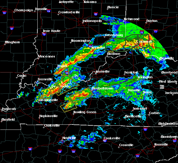 At 103 am cst, a severe thunderstorm was located near hawesville, moving northeast at 45 mph (radar indicated). Hazards include 60 mph wind gusts and quarter size hail. Hail damage to vehicles is expected. expect wind damage to roofs, siding, and trees. locations impacted include, tell city, hardinsburg, hawesville, webster, lewisport, cannelton, irvington, cloverport, leopold and fordsville. A tornado watch remains in effect until 400 am cst for south central indiana, and central kentucky. At 103 am cst, a severe thunderstorm was located near hawesville, moving northeast at 45 mph (radar indicated). Hazards include 60 mph wind gusts and quarter size hail. Hail damage to vehicles is expected. expect wind damage to roofs, siding, and trees. locations impacted include, tell city, hardinsburg, hawesville, webster, lewisport, cannelton, irvington, cloverport, leopold and fordsville. A tornado watch remains in effect until 400 am cst for south central indiana, and central kentucky.
|
| 3/1/2017 12:49 AM CST |
 At 1249 am cst, a severe thunderstorm was located near knottsville, moving northeast at 40 mph (radar indicated). Hazards include 60 mph wind gusts and quarter size hail. Hail damage to vehicles is expected. Expect wind damage to roofs, siding, and trees. At 1249 am cst, a severe thunderstorm was located near knottsville, moving northeast at 40 mph (radar indicated). Hazards include 60 mph wind gusts and quarter size hail. Hail damage to vehicles is expected. Expect wind damage to roofs, siding, and trees.
|
| 2/28/2017 7:13 AM CST |
 The severe thunderstorm warning for southern meade, southeastern hancock, central breckinridge and northeastern ohio counties will expire at 815 am est/715 am cst/, the storm which prompted the warning has weakened below severe limits, and no longer pose an immediate threat to life or property. therefore the warning will be allowed to expire. however small hail is still possible with this thunderstorm. report severe weather to local law enforcement, post your report to the national weather service louisville facebook page, or tweet your report using hashtag l, m, k, spotter. The severe thunderstorm warning for southern meade, southeastern hancock, central breckinridge and northeastern ohio counties will expire at 815 am est/715 am cst/, the storm which prompted the warning has weakened below severe limits, and no longer pose an immediate threat to life or property. therefore the warning will be allowed to expire. however small hail is still possible with this thunderstorm. report severe weather to local law enforcement, post your report to the national weather service louisville facebook page, or tweet your report using hashtag l, m, k, spotter.
|
| 2/28/2017 7:05 AM CST |
 At 804 am est/704 am cst/, a severe thunderstorm was located near hardinsburg, moving east at 50 mph (radar indicated). Hazards include quarter size hail. Damage to vehicles is expected. Locations impacted include, brandenburg, hardinsburg, webster, irvington, cloverport, fordsville, ekron, guston, mcquady and mystic. At 804 am est/704 am cst/, a severe thunderstorm was located near hardinsburg, moving east at 50 mph (radar indicated). Hazards include quarter size hail. Damage to vehicles is expected. Locations impacted include, brandenburg, hardinsburg, webster, irvington, cloverport, fordsville, ekron, guston, mcquady and mystic.
|
| 2/28/2017 6:47 AM CST |
 At 747 am est/647 am cst/, a severe thunderstorm was located 8 miles west of hardinsburg, moving east at 55 mph (radar indicated). Hazards include quarter size hail. damage to vehicles is expected At 747 am est/647 am cst/, a severe thunderstorm was located 8 miles west of hardinsburg, moving east at 55 mph (radar indicated). Hazards include quarter size hail. damage to vehicles is expected
|
| 2/28/2017 5:48 AM CST |
 At 648 am est/548 am cst/, a severe thunderstorm was located near hardinsburg, moving northeast at 55 mph (radar indicated). Hazards include 60 mph wind gusts and quarter size hail. Hail damage to vehicles is expected. expect wind damage to roofs, siding, and trees. Locations impacted include, hardinsburg, irvington, dyer, constantine, garfield, se ree, westview, buras, kirk and bewleyville. At 648 am est/548 am cst/, a severe thunderstorm was located near hardinsburg, moving northeast at 55 mph (radar indicated). Hazards include 60 mph wind gusts and quarter size hail. Hail damage to vehicles is expected. expect wind damage to roofs, siding, and trees. Locations impacted include, hardinsburg, irvington, dyer, constantine, garfield, se ree, westview, buras, kirk and bewleyville.
|
| 2/28/2017 5:37 AM CST |
 At 637 am est/537 am cst/, a severe thunderstorm was located 12 miles southwest of hardinsburg, moving northeast at 55 mph (radar indicated). Hazards include 60 mph wind gusts and quarter size hail. Hail damage to vehicles is expected. Expect wind damage to roofs, siding, and trees. At 637 am est/537 am cst/, a severe thunderstorm was located 12 miles southwest of hardinsburg, moving northeast at 55 mph (radar indicated). Hazards include 60 mph wind gusts and quarter size hail. Hail damage to vehicles is expected. Expect wind damage to roofs, siding, and trees.
|
| 7/8/2016 9:48 AM EDT |
 At 947 am edt/847 am cdt/, severe thunderstorms were located along a line extending from 15 miles east of tell city to 7 miles northeast of hardinsburg, moving east at 40 mph (trained weather spotters). Hazards include 60 mph wind gusts. Expect damage to roofs. siding. And trees. At 947 am edt/847 am cdt/, severe thunderstorms were located along a line extending from 15 miles east of tell city to 7 miles northeast of hardinsburg, moving east at 40 mph (trained weather spotters). Hazards include 60 mph wind gusts. Expect damage to roofs. siding. And trees.
|
| 7/8/2016 8:25 AM CDT |
 At 824 am cdt, a severe thunderstorm was located over hawesville, moving east at 45 mph (radar indicated). Hazards include 70 mph wind gusts. Expect considerable tree damage. Damage is likely to mobile homes, roofs, and outbuildings. At 824 am cdt, a severe thunderstorm was located over hawesville, moving east at 45 mph (radar indicated). Hazards include 70 mph wind gusts. Expect considerable tree damage. Damage is likely to mobile homes, roofs, and outbuildings.
|
| 7/7/2016 4:22 PM EDT |
 At 422 pm edt/322 pm cdt/, severe thunderstorms were located along a line extending from near carefree to 13 miles north of munfordville, moving east at 45 mph (radar indicated). Hazards include 60 mph wind gusts. Expect damage to roofs. siding. and trees. Locations impacted include, elizabethtown, corydon, brandenburg, radcliff, vine grove, irvington, muldraugh, west point, upton and sonora. At 422 pm edt/322 pm cdt/, severe thunderstorms were located along a line extending from near carefree to 13 miles north of munfordville, moving east at 45 mph (radar indicated). Hazards include 60 mph wind gusts. Expect damage to roofs. siding. and trees. Locations impacted include, elizabethtown, corydon, brandenburg, radcliff, vine grove, irvington, muldraugh, west point, upton and sonora.
|
| 7/7/2016 2:58 PM CDT |
 At 357 pm edt/257 pm cdt/, severe thunderstorms were located along a line extending from 10 miles southwest of english to 8 miles northwest of leitchfield, moving east at 45 mph (radar indicated). Hazards include 60 mph wind gusts. Expect damage to roofs. siding. And trees. At 357 pm edt/257 pm cdt/, severe thunderstorms were located along a line extending from 10 miles southwest of english to 8 miles northwest of leitchfield, moving east at 45 mph (radar indicated). Hazards include 60 mph wind gusts. Expect damage to roofs. siding. And trees.
|
| 5/11/2016 8:22 PM EDT |
 The severe thunderstorm warning for southwestern harrison, southeastern perry, meade and central breckinridge counties will expire at 830 pm edt, the storm which prompted the warning has weakened below severe limits, and no longer pose an immediate threat to life or property. therefore the warning will be allowed to expire. however gusty winds near 50 mph are still possible with this thunderstorm. a severe thunderstorm watch remains in effect until 1100 pm edt/1000 pm cdt/ for south central indiana. a severe thunderstorm watch also remains in effect until 100 am edt/midnight cdt/ for central kentucky. The severe thunderstorm warning for southwestern harrison, southeastern perry, meade and central breckinridge counties will expire at 830 pm edt, the storm which prompted the warning has weakened below severe limits, and no longer pose an immediate threat to life or property. therefore the warning will be allowed to expire. however gusty winds near 50 mph are still possible with this thunderstorm. a severe thunderstorm watch remains in effect until 1100 pm edt/1000 pm cdt/ for south central indiana. a severe thunderstorm watch also remains in effect until 100 am edt/midnight cdt/ for central kentucky.
|
| 5/11/2016 8:06 PM EDT |
 At 805 pm edt/705 pm cdt/, a severe thunderstorm was located 12 miles north of hardinsburg, moving southeast at 45 mph (radar indicated). Hazards include 60 mph wind gusts and penny size hail. Expect damage to roofs. siding. And trees. At 805 pm edt/705 pm cdt/, a severe thunderstorm was located 12 miles north of hardinsburg, moving southeast at 45 mph (radar indicated). Hazards include 60 mph wind gusts and penny size hail. Expect damage to roofs. siding. And trees.
|
| 5/10/2016 2:21 PM CDT | Tree limbs dow in breckinridge county KY, 9.7 miles NNW of Irvington, KY |
| 5/7/2016 9:18 PM EDT |
 At 917 pm edt/817 pm cdt/, severe thunderstorms were located along a line extending from 9 miles southwest of salem to 10 miles northeast of hardinsburg, moving east at 60 mph (trained weather spotters. these line of storms has a history of producing wind damage and 60 mph gusts). Hazards include 60 mph wind gusts and quarter size hail. Hail damage to vehicles is expected. Expect wind damage to roofs, siding, and trees. At 917 pm edt/817 pm cdt/, severe thunderstorms were located along a line extending from 9 miles southwest of salem to 10 miles northeast of hardinsburg, moving east at 60 mph (trained weather spotters. these line of storms has a history of producing wind damage and 60 mph gusts). Hazards include 60 mph wind gusts and quarter size hail. Hail damage to vehicles is expected. Expect wind damage to roofs, siding, and trees.
|
| 5/7/2016 8:48 PM EDT |
 At 847 pm edt/747 pm cdt/, severe thunderstorms were located along a line extending from 9 miles north of paoli to 6 miles southwest of english to 9 miles southeast of whitesville, moving east at 40 mph (trained weather spotters. this line of storms has produced wind damage and 60 mph gusts across dubois county indiana). Hazards include 60 mph wind gusts and quarter size hail. Hail damage to vehicles is expected. Expect wind damage to roofs, siding, and trees. At 847 pm edt/747 pm cdt/, severe thunderstorms were located along a line extending from 9 miles north of paoli to 6 miles southwest of english to 9 miles southeast of whitesville, moving east at 40 mph (trained weather spotters. this line of storms has produced wind damage and 60 mph gusts across dubois county indiana). Hazards include 60 mph wind gusts and quarter size hail. Hail damage to vehicles is expected. Expect wind damage to roofs, siding, and trees.
|
| 4/27/2016 8:48 PM EDT |
 At 846 pm edt/746 pm cdt/, a severe thunderstorm was located over brandenburg, moving northeast at 45 mph. at 838 pm edt, power lines were reported down in cloverport (radar indicated. schoettmer). Hazards include 60 mph wind gusts. Expect damage to roofs. siding. and trees. locations impacted include, brandenburg, irvington, lanesville, elizabeth, ekron, new middletown, mauckport, laconia, central and evans landing. A tornado watch remains in effect until midnight edt/1100 pm cdt/ for central kentucky. At 846 pm edt/746 pm cdt/, a severe thunderstorm was located over brandenburg, moving northeast at 45 mph. at 838 pm edt, power lines were reported down in cloverport (radar indicated. schoettmer). Hazards include 60 mph wind gusts. Expect damage to roofs. siding. and trees. locations impacted include, brandenburg, irvington, lanesville, elizabeth, ekron, new middletown, mauckport, laconia, central and evans landing. A tornado watch remains in effect until midnight edt/1100 pm cdt/ for central kentucky.
|
| 4/27/2016 8:25 PM EDT |
 At 824 pm edt/724 pm cdt/, a severe thunderstorm was located near hardinsburg, moving northeast at 40 mph (radar indicated). Hazards include 60 mph wind gusts. Expect damage to roofs. siding. And trees. At 824 pm edt/724 pm cdt/, a severe thunderstorm was located near hardinsburg, moving northeast at 40 mph (radar indicated). Hazards include 60 mph wind gusts. Expect damage to roofs. siding. And trees.
|
| 4/27/2016 7:19 PM CDT |
 At 819 pm edt/719 pm cdt/, a severe thunderstorm was located 8 miles north of hardinsburg, moving northeast at 35 mph (radar indicated). Hazards include 60 mph wind gusts and quarter size hail. Hail damage to vehicles is expected. expect wind damage to roofs, siding, and trees. locations impacted include, tell city, brandenburg, hardinsburg, hawesville, webster, lewisport, cannelton, irvington, cloverport and troy. A tornado watch remains in effect until midnight edt/1100 pm cdt/ for south central indiana, and central kentucky. At 819 pm edt/719 pm cdt/, a severe thunderstorm was located 8 miles north of hardinsburg, moving northeast at 35 mph (radar indicated). Hazards include 60 mph wind gusts and quarter size hail. Hail damage to vehicles is expected. expect wind damage to roofs, siding, and trees. locations impacted include, tell city, brandenburg, hardinsburg, hawesville, webster, lewisport, cannelton, irvington, cloverport and troy. A tornado watch remains in effect until midnight edt/1100 pm cdt/ for south central indiana, and central kentucky.
|
| 4/27/2016 6:52 PM CDT |
 At 751 pm edt/651 pm cdt/, a severe thunderstorm was located 8 miles northeast of whitesville, moving northeast at 35 mph (radar indicated). Hazards include 70 mph wind gusts and quarter size hail. Hail damage to vehicles is expected. expect considerable tree damage. Wind damage is also likely to mobile homes, roofs, and outbuildings. At 751 pm edt/651 pm cdt/, a severe thunderstorm was located 8 miles northeast of whitesville, moving northeast at 35 mph (radar indicated). Hazards include 70 mph wind gusts and quarter size hail. Hail damage to vehicles is expected. expect considerable tree damage. Wind damage is also likely to mobile homes, roofs, and outbuildings.
|
| 4/26/2016 8:05 PM EDT |
 At 804 pm edt/704 pm cdt/, severe thunderstorms were located along a line extending from near english to 8 miles southeast of hawesville, moving east at 40 mph (trained weather spotters). Hazards include 60 mph wind gusts and quarter size hail. Hail damage to vehicles is expected. Expect wind damage to roofs, siding, and trees. At 804 pm edt/704 pm cdt/, severe thunderstorms were located along a line extending from near english to 8 miles southeast of hawesville, moving east at 40 mph (trained weather spotters). Hazards include 60 mph wind gusts and quarter size hail. Hail damage to vehicles is expected. Expect wind damage to roofs, siding, and trees.
|
| 3/31/2016 3:51 PM EDT | At 351 pm edt/251 pm cdt/, a severe thunderstorm was located near brandenburg, moving northeast at 65 mph (radar indicated). Hazards include 70 mph wind gusts. Expect considerable tree damage. damage is likely to mobile homes, roofs, and outbuildings. Locations impacted include, webster, irvington, ekron, hillgrove, clifton mills, payneville, bewleyville, mooleyville, concordia and raymond. |
| 3/31/2016 2:30 PM CDT |
 At 329 pm edt/229 pm cdt/, a severe thunderstorm was located 8 miles southeast of hawesville, moving northeast at 70 mph (radar indicated). Hazards include 70 mph wind gusts. Expect considerable tree damage. damage is likely to mobile homes, roofs, and outbuildings. Locations impacted include, hardinsburg, hawesville, webster, cannelton, irvington, cloverport, ekron, hillgrove, arrington corner and payneville. At 329 pm edt/229 pm cdt/, a severe thunderstorm was located 8 miles southeast of hawesville, moving northeast at 70 mph (radar indicated). Hazards include 70 mph wind gusts. Expect considerable tree damage. damage is likely to mobile homes, roofs, and outbuildings. Locations impacted include, hardinsburg, hawesville, webster, cannelton, irvington, cloverport, ekron, hillgrove, arrington corner and payneville.
|
| 3/31/2016 2:24 PM CDT |
 At 323 pm edt/223 pm cdt/, a severe thunderstorm was located 8 miles east of knottsville, moving northeast at 60 mph (radar indicated). Hazards include 60 mph wind gusts. Expect damage to roofs. siding. And trees. At 323 pm edt/223 pm cdt/, a severe thunderstorm was located 8 miles east of knottsville, moving northeast at 60 mph (radar indicated). Hazards include 60 mph wind gusts. Expect damage to roofs. siding. And trees.
|
| 3/27/2016 9:39 PM EDT |
 The severe thunderstorm warning for harrison, south central floyd, meade and central breckinridge counties will expire at 945 pm edt, the storms which prompted the warning have weakened below severe limits, and no longer pose an immediate threat to life or property. therefore the warning will be allowed to expire. a severe thunderstorm watch remains in effect until 1100 pm edt/1000 pm cdt/ for south central indiana and central kentucky. The severe thunderstorm warning for harrison, south central floyd, meade and central breckinridge counties will expire at 945 pm edt, the storms which prompted the warning have weakened below severe limits, and no longer pose an immediate threat to life or property. therefore the warning will be allowed to expire. a severe thunderstorm watch remains in effect until 1100 pm edt/1000 pm cdt/ for south central indiana and central kentucky.
|
| 3/27/2016 9:12 PM EDT |
 At 912 pm edt/812 pm cdt/, severe thunderstorms were located along a line extending from 6 miles southeast of carefree town to near hardinsburg, moving northeast at 50 mph (radar indicated). Hazards include 60 mph wind gusts and penny size hail. Expect damage to roofs. siding. And trees. At 912 pm edt/812 pm cdt/, severe thunderstorms were located along a line extending from 6 miles southeast of carefree town to near hardinsburg, moving northeast at 50 mph (radar indicated). Hazards include 60 mph wind gusts and penny size hail. Expect damage to roofs. siding. And trees.
|
| 12/23/2015 6:57 PM EST | At 657 pm est /557 pm cst/, a severe thunderstorm was located 10 miles south of brandenburg, moving northeast at 80 mph (radar indicated). Hazards include 60 mph wind gusts. Expect damage to roofs. Siding and trees. |
| 12/23/2015 6:57 PM EST | At 657 pm est /557 pm cst/, a severe thunderstorm was located 10 miles south of brandenburg, moving northeast at 80 mph (radar indicated). Hazards include 60 mph wind gusts. Expect damage to roofs. Siding and trees. |
| 12/23/2015 5:12 PM CST | The severe thunderstorm warning for southern perry, northern breckinridge and hancock counties will expire at 515 pm cst, this warning has been replaced with a new severe thunderstorm warning which is in effect until 545 pm cst. a tornado watch remains in effect until 800 pm cst for south central indiana and central kentucky. |
| 12/23/2015 5:12 PM CST | The severe thunderstorm warning for southern perry, northern breckinridge and hancock counties will expire at 515 pm cst, this warning has been replaced with a new severe thunderstorm warning which is in effect until 545 pm cst. a tornado watch remains in effect until 800 pm cst for south central indiana and central kentucky. |
| 12/23/2015 5:02 PM CST | At 502 pm cst, a severe thunderstorm was located near hawesville, moving northeast at 60 mph (radar indicated). Hazards include 60 mph wind gusts and quarter size hail. Hail damage to vehicles is expected. expect wind damage to roofs, siding and trees. locations impacted include, tell city, hardinsburg, hawesville, webster, lewisport, cannelton, irvington, cloverport, troy, arrington corner, lilly dale, dodd, pellville, gatchel, union star, gerald, hardingrove, fenn haven, adair and sample. A tornado watch remains in effect until 800 pm cst for south central indiana and central kentucky. |
| 12/23/2015 5:02 PM CST | At 502 pm cst, a severe thunderstorm was located near hawesville, moving northeast at 60 mph (radar indicated). Hazards include 60 mph wind gusts and quarter size hail. Hail damage to vehicles is expected. expect wind damage to roofs, siding and trees. locations impacted include, tell city, hardinsburg, hawesville, webster, lewisport, cannelton, irvington, cloverport, troy, arrington corner, lilly dale, dodd, pellville, gatchel, union star, gerald, hardingrove, fenn haven, adair and sample. A tornado watch remains in effect until 800 pm cst for south central indiana and central kentucky. |
| 12/23/2015 4:50 PM CST | At 450 pm cst, a severe thunderstorm was located over knottsville, moving northeast at 70 mph (radar indicated). Hazards include 60 mph wind gusts and quarter size hail. Hail damage to vehicles is expected. Expect wind damage to roofs, siding and trees. |
| 12/23/2015 4:50 PM CST | At 450 pm cst, a severe thunderstorm was located over knottsville, moving northeast at 70 mph (radar indicated). Hazards include 60 mph wind gusts and quarter size hail. Hail damage to vehicles is expected. Expect wind damage to roofs, siding and trees. |
| 7/20/2015 10:52 PM EDT |
 At 1049 pm edt, a severe thunderstorm was located 6 miles west of brandenburg, and moving northeast at 30 mph (radar indicated). Hazards include 60 mph wind gusts. Expect damage to roofs. siding and trees. Locations impacted include, brandenburg, ekron, garrett, lodale, buck grove, battletown, cedar flat and brandenburg station. At 1049 pm edt, a severe thunderstorm was located 6 miles west of brandenburg, and moving northeast at 30 mph (radar indicated). Hazards include 60 mph wind gusts. Expect damage to roofs. siding and trees. Locations impacted include, brandenburg, ekron, garrett, lodale, buck grove, battletown, cedar flat and brandenburg station.
|
| 7/20/2015 10:32 PM EDT |
 At 931 pm cdt, a severe thunderstorm was located 7 miles northeast of hardinsburg, and moving northeast at 30 mph (radar indicated). Hazards include 60 mph wind gusts. Expect damage to roofs. Siding and trees. At 931 pm cdt, a severe thunderstorm was located 7 miles northeast of hardinsburg, and moving northeast at 30 mph (radar indicated). Hazards include 60 mph wind gusts. Expect damage to roofs. Siding and trees.
|
| 7/10/2015 9:11 AM CDT |
 At 1010 am edt/910 am cdt/, severe thunderstorms were located along a line extending from 7 miles west of brandenburg to 10 miles east of hardinsburg to 11 miles northwest of leitchfield, and moving east at 55 mph (radar indicated). Hazards include 60 mph wind gusts. Expect damage to roofs. siding and trees. Locations impacted include, brandenburg, haysville, guston, corners, titus, new amsterdam, custer, fairfield, mauckport, centerview, valley city, high plains, hudson, ekron, hillgrove, constantine, glidas, maples corner, dyer and brandenburg station. At 1010 am edt/910 am cdt/, severe thunderstorms were located along a line extending from 7 miles west of brandenburg to 10 miles east of hardinsburg to 11 miles northwest of leitchfield, and moving east at 55 mph (radar indicated). Hazards include 60 mph wind gusts. Expect damage to roofs. siding and trees. Locations impacted include, brandenburg, haysville, guston, corners, titus, new amsterdam, custer, fairfield, mauckport, centerview, valley city, high plains, hudson, ekron, hillgrove, constantine, glidas, maples corner, dyer and brandenburg station.
|
| 7/10/2015 9:00 AM CDT |
 At 857 am cdt, severe thunderstorms were located along a line extending from 14 miles north of hardinsburg to hardinsburg to 16 miles southwest of hardinsburg, and moving east at 55 mph (radar indicated). Hazards include 60 mph wind gusts. Expect damage to roofs. Siding and trees. At 857 am cdt, severe thunderstorms were located along a line extending from 14 miles north of hardinsburg to hardinsburg to 16 miles southwest of hardinsburg, and moving east at 55 mph (radar indicated). Hazards include 60 mph wind gusts. Expect damage to roofs. Siding and trees.
|
| 7/8/2015 6:28 PM EDT |
 At 526 pm cdt, a severe thunderstorm was located 12 miles northeast of hardinsburg, and moving east at 30 mph (radar indicated). Hazards include 60 mph wind gusts and penny size hail. Expect damage to roofs. Siding and trees. At 526 pm cdt, a severe thunderstorm was located 12 miles northeast of hardinsburg, and moving east at 30 mph (radar indicated). Hazards include 60 mph wind gusts and penny size hail. Expect damage to roofs. Siding and trees.
|
| 6/26/2015 4:31 PM EDT | At 328 pm cdt, a severe thunderstorm was located 6 miles north of hardinsburg, and moving northeast at 40 mph (radar indicated). Hazards include 60 mph wind gusts. Expect damage to roofs. Siding and trees. |
| 6/26/2015 4:31 PM EDT | At 328 pm cdt, a severe thunderstorm was located 6 miles north of hardinsburg, and moving northeast at 40 mph (radar indicated). Hazards include 60 mph wind gusts. Expect damage to roofs. Siding and trees. |
| 6/25/2015 8:50 PM CDT |
 The severe thunderstorm warning for northern breckinridge county will expire at 955 pm edt/855 pm cdt/, the storm which prompted the warning has weakened below severe limits, and no longer poses an immediate threat to life or property. however, 40 mph winds and heavy rain are still possible with this thunderstorm. The severe thunderstorm warning for northern breckinridge county will expire at 955 pm edt/855 pm cdt/, the storm which prompted the warning has weakened below severe limits, and no longer poses an immediate threat to life or property. however, 40 mph winds and heavy rain are still possible with this thunderstorm.
|
| 6/25/2015 8:36 PM CDT |
 At 835 pm cdt, a severe thunderstorm was located near hardinsburg, and moving east at 20 mph (radar indicated). Hazards include 60 mph wind gusts and quarter size hail. Hail damage to vehicles is expected. expect wind damage to roofs, siding and trees. Locations impacted include, mystic, garfield, clifton mills, lodiburg, hensley, raymond, webster, basin spring, irvington, bewleyville and rosetta. At 835 pm cdt, a severe thunderstorm was located near hardinsburg, and moving east at 20 mph (radar indicated). Hazards include 60 mph wind gusts and quarter size hail. Hail damage to vehicles is expected. expect wind damage to roofs, siding and trees. Locations impacted include, mystic, garfield, clifton mills, lodiburg, hensley, raymond, webster, basin spring, irvington, bewleyville and rosetta.
|
| 6/25/2015 8:26 PM CDT |
 At 824 pm cdt, a severe thunderstorm was located near hardinsburg, and moving east at 20 mph (radar indicated). Hazards include 60 mph wind gusts and quarter size hail. Hail damage to vehicles is expected. Expect wind damage to roofs, siding and trees. At 824 pm cdt, a severe thunderstorm was located near hardinsburg, and moving east at 20 mph (radar indicated). Hazards include 60 mph wind gusts and quarter size hail. Hail damage to vehicles is expected. Expect wind damage to roofs, siding and trees.
|
| 4/25/2015 6:05 PM CDT | At 604 pm cdt, a severe thunderstorm was located near hardinsburg, and moving east at 30 mph (radar indicated). Hazards include 60 mph wind gusts and quarter size hail. Hail damage to vehicles is expected. expect wind damage to roofs, siding and trees. locations impacted include, mystic, harned, lodiburg, clifton mills, raymond, garfield, hensley, webster, woodrow, basin spring, graysville, irvington, rosetta, bewleyville, corners, high plains, big spring and high plains corner. 1. 00in. |
| 4/25/2015 5:44 PM CDT | At 541 pm cdt, a severe thunderstorm was located 8 miles southeast of hawesville, and moving east at 30 mph (radar indicated). Hazards include 60 mph wind gusts and quarter size hail. Hail damage to vehicles is expected. Expect wind damage to roofs, siding and trees. |
| 4/2/2015 2:09 PM CDT | The national weather service in louisville has issued a * severe thunderstorm warning for. northern breckinridge county in north central kentucky. southeastern hancock county in northwest kentucky. until 240 pm cdt * at 208 pm cdt. A severe thunderstorm was located 10 miles. |
| 7/26/2014 9:10 PM CDT | Trees downed on car in breckinridge county KY, 0.4 miles WSW of Irvington, KY |
| 7/26/2014 8:47 PM CDT | Trees and power lines down multiple locations in breckinridge county KY, 0.4 miles WSW of Irvington, KY |
| 4/17/2013 4:15 PM CDT | Ping Pong Ball sized hail reported 0.4 miles WSW of Irvington, KY, relayed report...time estimated based on radar. |
| 4/17/2013 4:02 PM CDT | Quarter sized hail reported 3.5 miles NNE of Irvington, KY |
| 4/17/2013 3:55 PM CDT | Golf Ball sized hail reported 6.7 miles NNE of Irvington, KY, another relayed report. ping pong to golfball size hail in hensley...time estimated based on radar. |
| 7/18/2012 5:07 PM CDT | Widespread trees down in custer in breckinridge county KY, 10.4 miles N of Irvington, KY |
| 7/18/2012 4:54 PM CDT | Trees down on high plains road in breckinridge county KY, 8.3 miles NW of Irvington, KY |
| 5/31/2012 5:18 PM CDT | Quarter sized hail reported 0.4 miles WSW of Irvington, KY |
| 5/1/2012 2:36 PM CDT | Quarter sized hail reported 10.4 miles N of Irvington, KY |
Hail Maps for Irvington, KY
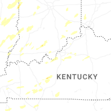


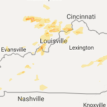


Connect with Interactive Hail Maps