

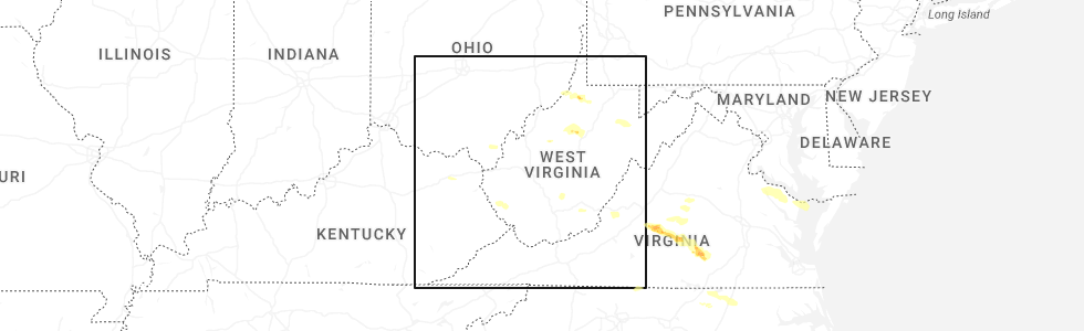
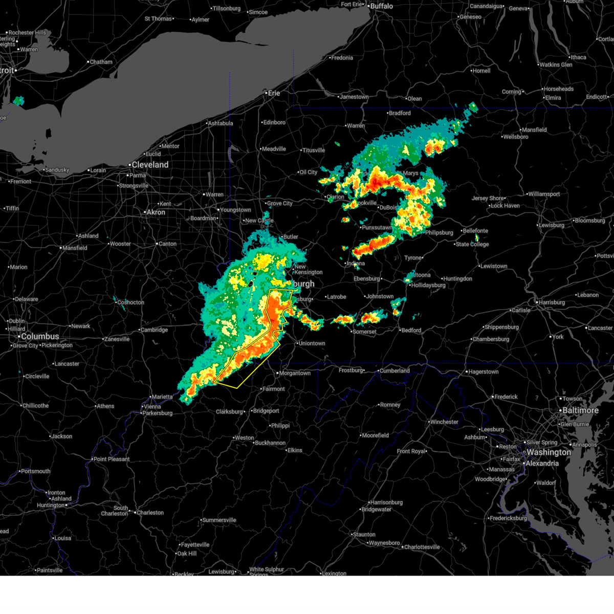
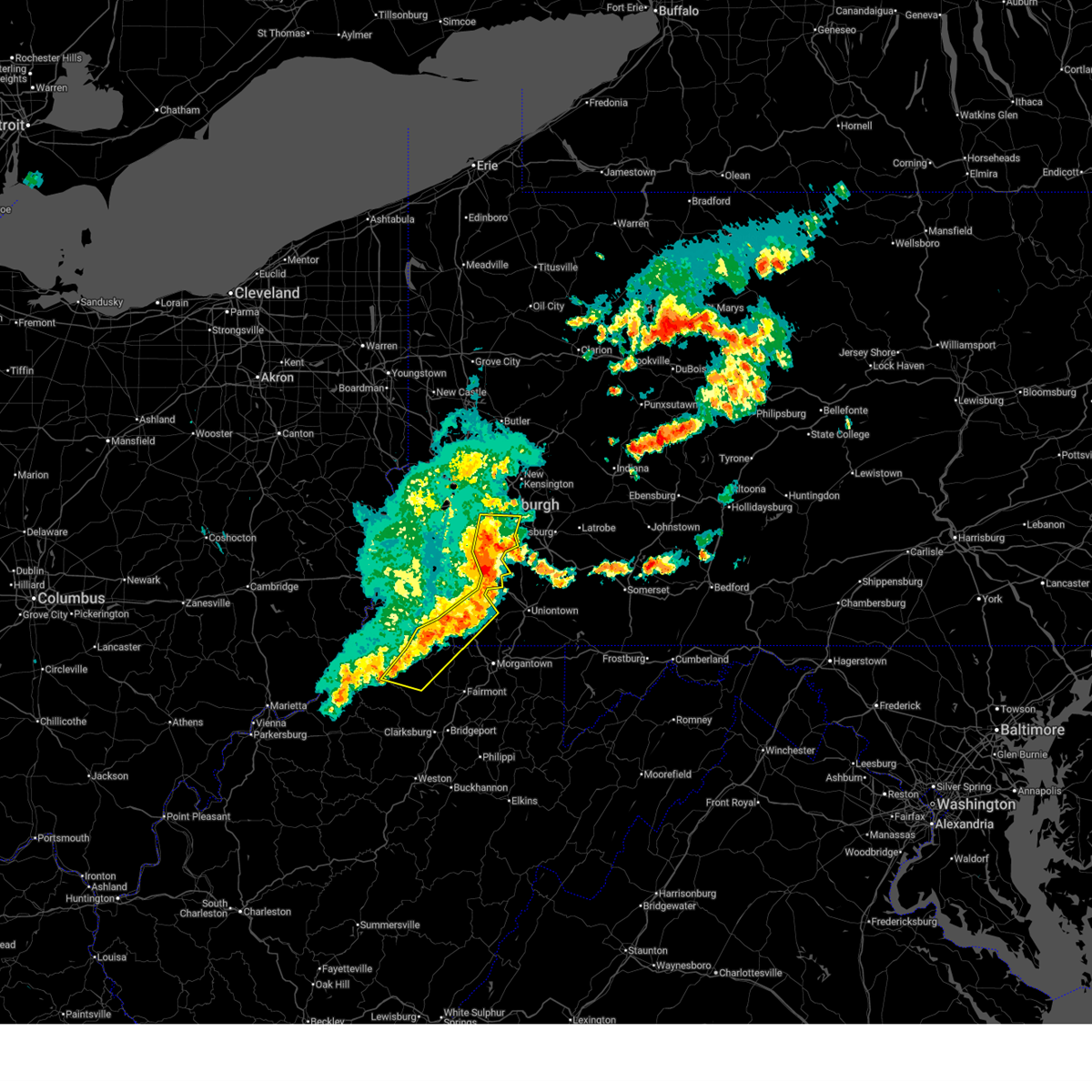
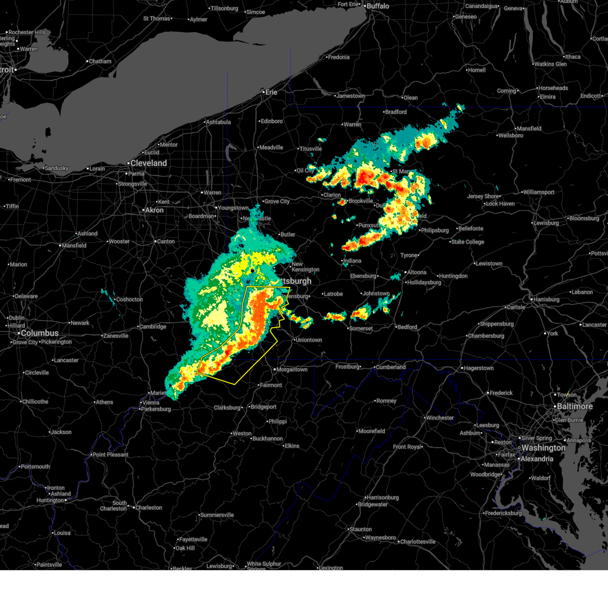
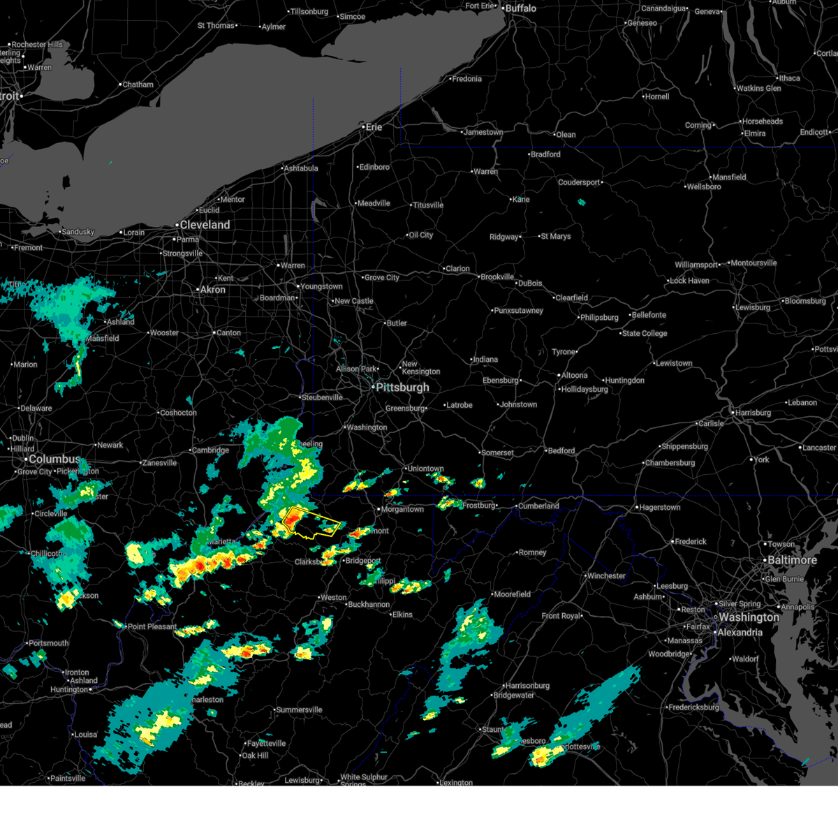
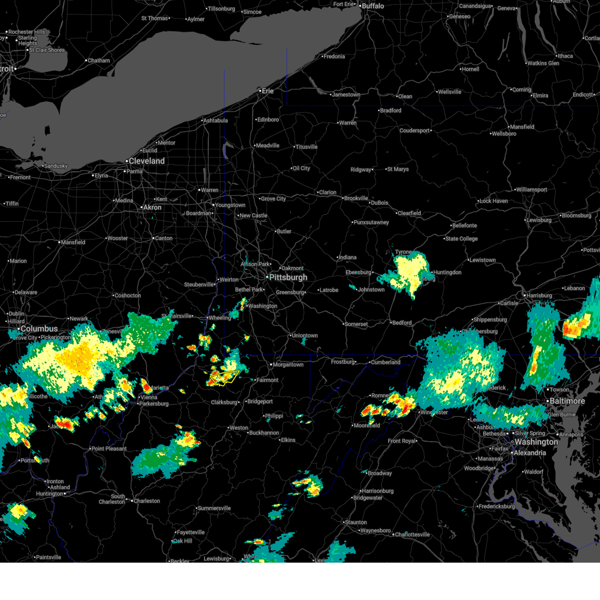
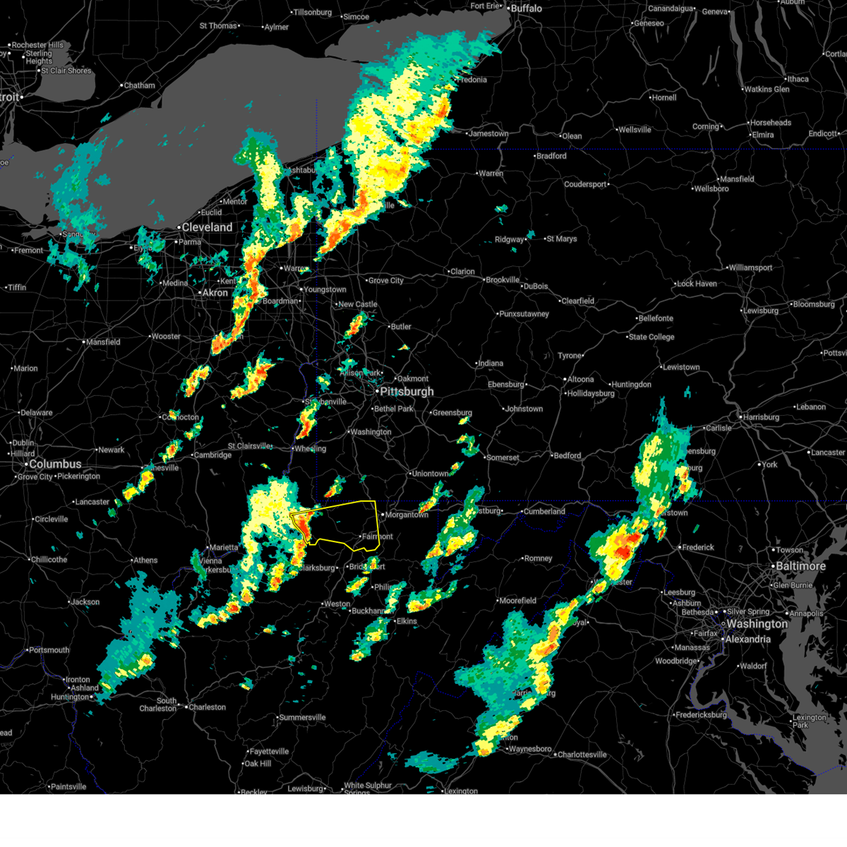
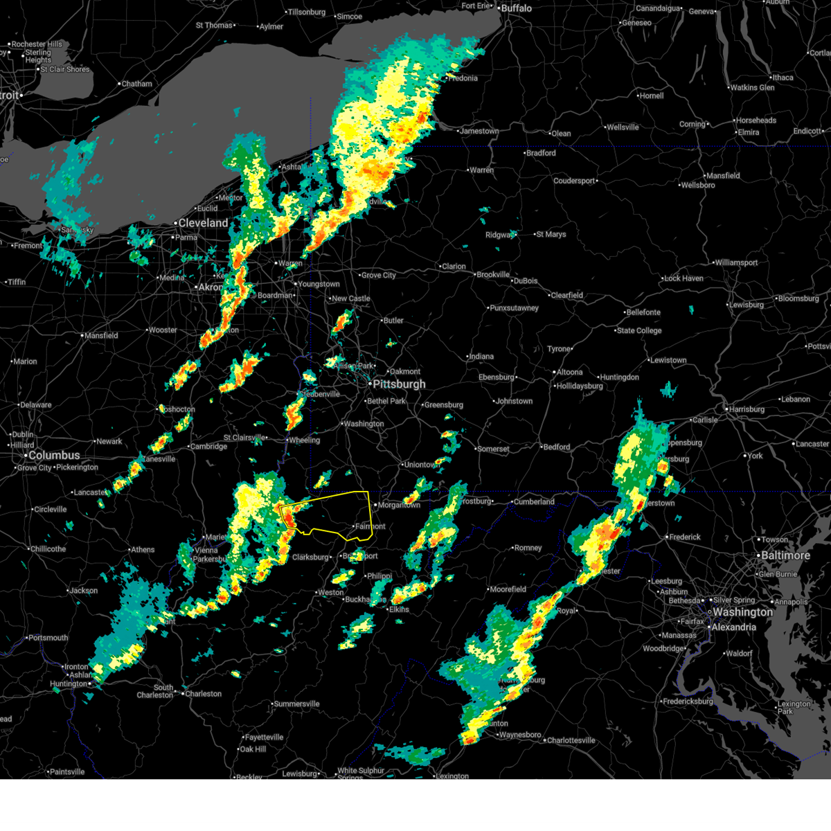
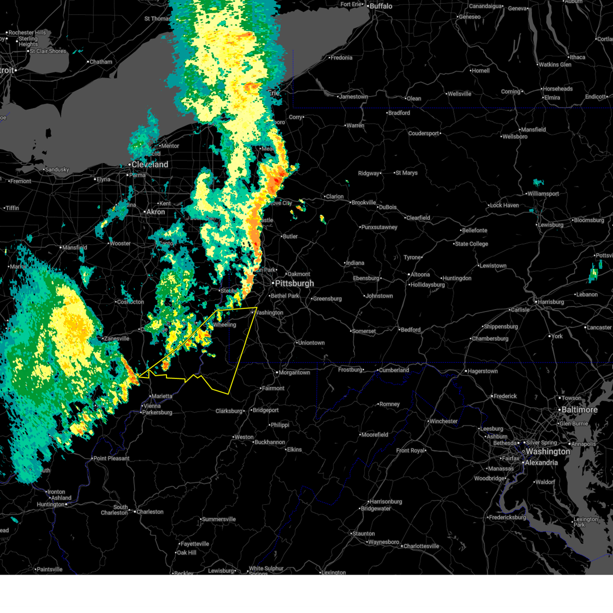
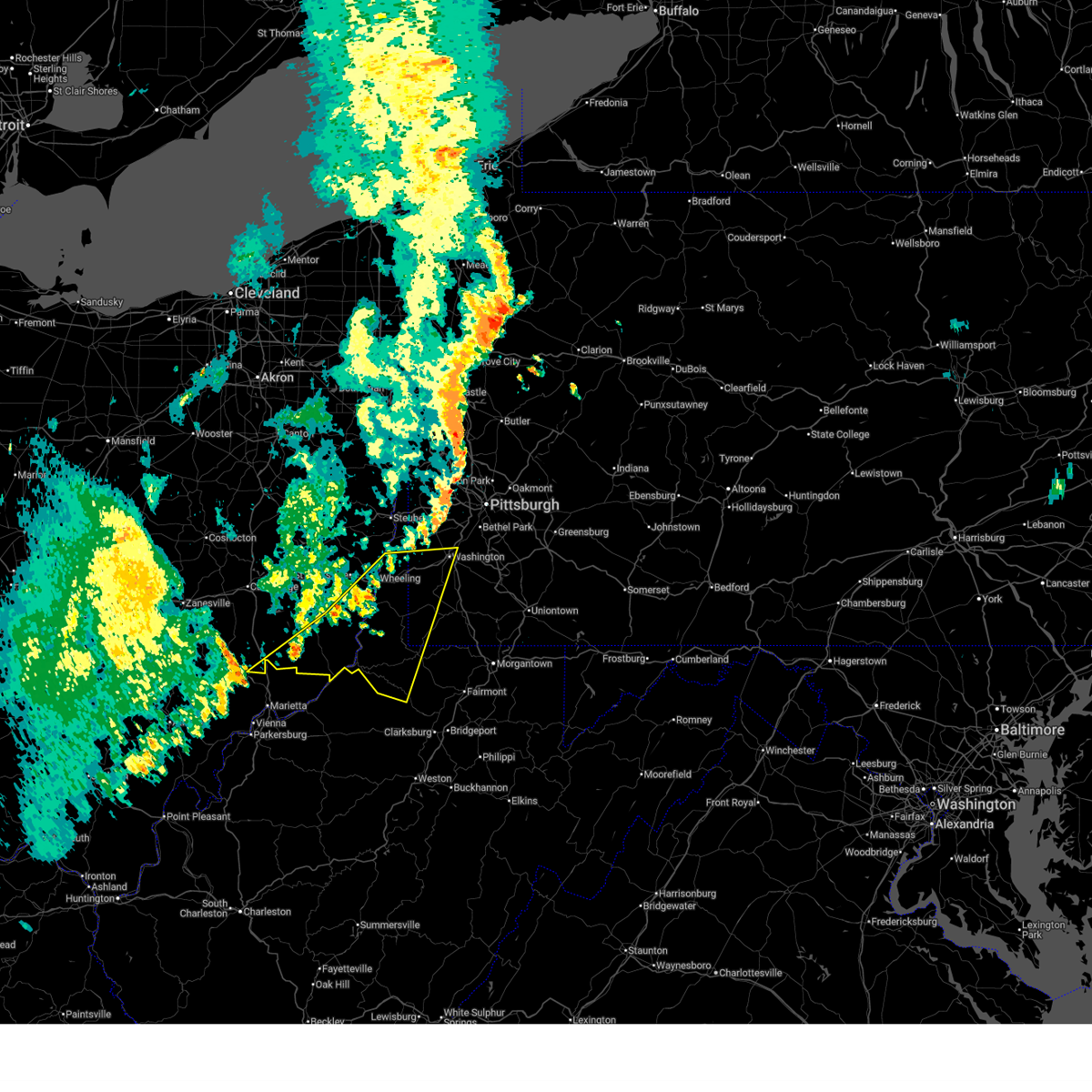
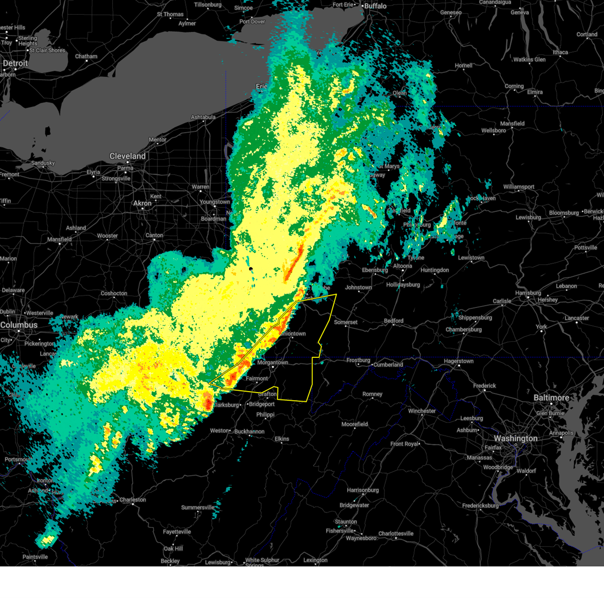
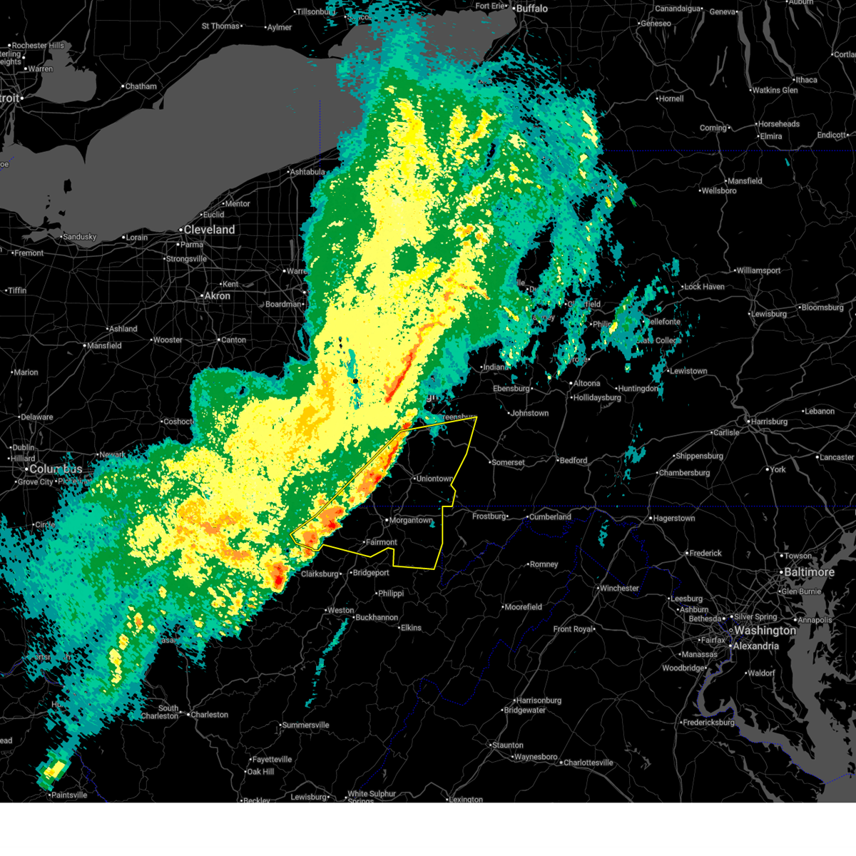
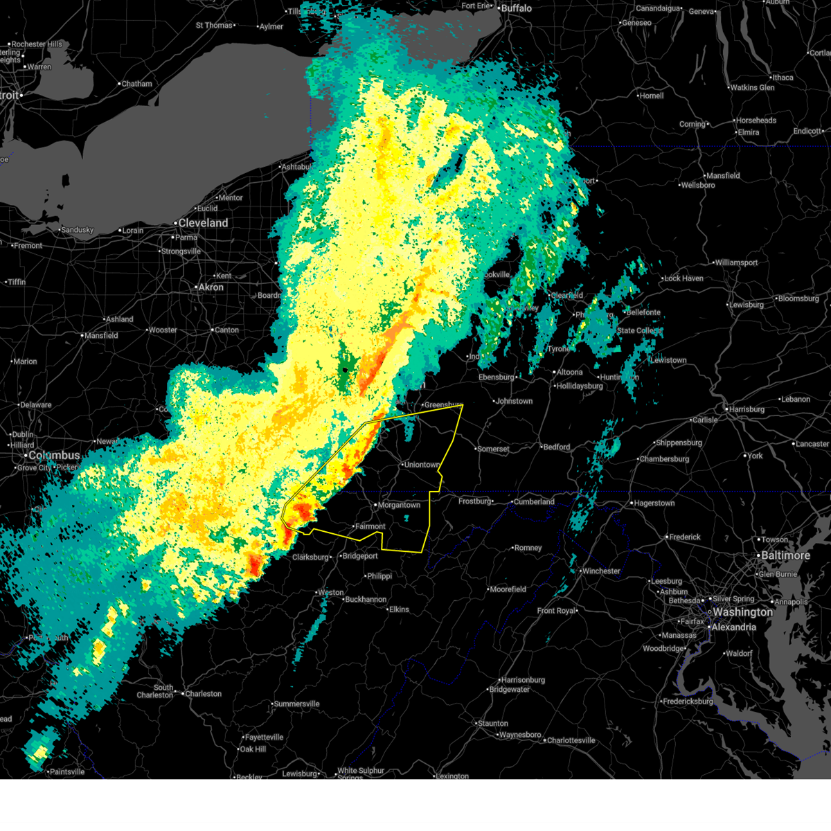
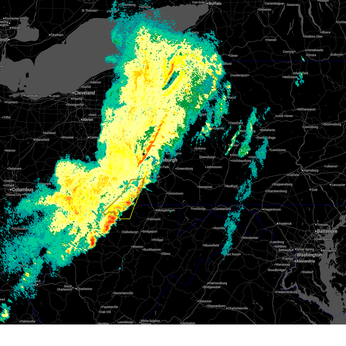
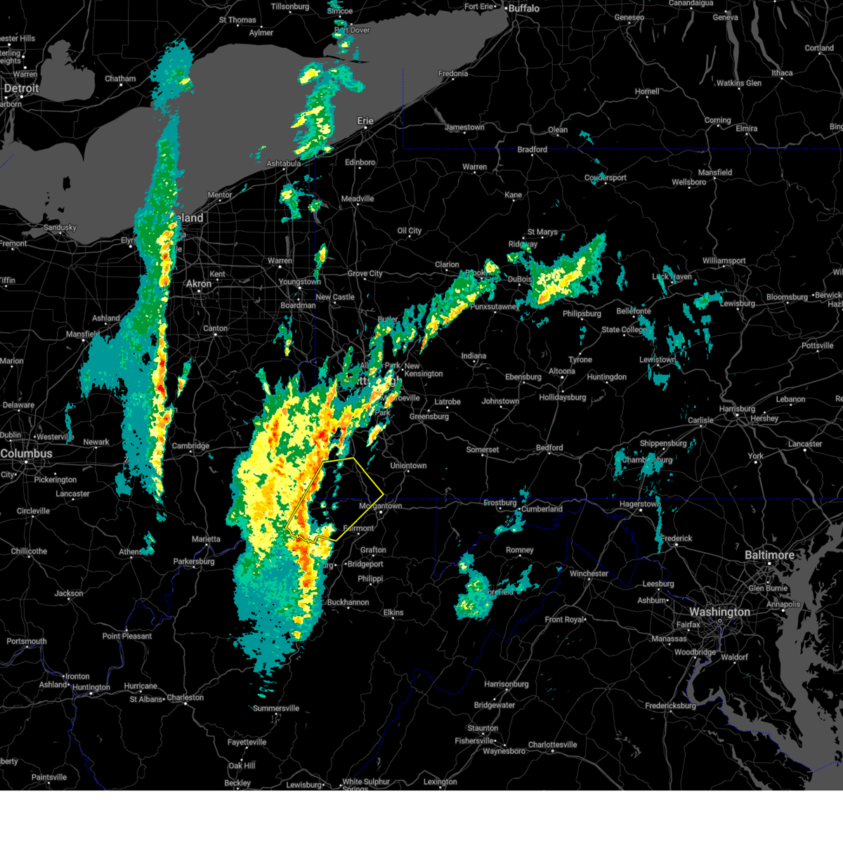
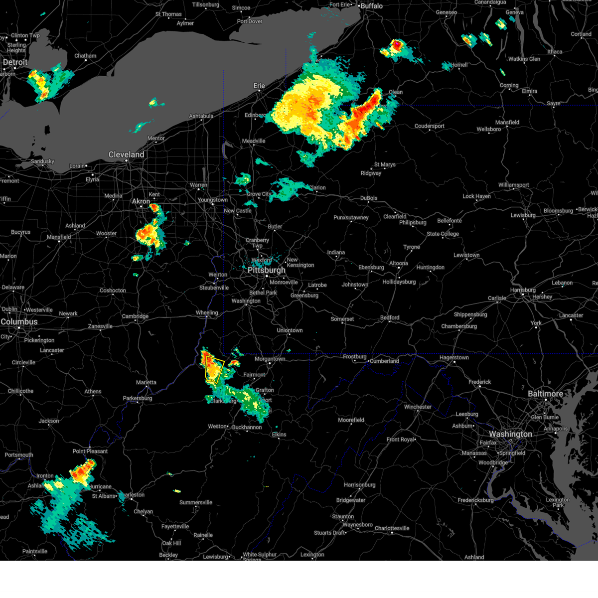
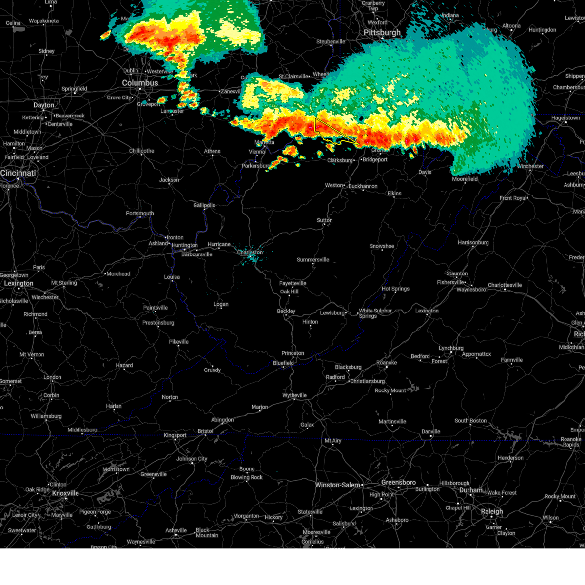
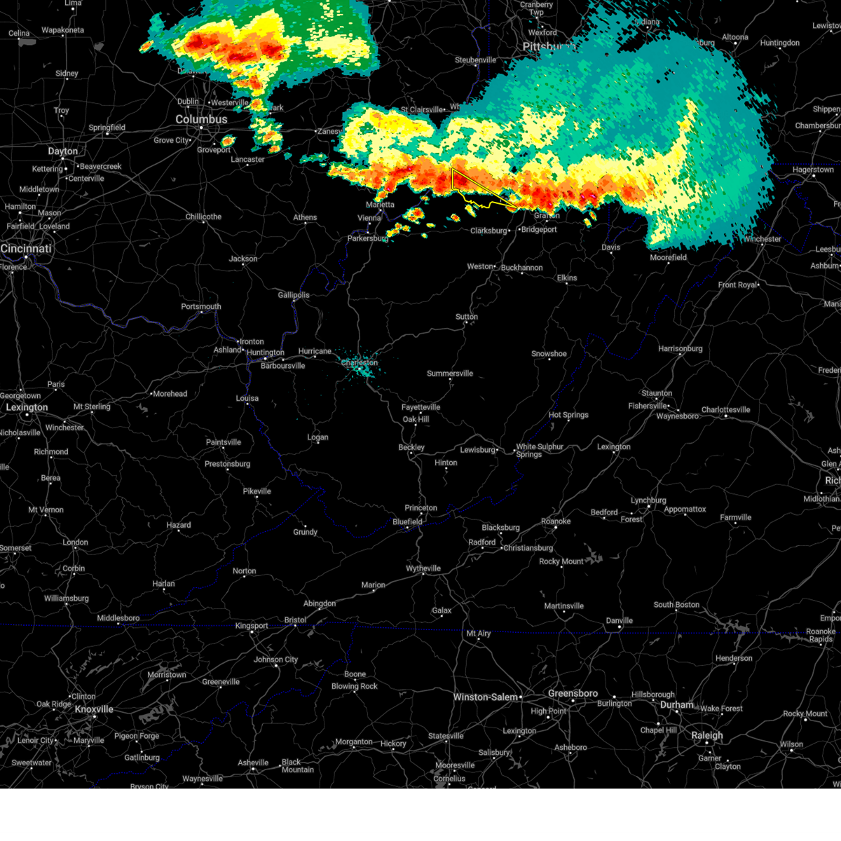
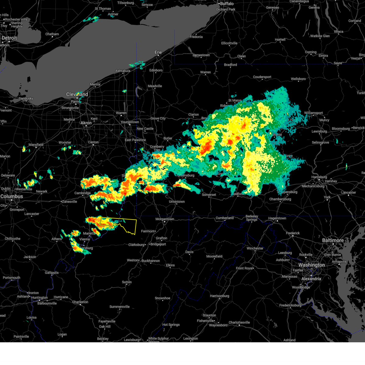
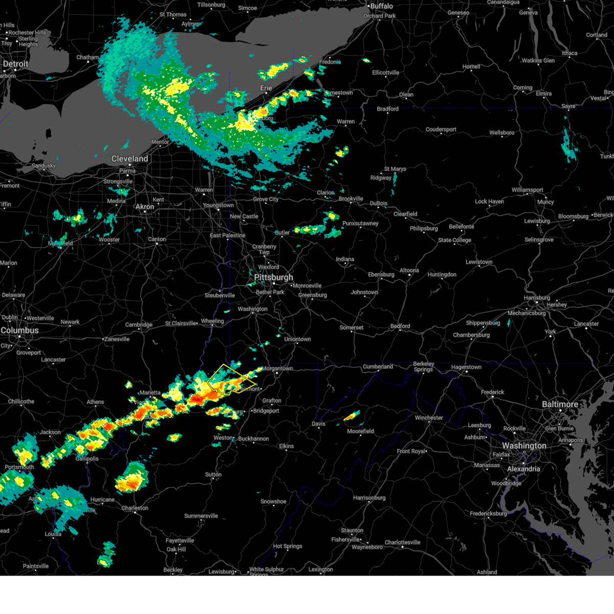
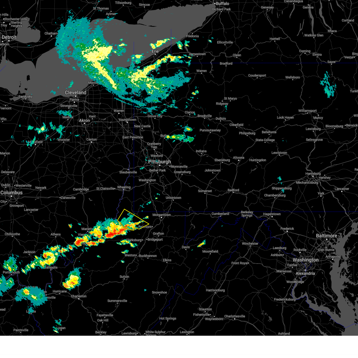
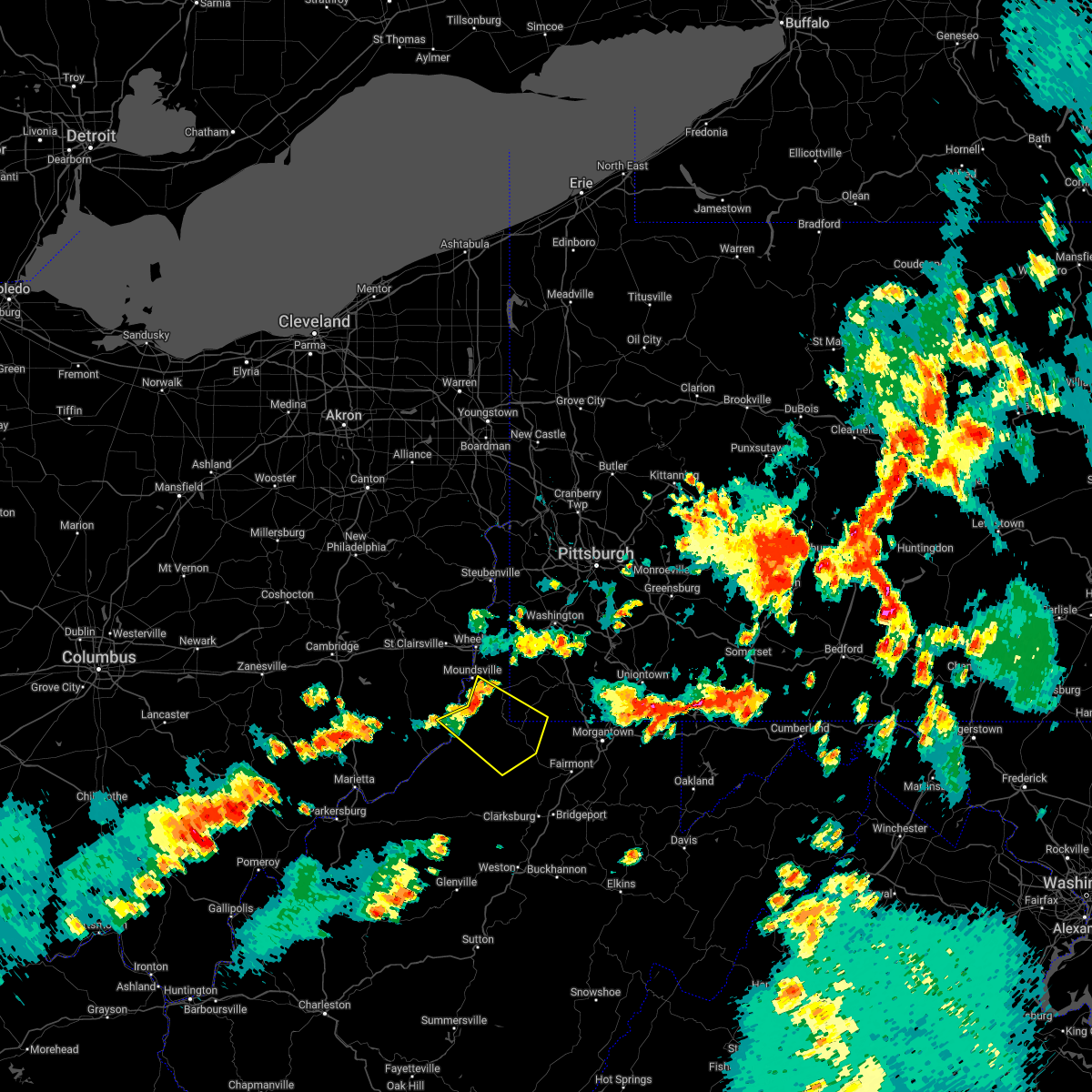
Hail Map for Jacksonburg, WV
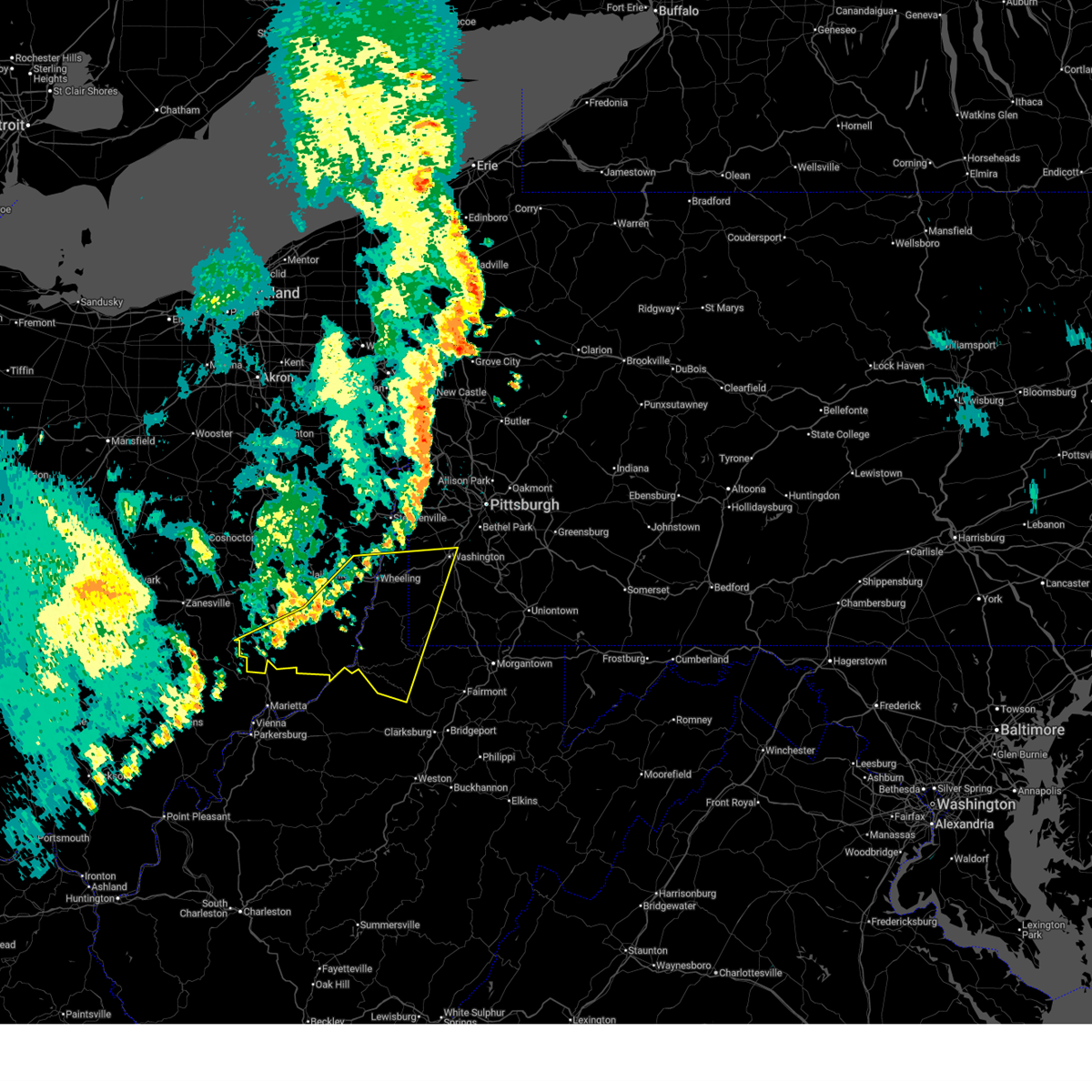
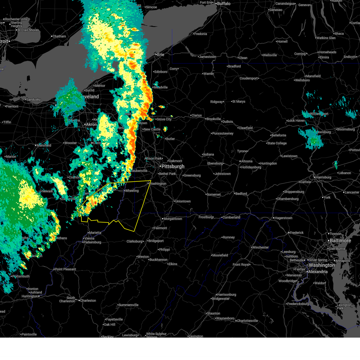
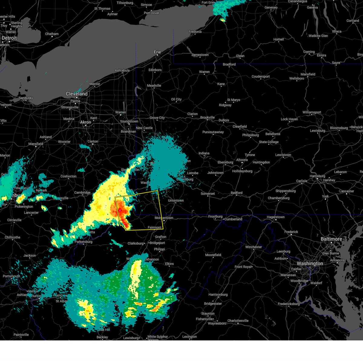
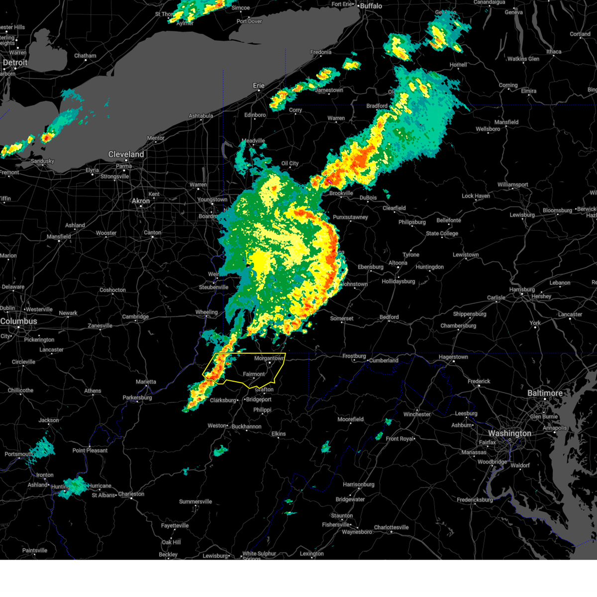
The Jacksonburg, WV area has had 0 reports of on-the-ground hail by trained spotters, and has been under severe weather warnings 12 times during the past 12 months. Doppler radar has detected hail at or near Jacksonburg, WV on 34 occasions, including 2 occasions during the past year.
| Name: | Jacksonburg, WV |
| Where Located: | 59.6 miles NW of Elkins, WV |
| Map: | Google Map for Jacksonburg, WV |
| Population: | 182 |
| Housing Units: | 83 |
| More Info: | Search Google for Jacksonburg, WV |
3
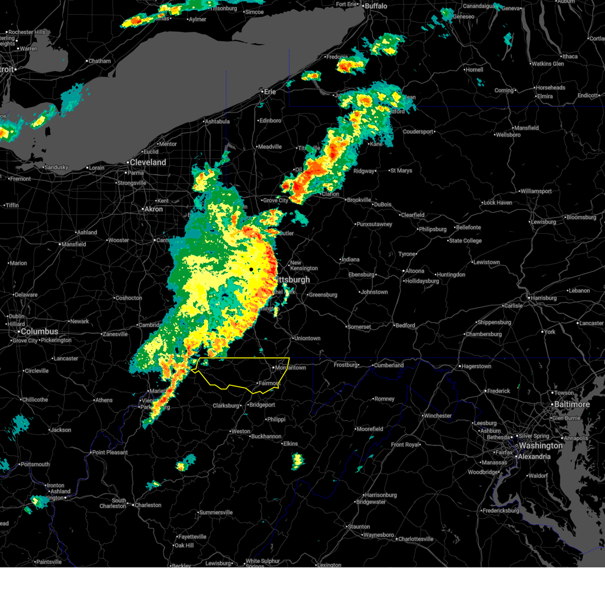
The Top Recent Hail Date for Jacksonburg, WV is Wednesday, May 27, 2026 (3rd out of 34)
Hail and Wind Damage Spotted near Jacksonburg, WV
| Date / Time | Report Details |
|---|---|
| 6/14/2026 7:07 PM EDT |
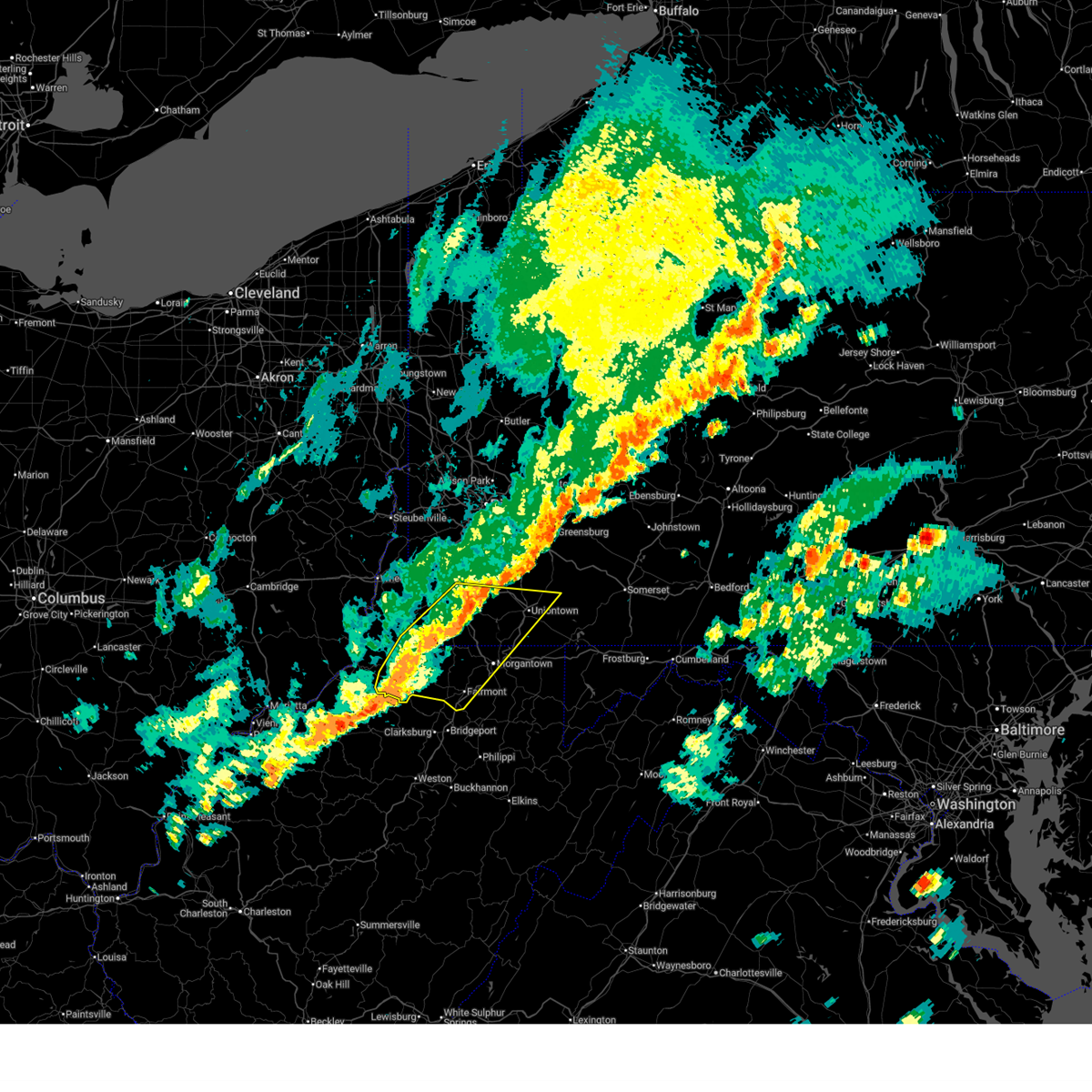 At 707 pm edt, severe thunderstorms were located along a line from over fredericktown-millsboro to near jacksonburg, or along a line from 12 miles northeast of waynesburg to 13 miles west of mannington, moving east at 25 mph (radar indicated). Hazards include 60 mph wind gusts and small hail. Expect damage to roofs, siding, and trees. Locations impacted include, morgantown, fairmont, uniontown, waynesburg, westover, mannington, star city, masontown, pleasant valley, brownsville, winfield, fredericktown-millsboro, south connellsville, jefferson boro, fairdale, barrackville, point marion, monongah, granville and pine grove. At 707 pm edt, severe thunderstorms were located along a line from over fredericktown-millsboro to near jacksonburg, or along a line from 12 miles northeast of waynesburg to 13 miles west of mannington, moving east at 25 mph (radar indicated). Hazards include 60 mph wind gusts and small hail. Expect damage to roofs, siding, and trees. Locations impacted include, morgantown, fairmont, uniontown, waynesburg, westover, mannington, star city, masontown, pleasant valley, brownsville, winfield, fredericktown-millsboro, south connellsville, jefferson boro, fairdale, barrackville, point marion, monongah, granville and pine grove.
|
| 6/14/2026 6:54 PM EDT |
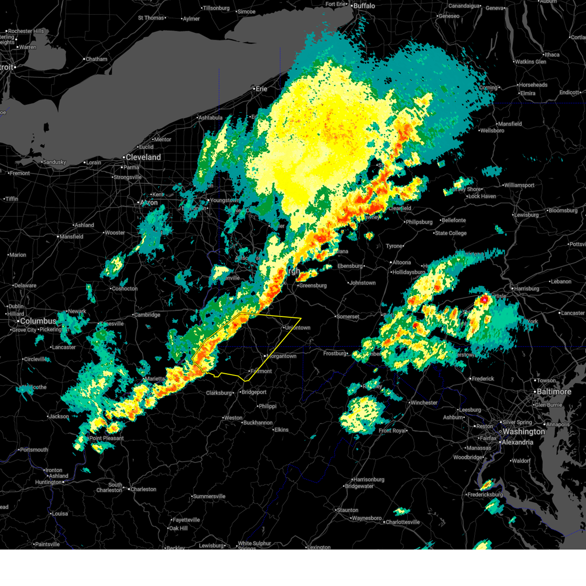 Svrpbz the national weather service in pittsburgh has issued a * severe thunderstorm warning for, southwestern fayette county in southwestern pennsylvania, greene county in southwestern pennsylvania, southeastern washington county in southwestern pennsylvania, marion county in northern west virginia, marshall county in northern west virginia, monongalia county in northern west virginia, wetzel county in northern west virginia, * until 745 pm edt. * at 654 pm edt, severe thunderstorms were located along a line from near waynesburg to 7 miles southwest of pine grove, or along a line from near waynesburg to 10 miles south of new martinsville, moving southeast at 30 mph (radar indicated). Hazards include 60 mph wind gusts and small hail. expect damage to roofs, siding, and trees Svrpbz the national weather service in pittsburgh has issued a * severe thunderstorm warning for, southwestern fayette county in southwestern pennsylvania, greene county in southwestern pennsylvania, southeastern washington county in southwestern pennsylvania, marion county in northern west virginia, marshall county in northern west virginia, monongalia county in northern west virginia, wetzel county in northern west virginia, * until 745 pm edt. * at 654 pm edt, severe thunderstorms were located along a line from near waynesburg to 7 miles southwest of pine grove, or along a line from near waynesburg to 10 miles south of new martinsville, moving southeast at 30 mph (radar indicated). Hazards include 60 mph wind gusts and small hail. expect damage to roofs, siding, and trees
|
| 6/6/2026 3:04 PM EDT |
 At 304 pm edt, severe thunderstorms were located along a line from over new stanton to 8 miles southeast of jacksonburg, or along a line from 6 miles southwest of greensburg to 9 miles west of mannington, moving southeast at 45 mph (radar indicated). Hazards include 70 mph wind gusts. Expect considerable tree damage. damage is likely to mobile homes, roofs, and outbuildings. Locations impacted include, morgantown, monroeville, greensburg, fairmont, uniontown, jeannette, latrobe, connellsville, westover, kingwood, mannington, star city, terra alta, north versailles, white oak, monessen and california. At 304 pm edt, severe thunderstorms were located along a line from over new stanton to 8 miles southeast of jacksonburg, or along a line from 6 miles southwest of greensburg to 9 miles west of mannington, moving southeast at 45 mph (radar indicated). Hazards include 70 mph wind gusts. Expect considerable tree damage. damage is likely to mobile homes, roofs, and outbuildings. Locations impacted include, morgantown, monroeville, greensburg, fairmont, uniontown, jeannette, latrobe, connellsville, westover, kingwood, mannington, star city, terra alta, north versailles, white oak, monessen and california.
|
| 6/6/2026 2:55 PM EDT |
 The severe thunderstorm warning that was previously in effect has been reissued for marion, monongalia, greene, wetzel, allegheny, and washington counties and is in effect until 345 pm edt. please refer to that bulletin for the latest severe weather information. to report severe weather, contact your nearest law enforcement agency. they will send your report to the national weather service office. a severe thunderstorm watch remains in effect until 600 pm edt for portions of southwest pennsylvania and northern west virginia. The severe thunderstorm warning that was previously in effect has been reissued for marion, monongalia, greene, wetzel, allegheny, and washington counties and is in effect until 345 pm edt. please refer to that bulletin for the latest severe weather information. to report severe weather, contact your nearest law enforcement agency. they will send your report to the national weather service office. a severe thunderstorm watch remains in effect until 600 pm edt for portions of southwest pennsylvania and northern west virginia.
|
| 6/6/2026 2:51 PM EDT |
 At 251 pm edt, severe thunderstorms were located along a line from over west newton to 8 miles southeast of jacksonburg, or along a line from 8 miles south of mckeesport to 12 miles southwest of mannington, moving east at 55 mph (law enforcement reported tree and power pole damage across belmont county and washington county). Hazards include 70 mph wind gusts and small hail. Expect considerable tree damage. damage is likely to mobile homes, roofs, and outbuildings. Locations impacted include, mount lebanon, bethel park, mckeesport, waynesburg, gastonville, west mifflin, baldwin, whitehall, south park township, munhall, jefferson hills, north versailles, brentwood, dormont, castle shannon, pleasant hills, white oak and monessen. At 251 pm edt, severe thunderstorms were located along a line from over west newton to 8 miles southeast of jacksonburg, or along a line from 8 miles south of mckeesport to 12 miles southwest of mannington, moving east at 55 mph (law enforcement reported tree and power pole damage across belmont county and washington county). Hazards include 70 mph wind gusts and small hail. Expect considerable tree damage. damage is likely to mobile homes, roofs, and outbuildings. Locations impacted include, mount lebanon, bethel park, mckeesport, waynesburg, gastonville, west mifflin, baldwin, whitehall, south park township, munhall, jefferson hills, north versailles, brentwood, dormont, castle shannon, pleasant hills, white oak and monessen.
|
| 6/6/2026 2:47 PM EDT |
 Svrpbz the national weather service in pittsburgh has issued a * severe thunderstorm warning for, southeastern allegheny county in southwestern pennsylvania, fayette county in southwestern pennsylvania, greene county in southwestern pennsylvania, southeastern washington county in southwestern pennsylvania, southern westmoreland county in southwestern pennsylvania, preston county in northeastern west virginia, marion county in northern west virginia, monongalia county in northern west virginia, eastern wetzel county in northern west virginia, * until 345 pm edt. * at 247 pm edt, severe thunderstorms were located along a line from near white oak to near jacksonburg, or along a line from 5 miles southeast of mckeesport to 13 miles west of mannington, moving southeast at 35 mph (radar indicated). Hazards include 70 mph wind gusts. Expect considerable tree damage. Damage is likely to mobile homes, roofs, and outbuildings. Svrpbz the national weather service in pittsburgh has issued a * severe thunderstorm warning for, southeastern allegheny county in southwestern pennsylvania, fayette county in southwestern pennsylvania, greene county in southwestern pennsylvania, southeastern washington county in southwestern pennsylvania, southern westmoreland county in southwestern pennsylvania, preston county in northeastern west virginia, marion county in northern west virginia, monongalia county in northern west virginia, eastern wetzel county in northern west virginia, * until 345 pm edt. * at 247 pm edt, severe thunderstorms were located along a line from near white oak to near jacksonburg, or along a line from 5 miles southeast of mckeesport to 13 miles west of mannington, moving southeast at 35 mph (radar indicated). Hazards include 70 mph wind gusts. Expect considerable tree damage. Damage is likely to mobile homes, roofs, and outbuildings.
|
| 6/6/2026 2:38 PM EDT |
 At 238 pm edt, severe thunderstorms were located along a line from over gastonville to 7 miles southwest of pine grove, or along a line from over gastonville to 15 miles southeast of new martinsville, moving east at 55 mph (law enforcement reported). Hazards include 70 mph wind gusts and small hail. Law enforcement reported tree and power pole damage across belmont county and washington county. locations impacted include, mount lebanon, bethel park, mcmurray, mckeesport, washington, canonsburg, new martinsville, waynesburg, gastonville, west mifflin, baldwin, upper st. Clair, scott township, whitehall, south park township, munhall, cecil-bishop, jefferson hills and north versailles. At 238 pm edt, severe thunderstorms were located along a line from over gastonville to 7 miles southwest of pine grove, or along a line from over gastonville to 15 miles southeast of new martinsville, moving east at 55 mph (law enforcement reported). Hazards include 70 mph wind gusts and small hail. Law enforcement reported tree and power pole damage across belmont county and washington county. locations impacted include, mount lebanon, bethel park, mcmurray, mckeesport, washington, canonsburg, new martinsville, waynesburg, gastonville, west mifflin, baldwin, upper st. Clair, scott township, whitehall, south park township, munhall, cecil-bishop, jefferson hills and north versailles.
|
| 5/27/2026 3:29 PM EDT | Tree down near bates run rd... blocking both lanes of traffic... very hard to see due to weather conditions... there are busses being blocked by the tree as well (lat:3 in wetzel county WV, 0.4 miles W of Jacksonburg, WV |
| 5/27/2026 3:27 PM EDT | Power line down on shortline hw in wetzel county WV, 1.6 miles WNW of Jacksonburg, WV |
| 5/27/2026 3:18 PM EDT | Tree down on lines near richwood run rd. timing based on rada in wetzel county WV, 0.2 miles ESE of Jacksonburg, WV |
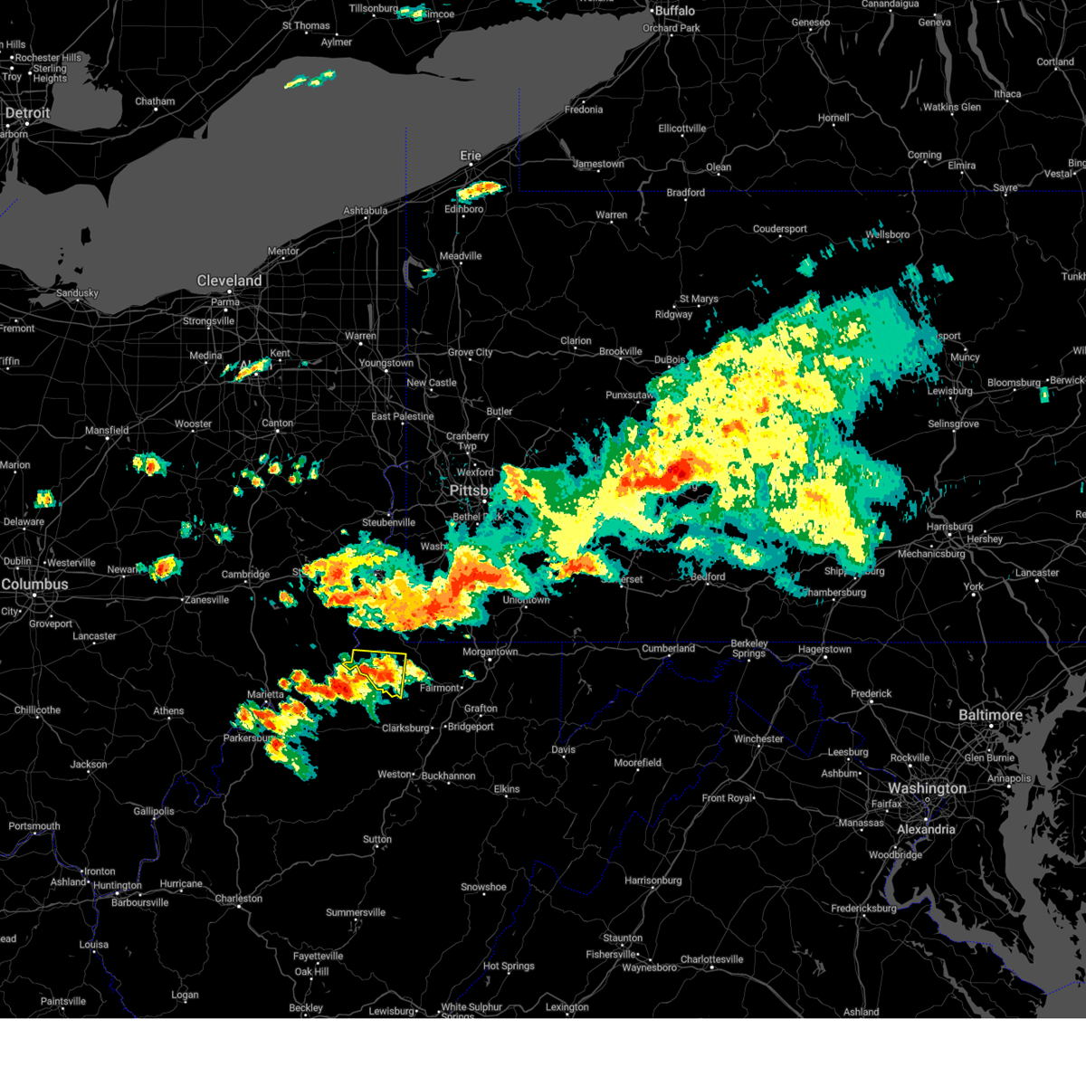
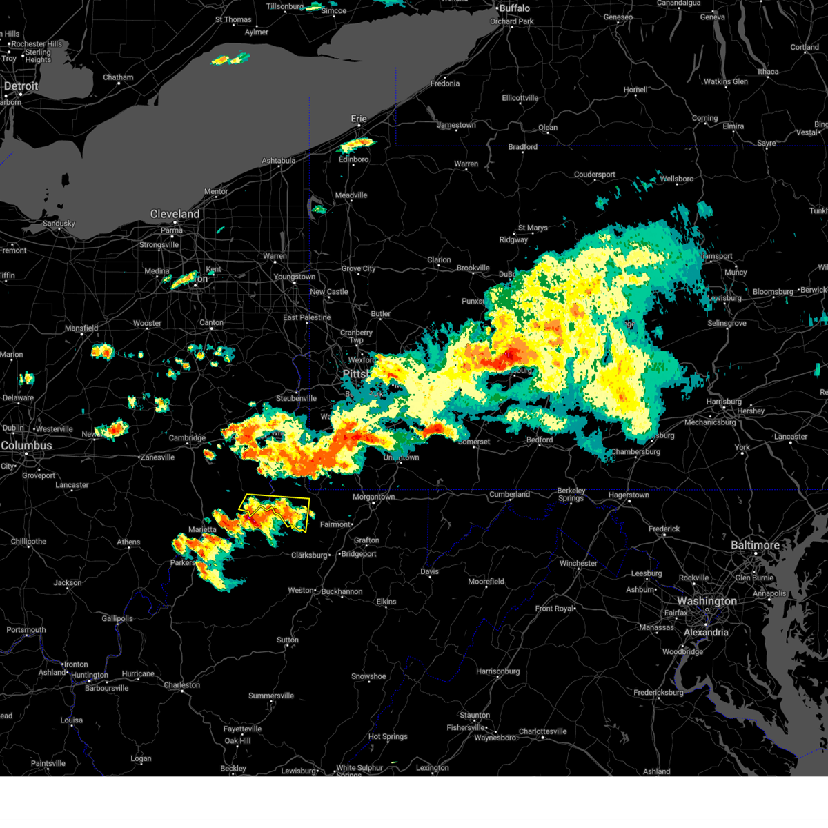
| 5/27/2026 3:12 PM EDT |
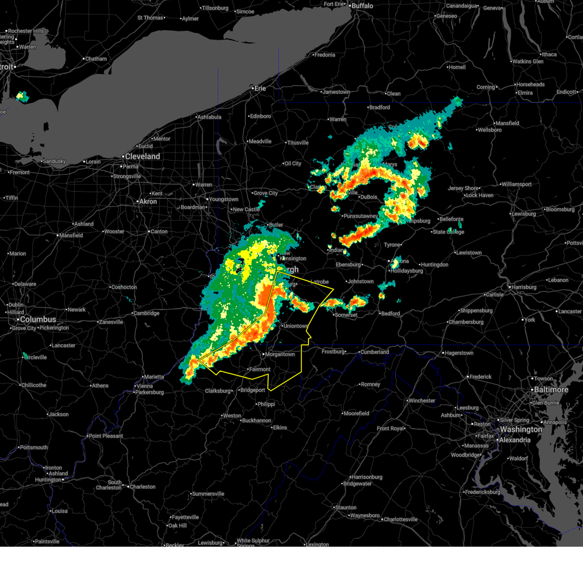
 Svrpbz the national weather service in pittsburgh has issued a * severe thunderstorm warning for, west central marion county in northern west virginia, central wetzel county in northern west virginia, * until 400 pm edt. * at 312 pm edt, a severe thunderstorm was located over pine grove, or 11 miles southeast of new martinsville, moving southeast at 25 mph (radar indicated). Hazards include 60 mph wind gusts and quarter size hail. Hail damage to vehicles is expected. Expect wind damage to roofs, siding, and trees. Svrpbz the national weather service in pittsburgh has issued a * severe thunderstorm warning for, west central marion county in northern west virginia, central wetzel county in northern west virginia, * until 400 pm edt. * at 312 pm edt, a severe thunderstorm was located over pine grove, or 11 miles southeast of new martinsville, moving southeast at 25 mph (radar indicated). Hazards include 60 mph wind gusts and quarter size hail. Hail damage to vehicles is expected. Expect wind damage to roofs, siding, and trees.
|
| 6/28/2025 8:20 PM EDT |
 The storm which prompted the warning has weakened below severe limits, and no longer poses an immediate threat to life or property. therefore, the warning will be allowed to expire. however, gusty winds and heavy rain are still possible with this thunderstorm. The storm which prompted the warning has weakened below severe limits, and no longer poses an immediate threat to life or property. therefore, the warning will be allowed to expire. however, gusty winds and heavy rain are still possible with this thunderstorm.
|
| 6/28/2025 8:16 PM EDT |
 At 816 pm edt, a severe thunderstorm was located 8 miles southeast of jacksonburg, or 9 miles west of mannington, moving south at 15 mph (radar indicated). Hazards include 60 mph wind gusts. Expect damage to roofs, siding, and trees. Locations impacted include, jacksonburg, smithfield, folsom and curtisville. At 816 pm edt, a severe thunderstorm was located 8 miles southeast of jacksonburg, or 9 miles west of mannington, moving south at 15 mph (radar indicated). Hazards include 60 mph wind gusts. Expect damage to roofs, siding, and trees. Locations impacted include, jacksonburg, smithfield, folsom and curtisville.
|
| 6/28/2025 8:08 PM EDT |
 At 808 pm edt, a severe thunderstorm was located 7 miles east of jacksonburg, or 9 miles west of mannington, moving southeast at 15 mph (radar indicated). Hazards include 60 mph wind gusts. Expect damage to roofs, siding, and trees. Locations impacted include, jacksonburg, smithfield, folsom, big run and curtisville. At 808 pm edt, a severe thunderstorm was located 7 miles east of jacksonburg, or 9 miles west of mannington, moving southeast at 15 mph (radar indicated). Hazards include 60 mph wind gusts. Expect damage to roofs, siding, and trees. Locations impacted include, jacksonburg, smithfield, folsom, big run and curtisville.
|
| 6/28/2025 7:51 PM EDT |
 Svrpbz the national weather service in pittsburgh has issued a * severe thunderstorm warning for, northwestern marion county in northern west virginia, southeastern wetzel county in northern west virginia, * until 830 pm edt. * at 751 pm edt, a severe thunderstorm was located near jacksonburg, or 13 miles west of mannington, moving east at 10 mph (radar indicated). Hazards include 60 mph wind gusts. expect damage to roofs, siding, and trees Svrpbz the national weather service in pittsburgh has issued a * severe thunderstorm warning for, northwestern marion county in northern west virginia, southeastern wetzel county in northern west virginia, * until 830 pm edt. * at 751 pm edt, a severe thunderstorm was located near jacksonburg, or 13 miles west of mannington, moving east at 10 mph (radar indicated). Hazards include 60 mph wind gusts. expect damage to roofs, siding, and trees
|
| 6/19/2025 2:38 PM EDT |
 At 238 pm edt, a severe thunderstorm was located 7 miles east of jacksonburg, or 9 miles west of mannington, moving east at 45 mph (radar indicated). Hazards include 60 mph wind gusts. Expect damage to roofs, siding, and trees. Locations impacted include, fairmont, mannington, pleasant valley, winfield, barrackville, monongah, pine grove, fairview, cassville, jacksonburg, rivesville, grant town, farmington, worthington, smithfield, rachel, metz, idamay, carolina and wadestown. At 238 pm edt, a severe thunderstorm was located 7 miles east of jacksonburg, or 9 miles west of mannington, moving east at 45 mph (radar indicated). Hazards include 60 mph wind gusts. Expect damage to roofs, siding, and trees. Locations impacted include, fairmont, mannington, pleasant valley, winfield, barrackville, monongah, pine grove, fairview, cassville, jacksonburg, rivesville, grant town, farmington, worthington, smithfield, rachel, metz, idamay, carolina and wadestown.
|
| 6/19/2025 2:30 PM EDT | Tree down on galmish roa in wetzel county WV, 1.9 miles SE of Jacksonburg, WV |
| 6/19/2025 2:27 PM EDT |
 Svrpbz the national weather service in pittsburgh has issued a * severe thunderstorm warning for, marion county in northern west virginia, western monongalia county in northern west virginia, central wetzel county in northern west virginia, * until 315 pm edt. * at 227 pm edt, a severe thunderstorm was located over jacksonburg, or 14 miles southeast of new martinsville, moving east at 45 mph (radar indicated). Hazards include 60 mph wind gusts. expect damage to roofs, siding, and trees Svrpbz the national weather service in pittsburgh has issued a * severe thunderstorm warning for, marion county in northern west virginia, western monongalia county in northern west virginia, central wetzel county in northern west virginia, * until 315 pm edt. * at 227 pm edt, a severe thunderstorm was located over jacksonburg, or 14 miles southeast of new martinsville, moving east at 45 mph (radar indicated). Hazards include 60 mph wind gusts. expect damage to roofs, siding, and trees
|
| 6/18/2025 11:23 PM EDT |
 At 1123 pm edt, severe thunderstorms were located along a line from near west liberty to 9 miles west of woodsfield, moving east at 35 mph (law enforcement reported trees down with this line). Hazards include 60 mph wind gusts. Expect damage to roofs, siding, and trees. Locations impacted include, wheeling, washington, moundsville, martins ferry, new martinsville, bellaire, warwood, bethlehem, woodsfield, west liberty, triadelphia, clearview, valley grove, shadyside, wolfdale, east washington, mcmechen, powhatan point, glen dale and tiltonsville. At 1123 pm edt, severe thunderstorms were located along a line from near west liberty to 9 miles west of woodsfield, moving east at 35 mph (law enforcement reported trees down with this line). Hazards include 60 mph wind gusts. Expect damage to roofs, siding, and trees. Locations impacted include, wheeling, washington, moundsville, martins ferry, new martinsville, bellaire, warwood, bethlehem, woodsfield, west liberty, triadelphia, clearview, valley grove, shadyside, wolfdale, east washington, mcmechen, powhatan point, glen dale and tiltonsville.
|
| 6/18/2025 11:23 PM EDT |
 the severe thunderstorm warning has been cancelled and is no longer in effect the severe thunderstorm warning has been cancelled and is no longer in effect
|
| 6/18/2025 11:08 PM EDT |
 the severe thunderstorm warning has been cancelled and is no longer in effect the severe thunderstorm warning has been cancelled and is no longer in effect
|
| 6/18/2025 11:08 PM EDT |
 At 1108 pm edt, severe thunderstorms were located along a line from over tiltonsville to 5 miles southeast of caldwell, or along a line from near clearview to 5 miles southeast of caldwell, moving east at 35 mph (law enforcement reported trees down with this line). Hazards include 60 mph wind gusts. Expect damage to roofs, siding, and trees. locations impacted include, wheeling, washington, moundsville, martins ferry, new martinsville, st. Clairsville, bellaire, warwood, bethlehem, woodsfield, caldwell, west liberty, triadelphia, clearview, valley grove, shadyside, wolfdale, east washington, mcmechen and powhatan point. At 1108 pm edt, severe thunderstorms were located along a line from over tiltonsville to 5 miles southeast of caldwell, or along a line from near clearview to 5 miles southeast of caldwell, moving east at 35 mph (law enforcement reported trees down with this line). Hazards include 60 mph wind gusts. Expect damage to roofs, siding, and trees. locations impacted include, wheeling, washington, moundsville, martins ferry, new martinsville, st. Clairsville, bellaire, warwood, bethlehem, woodsfield, caldwell, west liberty, triadelphia, clearview, valley grove, shadyside, wolfdale, east washington, mcmechen and powhatan point.
|
| 6/18/2025 10:57 PM EDT |
 Svrpbz the national weather service in pittsburgh has issued a * severe thunderstorm warning for, belmont county in east central ohio, southeastern guernsey county in east central ohio, southeastern harrison county in east central ohio, south central jefferson oh county in east central ohio, monroe county in east central ohio, noble county in east central ohio, western greene county in southwestern pennsylvania, southwestern washington county in southwestern pennsylvania, brooke county in northern west virginia, west central marion county in northern west virginia, marshall county in northern west virginia, ohio county in northern west virginia, wetzel county in northern west virginia, * until midnight edt. * at 1057 pm edt, severe thunderstorms were located along a line from 9 miles northeast of st. clairsville to near caldwell, moving east at 35 mph (law enforcement reported trees were reported down with this line). Hazards include 60 mph wind gusts. expect damage to roofs, siding, and trees Svrpbz the national weather service in pittsburgh has issued a * severe thunderstorm warning for, belmont county in east central ohio, southeastern guernsey county in east central ohio, southeastern harrison county in east central ohio, south central jefferson oh county in east central ohio, monroe county in east central ohio, noble county in east central ohio, western greene county in southwestern pennsylvania, southwestern washington county in southwestern pennsylvania, brooke county in northern west virginia, west central marion county in northern west virginia, marshall county in northern west virginia, ohio county in northern west virginia, wetzel county in northern west virginia, * until midnight edt. * at 1057 pm edt, severe thunderstorms were located along a line from 9 miles northeast of st. clairsville to near caldwell, moving east at 35 mph (law enforcement reported trees were reported down with this line). Hazards include 60 mph wind gusts. expect damage to roofs, siding, and trees
|
| 5/17/2025 12:32 AM EDT |
 Svrpbz the national weather service in pittsburgh has issued a * severe thunderstorm warning for, southeastern belmont county in east central ohio, northeastern monroe county in east central ohio, greene county in southwestern pennsylvania, southwestern washington county in southwestern pennsylvania, northern marion county in northern west virginia, marshall county in northern west virginia, western monongalia county in northern west virginia, wetzel county in northern west virginia, * until 115 am edt. * at 1232 am edt, a severe thunderstorm was located 9 miles southeast of powhatan point, or 9 miles northeast of new martinsville, moving east at 50 mph (radar indicated). Hazards include 60 mph wind gusts and quarter size hail. Hail damage to vehicles is expected. Expect wind damage to roofs, siding, and trees. Svrpbz the national weather service in pittsburgh has issued a * severe thunderstorm warning for, southeastern belmont county in east central ohio, northeastern monroe county in east central ohio, greene county in southwestern pennsylvania, southwestern washington county in southwestern pennsylvania, northern marion county in northern west virginia, marshall county in northern west virginia, western monongalia county in northern west virginia, wetzel county in northern west virginia, * until 115 am edt. * at 1232 am edt, a severe thunderstorm was located 9 miles southeast of powhatan point, or 9 miles northeast of new martinsville, moving east at 50 mph (radar indicated). Hazards include 60 mph wind gusts and quarter size hail. Hail damage to vehicles is expected. Expect wind damage to roofs, siding, and trees.
|
| 4/29/2025 5:48 PM EDT |
 At 548 pm edt, severe thunderstorms were located along a line extending from near cassville to near mannington, moving east at 50 mph (radar indicated). Hazards include 60 mph wind gusts. Expect damage to trees and power lines, resulting in some power outages. Locations impacted include, morgantown, fairmont, westover, mannington, star city, pleasant valley, winfield, barrackville, monongah, granville, pine grove, fairview, hundred, brookhaven, cassville, jacksonburg, rivesville, grant town, farmington, and blacksville. At 548 pm edt, severe thunderstorms were located along a line extending from near cassville to near mannington, moving east at 50 mph (radar indicated). Hazards include 60 mph wind gusts. Expect damage to trees and power lines, resulting in some power outages. Locations impacted include, morgantown, fairmont, westover, mannington, star city, pleasant valley, winfield, barrackville, monongah, granville, pine grove, fairview, hundred, brookhaven, cassville, jacksonburg, rivesville, grant town, farmington, and blacksville.
|
| 4/29/2025 5:15 PM EDT |
 Svrpbz the national weather service in pittsburgh has issued a * severe thunderstorm warning for, monongalia county in northern west virginia, wetzel county in northern west virginia, marion county in northern west virginia, * until 615 pm edt. * at 515 pm edt, severe thunderstorms were located along a line extending from 8 miles southwest of cameron to near middlebourne, moving east at 55 mph (radar indicated). Hazards include 60 mph wind gusts. expect damage to trees and power lines, resulting in some power outages Svrpbz the national weather service in pittsburgh has issued a * severe thunderstorm warning for, monongalia county in northern west virginia, wetzel county in northern west virginia, marion county in northern west virginia, * until 615 pm edt. * at 515 pm edt, severe thunderstorms were located along a line extending from 8 miles southwest of cameron to near middlebourne, moving east at 55 mph (radar indicated). Hazards include 60 mph wind gusts. expect damage to trees and power lines, resulting in some power outages
|
| 4/3/2025 5:02 AM EDT |
 the severe thunderstorm warning has been cancelled and is no longer in effect the severe thunderstorm warning has been cancelled and is no longer in effect
|
| 4/3/2025 5:02 AM EDT |
 At 502 am edt, severe thunderstorms were located along a line from over jeannette to 7 miles north of fairview, or along a line from over jeannette to 12 miles north of mannington, moving east at 60 mph (radar indicated). Hazards include 60 mph wind gusts. Expect damage to roofs, siding, and trees. Locations impacted include, morgantown, fairmont, uniontown, connellsville, westover, kingwood, mannington, star city, terra alta, rowlesburg, california, mount pleasant, scottdale, masontown, pleasant valley, youngwood, brownsville, winfield, new stanton and south connellsville. At 502 am edt, severe thunderstorms were located along a line from over jeannette to 7 miles north of fairview, or along a line from over jeannette to 12 miles north of mannington, moving east at 60 mph (radar indicated). Hazards include 60 mph wind gusts. Expect damage to roofs, siding, and trees. Locations impacted include, morgantown, fairmont, uniontown, connellsville, westover, kingwood, mannington, star city, terra alta, rowlesburg, california, mount pleasant, scottdale, masontown, pleasant valley, youngwood, brownsville, winfield, new stanton and south connellsville.
|
| 4/3/2025 4:55 AM EDT | Trees dow in wetzel county WV, 4.6 miles W of Jacksonburg, WV |
| 4/3/2025 4:53 AM EDT |
 At 453 am edt, severe thunderstorms were located along a line from over white oak to near hundred, or along a line from near mckeesport to 10 miles northwest of mannington, moving east at 60 mph (radar indicated). Hazards include 60 mph wind gusts. Expect damage to roofs, siding, and trees. Locations impacted include, morgantown, fairmont, uniontown, connellsville, waynesburg, westover, kingwood, mannington, star city, terra alta, rowlesburg, monessen, california, donora, mount pleasant, scottdale, charleroi, masontown, pleasant valley and youngwood. At 453 am edt, severe thunderstorms were located along a line from over white oak to near hundred, or along a line from near mckeesport to 10 miles northwest of mannington, moving east at 60 mph (radar indicated). Hazards include 60 mph wind gusts. Expect damage to roofs, siding, and trees. Locations impacted include, morgantown, fairmont, uniontown, connellsville, waynesburg, westover, kingwood, mannington, star city, terra alta, rowlesburg, monessen, california, donora, mount pleasant, scottdale, charleroi, masontown, pleasant valley and youngwood.
|
| 4/3/2025 4:53 AM EDT |
 the severe thunderstorm warning has been cancelled and is no longer in effect the severe thunderstorm warning has been cancelled and is no longer in effect
|
| 4/3/2025 4:44 AM EDT |
 At 444 am edt, severe thunderstorms were located along a line from over jefferson hills to 6 miles northeast of jacksonburg, or along a line from over gastonville to 14 miles northwest of mannington, moving east at 60 mph (radar indicated). Hazards include 60 mph wind gusts. Expect damage to roofs, siding, and trees. Locations impacted include, morgantown, fairmont, uniontown, connellsville, waynesburg, westover, kingwood, mannington, star city, terra alta, rowlesburg, monessen, california, donora, mount pleasant, scottdale, monongahela, charleroi, masontown and pleasant valley. At 444 am edt, severe thunderstorms were located along a line from over jefferson hills to 6 miles northeast of jacksonburg, or along a line from over gastonville to 14 miles northwest of mannington, moving east at 60 mph (radar indicated). Hazards include 60 mph wind gusts. Expect damage to roofs, siding, and trees. Locations impacted include, morgantown, fairmont, uniontown, connellsville, waynesburg, westover, kingwood, mannington, star city, terra alta, rowlesburg, monessen, california, donora, mount pleasant, scottdale, monongahela, charleroi, masontown and pleasant valley.
|
| 4/3/2025 4:30 AM EDT |
 The storms which prompted the warning have weakened below severe limits, and no longer pose an immediate threat to life or property. therefore, the warning has been allowed to expire. however, gusty winds are still possible with these thunderstorms. a new severe thunderstorm warning has been issued to the east. a severe thunderstorm watch remains in effect until 700 am edt for portions of southwest pennsylvania and west virginia. The storms which prompted the warning have weakened below severe limits, and no longer pose an immediate threat to life or property. therefore, the warning has been allowed to expire. however, gusty winds are still possible with these thunderstorms. a new severe thunderstorm warning has been issued to the east. a severe thunderstorm watch remains in effect until 700 am edt for portions of southwest pennsylvania and west virginia.
|
| 4/3/2025 4:28 AM EDT |
 Svrpbz the national weather service in pittsburgh has issued a * severe thunderstorm warning for, fayette county in southwestern pennsylvania, greene county in southwestern pennsylvania, southern washington county in southwestern pennsylvania, southwestern westmoreland county in southwestern pennsylvania, preston county in northeastern west virginia, marion county in northern west virginia, marshall county in northern west virginia, monongalia county in northern west virginia, wetzel county in northern west virginia, * until 530 am edt. * at 428 am edt, severe thunderstorms were located along a line from over washington to 10 miles south of new martinsville, moving east at 60 mph (radar indicated). Hazards include 60 mph wind gusts. expect damage to roofs, siding, and trees Svrpbz the national weather service in pittsburgh has issued a * severe thunderstorm warning for, fayette county in southwestern pennsylvania, greene county in southwestern pennsylvania, southern washington county in southwestern pennsylvania, southwestern westmoreland county in southwestern pennsylvania, preston county in northeastern west virginia, marion county in northern west virginia, marshall county in northern west virginia, monongalia county in northern west virginia, wetzel county in northern west virginia, * until 530 am edt. * at 428 am edt, severe thunderstorms were located along a line from over washington to 10 miles south of new martinsville, moving east at 60 mph (radar indicated). Hazards include 60 mph wind gusts. expect damage to roofs, siding, and trees
|
| 4/3/2025 4:22 AM EDT |
 the severe thunderstorm warning has been cancelled and is no longer in effect the severe thunderstorm warning has been cancelled and is no longer in effect
|
| 4/3/2025 4:22 AM EDT |
 At 422 am edt, severe thunderstorms were located along a line from over monaca to near pine grove, or along a line from over monaca to 7 miles southeast of new martinsville, moving east at 55 mph (radar indicated). Hazards include 60 mph wind gusts. Expect damage to roofs, siding, and trees. Locations impacted include, new martinsville, cameron, pine grove, hundred, jacksonburg, west finley, claysville, sardis, aleppo, smithfield, new freeport, nineveh, fly, green hills, glen easton, beelers station, rocklick, littleton, lone oak and lynn camp. At 422 am edt, severe thunderstorms were located along a line from over monaca to near pine grove, or along a line from over monaca to 7 miles southeast of new martinsville, moving east at 55 mph (radar indicated). Hazards include 60 mph wind gusts. Expect damage to roofs, siding, and trees. Locations impacted include, new martinsville, cameron, pine grove, hundred, jacksonburg, west finley, claysville, sardis, aleppo, smithfield, new freeport, nineveh, fly, green hills, glen easton, beelers station, rocklick, littleton, lone oak and lynn camp.
|
| 4/3/2025 4:13 AM EDT |
 the severe thunderstorm warning has been cancelled and is no longer in effect the severe thunderstorm warning has been cancelled and is no longer in effect
|
| 4/3/2025 4:13 AM EDT |
 At 413 am edt, severe thunderstorms were located along a line from over industry to near new martinsville, or along a line from 7 miles west of monaca to near new martinsville, moving east at 55 mph (radar indicated). Hazards include 60 mph wind gusts. Expect damage to roofs, siding, and trees. Locations impacted include, wheeling, cranberry, moon township, weirton, steubenville, washington, franklin park, aliquippa, moundsville, canonsburg, beaver falls, martins ferry, monaca, new martinsville, bellaire, warwood, wellsburg, bethlehem, west liberty and triadelphia. At 413 am edt, severe thunderstorms were located along a line from over industry to near new martinsville, or along a line from 7 miles west of monaca to near new martinsville, moving east at 55 mph (radar indicated). Hazards include 60 mph wind gusts. Expect damage to roofs, siding, and trees. Locations impacted include, wheeling, cranberry, moon township, weirton, steubenville, washington, franklin park, aliquippa, moundsville, canonsburg, beaver falls, martins ferry, monaca, new martinsville, bellaire, warwood, wellsburg, bethlehem, west liberty and triadelphia.
|
| 4/3/2025 4:03 AM EDT |
 the severe thunderstorm warning has been cancelled and is no longer in effect the severe thunderstorm warning has been cancelled and is no longer in effect
|
| 4/3/2025 4:03 AM EDT |
 At 403 am edt, severe thunderstorms were located along a line from over east liverpool to 12 miles south of woodsfield, moving east at 55 mph (radar indicated). Hazards include 60 mph wind gusts. Expect damage to roofs, siding, and trees. Locations impacted include, wheeling, cranberry, moon township, weirton, steubenville, washington, franklin park, east liverpool, aliquippa, moundsville, canonsburg, beaver falls, martins ferry, monaca, new martinsville, bellaire, warwood, wellsburg, bethlehem and west liberty. At 403 am edt, severe thunderstorms were located along a line from over east liverpool to 12 miles south of woodsfield, moving east at 55 mph (radar indicated). Hazards include 60 mph wind gusts. Expect damage to roofs, siding, and trees. Locations impacted include, wheeling, cranberry, moon township, weirton, steubenville, washington, franklin park, east liverpool, aliquippa, moundsville, canonsburg, beaver falls, martins ferry, monaca, new martinsville, bellaire, warwood, wellsburg, bethlehem and west liberty.
|
| 4/3/2025 3:50 AM EDT |
 Svrpbz the national weather service in pittsburgh has issued a * severe thunderstorm warning for, belmont county in east central ohio, southeastern carroll county in east central ohio, southeastern columbiana county in east central ohio, eastern harrison county in east central ohio, jefferson oh county in east central ohio, monroe county in east central ohio, southeastern noble county in east central ohio, northwestern allegheny county in southwestern pennsylvania, western greene county in southwestern pennsylvania, washington county in southwestern pennsylvania, southwestern butler county in west central pennsylvania, beaver county in western pennsylvania, brooke county in northern west virginia, hancock county in northern west virginia, west central marion county in northern west virginia, marshall county in northern west virginia, ohio county in northern west virginia, wetzel county in northern west virginia, * until 430 am edt. * at 350 am edt, severe thunderstorms were located along a line from 9 miles south of lisbon to 16 miles southwest of woodsfield, or along a line from 8 miles west of wellsville to 16 miles southwest of woodsfield, moving east at 55 mph (radar indicated). Hazards include 60 mph wind gusts. expect damage to roofs, siding, and trees Svrpbz the national weather service in pittsburgh has issued a * severe thunderstorm warning for, belmont county in east central ohio, southeastern carroll county in east central ohio, southeastern columbiana county in east central ohio, eastern harrison county in east central ohio, jefferson oh county in east central ohio, monroe county in east central ohio, southeastern noble county in east central ohio, northwestern allegheny county in southwestern pennsylvania, western greene county in southwestern pennsylvania, washington county in southwestern pennsylvania, southwestern butler county in west central pennsylvania, beaver county in western pennsylvania, brooke county in northern west virginia, hancock county in northern west virginia, west central marion county in northern west virginia, marshall county in northern west virginia, ohio county in northern west virginia, wetzel county in northern west virginia, * until 430 am edt. * at 350 am edt, severe thunderstorms were located along a line from 9 miles south of lisbon to 16 miles southwest of woodsfield, or along a line from 8 miles west of wellsville to 16 miles southwest of woodsfield, moving east at 55 mph (radar indicated). Hazards include 60 mph wind gusts. expect damage to roofs, siding, and trees
|
| 3/16/2025 11:56 AM EDT |
 Svrpbz the national weather service in pittsburgh has issued a * severe thunderstorm warning for, greene county in southwestern pennsylvania, western marion county in northern west virginia, marshall county in northern west virginia, northwestern monongalia county in northern west virginia, wetzel county in northern west virginia, * until 1245 pm edt. * at 1156 am edt, a severe thunderstorm was located 9 miles south of jacksonburg, or 16 miles southwest of mannington, moving northeast at 45 mph (radar indicated). Hazards include 60 mph wind gusts and small hail. expect damage to roofs, siding, and trees Svrpbz the national weather service in pittsburgh has issued a * severe thunderstorm warning for, greene county in southwestern pennsylvania, western marion county in northern west virginia, marshall county in northern west virginia, northwestern monongalia county in northern west virginia, wetzel county in northern west virginia, * until 1245 pm edt. * at 1156 am edt, a severe thunderstorm was located 9 miles south of jacksonburg, or 16 miles southwest of mannington, moving northeast at 45 mph (radar indicated). Hazards include 60 mph wind gusts and small hail. expect damage to roofs, siding, and trees
|
| 3/16/2025 11:41 AM EDT | Tree down on walnut fork r in tyler county WV, 6.9 miles NE of Jacksonburg, WV |
| 8/31/2024 4:56 PM EDT |
 The storm which prompted the warning has weakened below severe limits, and no longer poses an immediate threat to life or property. therefore, the warning will be allowed to expire. The storm which prompted the warning has weakened below severe limits, and no longer poses an immediate threat to life or property. therefore, the warning will be allowed to expire.
|
| 8/31/2024 4:44 PM EDT |
 At 444 pm edt, a severe thunderstorm was located 9 miles south of new martinsville, moving east at 25 mph (radar indicated). Hazards include 60 mph wind gusts and small hail. Expect damage to roofs, siding, and trees. Locations impacted include, new martinsville, pine grove, jacksonburg, sardis, fly, hannibal, porters falls, proctor and reader. At 444 pm edt, a severe thunderstorm was located 9 miles south of new martinsville, moving east at 25 mph (radar indicated). Hazards include 60 mph wind gusts and small hail. Expect damage to roofs, siding, and trees. Locations impacted include, new martinsville, pine grove, jacksonburg, sardis, fly, hannibal, porters falls, proctor and reader.
|
| 8/31/2024 4:18 PM EDT |
 Svrpbz the national weather service in pittsburgh has issued a * severe thunderstorm warning for, southeastern monroe county in east central ohio, western wetzel county in northern west virginia, * until 500 pm edt. * at 418 pm edt, a severe thunderstorm was located 19 miles south of woodsfield, or 18 miles southwest of new martinsville, moving east at 25 mph (radar indicated). Hazards include 60 mph wind gusts and quarter size hail. Hail damage to vehicles is expected. Expect wind damage to roofs, siding, and trees. Svrpbz the national weather service in pittsburgh has issued a * severe thunderstorm warning for, southeastern monroe county in east central ohio, western wetzel county in northern west virginia, * until 500 pm edt. * at 418 pm edt, a severe thunderstorm was located 19 miles south of woodsfield, or 18 miles southwest of new martinsville, moving east at 25 mph (radar indicated). Hazards include 60 mph wind gusts and quarter size hail. Hail damage to vehicles is expected. Expect wind damage to roofs, siding, and trees.
|
| 8/31/2024 2:03 PM EDT |
 At 203 pm edt, a severe thunderstorm was located over mannington, moving east at 55 mph (radar indicated). Hazards include 60 mph wind gusts. Expect damage to trees and power lines, resulting in some power outages. Locations impacted include, fairmont, mannington, pleasant valley, winfield, barrackville, monongah, fairview, rivesville, grant town, farmington, worthington, smithfield, everettville, folsom, mccurdyville, metz, curtisville, colfax, georgetown, and idamay. At 203 pm edt, a severe thunderstorm was located over mannington, moving east at 55 mph (radar indicated). Hazards include 60 mph wind gusts. Expect damage to trees and power lines, resulting in some power outages. Locations impacted include, fairmont, mannington, pleasant valley, winfield, barrackville, monongah, fairview, rivesville, grant town, farmington, worthington, smithfield, everettville, folsom, mccurdyville, metz, curtisville, colfax, georgetown, and idamay.
|
| 8/31/2024 1:52 PM EDT |
 Svrpbz the national weather service in pittsburgh has issued a * severe thunderstorm warning for, central monongalia county in northern west virginia, central wetzel county in northern west virginia, marion county in northern west virginia, * until 230 pm edt. * at 152 pm edt, a severe thunderstorm was located 7 miles east of jacksonburg, or 8 miles west of mannington, moving east at 55 mph (radar indicated). Hazards include 60 mph wind gusts. expect damage to trees and power lines, resulting in some power outages Svrpbz the national weather service in pittsburgh has issued a * severe thunderstorm warning for, central monongalia county in northern west virginia, central wetzel county in northern west virginia, marion county in northern west virginia, * until 230 pm edt. * at 152 pm edt, a severe thunderstorm was located 7 miles east of jacksonburg, or 8 miles west of mannington, moving east at 55 mph (radar indicated). Hazards include 60 mph wind gusts. expect damage to trees and power lines, resulting in some power outages
|
| 6/18/2024 8:25 PM EDT |
 The storm which prompted the warning has weakened below severe limits, and no longer poses an immediate threat to life or property. therefore, the warning will be allowed to expire. however, heavy rain and frequent lightning are possible with this thunderstorm. The storm which prompted the warning has weakened below severe limits, and no longer poses an immediate threat to life or property. therefore, the warning will be allowed to expire. however, heavy rain and frequent lightning are possible with this thunderstorm.
|
| 6/18/2024 8:08 PM EDT |
 At 807 pm edt, a severe thunderstorm was located over pine grove, or 11 miles southeast of new martinsville, moving north at 15 mph (radar indicated). Hazards include 60 mph wind gusts and quarter size hail. Minor hail damage to vehicles is possible. expect wind damage to trees and power lines, resulting in some power outages. Locations impacted include, pine grove, jacksonburg, big run, wileyville, reader, and knob fork. At 807 pm edt, a severe thunderstorm was located over pine grove, or 11 miles southeast of new martinsville, moving north at 15 mph (radar indicated). Hazards include 60 mph wind gusts and quarter size hail. Minor hail damage to vehicles is possible. expect wind damage to trees and power lines, resulting in some power outages. Locations impacted include, pine grove, jacksonburg, big run, wileyville, reader, and knob fork.
|
| 6/18/2024 8:08 PM EDT |
 the severe thunderstorm warning has been cancelled and is no longer in effect the severe thunderstorm warning has been cancelled and is no longer in effect
|
| 6/18/2024 7:54 PM EDT |
 At 754 pm edt, a severe thunderstorm was located near jacksonburg, or 13 miles east of middlebourne, moving north at 15 mph (radar indicated). Hazards include 60 mph wind gusts and quarter size hail. Minor hail damage to vehicles is possible. expect wind damage to trees and power lines, resulting in some power outages. Locations impacted include, pine grove, jacksonburg, smithfield, wileyville, big run, reader, earnshaw, folsom, knob fork, and curtisville. At 754 pm edt, a severe thunderstorm was located near jacksonburg, or 13 miles east of middlebourne, moving north at 15 mph (radar indicated). Hazards include 60 mph wind gusts and quarter size hail. Minor hail damage to vehicles is possible. expect wind damage to trees and power lines, resulting in some power outages. Locations impacted include, pine grove, jacksonburg, smithfield, wileyville, big run, reader, earnshaw, folsom, knob fork, and curtisville.
|
| 6/18/2024 7:39 PM EDT |
 Svrpbz the national weather service in pittsburgh has issued a * severe thunderstorm warning for, central wetzel county in northern west virginia, northwestern marion county in northern west virginia, * until 830 pm edt. * at 739 pm edt, a severe thunderstorm was located 7 miles south of jacksonburg, or 14 miles east of middlebourne, moving north at 15 mph (radar indicated). Hazards include 60 mph wind gusts and quarter size hail. Minor hail damage to vehicles is possible. Expect wind damage to trees and power lines, resulting in some power outages. Svrpbz the national weather service in pittsburgh has issued a * severe thunderstorm warning for, central wetzel county in northern west virginia, northwestern marion county in northern west virginia, * until 830 pm edt. * at 739 pm edt, a severe thunderstorm was located 7 miles south of jacksonburg, or 14 miles east of middlebourne, moving north at 15 mph (radar indicated). Hazards include 60 mph wind gusts and quarter size hail. Minor hail damage to vehicles is possible. Expect wind damage to trees and power lines, resulting in some power outages.
|
| 5/26/2024 6:40 PM EDT |
 the severe thunderstorm warning has been cancelled and is no longer in effect the severe thunderstorm warning has been cancelled and is no longer in effect
|
| 5/26/2024 6:40 PM EDT |
 At 639 pm edt, severe thunderstorms were located along a line extending from near st. clairsville to 7 miles west of hundred, moving northeast at 45 mph (radar indicated). Hazards include 70 mph wind gusts. Trees snapped and uprooted. power outages can be expected. locations impacted include, wheeling, fairmont, moundsville, martins ferry, st. Clairsville, bellaire, warwood, bethlehem, mannington, west liberty, triadelphia, clearview, valley grove, shadyside, pleasant valley, mcmechen, powhatan point, glen dale, tiltonsville, and barrackville. At 639 pm edt, severe thunderstorms were located along a line extending from near st. clairsville to 7 miles west of hundred, moving northeast at 45 mph (radar indicated). Hazards include 70 mph wind gusts. Trees snapped and uprooted. power outages can be expected. locations impacted include, wheeling, fairmont, moundsville, martins ferry, st. Clairsville, bellaire, warwood, bethlehem, mannington, west liberty, triadelphia, clearview, valley grove, shadyside, pleasant valley, mcmechen, powhatan point, glen dale, tiltonsville, and barrackville.
|
| 5/26/2024 6:30 PM EDT |
 At 630 pm edt, severe thunderstorms were located along a line extending from near st. clairsville to near pine grove, moving northeast at 45 mph (radar indicated). Hazards include 70 mph wind gusts. highest winds likey near powhatan point. Trees snapped and uprooted. power outages can be expected. locations impacted include, wheeling, fairmont, moundsville, martins ferry, new martinsville, st. Clairsville, bellaire, warwood, bethlehem, mannington, west liberty, triadelphia, clearview, valley grove, shadyside, pleasant valley, mcmechen, powhatan point, glen dale, and tiltonsville. At 630 pm edt, severe thunderstorms were located along a line extending from near st. clairsville to near pine grove, moving northeast at 45 mph (radar indicated). Hazards include 70 mph wind gusts. highest winds likey near powhatan point. Trees snapped and uprooted. power outages can be expected. locations impacted include, wheeling, fairmont, moundsville, martins ferry, new martinsville, st. Clairsville, bellaire, warwood, bethlehem, mannington, west liberty, triadelphia, clearview, valley grove, shadyside, pleasant valley, mcmechen, powhatan point, glen dale, and tiltonsville.
|
| 5/26/2024 6:15 PM EDT |
 The storms which prompted the warning have moved out of portions of the warned area. a severe thunderstorm warning remains in effect for other portions on the area. guty winds are still a threat. a severe thunderstorm watch remains in effect until 1100 pm edt for east central ohio, and northern west virginia. The storms which prompted the warning have moved out of portions of the warned area. a severe thunderstorm warning remains in effect for other portions on the area. guty winds are still a threat. a severe thunderstorm watch remains in effect until 1100 pm edt for east central ohio, and northern west virginia.
|
| 5/26/2024 6:12 PM EDT |
 Svrpbz the national weather service in pittsburgh has issued a * severe thunderstorm warning for, southeastern jefferson county in east central ohio, eastern monroe county in east central ohio, belmont county in east central ohio, southwestern washington county in southwestern pennsylvania, southwestern greene county in southwestern pennsylvania, northwestern monongalia county in northern west virginia, ohio county in northern west virginia, wetzel county in northern west virginia, marshall county in northern west virginia, marion county in northern west virginia, brooke county in northern west virginia, * until 700 pm edt. * at 612 pm edt, severe thunderstorms were located along a line extending from barnesville to near middlebourne, moving northeast at 45 mph (radar indicated). Hazards include 60 mph wind gusts. expect damage to trees and power lines, resulting in some power outages Svrpbz the national weather service in pittsburgh has issued a * severe thunderstorm warning for, southeastern jefferson county in east central ohio, eastern monroe county in east central ohio, belmont county in east central ohio, southwestern washington county in southwestern pennsylvania, southwestern greene county in southwestern pennsylvania, northwestern monongalia county in northern west virginia, ohio county in northern west virginia, wetzel county in northern west virginia, marshall county in northern west virginia, marion county in northern west virginia, brooke county in northern west virginia, * until 700 pm edt. * at 612 pm edt, severe thunderstorms were located along a line extending from barnesville to near middlebourne, moving northeast at 45 mph (radar indicated). Hazards include 60 mph wind gusts. expect damage to trees and power lines, resulting in some power outages
|
| 5/26/2024 6:04 PM EDT |
 At 604 pm edt, severe thunderstorms were located along a line extending from near barnesville to near sistersville, moving northeast at 40 mph (radar indicated). Hazards include 60 mph wind gusts. Expect damage to trees and power lines, resulting in some power outages. locations impacted include, new martinsville, st. Clairsville, barnesville, woodsfield, paden city, powhatan point, pine grove, bethesda, sardis, belmont, beallsville, clarington, neffs, jerusalem, wilson, cameron, fly, alledonia, somerton, and antioch. At 604 pm edt, severe thunderstorms were located along a line extending from near barnesville to near sistersville, moving northeast at 40 mph (radar indicated). Hazards include 60 mph wind gusts. Expect damage to trees and power lines, resulting in some power outages. locations impacted include, new martinsville, st. Clairsville, barnesville, woodsfield, paden city, powhatan point, pine grove, bethesda, sardis, belmont, beallsville, clarington, neffs, jerusalem, wilson, cameron, fly, alledonia, somerton, and antioch.
|
| 5/26/2024 5:54 PM EDT |
 At 553 pm edt, the severe thunderstorm located along a line extending from 8 miles west of barnesville to 11 miles west of sistersville, moving northeast at 45 mph (radar indicated). Hazards include 60 mph wind gusts. Expect damage to trees and power lines, resulting in some power outages. locations impacted include, new martinsville, st. Clairsville, barnesville, woodsfield, paden city, powhatan point, pine grove, bethesda, sardis, belmont, beallsville, clarington, neffs, summerfield, lewisville, jerusalem, wilson, cameron, fly, and alledonia. At 553 pm edt, the severe thunderstorm located along a line extending from 8 miles west of barnesville to 11 miles west of sistersville, moving northeast at 45 mph (radar indicated). Hazards include 60 mph wind gusts. Expect damage to trees and power lines, resulting in some power outages. locations impacted include, new martinsville, st. Clairsville, barnesville, woodsfield, paden city, powhatan point, pine grove, bethesda, sardis, belmont, beallsville, clarington, neffs, summerfield, lewisville, jerusalem, wilson, cameron, fly, and alledonia.
|
| 5/26/2024 5:37 PM EDT |
 Svrpbz the national weather service in pittsburgh has issued a * severe thunderstorm warning for, monroe county in east central ohio, belmont county in east central ohio, eastern noble county in east central ohio, western wetzel county in northern west virginia, marshall county in northern west virginia, * until 615 pm edt. * at 537 pm edt, severe thunderstorms were located along a line extending from 7 miles northeast of caldwell to near belmont, moving northeast at 45 mph (police reported trees down affiliated with these stroms). Hazards include 60 mph wind gusts. expect damage to trees and power lines, resulting in some power outages Svrpbz the national weather service in pittsburgh has issued a * severe thunderstorm warning for, monroe county in east central ohio, belmont county in east central ohio, eastern noble county in east central ohio, western wetzel county in northern west virginia, marshall county in northern west virginia, * until 615 pm edt. * at 537 pm edt, severe thunderstorms were located along a line extending from 7 miles northeast of caldwell to near belmont, moving northeast at 45 mph (police reported trees down affiliated with these stroms). Hazards include 60 mph wind gusts. expect damage to trees and power lines, resulting in some power outages
|
| 4/17/2024 9:00 PM EDT | Report of tree down on route 2. time estimated based on rada in wetzel county WV, 0.7 miles E of Jacksonburg, WV |
| 3/30/2024 7:11 PM EDT |
 Torpbz the national weather service in pittsburgh has issued a * tornado warning for, northeastern monroe county in east central ohio, south central belmont county in east central ohio, wetzel county in northern west virginia, marshall county in northern west virginia, * until 745 pm edt. * at 711 pm edt, a severe thunderstorm capable of producing a tornado was located near woodsfield, moving southeast at 50 mph (radar indicated rotation). Hazards include tornado and quarter size hail. Flying debris will be dangerous to those caught without shelter. mobile homes will be damaged or destroyed. damage to roofs, windows, and vehicles will occur. tree damage is likely. this dangerous storm will be near, new martinsville around 725 pm edt. Other locations impacted by this tornadic thunderstorm include wileyville, proctor, jerusalem, woodlands, big run, wilson, cameron, knob fork, littleton, and lynn camp. Torpbz the national weather service in pittsburgh has issued a * tornado warning for, northeastern monroe county in east central ohio, south central belmont county in east central ohio, wetzel county in northern west virginia, marshall county in northern west virginia, * until 745 pm edt. * at 711 pm edt, a severe thunderstorm capable of producing a tornado was located near woodsfield, moving southeast at 50 mph (radar indicated rotation). Hazards include tornado and quarter size hail. Flying debris will be dangerous to those caught without shelter. mobile homes will be damaged or destroyed. damage to roofs, windows, and vehicles will occur. tree damage is likely. this dangerous storm will be near, new martinsville around 725 pm edt. Other locations impacted by this tornadic thunderstorm include wileyville, proctor, jerusalem, woodlands, big run, wilson, cameron, knob fork, littleton, and lynn camp.
|
| 8/25/2023 3:34 AM EDT |
 At 334 am edt, a severe thunderstorm was located near jacksonburg, or 12 miles west of mannington, moving southeast at 50 mph (radar indicated). Hazards include 60 mph wind gusts and quarter size hail. Minor hail damage to vehicles is possible. expect wind damage to trees and power lines, resulting in some power outages. locations impacted include, pine grove, jacksonburg, smithfield, grangeville, porters falls, reader, and folsom. hail threat, radar indicated max hail size, 1. 00 in wind threat, radar indicated max wind gust, 60 mph. At 334 am edt, a severe thunderstorm was located near jacksonburg, or 12 miles west of mannington, moving southeast at 50 mph (radar indicated). Hazards include 60 mph wind gusts and quarter size hail. Minor hail damage to vehicles is possible. expect wind damage to trees and power lines, resulting in some power outages. locations impacted include, pine grove, jacksonburg, smithfield, grangeville, porters falls, reader, and folsom. hail threat, radar indicated max hail size, 1. 00 in wind threat, radar indicated max wind gust, 60 mph.
|
| 8/25/2023 3:21 AM EDT |
 At 321 am edt, a severe thunderstorm was located over pine grove, or 8 miles southeast of new martinsville, moving southeast at 50 mph (radar indicated). Hazards include 60 mph wind gusts and quarter size hail. Minor hail damage to vehicles is possible. Expect wind damage to trees and power lines, resulting in some power outages. At 321 am edt, a severe thunderstorm was located over pine grove, or 8 miles southeast of new martinsville, moving southeast at 50 mph (radar indicated). Hazards include 60 mph wind gusts and quarter size hail. Minor hail damage to vehicles is possible. Expect wind damage to trees and power lines, resulting in some power outages.
|
| 8/12/2023 9:12 PM EDT |
 At 911 pm edt, a severe thunderstorm was located near jacksonburg, or 11 miles west of mannington, moving east at 30 mph (radar indicated). Hazards include 60 mph wind gusts and quarter size hail. Minor hail damage to vehicles is possible. Expect wind damage to trees and power lines, resulting in some power outages. At 911 pm edt, a severe thunderstorm was located near jacksonburg, or 11 miles west of mannington, moving east at 30 mph (radar indicated). Hazards include 60 mph wind gusts and quarter size hail. Minor hail damage to vehicles is possible. Expect wind damage to trees and power lines, resulting in some power outages.
|
| 8/12/2023 9:05 PM EDT |
 At 904 pm edt, a severe thunderstorm was located over pine grove, or 10 miles southeast of new martinsville, moving east at 40 mph (radar indicated). Hazards include 60 mph wind gusts and nickel size hail. Expect damage to trees and power lines, resulting in some power outages. locations impacted include, pine grove, jacksonburg, smithfield, porters falls, big run, reader, knob fork, and wileyville. hail threat, radar indicated max hail size, 0. 88 in wind threat, radar indicated max wind gust, 60 mph. At 904 pm edt, a severe thunderstorm was located over pine grove, or 10 miles southeast of new martinsville, moving east at 40 mph (radar indicated). Hazards include 60 mph wind gusts and nickel size hail. Expect damage to trees and power lines, resulting in some power outages. locations impacted include, pine grove, jacksonburg, smithfield, porters falls, big run, reader, knob fork, and wileyville. hail threat, radar indicated max hail size, 0. 88 in wind threat, radar indicated max wind gust, 60 mph.
|
| 8/12/2023 8:59 PM EDT |
 At 859 pm edt, a severe thunderstorm was located over sistersville, or near middlebourne, moving east at 30 mph (radar indicated). Hazards include 60 mph wind gusts and nickel size hail. Expect damage to trees and power lines, resulting in some power outages. locations impacted include, new martinsville, pine grove, jacksonburg, sardis, smithfield, porters falls, wileyville, big run, reader, knob fork, and hannibal. hail threat, radar indicated max hail size, 0. 88 in wind threat, radar indicated max wind gust, 60 mph. At 859 pm edt, a severe thunderstorm was located over sistersville, or near middlebourne, moving east at 30 mph (radar indicated). Hazards include 60 mph wind gusts and nickel size hail. Expect damage to trees and power lines, resulting in some power outages. locations impacted include, new martinsville, pine grove, jacksonburg, sardis, smithfield, porters falls, wileyville, big run, reader, knob fork, and hannibal. hail threat, radar indicated max hail size, 0. 88 in wind threat, radar indicated max wind gust, 60 mph.
|
| 8/12/2023 8:58 PM EDT |
 At 858 pm edt, a severe thunderstorm was located over sistersville, or near middlebourne, moving east at 30 mph (radar indicated). Hazards include 60 mph wind gusts and quarter size hail. Minor hail damage to vehicles is possible. expect wind damage to trees and power lines, resulting in some power outages. locations impacted include, new martinsville, pine grove, jacksonburg, smithfield, porters falls, wileyville, big run, reader, and knob fork. hail threat, radar indicated max hail size, 1. 00 in wind threat, radar indicated max wind gust, 60 mph. At 858 pm edt, a severe thunderstorm was located over sistersville, or near middlebourne, moving east at 30 mph (radar indicated). Hazards include 60 mph wind gusts and quarter size hail. Minor hail damage to vehicles is possible. expect wind damage to trees and power lines, resulting in some power outages. locations impacted include, new martinsville, pine grove, jacksonburg, smithfield, porters falls, wileyville, big run, reader, and knob fork. hail threat, radar indicated max hail size, 1. 00 in wind threat, radar indicated max wind gust, 60 mph.
|
| 8/12/2023 8:50 PM EDT |
 At 850 pm edt, a severe thunderstorm was located near sistersville, or 10 miles northwest of middlebourne, moving east at 30 mph (radar indicated). Hazards include 60 mph wind gusts and quarter size hail. Minor hail damage to vehicles is possible. expect wind damage to trees and power lines, resulting in some power outages. locations impacted include, new martinsville, paden city, pine grove, jacksonburg, sardis, smithfield, fly, antioch, wileyville, big run, reader, knob fork, porters falls, and hannibal. hail threat, radar indicated max hail size, 1. 00 in wind threat, radar indicated max wind gust, 60 mph. At 850 pm edt, a severe thunderstorm was located near sistersville, or 10 miles northwest of middlebourne, moving east at 30 mph (radar indicated). Hazards include 60 mph wind gusts and quarter size hail. Minor hail damage to vehicles is possible. expect wind damage to trees and power lines, resulting in some power outages. locations impacted include, new martinsville, paden city, pine grove, jacksonburg, sardis, smithfield, fly, antioch, wileyville, big run, reader, knob fork, porters falls, and hannibal. hail threat, radar indicated max hail size, 1. 00 in wind threat, radar indicated max wind gust, 60 mph.
|
| 8/12/2023 8:42 PM EDT |
 At 842 pm edt, a severe thunderstorm was located 8 miles west of sistersville, or 11 miles south of woodsfield, moving east at 30 mph (radar indicated). Hazards include 60 mph wind gusts and quarter size hail. Minor hail damage to vehicles is possible. Expect wind damage to trees and power lines, resulting in some power outages. At 842 pm edt, a severe thunderstorm was located 8 miles west of sistersville, or 11 miles south of woodsfield, moving east at 30 mph (radar indicated). Hazards include 60 mph wind gusts and quarter size hail. Minor hail damage to vehicles is possible. Expect wind damage to trees and power lines, resulting in some power outages.
|
| 8/7/2023 1:51 PM EDT |
 At 151 pm edt, a severe thunderstorm was located 7 miles south of jacksonburg, or 12 miles east of middlebourne, moving east at 50 mph (radar indicated). Hazards include ping pong ball size hail and 60 mph wind gusts. People and animals outdoors will be injured. expect hail damage to roofs, siding, windows, and vehicles. Expect wind damage to trees and power lines, resulting in some power outages. At 151 pm edt, a severe thunderstorm was located 7 miles south of jacksonburg, or 12 miles east of middlebourne, moving east at 50 mph (radar indicated). Hazards include ping pong ball size hail and 60 mph wind gusts. People and animals outdoors will be injured. expect hail damage to roofs, siding, windows, and vehicles. Expect wind damage to trees and power lines, resulting in some power outages.
|
| 8/7/2023 12:10 PM EDT |
 At 1210 pm edt, a severe thunderstorm was located 7 miles southwest of jacksonburg, or 9 miles east of middlebourne, moving northeast at 15 mph (radar indicated). Hazards include 60 mph wind gusts. Expect damage to trees and power lines, resulting in some power outages. locations impacted include, mannington, pine grove, jacksonburg, farmington, smithfield, grangeville, wileyville, big run, rachel, reader, folsom, knob fork, metz, earnshaw, and curtisville. hail threat, radar indicated max hail size, <. 75 in wind threat, radar indicated max wind gust, 60 mph. At 1210 pm edt, a severe thunderstorm was located 7 miles southwest of jacksonburg, or 9 miles east of middlebourne, moving northeast at 15 mph (radar indicated). Hazards include 60 mph wind gusts. Expect damage to trees and power lines, resulting in some power outages. locations impacted include, mannington, pine grove, jacksonburg, farmington, smithfield, grangeville, wileyville, big run, rachel, reader, folsom, knob fork, metz, earnshaw, and curtisville. hail threat, radar indicated max hail size, <. 75 in wind threat, radar indicated max wind gust, 60 mph.
|
| 8/7/2023 12:00 PM EDT |
 At 1200 pm edt, a severe thunderstorm was located 8 miles southeast of middlebourne, moving northeast at 15 mph (radar indicated). Hazards include 60 mph wind gusts. expect damage to trees and power lines, resulting in some power outages At 1200 pm edt, a severe thunderstorm was located 8 miles southeast of middlebourne, moving northeast at 15 mph (radar indicated). Hazards include 60 mph wind gusts. expect damage to trees and power lines, resulting in some power outages
|
| 7/23/2022 3:14 PM EDT |
 At 314 pm edt, severe thunderstorms were located along a line extending from 9 miles south of waynesburg to 8 miles north of salem, moving southeast at 40 mph (radar indicated). Hazards include 60 mph wind gusts. expect damage to trees and power lines, resulting in some power outages At 314 pm edt, severe thunderstorms were located along a line extending from 9 miles south of waynesburg to 8 miles north of salem, moving southeast at 40 mph (radar indicated). Hazards include 60 mph wind gusts. expect damage to trees and power lines, resulting in some power outages
|
| 7/23/2022 3:06 PM EDT |
 At 306 pm edt, severe thunderstorms were located along a line extending from near waynesburg to 7 miles east of jacksonburg, moving east at 50 mph (radar indicated). Hazards include 60 mph wind gusts. Expect damage to trees and power lines, resulting in some power outages. locations impacted include, mannington, pine grove, fairview, hundred, jacksonburg, grant town, farmington, aleppo, blacksville, smithfield, new freeport, and spraggs. hail threat, radar indicated max hail size, <. 75 in wind threat, radar indicated max wind gust, 60 mph. At 306 pm edt, severe thunderstorms were located along a line extending from near waynesburg to 7 miles east of jacksonburg, moving east at 50 mph (radar indicated). Hazards include 60 mph wind gusts. Expect damage to trees and power lines, resulting in some power outages. locations impacted include, mannington, pine grove, fairview, hundred, jacksonburg, grant town, farmington, aleppo, blacksville, smithfield, new freeport, and spraggs. hail threat, radar indicated max hail size, <. 75 in wind threat, radar indicated max wind gust, 60 mph.
|
| 7/23/2022 2:41 PM EDT |
 At 240 pm edt, severe thunderstorms were located along a line extending from near cameron to near paden city, moving east at 50 mph (radar indicated). Hazards include 60 mph wind gusts. expect damage to trees and power lines, resulting in some power outages At 240 pm edt, severe thunderstorms were located along a line extending from near cameron to near paden city, moving east at 50 mph (radar indicated). Hazards include 60 mph wind gusts. expect damage to trees and power lines, resulting in some power outages
|
| 6/22/2022 6:40 PM EDT |
 At 640 pm edt, a cluster of severe thunderstorms was centered 8 miles southwest of cameron, or 11 miles northeast of new martinsville, moving southeast at 30 mph (radar indicated). Hazards include 60 mph wind gusts. Expect damage to trees and power lines, resulting in some power outages. locations impacted include, new martinsville, cameron, pine grove, hundred, jacksonburg, clarington, smithfield, new freeport, wileyville, grove oak, proctor, and big run. hail threat, radar indicated max hail size, <. 75 in wind threat, radar indicated max wind gust, 60 mph. At 640 pm edt, a cluster of severe thunderstorms was centered 8 miles southwest of cameron, or 11 miles northeast of new martinsville, moving southeast at 30 mph (radar indicated). Hazards include 60 mph wind gusts. Expect damage to trees and power lines, resulting in some power outages. locations impacted include, new martinsville, cameron, pine grove, hundred, jacksonburg, clarington, smithfield, new freeport, wileyville, grove oak, proctor, and big run. hail threat, radar indicated max hail size, <. 75 in wind threat, radar indicated max wind gust, 60 mph.
|
| 6/22/2022 6:28 PM EDT |
 At 628 pm edt, a cluster of severe thunderstorm was centered near powhatan point, or 9 miles northeast of new martinsville, moving southeast at 30 mph (radar indicated). Hazards include 60 mph wind gusts. Expect damage to trees and power lines, resulting in some power outages. locations impacted include, moundsville, new martinsville, powhatan point, pine grove, hundred, jacksonburg, clarington, smithfield, cameron, new freeport, grove oak, and woodlands. hail threat, radar indicated max hail size, <. 75 in wind threat, radar indicated max wind gust, 60 mph. At 628 pm edt, a cluster of severe thunderstorm was centered near powhatan point, or 9 miles northeast of new martinsville, moving southeast at 30 mph (radar indicated). Hazards include 60 mph wind gusts. Expect damage to trees and power lines, resulting in some power outages. locations impacted include, moundsville, new martinsville, powhatan point, pine grove, hundred, jacksonburg, clarington, smithfield, cameron, new freeport, grove oak, and woodlands. hail threat, radar indicated max hail size, <. 75 in wind threat, radar indicated max wind gust, 60 mph.
|
| 6/22/2022 6:23 PM EDT |
 At 623 pm edt, a cluster of severe thunderstorms was centered near powhatan point, or 9 miles south of moundsville, moving southeast at 30 mph (radar indicated). Hazards include 60 mph wind gusts. expect damage to trees and power lines, resulting in some power outages At 623 pm edt, a cluster of severe thunderstorms was centered near powhatan point, or 9 miles south of moundsville, moving southeast at 30 mph (radar indicated). Hazards include 60 mph wind gusts. expect damage to trees and power lines, resulting in some power outages
|
| 6/14/2022 9:51 AM EDT |
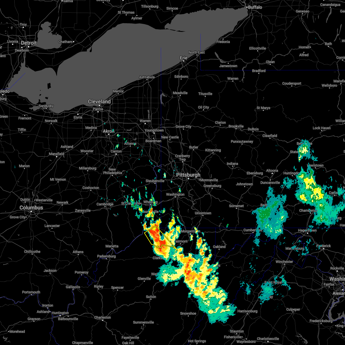 At 951 am edt, a severe thunderstorm was located over lumberport, or near clarksburg, moving southeast at 55 mph (radar indicated). Hazards include 60 mph wind gusts and penny size hail. Expect damage to trees and power lines, resulting in some power outages. locations impacted include, pine grove, jacksonburg, smithfield, porters falls, wileyville, big run, reader, folsom, knob fork, curtisville, grangeville, and earnshaw. hail threat, radar indicated max hail size, 0. 75 in wind threat, radar indicated max wind gust, 60 mph. At 951 am edt, a severe thunderstorm was located over lumberport, or near clarksburg, moving southeast at 55 mph (radar indicated). Hazards include 60 mph wind gusts and penny size hail. Expect damage to trees and power lines, resulting in some power outages. locations impacted include, pine grove, jacksonburg, smithfield, porters falls, wileyville, big run, reader, folsom, knob fork, curtisville, grangeville, and earnshaw. hail threat, radar indicated max hail size, 0. 75 in wind threat, radar indicated max wind gust, 60 mph.
|
| 6/14/2022 9:27 AM EDT |
 At 926 am edt, a severe thunderstorm was located near pine grove, or 13 miles east of new martinsville, moving southeast at 55 mph (radar indicated). Hazards include 60 mph wind gusts and quarter size hail. Minor hail damage to vehicles is possible. Expect wind damage to trees and power lines, resulting in some power outages. At 926 am edt, a severe thunderstorm was located near pine grove, or 13 miles east of new martinsville, moving southeast at 55 mph (radar indicated). Hazards include 60 mph wind gusts and quarter size hail. Minor hail damage to vehicles is possible. Expect wind damage to trees and power lines, resulting in some power outages.
|
| 5/1/2022 7:18 PM EDT |
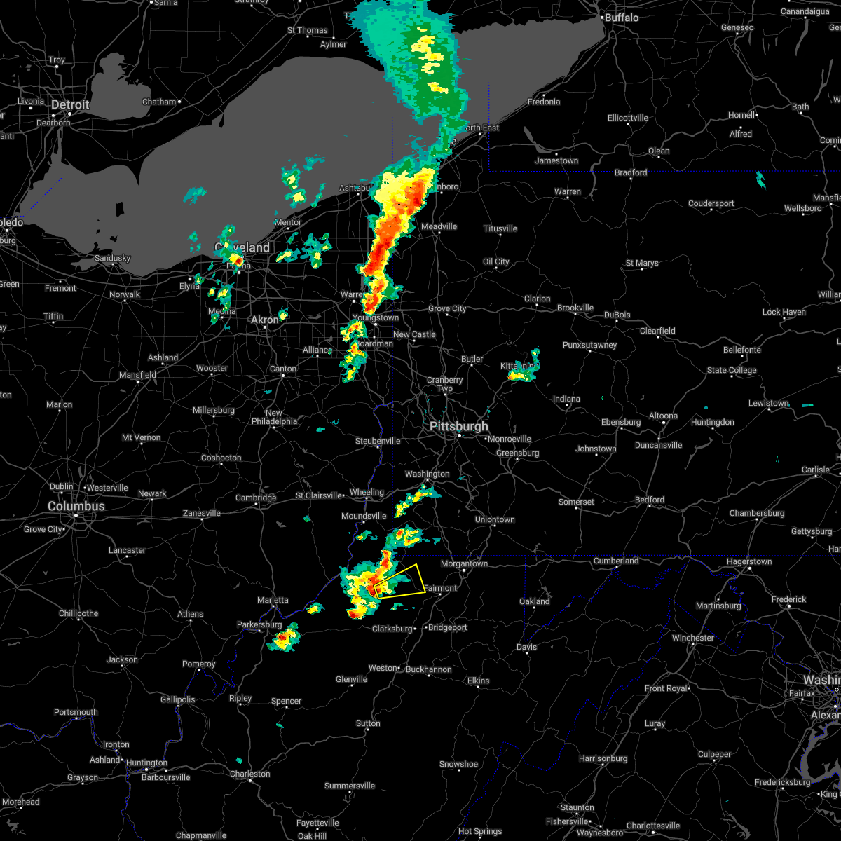 At 718 pm edt, a severe thunderstorm was located over jacksonburg, or 13 miles west of mannington, moving northeast at 30 mph (radar indicated). Hazards include 60 mph wind gusts and quarter size hail. Minor hail damage to vehicles is possible. Expect wind damage to trees and power lines, resulting in some power outages. At 718 pm edt, a severe thunderstorm was located over jacksonburg, or 13 miles west of mannington, moving northeast at 30 mph (radar indicated). Hazards include 60 mph wind gusts and quarter size hail. Minor hail damage to vehicles is possible. Expect wind damage to trees and power lines, resulting in some power outages.
|
| 9/22/2021 3:05 PM EDT |
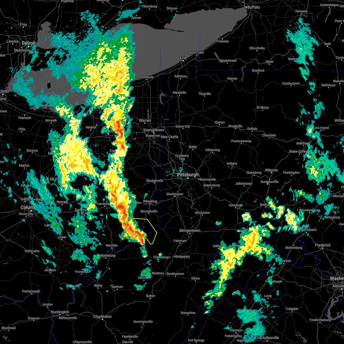 At 305 pm edt, a severe thunderstorm was located 7 miles southeast of woodsfield, moving north at 45 mph (radar indicated). Hazards include 60 mph wind gusts. Expect damage to trees and power lines, resulting in some power outages. Locations impacted include, new martinsville, woodsfield, paden city, pine grove, jacksonburg, sardis, beallsville, clarington, jerusalem, wilson, cameron, and fly. At 305 pm edt, a severe thunderstorm was located 7 miles southeast of woodsfield, moving north at 45 mph (radar indicated). Hazards include 60 mph wind gusts. Expect damage to trees and power lines, resulting in some power outages. Locations impacted include, new martinsville, woodsfield, paden city, pine grove, jacksonburg, sardis, beallsville, clarington, jerusalem, wilson, cameron, and fly.
|
| 9/22/2021 2:48 PM EDT |
 At 246 pm edt, a severe thunderstorm was located near sistersville, or 8 miles west of middlebourne, moving north at 40 mph (radar indicated). Hazards include 60 mph wind gusts. expect damage to trees and power lines, resulting in some power outages At 246 pm edt, a severe thunderstorm was located near sistersville, or 8 miles west of middlebourne, moving north at 40 mph (radar indicated). Hazards include 60 mph wind gusts. expect damage to trees and power lines, resulting in some power outages
|
| 8/10/2021 4:39 PM EDT |
 At 439 pm edt, a severe thunderstorm was located near jacksonburg, or 13 miles east of middlebourne, moving east at 25 mph (radar indicated). Hazards include 60 mph wind gusts. Expect damage to trees and power lines, resulting in some power outages. locations impacted include, pine grove, jacksonburg, smithfield, big run, reader, and folsom. hail threat, radar indicated max hail size, <. 75 in wind threat, radar indicated max wind gust, 60 mph. At 439 pm edt, a severe thunderstorm was located near jacksonburg, or 13 miles east of middlebourne, moving east at 25 mph (radar indicated). Hazards include 60 mph wind gusts. Expect damage to trees and power lines, resulting in some power outages. locations impacted include, pine grove, jacksonburg, smithfield, big run, reader, and folsom. hail threat, radar indicated max hail size, <. 75 in wind threat, radar indicated max wind gust, 60 mph.
|
| 8/10/2021 4:31 PM EDT |
 At 431 pm edt, a severe thunderstorm was located over jacksonburg, or 11 miles east of middlebourne, moving east at 10 mph (radar indicated). Hazards include 60 mph wind gusts. Expect damage to trees and power lines, resulting in some power outages. locations impacted include, pine grove, jacksonburg, smithfield, big run, reader, and folsom. hail threat, radar indicated max hail size, <. 75 in wind threat, radar indicated max wind gust, 60 mph. At 431 pm edt, a severe thunderstorm was located over jacksonburg, or 11 miles east of middlebourne, moving east at 10 mph (radar indicated). Hazards include 60 mph wind gusts. Expect damage to trees and power lines, resulting in some power outages. locations impacted include, pine grove, jacksonburg, smithfield, big run, reader, and folsom. hail threat, radar indicated max hail size, <. 75 in wind threat, radar indicated max wind gust, 60 mph.
|
| 8/10/2021 4:26 PM EDT |
 At 426 pm edt, a severe thunderstorm was located near pine grove, or 9 miles east of middlebourne, moving east at 10 mph (radar indicated). Hazards include 60 mph wind gusts. expect damage to trees and power lines, resulting in some power outages At 426 pm edt, a severe thunderstorm was located near pine grove, or 9 miles east of middlebourne, moving east at 10 mph (radar indicated). Hazards include 60 mph wind gusts. expect damage to trees and power lines, resulting in some power outages
|
| 6/14/2021 6:39 PM EDT |
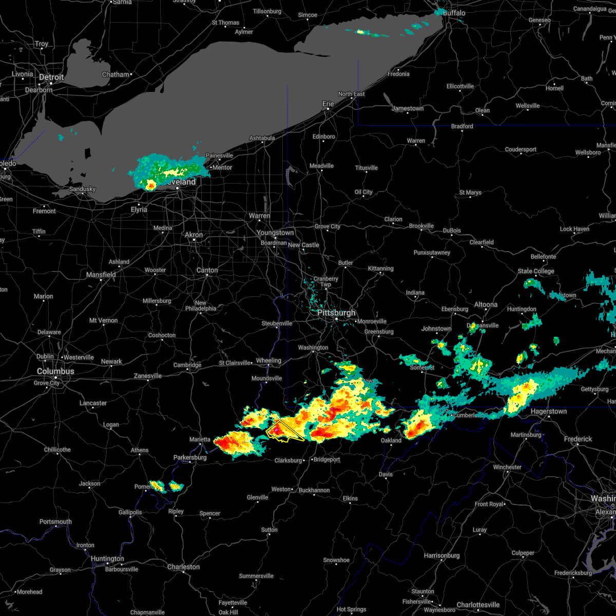 At 639 pm edt, a severe thunderstorm was located over jacksonburg, or 13 miles west of mannington, moving southeast at 30 mph (radar). Hazards include wind gusts to 60 mph and quarter-size hail. Minor hail damage to vehicles is possible. Expect wind damage to trees and power lines, resulting in some power outages. At 639 pm edt, a severe thunderstorm was located over jacksonburg, or 13 miles west of mannington, moving southeast at 30 mph (radar). Hazards include wind gusts to 60 mph and quarter-size hail. Minor hail damage to vehicles is possible. Expect wind damage to trees and power lines, resulting in some power outages.
|
| 6/14/2021 6:29 PM EDT |
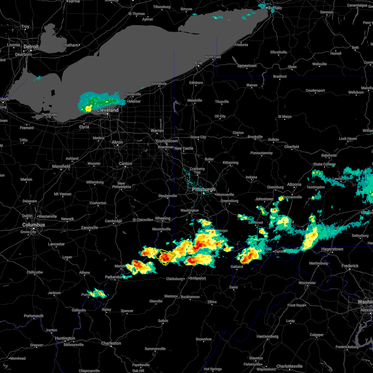 At 628 pm edt, a severe thunderstorm was located over pine grove, or 10 miles southeast of new martinsville, moving southeast at 25 mph (radar). Hazards include wind gusts to 60 mph and quarter-size hail. Minor hail damage to vehicles is possible. expect wind damage to trees and power lines, resulting in some power outages. Locations impacted include, pine grove, jacksonburg, big run, porters falls, wileyville, reader,. At 628 pm edt, a severe thunderstorm was located over pine grove, or 10 miles southeast of new martinsville, moving southeast at 25 mph (radar). Hazards include wind gusts to 60 mph and quarter-size hail. Minor hail damage to vehicles is possible. expect wind damage to trees and power lines, resulting in some power outages. Locations impacted include, pine grove, jacksonburg, big run, porters falls, wileyville, reader,.
|
| 6/14/2021 6:16 PM EDT |
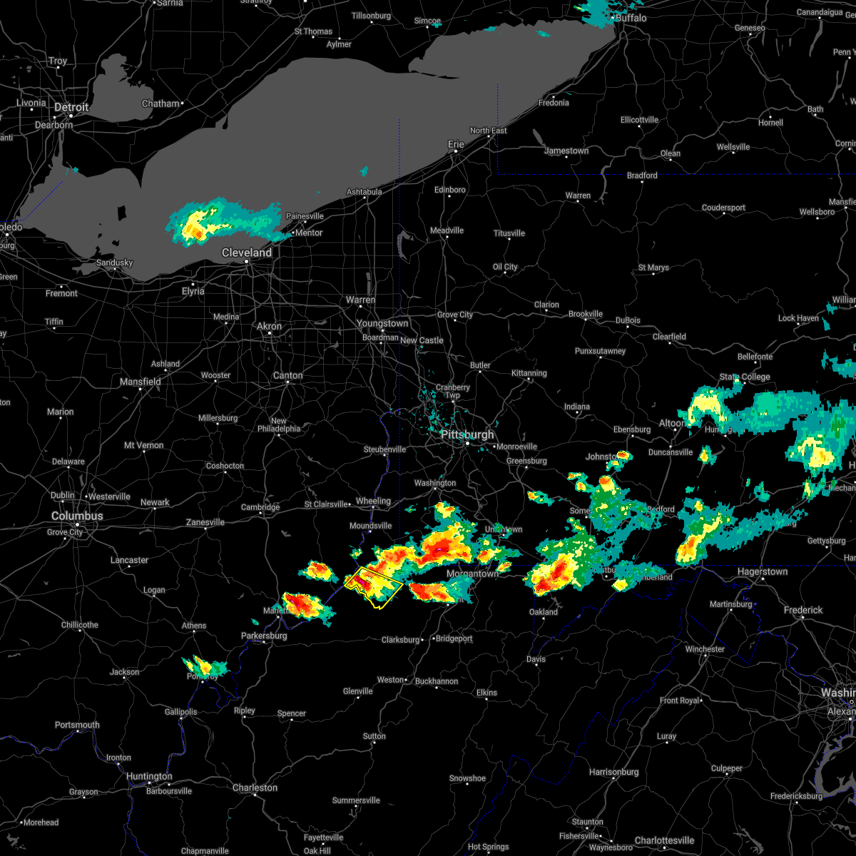 At 616 pm edt, a severe thunderstorm was located near new martinsville, moving southeast at 20 mph (radar). Hazards include wind gusts to 60 mph. expect damage to trees and power lines, resulting in some power outages At 616 pm edt, a severe thunderstorm was located near new martinsville, moving southeast at 20 mph (radar). Hazards include wind gusts to 60 mph. expect damage to trees and power lines, resulting in some power outages
|
| 6/14/2021 6:16 PM EDT |
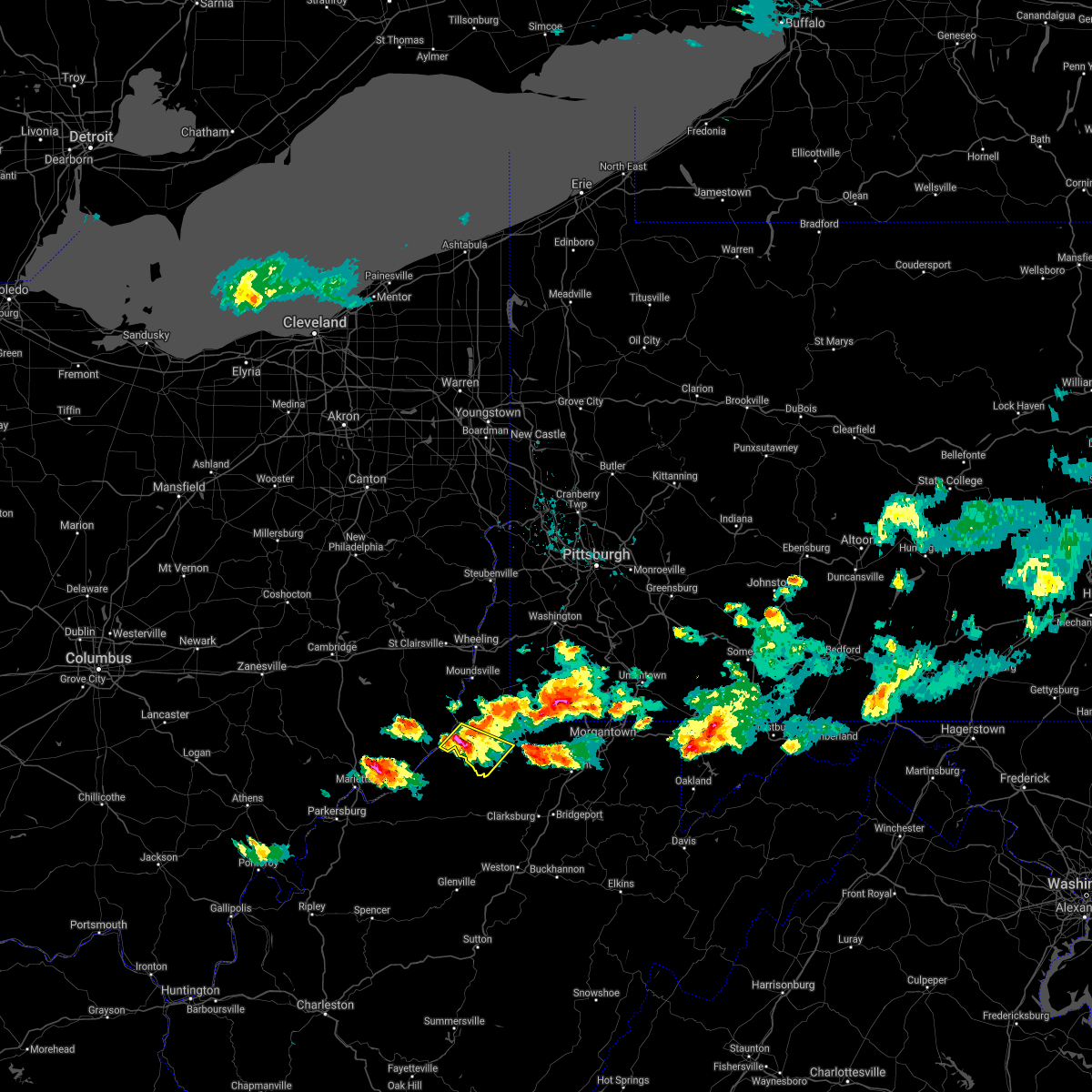 At 616 pm edt, a severe thunderstorm was located near new martinsville, moving southeast at 20 mph (radar). Hazards include wind gusts to 60 mph. expect damage to trees and power lines, resulting in some power outages At 616 pm edt, a severe thunderstorm was located near new martinsville, moving southeast at 20 mph (radar). Hazards include wind gusts to 60 mph. expect damage to trees and power lines, resulting in some power outages
|
| 6/13/2021 3:05 PM EDT |
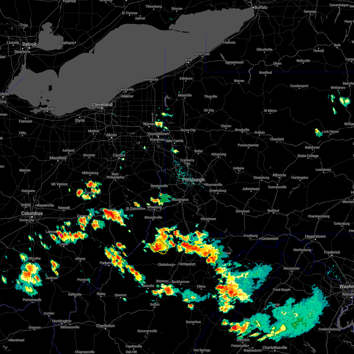 At 305 pm edt, a severe thunderstorm was located over pine grove, or 12 miles east of middlebourne, moving southeast at 25 mph (radar). Hazards include wind gusts to 60 mph and quarter-size hail. Minor hail damage to vehicles is possible. expect wind damage to trees and power lines, resulting in some power outages. Locations impacted include, pine grove, jacksonburg, smithfield, big run, reader, folsom, wileyville,. At 305 pm edt, a severe thunderstorm was located over pine grove, or 12 miles east of middlebourne, moving southeast at 25 mph (radar). Hazards include wind gusts to 60 mph and quarter-size hail. Minor hail damage to vehicles is possible. expect wind damage to trees and power lines, resulting in some power outages. Locations impacted include, pine grove, jacksonburg, smithfield, big run, reader, folsom, wileyville,.
|
| 6/13/2021 2:55 PM EDT |
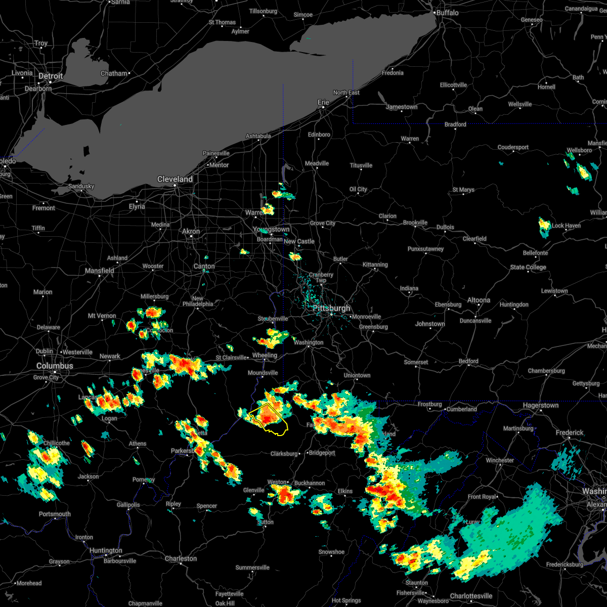 At 255 pm edt, a severe thunderstorm was located over pine grove, or 8 miles southeast of new martinsville, moving southeast at 25 mph (radar). Hazards include wind gusts to 60 mph and quarter-size hail. Minor hail damage to vehicles is possible. expect wind damage to trees and power lines, resulting in some power outages. Locations impacted include, new martinsville, pine grove, jacksonburg, smithfield, porters falls, wileyville, big run, reader, folsom,. At 255 pm edt, a severe thunderstorm was located over pine grove, or 8 miles southeast of new martinsville, moving southeast at 25 mph (radar). Hazards include wind gusts to 60 mph and quarter-size hail. Minor hail damage to vehicles is possible. expect wind damage to trees and power lines, resulting in some power outages. Locations impacted include, new martinsville, pine grove, jacksonburg, smithfield, porters falls, wileyville, big run, reader, folsom,.
|
| 6/13/2021 2:40 PM EDT |
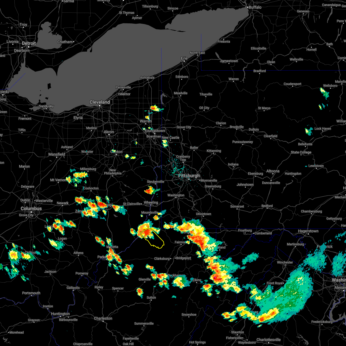 At 240 pm edt, a severe thunderstorm was located near new martinsville, moving southeast at 25 mph (radar). Hazards include wind gusts to 60 mph and quarter-size hail. Minor hail damage to vehicles is possible. Expect wind damage to trees and power lines, resulting in some power outages. At 240 pm edt, a severe thunderstorm was located near new martinsville, moving southeast at 25 mph (radar). Hazards include wind gusts to 60 mph and quarter-size hail. Minor hail damage to vehicles is possible. Expect wind damage to trees and power lines, resulting in some power outages.
|
| 8/25/2020 4:18 PM EDT |
 At 418 pm edt, a severe thunderstorm was located near cameron, or 13 miles southeast of moundsville, moving southeast at 25 mph (radar). Hazards include wind gusts to 60 mph and quarter-size hail. Minor hail damage to vehicles is possible. expect wind damage to trees and power lines, resulting in some power outages. Locations impacted include, new martinsville, waynesburg, woodsfield, mannington, paden city, powhatan point, fairdale, pine grove, hundred, jacksonburg, rogersville, sardis, this includes interstate 79 in pennsylvania between mile markers 3 and 13. At 418 pm edt, a severe thunderstorm was located near cameron, or 13 miles southeast of moundsville, moving southeast at 25 mph (radar). Hazards include wind gusts to 60 mph and quarter-size hail. Minor hail damage to vehicles is possible. expect wind damage to trees and power lines, resulting in some power outages. Locations impacted include, new martinsville, waynesburg, woodsfield, mannington, paden city, powhatan point, fairdale, pine grove, hundred, jacksonburg, rogersville, sardis, this includes interstate 79 in pennsylvania between mile markers 3 and 13.
|
| 8/25/2020 4:12 PM EDT |
 At 412 pm edt, a severe thunderstorm was located near cameron, or 11 miles southeast of moundsville, moving southeast at 25 mph (radar). Hazards include wind gusts to 60 mph and quarter-size hail. Minor hail damage to vehicles is possible. expect wind damage to trees and power lines, resulting in some power outages. locations impacted include, wheeling, moundsville, martins ferry, new martinsville, st. clairsville, bellaire, waynesburg, bethlehem, woodsfield, mannington, triadelphia, shadyside, this includes the following highways, interstate 70 in ohio between mile markers 217 and 225. interstate 70 in west virginia between mile markers 0 and 10. Interstate 79 in pennsylvania between mile markers 3 and 18. At 412 pm edt, a severe thunderstorm was located near cameron, or 11 miles southeast of moundsville, moving southeast at 25 mph (radar). Hazards include wind gusts to 60 mph and quarter-size hail. Minor hail damage to vehicles is possible. expect wind damage to trees and power lines, resulting in some power outages. locations impacted include, wheeling, moundsville, martins ferry, new martinsville, st. clairsville, bellaire, waynesburg, bethlehem, woodsfield, mannington, triadelphia, shadyside, this includes the following highways, interstate 70 in ohio between mile markers 217 and 225. interstate 70 in west virginia between mile markers 0 and 10. Interstate 79 in pennsylvania between mile markers 3 and 18.
|
| 8/25/2020 4:12 PM EDT |
 At 338 pm edt, a severe thunderstorm was located near powhatan point, or near moundsville, moving southeast at 25 mph (radar). Hazards include wind gusts to 60 mph and quarter-size hail. Minor hail damage to vehicles is possible. Expect wind damage to trees and power lines, resulting in some power outages. At 338 pm edt, a severe thunderstorm was located near powhatan point, or near moundsville, moving southeast at 25 mph (radar). Hazards include wind gusts to 60 mph and quarter-size hail. Minor hail damage to vehicles is possible. Expect wind damage to trees and power lines, resulting in some power outages.
|
| 8/25/2020 3:39 PM EDT |
 At 338 pm edt, a severe thunderstorm was located near powhatan point, or near moundsville, moving southeast at 25 mph (radar). Hazards include wind gusts to 60 mph and quarter-size hail. Minor hail damage to vehicles is possible. Expect wind damage to trees and power lines, resulting in some power outages. At 338 pm edt, a severe thunderstorm was located near powhatan point, or near moundsville, moving southeast at 25 mph (radar). Hazards include wind gusts to 60 mph and quarter-size hail. Minor hail damage to vehicles is possible. Expect wind damage to trees and power lines, resulting in some power outages.
|
| 7/27/2020 8:52 PM EDT |
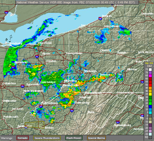 The severe thunderstorm warning for northwestern monongalia, wetzel and northwestern marion counties will expire at 900 pm edt, the storm which prompted the warning has weakened and will be allowed to expire. heavy rain is occurring with this thunderstorm. The severe thunderstorm warning for northwestern monongalia, wetzel and northwestern marion counties will expire at 900 pm edt, the storm which prompted the warning has weakened and will be allowed to expire. heavy rain is occurring with this thunderstorm.
|
| 7/27/2020 8:34 PM EDT |
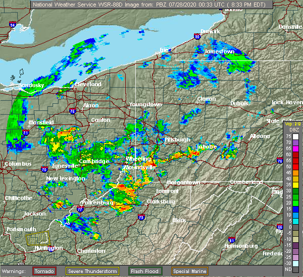 At 833 pm edt, a severe thunderstorm was located near new martinsville, moving east at 35 mph (radar). Hazards include wind gusts to 60 mph. expect damage to trees and power lines, resulting in some power outages At 833 pm edt, a severe thunderstorm was located near new martinsville, moving east at 35 mph (radar). Hazards include wind gusts to 60 mph. expect damage to trees and power lines, resulting in some power outages
|
| 7/16/2020 6:12 PM EDT |
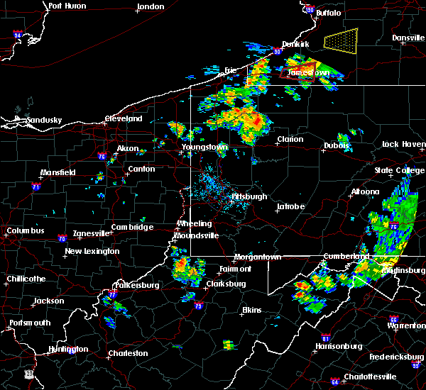 At 612 pm edt, a severe thunderstorm was located 7 miles west of hundred, or 13 miles east of new martinsville, moving northeast at 40 mph (radar). Hazards include wind gusts to 60 mph. expect damage to trees and power lines, resulting in some power outages At 612 pm edt, a severe thunderstorm was located 7 miles west of hundred, or 13 miles east of new martinsville, moving northeast at 40 mph (radar). Hazards include wind gusts to 60 mph. expect damage to trees and power lines, resulting in some power outages
|
| 7/16/2020 6:12 PM EDT |
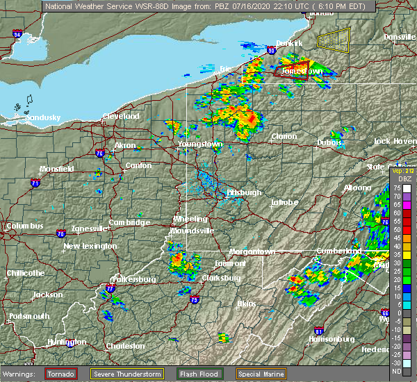 At 612 pm edt, a severe thunderstorm was located 7 miles west of hundred, or 13 miles east of new martinsville, moving northeast at 40 mph (radar). Hazards include wind gusts to 60 mph. expect damage to trees and power lines, resulting in some power outages At 612 pm edt, a severe thunderstorm was located 7 miles west of hundred, or 13 miles east of new martinsville, moving northeast at 40 mph (radar). Hazards include wind gusts to 60 mph. expect damage to trees and power lines, resulting in some power outages
|
| 6/3/2020 4:43 PM EDT |
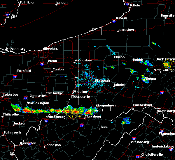 At 443 pm edt, a severe thunderstorm was located near jacksonburg, or 14 miles west of mannington, moving southeast at 30 mph (radar). Hazards include ping pong ball-size hail and wind gusts to 60 mph. People and animals outdoors will be injured. expect hail damage to roofs, siding, windows, and vehicles. expect wind damage to trees and power lines, resulting in some power outages. Locations impacted include, jacksonburg, smithfield, folsom,. At 443 pm edt, a severe thunderstorm was located near jacksonburg, or 14 miles west of mannington, moving southeast at 30 mph (radar). Hazards include ping pong ball-size hail and wind gusts to 60 mph. People and animals outdoors will be injured. expect hail damage to roofs, siding, windows, and vehicles. expect wind damage to trees and power lines, resulting in some power outages. Locations impacted include, jacksonburg, smithfield, folsom,.
|
| 6/3/2020 4:30 PM EDT |
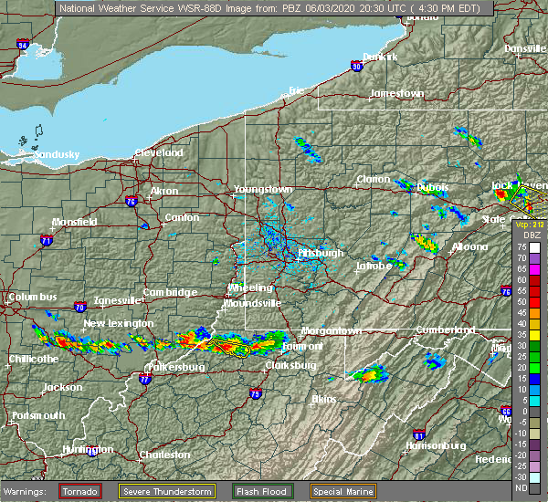 At 430 pm edt, a severe thunderstorm was located over jacksonburg, or 11 miles east of middlebourne, moving east at 30 mph (radar). Hazards include wind gusts to 60 mph and quarter-size hail. Minor hail damage to vehicles is possible. expect wind damage to trees and power lines, resulting in some power outages. Locations impacted include, pine grove, jacksonburg, smithfield, reader, folsom,. At 430 pm edt, a severe thunderstorm was located over jacksonburg, or 11 miles east of middlebourne, moving east at 30 mph (radar). Hazards include wind gusts to 60 mph and quarter-size hail. Minor hail damage to vehicles is possible. expect wind damage to trees and power lines, resulting in some power outages. Locations impacted include, pine grove, jacksonburg, smithfield, reader, folsom,.
|
| 6/3/2020 4:11 PM EDT |
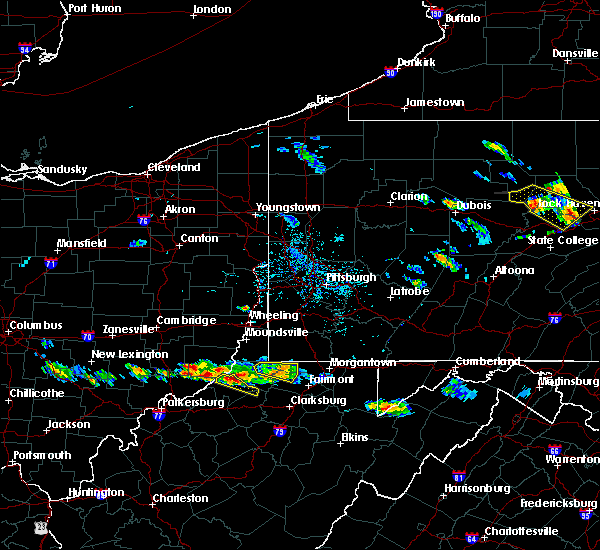 At 411 pm edt, a severe thunderstorm was located near middlebourne, moving southeast at 30 mph (radar). Hazards include wind gusts to 60 mph and quarter-size hail. Minor hail damage to vehicles is possible. Expect wind damage to trees and power lines, resulting in some power outages. At 411 pm edt, a severe thunderstorm was located near middlebourne, moving southeast at 30 mph (radar). Hazards include wind gusts to 60 mph and quarter-size hail. Minor hail damage to vehicles is possible. Expect wind damage to trees and power lines, resulting in some power outages.
|
| 9/28/2019 7:43 PM EDT |
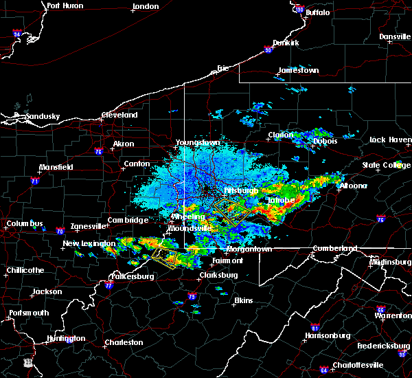 At 742 pm edt, a severe thunderstorm was located over pine grove, or 10 miles southeast of new martinsville, moving southeast at 25 mph (radar). Hazards include wind gusts to 60 mph and quarter-size hail. Minor hail damage to vehicles is possible. Expect wind damage to trees and power lines, resulting in some power outages. At 742 pm edt, a severe thunderstorm was located over pine grove, or 10 miles southeast of new martinsville, moving southeast at 25 mph (radar). Hazards include wind gusts to 60 mph and quarter-size hail. Minor hail damage to vehicles is possible. Expect wind damage to trees and power lines, resulting in some power outages.
|
| 5/25/2019 6:21 PM EDT |
 At 621 pm edt, a severe thunderstorm was located near pine grove, or 9 miles east of middlebourne, moving east at 30 mph (radar). Hazards include wind gusts to 60 mph and quarter-size hail. Minor hail damage to vehicles is possible. Expect wind damage to trees and power lines, resulting in some power outages. At 621 pm edt, a severe thunderstorm was located near pine grove, or 9 miles east of middlebourne, moving east at 30 mph (radar). Hazards include wind gusts to 60 mph and quarter-size hail. Minor hail damage to vehicles is possible. Expect wind damage to trees and power lines, resulting in some power outages.
|
| 5/29/2018 5:35 PM EDT |
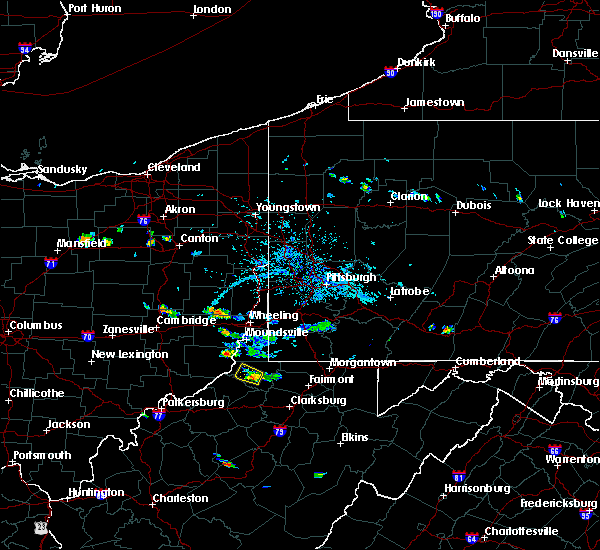 At 535 pm edt, a severe thunderstorm was located over pine grove, or 10 miles southeast of new martinsville, moving northwest at 15 mph (radar). Hazards include wind gusts to 60 mph. Expect damage to trees and power lines, resulting in some power outages. Locations impacted include, pine grove, jacksonburg, porters falls, reader, wileyville, big run,. At 535 pm edt, a severe thunderstorm was located over pine grove, or 10 miles southeast of new martinsville, moving northwest at 15 mph (radar). Hazards include wind gusts to 60 mph. Expect damage to trees and power lines, resulting in some power outages. Locations impacted include, pine grove, jacksonburg, porters falls, reader, wileyville, big run,.
|
| 5/29/2018 5:12 PM EDT |
 At 512 pm edt, a severe thunderstorm was located near jacksonburg, or 11 miles west of mannington, moving northwest at 15 mph (radar). Hazards include wind gusts to 60 mph. expect damage to trees and power lines, resulting in some power outages At 512 pm edt, a severe thunderstorm was located near jacksonburg, or 11 miles west of mannington, moving northwest at 15 mph (radar). Hazards include wind gusts to 60 mph. expect damage to trees and power lines, resulting in some power outages
|
| 5/15/2018 7:40 PM EDT |
 At 721 pm edt, a severe thunderstorm was located near pine grove, or 8 miles east of middlebourne, moving east at 35 mph (radar). Hazards include wind gusts to 60 mph and half dollar-size hail. Minor hail damage to vehicles is possible. Expect wind damage to trees and power lines, resulting in some power outages. At 721 pm edt, a severe thunderstorm was located near pine grove, or 8 miles east of middlebourne, moving east at 35 mph (radar). Hazards include wind gusts to 60 mph and half dollar-size hail. Minor hail damage to vehicles is possible. Expect wind damage to trees and power lines, resulting in some power outages.
|
| 5/15/2018 7:21 PM EDT |
 At 721 pm edt, a severe thunderstorm was located near pine grove, or 8 miles east of middlebourne, moving east at 35 mph (radar). Hazards include wind gusts to 60 mph and half dollar-size hail. Minor hail damage to vehicles is possible. Expect wind damage to trees and power lines, resulting in some power outages. At 721 pm edt, a severe thunderstorm was located near pine grove, or 8 miles east of middlebourne, moving east at 35 mph (radar). Hazards include wind gusts to 60 mph and half dollar-size hail. Minor hail damage to vehicles is possible. Expect wind damage to trees and power lines, resulting in some power outages.
|
| 6/23/2017 5:08 PM EDT |
 At 507 pm edt, severe thunderstorms were located along a line extending from near cameron to near hundred to jacksonburg, moving east at 55 mph (radar). Hazards include 60 mph wind gusts. Expect damage to trees and power lines, resulting in some power outages. locations impacted include, morgantown, fairmont, waynesburg, westover, mannington, star city, masontown, pleasant valley, winfield, fredericktown-millsboro, fairdale, jefferson boro, this includes the following highways, interstate 68 in west virginia near mile marker 1. interstate 79 in pennsylvania between mile markers 0 and 19. Interstate 79 in west virginia between mile markers 130 and 160. At 507 pm edt, severe thunderstorms were located along a line extending from near cameron to near hundred to jacksonburg, moving east at 55 mph (radar). Hazards include 60 mph wind gusts. Expect damage to trees and power lines, resulting in some power outages. locations impacted include, morgantown, fairmont, waynesburg, westover, mannington, star city, masontown, pleasant valley, winfield, fredericktown-millsboro, fairdale, jefferson boro, this includes the following highways, interstate 68 in west virginia near mile marker 1. interstate 79 in pennsylvania between mile markers 0 and 19. Interstate 79 in west virginia between mile markers 130 and 160.
|
| 6/23/2017 4:46 PM EDT |
 At 446 pm edt, severe thunderstorms were located along a line extending from near cameron to middlebourne, moving east at 45 mph (radar). Hazards include 60 mph wind gusts. expect damage to trees and power lines, resulting in some power outages At 446 pm edt, severe thunderstorms were located along a line extending from near cameron to middlebourne, moving east at 45 mph (radar). Hazards include 60 mph wind gusts. expect damage to trees and power lines, resulting in some power outages
|
| 5/19/2017 3:41 PM EDT |
 At 341 pm edt, severe thunderstorms were located along a line extending from near mannington to near new martinsville, moving east at 35 mph (radar). Hazards include 60 mph wind gusts. Expect damage to trees and power lines, resulting in some power outages. Locations impacted include, new martinsville, pine grove, hundred, jacksonburg, sardis, clarington, smithfield, wileyville, proctor, big run, reader, knob fork,. At 341 pm edt, severe thunderstorms were located along a line extending from near mannington to near new martinsville, moving east at 35 mph (radar). Hazards include 60 mph wind gusts. Expect damage to trees and power lines, resulting in some power outages. Locations impacted include, new martinsville, pine grove, hundred, jacksonburg, sardis, clarington, smithfield, wileyville, proctor, big run, reader, knob fork,.
|
| 5/19/2017 3:22 PM EDT |
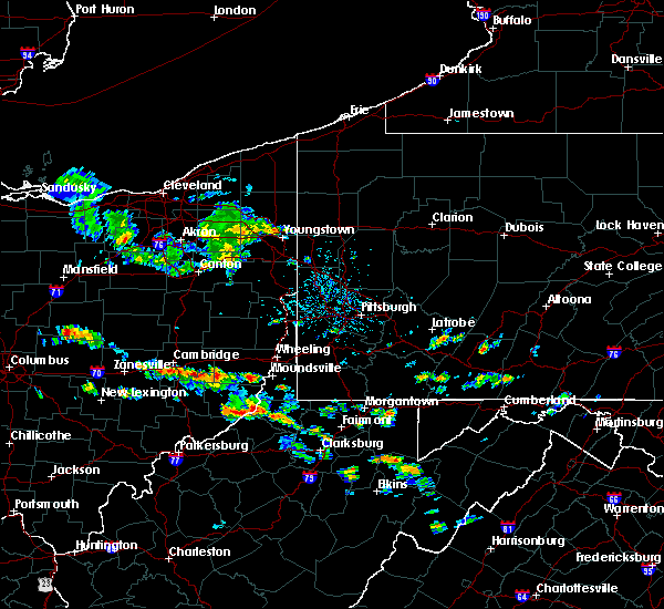 At 322 pm edt, severe thunderstorms were located along a line extending from near jacksonburg to near sistersville, moving east at 30 mph (radar). Hazards include 60 mph wind gusts and quarter-size hail. Minor hail damage to vehicles is possible. Expect wind damage to trees and power lines, resulting in some power outages. At 322 pm edt, severe thunderstorms were located along a line extending from near jacksonburg to near sistersville, moving east at 30 mph (radar). Hazards include 60 mph wind gusts and quarter-size hail. Minor hail damage to vehicles is possible. Expect wind damage to trees and power lines, resulting in some power outages.
|
| 5/19/2017 3:22 PM EDT |
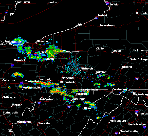 At 322 pm edt, severe thunderstorms were located along a line extending from near jacksonburg to near sistersville, moving east at 30 mph (radar). Hazards include 60 mph wind gusts and quarter-size hail. Minor hail damage to vehicles is possible. Expect wind damage to trees and power lines, resulting in some power outages. At 322 pm edt, severe thunderstorms were located along a line extending from near jacksonburg to near sistersville, moving east at 30 mph (radar). Hazards include 60 mph wind gusts and quarter-size hail. Minor hail damage to vehicles is possible. Expect wind damage to trees and power lines, resulting in some power outages.
|
| 5/1/2017 2:27 PM EDT |
 At 226 pm edt, severe thunderstorms were located along a line extending from near avella to near hundred, moving northeast at 55 mph (radar). Hazards include 70 mph wind gusts. Trees snapped and uprooted. power outages can be expected. locations impacted include, bethel park, morgantown, mcmurray, mckeesport, washington, canonsburg, waynesburg, star city, gastonville, west mifflin, baldwin, upper st. clair, this includes the following highways, interstate 70 in pennsylvania between mile markers 3 and 40. interstate 79 in pennsylvania between mile markers 0 and 21. interstate 79 in west virginia between mile markers 154 and 160. A tornado watch remains in effect until 700 pm edt for southwestern pennsylvania, and northern west virginia. At 226 pm edt, severe thunderstorms were located along a line extending from near avella to near hundred, moving northeast at 55 mph (radar). Hazards include 70 mph wind gusts. Trees snapped and uprooted. power outages can be expected. locations impacted include, bethel park, morgantown, mcmurray, mckeesport, washington, canonsburg, waynesburg, star city, gastonville, west mifflin, baldwin, upper st. clair, this includes the following highways, interstate 70 in pennsylvania between mile markers 3 and 40. interstate 79 in pennsylvania between mile markers 0 and 21. interstate 79 in west virginia between mile markers 154 and 160. A tornado watch remains in effect until 700 pm edt for southwestern pennsylvania, and northern west virginia.
|
| 5/1/2017 2:11 PM EDT |
 At 210 pm edt, severe thunderstorms were located along a line extending from near west liberty to near pine grove, moving northeast at 55 mph (radar). Hazards include 70 mph wind gusts. Trees snapped and uprooted. Power outages can be expected. At 210 pm edt, severe thunderstorms were located along a line extending from near west liberty to near pine grove, moving northeast at 55 mph (radar). Hazards include 70 mph wind gusts. Trees snapped and uprooted. Power outages can be expected.
|
| 10/20/2016 4:51 PM EDT |
 At 451 pm edt, a severe thunderstorm was located near pine grove, or 13 miles east of new martinsville, moving east at 50 mph (radar indicated). Hazards include quarter size hail. damage to vehicles is expected At 451 pm edt, a severe thunderstorm was located near pine grove, or 13 miles east of new martinsville, moving east at 50 mph (radar indicated). Hazards include quarter size hail. damage to vehicles is expected
|
| 10/20/2016 4:51 PM EDT |
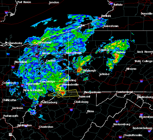 At 451 pm edt, a severe thunderstorm was located near pine grove, or 13 miles east of new martinsville, moving east at 50 mph (radar indicated). Hazards include quarter size hail. damage to vehicles is expected At 451 pm edt, a severe thunderstorm was located near pine grove, or 13 miles east of new martinsville, moving east at 50 mph (radar indicated). Hazards include quarter size hail. damage to vehicles is expected
|
| 9/29/2016 2:43 PM EDT |
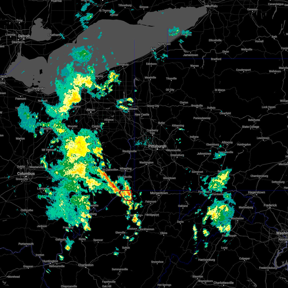 The tornado warning for northwestern wetzel county will expire at 245 pm edt, the tornadic thunderstorm which prompted the warning has !** weakened. therefore, the warning will be allowed to expire. The tornado warning for northwestern wetzel county will expire at 245 pm edt, the tornadic thunderstorm which prompted the warning has !** weakened. therefore, the warning will be allowed to expire.
|
| 9/29/2016 2:28 PM EDT |
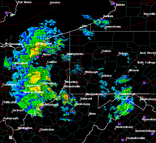 At 228 pm edt, a severe thunderstorm capable of producing a tornado was located over jacksonburg, or 12 miles southeast of new martinsville, moving northwest at 10 mph (radar indicated rotation). Hazards include tornado. Flying debris will be dangerous to those caught without shelter. mobile homes will be damaged or destroyed. damage to roofs, windows, and vehicles will occur. tree damage is likely. this dangerous storm will be near, pine grove around 240 pm edt. other locations impacted by this tornadic thunderstorm include big run, proctor, wileyville and reader. Please report severe weather by calling 4 1 2, 2 6 2, 1 9 8 8, posting to the nws pittsburgh facebook page, or using twitter @nwspittsburgh. At 228 pm edt, a severe thunderstorm capable of producing a tornado was located over jacksonburg, or 12 miles southeast of new martinsville, moving northwest at 10 mph (radar indicated rotation). Hazards include tornado. Flying debris will be dangerous to those caught without shelter. mobile homes will be damaged or destroyed. damage to roofs, windows, and vehicles will occur. tree damage is likely. this dangerous storm will be near, pine grove around 240 pm edt. other locations impacted by this tornadic thunderstorm include big run, proctor, wileyville and reader. Please report severe weather by calling 4 1 2, 2 6 2, 1 9 8 8, posting to the nws pittsburgh facebook page, or using twitter @nwspittsburgh.
|
| 9/29/2016 2:16 PM EDT |
 At 215 pm edt, a severe thunderstorm capable of producing a tornado was located over jacksonburg, or 14 miles southeast of new martinsville, moving northwest at 10 mph (radar indicated rotation). Hazards include tornado. Flying debris will be dangerous to those caught without shelter. mobile homes will be damaged or destroyed. damage to roofs, windows, and vehicles will occur. tree damage is likely. this dangerous storm will be near, jacksonburg around 220 pm edt. pine grove around 245 pm edt. other locations impacted by this tornadic thunderstorm include big run, proctor, porters falls, wileyville, reader and smithfield. Please report severe weather by calling 4 1 2, 2 6 2, 1 9 8 8, posting to the nws pittsburgh facebook page, or using twitter @nwspittsburgh. At 215 pm edt, a severe thunderstorm capable of producing a tornado was located over jacksonburg, or 14 miles southeast of new martinsville, moving northwest at 10 mph (radar indicated rotation). Hazards include tornado. Flying debris will be dangerous to those caught without shelter. mobile homes will be damaged or destroyed. damage to roofs, windows, and vehicles will occur. tree damage is likely. this dangerous storm will be near, jacksonburg around 220 pm edt. pine grove around 245 pm edt. other locations impacted by this tornadic thunderstorm include big run, proctor, porters falls, wileyville, reader and smithfield. Please report severe weather by calling 4 1 2, 2 6 2, 1 9 8 8, posting to the nws pittsburgh facebook page, or using twitter @nwspittsburgh.
|
| 6/12/2015 7:41 PM EDT |
 The severe thunderstorm warning for central wetzel and western marion counties will expire at 745 pm edt, the storm which prompted the warning has weakened below severe limits, and no longer poses an immediate threat to life or property. therefore the warning will be allowed to expire. a severe thunderstorm watch remains in effect until 900 pm edt for northern west virginia. The severe thunderstorm warning for central wetzel and western marion counties will expire at 745 pm edt, the storm which prompted the warning has weakened below severe limits, and no longer poses an immediate threat to life or property. therefore the warning will be allowed to expire. a severe thunderstorm watch remains in effect until 900 pm edt for northern west virginia.
|
| 6/12/2015 7:17 PM EDT |
 At 717 pm edt, a severe thunderstorm was located over pine grove, or 11 miles southeast of new martinsville, moving east at 30 mph (radar indicated). Hazards include 60 mph wind gusts and penny size hail. Expect damage to roofs. Siding and trees. At 717 pm edt, a severe thunderstorm was located over pine grove, or 11 miles southeast of new martinsville, moving east at 30 mph (radar indicated). Hazards include 60 mph wind gusts and penny size hail. Expect damage to roofs. Siding and trees.
|
| 4/9/2015 5:38 PM EDT | The national weather service in pittsburgh has issued a * severe thunderstorm warning for. central monroe county in east central ohio. southeastern belmont county in east central ohio. western greene county in southwestern pennsylvania. Wetzel county in northern west virginia. |
| 4/9/2015 5:38 PM EDT | The national weather service in pittsburgh has issued a * severe thunderstorm warning for. central monroe county in east central ohio. southeastern belmont county in east central ohio. western greene county in southwestern pennsylvania. Wetzel county in northern west virginia. |
| 4/9/2015 5:38 PM EDT | The national weather service in pittsburgh has issued a * severe thunderstorm warning for. central monroe county in east central ohio. southeastern belmont county in east central ohio. western greene county in southwestern pennsylvania. Wetzel county in northern west virginia. |
| 4/9/2015 4:38 PM EDT | The national weather service in pittsburgh has issued a * severe thunderstorm warning for. southwestern greene county in southwestern pennsylvania. wetzel county in northern west virginia. southeastern marshall county in northern west virginia. Northwestern marion county in northern west virginia. |
| 4/9/2015 4:38 PM EDT | The national weather service in pittsburgh has issued a * severe thunderstorm warning for. southwestern greene county in southwestern pennsylvania. wetzel county in northern west virginia. southeastern marshall county in northern west virginia. Northwestern marion county in northern west virginia. |
| 7/13/2014 4:35 PM EDT | Tree on car in wetzel county WV, 0.7 miles E of Jacksonburg, WV |
| 7/10/2013 6:59 PM EDT | Trees down in wetzel county WV, 4.6 miles SW of Jacksonburg, WV |
Hail Maps for Jacksonburg, WV


Connect with Interactive Hail Maps