

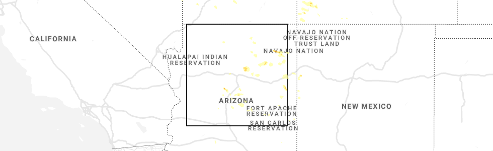
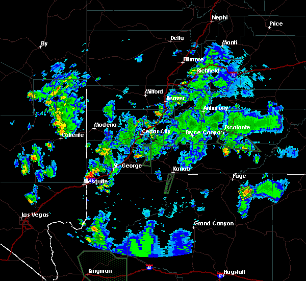
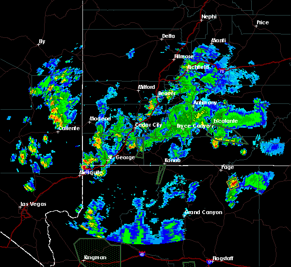
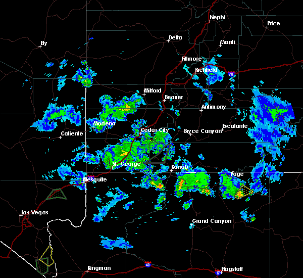
Hail Map for Kaibito, AZ
The Kaibito, AZ area has had 0 reports of on-the-ground hail by trained spotters, and has been under severe weather warnings 0 times during the past 12 months. Doppler radar has detected hail at or near Kaibito, AZ on 1 occasion.
| Name: | Kaibito, AZ |
| Where Located: | 101.2 miles NNE of Flagstaff, AZ |
| Map: | Google Map for Kaibito, AZ |
| Population: | 1522 |
| Housing Units: | 413 |
| More Info: | Search Google for Kaibito, AZ |
0
The Top Recent Hail Date for Kaibito, AZ is Thursday, July 29, 2021 (1st out of 1)
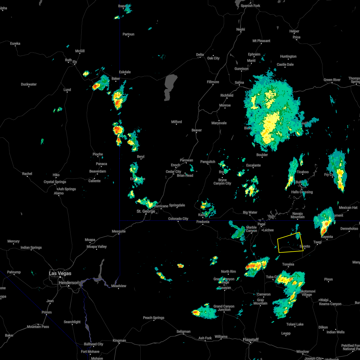
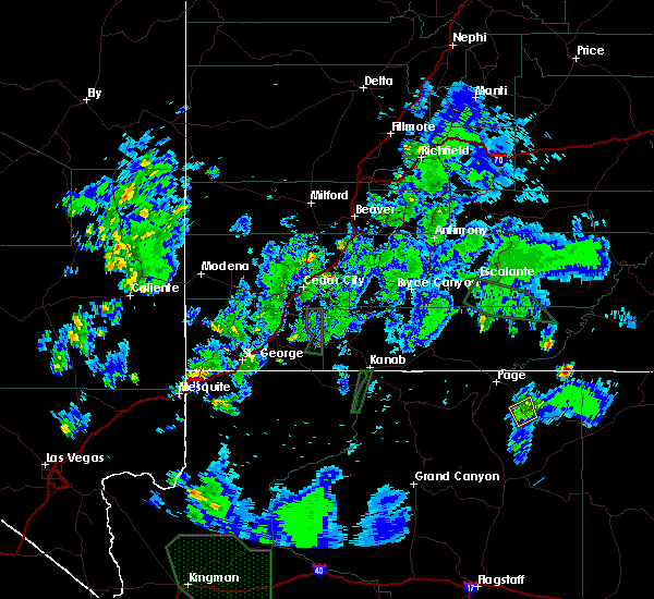
Hail and Wind Damage Spotted near Kaibito, AZ
| Date / Time | Report Details |
|---|---|
| 9/1/2021 5:12 PM MDT |
 The severe thunderstorm warning for navajo and coconino counties will expire at 515 pm mdt, the severe thunderstorm which prompted the warning has weakened. therefore, the warning will be allowed to expire. however small hail, gusty winds and heavy rain are still possible with this thunderstorm. The severe thunderstorm warning for navajo and coconino counties will expire at 515 pm mdt, the severe thunderstorm which prompted the warning has weakened. therefore, the warning will be allowed to expire. however small hail, gusty winds and heavy rain are still possible with this thunderstorm.
|
| 9/1/2021 4:33 PM MDT |
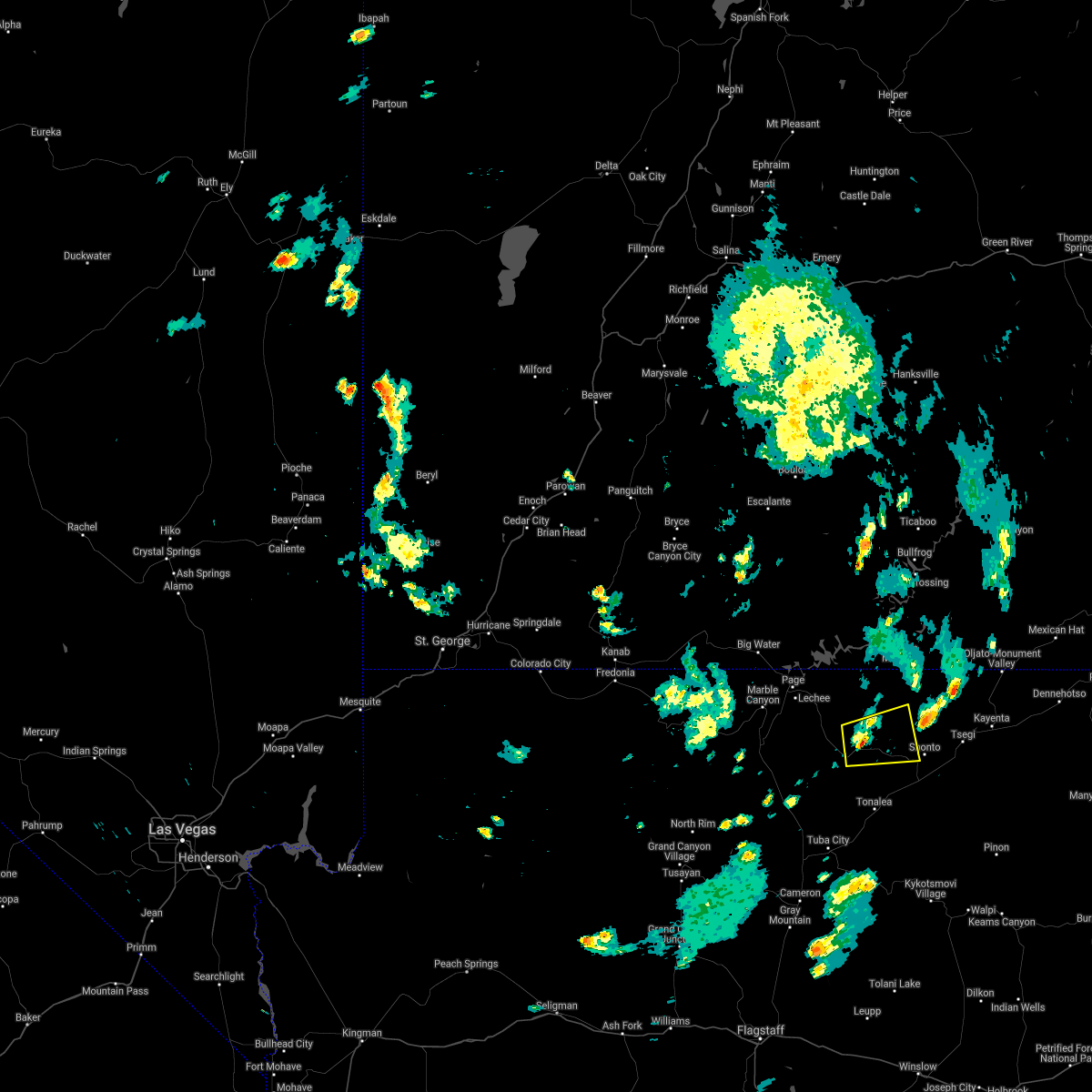 At 429 pm mdt, a severe thunderstorm was located 5 miles north of kaibito, or 28 miles southeast of page, moving east at 20 mph (radar indicated). Hazards include 60 mph wind gusts and quarter size hail. Hail damage to vehicles is expected. Expect wind damage to roofs, siding, and trees. At 429 pm mdt, a severe thunderstorm was located 5 miles north of kaibito, or 28 miles southeast of page, moving east at 20 mph (radar indicated). Hazards include 60 mph wind gusts and quarter size hail. Hail damage to vehicles is expected. Expect wind damage to roofs, siding, and trees.
|
| 7/14/2018 5:22 PM MDT |
 The severe thunderstorm warning for coconino county will expire at 430 pm mst, the storm which prompted the warning near kaibito has weakened below severe limits, and has exited the warned area. therefore, the warning will be allowed to expire. however, localized flooding is likely to continue for the next hour from the heavy rain in the area. The severe thunderstorm warning for coconino county will expire at 430 pm mst, the storm which prompted the warning near kaibito has weakened below severe limits, and has exited the warned area. therefore, the warning will be allowed to expire. however, localized flooding is likely to continue for the next hour from the heavy rain in the area.
|
| 7/14/2018 5:07 PM MDT |
 At 405 pm mst, a severe thunderstorm was located along highway 98 about 7 miles northwest of kaibito, moving northwest at 5 mph (radar indicated). Hazards include 70 mph wind gusts and quarter size hail. Hail damage to vehicles is expected. expect flooding of area roads due to the torrential rain. wind damage is also likely to mobile homes, roofs, and outbuildings. Locations impacted include, antelope creek basin, highway 98 northwest of kaibito. At 405 pm mst, a severe thunderstorm was located along highway 98 about 7 miles northwest of kaibito, moving northwest at 5 mph (radar indicated). Hazards include 70 mph wind gusts and quarter size hail. Hail damage to vehicles is expected. expect flooding of area roads due to the torrential rain. wind damage is also likely to mobile homes, roofs, and outbuildings. Locations impacted include, antelope creek basin, highway 98 northwest of kaibito.
|
| 7/14/2018 4:53 PM MDT |
 At 351 pm mst, a severe thunderstorm was located 8 miles southeast of antelope creek basin, or 21 miles southeast of page, moving northwest at 5 mph (radar indicated). Hazards include 60 mph wind gusts and quarter size hail. Hail damage to vehicles is expected. expect wind damage to roofs, siding, and trees. This storm is headed into the antelope creek basin. At 351 pm mst, a severe thunderstorm was located 8 miles southeast of antelope creek basin, or 21 miles southeast of page, moving northwest at 5 mph (radar indicated). Hazards include 60 mph wind gusts and quarter size hail. Hail damage to vehicles is expected. expect wind damage to roofs, siding, and trees. This storm is headed into the antelope creek basin.
|
| 10/5/2015 5:38 PM MDT |
 At 437 pm mst, doppler radar indicated a severe thunderstorm capable of producing quarter size hail and damaging winds in excess of 60 mph. this storm was located 10 miles south of antelope creek basin, or 23 miles south of page, and moving northeast at 30 mph. At 437 pm mst, doppler radar indicated a severe thunderstorm capable of producing quarter size hail and damaging winds in excess of 60 mph. this storm was located 10 miles south of antelope creek basin, or 23 miles south of page, and moving northeast at 30 mph.
|
Hail Maps for Kaibito, AZ

Connect with Interactive Hail Maps