

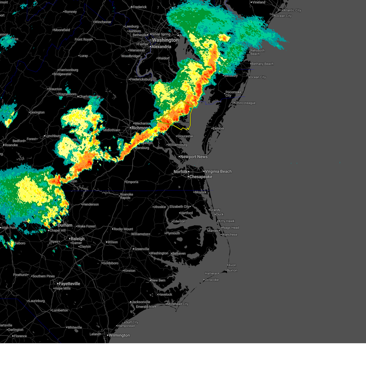
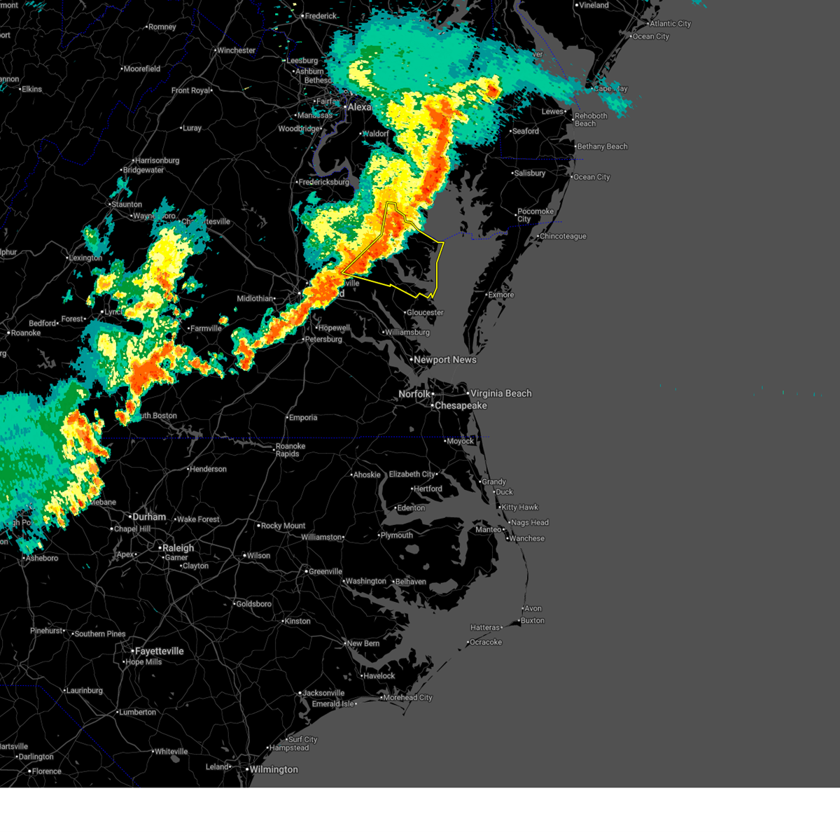
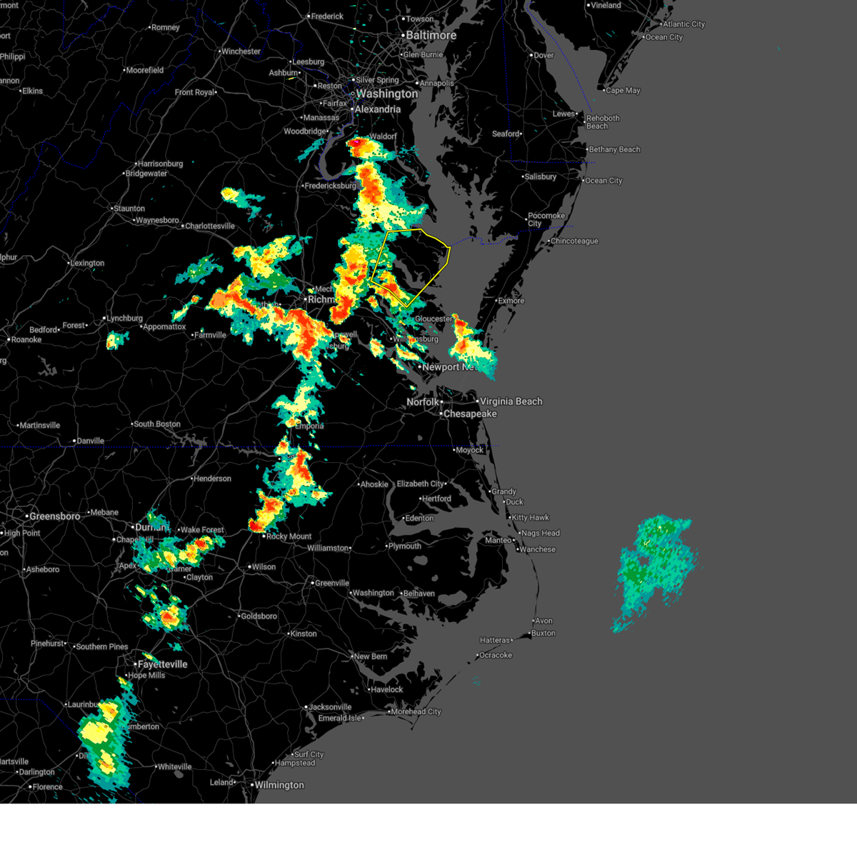
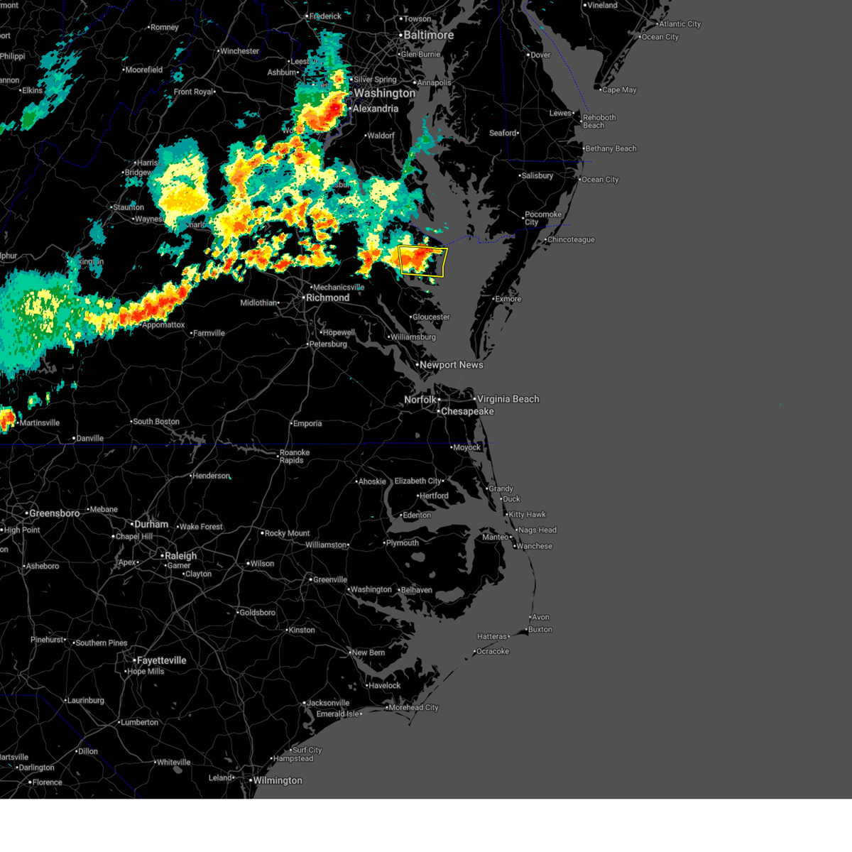
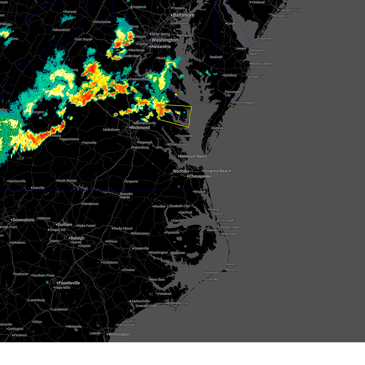
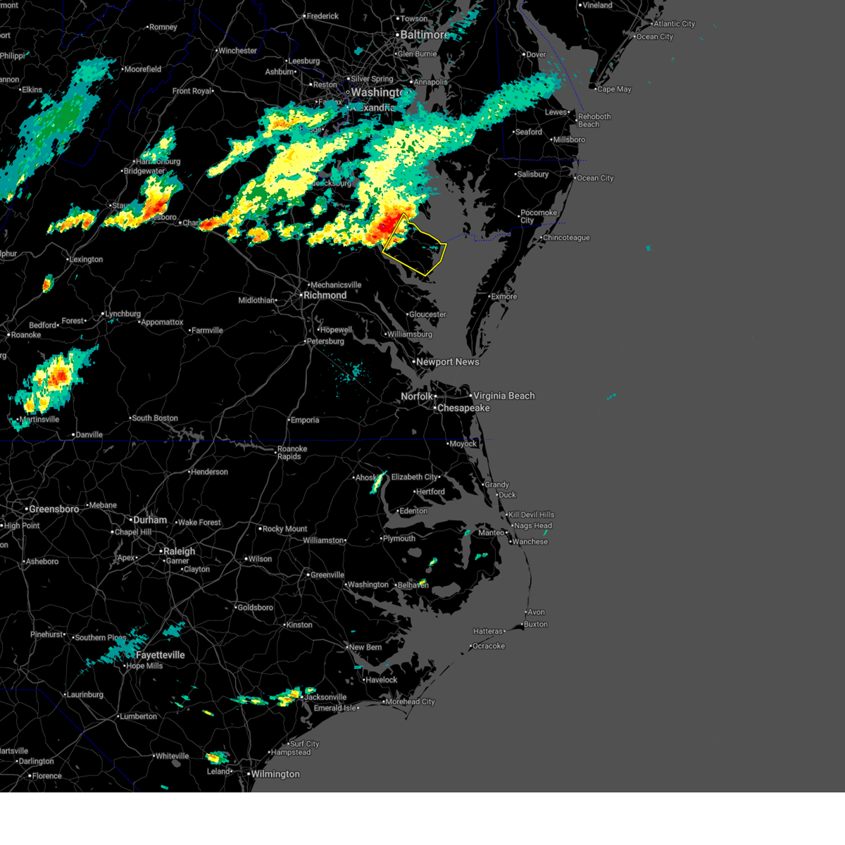
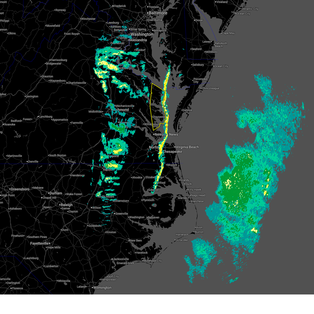
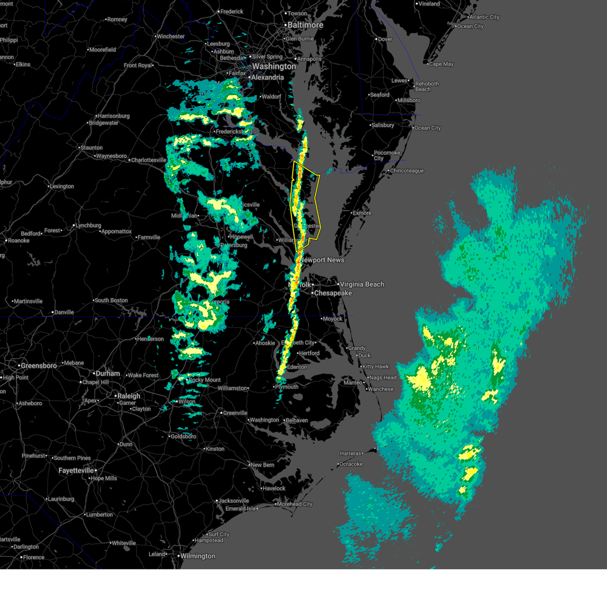
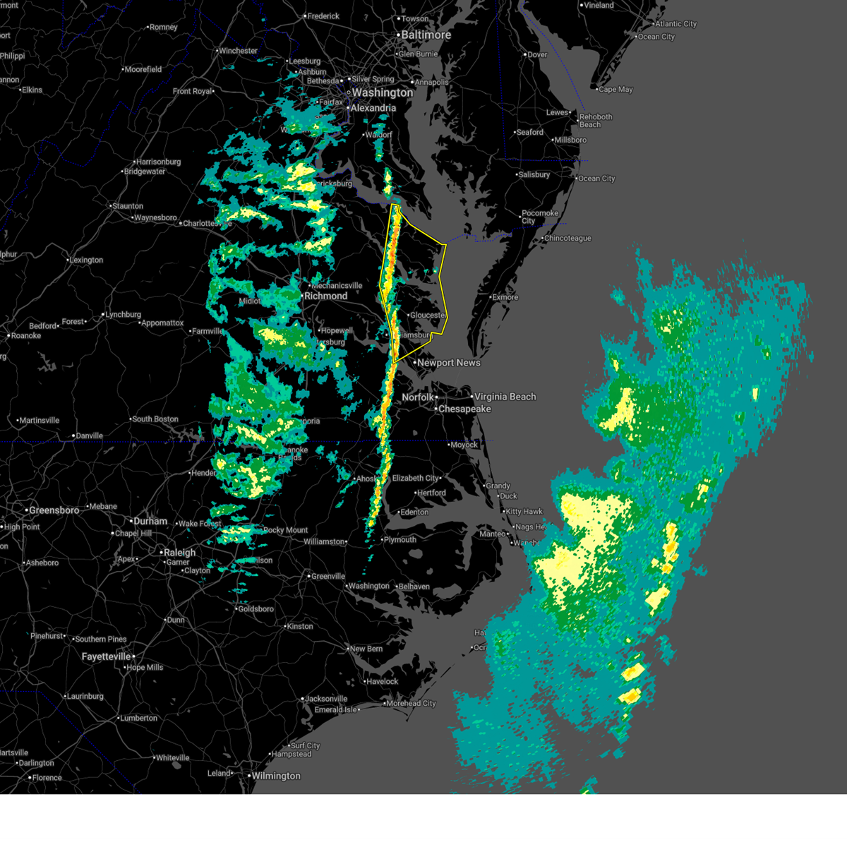
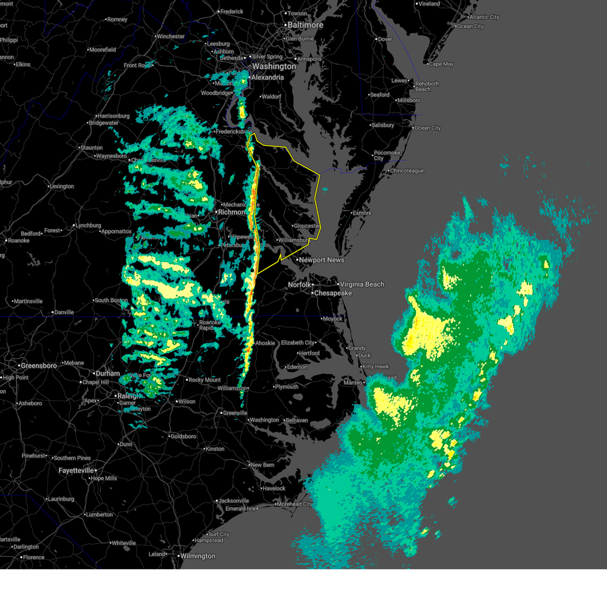
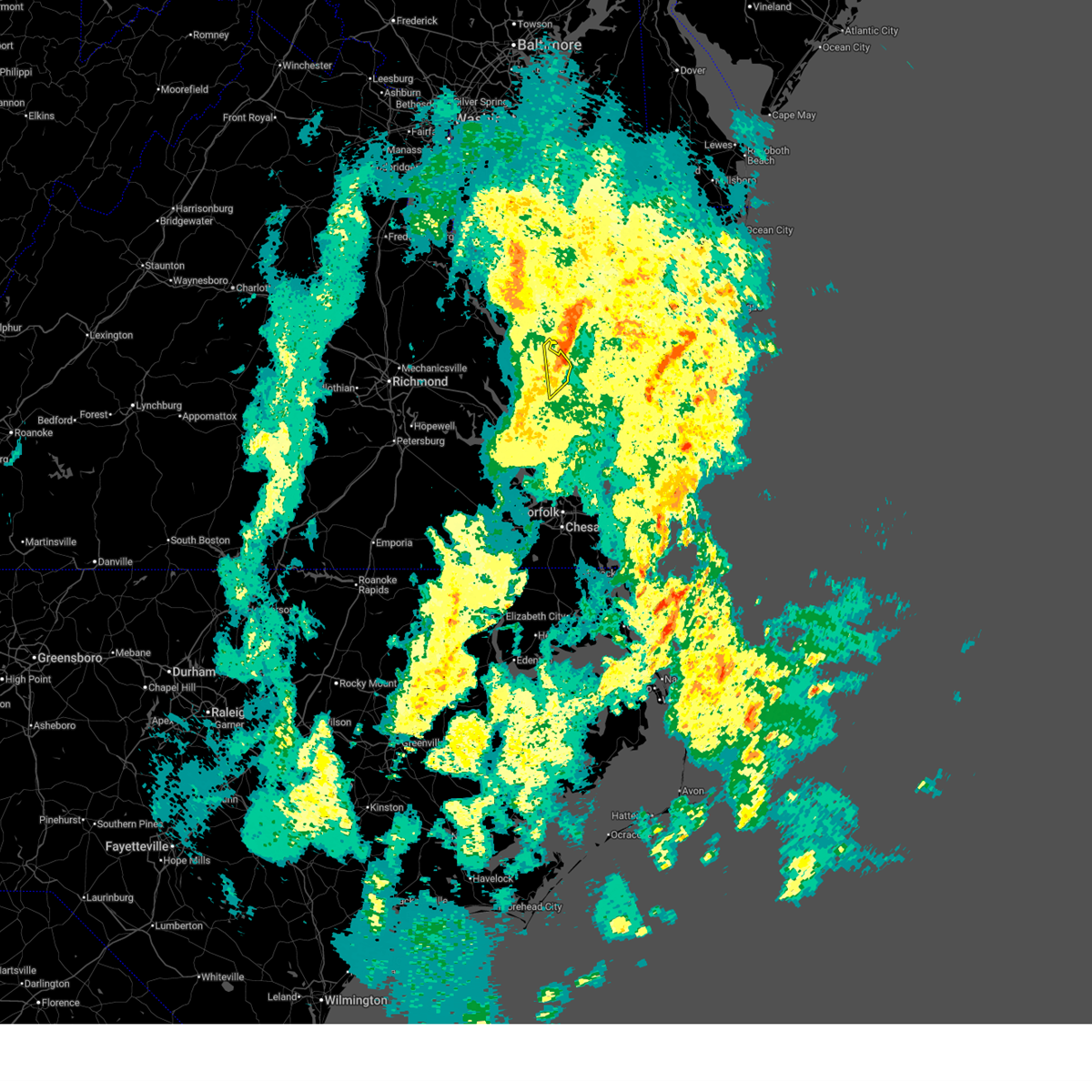
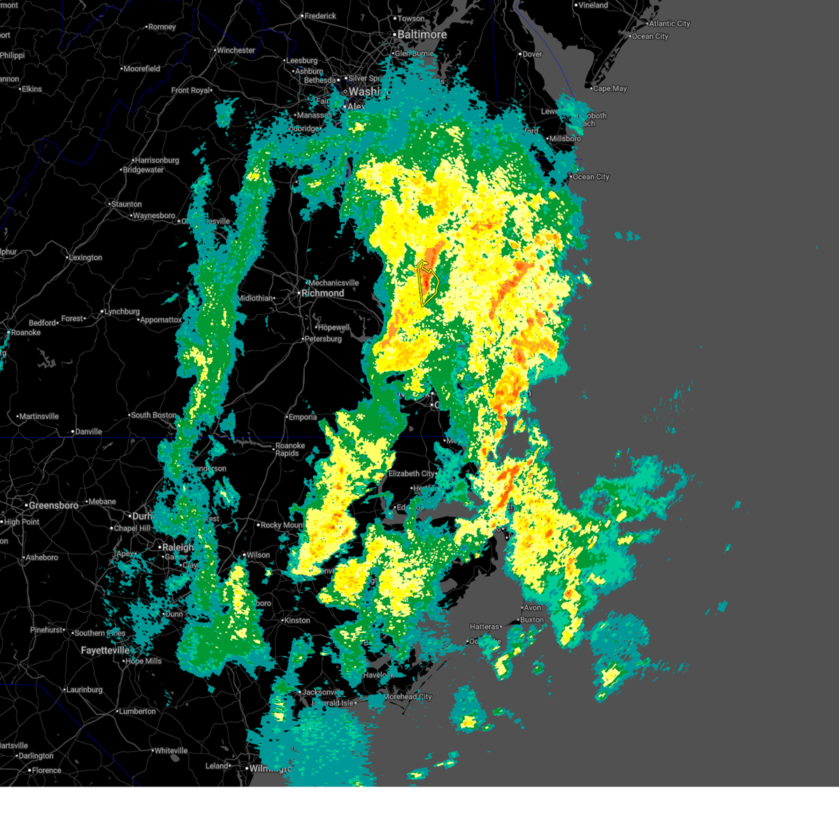
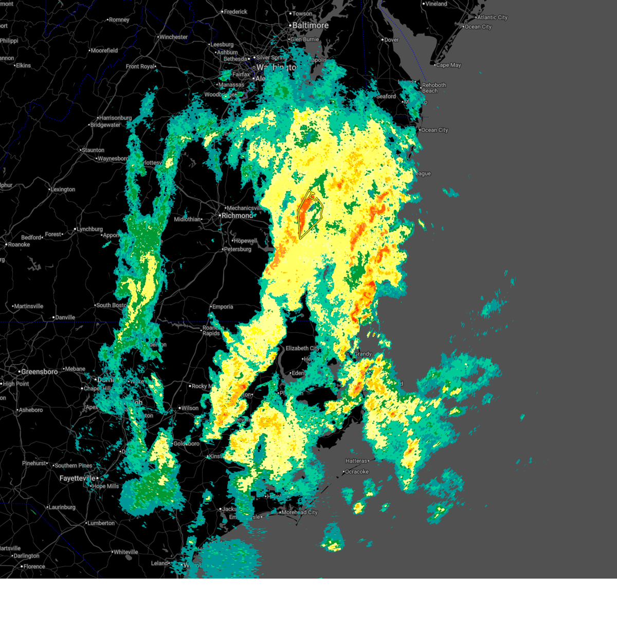
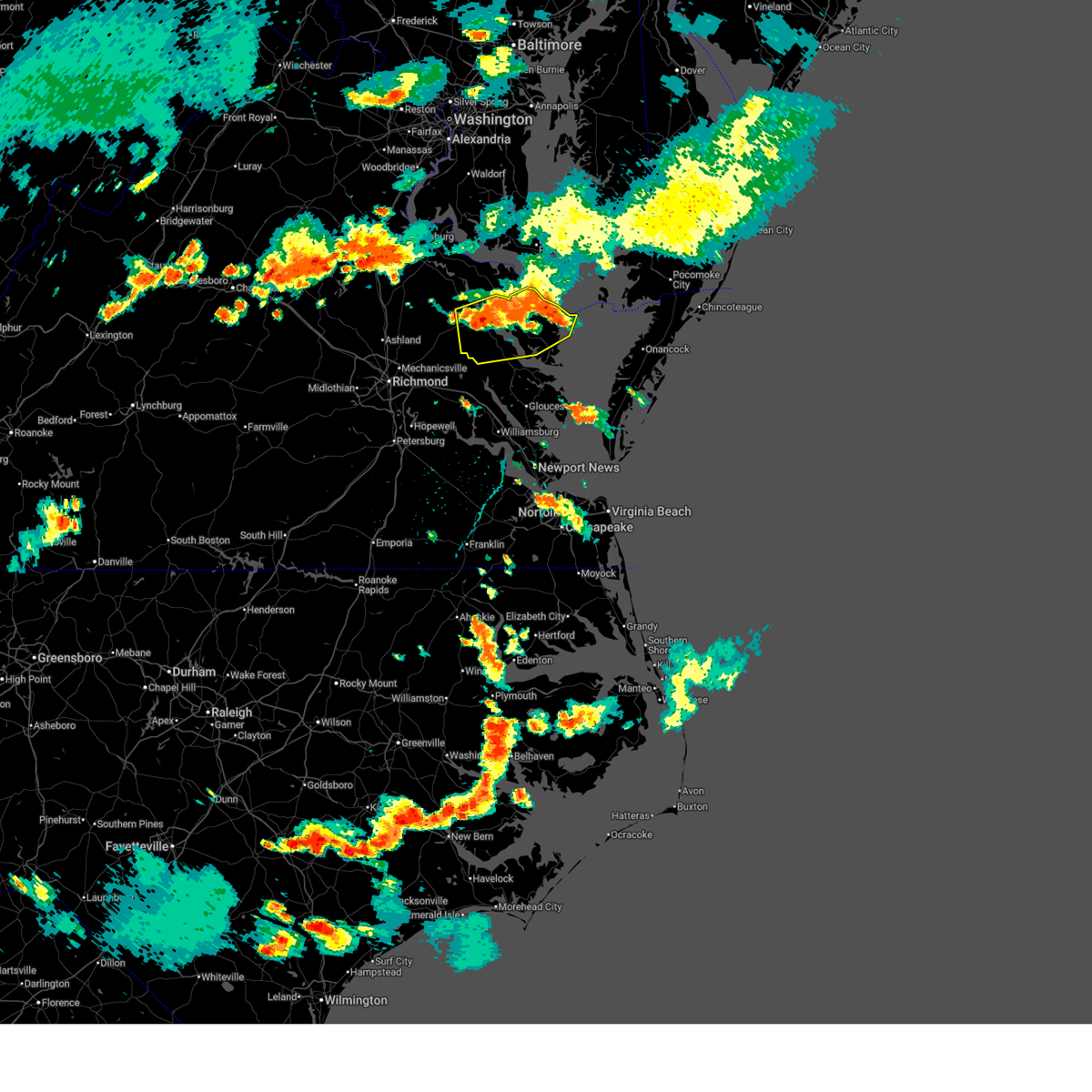
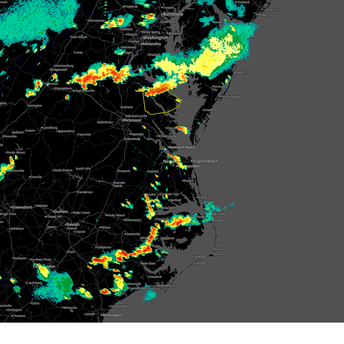
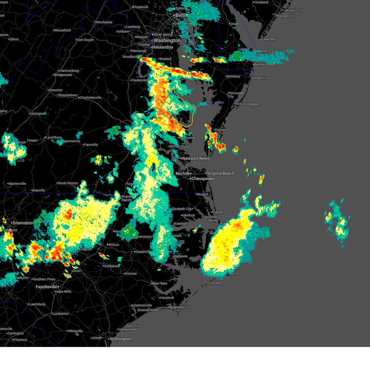
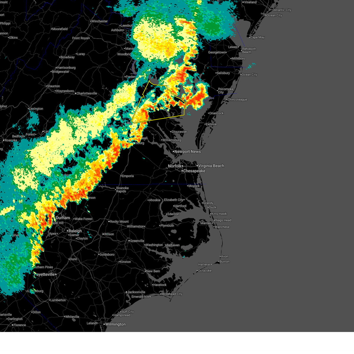
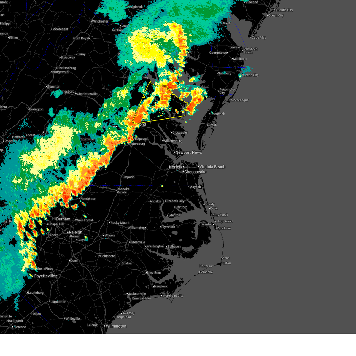
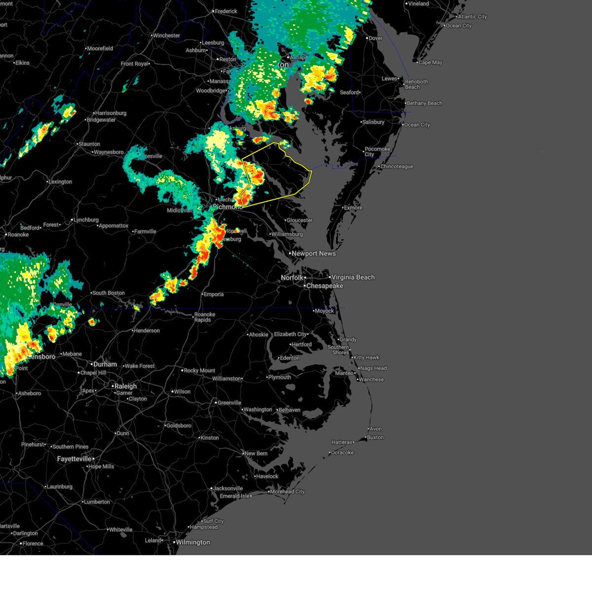
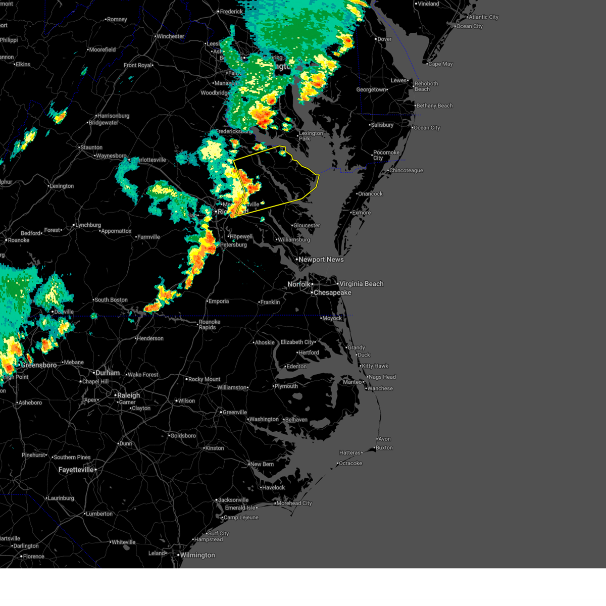
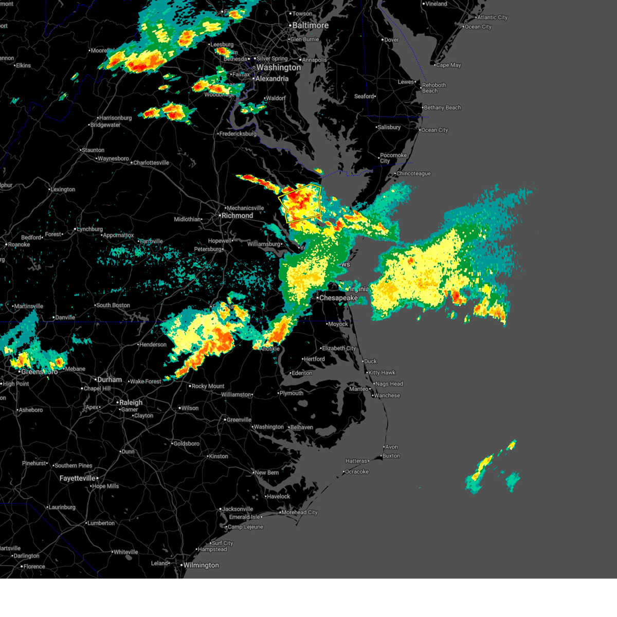
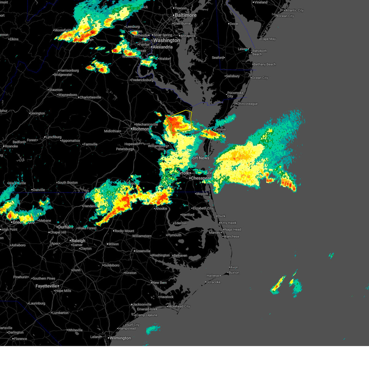
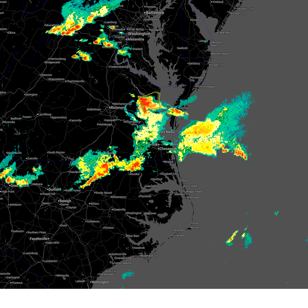
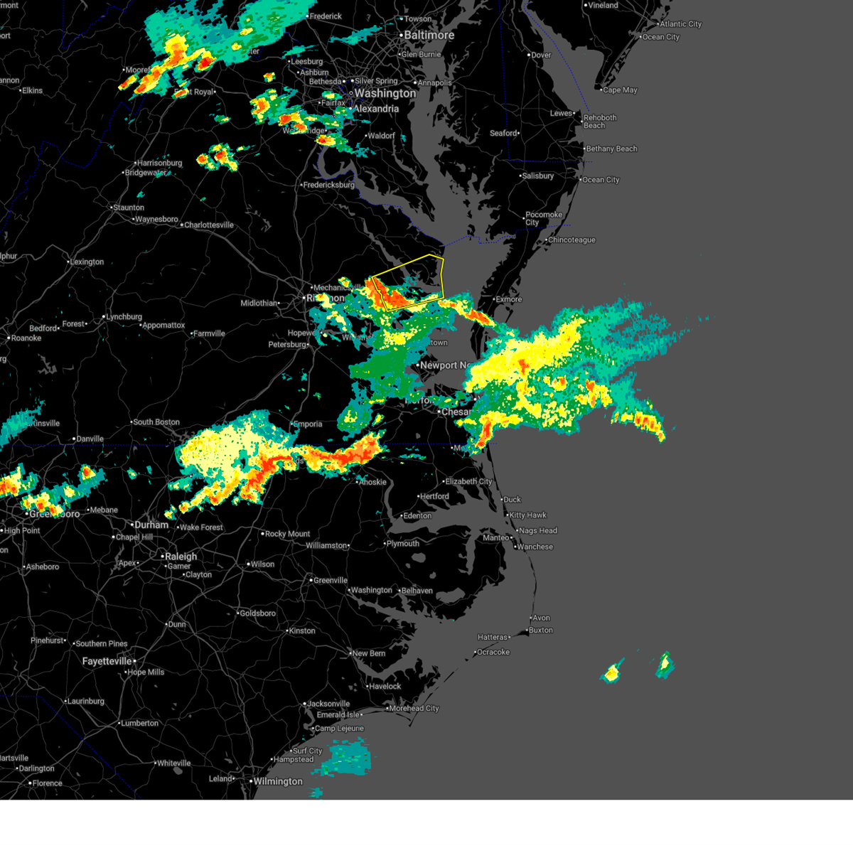
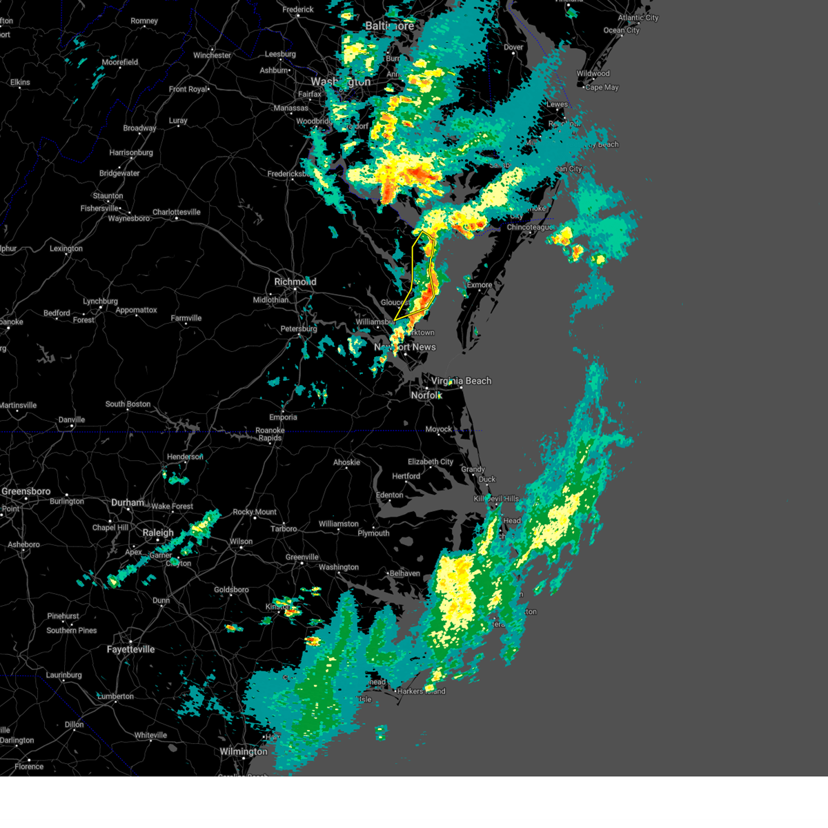
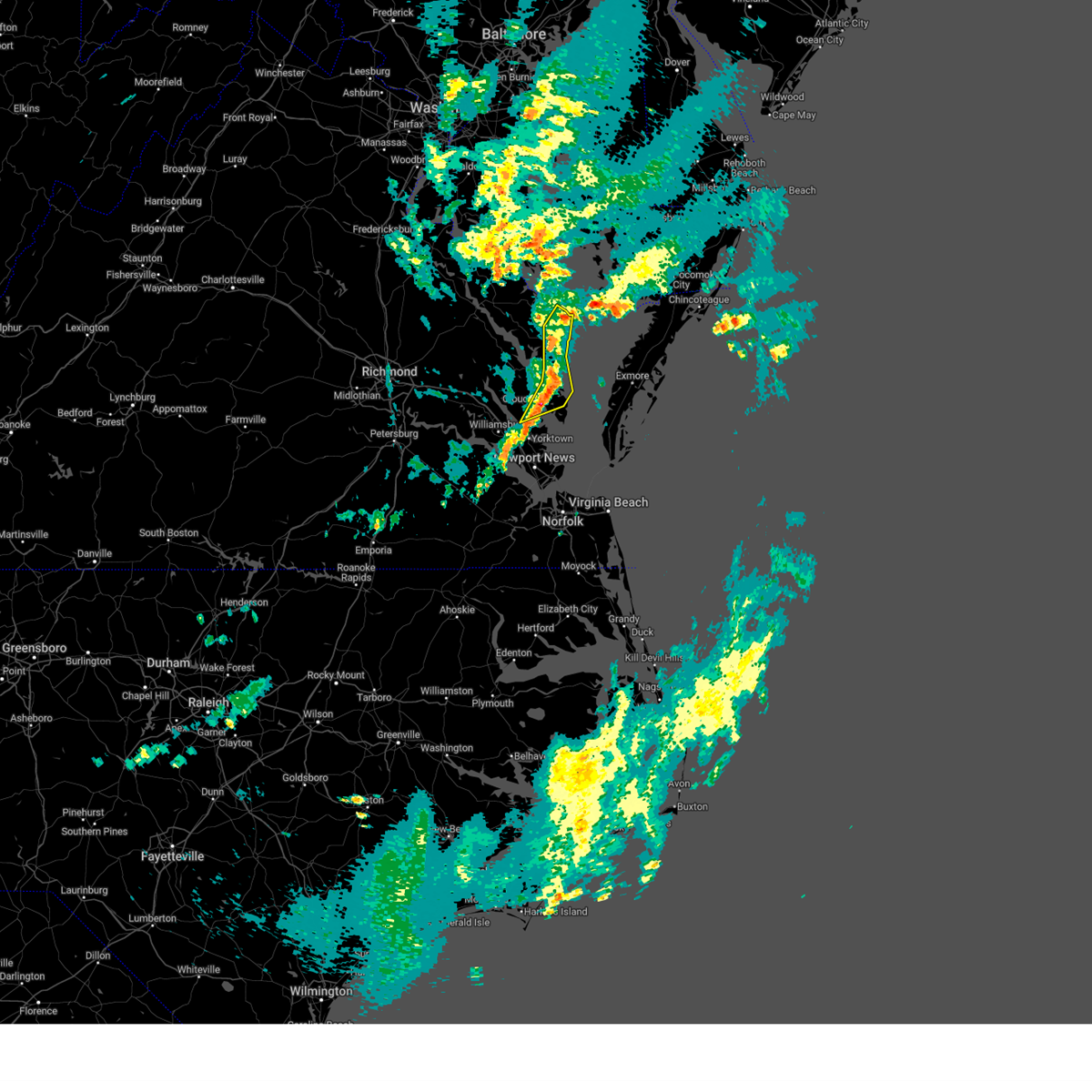
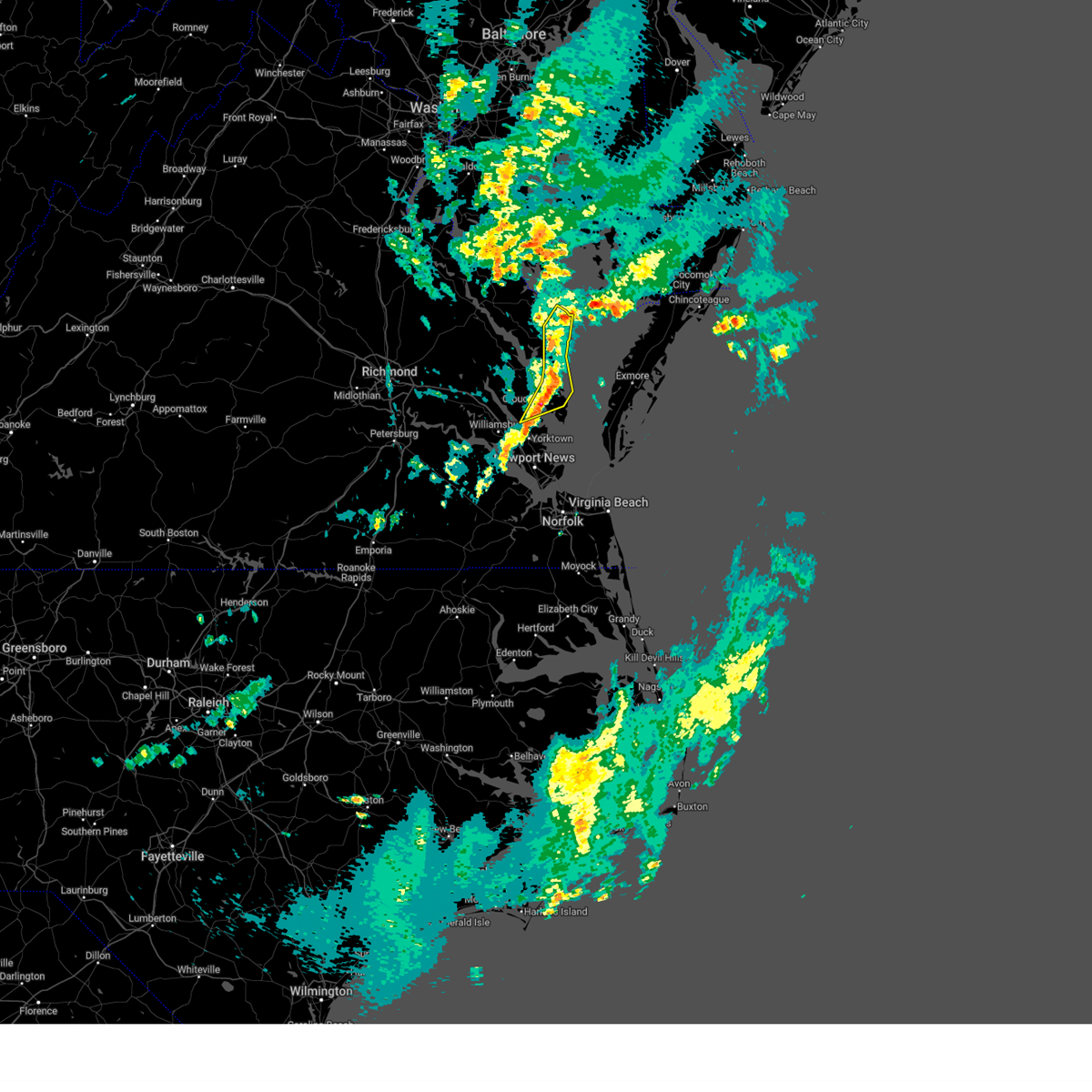
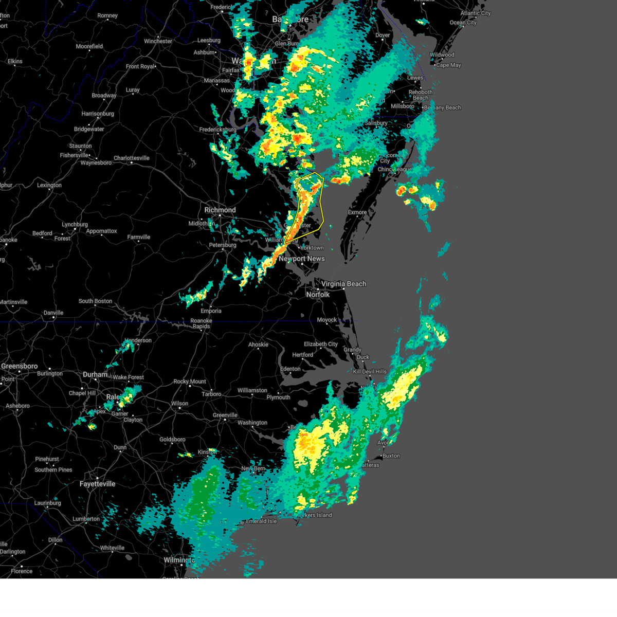
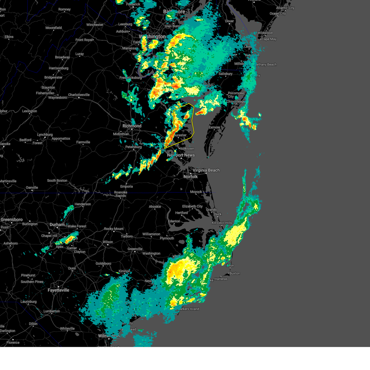
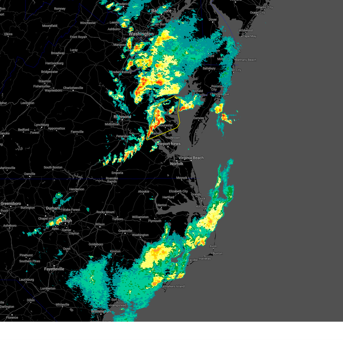
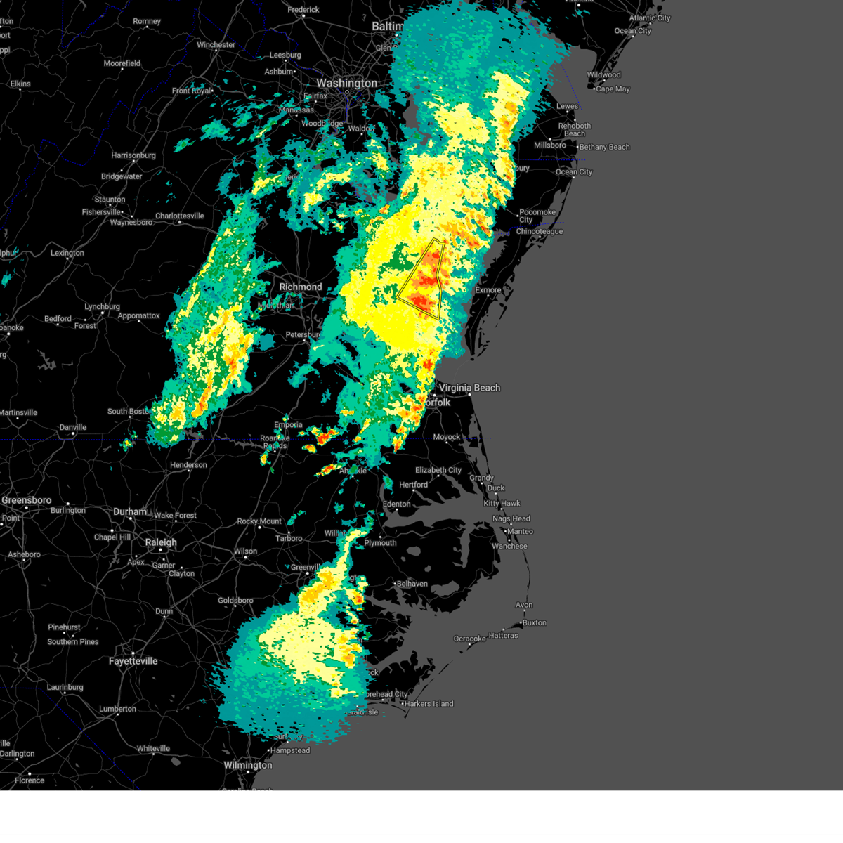
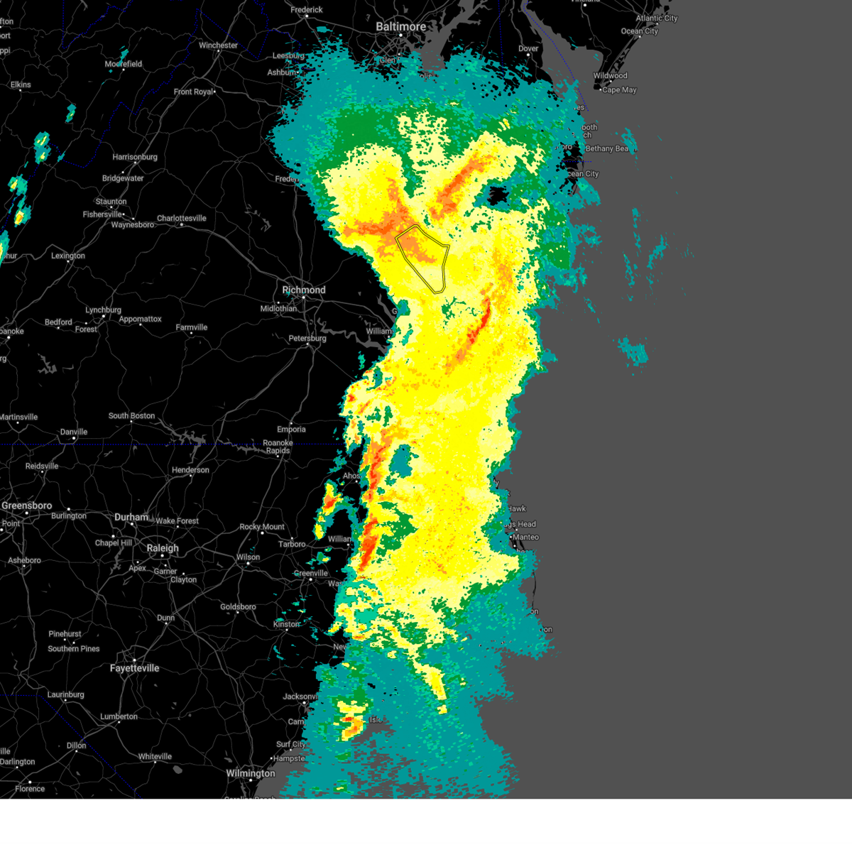
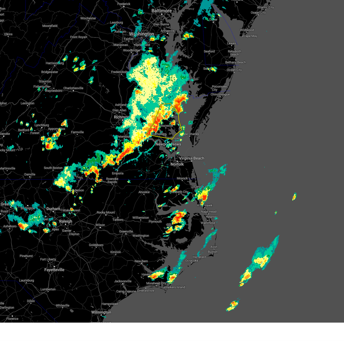
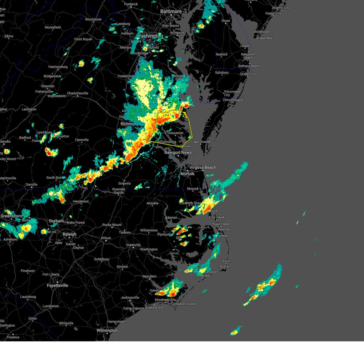
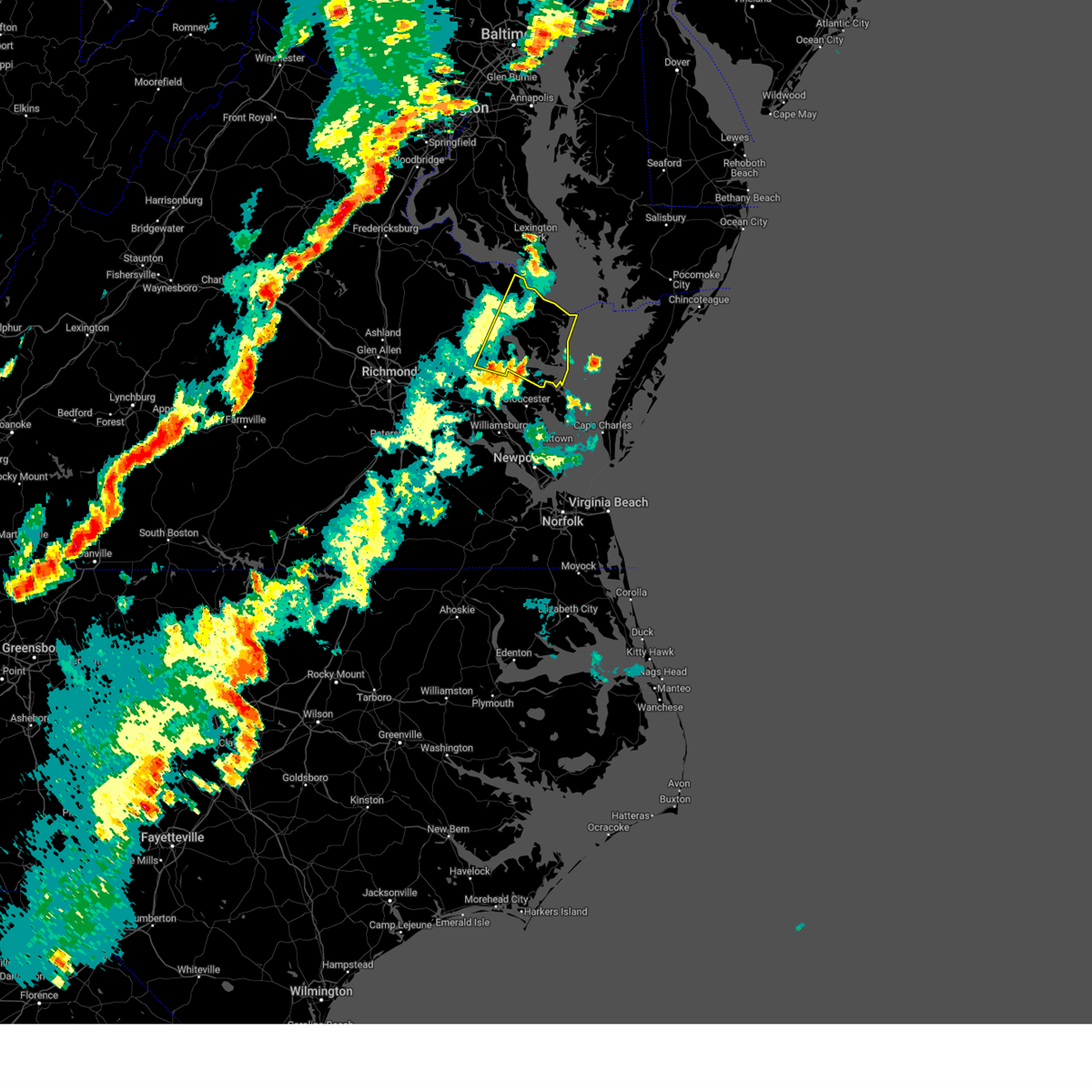
Hail Map for Kilmarnock, VA
The Kilmarnock, VA area has had 1 report of on-the-ground hail by trained spotters, and has been under severe weather warnings 34 times during the past 12 months. Doppler radar has detected hail at or near Kilmarnock, VA on 35 occasions.
| Name: | Kilmarnock, VA |
| Where Located: | 68.2 miles NNW of Virginia Beach, VA |
| Map: | Google Map for Kilmarnock, VA |
| Population: | 1487 |
| Housing Units: | 810 |
| More Info: | Search Google for Kilmarnock, VA |
0
The Top Recent Hail Date for Kilmarnock, VA is Monday, August 19, 2024 (28th out of 35)

Hail and Wind Damage Spotted near Kilmarnock, VA
| Date / Time | Report Details |
|---|---|
| 6/22/2026 8:18 PM EDT |
 At 817 pm edt, severe thunderstorms were located along a line extending from 10 miles northwest of tylerton to fair port to urbanna, moving east at 30 mph (radar indicated). Hazards include 60 mph wind gusts. Expect damage to trees and powerlines. these severe storms will be near, kilmarnock, fair port, and white stone around 825 pm edt. Other locations impacted by these severe thunderstorms include byrdton, regina, mollusk, senora, avalon, harmony village, brook vale, nuttsville, bertrand, and grafton. At 817 pm edt, severe thunderstorms were located along a line extending from 10 miles northwest of tylerton to fair port to urbanna, moving east at 30 mph (radar indicated). Hazards include 60 mph wind gusts. Expect damage to trees and powerlines. these severe storms will be near, kilmarnock, fair port, and white stone around 825 pm edt. Other locations impacted by these severe thunderstorms include byrdton, regina, mollusk, senora, avalon, harmony village, brook vale, nuttsville, bertrand, and grafton.
|
| 6/22/2026 8:18 PM EDT |
 the severe thunderstorm warning has been cancelled and is no longer in effect the severe thunderstorm warning has been cancelled and is no longer in effect
|
| 6/22/2026 7:44 PM EDT |
 Svrakq the national weather service in wakefield has issued a * severe thunderstorm warning for, middlesex county in eastern virginia, east central king and queen county in east central virginia, northumberland county in eastern virginia, southeastern richmond county in east central virginia, southeastern westmoreland county in east central virginia, east central king william county in east central virginia, southeastern essex county in east central virginia, lancaster county in eastern virginia, * until 845 pm edt. * at 744 pm edt, severe thunderstorms were located along a line extending from saint george island to near morattico to king and queen court house, moving east at 35 mph (radar indicated). Hazards include 60 mph wind gusts. Expect damage to trees and powerlines. severe thunderstorms will be near, robley, church view, little plymouth, jamaica, lewisetta, morattico, and heathsville around 750 pm edt. lancaster and wicomico church around 800 pm edt. urbanna around 805 pm edt. kilmarnock, fair port, and saluda around 810 pm edt. white stone around 825 pm edt. Other locations impacted by these severe thunderstorms include byrdton, lottsburg, threeway, avalon, brook vale, bertrand, grafton, reedville, belle isle state park, and amburg. Svrakq the national weather service in wakefield has issued a * severe thunderstorm warning for, middlesex county in eastern virginia, east central king and queen county in east central virginia, northumberland county in eastern virginia, southeastern richmond county in east central virginia, southeastern westmoreland county in east central virginia, east central king william county in east central virginia, southeastern essex county in east central virginia, lancaster county in eastern virginia, * until 845 pm edt. * at 744 pm edt, severe thunderstorms were located along a line extending from saint george island to near morattico to king and queen court house, moving east at 35 mph (radar indicated). Hazards include 60 mph wind gusts. Expect damage to trees and powerlines. severe thunderstorms will be near, robley, church view, little plymouth, jamaica, lewisetta, morattico, and heathsville around 750 pm edt. lancaster and wicomico church around 800 pm edt. urbanna around 805 pm edt. kilmarnock, fair port, and saluda around 810 pm edt. white stone around 825 pm edt. Other locations impacted by these severe thunderstorms include byrdton, lottsburg, threeway, avalon, brook vale, bertrand, grafton, reedville, belle isle state park, and amburg.
|
| 6/14/2026 7:21 PM EDT |
 Svrakq the national weather service in wakefield has issued a * severe thunderstorm warning for, northwestern gloucester county in southeastern virginia, middlesex county in eastern virginia, east central king and queen county in east central virginia, northumberland county in eastern virginia, richmond county in east central virginia, south central westmoreland county in east central virginia, southeastern essex county in east central virginia, lancaster county in eastern virginia, * until 815 pm edt. * at 720 pm edt, severe thunderstorms were located along a line extending from near king and queen court house to near church view to glenns, moving northeast at 30 mph (radar indicated). Hazards include 60 mph wind gusts and quarter size hail. Minor damage to vehicles is possible. expect wind damage to trees and powerlines. severe thunderstorms will be near, urbanna, saluda, church view, and jamaica around 725 pm edt. morattico and center cross around 735 pm edt. sharps around 740 pm edt. kilmarnock, robley, lancaster, and farnham around 745 pm edt. haynesville, wicomico church, and heathsville around 755 pm edt. callao around 800 pm edt. fair port around 805 pm edt. Other locations impacted by these severe thunderstorms include byrdton, lottsburg, threeway, avalon, brook vale, bertrand, reedville, belle isle state park, millenbeck, and mascot. Svrakq the national weather service in wakefield has issued a * severe thunderstorm warning for, northwestern gloucester county in southeastern virginia, middlesex county in eastern virginia, east central king and queen county in east central virginia, northumberland county in eastern virginia, richmond county in east central virginia, south central westmoreland county in east central virginia, southeastern essex county in east central virginia, lancaster county in eastern virginia, * until 815 pm edt. * at 720 pm edt, severe thunderstorms were located along a line extending from near king and queen court house to near church view to glenns, moving northeast at 30 mph (radar indicated). Hazards include 60 mph wind gusts and quarter size hail. Minor damage to vehicles is possible. expect wind damage to trees and powerlines. severe thunderstorms will be near, urbanna, saluda, church view, and jamaica around 725 pm edt. morattico and center cross around 735 pm edt. sharps around 740 pm edt. kilmarnock, robley, lancaster, and farnham around 745 pm edt. haynesville, wicomico church, and heathsville around 755 pm edt. callao around 800 pm edt. fair port around 805 pm edt. Other locations impacted by these severe thunderstorms include byrdton, lottsburg, threeway, avalon, brook vale, bertrand, reedville, belle isle state park, millenbeck, and mascot.
|
| 6/12/2026 7:55 PM EDT | Large tree branch down in reedville in northumberland county... v in northumberland county VA, 11 miles SW of Kilmarnock, VA |
| 6/12/2026 7:37 PM EDT |
 At 737 pm edt, a severe thunderstorm was located over wicomico church, or near fair port, moving east at 30 mph (radar indicated). Hazards include 60 mph wind gusts. Expect damage to trees and powerlines. this severe storm will be near, fair port around 745 pm edt. Other locations impacted by this severe thunderstorm include lara, byrdton, browns store, somers, regina, mollusk, alfonso, brook vale, moon corner, and nuttsville. At 737 pm edt, a severe thunderstorm was located over wicomico church, or near fair port, moving east at 30 mph (radar indicated). Hazards include 60 mph wind gusts. Expect damage to trees and powerlines. this severe storm will be near, fair port around 745 pm edt. Other locations impacted by this severe thunderstorm include lara, byrdton, browns store, somers, regina, mollusk, alfonso, brook vale, moon corner, and nuttsville.
|
| 6/12/2026 7:05 PM EDT |
 Svrakq the national weather service in wakefield has issued a * severe thunderstorm warning for, middlesex county in eastern virginia, east central king and queen county in east central virginia, central northumberland county in eastern virginia, southeastern richmond county in east central virginia, southeastern essex county in east central virginia, lancaster county in eastern virginia, * until 745 pm edt. * at 705 pm edt, a severe thunderstorm was located near jamaica, or 8 miles southwest of robley, moving east at 25 mph (radar indicated). Hazards include 60 mph wind gusts. Expect damage to trees and powerlines. this severe thunderstorm will be near, jamaica and morattico around 710 pm edt. lancaster around 725 pm edt. kilmarnock around 735 pm edt. Other locations impacted by this severe thunderstorm include byrdton, regina, mollusk, senora, brook vale, nuttsville, bertrand, ino, dragonville, and reedville. Svrakq the national weather service in wakefield has issued a * severe thunderstorm warning for, middlesex county in eastern virginia, east central king and queen county in east central virginia, central northumberland county in eastern virginia, southeastern richmond county in east central virginia, southeastern essex county in east central virginia, lancaster county in eastern virginia, * until 745 pm edt. * at 705 pm edt, a severe thunderstorm was located near jamaica, or 8 miles southwest of robley, moving east at 25 mph (radar indicated). Hazards include 60 mph wind gusts. Expect damage to trees and powerlines. this severe thunderstorm will be near, jamaica and morattico around 710 pm edt. lancaster around 725 pm edt. kilmarnock around 735 pm edt. Other locations impacted by this severe thunderstorm include byrdton, regina, mollusk, senora, brook vale, nuttsville, bertrand, ino, dragonville, and reedville.
|
| 5/27/2026 3:18 PM EDT | Tree down on hoecake road in lancaster county. time estimated from rada in lancaster county VA, 6.7 miles ESE of Kilmarnock, VA |
| 5/27/2026 2:30 PM EDT |
 Svrakq the national weather service in wakefield has issued a * severe thunderstorm warning for, northumberland county in eastern virginia, southeastern richmond county in east central virginia, southeastern westmoreland county in east central virginia, northern lancaster county in eastern virginia, * until 315 pm edt. * at 230 pm edt, a severe thunderstorm was located near haynesville, or near callao, moving east at 35 mph (radar indicated). Hazards include 60 mph wind gusts and quarter size hail. Minor damage to vehicles is possible. expect wind damage to trees and powerlines. this severe thunderstorm will be near, callao and kinsale around 235 pm edt. lewisetta and heathsville around 240 pm edt. Other locations impacted by this severe thunderstorm include byrdton, lottsburg, regina, avalon, brook vale, nuttsville, reedville, belle isle state park, edwardsville, and tidewater. Svrakq the national weather service in wakefield has issued a * severe thunderstorm warning for, northumberland county in eastern virginia, southeastern richmond county in east central virginia, southeastern westmoreland county in east central virginia, northern lancaster county in eastern virginia, * until 315 pm edt. * at 230 pm edt, a severe thunderstorm was located near haynesville, or near callao, moving east at 35 mph (radar indicated). Hazards include 60 mph wind gusts and quarter size hail. Minor damage to vehicles is possible. expect wind damage to trees and powerlines. this severe thunderstorm will be near, callao and kinsale around 235 pm edt. lewisetta and heathsville around 240 pm edt. Other locations impacted by this severe thunderstorm include byrdton, lottsburg, regina, avalon, brook vale, nuttsville, reedville, belle isle state park, edwardsville, and tidewater.
|
| 3/16/2026 10:08 PM EDT |
 the severe thunderstorm warning has been cancelled and is no longer in effect the severe thunderstorm warning has been cancelled and is no longer in effect
|
| 3/16/2026 9:51 PM EDT |
 the severe thunderstorm warning has been cancelled and is no longer in effect the severe thunderstorm warning has been cancelled and is no longer in effect
|
| 3/16/2026 9:51 PM EDT |
 At 950 pm edt, severe thunderstorms were located along a line extending from saint leonard creek to near saint marys city to lancaster to hartfield to near achilles, moving northeast at 50 mph (radar indicated). Hazards include 60 mph wind gusts. Expect damage to trees and powerlines. these severe storms will be near, mathews, kilmarnock, deltaville, lancaster, white stone, mobjack, achilles, blakes, gwynn, and wicomico church around 955 pm edt. fair port and bavon around 1000 pm edt. Other locations impacted by these severe thunderstorms include byrdton, beulah, moon, laban, naxera, avalon, bertrand, brook vale, grafton, and reedville. At 950 pm edt, severe thunderstorms were located along a line extending from saint leonard creek to near saint marys city to lancaster to hartfield to near achilles, moving northeast at 50 mph (radar indicated). Hazards include 60 mph wind gusts. Expect damage to trees and powerlines. these severe storms will be near, mathews, kilmarnock, deltaville, lancaster, white stone, mobjack, achilles, blakes, gwynn, and wicomico church around 955 pm edt. fair port and bavon around 1000 pm edt. Other locations impacted by these severe thunderstorms include byrdton, beulah, moon, laban, naxera, avalon, bertrand, brook vale, grafton, and reedville.
|
| 3/16/2026 9:36 PM EDT |
 the severe thunderstorm warning has been cancelled and is no longer in effect the severe thunderstorm warning has been cancelled and is no longer in effect
|
| 3/16/2026 9:36 PM EDT |
 At 935 pm edt, severe thunderstorms were located along a line extending from leonardtown to near hague to near church view to near gloucester courthouse to near fort eustis, moving northeast at 50 mph (radar indicated). Hazards include 60 mph wind gusts. Expect damage to trees and powerlines. these severe storms will be near, newport news, gloucester courthouse, urbanna, virginia institute for marine sciences, gloucester point, callao, robley, saluda, hayes, and wicomico around 940 pm edt. seaford, lancaster, hartfield, and achilles around 945 pm edt. kilmarnock, deltaville, white stone, mobjack, blakes, and wicomico church around 950 pm edt. mathews, bavon, and gwynn around 955 pm edt. fair port around 1000 pm edt. Other locations impacted by these severe thunderstorms include threeway, lackey, moon, laban, camp peary, brook vale, grafton, belle isle state park, amburg, and westmoreland. At 935 pm edt, severe thunderstorms were located along a line extending from leonardtown to near hague to near church view to near gloucester courthouse to near fort eustis, moving northeast at 50 mph (radar indicated). Hazards include 60 mph wind gusts. Expect damage to trees and powerlines. these severe storms will be near, newport news, gloucester courthouse, urbanna, virginia institute for marine sciences, gloucester point, callao, robley, saluda, hayes, and wicomico around 940 pm edt. seaford, lancaster, hartfield, and achilles around 945 pm edt. kilmarnock, deltaville, white stone, mobjack, blakes, and wicomico church around 950 pm edt. mathews, bavon, and gwynn around 955 pm edt. fair port around 1000 pm edt. Other locations impacted by these severe thunderstorms include threeway, lackey, moon, laban, camp peary, brook vale, grafton, belle isle state park, amburg, and westmoreland.
|
| 3/16/2026 9:11 PM EDT |
 Svrakq the national weather service in wakefield has issued a * severe thunderstorm warning for, middlesex county in eastern virginia, northumberland county in eastern virginia, york county in southeastern virginia, the northern city of newport news in southeastern virginia, james city county in southeastern virginia, gloucester county in eastern virginia, king and queen county in east central virginia, southeastern charles city county in east central virginia, richmond county in east central virginia, eastern new kent county in east central virginia, mathews county in eastern virginia, westmoreland county in east central virginia, southeastern king william county in east central virginia, eastern surry county in southeastern virginia, central essex county in east central virginia, the city of williamsburg in southeastern virginia, lancaster county in eastern virginia, * until 1030 pm edt. * at 910 pm edt, severe thunderstorms were located along a line extending from leedstown to near tappahannock to near new kent to rustic to near wakefield, moving northeast at 50 mph (radar indicated). Hazards include 60 mph wind gusts. Expect damage to trees and powerlines. severe thunderstorms will be near, west point, tappahannock, warsaw, montross, surry, toano, king and queen court house, dendron, stevensville, and scotland around 915 pm edt. williamsburg, college of william and mary, norge, jamestown, little plymouth, and center cross around 920 pm edt. queens lake, haynesville, hague, jamaica, kings point, york terrace, sharps, carver gardens, and shacklefords around 925 pm edt. newport news, grove, church view, coles point, kinsale, farnham, morattico, glenns, and busch gardens around 930 pm edt. gloucester courthouse, urbanna, callao, gloucester point, robley, saluda, fort eustis, and lee hall around 935 pm edt. virginia institute for marine sciences, hayes, wicomico, and heathsville around 940 pm edt. seaford, lancaster, hartfield, and achilles around 945 pm edt. kilmarnock, deltaville, white stone, mobjack, wicomico church, and blakes around 950 pm edt. Other locations impacted by these severe thunderstorms include eltham, currioman landing, threeway, croaker, lackey, moon, laban, camp peary, brook vale, and grafton. Svrakq the national weather service in wakefield has issued a * severe thunderstorm warning for, middlesex county in eastern virginia, northumberland county in eastern virginia, york county in southeastern virginia, the northern city of newport news in southeastern virginia, james city county in southeastern virginia, gloucester county in eastern virginia, king and queen county in east central virginia, southeastern charles city county in east central virginia, richmond county in east central virginia, eastern new kent county in east central virginia, mathews county in eastern virginia, westmoreland county in east central virginia, southeastern king william county in east central virginia, eastern surry county in southeastern virginia, central essex county in east central virginia, the city of williamsburg in southeastern virginia, lancaster county in eastern virginia, * until 1030 pm edt. * at 910 pm edt, severe thunderstorms were located along a line extending from leedstown to near tappahannock to near new kent to rustic to near wakefield, moving northeast at 50 mph (radar indicated). Hazards include 60 mph wind gusts. Expect damage to trees and powerlines. severe thunderstorms will be near, west point, tappahannock, warsaw, montross, surry, toano, king and queen court house, dendron, stevensville, and scotland around 915 pm edt. williamsburg, college of william and mary, norge, jamestown, little plymouth, and center cross around 920 pm edt. queens lake, haynesville, hague, jamaica, kings point, york terrace, sharps, carver gardens, and shacklefords around 925 pm edt. newport news, grove, church view, coles point, kinsale, farnham, morattico, glenns, and busch gardens around 930 pm edt. gloucester courthouse, urbanna, callao, gloucester point, robley, saluda, fort eustis, and lee hall around 935 pm edt. virginia institute for marine sciences, hayes, wicomico, and heathsville around 940 pm edt. seaford, lancaster, hartfield, and achilles around 945 pm edt. kilmarnock, deltaville, white stone, mobjack, wicomico church, and blakes around 950 pm edt. Other locations impacted by these severe thunderstorms include eltham, currioman landing, threeway, croaker, lackey, moon, laban, camp peary, brook vale, and grafton.
|
| 3/16/2026 4:48 PM EDT |
 the severe thunderstorm warning has been cancelled and is no longer in effect the severe thunderstorm warning has been cancelled and is no longer in effect
|
| 3/16/2026 4:39 PM EDT |
 At 438 pm edt, severe thunderstorms were located along a line extending from near kilmarnock to near deltaville to blakes, moving northeast at 50 mph (radar indicated). Hazards include 60 mph wind gusts. Expect damage to trees and powerlines. these severe storms will be near, deltaville around 445 pm edt. Other locations impacted by these severe thunderstorms include amburg, foxwells, and hardyville. At 438 pm edt, severe thunderstorms were located along a line extending from near kilmarnock to near deltaville to blakes, moving northeast at 50 mph (radar indicated). Hazards include 60 mph wind gusts. Expect damage to trees and powerlines. these severe storms will be near, deltaville around 445 pm edt. Other locations impacted by these severe thunderstorms include amburg, foxwells, and hardyville.
|
| 3/16/2026 4:39 PM EDT |
 the severe thunderstorm warning has been cancelled and is no longer in effect the severe thunderstorm warning has been cancelled and is no longer in effect
|
| 3/16/2026 4:30 PM EDT |
 At 430 pm edt, severe thunderstorms were located along a line extending from white stone to hartfield to near gloucester courthouse, moving northeast at 60 mph (radar indicated). Hazards include 60 mph wind gusts. Expect damage to trees and powerlines. these severe storms will be near, kilmarnock, deltaville, white stone, hartfield, and blakes around 435 pm edt. Other locations impacted by these severe thunderstorms include dutton, beulah, weems, cobbs creek, cardinal, hudgins, wilton, harmony village, grafton, and harcum. At 430 pm edt, severe thunderstorms were located along a line extending from white stone to hartfield to near gloucester courthouse, moving northeast at 60 mph (radar indicated). Hazards include 60 mph wind gusts. Expect damage to trees and powerlines. these severe storms will be near, kilmarnock, deltaville, white stone, hartfield, and blakes around 435 pm edt. Other locations impacted by these severe thunderstorms include dutton, beulah, weems, cobbs creek, cardinal, hudgins, wilton, harmony village, grafton, and harcum.
|
| 3/16/2026 4:16 PM EDT |
 Svrakq the national weather service in wakefield has issued a * severe thunderstorm warning for, central gloucester county in eastern virginia, southeastern middlesex county in eastern virginia, northern mathews county in eastern virginia, southeastern lancaster county in eastern virginia, * until 500 pm edt. * at 415 pm edt, severe thunderstorms were located along a line extending from near hartfield to near gloucester courthouse to near wicomico, moving northeast at 45 mph (radar indicated). Hazards include 60 mph wind gusts. Expect damage to trees and powerlines. severe thunderstorms will be near, gloucester courthouse, hartfield, and hayes around 420 pm edt. white stone around 425 pm edt. kilmarnock and blakes around 430 pm edt. deltaville around 435 pm edt. gwynn around 440 pm edt. Other locations impacted by these severe thunderstorms include beulah, harmony village, grafton, harcum, cash, amburg, christ church, greys point, fort nonsense, and clay bank. Svrakq the national weather service in wakefield has issued a * severe thunderstorm warning for, central gloucester county in eastern virginia, southeastern middlesex county in eastern virginia, northern mathews county in eastern virginia, southeastern lancaster county in eastern virginia, * until 500 pm edt. * at 415 pm edt, severe thunderstorms were located along a line extending from near hartfield to near gloucester courthouse to near wicomico, moving northeast at 45 mph (radar indicated). Hazards include 60 mph wind gusts. Expect damage to trees and powerlines. severe thunderstorms will be near, gloucester courthouse, hartfield, and hayes around 420 pm edt. white stone around 425 pm edt. kilmarnock and blakes around 430 pm edt. deltaville around 435 pm edt. gwynn around 440 pm edt. Other locations impacted by these severe thunderstorms include beulah, harmony village, grafton, harcum, cash, amburg, christ church, greys point, fort nonsense, and clay bank.
|
| 11/9/2025 9:45 PM EST | The storm which prompted the warning has weakened below severe limits, and has exited the warned area. therefore, the warning has been allowed to expire. however, gusty winds are still possible with this thunderstorm. |
| 11/9/2025 9:36 PM EST | the severe thunderstorm warning has been cancelled and is no longer in effect |
| 11/9/2025 9:36 PM EST | At 935 pm est, a severe thunderstorm was located over deltaville, moving east at 50 mph (radar indicated). Hazards include 60 mph wind gusts. Expect damage to trees and powerlines. this severe storm will be near, deltaville around 940 pm est. Other locations impacted by this severe thunderstorm include byrdton, moon, senora, bertrand, harmony village, grafton, harcum, amburg, millenbeck, and christ church. |
| 11/9/2025 9:20 PM EST | the severe thunderstorm warning has been cancelled and is no longer in effect |
| 11/9/2025 9:20 PM EST | At 919 pm est, a severe thunderstorm was located near gloucester courthouse, moving northeast at 60 mph (radar indicated). Hazards include 60 mph wind gusts. Expect damage to trees and powerlines. this severe storm will be near, gloucester courthouse and hartfield around 925 pm est. deltaville and blakes around 930 pm est. gwynn around 935 pm est. Other locations impacted by this severe thunderstorm include byrdton, croaker, moon, brook vale, bertrand, grafton, amburg, millenbeck, mattaponi, and ewell. |
| 11/9/2025 9:06 PM EST | Svrakq the national weather service in wakefield has issued a * severe thunderstorm warning for, gloucester county in eastern virginia, middlesex county in eastern virginia, southeastern king and queen county in east central virginia, southeastern northumberland county in eastern virginia, southeastern charles city county in east central virginia, northwestern york county in southeastern virginia, eastern new kent county in east central virginia, mathews county in eastern virginia, southeastern king william county in east central virginia, james city county in southeastern virginia, lancaster county in eastern virginia, * until 945 pm est. * at 906 pm est, a severe thunderstorm was located over toano, moving northeast at 65 mph (radar indicated). Hazards include 60 mph wind gusts and quarter size hail. Minor damage to vehicles is possible. expect wind damage to trees and powerlines. this severe thunderstorm will be near, toano and norge around 910 pm est. gloucester courthouse around 920 pm est. hartfield around 925 pm est. deltaville and blakes around 930 pm est. Other locations impacted by this severe thunderstorm include eltham, byrdton, croaker, moon, brook vale, bertrand, grafton, amburg, millenbeck, and mattaponi. |
| 7/27/2025 5:13 PM EDT |
 At 513 pm edt, severe thunderstorms were located along a line extending from 10 miles southeast of fair port to near white stone to near little plymouth, moving south at 25 mph (radar indicated). Hazards include 60 mph wind gusts. Expect damage to trees and powerlines. these severe storms will be near, west point, deltaville, blakes, hartfield, glenns, and shacklefords around 520 pm edt. gwynn around 525 pm edt. mathews around 530 pm edt. gloucester courthouse around 535 pm edt. mobjack around 540 pm edt. hayes around 545 pm edt. Other locations impacted by these severe thunderstorms include beulah, moon, laban, bertrand, grafton, amburg, millenbeck, mattaponi, greys point, and mascot. At 513 pm edt, severe thunderstorms were located along a line extending from 10 miles southeast of fair port to near white stone to near little plymouth, moving south at 25 mph (radar indicated). Hazards include 60 mph wind gusts. Expect damage to trees and powerlines. these severe storms will be near, west point, deltaville, blakes, hartfield, glenns, and shacklefords around 520 pm edt. gwynn around 525 pm edt. mathews around 530 pm edt. gloucester courthouse around 535 pm edt. mobjack around 540 pm edt. hayes around 545 pm edt. Other locations impacted by these severe thunderstorms include beulah, moon, laban, bertrand, grafton, amburg, millenbeck, mattaponi, greys point, and mascot.
|
| 7/27/2025 5:13 PM EDT |
 the severe thunderstorm warning has been cancelled and is no longer in effect the severe thunderstorm warning has been cancelled and is no longer in effect
|
| 7/27/2025 4:54 PM EDT |
 Svrakq the national weather service in wakefield has issued a * severe thunderstorm warning for, gloucester county in eastern virginia, middlesex county in eastern virginia, southeastern king and queen county in east central virginia, southeastern northumberland county in eastern virginia, mathews county in eastern virginia, lancaster county in eastern virginia, * until 545 pm edt. * at 453 pm edt, severe thunderstorms were located along a line extending from near fair port to near kilmarnock to near king and queen court house, moving south at 25 mph (radar indicated). Hazards include 60 mph wind gusts. Expect damage to trees and powerlines. severe thunderstorms will be near, kilmarnock, urbanna, white stone, saluda, church view, and little plymouth around 500 pm edt. glenns around 505 pm edt. west point, deltaville, hartfield, and shacklefords around 510 pm edt. blakes around 515 pm edt. gwynn around 520 pm edt. mathews and gloucester courthouse around 530 pm edt. Other locations impacted by these severe thunderstorms include byrdton, beulah, moon, laban, brook vale, bertrand, grafton, amburg, millenbeck, and mattaponi. Svrakq the national weather service in wakefield has issued a * severe thunderstorm warning for, gloucester county in eastern virginia, middlesex county in eastern virginia, southeastern king and queen county in east central virginia, southeastern northumberland county in eastern virginia, mathews county in eastern virginia, lancaster county in eastern virginia, * until 545 pm edt. * at 453 pm edt, severe thunderstorms were located along a line extending from near fair port to near kilmarnock to near king and queen court house, moving south at 25 mph (radar indicated). Hazards include 60 mph wind gusts. Expect damage to trees and powerlines. severe thunderstorms will be near, kilmarnock, urbanna, white stone, saluda, church view, and little plymouth around 500 pm edt. glenns around 505 pm edt. west point, deltaville, hartfield, and shacklefords around 510 pm edt. blakes around 515 pm edt. gwynn around 520 pm edt. mathews and gloucester courthouse around 530 pm edt. Other locations impacted by these severe thunderstorms include byrdton, beulah, moon, laban, brook vale, bertrand, grafton, amburg, millenbeck, and mattaponi.
|
| 7/27/2025 4:32 PM EDT |
 At 431 pm edt, severe thunderstorms were located along a line extending from near lewisetta to near farnham to near millers tavern, moving southeast at 20 mph (radar indicated). Hazards include 60 mph wind gusts. Expect damage to trees and powerlines. these severe storms will be near, robley, farnham, heathsville, millers tavern, dunnsville, and sharps around 435 pm edt. center cross around 440 pm edt. morattico around 445 pm edt. lancaster and wicomico church around 500 pm edt. Other locations impacted by these severe thunderstorms include lottsburg, avalon, brook vale, reedville, belle isle state park, crouch, mount landing, dodlyt, rehoboth church, and dunbrooke. At 431 pm edt, severe thunderstorms were located along a line extending from near lewisetta to near farnham to near millers tavern, moving southeast at 20 mph (radar indicated). Hazards include 60 mph wind gusts. Expect damage to trees and powerlines. these severe storms will be near, robley, farnham, heathsville, millers tavern, dunnsville, and sharps around 435 pm edt. center cross around 440 pm edt. morattico around 445 pm edt. lancaster and wicomico church around 500 pm edt. Other locations impacted by these severe thunderstorms include lottsburg, avalon, brook vale, reedville, belle isle state park, crouch, mount landing, dodlyt, rehoboth church, and dunbrooke.
|
| 7/27/2025 4:32 PM EDT |
 the severe thunderstorm warning has been cancelled and is no longer in effect the severe thunderstorm warning has been cancelled and is no longer in effect
|
| 7/27/2025 4:09 PM EDT |
 Svrakq the national weather service in wakefield has issued a * severe thunderstorm warning for, northwestern middlesex county in eastern virginia, central king and queen county in east central virginia, northumberland county in eastern virginia, richmond county in east central virginia, southeastern westmoreland county in east central virginia, southeastern essex county in east central virginia, lancaster county in eastern virginia, * until 500 pm edt. * at 409 pm edt, severe thunderstorms were located along a line extending from near saint george island to near haynesville to near champlain, moving southeast at 20 mph (radar indicated). Hazards include 60 mph wind gusts. Expect damage to trees and powerlines. severe thunderstorms will be near, tappahannock, warsaw, callao, haynesville, and lewisetta around 415 pm edt. farnham and dunnsville around 420 pm edt. heathsville and millers tavern around 425 pm edt. robley and sharps around 430 pm edt. center cross around 435 pm edt. morattico around 440 pm edt. Other locations impacted by these severe thunderstorms include lottsburg, threeway, avalon, brook vale, reedville, belle isle state park, lyells, crouch, westmoreland, and mount landing. Svrakq the national weather service in wakefield has issued a * severe thunderstorm warning for, northwestern middlesex county in eastern virginia, central king and queen county in east central virginia, northumberland county in eastern virginia, richmond county in east central virginia, southeastern westmoreland county in east central virginia, southeastern essex county in east central virginia, lancaster county in eastern virginia, * until 500 pm edt. * at 409 pm edt, severe thunderstorms were located along a line extending from near saint george island to near haynesville to near champlain, moving southeast at 20 mph (radar indicated). Hazards include 60 mph wind gusts. Expect damage to trees and powerlines. severe thunderstorms will be near, tappahannock, warsaw, callao, haynesville, and lewisetta around 415 pm edt. farnham and dunnsville around 420 pm edt. heathsville and millers tavern around 425 pm edt. robley and sharps around 430 pm edt. center cross around 435 pm edt. morattico around 440 pm edt. Other locations impacted by these severe thunderstorms include lottsburg, threeway, avalon, brook vale, reedville, belle isle state park, lyells, crouch, westmoreland, and mount landing.
|
| 7/19/2025 8:34 PM EDT | Numerous trees down across lancaster count in lancaster county VA, 6.3 miles SE of Kilmarnock, VA |
| 7/19/2025 8:19 PM EDT |
 Svrakq the national weather service in wakefield has issued a * severe thunderstorm warning for, central middlesex county in eastern virginia, east central king and queen county in east central virginia, northumberland county in eastern virginia, richmond county in east central virginia, southeastern westmoreland county in east central virginia, southeastern essex county in east central virginia, lancaster county in eastern virginia, * until 900 pm edt. * at 818 pm edt, a severe thunderstorm was located over morattico, or near robley, moving northeast at 45 mph (radar indicated). Hazards include 60 mph wind gusts. Expect damage to trees and powerlines. this severe thunderstorm will be near, robley around 825 pm edt. heathsville around 830 pm edt. Other locations impacted by this severe thunderstorm include byrdton, lottsburg, threeway, avalon, brook vale, bertrand, reedville, belle isle state park, millenbeck, and lyells. Svrakq the national weather service in wakefield has issued a * severe thunderstorm warning for, central middlesex county in eastern virginia, east central king and queen county in east central virginia, northumberland county in eastern virginia, richmond county in east central virginia, southeastern westmoreland county in east central virginia, southeastern essex county in east central virginia, lancaster county in eastern virginia, * until 900 pm edt. * at 818 pm edt, a severe thunderstorm was located over morattico, or near robley, moving northeast at 45 mph (radar indicated). Hazards include 60 mph wind gusts. Expect damage to trees and powerlines. this severe thunderstorm will be near, robley around 825 pm edt. heathsville around 830 pm edt. Other locations impacted by this severe thunderstorm include byrdton, lottsburg, threeway, avalon, brook vale, bertrand, reedville, belle isle state park, millenbeck, and lyells.
|
| 7/9/2025 8:02 PM EDT |
 The storms which prompted the warning have weakened below severe limits, and no longer pose an immediate threat to life or property. therefore, the warning has been allowed to expire. a severe thunderstorm watch remains in effect until 1000 pm edt for east central virginia. The storms which prompted the warning have weakened below severe limits, and no longer pose an immediate threat to life or property. therefore, the warning has been allowed to expire. a severe thunderstorm watch remains in effect until 1000 pm edt for east central virginia.
|
| 7/9/2025 7:41 PM EDT |
 At 741 pm edt, severe thunderstorms were located along a line extending from saint marys river to near robley to near king and queen court house, moving east at 35 mph (radar indicated). Hazards include 60 mph wind gusts. Expect damage to trees and powerlines. these severe storms will be near, robley, heathsville, lewisetta, church view, jamaica, morattico, and little plymouth around 745 pm edt. lancaster around 750 pm edt. urbanna and wicomico church around 755 pm edt. kilmarnock and fair port around 800 pm edt. Other locations impacted by these severe thunderstorms include currioman landing, threeway, brook vale, belle isle state park, rose garden, lyells, crouch, westmoreland, mount landing, and mascot. At 741 pm edt, severe thunderstorms were located along a line extending from saint marys river to near robley to near king and queen court house, moving east at 35 mph (radar indicated). Hazards include 60 mph wind gusts. Expect damage to trees and powerlines. these severe storms will be near, robley, heathsville, lewisetta, church view, jamaica, morattico, and little plymouth around 745 pm edt. lancaster around 750 pm edt. urbanna and wicomico church around 755 pm edt. kilmarnock and fair port around 800 pm edt. Other locations impacted by these severe thunderstorms include currioman landing, threeway, brook vale, belle isle state park, rose garden, lyells, crouch, westmoreland, mount landing, and mascot.
|
| 7/9/2025 7:16 PM EDT |
 Svrakq the national weather service in wakefield has issued a * severe thunderstorm warning for, northwestern middlesex county in eastern virginia, king and queen county in east central virginia, northumberland county in eastern virginia, richmond county in east central virginia, northwestern new kent county in east central virginia, westmoreland county in east central virginia, southeastern hanover county in central virginia, king william county in east central virginia, essex county in east central virginia, lancaster county in eastern virginia, * until 800 pm edt. * at 715 pm edt, severe thunderstorms were located along a line extending from near montross to near tappahannock to near tunstall, moving east at 40 mph (radar indicated). Hazards include 60 mph wind gusts. Expect damage to trees and powerlines. severe thunderstorms will be near, king william, warsaw, stevensville, hague, coles point, dunnsville, tunstall, and center cross around 720 pm edt. king and queen court house, haynesville, and sharps around 725 pm edt. callao, kinsale, and farnham around 730 pm edt. robley, jamaica, and morattico around 735 pm edt. church view, lewisetta, little plymouth, and heathsville around 740 pm edt. lancaster around 750 pm edt. Other locations impacted by these severe thunderstorms include currioman landing, threeway, brook vale, belle isle state park, rose garden, lyells, crouch, westmoreland, mount landing, and mascot. Svrakq the national weather service in wakefield has issued a * severe thunderstorm warning for, northwestern middlesex county in eastern virginia, king and queen county in east central virginia, northumberland county in eastern virginia, richmond county in east central virginia, northwestern new kent county in east central virginia, westmoreland county in east central virginia, southeastern hanover county in central virginia, king william county in east central virginia, essex county in east central virginia, lancaster county in eastern virginia, * until 800 pm edt. * at 715 pm edt, severe thunderstorms were located along a line extending from near montross to near tappahannock to near tunstall, moving east at 40 mph (radar indicated). Hazards include 60 mph wind gusts. Expect damage to trees and powerlines. severe thunderstorms will be near, king william, warsaw, stevensville, hague, coles point, dunnsville, tunstall, and center cross around 720 pm edt. king and queen court house, haynesville, and sharps around 725 pm edt. callao, kinsale, and farnham around 730 pm edt. robley, jamaica, and morattico around 735 pm edt. church view, lewisetta, little plymouth, and heathsville around 740 pm edt. lancaster around 750 pm edt. Other locations impacted by these severe thunderstorms include currioman landing, threeway, brook vale, belle isle state park, rose garden, lyells, crouch, westmoreland, mount landing, and mascot.
|
| 6/19/2025 6:28 PM EDT |
 Svrakq the national weather service in wakefield has issued a * severe thunderstorm warning for, northumberland county in eastern virginia, east central westmoreland county in east central virginia, central lancaster county in eastern virginia, * until 645 pm edt. * at 628 pm edt, severe thunderstorms were located along a line extending from saint george island to near fair port to white stone, moving east at 50 mph (radar indicated). Hazards include 60 mph wind gusts. Expect damage to trees and powerlines. These severe thunderstorms will remain over mainly rural areas of northumberland, east central westmoreland and central lancaster counties, including the following locations, byrdton, browns store, regina, avalon, slabtown, brook vale, reedville, lilian, millenbeck, and hull neck. Svrakq the national weather service in wakefield has issued a * severe thunderstorm warning for, northumberland county in eastern virginia, east central westmoreland county in east central virginia, central lancaster county in eastern virginia, * until 645 pm edt. * at 628 pm edt, severe thunderstorms were located along a line extending from saint george island to near fair port to white stone, moving east at 50 mph (radar indicated). Hazards include 60 mph wind gusts. Expect damage to trees and powerlines. These severe thunderstorms will remain over mainly rural areas of northumberland, east central westmoreland and central lancaster counties, including the following locations, byrdton, browns store, regina, avalon, slabtown, brook vale, reedville, lilian, millenbeck, and hull neck.
|
| 6/19/2025 6:07 PM EDT |
 At 606 pm edt, severe thunderstorms were located along a line extending from near montross to near robley to near little plymouth, moving east at 55 mph (radar indicated). Hazards include 60 mph wind gusts. Expect damage to trees and powerlines. these severe storms will be near, callao, lancaster, wicomico church, heathsville, hague, kinsale, church view, jamaica, morattico, and little plymouth around 610 pm edt. urbanna, fair port, coles point, and lewisetta around 615 pm edt. kilmarnock around 620 pm edt. Other locations impacted by these severe thunderstorms include lottsburg, threeway, avalon, brook vale, bertrand, reedville, belle isle state park, millenbeck, lyells, and westmoreland. At 606 pm edt, severe thunderstorms were located along a line extending from near montross to near robley to near little plymouth, moving east at 55 mph (radar indicated). Hazards include 60 mph wind gusts. Expect damage to trees and powerlines. these severe storms will be near, callao, lancaster, wicomico church, heathsville, hague, kinsale, church view, jamaica, morattico, and little plymouth around 610 pm edt. urbanna, fair port, coles point, and lewisetta around 615 pm edt. kilmarnock around 620 pm edt. Other locations impacted by these severe thunderstorms include lottsburg, threeway, avalon, brook vale, bertrand, reedville, belle isle state park, millenbeck, lyells, and westmoreland.
|
| 6/19/2025 6:07 PM EDT |
 the severe thunderstorm warning has been cancelled and is no longer in effect the severe thunderstorm warning has been cancelled and is no longer in effect
|
| 6/19/2025 5:56 PM EDT |
 the severe thunderstorm warning has been cancelled and is no longer in effect the severe thunderstorm warning has been cancelled and is no longer in effect
|
| 6/19/2025 5:56 PM EDT |
 At 556 pm edt, severe thunderstorms were located along a line extending from near newland to near morattico to near new kent, moving east at 55 mph (radar indicated). Hazards include 60 mph wind gusts. Expect damage to trees and powerlines. these severe storms will be near, warsaw, montross, robley, haynesville, newland, farnham, church view, jamaica, morattico, and little plymouth around 600 pm edt. callao, lancaster, heathsville, hague, and kinsale around 605 pm edt. urbanna, wicomico church, coles point, and lewisetta around 610 pm edt. kilmarnock and fair port around 615 pm edt. Other locations impacted by these severe thunderstorms include lottsburg, threeway, avalon, brook vale, bertrand, cohoke, reedville, belle isle state park, millenbeck, and rose garden. At 556 pm edt, severe thunderstorms were located along a line extending from near newland to near morattico to near new kent, moving east at 55 mph (radar indicated). Hazards include 60 mph wind gusts. Expect damage to trees and powerlines. these severe storms will be near, warsaw, montross, robley, haynesville, newland, farnham, church view, jamaica, morattico, and little plymouth around 600 pm edt. callao, lancaster, heathsville, hague, and kinsale around 605 pm edt. urbanna, wicomico church, coles point, and lewisetta around 610 pm edt. kilmarnock and fair port around 615 pm edt. Other locations impacted by these severe thunderstorms include lottsburg, threeway, avalon, brook vale, bertrand, cohoke, reedville, belle isle state park, millenbeck, and rose garden.
|
| 6/19/2025 5:40 PM EDT |
 Svrakq the national weather service in wakefield has issued a * severe thunderstorm warning for, northwestern middlesex county in eastern virginia, king and queen county in east central virginia, northumberland county in eastern virginia, richmond county in east central virginia, northern new kent county in east central virginia, southern westmoreland county in east central virginia, east central caroline county in north central virginia, eastern king william county in east central virginia, essex county in east central virginia, lancaster county in eastern virginia, * until 630 pm edt. * at 540 pm edt, severe thunderstorms were located along a line extending from near newtown to near stevensville to bottoms bridge, moving east at 55 mph (radar indicated). Hazards include 60 mph wind gusts. Expect damage to trees and powerlines. severe thunderstorms will be near, king william, tappahannock, champlain, king and queen court house, talleysville, millers tavern, stevensville, dunnsville, and center cross around 545 pm edt. sharps around 550 pm edt. warsaw, robley, jamaica, newland, farnham, morattico, and little plymouth around 555 pm edt. west point, montross, haynesville, and church view around 600 pm edt. callao, lancaster, hague, kinsale, and heathsville around 605 pm edt. urbanna, lewisetta, and wicomico church around 610 pm edt. kilmarnock, fair port, and coles point around 615 pm edt. Other locations impacted by these severe thunderstorms include beazley, lottsburg, threeway, avalon, brook vale, bertrand, cohoke, reedville, belle isle state park, and millenbeck. Svrakq the national weather service in wakefield has issued a * severe thunderstorm warning for, northwestern middlesex county in eastern virginia, king and queen county in east central virginia, northumberland county in eastern virginia, richmond county in east central virginia, northern new kent county in east central virginia, southern westmoreland county in east central virginia, east central caroline county in north central virginia, eastern king william county in east central virginia, essex county in east central virginia, lancaster county in eastern virginia, * until 630 pm edt. * at 540 pm edt, severe thunderstorms were located along a line extending from near newtown to near stevensville to bottoms bridge, moving east at 55 mph (radar indicated). Hazards include 60 mph wind gusts. Expect damage to trees and powerlines. severe thunderstorms will be near, king william, tappahannock, champlain, king and queen court house, talleysville, millers tavern, stevensville, dunnsville, and center cross around 545 pm edt. sharps around 550 pm edt. warsaw, robley, jamaica, newland, farnham, morattico, and little plymouth around 555 pm edt. west point, montross, haynesville, and church view around 600 pm edt. callao, lancaster, hague, kinsale, and heathsville around 605 pm edt. urbanna, lewisetta, and wicomico church around 610 pm edt. kilmarnock, fair port, and coles point around 615 pm edt. Other locations impacted by these severe thunderstorms include beazley, lottsburg, threeway, avalon, brook vale, bertrand, cohoke, reedville, belle isle state park, and millenbeck.
|
| 6/14/2025 8:39 PM EDT |
 the severe thunderstorm warning has been cancelled and is no longer in effect the severe thunderstorm warning has been cancelled and is no longer in effect
|
| 6/14/2025 8:20 PM EDT |
 the severe thunderstorm warning has been cancelled and is no longer in effect the severe thunderstorm warning has been cancelled and is no longer in effect
|
| 6/14/2025 8:20 PM EDT |
 At 820 pm edt, a severe thunderstorm was located over saluda, or over urbanna, moving east at 15 mph (radar indicated). Hazards include 60 mph wind gusts. Expect damage to trees and powerlines. this severe storm will be near, urbanna around 825 pm edt. white stone around 840 pm edt. kilmarnock around 850 pm edt. Other locations impacted by this severe thunderstorm include byrdton, regina, mollusk, senora, brook vale, harmony village, bertrand, grafton, harcum, and cash. At 820 pm edt, a severe thunderstorm was located over saluda, or over urbanna, moving east at 15 mph (radar indicated). Hazards include 60 mph wind gusts. Expect damage to trees and powerlines. this severe storm will be near, urbanna around 825 pm edt. white stone around 840 pm edt. kilmarnock around 850 pm edt. Other locations impacted by this severe thunderstorm include byrdton, regina, mollusk, senora, brook vale, harmony village, bertrand, grafton, harcum, and cash.
|
| 6/14/2025 7:54 PM EDT |
 Svrakq the national weather service in wakefield has issued a * severe thunderstorm warning for, northern gloucester county in southeastern virginia, middlesex county in eastern virginia, southeastern king and queen county in east central virginia, southeastern northumberland county in eastern virginia, northwestern mathews county in eastern virginia, lancaster county in eastern virginia, * until 900 pm edt. * at 754 pm edt, a severe thunderstorm was located over shacklefords, or near west point, moving east at 15 mph (radar indicated). Hazards include 60 mph wind gusts. Expect damage to trees and powerlines. this severe thunderstorm will be near, glenns around 800 pm edt. saluda around 805 pm edt. urbanna around 810 pm edt. white stone around 840 pm edt. Other locations impacted by this severe thunderstorm include byrdton, regina, mollusk, senora, brook vale, harmony village, bertrand, grafton, harcum, and cash. Svrakq the national weather service in wakefield has issued a * severe thunderstorm warning for, northern gloucester county in southeastern virginia, middlesex county in eastern virginia, southeastern king and queen county in east central virginia, southeastern northumberland county in eastern virginia, northwestern mathews county in eastern virginia, lancaster county in eastern virginia, * until 900 pm edt. * at 754 pm edt, a severe thunderstorm was located over shacklefords, or near west point, moving east at 15 mph (radar indicated). Hazards include 60 mph wind gusts. Expect damage to trees and powerlines. this severe thunderstorm will be near, glenns around 800 pm edt. saluda around 805 pm edt. urbanna around 810 pm edt. white stone around 840 pm edt. Other locations impacted by this severe thunderstorm include byrdton, regina, mollusk, senora, brook vale, harmony village, bertrand, grafton, harcum, and cash.
|
| 5/30/2025 8:59 PM EDT |
 The storms which prompted the warning have weakened below severe limits, and have exited the warned area. therefore, the warning will be allowed to expire. a tornado watch remains in effect until midnight edt for eastern virginia. The storms which prompted the warning have weakened below severe limits, and have exited the warned area. therefore, the warning will be allowed to expire. a tornado watch remains in effect until midnight edt for eastern virginia.
|
| 5/30/2025 8:44 PM EDT |
 At 844 pm edt, severe thunderstorms were located along a line extending from near fair port to blakes to near hayes, moving northeast at 45 mph (radar indicated). Hazards include 60 mph wind gusts. Expect damage to trees and powerlines. these severe storms will be near, mathews, deltaville, blakes, and gwynn around 850 pm edt. Other locations impacted by these severe thunderstorms include byrdton, diggs, ruff, beulah, moon, cobbs creek, cardinal, hudgins, wilton, and reedville. At 844 pm edt, severe thunderstorms were located along a line extending from near fair port to blakes to near hayes, moving northeast at 45 mph (radar indicated). Hazards include 60 mph wind gusts. Expect damage to trees and powerlines. these severe storms will be near, mathews, deltaville, blakes, and gwynn around 850 pm edt. Other locations impacted by these severe thunderstorms include byrdton, diggs, ruff, beulah, moon, cobbs creek, cardinal, hudgins, wilton, and reedville.
|
| 5/30/2025 8:44 PM EDT |
 the severe thunderstorm warning has been cancelled and is no longer in effect the severe thunderstorm warning has been cancelled and is no longer in effect
|
| 5/30/2025 8:36 PM EDT |
 At 835 pm edt, severe thunderstorms were located along a line extending from near kilmarnock to near hartfield to near queens lake, moving east at 35 mph (radar indicated). Hazards include 60 mph wind gusts. Expect damage to trees and powerlines. these severe storms will be near, gloucester courthouse, kilmarnock, deltaville, white stone, hayes, and blakes around 840 pm edt. mathews and gwynn around 845 pm edt. fair port around 850 pm edt. Other locations impacted by these severe thunderstorms include byrdton, beulah, moon, brook vale, grafton, reedville, amburg, millenbeck, greys point, and fort nonsense. At 835 pm edt, severe thunderstorms were located along a line extending from near kilmarnock to near hartfield to near queens lake, moving east at 35 mph (radar indicated). Hazards include 60 mph wind gusts. Expect damage to trees and powerlines. these severe storms will be near, gloucester courthouse, kilmarnock, deltaville, white stone, hayes, and blakes around 840 pm edt. mathews and gwynn around 845 pm edt. fair port around 850 pm edt. Other locations impacted by these severe thunderstorms include byrdton, beulah, moon, brook vale, grafton, reedville, amburg, millenbeck, greys point, and fort nonsense.
|
| 5/30/2025 8:36 PM EDT |
 the severe thunderstorm warning has been cancelled and is no longer in effect the severe thunderstorm warning has been cancelled and is no longer in effect
|
| 5/30/2025 8:24 PM EDT |
 the severe thunderstorm warning has been cancelled and is no longer in effect the severe thunderstorm warning has been cancelled and is no longer in effect
|
| 5/30/2025 8:24 PM EDT |
 At 824 pm edt, severe thunderstorms were located along a line extending from near morattico to near hartfield to college of william and mary, moving east at 45 mph (radar indicated). Hazards include 60 mph wind gusts. Expect damage to trees and powerlines. these severe storms will be near, williamsburg, gloucester courthouse, kilmarnock, queens lake, lancaster, white stone, hartfield, hayes, and blakes around 830 pm edt. deltaville, wicomico church, and gwynn around 835 pm edt. mathews around 840 pm edt. fair port around 845 pm edt. Other locations impacted by these severe thunderstorms include byrdton, beulah, moon, camp peary, brook vale, bertrand, grafton, reedville, belle isle state park, and amburg. At 824 pm edt, severe thunderstorms were located along a line extending from near morattico to near hartfield to college of william and mary, moving east at 45 mph (radar indicated). Hazards include 60 mph wind gusts. Expect damage to trees and powerlines. these severe storms will be near, williamsburg, gloucester courthouse, kilmarnock, queens lake, lancaster, white stone, hartfield, hayes, and blakes around 830 pm edt. deltaville, wicomico church, and gwynn around 835 pm edt. mathews around 840 pm edt. fair port around 845 pm edt. Other locations impacted by these severe thunderstorms include byrdton, beulah, moon, camp peary, brook vale, bertrand, grafton, reedville, belle isle state park, and amburg.
|
| 5/30/2025 8:11 PM EDT |
 Svrakq the national weather service in wakefield has issued a * severe thunderstorm warning for, middlesex county in eastern virginia, southeastern northumberland county in eastern virginia, northwestern york county in southeastern virginia, james city county in southeastern virginia, gloucester county in eastern virginia, southeastern king and queen county in east central virginia, southeastern charles city county in east central virginia, southeastern richmond county in east central virginia, east central new kent county in east central virginia, mathews county in eastern virginia, north central surry county in southeastern virginia, the city of williamsburg in southeastern virginia, lancaster county in eastern virginia, * until 900 pm edt. * at 811 pm edt, severe thunderstorms were located along a line extending from near church view to near glenns to near rustic, moving northeast at 45 mph (radar indicated). Hazards include 60 mph wind gusts and nickel size hail. Expect damage to trees and powerlines. severe thunderstorms will be near, williamsburg, urbanna, college of william and mary, norge, saluda, and glenns around 815 pm edt. gloucester courthouse and hartfield around 820 pm edt. kilmarnock, queens lake, lancaster, and white stone around 825 pm edt. deltaville, wicomico church, and blakes around 830 pm edt. hayes around 835 pm edt. fair port around 840 pm edt. gwynn around 845 pm edt. mathews around 850 pm edt. Other locations impacted by these severe thunderstorms include byrdton, croaker, beulah, moon, camp peary, brook vale, bertrand, grafton, reedville, and belle isle state park. Svrakq the national weather service in wakefield has issued a * severe thunderstorm warning for, middlesex county in eastern virginia, southeastern northumberland county in eastern virginia, northwestern york county in southeastern virginia, james city county in southeastern virginia, gloucester county in eastern virginia, southeastern king and queen county in east central virginia, southeastern charles city county in east central virginia, southeastern richmond county in east central virginia, east central new kent county in east central virginia, mathews county in eastern virginia, north central surry county in southeastern virginia, the city of williamsburg in southeastern virginia, lancaster county in eastern virginia, * until 900 pm edt. * at 811 pm edt, severe thunderstorms were located along a line extending from near church view to near glenns to near rustic, moving northeast at 45 mph (radar indicated). Hazards include 60 mph wind gusts and nickel size hail. Expect damage to trees and powerlines. severe thunderstorms will be near, williamsburg, urbanna, college of william and mary, norge, saluda, and glenns around 815 pm edt. gloucester courthouse and hartfield around 820 pm edt. kilmarnock, queens lake, lancaster, and white stone around 825 pm edt. deltaville, wicomico church, and blakes around 830 pm edt. hayes around 835 pm edt. fair port around 840 pm edt. gwynn around 845 pm edt. mathews around 850 pm edt. Other locations impacted by these severe thunderstorms include byrdton, croaker, beulah, moon, camp peary, brook vale, bertrand, grafton, reedville, and belle isle state park.
|
| 3/31/2025 10:12 PM EDT |
 Svrakq the national weather service in wakefield has issued a * severe thunderstorm warning for, northeastern gloucester county in eastern virginia, southeastern middlesex county in eastern virginia, southeastern northumberland county in eastern virginia, mathews county in eastern virginia, southeastern lancaster county in eastern virginia, * until 1100 pm edt. * at 1012 pm edt, severe thunderstorms were located along a line extending from near hartfield to mathews, moving northeast at 60 mph (radar indicated). Hazards include 60 mph wind gusts. Expect damage to trees and powerlines. severe thunderstorms will be near, deltaville, gwynn, and white stone around 1020 pm edt. Other locations impacted by these severe thunderstorms include byrdton, ruff, moon, laban, harmony village, grafton, harcum, cash, reedville, and amburg. Svrakq the national weather service in wakefield has issued a * severe thunderstorm warning for, northeastern gloucester county in eastern virginia, southeastern middlesex county in eastern virginia, southeastern northumberland county in eastern virginia, mathews county in eastern virginia, southeastern lancaster county in eastern virginia, * until 1100 pm edt. * at 1012 pm edt, severe thunderstorms were located along a line extending from near hartfield to mathews, moving northeast at 60 mph (radar indicated). Hazards include 60 mph wind gusts. Expect damage to trees and powerlines. severe thunderstorms will be near, deltaville, gwynn, and white stone around 1020 pm edt. Other locations impacted by these severe thunderstorms include byrdton, ruff, moon, laban, harmony village, grafton, harcum, cash, reedville, and amburg.
|
| 3/17/2025 1:08 AM EDT |
 the severe thunderstorm warning has been cancelled and is no longer in effect the severe thunderstorm warning has been cancelled and is no longer in effect
|
| 3/17/2025 12:58 AM EDT |
 the severe thunderstorm warning has been cancelled and is no longer in effect the severe thunderstorm warning has been cancelled and is no longer in effect
|
| 3/17/2025 12:58 AM EDT |
 At 1258 am edt, severe thunderstorms were located along a line extending from near saint inigoes creek to 12 miles northeast of deltaville to 6 miles north of grand view, moving northeast at 60 mph (radar indicated). Hazards include 60 mph wind gusts. Expect damage to trees and powerlines. These severe thunderstorms will remain over mainly rural areas of southeastern middlesex, southeastern northumberland, eastern mathews and eastern lancaster counties, including the following locations, byrdton, diggs, ruff, moon, regina, peary, laban, hudgins, brook vale, and reedville. At 1258 am edt, severe thunderstorms were located along a line extending from near saint inigoes creek to 12 miles northeast of deltaville to 6 miles north of grand view, moving northeast at 60 mph (radar indicated). Hazards include 60 mph wind gusts. Expect damage to trees and powerlines. These severe thunderstorms will remain over mainly rural areas of southeastern middlesex, southeastern northumberland, eastern mathews and eastern lancaster counties, including the following locations, byrdton, diggs, ruff, moon, regina, peary, laban, hudgins, brook vale, and reedville.
|
| 3/17/2025 12:44 AM EDT | A tree fell along the roa in lancaster county VA, 5.5 miles SE of Kilmarnock, VA |
| 3/17/2025 12:38 AM EDT |
 Svrakq the national weather service in wakefield has issued a * severe thunderstorm warning for, eastern gloucester county in eastern virginia, southern middlesex county in eastern virginia, southeastern northumberland county in eastern virginia, mathews county in eastern virginia, lancaster county in eastern virginia, * until 130 am edt. * at 1238 am edt, severe thunderstorms were located along a line extending from near haynesville to hartfield to near rescue, moving northeast at 55 mph (radar indicated). Hazards include 60 mph wind gusts. Expect damage to trees and powerlines. severe thunderstorms will be near, mobjack, mathews, gloucester point, lancaster, achilles, wicomico church, deltaville, blakes, gwynn, and kilmarnock around 1245 am edt. fair port around 1250 am edt. Other locations impacted by these severe thunderstorms include byrdton, beulah, moon, laban, naxera, brook vale, bertrand, grafton, reedville, and amburg. Svrakq the national weather service in wakefield has issued a * severe thunderstorm warning for, eastern gloucester county in eastern virginia, southern middlesex county in eastern virginia, southeastern northumberland county in eastern virginia, mathews county in eastern virginia, lancaster county in eastern virginia, * until 130 am edt. * at 1238 am edt, severe thunderstorms were located along a line extending from near haynesville to hartfield to near rescue, moving northeast at 55 mph (radar indicated). Hazards include 60 mph wind gusts. Expect damage to trees and powerlines. severe thunderstorms will be near, mobjack, mathews, gloucester point, lancaster, achilles, wicomico church, deltaville, blakes, gwynn, and kilmarnock around 1245 am edt. fair port around 1250 am edt. Other locations impacted by these severe thunderstorms include byrdton, beulah, moon, laban, naxera, brook vale, bertrand, grafton, reedville, and amburg.
|
| 3/5/2025 4:23 PM EST |
 the severe thunderstorm warning has been cancelled and is no longer in effect the severe thunderstorm warning has been cancelled and is no longer in effect
|
| 3/5/2025 4:09 PM EST |
 At 408 pm est, severe thunderstorms were located along a line extending from lewisetta to near wicomico church to near kilmarnock, moving northeast at 45 mph (radar indicated). Hazards include 70 mph wind gusts. Expect considerable tree damage. damage is likely to mobile homes, roofs, and outbuildings. Locations impacted include, byrdton, lottsburg, regina, kilmarnock, avalon, brook vale, nuttsville, reedville, white stone, edwardsville, christ church, fair port, middletons corner, dodlyt, lewisetta, rehoboth church, lara, heathsville, wicomico church, and browns store. At 408 pm est, severe thunderstorms were located along a line extending from lewisetta to near wicomico church to near kilmarnock, moving northeast at 45 mph (radar indicated). Hazards include 70 mph wind gusts. Expect considerable tree damage. damage is likely to mobile homes, roofs, and outbuildings. Locations impacted include, byrdton, lottsburg, regina, kilmarnock, avalon, brook vale, nuttsville, reedville, white stone, edwardsville, christ church, fair port, middletons corner, dodlyt, lewisetta, rehoboth church, lara, heathsville, wicomico church, and browns store.
|
| 3/5/2025 4:09 PM EST |
 the severe thunderstorm warning has been cancelled and is no longer in effect the severe thunderstorm warning has been cancelled and is no longer in effect
|
| 3/5/2025 3:51 PM EST |
 Svrakq the national weather service in wakefield has issued a * severe thunderstorm warning for, central middlesex county in eastern virginia, northumberland county in eastern virginia, southeastern richmond county in east central virginia, mathews county in eastern virginia, lancaster county in eastern virginia, * until 445 pm est. * at 351 pm est, severe thunderstorms were located along a line extending from near farnham to near hartfield to near bavon, moving east at 55 mph (radar indicated). Hazards include 70 mph wind gusts. Expect considerable tree damage. damage is likely to mobile homes, roofs, and outbuildings. severe thunderstorms will be near, callao, farnham, lancaster, robley, deltaville, blakes, gwynn, kilmarnock, and white stone around 355 pm est. lewisetta, wicomico church, and heathsville around 400 pm est. fair port around 405 pm est. Other locations impacted by these severe thunderstorms include byrdton, lottsburg, moon, laban, avalon, brook vale, bertrand, grafton, reedville, and belle isle state park. Svrakq the national weather service in wakefield has issued a * severe thunderstorm warning for, central middlesex county in eastern virginia, northumberland county in eastern virginia, southeastern richmond county in east central virginia, mathews county in eastern virginia, lancaster county in eastern virginia, * until 445 pm est. * at 351 pm est, severe thunderstorms were located along a line extending from near farnham to near hartfield to near bavon, moving east at 55 mph (radar indicated). Hazards include 70 mph wind gusts. Expect considerable tree damage. damage is likely to mobile homes, roofs, and outbuildings. severe thunderstorms will be near, callao, farnham, lancaster, robley, deltaville, blakes, gwynn, kilmarnock, and white stone around 355 pm est. lewisetta, wicomico church, and heathsville around 400 pm est. fair port around 405 pm est. Other locations impacted by these severe thunderstorms include byrdton, lottsburg, moon, laban, avalon, brook vale, bertrand, grafton, reedville, and belle isle state park.
|
| 8/19/2024 5:59 PM EDT |
 The storms which prompted the warning have weakened below severe limits, and have exited the warned area. therefore, the warning will be allowed to expire. The storms which prompted the warning have weakened below severe limits, and have exited the warned area. therefore, the warning will be allowed to expire.
|
| 8/19/2024 5:26 PM EDT |
 At 525 pm edt, severe thunderstorms were located along a line extending from near urbanna to near glenns to near college of william and mary, moving east at 25 mph (radar indicated). Hazards include 60 mph wind gusts. Expect damage to trees and powerlines. these severe storms will be near, williamsburg, gloucester courthouse, queens lake, and york terrace around 530 pm edt. kilmarnock, lancaster, white stone, and hartfield around 535 pm edt. gloucester point and hayes around 540 pm edt. wicomico and blakes around 545 pm edt. deltaville around 550 pm edt. mathews, achilles, and gwynn around 555 pm edt. mobjack around 600 pm edt. bavon around 610 pm edt. Other locations impacted by these severe thunderstorms include croaker, beulah, moon, laban, camp peary, naxera, brook vale, bertrand, grafton, and belle isle state park. At 525 pm edt, severe thunderstorms were located along a line extending from near urbanna to near glenns to near college of william and mary, moving east at 25 mph (radar indicated). Hazards include 60 mph wind gusts. Expect damage to trees and powerlines. these severe storms will be near, williamsburg, gloucester courthouse, queens lake, and york terrace around 530 pm edt. kilmarnock, lancaster, white stone, and hartfield around 535 pm edt. gloucester point and hayes around 540 pm edt. wicomico and blakes around 545 pm edt. deltaville around 550 pm edt. mathews, achilles, and gwynn around 555 pm edt. mobjack around 600 pm edt. bavon around 610 pm edt. Other locations impacted by these severe thunderstorms include croaker, beulah, moon, laban, camp peary, naxera, brook vale, bertrand, grafton, and belle isle state park.
|
| 8/19/2024 5:26 PM EDT |
 the severe thunderstorm warning has been cancelled and is no longer in effect the severe thunderstorm warning has been cancelled and is no longer in effect
|
| 8/19/2024 5:00 PM EDT |
 Svrakq the national weather service in wakefield has issued a * severe thunderstorm warning for, gloucester county in eastern virginia, southeastern king and queen county in east central virginia, middlesex county in eastern virginia, east central charles city county in east central virginia, central york county in southeastern virginia, mathews county in eastern virginia, eastern new kent county in east central virginia, southeastern king william county in east central virginia, james city county in southeastern virginia, southeastern essex county in east central virginia, the city of williamsburg in southeastern virginia, lancaster county in eastern virginia, * until 600 pm edt. * at 500 pm edt, severe thunderstorms were located along a line extending from jamaica to near west point to rustic, moving east at 25 mph (radar indicated). Hazards include 60 mph wind gusts. Expect damage to trees and powerlines. severe thunderstorms will be near, toano, norge, church view, jamaica, and shacklefords around 505 pm edt. urbanna, saluda, and glenns around 510 pm edt. williamsburg around 515 pm edt. college of william and mary around 520 pm edt. gloucester courthouse and queens lake around 525 pm edt. lancaster, hartfield, and york terrace around 530 pm edt. kilmarnock, white stone, and hayes around 535 pm edt. gloucester point and blakes around 540 pm edt. Other locations impacted by these severe thunderstorms include eltham, croaker, beulah, moon, laban, camp peary, naxera, brook vale, bertrand, and grafton. Svrakq the national weather service in wakefield has issued a * severe thunderstorm warning for, gloucester county in eastern virginia, southeastern king and queen county in east central virginia, middlesex county in eastern virginia, east central charles city county in east central virginia, central york county in southeastern virginia, mathews county in eastern virginia, eastern new kent county in east central virginia, southeastern king william county in east central virginia, james city county in southeastern virginia, southeastern essex county in east central virginia, the city of williamsburg in southeastern virginia, lancaster county in eastern virginia, * until 600 pm edt. * at 500 pm edt, severe thunderstorms were located along a line extending from jamaica to near west point to rustic, moving east at 25 mph (radar indicated). Hazards include 60 mph wind gusts. Expect damage to trees and powerlines. severe thunderstorms will be near, toano, norge, church view, jamaica, and shacklefords around 505 pm edt. urbanna, saluda, and glenns around 510 pm edt. williamsburg around 515 pm edt. college of william and mary around 520 pm edt. gloucester courthouse and queens lake around 525 pm edt. lancaster, hartfield, and york terrace around 530 pm edt. kilmarnock, white stone, and hayes around 535 pm edt. gloucester point and blakes around 540 pm edt. Other locations impacted by these severe thunderstorms include eltham, croaker, beulah, moon, laban, camp peary, naxera, brook vale, bertrand, and grafton.
|
| 8/3/2024 6:14 PM EDT |
 Svrakq the national weather service in wakefield has issued a * severe thunderstorm warning for, east central king and queen county in east central virginia, middlesex county in eastern virginia, northumberland county in eastern virginia, southeastern richmond county in east central virginia, southeastern westmoreland county in east central virginia, southeastern essex county in east central virginia, lancaster county in eastern virginia, * until 700 pm edt. * at 613 pm edt, severe thunderstorms were located along a line extending from near church view to near urbanna to deltaville, moving northeast at 40 mph (radar indicated). Hazards include 70 mph wind gusts. Expect considerable tree damage. damage is likely to mobile homes, roofs, and outbuildings. severe thunderstorms will be near, kilmarnock, lancaster, white stone, and morattico around 620 pm edt. robley, sharps, and wicomico church around 625 pm edt. fair port, farnham, and heathsville around 630 pm edt. callao and lewisetta around 640 pm edt. kinsale around 645 pm edt. Other locations impacted by these severe thunderstorms include byrdton, lottsburg, avalon, brook vale, bertrand, grafton, reedville, belle isle state park, amburg, and millenbeck. Svrakq the national weather service in wakefield has issued a * severe thunderstorm warning for, east central king and queen county in east central virginia, middlesex county in eastern virginia, northumberland county in eastern virginia, southeastern richmond county in east central virginia, southeastern westmoreland county in east central virginia, southeastern essex county in east central virginia, lancaster county in eastern virginia, * until 700 pm edt. * at 613 pm edt, severe thunderstorms were located along a line extending from near church view to near urbanna to deltaville, moving northeast at 40 mph (radar indicated). Hazards include 70 mph wind gusts. Expect considerable tree damage. damage is likely to mobile homes, roofs, and outbuildings. severe thunderstorms will be near, kilmarnock, lancaster, white stone, and morattico around 620 pm edt. robley, sharps, and wicomico church around 625 pm edt. fair port, farnham, and heathsville around 630 pm edt. callao and lewisetta around 640 pm edt. kinsale around 645 pm edt. Other locations impacted by these severe thunderstorms include byrdton, lottsburg, avalon, brook vale, bertrand, grafton, reedville, belle isle state park, amburg, and millenbeck.
|
| 6/26/2024 6:48 PM EDT |
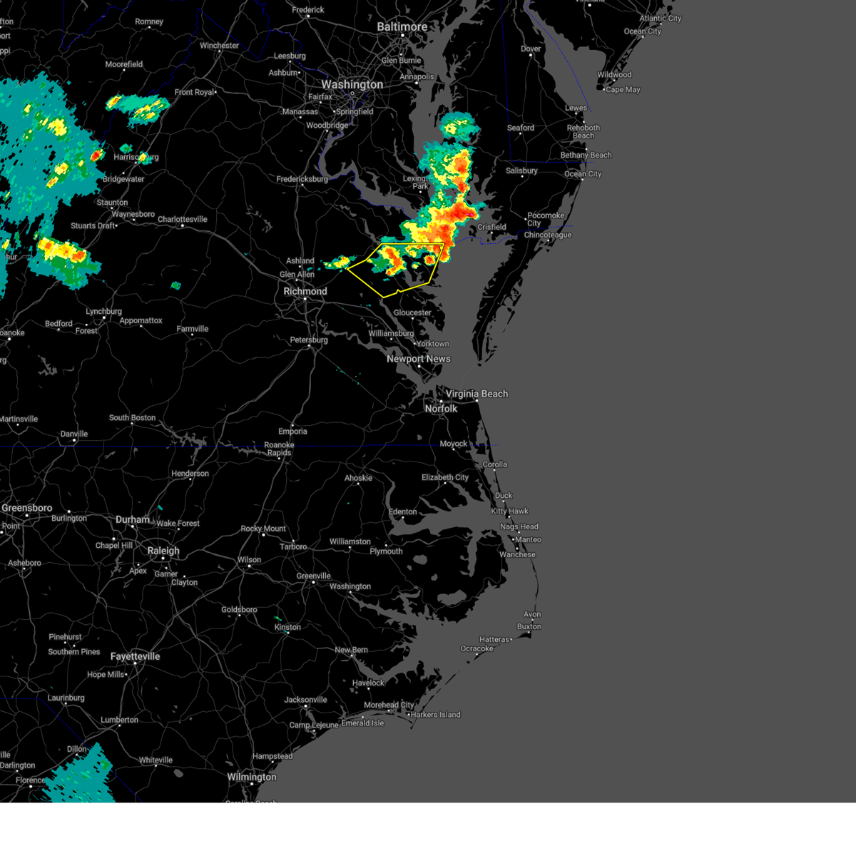 The storms which prompted the warning have weakened. therefore, the warning has been allowed to expire. however, heavy rain is still possible with these thunderstorms. to report severe weather, contact your nearest law enforcement agency. they will relay your report to the national weather service wakefield. The storms which prompted the warning have weakened. therefore, the warning has been allowed to expire. however, heavy rain is still possible with these thunderstorms. to report severe weather, contact your nearest law enforcement agency. they will relay your report to the national weather service wakefield.
|
| 6/26/2024 6:00 PM EDT |
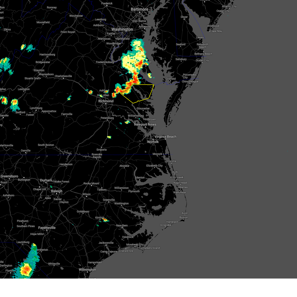 Svrakq the national weather service in wakefield has issued a * severe thunderstorm warning for, southeastern king and queen county in east central virginia, northwestern middlesex county in eastern virginia, central northumberland county in eastern virginia, southeastern richmond county in east central virginia, east central king william county in east central virginia, southeastern essex county in east central virginia, lancaster county in eastern virginia, * until 645 pm edt. * at 600 pm edt, severe thunderstorms were located along a line extending from near warsaw to near center cross to near king william, moving east at 25 mph (radar indicated). Hazards include 60 mph wind gusts. Expect damage to trees and powerlines. severe thunderstorms will be near, stevensville, farnham, sharps, and center cross around 605 pm edt. king and queen court house and jamaica around 610 pm edt. robley and morattico around 615 pm edt. church view around 620 pm edt. lancaster and little plymouth around 630 pm edt. Other locations impacted by these severe thunderstorms include avalon, brook vale, bertrand, reedville, belle isle state park, millenbeck, crouch, mascot, dodlyt, and rehoboth church. Svrakq the national weather service in wakefield has issued a * severe thunderstorm warning for, southeastern king and queen county in east central virginia, northwestern middlesex county in eastern virginia, central northumberland county in eastern virginia, southeastern richmond county in east central virginia, east central king william county in east central virginia, southeastern essex county in east central virginia, lancaster county in eastern virginia, * until 645 pm edt. * at 600 pm edt, severe thunderstorms were located along a line extending from near warsaw to near center cross to near king william, moving east at 25 mph (radar indicated). Hazards include 60 mph wind gusts. Expect damage to trees and powerlines. severe thunderstorms will be near, stevensville, farnham, sharps, and center cross around 605 pm edt. king and queen court house and jamaica around 610 pm edt. robley and morattico around 615 pm edt. church view around 620 pm edt. lancaster and little plymouth around 630 pm edt. Other locations impacted by these severe thunderstorms include avalon, brook vale, bertrand, reedville, belle isle state park, millenbeck, crouch, mascot, dodlyt, and rehoboth church.
|
| 4/15/2024 5:35 PM EDT |
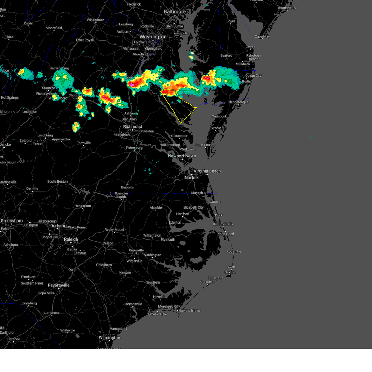 Svrakq the national weather service in wakefield has issued a * severe thunderstorm warning for, northumberland county in eastern virginia, eastern richmond county in east central virginia, westmoreland county in east central virginia, lancaster county in eastern virginia, * until 615 pm edt. * at 535 pm edt, a severe thunderstorm was located near hague, or near montross, moving southeast at 30 mph (radar indicated). Hazards include 60 mph wind gusts and quarter size hail. Minor damage to vehicles is possible. expect wind damage to trees and powerlines. this severe thunderstorm will be near, hague around 540 pm edt. haynesville around 545 pm edt. callao around 550 pm edt. farnham around 555 pm edt. robley around 605 pm edt. Other locations impacted by this severe thunderstorm include currioman landing, lottsburg, threeway, regina, mollusk, senora, avalon, brook vale, mount holly, and nuttsville. Svrakq the national weather service in wakefield has issued a * severe thunderstorm warning for, northumberland county in eastern virginia, eastern richmond county in east central virginia, westmoreland county in east central virginia, lancaster county in eastern virginia, * until 615 pm edt. * at 535 pm edt, a severe thunderstorm was located near hague, or near montross, moving southeast at 30 mph (radar indicated). Hazards include 60 mph wind gusts and quarter size hail. Minor damage to vehicles is possible. expect wind damage to trees and powerlines. this severe thunderstorm will be near, hague around 540 pm edt. haynesville around 545 pm edt. callao around 550 pm edt. farnham around 555 pm edt. robley around 605 pm edt. Other locations impacted by this severe thunderstorm include currioman landing, lottsburg, threeway, regina, mollusk, senora, avalon, brook vale, mount holly, and nuttsville.
|
| 7/29/2023 7:29 PM EDT |
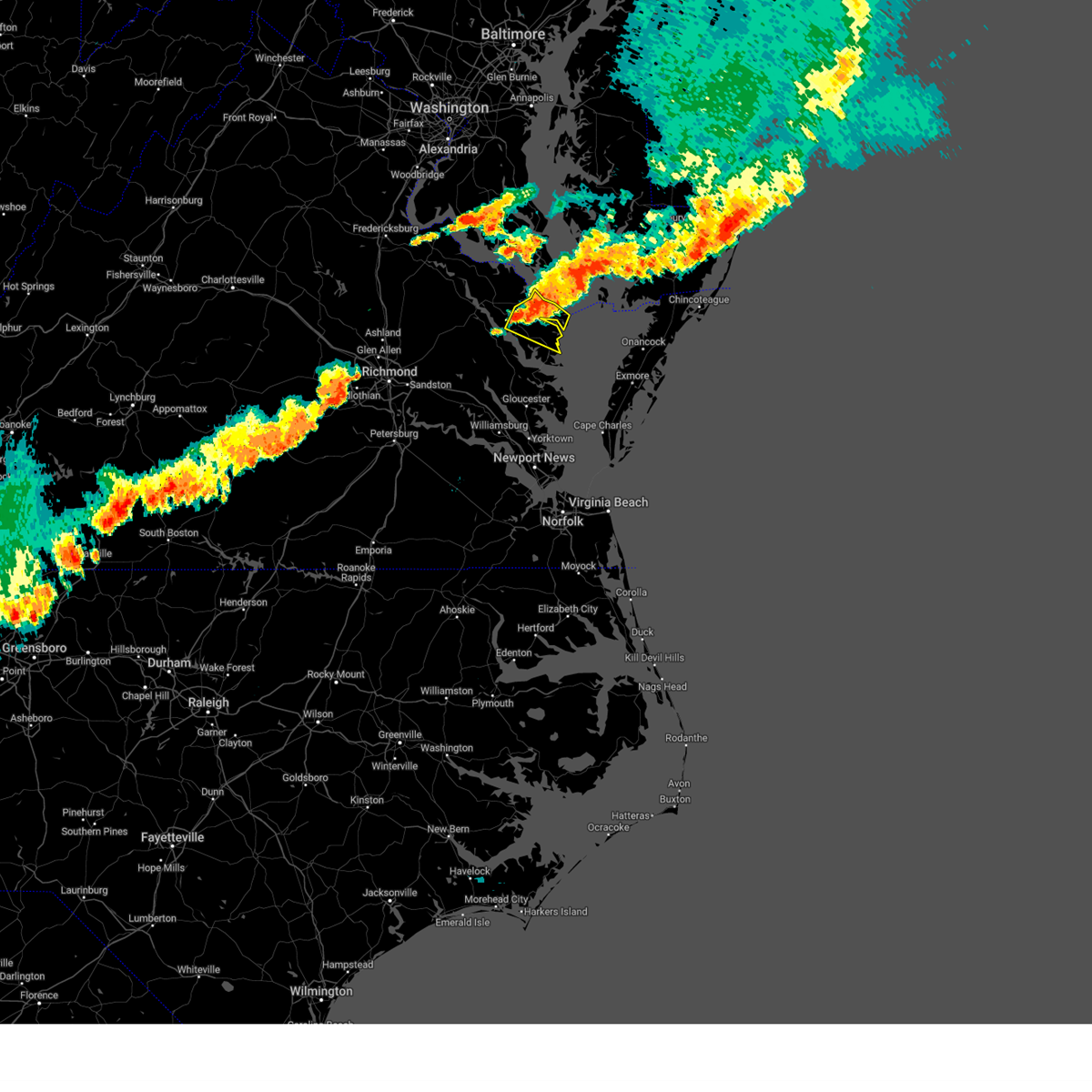 At 728 pm edt, severe thunderstorms were located along a line extending from 8 miles northeast of fair port to near wicomico church to robley, moving southeast at 30 mph (radar indicated). Hazards include 60 mph wind gusts and penny size hail. Expect damage to trees and powerlines. these severe storms will be near, fair port, lancaster, and wicomico church around 735 pm edt. kilmarnock around 740 pm edt. other locations impacted by these severe thunderstorms include lara, browns store, lottsburg, somers, regina, alfonso, avalon, brook vale, moon corner, and nuttsville. hail threat, radar indicated max hail size, 0. 75 in wind threat, radar indicated max wind gust, 60 mph. At 728 pm edt, severe thunderstorms were located along a line extending from 8 miles northeast of fair port to near wicomico church to robley, moving southeast at 30 mph (radar indicated). Hazards include 60 mph wind gusts and penny size hail. Expect damage to trees and powerlines. these severe storms will be near, fair port, lancaster, and wicomico church around 735 pm edt. kilmarnock around 740 pm edt. other locations impacted by these severe thunderstorms include lara, browns store, lottsburg, somers, regina, alfonso, avalon, brook vale, moon corner, and nuttsville. hail threat, radar indicated max hail size, 0. 75 in wind threat, radar indicated max wind gust, 60 mph.
|
| 7/29/2023 7:11 PM EDT |
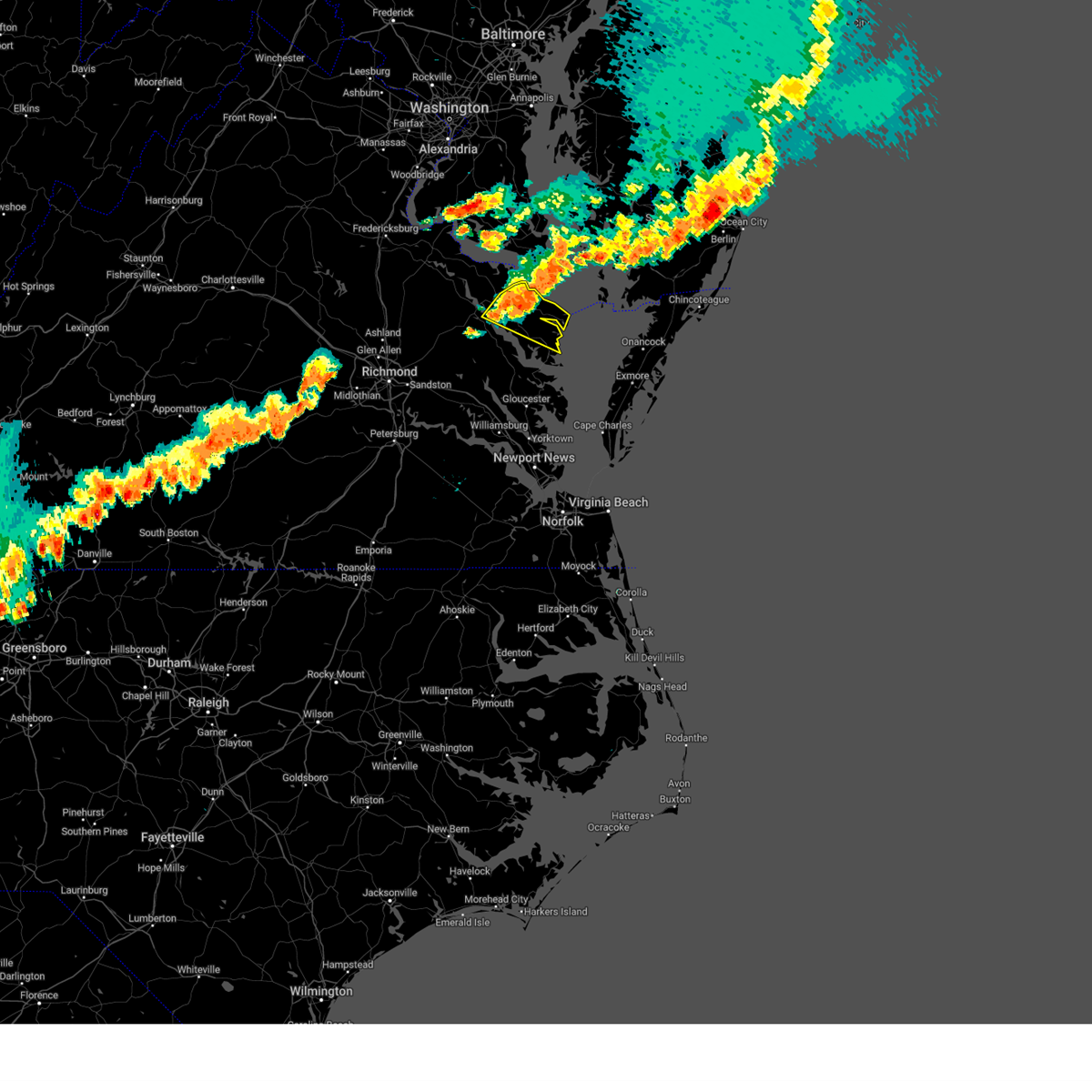 At 711 pm edt, severe thunderstorms were located along a line extending from near saint inigoes creek to heathsville to farnham, moving southeast at 30 mph (radar indicated). Hazards include 60 mph wind gusts and penny size hail. Expect damage to trees and powerlines. these severe storms will be near, robley and heathsville around 715 pm edt. wicomico church around 720 pm edt. fair port and lancaster around 725 pm edt. other locations impacted by these severe thunderstorms include lottsburg, threeway, regina, avalon, brook vale, nuttsville, reedville, edwardsville, tidewater, and middletons corner. hail threat, radar indicated max hail size, 0. 75 in wind threat, radar indicated max wind gust, 60 mph. At 711 pm edt, severe thunderstorms were located along a line extending from near saint inigoes creek to heathsville to farnham, moving southeast at 30 mph (radar indicated). Hazards include 60 mph wind gusts and penny size hail. Expect damage to trees and powerlines. these severe storms will be near, robley and heathsville around 715 pm edt. wicomico church around 720 pm edt. fair port and lancaster around 725 pm edt. other locations impacted by these severe thunderstorms include lottsburg, threeway, regina, avalon, brook vale, nuttsville, reedville, edwardsville, tidewater, and middletons corner. hail threat, radar indicated max hail size, 0. 75 in wind threat, radar indicated max wind gust, 60 mph.
|
| 7/29/2023 6:54 PM EDT |
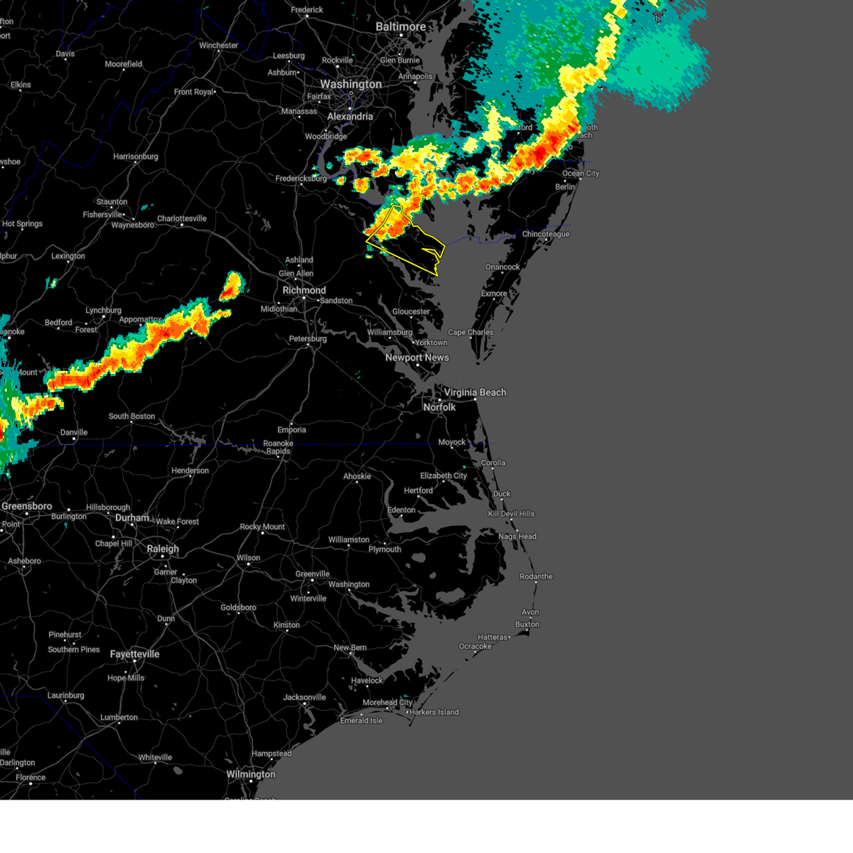 At 654 pm edt, severe thunderstorms were located along a line extending from piney point to callao to near warsaw, moving southeast at 30 mph (radar indicated). Hazards include 60 mph wind gusts. Expect damage to trees and powerlines. severe thunderstorms will be near, callao, lewisetta, farnham, and heathsville around 700 pm edt. robley around 705 pm edt. wicomico church around 720 pm edt. fair port and lancaster around 725 pm edt. other locations impacted by these severe thunderstorms include lottsburg, threeway, regina, avalon, brook vale, mount holly, nuttsville, reedville, edwardsville, and tidewater. hail threat, radar indicated max hail size, <. 75 in wind threat, radar indicated max wind gust, 60 mph. At 654 pm edt, severe thunderstorms were located along a line extending from piney point to callao to near warsaw, moving southeast at 30 mph (radar indicated). Hazards include 60 mph wind gusts. Expect damage to trees and powerlines. severe thunderstorms will be near, callao, lewisetta, farnham, and heathsville around 700 pm edt. robley around 705 pm edt. wicomico church around 720 pm edt. fair port and lancaster around 725 pm edt. other locations impacted by these severe thunderstorms include lottsburg, threeway, regina, avalon, brook vale, mount holly, nuttsville, reedville, edwardsville, and tidewater. hail threat, radar indicated max hail size, <. 75 in wind threat, radar indicated max wind gust, 60 mph.
|
| 7/3/2023 6:25 PM EDT |
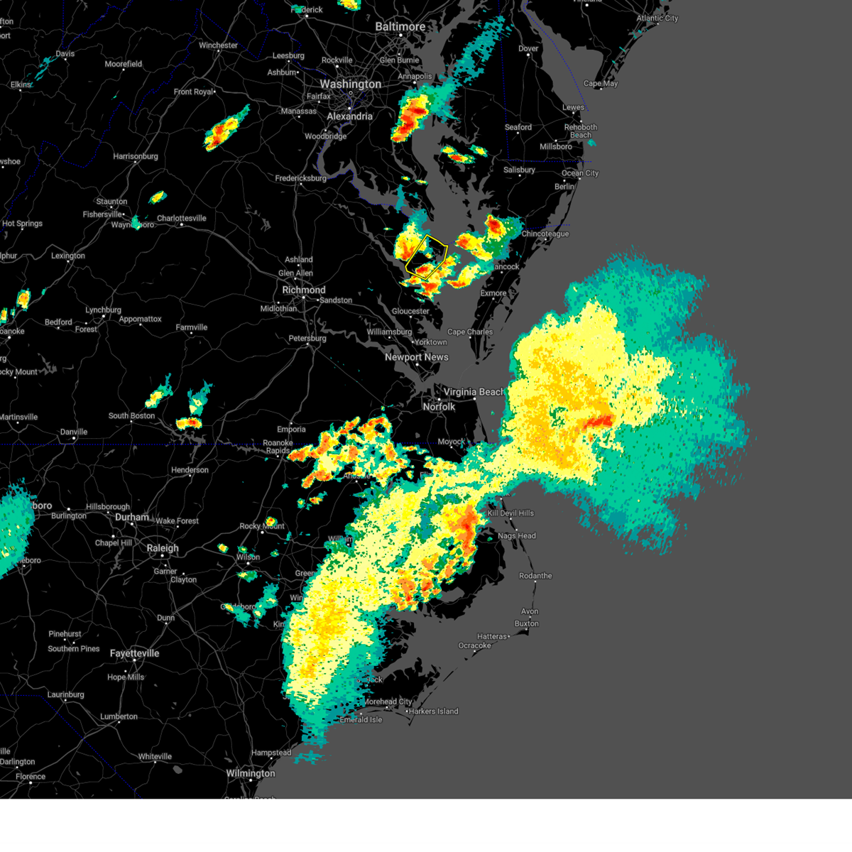 At 625 pm edt, a severe thunderstorm was located over lancaster, or near kilmarnock, moving northeast at 30 mph (radar indicated). Hazards include 60 mph wind gusts and quarter size hail. Minor damage to vehicles is possible. expect wind damage to trees and powerlines. this severe storm will be near, wicomico church around 640 pm edt. fair port around 645 pm edt. other locations impacted by this severe thunderstorm include browns store, regina, mollusk, alfonso, avalon, brook vale, reedville, lilian, hull neck and edwardsville. hail threat, radar indicated max hail size, 1. 00 in wind threat, radar indicated max wind gust, 60 mph. At 625 pm edt, a severe thunderstorm was located over lancaster, or near kilmarnock, moving northeast at 30 mph (radar indicated). Hazards include 60 mph wind gusts and quarter size hail. Minor damage to vehicles is possible. expect wind damage to trees and powerlines. this severe storm will be near, wicomico church around 640 pm edt. fair port around 645 pm edt. other locations impacted by this severe thunderstorm include browns store, regina, mollusk, alfonso, avalon, brook vale, reedville, lilian, hull neck and edwardsville. hail threat, radar indicated max hail size, 1. 00 in wind threat, radar indicated max wind gust, 60 mph.
|
| 7/3/2023 6:18 PM EDT |
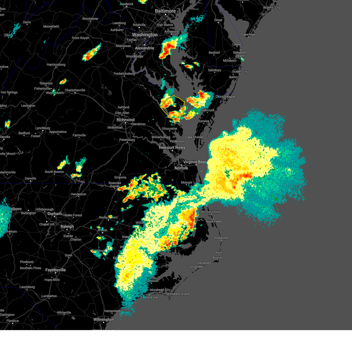 At 618 pm edt, a severe thunderstorm was located near lancaster, or near kilmarnock, moving northeast at 25 mph (radar indicated). Hazards include 60 mph wind gusts and quarter size hail. Minor damage to vehicles is possible. expect wind damage to trees and powerlines. this severe thunderstorm will be near, lancaster around 625 pm edt. kilmarnock around 630 pm edt. wicomico church around 640 pm edt. fair port around 650 pm edt. other locations impacted by this severe thunderstorm include byrdton, regina, mollusk, senora, avalon, brook vale, nuttsville, bertrand, reedville and belle isle state park. hail threat, radar indicated max hail size, 1. 00 in wind threat, radar indicated max wind gust, 60 mph. At 618 pm edt, a severe thunderstorm was located near lancaster, or near kilmarnock, moving northeast at 25 mph (radar indicated). Hazards include 60 mph wind gusts and quarter size hail. Minor damage to vehicles is possible. expect wind damage to trees and powerlines. this severe thunderstorm will be near, lancaster around 625 pm edt. kilmarnock around 630 pm edt. wicomico church around 640 pm edt. fair port around 650 pm edt. other locations impacted by this severe thunderstorm include byrdton, regina, mollusk, senora, avalon, brook vale, nuttsville, bertrand, reedville and belle isle state park. hail threat, radar indicated max hail size, 1. 00 in wind threat, radar indicated max wind gust, 60 mph.
|
| 7/3/2023 5:31 PM EDT |
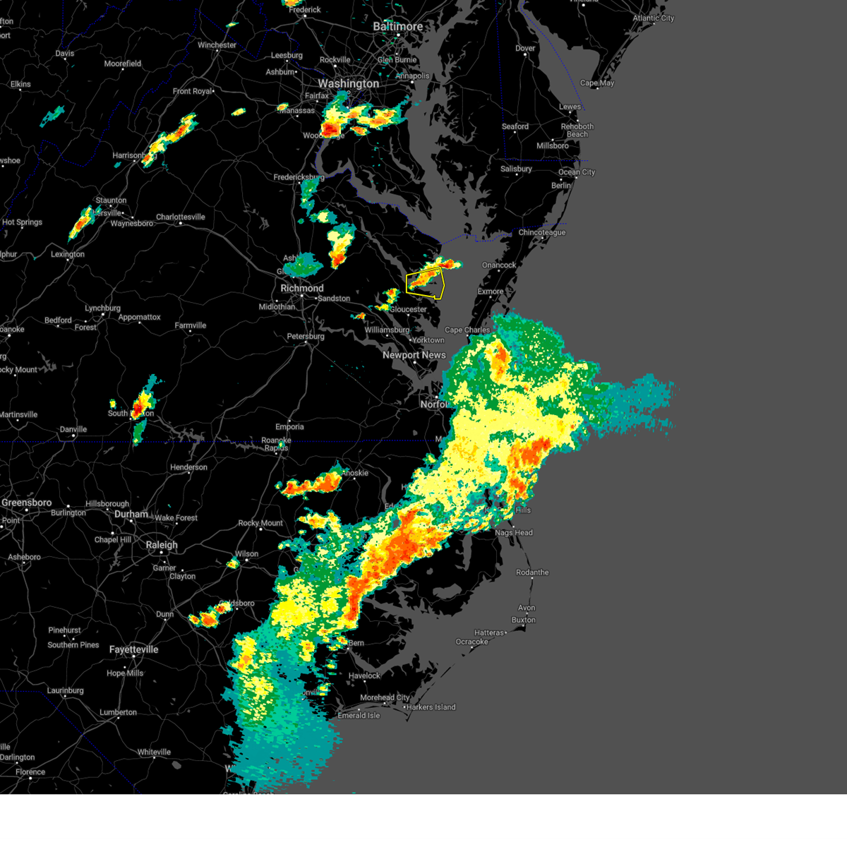 At 531 pm edt, a severe thunderstorm was located near white stone, or 7 miles east of urbanna, moving east at 20 mph (radar indicated). Hazards include 60 mph wind gusts and quarter size hail. Minor damage to vehicles is possible. expect wind damage to trees and powerlines. this severe thunderstorm will be near, white stone around 540 pm edt. deltaville around 555 pm edt. other locations impacted by this severe thunderstorm include byrdton, weems, senora, slabtown, wilton, harmony village, bertrand, grafton, amburg and wake. hail threat, radar indicated max hail size, 1. 00 in wind threat, radar indicated max wind gust, 60 mph. At 531 pm edt, a severe thunderstorm was located near white stone, or 7 miles east of urbanna, moving east at 20 mph (radar indicated). Hazards include 60 mph wind gusts and quarter size hail. Minor damage to vehicles is possible. expect wind damage to trees and powerlines. this severe thunderstorm will be near, white stone around 540 pm edt. deltaville around 555 pm edt. other locations impacted by this severe thunderstorm include byrdton, weems, senora, slabtown, wilton, harmony village, bertrand, grafton, amburg and wake. hail threat, radar indicated max hail size, 1. 00 in wind threat, radar indicated max wind gust, 60 mph.
|
| 6/16/2023 8:09 PM EDT |
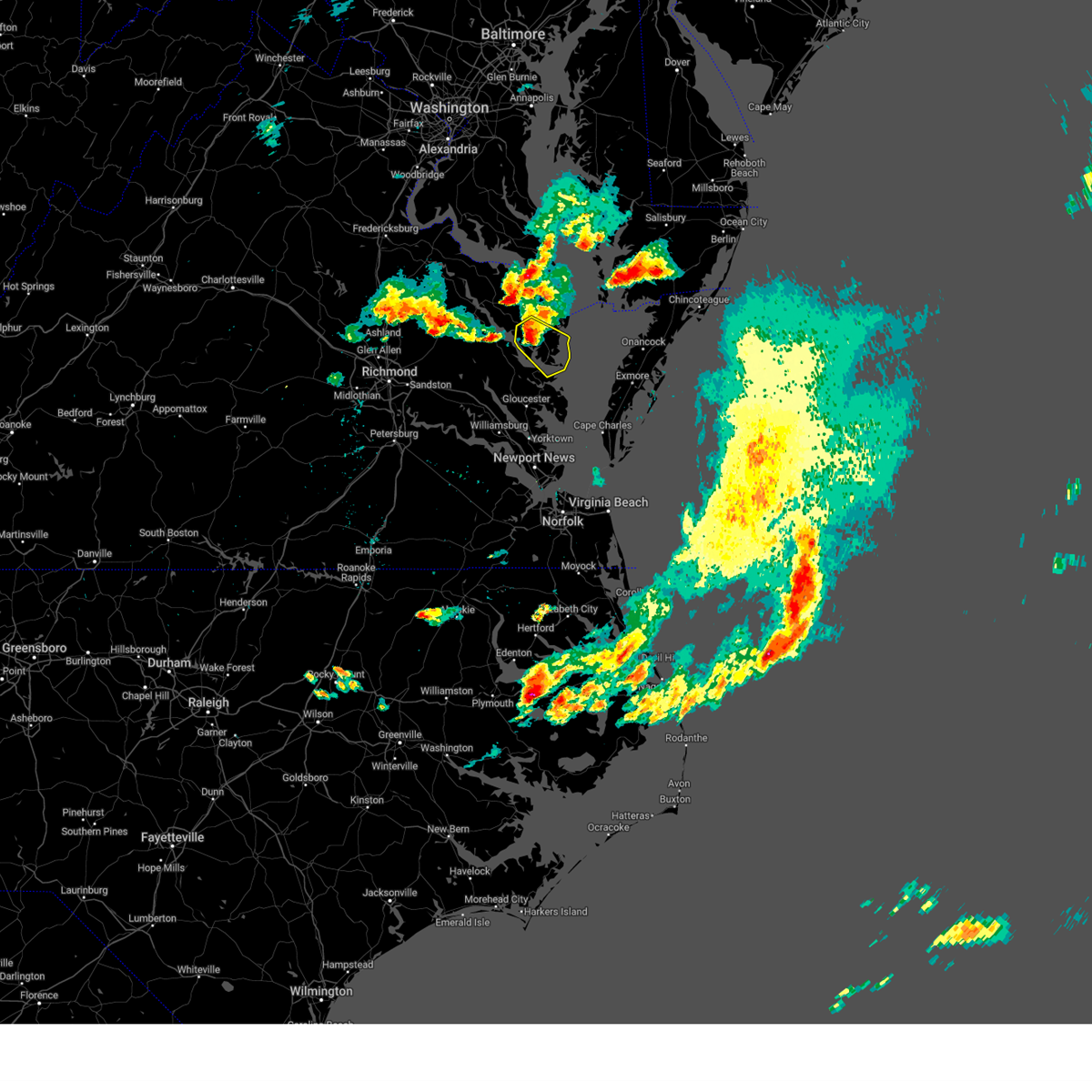 At 808 pm edt, a severe thunderstorm was located over lancaster, or near kilmarnock, moving southeast at 25 mph (radar indicated). Hazards include 60 mph wind gusts and quarter size hail. Minor damage to vehicles is possible. expect wind damage to trees and powerlines. this severe storm will be near, wicomico church around 815 pm edt. kilmarnock around 820 pm edt. white stone around 830 pm edt. other locations impacted by this severe thunderstorm include lara, byrdton, browns store, somers, weems, regina, mollusk, alfonso, senora and slabtown. hail threat, radar indicated max hail size, 1. 00 in wind threat, radar indicated max wind gust, 60 mph. At 808 pm edt, a severe thunderstorm was located over lancaster, or near kilmarnock, moving southeast at 25 mph (radar indicated). Hazards include 60 mph wind gusts and quarter size hail. Minor damage to vehicles is possible. expect wind damage to trees and powerlines. this severe storm will be near, wicomico church around 815 pm edt. kilmarnock around 820 pm edt. white stone around 830 pm edt. other locations impacted by this severe thunderstorm include lara, byrdton, browns store, somers, weems, regina, mollusk, alfonso, senora and slabtown. hail threat, radar indicated max hail size, 1. 00 in wind threat, radar indicated max wind gust, 60 mph.
|
| 6/16/2023 8:05 PM EDT | Quarter sized hail reported 6.3 miles SE of Kilmarnock, VA |
| 6/16/2023 7:54 PM EDT |
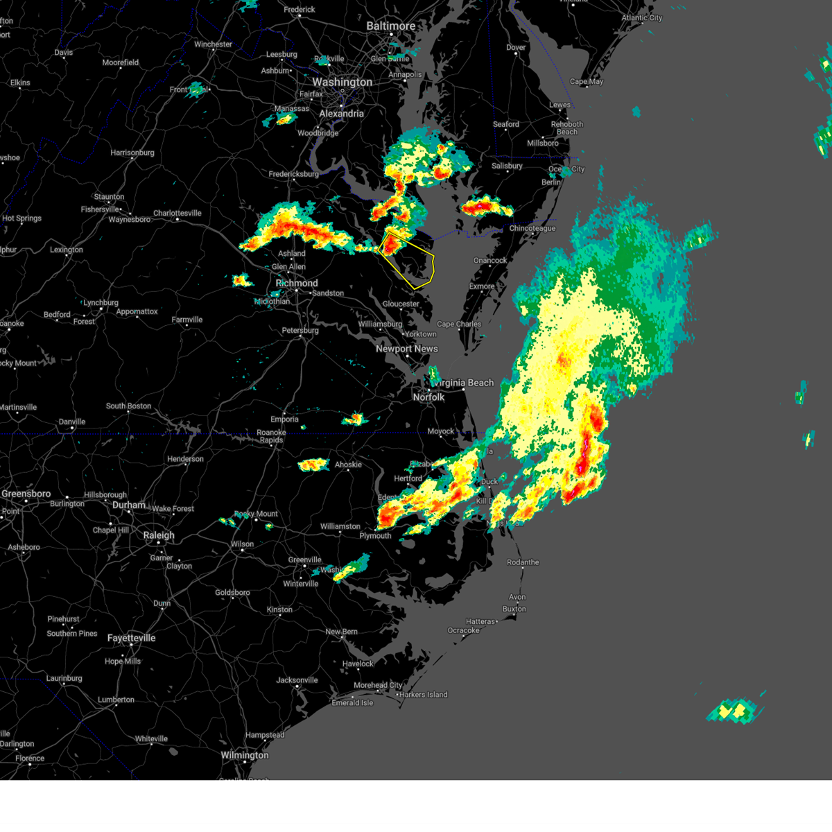 At 754 pm edt, a severe thunderstorm was located over morattico, or near robley, moving southeast at 20 mph (radar indicated). Hazards include 60 mph wind gusts and quarter size hail. Minor damage to vehicles is possible. expect wind damage to trees and powerlines. this severe storm will be near, lancaster around 810 pm edt. kilmarnock around 825 pm edt. white stone around 835 pm edt. other locations impacted by this severe thunderstorm include byrdton, regina, mollusk, senora, brook vale, nuttsville, bertrand, belle isle state park, millenbeck and tidewater. hail threat, radar indicated max hail size, 1. 00 in wind threat, radar indicated max wind gust, 60 mph. At 754 pm edt, a severe thunderstorm was located over morattico, or near robley, moving southeast at 20 mph (radar indicated). Hazards include 60 mph wind gusts and quarter size hail. Minor damage to vehicles is possible. expect wind damage to trees and powerlines. this severe storm will be near, lancaster around 810 pm edt. kilmarnock around 825 pm edt. white stone around 835 pm edt. other locations impacted by this severe thunderstorm include byrdton, regina, mollusk, senora, brook vale, nuttsville, bertrand, belle isle state park, millenbeck and tidewater. hail threat, radar indicated max hail size, 1. 00 in wind threat, radar indicated max wind gust, 60 mph.
|
| 6/16/2023 7:34 PM EDT |
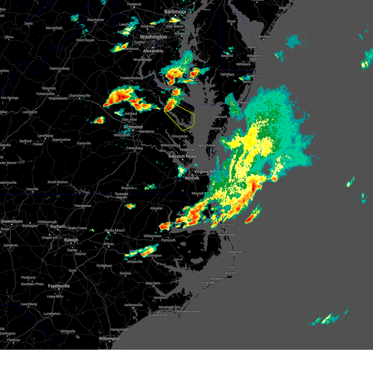 At 734 pm edt, a severe thunderstorm was located over sharps, or near robley, moving southeast at 20 mph (radar indicated). Hazards include 60 mph wind gusts and quarter size hail. Minor damage to vehicles is possible. expect wind damage to trees and powerlines. this severe thunderstorm will be near, farnham around 740 pm edt. robley and morattico around 750 pm edt. lancaster around 810 pm edt. urbanna around 815 pm edt. kilmarnock around 825 pm edt. white stone and hartfield around 830 pm edt. other locations impacted by this severe thunderstorm include byrdton, regina, mollusk, senora, brook vale, nuttsville, harmony village, bertrand, grafton and belle isle state park. hail threat, radar indicated max hail size, 1. 00 in wind threat, radar indicated max wind gust, 60 mph. At 734 pm edt, a severe thunderstorm was located over sharps, or near robley, moving southeast at 20 mph (radar indicated). Hazards include 60 mph wind gusts and quarter size hail. Minor damage to vehicles is possible. expect wind damage to trees and powerlines. this severe thunderstorm will be near, farnham around 740 pm edt. robley and morattico around 750 pm edt. lancaster around 810 pm edt. urbanna around 815 pm edt. kilmarnock around 825 pm edt. white stone and hartfield around 830 pm edt. other locations impacted by this severe thunderstorm include byrdton, regina, mollusk, senora, brook vale, nuttsville, harmony village, bertrand, grafton and belle isle state park. hail threat, radar indicated max hail size, 1. 00 in wind threat, radar indicated max wind gust, 60 mph.
|
| 4/1/2023 8:53 PM EDT |
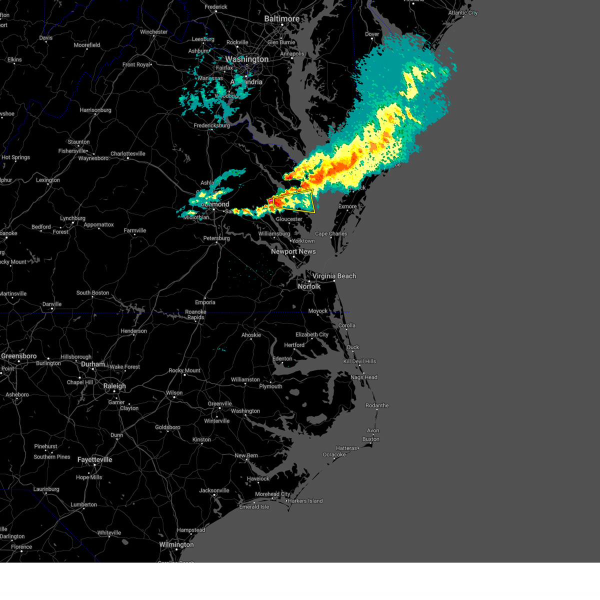 At 853 pm edt, a severe thunderstorm was located near saluda, or near urbanna, moving east at 55 mph (radar indicated). Hazards include 60 mph wind gusts and quarter size hail. Minor damage to vehicles is possible. expect wind damage to trees and powerlines. this severe thunderstorm will be near, hartfield around 905 pm edt. kilmarnock, deltaville and white stone around 910 pm edt. other locations impacted by this severe thunderstorm include byrdton, weems, senora, slabtown, wilton, harmony village, bertrand, grafton, amburg and stampers. hail threat, radar indicated max hail size, 1. 00 in wind threat, radar indicated max wind gust, 60 mph. At 853 pm edt, a severe thunderstorm was located near saluda, or near urbanna, moving east at 55 mph (radar indicated). Hazards include 60 mph wind gusts and quarter size hail. Minor damage to vehicles is possible. expect wind damage to trees and powerlines. this severe thunderstorm will be near, hartfield around 905 pm edt. kilmarnock, deltaville and white stone around 910 pm edt. other locations impacted by this severe thunderstorm include byrdton, weems, senora, slabtown, wilton, harmony village, bertrand, grafton, amburg and stampers. hail threat, radar indicated max hail size, 1. 00 in wind threat, radar indicated max wind gust, 60 mph.
|
| 7/29/2022 3:45 PM EDT | Road blocked by downed tree. time estimate in lancaster county VA, 2.5 miles E of Kilmarnock, VA |
| 7/29/2022 3:40 PM EDT |
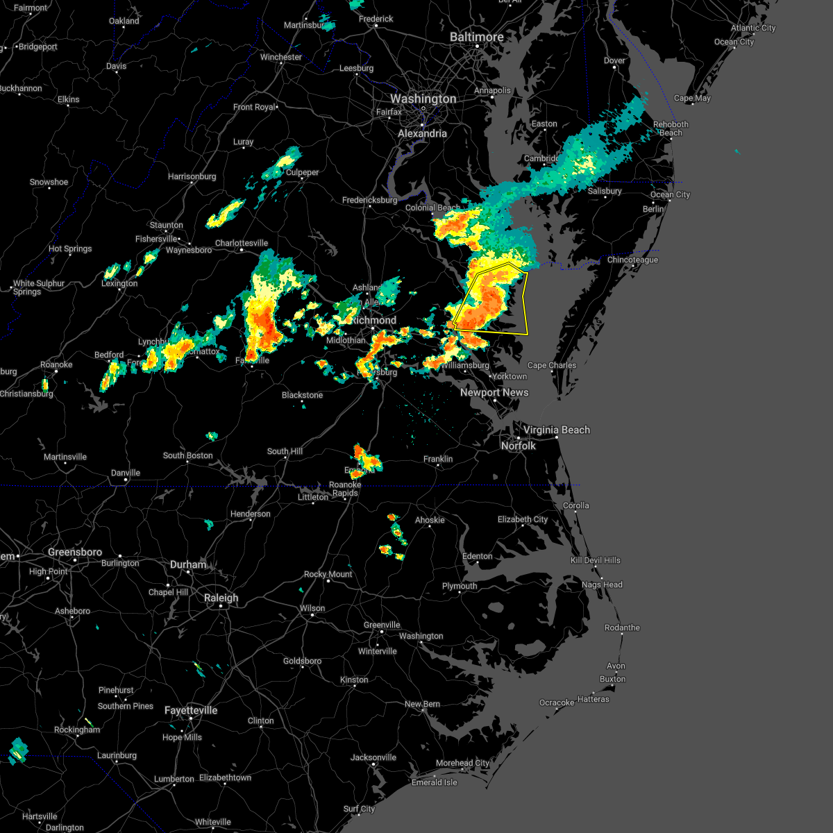 At 339 pm edt, severe thunderstorms were located along a line extending from near wicomico church to near hartfield, moving east at 30 mph (radar indicated). Hazards include 60 mph wind gusts. Expect damage to trees and powerlines. these severe storms will be near, wicomico church around 345 pm edt. white stone around 350 pm edt. fair port around 355 pm edt. deltaville and gwynn around 400 pm edt. other locations impacted by these severe thunderstorms include byrdton, avalon, brook vale, bertrand, grafton, reedville, belle isle state park, amburg, millenbeck and mattaponi. hail threat, radar indicated max hail size, <. 75 in wind threat, radar indicated max wind gust, 60 mph. At 339 pm edt, severe thunderstorms were located along a line extending from near wicomico church to near hartfield, moving east at 30 mph (radar indicated). Hazards include 60 mph wind gusts. Expect damage to trees and powerlines. these severe storms will be near, wicomico church around 345 pm edt. white stone around 350 pm edt. fair port around 355 pm edt. deltaville and gwynn around 400 pm edt. other locations impacted by these severe thunderstorms include byrdton, avalon, brook vale, bertrand, grafton, reedville, belle isle state park, amburg, millenbeck and mattaponi. hail threat, radar indicated max hail size, <. 75 in wind threat, radar indicated max wind gust, 60 mph.
|
| 7/29/2022 3:07 PM EDT |
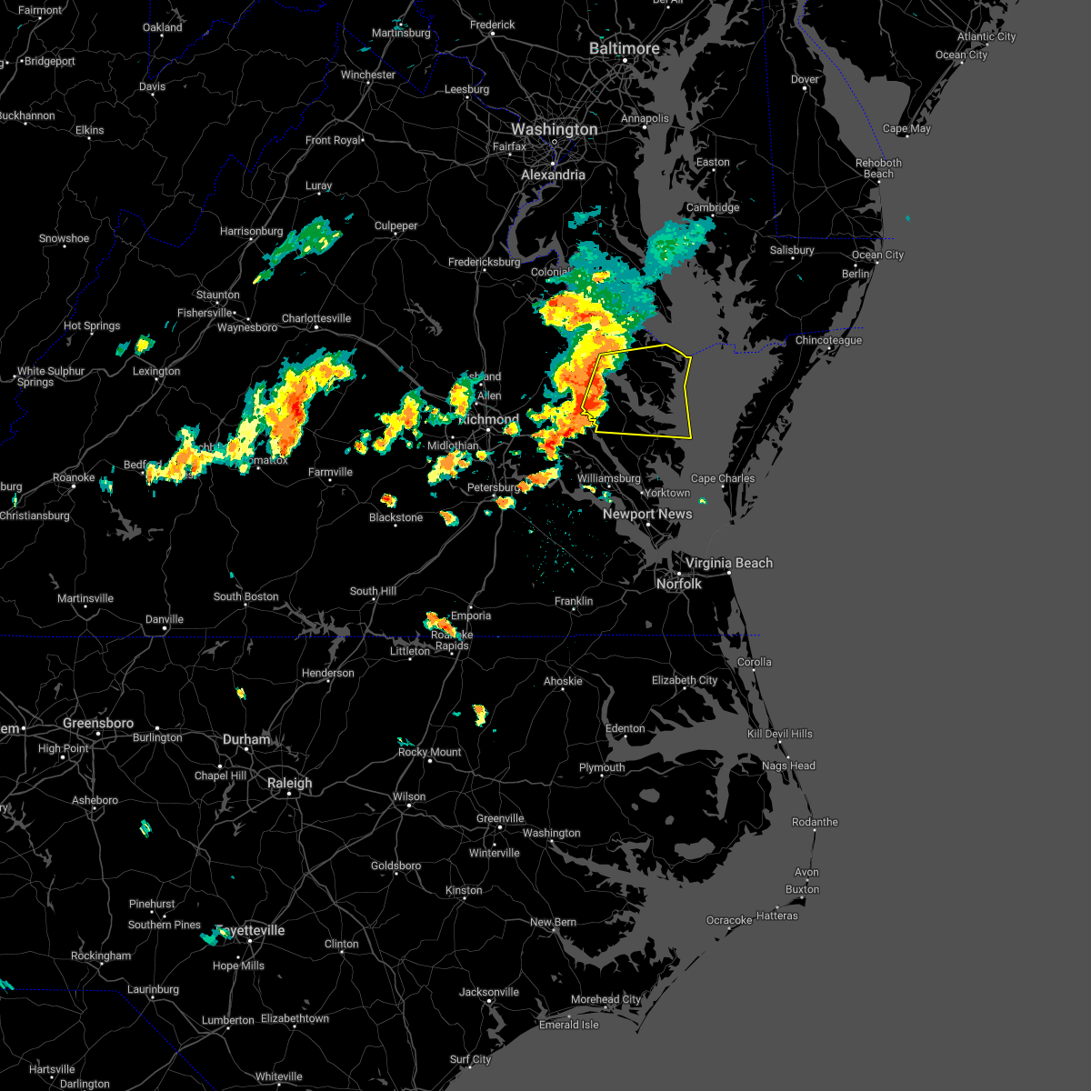 At 306 pm edt, severe thunderstorms were located along a line extending from near sharps to near shacklefords, moving east at 25 mph (radar indicated). Hazards include 60 mph wind gusts. Expect damage to trees and powerlines. severe thunderstorms will be near, sharps around 310 pm edt. farnham, morattico and church view around 315 pm edt. robley around 320 pm edt. glenns and saluda around 325 pm edt. urbanna around 330 pm edt. lancaster and heathsville around 335 pm edt. hartfield and wicomico church around 345 pm edt. white stone around 350 pm edt. other locations impacted by these severe thunderstorms include byrdton, avalon, brook vale, bertrand, grafton, reedville, belle isle state park, amburg, millenbeck and mattaponi. hail threat, radar indicated max hail size, <. 75 in wind threat, radar indicated max wind gust, 60 mph. At 306 pm edt, severe thunderstorms were located along a line extending from near sharps to near shacklefords, moving east at 25 mph (radar indicated). Hazards include 60 mph wind gusts. Expect damage to trees and powerlines. severe thunderstorms will be near, sharps around 310 pm edt. farnham, morattico and church view around 315 pm edt. robley around 320 pm edt. glenns and saluda around 325 pm edt. urbanna around 330 pm edt. lancaster and heathsville around 335 pm edt. hartfield and wicomico church around 345 pm edt. white stone around 350 pm edt. other locations impacted by these severe thunderstorms include byrdton, avalon, brook vale, bertrand, grafton, reedville, belle isle state park, amburg, millenbeck and mattaponi. hail threat, radar indicated max hail size, <. 75 in wind threat, radar indicated max wind gust, 60 mph.
|
| 7/25/2022 6:57 PM EDT |
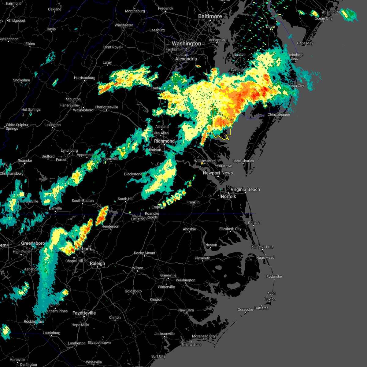 The severe thunderstorm warning for northumberland, southeastern richmond, east central westmoreland and lancaster counties will expire at 700 pm edt, the storms which prompted the warning have weakened. therefore, the warning will be allowed to expire. however, gusty winds and heavy rain are still possible with these thunderstorms. a severe thunderstorm watch remains in effect until 1000 pm edt for eastern and east central virginia. to report severe weather, contact your nearest law enforcement agency. they will relay your report to the national weather service wakefield. The severe thunderstorm warning for northumberland, southeastern richmond, east central westmoreland and lancaster counties will expire at 700 pm edt, the storms which prompted the warning have weakened. therefore, the warning will be allowed to expire. however, gusty winds and heavy rain are still possible with these thunderstorms. a severe thunderstorm watch remains in effect until 1000 pm edt for eastern and east central virginia. to report severe weather, contact your nearest law enforcement agency. they will relay your report to the national weather service wakefield.
|
| 7/25/2022 6:50 PM EDT | Power outages south of lilian. time estimate in northumberland county VA, 10.8 miles SSW of Kilmarnock, VA |
| 7/25/2022 6:49 PM EDT |
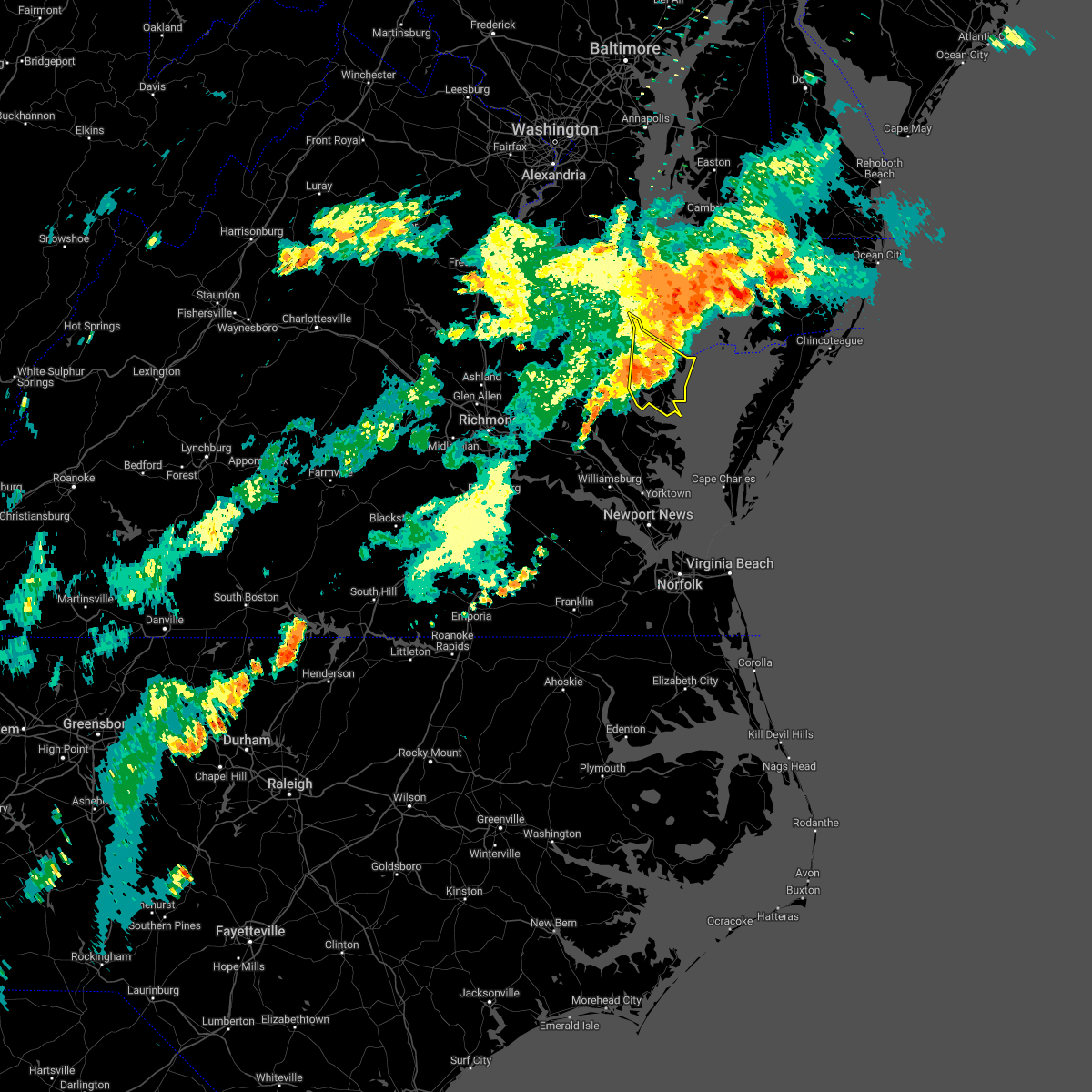 At 649 pm edt, severe thunderstorms were located along a line extending from near sheridan point to near saint inigoes creek to near lancaster, moving east at 45 mph (radar indicated). Hazards include 60 mph wind gusts. Expect damage to trees and powerlines. locations impacted include, kilmarnock, fair port, callao, lancaster, white stone, heathsville, wicomico church, westmoreland, byrdton, lottsburg, regina, mollusk, senora, avalon, brook vale, nuttsville, bertrand, reedville, millenbeck and edwardsville. hail threat, radar indicated max hail size, <. 75 in wind threat, radar indicated max wind gust, 60 mph. At 649 pm edt, severe thunderstorms were located along a line extending from near sheridan point to near saint inigoes creek to near lancaster, moving east at 45 mph (radar indicated). Hazards include 60 mph wind gusts. Expect damage to trees and powerlines. locations impacted include, kilmarnock, fair port, callao, lancaster, white stone, heathsville, wicomico church, westmoreland, byrdton, lottsburg, regina, mollusk, senora, avalon, brook vale, nuttsville, bertrand, reedville, millenbeck and edwardsville. hail threat, radar indicated max hail size, <. 75 in wind threat, radar indicated max wind gust, 60 mph.
|
| 7/25/2022 6:15 PM EDT |
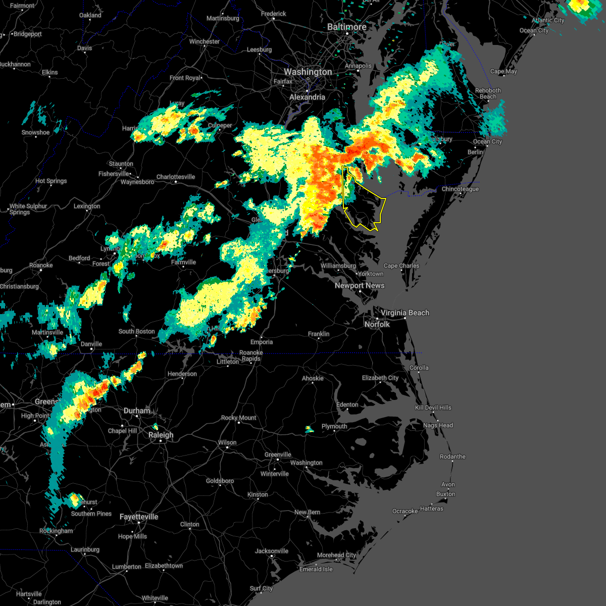 At 615 pm edt, severe thunderstorms were located along a line extending from near popes creek to near warsaw to little plymouth, moving east at 45 mph (radar indicated). Hazards include 60 mph wind gusts. expect damage to trees and powerlines At 615 pm edt, severe thunderstorms were located along a line extending from near popes creek to near warsaw to little plymouth, moving east at 45 mph (radar indicated). Hazards include 60 mph wind gusts. expect damage to trees and powerlines
|
| 7/21/2022 4:27 PM EDT |
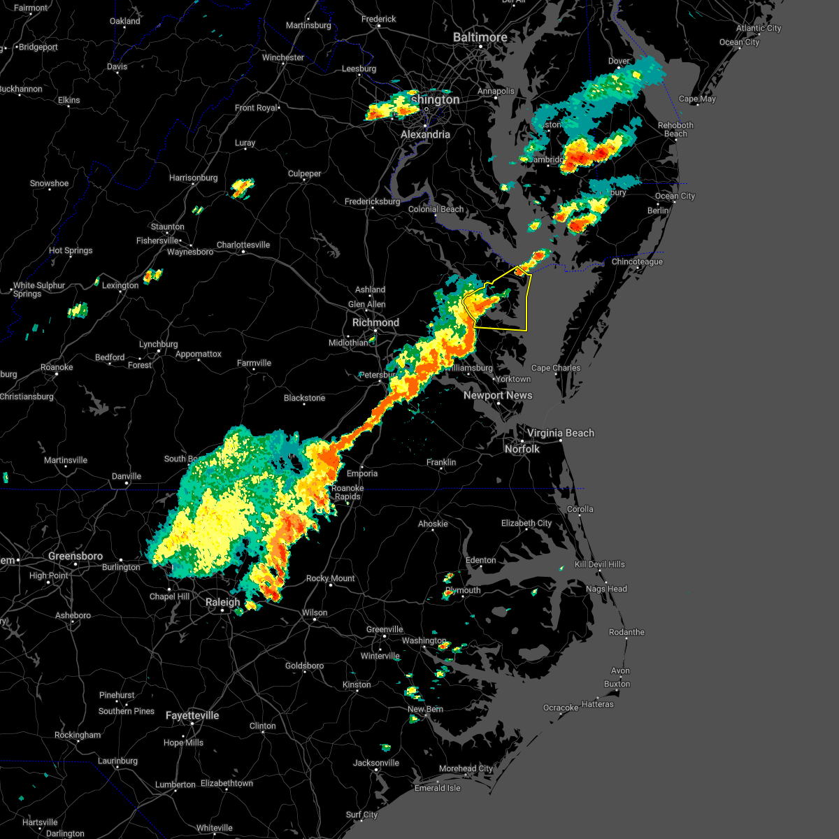 At 426 pm edt, a severe thunderstorm was located near lancaster, or near urbanna, moving northeast at 35 mph (radar indicated). Hazards include 60 mph wind gusts and quarter size hail. Minor damage to vehicles is possible. expect wind damage to trees and powerlines. this severe storm will be near, kilmarnock, lancaster and white stone around 435 pm edt. wicomico church around 445 pm edt. fair port around 450 pm edt. other locations impacted by this severe thunderstorm include byrdton, regina, mollusk, senora, brook vale, nuttsville, harmony village, bertrand, grafton and reedville. hail threat, radar indicated max hail size, 1. 00 in wind threat, radar indicated max wind gust, 60 mph. At 426 pm edt, a severe thunderstorm was located near lancaster, or near urbanna, moving northeast at 35 mph (radar indicated). Hazards include 60 mph wind gusts and quarter size hail. Minor damage to vehicles is possible. expect wind damage to trees and powerlines. this severe storm will be near, kilmarnock, lancaster and white stone around 435 pm edt. wicomico church around 445 pm edt. fair port around 450 pm edt. other locations impacted by this severe thunderstorm include byrdton, regina, mollusk, senora, brook vale, nuttsville, harmony village, bertrand, grafton and reedville. hail threat, radar indicated max hail size, 1. 00 in wind threat, radar indicated max wind gust, 60 mph.
|
| 7/21/2022 4:15 PM EDT | Numerous trees reported downed in southern lancaster count in lancaster county VA, 5.2 miles ESE of Kilmarnock, VA |
| 7/21/2022 4:06 PM EDT |
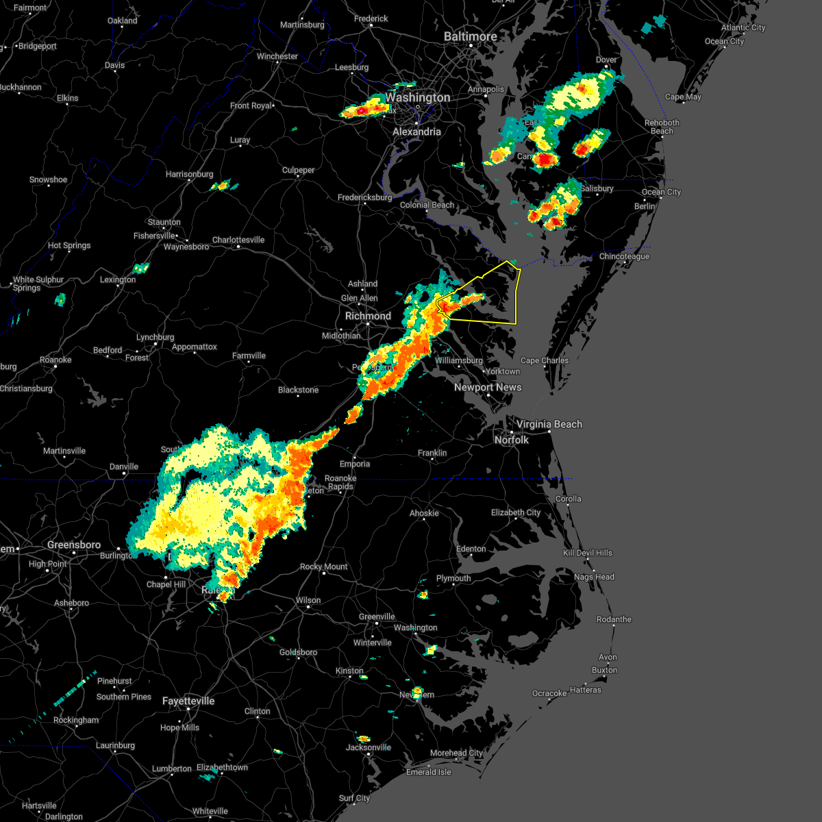 At 406 pm edt, a severe thunderstorm was located over church view, or near urbanna, moving northeast at 45 mph (radar indicated). Hazards include 60 mph wind gusts and quarter size hail. Minor damage to vehicles is possible. expect wind damage to trees and powerlines. this severe thunderstorm will be near, saluda around 410 pm edt. urbanna and morattico around 415 pm edt. lancaster around 425 pm edt. kilmarnock around 430 pm edt. wicomico church around 435 pm edt. fair port around 440 pm edt. other locations impacted by this severe thunderstorm include byrdton, regina, mollusk, senora, brook vale, nuttsville, harmony village, bertrand, grafton and dragonville. hail threat, radar indicated max hail size, 1. 00 in wind threat, radar indicated max wind gust, 60 mph. At 406 pm edt, a severe thunderstorm was located over church view, or near urbanna, moving northeast at 45 mph (radar indicated). Hazards include 60 mph wind gusts and quarter size hail. Minor damage to vehicles is possible. expect wind damage to trees and powerlines. this severe thunderstorm will be near, saluda around 410 pm edt. urbanna and morattico around 415 pm edt. lancaster around 425 pm edt. kilmarnock around 430 pm edt. wicomico church around 435 pm edt. fair port around 440 pm edt. other locations impacted by this severe thunderstorm include byrdton, regina, mollusk, senora, brook vale, nuttsville, harmony village, bertrand, grafton and dragonville. hail threat, radar indicated max hail size, 1. 00 in wind threat, radar indicated max wind gust, 60 mph.
|
| 7/5/2022 4:16 PM EDT |
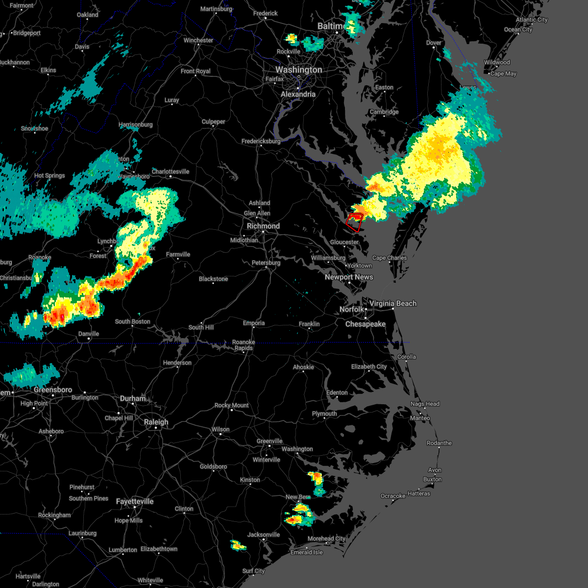 At 415 pm edt, a confirmed tornado was located near white stone, moving southeast at 25 mph (weather spotters confirmed tornado). Hazards include damaging tornado. Flying debris will be dangerous to those caught without shelter. mobile homes will be damaged or destroyed. damage to roofs, windows, and vehicles will occur. tree damage is likely. this tornado will be near, white stone around 420 pm edt. Other locations impacted by this tornadic thunderstorm include hardyville, weems, christ church, wake, greys point and wilton. At 415 pm edt, a confirmed tornado was located near white stone, moving southeast at 25 mph (weather spotters confirmed tornado). Hazards include damaging tornado. Flying debris will be dangerous to those caught without shelter. mobile homes will be damaged or destroyed. damage to roofs, windows, and vehicles will occur. tree damage is likely. this tornado will be near, white stone around 420 pm edt. Other locations impacted by this tornadic thunderstorm include hardyville, weems, christ church, wake, greys point and wilton.
|
| 7/5/2022 4:10 PM EDT |
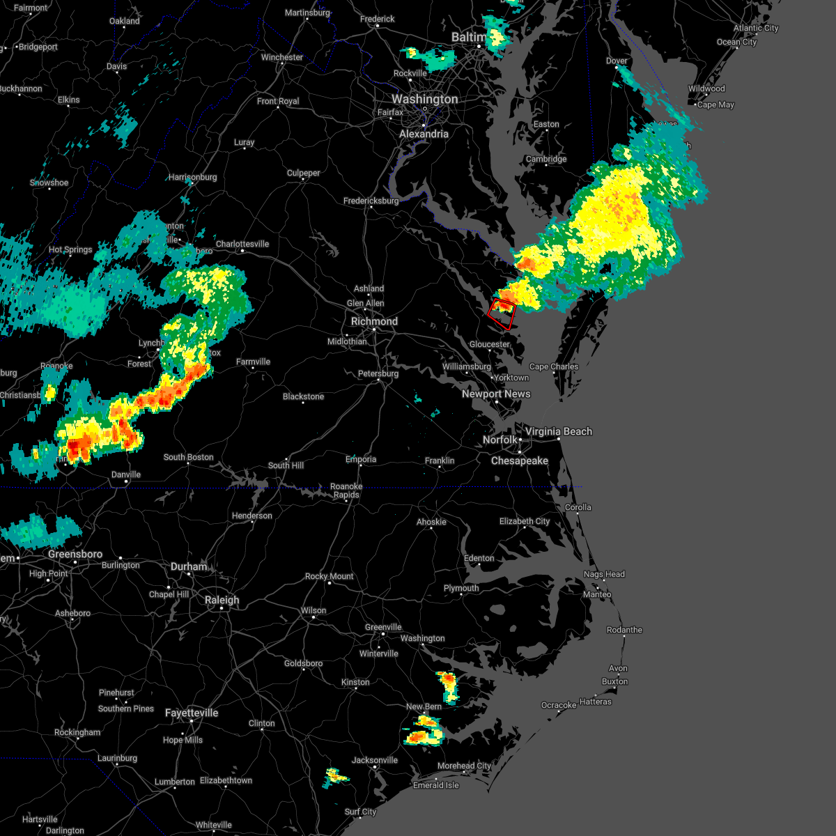 At 410 pm edt, a severe thunderstorm capable of producing a tornado was located near white stone, or near urbanna, moving southeast at 20 mph (radar indicated rotation). Hazards include tornado. Flying debris will be dangerous to those caught without shelter. mobile homes will be damaged or destroyed. damage to roofs, windows, and vehicles will occur. tree damage is likely. this dangerous storm will be near, kilmarnock around 415 pm edt. white stone around 420 pm edt. Other locations impacted by this tornadic thunderstorm include hardyville, weems, christ church, greys point, slabtown, wake, millenbeck, wilton and bertrand. At 410 pm edt, a severe thunderstorm capable of producing a tornado was located near white stone, or near urbanna, moving southeast at 20 mph (radar indicated rotation). Hazards include tornado. Flying debris will be dangerous to those caught without shelter. mobile homes will be damaged or destroyed. damage to roofs, windows, and vehicles will occur. tree damage is likely. this dangerous storm will be near, kilmarnock around 415 pm edt. white stone around 420 pm edt. Other locations impacted by this tornadic thunderstorm include hardyville, weems, christ church, greys point, slabtown, wake, millenbeck, wilton and bertrand.
|
| 7/5/2022 3:59 PM EDT |
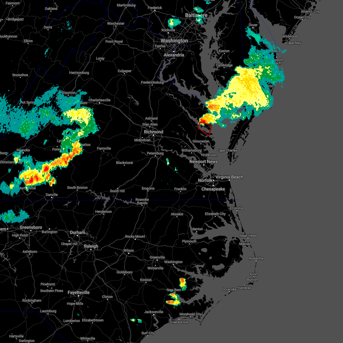 At 359 pm edt, a severe thunderstorm capable of producing a tornado was located near urbanna, moving southeast at 25 mph (radar indicated rotation). Hazards include tornado. Flying debris will be dangerous to those caught without shelter. mobile homes will be damaged or destroyed. damage to roofs, windows, and vehicles will occur. tree damage is likely. this dangerous storm will be near, kilmarnock around 405 pm edt. white stone around 415 pm edt. Other locations impacted by this tornadic thunderstorm include hardyville, weems, christ church, mollusk, senora, greys point, slabtown, bertrand, wake and millenbeck. At 359 pm edt, a severe thunderstorm capable of producing a tornado was located near urbanna, moving southeast at 25 mph (radar indicated rotation). Hazards include tornado. Flying debris will be dangerous to those caught without shelter. mobile homes will be damaged or destroyed. damage to roofs, windows, and vehicles will occur. tree damage is likely. this dangerous storm will be near, kilmarnock around 405 pm edt. white stone around 415 pm edt. Other locations impacted by this tornadic thunderstorm include hardyville, weems, christ church, mollusk, senora, greys point, slabtown, bertrand, wake and millenbeck.
|
| 6/2/2022 7:01 PM EDT |
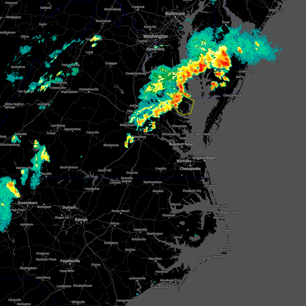 At 700 pm edt, severe thunderstorms were located along a line extending from near saint marys city to 6 miles east of heathsville to near lancaster, moving east at 45 mph (radar indicated). Hazards include 60 mph wind gusts and penny size hail. Expect damage to trees and powerlines. these severe storms will be near, fair port around 710 pm edt. other locations impacted by these severe thunderstorms include byrdton, lottsburg, regina, mollusk, senora, avalon, brook vale, nuttsville, reedville and belle isle state park. hail threat, radar indicated max hail size, 0. 75 in wind threat, radar indicated max wind gust, 60 mph. At 700 pm edt, severe thunderstorms were located along a line extending from near saint marys city to 6 miles east of heathsville to near lancaster, moving east at 45 mph (radar indicated). Hazards include 60 mph wind gusts and penny size hail. Expect damage to trees and powerlines. these severe storms will be near, fair port around 710 pm edt. other locations impacted by these severe thunderstorms include byrdton, lottsburg, regina, mollusk, senora, avalon, brook vale, nuttsville, reedville and belle isle state park. hail threat, radar indicated max hail size, 0. 75 in wind threat, radar indicated max wind gust, 60 mph.
|
| 6/2/2022 6:52 PM EDT | Tree down on route 3 near beulah baptist church. time estimate in lancaster county VA, 9.3 miles SE of Kilmarnock, VA |
| 6/2/2022 6:41 PM EDT |
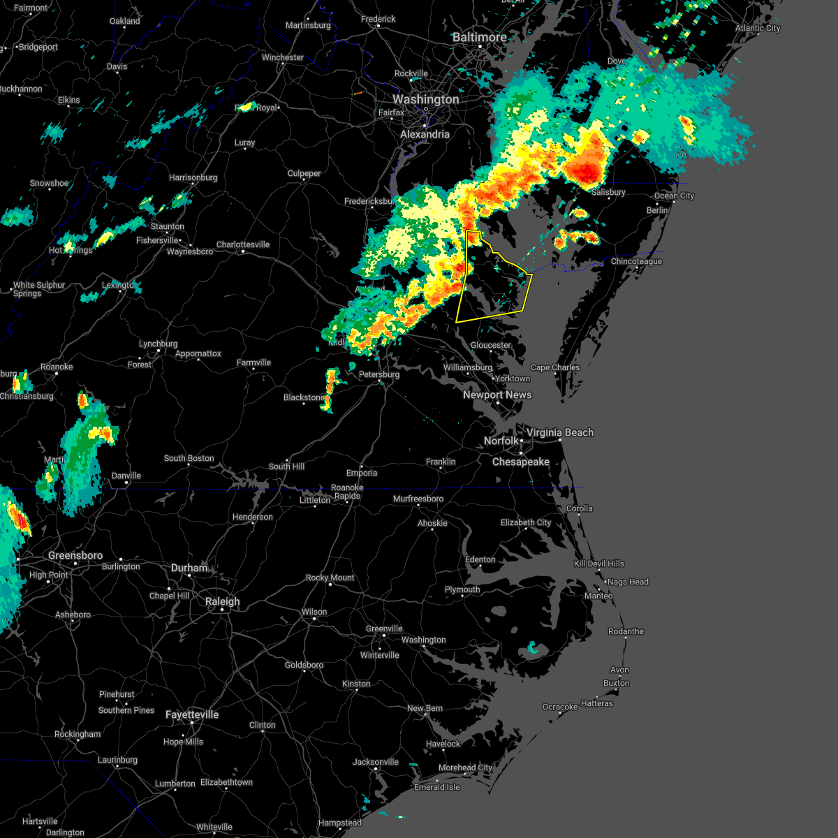 At 641 pm edt, severe thunderstorms were located along a line extending from near coles point to farnham to jamaica, moving east at 45 mph (radar indicated). Hazards include 60 mph wind gusts and penny size hail. Expect damage to trees and powerlines. severe thunderstorms will be near, callao, robley and kinsale around 645 pm edt. heathsville around 650 pm edt. lancaster and lewisetta around 655 pm edt. kilmarnock around 700 pm edt. wicomico church around 705 pm edt. fair port around 710 pm edt. other locations impacted by these severe thunderstorms include byrdton, lottsburg, threeway, avalon, brook vale, bertrand, reedville, belle isle state park, millenbeck and westmoreland. hail threat, radar indicated max hail size, 0. 75 in wind threat, radar indicated max wind gust, 60 mph. At 641 pm edt, severe thunderstorms were located along a line extending from near coles point to farnham to jamaica, moving east at 45 mph (radar indicated). Hazards include 60 mph wind gusts and penny size hail. Expect damage to trees and powerlines. severe thunderstorms will be near, callao, robley and kinsale around 645 pm edt. heathsville around 650 pm edt. lancaster and lewisetta around 655 pm edt. kilmarnock around 700 pm edt. wicomico church around 705 pm edt. fair port around 710 pm edt. other locations impacted by these severe thunderstorms include byrdton, lottsburg, threeway, avalon, brook vale, bertrand, reedville, belle isle state park, millenbeck and westmoreland. hail threat, radar indicated max hail size, 0. 75 in wind threat, radar indicated max wind gust, 60 mph.
|
| 10/5/2021 8:05 PM EDT |
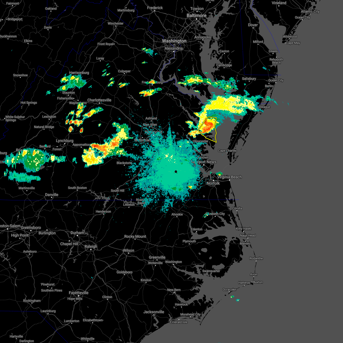 At 804 pm edt, severe thunderstorms were located along a line extending from 8 miles east of kilmarnock to near deltaville to near hartfield, moving southeast at 15 mph (radar indicated). Hazards include 60 mph wind gusts and nickel size hail. Expect damage to trees and powerlines. these severe storms will be near, deltaville around 810 pm edt. blakes around 840 pm edt. gwynn around 845 pm edt. other locations impacted by these severe thunderstorms include byrdton, weems, cobbs creek, senora, hudgins, slabtown, brook vale, wilton, harmony village and bertrand. hail threat, radar indicated max hail size, 0. 88 in wind threat, radar indicated max wind gust, 60 mph. At 804 pm edt, severe thunderstorms were located along a line extending from 8 miles east of kilmarnock to near deltaville to near hartfield, moving southeast at 15 mph (radar indicated). Hazards include 60 mph wind gusts and nickel size hail. Expect damage to trees and powerlines. these severe storms will be near, deltaville around 810 pm edt. blakes around 840 pm edt. gwynn around 845 pm edt. other locations impacted by these severe thunderstorms include byrdton, weems, cobbs creek, senora, hudgins, slabtown, brook vale, wilton, harmony village and bertrand. hail threat, radar indicated max hail size, 0. 88 in wind threat, radar indicated max wind gust, 60 mph.
|
| 10/5/2021 7:37 PM EDT |
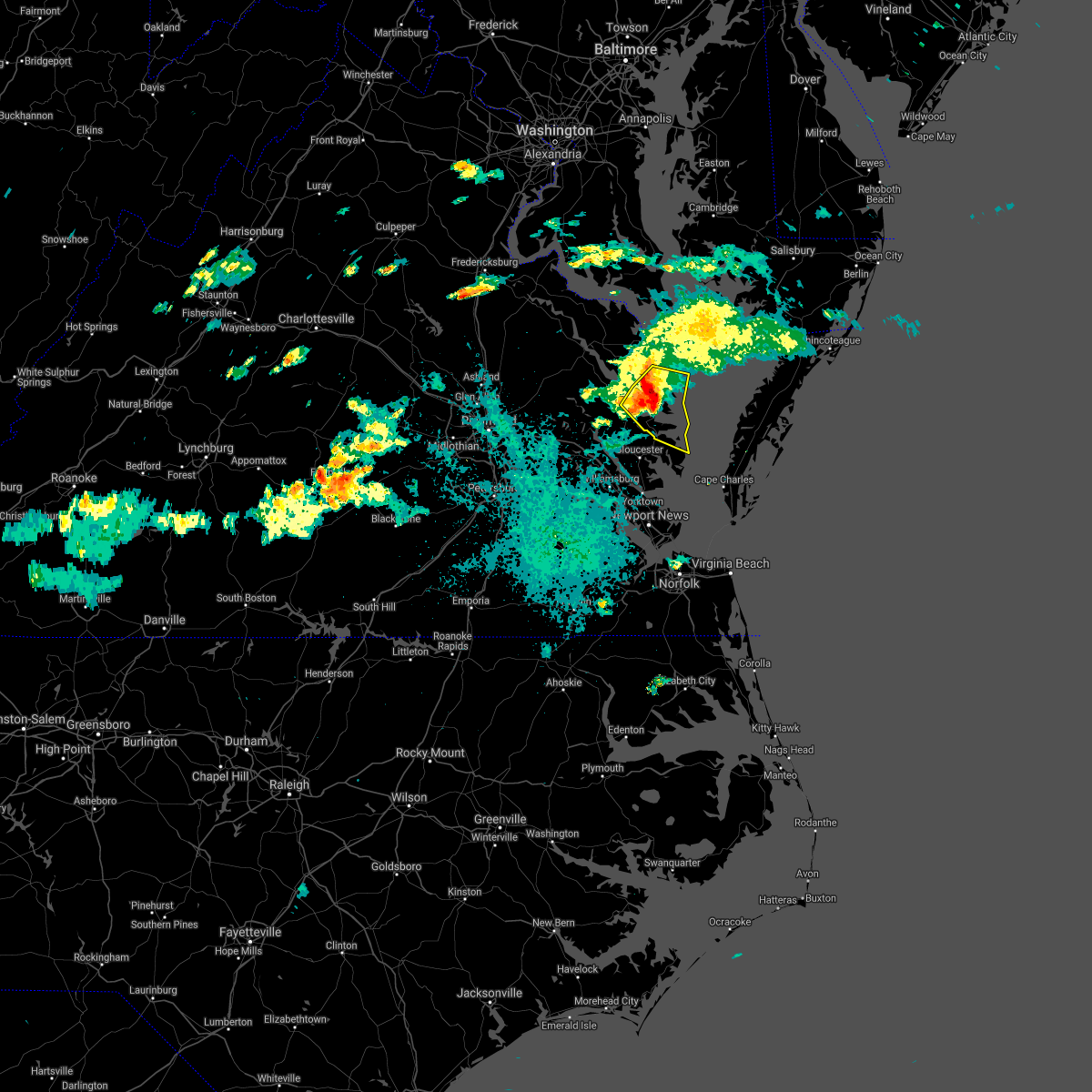 At 736 pm edt, severe thunderstorms were located along a line extending from near kilmarnock to near white stone to saluda, moving southeast at 15 mph (radar indicated). Hazards include 60 mph wind gusts and nickel size hail. Expect damage to trees and powerlines. severe thunderstorms will be near, kilmarnock and white stone around 740 pm edt. deltaville around 810 pm edt. hartfield, gwynn and blakes around 815 pm edt. other locations impacted by these severe thunderstorms include byrdton, regina, mollusk, senora, brook vale, harmony village, bertrand, grafton, amburg and millenbeck. hail threat, radar indicated max hail size, 0. 88 in wind threat, radar indicated max wind gust, 60 mph. At 736 pm edt, severe thunderstorms were located along a line extending from near kilmarnock to near white stone to saluda, moving southeast at 15 mph (radar indicated). Hazards include 60 mph wind gusts and nickel size hail. Expect damage to trees and powerlines. severe thunderstorms will be near, kilmarnock and white stone around 740 pm edt. deltaville around 810 pm edt. hartfield, gwynn and blakes around 815 pm edt. other locations impacted by these severe thunderstorms include byrdton, regina, mollusk, senora, brook vale, harmony village, bertrand, grafton, amburg and millenbeck. hail threat, radar indicated max hail size, 0. 88 in wind threat, radar indicated max wind gust, 60 mph.
|
| 9/8/2021 2:51 PM EDT |
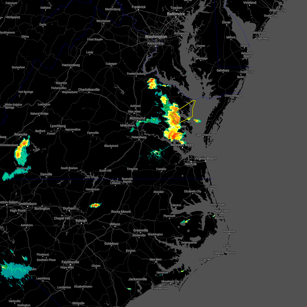 At 251 pm edt, a severe thunderstorm was located over saluda, or over urbanna, moving northeast at 45 mph (radar indicated). Hazards include 60 mph wind gusts and penny size hail. Expect damage to trees and powerlines. this severe thunderstorm will be near, hartfield around 255 pm edt. lancaster and white stone around 305 pm edt. kilmarnock around 310 pm edt. fair port and wicomico church around 315 pm edt. other locations impacted by this severe thunderstorm include byrdton, weems, mollusk, senora, slabtown, brook vale, harmony village, bertrand, grafton and cash. hail threat, radar indicated max hail size, 0. 75 in wind threat, radar indicated max wind gust, 60 mph. At 251 pm edt, a severe thunderstorm was located over saluda, or over urbanna, moving northeast at 45 mph (radar indicated). Hazards include 60 mph wind gusts and penny size hail. Expect damage to trees and powerlines. this severe thunderstorm will be near, hartfield around 255 pm edt. lancaster and white stone around 305 pm edt. kilmarnock around 310 pm edt. fair port and wicomico church around 315 pm edt. other locations impacted by this severe thunderstorm include byrdton, weems, mollusk, senora, slabtown, brook vale, harmony village, bertrand, grafton and cash. hail threat, radar indicated max hail size, 0. 75 in wind threat, radar indicated max wind gust, 60 mph.
|
| 9/1/2021 3:52 PM EDT |
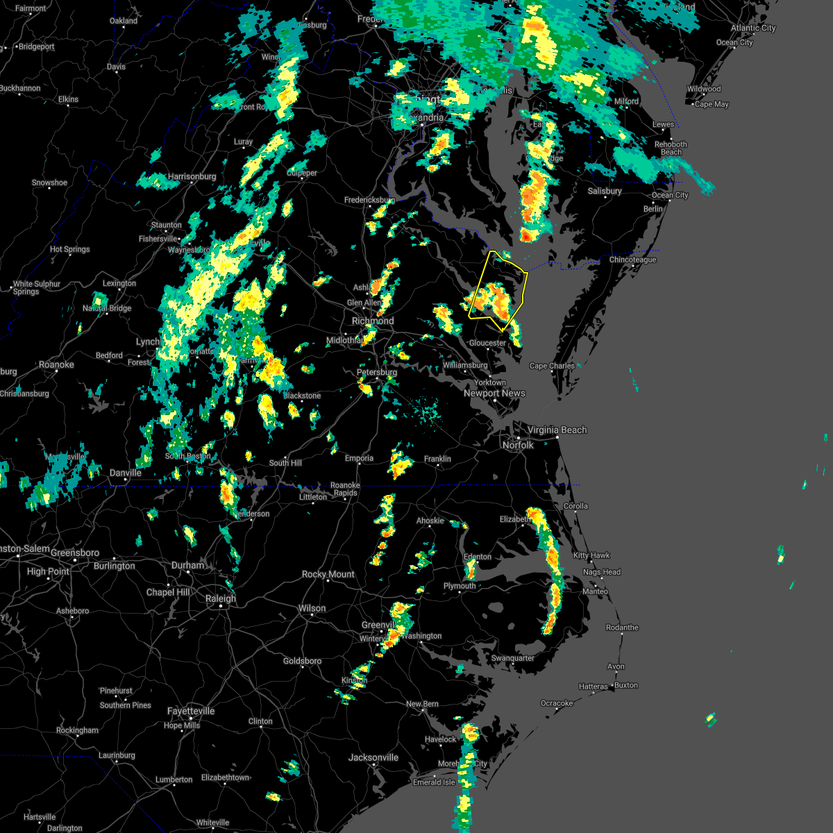 At 351 pm edt, severe thunderstorms were located along a line extending from church view to near lancaster to deltaville, moving north at 50 mph (radar indicated). Hazards include 60 mph wind gusts. Expect damage to trees and powerlines. these severe storms will be near, kilmarnock and lancaster around 355 pm edt. wicomico church around 400 pm edt. robley around 405 pm edt. fair port and heathsville around 415 pm edt. lewisetta around 420 pm edt. other locations impacted by these severe thunderstorms include byrdton, lottsburg, regina, mollusk, senora, avalon, brook vale, nuttsville, bertrand and reedville. hail threat, radar indicated max hail size, <. 75 in wind threat, radar indicated max wind gust, 60 mph. At 351 pm edt, severe thunderstorms were located along a line extending from church view to near lancaster to deltaville, moving north at 50 mph (radar indicated). Hazards include 60 mph wind gusts. Expect damage to trees and powerlines. these severe storms will be near, kilmarnock and lancaster around 355 pm edt. wicomico church around 400 pm edt. robley around 405 pm edt. fair port and heathsville around 415 pm edt. lewisetta around 420 pm edt. other locations impacted by these severe thunderstorms include byrdton, lottsburg, regina, mollusk, senora, avalon, brook vale, nuttsville, bertrand and reedville. hail threat, radar indicated max hail size, <. 75 in wind threat, radar indicated max wind gust, 60 mph.
|
| 9/1/2021 3:36 PM EDT |
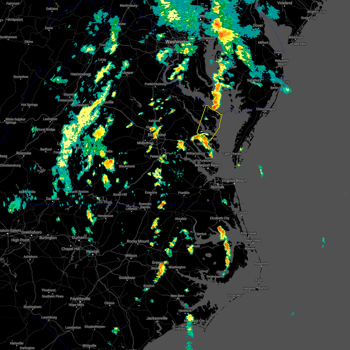 At 335 pm edt, a severe thunderstorm was located near glenns, or near urbanna, moving northeast at 50 mph. a 56 mph wind gust was reported at jamestown at 315 pm (radar indicated). Hazards include 60 mph wind gusts. Expect damage to trees and powerlines. this severe thunderstorm will be near, urbanna around 340 pm edt. white stone around 345 pm edt. kilmarnock and lancaster around 355 pm edt. wicomico church around 400 pm edt. fair port and heathsville around 405 pm edt. other locations impacted by this severe thunderstorm include byrdton, lottsburg, regina, mollusk, senora, avalon, brook vale, nuttsville, harmony village and bertrand. hail threat, radar indicated max hail size, <. 75 in wind threat, radar indicated max wind gust, 60 mph. At 335 pm edt, a severe thunderstorm was located near glenns, or near urbanna, moving northeast at 50 mph. a 56 mph wind gust was reported at jamestown at 315 pm (radar indicated). Hazards include 60 mph wind gusts. Expect damage to trees and powerlines. this severe thunderstorm will be near, urbanna around 340 pm edt. white stone around 345 pm edt. kilmarnock and lancaster around 355 pm edt. wicomico church around 400 pm edt. fair port and heathsville around 405 pm edt. other locations impacted by this severe thunderstorm include byrdton, lottsburg, regina, mollusk, senora, avalon, brook vale, nuttsville, harmony village and bertrand. hail threat, radar indicated max hail size, <. 75 in wind threat, radar indicated max wind gust, 60 mph.
|
| 9/1/2021 2:00 PM EDT | Numerous trees dow in northumberland county VA, 9.8 miles SSW of Kilmarnock, VA |
| 9/1/2021 1:52 PM EDT |
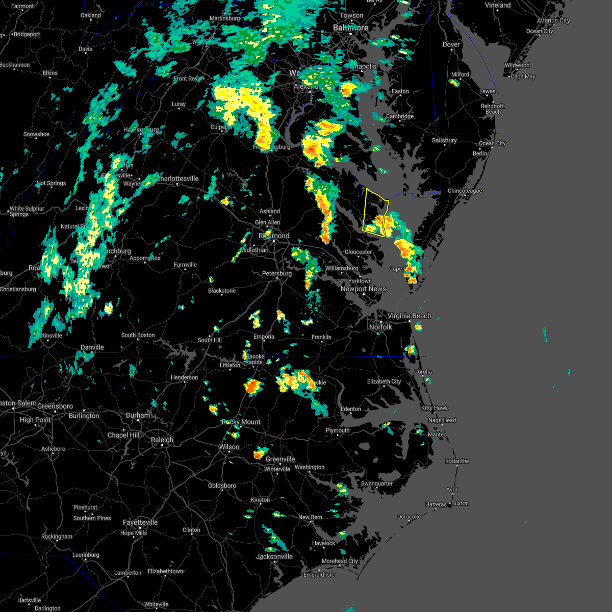 At 151 pm edt, a severe thunderstorm was located near kilmarnock, moving north at 55 mph (radar indicated). Hazards include 60 mph wind gusts. Expect damage to trees and powerlines. this severe storm will be near, wicomico church around 155 pm edt. fair port around 200 pm edt. other locations impacted by this severe thunderstorm include byrdton, browns store, weems, regina, avalon, brook vale, reedville, lilian, hull neck and edwardsville. hail threat, radar indicated max hail size, <. 75 in wind threat, radar indicated max wind gust, 60 mph. At 151 pm edt, a severe thunderstorm was located near kilmarnock, moving north at 55 mph (radar indicated). Hazards include 60 mph wind gusts. Expect damage to trees and powerlines. this severe storm will be near, wicomico church around 155 pm edt. fair port around 200 pm edt. other locations impacted by this severe thunderstorm include byrdton, browns store, weems, regina, avalon, brook vale, reedville, lilian, hull neck and edwardsville. hail threat, radar indicated max hail size, <. 75 in wind threat, radar indicated max wind gust, 60 mph.
|
| 9/1/2021 1:37 PM EDT |
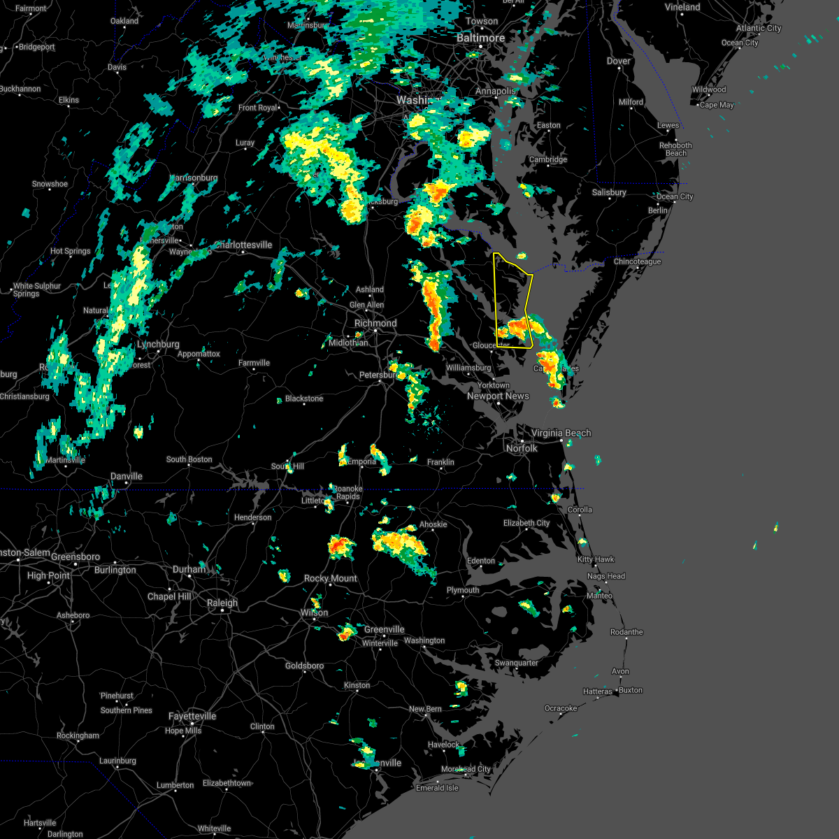 At 136 pm edt, a severe thunderstorm was located over deltaville, moving north at 45 mph (radar indicated). Hazards include 60 mph wind gusts. Expect damage to trees and powerlines. this severe thunderstorm will be near, white stone around 145 pm edt. kilmarnock around 155 pm edt. wicomico church around 200 pm edt. fair port around 205 pm edt. other locations impacted by this severe thunderstorm include byrdton, moon, regina, avalon, brook vale, grafton, reedville, amburg, millenbeck and edwardsville. hail threat, radar indicated max hail size, <. 75 in wind threat, radar indicated max wind gust, 60 mph. At 136 pm edt, a severe thunderstorm was located over deltaville, moving north at 45 mph (radar indicated). Hazards include 60 mph wind gusts. Expect damage to trees and powerlines. this severe thunderstorm will be near, white stone around 145 pm edt. kilmarnock around 155 pm edt. wicomico church around 200 pm edt. fair port around 205 pm edt. other locations impacted by this severe thunderstorm include byrdton, moon, regina, avalon, brook vale, grafton, reedville, amburg, millenbeck and edwardsville. hail threat, radar indicated max hail size, <. 75 in wind threat, radar indicated max wind gust, 60 mph.
|
| 8/22/2021 3:36 PM EDT |
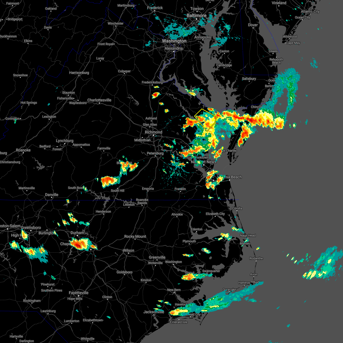 The severe thunderstorm warning for central northumberland, southeastern richmond and lancaster counties will expire at 345 pm edt, the storm which prompted the warning has weakened below severe limits, and no longer poses an immediate threat to life or property. therefore, the warning will be allowed to expire. however heavy rain is still possible with this thunderstorm. in additon, a flash flood warning has been issued for portions of the area. The severe thunderstorm warning for central northumberland, southeastern richmond and lancaster counties will expire at 345 pm edt, the storm which prompted the warning has weakened below severe limits, and no longer poses an immediate threat to life or property. therefore, the warning will be allowed to expire. however heavy rain is still possible with this thunderstorm. in additon, a flash flood warning has been issued for portions of the area.
|
| 8/22/2021 2:53 PM EDT |
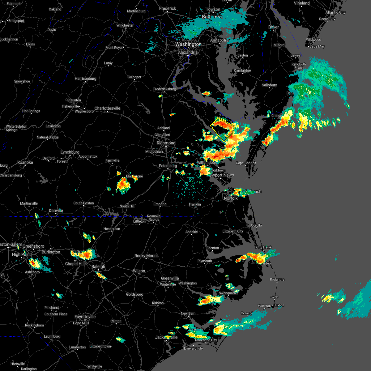 At 253 pm edt, a severe thunderstorm was located near heathsville, or near robley, moving southeast at 10 mph (radar indicated). Hazards include 60 mph wind gusts and quarter size hail. Minor damage to vehicles is possible. expect wind damage to trees and powerlines. this severe thunderstorm will be near, lancaster around 335 pm edt. kilmarnock, fair port and wicomico church around 345 pm edt. other locations impacted by this severe thunderstorm include lara, byrdton, browns store, somers, weems, regina, mollusk, alfonso, brook vale and nuttsville. hail threat, radar indicated max hail size, 1. 00 in wind threat, radar indicated max wind gust, 60 mph. At 253 pm edt, a severe thunderstorm was located near heathsville, or near robley, moving southeast at 10 mph (radar indicated). Hazards include 60 mph wind gusts and quarter size hail. Minor damage to vehicles is possible. expect wind damage to trees and powerlines. this severe thunderstorm will be near, lancaster around 335 pm edt. kilmarnock, fair port and wicomico church around 345 pm edt. other locations impacted by this severe thunderstorm include lara, byrdton, browns store, somers, weems, regina, mollusk, alfonso, brook vale and nuttsville. hail threat, radar indicated max hail size, 1. 00 in wind threat, radar indicated max wind gust, 60 mph.
|
| 7/21/2021 7:16 PM EDT |
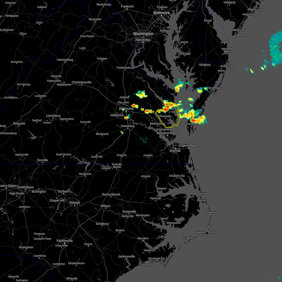 At 716 pm edt, severe thunderstorms were located along a line extending from white stone to near hartfield to near shacklefords, moving southeast at 20 mph (radar indicated). Hazards include 60 mph wind gusts and quarter size hail. Minor damage to vehicles is possible. expect wind damage to trees and powerlines. severe thunderstorms will be near, hartfield around 720 pm edt. deltaville and blakes around 735 pm edt. gloucester courthouse around 740 pm edt. gwynn around 745 pm edt. mathews around 750 pm edt. hayes and mobjack around 755 pm edt. gloucester point, virginia institute for marine sciences, bavon, wicomico and achilles around 800 pm edt. Other locations impacted by these severe thunderstorms include ruff, beulah, moon, laban, glass, naxera, harmony village, grafton, harcum and cash. At 716 pm edt, severe thunderstorms were located along a line extending from white stone to near hartfield to near shacklefords, moving southeast at 20 mph (radar indicated). Hazards include 60 mph wind gusts and quarter size hail. Minor damage to vehicles is possible. expect wind damage to trees and powerlines. severe thunderstorms will be near, hartfield around 720 pm edt. deltaville and blakes around 735 pm edt. gloucester courthouse around 740 pm edt. gwynn around 745 pm edt. mathews around 750 pm edt. hayes and mobjack around 755 pm edt. gloucester point, virginia institute for marine sciences, bavon, wicomico and achilles around 800 pm edt. Other locations impacted by these severe thunderstorms include ruff, beulah, moon, laban, glass, naxera, harmony village, grafton, harcum and cash.
|
| 7/1/2021 5:10 PM EDT |
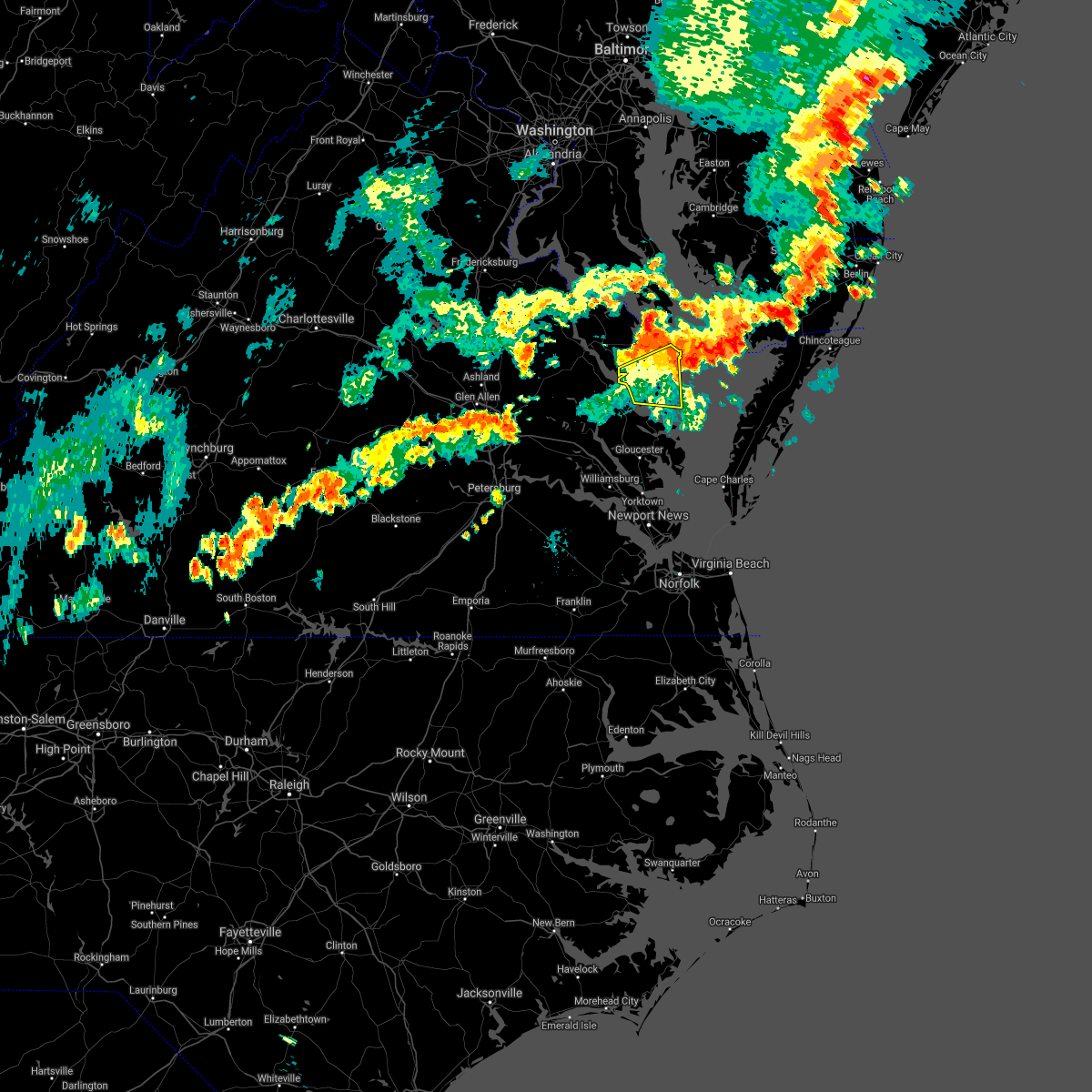 At 509 pm edt, severe thunderstorms were located along a line extending from near morattico to 6 miles southwest of tylerton, moving east at 30 mph (radar indicated). Hazards include 60 mph wind gusts and penny size hail. Expect damage to trees and powerlines. Locations impacted include, kilmarnock, fair port, robley, lancaster, morattico, wicomico church, byrdton, regina, mollusk, senora, avalon, brook vale, nuttsville, bertrand, reedville, belle isle state park, millenbeck, edwardsville, christ church and rehoboth church. At 509 pm edt, severe thunderstorms were located along a line extending from near morattico to 6 miles southwest of tylerton, moving east at 30 mph (radar indicated). Hazards include 60 mph wind gusts and penny size hail. Expect damage to trees and powerlines. Locations impacted include, kilmarnock, fair port, robley, lancaster, morattico, wicomico church, byrdton, regina, mollusk, senora, avalon, brook vale, nuttsville, bertrand, reedville, belle isle state park, millenbeck, edwardsville, christ church and rehoboth church.
|
| 7/1/2021 4:46 PM EDT |
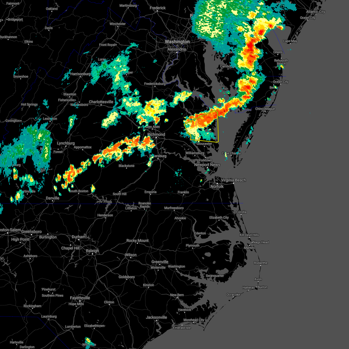 At 445 pm edt, severe thunderstorms were located along a line extending from near jamaica to fair port, moving east at 35 mph (radar indicated). Hazards include 60 mph wind gusts and penny size hail. Expect damage to trees and powerlines. Locations impacted include, west point, kilmarnock, urbanna, fair port, deltaville, robley, lancaster, white stone, morattico, saluda, wicomico church, jamaica, gwynn, church view, hartfield, glenns, blakes, little plymouth, shacklefords and byrdton. At 445 pm edt, severe thunderstorms were located along a line extending from near jamaica to fair port, moving east at 35 mph (radar indicated). Hazards include 60 mph wind gusts and penny size hail. Expect damage to trees and powerlines. Locations impacted include, west point, kilmarnock, urbanna, fair port, deltaville, robley, lancaster, white stone, morattico, saluda, wicomico church, jamaica, gwynn, church view, hartfield, glenns, blakes, little plymouth, shacklefords and byrdton.
|
| 7/1/2021 4:28 PM EDT |
 At 427 pm edt, severe thunderstorms were located along a line extending from near little plymouth to barhamsville, moving east at 30 mph (radar indicated). Hazards include 60 mph wind gusts and quarter size hail. Minor damage to vehicles is possible. Expect wind damage to trees and powerlines. At 427 pm edt, severe thunderstorms were located along a line extending from near little plymouth to barhamsville, moving east at 30 mph (radar indicated). Hazards include 60 mph wind gusts and quarter size hail. Minor damage to vehicles is possible. Expect wind damage to trees and powerlines.
|
| 6/4/2021 4:57 PM EDT |
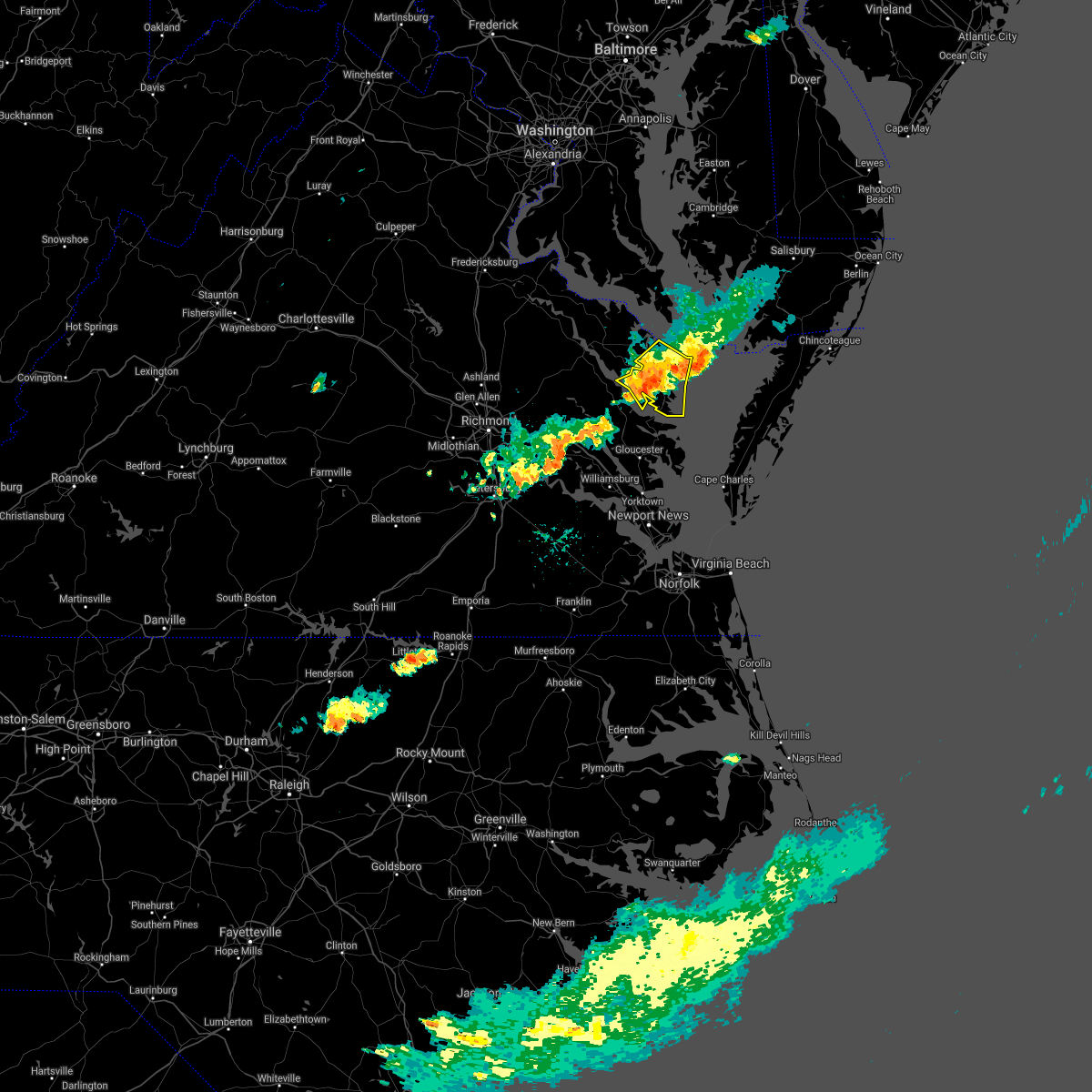 The severe thunderstorm warning for northumberland and lancaster counties will expire at 500 pm edt, the storms which prompted the warning have weakened below severe limits, and no longer pose an immediate threat to life or property. therefore, the warning will be allowed to expire. however gusty winds to 40 mph are still possible with these thunderstorms. a severe thunderstorm watch remains in effect until 900 pm edt for eastern and east central virginia. The severe thunderstorm warning for northumberland and lancaster counties will expire at 500 pm edt, the storms which prompted the warning have weakened below severe limits, and no longer pose an immediate threat to life or property. therefore, the warning will be allowed to expire. however gusty winds to 40 mph are still possible with these thunderstorms. a severe thunderstorm watch remains in effect until 900 pm edt for eastern and east central virginia.
|
| 6/4/2021 4:49 PM EDT |
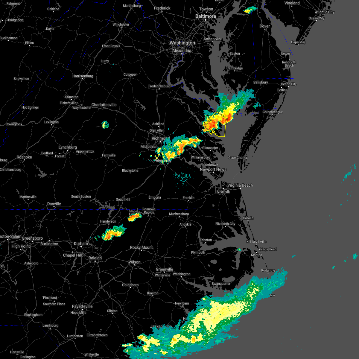 At 449 pm edt, severe thunderstorms were located along a line extending from near fair port to near urbanna, moving southeast at 35 mph (radar indicated). Hazards include 60 mph wind gusts. Expect damage to trees and powerlines. Locations impacted include, kilmarnock, fair port, lancaster, white stone, morattico, heathsville, wicomico church, byrdton, regina, mollusk, senora, avalon, brook vale, nuttsville, bertrand, reedville, belle isle state park, millenbeck, edwardsville and christ church. At 449 pm edt, severe thunderstorms were located along a line extending from near fair port to near urbanna, moving southeast at 35 mph (radar indicated). Hazards include 60 mph wind gusts. Expect damage to trees and powerlines. Locations impacted include, kilmarnock, fair port, lancaster, white stone, morattico, heathsville, wicomico church, byrdton, regina, mollusk, senora, avalon, brook vale, nuttsville, bertrand, reedville, belle isle state park, millenbeck, edwardsville and christ church.
|
| 6/4/2021 4:34 PM EDT |
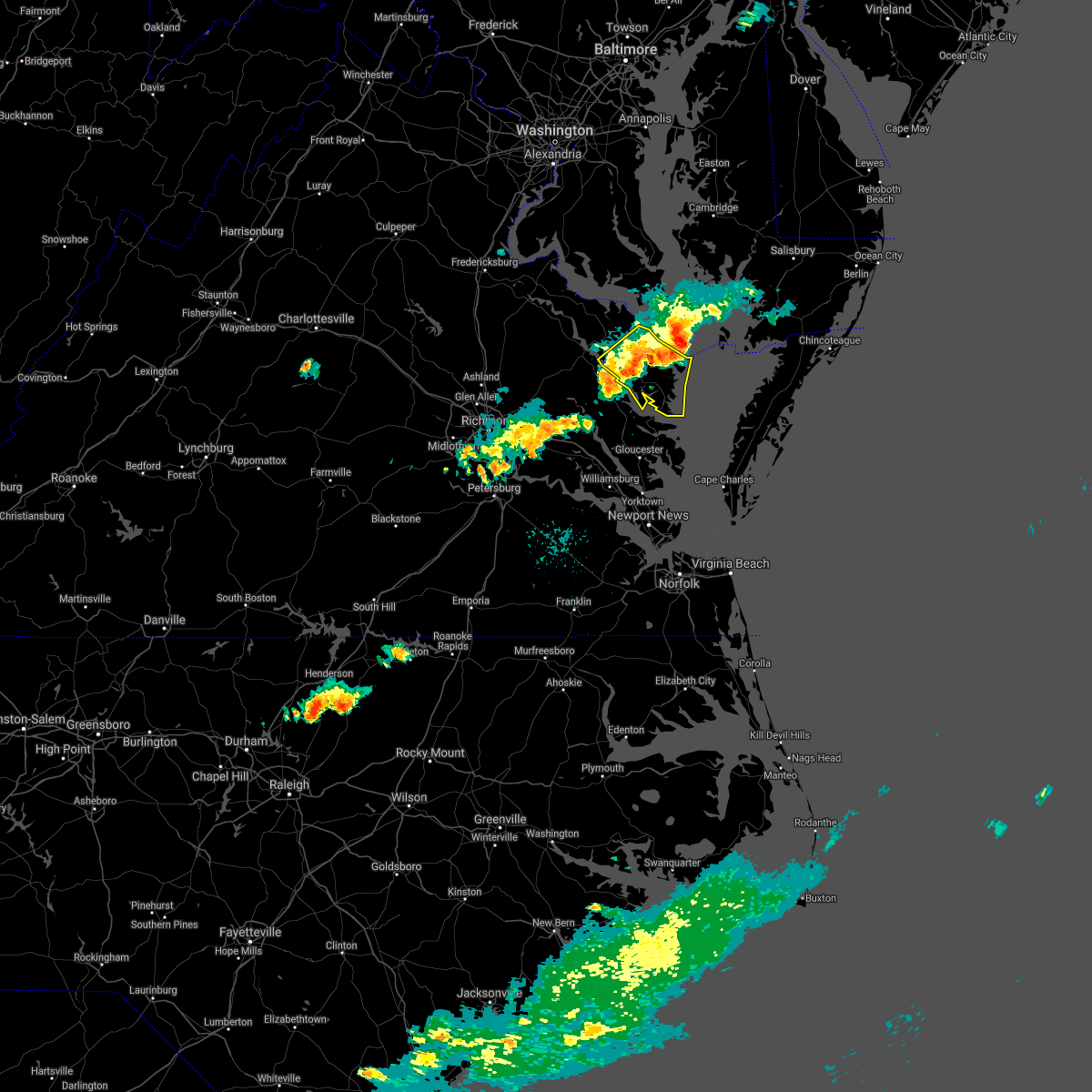 At 433 pm edt, severe thunderstorms were located along a line extending from 7 miles southeast of saint inigoes creek to farnham, moving east at 30 mph (radar indicated). Hazards include 60 mph wind gusts. Expect damage to trees and powerlines. Locations impacted include, kilmarnock, fair port, robley, callao, lancaster, white stone, morattico, heathsville, wicomico church, farnham, haynesville, lewisetta, sharps, byrdton, lottsburg, avalon, brook vale, bertrand, reedville and belle isle state park. At 433 pm edt, severe thunderstorms were located along a line extending from 7 miles southeast of saint inigoes creek to farnham, moving east at 30 mph (radar indicated). Hazards include 60 mph wind gusts. Expect damage to trees and powerlines. Locations impacted include, kilmarnock, fair port, robley, callao, lancaster, white stone, morattico, heathsville, wicomico church, farnham, haynesville, lewisetta, sharps, byrdton, lottsburg, avalon, brook vale, bertrand, reedville and belle isle state park.
|
| 6/4/2021 4:21 PM EDT |
 At 421 pm edt, severe thunderstorms were located along a line extending from near saint inigoes creek to near sharps, moving east at 30 mph (radar indicated). Hazards include 60 mph wind gusts. Expect damage to trees and powerlines. Locations impacted include, tappahannock, warsaw, kilmarnock, fair port, robley, callao, lancaster, white stone, morattico, heathsville, wicomico church, farnham, haynesville, lewisetta, sharps, byrdton, lottsburg, avalon, brook vale and bertrand. At 421 pm edt, severe thunderstorms were located along a line extending from near saint inigoes creek to near sharps, moving east at 30 mph (radar indicated). Hazards include 60 mph wind gusts. Expect damage to trees and powerlines. Locations impacted include, tappahannock, warsaw, kilmarnock, fair port, robley, callao, lancaster, white stone, morattico, heathsville, wicomico church, farnham, haynesville, lewisetta, sharps, byrdton, lottsburg, avalon, brook vale and bertrand.
|
| 6/4/2021 3:59 PM EDT |
 The national weather service in wakefield has issued a * severe thunderstorm warning for. northumberland county in eastern virginia. richmond county in east central virginia. southeastern westmoreland county in east central virginia. East central essex county in east central virginia. The national weather service in wakefield has issued a * severe thunderstorm warning for. northumberland county in eastern virginia. richmond county in east central virginia. southeastern westmoreland county in east central virginia. East central essex county in east central virginia.
|
| 5/4/2021 7:24 PM EDT | State route 3 closed at james b jones memorial hwy north of kilmarnoc in lancaster county VA, 0.8 miles SSE of Kilmarnock, VA |
| 5/4/2021 7:19 PM EDT | Wind damage along black stump roa in lancaster county VA, 1.4 miles E of Kilmarnock, VA |
| 5/4/2021 7:19 PM EDT |
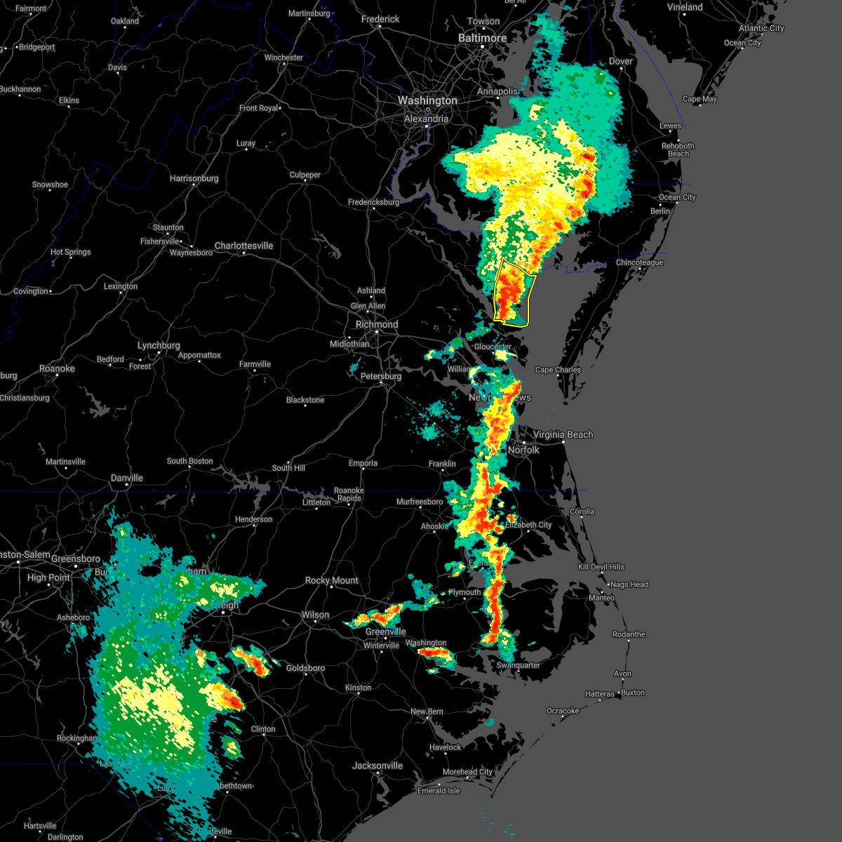 At 719 pm edt, severe thunderstorms were located along a line extending from near fair port to near white stone, moving northeast at 45 mph (radar indicated). Hazards include 70 mph wind gusts. Expect considerable tree damage. damage is likely to mobile homes, roofs, and outbuildings. These severe thunderstorms will remain over mainly rural areas of northumberland and lancaster counties, including the following locations, byrdton, browns store, weems, regina, alfonso, slabtown, avalon, brook vale, reedville and lilian. At 719 pm edt, severe thunderstorms were located along a line extending from near fair port to near white stone, moving northeast at 45 mph (radar indicated). Hazards include 70 mph wind gusts. Expect considerable tree damage. damage is likely to mobile homes, roofs, and outbuildings. These severe thunderstorms will remain over mainly rural areas of northumberland and lancaster counties, including the following locations, byrdton, browns store, weems, regina, alfonso, slabtown, avalon, brook vale, reedville and lilian.
|
| 5/4/2021 7:18 PM EDT | Trees down on houses along quarters cove driv in lancaster county VA, 2.1 miles ESE of Kilmarnock, VA |
| 5/4/2021 7:15 PM EDT | Trees and power lines down across lancaste in lancaster county VA, 6.3 miles SE of Kilmarnock, VA |
| 5/4/2021 6:54 PM EDT |
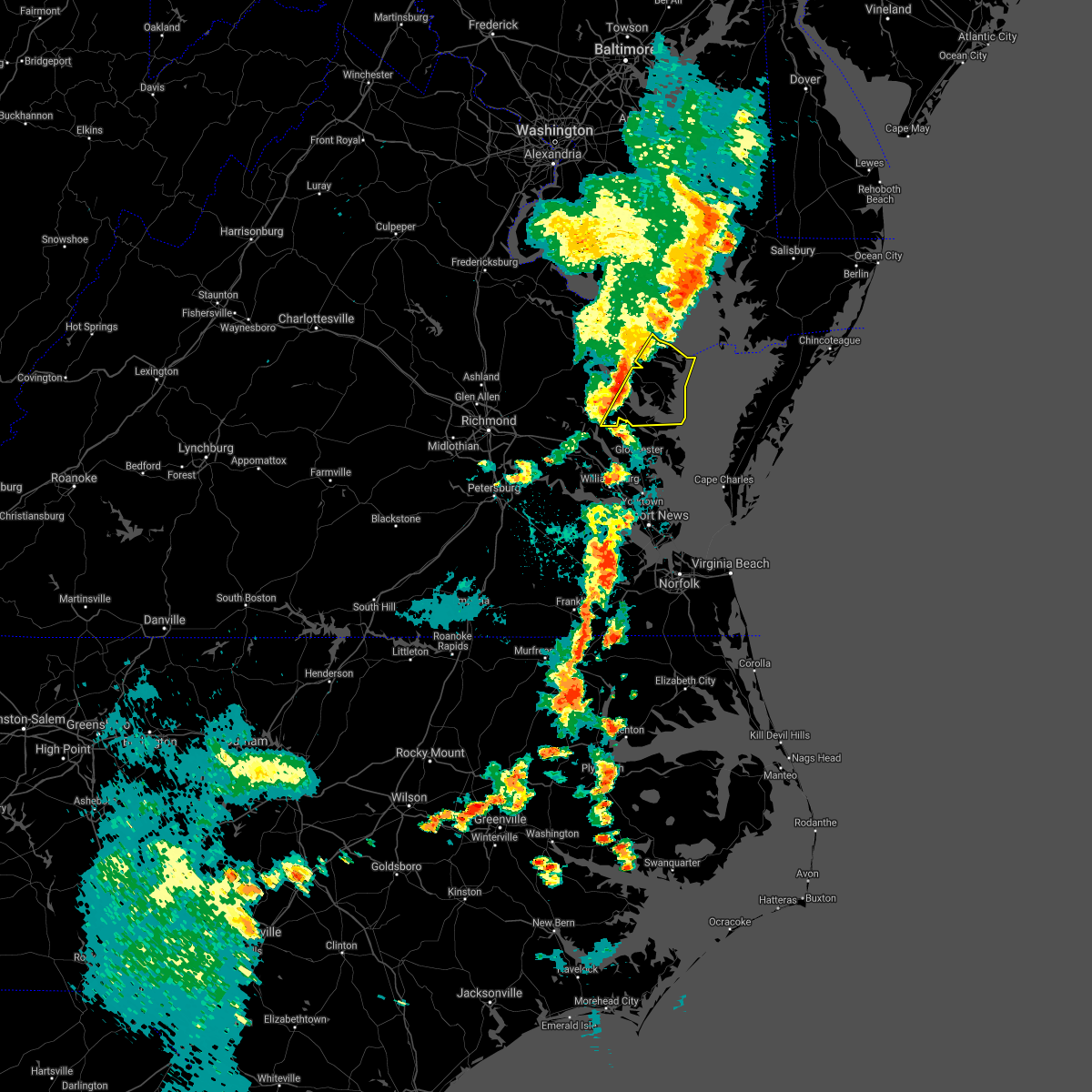 At 654 pm edt, severe thunderstorms were located along a line extending from near saint inigoes creek to near shacklefords, moving east at 40 mph (radar indicated). Hazards include 60 mph wind gusts. Expect damage to trees and powerlines. severe thunderstorms will be near, kilmarnock, lancaster and white stone around 720 pm edt. fair port around 735 pm edt. Other locations impacted by these severe thunderstorms include byrdton, regina, mollusk, senora, avalon, brook vale, nuttsville, harmony village, bertrand and reedville. At 654 pm edt, severe thunderstorms were located along a line extending from near saint inigoes creek to near shacklefords, moving east at 40 mph (radar indicated). Hazards include 60 mph wind gusts. Expect damage to trees and powerlines. severe thunderstorms will be near, kilmarnock, lancaster and white stone around 720 pm edt. fair port around 735 pm edt. Other locations impacted by these severe thunderstorms include byrdton, regina, mollusk, senora, avalon, brook vale, nuttsville, harmony village, bertrand and reedville.
|
| 8/4/2020 5:46 AM EDT |
 At 546 am edt, a confirmed tornado was located over kilmarnock, moving northwest at 55 mph (radar confirmed tornado). Hazards include damaging tornado. Flying debris will be dangerous to those caught without shelter. mobile homes will be damaged or destroyed. damage to roofs, windows, and vehicles will occur. tree damage is likely. this tornado will be near, lancaster around 550 am edt. wicomico church around 555 am edt. robley around 600 am edt. heathsville and farnham around 605 am edt. callao, lewisetta and haynesville around 610 am edt. Other locations impacted by this tornadic thunderstorm include lara, byrdton, browns store, lottsburg, somers, weems, village, regina, alfonso and avalon. At 546 am edt, a confirmed tornado was located over kilmarnock, moving northwest at 55 mph (radar confirmed tornado). Hazards include damaging tornado. Flying debris will be dangerous to those caught without shelter. mobile homes will be damaged or destroyed. damage to roofs, windows, and vehicles will occur. tree damage is likely. this tornado will be near, lancaster around 550 am edt. wicomico church around 555 am edt. robley around 600 am edt. heathsville and farnham around 605 am edt. callao, lewisetta and haynesville around 610 am edt. Other locations impacted by this tornadic thunderstorm include lara, byrdton, browns store, lottsburg, somers, weems, village, regina, alfonso and avalon.
|
| 8/4/2020 5:42 AM EDT |
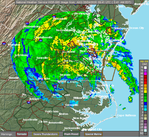 At 542 am edt, a severe thunderstorm capable of producing a tornado was located over white stone, or near kilmarnock, moving northwest at 55 mph (radar indicated rotation). Hazards include tornado. Flying debris will be dangerous to those caught without shelter. mobile homes will be damaged or destroyed. damage to roofs, windows, and vehicles will occur. tree damage is likely. this dangerous storm will be near, lancaster and wicomico church around 555 am edt. robley around 600 am edt. heathsville and farnham around 605 am edt. callao, lewisetta and haynesville around 610 am edt. Other locations impacted by this tornadic thunderstorm include lara, byrdton, browns store, lottsburg, somers, weems, village, regina, alfonso and avalon. At 542 am edt, a severe thunderstorm capable of producing a tornado was located over white stone, or near kilmarnock, moving northwest at 55 mph (radar indicated rotation). Hazards include tornado. Flying debris will be dangerous to those caught without shelter. mobile homes will be damaged or destroyed. damage to roofs, windows, and vehicles will occur. tree damage is likely. this dangerous storm will be near, lancaster and wicomico church around 555 am edt. robley around 600 am edt. heathsville and farnham around 605 am edt. callao, lewisetta and haynesville around 610 am edt. Other locations impacted by this tornadic thunderstorm include lara, byrdton, browns store, lottsburg, somers, weems, village, regina, alfonso and avalon.
|
| 8/4/2020 5:32 AM EDT |
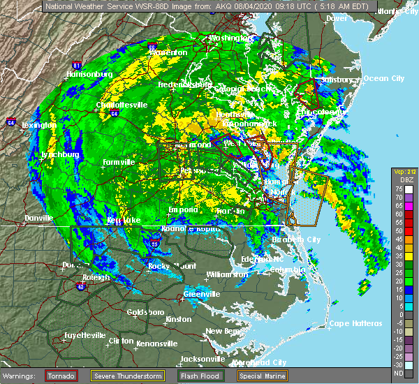 At 532 am edt, a severe thunderstorm capable of producing a tornado was located over gwynn, or over deltaville, moving north at 50 mph (radar indicated rotation). Hazards include tornado. Flying debris will be dangerous to those caught without shelter. mobile homes will be damaged or destroyed. damage to roofs, windows, and vehicles will occur. tree damage is likely. this dangerous storm will be near, white stone around 545 am edt. kilmarnock around 550 am edt. Other locations impacted by this tornadic thunderstorm include diggs, weems, moon, cobbs creek, hudgins, wilton, harmony village, bertrand, grafton and amburg. At 532 am edt, a severe thunderstorm capable of producing a tornado was located over gwynn, or over deltaville, moving north at 50 mph (radar indicated rotation). Hazards include tornado. Flying debris will be dangerous to those caught without shelter. mobile homes will be damaged or destroyed. damage to roofs, windows, and vehicles will occur. tree damage is likely. this dangerous storm will be near, white stone around 545 am edt. kilmarnock around 550 am edt. Other locations impacted by this tornadic thunderstorm include diggs, weems, moon, cobbs creek, hudgins, wilton, harmony village, bertrand, grafton and amburg.
|
| 8/4/2020 5:17 AM EDT |
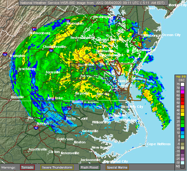 At 516 am edt, a severe thunderstorm capable of producing a tornado was located over bavon, or 7 miles southeast of mathews, moving northwest at 55 mph (radar indicated rotation). Hazards include tornado. Flying debris will be dangerous to those caught without shelter. mobile homes will be damaged or destroyed. damage to roofs, windows, and vehicles will occur. tree damage is likely. this dangerous storm will be near, mobjack around 520 am edt. mathews around 525 am edt. gwynn and blakes around 530 am edt. deltaville and hartfield around 535 am edt. white stone around 540 am edt. kilmarnock around 545 am edt. Other locations impacted by this tornadic thunderstorm include ruff, moon, laban, harmony village, bertrand, grafton, amburg, millenbeck, christ church and greys point. At 516 am edt, a severe thunderstorm capable of producing a tornado was located over bavon, or 7 miles southeast of mathews, moving northwest at 55 mph (radar indicated rotation). Hazards include tornado. Flying debris will be dangerous to those caught without shelter. mobile homes will be damaged or destroyed. damage to roofs, windows, and vehicles will occur. tree damage is likely. this dangerous storm will be near, mobjack around 520 am edt. mathews around 525 am edt. gwynn and blakes around 530 am edt. deltaville and hartfield around 535 am edt. white stone around 540 am edt. kilmarnock around 545 am edt. Other locations impacted by this tornadic thunderstorm include ruff, moon, laban, harmony village, bertrand, grafton, amburg, millenbeck, christ church and greys point.
|
| 6/6/2020 9:22 PM EDT |
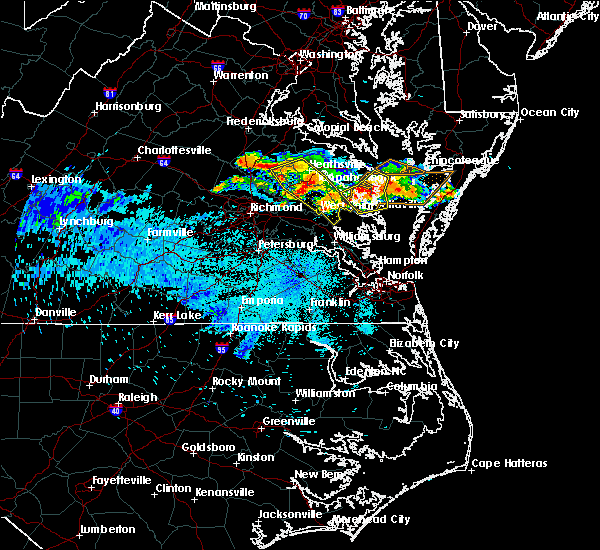 At 921 pm edt, severe thunderstorms were located along a line extending from near fair port to lancaster to near urbanna, moving southeast at 15 mph (radar indicated). Hazards include 60 mph wind gusts and quarter size hail. Minor damage to vehicles is possible. expect wind damage to trees and powerlines. these severe storms will be near, kilmarnock and fair port around 930 pm edt. urbanna around 935 pm edt. white stone around 950 pm edt. hartfield around 1015 pm edt. Other locations impacted by these severe thunderstorms include byrdton, regina, mollusk, senora, brook vale, harmony village, bertrand, grafton, reedville and millenbeck. At 921 pm edt, severe thunderstorms were located along a line extending from near fair port to lancaster to near urbanna, moving southeast at 15 mph (radar indicated). Hazards include 60 mph wind gusts and quarter size hail. Minor damage to vehicles is possible. expect wind damage to trees and powerlines. these severe storms will be near, kilmarnock and fair port around 930 pm edt. urbanna around 935 pm edt. white stone around 950 pm edt. hartfield around 1015 pm edt. Other locations impacted by these severe thunderstorms include byrdton, regina, mollusk, senora, brook vale, harmony village, bertrand, grafton, reedville and millenbeck.
|
| 6/6/2020 9:05 PM EDT | Multiple trees down throughout county. time estimated by rada in lancaster county VA, 6.3 miles SE of Kilmarnock, VA |
| 6/6/2020 8:42 PM EDT |
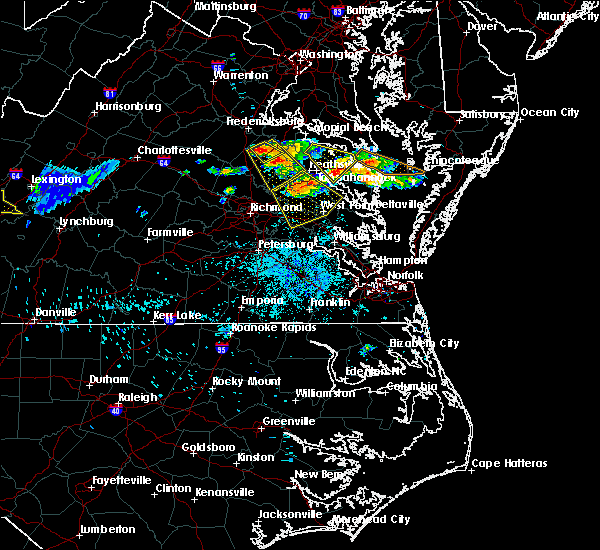 At 842 pm edt, severe thunderstorms were located along a line extending from callao to farnham to sharps, moving southeast at 25 mph (radar indicated). Hazards include 60 mph wind gusts and quarter size hail. Minor damage to vehicles is possible. expect wind damage to trees and powerlines. severe thunderstorms will be near, robley around 850 pm edt. heathsville and morattico around 855 pm edt. lancaster around 910 pm edt. wicomico church around 915 pm edt. kilmarnock and fair port around 920 pm edt. white stone and hartfield around 930 pm edt. Other locations impacted by these severe thunderstorms include byrdton, lottsburg, regina, mollusk, senora, avalon, brook vale, nuttsville, harmony village and bertrand. At 842 pm edt, severe thunderstorms were located along a line extending from callao to farnham to sharps, moving southeast at 25 mph (radar indicated). Hazards include 60 mph wind gusts and quarter size hail. Minor damage to vehicles is possible. expect wind damage to trees and powerlines. severe thunderstorms will be near, robley around 850 pm edt. heathsville and morattico around 855 pm edt. lancaster around 910 pm edt. wicomico church around 915 pm edt. kilmarnock and fair port around 920 pm edt. white stone and hartfield around 930 pm edt. Other locations impacted by these severe thunderstorms include byrdton, lottsburg, regina, mollusk, senora, avalon, brook vale, nuttsville, harmony village and bertrand.
|
| 4/21/2020 4:22 PM EDT |
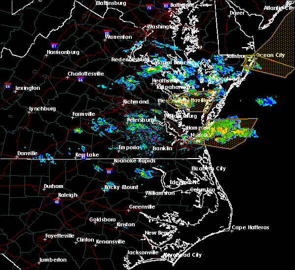 At 422 pm edt, a severe thunderstorm was located over deltaville, moving east at 50 mph (radar indicated). Hazards include 60 mph wind gusts and penny size hail. Expect damage to trees and powerlines. This severe thunderstorm will remain over mainly rural areas of southeastern middlesex, northeastern mathews and southeastern lancaster counties, including the following locations, foxwells, hardyville, weems, greys point, wilton, harmony village, grafton, amburg, stampers and wake. At 422 pm edt, a severe thunderstorm was located over deltaville, moving east at 50 mph (radar indicated). Hazards include 60 mph wind gusts and penny size hail. Expect damage to trees and powerlines. This severe thunderstorm will remain over mainly rural areas of southeastern middlesex, northeastern mathews and southeastern lancaster counties, including the following locations, foxwells, hardyville, weems, greys point, wilton, harmony village, grafton, amburg, stampers and wake.
|
| 4/21/2020 4:11 PM EDT |
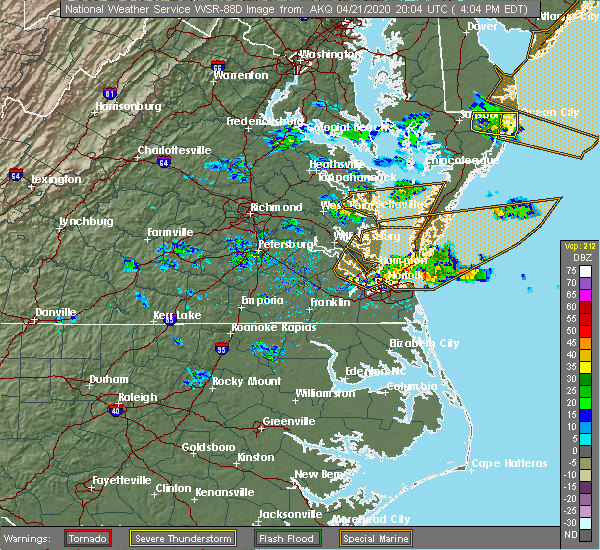 At 411 pm edt, a severe thunderstorm was located over hartfield, or 7 miles southeast of urbanna, moving east at 55 mph (radar indicated). Hazards include 60 mph wind gusts and penny size hail. Expect damage to trees and powerlines. this severe thunderstorm will be near, white stone and blakes around 415 pm edt. deltaville around 420 pm edt. gwynn around 425 pm edt. Other locations impacted by this severe thunderstorm include dutton, weems, cobbs creek, wilton, harmony village, grafton, harcum, cash, amburg and stampers. At 411 pm edt, a severe thunderstorm was located over hartfield, or 7 miles southeast of urbanna, moving east at 55 mph (radar indicated). Hazards include 60 mph wind gusts and penny size hail. Expect damage to trees and powerlines. this severe thunderstorm will be near, white stone and blakes around 415 pm edt. deltaville around 420 pm edt. gwynn around 425 pm edt. Other locations impacted by this severe thunderstorm include dutton, weems, cobbs creek, wilton, harmony village, grafton, harcum, cash, amburg and stampers.
|
| 4/13/2020 10:00 AM EDT |
 At 958 am edt, severe thunderstorms were located along a line extending from near saint george island to near jamaica, moving northeast at 40 mph (radar indicated). Hazards include 60 mph wind gusts. Expect damage to trees and powerlines. these severe storms will be near, farnham around 1015 am edt. wicomico church around 1020 am edt. heathsville around 1025 am edt. lewisetta around 1030 am edt. Other locations impacted by these severe thunderstorms include lottsburg, regina, mollusk, senora, avalon, brook vale, nuttsville, bertrand, reedville and belle isle state park. At 958 am edt, severe thunderstorms were located along a line extending from near saint george island to near jamaica, moving northeast at 40 mph (radar indicated). Hazards include 60 mph wind gusts. Expect damage to trees and powerlines. these severe storms will be near, farnham around 1015 am edt. wicomico church around 1020 am edt. heathsville around 1025 am edt. lewisetta around 1030 am edt. Other locations impacted by these severe thunderstorms include lottsburg, regina, mollusk, senora, avalon, brook vale, nuttsville, bertrand, reedville and belle isle state park.
|
| 4/13/2020 9:34 AM EDT |
 At 934 am edt, severe thunderstorms were located along a line extending from farnham to near west point, moving northeast at 40 mph (radar indicated). Hazards include 60 mph wind gusts. Expect damage to trees and powerlines. severe thunderstorms will be near, farnham around 940 am edt. callao around 945 am edt. lewisetta around 950 am edt. church view and jamaica around 955 am edt. urbanna around 1000 am edt. morattico around 1005 am edt. robley around 1010 am edt. lancaster around 1015 am edt. Other locations impacted by these severe thunderstorms include lottsburg, regina, mollusk, senora, avalon, brook vale, nuttsville, bertrand, reedville and belle isle state park. At 934 am edt, severe thunderstorms were located along a line extending from farnham to near west point, moving northeast at 40 mph (radar indicated). Hazards include 60 mph wind gusts. Expect damage to trees and powerlines. severe thunderstorms will be near, farnham around 940 am edt. callao around 945 am edt. lewisetta around 950 am edt. church view and jamaica around 955 am edt. urbanna around 1000 am edt. morattico around 1005 am edt. robley around 1010 am edt. lancaster around 1015 am edt. Other locations impacted by these severe thunderstorms include lottsburg, regina, mollusk, senora, avalon, brook vale, nuttsville, bertrand, reedville and belle isle state park.
|
| 4/7/2020 5:11 PM EDT |
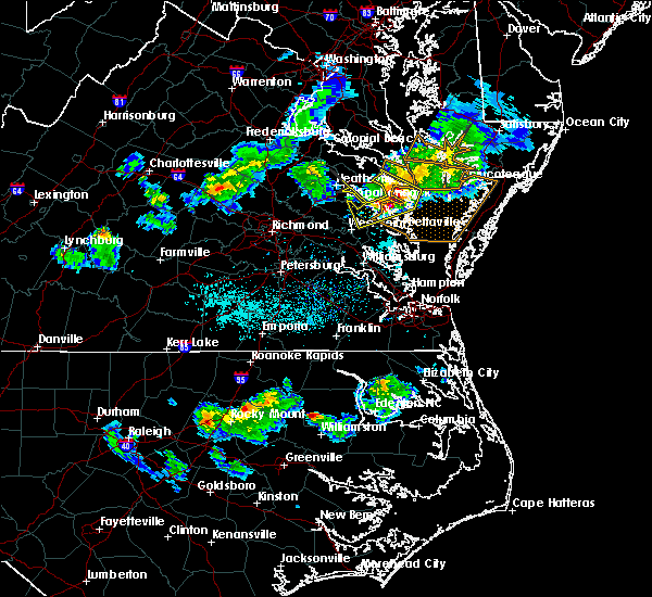 At 511 pm edt, severe thunderstorms were located along a line extending from 10 miles southeast of saint inigoes creek to near urbanna, moving southeast at 40 mph (radar indicated). Hazards include 60 mph wind gusts and quarter size hail. Minor damage to vehicles is possible. expect wind damage to trees and powerlines. severe thunderstorms will be near, urbanna and lancaster around 515 pm edt. kilmarnock around 520 pm edt. white stone around 525 pm edt. hartfield around 530 pm edt. deltaville and blakes around 535 pm edt. gwynn around 540 pm edt. mathews around 545 pm edt. other locations impacted by these severe thunderstorms include byrdton, ruff, moon, regina, mollusk, laban, senora, avalon, brook vale and harmony village. People at rappahannock general hospital should seek safe shelter immediately!. At 511 pm edt, severe thunderstorms were located along a line extending from 10 miles southeast of saint inigoes creek to near urbanna, moving southeast at 40 mph (radar indicated). Hazards include 60 mph wind gusts and quarter size hail. Minor damage to vehicles is possible. expect wind damage to trees and powerlines. severe thunderstorms will be near, urbanna and lancaster around 515 pm edt. kilmarnock around 520 pm edt. white stone around 525 pm edt. hartfield around 530 pm edt. deltaville and blakes around 535 pm edt. gwynn around 540 pm edt. mathews around 545 pm edt. other locations impacted by these severe thunderstorms include byrdton, ruff, moon, regina, mollusk, laban, senora, avalon, brook vale and harmony village. People at rappahannock general hospital should seek safe shelter immediately!.
|
| 4/7/2020 5:05 PM EDT | Tree down on sr 3 between lancaster and lively. time estimated via radar dat in lancaster county VA, 8.1 miles ESE of Kilmarnock, VA |
| 4/7/2020 4:57 PM EDT |
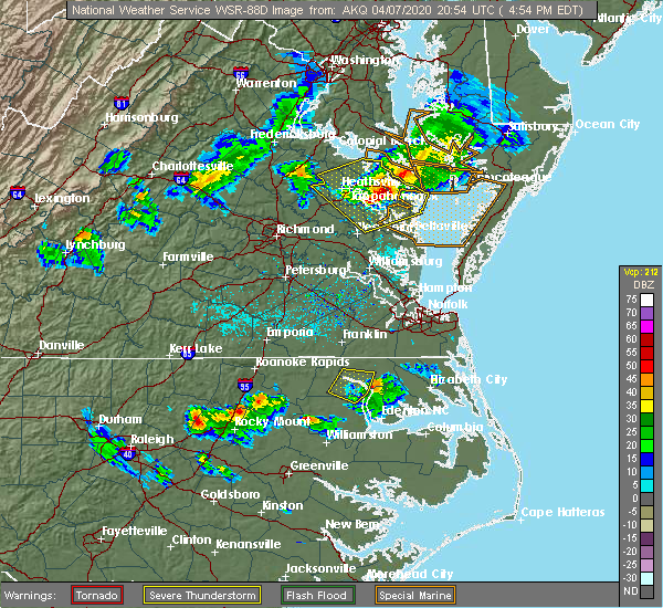 At 456 pm edt, severe thunderstorms were located along a line extending from 11 miles east of patuxent river naval air station to lewisetta to near millers tavern, moving southeast at 40 mph (radar indicated). Hazards include 60 mph wind gusts and quarter size hail. Minor damage to vehicles is possible. expect wind damage to trees and powerlines. these severe storms will be near, lewisetta around 500 pm edt. heathsville around 505 pm edt. fair port, jamaica, wicomico church and morattico around 520 pm edt. church view around 525 pm edt. urbanna around 530 pm edt. Other locations impacted by these severe thunderstorms include lottsburg, regina, mollusk, senora, avalon, brook vale, nuttsville, bertrand, ino and dragonville. At 456 pm edt, severe thunderstorms were located along a line extending from 11 miles east of patuxent river naval air station to lewisetta to near millers tavern, moving southeast at 40 mph (radar indicated). Hazards include 60 mph wind gusts and quarter size hail. Minor damage to vehicles is possible. expect wind damage to trees and powerlines. these severe storms will be near, lewisetta around 500 pm edt. heathsville around 505 pm edt. fair port, jamaica, wicomico church and morattico around 520 pm edt. church view around 525 pm edt. urbanna around 530 pm edt. Other locations impacted by these severe thunderstorms include lottsburg, regina, mollusk, senora, avalon, brook vale, nuttsville, bertrand, ino and dragonville.
|
| 4/7/2020 4:36 PM EDT |
 At 435 pm edt, severe thunderstorms were located along a line extending from chesapeake ranch estates to near coles point to near newtown, moving east at 40 mph (radar indicated). Hazards include 60 mph wind gusts and quarter size hail. Minor damage to vehicles is possible. expect wind damage to trees and powerlines. these severe storms will be near, coles point and hague around 440 pm edt. kinsale around 445 pm edt. tappahannock and newland around 455 pm edt. warsaw, haynesville and dunnsville around 500 pm edt. Other locations impacted by these severe thunderstorms include beazley, currioman landing, lottsburg, threeway, avalon, brook vale, bertrand, reedville, belle isle state park and millenbeck. At 435 pm edt, severe thunderstorms were located along a line extending from chesapeake ranch estates to near coles point to near newtown, moving east at 40 mph (radar indicated). Hazards include 60 mph wind gusts and quarter size hail. Minor damage to vehicles is possible. expect wind damage to trees and powerlines. these severe storms will be near, coles point and hague around 440 pm edt. kinsale around 445 pm edt. tappahannock and newland around 455 pm edt. warsaw, haynesville and dunnsville around 500 pm edt. Other locations impacted by these severe thunderstorms include beazley, currioman landing, lottsburg, threeway, avalon, brook vale, bertrand, reedville, belle isle state park and millenbeck.
|
| 4/7/2020 4:30 PM EDT |
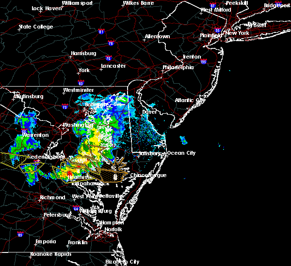 At 430 pm edt, severe thunderstorms were located along a line extending from lusby to near coles point to near newtown, moving southeast at 40 mph (radar indicated). Hazards include 60 mph wind gusts and quarter size hail. Minor damage to vehicles is possible. expect wind damage to trees and powerlines. severe thunderstorms will be near, lexington park and coles point around 435 pm edt. piney point and hague around 440 pm edt. saint george island and kinsale around 445 pm edt. tappahannock and callao around 450 pm edt. lewisetta and millers tavern around 455 pm edt. dunnsville, heathsville and stevensville around 500 pm edt. center cross around 505 pm edt. sharps around 510 pm edt. other locations impacted by these severe thunderstorms include beazley, currioman landing, lottsburg, threeway, valley lee, avalon, brook vale, bertrand, reedville and belle isle state park. People at rappahannock general hospital should seek safe shelter immediately!. At 430 pm edt, severe thunderstorms were located along a line extending from lusby to near coles point to near newtown, moving southeast at 40 mph (radar indicated). Hazards include 60 mph wind gusts and quarter size hail. Minor damage to vehicles is possible. expect wind damage to trees and powerlines. severe thunderstorms will be near, lexington park and coles point around 435 pm edt. piney point and hague around 440 pm edt. saint george island and kinsale around 445 pm edt. tappahannock and callao around 450 pm edt. lewisetta and millers tavern around 455 pm edt. dunnsville, heathsville and stevensville around 500 pm edt. center cross around 505 pm edt. sharps around 510 pm edt. other locations impacted by these severe thunderstorms include beazley, currioman landing, lottsburg, threeway, valley lee, avalon, brook vale, bertrand, reedville and belle isle state park. People at rappahannock general hospital should seek safe shelter immediately!.
|
| 7/22/2019 11:20 PM EDT |
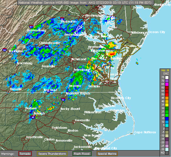 The severe thunderstorm warning for southern middlesex and eastern lancaster counties will expire at 1130 pm edt, the storm which prompted the warning has moved out of the area. therefore, the warning will be allowed to expire. The severe thunderstorm warning for southern middlesex and eastern lancaster counties will expire at 1130 pm edt, the storm which prompted the warning has moved out of the area. therefore, the warning will be allowed to expire.
|
| 7/22/2019 11:06 PM EDT |
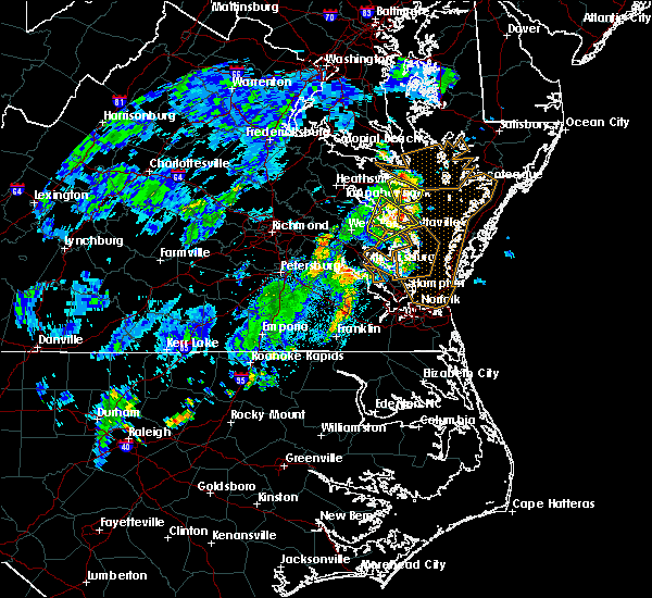 At 1105 pm edt, a severe thunderstorm was located over white stone, or near kilmarnock, moving northeast at 40 mph (observed winds. at 1100 pm, the sanders cove weatherflow station reported a wind gust of 62 mph). Hazards include 60 mph wind gusts and penny size hail. Expect damage to trees and powerlines. This severe thunderstorm will remain over mainly rural areas of southern middlesex and eastern lancaster counties, including the following locations, weems, mollusk, senora, slabtown, wilton, harmony village, bertrand, grafton, stampers and wake. At 1105 pm edt, a severe thunderstorm was located over white stone, or near kilmarnock, moving northeast at 40 mph (observed winds. at 1100 pm, the sanders cove weatherflow station reported a wind gust of 62 mph). Hazards include 60 mph wind gusts and penny size hail. Expect damage to trees and powerlines. This severe thunderstorm will remain over mainly rural areas of southern middlesex and eastern lancaster counties, including the following locations, weems, mollusk, senora, slabtown, wilton, harmony village, bertrand, grafton, stampers and wake.
|
| 7/22/2019 10:56 PM EDT |
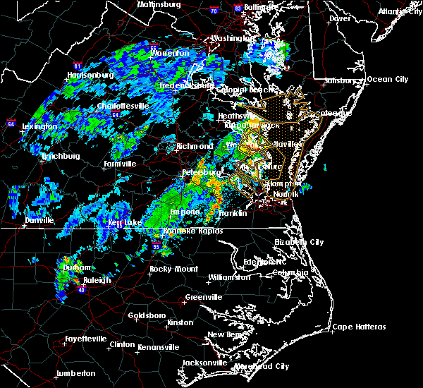 At 1056 pm edt, a severe thunderstorm was located near urbanna, moving northeast at 45 mph (radar indicated). Hazards include 60 mph wind gusts and penny size hail. Expect damage to trees and powerlines. this severe storm will be near, white stone around 1105 pm edt. kilmarnock around 1110 pm edt. Other locations impacted by this severe thunderstorm include mollusk, senora, nuttsville, harmony village, bertrand, grafton, harcum, cash, millenbeck and christ church. At 1056 pm edt, a severe thunderstorm was located near urbanna, moving northeast at 45 mph (radar indicated). Hazards include 60 mph wind gusts and penny size hail. Expect damage to trees and powerlines. this severe storm will be near, white stone around 1105 pm edt. kilmarnock around 1110 pm edt. Other locations impacted by this severe thunderstorm include mollusk, senora, nuttsville, harmony village, bertrand, grafton, harcum, cash, millenbeck and christ church.
|
| 7/22/2019 10:44 PM EDT |
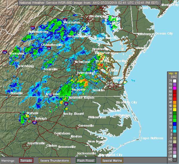 At 1044 pm edt, a severe thunderstorm was located over glenns, or 7 miles southwest of urbanna, moving northeast at 40 mph (radar indicated). Hazards include 60 mph wind gusts and penny size hail. Expect damage to trees and powerlines. this severe thunderstorm will be near, saluda around 1050 pm edt. urbanna and hartfield around 1055 pm edt. white stone around 1105 pm edt. kilmarnock and lancaster around 1110 pm edt. Other locations impacted by this severe thunderstorm include mollusk, senora, nuttsville, harmony village, bertrand, grafton, harcum, cash, belle isle state park and millenbeck. At 1044 pm edt, a severe thunderstorm was located over glenns, or 7 miles southwest of urbanna, moving northeast at 40 mph (radar indicated). Hazards include 60 mph wind gusts and penny size hail. Expect damage to trees and powerlines. this severe thunderstorm will be near, saluda around 1050 pm edt. urbanna and hartfield around 1055 pm edt. white stone around 1105 pm edt. kilmarnock and lancaster around 1110 pm edt. Other locations impacted by this severe thunderstorm include mollusk, senora, nuttsville, harmony village, bertrand, grafton, harcum, cash, belle isle state park and millenbeck.
|
| 7/16/2019 5:40 PM EDT |
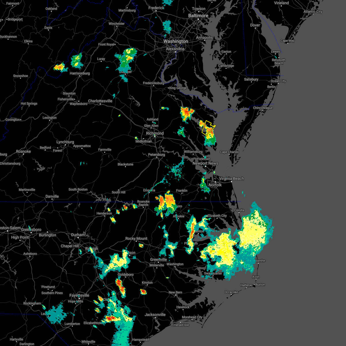 The severe thunderstorm warning for south central middlesex and southeastern lancaster counties will expire at 545 pm edt, the storm which prompted the warning has weakened below severe limits, and no longer poses an immediate threat to life or property. therefore, the warning will be allowed to expire. however gusty winds and heavy rain are still possible with this thunderstorm. The severe thunderstorm warning for south central middlesex and southeastern lancaster counties will expire at 545 pm edt, the storm which prompted the warning has weakened below severe limits, and no longer poses an immediate threat to life or property. therefore, the warning will be allowed to expire. however gusty winds and heavy rain are still possible with this thunderstorm.
|
| 7/16/2019 5:22 PM EDT |
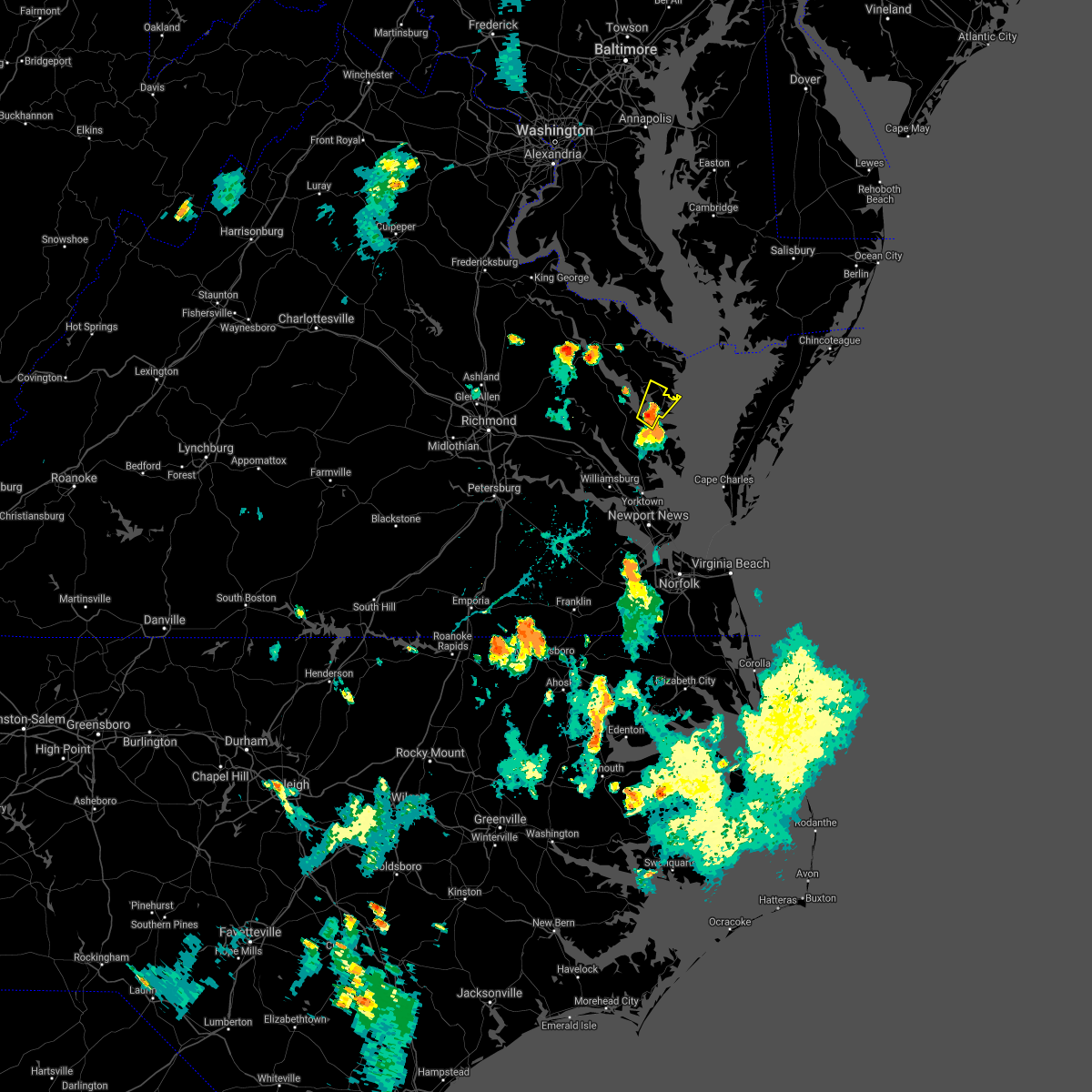 At 521 pm edt, a severe thunderstorm was located over white stone, or near kilmarnock, moving northeast at 15 mph (radar indicated). Hazards include 60 mph wind gusts and quarter size hail. Minor damage to vehicles is possible. expect wind damage to trees and powerlines. this severe storm will be near, white stone around 530 pm edt. kilmarnock around 545 pm edt. Other locations impacted by this severe thunderstorm include weems, christ church, greys point, slabtown, brook vale, harmony village, millenbeck and cooper. At 521 pm edt, a severe thunderstorm was located over white stone, or near kilmarnock, moving northeast at 15 mph (radar indicated). Hazards include 60 mph wind gusts and quarter size hail. Minor damage to vehicles is possible. expect wind damage to trees and powerlines. this severe storm will be near, white stone around 530 pm edt. kilmarnock around 545 pm edt. Other locations impacted by this severe thunderstorm include weems, christ church, greys point, slabtown, brook vale, harmony village, millenbeck and cooper.
|
| 7/16/2019 5:06 PM EDT |
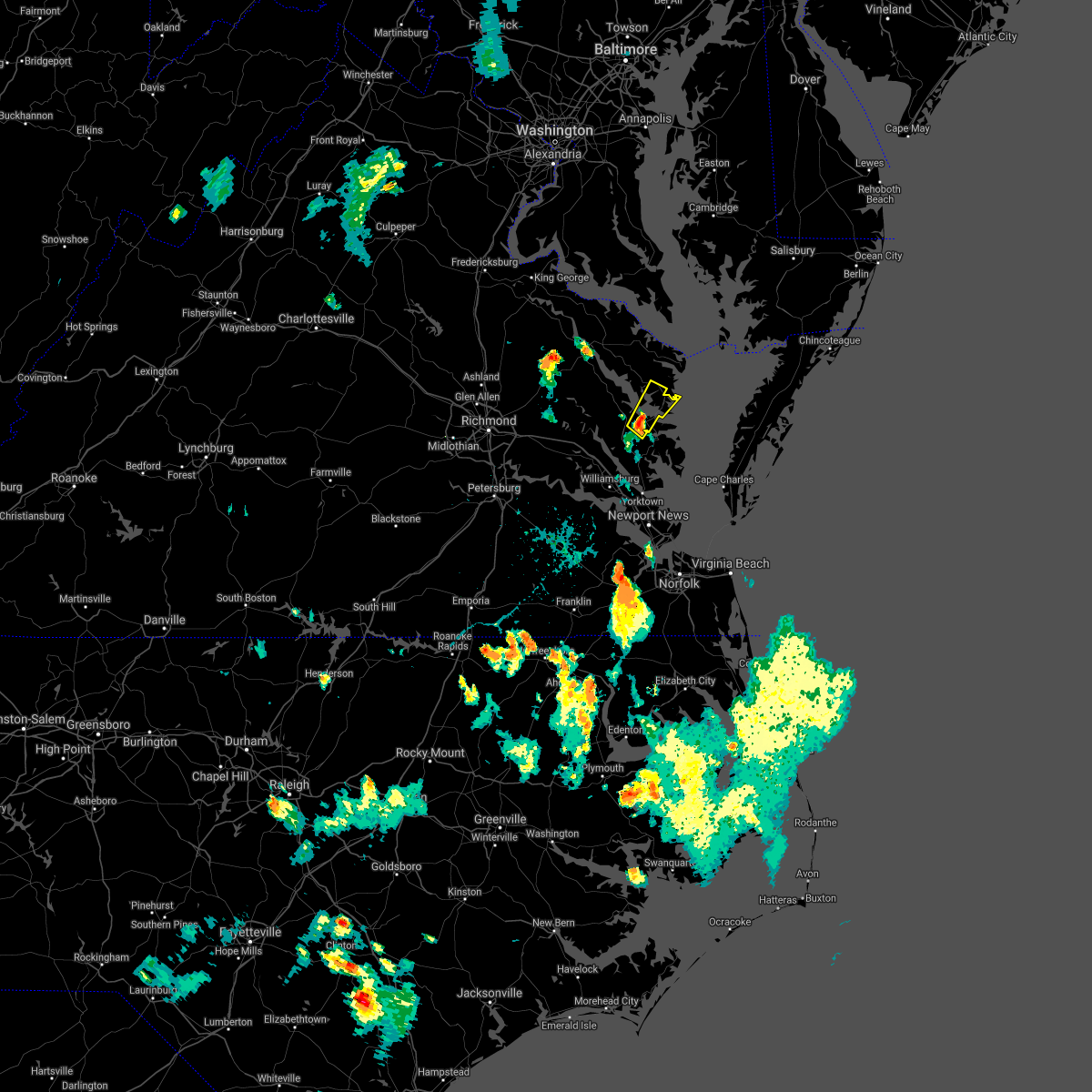 At 506 pm edt, a severe thunderstorm was located near urbanna, moving northeast at 15 mph (radar indicated). Hazards include 60 mph wind gusts and quarter size hail. Minor damage to vehicles is possible. expect wind damage to trees and powerlines. this severe thunderstorm will be near, white stone around 530 pm edt. kilmarnock and lancaster around 545 pm edt. Other locations impacted by this severe thunderstorm include weems, senora, slabtown, brook vale, harmony village, bertrand, grafton, harcum, cash and millenbeck. At 506 pm edt, a severe thunderstorm was located near urbanna, moving northeast at 15 mph (radar indicated). Hazards include 60 mph wind gusts and quarter size hail. Minor damage to vehicles is possible. expect wind damage to trees and powerlines. this severe thunderstorm will be near, white stone around 530 pm edt. kilmarnock and lancaster around 545 pm edt. Other locations impacted by this severe thunderstorm include weems, senora, slabtown, brook vale, harmony village, bertrand, grafton, harcum, cash and millenbeck.
|
| 4/19/2019 8:46 PM EDT |
 At 846 pm edt, a severe thunderstorm capable of producing a tornado was located near kilmarnock, moving northeast at 40 mph (radar indicated rotation). Hazards include tornado. Flying debris will be dangerous to those caught without shelter. mobile homes will be damaged or destroyed. damage to roofs, windows, and vehicles will occur. tree damage is likely. this dangerous storm will be near, fair port around 855 pm edt. Other locations impacted by this tornadic thunderstorm include foxwells, byrdton, fleeton, opheila, brook vale, rehoboth church, reedville and lilian. At 846 pm edt, a severe thunderstorm capable of producing a tornado was located near kilmarnock, moving northeast at 40 mph (radar indicated rotation). Hazards include tornado. Flying debris will be dangerous to those caught without shelter. mobile homes will be damaged or destroyed. damage to roofs, windows, and vehicles will occur. tree damage is likely. this dangerous storm will be near, fair port around 855 pm edt. Other locations impacted by this tornadic thunderstorm include foxwells, byrdton, fleeton, opheila, brook vale, rehoboth church, reedville and lilian.
|
| 4/19/2019 8:37 PM EDT |
 At 836 pm edt, a severe thunderstorm capable of producing a tornado was located over white stone, or near kilmarnock, moving northeast at 50 mph (radar indicated rotation). Hazards include tornado. Flying debris will be dangerous to those caught without shelter. mobile homes will be damaged or destroyed. damage to roofs, windows, and vehicles will occur. tree damage is likely. this dangerous storm will be near, kilmarnock around 840 pm edt. wicomico church around 850 pm edt. fair port around 855 pm edt. Other locations impacted by this tornadic thunderstorm include byrdton, weems, senora, slabtown, brook vale, bertrand, reedville, lilian, millenbeck and foxwells. At 836 pm edt, a severe thunderstorm capable of producing a tornado was located over white stone, or near kilmarnock, moving northeast at 50 mph (radar indicated rotation). Hazards include tornado. Flying debris will be dangerous to those caught without shelter. mobile homes will be damaged or destroyed. damage to roofs, windows, and vehicles will occur. tree damage is likely. this dangerous storm will be near, kilmarnock around 840 pm edt. wicomico church around 850 pm edt. fair port around 855 pm edt. Other locations impacted by this tornadic thunderstorm include byrdton, weems, senora, slabtown, brook vale, bertrand, reedville, lilian, millenbeck and foxwells.
|
| 4/15/2019 3:38 AM EDT |
 The tornado warning for southeastern northumberland and lancaster counties will expire at 345 am edt, the storms which prompted the warning have moved out of the area. therefore, the warning will be allowed to expire. a tornado watch remains in effect until 700 am edt for eastern virginia. The tornado warning for southeastern northumberland and lancaster counties will expire at 345 am edt, the storms which prompted the warning have moved out of the area. therefore, the warning will be allowed to expire. a tornado watch remains in effect until 700 am edt for eastern virginia.
|
| 4/15/2019 3:20 AM EDT |
 At 320 am edt, a severe squall line capable of producing both tornadoes and extensive straight line wind damage was located along a line extending from near fair port to white stone, moving northeast at 30 mph (radar indicated rotation). Hazards include tornado. Flying debris will be dangerous to those caught without shelter. mobile homes will be damaged or destroyed. damage to roofs, windows, and vehicles will occur. tree damage is likely. these dangerous storms will be near, fair port around 325 am edt. Other locations impacted by these tornadic storms include byrdton, browns store, weems, regina, senora, slabtown, brook vale, bertrand, reedville and lilian. At 320 am edt, a severe squall line capable of producing both tornadoes and extensive straight line wind damage was located along a line extending from near fair port to white stone, moving northeast at 30 mph (radar indicated rotation). Hazards include tornado. Flying debris will be dangerous to those caught without shelter. mobile homes will be damaged or destroyed. damage to roofs, windows, and vehicles will occur. tree damage is likely. these dangerous storms will be near, fair port around 325 am edt. Other locations impacted by these tornadic storms include byrdton, browns store, weems, regina, senora, slabtown, brook vale, bertrand, reedville and lilian.
|
| 4/15/2019 3:07 AM EDT |
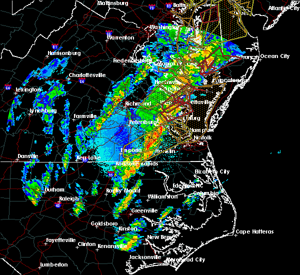 At 305 am edt, a severe thunderstorm capable of producing a tornado was located over kilmarnock, moving northeast at 55 mph. there is another severe thunderstorm capable of producing a tornado 3 miles northeast of browns store, moving northeast at 55 mph (radar indicated rotation). Hazards include tornado. Flying debris will be dangerous to those caught without shelter. mobile homes will be damaged or destroyed. damage to roofs, windows, and vehicles will occur. tree damage is likely. this dangerous storm will be near, fair port and wicomico church around 315 am edt. burgess and edwardsville around 310 am edt. Other locations impacted by this tornadic thunderstorm include byrdton, browns store, weems, regina, mollusk, senora, slabtown, brook vale, bertrand and reedville. At 305 am edt, a severe thunderstorm capable of producing a tornado was located over kilmarnock, moving northeast at 55 mph. there is another severe thunderstorm capable of producing a tornado 3 miles northeast of browns store, moving northeast at 55 mph (radar indicated rotation). Hazards include tornado. Flying debris will be dangerous to those caught without shelter. mobile homes will be damaged or destroyed. damage to roofs, windows, and vehicles will occur. tree damage is likely. this dangerous storm will be near, fair port and wicomico church around 315 am edt. burgess and edwardsville around 310 am edt. Other locations impacted by this tornadic thunderstorm include byrdton, browns store, weems, regina, mollusk, senora, slabtown, brook vale, bertrand and reedville.
|
| 4/15/2019 2:54 AM EDT |
 At 253 am edt, a severe thunderstorm capable of producing a tornado was located over saluda, or over urbanna, moving northeast at 55 mph (radar indicated rotation). Hazards include tornado. Flying debris will be dangerous to those caught without shelter. mobile homes will be damaged or destroyed. damage to roofs, windows, and vehicles will occur. tree damage is likely. this dangerous storm will be near, lancaster and white stone around 305 am edt. kilmarnock around 310 am edt. wicomico church around 315 am edt. fair port around 320 am edt. Other locations impacted by this tornadic thunderstorm include byrdton, browns store, weems, regina, mollusk, senora, slabtown, brook vale, bertrand and reedville. At 253 am edt, a severe thunderstorm capable of producing a tornado was located over saluda, or over urbanna, moving northeast at 55 mph (radar indicated rotation). Hazards include tornado. Flying debris will be dangerous to those caught without shelter. mobile homes will be damaged or destroyed. damage to roofs, windows, and vehicles will occur. tree damage is likely. this dangerous storm will be near, lancaster and white stone around 305 am edt. kilmarnock around 310 am edt. wicomico church around 315 am edt. fair port around 320 am edt. Other locations impacted by this tornadic thunderstorm include byrdton, browns store, weems, regina, mollusk, senora, slabtown, brook vale, bertrand and reedville.
|
| 8/13/2018 9:39 PM EDT |
 The severe thunderstorm warning for southeastern northumberland and southeastern lancaster counties will expire at 945 pm edt, the storm which prompted the warning has moved out of the area. therefore, the warning will be allowed to expire. The severe thunderstorm warning for southeastern northumberland and southeastern lancaster counties will expire at 945 pm edt, the storm which prompted the warning has moved out of the area. therefore, the warning will be allowed to expire.
|
| 8/13/2018 9:33 PM EDT |
 At 932 pm edt, a severe thunderstorm was located near deltaville, moving northeast at 30 mph (radar indicated). Hazards include 60 mph wind gusts and quarter size hail. Minor damage to vehicles is possible. expect wind damage to trees and powerlines. This severe thunderstorm will remain over mainly rural areas of southeastern northumberland and southeastern lancaster counties, including the following locations, christ church, foxwells and byrdton. At 932 pm edt, a severe thunderstorm was located near deltaville, moving northeast at 30 mph (radar indicated). Hazards include 60 mph wind gusts and quarter size hail. Minor damage to vehicles is possible. expect wind damage to trees and powerlines. This severe thunderstorm will remain over mainly rural areas of southeastern northumberland and southeastern lancaster counties, including the following locations, christ church, foxwells and byrdton.
|
| 8/13/2018 9:16 PM EDT |
 At 916 pm edt, a severe thunderstorm was located near hartfield, or near deltaville, moving northeast at 30 mph (radar indicated). Hazards include 60 mph wind gusts and quarter size hail. Minor damage to vehicles is possible. expect wind damage to trees and powerlines. this severe storm will be near, white stone around 925 pm edt. kilmarnock around 930 pm edt. Other locations impacted by this severe thunderstorm include byrdton, weems, senora, slabtown, wilton, brook vale, harmony village, bertrand, grafton and stampers. At 916 pm edt, a severe thunderstorm was located near hartfield, or near deltaville, moving northeast at 30 mph (radar indicated). Hazards include 60 mph wind gusts and quarter size hail. Minor damage to vehicles is possible. expect wind damage to trees and powerlines. this severe storm will be near, white stone around 925 pm edt. kilmarnock around 930 pm edt. Other locations impacted by this severe thunderstorm include byrdton, weems, senora, slabtown, wilton, brook vale, harmony village, bertrand, grafton and stampers.
|
| 8/13/2018 9:01 PM EDT |
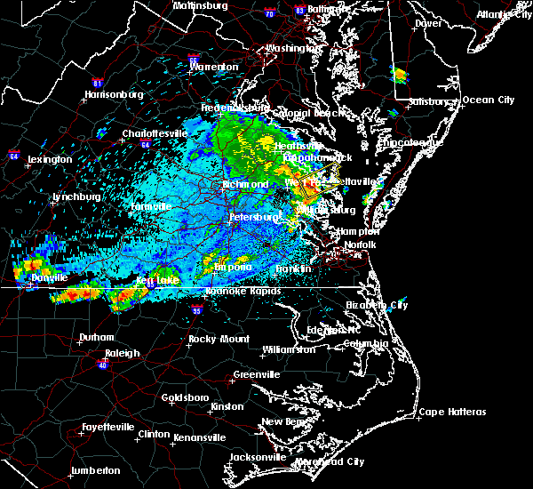 The national weather service in wakefield has issued a * severe thunderstorm warning for. northeastern gloucester county in southeastern virginia. southern middlesex county in eastern virginia. southeastern northumberland county in eastern virginia. Southeastern lancaster county in eastern virginia. The national weather service in wakefield has issued a * severe thunderstorm warning for. northeastern gloucester county in southeastern virginia. southern middlesex county in eastern virginia. southeastern northumberland county in eastern virginia. Southeastern lancaster county in eastern virginia.
|
| 7/22/2018 4:40 PM EDT |
 At 440 pm edt, a severe thunderstorm was located near white stone, or near kilmarnock, moving north at 30 mph (radar indicated). Hazards include 60 mph wind gusts and penny size hail. Expect damage to trees and powerlines. this severe storm will be near, kilmarnock around 450 pm edt. fair port and wicomico church around 500 pm edt. Other locations impacted by this severe thunderstorm include ruff, moon, regina, laban, brook vale, harmony village, grafton, amburg, christ church and greys point. At 440 pm edt, a severe thunderstorm was located near white stone, or near kilmarnock, moving north at 30 mph (radar indicated). Hazards include 60 mph wind gusts and penny size hail. Expect damage to trees and powerlines. this severe storm will be near, kilmarnock around 450 pm edt. fair port and wicomico church around 500 pm edt. Other locations impacted by this severe thunderstorm include ruff, moon, regina, laban, brook vale, harmony village, grafton, amburg, christ church and greys point.
|
| 7/22/2018 4:09 PM EDT |
 The national weather service in wakefield has issued a * severe thunderstorm warning for. gloucester county in eastern virginia. southeastern middlesex county in eastern virginia. southeastern northumberland county in eastern virginia. Mathews county in eastern virginia. The national weather service in wakefield has issued a * severe thunderstorm warning for. gloucester county in eastern virginia. southeastern middlesex county in eastern virginia. southeastern northumberland county in eastern virginia. Mathews county in eastern virginia.
|
| 6/24/2018 5:55 PM EDT | Trees down and blocking va-3 (kings hwy) and ball r in lancaster county VA, 8.9 miles ESE of Kilmarnock, VA |
| 6/24/2018 5:49 PM EDT |
 At 548 pm edt, severe thunderstorms were located along a line extending from lewisetta to lancaster to near church view, moving east at 40 mph (radar indicated). Hazards include 60 mph wind gusts. Expect damage to trees and powerlines. severe thunderstorms will be near, kilmarnock and wicomico church around 555 pm edt. fair port around 600 pm edt. white stone around 610 pm edt. tangier island around 630 pm edt. Other locations impacted by these severe thunderstorms include byrdton, melfa, harborton, avalon, brook vale, bertrand, reedville, millenbeck, wallops island and nelsonia. At 548 pm edt, severe thunderstorms were located along a line extending from lewisetta to lancaster to near church view, moving east at 40 mph (radar indicated). Hazards include 60 mph wind gusts. Expect damage to trees and powerlines. severe thunderstorms will be near, kilmarnock and wicomico church around 555 pm edt. fair port around 600 pm edt. white stone around 610 pm edt. tangier island around 630 pm edt. Other locations impacted by these severe thunderstorms include byrdton, melfa, harborton, avalon, brook vale, bertrand, reedville, millenbeck, wallops island and nelsonia.
|
| 6/24/2018 5:26 PM EDT |
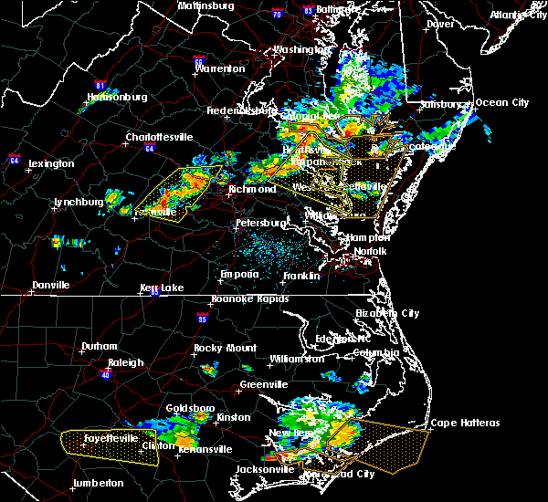 At 525 pm edt, severe thunderstorms were located along a line extending from near haynesville to sharps to near king and queen court house, moving east at 40 mph (radar indicated). Hazards include 60 mph wind gusts and penny size hail. Expect damage to trees and powerlines. Locations impacted include, king william, mathews, west point, tappahannock, warsaw, kilmarnock, urbanna, robley, king and queen court house, deltaville, callao, lancaster, white stone, kinsale, saluda, farnham, jamaica, dunnsville, hague and sharps. At 525 pm edt, severe thunderstorms were located along a line extending from near haynesville to sharps to near king and queen court house, moving east at 40 mph (radar indicated). Hazards include 60 mph wind gusts and penny size hail. Expect damage to trees and powerlines. Locations impacted include, king william, mathews, west point, tappahannock, warsaw, kilmarnock, urbanna, robley, king and queen court house, deltaville, callao, lancaster, white stone, kinsale, saluda, farnham, jamaica, dunnsville, hague and sharps.
|
| 6/24/2018 5:08 PM EDT |
 At 507 pm edt, severe thunderstorms were located along a line extending from near newland to near tappahannock to near king william, moving east at 40 mph (radar indicated). Hazards include 60 mph wind gusts. expect damage to trees and powerlines At 507 pm edt, severe thunderstorms were located along a line extending from near newland to near tappahannock to near king william, moving east at 40 mph (radar indicated). Hazards include 60 mph wind gusts. expect damage to trees and powerlines
|
| 5/14/2018 8:03 PM EDT |
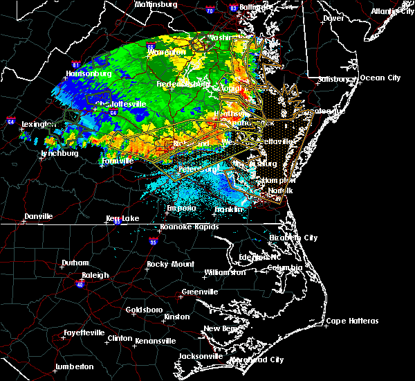 At 803 pm edt, severe thunderstorms were located along a line extending from near urbanna to 6 miles northwest of sutherland, moving southeast at 65 mph (radar indicated). Hazards include 70 mph wind gusts and quarter size hail. Minor damage to vehicles is possible. expect considerable tree damage. wind damage is also likely to mobile homes, roofs, and outbuildings. Locations impacted include, richmond, petersburg, hopewell, new kent, colonial heights, king william, charles city, west point, kilmarnock, urbanna, talleysville, chester, fort lee, virginia state university, king and queen court house, highland springs, roxbury, prince george, white stone and bellwood. At 803 pm edt, severe thunderstorms were located along a line extending from near urbanna to 6 miles northwest of sutherland, moving southeast at 65 mph (radar indicated). Hazards include 70 mph wind gusts and quarter size hail. Minor damage to vehicles is possible. expect considerable tree damage. wind damage is also likely to mobile homes, roofs, and outbuildings. Locations impacted include, richmond, petersburg, hopewell, new kent, colonial heights, king william, charles city, west point, kilmarnock, urbanna, talleysville, chester, fort lee, virginia state university, king and queen court house, highland springs, roxbury, prince george, white stone and bellwood.
|
| 5/14/2018 7:47 PM EDT |
 At 747 pm edt, severe thunderstorms were located along a line extending from near millers tavern to near chula, moving east at 55 mph (radar indicated). Hazards include 70 mph wind gusts and quarter size hail. Minor damage to vehicles is possible. expect considerable tree damage. wind damage is also likely to mobile homes, roofs, and outbuildings. severe thunderstorms will be near, stevensville around 750 pm edt. jamaica around 800 pm edt. church view around 805 pm edt. urbanna and chesterfield court house around 810 pm edt. chester around 815 pm edt. colonial heights, kilmarnock, virginia state university, white stone, ettrick and matoaca around 820 pm edt. petersburg, hopewell and fort lee around 825 pm edt. prince george, jordans point and garysville around 830 pm edt. Other locations impacted by these severe thunderstorms include eltham, byrdton, wayside, bertrand, grafton, cohoke, montrose, sandston, glendale and rose garden. At 747 pm edt, severe thunderstorms were located along a line extending from near millers tavern to near chula, moving east at 55 mph (radar indicated). Hazards include 70 mph wind gusts and quarter size hail. Minor damage to vehicles is possible. expect considerable tree damage. wind damage is also likely to mobile homes, roofs, and outbuildings. severe thunderstorms will be near, stevensville around 750 pm edt. jamaica around 800 pm edt. church view around 805 pm edt. urbanna and chesterfield court house around 810 pm edt. chester around 815 pm edt. colonial heights, kilmarnock, virginia state university, white stone, ettrick and matoaca around 820 pm edt. petersburg, hopewell and fort lee around 825 pm edt. prince george, jordans point and garysville around 830 pm edt. Other locations impacted by these severe thunderstorms include eltham, byrdton, wayside, bertrand, grafton, cohoke, montrose, sandston, glendale and rose garden.
|
| 5/10/2018 6:06 PM EDT |
 At 606 pm edt, severe thunderstorms were located along a line extending from near fair port to gwynn to gloucester point, moving east at 55 mph (radar indicated). Hazards include 60 mph wind gusts and quarter size hail. Minor damage to vehicles is possible. expect wind damage to trees and powerlines. Locations impacted include, mathews, gloucester courthouse, kilmarnock, deltaville, gloucester point, lancaster, white stone, hayes, gwynn, wicomico, achilles, bavon, hartfield, blakes, mobjack, byrdton, beulah, moon, laban and naxera. At 606 pm edt, severe thunderstorms were located along a line extending from near fair port to gwynn to gloucester point, moving east at 55 mph (radar indicated). Hazards include 60 mph wind gusts and quarter size hail. Minor damage to vehicles is possible. expect wind damage to trees and powerlines. Locations impacted include, mathews, gloucester courthouse, kilmarnock, deltaville, gloucester point, lancaster, white stone, hayes, gwynn, wicomico, achilles, bavon, hartfield, blakes, mobjack, byrdton, beulah, moon, laban and naxera.
|
| 5/10/2018 5:43 PM EDT |
 At 543 pm edt, severe thunderstorms were located along a line extending from near morattico to near queens lake, moving east at 45 mph (radar indicated). Hazards include 60 mph wind gusts and quarter size hail. Minor damage to vehicles is possible. expect wind damage to trees and powerlines. severe thunderstorms will be near, gloucester courthouse and lancaster around 550 pm edt. kilmarnock, gloucester point, white stone, wicomico and hayes around 555 pm edt. achilles around 600 pm edt. mobjack around 605 pm edt. bavon around 610 pm edt. Other locations impacted by these severe thunderstorms include byrdton, ruff, beulah, moon, mollusk, laban, senora, glass, naxera and brook vale. At 543 pm edt, severe thunderstorms were located along a line extending from near morattico to near queens lake, moving east at 45 mph (radar indicated). Hazards include 60 mph wind gusts and quarter size hail. Minor damage to vehicles is possible. expect wind damage to trees and powerlines. severe thunderstorms will be near, gloucester courthouse and lancaster around 550 pm edt. kilmarnock, gloucester point, white stone, wicomico and hayes around 555 pm edt. achilles around 600 pm edt. mobjack around 605 pm edt. bavon around 610 pm edt. Other locations impacted by these severe thunderstorms include byrdton, ruff, beulah, moon, mollusk, laban, senora, glass, naxera and brook vale.
|
| 5/10/2018 4:55 PM EDT |
 At 455 pm edt, a severe thunderstorm was located over millers tavern, or near tappahannock, moving east at 35 mph (radar indicated). Hazards include 60 mph wind gusts and quarter size hail. Minor damage to vehicles is possible. expect wind damage to trees and powerlines. this severe thunderstorm will be near, tappahannock around 505 pm edt. dunnsville around 510 pm edt. warsaw and center cross around 515 pm edt. sharps around 520 pm edt. farnham and haynesville around 525 pm edt. robley and morattico around 530 pm edt. heathsville around 540 pm edt. lancaster around 545 pm edt. Other locations impacted by this severe thunderstorm include lottsburg, regina, avalon, brook vale, upright, nuttsville, reedville, belle isle state park, biscoe and edwardsville. At 455 pm edt, a severe thunderstorm was located over millers tavern, or near tappahannock, moving east at 35 mph (radar indicated). Hazards include 60 mph wind gusts and quarter size hail. Minor damage to vehicles is possible. expect wind damage to trees and powerlines. this severe thunderstorm will be near, tappahannock around 505 pm edt. dunnsville around 510 pm edt. warsaw and center cross around 515 pm edt. sharps around 520 pm edt. farnham and haynesville around 525 pm edt. robley and morattico around 530 pm edt. heathsville around 540 pm edt. lancaster around 545 pm edt. Other locations impacted by this severe thunderstorm include lottsburg, regina, avalon, brook vale, upright, nuttsville, reedville, belle isle state park, biscoe and edwardsville.
|
| 8/15/2017 1:34 PM EDT |
 At 133 pm edt, a severe thunderstorm was located over wicomico church, or 7 miles north of kilmarnock, moving east at 25 mph (radar indicated). Hazards include 60 mph wind gusts and quarter size hail. Minor damage to vehicles is possible. expect wind damage to trees and powerlines. this severe thunderstorm will be near, fair port around 150 pm edt. Other locations impacted by this severe thunderstorm include lottsburg, regina, mollusk, avalon, brook vale, nuttsville, reedville, belle isle state park, edwardsville and middletons corner. At 133 pm edt, a severe thunderstorm was located over wicomico church, or 7 miles north of kilmarnock, moving east at 25 mph (radar indicated). Hazards include 60 mph wind gusts and quarter size hail. Minor damage to vehicles is possible. expect wind damage to trees and powerlines. this severe thunderstorm will be near, fair port around 150 pm edt. Other locations impacted by this severe thunderstorm include lottsburg, regina, mollusk, avalon, brook vale, nuttsville, reedville, belle isle state park, edwardsville and middletons corner.
|
| 8/15/2017 1:31 PM EDT |
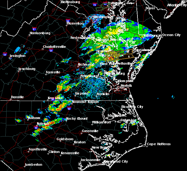 At 131 pm edt, a severe thunderstorm was located near wicomico church, or near kilmarnock, moving east at 25 mph (radar indicated). Hazards include 60 mph wind gusts and penny size hail. Expect damage to trees and powerlines. this severe storm will be near, fair port around 145 pm edt. Other locations impacted by this severe thunderstorm include lara, nesting, browns store, somers, regina, mollusk, alfonso, brook vale, nuttsville and moon corner. At 131 pm edt, a severe thunderstorm was located near wicomico church, or near kilmarnock, moving east at 25 mph (radar indicated). Hazards include 60 mph wind gusts and penny size hail. Expect damage to trees and powerlines. this severe storm will be near, fair port around 145 pm edt. Other locations impacted by this severe thunderstorm include lara, nesting, browns store, somers, regina, mollusk, alfonso, brook vale, nuttsville and moon corner.
|
| 8/15/2017 1:15 PM EDT |
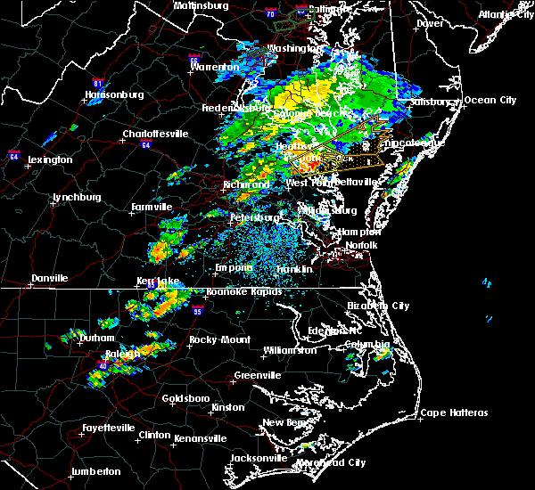 At 115 pm edt, a severe thunderstorm was located near robley, moving northeast at 25 mph (radar indicated). Hazards include 60 mph wind gusts and penny size hail. Expect damage to trees and powerlines. this severe storm will be near, wicomico church and heathsville around 130 pm edt. fair port around 145 pm edt. Other locations impacted by this severe thunderstorm include lottsburg, regina, mollusk, avalon, brook vale, nuttsville, reedville, belle isle state park, edwardsville and tidewater. At 115 pm edt, a severe thunderstorm was located near robley, moving northeast at 25 mph (radar indicated). Hazards include 60 mph wind gusts and penny size hail. Expect damage to trees and powerlines. this severe storm will be near, wicomico church and heathsville around 130 pm edt. fair port around 145 pm edt. Other locations impacted by this severe thunderstorm include lottsburg, regina, mollusk, avalon, brook vale, nuttsville, reedville, belle isle state park, edwardsville and tidewater.
|
| 8/15/2017 12:58 PM EDT |
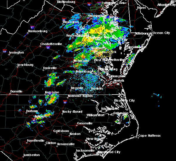 At 1258 pm edt, a severe thunderstorm was located over morattico, or near robley, moving northeast at 35 mph (radar indicated). Hazards include 60 mph wind gusts and penny size hail. Expect damage to trees and powerlines. this severe thunderstorm will be near, lancaster around 110 pm edt. heathsville around 115 pm edt. wicomico church around 120 pm edt. fair port around 130 pm edt. Other locations impacted by this severe thunderstorm include lottsburg, regina, mollusk, avalon, brook vale, nuttsville, reedville, belle isle state park, edwardsville and tidewater. At 1258 pm edt, a severe thunderstorm was located over morattico, or near robley, moving northeast at 35 mph (radar indicated). Hazards include 60 mph wind gusts and penny size hail. Expect damage to trees and powerlines. this severe thunderstorm will be near, lancaster around 110 pm edt. heathsville around 115 pm edt. wicomico church around 120 pm edt. fair port around 130 pm edt. Other locations impacted by this severe thunderstorm include lottsburg, regina, mollusk, avalon, brook vale, nuttsville, reedville, belle isle state park, edwardsville and tidewater.
|
| 7/22/2017 8:41 PM EDT |
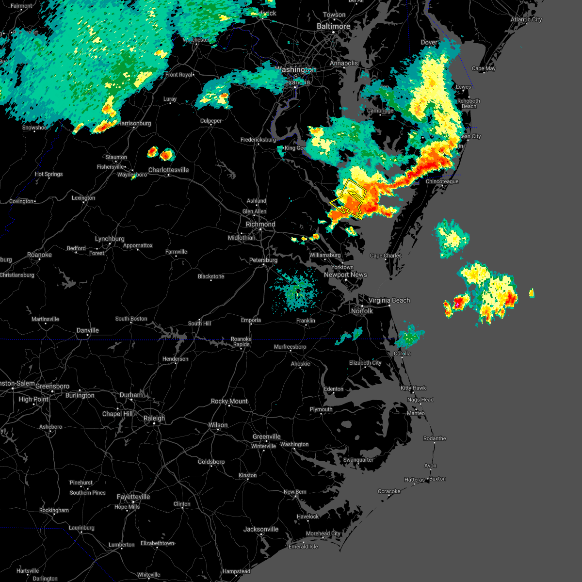 The severe thunderstorm warning for northumberland and lancaster counties will expire at 845 pm edt. the storms which prompted the warning have weakened below severe limits, and no longer pose an immediate threat to life or property. therefore the warning will be allowed to expire. However heavy rain and cloud to ground lightning are still expected with these. The severe thunderstorm warning for northumberland and lancaster counties will expire at 845 pm edt. the storms which prompted the warning have weakened below severe limits, and no longer pose an immediate threat to life or property. therefore the warning will be allowed to expire. However heavy rain and cloud to ground lightning are still expected with these.
|
| 7/22/2017 8:26 PM EDT |
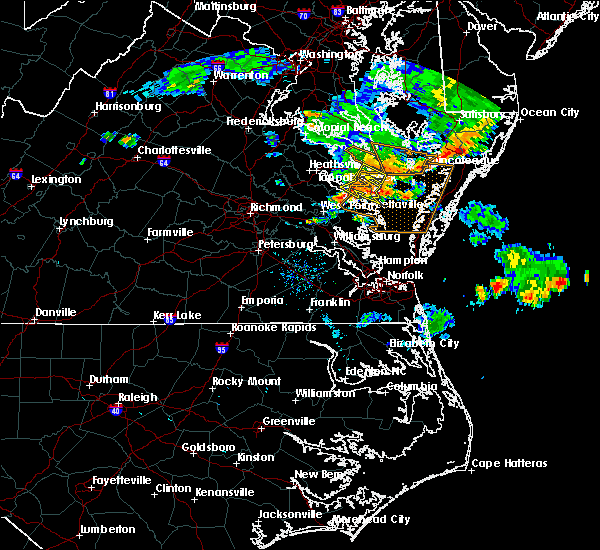 At 825 pm edt, severe thunderstorms were located along a line extending from 10 miles east of lewisetta to near fair port to near wicomico church, moving east at 30 mph (radar indicated). Hazards include 60 mph wind gusts. Expect damage to trees and powerlines. these severe storms will be near, fair port around 840 pm edt. Other locations impacted by these severe thunderstorms include lara, byrdton, browns store, somers, regina, mollusk, alfonso, avalon, brook vale and nuttsville. At 825 pm edt, severe thunderstorms were located along a line extending from 10 miles east of lewisetta to near fair port to near wicomico church, moving east at 30 mph (radar indicated). Hazards include 60 mph wind gusts. Expect damage to trees and powerlines. these severe storms will be near, fair port around 840 pm edt. Other locations impacted by these severe thunderstorms include lara, byrdton, browns store, somers, regina, mollusk, alfonso, avalon, brook vale and nuttsville.
|
| 7/22/2017 8:10 PM EDT |
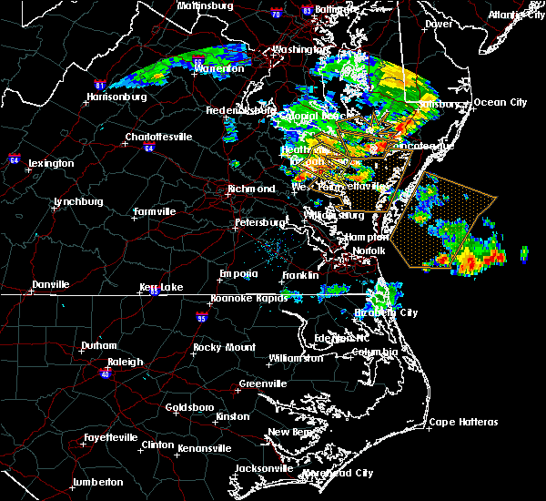 At 810 pm edt, severe thunderstorms were located along a line extending from near lewisetta to heathsville to robley, moving east at 30 mph (radar indicated). Hazards include 60 mph wind gusts. Expect damage to trees and powerlines. these severe storms will be near, kilmarnock and wicomico church around 830 pm edt. fair port around 840 pm edt. Other locations impacted by these severe thunderstorms include byrdton, lottsburg, regina, mollusk, avalon, brook vale, nuttsville, reedville, belle isle state park and edwardsville. At 810 pm edt, severe thunderstorms were located along a line extending from near lewisetta to heathsville to robley, moving east at 30 mph (radar indicated). Hazards include 60 mph wind gusts. Expect damage to trees and powerlines. these severe storms will be near, kilmarnock and wicomico church around 830 pm edt. fair port around 840 pm edt. Other locations impacted by these severe thunderstorms include byrdton, lottsburg, regina, mollusk, avalon, brook vale, nuttsville, reedville, belle isle state park and edwardsville.
|
| 7/22/2017 7:45 PM EDT |
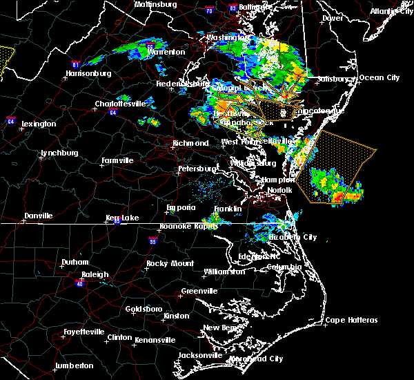 At 744 pm edt, severe thunderstorms were located along a line extending from near hague to near haynesville to dunnsville, moving east at 30 mph (radar indicated). Hazards include 60 mph wind gusts. Expect damage to trees and powerlines. severe thunderstorms will be near, haynesville around 750 pm edt. callao, kinsale and farnham around 755 pm edt. lewisetta around 805 pm edt. robley, heathsville and morattico around 810 pm edt. lancaster around 825 pm edt. kilmarnock and wicomico church around 830 pm edt. fair port around 840 pm edt. Other locations impacted by these severe thunderstorms include byrdton, lottsburg, threeway, regina, mollusk, avalon, brook vale, nuttsville, reedville and belle isle state park. At 744 pm edt, severe thunderstorms were located along a line extending from near hague to near haynesville to dunnsville, moving east at 30 mph (radar indicated). Hazards include 60 mph wind gusts. Expect damage to trees and powerlines. severe thunderstorms will be near, haynesville around 750 pm edt. callao, kinsale and farnham around 755 pm edt. lewisetta around 805 pm edt. robley, heathsville and morattico around 810 pm edt. lancaster around 825 pm edt. kilmarnock and wicomico church around 830 pm edt. fair port around 840 pm edt. Other locations impacted by these severe thunderstorms include byrdton, lottsburg, threeway, regina, mollusk, avalon, brook vale, nuttsville, reedville and belle isle state park.
|
| 5/5/2017 9:20 AM EDT |
 The severe thunderstorm warning for gloucester, southeastern king and queen, middlesex, central northumberland, southeastern richmond, mathews, east central new kent, southeastern essex and lancaster counties will expire at 930 am edt, the storms which prompted the warning have moved out of the area. therefore the warning will be allowed to expire. a tornado watch remains in effect until 100 pm edt for eastern and southeastern virginia. The severe thunderstorm warning for gloucester, southeastern king and queen, middlesex, central northumberland, southeastern richmond, mathews, east central new kent, southeastern essex and lancaster counties will expire at 930 am edt, the storms which prompted the warning have moved out of the area. therefore the warning will be allowed to expire. a tornado watch remains in effect until 100 pm edt for eastern and southeastern virginia.
|
| 5/5/2017 8:54 AM EDT |
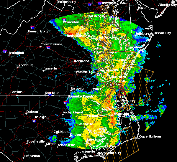 At 853 am edt, severe thunderstorms were located along a line extending from near wicomico church to near kilmarnock to near gloucester courthouse, moving east at 40 mph (radar indicated). Hazards include 60 mph wind gusts. Expect damage to roofs, siding, and trees. these severe storms will be near, kilmarnock and wicomico church around 900 am edt. hartfield around 910 am edt. blakes and mobjack around 915 am edt. mathews and deltaville around 920 am edt. other locations impacted by these severe thunderstorms include beulah, moon, laban, avalon, brook vale, grafton, amburg, belle isle state park, mattaponi and mascot. A tornado watch remains in effect until 100 pm edt for eastern and southeastern virginia. At 853 am edt, severe thunderstorms were located along a line extending from near wicomico church to near kilmarnock to near gloucester courthouse, moving east at 40 mph (radar indicated). Hazards include 60 mph wind gusts. Expect damage to roofs, siding, and trees. these severe storms will be near, kilmarnock and wicomico church around 900 am edt. hartfield around 910 am edt. blakes and mobjack around 915 am edt. mathews and deltaville around 920 am edt. other locations impacted by these severe thunderstorms include beulah, moon, laban, avalon, brook vale, grafton, amburg, belle isle state park, mattaponi and mascot. A tornado watch remains in effect until 100 pm edt for eastern and southeastern virginia.
|
| 5/5/2017 8:40 AM EDT |
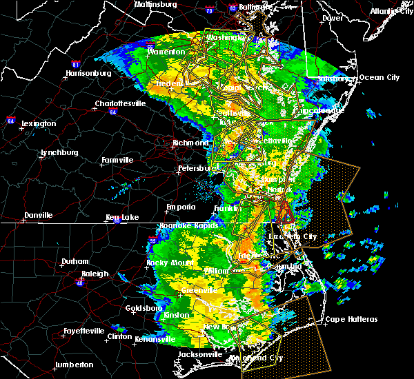 At 839 am edt, severe thunderstorms were located along a line extending from near robley to urbanna to near norge, moving northeast at 40 mph (radar indicated). Hazards include 60 mph wind gusts. Expect damage to roofs, siding, and trees. severe thunderstorms will be near, urbanna, robley, lancaster and morattico around 845 am edt. wicomico church around 850 am edt. hayes around 855 am edt. kilmarnock around 900 am edt. hartfield and blakes around 910 am edt. mathews around 915 am edt. deltaville around 920 am edt. other locations impacted by these severe thunderstorms include eltham, byrdton, croaker, beulah, moon, laban, avalon, brook vale, grafton and amburg. A tornado watch remains in effect until 100 pm edt for eastern, southeastern and east central virginia. At 839 am edt, severe thunderstorms were located along a line extending from near robley to urbanna to near norge, moving northeast at 40 mph (radar indicated). Hazards include 60 mph wind gusts. Expect damage to roofs, siding, and trees. severe thunderstorms will be near, urbanna, robley, lancaster and morattico around 845 am edt. wicomico church around 850 am edt. hayes around 855 am edt. kilmarnock around 900 am edt. hartfield and blakes around 910 am edt. mathews around 915 am edt. deltaville around 920 am edt. other locations impacted by these severe thunderstorms include eltham, byrdton, croaker, beulah, moon, laban, avalon, brook vale, grafton and amburg. A tornado watch remains in effect until 100 pm edt for eastern, southeastern and east central virginia.
|
| 4/6/2017 12:15 PM EDT | Numerous trees down from irvington to kilmarnoc in lancaster county VA, 1.9 miles NE of Kilmarnock, VA |
| 4/6/2017 12:15 PM EDT | Damage to the hospital in kilmarnock. numerous trees down with other possible property damage. nws to survey possible tornad in lancaster county VA, 0.3 miles WSW of Kilmarnock, VA |
| 4/6/2017 12:12 PM EDT | Hardwood trees uprooted in kilmarnock. wind gusts estimated up to 75 mp in lancaster county VA, 0.3 miles WSW of Kilmarnock, VA |
| 4/6/2017 12:11 PM EDT | Broken windows including clear story windows or skylights at a small professional building in kilmarnock. wind gust estimated near 75 mp in lancaster county VA, 0.6 miles NNW of Kilmarnock, VA |
| 4/6/2017 12:04 PM EDT |
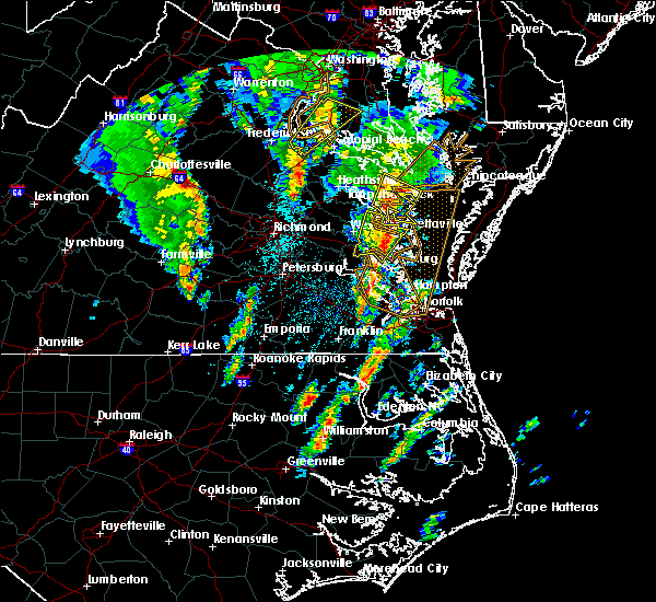 At 1203 pm edt, a severe thunderstorm was located near urbanna, moving northeast at 55 mph (radar indicated). Hazards include 60 mph wind gusts and nickel size hail. expect damage to roofs, siding, and trees At 1203 pm edt, a severe thunderstorm was located near urbanna, moving northeast at 55 mph (radar indicated). Hazards include 60 mph wind gusts and nickel size hail. expect damage to roofs, siding, and trees
|
| 2/25/2017 5:07 PM EST |
 At 506 pm est, a severe thunderstorm was located 7 miles east of kilmarnock, moving northeast at 55 mph (radar indicated). Hazards include 60 mph wind gusts and quarter size hail. Hail damage to vehicles is expected. expect wind damage to roofs, siding, and trees. precautionary/preparedness actions, for your protection move to an interior room on the lowest floor of a building. please send your reports of hail and or wind damage, including trees or large limbs downed, by calling noaa`s national weather service in wakefield at , 7 5 7, 8 9 9, 2 4 1 5. At 506 pm est, a severe thunderstorm was located 7 miles east of kilmarnock, moving northeast at 55 mph (radar indicated). Hazards include 60 mph wind gusts and quarter size hail. Hail damage to vehicles is expected. expect wind damage to roofs, siding, and trees. precautionary/preparedness actions, for your protection move to an interior room on the lowest floor of a building. please send your reports of hail and or wind damage, including trees or large limbs downed, by calling noaa`s national weather service in wakefield at , 7 5 7, 8 9 9, 2 4 1 5.
|
| 2/25/2017 4:42 PM EST |
 At 441 pm est, a severe thunderstorm was located near glenns, or 8 miles northwest of gloucester courthouse, moving northeast at 55 mph (radar indicated). Hazards include 60 mph wind gusts and quarter size hail. Hail damage to vehicles is expected. expect wind damage to roofs, siding, and trees. this severe thunderstorm will be near, saluda around 445 pm est. hartfield around 450 pm est. blakes around 455 pm est. deltaville and white stone around 500 pm est. Other locations impacted by this severe thunderstorm include dutton, weems, cobbs creek, wilton, harmony village, grafton, harcum, cash, amburg and stampers. At 441 pm est, a severe thunderstorm was located near glenns, or 8 miles northwest of gloucester courthouse, moving northeast at 55 mph (radar indicated). Hazards include 60 mph wind gusts and quarter size hail. Hail damage to vehicles is expected. expect wind damage to roofs, siding, and trees. this severe thunderstorm will be near, saluda around 445 pm est. hartfield around 450 pm est. blakes around 455 pm est. deltaville and white stone around 500 pm est. Other locations impacted by this severe thunderstorm include dutton, weems, cobbs creek, wilton, harmony village, grafton, harcum, cash, amburg and stampers.
|
| 9/28/2016 7:52 PM EDT |
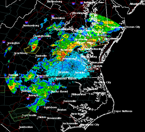 The severe thunderstorm warning for northumberland and northwestern lancaster counties will expire at 800 pm edt, the severe thunderstorm which prompted the warning will move out of the warned area. therefore the warning will be allowed to expire. a severe thunderstorm watch remains in effect until 1000 pm edt for eastern and east central virginia. The severe thunderstorm warning for northumberland and northwestern lancaster counties will expire at 800 pm edt, the severe thunderstorm which prompted the warning will move out of the warned area. therefore the warning will be allowed to expire. a severe thunderstorm watch remains in effect until 1000 pm edt for eastern and east central virginia.
|
| 9/28/2016 7:15 PM EDT |
 At 714 pm edt, a severe thunderstorm was located over lancaster, or 7 miles southeast of robley, moving northeast at 25 mph (radar indicated). Hazards include 60 mph wind gusts and quarter size hail. Hail damage to vehicles is expected. expect wind damage to roofs, siding, and trees. this severe thunderstorm will be near, wicomico church and heathsville around 730 pm edt. fair port around 740 pm edt. Other locations impacted by this severe thunderstorm include beanes corner, lara, lilian, browns store, nuttsville, middletons corner, reedville, fleeton, hull neck and rehoboth church. At 714 pm edt, a severe thunderstorm was located over lancaster, or 7 miles southeast of robley, moving northeast at 25 mph (radar indicated). Hazards include 60 mph wind gusts and quarter size hail. Hail damage to vehicles is expected. expect wind damage to roofs, siding, and trees. this severe thunderstorm will be near, wicomico church and heathsville around 730 pm edt. fair port around 740 pm edt. Other locations impacted by this severe thunderstorm include beanes corner, lara, lilian, browns store, nuttsville, middletons corner, reedville, fleeton, hull neck and rehoboth church.
|
| 7/28/2016 11:08 PM EDT |
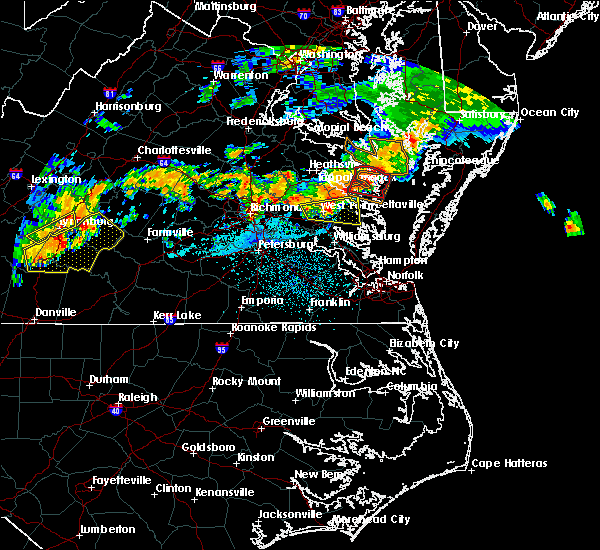 The tornado warning for northumberland and northern lancaster counties will expire at 1115 pm edt, the storm which prompted the warning has weakened below severe limits, and no longer appears capable of producing a tornado. therefore the warning will be allowed to expire. however gusty winds are still possible with this thunderstorm. The tornado warning for northumberland and northern lancaster counties will expire at 1115 pm edt, the storm which prompted the warning has weakened below severe limits, and no longer appears capable of producing a tornado. therefore the warning will be allowed to expire. however gusty winds are still possible with this thunderstorm.
|
| 7/28/2016 10:58 PM EDT |
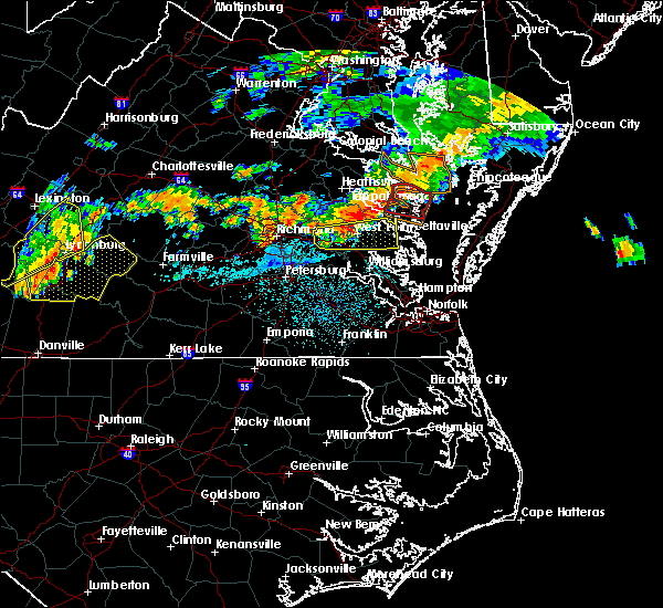 At 1057 pm edt, a severe thunderstorm capable of producing a tornado was located near heathsville, or 7 miles northwest of fair port, moving east at 30 mph (radar indicated rotation). Hazards include tornado. Flying debris will be dangerous to those caught without shelter. mobile homes will be damaged or destroyed. damage to roofs, windows, and vehicles will occur. tree damage is likely. this dangerous storm will be near, fair port around 1105 pm edt. other locations impacted by this tornadic thunderstorm include beanes corner, lara, lilian, browns store, nuttsville, dodlyt, middletons corner, reedville, fleeton and hull neck. precautionary/preparedness actions, take cover now! move to a basement or an interior room on the lowest floor of a sturdy building. avoid windows. if you are outdoors, in a mobile home, or in a vehicle, move to the closest substantial shelter and protect yourself from flying debris. tornadoes are extremely difficult to see and confirm at night. do not wait to see or hear the tornado. take cover now! please send your reports of hail and or wind damage, including trees or large limbs downed, by calling noaa`s national weather service in wakefield at , 7 5 7, 8 9 9, 2 4 1 5. At 1057 pm edt, a severe thunderstorm capable of producing a tornado was located near heathsville, or 7 miles northwest of fair port, moving east at 30 mph (radar indicated rotation). Hazards include tornado. Flying debris will be dangerous to those caught without shelter. mobile homes will be damaged or destroyed. damage to roofs, windows, and vehicles will occur. tree damage is likely. this dangerous storm will be near, fair port around 1105 pm edt. other locations impacted by this tornadic thunderstorm include beanes corner, lara, lilian, browns store, nuttsville, dodlyt, middletons corner, reedville, fleeton and hull neck. precautionary/preparedness actions, take cover now! move to a basement or an interior room on the lowest floor of a sturdy building. avoid windows. if you are outdoors, in a mobile home, or in a vehicle, move to the closest substantial shelter and protect yourself from flying debris. tornadoes are extremely difficult to see and confirm at night. do not wait to see or hear the tornado. take cover now! please send your reports of hail and or wind damage, including trees or large limbs downed, by calling noaa`s national weather service in wakefield at , 7 5 7, 8 9 9, 2 4 1 5.
|
| 7/28/2016 10:22 PM EDT |
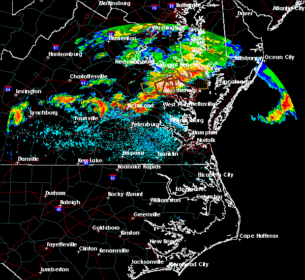 At 1021 pm edt, a severe thunderstorm capable of producing a tornado was located over sharps, or near warsaw, moving east at 30 mph (radar indicated rotation). Hazards include tornado and quarter size hail. Flying debris will be dangerous to those caught without shelter. mobile homes will be damaged or destroyed. damage to roofs, windows, and vehicles will occur. tree damage is likely. this dangerous storm will be near, farnham, haynesville and morattico around 1030 pm edt. robley around 1035 pm edt. callao around 1040 pm edt. heathsville and lewisetta around 1050 pm edt. wicomico church around 1055 pm edt. fair port around 1105 pm edt. Other locations impacted by this tornadic thunderstorm include lara, lilian, downing, montague, browns store, piney grove, nuttsville, village, lyells and gibeon. At 1021 pm edt, a severe thunderstorm capable of producing a tornado was located over sharps, or near warsaw, moving east at 30 mph (radar indicated rotation). Hazards include tornado and quarter size hail. Flying debris will be dangerous to those caught without shelter. mobile homes will be damaged or destroyed. damage to roofs, windows, and vehicles will occur. tree damage is likely. this dangerous storm will be near, farnham, haynesville and morattico around 1030 pm edt. robley around 1035 pm edt. callao around 1040 pm edt. heathsville and lewisetta around 1050 pm edt. wicomico church around 1055 pm edt. fair port around 1105 pm edt. Other locations impacted by this tornadic thunderstorm include lara, lilian, downing, montague, browns store, piney grove, nuttsville, village, lyells and gibeon.
|
| 7/28/2016 7:29 PM EDT |
 At 729 pm edt, a severe thunderstorm was located over wicomico church, or near kilmarnock, moving east at 35 mph (radar indicated). Hazards include 60 mph wind gusts and nickel size hail. Expect damage to roofs. siding. and trees. this severe thunderstorm will be near, fair port around 740 pm edt. Other locations impacted by this severe thunderstorm include beanes corner, lara, lilian, browns store, dodlyt, reedville, fleeton, hull neck, rehoboth church and avalon. At 729 pm edt, a severe thunderstorm was located over wicomico church, or near kilmarnock, moving east at 35 mph (radar indicated). Hazards include 60 mph wind gusts and nickel size hail. Expect damage to roofs. siding. and trees. this severe thunderstorm will be near, fair port around 740 pm edt. Other locations impacted by this severe thunderstorm include beanes corner, lara, lilian, browns store, dodlyt, reedville, fleeton, hull neck, rehoboth church and avalon.
|
| 6/16/2016 11:27 PM EDT | The severe thunderstorm warning for middlesex, gloucester, northumberland, lancaster, mathews, southeastern richmond, southeastern king and queen, southeastern essex and central york counties will expire at 1130 pm edt, the storms which prompted the warning have weakened below severe limits, and no longer pose an immediate threat to life or property. therefore the warning will be allowed to expire. a severe thunderstorm watch remains in effect until 300 am edt for southeastern virginia. |
| 6/16/2016 11:10 PM EDT |
 At 1109 pm edt, severe thunderstorms were located along a line extending from 8 miles west of tylerton to near fair port to near kilmarnock to near hartfield to near wicomico to near fort eustis, moving east at 25 mph (radar indicated). Hazards include 60 mph wind gusts and quarter size hail. Hail damage to vehicles is expected. expect wind damage to roofs, siding, and trees. these severe storms will be near, fair port around 1115 pm edt. mathews, deltaville, blakes, bavon, mobjack and gwynn around 1130 pm edt. other locations impacted by these severe thunderstorms include ruff, belroi, harcum, healys, water view, lara, diggs, adner, warner and foxwells. precautionary/preparedness actions, for your protection move to an interior room on the lowest floor of a building. please send your reports of hail and or wind damage, including trees or large limbs downed, by calling noaa`s national weather service in wakefield at , 7 5 7, 8 9 9, 2 4 1 5. At 1109 pm edt, severe thunderstorms were located along a line extending from 8 miles west of tylerton to near fair port to near kilmarnock to near hartfield to near wicomico to near fort eustis, moving east at 25 mph (radar indicated). Hazards include 60 mph wind gusts and quarter size hail. Hail damage to vehicles is expected. expect wind damage to roofs, siding, and trees. these severe storms will be near, fair port around 1115 pm edt. mathews, deltaville, blakes, bavon, mobjack and gwynn around 1130 pm edt. other locations impacted by these severe thunderstorms include ruff, belroi, harcum, healys, water view, lara, diggs, adner, warner and foxwells. precautionary/preparedness actions, for your protection move to an interior room on the lowest floor of a building. please send your reports of hail and or wind damage, including trees or large limbs downed, by calling noaa`s national weather service in wakefield at , 7 5 7, 8 9 9, 2 4 1 5.
|
| 6/16/2016 10:49 PM EDT |
 At 1048 pm edt, severe thunderstorms were located along a line extending from near lewisetta to near wicomico church to near morattico to near glenns to 6 miles north of queens lake to near scotland, moving southeast at 35 mph (radar indicated). Hazards include 60 mph wind gusts and quarter size hail. Hail damage to vehicles is expected. expect wind damage to roofs, siding, and trees. these severe storms will be near, gloucester courthouse, queens lake, wicomico church and york terrace around 1055 pm edt. fair port and hayes around 1100 pm edt. kilmarnock, gloucester point and wicomico around 1105 pm edt. virginia institute for marine sciences, white stone, achilles and hartfield around 1110 pm edt. blakes around 1115 pm edt. deltaville around 1120 pm edt. mathews, mobjack and gwynn around 1125 pm edt. bavon around 1130 pm edt. other locations impacted by these severe thunderstorms include water view, diggs, foxwells, nuttsville, stampers, ark, fleeton, severn, camp peary and samos. precautionary/preparedness actions, for your protection move to an interior room on the lowest floor of a building. please send your reports of hail and or wind damage, including trees or large limbs downed, by calling noaa`s national weather service in wakefield at , 7 5 7, 8 9 9, 2 4 1 5. At 1048 pm edt, severe thunderstorms were located along a line extending from near lewisetta to near wicomico church to near morattico to near glenns to 6 miles north of queens lake to near scotland, moving southeast at 35 mph (radar indicated). Hazards include 60 mph wind gusts and quarter size hail. Hail damage to vehicles is expected. expect wind damage to roofs, siding, and trees. these severe storms will be near, gloucester courthouse, queens lake, wicomico church and york terrace around 1055 pm edt. fair port and hayes around 1100 pm edt. kilmarnock, gloucester point and wicomico around 1105 pm edt. virginia institute for marine sciences, white stone, achilles and hartfield around 1110 pm edt. blakes around 1115 pm edt. deltaville around 1120 pm edt. mathews, mobjack and gwynn around 1125 pm edt. bavon around 1130 pm edt. other locations impacted by these severe thunderstorms include water view, diggs, foxwells, nuttsville, stampers, ark, fleeton, severn, camp peary and samos. precautionary/preparedness actions, for your protection move to an interior room on the lowest floor of a building. please send your reports of hail and or wind damage, including trees or large limbs downed, by calling noaa`s national weather service in wakefield at , 7 5 7, 8 9 9, 2 4 1 5.
|
| 6/16/2016 10:28 PM EDT |
 At 1027 pm edt, severe thunderstorms were located along a line extending from near hague to near haynesville to near center cross to near king and queen court house to barhamsville to near charles city, moving southeast at 35 mph (radar indicated). Hazards include 60 mph wind gusts and quarter size hail. Hail damage to vehicles is expected. expect wind damage to roofs, siding, and trees. severe thunderstorms will be near, callao, toano and robley around 1035 pm edt. norge, heathsville, morattico, jamaica and church view around 1040 pm edt. williamsburg and shacklefords around 1045 pm edt. queens lake, glenns, wicomico church and saluda around 1050 pm edt. gloucester courthouse, urbanna, college of william and mary and lancaster around 1055 pm edt. fair port, hayes and kings point around 1100 pm edt. kilmarnock, gloucester point, virginia institute for marine sciences, white stone, wicomico, hartfield and carver gardens around 1105 pm edt. achilles around 1110 pm edt. Other locations impacted by these severe thunderstorms include water view, diggs, foxwells, nuttsville, stampers, lyells, ark, fleeton, threeway and henley fork. At 1027 pm edt, severe thunderstorms were located along a line extending from near hague to near haynesville to near center cross to near king and queen court house to barhamsville to near charles city, moving southeast at 35 mph (radar indicated). Hazards include 60 mph wind gusts and quarter size hail. Hail damage to vehicles is expected. expect wind damage to roofs, siding, and trees. severe thunderstorms will be near, callao, toano and robley around 1035 pm edt. norge, heathsville, morattico, jamaica and church view around 1040 pm edt. williamsburg and shacklefords around 1045 pm edt. queens lake, glenns, wicomico church and saluda around 1050 pm edt. gloucester courthouse, urbanna, college of william and mary and lancaster around 1055 pm edt. fair port, hayes and kings point around 1100 pm edt. kilmarnock, gloucester point, virginia institute for marine sciences, white stone, wicomico, hartfield and carver gardens around 1105 pm edt. achilles around 1110 pm edt. Other locations impacted by these severe thunderstorms include water view, diggs, foxwells, nuttsville, stampers, lyells, ark, fleeton, threeway and henley fork.
|
| 5/3/2016 6:57 PM EDT | The tornado warning for central middlesex, southeastern northumberland and lancaster counties will expire at 700 pm edt, the storm which prompted the warning no longer appears capable of producing a tornado. therefore the warning will be allowed to expire. however large hail and gusty winds are still possible with this thunderstorm as it moves over the chesapeake bay. |
| 5/3/2016 6:45 PM EDT |
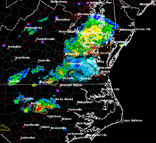 At 644 pm edt, a severe thunderstorm capable of producing a tornado was located near white stone, or near kilmarnock, moving east at 30 mph (radar indicated rotation). Hazards include tornado and quarter size hail. Flying debris will be dangerous to those caught without shelter. mobile homes will be damaged or destroyed. damage to roofs, windows, and vehicles will occur. tree damage is likely. this dangerous storm will be near, kilmarnock around 650 pm edt. white stone around 655 pm edt. deltaville around 700 pm edt. other locations impacted by this tornadic thunderstorm include harmony village, water view, hardyville, warner, foxwells, nuttsville, weems, bertrand, alfonso and millenbeck. precautionary/preparedness actions, take cover now! move to a basement or an interior room on the lowest floor of a sturdy building. avoid windows. if you are outdoors, in a mobile home, or in a vehicle, move to the closest substantial shelter and protect yourself from flying debris. please send your reports of hail and or wind damage, including trees or large limbs downed, by calling noaa`s national weather service in wakefield at , 7 5 7, 8 9 9, 2 4 1 5. At 644 pm edt, a severe thunderstorm capable of producing a tornado was located near white stone, or near kilmarnock, moving east at 30 mph (radar indicated rotation). Hazards include tornado and quarter size hail. Flying debris will be dangerous to those caught without shelter. mobile homes will be damaged or destroyed. damage to roofs, windows, and vehicles will occur. tree damage is likely. this dangerous storm will be near, kilmarnock around 650 pm edt. white stone around 655 pm edt. deltaville around 700 pm edt. other locations impacted by this tornadic thunderstorm include harmony village, water view, hardyville, warner, foxwells, nuttsville, weems, bertrand, alfonso and millenbeck. precautionary/preparedness actions, take cover now! move to a basement or an interior room on the lowest floor of a sturdy building. avoid windows. if you are outdoors, in a mobile home, or in a vehicle, move to the closest substantial shelter and protect yourself from flying debris. please send your reports of hail and or wind damage, including trees or large limbs downed, by calling noaa`s national weather service in wakefield at , 7 5 7, 8 9 9, 2 4 1 5.
|
| 5/3/2016 6:17 PM EDT |
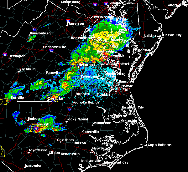 At 617 pm edt, a severe thunderstorm capable of producing a tornado was located near jamaica, or 8 miles southwest of robley, moving east at 30 mph (weather spotters reported funnel cloud). Hazards include tornado and quarter size hail. Flying debris will be dangerous to those caught without shelter. mobile homes will be damaged or destroyed. damage to roofs, windows, and vehicles will occur. tree damage is likely. this dangerous storm will be near, morattico around 625 pm edt. urbanna around 635 pm edt. lancaster around 645 pm edt. kilmarnock, white stone and wicomico church around 655 pm edt. Other locations impacted by this tornadic thunderstorm include harmony village, water view, hardyville, warner, foxwells, nuttsville, weems, bertrand, belle isle state park and samos. At 617 pm edt, a severe thunderstorm capable of producing a tornado was located near jamaica, or 8 miles southwest of robley, moving east at 30 mph (weather spotters reported funnel cloud). Hazards include tornado and quarter size hail. Flying debris will be dangerous to those caught without shelter. mobile homes will be damaged or destroyed. damage to roofs, windows, and vehicles will occur. tree damage is likely. this dangerous storm will be near, morattico around 625 pm edt. urbanna around 635 pm edt. lancaster around 645 pm edt. kilmarnock, white stone and wicomico church around 655 pm edt. Other locations impacted by this tornadic thunderstorm include harmony village, water view, hardyville, warner, foxwells, nuttsville, weems, bertrand, belle isle state park and samos.
|
| 5/2/2016 7:37 PM EDT |
 The severe thunderstorm warning for southeastern northumberland, southeastern lancaster and southeastern middlesex counties will expire at 745 pm edt, the storm which prompted the warning has weakened below severe limits, and no longer pose an immediate threat to life or property. therefore the warning will be allowed to expire. however small hail is still possible with this thunderstorm. a severe thunderstorm watch remains in effect until 1100 pm edt for eastern virginia. The severe thunderstorm warning for southeastern northumberland, southeastern lancaster and southeastern middlesex counties will expire at 745 pm edt, the storm which prompted the warning has weakened below severe limits, and no longer pose an immediate threat to life or property. therefore the warning will be allowed to expire. however small hail is still possible with this thunderstorm. a severe thunderstorm watch remains in effect until 1100 pm edt for eastern virginia.
|
| 5/2/2016 7:18 PM EDT |
 At 717 pm edt, a severe thunderstorm was located near urbanna, moving northeast at 25 mph (trained weather spotters). Hazards include 60 mph wind gusts and quarter size hail. Hail damage to vehicles is expected. expect wind damage to roofs, siding, and trees. this severe storm will be near, white stone around 730 pm edt. kilmarnock around 745 pm edt. other locations impacted by this severe thunderstorm include harmony village, greys point, rehoboth church, millenbeck, weems, cooper, wake, byrdton, fleeton and christ church. precautionary/preparedness actions, prepare immediately for large hail and deadly cloud to ground lightning. seek shelter inside a well-built structure. stay away from windows. please send your reports of hail and or wind damage, including trees or large limbs downed, by calling noaa`s national weather service in wakefield at , 7 5 7, 8 9 9, 2 4 1 5. At 717 pm edt, a severe thunderstorm was located near urbanna, moving northeast at 25 mph (trained weather spotters). Hazards include 60 mph wind gusts and quarter size hail. Hail damage to vehicles is expected. expect wind damage to roofs, siding, and trees. this severe storm will be near, white stone around 730 pm edt. kilmarnock around 745 pm edt. other locations impacted by this severe thunderstorm include harmony village, greys point, rehoboth church, millenbeck, weems, cooper, wake, byrdton, fleeton and christ church. precautionary/preparedness actions, prepare immediately for large hail and deadly cloud to ground lightning. seek shelter inside a well-built structure. stay away from windows. please send your reports of hail and or wind damage, including trees or large limbs downed, by calling noaa`s national weather service in wakefield at , 7 5 7, 8 9 9, 2 4 1 5.
|
| 5/2/2016 6:58 PM EDT |
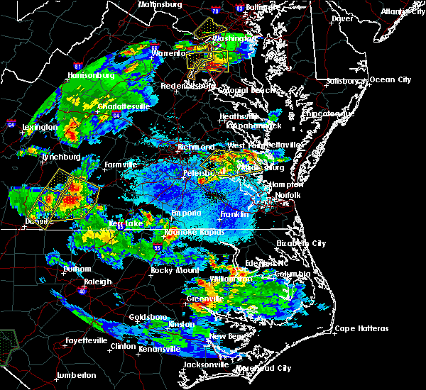 At 658 pm edt, a severe thunderstorm was located near glenns, or 7 miles north of gloucester courthouse, moving northeast at 30 mph (radar indicated). Hazards include 60 mph wind gusts and quarter size hail. Hail damage to vehicles is expected. expect wind damage to roofs, siding, and trees. this severe thunderstorm will be near, hartfield and blakes around 710 pm edt. deltaville around 720 pm edt. white stone around 725 pm edt. kilmarnock around 730 pm edt. Other locations impacted by this severe thunderstorm include harmony village, harcum, healys, hardyville, cobbs creek, adner, foxwells, weems, stampers and wilton. At 658 pm edt, a severe thunderstorm was located near glenns, or 7 miles north of gloucester courthouse, moving northeast at 30 mph (radar indicated). Hazards include 60 mph wind gusts and quarter size hail. Hail damage to vehicles is expected. expect wind damage to roofs, siding, and trees. this severe thunderstorm will be near, hartfield and blakes around 710 pm edt. deltaville around 720 pm edt. white stone around 725 pm edt. kilmarnock around 730 pm edt. Other locations impacted by this severe thunderstorm include harmony village, harcum, healys, hardyville, cobbs creek, adner, foxwells, weems, stampers and wilton.
|
| 9/12/2015 10:49 AM EDT |
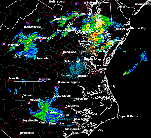 At 1046 am edt, doppler radar indicated a severe thunderstorm capable of producing a tornado. this dangerous storm was located near senora, moving northeast at 20 mph. this dangerous storm will be near, kilmarnock, lancaster and wicomico church around 1100 am edt. other locations impacted by this tornadic thunderstorm include rehoboth church, regina, millenbeck, mollusk, browns store, slabtown, bertrand, byrdton, christ church and brook vale. At 1046 am edt, doppler radar indicated a severe thunderstorm capable of producing a tornado. this dangerous storm was located near senora, moving northeast at 20 mph. this dangerous storm will be near, kilmarnock, lancaster and wicomico church around 1100 am edt. other locations impacted by this tornadic thunderstorm include rehoboth church, regina, millenbeck, mollusk, browns store, slabtown, bertrand, byrdton, christ church and brook vale.
|
| 9/12/2015 10:26 AM EDT |
 At 1026 am edt, doppler radar indicated a possible tornado. this dangerous storm was located over urbanna, and moving northeast at 20 mph. * this dangerous storm will be near, urbanna around 1030 am edt. white stone around 1055 am edt. kilmarnock, lancaster and wicomico church around 1100 am edt. other locations impacted by this tornadic thunderstorm include warner, browns store, weems, bertrand, rehoboth church, regina, millenbeck, mollusk, slabtown and remlik. At 1026 am edt, doppler radar indicated a possible tornado. this dangerous storm was located over urbanna, and moving northeast at 20 mph. * this dangerous storm will be near, urbanna around 1030 am edt. white stone around 1055 am edt. kilmarnock, lancaster and wicomico church around 1100 am edt. other locations impacted by this tornadic thunderstorm include warner, browns store, weems, bertrand, rehoboth church, regina, millenbeck, mollusk, slabtown and remlik.
|
| 8/11/2015 5:58 PM EDT |
 At 557 pm edt, doppler radar indicated a line of severe thunderstorms capable of producing damaging winds in excess of 60 mph. these storms were located along a line extending from near morattico to little plymouth, moving east at 25 mph. these severe storms will be near, kilmarnock, urbanna, lancaster, glenns and saluda around 615 pm edt. other locations impacted by these severe thunderstorms include harmony village, water view, healys, velma, mattaponi, adner, warner, bertrand, pampa and samos. At 557 pm edt, doppler radar indicated a line of severe thunderstorms capable of producing damaging winds in excess of 60 mph. these storms were located along a line extending from near morattico to little plymouth, moving east at 25 mph. these severe storms will be near, kilmarnock, urbanna, lancaster, glenns and saluda around 615 pm edt. other locations impacted by these severe thunderstorms include harmony village, water view, healys, velma, mattaponi, adner, warner, bertrand, pampa and samos.
|
| 8/11/2015 5:37 PM EDT |
 At 537 pm edt, doppler radar indicated a line of severe thunderstorms capable of producing damaging winds in excess of 60 mph. these storms were located along a line extending from center cross to near king william, and moving east at 25 mph. * severe thunderstorms will be near, jamaica around 545 pm edt. morattico around 555 pm edt. west point and little plymouth around 600 pm edt. lancaster and shacklefords around 610 pm edt. kilmarnock, urbanna, glenns, saluda and church view around 615 pm edt. other locations impacted by these severe thunderstorms include harmony village, water view, healys, mattaponi, adner, warner, browns store, nuttsville, bertrand and belle isle state park. At 537 pm edt, doppler radar indicated a line of severe thunderstorms capable of producing damaging winds in excess of 60 mph. these storms were located along a line extending from center cross to near king william, and moving east at 25 mph. * severe thunderstorms will be near, jamaica around 545 pm edt. morattico around 555 pm edt. west point and little plymouth around 600 pm edt. lancaster and shacklefords around 610 pm edt. kilmarnock, urbanna, glenns, saluda and church view around 615 pm edt. other locations impacted by these severe thunderstorms include harmony village, water view, healys, mattaponi, adner, warner, browns store, nuttsville, bertrand and belle isle state park.
|
| 6/20/2015 10:27 PM EDT |
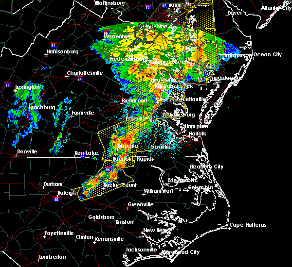 At 1026 pm edt, doppler radar indicated a line of severe thunderstorms capable of producing quarter size hail and damaging winds in excess of 60 mph. these storms were located along a line extending from newland to church view to near norge, moving east at 40 mph. these severe storms will be near, church view, jamaica, saluda and glenns around 1030 pm edt. urbanna around 1035 pm edt. haynesville around 1040 pm edt. gloucester courthouse, kilmarnock, gloucester point, lancaster, hague, kinsale, wicomico and hayes around 1045 pm edt. other locations impacted by these severe thunderstorms include water view, nuttsville, stampers, lyells, ark, threeway, camp peary, naylors beach, samos and oaktree. At 1026 pm edt, doppler radar indicated a line of severe thunderstorms capable of producing quarter size hail and damaging winds in excess of 60 mph. these storms were located along a line extending from newland to church view to near norge, moving east at 40 mph. these severe storms will be near, church view, jamaica, saluda and glenns around 1030 pm edt. urbanna around 1035 pm edt. haynesville around 1040 pm edt. gloucester courthouse, kilmarnock, gloucester point, lancaster, hague, kinsale, wicomico and hayes around 1045 pm edt. other locations impacted by these severe thunderstorms include water view, nuttsville, stampers, lyells, ark, threeway, camp peary, naylors beach, samos and oaktree.
|
| 6/20/2015 9:58 PM EDT |
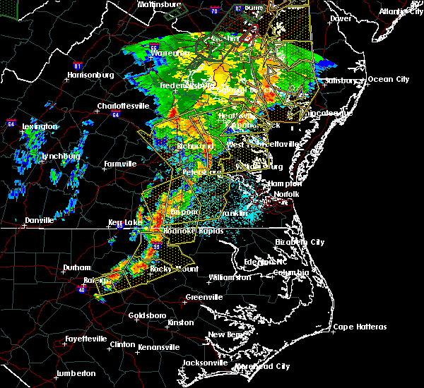 At 957 pm edt, doppler radar indicated a line of severe thunderstorms capable of producing quarter size hail and damaging winds in excess of 60 mph. these storms were located along a line extending from 6 miles northwest of newtown to near king william to near claremont, and moving east at 40 mph. * severe thunderstorms will be near, west point, king and queen court house and stevensville around 1005 pm edt. williamsburg, champlain, norge, toano, college of william and mary, little plymouth and center cross around 1010 pm edt. queens lake, newland, jamaica and church view around 1015 pm edt. gloucester courthouse, warsaw, urbanna, montross, gloucester point, robley, morattico and wicomico around 1020 pm edt. kilmarnock, lancaster, hague and hayes around 1025 pm edt. mathews, mobjack, wicomico church, kinsale, blakes and bavon around 1030 pm edt. fair port around 1035 pm edt. At 957 pm edt, doppler radar indicated a line of severe thunderstorms capable of producing quarter size hail and damaging winds in excess of 60 mph. these storms were located along a line extending from 6 miles northwest of newtown to near king william to near claremont, and moving east at 40 mph. * severe thunderstorms will be near, west point, king and queen court house and stevensville around 1005 pm edt. williamsburg, champlain, norge, toano, college of william and mary, little plymouth and center cross around 1010 pm edt. queens lake, newland, jamaica and church view around 1015 pm edt. gloucester courthouse, warsaw, urbanna, montross, gloucester point, robley, morattico and wicomico around 1020 pm edt. kilmarnock, lancaster, hague and hayes around 1025 pm edt. mathews, mobjack, wicomico church, kinsale, blakes and bavon around 1030 pm edt. fair port around 1035 pm edt.
|
| 6/18/2015 10:25 PM EDT | At 1024 pm edt, doppler radar indicated a severe thunderstorm capable of producing quarter size hail and destructive winds in excess of 70 mph. this storm was located over white stone, or near deltaville, moving southeast at 30 mph. locations impacted include, kilmarnock, deltaville, white stone, gwynn, greys point, hardyville, foxwells and amburg. |
| 6/18/2015 10:12 PM EDT | The tornado warning for lancaster and northwestern middlesex counties will expire at 1015 pm edt, the tornado threat has diminished, therefore the tornado warning has been cancelled. however, large hail and damaging winds remain likely and a severe thunderstorm warning remains in effect for the area. |
| 6/18/2015 10:10 PM EDT | At 1009 pm edt, doppler radar indicated a severe thunderstorm capable of producing quarter size hail and destructive winds in excess of 70 mph. this storm was located near urbanna, and moving southeast at 30 mph. |
| 6/18/2015 10:00 PM EDT | Multiple trees and power lines down in lancaster county VA, 5.4 miles ESE of Kilmarnock, VA |
| 6/18/2015 9:59 PM EDT | At 958 pm edt, trained weather spotters reported a tornado. this tornadic storm was located near urbanna, moving southeast at 20 mph. locations impacted include, kilmarnock, lancaster, morattico, nuttsville, weems, bertrand, belle isle state park, alfonso, mollusk, lively, somers, christ church, senora and brook vale. |
| 6/18/2015 9:37 PM EDT | At 936 pm edt, trained weather spotters reported a tornado over morattico, or near robley. doppler radar showed this tornado moving southeast at 25 mph. |
| 4/10/2015 7:07 PM EDT | A severe thunderstorm warning remains in effect until 730 pm edt for northern gloucester. northwestern york. eastern lancaster. southeastern northumberland. southeastern middlesex. northeastern james city and mathews counties. at 706 pm edt. Doppler radar indicated a line of severe thunderstorms capable of producing quarter size hail and damaging. |
| 4/10/2015 6:55 PM EDT | Trees and a power line down in kilmarnoc in lancaster county VA, 0.3 miles WSW of Kilmarnock, VA |
| 4/10/2015 6:45 PM EDT | The national weather service in wakefield has issued a * severe thunderstorm warning for. gloucester county in eastern virginia. northwestern york county in southeastern virginia. central lancaster county in eastern virginia. Northumberland county in eastern virginia. |
| 9/18/2012 12:45 PM EDT | Several pine trees dow in lancaster county VA, 2.4 miles SE of Kilmarnock, VA |
| 7/15/2012 5:25 PM EDT | Power line down in northumberland county VA, 11.7 miles SW of Kilmarnock, VA |
| 1/1/0001 12:00 AM | Large trees blocking road in northumberland county VA, 7.7 miles S of Kilmarnock, VA |
Hail Maps for Kilmarnock, VA


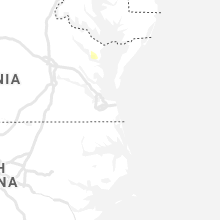


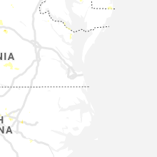


Connect with Interactive Hail Maps