

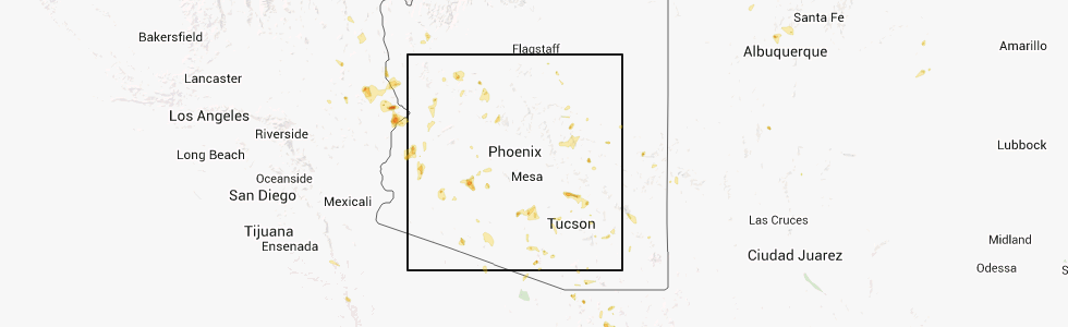
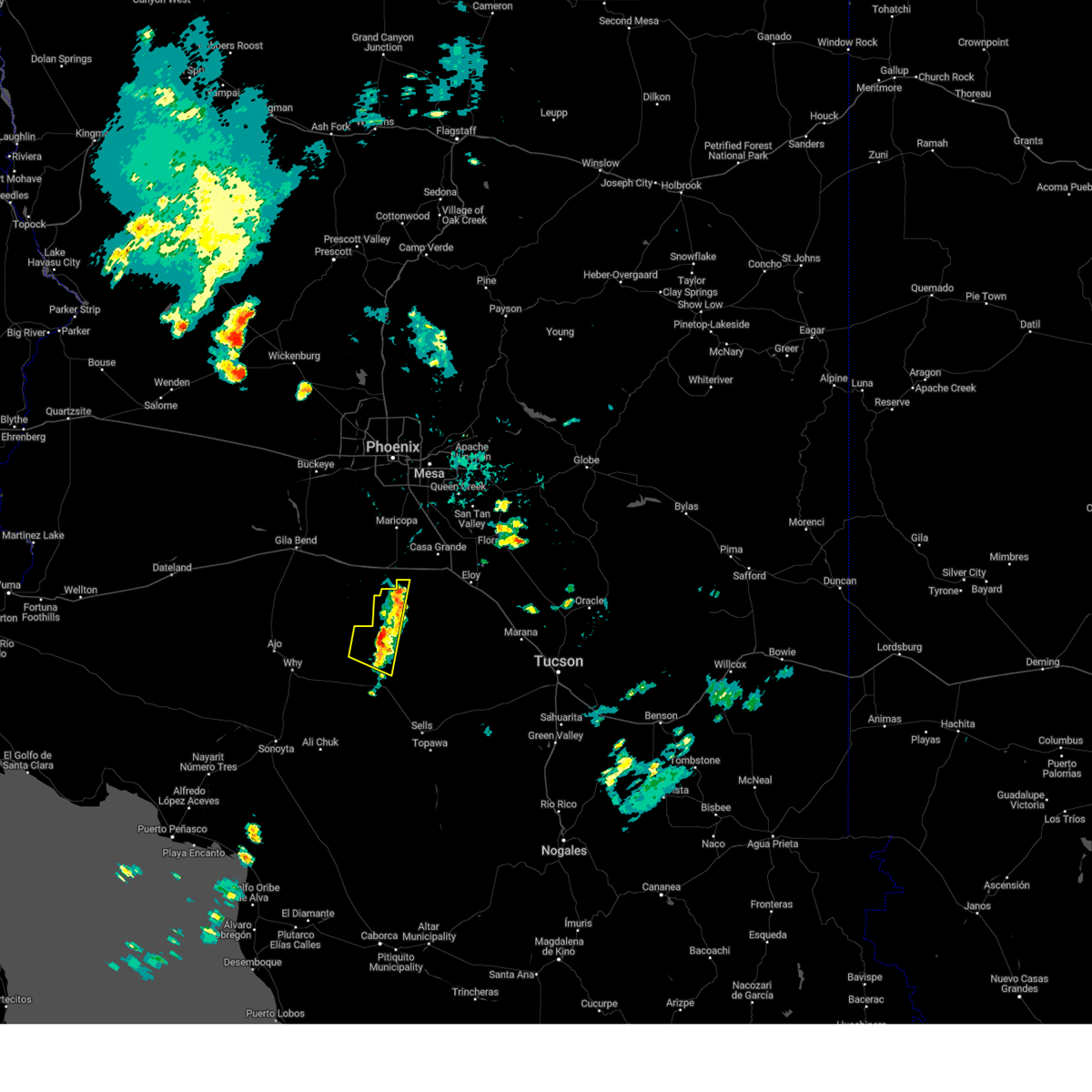
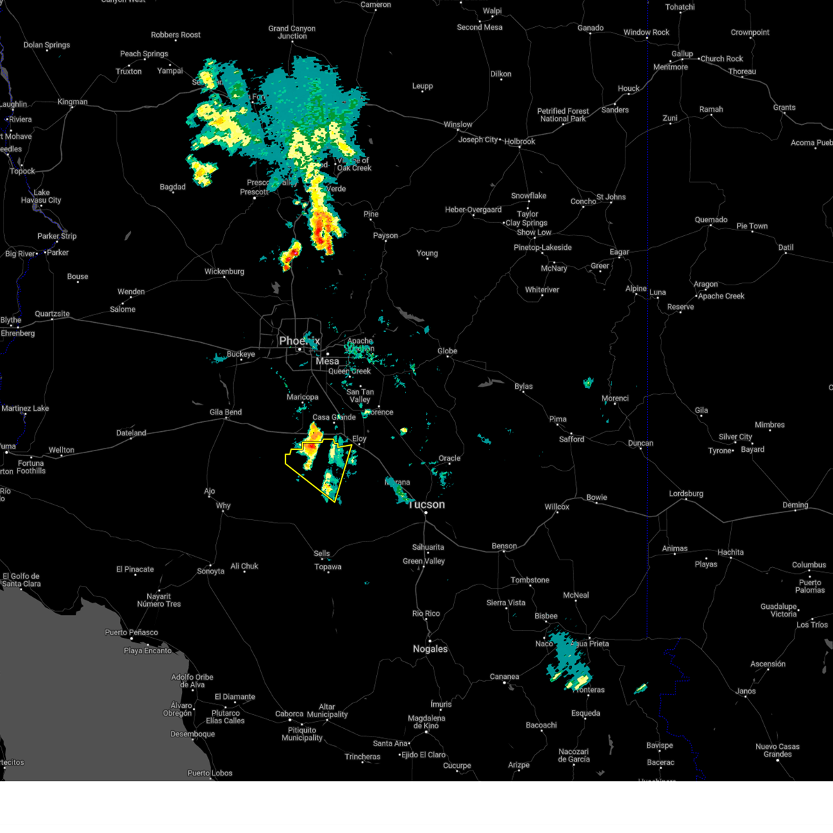
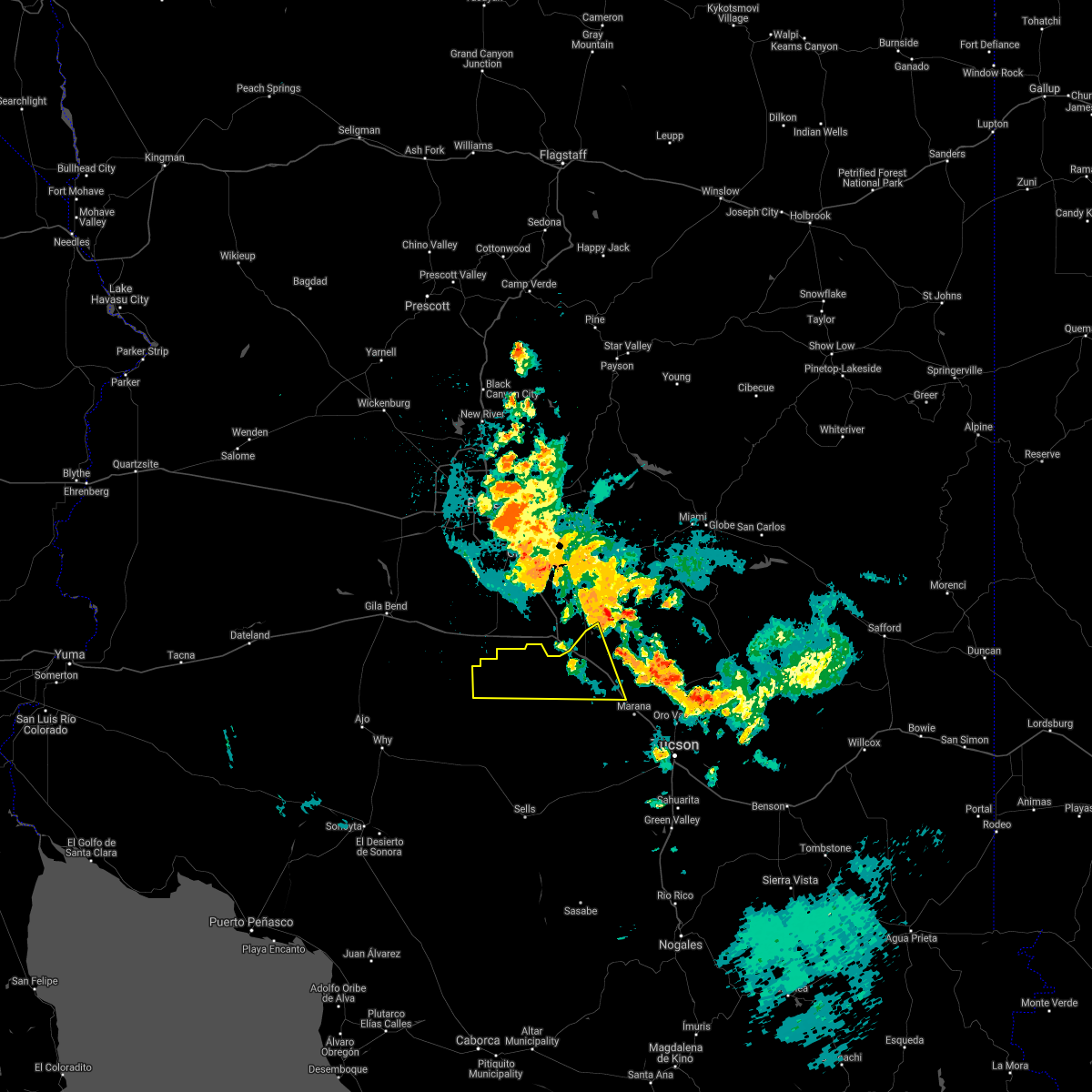
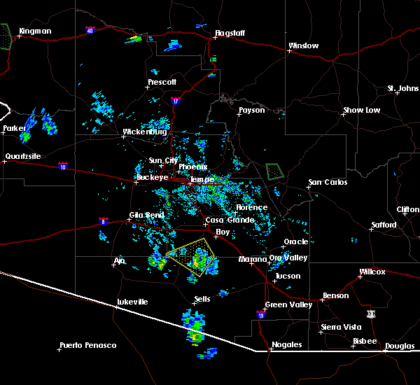
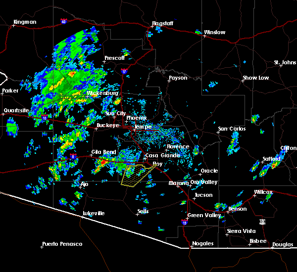
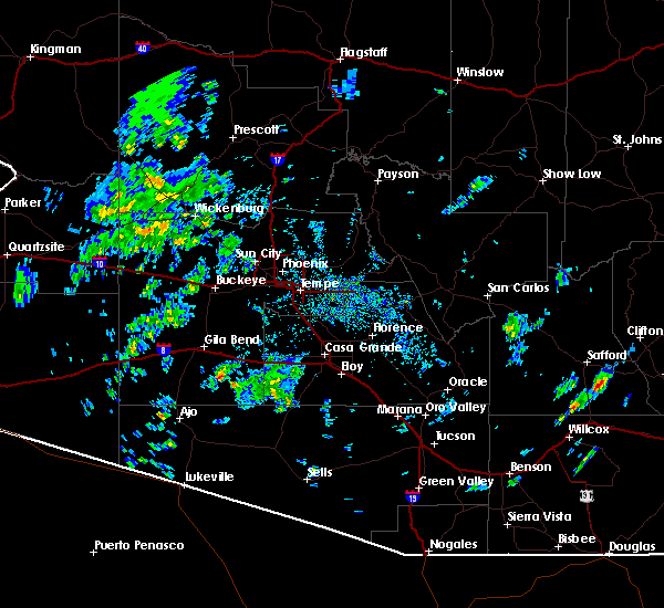
Hail Map for Kohatk, AZ
The Kohatk, AZ area has had 0 reports of on-the-ground hail by trained spotters, and has been under severe weather warnings 4 times during the past 12 months. Doppler radar has detected hail at or near Kohatk, AZ on 19 occasions.
| Name: | Kohatk, AZ |
| Where Located: | 60.1 miles S of Phoenix, AZ |
| Map: | Google Map for Kohatk, AZ |
| Population: | 27 |
| Housing Units: | 15 |
| More Info: | Search Google for Kohatk, AZ |
5
The Top Recent Hail Date for Kohatk, AZ is Tuesday, July 8, 2014 (1st out of 19)
Hail and Wind Damage Spotted near Kohatk, AZ
| Date / Time | Report Details |
|---|---|
| 7/12/2026 6:28 PM MST |
 Svrtwc the national weather service in tucson has issued a * severe thunderstorm warning for, north central pima county in southeastern arizona, southwestern pinal county in southeastern arizona, * until 730 pm mst. * at 628 pm mst, severe thunderstorms were located along a line from 9 miles north of san isidro to near eloy, moving west at 15 mph (radar indicated). Hazards include 60 mph wind gusts and small hail. expect damage to roofs, siding, and trees Svrtwc the national weather service in tucson has issued a * severe thunderstorm warning for, north central pima county in southeastern arizona, southwestern pinal county in southeastern arizona, * until 730 pm mst. * at 628 pm mst, severe thunderstorms were located along a line from 9 miles north of san isidro to near eloy, moving west at 15 mph (radar indicated). Hazards include 60 mph wind gusts and small hail. expect damage to roofs, siding, and trees
|
| 8/21/2025 8:47 PM MST |
 The storm which prompted the warning has weakened below severe limits, and no longer poses an immediate threat to life or property. therefore, the warning has been allowed to expire. however, gusty winds and heavy rain are still possible with this thunderstorm. The storm which prompted the warning has weakened below severe limits, and no longer poses an immediate threat to life or property. therefore, the warning has been allowed to expire. however, gusty winds and heavy rain are still possible with this thunderstorm.
|
| 8/21/2025 8:25 PM MST |
 At 825 pm mst, a severe thunderstorm was located near chui-chu, moving west at 25 mph (radar indicated). Hazards include 60 mph wind gusts and small hail. Expect damage to roofs, siding, and trees. locations impacted include, chui-chu, cockleburr, north komelik, kohatk, jack rabbit, shopishk and east chui-chu. This includes interstate 10 near mile marker 206. At 825 pm mst, a severe thunderstorm was located near chui-chu, moving west at 25 mph (radar indicated). Hazards include 60 mph wind gusts and small hail. Expect damage to roofs, siding, and trees. locations impacted include, chui-chu, cockleburr, north komelik, kohatk, jack rabbit, shopishk and east chui-chu. This includes interstate 10 near mile marker 206.
|
| 8/21/2025 7:55 PM MST |
 Svrtwc the national weather service in tucson has issued a * severe thunderstorm warning for, southwestern pinal county in southeastern arizona, * until 845 pm mst. * at 755 pm mst, a severe thunderstorm was located 10 miles southwest of eloy, moving west at 20 mph (radar indicated). Hazards include 60 mph wind gusts and small hail. expect damage to roofs, siding, and trees Svrtwc the national weather service in tucson has issued a * severe thunderstorm warning for, southwestern pinal county in southeastern arizona, * until 845 pm mst. * at 755 pm mst, a severe thunderstorm was located 10 miles southwest of eloy, moving west at 20 mph (radar indicated). Hazards include 60 mph wind gusts and small hail. expect damage to roofs, siding, and trees
|
| 7/15/2025 8:15 PM MST |
 The storm which prompted the warning has weakened below severe limits, and no longer poses an immediate threat to life or property. therefore, the warning has been allowed to expire. The storm which prompted the warning has weakened below severe limits, and no longer poses an immediate threat to life or property. therefore, the warning has been allowed to expire.
|
| 7/15/2025 7:32 PM MST |
 Svrtwc the national weather service in tucson has issued a * severe thunderstorm warning for, north central pima county in southeastern arizona, southwestern pinal county in southeastern arizona, * until 815 pm mst. * at 732 pm mst, a severe thunderstorm was located 11 miles northeast of santa rosa, moving northwest at 15 mph (radar indicated). Hazards include 60 mph wind gusts and small hail. expect damage to roofs, siding, and trees Svrtwc the national weather service in tucson has issued a * severe thunderstorm warning for, north central pima county in southeastern arizona, southwestern pinal county in southeastern arizona, * until 815 pm mst. * at 732 pm mst, a severe thunderstorm was located 11 miles northeast of santa rosa, moving northwest at 15 mph (radar indicated). Hazards include 60 mph wind gusts and small hail. expect damage to roofs, siding, and trees
|
| 8/6/2024 7:44 PM MST |
 The storm which prompted the warning has moved out of the area. therefore, the warning will be allowed to expire. however, gusty winds and heavy rain are still possible with this thunderstorm. The storm which prompted the warning has moved out of the area. therefore, the warning will be allowed to expire. however, gusty winds and heavy rain are still possible with this thunderstorm.
|
| 8/6/2024 7:27 PM MST |
 At 726 pm mst, a severe thunderstorm was located near kaka, or 38 miles east of ajo, moving west at 20 mph (radar indicated). Hazards include 60 mph wind gusts and penny size hail. Expect damage to roofs, siding, and trees. Locations impacted include, santa rosa, kohatk, ventana, and vaya chin. At 726 pm mst, a severe thunderstorm was located near kaka, or 38 miles east of ajo, moving west at 20 mph (radar indicated). Hazards include 60 mph wind gusts and penny size hail. Expect damage to roofs, siding, and trees. Locations impacted include, santa rosa, kohatk, ventana, and vaya chin.
|
| 8/6/2024 7:16 PM MST |
 Svrtwc the national weather service in tucson has issued a * severe thunderstorm warning for, north central pima county in southeastern arizona, southwestern pinal county in southeastern arizona, * until 745 pm mst. * at 716 pm mst, a severe thunderstorm was located 9 miles southeast of kaka, or 40 miles northwest of sells, moving west at 20 mph (radar indicated). Hazards include 60 mph wind gusts and penny size hail. expect damage to roofs, siding, and trees Svrtwc the national weather service in tucson has issued a * severe thunderstorm warning for, north central pima county in southeastern arizona, southwestern pinal county in southeastern arizona, * until 745 pm mst. * at 716 pm mst, a severe thunderstorm was located 9 miles southeast of kaka, or 40 miles northwest of sells, moving west at 20 mph (radar indicated). Hazards include 60 mph wind gusts and penny size hail. expect damage to roofs, siding, and trees
|
| 8/6/2024 7:13 PM MST |
 The storm which prompted the warning has moved out of the area. therefore, the warning will be allowed to expire. The storm which prompted the warning has moved out of the area. therefore, the warning will be allowed to expire.
|
| 8/6/2024 6:43 PM MST |
 At 643 pm mst, a severe thunderstorm was located near santa rosa, or 31 miles north of sells, moving west at 20 mph (radar indicated). Hazards include 60 mph wind gusts and penny size hail. Expect damage to roofs, siding, and trees. Locations impacted include, santa rosa, anegam, north komelik, kohatk, palo verde stand, ak chin, sil nakya, jack rabbit, and san luis. At 643 pm mst, a severe thunderstorm was located near santa rosa, or 31 miles north of sells, moving west at 20 mph (radar indicated). Hazards include 60 mph wind gusts and penny size hail. Expect damage to roofs, siding, and trees. Locations impacted include, santa rosa, anegam, north komelik, kohatk, palo verde stand, ak chin, sil nakya, jack rabbit, and san luis.
|
| 8/6/2024 6:20 PM MST |
 Svrtwc the national weather service in tucson has issued a * severe thunderstorm warning for, north central pima county in southeastern arizona, southwestern pinal county in southeastern arizona, * until 715 pm mst. * at 619 pm mst, a severe thunderstorm was located 13 miles east of santa rosa, or 30 miles north of sells, moving west at 20 mph (radar indicated). Hazards include 60 mph wind gusts and quarter size hail. Hail damage to vehicles is expected. Expect wind damage to roofs, siding, and trees. Svrtwc the national weather service in tucson has issued a * severe thunderstorm warning for, north central pima county in southeastern arizona, southwestern pinal county in southeastern arizona, * until 715 pm mst. * at 619 pm mst, a severe thunderstorm was located 13 miles east of santa rosa, or 30 miles north of sells, moving west at 20 mph (radar indicated). Hazards include 60 mph wind gusts and quarter size hail. Hail damage to vehicles is expected. Expect wind damage to roofs, siding, and trees.
|
| 7/14/2024 8:11 PM MST |
 Svrtwc the national weather service in tucson has issued a * severe thunderstorm warning for, north central pima county in southeastern arizona, southwestern pinal county in southeastern arizona, * until 900 pm mst. * at 811 pm mst, a severe thunderstorm was located 13 miles west of chui-chu, or 19 miles southwest of casa grande, moving northwest at 25 mph (radar indicated). Hazards include 60 mph wind gusts and quarter size hail. Hail damage to vehicles is expected. Expect wind damage to roofs, siding, and trees. Svrtwc the national weather service in tucson has issued a * severe thunderstorm warning for, north central pima county in southeastern arizona, southwestern pinal county in southeastern arizona, * until 900 pm mst. * at 811 pm mst, a severe thunderstorm was located 13 miles west of chui-chu, or 19 miles southwest of casa grande, moving northwest at 25 mph (radar indicated). Hazards include 60 mph wind gusts and quarter size hail. Hail damage to vehicles is expected. Expect wind damage to roofs, siding, and trees.
|
| 7/14/2024 7:24 PM MST |
 Svrtwc the national weather service in tucson has issued a * severe thunderstorm warning for, north central pima county in southeastern arizona, southwestern pinal county in southeastern arizona, * until 815 pm mst. * at 722 pm mst, severe thunderstorms were located along a line extending from 8 miles southwest of chui-chu to 13 miles south of arizona city to 10 miles west of avra valley, moving northwest at 25 mph (radar indicated). Hazards include 70 mph wind gusts and quarter size hail. Hail damage to vehicles is expected. expect considerable tree damage. Wind damage is also likely to mobile homes, roofs, and outbuildings. Svrtwc the national weather service in tucson has issued a * severe thunderstorm warning for, north central pima county in southeastern arizona, southwestern pinal county in southeastern arizona, * until 815 pm mst. * at 722 pm mst, severe thunderstorms were located along a line extending from 8 miles southwest of chui-chu to 13 miles south of arizona city to 10 miles west of avra valley, moving northwest at 25 mph (radar indicated). Hazards include 70 mph wind gusts and quarter size hail. Hail damage to vehicles is expected. expect considerable tree damage. Wind damage is also likely to mobile homes, roofs, and outbuildings.
|
| 8/31/2023 7:57 PM MST |
 The severe thunderstorm warning for north central pima and southwestern pinal counties will expire at 800 pm mst, the storm which prompted the warning has moved out of the area. therefore, the warning will be allowed to expire. however gusty winds are still possible with this thunderstorm. The severe thunderstorm warning for north central pima and southwestern pinal counties will expire at 800 pm mst, the storm which prompted the warning has moved out of the area. therefore, the warning will be allowed to expire. however gusty winds are still possible with this thunderstorm.
|
| 8/31/2023 7:09 PM MST |
 At 709 pm mst, a severe thunderstorm was located near arizona city, or 17 miles south of casa grande, moving north at 20 mph (radar indicated). Hazards include 60 mph wind gusts and quarter size hail. Hail damage to vehicles is expected. Expect wind damage to roofs, siding, and trees. At 709 pm mst, a severe thunderstorm was located near arizona city, or 17 miles south of casa grande, moving north at 20 mph (radar indicated). Hazards include 60 mph wind gusts and quarter size hail. Hail damage to vehicles is expected. Expect wind damage to roofs, siding, and trees.
|
| 9/11/2022 7:25 PM MST |
 The severe thunderstorm warning for north central pima and southwestern pinal counties will expire at 730 pm mst, the storm which prompted the warning has weakened below severe limits, and no longer poses an immediate threat to life or property. therefore, the warning will be allowed to expire. however gusty winds are still possible with this thunderstorm. The severe thunderstorm warning for north central pima and southwestern pinal counties will expire at 730 pm mst, the storm which prompted the warning has weakened below severe limits, and no longer poses an immediate threat to life or property. therefore, the warning will be allowed to expire. however gusty winds are still possible with this thunderstorm.
|
| 9/11/2022 7:03 PM MST |
 At 703 pm mst, a severe thunderstorm was located 10 miles north of santa rosa, or 33 miles southwest of casa grande, moving northwest at 15 mph (radar indicated). Hazards include 60 mph wind gusts and quarter size hail. Hail damage to vehicles is expected. expect wind damage to roofs, siding, and trees. locations impacted include, santa rosa, chui-chu, anegam, north komelik, kohatk, palo verde stand, ventana, jack rabbit, shopishk, san luis, east chui-chu and santa rosa school. hail threat, radar indicated max hail size, 1. 00 in wind threat, radar indicated max wind gust, 60 mph. At 703 pm mst, a severe thunderstorm was located 10 miles north of santa rosa, or 33 miles southwest of casa grande, moving northwest at 15 mph (radar indicated). Hazards include 60 mph wind gusts and quarter size hail. Hail damage to vehicles is expected. expect wind damage to roofs, siding, and trees. locations impacted include, santa rosa, chui-chu, anegam, north komelik, kohatk, palo verde stand, ventana, jack rabbit, shopishk, san luis, east chui-chu and santa rosa school. hail threat, radar indicated max hail size, 1. 00 in wind threat, radar indicated max wind gust, 60 mph.
|
| 9/11/2022 6:44 PM MST |
 At 643 pm mst, a severe thunderstorm was located 7 miles northeast of santa rosa, or 33 miles north of sells, moving northwest at 15 mph (radar indicated). Hazards include 60 mph wind gusts and quarter size hail. Hail damage to vehicles is expected. Expect wind damage to roofs, siding, and trees. At 643 pm mst, a severe thunderstorm was located 7 miles northeast of santa rosa, or 33 miles north of sells, moving northwest at 15 mph (radar indicated). Hazards include 60 mph wind gusts and quarter size hail. Hail damage to vehicles is expected. Expect wind damage to roofs, siding, and trees.
|
| 8/16/2021 11:54 PM MST |
 At 1153 pm mst, a severe thunderstorm was located 8 miles south of arizona city, or 19 miles south of casa grande, moving southwest at 5 mph (radar indicated). Hazards include 60 mph wind gusts and quarter size hail. Hail damage to vehicles is expected. expect wind damage to roofs, siding, and trees. locations impacted include, chui-chu, cockleburr, kohatk, jack rabbit, shopishk and east chui-chu. hail threat, radar indicated max hail size, 1. 00 in wind threat, radar indicated max wind gust, 60 mph. At 1153 pm mst, a severe thunderstorm was located 8 miles south of arizona city, or 19 miles south of casa grande, moving southwest at 5 mph (radar indicated). Hazards include 60 mph wind gusts and quarter size hail. Hail damage to vehicles is expected. expect wind damage to roofs, siding, and trees. locations impacted include, chui-chu, cockleburr, kohatk, jack rabbit, shopishk and east chui-chu. hail threat, radar indicated max hail size, 1. 00 in wind threat, radar indicated max wind gust, 60 mph.
|
| 8/16/2021 11:16 PM MST |
 At 1115 pm mst, a severe thunderstorm was located near arizona city moving southwest at 5 mph. additional thunderstorms will be developing in the next hour that may become severe (radar indicated). Hazards include 60 mph wind gusts and quarter size hail. Hail damage to vehicles is expected. Expect wind damage to roofs, siding, and trees. At 1115 pm mst, a severe thunderstorm was located near arizona city moving southwest at 5 mph. additional thunderstorms will be developing in the next hour that may become severe (radar indicated). Hazards include 60 mph wind gusts and quarter size hail. Hail damage to vehicles is expected. Expect wind damage to roofs, siding, and trees.
|
| 7/10/2021 9:26 PM MST |
 At 925 pm mst, severe thunderstorms were located along a line extending from 12 miles southwest of chui-chu to near san isidro, moving west at 20 mph (radar indicated). Hazards include 60 mph wind gusts and quarter size hail. Hail damage to vehicles is expected. expect wind damage to roofs, siding, and trees. locations impacted include, santa rosa, san isidro, anegam, north komelik, kohatk, palo verde stand, ventana, ak chin, no:ligk, comobabi, south comobabi, cababi, sil nakya, san luis - sells district, san luis, rincon and santa rosa school. This includes route 86 between mile markers 92 and 108, and between mile markers 122 and 128. At 925 pm mst, severe thunderstorms were located along a line extending from 12 miles southwest of chui-chu to near san isidro, moving west at 20 mph (radar indicated). Hazards include 60 mph wind gusts and quarter size hail. Hail damage to vehicles is expected. expect wind damage to roofs, siding, and trees. locations impacted include, santa rosa, san isidro, anegam, north komelik, kohatk, palo verde stand, ventana, ak chin, no:ligk, comobabi, south comobabi, cababi, sil nakya, san luis - sells district, san luis, rincon and santa rosa school. This includes route 86 between mile markers 92 and 108, and between mile markers 122 and 128.
|
| 7/10/2021 8:40 PM MST |
 At 839 pm mst, severe thunderstorms were located along a line extending from near chui-chu to 12 miles southeast of kitt peak, moving west southwest at 20 mph (radar indicated). Hazards include 60 mph wind gusts and quarter size hail. Hail damage to vehicles is expected. Expect wind damage to roofs, siding, and trees. At 839 pm mst, severe thunderstorms were located along a line extending from near chui-chu to 12 miles southeast of kitt peak, moving west southwest at 20 mph (radar indicated). Hazards include 60 mph wind gusts and quarter size hail. Hail damage to vehicles is expected. Expect wind damage to roofs, siding, and trees.
|
| 8/20/2020 9:17 PM MST |
 At 916 pm mst, a severe thunderstorm was located 15 miles southeast of freeman, or 24 miles southwest of casa grande, moving southwest at 45 mph (radar indicated). Hazards include 60 mph wind gusts and penny size hail. expect damage to roofs, siding, and trees At 916 pm mst, a severe thunderstorm was located 15 miles southeast of freeman, or 24 miles southwest of casa grande, moving southwest at 45 mph (radar indicated). Hazards include 60 mph wind gusts and penny size hail. expect damage to roofs, siding, and trees
|
| 8/16/2020 6:15 PM MST |
 At 614 pm mst, a severe thunderstorm was located 10 miles southeast of kaka moving southwest at 30 mph (radar indicated). Hazards include 60 mph wind gusts and quarter size hail. Hail damage to vehicles is expected. Expect wind damage to roofs, siding, and trees. At 614 pm mst, a severe thunderstorm was located 10 miles southeast of kaka moving southwest at 30 mph (radar indicated). Hazards include 60 mph wind gusts and quarter size hail. Hail damage to vehicles is expected. Expect wind damage to roofs, siding, and trees.
|
| 8/16/2020 6:00 PM MST |
 At 600 pm mst, a severe thunderstorm was located 11 miles west of santa rosa moving southwest at 25 mph (radar indicated). Hazards include 60 mph wind gusts and quarter size hail. Hail damage to vehicles is expected. expect wind damage to roofs, siding, and trees. Locations impacted include, santa rosa, anegam, north komelik, kohatk, palo verde stand, ventana, vaya chin, jack rabbit, san luis and santa rosa school. At 600 pm mst, a severe thunderstorm was located 11 miles west of santa rosa moving southwest at 25 mph (radar indicated). Hazards include 60 mph wind gusts and quarter size hail. Hail damage to vehicles is expected. expect wind damage to roofs, siding, and trees. Locations impacted include, santa rosa, anegam, north komelik, kohatk, palo verde stand, ventana, vaya chin, jack rabbit, san luis and santa rosa school.
|
| 8/16/2020 5:38 PM MST |
 At 537 pm mst, a severe thunderstorm was located 9 miles east of kaka moving southwest at 25 mph (radar indicated). Hazards include 60 mph wind gusts. expect damage to roofs, siding, and trees At 537 pm mst, a severe thunderstorm was located 9 miles east of kaka moving southwest at 25 mph (radar indicated). Hazards include 60 mph wind gusts. expect damage to roofs, siding, and trees
|
| 9/16/2019 2:02 PM MST |
 At 201 pm mst, a severe thunderstorm was located near chui-chu, or 12 miles southwest of casa grande, moving northeast at 10 mph (radar indicated). Hazards include 70 mph wind gusts and quarter size hail. Hail damage to vehicles is expected. expect considerable tree damage. wind damage is also likely to mobile homes, roofs, and outbuildings. Locations impacted include, chui-chu, cockleburr, kohatk and shopishk. At 201 pm mst, a severe thunderstorm was located near chui-chu, or 12 miles southwest of casa grande, moving northeast at 10 mph (radar indicated). Hazards include 70 mph wind gusts and quarter size hail. Hail damage to vehicles is expected. expect considerable tree damage. wind damage is also likely to mobile homes, roofs, and outbuildings. Locations impacted include, chui-chu, cockleburr, kohatk and shopishk.
|
| 9/16/2019 1:52 PM MST |
 At 151 pm mst, a severe thunderstorm was located near chui-chu, or 14 miles southwest of casa grande, moving northeast at 10 mph (radar indicated). Hazards include 60 mph wind gusts. expect damage to roofs, siding, and trees At 151 pm mst, a severe thunderstorm was located near chui-chu, or 14 miles southwest of casa grande, moving northeast at 10 mph (radar indicated). Hazards include 60 mph wind gusts. expect damage to roofs, siding, and trees
|
| 9/1/2019 5:11 PM MST |
 The severe thunderstorm warning for northern pima and southwestern pinal counties will expire at 515 pm mst, the storm now 18 miles southwest of casa grande which prompted the warning has weakened below severe limits. therefore, the warning will be allowed to expire. gusty winds to 40 mph and areas of blowing dust will remain possible. a severe thunderstorm watch remains in effect until 1100 pm mst for southeastern arizona. The severe thunderstorm warning for northern pima and southwestern pinal counties will expire at 515 pm mst, the storm now 18 miles southwest of casa grande which prompted the warning has weakened below severe limits. therefore, the warning will be allowed to expire. gusty winds to 40 mph and areas of blowing dust will remain possible. a severe thunderstorm watch remains in effect until 1100 pm mst for southeastern arizona.
|
| 9/1/2019 4:55 PM MST |
 At 454 pm mst, a severe thunderstorm was located just northwest of jackrabbit, or 20 miles southwest of casa grande, moving northwest at 15 mph (radar indicated). Hazards include 60 mph wind gusts and penny size hail with some areas of blowing dust possible. Expect damage to roofs, siding, and trees. Locations impacted include, cockleburr, kohatk and jack rabbit. At 454 pm mst, a severe thunderstorm was located just northwest of jackrabbit, or 20 miles southwest of casa grande, moving northwest at 15 mph (radar indicated). Hazards include 60 mph wind gusts and penny size hail with some areas of blowing dust possible. Expect damage to roofs, siding, and trees. Locations impacted include, cockleburr, kohatk and jack rabbit.
|
| 9/1/2019 4:38 PM MST |
 At 437 pm mst, a severe thunderstorm was located near jackrabbit, or 20 miles south of casa grande, moving west-northwest at 15 mph (radar indicated). Hazards include 60 mph wind gusts and quarter size hail. Hail damage to vehicles is expected. Expect wind damage to roofs, siding, and trees. At 437 pm mst, a severe thunderstorm was located near jackrabbit, or 20 miles south of casa grande, moving west-northwest at 15 mph (radar indicated). Hazards include 60 mph wind gusts and quarter size hail. Hail damage to vehicles is expected. Expect wind damage to roofs, siding, and trees.
|
| 7/25/2019 7:38 PM MST |
 The severe thunderstorm warning for north central pima and southwestern pinal counties will expire at 745 pm mst, the storm which prompted the warning over northern portions of the tohono o`odham nation north of sells has weakened moved out of the area. therefore, the warning will be allowed to expire. however heavy rain is still possible with this thunderstorm. The severe thunderstorm warning for north central pima and southwestern pinal counties will expire at 745 pm mst, the storm which prompted the warning over northern portions of the tohono o`odham nation north of sells has weakened moved out of the area. therefore, the warning will be allowed to expire. however heavy rain is still possible with this thunderstorm.
|
| 7/25/2019 6:56 PM MST |
 At 655 pm mst, a severe thunderstorm was located 10 miles north of santa rosa, or 25 to 30 miles southwest of casa grande, moving northwest at 15 mph (radar indicated). Hazards include 60 mph wind gusts and penny size hail along with heavy rain. expect damage to roofs, siding, and trees At 655 pm mst, a severe thunderstorm was located 10 miles north of santa rosa, or 25 to 30 miles southwest of casa grande, moving northwest at 15 mph (radar indicated). Hazards include 60 mph wind gusts and penny size hail along with heavy rain. expect damage to roofs, siding, and trees
|
| 7/25/2019 6:43 PM MST |
 At 642 pm mst, a severe thunderstorm was located 13 miles north of santa rosa, or 29 miles southwest of casa grande, moving west at 10 mph (radar indicated). Hazards include 60 mph wind gusts and quarter size hail along with heavy rain. Hail damage to vehicles is expected. expect wind damage to roofs, siding, and trees. Locations impacted include, north komelik, kohatk, jack rabbit and shopishk. At 642 pm mst, a severe thunderstorm was located 13 miles north of santa rosa, or 29 miles southwest of casa grande, moving west at 10 mph (radar indicated). Hazards include 60 mph wind gusts and quarter size hail along with heavy rain. Hail damage to vehicles is expected. expect wind damage to roofs, siding, and trees. Locations impacted include, north komelik, kohatk, jack rabbit and shopishk.
|
| 7/25/2019 6:12 PM MST |
 At 610 pm mst, an area of severe thunderstorms was located 10 to 18 miles northeast of santa rosa, or 28 to 35 miles south of casa grande, moving northwest at 10 mph (radar indicated). Hazards include 60 mph wind gusts and quarter size hail along with blowing dust, followed by heavy rain. Hail damage to vehicles is expected. Expect wind damage to roofs, siding, and trees. At 610 pm mst, an area of severe thunderstorms was located 10 to 18 miles northeast of santa rosa, or 28 to 35 miles south of casa grande, moving northwest at 10 mph (radar indicated). Hazards include 60 mph wind gusts and quarter size hail along with blowing dust, followed by heavy rain. Hail damage to vehicles is expected. Expect wind damage to roofs, siding, and trees.
|
| 8/12/2018 7:39 PM MST |
 At 706 pm mst, a severe thunderstorm was located 14 miles south of arizona city, or 20 miles south of casa grande, moving southwest at 10 mph. additional thunderstorm development with strong outflow is expected in the area (radar indicated). Hazards include 60 mph wind gusts and quarter size hail. Hail damage to vehicles is expected. Expect wind damage to roofs, siding, and trees. At 706 pm mst, a severe thunderstorm was located 14 miles south of arizona city, or 20 miles south of casa grande, moving southwest at 10 mph. additional thunderstorm development with strong outflow is expected in the area (radar indicated). Hazards include 60 mph wind gusts and quarter size hail. Hail damage to vehicles is expected. Expect wind damage to roofs, siding, and trees.
|
| 8/12/2018 7:07 PM MST |
 At 706 pm mst, a severe thunderstorm was located 14 miles south of arizona city, or 20 miles south of casa grande, moving southwest at 10 mph. additional thunderstorm development with strong outflow is expected in the area (radar indicated). Hazards include 60 mph wind gusts and quarter size hail. Hail damage to vehicles is expected. Expect wind damage to roofs, siding, and trees. At 706 pm mst, a severe thunderstorm was located 14 miles south of arizona city, or 20 miles south of casa grande, moving southwest at 10 mph. additional thunderstorm development with strong outflow is expected in the area (radar indicated). Hazards include 60 mph wind gusts and quarter size hail. Hail damage to vehicles is expected. Expect wind damage to roofs, siding, and trees.
|
| 10/6/2015 11:26 AM MST | The severe thunderstorm warning for southwestern pinal county will expire at 1130 am mst, the storm which prompted the warning has weakened below severe limits and exited the warned area. therefore the warning will be allowed to expire. |
| 10/6/2015 11:01 AM MST |
 At 1100 am mst, doppler radar indicated a severe thunderstorm capable of producing half dollar size hail and damaging winds in excess of 60 mph. this storm was located over jackrabbit, moving northeast at 25 mph. locations impacted include, eloy, white horse pass, cocklebur, kohatk, chuichu and jackrabbit. At 1100 am mst, doppler radar indicated a severe thunderstorm capable of producing half dollar size hail and damaging winds in excess of 60 mph. this storm was located over jackrabbit, moving northeast at 25 mph. locations impacted include, eloy, white horse pass, cocklebur, kohatk, chuichu and jackrabbit.
|
| 10/6/2015 10:36 AM MST |
 At 1035 am mst, doppler radar indicated a severe thunderstorm capable of producing half dollar size hail and damaging winds in excess of 60 mph. this storm was located near north komelik, and moving northeast at 20 mph. At 1035 am mst, doppler radar indicated a severe thunderstorm capable of producing half dollar size hail and damaging winds in excess of 60 mph. this storm was located near north komelik, and moving northeast at 20 mph.
|
Hail Maps for Kohatk, AZ


Connect with Interactive Hail Maps