

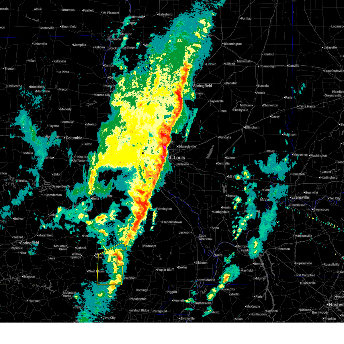
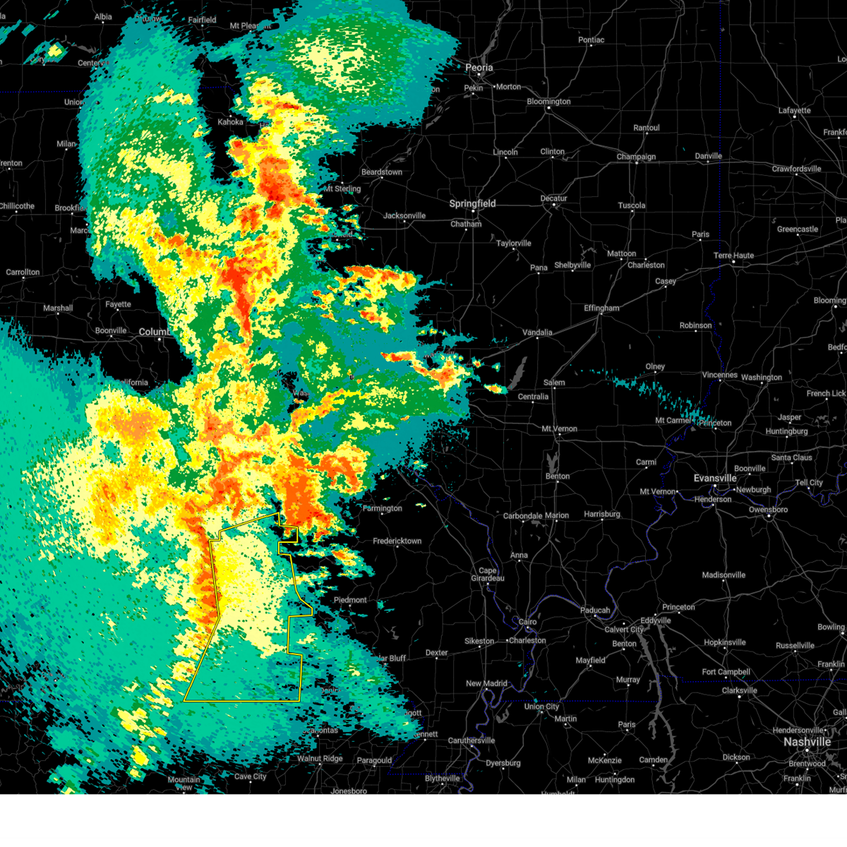
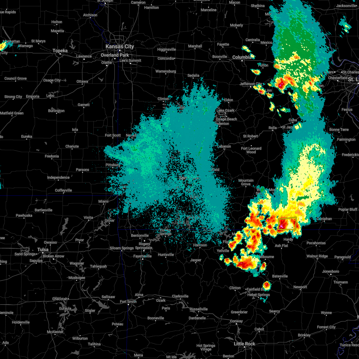
Hail Map for Koshkonong, MO
The Koshkonong, MO area has had 1 report of on-the-ground hail by trained spotters, and has been under severe weather warnings 17 times during the past 12 months. Doppler radar has detected hail at or near Koshkonong, MO on 44 occasions, including 4 occasions during the past year.
| Name: | Koshkonong, MO |
| Where Located: | 72 miles S of Salem, MO |
| Map: | Google Map for Koshkonong, MO |
| Population: | 212 |
| Housing Units: | 102 |
| More Info: | Search Google for Koshkonong, MO |
2
The Top Recent Hail Date for Koshkonong, MO is Monday, April 27, 2026 (7th out of 44)

Hail and Wind Damage Spotted near Koshkonong, MO
| Date / Time | Report Details |
|---|---|
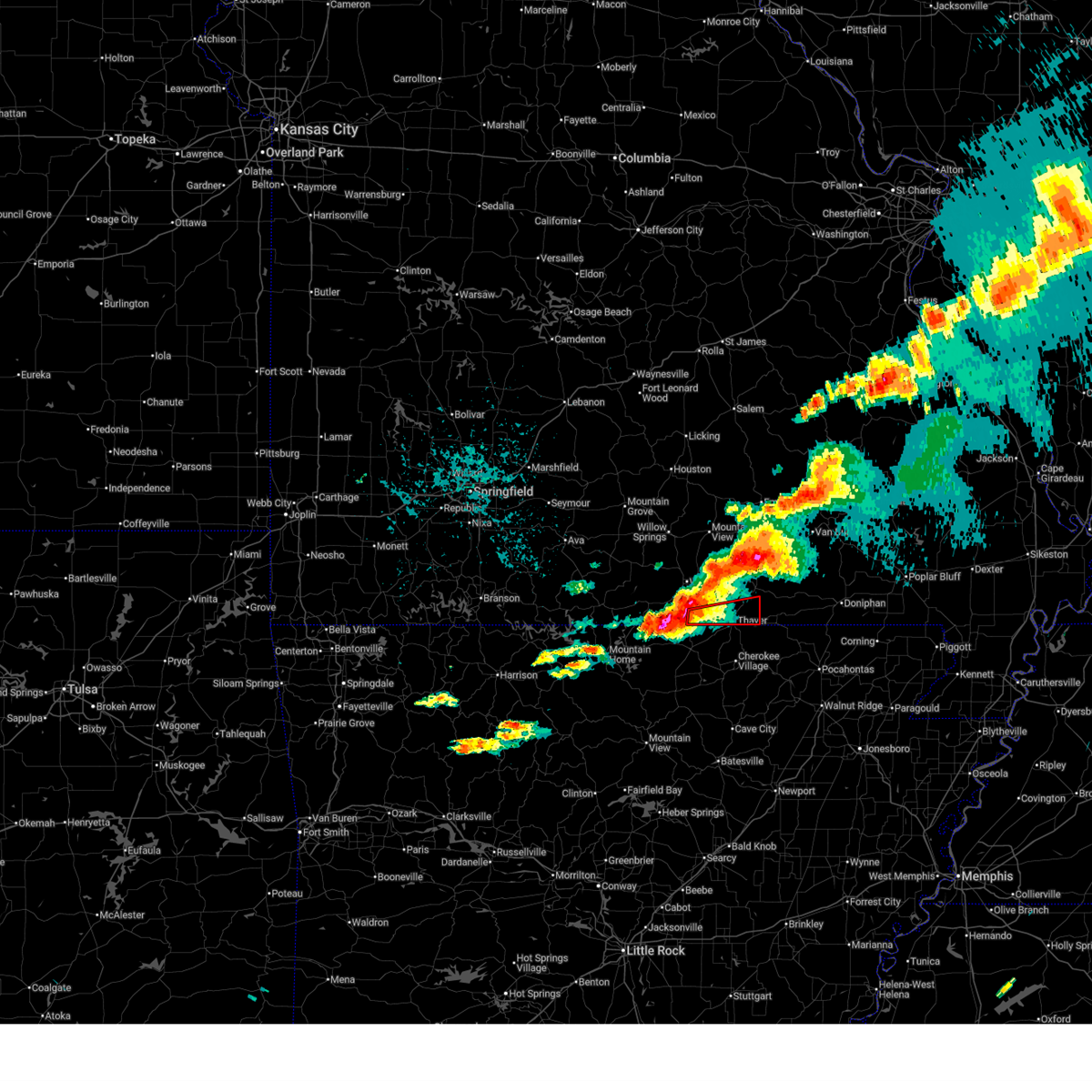
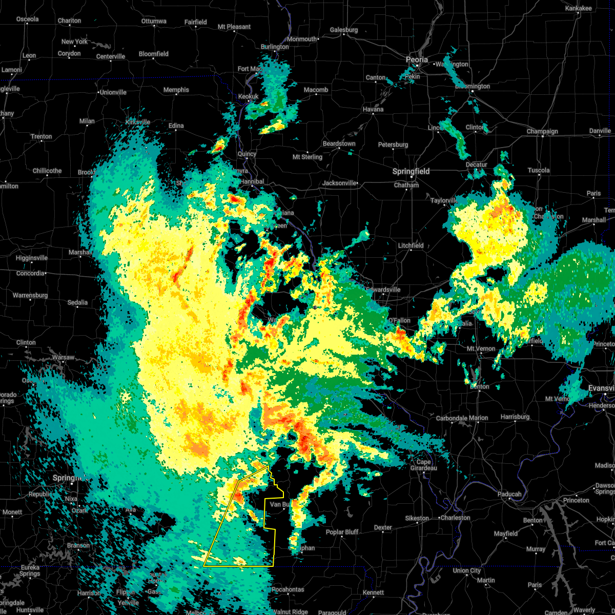
| 6/13/2026 12:49 PM CDT |
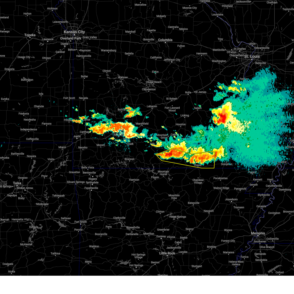
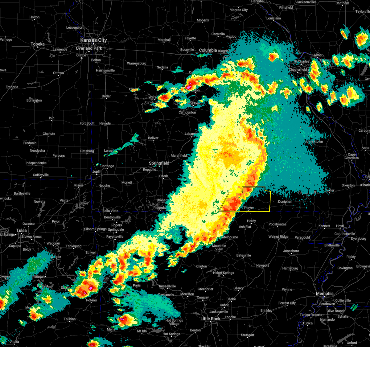
 At 1249 pm cdt, severe thunderstorms were located along a line extending from 7 miles southwest of fremont to 6 miles east of alton to near thayer, moving southeast at 35 mph (radar indicated). Hazards include 60 mph wind gusts and penny size hail. Expect damage to roofs, siding, and trees. Locations impacted include, grand gulf state park, thayer, alton, koshkonong, myrtle, wilderness, couch, and greer. At 1249 pm cdt, severe thunderstorms were located along a line extending from 7 miles southwest of fremont to 6 miles east of alton to near thayer, moving southeast at 35 mph (radar indicated). Hazards include 60 mph wind gusts and penny size hail. Expect damage to roofs, siding, and trees. Locations impacted include, grand gulf state park, thayer, alton, koshkonong, myrtle, wilderness, couch, and greer.
|
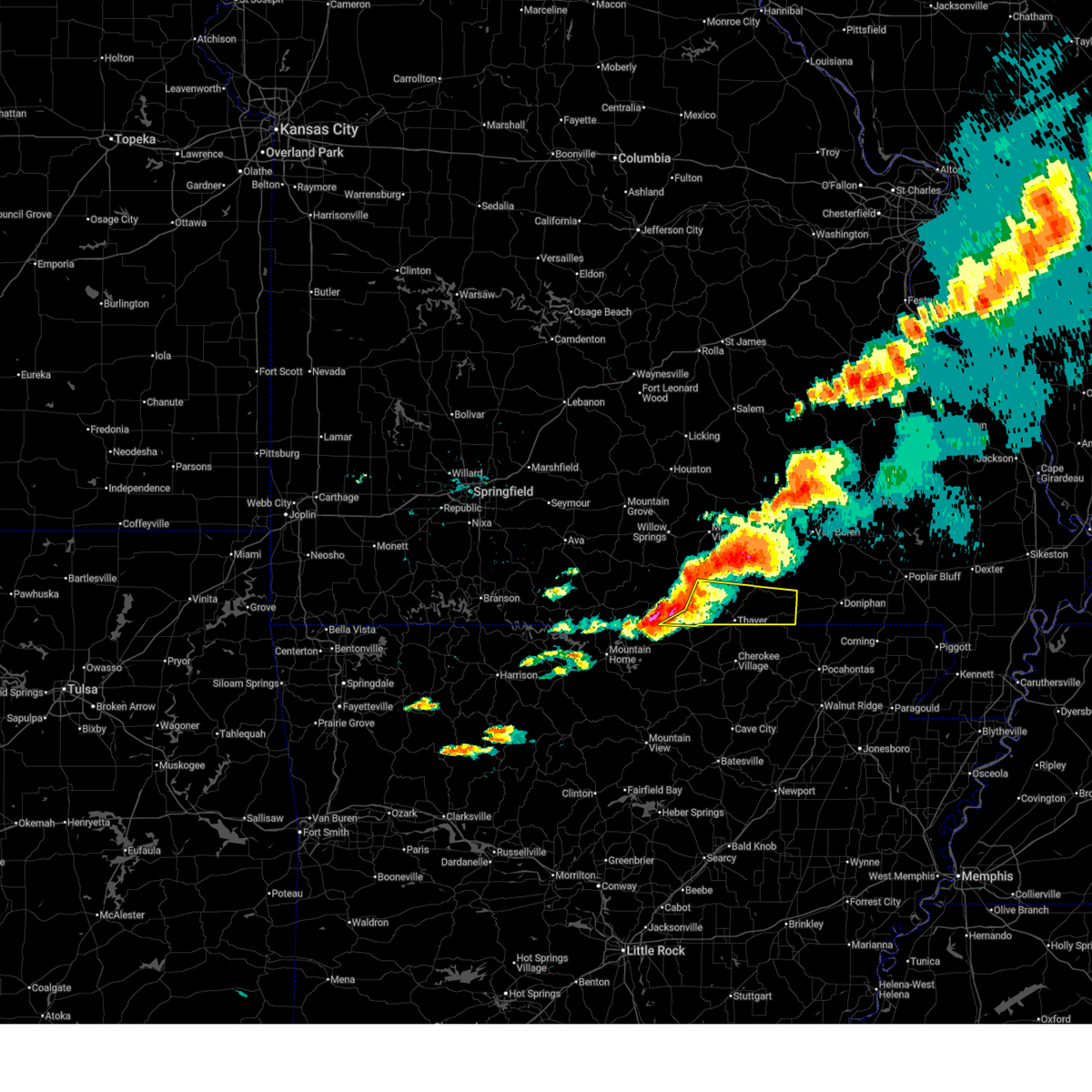
| 6/13/2026 12:27 PM CDT |
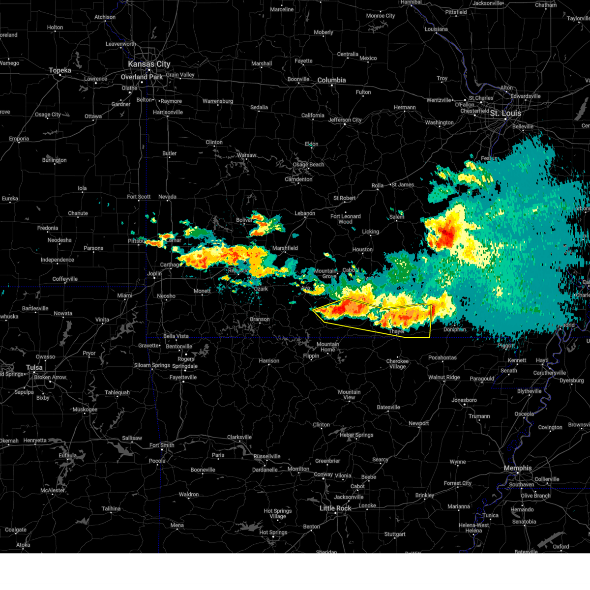
 Svrsgf the national weather service in springfield has issued a * severe thunderstorm warning for, southwestern shannon county in south central missouri, oregon county in south central missouri, * until 115 pm cdt. * at 1227 pm cdt, severe thunderstorms were located along a line extending from near birch tree to near alton to 8 miles northwest of thayer, moving east at 35 mph (radar indicated). Hazards include 60 mph wind gusts and penny size hail. expect damage to roofs, siding, and trees Svrsgf the national weather service in springfield has issued a * severe thunderstorm warning for, southwestern shannon county in south central missouri, oregon county in south central missouri, * until 115 pm cdt. * at 1227 pm cdt, severe thunderstorms were located along a line extending from near birch tree to near alton to 8 miles northwest of thayer, moving east at 35 mph (radar indicated). Hazards include 60 mph wind gusts and penny size hail. expect damage to roofs, siding, and trees
|
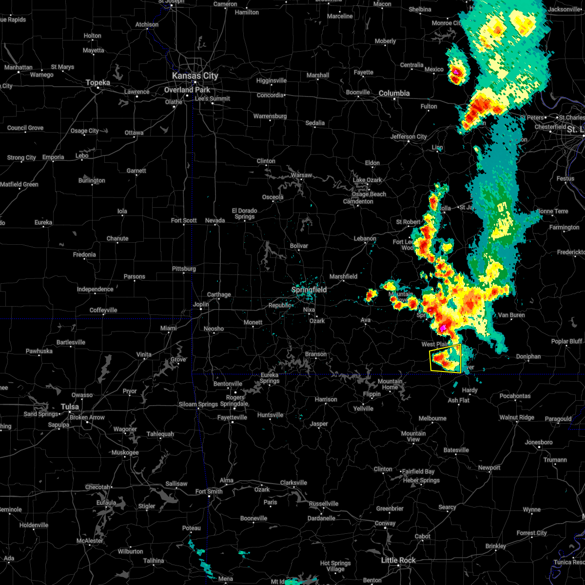
| 4/27/2026 8:56 PM CDT |
 At 856 pm cdt, severe thunderstorms were located along a line extending from near handy to 10 miles west of gatewood to near mammoth spring state park, moving east at 50 mph (radar indicated). Hazards include 60 mph wind gusts and quarter size hail. Hail damage to vehicles is expected. expect wind damage to roofs, siding, and trees. Locations impacted include, grand gulf state park, thayer, alton, koshkonong, couch, and myrtle. At 856 pm cdt, severe thunderstorms were located along a line extending from near handy to 10 miles west of gatewood to near mammoth spring state park, moving east at 50 mph (radar indicated). Hazards include 60 mph wind gusts and quarter size hail. Hail damage to vehicles is expected. expect wind damage to roofs, siding, and trees. Locations impacted include, grand gulf state park, thayer, alton, koshkonong, couch, and myrtle.
|
| 4/27/2026 8:45 PM CDT |
 At 844 pm cdt, severe thunderstorms were located along a line extending from near alton to 6 miles northeast of thayer to 6 miles west of mammoth spring, moving east at 55 mph (radar indicated). Hazards include 60 mph wind gusts and half dollar size hail. Hail damage to vehicles is expected. expect wind damage to roofs, siding, and trees. Locations impacted include, grand gulf state park, thayer, alton, koshkonong, brandsville, lanton, myrtle, and couch. At 844 pm cdt, severe thunderstorms were located along a line extending from near alton to 6 miles northeast of thayer to 6 miles west of mammoth spring, moving east at 55 mph (radar indicated). Hazards include 60 mph wind gusts and half dollar size hail. Hail damage to vehicles is expected. expect wind damage to roofs, siding, and trees. Locations impacted include, grand gulf state park, thayer, alton, koshkonong, brandsville, lanton, myrtle, and couch.
|
| 4/27/2026 8:30 PM CDT |
 Torsgf the national weather service in springfield has issued a * tornado warning for, southeastern howell county in south central missouri, southwestern oregon county in south central missouri, * until 915 pm cdt. * at 830 pm cdt, a severe thunderstorm capable of producing a tornado was located 7 miles northeast of sturkie, or 12 miles north of salem in fulton county, moving east at 40 mph (radar indicated rotation). Hazards include tornado and half dollar size hail. Flying debris will be dangerous to those caught without shelter. mobile homes will be damaged or destroyed. damage to roofs, windows, and vehicles will occur. Tree damage is likely. Torsgf the national weather service in springfield has issued a * tornado warning for, southeastern howell county in south central missouri, southwestern oregon county in south central missouri, * until 915 pm cdt. * at 830 pm cdt, a severe thunderstorm capable of producing a tornado was located 7 miles northeast of sturkie, or 12 miles north of salem in fulton county, moving east at 40 mph (radar indicated rotation). Hazards include tornado and half dollar size hail. Flying debris will be dangerous to those caught without shelter. mobile homes will be damaged or destroyed. damage to roofs, windows, and vehicles will occur. Tree damage is likely.
|
| 4/27/2026 8:22 PM CDT |
 Svrsgf the national weather service in springfield has issued a * severe thunderstorm warning for, southeastern howell county in south central missouri, southern oregon county in south central missouri, * until 915 pm cdt. * at 822 pm cdt, severe thunderstorms were located along a line extending from 12 miles east of west plains to 10 miles northeast of sturkie to near viola, moving east at 50 mph (radar indicated). Hazards include 60 mph wind gusts and half dollar size hail. Hail damage to vehicles is expected. Expect wind damage to roofs, siding, and trees. Svrsgf the national weather service in springfield has issued a * severe thunderstorm warning for, southeastern howell county in south central missouri, southern oregon county in south central missouri, * until 915 pm cdt. * at 822 pm cdt, severe thunderstorms were located along a line extending from 12 miles east of west plains to 10 miles northeast of sturkie to near viola, moving east at 50 mph (radar indicated). Hazards include 60 mph wind gusts and half dollar size hail. Hail damage to vehicles is expected. Expect wind damage to roofs, siding, and trees.
|
| 4/16/2026 1:58 PM CDT |
 At 158 pm cdt, a severe thunderstorm was located near thayer, moving east at 40 mph (emergency management). Hazards include 60 mph wind gusts and quarter size hail. quarter size hail was reported in lanton at 1:52 pm. Hail damage to vehicles is expected. expect wind damage to roofs, siding, and trees. Locations impacted include, grand gulf state park, thayer, koshkonong, and myrtle. At 158 pm cdt, a severe thunderstorm was located near thayer, moving east at 40 mph (emergency management). Hazards include 60 mph wind gusts and quarter size hail. quarter size hail was reported in lanton at 1:52 pm. Hail damage to vehicles is expected. expect wind damage to roofs, siding, and trees. Locations impacted include, grand gulf state park, thayer, koshkonong, and myrtle.
|
| 4/16/2026 1:50 PM CDT |
 Svrsgf the national weather service in springfield has issued a * severe thunderstorm warning for, southeastern howell county in south central missouri, southern oregon county in south central missouri, * until 230 pm cdt. * at 149 pm cdt, a severe thunderstorm was located 8 miles west of thayer, moving east at 40 mph (radar indicated). Hazards include 60 mph wind gusts and quarter size hail. Hail damage to vehicles is expected. Expect wind damage to roofs, siding, and trees. Svrsgf the national weather service in springfield has issued a * severe thunderstorm warning for, southeastern howell county in south central missouri, southern oregon county in south central missouri, * until 230 pm cdt. * at 149 pm cdt, a severe thunderstorm was located 8 miles west of thayer, moving east at 40 mph (radar indicated). Hazards include 60 mph wind gusts and quarter size hail. Hail damage to vehicles is expected. Expect wind damage to roofs, siding, and trees.
|
| 3/15/2026 5:03 PM CDT |
 the severe thunderstorm warning has been cancelled and is no longer in effect the severe thunderstorm warning has been cancelled and is no longer in effect
|
| 3/15/2026 5:03 PM CDT |
 At 503 pm cdt, a severe thunderstorm was located near fremont, or 12 miles southwest of van buren, moving northeast at 50 mph (emergency management). Hazards include 70 mph wind gusts and quarter size hail. Hail damage to vehicles is expected. expect considerable tree damage. wind damage is also likely to mobile homes, roofs, and outbuildings. Locations impacted include, grand gulf state park, ozark national scenic riverways, thayer, winona, alton, birch tree, koshkonong, montier, thomasville, myrtle, wilderness, couch, rover, and greer. At 503 pm cdt, a severe thunderstorm was located near fremont, or 12 miles southwest of van buren, moving northeast at 50 mph (emergency management). Hazards include 70 mph wind gusts and quarter size hail. Hail damage to vehicles is expected. expect considerable tree damage. wind damage is also likely to mobile homes, roofs, and outbuildings. Locations impacted include, grand gulf state park, ozark national scenic riverways, thayer, winona, alton, birch tree, koshkonong, montier, thomasville, myrtle, wilderness, couch, rover, and greer.
|
| 3/15/2026 4:43 PM CDT |
 At 443 pm cdt, a severe thunderstorm was located 7 miles northwest of alton, or 16 miles north of thayer, moving northeast at 50 mph (emergency management). Hazards include 70 mph wind gusts and quarter size hail. Hail damage to vehicles is expected. expect considerable tree damage. wind damage is also likely to mobile homes, roofs, and outbuildings. Locations impacted include, west plains, grand gulf state park, ozark national scenic riverways, thayer, winona, alton, birch tree, koshkonong, brandsville, montier, thomasville, peace valley, lanton, teresita, myrtle, wilderness, couch, rover, white church, and greer. At 443 pm cdt, a severe thunderstorm was located 7 miles northwest of alton, or 16 miles north of thayer, moving northeast at 50 mph (emergency management). Hazards include 70 mph wind gusts and quarter size hail. Hail damage to vehicles is expected. expect considerable tree damage. wind damage is also likely to mobile homes, roofs, and outbuildings. Locations impacted include, west plains, grand gulf state park, ozark national scenic riverways, thayer, winona, alton, birch tree, koshkonong, brandsville, montier, thomasville, peace valley, lanton, teresita, myrtle, wilderness, couch, rover, white church, and greer.
|
| 3/15/2026 4:37 PM CDT |
 At 436 pm cdt, a severe thunderstorm was located 10 miles west of alton, or 14 miles north of thayer, moving northeast at 50 mph (emergency management). Hazards include 70 mph wind gusts and quarter size hail. Hail damage to vehicles is expected. expect considerable tree damage. wind damage is also likely to mobile homes, roofs, and outbuildings. Locations impacted include, west plains, grand gulf state park, ozark national scenic riverways, mountain view, thayer, winona, alton, birch tree, pomona, koshkonong, brandsville, montier, thomasville, peace valley, lanton, teresita, myrtle, wilderness, couch, and rover. At 436 pm cdt, a severe thunderstorm was located 10 miles west of alton, or 14 miles north of thayer, moving northeast at 50 mph (emergency management). Hazards include 70 mph wind gusts and quarter size hail. Hail damage to vehicles is expected. expect considerable tree damage. wind damage is also likely to mobile homes, roofs, and outbuildings. Locations impacted include, west plains, grand gulf state park, ozark national scenic riverways, mountain view, thayer, winona, alton, birch tree, pomona, koshkonong, brandsville, montier, thomasville, peace valley, lanton, teresita, myrtle, wilderness, couch, and rover.
|
| 3/15/2026 4:34 PM CDT |
 At 434 pm cdt, a severe thunderstorm was located 11 miles west of alton, or 14 miles north of thayer, moving northeast at 75 mph (radar indicated). Hazards include 60 mph wind gusts and quarter size hail. Hail damage to vehicles is expected. expect wind damage to roofs, siding, and trees. Locations impacted include, west plains, grand gulf state park, ozark national scenic riverways, mountain view, thayer, winona, alton, birch tree, pomona, koshkonong, brandsville, montier, thomasville, peace valley, lanton, teresita, myrtle, wilderness, couch, and rover. At 434 pm cdt, a severe thunderstorm was located 11 miles west of alton, or 14 miles north of thayer, moving northeast at 75 mph (radar indicated). Hazards include 60 mph wind gusts and quarter size hail. Hail damage to vehicles is expected. expect wind damage to roofs, siding, and trees. Locations impacted include, west plains, grand gulf state park, ozark national scenic riverways, mountain view, thayer, winona, alton, birch tree, pomona, koshkonong, brandsville, montier, thomasville, peace valley, lanton, teresita, myrtle, wilderness, couch, and rover.
|
| 3/15/2026 4:25 PM CDT |
 At 425 pm cdt, a severe thunderstorm was located 7 miles southeast of west plains, moving northeast at 60 mph (radar indicated). Hazards include 60 mph wind gusts and quarter size hail. Hail damage to vehicles is expected. expect wind damage to roofs, siding, and trees. Locations impacted include, west plains, grand gulf state park, ozark national scenic riverways, thayer, winona, alton, birch tree, pomona, south fork, koshkonong, brandsville, montier, thomasville, peace valley, lanton, teresita, myrtle, wilderness, couch, and pottersville. At 425 pm cdt, a severe thunderstorm was located 7 miles southeast of west plains, moving northeast at 60 mph (radar indicated). Hazards include 60 mph wind gusts and quarter size hail. Hail damage to vehicles is expected. expect wind damage to roofs, siding, and trees. Locations impacted include, west plains, grand gulf state park, ozark national scenic riverways, thayer, winona, alton, birch tree, pomona, south fork, koshkonong, brandsville, montier, thomasville, peace valley, lanton, teresita, myrtle, wilderness, couch, and pottersville.
|
| 3/15/2026 4:23 PM CDT |
 Svrsgf the national weather service in springfield has issued a * severe thunderstorm warning for, southern shannon county in south central missouri, howell county in south central missouri, oregon county in south central missouri, * until 515 pm cdt. * at 423 pm cdt, a severe thunderstorm was located 10 miles southeast of west plains, moving northeast at 75 mph (radar indicated). Hazards include 60 mph wind gusts and quarter size hail. Hail damage to vehicles is expected. Expect wind damage to roofs, siding, and trees. Svrsgf the national weather service in springfield has issued a * severe thunderstorm warning for, southern shannon county in south central missouri, howell county in south central missouri, oregon county in south central missouri, * until 515 pm cdt. * at 423 pm cdt, a severe thunderstorm was located 10 miles southeast of west plains, moving northeast at 75 mph (radar indicated). Hazards include 60 mph wind gusts and quarter size hail. Hail damage to vehicles is expected. Expect wind damage to roofs, siding, and trees.
|
| 3/15/2026 3:30 PM CDT |
 At 330 pm cdt, a severe thunderstorm was located 13 miles northwest of gainesville, or 14 miles southeast of ava, moving east at 45 mph (radar indicated). Hazards include 60 mph wind gusts and penny size hail. Expect damage to roofs, siding, and trees. Locations impacted include, west plains, bull shoals lake, norfork lake, bryant creek state park, grand gulf state park, thayer, alton, gainesville, bakersfield, theodosia, south fork, koshkonong, pontiac, brandsville, wasola, thomasville, sundown, lanton, myrtle, and brixey. At 330 pm cdt, a severe thunderstorm was located 13 miles northwest of gainesville, or 14 miles southeast of ava, moving east at 45 mph (radar indicated). Hazards include 60 mph wind gusts and penny size hail. Expect damage to roofs, siding, and trees. Locations impacted include, west plains, bull shoals lake, norfork lake, bryant creek state park, grand gulf state park, thayer, alton, gainesville, bakersfield, theodosia, south fork, koshkonong, pontiac, brandsville, wasola, thomasville, sundown, lanton, myrtle, and brixey.
|
| 3/15/2026 3:02 PM CDT |
 Svrsgf the national weather service in springfield has issued a * severe thunderstorm warning for, ozark county in southwestern missouri, southern douglas county in southwestern missouri, eastern taney county in southwestern missouri, howell county in south central missouri, oregon county in south central missouri, * until 345 pm cdt. * at 302 pm cdt, a severe thunderstorm was located 8 miles east of taneyville, or 12 miles east of forsyth, moving east at 45 mph (radar indicated). Hazards include 60 mph wind gusts and penny size hail. expect damage to roofs, siding, and trees Svrsgf the national weather service in springfield has issued a * severe thunderstorm warning for, ozark county in southwestern missouri, southern douglas county in southwestern missouri, eastern taney county in southwestern missouri, howell county in south central missouri, oregon county in south central missouri, * until 345 pm cdt. * at 302 pm cdt, a severe thunderstorm was located 8 miles east of taneyville, or 12 miles east of forsyth, moving east at 45 mph (radar indicated). Hazards include 60 mph wind gusts and penny size hail. expect damage to roofs, siding, and trees
|
| 5/19/2025 10:59 PM CDT |
 The storms which prompted the warning have moved out of the area. therefore, the warning will be allowed to expire. The storms which prompted the warning have moved out of the area. therefore, the warning will be allowed to expire.
|
| 5/19/2025 10:02 PM CDT |
 Svrsgf the national weather service in springfield has issued a * severe thunderstorm warning for, shannon county in south central missouri, dent county in south central missouri, howell county in south central missouri, eastern texas county in south central missouri, oregon county in south central missouri, * until 1100 pm cdt. * at 1001 pm cdt, severe thunderstorms were located along a line extending from 6 miles northeast of licking to 6 miles north of mountain view to near ott, moving east at 45 mph (radar indicated). Hazards include 60 mph wind gusts. expect damage to roofs, siding, and trees Svrsgf the national weather service in springfield has issued a * severe thunderstorm warning for, shannon county in south central missouri, dent county in south central missouri, howell county in south central missouri, eastern texas county in south central missouri, oregon county in south central missouri, * until 1100 pm cdt. * at 1001 pm cdt, severe thunderstorms were located along a line extending from 6 miles northeast of licking to 6 miles north of mountain view to near ott, moving east at 45 mph (radar indicated). Hazards include 60 mph wind gusts. expect damage to roofs, siding, and trees
|
| 5/16/2025 5:33 PM CDT |
 the severe thunderstorm warning has been cancelled and is no longer in effect the severe thunderstorm warning has been cancelled and is no longer in effect
|
| 5/16/2025 5:33 PM CDT |
 At 533 pm cdt, severe thunderstorms were located along a line extending from near handy to 7 miles west of thayer, moving east at 35 mph (radar indicated). Hazards include two inch hail and 60 mph wind gusts. People and animals outdoors will be injured. expect hail damage to roofs, siding, windows, and vehicles. expect wind damage to roofs, siding, and trees. Locations impacted include, grand gulf state park, thayer, alton, koshkonong, myrtle, wilderness, couch, and greer. At 533 pm cdt, severe thunderstorms were located along a line extending from near handy to 7 miles west of thayer, moving east at 35 mph (radar indicated). Hazards include two inch hail and 60 mph wind gusts. People and animals outdoors will be injured. expect hail damage to roofs, siding, windows, and vehicles. expect wind damage to roofs, siding, and trees. Locations impacted include, grand gulf state park, thayer, alton, koshkonong, myrtle, wilderness, couch, and greer.
|
| 5/16/2025 5:17 PM CDT |
 At 517 pm cdt, severe thunderstorms were located along a line extending from 8 miles northeast of alton to near sturkie, moving east at 35 mph (radar indicated). Hazards include golf ball size hail and 60 mph wind gusts. People and animals outdoors will be injured. expect hail damage to roofs, siding, windows, and vehicles. expect wind damage to roofs, siding, and trees. Locations impacted include, grand gulf state park, thayer, alton, koshkonong, lanton, myrtle, wilderness, couch, and greer. At 517 pm cdt, severe thunderstorms were located along a line extending from 8 miles northeast of alton to near sturkie, moving east at 35 mph (radar indicated). Hazards include golf ball size hail and 60 mph wind gusts. People and animals outdoors will be injured. expect hail damage to roofs, siding, windows, and vehicles. expect wind damage to roofs, siding, and trees. Locations impacted include, grand gulf state park, thayer, alton, koshkonong, lanton, myrtle, wilderness, couch, and greer.
|
| 5/16/2025 5:09 PM CDT |
 Svrsgf the national weather service in springfield has issued a * severe thunderstorm warning for, southeastern howell county in south central missouri, oregon county in south central missouri, * until 600 pm cdt. * at 509 pm cdt, severe thunderstorms were located along a line extending from near alton to near sturkie, moving east at 35 mph (radar indicated). Hazards include 60 mph wind gusts and quarter size hail. Hail damage to vehicles is expected. Expect wind damage to roofs, siding, and trees. Svrsgf the national weather service in springfield has issued a * severe thunderstorm warning for, southeastern howell county in south central missouri, oregon county in south central missouri, * until 600 pm cdt. * at 509 pm cdt, severe thunderstorms were located along a line extending from near alton to near sturkie, moving east at 35 mph (radar indicated). Hazards include 60 mph wind gusts and quarter size hail. Hail damage to vehicles is expected. Expect wind damage to roofs, siding, and trees.
|
| 5/16/2025 2:33 PM CDT |
 the severe thunderstorm warning has been cancelled and is no longer in effect the severe thunderstorm warning has been cancelled and is no longer in effect
|
| 5/16/2025 2:33 PM CDT |
 At 233 pm cdt, a severe thunderstorm was located 11 miles south of birch tree, or 14 miles southeast of mountain view, moving northeast at 80 mph (public). Hazards include 60 mph wind gusts and half dollar size hail. Hail damage to vehicles is expected. expect wind damage to roofs, siding, and trees. Locations impacted include, winona, birch tree, koshkonong, thomasville, rover, and greer. At 233 pm cdt, a severe thunderstorm was located 11 miles south of birch tree, or 14 miles southeast of mountain view, moving northeast at 80 mph (public). Hazards include 60 mph wind gusts and half dollar size hail. Hail damage to vehicles is expected. expect wind damage to roofs, siding, and trees. Locations impacted include, winona, birch tree, koshkonong, thomasville, rover, and greer.
|
| 5/16/2025 2:26 PM CDT |
 At 225 pm cdt, a severe thunderstorm was located 7 miles southeast of west plains, moving northeast at 60 mph (public. at 224 pm, quarter sized hail was reported 3 miles southeast of west plains). Hazards include 60 mph wind gusts and half dollar size hail. Hail damage to vehicles is expected. expect wind damage to roofs, siding, and trees. Locations impacted include, west plains, winona, alton, birch tree, koshkonong, brandsville, thomasville, rover, and greer. At 225 pm cdt, a severe thunderstorm was located 7 miles southeast of west plains, moving northeast at 60 mph (public. at 224 pm, quarter sized hail was reported 3 miles southeast of west plains). Hazards include 60 mph wind gusts and half dollar size hail. Hail damage to vehicles is expected. expect wind damage to roofs, siding, and trees. Locations impacted include, west plains, winona, alton, birch tree, koshkonong, brandsville, thomasville, rover, and greer.
|
| 5/16/2025 2:21 PM CDT |
 Svrsgf the national weather service in springfield has issued a * severe thunderstorm warning for, southwestern shannon county in south central missouri, southern howell county in south central missouri, northern oregon county in south central missouri, * until 300 pm cdt. * at 221 pm cdt, a severe thunderstorm was located near west plains, moving northeast at 60 mph (emergency management reported quarter sized hail in south fork). Hazards include 60 mph wind gusts and half dollar size hail. Hail damage to vehicles is expected. Expect wind damage to roofs, siding, and trees. Svrsgf the national weather service in springfield has issued a * severe thunderstorm warning for, southwestern shannon county in south central missouri, southern howell county in south central missouri, northern oregon county in south central missouri, * until 300 pm cdt. * at 221 pm cdt, a severe thunderstorm was located near west plains, moving northeast at 60 mph (emergency management reported quarter sized hail in south fork). Hazards include 60 mph wind gusts and half dollar size hail. Hail damage to vehicles is expected. Expect wind damage to roofs, siding, and trees.
|
| 4/20/2025 6:48 PM CDT |
 the tornado warning has been cancelled and is no longer in effect the tornado warning has been cancelled and is no longer in effect
|
| 4/20/2025 6:48 PM CDT |
 At 647 pm cdt, a severe thunderstorm capable of producing a tornado was located near thayer, moving northeast at 55 mph (radar indicated rotation). Hazards include tornado and ping pong ball size hail. Flying debris will be dangerous to those caught without shelter. mobile homes will be damaged or destroyed. damage to roofs, windows, and vehicles will occur. tree damage is likely. Locations impacted include, rover, koshkonong, wilderness, thayer, thomasville, couch, greer, grand gulf state park, and alton. At 647 pm cdt, a severe thunderstorm capable of producing a tornado was located near thayer, moving northeast at 55 mph (radar indicated rotation). Hazards include tornado and ping pong ball size hail. Flying debris will be dangerous to those caught without shelter. mobile homes will be damaged or destroyed. damage to roofs, windows, and vehicles will occur. tree damage is likely. Locations impacted include, rover, koshkonong, wilderness, thayer, thomasville, couch, greer, grand gulf state park, and alton.
|
| 4/20/2025 6:41 PM CDT |
 Torsgf the national weather service in springfield has issued a * tornado warning for, southeastern howell county in south central missouri, oregon county in south central missouri, * until 715 pm cdt. * at 641 pm cdt, a severe thunderstorm capable of producing a tornado was located 7 miles west of thayer, moving northeast at 60 mph (radar indicated rotation). Hazards include tornado. Flying debris will be dangerous to those caught without shelter. mobile homes will be damaged or destroyed. damage to roofs, windows, and vehicles will occur. Tree damage is likely. Torsgf the national weather service in springfield has issued a * tornado warning for, southeastern howell county in south central missouri, oregon county in south central missouri, * until 715 pm cdt. * at 641 pm cdt, a severe thunderstorm capable of producing a tornado was located 7 miles west of thayer, moving northeast at 60 mph (radar indicated rotation). Hazards include tornado. Flying debris will be dangerous to those caught without shelter. mobile homes will be damaged or destroyed. damage to roofs, windows, and vehicles will occur. Tree damage is likely.
|
| 4/20/2025 6:22 PM CDT |
 Svrsgf the national weather service in springfield has issued a * severe thunderstorm warning for, oregon county in south central missouri, * until 715 pm cdt. * at 621 pm cdt, a severe thunderstorm was located over sturkie, or near salem in fulton county, moving northeast at 65 mph (radar indicated). Hazards include 60 mph wind gusts and nickel size hail. expect damage to roofs, siding, and trees Svrsgf the national weather service in springfield has issued a * severe thunderstorm warning for, oregon county in south central missouri, * until 715 pm cdt. * at 621 pm cdt, a severe thunderstorm was located over sturkie, or near salem in fulton county, moving northeast at 65 mph (radar indicated). Hazards include 60 mph wind gusts and nickel size hail. expect damage to roofs, siding, and trees
|
| 4/2/2025 4:09 PM CDT |
 Torsgf the national weather service in springfield has issued a * tornado warning for, southeastern howell county in south central missouri, western oregon county in south central missouri, * until 445 pm cdt. * at 409 pm cdt, a severe thunderstorm capable of producing a tornado was located 8 miles south of west plains, moving northeast at 60 mph (radar indicated rotation). Hazards include tornado. Flying debris will be dangerous to those caught without shelter. mobile homes will be damaged or destroyed. damage to roofs, windows, and vehicles will occur. Tree damage is likely. Torsgf the national weather service in springfield has issued a * tornado warning for, southeastern howell county in south central missouri, western oregon county in south central missouri, * until 445 pm cdt. * at 409 pm cdt, a severe thunderstorm capable of producing a tornado was located 8 miles south of west plains, moving northeast at 60 mph (radar indicated rotation). Hazards include tornado. Flying debris will be dangerous to those caught without shelter. mobile homes will be damaged or destroyed. damage to roofs, windows, and vehicles will occur. Tree damage is likely.
|
| 4/2/2025 3:39 PM CDT |
 Svrsgf the national weather service in springfield has issued a * severe thunderstorm warning for, southern shannon county in south central missouri, northern oregon county in south central missouri, * until 445 pm cdt. * at 338 pm cdt, a severe thunderstorm was located 12 miles east of west plains, moving northeast at 50 mph (radar indicated). Hazards include 60 mph wind gusts and half dollar size hail. Hail damage to vehicles is expected. Expect wind damage to roofs, siding, and trees. Svrsgf the national weather service in springfield has issued a * severe thunderstorm warning for, southern shannon county in south central missouri, northern oregon county in south central missouri, * until 445 pm cdt. * at 338 pm cdt, a severe thunderstorm was located 12 miles east of west plains, moving northeast at 50 mph (radar indicated). Hazards include 60 mph wind gusts and half dollar size hail. Hail damage to vehicles is expected. Expect wind damage to roofs, siding, and trees.
|
| 3/30/2025 6:00 PM CDT |
 the severe thunderstorm warning has been cancelled and is no longer in effect the severe thunderstorm warning has been cancelled and is no longer in effect
|
| 3/30/2025 5:37 PM CDT |
 Svrsgf the national weather service in springfield has issued a * severe thunderstorm warning for, oregon county in south central missouri, * until 630 pm cdt. * at 537 pm cdt, a severe thunderstorm was located near alton, or 8 miles northeast of thayer, moving east at 60 mph (radar indicated). Hazards include quarter size hail. damage to vehicles is expected Svrsgf the national weather service in springfield has issued a * severe thunderstorm warning for, oregon county in south central missouri, * until 630 pm cdt. * at 537 pm cdt, a severe thunderstorm was located near alton, or 8 miles northeast of thayer, moving east at 60 mph (radar indicated). Hazards include quarter size hail. damage to vehicles is expected
|
| 3/30/2025 4:01 PM CDT |
 At 400 pm cdt, a severe thunderstorm was located near thayer, moving east at 55 mph (radar indicated). Hazards include golf ball size hail and 60 mph wind gusts. People and animals outdoors will be injured. expect hail damage to roofs, siding, windows, and vehicles. expect wind damage to roofs, siding, and trees. Locations impacted include, rover, koshkonong, myrtle, wilderness, thayer, couch, greer, grand gulf state park, and alton. At 400 pm cdt, a severe thunderstorm was located near thayer, moving east at 55 mph (radar indicated). Hazards include golf ball size hail and 60 mph wind gusts. People and animals outdoors will be injured. expect hail damage to roofs, siding, windows, and vehicles. expect wind damage to roofs, siding, and trees. Locations impacted include, rover, koshkonong, myrtle, wilderness, thayer, couch, greer, grand gulf state park, and alton.
|
| 3/30/2025 3:42 PM CDT |
 Svrsgf the national weather service in springfield has issued a * severe thunderstorm warning for, oregon county in south central missouri, * until 445 pm cdt. * at 342 pm cdt, a severe thunderstorm was located 7 miles west of thayer, moving northeast at 50 mph (radar indicated). Hazards include 60 mph wind gusts and half dollar size hail. Hail damage to vehicles is expected. Expect wind damage to roofs, siding, and trees. Svrsgf the national weather service in springfield has issued a * severe thunderstorm warning for, oregon county in south central missouri, * until 445 pm cdt. * at 342 pm cdt, a severe thunderstorm was located 7 miles west of thayer, moving northeast at 50 mph (radar indicated). Hazards include 60 mph wind gusts and half dollar size hail. Hail damage to vehicles is expected. Expect wind damage to roofs, siding, and trees.
|
| 3/14/2025 9:32 PM CDT |
 Torsgf the national weather service in springfield has issued a * tornado warning for, southeastern howell county in south central missouri, southwestern oregon county in south central missouri, * until 1000 pm cdt. * at 931 pm cdt, a severe thunderstorm capable of producing a tornado was located 10 miles northeast of sturkie, or 12 miles southeast of west plains, moving northeast at 50 mph (radar indicated rotation). Hazards include tornado and tennis ball size hail. Flying debris will be dangerous to those caught without shelter. mobile homes will be damaged or destroyed. damage to roofs, windows, and vehicles will occur. Tree damage is likely. Torsgf the national weather service in springfield has issued a * tornado warning for, southeastern howell county in south central missouri, southwestern oregon county in south central missouri, * until 1000 pm cdt. * at 931 pm cdt, a severe thunderstorm capable of producing a tornado was located 10 miles northeast of sturkie, or 12 miles southeast of west plains, moving northeast at 50 mph (radar indicated rotation). Hazards include tornado and tennis ball size hail. Flying debris will be dangerous to those caught without shelter. mobile homes will be damaged or destroyed. damage to roofs, windows, and vehicles will occur. Tree damage is likely.
|
| 6/8/2024 10:34 PM CDT |
 At 1033 pm cdt, severe thunderstorms were located along a line extending from near doniphan to 8 miles west of alton to 15 miles west of west plains, moving east at 30 mph (radar indicated). Hazards include 60 mph wind gusts and quarter size hail. Hail damage to vehicles is expected. expect wind damage to roofs, siding, and trees. Locations impacted include, west plains, grand gulf state park, thayer, alton, south fork, koshkonong, brandsville, myrtle, wilderness, couch, pottersville, caulfield, rover, and siloam springs. At 1033 pm cdt, severe thunderstorms were located along a line extending from near doniphan to 8 miles west of alton to 15 miles west of west plains, moving east at 30 mph (radar indicated). Hazards include 60 mph wind gusts and quarter size hail. Hail damage to vehicles is expected. expect wind damage to roofs, siding, and trees. Locations impacted include, west plains, grand gulf state park, thayer, alton, south fork, koshkonong, brandsville, myrtle, wilderness, couch, pottersville, caulfield, rover, and siloam springs.
|
| 6/8/2024 10:34 PM CDT |
 the severe thunderstorm warning has been cancelled and is no longer in effect the severe thunderstorm warning has been cancelled and is no longer in effect
|
| 6/8/2024 10:23 PM CDT |
 the severe thunderstorm warning has been cancelled and is no longer in effect the severe thunderstorm warning has been cancelled and is no longer in effect
|
| 6/8/2024 10:23 PM CDT |
 At 1023 pm cdt, severe thunderstorms were located along a line extending from 8 miles northwest of doniphan to 11 miles northwest of thayer to 16 miles northeast of gainesville, moving southeast at 30 mph (radar indicated). Hazards include 60 mph wind gusts and quarter size hail. Hail damage to vehicles is expected. expect wind damage to roofs, siding, and trees. Locations impacted include, west plains, grand gulf state park, bryant creek state park, thayer, alton, south fork, koshkonong, brandsville, thomasville, myrtle, brixey, wilderness, couch, pottersville, caulfield, rover, siloam springs, sycamore, dora, and rockbridge. At 1023 pm cdt, severe thunderstorms were located along a line extending from 8 miles northwest of doniphan to 11 miles northwest of thayer to 16 miles northeast of gainesville, moving southeast at 30 mph (radar indicated). Hazards include 60 mph wind gusts and quarter size hail. Hail damage to vehicles is expected. expect wind damage to roofs, siding, and trees. Locations impacted include, west plains, grand gulf state park, bryant creek state park, thayer, alton, south fork, koshkonong, brandsville, thomasville, myrtle, brixey, wilderness, couch, pottersville, caulfield, rover, siloam springs, sycamore, dora, and rockbridge.
|
| 6/8/2024 10:04 PM CDT |
 Svrsgf the national weather service in springfield has issued a * severe thunderstorm warning for, northeastern ozark county in southwestern missouri, southwestern shannon county in south central missouri, eastern douglas county in southwestern missouri, howell county in south central missouri, oregon county in south central missouri, * until 1045 pm cdt. * at 1003 pm cdt, severe thunderstorms were located along a line extending from near handy to 6 miles east of west plains to 17 miles north of gainesville, moving southeast at 30 mph (radar indicated). Hazards include 60 mph wind gusts and quarter size hail. Hail damage to vehicles is expected. Expect wind damage to roofs, siding, and trees. Svrsgf the national weather service in springfield has issued a * severe thunderstorm warning for, northeastern ozark county in southwestern missouri, southwestern shannon county in south central missouri, eastern douglas county in southwestern missouri, howell county in south central missouri, oregon county in south central missouri, * until 1045 pm cdt. * at 1003 pm cdt, severe thunderstorms were located along a line extending from near handy to 6 miles east of west plains to 17 miles north of gainesville, moving southeast at 30 mph (radar indicated). Hazards include 60 mph wind gusts and quarter size hail. Hail damage to vehicles is expected. Expect wind damage to roofs, siding, and trees.
|
| 5/26/2024 5:59 AM CDT |
 the severe thunderstorm warning has been cancelled and is no longer in effect the severe thunderstorm warning has been cancelled and is no longer in effect
|
| 5/26/2024 5:59 AM CDT |
 At 558 am cdt, severe thunderstorms were located along a line extending from 11 miles northwest of alton to 8 miles east of thayer to near cherokee village, moving east at 70 mph (radar indicated). Hazards include 60 mph wind gusts and quarter size hail. Hail damage to vehicles is expected. expect wind damage to roofs, siding, and trees. Locations impacted include, grand gulf state park, thayer, alton, koshkonong, thomasville, rover, myrtle, wilderness, couch, and greer. At 558 am cdt, severe thunderstorms were located along a line extending from 11 miles northwest of alton to 8 miles east of thayer to near cherokee village, moving east at 70 mph (radar indicated). Hazards include 60 mph wind gusts and quarter size hail. Hail damage to vehicles is expected. expect wind damage to roofs, siding, and trees. Locations impacted include, grand gulf state park, thayer, alton, koshkonong, thomasville, rover, myrtle, wilderness, couch, and greer.
|
| 5/26/2024 5:39 AM CDT |
 At 538 am cdt, severe thunderstorms were located along a line extending from near west plains to 8 miles west of thayer to near byron, moving east at 70 mph (radar indicated). Hazards include 60 mph wind gusts and quarter size hail. Hail damage to vehicles is expected. expect wind damage to roofs, siding, and trees. Locations impacted include, west plains, grand gulf state park, thayer, alton, south fork, koshkonong, brandsville, thomasville, peace valley, lanton, myrtle, wilderness, couch, pottersville, caulfield, rover, siloam springs, white church, moody, and greer. At 538 am cdt, severe thunderstorms were located along a line extending from near west plains to 8 miles west of thayer to near byron, moving east at 70 mph (radar indicated). Hazards include 60 mph wind gusts and quarter size hail. Hail damage to vehicles is expected. expect wind damage to roofs, siding, and trees. Locations impacted include, west plains, grand gulf state park, thayer, alton, south fork, koshkonong, brandsville, thomasville, peace valley, lanton, myrtle, wilderness, couch, pottersville, caulfield, rover, siloam springs, white church, moody, and greer.
|
| 5/26/2024 5:39 AM CDT |
 the severe thunderstorm warning has been cancelled and is no longer in effect the severe thunderstorm warning has been cancelled and is no longer in effect
|
| 5/26/2024 5:23 AM CDT |
 At 522 am cdt, severe thunderstorms were located along a line extending from 13 miles west of west plains to near sturkie to near diamond bay, moving east at 70 mph (radar indicated). Hazards include 60 mph wind gusts and quarter size hail. Hail damage to vehicles is expected. expect wind damage to roofs, siding, and trees. Locations impacted include, west plains, norfork lake, grand gulf state park, bryant creek state park, thayer, alton, gainesville, bakersfield, south fork, koshkonong, brandsville, thomasville, lanton, myrtle, brixey, tecumseh, pottersville, caulfield, udall, and hardenville. At 522 am cdt, severe thunderstorms were located along a line extending from 13 miles west of west plains to near sturkie to near diamond bay, moving east at 70 mph (radar indicated). Hazards include 60 mph wind gusts and quarter size hail. Hail damage to vehicles is expected. expect wind damage to roofs, siding, and trees. Locations impacted include, west plains, norfork lake, grand gulf state park, bryant creek state park, thayer, alton, gainesville, bakersfield, south fork, koshkonong, brandsville, thomasville, lanton, myrtle, brixey, tecumseh, pottersville, caulfield, udall, and hardenville.
|
| 5/26/2024 5:09 AM CDT |
 Svrsgf the national weather service in springfield has issued a * severe thunderstorm warning for, eastern ozark county in southwestern missouri, southeastern douglas county in southwestern missouri, howell county in south central missouri, oregon county in south central missouri, * until 615 am cdt. * at 508 am cdt, severe thunderstorms were located along a line extending from 11 miles northeast of gainesville to bakersfield to near colfax, moving east at 70 mph (radar indicated). Hazards include 70 mph wind gusts and half dollar size hail. Hail damage to vehicles is expected. expect considerable tree damage. Wind damage is also likely to mobile homes, roofs, and outbuildings. Svrsgf the national weather service in springfield has issued a * severe thunderstorm warning for, eastern ozark county in southwestern missouri, southeastern douglas county in southwestern missouri, howell county in south central missouri, oregon county in south central missouri, * until 615 am cdt. * at 508 am cdt, severe thunderstorms were located along a line extending from 11 miles northeast of gainesville to bakersfield to near colfax, moving east at 70 mph (radar indicated). Hazards include 70 mph wind gusts and half dollar size hail. Hail damage to vehicles is expected. expect considerable tree damage. Wind damage is also likely to mobile homes, roofs, and outbuildings.
|
| 3/14/2024 6:20 PM CDT |
 The storms which prompted the warning have moved out of the area. therefore, the warning will be allowed to expire. a tornado watch remains in effect until 900 pm cdt for south central missouri. The storms which prompted the warning have moved out of the area. therefore, the warning will be allowed to expire. a tornado watch remains in effect until 900 pm cdt for south central missouri.
|
| 3/14/2024 5:44 PM CDT |
 At 544 pm cdt, severe thunderstorms were located along a line extending from 10 miles northwest of alton to 11 miles southeast of west plains to near sturkie, moving east at 50 mph (radar indicated). Hazards include 60 mph wind gusts and quarter size hail. Hail damage to vehicles is expected. expect wind damage to roofs, siding, and trees. Locations impacted include, west plains, grand gulf state park, thayer, alton, south fork, koshkonong, brandsville, thomasville, lanton, myrtle, wilderness, couch, rover, moody, and greer. At 544 pm cdt, severe thunderstorms were located along a line extending from 10 miles northwest of alton to 11 miles southeast of west plains to near sturkie, moving east at 50 mph (radar indicated). Hazards include 60 mph wind gusts and quarter size hail. Hail damage to vehicles is expected. expect wind damage to roofs, siding, and trees. Locations impacted include, west plains, grand gulf state park, thayer, alton, south fork, koshkonong, brandsville, thomasville, lanton, myrtle, wilderness, couch, rover, moody, and greer.
|
| 3/14/2024 5:44 PM CDT |
 the severe thunderstorm warning has been cancelled and is no longer in effect the severe thunderstorm warning has been cancelled and is no longer in effect
|
| 3/14/2024 5:26 PM CDT |
 Svrsgf the national weather service in springfield has issued a * severe thunderstorm warning for, southeastern ozark county in southwestern missouri, southern howell county in south central missouri, oregon county in south central missouri, * until 630 pm cdt. * at 525 pm cdt, severe thunderstorms were located along a line extending from 6 miles northeast of west plains to 12 miles north of sturkie to ott, moving east at 50 mph (public. quarter size hail was reported near mountain home, arkansas). Hazards include 60 mph wind gusts and quarter size hail. Hail damage to vehicles is expected. Expect wind damage to roofs, siding, and trees. Svrsgf the national weather service in springfield has issued a * severe thunderstorm warning for, southeastern ozark county in southwestern missouri, southern howell county in south central missouri, oregon county in south central missouri, * until 630 pm cdt. * at 525 pm cdt, severe thunderstorms were located along a line extending from 6 miles northeast of west plains to 12 miles north of sturkie to ott, moving east at 50 mph (public. quarter size hail was reported near mountain home, arkansas). Hazards include 60 mph wind gusts and quarter size hail. Hail damage to vehicles is expected. Expect wind damage to roofs, siding, and trees.
|
| 8/25/2023 2:04 PM CDT | Report of shingles being blown off roof of house and some tree limbs dow in oregon county MO, 7.1 miles SSW of Koshkonong, MO |
| 8/25/2023 2:02 PM CDT | Tree limbs dow in oregon county MO, 9 miles SSW of Koshkonong, MO |
| 8/25/2023 2:00 PM CDT | Pictures sent in nwschat of tree down and roof damag in oregon county MO, 9.5 miles SSW of Koshkonong, MO |
| 7/29/2023 8:45 PM CDT |
 At 844 pm cdt, a severe thunderstorm was located near sturkie, or 12 miles north of salem in fulton county, moving southeast at 40 mph (radar indicated). Hazards include 60 mph wind gusts and penny size hail. expect damage to roofs, siding, and trees At 844 pm cdt, a severe thunderstorm was located near sturkie, or 12 miles north of salem in fulton county, moving southeast at 40 mph (radar indicated). Hazards include 60 mph wind gusts and penny size hail. expect damage to roofs, siding, and trees
|
| 7/13/2023 7:46 PM CDT |
 At 746 pm cdt, a severe thunderstorm was located over thayer, moving east at 25 mph (radar indicated). Hazards include 60 mph wind gusts and nickel size hail. Expect damage to roofs, siding, and trees. locations impacted include, grand gulf state park, thayer, koshkonong, couch and myrtle. hail threat, radar indicated max hail size, 0. 88 in wind threat, radar indicated max wind gust, 60 mph. At 746 pm cdt, a severe thunderstorm was located over thayer, moving east at 25 mph (radar indicated). Hazards include 60 mph wind gusts and nickel size hail. Expect damage to roofs, siding, and trees. locations impacted include, grand gulf state park, thayer, koshkonong, couch and myrtle. hail threat, radar indicated max hail size, 0. 88 in wind threat, radar indicated max wind gust, 60 mph.
|
| 7/13/2023 7:13 PM CDT |
 At 713 pm cdt, a severe thunderstorm was located near thayer, moving southeast at 20 mph (radar indicated). Hazards include 60 mph wind gusts and quarter size hail. Hail damage to vehicles is expected. Expect wind damage to roofs, siding, and trees. At 713 pm cdt, a severe thunderstorm was located near thayer, moving southeast at 20 mph (radar indicated). Hazards include 60 mph wind gusts and quarter size hail. Hail damage to vehicles is expected. Expect wind damage to roofs, siding, and trees.
|
| 6/16/2023 2:57 PM CDT |
 At 257 pm cdt, a severe thunderstorm was located near sturkie, or 10 miles north of salem in fulton county, moving north at 5 mph (radar indicated). Hazards include 60 mph wind gusts and quarter size hail. Hail damage to vehicles is expected. expect wind damage to roofs, siding, and trees. locations impacted include, west plains, grand gulf state park, south fork, koshkonong, brandsville, lanton and moody. hail threat, radar indicated max hail size, 1. 00 in wind threat, radar indicated max wind gust, 60 mph. At 257 pm cdt, a severe thunderstorm was located near sturkie, or 10 miles north of salem in fulton county, moving north at 5 mph (radar indicated). Hazards include 60 mph wind gusts and quarter size hail. Hail damage to vehicles is expected. expect wind damage to roofs, siding, and trees. locations impacted include, west plains, grand gulf state park, south fork, koshkonong, brandsville, lanton and moody. hail threat, radar indicated max hail size, 1. 00 in wind threat, radar indicated max wind gust, 60 mph.
|
| 6/16/2023 2:33 PM CDT |
 At 233 pm cdt, a severe thunderstorm was located over mammoth spring, moving north at 5 mph (radar indicated). Hazards include 60 mph wind gusts and quarter size hail. Hail damage to vehicles is expected. Expect wind damage to roofs, siding, and trees. At 233 pm cdt, a severe thunderstorm was located over mammoth spring, moving north at 5 mph (radar indicated). Hazards include 60 mph wind gusts and quarter size hail. Hail damage to vehicles is expected. Expect wind damage to roofs, siding, and trees.
|
| 2/22/2023 12:01 PM CST |
 At 1201 pm cst, severe thunderstorms were located along a line extending from 6 miles northeast of mountain view to 11 miles west of alton to 6 miles northeast of sturkie, moving east at 40 mph (radar indicated). Hazards include 60 mph wind gusts. expect damage to roofs, siding, and trees At 1201 pm cst, severe thunderstorms were located along a line extending from 6 miles northeast of mountain view to 11 miles west of alton to 6 miles northeast of sturkie, moving east at 40 mph (radar indicated). Hazards include 60 mph wind gusts. expect damage to roofs, siding, and trees
|
| 11/4/2022 10:18 PM CDT |
 At 1017 pm cdt, severe thunderstorms were located along a line extending from near west plains to 6 miles northeast of sturkie to oxford, moving east at 50 mph (radar indicated). Hazards include 60 mph wind gusts. expect damage to roofs, siding, and trees At 1017 pm cdt, severe thunderstorms were located along a line extending from near west plains to 6 miles northeast of sturkie to oxford, moving east at 50 mph (radar indicated). Hazards include 60 mph wind gusts. expect damage to roofs, siding, and trees
|
| 7/27/2022 7:54 PM CDT |
 The severe thunderstorm warning for southeastern howell and southwestern oregon counties will expire at 800 pm cdt, the storm which prompted the warning has weakened below severe limits, and no longer poses an immediate threat to life or property. therefore, the warning will be allowed to expire. however heavy rain is still possible with this thunderstorm. The severe thunderstorm warning for southeastern howell and southwestern oregon counties will expire at 800 pm cdt, the storm which prompted the warning has weakened below severe limits, and no longer poses an immediate threat to life or property. therefore, the warning will be allowed to expire. however heavy rain is still possible with this thunderstorm.
|
| 7/27/2022 7:10 PM CDT |
 At 710 pm cdt, a severe thunderstorm was located over west plains, moving southeast at 30 mph (radar indicated). Hazards include 60 mph wind gusts. expect damage to roofs, siding, and trees At 710 pm cdt, a severe thunderstorm was located over west plains, moving southeast at 30 mph (radar indicated). Hazards include 60 mph wind gusts. expect damage to roofs, siding, and trees
|
| 7/17/2022 7:16 PM CDT |
 At 715 pm cdt, severe thunderstorms were located along a line extending from 6 miles south of handy to 6 miles northwest of sturkie, moving southeast at 35 mph (public. power line was reported down in west plains). Hazards include 60 mph wind gusts and penny size hail. Expect damage to roofs, siding, and trees. locations impacted include, grand gulf state park, thayer, mammoth spring, alton, south fork, koshkonong, brandsville, thomasville, mammoth spring state park, lanton, myrtle, wilderness, couch, rover, greer, hail threat, radar indicated max hail size, 0. 75 in wind threat, observed max wind gust, 60 mph. At 715 pm cdt, severe thunderstorms were located along a line extending from 6 miles south of handy to 6 miles northwest of sturkie, moving southeast at 35 mph (public. power line was reported down in west plains). Hazards include 60 mph wind gusts and penny size hail. Expect damage to roofs, siding, and trees. locations impacted include, grand gulf state park, thayer, mammoth spring, alton, south fork, koshkonong, brandsville, thomasville, mammoth spring state park, lanton, myrtle, wilderness, couch, rover, greer, hail threat, radar indicated max hail size, 0. 75 in wind threat, observed max wind gust, 60 mph.
|
| 7/17/2022 6:44 PM CDT |
 At 644 pm cdt, severe thunderstorms were located along a line extending from near fremont to near west plains, moving southeast at 30 mph (radar indicated). Hazards include 60 mph wind gusts and penny size hail. expect damage to roofs, siding, and trees At 644 pm cdt, severe thunderstorms were located along a line extending from near fremont to near west plains, moving southeast at 30 mph (radar indicated). Hazards include 60 mph wind gusts and penny size hail. expect damage to roofs, siding, and trees
|
| 5/13/2022 10:05 PM CDT |
 The severe thunderstorm warning for southwestern oregon county will expire at 1015 pm cdt, the storm which prompted the warning has weakened below severe limits, and has exited the warned area. therefore, the warning will be allowed to expire. to report severe weather, contact your nearest law enforcement agency. they will relay your report to the national weather service springfield. The severe thunderstorm warning for southwestern oregon county will expire at 1015 pm cdt, the storm which prompted the warning has weakened below severe limits, and has exited the warned area. therefore, the warning will be allowed to expire. to report severe weather, contact your nearest law enforcement agency. they will relay your report to the national weather service springfield.
|
| 5/13/2022 9:48 PM CDT |
 At 948 pm cdt, a severe thunderstorm was located over thayer, moving east at 30 mph (radar indicated). Hazards include 60 mph wind gusts and quarter size hail. Hail damage to vehicles is expected. expect wind damage to roofs, siding, and trees. locations impacted include, grand gulf state park, thayer, koshkonong, couch, hail threat, radar indicated max hail size, 1. 00 in wind threat, radar indicated max wind gust, 60 mph. At 948 pm cdt, a severe thunderstorm was located over thayer, moving east at 30 mph (radar indicated). Hazards include 60 mph wind gusts and quarter size hail. Hail damage to vehicles is expected. expect wind damage to roofs, siding, and trees. locations impacted include, grand gulf state park, thayer, koshkonong, couch, hail threat, radar indicated max hail size, 1. 00 in wind threat, radar indicated max wind gust, 60 mph.
|
| 5/13/2022 9:29 PM CDT |
 At 929 pm cdt, a severe thunderstorm was located 7 miles northwest of thayer, moving east at 20 mph (radar indicated). Hazards include 60 mph wind gusts and quarter size hail. Hail damage to vehicles is expected. Expect wind damage to roofs, siding, and trees. At 929 pm cdt, a severe thunderstorm was located 7 miles northwest of thayer, moving east at 20 mph (radar indicated). Hazards include 60 mph wind gusts and quarter size hail. Hail damage to vehicles is expected. Expect wind damage to roofs, siding, and trees.
|
| 5/13/2022 8:28 PM CDT |
 The severe thunderstorm warning for southeastern howell and southwestern oregon counties will expire at 830 pm cdt, the storm which prompted the warning has weakened below severe limits, and no longer poses an immediate threat to life or property. therefore, the warning will be allowed to expire. however small hail, gusty winds and heavy rain are still possible with this thunderstorm. to report severe weather, contact your nearest law enforcement agency. they will relay your report to the national weather service springfield. The severe thunderstorm warning for southeastern howell and southwestern oregon counties will expire at 830 pm cdt, the storm which prompted the warning has weakened below severe limits, and no longer poses an immediate threat to life or property. therefore, the warning will be allowed to expire. however small hail, gusty winds and heavy rain are still possible with this thunderstorm. to report severe weather, contact your nearest law enforcement agency. they will relay your report to the national weather service springfield.
|
| 5/13/2022 8:19 PM CDT |
 At 818 pm cdt, a severe thunderstorm was located 10 miles southeast of west plains, moving east at 20 mph (radar indicated). Hazards include 60 mph wind gusts and quarter size hail. Hail damage to vehicles is expected. expect wind damage to roofs, siding, and trees. locations impacted include, grand gulf state park, koshkonong, brandsville, rover, hail threat, radar indicated max hail size, 1. 00 in wind threat, radar indicated max wind gust, 60 mph. At 818 pm cdt, a severe thunderstorm was located 10 miles southeast of west plains, moving east at 20 mph (radar indicated). Hazards include 60 mph wind gusts and quarter size hail. Hail damage to vehicles is expected. expect wind damage to roofs, siding, and trees. locations impacted include, grand gulf state park, koshkonong, brandsville, rover, hail threat, radar indicated max hail size, 1. 00 in wind threat, radar indicated max wind gust, 60 mph.
|
| 5/13/2022 7:46 PM CDT |
 At 745 pm cdt, a severe thunderstorm was located 7 miles south of west plains, moving east at 5 mph (radar indicated). Hazards include 60 mph wind gusts and quarter size hail. Hail damage to vehicles is expected. Expect wind damage to roofs, siding, and trees. At 745 pm cdt, a severe thunderstorm was located 7 miles south of west plains, moving east at 5 mph (radar indicated). Hazards include 60 mph wind gusts and quarter size hail. Hail damage to vehicles is expected. Expect wind damage to roofs, siding, and trees.
|
| 4/13/2022 12:25 PM CDT | The severe thunderstorm warning for shannon, southeastern howell and oregon counties will expire at 1230 pm cdt, the storms which prompted the warning have weakened below severe limits, and no longer pose an immediate threat to life or property. therefore, the warning will be allowed to expire. however heavy rain is still possible with these thunderstorms. a tornado watch remains in effect until 400 pm cdt for south central missouri. |
| 4/13/2022 11:57 AM CDT |
 At 1157 am cdt, severe thunderstorms were located along a line extending from 6 miles north of eminence to near sturkie, moving east at 45 mph (radar indicated). Hazards include 60 mph wind gusts. Expect damage to roofs, siding, and trees. locations impacted include, ozark national scenic riverways, grand gulf state park, thayer, winona, alton, birch tree, eminence, koshkonong, brandsville, montier, thomasville, lanton, teresita, myrtle, wilderness, midridge, couch, rover, alley spring, west eminence, hail threat, radar indicated max hail size, <. 75 in wind threat, radar indicated max wind gust, 60 mph. At 1157 am cdt, severe thunderstorms were located along a line extending from 6 miles north of eminence to near sturkie, moving east at 45 mph (radar indicated). Hazards include 60 mph wind gusts. Expect damage to roofs, siding, and trees. locations impacted include, ozark national scenic riverways, grand gulf state park, thayer, winona, alton, birch tree, eminence, koshkonong, brandsville, montier, thomasville, lanton, teresita, myrtle, wilderness, midridge, couch, rover, alley spring, west eminence, hail threat, radar indicated max hail size, <. 75 in wind threat, radar indicated max wind gust, 60 mph.
|
| 4/13/2022 11:28 AM CDT |
 At 1128 am cdt, severe thunderstorms were located along a line extending from near mountain view to near ott, moving northeast at 60 mph (radar indicated). Hazards include 60 mph wind gusts. expect damage to roofs, siding, and trees At 1128 am cdt, severe thunderstorms were located along a line extending from near mountain view to near ott, moving northeast at 60 mph (radar indicated). Hazards include 60 mph wind gusts. expect damage to roofs, siding, and trees
|
| 3/6/2022 10:57 PM CST |
 At 1057 pm cst, severe thunderstorms were located along a line extending from 10 miles east of eminence to near winona to near birch tree to 9 miles west of alton to 9 miles west of thayer, moving east at 50 mph (radar indicated). Hazards include 60 mph wind gusts and penny size hail. expect damage to roofs, siding, and trees At 1057 pm cst, severe thunderstorms were located along a line extending from 10 miles east of eminence to near winona to near birch tree to 9 miles west of alton to 9 miles west of thayer, moving east at 50 mph (radar indicated). Hazards include 60 mph wind gusts and penny size hail. expect damage to roofs, siding, and trees
|
| 3/6/2022 10:43 PM CST |
 At 1043 pm cst, a severe thunderstorm capable of producing a tornado was located 8 miles southeast of west plains, moving northeast at 65 mph (radar indicated rotation). Hazards include tornado. Flying debris will be dangerous to those caught without shelter. mobile homes will be damaged or destroyed. damage to roofs, windows, and vehicles will occur. Tree damage is likely. At 1043 pm cst, a severe thunderstorm capable of producing a tornado was located 8 miles southeast of west plains, moving northeast at 65 mph (radar indicated rotation). Hazards include tornado. Flying debris will be dangerous to those caught without shelter. mobile homes will be damaged or destroyed. damage to roofs, windows, and vehicles will occur. Tree damage is likely.
|
| 3/6/2022 10:36 PM CST |
 At 1035 pm cst, severe thunderstorms were located along a line extending from 7 miles east of summersville to 8 miles west of eminence to birch tree to 6 miles south of west plains, moving northeast at 45 mph (radar indicated). Hazards include 60 mph wind gusts and penny size hail. Expect damage to roofs, siding, and trees. Locations impacted include, west plains, ozark national scenic riverways, echo bluff state park, mountain view, winona, alton, birch tree, eminence, south fork, koshkonong, brandsville, montier, thomasville, teresita, midridge, pottersville, rover, round spring, peace valley, alley spring,. At 1035 pm cst, severe thunderstorms were located along a line extending from 7 miles east of summersville to 8 miles west of eminence to birch tree to 6 miles south of west plains, moving northeast at 45 mph (radar indicated). Hazards include 60 mph wind gusts and penny size hail. Expect damage to roofs, siding, and trees. Locations impacted include, west plains, ozark national scenic riverways, echo bluff state park, mountain view, winona, alton, birch tree, eminence, south fork, koshkonong, brandsville, montier, thomasville, teresita, midridge, pottersville, rover, round spring, peace valley, alley spring,.
|
| 3/6/2022 10:11 PM CST |
 At 1010 pm cst, severe thunderstorms were located along a line extending from 9 miles northwest of mountain view to 6 miles east of willow springs to 7 miles north of west plains to near bakersfield, moving northeast at 55 mph (radar indicated). Hazards include 60 mph wind gusts. expect damage to roofs, siding, and trees At 1010 pm cst, severe thunderstorms were located along a line extending from 9 miles northwest of mountain view to 6 miles east of willow springs to 7 miles north of west plains to near bakersfield, moving northeast at 55 mph (radar indicated). Hazards include 60 mph wind gusts. expect damage to roofs, siding, and trees
|
| 3/6/2022 10:05 PM CST |
 At 1005 pm cst, severe thunderstorms were located along a line extending from 9 miles northeast of willow springs to 6 miles west of mountain view to 9 miles north of west plains to near bakersfield, moving northeast at 140 mph (radar indicated). Hazards include 60 mph wind gusts. expect damage to roofs, siding, and trees At 1005 pm cst, severe thunderstorms were located along a line extending from 9 miles northeast of willow springs to 6 miles west of mountain view to 9 miles north of west plains to near bakersfield, moving northeast at 140 mph (radar indicated). Hazards include 60 mph wind gusts. expect damage to roofs, siding, and trees
|
| 10/24/2021 10:11 PM CDT |
 The severe thunderstorm warning for eastern ozark, southwestern shannon, howell and western oregon counties will expire at 1015 pm cdt, the storms which prompted the warning have weakened below severe limits, and no longer pose an immediate threat to life or property. therefore, the warning will be allowed to expire. however small hail and gusty winds are still possible with these thunderstorms. a tornado watch remains in effect until 1100 pm cdt for south central and southwestern missouri, and southwestern missouri. The severe thunderstorm warning for eastern ozark, southwestern shannon, howell and western oregon counties will expire at 1015 pm cdt, the storms which prompted the warning have weakened below severe limits, and no longer pose an immediate threat to life or property. therefore, the warning will be allowed to expire. however small hail and gusty winds are still possible with these thunderstorms. a tornado watch remains in effect until 1100 pm cdt for south central and southwestern missouri, and southwestern missouri.
|
| 10/24/2021 9:18 PM CDT |
 At 917 pm cdt, severe thunderstorms were located along a line extending from near willow springs to near price place, moving east at 40 mph (radar indicated). Hazards include 60 mph wind gusts. expect damage to roofs, siding, and trees At 917 pm cdt, severe thunderstorms were located along a line extending from near willow springs to near price place, moving east at 40 mph (radar indicated). Hazards include 60 mph wind gusts. expect damage to roofs, siding, and trees
|
| 5/6/2021 12:37 PM CDT |
 At 1237 pm cdt, severe thunderstorms were located along a line extending from 9 miles east of alton to near thayer, moving southeast at 45 mph (radar indicated). Hazards include 60 mph wind gusts and quarter size hail. Hail damage to vehicles is expected. Expect wind damage to roofs, siding, and trees. At 1237 pm cdt, severe thunderstorms were located along a line extending from 9 miles east of alton to near thayer, moving southeast at 45 mph (radar indicated). Hazards include 60 mph wind gusts and quarter size hail. Hail damage to vehicles is expected. Expect wind damage to roofs, siding, and trees.
|
| 5/4/2021 1:32 AM CDT |
 At 132 am cdt, a severe thunderstorm was located 9 miles west of alton, or 15 miles north of thayer, moving northeast at 45 mph (radar indicated). Hazards include 60 mph wind gusts and penny size hail. Expect damage to roofs, siding, and trees. Locations impacted include, thayer, winona, alton, koshkonong, thomasville, rover, myrtle, wilderness, couch, greer,. At 132 am cdt, a severe thunderstorm was located 9 miles west of alton, or 15 miles north of thayer, moving northeast at 45 mph (radar indicated). Hazards include 60 mph wind gusts and penny size hail. Expect damage to roofs, siding, and trees. Locations impacted include, thayer, winona, alton, koshkonong, thomasville, rover, myrtle, wilderness, couch, greer,.
|
| 5/4/2021 1:19 AM CDT |
 At 119 am cdt, a severe thunderstorm was located 9 miles southeast of west plains, moving northeast at 45 mph (radar indicated). Hazards include 60 mph wind gusts and penny size hail. expect damage to roofs, siding, and trees At 119 am cdt, a severe thunderstorm was located 9 miles southeast of west plains, moving northeast at 45 mph (radar indicated). Hazards include 60 mph wind gusts and penny size hail. expect damage to roofs, siding, and trees
|
| 4/28/2021 12:30 PM CDT |
 At 1229 pm cdt, severe thunderstorms were located along a line extending from near birch tree to near alton to near thayer, moving northeast at 45 mph (radar indicated). Hazards include 60 mph wind gusts and penny size hail. expect damage to roofs, siding, and trees At 1229 pm cdt, severe thunderstorms were located along a line extending from near birch tree to near alton to near thayer, moving northeast at 45 mph (radar indicated). Hazards include 60 mph wind gusts and penny size hail. expect damage to roofs, siding, and trees
|
| 4/28/2021 12:24 PM CDT |
 At 1224 pm cdt, severe thunderstorms were located along a line extending from near birch tree to 8 miles northwest of alton to 12 miles north of mammoth spring state park to 8 miles west of thayer, moving northeast at 40 mph (radar indicated). Hazards include 60 mph wind gusts and penny size hail. Expect damage to roofs, siding, and trees. Locations impacted include, grand gulf state park, ozark national scenic riverways, thayer, winona, alton, birch tree, koshkonong, montier, thomasville, teresita, myrtle, wilderness, couch, rover, greer,. At 1224 pm cdt, severe thunderstorms were located along a line extending from near birch tree to 8 miles northwest of alton to 12 miles north of mammoth spring state park to 8 miles west of thayer, moving northeast at 40 mph (radar indicated). Hazards include 60 mph wind gusts and penny size hail. Expect damage to roofs, siding, and trees. Locations impacted include, grand gulf state park, ozark national scenic riverways, thayer, winona, alton, birch tree, koshkonong, montier, thomasville, teresita, myrtle, wilderness, couch, rover, greer,.
|
| 4/28/2021 12:17 PM CDT |
 At 1217 pm cdt, severe thunderstorms were located along a line extending from near birch tree to 9 miles northwest of alton to 9 miles northwest of thayer to 8 miles northeast of sturkie, moving northeast at 50 mph (radar indicated). Hazards include 60 mph wind gusts and penny size hail. Expect damage to roofs, siding, and trees. Locations impacted include, grand gulf state park, ozark national scenic riverways, mountain view, thayer, winona, alton, birch tree, koshkonong, brandsville, montier, thomasville, peace valley, lanton, teresita, myrtle, wilderness, couch, rover, greer,. At 1217 pm cdt, severe thunderstorms were located along a line extending from near birch tree to 9 miles northwest of alton to 9 miles northwest of thayer to 8 miles northeast of sturkie, moving northeast at 50 mph (radar indicated). Hazards include 60 mph wind gusts and penny size hail. Expect damage to roofs, siding, and trees. Locations impacted include, grand gulf state park, ozark national scenic riverways, mountain view, thayer, winona, alton, birch tree, koshkonong, brandsville, montier, thomasville, peace valley, lanton, teresita, myrtle, wilderness, couch, rover, greer,.
|
| 4/28/2021 11:49 AM CDT |
 At 1149 am cdt, severe thunderstorms were located along a line extending from near west plains to 17 miles northeast of bakersfield to 7 miles northwest of sturkie to 6 miles south of ott, moving northeast at 45 mph (radar indicated). Hazards include 60 mph wind gusts and penny size hail. expect damage to roofs, siding, and trees At 1149 am cdt, severe thunderstorms were located along a line extending from near west plains to 17 miles northeast of bakersfield to 7 miles northwest of sturkie to 6 miles south of ott, moving northeast at 45 mph (radar indicated). Hazards include 60 mph wind gusts and penny size hail. expect damage to roofs, siding, and trees
|
| 4/9/2021 4:25 PM CDT |
 The severe thunderstorm warning for southern howell and oregon counties will expire at 430 pm cdt, the storms which prompted the warning have moved out of the warned area. therefore, the warning will be allowed to expire. a severe thunderstorm watch remains in effect until 800 pm cdt for south central missouri. The severe thunderstorm warning for southern howell and oregon counties will expire at 430 pm cdt, the storms which prompted the warning have moved out of the warned area. therefore, the warning will be allowed to expire. a severe thunderstorm watch remains in effect until 800 pm cdt for south central missouri.
|
| 4/9/2021 3:58 PM CDT |
 A severe thunderstorm warning remains in effect until 430 pm cdt for southern howell and oregon counties. at 358 pm cdt, severe thunderstorms were located along a line extending from bakersfield to 6 miles east of sturkie to 7 miles north of cherokee village, moving north at 35 mph. hazard. 60 mph wind gusts and half dollar size hail. A severe thunderstorm warning remains in effect until 430 pm cdt for southern howell and oregon counties. at 358 pm cdt, severe thunderstorms were located along a line extending from bakersfield to 6 miles east of sturkie to 7 miles north of cherokee village, moving north at 35 mph. hazard. 60 mph wind gusts and half dollar size hail.
|
| 4/9/2021 3:41 PM CDT |
 At 340 pm cdt, severe thunderstorms were located along a line extending from gamaliel landing to near salem in fulton county to ballard, moving north at 35 mph (radar indicated). Hazards include 60 mph wind gusts and half dollar size hail. Hail damage to vehicles is expected. Expect wind damage to roofs, siding, and trees. At 340 pm cdt, severe thunderstorms were located along a line extending from gamaliel landing to near salem in fulton county to ballard, moving north at 35 mph (radar indicated). Hazards include 60 mph wind gusts and half dollar size hail. Hail damage to vehicles is expected. Expect wind damage to roofs, siding, and trees.
|
| 11/14/2020 10:37 PM CST |
 At 1037 pm cst, a severe thunderstorm was located near ott, or 15 miles northeast of mountain home, moving east at 55 mph (radar indicated). Hazards include 70 mph wind gusts and ping pong ball size hail. People and animals outdoors will be injured. expect hail damage to roofs, siding, windows, and vehicles. expect considerable tree damage. Wind damage is also likely to mobile homes, roofs, and outbuildings. At 1037 pm cst, a severe thunderstorm was located near ott, or 15 miles northeast of mountain home, moving east at 55 mph (radar indicated). Hazards include 70 mph wind gusts and ping pong ball size hail. People and animals outdoors will be injured. expect hail damage to roofs, siding, windows, and vehicles. expect considerable tree damage. Wind damage is also likely to mobile homes, roofs, and outbuildings.
|
| 5/3/2020 12:12 PM CDT |
 At 1212 pm cdt, a severe thunderstorm was located 8 miles southwest of west plains, moving east at 30 mph (radar indicated). Hazards include 60 mph wind gusts and quarter size hail. Hail damage to vehicles is expected. Expect wind damage to roofs, siding, and trees. At 1212 pm cdt, a severe thunderstorm was located 8 miles southwest of west plains, moving east at 30 mph (radar indicated). Hazards include 60 mph wind gusts and quarter size hail. Hail damage to vehicles is expected. Expect wind damage to roofs, siding, and trees.
|
| 4/28/2020 9:13 PM CDT |
 At 913 pm cdt, severe thunderstorms were located along a line extending from near mountain view to 8 miles southwest of birch tree to 10 miles north of thayer to 6 miles east of sturkie, moving east at 45 mph (emergency management. 71 mph wind gust was measured in west plains). Hazards include 70 mph wind gusts. Expect considerable tree damage. damage is likely to mobile homes, roofs, and outbuildings. Locations impacted include, grand gulf state park, thayer, winona, alton, birch tree, eminence, koshkonong, montier, thomasville, teresita, myrtle, midridge, wilderness, couch, rover, alley spring, west eminence, greer,. At 913 pm cdt, severe thunderstorms were located along a line extending from near mountain view to 8 miles southwest of birch tree to 10 miles north of thayer to 6 miles east of sturkie, moving east at 45 mph (emergency management. 71 mph wind gust was measured in west plains). Hazards include 70 mph wind gusts. Expect considerable tree damage. damage is likely to mobile homes, roofs, and outbuildings. Locations impacted include, grand gulf state park, thayer, winona, alton, birch tree, eminence, koshkonong, montier, thomasville, teresita, myrtle, midridge, wilderness, couch, rover, alley spring, west eminence, greer,.
|
| 4/28/2020 8:55 PM CDT |
 At 854 pm cdt, severe thunderstorms were located along a line extending from 7 miles south of houston to 6 miles west of mountain view to near west plains to near ott, moving east at 50 mph (emergency management. 71 mph wind gust was measured in west plains). Hazards include 70 mph wind gusts. Expect considerable tree damage. damage is likely to mobile homes, roofs, and outbuildings. Locations impacted include, current river state park, echo bluff state park, grand gulf state park, mountain view, thayer, winona, alton, birch tree, eminence, summersville, koshkonong, brandsville, montier, thomasville, lanton, teresita, myrtle, midridge, rover, round spring,. At 854 pm cdt, severe thunderstorms were located along a line extending from 7 miles south of houston to 6 miles west of mountain view to near west plains to near ott, moving east at 50 mph (emergency management. 71 mph wind gust was measured in west plains). Hazards include 70 mph wind gusts. Expect considerable tree damage. damage is likely to mobile homes, roofs, and outbuildings. Locations impacted include, current river state park, echo bluff state park, grand gulf state park, mountain view, thayer, winona, alton, birch tree, eminence, summersville, koshkonong, brandsville, montier, thomasville, lanton, teresita, myrtle, midridge, rover, round spring,.
|
| 4/28/2020 8:47 PM CDT |
 At 846 pm cdt, severe thunderstorms were located along a line extending from 8 miles north of cabool to near willow springs to 6 miles northwest of west plains to near bakersfield, moving east at 55 mph (radar indicated. this line of storms has a history of producing 60 to 70 mph wind gust). Hazards include 70 mph wind gusts. Expect considerable tree damage. Damage is likely to mobile homes, roofs, and outbuildings. At 846 pm cdt, severe thunderstorms were located along a line extending from 8 miles north of cabool to near willow springs to 6 miles northwest of west plains to near bakersfield, moving east at 55 mph (radar indicated. this line of storms has a history of producing 60 to 70 mph wind gust). Hazards include 70 mph wind gusts. Expect considerable tree damage. Damage is likely to mobile homes, roofs, and outbuildings.
|
| 4/20/2020 4:52 PM CDT |
 At 451 pm cdt, a severe thunderstorm was located near thayer, moving southeast at 45 mph (radar indicated). Hazards include 60 mph wind gusts and quarter size hail. Hail damage to vehicles is expected. expect wind damage to roofs, siding, and trees. Locations impacted include, grand gulf state park, thayer, koshkonong, brandsville, couch, myrtle,. At 451 pm cdt, a severe thunderstorm was located near thayer, moving southeast at 45 mph (radar indicated). Hazards include 60 mph wind gusts and quarter size hail. Hail damage to vehicles is expected. expect wind damage to roofs, siding, and trees. Locations impacted include, grand gulf state park, thayer, koshkonong, brandsville, couch, myrtle,.
|
| 4/20/2020 4:50 PM CDT | Quarter sized hail reported 0.3 miles SE of Koshkonong, MO, quarter size in koshkonong. |
| 4/20/2020 4:24 PM CDT |
 The national weather service in springfield has issued a * severe thunderstorm warning for. southern howell county in south central missouri. oregon county in south central missouri. until 530 pm cdt. At 424 pm cdt, severe thunderstorms were located along a line. The national weather service in springfield has issued a * severe thunderstorm warning for. southern howell county in south central missouri. oregon county in south central missouri. until 530 pm cdt. At 424 pm cdt, severe thunderstorms were located along a line.
|
| 4/8/2020 5:50 PM CDT |
 At 549 pm cdt, a severe thunderstorm was located near thayer, moving east at 45 mph (trained weather spotters. at 532 pm golf ball size hail was reported east of moody). Hazards include golf ball size hail and 60 mph wind gusts. People and animals outdoors will be injured. expect hail damage to roofs, siding, windows, and vehicles. expect wind damage to roofs, siding, and trees. Locations impacted include, grand gulf state park, thayer, alton, koshkonong, couch,. At 549 pm cdt, a severe thunderstorm was located near thayer, moving east at 45 mph (trained weather spotters. at 532 pm golf ball size hail was reported east of moody). Hazards include golf ball size hail and 60 mph wind gusts. People and animals outdoors will be injured. expect hail damage to roofs, siding, windows, and vehicles. expect wind damage to roofs, siding, and trees. Locations impacted include, grand gulf state park, thayer, alton, koshkonong, couch,.
|
| 4/8/2020 5:41 PM CDT |
 At 541 pm cdt, a severe thunderstorm was located 10 miles west of thayer, moving east at 35 mph (trained weather spotters. golf ball size hail was reported east of moody). Hazards include golf ball size hail and 60 mph wind gusts. People and animals outdoors will be injured. expect hail damage to roofs, siding, windows, and vehicles. expect wind damage to roofs, siding, and trees. Locations impacted include, grand gulf state park, thayer, alton, koshkonong, couch,. At 541 pm cdt, a severe thunderstorm was located 10 miles west of thayer, moving east at 35 mph (trained weather spotters. golf ball size hail was reported east of moody). Hazards include golf ball size hail and 60 mph wind gusts. People and animals outdoors will be injured. expect hail damage to roofs, siding, windows, and vehicles. expect wind damage to roofs, siding, and trees. Locations impacted include, grand gulf state park, thayer, alton, koshkonong, couch,.
|
| 4/8/2020 5:33 PM CDT |
 At 532 pm cdt, a severe thunderstorm was located 8 miles northeast of sturkie, or 11 miles south of west plains, moving east at 35 mph (radar indicated). Hazards include golf ball size hail and 60 mph wind gusts. People and animals outdoors will be injured. expect hail damage to roofs, siding, windows, and vehicles. Expect wind damage to roofs, siding, and trees. At 532 pm cdt, a severe thunderstorm was located 8 miles northeast of sturkie, or 11 miles south of west plains, moving east at 35 mph (radar indicated). Hazards include golf ball size hail and 60 mph wind gusts. People and animals outdoors will be injured. expect hail damage to roofs, siding, windows, and vehicles. Expect wind damage to roofs, siding, and trees.
|
| 3/2/2020 8:08 PM CST |
 At 808 pm cst, a severe thunderstorm was located near sturkie, or 10 miles northwest of salem in fulton county, moving east at 35 mph (radar indicated). Hazards include 60 mph wind gusts and quarter size hail. Hail damage to vehicles is expected. expect wind damage to roofs, siding, and trees. this severe thunderstorm will be near, thayer around 850 pm cst. Other locations impacted by this severe thunderstorm include grand gulf state park, koshkonong, lanton and moody. At 808 pm cst, a severe thunderstorm was located near sturkie, or 10 miles northwest of salem in fulton county, moving east at 35 mph (radar indicated). Hazards include 60 mph wind gusts and quarter size hail. Hail damage to vehicles is expected. expect wind damage to roofs, siding, and trees. this severe thunderstorm will be near, thayer around 850 pm cst. Other locations impacted by this severe thunderstorm include grand gulf state park, koshkonong, lanton and moody.
|
| 1/10/2020 10:38 PM CST |
 At 1037 pm cst, severe thunderstorms were located along a line extending from near west plains to 6 miles east of sturkie, moving northeast at 80 mph (radar indicated). Hazards include 60 mph wind gusts and penny size hail. expect damage to roofs, siding, and trees At 1037 pm cst, severe thunderstorms were located along a line extending from near west plains to 6 miles east of sturkie, moving northeast at 80 mph (radar indicated). Hazards include 60 mph wind gusts and penny size hail. expect damage to roofs, siding, and trees
|
| 12/28/2019 11:01 PM CST | Corrects previous tstm wnd gst report from 3 e lanton. estimated winds of 60 mph. also some trees down in lanto in howell county MO, 7.8 miles NE of Koshkonong, MO |
| 12/28/2019 10:57 PM CST |
 At 1056 pm cst, a severe thunderstorm was located 8 miles south of west plains, moving northeast at 30 mph (radar indicated). Hazards include 60 mph wind gusts. expect damage to roofs, siding, and trees At 1056 pm cst, a severe thunderstorm was located 8 miles south of west plains, moving northeast at 30 mph (radar indicated). Hazards include 60 mph wind gusts. expect damage to roofs, siding, and trees
|
| 11/29/2019 11:36 PM CST |
 The severe thunderstorm warning for south central shannon and northern oregon counties will expire at 1145 pm cst, the storm which prompted the warning has weakened below severe limits, and has exited the warned area. therefore, the warning will be allowed to expire. The severe thunderstorm warning for south central shannon and northern oregon counties will expire at 1145 pm cst, the storm which prompted the warning has weakened below severe limits, and has exited the warned area. therefore, the warning will be allowed to expire.
|
| 11/29/2019 11:22 PM CST |
 At 1122 pm cst, a severe thunderstorm was located near alton, or 15 miles north of thayer, moving northeast at 60 mph (radar indicated). Hazards include quarter size hail. Damage to vehicles is expected. Locations impacted include, winona, alton, koshkonong, thomasville, rover, greer,. At 1122 pm cst, a severe thunderstorm was located near alton, or 15 miles north of thayer, moving northeast at 60 mph (radar indicated). Hazards include quarter size hail. Damage to vehicles is expected. Locations impacted include, winona, alton, koshkonong, thomasville, rover, greer,.
|
| 11/29/2019 11:06 PM CST |
 At 1106 pm cst, a severe thunderstorm was located near west plains, moving northeast at 55 mph (radar indicated). Hazards include quarter size hail. damage to vehicles is expected At 1106 pm cst, a severe thunderstorm was located near west plains, moving northeast at 55 mph (radar indicated). Hazards include quarter size hail. damage to vehicles is expected
|
| 10/21/2019 3:03 AM CDT |
 At 302 am cdt, a severe thunderstorm was located 9 miles west of alton, or 13 miles north of thayer, moving east at 55 mph (radar indicated). Hazards include 60 mph wind gusts and quarter size hail. Hail damage to vehicles is expected. expect wind damage to roofs, siding, and trees. Locations impacted include, grand gulf state park, thayer, alton, koshkonong, thomasville, rover, wilderness, couch, greer,. At 302 am cdt, a severe thunderstorm was located 9 miles west of alton, or 13 miles north of thayer, moving east at 55 mph (radar indicated). Hazards include 60 mph wind gusts and quarter size hail. Hail damage to vehicles is expected. expect wind damage to roofs, siding, and trees. Locations impacted include, grand gulf state park, thayer, alton, koshkonong, thomasville, rover, wilderness, couch, greer,.
|
| 10/21/2019 2:49 AM CDT |
 At 249 am cdt, a severe thunderstorm was located near west plains, moving east at 60 mph (radar indicated). Hazards include 60 mph wind gusts and quarter size hail. Hail damage to vehicles is expected. Expect wind damage to roofs, siding, and trees. At 249 am cdt, a severe thunderstorm was located near west plains, moving east at 60 mph (radar indicated). Hazards include 60 mph wind gusts and quarter size hail. Hail damage to vehicles is expected. Expect wind damage to roofs, siding, and trees.
|
| 8/27/2019 1:34 AM CDT |
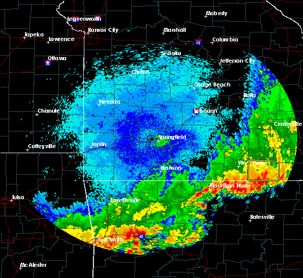 At 134 am cdt, severe thunderstorms were located along a line extending from near alton to near thayer to near mammoth spring, moving east at 50 mph (radar indicated). Hazards include 60 mph wind gusts and penny size hail. Expect damage to roofs, siding, and trees. Locations impacted include, grand gulf state park, thayer, mammoth spring, alton, koshkonong, mammoth spring state park, myrtle, wilderness, couch,. At 134 am cdt, severe thunderstorms were located along a line extending from near alton to near thayer to near mammoth spring, moving east at 50 mph (radar indicated). Hazards include 60 mph wind gusts and penny size hail. Expect damage to roofs, siding, and trees. Locations impacted include, grand gulf state park, thayer, mammoth spring, alton, koshkonong, mammoth spring state park, myrtle, wilderness, couch,.
|
| 8/27/2019 1:21 AM CDT |
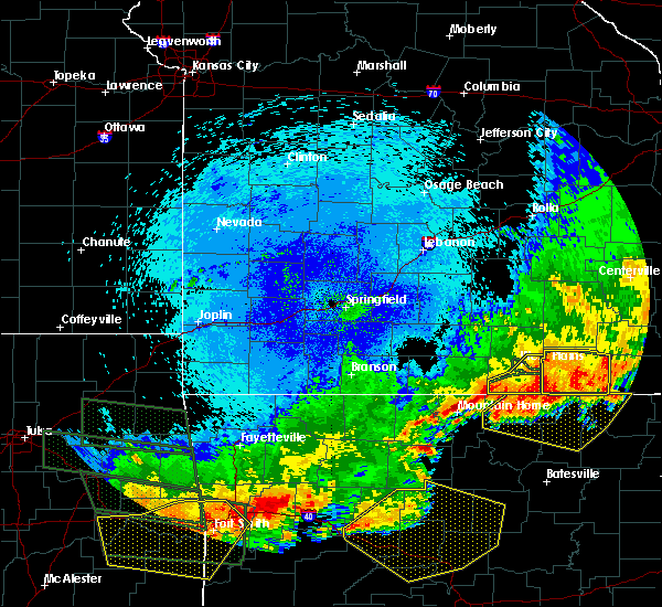 At 121 am cdt, severe thunderstorms were located along a line extending from 12 miles east of west plains to 6 miles northwest of thayer to 7 miles west of mammoth spring, moving east at 40 mph (radar indicated). Hazards include 60 mph wind gusts and penny size hail. Expect damage to roofs, siding, and trees. Locations impacted include, grand gulf state park, thayer, mammoth spring, alton, koshkonong, thomasville, mammoth spring state park, rover, myrtle, wilderness, couch, greer,. At 121 am cdt, severe thunderstorms were located along a line extending from 12 miles east of west plains to 6 miles northwest of thayer to 7 miles west of mammoth spring, moving east at 40 mph (radar indicated). Hazards include 60 mph wind gusts and penny size hail. Expect damage to roofs, siding, and trees. Locations impacted include, grand gulf state park, thayer, mammoth spring, alton, koshkonong, thomasville, mammoth spring state park, rover, myrtle, wilderness, couch, greer,.
|
| 8/27/2019 1:02 AM CDT |
 At 102 am cdt, severe thunderstorms were located along a line extending from near west plains to near sturkie to near ott, moving east at 55 mph (radar indicated). Hazards include 60 mph wind gusts and penny size hail. expect damage to roofs, siding, and trees At 102 am cdt, severe thunderstorms were located along a line extending from near west plains to near sturkie to near ott, moving east at 55 mph (radar indicated). Hazards include 60 mph wind gusts and penny size hail. expect damage to roofs, siding, and trees
|
| 6/23/2019 1:09 PM CDT |
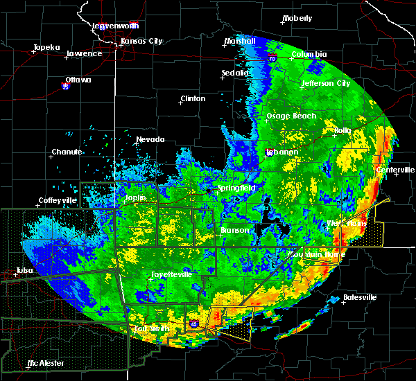 At 108 pm cdt, severe thunderstorms were located along a line extending from 9 miles southeast of west plains to 7 miles west of mammoth spring, moving northeast at 40 mph (radar indicated). Hazards include 60 mph wind gusts. expect damage to roofs, siding, and trees At 108 pm cdt, severe thunderstorms were located along a line extending from 9 miles southeast of west plains to 7 miles west of mammoth spring, moving northeast at 40 mph (radar indicated). Hazards include 60 mph wind gusts. expect damage to roofs, siding, and trees
|
| 6/21/2019 4:47 PM CDT |
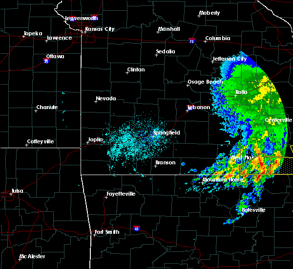 At 446 pm cdt, a severe thunderstorm was located near alton, or 18 miles northeast of thayer, moving east at 30 mph (radar indicated). Hazards include 60 mph wind gusts and quarter size hail. Hail damage to vehicles is expected. expect wind damage to roofs, siding, and trees. Locations impacted include, grand gulf state park, thayer, alton, koshkonong, myrtle, wilderness, couch, greer,. At 446 pm cdt, a severe thunderstorm was located near alton, or 18 miles northeast of thayer, moving east at 30 mph (radar indicated). Hazards include 60 mph wind gusts and quarter size hail. Hail damage to vehicles is expected. expect wind damage to roofs, siding, and trees. Locations impacted include, grand gulf state park, thayer, alton, koshkonong, myrtle, wilderness, couch, greer,.
|
| 6/21/2019 4:22 PM CDT |
 At 422 pm cdt, a severe thunderstorm was located 8 miles west of alton, or 12 miles north of thayer, moving east at 30 mph (radar indicated). Hazards include 60 mph wind gusts and quarter size hail. Hail damage to vehicles is expected. Expect wind damage to roofs, siding, and trees. At 422 pm cdt, a severe thunderstorm was located 8 miles west of alton, or 12 miles north of thayer, moving east at 30 mph (radar indicated). Hazards include 60 mph wind gusts and quarter size hail. Hail damage to vehicles is expected. Expect wind damage to roofs, siding, and trees.
|
| 5/29/2019 4:47 PM CDT |
 At 446 pm cdt, a severe thunderstorm was located near thayer, moving northeast at 40 mph. a tree was reported down on a power line in thayer (radar indicated). Hazards include 60 mph wind gusts and quarter size hail. Hail damage to vehicles is expected. expect wind damage to roofs, siding, and trees. Locations impacted include, grand gulf state park, thayer, alton, koshkonong, wilderness, couch, greer,. At 446 pm cdt, a severe thunderstorm was located near thayer, moving northeast at 40 mph. a tree was reported down on a power line in thayer (radar indicated). Hazards include 60 mph wind gusts and quarter size hail. Hail damage to vehicles is expected. expect wind damage to roofs, siding, and trees. Locations impacted include, grand gulf state park, thayer, alton, koshkonong, wilderness, couch, greer,.
|
| 5/29/2019 4:27 PM CDT |
 At 427 pm cdt, a severe thunderstorm was located near mammoth spring, or near thayer, moving northeast at 40 mph (radar indicated). Hazards include 60 mph wind gusts and quarter size hail. Hail damage to vehicles is expected. Expect wind damage to roofs, siding, and trees. At 427 pm cdt, a severe thunderstorm was located near mammoth spring, or near thayer, moving northeast at 40 mph (radar indicated). Hazards include 60 mph wind gusts and quarter size hail. Hail damage to vehicles is expected. Expect wind damage to roofs, siding, and trees.
|
| 5/18/2019 5:51 PM CDT |
 At 550 pm cdt, severe thunderstorms were located along a line extending from near newburg to 10 miles northeast of summersville to near thayer, moving east at 35 mph (trained weather spotters). Hazards include 60 mph wind gusts. Expect damage to roofs, siding, and trees. locations impacted include, rolla, current river state park, ozark national scenic riverways, echo bluff state park, grand gulf state park, montauk state park, salem, st. James, thayer, winona, alton, birch tree, doolittle, eminence, summersville, newburg, bunker, koshkonong, edgar springs, montier, this includes interstate 44 between mile markers 179 and 199. At 550 pm cdt, severe thunderstorms were located along a line extending from near newburg to 10 miles northeast of summersville to near thayer, moving east at 35 mph (trained weather spotters). Hazards include 60 mph wind gusts. Expect damage to roofs, siding, and trees. locations impacted include, rolla, current river state park, ozark national scenic riverways, echo bluff state park, grand gulf state park, montauk state park, salem, st. James, thayer, winona, alton, birch tree, doolittle, eminence, summersville, newburg, bunker, koshkonong, edgar springs, montier, this includes interstate 44 between mile markers 179 and 199.
|
| 5/18/2019 5:36 PM CDT |
 At 536 pm cdt, severe thunderstorms were located along a line extending from 6 miles east of st. robert to 7 miles northwest of summersville to 6 miles west of thayer, moving east at 35 mph (trained weather spotters). Hazards include 60 mph wind gusts. Expect damage to roofs, siding, and trees. locations impacted include, rolla, northeastern fort leonard wood, west plains, ozark national scenic riverways, echo bluff state park, current river state park, grand gulf state park, montauk state park, salem, st. robert, st. James, licking, mountain view, thayer, winona, alton, birch tree, doolittle, eminence, summersville, this includes interstate 44 between mile markers 161 and 169, and between mile markers 179 and 199. At 536 pm cdt, severe thunderstorms were located along a line extending from 6 miles east of st. robert to 7 miles northwest of summersville to 6 miles west of thayer, moving east at 35 mph (trained weather spotters). Hazards include 60 mph wind gusts. Expect damage to roofs, siding, and trees. locations impacted include, rolla, northeastern fort leonard wood, west plains, ozark national scenic riverways, echo bluff state park, current river state park, grand gulf state park, montauk state park, salem, st. robert, st. James, licking, mountain view, thayer, winona, alton, birch tree, doolittle, eminence, summersville, this includes interstate 44 between mile markers 161 and 169, and between mile markers 179 and 199.
|
| 5/18/2019 5:15 PM CDT |
 At 515 pm cdt, severe thunderstorms were located along a line extending from near waynesville to 7 miles south of houston to near sturkie, moving east at 35 mph (trained weather spotters). Hazards include 60 mph wind gusts. expect damage to roofs, siding, and trees At 515 pm cdt, severe thunderstorms were located along a line extending from near waynesville to 7 miles south of houston to near sturkie, moving east at 35 mph (trained weather spotters). Hazards include 60 mph wind gusts. expect damage to roofs, siding, and trees
|
| 2/7/2019 5:13 AM CST |
 At 512 am cst, a severe thunderstorm was located 8 miles southeast of west plains, moving northeast at 70 mph (radar indicated). Hazards include 60 mph wind gusts. expect damage to roofs, siding, and trees At 512 am cst, a severe thunderstorm was located 8 miles southeast of west plains, moving northeast at 70 mph (radar indicated). Hazards include 60 mph wind gusts. expect damage to roofs, siding, and trees
|
| 12/1/2018 1:58 AM CST |
 At 158 am cst, severe thunderstorms were located along a line extending from 10 miles south of houston to near mountain view to 8 miles west of mammoth spring, moving east at 60 mph (law enforcement). Hazards include 70 mph wind gusts. these storms have a long history of producing wind damage to trees and structures across southern missouri. Expect considerable tree damage. Damage is likely to mobile homes, roofs, and outbuildings. At 158 am cst, severe thunderstorms were located along a line extending from 10 miles south of houston to near mountain view to 8 miles west of mammoth spring, moving east at 60 mph (law enforcement). Hazards include 70 mph wind gusts. these storms have a long history of producing wind damage to trees and structures across southern missouri. Expect considerable tree damage. Damage is likely to mobile homes, roofs, and outbuildings.
|
| 8/20/2018 2:28 PM CDT |
 At 227 pm cdt, severe thunderstorms were located along a line extending from near thayer to near alton to 11 miles west of handy, moving east at 30 mph (radar indicated). Hazards include 60 mph wind gusts. Expect damage to roofs, siding, and trees. Locations impacted include, alton, koshkonong, couch, greer, wilderness,. At 227 pm cdt, severe thunderstorms were located along a line extending from near thayer to near alton to 11 miles west of handy, moving east at 30 mph (radar indicated). Hazards include 60 mph wind gusts. Expect damage to roofs, siding, and trees. Locations impacted include, alton, koshkonong, couch, greer, wilderness,.
|
| 8/20/2018 1:56 PM CDT |
 At 156 pm cdt, a severe thunderstorm was located 10 miles northwest of thayer, moving east at 40 mph (radar indicated). Hazards include 60 mph wind gusts. expect damage to roofs, siding, and trees At 156 pm cdt, a severe thunderstorm was located 10 miles northwest of thayer, moving east at 40 mph (radar indicated). Hazards include 60 mph wind gusts. expect damage to roofs, siding, and trees
|
| 6/26/2018 7:06 PM CDT |
 At 706 pm cdt, severe thunderstorms were located along a line extending from 11 miles northwest of bunker to near birch tree to 7 miles north of ott, moving east at 40 mph (radar indicated). Hazards include 60 mph wind gusts and nickel size hail. Expect damage to roofs, siding, and trees. Locations impacted include, west plains, current river state park, grand gulf state park, mountain view, thayer, willow springs, winona, alton, birch tree, eminence, pomona, bunker, south fork, koshkonong, brandsville, montier, thomasville, lanton, teresita, myrtle,. At 706 pm cdt, severe thunderstorms were located along a line extending from 11 miles northwest of bunker to near birch tree to 7 miles north of ott, moving east at 40 mph (radar indicated). Hazards include 60 mph wind gusts and nickel size hail. Expect damage to roofs, siding, and trees. Locations impacted include, west plains, current river state park, grand gulf state park, mountain view, thayer, willow springs, winona, alton, birch tree, eminence, pomona, bunker, south fork, koshkonong, brandsville, montier, thomasville, lanton, teresita, myrtle,.
|
| 6/26/2018 6:58 PM CDT |
 At 658 pm cdt, severe thunderstorms were located along a line extending from 9 miles southeast of salem to birch tree to near bakersfield, moving east at 55 mph (radar indicated). Hazards include 60 mph wind gusts and nickel size hail. Expect damage to roofs, siding, and trees. Locations impacted include, west plains, current river state park, grand gulf state park, montauk state park, mountain view, thayer, willow springs, winona, alton, birch tree, eminence, pomona, summersville, bunker, bakersfield, south fork, koshkonong, brandsville, montier, thomasville,. At 658 pm cdt, severe thunderstorms were located along a line extending from 9 miles southeast of salem to birch tree to near bakersfield, moving east at 55 mph (radar indicated). Hazards include 60 mph wind gusts and nickel size hail. Expect damage to roofs, siding, and trees. Locations impacted include, west plains, current river state park, grand gulf state park, montauk state park, mountain view, thayer, willow springs, winona, alton, birch tree, eminence, pomona, summersville, bunker, bakersfield, south fork, koshkonong, brandsville, montier, thomasville,.
|
| 6/26/2018 6:45 PM CDT |
 At 645 pm cdt, severe thunderstorms were located along a line extending from near licking to near mountain view to 7 miles north of fawn park, moving east at 40 mph (radar indicated). Hazards include 60 mph wind gusts and nickel size hail. Expect damage to roofs, siding, and trees. Locations impacted include, west plains, norfork lake, current river state park, grand gulf state park, montauk state park, mountain view, thayer, willow springs, winona, alton, birch tree, eminence, pomona, summersville, bunker, raymondville, bakersfield, south fork, koshkonong, brandsville,. At 645 pm cdt, severe thunderstorms were located along a line extending from near licking to near mountain view to 7 miles north of fawn park, moving east at 40 mph (radar indicated). Hazards include 60 mph wind gusts and nickel size hail. Expect damage to roofs, siding, and trees. Locations impacted include, west plains, norfork lake, current river state park, grand gulf state park, montauk state park, mountain view, thayer, willow springs, winona, alton, birch tree, eminence, pomona, summersville, bunker, raymondville, bakersfield, south fork, koshkonong, brandsville,.
|
| 6/26/2018 6:29 PM CDT |
 At 629 pm cdt, severe thunderstorms were located along a line extending from 9 miles northwest of licking to near willow springs to near price place, moving east at 40 mph (radar indicated). Hazards include 60 mph wind gusts and nickel size hail. expect damage to roofs, siding, and trees At 629 pm cdt, severe thunderstorms were located along a line extending from 9 miles northwest of licking to near willow springs to near price place, moving east at 40 mph (radar indicated). Hazards include 60 mph wind gusts and nickel size hail. expect damage to roofs, siding, and trees
|
| 6/14/2018 4:43 PM CDT |
 At 443 pm cdt, a severe thunderstorm was located over thayer, moving southeast at 20 mph (radar indicated). Hazards include 60 mph wind gusts and quarter size hail. Hail damage to vehicles is expected. Expect wind damage to roofs, siding, and trees. At 443 pm cdt, a severe thunderstorm was located over thayer, moving southeast at 20 mph (radar indicated). Hazards include 60 mph wind gusts and quarter size hail. Hail damage to vehicles is expected. Expect wind damage to roofs, siding, and trees.
|
| 6/14/2018 4:30 PM CDT |
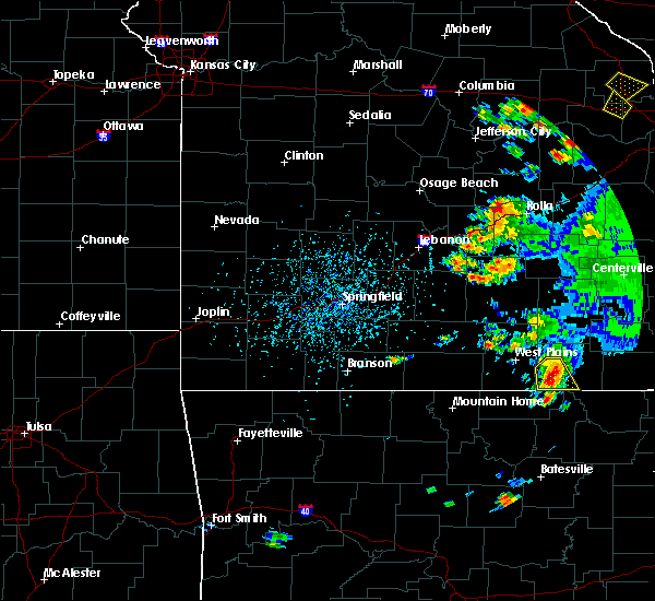 At 430 pm cdt, a severe thunderstorm was located near thayer, moving southeast at 15 mph (radar indicated). Hazards include golf ball size hail and 60 mph wind gusts. People and animals outdoors will be injured. expect hail damage to roofs, siding, windows, and vehicles. expect wind damage to roofs, siding, and trees. Locations impacted include, grand gulf state park, thayer, koshkonong, rover, couch,. At 430 pm cdt, a severe thunderstorm was located near thayer, moving southeast at 15 mph (radar indicated). Hazards include golf ball size hail and 60 mph wind gusts. People and animals outdoors will be injured. expect hail damage to roofs, siding, windows, and vehicles. expect wind damage to roofs, siding, and trees. Locations impacted include, grand gulf state park, thayer, koshkonong, rover, couch,.
|
| 6/14/2018 4:27 PM CDT |
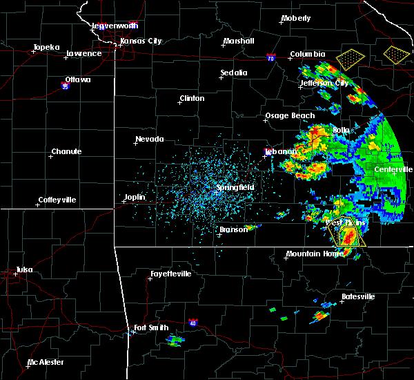 At 427 pm cdt, a severe thunderstorm was located near thayer, moving southeast at 15 mph (radar indicated). Hazards include 60 mph wind gusts and half dollar size hail. Hail damage to vehicles is expected. Expect wind damage to roofs, siding, and trees. At 427 pm cdt, a severe thunderstorm was located near thayer, moving southeast at 15 mph (radar indicated). Hazards include 60 mph wind gusts and half dollar size hail. Hail damage to vehicles is expected. Expect wind damage to roofs, siding, and trees.
|
| 6/14/2018 4:18 PM CDT |
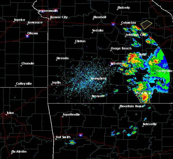 At 417 pm cdt, a severe thunderstorm was located 9 miles north of thayer, moving southeast at 20 mph (radar indicated). Hazards include ping pong ball size hail and 60 mph wind gusts. People and animals outdoors will be injured. expect hail damage to roofs, siding, windows, and vehicles. expect wind damage to roofs, siding, and trees. Locations impacted include, grand gulf state park, thayer, koshkonong, brandsville, thomasville, rover,. At 417 pm cdt, a severe thunderstorm was located 9 miles north of thayer, moving southeast at 20 mph (radar indicated). Hazards include ping pong ball size hail and 60 mph wind gusts. People and animals outdoors will be injured. expect hail damage to roofs, siding, windows, and vehicles. expect wind damage to roofs, siding, and trees. Locations impacted include, grand gulf state park, thayer, koshkonong, brandsville, thomasville, rover,.
|
| 6/14/2018 3:47 PM CDT |
 At 346 pm cdt, a severe thunderstorm was located 9 miles northeast of west plains, moving southeast at 15 mph (radar indicated). Hazards include 60 mph wind gusts and quarter size hail. Hail damage to vehicles is expected. Expect wind damage to roofs, siding, and trees. At 346 pm cdt, a severe thunderstorm was located 9 miles northeast of west plains, moving southeast at 15 mph (radar indicated). Hazards include 60 mph wind gusts and quarter size hail. Hail damage to vehicles is expected. Expect wind damage to roofs, siding, and trees.
|
| 6/2/2018 8:48 PM CDT |
 At 847 pm cdt, a severe thunderstorm was located near gatewood, or 19 miles northwest of pocahontas, moving southeast at 30 mph. other thunderstorms extended across southern oregon county back towards koshkonong (radar indicated). Hazards include 60 mph wind gusts and quarter size hail. Hail damage to vehicles is expected. expect wind damage to roofs, siding, and trees. Locations impacted include, grand gulf state park, thayer, koshkonong, couch, myrtle,. At 847 pm cdt, a severe thunderstorm was located near gatewood, or 19 miles northwest of pocahontas, moving southeast at 30 mph. other thunderstorms extended across southern oregon county back towards koshkonong (radar indicated). Hazards include 60 mph wind gusts and quarter size hail. Hail damage to vehicles is expected. expect wind damage to roofs, siding, and trees. Locations impacted include, grand gulf state park, thayer, koshkonong, couch, myrtle,.
|
| 6/2/2018 8:35 PM CDT |
 At 834 pm cdt, a severe thunderstorm was located 7 miles west of gatewood, or 17 miles east of mammoth spring, moving southeast at 40 mph. other storms were moving across southern oregon county (radar indicated). Hazards include 60 mph wind gusts and quarter size hail. Hail damage to vehicles is expected. expect wind damage to roofs, siding, and trees. Locations impacted include, grand gulf state park, thayer, alton, koshkonong, myrtle, wilderness, couch, greer,. At 834 pm cdt, a severe thunderstorm was located 7 miles west of gatewood, or 17 miles east of mammoth spring, moving southeast at 40 mph. other storms were moving across southern oregon county (radar indicated). Hazards include 60 mph wind gusts and quarter size hail. Hail damage to vehicles is expected. expect wind damage to roofs, siding, and trees. Locations impacted include, grand gulf state park, thayer, alton, koshkonong, myrtle, wilderness, couch, greer,.
|
| 6/2/2018 8:10 PM CDT |
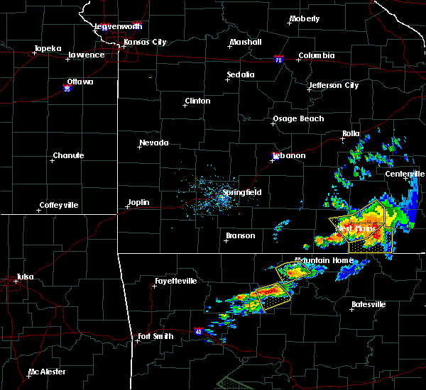 At 809 pm cdt, a severe thunderstorm was located near alton, or 17 miles northeast of thayer, moving east at 20 mph (radar indicated). Hazards include 60 mph wind gusts and quarter size hail. Hail damage to vehicles is expected. Expect wind damage to roofs, siding, and trees. At 809 pm cdt, a severe thunderstorm was located near alton, or 17 miles northeast of thayer, moving east at 20 mph (radar indicated). Hazards include 60 mph wind gusts and quarter size hail. Hail damage to vehicles is expected. Expect wind damage to roofs, siding, and trees.
|
| 5/31/2018 5:27 PM CDT |
 At 527 pm cdt, a severe thunderstorm was located 7 miles northwest of thayer, moving east at 20 mph (radar indicated). Hazards include 60 mph wind gusts and half dollar size hail. Hail damage to vehicles is expected. expect wind damage to roofs, siding, and trees. Locations impacted include, grand gulf state park, thayer, koshkonong, a tornado watch remains in effect until 800 pm cdt for south central missouri. At 527 pm cdt, a severe thunderstorm was located 7 miles northwest of thayer, moving east at 20 mph (radar indicated). Hazards include 60 mph wind gusts and half dollar size hail. Hail damage to vehicles is expected. expect wind damage to roofs, siding, and trees. Locations impacted include, grand gulf state park, thayer, koshkonong, a tornado watch remains in effect until 800 pm cdt for south central missouri.
|
| 5/31/2018 5:18 PM CDT |
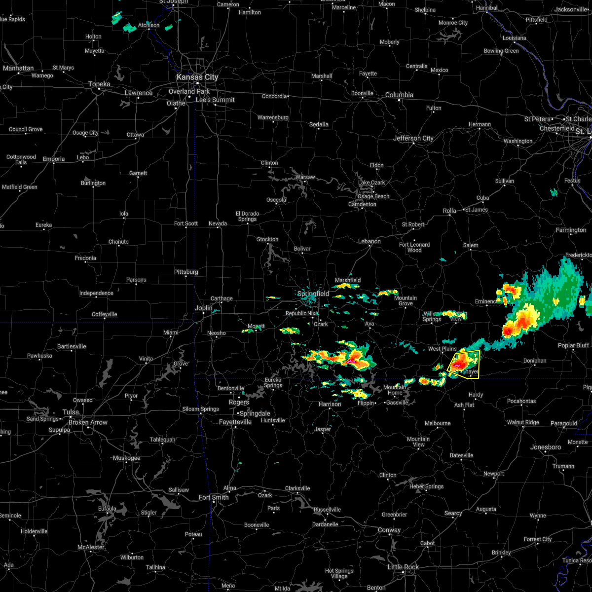 At 518 pm cdt, a severe thunderstorm was located 10 miles northwest of thayer, moving southeast at 25 mph (radar indicated). Hazards include golf ball size hail and 60 mph wind gusts. People and animals outdoors will be injured. expect hail damage to roofs, siding, windows, and vehicles. expect wind damage to roofs, siding, and trees. Locations impacted include, grand gulf state park, thayer, koshkonong, brandsville, rover, a tornado watch remains in effect until 800 pm cdt for south central missouri. At 518 pm cdt, a severe thunderstorm was located 10 miles northwest of thayer, moving southeast at 25 mph (radar indicated). Hazards include golf ball size hail and 60 mph wind gusts. People and animals outdoors will be injured. expect hail damage to roofs, siding, windows, and vehicles. expect wind damage to roofs, siding, and trees. Locations impacted include, grand gulf state park, thayer, koshkonong, brandsville, rover, a tornado watch remains in effect until 800 pm cdt for south central missouri.
|
| 5/31/2018 5:01 PM CDT |
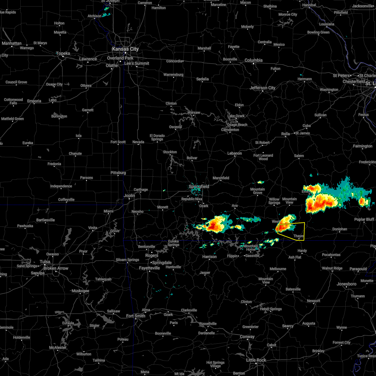 At 501 pm cdt, a severe thunderstorm was located near west plains, moving east at 20 mph (radar indicated). Hazards include 60 mph wind gusts and half dollar size hail. Hail damage to vehicles is expected. Expect wind damage to roofs, siding, and trees. At 501 pm cdt, a severe thunderstorm was located near west plains, moving east at 20 mph (radar indicated). Hazards include 60 mph wind gusts and half dollar size hail. Hail damage to vehicles is expected. Expect wind damage to roofs, siding, and trees.
|
| 5/19/2018 3:53 PM CDT |
 At 353 pm cdt, a severe thunderstorm was located 7 miles east of west plains, moving east at 15 mph (radar indicated). Hazards include golf ball size hail and 60 mph wind gusts. People and animals outdoors will be injured. expect hail damage to roofs, siding, windows, and vehicles. expect wind damage to roofs, siding, and trees. Locations impacted include, west plains, alton, koshkonong, brandsville, thomasville, peace valley, rover, white church, wilderness, couch, greer,. At 353 pm cdt, a severe thunderstorm was located 7 miles east of west plains, moving east at 15 mph (radar indicated). Hazards include golf ball size hail and 60 mph wind gusts. People and animals outdoors will be injured. expect hail damage to roofs, siding, windows, and vehicles. expect wind damage to roofs, siding, and trees. Locations impacted include, west plains, alton, koshkonong, brandsville, thomasville, peace valley, rover, white church, wilderness, couch, greer,.
|
| 5/19/2018 3:47 PM CDT |
 At 346 pm cdt, a severe thunderstorm was located near west plains, moving east at 20 mph (emergency management). Hazards include 60 mph wind gusts and quarter size hail. Hail damage to vehicles is expected. Expect wind damage to roofs, siding, and trees. At 346 pm cdt, a severe thunderstorm was located near west plains, moving east at 20 mph (emergency management). Hazards include 60 mph wind gusts and quarter size hail. Hail damage to vehicles is expected. Expect wind damage to roofs, siding, and trees.
|
| 5/3/2018 4:12 AM CDT |
 At 412 am cdt, severe thunderstorms were located along a line extending from near viburnum to near thayer, moving east at 50 mph (radar indicated). Hazards include 60 mph wind gusts and penny size hail. Expect damage to roofs, siding, and trees. Locations impacted include, current river state park, grand gulf state park, thayer, winona, alton, birch tree, eminence, summersville, bunker, koshkonong, montier, thomasville, teresita, myrtle, howes mill, midridge, rover, boss, round spring, turtle,. At 412 am cdt, severe thunderstorms were located along a line extending from near viburnum to near thayer, moving east at 50 mph (radar indicated). Hazards include 60 mph wind gusts and penny size hail. Expect damage to roofs, siding, and trees. Locations impacted include, current river state park, grand gulf state park, thayer, winona, alton, birch tree, eminence, summersville, bunker, koshkonong, montier, thomasville, teresita, myrtle, howes mill, midridge, rover, boss, round spring, turtle,.
|
| 5/3/2018 3:46 AM CDT |
 At 346 am cdt, severe thunderstorms were located along a line extending from near salem to near ott, moving east at 50 mph (radar indicated). Hazards include 60 mph wind gusts and penny size hail. expect damage to roofs, siding, and trees At 346 am cdt, severe thunderstorms were located along a line extending from near salem to near ott, moving east at 50 mph (radar indicated). Hazards include 60 mph wind gusts and penny size hail. expect damage to roofs, siding, and trees
|
| 4/13/2018 9:51 PM CDT |
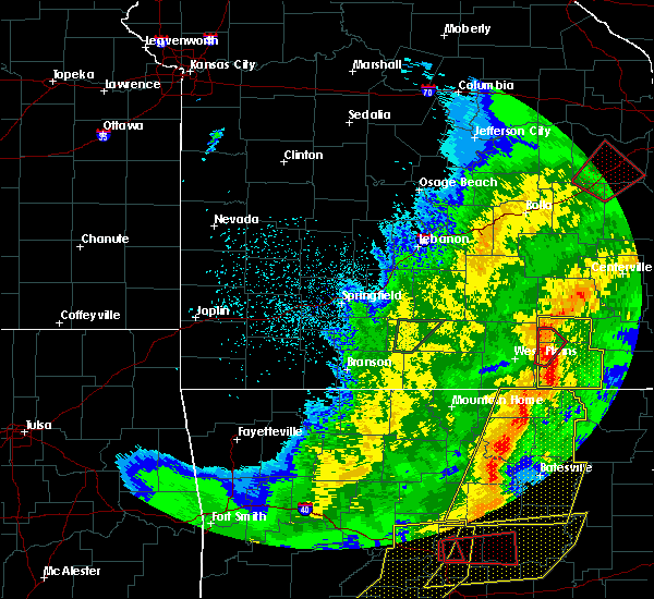 At 950 pm cdt, severe thunderstorms were located along a line extending from 6 miles northwest of birch tree to 7 miles southeast of mountain view to near thayer, moving northeast at 35 mph (radar indicated). Hazards include 60 mph wind gusts. Expect damage to roofs, siding, and trees. Locations impacted include, grand gulf state park, thayer, winona, alton, birch tree, koshkonong, montier, thomasville, teresita, myrtle, wilderness, couch, rover, greer, a tornado watch remains in effect until 100 am cdt for south central missouri. At 950 pm cdt, severe thunderstorms were located along a line extending from 6 miles northwest of birch tree to 7 miles southeast of mountain view to near thayer, moving northeast at 35 mph (radar indicated). Hazards include 60 mph wind gusts. Expect damage to roofs, siding, and trees. Locations impacted include, grand gulf state park, thayer, winona, alton, birch tree, koshkonong, montier, thomasville, teresita, myrtle, wilderness, couch, rover, greer, a tornado watch remains in effect until 100 am cdt for south central missouri.
|
| 4/13/2018 9:30 PM CDT |
 At 930 pm cdt, severe thunderstorms were located along a line extending from near mountain view to near west plains to 6 miles northeast of sturkie, moving northeast at 35 mph (radar indicated). Hazards include 60 mph wind gusts. expect damage to roofs, siding, and trees At 930 pm cdt, severe thunderstorms were located along a line extending from near mountain view to near west plains to 6 miles northeast of sturkie, moving northeast at 35 mph (radar indicated). Hazards include 60 mph wind gusts. expect damage to roofs, siding, and trees
|
| 1/22/2018 1:40 AM CST |
 At 140 am cst, severe thunderstorms were located along a line extending from 7 miles southeast of mountain view to 10 miles west of alton to 7 miles west of mammoth spring, moving northeast at 55 mph (radar indicated). Hazards include 60 mph wind gusts. expect damage to roofs, siding, and trees At 140 am cst, severe thunderstorms were located along a line extending from 7 miles southeast of mountain view to 10 miles west of alton to 7 miles west of mammoth spring, moving northeast at 55 mph (radar indicated). Hazards include 60 mph wind gusts. expect damage to roofs, siding, and trees
|
| 10/22/2017 3:45 AM CDT |
 At 345 am cdt, severe thunderstorms were located along a line extending from 7 miles northeast of licking to 9 miles north of summersville to near sturkie, moving east at 30 mph (radar indicated). Hazards include 60 mph wind gusts. Expect damage to roofs, siding, and trees. Locations impacted include, west plains, grand gulf state park, montauk state park, current river state park, salem, licking, mountain view, thayer, willow springs, birch tree, pomona, summersville, raymondville, south fork, koshkonong, brandsville, montier, thomasville, lenox, lanton,. At 345 am cdt, severe thunderstorms were located along a line extending from 7 miles northeast of licking to 9 miles north of summersville to near sturkie, moving east at 30 mph (radar indicated). Hazards include 60 mph wind gusts. Expect damage to roofs, siding, and trees. Locations impacted include, west plains, grand gulf state park, montauk state park, current river state park, salem, licking, mountain view, thayer, willow springs, birch tree, pomona, summersville, raymondville, south fork, koshkonong, brandsville, montier, thomasville, lenox, lanton,.
|
| 10/22/2017 3:11 AM CDT |
 At 309 am cdt, severe thunderstorms were located along a line extending from 8 miles southeast of fort leonard wood to 6 miles south of houston to near bakersfield, moving east at 30 mph (radar indicated). Hazards include 60 mph wind gusts. expect damage to roofs, siding, and trees At 309 am cdt, severe thunderstorms were located along a line extending from 8 miles southeast of fort leonard wood to 6 miles south of houston to near bakersfield, moving east at 30 mph (radar indicated). Hazards include 60 mph wind gusts. expect damage to roofs, siding, and trees
|
| 8/20/2017 1:07 PM CDT |
 At 107 pm cdt, a severe thunderstorm was located 7 miles west of thayer, and is nearly stationary (radar indicated). Hazards include 60 mph wind gusts and quarter size hail. Hail damage to vehicles is expected. expect wind damage to roofs, siding, and trees. Locations impacted include, grand gulf state park, thayer, koshkonong,. At 107 pm cdt, a severe thunderstorm was located 7 miles west of thayer, and is nearly stationary (radar indicated). Hazards include 60 mph wind gusts and quarter size hail. Hail damage to vehicles is expected. expect wind damage to roofs, siding, and trees. Locations impacted include, grand gulf state park, thayer, koshkonong,.
|
| 8/20/2017 12:56 PM CDT |
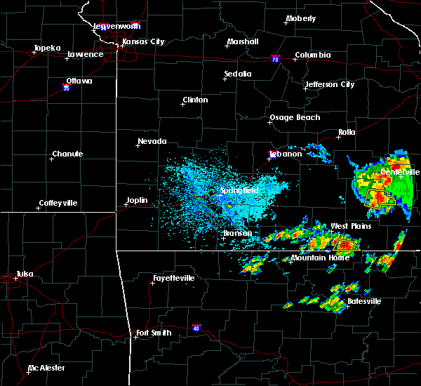 At 1256 pm cdt, a severe thunderstorm was located 8 miles west of thayer, moving east at 5 mph (radar indicated). Hazards include 60 mph wind gusts and quarter size hail. Hail damage to vehicles is expected. expect wind damage to roofs, siding, and trees. Locations impacted include, grand gulf state park, thayer, koshkonong, lanton,. At 1256 pm cdt, a severe thunderstorm was located 8 miles west of thayer, moving east at 5 mph (radar indicated). Hazards include 60 mph wind gusts and quarter size hail. Hail damage to vehicles is expected. expect wind damage to roofs, siding, and trees. Locations impacted include, grand gulf state park, thayer, koshkonong, lanton,.
|
| 8/20/2017 12:46 PM CDT |
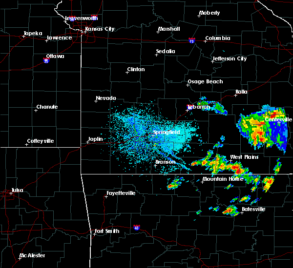 At 1246 pm cdt, a severe thunderstorm was located 9 miles west of thayer, moving southeast at 5 mph (radar indicated). Hazards include 60 mph wind gusts and quarter size hail. Hail damage to vehicles is expected. Expect wind damage to roofs, siding, and trees. At 1246 pm cdt, a severe thunderstorm was located 9 miles west of thayer, moving southeast at 5 mph (radar indicated). Hazards include 60 mph wind gusts and quarter size hail. Hail damage to vehicles is expected. Expect wind damage to roofs, siding, and trees.
|
| 5/27/2017 8:56 PM CDT |
 The severe thunderstorm warning for southeastern howell and oregon counties will expire at 900 pm cdt, the storms which prompted the warning have moved out of the area. therefore the warning will be allowed to expire. however small hail and gusty winds are still possible with these thunderstorms. a tornado watch remains in effect until 200 am cdt for south central missouri. to report severe weather, contact your nearest law enforcement agency. they will relay your report to the national weather service springfield. The severe thunderstorm warning for southeastern howell and oregon counties will expire at 900 pm cdt, the storms which prompted the warning have moved out of the area. therefore the warning will be allowed to expire. however small hail and gusty winds are still possible with these thunderstorms. a tornado watch remains in effect until 200 am cdt for south central missouri. to report severe weather, contact your nearest law enforcement agency. they will relay your report to the national weather service springfield.
|
| 5/27/2017 8:46 PM CDT |
 At 845 pm cdt, severe thunderstorms were located along a line extending from near ellsinore to near gatewood to near ash flat, moving southeast at 55 mph (emergency management. quarter size hail and tree damage has occurred in thayer with these storms). Hazards include 60 mph wind gusts and quarter size hail. Hail damage to vehicles is expected. expect wind damage to roofs, siding, and trees. Locations impacted include, grand gulf state park, thayer, alton, koshkonong, brandsville, thomasville, lanton, myrtle, wilderness, couch, rover, moody, greer, a tornado watch remains in effect until 200 am cdt for south central missouri. At 845 pm cdt, severe thunderstorms were located along a line extending from near ellsinore to near gatewood to near ash flat, moving southeast at 55 mph (emergency management. quarter size hail and tree damage has occurred in thayer with these storms). Hazards include 60 mph wind gusts and quarter size hail. Hail damage to vehicles is expected. expect wind damage to roofs, siding, and trees. Locations impacted include, grand gulf state park, thayer, alton, koshkonong, brandsville, thomasville, lanton, myrtle, wilderness, couch, rover, moody, greer, a tornado watch remains in effect until 200 am cdt for south central missouri.
|
| 5/27/2017 8:36 PM CDT |
 At 836 pm cdt, severe thunderstorms were located along a line extending from garwood to 8 miles east of alton to ballard, moving southeast at 55 mph (radar indicated). Hazards include 60 mph wind gusts and quarter size hail. Hail damage to vehicles is expected. expect wind damage to roofs, siding, and trees. Locations impacted include, west plains, grand gulf state park, thayer, winona, alton, birch tree, eminence, south fork, koshkonong, brandsville, montier, thomasville, peace valley, lanton, myrtle, wilderness, midridge, couch, rover, alley spring, a tornado watch remains in effect until 200 am cdt for south central missouri. At 836 pm cdt, severe thunderstorms were located along a line extending from garwood to 8 miles east of alton to ballard, moving southeast at 55 mph (radar indicated). Hazards include 60 mph wind gusts and quarter size hail. Hail damage to vehicles is expected. expect wind damage to roofs, siding, and trees. Locations impacted include, west plains, grand gulf state park, thayer, winona, alton, birch tree, eminence, south fork, koshkonong, brandsville, montier, thomasville, peace valley, lanton, myrtle, wilderness, midridge, couch, rover, alley spring, a tornado watch remains in effect until 200 am cdt for south central missouri.
|
| 5/27/2017 7:59 PM CDT |
 At 758 pm cdt, severe thunderstorms were located along a line extending from 12 miles southwest of bunker to near mountain view to bakersfield, moving southeast at 55 mph (radar indicated). Hazards include 60 mph wind gusts and quarter size hail. Hail damage to vehicles is expected. Expect wind damage to roofs, siding, and trees. At 758 pm cdt, severe thunderstorms were located along a line extending from 12 miles southwest of bunker to near mountain view to bakersfield, moving southeast at 55 mph (radar indicated). Hazards include 60 mph wind gusts and quarter size hail. Hail damage to vehicles is expected. Expect wind damage to roofs, siding, and trees.
|
| 5/27/2017 3:44 AM CDT |
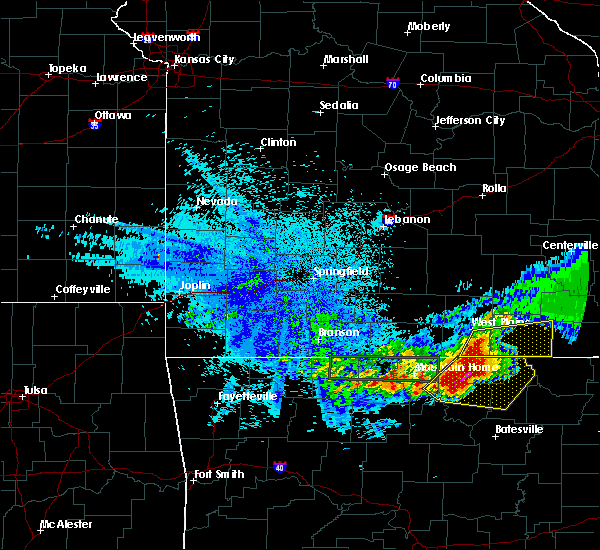 At 343 am cdt, severe thunderstorms were located along a line extending from 7 miles southeast of west plains to 7 miles northeast of salem in fulton county, moving east at 40 mph (radar indicated). Hazards include 60 mph wind gusts and quarter size hail. Hail damage to vehicles is expected. Expect wind damage to roofs, siding, and trees. At 343 am cdt, severe thunderstorms were located along a line extending from 7 miles southeast of west plains to 7 miles northeast of salem in fulton county, moving east at 40 mph (radar indicated). Hazards include 60 mph wind gusts and quarter size hail. Hail damage to vehicles is expected. Expect wind damage to roofs, siding, and trees.
|
| 5/19/2017 7:16 PM CDT |
 At 715 pm cdt, a severe thunderstorm was located 8 miles northeast of sturkie, or 12 miles north of salem in fulton county, moving north at 30 mph (public. quarter size hail was reported in lanton with this storm. this storm has a history of producing hail up to the size of golf balls). Hazards include 60 mph wind gusts and half dollar size hail. Hail damage to vehicles is expected. expect wind damage to roofs, siding, and trees. Locations impacted include, west plains, grand gulf state park, pomona, koshkonong, brandsville, thomasville, peace valley, lanton, rover, white church, a tornado watch remains in effect until 1000 pm cdt for south central missouri. At 715 pm cdt, a severe thunderstorm was located 8 miles northeast of sturkie, or 12 miles north of salem in fulton county, moving north at 30 mph (public. quarter size hail was reported in lanton with this storm. this storm has a history of producing hail up to the size of golf balls). Hazards include 60 mph wind gusts and half dollar size hail. Hail damage to vehicles is expected. expect wind damage to roofs, siding, and trees. Locations impacted include, west plains, grand gulf state park, pomona, koshkonong, brandsville, thomasville, peace valley, lanton, rover, white church, a tornado watch remains in effect until 1000 pm cdt for south central missouri.
|
| 5/19/2017 7:01 PM CDT |
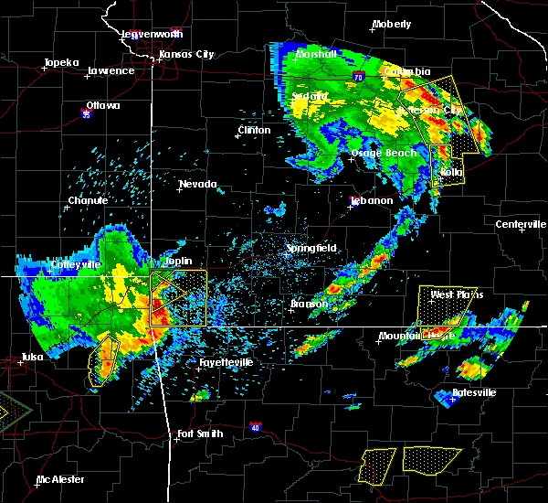 At 701 pm cdt, a severe thunderstorm was located near sturkie, or near salem in fulton county, moving north at 30 mph (trained weather spotters. this storm has produced golf ball sized hail in northern fulton county, arkansas). Hazards include ping pong ball size hail and 60 mph wind gusts. People and animals outdoors will be injured. expect hail damage to roofs, siding, windows, and vehicles. Expect wind damage to roofs, siding, and trees. At 701 pm cdt, a severe thunderstorm was located near sturkie, or near salem in fulton county, moving north at 30 mph (trained weather spotters. this storm has produced golf ball sized hail in northern fulton county, arkansas). Hazards include ping pong ball size hail and 60 mph wind gusts. People and animals outdoors will be injured. expect hail damage to roofs, siding, windows, and vehicles. Expect wind damage to roofs, siding, and trees.
|
| 5/19/2017 3:41 AM CDT |
 The tornado warning for shannon, southwestern dent, northeastern howell, central texas and oregon counties will expire at 345 am cdt, the storms which prompted the warning have weakened below severe limits, and no longer appear capable of producing a tornado. therefore the warning will be allowed to expire. however heavy rain is still possible with these thunderstorms. a tornado watch remains in effect until 600 am cdt for south central missouri. The tornado warning for shannon, southwestern dent, northeastern howell, central texas and oregon counties will expire at 345 am cdt, the storms which prompted the warning have weakened below severe limits, and no longer appear capable of producing a tornado. therefore the warning will be allowed to expire. however heavy rain is still possible with these thunderstorms. a tornado watch remains in effect until 600 am cdt for south central missouri.
|
| 5/19/2017 3:01 AM CDT |
 The national weather service in springfield has issued a * tornado warning for. shannon county in south central missouri. southwestern dent county in south central missouri. northeastern howell county in south central missouri. Central texas county in south central missouri. The national weather service in springfield has issued a * tornado warning for. shannon county in south central missouri. southwestern dent county in south central missouri. northeastern howell county in south central missouri. Central texas county in south central missouri.
|
| 4/4/2017 11:50 PM CDT |
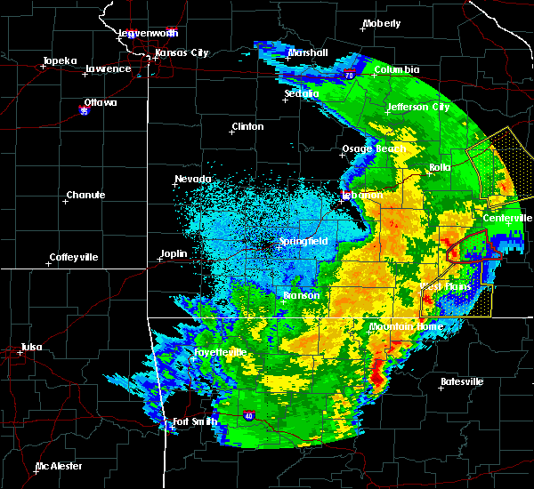 At 1150 pm cdt, severe thunderstorms were located along a line extending from 8 miles northeast of west plains to 7 miles northeast of sturkie, moving northeast at 70 mph (radar indicated). Hazards include 60 mph wind gusts and quarter size hail. Hail damage to vehicles is expected. Expect wind damage to roofs, siding, and trees. At 1150 pm cdt, severe thunderstorms were located along a line extending from 8 miles northeast of west plains to 7 miles northeast of sturkie, moving northeast at 70 mph (radar indicated). Hazards include 60 mph wind gusts and quarter size hail. Hail damage to vehicles is expected. Expect wind damage to roofs, siding, and trees.
|
| 3/9/2017 7:26 PM CST |
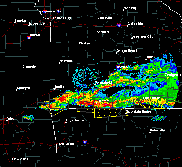 At 726 pm cst, a severe thunderstorm was located over west plains, moving southeast at 35 mph (radar indicated). Hazards include 60 mph wind gusts and quarter size hail. Hail damage to vehicles is expected. expect wind damage to roofs, siding, and trees. Locations impacted include, west plains, grand gulf state park, thayer, mammoth spring, koshkonong, brandsville, mammoth spring state park, lanton, myrtle, couch,. At 726 pm cst, a severe thunderstorm was located over west plains, moving southeast at 35 mph (radar indicated). Hazards include 60 mph wind gusts and quarter size hail. Hail damage to vehicles is expected. expect wind damage to roofs, siding, and trees. Locations impacted include, west plains, grand gulf state park, thayer, mammoth spring, koshkonong, brandsville, mammoth spring state park, lanton, myrtle, couch,.
|
| 3/9/2017 7:12 PM CST |
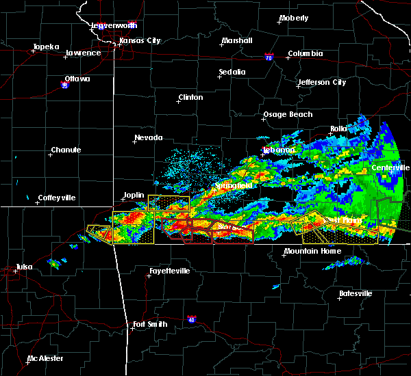 At 711 pm cst, a severe thunderstorm was located near west plains, moving southeast at 30 mph (radar indicated). Hazards include 60 mph wind gusts and quarter size hail. Hail damage to vehicles is expected. expect wind damage to roofs, siding, and trees. Locations impacted include, west plains, grand gulf state park, thayer, mammoth spring, alton, koshkonong, brandsville, mammoth spring state park, lanton, myrtle, couch, rover,. At 711 pm cst, a severe thunderstorm was located near west plains, moving southeast at 30 mph (radar indicated). Hazards include 60 mph wind gusts and quarter size hail. Hail damage to vehicles is expected. expect wind damage to roofs, siding, and trees. Locations impacted include, west plains, grand gulf state park, thayer, mammoth spring, alton, koshkonong, brandsville, mammoth spring state park, lanton, myrtle, couch, rover,.
|
| 3/9/2017 6:53 PM CST |
 At 653 pm cst, a severe thunderstorm was located over west plains, moving east at 55 mph (radar indicated). Hazards include 60 mph wind gusts and half dollar size hail. Hail damage to vehicles is expected. Expect wind damage to roofs, siding, and trees. At 653 pm cst, a severe thunderstorm was located over west plains, moving east at 55 mph (radar indicated). Hazards include 60 mph wind gusts and half dollar size hail. Hail damage to vehicles is expected. Expect wind damage to roofs, siding, and trees.
|
| 3/1/2017 2:38 AM CST |
 At 238 am cst, a severe thunderstorm was located near ott, or 17 miles southwest of west plains, moving east at 55 mph (radar indicated). Hazards include 60 mph wind gusts and quarter size hail. Hail damage to vehicles is expected. expect wind damage to roofs, siding, and trees. this severe thunderstorm will be near, thayer around 310 am cst. alton around 320 am cst. other locations impacted by this severe thunderstorm include grand gulf state park, south fork, koshkonong, brandsville, thomasville, lanton, rover, moody, myrtle and wilderness. A tornado watch remains in effect until 400 am cst for south central and southwestern missouri. At 238 am cst, a severe thunderstorm was located near ott, or 17 miles southwest of west plains, moving east at 55 mph (radar indicated). Hazards include 60 mph wind gusts and quarter size hail. Hail damage to vehicles is expected. expect wind damage to roofs, siding, and trees. this severe thunderstorm will be near, thayer around 310 am cst. alton around 320 am cst. other locations impacted by this severe thunderstorm include grand gulf state park, south fork, koshkonong, brandsville, thomasville, lanton, rover, moody, myrtle and wilderness. A tornado watch remains in effect until 400 am cst for south central and southwestern missouri.
|
| 9/18/2016 3:33 PM CDT |
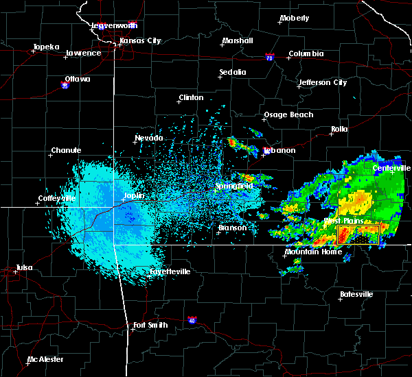 At 333 pm cdt, a severe thunderstorm was located near thayer, moving east at 30 mph (radar indicated). Hazards include 60 mph wind gusts and quarter size hail. Hail damage to vehicles is expected. Expect wind damage to roofs, siding, and trees. At 333 pm cdt, a severe thunderstorm was located near thayer, moving east at 30 mph (radar indicated). Hazards include 60 mph wind gusts and quarter size hail. Hail damage to vehicles is expected. Expect wind damage to roofs, siding, and trees.
|
| 7/29/2016 3:02 PM CDT |
 At 300 pm cdt, a severe thunderstorm was located near sturkie, or near salem in fulton county, moving northeast at 30 mph (radar indicated). Hazards include 60 mph wind gusts and nickel size hail. Expect damage to roofs. siding. and trees. Locations impacted include, grand gulf state park, thayer, koshkonong, brandsville, lanton,. At 300 pm cdt, a severe thunderstorm was located near sturkie, or near salem in fulton county, moving northeast at 30 mph (radar indicated). Hazards include 60 mph wind gusts and nickel size hail. Expect damage to roofs. siding. and trees. Locations impacted include, grand gulf state park, thayer, koshkonong, brandsville, lanton,.
|
| 7/29/2016 2:42 PM CDT |
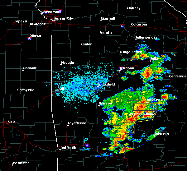 At 241 pm cdt, severe thunderstorms were located along a line extending from 10 miles southwest of west plains to 8 miles east of bakersfield to ott, moving east at 25 mph (radar indicated). Hazards include 60 mph wind gusts. Expect damage to roofs. siding. and trees. Locations impacted include, west plains, grand gulf state park, thayer, south fork, koshkonong, brandsville, moody, lanton, pottersville,. At 241 pm cdt, severe thunderstorms were located along a line extending from 10 miles southwest of west plains to 8 miles east of bakersfield to ott, moving east at 25 mph (radar indicated). Hazards include 60 mph wind gusts. Expect damage to roofs. siding. and trees. Locations impacted include, west plains, grand gulf state park, thayer, south fork, koshkonong, brandsville, moody, lanton, pottersville,.
|
| 7/29/2016 2:28 PM CDT |
 At 228 pm cdt, severe thunderstorms were located along a line extending from 11 miles northwest of ott to near bakersfield, moving east at 20 mph (radar indicated). Hazards include 60 mph wind gusts. Expect damage to roofs. siding. And trees. At 228 pm cdt, severe thunderstorms were located along a line extending from 11 miles northwest of ott to near bakersfield, moving east at 20 mph (radar indicated). Hazards include 60 mph wind gusts. Expect damage to roofs. siding. And trees.
|
| 7/8/2016 4:15 PM CDT |
 At 413 pm cdt, severe thunderstorms were located along a line extending from near eminence to near winona to near thayer, moving east at 40 mph (radar indicated. these storms have a history of downing trees across portion of western taney county and portions of douglas county when the storms passed through those locations). Hazards include 60 mph wind gusts. Expect damage to roofs. siding. and trees. Locations impacted include, current river state park, grand gulf state park, thayer, winona, alton, birch tree, eminence, koshkonong, montier, thomasville, west eminence, couch, round spring, myrtle, greer, teresita, midridge, wilderness, alley spring, rover,. At 413 pm cdt, severe thunderstorms were located along a line extending from near eminence to near winona to near thayer, moving east at 40 mph (radar indicated. these storms have a history of downing trees across portion of western taney county and portions of douglas county when the storms passed through those locations). Hazards include 60 mph wind gusts. Expect damage to roofs. siding. and trees. Locations impacted include, current river state park, grand gulf state park, thayer, winona, alton, birch tree, eminence, koshkonong, montier, thomasville, west eminence, couch, round spring, myrtle, greer, teresita, midridge, wilderness, alley spring, rover,.
|
| 7/8/2016 3:47 PM CDT |
 At 344 pm cdt, severe thunderstorms were located along a line extending from 6 miles northeast of cabool to near mountain view to near sturkie, moving east at 30 mph (law enforcement. estimated 60 mph winds at troop g headquarters. these storms also have a history of downing trees across portion of western taney county and portions of douglas county when the storms passed through those locations). Hazards include 60 mph wind gusts. Expect damage to roofs. siding. And trees. At 344 pm cdt, severe thunderstorms were located along a line extending from 6 miles northeast of cabool to near mountain view to near sturkie, moving east at 30 mph (law enforcement. estimated 60 mph winds at troop g headquarters. these storms also have a history of downing trees across portion of western taney county and portions of douglas county when the storms passed through those locations). Hazards include 60 mph wind gusts. Expect damage to roofs. siding. And trees.
|
| 7/6/2016 11:16 AM CDT |
 At 1115 am cdt, a severe thunderstorm was located near thayer, moving east at 40 mph (public). Hazards include 60 mph wind gusts and quarter size hail. Hail damage to vehicles is expected. expect wind damage to roofs, siding, and trees. Locations impacted include, grand gulf state park, thayer, alton, koshkonong, thomasville, myrtle, greer, wilderness, couch, rover,. At 1115 am cdt, a severe thunderstorm was located near thayer, moving east at 40 mph (public). Hazards include 60 mph wind gusts and quarter size hail. Hail damage to vehicles is expected. expect wind damage to roofs, siding, and trees. Locations impacted include, grand gulf state park, thayer, alton, koshkonong, thomasville, myrtle, greer, wilderness, couch, rover,.
|
| 7/6/2016 11:06 AM CDT |
 At 1105 am cdt, a severe thunderstorm was located 11 miles northwest of thayer, moving east at 45 mph (radar indicated). Hazards include 60 mph wind gusts and quarter size hail. Hail damage to vehicles is expected. expect wind damage to roofs, siding, and trees. Locations impacted include, grand gulf state park, thayer, alton, koshkonong, brandsville, thomasville, myrtle, greer, wilderness, couch, rover,. At 1105 am cdt, a severe thunderstorm was located 11 miles northwest of thayer, moving east at 45 mph (radar indicated). Hazards include 60 mph wind gusts and quarter size hail. Hail damage to vehicles is expected. expect wind damage to roofs, siding, and trees. Locations impacted include, grand gulf state park, thayer, alton, koshkonong, brandsville, thomasville, myrtle, greer, wilderness, couch, rover,.
|
| 7/6/2016 11:05 AM CDT | Large tree down over f highway in koshkonong in oregon county MO, 0.3 miles SE of Koshkonong, MO |
| 7/6/2016 10:53 AM CDT |
 At 1053 am cdt, a severe thunderstorm was located 7 miles south of west plains, moving east at 45 mph (radar indicated). Hazards include 60 mph wind gusts and quarter size hail. Hail damage to vehicles is expected. Expect wind damage to roofs, siding, and trees. At 1053 am cdt, a severe thunderstorm was located 7 miles south of west plains, moving east at 45 mph (radar indicated). Hazards include 60 mph wind gusts and quarter size hail. Hail damage to vehicles is expected. Expect wind damage to roofs, siding, and trees.
|
| 7/6/2016 10:49 AM CDT |
 At 1049 am cdt, a severe thunderstorm was located 8 miles south of west plains, moving east at 40 mph (radar indicated). Hazards include 60 mph wind gusts and half dollar size hail. Hail damage to vehicles is expected. expect wind damage to roofs, siding, and trees. Locations impacted include, west plains, grand gulf state park, thayer, alton, south fork, koshkonong, brandsville, thomasville, moody, peace valley, lanton, greer, caulfield, white church, rover,. At 1049 am cdt, a severe thunderstorm was located 8 miles south of west plains, moving east at 40 mph (radar indicated). Hazards include 60 mph wind gusts and half dollar size hail. Hail damage to vehicles is expected. expect wind damage to roofs, siding, and trees. Locations impacted include, west plains, grand gulf state park, thayer, alton, south fork, koshkonong, brandsville, thomasville, moody, peace valley, lanton, greer, caulfield, white church, rover,.
|
| 7/6/2016 10:26 AM CDT |
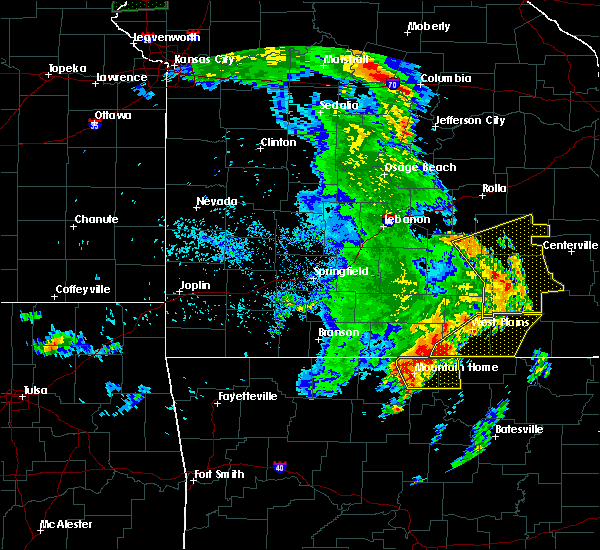 At 1026 am cdt, severe thunderstorms were located along a line extending from 8 miles northeast of west plains to 6 miles northeast of bakersfield to salesville, moving east at 55 mph (radar indicated). Hazards include 60 mph wind gusts and nickel size hail. Expect damage to roofs. siding. And trees. At 1026 am cdt, severe thunderstorms were located along a line extending from 8 miles northeast of west plains to 6 miles northeast of bakersfield to salesville, moving east at 55 mph (radar indicated). Hazards include 60 mph wind gusts and nickel size hail. Expect damage to roofs. siding. And trees.
|
| 5/9/2016 8:01 PM CDT |
 At 800 pm cdt, a severe thunderstorm was located 7 miles east of thayer, moving east at 60 mph (radar indicated. this storm has had a history of wind damage in fulton county arkansas near salem). Hazards include 60 mph wind gusts and penny size hail. Expect damage to roofs. siding. and trees. Locations impacted include, grand gulf state park, thayer, alton, koshkonong, myrtle, wilderness, couch,. At 800 pm cdt, a severe thunderstorm was located 7 miles east of thayer, moving east at 60 mph (radar indicated. this storm has had a history of wind damage in fulton county arkansas near salem). Hazards include 60 mph wind gusts and penny size hail. Expect damage to roofs. siding. and trees. Locations impacted include, grand gulf state park, thayer, alton, koshkonong, myrtle, wilderness, couch,.
|
| 5/9/2016 7:58 PM CDT |
 At 757 pm cdt, a severe thunderstorm was located near thayer, moving east at 60 mph (radar indicated). Hazards include 60 mph wind gusts and penny size hail. Expect damage to roofs. siding. and trees. Locations impacted include, grand gulf state park, thayer, alton, koshkonong, myrtle, wilderness, couch,. At 757 pm cdt, a severe thunderstorm was located near thayer, moving east at 60 mph (radar indicated). Hazards include 60 mph wind gusts and penny size hail. Expect damage to roofs. siding. and trees. Locations impacted include, grand gulf state park, thayer, alton, koshkonong, myrtle, wilderness, couch,.
|
| 5/9/2016 7:51 PM CDT |
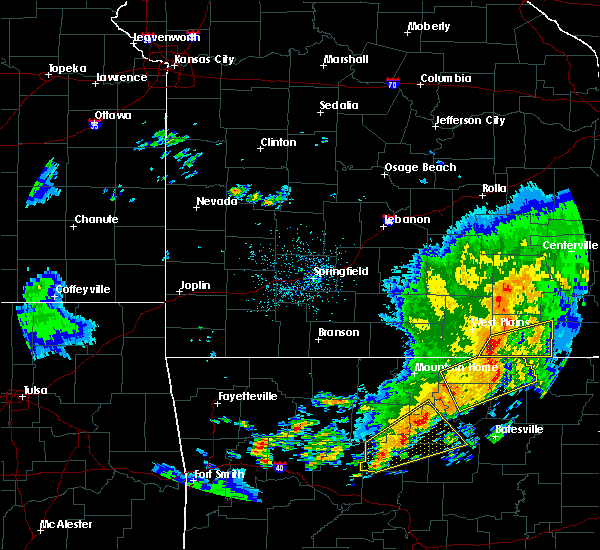 At 750 pm cdt, a severe thunderstorm was located over mammoth spring, moving east at 60 mph (radar indicated). Hazards include 60 mph wind gusts and penny size hail. Expect damage to roofs. siding. And trees. At 750 pm cdt, a severe thunderstorm was located over mammoth spring, moving east at 60 mph (radar indicated). Hazards include 60 mph wind gusts and penny size hail. Expect damage to roofs. siding. And trees.
|
| 12/23/2015 8:59 AM CST | At 858 am cst, severe thunderstorms were located along a line extending from 9 miles east of west plains to 8 miles southwest of mammoth spring, moving northeast at 75 mph (radar indicated). Hazards include 60 mph wind gusts and penny size hail. Expect damage to roofs. Siding and trees. |
| 12/23/2015 7:27 AM CST | At 726 am cst, severe thunderstorms were located along a line extending from 6 miles southwest of eminence to 6 miles north of alton to near salem in fulton county arkansas, moving northeast at 70 mph (radar indicated). Hazards include 60 mph wind gusts. Expect damage to roofs. Siding and trees. |
| 8/10/2015 5:57 AM CDT | The severe thunderstorm warning for howell and oregon counties will expire at 600 am cdt. the storms which prompted the warning have weakened below severe limits. and are exiting the warned area. Therefore the warning will be allowed to expire. |
| 8/10/2015 5:30 AM CDT |
 At 530 am cdt, severe thunderstorms were located along a line extending from 6 miles southwest of handy to 17 miles northwest of thayer to near west plains, moving southeast at 40 mph (radar indicated). Hazards include 60 mph wind gusts and penny size hail. Expect damage to roofs. siding and trees. Locations impacted include, west plains, grand gulf state park, thayer, alton, pomona, south fork, koshkonong, brandsville, thomasville, moody, peace valley, couch, lanton, pottersville, myrtle, greer, wilderness, white church, rover,. At 530 am cdt, severe thunderstorms were located along a line extending from 6 miles southwest of handy to 17 miles northwest of thayer to near west plains, moving southeast at 40 mph (radar indicated). Hazards include 60 mph wind gusts and penny size hail. Expect damage to roofs. siding and trees. Locations impacted include, west plains, grand gulf state park, thayer, alton, pomona, south fork, koshkonong, brandsville, thomasville, moody, peace valley, couch, lanton, pottersville, myrtle, greer, wilderness, white church, rover,.
|
| 8/10/2015 5:13 AM CDT |
 At 512 am cdt, severe thunderstorms were located along a line extending from 10 miles south of winona to 8 miles north of west plains to 15 miles south of willow springs, moving southeast at 40 mph (radar indicated). Hazards include 60 mph wind gusts and penny size hail. Expect damage to roofs. siding and trees. Locations impacted include, west plains, grand gulf state park, mountain view, thayer, willow springs, winona, alton, birch tree, pomona, south fork, koshkonong, brandsville, montier, thomasville, moody, siloam springs, peace valley, lanton, myrtle, couch,. At 512 am cdt, severe thunderstorms were located along a line extending from 10 miles south of winona to 8 miles north of west plains to 15 miles south of willow springs, moving southeast at 40 mph (radar indicated). Hazards include 60 mph wind gusts and penny size hail. Expect damage to roofs. siding and trees. Locations impacted include, west plains, grand gulf state park, mountain view, thayer, willow springs, winona, alton, birch tree, pomona, south fork, koshkonong, brandsville, montier, thomasville, moody, siloam springs, peace valley, lanton, myrtle, couch,.
|
| 8/10/2015 4:55 AM CDT |
 At 454 am cdt, severe thunderstorms were located along a line extending from birch tree to near willow springs to 17 miles south of cabool, moving southeast at 40 mph (radar indicated). Hazards include 60 mph wind gusts and penny size hail. Expect damage to roofs. Siding and trees. At 454 am cdt, severe thunderstorms were located along a line extending from birch tree to near willow springs to 17 miles south of cabool, moving southeast at 40 mph (radar indicated). Hazards include 60 mph wind gusts and penny size hail. Expect damage to roofs. Siding and trees.
|
| 7/20/2015 8:06 PM CDT |
 At 802 pm cdt, severe thunderstorms were located along a line extending from 19 miles east of alton to 13 miles southwest of bakersfield, and moving southeast at 25 mph (law enforcement. a tree was reported down near thomasville at 740 pm). Hazards include 60 mph wind gusts. Expect damage to roofs. siding and trees. locations impacted include, alton, bakersfield, brandsville, caulfield, couch, greer, koshkonong, lanton, moody, myrtle, rover, south fork, thayer, thomasville and wilderness. This warning also includes grand gulf state park. At 802 pm cdt, severe thunderstorms were located along a line extending from 19 miles east of alton to 13 miles southwest of bakersfield, and moving southeast at 25 mph (law enforcement. a tree was reported down near thomasville at 740 pm). Hazards include 60 mph wind gusts. Expect damage to roofs. siding and trees. locations impacted include, alton, bakersfield, brandsville, caulfield, couch, greer, koshkonong, lanton, moody, myrtle, rover, south fork, thayer, thomasville and wilderness. This warning also includes grand gulf state park.
|
| 7/20/2015 7:38 PM CDT |
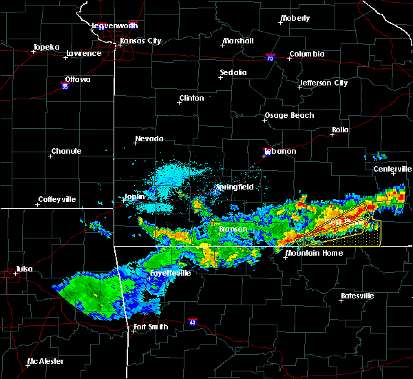 At 737 pm cdt, severe thunderstorms were located along a line extending from 18 miles northeast of alton to 11 miles west of bakersfield, and moving southeast at 25 mph (radar indicated). Hazards include 60 mph wind gusts. Expect damage to roofs. Siding and trees. At 737 pm cdt, severe thunderstorms were located along a line extending from 18 miles northeast of alton to 11 miles west of bakersfield, and moving southeast at 25 mph (radar indicated). Hazards include 60 mph wind gusts. Expect damage to roofs. Siding and trees.
|
| 7/20/2015 7:34 PM CDT |
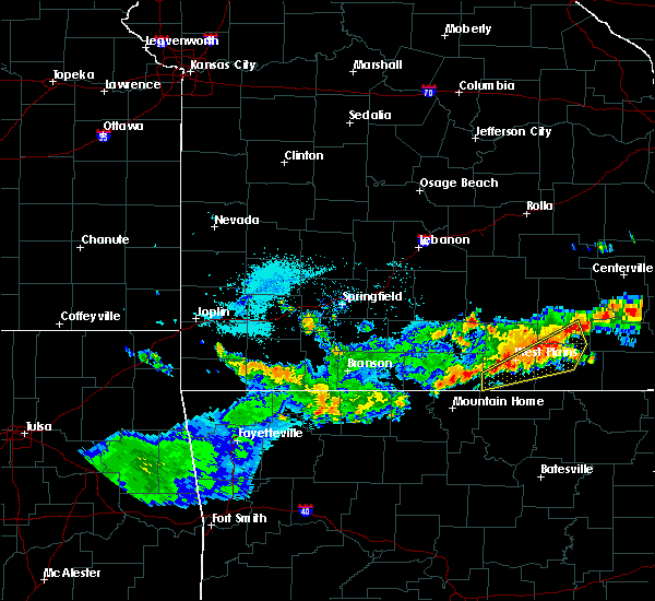 At 732 pm cdt, severe thunderstorms were located along a line extending from 8 miles south of winona to 15 miles southwest of west plains, and moving southeast at 20 mph (radar indicated). Hazards include 60 mph wind gusts. Expect damage to roofs. siding and trees. Locations impacted include, alton, brandsville, caulfield, greer, moody, rover, south fork, thomasville, west plains and winona. At 732 pm cdt, severe thunderstorms were located along a line extending from 8 miles south of winona to 15 miles southwest of west plains, and moving southeast at 20 mph (radar indicated). Hazards include 60 mph wind gusts. Expect damage to roofs. siding and trees. Locations impacted include, alton, brandsville, caulfield, greer, moody, rover, south fork, thomasville, west plains and winona.
|
| 7/20/2015 7:21 PM CDT |
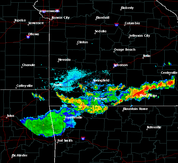 At 719 pm cdt, severe thunderstorms were located along a line extending from winona to 15 miles west of west plains, and moving southeast at 20 mph (radar indicated). Hazards include 60 mph wind gusts. Expect damage to roofs. Siding and trees. At 719 pm cdt, severe thunderstorms were located along a line extending from winona to 15 miles west of west plains, and moving southeast at 20 mph (radar indicated). Hazards include 60 mph wind gusts. Expect damage to roofs. Siding and trees.
|
| 7/14/2015 1:32 PM CDT |
 At 130 pm cdt, severe thunderstorms were located along a line extending from 8 miles northwest of alton to west plains to 17 miles southwest of west plains, and moving southeast at 45 mph (trained weather spotters. large trees have been reported down in white church). Hazards include 60 mph wind gusts. Expect damage to roofs. siding and trees. locations impacted include, alton, brandsville, couch, greer, koshkonong, lanton, moody, myrtle, rover, south fork, thayer, thomasville, west plains, white church and wilderness. this warning also includes grand gulf state park. A severe thunderstorm watch remains in effect until 700 pm cdt tuesday evening for southwestern missouri. At 130 pm cdt, severe thunderstorms were located along a line extending from 8 miles northwest of alton to west plains to 17 miles southwest of west plains, and moving southeast at 45 mph (trained weather spotters. large trees have been reported down in white church). Hazards include 60 mph wind gusts. Expect damage to roofs. siding and trees. locations impacted include, alton, brandsville, couch, greer, koshkonong, lanton, moody, myrtle, rover, south fork, thayer, thomasville, west plains, white church and wilderness. this warning also includes grand gulf state park. A severe thunderstorm watch remains in effect until 700 pm cdt tuesday evening for southwestern missouri.
|
| 7/14/2015 1:25 PM CDT |
 At 122 pm cdt, severe thunderstorms were located along a line extending from 14 miles northwest of alton to 6 miles north of west plains to 16 miles southwest of west plains, and moving southeast at 45 mph (radar indicated. these storms have a history of producing widespread wind damage). Hazards include 60 mph wind gusts. Expect damage to roofs. Siding and trees. At 122 pm cdt, severe thunderstorms were located along a line extending from 14 miles northwest of alton to 6 miles north of west plains to 16 miles southwest of west plains, and moving southeast at 45 mph (radar indicated. these storms have a history of producing widespread wind damage). Hazards include 60 mph wind gusts. Expect damage to roofs. Siding and trees.
|
| 7/14/2015 1:19 PM CDT |
 At 117 pm cdt, severe thunderstorms were located along a line extending from 11 miles north of mountain view to west plains, and moving east at 50 mph (radar indicated). Hazards include 60 mph wind gusts and nickel size hail. Expect damage to roofs. siding and trees. locations impacted include, brandsville, caulfield, koshkonong, montier, mountain view, peace valley, pomona, pottersville, rover, siloam springs, south fork, teresita, west plains, white church and willow springs. this warning also includes grand gulf state park. A severe thunderstorm watch remains in effect until 700 pm cdt tuesday evening for southwestern missouri. At 117 pm cdt, severe thunderstorms were located along a line extending from 11 miles north of mountain view to west plains, and moving east at 50 mph (radar indicated). Hazards include 60 mph wind gusts and nickel size hail. Expect damage to roofs. siding and trees. locations impacted include, brandsville, caulfield, koshkonong, montier, mountain view, peace valley, pomona, pottersville, rover, siloam springs, south fork, teresita, west plains, white church and willow springs. this warning also includes grand gulf state park. A severe thunderstorm watch remains in effect until 700 pm cdt tuesday evening for southwestern missouri.
|
| 7/14/2015 1:03 PM CDT |
 At 101 pm cdt, severe thunderstorms were located along a line extending from 13 miles northeast of cabool to 13 miles west of west plains, and moving east at 50 mph (trained weather spotters. these storms have a long history of producing wind damage, including trees down in the willow springs area). Hazards include 60 mph wind gusts and nickel size hail. Expect damage to roofs. siding and trees. locations impacted include, arroll, birch tree, brandsville, cabool, caulfield, clear springs, dora, drury, elk creek, koshkonong, montier, mountain view, peace valley, pine crest, pomona, pottersville, rover, siloam springs, simmons, south fork, teresita, vanzant, west plains, white church and willow springs. this warning also includes grand gulf state park. A severe thunderstorm watch remains in effect until 700 pm cdt tuesday evening for southwestern missouri. At 101 pm cdt, severe thunderstorms were located along a line extending from 13 miles northeast of cabool to 13 miles west of west plains, and moving east at 50 mph (trained weather spotters. these storms have a long history of producing wind damage, including trees down in the willow springs area). Hazards include 60 mph wind gusts and nickel size hail. Expect damage to roofs. siding and trees. locations impacted include, arroll, birch tree, brandsville, cabool, caulfield, clear springs, dora, drury, elk creek, koshkonong, montier, mountain view, peace valley, pine crest, pomona, pottersville, rover, siloam springs, simmons, south fork, teresita, vanzant, west plains, white church and willow springs. this warning also includes grand gulf state park. A severe thunderstorm watch remains in effect until 700 pm cdt tuesday evening for southwestern missouri.
|
| 7/14/2015 12:40 PM CDT |
 At 1238 pm cdt, severe thunderstorms were located along a line extending from 12 miles north of mountain grove to 18 miles south of norwood, and moving east at 50 mph (trained weather spotters. this cluster of thunderstorms has resulted in multiple trees down along its path. winds have been estimated to be around 60 mph). Hazards include 60 mph wind gusts and nickel size hail. Expect damage to roofs. Siding and trees. At 1238 pm cdt, severe thunderstorms were located along a line extending from 12 miles north of mountain grove to 18 miles south of norwood, and moving east at 50 mph (trained weather spotters. this cluster of thunderstorms has resulted in multiple trees down along its path. winds have been estimated to be around 60 mph). Hazards include 60 mph wind gusts and nickel size hail. Expect damage to roofs. Siding and trees.
|
| 7/8/2015 5:20 PM CDT |
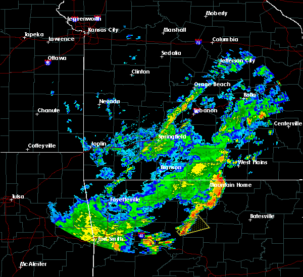 At 519 pm cdt, a severe squall line capable of producing tornadoes that may not be visible due to heavy rain was located along a line extending from 23 miles west of alton to 19 miles west of alton to 17 miles west of alton to 16 miles west of alton to 18 miles southwest of alton, and moving northeast at 45 mph (radar indicated rotation). Hazards include tornado. Flying debris will be dangerous to those caught without shelter. mobile homes will be damaged or destroyed. damage to roofs, windows and vehicles will occur. Tree damage is likely. At 519 pm cdt, a severe squall line capable of producing tornadoes that may not be visible due to heavy rain was located along a line extending from 23 miles west of alton to 19 miles west of alton to 17 miles west of alton to 16 miles west of alton to 18 miles southwest of alton, and moving northeast at 45 mph (radar indicated rotation). Hazards include tornado. Flying debris will be dangerous to those caught without shelter. mobile homes will be damaged or destroyed. damage to roofs, windows and vehicles will occur. Tree damage is likely.
|
| 5/24/2015 6:28 PM CDT | At 626 pm cdt, severe thunderstorms were located along a line extending from 6 miles east of ava to 9 miles southwest of west plains, and moving northeast at 60 mph (radar indicated). Hazards include 60 mph wind gusts. Expect damage to roofs. Siding and trees. |
| 5/24/2015 5:53 PM CDT | At 550 pm cdt, a severe thunderstorm was located 7 miles southeast of thayer, and moving north at 50 mph (radar indicated). Hazards include 60 mph wind gusts and quarter size hail. Hail damage to vehicles is expected. Expect wind damage to roofs, siding and trees. |
| 4/3/2015 2:18 AM CDT | A severe thunderstorm warning remains in effect for southern oregon county until 230 am cdt. at 218 am cdt. a severe thunderstorm was located 10 miles southeast of alton. and moving east at 45 mph. hazard. 60 mph wind gusts and quarter size hail. source. Radar indicated. |
| 4/3/2015 1:56 AM CDT | The national weather service in springfield has issued a * severe thunderstorm warning for. oregon county in south central missouri. until 230 am cdt * at 154 am cdt. a severe thunderstorm was located near alton. And moving east at 45 mph. |
| 3/25/2015 8:27 PM CDT | The national weather service in springfield has issued a * severe thunderstorm warning for. oregon county in south central missouri. until 930 pm cdt * at 826 pm cdt. a severe thunderstorm was located 11 miles west of thayer. And moving east at 35 mph. |
Hail Maps for Koshkonong, MO


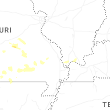

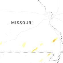


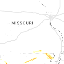


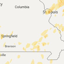
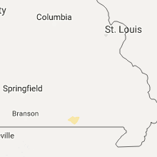
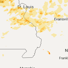


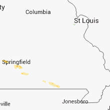


Connect with Interactive Hail Maps