

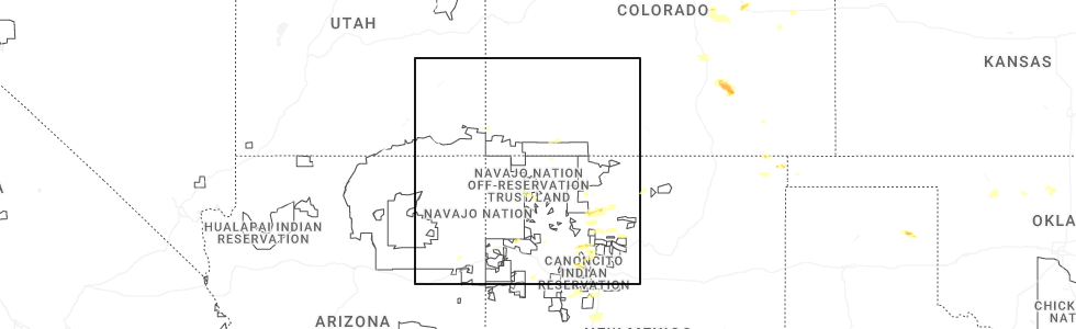
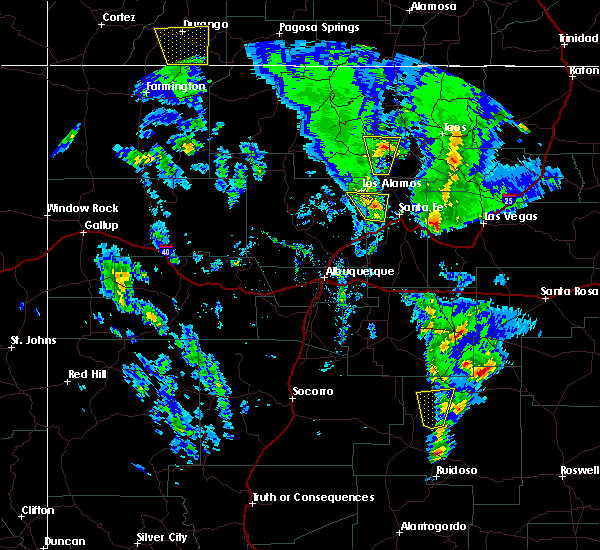
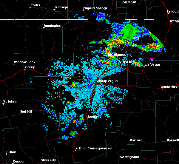
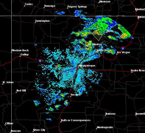
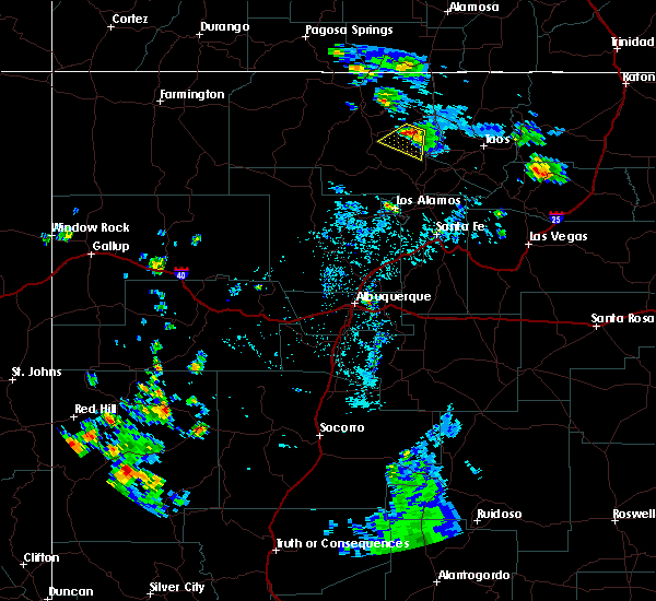
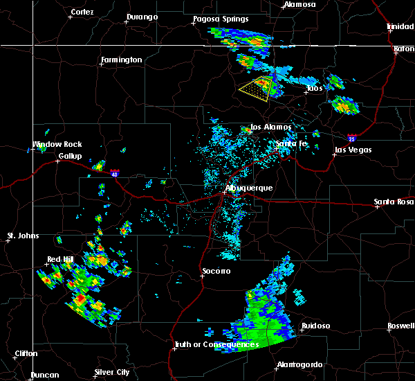
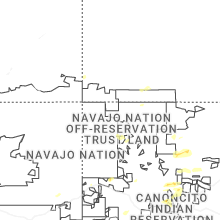
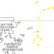
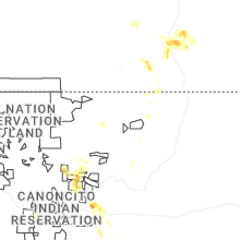
Hail Map for La Madera, NM
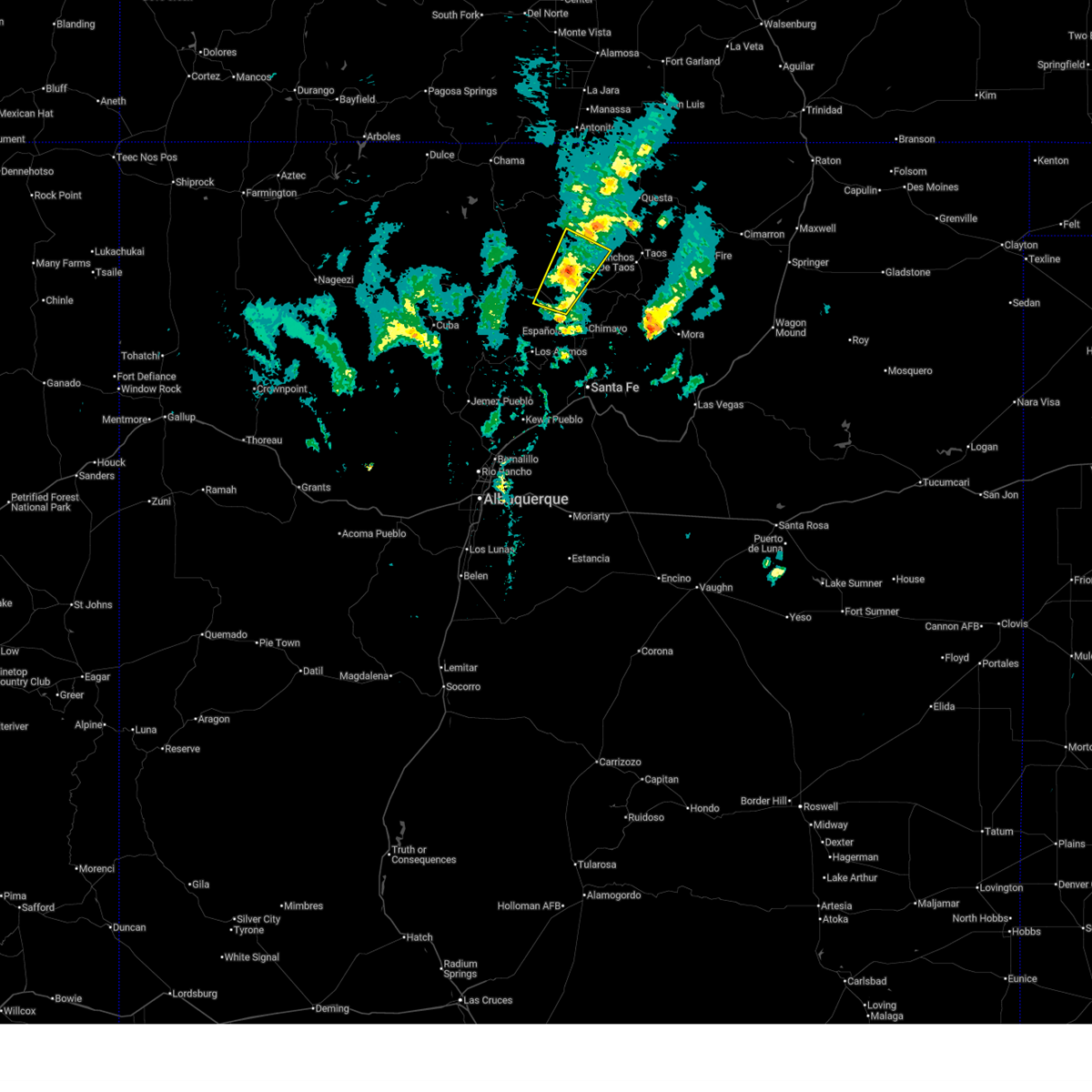
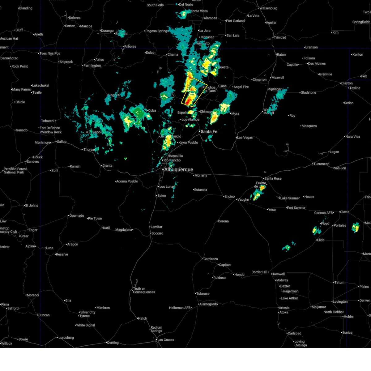
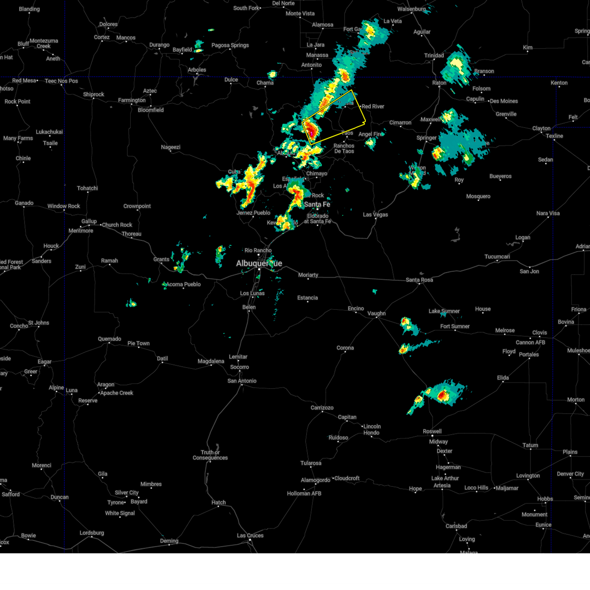
The La Madera, NM area has had 1 report of on-the-ground hail by trained spotters, and has been under severe weather warnings 0 times during the past 12 months. Doppler radar has detected hail at or near La Madera, NM on 13 occasions, including 2 occasions during the past year.
| Name: | La Madera, NM |
| Where Located: | 26 miles W of Taos, NM |
| Map: | Google Map for La Madera, NM |
| Population: | 154 |
| Housing Units: | 82 |
| More Info: | Search Google for La Madera, NM |
0
The Top Recent Hail Date for La Madera, NM is Friday, June 26, 2026 (13th out of 13)
Hail and Wind Damage Spotted near La Madera, NM
| Date / Time | Report Details |
|---|---|
| 9/21/2024 5:35 PM MDT |
 the severe thunderstorm warning has been cancelled and is no longer in effect the severe thunderstorm warning has been cancelled and is no longer in effect
|
| 9/21/2024 5:15 PM MDT |
 Svrabq the national weather service in albuquerque has issued a * severe thunderstorm warning for, southeastern rio arriba county in north central new mexico, west central taos county in north central new mexico, * until 600 pm mdt. * at 515 pm mdt, a severe thunderstorm was located 10 miles west of velarde, or 12 miles north of espanola, moving northeast at 25 mph (radar indicated). Hazards include 60 mph wind gusts and quarter size hail. Hail damage to vehicles is expected. Expect wind damage to roofs, siding, and trees. Svrabq the national weather service in albuquerque has issued a * severe thunderstorm warning for, southeastern rio arriba county in north central new mexico, west central taos county in north central new mexico, * until 600 pm mdt. * at 515 pm mdt, a severe thunderstorm was located 10 miles west of velarde, or 12 miles north of espanola, moving northeast at 25 mph (radar indicated). Hazards include 60 mph wind gusts and quarter size hail. Hail damage to vehicles is expected. Expect wind damage to roofs, siding, and trees.
|
| 9/17/2024 3:15 PM MDT |
 Svrabq the national weather service in albuquerque has issued a * severe thunderstorm warning for, central taos county in north central new mexico, east central rio arriba county in north central new mexico, * until 400 pm mdt. * at 315 pm mdt, a severe thunderstorm was located near petaca, or 19 miles west of taos, moving northeast at 45 mph (radar indicated). Hazards include 60 mph wind gusts and quarter size hail. Hail damage to vehicles is expected. Expect wind damage to roofs, siding, and trees. Svrabq the national weather service in albuquerque has issued a * severe thunderstorm warning for, central taos county in north central new mexico, east central rio arriba county in north central new mexico, * until 400 pm mdt. * at 315 pm mdt, a severe thunderstorm was located near petaca, or 19 miles west of taos, moving northeast at 45 mph (radar indicated). Hazards include 60 mph wind gusts and quarter size hail. Hail damage to vehicles is expected. Expect wind damage to roofs, siding, and trees.
|
| 5/22/2021 4:23 PM MDT |
 At 423 pm mdt, a severe thunderstorm was located over southern santa fe, moving north at 55 mph (radar indicated). Hazards include 60 mph wind gusts and quarter size hail. Hail damage to vehicles is expected. Expect wind damage to roofs, siding, and trees. At 423 pm mdt, a severe thunderstorm was located over southern santa fe, moving north at 55 mph (radar indicated). Hazards include 60 mph wind gusts and quarter size hail. Hail damage to vehicles is expected. Expect wind damage to roofs, siding, and trees.
|
| 5/9/2017 1:36 PM MDT |
 At 136 pm mdt, a severe thunderstorm was located near el rito, or 19 miles north of espanola, moving north at 45 mph (radar indicated). Hazards include 60 mph wind gusts and quarter size hail. Hail damage to vehicles is expected. expect wind damage to roofs, siding, and trees. locations impacted include, el rito and las placitas. This includes highway 285 between mile markers 343 and 359. At 136 pm mdt, a severe thunderstorm was located near el rito, or 19 miles north of espanola, moving north at 45 mph (radar indicated). Hazards include 60 mph wind gusts and quarter size hail. Hail damage to vehicles is expected. expect wind damage to roofs, siding, and trees. locations impacted include, el rito and las placitas. This includes highway 285 between mile markers 343 and 359.
|
| 5/9/2017 1:20 PM MDT |
 At 119 pm mdt, a severe thunderstorm was located near espanola, moving north at 40 mph (radar indicated). Hazards include 70 mph wind gusts and half dollar size hail. Hail damage to vehicles is expected. expect considerable tree damage. Wind damage is also likely to mobile homes, roofs, and outbuildings. At 119 pm mdt, a severe thunderstorm was located near espanola, moving north at 40 mph (radar indicated). Hazards include 70 mph wind gusts and half dollar size hail. Hail damage to vehicles is expected. expect considerable tree damage. Wind damage is also likely to mobile homes, roofs, and outbuildings.
|
| 8/17/2015 2:00 PM MDT |
 At 200 pm mdt, a severe thunderstorm was located 8 miles northwest of pilar, or 18 miles west of taos, moving southeast at 15 mph (radar indicated). Hazards include 60 mph wind gusts and quarter size hail. Hail damage to vehicles is expected. expect wind damage to roofs, siding and trees. this severe storm will be near, pilar around 230 pm mdt. other locations impacted by this severe thunderstorm include rinconada and la madera. other locations affected include the following locations orilla verde recreation area, county line river access, quartzite river access, and taos junction bridge river access. This includes highway 285 between mile markers 351 and 367. At 200 pm mdt, a severe thunderstorm was located 8 miles northwest of pilar, or 18 miles west of taos, moving southeast at 15 mph (radar indicated). Hazards include 60 mph wind gusts and quarter size hail. Hail damage to vehicles is expected. expect wind damage to roofs, siding and trees. this severe storm will be near, pilar around 230 pm mdt. other locations impacted by this severe thunderstorm include rinconada and la madera. other locations affected include the following locations orilla verde recreation area, county line river access, quartzite river access, and taos junction bridge river access. This includes highway 285 between mile markers 351 and 367.
|
| 8/17/2015 1:41 PM MDT |
 At 140 pm mdt, a severe thunderstorm was located 9 miles south of petaca, or 23 miles west of taos, moving southeast at 15 mph (radar indicated). Hazards include quarter size hail and 60 mph wind gusts. Hail damage to vehicles is expected. expect wind damage to roofs, siding and trees. this severe thunderstorm will be near, dixon around 220 pm mdt. pilar around 230 pm mdt. other locations impacted by this severe thunderstorm include rinconada and la madera. This includes highway 285 between mile markers 351 and 367. At 140 pm mdt, a severe thunderstorm was located 9 miles south of petaca, or 23 miles west of taos, moving southeast at 15 mph (radar indicated). Hazards include quarter size hail and 60 mph wind gusts. Hail damage to vehicles is expected. expect wind damage to roofs, siding and trees. this severe thunderstorm will be near, dixon around 220 pm mdt. pilar around 230 pm mdt. other locations impacted by this severe thunderstorm include rinconada and la madera. This includes highway 285 between mile markers 351 and 367.
|
| 8/17/2015 12:36 PM MDT | Golf Ball sized hail reported 15 miles SSW of La Madera, NM, golf ball size hail fell along highway 285. |
| 6/27/2015 1:33 PM MDT |
 At 132 pm mdt, a severe thunderstorm was located near vallecitos, or 27 miles southeast of tierra amarilla, moving south at 15 mph (radar indicated). Hazards include golf ball size hail and 60 mph wind gusts. People and animals outdoors will be injured. expect hail damage to roofs, siding, windows and vehicles. expect wind damage to roofs, siding and trees. locations impacted include, el rito, canon plaza, vallecitos and las placitas. Other locations affected include el rito campground. At 132 pm mdt, a severe thunderstorm was located near vallecitos, or 27 miles southeast of tierra amarilla, moving south at 15 mph (radar indicated). Hazards include golf ball size hail and 60 mph wind gusts. People and animals outdoors will be injured. expect hail damage to roofs, siding, windows and vehicles. expect wind damage to roofs, siding and trees. locations impacted include, el rito, canon plaza, vallecitos and las placitas. Other locations affected include el rito campground.
|
| 6/27/2015 1:19 PM MDT |
 At 119 pm mdt, a severe thunderstorm was located over vallecitos, or 26 miles southeast of tierra amarilla, moving southwest at 15 mph (radar indicated). Hazards include half dollar size hail and 60 mph wind gusts. Hail damage to vehicles is expected. Expect wind damage to roofs, siding and trees. At 119 pm mdt, a severe thunderstorm was located over vallecitos, or 26 miles southeast of tierra amarilla, moving southwest at 15 mph (radar indicated). Hazards include half dollar size hail and 60 mph wind gusts. Hail damage to vehicles is expected. Expect wind damage to roofs, siding and trees.
|
Hail Maps for La Madera, NM


Connect with Interactive Hail Maps