

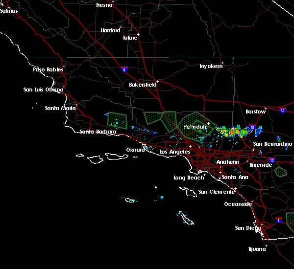
Hail Map for Lebec, CA
The Lebec, CA area has had 0 reports of on-the-ground hail by trained spotters, and has been under severe weather warnings 0 times during the past 12 months. Doppler radar has detected hail at or near Lebec, CA on 2 occasions.
| Name: | Lebec, CA |
| Where Located: | 36.6 miles S of Bakersfield, CA |
| Map: | Google Map for Lebec, CA |
| Population: | 1468 |
| Housing Units: | 594 |
| More Info: | Search Google for Lebec, CA |
0
The Top Recent Hail Date for Lebec, CA is Thursday, July 30, 2015 (2nd out of 2)

Hail and Wind Damage Spotted near Lebec, CA
| Date / Time | Report Details |
|---|---|
| 10/15/2015 3:27 PM PDT |
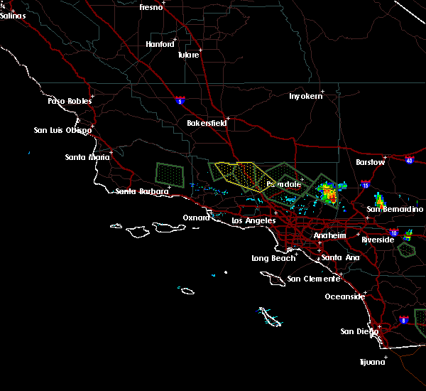
 At 319 pm pdt, doppler radar continued to indicate a cluster of severe thunderstorms capable of producing large damaging hail up to golf ball size and damaging winds in excess of 60 mph. there is a recent trained weather spotter reports of several funnel clouds being sighted. the storms were located near fairmont dam in the antelope valley and was located near lake hughes, or 5 miles north of castaic lake. these storm were nearly stationary. locations impacted include, elizabeth lake, lake hughes, gorman, highway 138 between quail lake and lancaster, interstate 5 over the grapevine, and pyramid lake. At 319 pm pdt, doppler radar continued to indicate a cluster of severe thunderstorms capable of producing large damaging hail up to golf ball size and damaging winds in excess of 60 mph. there is a recent trained weather spotter reports of several funnel clouds being sighted. the storms were located near fairmont dam in the antelope valley and was located near lake hughes, or 5 miles north of castaic lake. these storm were nearly stationary. locations impacted include, elizabeth lake, lake hughes, gorman, highway 138 between quail lake and lancaster, interstate 5 over the grapevine, and pyramid lake.
|
| 10/15/2015 3:06 PM PDT |
 At 302 pm pdt, doppler radar continued to indicate a cluster of severe thunderstorms capable of producing large damaging hail up to golf ball size and damaging winds in excess of 60 mph. these storms were moving northwest around 15 mph. locations impacted include, elizabeth lake, lake hughes, gorman, highway 138 between quail lake and lancaster, interstate 5 over the grapevine, and pyramid lake. At 302 pm pdt, doppler radar continued to indicate a cluster of severe thunderstorms capable of producing large damaging hail up to golf ball size and damaging winds in excess of 60 mph. these storms were moving northwest around 15 mph. locations impacted include, elizabeth lake, lake hughes, gorman, highway 138 between quail lake and lancaster, interstate 5 over the grapevine, and pyramid lake.
|
| 10/15/2015 3:00 PM PDT |
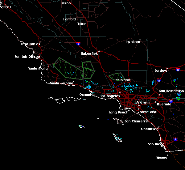
 At 300 pm pdt, doppler radar indicated a severe thunderstorm capable of producing quarter size hail. this storm was located 12 miles south of mettler, or 33 miles south of bakersfield, and moving northwest at 15 mph. At 300 pm pdt, doppler radar indicated a severe thunderstorm capable of producing quarter size hail. this storm was located 12 miles south of mettler, or 33 miles south of bakersfield, and moving northwest at 15 mph.
|
| 10/15/2015 2:48 PM PDT |
 At 245 pm pdt, national weather service doppler radar indicated a cluster of severe thunderstorms capable of producing quarter size hail and damaging winds in excess of 60 mph. these storms were located near lake hughes and sandberg and moving northwest around 15 mph. At 245 pm pdt, national weather service doppler radar indicated a cluster of severe thunderstorms capable of producing quarter size hail and damaging winds in excess of 60 mph. these storms were located near lake hughes and sandberg and moving northwest around 15 mph.
|
| 7/30/2015 3:42 PM PDT |
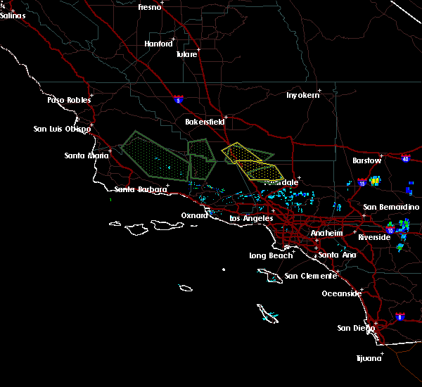
 At 336 pm pdt, doppler radar continued to indicate a cluster of severe thunderstorms capable of producing quarter size hail and damaging winds in excess of 60 mph. these storms were between castaic lake and eastern lockwood valley and were moving northwest at about 15 mph. the strongest storm at this moment is located near pyramid lake. in addition to large hail and strong winds, these storms will also produce very heavy rain and frequent lightning. locations impacted include, eastern lockwood valley, gorman, pyramid lake, interstate 5 over the grapevine, castaic lake, and lake lake piru. At 336 pm pdt, doppler radar continued to indicate a cluster of severe thunderstorms capable of producing quarter size hail and damaging winds in excess of 60 mph. these storms were between castaic lake and eastern lockwood valley and were moving northwest at about 15 mph. the strongest storm at this moment is located near pyramid lake. in addition to large hail and strong winds, these storms will also produce very heavy rain and frequent lightning. locations impacted include, eastern lockwood valley, gorman, pyramid lake, interstate 5 over the grapevine, castaic lake, and lake lake piru.
|
| 7/30/2015 3:12 PM PDT |
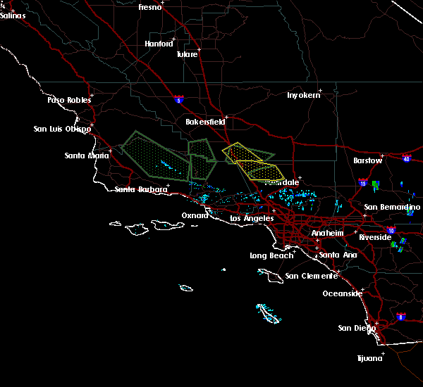
 At 259 pm pdt, doppler radar indicated a cluster of severe thunderstorms capable of producing quarter size hail, damaging winds in excess of 60 mph, and frequent lightning. these storms were located between santa clarita and lockwood valley and were moving northwest around 15 mph. At 259 pm pdt, doppler radar indicated a cluster of severe thunderstorms capable of producing quarter size hail, damaging winds in excess of 60 mph, and frequent lightning. these storms were located between santa clarita and lockwood valley and were moving northwest around 15 mph.
|
Hail Maps for Lebec, CA

Connect with Interactive Hail Maps