

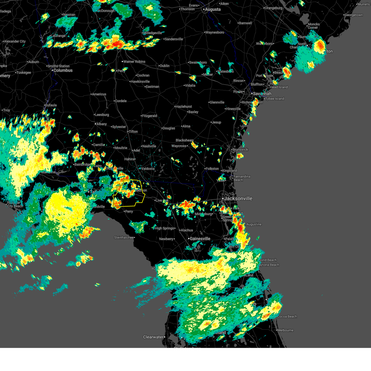
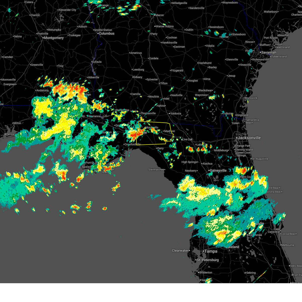
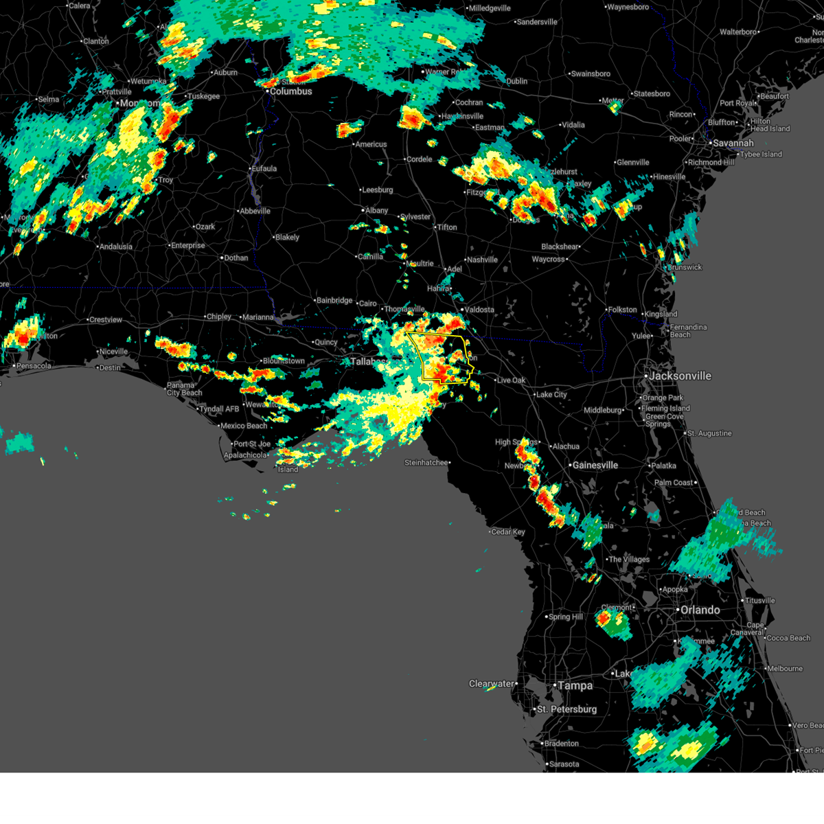
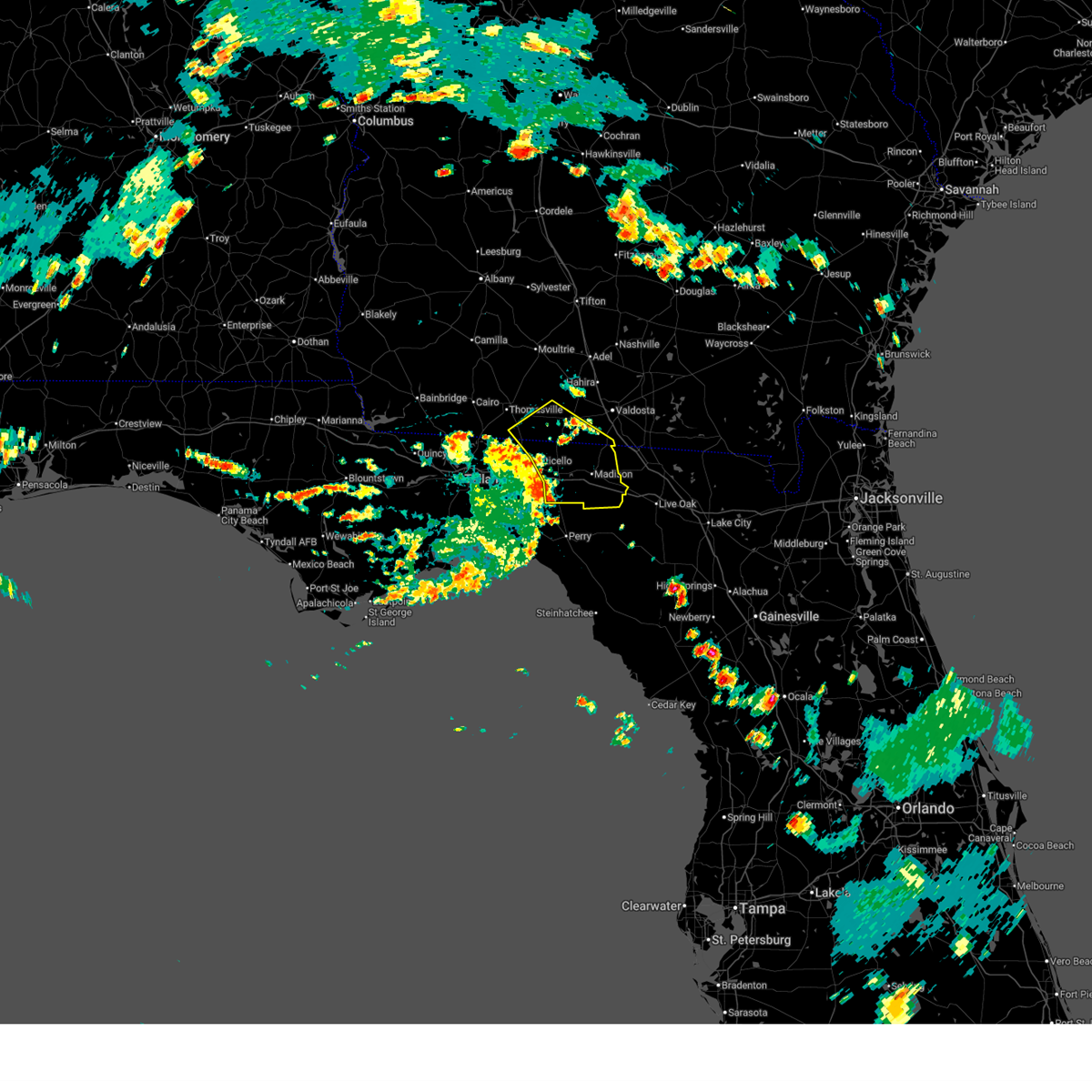
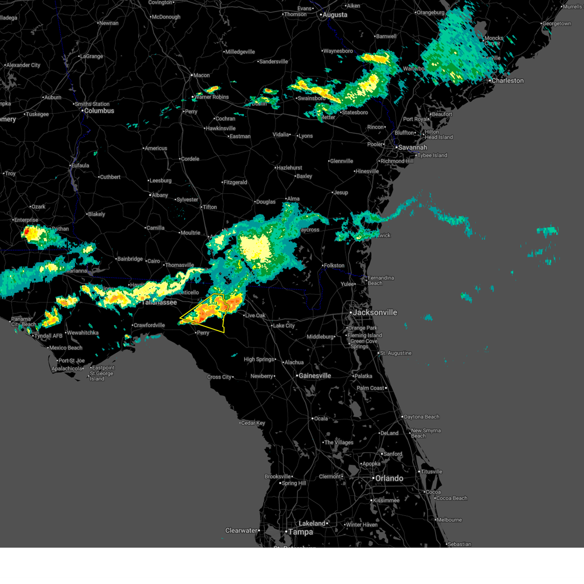
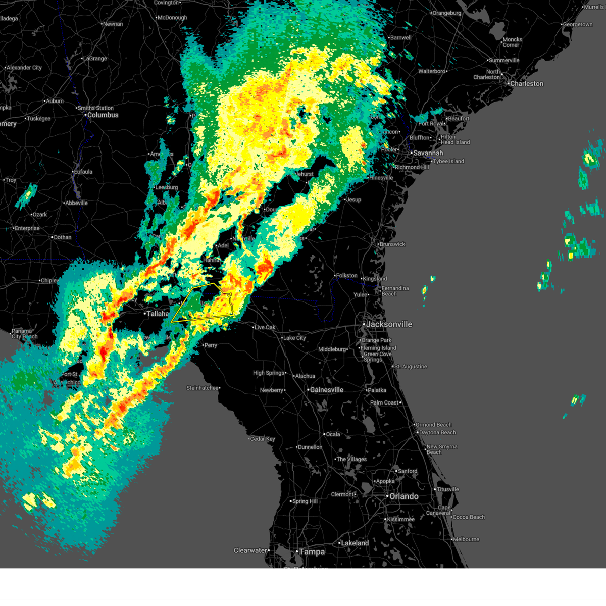
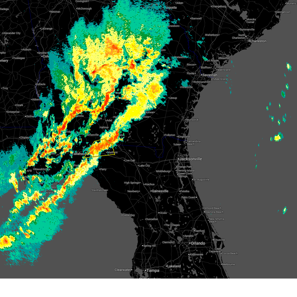
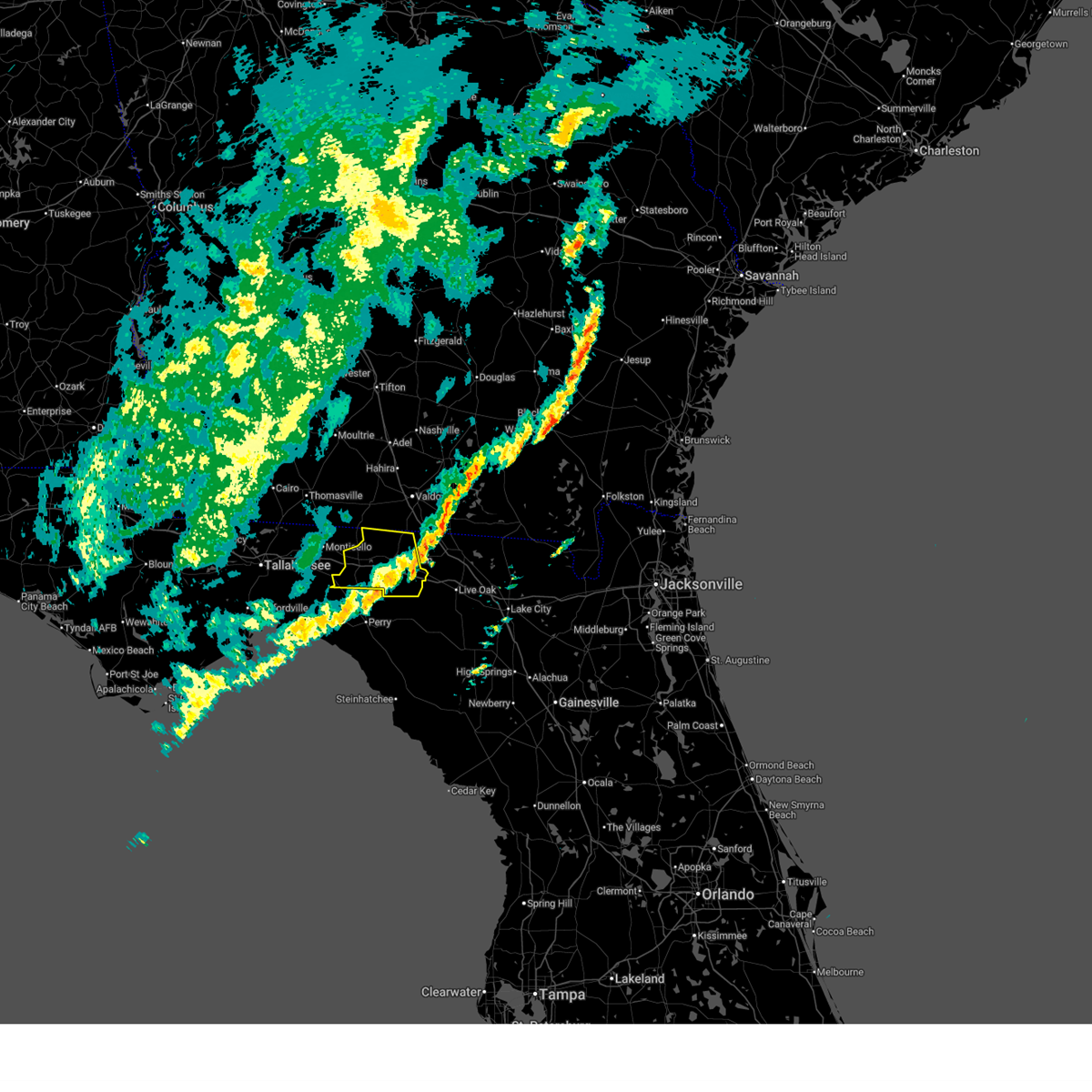
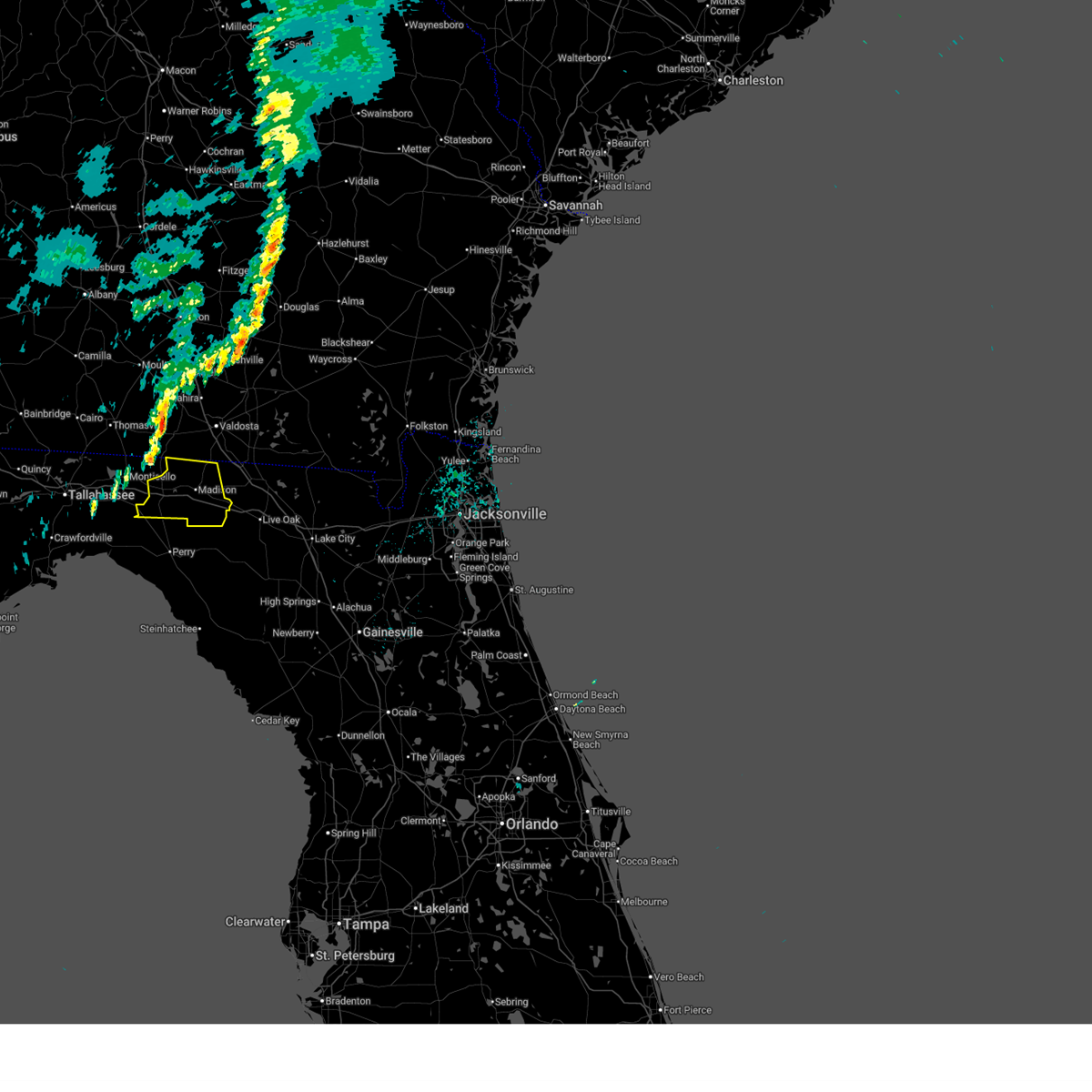
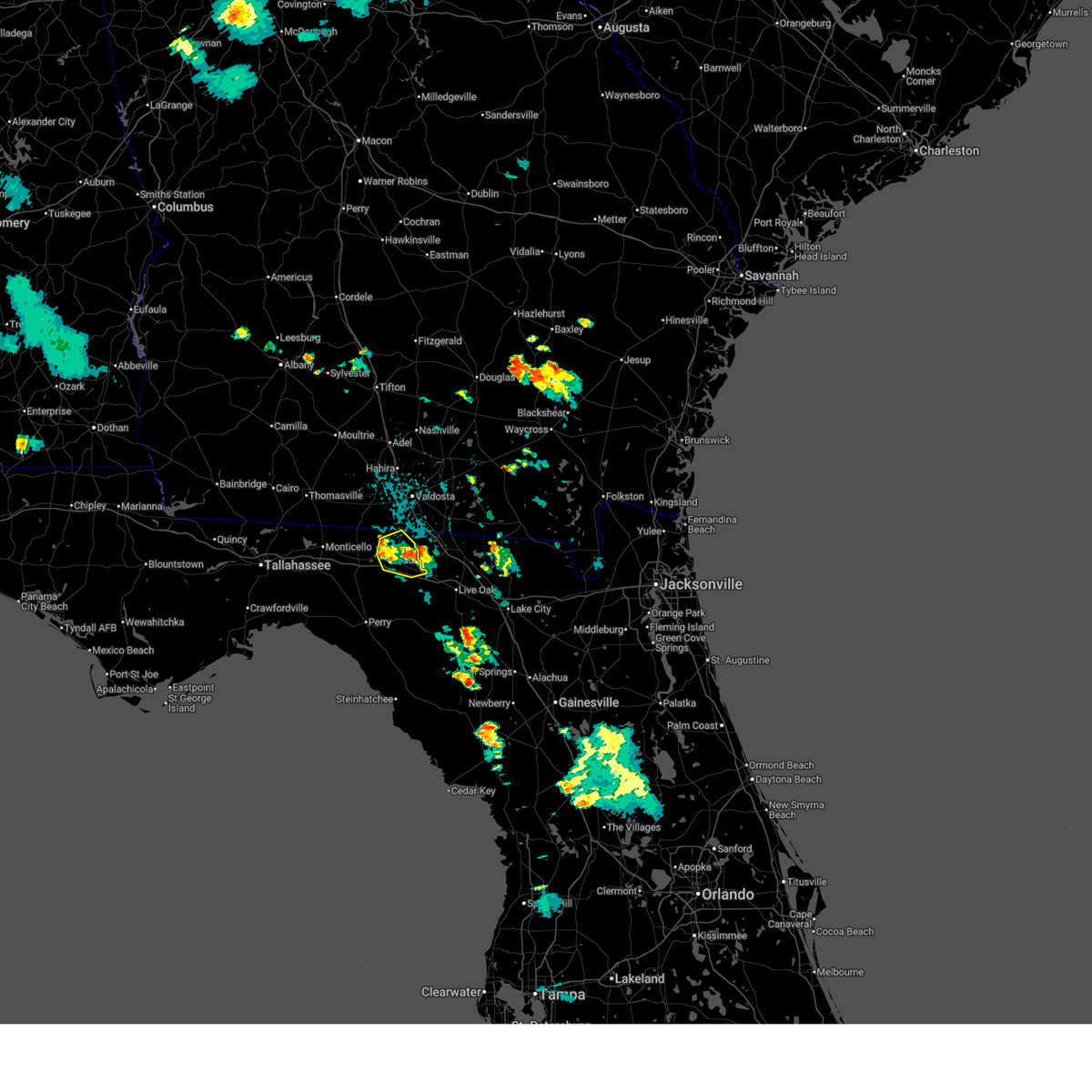
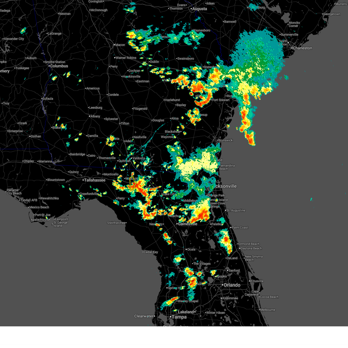
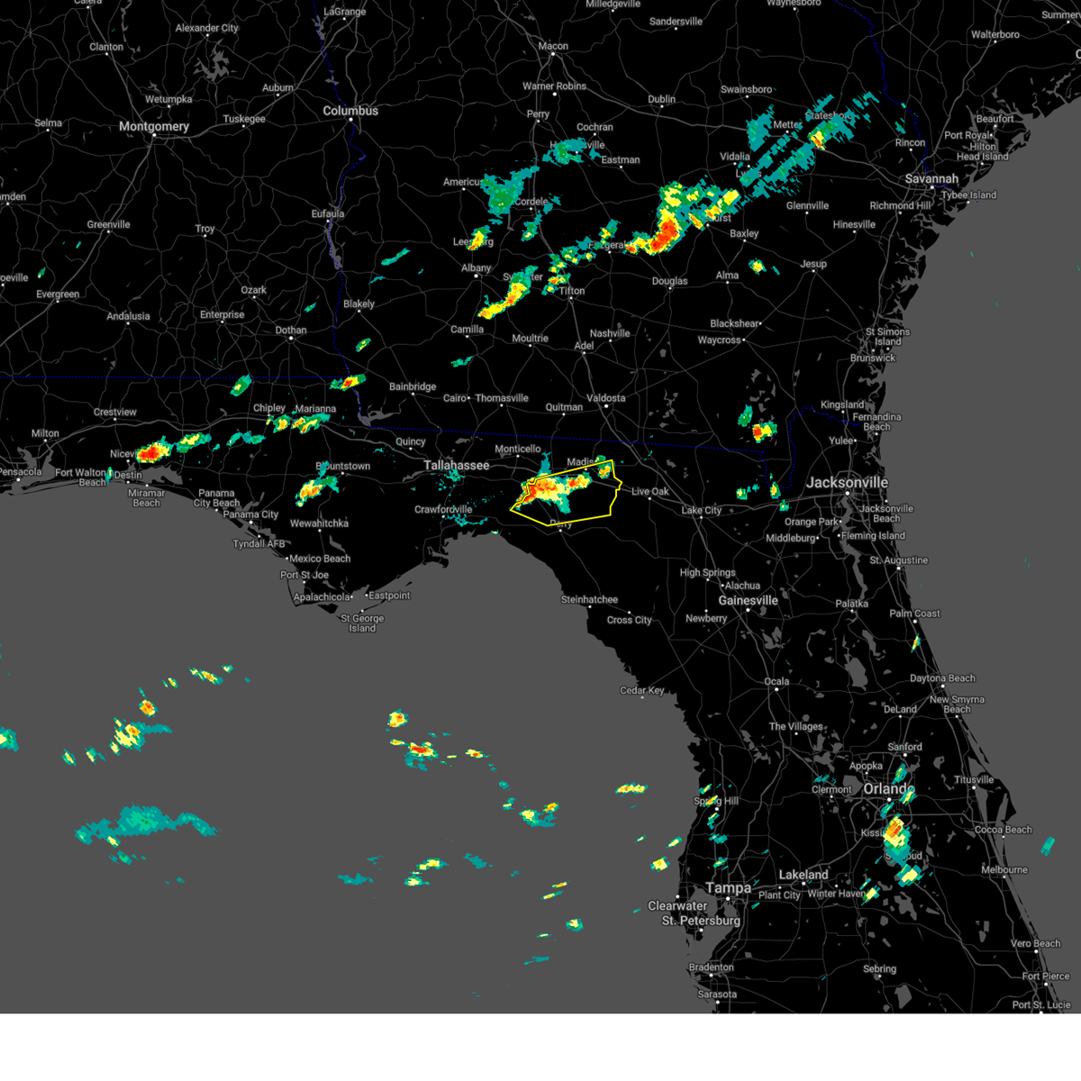
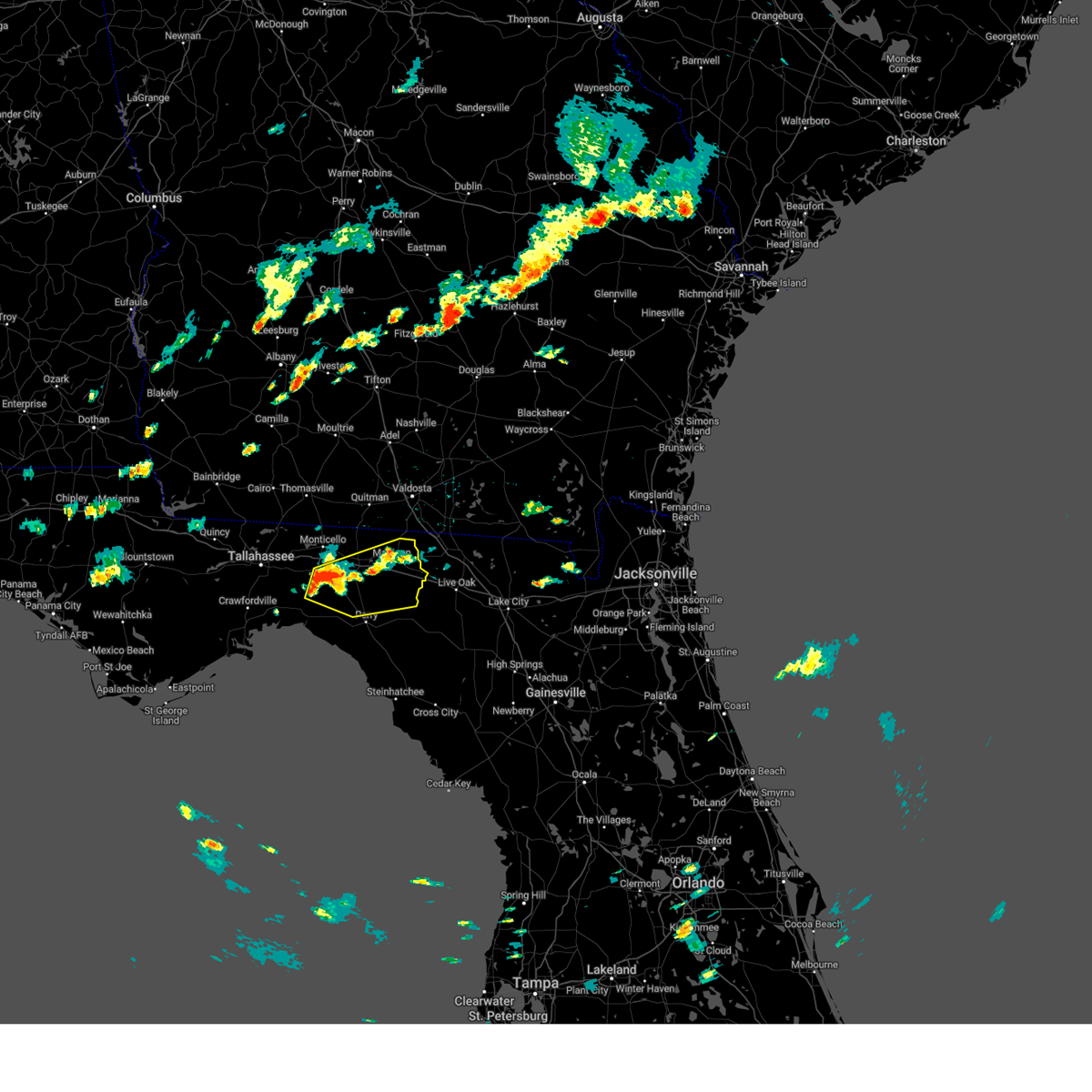
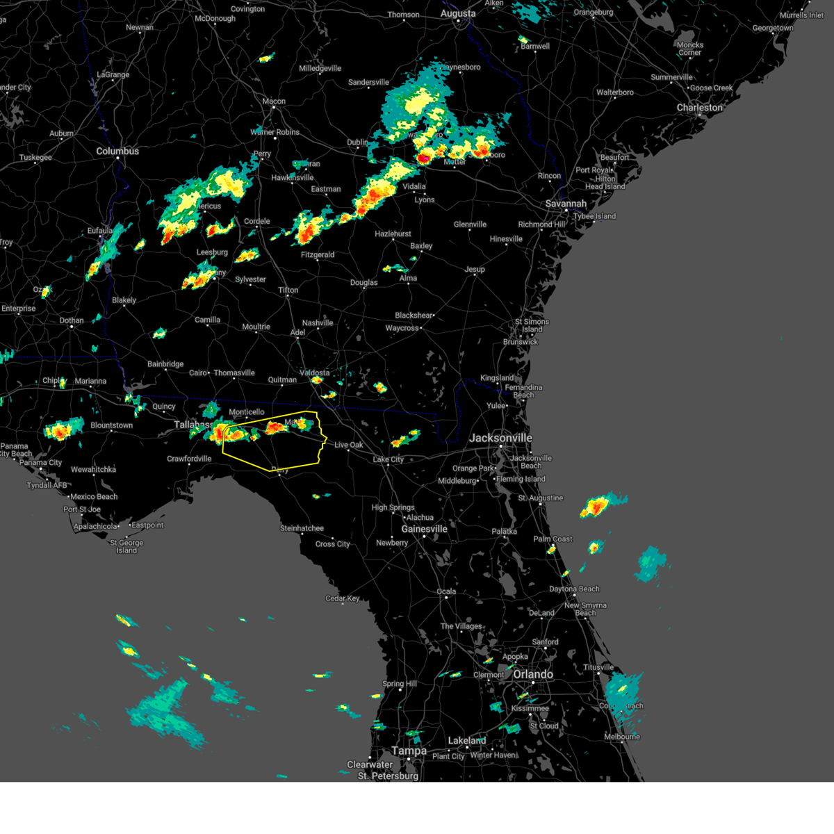
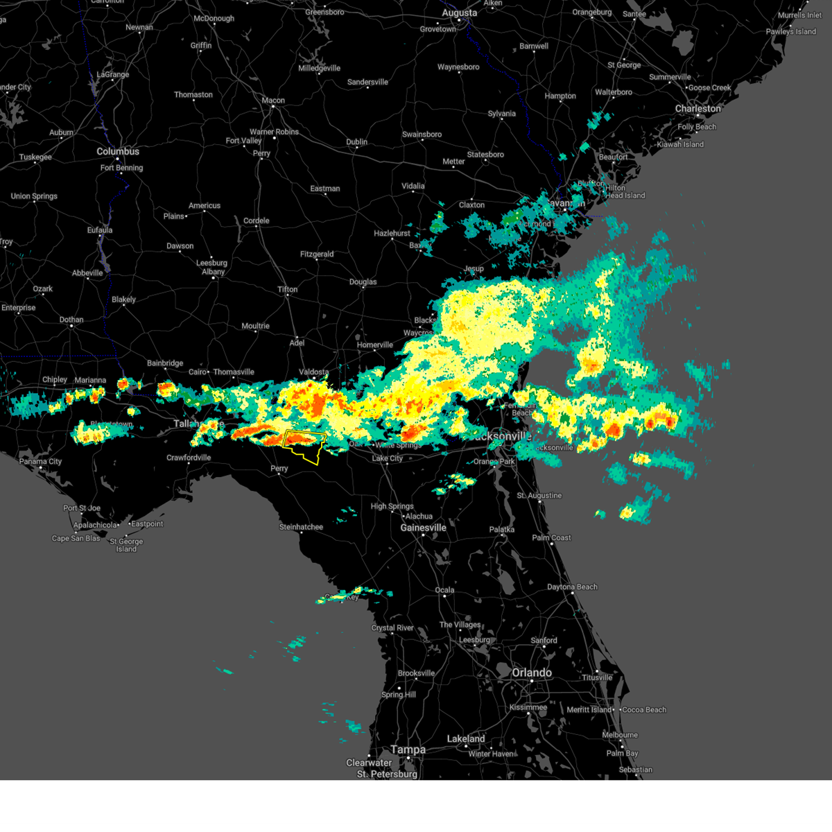
Hail Map for Lee, FL
The Lee, FL area has had 1 report of on-the-ground hail by trained spotters, and has been under severe weather warnings 18 times during the past 12 months. Doppler radar has detected hail at or near Lee, FL on 40 occasions, including 1 occasion during the past year.
| Name: | Lee, FL |
| Where Located: | 58.5 miles E of Tallahassee, FL |
| Map: | Google Map for Lee, FL |
| Population: | 352 |
| Housing Units: | 160 |
| More Info: | Search Google for Lee, FL |
0
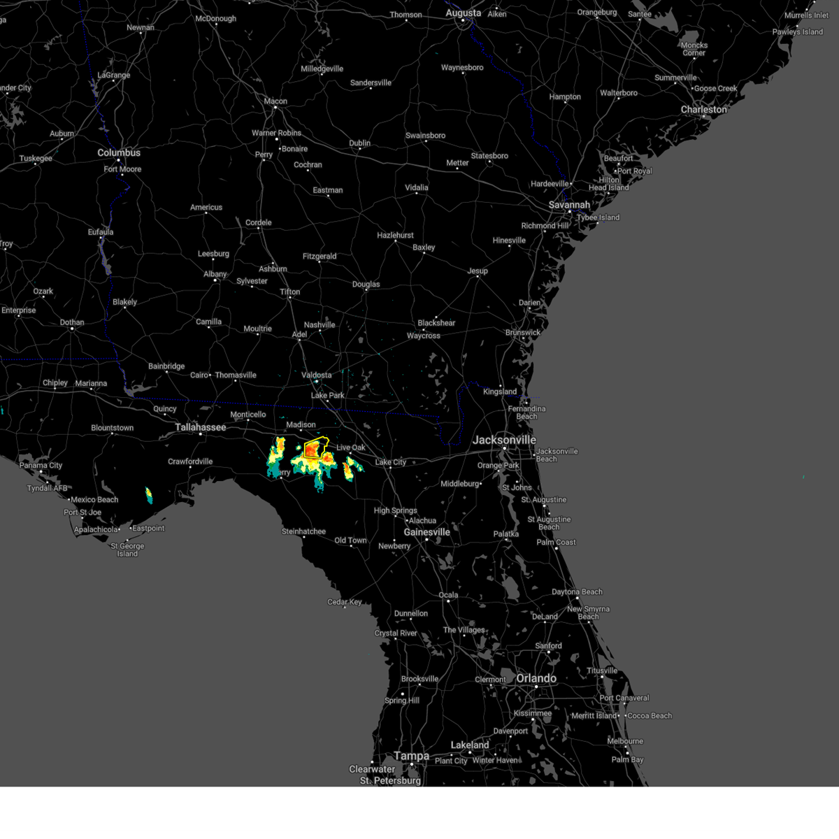
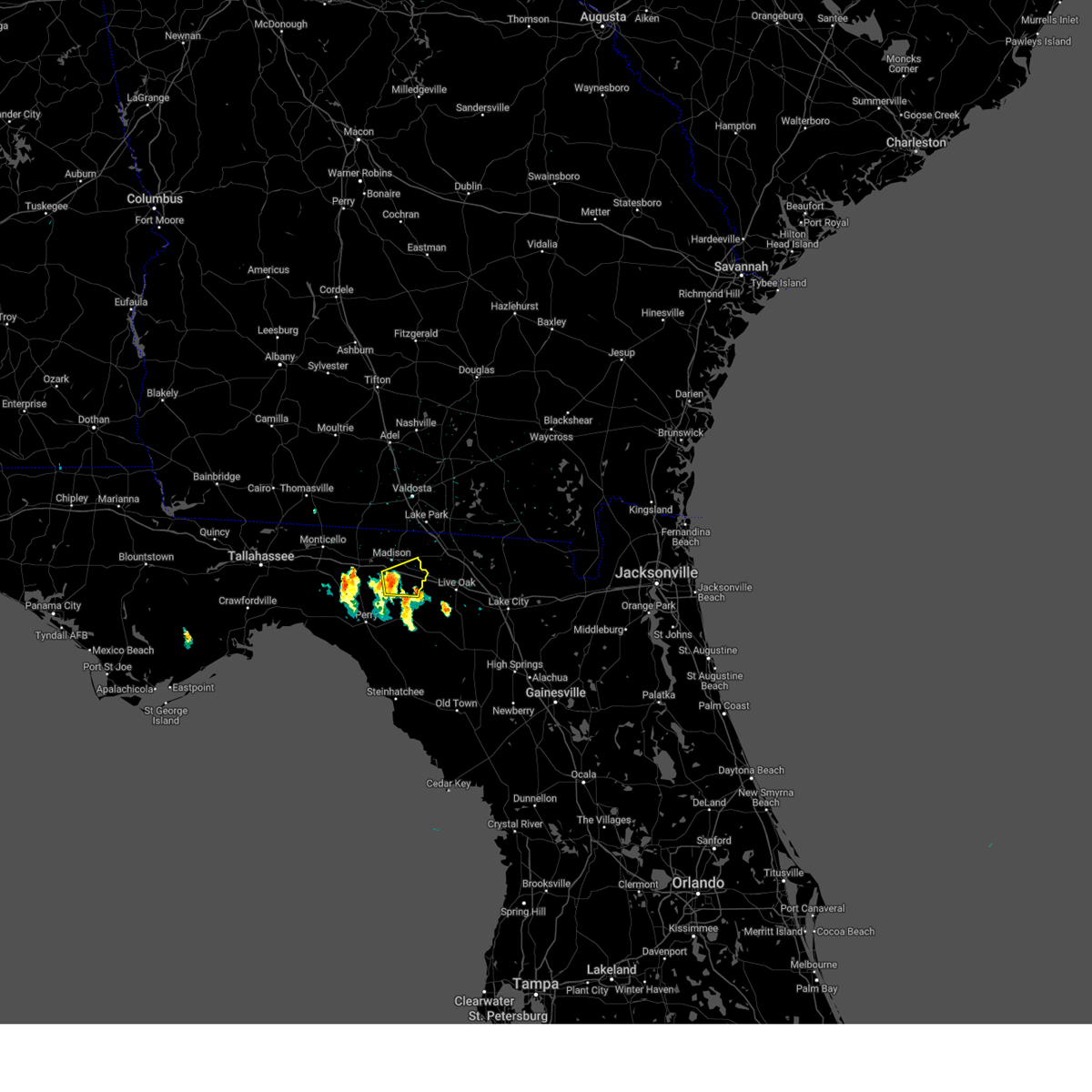
The Top Recent Hail Date for Lee, FL is Friday, March 6, 2026 (12th out of 40)

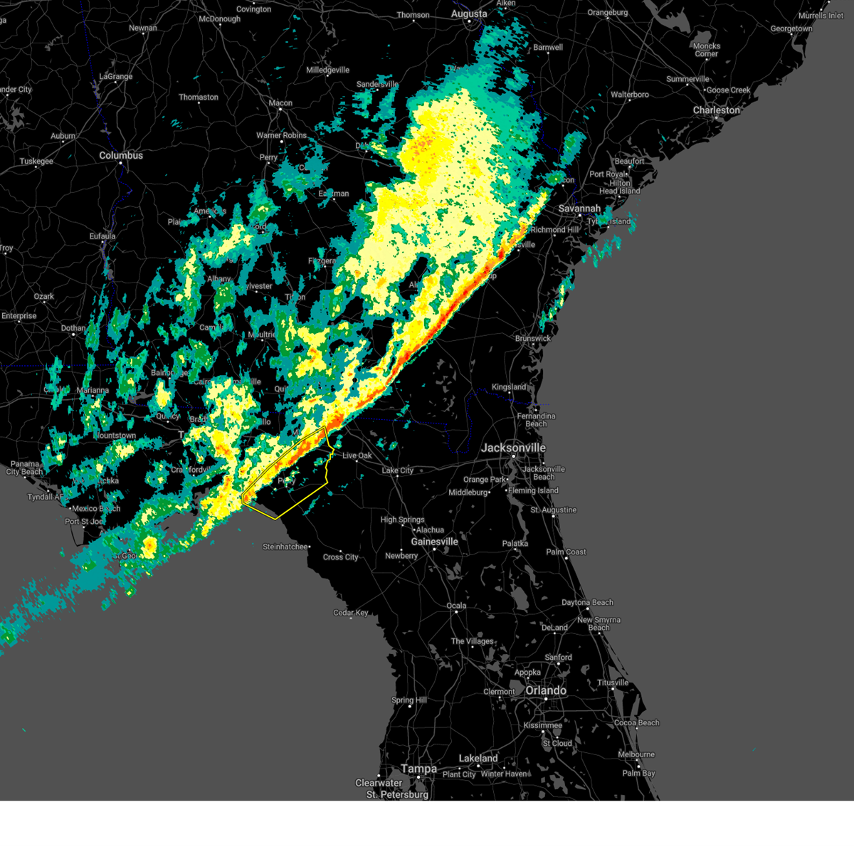
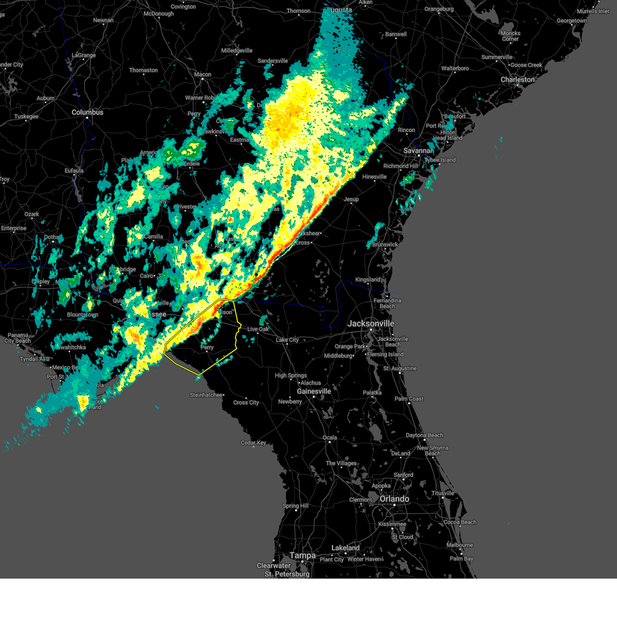
Hail and Wind Damage Spotted near Lee, FL
| Date / Time | Report Details |
|---|---|
| 7/12/2026 3:17 PM EDT |
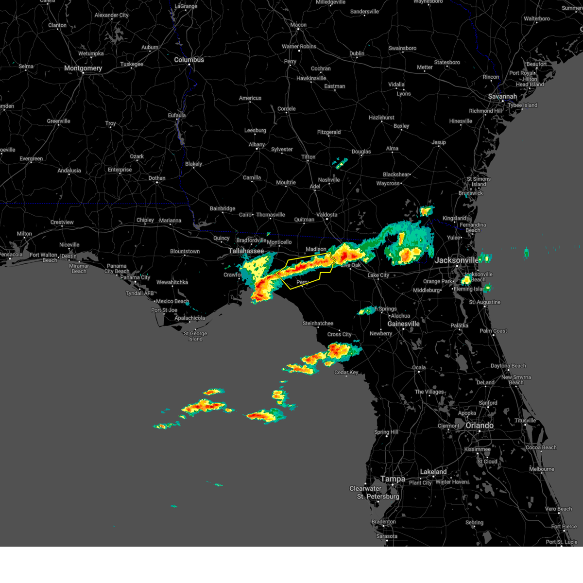
 At 316 pm edt, severe thunderstorms were located along a line extending from 11 miles northwest of madison to 10 miles north of perry, moving east at 35 mph (radar indicated). Hazards include 60 mph wind gusts. Expect damage to roofs, siding, and trees. Locations impacted include, madison, greenville, lee, ebb, iddo, moseley hall, hopewell, cherry lake, hamburg, pinetta, eridu, lovett, lake bird, hanson, sirmans, and shady grove. At 316 pm edt, severe thunderstorms were located along a line extending from 11 miles northwest of madison to 10 miles north of perry, moving east at 35 mph (radar indicated). Hazards include 60 mph wind gusts. Expect damage to roofs, siding, and trees. Locations impacted include, madison, greenville, lee, ebb, iddo, moseley hall, hopewell, cherry lake, hamburg, pinetta, eridu, lovett, lake bird, hanson, sirmans, and shady grove.
|
| 7/12/2026 3:17 PM EDT |
 the severe thunderstorm warning has been cancelled and is no longer in effect the severe thunderstorm warning has been cancelled and is no longer in effect
|
| 7/12/2026 2:27 PM EDT |
 Svrtae the national weather service in tallahassee has issued a * severe thunderstorm warning for, jefferson county in big bend florida, northern taylor county in big bend florida, madison county in big bend florida, * until 400 pm edt. * at 227 pm edt, severe thunderstorms were located along a line extending from 9 miles northwest of monticello to 10 miles east of woodville, moving east at 30 mph (radar indicated). Hazards include 60 mph wind gusts. expect damage to roofs, siding, and trees Svrtae the national weather service in tallahassee has issued a * severe thunderstorm warning for, jefferson county in big bend florida, northern taylor county in big bend florida, madison county in big bend florida, * until 400 pm edt. * at 227 pm edt, severe thunderstorms were located along a line extending from 9 miles northwest of monticello to 10 miles east of woodville, moving east at 30 mph (radar indicated). Hazards include 60 mph wind gusts. expect damage to roofs, siding, and trees
|
| 6/20/2026 3:55 PM EDT |
 At 354 pm edt, severe thunderstorms were located along a line extending from 10 miles south of quitman to near madison to 11 miles southwest of blue springs, moving east at 30 mph (radar indicated). Hazards include 60 mph wind gusts. Expect damage to roofs, siding, and trees. Locations impacted include, madison, greenville, lee, lovett, moseley hall, hopewell, cherry lake, hamburg, hanson, pinetta, and ashville. At 354 pm edt, severe thunderstorms were located along a line extending from 10 miles south of quitman to near madison to 11 miles southwest of blue springs, moving east at 30 mph (radar indicated). Hazards include 60 mph wind gusts. Expect damage to roofs, siding, and trees. Locations impacted include, madison, greenville, lee, lovett, moseley hall, hopewell, cherry lake, hamburg, hanson, pinetta, and ashville.
|
| 6/20/2026 3:24 PM EDT |
 Svrtae the national weather service in tallahassee has issued a * severe thunderstorm warning for, northeastern jefferson county in big bend florida, madison county in big bend florida, southwestern lowndes county in south central georgia, southeastern thomas county in south central georgia, southern brooks county in south central georgia, * until 415 pm edt. * at 324 pm edt, severe thunderstorms were located along a line extending from 10 miles south of thomasville to 6 miles east of monticello to 14 miles west of madison, moving east at 35 mph (radar indicated). Hazards include 60 mph wind gusts. expect damage to roofs, siding, and trees Svrtae the national weather service in tallahassee has issued a * severe thunderstorm warning for, northeastern jefferson county in big bend florida, madison county in big bend florida, southwestern lowndes county in south central georgia, southeastern thomas county in south central georgia, southern brooks county in south central georgia, * until 415 pm edt. * at 324 pm edt, severe thunderstorms were located along a line extending from 10 miles south of thomasville to 6 miles east of monticello to 14 miles west of madison, moving east at 35 mph (radar indicated). Hazards include 60 mph wind gusts. expect damage to roofs, siding, and trees
|
| 5/7/2026 2:54 PM EDT |
 The storms which prompted the warning have weakened below severe limits, and no longer pose an immediate threat to life or property. therefore, the warning will be allowed to expire. however, gusty winds are still possible with these thunderstorms. The storms which prompted the warning have weakened below severe limits, and no longer pose an immediate threat to life or property. therefore, the warning will be allowed to expire. however, gusty winds are still possible with these thunderstorms.
|
| 5/7/2026 2:33 PM EDT |
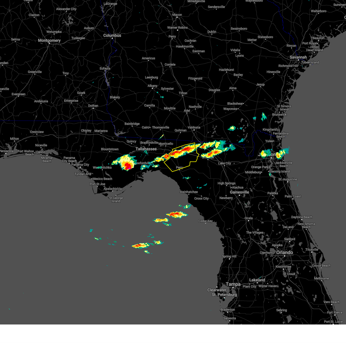
 Svrtae the national weather service in tallahassee has issued a * severe thunderstorm warning for, northwestern lafayette county in big bend florida, northeastern taylor county in big bend florida, southeastern madison county in big bend florida, * until 300 pm edt. * at 233 pm edt, severe thunderstorms were located along a line extending from near madison to 13 miles northwest of perry, moving east at 40 mph (radar indicated). Hazards include 60 mph wind gusts and quarter size hail. Hail damage to vehicles is expected. Expect wind damage to roofs, siding, and trees. Svrtae the national weather service in tallahassee has issued a * severe thunderstorm warning for, northwestern lafayette county in big bend florida, northeastern taylor county in big bend florida, southeastern madison county in big bend florida, * until 300 pm edt. * at 233 pm edt, severe thunderstorms were located along a line extending from near madison to 13 miles northwest of perry, moving east at 40 mph (radar indicated). Hazards include 60 mph wind gusts and quarter size hail. Hail damage to vehicles is expected. Expect wind damage to roofs, siding, and trees.
|
| 5/7/2026 2:25 PM EDT |
 At 224 pm edt, severe thunderstorms were located along a line extending from near madison to 16 miles northwest of perry, moving east at 40 mph (radar indicated). Hazards include 60 mph wind gusts and quarter size hail. Hail damage to vehicles is expected. expect wind damage to roofs, siding, and trees. Locations impacted include, madison, perry, greenville, lee, ebb, iddo, moseley hall, secotan, boyd, hopewell, cherry lake, hamburg, pinetta, eridu, cabbage grove, lovett, lake bird, foley, hanson, and sirmans. At 224 pm edt, severe thunderstorms were located along a line extending from near madison to 16 miles northwest of perry, moving east at 40 mph (radar indicated). Hazards include 60 mph wind gusts and quarter size hail. Hail damage to vehicles is expected. expect wind damage to roofs, siding, and trees. Locations impacted include, madison, perry, greenville, lee, ebb, iddo, moseley hall, secotan, boyd, hopewell, cherry lake, hamburg, pinetta, eridu, cabbage grove, lovett, lake bird, foley, hanson, and sirmans.
|
| 5/7/2026 1:52 PM EDT |
 Svrtae the national weather service in tallahassee has issued a * severe thunderstorm warning for, jefferson county in big bend florida, northern taylor county in big bend florida, madison county in big bend florida, * until 245 pm edt. * at 152 pm edt, severe thunderstorms were located along a line extending from 9 miles northeast of monticello to 11 miles northeast of woodville, moving east at 35 mph (radar indicated). Hazards include 60 mph wind gusts and quarter size hail. Hail damage to vehicles is expected. Expect wind damage to roofs, siding, and trees. Svrtae the national weather service in tallahassee has issued a * severe thunderstorm warning for, jefferson county in big bend florida, northern taylor county in big bend florida, madison county in big bend florida, * until 245 pm edt. * at 152 pm edt, severe thunderstorms were located along a line extending from 9 miles northeast of monticello to 11 miles northeast of woodville, moving east at 35 mph (radar indicated). Hazards include 60 mph wind gusts and quarter size hail. Hail damage to vehicles is expected. Expect wind damage to roofs, siding, and trees.
|
| 3/16/2026 11:27 AM EDT |
 The storms which prompted the warning have moved out of the area. therefore, the warning will be allowed to expire. however, gusty winds are still possible with these thunderstorms. a tornado watch remains in effect until 200 pm edt for big bend florida, and south central georgia. The storms which prompted the warning have moved out of the area. therefore, the warning will be allowed to expire. however, gusty winds are still possible with these thunderstorms. a tornado watch remains in effect until 200 pm edt for big bend florida, and south central georgia.
|
| 3/16/2026 10:42 AM EDT |
 Svrtae the national weather service in tallahassee has issued a * severe thunderstorm warning for, northeastern jefferson county in big bend florida, madison county in big bend florida, southwestern lowndes county in south central georgia, southern brooks county in south central georgia, * until 1130 am edt. * at 1041 am edt, severe thunderstorms were located along a line extending from 8 miles south of quitman to 13 miles southeast of monticello, moving east at 40 mph (radar indicated). Hazards include 60 mph wind gusts. expect damage to roofs, siding, and trees Svrtae the national weather service in tallahassee has issued a * severe thunderstorm warning for, northeastern jefferson county in big bend florida, madison county in big bend florida, southwestern lowndes county in south central georgia, southern brooks county in south central georgia, * until 1130 am edt. * at 1041 am edt, severe thunderstorms were located along a line extending from 8 miles south of quitman to 13 miles southeast of monticello, moving east at 40 mph (radar indicated). Hazards include 60 mph wind gusts. expect damage to roofs, siding, and trees
|
| 3/12/2026 8:58 AM EDT |
 The storms which prompted the warning have weakened below severe limits, and no longer pose an immediate threat to life or property. therefore, the warning will be allowed to expire. however, gusty winds are still possible with these thunderstorms. The storms which prompted the warning have weakened below severe limits, and no longer pose an immediate threat to life or property. therefore, the warning will be allowed to expire. however, gusty winds are still possible with these thunderstorms.
|
| 3/12/2026 8:04 AM EDT |
 Svrtae the national weather service in tallahassee has issued a * severe thunderstorm warning for, madison county in big bend florida, * until 900 am edt. * at 804 am edt, severe thunderstorms were located along a line extending from 13 miles southeast of boston to 7 miles south of monticello, moving east at 40 mph (radar indicated). Hazards include 60 mph wind gusts. expect damage to roofs, siding, and trees Svrtae the national weather service in tallahassee has issued a * severe thunderstorm warning for, madison county in big bend florida, * until 900 am edt. * at 804 am edt, severe thunderstorms were located along a line extending from 13 miles southeast of boston to 7 miles south of monticello, moving east at 40 mph (radar indicated). Hazards include 60 mph wind gusts. expect damage to roofs, siding, and trees
|
| 3/6/2026 6:27 PM EST |
 The storm which prompted the warning has weakened below severe limits, and no longer poses an immediate threat to life or property. therefore, the warning will be allowed to expire. however, small hail and gusty winds are still possible with this thunderstorm. The storm which prompted the warning has weakened below severe limits, and no longer poses an immediate threat to life or property. therefore, the warning will be allowed to expire. however, small hail and gusty winds are still possible with this thunderstorm.
|
| 3/6/2026 5:50 PM EST |
 Svrtae the national weather service in tallahassee has issued a * severe thunderstorm warning for, northeastern madison county in big bend florida, * until 630 pm est. * at 549 pm est, a severe thunderstorm was located near suwannee river state park, moving northwest at 10 mph (radar indicated). Hazards include 60 mph wind gusts and quarter size hail. Hail damage to vehicles is expected. Expect wind damage to roofs, siding, and trees. Svrtae the national weather service in tallahassee has issued a * severe thunderstorm warning for, northeastern madison county in big bend florida, * until 630 pm est. * at 549 pm est, a severe thunderstorm was located near suwannee river state park, moving northwest at 10 mph (radar indicated). Hazards include 60 mph wind gusts and quarter size hail. Hail damage to vehicles is expected. Expect wind damage to roofs, siding, and trees.
|
| 2/15/2026 2:38 PM EST |
 The storm which prompted the warning has weakened below severe limits, and has exited the warned area. therefore, the warning will be allowed to expire. a tornado watch remains in effect until 400 pm est for big bend florida. The storm which prompted the warning has weakened below severe limits, and has exited the warned area. therefore, the warning will be allowed to expire. a tornado watch remains in effect until 400 pm est for big bend florida.
|
| 2/15/2026 2:18 PM EST |
 Svrtae the national weather service in tallahassee has issued a * severe thunderstorm warning for, eastern madison county in big bend florida, * until 245 pm est. * at 218 pm est, a severe thunderstorm was located near madison, moving northeast at 55 mph (radar indicated). Hazards include 60 mph wind gusts. expect damage to roofs, siding, and trees Svrtae the national weather service in tallahassee has issued a * severe thunderstorm warning for, eastern madison county in big bend florida, * until 245 pm est. * at 218 pm est, a severe thunderstorm was located near madison, moving northeast at 55 mph (radar indicated). Hazards include 60 mph wind gusts. expect damage to roofs, siding, and trees
|
| 8/16/2025 5:06 PM EDT |
 Svrtae the national weather service in tallahassee has issued a * severe thunderstorm warning for, southeastern madison county in big bend florida, * until 545 pm edt. * at 506 pm edt, a severe thunderstorm was located near suwannee river state park, moving northeast at 15 mph (radar indicated). Hazards include 60 mph wind gusts and penny size hail. expect damage to roofs, siding, and trees Svrtae the national weather service in tallahassee has issued a * severe thunderstorm warning for, southeastern madison county in big bend florida, * until 545 pm edt. * at 506 pm edt, a severe thunderstorm was located near suwannee river state park, moving northeast at 15 mph (radar indicated). Hazards include 60 mph wind gusts and penny size hail. expect damage to roofs, siding, and trees
|
| 5/30/2025 6:10 PM EDT | Corrects previous tstm wnd dmg report from 5 se lee. fhp website reported a tree blocking the exit at i-10 rest area mile marker 26 in madison county FL, 4.3 miles NW of Lee, FL |
| 5/30/2025 5:58 PM EDT |
 the severe thunderstorm warning has been cancelled and is no longer in effect the severe thunderstorm warning has been cancelled and is no longer in effect
|
| 5/30/2025 5:58 PM EDT |
 At 558 pm edt, severe thunderstorms were located along a line extending from 17 miles south of monticello to near madison, moving east at 30 mph (radar indicated). Hazards include 60 mph wind gusts. Expect damage to roofs, siding, and trees. Locations impacted include, madison, lee, iddo, moseley hall, ebb, chancey, secotan, boyd, hopewell, eridu, mayo junction, lake bird, sirmans, and shady grove. At 558 pm edt, severe thunderstorms were located along a line extending from 17 miles south of monticello to near madison, moving east at 30 mph (radar indicated). Hazards include 60 mph wind gusts. Expect damage to roofs, siding, and trees. Locations impacted include, madison, lee, iddo, moseley hall, ebb, chancey, secotan, boyd, hopewell, eridu, mayo junction, lake bird, sirmans, and shady grove.
|
| 5/30/2025 5:48 PM EDT |
 At 548 pm edt, severe thunderstorms were located along a line extending from 15 miles south of monticello to 6 miles southwest of madison, moving east at 25 mph (radar indicated). Hazards include 60 mph wind gusts. Expect damage to roofs, siding, and trees. Locations impacted include, madison, greenville, lee, iddo, moseley hall, ebb, chancey, secotan, boyd, lamont, hopewell, capps, eridu, mayo junction, lake bird, hanson, sirmans, shady grove, and cabbage grove. At 548 pm edt, severe thunderstorms were located along a line extending from 15 miles south of monticello to 6 miles southwest of madison, moving east at 25 mph (radar indicated). Hazards include 60 mph wind gusts. Expect damage to roofs, siding, and trees. Locations impacted include, madison, greenville, lee, iddo, moseley hall, ebb, chancey, secotan, boyd, lamont, hopewell, capps, eridu, mayo junction, lake bird, hanson, sirmans, shady grove, and cabbage grove.
|
| 5/30/2025 5:22 PM EDT |
 Svrtae the national weather service in tallahassee has issued a * severe thunderstorm warning for, northwestern lafayette county in big bend florida, central jefferson county in big bend florida, northern taylor county in big bend florida, madison county in big bend florida, * until 615 pm edt. * at 522 pm edt, severe thunderstorms were located along a line extending from 10 miles northeast of woodville to 12 miles west of madison, moving southeast at 30 mph (radar indicated). Hazards include 60 mph wind gusts. expect damage to roofs, siding, and trees Svrtae the national weather service in tallahassee has issued a * severe thunderstorm warning for, northwestern lafayette county in big bend florida, central jefferson county in big bend florida, northern taylor county in big bend florida, madison county in big bend florida, * until 615 pm edt. * at 522 pm edt, severe thunderstorms were located along a line extending from 10 miles northeast of woodville to 12 miles west of madison, moving southeast at 30 mph (radar indicated). Hazards include 60 mph wind gusts. expect damage to roofs, siding, and trees
|
| 4/11/2025 5:41 PM EDT |
 The storms which prompted the warning have weakened below severe limits, and no longer pose an immediate threat to life or property. therefore, the warning will be allowed to expire. however, small hail and gusty winds are still possible with these thunderstorms. The storms which prompted the warning have weakened below severe limits, and no longer pose an immediate threat to life or property. therefore, the warning will be allowed to expire. however, small hail and gusty winds are still possible with these thunderstorms.
|
| 4/11/2025 5:31 PM EDT |
 At 531 pm edt, severe thunderstorms were located along a line extending from near suwannee river state park to 11 miles northwest of perry, moving southeast at 15 mph (radar indicated). Hazards include 60 mph wind gusts and quarter size hail. Hail damage to vehicles is expected. expect wind damage to roofs, siding, and trees. Locations impacted include, lake bird, iddo, moseley hall, ebb, secotan, boyd, hopewell, eridu, lee, sirmans, shady grove, and perry. At 531 pm edt, severe thunderstorms were located along a line extending from near suwannee river state park to 11 miles northwest of perry, moving southeast at 15 mph (radar indicated). Hazards include 60 mph wind gusts and quarter size hail. Hail damage to vehicles is expected. expect wind damage to roofs, siding, and trees. Locations impacted include, lake bird, iddo, moseley hall, ebb, secotan, boyd, hopewell, eridu, lee, sirmans, shady grove, and perry.
|
| 4/11/2025 4:49 PM EDT |
 Svrtae the national weather service in tallahassee has issued a * severe thunderstorm warning for, northeastern taylor county in big bend florida, madison county in big bend florida, * until 545 pm edt. * at 449 pm edt, severe thunderstorms were located along a line extending from near madison to 15 miles south of monticello, moving southeast at 15 mph (radar indicated). Hazards include 60 mph wind gusts and quarter size hail. Hail damage to vehicles is expected. Expect wind damage to roofs, siding, and trees. Svrtae the national weather service in tallahassee has issued a * severe thunderstorm warning for, northeastern taylor county in big bend florida, madison county in big bend florida, * until 545 pm edt. * at 449 pm edt, severe thunderstorms were located along a line extending from near madison to 15 miles south of monticello, moving southeast at 15 mph (radar indicated). Hazards include 60 mph wind gusts and quarter size hail. Hail damage to vehicles is expected. Expect wind damage to roofs, siding, and trees.
|
| 3/16/2025 7:53 AM EDT |
 Svrtae the national weather service in tallahassee has issued a * severe thunderstorm warning for, north central taylor county in big bend florida, jefferson county in big bend florida, madison county in big bend florida, southwestern lowndes county in south central georgia, southeastern thomas county in south central georgia, brooks county in south central georgia, * until 845 am edt. * at 752 am edt, severe thunderstorms were located along a line extending from 13 miles east of tallahassee to 9 miles northwest of perry, moving northeast at 60 mph (radar indicated). Hazards include 60 mph wind gusts and penny size hail. expect damage to roofs, siding, and trees Svrtae the national weather service in tallahassee has issued a * severe thunderstorm warning for, north central taylor county in big bend florida, jefferson county in big bend florida, madison county in big bend florida, southwestern lowndes county in south central georgia, southeastern thomas county in south central georgia, brooks county in south central georgia, * until 845 am edt. * at 752 am edt, severe thunderstorms were located along a line extending from 13 miles east of tallahassee to 9 miles northwest of perry, moving northeast at 60 mph (radar indicated). Hazards include 60 mph wind gusts and penny size hail. expect damage to roofs, siding, and trees
|
| 2/16/2025 9:30 AM EST |
 At 930 am est, severe thunderstorms were located along a line extending from near blue springs to 17 miles west of perry, moving east at 40 mph (radar indicated). Hazards include 60 mph wind gusts. Expect damage to roofs, siding, and trees. Locations impacted include, madison, perry, lee, pinland, moseley hall, chancey, secotan, boyd, smith, hopewell, buckville, mayo junction, townsend, econfina, lake bird, foley, perry-foley airport, bucell junction, athena, and day. At 930 am est, severe thunderstorms were located along a line extending from near blue springs to 17 miles west of perry, moving east at 40 mph (radar indicated). Hazards include 60 mph wind gusts. Expect damage to roofs, siding, and trees. Locations impacted include, madison, perry, lee, pinland, moseley hall, chancey, secotan, boyd, smith, hopewell, buckville, mayo junction, townsend, econfina, lake bird, foley, perry-foley airport, bucell junction, athena, and day.
|
| 2/16/2025 9:30 AM EST |
 the severe thunderstorm warning has been cancelled and is no longer in effect the severe thunderstorm warning has been cancelled and is no longer in effect
|
| 2/16/2025 9:08 AM EST |
 At 908 am est, severe thunderstorms were located along a line extending from 10 miles north of madison to 10 miles east of st. marks, moving east at 45 mph (radar indicated). Hazards include 60 mph wind gusts. Expect damage to roofs, siding, and trees. Locations impacted include, madison, perry, greenville, lee, pinland, hells half acre, ebb, lamont, hamburg, buckville, pinetta, eridu, cabbage grove, scanlon, foley, hanson, perry-foley airport, hampton springs, sirmans, and shady grove. At 908 am est, severe thunderstorms were located along a line extending from 10 miles north of madison to 10 miles east of st. marks, moving east at 45 mph (radar indicated). Hazards include 60 mph wind gusts. Expect damage to roofs, siding, and trees. Locations impacted include, madison, perry, greenville, lee, pinland, hells half acre, ebb, lamont, hamburg, buckville, pinetta, eridu, cabbage grove, scanlon, foley, hanson, perry-foley airport, hampton springs, sirmans, and shady grove.
|
| 2/16/2025 8:51 AM EST |
 Svrtae the national weather service in tallahassee has issued a * severe thunderstorm warning for, northwestern lafayette county in big bend florida, taylor county in big bend florida, jefferson county in big bend florida, madison county in big bend florida, * until 1015 am est. * at 851 am est, severe thunderstorms were located along a line extending from 8 miles east of monticello to 10 miles east of woodville, moving east at 50 mph (radar indicated). Hazards include 60 mph wind gusts. expect damage to roofs, siding, and trees Svrtae the national weather service in tallahassee has issued a * severe thunderstorm warning for, northwestern lafayette county in big bend florida, taylor county in big bend florida, jefferson county in big bend florida, madison county in big bend florida, * until 1015 am est. * at 851 am est, severe thunderstorms were located along a line extending from 8 miles east of monticello to 10 miles east of woodville, moving east at 50 mph (radar indicated). Hazards include 60 mph wind gusts. expect damage to roofs, siding, and trees
|
| 5/14/2024 6:19 AM EDT |
 At 619 am edt, severe thunderstorms were located along a line extending from near pavo to 7 miles south of suwannee river state park, moving east at 50 mph (radar indicated). Hazards include 60 mph wind gusts. Expect damage to roofs, siding, and trees. Locations impacted include, adel, valdosta, madison, lake park, lakeland, quitman, moultrie, hahira, sparks, boston, ray city, pavo, coolidge, i-75 at exit 16, moody air force base, remerton, meigs, dasher, morven, and berlin. At 619 am edt, severe thunderstorms were located along a line extending from near pavo to 7 miles south of suwannee river state park, moving east at 50 mph (radar indicated). Hazards include 60 mph wind gusts. Expect damage to roofs, siding, and trees. Locations impacted include, adel, valdosta, madison, lake park, lakeland, quitman, moultrie, hahira, sparks, boston, ray city, pavo, coolidge, i-75 at exit 16, moody air force base, remerton, meigs, dasher, morven, and berlin.
|
| 5/14/2024 6:01 AM EDT |
 Svrtae the national weather service in tallahassee has issued a * severe thunderstorm warning for, northeastern jefferson county in big bend florida, madison county in big bend florida, cook county in south central georgia, southeastern berrien county in south central georgia, lanier county in south central georgia, lowndes county in south central georgia, thomas county in south central georgia, brooks county in south central georgia, southern colquitt county in south central georgia, * until 730 am edt. * at 600 am edt, severe thunderstorms were located along a line extending from near thomasville to 6 miles southwest of dowling park, moving northeast at 50 mph (radar indicated). Hazards include 60 mph wind gusts. expect damage to roofs, siding, and trees Svrtae the national weather service in tallahassee has issued a * severe thunderstorm warning for, northeastern jefferson county in big bend florida, madison county in big bend florida, cook county in south central georgia, southeastern berrien county in south central georgia, lanier county in south central georgia, lowndes county in south central georgia, thomas county in south central georgia, brooks county in south central georgia, southern colquitt county in south central georgia, * until 730 am edt. * at 600 am edt, severe thunderstorms were located along a line extending from near thomasville to 6 miles southwest of dowling park, moving northeast at 50 mph (radar indicated). Hazards include 60 mph wind gusts. expect damage to roofs, siding, and trees
|
| 5/10/2024 8:05 AM EDT |
 The storm which prompted the warning has moved out of the area. therefore, the warning will be allowed to expire. a severe thunderstorm watch remains in effect until 1100 am edt for big bend florida. to report severe weather, contact your nearest law enforcement agency. they will relay your report to the national weather service tallahassee. The storm which prompted the warning has moved out of the area. therefore, the warning will be allowed to expire. a severe thunderstorm watch remains in effect until 1100 am edt for big bend florida. to report severe weather, contact your nearest law enforcement agency. they will relay your report to the national weather service tallahassee.
|
| 5/10/2024 7:45 AM EDT | At 745 am edt, a severe thunderstorm capable of producing a tornado was located near madison, moving east at 60 mph (radar indicated rotation). Hazards include tornado. Flying debris will be dangerous to those caught without shelter. mobile homes will be damaged or destroyed. damage to roofs, windows, and vehicles will occur. tree damage is likely. this dangerous storm will be near, madison around 750 am edt. Other locations impacted by this tornadic thunderstorm include iddo, moseley hall, ebb, chancey, secotan, greenville, boyd, hopewell, cherry lake, and hamburg. |
| 5/10/2024 7:45 AM EDT | the tornado warning has been cancelled and is no longer in effect |
| 5/10/2024 7:16 AM EDT |
 Tortae the national weather service in tallahassee has issued a * tornado warning for, northwestern lafayette county in big bend florida, northern taylor county in big bend florida, jefferson county in big bend florida, madison county in big bend florida, * until 815 am edt. * at 716 am edt, a severe thunderstorm capable of producing a tornado was located 12 miles southwest of monticello, moving east at 60 mph (radar indicated rotation). Hazards include tornado. Flying debris will be dangerous to those caught without shelter. mobile homes will be damaged or destroyed. damage to roofs, windows, and vehicles will occur. tree damage is likely. this dangerous storm will be near, madison around 745 am edt. Other locations impacted by this tornadic thunderstorm include alma, cody, dills, hells half acre, ebb, lamont, hamburg, pinetta, eridu, and nash. Tortae the national weather service in tallahassee has issued a * tornado warning for, northwestern lafayette county in big bend florida, northern taylor county in big bend florida, jefferson county in big bend florida, madison county in big bend florida, * until 815 am edt. * at 716 am edt, a severe thunderstorm capable of producing a tornado was located 12 miles southwest of monticello, moving east at 60 mph (radar indicated rotation). Hazards include tornado. Flying debris will be dangerous to those caught without shelter. mobile homes will be damaged or destroyed. damage to roofs, windows, and vehicles will occur. tree damage is likely. this dangerous storm will be near, madison around 745 am edt. Other locations impacted by this tornadic thunderstorm include alma, cody, dills, hells half acre, ebb, lamont, hamburg, pinetta, eridu, and nash.
|
| 4/11/2024 7:22 AM EDT |
 At 721 am edt, a severe thunderstorm was located over suwannee river state park, moving northeast at 50 mph. numerous trees down has been reported in taylor county (radar indicated). Hazards include 60 mph wind gusts. Expect damage to roofs, siding, and trees. Locations impacted include, perry, lee, pinland, jug island, buckville, dekle beach, jack lee island, foley, perry-foley airport, hampton springs, cedar island, fish creek, chancey, secotan, boyd, smith, hopewell, carbur, mayo junction, and adams beach. At 721 am edt, a severe thunderstorm was located over suwannee river state park, moving northeast at 50 mph. numerous trees down has been reported in taylor county (radar indicated). Hazards include 60 mph wind gusts. Expect damage to roofs, siding, and trees. Locations impacted include, perry, lee, pinland, jug island, buckville, dekle beach, jack lee island, foley, perry-foley airport, hampton springs, cedar island, fish creek, chancey, secotan, boyd, smith, hopewell, carbur, mayo junction, and adams beach.
|
| 4/11/2024 6:32 AM EDT |
 Svrtae the national weather service in tallahassee has issued a * severe thunderstorm warning for, northwestern lafayette county in big bend florida, taylor county in big bend florida, madison county in big bend florida, * until 745 am edt. * at 632 am edt, a severe thunderstorm was located 10 miles west of perry, moving northeast at 50 mph (radar indicated). Hazards include 60 mph wind gusts. expect damage to roofs, siding, and trees Svrtae the national weather service in tallahassee has issued a * severe thunderstorm warning for, northwestern lafayette county in big bend florida, taylor county in big bend florida, madison county in big bend florida, * until 745 am edt. * at 632 am edt, a severe thunderstorm was located 10 miles west of perry, moving northeast at 50 mph (radar indicated). Hazards include 60 mph wind gusts. expect damage to roofs, siding, and trees
|
| 3/9/2024 3:53 PM EST |
 The storms which prompted the warning have moved out of the area. therefore, the warning will be allowed to expire. The storms which prompted the warning have moved out of the area. therefore, the warning will be allowed to expire.
|
| 3/9/2024 3:35 PM EST |
 Svrtae the national weather service in tallahassee has issued a * severe thunderstorm warning for, northwestern lafayette county in big bend florida, northeastern taylor county in big bend florida, southeastern madison county in big bend florida, * until 400 pm est. * at 334 pm est, severe thunderstorms were located along a line extending from suwannee river state park to 6 miles west of dowling park to near perry, moving northeast at 60 mph (radar indicated). Hazards include 60 mph wind gusts. expect damage to roofs, siding, and trees Svrtae the national weather service in tallahassee has issued a * severe thunderstorm warning for, northwestern lafayette county in big bend florida, northeastern taylor county in big bend florida, southeastern madison county in big bend florida, * until 400 pm est. * at 334 pm est, severe thunderstorms were located along a line extending from suwannee river state park to 6 miles west of dowling park to near perry, moving northeast at 60 mph (radar indicated). Hazards include 60 mph wind gusts. expect damage to roofs, siding, and trees
|
| 1/9/2024 11:58 AM EST |
 At 1158 am est, severe thunderstorms were located along a line extending from 10 miles south of quitman to 32 miles southwest of perry, moving east at 45 mph (radar indicated). Hazards include 70 mph wind gusts and penny size hail. Expect considerable tree damage. Damage is likely to mobile homes, roofs, and outbuildings. At 1158 am est, severe thunderstorms were located along a line extending from 10 miles south of quitman to 32 miles southwest of perry, moving east at 45 mph (radar indicated). Hazards include 70 mph wind gusts and penny size hail. Expect considerable tree damage. Damage is likely to mobile homes, roofs, and outbuildings.
|
| 1/6/2024 4:55 AM EST |
 At 455 am est, severe thunderstorms were located along a line extending from 7 miles northwest of blue springs to 37 miles west of steinhatchee, moving east at 30 mph (radar indicated). Hazards include 60 mph wind gusts. Expect damage to roofs, siding, and trees. locations impacted include, mayo, madison, perry, steinhatchee, lee, pinland, jug island, ebb, buckville, dekle beach, jack lee island, foley, salem, hanson, perry-foley airport, san pedro junction, hampton springs, sirmans, shady grove, and cedar island. hail threat, radar indicated max hail size, <. 75 in wind threat, radar indicated max wind gust, 60 mph. At 455 am est, severe thunderstorms were located along a line extending from 7 miles northwest of blue springs to 37 miles west of steinhatchee, moving east at 30 mph (radar indicated). Hazards include 60 mph wind gusts. Expect damage to roofs, siding, and trees. locations impacted include, mayo, madison, perry, steinhatchee, lee, pinland, jug island, ebb, buckville, dekle beach, jack lee island, foley, salem, hanson, perry-foley airport, san pedro junction, hampton springs, sirmans, shady grove, and cedar island. hail threat, radar indicated max hail size, <. 75 in wind threat, radar indicated max wind gust, 60 mph.
|
| 1/6/2024 4:29 AM EST |
 At 429 am est, severe thunderstorms were located along a line extending from 10 miles north of madison to 32 miles southeast of carrabelle, moving east at 40 mph (radar indicated). Hazards include 60 mph wind gusts. Expect damage to roofs, siding, and trees. locations impacted include, mayo, perry, steinhatchee, madison, greenville, lee, pinland, jug island, pinetta, scanlon, foley, hanson, perry-foley airport, san pedro junction, hampton springs, iddo, moseley hall, secotan, boyd, and smith. hail threat, radar indicated max hail size, <. 75 in wind threat, radar indicated max wind gust, 60 mph. At 429 am est, severe thunderstorms were located along a line extending from 10 miles north of madison to 32 miles southeast of carrabelle, moving east at 40 mph (radar indicated). Hazards include 60 mph wind gusts. Expect damage to roofs, siding, and trees. locations impacted include, mayo, perry, steinhatchee, madison, greenville, lee, pinland, jug island, pinetta, scanlon, foley, hanson, perry-foley airport, san pedro junction, hampton springs, iddo, moseley hall, secotan, boyd, and smith. hail threat, radar indicated max hail size, <. 75 in wind threat, radar indicated max wind gust, 60 mph.
|
| 1/6/2024 4:07 AM EST |
 At 407 am est, severe thunderstorms were located along a line extending from 6 miles east of monticello to 33 miles southeast of st george island, moving east at 30 mph (radar indicated). Hazards include 60 mph wind gusts. expect damage to roofs, siding, and trees At 407 am est, severe thunderstorms were located along a line extending from 6 miles east of monticello to 33 miles southeast of st george island, moving east at 30 mph (radar indicated). Hazards include 60 mph wind gusts. expect damage to roofs, siding, and trees
|
| 12/10/2023 10:29 AM EST |
 At 1029 am est, severe thunderstorms were located along a line extending from near pavo to 14 miles south of monticello, moving northeast at 40 mph (radar indicated). Hazards include 60 mph wind gusts. expect damage to roofs, siding, and trees At 1029 am est, severe thunderstorms were located along a line extending from near pavo to 14 miles south of monticello, moving northeast at 40 mph (radar indicated). Hazards include 60 mph wind gusts. expect damage to roofs, siding, and trees
|
| 9/8/2023 6:36 AM EDT |
 The severe thunderstorm warning for northeastern jefferson and central madison counties will expire at 645 am edt, the severe thunderstorm which prompted the warning has weakened. therefore, the warning will be allowed to expire. however, gusty winds and heavy rain are still possible with this thunderstorm. The severe thunderstorm warning for northeastern jefferson and central madison counties will expire at 645 am edt, the severe thunderstorm which prompted the warning has weakened. therefore, the warning will be allowed to expire. however, gusty winds and heavy rain are still possible with this thunderstorm.
|
| 9/8/2023 6:01 AM EDT |
 At 601 am edt, a severe thunderstorm was located 12 miles northwest of madison, moving south at 10 mph (radar indicated). Hazards include 60 mph wind gusts and quarter size hail. Hail damage to vehicles is expected. expect wind damage to roofs, siding, and trees. locations impacted include, madison, greenville, lee, lovett, moseley hall, hopewell, cherry lake, hamburg, hanson, pinetta, and ashville. hail threat, radar indicated max hail size, 1. 00 in wind threat, radar indicated max wind gust, 60 mph. At 601 am edt, a severe thunderstorm was located 12 miles northwest of madison, moving south at 10 mph (radar indicated). Hazards include 60 mph wind gusts and quarter size hail. Hail damage to vehicles is expected. expect wind damage to roofs, siding, and trees. locations impacted include, madison, greenville, lee, lovett, moseley hall, hopewell, cherry lake, hamburg, hanson, pinetta, and ashville. hail threat, radar indicated max hail size, 1. 00 in wind threat, radar indicated max wind gust, 60 mph.
|
| 9/8/2023 5:58 AM EDT |
 At 557 am edt, a severe thunderstorm was located 12 miles northwest of madison, moving south at 10 mph (radar indicated). Hazards include 60 mph wind gusts and quarter size hail. Hail damage to vehicles is expected. Expect wind damage to roofs, siding, and trees. At 557 am edt, a severe thunderstorm was located 12 miles northwest of madison, moving south at 10 mph (radar indicated). Hazards include 60 mph wind gusts and quarter size hail. Hail damage to vehicles is expected. Expect wind damage to roofs, siding, and trees.
|
| 8/25/2023 7:50 PM EDT | Local law enforcement reported trees blocking the road across us 9 in madison county FL, 2.4 miles SE of Lee, FL |
| 8/10/2023 1:17 PM EDT |
 At 117 pm edt, a severe thunderstorm was located 8 miles northwest of dowling park, or 8 miles southwest of suwannee river state park, moving east at 30 mph (radar indicated). Hazards include 60 mph wind gusts. Expect damage to roofs, siding, and trees. locations impacted include, madison, lee, day, chancey and mayo junction. hail threat, radar indicated max hail size, <. 75 in wind threat, radar indicated max wind gust, 60 mph. At 117 pm edt, a severe thunderstorm was located 8 miles northwest of dowling park, or 8 miles southwest of suwannee river state park, moving east at 30 mph (radar indicated). Hazards include 60 mph wind gusts. Expect damage to roofs, siding, and trees. locations impacted include, madison, lee, day, chancey and mayo junction. hail threat, radar indicated max hail size, <. 75 in wind threat, radar indicated max wind gust, 60 mph.
|
| 8/10/2023 12:43 PM EDT |
 At 1243 pm edt, a severe thunderstorm was located 13 miles north of perry, moving east at 35 mph (radar indicated). Hazards include 60 mph wind gusts. expect damage to roofs, siding, and trees At 1243 pm edt, a severe thunderstorm was located 13 miles north of perry, moving east at 35 mph (radar indicated). Hazards include 60 mph wind gusts. expect damage to roofs, siding, and trees
|
| 7/23/2023 12:20 PM EDT |
 At 1220 pm edt, a severe thunderstorm was located 8 miles west of dowling park, or 14 miles south of madison, moving northeast at 25 mph (radar indicated). Hazards include 60 mph wind gusts. Expect damage to roofs, siding, and trees. locations impacted include, townsend, lake bird, chancey, smith, buckville, day and mayo junction. hail threat, radar indicated max hail size, <. 75 in wind threat, radar indicated max wind gust, 60 mph. At 1220 pm edt, a severe thunderstorm was located 8 miles west of dowling park, or 14 miles south of madison, moving northeast at 25 mph (radar indicated). Hazards include 60 mph wind gusts. Expect damage to roofs, siding, and trees. locations impacted include, townsend, lake bird, chancey, smith, buckville, day and mayo junction. hail threat, radar indicated max hail size, <. 75 in wind threat, radar indicated max wind gust, 60 mph.
|
| 7/23/2023 11:50 AM EDT |
 At 1150 am edt, a severe thunderstorm was located near perry, moving northeast at 25 mph (radar indicated). Hazards include 60 mph wind gusts. expect damage to roofs, siding, and trees At 1150 am edt, a severe thunderstorm was located near perry, moving northeast at 25 mph (radar indicated). Hazards include 60 mph wind gusts. expect damage to roofs, siding, and trees
|
| 7/23/2023 11:43 AM EDT |
 At 1142 am edt, a severe thunderstorm was located 9 miles west of madison, moving northeast at 20 mph (radar indicated). Hazards include 60 mph wind gusts. Expect damage to roofs, siding, and trees. locations impacted include, madison, lee, lovett, moseley hall, hopewell, cherry lake, hamburg, hanson, pinetta and shady grove. hail threat, radar indicated max hail size, <. 75 in wind threat, radar indicated max wind gust, 60 mph. At 1142 am edt, a severe thunderstorm was located 9 miles west of madison, moving northeast at 20 mph (radar indicated). Hazards include 60 mph wind gusts. Expect damage to roofs, siding, and trees. locations impacted include, madison, lee, lovett, moseley hall, hopewell, cherry lake, hamburg, hanson, pinetta and shady grove. hail threat, radar indicated max hail size, <. 75 in wind threat, radar indicated max wind gust, 60 mph.
|
| 7/23/2023 11:08 AM EDT |
 At 1108 am edt, a severe thunderstorm was located 12 miles southeast of monticello, moving northeast at 20 mph (radar indicated). Hazards include 60 mph wind gusts. expect damage to roofs, siding, and trees At 1108 am edt, a severe thunderstorm was located 12 miles southeast of monticello, moving northeast at 20 mph (radar indicated). Hazards include 60 mph wind gusts. expect damage to roofs, siding, and trees
|
| 7/16/2023 2:39 PM EDT |
 At 238 pm edt, a severe thunderstorm was located 7 miles northeast of perry, moving east at 25 mph (radar indicated). Hazards include 60 mph wind gusts. Expect damage to roofs, siding, and trees. locations impacted include, mayo, perry, chancey, boyd, smith, hopewell, buckville, mayo junction, townsend, foley, perry-foley airport, bucell junction, day and fenholloway. hail threat, radar indicated max hail size, <. 75 in wind threat, radar indicated max wind gust, 60 mph. At 238 pm edt, a severe thunderstorm was located 7 miles northeast of perry, moving east at 25 mph (radar indicated). Hazards include 60 mph wind gusts. Expect damage to roofs, siding, and trees. locations impacted include, mayo, perry, chancey, boyd, smith, hopewell, buckville, mayo junction, townsend, foley, perry-foley airport, bucell junction, day and fenholloway. hail threat, radar indicated max hail size, <. 75 in wind threat, radar indicated max wind gust, 60 mph.
|
| 7/16/2023 1:54 PM EDT |
 At 154 pm edt, a severe thunderstorm was located 17 miles northwest of perry, moving east at 15 mph (radar indicated). Hazards include 60 mph wind gusts. expect damage to roofs, siding, and trees At 154 pm edt, a severe thunderstorm was located 17 miles northwest of perry, moving east at 15 mph (radar indicated). Hazards include 60 mph wind gusts. expect damage to roofs, siding, and trees
|
| 7/7/2023 5:45 PM EDT | Tree damage reported along sr in madison county FL, 3.2 miles S of Lee, FL |
| 7/7/2023 5:41 PM EDT |
 At 541 pm edt, severe thunderstorms were located along a line extending from 6 miles southeast of madison to 13 miles west of perry, moving east at 35 mph (radar indicated). Hazards include 60 mph wind gusts. Expect damage to roofs, siding, and trees. locations impacted include, perry, madison, lee, pinland, chancey, secotan, boyd, smith, hopewell, buckville, mayo junction, townsend, econfina, lake bird, foley, perry-foley airport, bucell junction, athena, day and hampton springs. hail threat, radar indicated max hail size, <. 75 in wind threat, radar indicated max wind gust, 60 mph. At 541 pm edt, severe thunderstorms were located along a line extending from 6 miles southeast of madison to 13 miles west of perry, moving east at 35 mph (radar indicated). Hazards include 60 mph wind gusts. Expect damage to roofs, siding, and trees. locations impacted include, perry, madison, lee, pinland, chancey, secotan, boyd, smith, hopewell, buckville, mayo junction, townsend, econfina, lake bird, foley, perry-foley airport, bucell junction, athena, day and hampton springs. hail threat, radar indicated max hail size, <. 75 in wind threat, radar indicated max wind gust, 60 mph.
|
| 7/7/2023 5:17 PM EDT |
 At 516 pm edt, a severe thunderstorm was located 17 miles west of perry, moving east at 30 mph (radar indicated). Hazards include 60 mph wind gusts. Expect damage to roofs, siding, and trees. locations impacted include, perry, madison, greenville, lee, pinland, ebb, buckville, eridu, cabbage grove, scanlon, foley, perry-foley airport, hampton springs, sirmans, shady grove, iddo, moseley hall, chancey, secotan and boyd. hail threat, radar indicated max hail size, <. 75 in wind threat, radar indicated max wind gust, 60 mph. At 516 pm edt, a severe thunderstorm was located 17 miles west of perry, moving east at 30 mph (radar indicated). Hazards include 60 mph wind gusts. Expect damage to roofs, siding, and trees. locations impacted include, perry, madison, greenville, lee, pinland, ebb, buckville, eridu, cabbage grove, scanlon, foley, perry-foley airport, hampton springs, sirmans, shady grove, iddo, moseley hall, chancey, secotan and boyd. hail threat, radar indicated max hail size, <. 75 in wind threat, radar indicated max wind gust, 60 mph.
|
| 7/7/2023 5:02 PM EDT |
 At 502 pm edt, severe thunderstorms were located along a line extending from 15 miles south of monticello to 9 miles southeast of st. marks, moving east at 25 mph (radar indicated). Hazards include 60 mph wind gusts. expect damage to roofs, siding, and trees At 502 pm edt, severe thunderstorms were located along a line extending from 15 miles south of monticello to 9 miles southeast of st. marks, moving east at 25 mph (radar indicated). Hazards include 60 mph wind gusts. expect damage to roofs, siding, and trees
|
| 6/27/2023 5:28 PM EDT |
 At 528 pm edt, a severe thunderstorm was located near dowling park, or 10 miles southwest of suwannee river state park, moving east at 20 mph (radar indicated). Hazards include 60 mph wind gusts and quarter size hail. Hail damage to vehicles is expected. expect wind damage to roofs, siding, and trees. this severe thunderstorm will remain over mainly rural areas of southeastern madison county. hail threat, radar indicated max hail size, 1. 00 in wind threat, radar indicated max wind gust, 60 mph. At 528 pm edt, a severe thunderstorm was located near dowling park, or 10 miles southwest of suwannee river state park, moving east at 20 mph (radar indicated). Hazards include 60 mph wind gusts and quarter size hail. Hail damage to vehicles is expected. expect wind damage to roofs, siding, and trees. this severe thunderstorm will remain over mainly rural areas of southeastern madison county. hail threat, radar indicated max hail size, 1. 00 in wind threat, radar indicated max wind gust, 60 mph.
|
| 6/27/2023 5:14 PM EDT |
 At 514 pm edt, a severe thunderstorm was located 7 miles south of madison, moving east at 15 mph (radar indicated). Hazards include 60 mph wind gusts and penny size hail. expect damage to roofs, siding, and trees At 514 pm edt, a severe thunderstorm was located 7 miles south of madison, moving east at 15 mph (radar indicated). Hazards include 60 mph wind gusts and penny size hail. expect damage to roofs, siding, and trees
|
| 6/23/2023 2:20 AM EDT |
 At 220 am edt, severe thunderstorms were located along a line extending from 11 miles south of madison to near perry to 23 miles west of mayo to 23 miles northwest of steinhatchee, moving east at 40 mph (radar indicated). Hazards include 60 mph wind gusts. expect damage to roofs, siding, and trees At 220 am edt, severe thunderstorms were located along a line extending from 11 miles south of madison to near perry to 23 miles west of mayo to 23 miles northwest of steinhatchee, moving east at 40 mph (radar indicated). Hazards include 60 mph wind gusts. expect damage to roofs, siding, and trees
|
| 6/23/2023 2:20 AM EDT |
 At 220 am edt, severe thunderstorms were located along a line extending from 11 miles south of madison to near perry to 24 miles west of mayo to 24 miles northwest of steinhatchee, moving east at 40 mph (radar indicated). Hazards include 60 mph wind gusts. Expect damage to roofs, siding, and trees. Locations impacted include, townsend, cooks hammock, chancey, smith, salem, buckville, carbur, athena, san pedro junction, day, fenholloway and mayo junction. At 220 am edt, severe thunderstorms were located along a line extending from 11 miles south of madison to near perry to 24 miles west of mayo to 24 miles northwest of steinhatchee, moving east at 40 mph (radar indicated). Hazards include 60 mph wind gusts. Expect damage to roofs, siding, and trees. Locations impacted include, townsend, cooks hammock, chancey, smith, salem, buckville, carbur, athena, san pedro junction, day, fenholloway and mayo junction.
|
| 6/19/2023 10:44 AM EDT |
 At 1043 am edt, severe thunderstorms were located along a line extending from 6 miles south of needmore to suwannee springs, moving east at 75 mph (radar indicated). Hazards include 60 mph wind gusts. Expect damage to roofs, siding, and trees. locations impacted include, madison, lee, moseley hall, ebb, hopewell, cherry lake, hanson, pinetta and sirmans. hail threat, radar indicated max hail size, <. 75 in wind threat, radar indicated max wind gust, 60 mph. At 1043 am edt, severe thunderstorms were located along a line extending from 6 miles south of needmore to suwannee springs, moving east at 75 mph (radar indicated). Hazards include 60 mph wind gusts. Expect damage to roofs, siding, and trees. locations impacted include, madison, lee, moseley hall, ebb, hopewell, cherry lake, hanson, pinetta and sirmans. hail threat, radar indicated max hail size, <. 75 in wind threat, radar indicated max wind gust, 60 mph.
|
| 6/19/2023 10:32 AM EDT |
 At 1032 am edt, severe thunderstorms were located along a line extending from 6 miles northeast of jasper to near suwannee river state park, moving east at 75 mph (radar indicated). Hazards include 60 mph wind gusts. Expect damage to roofs, siding, and trees. locations impacted include, madison, greenville, lee, moseley hall, ebb, lamont, hopewell, aucilla, cherry lake, hamburg, pinetta, lovett, hanson, ashville and sirmans. hail threat, radar indicated max hail size, <. 75 in wind threat, radar indicated max wind gust, 60 mph. At 1032 am edt, severe thunderstorms were located along a line extending from 6 miles northeast of jasper to near suwannee river state park, moving east at 75 mph (radar indicated). Hazards include 60 mph wind gusts. Expect damage to roofs, siding, and trees. locations impacted include, madison, greenville, lee, moseley hall, ebb, lamont, hopewell, aucilla, cherry lake, hamburg, pinetta, lovett, hanson, ashville and sirmans. hail threat, radar indicated max hail size, <. 75 in wind threat, radar indicated max wind gust, 60 mph.
|
| 6/19/2023 9:57 AM EDT |
 At 957 am edt, severe thunderstorms were located along a line extending from 10 miles south of quitman to 9 miles south of monticello, moving east at 75 mph (radar indicated). Hazards include 60 mph wind gusts. expect damage to roofs, siding, and trees At 957 am edt, severe thunderstorms were located along a line extending from 10 miles south of quitman to 9 miles south of monticello, moving east at 75 mph (radar indicated). Hazards include 60 mph wind gusts. expect damage to roofs, siding, and trees
|
| 6/17/2023 7:16 PM EDT |
 At 716 pm edt, a severe thunderstorm was located 11 miles west of dowling park, or 11 miles northeast of perry, moving southeast at 35 mph (radar indicated). Hazards include 60 mph wind gusts. Expect damage to roofs, siding, and trees. locations impacted include, mayo, madison, perry, lee, pinland, hamburg, buckville, pinetta, foley, salem, hanson, perry-foley airport, san pedro junction, hampton springs, shady grove, cooks hammock, moseley hall, chancey, secotan and boyd. hail threat, radar indicated max hail size, <. 75 in wind threat, radar indicated max wind gust, 60 mph. At 716 pm edt, a severe thunderstorm was located 11 miles west of dowling park, or 11 miles northeast of perry, moving southeast at 35 mph (radar indicated). Hazards include 60 mph wind gusts. Expect damage to roofs, siding, and trees. locations impacted include, mayo, madison, perry, lee, pinland, hamburg, buckville, pinetta, foley, salem, hanson, perry-foley airport, san pedro junction, hampton springs, shady grove, cooks hammock, moseley hall, chancey, secotan and boyd. hail threat, radar indicated max hail size, <. 75 in wind threat, radar indicated max wind gust, 60 mph.
|
| 6/17/2023 6:53 PM EDT |
 At 653 pm edt, a severe thunderstorm was located 14 miles southwest of madison, moving southeast at 40 mph (radar indicated). Hazards include 60 mph wind gusts and nickel size hail. Expect damage to roofs, siding, and trees. locations impacted include, mayo, madison, perry, greenville, lee, pinland, ebb, hamburg, buckville, pinetta, eridu, cabbage grove, lovett, foley, salem, hanson, perry-foley airport, san pedro junction, hampton springs and sirmans. hail threat, radar indicated max hail size, 0. 88 in wind threat, radar indicated max wind gust, 60 mph. At 653 pm edt, a severe thunderstorm was located 14 miles southwest of madison, moving southeast at 40 mph (radar indicated). Hazards include 60 mph wind gusts and nickel size hail. Expect damage to roofs, siding, and trees. locations impacted include, mayo, madison, perry, greenville, lee, pinland, ebb, hamburg, buckville, pinetta, eridu, cabbage grove, lovett, foley, salem, hanson, perry-foley airport, san pedro junction, hampton springs and sirmans. hail threat, radar indicated max hail size, 0. 88 in wind threat, radar indicated max wind gust, 60 mph.
|
| 6/17/2023 6:15 PM EDT |
 At 615 pm edt, a severe thunderstorm was located 10 miles west of monticello, moving southeast at 35 mph (radar indicated). Hazards include 60 mph wind gusts and quarter size hail. Hail damage to vehicles is expected. Expect wind damage to roofs, siding, and trees. At 615 pm edt, a severe thunderstorm was located 10 miles west of monticello, moving southeast at 35 mph (radar indicated). Hazards include 60 mph wind gusts and quarter size hail. Hail damage to vehicles is expected. Expect wind damage to roofs, siding, and trees.
|
| 6/15/2023 11:32 AM EDT |
 At 1132 am edt, a severe thunderstorm was located near blue springs, or 9 miles northeast of madison, moving northeast at 45 mph (radar indicated). Hazards include 60 mph wind gusts and penny size hail. expect damage to roofs, siding, and trees At 1132 am edt, a severe thunderstorm was located near blue springs, or 9 miles northeast of madison, moving northeast at 45 mph (radar indicated). Hazards include 60 mph wind gusts and penny size hail. expect damage to roofs, siding, and trees
|
| 6/14/2023 10:08 PM EDT |
 At 1007 pm edt, severe thunderstorms were located along a line extending from 6 miles north of dowling park to 17 miles west of perry, moving southeast at 60 mph (radar indicated). Hazards include 60 mph wind gusts and penny size hail. Expect damage to roofs, siding, and trees. locations impacted include, madison, lee, lake bird, iddo, moseley hall, ebb, hopewell, eridu, cabbage grove, sirmans and shady grove. hail threat, radar indicated max hail size, 0. 75 in wind threat, radar indicated max wind gust, 60 mph. At 1007 pm edt, severe thunderstorms were located along a line extending from 6 miles north of dowling park to 17 miles west of perry, moving southeast at 60 mph (radar indicated). Hazards include 60 mph wind gusts and penny size hail. Expect damage to roofs, siding, and trees. locations impacted include, madison, lee, lake bird, iddo, moseley hall, ebb, hopewell, eridu, cabbage grove, sirmans and shady grove. hail threat, radar indicated max hail size, 0. 75 in wind threat, radar indicated max wind gust, 60 mph.
|
| 6/14/2023 9:36 PM EDT |
 At 935 pm edt, severe thunderstorms were located along a line extending from 10 miles east of monticello to near woodville, moving east at 50 mph (radar indicated). Hazards include golf ball size hail and 60 mph wind gusts. People and animals outdoors will be injured. expect hail damage to roofs, siding, windows, and vehicles. Expect wind damage to roofs, siding, and trees. At 935 pm edt, severe thunderstorms were located along a line extending from 10 miles east of monticello to near woodville, moving east at 50 mph (radar indicated). Hazards include golf ball size hail and 60 mph wind gusts. People and animals outdoors will be injured. expect hail damage to roofs, siding, windows, and vehicles. Expect wind damage to roofs, siding, and trees.
|
| 6/14/2023 9:33 PM EDT |
 At 933 pm edt, severe thunderstorms were located along a line extending from 8 miles east of monticello to 7 miles west of woodville, moving east at 50 mph (radar indicated). Hazards include 60 mph wind gusts and nickel size hail. expect damage to roofs, siding, and trees At 933 pm edt, severe thunderstorms were located along a line extending from 8 miles east of monticello to 7 miles west of woodville, moving east at 50 mph (radar indicated). Hazards include 60 mph wind gusts and nickel size hail. expect damage to roofs, siding, and trees
|
| 6/14/2023 8:34 PM EDT |
 At 834 pm edt, severe thunderstorms were located along a line extending from near blue springs to madison to 8 miles east of monticello, moving southeast at 20 mph (radar indicated). Hazards include 60 mph wind gusts and penny size hail. expect damage to roofs, siding, and trees At 834 pm edt, severe thunderstorms were located along a line extending from near blue springs to madison to 8 miles east of monticello, moving southeast at 20 mph (radar indicated). Hazards include 60 mph wind gusts and penny size hail. expect damage to roofs, siding, and trees
|
| 4/27/2023 6:04 PM EDT |
 At 604 pm edt, severe thunderstorms were located along a line extending from 10 miles northwest of monticello to 21 miles southeast of st george island, moving northeast at 55 mph (radar indicated). Hazards include 60 mph wind gusts. expect damage to roofs, siding, and trees At 604 pm edt, severe thunderstorms were located along a line extending from 10 miles northwest of monticello to 21 miles southeast of st george island, moving northeast at 55 mph (radar indicated). Hazards include 60 mph wind gusts. expect damage to roofs, siding, and trees
|
| 4/3/2023 4:35 PM EDT |
 The severe thunderstorm warning for southeastern madison county will expire at 445 pm edt, the storm which prompted the warning has weakened below severe limits, and no longer poses an immediate threat to life or property. therefore, the warning will be allowed to expire. a tornado watch remains in effect until 500 pm edt for big bend of florida. to report severe weather, contact your nearest law enforcement agency. they will relay your report to the national weather service tallahassee. The severe thunderstorm warning for southeastern madison county will expire at 445 pm edt, the storm which prompted the warning has weakened below severe limits, and no longer poses an immediate threat to life or property. therefore, the warning will be allowed to expire. a tornado watch remains in effect until 500 pm edt for big bend of florida. to report severe weather, contact your nearest law enforcement agency. they will relay your report to the national weather service tallahassee.
|
| 4/3/2023 4:05 PM EDT |
 At 405 pm edt, a severe thunderstorm was located over madison, moving southeast at 30 mph (radar indicated). Hazards include 60 mph wind gusts and penny size hail. Expect damage to roofs, siding, and trees. locations impacted include, madison, greenville, lee, hanson, pinetta and hopewell. hail threat, radar indicated max hail size, 0. 75 in wind threat, radar indicated max wind gust, 60 mph. At 405 pm edt, a severe thunderstorm was located over madison, moving southeast at 30 mph (radar indicated). Hazards include 60 mph wind gusts and penny size hail. Expect damage to roofs, siding, and trees. locations impacted include, madison, greenville, lee, hanson, pinetta and hopewell. hail threat, radar indicated max hail size, 0. 75 in wind threat, radar indicated max wind gust, 60 mph.
|
| 4/3/2023 3:46 PM EDT |
 At 346 pm edt, a severe thunderstorm was located near madison, moving southeast at 30 mph (radar indicated). Hazards include 60 mph wind gusts and quarter size hail. Hail damage to vehicles is expected. Expect wind damage to roofs, siding, and trees. At 346 pm edt, a severe thunderstorm was located near madison, moving southeast at 30 mph (radar indicated). Hazards include 60 mph wind gusts and quarter size hail. Hail damage to vehicles is expected. Expect wind damage to roofs, siding, and trees.
|
| 3/10/2023 4:17 PM EST |
 At 417 pm est, a severe thunderstorm was located 7 miles south of madison, moving east at 30 mph (radar indicated). Hazards include 60 mph wind gusts and quarter size hail. Hail damage to vehicles is expected. Expect wind damage to roofs, siding, and trees. At 417 pm est, a severe thunderstorm was located 7 miles south of madison, moving east at 30 mph (radar indicated). Hazards include 60 mph wind gusts and quarter size hail. Hail damage to vehicles is expected. Expect wind damage to roofs, siding, and trees.
|
| 1/22/2023 6:38 PM EST |
 At 638 pm est, severe thunderstorms were located along a line extending from near blue springs to 12 miles west of dowling park, moving southeast at 25 mph (radar indicated). Hazards include 60 mph wind gusts. Expect damage to roofs, siding, and trees. Locations impacted include, madison, lee and hanson. At 638 pm est, severe thunderstorms were located along a line extending from near blue springs to 12 miles west of dowling park, moving southeast at 25 mph (radar indicated). Hazards include 60 mph wind gusts. Expect damage to roofs, siding, and trees. Locations impacted include, madison, lee and hanson.
|
| 1/22/2023 6:14 PM EST |
 At 613 pm est, severe thunderstorms were located along a line extending from 11 miles north of madison to 13 miles north of perry, moving east at 40 mph (radar indicated). Hazards include 60 mph wind gusts. Expect damage to roofs, siding, and trees. Locations impacted include, madison, lee, moseley hall, ebb, hopewell, cherry lake, hanson, pinetta, sirmans and hamburg. At 613 pm est, severe thunderstorms were located along a line extending from 11 miles north of madison to 13 miles north of perry, moving east at 40 mph (radar indicated). Hazards include 60 mph wind gusts. Expect damage to roofs, siding, and trees. Locations impacted include, madison, lee, moseley hall, ebb, hopewell, cherry lake, hanson, pinetta, sirmans and hamburg.
|
| 1/22/2023 5:44 PM EST |
 At 544 pm est, severe thunderstorms were located along a line extending from 12 miles northeast of monticello to 16 miles east of st. marks, moving east at 35 mph (radar indicated). Hazards include 60 mph wind gusts. expect damage to roofs, siding, and trees At 544 pm est, severe thunderstorms were located along a line extending from 12 miles northeast of monticello to 16 miles east of st. marks, moving east at 35 mph (radar indicated). Hazards include 60 mph wind gusts. expect damage to roofs, siding, and trees
|
| 1/4/2023 11:53 AM EST |
 The severe thunderstorm warning for western lafayette, northwestern dixie, jefferson, taylor and madison counties will expire at noon est, the storms which prompted the warning have weakened below severe limits, and no longer pose an immediate threat to life or property. therefore, the warning will be allowed to expire. however gusty winds are still possible with these thunderstorms. a tornado watch remains in effect until 200 pm est for big bend of florida, and south central georgia. The severe thunderstorm warning for western lafayette, northwestern dixie, jefferson, taylor and madison counties will expire at noon est, the storms which prompted the warning have weakened below severe limits, and no longer pose an immediate threat to life or property. therefore, the warning will be allowed to expire. however gusty winds are still possible with these thunderstorms. a tornado watch remains in effect until 200 pm est for big bend of florida, and south central georgia.
|
| 1/4/2023 10:31 AM EST |
 At 1031 am est, severe thunderstorms were located along a line extending from near omega to 7 miles south of monticello to near carrabelle, moving northeast at 50 mph (radar indicated). Hazards include 60 mph wind gusts. expect damage to roofs, siding, and trees At 1031 am est, severe thunderstorms were located along a line extending from near omega to 7 miles south of monticello to near carrabelle, moving northeast at 50 mph (radar indicated). Hazards include 60 mph wind gusts. expect damage to roofs, siding, and trees
|
| 8/31/2022 6:20 PM EDT |
 The severe thunderstorm warning for northwestern lafayette, northeastern taylor and madison counties will expire at 630 pm edt, the storm which prompted the warning has weakened below severe limits, and no longer poses an immediate threat to life or property. therefore, the warning will be allowed to expire. however gusty winds are still possible with this thunderstorm. to report severe weather, contact your nearest law enforcement agency. they will relay your report to the national weather service tallahassee. The severe thunderstorm warning for northwestern lafayette, northeastern taylor and madison counties will expire at 630 pm edt, the storm which prompted the warning has weakened below severe limits, and no longer poses an immediate threat to life or property. therefore, the warning will be allowed to expire. however gusty winds are still possible with this thunderstorm. to report severe weather, contact your nearest law enforcement agency. they will relay your report to the national weather service tallahassee.
|
| 8/31/2022 5:36 PM EDT |
 At 536 pm edt, a severe thunderstorm was located over madison, moving southwest at 15 mph (radar indicated). Hazards include 60 mph wind gusts. Expect damage to roofs, siding, and trees. locations impacted include, madison, lee, hamburg, hanson, pinetta and hopewell. hail threat, radar indicated max hail size, <. 75 in wind threat, radar indicated max wind gust, 60 mph. At 536 pm edt, a severe thunderstorm was located over madison, moving southwest at 15 mph (radar indicated). Hazards include 60 mph wind gusts. Expect damage to roofs, siding, and trees. locations impacted include, madison, lee, hamburg, hanson, pinetta and hopewell. hail threat, radar indicated max hail size, <. 75 in wind threat, radar indicated max wind gust, 60 mph.
|
| 8/31/2022 5:29 PM EDT |
 At 529 pm edt, a severe thunderstorm was located over madison, moving south at 10 mph (radar indicated). Hazards include 60 mph wind gusts. expect damage to roofs, siding, and trees At 529 pm edt, a severe thunderstorm was located over madison, moving south at 10 mph (radar indicated). Hazards include 60 mph wind gusts. expect damage to roofs, siding, and trees
|
| 8/31/2022 5:21 PM EDT |
 At 521 pm edt, a severe thunderstorm was located 8 miles north of madison, moving southwest at 10 mph (radar indicated). Hazards include 60 mph wind gusts. Expect damage to roofs, siding, and trees. locations impacted include, madison, lee, lovett, nankin, clyattville, hopewell, cherry lake, hamburg, hanson and pinetta. hail threat, radar indicated max hail size, <. 75 in wind threat, radar indicated max wind gust, 60 mph. At 521 pm edt, a severe thunderstorm was located 8 miles north of madison, moving southwest at 10 mph (radar indicated). Hazards include 60 mph wind gusts. Expect damage to roofs, siding, and trees. locations impacted include, madison, lee, lovett, nankin, clyattville, hopewell, cherry lake, hamburg, hanson and pinetta. hail threat, radar indicated max hail size, <. 75 in wind threat, radar indicated max wind gust, 60 mph.
|
| 8/31/2022 4:56 PM EDT |
 At 456 pm edt, a severe thunderstorm was located near lake park, moving southwest at 10 mph (radar indicated). Hazards include 60 mph wind gusts. expect damage to roofs, siding, and trees At 456 pm edt, a severe thunderstorm was located near lake park, moving southwest at 10 mph (radar indicated). Hazards include 60 mph wind gusts. expect damage to roofs, siding, and trees
|
| 8/25/2022 4:51 PM EDT | The severe thunderstorm warning for northwestern lafayette, northeastern taylor and southeastern madison counties will expire at 500 pm edt, the storm which prompted the warning has weakened below severe limits, and no longer poses an immediate threat to life or property. therefore, the warning will be allowed to expire. however heavy rain is still possible with this thunderstorm. |
| 8/25/2022 4:36 PM EDT | At 436 pm edt, a severe thunderstorm was located 12 miles south of madison, moving east at 15 mph (radar indicated). Hazards include 60 mph wind gusts. expect damage to roofs, siding, and trees |
| 8/16/2022 1:50 PM EDT | Spotter reported trees down on 8000 block of hickory grove r in madison county FL, 6 miles SSW of Lee, FL |
| 8/9/2022 4:46 PM EDT |
 At 446 pm edt, a severe thunderstorm was located 11 miles southwest of madison, moving north at 15 mph (radar indicated). Hazards include 60 mph wind gusts. expect damage to roofs, siding, and trees At 446 pm edt, a severe thunderstorm was located 11 miles southwest of madison, moving north at 15 mph (radar indicated). Hazards include 60 mph wind gusts. expect damage to roofs, siding, and trees
|
| 8/8/2022 6:36 PM EDT |
 At 636 pm edt, severe thunderstorms were located along a line extending from near madison to 13 miles northwest of steinhatchee, moving northwest at 20 mph (radar indicated). Hazards include 60 mph wind gusts. Expect damage to roofs, siding, and trees. locations impacted include, madison, perry, lee, pinland, jug island, dekle beach, jack lee island, foley, salem, perry-foley airport, hampton springs, cedar island, fish creek, howell place, moseley hall, secotan, boyd, smith, hopewell and carbur. hail threat, radar indicated max hail size, <. 75 in wind threat, radar indicated max wind gust, 60 mph. At 636 pm edt, severe thunderstorms were located along a line extending from near madison to 13 miles northwest of steinhatchee, moving northwest at 20 mph (radar indicated). Hazards include 60 mph wind gusts. Expect damage to roofs, siding, and trees. locations impacted include, madison, perry, lee, pinland, jug island, dekle beach, jack lee island, foley, salem, perry-foley airport, hampton springs, cedar island, fish creek, howell place, moseley hall, secotan, boyd, smith, hopewell and carbur. hail threat, radar indicated max hail size, <. 75 in wind threat, radar indicated max wind gust, 60 mph.
|
| 8/8/2022 6:09 PM EDT |
 At 609 pm edt, severe thunderstorms were located along a line extending from near luraville to near steinhatchee, moving northwest at 15 mph (radar indicated). Hazards include 60 mph wind gusts. expect damage to roofs, siding, and trees At 609 pm edt, severe thunderstorms were located along a line extending from near luraville to near steinhatchee, moving northwest at 15 mph (radar indicated). Hazards include 60 mph wind gusts. expect damage to roofs, siding, and trees
|
| 6/28/2022 4:39 PM EDT |
 At 439 pm edt, severe thunderstorms were located along a line extending from 10 miles east of monticello to 7 miles southeast of madison, moving north at 10 mph (radar indicated). Hazards include 60 mph wind gusts. expect damage to roofs, siding, and trees At 439 pm edt, severe thunderstorms were located along a line extending from 10 miles east of monticello to 7 miles southeast of madison, moving north at 10 mph (radar indicated). Hazards include 60 mph wind gusts. expect damage to roofs, siding, and trees
|
| 6/14/2022 5:17 PM EDT |
 At 516 pm edt, severe thunderstorms were located along a line extending from 9 miles northwest of monticello to blue springs, moving southeast at 30 mph (radar indicated). Hazards include 60 mph wind gusts. expect damage to roofs, siding, and trees At 516 pm edt, severe thunderstorms were located along a line extending from 9 miles northwest of monticello to blue springs, moving southeast at 30 mph (radar indicated). Hazards include 60 mph wind gusts. expect damage to roofs, siding, and trees
|
| 3/12/2022 5:55 AM EST |
 At 555 am est, severe thunderstorms were located along a line extending from 10 miles southeast of boston to 11 miles east of woodville, moving east at 50 mph (radar indicated). Hazards include 60 mph wind gusts. expect damage to roofs, siding, and trees At 555 am est, severe thunderstorms were located along a line extending from 10 miles southeast of boston to 11 miles east of woodville, moving east at 50 mph (radar indicated). Hazards include 60 mph wind gusts. expect damage to roofs, siding, and trees
|
| 1/2/2022 11:05 PM EST |
 At 1105 pm est, severe thunderstorms were located along a line extending from 7 miles north of madison to 13 miles south of perry, moving east at 25 mph (radar indicated). Hazards include 60 mph wind gusts. Expect damage to roofs, siding, and trees. locations impacted include, madison, perry, lee, pinland, fish creek, jug island, boyd, hopewell, cherry lake, pinetta, adams beach, dekle beach, jack lee island, keaton beach, bird island, foley, blue springs, hanson, perry-foley airport and bucell junction. hail threat, radar indicated max hail size, <. 75 in wind threat, radar indicated max wind gust, 60 mph. At 1105 pm est, severe thunderstorms were located along a line extending from 7 miles north of madison to 13 miles south of perry, moving east at 25 mph (radar indicated). Hazards include 60 mph wind gusts. Expect damage to roofs, siding, and trees. locations impacted include, madison, perry, lee, pinland, fish creek, jug island, boyd, hopewell, cherry lake, pinetta, adams beach, dekle beach, jack lee island, keaton beach, bird island, foley, blue springs, hanson, perry-foley airport and bucell junction. hail threat, radar indicated max hail size, <. 75 in wind threat, radar indicated max wind gust, 60 mph.
|
| 1/2/2022 10:43 PM EST |
 At 1043 pm est, severe thunderstorms were located along a line extending from 8 miles south of quitman to 13 miles southwest of perry, moving east at 30 mph (radar indicated). Hazards include 60 mph wind gusts. Expect damage to roofs, siding, and trees. locations impacted include, madison, perry, greenville, lee, pinland, jug island, ebb, hamburg, pinetta, eridu, lovett, dekle beach, jack lee island, foley, hanson, perry-foley airport, hampton springs, sirmans, shady grove and cedar island. hail threat, radar indicated max hail size, <. 75 in wind threat, radar indicated max wind gust, 60 mph. At 1043 pm est, severe thunderstorms were located along a line extending from 8 miles south of quitman to 13 miles southwest of perry, moving east at 30 mph (radar indicated). Hazards include 60 mph wind gusts. Expect damage to roofs, siding, and trees. locations impacted include, madison, perry, greenville, lee, pinland, jug island, ebb, hamburg, pinetta, eridu, lovett, dekle beach, jack lee island, foley, hanson, perry-foley airport, hampton springs, sirmans, shady grove and cedar island. hail threat, radar indicated max hail size, <. 75 in wind threat, radar indicated max wind gust, 60 mph.
|
| 1/2/2022 10:09 PM EST |
 At 1009 pm est, severe thunderstorms were located along a line extending from 6 miles north of monticello to 14 miles southeast of st. marks, moving northeast at 30 mph (radar indicated). Hazards include 60 mph wind gusts. expect damage to roofs, siding, and trees At 1009 pm est, severe thunderstorms were located along a line extending from 6 miles north of monticello to 14 miles southeast of st. marks, moving northeast at 30 mph (radar indicated). Hazards include 60 mph wind gusts. expect damage to roofs, siding, and trees
|
| 6/15/2021 5:40 PM EDT | Tree down on ne lantana stree in madison county FL, 3.5 miles SW of Lee, FL |
| 6/15/2021 5:40 PM EDT |
 At 540 pm edt, severe thunderstorms were located along a line extending from near suwannee river state park to near madison, moving east at 25 mph (radar indicated). Hazards include 60 mph wind gusts and penny size hail. Expect damage to roofs, siding, and trees. Locations impacted include, madison and lee. At 540 pm edt, severe thunderstorms were located along a line extending from near suwannee river state park to near madison, moving east at 25 mph (radar indicated). Hazards include 60 mph wind gusts and penny size hail. Expect damage to roofs, siding, and trees. Locations impacted include, madison and lee.
|
| 6/15/2021 5:35 PM EDT | 911 call center reported a tree was knocked dow in madison county FL, 0.8 miles WSW of Lee, FL |
| 6/15/2021 5:28 PM EDT |
 At 528 pm edt, severe thunderstorms were located along a line extending from near blue springs to 9 miles west of madison, moving east at 20 mph (radar indicated). Hazards include 60 mph wind gusts and penny size hail. Expect damage to roofs, siding, and trees. Locations impacted include, madison, lee, moseley hall, hopewell, cherry lake, hanson and pinetta. At 528 pm edt, severe thunderstorms were located along a line extending from near blue springs to 9 miles west of madison, moving east at 20 mph (radar indicated). Hazards include 60 mph wind gusts and penny size hail. Expect damage to roofs, siding, and trees. Locations impacted include, madison, lee, moseley hall, hopewell, cherry lake, hanson and pinetta.
|
| 6/15/2021 5:13 PM EDT |
 At 513 pm edt, severe thunderstorms were located along a line extending from near blue springs to 14 miles west of madison, moving east at 25 mph (radar indicated). Hazards include 60 mph wind gusts and penny size hail. Expect damage to roofs, siding, and trees. Locations impacted include, madison, greenville, lee, moseley hall, ebb, hopewell, cherry lake, hamburg, pinetta, eridu, lovett, hanson and sirmans. At 513 pm edt, severe thunderstorms were located along a line extending from near blue springs to 14 miles west of madison, moving east at 25 mph (radar indicated). Hazards include 60 mph wind gusts and penny size hail. Expect damage to roofs, siding, and trees. Locations impacted include, madison, greenville, lee, moseley hall, ebb, hopewell, cherry lake, hamburg, pinetta, eridu, lovett, hanson and sirmans.
|
| 6/15/2021 5:01 PM EDT |
 At 500 pm edt, severe thunderstorms were located along a line extending from 9 miles north of madison to 7 miles south of monticello, moving east at 15 mph (radar indicated). Hazards include 60 mph wind gusts and penny size hail. Expect damage to roofs, siding, and trees. Locations impacted include, monticello, madison, greenville, lee, moseley hall, ebb, lamont, hopewell, aucilla, cherry lake, capps, hamburg, pinetta, eridu, nash, drifton, lovett, waukeenah, hanson and ashville. At 500 pm edt, severe thunderstorms were located along a line extending from 9 miles north of madison to 7 miles south of monticello, moving east at 15 mph (radar indicated). Hazards include 60 mph wind gusts and penny size hail. Expect damage to roofs, siding, and trees. Locations impacted include, monticello, madison, greenville, lee, moseley hall, ebb, lamont, hopewell, aucilla, cherry lake, capps, hamburg, pinetta, eridu, nash, drifton, lovett, waukeenah, hanson and ashville.
|
| 6/15/2021 4:43 PM EDT |
 At 443 pm edt, severe thunderstorms were located along a line extending from 10 miles west of lake park to 7 miles southwest of monticello, moving east at 20 mph (radar indicated). Hazards include 60 mph wind gusts and penny size hail. expect damage to roofs, siding, and trees At 443 pm edt, severe thunderstorms were located along a line extending from 10 miles west of lake park to 7 miles southwest of monticello, moving east at 20 mph (radar indicated). Hazards include 60 mph wind gusts and penny size hail. expect damage to roofs, siding, and trees
|
| 2/15/2021 5:53 PM EST |
 At 553 pm est, severe thunderstorms were located along a line extending from 8 miles west of madison to 11 miles south of perry, moving northeast at 55 mph (radar indicated). Hazards include 60 mph wind gusts and quarter size hail. Hail damage to vehicles is expected. Expect wind damage to roofs, siding, and trees. At 553 pm est, severe thunderstorms were located along a line extending from 8 miles west of madison to 11 miles south of perry, moving northeast at 55 mph (radar indicated). Hazards include 60 mph wind gusts and quarter size hail. Hail damage to vehicles is expected. Expect wind damage to roofs, siding, and trees.
|
| 2/15/2021 3:24 PM EST |
 At 324 pm est, severe thunderstorms were located along a line extending from 10 miles southwest of madison to near dowling park to 10 miles southeast of mayo, moving northeast at 65 mph (radar indicated). Hazards include 60 mph wind gusts and quarter size hail. Hail damage to vehicles is expected. Expect wind damage to roofs, siding, and trees. At 324 pm est, severe thunderstorms were located along a line extending from 10 miles southwest of madison to near dowling park to 10 miles southeast of mayo, moving northeast at 65 mph (radar indicated). Hazards include 60 mph wind gusts and quarter size hail. Hail damage to vehicles is expected. Expect wind damage to roofs, siding, and trees.
|
| 1/27/2021 1:38 PM EST |
 The severe thunderstorm warning for southeastern madison county will expire at 145 pm est, the storm which prompted the warning has moved out of the area. therefore, the warning will be allowed to expire. to report severe weather, contact your nearest law enforcement agency. they will relay your report to the national weather service tallahassee. The severe thunderstorm warning for southeastern madison county will expire at 145 pm est, the storm which prompted the warning has moved out of the area. therefore, the warning will be allowed to expire. to report severe weather, contact your nearest law enforcement agency. they will relay your report to the national weather service tallahassee.
|
| 1/27/2021 12:55 PM EST |
 At 1254 pm est, a severe thunderstorm was located 9 miles southwest of madison, moving east at 40 mph (radar indicated). Hazards include 60 mph wind gusts. expect damage to roofs, siding, and trees At 1254 pm est, a severe thunderstorm was located 9 miles southwest of madison, moving east at 40 mph (radar indicated). Hazards include 60 mph wind gusts. expect damage to roofs, siding, and trees
|
| 12/24/2020 4:39 PM EST |
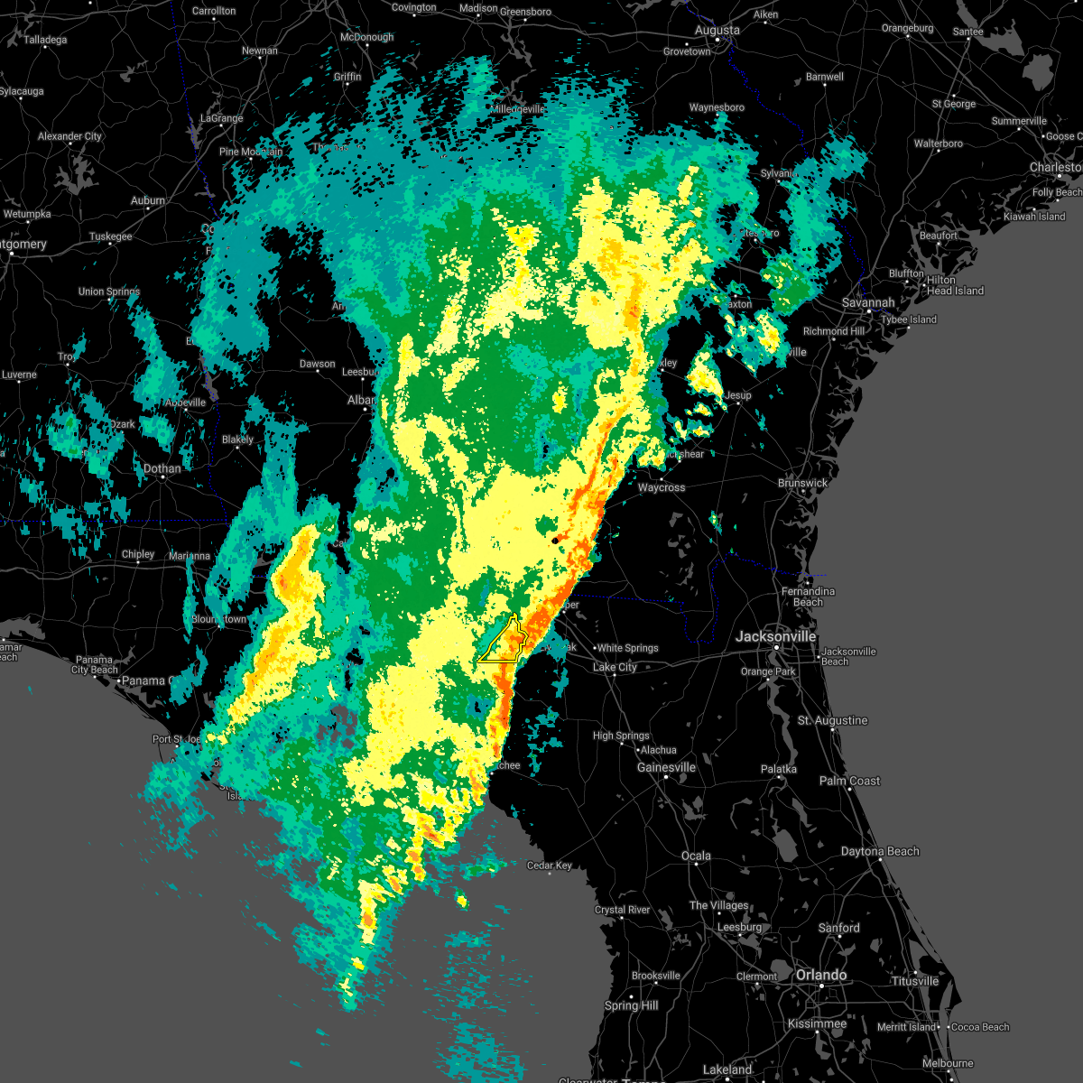 At 439 pm est, severe thunderstorms were located along a line extending from near mayday to near blue springs, moving northeast at 35 mph (radar indicated). Hazards include 60 mph wind gusts. Expect damage to roofs, siding, and trees. Locations impacted include, lee. At 439 pm est, severe thunderstorms were located along a line extending from near mayday to near blue springs, moving northeast at 35 mph (radar indicated). Hazards include 60 mph wind gusts. Expect damage to roofs, siding, and trees. Locations impacted include, lee.
|
| 12/24/2020 3:59 PM EST |
 At 359 pm est, severe thunderstorms were located along a line extending from 7 miles southwest of lake park to 12 miles southwest of madison, moving northeast at 35 mph (radar indicated). Hazards include 60 mph wind gusts. expect damage to roofs, siding, and trees At 359 pm est, severe thunderstorms were located along a line extending from 7 miles southwest of lake park to 12 miles southwest of madison, moving northeast at 35 mph (radar indicated). Hazards include 60 mph wind gusts. expect damage to roofs, siding, and trees
|
| 8/24/2020 6:53 PM EDT |
 At 652 pm edt, severe thunderstorms were located along a line extending from near blue springs to 8 miles east of monticello, moving north at 45 mph (radar indicated). Hazards include 60 mph wind gusts. Expect damage to roofs, siding, and trees. Locations impacted include, madison, lee, cherry lake, hanson and pinetta. At 652 pm edt, severe thunderstorms were located along a line extending from near blue springs to 8 miles east of monticello, moving north at 45 mph (radar indicated). Hazards include 60 mph wind gusts. Expect damage to roofs, siding, and trees. Locations impacted include, madison, lee, cherry lake, hanson and pinetta.
|
| 8/24/2020 6:37 PM EDT |
 At 637 pm edt, severe thunderstorms were located along a line extending from near dowling park to 13 miles southeast of monticello, moving north at 45 mph (radar indicated). Hazards include 60 mph wind gusts. expect damage to roofs, siding, and trees At 637 pm edt, severe thunderstorms were located along a line extending from near dowling park to 13 miles southeast of monticello, moving north at 45 mph (radar indicated). Hazards include 60 mph wind gusts. expect damage to roofs, siding, and trees
|
| 6/30/2020 7:42 PM EDT |
 The severe thunderstorm warning for jefferson and madison counties will expire at 745 pm edt, the storms which prompted the warning have weakened below severe limits, and no longer pose an immediate threat to life or property. therefore, the warning will be allowed to expire. The severe thunderstorm warning for jefferson and madison counties will expire at 745 pm edt, the storms which prompted the warning have weakened below severe limits, and no longer pose an immediate threat to life or property. therefore, the warning will be allowed to expire.
|
| 6/30/2020 6:42 PM EDT |
 At 642 pm edt, severe thunderstorms were located along a line extending from near monticello to 6 miles southwest of lake park, moving southeast at 10 mph (radar indicated). Hazards include 60 mph wind gusts. expect damage to roofs, siding, and trees At 642 pm edt, severe thunderstorms were located along a line extending from near monticello to 6 miles southwest of lake park, moving southeast at 10 mph (radar indicated). Hazards include 60 mph wind gusts. expect damage to roofs, siding, and trees
|
| 6/23/2020 1:29 PM EDT |
 At 129 pm edt, severe thunderstorms were located along a line extending from near thomasville to 6 miles east of monticello to 18 miles northwest of perry, moving east at 50 mph (radar indicated). Hazards include 60 mph wind gusts. expect damage to roofs, siding, and trees At 129 pm edt, severe thunderstorms were located along a line extending from near thomasville to 6 miles east of monticello to 18 miles northwest of perry, moving east at 50 mph (radar indicated). Hazards include 60 mph wind gusts. expect damage to roofs, siding, and trees
|
| 4/24/2020 1:05 AM EDT |
 The severe thunderstorm warning for taylor, central jefferson, madison, southern lowndes and southeastern brooks counties will expire at 115 am edt, the storms which prompted the warning have moved out of the area. therefore, the warning will be allowed to expire. to report severe weather, contact your nearest law enforcement agency. they will relay your report to the national weather service tallahassee. The severe thunderstorm warning for taylor, central jefferson, madison, southern lowndes and southeastern brooks counties will expire at 115 am edt, the storms which prompted the warning have moved out of the area. therefore, the warning will be allowed to expire. to report severe weather, contact your nearest law enforcement agency. they will relay your report to the national weather service tallahassee.
|
| 4/24/2020 12:45 AM EDT |
 At 1245 am edt, severe thunderstorms were located along a line extending from 7 miles west of mayday to 20 miles southwest of perry, moving east at 40 mph (radar indicated). Hazards include 60 mph wind gusts. Expect damage to roofs, siding, and trees. Locations impacted include, madison, lake park, perry, valdosta, i-75 at exit 16, dasher, greenville, lee, pinland, hells half acre, ebb, lamont, hamburg, pinetta, eridu, cabbage grove, scanlon, lovett, nankin and empress. At 1245 am edt, severe thunderstorms were located along a line extending from 7 miles west of mayday to 20 miles southwest of perry, moving east at 40 mph (radar indicated). Hazards include 60 mph wind gusts. Expect damage to roofs, siding, and trees. Locations impacted include, madison, lake park, perry, valdosta, i-75 at exit 16, dasher, greenville, lee, pinland, hells half acre, ebb, lamont, hamburg, pinetta, eridu, cabbage grove, scanlon, lovett, nankin and empress.
|
| 4/24/2020 12:32 AM EDT |
 At 1231 am edt, severe thunderstorms were located along a line extending from valdosta to 15 miles southeast of st. marks, moving east at 40 mph (radar indicated). Hazards include 60 mph wind gusts. Expect damage to roofs, siding, and trees. locations impacted include, st. Marks, perry, madison, lake park, valdosta, i-75 at exit 16, dasher, greenville, lee, pinland, pinetta, scanlon, lovett, empress, clyattville, foley, hanson, perry-foley airport, hampton springs and liveoak island. At 1231 am edt, severe thunderstorms were located along a line extending from valdosta to 15 miles southeast of st. marks, moving east at 40 mph (radar indicated). Hazards include 60 mph wind gusts. Expect damage to roofs, siding, and trees. locations impacted include, st. Marks, perry, madison, lake park, valdosta, i-75 at exit 16, dasher, greenville, lee, pinland, pinetta, scanlon, lovett, empress, clyattville, foley, hanson, perry-foley airport, hampton springs and liveoak island.
|
| 4/24/2020 12:15 AM EDT |
 At 1214 am edt, severe thunderstorms were located along a line extending from 8 miles northeast of quitman to 10 miles south of st. marks, moving east at 40 mph (radar indicated). Hazards include 60 mph wind gusts. Expect damage to roofs, siding, and trees. locations impacted include, monticello, st. Marks, perry, woodville, valdosta, madison, lake park, quitman, crawfordville, i-75 at exit 16, wakulla, remerton, dasher, greenville, morven, lee, alma, pinland, cody and shadeville. At 1214 am edt, severe thunderstorms were located along a line extending from 8 miles northeast of quitman to 10 miles south of st. marks, moving east at 40 mph (radar indicated). Hazards include 60 mph wind gusts. Expect damage to roofs, siding, and trees. locations impacted include, monticello, st. Marks, perry, woodville, valdosta, madison, lake park, quitman, crawfordville, i-75 at exit 16, wakulla, remerton, dasher, greenville, morven, lee, alma, pinland, cody and shadeville.
|
| 4/23/2020 11:58 PM EDT |
 At 1157 pm edt, severe thunderstorms were located along a line extending from 7 miles southeast of pavo to 10 miles south of crawfordville, moving east at 40 mph (radar indicated). Hazards include 60 mph wind gusts. expect damage to roofs, siding, and trees At 1157 pm edt, severe thunderstorms were located along a line extending from 7 miles southeast of pavo to 10 miles south of crawfordville, moving east at 40 mph (radar indicated). Hazards include 60 mph wind gusts. expect damage to roofs, siding, and trees
|
| 4/23/2020 8:31 PM EDT |
 At 831 pm edt, severe thunderstorms were located along a line extending from near suwannee river state park to near steinhatchee, moving east at 35 mph (radar indicated). Hazards include 60 mph wind gusts. Expect damage to roofs, siding, and trees. Locations impacted include, mayo, cross city, steinhatchee, lee, tennille, shamrock, clara, cross city airport, old town, buckville, jonesboro, grady, hatch bend, salem, san pedro junction, cooks hammock, chancey, guaranto springs, carbur and jena. At 831 pm edt, severe thunderstorms were located along a line extending from near suwannee river state park to near steinhatchee, moving east at 35 mph (radar indicated). Hazards include 60 mph wind gusts. Expect damage to roofs, siding, and trees. Locations impacted include, mayo, cross city, steinhatchee, lee, tennille, shamrock, clara, cross city airport, old town, buckville, jonesboro, grady, hatch bend, salem, san pedro junction, cooks hammock, chancey, guaranto springs, carbur and jena.
|
| 4/23/2020 8:08 PM EDT |
 At 808 pm edt, severe thunderstorms were located along a line extending from 11 miles south of madison to 18 miles west of steinhatchee, moving east at 30 mph (radar indicated). Hazards include 60 mph wind gusts. expect damage to roofs, siding, and trees At 808 pm edt, severe thunderstorms were located along a line extending from 11 miles south of madison to 18 miles west of steinhatchee, moving east at 30 mph (radar indicated). Hazards include 60 mph wind gusts. expect damage to roofs, siding, and trees
|
| 4/23/2020 7:57 PM EDT |
 A severe thunderstorm warning remains in effect until 815 pm edt for western lafayette. taylor. madison. southern lanier. eastern lowndes and southeastern brooks counties. At 757 pm edt, severe thunderstorms were located along a line extending from near du pont to near jennings to 7 miles southeast of madison to near perry to 24 miles northwest of steinhatchee, moving. A severe thunderstorm warning remains in effect until 815 pm edt for western lafayette. taylor. madison. southern lanier. eastern lowndes and southeastern brooks counties. At 757 pm edt, severe thunderstorms were located along a line extending from near du pont to near jennings to 7 miles southeast of madison to near perry to 24 miles northwest of steinhatchee, moving.
|
| 4/23/2020 7:57 PM EDT |
 At 757 pm edt, severe thunderstorms were located along a line extending from near du pont to near jennings to 7 miles southeast of madison to near perry to 24 miles northwest of steinhatchee, moving east at 40 mph (radar indicated). Hazards include 60 mph wind gusts and penny size hail. Expect damage to roofs, siding, and trees. Locations impacted include, perry, madison, lake park, lakeland, valdosta, dasher, lee, pinland, jug island, pinetta, clyattville, foley, hanson, perry-foley airport, hampton springs, naylor, iddo, moseley hall, greenwood and twin lakes. At 757 pm edt, severe thunderstorms were located along a line extending from near du pont to near jennings to 7 miles southeast of madison to near perry to 24 miles northwest of steinhatchee, moving east at 40 mph (radar indicated). Hazards include 60 mph wind gusts and penny size hail. Expect damage to roofs, siding, and trees. Locations impacted include, perry, madison, lake park, lakeland, valdosta, dasher, lee, pinland, jug island, pinetta, clyattville, foley, hanson, perry-foley airport, hampton springs, naylor, iddo, moseley hall, greenwood and twin lakes.
|
| 4/23/2020 7:09 PM EDT |
 At 708 pm edt, severe thunderstorms were located along a line extending from hahira to 9 miles south of quitman to 9 miles south of monticello to 8 miles east of st. marks to 17 miles southeast of crawfordville, moving east at 40 mph (radar indicated). Hazards include 60 mph wind gusts and penny size hail. expect damage to roofs, siding, and trees At 708 pm edt, severe thunderstorms were located along a line extending from hahira to 9 miles south of quitman to 9 miles south of monticello to 8 miles east of st. marks to 17 miles southeast of crawfordville, moving east at 40 mph (radar indicated). Hazards include 60 mph wind gusts and penny size hail. expect damage to roofs, siding, and trees
|
| 4/23/2020 7:09 PM EDT |
 The national weather service in tallahassee has issued a * severe thunderstorm warning for. western lafayette county in big bend of florida. taylor county in big bend of florida. central jefferson county in big bend of florida. Madison county in big bend of florida. The national weather service in tallahassee has issued a * severe thunderstorm warning for. western lafayette county in big bend of florida. taylor county in big bend of florida. central jefferson county in big bend of florida. Madison county in big bend of florida.
|
| 4/13/2020 9:17 AM EDT |
 At 917 am edt, severe thunderstorms were located along a line extending from near jennings to 23 miles south of st george island, moving east at 25 mph (radar indicated). Hazards include 70 mph wind gusts. Expect considerable tree damage. damage is likely to mobile homes, roofs, and outbuildings. Locations impacted include, madison, perry, lee, pinland, jug island, buckville, dekle beach, jack lee island, foley, salem, hanson, perry-foley airport, hampton springs, cedar island, fish creek, howell place, chancey, secotan, boyd and smith. At 917 am edt, severe thunderstorms were located along a line extending from near jennings to 23 miles south of st george island, moving east at 25 mph (radar indicated). Hazards include 70 mph wind gusts. Expect considerable tree damage. damage is likely to mobile homes, roofs, and outbuildings. Locations impacted include, madison, perry, lee, pinland, jug island, buckville, dekle beach, jack lee island, foley, salem, hanson, perry-foley airport, hampton springs, cedar island, fish creek, howell place, chancey, secotan, boyd and smith.
|
| 4/13/2020 8:42 AM EDT |
 At 842 am edt, doppler radar indicated a line of severe thunderstorms capable of producing damaging winds in excess of 60 mph. these storms were located along a line extending from 8 miles southwest of lake park to 25 miles southwest of st george island, and moving east at 25 mph. At 842 am edt, doppler radar indicated a line of severe thunderstorms capable of producing damaging winds in excess of 60 mph. these storms were located along a line extending from 8 miles southwest of lake park to 25 miles southwest of st george island, and moving east at 25 mph.
|
| 4/13/2020 8:21 AM EDT |
 At 820 am edt, doppler radar indicated a line of severe thunderstorms capable of producing damaging winds in excess of 60 mph. these storms were located along a line extending from 11 miles north of madison to 29 miles southwest of st george island, and moving east at 25 mph. At 820 am edt, doppler radar indicated a line of severe thunderstorms capable of producing damaging winds in excess of 60 mph. these storms were located along a line extending from 11 miles north of madison to 29 miles southwest of st george island, and moving east at 25 mph.
|
| 3/31/2020 4:39 PM EDT |
 At 438 pm edt, a severe thunderstorm capable of producing a tornado was located 9 miles southwest of madison, moving east at 55 mph (radar indicated rotation). Hazards include tornado. Flying debris will be dangerous to those caught without shelter. mobile homes will be damaged or destroyed. damage to roofs, windows, and vehicles will occur. tree damage is likely. This tornadic thunderstorm will remain over mainly rural areas of northwestern lafayette, northeastern taylor and southeastern madison counties, including the following locations, lee, chancey and hopewell. At 438 pm edt, a severe thunderstorm capable of producing a tornado was located 9 miles southwest of madison, moving east at 55 mph (radar indicated rotation). Hazards include tornado. Flying debris will be dangerous to those caught without shelter. mobile homes will be damaged or destroyed. damage to roofs, windows, and vehicles will occur. tree damage is likely. This tornadic thunderstorm will remain over mainly rural areas of northwestern lafayette, northeastern taylor and southeastern madison counties, including the following locations, lee, chancey and hopewell.
|
| 3/31/2020 4:31 PM EDT |
 At 431 pm edt, a confirmed large and extremely dangerous tornado was located over madison, moving east at 55 mph. this is a particularly dangerous situation. take cover now! (radar confirmed tornado). Hazards include damaging tornado. You are in a life-threatening situation. flying debris may be deadly to those caught without shelter. mobile homes will be destroyed. considerable damage to homes, businesses, and vehicles is likely and complete destruction is possible. This tornadic thunderstorm will remain over mainly rural areas of central madison county, including the following locations, hanson, lee, greenville and hopewell. At 431 pm edt, a confirmed large and extremely dangerous tornado was located over madison, moving east at 55 mph. this is a particularly dangerous situation. take cover now! (radar confirmed tornado). Hazards include damaging tornado. You are in a life-threatening situation. flying debris may be deadly to those caught without shelter. mobile homes will be destroyed. considerable damage to homes, businesses, and vehicles is likely and complete destruction is possible. This tornadic thunderstorm will remain over mainly rural areas of central madison county, including the following locations, hanson, lee, greenville and hopewell.
|
| 3/31/2020 4:20 PM EDT |
 At 420 pm edt, a confirmed tornado was located 9 miles west of madison, moving east at 55 mph (radar confirmed tornado). Hazards include damaging tornado. Flying debris will be dangerous to those caught without shelter. mobile homes will be damaged or destroyed. damage to roofs, windows, and vehicles will occur. tree damage is likely. this tornado will be near, madison around 430 pm edt. Other locations impacted by this tornadic thunderstorm include hanson, lee, greenville and hopewell. At 420 pm edt, a confirmed tornado was located 9 miles west of madison, moving east at 55 mph (radar confirmed tornado). Hazards include damaging tornado. Flying debris will be dangerous to those caught without shelter. mobile homes will be damaged or destroyed. damage to roofs, windows, and vehicles will occur. tree damage is likely. this tornado will be near, madison around 430 pm edt. Other locations impacted by this tornadic thunderstorm include hanson, lee, greenville and hopewell.
|
| 3/31/2020 4:16 PM EDT |
 At 416 pm edt, a severe thunderstorm capable of producing a tornado was located 13 miles west of madison, moving east at 55 mph (radar indicated rotation). Hazards include tornado. Flying debris will be dangerous to those caught without shelter. mobile homes will be damaged or destroyed. damage to roofs, windows, and vehicles will occur. tree damage is likely. this dangerous storm will be near, madison around 430 pm edt. Other locations impacted by this tornadic thunderstorm include hanson, lee, greenville and hopewell. At 416 pm edt, a severe thunderstorm capable of producing a tornado was located 13 miles west of madison, moving east at 55 mph (radar indicated rotation). Hazards include tornado. Flying debris will be dangerous to those caught without shelter. mobile homes will be damaged or destroyed. damage to roofs, windows, and vehicles will occur. tree damage is likely. this dangerous storm will be near, madison around 430 pm edt. Other locations impacted by this tornadic thunderstorm include hanson, lee, greenville and hopewell.
|
| 2/6/2020 7:15 PM EST |
 At 715 pm est, severe thunderstorms were located along a line extending from jennings to 7 miles northeast of perry to 20 miles northwest of steinhatchee to 61 miles southeast of st george island, moving northeast at 60 mph (radar indicated). Hazards include 60 mph wind gusts. Expect damage to roofs, siding, and trees. Locations impacted include, mayo, madison, perry, lee, pinland, jug island, clara, buckville, pinetta, dekle beach, jack lee island, foley, salem, hanson, perry-foley airport, san pedro junction, hampton springs, cedar island, fish creek and cooks hammock. At 715 pm est, severe thunderstorms were located along a line extending from jennings to 7 miles northeast of perry to 20 miles northwest of steinhatchee to 61 miles southeast of st george island, moving northeast at 60 mph (radar indicated). Hazards include 60 mph wind gusts. Expect damage to roofs, siding, and trees. Locations impacted include, mayo, madison, perry, lee, pinland, jug island, clara, buckville, pinetta, dekle beach, jack lee island, foley, salem, hanson, perry-foley airport, san pedro junction, hampton springs, cedar island, fish creek and cooks hammock.
|
| 2/6/2020 6:53 PM EST |
 At 653 pm est, severe thunderstorms were located along a line extending from near madison to 14 miles southwest of perry to 26 miles west of steinhatchee to 66 miles south of st george island, moving northeast at 60 mph (radar indicated). Hazards include 60 mph wind gusts. expect damage to roofs, siding, and trees At 653 pm est, severe thunderstorms were located along a line extending from near madison to 14 miles southwest of perry to 26 miles west of steinhatchee to 66 miles south of st george island, moving northeast at 60 mph (radar indicated). Hazards include 60 mph wind gusts. expect damage to roofs, siding, and trees
|
| 6/24/2019 8:04 PM EDT |
 At 804 pm edt, a severe thunderstorm was located near madison, moving east at 25 mph (radar indicated). Hazards include 60 mph wind gusts. Expect damage to roofs, siding, and trees. Locations impacted include, madison, greenville, lee, hopewell, cherry lake, hamburg, hanson and pinetta. At 804 pm edt, a severe thunderstorm was located near madison, moving east at 25 mph (radar indicated). Hazards include 60 mph wind gusts. Expect damage to roofs, siding, and trees. Locations impacted include, madison, greenville, lee, hopewell, cherry lake, hamburg, hanson and pinetta.
|
| 6/24/2019 7:40 PM EDT |
 At 740 pm edt, a severe thunderstorm was located 12 miles east of monticello, moving east at 25 mph (radar indicated). Hazards include 60 mph wind gusts. Expect damage to roofs, siding, and trees. Locations impacted include, madison, greenville, lee, lovett, hopewell, aucilla, cherry lake, hamburg, hanson, pinetta and ashville. At 740 pm edt, a severe thunderstorm was located 12 miles east of monticello, moving east at 25 mph (radar indicated). Hazards include 60 mph wind gusts. Expect damage to roofs, siding, and trees. Locations impacted include, madison, greenville, lee, lovett, hopewell, aucilla, cherry lake, hamburg, hanson, pinetta and ashville.
|
| 6/24/2019 7:22 PM EDT |
 At 722 pm edt, a severe thunderstorm was located near monticello, moving east at 25 mph (radar indicated). Hazards include 60 mph wind gusts. expect damage to roofs, siding, and trees At 722 pm edt, a severe thunderstorm was located near monticello, moving east at 25 mph (radar indicated). Hazards include 60 mph wind gusts. expect damage to roofs, siding, and trees
|
| 4/26/2019 12:36 AM EDT |
 At 1235 am edt, a severe thunderstorm was located 17 miles northwest of perry, moving northeast at 35 mph (radar indicated). Hazards include 60 mph wind gusts. expect damage to roofs, siding, and trees At 1235 am edt, a severe thunderstorm was located 17 miles northwest of perry, moving northeast at 35 mph (radar indicated). Hazards include 60 mph wind gusts. expect damage to roofs, siding, and trees
|
| 4/19/2019 9:36 AM EDT |
 At 936 am edt, severe thunderstorms were located along a line extending from alapaha to near suwannee river state park, moving northeast at 50 mph (radar indicated). Hazards include 60 mph wind gusts. expect damage to roofs, siding, and trees At 936 am edt, severe thunderstorms were located along a line extending from alapaha to near suwannee river state park, moving northeast at 50 mph (radar indicated). Hazards include 60 mph wind gusts. expect damage to roofs, siding, and trees
|
| 3/3/2019 9:09 PM EST |
 At 909 pm est, severe thunderstorms were located along a line extending from near crossroads to 17 miles southwest of perry to near st george island, moving east at 65 mph (radar indicated). Hazards include 60 mph wind gusts. Expect damage to roofs, siding, and trees. locations impacted include, carrabelle, mayo, perry, eastpoint, apalachicola, madison, st george island, franklin, greenville, lee, pinland, jug island, royal bluff, st george island st pk, scanlon, foley, hanson, perry-foley airport, san pedro junction and hampton springs. A tornado watch remains in effect until 1000 pm est for big bend of florida. At 909 pm est, severe thunderstorms were located along a line extending from near crossroads to 17 miles southwest of perry to near st george island, moving east at 65 mph (radar indicated). Hazards include 60 mph wind gusts. Expect damage to roofs, siding, and trees. locations impacted include, carrabelle, mayo, perry, eastpoint, apalachicola, madison, st george island, franklin, greenville, lee, pinland, jug island, royal bluff, st george island st pk, scanlon, foley, hanson, perry-foley airport, san pedro junction and hampton springs. A tornado watch remains in effect until 1000 pm est for big bend of florida.
|
| 3/3/2019 8:43 PM EST |
 At 842 pm est/742 pm cst/, severe thunderstorms were located along a line extending from 14 miles northwest of madison to 12 miles south of st. marks to 11 miles south of port st. joe, moving east at 65 mph (radar indicated). Hazards include 60 mph wind gusts. expect damage to roofs, siding, and trees At 842 pm est/742 pm cst/, severe thunderstorms were located along a line extending from 14 miles northwest of madison to 12 miles south of st. marks to 11 miles south of port st. joe, moving east at 65 mph (radar indicated). Hazards include 60 mph wind gusts. expect damage to roofs, siding, and trees
|
| 3/1/2019 12:45 PM EST |
 At 1245 pm est, severe thunderstorms were located along a line extending from 10 miles southwest of lake park to near madison to 14 miles west of blue springs, moving east at 50 mph (radar indicated). Hazards include 60 mph wind gusts. Expect damage to roofs, siding, and trees. Locations impacted include, madison, lee, cherry lake, hanson, pinetta and hopewell. At 1245 pm est, severe thunderstorms were located along a line extending from 10 miles southwest of lake park to near madison to 14 miles west of blue springs, moving east at 50 mph (radar indicated). Hazards include 60 mph wind gusts. Expect damage to roofs, siding, and trees. Locations impacted include, madison, lee, cherry lake, hanson, pinetta and hopewell.
|
| 3/1/2019 12:27 PM EST |
 At 1227 pm est, severe thunderstorms were located along a line extending from 15 miles south of quitman to 11 miles west of madison to 16 miles north of perry, moving east at 50 mph (radar indicated). Hazards include 60 mph wind gusts. expect damage to roofs, siding, and trees At 1227 pm est, severe thunderstorms were located along a line extending from 15 miles south of quitman to 11 miles west of madison to 16 miles north of perry, moving east at 50 mph (radar indicated). Hazards include 60 mph wind gusts. expect damage to roofs, siding, and trees
|
| 7/21/2018 2:05 PM EDT | Trees reported down in le in madison county FL, 0.4 miles SSW of Lee, FL |
| 7/6/2018 5:51 PM EDT |
 At 524 pm edt, a severe thunderstorm was located near blue springs, or 7 miles northeast of madison, moving west at 15 mph (radar indicated). Hazards include 60 mph wind gusts and quarter size hail. Hail damage to vehicles is expected. Expect wind damage to roofs, siding, and trees. At 524 pm edt, a severe thunderstorm was located near blue springs, or 7 miles northeast of madison, moving west at 15 mph (radar indicated). Hazards include 60 mph wind gusts and quarter size hail. Hail damage to vehicles is expected. Expect wind damage to roofs, siding, and trees.
|
| 7/6/2018 5:51 PM EDT |
 The severe thunderstorm warning for northeastern madison, southwestern lowndes and southeastern brooks counties will expire at 600 pm edt, the storm which prompted the warning has weakened below severe limits, and no longer poses an immediate threat to life or property. therefore, the warning will be allowed to expire. however gusty winds and heavy rain are still possible with this thunderstorm. to report severe weather, contact your nearest law enforcement agency. they will relay your report to the national weather service tallahassee. The severe thunderstorm warning for northeastern madison, southwestern lowndes and southeastern brooks counties will expire at 600 pm edt, the storm which prompted the warning has weakened below severe limits, and no longer poses an immediate threat to life or property. therefore, the warning will be allowed to expire. however gusty winds and heavy rain are still possible with this thunderstorm. to report severe weather, contact your nearest law enforcement agency. they will relay your report to the national weather service tallahassee.
|
| 7/6/2018 5:24 PM EDT |
 At 524 pm edt, a severe thunderstorm was located near blue springs, or 7 miles northeast of madison, moving west at 15 mph (radar indicated). Hazards include 60 mph wind gusts and quarter size hail. Hail damage to vehicles is expected. Expect wind damage to roofs, siding, and trees. At 524 pm edt, a severe thunderstorm was located near blue springs, or 7 miles northeast of madison, moving west at 15 mph (radar indicated). Hazards include 60 mph wind gusts and quarter size hail. Hail damage to vehicles is expected. Expect wind damage to roofs, siding, and trees.
|
| 6/20/2018 8:04 PM EDT |
 At 804 pm edt, a severe thunderstorm was located 9 miles northwest of madison, moving southeast at 10 mph (radar indicated). Hazards include 60 mph wind gusts and penny size hail. expect damage to roofs, siding, and trees At 804 pm edt, a severe thunderstorm was located 9 miles northwest of madison, moving southeast at 10 mph (radar indicated). Hazards include 60 mph wind gusts and penny size hail. expect damage to roofs, siding, and trees
|
| 6/20/2018 7:03 PM EDT |
 At 703 pm edt, a severe thunderstorm was located 7 miles north of dowling park, or 8 miles southwest of suwannee river state park, moving south at 10 mph (radar indicated). Hazards include 60 mph wind gusts. Expect damage to roofs, siding, and trees. Locations impacted include, madison, lee, lake bird, moseley hall, chancey, hopewell, day and mayo junction. At 703 pm edt, a severe thunderstorm was located 7 miles north of dowling park, or 8 miles southwest of suwannee river state park, moving south at 10 mph (radar indicated). Hazards include 60 mph wind gusts. Expect damage to roofs, siding, and trees. Locations impacted include, madison, lee, lake bird, moseley hall, chancey, hopewell, day and mayo junction.
|
| 6/20/2018 6:55 PM EDT | Report of trees and power lines down on 255 and gladiol in madison county FL, 2.4 miles S of Lee, FL |
| 6/20/2018 6:55 PM EDT | Trees and power lines reported down south of le in madison county FL, 1.7 miles N of Lee, FL |
| 6/20/2018 6:38 PM EDT |
 At 638 pm edt, a severe thunderstorm was located near blue springs, or near suwannee river state park, moving south at 15 mph (radar indicated). Hazards include 60 mph wind gusts and penny size hail. expect damage to roofs, siding, and trees At 638 pm edt, a severe thunderstorm was located near blue springs, or near suwannee river state park, moving south at 15 mph (radar indicated). Hazards include 60 mph wind gusts and penny size hail. expect damage to roofs, siding, and trees
|
| 6/2/2018 4:08 PM EDT |
 The national weather service in tallahassee has issued a * severe thunderstorm warning for. northwestern lafayette county in big bend of florida. northeastern taylor county in big bend of florida. eastern madison county in big bend of florida. Until 445 pm edt. The national weather service in tallahassee has issued a * severe thunderstorm warning for. northwestern lafayette county in big bend of florida. northeastern taylor county in big bend of florida. eastern madison county in big bend of florida. Until 445 pm edt.
|
| 4/15/2018 10:11 AM EDT |
 At 1011 am edt, severe thunderstorms were located along a line extending from near enigma to near blue springs, moving east at 30 mph (radar indicated). Hazards include 60 mph wind gusts. expect damage to roofs, siding, and trees At 1011 am edt, severe thunderstorms were located along a line extending from near enigma to near blue springs, moving east at 30 mph (radar indicated). Hazards include 60 mph wind gusts. expect damage to roofs, siding, and trees
|
| 4/15/2018 9:37 AM EDT |
 At 937 am edt, severe thunderstorms were located along a line extending from norman park to 6 miles southwest of madison, moving east at 40 mph (radar indicated). Hazards include 60 mph wind gusts. expect damage to roofs, siding, and trees At 937 am edt, severe thunderstorms were located along a line extending from norman park to 6 miles southwest of madison, moving east at 40 mph (radar indicated). Hazards include 60 mph wind gusts. expect damage to roofs, siding, and trees
|
| 7/13/2017 4:10 PM EDT |
 At 410 pm edt, a severe thunderstorm was located near suwannee river state park, moving west at 20 mph (radar indicated). Hazards include 60 mph wind gusts. Expect damage to roofs, siding, and trees. Locations impacted include, madison, lee, cherry lake, hanson, pinetta and hopewell. At 410 pm edt, a severe thunderstorm was located near suwannee river state park, moving west at 20 mph (radar indicated). Hazards include 60 mph wind gusts. Expect damage to roofs, siding, and trees. Locations impacted include, madison, lee, cherry lake, hanson, pinetta and hopewell.
|
| 7/13/2017 3:53 PM EDT |
 At 352 pm edt, national weather service doppler radar indicated a severe thunderstorm capable of producing damaging winds in excess of 60 mph. this storm was located over suwannee river state park, and moving west at 20 mph. At 352 pm edt, national weather service doppler radar indicated a severe thunderstorm capable of producing damaging winds in excess of 60 mph. this storm was located over suwannee river state park, and moving west at 20 mph.
|
| 7/7/2017 5:49 PM EDT |
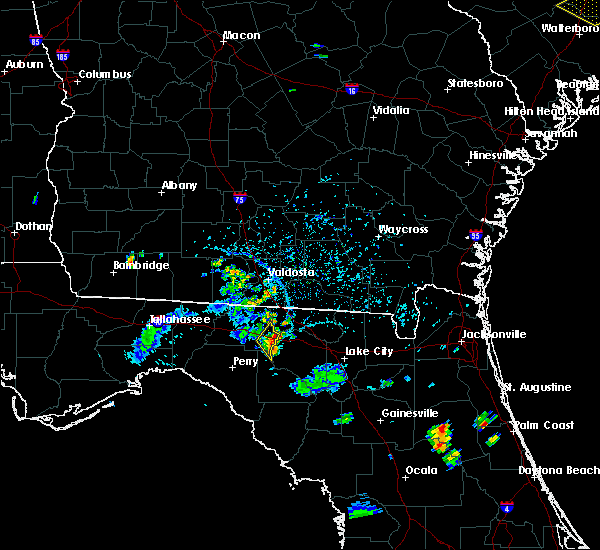 At 548 pm edt, severe thunderstorms were located along a line extending from 7 miles west of i-75 at exit 16 to near mcalpin, moving east at 35 mph (radar indicated). Hazards include 60 mph wind gusts and quarter size hail. Hail damage to vehicles is expected. expect wind damage to roofs, siding, and trees. Locations impacted include, lee, chancey and mayo junction. At 548 pm edt, severe thunderstorms were located along a line extending from 7 miles west of i-75 at exit 16 to near mcalpin, moving east at 35 mph (radar indicated). Hazards include 60 mph wind gusts and quarter size hail. Hail damage to vehicles is expected. expect wind damage to roofs, siding, and trees. Locations impacted include, lee, chancey and mayo junction.
|
| 7/7/2017 5:26 PM EDT |
 At 526 pm edt, doppler radar indicated a line of severe thunderstorms capable of producing quarter size hail and damaging winds in excess of 60 mph. these storms were located along a line extending from near quitman to near dowling park, and moving east at 35 mph. At 526 pm edt, doppler radar indicated a line of severe thunderstorms capable of producing quarter size hail and damaging winds in excess of 60 mph. these storms were located along a line extending from near quitman to near dowling park, and moving east at 35 mph.
|
| 7/7/2017 5:03 PM EDT |
 At 503 pm edt, doppler radar indicated a line of severe thunderstorms capable of producing quarter size hail and damaging winds in excess of 60 mph. these storms were located along a line extending from 12 miles southwest of quitman to 6 miles southwest of madison, and moving east at 60 mph. At 503 pm edt, doppler radar indicated a line of severe thunderstorms capable of producing quarter size hail and damaging winds in excess of 60 mph. these storms were located along a line extending from 12 miles southwest of quitman to 6 miles southwest of madison, and moving east at 60 mph.
|
| 4/6/2017 12:22 AM EDT |
 The severe thunderstorm warning for northwestern lafayette, northeastern taylor and southeastern madison counties will expire at 1230 am edt, the storm which prompted the warning has moved out of the area. therefore the warning will be allowed to expire. a tornado watch remains in effect until 800 am edt for big bend of florida. The severe thunderstorm warning for northwestern lafayette, northeastern taylor and southeastern madison counties will expire at 1230 am edt, the storm which prompted the warning has moved out of the area. therefore the warning will be allowed to expire. a tornado watch remains in effect until 800 am edt for big bend of florida.
|
| 4/6/2017 12:04 AM EDT |
 At 1204 am edt, a severe thunderstorm was located 7 miles northwest of dowling park, or 11 miles southwest of suwannee river state park, moving northeast at 60 mph (radar indicated). Hazards include 60 mph wind gusts and nickel size hail. expect damage to roofs, siding, and trees At 1204 am edt, a severe thunderstorm was located 7 miles northwest of dowling park, or 11 miles southwest of suwannee river state park, moving northeast at 60 mph (radar indicated). Hazards include 60 mph wind gusts and nickel size hail. expect damage to roofs, siding, and trees
|
| 2/7/2017 8:27 PM EST |
 At 826 pm est, severe thunderstorms were located 11 miles southeast of perry, moving east at 45 mph (radar indicated). Hazards include 60 mph wind gusts. expect damage to roofs, siding, and trees At 826 pm est, severe thunderstorms were located 11 miles southeast of perry, moving east at 45 mph (radar indicated). Hazards include 60 mph wind gusts. expect damage to roofs, siding, and trees
|
| 2/7/2017 8:19 PM EST |
 At 819 pm est, a severe thunderstorm was located near dowling park, or near suwannee river state park, moving east at 45 mph (radar indicated). Hazards include 60 mph wind gusts. Expect damage to roofs, siding, and trees. Locations impacted include, madison, perry, lee, hampton springs, smith, howell place, perry-foley airport, townsend, keaton beach, blue springs, jack lee island, pinetta, salem, day, fish creek, athena, dekle beach, cedar island, bucell junction and jug island. At 819 pm est, a severe thunderstorm was located near dowling park, or near suwannee river state park, moving east at 45 mph (radar indicated). Hazards include 60 mph wind gusts. Expect damage to roofs, siding, and trees. Locations impacted include, madison, perry, lee, hampton springs, smith, howell place, perry-foley airport, townsend, keaton beach, blue springs, jack lee island, pinetta, salem, day, fish creek, athena, dekle beach, cedar island, bucell junction and jug island.
|
| 2/7/2017 8:07 PM EST |
 At 806 pm est, a severe thunderstorm was located 9 miles northwest of dowling park, or 10 miles south of madison, moving east at 45 mph (radar indicated). Hazards include 60 mph wind gusts. Expect damage to roofs, siding, and trees. Locations impacted include, madison, perry, greenville, lee, econfina, hampton springs, smith, eridu, howell place, perry-foley airport, townsend, keaton beach, blue springs, jack lee island, pinetta, hamburg, salem, day, fish creek and shady grove. At 806 pm est, a severe thunderstorm was located 9 miles northwest of dowling park, or 10 miles south of madison, moving east at 45 mph (radar indicated). Hazards include 60 mph wind gusts. Expect damage to roofs, siding, and trees. Locations impacted include, madison, perry, greenville, lee, econfina, hampton springs, smith, eridu, howell place, perry-foley airport, townsend, keaton beach, blue springs, jack lee island, pinetta, hamburg, salem, day, fish creek and shady grove.
|
| 2/7/2017 7:23 PM EST |
 At 722 pm est, a severe thunderstorm was located 15 miles east of woodville, moving east at 45 mph (radar indicated). Hazards include 60 mph wind gusts. expect damage to roofs, siding, and trees At 722 pm est, a severe thunderstorm was located 15 miles east of woodville, moving east at 45 mph (radar indicated). Hazards include 60 mph wind gusts. expect damage to roofs, siding, and trees
|
| 7/19/2016 6:37 PM EDT |
 At 637 pm edt, severe thunderstorms were located along a line extending from near hahira to 8 miles southwest of madison, moving west at 45 mph (radar indicated). Hazards include 60 mph wind gusts and quarter size hail. Hail damage to vehicles is expected. expect wind damage to roofs, siding, and trees. Locations impacted include, monticello, madison, quitman, boston, pavo, coolidge, greenville, morven, barwick, dixie, eridu, dills, casa blanco, pinetta, blue springs, enon, montivilla, barney, hamburg and nankin. At 637 pm edt, severe thunderstorms were located along a line extending from near hahira to 8 miles southwest of madison, moving west at 45 mph (radar indicated). Hazards include 60 mph wind gusts and quarter size hail. Hail damage to vehicles is expected. expect wind damage to roofs, siding, and trees. Locations impacted include, monticello, madison, quitman, boston, pavo, coolidge, greenville, morven, barwick, dixie, eridu, dills, casa blanco, pinetta, blue springs, enon, montivilla, barney, hamburg and nankin.
|
| 7/19/2016 6:26 PM EDT |
 At 625 pm edt, severe thunderstorms were located along a line extending from adel to near madison, moving west at 40 mph (radar indicated). Hazards include 60 mph wind gusts and quarter size hail. Hail damage to vehicles is expected. expect wind damage to roofs, siding, and trees. Locations impacted include, monticello, quitman, moultrie, valdosta, madison, lake park, adel, hahira, sparks, boston, pavo, coolidge, riverside, i-75 at exit 16, valdosta state university, moody air force base, schley, remerton, dasher and greenville. At 625 pm edt, severe thunderstorms were located along a line extending from adel to near madison, moving west at 40 mph (radar indicated). Hazards include 60 mph wind gusts and quarter size hail. Hail damage to vehicles is expected. expect wind damage to roofs, siding, and trees. Locations impacted include, monticello, quitman, moultrie, valdosta, madison, lake park, adel, hahira, sparks, boston, pavo, coolidge, riverside, i-75 at exit 16, valdosta state university, moody air force base, schley, remerton, dasher and greenville.
|
| 7/19/2016 6:07 PM EDT |
 At 607 pm edt, severe thunderstorms were located along a line extending from near nashville to near madison, moving west at 40 mph. these storms have a history of blowing down several trees (radar indicated). Hazards include 60 mph wind gusts. Expect damage to roofs. siding. And trees. At 607 pm edt, severe thunderstorms were located along a line extending from near nashville to near madison, moving west at 40 mph. these storms have a history of blowing down several trees (radar indicated). Hazards include 60 mph wind gusts. Expect damage to roofs. siding. And trees.
|
| 6/16/2016 12:14 PM EDT | One tree down on county highway 255 near i-1 in madison county FL, 2.4 miles N of Lee, FL |
| 3/3/2016 11:52 PM EST |
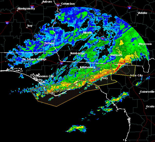 At 1152 pm est, severe thunderstorms were located along a line extending from near jasper to 16 miles west of perry, moving east at 50 mph (radar indicated). Hazards include 60 mph wind gusts. Expect damage to roofs. siding. and trees. Locations impacted include, lee, hells half acre, eridu, moseley hall, lake bird, cabbage grove, goose pasture, shady grove, hopewell, sirmans, secotan, boyd, ebb and iddo. At 1152 pm est, severe thunderstorms were located along a line extending from near jasper to 16 miles west of perry, moving east at 50 mph (radar indicated). Hazards include 60 mph wind gusts. Expect damage to roofs. siding. and trees. Locations impacted include, lee, hells half acre, eridu, moseley hall, lake bird, cabbage grove, goose pasture, shady grove, hopewell, sirmans, secotan, boyd, ebb and iddo.
|
| 3/3/2016 11:43 PM EST |
 At 1143 pm est, severe thunderstorms were located along a line extending from near blue springs to 10 miles southeast of st. marks, moving east at 55 mph (radar indicated). Hazards include 60 mph wind gusts. Expect damage to roofs. siding. And trees. At 1143 pm est, severe thunderstorms were located along a line extending from near blue springs to 10 miles southeast of st. marks, moving east at 55 mph (radar indicated). Hazards include 60 mph wind gusts. Expect damage to roofs. siding. And trees.
|
| 3/3/2016 11:36 PM EST | One small tree down at blue springs road and rutherford roa in madison county FL, 1.2 miles SSW of Lee, FL |
| 3/3/2016 11:30 PM EST |
 At 1130 pm est, severe thunderstorms were located along a line extending from 8 miles southwest of lake park to near st. marks, moving east at 40 mph (radar indicated). Hazards include 60 mph wind gusts. Expect damage to roofs. siding. and trees. locations impacted include, madison, st. Marks, woodville, crawfordville, wakulla, greenville, lee, hyde park, eridu, pinetta, shady grove, newport, sirmans, secotan, lamont, iddo, hells half acre, fanlew, moseley hall and lake bird. At 1130 pm est, severe thunderstorms were located along a line extending from 8 miles southwest of lake park to near st. marks, moving east at 40 mph (radar indicated). Hazards include 60 mph wind gusts. Expect damage to roofs. siding. and trees. locations impacted include, madison, st. Marks, woodville, crawfordville, wakulla, greenville, lee, hyde park, eridu, pinetta, shady grove, newport, sirmans, secotan, lamont, iddo, hells half acre, fanlew, moseley hall and lake bird.
|
| 3/3/2016 11:02 PM EST |
 At 1101 pm est, severe thunderstorms were located along a line extending from 11 miles northeast of monticello to 7 miles west of woodville, moving east at 50 mph. some reports of trees down have been received from leon county (radar indicated). Hazards include 60 mph wind gusts. Expect damage to roofs. siding. And trees. At 1101 pm est, severe thunderstorms were located along a line extending from 11 miles northeast of monticello to 7 miles west of woodville, moving east at 50 mph. some reports of trees down have been received from leon county (radar indicated). Hazards include 60 mph wind gusts. Expect damage to roofs. siding. And trees.
|
| 2/24/2016 5:20 AM EST |
 The severe thunderstorm warning for northeastern taylor, northwestern lafayette, madison, brooks, central lanier and lowndes counties will expire at 530 am est, the storms which prompted the warning have weakened below severe limits, and no longer pose an immediate threat to life or property. therefore the warning will be allowed to expire. a tornado watch remains in effect until 600 am est for northwest florida and south central georgia. The severe thunderstorm warning for northeastern taylor, northwestern lafayette, madison, brooks, central lanier and lowndes counties will expire at 530 am est, the storms which prompted the warning have weakened below severe limits, and no longer pose an immediate threat to life or property. therefore the warning will be allowed to expire. a tornado watch remains in effect until 600 am est for northwest florida and south central georgia.
|
| 2/24/2016 5:04 AM EST | Tree down on i-10 near mile marker 265 in madison county FL, 2.4 miles N of Lee, FL |
| 2/24/2016 4:42 AM EST |
 At 442 am est, severe thunderstorms were located along a line extending from near quitman to 7 miles northeast of perry, moving east at 55 mph (radar indicated). Hazards include 60 mph wind gusts. Expect damage to roofs. Siding and trees. At 442 am est, severe thunderstorms were located along a line extending from near quitman to 7 miles northeast of perry, moving east at 55 mph (radar indicated). Hazards include 60 mph wind gusts. Expect damage to roofs. Siding and trees.
|
| 8/7/2015 8:13 PM EDT |
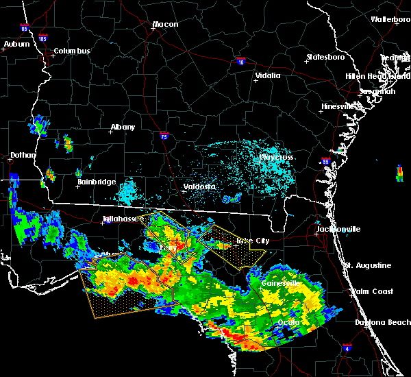 At 812 pm edt, doppler radar indicated a severe thunderstorm capable of producing damaging winds in excess of 60 mph. this storm was located near dowling park, or 14 miles southwest of suwannee river state park, moving southeast at 40 mph. locations impacted include, mayo, buckville, day, townsend, mayo junction and chancey. At 812 pm edt, doppler radar indicated a severe thunderstorm capable of producing damaging winds in excess of 60 mph. this storm was located near dowling park, or 14 miles southwest of suwannee river state park, moving southeast at 40 mph. locations impacted include, mayo, buckville, day, townsend, mayo junction and chancey.
|
| 8/7/2015 7:55 PM EDT |
 At 755 pm edt, the national weather service has detected a severe thunderstorm capable of producing damaging winds in excess of 60 mph. this storm was located 7 miles southwest of madison, and moving southeast at 40 mph. At 755 pm edt, the national weather service has detected a severe thunderstorm capable of producing damaging winds in excess of 60 mph. this storm was located 7 miles southwest of madison, and moving southeast at 40 mph.
|
| 7/24/2015 5:39 PM EDT |
 At 539 pm edt, the national weather service has detected a severe thunderstorm capable of producing damaging winds in excess of 60 mph. this storm was located near blue springs, or near suwannee river state park, and moving southeast at 30 mph. At 539 pm edt, the national weather service has detected a severe thunderstorm capable of producing damaging winds in excess of 60 mph. this storm was located near blue springs, or near suwannee river state park, and moving southeast at 30 mph.
|
| 7/22/2015 6:16 PM EDT |
 At 615 pm edt, the national weather service has detected a severe thunderstorm capable of producing damaging winds in excess of 60 mph. this storm was located near madison, and moving east at 10 mph. At 615 pm edt, the national weather service has detected a severe thunderstorm capable of producing damaging winds in excess of 60 mph. this storm was located near madison, and moving east at 10 mph.
|
| 7/5/2015 2:04 PM EDT |
 At 203 pm edt, doppler radar indicated a severe thunderstorm capable of producing damaging winds in excess of 60 mph. this storm was located 9 miles southwest of madison, moving east at 25 mph. locations impacted include, madison, greenville, lee, lovett, hopewell, hanson, cherry lake, pinetta, moseley hall, hamburg, sirmans and ebb. At 203 pm edt, doppler radar indicated a severe thunderstorm capable of producing damaging winds in excess of 60 mph. this storm was located 9 miles southwest of madison, moving east at 25 mph. locations impacted include, madison, greenville, lee, lovett, hopewell, hanson, cherry lake, pinetta, moseley hall, hamburg, sirmans and ebb.
|
| 7/5/2015 1:32 PM EDT |
 At 131 pm edt, the national weather service has detected a severe thunderstorm capable of producing damaging winds in excess of 60 mph. this storm was located 14 miles east of woodville, and moving east at 10 mph. At 131 pm edt, the national weather service has detected a severe thunderstorm capable of producing damaging winds in excess of 60 mph. this storm was located 14 miles east of woodville, and moving east at 10 mph.
|
| 6/30/2015 7:29 PM EDT |
 At 728 pm edt, doppler radar indicated a line of severe thunderstorms capable of producing damaging winds in excess of 60 mph. these storms were located along a line extending from 8 miles southwest of lake park to 14 miles southwest of mayo, moving east at 55 mph. locations impacted include, mayo, madison, lake park, branford, lee, smith, townsend, i-75 at exit 5, pinetta, hatch bend, salem, day, carbur, grady, hopewell, hanson, alton, cherry lake, chancey and buckville. At 728 pm edt, doppler radar indicated a line of severe thunderstorms capable of producing damaging winds in excess of 60 mph. these storms were located along a line extending from 8 miles southwest of lake park to 14 miles southwest of mayo, moving east at 55 mph. locations impacted include, mayo, madison, lake park, branford, lee, smith, townsend, i-75 at exit 5, pinetta, hatch bend, salem, day, carbur, grady, hopewell, hanson, alton, cherry lake, chancey and buckville.
|
| 6/30/2015 6:50 PM EDT |
 At 649 pm edt, the national weather service has detected a line of severe thunderstorms capable of producing damaging winds in excess of 60 mph. these storms were located along a line extending from near boston to 16 miles west of perry, and moving east at 60 mph. these storms have a history of producing widespread wind damage. At 649 pm edt, the national weather service has detected a line of severe thunderstorms capable of producing damaging winds in excess of 60 mph. these storms were located along a line extending from near boston to 16 miles west of perry, and moving east at 60 mph. these storms have a history of producing widespread wind damage.
|
| 6/30/2015 3:30 PM EDT |
 At 330 pm edt, doppler radar indicated a severe thunderstorm capable of producing damaging winds in excess of 60 mph. this storm was located 11 miles north of perry, moving east at 40 mph. locations impacted include, madison, lee, shady grove, hopewell, eridu, chancey, moseley hall, sirmans, ebb, iddo and lake bird. At 330 pm edt, doppler radar indicated a severe thunderstorm capable of producing damaging winds in excess of 60 mph. this storm was located 11 miles north of perry, moving east at 40 mph. locations impacted include, madison, lee, shady grove, hopewell, eridu, chancey, moseley hall, sirmans, ebb, iddo and lake bird.
|
| 6/30/2015 3:15 PM EDT |
 At 314 pm edt, doppler radar indicated a severe thunderstorm capable of producing damaging winds in excess of 60 mph. this storm was located 12 miles north of perry, moving east at 50 mph. locations impacted include, madison, greenville, lee, eridu, pinetta, moseley hall, hamburg, lake bird, lovett, shady grove, hopewell, hanson, cherry lake, chancey, sirmans, ebb and iddo. At 314 pm edt, doppler radar indicated a severe thunderstorm capable of producing damaging winds in excess of 60 mph. this storm was located 12 miles north of perry, moving east at 50 mph. locations impacted include, madison, greenville, lee, eridu, pinetta, moseley hall, hamburg, lake bird, lovett, shady grove, hopewell, hanson, cherry lake, chancey, sirmans, ebb and iddo.
|
| 6/30/2015 2:50 PM EDT |
 At 250 pm edt, the national weather service has detected a severe thunderstorm capable of producing damaging winds in excess of 60 mph. this storm was located 14 miles southwest of monticello, and moving east at 50 mph. At 250 pm edt, the national weather service has detected a severe thunderstorm capable of producing damaging winds in excess of 60 mph. this storm was located 14 miles southwest of monticello, and moving east at 50 mph.
|
| 6/30/2015 1:33 PM EDT |
 At 132 pm edt, the national weather service has detected a line of severe thunderstorms capable of producing damaging winds in excess of 60 mph. these storms were located along a line extending from 10 miles south of quitman to 13 miles north of perry, and moving northeast at 40 mph. At 132 pm edt, the national weather service has detected a line of severe thunderstorms capable of producing damaging winds in excess of 60 mph. these storms were located along a line extending from 10 miles south of quitman to 13 miles north of perry, and moving northeast at 40 mph.
|
| 6/27/2015 4:29 PM EDT |
 At 428 pm edt, doppler radar indicated a severe thunderstorm capable of producing damaging winds in excess of 60 mph. this storm was located 8 miles west of madison, moving east at 25 mph. locations impacted include, madison, greenville, lee, lovett, hopewell, eridu, hanson, cherry lake, pinetta, moseley hall, hamburg, sirmans and ebb. At 428 pm edt, doppler radar indicated a severe thunderstorm capable of producing damaging winds in excess of 60 mph. this storm was located 8 miles west of madison, moving east at 25 mph. locations impacted include, madison, greenville, lee, lovett, hopewell, eridu, hanson, cherry lake, pinetta, moseley hall, hamburg, sirmans and ebb.
|
| 6/27/2015 4:24 PM EDT |
 At 423 pm edt, doppler radar indicated a line of severe thunderstorms capable of producing damaging winds in excess of 60 mph. these storms were located along a line extending from near i-75 at exit 16 to 16 miles northwest of perry, moving east at 35 mph. these storms have a history of blowing down numerous trees and power lines in thomas county. locations impacted include, madison, quitman, valdosta, i-75 at exit 16, remerton, greenville, morven, lee, eridu, pinetta, blue springs, hamburg, nankin, i-75 at exit 11, empress, valdosta regional airport, sirmans, moseley hall, lovett and hopewell. At 423 pm edt, doppler radar indicated a line of severe thunderstorms capable of producing damaging winds in excess of 60 mph. these storms were located along a line extending from near i-75 at exit 16 to 16 miles northwest of perry, moving east at 35 mph. these storms have a history of blowing down numerous trees and power lines in thomas county. locations impacted include, madison, quitman, valdosta, i-75 at exit 16, remerton, greenville, morven, lee, eridu, pinetta, blue springs, hamburg, nankin, i-75 at exit 11, empress, valdosta regional airport, sirmans, moseley hall, lovett and hopewell.
|
| 6/27/2015 3:54 PM EDT |
 At 353 pm edt, the national weather service has detected a line of severe thunderstorms capable of producing damaging winds in excess of 60 mph. these storms were located along a line extending from near pavo to 16 miles east of woodville, and moving northeast at 30 mph. At 353 pm edt, the national weather service has detected a line of severe thunderstorms capable of producing damaging winds in excess of 60 mph. these storms were located along a line extending from near pavo to 16 miles east of woodville, and moving northeast at 30 mph.
|
| 6/22/2015 5:50 PM EDT |
 At 548 pm edt, doppler radar indicated a severe thunderstorm capable of producing quarter size hail and damaging winds in excess of 60 mph. this storm was located near jasper, moving east at 45 mph. in addition, there have been reports of trees down. locations impacted include, madison, greenville, lee, lovett, hopewell, hanson, cherry lake, pinetta, moseley hall, hamburg, ashville, sirmans and ebb. At 548 pm edt, doppler radar indicated a severe thunderstorm capable of producing quarter size hail and damaging winds in excess of 60 mph. this storm was located near jasper, moving east at 45 mph. in addition, there have been reports of trees down. locations impacted include, madison, greenville, lee, lovett, hopewell, hanson, cherry lake, pinetta, moseley hall, hamburg, ashville, sirmans and ebb.
|
| 6/22/2015 5:36 PM EDT |
 At 535 pm edt, the national weather service has detected a severe thunderstorm capable of producing quarter size hail and damaging winds in excess of 60 mph. this storm was located over blue springs, or near suwannee river state park, and moving east at 45 mph. At 535 pm edt, the national weather service has detected a severe thunderstorm capable of producing quarter size hail and damaging winds in excess of 60 mph. this storm was located over blue springs, or near suwannee river state park, and moving east at 45 mph.
|
| 6/18/2015 4:54 PM EDT | The severe thunderstorm warning for madison county will expire at 500 pm edt, the storm which prompted the warning has weakened below severe limits, and no longer poses an immediate threat to life or property. therefore the warning will be allowed to expire. to report severe weather, contact your nearest law enforcement agency. they will relay your report to the national weather service tallahassee. |
| 6/18/2015 4:19 PM EDT | At 418 pm edt, the national weather service has detected a severe thunderstorm capable of producing damaging winds in excess of 60 mph. this storm was located 11 miles southwest of madison, and moving east at 25 mph. |
| 4/25/2015 12:30 PM EDT | At 1230 pm edt, doppler radar indicated a severe thunderstorm capable of producing a tornado. this dangerous storm was located near suwannee river state park, and moving east at 40 mph. |
| 4/19/2015 2:56 PM EDT | this alert has expired |
| 4/19/2015 2:42 PM EDT | At 241 pm edt, doppler radar indicated a line of severe thunderstorms capable of producing damaging winds in excess of 60 mph. these storms were located along a line extending from near hahira to 19 miles southwest of perry, moving northeast at 30 mph. locations impacted include, perry, valdosta, madison, lake park, hahira, i-75 at exit 16, moody air force base, remerton, dasher, greenville, morven, lee, smith, townsend, blue springs, nankin, i-75 at exit 11, valdosta regional airport, bucell junction and barretts. |
| 4/19/2015 2:42 PM EDT | At 241 pm edt, doppler radar indicated a line of severe thunderstorms capable of producing damaging winds in excess of 60 mph. these storms were located along a line extending from near hahira to 19 miles southwest of perry, moving northeast at 30 mph. locations impacted include, perry, valdosta, madison, lake park, hahira, i-75 at exit 16, moody air force base, remerton, dasher, greenville, morven, lee, smith, townsend, blue springs, nankin, i-75 at exit 11, valdosta regional airport, bucell junction and barretts. |
| 4/19/2015 2:15 PM EDT | At 215 pm edt, the national weather service has detected a line of severe thunderstorms capable of producing damaging winds in excess of 60 mph. these storms were located along a line extending from 6 miles east of pavo to 29 miles west of steinhatchee, and moving east at 30 mph. |
| 4/19/2015 2:15 PM EDT | At 215 pm edt, the national weather service has detected a line of severe thunderstorms capable of producing damaging winds in excess of 60 mph. these storms were located along a line extending from 6 miles east of pavo to 29 miles west of steinhatchee, and moving east at 30 mph. |
| 2/25/2015 10:05 PM EST | Tree down on us 90 in madison county FL, 3.8 miles WNW of Lee, FL |
| 2/25/2015 9:15 PM EST | Tree down on us 90 in madison county FL, 3.8 miles WNW of Lee, FL |
| 11/17/2014 11:35 AM EST | Numerous trees down on bisbee loop. time estimated by rada in madison county FL, 1.8 miles NNE of Lee, FL |
| 5/14/2014 5:49 PM EDT | Tree down on i-10 between mile markers 240 and 24 in madison county FL, 1.8 miles SSE of Lee, FL |
| 2/21/2014 9:15 AM EST | Tree limbs down in northwest madison county near us 22 in madison county FL, 1.8 miles SSE of Lee, FL |
| 9/18/2012 9:20 AM EDT | The sheriffs office reported that there were trees down near southwest 28th lane. the time given was based on rada in hamilton county FL, 7.1 miles SW of Lee, FL |
| 9/18/2012 8:58 AM EDT | Trees down on county road 5 in madison county FL, 6.9 miles NNE of Lee, FL |
| 7/3/2012 5:10 PM EDT | A few trees down near le in madison county FL, 1.1 miles S of Lee, FL |
| 1/1/0001 12:00 AM | Power line down near henderson farm in madison county FL, 0.4 miles SSW of Lee, FL |
| 1/1/0001 12:00 AM | Quarter sized hail reported 0.4 miles SSW of Lee, FL, quarter sized hail reported in lee. |
Hail Maps for Lee, FL


Connect with Interactive Hail Maps