

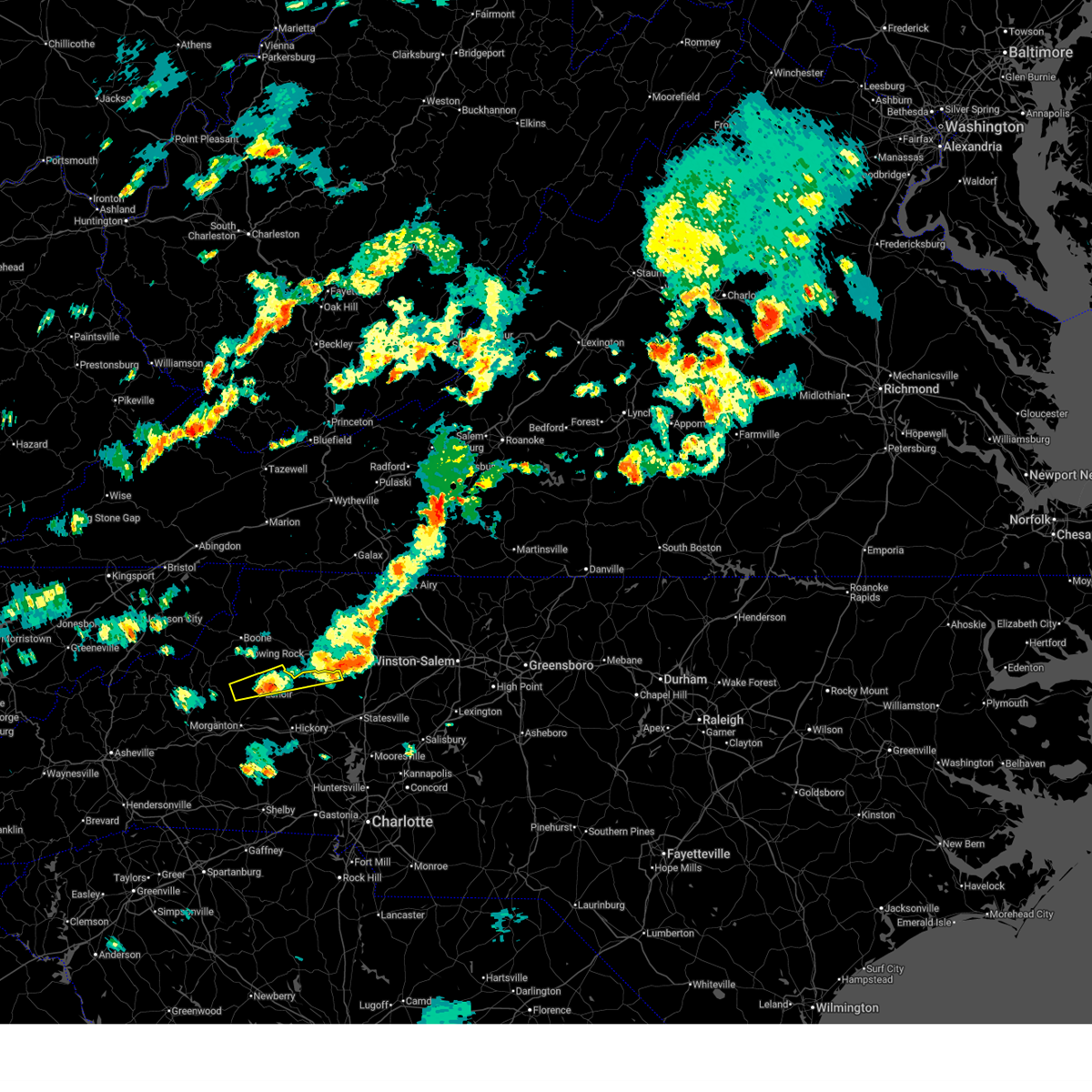
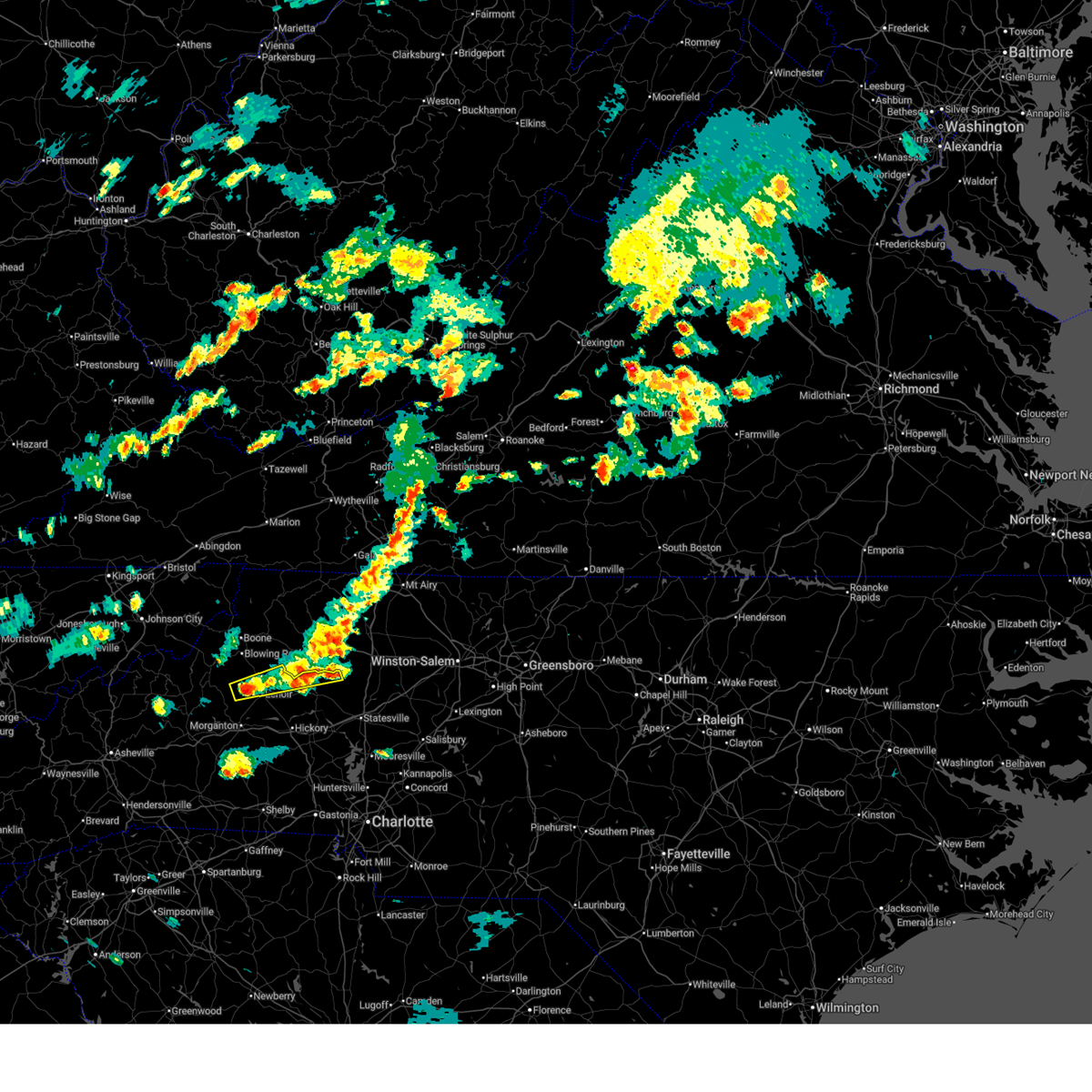
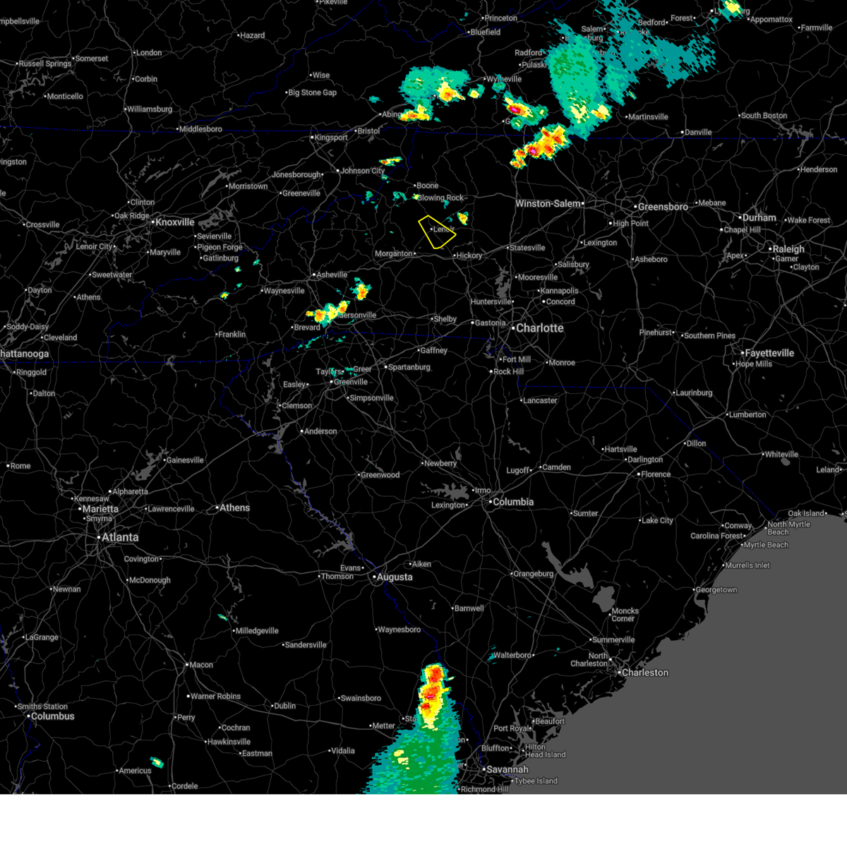
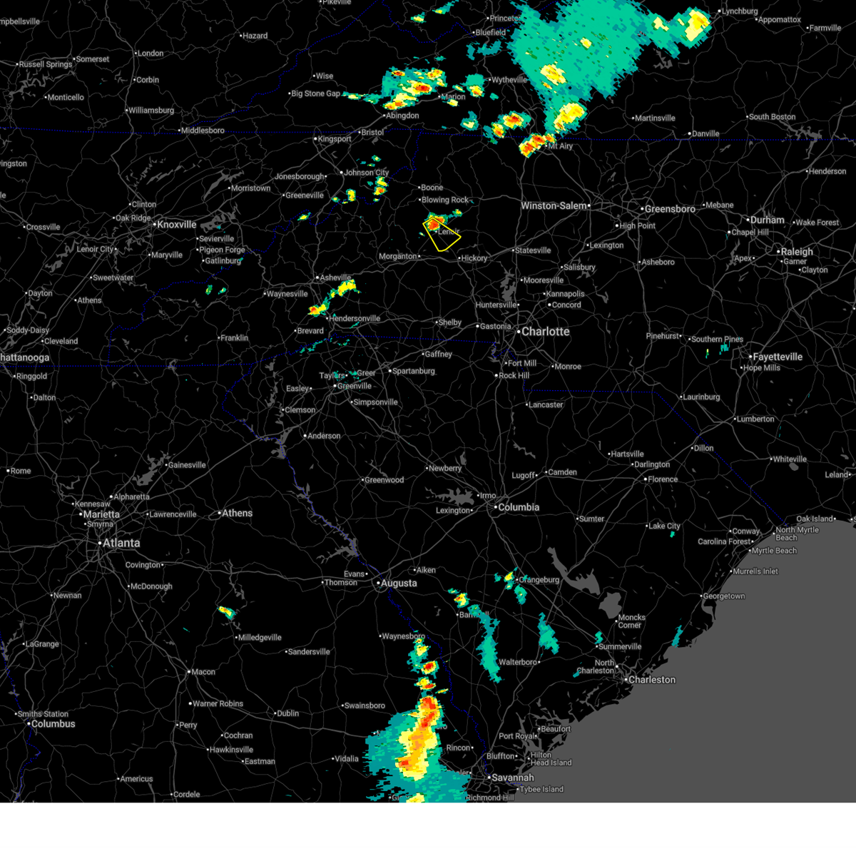
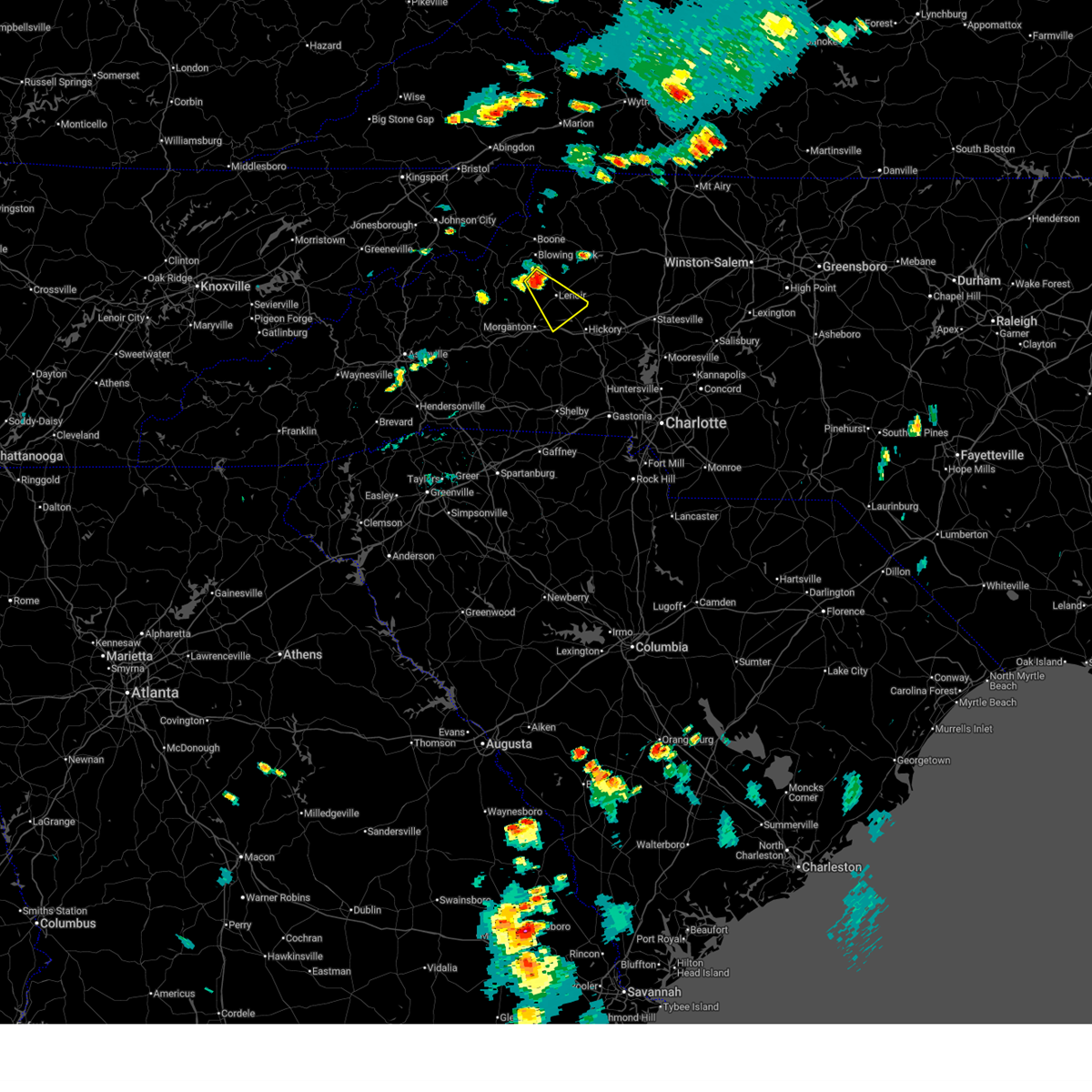
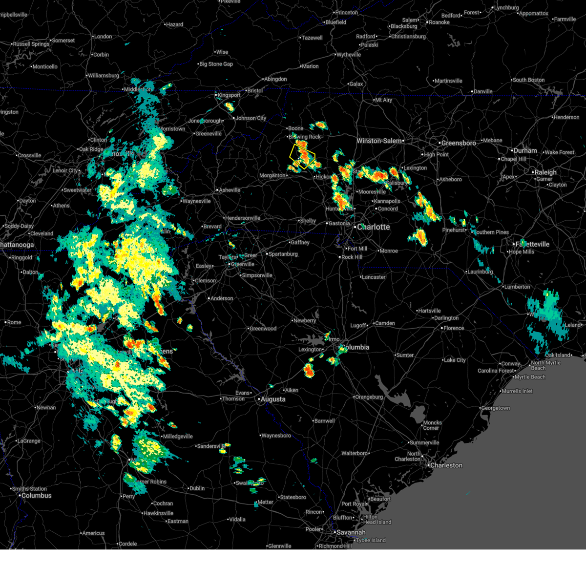
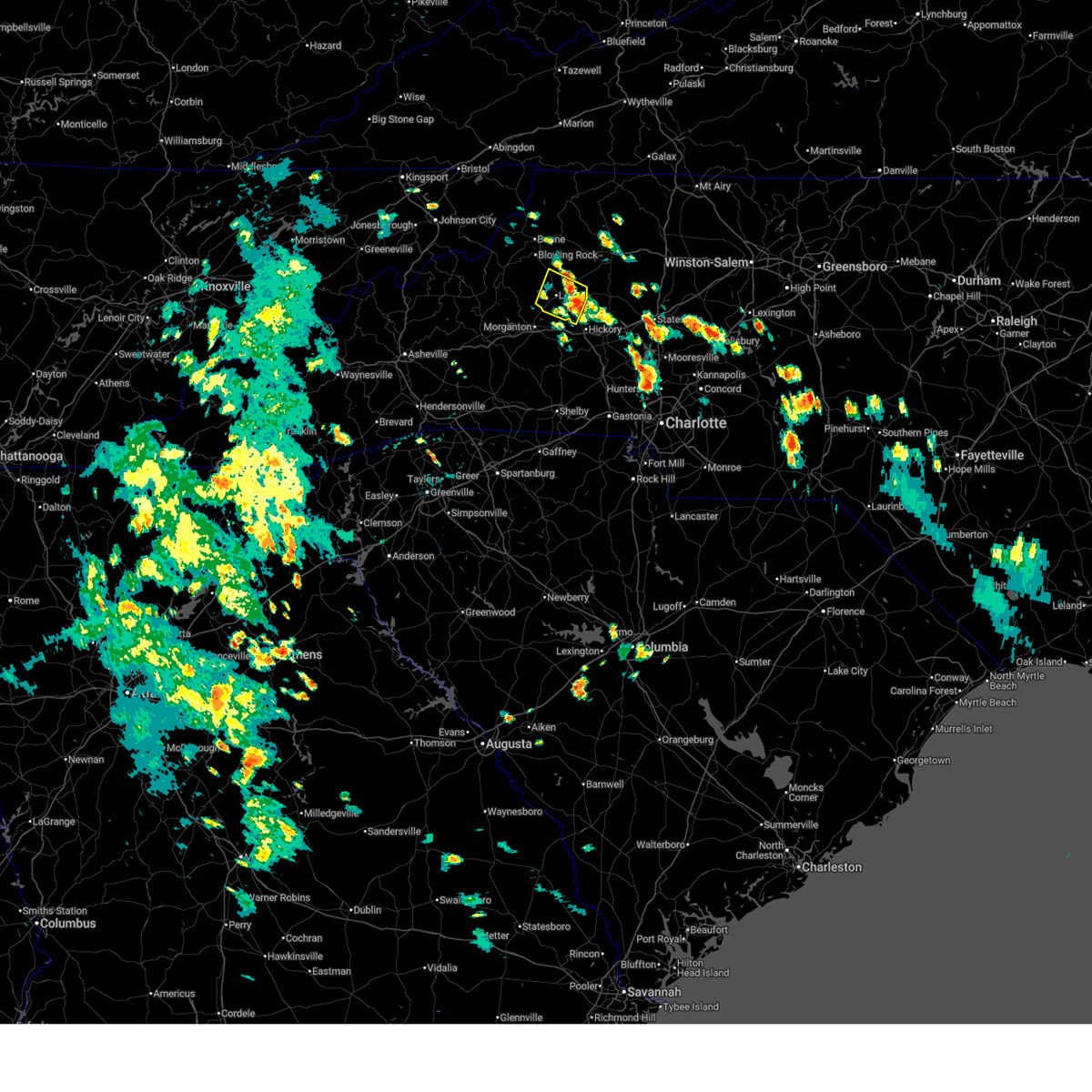
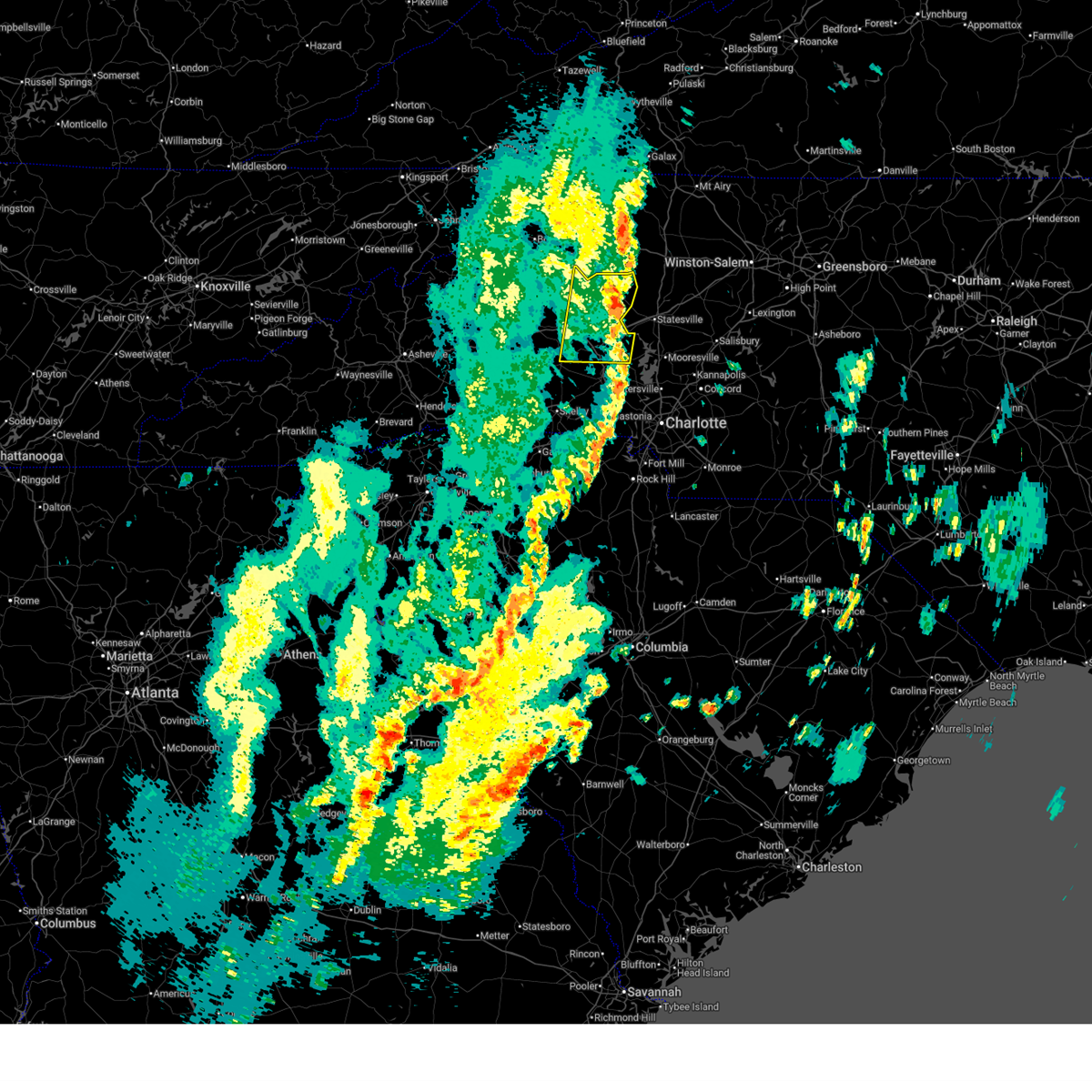
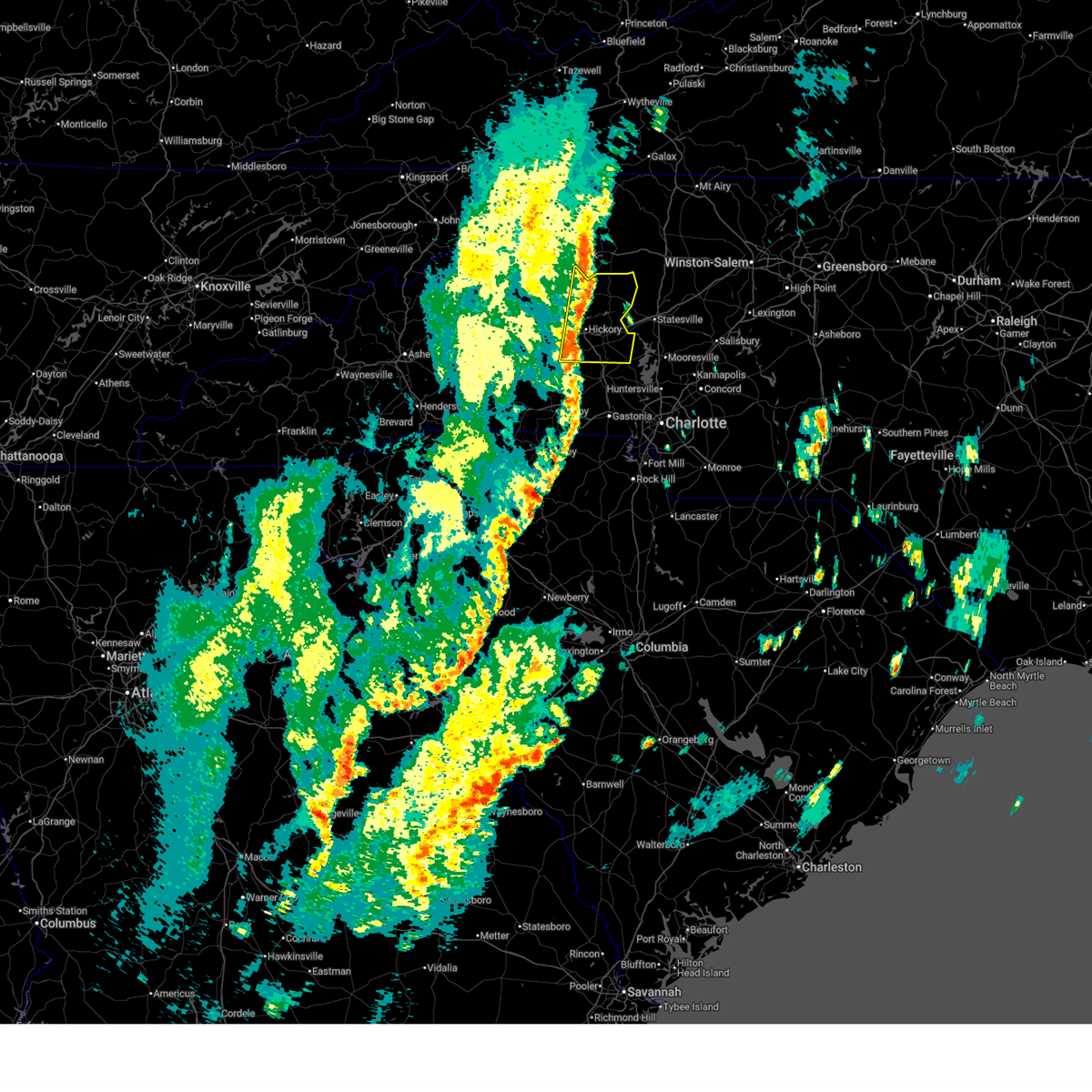
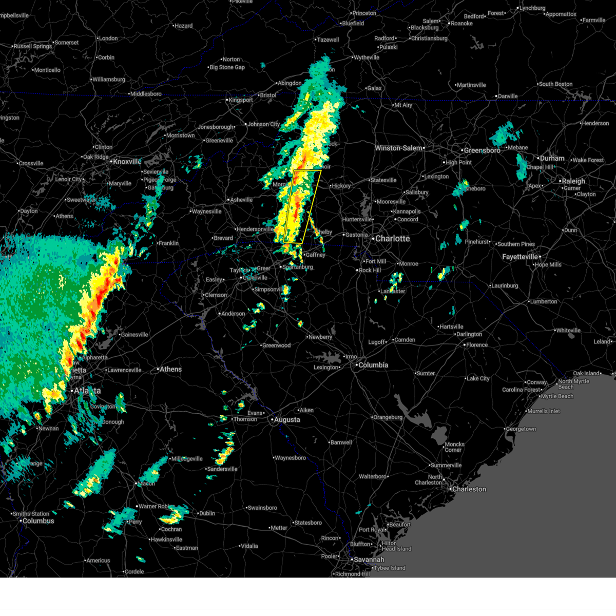
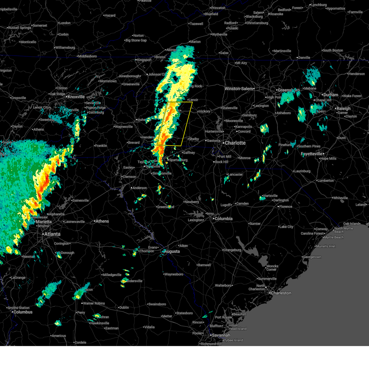
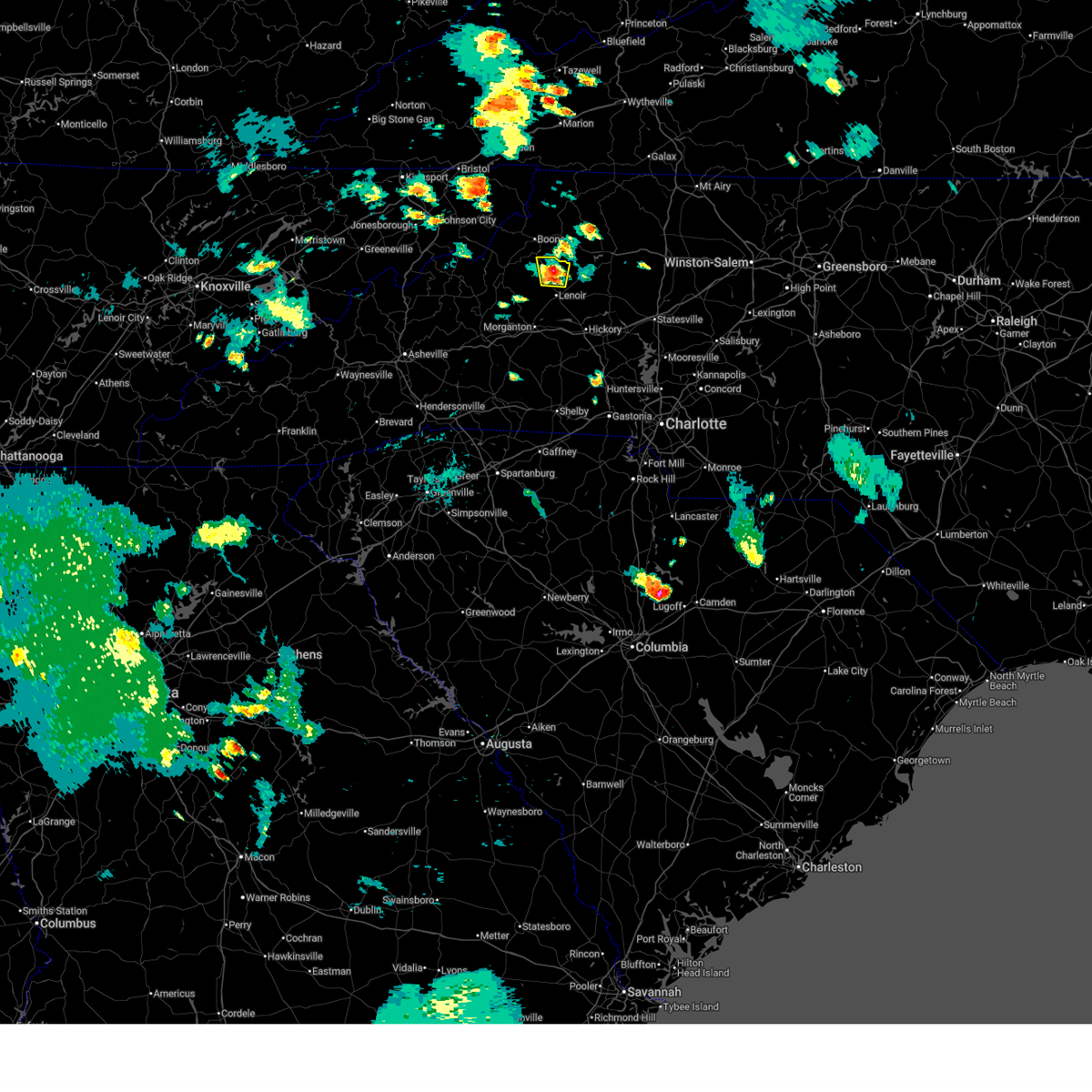
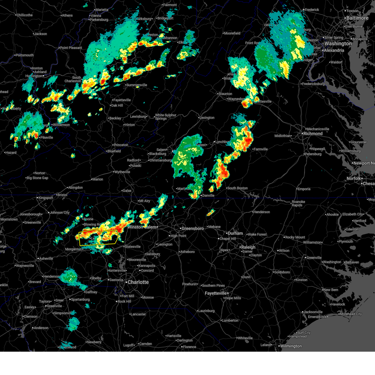
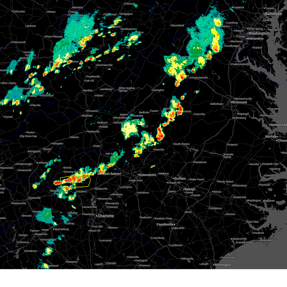
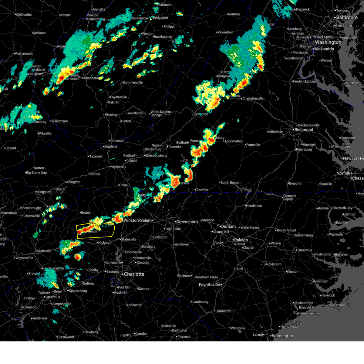
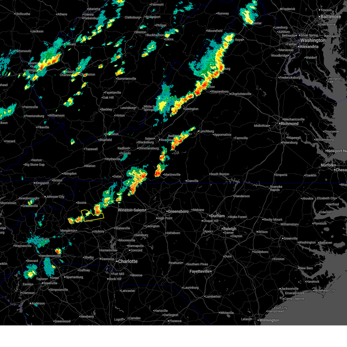
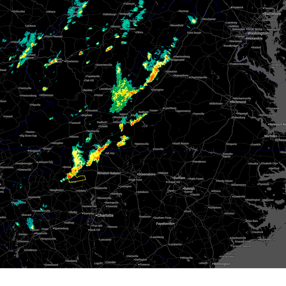
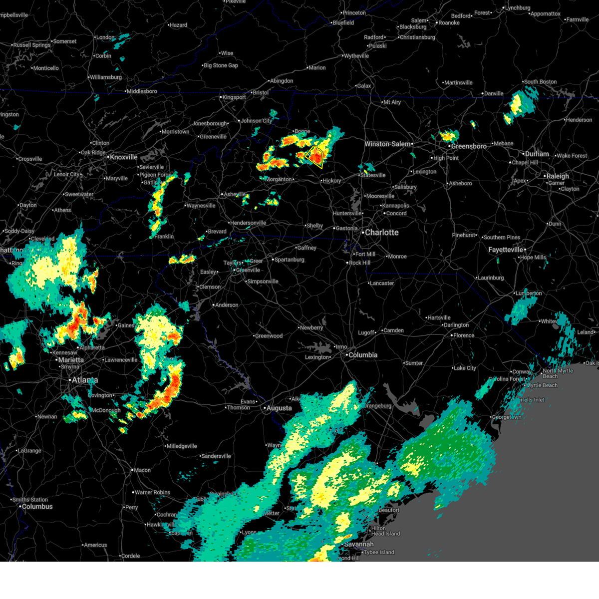
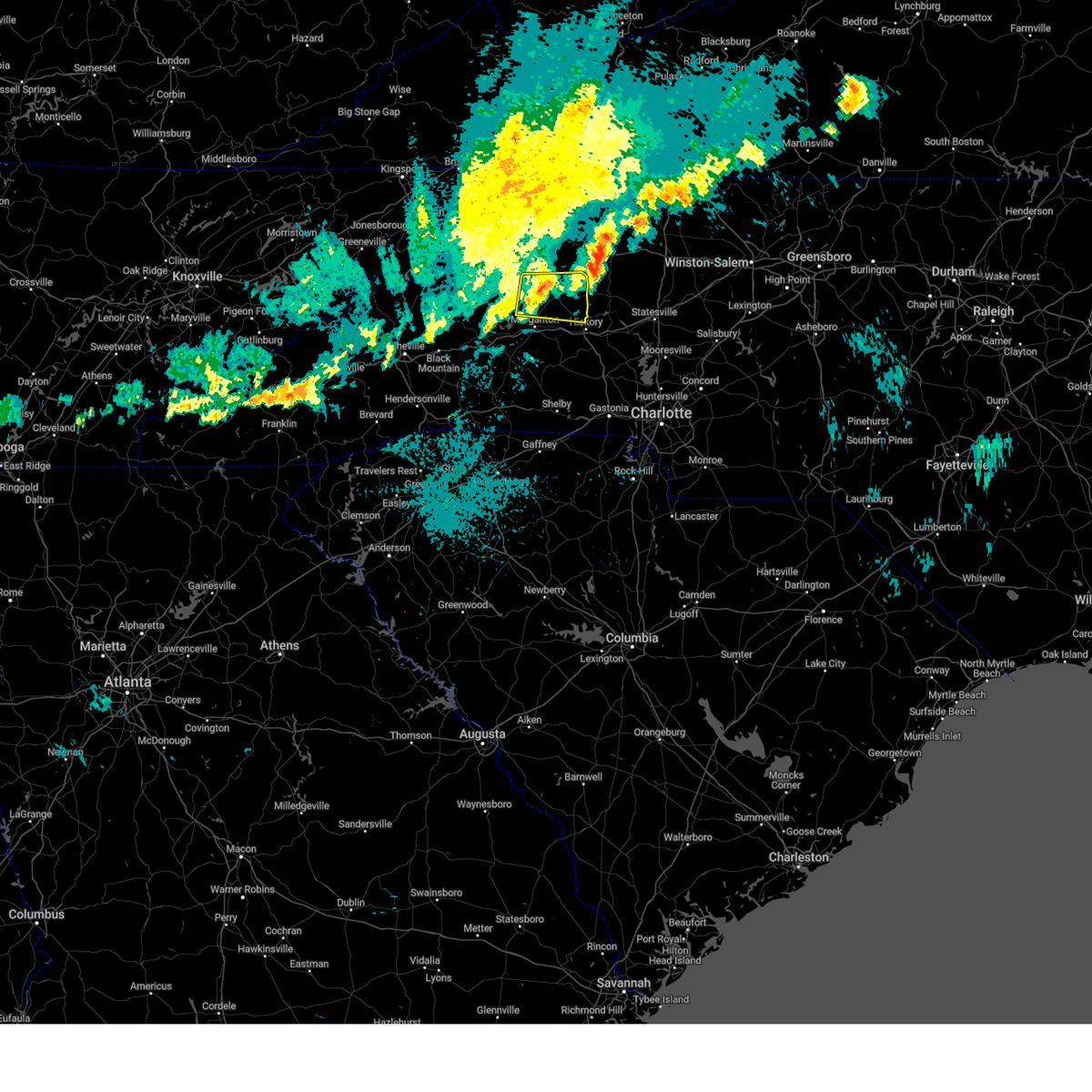
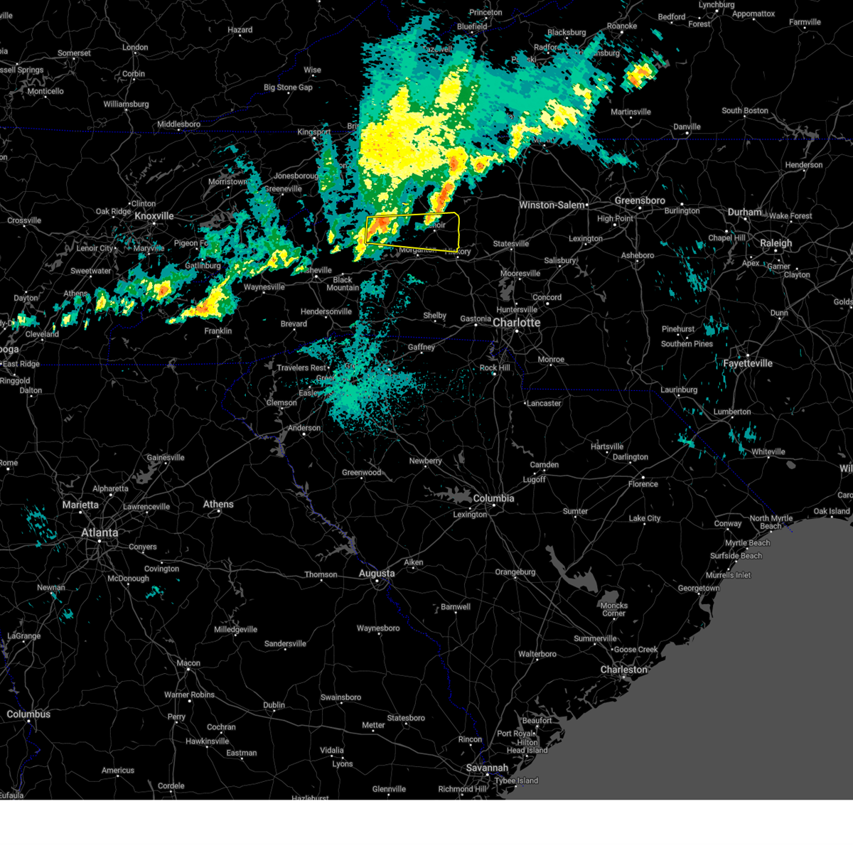
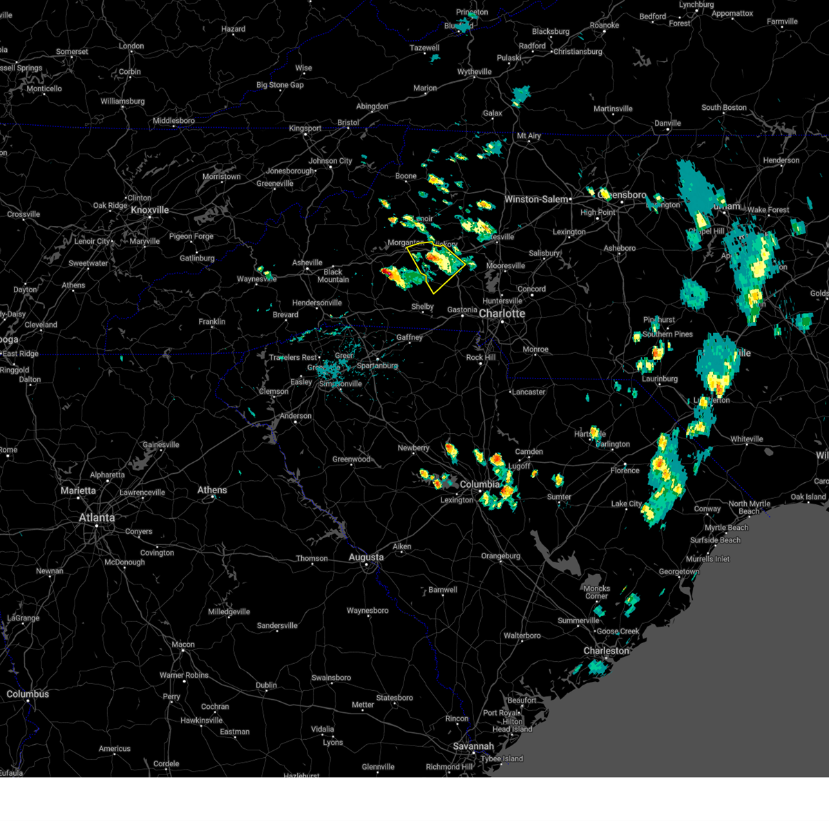
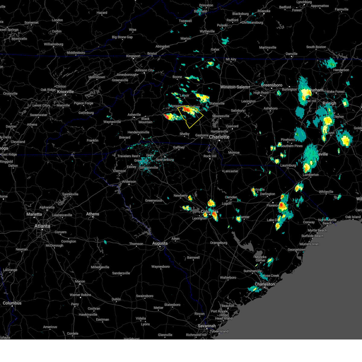
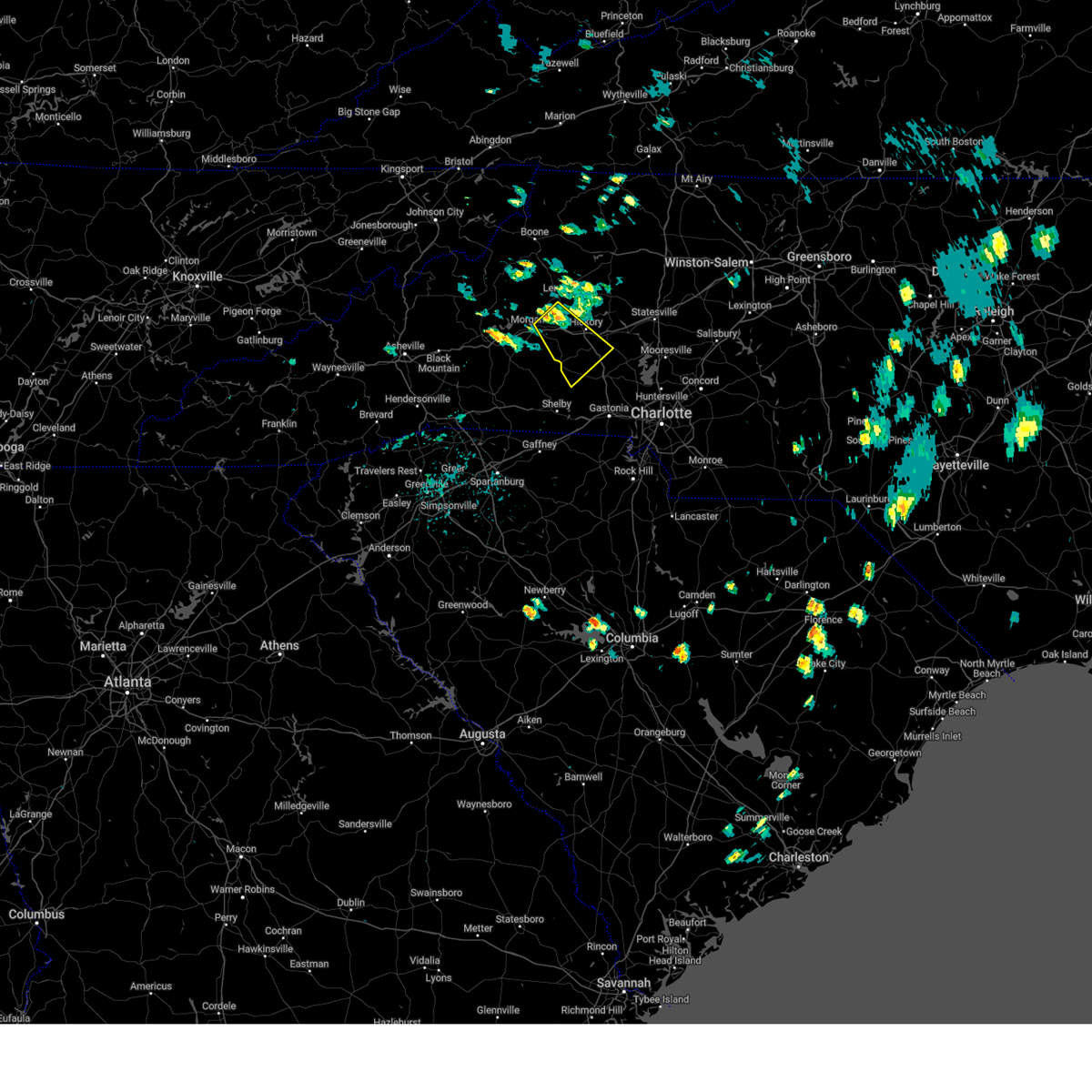
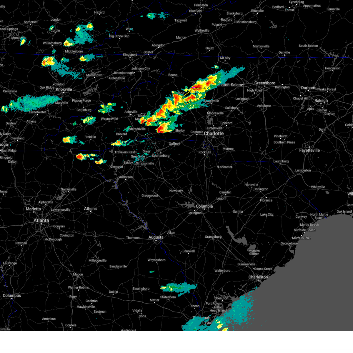
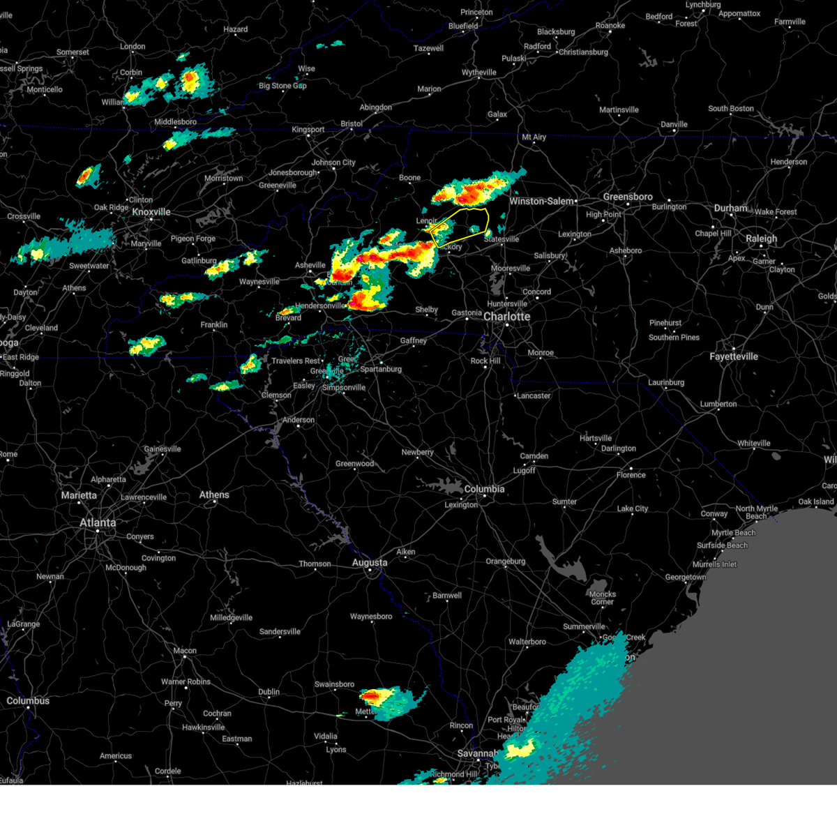
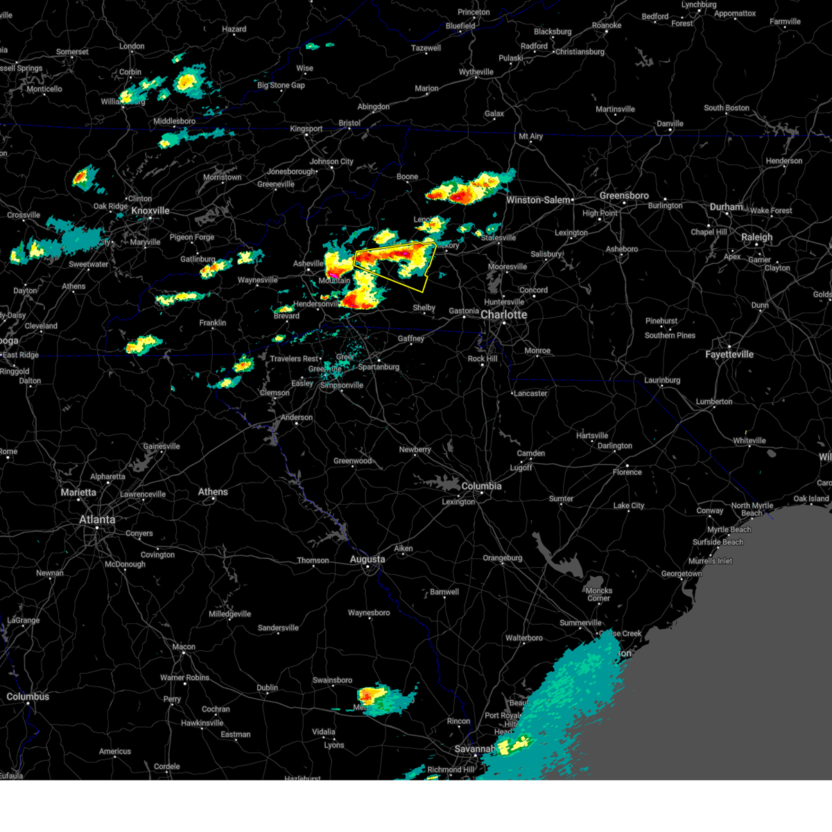
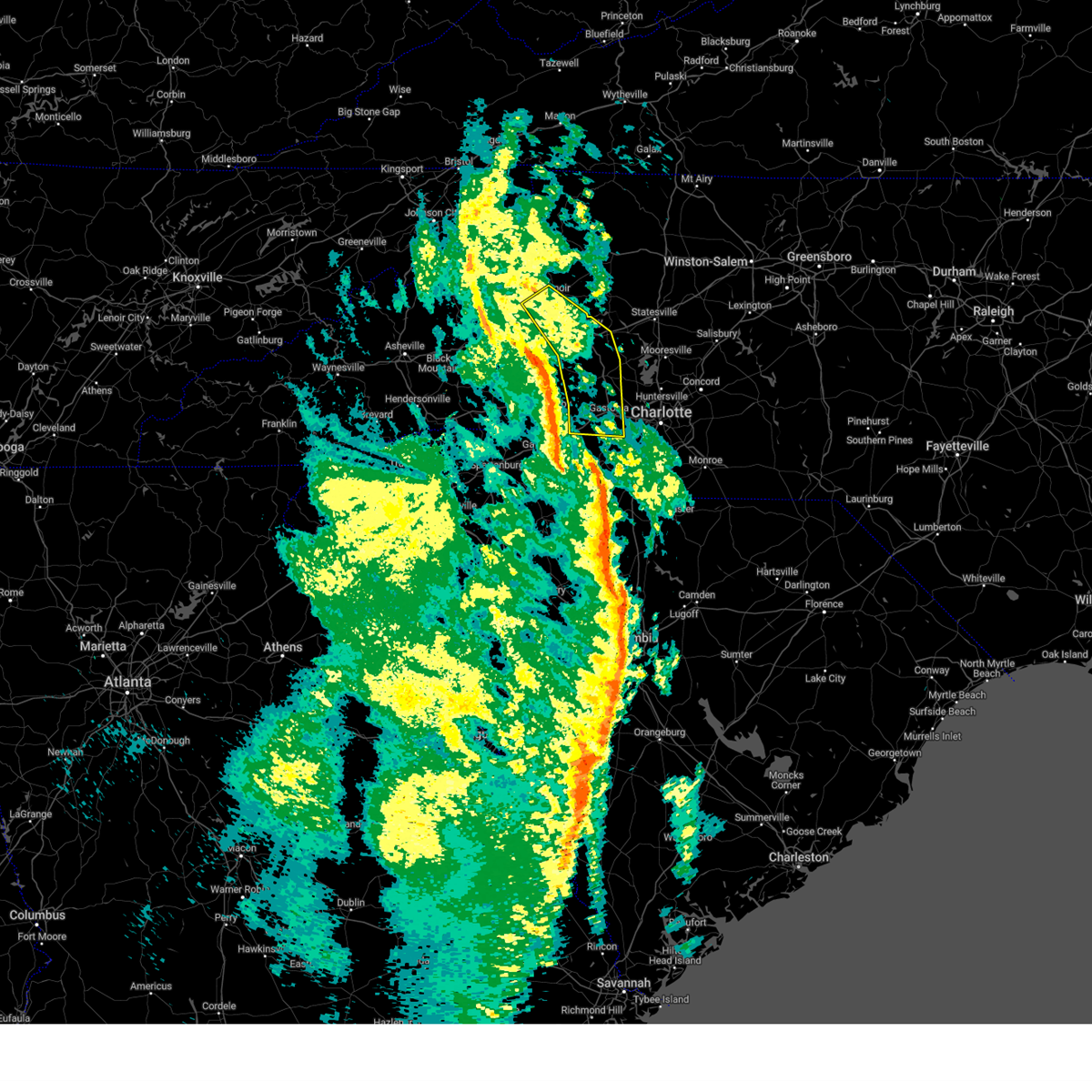
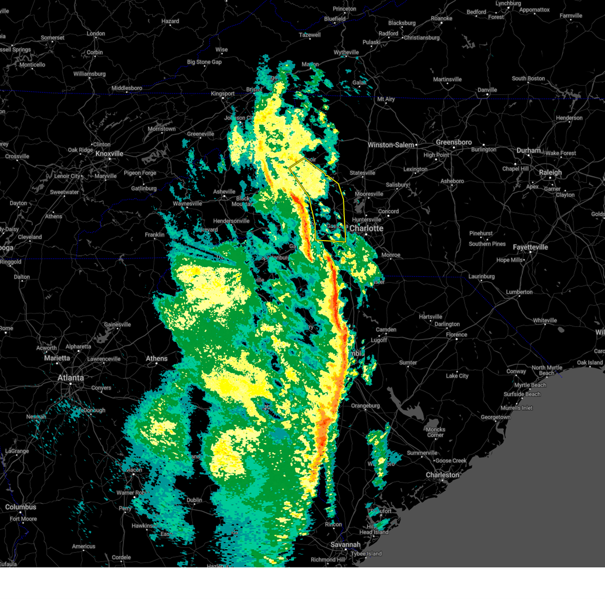
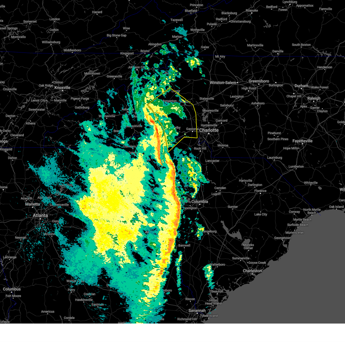
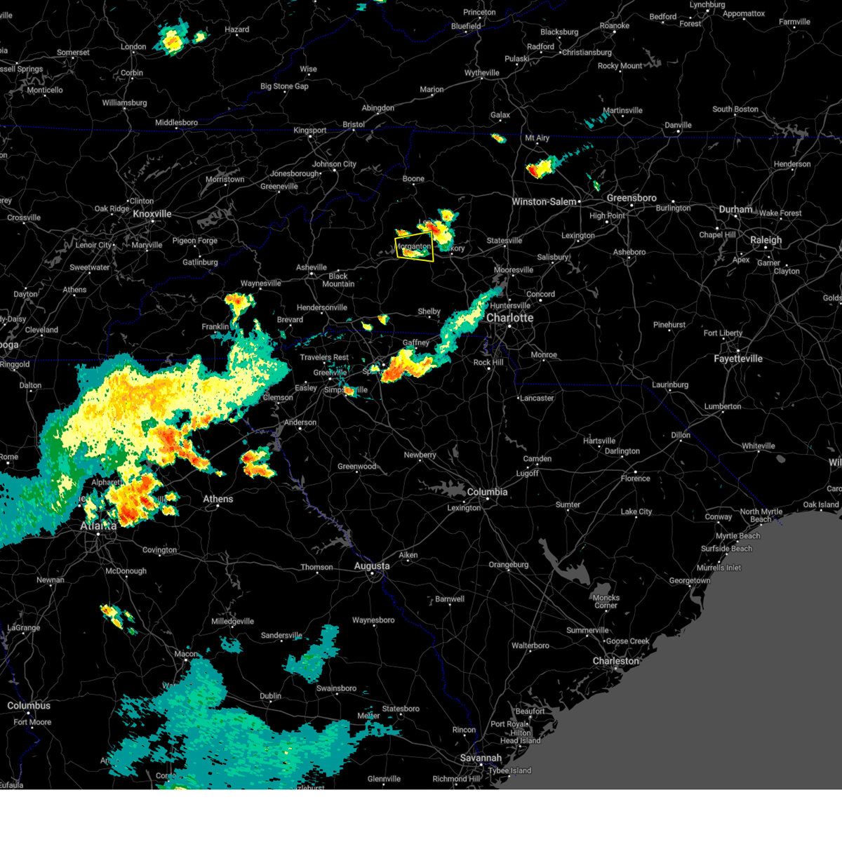
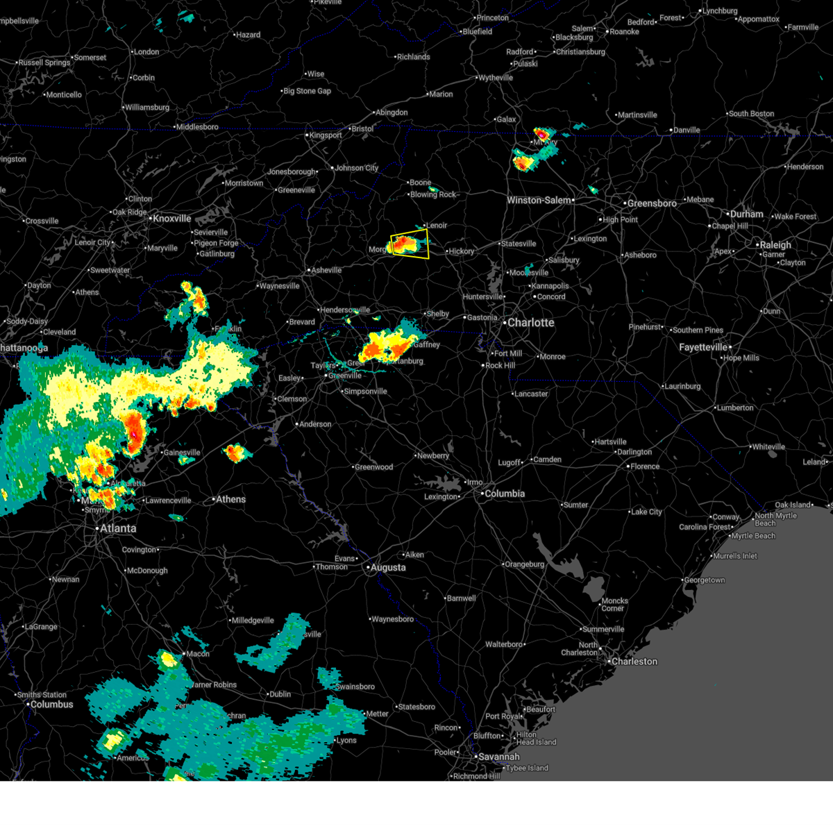
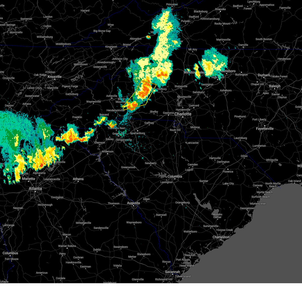
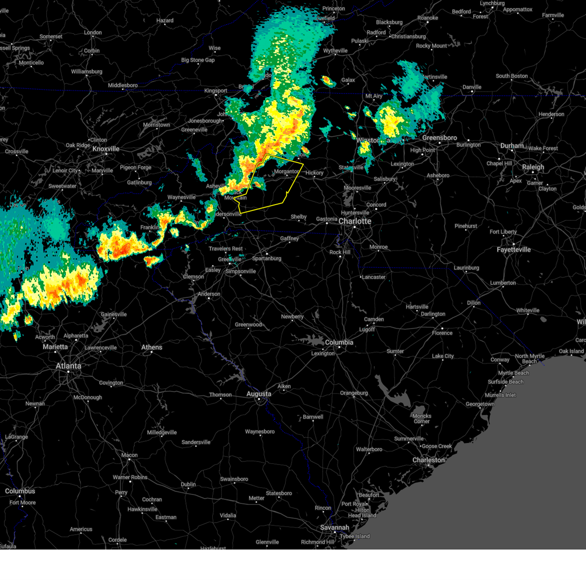
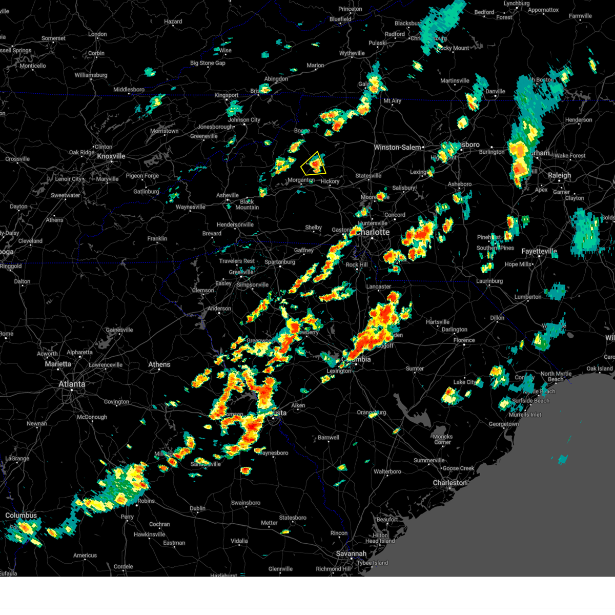
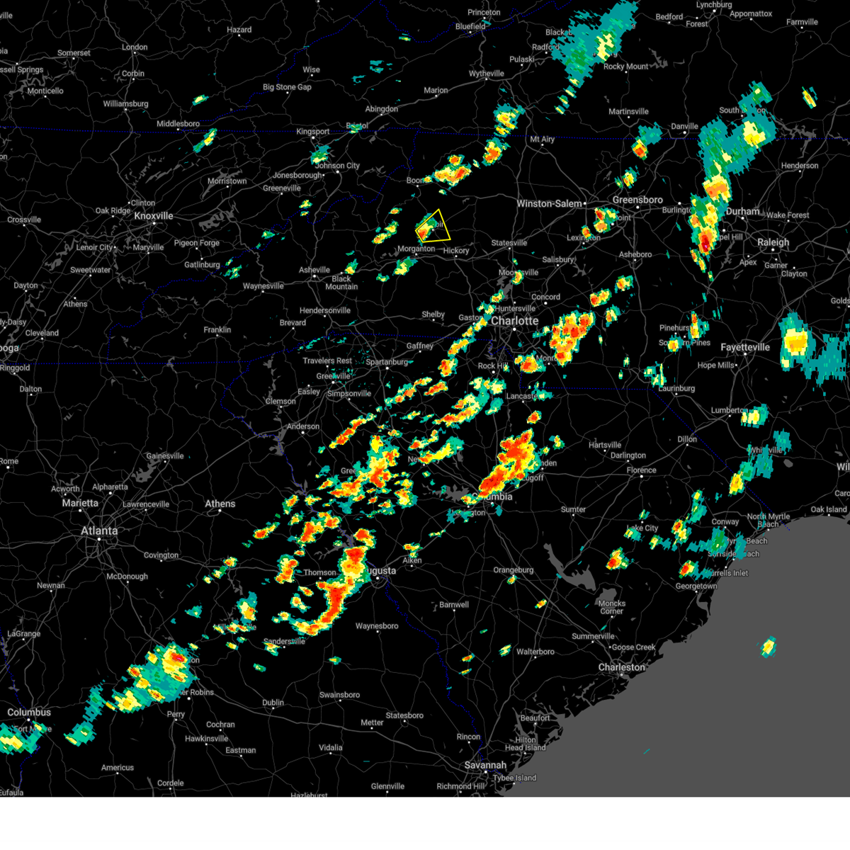
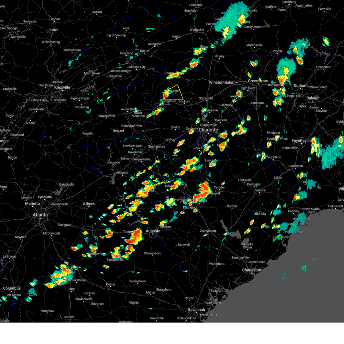
Hail Map for Lenoir, NC
The Lenoir, NC area has had 26 reports of on-the-ground hail by trained spotters, and has been under severe weather warnings 22 times during the past 12 months. Doppler radar has detected hail at or near Lenoir, NC on 66 occasions.
| Name: | Lenoir, NC |
| Where Located: | 60.9 miles NW of Charlotte, NC |
| Map: | Google Map for Lenoir, NC |
| Population: | 18228 |
| Housing Units: | 8568 |
| More Info: | Search Google for Lenoir, NC |
3
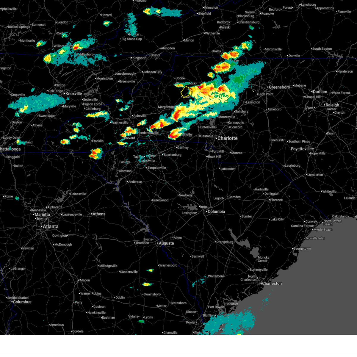
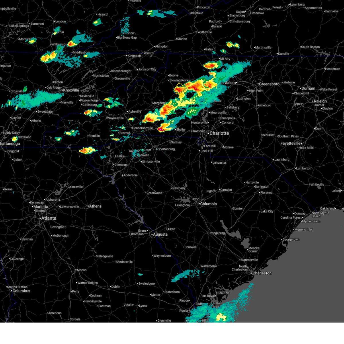
The Top Recent Hail Date for Lenoir, NC is Thursday, May 8, 2025 (4th out of 66)

Hail and Wind Damage Spotted near Lenoir, NC
| Date / Time | Report Details |
|---|---|
| 6/22/2026 5:35 PM EDT |
 The storm which prompted the warning has weakened below severe limits, and no longer poses an immediate threat to life or property. therefore, the warning will be allowed to expire. however, gusty winds are still possible with this thunderstorm. The storm which prompted the warning has weakened below severe limits, and no longer poses an immediate threat to life or property. therefore, the warning will be allowed to expire. however, gusty winds are still possible with this thunderstorm.
|
| 6/22/2026 5:16 PM EDT |
 Svrgsp the national weather service in greenville-spartanburg has issued a * severe thunderstorm warning for, northern alexander county in the piedmont of north carolina, central caldwell county in western north carolina, * until 545 pm edt. * at 516 pm edt, a severe thunderstorm was located near lenoir, moving east at 40 mph (radar indicated). Hazards include 60 mph wind gusts and quarter size hail. Minor hail damage to vehicles is expected. Expect wind damage to trees and power lines. Svrgsp the national weather service in greenville-spartanburg has issued a * severe thunderstorm warning for, northern alexander county in the piedmont of north carolina, central caldwell county in western north carolina, * until 545 pm edt. * at 516 pm edt, a severe thunderstorm was located near lenoir, moving east at 40 mph (radar indicated). Hazards include 60 mph wind gusts and quarter size hail. Minor hail damage to vehicles is expected. Expect wind damage to trees and power lines.
|
| 6/12/2026 7:26 PM EDT |
 The storm which prompted the warning has weakened below severe limits, and no longer poses an immediate threat to life or property. therefore, the warning will be allowed to expire. however, gusty winds are still possible with this thunderstorm. to report severe weather to the national weather service greenville-spartanburg, call toll free, 1, 800, 2 6 7, 8 1 0 1, or post on our facebook page, or post it to x using hashtag nwsgsp. your message should describe the event and the specific location where it occurred. The storm which prompted the warning has weakened below severe limits, and no longer poses an immediate threat to life or property. therefore, the warning will be allowed to expire. however, gusty winds are still possible with this thunderstorm. to report severe weather to the national weather service greenville-spartanburg, call toll free, 1, 800, 2 6 7, 8 1 0 1, or post on our facebook page, or post it to x using hashtag nwsgsp. your message should describe the event and the specific location where it occurred.
|
| 6/12/2026 6:56 PM EDT | Multiple trees down on roa in caldwell county NC, 5.6 miles SSE of Lenoir, NC |
| 6/12/2026 6:53 PM EDT |
 the severe thunderstorm warning has been cancelled and is no longer in effect the severe thunderstorm warning has been cancelled and is no longer in effect
|
| 6/12/2026 6:53 PM EDT |
 At 652 pm edt, a severe thunderstorm was located 4 miles west of hickory, or near rhodhiss, moving southeast at 30 mph (radar indicated). Hazards include 60 mph wind gusts and quarter size hail. Minor hail damage to vehicles is expected. expect wind damage to trees and power lines. Locations impacted include, lenoir, sawmills, hudson, cajah's mountain, cedar rock, patterson, lake rhodhiss, granite falls, and gamewell. At 652 pm edt, a severe thunderstorm was located 4 miles west of hickory, or near rhodhiss, moving southeast at 30 mph (radar indicated). Hazards include 60 mph wind gusts and quarter size hail. Minor hail damage to vehicles is expected. expect wind damage to trees and power lines. Locations impacted include, lenoir, sawmills, hudson, cajah's mountain, cedar rock, patterson, lake rhodhiss, granite falls, and gamewell.
|
| 6/12/2026 6:39 PM EDT | Multiple trees on road and powerlines dow in caldwell county NC, 2.6 miles SE of Lenoir, NC |
| 6/12/2026 6:25 PM EDT |
 Svrgsp the national weather service in greenville-spartanburg has issued a * severe thunderstorm warning for, central caldwell county in western north carolina, east central burke county in western north carolina, * until 730 pm edt. * at 624 pm edt, a severe thunderstorm was located 4 miles west of lenoir, or near gamewell, moving southeast at 30 mph (radar indicated). Hazards include 60 mph wind gusts and quarter size hail. Minor hail damage to vehicles is expected. Expect wind damage to trees and power lines. Svrgsp the national weather service in greenville-spartanburg has issued a * severe thunderstorm warning for, central caldwell county in western north carolina, east central burke county in western north carolina, * until 730 pm edt. * at 624 pm edt, a severe thunderstorm was located 4 miles west of lenoir, or near gamewell, moving southeast at 30 mph (radar indicated). Hazards include 60 mph wind gusts and quarter size hail. Minor hail damage to vehicles is expected. Expect wind damage to trees and power lines.
|
| 6/8/2026 5:24 PM EDT | Tree down on overlook dr. time estimated from rada in caldwell county NC, 1.3 miles NE of Lenoir, NC |
| 6/8/2026 5:23 PM EDT | Tree down on pearl dr. time estimated from rada in caldwell county NC, 2.5 miles NNE of Lenoir, NC |
| 6/8/2026 5:16 PM EDT |
 At 516 pm edt, a severe thunderstorm was located 4 miles east of lenoir, or near cedar rock, moving northwest at 10 mph (radar indicated). Hazards include 60 mph wind gusts and penny size hail. Expect damage to trees and power lines. Locations impacted include, lenoir, sawmills, hudson, cedar rock, patterson, kings creek, and cajah's mountain. At 516 pm edt, a severe thunderstorm was located 4 miles east of lenoir, or near cedar rock, moving northwest at 10 mph (radar indicated). Hazards include 60 mph wind gusts and penny size hail. Expect damage to trees and power lines. Locations impacted include, lenoir, sawmills, hudson, cedar rock, patterson, kings creek, and cajah's mountain.
|
| 6/8/2026 5:02 PM EDT | Tree down on taylorsville rd in the little river area. time estimate in caldwell county NC, 5.3 miles W of Lenoir, NC |
| 6/8/2026 5:01 PM EDT |
 Svrgsp the national weather service in greenville-spartanburg has issued a * severe thunderstorm warning for, central caldwell county in western north carolina, * until 600 pm edt. * at 500 pm edt, a severe thunderstorm was located 6 miles east of lenoir, or 4 miles northeast of hudson, moving west at 10 mph (radar indicated). Hazards include 60 mph wind gusts and quarter size hail. Minor hail damage to vehicles is expected. Expect wind damage to trees and power lines. Svrgsp the national weather service in greenville-spartanburg has issued a * severe thunderstorm warning for, central caldwell county in western north carolina, * until 600 pm edt. * at 500 pm edt, a severe thunderstorm was located 6 miles east of lenoir, or 4 miles northeast of hudson, moving west at 10 mph (radar indicated). Hazards include 60 mph wind gusts and quarter size hail. Minor hail damage to vehicles is expected. Expect wind damage to trees and power lines.
|
| 3/16/2026 9:07 AM EDT |
 The storms which prompted the warning have moved out of the area. therefore, the warning will be allowed to expire. however, gusty winds are still possible with these thunderstorms. a severe thunderstorm watch remains in effect until 1100 am edt for western and the piedmont of north carolina. to report severe weather to the national weather service greenville-spartanburg, call toll free, 1, 800, 2 6 7, 8 1 0 1, or post on our facebook page, or post it to x using hashtag nwsgsp. your message should describe the event and the specific location where it occurred. remember, a severe thunderstorm warning still remains in effect for eastern alexander and central and eastern catawba counties until 1000 am edt. The storms which prompted the warning have moved out of the area. therefore, the warning will be allowed to expire. however, gusty winds are still possible with these thunderstorms. a severe thunderstorm watch remains in effect until 1100 am edt for western and the piedmont of north carolina. to report severe weather to the national weather service greenville-spartanburg, call toll free, 1, 800, 2 6 7, 8 1 0 1, or post on our facebook page, or post it to x using hashtag nwsgsp. your message should describe the event and the specific location where it occurred. remember, a severe thunderstorm warning still remains in effect for eastern alexander and central and eastern catawba counties until 1000 am edt.
|
| 3/16/2026 8:48 AM EDT |
 At 848 am edt, severe thunderstorms were located along a line extending from 5 miles west of boomer to 12 miles northwest of lincolnton, moving east at 40 mph (radar indicated). Hazards include 60 mph wind gusts. Expect damage to trees and power lines. locations impacted include, hickory, newton, taylorsville, st. Stephens, conover, longview, granite falls, bethlehem, maiden, and icard. At 848 am edt, severe thunderstorms were located along a line extending from 5 miles west of boomer to 12 miles northwest of lincolnton, moving east at 40 mph (radar indicated). Hazards include 60 mph wind gusts. Expect damage to trees and power lines. locations impacted include, hickory, newton, taylorsville, st. Stephens, conover, longview, granite falls, bethlehem, maiden, and icard.
|
| 3/16/2026 8:20 AM EDT |
 Svrgsp the national weather service in greenville-spartanburg has issued a * severe thunderstorm warning for, catawba county in the piedmont of north carolina, alexander county in the piedmont of north carolina, caldwell county in western north carolina, burke county in western north carolina, * until 915 am edt. * at 819 am edt, severe thunderstorms were located along a line extending from near blowing rock to 11 miles southwest of morganton, moving east at 30 mph (radar indicated). Hazards include 60 mph wind gusts. expect damage to trees and power lines Svrgsp the national weather service in greenville-spartanburg has issued a * severe thunderstorm warning for, catawba county in the piedmont of north carolina, alexander county in the piedmont of north carolina, caldwell county in western north carolina, burke county in western north carolina, * until 915 am edt. * at 819 am edt, severe thunderstorms were located along a line extending from near blowing rock to 11 miles southwest of morganton, moving east at 30 mph (radar indicated). Hazards include 60 mph wind gusts. expect damage to trees and power lines
|
| 3/16/2026 8:03 AM EDT | At 802 am edt, severe thunderstorms were located along a line extending from 3 miles southeast of beech mountain to 9 miles south of marion, moving east at 35 mph (radar indicated). Hazards include 60 mph wind gusts. Expect damage to trees and power lines. Locations impacted include, lenoir, morganton, sawmills, granite falls, valdese, gamewell, hudson, icard, cajah's mountain, and drexel. |
| 3/16/2026 8:03 AM EDT | the severe thunderstorm warning has been cancelled and is no longer in effect |
| 3/16/2026 7:31 AM EDT |
 Svrgsp the national weather service in greenville-spartanburg has issued a * severe thunderstorm warning for, mcdowell county in western north carolina, mitchell county in western north carolina, caldwell county in western north carolina, avery county in western north carolina, burke county in western north carolina, * until 830 am edt. * at 731 am edt, severe thunderstorms were located along a line extending from 9 miles east of erwin to 14 miles east of downtown asheville, moving east at 55 mph (radar indicated). Hazards include 60 mph wind gusts. expect damage to trees and power lines Svrgsp the national weather service in greenville-spartanburg has issued a * severe thunderstorm warning for, mcdowell county in western north carolina, mitchell county in western north carolina, caldwell county in western north carolina, avery county in western north carolina, burke county in western north carolina, * until 830 am edt. * at 731 am edt, severe thunderstorms were located along a line extending from 9 miles east of erwin to 14 miles east of downtown asheville, moving east at 55 mph (radar indicated). Hazards include 60 mph wind gusts. expect damage to trees and power lines
|
| 3/16/2026 6:07 AM EDT |
 The storms which prompted the warning have weakened below severe limits, and have exited the warned area. therefore, the warning will be allowed to expire. a severe thunderstorm watch remains in effect until 1100 am edt for western and the piedmont of north carolina. to report severe weather to the national weather service greenville-spartanburg, call toll free, 1, 800, 2 6 7, 8 1 0 1, or post on our facebook page, or post it to x using hashtag nwsgsp. your message should describe the event and the specific location where it occurred. The storms which prompted the warning have weakened below severe limits, and have exited the warned area. therefore, the warning will be allowed to expire. a severe thunderstorm watch remains in effect until 1100 am edt for western and the piedmont of north carolina. to report severe weather to the national weather service greenville-spartanburg, call toll free, 1, 800, 2 6 7, 8 1 0 1, or post on our facebook page, or post it to x using hashtag nwsgsp. your message should describe the event and the specific location where it occurred.
|
| 3/16/2026 5:47 AM EDT |
 the severe thunderstorm warning has been cancelled and is no longer in effect the severe thunderstorm warning has been cancelled and is no longer in effect
|
| 3/16/2026 5:47 AM EDT |
 At 546 am edt, severe thunderstorms were located along a line extending from 5 miles north of morganton to 9 miles south of forest city, moving east at 40 mph (radar indicated). Hazards include 60 mph wind gusts. Expect damage to trees and power lines. Locations impacted include, morganton, forest city, sawmills, valdese, gamewell, boiling springs nc, hudson, cajah's mountain, drexel, and connelly springs. At 546 am edt, severe thunderstorms were located along a line extending from 5 miles north of morganton to 9 miles south of forest city, moving east at 40 mph (radar indicated). Hazards include 60 mph wind gusts. Expect damage to trees and power lines. Locations impacted include, morganton, forest city, sawmills, valdese, gamewell, boiling springs nc, hudson, cajah's mountain, drexel, and connelly springs.
|
| 3/16/2026 5:24 AM EDT |
 Svrgsp the national weather service in greenville-spartanburg has issued a * severe thunderstorm warning for, eastern mcdowell county in western north carolina, rutherford county in western north carolina, eastern polk county in western north carolina, southwestern caldwell county in western north carolina, western cleveland county in the piedmont of north carolina, burke county in western north carolina, * until 615 am edt. * at 523 am edt, severe thunderstorms were located along a line extending from 11 miles northwest of morganton to 7 miles east of columbus, moving east at 25 mph (radar indicated). Hazards include 60 mph wind gusts. expect damage to trees and power lines Svrgsp the national weather service in greenville-spartanburg has issued a * severe thunderstorm warning for, eastern mcdowell county in western north carolina, rutherford county in western north carolina, eastern polk county in western north carolina, southwestern caldwell county in western north carolina, western cleveland county in the piedmont of north carolina, burke county in western north carolina, * until 615 am edt. * at 523 am edt, severe thunderstorms were located along a line extending from 11 miles northwest of morganton to 7 miles east of columbus, moving east at 25 mph (radar indicated). Hazards include 60 mph wind gusts. expect damage to trees and power lines
|
| 7/9/2025 3:20 PM EDT |
 the severe thunderstorm warning has been cancelled and is no longer in effect the severe thunderstorm warning has been cancelled and is no longer in effect
|
| 7/9/2025 3:17 PM EDT | Tree down near kincaid southwest circle and southwest boulevar in caldwell county NC, 2.4 miles N of Lenoir, NC |
| 7/9/2025 3:11 PM EDT |
 At 311 pm edt, a severe thunderstorm was located 7 miles northwest of lenoir, moving east at 15 mph (radar indicated). Hazards include 60 mph wind gusts and nickel size hail. Expect damage to trees and power lines. Locations impacted include, lenoir, cedar rock, kings creek, collettsville, patterson, upton, globe, and gamewell. At 311 pm edt, a severe thunderstorm was located 7 miles northwest of lenoir, moving east at 15 mph (radar indicated). Hazards include 60 mph wind gusts and nickel size hail. Expect damage to trees and power lines. Locations impacted include, lenoir, cedar rock, kings creek, collettsville, patterson, upton, globe, and gamewell.
|
| 7/9/2025 2:54 PM EDT | Tree down on brown mountain beach roa in caldwell county NC, 12.2 miles E of Lenoir, NC |
| 7/9/2025 2:54 PM EDT |
 Svrgsp the national weather service in greenville-spartanburg has issued a * severe thunderstorm warning for, caldwell county in western north carolina, * until 400 pm edt. * at 253 pm edt, a severe thunderstorm was located 10 miles northwest of lenoir, or 8 miles northwest of gamewell, moving northeast at 10 mph (radar indicated). Hazards include 60 mph wind gusts and quarter size hail. Minor hail damage to vehicles is expected. Expect wind damage to trees and power lines. Svrgsp the national weather service in greenville-spartanburg has issued a * severe thunderstorm warning for, caldwell county in western north carolina, * until 400 pm edt. * at 253 pm edt, a severe thunderstorm was located 10 miles northwest of lenoir, or 8 miles northwest of gamewell, moving northeast at 10 mph (radar indicated). Hazards include 60 mph wind gusts and quarter size hail. Minor hail damage to vehicles is expected. Expect wind damage to trees and power lines.
|
| 6/27/2025 10:04 PM EDT |
 Svrgsp the national weather service in greenville-spartanburg has issued a * severe thunderstorm warning for, north central caldwell county in western north carolina, * until 1100 pm edt. * at 1004 pm edt, a severe thunderstorm was located 7 miles north of lenoir, or 7 miles northwest of cedar rock, moving north at 10 mph (radar indicated). Hazards include 60 mph wind gusts and quarter size hail. Minor hail damage to vehicles is expected. Expect wind damage to trees and power lines. Svrgsp the national weather service in greenville-spartanburg has issued a * severe thunderstorm warning for, north central caldwell county in western north carolina, * until 1100 pm edt. * at 1004 pm edt, a severe thunderstorm was located 7 miles north of lenoir, or 7 miles northwest of cedar rock, moving north at 10 mph (radar indicated). Hazards include 60 mph wind gusts and quarter size hail. Minor hail damage to vehicles is expected. Expect wind damage to trees and power lines.
|
| 6/19/2025 3:55 PM EDT |
 The storm which prompted the warning has weakened below severe limits, and no longer poses an immediate threat to life or property. therefore, the warning will be allowed to expire. however, gusty winds and heavy rain are still possible with this thunderstorm. The storm which prompted the warning has weakened below severe limits, and no longer poses an immediate threat to life or property. therefore, the warning will be allowed to expire. however, gusty winds and heavy rain are still possible with this thunderstorm.
|
| 6/19/2025 3:32 PM EDT |
 At 332 pm edt, a severe thunderstorm was located near lenoir, moving east at 15 mph (radar indicated). Hazards include 60 mph wind gusts and penny size hail. Expect damage to trees and power lines. Locations impacted include, lenoir, taylorsville, sawmills, gamewell, hudson, cajah's mountain, stony point, cedar rock, hiddenite, and little river in alexander county. At 332 pm edt, a severe thunderstorm was located near lenoir, moving east at 15 mph (radar indicated). Hazards include 60 mph wind gusts and penny size hail. Expect damage to trees and power lines. Locations impacted include, lenoir, taylorsville, sawmills, gamewell, hudson, cajah's mountain, stony point, cedar rock, hiddenite, and little river in alexander county.
|
| 6/19/2025 3:24 PM EDT | Tree down on utility equipmen in caldwell county NC, 2.6 miles SSE of Lenoir, NC |
| 6/19/2025 3:07 PM EDT |
 Svrgsp the national weather service in greenville-spartanburg has issued a * severe thunderstorm warning for, alexander county in the piedmont of north carolina, caldwell county in western north carolina, central burke county in western north carolina, * until 400 pm edt. * at 307 pm edt, a severe thunderstorm was located near lenoir, moving east at 25 mph (radar indicated). Hazards include 60 mph wind gusts and penny size hail. expect damage to trees and power lines Svrgsp the national weather service in greenville-spartanburg has issued a * severe thunderstorm warning for, alexander county in the piedmont of north carolina, caldwell county in western north carolina, central burke county in western north carolina, * until 400 pm edt. * at 307 pm edt, a severe thunderstorm was located near lenoir, moving east at 25 mph (radar indicated). Hazards include 60 mph wind gusts and penny size hail. expect damage to trees and power lines
|
| 6/19/2025 2:26 PM EDT |
 The storm which prompted the warning has moved out of the area. therefore, the warning will be allowed to expire. however, gusty winds are still possible with this thunderstorm. The storm which prompted the warning has moved out of the area. therefore, the warning will be allowed to expire. however, gusty winds are still possible with this thunderstorm.
|
| 6/19/2025 2:00 PM EDT |
 Svrgsp the national weather service in greenville-spartanburg has issued a * severe thunderstorm warning for, northwestern alexander county in the piedmont of north carolina, northeastern caldwell county in western north carolina, * until 230 pm edt. * at 200 pm edt, a severe thunderstorm was located 8 miles northeast of lenoir, or 5 miles north of cedar rock, moving east at 30 mph (radar indicated). Hazards include 60 mph wind gusts and penny size hail. expect damage to trees and power lines Svrgsp the national weather service in greenville-spartanburg has issued a * severe thunderstorm warning for, northwestern alexander county in the piedmont of north carolina, northeastern caldwell county in western north carolina, * until 230 pm edt. * at 200 pm edt, a severe thunderstorm was located 8 miles northeast of lenoir, or 5 miles north of cedar rock, moving east at 30 mph (radar indicated). Hazards include 60 mph wind gusts and penny size hail. expect damage to trees and power lines
|
| 6/17/2025 10:36 PM EDT |
 The storms which prompted the warning have weakened below severe limits, and no longer pose an immediate threat to life or property. therefore, the warning will be allowed to expire. however, gusty winds are still possible with these thunderstorms. The storms which prompted the warning have weakened below severe limits, and no longer pose an immediate threat to life or property. therefore, the warning will be allowed to expire. however, gusty winds are still possible with these thunderstorms.
|
| 6/17/2025 10:24 PM EDT |
 At 1024 pm edt, severe thunderstorms were located along a line extending from 7 miles east of morganton to 6 miles southwest of newton to 8 miles southwest of gastonia to near chester, moving northeast at 45 mph (radar indicated). Hazards include 60 mph wind gusts. Expect damage to trees and power lines. locations impacted include, gastonia, rock hill, hickory, morganton, newton, lincolnton, york, chester, mt holly, and st. Stephens. At 1024 pm edt, severe thunderstorms were located along a line extending from 7 miles east of morganton to 6 miles southwest of newton to 8 miles southwest of gastonia to near chester, moving northeast at 45 mph (radar indicated). Hazards include 60 mph wind gusts. Expect damage to trees and power lines. locations impacted include, gastonia, rock hill, hickory, morganton, newton, lincolnton, york, chester, mt holly, and st. Stephens.
|
| 6/17/2025 10:24 PM EDT |
 the severe thunderstorm warning has been cancelled and is no longer in effect the severe thunderstorm warning has been cancelled and is no longer in effect
|
| 6/17/2025 10:18 PM EDT |
 At 1018 pm edt, severe thunderstorms were located along a line extending from 4 miles southeast of morganton to 9 miles northwest of lincolnton to 9 miles northwest of york to 5 miles west of chester, moving east at 50 mph (radar indicated). Hazards include 60 mph wind gusts. Expect damage to trees and power lines. Locations impacted include, gastonia, rock hill, hickory, shelby, morganton, newton, gaffney, lincolnton, union, and york. At 1018 pm edt, severe thunderstorms were located along a line extending from 4 miles southeast of morganton to 9 miles northwest of lincolnton to 9 miles northwest of york to 5 miles west of chester, moving east at 50 mph (radar indicated). Hazards include 60 mph wind gusts. Expect damage to trees and power lines. Locations impacted include, gastonia, rock hill, hickory, shelby, morganton, newton, gaffney, lincolnton, union, and york.
|
| 6/17/2025 10:02 PM EDT |
 the severe thunderstorm warning has been cancelled and is no longer in effect the severe thunderstorm warning has been cancelled and is no longer in effect
|
| 6/17/2025 10:02 PM EDT |
 At 1002 pm edt, severe thunderstorms were located along a line extending from 9 miles southwest of morganton to 14 miles north of shelby to 11 miles east of gaffney to 11 miles southeast of union, moving east at 50 mph (radar indicated). Hazards include 60 mph wind gusts. Expect damage to trees and power lines. Locations impacted include, gastonia, rock hill, hickory, shelby, morganton, newton, gaffney, lincolnton, union, and york. At 1002 pm edt, severe thunderstorms were located along a line extending from 9 miles southwest of morganton to 14 miles north of shelby to 11 miles east of gaffney to 11 miles southeast of union, moving east at 50 mph (radar indicated). Hazards include 60 mph wind gusts. Expect damage to trees and power lines. Locations impacted include, gastonia, rock hill, hickory, shelby, morganton, newton, gaffney, lincolnton, union, and york.
|
| 6/14/2025 6:08 PM EDT | Ham radio operator reported a tree blown down at hibriten dr and woodridge d in caldwell county NC, 0.5 miles SW of Lenoir, NC |
| 6/14/2025 6:06 PM EDT |
 The storm which prompted the warning has weakened below severe limits, and no longer poses an immediate threat to life or property. therefore, the warning will be allowed to expire. however, gusty winds are still possible with this thunderstorm. to report severe weather to the national weather service greenville-spartanburg, call toll free, 1, 800, 2 6 7, 8 1 0 1, or post on our facebook page, or tweet it using hashtag nwsgsp. your message should describe the event and the specific location where it occurred. The storm which prompted the warning has weakened below severe limits, and no longer poses an immediate threat to life or property. therefore, the warning will be allowed to expire. however, gusty winds are still possible with this thunderstorm. to report severe weather to the national weather service greenville-spartanburg, call toll free, 1, 800, 2 6 7, 8 1 0 1, or post on our facebook page, or tweet it using hashtag nwsgsp. your message should describe the event and the specific location where it occurred.
|
| 6/14/2025 5:53 PM EDT |
 At 553 pm edt, a severe thunderstorm was located 8 miles northeast of lenoir, or near cedar rock, moving southeast at 10 mph (radar indicated). Hazards include 60 mph wind gusts. Expect damage to trees and power lines. Locations impacted include, cedar rock and kings creek. At 553 pm edt, a severe thunderstorm was located 8 miles northeast of lenoir, or near cedar rock, moving southeast at 10 mph (radar indicated). Hazards include 60 mph wind gusts. Expect damage to trees and power lines. Locations impacted include, cedar rock and kings creek.
|
| 6/14/2025 5:31 PM EDT |
 Svrgsp the national weather service in greenville-spartanburg has issued a * severe thunderstorm warning for, northeastern caldwell county in western north carolina, * until 615 pm edt. * at 530 pm edt, a severe thunderstorm was located 9 miles north of lenoir, or 5 miles southwest of elkville, moving southeast at 15 mph (radar indicated). Hazards include 60 mph wind gusts and penny size hail. expect damage to trees and power lines Svrgsp the national weather service in greenville-spartanburg has issued a * severe thunderstorm warning for, northeastern caldwell county in western north carolina, * until 615 pm edt. * at 530 pm edt, a severe thunderstorm was located 9 miles north of lenoir, or 5 miles southwest of elkville, moving southeast at 15 mph (radar indicated). Hazards include 60 mph wind gusts and penny size hail. expect damage to trees and power lines
|
| 5/17/2025 4:37 AM EDT |
 the severe thunderstorm warning has been cancelled and is no longer in effect the severe thunderstorm warning has been cancelled and is no longer in effect
|
| 5/17/2025 4:28 AM EDT |
 the severe thunderstorm warning has been cancelled and is no longer in effect the severe thunderstorm warning has been cancelled and is no longer in effect
|
| 5/17/2025 4:28 AM EDT |
 At 428 am edt, a severe thunderstorm was located 12 miles north of morganton, or 6 miles north of table rock, moving east at 45 mph (radar indicated). Hazards include 60 mph wind gusts and penny size hail. Expect damage to trees and power lines. Locations impacted include, edgemont, granite falls, northlakes, hudson, collettsville, patterson, cedar rock, sawmills, lenoir, and lake hickory. At 428 am edt, a severe thunderstorm was located 12 miles north of morganton, or 6 miles north of table rock, moving east at 45 mph (radar indicated). Hazards include 60 mph wind gusts and penny size hail. Expect damage to trees and power lines. Locations impacted include, edgemont, granite falls, northlakes, hudson, collettsville, patterson, cedar rock, sawmills, lenoir, and lake hickory.
|
| 5/17/2025 4:09 AM EDT |
 Svrgsp the national weather service in greenville-spartanburg has issued a * severe thunderstorm warning for, northeastern mcdowell county in western north carolina, southeastern mitchell county in western north carolina, caldwell county in western north carolina, southern avery county in western north carolina, northern burke county in western north carolina, * until 500 am edt. * at 408 am edt, a severe thunderstorm was located near spruce pine, moving east at 45 mph (radar indicated). Hazards include 60 mph wind gusts and quarter size hail. Minor hail damage to vehicles is expected. Expect wind damage to trees and power lines. Svrgsp the national weather service in greenville-spartanburg has issued a * severe thunderstorm warning for, northeastern mcdowell county in western north carolina, southeastern mitchell county in western north carolina, caldwell county in western north carolina, southern avery county in western north carolina, northern burke county in western north carolina, * until 500 am edt. * at 408 am edt, a severe thunderstorm was located near spruce pine, moving east at 45 mph (radar indicated). Hazards include 60 mph wind gusts and quarter size hail. Minor hail damage to vehicles is expected. Expect wind damage to trees and power lines.
|
| 5/14/2025 3:12 PM EDT |
 The storm which prompted the warning has weakened below severe limits, and no longer poses an immediate threat to life or property. therefore, the warning will be allowed to expire. however, small hail and gusty winds are still possible with this thunderstorm. The storm which prompted the warning has weakened below severe limits, and no longer poses an immediate threat to life or property. therefore, the warning will be allowed to expire. however, small hail and gusty winds are still possible with this thunderstorm.
|
| 5/14/2025 2:51 PM EDT |
 the severe thunderstorm warning has been cancelled and is no longer in effect the severe thunderstorm warning has been cancelled and is no longer in effect
|
| 5/14/2025 2:51 PM EDT |
 At 250 pm edt, a severe thunderstorm was located 8 miles west of hickory, or near icard, moving southeast at 15 mph (radar indicated). Hazards include 60 mph wind gusts and quarter size hail. Minor hail damage to vehicles is expected. expect wind damage to trees and power lines. Locations impacted include, lake rhodhiss, longview, cooksville, icard, valdese, vale, hickory regional airport, newton, pleasant grove, and startown. At 250 pm edt, a severe thunderstorm was located 8 miles west of hickory, or near icard, moving southeast at 15 mph (radar indicated). Hazards include 60 mph wind gusts and quarter size hail. Minor hail damage to vehicles is expected. expect wind damage to trees and power lines. Locations impacted include, lake rhodhiss, longview, cooksville, icard, valdese, vale, hickory regional airport, newton, pleasant grove, and startown.
|
| 5/14/2025 2:21 PM EDT |
 Svrgsp the national weather service in greenville-spartanburg has issued a * severe thunderstorm warning for, southwestern catawba county in the piedmont of north carolina, western lincoln county in the piedmont of north carolina, south central caldwell county in western north carolina, southeastern burke county in western north carolina, * until 315 pm edt. * at 221 pm edt, a severe thunderstorm was located 8 miles east of morganton, or near lake rhodhiss, moving southeast at 15 mph (radar indicated). Hazards include 60 mph wind gusts and quarter size hail. Minor hail damage to vehicles is expected. Expect wind damage to trees and power lines. Svrgsp the national weather service in greenville-spartanburg has issued a * severe thunderstorm warning for, southwestern catawba county in the piedmont of north carolina, western lincoln county in the piedmont of north carolina, south central caldwell county in western north carolina, southeastern burke county in western north carolina, * until 315 pm edt. * at 221 pm edt, a severe thunderstorm was located 8 miles east of morganton, or near lake rhodhiss, moving southeast at 15 mph (radar indicated). Hazards include 60 mph wind gusts and quarter size hail. Minor hail damage to vehicles is expected. Expect wind damage to trees and power lines.
|
| 5/8/2025 6:01 PM EDT |
 the severe thunderstorm warning has been cancelled and is no longer in effect the severe thunderstorm warning has been cancelled and is no longer in effect
|
| 5/8/2025 5:45 PM EDT |
 At 545 pm edt, a severe thunderstorm was located 9 miles northeast of lenoir, or 4 miles northeast of cedar rock, moving northeast at 25 mph (radar indicated). Hazards include 60 mph wind gusts and penny size hail. Expect damage to trees and power lines. Locations impacted include, kings creek, cedar rock, patterson, and lenoir. At 545 pm edt, a severe thunderstorm was located 9 miles northeast of lenoir, or 4 miles northeast of cedar rock, moving northeast at 25 mph (radar indicated). Hazards include 60 mph wind gusts and penny size hail. Expect damage to trees and power lines. Locations impacted include, kings creek, cedar rock, patterson, and lenoir.
|
| 5/8/2025 5:30 PM EDT | Quarter sized hail reported 3.9 miles SSE of Lenoir, NC |
| 5/8/2025 5:24 PM EDT |
 At 523 pm edt, a severe thunderstorm was located 6 miles west of taylorsville, or 5 miles north of bethlehem, moving northeast at 25 mph (radar indicated). Hazards include 60 mph wind gusts and penny size hail. Expect damage to trees and power lines. Locations impacted include, hiddenite, granite falls, little river in alexander county, bethlehem, hudson, rhodhiss, millersville, ellendale, vashti, and taylorsville. At 523 pm edt, a severe thunderstorm was located 6 miles west of taylorsville, or 5 miles north of bethlehem, moving northeast at 25 mph (radar indicated). Hazards include 60 mph wind gusts and penny size hail. Expect damage to trees and power lines. Locations impacted include, hiddenite, granite falls, little river in alexander county, bethlehem, hudson, rhodhiss, millersville, ellendale, vashti, and taylorsville.
|
| 5/8/2025 5:22 PM EDT |
 Svrgsp the national weather service in greenville-spartanburg has issued a * severe thunderstorm warning for, central caldwell county in western north carolina, * until 615 pm edt. * at 521 pm edt, a severe thunderstorm was located near lenoir, moving northeast at 30 mph (radar indicated). Hazards include 60 mph wind gusts and quarter size hail. Minor hail damage to vehicles is expected. Expect wind damage to trees and power lines. Svrgsp the national weather service in greenville-spartanburg has issued a * severe thunderstorm warning for, central caldwell county in western north carolina, * until 615 pm edt. * at 521 pm edt, a severe thunderstorm was located near lenoir, moving northeast at 30 mph (radar indicated). Hazards include 60 mph wind gusts and quarter size hail. Minor hail damage to vehicles is expected. Expect wind damage to trees and power lines.
|
| 5/8/2025 5:01 PM EDT |
 Svrgsp the national weather service in greenville-spartanburg has issued a * severe thunderstorm warning for, alexander county in the piedmont of north carolina, southeastern caldwell county in western north carolina, * until 600 pm edt. * at 501 pm edt, a severe thunderstorm was located 8 miles north of hickory, or 4 miles northeast of granite falls, moving northeast at 30 mph (radar indicated). Hazards include 60 mph wind gusts and quarter size hail. Minor hail damage to vehicles is expected. Expect wind damage to trees and power lines. Svrgsp the national weather service in greenville-spartanburg has issued a * severe thunderstorm warning for, alexander county in the piedmont of north carolina, southeastern caldwell county in western north carolina, * until 600 pm edt. * at 501 pm edt, a severe thunderstorm was located 8 miles north of hickory, or 4 miles northeast of granite falls, moving northeast at 30 mph (radar indicated). Hazards include 60 mph wind gusts and quarter size hail. Minor hail damage to vehicles is expected. Expect wind damage to trees and power lines.
|
| 5/8/2025 4:55 PM EDT |
 At 454 pm edt, a severe thunderstorm was located 6 miles east of marion, or near lake james state park, moving east at 25 mph (radar indicated). Hazards include 60 mph wind gusts and half dollar size hail. Minor hail damage to vehicles is expected. expect wind damage to trees and power lines. Locations impacted include, nebo, lake james state park, morganton, lake rhodhiss, pleasant gardens, glenwood, rhodhiss, icard, valdese, and glen alpine. At 454 pm edt, a severe thunderstorm was located 6 miles east of marion, or near lake james state park, moving east at 25 mph (radar indicated). Hazards include 60 mph wind gusts and half dollar size hail. Minor hail damage to vehicles is expected. expect wind damage to trees and power lines. Locations impacted include, nebo, lake james state park, morganton, lake rhodhiss, pleasant gardens, glenwood, rhodhiss, icard, valdese, and glen alpine.
|
| 5/8/2025 4:39 PM EDT |
 Svrgsp the national weather service in greenville-spartanburg has issued a * severe thunderstorm warning for, southeastern mcdowell county in western north carolina, northeastern rutherford county in western north carolina, northwestern cleveland county in the piedmont of north carolina, southern burke county in western north carolina, * until 600 pm edt. * at 439 pm edt, multiple severe thunderstorm were located over the north carolina foothills, one near marion, and another near morganton, both moving east at 25 mph (radar indicated). Hazards include ping pong ball size hail and 60 mph wind gusts. People and animals outdoors will be injured. expect hail damage to roofs, siding, windows, and vehicles. Expect wind damage to trees and power lines. Svrgsp the national weather service in greenville-spartanburg has issued a * severe thunderstorm warning for, southeastern mcdowell county in western north carolina, northeastern rutherford county in western north carolina, northwestern cleveland county in the piedmont of north carolina, southern burke county in western north carolina, * until 600 pm edt. * at 439 pm edt, multiple severe thunderstorm were located over the north carolina foothills, one near marion, and another near morganton, both moving east at 25 mph (radar indicated). Hazards include ping pong ball size hail and 60 mph wind gusts. People and animals outdoors will be injured. expect hail damage to roofs, siding, windows, and vehicles. Expect wind damage to trees and power lines.
|
| 12/29/2024 9:19 AM EST |
 At 919 am est, severe thunderstorms were located along a line extending from 3 miles north of lenoir to near hickory to near lincolnton to near gastonia, moving northeast at 55 mph (radar indicated). Hazards include 60 mph wind gusts. Expect damage to trees and power lines. locations impacted include, gastonia, hickory, lenoir, newton, lincolnton, st. Stephens, conover, bessemer city, south gastonia, and longview. At 919 am est, severe thunderstorms were located along a line extending from 3 miles north of lenoir to near hickory to near lincolnton to near gastonia, moving northeast at 55 mph (radar indicated). Hazards include 60 mph wind gusts. Expect damage to trees and power lines. locations impacted include, gastonia, hickory, lenoir, newton, lincolnton, st. Stephens, conover, bessemer city, south gastonia, and longview.
|
| 12/29/2024 9:19 AM EST |
 the severe thunderstorm warning has been cancelled and is no longer in effect the severe thunderstorm warning has been cancelled and is no longer in effect
|
| 12/29/2024 9:11 AM EST |
 Svrgsp the national weather service in greenville-spartanburg has issued a * severe thunderstorm warning for, eastern catawba county in the piedmont of north carolina, alexander county in the piedmont of north carolina, eastern lincoln county in the piedmont of north carolina, iredell county in the piedmont of north carolina, northeastern caldwell county in western north carolina, northwestern mecklenburg county in the piedmont of north carolina, western rowan county in the piedmont of north carolina, northeastern gaston county in the piedmont of north carolina, * until 1030 am est. * at 911 am est, severe thunderstorms were located along a line extending from 4 miles southwest of lenoir to 5 miles west of hickory to 4 miles southwest of lincolnton to 3 miles north of york, moving northeast at 45 mph (radar indicated). Hazards include 60 mph wind gusts. expect damage to trees and power lines Svrgsp the national weather service in greenville-spartanburg has issued a * severe thunderstorm warning for, eastern catawba county in the piedmont of north carolina, alexander county in the piedmont of north carolina, eastern lincoln county in the piedmont of north carolina, iredell county in the piedmont of north carolina, northeastern caldwell county in western north carolina, northwestern mecklenburg county in the piedmont of north carolina, western rowan county in the piedmont of north carolina, northeastern gaston county in the piedmont of north carolina, * until 1030 am est. * at 911 am est, severe thunderstorms were located along a line extending from 4 miles southwest of lenoir to 5 miles west of hickory to 4 miles southwest of lincolnton to 3 miles north of york, moving northeast at 45 mph (radar indicated). Hazards include 60 mph wind gusts. expect damage to trees and power lines
|
| 12/29/2024 9:06 AM EST |
 At 906 am est, severe thunderstorms were located along a line extending from 7 miles southwest of lenoir to 9 miles south of hickory to 10 miles southwest of lincolnton to 10 miles northwest of york, moving northeast at 50 mph (radar indicated). Hazards include 60 mph wind gusts. Expect damage to trees and power lines. locations impacted include, gastonia, hickory, lenoir, newton, lincolnton, kings mountain, st. Stephens, conover, cherryville, and bessemer city. At 906 am est, severe thunderstorms were located along a line extending from 7 miles southwest of lenoir to 9 miles south of hickory to 10 miles southwest of lincolnton to 10 miles northwest of york, moving northeast at 50 mph (radar indicated). Hazards include 60 mph wind gusts. Expect damage to trees and power lines. locations impacted include, gastonia, hickory, lenoir, newton, lincolnton, kings mountain, st. Stephens, conover, cherryville, and bessemer city.
|
| 12/29/2024 9:06 AM EST |
 the severe thunderstorm warning has been cancelled and is no longer in effect the severe thunderstorm warning has been cancelled and is no longer in effect
|
| 12/29/2024 8:53 AM EST |
 At 853 am est, severe thunderstorms were located along a line extending from 8 miles northwest of morganton to 15 miles southwest of hickory to 4 miles northeast of shelby to 9 miles northeast of gaffney, moving northeast at 55 mph (radar indicated). Hazards include 60 mph wind gusts. Expect damage to trees and power lines. locations impacted include, gastonia, hickory, shelby, lenoir, morganton, newton, lincolnton, kings mountain, st. Stephens, and conover. At 853 am est, severe thunderstorms were located along a line extending from 8 miles northwest of morganton to 15 miles southwest of hickory to 4 miles northeast of shelby to 9 miles northeast of gaffney, moving northeast at 55 mph (radar indicated). Hazards include 60 mph wind gusts. Expect damage to trees and power lines. locations impacted include, gastonia, hickory, shelby, lenoir, morganton, newton, lincolnton, kings mountain, st. Stephens, and conover.
|
| 12/29/2024 8:25 AM EST |
 Svrgsp the national weather service in greenville-spartanburg has issued a * severe thunderstorm warning for, western catawba county in the piedmont of north carolina, southeastern mcdowell county in western north carolina, eastern rutherford county in western north carolina, lincoln county in the piedmont of north carolina, southern caldwell county in western north carolina, cleveland county in the piedmont of north carolina, gaston county in the piedmont of north carolina, burke county in western north carolina, eastern cherokee county in upstate south carolina, * until 945 am est. * at 824 am est, severe thunderstorms were located along a line extending from 10 miles southwest of marion to near forest city to 9 miles west of gaffney to 8 miles southeast of spartanburg, moving northeast at 55 mph (radar indicated). Hazards include 60 mph wind gusts. expect damage to trees and power lines Svrgsp the national weather service in greenville-spartanburg has issued a * severe thunderstorm warning for, western catawba county in the piedmont of north carolina, southeastern mcdowell county in western north carolina, eastern rutherford county in western north carolina, lincoln county in the piedmont of north carolina, southern caldwell county in western north carolina, cleveland county in the piedmont of north carolina, gaston county in the piedmont of north carolina, burke county in western north carolina, eastern cherokee county in upstate south carolina, * until 945 am est. * at 824 am est, severe thunderstorms were located along a line extending from 10 miles southwest of marion to near forest city to 9 miles west of gaffney to 8 miles southeast of spartanburg, moving northeast at 55 mph (radar indicated). Hazards include 60 mph wind gusts. expect damage to trees and power lines
|
| 8/18/2024 4:45 PM EDT | Two trees down in happy valley area. time estimate in caldwell county NC, 6.7 miles S of Lenoir, NC |
| 8/17/2024 6:53 PM EDT |
 The storm which prompted the warning has weakened below severe limits, and no longer poses an immediate threat to life or property. therefore, the warning will be allowed to expire. to report severe weather to the national weather service greenville-spartanburg, call toll free, 1, 800, 2 6 7, 8 1 0 1, or post on our facebook page, or tweet it using hashtag nwsgsp. your message should describe the event and the specific location where it occurred. The storm which prompted the warning has weakened below severe limits, and no longer poses an immediate threat to life or property. therefore, the warning will be allowed to expire. to report severe weather to the national weather service greenville-spartanburg, call toll free, 1, 800, 2 6 7, 8 1 0 1, or post on our facebook page, or tweet it using hashtag nwsgsp. your message should describe the event and the specific location where it occurred.
|
| 8/17/2024 6:22 PM EDT |
 Svrgsp the national weather service in greenville-spartanburg has issued a * severe thunderstorm warning for, south central caldwell county in western north carolina, central burke county in western north carolina, * until 700 pm edt. * at 622 pm edt, a severe thunderstorm was located near morganton, moving east at 15 mph (radar indicated). Hazards include 60 mph wind gusts and quarter size hail. Minor hail damage to vehicles is expected. Expect wind damage to trees and power lines. Svrgsp the national weather service in greenville-spartanburg has issued a * severe thunderstorm warning for, south central caldwell county in western north carolina, central burke county in western north carolina, * until 700 pm edt. * at 622 pm edt, a severe thunderstorm was located near morganton, moving east at 15 mph (radar indicated). Hazards include 60 mph wind gusts and quarter size hail. Minor hail damage to vehicles is expected. Expect wind damage to trees and power lines.
|
| 8/16/2024 8:25 PM EDT |
 At 825 pm edt, severe thunderstorms were located along a line extending from 4 miles north of morganton to 12 miles northeast of rutherfordton to 16 miles southwest of marion, moving southeast at 30 mph (radar indicated). Hazards include 60 mph wind gusts and penny size hail. Expect damage to trees and power lines. Locations impacted include, morganton, marion, valdese, gamewell, cajah's mountain, drexel, glen alpine, lake lure, chimney rock village, and lake james state park. At 825 pm edt, severe thunderstorms were located along a line extending from 4 miles north of morganton to 12 miles northeast of rutherfordton to 16 miles southwest of marion, moving southeast at 30 mph (radar indicated). Hazards include 60 mph wind gusts and penny size hail. Expect damage to trees and power lines. Locations impacted include, morganton, marion, valdese, gamewell, cajah's mountain, drexel, glen alpine, lake lure, chimney rock village, and lake james state park.
|
| 8/16/2024 8:25 PM EDT |
 the severe thunderstorm warning has been cancelled and is no longer in effect the severe thunderstorm warning has been cancelled and is no longer in effect
|
| 8/16/2024 8:23 PM EDT |
 Svrgsp the national weather service in greenville-spartanburg has issued a * severe thunderstorm warning for, catawba county in the piedmont of north carolina, southwestern alexander county in the piedmont of north carolina, western lincoln county in the piedmont of north carolina, southeastern caldwell county in western north carolina, northeastern cleveland county in the piedmont of north carolina, northwestern gaston county in the piedmont of north carolina, southeastern burke county in western north carolina, * until 930 pm edt. * at 823 pm edt, severe thunderstorms were located along a line extending from 7 miles northwest of lenoir to 4 miles east of morganton to 11 miles southeast of marion, moving southeast at 30 mph (radar indicated). Hazards include 60 mph wind gusts and penny size hail. expect damage to trees and power lines Svrgsp the national weather service in greenville-spartanburg has issued a * severe thunderstorm warning for, catawba county in the piedmont of north carolina, southwestern alexander county in the piedmont of north carolina, western lincoln county in the piedmont of north carolina, southeastern caldwell county in western north carolina, northeastern cleveland county in the piedmont of north carolina, northwestern gaston county in the piedmont of north carolina, southeastern burke county in western north carolina, * until 930 pm edt. * at 823 pm edt, severe thunderstorms were located along a line extending from 7 miles northwest of lenoir to 4 miles east of morganton to 11 miles southeast of marion, moving southeast at 30 mph (radar indicated). Hazards include 60 mph wind gusts and penny size hail. expect damage to trees and power lines
|
| 8/16/2024 7:43 PM EDT |
 Svrgsp the national weather service in greenville-spartanburg has issued a * severe thunderstorm warning for, mcdowell county in western north carolina, northern rutherford county in western north carolina, north central polk county in western north carolina, southwestern caldwell county in western north carolina, southeastern buncombe county in western north carolina, burke county in western north carolina, * until 845 pm edt. * at 743 pm edt, severe thunderstorms were located along a line extending from 6 miles east of spruce pine to 8 miles southwest of marion to 6 miles east of downtown asheville, moving southeast at 30 mph (radar indicated). Hazards include 60 mph wind gusts and penny size hail. expect damage to trees and power lines Svrgsp the national weather service in greenville-spartanburg has issued a * severe thunderstorm warning for, mcdowell county in western north carolina, northern rutherford county in western north carolina, north central polk county in western north carolina, southwestern caldwell county in western north carolina, southeastern buncombe county in western north carolina, burke county in western north carolina, * until 845 pm edt. * at 743 pm edt, severe thunderstorms were located along a line extending from 6 miles east of spruce pine to 8 miles southwest of marion to 6 miles east of downtown asheville, moving southeast at 30 mph (radar indicated). Hazards include 60 mph wind gusts and penny size hail. expect damage to trees and power lines
|
| 8/3/2024 3:02 PM EDT |
 the severe thunderstorm warning has been cancelled and is no longer in effect the severe thunderstorm warning has been cancelled and is no longer in effect
|
| 8/3/2024 2:42 PM EDT |
 At 241 pm edt, a severe thunderstorm was located 4 miles southwest of lenoir, or over gamewell, moving east at 20 mph (radar indicated). Hazards include 60 mph wind gusts. Expect damage to trees and power lines. Locations impacted include, lenoir, gamewell, hudson, cajah's mountain, cedar rock, collettsville, and patterson. At 241 pm edt, a severe thunderstorm was located 4 miles southwest of lenoir, or over gamewell, moving east at 20 mph (radar indicated). Hazards include 60 mph wind gusts. Expect damage to trees and power lines. Locations impacted include, lenoir, gamewell, hudson, cajah's mountain, cedar rock, collettsville, and patterson.
|
| 8/3/2024 2:42 PM EDT |
 the severe thunderstorm warning has been cancelled and is no longer in effect the severe thunderstorm warning has been cancelled and is no longer in effect
|
| 8/3/2024 2:26 PM EDT |
 Svrgsp the national weather service in greenville-spartanburg has issued a * severe thunderstorm warning for, central caldwell county in western north carolina, central burke county in western north carolina, * until 315 pm edt. * at 226 pm edt, a severe thunderstorm was located 8 miles north of morganton, or 5 miles west of gamewell, moving east at 20 mph (radar indicated). Hazards include 60 mph wind gusts. expect damage to trees and power lines Svrgsp the national weather service in greenville-spartanburg has issued a * severe thunderstorm warning for, central caldwell county in western north carolina, central burke county in western north carolina, * until 315 pm edt. * at 226 pm edt, a severe thunderstorm was located 8 miles north of morganton, or 5 miles west of gamewell, moving east at 20 mph (radar indicated). Hazards include 60 mph wind gusts. expect damage to trees and power lines
|
| 7/17/2024 4:06 PM EDT |
 Svrgsp the national weather service in greenville-spartanburg has issued a * severe thunderstorm warning for, catawba county in the piedmont of north carolina, northeastern lincoln county in the piedmont of north carolina, west central iredell county in the piedmont of north carolina, southeastern caldwell county in western north carolina, eastern burke county in western north carolina, * until 500 pm edt. * at 405 pm edt, a severe thunderstorm was located near hickory, moving southeast at 25 mph (radar indicated). Hazards include 60 mph wind gusts and penny size hail. expect damage to trees and power lines Svrgsp the national weather service in greenville-spartanburg has issued a * severe thunderstorm warning for, catawba county in the piedmont of north carolina, northeastern lincoln county in the piedmont of north carolina, west central iredell county in the piedmont of north carolina, southeastern caldwell county in western north carolina, eastern burke county in western north carolina, * until 500 pm edt. * at 405 pm edt, a severe thunderstorm was located near hickory, moving southeast at 25 mph (radar indicated). Hazards include 60 mph wind gusts and penny size hail. expect damage to trees and power lines
|
| 7/16/2024 6:57 PM EDT |
 the severe thunderstorm warning has been cancelled and is no longer in effect the severe thunderstorm warning has been cancelled and is no longer in effect
|
| 7/16/2024 6:14 PM EDT |
 Svrgsp the national weather service in greenville-spartanburg has issued a * severe thunderstorm warning for, northwestern catawba county in the piedmont of north carolina, southeastern caldwell county in western north carolina, east central burke county in western north carolina, * until 715 pm edt. * at 613 pm edt, a severe thunderstorm was located 8 miles south of lenoir, or near lake rhodhiss, moving east at 15 mph (radar indicated). Hazards include ping pong ball size hail and 60 mph wind gusts. People and animals outdoors will be injured. expect hail damage to roofs, siding, windows, and vehicles. Expect wind damage to trees and power lines. Svrgsp the national weather service in greenville-spartanburg has issued a * severe thunderstorm warning for, northwestern catawba county in the piedmont of north carolina, southeastern caldwell county in western north carolina, east central burke county in western north carolina, * until 715 pm edt. * at 613 pm edt, a severe thunderstorm was located 8 miles south of lenoir, or near lake rhodhiss, moving east at 15 mph (radar indicated). Hazards include ping pong ball size hail and 60 mph wind gusts. People and animals outdoors will be injured. expect hail damage to roofs, siding, windows, and vehicles. Expect wind damage to trees and power lines.
|
| 7/5/2024 5:27 PM EDT |
 The storm which prompted the warning has weakened below severe limits, and has exited the warned area. therefore, the warning will be allowed to expire. however, gusty winds and heavy rain are still possible with this thunderstorm. The storm which prompted the warning has weakened below severe limits, and has exited the warned area. therefore, the warning will be allowed to expire. however, gusty winds and heavy rain are still possible with this thunderstorm.
|
| 7/5/2024 4:47 PM EDT |
 Svrgsp the national weather service in greenville-spartanburg has issued a * severe thunderstorm warning for, southeastern caldwell county in western north carolina, burke county in western north carolina, * until 530 pm edt. * at 447 pm edt, a severe thunderstorm was located 6 miles southwest of morganton, or 4 miles south of glen alpine, moving northeast at 25 mph (radar indicated). Hazards include 60 mph wind gusts and nickel size hail. expect damage to trees and power lines Svrgsp the national weather service in greenville-spartanburg has issued a * severe thunderstorm warning for, southeastern caldwell county in western north carolina, burke county in western north carolina, * until 530 pm edt. * at 447 pm edt, a severe thunderstorm was located 6 miles southwest of morganton, or 4 miles south of glen alpine, moving northeast at 25 mph (radar indicated). Hazards include 60 mph wind gusts and nickel size hail. expect damage to trees and power lines
|
| 5/26/2024 8:26 PM EDT |
 the severe thunderstorm warning has been cancelled and is no longer in effect the severe thunderstorm warning has been cancelled and is no longer in effect
|
| 5/26/2024 8:26 PM EDT |
 At 825 pm edt, severe thunderstorms were located along a line extending from 3 miles south of morganton to 8 miles west of rutherfordton, moving southeast at 35 mph (radar indicated). Hazards include 60 mph wind gusts and quarter size hail. Minor hail damage to vehicles is expected. expect wind damage to trees and power lines. Locations impacted include, hickory, morganton, newton, forest city, marion, rutherfordton, conover, longview, valdese, and spindale. At 825 pm edt, severe thunderstorms were located along a line extending from 3 miles south of morganton to 8 miles west of rutherfordton, moving southeast at 35 mph (radar indicated). Hazards include 60 mph wind gusts and quarter size hail. Minor hail damage to vehicles is expected. expect wind damage to trees and power lines. Locations impacted include, hickory, morganton, newton, forest city, marion, rutherfordton, conover, longview, valdese, and spindale.
|
| 5/26/2024 8:00 PM EDT |
 Svrgsp the national weather service in greenville-spartanburg has issued a * severe thunderstorm warning for, southwestern catawba county in the piedmont of north carolina, mcdowell county in western north carolina, rutherford county in western north carolina, northeastern polk county in western north carolina, western lincoln county in the piedmont of north carolina, southwestern caldwell county in western north carolina, east central buncombe county in western north carolina, western cleveland county in the piedmont of north carolina, burke county in western north carolina, * until 900 pm edt. * at 759 pm edt, severe thunderstorms were located along a line extending from 9 miles northwest of morganton to 16 miles east of downtown asheville, moving southeast at 35 mph (radar indicated). Hazards include 60 mph wind gusts and quarter size hail. Minor hail damage to vehicles is expected. Expect wind damage to trees and power lines. Svrgsp the national weather service in greenville-spartanburg has issued a * severe thunderstorm warning for, southwestern catawba county in the piedmont of north carolina, mcdowell county in western north carolina, rutherford county in western north carolina, northeastern polk county in western north carolina, western lincoln county in the piedmont of north carolina, southwestern caldwell county in western north carolina, east central buncombe county in western north carolina, western cleveland county in the piedmont of north carolina, burke county in western north carolina, * until 900 pm edt. * at 759 pm edt, severe thunderstorms were located along a line extending from 9 miles northwest of morganton to 16 miles east of downtown asheville, moving southeast at 35 mph (radar indicated). Hazards include 60 mph wind gusts and quarter size hail. Minor hail damage to vehicles is expected. Expect wind damage to trees and power lines.
|
| 5/18/2024 6:25 PM EDT |
 The storm which prompted the warning has weakened below severe limits, and no longer poses an immediate threat to life or property. therefore, the warning will be allowed to expire. The storm which prompted the warning has weakened below severe limits, and no longer poses an immediate threat to life or property. therefore, the warning will be allowed to expire.
|
| 5/18/2024 6:09 PM EDT |
 At 609 pm edt, a severe thunderstorm was located 7 miles west of hickory, or near icard, moving south at 10 mph (radar indicated). Hazards include 60 mph wind gusts and quarter size hail. Minor hail damage to vehicles is expected. expect wind damage to trees and power lines. Locations impacted include, hickory, longview, sawmills, granite falls, valdese, icard, hildebran, connelly springs, rutherford college, and rhodhiss. At 609 pm edt, a severe thunderstorm was located 7 miles west of hickory, or near icard, moving south at 10 mph (radar indicated). Hazards include 60 mph wind gusts and quarter size hail. Minor hail damage to vehicles is expected. expect wind damage to trees and power lines. Locations impacted include, hickory, longview, sawmills, granite falls, valdese, icard, hildebran, connelly springs, rutherford college, and rhodhiss.
|
| 5/18/2024 5:29 PM EDT |
 Svrgsp the national weather service in greenville-spartanburg has issued a * severe thunderstorm warning for, western catawba county in the piedmont of north carolina, southeastern caldwell county in western north carolina, southeastern burke county in western north carolina, * until 630 pm edt. * at 529 pm edt, a severe thunderstorm was located 5 miles southeast of lenoir, or near sawmills, moving south at 10 mph (radar indicated). Hazards include 60 mph wind gusts and quarter size hail. Minor hail damage to vehicles is expected. Expect wind damage to trees and power lines. Svrgsp the national weather service in greenville-spartanburg has issued a * severe thunderstorm warning for, western catawba county in the piedmont of north carolina, southeastern caldwell county in western north carolina, southeastern burke county in western north carolina, * until 630 pm edt. * at 529 pm edt, a severe thunderstorm was located 5 miles southeast of lenoir, or near sawmills, moving south at 10 mph (radar indicated). Hazards include 60 mph wind gusts and quarter size hail. Minor hail damage to vehicles is expected. Expect wind damage to trees and power lines.
|
| 5/15/2024 2:59 PM EDT |
 Svrgsp the national weather service in greenville-spartanburg has issued a * severe thunderstorm warning for, central catawba county in the piedmont of north carolina, southeastern mcdowell county in western north carolina, northeastern rutherford county in western north carolina, northwestern lincoln county in the piedmont of north carolina, southeastern caldwell county in western north carolina, northwestern cleveland county in the piedmont of north carolina, burke county in western north carolina, * until 345 pm edt. * at 258 pm edt, severe thunderstorms were located along a line extending from 6 miles northwest of hickory to near morganton to 4 miles east of marion, moving southeast at 15 mph (radar indicated). Hazards include 60 mph wind gusts and quarter size hail. Minor hail damage to vehicles is expected. Expect wind damage to trees and power lines. Svrgsp the national weather service in greenville-spartanburg has issued a * severe thunderstorm warning for, central catawba county in the piedmont of north carolina, southeastern mcdowell county in western north carolina, northeastern rutherford county in western north carolina, northwestern lincoln county in the piedmont of north carolina, southeastern caldwell county in western north carolina, northwestern cleveland county in the piedmont of north carolina, burke county in western north carolina, * until 345 pm edt. * at 258 pm edt, severe thunderstorms were located along a line extending from 6 miles northwest of hickory to near morganton to 4 miles east of marion, moving southeast at 15 mph (radar indicated). Hazards include 60 mph wind gusts and quarter size hail. Minor hail damage to vehicles is expected. Expect wind damage to trees and power lines.
|
| 5/15/2024 2:45 PM EDT |
 At 245 pm edt, a severe thunderstorm was located 6 miles southeast of lenoir, or near sawmills, moving southeast at 15 mph (radar indicated). Hazards include 60 mph wind gusts and quarter size hail. Minor hail damage to vehicles is expected. expect wind damage to trees and power lines. Locations impacted include, hickory, longview, sawmills, granite falls, bethlehem, hudson, icard, cajah's mountain, hildebran, and connelly springs. At 245 pm edt, a severe thunderstorm was located 6 miles southeast of lenoir, or near sawmills, moving southeast at 15 mph (radar indicated). Hazards include 60 mph wind gusts and quarter size hail. Minor hail damage to vehicles is expected. expect wind damage to trees and power lines. Locations impacted include, hickory, longview, sawmills, granite falls, bethlehem, hudson, icard, cajah's mountain, hildebran, and connelly springs.
|
| 5/15/2024 2:35 PM EDT | Utility equipment damaged resulting in power outage in caldwell county NC, 3.8 miles NNE of Lenoir, NC |
| 5/15/2024 2:25 PM EDT | Quarter sized hail reported 2.4 miles N of Lenoir, NC, hail from pea sized up to quarter sized. |
| 5/15/2024 2:20 PM EDT |
 Svrgsp the national weather service in greenville-spartanburg has issued a * severe thunderstorm warning for, northwestern catawba county in the piedmont of north carolina, southwestern alexander county in the piedmont of north carolina, southeastern caldwell county in western north carolina, east central burke county in western north carolina, * until 300 pm edt. * at 220 pm edt, a severe thunderstorm was located near lenoir, or near cajah's mountain, moving southeast at 15 mph (radar indicated). Hazards include 60 mph wind gusts and quarter size hail. Minor hail damage to vehicles is expected. Expect wind damage to trees and power lines. Svrgsp the national weather service in greenville-spartanburg has issued a * severe thunderstorm warning for, northwestern catawba county in the piedmont of north carolina, southwestern alexander county in the piedmont of north carolina, southeastern caldwell county in western north carolina, east central burke county in western north carolina, * until 300 pm edt. * at 220 pm edt, a severe thunderstorm was located near lenoir, or near cajah's mountain, moving southeast at 15 mph (radar indicated). Hazards include 60 mph wind gusts and quarter size hail. Minor hail damage to vehicles is expected. Expect wind damage to trees and power lines.
|
| 4/11/2024 6:59 PM EDT |
 the severe thunderstorm warning has been cancelled and is no longer in effect the severe thunderstorm warning has been cancelled and is no longer in effect
|
| 4/11/2024 6:41 PM EDT |
 At 640 pm edt, a severe thunderstorm was located 6 miles west of boomer, or near elkville, moving northeast at 45 mph (radar indicated). Hazards include 60 mph wind gusts and penny size hail. Expect damage to trees and power lines. Locations impacted include, sawmills, granite falls, hudson, icard, hildebran, connelly springs, rhodhiss, cedar rock, hickory regional airport, and lake hickory. At 640 pm edt, a severe thunderstorm was located 6 miles west of boomer, or near elkville, moving northeast at 45 mph (radar indicated). Hazards include 60 mph wind gusts and penny size hail. Expect damage to trees and power lines. Locations impacted include, sawmills, granite falls, hudson, icard, hildebran, connelly springs, rhodhiss, cedar rock, hickory regional airport, and lake hickory.
|
| 4/11/2024 6:36 PM EDT | Multiple social media reports of trees down in a swath along hwy 18 between lenoir and boomer including the communities of kings creek and cedar roc in caldwell county NC, 8.8 miles SW of Lenoir, NC |
| 4/11/2024 6:23 PM EDT |
 Svrgsp the national weather service in greenville-spartanburg has issued a * severe thunderstorm warning for, caldwell county in western north carolina, east central burke county in western north carolina, * until 715 pm edt. * at 622 pm edt, a severe thunderstorm was located 6 miles north of lenoir, or 5 miles northwest of cedar rock, moving north at 55 mph (radar indicated). Hazards include 60 mph wind gusts and nickel size hail. expect damage to trees and power lines Svrgsp the national weather service in greenville-spartanburg has issued a * severe thunderstorm warning for, caldwell county in western north carolina, east central burke county in western north carolina, * until 715 pm edt. * at 622 pm edt, a severe thunderstorm was located 6 miles north of lenoir, or 5 miles northwest of cedar rock, moving north at 55 mph (radar indicated). Hazards include 60 mph wind gusts and nickel size hail. expect damage to trees and power lines
|
| 9/7/2023 7:55 PM EDT |
 At 755 pm edt, a severe thunderstorm was located near rhodhiss, or 7 miles west of hickory, moving northeast at 10 mph (radar indicated). Hazards include 60 mph wind gusts and quarter size hail. Minor hail damage to vehicles is expected. Expect wind damage to trees and power lines. At 755 pm edt, a severe thunderstorm was located near rhodhiss, or 7 miles west of hickory, moving northeast at 10 mph (radar indicated). Hazards include 60 mph wind gusts and quarter size hail. Minor hail damage to vehicles is expected. Expect wind damage to trees and power lines.
|
| 8/7/2023 4:24 PM EDT |
 At 424 pm edt, severe thunderstorms were located along a line extending from 5 miles southwest of taylorsville to 6 miles south of hickory to 15 miles southeast of morganton, moving east at 45 mph (radar indicated). Hazards include 70 mph wind gusts. Expect considerable tree damage. damage is likely to mobile homes, roofs, and outbuildings. locations impacted include, hickory, lenoir, morganton, taylorsville, st. stephens, conover, longview, sawmills, granite falls and valdese. thunderstorm damage threat, considerable hail threat, radar indicated max hail size, <. 75 in wind threat, radar indicated max wind gust, 70 mph. At 424 pm edt, severe thunderstorms were located along a line extending from 5 miles southwest of taylorsville to 6 miles south of hickory to 15 miles southeast of morganton, moving east at 45 mph (radar indicated). Hazards include 70 mph wind gusts. Expect considerable tree damage. damage is likely to mobile homes, roofs, and outbuildings. locations impacted include, hickory, lenoir, morganton, taylorsville, st. stephens, conover, longview, sawmills, granite falls and valdese. thunderstorm damage threat, considerable hail threat, radar indicated max hail size, <. 75 in wind threat, radar indicated max wind gust, 70 mph.
|
| 8/7/2023 4:04 PM EDT |
 At 404 pm edt, severe thunderstorms were located along a line extending from 4 miles northwest of lenoir to near morganton to 7 miles southeast of marion, moving east at 45 mph (radar indicated). Hazards include 70 mph wind gusts. Expect considerable tree damage. Damage is likely to mobile homes, roofs, and outbuildings. At 404 pm edt, severe thunderstorms were located along a line extending from 4 miles northwest of lenoir to near morganton to 7 miles southeast of marion, moving east at 45 mph (radar indicated). Hazards include 70 mph wind gusts. Expect considerable tree damage. Damage is likely to mobile homes, roofs, and outbuildings.
|
| 8/7/2023 3:56 PM EDT |
 At 356 pm edt, severe thunderstorms were located along a line extending from 6 miles south of blowing rock to 7 miles west of lenoir to 7 miles east of marion, moving east at 45 mph (radar indicated). Hazards include 70 mph wind gusts and quarter size hail. Minor hail damage to vehicles is expected. expect considerable tree damage. wind damage is also likely to mobile homes, roofs, and outbuildings. Locations impacted include, lenoir, spruce pine, burnsville, newland, gamewell, cajah`s mountain, glen alpine, banner elk, elk park and bakersville. At 356 pm edt, severe thunderstorms were located along a line extending from 6 miles south of blowing rock to 7 miles west of lenoir to 7 miles east of marion, moving east at 45 mph (radar indicated). Hazards include 70 mph wind gusts and quarter size hail. Minor hail damage to vehicles is expected. expect considerable tree damage. wind damage is also likely to mobile homes, roofs, and outbuildings. Locations impacted include, lenoir, spruce pine, burnsville, newland, gamewell, cajah`s mountain, glen alpine, banner elk, elk park and bakersville.
|
| 8/7/2023 3:25 PM EDT |
 At 325 pm edt, severe thunderstorms were located along a line extending from 4 miles southwest of foscoe to 4 miles northeast of spruce pine to 8 miles southwest of burnsville, moving east at 40 mph (radar indicated). Hazards include 70 mph wind gusts and quarter size hail. Minor hail damage to vehicles is expected. expect considerable tree damage. Wind damage is also likely to mobile homes, roofs, and outbuildings. At 325 pm edt, severe thunderstorms were located along a line extending from 4 miles southwest of foscoe to 4 miles northeast of spruce pine to 8 miles southwest of burnsville, moving east at 40 mph (radar indicated). Hazards include 70 mph wind gusts and quarter size hail. Minor hail damage to vehicles is expected. expect considerable tree damage. Wind damage is also likely to mobile homes, roofs, and outbuildings.
|
| 7/29/2023 7:35 PM EDT | Several trees down across caldwell count in caldwell county NC, 5.9 miles E of Lenoir, NC |
| 7/29/2023 6:50 PM EDT |
 At 650 pm edt, severe thunderstorms were located along a line extending from near lenoir to near marion, moving east at 30 mph (radar indicated). Hazards include 60 mph wind gusts and nickel size hail. expect damage to trees and power lines At 650 pm edt, severe thunderstorms were located along a line extending from near lenoir to near marion, moving east at 30 mph (radar indicated). Hazards include 60 mph wind gusts and nickel size hail. expect damage to trees and power lines
|
| 7/29/2023 6:46 PM EDT |
 At 645 pm edt, severe thunderstorms were located along a line extending from 9 miles northeast of lenoir to near marion to 8 miles southwest of downtown asheville, moving east at 40 mph (radar indicated). Hazards include 60 mph wind gusts. Expect damage to trees and power lines. locations impacted include, lenoir, marion, black mountain, gamewell, fairview in buncombe county, biltmore forest, bent creek, glen alpine, old fort and cedar rock. hail threat, radar indicated max hail size, <. 75 in wind threat, radar indicated max wind gust, 60 mph. At 645 pm edt, severe thunderstorms were located along a line extending from 9 miles northeast of lenoir to near marion to 8 miles southwest of downtown asheville, moving east at 40 mph (radar indicated). Hazards include 60 mph wind gusts. Expect damage to trees and power lines. locations impacted include, lenoir, marion, black mountain, gamewell, fairview in buncombe county, biltmore forest, bent creek, glen alpine, old fort and cedar rock. hail threat, radar indicated max hail size, <. 75 in wind threat, radar indicated max wind gust, 60 mph.
|
| 7/29/2023 6:11 PM EDT |
 At 610 pm edt, severe thunderstorms were located along a line extending from 4 miles northeast of newland to 9 miles southwest of burnsville to 7 miles north of waynesville, moving east at 35 mph (radar indicated). Hazards include 60 mph wind gusts. expect damage to trees and power lines At 610 pm edt, severe thunderstorms were located along a line extending from 4 miles northeast of newland to 9 miles southwest of burnsville to 7 miles north of waynesville, moving east at 35 mph (radar indicated). Hazards include 60 mph wind gusts. expect damage to trees and power lines
|
| 7/28/2023 4:10 PM EDT |
 At 410 pm edt, a severe thunderstorm was located 7 miles southwest of lenoir, or near gamewell, moving east at 10 mph (radar indicated). Hazards include 60 mph wind gusts and nickel size hail. expect damage to trees and power lines At 410 pm edt, a severe thunderstorm was located 7 miles southwest of lenoir, or near gamewell, moving east at 10 mph (radar indicated). Hazards include 60 mph wind gusts and nickel size hail. expect damage to trees and power lines
|
| 7/18/2023 5:42 PM EDT |
 The severe thunderstorm warning for caldwell county will expire at 545 pm edt, the storm which prompted the warning has weakened below severe limits, and no longer poses an immediate threat to life or property. therefore, the warning will be allowed to expire. however small hail, gusty winds and heavy rain are still possible with this thunderstorm. The severe thunderstorm warning for caldwell county will expire at 545 pm edt, the storm which prompted the warning has weakened below severe limits, and no longer poses an immediate threat to life or property. therefore, the warning will be allowed to expire. however small hail, gusty winds and heavy rain are still possible with this thunderstorm.
|
| 7/18/2023 5:00 PM EDT |
 At 459 pm edt, a severe thunderstorm was located near lenoir, moving southeast at 15 mph (radar indicated). Hazards include 60 mph wind gusts and quarter size hail. Minor hail damage to vehicles is expected. Expect wind damage to trees and power lines. At 459 pm edt, a severe thunderstorm was located near lenoir, moving southeast at 15 mph (radar indicated). Hazards include 60 mph wind gusts and quarter size hail. Minor hail damage to vehicles is expected. Expect wind damage to trees and power lines.
|
| 7/18/2023 4:15 PM EDT |
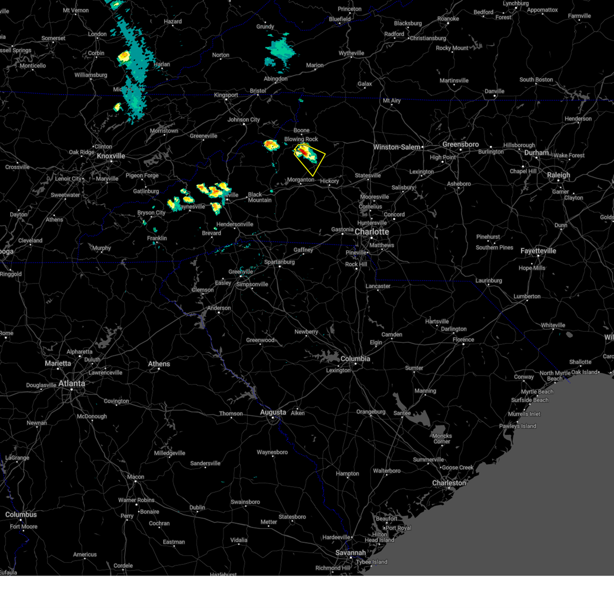 At 414 pm edt, a severe thunderstorm was located 8 miles northwest of lenoir, moving southeast at 10 mph (radar indicated). Hazards include 60 mph wind gusts and quarter size hail. Minor hail damage to vehicles is expected. Expect wind damage to trees and power lines. At 414 pm edt, a severe thunderstorm was located 8 miles northwest of lenoir, moving southeast at 10 mph (radar indicated). Hazards include 60 mph wind gusts and quarter size hail. Minor hail damage to vehicles is expected. Expect wind damage to trees and power lines.
|
| 7/3/2023 5:26 PM EDT |
 At 525 pm edt, a severe thunderstorm was located 5 miles west of lenoir, or near gamewell, moving east at 25 mph (radar indicated). Hazards include 60 mph wind gusts and penny size hail. Expect damage to trees and power lines. locations impacted include, lenoir, sawmills, gamewell, hudson, cajah`s mountain, collettsville and granite falls. hail threat, radar indicated max hail size, 0. 75 in wind threat, radar indicated max wind gust, 60 mph. At 525 pm edt, a severe thunderstorm was located 5 miles west of lenoir, or near gamewell, moving east at 25 mph (radar indicated). Hazards include 60 mph wind gusts and penny size hail. Expect damage to trees and power lines. locations impacted include, lenoir, sawmills, gamewell, hudson, cajah`s mountain, collettsville and granite falls. hail threat, radar indicated max hail size, 0. 75 in wind threat, radar indicated max wind gust, 60 mph.
|
| 7/3/2023 5:06 PM EDT |
 At 505 pm edt, a severe thunderstorm was located 7 miles northwest of morganton, or near table rock, moving east at 25 mph (radar indicated). Hazards include 60 mph wind gusts and quarter size hail. Minor hail damage to vehicles is expected. Expect wind damage to trees and power lines. At 505 pm edt, a severe thunderstorm was located 7 miles northwest of morganton, or near table rock, moving east at 25 mph (radar indicated). Hazards include 60 mph wind gusts and quarter size hail. Minor hail damage to vehicles is expected. Expect wind damage to trees and power lines.
|
| 1/12/2023 4:53 PM EST |
 At 452 pm est, severe thunderstorms were located along a line extending from 9 miles east of lenoir to 9 miles west of hickory, moving east at 55 mph (radar indicated). Hazards include 60 mph wind gusts and quarter size hail. Minor hail damage to vehicles is expected. expect wind damage to trees and power lines. locations impacted include, hickory, st. stephens, longview, sawmills, granite falls, valdese, bethlehem, hudson, icard and cajah`s mountain. hail threat, radar indicated max hail size, 1. 00 in wind threat, radar indicated max wind gust, 60 mph. At 452 pm est, severe thunderstorms were located along a line extending from 9 miles east of lenoir to 9 miles west of hickory, moving east at 55 mph (radar indicated). Hazards include 60 mph wind gusts and quarter size hail. Minor hail damage to vehicles is expected. expect wind damage to trees and power lines. locations impacted include, hickory, st. stephens, longview, sawmills, granite falls, valdese, bethlehem, hudson, icard and cajah`s mountain. hail threat, radar indicated max hail size, 1. 00 in wind threat, radar indicated max wind gust, 60 mph.
|
| 1/12/2023 4:37 PM EST |
 At 437 pm est, a severe thunderstorm was located 4 miles east of morganton, or near drexel, moving northeast at 55 mph (radar indicated). Hazards include 60 mph wind gusts and quarter size hail. Minor hail damage to vehicles is expected. Expect wind damage to trees and power lines. At 437 pm est, a severe thunderstorm was located 4 miles east of morganton, or near drexel, moving northeast at 55 mph (radar indicated). Hazards include 60 mph wind gusts and quarter size hail. Minor hail damage to vehicles is expected. Expect wind damage to trees and power lines.
|
| 8/15/2022 3:36 PM EDT |
 At 336 pm edt, severe thunderstorms were located along a line extending from 11 miles west of hickory to 6 miles west of morganton to 5 miles south of marion, moving southeast at 20 mph (radar indicated). Hazards include 60 mph wind gusts and quarter size hail. Minor hail damage to vehicles is expected. Expect wind damage to trees and power lines. At 336 pm edt, severe thunderstorms were located along a line extending from 11 miles west of hickory to 6 miles west of morganton to 5 miles south of marion, moving southeast at 20 mph (radar indicated). Hazards include 60 mph wind gusts and quarter size hail. Minor hail damage to vehicles is expected. Expect wind damage to trees and power lines.
|
| 7/27/2022 4:09 PM EDT |
 At 409 pm edt, a severe thunderstorm was located near lenoir, or near cajah`s mountain, moving east at 10 mph (radar indicated). Hazards include 60 mph wind gusts and penny size hail. expect damage to trees and power lines At 409 pm edt, a severe thunderstorm was located near lenoir, or near cajah`s mountain, moving east at 10 mph (radar indicated). Hazards include 60 mph wind gusts and penny size hail. expect damage to trees and power lines
|
| 7/8/2022 9:16 PM EDT |
 At 916 pm edt, severe thunderstorms were located along a line extending from 6 miles south of boomer to 7 miles west of hickory, moving southeast at 20 mph (radar indicated). Hazards include 60 mph wind gusts and quarter size hail. Minor hail damage to vehicles is expected. Expect wind damage to trees and power lines. At 916 pm edt, severe thunderstorms were located along a line extending from 6 miles south of boomer to 7 miles west of hickory, moving southeast at 20 mph (radar indicated). Hazards include 60 mph wind gusts and quarter size hail. Minor hail damage to vehicles is expected. Expect wind damage to trees and power lines.
|
| 7/5/2022 6:17 PM EDT | Trees down in the woods near a residence in kings creek. time estimated from rada in caldwell county NC, 9.2 miles SW of Lenoir, NC |
| 7/5/2022 6:11 PM EDT |
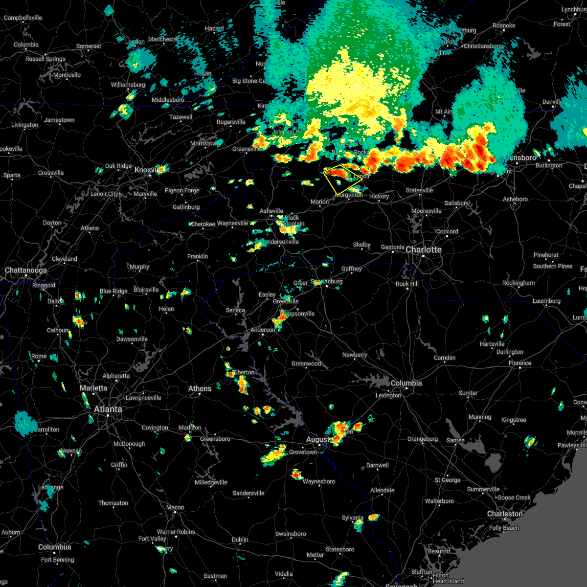 At 610 pm edt, a severe thunderstorm was located 8 miles southeast of newland, or 4 miles southeast of the blue ridge parkway, moving southeast at 10 mph (radar indicated). Hazards include 60 mph wind gusts and quarter size hail. Minor hail damage to vehicles is expected. Expect wind damage to trees and power lines. At 610 pm edt, a severe thunderstorm was located 8 miles southeast of newland, or 4 miles southeast of the blue ridge parkway, moving southeast at 10 mph (radar indicated). Hazards include 60 mph wind gusts and quarter size hail. Minor hail damage to vehicles is expected. Expect wind damage to trees and power lines.
|
| 7/5/2022 5:51 PM EDT |
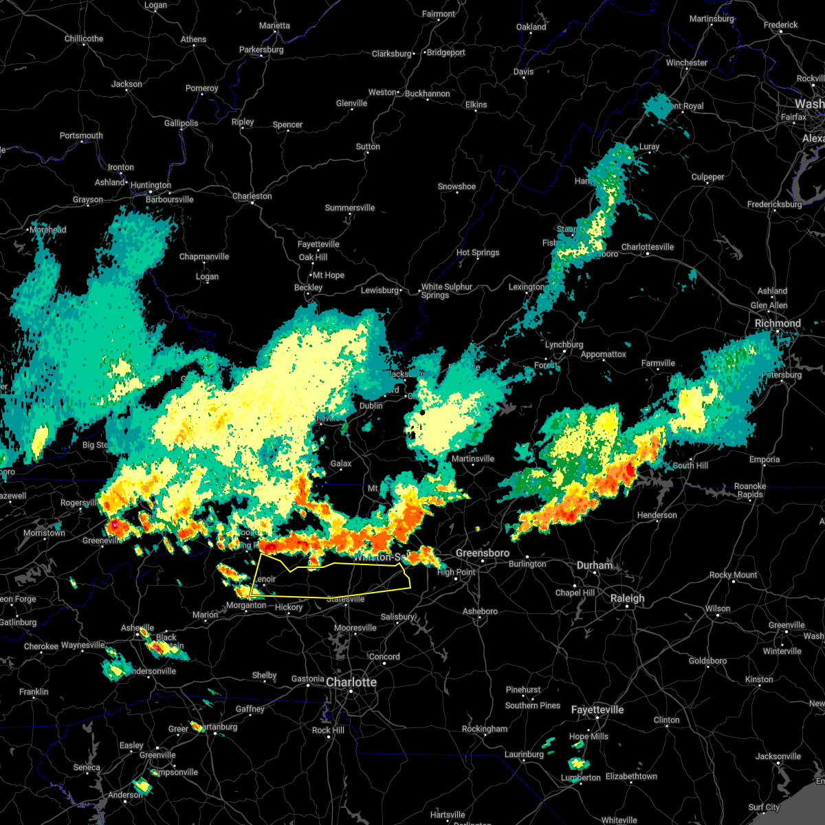 At 550 pm edt, severe thunderstorms were located along a line extending from near east bend to 7 miles southeast of deep gap, moving south at 15 mph (radar indicated). Hazards include 60 mph wind gusts and quarter size hail. Minor hail damage to vehicles is expected. Expect wind damage to trees and power lines. At 550 pm edt, severe thunderstorms were located along a line extending from near east bend to 7 miles southeast of deep gap, moving south at 15 mph (radar indicated). Hazards include 60 mph wind gusts and quarter size hail. Minor hail damage to vehicles is expected. Expect wind damage to trees and power lines.
|
| 6/14/2022 6:55 AM EDT |
 At 655 am edt, severe thunderstorms were located along a line extending from 6 miles southeast of erwin to 12 miles north of morganton to 4 miles southwest of kannapolis, moving south at 25 mph (radar indicated). Hazards include 60 mph wind gusts. expect damage to trees and power lines At 655 am edt, severe thunderstorms were located along a line extending from 6 miles southeast of erwin to 12 miles north of morganton to 4 miles southwest of kannapolis, moving south at 25 mph (radar indicated). Hazards include 60 mph wind gusts. expect damage to trees and power lines
|
| 6/14/2022 6:37 AM EDT |
 At 637 am edt, severe thunderstorms were located along a line extending from 8 miles southeast of taylorsville to 7 miles west of lenoir to near newland to 9 miles north of burnsville, moving south at 30 mph (radar indicated). Hazards include 60 mph wind gusts. Expect damage to trees and power lines. locations impacted include, hickory, lenoir, morganton, spruce pine, taylorsville, burnsville, newland, st. stephens, longview and sawmills. hail threat, radar indicated max hail size, <. 75 in wind threat, radar indicated max wind gust, 60 mph. At 637 am edt, severe thunderstorms were located along a line extending from 8 miles southeast of taylorsville to 7 miles west of lenoir to near newland to 9 miles north of burnsville, moving south at 30 mph (radar indicated). Hazards include 60 mph wind gusts. Expect damage to trees and power lines. locations impacted include, hickory, lenoir, morganton, spruce pine, taylorsville, burnsville, newland, st. stephens, longview and sawmills. hail threat, radar indicated max hail size, <. 75 in wind threat, radar indicated max wind gust, 60 mph.
|
| 6/14/2022 6:09 AM EDT |
 At 608 am edt, severe thunderstorms were located along a line extending from 3 miles southeast of traphill to 9 miles southeast of deep gap to 3 miles southwest of beech mountain to 4 miles north of elizabethton, moving south at 35 mph (radar indicated). Hazards include 60 mph wind gusts. expect damage to trees and power lines At 608 am edt, severe thunderstorms were located along a line extending from 3 miles southeast of traphill to 9 miles southeast of deep gap to 3 miles southwest of beech mountain to 4 miles north of elizabethton, moving south at 35 mph (radar indicated). Hazards include 60 mph wind gusts. expect damage to trees and power lines
|
| 6/2/2022 6:41 PM EDT |
 At 641 pm edt, a severe thunderstorm was located near morganton, or near drexel, moving east at 15 mph (radar indicated). Hazards include quarter size hail. Minor damage to vehicles is expected. locations impacted include, lenoir, morganton, sawmills, valdese, gamewell, hudson, icard, cajah`s mountain, drexel and connelly springs. hail threat, radar indicated max hail size, 1. 00 in wind threat, radar indicated max wind gust, <50 mph. At 641 pm edt, a severe thunderstorm was located near morganton, or near drexel, moving east at 15 mph (radar indicated). Hazards include quarter size hail. Minor damage to vehicles is expected. locations impacted include, lenoir, morganton, sawmills, valdese, gamewell, hudson, icard, cajah`s mountain, drexel and connelly springs. hail threat, radar indicated max hail size, 1. 00 in wind threat, radar indicated max wind gust, <50 mph.
|
| 6/2/2022 6:21 PM EDT |
 At 620 pm edt, a severe thunderstorm was located near morganton, moving east at 15 mph (radar indicated). Hazards include 60 mph wind gusts and quarter size hail. Minor hail damage to vehicles is expected. Expect wind damage to trees and power lines. At 620 pm edt, a severe thunderstorm was located near morganton, moving east at 15 mph (radar indicated). Hazards include 60 mph wind gusts and quarter size hail. Minor hail damage to vehicles is expected. Expect wind damage to trees and power lines.
|
| 6/2/2022 4:24 PM EDT |
 At 423 pm edt, a severe thunderstorm was located 4 miles north of morganton, moving east at 10 mph (radar indicated). Hazards include 60 mph wind gusts and penny size hail. Expect damage to trees and power lines. locations impacted include, lenoir, gamewell, cajah`s mountain, connelly springs, lake rhodhiss, oak hill, drexel, rutherford college, valdese and sawmills. hail threat, radar indicated max hail size, 0. 75 in wind threat, radar indicated max wind gust, 60 mph. At 423 pm edt, a severe thunderstorm was located 4 miles north of morganton, moving east at 10 mph (radar indicated). Hazards include 60 mph wind gusts and penny size hail. Expect damage to trees and power lines. locations impacted include, lenoir, gamewell, cajah`s mountain, connelly springs, lake rhodhiss, oak hill, drexel, rutherford college, valdese and sawmills. hail threat, radar indicated max hail size, 0. 75 in wind threat, radar indicated max wind gust, 60 mph.
|
| 6/2/2022 4:02 PM EDT |
 At 401 pm edt, a severe thunderstorm was located 4 miles northwest of morganton, moving east at 10 mph (radar indicated). Hazards include 60 mph wind gusts and quarter size hail. Minor hail damage to vehicles is expected. Expect wind damage to trees and power lines. At 401 pm edt, a severe thunderstorm was located 4 miles northwest of morganton, moving east at 10 mph (radar indicated). Hazards include 60 mph wind gusts and quarter size hail. Minor hail damage to vehicles is expected. Expect wind damage to trees and power lines.
|
| 5/26/2022 5:14 PM EDT |
 At 514 pm edt, a severe thunderstorm capable of producing a tornado was located 5 miles southwest of hickory, or near hildebran, moving northeast at 25 mph (radar indicated rotation). Hazards include tornado. Flying debris will be dangerous to those caught without shelter. mobile homes will be damaged or destroyed. damage to roofs, windows, and vehicles will occur. tree damage is likely. this dangerous storm will be near, hickory and hickory regional airport around 520 pm edt. granite falls, rhodhiss, hudson and sawmills around 530 pm edt. bethlehem, st. stephens and lake hickory around 540 pm edt. taylorsville around 600 pm edt. Other locations impacted by this tornadic thunderstorm include northlakes, kings creek, little river in alexander county, millersville and propst. At 514 pm edt, a severe thunderstorm capable of producing a tornado was located 5 miles southwest of hickory, or near hildebran, moving northeast at 25 mph (radar indicated rotation). Hazards include tornado. Flying debris will be dangerous to those caught without shelter. mobile homes will be damaged or destroyed. damage to roofs, windows, and vehicles will occur. tree damage is likely. this dangerous storm will be near, hickory and hickory regional airport around 520 pm edt. granite falls, rhodhiss, hudson and sawmills around 530 pm edt. bethlehem, st. stephens and lake hickory around 540 pm edt. taylorsville around 600 pm edt. Other locations impacted by this tornadic thunderstorm include northlakes, kings creek, little river in alexander county, millersville and propst.
|
| 5/26/2022 4:57 PM EDT |
 At 457 pm edt, a severe thunderstorm capable of producing a tornado was located 12 miles southwest of hickory, or 7 miles southwest of mountain view, moving northeast at 30 mph (radar indicated rotation). Hazards include tornado. Flying debris will be dangerous to those caught without shelter. mobile homes will be damaged or destroyed. damage to roofs, windows, and vehicles will occur. tree damage is likely. this dangerous storm will be near, connelly springs around 510 pm edt. hickory, hickory regional airport, longview, hildebran and icard around 520 pm edt. bethlehem, st. stephens, hudson and sawmills around 530 pm edt. taylorsville and lake hickory around 540 pm edt. Other locations impacted by this dangerous thunderstorm include northlakes, kings creek, little river in alexander county, cooksville and millersville. At 457 pm edt, a severe thunderstorm capable of producing a tornado was located 12 miles southwest of hickory, or 7 miles southwest of mountain view, moving northeast at 30 mph (radar indicated rotation). Hazards include tornado. Flying debris will be dangerous to those caught without shelter. mobile homes will be damaged or destroyed. damage to roofs, windows, and vehicles will occur. tree damage is likely. this dangerous storm will be near, connelly springs around 510 pm edt. hickory, hickory regional airport, longview, hildebran and icard around 520 pm edt. bethlehem, st. stephens, hudson and sawmills around 530 pm edt. taylorsville and lake hickory around 540 pm edt. Other locations impacted by this dangerous thunderstorm include northlakes, kings creek, little river in alexander county, cooksville and millersville.
|
| 5/21/2022 8:50 PM EDT |
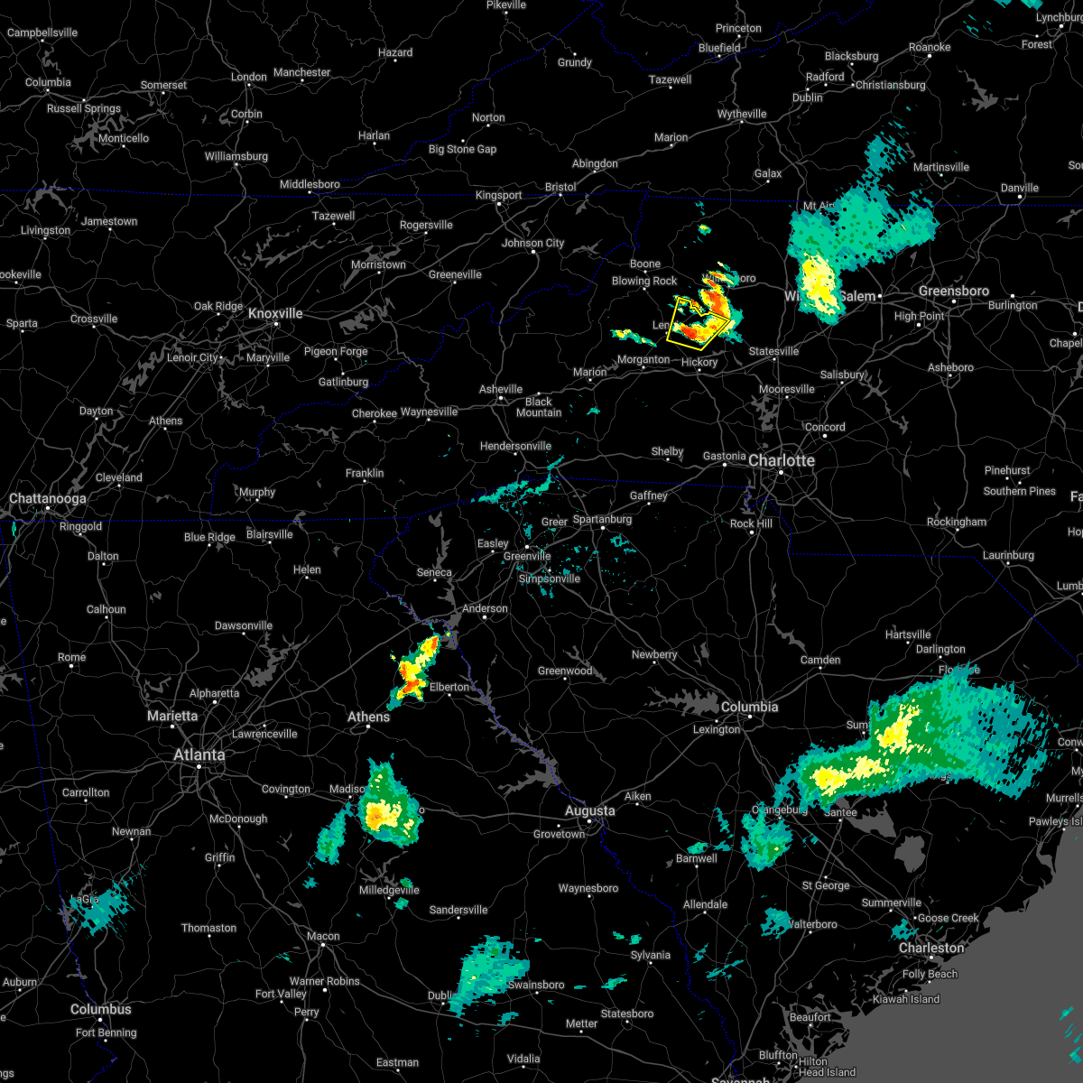 The severe thunderstorm warning for northwestern alexander and northeastern caldwell counties will expire at 900 pm edt, the storm which prompted the warning has weakened below severe limits, and no longer poses an immediate threat to life or property. therefore, the warning will be allowed to expire. however heavy rain is still possible with this thunderstorm. The severe thunderstorm warning for northwestern alexander and northeastern caldwell counties will expire at 900 pm edt, the storm which prompted the warning has weakened below severe limits, and no longer poses an immediate threat to life or property. therefore, the warning will be allowed to expire. however heavy rain is still possible with this thunderstorm.
|
| 5/21/2022 8:18 PM EDT |
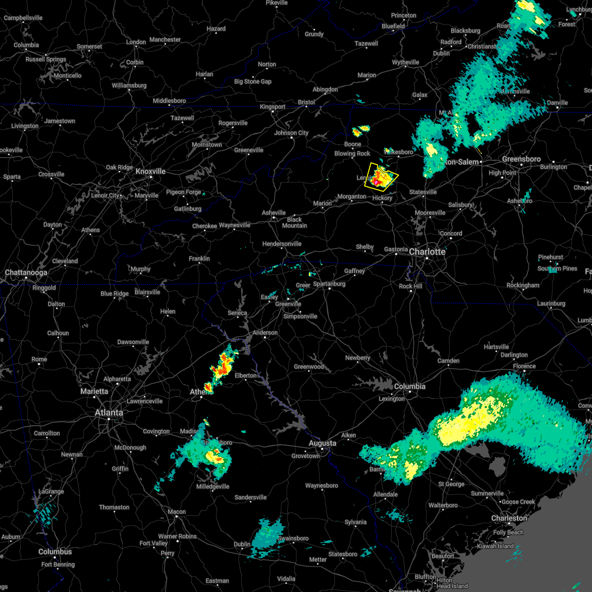 At 818 pm edt, a severe thunderstorm was located 6 miles east of lenoir, or near cedar rock, and is nearly stationary (radar indicated). Hazards include 60 mph wind gusts and quarter size hail. Minor hail damage to vehicles is expected. Expect wind damage to trees and power lines. At 818 pm edt, a severe thunderstorm was located 6 miles east of lenoir, or near cedar rock, and is nearly stationary (radar indicated). Hazards include 60 mph wind gusts and quarter size hail. Minor hail damage to vehicles is expected. Expect wind damage to trees and power lines.
|
| 5/6/2022 7:36 PM EDT |
 The severe thunderstorm warning for east central mcdowell, caldwell and western burke counties will expire at 745 pm edt, the storms which prompted the warning have weakened below severe limits, and no longer pose an immediate threat to life or property. therefore, the warning will be allowed to expire. however gusty winds are still possible with these thunderstorms. a tornado watch remains in effect until 800 pm edt for western north carolina. to report severe weather to the national weather service greenville-spartanburg, call toll free, 1, 800, 2 6 7, 8 1 0 1, or post on our facebook page, or tweet it using hashtag nwsgsp. your message should describe the event and the specific location where it occurred. The severe thunderstorm warning for east central mcdowell, caldwell and western burke counties will expire at 745 pm edt, the storms which prompted the warning have weakened below severe limits, and no longer pose an immediate threat to life or property. therefore, the warning will be allowed to expire. however gusty winds are still possible with these thunderstorms. a tornado watch remains in effect until 800 pm edt for western north carolina. to report severe weather to the national weather service greenville-spartanburg, call toll free, 1, 800, 2 6 7, 8 1 0 1, or post on our facebook page, or tweet it using hashtag nwsgsp. your message should describe the event and the specific location where it occurred.
|
| 5/6/2022 7:24 PM EDT |
 At 724 pm edt, severe thunderstorms were located along a line extending from near deep gap to 7 miles east of marion, moving east at 30 mph (radar indicated). Hazards include 60 mph wind gusts. Expect damage to trees and power lines. locations impacted include, lenoir, morganton, marion, gamewell, blowing rock in caldwell county, glen alpine, lake james state park, table rock, lake james and nebo. hail threat, radar indicated max hail size, <. 75 in wind threat, radar indicated max wind gust, 60 mph. At 724 pm edt, severe thunderstorms were located along a line extending from near deep gap to 7 miles east of marion, moving east at 30 mph (radar indicated). Hazards include 60 mph wind gusts. Expect damage to trees and power lines. locations impacted include, lenoir, morganton, marion, gamewell, blowing rock in caldwell county, glen alpine, lake james state park, table rock, lake james and nebo. hail threat, radar indicated max hail size, <. 75 in wind threat, radar indicated max wind gust, 60 mph.
|
| 5/6/2022 6:55 PM EDT |
 At 655 pm edt, severe thunderstorms were located along a line extending from near sugar grove to 8 miles west of marion, moving east at 30 mph (radar indicated). Hazards include 60 mph wind gusts. expect damage to trees and power lines At 655 pm edt, severe thunderstorms were located along a line extending from near sugar grove to 8 miles west of marion, moving east at 30 mph (radar indicated). Hazards include 60 mph wind gusts. expect damage to trees and power lines
|
| 5/6/2022 1:36 PM EDT |
 A tornado warning remains in effect until 145 pm edt for western catawba. northwestern lincoln. southeastern caldwell. north central cleveland and southeastern burke counties. At 135 pm edt, a severe thunderstorm capable of producing a tornado was located 15 miles northwest of lincolnton, or 5 miles north of belwood, moving northeast at 55 mph. A tornado warning remains in effect until 145 pm edt for western catawba. northwestern lincoln. southeastern caldwell. north central cleveland and southeastern burke counties. At 135 pm edt, a severe thunderstorm capable of producing a tornado was located 15 miles northwest of lincolnton, or 5 miles north of belwood, moving northeast at 55 mph.
|
| 5/6/2022 1:21 PM EDT |
 At 121 pm edt, a severe thunderstorm capable of producing a tornado was located 8 miles northwest of shelby, or near polkville, moving northeast at 55 mph (radar indicated rotation). Hazards include tornado and quarter size hail. Flying debris will be dangerous to those caught without shelter. mobile homes will be damaged or destroyed. damage to roofs, windows, and vehicles will occur. tree damage is likely. this dangerous storm will be near, belwood around 130 pm edt. Other locations impacted by this dangerous thunderstorm include cooksville, northlakes, propst, pleasant grove and vale. At 121 pm edt, a severe thunderstorm capable of producing a tornado was located 8 miles northwest of shelby, or near polkville, moving northeast at 55 mph (radar indicated rotation). Hazards include tornado and quarter size hail. Flying debris will be dangerous to those caught without shelter. mobile homes will be damaged or destroyed. damage to roofs, windows, and vehicles will occur. tree damage is likely. this dangerous storm will be near, belwood around 130 pm edt. Other locations impacted by this dangerous thunderstorm include cooksville, northlakes, propst, pleasant grove and vale.
|
| 5/1/2022 2:44 PM EDT |
 At 243 pm edt, a severe thunderstorm was located 6 miles southwest of morganton, or 4 miles south of glen alpine, moving east at 10 mph (radar indicated). Hazards include 60 mph wind gusts and quarter size hail. Minor hail damage to vehicles is expected. Expect wind damage to trees and power lines. At 243 pm edt, a severe thunderstorm was located 6 miles southwest of morganton, or 4 miles south of glen alpine, moving east at 10 mph (radar indicated). Hazards include 60 mph wind gusts and quarter size hail. Minor hail damage to vehicles is expected. Expect wind damage to trees and power lines.
|
| 5/1/2022 1:56 PM EDT |
 At 155 pm edt, a severe thunderstorm was located 6 miles east of marion, or near lake james state park, moving east at 15 mph (radar indicated). Hazards include 60 mph wind gusts and quarter size hail. Minor hail damage to vehicles is expected. Expect wind damage to trees and power lines. At 155 pm edt, a severe thunderstorm was located 6 miles east of marion, or near lake james state park, moving east at 15 mph (radar indicated). Hazards include 60 mph wind gusts and quarter size hail. Minor hail damage to vehicles is expected. Expect wind damage to trees and power lines.
|
| 3/23/2022 11:24 PM EDT |
 At 1124 pm edt, a severe thunderstorm capable of producing a tornado was located 6 miles northwest of hickory, or over granite falls, moving northeast at 45 mph (radar indicated rotation). Hazards include tornado. Flying debris will be dangerous to those caught without shelter. mobile homes will be damaged or destroyed. damage to roofs, windows, and vehicles will occur. tree damage is likely. This tornadic thunderstorm will remain over mainly rural areas of southeastern caldwell and east central burke counties, including the following locations, northlakes. At 1124 pm edt, a severe thunderstorm capable of producing a tornado was located 6 miles northwest of hickory, or over granite falls, moving northeast at 45 mph (radar indicated rotation). Hazards include tornado. Flying debris will be dangerous to those caught without shelter. mobile homes will be damaged or destroyed. damage to roofs, windows, and vehicles will occur. tree damage is likely. This tornadic thunderstorm will remain over mainly rural areas of southeastern caldwell and east central burke counties, including the following locations, northlakes.
|
| 3/23/2022 11:09 PM EDT |
 The tornado warning for northwestern alexander, caldwell and central burke counties will expire at 1115 pm edt, the storm which prompted the warning has weakened below severe limits, and has exited the warned area. therefore, the warning will be allowed to expire. a tornado watch remains in effect until midnight edt for western and the piedmont of north carolina. The tornado warning for northwestern alexander, caldwell and central burke counties will expire at 1115 pm edt, the storm which prompted the warning has weakened below severe limits, and has exited the warned area. therefore, the warning will be allowed to expire. a tornado watch remains in effect until midnight edt for western and the piedmont of north carolina.
|
| 3/23/2022 11:04 PM EDT |
 At 1104 pm edt, a severe thunderstorm capable of producing a tornado was located 6 miles southeast of morganton, or 5 miles north of south mountains state park, moving northeast at 45 mph (radar indicated rotation). Hazards include tornado. Flying debris will be dangerous to those caught without shelter. mobile homes will be damaged or destroyed. damage to roofs, windows, and vehicles will occur. tree damage is likely. this dangerous storm will be near, drexel, connelly springs and valdese around 1110 pm edt. lenoir, lake rhodhiss, rhodhiss, granite falls and icard around 1120 pm edt. st. stephens around 1130 pm edt. lake hickory around 1140 pm edt. Other locations impacted by this dangerous thunderstorm include northlakes and pleasant grove. At 1104 pm edt, a severe thunderstorm capable of producing a tornado was located 6 miles southeast of morganton, or 5 miles north of south mountains state park, moving northeast at 45 mph (radar indicated rotation). Hazards include tornado. Flying debris will be dangerous to those caught without shelter. mobile homes will be damaged or destroyed. damage to roofs, windows, and vehicles will occur. tree damage is likely. this dangerous storm will be near, drexel, connelly springs and valdese around 1110 pm edt. lenoir, lake rhodhiss, rhodhiss, granite falls and icard around 1120 pm edt. st. stephens around 1130 pm edt. lake hickory around 1140 pm edt. Other locations impacted by this dangerous thunderstorm include northlakes and pleasant grove.
|
| 3/23/2022 10:58 PM EDT |
 At 1057 pm edt, a severe thunderstorm capable of producing a tornado was located 7 miles west of taylorsville, moving northeast at 45 mph (radar indicated rotation). Hazards include tornado. Flying debris will be dangerous to those caught without shelter. mobile homes will be damaged or destroyed. damage to roofs, windows, and vehicles will occur. tree damage is likely. This dangerous thunderstorm will remain over mainly rural areas of northwestern alexander and east central caldwell counties, including the following locations, ellendale, kings creek and little river in alexander county. At 1057 pm edt, a severe thunderstorm capable of producing a tornado was located 7 miles west of taylorsville, moving northeast at 45 mph (radar indicated rotation). Hazards include tornado. Flying debris will be dangerous to those caught without shelter. mobile homes will be damaged or destroyed. damage to roofs, windows, and vehicles will occur. tree damage is likely. This dangerous thunderstorm will remain over mainly rural areas of northwestern alexander and east central caldwell counties, including the following locations, ellendale, kings creek and little river in alexander county.
|
| 3/23/2022 10:55 PM EDT |
 The tornado warning for southeastern mcdowell, southern caldwell and central burke counties will expire at 1100 pm edt, the storm which prompted the warning has weakened below severe limits, and has exited the warned area. therefore, the warning will be allowed to expire. a tornado watch remains in effect until midnight edt for western north carolina. The tornado warning for southeastern mcdowell, southern caldwell and central burke counties will expire at 1100 pm edt, the storm which prompted the warning has weakened below severe limits, and has exited the warned area. therefore, the warning will be allowed to expire. a tornado watch remains in effect until midnight edt for western north carolina.
|
| 3/23/2022 10:36 PM EDT |
 At 1036 pm edt, a severe thunderstorm capable of producing a tornado was located over lenoir, moving northeast at 35 mph (radar indicated rotation). Hazards include tornado. Flying debris will be dangerous to those caught without shelter. mobile homes will be damaged or destroyed. damage to roofs, windows, and vehicles will occur. tree damage is likely. this dangerous storm will be near, cedar rock around 1050 pm edt. Other locations impacted by this dangerous thunderstorm include kings creek and patterson. At 1036 pm edt, a severe thunderstorm capable of producing a tornado was located over lenoir, moving northeast at 35 mph (radar indicated rotation). Hazards include tornado. Flying debris will be dangerous to those caught without shelter. mobile homes will be damaged or destroyed. damage to roofs, windows, and vehicles will occur. tree damage is likely. this dangerous storm will be near, cedar rock around 1050 pm edt. Other locations impacted by this dangerous thunderstorm include kings creek and patterson.
|
| 3/23/2022 10:10 PM EDT |
 At 1010 pm edt, a severe thunderstorm capable of producing a tornado was located 9 miles east of marion, or 7 miles southeast of lake james state park, moving northeast at 35 mph (radar indicated rotation). Hazards include tornado. Flying debris will be dangerous to those caught without shelter. mobile homes will be damaged or destroyed. damage to roofs, windows, and vehicles will occur. tree damage is likely. this dangerous storm will be near, glen alpine and south mountains state park around 1020 pm edt. morganton around 1030 pm edt. valdese, drexel, rutherford college and connelly springs around 1040 pm edt. lenoir, cajah`s mountain, gamewell, sawmills and hudson around 1050 pm edt. Other locations impacted by this dangerous thunderstorm include collettsville, oak hill and dysartsville. At 1010 pm edt, a severe thunderstorm capable of producing a tornado was located 9 miles east of marion, or 7 miles southeast of lake james state park, moving northeast at 35 mph (radar indicated rotation). Hazards include tornado. Flying debris will be dangerous to those caught without shelter. mobile homes will be damaged or destroyed. damage to roofs, windows, and vehicles will occur. tree damage is likely. this dangerous storm will be near, glen alpine and south mountains state park around 1020 pm edt. morganton around 1030 pm edt. valdese, drexel, rutherford college and connelly springs around 1040 pm edt. lenoir, cajah`s mountain, gamewell, sawmills and hudson around 1050 pm edt. Other locations impacted by this dangerous thunderstorm include collettsville, oak hill and dysartsville.
|
| 3/23/2022 8:23 PM EDT |
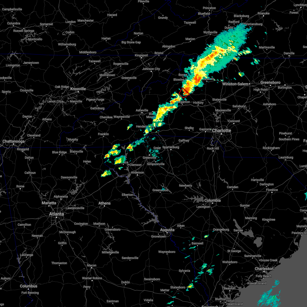 At 822 pm edt, a severe thunderstorm capable of producing a tornado was located 4 miles north of lenoir, moving northeast at 40 mph (radar indicated rotation). Hazards include tornado and quarter size hail. Flying debris will be dangerous to those caught without shelter. mobile homes will be damaged or destroyed. damage to roofs, windows, and vehicles will occur. tree damage is likely. This tornadic thunderstorm will remain over mainly rural areas of west central caldwell county, including the following locations, collettsville. At 822 pm edt, a severe thunderstorm capable of producing a tornado was located 4 miles north of lenoir, moving northeast at 40 mph (radar indicated rotation). Hazards include tornado and quarter size hail. Flying debris will be dangerous to those caught without shelter. mobile homes will be damaged or destroyed. damage to roofs, windows, and vehicles will occur. tree damage is likely. This tornadic thunderstorm will remain over mainly rural areas of west central caldwell county, including the following locations, collettsville.
|
| 3/23/2022 8:06 PM EDT |
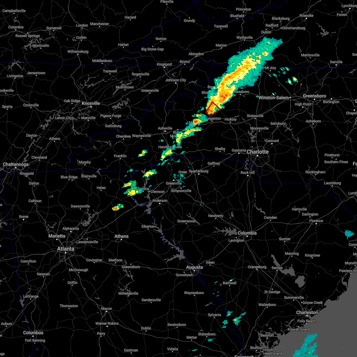 At 805 pm edt, a severe thunderstorm capable of producing a tornado was located 10 miles north of morganton, or 4 miles northeast of table rock, moving northeast at 30 mph (radar indicated rotation). Hazards include tornado and quarter size hail. Flying debris will be dangerous to those caught without shelter. mobile homes will be damaged or destroyed. damage to roofs, windows, and vehicles will occur. tree damage is likely. this dangerous storm will be near, gamewell around 820 pm edt. Other locations impacted by this dangerous thunderstorm include collettsville. At 805 pm edt, a severe thunderstorm capable of producing a tornado was located 10 miles north of morganton, or 4 miles northeast of table rock, moving northeast at 30 mph (radar indicated rotation). Hazards include tornado and quarter size hail. Flying debris will be dangerous to those caught without shelter. mobile homes will be damaged or destroyed. damage to roofs, windows, and vehicles will occur. tree damage is likely. this dangerous storm will be near, gamewell around 820 pm edt. Other locations impacted by this dangerous thunderstorm include collettsville.
|
| 9/8/2021 2:07 PM EDT |
 At 207 pm edt, a severe thunderstorm was located 7 miles north of hickory, or near lake hickory, moving northeast at 15 mph (radar indicated). Hazards include 60 mph wind gusts and quarter size hail. Minor hail damage to vehicles is expected. Expect wind damage to trees and power lines. At 207 pm edt, a severe thunderstorm was located 7 miles north of hickory, or near lake hickory, moving northeast at 15 mph (radar indicated). Hazards include 60 mph wind gusts and quarter size hail. Minor hail damage to vehicles is expected. Expect wind damage to trees and power lines.
|
| 8/31/2021 6:09 PM EDT |
 At 608 pm edt, severe thunderstorms were located along a line extending from 7 miles north of spruce pine to 5 miles west of lenoir, moving north at 35 mph (radar indicated). Hazards include 60 mph wind gusts. Expect damage to trees and power lines. locations impacted include, lenoir, spruce pine, newland, sawmills, granite falls, gamewell, bethlehem, hudson, cajah`s mountain and banner elk. hail threat, radar indicated max hail size, <. 75 in wind threat, radar indicated max wind gust, 60 mph. At 608 pm edt, severe thunderstorms were located along a line extending from 7 miles north of spruce pine to 5 miles west of lenoir, moving north at 35 mph (radar indicated). Hazards include 60 mph wind gusts. Expect damage to trees and power lines. locations impacted include, lenoir, spruce pine, newland, sawmills, granite falls, gamewell, bethlehem, hudson, cajah`s mountain and banner elk. hail threat, radar indicated max hail size, <. 75 in wind threat, radar indicated max wind gust, 60 mph.
|
| 8/31/2021 5:55 PM EDT | Tree down on sierra court in gamewell community of caldwell count in caldwell county NC, 5 miles ENE of Lenoir, NC |
| 8/31/2021 5:41 PM EDT |
 At 540 pm edt, severe thunderstorms were located along a line extending from 9 miles southwest of spruce pine to 9 miles east of morganton, moving north at 50 mph (radar indicated). Hazards include 60 mph wind gusts. expect damage to trees and power lines At 540 pm edt, severe thunderstorms were located along a line extending from 9 miles southwest of spruce pine to 9 miles east of morganton, moving north at 50 mph (radar indicated). Hazards include 60 mph wind gusts. expect damage to trees and power lines
|
| 8/17/2021 4:17 PM EDT |
 At 417 pm edt, a severe thunderstorm capable of producing a tornado was located 9 miles west of lenoir, or 6 miles northwest of gamewell, moving northwest at 30 mph (radar indicated rotation). Hazards include tornado. Flying debris will be dangerous to those caught without shelter. mobile homes will be damaged or destroyed. damage to roofs, windows, and vehicles will occur. tree damage is likely. this dangerous storm will be near, b. r. parkway-linville falls to grandfather and blowing rock in caldwell county around 440 pm edt. newland, seven devils, grandfather mountain state park and sugar mountain around 450 pm edt. beech mountain in avery county, banner elk and elk park around 500 pm edt. Other locations impacted by this dangerous thunderstorm include edgemont, pineola, collettsville, upton and linville. At 417 pm edt, a severe thunderstorm capable of producing a tornado was located 9 miles west of lenoir, or 6 miles northwest of gamewell, moving northwest at 30 mph (radar indicated rotation). Hazards include tornado. Flying debris will be dangerous to those caught without shelter. mobile homes will be damaged or destroyed. damage to roofs, windows, and vehicles will occur. tree damage is likely. this dangerous storm will be near, b. r. parkway-linville falls to grandfather and blowing rock in caldwell county around 440 pm edt. newland, seven devils, grandfather mountain state park and sugar mountain around 450 pm edt. beech mountain in avery county, banner elk and elk park around 500 pm edt. Other locations impacted by this dangerous thunderstorm include edgemont, pineola, collettsville, upton and linville.
|
| 8/17/2021 4:13 PM EDT |
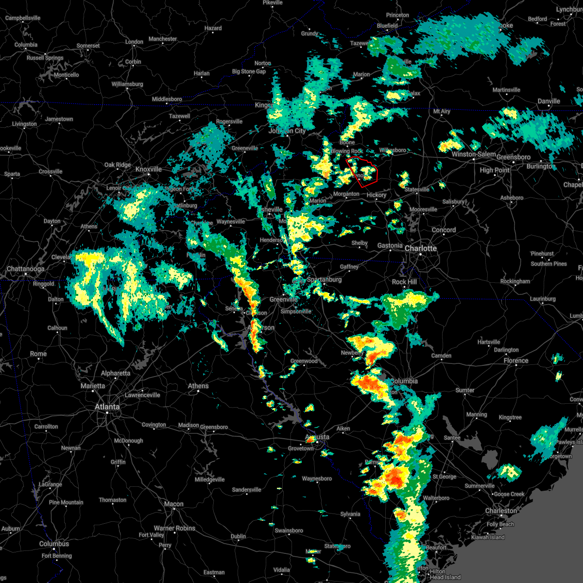 At 412 pm edt, a severe thunderstorm capable of producing a tornado was located 5 miles east of lenoir, or near cedar rock, moving northwest at 30 mph (radar indicated rotation). Hazards include tornado. Flying debris will be dangerous to those caught without shelter. mobile homes will be damaged or destroyed. damage to roofs, windows, and vehicles will occur. tree damage is likely. This tornadic thunderstorm will remain over mainly rural areas of northeastern caldwell county, including the following locations, kings creek and patterson. At 412 pm edt, a severe thunderstorm capable of producing a tornado was located 5 miles east of lenoir, or near cedar rock, moving northwest at 30 mph (radar indicated rotation). Hazards include tornado. Flying debris will be dangerous to those caught without shelter. mobile homes will be damaged or destroyed. damage to roofs, windows, and vehicles will occur. tree damage is likely. This tornadic thunderstorm will remain over mainly rural areas of northeastern caldwell county, including the following locations, kings creek and patterson.
|
| 8/17/2021 4:02 PM EDT |
 At 401 pm edt, a severe thunderstorm capable of producing a tornado was located 8 miles northwest of hickory, or 4 miles northeast of granite falls, moving northwest at 30 mph (radar indicated rotation). Hazards include tornado. Flying debris will be dangerous to those caught without shelter. mobile homes will be damaged or destroyed. damage to roofs, windows, and vehicles will occur. tree damage is likely. this dangerous storm will be near, lenoir around 410 pm edt. cedar rock around 420 pm edt. Other locations impacted by this tornadic thunderstorm include kings creek, patterson and little river in alexander county. At 401 pm edt, a severe thunderstorm capable of producing a tornado was located 8 miles northwest of hickory, or 4 miles northeast of granite falls, moving northwest at 30 mph (radar indicated rotation). Hazards include tornado. Flying debris will be dangerous to those caught without shelter. mobile homes will be damaged or destroyed. damage to roofs, windows, and vehicles will occur. tree damage is likely. this dangerous storm will be near, lenoir around 410 pm edt. cedar rock around 420 pm edt. Other locations impacted by this tornadic thunderstorm include kings creek, patterson and little river in alexander county.
|
| 8/17/2021 3:48 PM EDT |
 At 348 pm edt, a severe thunderstorm capable of producing a tornado was located near hickory, moving northwest at 30 mph (radar indicated rotation). Hazards include tornado. Flying debris will be dangerous to those caught without shelter. mobile homes will be damaged or destroyed. damage to roofs, windows, and vehicles will occur. tree damage is likely. this dangerous storm will be near, granite falls, rhodhiss and lake hickory around 350 pm edt. bethlehem, hudson, sawmills and lake rhodhiss around 400 pm edt. lenoir and cajah`s mountain around 410 pm edt. cedar rock around 420 pm edt. Other locations impacted by this dangerous thunderstorm include patterson, northlakes, kings creek and little river in alexander county. At 348 pm edt, a severe thunderstorm capable of producing a tornado was located near hickory, moving northwest at 30 mph (radar indicated rotation). Hazards include tornado. Flying debris will be dangerous to those caught without shelter. mobile homes will be damaged or destroyed. damage to roofs, windows, and vehicles will occur. tree damage is likely. this dangerous storm will be near, granite falls, rhodhiss and lake hickory around 350 pm edt. bethlehem, hudson, sawmills and lake rhodhiss around 400 pm edt. lenoir and cajah`s mountain around 410 pm edt. cedar rock around 420 pm edt. Other locations impacted by this dangerous thunderstorm include patterson, northlakes, kings creek and little river in alexander county.
|
| 8/17/2021 3:40 PM EDT |
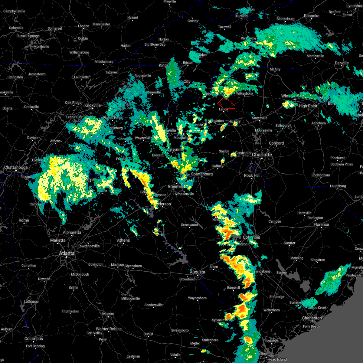 The tornado warning for northeastern caldwell county will expire at 345 pm edt, the storm which prompted the warning has weakened below severe limits, and has exited the warned area. therefore, the warning will be allowed to expire. The tornado warning for northeastern caldwell county will expire at 345 pm edt, the storm which prompted the warning has weakened below severe limits, and has exited the warned area. therefore, the warning will be allowed to expire.
|
| 8/17/2021 3:26 PM EDT |
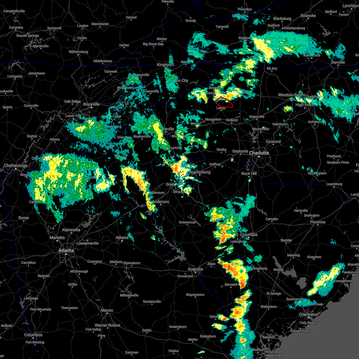 At 326 pm edt, a severe thunderstorm capable of producing a tornado was located 9 miles southwest of boomer, or 4 miles south of elkville, moving northwest at 25 mph (radar indicated rotation). Hazards include tornado. Flying debris will be dangerous to those caught without shelter. mobile homes will be damaged or destroyed. damage to roofs, windows, and vehicles will occur. tree damage is likely. This tornadic thunderstorm will remain over mainly rural areas of northeastern caldwell county, including the following locations, kings creek and patterson. At 326 pm edt, a severe thunderstorm capable of producing a tornado was located 9 miles southwest of boomer, or 4 miles south of elkville, moving northwest at 25 mph (radar indicated rotation). Hazards include tornado. Flying debris will be dangerous to those caught without shelter. mobile homes will be damaged or destroyed. damage to roofs, windows, and vehicles will occur. tree damage is likely. This tornadic thunderstorm will remain over mainly rural areas of northeastern caldwell county, including the following locations, kings creek and patterson.
|
| 8/17/2021 3:16 PM EDT |
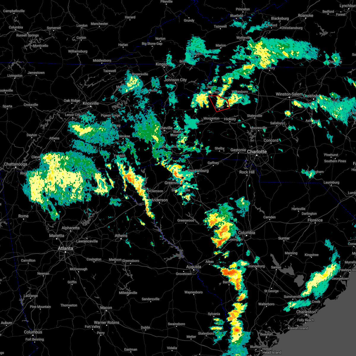 At 316 pm edt, a severe thunderstorm capable of producing a tornado was located 4 miles north of lenoir, or near cedar rock, moving northwest at 30 mph (radar indicated rotation). Hazards include tornado. Flying debris will be dangerous to those caught without shelter. mobile homes will be damaged or destroyed. damage to roofs, windows, and vehicles will occur. tree damage is likely. this dangerous storm will be near, blowing rock in caldwell county around 340 pm edt. Other locations impacted by this tornadic thunderstorm include kings creek, patterson and upton. At 316 pm edt, a severe thunderstorm capable of producing a tornado was located 4 miles north of lenoir, or near cedar rock, moving northwest at 30 mph (radar indicated rotation). Hazards include tornado. Flying debris will be dangerous to those caught without shelter. mobile homes will be damaged or destroyed. damage to roofs, windows, and vehicles will occur. tree damage is likely. this dangerous storm will be near, blowing rock in caldwell county around 340 pm edt. Other locations impacted by this tornadic thunderstorm include kings creek, patterson and upton.
|
| 8/17/2021 3:06 PM EDT |
 At 306 pm edt, a severe thunderstorm capable of producing a tornado was located 6 miles west of taylorsville, moving northwest at 25 mph (radar indicated rotation). Hazards include tornado. Flying debris will be dangerous to those caught without shelter. mobile homes will be damaged or destroyed. damage to roofs, windows, and vehicles will occur. tree damage is likely. this dangerous storm will be near, cedar rock around 320 pm edt. Other locations impacted by this dangerous thunderstorm include patterson, ellendale, kings creek and little river in alexander county. At 306 pm edt, a severe thunderstorm capable of producing a tornado was located 6 miles west of taylorsville, moving northwest at 25 mph (radar indicated rotation). Hazards include tornado. Flying debris will be dangerous to those caught without shelter. mobile homes will be damaged or destroyed. damage to roofs, windows, and vehicles will occur. tree damage is likely. this dangerous storm will be near, cedar rock around 320 pm edt. Other locations impacted by this dangerous thunderstorm include patterson, ellendale, kings creek and little river in alexander county.
|
| 8/17/2021 3:02 PM EDT |
 At 301 pm edt, a severe thunderstorm capable of producing a tornado was located 5 miles east of lenoir, or near hudson, moving north at 30 mph (radar indicated rotation). Hazards include tornado. Flying debris will be dangerous to those caught without shelter. mobile homes will be damaged or destroyed. damage to roofs, windows, and vehicles will occur. tree damage is likely. this dangerous storm will be near, lenoir and cedar rock around 310 pm edt. blowing rock in caldwell county around 340 pm edt. Other locations impacted by this dangerous thunderstorm include kings creek, patterson and upton. At 301 pm edt, a severe thunderstorm capable of producing a tornado was located 5 miles east of lenoir, or near hudson, moving north at 30 mph (radar indicated rotation). Hazards include tornado. Flying debris will be dangerous to those caught without shelter. mobile homes will be damaged or destroyed. damage to roofs, windows, and vehicles will occur. tree damage is likely. this dangerous storm will be near, lenoir and cedar rock around 310 pm edt. blowing rock in caldwell county around 340 pm edt. Other locations impacted by this dangerous thunderstorm include kings creek, patterson and upton.
|
| 8/17/2021 2:46 PM EDT |
 At 245 pm edt, a severe thunderstorm capable of producing a tornado was located 7 miles northeast of morganton, or near gamewell, moving north at 30 mph (radar indicated rotation). Hazards include tornado. Flying debris will be dangerous to those caught without shelter. mobile homes will be damaged or destroyed. damage to roofs, windows, and vehicles will occur. tree damage is likely. This tornadic thunderstorm will remain over mainly rural areas of western caldwell and north central burke counties, including the following locations, edgemont, collettsville and patterson. At 245 pm edt, a severe thunderstorm capable of producing a tornado was located 7 miles northeast of morganton, or near gamewell, moving north at 30 mph (radar indicated rotation). Hazards include tornado. Flying debris will be dangerous to those caught without shelter. mobile homes will be damaged or destroyed. damage to roofs, windows, and vehicles will occur. tree damage is likely. This tornadic thunderstorm will remain over mainly rural areas of western caldwell and north central burke counties, including the following locations, edgemont, collettsville and patterson.
|
| 8/14/2021 5:09 PM EDT |
 The severe thunderstorm warning for southwestern caldwell and central burke counties will expire at 515 pm edt, the storm which prompted the warning has weakened below severe limits, and no longer poses an immediate threat to life or property. therefore, the warning will be allowed to expire. however, gusty winds and heavy rain are still possible with this thunderstorm. The severe thunderstorm warning for southwestern caldwell and central burke counties will expire at 515 pm edt, the storm which prompted the warning has weakened below severe limits, and no longer poses an immediate threat to life or property. therefore, the warning will be allowed to expire. however, gusty winds and heavy rain are still possible with this thunderstorm.
|
| 8/14/2021 4:57 PM EDT |
 At 457 pm edt, a severe thunderstorm was located 5 miles south of lenoir, or near cajah`s mountain, and is nearly stationary (radar indicated). Hazards include 60 mph wind gusts and quarter size hail. Minor hail damage to vehicles is expected. expect wind damage to trees and power lines. locations impacted include, morganton, sawmills, valdese, gamewell, hudson, icard, cajah`s mountain, drexel, connelly springs and rutherford college. hail threat, radar indicated max hail size, 1. 00 in wind threat, radar indicated max wind gust, 60 mph. At 457 pm edt, a severe thunderstorm was located 5 miles south of lenoir, or near cajah`s mountain, and is nearly stationary (radar indicated). Hazards include 60 mph wind gusts and quarter size hail. Minor hail damage to vehicles is expected. expect wind damage to trees and power lines. locations impacted include, morganton, sawmills, valdese, gamewell, hudson, icard, cajah`s mountain, drexel, connelly springs and rutherford college. hail threat, radar indicated max hail size, 1. 00 in wind threat, radar indicated max wind gust, 60 mph.
|
| 8/14/2021 4:50 PM EDT | 911 call center reported trees and power lines down on clarks chapel r in caldwell county NC, 6 miles NNE of Lenoir, NC |
| 8/14/2021 4:45 PM EDT | Trees and power lines down on on calico r in caldwell county NC, 6.9 miles NE of Lenoir, NC |
| 8/14/2021 4:25 PM EDT |
 At 424 pm edt, a severe thunderstorm was located near morganton, moving east at 5 mph (radar indicated). Hazards include 60 mph wind gusts and quarter size hail. Minor hail damage to vehicles is expected. Expect wind damage to trees and power lines. At 424 pm edt, a severe thunderstorm was located near morganton, moving east at 5 mph (radar indicated). Hazards include 60 mph wind gusts and quarter size hail. Minor hail damage to vehicles is expected. Expect wind damage to trees and power lines.
|
| 8/12/2021 4:10 PM EDT |
 At 409 pm edt, a severe thunderstorm was located 4 miles west of hickory, or near hickory regional airport, moving northeast at 5 mph (radar indicated). Hazards include 60 mph wind gusts and quarter size hail. Minor hail damage to vehicles is expected. Expect wind damage to trees and power lines. At 409 pm edt, a severe thunderstorm was located 4 miles west of hickory, or near hickory regional airport, moving northeast at 5 mph (radar indicated). Hazards include 60 mph wind gusts and quarter size hail. Minor hail damage to vehicles is expected. Expect wind damage to trees and power lines.
|
| 8/11/2021 3:38 PM EDT |
 The severe thunderstorm warning for western catawba and southeastern burke counties will expire at 345 pm edt, the storm which prompted the warning has weakened below severe limits, and no longer poses an immediate threat to life or property. therefore, the warning will be allowed to expire. however heavy rain and lightning are still possible with this thunderstorm. The severe thunderstorm warning for western catawba and southeastern burke counties will expire at 345 pm edt, the storm which prompted the warning has weakened below severe limits, and no longer poses an immediate threat to life or property. therefore, the warning will be allowed to expire. however heavy rain and lightning are still possible with this thunderstorm.
|
| 8/11/2021 3:01 PM EDT |
 At 300 pm edt, a severe thunderstorm was located near morganton, or near drexel, moving east at 10 mph (radar indicated). Hazards include 60 mph wind gusts and penny size hail. expect damage to trees and power lines At 300 pm edt, a severe thunderstorm was located near morganton, or near drexel, moving east at 10 mph (radar indicated). Hazards include 60 mph wind gusts and penny size hail. expect damage to trees and power lines
|
| 8/10/2021 2:41 PM EDT |
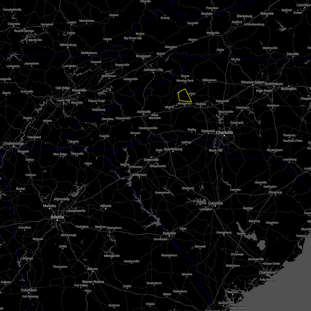 At 241 pm edt, a severe thunderstorm was located 7 miles west of lenoir, or 5 miles northwest of gamewell, moving east at 10 mph (radar indicated). Hazards include 60 mph wind gusts and quarter size hail. Minor hail damage to vehicles is expected. expect wind damage to trees and power lines. locations impacted include, gamewell, collettsville, table rock and edgemont. hail threat, radar indicated max hail size, 1. 00 in wind threat, radar indicated max wind gust, 60 mph. At 241 pm edt, a severe thunderstorm was located 7 miles west of lenoir, or 5 miles northwest of gamewell, moving east at 10 mph (radar indicated). Hazards include 60 mph wind gusts and quarter size hail. Minor hail damage to vehicles is expected. expect wind damage to trees and power lines. locations impacted include, gamewell, collettsville, table rock and edgemont. hail threat, radar indicated max hail size, 1. 00 in wind threat, radar indicated max wind gust, 60 mph.
|
| 8/10/2021 2:22 PM EDT |
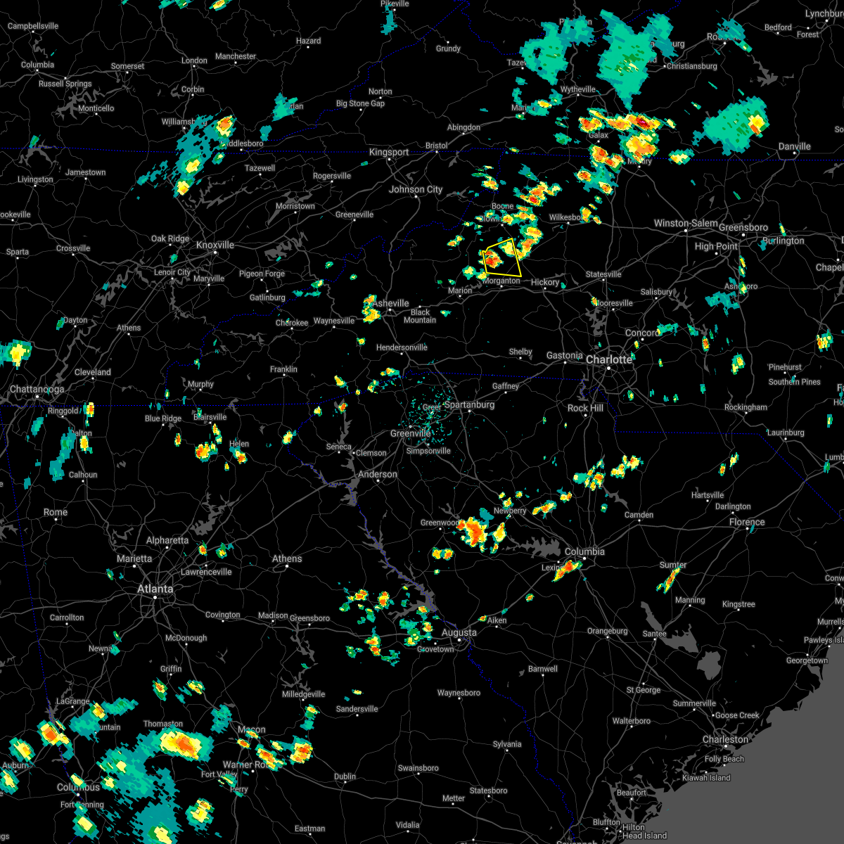 At 222 pm edt, a severe thunderstorm was located 11 miles west of lenoir, or 6 miles northeast of table rock, moving east at 10 mph (radar indicated). Hazards include 60 mph wind gusts and quarter size hail. Minor hail damage to vehicles is expected. Expect wind damage to trees and power lines. At 222 pm edt, a severe thunderstorm was located 11 miles west of lenoir, or 6 miles northeast of table rock, moving east at 10 mph (radar indicated). Hazards include 60 mph wind gusts and quarter size hail. Minor hail damage to vehicles is expected. Expect wind damage to trees and power lines.
|
| 7/17/2021 4:48 PM EDT |
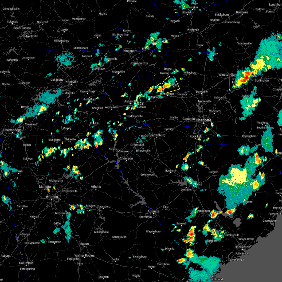 At 448 pm edt, a severe thunderstorm was located 11 miles northwest of morganton, or near table rock, moving east at 10 mph (radar indicated). Hazards include 60 mph wind gusts and quarter size hail. Minor hail damage to vehicles is expected. expect wind damage to trees and power lines. Locations impacted include, lenoir, gamewell, cajah`s mountain, cedar rock, table rock, edgemont, globe, collettsville, patterson and upton. At 448 pm edt, a severe thunderstorm was located 11 miles northwest of morganton, or near table rock, moving east at 10 mph (radar indicated). Hazards include 60 mph wind gusts and quarter size hail. Minor hail damage to vehicles is expected. expect wind damage to trees and power lines. Locations impacted include, lenoir, gamewell, cajah`s mountain, cedar rock, table rock, edgemont, globe, collettsville, patterson and upton.
|
| 7/17/2021 4:24 PM EDT |
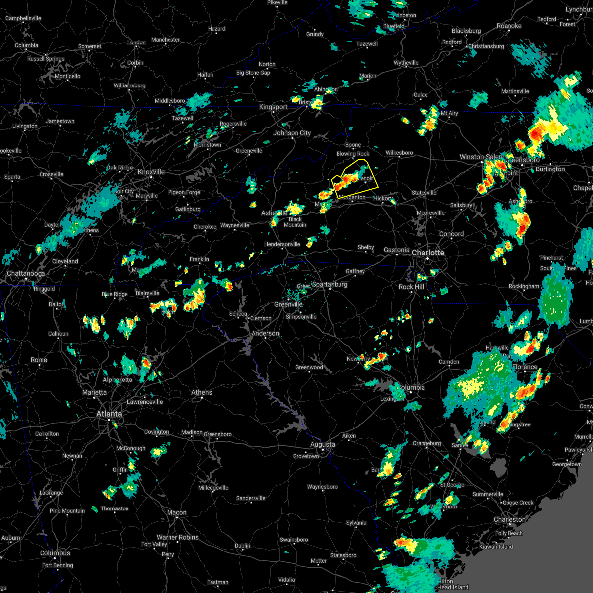 At 423 pm edt, a severe thunderstorm was located 11 miles northwest of morganton, or near table rock, moving east at 20 mph (radar indicated). Hazards include 60 mph wind gusts and quarter size hail. Minor hail damage to vehicles is expected. Expect wind damage to trees and power lines. At 423 pm edt, a severe thunderstorm was located 11 miles northwest of morganton, or near table rock, moving east at 20 mph (radar indicated). Hazards include 60 mph wind gusts and quarter size hail. Minor hail damage to vehicles is expected. Expect wind damage to trees and power lines.
|
| 6/9/2021 3:58 PM EDT |
 The severe thunderstorm warning for central caldwell and central burke counties will expire at 400 pm edt, the storm which prompted the warning has weakened below severe limits, and no longer poses an immediate threat to life or property. therefore the warning will be allowed to expire. however gusty winds and heavy rain are still possible with this thunderstorm. The severe thunderstorm warning for central caldwell and central burke counties will expire at 400 pm edt, the storm which prompted the warning has weakened below severe limits, and no longer poses an immediate threat to life or property. therefore the warning will be allowed to expire. however gusty winds and heavy rain are still possible with this thunderstorm.
|
| 6/9/2021 3:39 PM EDT |
 At 338 pm edt, a severe thunderstorm was located near lenoir, or near gamewell, moving east at 10 mph (radar indicated). Hazards include 60 mph wind gusts and quarter size hail. Minor hail damage to vehicles is expected. expect wind damage to trees and power lines. Locations impacted include, lenoir, sawmills, granite falls, gamewell, hudson, cajah`s mountain, cedar rock, collettsville and patterson. At 338 pm edt, a severe thunderstorm was located near lenoir, or near gamewell, moving east at 10 mph (radar indicated). Hazards include 60 mph wind gusts and quarter size hail. Minor hail damage to vehicles is expected. expect wind damage to trees and power lines. Locations impacted include, lenoir, sawmills, granite falls, gamewell, hudson, cajah`s mountain, cedar rock, collettsville and patterson.
|
| 6/9/2021 3:36 PM EDT | A tree and a large tree branch blown down near the intersection of hwy 18/64 and calico roa in caldwell county NC, 6.1 miles NE of Lenoir, NC |
| 6/9/2021 3:16 PM EDT |
 At 315 pm edt, a severe thunderstorm was located 7 miles west of lenoir, or 4 miles northwest of gamewell, moving east at 10 mph (radar indicated). Hazards include 60 mph wind gusts and quarter size hail. Minor hail damage to vehicles is expected. Expect wind damage to trees and power lines. At 315 pm edt, a severe thunderstorm was located 7 miles west of lenoir, or 4 miles northwest of gamewell, moving east at 10 mph (radar indicated). Hazards include 60 mph wind gusts and quarter size hail. Minor hail damage to vehicles is expected. Expect wind damage to trees and power lines.
|
| 4/10/2021 8:46 PM EDT |
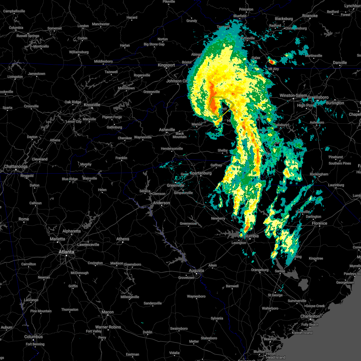 At 846 pm edt, a severe thunderstorm was located 7 miles west of lenoir, or 5 miles northwest of gamewell, moving northeast at 35 mph (radar indicated). Hazards include 60 mph wind gusts. expect damage to trees and power lines At 846 pm edt, a severe thunderstorm was located 7 miles west of lenoir, or 5 miles northwest of gamewell, moving northeast at 35 mph (radar indicated). Hazards include 60 mph wind gusts. expect damage to trees and power lines
|
| 4/10/2021 8:08 PM EDT |
 At 807 pm edt, rain showers capable of producing damaging winds were located along a line extending from 6 miles southeast of morganton to 10 miles southwest of hickory to 6 miles west of lincolnton, moving northeast at 45 mph (radar indicated). Hazards include 60 mph wind gusts. Expect damage to trees and power lines. locations impacted include, hickory, newton, lincolnton, st. Stephens, conover, longview, sawmills, granite falls, valdese and maiden. At 807 pm edt, rain showers capable of producing damaging winds were located along a line extending from 6 miles southeast of morganton to 10 miles southwest of hickory to 6 miles west of lincolnton, moving northeast at 45 mph (radar indicated). Hazards include 60 mph wind gusts. Expect damage to trees and power lines. locations impacted include, hickory, newton, lincolnton, st. Stephens, conover, longview, sawmills, granite falls, valdese and maiden.
|
| 4/10/2021 7:40 PM EDT |
 At 740 pm edt, rain showers capable of producing damaging winds were located along a line extending from 12 miles north of forest city to 3 miles east of shelby, moving northeast at 45 mph (radar indicated). Hazards include 60 mph wind gusts. expect damage to trees and power lines At 740 pm edt, rain showers capable of producing damaging winds were located along a line extending from 12 miles north of forest city to 3 miles east of shelby, moving northeast at 45 mph (radar indicated). Hazards include 60 mph wind gusts. expect damage to trees and power lines
|
| 3/27/2021 2:41 PM EDT |
 At 241 pm edt, a severe thunderstorm was located 6 miles south of taylorsville, or 4 miles northeast of bethlehem, moving east at 50 mph (radar indicated). Hazards include 60 mph wind gusts and quarter size hail. Minor hail damage to vehicles is expected. expect wind damage to trees and power lines. Locations impacted include, morganton, sawmills, granite falls, valdese, gamewell, hudson, icard, cajah`s mountain, drexel and hildebran. At 241 pm edt, a severe thunderstorm was located 6 miles south of taylorsville, or 4 miles northeast of bethlehem, moving east at 50 mph (radar indicated). Hazards include 60 mph wind gusts and quarter size hail. Minor hail damage to vehicles is expected. expect wind damage to trees and power lines. Locations impacted include, morganton, sawmills, granite falls, valdese, gamewell, hudson, icard, cajah`s mountain, drexel and hildebran.
|
| 3/27/2021 2:19 PM EDT |
 At 218 pm edt, a severe thunderstorm was located 6 miles northeast of lenoir, or near cedar rock, moving east at 40 mph (radar indicated). Hazards include 60 mph wind gusts and quarter size hail. Minor hail damage to vehicles is expected. Expect wind damage to trees and power lines. At 218 pm edt, a severe thunderstorm was located 6 miles northeast of lenoir, or near cedar rock, moving east at 40 mph (radar indicated). Hazards include 60 mph wind gusts and quarter size hail. Minor hail damage to vehicles is expected. Expect wind damage to trees and power lines.
|
| 3/27/2021 2:12 PM EDT |
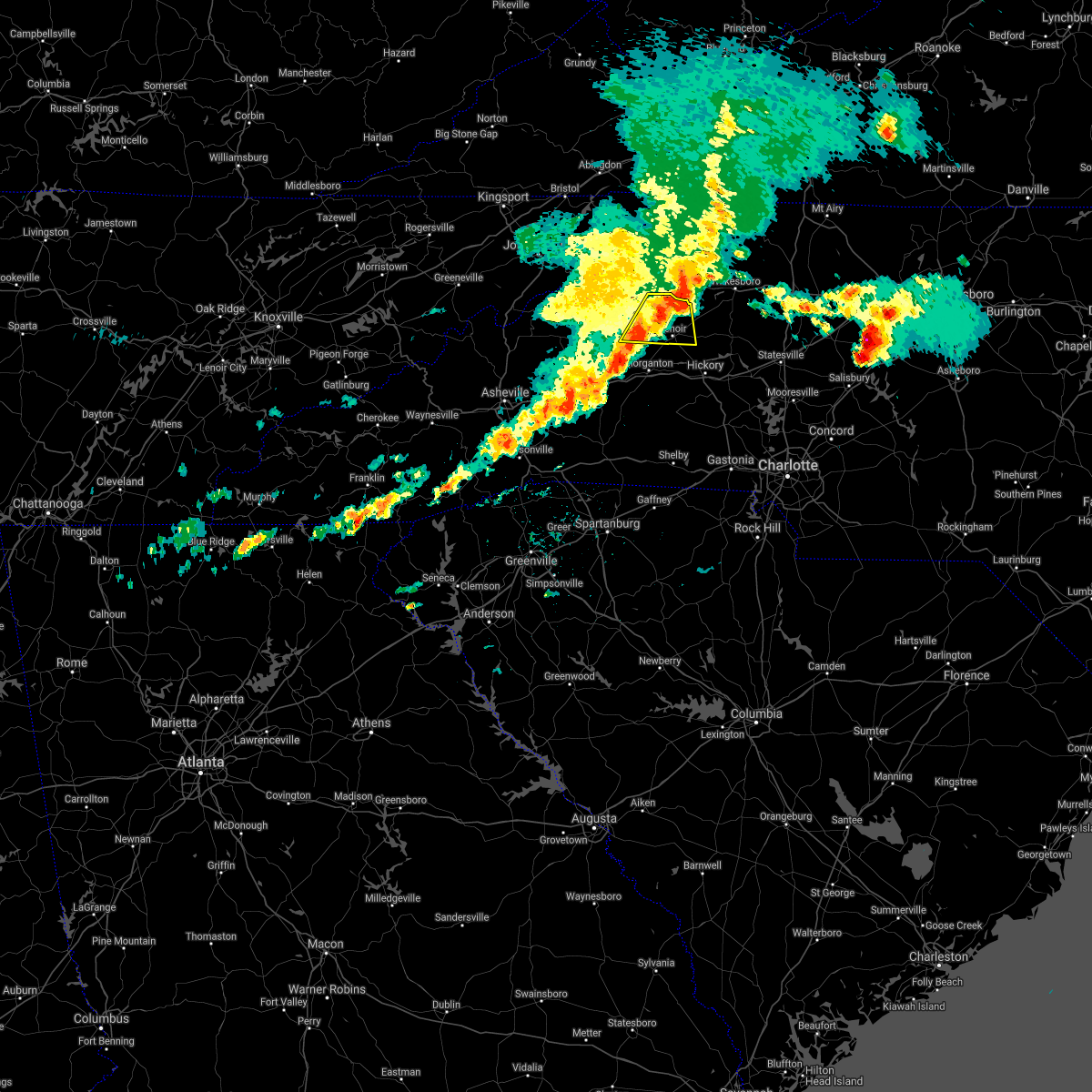 At 212 pm edt, a severe thunderstorm was located 8 miles southwest of boomer, or 5 miles northeast of cedar rock, moving east at 60 mph (radar indicated). Hazards include 60 mph wind gusts and quarter size hail. Minor hail damage to vehicles is expected. expect wind damage to trees and power lines. Locations impacted include, lenoir, blowing rock in caldwell county, cedar rock, edgemont, globe, collettsville, patterson, upton and gamewell. At 212 pm edt, a severe thunderstorm was located 8 miles southwest of boomer, or 5 miles northeast of cedar rock, moving east at 60 mph (radar indicated). Hazards include 60 mph wind gusts and quarter size hail. Minor hail damage to vehicles is expected. expect wind damage to trees and power lines. Locations impacted include, lenoir, blowing rock in caldwell county, cedar rock, edgemont, globe, collettsville, patterson, upton and gamewell.
|
| 3/27/2021 1:53 PM EDT |
 At 153 pm edt, a severe thunderstorm was located 9 miles southeast of spruce pine, or 6 miles north of lake james, moving east at 40 mph (radar indicated). Hazards include 60 mph wind gusts and quarter size hail. Minor hail damage to vehicles is expected. Expect wind damage to trees and power lines. At 153 pm edt, a severe thunderstorm was located 9 miles southeast of spruce pine, or 6 miles north of lake james, moving east at 40 mph (radar indicated). Hazards include 60 mph wind gusts and quarter size hail. Minor hail damage to vehicles is expected. Expect wind damage to trees and power lines.
|
| 3/27/2021 1:39 PM EDT |
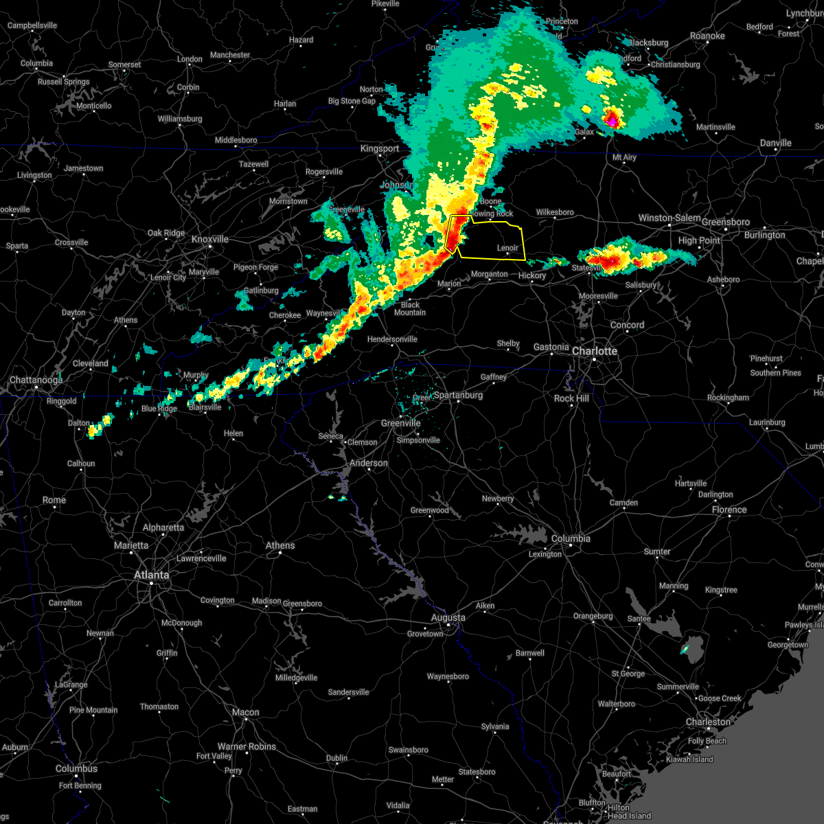 At 138 pm edt, a severe thunderstorm was located 8 miles south of newland, or near linville falls, moving east at 45 mph (radar indicated). Hazards include 60 mph wind gusts and quarter size hail. Minor hail damage to vehicles is expected. Expect wind damage to trees and power lines. At 138 pm edt, a severe thunderstorm was located 8 miles south of newland, or near linville falls, moving east at 45 mph (radar indicated). Hazards include 60 mph wind gusts and quarter size hail. Minor hail damage to vehicles is expected. Expect wind damage to trees and power lines.
|
| 7/31/2020 8:54 PM EDT |
 At 853 pm edt, a severe thunderstorm was located 5 miles west of lenoir, or near gamewell, moving east at 20 mph (radar indicated). Hazards include 60 mph wind gusts and nickel size hail. Expect damage to trees and power lines. Locations impacted include, lenoir, sawmills, granite falls, valdese, gamewell, hudson, cajah`s mountain, drexel, rutherford college and rhodhiss. At 853 pm edt, a severe thunderstorm was located 5 miles west of lenoir, or near gamewell, moving east at 20 mph (radar indicated). Hazards include 60 mph wind gusts and nickel size hail. Expect damage to trees and power lines. Locations impacted include, lenoir, sawmills, granite falls, valdese, gamewell, hudson, cajah`s mountain, drexel, rutherford college and rhodhiss.
|
| 7/31/2020 8:32 PM EDT |
 At 831 pm edt, a severe thunderstorm was located 8 miles north of morganton, or near table rock, moving east at 20 mph (radar indicated). Hazards include 60 mph wind gusts and nickel size hail. expect damage to trees and power lines At 831 pm edt, a severe thunderstorm was located 8 miles north of morganton, or near table rock, moving east at 20 mph (radar indicated). Hazards include 60 mph wind gusts and nickel size hail. expect damage to trees and power lines
|
| 7/31/2020 7:37 PM EDT |
 At 737 pm edt, a severe thunderstorm was located 9 miles west of marion, or near old fort, moving northeast at 30 mph (radar indicated). Hazards include 60 mph wind gusts and quarter size hail. Minor hail damage to vehicles is expected. Expect wind damage to trees and power lines. At 737 pm edt, a severe thunderstorm was located 9 miles west of marion, or near old fort, moving northeast at 30 mph (radar indicated). Hazards include 60 mph wind gusts and quarter size hail. Minor hail damage to vehicles is expected. Expect wind damage to trees and power lines.
|
| 7/23/2020 2:32 PM EDT |
 At 232 pm edt, a severe thunderstorm was located 7 miles southwest of lenoir, or near gamewell, moving northeast at 10 mph (radar indicated). Hazards include 60 mph wind gusts and penny size hail. Expect damage to trees and power lines. Locations impacted include, lenoir, sawmills, granite falls, valdese, gamewell, hudson, cajah`s mountain, drexel, connelly springs and rutherford college. At 232 pm edt, a severe thunderstorm was located 7 miles southwest of lenoir, or near gamewell, moving northeast at 10 mph (radar indicated). Hazards include 60 mph wind gusts and penny size hail. Expect damage to trees and power lines. Locations impacted include, lenoir, sawmills, granite falls, valdese, gamewell, hudson, cajah`s mountain, drexel, connelly springs and rutherford college.
|
| 7/23/2020 2:30 PM EDT | County 911 call center reported trees and power lines down on foothills airport roa in burke county NC, 7.5 miles NE of Lenoir, NC |
| 7/23/2020 2:13 PM EDT |
 At 213 pm edt, a severe thunderstorm was located 5 miles northeast of morganton, or near drexel, moving northeast at 10 mph (radar indicated). Hazards include 60 mph wind gusts and penny size hail. expect damage to trees and power lines At 213 pm edt, a severe thunderstorm was located 5 miles northeast of morganton, or near drexel, moving northeast at 10 mph (radar indicated). Hazards include 60 mph wind gusts and penny size hail. expect damage to trees and power lines
|
| 7/22/2020 2:45 PM EDT |
 At 245 pm edt, a severe thunderstorm was located 12 miles southeast of newland, or 6 miles north of table rock, moving southeast at 5 mph (radar indicated). Hazards include 60 mph wind gusts and quarter size hail. Minor hail damage to vehicles is expected. Expect wind damage to trees and power lines. At 245 pm edt, a severe thunderstorm was located 12 miles southeast of newland, or 6 miles north of table rock, moving southeast at 5 mph (radar indicated). Hazards include 60 mph wind gusts and quarter size hail. Minor hail damage to vehicles is expected. Expect wind damage to trees and power lines.
|
| 7/22/2020 2:43 PM EDT |
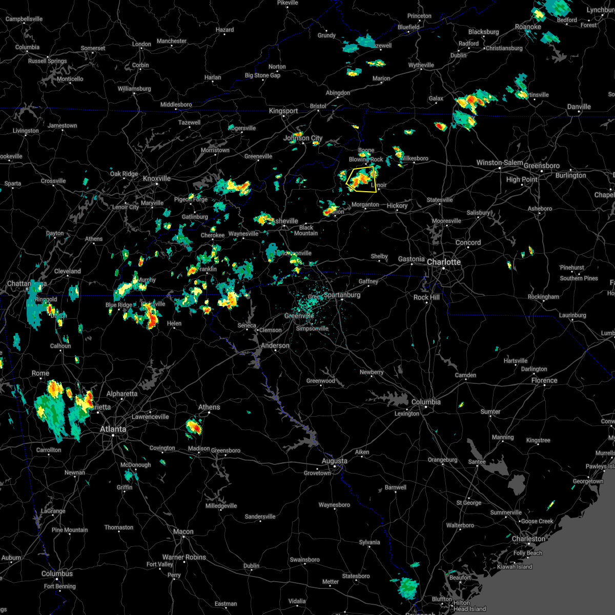 The severe thunderstorm warning for northwestern caldwell, southeastern avery and north central burke counties will expire at 245 pm edt, the storm which prompted the warning has weakened below severe limits, and no longer poses an immediate threat to life or property. therefore, the warning will be allowed to expire at 245 pm edt. however, heavy rain is still possible with this thunderstorm. The severe thunderstorm warning for northwestern caldwell, southeastern avery and north central burke counties will expire at 245 pm edt, the storm which prompted the warning has weakened below severe limits, and no longer poses an immediate threat to life or property. therefore, the warning will be allowed to expire at 245 pm edt. however, heavy rain is still possible with this thunderstorm.
|
| 7/22/2020 2:22 PM EDT |
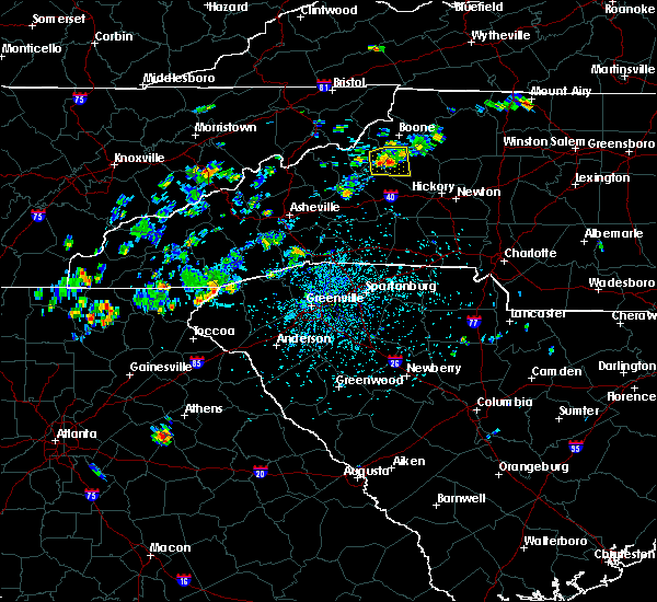 At 222 pm edt, a severe thunderstorm was located 10 miles southwest of blowing rock, or 7 miles southeast of the blue ridge parkway- linville falls to grandfather, moving east at 5 mph (radar indicated). Hazards include 60 mph wind gusts and quarter size hail. Minor hail damage to vehicles is expected. expect wind damage to trees and power lines. Locations impacted include, edgemont, collettsville, upton, globe and jonas ridge. At 222 pm edt, a severe thunderstorm was located 10 miles southwest of blowing rock, or 7 miles southeast of the blue ridge parkway- linville falls to grandfather, moving east at 5 mph (radar indicated). Hazards include 60 mph wind gusts and quarter size hail. Minor hail damage to vehicles is expected. expect wind damage to trees and power lines. Locations impacted include, edgemont, collettsville, upton, globe and jonas ridge.
|
| 7/22/2020 1:54 PM EDT |
 At 154 pm edt, a severe thunderstorm was located 8 miles southeast of newland, or 4 miles southeast of b.r. parkway-linville falls to grandfather, moving east at 5 mph (radar indicated). Hazards include 60 mph wind gusts and quarter size hail. Minor hail damage to vehicles is expected. Expect wind damage to trees and power lines. At 154 pm edt, a severe thunderstorm was located 8 miles southeast of newland, or 4 miles southeast of b.r. parkway-linville falls to grandfather, moving east at 5 mph (radar indicated). Hazards include 60 mph wind gusts and quarter size hail. Minor hail damage to vehicles is expected. Expect wind damage to trees and power lines.
|
| 7/21/2020 5:56 PM EDT |
 At 556 pm edt, a severe thunderstorm was located 5 miles west of hickory, or near hickory regional airport, and is nearly stationary (radar indicated). Hazards include 60 mph wind gusts and quarter size hail. Minor hail damage to vehicles is expected. Expect wind damage to trees and power lines. At 556 pm edt, a severe thunderstorm was located 5 miles west of hickory, or near hickory regional airport, and is nearly stationary (radar indicated). Hazards include 60 mph wind gusts and quarter size hail. Minor hail damage to vehicles is expected. Expect wind damage to trees and power lines.
|
| 7/21/2020 5:18 PM EDT |
 At 456 pm edt, a severe thunderstorm was located near morganton, or near drexel, moving east at 15 mph (radar indicated). Hazards include 60 mph wind gusts and quarter size hail. Minor hail damage to vehicles is expected. Expect wind damage to trees and power lines. At 456 pm edt, a severe thunderstorm was located near morganton, or near drexel, moving east at 15 mph (radar indicated). Hazards include 60 mph wind gusts and quarter size hail. Minor hail damage to vehicles is expected. Expect wind damage to trees and power lines.
|
| 7/21/2020 4:56 PM EDT |
 At 456 pm edt, a severe thunderstorm was located near morganton, or near drexel, moving east at 15 mph (radar indicated). Hazards include 60 mph wind gusts and quarter size hail. Minor hail damage to vehicles is expected. Expect wind damage to trees and power lines. At 456 pm edt, a severe thunderstorm was located near morganton, or near drexel, moving east at 15 mph (radar indicated). Hazards include 60 mph wind gusts and quarter size hail. Minor hail damage to vehicles is expected. Expect wind damage to trees and power lines.
|
| 7/18/2020 3:53 PM EDT |
 The severe thunderstorm warning for north central catawba, alexander and southeastern caldwell counties will expire at 400 pm edt, the storm which prompted the warning has moved out of the area. therefore the warning will be allowed to expire. however gusty winds and heavy rain are still possible with this thunderstorm. The severe thunderstorm warning for north central catawba, alexander and southeastern caldwell counties will expire at 400 pm edt, the storm which prompted the warning has moved out of the area. therefore the warning will be allowed to expire. however gusty winds and heavy rain are still possible with this thunderstorm.
|
| 7/18/2020 3:46 PM EDT |
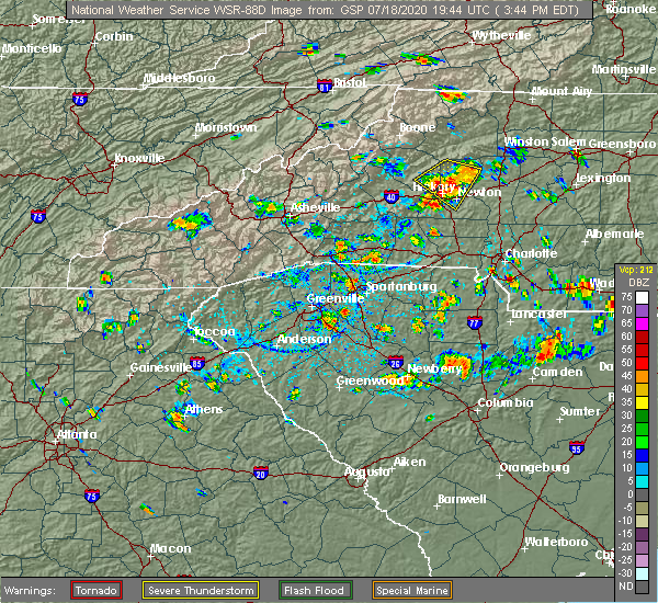 At 346 pm edt, a severe thunderstorm was located over taylorsville, moving southeast at 5 mph (radar indicated). Hazards include 60 mph wind gusts and quarter size hail. Minor hail damage to vehicles is expected. expect wind damage to trees and power lines. locations impacted include, hickory, newton, taylorsville, st. Stephens, conover, sawmills, granite falls, bethlehem, hudson and claremont. At 346 pm edt, a severe thunderstorm was located over taylorsville, moving southeast at 5 mph (radar indicated). Hazards include 60 mph wind gusts and quarter size hail. Minor hail damage to vehicles is expected. expect wind damage to trees and power lines. locations impacted include, hickory, newton, taylorsville, st. Stephens, conover, sawmills, granite falls, bethlehem, hudson and claremont.
|
| 7/18/2020 3:19 PM EDT |
 At 319 pm edt, a severe thunderstorm was located near taylorsville, moving southeast at 5 mph (radar indicated). Hazards include 60 mph wind gusts and quarter size hail. Minor hail damage to vehicles is expected. Expect wind damage to trees and power lines. At 319 pm edt, a severe thunderstorm was located near taylorsville, moving southeast at 5 mph (radar indicated). Hazards include 60 mph wind gusts and quarter size hail. Minor hail damage to vehicles is expected. Expect wind damage to trees and power lines.
|
| 6/21/2020 9:52 PM EDT |
 The severe thunderstorm warning for northern alexander and caldwell counties will expire at 1000 pm edt, the storm which prompted the warning has weakened below severe limits, and no longer poses an immediate threat to life or property. therefore, the warning will be allowed to expire. however, gusty winds and heavy rain are still possible with this thunderstorm. The severe thunderstorm warning for northern alexander and caldwell counties will expire at 1000 pm edt, the storm which prompted the warning has weakened below severe limits, and no longer poses an immediate threat to life or property. therefore, the warning will be allowed to expire. however, gusty winds and heavy rain are still possible with this thunderstorm.
|
| 6/21/2020 9:37 PM EDT |
 At 936 pm edt, a severe thunderstorm was located 5 miles east of lenoir, or near cedar rock, moving northeast at 30 mph (radar indicated). Hazards include 60 mph wind gusts and quarter size hail. Minor hail damage to vehicles is expected. expect wind damage to trees and power lines. Locations impacted include, lenoir, taylorsville, sawmills, granite falls, gamewell, hudson, cajah`s mountain, cedar rock, little river in alexander county and collettsville. At 936 pm edt, a severe thunderstorm was located 5 miles east of lenoir, or near cedar rock, moving northeast at 30 mph (radar indicated). Hazards include 60 mph wind gusts and quarter size hail. Minor hail damage to vehicles is expected. expect wind damage to trees and power lines. Locations impacted include, lenoir, taylorsville, sawmills, granite falls, gamewell, hudson, cajah`s mountain, cedar rock, little river in alexander county and collettsville.
|
| 6/21/2020 9:14 PM EDT | One tree blown down off calico r in caldwell county NC, 5.6 miles NE of Lenoir, NC |
| 6/21/2020 9:09 PM EDT |
 At 908 pm edt, a severe thunderstorm was located 5 miles southwest of lenoir, or near cajah`s mountain, moving northeast at 20 mph (radar indicated). Hazards include 60 mph wind gusts and quarter size hail. Minor hail damage to vehicles is expected. Expect wind damage to trees and power lines. At 908 pm edt, a severe thunderstorm was located 5 miles southwest of lenoir, or near cajah`s mountain, moving northeast at 20 mph (radar indicated). Hazards include 60 mph wind gusts and quarter size hail. Minor hail damage to vehicles is expected. Expect wind damage to trees and power lines.
|
| 6/21/2020 8:55 PM EDT |
 At 855 pm edt, severe thunderstorms were located along a line extending from 7 miles southeast of spruce pine to 5 miles southwest of morganton, moving northeast at 15 mph (radar indicated). Hazards include 60 mph wind gusts and quarter size hail. Minor hail damage to vehicles is expected. expect wind damage to trees and power lines. Locations impacted include, lenoir, morganton, sawmills, granite falls, valdese, gamewell, hudson, cajah`s mountain, drexel and connelly springs. At 855 pm edt, severe thunderstorms were located along a line extending from 7 miles southeast of spruce pine to 5 miles southwest of morganton, moving northeast at 15 mph (radar indicated). Hazards include 60 mph wind gusts and quarter size hail. Minor hail damage to vehicles is expected. expect wind damage to trees and power lines. Locations impacted include, lenoir, morganton, sawmills, granite falls, valdese, gamewell, hudson, cajah`s mountain, drexel and connelly springs.
|
| 6/21/2020 8:25 PM EDT |
 At 825 pm edt, severe thunderstorms were located along a line extending from 4 miles north of marion to 10 miles southwest of morganton, moving northeast at 30 mph (radar indicated). Hazards include 60 mph wind gusts and quarter size hail. Minor hail damage to vehicles is expected. Expect wind damage to trees and power lines. At 825 pm edt, severe thunderstorms were located along a line extending from 4 miles north of marion to 10 miles southwest of morganton, moving northeast at 30 mph (radar indicated). Hazards include 60 mph wind gusts and quarter size hail. Minor hail damage to vehicles is expected. Expect wind damage to trees and power lines.
|
| 5/24/2020 3:21 PM EDT |
 The severe thunderstorm warning for northwestern alexander and northeastern caldwell counties will expire at 330 pm edt, the storm which prompted the warning has weakened below severe limits, and no longer poses an immediate threat to life or property. therefore the warning will be allowed to expire. however gusty winds and heavy rain are still possible with this thunderstorm. The severe thunderstorm warning for northwestern alexander and northeastern caldwell counties will expire at 330 pm edt, the storm which prompted the warning has weakened below severe limits, and no longer poses an immediate threat to life or property. therefore the warning will be allowed to expire. however gusty winds and heavy rain are still possible with this thunderstorm.
|
| 5/24/2020 3:06 PM EDT |
 At 306 pm edt, a severe thunderstorm was located 8 miles northeast of lenoir, or near cedar rock, moving southeast at 10 mph (radar indicated). Hazards include 60 mph wind gusts and quarter size hail. Minor hail damage to vehicles is expected. expect wind damage to trees and power lines. Locations impacted include, cedar rock, patterson, ellendale, kings creek, little river in alexander county and lenoir. At 306 pm edt, a severe thunderstorm was located 8 miles northeast of lenoir, or near cedar rock, moving southeast at 10 mph (radar indicated). Hazards include 60 mph wind gusts and quarter size hail. Minor hail damage to vehicles is expected. expect wind damage to trees and power lines. Locations impacted include, cedar rock, patterson, ellendale, kings creek, little river in alexander county and lenoir.
|
| 5/24/2020 2:48 PM EDT |
 At 248 pm edt, a severe thunderstorm was located 10 miles north of lenoir, or near elkville, moving east at 10 mph (radar indicated). Hazards include 60 mph wind gusts and quarter size hail. Minor hail damage to vehicles is expected. Expect wind damage to trees and power lines. At 248 pm edt, a severe thunderstorm was located 10 miles north of lenoir, or near elkville, moving east at 10 mph (radar indicated). Hazards include 60 mph wind gusts and quarter size hail. Minor hail damage to vehicles is expected. Expect wind damage to trees and power lines.
|
| 4/25/2020 9:57 PM EDT |
 The severe thunderstorm warning for southeastern caldwell county will expire at 1000 pm edt, the severe thunderstorm which prompted the warning has moved out of the warned area, therefore the warning will be allowed to expire. The severe thunderstorm warning for southeastern caldwell county will expire at 1000 pm edt, the severe thunderstorm which prompted the warning has moved out of the warned area, therefore the warning will be allowed to expire.
|
| 4/25/2020 9:49 PM EDT |
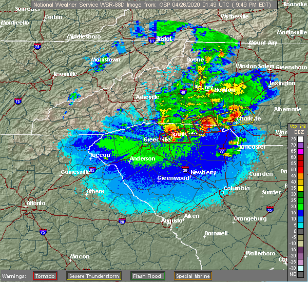 At 949 pm edt, a severe thunderstorm was located 6 miles southeast of lenoir, or near hudson, moving east at 30 mph (radar indicated). Hazards include 60 mph wind gusts and quarter size hail. Minor hail damage to vehicles is expected. expect wind damage to trees and power lines. Locations impacted include, lenoir, sawmills, granite falls, hudson, cajah`s mountain, rhodhiss, cedar rock, lake rhodhiss, kings creek and northlakes. At 949 pm edt, a severe thunderstorm was located 6 miles southeast of lenoir, or near hudson, moving east at 30 mph (radar indicated). Hazards include 60 mph wind gusts and quarter size hail. Minor hail damage to vehicles is expected. expect wind damage to trees and power lines. Locations impacted include, lenoir, sawmills, granite falls, hudson, cajah`s mountain, rhodhiss, cedar rock, lake rhodhiss, kings creek and northlakes.
|
| 4/25/2020 9:38 PM EDT | Quarter sized hail reported 4.5 miles N of Lenoir, NC, spotter reported quarter (1.00") size hail on oakmont dr and connelly springs rd. |
| 4/25/2020 9:37 PM EDT | Quarter sized hail reported 4.5 miles N of Lenoir, NC, spotter reported quarter (1.00") size hail on mountain view cir and union grove rd. |
| 4/25/2020 9:36 PM EDT |
 At 936 pm edt, a severe thunderstorm was located 5 miles south of lenoir, or near cajah`s mountain, moving east at 30 mph (radar indicated). Hazards include 60 mph wind gusts and quarter size hail. Minor hail damage to vehicles is expected. expect wind damage to trees and power lines. Locations impacted include, lenoir, sawmills, granite falls, gamewell, hudson, cajah`s mountain, drexel, rhodhiss, cedar rock and lake rhodhiss. At 936 pm edt, a severe thunderstorm was located 5 miles south of lenoir, or near cajah`s mountain, moving east at 30 mph (radar indicated). Hazards include 60 mph wind gusts and quarter size hail. Minor hail damage to vehicles is expected. expect wind damage to trees and power lines. Locations impacted include, lenoir, sawmills, granite falls, gamewell, hudson, cajah`s mountain, drexel, rhodhiss, cedar rock and lake rhodhiss.
|
| 4/25/2020 9:16 PM EDT |
 At 916 pm edt, a severe thunderstorm was located 5 miles northwest of morganton, or near table rock, moving east at 30 mph (radar indicated). Hazards include 60 mph wind gusts and quarter size hail. Minor hail damage to vehicles is expected. Expect wind damage to trees and power lines. At 916 pm edt, a severe thunderstorm was located 5 miles northwest of morganton, or near table rock, moving east at 30 mph (radar indicated). Hazards include 60 mph wind gusts and quarter size hail. Minor hail damage to vehicles is expected. Expect wind damage to trees and power lines.
|
| 4/13/2020 3:23 AM EDT |
 At 321 am edt, heavy rain with embedded thunderstorms were located across the north carolina foothills, from 4 miles northwest of laurel springs to 8 miles southeast of forest city, moving northeast at 60 mph. additional thundrestorms will move through the area early this morning. scattered damaging wind gusts will occur with these storms (radar indicated). Hazards include 60 mph wind gusts. expect damage to trees and power lines At 321 am edt, heavy rain with embedded thunderstorms were located across the north carolina foothills, from 4 miles northwest of laurel springs to 8 miles southeast of forest city, moving northeast at 60 mph. additional thundrestorms will move through the area early this morning. scattered damaging wind gusts will occur with these storms (radar indicated). Hazards include 60 mph wind gusts. expect damage to trees and power lines
|
| 1/11/2020 8:22 PM EST |
 At 822 pm est, severe thunderstorms were located along a line extending from near blowing rock to 8 miles southwest of morganton to 10 miles east of columbus, moving northeast at 50 mph (radar indicated). Hazards include 60 mph wind gusts. expect damage to trees and power lines At 822 pm est, severe thunderstorms were located along a line extending from near blowing rock to 8 miles southwest of morganton to 10 miles east of columbus, moving northeast at 50 mph (radar indicated). Hazards include 60 mph wind gusts. expect damage to trees and power lines
|
| 10/31/2019 4:37 PM EDT |
 At 437 pm edt, rain showers capable of producing damaging winds were located along a line extending from 6 miles southwest of lenoir to 11 miles south of morganton, moving northeast at 45 mph (radar indicated). Hazards include 60 mph wind gusts. Expect damage to trees and power lines. locations impacted include, lenoir, sawmills, granite falls, valdese, gamewell, hudson, icard, cajah`s mountain, drexel and hildebran. A tornado watch remains in effect until 1100 pm edt for western and the piedmont of north carolina. At 437 pm edt, rain showers capable of producing damaging winds were located along a line extending from 6 miles southwest of lenoir to 11 miles south of morganton, moving northeast at 45 mph (radar indicated). Hazards include 60 mph wind gusts. Expect damage to trees and power lines. locations impacted include, lenoir, sawmills, granite falls, valdese, gamewell, hudson, icard, cajah`s mountain, drexel and hildebran. A tornado watch remains in effect until 1100 pm edt for western and the piedmont of north carolina.
|
| 10/31/2019 4:04 PM EDT |
 At 403 pm edt, rain showers capable of producing damaging winds were located along a line extending from 7 miles east of marion to 7 miles northwest of rutherfordton, moving northeast at 45 mph (radar indicated). Hazards include 60 mph wind gusts. expect damage to trees and power lines At 403 pm edt, rain showers capable of producing damaging winds were located along a line extending from 7 miles east of marion to 7 miles northwest of rutherfordton, moving northeast at 45 mph (radar indicated). Hazards include 60 mph wind gusts. expect damage to trees and power lines
|
| 10/31/2019 3:33 PM EDT |
 At 332 pm edt, rain showers capable of producing damaging winds were located along a line extending from 11 miles east of erwin to near spruce pine to 12 miles west of marion, moving northeast at 65 mph (radar indicated). Hazards include 60 mph wind gusts. expect damage to trees and power lines At 332 pm edt, rain showers capable of producing damaging winds were located along a line extending from 11 miles east of erwin to near spruce pine to 12 miles west of marion, moving northeast at 65 mph (radar indicated). Hazards include 60 mph wind gusts. expect damage to trees and power lines
|
| 8/22/2019 2:45 PM EDT |
 At 245 pm edt, severe thunderstorms were located along a line extending from 6 miles southeast of lenoir to 15 miles south of morganton to near forest city, moving east at 15 mph (radar indicated). Hazards include 60 mph wind gusts and quarter size hail. Minor hail damage to vehicles is expected. Expect wind damage to trees and power lines. At 245 pm edt, severe thunderstorms were located along a line extending from 6 miles southeast of lenoir to 15 miles south of morganton to near forest city, moving east at 15 mph (radar indicated). Hazards include 60 mph wind gusts and quarter size hail. Minor hail damage to vehicles is expected. Expect wind damage to trees and power lines.
|
| 8/22/2019 1:20 PM EDT | Trained spotter reported trees down on norwood s in caldwell county NC, 3.2 miles NNW of Lenoir, NC |
| 8/22/2019 1:15 PM EDT | 911 call center reported downed tree on a trailer in green mountain par in caldwell county NC, 4.5 miles S of Lenoir, NC |
| 8/22/2019 1:10 PM EDT | 911 call center reported tree down across powell rd near camelot c in caldwell county NC, 1.8 miles S of Lenoir, NC |
| 8/22/2019 1:10 PM EDT |
 At 110 pm edt, a severe thunderstorm was located 5 miles northeast of lenoir, or near cedar rock, moving east at 10 mph (radar indicated). Hazards include 60 mph wind gusts and quarter size hail. Minor hail damage to vehicles is expected. expect wind damage to trees and power lines. Locations impacted include, lenoir, hudson, cajah`s mountain, cedar rock, kings creek, patterson and sawmills. At 110 pm edt, a severe thunderstorm was located 5 miles northeast of lenoir, or near cedar rock, moving east at 10 mph (radar indicated). Hazards include 60 mph wind gusts and quarter size hail. Minor hail damage to vehicles is expected. expect wind damage to trees and power lines. Locations impacted include, lenoir, hudson, cajah`s mountain, cedar rock, kings creek, patterson and sawmills.
|
| 8/22/2019 12:53 PM EDT |
 The national weather service in greenville-spartanburg has issued a * severe thunderstorm warning for. eastern caldwell county in western north carolina. until 145 pm edt. At 1253 pm edt, a severe thunderstorm was located near lenoir, and is nearly stationary. The national weather service in greenville-spartanburg has issued a * severe thunderstorm warning for. eastern caldwell county in western north carolina. until 145 pm edt. At 1253 pm edt, a severe thunderstorm was located near lenoir, and is nearly stationary.
|
| 8/21/2019 4:33 PM EDT |
 The national weather service in greenville-spartanburg has issued a * severe thunderstorm warning for. southeastern caldwell county in western north carolina. until 530 pm edt. At 432 pm edt, a severe thunderstorm was located near lenoir, moving east at 15 mph. The national weather service in greenville-spartanburg has issued a * severe thunderstorm warning for. southeastern caldwell county in western north carolina. until 530 pm edt. At 432 pm edt, a severe thunderstorm was located near lenoir, moving east at 15 mph.
|
| 8/13/2019 3:56 PM EDT |
 The national weather service in greenville-spartanburg has issued a * severe thunderstorm warning for. catawba county in the piedmont of north carolina. alexander county in the piedmont of north carolina. northern iredell county in the piedmont of north carolina. Southeastern caldwell county in western north carolina. The national weather service in greenville-spartanburg has issued a * severe thunderstorm warning for. catawba county in the piedmont of north carolina. alexander county in the piedmont of north carolina. northern iredell county in the piedmont of north carolina. Southeastern caldwell county in western north carolina.
|
| 8/13/2019 3:43 PM EDT |
 A severe thunderstorm warning remains in effect until 400 pm edt for northwestern catawba. alexander. northern iredell. southeastern caldwell and east central burke counties. At 342 pm edt, severe thunderstorms were located along a line extending from 11 miles south of ronda to 4 miles southeast of morganton, moving southeast at 30 mph. A severe thunderstorm warning remains in effect until 400 pm edt for northwestern catawba. alexander. northern iredell. southeastern caldwell and east central burke counties. At 342 pm edt, severe thunderstorms were located along a line extending from 11 miles south of ronda to 4 miles southeast of morganton, moving southeast at 30 mph.
|
| 8/13/2019 3:10 PM EDT |
 The national weather service in greenville-spartanburg has issued a * severe thunderstorm warning for. northwestern catawba county in the piedmont of north carolina. alexander county in the piedmont of north carolina. northern iredell county in the piedmont of north carolina. Caldwell county in western north carolina. The national weather service in greenville-spartanburg has issued a * severe thunderstorm warning for. northwestern catawba county in the piedmont of north carolina. alexander county in the piedmont of north carolina. northern iredell county in the piedmont of north carolina. Caldwell county in western north carolina.
|
| 8/4/2019 5:38 PM EDT |
 The severe thunderstorm warning for northwestern catawba, southeastern caldwell and east central burke counties will expire at 545 pm edt, the storm which prompted the warning has weakened below severe limits, and no longer poses an immediate threat to life or property. therefore the warning will be allowed to expire. The severe thunderstorm warning for northwestern catawba, southeastern caldwell and east central burke counties will expire at 545 pm edt, the storm which prompted the warning has weakened below severe limits, and no longer poses an immediate threat to life or property. therefore the warning will be allowed to expire.
|
| 8/4/2019 5:06 PM EDT |
 At 506 pm edt, a severe thunderstorm was located 7 miles southeast of lenoir, or near granite falls, moving southeast at 5 mph (radar indicated). Hazards include 60 mph wind gusts and quarter size hail. Minor hail damage to vehicles is expected. Expect wind damage to trees and power lines. At 506 pm edt, a severe thunderstorm was located 7 miles southeast of lenoir, or near granite falls, moving southeast at 5 mph (radar indicated). Hazards include 60 mph wind gusts and quarter size hail. Minor hail damage to vehicles is expected. Expect wind damage to trees and power lines.
|
| 7/31/2019 3:54 PM EDT |
 At 354 pm edt, a severe thunderstorm was located near hickory, or over longview, moving northeast at 10 mph (radar indicated). Hazards include 60 mph wind gusts and quarter size hail. Minor hail damage to vehicles is expected. expect wind damage to trees and power lines. Locations impacted include, hickory, newton, longview, granite falls, icard, hildebran, connelly springs, rutherford college, rhodhiss and hickory regional airport. At 354 pm edt, a severe thunderstorm was located near hickory, or over longview, moving northeast at 10 mph (radar indicated). Hazards include 60 mph wind gusts and quarter size hail. Minor hail damage to vehicles is expected. expect wind damage to trees and power lines. Locations impacted include, hickory, newton, longview, granite falls, icard, hildebran, connelly springs, rutherford college, rhodhiss and hickory regional airport.
|
| 7/31/2019 3:43 PM EDT |
 At 321 pm edt, a severe thunderstorm was located 7 miles southwest of hickory, or near hildebran, moving northeast at 10 mph (radar indicated). Hazards include 60 mph wind gusts and quarter size hail. Minor hail damage to vehicles is expected. Expect wind damage to trees and power lines. At 321 pm edt, a severe thunderstorm was located 7 miles southwest of hickory, or near hildebran, moving northeast at 10 mph (radar indicated). Hazards include 60 mph wind gusts and quarter size hail. Minor hail damage to vehicles is expected. Expect wind damage to trees and power lines.
|
| 7/31/2019 3:21 PM EDT |
 At 321 pm edt, a severe thunderstorm was located 7 miles southwest of hickory, or near hildebran, moving northeast at 10 mph (radar indicated). Hazards include 60 mph wind gusts and quarter size hail. Minor hail damage to vehicles is expected. Expect wind damage to trees and power lines. At 321 pm edt, a severe thunderstorm was located 7 miles southwest of hickory, or near hildebran, moving northeast at 10 mph (radar indicated). Hazards include 60 mph wind gusts and quarter size hail. Minor hail damage to vehicles is expected. Expect wind damage to trees and power lines.
|
| 7/20/2019 2:26 PM EDT |
 At 226 pm edt, a severe thunderstorm was located 4 miles east of lenoir, or near cedar rock, moving west at 15 mph (radar indicated). Hazards include 60 mph wind gusts and penny size hail. Expect damage to trees and power lines. Locations impacted include, lenoir, sawmills, granite falls, gamewell, hudson, cajah`s mountain, cedar rock, lake hickory, little river in alexander county and kings creek. At 226 pm edt, a severe thunderstorm was located 4 miles east of lenoir, or near cedar rock, moving west at 15 mph (radar indicated). Hazards include 60 mph wind gusts and penny size hail. Expect damage to trees and power lines. Locations impacted include, lenoir, sawmills, granite falls, gamewell, hudson, cajah`s mountain, cedar rock, lake hickory, little river in alexander county and kings creek.
|
| 7/20/2019 1:55 PM EDT |
 At 154 pm edt, a severe thunderstorm was located 9 miles west of taylorsville, or 5 miles northwest of bethlehem, moving west at 10 mph (radar indicated). Hazards include 60 mph wind gusts. expect damage to trees and power lines At 154 pm edt, a severe thunderstorm was located 9 miles west of taylorsville, or 5 miles northwest of bethlehem, moving west at 10 mph (radar indicated). Hazards include 60 mph wind gusts. expect damage to trees and power lines
|
| 7/11/2019 4:12 PM EDT |
 At 406 pm edt, a severe thunderstorm was located near hickory, or over st. stephens, moving northeast at 15 mph (radar indicated). Hazards include 60 mph wind gusts and quarter size hail. Minor hail damage to vehicles is expected. Expect wind damage to trees and power lines. At 406 pm edt, a severe thunderstorm was located near hickory, or over st. stephens, moving northeast at 15 mph (radar indicated). Hazards include 60 mph wind gusts and quarter size hail. Minor hail damage to vehicles is expected. Expect wind damage to trees and power lines.
|
| 7/11/2019 4:06 PM EDT |
 At 406 pm edt, a severe thunderstorm was located near hickory, or over st. stephens, moving northeast at 15 mph (radar indicated). Hazards include 60 mph wind gusts and quarter size hail. Minor hail damage to vehicles is expected. Expect wind damage to trees and power lines. At 406 pm edt, a severe thunderstorm was located near hickory, or over st. stephens, moving northeast at 15 mph (radar indicated). Hazards include 60 mph wind gusts and quarter size hail. Minor hail damage to vehicles is expected. Expect wind damage to trees and power lines.
|
| 7/8/2019 4:39 PM EDT |
 The severe thunderstorm warning for central caldwell and central burke counties will expire at 445 pm edt, the storm which prompted the warning has weakened below severe limits, and no longer poses an immediate threat to life or property. therefore, the warning will be allowed to expire on schedule at 445 pm. however, gusty winds and heavy rain are still possible with this thunderstorm. The severe thunderstorm warning for central caldwell and central burke counties will expire at 445 pm edt, the storm which prompted the warning has weakened below severe limits, and no longer poses an immediate threat to life or property. therefore, the warning will be allowed to expire on schedule at 445 pm. however, gusty winds and heavy rain are still possible with this thunderstorm.
|
| 7/8/2019 4:23 PM EDT |
 At 421 pm edt, a severe thunderstorm was located near lenoir, moving southeast at 15 mph (radar indicated). Hazards include 60 mph wind gusts and quarter size hail. Minor hail damage to vehicles is expected. expect wind damage to trees and power lines. this storm has a history of recently blowing down trees and power lines. Locations impacted include, lenoir, gamewell, hudson, cajah`s mountain, cedar rock, collettsville, patterson, drexel, sawmills and lake rhodhiss. At 421 pm edt, a severe thunderstorm was located near lenoir, moving southeast at 15 mph (radar indicated). Hazards include 60 mph wind gusts and quarter size hail. Minor hail damage to vehicles is expected. expect wind damage to trees and power lines. this storm has a history of recently blowing down trees and power lines. Locations impacted include, lenoir, gamewell, hudson, cajah`s mountain, cedar rock, collettsville, patterson, drexel, sawmills and lake rhodhiss.
|
| 7/8/2019 4:05 PM EDT |
 At 405 pm edt, a severe thunderstorm was located 6 miles northwest of lenoir, moving southeast at 10 mph (radar indicated). Hazards include 60 mph wind gusts and quarter size hail. Minor hail damage to vehicles is expected. Expect wind damage to trees and power lines. At 405 pm edt, a severe thunderstorm was located 6 miles northwest of lenoir, moving southeast at 10 mph (radar indicated). Hazards include 60 mph wind gusts and quarter size hail. Minor hail damage to vehicles is expected. Expect wind damage to trees and power lines.
|
| 7/2/2019 4:30 PM EDT | A large tree blown down on playmore beach r in caldwell county NC, 8.5 miles ENE of Lenoir, NC |
| 4/14/2019 10:55 PM EDT |
 The severe thunderstorm warning for western catawba, southeastern caldwell and southeastern burke counties will expire at 1100 pm edt, the storm which prompted the warning has weakened below severe limits, and has exited the warned area. therefore the warning will be allowed to expire. a tornado watch remains in effect until 500 am edt for western and the piedmont of north carolina. The severe thunderstorm warning for western catawba, southeastern caldwell and southeastern burke counties will expire at 1100 pm edt, the storm which prompted the warning has weakened below severe limits, and has exited the warned area. therefore the warning will be allowed to expire. a tornado watch remains in effect until 500 am edt for western and the piedmont of north carolina.
|
| 4/14/2019 10:45 PM EDT |
 At 1045 pm edt, a severe thunderstorm was located near hickory, or near st. stephens, moving northeast at 55 mph (radar indicated). Hazards include 70 mph wind gusts. Expect considerable tree damage. damage is likely to mobile homes, roofs, and outbuildings. locations impacted include, hickory, lenoir, longview, sawmills, granite falls, valdese, hudson, icard, cajah`s mountain and hildebran. A tornado watch remains in effect until 500 am edt for western and the piedmont of north carolina. At 1045 pm edt, a severe thunderstorm was located near hickory, or near st. stephens, moving northeast at 55 mph (radar indicated). Hazards include 70 mph wind gusts. Expect considerable tree damage. damage is likely to mobile homes, roofs, and outbuildings. locations impacted include, hickory, lenoir, longview, sawmills, granite falls, valdese, hudson, icard, cajah`s mountain and hildebran. A tornado watch remains in effect until 500 am edt for western and the piedmont of north carolina.
|
| 4/14/2019 10:21 PM EDT |
 At 1021 pm edt, a severe thunderstorm was located 8 miles south of morganton, or over south mountains state park, moving northeast at 55 mph (radar indicated). Hazards include 70 mph wind gusts. Expect considerable tree damage. Damage is likely to mobile homes, roofs, and outbuildings. At 1021 pm edt, a severe thunderstorm was located 8 miles south of morganton, or over south mountains state park, moving northeast at 55 mph (radar indicated). Hazards include 70 mph wind gusts. Expect considerable tree damage. Damage is likely to mobile homes, roofs, and outbuildings.
|
| 4/13/2019 3:37 PM EDT |
 At 336 pm edt, a severe thunderstorm capable of producing a tornado was located 9 miles east of morganton, or over rutherford college, moving east at 20 mph (radar indicated rotation). Hazards include tornado and quarter size hail. Flying debris will be dangerous to those caught without shelter. mobile homes will be damaged or destroyed. damage to roofs, windows, and vehicles will occur. tree damage is likely. this dangerous storm will be near, connelly springs around 340 pm edt. icard, rhodhiss, hildebran, granite falls and sawmills around 350 pm edt. longview, hickory regional airport and mountain view around 400 pm edt. hickory, newton, st. stephens, bethlehem and lake hickory around 410 pm edt. Other locations impacted by this dangerous thunderstorm include northlakes. At 336 pm edt, a severe thunderstorm capable of producing a tornado was located 9 miles east of morganton, or over rutherford college, moving east at 20 mph (radar indicated rotation). Hazards include tornado and quarter size hail. Flying debris will be dangerous to those caught without shelter. mobile homes will be damaged or destroyed. damage to roofs, windows, and vehicles will occur. tree damage is likely. this dangerous storm will be near, connelly springs around 340 pm edt. icard, rhodhiss, hildebran, granite falls and sawmills around 350 pm edt. longview, hickory regional airport and mountain view around 400 pm edt. hickory, newton, st. stephens, bethlehem and lake hickory around 410 pm edt. Other locations impacted by this dangerous thunderstorm include northlakes.
|
| 4/13/2019 3:23 PM EDT |
 At 322 pm edt, a severe thunderstorm capable of producing a tornado was located 5 miles east of morganton, or over drexel, moving east at 20 mph (weather spotters reported a funnel cloud east of morganton). Hazards include tornado and quarter size hail. Flying debris will be dangerous to those caught without shelter. mobile homes will be damaged or destroyed. damage to roofs, windows, and vehicles will occur. tree damage is likely. this dangerous storm will be near, valdese and rutherford college around 330 pm edt. Connelly springs, lake rhodhiss, icard and sawmills around 340 pm edt. At 322 pm edt, a severe thunderstorm capable of producing a tornado was located 5 miles east of morganton, or over drexel, moving east at 20 mph (weather spotters reported a funnel cloud east of morganton). Hazards include tornado and quarter size hail. Flying debris will be dangerous to those caught without shelter. mobile homes will be damaged or destroyed. damage to roofs, windows, and vehicles will occur. tree damage is likely. this dangerous storm will be near, valdese and rutherford college around 330 pm edt. Connelly springs, lake rhodhiss, icard and sawmills around 340 pm edt.
|
| 4/13/2019 3:09 PM EDT |
 At 309 pm edt, a severe thunderstorm capable of producing a tornado was located over morganton, moving east at 25 mph (radar indicated rotation). Hazards include tornado and half dollar size hail. Flying debris will be dangerous to those caught without shelter. mobile homes will be damaged or destroyed. damage to roofs, windows, and vehicles will occur. tree damage is likely. this dangerous storm will be near, drexel around 320 pm edt. valdese and rutherford college around 330 pm edt. Connelly springs, icard, lake rhodhiss and sawmills around 340 pm edt. At 309 pm edt, a severe thunderstorm capable of producing a tornado was located over morganton, moving east at 25 mph (radar indicated rotation). Hazards include tornado and half dollar size hail. Flying debris will be dangerous to those caught without shelter. mobile homes will be damaged or destroyed. damage to roofs, windows, and vehicles will occur. tree damage is likely. this dangerous storm will be near, drexel around 320 pm edt. valdese and rutherford college around 330 pm edt. Connelly springs, icard, lake rhodhiss and sawmills around 340 pm edt.
|
| 4/13/2019 3:02 PM EDT |
 At 302 pm edt, a severe thunderstorm was located near morganton, moving east at 25 mph (radar indicated). Hazards include 70 mph wind gusts and ping pong ball size hail. People and animals outdoors will be injured. expect hail damage to roofs, siding, windows, and vehicles. expect considerable tree damage. wind damage is also likely to mobile homes, roofs, and outbuildings. Locations impacted include, morganton, valdese, gamewell, cajah`s mountain, drexel, connelly springs, rutherford college, glen alpine, lake rhodhiss and oak hill. At 302 pm edt, a severe thunderstorm was located near morganton, moving east at 25 mph (radar indicated). Hazards include 70 mph wind gusts and ping pong ball size hail. People and animals outdoors will be injured. expect hail damage to roofs, siding, windows, and vehicles. expect considerable tree damage. wind damage is also likely to mobile homes, roofs, and outbuildings. Locations impacted include, morganton, valdese, gamewell, cajah`s mountain, drexel, connelly springs, rutherford college, glen alpine, lake rhodhiss and oak hill.
|
| 4/13/2019 2:53 PM EDT |
 At 253 pm edt, a severe thunderstorm was located 5 miles west of morganton, or near glen alpine, moving east at 25 mph (radar indicated). Hazards include 70 mph wind gusts and ping pong ball size hail. People and animals outdoors will be injured. expect hail damage to roofs, siding, windows, and vehicles. expect considerable tree damage. wind damage is also likely to mobile homes, roofs, and outbuildings. Locations impacted include, morganton, valdese, gamewell, icard, cajah`s mountain, drexel, connelly springs, rutherford college, glen alpine and lake rhodhiss. At 253 pm edt, a severe thunderstorm was located 5 miles west of morganton, or near glen alpine, moving east at 25 mph (radar indicated). Hazards include 70 mph wind gusts and ping pong ball size hail. People and animals outdoors will be injured. expect hail damage to roofs, siding, windows, and vehicles. expect considerable tree damage. wind damage is also likely to mobile homes, roofs, and outbuildings. Locations impacted include, morganton, valdese, gamewell, icard, cajah`s mountain, drexel, connelly springs, rutherford college, glen alpine and lake rhodhiss.
|
| 4/13/2019 2:43 PM EDT |
 At 243 pm edt, a severe thunderstorm was located 8 miles west of morganton, or near lake james state park, moving east at 25 mph (radar indicated). Hazards include 60 mph wind gusts and quarter size hail. Minor hail damage to vehicles is expected. Expect wind damage to trees and power lines. At 243 pm edt, a severe thunderstorm was located 8 miles west of morganton, or near lake james state park, moving east at 25 mph (radar indicated). Hazards include 60 mph wind gusts and quarter size hail. Minor hail damage to vehicles is expected. Expect wind damage to trees and power lines.
|
| 8/21/2018 3:18 PM EDT |
 At 318 pm edt, a severe thunderstorm was located 7 miles southeast of lenoir, or near granite falls, moving east at 35 mph (radar indicated). Hazards include 60 mph wind gusts. expect damage to trees and power lines At 318 pm edt, a severe thunderstorm was located 7 miles southeast of lenoir, or near granite falls, moving east at 35 mph (radar indicated). Hazards include 60 mph wind gusts. expect damage to trees and power lines
|
| 8/21/2018 3:15 PM EDT | 911 call center reported a tree down on zacks fork rd and cottrell hill rd. time estimated from rada in caldwell county NC, 3.9 miles SSW of Lenoir, NC |
| 8/8/2018 5:06 PM EDT |
 At 506 pm edt, severe thunderstorms were located along a line extending from 9 miles southeast of lenoir to 6 miles west of hickory, moving east at 25 mph (radar indicated). Hazards include 70 mph wind gusts and half dollar size hail. Minor hail damage to vehicles is expected. expect considerable tree damage. Wind damage is also likely to mobile homes, roofs, and outbuildings. At 506 pm edt, severe thunderstorms were located along a line extending from 9 miles southeast of lenoir to 6 miles west of hickory, moving east at 25 mph (radar indicated). Hazards include 70 mph wind gusts and half dollar size hail. Minor hail damage to vehicles is expected. expect considerable tree damage. Wind damage is also likely to mobile homes, roofs, and outbuildings.
|
| 8/6/2018 2:39 PM EDT |
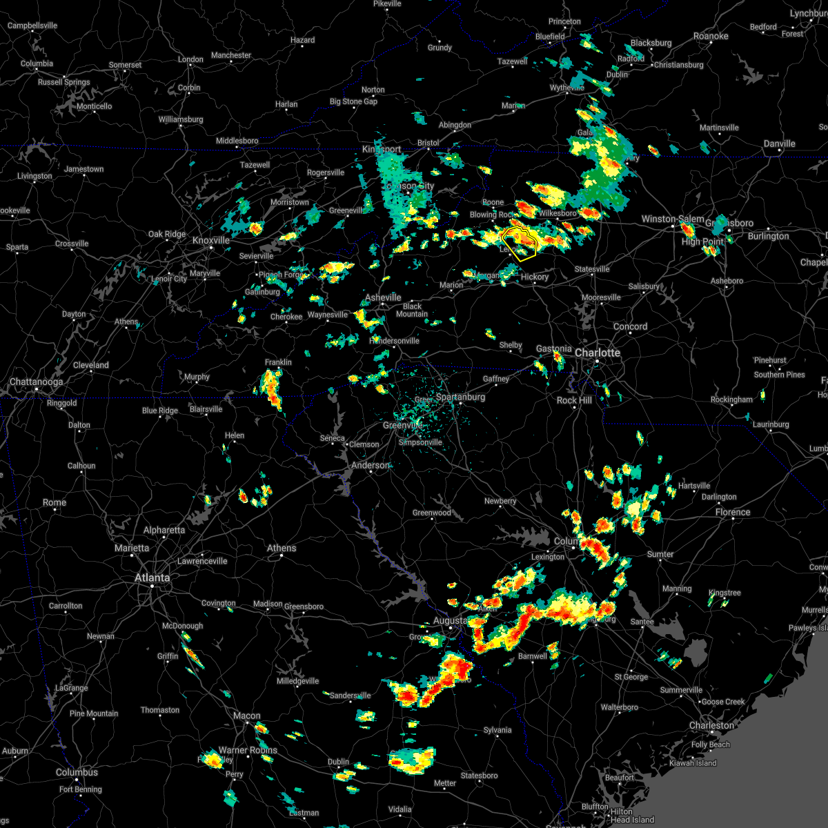 The severe thunderstorm warning for northeastern caldwell county will expire at 245 pm edt, the storm which prompted the warning has weakened below severe limits, and no longer poses an immediate threat to life or property. therefore the warning will be allowed to expire. if you observed large hail or wind damage, please report it to the national weather service greenville-spartanburg by calling toll free, 1, 800, 2 6 7, 8 1 0 1, or by posting on our facebook page, or tweet it using hashtag nwsgsp. your message should describe the event and the specific location where it occurred. The severe thunderstorm warning for northeastern caldwell county will expire at 245 pm edt, the storm which prompted the warning has weakened below severe limits, and no longer poses an immediate threat to life or property. therefore the warning will be allowed to expire. if you observed large hail or wind damage, please report it to the national weather service greenville-spartanburg by calling toll free, 1, 800, 2 6 7, 8 1 0 1, or by posting on our facebook page, or tweet it using hashtag nwsgsp. your message should describe the event and the specific location where it occurred.
|
| 8/6/2018 2:27 PM EDT |
 At 226 pm edt, a severe thunderstorm was located 8 miles north of lenoir, or 5 miles southwest of elkville, moving south at 10 mph (radar indicated). Hazards include 60 mph wind gusts and quarter size hail. Minor hail damage to vehicles is expected. expect wind damage to trees and power lines. Locations impacted include, cedar rock, patterson, kings creek and lenoir. At 226 pm edt, a severe thunderstorm was located 8 miles north of lenoir, or 5 miles southwest of elkville, moving south at 10 mph (radar indicated). Hazards include 60 mph wind gusts and quarter size hail. Minor hail damage to vehicles is expected. expect wind damage to trees and power lines. Locations impacted include, cedar rock, patterson, kings creek and lenoir.
|
| 8/6/2018 2:13 PM EDT |
 At 212 pm edt, a severe thunderstorm was located 10 miles north of lenoir, or 4 miles south of darby, moving south at 5 mph (radar indicated). Hazards include 60 mph wind gusts and quarter size hail. Minor hail damage to vehicles is expected. expect wind damage to trees and power lines. Locations impacted include, taylorsville, cedar rock, kings creek, little river in alexander county, patterson, ellendale, granite falls and lenoir. At 212 pm edt, a severe thunderstorm was located 10 miles north of lenoir, or 4 miles south of darby, moving south at 5 mph (radar indicated). Hazards include 60 mph wind gusts and quarter size hail. Minor hail damage to vehicles is expected. expect wind damage to trees and power lines. Locations impacted include, taylorsville, cedar rock, kings creek, little river in alexander county, patterson, ellendale, granite falls and lenoir.
|
| 8/6/2018 1:51 PM EDT |
 At 151 pm edt, a severe thunderstorm was located 11 miles south of deep gap, or near elkville, moving southeast at 10 mph (radar indicated). Hazards include 60 mph wind gusts and nickel size hail. expect damage to trees and power lines At 151 pm edt, a severe thunderstorm was located 11 miles south of deep gap, or near elkville, moving southeast at 10 mph (radar indicated). Hazards include 60 mph wind gusts and nickel size hail. expect damage to trees and power lines
|
| 7/21/2018 6:43 PM EDT | Quarter sized hail reported 1.3 miles NW of Lenoir, NC |
| 7/21/2018 6:38 PM EDT |
 At 638 pm edt, a severe thunderstorm was located 4 miles north of hickory, or near lake hickory, moving southeast at 10 mph (radar indicated). Hazards include golf ball size hail and 60 mph wind gusts. People and animals outdoors will be injured. expect hail damage to roofs, siding, windows, and vehicles. Expect wind damage to trees and power lines. At 638 pm edt, a severe thunderstorm was located 4 miles north of hickory, or near lake hickory, moving southeast at 10 mph (radar indicated). Hazards include golf ball size hail and 60 mph wind gusts. People and animals outdoors will be injured. expect hail damage to roofs, siding, windows, and vehicles. Expect wind damage to trees and power lines.
|
| 7/21/2018 6:18 PM EDT |
 At 617 pm edt, a severe thunderstorm was located 8 miles east of morganton, or over valdese, moving east at 30 mph (radar indicated). Hazards include 60 mph wind gusts and quarter size hail. Minor hail damage to vehicles is expected. expect wind damage to trees and power lines. locations impacted include, hickory, st. Stephens, longview, sawmills, granite falls, valdese, gamewell, bethlehem, hudson and icard. At 617 pm edt, a severe thunderstorm was located 8 miles east of morganton, or over valdese, moving east at 30 mph (radar indicated). Hazards include 60 mph wind gusts and quarter size hail. Minor hail damage to vehicles is expected. expect wind damage to trees and power lines. locations impacted include, hickory, st. Stephens, longview, sawmills, granite falls, valdese, gamewell, bethlehem, hudson and icard.
|
| 7/21/2018 5:54 PM EDT |
 At 554 pm edt, a severe thunderstorm was located near morganton, or near glen alpine, moving east at 30 mph (radar indicated). Hazards include 60 mph wind gusts and quarter size hail. Minor hail damage to vehicles is expected. Expect wind damage to trees and power lines. At 554 pm edt, a severe thunderstorm was located near morganton, or near glen alpine, moving east at 30 mph (radar indicated). Hazards include 60 mph wind gusts and quarter size hail. Minor hail damage to vehicles is expected. Expect wind damage to trees and power lines.
|
| 7/11/2018 5:54 PM EDT | Caldwell county fire and rescue reports a tree down at the intersection of buffalo cove road and highway 26 in caldwell county NC, 8 miles S of Lenoir, NC |
| 7/6/2018 2:35 PM EDT | Tree down on telephone cable along creekway drive and old hwy 90 in caldwell county NC, 2 miles SSE of Lenoir, NC |
| 7/6/2018 2:06 PM EDT | *** 1 fatal... 2 inj *** straight line winds knocked over a tree... or trees... onto a car near the green mountain recreational par in caldwell county NC, 3.9 miles SSW of Lenoir, NC |
| 7/5/2018 8:07 PM EDT |
 At 807 pm edt, a severe thunderstorm was located 7 miles southwest of lenoir, or near gamewell, moving west at 10 mph (radar indicated). Hazards include 60 mph wind gusts and quarter size hail. Minor hail damage to vehicles is expected. Expect wind damage to trees and power lines. At 807 pm edt, a severe thunderstorm was located 7 miles southwest of lenoir, or near gamewell, moving west at 10 mph (radar indicated). Hazards include 60 mph wind gusts and quarter size hail. Minor hail damage to vehicles is expected. Expect wind damage to trees and power lines.
|
| 6/25/2018 5:50 PM EDT |
 At 549 pm edt, severe thunderstorms were located along a line extending from 14 miles south of ronda to 9 miles northwest of shelby, moving east at 30 mph (radar indicated). Hazards include 60 mph wind gusts and quarter size hail. Minor hail damage to vehicles is expected. expect wind damage to trees and power lines. locations impacted include, hickory, newton, taylorsville, st. Stephens, conover, longview, sawmills, granite falls, valdese and bethlehem. At 549 pm edt, severe thunderstorms were located along a line extending from 14 miles south of ronda to 9 miles northwest of shelby, moving east at 30 mph (radar indicated). Hazards include 60 mph wind gusts and quarter size hail. Minor hail damage to vehicles is expected. expect wind damage to trees and power lines. locations impacted include, hickory, newton, taylorsville, st. Stephens, conover, longview, sawmills, granite falls, valdese and bethlehem.
|
| 6/25/2018 5:22 PM EDT |
 At 521 pm edt, severe thunderstorms were located along a line extending from 7 miles northeast of taylorsville to 5 miles north of forest city, moving east at 30 mph (radar indicated). Hazards include 60 mph wind gusts and quarter size hail. Minor hail damage to vehicles is expected. Expect wind damage to trees and power lines. At 521 pm edt, severe thunderstorms were located along a line extending from 7 miles northeast of taylorsville to 5 miles north of forest city, moving east at 30 mph (radar indicated). Hazards include 60 mph wind gusts and quarter size hail. Minor hail damage to vehicles is expected. Expect wind damage to trees and power lines.
|
| 6/25/2018 5:12 PM EDT | County official reports one house detroyed and 2 other homes with major damage due to fallen tree in caldwell county NC, 4.8 miles ENE of Lenoir, NC |
| 6/25/2018 5:00 PM EDT | Social media reported numerous trees down with damage to power lines and buildings in the gamewell area. time estimated from rada in caldwell county NC, 4.8 miles ENE of Lenoir, NC |
| 6/25/2018 4:59 PM EDT |
 At 459 pm edt, severe thunderstorms were located along a line extending from 3 miles northwest of north wilkesboro to 6 miles east of morganton to 6 miles south of marion, moving east at 45 mph (radar indicated). Hazards include 60 mph wind gusts and quarter size hail. Minor hail damage to vehicles is expected. expect wind damage to trees and power lines. Locations impacted include, lenoir, morganton, marion, sawmills, granite falls, valdese, gamewell, hudson, icard and cajah`s mountain. At 459 pm edt, severe thunderstorms were located along a line extending from 3 miles northwest of north wilkesboro to 6 miles east of morganton to 6 miles south of marion, moving east at 45 mph (radar indicated). Hazards include 60 mph wind gusts and quarter size hail. Minor hail damage to vehicles is expected. expect wind damage to trees and power lines. Locations impacted include, lenoir, morganton, marion, sawmills, granite falls, valdese, gamewell, hudson, icard and cajah`s mountain.
|
| 6/25/2018 4:50 PM EDT | Amateur radio reported numerous trees down across miller hill road and dulatown road. time estimated from rada in caldwell county NC, 3 miles ENE of Lenoir, NC |
| 6/25/2018 4:38 PM EDT |
 At 437 pm edt, severe thunderstorms were located along a line extending from 5 miles southeast of deep gap to 8 miles east of marion to 15 miles east of downtown asheville, moving east at 45 mph (radar indicated). Hazards include 60 mph wind gusts and quarter size hail. Minor hail damage to vehicles is expected. Expect wind damage to trees and power lines. At 437 pm edt, severe thunderstorms were located along a line extending from 5 miles southeast of deep gap to 8 miles east of marion to 15 miles east of downtown asheville, moving east at 45 mph (radar indicated). Hazards include 60 mph wind gusts and quarter size hail. Minor hail damage to vehicles is expected. Expect wind damage to trees and power lines.
|
| 6/3/2018 6:12 PM EDT |
 At 612 pm edt, a severe thunderstorm was located 12 miles southeast of spruce pine, or 4 miles west of table rock, moving southeast at 40 mph (radar indicated). Hazards include 60 mph wind gusts and quarter size hail. Minor hail damage to vehicles is expected. Expect wind damage to trees and power lines. At 612 pm edt, a severe thunderstorm was located 12 miles southeast of spruce pine, or 4 miles west of table rock, moving southeast at 40 mph (radar indicated). Hazards include 60 mph wind gusts and quarter size hail. Minor hail damage to vehicles is expected. Expect wind damage to trees and power lines.
|
| 6/1/2018 4:15 PM EDT | Several trees blown down around the hwy 18 and rocky road area. debris blocking roadway along with urban flooding condition in caldwell county NC, 4.8 miles ENE of Lenoir, NC |
| 6/1/2018 4:13 PM EDT |
 At 413 pm edt, a severe thunderstorm was located 7 miles southwest of taylorsville, or near bethlehem, moving east at 20 mph (radar indicated). Hazards include 60 mph wind gusts and quarter size hail. Minor hail damage to vehicles is expected. Expect wind damage to trees and power lines. At 413 pm edt, a severe thunderstorm was located 7 miles southwest of taylorsville, or near bethlehem, moving east at 20 mph (radar indicated). Hazards include 60 mph wind gusts and quarter size hail. Minor hail damage to vehicles is expected. Expect wind damage to trees and power lines.
|
| 6/1/2018 3:55 PM EDT | Quarter sized hail reported 4.8 miles ENE of Lenoir, NC, quarer size hail. |
| 6/1/2018 3:55 PM EDT | Two trees blown dow in caldwell county NC, 4.8 miles ENE of Lenoir, NC |
| 4/15/2018 1:30 PM EDT |
 At 130 pm edt, severe thunderstorms were located along a line extending from 4 miles northeast of lenoir to 14 miles west of taylorsville to 5 miles southwest of hickory, moving northeast at 55 mph (radar indicated). Hazards include 60 mph wind gusts and quarter size hail. Minor hail damage to vehicles is expected. expect wind damage to trees and power lines. locations impacted include, hickory, lenoir, st. stephens, conover, longview, sawmills, granite falls, valdese, bethlehem and hudson. A tornado watch remains in effect until 700 pm edt for western and the piedmont of north carolina. At 130 pm edt, severe thunderstorms were located along a line extending from 4 miles northeast of lenoir to 14 miles west of taylorsville to 5 miles southwest of hickory, moving northeast at 55 mph (radar indicated). Hazards include 60 mph wind gusts and quarter size hail. Minor hail damage to vehicles is expected. expect wind damage to trees and power lines. locations impacted include, hickory, lenoir, st. stephens, conover, longview, sawmills, granite falls, valdese, bethlehem and hudson. A tornado watch remains in effect until 700 pm edt for western and the piedmont of north carolina.
|
| 4/15/2018 1:13 PM EDT |
 At 113 pm edt, severe thunderstorms were located along a line extending from 5 miles east of morganton to 12 miles southwest of hickory to 13 miles north of shelby, moving northeast at 40 mph (radar indicated). Hazards include 60 mph wind gusts and quarter size hail. Minor hail damage to vehicles is expected. Expect wind damage to trees and power lines. At 113 pm edt, severe thunderstorms were located along a line extending from 5 miles east of morganton to 12 miles southwest of hickory to 13 miles north of shelby, moving northeast at 40 mph (radar indicated). Hazards include 60 mph wind gusts and quarter size hail. Minor hail damage to vehicles is expected. Expect wind damage to trees and power lines.
|
| 4/15/2018 12:39 PM EDT |
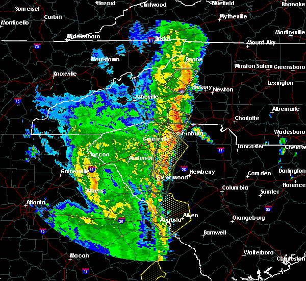 The severe thunderstorm warning for northeastern mcdowell, western caldwell, southeastern avery and northwestern burke counties will expire at 1245 pm edt, the storm which prompted the warning has weakened below severe limits, and no longer poses an immediate threat to life or property. therefore the warning will be allowed to expire. however gusty winds and heavy rain are still possible with this thunderstorm. a tornado watch remains in effect until 700 pm edt for western north carolina. The severe thunderstorm warning for northeastern mcdowell, western caldwell, southeastern avery and northwestern burke counties will expire at 1245 pm edt, the storm which prompted the warning has weakened below severe limits, and no longer poses an immediate threat to life or property. therefore the warning will be allowed to expire. however gusty winds and heavy rain are still possible with this thunderstorm. a tornado watch remains in effect until 700 pm edt for western north carolina.
|
| 4/15/2018 12:25 PM EDT |
 At 1224 pm edt, a severe thunderstorm was located near deep gap, or near rutherwood, moving northeast at 50 mph (radar indicated). Hazards include 60 mph wind gusts and penny size hail. Expect damage to trees and power lines. locations impacted include, morganton, gamewell, blowing rock in caldwell county, glen alpine, table rock, edgemont, collettsville, ashford, patterson and jonas ridge. A tornado watch remains in effect until 700 pm edt for western north carolina. At 1224 pm edt, a severe thunderstorm was located near deep gap, or near rutherwood, moving northeast at 50 mph (radar indicated). Hazards include 60 mph wind gusts and penny size hail. Expect damage to trees and power lines. locations impacted include, morganton, gamewell, blowing rock in caldwell county, glen alpine, table rock, edgemont, collettsville, ashford, patterson and jonas ridge. A tornado watch remains in effect until 700 pm edt for western north carolina.
|
| 4/15/2018 12:00 PM EDT |
 At 1159 am edt, a severe thunderstorm was located 10 miles northwest of morganton, or near table rock, moving northeast at 45 mph (radar indicated). Hazards include 60 mph wind gusts and penny size hail. expect damage to trees and power lines At 1159 am edt, a severe thunderstorm was located 10 miles northwest of morganton, or near table rock, moving northeast at 45 mph (radar indicated). Hazards include 60 mph wind gusts and penny size hail. expect damage to trees and power lines
|
| 10/23/2017 4:44 PM EDT |
 At 443 pm edt, a confirmed tornado was located 8 miles southwest of boomer, or 6 miles east of cedar rock, moving north at 45 mph (public confirmed tornado). Hazards include damaging tornado. Flying debris will be dangerous to those caught without shelter. mobile homes will be damaged or destroyed. damage to roofs, windows, and vehicles will occur. tree damage is likely. This dangerous storm will remain over mainly rural areas of north central catawba, southwestern alexander and southeastern caldwell counties, including the following locations: millersville, northlakes, ellendale and little river in alexander county. At 443 pm edt, a confirmed tornado was located 8 miles southwest of boomer, or 6 miles east of cedar rock, moving north at 45 mph (public confirmed tornado). Hazards include damaging tornado. Flying debris will be dangerous to those caught without shelter. mobile homes will be damaged or destroyed. damage to roofs, windows, and vehicles will occur. tree damage is likely. This dangerous storm will remain over mainly rural areas of north central catawba, southwestern alexander and southeastern caldwell counties, including the following locations: millersville, northlakes, ellendale and little river in alexander county.
|
| 10/23/2017 4:25 PM EDT |
 At 425 pm edt, a confirmed tornado was located 9 miles southwest of hickory, or near icard, moving northeast at 70 mph (public confirmed tornado). Hazards include damaging tornado. Flying debris will be dangerous to those caught without shelter. mobile homes will be damaged or destroyed. damage to roofs, windows, and vehicles will occur. tree damage is likely. the tornado will be near, hickory, rhodhiss, longview, hickory regional airport and granite falls around 430 pm edt. bethlehem, cedar rock and hudson around 440 pm edt. Other locations impacted by this dangerous thunderstorm include millersville, northlakes, ellendale and little river in alexander county. At 425 pm edt, a confirmed tornado was located 9 miles southwest of hickory, or near icard, moving northeast at 70 mph (public confirmed tornado). Hazards include damaging tornado. Flying debris will be dangerous to those caught without shelter. mobile homes will be damaged or destroyed. damage to roofs, windows, and vehicles will occur. tree damage is likely. the tornado will be near, hickory, rhodhiss, longview, hickory regional airport and granite falls around 430 pm edt. bethlehem, cedar rock and hudson around 440 pm edt. Other locations impacted by this dangerous thunderstorm include millersville, northlakes, ellendale and little river in alexander county.
|
| 10/8/2017 6:13 PM EDT |
 At 612 pm edt, a confirmed tornado was located 4 miles northeast of lenoir, or near cedar rock, moving north at 30 mph (fire department confirmed tornado). Hazards include damaging tornado. Flying debris will be dangerous to those caught without shelter. mobile homes will be damaged or destroyed. damage to roofs, windows, and vehicles will occur. tree damage is likely. This dangerous storm will remain over mainly rural areas of northeastern caldwell county, including the following locations: kings creek. At 612 pm edt, a confirmed tornado was located 4 miles northeast of lenoir, or near cedar rock, moving north at 30 mph (fire department confirmed tornado). Hazards include damaging tornado. Flying debris will be dangerous to those caught without shelter. mobile homes will be damaged or destroyed. damage to roofs, windows, and vehicles will occur. tree damage is likely. This dangerous storm will remain over mainly rural areas of northeastern caldwell county, including the following locations: kings creek.
|
| 10/8/2017 5:55 PM EDT |
 At 555 pm edt, a confirmed tornado was located 5 miles south of lenoir, or near hudson, moving north at 30 mph (fire department confirmed tornado). Hazards include damaging tornado. Flying debris will be dangerous to those caught without shelter. mobile homes will be damaged or destroyed. damage to roofs, windows, and vehicles will occur. tree damage is likely. the tornado will be near, lenoir and cedar rock around 610 pm edt. Other locations impacted by this dangerous thunderstorm include kings creek and patterson. At 555 pm edt, a confirmed tornado was located 5 miles south of lenoir, or near hudson, moving north at 30 mph (fire department confirmed tornado). Hazards include damaging tornado. Flying debris will be dangerous to those caught without shelter. mobile homes will be damaged or destroyed. damage to roofs, windows, and vehicles will occur. tree damage is likely. the tornado will be near, lenoir and cedar rock around 610 pm edt. Other locations impacted by this dangerous thunderstorm include kings creek and patterson.
|
| 10/8/2017 5:27 PM EDT |
 At 526 pm edt, a confirmed tornado was located 10 miles southeast of morganton, or 6 miles northeast of south mountains state park, moving north at 30 mph (public confirmed tornado). Hazards include damaging tornado. Flying debris will be dangerous to those caught without shelter. mobile homes will be damaged or destroyed. damage to roofs, windows, and vehicles will occur. tree damage is likely. this tornado will be near, rutherford college, valdese, icard and hildebran around 540 pm edt. lake rhodhiss, connelly springs, granite falls, rhodhiss and longview around 550 pm edt. lenoir, hudson, sawmills, cajah`s mountain and gamewell around 600 pm edt. Other locations impacted by this dangerous storm include northlakes and pleasant grove. At 526 pm edt, a confirmed tornado was located 10 miles southeast of morganton, or 6 miles northeast of south mountains state park, moving north at 30 mph (public confirmed tornado). Hazards include damaging tornado. Flying debris will be dangerous to those caught without shelter. mobile homes will be damaged or destroyed. damage to roofs, windows, and vehicles will occur. tree damage is likely. this tornado will be near, rutherford college, valdese, icard and hildebran around 540 pm edt. lake rhodhiss, connelly springs, granite falls, rhodhiss and longview around 550 pm edt. lenoir, hudson, sawmills, cajah`s mountain and gamewell around 600 pm edt. Other locations impacted by this dangerous storm include northlakes and pleasant grove.
|
| 10/8/2017 5:12 PM EDT |
 At 512 pm edt, a confirmed tornado was located 15 miles southeast of morganton, or near casar, moving north at 30 mph (public confirmed tornado). Hazards include damaging tornado. Flying debris will be dangerous to those caught without shelter. mobile homes will be damaged or destroyed. damage to roofs, windows, and vehicles will occur. tree damage is likely. the tornado will be near, drexel around 540 pm edt. connelly springs, lake rhodhiss, rutherford college, valdese and icard around 550 pm edt. lenoir, hudson, sawmills, cajah`s mountain and granite falls around 600 pm edt. Other locations impacted by this dangerous thunderstorm include northlakes and pleasant grove. At 512 pm edt, a confirmed tornado was located 15 miles southeast of morganton, or near casar, moving north at 30 mph (public confirmed tornado). Hazards include damaging tornado. Flying debris will be dangerous to those caught without shelter. mobile homes will be damaged or destroyed. damage to roofs, windows, and vehicles will occur. tree damage is likely. the tornado will be near, drexel around 540 pm edt. connelly springs, lake rhodhiss, rutherford college, valdese and icard around 550 pm edt. lenoir, hudson, sawmills, cajah`s mountain and granite falls around 600 pm edt. Other locations impacted by this dangerous thunderstorm include northlakes and pleasant grove.
|
| 7/27/2017 3:30 PM EDT | Amateur radio reported several large limbs down on calico rd at us hwy 6 in caldwell county NC, 5.7 miles ENE of Lenoir, NC |
| 7/27/2017 3:30 PM EDT | Social media reported a large limb down on power lines on evans s in caldwell county NC, 2.4 miles N of Lenoir, NC |
| 7/23/2017 1:51 PM EDT |
 At 151 pm edt, severe thunderstorms were located along a line extending from 5 miles west of hickory to 3 miles south of marion, moving east at 35 mph (radar indicated). Hazards include 60 mph wind gusts and quarter size hail. Minor hail damage to vehicles is expected. expect wind damage to trees and power lines. Locations impacted include, hickory, morganton, newton, marion, conover, longview, sawmills, granite falls, valdese and icard. At 151 pm edt, severe thunderstorms were located along a line extending from 5 miles west of hickory to 3 miles south of marion, moving east at 35 mph (radar indicated). Hazards include 60 mph wind gusts and quarter size hail. Minor hail damage to vehicles is expected. expect wind damage to trees and power lines. Locations impacted include, hickory, morganton, newton, marion, conover, longview, sawmills, granite falls, valdese and icard.
|
| 7/23/2017 1:27 PM EDT |
 At 126 pm edt, a cluster of locally severe thunderstorms was oriented along a line extending from 6 miles south of lenoir to 9 miles west of marion, moving east at 35 mph (radar indicated). Hazards include 60 mph wind gusts and quarter size hail. Minor hail damage to vehicles is expected. Expect wind damage to trees and power lines. At 126 pm edt, a cluster of locally severe thunderstorms was oriented along a line extending from 6 miles south of lenoir to 9 miles west of marion, moving east at 35 mph (radar indicated). Hazards include 60 mph wind gusts and quarter size hail. Minor hail damage to vehicles is expected. Expect wind damage to trees and power lines.
|
| 7/23/2017 12:25 PM EDT |
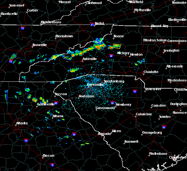 At 1225 pm edt, a severe thunderstorm was located 7 miles northwest of lenoir, moving east at 10 mph (radar indicated). Hazards include 60 mph wind gusts. Expect damage to trees and power lines. Locations impacted include, patterson and lenoir. At 1225 pm edt, a severe thunderstorm was located 7 miles northwest of lenoir, moving east at 10 mph (radar indicated). Hazards include 60 mph wind gusts. Expect damage to trees and power lines. Locations impacted include, patterson and lenoir.
|
| 7/23/2017 12:10 PM EDT |
 At 1210 pm edt, a severe thunderstorm was located 9 miles south of blowing rock, or 8 miles south of blowing rock in caldwell county, moving east at 10 mph (radar indicated). Hazards include 60 mph wind gusts and quarter size hail. Minor hail damage to vehicles is expected. Expect wind damage to trees and power lines. At 1210 pm edt, a severe thunderstorm was located 9 miles south of blowing rock, or 8 miles south of blowing rock in caldwell county, moving east at 10 mph (radar indicated). Hazards include 60 mph wind gusts and quarter size hail. Minor hail damage to vehicles is expected. Expect wind damage to trees and power lines.
|
| 7/22/2017 3:42 PM EDT |
 The severe thunderstorm warning for southern caldwell and central burke counties will expire at 345 pm edt, the storm which prompted the warning has weakened below severe limits, and no longer poses an immediate threat to life or property. therefore the warning will be allowed to expire. The severe thunderstorm warning for southern caldwell and central burke counties will expire at 345 pm edt, the storm which prompted the warning has weakened below severe limits, and no longer poses an immediate threat to life or property. therefore the warning will be allowed to expire.
|
| 7/22/2017 3:30 PM EDT |
 At 329 pm edt, a severe thunderstorm was located 5 miles southwest of lenoir, or near cajah`s mountain, moving southeast at 20 mph. while storm has weakened, some severe winds will be possible for another 15 minutes (radar indicated). Hazards include 60 mph wind gusts. Expect damage to trees and power lines. Locations impacted include, lenoir, sawmills, valdese, gamewell, hudson, cajah`s mountain, drexel, rutherford college, lake rhodhiss and collettsville. At 329 pm edt, a severe thunderstorm was located 5 miles southwest of lenoir, or near cajah`s mountain, moving southeast at 20 mph. while storm has weakened, some severe winds will be possible for another 15 minutes (radar indicated). Hazards include 60 mph wind gusts. Expect damage to trees and power lines. Locations impacted include, lenoir, sawmills, valdese, gamewell, hudson, cajah`s mountain, drexel, rutherford college, lake rhodhiss and collettsville.
|
| 7/22/2017 3:12 PM EDT | Several trees blown down at brown mtn beach campground. quarter size hail was also reporte in caldwell county NC, 11.5 miles E of Lenoir, NC |
| 7/22/2017 3:01 PM EDT |
 At 300 pm edt, a severe thunderstorm was located 10 miles west of lenoir, or 7 miles northeast of table rock, moving southeast at 20 mph (radar indicated). Hazards include 60 mph wind gusts and penny size hail. expect damage to trees and power lines At 300 pm edt, a severe thunderstorm was located 10 miles west of lenoir, or 7 miles northeast of table rock, moving southeast at 20 mph (radar indicated). Hazards include 60 mph wind gusts and penny size hail. expect damage to trees and power lines
|
| 7/18/2017 4:54 PM EDT |
 The severe thunderstorm warning for southern caldwell county will expire at 500 pm edt, the storm which prompted the warning has weakened below severe limits, and no longer poses an immediate threat to life or property. therefore the warning will be allowed to expire. however heavy rain is still possible with this thunderstorm. The severe thunderstorm warning for southern caldwell county will expire at 500 pm edt, the storm which prompted the warning has weakened below severe limits, and no longer poses an immediate threat to life or property. therefore the warning will be allowed to expire. however heavy rain is still possible with this thunderstorm.
|
| 7/18/2017 4:45 PM EDT | Tree down at intersection of pennell st and seehorn s in caldwell county NC, 1.1 miles SSW of Lenoir, NC |
| 7/18/2017 4:42 PM EDT | Quarter sized hail reported 2.7 miles ENE of Lenoir, NC, slightly larger than quarter size hail. |
| 7/18/2017 4:38 PM EDT |
 At 437 pm edt, a severe thunderstorm was located near lenoir, or near gamewell, moving southwest at 10 mph (radar indicated). Hazards include 60 mph wind gusts and quarter size hail. Minor hail damage to vehicles is expected. expect wind damage to trees and power lines. Locations impacted include, lenoir, sawmills, gamewell, hudson, cajah`s mountain, collettsville and lake rhodhiss. At 437 pm edt, a severe thunderstorm was located near lenoir, or near gamewell, moving southwest at 10 mph (radar indicated). Hazards include 60 mph wind gusts and quarter size hail. Minor hail damage to vehicles is expected. expect wind damage to trees and power lines. Locations impacted include, lenoir, sawmills, gamewell, hudson, cajah`s mountain, collettsville and lake rhodhiss.
|
| 7/18/2017 4:37 PM EDT | Half Dollar sized hail reported 0.4 miles NE of Lenoir, NC |
| 7/18/2017 4:34 PM EDT | Ping Pong Ball sized hail reported 1.8 miles SE of Lenoir, NC, spotter reports ping pong size hail knocking tree limbs down and denting cars. |
| 7/18/2017 4:20 PM EDT |
 At 420 pm edt, a severe thunderstorm was located near lenoir, moving west at 10 mph (radar indicated). Hazards include golf ball size hail and 60 mph wind gusts. People and animals outdoors will be injured. expect hail damage to roofs, siding, windows, and vehicles. expect wind damage to trees and power lines. Locations impacted include, lenoir, sawmills, granite falls, gamewell, hudson, cajah`s mountain, rhodhiss, cedar rock, northlakes and collettsville. At 420 pm edt, a severe thunderstorm was located near lenoir, moving west at 10 mph (radar indicated). Hazards include golf ball size hail and 60 mph wind gusts. People and animals outdoors will be injured. expect hail damage to roofs, siding, windows, and vehicles. expect wind damage to trees and power lines. Locations impacted include, lenoir, sawmills, granite falls, gamewell, hudson, cajah`s mountain, rhodhiss, cedar rock, northlakes and collettsville.
|
| 7/18/2017 4:13 PM EDT |
 At 413 pm edt, a severe thunderstorm was located near lenoir, moving southeast at 10 mph (radar indicated). Hazards include 60 mph wind gusts and quarter size hail. Minor hail damage to vehicles is expected. Expect wind damage to trees and power lines. At 413 pm edt, a severe thunderstorm was located near lenoir, moving southeast at 10 mph (radar indicated). Hazards include 60 mph wind gusts and quarter size hail. Minor hail damage to vehicles is expected. Expect wind damage to trees and power lines.
|
| 7/17/2017 7:20 PM EDT |
 The severe thunderstorm warning for southeastern caldwell and burke counties will expire at 730 pm edt, the storm which prompted the warning has weakened below severe limits, and no longer poses an immediate threat to life or property. therefore the warning will be allowed to expire. The severe thunderstorm warning for southeastern caldwell and burke counties will expire at 730 pm edt, the storm which prompted the warning has weakened below severe limits, and no longer poses an immediate threat to life or property. therefore the warning will be allowed to expire.
|
| 7/17/2017 6:43 PM EDT |
 At 643 pm edt, a severe thunderstorm was located 9 miles east of morganton, or over rutherford college, moving west at 15 mph (radar indicated). Hazards include 60 mph wind gusts and quarter size hail. Minor hail damage to vehicles is expected. Expect wind damage to trees and power lines. At 643 pm edt, a severe thunderstorm was located 9 miles east of morganton, or over rutherford college, moving west at 15 mph (radar indicated). Hazards include 60 mph wind gusts and quarter size hail. Minor hail damage to vehicles is expected. Expect wind damage to trees and power lines.
|
| 7/17/2017 6:31 PM EDT |
 At 631 pm edt, a severe thunderstorm was located 6 miles west of hickory, or near icard, moving southwest at 15 mph (radar indicated). Hazards include 60 mph wind gusts and half dollar size hail. Minor hail damage to vehicles is expected. expect wind damage to trees and power lines. Locations impacted include, sawmills, granite falls, valdese, icard, drexel, hildebran, connelly springs, rutherford college, rhodhiss and lake rhodhiss. At 631 pm edt, a severe thunderstorm was located 6 miles west of hickory, or near icard, moving southwest at 15 mph (radar indicated). Hazards include 60 mph wind gusts and half dollar size hail. Minor hail damage to vehicles is expected. expect wind damage to trees and power lines. Locations impacted include, sawmills, granite falls, valdese, icard, drexel, hildebran, connelly springs, rutherford college, rhodhiss and lake rhodhiss.
|
| 7/17/2017 6:09 PM EDT | Lenoir fd reports trees on powerlin in caldwell county NC, 1.5 miles ESE of Lenoir, NC |
| 7/17/2017 6:02 PM EDT |
 At 602 pm edt, a severe thunderstorm was located near hickory, or near lake hickory, moving west at 10 mph (radar indicated). Hazards include 60 mph wind gusts and quarter size hail. Minor hail damage to vehicles is expected. Expect wind damage to trees and power lines. At 602 pm edt, a severe thunderstorm was located near hickory, or near lake hickory, moving west at 10 mph (radar indicated). Hazards include 60 mph wind gusts and quarter size hail. Minor hail damage to vehicles is expected. Expect wind damage to trees and power lines.
|
| 7/14/2017 5:33 PM EDT |
 At 532 pm edt, a severe thunderstorm was located 7 miles northeast of morganton, or near gamewell, moving east at 10 mph (radar indicated). Hazards include 60 mph wind gusts. Expect damage to trees and power lines. Locations impacted include, lenoir, morganton, sawmills, granite falls, valdese, gamewell, hudson, icard, cajah`s mountain and drexel. At 532 pm edt, a severe thunderstorm was located 7 miles northeast of morganton, or near gamewell, moving east at 10 mph (radar indicated). Hazards include 60 mph wind gusts. Expect damage to trees and power lines. Locations impacted include, lenoir, morganton, sawmills, granite falls, valdese, gamewell, hudson, icard, cajah`s mountain and drexel.
|
| 7/14/2017 5:15 PM EDT |
 At 514 pm edt, a severe thunderstorm was located 8 miles northwest of morganton, or near table rock, moving east at 10 mph. other strong thunderstorms in the warned area may become severe at any time, including near gamewell and near marion (radar indicated). Hazards include 60 mph wind gusts and quarter size hail. Minor hail damage to vehicles is expected. Expect wind damage to trees and power lines. At 514 pm edt, a severe thunderstorm was located 8 miles northwest of morganton, or near table rock, moving east at 10 mph. other strong thunderstorms in the warned area may become severe at any time, including near gamewell and near marion (radar indicated). Hazards include 60 mph wind gusts and quarter size hail. Minor hail damage to vehicles is expected. Expect wind damage to trees and power lines.
|
| 7/13/2017 6:27 PM EDT |
 At 626 pm edt, a severe thunderstorm was located 6 miles southwest of hickory, or near hildebran, moving southeast at 10 mph. another severe cell was located very close to the hickory airport (radar indicated). Hazards include 60 mph wind gusts and penny size hail. Expect damage to trees and power lines. locations impacted include, hickory, st. Stephens, longview, granite falls, valdese, bethlehem, icard, hildebran, connelly springs and rutherford college. At 626 pm edt, a severe thunderstorm was located 6 miles southwest of hickory, or near hildebran, moving southeast at 10 mph. another severe cell was located very close to the hickory airport (radar indicated). Hazards include 60 mph wind gusts and penny size hail. Expect damage to trees and power lines. locations impacted include, hickory, st. Stephens, longview, granite falls, valdese, bethlehem, icard, hildebran, connelly springs and rutherford college.
|
| 7/13/2017 6:11 PM EDT |
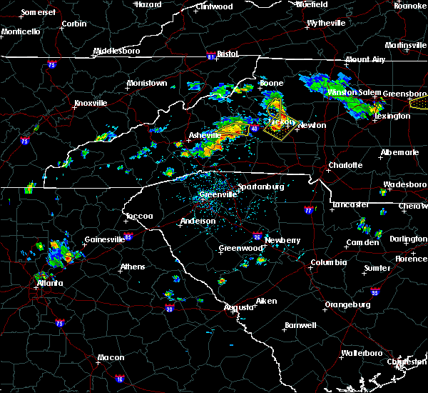 At 611 pm edt, a severe thunderstorm was located 8 miles northeast of lenoir, or near cedar rock, moving southeast at 20 mph (radar indicated). Hazards include 60 mph wind gusts. Expect damage to trees and power lines. Locations impacted include, lenoir, cedar rock, kings creek and patterson. At 611 pm edt, a severe thunderstorm was located 8 miles northeast of lenoir, or near cedar rock, moving southeast at 20 mph (radar indicated). Hazards include 60 mph wind gusts. Expect damage to trees and power lines. Locations impacted include, lenoir, cedar rock, kings creek and patterson.
|
| 7/13/2017 6:06 PM EDT |
 At 605 pm edt, a severe thunderstorm was located 8 miles west of hickory, or near icard, moving east at 10 mph (radar indicated). Hazards include 60 mph wind gusts and penny size hail. expect damage to trees and power lines At 605 pm edt, a severe thunderstorm was located 8 miles west of hickory, or near icard, moving east at 10 mph (radar indicated). Hazards include 60 mph wind gusts and penny size hail. expect damage to trees and power lines
|
| 7/13/2017 5:47 PM EDT |
 At 546 pm edt, a severe thunderstorm was located 8 miles north of lenoir, or 5 miles south of darby, moving east at 20 mph (radar indicated). Hazards include 60 mph wind gusts and quarter size hail. Minor hail damage to vehicles is expected. Expect wind damage to trees and power lines. At 546 pm edt, a severe thunderstorm was located 8 miles north of lenoir, or 5 miles south of darby, moving east at 20 mph (radar indicated). Hazards include 60 mph wind gusts and quarter size hail. Minor hail damage to vehicles is expected. Expect wind damage to trees and power lines.
|
| 7/13/2017 5:20 PM EDT |
 At 520 pm edt, a severe thunderstorm was located 7 miles northwest of lenoir, or 7 miles north of gamewell, moving east at 20 mph (radar indicated). Hazards include 60 mph wind gusts and quarter size hail. Minor hail damage to vehicles is expected. Expect wind damage to trees and power lines. At 520 pm edt, a severe thunderstorm was located 7 miles northwest of lenoir, or 7 miles north of gamewell, moving east at 20 mph (radar indicated). Hazards include 60 mph wind gusts and quarter size hail. Minor hail damage to vehicles is expected. Expect wind damage to trees and power lines.
|
| 7/5/2017 4:11 PM EDT |
 At 410 pm edt, a severe thunderstorm was located near newton, or near conover, moving southeast at 20 mph (trained weather spotters). Hazards include 60 mph wind gusts and up to penny size hail. Expect damage to trees and power lines. locations impacted include, hickory, newton, st. Stephens, conover, longview, granite falls, bethlehem, maiden, icard and hildebran. At 410 pm edt, a severe thunderstorm was located near newton, or near conover, moving southeast at 20 mph (trained weather spotters). Hazards include 60 mph wind gusts and up to penny size hail. Expect damage to trees and power lines. locations impacted include, hickory, newton, st. Stephens, conover, longview, granite falls, bethlehem, maiden, icard and hildebran.
|
| 7/5/2017 3:39 PM EDT |
 At 339 pm edt, a severe thunderstorm was located 4 miles northwest of hickory, or near rhodhiss, moving southeast at 20 mph (radar indicated). Hazards include 60 mph wind gusts and penny size hail. expect damage to trees and power lines At 339 pm edt, a severe thunderstorm was located 4 miles northwest of hickory, or near rhodhiss, moving southeast at 20 mph (radar indicated). Hazards include 60 mph wind gusts and penny size hail. expect damage to trees and power lines
|
| 6/13/2017 3:35 PM EDT | Trees down near intersection of blue creek road and navajo wa in caldwell county NC, 8.8 miles SW of Lenoir, NC |
| 6/13/2017 3:29 PM EDT |
 At 329 pm edt, a severe thunderstorm was located 6 miles northwest of hickory, or over granite falls, moving southeast at 5 mph (radar indicated). Hazards include 60 mph wind gusts and quarter size hail. Minor hail damage to vehicles is expected. expect wind damage to trees and power lines. Locations impacted include, sawmills, granite falls, valdese, hudson, icard, cajah`s mountain, connelly springs, rutherford college, rhodhiss and lake rhodhiss. At 329 pm edt, a severe thunderstorm was located 6 miles northwest of hickory, or over granite falls, moving southeast at 5 mph (radar indicated). Hazards include 60 mph wind gusts and quarter size hail. Minor hail damage to vehicles is expected. expect wind damage to trees and power lines. Locations impacted include, sawmills, granite falls, valdese, hudson, icard, cajah`s mountain, connelly springs, rutherford college, rhodhiss and lake rhodhiss.
|
| 6/13/2017 3:06 PM EDT |
 At 305 pm edt, a severe thunderstorm was located 6 miles south of lenoir, or near sawmills, and is nearly stationary (radar indicated). Hazards include 60 mph wind gusts and quarter size hail. Minor hail damage to vehicles is expected. Expect wind damage to trees and power lines. At 305 pm edt, a severe thunderstorm was located 6 miles south of lenoir, or near sawmills, and is nearly stationary (radar indicated). Hazards include 60 mph wind gusts and quarter size hail. Minor hail damage to vehicles is expected. Expect wind damage to trees and power lines.
|
| 5/28/2017 1:31 AM EDT |
 At 130 am edt, severe thunderstorms were located along a line extending from 5 miles southwest of wilbar to 15 miles south of morganton, moving east at 35 mph (radar indicated). Hazards include 60 mph wind gusts and penny size hail. Expect damage to trees and power lines. Locations impacted include, lenoir, sawmills, granite falls, valdese, gamewell, hudson, icard, cajah`s mountain, drexel and hildebran. At 130 am edt, severe thunderstorms were located along a line extending from 5 miles southwest of wilbar to 15 miles south of morganton, moving east at 35 mph (radar indicated). Hazards include 60 mph wind gusts and penny size hail. Expect damage to trees and power lines. Locations impacted include, lenoir, sawmills, granite falls, valdese, gamewell, hudson, icard, cajah`s mountain, drexel and hildebran.
|
| 5/28/2017 12:55 AM EDT |
 At 1255 am edt, severe thunderstorms were located along a line extending from near sugar grove to 8 miles southwest of marion, moving east at 40 mph (radar indicated). Hazards include 60 mph wind gusts and penny size hail. expect damage to trees and power lines At 1255 am edt, severe thunderstorms were located along a line extending from near sugar grove to 8 miles southwest of marion, moving east at 40 mph (radar indicated). Hazards include 60 mph wind gusts and penny size hail. expect damage to trees and power lines
|
| 5/19/2017 2:27 PM EDT |
 At 227 pm edt, severe thunderstorms were located along a line extending from 12 miles west of boomer to near lenoir to 11 miles north of morganton, moving east at 20 mph (radar indicated). Hazards include 60 mph wind gusts and quarter size hail. Minor hail damage to vehicles is expected. expect wind damage to trees and power lines. Locations impacted include, lenoir, sawmills, granite falls, gamewell, hudson, cajah`s mountain, cedar rock, kings creek, collettsville and patterson. At 227 pm edt, severe thunderstorms were located along a line extending from 12 miles west of boomer to near lenoir to 11 miles north of morganton, moving east at 20 mph (radar indicated). Hazards include 60 mph wind gusts and quarter size hail. Minor hail damage to vehicles is expected. expect wind damage to trees and power lines. Locations impacted include, lenoir, sawmills, granite falls, gamewell, hudson, cajah`s mountain, cedar rock, kings creek, collettsville and patterson.
|
| 5/19/2017 1:57 PM EDT |
 At 157 pm edt, a severe thunderstorm was located 9 miles northwest of lenoir, or 9 miles northwest of gamewell, moving east at 20 mph (radar indicated). Hazards include 60 mph wind gusts and quarter size hail. Minor hail damage to vehicles is expected. Expect wind damage to trees and power lines. At 157 pm edt, a severe thunderstorm was located 9 miles northwest of lenoir, or 9 miles northwest of gamewell, moving east at 20 mph (radar indicated). Hazards include 60 mph wind gusts and quarter size hail. Minor hail damage to vehicles is expected. Expect wind damage to trees and power lines.
|
| 4/6/2017 1:08 AM EDT |
 The severe thunderstorm warning for western catawba, southeastern rutherford, western lincoln, southeastern caldwell, cleveland and southeastern burke counties will expire at 115 am edt, the storms which prompted the warning have moved out of the area. therefore the warning will be allowed to expire. however heavy rain is still possible with these thunderstorms. a severe thunderstorm watch remains in effect until 700 am edt for the piedmont of north carolina. remember, a severe thunderstorm warning still remains in effect for much of northern lincoln and central and eastern catawba counties until 1230 am. The severe thunderstorm warning for western catawba, southeastern rutherford, western lincoln, southeastern caldwell, cleveland and southeastern burke counties will expire at 115 am edt, the storms which prompted the warning have moved out of the area. therefore the warning will be allowed to expire. however heavy rain is still possible with these thunderstorms. a severe thunderstorm watch remains in effect until 700 am edt for the piedmont of north carolina. remember, a severe thunderstorm warning still remains in effect for much of northern lincoln and central and eastern catawba counties until 1230 am.
|
| 4/6/2017 12:48 AM EDT |
 At 1248 am edt, severe thunderstorms were located along a line extending from 3 miles north of lenoir to 11 miles southeast of morganton to 6 miles west of shelby, moving northeast at 75 mph (radar indicated). Hazards include 60 mph wind gusts. Expect damage to trees and minor damage to roofs and siding. Locations impacted include, hickory, shelby, forest city, longview, sawmills, granite falls, valdese, gamewell, boiling springs nc and hudson. At 1248 am edt, severe thunderstorms were located along a line extending from 3 miles north of lenoir to 11 miles southeast of morganton to 6 miles west of shelby, moving northeast at 75 mph (radar indicated). Hazards include 60 mph wind gusts. Expect damage to trees and minor damage to roofs and siding. Locations impacted include, hickory, shelby, forest city, longview, sawmills, granite falls, valdese, gamewell, boiling springs nc and hudson.
|
| 4/6/2017 12:30 AM EDT |
 At 1230 am edt, severe thunderstorms were located along a line extending from 5 miles west of morganton to 13 miles northeast of rutherfordton to 5 miles southwest of forest city, moving northeast at 70 mph (radar indicated). Hazards include 60 mph wind gusts and quarter size hail. Hail damage to vehicles is expected. Expect wind damage to roofs, siding, and trees. At 1230 am edt, severe thunderstorms were located along a line extending from 5 miles west of morganton to 13 miles northeast of rutherfordton to 5 miles southwest of forest city, moving northeast at 70 mph (radar indicated). Hazards include 60 mph wind gusts and quarter size hail. Hail damage to vehicles is expected. Expect wind damage to roofs, siding, and trees.
|
| 3/27/2017 5:36 PM EDT |
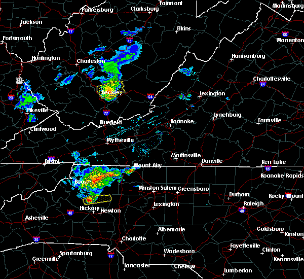 At 536 pm edt, a severe thunderstorm was located 7 miles east of lenoir, or near cedar rock, moving east at 25 mph (radar indicated). Hazards include 60 mph wind gusts and quarter size hail. Hail damage to vehicles is expected. Expect wind damage to roofs, siding, and trees. At 536 pm edt, a severe thunderstorm was located 7 miles east of lenoir, or near cedar rock, moving east at 25 mph (radar indicated). Hazards include 60 mph wind gusts and quarter size hail. Hail damage to vehicles is expected. Expect wind damage to roofs, siding, and trees.
|
| 3/1/2017 4:42 PM EST |
 At 442 pm est, a severe thunderstorm was located near morganton, moving east at 50 mph (radar indicated). Hazards include 60 mph wind gusts and quarter size hail. Hail damage to vehicles is expected. expect wind damage to roofs, siding and trees. Locations impacted include, hickory, morganton, longview, sawmills, granite falls, valdese, hudson, icard, drexel and hildebran. At 442 pm est, a severe thunderstorm was located near morganton, moving east at 50 mph (radar indicated). Hazards include 60 mph wind gusts and quarter size hail. Hail damage to vehicles is expected. expect wind damage to roofs, siding and trees. Locations impacted include, hickory, morganton, longview, sawmills, granite falls, valdese, hudson, icard, drexel and hildebran.
|
| 3/1/2017 4:34 PM EST |
 At 433 pm est, a severe thunderstorm was located 8 miles east of marion, or 5 miles southeast of lake james state park, moving east at 50 mph (radar indicated). Hazards include 60 mph wind gusts and nickel size hail. Expect damage to roofs. Siding and trees. At 433 pm est, a severe thunderstorm was located 8 miles east of marion, or 5 miles southeast of lake james state park, moving east at 50 mph (radar indicated). Hazards include 60 mph wind gusts and nickel size hail. Expect damage to roofs. Siding and trees.
|
| 11/30/2016 5:26 PM EST |
 At 526 pm est, severe thunderstorms were located along a line extending from 8 miles east of taylorsville to 14 miles north of shelby to 8 miles southeast of forest city to 5 miles south of union to 8 miles west of newberry, moving northeast at 55 mph (radar indicated). Hazards include 60 mph wind gusts. Expect damage to roofs. Siding and trees. At 526 pm est, severe thunderstorms were located along a line extending from 8 miles east of taylorsville to 14 miles north of shelby to 8 miles southeast of forest city to 5 miles south of union to 8 miles west of newberry, moving northeast at 55 mph (radar indicated). Hazards include 60 mph wind gusts. Expect damage to roofs. Siding and trees.
|
| 9/29/2016 5:04 PM EDT | Quarter sized hail reported 15.1 miles S of Lenoir, NC |
| 9/28/2016 4:53 PM EDT |
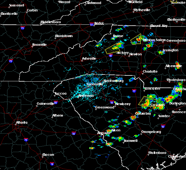 At 453 pm edt, a severe thunderstorm was located 7 miles west of lenoir, or 4 miles northwest of gamewell, moving northeast at 25 mph (radar indicated). Hazards include 60 mph wind gusts and quarter size hail. Hail damage to vehicles is expected. expect wind damage to roofs, siding and trees. Locations impacted include, lenoir, gamewell, hudson, cajah`s mountain, patterson and collettsville. At 453 pm edt, a severe thunderstorm was located 7 miles west of lenoir, or 4 miles northwest of gamewell, moving northeast at 25 mph (radar indicated). Hazards include 60 mph wind gusts and quarter size hail. Hail damage to vehicles is expected. expect wind damage to roofs, siding and trees. Locations impacted include, lenoir, gamewell, hudson, cajah`s mountain, patterson and collettsville.
|
| 9/28/2016 4:34 PM EDT |
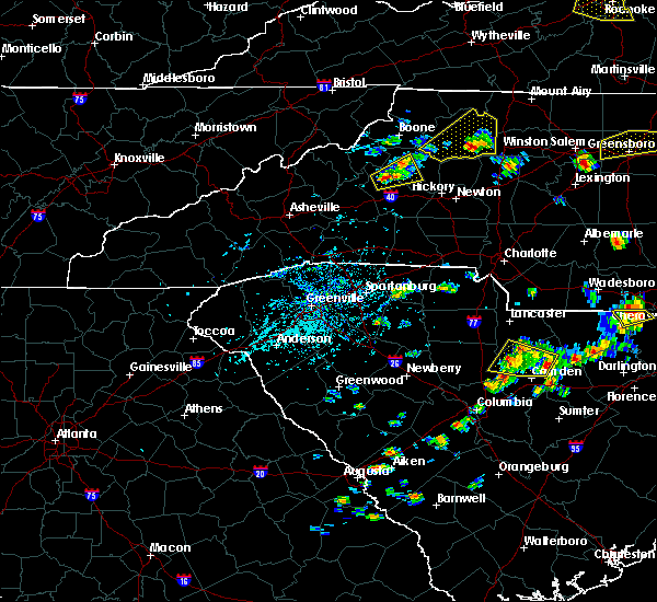 At 433 pm edt, a severe thunderstorm was located 9 miles northwest of morganton, or near table rock, moving east at 25 mph (radar indicated). Hazards include 60 mph wind gusts and quarter size hail. Hail damage to vehicles is expected. Expect wind damage to roofs, siding and trees. At 433 pm edt, a severe thunderstorm was located 9 miles northwest of morganton, or near table rock, moving east at 25 mph (radar indicated). Hazards include 60 mph wind gusts and quarter size hail. Hail damage to vehicles is expected. Expect wind damage to roofs, siding and trees.
|
| 9/28/2016 4:03 PM EDT | Quarter sized hail reported 8.7 miles SSW of Lenoir, NC, broadcast media reported quarter (1") size hail on highland meadows way in lenoir. |
| 9/28/2016 3:55 PM EDT | Quarter sized hail reported 10.3 miles SW of Lenoir, NC, emergency mngr reported quarter (1") size hail on sugar creek rd in lenoir. |
| 9/28/2016 3:42 PM EDT |
 At 342 pm edt, a severe thunderstorm was located 5 miles north of lenoir, or 4 miles northwest of cedar rock, moving northeast at 25 mph (radar indicated). Hazards include 60 mph wind gusts and quarter size hail. Hail damage to vehicles is expected. Expect wind damage to roofs, siding and trees. At 342 pm edt, a severe thunderstorm was located 5 miles north of lenoir, or 4 miles northwest of cedar rock, moving northeast at 25 mph (radar indicated). Hazards include 60 mph wind gusts and quarter size hail. Hail damage to vehicles is expected. Expect wind damage to roofs, siding and trees.
|
| 9/28/2016 3:40 PM EDT | Quarter sized hail reported 8.4 miles SSW of Lenoir, NC, trained spotter reported quarter (1") size hail on bear run in lenoir. |
| 7/16/2016 2:30 PM EDT |
 At 230 pm edt, a severe thunderstorm was located 4 miles south of lenoir, or near cajah`s mountain, moving east at 15 mph (radar indicated). Hazards include 60 mph wind gusts and penny size hail. Expect damage to roofs. siding and trees. Locations impacted include, sawmills, granite falls, valdese, gamewell, hudson, icard, cajah`s mountain, drexel, hildebran and connelly springs. At 230 pm edt, a severe thunderstorm was located 4 miles south of lenoir, or near cajah`s mountain, moving east at 15 mph (radar indicated). Hazards include 60 mph wind gusts and penny size hail. Expect damage to roofs. siding and trees. Locations impacted include, sawmills, granite falls, valdese, gamewell, hudson, icard, cajah`s mountain, drexel, hildebran and connelly springs.
|
| 7/16/2016 2:12 PM EDT |
 At 212 pm edt, a severe thunderstorm was located 7 miles northeast of morganton, or near gamewell, moving east at 15 mph (radar indicated). Hazards include 60 mph wind gusts and penny size hail. Expect damage to roofs. Siding and trees. At 212 pm edt, a severe thunderstorm was located 7 miles northeast of morganton, or near gamewell, moving east at 15 mph (radar indicated). Hazards include 60 mph wind gusts and penny size hail. Expect damage to roofs. Siding and trees.
|
| 7/8/2016 7:52 PM EDT |
 The severe thunderstorm warning for caldwell, burke, eastern mitchell, northwestern catawba, southern yancey, avery, central mcdowell and alexander counties will expire at 800 pm edt, the storms which prompted the warning have weakened below severe limits, and have exited the warned area. therefore the warning will be allowed to expire. however gusty winds are still possible with these thunderstorms. a severe thunderstorm watch remains in effect until midnight edt for the piedmont of and western north carolina. The severe thunderstorm warning for caldwell, burke, eastern mitchell, northwestern catawba, southern yancey, avery, central mcdowell and alexander counties will expire at 800 pm edt, the storms which prompted the warning have weakened below severe limits, and have exited the warned area. therefore the warning will be allowed to expire. however gusty winds are still possible with these thunderstorms. a severe thunderstorm watch remains in effect until midnight edt for the piedmont of and western north carolina.
|
| 7/8/2016 7:41 PM EDT | Many trees and powerlines down at intersection of hartland rd and highway 18 in caldwell county NC, 4.8 miles ENE of Lenoir, NC |
| 7/8/2016 7:25 PM EDT | Many trees and powerlines down along hartland rd and highway 1 in caldwell county NC, 4.8 miles ENE of Lenoir, NC |
| 7/8/2016 7:20 PM EDT | Multiple trees down near mobile home park along calico rd and hartland r in caldwell county NC, 4.8 miles ENE of Lenoir, NC |
| 7/8/2016 7:18 PM EDT |
 At 718 pm edt, severe thunderstorms were located along a line extending from 5 miles north of beech mountain to 6 miles north of spruce pine to 3 miles west of burnsville, moving east at 55 mph (radar indicated). Hazards include 70 mph wind gusts. Expect considerable tree damage. Damage is likely to mobile homes, roofs and outbuildings. At 718 pm edt, severe thunderstorms were located along a line extending from 5 miles north of beech mountain to 6 miles north of spruce pine to 3 miles west of burnsville, moving east at 55 mph (radar indicated). Hazards include 70 mph wind gusts. Expect considerable tree damage. Damage is likely to mobile homes, roofs and outbuildings.
|
| 7/8/2016 7:17 PM EDT | Turtle dove rd in caldwell county NC, 4.8 miles ENE of Lenoir, NC |
| 7/8/2016 7:17 PM EDT | Turtle dove rd in caldwell county NC, 4.8 miles ENE of Lenoir, NC |
| 7/8/2016 7:10 PM EDT | Tree blocking both lanes of hwy 321 in caldwell county SC, 6.2 miles SSE of Lenoir, NC |
| 7/8/2016 7:02 PM EDT |
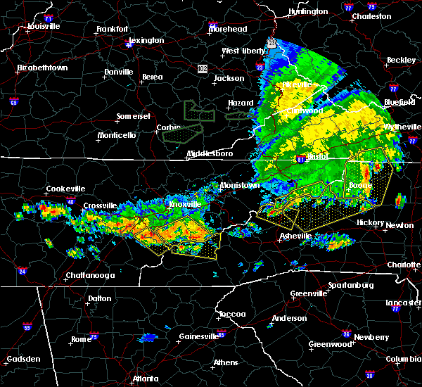 At 701 pm edt, severe thunderstorms were located along a line extending from 12 miles east of erwin to 12 miles northeast of marshall, moving southeast at 30 mph (radar indicated). Hazards include 70 mph wind gusts and penny size hail. Expect considerable tree damage. damage is likely to mobile homes, roofs and outbuildings. Locations impacted include, spruce pine, burnsville, newland, banner elk, elk park, bakersville, beech mountain in avery county, crossnore, sugar mountain and seven devils. At 701 pm edt, severe thunderstorms were located along a line extending from 12 miles east of erwin to 12 miles northeast of marshall, moving southeast at 30 mph (radar indicated). Hazards include 70 mph wind gusts and penny size hail. Expect considerable tree damage. damage is likely to mobile homes, roofs and outbuildings. Locations impacted include, spruce pine, burnsville, newland, banner elk, elk park, bakersville, beech mountain in avery county, crossnore, sugar mountain and seven devils.
|
| 7/8/2016 6:30 PM EDT |
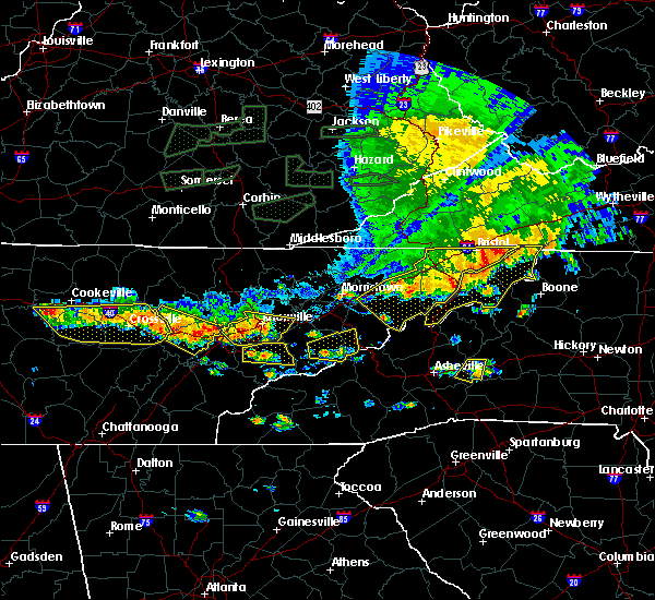 At 629 pm edt, severe thunderstorms were located along a line extending from 9 miles west of mountain city to 6 miles northeast of erwin to 9 miles south of greeneville, moving east at 55 mph (radar indicated). Hazards include 70 mph wind gusts and penny size hail. Expect considerable tree damage. Damage is likely to mobile homes, roofs and outbuildings. At 629 pm edt, severe thunderstorms were located along a line extending from 9 miles west of mountain city to 6 miles northeast of erwin to 9 miles south of greeneville, moving east at 55 mph (radar indicated). Hazards include 70 mph wind gusts and penny size hail. Expect considerable tree damage. Damage is likely to mobile homes, roofs and outbuildings.
|
| 7/5/2016 2:53 PM EDT |
 At 252 pm edt, a severe thunderstorm was located 7 miles south of lenoir, or near lake rhodhiss, moving east at 35 mph (radar indicated). Hazards include 60 mph wind gusts and penny size hail. Expect damage to roofs. Siding and trees. At 252 pm edt, a severe thunderstorm was located 7 miles south of lenoir, or near lake rhodhiss, moving east at 35 mph (radar indicated). Hazards include 60 mph wind gusts and penny size hail. Expect damage to roofs. Siding and trees.
|
| 6/30/2016 9:40 PM EDT |
 At 939 pm edt, doppler radar indicated a severe thunderstorm capable of producing damaging winds in excess of 60 mph. this storm was located 5 miles southwest of taylorsville, or near bethlehem, moving southeast at 20 mph. nickel size hail may also accompany the damaging winds. locations impacted include, taylorsville, bethlehem, cedar rock, lake hickory, patterson, little river in alexander county, vashti, northlakes, millersville and kings creek. At 939 pm edt, doppler radar indicated a severe thunderstorm capable of producing damaging winds in excess of 60 mph. this storm was located 5 miles southwest of taylorsville, or near bethlehem, moving southeast at 20 mph. nickel size hail may also accompany the damaging winds. locations impacted include, taylorsville, bethlehem, cedar rock, lake hickory, patterson, little river in alexander county, vashti, northlakes, millersville and kings creek.
|
| 6/30/2016 9:11 PM EDT |
 At 910 pm edt, doppler radar indicated a line of severe thunderstorms capable of producing damaging winds in excess of 60 mph. these storms were located along a line extending from boomer to near taylorsville to 7 miles east of lenoir, moving east at 25 mph. penny size hail may also accompany the damaging winds. locations impacted include, taylorsville, bethlehem, cedar rock, lake hickory, patterson, little river in alexander county, vashti, northlakes, millersville and kings creek. At 910 pm edt, doppler radar indicated a line of severe thunderstorms capable of producing damaging winds in excess of 60 mph. these storms were located along a line extending from boomer to near taylorsville to 7 miles east of lenoir, moving east at 25 mph. penny size hail may also accompany the damaging winds. locations impacted include, taylorsville, bethlehem, cedar rock, lake hickory, patterson, little river in alexander county, vashti, northlakes, millersville and kings creek.
|
| 6/30/2016 8:43 PM EDT |
 At 842 pm edt, doppler radar indicated a line of severe thunderstorms capable of producing damaging winds in excess of 60 mph. these storms were located along a line extending from 4 miles west of boomer to 8 miles northwest of taylorsville to near lenoir, and moving southeast at 15 mph. penny size hail may also accompany the damaging winds. At 842 pm edt, doppler radar indicated a line of severe thunderstorms capable of producing damaging winds in excess of 60 mph. these storms were located along a line extending from 4 miles west of boomer to 8 miles northwest of taylorsville to near lenoir, and moving southeast at 15 mph. penny size hail may also accompany the damaging winds.
|
| 6/1/2016 2:46 PM EDT | A few trees down from severe wind gus in caldwell county NC, 4.5 miles N of Lenoir, NC |
| 6/1/2016 2:38 PM EDT |
 At 237 pm edt, a severe thunderstorm was located near lenoir, or near gamewell, moving southeast at 5 mph (radar indicated). Hazards include 60 mph wind gusts and quarter size hail. Hail damage to vehicles is expected. Expect wind damage to roofs, siding and trees. At 237 pm edt, a severe thunderstorm was located near lenoir, or near gamewell, moving southeast at 5 mph (radar indicated). Hazards include 60 mph wind gusts and quarter size hail. Hail damage to vehicles is expected. Expect wind damage to roofs, siding and trees.
|
| 2/24/2016 11:06 AM EST |
 At 1105 am est, doppler radar indicated a severe thunderstorm with a history of producing damaging winds in excess of 60 mph. this storm was located 12 miles north of shelby, or near belwood, and moving northeast at 55 mph. * locations in the warning include, hickory, taylorsville, st. stephens, conover, longview, granite falls, bethlehem, icard, hildebran and connelly springs. At 1105 am est, doppler radar indicated a severe thunderstorm with a history of producing damaging winds in excess of 60 mph. this storm was located 12 miles north of shelby, or near belwood, and moving northeast at 55 mph. * locations in the warning include, hickory, taylorsville, st. stephens, conover, longview, granite falls, bethlehem, icard, hildebran and connelly springs.
|
| 9/4/2015 9:09 PM EDT | Quarter sized hail reported 6.6 miles ENE of Lenoir, NC, quarter hail damaged amateur radio antenna. |
| 9/4/2015 8:23 PM EDT |
 At 823 pm edt, doppler radar indicated a severe thunderstorm capable of producing quarter size hail and damaging winds in excess of 60 mph. this storm was located near hickory, or near lake hickory, moving southwest at 10 mph. locations impacted include, hickory, st. stephens, longview, sawmills, granite falls, hildebran, rhodhiss, hickory regional airport, lake hickory and mountain view. At 823 pm edt, doppler radar indicated a severe thunderstorm capable of producing quarter size hail and damaging winds in excess of 60 mph. this storm was located near hickory, or near lake hickory, moving southwest at 10 mph. locations impacted include, hickory, st. stephens, longview, sawmills, granite falls, hildebran, rhodhiss, hickory regional airport, lake hickory and mountain view.
|
| 9/4/2015 8:01 PM EDT |
 At 801 pm edt, doppler radar indicated a severe thunderstorm capable of producing quarter size hail and damaging winds in excess of 60 mph. this storm was located 5 miles north of hickory, or over bethlehem, and moving southwest at 10 mph. * locations in the warning include, hickory, st. stephens, longview, sawmills, granite falls, bethlehem, hildebran, rhodhiss, hickory regional airport and lake hickory. At 801 pm edt, doppler radar indicated a severe thunderstorm capable of producing quarter size hail and damaging winds in excess of 60 mph. this storm was located 5 miles north of hickory, or over bethlehem, and moving southwest at 10 mph. * locations in the warning include, hickory, st. stephens, longview, sawmills, granite falls, bethlehem, hildebran, rhodhiss, hickory regional airport and lake hickory.
|
| 8/14/2015 6:22 PM EDT |
 At 621 pm edt, doppler radar indicated a severe thunderstorm capable of producing damaging winds in excess of 60 mph. this storm was located 8 miles east of lenoir, or 5 miles north of granite falls. this storm was nearly stationary. locations impacted include, sawmills, bethlehem, hudson, cajahs mountain, cedar rock, lake hickory, ellendale, little river in alexander county, granite falls and lenoir. At 621 pm edt, doppler radar indicated a severe thunderstorm capable of producing damaging winds in excess of 60 mph. this storm was located 8 miles east of lenoir, or 5 miles north of granite falls. this storm was nearly stationary. locations impacted include, sawmills, bethlehem, hudson, cajahs mountain, cedar rock, lake hickory, ellendale, little river in alexander county, granite falls and lenoir.
|
| 8/14/2015 6:10 PM EDT | Tree down on west av in caldwell county NC, 1.4 miles SE of Lenoir, NC |
| 8/14/2015 5:58 PM EDT |
 At 557 pm edt, doppler radar indicated a severe thunderstorm capable of producing quarter size hail and damaging winds in excess of 60 mph. this storm was located 6 miles east of lenoir, or near hudson, and moving east at 10 mph. * locations in the warning include, sawmills, bethlehem, hudson, cajahs mountain, cedar rock, lake hickory, ellendale, little river in alexander county, and granite falls. At 557 pm edt, doppler radar indicated a severe thunderstorm capable of producing quarter size hail and damaging winds in excess of 60 mph. this storm was located 6 miles east of lenoir, or near hudson, and moving east at 10 mph. * locations in the warning include, sawmills, bethlehem, hudson, cajahs mountain, cedar rock, lake hickory, ellendale, little river in alexander county, and granite falls.
|
| 7/23/2015 3:08 PM EDT |
 At 308 pm edt, doppler radar indicated a severe thunderstorm capable of producing damaging winds in excess of 60 mph. this storm was located 8 miles southeast of blowing rock, or near darby, and moving east at 25 mph. * locations in the warning include, taylorsville, vashti, kings creek, ellendale, patterson and cedar rock. At 308 pm edt, doppler radar indicated a severe thunderstorm capable of producing damaging winds in excess of 60 mph. this storm was located 8 miles southeast of blowing rock, or near darby, and moving east at 25 mph. * locations in the warning include, taylorsville, vashti, kings creek, ellendale, patterson and cedar rock.
|
| 7/13/2015 8:36 PM EDT |
 The severe thunderstorm warning for southeastern caldwell, burke, northeastern rutherford, western catawba, northwestern iredell, southern mcdowell and alexander counties will expire at 845 pm edt, the line of storms which prompted the warning have moved out of the area. therefore the warning will be allowed to expire. The severe thunderstorm warning for southeastern caldwell, burke, northeastern rutherford, western catawba, northwestern iredell, southern mcdowell and alexander counties will expire at 845 pm edt, the line of storms which prompted the warning have moved out of the area. therefore the warning will be allowed to expire.
|
| 7/13/2015 8:06 PM EDT |
 At 805 pm edt, doppler radar indicated a line of showers and thunderstorms with a history of producing damaging winds in excess of 60 mph. these storms were located along a line extending from 5 miles north of north wilkesboro to 5 miles north of morganton to 9 miles west of downtown asheville, and moving southeast at 25 mph. At 805 pm edt, doppler radar indicated a line of showers and thunderstorms with a history of producing damaging winds in excess of 60 mph. these storms were located along a line extending from 5 miles north of north wilkesboro to 5 miles north of morganton to 9 miles west of downtown asheville, and moving southeast at 25 mph.
|
| 7/13/2015 8:00 PM EDT | Trees down sw central d in caldwell county NC, 0.5 miles SE of Lenoir, NC |
| 7/13/2015 7:35 PM EDT |
 At 734 pm edt, doppler radar indicated a line of severe thunderstorms with a history of producing damaging winds in excess of 60 mph. these storms were located along a line extending from 4 miles south of deep gap to 3 miles northeast of spruce pine to 6 miles west of marshall, moving southeast at 40 mph. penny size hail may also accompany the damaging winds. locations impacted include, lenoir, spruce pine, burnsville, marshall, newland, beech mountain, gamewell, cajah`s mountain, mars hill and banner elk. At 734 pm edt, doppler radar indicated a line of severe thunderstorms with a history of producing damaging winds in excess of 60 mph. these storms were located along a line extending from 4 miles south of deep gap to 3 miles northeast of spruce pine to 6 miles west of marshall, moving southeast at 40 mph. penny size hail may also accompany the damaging winds. locations impacted include, lenoir, spruce pine, burnsville, marshall, newland, beech mountain, gamewell, cajah`s mountain, mars hill and banner elk.
|
| 7/13/2015 6:59 PM EDT |
 At 657 pm edt, doppler radar indicated a line of severe thunderstorms capable of producing damaging winds in excess of 60 mph. these storms were located along a line extending from near whitetop to 9 miles northwest of beech mountain to 11 miles east of morristown, and moving southeast at 30 mph. nickel size hail may also accompany the damaging winds. At 657 pm edt, doppler radar indicated a line of severe thunderstorms capable of producing damaging winds in excess of 60 mph. these storms were located along a line extending from near whitetop to 9 miles northwest of beech mountain to 11 miles east of morristown, and moving southeast at 30 mph. nickel size hail may also accompany the damaging winds.
|
| 6/19/2015 3:45 PM EDT |
 At 345 pm edt, doppler radar indicated a severe thunderstorm capable of producing quarter size hail and damaging winds in excess of 60 mph. this storm was located 6 miles east of lenoir, or 4 miles northeast of hudson, moving east at 30 mph. locations impacted include, hickory, taylorsville, st. stephens, conover, longview, sawmills, granite falls, bethlehem, hudson and stony point. At 345 pm edt, doppler radar indicated a severe thunderstorm capable of producing quarter size hail and damaging winds in excess of 60 mph. this storm was located 6 miles east of lenoir, or 4 miles northeast of hudson, moving east at 30 mph. locations impacted include, hickory, taylorsville, st. stephens, conover, longview, sawmills, granite falls, bethlehem, hudson and stony point.
|
| 6/19/2015 3:27 PM EDT |
 At 326 pm edt, doppler radar indicated a severe thunderstorm capable of producing quarter size hail and damaging winds in excess of 60 mph. this storm was located 8 miles south of lenoir, or near sawmills, and moving east at 35 mph. At 326 pm edt, doppler radar indicated a severe thunderstorm capable of producing quarter size hail and damaging winds in excess of 60 mph. this storm was located 8 miles south of lenoir, or near sawmills, and moving east at 35 mph.
|
| 6/19/2015 2:29 PM EDT |
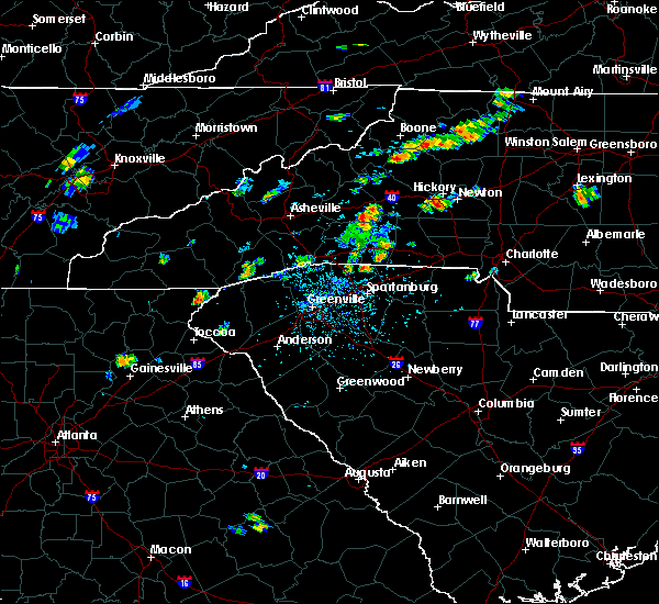 At 228 pm edt, doppler radar indicated a severe thunderstorm capable of producing damaging winds in excess of 60 mph. this storm was located 7 miles south of blowing rock, moving east at 15 mph. penny size hail may also accompany the damaging winds. locations impacted include, patterson, edgemont, upton, globe and lenoir. At 228 pm edt, doppler radar indicated a severe thunderstorm capable of producing damaging winds in excess of 60 mph. this storm was located 7 miles south of blowing rock, moving east at 15 mph. penny size hail may also accompany the damaging winds. locations impacted include, patterson, edgemont, upton, globe and lenoir.
|
| 6/19/2015 2:13 PM EDT |
 At 212 pm edt, doppler radar indicated a severe thunderstorm capable of producing damaging winds in excess of 60 mph. this storm was located 6 miles south of blowing rock, and moving east at 10 mph. penny size hail may also accompany the damaging winds. At 212 pm edt, doppler radar indicated a severe thunderstorm capable of producing damaging winds in excess of 60 mph. this storm was located 6 miles south of blowing rock, and moving east at 10 mph. penny size hail may also accompany the damaging winds.
|
| 4/9/2015 4:02 PM EDT | A severe thunderstorm warning remains in effect until 430 pm edt for caldwell and northwestern burke counties. at 402 pm edt. doppler radar indicated a severe thunderstorm capable of producing quarter size hail and damaging winds in excess of 60 mph. this storm was located 11 miles northwest of morganton. or 8 miles southeast of linville falls. Moving northeast at 20 mph. |
| 4/9/2015 3:38 PM EDT | The national weather service in greenville-spartanburg has issued a * severe thunderstorm warning for. caldwell county in western north carolina. northwestern burke county in western north carolina. until 430 pm edt * at 338 pm edt. Doppler radar indicated a severe thunderstorm. |
| 6/13/2014 6:50 PM EDT | Multiple trees and power lines down on hickory blvd and barcose street in lenoir are in caldwell county NC, 1 miles NNW of Lenoir, NC |
| 7/20/2013 1:14 PM EDT | 1 tree down in lenoir in caldwell county NC, 0.4 miles NW of Lenoir, NC |
| 7/12/2013 9:10 PM EDT | Half Dollar sized hail reported 0.5 miles SE of Lenoir, NC, half dollar size hail reported in lenoir. |
| 6/25/2013 2:59 PM EDT | A couple trees were down along walt arney rd on the south side of lenoi in caldwell county NC, 2.4 miles N of Lenoir, NC |
| 5/22/2013 2:35 PM EDT | Tree across overlook d in caldwell county NC, 1.3 miles NE of Lenoir, NC |
| 5/22/2013 2:35 PM EDT | Tree on house on spainhour s in caldwell county NC, 0.9 miles ESE of Lenoir, NC |
| 9/28/2012 2:29 PM EDT | County comms reports a power line down in the wildwood rd are in caldwell county NC, 2.8 miles SSW of Lenoir, NC |
| 7/22/2012 2:08 PM EDT | Trees and utility lines down blocking at least one roa in caldwell county NC, 0.5 miles SE of Lenoir, NC |
| 7/1/2012 5:02 PM EDT | Quarter sized hail reported 0.5 miles SE of Lenoir, NC |
| 7/1/2012 4:30 PM EDT | Quarter sized hail reported 0.5 miles SE of Lenoir, NC |
| 7/1/2012 4:11 PM EDT | Golf Ball sized hail reported 5.7 miles SE of Lenoir, NC, time based from radar. |
| 6/30/2012 6:10 PM EDT | Quarter sized hail reported 16.4 miles SSE of Lenoir, NC, a few quarter size hailstones were mixed in with dime dize hail on blackberry lane. hail lasted until 620 pm. |
| 6/30/2012 6:09 PM EDT | Ping Pong Ball sized hail reported 16.4 miles SSE of Lenoir, NC, reported by watauga county road conditions facebook page in blackberry area. |
| 6/22/2012 1:15 PM EDT | Quarter sized hail reported 2 miles SSW of Lenoir, NC, nickle to quarter size hail |
| 6/22/2012 1:13 PM EDT | Half Dollar sized hail reported 1.8 miles SW of Lenoir, NC, at the intersection of wilkesboro blvd and taylorsville rd |
| 4/30/2012 7:40 PM EDT | Ping Pong Ball sized hail reported 10.8 miles SSE of Lenoir, NC, observed off of kirby mtn rd. |
| 1/1/0001 12:00 AM | Large branches broken.report received through the public observation progra in caldwell county NC, 0.5 miles SE of Lenoir, NC |
| 1/1/0001 12:00 AM | Trees and limbs down. others in little river and sawmill communitie in caldwell county SC, 6.2 miles SSE of Lenoir, NC |
| 1/1/0001 12:00 AM | Quarter sized hail reported 7.6 miles SW of Lenoir, NC, hail quarter to half dollar sized. |
| 1/1/0001 12:00 AM | Tree on a house on hemlock dr ne in caldwell county NC, 2 miles SSW of Lenoir, NC |
| 1/1/0001 12:00 AM | Quarter sized hail reported 0.5 miles SE of Lenoir, NC |
| 1/1/0001 12:00 AM | Quarter sized hail reported 12.2 miles SSE of Lenoir, NC, hail as large as quarters covered the deck halfway between patterson and blowing rock at old trading post store. |
| 1/1/0001 12:00 AM | Roof collapse in caldwell county NC, 0.5 miles SE of Lenoir, NC |
| 1/1/0001 12:00 AM | Multiple trees down in the roadway along abington road near angel lane. one of the trees is on a hous in caldwell county NC, 4.6 miles ESE of Lenoir, NC |
| 1/1/0001 12:00 AM | A few trees dow in caldwell county NC, 8.2 miles SSE of Lenoir, NC |
Hail Maps for Lenoir, NC


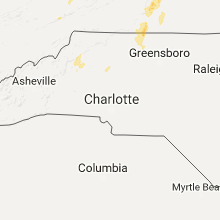


Connect with Interactive Hail Maps