

Hail Map for Likely, CA
The Likely, CA area has had 0 reports of on-the-ground hail by trained spotters, and has been under severe weather warnings 2 times during the past 12 months. Doppler radar has detected hail at or near Likely, CA on 3 occasions.
| Name: | Likely, CA |
| Where Located: | 66.9 miles S of Lakeview, OR |
| Map: | Google Map for Likely, CA |
| Population: | 63 |
| Housing Units: | 46 |
| More Info: | Search Google for Likely, CA |
0
The Top Recent Hail Date for Likely, CA is Wednesday, June 24, 2020 (2nd out of 3)

Hail and Wind Damage Spotted near Likely, CA
| Date / Time | Report Details |
|---|---|
| 7/29/2025 4:43 PM PDT |
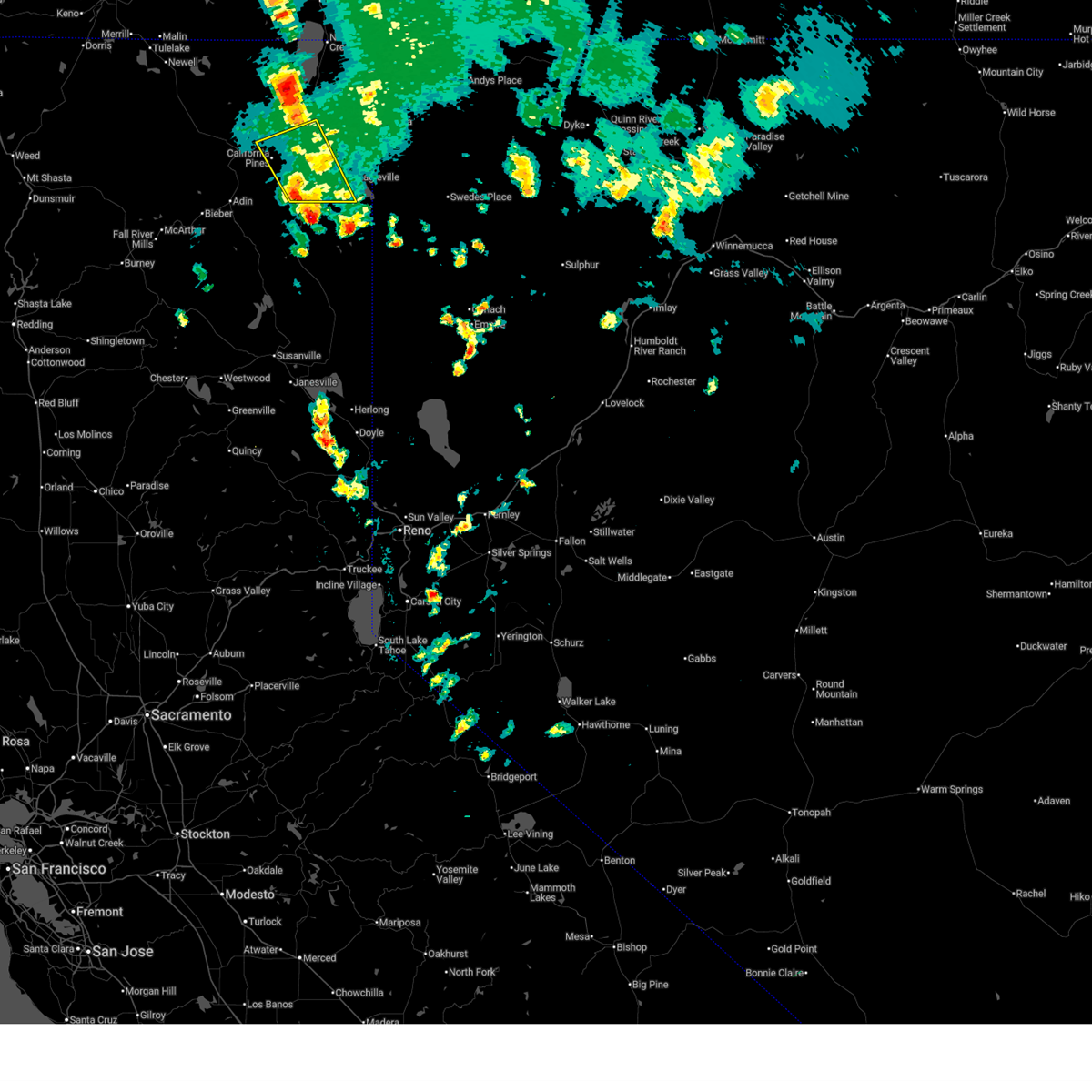 the severe thunderstorm warning has been cancelled and is no longer in effect the severe thunderstorm warning has been cancelled and is no longer in effect
|
| 7/29/2025 4:06 PM PDT |
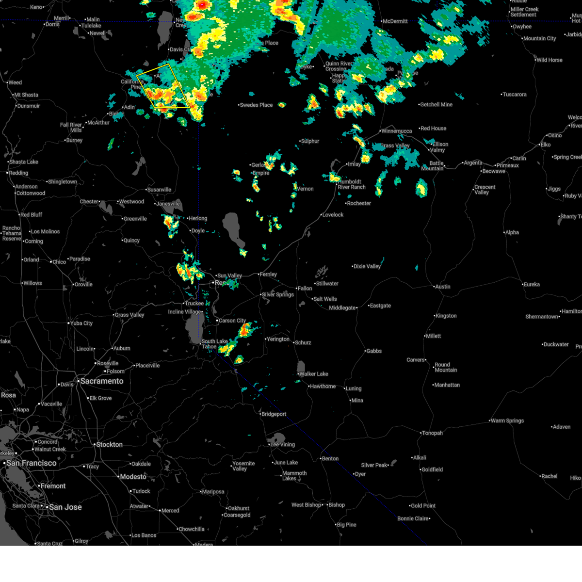 Svrmfr the national weather service in medford has issued a * severe thunderstorm warning for, southeastern modoc county in northern california, * until 500 pm pdt. * at 406 pm pdt, a severe thunderstorm was located near soup spring campground, or 12 miles southeast of alturas, moving northwest at 20 mph (radar indicated). Hazards include 60 mph wind gusts and quarter size hail. Hail damage to vehicles is expected. Expect wind damage to roofs, siding, and trees. Svrmfr the national weather service in medford has issued a * severe thunderstorm warning for, southeastern modoc county in northern california, * until 500 pm pdt. * at 406 pm pdt, a severe thunderstorm was located near soup spring campground, or 12 miles southeast of alturas, moving northwest at 20 mph (radar indicated). Hazards include 60 mph wind gusts and quarter size hail. Hail damage to vehicles is expected. Expect wind damage to roofs, siding, and trees.
|
| 6/1/2012 7:11 PM PDT | Power lines down due to wind near l in modoc county CA, 0.2 miles SW of Likely, CA |
| 4/23/2012 5:59 PM PDT | At blue door raws. el. 5615ft. occurred during previous hou in lassen county CA, 15.5 miles NW of Likely, CA |
Hail Maps for Likely, CA


Connect with Interactive Hail Maps