

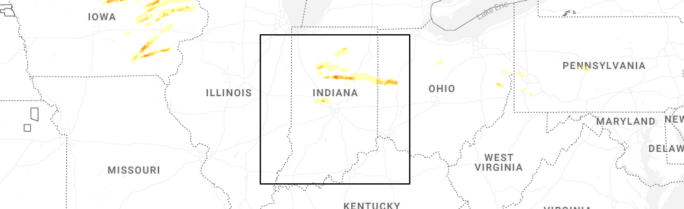
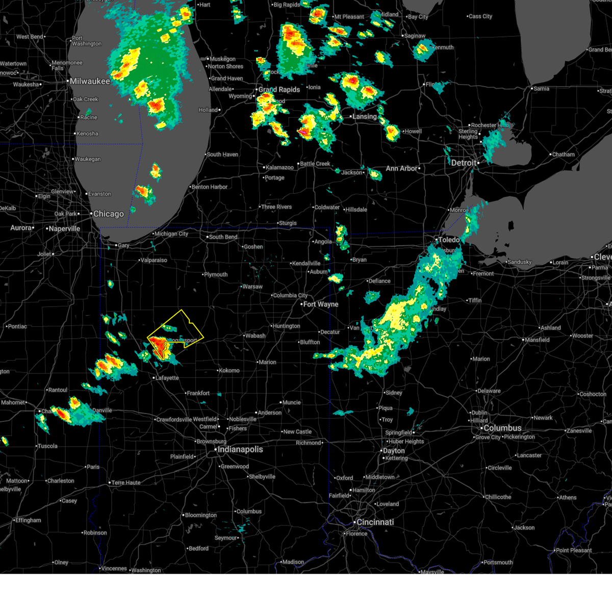
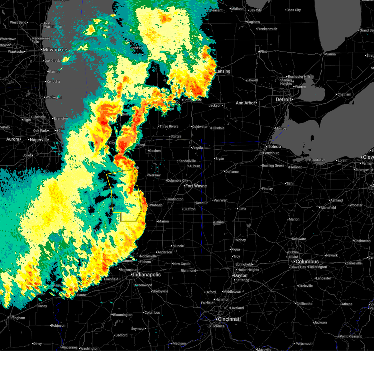
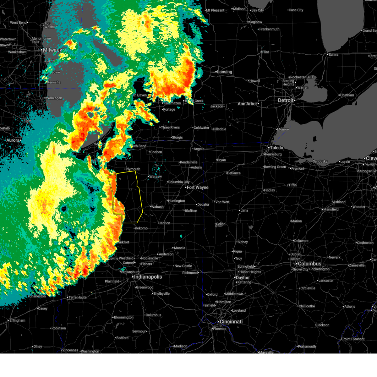
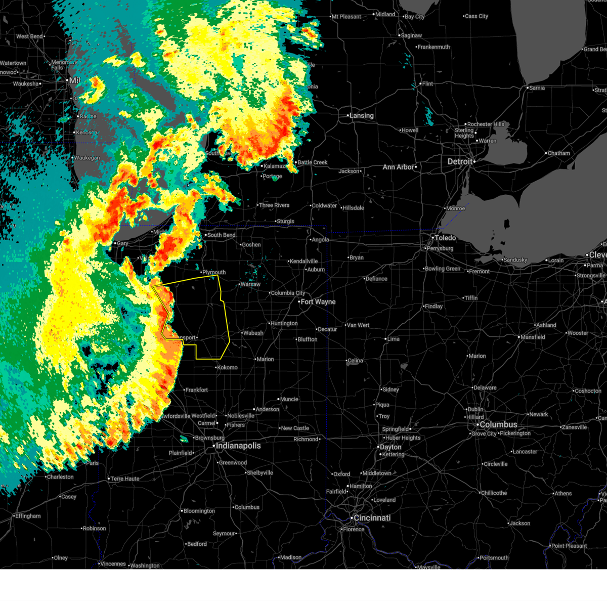
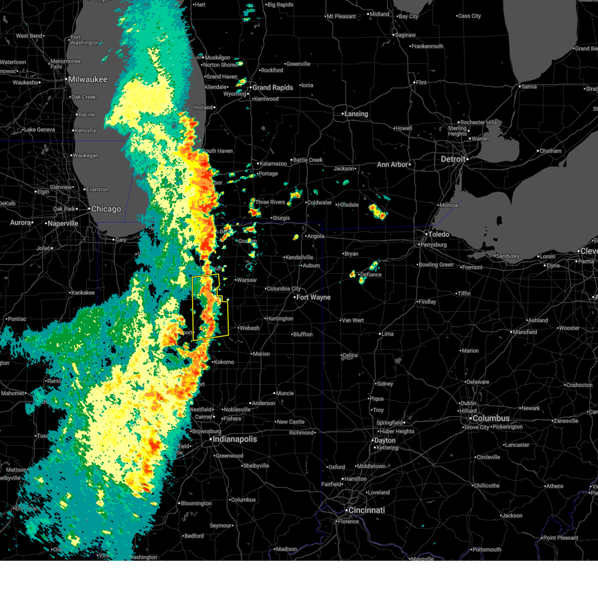
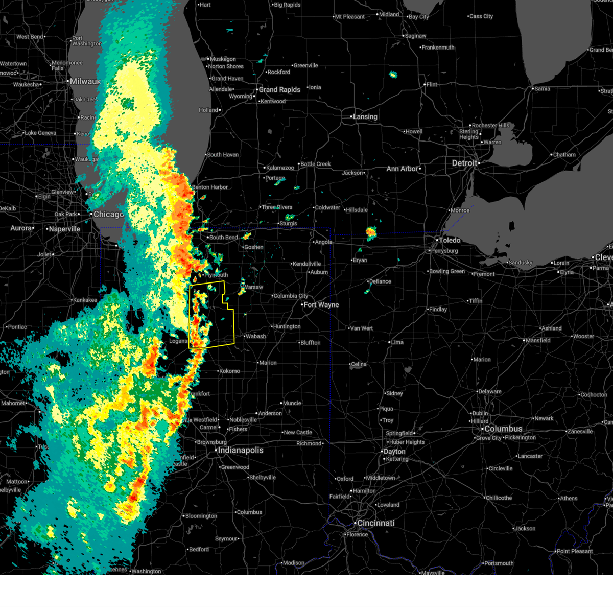
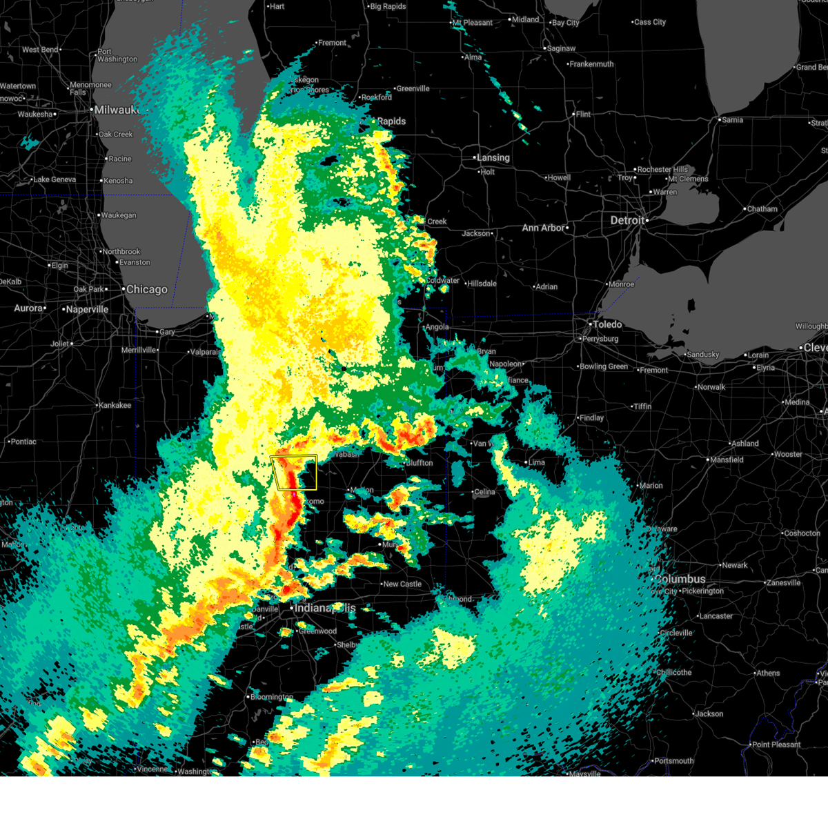
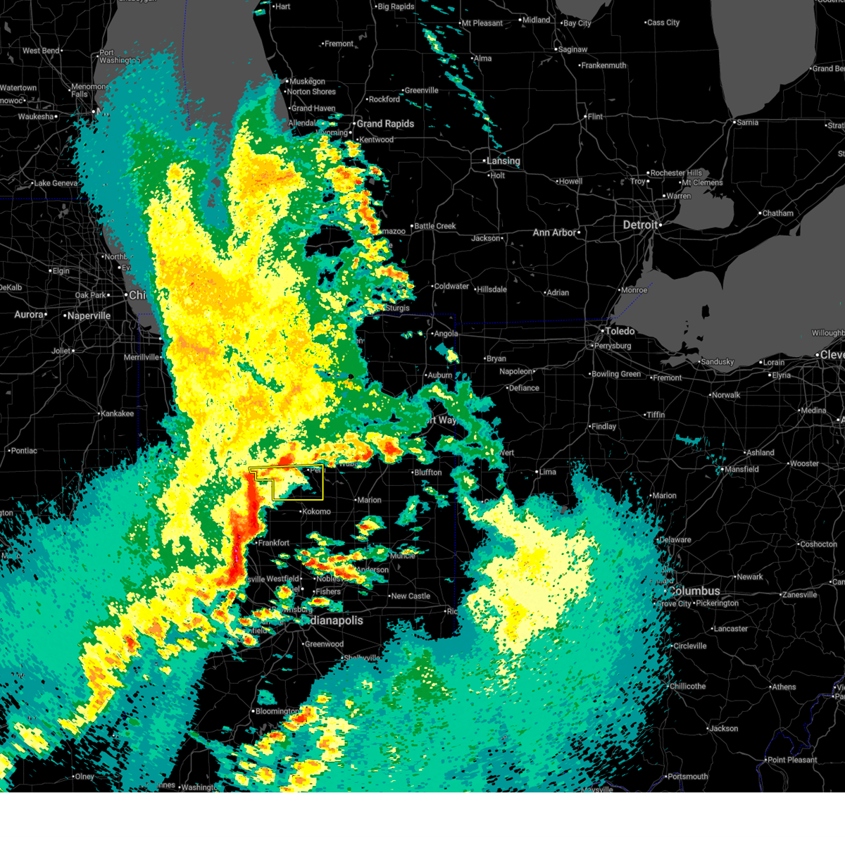
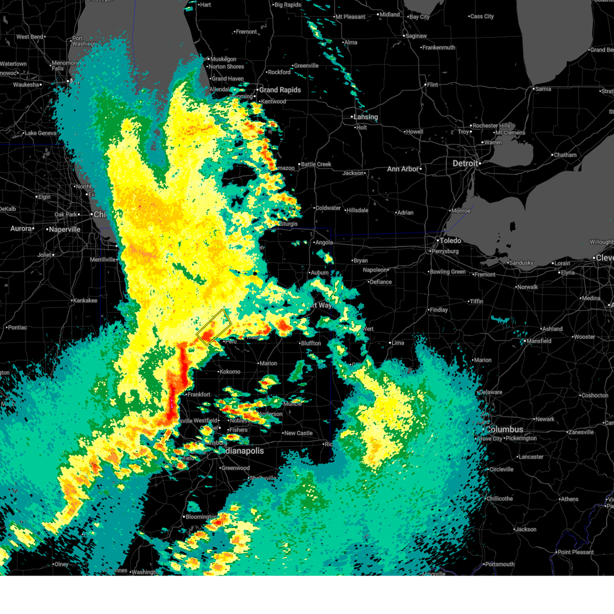
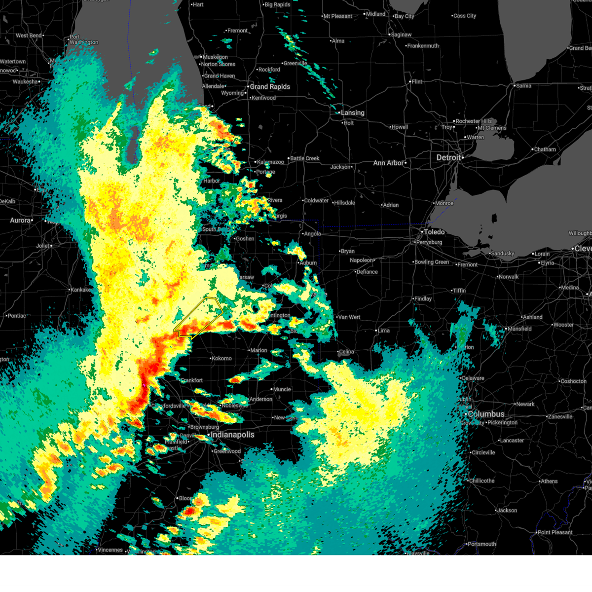
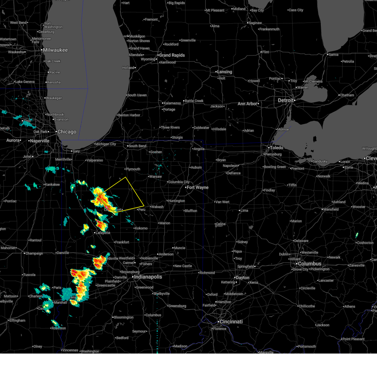
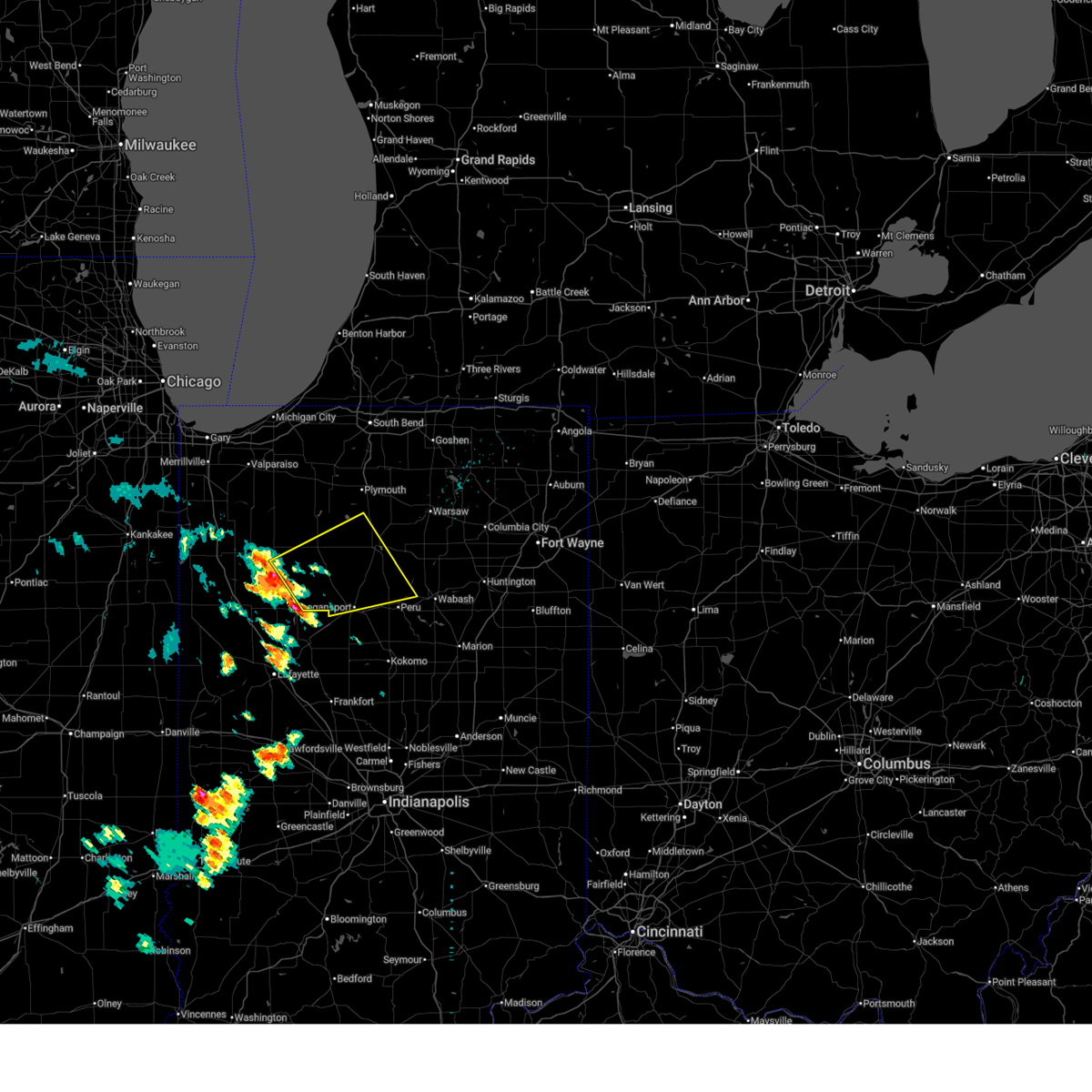
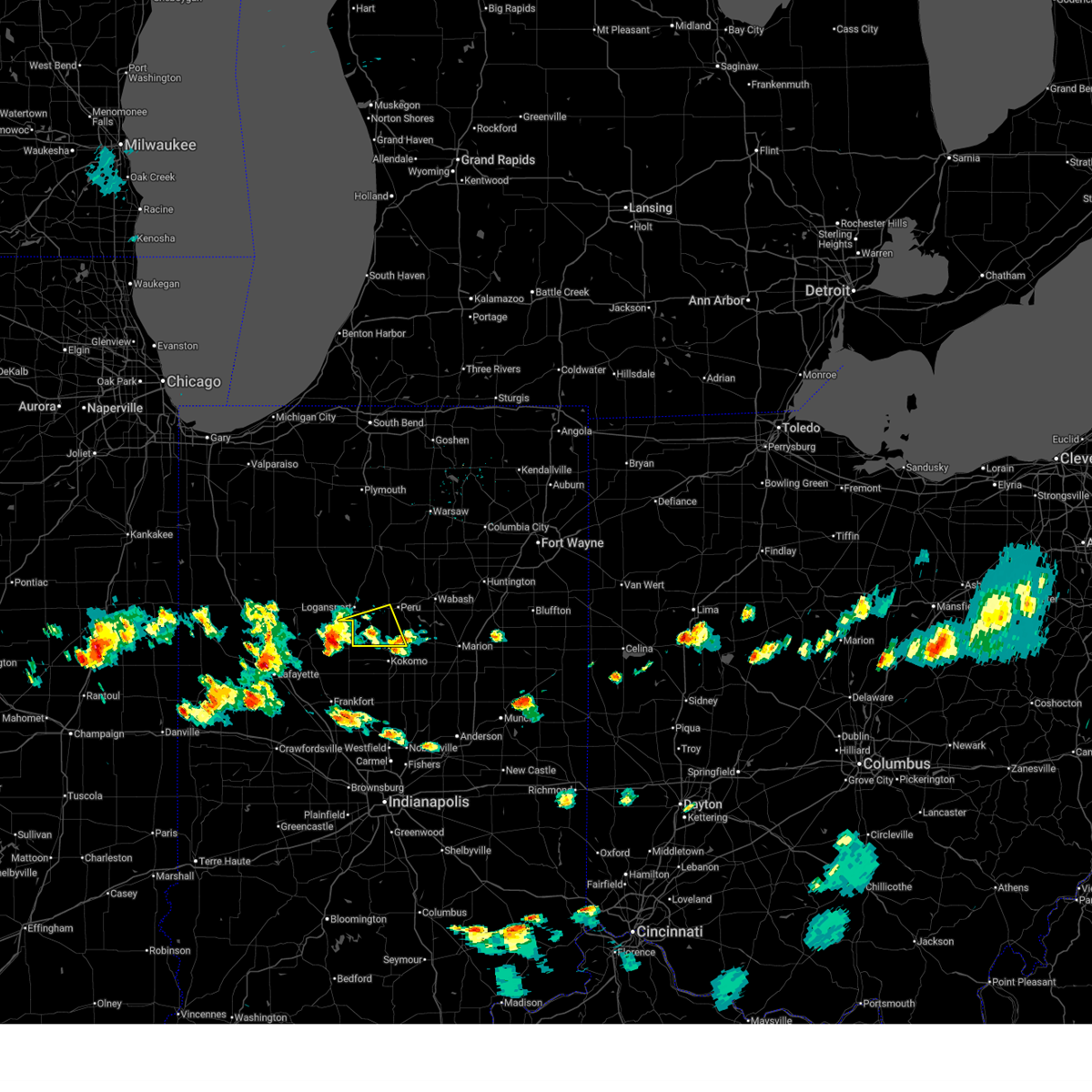
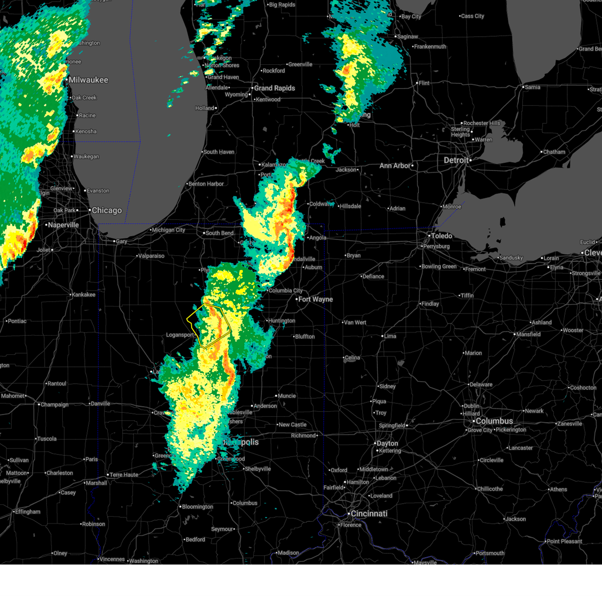
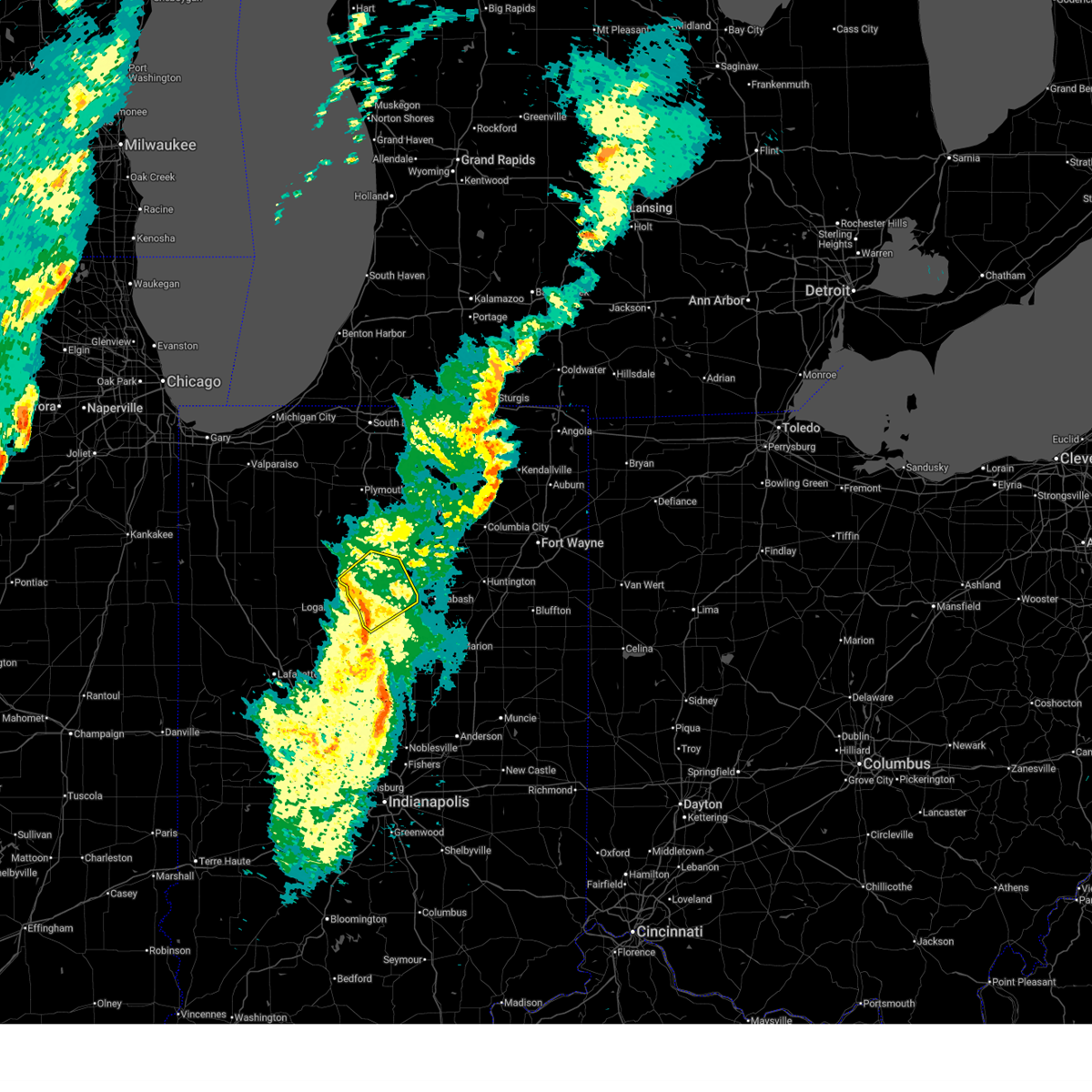
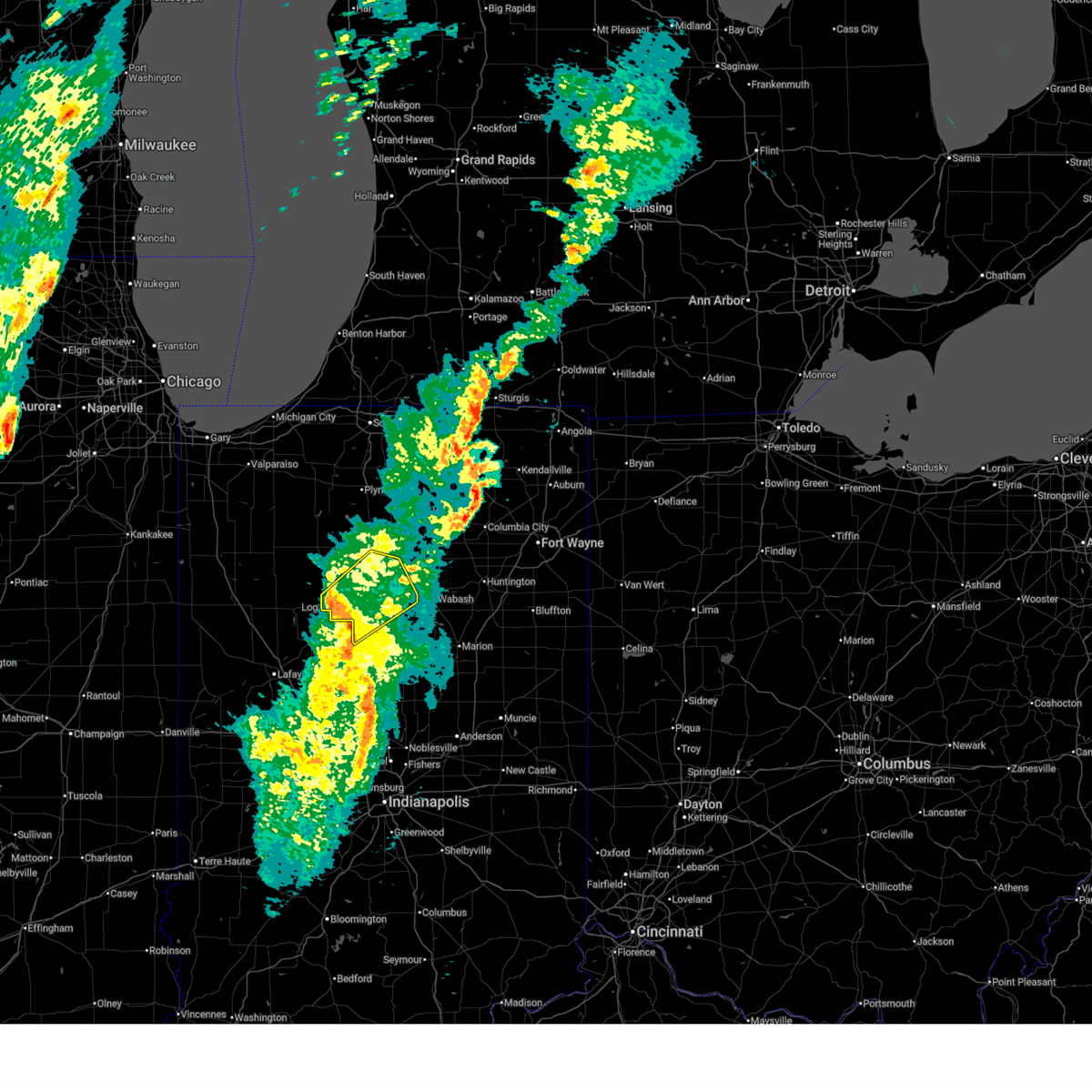
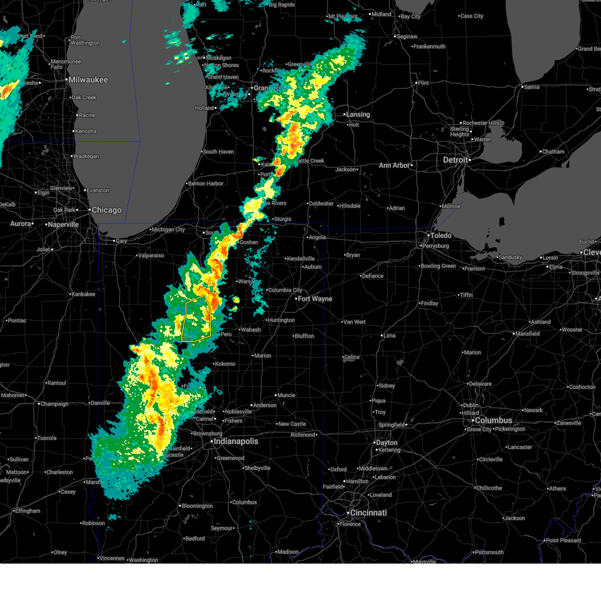
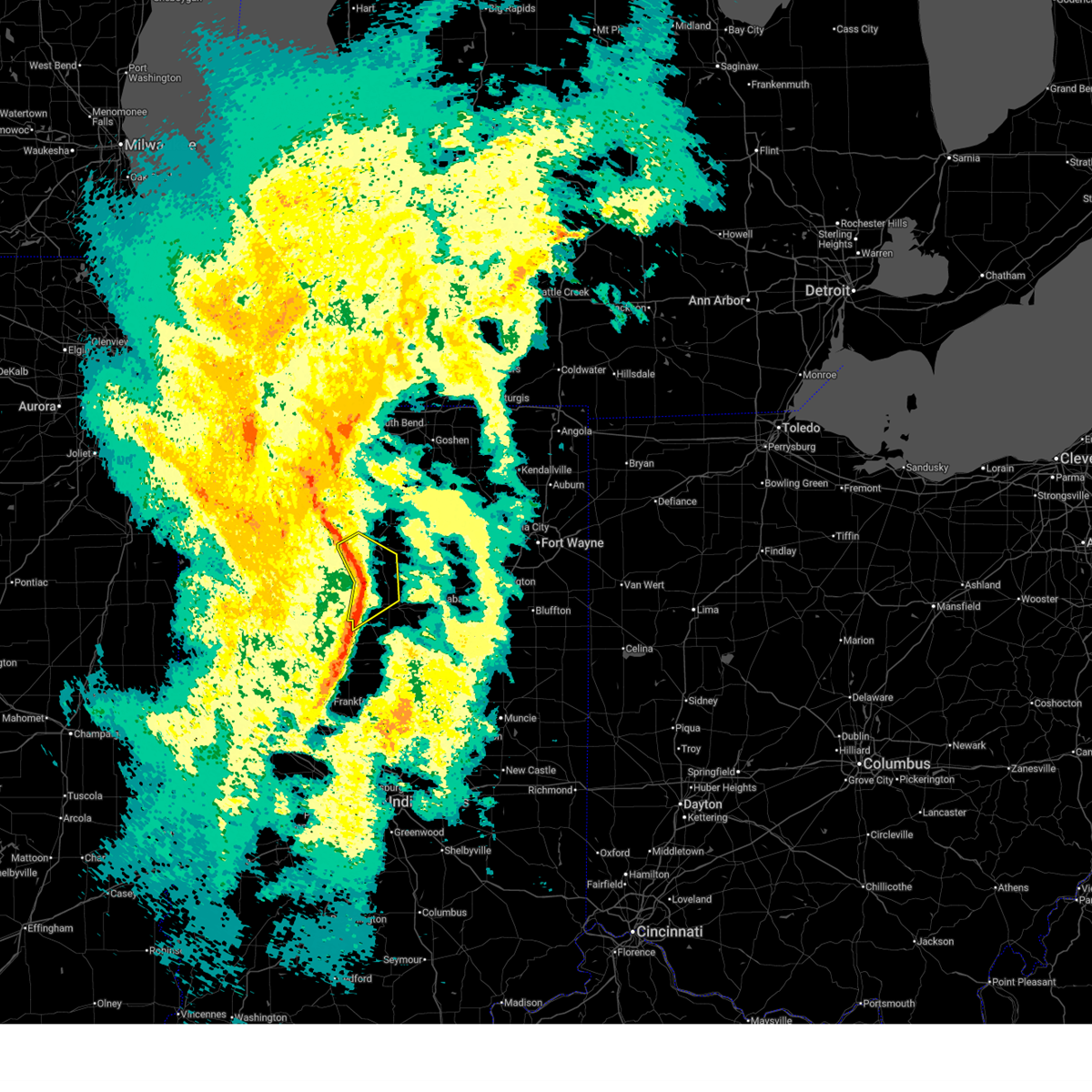
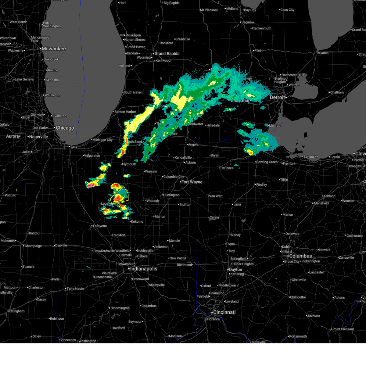
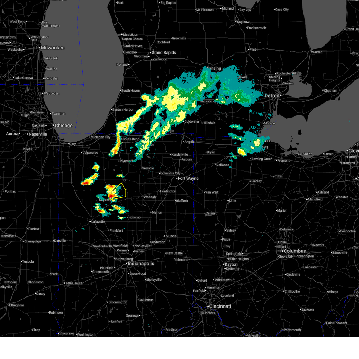
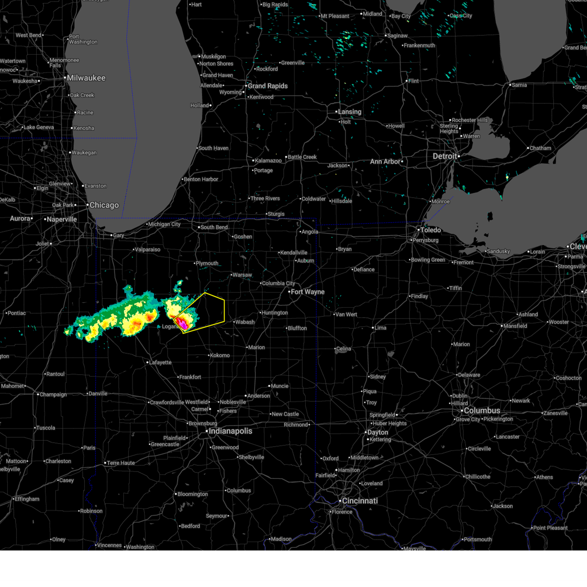
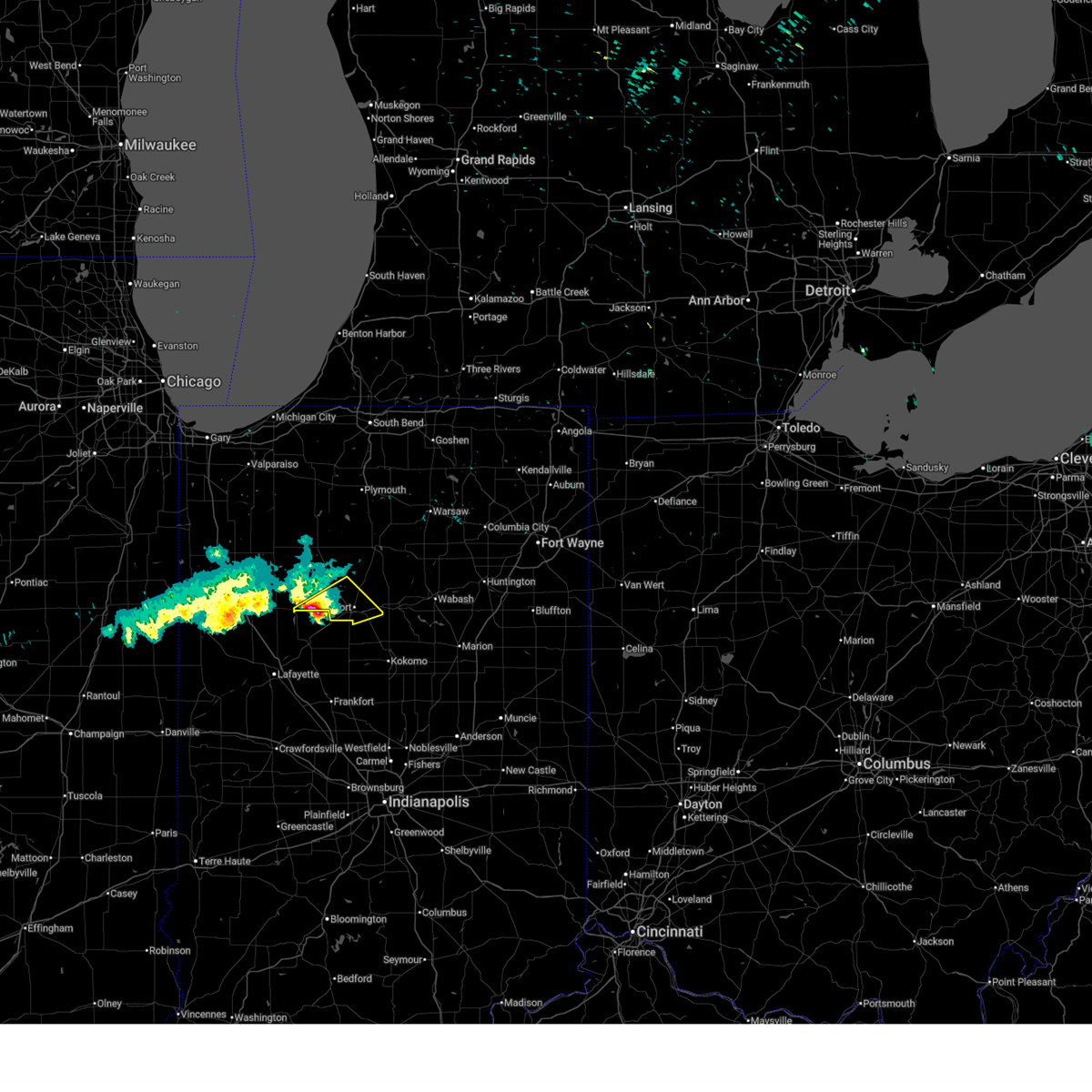
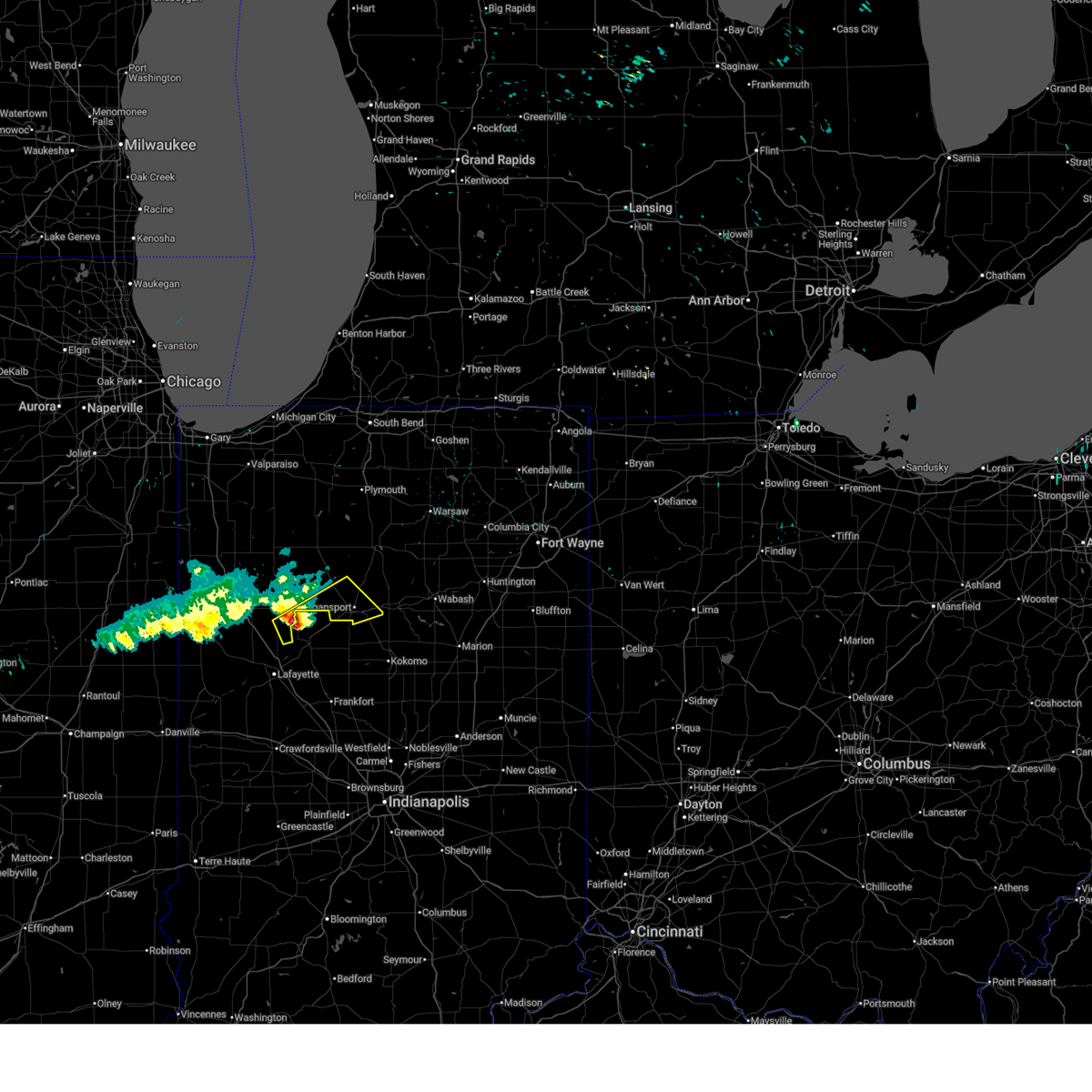
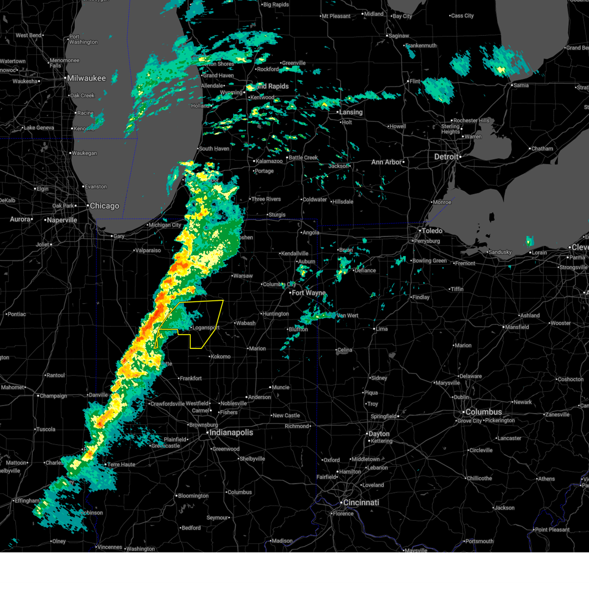
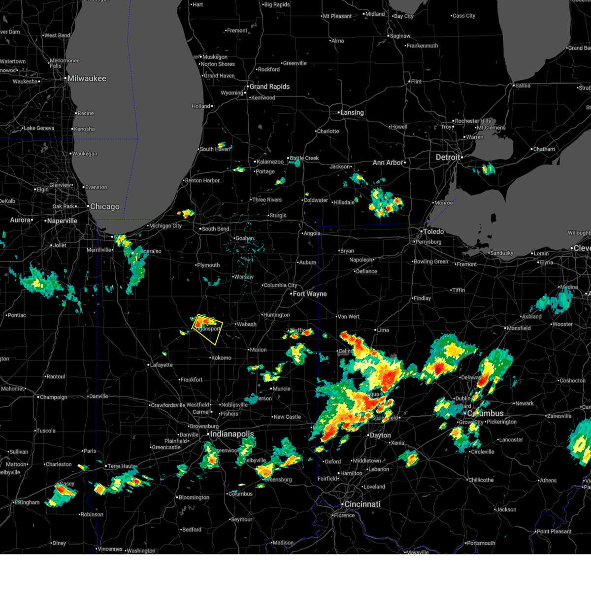
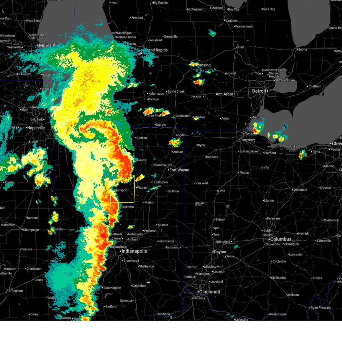
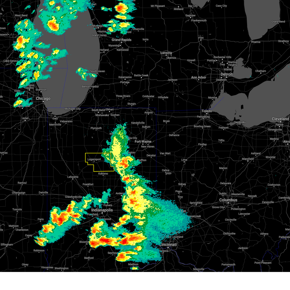
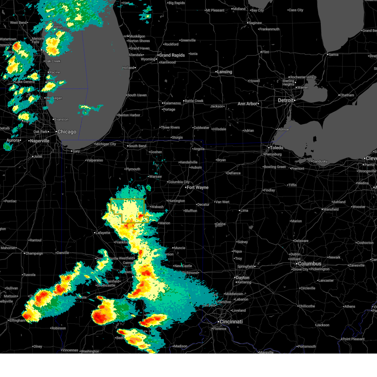
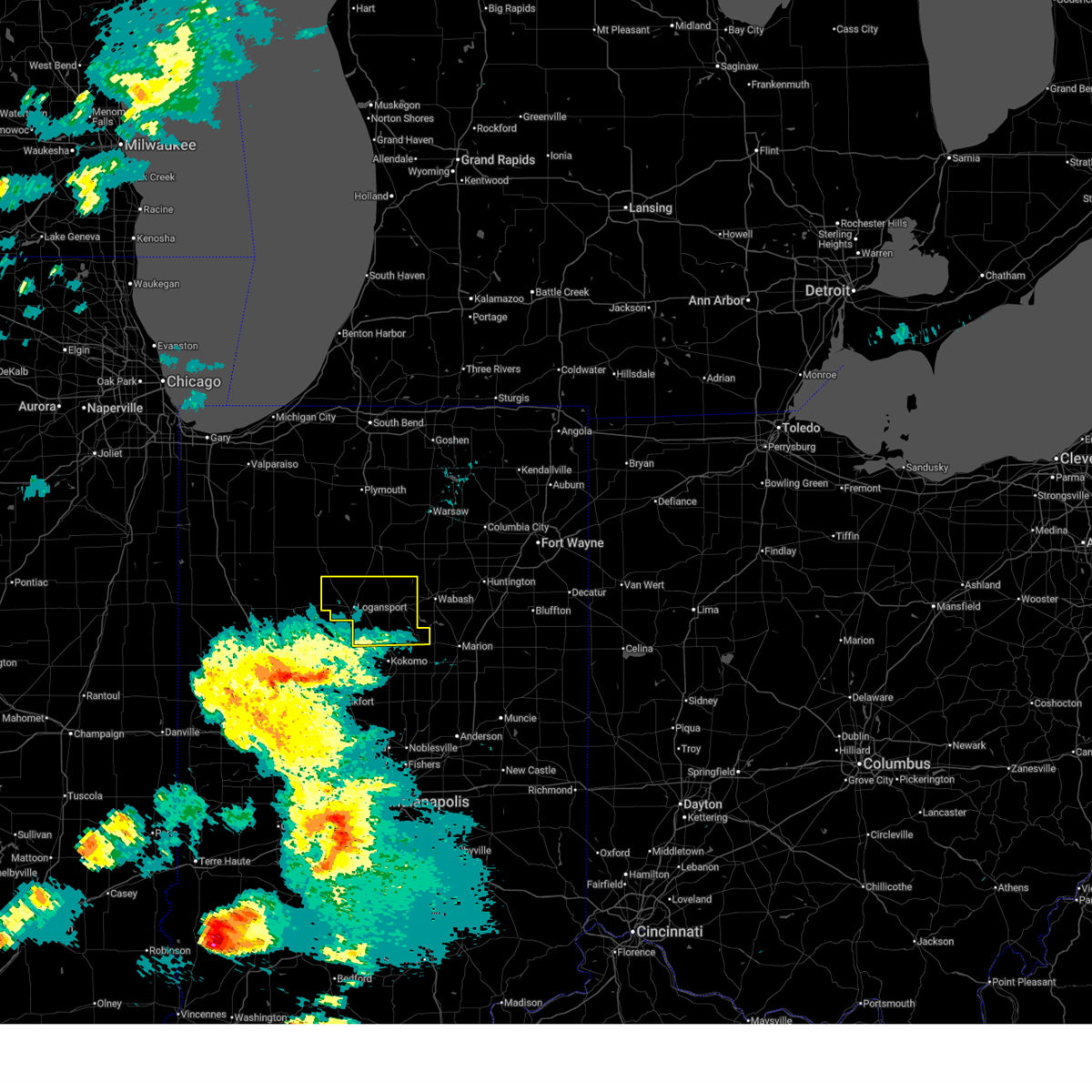
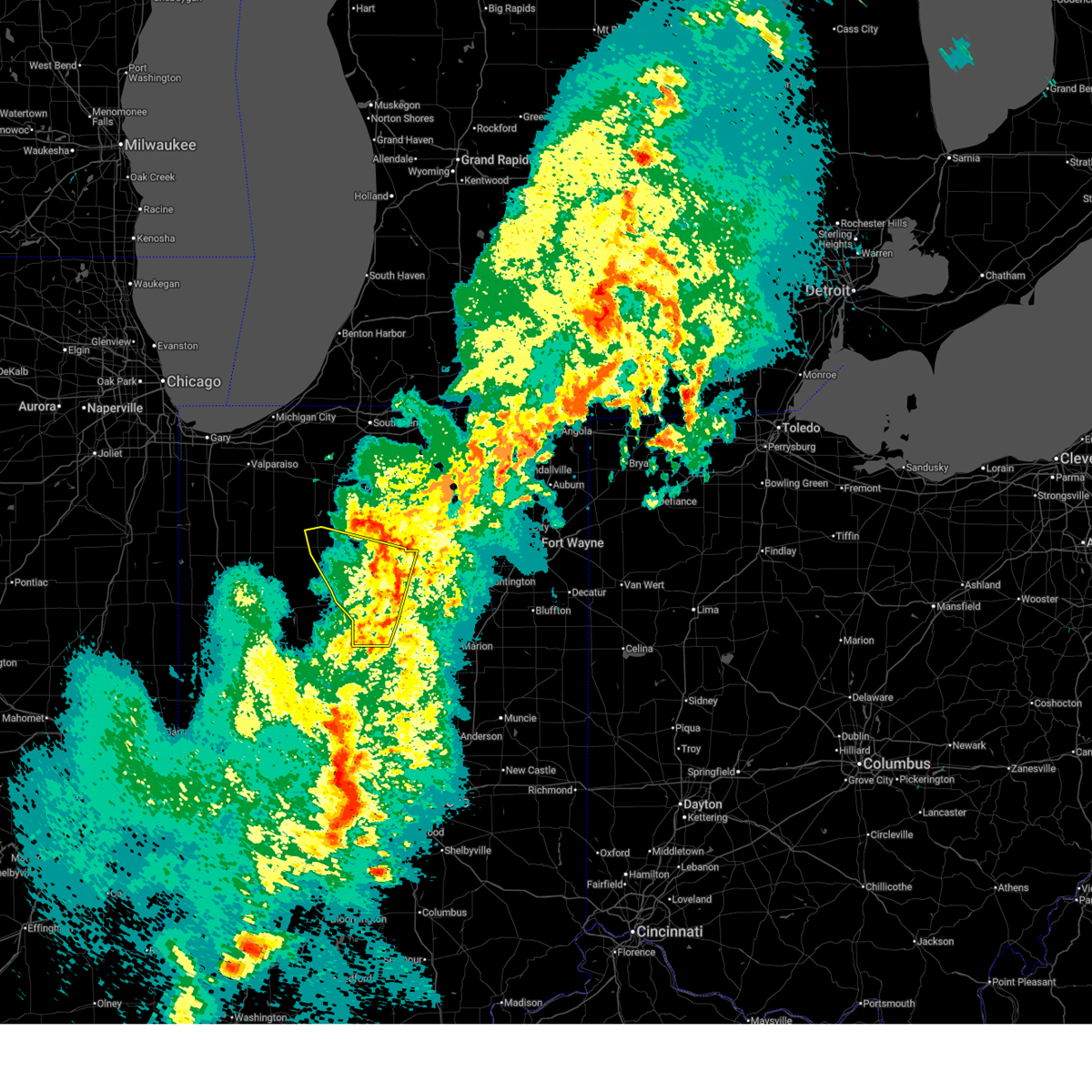
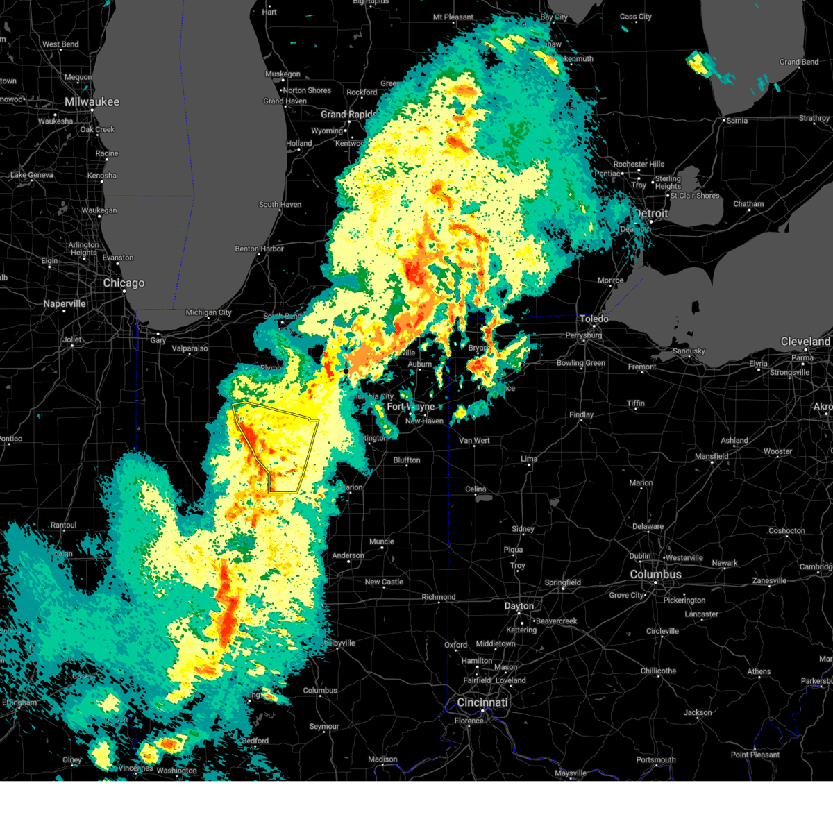
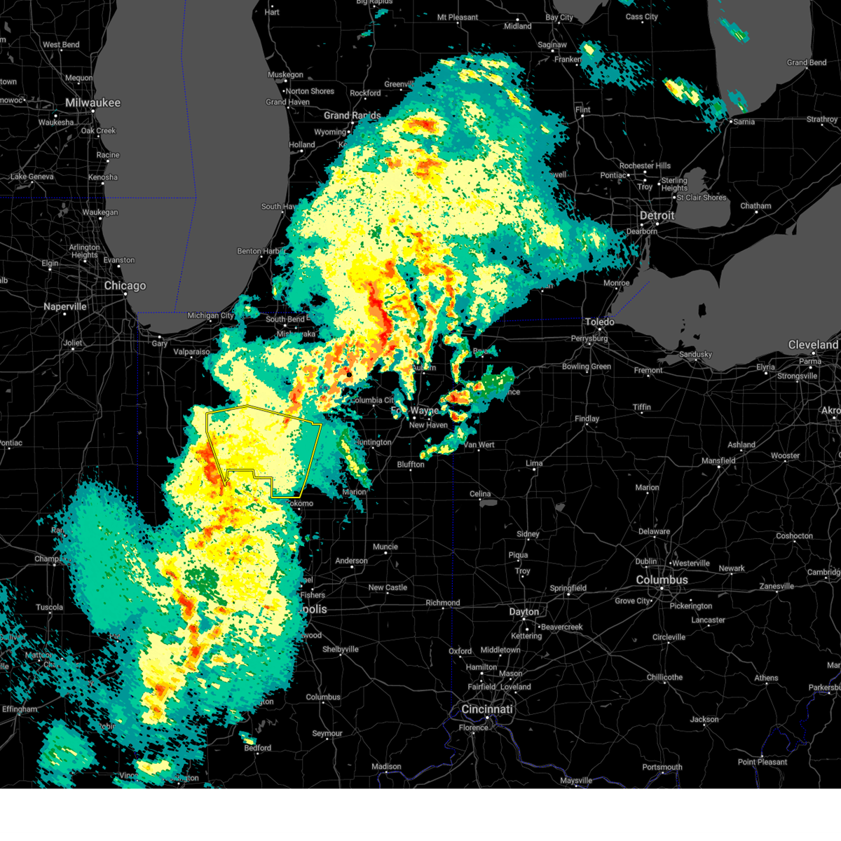
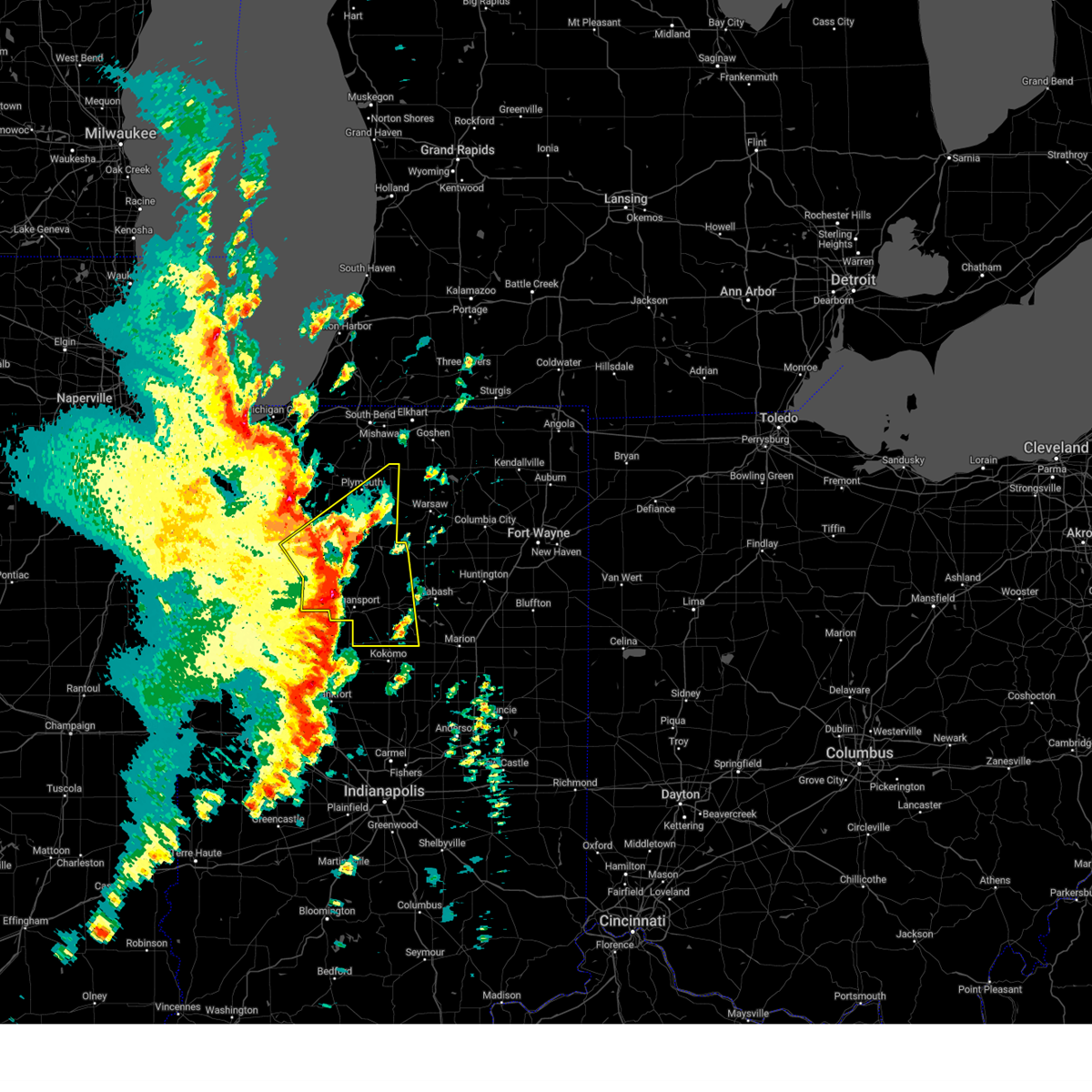
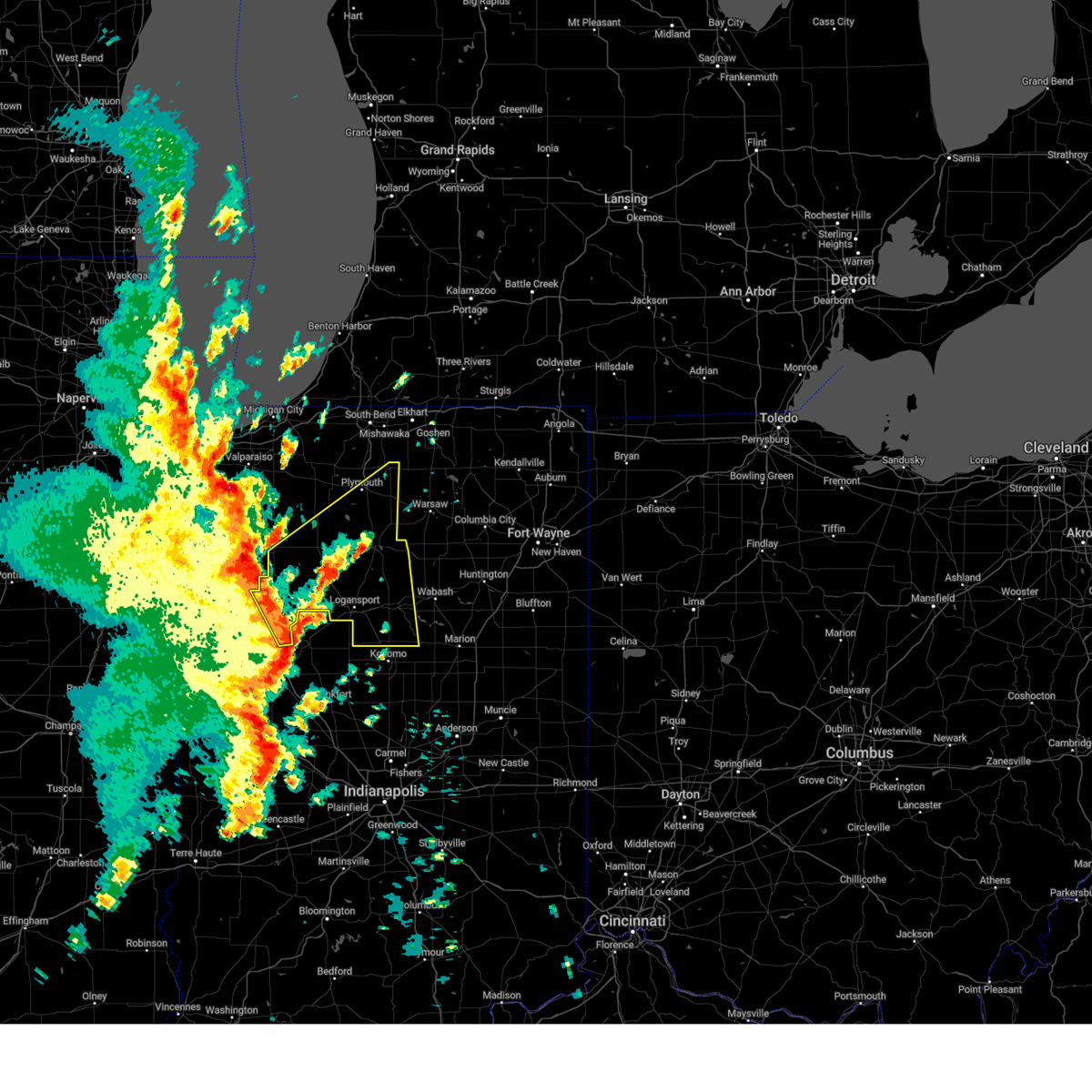
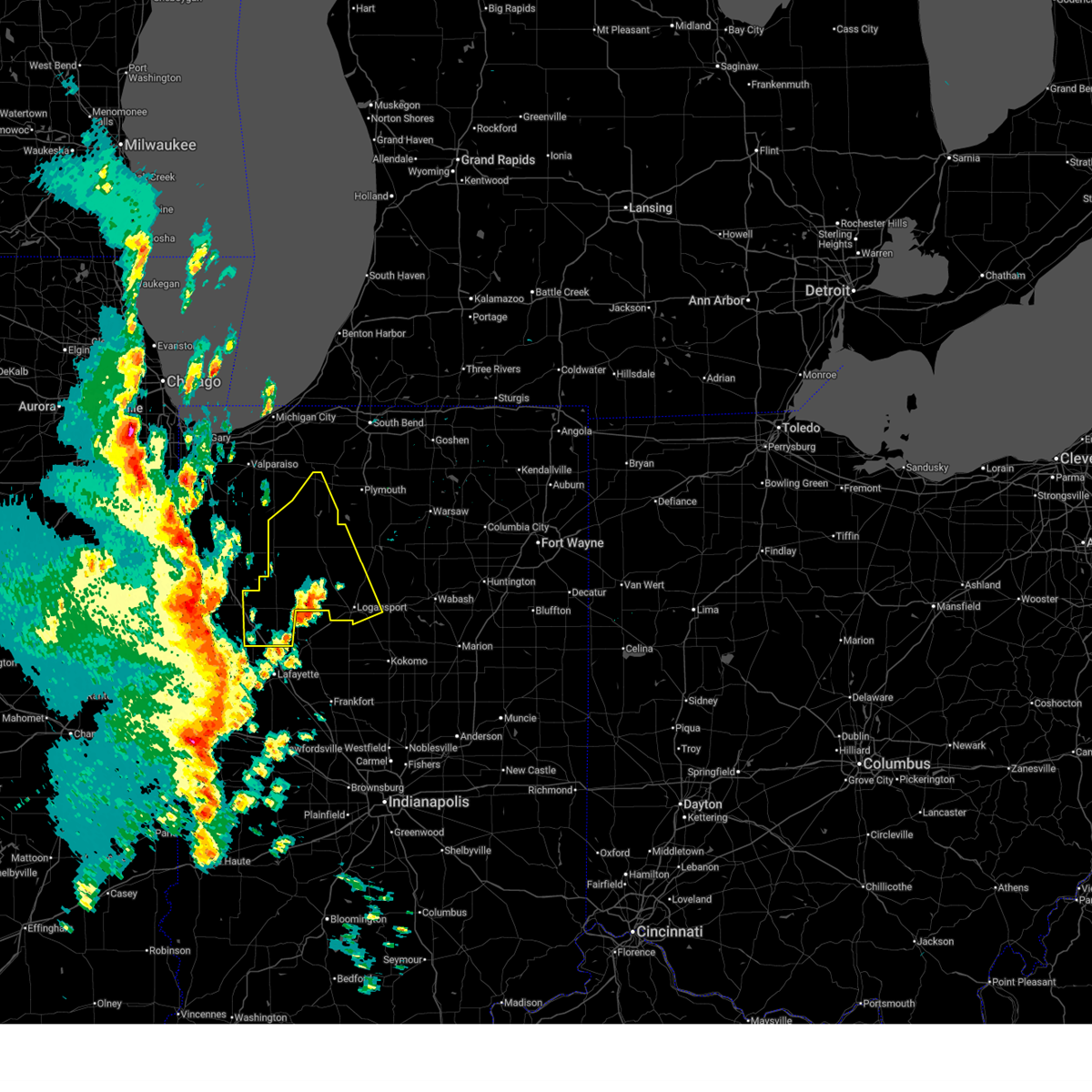
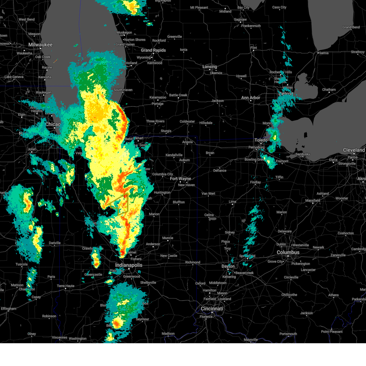
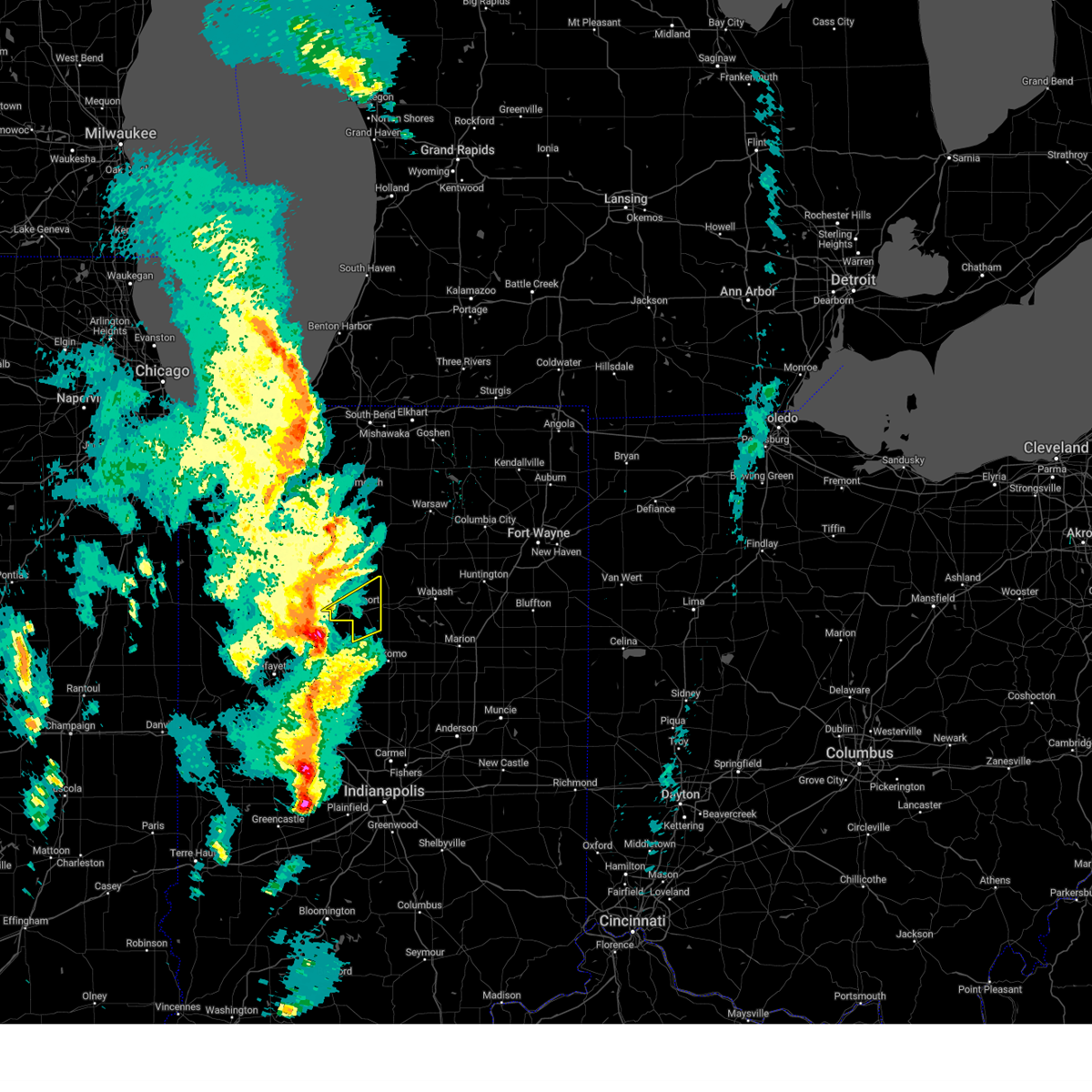
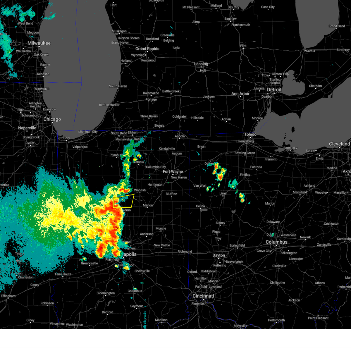
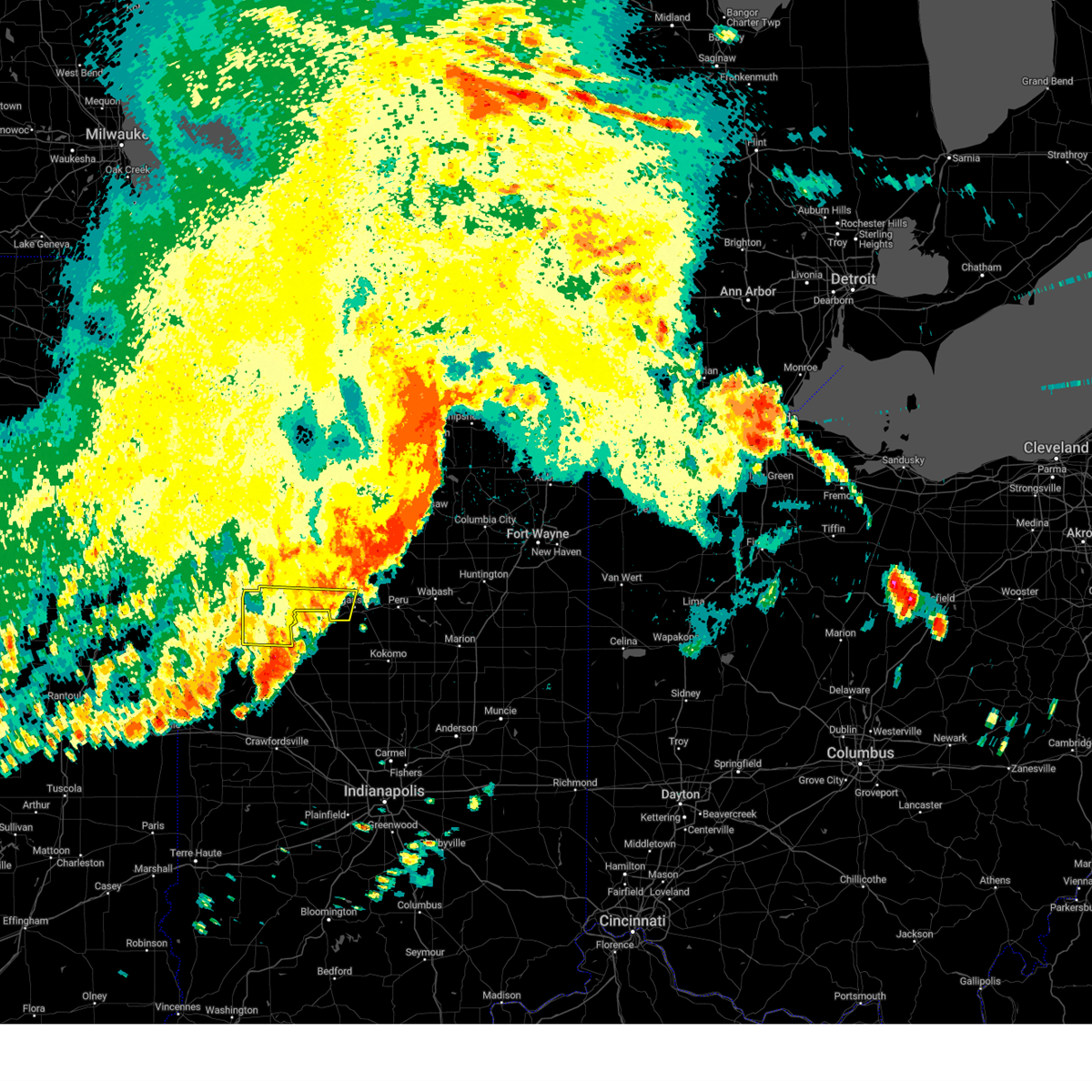
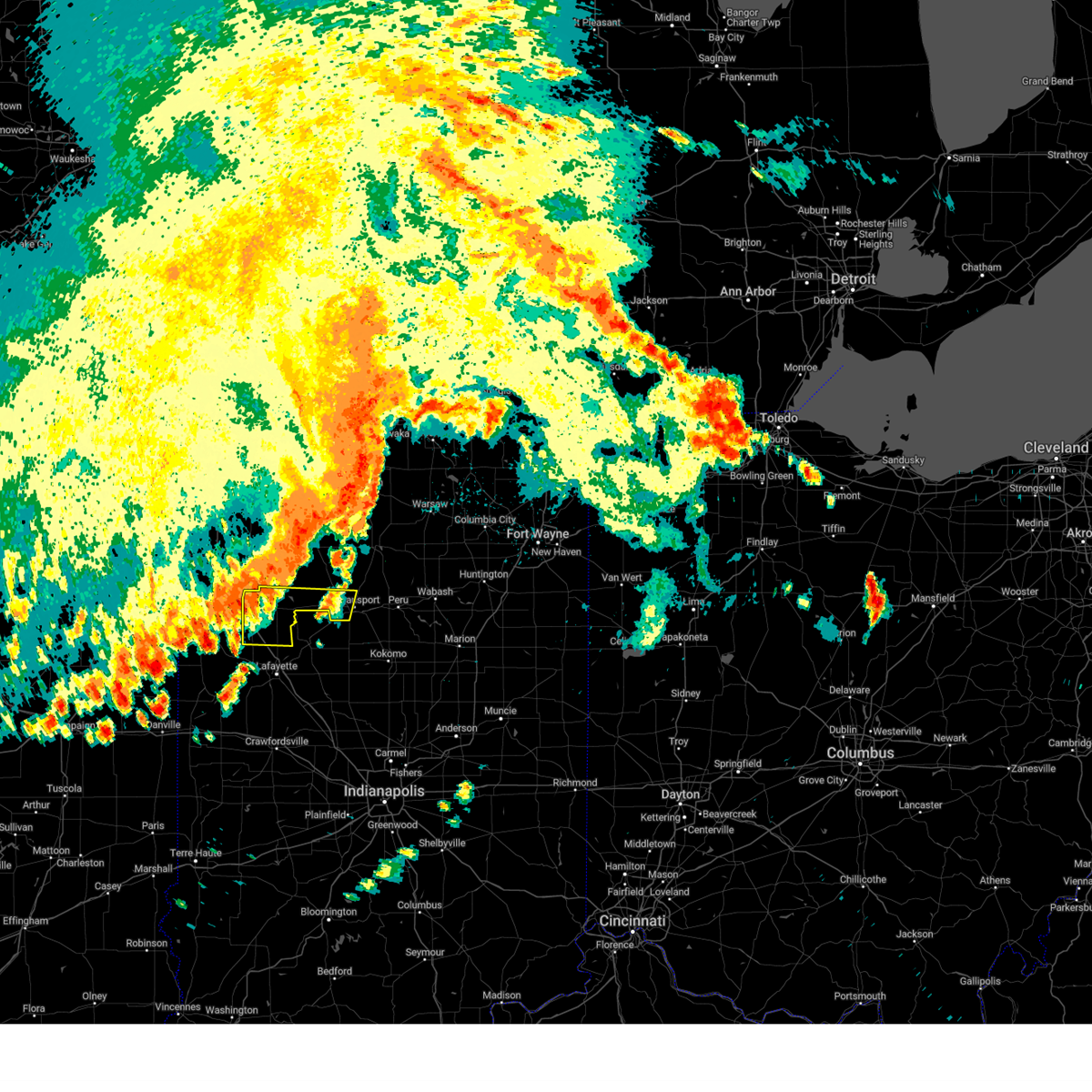
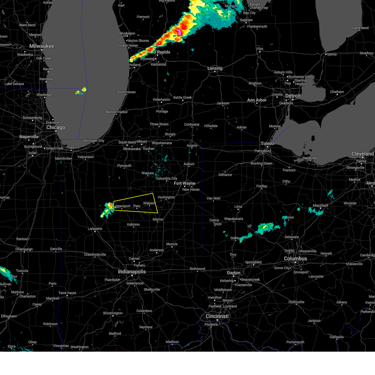
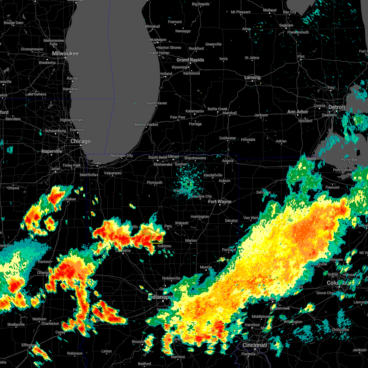
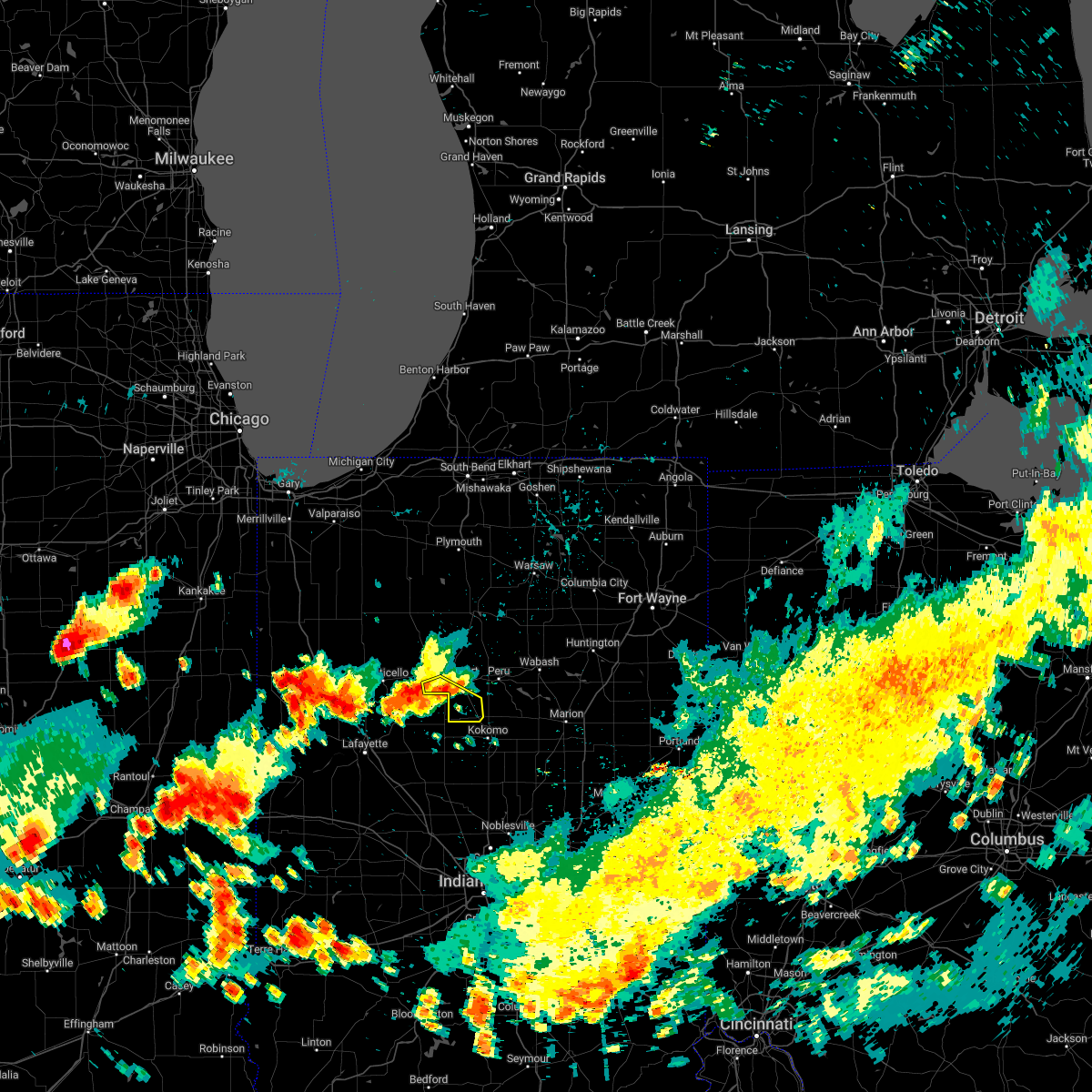
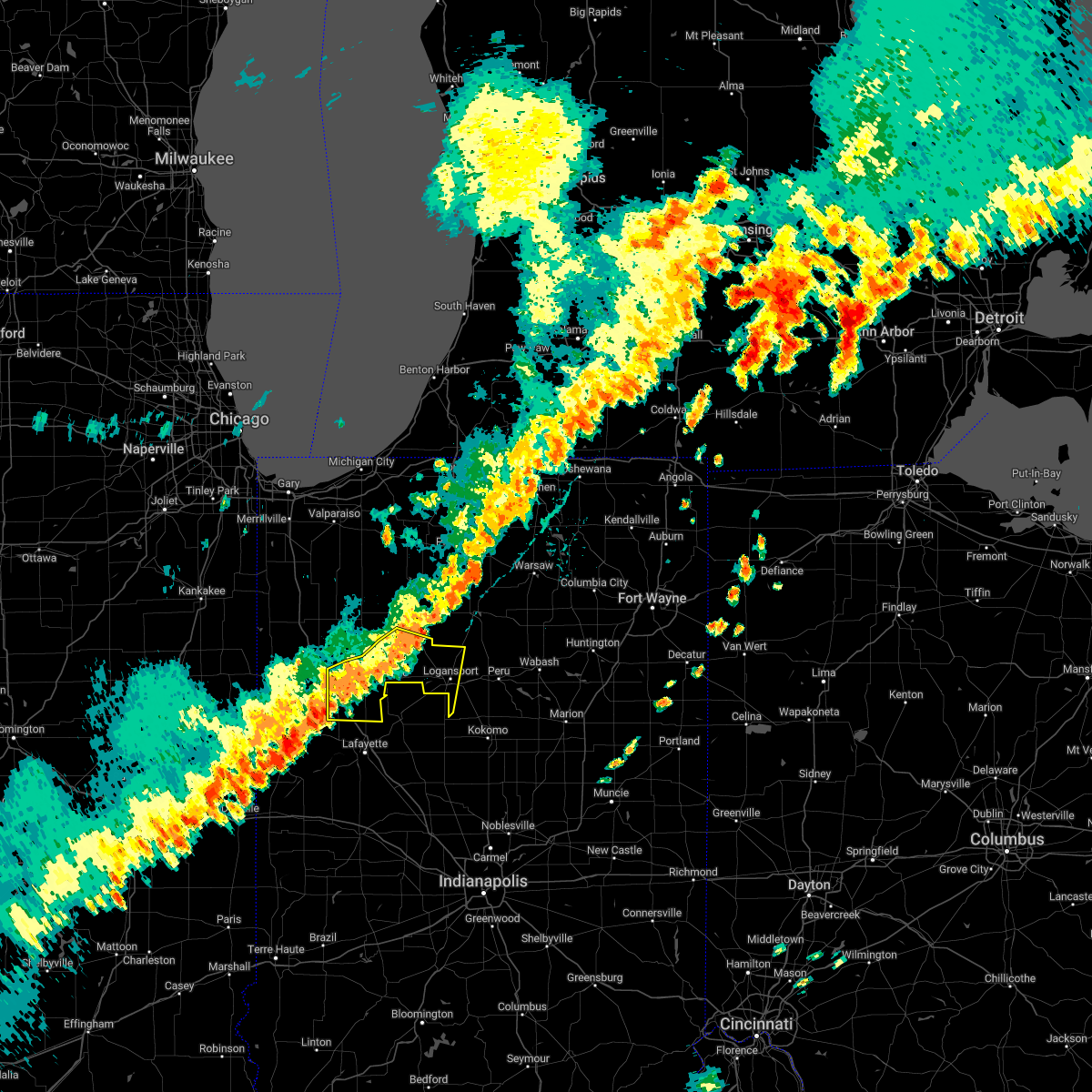
Hail Map for Logansport, IN
The Logansport, IN area has had 8 reports of on-the-ground hail by trained spotters, and has been under severe weather warnings 45 times during the past 12 months. Doppler radar has detected hail at or near Logansport, IN on 59 occasions, including 4 occasions during the past year.
| Name: | Logansport, IN |
| Where Located: | 68.7 miles N of Indianapolis, IN |
| Map: | Google Map for Logansport, IN |
| Population: | 18396 |
| Housing Units: | 7822 |
| More Info: | Search Google for Logansport, IN |
1
The Top Recent Hail Date for Logansport, IN is Tuesday, April 14, 2026 (10th out of 59)
Hail and Wind Damage Spotted near Logansport, IN
| Date / Time | Report Details |
|---|---|
| 6/16/2026 5:41 PM EDT |
 Svriwx the national weather service in northern indiana has issued a * severe thunderstorm warning for, southeastern cass county in north central indiana, southwestern miami county in north central indiana, * until 615 pm edt. * at 541 pm edt, a severe thunderstorm was located near walton, or near logansport, moving east at 35 mph (radar indicated). Hazards include 60 mph wind gusts and quarter size hail. Hail damage to vehicles is expected. Expect wind damage to roofs, siding, and trees. Svriwx the national weather service in northern indiana has issued a * severe thunderstorm warning for, southeastern cass county in north central indiana, southwestern miami county in north central indiana, * until 615 pm edt. * at 541 pm edt, a severe thunderstorm was located near walton, or near logansport, moving east at 35 mph (radar indicated). Hazards include 60 mph wind gusts and quarter size hail. Hail damage to vehicles is expected. Expect wind damage to roofs, siding, and trees.
|
| 6/16/2026 5:26 PM EDT |
 The severe thunderstorm which prompted the warning has weakened. therefore, the warning will be allowed to expire. a severe thunderstorm watch remains in effect until 1100 pm edt for north central and northwestern indiana. The severe thunderstorm which prompted the warning has weakened. therefore, the warning will be allowed to expire. a severe thunderstorm watch remains in effect until 1100 pm edt for north central and northwestern indiana.
|
| 6/16/2026 5:25 PM EDT |
 Svriwx the national weather service in northern indiana has issued a * severe thunderstorm warning for, central cass county in north central indiana, * until 600 pm edt. * at 525 pm edt, a severe thunderstorm was located 9 miles northeast of delphi, or 10 miles southwest of logansport, moving northeast at 25 mph (radar indicated). Hazards include 60 mph wind gusts and quarter size hail. Hail damage to vehicles is expected. Expect wind damage to roofs, siding, and trees. Svriwx the national weather service in northern indiana has issued a * severe thunderstorm warning for, central cass county in north central indiana, * until 600 pm edt. * at 525 pm edt, a severe thunderstorm was located 9 miles northeast of delphi, or 10 miles southwest of logansport, moving northeast at 25 mph (radar indicated). Hazards include 60 mph wind gusts and quarter size hail. Hail damage to vehicles is expected. Expect wind damage to roofs, siding, and trees.
|
| 6/16/2026 5:17 PM EDT |
 At 517 pm edt, a severe thunderstorm was located near royal center, or 12 miles south of winamac, moving northeast at 35 mph (radar indicated). Hazards include 60 mph wind gusts and quarter size hail. Hail damage to vehicles is expected. expect wind damage to roofs, siding, and trees. Locations impacted include, logansport, monticello, royal center, burnettsville, headlee, golden hill, indiana beach, norway, idaville, sitka, star city, thornhope, cedar point, lucerne, bell center, lake cicott, and buffalo. At 517 pm edt, a severe thunderstorm was located near royal center, or 12 miles south of winamac, moving northeast at 35 mph (radar indicated). Hazards include 60 mph wind gusts and quarter size hail. Hail damage to vehicles is expected. expect wind damage to roofs, siding, and trees. Locations impacted include, logansport, monticello, royal center, burnettsville, headlee, golden hill, indiana beach, norway, idaville, sitka, star city, thornhope, cedar point, lucerne, bell center, lake cicott, and buffalo.
|
| 6/16/2026 4:52 PM EDT |
 Svriwx the national weather service in northern indiana has issued a * severe thunderstorm warning for, eastern white county in northwestern indiana, southeastern pulaski county in northwestern indiana, northwestern cass county in north central indiana, * until 530 pm edt. * at 452 pm edt, a severe thunderstorm was located over monticello, moving northeast at 35 mph (radar indicated). Hazards include 60 mph wind gusts and quarter size hail. Hail damage to vehicles is expected. Expect wind damage to roofs, siding, and trees. Svriwx the national weather service in northern indiana has issued a * severe thunderstorm warning for, eastern white county in northwestern indiana, southeastern pulaski county in northwestern indiana, northwestern cass county in north central indiana, * until 530 pm edt. * at 452 pm edt, a severe thunderstorm was located over monticello, moving northeast at 35 mph (radar indicated). Hazards include 60 mph wind gusts and quarter size hail. Hail damage to vehicles is expected. Expect wind damage to roofs, siding, and trees.
|
| 6/11/2026 10:24 PM EDT |
 The storms which prompted the warning have moved out of the area. therefore, the warning will be allowed to expire. however, gusty winds are still possible with these thunderstorms. a tornado watch remains in effect until 200 am edt/100 am cdt/ for north central and northwestern indiana. to report severe weather, contact your nearest law enforcement agency. they will relay your report to the national weather service northern indiana. The storms which prompted the warning have moved out of the area. therefore, the warning will be allowed to expire. however, gusty winds are still possible with these thunderstorms. a tornado watch remains in effect until 200 am edt/100 am cdt/ for north central and northwestern indiana. to report severe weather, contact your nearest law enforcement agency. they will relay your report to the national weather service northern indiana.
|
| 6/11/2026 10:05 PM EDT |
 At 1003 pm edt/903 pm cdt/, severe thunderstorms were located along a line extending from near culver to 8 miles northwest of rochester to 9 miles east of royal center to 6 miles southwest of mexico to 7 miles west of kokomo, moving east at 65 mph (radar indicated). Hazards include 60 mph wind gusts. Expect damage to roofs, siding, and trees. Locations impacted include, logansport, peru, rochester, grissom afb, bourbon, argos, culver, akron, walton, bunker hill, royal center, mexico, lincoln, wells, walnut, tippecanoe, galveston, miami, kewanna, and erie. At 1003 pm edt/903 pm cdt/, severe thunderstorms were located along a line extending from near culver to 8 miles northwest of rochester to 9 miles east of royal center to 6 miles southwest of mexico to 7 miles west of kokomo, moving east at 65 mph (radar indicated). Hazards include 60 mph wind gusts. Expect damage to roofs, siding, and trees. Locations impacted include, logansport, peru, rochester, grissom afb, bourbon, argos, culver, akron, walton, bunker hill, royal center, mexico, lincoln, wells, walnut, tippecanoe, galveston, miami, kewanna, and erie.
|
| 6/11/2026 10:02 PM EDT | Four large trees dow in cass county IN, 9.2 miles SW of Logansport, IN |
| 6/11/2026 9:55 PM EDT | Tree dow in cass county IN, 2.8 miles SSE of Logansport, IN |
| 6/11/2026 9:52 PM EDT | Numerous trees dow in cass county IN, 0.9 miles SE of Logansport, IN |
| 6/11/2026 9:47 PM EDT | Tree downed onto truc in cass county IN, 5.5 miles ENE of Logansport, IN |
| 6/11/2026 9:43 PM EDT |
 Svriwx the national weather service in northern indiana has issued a * severe thunderstorm warning for, northeastern white county in northwestern indiana, pulaski county in northwestern indiana, fulton county in north central indiana, cass county in north central indiana, miami county in north central indiana, southern starke county in northwestern indiana, southern marshall county in north central indiana, * until 1030 pm edt/930 pm cdt/. * at 943 pm edt/843 pm cdt/, severe thunderstorms were located along a line extending from near north judson to near winamac to near monticello to 7 miles northeast of delphi to 10 miles northwest of frankfort, moving east at 65 mph (radar indicated). Hazards include 60 mph wind gusts. expect damage to roofs, siding, and trees Svriwx the national weather service in northern indiana has issued a * severe thunderstorm warning for, northeastern white county in northwestern indiana, pulaski county in northwestern indiana, fulton county in north central indiana, cass county in north central indiana, miami county in north central indiana, southern starke county in northwestern indiana, southern marshall county in north central indiana, * until 1030 pm edt/930 pm cdt/. * at 943 pm edt/843 pm cdt/, severe thunderstorms were located along a line extending from near north judson to near winamac to near monticello to 7 miles northeast of delphi to 10 miles northwest of frankfort, moving east at 65 mph (radar indicated). Hazards include 60 mph wind gusts. expect damage to roofs, siding, and trees
|
| 5/18/2026 1:38 PM EDT |
 At 138 pm edt, a severe thunderstorm was located near rochester, moving northeast at 45 mph (radar indicated). Hazards include 60 mph wind gusts. Expect damage to roofs, siding, and trees. Locations impacted include, logansport, peru, rochester, argos, akron, mexico, wells, walnut, tippecanoe, erie, denver, fulton, macy, nyena lake, deedsville, hoover, old tip town, tiosa, lake manitou, and talma. At 138 pm edt, a severe thunderstorm was located near rochester, moving northeast at 45 mph (radar indicated). Hazards include 60 mph wind gusts. Expect damage to roofs, siding, and trees. Locations impacted include, logansport, peru, rochester, argos, akron, mexico, wells, walnut, tippecanoe, erie, denver, fulton, macy, nyena lake, deedsville, hoover, old tip town, tiosa, lake manitou, and talma.
|
| 5/18/2026 1:23 PM EDT |
 Svriwx the national weather service in northern indiana has issued a * severe thunderstorm warning for, fulton county in north central indiana, northeastern cass county in north central indiana, miami county in north central indiana, southern marshall county in north central indiana, * until 215 pm edt. * at 122 pm edt, a severe thunderstorm was located 9 miles east of royal center, or 11 miles north of logansport, moving northeast at 45 mph (radar indicated). Hazards include 60 mph wind gusts. expect damage to roofs, siding, and trees Svriwx the national weather service in northern indiana has issued a * severe thunderstorm warning for, fulton county in north central indiana, northeastern cass county in north central indiana, miami county in north central indiana, southern marshall county in north central indiana, * until 215 pm edt. * at 122 pm edt, a severe thunderstorm was located 9 miles east of royal center, or 11 miles north of logansport, moving northeast at 45 mph (radar indicated). Hazards include 60 mph wind gusts. expect damage to roofs, siding, and trees
|
| 4/27/2026 10:18 PM EDT |
 At 1017 pm edt, severe thunderstorms were located along a line extending from 6 miles east of logansport to near grissom afb to 6 miles southwest of kokomo, moving east at 45 mph (radar indicated). Hazards include 60 mph wind gusts. Expect damage to roofs, siding, and trees. Locations impacted include, peru, grissom afb, walton, bunker hill, lincoln, wells, galveston, miami, onward, bennetts switch, new waverly, santa fe, wawpecong, peoria, nead, and anoka. At 1017 pm edt, severe thunderstorms were located along a line extending from 6 miles east of logansport to near grissom afb to 6 miles southwest of kokomo, moving east at 45 mph (radar indicated). Hazards include 60 mph wind gusts. Expect damage to roofs, siding, and trees. Locations impacted include, peru, grissom afb, walton, bunker hill, lincoln, wells, galveston, miami, onward, bennetts switch, new waverly, santa fe, wawpecong, peoria, nead, and anoka.
|
| 4/27/2026 9:59 PM EDT |
 Svriwx the national weather service in northern indiana has issued a * severe thunderstorm warning for, southern cass county in north central indiana, southwestern miami county in north central indiana, * until 1045 pm edt. * at 959 pm edt, severe thunderstorms were located along a line extending from 6 miles west of logansport to 12 miles southwest of walton to 6 miles northeast of frankfort, moving east at 45 mph (radar indicated). Hazards include 60 mph wind gusts. expect damage to roofs, siding, and trees Svriwx the national weather service in northern indiana has issued a * severe thunderstorm warning for, southern cass county in north central indiana, southwestern miami county in north central indiana, * until 1045 pm edt. * at 959 pm edt, severe thunderstorms were located along a line extending from 6 miles west of logansport to 12 miles southwest of walton to 6 miles northeast of frankfort, moving east at 45 mph (radar indicated). Hazards include 60 mph wind gusts. expect damage to roofs, siding, and trees
|
| 4/27/2026 9:53 PM EDT |
 At 953 pm edt, a severe thunderstorm was located near mexico, or 7 miles northeast of logansport, moving northeast at 50 mph (emergency management). Hazards include 60 mph wind gusts. Expect damage to roofs, siding, and trees. Locations impacted include, logansport, mexico, denver, macy, twelve mile, metea, hoover, nyena lake, deedsville, and adamsboro. At 953 pm edt, a severe thunderstorm was located near mexico, or 7 miles northeast of logansport, moving northeast at 50 mph (emergency management). Hazards include 60 mph wind gusts. Expect damage to roofs, siding, and trees. Locations impacted include, logansport, mexico, denver, macy, twelve mile, metea, hoover, nyena lake, deedsville, and adamsboro.
|
| 4/27/2026 9:45 PM EDT | Trees and powerlines down on n cr 600 e between logansport rd and division r in cass county IN, 5.4 miles WSW of Logansport, IN |
| 4/27/2026 9:37 PM EDT |
 Svriwx the national weather service in northern indiana has issued a * severe thunderstorm warning for, southeastern fulton county in north central indiana, northern cass county in north central indiana, northwestern miami county in north central indiana, * until 1000 pm edt. * at 936 pm edt, a severe thunderstorm was located near logansport, moving northeast at 55 mph (radar indicated). Hazards include 60 mph wind gusts. expect damage to roofs, siding, and trees Svriwx the national weather service in northern indiana has issued a * severe thunderstorm warning for, southeastern fulton county in north central indiana, northern cass county in north central indiana, northwestern miami county in north central indiana, * until 1000 pm edt. * at 936 pm edt, a severe thunderstorm was located near logansport, moving northeast at 55 mph (radar indicated). Hazards include 60 mph wind gusts. expect damage to roofs, siding, and trees
|
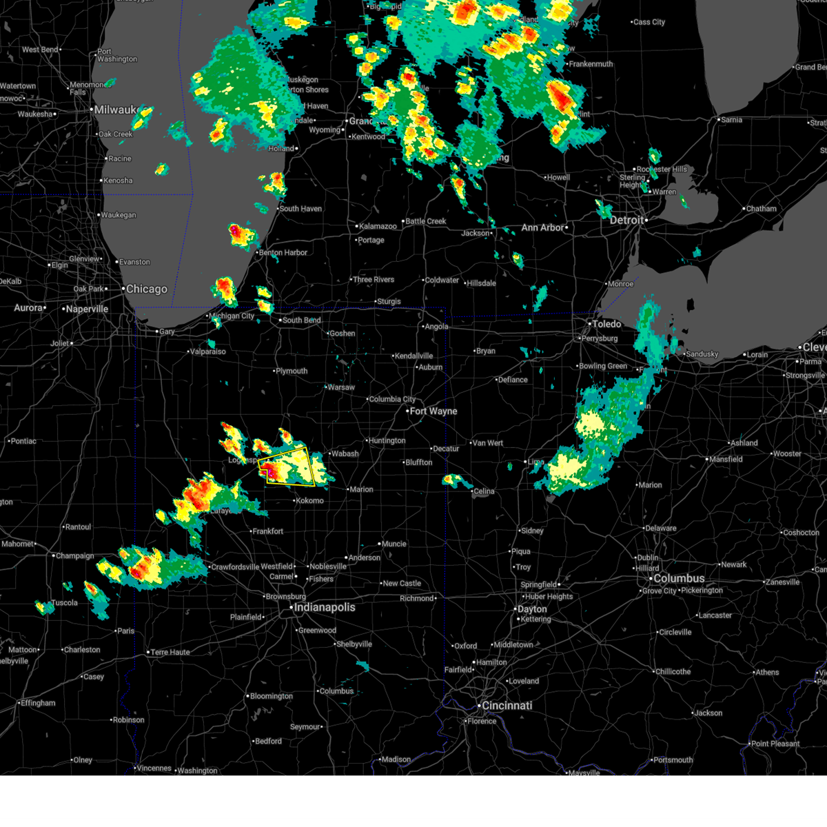
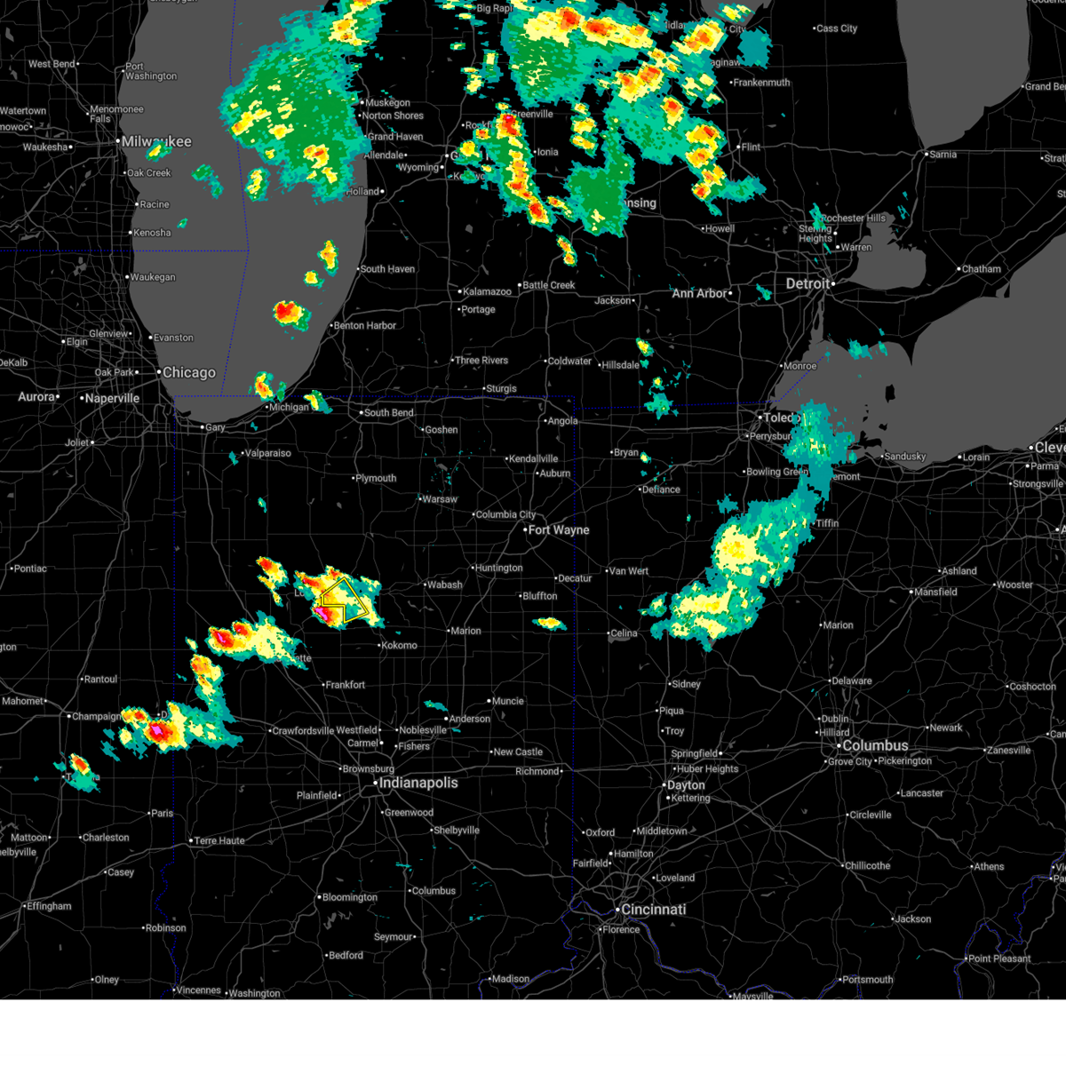
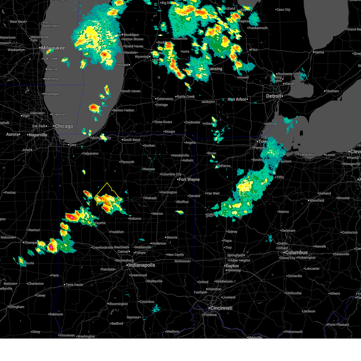
| 4/14/2026 4:58 PM EDT | Golf Ball sized hail reported 4.2 miles S of Logansport, IN, golf ball size hail. |
| 4/14/2026 4:46 PM EDT |
 At 445 pm edt, severe thunderstorms were located along a line extending from 7 miles southwest of winamac to near royal center, moving east at 45 mph (radar indicated). Hazards include 60 mph wind gusts and quarter size hail. Hail damage to vehicles is expected. expect wind damage to roofs, siding, and trees. Locations impacted include, logansport, rochester, winamac, royal center, mexico, pulaski, kewanna, erie, denver, burnettsville, fulton, macy, leiters ford, nyena lake, leases corner, deedsville, delong, hoover, lake bruce, and star city. At 445 pm edt, severe thunderstorms were located along a line extending from 7 miles southwest of winamac to near royal center, moving east at 45 mph (radar indicated). Hazards include 60 mph wind gusts and quarter size hail. Hail damage to vehicles is expected. expect wind damage to roofs, siding, and trees. Locations impacted include, logansport, rochester, winamac, royal center, mexico, pulaski, kewanna, erie, denver, burnettsville, fulton, macy, leiters ford, nyena lake, leases corner, deedsville, delong, hoover, lake bruce, and star city.
|
| 4/14/2026 4:36 PM EDT |
 Svriwx the national weather service in northern indiana has issued a * severe thunderstorm warning for, northeastern white county in northwestern indiana, fulton county in north central indiana, pulaski county in northwestern indiana, cass county in north central indiana, northwestern miami county in north central indiana, south central marshall county in north central indiana, * until 500 pm edt. * at 436 pm edt, severe thunderstorms were located along a line extending from near francesville to 6 miles east of monticello, moving east at 45 mph (radar indicated). Hazards include 60 mph wind gusts and quarter size hail. Hail damage to vehicles is expected. Expect wind damage to roofs, siding, and trees. Svriwx the national weather service in northern indiana has issued a * severe thunderstorm warning for, northeastern white county in northwestern indiana, fulton county in north central indiana, pulaski county in northwestern indiana, cass county in north central indiana, northwestern miami county in north central indiana, south central marshall county in north central indiana, * until 500 pm edt. * at 436 pm edt, severe thunderstorms were located along a line extending from near francesville to 6 miles east of monticello, moving east at 45 mph (radar indicated). Hazards include 60 mph wind gusts and quarter size hail. Hail damage to vehicles is expected. Expect wind damage to roofs, siding, and trees.
|
| 4/3/2026 6:32 PM EDT |
 Svriwx the national weather service in northern indiana has issued a * severe thunderstorm warning for, southeastern cass county in north central indiana, southwestern miami county in north central indiana, * until 715 pm edt. * at 631 pm edt, a severe thunderstorm was located 11 miles east of delphi, or 11 miles southwest of logansport, moving east at 25 mph (radar indicated). Hazards include 60 mph wind gusts and quarter size hail. Hail damage to vehicles is expected. Expect wind damage to roofs, siding, and trees. Svriwx the national weather service in northern indiana has issued a * severe thunderstorm warning for, southeastern cass county in north central indiana, southwestern miami county in north central indiana, * until 715 pm edt. * at 631 pm edt, a severe thunderstorm was located 11 miles east of delphi, or 11 miles southwest of logansport, moving east at 25 mph (radar indicated). Hazards include 60 mph wind gusts and quarter size hail. Hail damage to vehicles is expected. Expect wind damage to roofs, siding, and trees.
|
| 4/2/2026 8:54 PM EDT |
 The storms which prompted the warning have weakened below severe limits, and no longer pose an immediate threat to life or property. therefore, the warning will be allowed to expire. however, gusty winds to 40 to 50 mph are still possible with these thunderstorms. a severe thunderstorm watch remains in effect until midnight edt for north central indiana. The storms which prompted the warning have weakened below severe limits, and no longer pose an immediate threat to life or property. therefore, the warning will be allowed to expire. however, gusty winds to 40 to 50 mph are still possible with these thunderstorms. a severe thunderstorm watch remains in effect until midnight edt for north central indiana.
|
| 4/2/2026 8:43 PM EDT |
 At 843 pm edt, severe thunderstorms were located along a line extending from 9 miles northeast of royal center to 6 miles west of mexico to near grissom afb, moving northeast at 60 mph (radar indicated). Hazards include 60 mph wind gusts. Expect damage to roofs, siding, and trees. Locations impacted include, logansport, peru, grissom afb, walton, mexico, wells, erie, denver, fulton, macy, onward, nyena lake, leases corner, deedsville, hoover, lucerne, nead, anoka, chili, and new waverly. At 843 pm edt, severe thunderstorms were located along a line extending from 9 miles northeast of royal center to 6 miles west of mexico to near grissom afb, moving northeast at 60 mph (radar indicated). Hazards include 60 mph wind gusts. Expect damage to roofs, siding, and trees. Locations impacted include, logansport, peru, grissom afb, walton, mexico, wells, erie, denver, fulton, macy, onward, nyena lake, leases corner, deedsville, hoover, lucerne, nead, anoka, chili, and new waverly.
|
| 4/2/2026 8:30 PM EDT |
 Svriwx the national weather service in northern indiana has issued a * severe thunderstorm warning for, southern fulton county in north central indiana, cass county in north central indiana, northwestern miami county in north central indiana, * until 900 pm edt. * at 830 pm edt, severe thunderstorms were located along a line extending from near royal center to near logansport to 7 miles southwest of walton, moving northeast at 60 mph (radar indicated). Hazards include 60 mph wind gusts. expect damage to roofs, siding, and trees Svriwx the national weather service in northern indiana has issued a * severe thunderstorm warning for, southern fulton county in north central indiana, cass county in north central indiana, northwestern miami county in north central indiana, * until 900 pm edt. * at 830 pm edt, severe thunderstorms were located along a line extending from near royal center to near logansport to 7 miles southwest of walton, moving northeast at 60 mph (radar indicated). Hazards include 60 mph wind gusts. expect damage to roofs, siding, and trees
|
| 4/2/2026 7:56 PM EDT |
 The storm which prompted the warning has moved out of the area. therefore, the warning will be allowed to expire. a severe thunderstorm watch remains in effect until midnight edt for north central indiana. The storm which prompted the warning has moved out of the area. therefore, the warning will be allowed to expire. a severe thunderstorm watch remains in effect until midnight edt for north central indiana.
|
| 4/2/2026 7:46 PM EDT |
 the severe thunderstorm warning has been cancelled and is no longer in effect the severe thunderstorm warning has been cancelled and is no longer in effect
|
| 4/2/2026 7:46 PM EDT |
 At 745 pm edt, a severe thunderstorm was located 8 miles south of rochester, moving east at 70 mph (radar indicated). Hazards include 60 mph wind gusts. Expect damage to roofs, siding, and trees. Locations impacted include, logansport, rochester, kewanna, fulton, clymers, nyena lake, new waverly, leases corner, twelve mile, metea, grass creek, hoover, fletcher, adamsboro, lucerne, marshtown, and anoka. At 745 pm edt, a severe thunderstorm was located 8 miles south of rochester, moving east at 70 mph (radar indicated). Hazards include 60 mph wind gusts. Expect damage to roofs, siding, and trees. Locations impacted include, logansport, rochester, kewanna, fulton, clymers, nyena lake, new waverly, leases corner, twelve mile, metea, grass creek, hoover, fletcher, adamsboro, lucerne, marshtown, and anoka.
|
| 4/2/2026 7:29 PM EDT |
 Svriwx the national weather service in northern indiana has issued a * severe thunderstorm warning for, southwestern fulton county in north central indiana, southeastern pulaski county in northwestern indiana, cass county in north central indiana, * until 800 pm edt. * at 729 pm edt, a severe thunderstorm was located near royal center, or 12 miles northeast of monticello, moving east at 70 mph (radar indicated). Hazards include 60 mph wind gusts. expect damage to roofs, siding, and trees Svriwx the national weather service in northern indiana has issued a * severe thunderstorm warning for, southwestern fulton county in north central indiana, southeastern pulaski county in northwestern indiana, cass county in north central indiana, * until 800 pm edt. * at 729 pm edt, a severe thunderstorm was located near royal center, or 12 miles northeast of monticello, moving east at 70 mph (radar indicated). Hazards include 60 mph wind gusts. expect damage to roofs, siding, and trees
|
| 3/26/2026 6:40 PM EDT | Trees downed east of logansport on logansport road. time estimated from rada in cass county IN, 5.9 miles WSW of Logansport, IN |
| 3/26/2026 6:37 PM EDT | Damage to house... ripped fascia and some damage to part of roof. time estimated from rada in cass county IN, 1.5 miles SSW of Logansport, IN |
| 3/26/2026 6:36 PM EDT | Tree downed near cliff drive and cicott street. time estimated from rada in cass county IN, 1.1 miles E of Logansport, IN |
| 3/26/2026 6:30 PM EDT | Tree down onto the 2800 block of high street. time estimated via rada in cass county IN, 1.7 miles WSW of Logansport, IN |
| 3/26/2026 6:30 PM EDT | Tree down 6 miles north of logansport on sr 25. time estimated via rada in cass county IN, 5.7 miles SSW of Logansport, IN |
| 3/15/2026 10:20 PM EDT |
 At 1020 pm edt, severe thunderstorms were located along a line extending from 9 miles southeast of culver to near rochester to near walton, moving northeast at 65 mph (radar indicated). Hazards include 60 mph wind gusts. Expect damage to roofs, siding, and trees. Locations impacted include, logansport, peru, rochester, mexico, denver, macy, nyena lake, new waverly, deedsville, twelve mile, hoover, lake manitou, adamsboro, and anoka. At 1020 pm edt, severe thunderstorms were located along a line extending from 9 miles southeast of culver to near rochester to near walton, moving northeast at 65 mph (radar indicated). Hazards include 60 mph wind gusts. Expect damage to roofs, siding, and trees. Locations impacted include, logansport, peru, rochester, mexico, denver, macy, nyena lake, new waverly, deedsville, twelve mile, hoover, lake manitou, adamsboro, and anoka.
|
| 3/15/2026 10:11 PM EDT |
 the severe thunderstorm warning has been cancelled and is no longer in effect the severe thunderstorm warning has been cancelled and is no longer in effect
|
| 3/15/2026 10:11 PM EDT |
 At 1011 pm edt, severe thunderstorms were located along a line extending from near culver to 11 miles southwest of rochester to 10 miles southwest of walton, moving northeast at 75 mph (radar indicated). Hazards include 60 mph wind gusts. Expect damage to roofs, siding, and trees. Locations impacted include, logansport, peru, rochester, mexico, kewanna, denver, fulton, macy, nyena lake, new waverly, deedsville, twelve mile, bruce lake station, metea, hoover, lake bruce, fletcher, lake manitou, adamsboro, and marshtown. At 1011 pm edt, severe thunderstorms were located along a line extending from near culver to 11 miles southwest of rochester to 10 miles southwest of walton, moving northeast at 75 mph (radar indicated). Hazards include 60 mph wind gusts. Expect damage to roofs, siding, and trees. Locations impacted include, logansport, peru, rochester, mexico, kewanna, denver, fulton, macy, nyena lake, new waverly, deedsville, twelve mile, bruce lake station, metea, hoover, lake bruce, fletcher, lake manitou, adamsboro, and marshtown.
|
| 3/15/2026 10:01 PM EDT |
 the severe thunderstorm warning has been cancelled and is no longer in effect the severe thunderstorm warning has been cancelled and is no longer in effect
|
| 3/15/2026 10:01 PM EDT |
 At 1000 pm edt, severe thunderstorms were located along a line extending from near winamac to near royal center to 11 miles north of frankfort, moving northeast at 65 mph (radar indicated). Hazards include 60 mph wind gusts. Expect damage to roofs, siding, and trees. Locations impacted include, logansport, peru, rochester, royal center, mexico, kewanna, denver, fulton, macy, clymers, nyena lake, leases corner, deedsville, hoover, star city, thornhope, lake manitou, lucerne, anoka, and new waverly. At 1000 pm edt, severe thunderstorms were located along a line extending from near winamac to near royal center to 11 miles north of frankfort, moving northeast at 65 mph (radar indicated). Hazards include 60 mph wind gusts. Expect damage to roofs, siding, and trees. Locations impacted include, logansport, peru, rochester, royal center, mexico, kewanna, denver, fulton, macy, clymers, nyena lake, leases corner, deedsville, hoover, star city, thornhope, lake manitou, lucerne, anoka, and new waverly.
|
| 3/15/2026 9:53 PM EDT |
 Svriwx the national weather service in northern indiana has issued a * severe thunderstorm warning for, northeastern white county in northwestern indiana, western fulton county in north central indiana, southeastern pulaski county in northwestern indiana, cass county in north central indiana, northwestern miami county in north central indiana, * until 1030 pm edt. * at 953 pm edt, a severe thunderstorm was located 8 miles south of royal center, or 9 miles west of logansport, moving northeast at 75 mph (radar indicated). Hazards include 60 mph wind gusts. expect damage to roofs, siding, and trees Svriwx the national weather service in northern indiana has issued a * severe thunderstorm warning for, northeastern white county in northwestern indiana, western fulton county in north central indiana, southeastern pulaski county in northwestern indiana, cass county in north central indiana, northwestern miami county in north central indiana, * until 1030 pm edt. * at 953 pm edt, a severe thunderstorm was located 8 miles south of royal center, or 9 miles west of logansport, moving northeast at 75 mph (radar indicated). Hazards include 60 mph wind gusts. expect damage to roofs, siding, and trees
|
| 3/15/2026 9:52 PM EDT |
 Svriwx the national weather service in northern indiana has issued a * severe thunderstorm warning for, northeastern white county in northwestern indiana, western fulton county in north central indiana, southeastern pulaski county in northwestern indiana, cass county in north central indiana, northwestern miami county in north central indiana, * until 1030 pm edt. * at 952 pm edt, a severe thunderstorm was located 8 miles south of royal center, or 9 miles west of logansport, moving northeast at 75 mph (radar indicated). Hazards include 60 mph wind gusts. expect damage to roofs, siding, and trees Svriwx the national weather service in northern indiana has issued a * severe thunderstorm warning for, northeastern white county in northwestern indiana, western fulton county in north central indiana, southeastern pulaski county in northwestern indiana, cass county in north central indiana, northwestern miami county in north central indiana, * until 1030 pm edt. * at 952 pm edt, a severe thunderstorm was located 8 miles south of royal center, or 9 miles west of logansport, moving northeast at 75 mph (radar indicated). Hazards include 60 mph wind gusts. expect damage to roofs, siding, and trees
|
| 2/19/2026 10:06 AM EST |
 The storm which prompted the warning has weakened below severe limits, and no longer poses an immediate threat to life or property. therefore, the warning will be allowed to expire. however, small hail is still possible with this thunderstorm. The storm which prompted the warning has weakened below severe limits, and no longer poses an immediate threat to life or property. therefore, the warning will be allowed to expire. however, small hail is still possible with this thunderstorm.
|
| 2/19/2026 9:46 AM EST |
 Svriwx the national weather service in northern indiana has issued a * severe thunderstorm warning for, south central fulton county in north central indiana, northern cass county in north central indiana, * until 1015 am est. * at 946 am est, a severe thunderstorm was located near royal center, or near logansport, moving northeast at 25 mph. at 940 am est, dime size hail was reported 3 miles south of royal center (radar indicated). Hazards include quarter size hail. damage to vehicles is expected Svriwx the national weather service in northern indiana has issued a * severe thunderstorm warning for, south central fulton county in north central indiana, northern cass county in north central indiana, * until 1015 am est. * at 946 am est, a severe thunderstorm was located near royal center, or near logansport, moving northeast at 25 mph. at 940 am est, dime size hail was reported 3 miles south of royal center (radar indicated). Hazards include quarter size hail. damage to vehicles is expected
|
| 2/19/2026 9:10 AM EST | Ping Pong Ball sized hail reported 1.1 miles E of Logansport, IN |
| 2/19/2026 4:30 AM EST | Quarter sized hail reported 9.3 miles WSW of Logansport, IN, em sent picture of at least quarter size hail. |
| 2/19/2026 4:13 AM EST |
 Svriwx the national weather service in northern indiana has issued a * severe thunderstorm warning for, southeastern fulton county in north central indiana, northern cass county in north central indiana, northwestern miami county in north central indiana, * until 500 am est. * at 413 am est, a severe thunderstorm was located near logansport, moving northeast at 45 mph (radar indicated). Hazards include half dollar size hail. damage to vehicles is expected Svriwx the national weather service in northern indiana has issued a * severe thunderstorm warning for, southeastern fulton county in north central indiana, northern cass county in north central indiana, northwestern miami county in north central indiana, * until 500 am est. * at 413 am est, a severe thunderstorm was located near logansport, moving northeast at 45 mph (radar indicated). Hazards include half dollar size hail. damage to vehicles is expected
|
| 2/19/2026 4:12 AM EST | Quarter sized hail reported 2.2 miles SE of Logansport, IN, picture from em of at least quarter size hail. |
| 2/19/2026 3:59 AM EST |
 At 358 am est, a severe thunderstorm was located 8 miles southwest of royal center, or 9 miles east of monticello, moving northeast at 30 mph (radar indicated). Hazards include quarter size hail. Damage to vehicles is expected. Locations impacted include, logansport, monticello, royal center, burnettsville, clymers, idaville, leases corner, adamsboro, lucerne, lake cicott, and anoka. At 358 am est, a severe thunderstorm was located 8 miles southwest of royal center, or 9 miles east of monticello, moving northeast at 30 mph (radar indicated). Hazards include quarter size hail. Damage to vehicles is expected. Locations impacted include, logansport, monticello, royal center, burnettsville, clymers, idaville, leases corner, adamsboro, lucerne, lake cicott, and anoka.
|
| 2/19/2026 3:37 AM EST |
 Svriwx the national weather service in northern indiana has issued a * severe thunderstorm warning for, southeastern white county in northwestern indiana, central cass county in north central indiana, * until 415 am est. * at 337 am est, a severe thunderstorm was located near monticello, moving northeast at 55 mph (radar indicated). Hazards include quarter size hail. damage to vehicles is expected Svriwx the national weather service in northern indiana has issued a * severe thunderstorm warning for, southeastern white county in northwestern indiana, central cass county in north central indiana, * until 415 am est. * at 337 am est, a severe thunderstorm was located near monticello, moving northeast at 55 mph (radar indicated). Hazards include quarter size hail. damage to vehicles is expected
|
| 12/28/2025 6:59 PM EST |
 The storms which prompted the warning have weakened below severe limits, and the severe thunderstorm warning will be allowed to expire. however, gusty winds over 40 mph are still possible with these thunderstorms through 730 pm est. a tornado watch remains in effect until 900 pm est for north central indiana. The storms which prompted the warning have weakened below severe limits, and the severe thunderstorm warning will be allowed to expire. however, gusty winds over 40 mph are still possible with these thunderstorms through 730 pm est. a tornado watch remains in effect until 900 pm est for north central indiana.
|
| 12/28/2025 6:45 PM EST |
 At 645 pm est, severe thunderstorms were located along a line extending from near rochester to 7 miles west of mexico to 11 miles east of delphi, moving east at 50 mph (radar indicated). Hazards include 60 mph wind gusts. Expect damage to roofs, siding, and trees. Locations impacted include, logansport, peru, grissom afb, walton, mexico, lincoln, wells, denver, fulton, macy, onward, clymers, nyena lake, leases corner, deedsville, hoover, nead, anoka, chili, and deacon. At 645 pm est, severe thunderstorms were located along a line extending from near rochester to 7 miles west of mexico to 11 miles east of delphi, moving east at 50 mph (radar indicated). Hazards include 60 mph wind gusts. Expect damage to roofs, siding, and trees. Locations impacted include, logansport, peru, grissom afb, walton, mexico, lincoln, wells, denver, fulton, macy, onward, clymers, nyena lake, leases corner, deedsville, hoover, nead, anoka, chili, and deacon.
|
| 12/28/2025 6:45 PM EST |
 the severe thunderstorm warning has been cancelled and is no longer in effect the severe thunderstorm warning has been cancelled and is no longer in effect
|
| 12/28/2025 6:30 PM EST |
 At 629 pm est, severe thunderstorms were located along a line extending from 11 miles southwest of rochester to near royal center to delphi, moving east at 50 mph (radar indicated). Hazards include 60 mph wind gusts. Expect damage to roofs, siding, and trees. Locations impacted include, logansport, peru, grissom afb, walton, royal center, mexico, lincoln, wells, denver, burnettsville, fulton, macy, onward, clymers, nyena lake, leases corner, deedsville, hoover, idaville, and lucerne. At 629 pm est, severe thunderstorms were located along a line extending from 11 miles southwest of rochester to near royal center to delphi, moving east at 50 mph (radar indicated). Hazards include 60 mph wind gusts. Expect damage to roofs, siding, and trees. Locations impacted include, logansport, peru, grissom afb, walton, royal center, mexico, lincoln, wells, denver, burnettsville, fulton, macy, onward, clymers, nyena lake, leases corner, deedsville, hoover, idaville, and lucerne.
|
| 12/28/2025 6:30 PM EST |
 the severe thunderstorm warning has been cancelled and is no longer in effect the severe thunderstorm warning has been cancelled and is no longer in effect
|
| 12/28/2025 6:06 PM EST |
 Svriwx the national weather service in northern indiana has issued a * severe thunderstorm warning for, eastern white county in northwestern indiana, southern fulton county in north central indiana, southeastern pulaski county in northwestern indiana, cass county in north central indiana, northwestern miami county in north central indiana, * until 700 pm est. * at 606 pm est, severe thunderstorms were located along a line extending from 6 miles south of winamac to near monticello to near brookston, moving east at 50 mph (radar indicated). Hazards include 60 mph wind gusts. expect damage to roofs, siding, and trees Svriwx the national weather service in northern indiana has issued a * severe thunderstorm warning for, eastern white county in northwestern indiana, southern fulton county in north central indiana, southeastern pulaski county in northwestern indiana, cass county in north central indiana, northwestern miami county in north central indiana, * until 700 pm est. * at 606 pm est, severe thunderstorms were located along a line extending from 6 miles south of winamac to near monticello to near brookston, moving east at 50 mph (radar indicated). Hazards include 60 mph wind gusts. expect damage to roofs, siding, and trees
|
| 9/13/2025 3:51 PM EDT | The storm which prompted the warning has weakened below severe limits, and no longer poses an immediate threat to life or property. therefore, the warning will be allowed to expire. |
| 9/13/2025 3:27 PM EDT | Svriwx the national weather service in northern indiana has issued a * severe thunderstorm warning for, southwestern fulton county in north central indiana, southeastern pulaski county in northwestern indiana, northern cass county in north central indiana, * until 400 pm edt. * at 326 pm edt, a severe thunderstorm was located near royal center, or 10 miles northwest of logansport, moving south at 30 mph (radar indicated). Hazards include 60 mph wind gusts and quarter size hail. Hail damage to vehicles is expected. Expect wind damage to roofs, siding, and trees. |
| 8/16/2025 7:45 PM EDT | Tree fell onto vehicle and is blocking roa in cass county IN, 5.4 miles E of Logansport, IN |
| 8/16/2025 7:45 PM EDT | 1 tree uprooted and 1 tree snapped. time estimated form rada in cass county IN, 4.8 miles ESE of Logansport, IN |
| 7/30/2025 5:01 PM EDT | Emergency manager reports a tree down onto powerlines in the 6700 block of logansport road. time estimated via rada in cass county IN, 5.9 miles WSW of Logansport, IN |
| 7/25/2025 4:56 PM EDT |
 Svriwx the national weather service in northern indiana has issued a * severe thunderstorm warning for, northeastern cass county in north central indiana, southwestern miami county in north central indiana, * until 530 pm edt. * at 456 pm edt, a severe thunderstorm was located near logansport, moving southeast at 25 mph (radar indicated). Hazards include 60 mph wind gusts and quarter size hail. Hail damage to vehicles is expected. Expect wind damage to roofs, siding, and trees. Svriwx the national weather service in northern indiana has issued a * severe thunderstorm warning for, northeastern cass county in north central indiana, southwestern miami county in north central indiana, * until 530 pm edt. * at 456 pm edt, a severe thunderstorm was located near logansport, moving southeast at 25 mph (radar indicated). Hazards include 60 mph wind gusts and quarter size hail. Hail damage to vehicles is expected. Expect wind damage to roofs, siding, and trees.
|
| 7/6/2025 7:50 PM EDT | Trees down onto powerlines near the intersection of 150 e and 300 s on the south side of logansport. time estimated via radar. a 47 mph gust was recorded nearby at the in cass county IN, 2.8 miles N of Logansport, IN |
| 6/25/2025 4:33 PM EDT | Tree and powerlines dow in cass county IN, 8 miles E of Logansport, IN |
| 6/18/2025 4:50 PM EDT | Barn roof damaged. pieces of sheet metal torn of in cass county IN, 5.8 miles SSE of Logansport, IN |
| 6/18/2025 4:22 PM EDT |
 Svriwx the national weather service in northern indiana has issued a * severe thunderstorm warning for, western wabash county in north central indiana, southeastern cass county in north central indiana, miami county in north central indiana, * until 500 pm edt. * at 422 pm edt, a severe thunderstorm was located over walton, or near grissom afb, moving northeast at 60 mph (radar indicated). Hazards include 60 mph wind gusts. expect damage to roofs, siding, and trees Svriwx the national weather service in northern indiana has issued a * severe thunderstorm warning for, western wabash county in north central indiana, southeastern cass county in north central indiana, miami county in north central indiana, * until 500 pm edt. * at 422 pm edt, a severe thunderstorm was located over walton, or near grissom afb, moving northeast at 60 mph (radar indicated). Hazards include 60 mph wind gusts. expect damage to roofs, siding, and trees
|
| 6/18/2025 3:50 PM EDT | Multiple trees dow in cass county IN, 4.7 miles SE of Logansport, IN |
| 6/18/2025 3:46 PM EDT | Tree down across roadwa in cass county IN, 8.6 miles E of Logansport, IN |
| 6/18/2025 3:46 PM EDT | At 345 pm edt/245 pm cdt/, severe thunderstorms were located along a line extending from near westville to near knox to near logansport, moving northeast at 60 mph (radar indicated and frequent lightning). Hazards include 70 mph wind gusts. Expect considerable tree damage. damage is likely to mobile homes, roofs, and outbuildings. locations impacted include, south bend, la porte, logansport, plymouth, rochester, westville, knox, winamac, walkerton, north liberty, north judson, argos, kingsford heights, culver, wanatah, royal center, hamlet, lakeville, koontz lake, and pulaski. This includes interstate 80 in indiana between mile markers 38 and 42. |
| 6/18/2025 3:46 PM EDT | the severe thunderstorm warning has been cancelled and is no longer in effect |
| 6/18/2025 3:45 PM EDT | Multiple trees dow in cass county IN, 8 miles E of Logansport, IN |
| 6/18/2025 3:40 PM EDT | Several trees down. large tree fell on garag in cass county IN, 8.1 miles E of Logansport, IN |
| 6/18/2025 3:30 PM EDT | Svriwx the national weather service in northern indiana has issued a * severe thunderstorm warning for, white county in northwestern indiana, southwestern st. joseph county in north central indiana, fulton county in north central indiana, pulaski county in northwestern indiana, northwestern cass county in north central indiana, starke county in northwestern indiana, western marshall county in north central indiana, la porte county in northwestern indiana, * until 415 pm edt/315 pm cdt/. * at 330 pm edt/230 pm cdt/, severe thunderstorms were located along a line extending from near la crosse to 6 miles northwest of winamac to near royal center, moving northeast at 50 mph (radar indicated). Hazards include 70 mph wind gusts. Expect considerable tree damage. Damage is likely to mobile homes, roofs, and outbuildings. |
| 5/16/2025 7:42 PM EDT |
 The storm which prompted the warning has weakened below severe limits, and has exited the warned area. therefore, the warning will be allowed to expire. however, gusty winds are still possible with this thunderstorm. a severe thunderstorm watch remains in effect until midnight edt for central, north central and northwestern indiana. to report severe weather, contact your nearest law enforcement agency. they will relay your report to the national weather service northern indiana. The storm which prompted the warning has weakened below severe limits, and has exited the warned area. therefore, the warning will be allowed to expire. however, gusty winds are still possible with this thunderstorm. a severe thunderstorm watch remains in effect until midnight edt for central, north central and northwestern indiana. to report severe weather, contact your nearest law enforcement agency. they will relay your report to the national weather service northern indiana.
|
| 5/16/2025 7:17 PM EDT |
 At 716 pm edt, a severe thunderstorm was located near bunker hill, or near peru, moving northeast at 50 mph (radar indicated). Hazards include 60 mph wind gusts. these winds may exist well outside of the main storm. Expect damage to roofs, siding, and trees. Locations impacted include, logansport, peru, grissom afb, walton, bunker hill, royal center, mexico, lincoln, wells, galveston, miami, converse, erie, denver, amboy, onward, clymers, bennetts switch, leases corner, and deedsville. At 716 pm edt, a severe thunderstorm was located near bunker hill, or near peru, moving northeast at 50 mph (radar indicated). Hazards include 60 mph wind gusts. these winds may exist well outside of the main storm. Expect damage to roofs, siding, and trees. Locations impacted include, logansport, peru, grissom afb, walton, bunker hill, royal center, mexico, lincoln, wells, galveston, miami, converse, erie, denver, amboy, onward, clymers, bennetts switch, leases corner, and deedsville.
|
| 5/16/2025 6:48 PM EDT | Power lines reported down in the 6700 block of west us 2 in cass county IN, 7.5 miles E of Logansport, IN |
| 5/16/2025 6:46 PM EDT | Power poles leaning on w country road 300 s... near s county road 125 in cass county IN, 2.6 miles NE of Logansport, IN |
| 5/16/2025 6:46 PM EDT |
 Svriwx the national weather service in northern indiana has issued a * severe thunderstorm warning for, cass county in north central indiana, miami county in north central indiana, * until 745 pm edt. * at 646 pm edt, severe thunderstorms were located along a line extending from near brookston to 12 miles north of frankfort, moving northeast at 55 mph (radar indicated). Hazards include 60 mph wind gusts. expect damage to roofs, siding, and trees Svriwx the national weather service in northern indiana has issued a * severe thunderstorm warning for, cass county in north central indiana, miami county in north central indiana, * until 745 pm edt. * at 646 pm edt, severe thunderstorms were located along a line extending from near brookston to 12 miles north of frankfort, moving northeast at 55 mph (radar indicated). Hazards include 60 mph wind gusts. expect damage to roofs, siding, and trees
|
| 5/16/2025 6:45 PM EDT | Tree onto house on clinton st... near burlington av in cass county IN, 0.9 miles NE of Logansport, IN |
| 4/2/2025 9:17 PM EDT |
 the severe thunderstorm warning has been cancelled and is no longer in effect the severe thunderstorm warning has been cancelled and is no longer in effect
|
| 4/2/2025 9:03 PM EDT |
 At 902 pm edt, severe thunderstorms were located along a line extending from 7 miles northeast of winamac to near walton to 13 miles southeast of delphi, moving northeast at 70 mph (radar indicated). Hazards include 60 mph wind gusts. Expect damage to roofs, siding, and trees. Locations impacted include, fulton, leiters ford, akron, beardstown, nyena lake, leases corner, deedsville, bunker hill, logansport, macy, hoover, lake bruce, star city, grissom afb, thornhope, kewanna, denver, lake manitou, lincoln, and royal center. At 902 pm edt, severe thunderstorms were located along a line extending from 7 miles northeast of winamac to near walton to 13 miles southeast of delphi, moving northeast at 70 mph (radar indicated). Hazards include 60 mph wind gusts. Expect damage to roofs, siding, and trees. Locations impacted include, fulton, leiters ford, akron, beardstown, nyena lake, leases corner, deedsville, bunker hill, logansport, macy, hoover, lake bruce, star city, grissom afb, thornhope, kewanna, denver, lake manitou, lincoln, and royal center.
|
| 4/2/2025 9:03 PM EDT |
 the severe thunderstorm warning has been cancelled and is no longer in effect the severe thunderstorm warning has been cancelled and is no longer in effect
|
| 4/2/2025 8:42 PM EDT |
 Svriwx the national weather service in northern indiana has issued a * severe thunderstorm warning for, northeastern white county in northwestern indiana, fulton county in north central indiana, pulaski county in northwestern indiana, cass county in north central indiana, western miami county in north central indiana, * until 930 pm edt. * at 842 pm edt, severe thunderstorms were located along a line extending from near monon to 6 miles southeast of delphi to 7 miles southeast of lafayette, moving northeast at 60 mph (radar indicated). Hazards include 60 mph wind gusts and quarter size hail. Hail damage to vehicles is expected. Expect wind damage to roofs, siding, and trees. Svriwx the national weather service in northern indiana has issued a * severe thunderstorm warning for, northeastern white county in northwestern indiana, fulton county in north central indiana, pulaski county in northwestern indiana, cass county in north central indiana, western miami county in north central indiana, * until 930 pm edt. * at 842 pm edt, severe thunderstorms were located along a line extending from near monon to 6 miles southeast of delphi to 7 miles southeast of lafayette, moving northeast at 60 mph (radar indicated). Hazards include 60 mph wind gusts and quarter size hail. Hail damage to vehicles is expected. Expect wind damage to roofs, siding, and trees.
|
| 4/2/2025 8:01 PM EDT | Emergency manager relayed a report of a tree down on hawthorne lane in logansport. time estimated via rada in cass county IN, 1.7 miles SW of Logansport, IN |
| 4/2/2025 7:56 PM EDT | Tree down onto a garage. time estimated via rada in cass county IN, 5.5 miles ENE of Logansport, IN |
| 3/30/2025 4:43 PM EDT |
 The storms which prompted the warning have moved out of the area. therefore, the warning will be allowed to expire. a tornado watch remains in effect until 800 pm edt for north central indiana. to report severe weather, contact your nearest law enforcement agency. they will relay your report to the national weather service northern indiana. The storms which prompted the warning have moved out of the area. therefore, the warning will be allowed to expire. a tornado watch remains in effect until 800 pm edt for north central indiana. to report severe weather, contact your nearest law enforcement agency. they will relay your report to the national weather service northern indiana.
|
| 3/30/2025 4:38 PM EDT |
 At 438 pm edt, severe thunderstorms were located along a line extending from near bremen to mentone, moving east at 85 mph. damage was reported in and around logansport at 420 pm (emergency management). Hazards include 70 mph wind gusts and nickel size hail. Expect considerable tree damage. damage is likely to mobile homes, roofs, and outbuildings. Locations impacted include, fulton, akron, bennetts switch, nyena lake, erie, deedsville, bunker hill, macy, hibbard, wawpecong, argos, tippecanoe, bremen, old tip town, hoover, peoria, grissom afb, tiosa, denver, and lake manitou. At 438 pm edt, severe thunderstorms were located along a line extending from near bremen to mentone, moving east at 85 mph. damage was reported in and around logansport at 420 pm (emergency management). Hazards include 70 mph wind gusts and nickel size hail. Expect considerable tree damage. damage is likely to mobile homes, roofs, and outbuildings. Locations impacted include, fulton, akron, bennetts switch, nyena lake, erie, deedsville, bunker hill, macy, hibbard, wawpecong, argos, tippecanoe, bremen, old tip town, hoover, peoria, grissom afb, tiosa, denver, and lake manitou.
|
| 3/30/2025 4:38 PM EDT |
 the severe thunderstorm warning has been cancelled and is no longer in effect the severe thunderstorm warning has been cancelled and is no longer in effect
|
| 3/30/2025 4:33 PM EDT |
 Svriwx the national weather service in northern indiana has issued a * severe thunderstorm warning for, southern elkhart county in north central indiana, wabash county in north central indiana, noble county in northeastern indiana, northern grant county in central indiana, whitley county in northeastern indiana, huntington county in northeastern indiana, kosciusko county in north central indiana, cass county in north central indiana, southwestern lagrange county in northeastern indiana, fulton county in north central indiana, western wells county in northeastern indiana, miami county in north central indiana, marshall county in north central indiana, * until 530 pm edt. * at 433 pm edt, severe thunderstorms were located along a line extending from plymouth to near walton, moving northeast at 65 mph (radar indicated). Hazards include 70 mph wind gusts and nickel size hail. Expect considerable tree damage. Damage is likely to mobile homes, roofs, and outbuildings. Svriwx the national weather service in northern indiana has issued a * severe thunderstorm warning for, southern elkhart county in north central indiana, wabash county in north central indiana, noble county in northeastern indiana, northern grant county in central indiana, whitley county in northeastern indiana, huntington county in northeastern indiana, kosciusko county in north central indiana, cass county in north central indiana, southwestern lagrange county in northeastern indiana, fulton county in north central indiana, western wells county in northeastern indiana, miami county in north central indiana, marshall county in north central indiana, * until 530 pm edt. * at 433 pm edt, severe thunderstorms were located along a line extending from plymouth to near walton, moving northeast at 65 mph (radar indicated). Hazards include 70 mph wind gusts and nickel size hail. Expect considerable tree damage. Damage is likely to mobile homes, roofs, and outbuildings.
|
| 3/30/2025 4:22 PM EDT |
 At 422 pm edt/322 pm cdt/, severe thunderstorms were located along a line extending from near culver to 9 miles southwest of rochester, moving northeast at 85 mph. powerlines and trees have been reported down on the west side of logansport, in as of 420 pm edt (emergency management). Hazards include 70 mph wind gusts and nickel size hail. Expect considerable tree damage. damage is likely to mobile homes, roofs, and outbuildings. Locations impacted include, clymers, akron, beardstown, bennetts switch, nyena lake, erie, deedsville, macy, hibbard, tippecanoe, peoria, star city, tiosa, thornhope, lincoln, nead, talma, twin lakes, inwood, and rochester. At 422 pm edt/322 pm cdt/, severe thunderstorms were located along a line extending from near culver to 9 miles southwest of rochester, moving northeast at 85 mph. powerlines and trees have been reported down on the west side of logansport, in as of 420 pm edt (emergency management). Hazards include 70 mph wind gusts and nickel size hail. Expect considerable tree damage. damage is likely to mobile homes, roofs, and outbuildings. Locations impacted include, clymers, akron, beardstown, bennetts switch, nyena lake, erie, deedsville, macy, hibbard, tippecanoe, peoria, star city, tiosa, thornhope, lincoln, nead, talma, twin lakes, inwood, and rochester.
|
| 3/30/2025 4:15 PM EDT | Trees down on us 24 near georgetow in cass county IN, 7.6 miles E of Logansport, IN |
| 3/30/2025 4:14 PM EDT | Downed power line in cass county IN, 5.5 miles ENE of Logansport, IN |
| 3/30/2025 4:14 PM EDT | Tree into a house on ridgeview way. no information on the tree size/healt in cass county IN, 8.6 miles E of Logansport, IN |
| 3/30/2025 4:14 PM EDT | Structural damage to a barn at 2450 e 475 s. roof and siding blown off and strewn across road/field. large limbs also downed. time estimated based on rada in cass county IN, 0.1 miles ESE of Logansport, IN |
| 3/30/2025 4:14 PM EDT | Multiple trees down on us 3 in cass county IN, 5.1 miles SE of Logansport, IN |
| 3/30/2025 4:14 PM EDT | Trees downed on holland street and water s in cass county IN, 1.3 miles ESE of Logansport, IN |
| 3/30/2025 4:11 PM EDT |
 At 411 pm edt/311 pm cdt/, severe thunderstorms were located along a line extending from near winamac to royal center, moving northeast at 75 mph (radar indicated). Hazards include 70 mph wind gusts and nickel size hail. Expect considerable tree damage. damage is likely to mobile homes, roofs, and outbuildings. Locations impacted include, clymers, akron, beardstown, bennetts switch, nyena lake, erie, deedsville, macy, hibbard, tippecanoe, peoria, star city, tiosa, thornhope, lincoln, nead, talma, twin lakes, inwood, and rochester. At 411 pm edt/311 pm cdt/, severe thunderstorms were located along a line extending from near winamac to royal center, moving northeast at 75 mph (radar indicated). Hazards include 70 mph wind gusts and nickel size hail. Expect considerable tree damage. damage is likely to mobile homes, roofs, and outbuildings. Locations impacted include, clymers, akron, beardstown, bennetts switch, nyena lake, erie, deedsville, macy, hibbard, tippecanoe, peoria, star city, tiosa, thornhope, lincoln, nead, talma, twin lakes, inwood, and rochester.
|
| 3/30/2025 3:54 PM EDT |
 Svriwx the national weather service in northern indiana has issued a * severe thunderstorm warning for, white county in northwestern indiana, fulton county in north central indiana, pulaski county in northwestern indiana, cass county in north central indiana, miami county in north central indiana, southeastern starke county in northwestern indiana, marshall county in north central indiana, * until 445 pm edt/345 pm cdt/. * at 354 pm edt/254 pm cdt/, severe thunderstorms were located along a line extending from near hanging grove to near brookston, moving northeast at 85 mph (radar indicated). Hazards include 70 mph wind gusts and nickel size hail. Expect considerable tree damage. Damage is likely to mobile homes, roofs, and outbuildings. Svriwx the national weather service in northern indiana has issued a * severe thunderstorm warning for, white county in northwestern indiana, fulton county in north central indiana, pulaski county in northwestern indiana, cass county in north central indiana, miami county in north central indiana, southeastern starke county in northwestern indiana, marshall county in north central indiana, * until 445 pm edt/345 pm cdt/. * at 354 pm edt/254 pm cdt/, severe thunderstorms were located along a line extending from near hanging grove to near brookston, moving northeast at 85 mph (radar indicated). Hazards include 70 mph wind gusts and nickel size hail. Expect considerable tree damage. Damage is likely to mobile homes, roofs, and outbuildings.
|
| 3/30/2025 3:31 PM EDT |
 Svriwx the national weather service in northern indiana has issued a * severe thunderstorm warning for, white county in northwestern indiana, western fulton county in north central indiana, pulaski county in northwestern indiana, cass county in north central indiana, starke county in northwestern indiana, * until 400 pm edt/300 pm cdt/. * at 330 pm edt/230 pm cdt/, severe thunderstorms were located along a line extending from earl park to near oxford, moving northeast at 55 mph (radar indicated). Hazards include 70 mph wind gusts and nickel size hail. Expect considerable tree damage. Damage is likely to mobile homes, roofs, and outbuildings. Svriwx the national weather service in northern indiana has issued a * severe thunderstorm warning for, white county in northwestern indiana, western fulton county in north central indiana, pulaski county in northwestern indiana, cass county in north central indiana, starke county in northwestern indiana, * until 400 pm edt/300 pm cdt/. * at 330 pm edt/230 pm cdt/, severe thunderstorms were located along a line extending from earl park to near oxford, moving northeast at 55 mph (radar indicated). Hazards include 70 mph wind gusts and nickel size hail. Expect considerable tree damage. Damage is likely to mobile homes, roofs, and outbuildings.
|
| 3/19/2025 8:07 PM EDT |
 The storm which prompted the warning has moved out of the area. therefore, the warning will be allowed to expire. a severe thunderstorm watch remains in effect until 100 am edt for north central indiana. The storm which prompted the warning has moved out of the area. therefore, the warning will be allowed to expire. a severe thunderstorm watch remains in effect until 100 am edt for north central indiana.
|
| 3/19/2025 7:52 PM EDT | Additional reports from ema of hanger doors blown in and windows broken at logansport/cass county airport. time estimated by rada in cass county IN, 3 miles NNE of Logansport, IN |
| 3/19/2025 7:38 PM EDT |
 Svriwx the national weather service in northern indiana has issued a * severe thunderstorm warning for, cass county in north central indiana, * until 815 pm edt. * at 738 pm edt, a severe thunderstorm was located near delphi, or 12 miles southeast of monticello, moving northeast at 60 mph (radar indicated). Hazards include 60 mph wind gusts and quarter size hail. Hail damage to vehicles is expected. Expect wind damage to roofs, siding, and trees. Svriwx the national weather service in northern indiana has issued a * severe thunderstorm warning for, cass county in north central indiana, * until 815 pm edt. * at 738 pm edt, a severe thunderstorm was located near delphi, or 12 miles southeast of monticello, moving northeast at 60 mph (radar indicated). Hazards include 60 mph wind gusts and quarter size hail. Hail damage to vehicles is expected. Expect wind damage to roofs, siding, and trees.
|
| 7/16/2024 1:30 AM EDT | Emergency manager reports a tree downed over road near 800 e and 100 n east of logansport indiana in cass count in cass county IN, 7.1 miles WSW of Logansport, IN |
| 7/16/2024 1:16 AM EDT | Emergency manager reports tree down at country road 250 e and 125 n... northeast of logansport indiana in cass count in cass county IN, 2.6 miles SW of Logansport, IN |
| 7/16/2024 12:49 AM EDT | Emergency manager reports multiple trees downed near high street at roselawn and at 22 street in logansport indiana in cass count in cass county IN, 0.8 miles SSW of Logansport, IN |
| 7/16/2024 12:20 AM EDT | Tree down just north of the intersection of county road 250 e and 125 n. time estimated via rada in cass county IN, 2.6 miles SW of Logansport, IN |
| 7/16/2024 12:18 AM EDT | Emergency manager reports tree down on high st at roselawn and 22nd streets. time estimated via rada in cass county IN, 1.7 miles WSW of Logansport, IN |
| 7/16/2024 12:17 AM EDT | 1225 s and 800 e tree down blocking roadway per emergency manager. time estimated via rada in cass county IN, 0.7 miles S of Logansport, IN |
| 7/16/2024 12:10 AM EDT |
 Svriwx the national weather service in northern indiana has issued a * severe thunderstorm warning for, southern wabash county in north central indiana, western grant county in central indiana, cass county in north central indiana, miami county in north central indiana, * until 100 am edt. * at 1210 am edt, severe thunderstorms were located along a line extending from 6 miles east of royal center to 7 miles southeast of delphi, moving east at 55 mph (radar indicated). Hazards include 70 mph wind gusts. Expect considerable tree damage. Damage is likely to mobile homes, roofs, and outbuildings. Svriwx the national weather service in northern indiana has issued a * severe thunderstorm warning for, southern wabash county in north central indiana, western grant county in central indiana, cass county in north central indiana, miami county in north central indiana, * until 100 am edt. * at 1210 am edt, severe thunderstorms were located along a line extending from 6 miles east of royal center to 7 miles southeast of delphi, moving east at 55 mph (radar indicated). Hazards include 70 mph wind gusts. Expect considerable tree damage. Damage is likely to mobile homes, roofs, and outbuildings.
|
| 7/16/2024 12:04 AM EDT |
 At 1204 am edt, severe thunderstorms were located along a line extending from near bourbon to near royal center to 6 miles southwest of delphi, moving east at 45 mph (radar indicated). Hazards include 70 mph wind gusts. Expect considerable tree damage. damage is likely to mobile homes, roofs, and outbuildings. locations impacted include, logansport, rochester, monticello, winamac, brookston, royal center, pulaski, kewanna, reynolds, chalmers, burnettsville, fulton, monterey, clymers, leiters ford, smithson, leases corner, indiana beach, delong, and idaville. This includes interstate 65 between mile markers 185 and 193. At 1204 am edt, severe thunderstorms were located along a line extending from near bourbon to near royal center to 6 miles southwest of delphi, moving east at 45 mph (radar indicated). Hazards include 70 mph wind gusts. Expect considerable tree damage. damage is likely to mobile homes, roofs, and outbuildings. locations impacted include, logansport, rochester, monticello, winamac, brookston, royal center, pulaski, kewanna, reynolds, chalmers, burnettsville, fulton, monterey, clymers, leiters ford, smithson, leases corner, indiana beach, delong, and idaville. This includes interstate 65 between mile markers 185 and 193.
|
| 7/15/2024 11:55 PM EDT |
 At 1155 pm edt, severe thunderstorms were located along a line extending from near plymouth to near royal center to 6 miles northeast of lafayette, moving east at 55 mph (radar indicated). Hazards include 70 mph wind gusts. Expect considerable tree damage. damage is likely to mobile homes, roofs, and outbuildings. locations impacted include, logansport, rochester, monticello, winamac, monon, brookston, wolcott, royal center, pulaski, ripley, kewanna, reynolds, chalmers, burnettsville, fulton, monterey, clymers, leiters ford, beardstown, and smithson. This includes interstate 65 between mile markers 185 and 198. At 1155 pm edt, severe thunderstorms were located along a line extending from near plymouth to near royal center to 6 miles northeast of lafayette, moving east at 55 mph (radar indicated). Hazards include 70 mph wind gusts. Expect considerable tree damage. damage is likely to mobile homes, roofs, and outbuildings. locations impacted include, logansport, rochester, monticello, winamac, monon, brookston, wolcott, royal center, pulaski, ripley, kewanna, reynolds, chalmers, burnettsville, fulton, monterey, clymers, leiters ford, beardstown, and smithson. This includes interstate 65 between mile markers 185 and 198.
|
| 7/15/2024 11:30 PM EDT |
 At 1129 pm edt, severe thunderstorms were located along a line extending from 6 miles southeast of wanatah to near wolcott to near oxford, moving east at 55 mph (radar indicated). Hazards include 70 mph wind gusts. Expect considerable tree damage. damage is likely to mobile homes, roofs, and outbuildings. locations impacted include, logansport, rochester, monticello, winamac, monon, brookston, wolcott, francesville, royal center, medaryville, pulaski, ripley, kewanna, reynolds, chalmers, burnettsville, fulton, monterey, clymers, and beardstown. This includes interstate 65 between mile markers 185 and 198. At 1129 pm edt, severe thunderstorms were located along a line extending from 6 miles southeast of wanatah to near wolcott to near oxford, moving east at 55 mph (radar indicated). Hazards include 70 mph wind gusts. Expect considerable tree damage. damage is likely to mobile homes, roofs, and outbuildings. locations impacted include, logansport, rochester, monticello, winamac, monon, brookston, wolcott, francesville, royal center, medaryville, pulaski, ripley, kewanna, reynolds, chalmers, burnettsville, fulton, monterey, clymers, and beardstown. This includes interstate 65 between mile markers 185 and 198.
|
| 7/15/2024 11:14 PM EDT |
 Svriwx the national weather service in northern indiana has issued a * severe thunderstorm warning for, white county in northwestern indiana, fulton county in north central indiana, pulaski county in northwestern indiana, northwestern cass county in north central indiana, * until 1215 am edt. * at 1113 pm edt, severe thunderstorms were located along a line extending from near kouts to near goodland to 6 miles southwest of boswell, moving east at 50 mph (radar indicated). Hazards include 70 mph wind gusts. Expect considerable tree damage. Damage is likely to mobile homes, roofs, and outbuildings. Svriwx the national weather service in northern indiana has issued a * severe thunderstorm warning for, white county in northwestern indiana, fulton county in north central indiana, pulaski county in northwestern indiana, northwestern cass county in north central indiana, * until 1215 am edt. * at 1113 pm edt, severe thunderstorms were located along a line extending from near kouts to near goodland to 6 miles southwest of boswell, moving east at 50 mph (radar indicated). Hazards include 70 mph wind gusts. Expect considerable tree damage. Damage is likely to mobile homes, roofs, and outbuildings.
|
| 7/15/2024 3:30 AM EDT | Tree downe in cass county IN, 3.2 miles WSW of Logansport, IN |
| 7/14/2024 12:24 PM EDT | Power pole downed on county road 300 s near burlington avenue. time estimated from rada in cass county IN, 1.8 miles NE of Logansport, IN |
| 7/14/2024 12:16 PM EDT | Delayed report or tree and power lines down near 300 e 150 in cass county IN, 3.4 miles SW of Logansport, IN |
| 7/14/2024 12:10 PM EDT | Large tree down blocking roadway at us 35 and delaware road. time estimated from rada in cass county IN, 2.6 miles ESE of Logansport, IN |
| 7/14/2024 12:10 PM EDT | Tree down blocking roadway near france park. time estimated from rada in cass county IN, 4.8 miles E of Logansport, IN |
| 7/10/2024 8:57 AM EDT | Report from mping: 1-inch tree limbs broke in cass county IN, 1.6 miles WNW of Logansport, IN |
| 5/24/2024 6:03 PM EDT |
 Svriwx the national weather service in northern indiana has issued a * severe thunderstorm warning for, southeastern cass county in north central indiana, southwestern miami county in north central indiana, * until 630 pm edt. * at 603 pm edt, severe thunderstorms were located along a line extending from 12 miles east of delphi to near kokomo, moving northeast at 35 mph (radar indicated). Hazards include 60 mph wind gusts. expect damage to roofs, siding, and trees Svriwx the national weather service in northern indiana has issued a * severe thunderstorm warning for, southeastern cass county in north central indiana, southwestern miami county in north central indiana, * until 630 pm edt. * at 603 pm edt, severe thunderstorms were located along a line extending from 12 miles east of delphi to near kokomo, moving northeast at 35 mph (radar indicated). Hazards include 60 mph wind gusts. expect damage to roofs, siding, and trees
|
| 5/7/2024 6:25 PM EDT | Large tree limbs down. time estimated by rada in cass county IN, 0.9 miles NE of Logansport, IN |
| 7/29/2023 2:12 AM EDT |
 The severe thunderstorm warning for white and northwestern cass counties will expire at 215 am edt, the storms which prompted the warning have moved out of the area. therefore, the warning will be allowed to expire. a severe thunderstorm watch remains in effect until 500 am edt for north central and northwestern indiana. The severe thunderstorm warning for white and northwestern cass counties will expire at 215 am edt, the storms which prompted the warning have moved out of the area. therefore, the warning will be allowed to expire. a severe thunderstorm watch remains in effect until 500 am edt for north central and northwestern indiana.
|
| 7/29/2023 1:35 AM EDT |
 At 135 am edt, severe thunderstorms were located along a line extending from near hanging grove to otterbein, moving east at 45 mph (radar indicated). Hazards include 60 mph wind gusts. expect damage to roofs, siding, and trees At 135 am edt, severe thunderstorms were located along a line extending from near hanging grove to otterbein, moving east at 45 mph (radar indicated). Hazards include 60 mph wind gusts. expect damage to roofs, siding, and trees
|
| 7/20/2023 1:03 PM EDT |
 At 103 pm edt, a severe thunderstorm was located near logansport, moving east at 40 mph (radar indicated). Hazards include ping pong ball size hail and 60 mph wind gusts. People and animals outdoors will be injured. expect hail damage to roofs, siding, windows, and vehicles. Expect wind damage to roofs, siding, and trees. At 103 pm edt, a severe thunderstorm was located near logansport, moving east at 40 mph (radar indicated). Hazards include ping pong ball size hail and 60 mph wind gusts. People and animals outdoors will be injured. expect hail damage to roofs, siding, windows, and vehicles. Expect wind damage to roofs, siding, and trees.
|
| 8/29/2022 8:52 PM EDT |
 The severe thunderstorm warning for southern cass county will expire at 900 pm edt, the storm which prompted the warning has weakened below severe limits, and no longer poses an immediate threat to life or property. therefore, the warning will be allowed to expire. The severe thunderstorm warning for southern cass county will expire at 900 pm edt, the storm which prompted the warning has weakened below severe limits, and no longer poses an immediate threat to life or property. therefore, the warning will be allowed to expire.
|
| 8/29/2022 8:33 PM EDT |
 At 831 pm edt, a severe thunderstorm was located 8 miles southwest of logansport, moving southeast at 30 mph (radar indicated). Hazards include 60 mph wind gusts. Expect damage to roofs, siding, and trees. locations impacted include, logansport, grissom afb, walton, lincoln, galveston, clymers and deacon. hail threat, radar indicated max hail size, <. 75 in wind threat, radar indicated max wind gust, 60 mph. At 831 pm edt, a severe thunderstorm was located 8 miles southwest of logansport, moving southeast at 30 mph (radar indicated). Hazards include 60 mph wind gusts. Expect damage to roofs, siding, and trees. locations impacted include, logansport, grissom afb, walton, lincoln, galveston, clymers and deacon. hail threat, radar indicated max hail size, <. 75 in wind threat, radar indicated max wind gust, 60 mph.
|
| 8/29/2022 8:11 PM EDT |
 At 810 pm edt, a severe thunderstorm was located near monticello, moving southeast at 30 mph (radar indicated). Hazards include 60 mph wind gusts and quarter size hail. Hail damage to vehicles is expected. Expect wind damage to roofs, siding, and trees. At 810 pm edt, a severe thunderstorm was located near monticello, moving southeast at 30 mph (radar indicated). Hazards include 60 mph wind gusts and quarter size hail. Hail damage to vehicles is expected. Expect wind damage to roofs, siding, and trees.
|
| 8/3/2022 5:33 PM EDT |
 At 533 pm edt, severe thunderstorms were located along a line extending from near winamac to near monticello to near otterbein, moving southeast at 20 mph (radar indicated). Hazards include 60 mph wind gusts. Expect damage to roofs, siding, and trees. locations impacted include, logansport, monticello, monon, brookston, wolcott, royal center, pulaski, reynolds, chalmers, burnettsville, clymers, smithson, leases corner, indiana beach, idaville, sitka, thornhope, lucerne, buffalo and badger grove. this includes interstate 65 between mile markers 185 and 198. hail threat, radar indicated max hail size, <. 75 in wind threat, radar indicated max wind gust, 60 mph. At 533 pm edt, severe thunderstorms were located along a line extending from near winamac to near monticello to near otterbein, moving southeast at 20 mph (radar indicated). Hazards include 60 mph wind gusts. Expect damage to roofs, siding, and trees. locations impacted include, logansport, monticello, monon, brookston, wolcott, royal center, pulaski, reynolds, chalmers, burnettsville, clymers, smithson, leases corner, indiana beach, idaville, sitka, thornhope, lucerne, buffalo and badger grove. this includes interstate 65 between mile markers 185 and 198. hail threat, radar indicated max hail size, <. 75 in wind threat, radar indicated max wind gust, 60 mph.
|
| 8/3/2022 5:14 PM EDT |
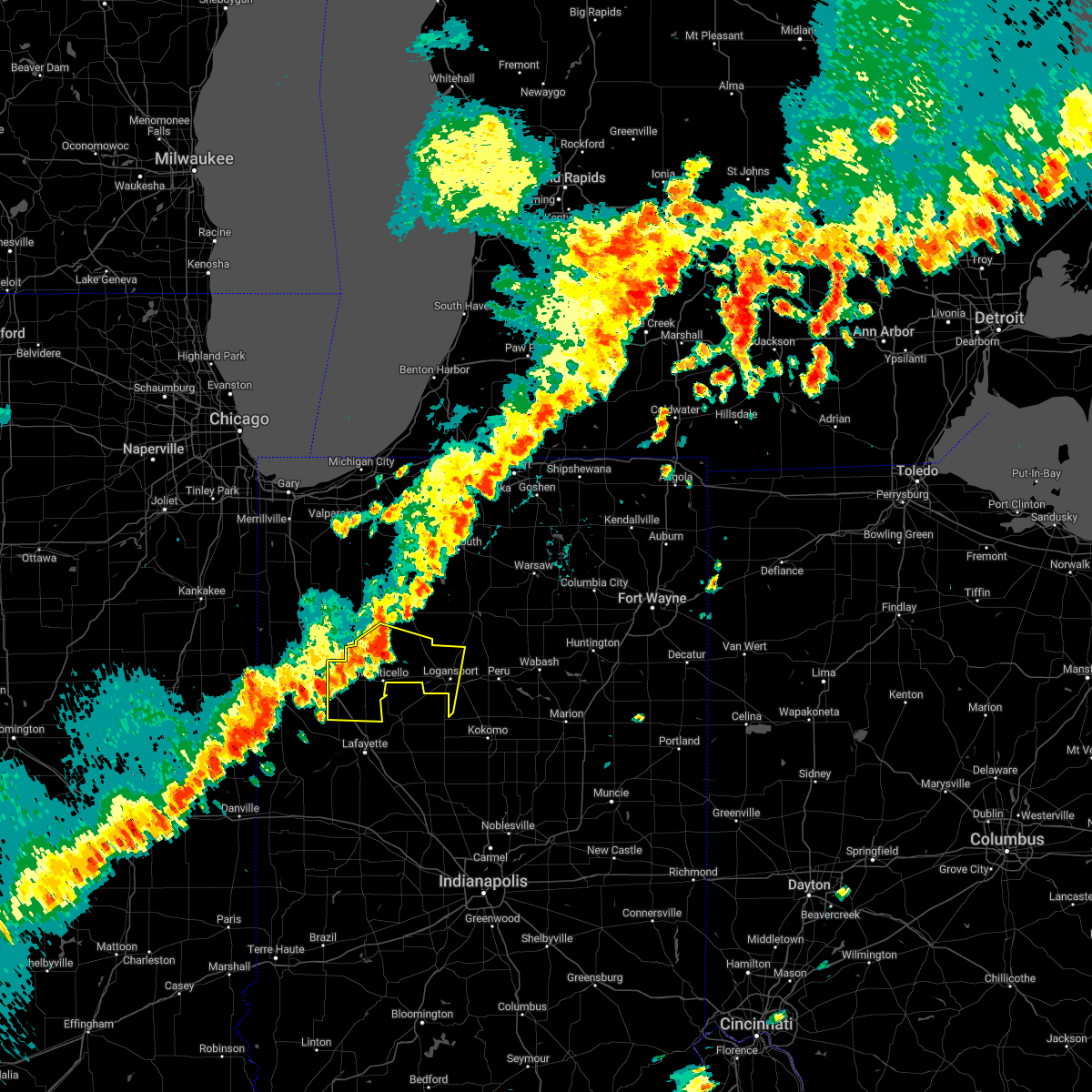 At 513 pm edt, severe thunderstorms were located along a line extending from 7 miles southwest of winamac to near monticello to near atkinson, moving southeast at 35 mph (radar indicated). Hazards include 60 mph wind gusts. expect damage to roofs, siding, and trees At 513 pm edt, severe thunderstorms were located along a line extending from 7 miles southwest of winamac to near monticello to near atkinson, moving southeast at 35 mph (radar indicated). Hazards include 60 mph wind gusts. expect damage to roofs, siding, and trees
|
| 7/23/2022 8:44 AM EDT | Multiple trees down on 1500 block of 3rd st in logansport. time estimated from rada in cass county IN, 1.5 miles SSE of Logansport, IN |
| 7/23/2022 8:42 AM EDT |
 At 841 am edt, severe thunderstorms were located along a line extending from near akron to near logansport to monticello, moving southeast at 65 mph (radar indicated). Hazards include 60 mph wind gusts and penny size hail. Expect damage to roofs, siding, and trees. locations impacted include, logansport, rochester, monticello, brookston, akron, wolcott, royal center, reynolds, chalmers, burnettsville, fulton, macy, clymers, smithson, nyena lake, leases corner, deedsville, indiana beach, hoover and idaville. this includes interstate 65 between mile markers 185 and 198. hail threat, radar indicated max hail size, 0. 75 in wind threat, radar indicated max wind gust, 60 mph. At 841 am edt, severe thunderstorms were located along a line extending from near akron to near logansport to monticello, moving southeast at 65 mph (radar indicated). Hazards include 60 mph wind gusts and penny size hail. Expect damage to roofs, siding, and trees. locations impacted include, logansport, rochester, monticello, brookston, akron, wolcott, royal center, reynolds, chalmers, burnettsville, fulton, macy, clymers, smithson, nyena lake, leases corner, deedsville, indiana beach, hoover and idaville. this includes interstate 65 between mile markers 185 and 198. hail threat, radar indicated max hail size, 0. 75 in wind threat, radar indicated max wind gust, 60 mph.
|
| 7/23/2022 8:08 AM EDT |
 At 808 am edt/708 am cdt/, severe thunderstorms were located along a line extending from near north judson to near medaryville to brook, moving southeast at 45 mph (radar indicated). Hazards include 60 mph wind gusts and penny size hail. expect damage to roofs, siding, and trees At 808 am edt/708 am cdt/, severe thunderstorms were located along a line extending from near north judson to near medaryville to brook, moving southeast at 45 mph (radar indicated). Hazards include 60 mph wind gusts and penny size hail. expect damage to roofs, siding, and trees
|
| 5/25/2022 7:41 PM EDT |
 The severe thunderstorm warning for southwestern fulton, cass and western miami counties will expire at 745 pm edt, the storm which prompted the warning has moved out of the area. therefore, the warning will be allowed to expire. The severe thunderstorm warning for southwestern fulton, cass and western miami counties will expire at 745 pm edt, the storm which prompted the warning has moved out of the area. therefore, the warning will be allowed to expire.
|
| 5/25/2022 7:00 PM EDT |
 At 659 pm edt, a severe thunderstorm was located near walton, or near grissom afb, moving north at 50 mph (radar indicated). Hazards include 60 mph wind gusts. expect damage to roofs, siding, and trees At 659 pm edt, a severe thunderstorm was located near walton, or near grissom afb, moving north at 50 mph (radar indicated). Hazards include 60 mph wind gusts. expect damage to roofs, siding, and trees
|
| 3/6/2022 2:22 AM EST | Storm damage reported in cass county IN, 0.7 miles S of Logansport, IN |
| 3/6/2022 2:14 AM EST |
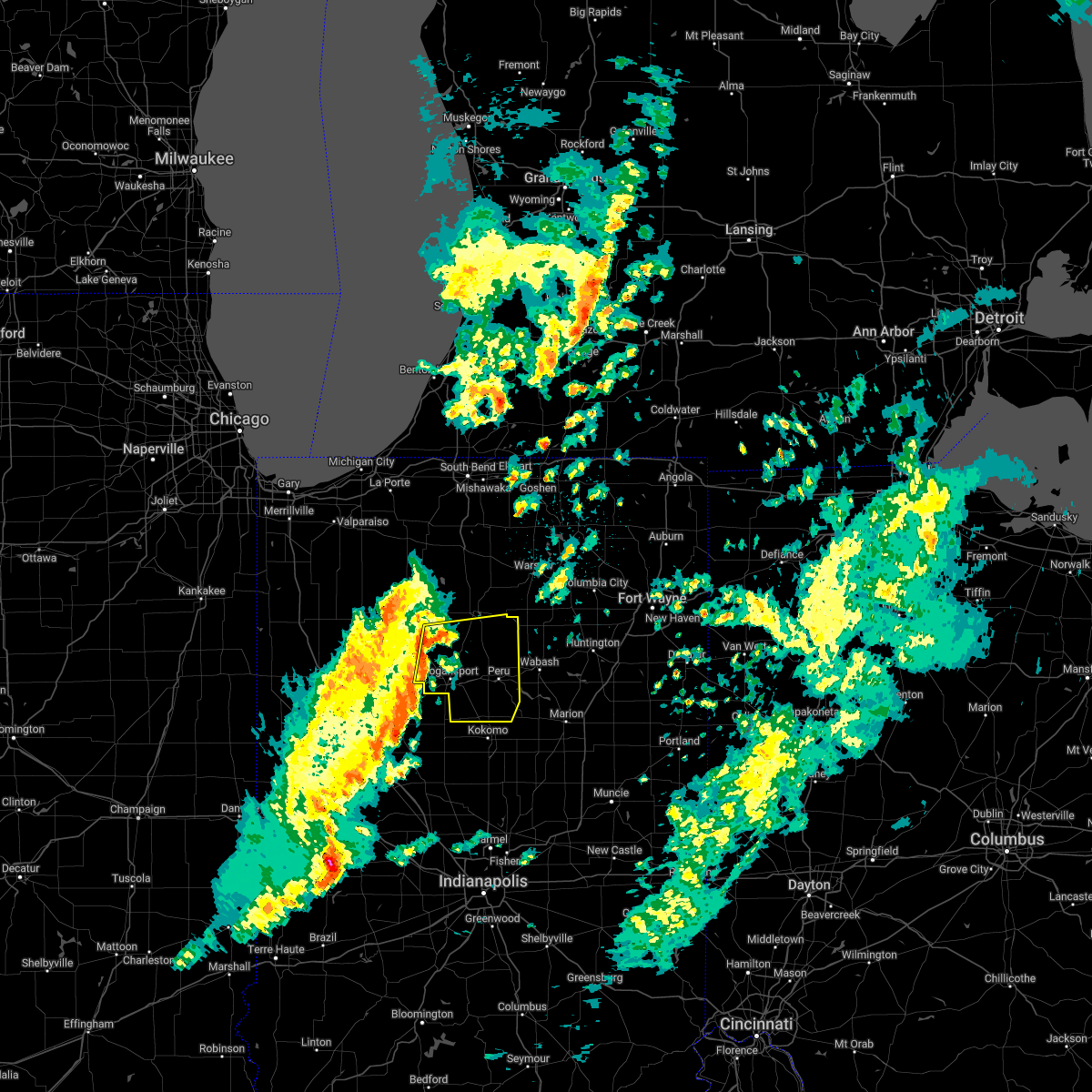 At 214 am est, severe thunderstorms were located along a line extending from near royal center to 8 miles northeast of delphi to 6 miles east of lafayette, moving east at 50 mph (radar indicated). Hazards include 60 mph wind gusts. expect damage to roofs, siding, and trees At 214 am est, severe thunderstorms were located along a line extending from near royal center to 8 miles northeast of delphi to 6 miles east of lafayette, moving east at 50 mph (radar indicated). Hazards include 60 mph wind gusts. expect damage to roofs, siding, and trees
|
| 10/11/2021 10:07 PM EDT |
 At 1007 pm edt, a severe thunderstorm was located 9 miles southwest of rochester, moving northeast at 50 mph (radar indicated). Hazards include 60 mph wind gusts. Expect damage to roofs, siding, and trees. Locations impacted include, logansport, rochester, kewanna, fulton, leiters ford, nyena lake, leases corner, athens, twelve mile, bruce lake station, metea, delong, tiosa, fletcher, lake manitou, adamsboro, marshtown and talma. At 1007 pm edt, a severe thunderstorm was located 9 miles southwest of rochester, moving northeast at 50 mph (radar indicated). Hazards include 60 mph wind gusts. Expect damage to roofs, siding, and trees. Locations impacted include, logansport, rochester, kewanna, fulton, leiters ford, nyena lake, leases corner, athens, twelve mile, bruce lake station, metea, delong, tiosa, fletcher, lake manitou, adamsboro, marshtown and talma.
|
| 10/11/2021 9:44 PM EDT |
 At 944 pm edt, a severe thunderstorm was located near logansport, moving northeast at 55 mph (radar indicated). Hazards include 60 mph wind gusts. expect damage to roofs, siding, and trees At 944 pm edt, a severe thunderstorm was located near logansport, moving northeast at 55 mph (radar indicated). Hazards include 60 mph wind gusts. expect damage to roofs, siding, and trees
|
| 10/11/2021 6:28 PM EDT |
 The severe thunderstorm warning for northeastern pulaski, fulton, cass, northwestern miami and south central starke counties will expire at 630 pm edt/530 pm cdt/, the storms which prompted the warning have moved out of the area. therefore, the warning will be allowed to expire. however heavy rain is still possible with these thunderstorms. The severe thunderstorm warning for northeastern pulaski, fulton, cass, northwestern miami and south central starke counties will expire at 630 pm edt/530 pm cdt/, the storms which prompted the warning have moved out of the area. therefore, the warning will be allowed to expire. however heavy rain is still possible with these thunderstorms.
|
| 10/11/2021 6:15 PM EDT |
 At 615 pm edt/515 pm cdt/, severe thunderstorms were located along a line extending from 7 miles southwest of culver to 9 miles east of winamac to near walton, moving north at 70 mph (radar indicated). Hazards include 60 mph wind gusts and quarter size hail. Hail damage to vehicles is expected. expect wind damage to roofs, siding, and trees. Locations impacted include, logansport, rochester, akron, walton, mexico, lincoln, kewanna, fulton, monterey, macy, onward, leiters ford, beardstown, nyena lake, leases corner, deedsville, delong, hoover, lake bruce and lake manitou. At 615 pm edt/515 pm cdt/, severe thunderstorms were located along a line extending from 7 miles southwest of culver to 9 miles east of winamac to near walton, moving north at 70 mph (radar indicated). Hazards include 60 mph wind gusts and quarter size hail. Hail damage to vehicles is expected. expect wind damage to roofs, siding, and trees. Locations impacted include, logansport, rochester, akron, walton, mexico, lincoln, kewanna, fulton, monterey, macy, onward, leiters ford, beardstown, nyena lake, leases corner, deedsville, delong, hoover, lake bruce and lake manitou.
|
| 10/11/2021 5:54 PM EDT | Storm damage reported in cass county IN, 10.6 miles E of Logansport, IN |
| 10/11/2021 5:52 PM EDT |
 At 552 pm edt/452 pm cdt/, severe thunderstorms were located along a line extending from near monticello to near delphi to 11 miles northeast of frankfort, moving north at 65 mph (radar indicated). Hazards include 60 mph wind gusts and quarter size hail. Hail damage to vehicles is expected. Expect wind damage to roofs, siding, and trees. At 552 pm edt/452 pm cdt/, severe thunderstorms were located along a line extending from near monticello to near delphi to 11 miles northeast of frankfort, moving north at 65 mph (radar indicated). Hazards include 60 mph wind gusts and quarter size hail. Hail damage to vehicles is expected. Expect wind damage to roofs, siding, and trees.
|
| 8/11/2021 1:18 PM EDT | Delayed report. snapped power pole and downed trees... branches along e 150 n. no tree or limb health or size information. also reports of trees and limbs down on 600 in cass county IN, 6.8 miles WSW of Logansport, IN |
| 8/11/2021 12:54 PM EDT |
 At 1253 pm edt, severe thunderstorms were located along a line extending from 6 miles south of argos to near rochester to near royal center, moving east at 45 mph (radar indicated). Hazards include 60 mph wind gusts and penny size hail. expect damage to roofs, siding, and trees At 1253 pm edt, severe thunderstorms were located along a line extending from 6 miles south of argos to near rochester to near royal center, moving east at 45 mph (radar indicated). Hazards include 60 mph wind gusts and penny size hail. expect damage to roofs, siding, and trees
|
| 8/10/2020 6:51 PM EDT |
 The severe thunderstorm warning for fulton, cass and western miami counties will expire at 700 pm edt, the storms which prompted the warning have moved out of the area. therefore, the warning will be allowed to expire. however gusty winds are still possible with these thunderstorms. a severe thunderstorm watch remains in effect until midnight edt for north central and northwestern indiana. The severe thunderstorm warning for fulton, cass and western miami counties will expire at 700 pm edt, the storms which prompted the warning have moved out of the area. therefore, the warning will be allowed to expire. however gusty winds are still possible with these thunderstorms. a severe thunderstorm watch remains in effect until midnight edt for north central and northwestern indiana.
|
| 8/10/2020 6:38 PM EDT |
 At 638 pm edt, severe thunderstorms were located along a line extending from 6 miles west of rochester to 7 miles west of mexico to near logansport, moving east at 50 mph. these are very dangerous storms (radar indicated). Hazards include 80 mph wind gusts and quarter size hail. Flying debris will be dangerous to those caught without shelter. mobile homes will be heavily damaged. expect considerable damage to roofs, windows, and vehicles. extensive tree damage and power outages are likely. these severe storms will be near, mexico around 645 pm edt. peru and grissom afb around 650 pm edt. bunker hill around 655 pm edt. Other locations impacted by these severe thunderstorms include clymers, fulton, bennetts switch, nyena lake, leases corner, deedsville, macy, hoover, tiosa and kewanna. At 638 pm edt, severe thunderstorms were located along a line extending from 6 miles west of rochester to 7 miles west of mexico to near logansport, moving east at 50 mph. these are very dangerous storms (radar indicated). Hazards include 80 mph wind gusts and quarter size hail. Flying debris will be dangerous to those caught without shelter. mobile homes will be heavily damaged. expect considerable damage to roofs, windows, and vehicles. extensive tree damage and power outages are likely. these severe storms will be near, mexico around 645 pm edt. peru and grissom afb around 650 pm edt. bunker hill around 655 pm edt. Other locations impacted by these severe thunderstorms include clymers, fulton, bennetts switch, nyena lake, leases corner, deedsville, macy, hoover, tiosa and kewanna.
|
| 8/10/2020 6:26 PM EDT |
 At 626 pm edt, severe thunderstorms were located along a line extending from near winamac to near royal center to 8 miles west of logansport, moving east at 50 mph. these are very dangerous storms (radar indicated). Hazards include 80 mph wind gusts and quarter size hail. Flying debris will be dangerous to those caught without shelter. mobile homes will be heavily damaged. expect considerable damage to roofs, windows, and vehicles. extensive tree damage and power outages are likely. these severe storms will be near, logansport around 635 pm edt. rochester, walton and mexico around 645 pm edt. peru, grissom afb and bunker hill around 650 pm edt. Other locations impacted by these severe thunderstorms include clymers, bennetts switch, nyena lake, deedsville, macy, star city, tiosa, thornhope, lincoln and nead. At 626 pm edt, severe thunderstorms were located along a line extending from near winamac to near royal center to 8 miles west of logansport, moving east at 50 mph. these are very dangerous storms (radar indicated). Hazards include 80 mph wind gusts and quarter size hail. Flying debris will be dangerous to those caught without shelter. mobile homes will be heavily damaged. expect considerable damage to roofs, windows, and vehicles. extensive tree damage and power outages are likely. these severe storms will be near, logansport around 635 pm edt. rochester, walton and mexico around 645 pm edt. peru, grissom afb and bunker hill around 650 pm edt. Other locations impacted by these severe thunderstorms include clymers, bennetts switch, nyena lake, deedsville, macy, star city, tiosa, thornhope, lincoln and nead.
|
| 8/10/2020 5:46 PM EDT |
 At 546 pm edt/446 pm cdt/, severe thunderstorms were located along a line extending from near gifford to near mccoysburg to near remington, moving east at 50 mph. these are very dangerous storms (radar indicated). Hazards include 80 mph wind gusts and quarter size hail. Flying debris will be dangerous to those caught without shelter. mobile homes will be heavily damaged. expect considerable damage to roofs, windows, and vehicles. extensive tree damage and power outages are likely. these severe storms will be near, monon around 555 pm edt. francesville and medaryville around 600 pm edt. monticello around 610 pm edt. winamac around 615 pm edt. royal center around 620 pm edt. logansport around 635 pm edt. rochester and walton around 640 pm edt. peru, grissom afb and mexico around 645 pm edt. Other locations impacted by these severe thunderstorms include clymers, beardstown, bennetts switch, smithson, nyena lake, deedsville, macy, clarks, star city and tiosa. At 546 pm edt/446 pm cdt/, severe thunderstorms were located along a line extending from near gifford to near mccoysburg to near remington, moving east at 50 mph. these are very dangerous storms (radar indicated). Hazards include 80 mph wind gusts and quarter size hail. Flying debris will be dangerous to those caught without shelter. mobile homes will be heavily damaged. expect considerable damage to roofs, windows, and vehicles. extensive tree damage and power outages are likely. these severe storms will be near, monon around 555 pm edt. francesville and medaryville around 600 pm edt. monticello around 610 pm edt. winamac around 615 pm edt. royal center around 620 pm edt. logansport around 635 pm edt. rochester and walton around 640 pm edt. peru, grissom afb and mexico around 645 pm edt. Other locations impacted by these severe thunderstorms include clymers, beardstown, bennetts switch, smithson, nyena lake, deedsville, macy, clarks, star city and tiosa.
|
| 8/10/2020 5:22 PM EDT |
 At 522 pm edt/422 pm cdt/, severe thunderstorms were located along a line extending from near conrad to brook to near raub, moving east at 50 mph. these are very dangerous storms (radar indicated). Hazards include 80 mph wind gusts and quarter size hail. Flying debris will be dangerous to those caught without shelter. mobile homes will be heavily damaged. expect considerable damage to roofs, windows, and vehicles. extensive tree damage and power outages are likely. severe thunderstorms will be near, wolcott around 550 pm edt. monon and medaryville around 555 pm edt. monticello, brookston and francesville around 600 pm edt. winamac and royal center around 615 pm edt. logansport around 630 pm edt. rochester and walton around 640 pm edt. peru, grissom afb and mexico around 645 pm edt. bunker hill around 650 pm edt. This includes interstate 65 between mile markers 185 and 198. At 522 pm edt/422 pm cdt/, severe thunderstorms were located along a line extending from near conrad to brook to near raub, moving east at 50 mph. these are very dangerous storms (radar indicated). Hazards include 80 mph wind gusts and quarter size hail. Flying debris will be dangerous to those caught without shelter. mobile homes will be heavily damaged. expect considerable damage to roofs, windows, and vehicles. extensive tree damage and power outages are likely. severe thunderstorms will be near, wolcott around 550 pm edt. monon and medaryville around 555 pm edt. monticello, brookston and francesville around 600 pm edt. winamac and royal center around 615 pm edt. logansport around 630 pm edt. rochester and walton around 640 pm edt. peru, grissom afb and mexico around 645 pm edt. bunker hill around 650 pm edt. This includes interstate 65 between mile markers 185 and 198.
|
| 7/19/2020 1:35 PM EDT | 53 knot wind gust recorded at logansport municipal airport (kggp in cass county IN, 2.8 miles NNE of Logansport, IN |
| 7/19/2020 1:35 PM EDT | Reports of trees and power lines down across the count in cass county IN, 0.1 miles ESE of Logansport, IN |
| 7/19/2020 1:22 PM EDT |
 At 121 pm edt, severe thunderstorms were located along a line extending from near winamac to near monticello to near brookston, moving east at 60 mph (radar indicated). Hazards include 60 mph wind gusts and penny size hail. Expect damage to roofs, siding, and trees. Locations impacted include, logansport, monticello, winamac, monon, brookston, wolcott, francesville, royal center, medaryville, pulaski, kewanna, reynolds, chalmers, burnettsville, clymers, smithson, leases corner, indiana beach, idaville and sitka. At 121 pm edt, severe thunderstorms were located along a line extending from near winamac to near monticello to near brookston, moving east at 60 mph (radar indicated). Hazards include 60 mph wind gusts and penny size hail. Expect damage to roofs, siding, and trees. Locations impacted include, logansport, monticello, winamac, monon, brookston, wolcott, francesville, royal center, medaryville, pulaski, kewanna, reynolds, chalmers, burnettsville, clymers, smithson, leases corner, indiana beach, idaville and sitka.
|
| 7/19/2020 1:04 PM EDT |
 At 104 pm edt, severe thunderstorms were located along a line extending from near surrey to goodland to dunnington, and are nearly stationary (radar indicated). Hazards include 70 mph wind gusts and penny size hail. Expect considerable tree damage. damage is likely to mobile homes, roofs, and outbuildings. Locations impacted include, logansport, monticello, winamac, monon, brookston, wolcott, francesville, royal center, medaryville, pulaski, kewanna, reynolds, chalmers, burnettsville, clymers, smithson, leases corner, indiana beach, idaville and sitka. At 104 pm edt, severe thunderstorms were located along a line extending from near surrey to goodland to dunnington, and are nearly stationary (radar indicated). Hazards include 70 mph wind gusts and penny size hail. Expect considerable tree damage. damage is likely to mobile homes, roofs, and outbuildings. Locations impacted include, logansport, monticello, winamac, monon, brookston, wolcott, francesville, royal center, medaryville, pulaski, kewanna, reynolds, chalmers, burnettsville, clymers, smithson, leases corner, indiana beach, idaville and sitka.
|
| 7/19/2020 12:51 PM EDT |
 At 1250 pm edt, severe thunderstorms were located along a line extending from near surrey to goodland to dunnington, moving east at 55 mph (radar indicated). Hazards include 60 mph wind gusts and penny size hail. expect damage to roofs, siding, and trees At 1250 pm edt, severe thunderstorms were located along a line extending from near surrey to goodland to dunnington, moving east at 55 mph (radar indicated). Hazards include 60 mph wind gusts and penny size hail. expect damage to roofs, siding, and trees
|
| 7/5/2019 7:07 PM EDT | Tree downed across the road on burlington ave and dewey st. diameter of tree less than 18 inch diamete in cass county IN, 0.9 miles NE of Logansport, IN |
| 7/5/2019 7:07 PM EDT | Two trees downed on burlington avenue near where it turns into 3rd street near the wabash river. one tree is about 18 inches in diameter... the other is slightly les in cass county IN, 0.6 miles E of Logansport, IN |
| 5/27/2019 7:20 PM EDT | Quarter sized hail reported 9 miles E of Logansport, IN |
| 5/27/2019 7:18 PM EDT |
 At 717 pm edt, a severe thunderstorm was located 7 miles south of royal center, or 9 miles west of logansport, moving east at 35 mph (radar indicated). Hazards include ping pong ball size hail. People and animals outdoors will be injured. Expect damage to roofs, siding, windows, and vehicles. At 717 pm edt, a severe thunderstorm was located 7 miles south of royal center, or 9 miles west of logansport, moving east at 35 mph (radar indicated). Hazards include ping pong ball size hail. People and animals outdoors will be injured. Expect damage to roofs, siding, windows, and vehicles.
|
| 5/23/2019 4:37 AM EDT |
 At 436 am edt, severe thunderstorms were located along a line extending from near warsaw to 6 miles northwest of north manchester to 11 miles east of frankfort, moving east at 65 mph (radar indicated). Hazards include 60 mph wind gusts. Expect damage to roofs, siding, and trees. Locations impacted include, marion, logansport, huntington, warsaw, peru, wabash, columbia city, rochester, north manchester, winona lake, tri-lakes, grissom afb, south whitley, sweetser, akron, andrews, walton, pierceton, mentone and swayzee. At 436 am edt, severe thunderstorms were located along a line extending from near warsaw to 6 miles northwest of north manchester to 11 miles east of frankfort, moving east at 65 mph (radar indicated). Hazards include 60 mph wind gusts. Expect damage to roofs, siding, and trees. Locations impacted include, marion, logansport, huntington, warsaw, peru, wabash, columbia city, rochester, north manchester, winona lake, tri-lakes, grissom afb, south whitley, sweetser, akron, andrews, walton, pierceton, mentone and swayzee.
|
| 5/23/2019 4:26 AM EDT |
 The severe thunderstorm warning for eastern white, southwestern st. joseph, eastern pulaski, fulton, western cass, eastern starke and marshall counties will expire at 430 am edt/330 am cdt/, the storms which prompted the warning have moved out of the area. therefore, the warning will be allowed to expire. a severe thunderstorm watch remains in effect until 1000 am edt/900 am cdt/ for north central and northwestern indiana. The severe thunderstorm warning for eastern white, southwestern st. joseph, eastern pulaski, fulton, western cass, eastern starke and marshall counties will expire at 430 am edt/330 am cdt/, the storms which prompted the warning have moved out of the area. therefore, the warning will be allowed to expire. a severe thunderstorm watch remains in effect until 1000 am edt/900 am cdt/ for north central and northwestern indiana.
|
| 5/23/2019 4:13 AM EDT |
 At 411 am edt/311 am cdt/, severe thunderstorms were located along a line extending from near gulivoire park to 6 miles south of culver to 7 miles east of delphi, moving northeast at 65 mph (radar indicated). Hazards include 70 mph wind gusts. Expect considerable tree damage. damage is likely to mobile homes, roofs, and outbuildings. locations impacted include, logansport, plymouth, rochester, monticello, bremen, knox, winamac, walkerton, argos, brookston, culver, royal center, hamlet, lakeville, koontz lake, pulaski, walnut, oak grove, ripley and kewanna. this is a dangerous line of storms. These storms have a history of producing damaging wind gusts to 70 mph. At 411 am edt/311 am cdt/, severe thunderstorms were located along a line extending from near gulivoire park to 6 miles south of culver to 7 miles east of delphi, moving northeast at 65 mph (radar indicated). Hazards include 70 mph wind gusts. Expect considerable tree damage. damage is likely to mobile homes, roofs, and outbuildings. locations impacted include, logansport, plymouth, rochester, monticello, bremen, knox, winamac, walkerton, argos, brookston, culver, royal center, hamlet, lakeville, koontz lake, pulaski, walnut, oak grove, ripley and kewanna. this is a dangerous line of storms. These storms have a history of producing damaging wind gusts to 70 mph.
|
| 5/23/2019 4:09 AM EDT |
 At 407 am edt, severe thunderstorms were located along a line extending from near culver to 9 miles northeast of royal center to 8 miles north of crawfordsville, moving east at 65 mph (radar indicated). Hazards include 70 mph wind gusts. Expect considerable tree damage. Damage is likely to mobile homes, roofs, and outbuildings. At 407 am edt, severe thunderstorms were located along a line extending from near culver to 9 miles northeast of royal center to 8 miles north of crawfordsville, moving east at 65 mph (radar indicated). Hazards include 70 mph wind gusts. Expect considerable tree damage. Damage is likely to mobile homes, roofs, and outbuildings.
|
| 5/23/2019 3:48 AM EDT |
 At 347 am edt/247 am cdt/, severe thunderstorms were located along a line extending from near kingsford heights to near francesville to near west lafayette, moving northeast at 65 mph (radar indicated). Hazards include 70 mph wind gusts and penny size hail. Expect considerable tree damage. damage is likely to mobile homes, roofs, and outbuildings. locations impacted include, logansport, plymouth, rochester, monticello, bremen, knox, winamac, walkerton, monon, north judson, argos, brookston, culver, wolcott, francesville, royal center, hamlet, lakeville, medaryville and la crosse. this is a very dangerous storm. This storm has a history of producing 70 to 80 mph wind gusts across northeast illinois. At 347 am edt/247 am cdt/, severe thunderstorms were located along a line extending from near kingsford heights to near francesville to near west lafayette, moving northeast at 65 mph (radar indicated). Hazards include 70 mph wind gusts and penny size hail. Expect considerable tree damage. damage is likely to mobile homes, roofs, and outbuildings. locations impacted include, logansport, plymouth, rochester, monticello, bremen, knox, winamac, walkerton, monon, north judson, argos, brookston, culver, wolcott, francesville, royal center, hamlet, lakeville, medaryville and la crosse. this is a very dangerous storm. This storm has a history of producing 70 to 80 mph wind gusts across northeast illinois.
|
| 5/23/2019 3:15 AM EDT |
 At 313 am edt/213 am cdt/, severe thunderstorms were located along a line extending from near momence to raub to near danville, moving northeast at 65 mph (radar indicated). Hazards include 70 mph wind gusts and penny size hail. Expect considerable tree damage. Damage is likely to mobile homes, roofs, and outbuildings. At 313 am edt/213 am cdt/, severe thunderstorms were located along a line extending from near momence to raub to near danville, moving northeast at 65 mph (radar indicated). Hazards include 70 mph wind gusts and penny size hail. Expect considerable tree damage. Damage is likely to mobile homes, roofs, and outbuildings.
|
| 5/19/2019 5:38 PM EDT |
 The severe thunderstorm warning for southeastern cass and miami counties will expire at 545 pm edt, the storms which prompted the warning have moved out of the area. therefore, the warning will be allowed to expire for southeastern cass county. a new severe thunderstorm warning has been issued for miami county until 6 pm edt. a severe thunderstorm watch remains in effect until 1000 pm edt for north central indiana. The severe thunderstorm warning for southeastern cass and miami counties will expire at 545 pm edt, the storms which prompted the warning have moved out of the area. therefore, the warning will be allowed to expire for southeastern cass county. a new severe thunderstorm warning has been issued for miami county until 6 pm edt. a severe thunderstorm watch remains in effect until 1000 pm edt for north central indiana.
|
| 5/19/2019 5:17 PM EDT | Tree damage along us 35. estimated 50 mph wind gust in cass county IN, 2.3 miles ESE of Logansport, IN |
| 5/19/2019 5:16 PM EDT |
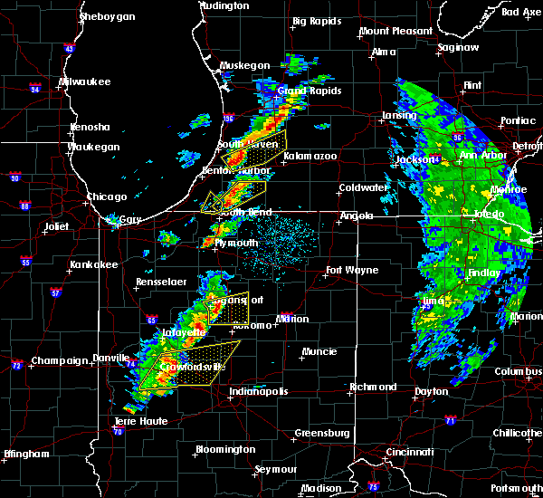 At 515 pm edt, severe thunderstorms were located along a line extending from 6 miles west of mexico to 10 miles north of frankfort, moving east at 55 mph. a 56 mph wind gust was recorded at the cass county airport as the storms passed (radar indicated). Hazards include 60 mph wind gusts and penny size hail. Expect damage to roofs, siding, and trees. Locations impacted include, logansport, peru, grissom afb, walton, bunker hill, mexico, lincoln, wells, galveston, miami, erie, denver, onward, chili, bennetts switch, deacon, new waverly, santa fe, wawpecong and hoover. At 515 pm edt, severe thunderstorms were located along a line extending from 6 miles west of mexico to 10 miles north of frankfort, moving east at 55 mph. a 56 mph wind gust was recorded at the cass county airport as the storms passed (radar indicated). Hazards include 60 mph wind gusts and penny size hail. Expect damage to roofs, siding, and trees. Locations impacted include, logansport, peru, grissom afb, walton, bunker hill, mexico, lincoln, wells, galveston, miami, erie, denver, onward, chili, bennetts switch, deacon, new waverly, santa fe, wawpecong and hoover.
|
| 5/19/2019 4:53 PM EDT |
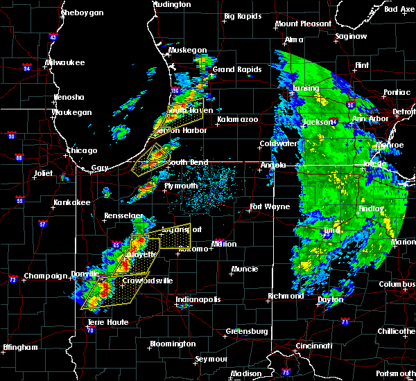 At 453 pm edt, severe thunderstorms were located along a line extending from 9 miles northeast of delphi to 7 miles southeast of lafayette, moving east at 55 mph (radar indicated). Hazards include 60 mph wind gusts and penny size hail. expect damage to roofs, siding, and trees At 453 pm edt, severe thunderstorms were located along a line extending from 9 miles northeast of delphi to 7 miles southeast of lafayette, moving east at 55 mph (radar indicated). Hazards include 60 mph wind gusts and penny size hail. expect damage to roofs, siding, and trees
|
| 8/20/2018 3:06 PM EDT |
 The severe thunderstorm warning for southeastern cass and southwestern miami counties will expire at 315 pm edt, the storm which prompted the warning has weakened below severe limits, and has exited the warned area. therefore, the warning will be allowed to expire. The severe thunderstorm warning for southeastern cass and southwestern miami counties will expire at 315 pm edt, the storm which prompted the warning has weakened below severe limits, and has exited the warned area. therefore, the warning will be allowed to expire.
|
| 8/20/2018 2:52 PM EDT |
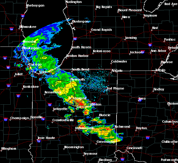 At 252 pm edt, a severe thunderstorm was located near mexico, or near peru, moving northeast at 30 mph (radar indicated). Hazards include 60 mph wind gusts. Expect damage to roofs, siding, and trees. Locations impacted include, logansport, grissom afb, walton, bunker hill, lincoln, galveston, miami, onward, new waverly, adamsboro, nead and anoka. At 252 pm edt, a severe thunderstorm was located near mexico, or near peru, moving northeast at 30 mph (radar indicated). Hazards include 60 mph wind gusts. Expect damage to roofs, siding, and trees. Locations impacted include, logansport, grissom afb, walton, bunker hill, lincoln, galveston, miami, onward, new waverly, adamsboro, nead and anoka.
|
| 8/20/2018 2:25 PM EDT |
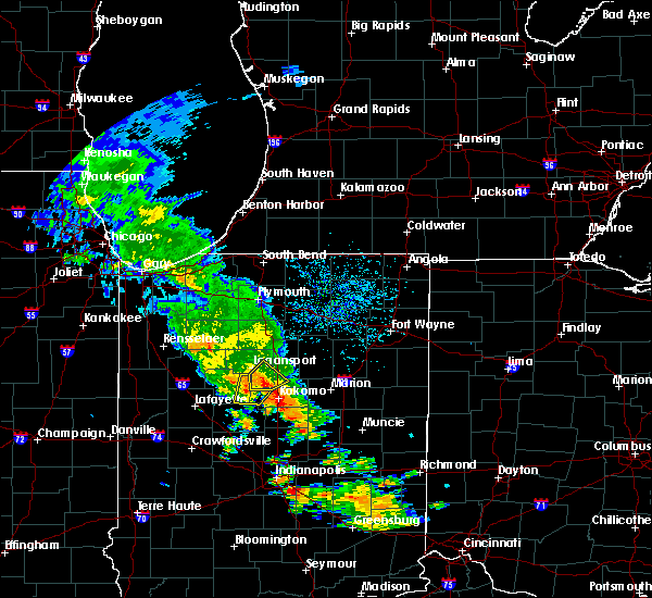 At 225 pm edt, a severe thunderstorm was located near walton, or 10 miles southwest of grissom afb, moving northeast at 30 mph (radar indicated). Hazards include 60 mph wind gusts and penny size hail. expect damage to roofs, siding, and trees At 225 pm edt, a severe thunderstorm was located near walton, or 10 miles southwest of grissom afb, moving northeast at 30 mph (radar indicated). Hazards include 60 mph wind gusts and penny size hail. expect damage to roofs, siding, and trees
|
| 6/7/2018 6:44 PM EDT |
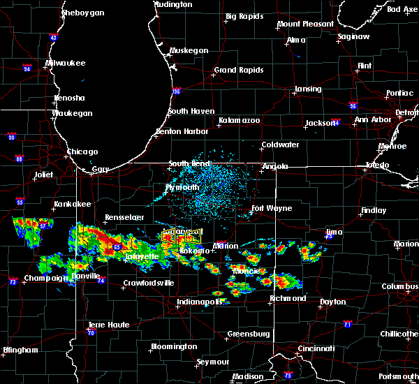 At 644 pm edt, a severe thunderstorm was located over logansport, moving east at 10 mph (radar indicated). Hazards include quarter size hail. damage to vehicles is expected At 644 pm edt, a severe thunderstorm was located over logansport, moving east at 10 mph (radar indicated). Hazards include quarter size hail. damage to vehicles is expected
|
| 7/23/2017 3:48 PM EDT | Delayed report. tree down along us 24. no information on size/health of the tre in cass county IN, 8.5 miles E of Logansport, IN |
| 5/18/2017 7:24 PM EDT | A couple of trees reported on houses... near intersection of cr 150 n and cr 450 e. numerous trees reported down in the nearby wooded are in cass county IN, 4.5 miles SW of Logansport, IN |
| 3/7/2017 4:03 AM EST |
 At 402 am est, a severe thunderstorm was located near royal center, or near logansport, moving east at 55 mph (radar indicated). Hazards include 60 mph wind gusts and penny size hail. Expect damage to roofs, siding, and trees. Locations impacted include, logansport, royal center, clymers, twelve mile, metea, leases corner, adamsboro, lucerne, lake cicott and anoka. At 402 am est, a severe thunderstorm was located near royal center, or near logansport, moving east at 55 mph (radar indicated). Hazards include 60 mph wind gusts and penny size hail. Expect damage to roofs, siding, and trees. Locations impacted include, logansport, royal center, clymers, twelve mile, metea, leases corner, adamsboro, lucerne, lake cicott and anoka.
|
| 3/7/2017 3:44 AM EST |
 At 344 am est, a severe thunderstorm was located near monticello, moving east at 55 mph (radar indicated). Hazards include 60 mph wind gusts and penny size hail. expect damage to roofs, siding, and trees At 344 am est, a severe thunderstorm was located near monticello, moving east at 55 mph (radar indicated). Hazards include 60 mph wind gusts and penny size hail. expect damage to roofs, siding, and trees
|
| 11/18/2016 5:56 PM EST |
 The severe thunderstorm warning for miami, wabash and eastern cass counties will expire at 600 pm est, the storms which prompted the warning have weakened below severe limits, and no longer pose an immediate threat to life or property. therefore, the warning will be allowed to expire. The severe thunderstorm warning for miami, wabash and eastern cass counties will expire at 600 pm est, the storms which prompted the warning have weakened below severe limits, and no longer pose an immediate threat to life or property. therefore, the warning will be allowed to expire.
|
| 11/18/2016 5:24 PM EST |
 At 524 pm est, severe thunderstorms were located along a line extending from 10 miles northwest of mexico to 6 miles southwest of walton, moving northeast at 70 mph (radar indicated). Hazards include 60 mph wind gusts. Expect damage to roofs. siding. and trees. severe thunderstorms will be near, bunker hill around 535 pm est. peru and mexico around 540 pm est. wabash around 550 pm est. Other locations impacted by these severe thunderstorms include peoria, somerset, anoka, lagro, servia, new waverly, onward, urbana, lincoln and erie. At 524 pm est, severe thunderstorms were located along a line extending from 10 miles northwest of mexico to 6 miles southwest of walton, moving northeast at 70 mph (radar indicated). Hazards include 60 mph wind gusts. Expect damage to roofs. siding. and trees. severe thunderstorms will be near, bunker hill around 535 pm est. peru and mexico around 540 pm est. wabash around 550 pm est. Other locations impacted by these severe thunderstorms include peoria, somerset, anoka, lagro, servia, new waverly, onward, urbana, lincoln and erie.
|
| 11/18/2016 5:22 PM EST | Via kggp asos statio in cass county IN, 2.8 miles NNE of Logansport, IN |
| 11/18/2016 4:53 PM EST |
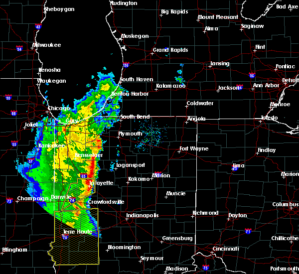 At 452 pm est/352 pm cst/, severe thunderstorms were located along a line extending from near francesville to near brookston, moving northeast at 50 mph (radar indicated). Hazards include 60 mph wind gusts. Expect damage to roofs. siding. and trees. severe thunderstorms will be near, winamac around 505 pm est. royal center around 420 pm cst. Other locations impacted by these severe thunderstorms include bell center, grass creek, leiters ford, burnettsville, idaville, clymers, kewanna, headlee, golden hill and monterey. At 452 pm est/352 pm cst/, severe thunderstorms were located along a line extending from near francesville to near brookston, moving northeast at 50 mph (radar indicated). Hazards include 60 mph wind gusts. Expect damage to roofs. siding. and trees. severe thunderstorms will be near, winamac around 505 pm est. royal center around 420 pm cst. Other locations impacted by these severe thunderstorms include bell center, grass creek, leiters ford, burnettsville, idaville, clymers, kewanna, headlee, golden hill and monterey.
|
| 8/28/2016 5:22 PM EDT |
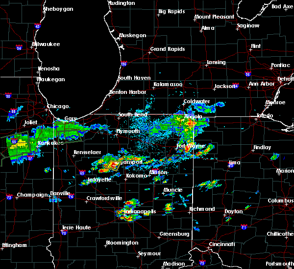 At 521 pm edt, a severe thunderstorm was located over logansport, moving east at 15 mph (emergency management). Hazards include golf ball size hail and 70 mph wind gusts. People and animals outdoors will be injured. expect hail damage to roofs, siding, windows, and vehicles. expect considerable tree damage. wind damage is also likely to mobile homes, roofs, and outbuildings. Locations impacted include, logansport, clymers, anoka and adamsboro. At 521 pm edt, a severe thunderstorm was located over logansport, moving east at 15 mph (emergency management). Hazards include golf ball size hail and 70 mph wind gusts. People and animals outdoors will be injured. expect hail damage to roofs, siding, windows, and vehicles. expect considerable tree damage. wind damage is also likely to mobile homes, roofs, and outbuildings. Locations impacted include, logansport, clymers, anoka and adamsboro.
|
| 8/28/2016 5:20 PM EDT | Limbs/trees downed near the high school. mentioned hail also occurred-about nickle sized from nearby picture in cass county IN, 1.5 miles W of Logansport, IN |
| 8/28/2016 5:20 PM EDT | Golf Ball sized hail reported 0.1 miles ESE of Logansport, IN, . |
| 8/28/2016 5:20 PM EDT | Several reports of wind damage around logansport... and reports of golf ball sized hail. estimated 60-70 mph wind in cass county IN, 0.1 miles ESE of Logansport, IN |
| 8/28/2016 5:18 PM EDT |
 At 517 pm edt, a severe thunderstorm was located over logansport, moving east at 15 mph (emergency management). Hazards include golf ball size hail and 60 mph wind gusts. People and animals outdoors will be injured. expect hail damage to roofs, siding, windows, and vehicles. expect wind damage to roofs, siding, and trees. Locations impacted include, logansport, clymers, anoka and adamsboro. At 517 pm edt, a severe thunderstorm was located over logansport, moving east at 15 mph (emergency management). Hazards include golf ball size hail and 60 mph wind gusts. People and animals outdoors will be injured. expect hail damage to roofs, siding, windows, and vehicles. expect wind damage to roofs, siding, and trees. Locations impacted include, logansport, clymers, anoka and adamsboro.
|
| 8/28/2016 5:15 PM EDT | Multiple trees and fences down. multiple trees snapped off. large sign on hwy 24 down across westbound lane in cass county IN, 1.8 miles NE of Logansport, IN |
| 8/28/2016 5:13 PM EDT | Golf Ball sized hail reported 2.3 miles ESE of Logansport, IN, emergency manager relayed report from a spotter on us-24. |
| 8/28/2016 5:07 PM EDT |
 At 507 pm edt, a severe thunderstorm was located over logansport, moving east at 10 mph (radar indicated). Hazards include 60 mph wind gusts and quarter size hail. Hail damage to vehicles is expected. Expect wind damage to roofs, siding, and trees. At 507 pm edt, a severe thunderstorm was located over logansport, moving east at 10 mph (radar indicated). Hazards include 60 mph wind gusts and quarter size hail. Hail damage to vehicles is expected. Expect wind damage to roofs, siding, and trees.
|
| 9/18/2015 11:00 PM EDT | *** 1 inj *** minor injuries from a car accident that occurred when a motorist struck a downed 4" diameter/6 ft long tree limb in the roa in cass county IN, 5.2 miles W of Logansport, IN |
| 9/18/2015 10:58 PM EDT | Reports of tree limbs down within the city of loganspor in cass county IN, 0.1 miles ESE of Logansport, IN |
| 9/18/2015 10:57 PM EDT |
 At 1057 pm edt, a severe thunderstorm was located near logansport, moving east at 40 mph (radar indicated). Hazards include 60 mph wind gusts and penny size hail. Expect damage to roofs. siding and trees. This severe thunderstorm will remain over mainly rural areas of cass county, including the following locations, anoka, galveston, twelve mile, lucerne, new waverly, clymers, onward, metea, hoover and lincoln. At 1057 pm edt, a severe thunderstorm was located near logansport, moving east at 40 mph (radar indicated). Hazards include 60 mph wind gusts and penny size hail. Expect damage to roofs. siding and trees. This severe thunderstorm will remain over mainly rural areas of cass county, including the following locations, anoka, galveston, twelve mile, lucerne, new waverly, clymers, onward, metea, hoover and lincoln.
|
| 9/18/2015 10:50 PM EDT | Numerous reports from logansport eastward of downed trees... tree limbs. there are also reports of ponding water... up to the curb in a few area in cass county IN, 0.1 miles ESE of Logansport, IN |
| 9/18/2015 10:31 PM EDT |
 At 1031 pm edt, a severe thunderstorm was located near royal center, or 10 miles west of logansport, moving east at 50 mph (radar indicated). Hazards include 60 mph wind gusts and penny size hail. Expect damage to roofs. siding and trees. this severe thunderstorm will be near, logansport around 1040 pm edt. Other locations impacted by this severe thunderstorm include lake cicott, anoka, twelve mile, galveston, new waverly, lucerne, clymers, onward, metea and hoover. At 1031 pm edt, a severe thunderstorm was located near royal center, or 10 miles west of logansport, moving east at 50 mph (radar indicated). Hazards include 60 mph wind gusts and penny size hail. Expect damage to roofs. siding and trees. this severe thunderstorm will be near, logansport around 1040 pm edt. Other locations impacted by this severe thunderstorm include lake cicott, anoka, twelve mile, galveston, new waverly, lucerne, clymers, onward, metea and hoover.
|
| 6/23/2015 3:32 AM EDT |
 At 332 am edt, a severe thunderstorm was located near walton, or near grissom afb, moving east at 45 mph (radar indicated). Hazards include 60 mph wind gusts. Expect damage to roofs. siding and trees. Locations impacted include, logansport, peru, grissom afb, walton, bunker hill, mexico, wells, flora, erie, onward, peoria, santa fe, nead, anoka, new waverly, hoover and adamsboro. At 332 am edt, a severe thunderstorm was located near walton, or near grissom afb, moving east at 45 mph (radar indicated). Hazards include 60 mph wind gusts. Expect damage to roofs. siding and trees. Locations impacted include, logansport, peru, grissom afb, walton, bunker hill, mexico, wells, flora, erie, onward, peoria, santa fe, nead, anoka, new waverly, hoover and adamsboro.
|
| 6/23/2015 3:15 AM EDT |
 At 315 am edt, a severe thunderstorm was located near logansport, moving east at 45 mph (radar indicated). Hazards include 60 mph wind gusts and quarter size hail. Hail damage to vehicles is expected. Expect wind damage to roofs, siding and trees. At 315 am edt, a severe thunderstorm was located near logansport, moving east at 45 mph (radar indicated). Hazards include 60 mph wind gusts and quarter size hail. Hail damage to vehicles is expected. Expect wind damage to roofs, siding and trees.
|
| 6/23/2015 12:04 AM EDT |
 At 1203 am edt /1103 pm cdt/, severe thunderstorms were located along a line extending from near dunns bridge to near moody to near sheldon, moving southeast at 40 mph (radar indicated). Hazards include 60 mph wind gusts. Expect damage to roofs. Siding and trees. At 1203 am edt /1103 pm cdt/, severe thunderstorms were located along a line extending from near dunns bridge to near moody to near sheldon, moving southeast at 40 mph (radar indicated). Hazards include 60 mph wind gusts. Expect damage to roofs. Siding and trees.
|
| 6/18/2015 4:23 PM EDT | At 422 pm edt, severe thunderstorms were located along a line extending from 9 miles northeast of royal center to near logansport, moving east at 35 mph (radar indicated). Hazards include 60 mph wind gusts. Damage to roofs. Siding and trees possible. |
| 6/12/2015 5:05 PM EDT | Report of trees down on power line in cass county IN, 0.1 miles ESE of Logansport, IN |
| 6/12/2015 5:00 PM EDT | Winds estimated to 60 mph. hail up to dime size in diameter. possible funnel cloud reported by trained spotter. heavy rai in cass county IN, 1.4 miles S of Logansport, IN |
| 6/12/2015 4:36 PM EDT |
 At 436 pm edt, a severe thunderstorm was located 7 miles southwest of royal center, or 10 miles east of monticello, moving east at 40 mph (radar indicated). Hazards include 60 mph wind gusts and quarter size hail. Hail damage to vehicles is expected. expect wind damage to roofs, siding and trees. this severe storm will be near, royal center around 440 pm edt. logansport around 450 pm edt. Other locations impacted by this severe thunderstorm include bell center, burnettsville, metea, idaville, clymers, lucerne, twelve mile, lake cicott, leases corner and anoka. At 436 pm edt, a severe thunderstorm was located 7 miles southwest of royal center, or 10 miles east of monticello, moving east at 40 mph (radar indicated). Hazards include 60 mph wind gusts and quarter size hail. Hail damage to vehicles is expected. expect wind damage to roofs, siding and trees. this severe storm will be near, royal center around 440 pm edt. logansport around 450 pm edt. Other locations impacted by this severe thunderstorm include bell center, burnettsville, metea, idaville, clymers, lucerne, twelve mile, lake cicott, leases corner and anoka.
|
| 6/12/2015 4:18 PM EDT |
 At 417 pm edt /317 pm cdt/, a severe thunderstorm was located near monticello, moving east at 40 mph (radar indicated). Hazards include 60 mph wind gusts and quarter size hail. Hail damage to vehicles is expected. expect wind damage to roofs, siding and trees. this severe thunderstorm will be near, royal center around 430 pm edt. Other locations impacted by this severe thunderstorm include lakeside in pulaski county, burnettsville, metea, idaville, clymers, lucerne, fletcher, star city, headlee and lawton. At 417 pm edt /317 pm cdt/, a severe thunderstorm was located near monticello, moving east at 40 mph (radar indicated). Hazards include 60 mph wind gusts and quarter size hail. Hail damage to vehicles is expected. expect wind damage to roofs, siding and trees. this severe thunderstorm will be near, royal center around 430 pm edt. Other locations impacted by this severe thunderstorm include lakeside in pulaski county, burnettsville, metea, idaville, clymers, lucerne, fletcher, star city, headlee and lawton.
|
| 2/20/2014 8:18 PM EST | Storm damage reported in cass county IN, 3 miles NNE of Logansport, IN |
| 6/27/2013 5:25 PM EDT | Quarter sized hail reported 5.1 miles WSW of Logansport, IN |
| 6/27/2013 5:25 PM EDT | Storm damage reported in cass county IN, 5.1 miles WSW of Logansport, IN |
| 7/24/2012 9:19 AM EDT | Tree down blocking u.s. 35 between royal center and logansport. time estimated from rada in cass county IN, 4.4 miles SE of Logansport, IN |
| 7/1/2012 2:15 PM EDT | Storm damage reported in cass county IN, 3 miles NNE of Logansport, IN |
| 1/1/0001 12:00 AM | Multiple trees down. tree down on powerlines on west side of loganspor in cass county IN, 1.1 miles E of Logansport, IN |
| 1/1/0001 12:00 AM | Several trees and power lines down on the west and south sides of logansport. us 24 is closed due to downed trees on roadway. time estimated from rada in cass county IN, 1.1 miles E of Logansport, IN |
| 1/1/0001 12:00 AM | Trees down. power poles snapped. power lines down in the road at 35n and burlington av in cass county IN, 1.5 miles NNE of Logansport, IN |
| 1/1/0001 12:00 AM | Several very large trees down...some trees were snapped in half...others were uprooted in cass county IN, 5 miles ESE of Logansport, IN |
Hail Maps for Logansport, IN
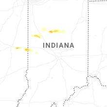
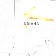
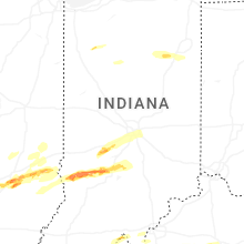

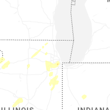


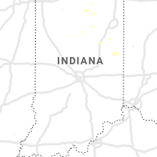

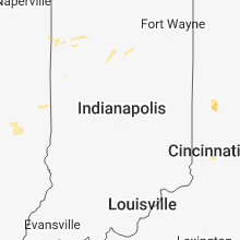


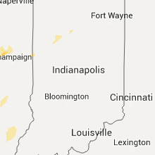


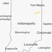


Connect with Interactive Hail Maps