

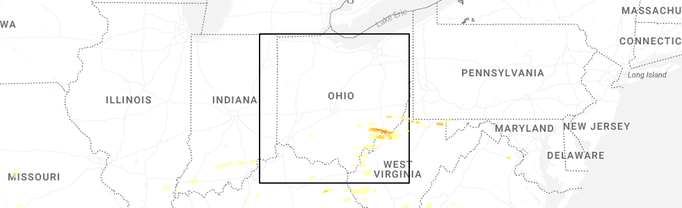
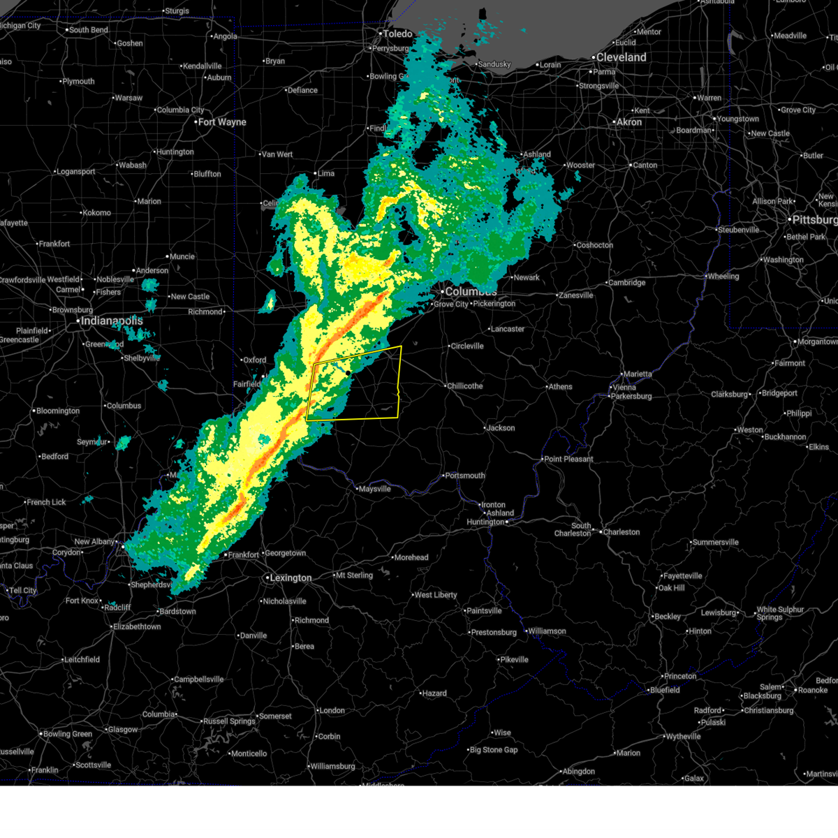
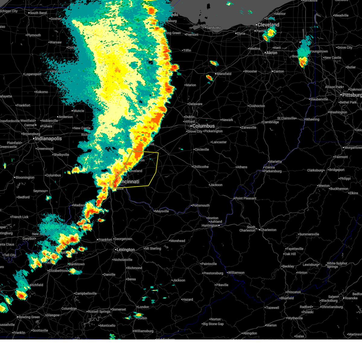
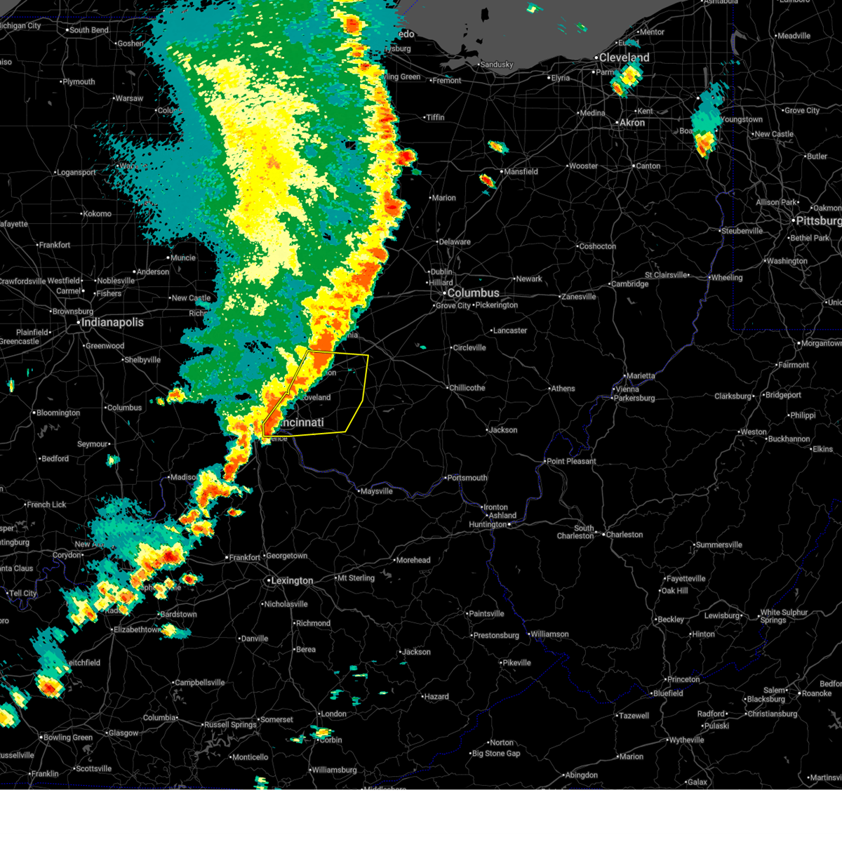
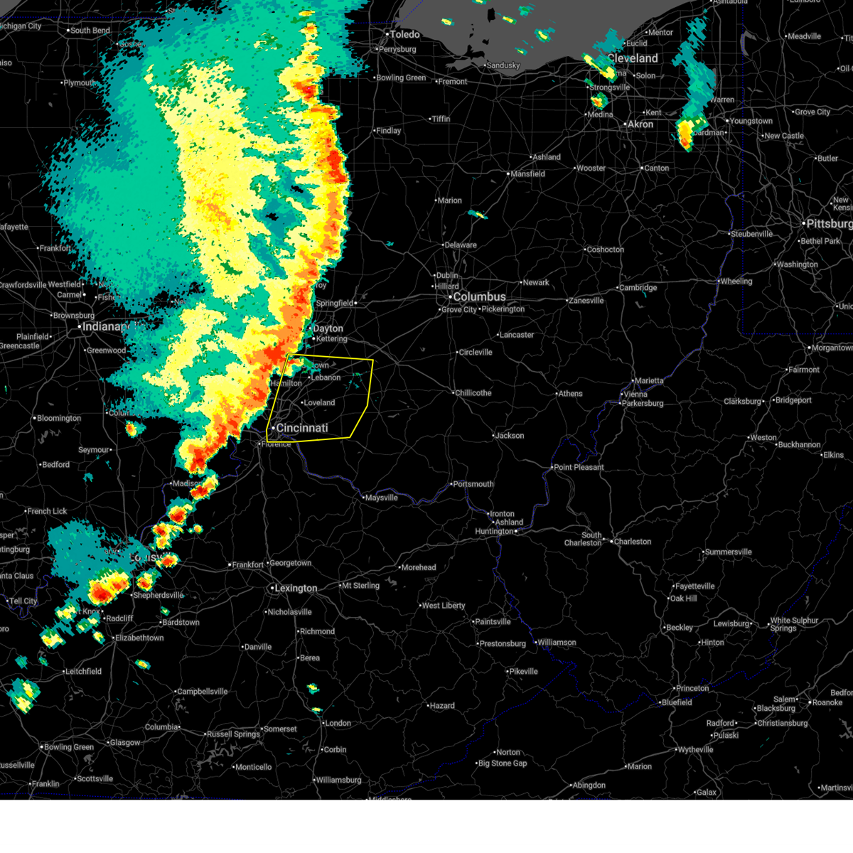
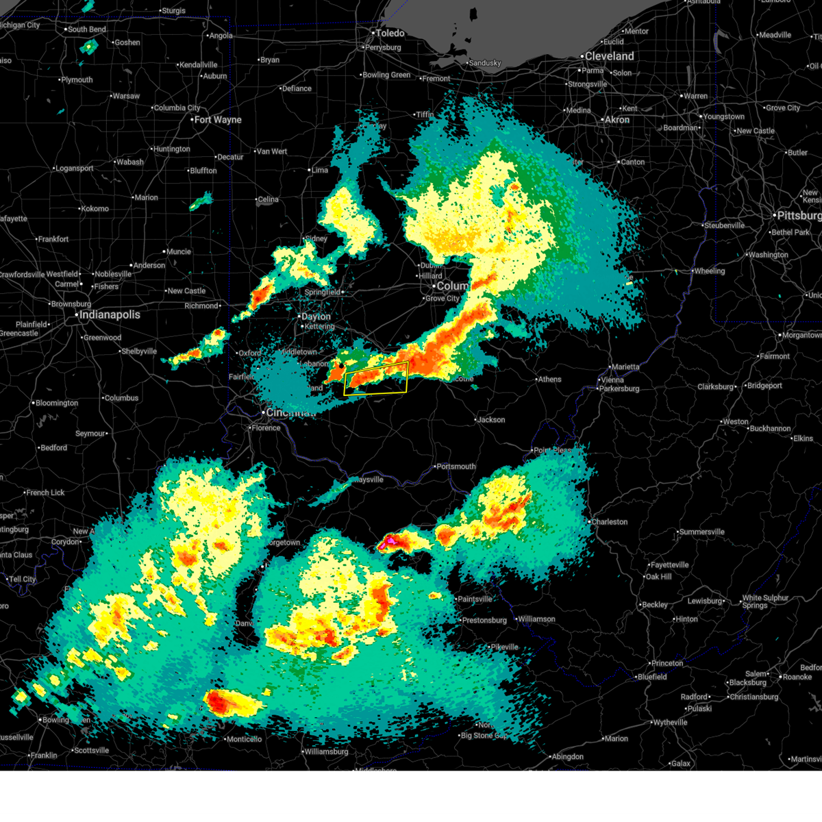
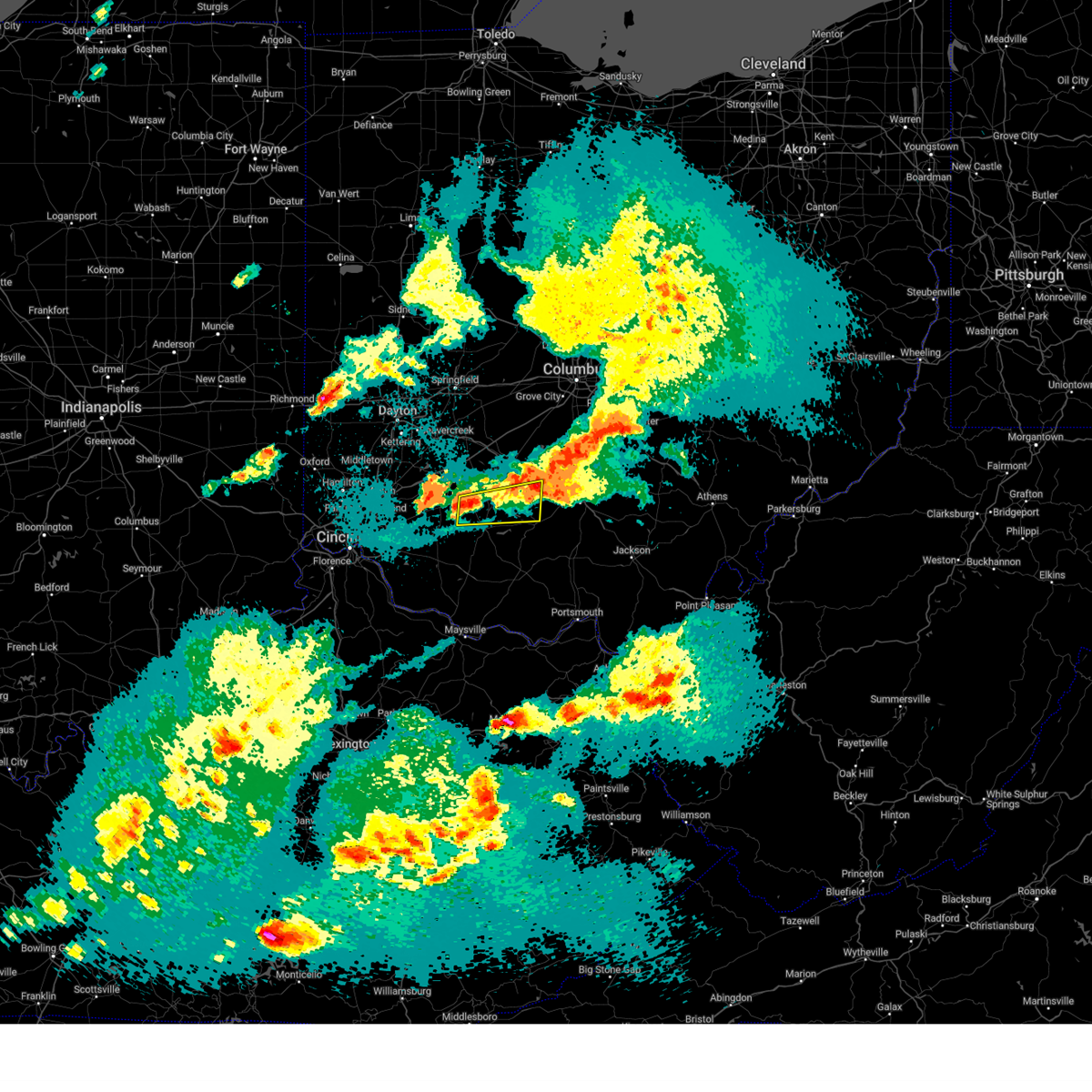
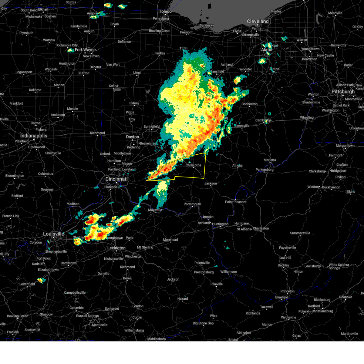
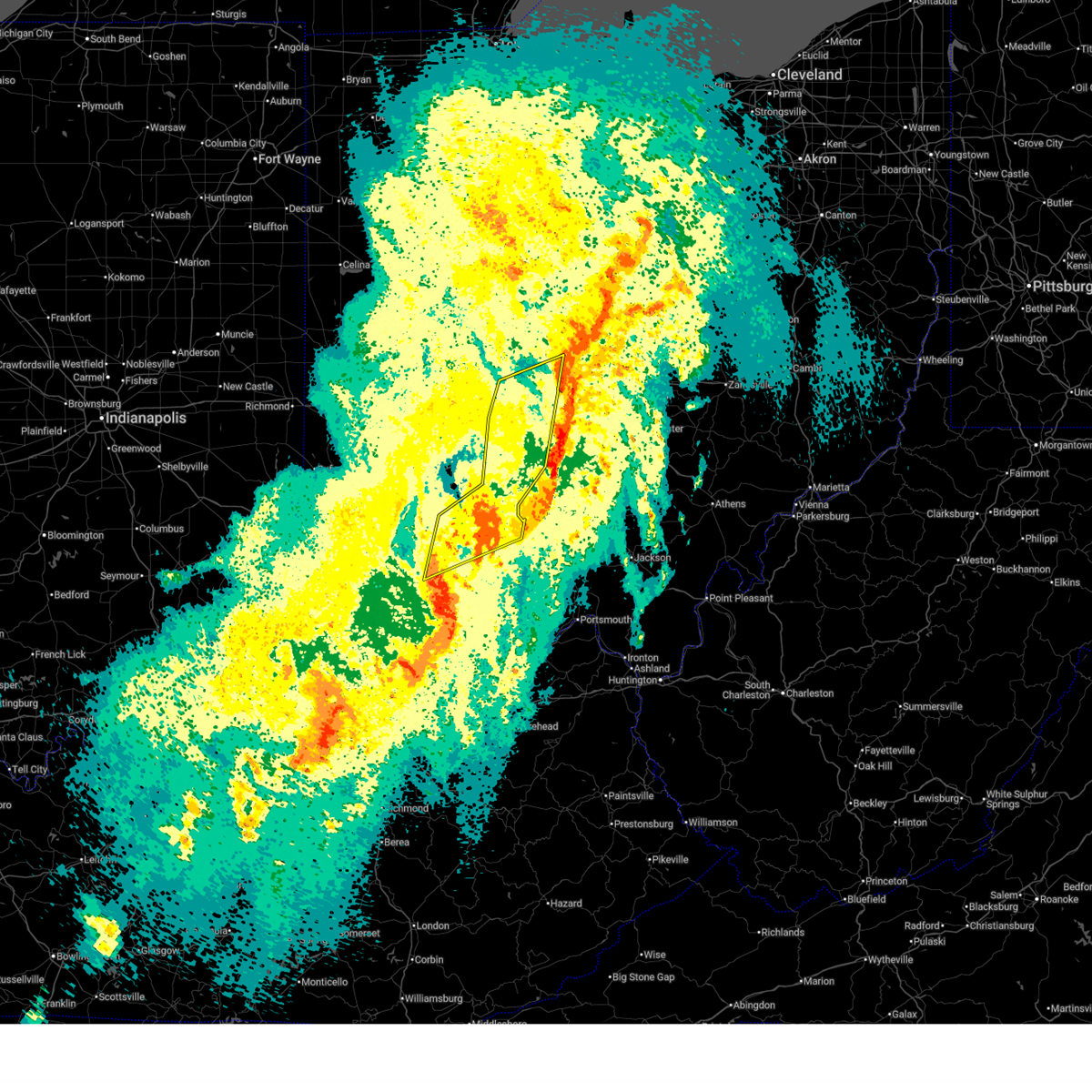
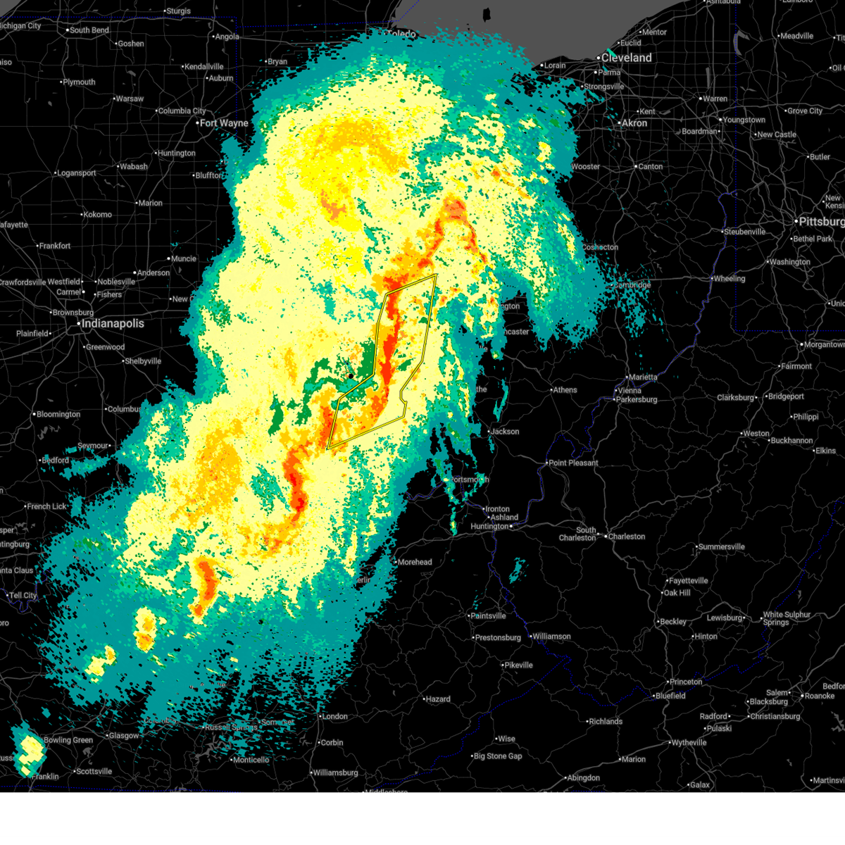
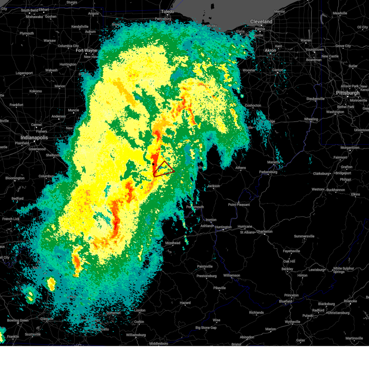
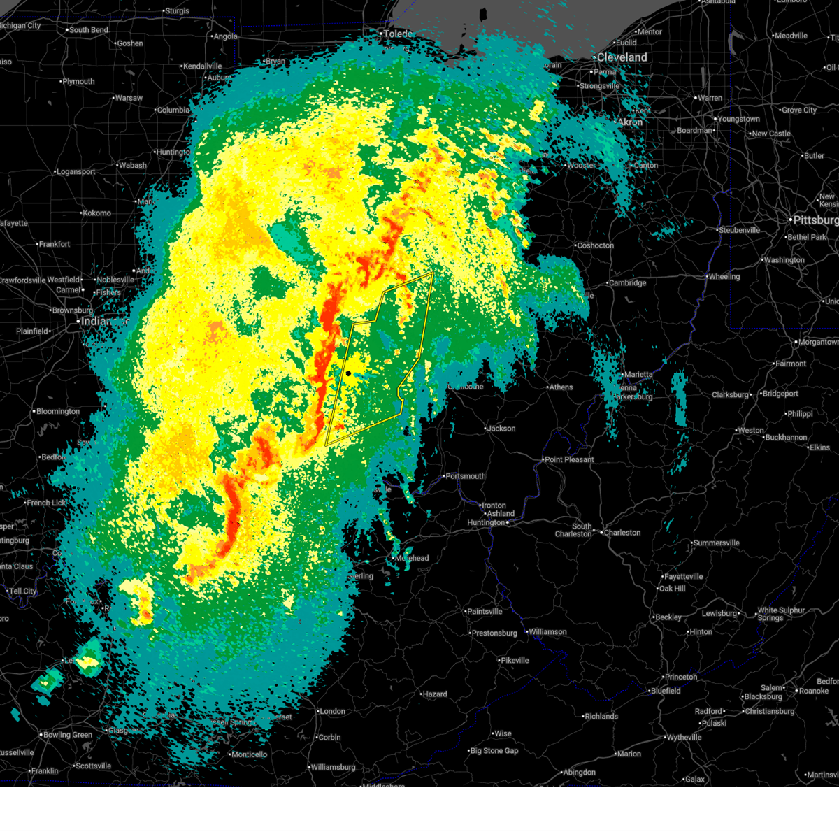
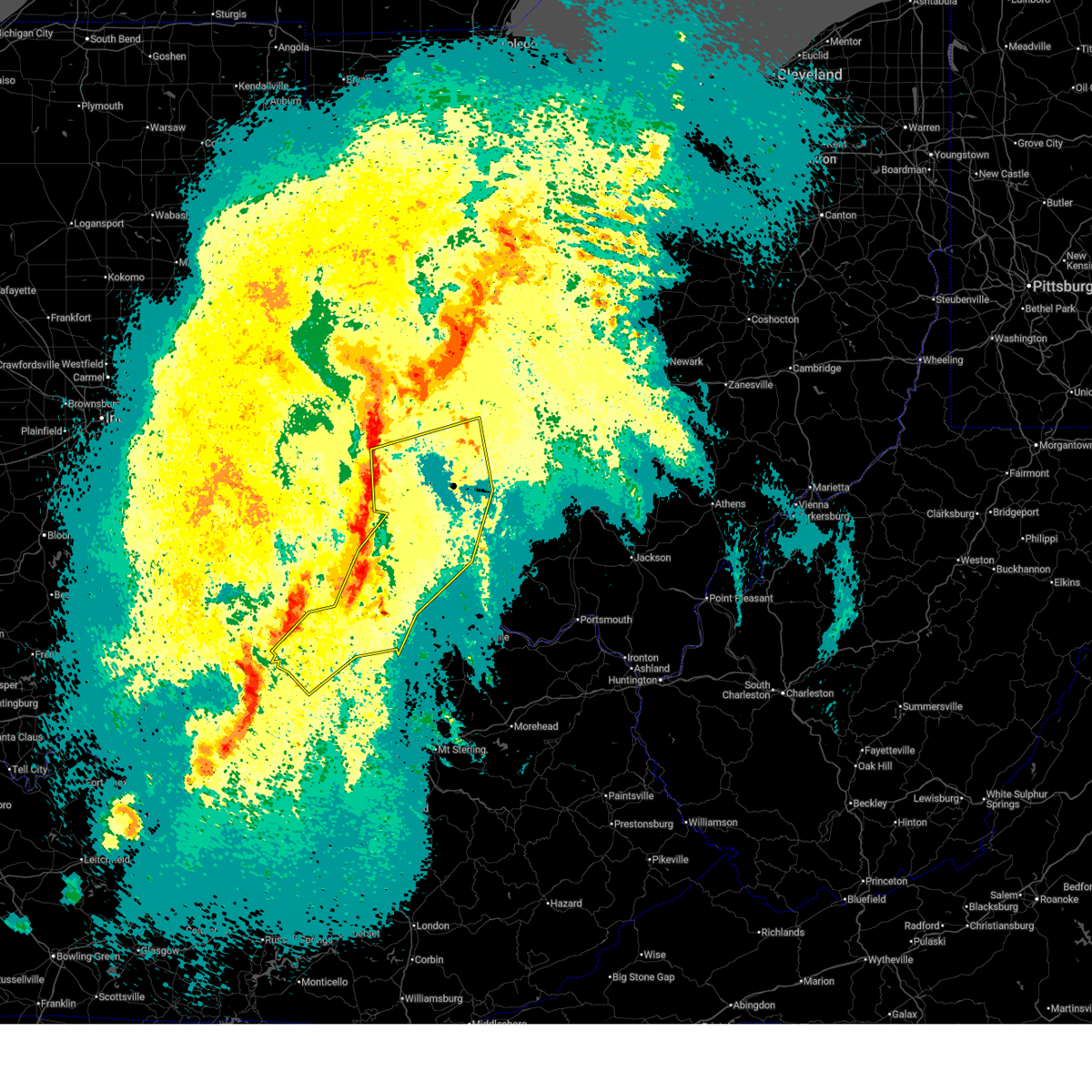
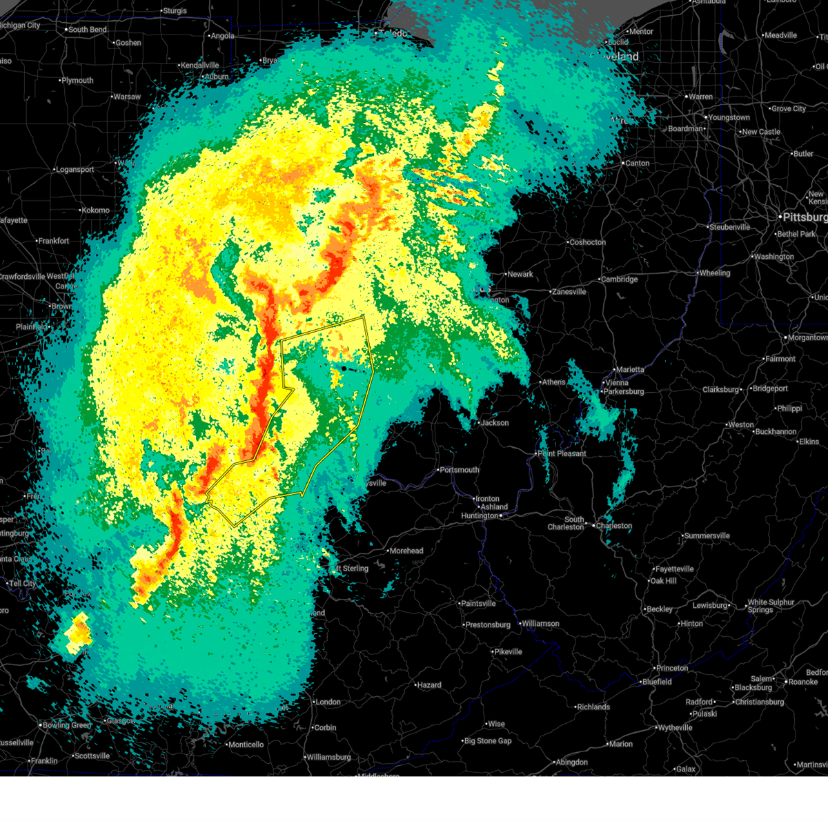
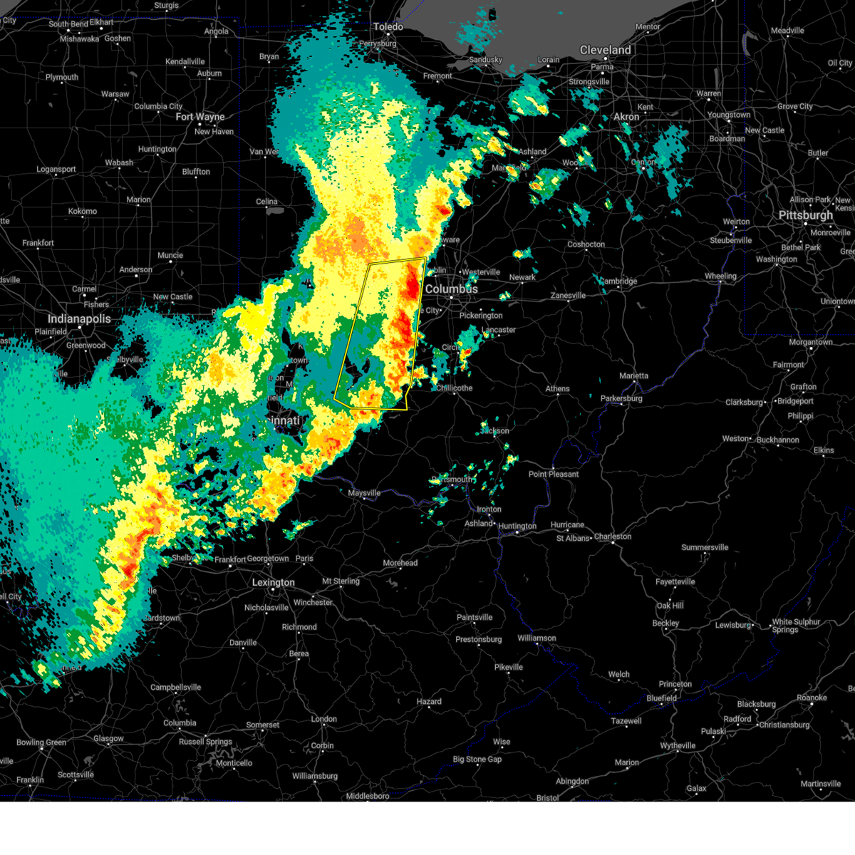
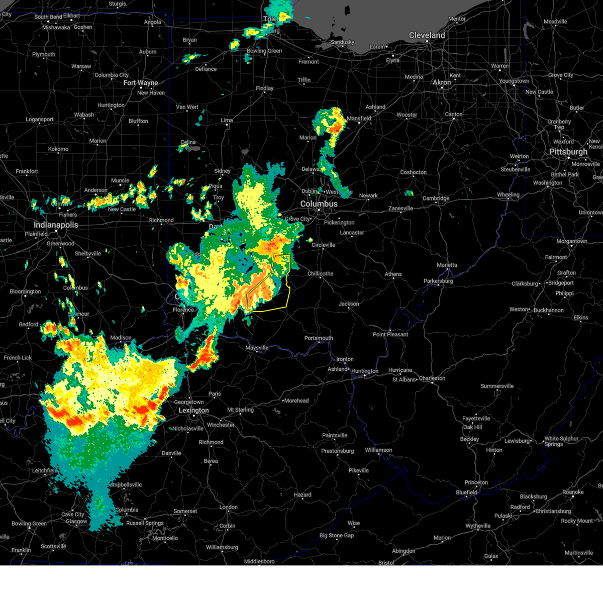
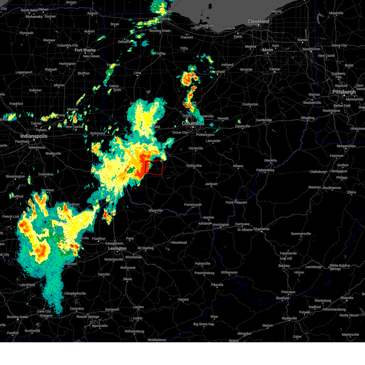
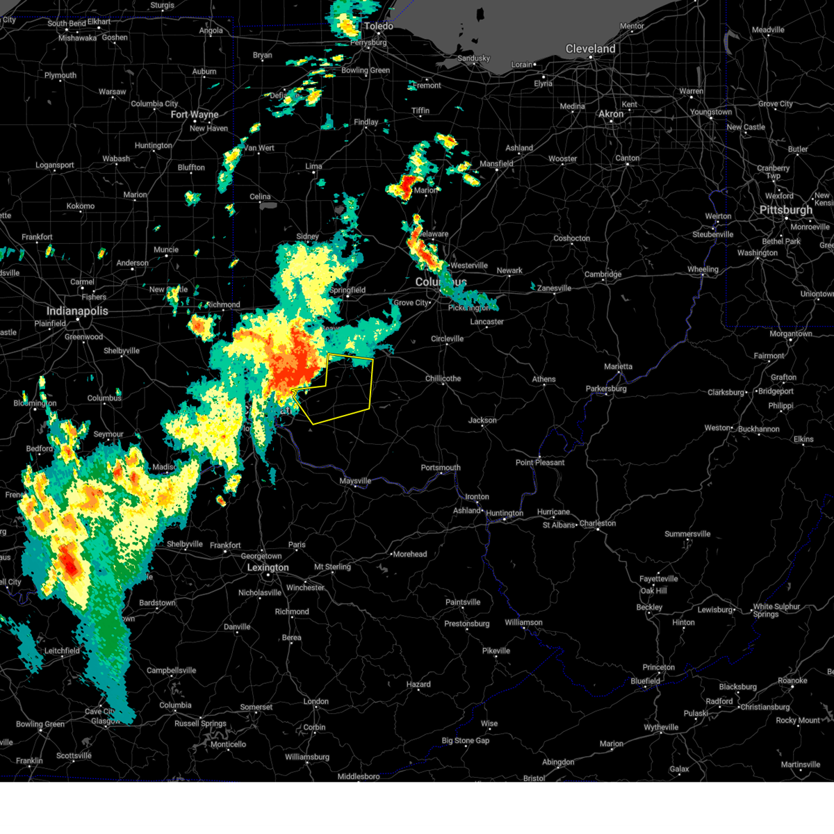
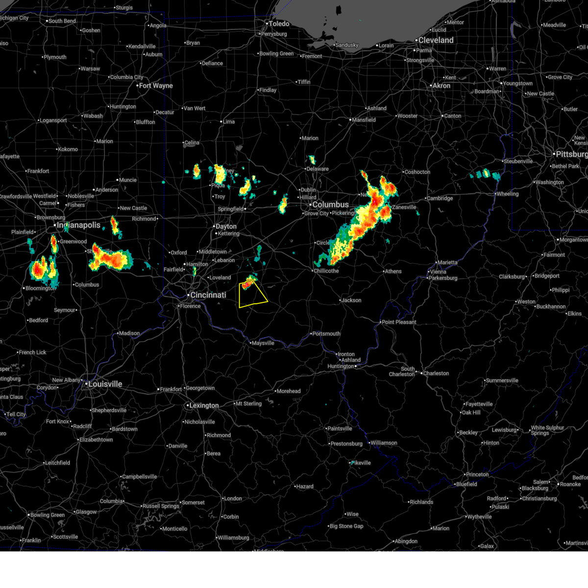
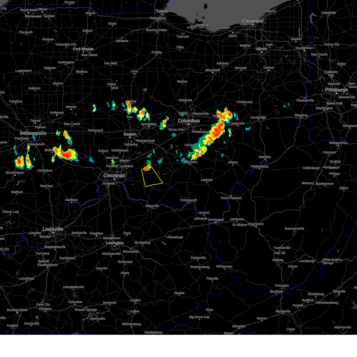
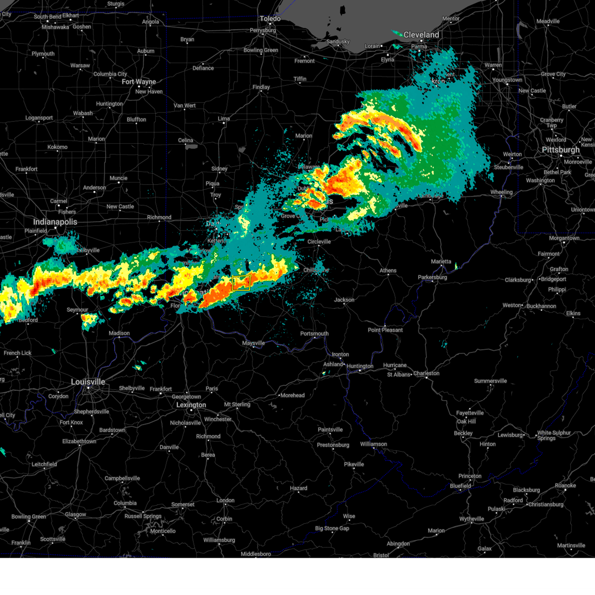
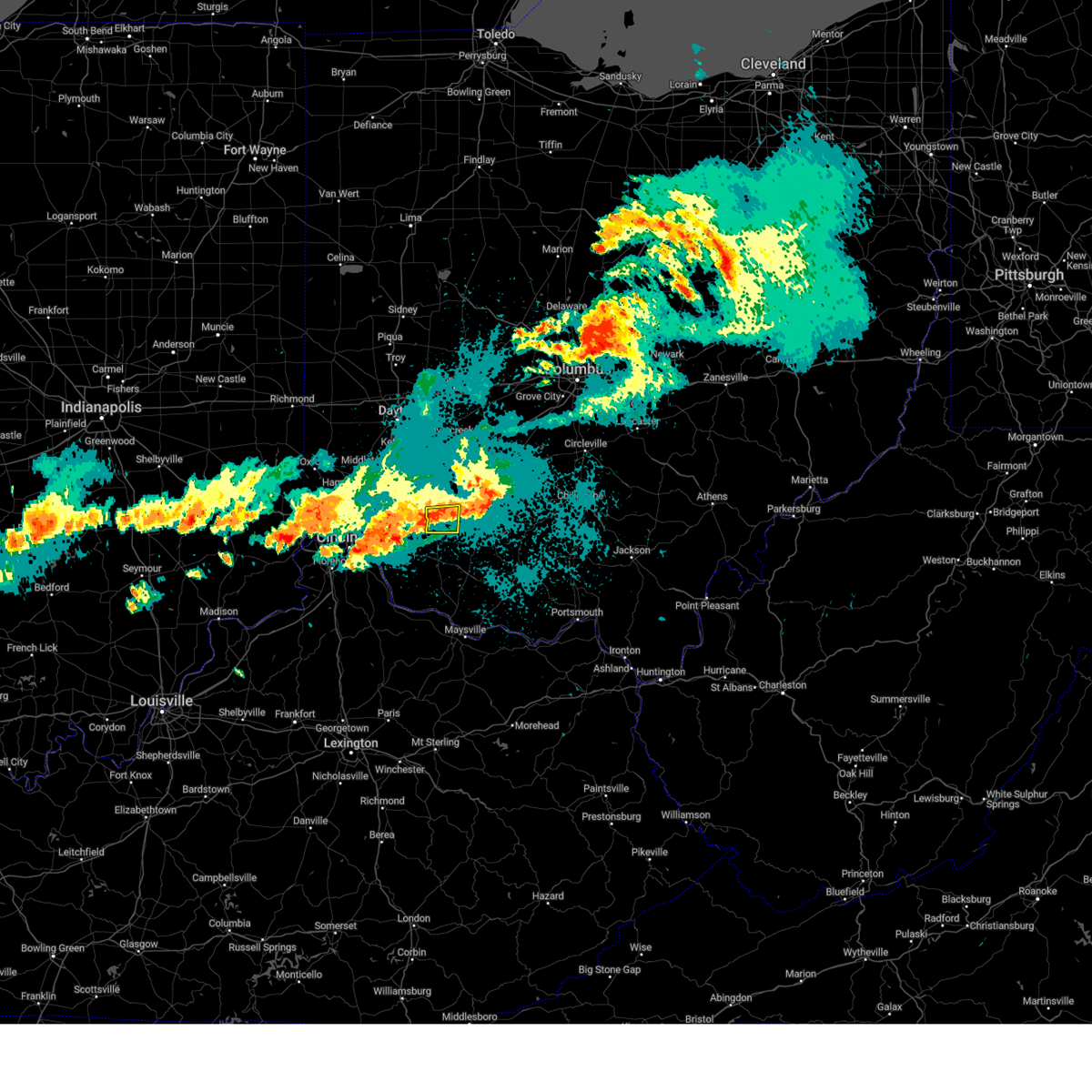
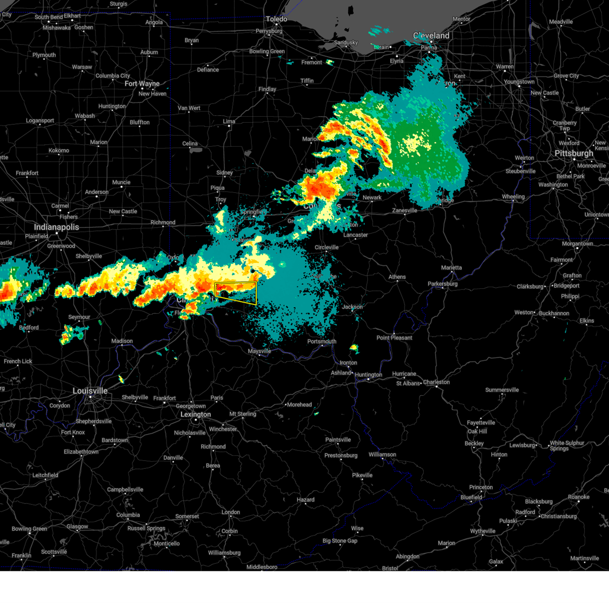
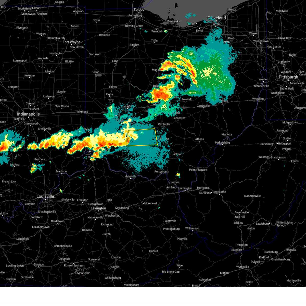
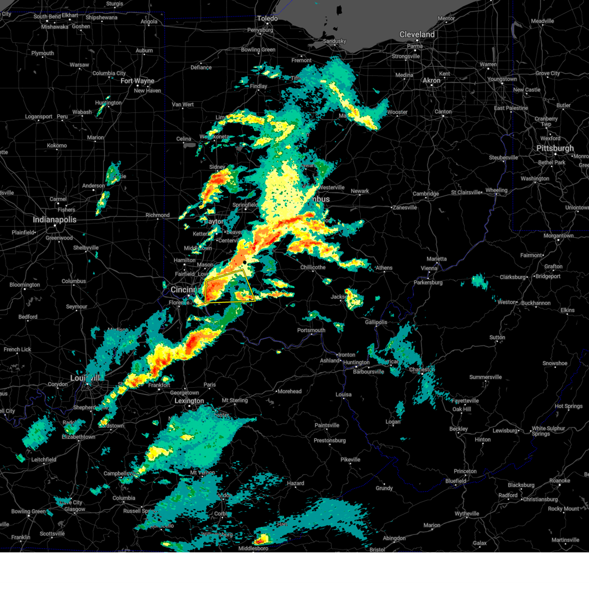
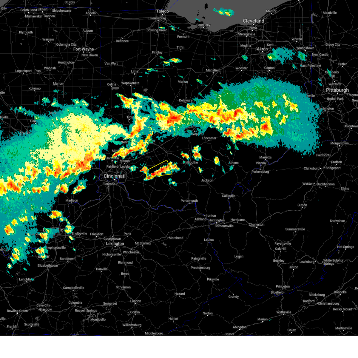
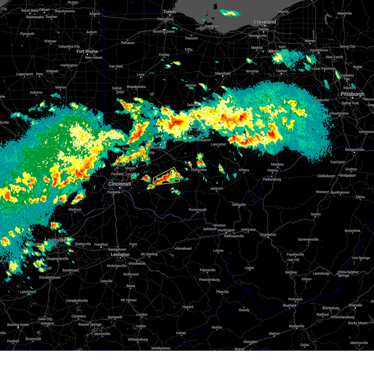
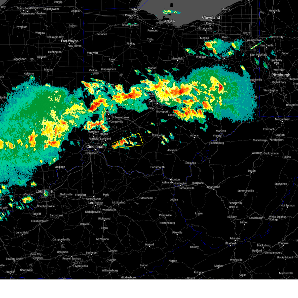
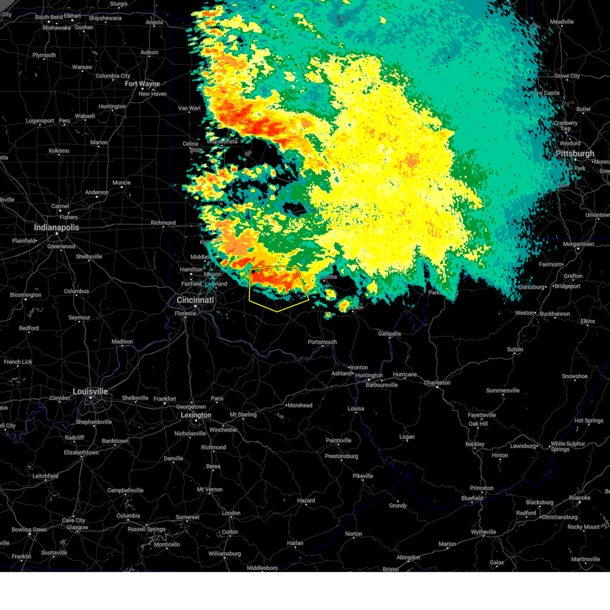
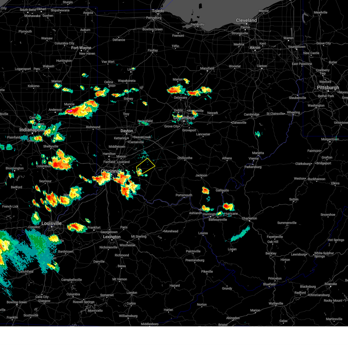
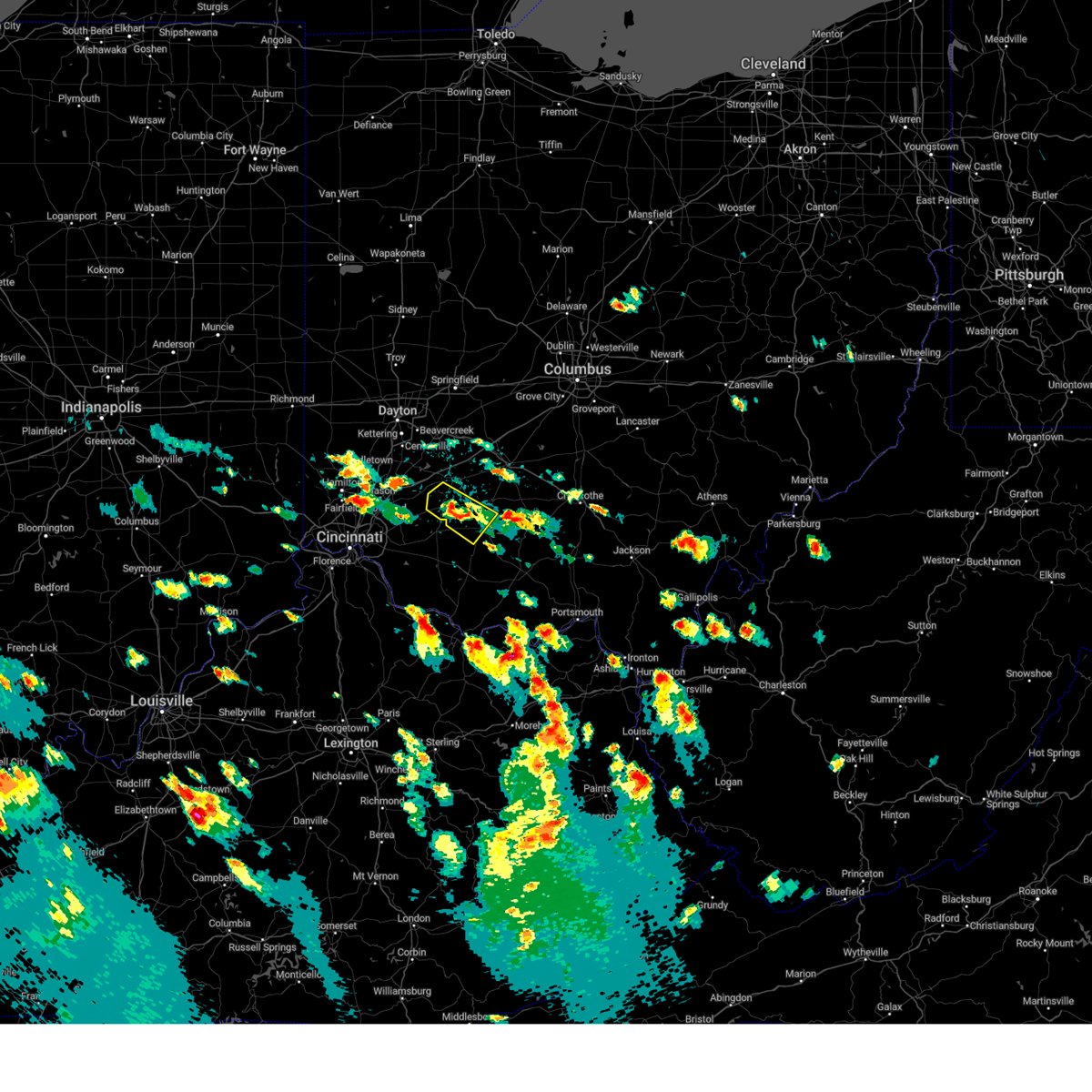
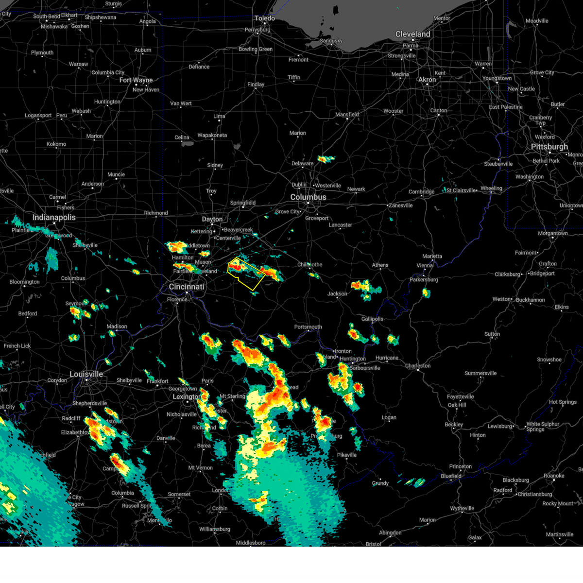
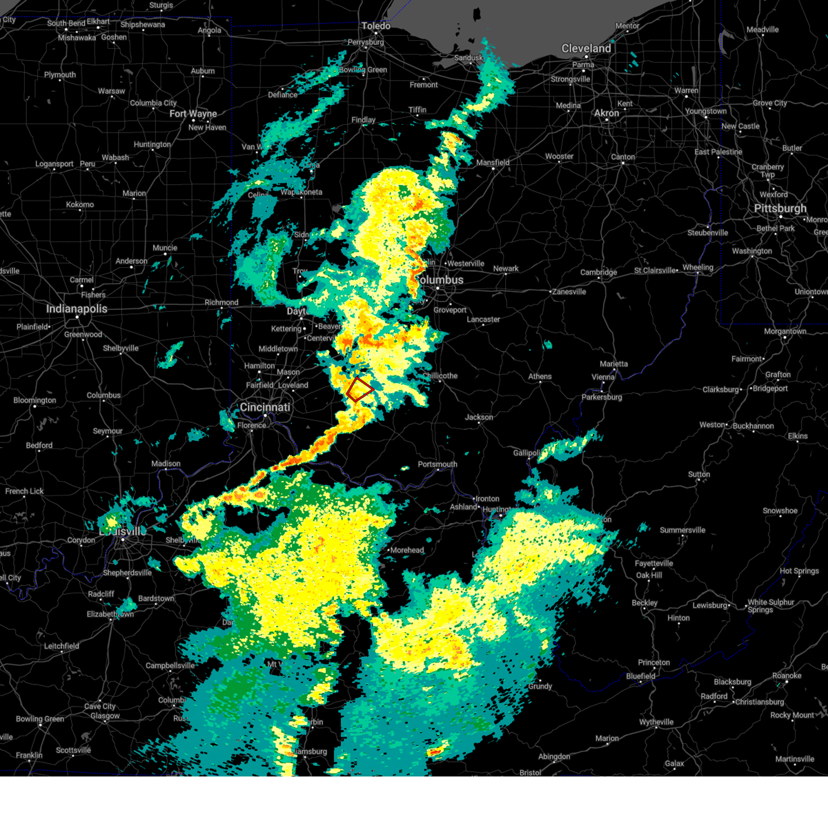
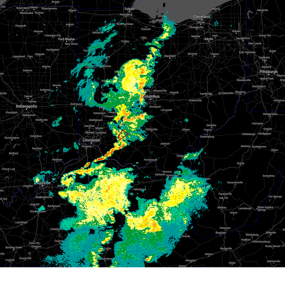
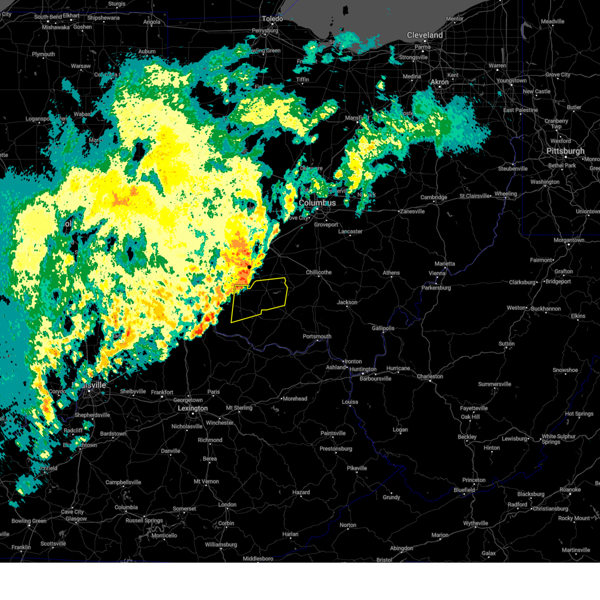
Hail Map for Lynchburg, OH
The Lynchburg, OH area has had 1 report of on-the-ground hail by trained spotters, and has been under severe weather warnings 6 times during the past 12 months. Doppler radar has detected hail at or near Lynchburg, OH on 49 occasions, including 1 occasion during the past year.
| Name: | Lynchburg, OH |
| Where Located: | 39.4 miles ENE of Cincinnati, OH |
| Map: | Google Map for Lynchburg, OH |
| Population: | 1499 |
| Housing Units: | 654 |
| More Info: | Search Google for Lynchburg, OH |
0
The Top Recent Hail Date for Lynchburg, OH is Wednesday, April 1, 2026 (30th out of 49)
Hail and Wind Damage Spotted near Lynchburg, OH
| Date / Time | Report Details |
|---|---|
| 12/28/2025 11:17 PM EST |
 the severe thunderstorm warning has been cancelled and is no longer in effect the severe thunderstorm warning has been cancelled and is no longer in effect
|
| 12/28/2025 11:05 PM EST |
 the severe thunderstorm warning has been cancelled and is no longer in effect the severe thunderstorm warning has been cancelled and is no longer in effect
|
| 12/28/2025 11:05 PM EST |
 At 1105 pm est, a severe thunderstorm was located near leesburg, moving east at 55 mph (radar indicated). Hazards include 60 mph wind gusts. Expect damage to trees and power lines. locations impacted include, washington court house, hillsboro, greenfield, sabina, lynchburg, leesburg, new vienna, marshall, rocky fork point, highland holiday, russell, staunton, new market, highland, st. Martin, east monroe, danville in highland county, samantha, lees creek, and rock mills. At 1105 pm est, a severe thunderstorm was located near leesburg, moving east at 55 mph (radar indicated). Hazards include 60 mph wind gusts. Expect damage to trees and power lines. locations impacted include, washington court house, hillsboro, greenfield, sabina, lynchburg, leesburg, new vienna, marshall, rocky fork point, highland holiday, russell, staunton, new market, highland, st. Martin, east monroe, danville in highland county, samantha, lees creek, and rock mills.
|
| 12/28/2025 10:55 PM EST |
 the severe thunderstorm warning has been cancelled and is no longer in effect the severe thunderstorm warning has been cancelled and is no longer in effect
|
| 12/28/2025 10:55 PM EST |
 At 1055 pm est, a severe thunderstorm was located near new vienna, moving east at 55 mph (radar indicated). Hazards include 60 mph wind gusts. Expect damage to trees and power lines. locations impacted include, washington court house, wilmington, hillsboro, greenfield, sabina, lynchburg, leesburg, new vienna, marshall, rocky fork point, highland holiday, russell, staunton, new market, martinsville, fayetteville, midland, highland, st. Martin, and melvin. At 1055 pm est, a severe thunderstorm was located near new vienna, moving east at 55 mph (radar indicated). Hazards include 60 mph wind gusts. Expect damage to trees and power lines. locations impacted include, washington court house, wilmington, hillsboro, greenfield, sabina, lynchburg, leesburg, new vienna, marshall, rocky fork point, highland holiday, russell, staunton, new market, martinsville, fayetteville, midland, highland, st. Martin, and melvin.
|
| 12/28/2025 10:40 PM EST |
 Svriln the national weather service in wilmington has issued a * severe thunderstorm warning for, northeastern clermont county in southwestern ohio, northwestern brown county in southwestern ohio, southeastern warren county in southwestern ohio, southwestern fayette county in central ohio, clinton county in southwestern ohio, highland county in south central ohio, * until 1130 pm est. * at 1040 pm est, a severe thunderstorm was located near blanchester, moving east at 50 mph (radar indicated). Hazards include 60 mph wind gusts. expect damage to trees and power lines Svriln the national weather service in wilmington has issued a * severe thunderstorm warning for, northeastern clermont county in southwestern ohio, northwestern brown county in southwestern ohio, southeastern warren county in southwestern ohio, southwestern fayette county in central ohio, clinton county in southwestern ohio, highland county in south central ohio, * until 1130 pm est. * at 1040 pm est, a severe thunderstorm was located near blanchester, moving east at 50 mph (radar indicated). Hazards include 60 mph wind gusts. expect damage to trees and power lines
|
| 6/18/2025 8:44 PM EDT |
 Svriln the national weather service in wilmington has issued a * severe thunderstorm warning for, central brown county in southwestern ohio, northwestern adams county in south central ohio, highland county in south central ohio, southwestern ross county in south central ohio, * until 915 pm edt. * at 844 pm edt, a severe thunderstorm was located over mount orab, moving east at 30 mph (radar indicated). Hazards include 60 mph wind gusts. expect damage to trees and power lines Svriln the national weather service in wilmington has issued a * severe thunderstorm warning for, central brown county in southwestern ohio, northwestern adams county in south central ohio, highland county in south central ohio, southwestern ross county in south central ohio, * until 915 pm edt. * at 844 pm edt, a severe thunderstorm was located over mount orab, moving east at 30 mph (radar indicated). Hazards include 60 mph wind gusts. expect damage to trees and power lines
|
| 6/18/2025 8:23 PM EDT |
 At 822 pm edt, severe thunderstorms were located along a line extending from bloomingburg to mount orab, moving east at 30 mph (radar indicated). Hazards include 60 mph wind gusts. Expect damage to trees and power lines. Locations impacted include, washington court house, hillsboro, greenfield, blanchester, amelia, mount orab, sabina, williamsburg, batavia, lynchburg, leesburg, new vienna, marshall, sardinia, belfast, highland holiday, rocky fork point, russell, woodville, and staunton. At 822 pm edt, severe thunderstorms were located along a line extending from bloomingburg to mount orab, moving east at 30 mph (radar indicated). Hazards include 60 mph wind gusts. Expect damage to trees and power lines. Locations impacted include, washington court house, hillsboro, greenfield, blanchester, amelia, mount orab, sabina, williamsburg, batavia, lynchburg, leesburg, new vienna, marshall, sardinia, belfast, highland holiday, rocky fork point, russell, woodville, and staunton.
|
| 6/18/2025 7:43 PM EDT |
 Svriln the national weather service in wilmington has issued a * severe thunderstorm warning for, northern clermont county in southwestern ohio, northern brown county in southwestern ohio, southern fayette county in central ohio, clinton county in southwestern ohio, highland county in south central ohio, * until 845 pm edt. * at 743 pm edt, severe thunderstorms were located along a line extending from 7 miles south of jamestown to withamsville, moving east at 35 mph (radar indicated). Hazards include 60 mph wind gusts. expect damage to trees and power lines Svriln the national weather service in wilmington has issued a * severe thunderstorm warning for, northern clermont county in southwestern ohio, northern brown county in southwestern ohio, southern fayette county in central ohio, clinton county in southwestern ohio, highland county in south central ohio, * until 845 pm edt. * at 743 pm edt, severe thunderstorms were located along a line extending from 7 miles south of jamestown to withamsville, moving east at 35 mph (radar indicated). Hazards include 60 mph wind gusts. expect damage to trees and power lines
|
| 6/18/2025 7:30 PM EDT |
 the severe thunderstorm warning has been cancelled and is no longer in effect the severe thunderstorm warning has been cancelled and is no longer in effect
|
| 6/18/2025 7:30 PM EDT |
 At 730 pm edt, severe thunderstorms were located along a line extending from waynesville to newport, moving east at 50 mph (radar indicated). Hazards include 60 mph wind gusts and penny size hail. Expect damage to trees and power lines. locations impacted include, cincinnati, covington, mason, lebanon, norwood, fort thomas, newport, sharonville, wilmington, blue ash, loveland, reading, montgomery, madeira, edgewood, fort mitchell, villa hills, highland heights, milford, and taylor mill. this includes the following interstates, i-71 in ohio between mile markers 0 and 57. i-75 in kentucky between mile markers 187 and 191. I-75 in ohio between mile markers 0 and 2, and near mile marker 8. At 730 pm edt, severe thunderstorms were located along a line extending from waynesville to newport, moving east at 50 mph (radar indicated). Hazards include 60 mph wind gusts and penny size hail. Expect damage to trees and power lines. locations impacted include, cincinnati, covington, mason, lebanon, norwood, fort thomas, newport, sharonville, wilmington, blue ash, loveland, reading, montgomery, madeira, edgewood, fort mitchell, villa hills, highland heights, milford, and taylor mill. this includes the following interstates, i-71 in ohio between mile markers 0 and 57. i-75 in kentucky between mile markers 187 and 191. I-75 in ohio between mile markers 0 and 2, and near mile marker 8.
|
| 6/18/2025 7:04 PM EDT |
 Svriln the national weather service in wilmington has issued a * severe thunderstorm warning for, north central kenton county in northern kentucky, northern campbell county in northern kentucky, eastern hamilton county in southwestern ohio, eastern butler county in southwestern ohio, northern clermont county in southwestern ohio, northwestern brown county in southwestern ohio, warren county in southwestern ohio, clinton county in southwestern ohio, northwestern highland county in south central ohio, * until 800 pm edt. * at 704 pm edt, severe thunderstorms were located along a line extending from middletown to burlington, moving northeast at 30 mph (radar indicated). Hazards include 60 mph wind gusts and penny size hail. expect damage to trees and power lines Svriln the national weather service in wilmington has issued a * severe thunderstorm warning for, north central kenton county in northern kentucky, northern campbell county in northern kentucky, eastern hamilton county in southwestern ohio, eastern butler county in southwestern ohio, northern clermont county in southwestern ohio, northwestern brown county in southwestern ohio, warren county in southwestern ohio, clinton county in southwestern ohio, northwestern highland county in south central ohio, * until 800 pm edt. * at 704 pm edt, severe thunderstorms were located along a line extending from middletown to burlington, moving northeast at 30 mph (radar indicated). Hazards include 60 mph wind gusts and penny size hail. expect damage to trees and power lines
|
| 5/16/2025 10:41 PM EDT |
 At 1041 pm edt, a severe thunderstorm was located over leesburg, moving east at 50 mph (radar indicated). Hazards include ping pong ball size hail and 60 mph wind gusts. People and animals outdoors will be injured. expect hail damage to roofs, siding, windows, and vehicles. expect wind damage to trees and power lines. Locations impacted include, greenfield, leesburg, new vienna, east monroe, samantha, lynchburg, south salem, new martinsburg, paint creek state park, highland, and hillsboro. At 1041 pm edt, a severe thunderstorm was located over leesburg, moving east at 50 mph (radar indicated). Hazards include ping pong ball size hail and 60 mph wind gusts. People and animals outdoors will be injured. expect hail damage to roofs, siding, windows, and vehicles. expect wind damage to trees and power lines. Locations impacted include, greenfield, leesburg, new vienna, east monroe, samantha, lynchburg, south salem, new martinsburg, paint creek state park, highland, and hillsboro.
|
| 5/16/2025 10:32 PM EDT |
 Svriln the national weather service in wilmington has issued a * severe thunderstorm warning for, south central fayette county in central ohio, southeastern clinton county in southwestern ohio, northern highland county in south central ohio, western ross county in south central ohio, * until 1115 pm edt. * at 1032 pm edt, a severe thunderstorm was located near lynchburg, moving east at 35 mph (radar indicated). Hazards include 60 mph wind gusts and quarter size hail. Minor hail damage to vehicles is possible. Expect wind damage to trees and power lines. Svriln the national weather service in wilmington has issued a * severe thunderstorm warning for, south central fayette county in central ohio, southeastern clinton county in southwestern ohio, northern highland county in south central ohio, western ross county in south central ohio, * until 1115 pm edt. * at 1032 pm edt, a severe thunderstorm was located near lynchburg, moving east at 35 mph (radar indicated). Hazards include 60 mph wind gusts and quarter size hail. Minor hail damage to vehicles is possible. Expect wind damage to trees and power lines.
|
| 4/29/2025 3:03 PM EDT |
 Svriln the national weather service in wilmington has issued a * severe thunderstorm warning for, southeastern fayette county in central ohio, southeastern pickaway county in central ohio, central highland county in south central ohio, ross county in south central ohio, * until 345 pm edt. * at 303 pm edt, a severe thunderstorm was located near leesburg, moving east at 55 mph (radar indicated). Hazards include 60 mph wind gusts and penny size hail. expect damage to trees and power lines Svriln the national weather service in wilmington has issued a * severe thunderstorm warning for, southeastern fayette county in central ohio, southeastern pickaway county in central ohio, central highland county in south central ohio, ross county in south central ohio, * until 345 pm edt. * at 303 pm edt, a severe thunderstorm was located near leesburg, moving east at 55 mph (radar indicated). Hazards include 60 mph wind gusts and penny size hail. expect damage to trees and power lines
|
| 4/3/2025 1:56 AM EDT |
 The storm which prompted the warning has moved out of the area. therefore, the warning will be allowed to expire. a tornado watch remains in effect until 400 am edt for central, south central, southwestern and west central ohio. please report previous wind damage or hail to the national weather service by going to our website at weather.gov/iln and submitting your report via social media. The storm which prompted the warning has moved out of the area. therefore, the warning will be allowed to expire. a tornado watch remains in effect until 400 am edt for central, south central, southwestern and west central ohio. please report previous wind damage or hail to the national weather service by going to our website at weather.gov/iln and submitting your report via social media.
|
| 4/3/2025 1:39 AM EDT |
 At 138 am edt, a severe thunderstorm was located near bloomingburg, moving northeast at 65 mph (radar indicated). Hazards include 70 mph wind gusts and penny size hail. Expect considerable tree damage. damage is likely to mobile homes, roofs, and outbuildings. locations impacted include, interstate 71 at state route 38, new vienna, east monroe, samantha, choctaw lake, state route 32 at us route 68, madison mills, highland holiday, martinsville, hilliard, midway, new holland, highland county airport, rocky fork lake, orient, milledgeville, lilly chapel, marshall, jasper mills, and russell. this includes the following interstates, i-70 in ohio between mile markers 71 and 93. I-71 in ohio between mile markers 66 and 93. At 138 am edt, a severe thunderstorm was located near bloomingburg, moving northeast at 65 mph (radar indicated). Hazards include 70 mph wind gusts and penny size hail. Expect considerable tree damage. damage is likely to mobile homes, roofs, and outbuildings. locations impacted include, interstate 71 at state route 38, new vienna, east monroe, samantha, choctaw lake, state route 32 at us route 68, madison mills, highland holiday, martinsville, hilliard, midway, new holland, highland county airport, rocky fork lake, orient, milledgeville, lilly chapel, marshall, jasper mills, and russell. this includes the following interstates, i-70 in ohio between mile markers 71 and 93. I-71 in ohio between mile markers 66 and 93.
|
| 4/3/2025 1:39 AM EDT |
 the severe thunderstorm warning has been cancelled and is no longer in effect the severe thunderstorm warning has been cancelled and is no longer in effect
|
| 4/3/2025 1:27 AM EDT |
 the tornado warning has been cancelled and is no longer in effect the tornado warning has been cancelled and is no longer in effect
|
| 4/3/2025 1:27 AM EDT |
 At 127 am edt, a confirmed tornado was located near lynchburg, moving northeast at 60 mph (radar confirmed tornado. radar shows tornado debris in the air). Hazards include damaging tornado. Flying debris will be dangerous to those caught without shelter. mobile homes will be damaged or destroyed. damage to roofs, windows, and vehicles will occur. tree damage is likely. Locations impacted include, lees creek, leesburg, new vienna, east monroe, samantha, lynchburg, and highland. At 127 am edt, a confirmed tornado was located near lynchburg, moving northeast at 60 mph (radar confirmed tornado. radar shows tornado debris in the air). Hazards include damaging tornado. Flying debris will be dangerous to those caught without shelter. mobile homes will be damaged or destroyed. damage to roofs, windows, and vehicles will occur. tree damage is likely. Locations impacted include, lees creek, leesburg, new vienna, east monroe, samantha, lynchburg, and highland.
|
| 4/3/2025 1:22 AM EDT |
 At 121 am edt, a severe thunderstorm was located over lynchburg, moving east at 75 mph (radar indicated). Hazards include 70 mph wind gusts and penny size hail. Expect considerable tree damage. damage is likely to mobile homes, roofs, and outbuildings. locations impacted include, new richmond, atwood, bradford, lumberton, new palestine, bracht, morrisville, cowan lake state park, mulberry, woolcutt, clermont county airport, harmony, long ridge, california, lenoxburg, knoxville, russell, keefer, midland, and reesville. this includes the following interstates, i-71 in kentucky near mile marker 65. i-71 in ohio between mile markers 35 and 65. I-75 in kentucky between mile markers 143 and 167. At 121 am edt, a severe thunderstorm was located over lynchburg, moving east at 75 mph (radar indicated). Hazards include 70 mph wind gusts and penny size hail. Expect considerable tree damage. damage is likely to mobile homes, roofs, and outbuildings. locations impacted include, new richmond, atwood, bradford, lumberton, new palestine, bracht, morrisville, cowan lake state park, mulberry, woolcutt, clermont county airport, harmony, long ridge, california, lenoxburg, knoxville, russell, keefer, midland, and reesville. this includes the following interstates, i-71 in kentucky near mile marker 65. i-71 in ohio between mile markers 35 and 65. I-75 in kentucky between mile markers 143 and 167.
|
| 4/3/2025 1:22 AM EDT |
 the severe thunderstorm warning has been cancelled and is no longer in effect the severe thunderstorm warning has been cancelled and is no longer in effect
|
| 4/3/2025 1:21 AM EDT |
 Toriln the national weather service in wilmington has issued a * tornado warning for, northern brown county in southwestern ohio, southwestern fayette county in central ohio, southeastern clinton county in southwestern ohio, northern highland county in south central ohio, * until 145 am edt. * at 120 am edt, a tornado-producing storm was located near lynchburg, moving northeast at 60 mph (radar confirmed tornado. radar shows tornado debris in the air). Hazards include damaging tornado. Flying debris will be dangerous to those caught without shelter. mobile homes will be damaged or destroyed. damage to roofs, windows, and vehicles will occur. Tree damage is likely. Toriln the national weather service in wilmington has issued a * tornado warning for, northern brown county in southwestern ohio, southwestern fayette county in central ohio, southeastern clinton county in southwestern ohio, northern highland county in south central ohio, * until 145 am edt. * at 120 am edt, a tornado-producing storm was located near lynchburg, moving northeast at 60 mph (radar confirmed tornado. radar shows tornado debris in the air). Hazards include damaging tornado. Flying debris will be dangerous to those caught without shelter. mobile homes will be damaged or destroyed. damage to roofs, windows, and vehicles will occur. Tree damage is likely.
|
| 4/3/2025 1:14 AM EDT |
 Svriln the national weather service in wilmington has issued a * severe thunderstorm warning for, western franklin county in central ohio, northwestern brown county in southwestern ohio, fayette county in central ohio, clinton county in southwestern ohio, northwestern pickaway county in central ohio, southeastern greene county in west central ohio, highland county in south central ohio, madison county in central ohio, northwestern ross county in south central ohio, * until 200 am edt. * at 114 am edt, a severe thunderstorm was located near wilmington, moving northeast at 65 mph (radar indicated). Hazards include 70 mph wind gusts and penny size hail. Expect considerable tree damage. Damage is likely to mobile homes, roofs, and outbuildings. Svriln the national weather service in wilmington has issued a * severe thunderstorm warning for, western franklin county in central ohio, northwestern brown county in southwestern ohio, fayette county in central ohio, clinton county in southwestern ohio, northwestern pickaway county in central ohio, southeastern greene county in west central ohio, highland county in south central ohio, madison county in central ohio, northwestern ross county in south central ohio, * until 200 am edt. * at 114 am edt, a severe thunderstorm was located near wilmington, moving northeast at 65 mph (radar indicated). Hazards include 70 mph wind gusts and penny size hail. Expect considerable tree damage. Damage is likely to mobile homes, roofs, and outbuildings.
|
| 4/3/2025 1:09 AM EDT |
 the severe thunderstorm warning has been cancelled and is no longer in effect the severe thunderstorm warning has been cancelled and is no longer in effect
|
| 4/3/2025 1:09 AM EDT |
 At 108 am edt, a severe thunderstorm was located 7 miles north of williamsburg, moving northeast at 70 mph (radar indicated). Hazards include 70 mph wind gusts and penny size hail. Expect considerable tree damage. damage is likely to mobile homes, roofs, and outbuildings. locations impacted include, new richmond, atwood, bradford, lumberton, new palestine, bracht, pekin, corwin, morrisville, cowan lake state park, mulberry, woolcutt, clermont county airport, harmony, long ridge, california, lenoxburg, knoxville, russell, and keefer. this includes the following interstates, i-71 in kentucky near mile marker 65. i-71 in ohio between mile markers 27 and 65. i-75 in kentucky between mile markers 143 and 167. I-75 in ohio between mile markers 40 and 43. At 108 am edt, a severe thunderstorm was located 7 miles north of williamsburg, moving northeast at 70 mph (radar indicated). Hazards include 70 mph wind gusts and penny size hail. Expect considerable tree damage. damage is likely to mobile homes, roofs, and outbuildings. locations impacted include, new richmond, atwood, bradford, lumberton, new palestine, bracht, pekin, corwin, morrisville, cowan lake state park, mulberry, woolcutt, clermont county airport, harmony, long ridge, california, lenoxburg, knoxville, russell, and keefer. this includes the following interstates, i-71 in kentucky near mile marker 65. i-71 in ohio between mile markers 27 and 65. i-75 in kentucky between mile markers 143 and 167. I-75 in ohio between mile markers 40 and 43.
|
| 4/3/2025 12:53 AM EDT |
 At 1253 am edt, a severe thunderstorm was located over coldstream, moving northeast at 75 mph (radar indicated). Hazards include 70 mph wind gusts and penny size hail. Expect considerable tree damage. damage is likely to mobile homes, roofs, and outbuildings. locations impacted include, franklin, new richmond, atwood, bradford, lumberton, new palestine, bracht, pekin, corwin, morrisville, cowan lake state park, mulberry, hunter, woolcutt, clermont county airport, harmony, long ridge, california, lenoxburg, and knoxville. this includes the following interstates, i-71 in kentucky near mile marker 65. i-71 in ohio between mile markers 20 and 65. i-75 in kentucky between mile markers 143 and 167. I-75 in ohio between mile markers 27 and 44. At 1253 am edt, a severe thunderstorm was located over coldstream, moving northeast at 75 mph (radar indicated). Hazards include 70 mph wind gusts and penny size hail. Expect considerable tree damage. damage is likely to mobile homes, roofs, and outbuildings. locations impacted include, franklin, new richmond, atwood, bradford, lumberton, new palestine, bracht, pekin, corwin, morrisville, cowan lake state park, mulberry, hunter, woolcutt, clermont county airport, harmony, long ridge, california, lenoxburg, and knoxville. this includes the following interstates, i-71 in kentucky near mile marker 65. i-71 in ohio between mile markers 20 and 65. i-75 in kentucky between mile markers 143 and 167. I-75 in ohio between mile markers 27 and 44.
|
| 4/3/2025 12:47 AM EDT |
 Svriln the national weather service in wilmington has issued a * severe thunderstorm warning for, southern kenton county in northern kentucky, western bracken county in northern kentucky, campbell county in northern kentucky, grant county in northern kentucky, owen county in northern kentucky, pendleton county in northern kentucky, eastern gallatin county in northern kentucky, northeastern butler county in southwestern ohio, clermont county in southwestern ohio, western fayette county in central ohio, eastern hamilton county in southwestern ohio, northern brown county in southwestern ohio, warren county in southwestern ohio, clinton county in southwestern ohio, greene county in west central ohio, western highland county in south central ohio, southeastern montgomery county in west central ohio, * until 130 am edt. * at 1247 am edt, a severe thunderstorm was located over mariemont, moving east at 75 mph (radar indicated). Hazards include 60 mph wind gusts and penny size hail. expect damage to trees and power lines Svriln the national weather service in wilmington has issued a * severe thunderstorm warning for, southern kenton county in northern kentucky, western bracken county in northern kentucky, campbell county in northern kentucky, grant county in northern kentucky, owen county in northern kentucky, pendleton county in northern kentucky, eastern gallatin county in northern kentucky, northeastern butler county in southwestern ohio, clermont county in southwestern ohio, western fayette county in central ohio, eastern hamilton county in southwestern ohio, northern brown county in southwestern ohio, warren county in southwestern ohio, clinton county in southwestern ohio, greene county in west central ohio, western highland county in south central ohio, southeastern montgomery county in west central ohio, * until 130 am edt. * at 1247 am edt, a severe thunderstorm was located over mariemont, moving east at 75 mph (radar indicated). Hazards include 60 mph wind gusts and penny size hail. expect damage to trees and power lines
|
| 3/30/2025 9:52 PM EDT |
 The storms which prompted the warning have moved out of the area. therefore, the warning will be allowed to expire. a tornado watch remains in effect until 100 am edt for central, south central, southwestern and west central ohio. please report previous wind damage or hail to the national weather service by going to our website at weather.gov/iln and submitting your report via social media. remember, a severe thunderstorm warning still remains in effect for southeastern union county, eastern madison county, eastern fayette county, and eastern highland county! remember, a tornado warning still remains in effect for eastern fayette county, northern highland county, and southeast madison county!. The storms which prompted the warning have moved out of the area. therefore, the warning will be allowed to expire. a tornado watch remains in effect until 100 am edt for central, south central, southwestern and west central ohio. please report previous wind damage or hail to the national weather service by going to our website at weather.gov/iln and submitting your report via social media. remember, a severe thunderstorm warning still remains in effect for southeastern union county, eastern madison county, eastern fayette county, and eastern highland county! remember, a tornado warning still remains in effect for eastern fayette county, northern highland county, and southeast madison county!.
|
| 3/30/2025 9:31 PM EDT |
 At 930 pm edt, severe thunderstorms were located along a line extending from near north lewisburg to near lynchburg, moving east at 45 mph (radar indicated). Hazards include 60 mph wind gusts and quarter size hail. Minor hail damage to vehicles is possible. expect wind damage to trees and power lines. locations impacted include, paintersville, interstate 71 at state route 38, east monroe, rosemoor, samantha, lumberton, south vienna, lees creek, madison mills, gladstone, martinsville, new california, morrisville, cowan lake state park, amity, harmony, lisbon, south solon, jasper mills, and midland. this includes the following interstates, i-70 in ohio between mile markers 56 and 85. I-71 in ohio between mile markers 46 and 84. At 930 pm edt, severe thunderstorms were located along a line extending from near north lewisburg to near lynchburg, moving east at 45 mph (radar indicated). Hazards include 60 mph wind gusts and quarter size hail. Minor hail damage to vehicles is possible. expect wind damage to trees and power lines. locations impacted include, paintersville, interstate 71 at state route 38, east monroe, rosemoor, samantha, lumberton, south vienna, lees creek, madison mills, gladstone, martinsville, new california, morrisville, cowan lake state park, amity, harmony, lisbon, south solon, jasper mills, and midland. this includes the following interstates, i-70 in ohio between mile markers 56 and 85. I-71 in ohio between mile markers 46 and 84.
|
| 3/30/2025 9:31 PM EDT |
 the severe thunderstorm warning has been cancelled and is no longer in effect the severe thunderstorm warning has been cancelled and is no longer in effect
|
| 3/30/2025 9:07 PM EDT |
 Svriln the national weather service in wilmington has issued a * severe thunderstorm warning for, southern champaign county in west central ohio, north central brown county in southwestern ohio, eastern warren county in southwestern ohio, fayette county in central ohio, clinton county in southwestern ohio, greene county in west central ohio, clark county in west central ohio, northern highland county in south central ohio, southern union county in central ohio, madison county in central ohio, * until 1000 pm edt. * at 906 pm edt, severe thunderstorms were located along a line extending from near urbana to near morrow, moving east at 50 mph (radar indicated). Hazards include 60 mph wind gusts and quarter size hail. Minor hail damage to vehicles is possible. Expect wind damage to trees and power lines. Svriln the national weather service in wilmington has issued a * severe thunderstorm warning for, southern champaign county in west central ohio, north central brown county in southwestern ohio, eastern warren county in southwestern ohio, fayette county in central ohio, clinton county in southwestern ohio, greene county in west central ohio, clark county in west central ohio, northern highland county in south central ohio, southern union county in central ohio, madison county in central ohio, * until 1000 pm edt. * at 906 pm edt, severe thunderstorms were located along a line extending from near urbana to near morrow, moving east at 50 mph (radar indicated). Hazards include 60 mph wind gusts and quarter size hail. Minor hail damage to vehicles is possible. Expect wind damage to trees and power lines.
|
| 12/29/2024 1:37 PM EST |
 Svriln the national weather service in wilmington has issued a * severe thunderstorm warning for, fayette county in central ohio, clinton county in southwestern ohio, northern highland county in south central ohio, * until 215 pm est. * at 134 pm est, a severe thunderstorm was located near new vienna, moving northeast at 55 mph (radar indicated). Hazards include 60 mph wind gusts. expect damage to trees and power lines Svriln the national weather service in wilmington has issued a * severe thunderstorm warning for, fayette county in central ohio, clinton county in southwestern ohio, northern highland county in south central ohio, * until 215 pm est. * at 134 pm est, a severe thunderstorm was located near new vienna, moving northeast at 55 mph (radar indicated). Hazards include 60 mph wind gusts. expect damage to trees and power lines
|
| 7/30/2024 2:44 AM EDT |
 the severe thunderstorm warning has been cancelled and is no longer in effect the severe thunderstorm warning has been cancelled and is no longer in effect
|
| 7/30/2024 2:31 AM EDT |
 At 231 am edt, a severe thunderstorm was located over rocky fork point, moving southeast at 40 mph (radar indicated). Hazards include 60 mph wind gusts. Expect damage to trees and power lines. Locations impacted include, washington court house, hillsboro, greenfield, lynchburg, leesburg, marshall, belfast, rocky fork point, highland holiday, russell, staunton, new market, good hope, mowrystown, highland, sinking spring, east monroe, danville in highland county, samantha, and rock mills. At 231 am edt, a severe thunderstorm was located over rocky fork point, moving southeast at 40 mph (radar indicated). Hazards include 60 mph wind gusts. Expect damage to trees and power lines. Locations impacted include, washington court house, hillsboro, greenfield, lynchburg, leesburg, marshall, belfast, rocky fork point, highland holiday, russell, staunton, new market, good hope, mowrystown, highland, sinking spring, east monroe, danville in highland county, samantha, and rock mills.
|
| 7/30/2024 2:31 AM EDT |
 the severe thunderstorm warning has been cancelled and is no longer in effect the severe thunderstorm warning has been cancelled and is no longer in effect
|
| 7/30/2024 2:19 AM EDT |
 At 218 am edt, a severe thunderstorm was located near leesburg, moving east at 45 mph (radar indicated). Hazards include 60 mph wind gusts. Expect damage to trees and power lines. Locations impacted include, washington court house, hillsboro, greenfield, mount orab, sabina, lynchburg, leesburg, new vienna, marshall, sardinia, belfast, rocky fork point, highland holiday, russell, staunton, new market, good hope, martinsville, mowrystown, and fayetteville. At 218 am edt, a severe thunderstorm was located near leesburg, moving east at 45 mph (radar indicated). Hazards include 60 mph wind gusts. Expect damage to trees and power lines. Locations impacted include, washington court house, hillsboro, greenfield, mount orab, sabina, lynchburg, leesburg, new vienna, marshall, sardinia, belfast, rocky fork point, highland holiday, russell, staunton, new market, good hope, martinsville, mowrystown, and fayetteville.
|
| 7/30/2024 2:12 AM EDT |
 The storm which prompted the warning has moved out of the area. therefore, the warning will be allowed to expire. please report previous wind damage or hail to the national weather service by going to our website at weather.gov/iln and submitting your report via social media. remember, a severe thunderstorm warning still remains in effect for clinton, highland, and brown counties. remember, a tornado warning still remains in effect for clinton and highland counties. The storm which prompted the warning has moved out of the area. therefore, the warning will be allowed to expire. please report previous wind damage or hail to the national weather service by going to our website at weather.gov/iln and submitting your report via social media. remember, a severe thunderstorm warning still remains in effect for clinton, highland, and brown counties. remember, a tornado warning still remains in effect for clinton and highland counties.
|
| 7/30/2024 2:09 AM EDT |
 Svriln the national weather service in wilmington has issued a * severe thunderstorm warning for, northern brown county in southwestern ohio, southwestern fayette county in central ohio, clinton county in southwestern ohio, highland county in south central ohio, * until 300 am edt. * at 209 am edt, a severe thunderstorm was located over new vienna, moving east at 50 mph (radar indicated). Hazards include 60 mph wind gusts. expect damage to trees and power lines Svriln the national weather service in wilmington has issued a * severe thunderstorm warning for, northern brown county in southwestern ohio, southwestern fayette county in central ohio, clinton county in southwestern ohio, highland county in south central ohio, * until 300 am edt. * at 209 am edt, a severe thunderstorm was located over new vienna, moving east at 50 mph (radar indicated). Hazards include 60 mph wind gusts. expect damage to trees and power lines
|
| 7/30/2024 2:02 AM EDT |
 At 202 am edt, a severe thunderstorm capable of producing a tornado was located near new vienna, moving east at 40 mph. this storm previously produced a tornado and may generate another tornado at any time (radar indicated rotation). Hazards include tornado. Flying debris will be dangerous to those caught without shelter. mobile homes will be damaged or destroyed. damage to roofs, windows, and vehicles will occur. tree damage is likely. Locations impacted include, wilmington, lynchburg, new vienna, martinsville, highland, lees creek, new antioch, morrisville, and burtonville. At 202 am edt, a severe thunderstorm capable of producing a tornado was located near new vienna, moving east at 40 mph. this storm previously produced a tornado and may generate another tornado at any time (radar indicated rotation). Hazards include tornado. Flying debris will be dangerous to those caught without shelter. mobile homes will be damaged or destroyed. damage to roofs, windows, and vehicles will occur. tree damage is likely. Locations impacted include, wilmington, lynchburg, new vienna, martinsville, highland, lees creek, new antioch, morrisville, and burtonville.
|
| 7/30/2024 1:55 AM EDT |
 Toriln the national weather service in wilmington has issued a * tornado warning for, central clinton county in southwestern ohio, northwestern highland county in south central ohio, * until 230 am edt. * at 155 am edt, a severe thunderstorm capable of producing a tornado was located near wilmington, moving east at 50 mph. this storm previously produced a tornado and may generate another tornado at any time (radar indicated rotation). Hazards include tornado. Flying debris will be dangerous to those caught without shelter. mobile homes will be damaged or destroyed. damage to roofs, windows, and vehicles will occur. Tree damage is likely. Toriln the national weather service in wilmington has issued a * tornado warning for, central clinton county in southwestern ohio, northwestern highland county in south central ohio, * until 230 am edt. * at 155 am edt, a severe thunderstorm capable of producing a tornado was located near wilmington, moving east at 50 mph. this storm previously produced a tornado and may generate another tornado at any time (radar indicated rotation). Hazards include tornado. Flying debris will be dangerous to those caught without shelter. mobile homes will be damaged or destroyed. damage to roofs, windows, and vehicles will occur. Tree damage is likely.
|
| 7/30/2024 1:49 AM EDT |
 At 149 am edt, a severe thunderstorm was located near blanchester, moving east at 45 mph (radar indicated). Hazards include 70 mph wind gusts. Expect considerable tree damage. damage is likely to mobile homes, roofs, and outbuildings. locations impacted include, wilmington, loveland, hillsboro, blanchester, sabina, lynchburg, new vienna, russell, woodville, maineville, owensville, clarksville, goshen, martinsville, newtonsville, fayetteville, midland, highland, butlerville, and pleasant plain. This includes i-71 in ohio between mile markers 43 and 51. At 149 am edt, a severe thunderstorm was located near blanchester, moving east at 45 mph (radar indicated). Hazards include 70 mph wind gusts. Expect considerable tree damage. damage is likely to mobile homes, roofs, and outbuildings. locations impacted include, wilmington, loveland, hillsboro, blanchester, sabina, lynchburg, new vienna, russell, woodville, maineville, owensville, clarksville, goshen, martinsville, newtonsville, fayetteville, midland, highland, butlerville, and pleasant plain. This includes i-71 in ohio between mile markers 43 and 51.
|
| 7/30/2024 1:37 AM EDT |
 Svriln the national weather service in wilmington has issued a * severe thunderstorm warning for, northeastern clermont county in southwestern ohio, northwestern brown county in southwestern ohio, southeastern warren county in southwestern ohio, clinton county in southwestern ohio, northwestern highland county in south central ohio, * until 215 am edt. * at 137 am edt, a severe thunderstorm was located near morrow, moving southeast at 45 mph (radar indicated). Hazards include 60 mph wind gusts. expect damage to trees and power lines Svriln the national weather service in wilmington has issued a * severe thunderstorm warning for, northeastern clermont county in southwestern ohio, northwestern brown county in southwestern ohio, southeastern warren county in southwestern ohio, clinton county in southwestern ohio, northwestern highland county in south central ohio, * until 215 am edt. * at 137 am edt, a severe thunderstorm was located near morrow, moving southeast at 45 mph (radar indicated). Hazards include 60 mph wind gusts. expect damage to trees and power lines
|
| 7/15/2024 6:18 PM EDT |
 the severe thunderstorm warning has been cancelled and is no longer in effect the severe thunderstorm warning has been cancelled and is no longer in effect
|
| 7/15/2024 6:07 PM EDT |
 At 607 pm edt, a severe thunderstorm was located near lynchburg, moving southeast at 30 mph (radar indicated). Hazards include 60 mph wind gusts and half dollar size hail. Minor hail damage to vehicles is possible. expect wind damage to trees and power lines. locations impacted include, mount orab, lynchburg, sardinia, belfast, russell, new market, mowrystown, st. Martin, danville in highland county, state route 136 at us route 62, and buford. At 607 pm edt, a severe thunderstorm was located near lynchburg, moving southeast at 30 mph (radar indicated). Hazards include 60 mph wind gusts and half dollar size hail. Minor hail damage to vehicles is possible. expect wind damage to trees and power lines. locations impacted include, mount orab, lynchburg, sardinia, belfast, russell, new market, mowrystown, st. Martin, danville in highland county, state route 136 at us route 62, and buford.
|
| 7/15/2024 6:07 PM EDT |
 the severe thunderstorm warning has been cancelled and is no longer in effect the severe thunderstorm warning has been cancelled and is no longer in effect
|
| 7/15/2024 5:54 PM EDT |
 Svriln the national weather service in wilmington has issued a * severe thunderstorm warning for, northeastern brown county in southwestern ohio, south central clinton county in southwestern ohio, southwestern highland county in south central ohio, * until 630 pm edt. * at 554 pm edt, a severe thunderstorm was located over lynchburg, moving southeast at 30 mph (radar indicated). Hazards include ping pong ball size hail and 60 mph wind gusts. People and animals outdoors will be injured. expect hail damage to roofs, siding, windows, and vehicles. Expect wind damage to trees and power lines. Svriln the national weather service in wilmington has issued a * severe thunderstorm warning for, northeastern brown county in southwestern ohio, south central clinton county in southwestern ohio, southwestern highland county in south central ohio, * until 630 pm edt. * at 554 pm edt, a severe thunderstorm was located over lynchburg, moving southeast at 30 mph (radar indicated). Hazards include ping pong ball size hail and 60 mph wind gusts. People and animals outdoors will be injured. expect hail damage to roofs, siding, windows, and vehicles. Expect wind damage to trees and power lines.
|
| 7/14/2024 4:12 PM EDT |
 The storms which prompted the warning have moved out of the warned area. therefore, the warning will be allowed to expire. a severe thunderstorm watch remains in effect until 700 pm edt for central, south central and southwestern ohio. please report previous wind damage or hail to the national weather service by going to our website at weather.gov/iln and submitting your report via social media. remember, a severe thunderstorm warning still remains in effect for highland county. The storms which prompted the warning have moved out of the warned area. therefore, the warning will be allowed to expire. a severe thunderstorm watch remains in effect until 700 pm edt for central, south central and southwestern ohio. please report previous wind damage or hail to the national weather service by going to our website at weather.gov/iln and submitting your report via social media. remember, a severe thunderstorm warning still remains in effect for highland county.
|
| 7/14/2024 4:06 PM EDT |
 At 406 pm edt, severe thunderstorms were located along a line extending from near south bloomfield to near leesburg, moving east at 65 mph (radar indicated). Hazards include 60 mph wind gusts. Expect damage to trees and power lines. Locations impacted include, washington court house, hillsboro, mount sterling, lynchburg, leesburg, bloomingburg, russell, good hope, highland, east monroe, samantha, madison mills, rock mills, and new martinsburg. At 406 pm edt, severe thunderstorms were located along a line extending from near south bloomfield to near leesburg, moving east at 65 mph (radar indicated). Hazards include 60 mph wind gusts. Expect damage to trees and power lines. Locations impacted include, washington court house, hillsboro, mount sterling, lynchburg, leesburg, bloomingburg, russell, good hope, highland, east monroe, samantha, madison mills, rock mills, and new martinsburg.
|
| 7/14/2024 4:06 PM EDT |
 the severe thunderstorm warning has been cancelled and is no longer in effect the severe thunderstorm warning has been cancelled and is no longer in effect
|
| 7/14/2024 4:03 PM EDT |
 Svriln the national weather service in wilmington has issued a * severe thunderstorm warning for, southeastern fayette county in central ohio, northwestern pike county in south central ohio, highland county in south central ohio, western ross county in south central ohio, * until 500 pm edt. * at 403 pm edt, severe thunderstorms were located along a line extending from near new holland to 7 miles southwest of lynchburg, moving east at 60 mph. a 66 mph wind gust was observed at wilmington airpark (radar indicated). Hazards include 60 mph wind gusts. expect damage to trees and power lines Svriln the national weather service in wilmington has issued a * severe thunderstorm warning for, southeastern fayette county in central ohio, northwestern pike county in south central ohio, highland county in south central ohio, western ross county in south central ohio, * until 500 pm edt. * at 403 pm edt, severe thunderstorms were located along a line extending from near new holland to 7 miles southwest of lynchburg, moving east at 60 mph. a 66 mph wind gust was observed at wilmington airpark (radar indicated). Hazards include 60 mph wind gusts. expect damage to trees and power lines
|
| 7/14/2024 3:58 PM EDT |
 the severe thunderstorm warning has been cancelled and is no longer in effect the severe thunderstorm warning has been cancelled and is no longer in effect
|
| 7/14/2024 3:58 PM EDT |
 At 357 pm edt, severe thunderstorms were located along a line extending from near mount sterling to new vienna, moving east at 65 mph. a 66 mph wind gust was observed at wilmington airpark (radar indicated). Hazards include 60 mph wind gusts. Expect damage to trees and power lines. locations impacted include, washington court house, wilmington, hillsboro, blanchester, sabina, mount sterling, lynchburg, leesburg, new vienna, jeffersonville, bloomingburg, russell, staunton, good hope, martinsville, midway, midland, highland, milledgeville, and octa. This includes i-71 in ohio between mile markers 66 and 81. At 357 pm edt, severe thunderstorms were located along a line extending from near mount sterling to new vienna, moving east at 65 mph. a 66 mph wind gust was observed at wilmington airpark (radar indicated). Hazards include 60 mph wind gusts. Expect damage to trees and power lines. locations impacted include, washington court house, wilmington, hillsboro, blanchester, sabina, mount sterling, lynchburg, leesburg, new vienna, jeffersonville, bloomingburg, russell, staunton, good hope, martinsville, midway, midland, highland, milledgeville, and octa. This includes i-71 in ohio between mile markers 66 and 81.
|
| 7/14/2024 3:47 PM EDT |
 At 347 pm edt, severe thunderstorms were located along a line extending from 7 miles northwest of mount sterling to 6 miles southwest of wilmington, moving east at 65 mph (radar indicated). Hazards include 60 mph wind gusts. Expect damage to trees and power lines. locations impacted include, washington court house, wilmington, hillsboro, blanchester, sabina, jamestown, mount sterling, lynchburg, leesburg, new vienna, jeffersonville, morrow, bloomingburg, russell, staunton, good hope, clarksville, martinsville, south solon, and midway. This includes i-71 in ohio between mile markers 47 and 81. At 347 pm edt, severe thunderstorms were located along a line extending from 7 miles northwest of mount sterling to 6 miles southwest of wilmington, moving east at 65 mph (radar indicated). Hazards include 60 mph wind gusts. Expect damage to trees and power lines. locations impacted include, washington court house, wilmington, hillsboro, blanchester, sabina, jamestown, mount sterling, lynchburg, leesburg, new vienna, jeffersonville, morrow, bloomingburg, russell, staunton, good hope, clarksville, martinsville, south solon, and midway. This includes i-71 in ohio between mile markers 47 and 81.
|
| 7/14/2024 3:47 PM EDT |
 the severe thunderstorm warning has been cancelled and is no longer in effect the severe thunderstorm warning has been cancelled and is no longer in effect
|
| 7/14/2024 3:38 PM EDT |
 Svriln the national weather service in wilmington has issued a * severe thunderstorm warning for, east central warren county in southwestern ohio, fayette county in central ohio, clinton county in southwestern ohio, south central clark county in west central ohio, southeastern greene county in west central ohio, northwestern highland county in south central ohio, southwestern madison county in central ohio, * until 415 pm edt. * at 338 pm edt, severe thunderstorms were located along a line extending from near south charleston to near morrow, moving east at 65 mph (radar indicated). Hazards include 60 mph wind gusts. expect damage to trees and power lines Svriln the national weather service in wilmington has issued a * severe thunderstorm warning for, east central warren county in southwestern ohio, fayette county in central ohio, clinton county in southwestern ohio, south central clark county in west central ohio, southeastern greene county in west central ohio, northwestern highland county in south central ohio, southwestern madison county in central ohio, * until 415 pm edt. * at 338 pm edt, severe thunderstorms were located along a line extending from near south charleston to near morrow, moving east at 65 mph (radar indicated). Hazards include 60 mph wind gusts. expect damage to trees and power lines
|
| 5/26/2024 2:55 PM EDT |
 The storms which prompted the warning have moved out of the area. therefore, the warning will be allowed to expire. a severe thunderstorm watch remains in effect until 800 pm edt for south central and southwestern ohio. please report previous wind damage or hail to the national weather service by going to our website at weather.gov/iln and submitting your report via social media. remember, a severe thunderstorm warning still remains in effect for northeast highland, northeast clinton, and pike county. The storms which prompted the warning have moved out of the area. therefore, the warning will be allowed to expire. a severe thunderstorm watch remains in effect until 800 pm edt for south central and southwestern ohio. please report previous wind damage or hail to the national weather service by going to our website at weather.gov/iln and submitting your report via social media. remember, a severe thunderstorm warning still remains in effect for northeast highland, northeast clinton, and pike county.
|
| 5/26/2024 2:40 PM EDT |
 At 239 pm edt, severe thunderstorms were located along a line extending from springboro to near kincaid springs, moving northeast at 55 mph (radar indicated). Hazards include 60 mph wind gusts. Expect damage to trees and power lines. locations impacted include, wilmington, hillsboro, blanchester, peebles, lynchburg, new vienna, marshall, kincaid springs, belfast, rocky fork point, highland holiday, cynthiana, russell, new market, clarksville, harveysburg, martinsville, midland, butlerville, and sinking spring. This includes i-71 in ohio between mile markers 38 and 46. At 239 pm edt, severe thunderstorms were located along a line extending from springboro to near kincaid springs, moving northeast at 55 mph (radar indicated). Hazards include 60 mph wind gusts. Expect damage to trees and power lines. locations impacted include, wilmington, hillsboro, blanchester, peebles, lynchburg, new vienna, marshall, kincaid springs, belfast, rocky fork point, highland holiday, cynthiana, russell, new market, clarksville, harveysburg, martinsville, midland, butlerville, and sinking spring. This includes i-71 in ohio between mile markers 38 and 46.
|
| 5/26/2024 2:40 PM EDT |
 the severe thunderstorm warning has been cancelled and is no longer in effect the severe thunderstorm warning has been cancelled and is no longer in effect
|
| 5/26/2024 2:23 PM EDT |
 the severe thunderstorm warning has been cancelled and is no longer in effect the severe thunderstorm warning has been cancelled and is no longer in effect
|
| 5/26/2024 2:23 PM EDT |
 At 222 pm edt, severe thunderstorms were located along a line extending from near four bridges to near peebles, moving northeast at 55 mph (radar indicated). Hazards include 60 mph wind gusts. Expect damage to trees and power lines. locations impacted include, wilmington, loveland, hillsboro, blanchester, mount orab, west union, peebles, lynchburg, new vienna, morrow, winchester, marshall, sardinia, seaman, belfast, highland holiday, kincaid springs, rocky fork point, cynthiana, and russell. This includes i-71 in ohio between mile markers 33 and 46. At 222 pm edt, severe thunderstorms were located along a line extending from near four bridges to near peebles, moving northeast at 55 mph (radar indicated). Hazards include 60 mph wind gusts. Expect damage to trees and power lines. locations impacted include, wilmington, loveland, hillsboro, blanchester, mount orab, west union, peebles, lynchburg, new vienna, morrow, winchester, marshall, sardinia, seaman, belfast, highland holiday, kincaid springs, rocky fork point, cynthiana, and russell. This includes i-71 in ohio between mile markers 33 and 46.
|
| 5/26/2024 1:55 PM EDT |
 Svriln the national weather service in wilmington has issued a * severe thunderstorm warning for, northeastern hamilton county in southwestern ohio, eastern butler county in southwestern ohio, northern clermont county in southwestern ohio, central brown county in southwestern ohio, warren county in southwestern ohio, northern adams county in south central ohio, southwestern clinton county in southwestern ohio, west central pike county in south central ohio, highland county in south central ohio, south central montgomery county in west central ohio, * until 300 pm edt. * at 155 pm edt, severe thunderstorms were located along a line extending from bridgetown to near aberdeen, moving northeast at 55 mph (radar indicated). Hazards include 60 mph wind gusts. expect damage to trees and power lines Svriln the national weather service in wilmington has issued a * severe thunderstorm warning for, northeastern hamilton county in southwestern ohio, eastern butler county in southwestern ohio, northern clermont county in southwestern ohio, central brown county in southwestern ohio, warren county in southwestern ohio, northern adams county in south central ohio, southwestern clinton county in southwestern ohio, west central pike county in south central ohio, highland county in south central ohio, south central montgomery county in west central ohio, * until 300 pm edt. * at 155 pm edt, severe thunderstorms were located along a line extending from bridgetown to near aberdeen, moving northeast at 55 mph (radar indicated). Hazards include 60 mph wind gusts. expect damage to trees and power lines
|
| 5/7/2024 11:14 PM EDT |
 the severe thunderstorm warning has been cancelled and is no longer in effect the severe thunderstorm warning has been cancelled and is no longer in effect
|
| 5/7/2024 11:14 PM EDT |
 the severe thunderstorm warning has been cancelled and is no longer in effect the severe thunderstorm warning has been cancelled and is no longer in effect
|
| 5/7/2024 11:01 PM EDT |
 the severe thunderstorm warning has been cancelled and is no longer in effect the severe thunderstorm warning has been cancelled and is no longer in effect
|
| 5/7/2024 11:01 PM EDT |
 At 1100 pm edt, a severe thunderstorm was located near blanchester, moving east at 40 mph (radar indicated). Hazards include 60 mph wind gusts and quarter size hail. Minor hail damage to vehicles is possible. expect wind damage to trees and power lines. locations impacted include, blanchester, lynchburg, fayetteville, midland, st. Martin, westboro, and lake lorelei. At 1100 pm edt, a severe thunderstorm was located near blanchester, moving east at 40 mph (radar indicated). Hazards include 60 mph wind gusts and quarter size hail. Minor hail damage to vehicles is possible. expect wind damage to trees and power lines. locations impacted include, blanchester, lynchburg, fayetteville, midland, st. Martin, westboro, and lake lorelei.
|
| 5/7/2024 10:45 PM EDT |
 Svriln the national weather service in wilmington has issued a * severe thunderstorm warning for, northern clermont county in southwestern ohio, northwestern brown county in southwestern ohio, southeastern warren county in southwestern ohio, southwestern clinton county in southwestern ohio, west central highland county in south central ohio, * until 1130 pm edt. * at 1044 pm edt, a severe thunderstorm was located over loveland, moving east at 40 mph (radar indicated). Hazards include 60 mph wind gusts and quarter size hail. Minor hail damage to vehicles is possible. Expect wind damage to trees and power lines. Svriln the national weather service in wilmington has issued a * severe thunderstorm warning for, northern clermont county in southwestern ohio, northwestern brown county in southwestern ohio, southeastern warren county in southwestern ohio, southwestern clinton county in southwestern ohio, west central highland county in south central ohio, * until 1130 pm edt. * at 1044 pm edt, a severe thunderstorm was located over loveland, moving east at 40 mph (radar indicated). Hazards include 60 mph wind gusts and quarter size hail. Minor hail damage to vehicles is possible. Expect wind damage to trees and power lines.
|
| 5/7/2024 10:41 PM EDT |
 Svriln the national weather service in wilmington has issued a * severe thunderstorm warning for, southern fayette county in central ohio, eastern clinton county in southwestern ohio, southwestern pickaway county in central ohio, northern highland county in south central ohio, northwestern ross county in south central ohio, * until 1130 pm edt. * at 1041 pm edt, a severe thunderstorm was located near new vienna, moving east at 45 mph (radar indicated). Hazards include 60 mph wind gusts. expect damage to trees and power lines Svriln the national weather service in wilmington has issued a * severe thunderstorm warning for, southern fayette county in central ohio, eastern clinton county in southwestern ohio, southwestern pickaway county in central ohio, northern highland county in south central ohio, northwestern ross county in south central ohio, * until 1130 pm edt. * at 1041 pm edt, a severe thunderstorm was located near new vienna, moving east at 45 mph (radar indicated). Hazards include 60 mph wind gusts. expect damage to trees and power lines
|
| 4/2/2024 7:02 PM EDT |
 the severe thunderstorm warning has been cancelled and is no longer in effect the severe thunderstorm warning has been cancelled and is no longer in effect
|
| 4/2/2024 6:55 PM EDT |
 At 655 pm edt, a severe thunderstorm was located near batavia, moving east at 50 mph (radar indicated). Hazards include 60 mph wind gusts and quarter size hail. Minor hail damage to vehicles is possible. expect wind damage to trees and power lines. locations impacted include, milford, blanchester, amelia, mount orab, williamsburg, terrace park, batavia, lynchburg, withamsville, camp dennison, woodville, owensville, goshen, newtonsville, fayetteville, midland, pleasant plain, st. Martin, chasetown, and perintown. At 655 pm edt, a severe thunderstorm was located near batavia, moving east at 50 mph (radar indicated). Hazards include 60 mph wind gusts and quarter size hail. Minor hail damage to vehicles is possible. expect wind damage to trees and power lines. locations impacted include, milford, blanchester, amelia, mount orab, williamsburg, terrace park, batavia, lynchburg, withamsville, camp dennison, woodville, owensville, goshen, newtonsville, fayetteville, midland, pleasant plain, st. Martin, chasetown, and perintown.
|
| 4/2/2024 6:55 PM EDT |
 the severe thunderstorm warning has been cancelled and is no longer in effect the severe thunderstorm warning has been cancelled and is no longer in effect
|
| 4/2/2024 6:38 PM EDT |
 Svriln the national weather service in wilmington has issued a * severe thunderstorm warning for, northern campbell county in northern kentucky, southeastern hamilton county in southwestern ohio, northern clermont county in southwestern ohio, northwestern brown county in southwestern ohio, southeastern warren county in southwestern ohio, southwestern clinton county in southwestern ohio, southwestern highland county in south central ohio, * until 730 pm edt. * at 638 pm edt, a severe thunderstorm was located over fort thomas, moving east at 50 mph (radar indicated). Hazards include 60 mph wind gusts and quarter size hail. Minor hail damage to vehicles is possible. Expect wind damage to trees and power lines. Svriln the national weather service in wilmington has issued a * severe thunderstorm warning for, northern campbell county in northern kentucky, southeastern hamilton county in southwestern ohio, northern clermont county in southwestern ohio, northwestern brown county in southwestern ohio, southeastern warren county in southwestern ohio, southwestern clinton county in southwestern ohio, southwestern highland county in south central ohio, * until 730 pm edt. * at 638 pm edt, a severe thunderstorm was located over fort thomas, moving east at 50 mph (radar indicated). Hazards include 60 mph wind gusts and quarter size hail. Minor hail damage to vehicles is possible. Expect wind damage to trees and power lines.
|
| 3/14/2024 10:13 PM EDT |
 the severe thunderstorm warning has been cancelled and is no longer in effect the severe thunderstorm warning has been cancelled and is no longer in effect
|
| 3/14/2024 10:04 PM EDT |
 the severe thunderstorm warning has been cancelled and is no longer in effect the severe thunderstorm warning has been cancelled and is no longer in effect
|
| 3/14/2024 10:04 PM EDT |
 At 1004 pm edt, a severe thunderstorm was located over lynchburg, moving east at 55 mph (radar indicated). Hazards include quarter size hail. Minor damage to vehicles is possible. Locations impacted include, hillsboro, lynchburg, leesburg, rocky fork point, highland holiday, russell, highland, rocky fork lake, east monroe, samantha, rainsboro, paint creek state park, new martinsburg, and highland county airport. At 1004 pm edt, a severe thunderstorm was located over lynchburg, moving east at 55 mph (radar indicated). Hazards include quarter size hail. Minor damage to vehicles is possible. Locations impacted include, hillsboro, lynchburg, leesburg, rocky fork point, highland holiday, russell, highland, rocky fork lake, east monroe, samantha, rainsboro, paint creek state park, new martinsburg, and highland county airport.
|
| 3/14/2024 9:51 PM EDT |
 Svriln the national weather service in wilmington has issued a * severe thunderstorm warning for, northeastern clermont county in southwestern ohio, northwestern brown county in southwestern ohio, south central fayette county in central ohio, southern clinton county in southwestern ohio, central highland county in south central ohio, * until 1030 pm edt. * at 951 pm edt, a severe thunderstorm was located 8 miles south of blanchester, moving east at 55 mph (radar indicated). Hazards include quarter size hail. minor damage to vehicles is possible Svriln the national weather service in wilmington has issued a * severe thunderstorm warning for, northeastern clermont county in southwestern ohio, northwestern brown county in southwestern ohio, south central fayette county in central ohio, southern clinton county in southwestern ohio, central highland county in south central ohio, * until 1030 pm edt. * at 951 pm edt, a severe thunderstorm was located 8 miles south of blanchester, moving east at 55 mph (radar indicated). Hazards include quarter size hail. minor damage to vehicles is possible
|
| 8/24/2023 5:36 AM EDT |
 The severe thunderstorm warning for southern fayette, central clinton, northwestern pike, highland and southwestern ross counties will expire at 545 am edt, the storm which prompted the warning has weakened below severe limits, and no longer poses an immediate threat to life or property. therefore, the warning will be allowed to expire. gusty winds and heavy rain are still possible with this thunderstorm. please report previous wind damage or hail to the national weather service by going to our website at weather.gov/iln and submitting your report via social media. The severe thunderstorm warning for southern fayette, central clinton, northwestern pike, highland and southwestern ross counties will expire at 545 am edt, the storm which prompted the warning has weakened below severe limits, and no longer poses an immediate threat to life or property. therefore, the warning will be allowed to expire. gusty winds and heavy rain are still possible with this thunderstorm. please report previous wind damage or hail to the national weather service by going to our website at weather.gov/iln and submitting your report via social media.
|
| 8/24/2023 5:18 AM EDT |
 At 518 am edt, a severe thunderstorm was located over leesburg, moving south at 20 mph (radar indicated). Hazards include 60 mph wind gusts. Expect damage to trees and power lines. locations impacted include, wilmington, hillsboro, greenfield, lynchburg, leesburg, new vienna, marshall, bainbridge, belfast, rocky fork point, highland holiday, cynthiana, russell, new market, good hope, martinsville, south salem, east monroe, and danville in highland county. hail threat, radar indicated max hail size, <. 75 in wind threat, radar indicated max wind gust, 60 mph. At 518 am edt, a severe thunderstorm was located over leesburg, moving south at 20 mph (radar indicated). Hazards include 60 mph wind gusts. Expect damage to trees and power lines. locations impacted include, wilmington, hillsboro, greenfield, lynchburg, leesburg, new vienna, marshall, bainbridge, belfast, rocky fork point, highland holiday, cynthiana, russell, new market, good hope, martinsville, south salem, east monroe, and danville in highland county. hail threat, radar indicated max hail size, <. 75 in wind threat, radar indicated max wind gust, 60 mph.
|
| 8/24/2023 5:03 AM EDT |
 At 502 am edt, a severe thunderstorm was located near leesburg, moving south at 25 mph (radar indicated). Hazards include 60 mph wind gusts. expect damage to trees and power lines At 502 am edt, a severe thunderstorm was located near leesburg, moving south at 25 mph (radar indicated). Hazards include 60 mph wind gusts. expect damage to trees and power lines
|
| 7/24/2023 5:48 PM EDT |
 At 547 pm edt, a severe thunderstorm was located over lynchburg, moving northeast at 20 mph (radar indicated). Hazards include 60 mph wind gusts and quarter size hail. Minor hail damage to vehicles is possible. expect wind damage to trees and power lines. locations impacted include, hillsboro, lynchburg, new vienna, russell, martinsville, fayetteville and st. martin. hail threat, radar indicated max hail size, 1. 00 in wind threat, radar indicated max wind gust, 60 mph. At 547 pm edt, a severe thunderstorm was located over lynchburg, moving northeast at 20 mph (radar indicated). Hazards include 60 mph wind gusts and quarter size hail. Minor hail damage to vehicles is possible. expect wind damage to trees and power lines. locations impacted include, hillsboro, lynchburg, new vienna, russell, martinsville, fayetteville and st. martin. hail threat, radar indicated max hail size, 1. 00 in wind threat, radar indicated max wind gust, 60 mph.
|
| 7/24/2023 5:21 PM EDT |
 At 521 pm edt, a severe thunderstorm was located 7 miles southwest of lynchburg, moving northeast at 20 mph (radar indicated). Hazards include 60 mph wind gusts and quarter size hail. Minor hail damage to vehicles is possible. Expect wind damage to trees and power lines. At 521 pm edt, a severe thunderstorm was located 7 miles southwest of lynchburg, moving northeast at 20 mph (radar indicated). Hazards include 60 mph wind gusts and quarter size hail. Minor hail damage to vehicles is possible. Expect wind damage to trees and power lines.
|
| 7/18/2023 5:13 PM EDT |
 The severe thunderstorm warning for southern clinton and northwestern highland counties will expire at 515 pm edt, the severe thunderstorm which prompted the warning has weakened. therefore, the warning will be allowed to expire. please report previous wind damage or hail to the national weather service by going to our website at weather.gov/iln and submitting your report via social media. The severe thunderstorm warning for southern clinton and northwestern highland counties will expire at 515 pm edt, the severe thunderstorm which prompted the warning has weakened. therefore, the warning will be allowed to expire. please report previous wind damage or hail to the national weather service by going to our website at weather.gov/iln and submitting your report via social media.
|
| 7/18/2023 4:48 PM EDT |
 At 448 pm edt, a severe thunderstorm was located near blanchester, moving southeast at 30 mph (radar indicated). Hazards include 60 mph wind gusts and quarter size hail. Minor hail damage to vehicles is possible. Expect wind damage to trees and power lines. At 448 pm edt, a severe thunderstorm was located near blanchester, moving southeast at 30 mph (radar indicated). Hazards include 60 mph wind gusts and quarter size hail. Minor hail damage to vehicles is possible. Expect wind damage to trees and power lines.
|
| 6/11/2023 9:17 PM EDT |
 At 917 pm edt, a severe thunderstorm capable of producing a tornado was located over lynchburg, moving northeast at 20 mph (radar indicated rotation). Hazards include tornado. this storm has a history of producing tornadoes. Flying debris will be dangerous to those caught without shelter. mobile homes will be damaged or destroyed. damage to roofs, windows, and vehicles will occur. tree damage is likely. Locations impacted include, lynchburg, new vienna, russell and samantha. At 917 pm edt, a severe thunderstorm capable of producing a tornado was located over lynchburg, moving northeast at 20 mph (radar indicated rotation). Hazards include tornado. this storm has a history of producing tornadoes. Flying debris will be dangerous to those caught without shelter. mobile homes will be damaged or destroyed. damage to roofs, windows, and vehicles will occur. tree damage is likely. Locations impacted include, lynchburg, new vienna, russell and samantha.
|
| 6/11/2023 9:11 PM EDT |
 At 911 pm edt, a confirmed tornado was located near lynchburg, moving northeast at 20 mph (radar confirmed tornado. radar shows tornado debris in the air). Hazards include damaging tornado. Flying debris will be dangerous to those caught without shelter. mobile homes will be damaged or destroyed. damage to roofs, windows, and vehicles will occur. tree damage is likely. Locations impacted include, lynchburg, new vienna, russell and samantha. At 911 pm edt, a confirmed tornado was located near lynchburg, moving northeast at 20 mph (radar confirmed tornado. radar shows tornado debris in the air). Hazards include damaging tornado. Flying debris will be dangerous to those caught without shelter. mobile homes will be damaged or destroyed. damage to roofs, windows, and vehicles will occur. tree damage is likely. Locations impacted include, lynchburg, new vienna, russell and samantha.
|
| 6/11/2023 9:09 PM EDT |
 At 908 pm edt, a severe thunderstorm capable of producing a tornado was located over lynchburg, moving northeast at 20 mph (radar indicated rotation). Hazards include tornado. Flying debris will be dangerous to those caught without shelter. mobile homes will be damaged or destroyed. damage to roofs, windows, and vehicles will occur. Tree damage is likely. At 908 pm edt, a severe thunderstorm capable of producing a tornado was located over lynchburg, moving northeast at 20 mph (radar indicated rotation). Hazards include tornado. Flying debris will be dangerous to those caught without shelter. mobile homes will be damaged or destroyed. damage to roofs, windows, and vehicles will occur. Tree damage is likely.
|
| 4/5/2023 5:06 PM EDT |
 At 506 pm edt, a severe thunderstorm was located near greenfield, moving east at 55 mph (radar indicated). Hazards include 60 mph wind gusts. Expect damage to trees and power lines. locations impacted include, hillsboro, lynchburg, marshall, belfast, rocky fork point, highland holiday, russell, new market, mowrystown, sinking spring, st. martin, rocky fork lake, danville in highland county, samantha, rainsboro, buford, paint creek state park, berrysville, state route 136 at us route 62 and highland county airport. hail threat, radar indicated max hail size, <. 75 in wind threat, radar indicated max wind gust, 60 mph. At 506 pm edt, a severe thunderstorm was located near greenfield, moving east at 55 mph (radar indicated). Hazards include 60 mph wind gusts. Expect damage to trees and power lines. locations impacted include, hillsboro, lynchburg, marshall, belfast, rocky fork point, highland holiday, russell, new market, mowrystown, sinking spring, st. martin, rocky fork lake, danville in highland county, samantha, rainsboro, buford, paint creek state park, berrysville, state route 136 at us route 62 and highland county airport. hail threat, radar indicated max hail size, <. 75 in wind threat, radar indicated max wind gust, 60 mph.
|
| 4/5/2023 4:57 PM EDT |
 At 457 pm edt, a severe thunderstorm was located near rocky fork point, moving east at 55 mph (radar indicated). Hazards include 60 mph wind gusts. Expect damage to trees and power lines. locations impacted include, hillsboro, mount orab, lynchburg, marshall, sardinia, belfast, rocky fork point, highland holiday, russell, new market, hamersville, mowrystown, fayetteville, sinking spring, st. martin, chasetown, danville in highland county, samantha, state route 32 at us route 68 and fincastle. hail threat, radar indicated max hail size, <. 75 in wind threat, radar indicated max wind gust, 60 mph. At 457 pm edt, a severe thunderstorm was located near rocky fork point, moving east at 55 mph (radar indicated). Hazards include 60 mph wind gusts. Expect damage to trees and power lines. locations impacted include, hillsboro, mount orab, lynchburg, marshall, sardinia, belfast, rocky fork point, highland holiday, russell, new market, hamersville, mowrystown, fayetteville, sinking spring, st. martin, chasetown, danville in highland county, samantha, state route 32 at us route 68 and fincastle. hail threat, radar indicated max hail size, <. 75 in wind threat, radar indicated max wind gust, 60 mph.
|
| 4/5/2023 4:39 PM EDT |
 At 439 pm edt, a severe thunderstorm was located near sabina, moving east at 55 mph (radar indicated). Hazards include 60 mph wind gusts and penny size hail. expect damage to trees and power lines At 439 pm edt, a severe thunderstorm was located near sabina, moving east at 55 mph (radar indicated). Hazards include 60 mph wind gusts and penny size hail. expect damage to trees and power lines
|
| 4/5/2023 4:30 PM EDT |
 At 430 pm edt, a severe thunderstorm was located 8 miles south of blanchester, moving east at 55 mph (radar indicated). Hazards include 60 mph wind gusts. expect damage to trees and power lines At 430 pm edt, a severe thunderstorm was located 8 miles south of blanchester, moving east at 55 mph (radar indicated). Hazards include 60 mph wind gusts. expect damage to trees and power lines
|
| 4/1/2023 2:17 AM EDT | Tree down over road. time from radar in highland county OH, 7 miles N of Lynchburg, OH |
| 3/25/2023 12:43 PM EDT |
 At 1242 pm edt, severe thunderstorms were located along a line extending from 6 miles west of mount sterling to near lynchburg, moving east at 35 mph (radar indicated). Hazards include 60 mph wind gusts. Expect damage to trees and power lines. locations impacted include, washington court house, hillsboro, greenfield, sabina, mount sterling, lynchburg, leesburg, new vienna, jeffersonville, bloomingburg, new holland, staunton, good hope, martinsville, highland, milledgeville, interstate 71 at state route 38, east monroe, samantha and lees creek. this includes i-71 in ohio between mile markers 68 and 76. hail threat, radar indicated max hail size, <. 75 in wind threat, radar indicated max wind gust, 60 mph. At 1242 pm edt, severe thunderstorms were located along a line extending from 6 miles west of mount sterling to near lynchburg, moving east at 35 mph (radar indicated). Hazards include 60 mph wind gusts. Expect damage to trees and power lines. locations impacted include, washington court house, hillsboro, greenfield, sabina, mount sterling, lynchburg, leesburg, new vienna, jeffersonville, bloomingburg, new holland, staunton, good hope, martinsville, highland, milledgeville, interstate 71 at state route 38, east monroe, samantha and lees creek. this includes i-71 in ohio between mile markers 68 and 76. hail threat, radar indicated max hail size, <. 75 in wind threat, radar indicated max wind gust, 60 mph.
|
| 3/25/2023 12:32 PM EDT |
 At 1232 pm edt, severe thunderstorms were located along a line extending from near jeffersonville to near lynchburg, moving east at 35 mph (radar indicated). Hazards include 60 mph wind gusts. Expect damage to trees and power lines. locations impacted include, washington court house, wilmington, hillsboro, greenfield, blanchester, sabina, mount sterling, lynchburg, leesburg, new vienna, jeffersonville, bloomingburg, new holland, staunton, good hope, martinsville, midland, bowersville, highland and milledgeville. this includes i-71 in ohio between mile markers 56 and 77. hail threat, radar indicated max hail size, <. 75 in wind threat, radar indicated max wind gust, 60 mph. At 1232 pm edt, severe thunderstorms were located along a line extending from near jeffersonville to near lynchburg, moving east at 35 mph (radar indicated). Hazards include 60 mph wind gusts. Expect damage to trees and power lines. locations impacted include, washington court house, wilmington, hillsboro, greenfield, blanchester, sabina, mount sterling, lynchburg, leesburg, new vienna, jeffersonville, bloomingburg, new holland, staunton, good hope, martinsville, midland, bowersville, highland and milledgeville. this includes i-71 in ohio between mile markers 56 and 77. hail threat, radar indicated max hail size, <. 75 in wind threat, radar indicated max wind gust, 60 mph.
|
| 3/25/2023 12:20 PM EDT |
 At 1219 pm edt, severe thunderstorms were located along a line extending from near jeffersonville to near blanchester, moving east at 35 mph (radar indicated). Hazards include 60 mph wind gusts. expect damage to trees and power lines At 1219 pm edt, severe thunderstorms were located along a line extending from near jeffersonville to near blanchester, moving east at 35 mph (radar indicated). Hazards include 60 mph wind gusts. expect damage to trees and power lines
|
| 3/3/2023 5:54 PM EST |
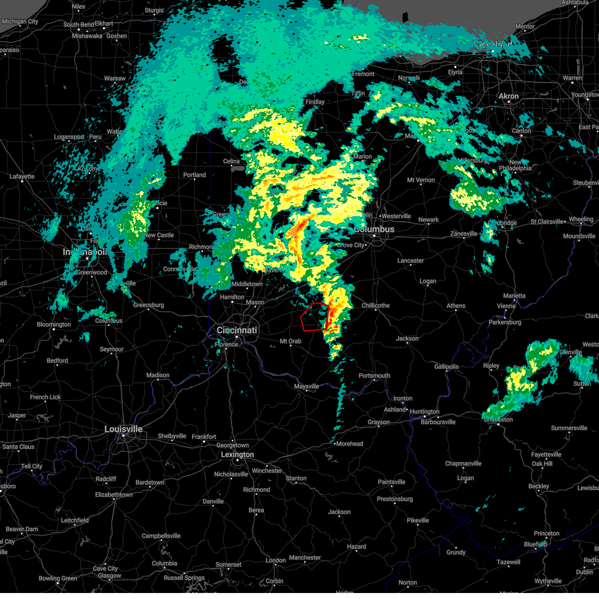 The tornado warning for southeastern clinton and northwestern highland counties will expire at 600 pm est, an additional tornado warning has been issued for portions of highland county until 615 pm. a tornado watch remains in effect until 700 pm est for southwestern ohio. please report previous tornadoes, wind damage or hail to the national weather service by going to our website at weather.gov/iln and submitting your report via social media. The tornado warning for southeastern clinton and northwestern highland counties will expire at 600 pm est, an additional tornado warning has been issued for portions of highland county until 615 pm. a tornado watch remains in effect until 700 pm est for southwestern ohio. please report previous tornadoes, wind damage or hail to the national weather service by going to our website at weather.gov/iln and submitting your report via social media.
|
| 3/3/2023 5:40 PM EST |
 At 540 pm est, severe thunderstorms were located along a line extending from near leesburg to winchester, moving northeast at 55 mph (radar indicated). Hazards include 70 mph wind gusts. Expect considerable tree damage. damage is likely to mobile homes, roofs, and outbuildings. locations impacted include, washington court house, hillsboro, greenfield, west union, sabina, peebles, lynchburg, leesburg, new vienna, winchester, marshall, seaman, belfast, rocky fork point, highland holiday, russell, staunton, new market, good hope and emerald. thunderstorm damage threat, considerable hail threat, radar indicated max hail size, <. 75 in wind threat, radar indicated max wind gust, 70 mph. At 540 pm est, severe thunderstorms were located along a line extending from near leesburg to winchester, moving northeast at 55 mph (radar indicated). Hazards include 70 mph wind gusts. Expect considerable tree damage. damage is likely to mobile homes, roofs, and outbuildings. locations impacted include, washington court house, hillsboro, greenfield, west union, sabina, peebles, lynchburg, leesburg, new vienna, winchester, marshall, seaman, belfast, rocky fork point, highland holiday, russell, staunton, new market, good hope and emerald. thunderstorm damage threat, considerable hail threat, radar indicated max hail size, <. 75 in wind threat, radar indicated max wind gust, 70 mph.
|
| 3/3/2023 5:36 PM EST |
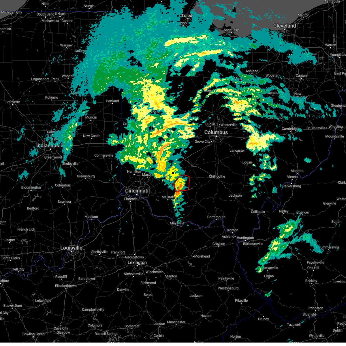 At 535 pm est, a severe thunderstorm capable of producing a tornado was located near lynchburg, moving northeast at 50 mph (radar indicated rotation). Hazards include tornado. Flying debris will be dangerous to those caught without shelter. mobile homes will be damaged or destroyed. damage to roofs, windows, and vehicles will occur. tree damage is likely. Locations impacted include, hillsboro, lynchburg, leesburg, new vienna, russell, highland, samantha and highland county airport. At 535 pm est, a severe thunderstorm capable of producing a tornado was located near lynchburg, moving northeast at 50 mph (radar indicated rotation). Hazards include tornado. Flying debris will be dangerous to those caught without shelter. mobile homes will be damaged or destroyed. damage to roofs, windows, and vehicles will occur. tree damage is likely. Locations impacted include, hillsboro, lynchburg, leesburg, new vienna, russell, highland, samantha and highland county airport.
|
| 3/3/2023 5:23 PM EST |
 At 522 pm est, severe thunderstorms were located along a line extending from near lynchburg to near georgetown, moving northeast at 55 mph (radar indicated). Hazards include 70 mph wind gusts. Expect considerable tree damage. Damage is likely to mobile homes, roofs, and outbuildings. At 522 pm est, severe thunderstorms were located along a line extending from near lynchburg to near georgetown, moving northeast at 55 mph (radar indicated). Hazards include 70 mph wind gusts. Expect considerable tree damage. Damage is likely to mobile homes, roofs, and outbuildings.
|
| 3/3/2023 5:23 PM EST |
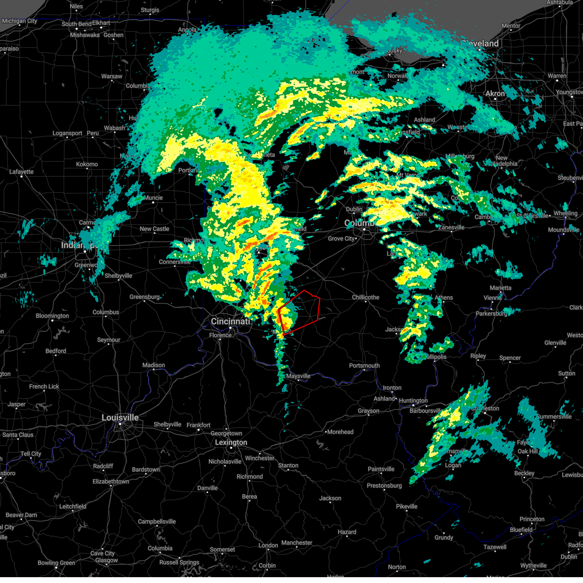 At 522 pm est, a severe thunderstorm capable of producing a tornado was located near lynchburg, moving northeast at 65 mph (radar indicated rotation). Hazards include tornado. Flying debris will be dangerous to those caught without shelter. mobile homes will be damaged or destroyed. damage to roofs, windows, and vehicles will occur. Tree damage is likely. At 522 pm est, a severe thunderstorm capable of producing a tornado was located near lynchburg, moving northeast at 65 mph (radar indicated rotation). Hazards include tornado. Flying debris will be dangerous to those caught without shelter. mobile homes will be damaged or destroyed. damage to roofs, windows, and vehicles will occur. Tree damage is likely.
|
| 3/1/2023 8:21 PM EST |
 The severe thunderstorm warning for southeastern hamilton, northern clermont, northwestern brown, southeastern warren, southern clinton and western highland counties will expire at 830 pm est, the storm which prompted the warning has weakened below severe limits, and no longer poses an immediate threat to life or property. therefore, the warning will be allowed to expire. please report previous wind damage or hail to the national weather service by going to our website at weather.gov/iln and submitting your report via social media. The severe thunderstorm warning for southeastern hamilton, northern clermont, northwestern brown, southeastern warren, southern clinton and western highland counties will expire at 830 pm est, the storm which prompted the warning has weakened below severe limits, and no longer poses an immediate threat to life or property. therefore, the warning will be allowed to expire. please report previous wind damage or hail to the national weather service by going to our website at weather.gov/iln and submitting your report via social media.
|
| 3/1/2023 8:03 PM EST |
 At 802 pm est, a severe thunderstorm was located 8 miles northeast of batavia, moving east at 40 mph (radar indicated). Hazards include 60 mph wind gusts and quarter size hail. Minor hail damage to vehicles is possible. expect wind damage to trees and power lines. locations impacted include, blue ash, loveland, montgomery, madeira, milford, hillsboro, blanchester, forestville, mariemont, williamsburg, terrace park, batavia, lynchburg, new vienna, camp dennison, remington, plainville, concorde hills, withamsville and coldstream. this includes i-71 in ohio between mile markers 13 and 14. hail threat, radar indicated max hail size, 1. 00 in wind threat, radar indicated max wind gust, 60 mph. At 802 pm est, a severe thunderstorm was located 8 miles northeast of batavia, moving east at 40 mph (radar indicated). Hazards include 60 mph wind gusts and quarter size hail. Minor hail damage to vehicles is possible. expect wind damage to trees and power lines. locations impacted include, blue ash, loveland, montgomery, madeira, milford, hillsboro, blanchester, forestville, mariemont, williamsburg, terrace park, batavia, lynchburg, new vienna, camp dennison, remington, plainville, concorde hills, withamsville and coldstream. this includes i-71 in ohio between mile markers 13 and 14. hail threat, radar indicated max hail size, 1. 00 in wind threat, radar indicated max wind gust, 60 mph.
|
| 3/1/2023 7:49 PM EST |
 At 749 pm est, a severe thunderstorm was located over milford, moving east at 40 mph (radar indicated). Hazards include 60 mph wind gusts and quarter size hail. Minor hail damage to vehicles is possible. Expect wind damage to trees and power lines. At 749 pm est, a severe thunderstorm was located over milford, moving east at 40 mph (radar indicated). Hazards include 60 mph wind gusts and quarter size hail. Minor hail damage to vehicles is possible. Expect wind damage to trees and power lines.
|
| 7/6/2022 3:43 PM EDT |
 At 343 pm edt, a severe thunderstorm was located near belfast, moving east at 45 mph (radar indicated). Hazards include 70 mph wind gusts. Expect considerable tree damage. damage is likely to mobile homes, roofs, and outbuildings. Locations impacted include, hillsboro, georgetown, west union, lynchburg, winchester, marshall, sardinia, seaman, belfast, rocky fork point, highland holiday, russell, new market, emerald, russellville, mowrystown, cherry fork, danville in highland county, may hill and fincastle. At 343 pm edt, a severe thunderstorm was located near belfast, moving east at 45 mph (radar indicated). Hazards include 70 mph wind gusts. Expect considerable tree damage. damage is likely to mobile homes, roofs, and outbuildings. Locations impacted include, hillsboro, georgetown, west union, lynchburg, winchester, marshall, sardinia, seaman, belfast, rocky fork point, highland holiday, russell, new market, emerald, russellville, mowrystown, cherry fork, danville in highland county, may hill and fincastle.
|
| 7/6/2022 3:39 PM EDT | Roof blown off house. time estimated from rada in highland county OH, 1.5 miles NNE of Lynchburg, OH |
| 7/6/2022 3:37 PM EDT |
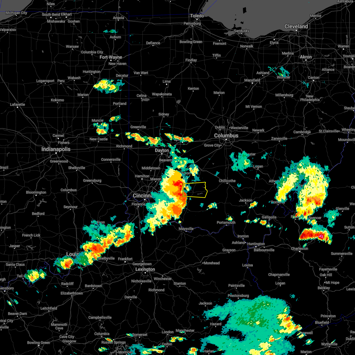 At 336 pm edt, a severe thunderstorm was located near lynchburg, moving east at 40 mph (radar indicated). Hazards include 70 mph wind gusts. Expect considerable tree damage. Damage is likely to mobile homes, roofs, and outbuildings. At 336 pm edt, a severe thunderstorm was located near lynchburg, moving east at 40 mph (radar indicated). Hazards include 70 mph wind gusts. Expect considerable tree damage. Damage is likely to mobile homes, roofs, and outbuildings.
|
| 7/6/2022 3:18 PM EDT |
 At 318 pm edt, a severe thunderstorm was located near williamsburg, moving east at 45 mph (radar indicated). Hazards include 70 mph wind gusts. Expect considerable tree damage. Damage is likely to mobile homes, roofs, and outbuildings. At 318 pm edt, a severe thunderstorm was located near williamsburg, moving east at 45 mph (radar indicated). Hazards include 70 mph wind gusts. Expect considerable tree damage. Damage is likely to mobile homes, roofs, and outbuildings.
|
| 6/22/2022 4:41 PM EDT |
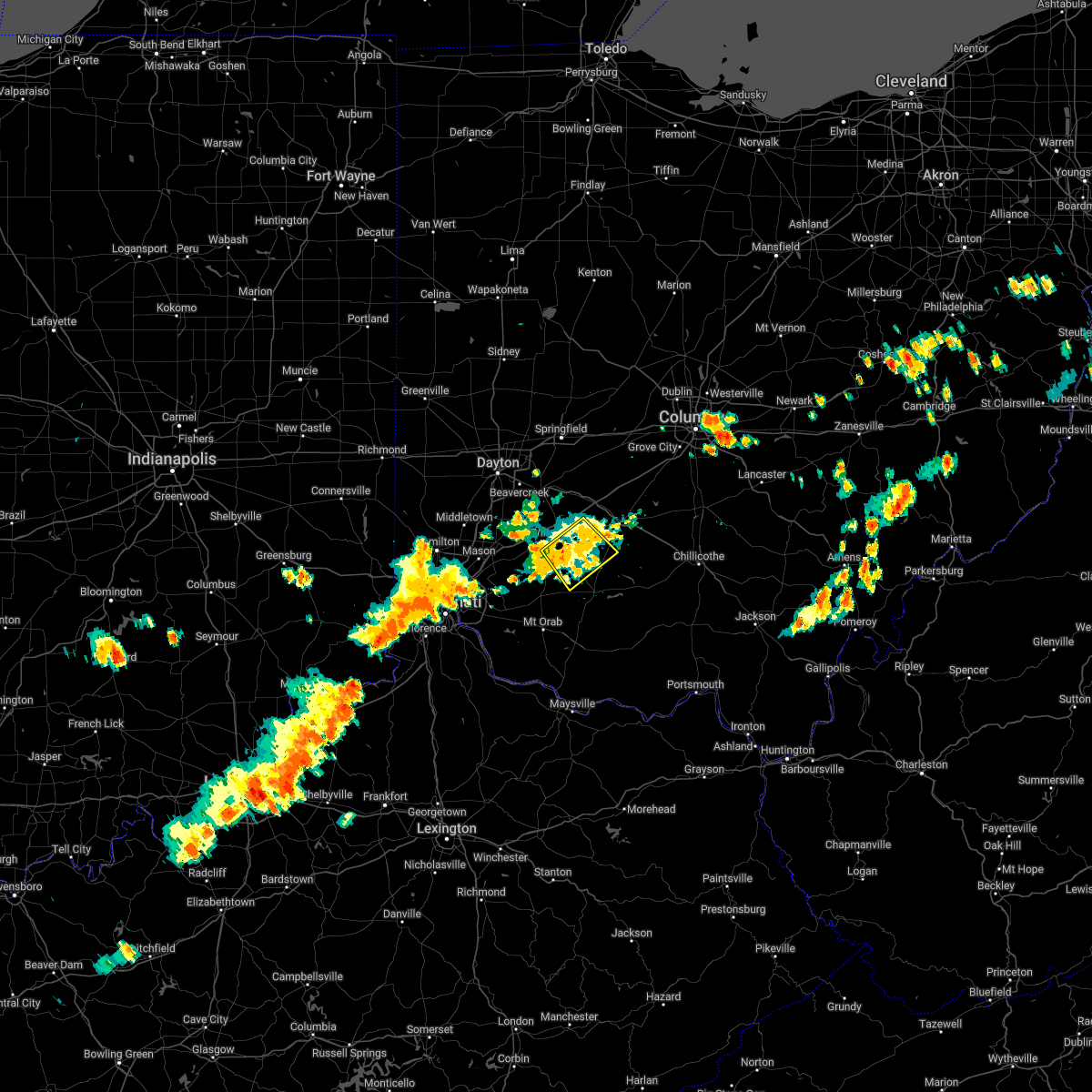 The severe thunderstorm warning for southwestern fayette, central clinton and northwestern highland counties will expire at 445 pm edt, the storm which prompted the warning has weakened below severe limits, and no longer poses an immediate threat to life or property. therefore, the warning will be allowed to expire. however gusty winds and heavy rain are still possible with this thunderstorm. a severe thunderstorm watch remains in effect until 800 pm edt for central and southwestern ohio. please report previous wind damage or hail to the national weather service by going to our website at weather.gov/iln and submitting your report via social media. The severe thunderstorm warning for southwestern fayette, central clinton and northwestern highland counties will expire at 445 pm edt, the storm which prompted the warning has weakened below severe limits, and no longer poses an immediate threat to life or property. therefore, the warning will be allowed to expire. however gusty winds and heavy rain are still possible with this thunderstorm. a severe thunderstorm watch remains in effect until 800 pm edt for central and southwestern ohio. please report previous wind damage or hail to the national weather service by going to our website at weather.gov/iln and submitting your report via social media.
|
| 6/22/2022 4:32 PM EDT |
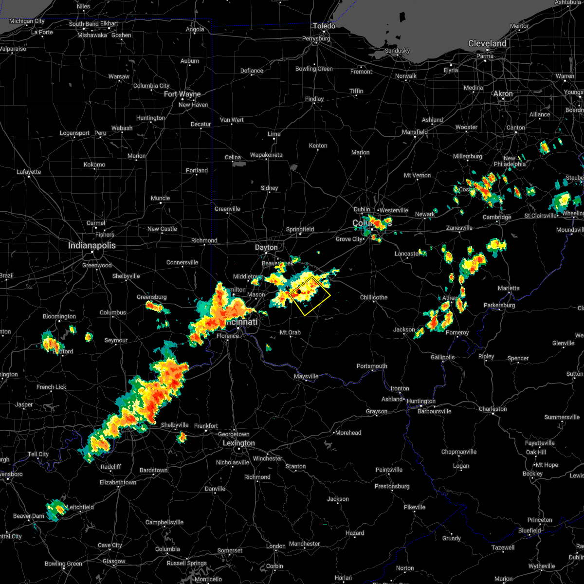 At 432 pm edt, a severe thunderstorm was located near new vienna, moving southeast at 20 mph (radar indicated). Hazards include 60 mph wind gusts and quarter size hail. Minor hail damage to vehicles is possible. expect wind damage to trees and power lines. locations impacted include, wilmington, sabina, lynchburg, leesburg, new vienna, martinsville, highland, melvin, new antioch, cuba, lees creek, reesville, morrisville, burtonville and cowan lake state park. hail threat, radar indicated max hail size, 1. 00 in wind threat, radar indicated max wind gust, 60 mph. At 432 pm edt, a severe thunderstorm was located near new vienna, moving southeast at 20 mph (radar indicated). Hazards include 60 mph wind gusts and quarter size hail. Minor hail damage to vehicles is possible. expect wind damage to trees and power lines. locations impacted include, wilmington, sabina, lynchburg, leesburg, new vienna, martinsville, highland, melvin, new antioch, cuba, lees creek, reesville, morrisville, burtonville and cowan lake state park. hail threat, radar indicated max hail size, 1. 00 in wind threat, radar indicated max wind gust, 60 mph.
|
| 6/22/2022 4:23 PM EDT |
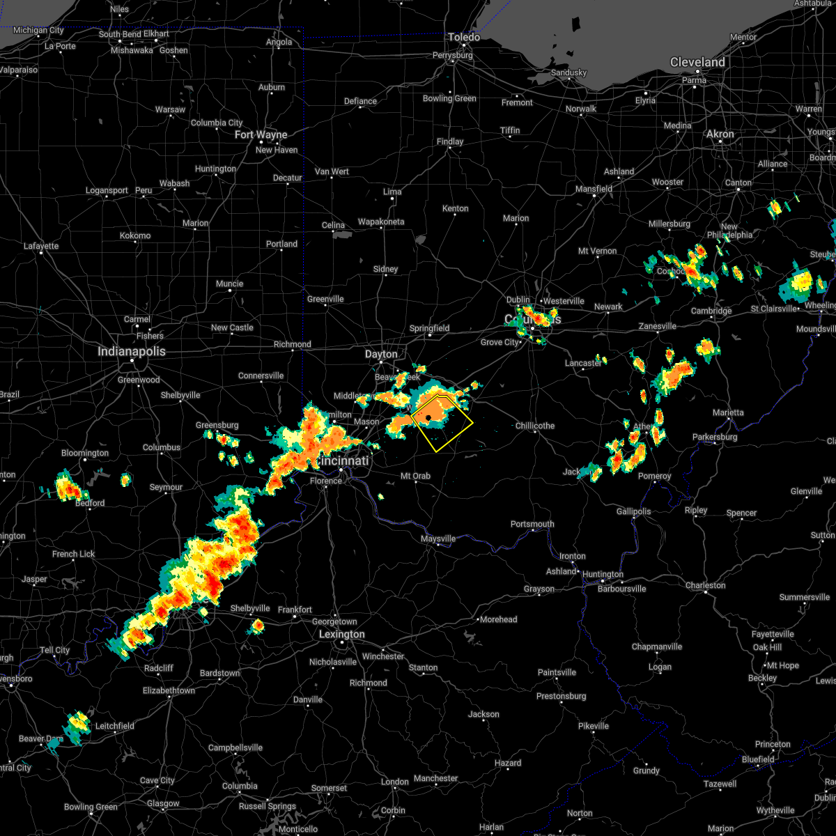 At 422 pm edt, a severe thunderstorm was located near wilmington, moving southeast at 20 mph (radar indicated). Hazards include 60 mph wind gusts and quarter size hail. Minor hail damage to vehicles is possible. expect wind damage to trees and power lines. locations impacted include, wilmington, sabina, lynchburg, leesburg, new vienna, martinsville, highland, melvin, bloomington, new antioch, cuba, lees creek, reesville, morrisville, ogden, burtonville and cowan lake state park. this includes i-71 in ohio between mile markers 54 and 56. hail threat, radar indicated max hail size, 1. 00 in wind threat, radar indicated max wind gust, 60 mph. At 422 pm edt, a severe thunderstorm was located near wilmington, moving southeast at 20 mph (radar indicated). Hazards include 60 mph wind gusts and quarter size hail. Minor hail damage to vehicles is possible. expect wind damage to trees and power lines. locations impacted include, wilmington, sabina, lynchburg, leesburg, new vienna, martinsville, highland, melvin, bloomington, new antioch, cuba, lees creek, reesville, morrisville, ogden, burtonville and cowan lake state park. this includes i-71 in ohio between mile markers 54 and 56. hail threat, radar indicated max hail size, 1. 00 in wind threat, radar indicated max wind gust, 60 mph.
|
| 6/22/2022 4:03 PM EDT |
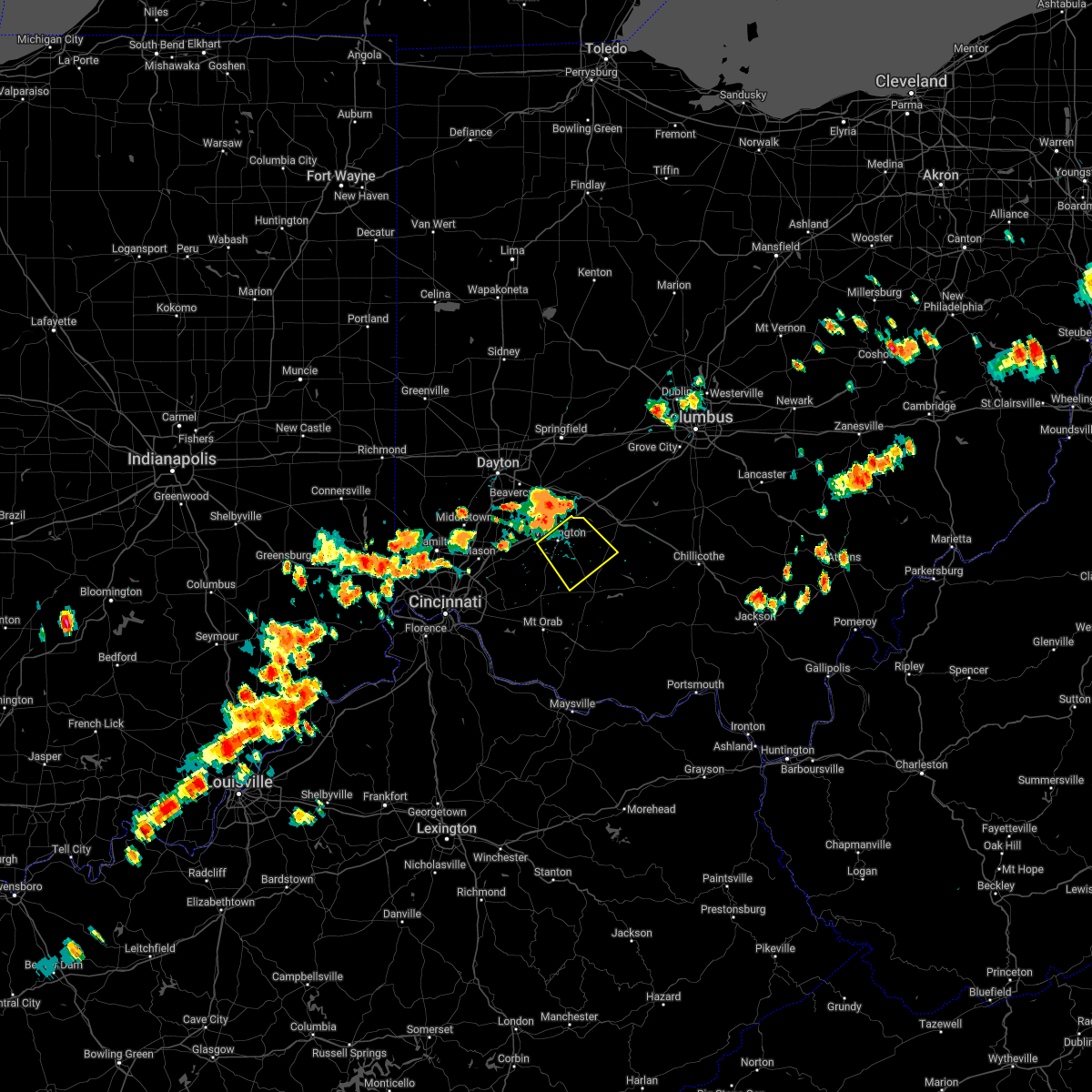 At 402 pm edt, a severe thunderstorm was located over wilmington, moving southeast at 20 mph (radar indicated). Hazards include 60 mph wind gusts and quarter size hail. Minor hail damage to vehicles is possible. Expect wind damage to trees and power lines. At 402 pm edt, a severe thunderstorm was located over wilmington, moving southeast at 20 mph (radar indicated). Hazards include 60 mph wind gusts and quarter size hail. Minor hail damage to vehicles is possible. Expect wind damage to trees and power lines.
|
| 6/13/2022 6:55 PM EDT |
 At 654 pm edt, severe thunderstorms were located along a line extending from near mount sterling to near cynthiana, moving east at 45 mph (radar indicated). Hazards include 60 mph wind gusts and penny size hail. Expect damage to trees and power lines. locations impacted include, washington court house, hillsboro, greenfield, sabina, mount sterling, south charleston, lynchburg, leesburg, jeffersonville, marshall, bloomingburg, new holland, belfast, highland holiday, rocky fork point, russell, lisbon, staunton, new market and good hope. this includes i-71 in ohio between mile markers 65 and 87. hail threat, radar indicated max hail size, 0. 75 in wind threat, radar indicated max wind gust, 60 mph. At 654 pm edt, severe thunderstorms were located along a line extending from near mount sterling to near cynthiana, moving east at 45 mph (radar indicated). Hazards include 60 mph wind gusts and penny size hail. Expect damage to trees and power lines. locations impacted include, washington court house, hillsboro, greenfield, sabina, mount sterling, south charleston, lynchburg, leesburg, jeffersonville, marshall, bloomingburg, new holland, belfast, highland holiday, rocky fork point, russell, lisbon, staunton, new market and good hope. this includes i-71 in ohio between mile markers 65 and 87. hail threat, radar indicated max hail size, 0. 75 in wind threat, radar indicated max wind gust, 60 mph.
|
| 6/13/2022 6:40 PM EDT |
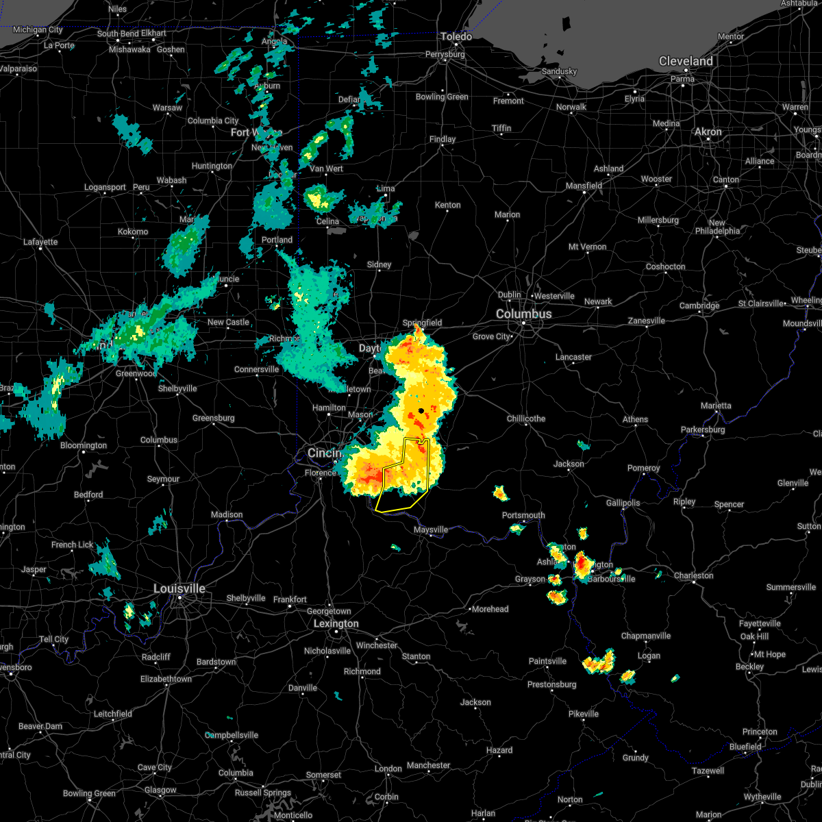 At 639 pm edt, a severe thunderstorm was located over sardinia, moving southeast at 30 mph (radar indicated). Hazards include 60 mph wind gusts. Expect damage to trees and power lines. locations impacted include, georgetown, mount orab, bethel, williamsburg, lynchburg, sardinia, felicity, hamersville, fayetteville, st. martin, chilo, chasetown, greenbush, lake waynoka, buford, state route 32 at us route 68, point isabel, feesburg, new hope and locust ridge. hail threat, radar indicated max hail size, <. 75 in wind threat, radar indicated max wind gust, 60 mph. At 639 pm edt, a severe thunderstorm was located over sardinia, moving southeast at 30 mph (radar indicated). Hazards include 60 mph wind gusts. Expect damage to trees and power lines. locations impacted include, georgetown, mount orab, bethel, williamsburg, lynchburg, sardinia, felicity, hamersville, fayetteville, st. martin, chilo, chasetown, greenbush, lake waynoka, buford, state route 32 at us route 68, point isabel, feesburg, new hope and locust ridge. hail threat, radar indicated max hail size, <. 75 in wind threat, radar indicated max wind gust, 60 mph.
|
| 6/13/2022 6:21 PM EDT |
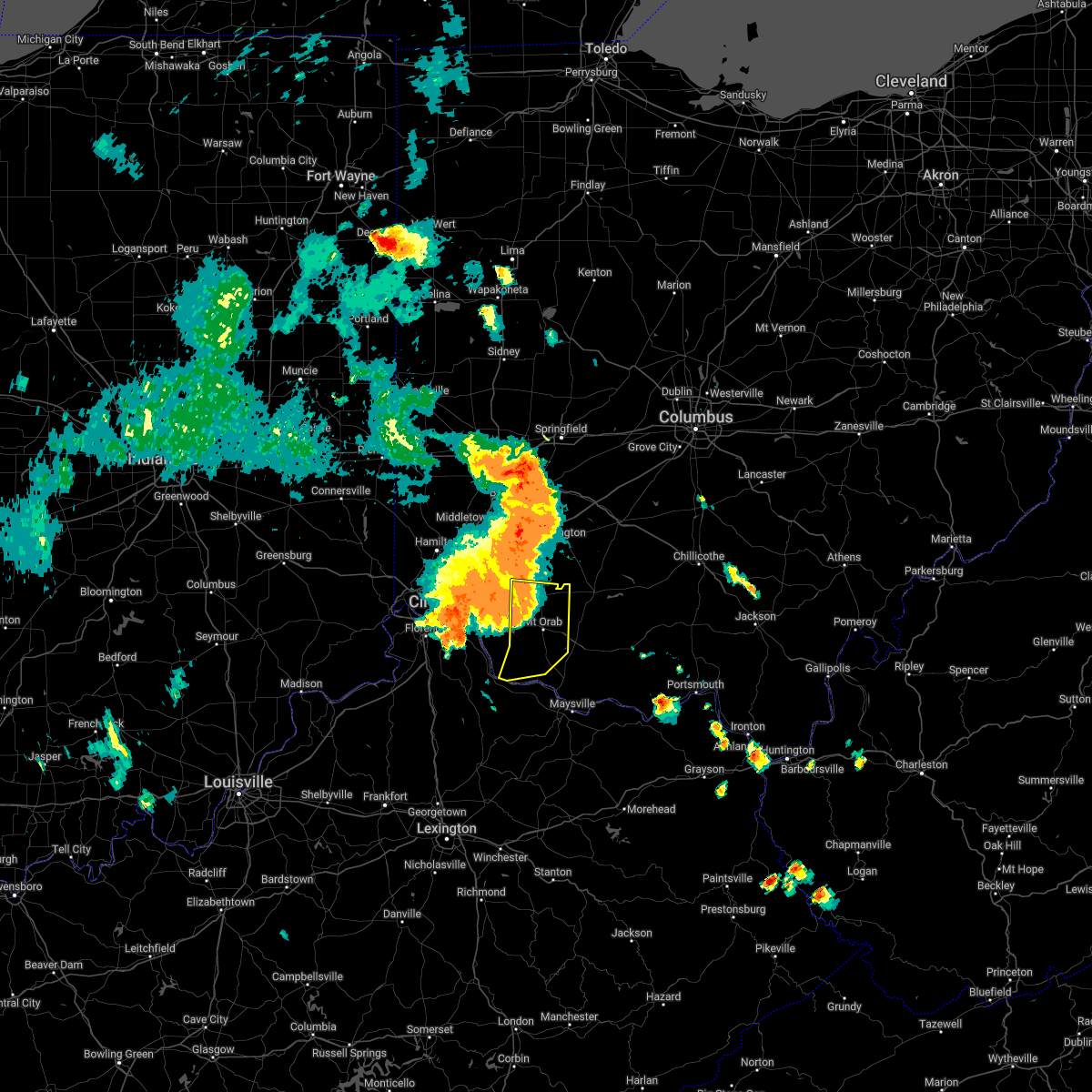 At 621 pm edt, a severe thunderstorm was located near williamsburg, moving southeast at 60 mph (radar indicated). Hazards include 60 mph wind gusts. Expect damage to trees and power lines. locations impacted include, georgetown, mount orab, bethel, williamsburg, lynchburg, sardinia, felicity, hamersville, newtonsville, fayetteville, st. martin, chilo, chasetown, greenbush, lake waynoka, buford, state route 32 at us route 68, point isabel, feesburg and new hope. hail threat, radar indicated max hail size, <. 75 in wind threat, radar indicated max wind gust, 60 mph. At 621 pm edt, a severe thunderstorm was located near williamsburg, moving southeast at 60 mph (radar indicated). Hazards include 60 mph wind gusts. Expect damage to trees and power lines. locations impacted include, georgetown, mount orab, bethel, williamsburg, lynchburg, sardinia, felicity, hamersville, newtonsville, fayetteville, st. martin, chilo, chasetown, greenbush, lake waynoka, buford, state route 32 at us route 68, point isabel, feesburg and new hope. hail threat, radar indicated max hail size, <. 75 in wind threat, radar indicated max wind gust, 60 mph.
|
| 6/13/2022 6:21 PM EDT |
 At 621 pm edt, severe thunderstorms were located along a line extending from near yellow springs to near blanchester, moving east at 45 mph (radar indicated). Hazards include 70 mph wind gusts and penny size hail. Expect considerable tree damage. damage is likely to mobile homes, roofs, and outbuildings. locations impacted include, beavercreek, huber heights, fairborn, xenia, wilmington, bellbrook, blanchester, yellow springs, wright-patterson afb, cedarville, waynesville, jamestown, lynchburg, new vienna, morrow, wilberforce, new jasper, woodville, clarksville and harveysburg. this includes i-71 in ohio between mile markers 35 and 61. thunderstorm damage threat, considerable hail threat, radar indicated max hail size, 0. 75 in wind threat, radar indicated max wind gust, 70 mph. At 621 pm edt, severe thunderstorms were located along a line extending from near yellow springs to near blanchester, moving east at 45 mph (radar indicated). Hazards include 70 mph wind gusts and penny size hail. Expect considerable tree damage. damage is likely to mobile homes, roofs, and outbuildings. locations impacted include, beavercreek, huber heights, fairborn, xenia, wilmington, bellbrook, blanchester, yellow springs, wright-patterson afb, cedarville, waynesville, jamestown, lynchburg, new vienna, morrow, wilberforce, new jasper, woodville, clarksville and harveysburg. this includes i-71 in ohio between mile markers 35 and 61. thunderstorm damage threat, considerable hail threat, radar indicated max hail size, 0. 75 in wind threat, radar indicated max wind gust, 70 mph.
|
| 6/13/2022 6:12 PM EDT |
 At 611 pm edt, severe thunderstorms were located along a line extending from near xenia to blanchester, moving east at 45 mph (radar indicated). Hazards include 70 mph wind gusts and penny size hail. Expect considerable tree damage. Damage is likely to mobile homes, roofs, and outbuildings. At 611 pm edt, severe thunderstorms were located along a line extending from near xenia to blanchester, moving east at 45 mph (radar indicated). Hazards include 70 mph wind gusts and penny size hail. Expect considerable tree damage. Damage is likely to mobile homes, roofs, and outbuildings.
|
| 6/13/2022 6:06 PM EDT |
 At 605 pm edt, severe thunderstorms were located along a line extending from near wright-patterson afb to near morrow, moving east at 45 mph (radar indicated). Hazards include 70 mph wind gusts and penny size hail. Expect considerable tree damage. damage is likely to mobile homes, roofs, and outbuildings. locations impacted include, beavercreek, huber heights, fairborn, xenia, wilmington, bellbrook, blanchester, yellow springs, wright-patterson afb, cedarville, waynesville, jamestown, lynchburg, new vienna, morrow, wilberforce, new jasper, woodville, clarksville and harveysburg. this includes i-71 in ohio between mile markers 35 and 61. thunderstorm damage threat, considerable hail threat, radar indicated max hail size, 0. 75 in wind threat, radar indicated max wind gust, 70 mph. At 605 pm edt, severe thunderstorms were located along a line extending from near wright-patterson afb to near morrow, moving east at 45 mph (radar indicated). Hazards include 70 mph wind gusts and penny size hail. Expect considerable tree damage. damage is likely to mobile homes, roofs, and outbuildings. locations impacted include, beavercreek, huber heights, fairborn, xenia, wilmington, bellbrook, blanchester, yellow springs, wright-patterson afb, cedarville, waynesville, jamestown, lynchburg, new vienna, morrow, wilberforce, new jasper, woodville, clarksville and harveysburg. this includes i-71 in ohio between mile markers 35 and 61. thunderstorm damage threat, considerable hail threat, radar indicated max hail size, 0. 75 in wind threat, radar indicated max wind gust, 70 mph.
|
| 6/13/2022 5:55 PM EDT |
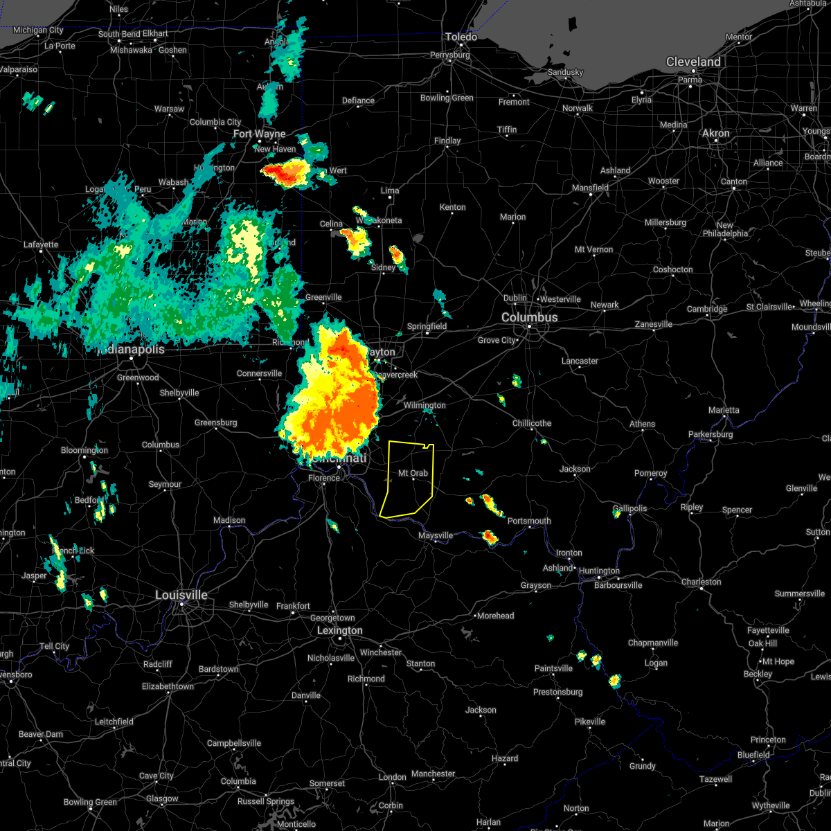 At 555 pm edt, a severe thunderstorm was located over loveland, moving east at 20 mph (radar indicated). Hazards include 60 mph wind gusts. expect damage to trees and power lines At 555 pm edt, a severe thunderstorm was located over loveland, moving east at 20 mph (radar indicated). Hazards include 60 mph wind gusts. expect damage to trees and power lines
|
| 6/13/2022 5:45 PM EDT |
 At 545 pm edt, severe thunderstorms were located along a line extending from near englewood to sharonville, moving east at 40 mph (radar indicated). Hazards include 70 mph wind gusts and penny size hail. Expect considerable tree damage. Damage is likely to mobile homes, roofs, and outbuildings. At 545 pm edt, severe thunderstorms were located along a line extending from near englewood to sharonville, moving east at 40 mph (radar indicated). Hazards include 70 mph wind gusts and penny size hail. Expect considerable tree damage. Damage is likely to mobile homes, roofs, and outbuildings.
|
| 5/21/2022 3:53 PM EDT |
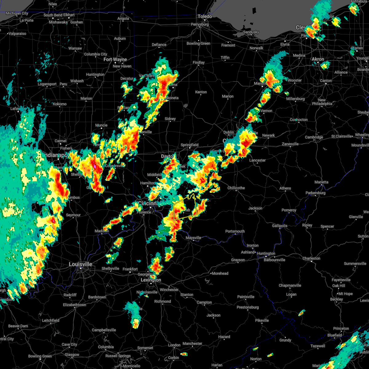 At 353 pm edt, a severe thunderstorm was located near williamsburg, moving northeast at 25 mph (trained weather spotters reported one inch hail). Hazards include 60 mph wind gusts and quarter size hail. Minor hail damage to vehicles is possible. expect wind damage to trees and power lines. locations impacted include, mount orab, bethel, williamsburg, lynchburg, sardinia, russell, mowrystown, fayetteville, st. martin, chasetown, danville in highland county, greenbush, buford, state route 32 at us route 68, new hope, locust ridge and lake lorelei. hail threat, observed max hail size, 1. 00 in wind threat, radar indicated max wind gust, 60 mph. At 353 pm edt, a severe thunderstorm was located near williamsburg, moving northeast at 25 mph (trained weather spotters reported one inch hail). Hazards include 60 mph wind gusts and quarter size hail. Minor hail damage to vehicles is possible. expect wind damage to trees and power lines. locations impacted include, mount orab, bethel, williamsburg, lynchburg, sardinia, russell, mowrystown, fayetteville, st. martin, chasetown, danville in highland county, greenbush, buford, state route 32 at us route 68, new hope, locust ridge and lake lorelei. hail threat, observed max hail size, 1. 00 in wind threat, radar indicated max wind gust, 60 mph.
|
| 5/21/2022 3:43 PM EDT |
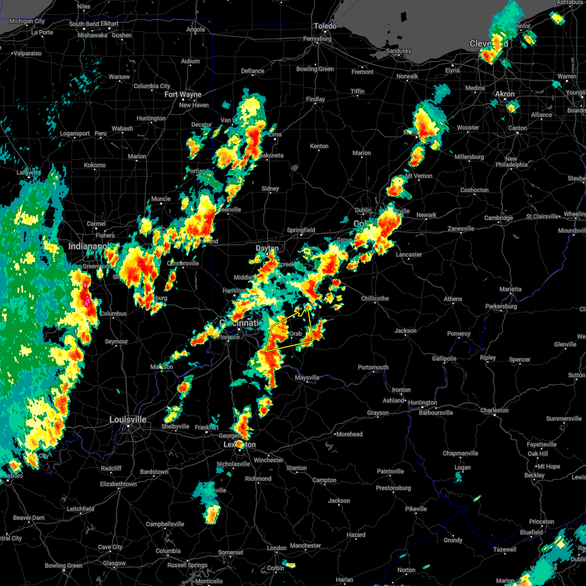 At 343 pm edt, a severe thunderstorm was located over williamsburg, moving northeast at 25 mph (radar indicated). Hazards include 60 mph wind gusts and quarter size hail. Minor hail damage to vehicles is possible. expect wind damage to trees and power lines. locations impacted include, mount orab, bethel, williamsburg, lynchburg, sardinia, russell, owensville, mowrystown, fayetteville, st. martin, chasetown, danville in highland county, greenbush, saltair, east fork state park, buford, nicholsville, state route 32 at us route 68, bantam and new hope. hail threat, radar indicated max hail size, 1. 00 in wind threat, radar indicated max wind gust, 60 mph. At 343 pm edt, a severe thunderstorm was located over williamsburg, moving northeast at 25 mph (radar indicated). Hazards include 60 mph wind gusts and quarter size hail. Minor hail damage to vehicles is possible. expect wind damage to trees and power lines. locations impacted include, mount orab, bethel, williamsburg, lynchburg, sardinia, russell, owensville, mowrystown, fayetteville, st. martin, chasetown, danville in highland county, greenbush, saltair, east fork state park, buford, nicholsville, state route 32 at us route 68, bantam and new hope. hail threat, radar indicated max hail size, 1. 00 in wind threat, radar indicated max wind gust, 60 mph.
|
| 5/21/2022 3:28 PM EDT |
 At 328 pm edt, a severe thunderstorm was located over amelia, moving northeast at 25 mph (radar indicated). Hazards include 60 mph wind gusts and quarter size hail. Minor hail damage to vehicles is possible. Expect wind damage to trees and power lines. At 328 pm edt, a severe thunderstorm was located over amelia, moving northeast at 25 mph (radar indicated). Hazards include 60 mph wind gusts and quarter size hail. Minor hail damage to vehicles is possible. Expect wind damage to trees and power lines.
|
| 5/21/2022 3:20 PM EDT |
 At 320 pm edt, a severe thunderstorm was located over blanchester, moving northeast at 30 mph (radar indicated). Hazards include 60 mph wind gusts and quarter size hail. Minor hail damage to vehicles is possible. expect wind damage to trees and power lines. locations impacted include, wilmington, blanchester, lynchburg, clarksville, martinsville, midland, westboro, cuba, morrisville, ogden and cowan lake state park. hail threat, radar indicated max hail size, 1. 00 in wind threat, radar indicated max wind gust, 60 mph. At 320 pm edt, a severe thunderstorm was located over blanchester, moving northeast at 30 mph (radar indicated). Hazards include 60 mph wind gusts and quarter size hail. Minor hail damage to vehicles is possible. expect wind damage to trees and power lines. locations impacted include, wilmington, blanchester, lynchburg, clarksville, martinsville, midland, westboro, cuba, morrisville, ogden and cowan lake state park. hail threat, radar indicated max hail size, 1. 00 in wind threat, radar indicated max wind gust, 60 mph.
|
| 5/21/2022 3:02 PM EDT |
 At 301 pm edt, a severe thunderstorm was located near milford, moving northeast at 30 mph (radar indicated). Hazards include 60 mph wind gusts and quarter size hail. Minor hail damage to vehicles is possible. expect wind damage to trees and power lines. locations impacted include, wilmington, loveland, milford, blanchester, terrace park, lynchburg, morrow, remington, camp dennison, withamsville, woodville, owensville, clarksville, goshen, martinsville, newtonsville, fayetteville, midland, butlerville and pleasant plain. hail threat, radar indicated max hail size, 1. 00 in wind threat, radar indicated max wind gust, 60 mph. At 301 pm edt, a severe thunderstorm was located near milford, moving northeast at 30 mph (radar indicated). Hazards include 60 mph wind gusts and quarter size hail. Minor hail damage to vehicles is possible. expect wind damage to trees and power lines. locations impacted include, wilmington, loveland, milford, blanchester, terrace park, lynchburg, morrow, remington, camp dennison, withamsville, woodville, owensville, clarksville, goshen, martinsville, newtonsville, fayetteville, midland, butlerville and pleasant plain. hail threat, radar indicated max hail size, 1. 00 in wind threat, radar indicated max wind gust, 60 mph.
|
| 5/21/2022 2:50 PM EDT |
 At 250 pm edt, a severe thunderstorm was located over milford, moving northeast at 30 mph (radar indicated). Hazards include 60 mph wind gusts and quarter size hail. Minor hail damage to vehicles is possible. Expect wind damage to trees and power lines. At 250 pm edt, a severe thunderstorm was located over milford, moving northeast at 30 mph (radar indicated). Hazards include 60 mph wind gusts and quarter size hail. Minor hail damage to vehicles is possible. Expect wind damage to trees and power lines.
|
| 5/19/2022 10:11 PM EDT |
 The severe thunderstorm warning for southern clinton and highland counties will expire at 1015 pm edt, the storms which prompted the warning have weakened below severe limits, and no longer pose an immediate threat to life or property. therefore, the warning will be allowed to expire. however gusty winds are still possible with these thunderstorms. a severe thunderstorm watch remains in effect until 200 am edt for southwestern ohio. please report previous wind damage or hail to the national weather service by going to our website at weather.gov/iln and submitting your report via social media. The severe thunderstorm warning for southern clinton and highland counties will expire at 1015 pm edt, the storms which prompted the warning have weakened below severe limits, and no longer pose an immediate threat to life or property. therefore, the warning will be allowed to expire. however gusty winds are still possible with these thunderstorms. a severe thunderstorm watch remains in effect until 200 am edt for southwestern ohio. please report previous wind damage or hail to the national weather service by going to our website at weather.gov/iln and submitting your report via social media.
|
| 5/19/2022 9:55 PM EDT |
 At 955 pm edt, severe thunderstorms were located along a line extending from new vienna to 6 miles northeast of sardinia, moving east at 40 mph (radar indicated). Hazards include 60 mph wind gusts. Expect damage to trees and power lines. locations impacted include, hillsboro, blanchester, lynchburg, leesburg, new vienna, marshall, belfast, rocky fork point, highland holiday, russell, new market, martinsville, mowrystown, midland, highland, rocky fork lake, east monroe, danville in highland county, samantha and buford. hail threat, radar indicated max hail size, <. 75 in wind threat, radar indicated max wind gust, 60 mph. At 955 pm edt, severe thunderstorms were located along a line extending from new vienna to 6 miles northeast of sardinia, moving east at 40 mph (radar indicated). Hazards include 60 mph wind gusts. Expect damage to trees and power lines. locations impacted include, hillsboro, blanchester, lynchburg, leesburg, new vienna, marshall, belfast, rocky fork point, highland holiday, russell, new market, martinsville, mowrystown, midland, highland, rocky fork lake, east monroe, danville in highland county, samantha and buford. hail threat, radar indicated max hail size, <. 75 in wind threat, radar indicated max wind gust, 60 mph.
|
| 5/19/2022 9:39 PM EDT |
 At 938 pm edt, severe thunderstorms were located from near blanchester to 8 miles southwest of lynchburg to mount orab, moving east at 55 mph (radar indicated). Hazards include 60 mph wind gusts. Expect damage to trees and power lines. locations impacted include, hillsboro, blanchester, mount orab, williamsburg, lynchburg, leesburg, new vienna, marshall, sardinia, belfast, rocky fork point, highland holiday, russell, woodville, new market, martinsville, newtonsville, mowrystown, fayetteville and midland. hail threat, radar indicated max hail size, <. 75 in wind threat, radar indicated max wind gust, 60 mph. At 938 pm edt, severe thunderstorms were located from near blanchester to 8 miles southwest of lynchburg to mount orab, moving east at 55 mph (radar indicated). Hazards include 60 mph wind gusts. Expect damage to trees and power lines. locations impacted include, hillsboro, blanchester, mount orab, williamsburg, lynchburg, leesburg, new vienna, marshall, sardinia, belfast, rocky fork point, highland holiday, russell, woodville, new market, martinsville, newtonsville, mowrystown, fayetteville and midland. hail threat, radar indicated max hail size, <. 75 in wind threat, radar indicated max wind gust, 60 mph.
|
| 5/19/2022 9:24 PM EDT |
 At 924 pm edt, severe thunderstorms were located from near milford to near amelia to near neville, moving east at 50 mph (radar indicated). Hazards include 60 mph wind gusts. expect damage to trees and power lines At 924 pm edt, severe thunderstorms were located from near milford to near amelia to near neville, moving east at 50 mph (radar indicated). Hazards include 60 mph wind gusts. expect damage to trees and power lines
|
| 3/23/2022 3:54 PM EDT |
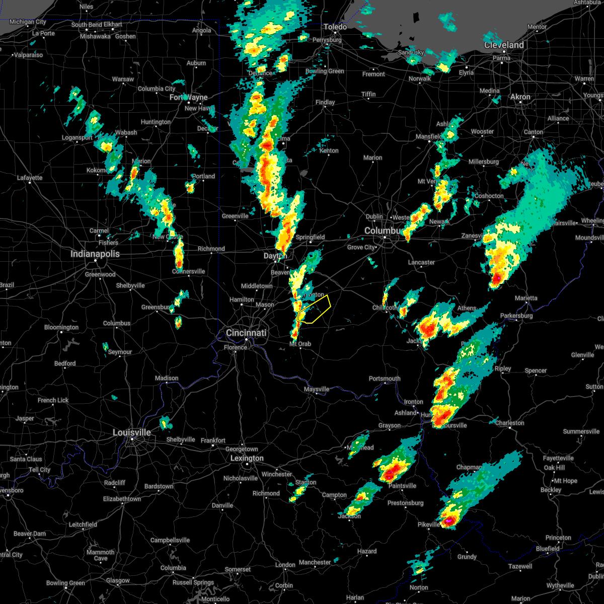 At 354 pm edt, a severe thunderstorm was located near blanchester, moving northeast at 45 mph (radar indicated). Hazards include 60 mph wind gusts and penny size hail. Expect damage to trees and power lines. locations impacted include, lynchburg, new vienna, martinsville, midland, westboro, cuba, lees creek, new antioch and morrisville. hail threat, radar indicated max hail size, 0. 75 in wind threat, radar indicated max wind gust, 60 mph. At 354 pm edt, a severe thunderstorm was located near blanchester, moving northeast at 45 mph (radar indicated). Hazards include 60 mph wind gusts and penny size hail. Expect damage to trees and power lines. locations impacted include, lynchburg, new vienna, martinsville, midland, westboro, cuba, lees creek, new antioch and morrisville. hail threat, radar indicated max hail size, 0. 75 in wind threat, radar indicated max wind gust, 60 mph.
|
| 3/23/2022 3:41 PM EDT |
 At 341 pm edt, a severe thunderstorm was located over blanchester, moving northeast at 30 mph (radar indicated). Hazards include 60 mph wind gusts and penny size hail. expect damage to trees and power lines At 341 pm edt, a severe thunderstorm was located over blanchester, moving northeast at 30 mph (radar indicated). Hazards include 60 mph wind gusts and penny size hail. expect damage to trees and power lines
|
| 3/7/2022 5:52 AM EST |
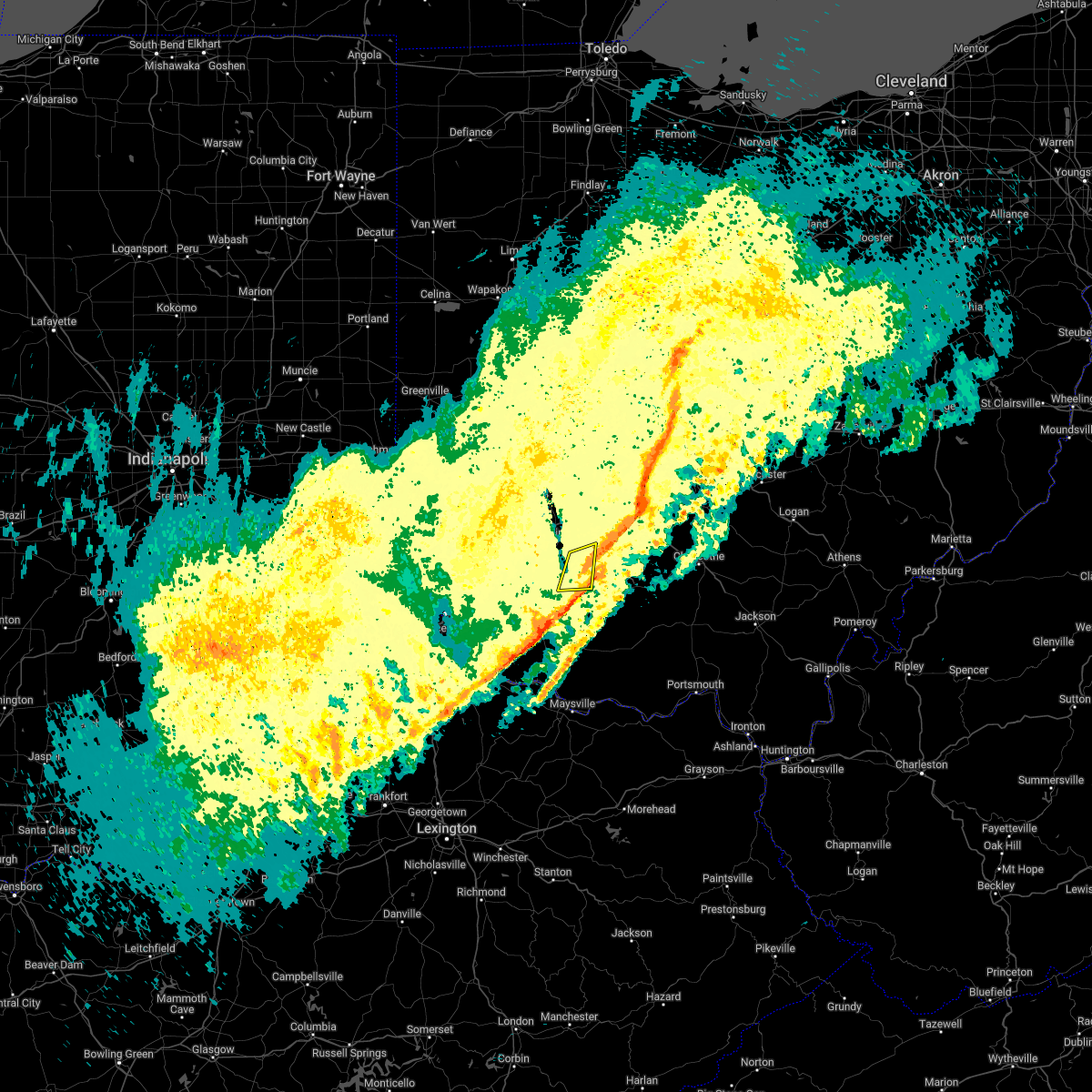 The severe thunderstorm warning for southeastern clinton and northwestern highland counties will expire at 600 am est, the storm which prompted the warning has weakened below severe limits, and has exited the warned area. therefore, the warning will be allowed to expire. please report previous wind damage or hail to the national weather service by going to our website at weather.gov/iln and submitting your report via social media. The severe thunderstorm warning for southeastern clinton and northwestern highland counties will expire at 600 am est, the storm which prompted the warning has weakened below severe limits, and has exited the warned area. therefore, the warning will be allowed to expire. please report previous wind damage or hail to the national weather service by going to our website at weather.gov/iln and submitting your report via social media.
|
| 3/7/2022 5:42 AM EST | At 542 am est, a severe thunderstorm was located over new vienna, moving east at 65 mph (radar indicated). Hazards include 60 mph wind gusts. Expect damage to trees and power lines. Locations impacted include, lynchburg, new vienna and russell. |
| 3/7/2022 5:36 AM EST |
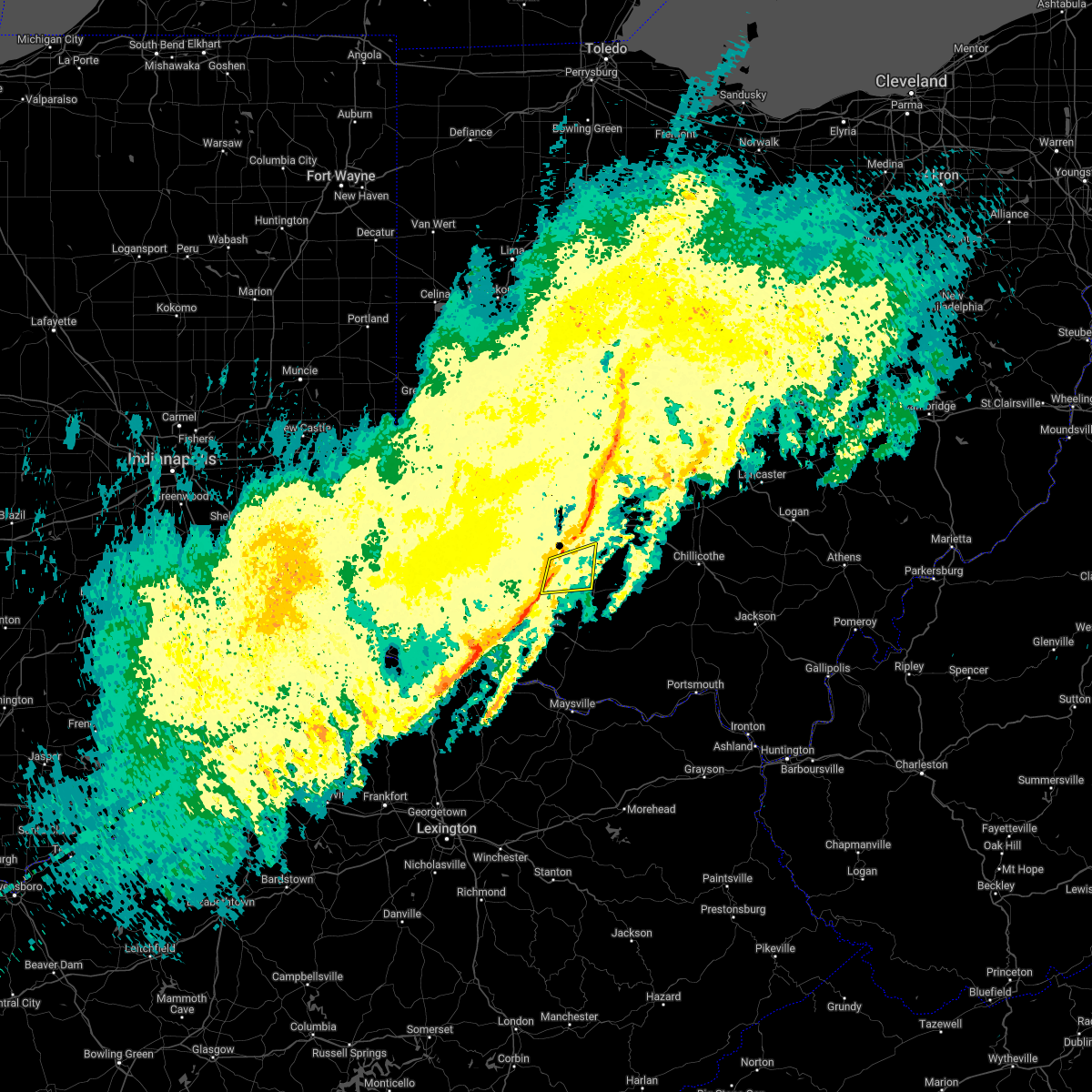 At 536 am est, a severe thunderstorm was located near lynchburg, moving east at 65 mph (radar indicated). Hazards include 60 mph wind gusts. Expect damage to trees and power lines. locations impacted include, lynchburg, new vienna, russell, martinsville, st. Martin, cuba and morrisville. At 536 am est, a severe thunderstorm was located near lynchburg, moving east at 65 mph (radar indicated). Hazards include 60 mph wind gusts. Expect damage to trees and power lines. locations impacted include, lynchburg, new vienna, russell, martinsville, st. Martin, cuba and morrisville.
|
| 3/7/2022 5:31 AM EST |
 At 530 am est, a severe thunderstorm was located near blanchester, moving east at 65 mph (radar indicated). Hazards include 60 mph wind gusts. Expect damage to trees and power lines. locations impacted include, blanchester, lynchburg, new vienna, russell, martinsville, midland, st. Martin, westboro, cuba, morrisville and lake lorelei. At 530 am est, a severe thunderstorm was located near blanchester, moving east at 65 mph (radar indicated). Hazards include 60 mph wind gusts. Expect damage to trees and power lines. locations impacted include, blanchester, lynchburg, new vienna, russell, martinsville, midland, st. Martin, westboro, cuba, morrisville and lake lorelei.
|
| 3/7/2022 5:26 AM EST |
 At 526 am est, a severe thunderstorm was located over blanchester, moving east at 65 mph (radar indicated). Hazards include 60 mph wind gusts. expect damage to trees and power lines At 526 am est, a severe thunderstorm was located over blanchester, moving east at 65 mph (radar indicated). Hazards include 60 mph wind gusts. expect damage to trees and power lines
|
| 10/16/2021 12:54 AM EDT |
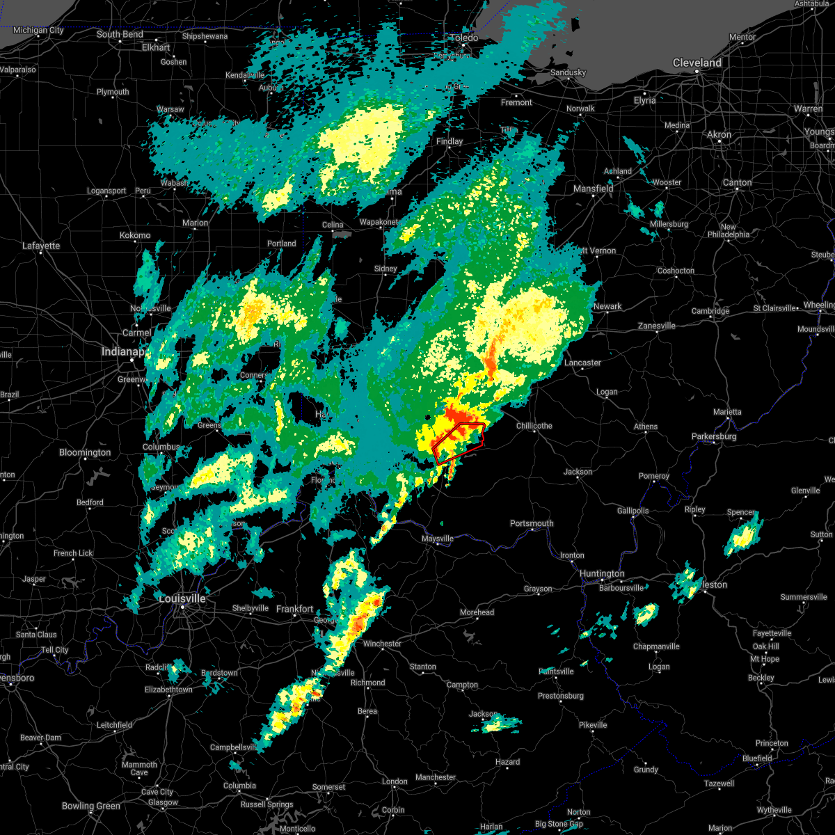 At 1254 am edt, a severe thunderstorm capable of producing a tornado was located near lynchburg, moving northeast at 45 mph (radar indicated rotation). Hazards include tornado. Flying debris will be dangerous to those caught without shelter. mobile homes will be damaged or destroyed. damage to roofs, windows, and vehicles will occur. Tree damage is likely. At 1254 am edt, a severe thunderstorm capable of producing a tornado was located near lynchburg, moving northeast at 45 mph (radar indicated rotation). Hazards include tornado. Flying debris will be dangerous to those caught without shelter. mobile homes will be damaged or destroyed. damage to roofs, windows, and vehicles will occur. Tree damage is likely.
|
| 8/13/2021 3:46 PM EDT | Large tree branch downed near lynchburg. time estimated from rada in clinton county OH, 0.1 miles W of Lynchburg, OH |
| 7/16/2021 3:22 PM EDT |
 The severe thunderstorm warning for clinton and northwestern highland counties will expire at 330 pm edt, the storm which prompted the warning has weakened below severe limits, and no longer poses an immediate threat to life or property. therefore, the warning will be allowed to expire. however gusty winds and heavy rain are still possible with this thunderstorm. please report previous wind damage or hail to the national weather service by going to our website at weather.gov/iln and submitting your report via social media. The severe thunderstorm warning for clinton and northwestern highland counties will expire at 330 pm edt, the storm which prompted the warning has weakened below severe limits, and no longer poses an immediate threat to life or property. therefore, the warning will be allowed to expire. however gusty winds and heavy rain are still possible with this thunderstorm. please report previous wind damage or hail to the national weather service by going to our website at weather.gov/iln and submitting your report via social media.
|
| 7/16/2021 3:16 PM EDT |
 At 316 pm edt, a severe thunderstorm was located over wilmington, moving east at 45 mph (radar indicated). Hazards include 60 mph wind gusts. Expect damage to trees and power lines. Locations impacted include, wilmington, blanchester, sabina, lynchburg, new vienna, clarksville, martinsville, midland, highland, new antioch, samantha, westboro, cuba, lees creek, morrisville, ogden, burtonville and cowan lake state park. At 316 pm edt, a severe thunderstorm was located over wilmington, moving east at 45 mph (radar indicated). Hazards include 60 mph wind gusts. Expect damage to trees and power lines. Locations impacted include, wilmington, blanchester, sabina, lynchburg, new vienna, clarksville, martinsville, midland, highland, new antioch, samantha, westboro, cuba, lees creek, morrisville, ogden, burtonville and cowan lake state park.
|
| 7/16/2021 3:05 PM EDT |
 At 305 pm edt, a severe thunderstorm was located 7 miles north of blanchester, moving east at 45 mph (radar indicated). Hazards include 60 mph wind gusts. expect damage to trees and power lines At 305 pm edt, a severe thunderstorm was located 7 miles north of blanchester, moving east at 45 mph (radar indicated). Hazards include 60 mph wind gusts. expect damage to trees and power lines
|
| 6/18/2021 11:43 PM EDT |
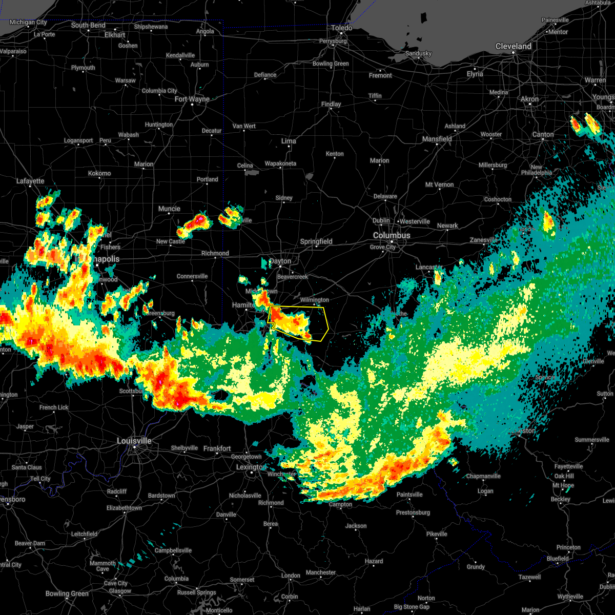 At 1142 pm edt, a severe thunderstorm was located over morrow, moving east at 35 mph (radar indicated). Hazards include quarter size hail. minor damage to vehicles is possible At 1142 pm edt, a severe thunderstorm was located over morrow, moving east at 35 mph (radar indicated). Hazards include quarter size hail. minor damage to vehicles is possible
|
| 6/18/2021 9:09 PM EDT |
 At 909 pm edt, a severe thunderstorm was located over lynchburg, moving southeast at 30 mph (radar indicated). Hazards include 70 mph wind gusts and quarter size hail. Minor hail damage to vehicles is possible. expect considerable tree damage. Wind damage is also likely to mobile homes, roofs, and outbuildings. At 909 pm edt, a severe thunderstorm was located over lynchburg, moving southeast at 30 mph (radar indicated). Hazards include 70 mph wind gusts and quarter size hail. Minor hail damage to vehicles is possible. expect considerable tree damage. Wind damage is also likely to mobile homes, roofs, and outbuildings.
|
| 6/18/2021 8:51 PM EDT |
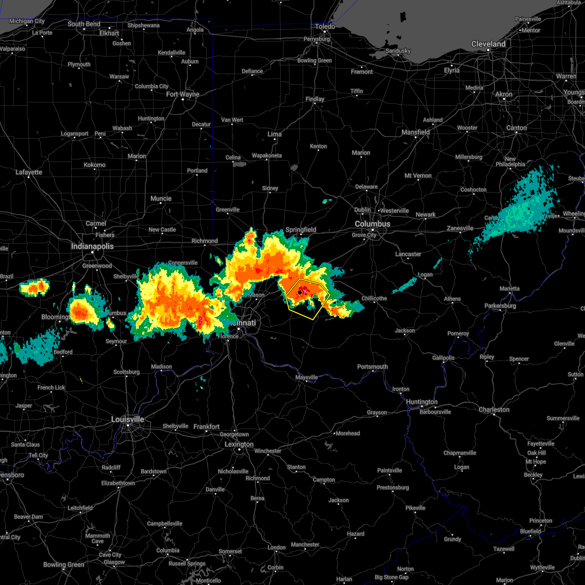 At 851 pm edt, a severe thunderstorm was located over wilmington, moving southeast at 15 mph (radar indicated). Hazards include 70 mph wind gusts and quarter size hail. Minor hail damage to vehicles is possible. expect considerable tree damage. Wind damage is also likely to mobile homes, roofs, and outbuildings. At 851 pm edt, a severe thunderstorm was located over wilmington, moving southeast at 15 mph (radar indicated). Hazards include 70 mph wind gusts and quarter size hail. Minor hail damage to vehicles is possible. expect considerable tree damage. Wind damage is also likely to mobile homes, roofs, and outbuildings.
|
| 11/15/2020 11:45 AM EST |
 At 1144 am est, severe thunderstorms were located along a line extending from 6 miles northeast of jeffersonville to near sabina, moving east at 60 mph (radar indicated). Hazards include 60 mph wind gusts. Expect damage to trees and power lines. locations impacted include, washington court house, sabina, leesburg, new vienna, jeffersonville, staunton, highland, milledgeville, octa, samantha, jasper mills, lees creek, reesville and interstate 71 at us route 35. This includes i-71 in ohio between mile markers 63 and 74. At 1144 am est, severe thunderstorms were located along a line extending from 6 miles northeast of jeffersonville to near sabina, moving east at 60 mph (radar indicated). Hazards include 60 mph wind gusts. Expect damage to trees and power lines. locations impacted include, washington court house, sabina, leesburg, new vienna, jeffersonville, staunton, highland, milledgeville, octa, samantha, jasper mills, lees creek, reesville and interstate 71 at us route 35. This includes i-71 in ohio between mile markers 63 and 74.
|
| 11/15/2020 11:22 AM EST |
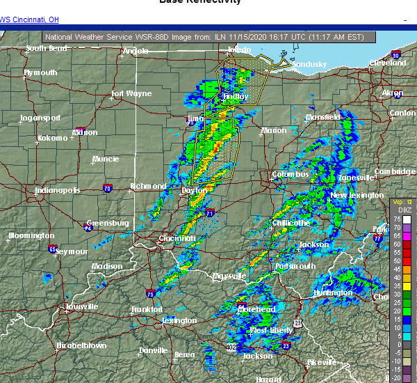 At 1122 am est, severe thunderstorms were located along a line extending from 8 miles north of wilmington to near blanchester, moving northeast at 65 mph (radar indicated). Hazards include 60 mph wind gusts. expect damage to trees and power lines At 1122 am est, severe thunderstorms were located along a line extending from 8 miles north of wilmington to near blanchester, moving northeast at 65 mph (radar indicated). Hazards include 60 mph wind gusts. expect damage to trees and power lines
|
| 8/28/2020 5:56 PM EDT |
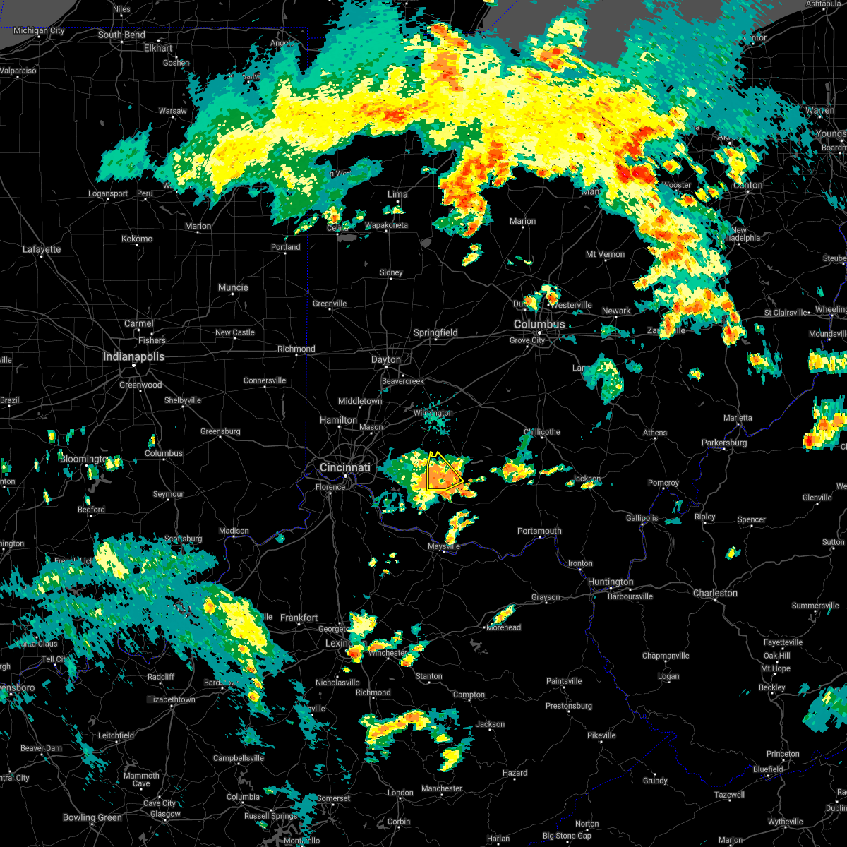 At 556 pm edt, a severe thunderstorm was located near sardinia, moving east at 30 mph (public). Hazards include 60 mph wind gusts. Expect damage to trees and power lines. Locations impacted include, lynchburg, new market, mowrystown, state route 136 at us route 62, danville in highland county and buford. At 556 pm edt, a severe thunderstorm was located near sardinia, moving east at 30 mph (public). Hazards include 60 mph wind gusts. Expect damage to trees and power lines. Locations impacted include, lynchburg, new market, mowrystown, state route 136 at us route 62, danville in highland county and buford.
|
| 8/28/2020 5:45 PM EDT |
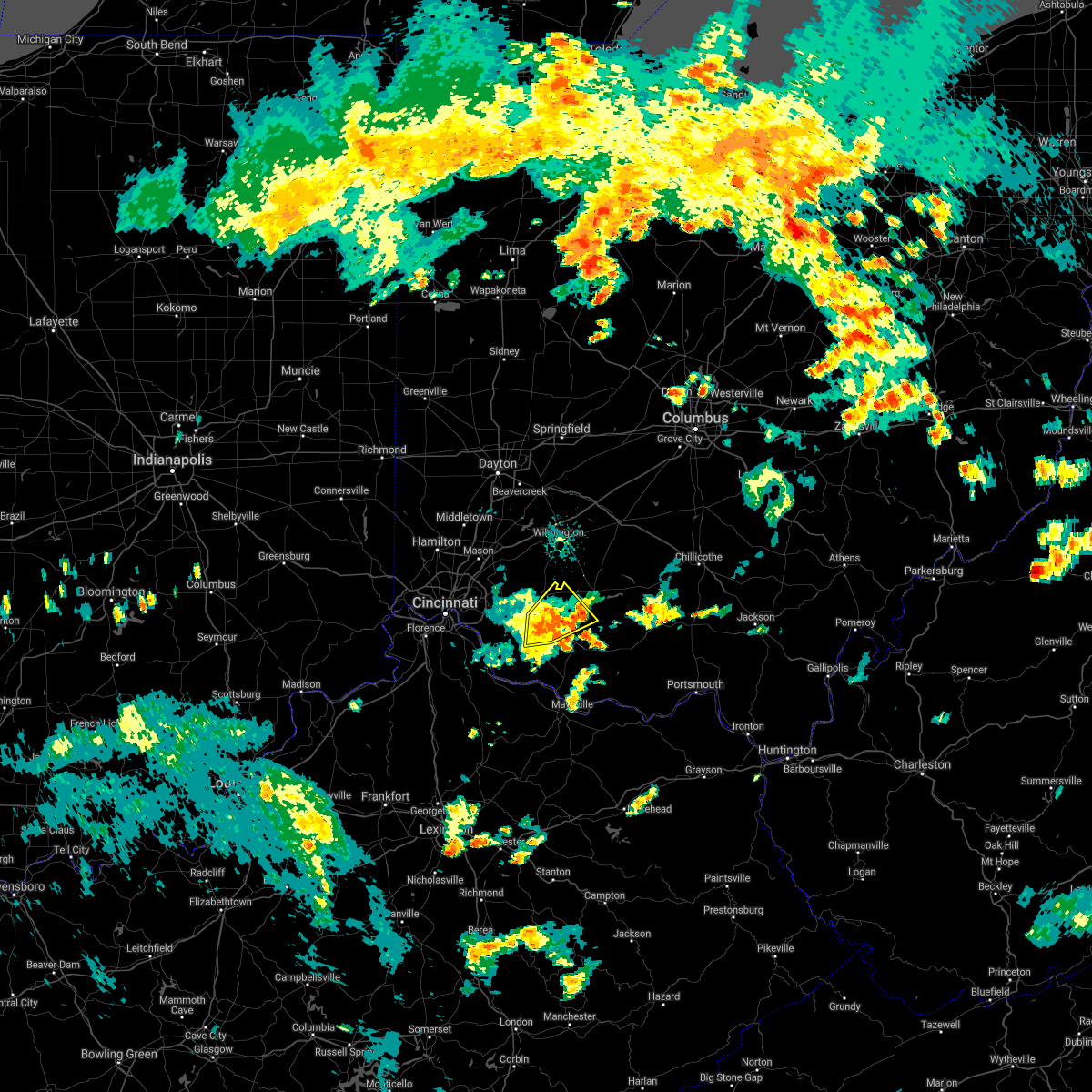 At 544 pm edt, a severe thunderstorm was located near mount orab, moving northeast at 35 mph (radar indicated). Hazards include 60 mph wind gusts. Expect damage to trees and power lines. locations impacted include, mount orab, lynchburg, sardinia, new market, mowrystown, st. Martin, chasetown, danville in highland county, greenbush, buford, state route 32 at us route 68, state route 136 at us route 62, locust ridge and new hope. At 544 pm edt, a severe thunderstorm was located near mount orab, moving northeast at 35 mph (radar indicated). Hazards include 60 mph wind gusts. Expect damage to trees and power lines. locations impacted include, mount orab, lynchburg, sardinia, new market, mowrystown, st. Martin, chasetown, danville in highland county, greenbush, buford, state route 32 at us route 68, state route 136 at us route 62, locust ridge and new hope.
|
| 8/28/2020 5:25 PM EDT |
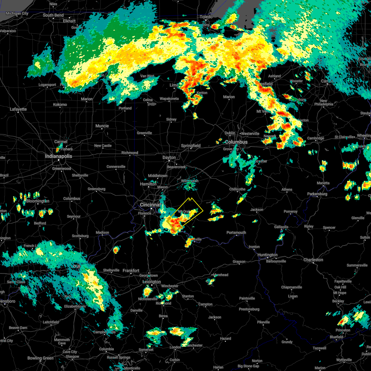 At 524 pm edt, a severe thunderstorm was located over bethel, moving northeast at 25 mph (radar indicated). Hazards include 60 mph wind gusts. expect damage to trees and power lines At 524 pm edt, a severe thunderstorm was located over bethel, moving northeast at 25 mph (radar indicated). Hazards include 60 mph wind gusts. expect damage to trees and power lines
|
| 8/25/2020 4:41 PM EDT |
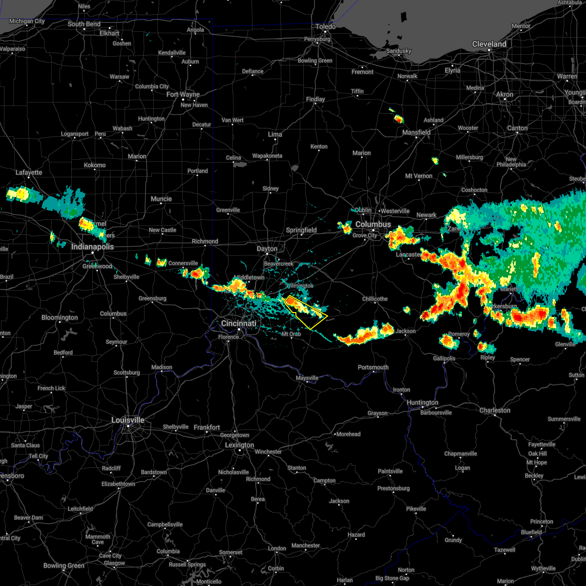 At 440 pm edt, a severe thunderstorm was located near blanchester, moving southeast at 30 mph (radar indicated). Hazards include 60 mph wind gusts and quarter size hail. Minor hail damage to vehicles is possible. expect wind damage to trees and power lines. Locations impacted include, hillsboro, blanchester, lynchburg, russell, new market, martinsville, midland, westboro, cuba and danville in highland county. At 440 pm edt, a severe thunderstorm was located near blanchester, moving southeast at 30 mph (radar indicated). Hazards include 60 mph wind gusts and quarter size hail. Minor hail damage to vehicles is possible. expect wind damage to trees and power lines. Locations impacted include, hillsboro, blanchester, lynchburg, russell, new market, martinsville, midland, westboro, cuba and danville in highland county.
|
| 8/25/2020 4:26 PM EDT |
 At 425 pm edt, a severe thunderstorm was located near morrow, moving southeast at 35 mph (radar indicated). Hazards include 60 mph wind gusts and quarter size hail. Minor hail damage to vehicles is possible. Expect wind damage to trees and power lines. At 425 pm edt, a severe thunderstorm was located near morrow, moving southeast at 35 mph (radar indicated). Hazards include 60 mph wind gusts and quarter size hail. Minor hail damage to vehicles is possible. Expect wind damage to trees and power lines.
|
| 8/10/2020 11:38 PM EDT |
 The severe thunderstorm warning for southeastern clermont, brown, northwestern adams and southwestern highland counties will expire at 1145 pm edt, the storm which prompted the warning has weakened below severe limits, and no longer poses an immediate threat to life or property. therefore, the warning will be allowed to expire. please report previous wind damage or hail to the national weather service by going to our website at weather.gov/iln and submitting your report via social media. The severe thunderstorm warning for southeastern clermont, brown, northwestern adams and southwestern highland counties will expire at 1145 pm edt, the storm which prompted the warning has weakened below severe limits, and no longer poses an immediate threat to life or property. therefore, the warning will be allowed to expire. please report previous wind damage or hail to the national weather service by going to our website at weather.gov/iln and submitting your report via social media.
|
| 8/10/2020 11:24 PM EDT |
 At 1123 pm edt, a severe thunderstorm was located near georgetown, moving southeast at 30 mph (radar indicated). Hazards include 60 mph wind gusts. Expect damage to trees and power lines. Locations impacted include, georgetown, mount orab, bethel, williamsburg, lynchburg, winchester, sardinia, belfast, new market, emerald, russellville, hamersville, mowrystown, higginsport, danville in highland county, saltair, nicholsville, state route 32 at us route 68, point isabel and feesburg. At 1123 pm edt, a severe thunderstorm was located near georgetown, moving southeast at 30 mph (radar indicated). Hazards include 60 mph wind gusts. Expect damage to trees and power lines. Locations impacted include, georgetown, mount orab, bethel, williamsburg, lynchburg, winchester, sardinia, belfast, new market, emerald, russellville, hamersville, mowrystown, higginsport, danville in highland county, saltair, nicholsville, state route 32 at us route 68, point isabel and feesburg.
|
| 8/10/2020 11:24 PM EDT |
 A severe thunderstorm warning remains in effect until 1145 pm edt for southeastern clermont. brown. northwestern adams and southwestern highland counties. at 1123 pm edt, a severe thunderstorm was located near georgetown, moving southeast at 30 mph. hazard. 60 mph wind gusts. A severe thunderstorm warning remains in effect until 1145 pm edt for southeastern clermont. brown. northwestern adams and southwestern highland counties. at 1123 pm edt, a severe thunderstorm was located near georgetown, moving southeast at 30 mph. hazard. 60 mph wind gusts.
|
| 8/10/2020 11:03 PM EDT |
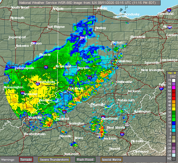 At 1102 pm edt, a severe thunderstorm was located over williamsburg, moving southeast at 30 mph (radar indicated). Hazards include 60 mph wind gusts. Expect damage to trees and power lines. locations impacted include, georgetown, amelia, mount orab, bethel, williamsburg, batavia, lynchburg, winchester, sardinia, belfast, new market, owensville, emerald, russellville, hamersville, mowrystown, fayetteville, higginsport, st. Martin and chasetown. At 1102 pm edt, a severe thunderstorm was located over williamsburg, moving southeast at 30 mph (radar indicated). Hazards include 60 mph wind gusts. Expect damage to trees and power lines. locations impacted include, georgetown, amelia, mount orab, bethel, williamsburg, batavia, lynchburg, winchester, sardinia, belfast, new market, owensville, emerald, russellville, hamersville, mowrystown, fayetteville, higginsport, st. Martin and chasetown.
|
| 8/10/2020 10:53 PM EDT |
 At 1052 pm edt, a severe thunderstorm was located near williamsburg, moving southeast at 30 mph (radar indicated). Hazards include 60 mph wind gusts. expect damage to trees and power lines At 1052 pm edt, a severe thunderstorm was located near williamsburg, moving southeast at 30 mph (radar indicated). Hazards include 60 mph wind gusts. expect damage to trees and power lines
|
| 7/12/2020 5:53 PM EDT |
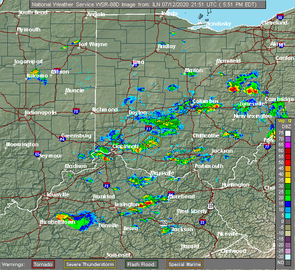 The severe thunderstorm warning for southern clinton and northwestern highland counties will expire at 600 pm edt, the storm which prompted the warning has weakened below severe limits, and no longer poses an immediate threat to life or property. therefore, the warning will be allowed to expire. however heavy rain is still possible with this thunderstorm. please report previous wind damage or hail to the national weather service by going to our website at weather.gov/iln and submitting your report via social media. The severe thunderstorm warning for southern clinton and northwestern highland counties will expire at 600 pm edt, the storm which prompted the warning has weakened below severe limits, and no longer poses an immediate threat to life or property. therefore, the warning will be allowed to expire. however heavy rain is still possible with this thunderstorm. please report previous wind damage or hail to the national weather service by going to our website at weather.gov/iln and submitting your report via social media.
|
| 7/12/2020 5:42 PM EDT |
 At 541 pm edt, a severe thunderstorm was located near lynchburg, moving southeast at 20 mph (radar indicated). Hazards include 60 mph wind gusts and penny size hail. Expect damage to trees and power lines. Locations impacted include, wilmington, hillsboro, lynchburg, leesburg, new vienna, russell, martinsville, midland, highland, new antioch, samantha, westboro, cuba, morrisville and burtonville. At 541 pm edt, a severe thunderstorm was located near lynchburg, moving southeast at 20 mph (radar indicated). Hazards include 60 mph wind gusts and penny size hail. Expect damage to trees and power lines. Locations impacted include, wilmington, hillsboro, lynchburg, leesburg, new vienna, russell, martinsville, midland, highland, new antioch, samantha, westboro, cuba, morrisville and burtonville.
|
| 7/12/2020 5:28 PM EDT |
 At 527 pm edt, a severe thunderstorm was located 7 miles south of wilmington, moving southeast at 20 mph (radar indicated). Hazards include 60 mph wind gusts and penny size hail. Expect damage to trees and power lines. Locations impacted include, wilmington, hillsboro, blanchester, lynchburg, leesburg, new vienna, russell, martinsville, midland, highland, new antioch, samantha, westboro, cuba, morrisville, ogden, burtonville and cowan lake state park. At 527 pm edt, a severe thunderstorm was located 7 miles south of wilmington, moving southeast at 20 mph (radar indicated). Hazards include 60 mph wind gusts and penny size hail. Expect damage to trees and power lines. Locations impacted include, wilmington, hillsboro, blanchester, lynchburg, leesburg, new vienna, russell, martinsville, midland, highland, new antioch, samantha, westboro, cuba, morrisville, ogden, burtonville and cowan lake state park.
|
| 7/12/2020 5:11 PM EDT |
 The national weather service in wilmington has issued a * severe thunderstorm warning for. east central warren county in southwestern ohio. central clinton county in southwestern ohio. northwestern highland county in southwestern ohio. Until 600 pm edt. The national weather service in wilmington has issued a * severe thunderstorm warning for. east central warren county in southwestern ohio. central clinton county in southwestern ohio. northwestern highland county in southwestern ohio. Until 600 pm edt.
|
| 6/10/2020 5:41 PM EDT |
 At 541 pm edt, severe thunderstorms were located along a line extending from lynchburg to near brooksville, moving northeast at 40 mph (radar indicated). Hazards include 77 mph wind gusts and penny size hail. Expect considerable tree damage. damage is likely to mobile homes, roofs, and outbuildings. Locations impacted include, maysville, hillsboro, greenfield, georgetown, washington, mount orab, west union, manchester, peebles, ripley, aberdeen, lynchburg, leesburg, new vienna, augusta, winchester, marshall, sardinia, seaman and lewisburg. At 541 pm edt, severe thunderstorms were located along a line extending from lynchburg to near brooksville, moving northeast at 40 mph (radar indicated). Hazards include 77 mph wind gusts and penny size hail. Expect considerable tree damage. damage is likely to mobile homes, roofs, and outbuildings. Locations impacted include, maysville, hillsboro, greenfield, georgetown, washington, mount orab, west union, manchester, peebles, ripley, aberdeen, lynchburg, leesburg, new vienna, augusta, winchester, marshall, sardinia, seaman and lewisburg.
|
| 6/10/2020 5:37 PM EDT |
 At 537 pm edt, severe thunderstorms were located along a line extending from near lynchburg to 6 miles south of brooksville, moving northeast at 40 mph (radar indicated). Hazards include 75 mph wind gusts and penny size hail. Expect considerable tree damage. damage is likely to mobile homes, roofs, and outbuildings. Locations impacted include, maysville, hillsboro, greenfield, georgetown, washington, mount orab, west union, manchester, peebles, ripley, aberdeen, lynchburg, leesburg, new vienna, augusta, winchester, marshall, sardinia, seaman and lewisburg. At 537 pm edt, severe thunderstorms were located along a line extending from near lynchburg to 6 miles south of brooksville, moving northeast at 40 mph (radar indicated). Hazards include 75 mph wind gusts and penny size hail. Expect considerable tree damage. damage is likely to mobile homes, roofs, and outbuildings. Locations impacted include, maysville, hillsboro, greenfield, georgetown, washington, mount orab, west union, manchester, peebles, ripley, aberdeen, lynchburg, leesburg, new vienna, augusta, winchester, marshall, sardinia, seaman and lewisburg.
|
| 6/10/2020 5:25 PM EDT |
 At 524 pm edt, severe thunderstorms were located along a line extending from near mount orab to 11 miles northeast of cynthiana, moving northeast at 40 mph (radar indicated). Hazards include 60 mph wind gusts and penny size hail. expect damage to trees and power lines At 524 pm edt, severe thunderstorms were located along a line extending from near mount orab to 11 miles northeast of cynthiana, moving northeast at 40 mph (radar indicated). Hazards include 60 mph wind gusts and penny size hail. expect damage to trees and power lines
|
| 5/10/2020 6:11 PM EDT |
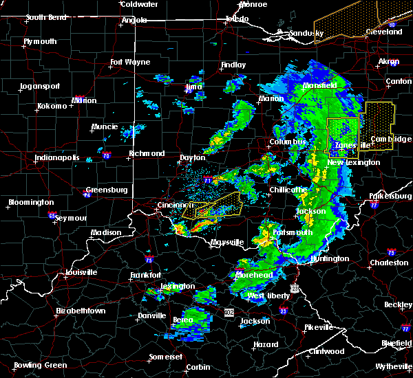 The severe thunderstorm warning for northeastern clermont, northwestern brown and west central highland counties will expire at 615 pm edt, an additional severe thunderstorm warning is in effect for portions of brown and highland counties until 700 pm. please report previous wind damage or hail to the national weather service by going to our website at weather.gov/iln and submitting your report via social media. The severe thunderstorm warning for northeastern clermont, northwestern brown and west central highland counties will expire at 615 pm edt, an additional severe thunderstorm warning is in effect for portions of brown and highland counties until 700 pm. please report previous wind damage or hail to the national weather service by going to our website at weather.gov/iln and submitting your report via social media.
|
| 5/10/2020 6:02 PM EDT |
 At 602 pm edt, a severe thunderstorm was located near williamsburg, moving northeast at 35 mph (radar indicated). Hazards include 60 mph wind gusts and half dollar size hail. Minor hail damage to vehicles is possible. expect wind damage to trees and power lines. locations impacted include, mount orab, williamsburg, lynchburg, russell, newtonsville, fayetteville, st. Martin, chasetown, greenbush, edenton and lake lorelei. At 602 pm edt, a severe thunderstorm was located near williamsburg, moving northeast at 35 mph (radar indicated). Hazards include 60 mph wind gusts and half dollar size hail. Minor hail damage to vehicles is possible. expect wind damage to trees and power lines. locations impacted include, mount orab, williamsburg, lynchburg, russell, newtonsville, fayetteville, st. Martin, chasetown, greenbush, edenton and lake lorelei.
|
| 5/10/2020 5:52 PM EDT |
 At 552 pm edt, a severe thunderstorm was located near williamsburg, moving northeast at 35 mph (radar indicated). Hazards include 60 mph wind gusts and quarter size hail. Minor hail damage to vehicles is possible. Expect wind damage to trees and power lines. At 552 pm edt, a severe thunderstorm was located near williamsburg, moving northeast at 35 mph (radar indicated). Hazards include 60 mph wind gusts and quarter size hail. Minor hail damage to vehicles is possible. Expect wind damage to trees and power lines.
|
| 4/8/2020 11:26 PM EDT |
 The severe thunderstorm warning for western fayette, clinton and southeastern greene counties will expire at 1130 pm edt, an additional severe thunderstorm warning remains in effect for portions of fayette and clinton counties. a tornado watch remains in effect until 200 am edt for central, southwestern and west central ohio. please report previous wind damage or hail to the national weather service by going to our website at weather.gov/iln and submitting your report via social media. The severe thunderstorm warning for western fayette, clinton and southeastern greene counties will expire at 1130 pm edt, an additional severe thunderstorm warning remains in effect for portions of fayette and clinton counties. a tornado watch remains in effect until 200 am edt for central, southwestern and west central ohio. please report previous wind damage or hail to the national weather service by going to our website at weather.gov/iln and submitting your report via social media.
|
| 4/8/2020 11:18 PM EDT |
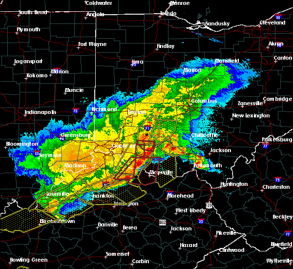 At 1118 pm edt, a severe squall line capable of producing both tornadoes and extensive straight line wind damage was located near lynchburg, moving east at 50 mph (radar indicated rotation). Hazards include tornado and quarter size hail. Flying debris will be dangerous to those caught without shelter. mobile homes will be damaged or destroyed. damage to roofs, windows, and vehicles will occur. tree damage is likely. Locations impacted include, lynchburg and russell. At 1118 pm edt, a severe squall line capable of producing both tornadoes and extensive straight line wind damage was located near lynchburg, moving east at 50 mph (radar indicated rotation). Hazards include tornado and quarter size hail. Flying debris will be dangerous to those caught without shelter. mobile homes will be damaged or destroyed. damage to roofs, windows, and vehicles will occur. tree damage is likely. Locations impacted include, lynchburg and russell.
|
| 4/8/2020 11:17 PM EDT |
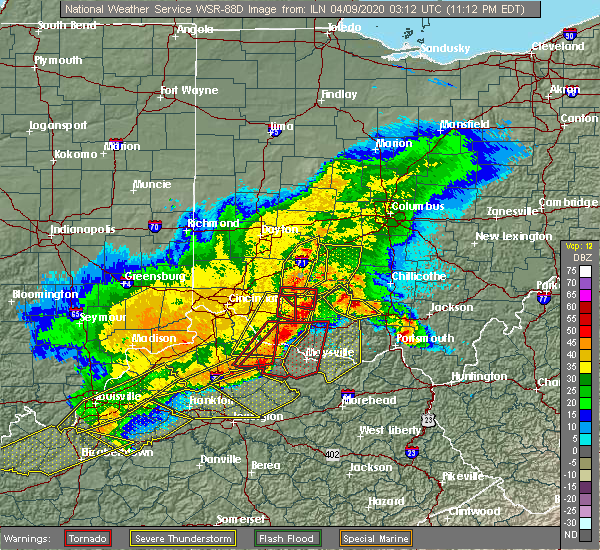 At 1116 pm edt, severe thunderstorms were located along a line extending from 7 miles southwest of hillsboro to near augusta, moving east at 55 mph. a tornado warning is also still in effect for portions of highland, brown, and bracken counties (radar indicated). Hazards include 70 mph wind gusts and quarter size hail. Minor hail damage to vehicles is possible. expect considerable tree damage. wind damage is also likely to mobile homes, roofs, and outbuildings. locations impacted include, georgetown, mount orab, lynchburg, augusta, sardinia, felicity, brooksville, russell, russellville, hamersville, mowrystown, higginsport, germantown, st. martin, chilo, danville in highland county, state route 32 at us route 68, feesburg, johnsville and utopia. A tornado watch remains in effect until 200 am edt for northern kentucky, and southwestern ohio. At 1116 pm edt, severe thunderstorms were located along a line extending from 7 miles southwest of hillsboro to near augusta, moving east at 55 mph. a tornado warning is also still in effect for portions of highland, brown, and bracken counties (radar indicated). Hazards include 70 mph wind gusts and quarter size hail. Minor hail damage to vehicles is possible. expect considerable tree damage. wind damage is also likely to mobile homes, roofs, and outbuildings. locations impacted include, georgetown, mount orab, lynchburg, augusta, sardinia, felicity, brooksville, russell, russellville, hamersville, mowrystown, higginsport, germantown, st. martin, chilo, danville in highland county, state route 32 at us route 68, feesburg, johnsville and utopia. A tornado watch remains in effect until 200 am edt for northern kentucky, and southwestern ohio.
|
| 4/8/2020 11:15 PM EDT |
 At 1115 pm edt, a severe squall line capable of producing both tornadoes and extensive straight line wind damage was located over lynchburg, moving east at 35 mph (radar indicated rotation). Hazards include tornado and quarter size hail. Flying debris will be dangerous to those caught without shelter. mobile homes will be damaged or destroyed. damage to roofs, windows, and vehicles will occur. tree damage is likely. Locations impacted include, lynchburg, russell and danville in highland county. At 1115 pm edt, a severe squall line capable of producing both tornadoes and extensive straight line wind damage was located over lynchburg, moving east at 35 mph (radar indicated rotation). Hazards include tornado and quarter size hail. Flying debris will be dangerous to those caught without shelter. mobile homes will be damaged or destroyed. damage to roofs, windows, and vehicles will occur. tree damage is likely. Locations impacted include, lynchburg, russell and danville in highland county.
|
| 4/8/2020 11:10 PM EDT |
 At 1110 pm edt, a severe thunderstorm was located near wilmington, moving east at 45 mph. a tornado warning is also in effect for southern clinton county (radar indicated). Hazards include 60 mph wind gusts and penny size hail. Expect damage to trees and power lines. locations impacted include, wilmington, blanchester, sabina, jamestown, lynchburg, new vienna, jeffersonville, new jasper, clarksville, martinsville, midland, bowersville, port william, milledgeville, octa, paintersville, melvin, rosemoor, lumberton and oakland. this includes i-71 in ohio between mile markers 43 and 67. A tornado watch remains in effect until 200 am edt for central, southwestern and west central ohio. At 1110 pm edt, a severe thunderstorm was located near wilmington, moving east at 45 mph. a tornado warning is also in effect for southern clinton county (radar indicated). Hazards include 60 mph wind gusts and penny size hail. Expect damage to trees and power lines. locations impacted include, wilmington, blanchester, sabina, jamestown, lynchburg, new vienna, jeffersonville, new jasper, clarksville, martinsville, midland, bowersville, port william, milledgeville, octa, paintersville, melvin, rosemoor, lumberton and oakland. this includes i-71 in ohio between mile markers 43 and 67. A tornado watch remains in effect until 200 am edt for central, southwestern and west central ohio.
|
| 4/8/2020 11:06 PM EDT |
 At 1106 pm edt, a severe squall line capable of producing both tornadoes and extensive straight line wind damage was located near lynchburg, moving east at 50 mph (radar indicated rotation). Hazards include tornado and quarter size hail. Flying debris will be dangerous to those caught without shelter. mobile homes will be damaged or destroyed. damage to roofs, windows, and vehicles will occur. tree damage is likely. locations impacted include, blanchester, lynchburg, russell, fayetteville, midland, st. Martin, westboro and danville in highland county. At 1106 pm edt, a severe squall line capable of producing both tornadoes and extensive straight line wind damage was located near lynchburg, moving east at 50 mph (radar indicated rotation). Hazards include tornado and quarter size hail. Flying debris will be dangerous to those caught without shelter. mobile homes will be damaged or destroyed. damage to roofs, windows, and vehicles will occur. tree damage is likely. locations impacted include, blanchester, lynchburg, russell, fayetteville, midland, st. Martin, westboro and danville in highland county.
|
| 4/8/2020 10:57 PM EDT |
 At 1057 pm edt, severe thunderstorms capable of producing both tornadoes and extensive straight line wind damage were located near blanchester, moving east at 50 mph (radar indicated rotation). Hazards include tornado and quarter size hail. Flying debris will be dangerous to those caught without shelter. mobile homes will be damaged or destroyed. damage to roofs, windows, and vehicles will occur. Tree damage is likely. At 1057 pm edt, severe thunderstorms capable of producing both tornadoes and extensive straight line wind damage were located near blanchester, moving east at 50 mph (radar indicated rotation). Hazards include tornado and quarter size hail. Flying debris will be dangerous to those caught without shelter. mobile homes will be damaged or destroyed. damage to roofs, windows, and vehicles will occur. Tree damage is likely.
|
| 4/8/2020 10:42 PM EDT |
 At 1042 pm edt, severe thunderstorms were located along a line extending from camp dennison to crittenden, moving east at 65 mph (radar indicated). Hazards include 70 mph wind gusts and quarter size hail. Minor hail damage to vehicles is possible. expect considerable tree damage. Wind damage is also likely to mobile homes, roofs, and outbuildings. At 1042 pm edt, severe thunderstorms were located along a line extending from camp dennison to crittenden, moving east at 65 mph (radar indicated). Hazards include 70 mph wind gusts and quarter size hail. Minor hail damage to vehicles is possible. expect considerable tree damage. Wind damage is also likely to mobile homes, roofs, and outbuildings.
|
| 4/8/2020 10:40 PM EDT |
 At 1040 pm edt, a severe thunderstorm was located 7 miles north of blanchester, moving east at 30 mph (radar indicated). Hazards include 60 mph wind gusts and half dollar size hail. Minor hail damage to vehicles is possible. expect wind damage to trees and power lines. locations impacted include, wilmington, blanchester, cedarville, waynesville, sabina, jamestown, lynchburg, new vienna, jeffersonville, morrow, wilberforce, new jasper, clarksville, harveysburg, spring valley, martinsville, corwin and midland. this includes i-71 in ohio between mile markers 34 and 67. A tornado watch remains in effect until 200 am edt for central, southwestern and west central ohio. At 1040 pm edt, a severe thunderstorm was located 7 miles north of blanchester, moving east at 30 mph (radar indicated). Hazards include 60 mph wind gusts and half dollar size hail. Minor hail damage to vehicles is possible. expect wind damage to trees and power lines. locations impacted include, wilmington, blanchester, cedarville, waynesville, sabina, jamestown, lynchburg, new vienna, jeffersonville, morrow, wilberforce, new jasper, clarksville, harveysburg, spring valley, martinsville, corwin and midland. this includes i-71 in ohio between mile markers 34 and 67. A tornado watch remains in effect until 200 am edt for central, southwestern and west central ohio.
|
| 4/8/2020 10:39 PM EDT |
 At 1025 pm edt, a severe thunderstorm was located 8 miles northeast of mount orab, moving northeast at 30 mph (radar indicated). Hazards include golf ball size hail and 60 mph wind gusts. People and animals outdoors will be injured. expect hail damage to roofs, siding, windows, and vehicles. expect wind damage to trees and power lines. locations impacted include, blanchester, mount orab, lynchburg, sardinia, new market, mowrystown, fayetteville, midland, st. martin, chasetown, danville in highland county, greenbush, buford, westboro, state route 32 at us route 68, new hope, state route 136 at us route 62 and lake lorelei. A tornado watch remains in effect until 200 am edt for southwestern ohio. At 1025 pm edt, a severe thunderstorm was located 8 miles northeast of mount orab, moving northeast at 30 mph (radar indicated). Hazards include golf ball size hail and 60 mph wind gusts. People and animals outdoors will be injured. expect hail damage to roofs, siding, windows, and vehicles. expect wind damage to trees and power lines. locations impacted include, blanchester, mount orab, lynchburg, sardinia, new market, mowrystown, fayetteville, midland, st. martin, chasetown, danville in highland county, greenbush, buford, westboro, state route 32 at us route 68, new hope, state route 136 at us route 62 and lake lorelei. A tornado watch remains in effect until 200 am edt for southwestern ohio.
|
| 4/8/2020 10:30 PM EDT |
 At 1030 pm edt, a severe thunderstorm was located over morrow, moving east at 40 mph (radar indicated). Hazards include ping pong ball size hail and 60 mph wind gusts. People and animals outdoors will be injured. expect hail damage to roofs, siding, windows, and vehicles. Expect wind damage to trees and power lines. At 1030 pm edt, a severe thunderstorm was located over morrow, moving east at 40 mph (radar indicated). Hazards include ping pong ball size hail and 60 mph wind gusts. People and animals outdoors will be injured. expect hail damage to roofs, siding, windows, and vehicles. Expect wind damage to trees and power lines.
|
| 4/8/2020 10:26 PM EDT |
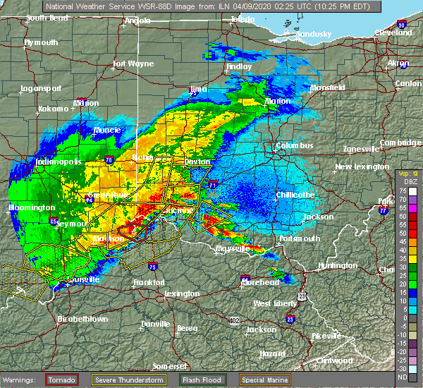 At 1025 pm edt, a severe thunderstorm was located 8 miles northeast of mount orab, moving northeast at 30 mph (radar indicated). Hazards include golf ball size hail and 60 mph wind gusts. People and animals outdoors will be injured. expect hail damage to roofs, siding, windows, and vehicles. expect wind damage to trees and power lines. locations impacted include, blanchester, mount orab, lynchburg, sardinia, new market, mowrystown, fayetteville, midland, st. martin, chasetown, danville in highland county, greenbush, buford, westboro, state route 32 at us route 68, new hope, state route 136 at us route 62 and lake lorelei. A tornado watch remains in effect until 200 am edt for southwestern ohio. At 1025 pm edt, a severe thunderstorm was located 8 miles northeast of mount orab, moving northeast at 30 mph (radar indicated). Hazards include golf ball size hail and 60 mph wind gusts. People and animals outdoors will be injured. expect hail damage to roofs, siding, windows, and vehicles. expect wind damage to trees and power lines. locations impacted include, blanchester, mount orab, lynchburg, sardinia, new market, mowrystown, fayetteville, midland, st. martin, chasetown, danville in highland county, greenbush, buford, westboro, state route 32 at us route 68, new hope, state route 136 at us route 62 and lake lorelei. A tornado watch remains in effect until 200 am edt for southwestern ohio.
|
| 4/8/2020 10:14 PM EDT |
 At 1014 pm edt, a severe thunderstorm was located near mount orab, moving northeast at 25 mph (radar indicated). Hazards include golf ball size hail and 60 mph wind gusts. People and animals outdoors will be injured. expect hail damage to roofs, siding, windows, and vehicles. expect wind damage to trees and power lines. locations impacted include, blanchester, mount orab, bethel, williamsburg, lynchburg, sardinia, new market, hamersville, mowrystown, fayetteville, midland, st. martin, chasetown, danville in highland county, greenbush, buford, westboro, state route 32 at us route 68, new hope and state route 136 at us route 62. A tornado watch remains in effect until 200 am edt for southwestern ohio. At 1014 pm edt, a severe thunderstorm was located near mount orab, moving northeast at 25 mph (radar indicated). Hazards include golf ball size hail and 60 mph wind gusts. People and animals outdoors will be injured. expect hail damage to roofs, siding, windows, and vehicles. expect wind damage to trees and power lines. locations impacted include, blanchester, mount orab, bethel, williamsburg, lynchburg, sardinia, new market, hamersville, mowrystown, fayetteville, midland, st. martin, chasetown, danville in highland county, greenbush, buford, westboro, state route 32 at us route 68, new hope and state route 136 at us route 62. A tornado watch remains in effect until 200 am edt for southwestern ohio.
|
| 4/8/2020 10:07 PM EDT |
 At 1007 pm edt, a severe thunderstorm was located near williamsburg, moving northeast at 40 mph (radar indicated). Hazards include golf ball size hail and 60 mph wind gusts. People and animals outdoors will be injured. expect hail damage to roofs, siding, windows, and vehicles. expect wind damage to trees and power lines. locations impacted include, blanchester, amelia, mount orab, bethel, williamsburg, batavia, lynchburg, sardinia, woodville, new market, hamersville, mowrystown, fayetteville, midland, st. martin, chasetown, danville in highland county, saltair, nicholsville and state route 32 at us route 68. A tornado watch remains in effect until 200 am edt for southwestern ohio. At 1007 pm edt, a severe thunderstorm was located near williamsburg, moving northeast at 40 mph (radar indicated). Hazards include golf ball size hail and 60 mph wind gusts. People and animals outdoors will be injured. expect hail damage to roofs, siding, windows, and vehicles. expect wind damage to trees and power lines. locations impacted include, blanchester, amelia, mount orab, bethel, williamsburg, batavia, lynchburg, sardinia, woodville, new market, hamersville, mowrystown, fayetteville, midland, st. martin, chasetown, danville in highland county, saltair, nicholsville and state route 32 at us route 68. A tornado watch remains in effect until 200 am edt for southwestern ohio.
|
| 4/8/2020 10:02 PM EDT |
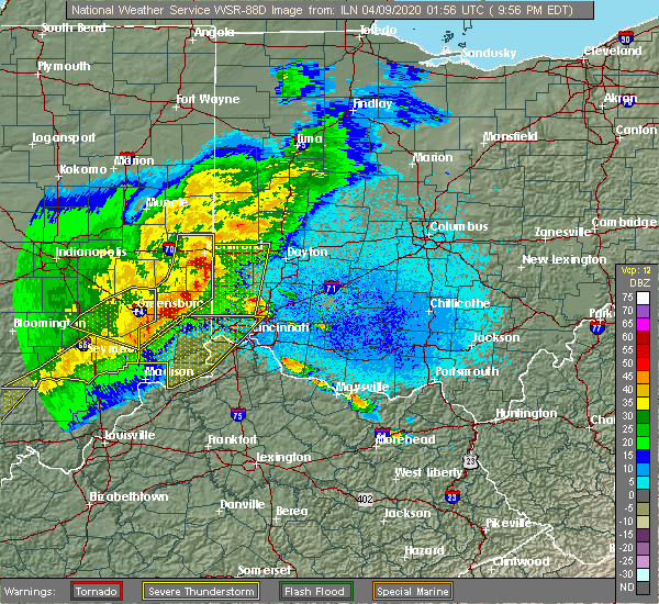 At 1002 pm edt, a severe thunderstorm was located over bethel, moving northeast at 30 mph (radar indicated). Hazards include 60 mph wind gusts and quarter size hail. Minor hail damage to vehicles is possible. Expect wind damage to trees and power lines. At 1002 pm edt, a severe thunderstorm was located over bethel, moving northeast at 30 mph (radar indicated). Hazards include 60 mph wind gusts and quarter size hail. Minor hail damage to vehicles is possible. Expect wind damage to trees and power lines.
|
| 7/21/2019 1:27 PM EDT |
 At 126 pm edt, a severe thunderstorm was located near hillsboro, moving east at 15 mph (radar indicated). Hazards include 60 mph wind gusts and quarter size hail. Minor hail damage to vehicles is possible. Expect wind damage to trees and power lines. At 126 pm edt, a severe thunderstorm was located near hillsboro, moving east at 15 mph (radar indicated). Hazards include 60 mph wind gusts and quarter size hail. Minor hail damage to vehicles is possible. Expect wind damage to trees and power lines.
|
| 7/2/2019 6:24 PM EDT |
 The severe thunderstorm warning for southern highland county will expire at 630 pm edt, the storm which prompted the warning has moved out of the area. therefore, the warning will be allowed to expire. however gusty winds and heavy rain are still possible with this thunderstorm. please report previous wind damage or hail to the national weather service by going to our website at weather.gov/iln and submitting your report via social media. remember, a severe thunderstorm warning still remains in effect for southeast portions of highland county. The severe thunderstorm warning for southern highland county will expire at 630 pm edt, the storm which prompted the warning has moved out of the area. therefore, the warning will be allowed to expire. however gusty winds and heavy rain are still possible with this thunderstorm. please report previous wind damage or hail to the national weather service by going to our website at weather.gov/iln and submitting your report via social media. remember, a severe thunderstorm warning still remains in effect for southeast portions of highland county.
|
| 7/2/2019 6:03 PM EDT |
 At 603 pm edt, a severe thunderstorm was located near lynchburg, moving southeast at 25 mph (radar indicated). Hazards include 60 mph wind gusts and penny size hail. Expect damage to trees and power lines. Locations impacted include, hillsboro, lynchburg, rocky fork point, highland holiday, russell, new market, danville in highland county, state route 136 at us route 62 and highland county airport. At 603 pm edt, a severe thunderstorm was located near lynchburg, moving southeast at 25 mph (radar indicated). Hazards include 60 mph wind gusts and penny size hail. Expect damage to trees and power lines. Locations impacted include, hillsboro, lynchburg, rocky fork point, highland holiday, russell, new market, danville in highland county, state route 136 at us route 62 and highland county airport.
|
| 7/2/2019 5:52 PM EDT | Tree damage and structural damage to outbuilding in highland county OH, 3 miles NNW of Lynchburg, OH |
| 7/2/2019 5:47 PM EDT |
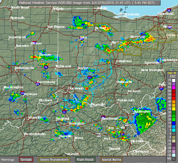 At 546 pm edt, a severe thunderstorm was located near lynchburg, moving southeast at 25 mph (radar indicated). Hazards include 60 mph wind gusts and penny size hail. expect damage to trees and power lines At 546 pm edt, a severe thunderstorm was located near lynchburg, moving southeast at 25 mph (radar indicated). Hazards include 60 mph wind gusts and penny size hail. expect damage to trees and power lines
|
| 6/24/2019 5:24 PM EDT |
 At 523 pm edt, a severe thunderstorm was located near hillsboro, moving northeast at 50 mph (radar indicated). Hazards include 60 mph wind gusts. Expect damage to trees and power lines. Locations impacted include, hillsboro, greenfield, lynchburg, leesburg, marshall, sardinia, belfast, rocky fork point, highland holiday, russell, new market, emerald, mowrystown, highland, east monroe, danville in highland county, samantha, fincastle and berrysville. At 523 pm edt, a severe thunderstorm was located near hillsboro, moving northeast at 50 mph (radar indicated). Hazards include 60 mph wind gusts. Expect damage to trees and power lines. Locations impacted include, hillsboro, greenfield, lynchburg, leesburg, marshall, sardinia, belfast, rocky fork point, highland holiday, russell, new market, emerald, mowrystown, highland, east monroe, danville in highland county, samantha, fincastle and berrysville.
|
| 6/24/2019 5:11 PM EDT |
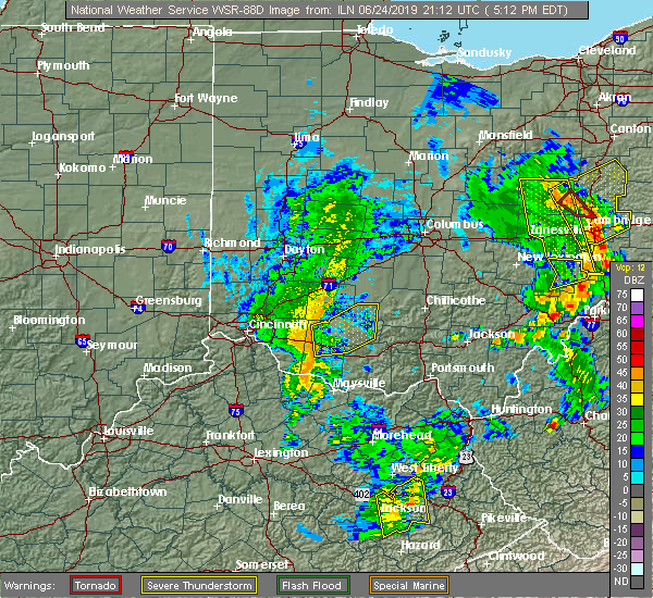 At 511 pm edt, a severe thunderstorm was located near mount orab, moving northeast at 45 mph (radar indicated). Hazards include 60 mph wind gusts. expect damage to trees and power lines At 511 pm edt, a severe thunderstorm was located near mount orab, moving northeast at 45 mph (radar indicated). Hazards include 60 mph wind gusts. expect damage to trees and power lines
|
| 5/23/2019 6:06 PM EDT |
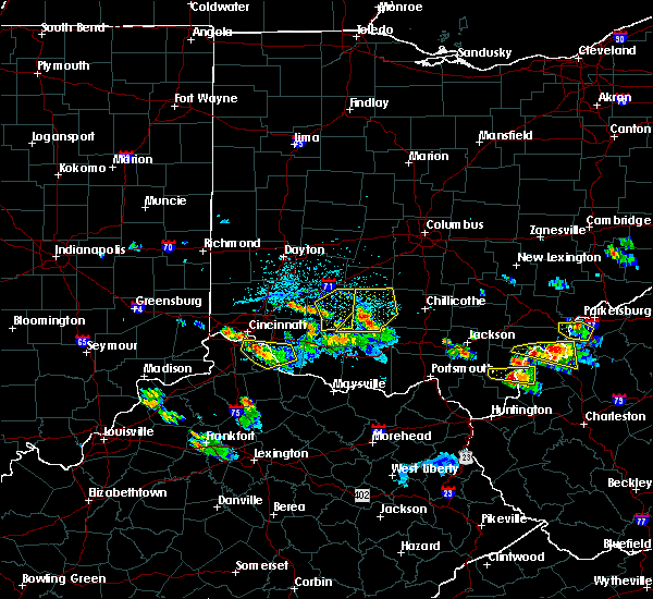 The severe thunderstorm warning for central clinton and northwestern highland counties will expire at 615 pm edt, an additional severe thunderstorm warning remains in effect for northeastern highland county until 630 pm. a severe thunderstorm watch remains in effect until midnight edt for southwestern ohio. please report previous wind damage or hail to the national weather service by going to our website at weather.gov/iln and submitting your report via social media. The severe thunderstorm warning for central clinton and northwestern highland counties will expire at 615 pm edt, an additional severe thunderstorm warning remains in effect for northeastern highland county until 630 pm. a severe thunderstorm watch remains in effect until midnight edt for southwestern ohio. please report previous wind damage or hail to the national weather service by going to our website at weather.gov/iln and submitting your report via social media.
|
| 5/23/2019 5:45 PM EDT |
 At 545 pm edt, a severe thunderstorm was located over lynchburg, moving east at 40 mph (radar indicated). Hazards include 60 mph wind gusts and quarter size hail. Minor hail damage to vehicles is possible. expect wind damage to trees and power lines. locations impacted include, wilmington, hillsboro, sabina, lynchburg, new vienna, russell, martinsville, highland, st. Martin, melvin, new antioch, cuba, lees creek, reesville, morrisville, burtonville and cowan lake state park. At 545 pm edt, a severe thunderstorm was located over lynchburg, moving east at 40 mph (radar indicated). Hazards include 60 mph wind gusts and quarter size hail. Minor hail damage to vehicles is possible. expect wind damage to trees and power lines. locations impacted include, wilmington, hillsboro, sabina, lynchburg, new vienna, russell, martinsville, highland, st. Martin, melvin, new antioch, cuba, lees creek, reesville, morrisville, burtonville and cowan lake state park.
|
| 5/23/2019 5:30 PM EDT |
 At 530 pm edt, a severe thunderstorm was located near blanchester, moving northeast at 40 mph (radar indicated). Hazards include 60 mph wind gusts and quarter size hail. Minor hail damage to vehicles is possible. Expect wind damage to trees and power lines. At 530 pm edt, a severe thunderstorm was located near blanchester, moving northeast at 40 mph (radar indicated). Hazards include 60 mph wind gusts and quarter size hail. Minor hail damage to vehicles is possible. Expect wind damage to trees and power lines.
|
| 5/17/2019 4:12 PM EDT |
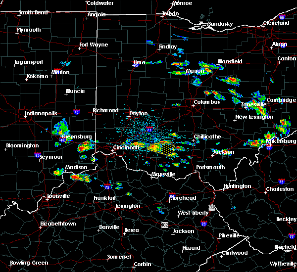 At 412 pm edt, a severe thunderstorm was located near lynchburg, moving east at 30 mph (radar indicated). Hazards include 60 mph wind gusts and quarter size hail. Minor hail damage to vehicles is possible. expect wind damage to trees and power lines. Locations impacted include, hillsboro, lynchburg, marshall, rocky fork point, highland holiday, russell, new market, sinking spring, rocky fork lake, danville in highland county, samantha, rainsboro, paint creek state park, berrysville and highland county airport. At 412 pm edt, a severe thunderstorm was located near lynchburg, moving east at 30 mph (radar indicated). Hazards include 60 mph wind gusts and quarter size hail. Minor hail damage to vehicles is possible. expect wind damage to trees and power lines. Locations impacted include, hillsboro, lynchburg, marshall, rocky fork point, highland holiday, russell, new market, sinking spring, rocky fork lake, danville in highland county, samantha, rainsboro, paint creek state park, berrysville and highland county airport.
|
| 5/17/2019 3:58 PM EDT |
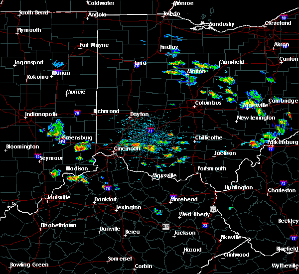 At 357 pm edt, a severe thunderstorm was located near lynchburg, moving east at 30 mph (radar indicated). Hazards include 60 mph wind gusts and quarter size hail. Minor hail damage to vehicles is possible. Expect wind damage to trees and power lines. At 357 pm edt, a severe thunderstorm was located near lynchburg, moving east at 30 mph (radar indicated). Hazards include 60 mph wind gusts and quarter size hail. Minor hail damage to vehicles is possible. Expect wind damage to trees and power lines.
|
| 3/14/2019 7:34 PM EDT |
 At 734 pm edt, severe thunderstorms were located along a line extending from near washington court house to 8 miles west of belfast to 6 miles northwest of brooksville, moving east at 60 mph (radar indicated). Hazards include 70 mph wind gusts. Expect considerable tree damage. damage is likely to mobile homes, roofs, and outbuildings. Locations impacted include, washington court house, hillsboro, greenfield, georgetown, mount orab, bethel, sabina, williamsburg, lynchburg, leesburg, new vienna, marshall, sardinia, felicity, new holland, belfast, highland holiday, rocky fork point, russell and staunton. At 734 pm edt, severe thunderstorms were located along a line extending from near washington court house to 8 miles west of belfast to 6 miles northwest of brooksville, moving east at 60 mph (radar indicated). Hazards include 70 mph wind gusts. Expect considerable tree damage. damage is likely to mobile homes, roofs, and outbuildings. Locations impacted include, washington court house, hillsboro, greenfield, georgetown, mount orab, bethel, sabina, williamsburg, lynchburg, leesburg, new vienna, marshall, sardinia, felicity, new holland, belfast, highland holiday, rocky fork point, russell and staunton.
|
| 3/14/2019 7:21 PM EDT |
 At 721 pm edt, severe thunderstorms were located along a line extending from near sabina to near mount orab to near falmouth, moving east at 60 mph (radar indicated). Hazards include 70 mph wind gusts. Expect considerable tree damage. Damage is likely to mobile homes, roofs, and outbuildings. At 721 pm edt, severe thunderstorms were located along a line extending from near sabina to near mount orab to near falmouth, moving east at 60 mph (radar indicated). Hazards include 70 mph wind gusts. Expect considerable tree damage. Damage is likely to mobile homes, roofs, and outbuildings.
|
| 3/14/2019 7:06 PM EDT |
 The severe thunderstorm warning for northeastern clermont, north central brown, eastern warren and clinton counties will expire at 715 pm edt, the severe thunderstorm warning has been replaced by another severe thunderstorm warning for warren, brown, clermont, and clinton counties. a severe thunderstorm watch remains in effect until 1000 pm edt for central, southwestern and west central ohio. please report previous wind damage or hail to the national weather service by going to our website at weather.gov/iln and submitting your report via social media. The severe thunderstorm warning for northeastern clermont, north central brown, eastern warren and clinton counties will expire at 715 pm edt, the severe thunderstorm warning has been replaced by another severe thunderstorm warning for warren, brown, clermont, and clinton counties. a severe thunderstorm watch remains in effect until 1000 pm edt for central, southwestern and west central ohio. please report previous wind damage or hail to the national weather service by going to our website at weather.gov/iln and submitting your report via social media.
|
| 3/14/2019 6:48 PM EDT |
 At 648 pm edt, severe thunderstorms were located along a line extending from near morrow to near batavia to withamsville to near crittenden, moving northeast at 60 mph (radar indicated). Hazards include 70 mph wind gusts. Expect considerable tree damage. Damage is likely to mobile homes, roofs, and outbuildings. At 648 pm edt, severe thunderstorms were located along a line extending from near morrow to near batavia to withamsville to near crittenden, moving northeast at 60 mph (radar indicated). Hazards include 70 mph wind gusts. Expect considerable tree damage. Damage is likely to mobile homes, roofs, and outbuildings.
|
| 3/14/2019 6:47 PM EDT |
 At 647 pm edt, a severe thunderstorm was located over wilmington, moving northeast at 55 mph (radar indicated). Hazards include 70 mph wind gusts and half dollar size hail. Minor hail damage to vehicles is possible. expect considerable tree damage. wind damage is also likely to mobile homes, roofs, and outbuildings. locations impacted include, wilmington, blanchester, sabina, lynchburg, new vienna, woodville, clarksville, harveysburg, martinsville, newtonsville, midland, port william, st. martin, melvin, state route 123 at state route 132, lumberton, oakland, lees creek, caesar creek state park and morrisville. This includes i-71 in ohio between mile markers 39 and 57. At 647 pm edt, a severe thunderstorm was located over wilmington, moving northeast at 55 mph (radar indicated). Hazards include 70 mph wind gusts and half dollar size hail. Minor hail damage to vehicles is possible. expect considerable tree damage. wind damage is also likely to mobile homes, roofs, and outbuildings. locations impacted include, wilmington, blanchester, sabina, lynchburg, new vienna, woodville, clarksville, harveysburg, martinsville, newtonsville, midland, port william, st. martin, melvin, state route 123 at state route 132, lumberton, oakland, lees creek, caesar creek state park and morrisville. This includes i-71 in ohio between mile markers 39 and 57.
|
| 3/14/2019 6:36 PM EDT |
 At 636 pm edt, a severe thunderstorm was located near blanchester, moving northeast at 55 mph (radar indicated). Hazards include 60 mph wind gusts and half dollar size hail. Minor hail damage to vehicles is possible. expect wind damage to trees and power lines. locations impacted include, wilmington, blanchester, sabina, lynchburg, new vienna, woodville, clarksville, harveysburg, martinsville, newtonsville, midland, port william, st. martin, melvin, state route 123 at state route 132, lumberton, oakland, lees creek, caesar creek state park and morrisville. This includes i-71 in ohio between mile markers 39 and 57. At 636 pm edt, a severe thunderstorm was located near blanchester, moving northeast at 55 mph (radar indicated). Hazards include 60 mph wind gusts and half dollar size hail. Minor hail damage to vehicles is possible. expect wind damage to trees and power lines. locations impacted include, wilmington, blanchester, sabina, lynchburg, new vienna, woodville, clarksville, harveysburg, martinsville, newtonsville, midland, port william, st. martin, melvin, state route 123 at state route 132, lumberton, oakland, lees creek, caesar creek state park and morrisville. This includes i-71 in ohio between mile markers 39 and 57.
|
| 3/14/2019 6:27 PM EDT |
 At 627 pm edt, a severe thunderstorm was located near morrow, moving northeast at 55 mph (radar indicated). Hazards include 60 mph wind gusts and quarter size hail. Minor hail damage to vehicles is possible. Expect wind damage to trees and power lines. At 627 pm edt, a severe thunderstorm was located near morrow, moving northeast at 55 mph (radar indicated). Hazards include 60 mph wind gusts and quarter size hail. Minor hail damage to vehicles is possible. Expect wind damage to trees and power lines.
|
| 5/31/2018 4:54 PM EDT | Trees downed. time estimated from rada in highland county OH, 0.7 miles N of Lynchburg, OH |
| 5/31/2018 4:51 PM EDT |
 The severe thunderstorm warning for northeastern clermont, central brown, southeastern warren, northwestern adams, southern clinton and western highland counties will expire at 500 pm edt, the storms which prompted the warning have moved out of the area. therefore, the warning will be allowed to expire. a severe thunderstorm watch remains in effect until 600 pm edt for southwestern ohio. please report previous wind damage or hail to the national weather service by going to our website at weather.gov/iln and submitting your report via social media. The severe thunderstorm warning for northeastern clermont, central brown, southeastern warren, northwestern adams, southern clinton and western highland counties will expire at 500 pm edt, the storms which prompted the warning have moved out of the area. therefore, the warning will be allowed to expire. a severe thunderstorm watch remains in effect until 600 pm edt for southwestern ohio. please report previous wind damage or hail to the national weather service by going to our website at weather.gov/iln and submitting your report via social media.
|
| 5/31/2018 4:46 PM EDT |
 At 446 pm edt, severe thunderstorms were located along a line extending from near lynchburg to near belfast to seaman, moving east at 40 mph (radar indicated). Hazards include 60 mph wind gusts. expect damage to trees and power lines At 446 pm edt, severe thunderstorms were located along a line extending from near lynchburg to near belfast to seaman, moving east at 40 mph (radar indicated). Hazards include 60 mph wind gusts. expect damage to trees and power lines
|
| 5/31/2018 4:21 PM EDT |
 At 421 pm edt, severe thunderstorms were located along a line extending from near loveland to near williamsburg to near georgetown, moving east at 45 mph (radar indicated). Hazards include 60 mph wind gusts. expect damage to trees and power lines At 421 pm edt, severe thunderstorms were located along a line extending from near loveland to near williamsburg to near georgetown, moving east at 45 mph (radar indicated). Hazards include 60 mph wind gusts. expect damage to trees and power lines
|
| 5/21/2018 10:37 PM EDT |
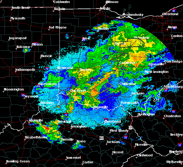 At 1037 pm edt, a severe thunderstorm was located near leesburg, moving northeast at 40 mph (radar indicated). Hazards include 60 mph wind gusts and quarter size hail. Minor hail damage to vehicles is possible. expect wind damage to trees and power lines. Locations impacted include, lynchburg, russell, new market, mowrystown, danville in highland county, state route 136 at us route 62 and buford. At 1037 pm edt, a severe thunderstorm was located near leesburg, moving northeast at 40 mph (radar indicated). Hazards include 60 mph wind gusts and quarter size hail. Minor hail damage to vehicles is possible. expect wind damage to trees and power lines. Locations impacted include, lynchburg, russell, new market, mowrystown, danville in highland county, state route 136 at us route 62 and buford.
|
| 5/21/2018 10:29 PM EDT |
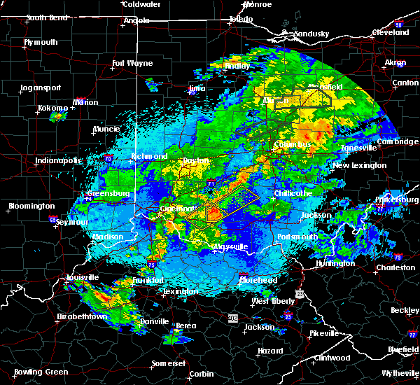 At 1029 pm edt, a severe thunderstorm was located near lynchburg, moving northeast at 40 mph (radar indicated). Hazards include 60 mph wind gusts and quarter size hail. Minor hail damage to vehicles is possible. Expect wind damage to trees and power lines. At 1029 pm edt, a severe thunderstorm was located near lynchburg, moving northeast at 40 mph (radar indicated). Hazards include 60 mph wind gusts and quarter size hail. Minor hail damage to vehicles is possible. Expect wind damage to trees and power lines.
|
| 5/21/2018 10:03 PM EDT |
 At 1003 pm edt, a severe thunderstorm was located over mount orab, moving northeast at 40 mph (radar indicated). Hazards include 60 mph wind gusts. expect damage to trees and power lines At 1003 pm edt, a severe thunderstorm was located over mount orab, moving northeast at 40 mph (radar indicated). Hazards include 60 mph wind gusts. expect damage to trees and power lines
|
| 2/25/2018 9:05 PM EST | Social media report of 25-30 ft flag pole bent over... garden windmill knocked down... and van window broken from flying debris. time estimated from rada in clinton county OH, 1 miles E of Lynchburg, OH |
| 11/6/2017 1:03 AM EST |
 At 103 am est, a severe thunderstorm capable of producing a tornado was located near mount orab, moving northeast at 40 mph (radar indicated rotation). Hazards include tornado. Flying debris will be dangerous to those caught without shelter. mobile homes will be damaged or destroyed. damage to roofs, windows, and vehicles will occur. Tree damage is likely. At 103 am est, a severe thunderstorm capable of producing a tornado was located near mount orab, moving northeast at 40 mph (radar indicated rotation). Hazards include tornado. Flying debris will be dangerous to those caught without shelter. mobile homes will be damaged or destroyed. damage to roofs, windows, and vehicles will occur. Tree damage is likely.
|
| 7/7/2017 6:52 PM EDT |
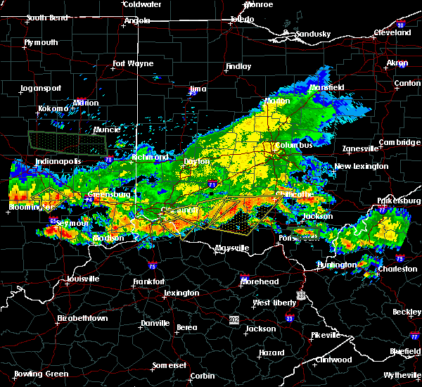 At 652 pm edt, a severe thunderstorm was located near hillsboro, moving east at 45 mph (radar indicated). Hazards include 70 mph wind gusts and quarter size hail. Minor hail damage to vehicles is possible. expect considerable tree damage. wind damage is also likely to mobile homes, roofs, and outbuildings. locations impacted include, hillsboro, mount orab, williamsburg, batavia, leesburg, sardinia, russell, new market, owensville, fayetteville, st. Martin, chasetown, danville in highland county, greenbush, samantha, buford, state route 32 at us route 68, new hope and lake lorelei. At 652 pm edt, a severe thunderstorm was located near hillsboro, moving east at 45 mph (radar indicated). Hazards include 70 mph wind gusts and quarter size hail. Minor hail damage to vehicles is possible. expect considerable tree damage. wind damage is also likely to mobile homes, roofs, and outbuildings. locations impacted include, hillsboro, mount orab, williamsburg, batavia, leesburg, sardinia, russell, new market, owensville, fayetteville, st. Martin, chasetown, danville in highland county, greenbush, samantha, buford, state route 32 at us route 68, new hope and lake lorelei.
|
| 7/7/2017 6:47 PM EDT |
 At 646 pm edt, a severe thunderstorm was located near hillsboro, moving east at 45 mph (radar indicated). Hazards include 70 mph wind gusts and quarter size hail. Minor hail damage to vehicles is possible. expect considerable tree damage. wind damage is also likely to mobile homes, roofs, and outbuildings. locations impacted include, cincinnati, madeira, milford, hillsboro, blanchester, mount orab, mariemont, williamsburg, terrace park, batavia, lynchburg, leesburg, new vienna, sardinia, camp dennison, plainville, the village of indian hill, russell, silverton and woodville. This includes i-71 in ohio between mile markers 9 and 11. At 646 pm edt, a severe thunderstorm was located near hillsboro, moving east at 45 mph (radar indicated). Hazards include 70 mph wind gusts and quarter size hail. Minor hail damage to vehicles is possible. expect considerable tree damage. wind damage is also likely to mobile homes, roofs, and outbuildings. locations impacted include, cincinnati, madeira, milford, hillsboro, blanchester, mount orab, mariemont, williamsburg, terrace park, batavia, lynchburg, leesburg, new vienna, sardinia, camp dennison, plainville, the village of indian hill, russell, silverton and woodville. This includes i-71 in ohio between mile markers 9 and 11.
|
| 7/7/2017 6:39 PM EDT |
 At 639 pm edt, a severe thunderstorm was located over lynchburg, moving east at 45 mph (radar indicated). Hazards include 70 mph wind gusts and quarter size hail. Minor hail damage to vehicles is possible. expect considerable tree damage. wind damage is also likely to mobile homes, roofs, and outbuildings. locations impacted include, cincinnati, loveland, madeira, milford, hillsboro, deer park, blanchester, mount orab, mariemont, williamsburg, terrace park, batavia, lynchburg, leesburg, new vienna, sardinia, camp dennison, remington, concorde hills and plainville. This includes i-71 in ohio between mile markers 9 and 13. At 639 pm edt, a severe thunderstorm was located over lynchburg, moving east at 45 mph (radar indicated). Hazards include 70 mph wind gusts and quarter size hail. Minor hail damage to vehicles is possible. expect considerable tree damage. wind damage is also likely to mobile homes, roofs, and outbuildings. locations impacted include, cincinnati, loveland, madeira, milford, hillsboro, deer park, blanchester, mount orab, mariemont, williamsburg, terrace park, batavia, lynchburg, leesburg, new vienna, sardinia, camp dennison, remington, concorde hills and plainville. This includes i-71 in ohio between mile markers 9 and 13.
|
| 7/7/2017 6:14 PM EDT |
 At 614 pm edt, a severe thunderstorm was located near morrow, moving east at 45 mph (radar indicated). Hazards include 60 mph wind gusts and quarter size hail. Minor hail damage to vehicles is possible. Expect wind damage to trees and power lines. At 614 pm edt, a severe thunderstorm was located near morrow, moving east at 45 mph (radar indicated). Hazards include 60 mph wind gusts and quarter size hail. Minor hail damage to vehicles is possible. Expect wind damage to trees and power lines.
|
| 6/5/2017 4:13 PM EDT |
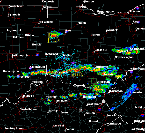 At 413 pm edt, a severe thunderstorm was located near lynchburg, moving south at 20 mph (radar indicated). Hazards include 60 mph wind gusts and penny size hail. Expect damage to roofs, siding, and trees. Locations impacted include, hillsboro, lynchburg, new vienna, belfast, russell, new market, martinsville, mowrystown, highland, danville in highland county, samantha, berrysville, state route 136 at us route 62, highland county airport and buford. At 413 pm edt, a severe thunderstorm was located near lynchburg, moving south at 20 mph (radar indicated). Hazards include 60 mph wind gusts and penny size hail. Expect damage to roofs, siding, and trees. Locations impacted include, hillsboro, lynchburg, new vienna, belfast, russell, new market, martinsville, mowrystown, highland, danville in highland county, samantha, berrysville, state route 136 at us route 62, highland county airport and buford.
|
| 6/5/2017 3:57 PM EDT |
 At 357 pm edt, a severe thunderstorm was located over new vienna, moving south at 20 mph (radar indicated). Hazards include 60 mph wind gusts and penny size hail. expect damage to roofs, siding, and trees At 357 pm edt, a severe thunderstorm was located over new vienna, moving south at 20 mph (radar indicated). Hazards include 60 mph wind gusts and penny size hail. expect damage to roofs, siding, and trees
|
| 4/16/2017 6:36 PM EDT |
 The severe thunderstorm warning for southeastern clinton and central highland counties will expire at 645 pm edt, the storm which prompted the warning has weakened below severe limits, and is exiting the warned area. therefore, the warning will be allowed to expire. however small hail, gusty winds and heavy rain are still possible with this thunderstorm. please report previous wind damage or hail to the national weather service by going to our website at weather.gov/iln and submitting your report via social media. The severe thunderstorm warning for southeastern clinton and central highland counties will expire at 645 pm edt, the storm which prompted the warning has weakened below severe limits, and is exiting the warned area. therefore, the warning will be allowed to expire. however small hail, gusty winds and heavy rain are still possible with this thunderstorm. please report previous wind damage or hail to the national weather service by going to our website at weather.gov/iln and submitting your report via social media.
|
| 4/16/2017 6:16 PM EDT |
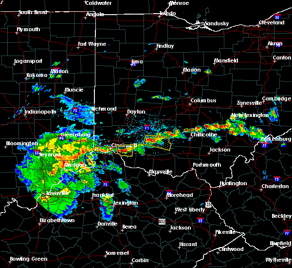 At 616 pm edt, a severe thunderstorm was located near leesburg, moving east at 35 mph (radar indicated). Hazards include 60 mph wind gusts and penny size hail. Expect damage to roofs, siding, and trees. Locations impacted include, hillsboro, greenfield, lynchburg, leesburg, new vienna, marshall, rocky fork point, highland holiday, russell, martinsville, highland, rocky fork lake, east monroe, samantha, rainsboro, paint creek state park, morrisville and highland county airport. At 616 pm edt, a severe thunderstorm was located near leesburg, moving east at 35 mph (radar indicated). Hazards include 60 mph wind gusts and penny size hail. Expect damage to roofs, siding, and trees. Locations impacted include, hillsboro, greenfield, lynchburg, leesburg, new vienna, marshall, rocky fork point, highland holiday, russell, martinsville, highland, rocky fork lake, east monroe, samantha, rainsboro, paint creek state park, morrisville and highland county airport.
|
| 4/16/2017 6:02 PM EDT |
 At 602 pm edt, a severe thunderstorm was located over new vienna, moving east at 35 mph (radar indicated). Hazards include 60 mph wind gusts and quarter size hail. Hail damage to vehicles is expected. Expect wind damage to roofs, siding, and trees. At 602 pm edt, a severe thunderstorm was located over new vienna, moving east at 35 mph (radar indicated). Hazards include 60 mph wind gusts and quarter size hail. Hail damage to vehicles is expected. Expect wind damage to roofs, siding, and trees.
|
| 4/5/2017 7:36 PM EDT |
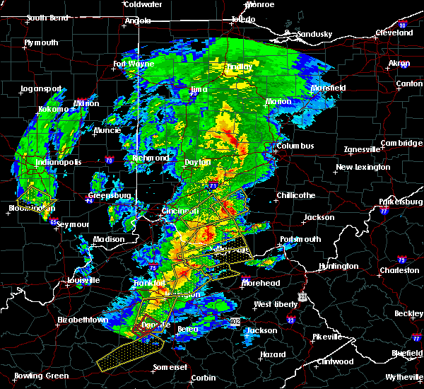 The severe thunderstorm warning for northeastern clermont, northwestern brown, southwestern clinton and western highland counties will expire at 745 pm edt, the storm which prompted the warning has moved out of the area. therefore, the warning will be allowed to expire. a severe thunderstorm watch remains in effect until 900 pm edt for southwestern ohio. please report previous wind damage or hail to the national weather service by going to our website at weather.gov/iln and submitting your report via social media. remember, a severe thunderstorm warning still remains in effect for parts of highland and clinton counties. The severe thunderstorm warning for northeastern clermont, northwestern brown, southwestern clinton and western highland counties will expire at 745 pm edt, the storm which prompted the warning has moved out of the area. therefore, the warning will be allowed to expire. a severe thunderstorm watch remains in effect until 900 pm edt for southwestern ohio. please report previous wind damage or hail to the national weather service by going to our website at weather.gov/iln and submitting your report via social media. remember, a severe thunderstorm warning still remains in effect for parts of highland and clinton counties.
|
| 4/5/2017 7:29 PM EDT |
 At 729 pm edt, a severe thunderstorm was located near lynchburg, moving northeast at 30 mph (radar indicated). Hazards include 60 mph wind gusts and quarter size hail. Hail damage to vehicles is expected. Expect wind damage to roofs, siding, and trees. At 729 pm edt, a severe thunderstorm was located near lynchburg, moving northeast at 30 mph (radar indicated). Hazards include 60 mph wind gusts and quarter size hail. Hail damage to vehicles is expected. Expect wind damage to roofs, siding, and trees.
|
| 4/5/2017 7:17 PM EDT |
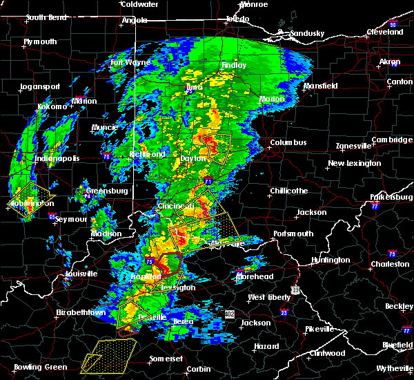 At 717 pm edt, a severe thunderstorm was located 8 miles southwest of lynchburg, moving northeast at 30 mph (radar indicated). Hazards include 60 mph wind gusts and quarter size hail. Hail damage to vehicles is expected. expect wind damage to roofs, siding, and trees. locations impacted include, wilmington, hillsboro, blanchester, mount orab, bethel, williamsburg, batavia, lynchburg, russell, woodville, new market, owensville, martinsville, newtonsville, fayetteville, midland, st. Martin, chasetown, danville in highland county and state route 32 at us route 68. At 717 pm edt, a severe thunderstorm was located 8 miles southwest of lynchburg, moving northeast at 30 mph (radar indicated). Hazards include 60 mph wind gusts and quarter size hail. Hail damage to vehicles is expected. expect wind damage to roofs, siding, and trees. locations impacted include, wilmington, hillsboro, blanchester, mount orab, bethel, williamsburg, batavia, lynchburg, russell, woodville, new market, owensville, martinsville, newtonsville, fayetteville, midland, st. Martin, chasetown, danville in highland county and state route 32 at us route 68.
|
| 4/5/2017 6:54 PM EDT |
 At 654 pm edt, a severe thunderstorm was located over williamsburg, moving northeast at 30 mph (radar indicated). Hazards include 60 mph wind gusts and quarter size hail. Hail damage to vehicles is expected. Expect wind damage to roofs, siding, and trees. At 654 pm edt, a severe thunderstorm was located over williamsburg, moving northeast at 30 mph (radar indicated). Hazards include 60 mph wind gusts and quarter size hail. Hail damage to vehicles is expected. Expect wind damage to roofs, siding, and trees.
|
| 3/1/2017 7:22 AM EST |
 At 722 am est, severe thunderstorms were located along a line extending from 7 miles south of jamestown to 6 miles northeast of williamsburg, moving east at 55 mph (radar indicated). Hazards include 60 mph wind gusts and quarter size hail. Hail damage to vehicles is expected. Expect wind damage to roofs, siding, and trees. At 722 am est, severe thunderstorms were located along a line extending from 7 miles south of jamestown to 6 miles northeast of williamsburg, moving east at 55 mph (radar indicated). Hazards include 60 mph wind gusts and quarter size hail. Hail damage to vehicles is expected. Expect wind damage to roofs, siding, and trees.
|
| 2/24/2017 9:23 PM EST |
 The severe thunderstorm warning for northwestern brown, central clinton and western highland counties will expire at 930 pm est, the storm which prompted the warning has weakened below severe limits, and no longer poses an immediate threat to life or property. therefore, the warning will be allowed to expire. however small hail and gusty winds are still possible with this thunderstorm. a severe thunderstorm watch remains in effect until 200 am est for southwestern ohio. please report previous wind damage or hail to the national weather service by going to our website at weather.gov/iln and submitting your report via social media. The severe thunderstorm warning for northwestern brown, central clinton and western highland counties will expire at 930 pm est, the storm which prompted the warning has weakened below severe limits, and no longer poses an immediate threat to life or property. therefore, the warning will be allowed to expire. however small hail and gusty winds are still possible with this thunderstorm. a severe thunderstorm watch remains in effect until 200 am est for southwestern ohio. please report previous wind damage or hail to the national weather service by going to our website at weather.gov/iln and submitting your report via social media.
|
| 2/24/2017 9:08 PM EST |
 At 908 pm est, a severe thunderstorm was located 7 miles north of mount orab, moving northeast at 50 mph (radar indicated). Hazards include 60 mph wind gusts and quarter size hail. Hail damage to vehicles is expected. expect wind damage to roofs, siding, and trees. locations impacted include, wilmington, hillsboro, blanchester, mount orab, lynchburg, new vienna, russell, new market, clarksville, martinsville, mowrystown, fayetteville, midland, st. Martin, chasetown, danville in highland county, samantha, state route 32 at us route 68, berrysville and morrisville. At 908 pm est, a severe thunderstorm was located 7 miles north of mount orab, moving northeast at 50 mph (radar indicated). Hazards include 60 mph wind gusts and quarter size hail. Hail damage to vehicles is expected. expect wind damage to roofs, siding, and trees. locations impacted include, wilmington, hillsboro, blanchester, mount orab, lynchburg, new vienna, russell, new market, clarksville, martinsville, mowrystown, fayetteville, midland, st. Martin, chasetown, danville in highland county, samantha, state route 32 at us route 68, berrysville and morrisville.
|
| 2/24/2017 8:58 PM EST |
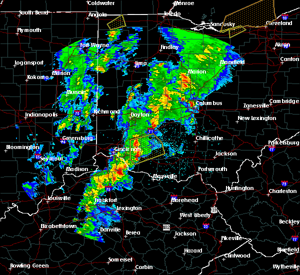 At 857 pm est, a severe thunderstorm was located over williamsburg, moving northeast at 55 mph (radar indicated). Hazards include 60 mph wind gusts and quarter size hail. Hail damage to vehicles is expected. Expect wind damage to roofs, siding, and trees. At 857 pm est, a severe thunderstorm was located over williamsburg, moving northeast at 55 mph (radar indicated). Hazards include 60 mph wind gusts and quarter size hail. Hail damage to vehicles is expected. Expect wind damage to roofs, siding, and trees.
|
| 7/13/2016 11:32 PM EDT |
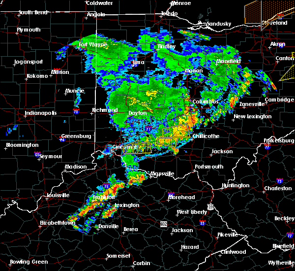 At 1131 pm edt, a severe thunderstorm was located near blanchester, moving east at 30 mph (radar indicated). Hazards include 60 mph wind gusts and penny size hail. Expect damage to roofs. siding. and trees. locations impacted include, blanchester, lynchburg, fayetteville, st. Martin, lake lorelei, westboro and chasetown. At 1131 pm edt, a severe thunderstorm was located near blanchester, moving east at 30 mph (radar indicated). Hazards include 60 mph wind gusts and penny size hail. Expect damage to roofs. siding. and trees. locations impacted include, blanchester, lynchburg, fayetteville, st. Martin, lake lorelei, westboro and chasetown.
|
| 7/13/2016 11:22 PM EDT |
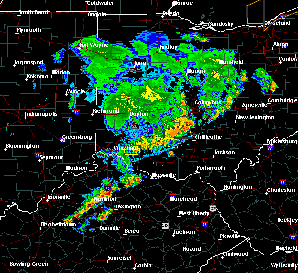 At 1122 pm edt, a severe thunderstorm was located near blanchester, moving east at 30 mph (radar indicated). Hazards include 60 mph wind gusts and penny size hail. Expect damage to roofs. siding. And trees. At 1122 pm edt, a severe thunderstorm was located near blanchester, moving east at 30 mph (radar indicated). Hazards include 60 mph wind gusts and penny size hail. Expect damage to roofs. siding. And trees.
|
| 6/23/2016 3:40 AM EDT |
 The severe thunderstorm warning for northwestern ross, southern montgomery, fayette, warren, southwestern pickaway, clinton, southeastern butler, northern clermont, northeastern hamilton, southern greene, northwestern brown, northwestern highland and southwestern madison counties will expire at 345 am edt, the storms which prompted the warning have moved out of the area. therefore the warning will be allowed to expire. a tornado watch remains in effect until 500 am edt for west central, central and southwestern ohio. please report previous wind damage or hail to the national weather service by going to our website at weather.gov/iln and submitting your report via social media. The severe thunderstorm warning for northwestern ross, southern montgomery, fayette, warren, southwestern pickaway, clinton, southeastern butler, northern clermont, northeastern hamilton, southern greene, northwestern brown, northwestern highland and southwestern madison counties will expire at 345 am edt, the storms which prompted the warning have moved out of the area. therefore the warning will be allowed to expire. a tornado watch remains in effect until 500 am edt for west central, central and southwestern ohio. please report previous wind damage or hail to the national weather service by going to our website at weather.gov/iln and submitting your report via social media.
|
| 6/23/2016 3:39 AM EDT |
 At 339 am edt, severe thunderstorms were located along a line extending from 9 miles northwest of north folk village to 6 miles north of marshall to near lynchburg, moving southeast at 75 mph (radar indicated). Hazards include 70 mph wind gusts. Expect considerable tree damage. damage is likely to mobile homes, roofs, and outbuildings. locations impacted include, chillicothe, hillsboro, greenfield, waverly, waverly city, piketon, lynchburg, leesburg, marshall, bainbridge, north fork village, pike lake, belfast, kincaid springs, north folk village, cynthiana, russell, new market, frankfort and londonderry. A tornado watch remains in effect until 500 am edt for central and southwestern ohio. At 339 am edt, severe thunderstorms were located along a line extending from 9 miles northwest of north folk village to 6 miles north of marshall to near lynchburg, moving southeast at 75 mph (radar indicated). Hazards include 70 mph wind gusts. Expect considerable tree damage. damage is likely to mobile homes, roofs, and outbuildings. locations impacted include, chillicothe, hillsboro, greenfield, waverly, waverly city, piketon, lynchburg, leesburg, marshall, bainbridge, north fork village, pike lake, belfast, kincaid springs, north folk village, cynthiana, russell, new market, frankfort and londonderry. A tornado watch remains in effect until 500 am edt for central and southwestern ohio.
|
| 6/23/2016 3:25 AM EDT |
 At 324 am edt, severe thunderstorms were located along a line extending from near washington court house to near new vienna to near morrow, moving southeast at 75 mph (radar indicated). Hazards include 70 mph wind gusts. Expect considerable tree damage. Damage is likely to mobile homes, roofs, and outbuildings. At 324 am edt, severe thunderstorms were located along a line extending from near washington court house to near new vienna to near morrow, moving southeast at 75 mph (radar indicated). Hazards include 70 mph wind gusts. Expect considerable tree damage. Damage is likely to mobile homes, roofs, and outbuildings.
|
| 6/23/2016 2:55 AM EDT |
 At 255 am edt, severe thunderstorms were located along a line extending from near cedarville to near hamilton, moving southeast at 55 mph (radar indicated). Hazards include 70 mph wind gusts. Expect considerable tree damage. Damage is likely to mobile homes, roofs, and outbuildings. At 255 am edt, severe thunderstorms were located along a line extending from near cedarville to near hamilton, moving southeast at 55 mph (radar indicated). Hazards include 70 mph wind gusts. Expect considerable tree damage. Damage is likely to mobile homes, roofs, and outbuildings.
|
| 4/26/2016 4:27 PM EDT |
 At 427 pm edt, a severe thunderstorm was located over blanchester, moving southeast at 25 mph (radar indicated). Hazards include 60 mph wind gusts and quarter size hail. Hail damage to vehicles is expected. Expect wind damage to roofs, siding, and trees. At 427 pm edt, a severe thunderstorm was located over blanchester, moving southeast at 25 mph (radar indicated). Hazards include 60 mph wind gusts and quarter size hail. Hail damage to vehicles is expected. Expect wind damage to roofs, siding, and trees.
|
| 3/31/2016 6:11 PM EDT |
 The severe thunderstorm warning for southern clinton, northeastern clermont, northwestern brown and southwestern highland counties will expire at 615 pm edt, the storm which prompted the warning has weakened below severe limits. therefore the warning will be allowed to expire. please report previous wind damage or hail to the national weather service by going to our website at weather.gov/iln and submit your report via social media. The severe thunderstorm warning for southern clinton, northeastern clermont, northwestern brown and southwestern highland counties will expire at 615 pm edt, the storm which prompted the warning has weakened below severe limits. therefore the warning will be allowed to expire. please report previous wind damage or hail to the national weather service by going to our website at weather.gov/iln and submit your report via social media.
|
| 3/31/2016 6:06 PM EDT |
 At 606 pm edt, radar indicated a severe thunderstorm located 7 miles north of williamsburg, moving east at 45 mph. storm hazards include, winds to 60 mph, penny size hail, locations impacted include, lynchburg, fayetteville, st. martin, lake lorelei, danville in highland county and chasetown. At 606 pm edt, radar indicated a severe thunderstorm located 7 miles north of williamsburg, moving east at 45 mph. storm hazards include, winds to 60 mph, penny size hail, locations impacted include, lynchburg, fayetteville, st. martin, lake lorelei, danville in highland county and chasetown.
|
| 3/31/2016 6:00 PM EDT |
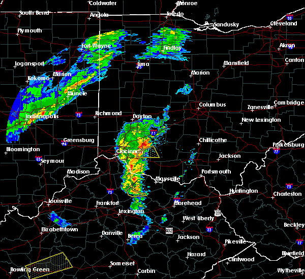 At 600 pm edt, radar indicated a severe thunderstorm located near batavia, moving east at 45 mph. storm hazards include, winds to 60 mph, penny size hail, locations impacted include, lynchburg, newtonsville, fayetteville, st. martin, lake lorelei, danville in highland county and chasetown. At 600 pm edt, radar indicated a severe thunderstorm located near batavia, moving east at 45 mph. storm hazards include, winds to 60 mph, penny size hail, locations impacted include, lynchburg, newtonsville, fayetteville, st. martin, lake lorelei, danville in highland county and chasetown.
|
| 3/31/2016 5:52 PM EDT |
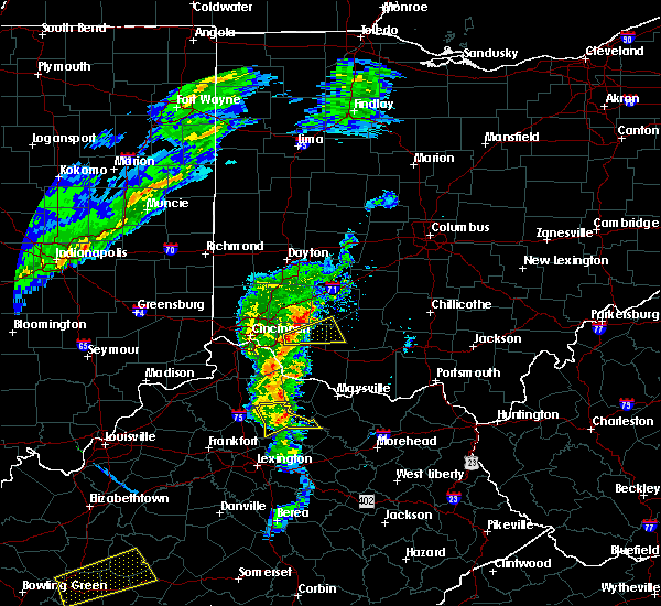 At 551 pm edt, radar indicated a severe thunderstorm located over batavia, moving east at 40 mph. storm hazards include, winds to 60 mph, penny size hail,. At 551 pm edt, radar indicated a severe thunderstorm located over batavia, moving east at 40 mph. storm hazards include, winds to 60 mph, penny size hail,.
|
| 8/3/2015 7:00 PM EDT | Quarter sized hail reported 7.2 miles NNE of Lynchburg, OH, via mping |
| 7/19/2015 2:26 PM EDT |
 The severe thunderstorm warning for northwestern highland and southern clinton counties will expire at 230 pm edt, the storm which prompted the warning has weakened below severe limits. therefore the warning will be allowed to expire. small hail, .gusty winds and heavy rain are still possible with this storm. please report previous wind damage or hail to the national weather service by going to our website at weather.gov/iln and submit your report via social media. The severe thunderstorm warning for northwestern highland and southern clinton counties will expire at 230 pm edt, the storm which prompted the warning has weakened below severe limits. therefore the warning will be allowed to expire. small hail, .gusty winds and heavy rain are still possible with this storm. please report previous wind damage or hail to the national weather service by going to our website at weather.gov/iln and submit your report via social media.
|
| 7/19/2015 2:17 PM EDT |
 At 216 pm edt, radar indicated that the severe thunderstorm had slightly weakened. this storm was located near lynchburg, moving east at 35 mph. storm hazards include, winds to 60 mph, very heavy rain which may cause minor flooding, locations impacted include, wilmington, hillsboro, blanchester, lynchburg, new vienna, russell, clarksville, martinsville, midland, highland, samantha, new antioch, cuba, westboro, burtonville, lees creek, cowan lake state park and morrisville. At 216 pm edt, radar indicated that the severe thunderstorm had slightly weakened. this storm was located near lynchburg, moving east at 35 mph. storm hazards include, winds to 60 mph, very heavy rain which may cause minor flooding, locations impacted include, wilmington, hillsboro, blanchester, lynchburg, new vienna, russell, clarksville, martinsville, midland, highland, samantha, new antioch, cuba, westboro, burtonville, lees creek, cowan lake state park and morrisville.
|
| 7/19/2015 2:03 PM EDT |
 At 203 pm edt, radar indicated a severe thunderstorm located over blanchester, moving east at 35 mph. storm hazards include, winds to 60 mph, very heavy rain which may cause minor flooding,. At 203 pm edt, radar indicated a severe thunderstorm located over blanchester, moving east at 35 mph. storm hazards include, winds to 60 mph, very heavy rain which may cause minor flooding,.
|
| 7/14/2015 4:00 PM EDT | 18 inch tree uprooted time estimated from radar in highland county OH, 6.8 miles NNW of Lynchburg, OH |
| 7/14/2015 3:54 PM EDT |
 The severe thunderstorm warning for northwestern highland, southeastern warren, southern clinton and southwestern fayette counties will expire at 400 pm edt, the storms which prompted the warning have moved out of the area. therefore the warning will be allowed to expire. an additional severe thunderstorm warning remains in effect for portions of highland county. please report previous wind damage or hail to the national weather service by going to our website at weather.gov/iln and submit your report via social media. The severe thunderstorm warning for northwestern highland, southeastern warren, southern clinton and southwestern fayette counties will expire at 400 pm edt, the storms which prompted the warning have moved out of the area. therefore the warning will be allowed to expire. an additional severe thunderstorm warning remains in effect for portions of highland county. please report previous wind damage or hail to the national weather service by going to our website at weather.gov/iln and submit your report via social media.
|
| 7/14/2015 3:53 PM EDT |
 At 353 pm edt, radar indicated severe thunderstorms located along a line extending from near cynthiana to 8 miles north of williamsburg, moving southeast at 40 mph. storm hazards include, winds to 60 mph, penny size hail, locations impacted include, hillsboro, lynchburg, marshall, russell, woodville, new market, goshen, newtonsville, fayetteville, st. martin, samantha, berrysville, danville in highland county, rainsboro, greenbush, lake lorelei, state route 136 at us route 62, edenton, rocky fork lake and paint creek state park. At 353 pm edt, radar indicated severe thunderstorms located along a line extending from near cynthiana to 8 miles north of williamsburg, moving southeast at 40 mph. storm hazards include, winds to 60 mph, penny size hail, locations impacted include, hillsboro, lynchburg, marshall, russell, woodville, new market, goshen, newtonsville, fayetteville, st. martin, samantha, berrysville, danville in highland county, rainsboro, greenbush, lake lorelei, state route 136 at us route 62, edenton, rocky fork lake and paint creek state park.
|
| 7/14/2015 3:38 PM EDT |
 At 338 pm edt, radar indicated severe thunderstorms located along a line extending from near leesburg to near blanchester, moving southeast at 35 mph. these storms produced wind gusts to 60 mph at the national weather service office in wilmington. storm hazards include, winds to 60 mph, penny size hail, locations impacted include, blanchester, lynchburg, leesburg, new vienna, morrow, martinsville, midland, highland, butlerville, pleasant plain, new antioch, cuba, westboro, lees creek, cowan lake state park, east monroe, new martinsburg, morrisville and middleboro. At 338 pm edt, radar indicated severe thunderstorms located along a line extending from near leesburg to near blanchester, moving southeast at 35 mph. these storms produced wind gusts to 60 mph at the national weather service office in wilmington. storm hazards include, winds to 60 mph, penny size hail, locations impacted include, blanchester, lynchburg, leesburg, new vienna, morrow, martinsville, midland, highland, butlerville, pleasant plain, new antioch, cuba, westboro, lees creek, cowan lake state park, east monroe, new martinsburg, morrisville and middleboro.
|
| 7/14/2015 3:34 PM EDT |
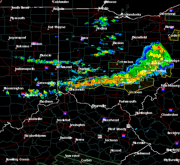 At 334 pm edt, radar indicated severe thunderstorms located along a line extending from near greenfield to morrow, moving southeast at 45 mph. storm hazards include, winds to 60 mph, penny size hail,. At 334 pm edt, radar indicated severe thunderstorms located along a line extending from near greenfield to morrow, moving southeast at 45 mph. storm hazards include, winds to 60 mph, penny size hail,.
|
| 7/14/2015 3:10 PM EDT |
 At 310 pm edt, radar indicated severe thunderstorms located along a line extending from 6 miles north of sabina to near waynesville, moving southeast at 45 mph. storm hazards include, winds to 60 mph, penny size hail,. At 310 pm edt, radar indicated severe thunderstorms located along a line extending from 6 miles north of sabina to near waynesville, moving southeast at 45 mph. storm hazards include, winds to 60 mph, penny size hail,.
|
| 7/13/2015 1:46 PM EDT |
 At 146 pm edt, radar indicated a severe thunderstorm located near hillsboro, moving southeast at 35 mph. storm hazards include, damaging winds to 70 mph, penny size hail, frequent cloud to ground lightning, very heavy rain which may cause minor flooding, locations impacted include, hillsboro, greenfield, lynchburg, leesburg, new vienna, marshall, russell, new market, mowrystown, highland, south salem, st. martin, samantha, berrysville, danville in highland county, rainsboro, lattaville, state route 136 at us route 62, rocky fork lake and paint creek state park. At 146 pm edt, radar indicated a severe thunderstorm located near hillsboro, moving southeast at 35 mph. storm hazards include, damaging winds to 70 mph, penny size hail, frequent cloud to ground lightning, very heavy rain which may cause minor flooding, locations impacted include, hillsboro, greenfield, lynchburg, leesburg, new vienna, marshall, russell, new market, mowrystown, highland, south salem, st. martin, samantha, berrysville, danville in highland county, rainsboro, lattaville, state route 136 at us route 62, rocky fork lake and paint creek state park.
|
| 7/13/2015 1:28 PM EDT |
 At 128 pm edt, radar indicated a severe thunderstorm located near new vienna, moving southeast at 30 mph. storm hazards include, winds to 60 mph, quarter size hail, very heavy rain which may cause minor flooding,. At 128 pm edt, radar indicated a severe thunderstorm located near new vienna, moving southeast at 30 mph. storm hazards include, winds to 60 mph, quarter size hail, very heavy rain which may cause minor flooding,.
|
| 6/29/2015 6:09 PM EDT |
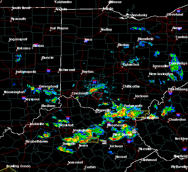 At 607 pm edt, radar indicated a severe thunderstorm capable of producing a tornado located 6 miles southwest of lynchburg, moving southeast at 15 mph. locations impacted include, lynchburg and hillsboro. in addition, state route 136 at us route 62, danville, russell and new market are near the path of this storm. At 607 pm edt, radar indicated a severe thunderstorm capable of producing a tornado located 6 miles southwest of lynchburg, moving southeast at 15 mph. locations impacted include, lynchburg and hillsboro. in addition, state route 136 at us route 62, danville, russell and new market are near the path of this storm.
|
| 6/29/2015 6:00 PM EDT |
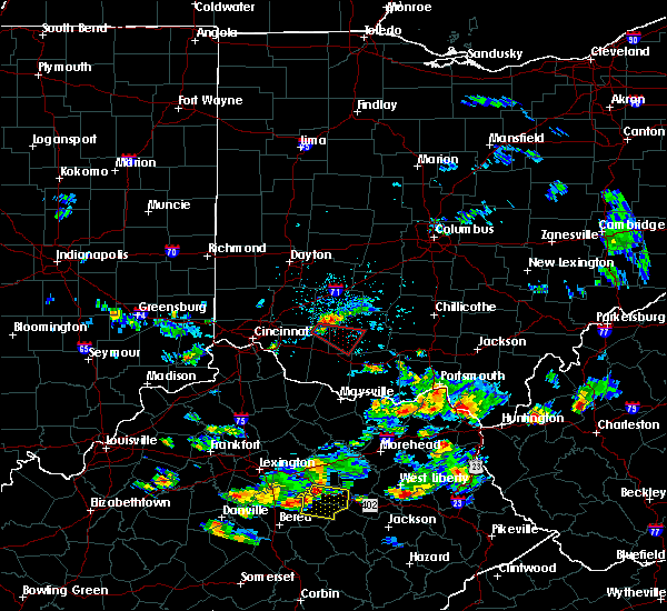 At 600 pm edt, radar indicated a severe thunderstorm capable of producing a tornado located near st. martin, moving southeast at 15 mph. At 600 pm edt, radar indicated a severe thunderstorm capable of producing a tornado located near st. martin, moving southeast at 15 mph.
|
| 6/29/2015 5:30 PM EDT |
 At 530 pm edt, radar continued to indicate a severe thunderstorm located near blanchester, moving east at 20 mph. storm hazards include, winds to 60 mph, quarter size hail, locations impacted include, blanchester. in addition, midland, cowan lake state park, westboro, morrisville, cuba and martinsville are near the path of this storm. At 530 pm edt, radar continued to indicate a severe thunderstorm located near blanchester, moving east at 20 mph. storm hazards include, winds to 60 mph, quarter size hail, locations impacted include, blanchester. in addition, midland, cowan lake state park, westboro, morrisville, cuba and martinsville are near the path of this storm.
|
| 6/29/2015 5:11 PM EDT |
 At 510 pm edt, radar indicated a severe thunderstorm located near state route 123 at state route 132, moving east at 20 mph. storm hazards include, winds to 60 mph, quarter size hail,. At 510 pm edt, radar indicated a severe thunderstorm located near state route 123 at state route 132, moving east at 20 mph. storm hazards include, winds to 60 mph, quarter size hail,.
|
| 5/26/2015 6:05 PM EDT | At 604 pm edt, radar continued to indicate a severe thunderstorm located near lynchburg, moving northeast at 25 mph. storm hazards include, winds to 60 mph, quarter size hail, locations impacted include, lynchburg. in addition, russell is near the path of this storm. |
| 5/26/2015 5:45 PM EDT | At 543 pm edt, radar continued to indicate a severe thunderstorm located near greenbush, moving northeast at 35 mph. storm hazards include, winds to 60 mph, quarter size hail, locations impacted include, lynchburg. in addition, chasetown, danville and russell are near the path of this storm. |
| 5/26/2015 5:31 PM EDT | At 530 pm edt, radar indicated a severe thunderstorm located near williamsburg, moving northeast at 30 mph. storm hazards include, winds to 60 mph, quarter size hail,. |
| 5/11/2015 4:09 PM EDT | At 408 pm edt, radar indicated a severe thunderstorm located near hamersville, moving northeast at 35 mph. storm hazards include, winds to 60 mph, penny size hail,. |
| 4/10/2015 3:46 AM EDT | A severe thunderstorm warning remains in effect until 415 am edt for western highland. southeastern clermont. eastern greene. clinton and northern brown counties. at 344 am edt. radar continued to indicate severe thunderstorms located along a line extending from paintersville to williamsburg. Moving northeast at 60 mph. |
| 4/10/2015 3:25 AM EDT | The national weather service in wilmington has issued a * severe thunderstorm warning for. western highland county in southwest ohio. clermont county in southwest ohio. warren county in southwest ohio. Southeastern greene county in west central ohio. |
| 4/10/2015 3:25 AM EDT | The national weather service in wilmington has issued a * severe thunderstorm warning for. western highland county in southwest ohio. clermont county in southwest ohio. warren county in southwest ohio. Southeastern greene county in west central ohio. |
| 4/8/2015 11:26 AM EDT | The national weather service in wilmington has issued a * severe thunderstorm warning for. highland county in southwest ohio. southeastern clermont county in southwest ohio. ross county in southwest ohio. Northwestern pike county in southwest ohio. |
| 4/8/2015 11:01 AM EDT | A severe thunderstorm warning remains in effect until 1115 am edt for highland. northern clermont. southeastern warren. eastern hamilton. southern clinton and northwestern brown counties. at 1059 am edt. radar continued to indicate severe thunderstorms located along a line extending from midland to edenton to perintown. Moving east at 60 mph. |
| 4/8/2015 10:41 AM EDT | The national weather service in wilmington has issued a * severe thunderstorm warning for. highland county in southwest ohio. northern clermont county in southwest ohio. southern warren county in southwest ohio. Northeastern hamilton county in southwest ohio. |
| 6/4/2014 3:41 PM EDT | A tree limb and lamp post were knocked down at lynchburg-clay high schoo in highland county OH, 3.5 miles N of Lynchburg, OH |
| 11/17/2013 6:44 PM EST | Trees down. including a large tree on a hous in highland county OH, 0.1 miles W of Lynchburg, OH |
| 6/29/2012 5:13 PM EDT | Several trees uprooted along sr 135 near allensbur in highland county OH, 2.8 miles NNW of Lynchburg, OH |
| 1/1/0001 12:00 AM | A few trees down in highland county OH, 1.4 miles N of Lynchburg, OH |
Hail Maps for Lynchburg, OH
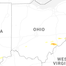


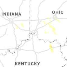


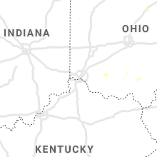


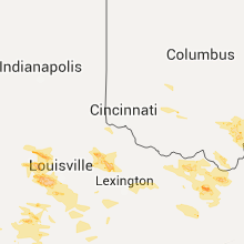


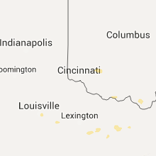
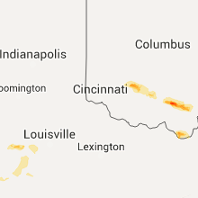


Connect with Interactive Hail Maps