

Hail Map for Lyons, OR
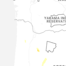
The Lyons, OR area has had 0 reports of on-the-ground hail by trained spotters, and has been under severe weather warnings 0 times during the past 12 months. Doppler radar has detected hail at or near Lyons, OR on 1 occasion, including 1 occasion during the past year.
| Name: | Lyons, OR |
| Where Located: | 50.9 miles S of Portland, OR |
| Map: | Google Map for Lyons, OR |
| Population: | 1161 |
| Housing Units: | 475 |
| More Info: | Search Google for Lyons, OR |
0
The Top Recent Hail Date for Lyons, OR is Wednesday, July 22, 2026 (1st out of 1)

Hail and Wind Damage Spotted near Lyons, OR
| Date / Time | Report Details |
|---|---|
| 9/18/2020 2:10 AM PDT |
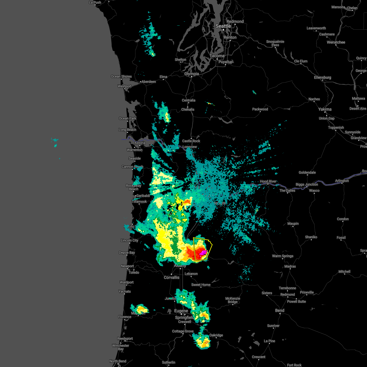 At 209 am pdt, a severe thunderstorm was located over stayton, or 16 miles southeast of salem, moving north at 30 mph (radar indicated). Hazards include golf ball size hail and 60 mph wind gusts. People and animals outdoors will be injured. expect hail damage to roofs, siding, windows, and vehicles. expect wind damage to roofs, siding, and trees. locations impacted include, silverton, stayton, lyons, silver falls, mehama and sublimity. In oregon this includes state highway 22 east of salem between mile markers 11 and 22. At 209 am pdt, a severe thunderstorm was located over stayton, or 16 miles southeast of salem, moving north at 30 mph (radar indicated). Hazards include golf ball size hail and 60 mph wind gusts. People and animals outdoors will be injured. expect hail damage to roofs, siding, windows, and vehicles. expect wind damage to roofs, siding, and trees. locations impacted include, silverton, stayton, lyons, silver falls, mehama and sublimity. In oregon this includes state highway 22 east of salem between mile markers 11 and 22.
|
| 9/18/2020 1:55 AM PDT |
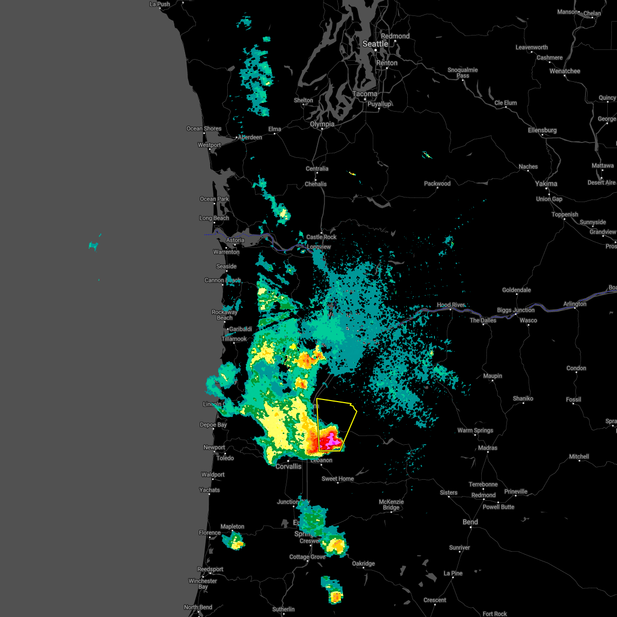 At 154 am pdt, a severe thunderstorm was located near scio, or 15 miles east of albany, moving north at 30 mph (radar indicated). Hazards include 60 mph wind gusts and quarter size hail. Hail damage to vehicles is expected. Expect wind damage to roofs, siding, and trees. At 154 am pdt, a severe thunderstorm was located near scio, or 15 miles east of albany, moving north at 30 mph (radar indicated). Hazards include 60 mph wind gusts and quarter size hail. Hail damage to vehicles is expected. Expect wind damage to roofs, siding, and trees.
|
| 9/18/2020 1:50 AM PDT |
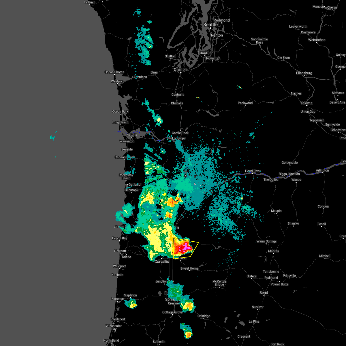 At 149 am pdt, a severe thunderstorm was located over scio, or 14 miles northeast of albany, moving north at 35 mph (radar indicated). Hazards include 60 mph wind gusts and quarter size hail. Hail damage to vehicles is expected. expect wind damage to roofs, siding, and trees. locations impacted include, stayton, jefferson, lyons, scio, mehama, marion, crabtree and jordan. this includes the following highways in oregon, interstate 5 between mile markers 246 and 248. u. s. highway 20 east of albany between mile markers 3 and 10. State highway 22 east of salem between mile markers 15 and 21. At 149 am pdt, a severe thunderstorm was located over scio, or 14 miles northeast of albany, moving north at 35 mph (radar indicated). Hazards include 60 mph wind gusts and quarter size hail. Hail damage to vehicles is expected. expect wind damage to roofs, siding, and trees. locations impacted include, stayton, jefferson, lyons, scio, mehama, marion, crabtree and jordan. this includes the following highways in oregon, interstate 5 between mile markers 246 and 248. u. s. highway 20 east of albany between mile markers 3 and 10. State highway 22 east of salem between mile markers 15 and 21.
|
| 9/18/2020 1:33 AM PDT |
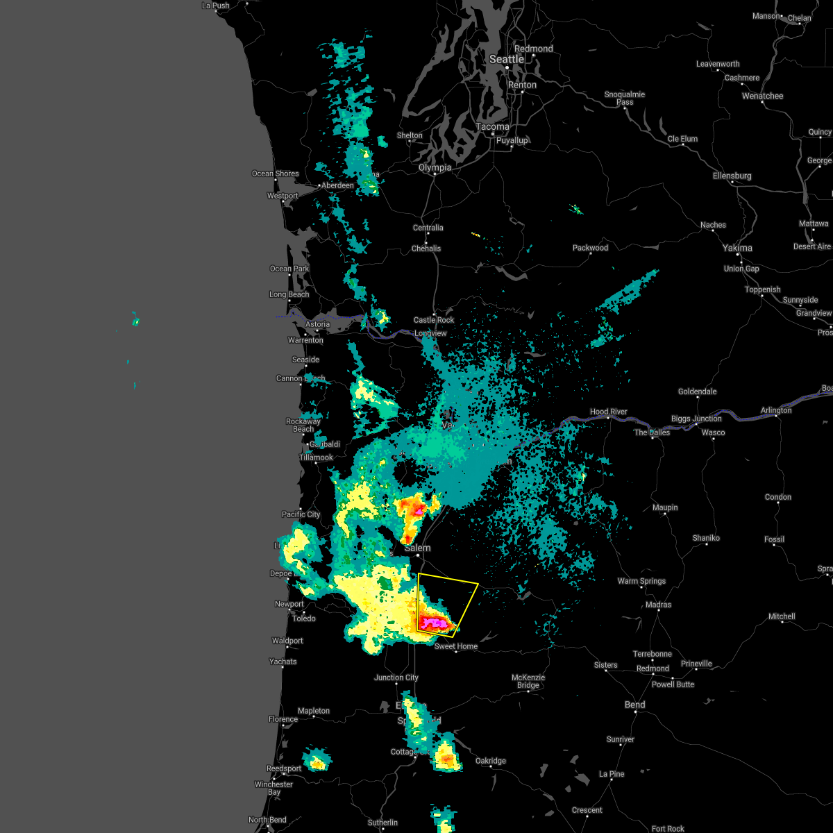 At 132 am pdt, a severe thunderstorm was located over lebanon, or 10 miles east of albany, moving north at 35 mph (radar indicated). Hazards include 60 mph wind gusts and quarter size hail. Hail damage to vehicles is expected. Expect wind damage to roofs, siding, and trees. At 132 am pdt, a severe thunderstorm was located over lebanon, or 10 miles east of albany, moving north at 35 mph (radar indicated). Hazards include 60 mph wind gusts and quarter size hail. Hail damage to vehicles is expected. Expect wind damage to roofs, siding, and trees.
|
Hail Maps for Lyons, OR
Connect with Interactive Hail Maps