

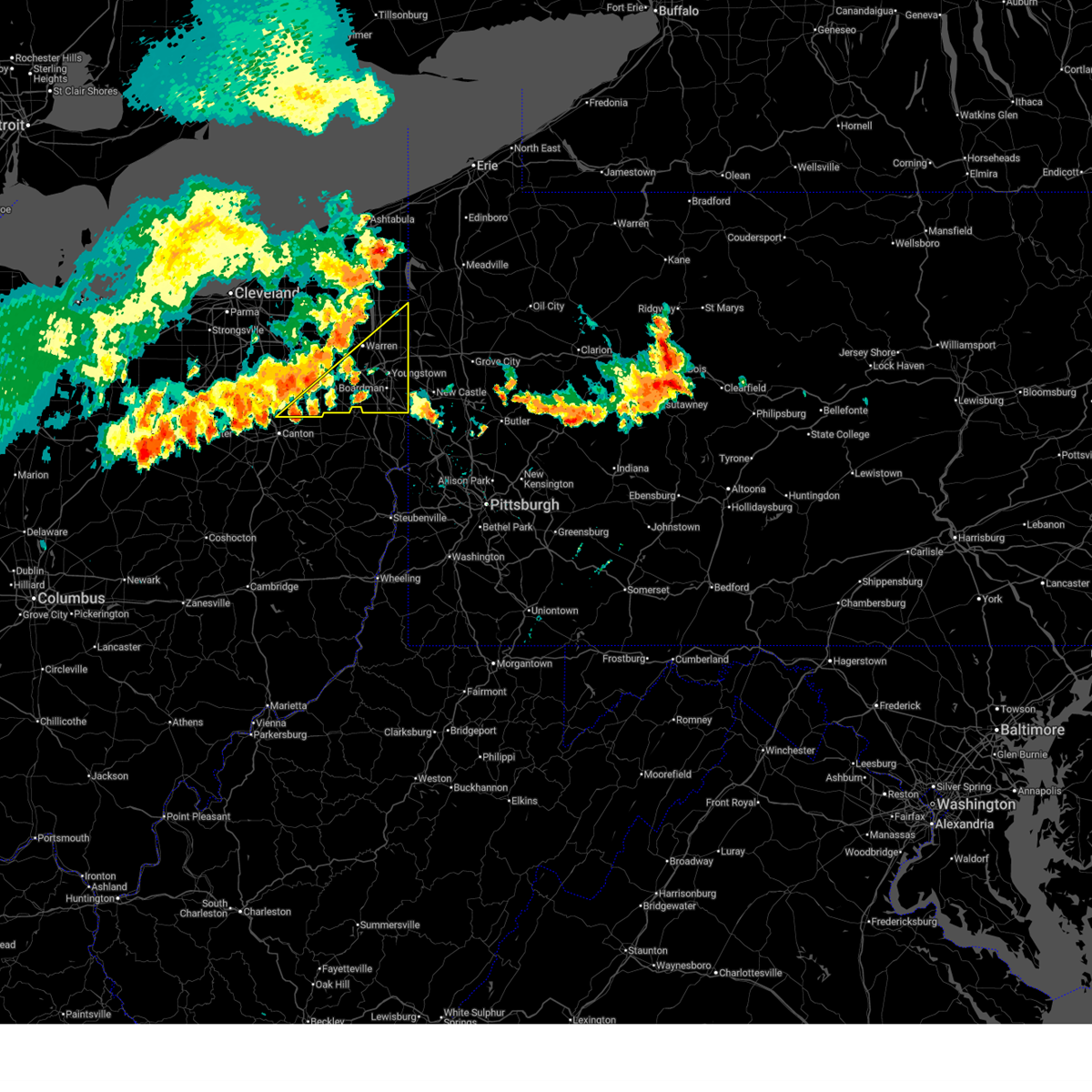
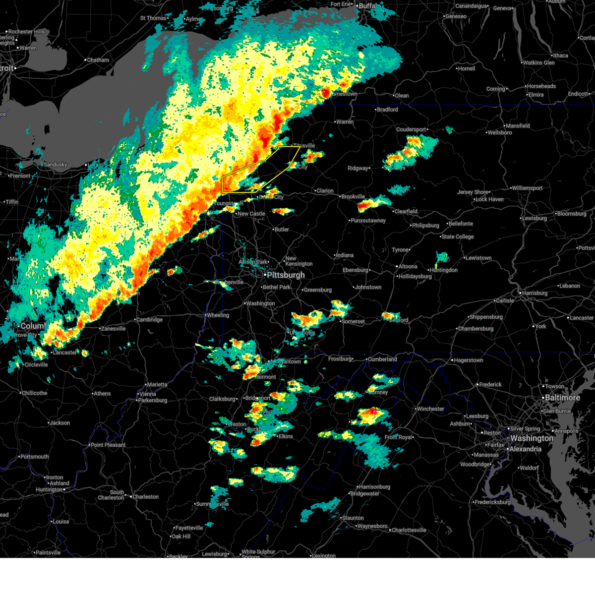
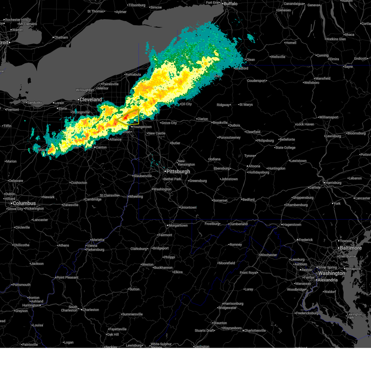
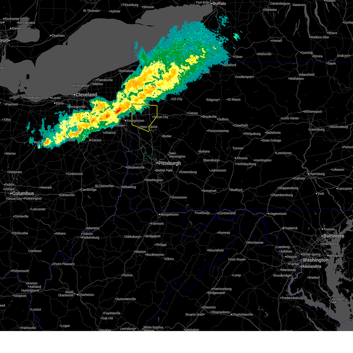
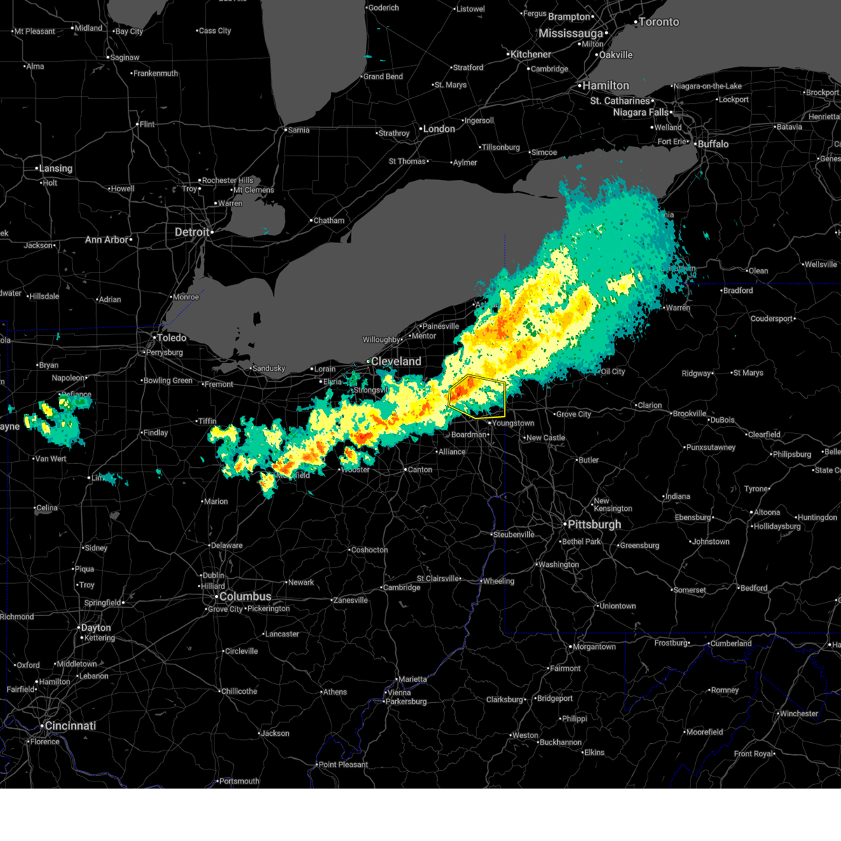
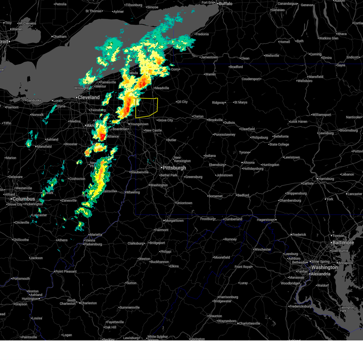
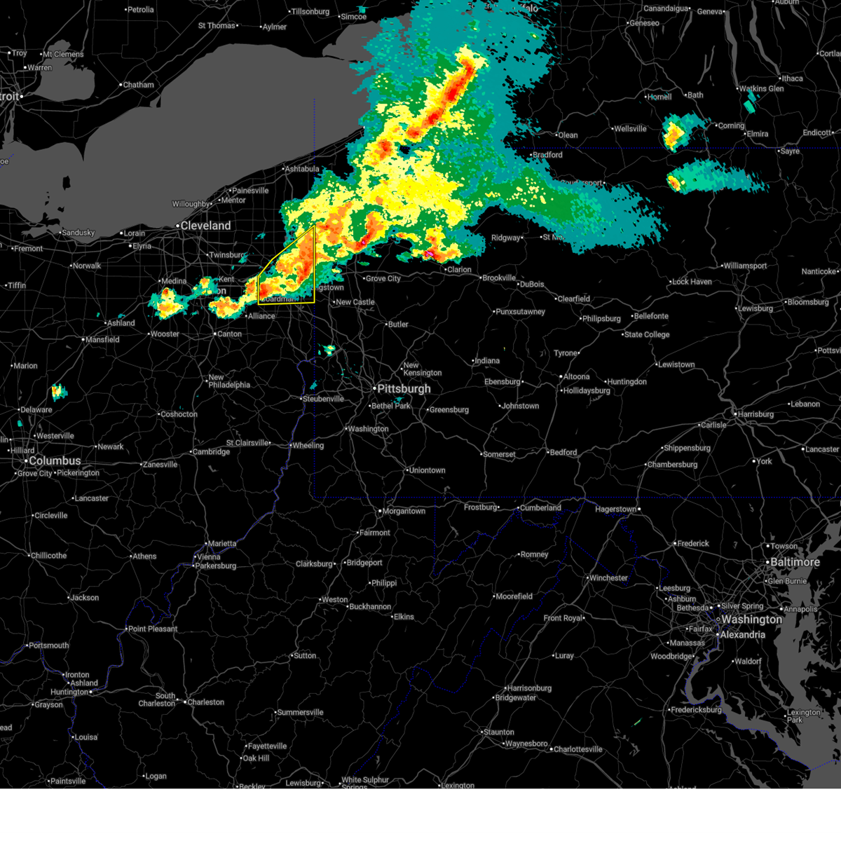
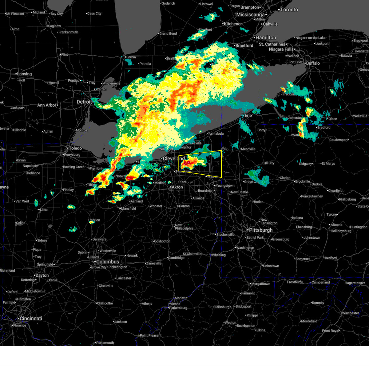
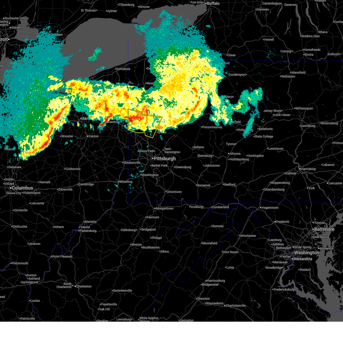
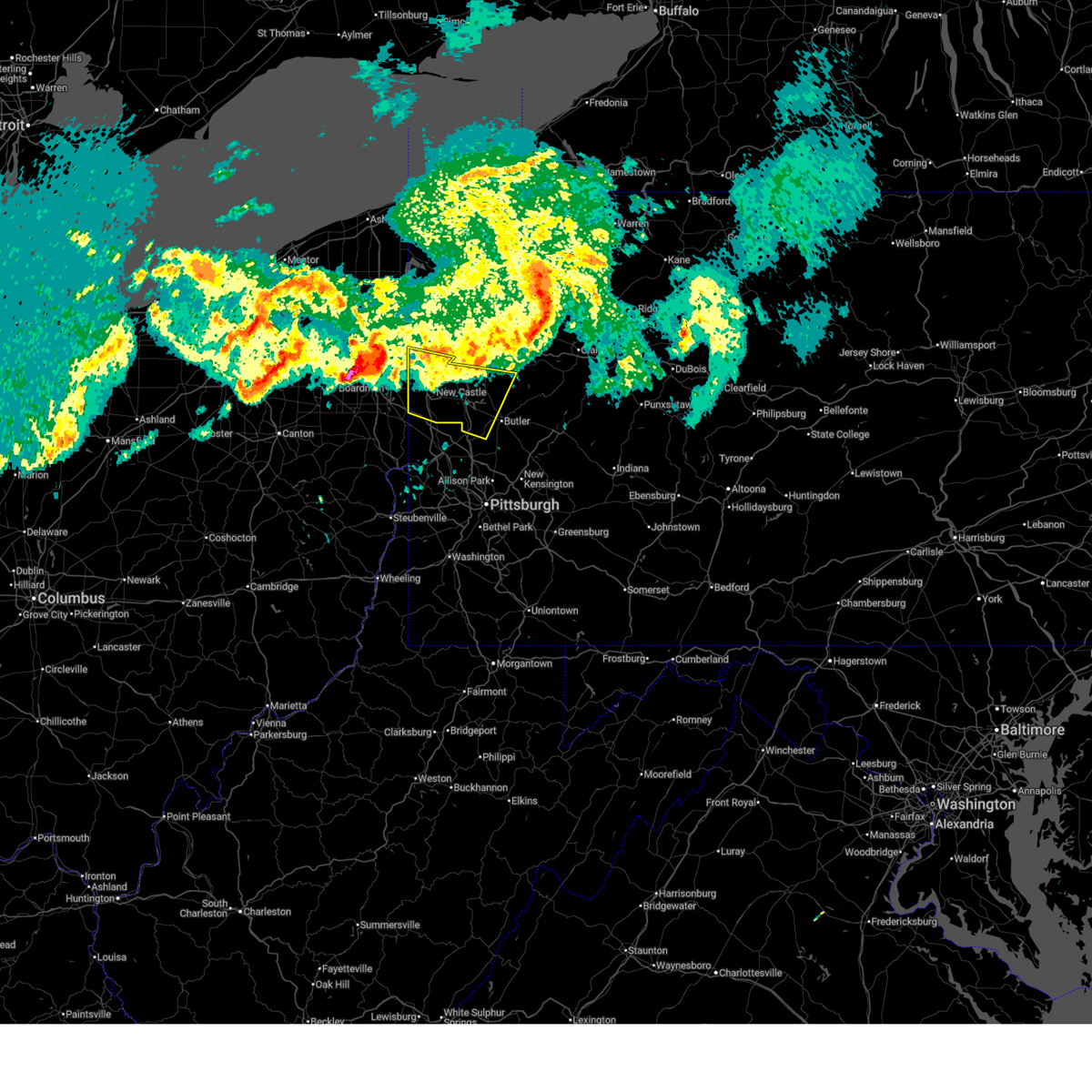
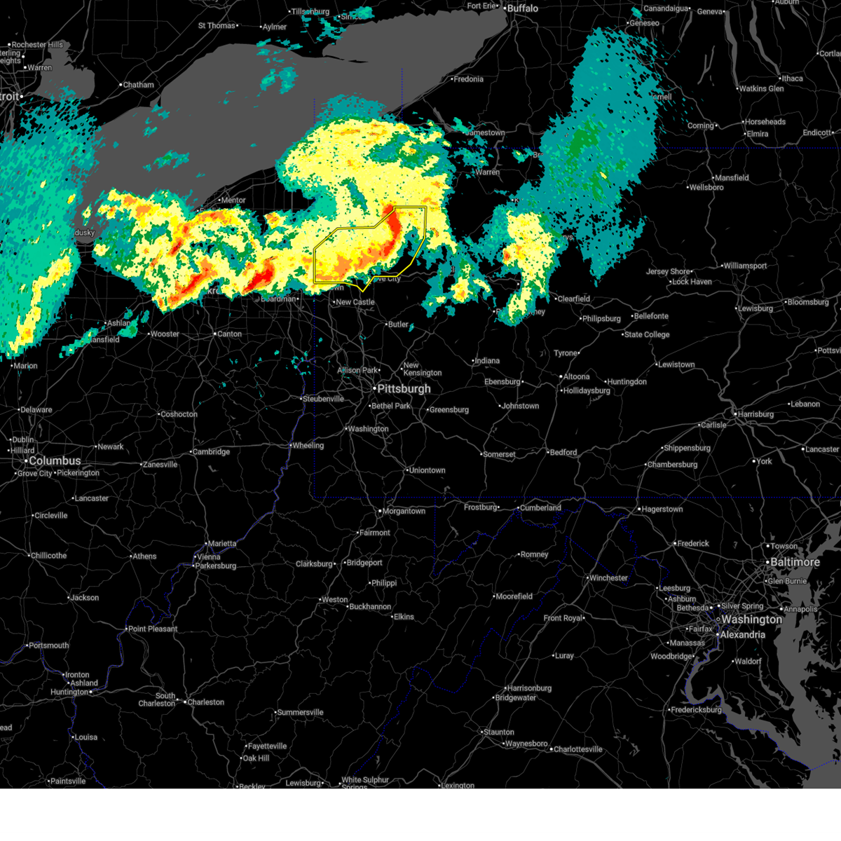
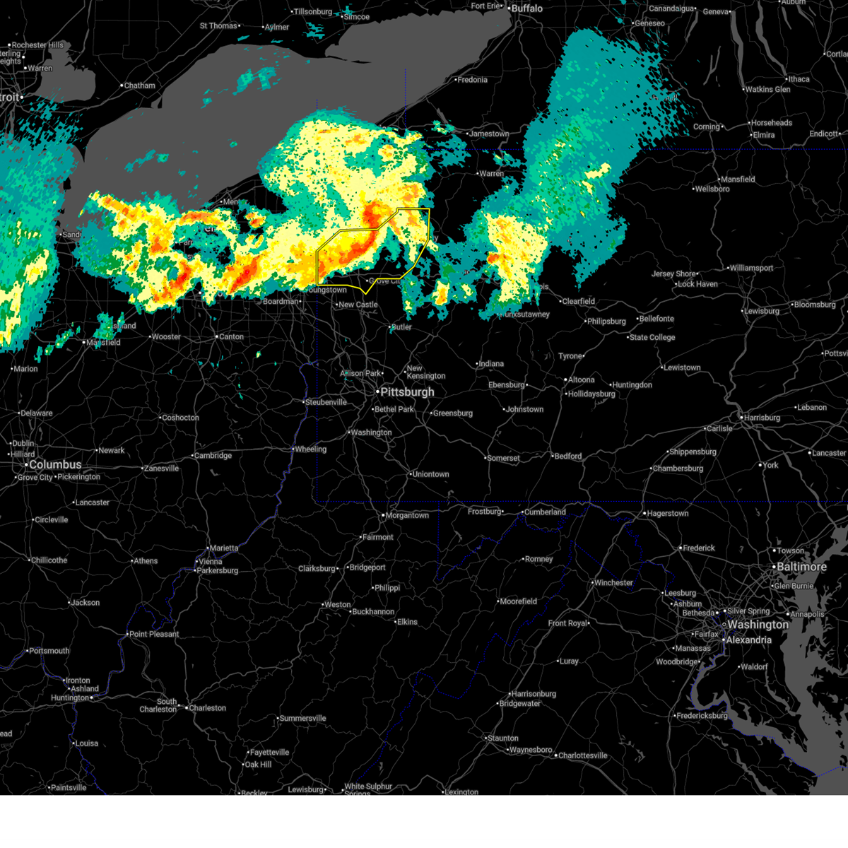
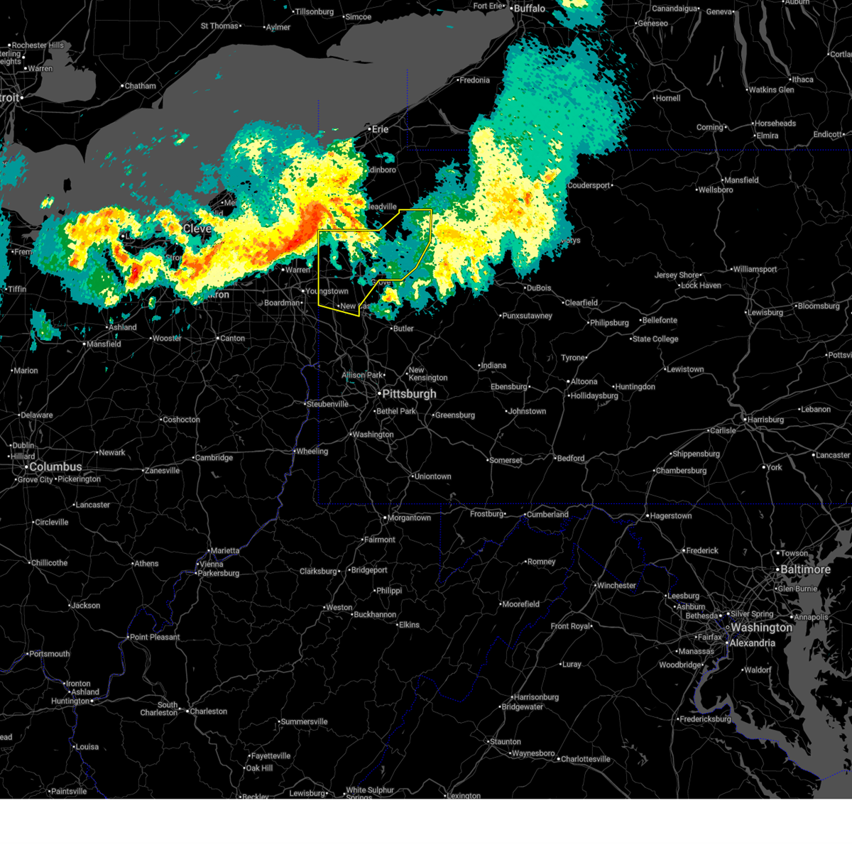
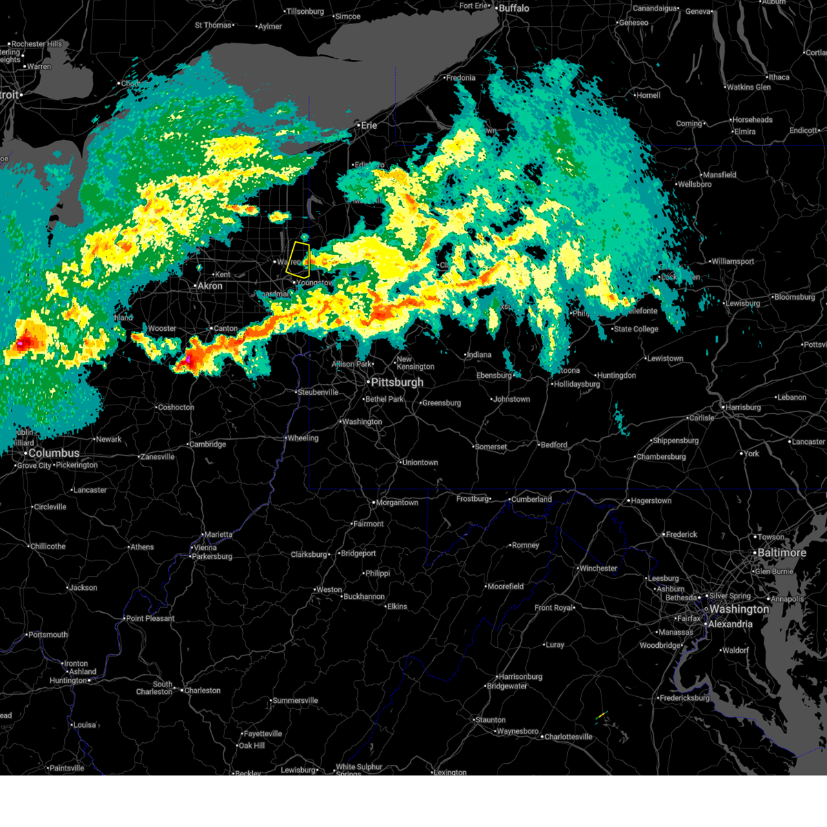
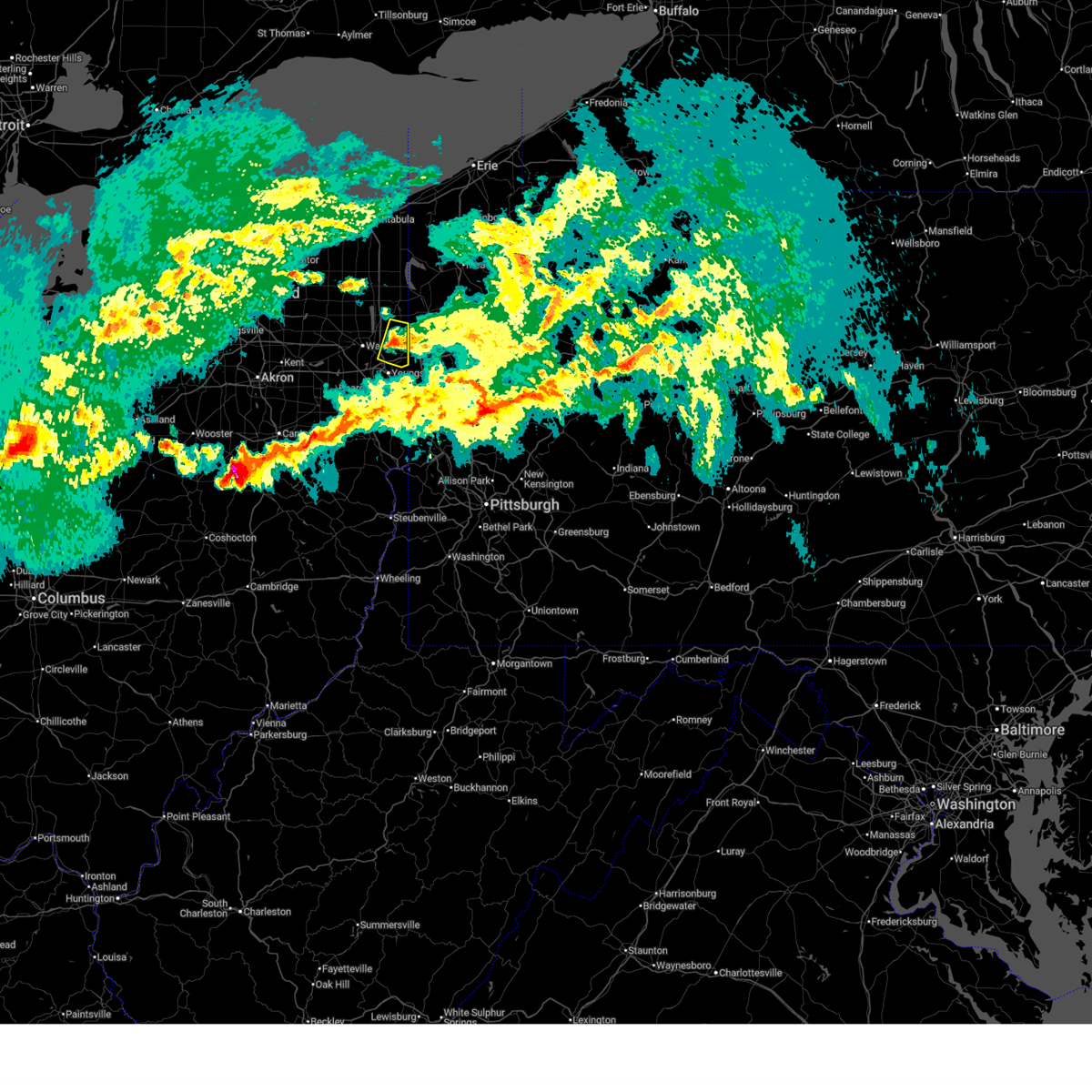
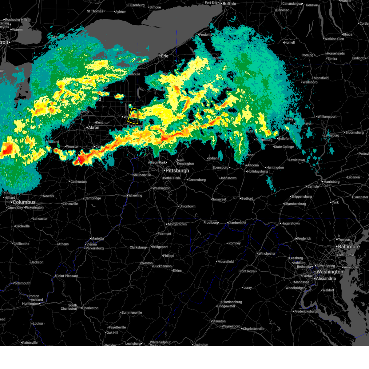
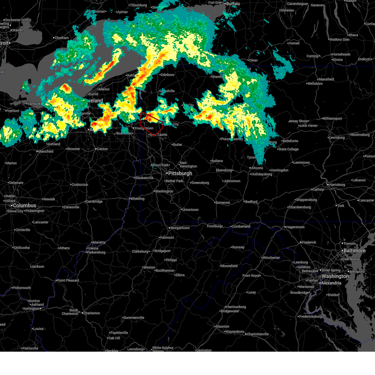
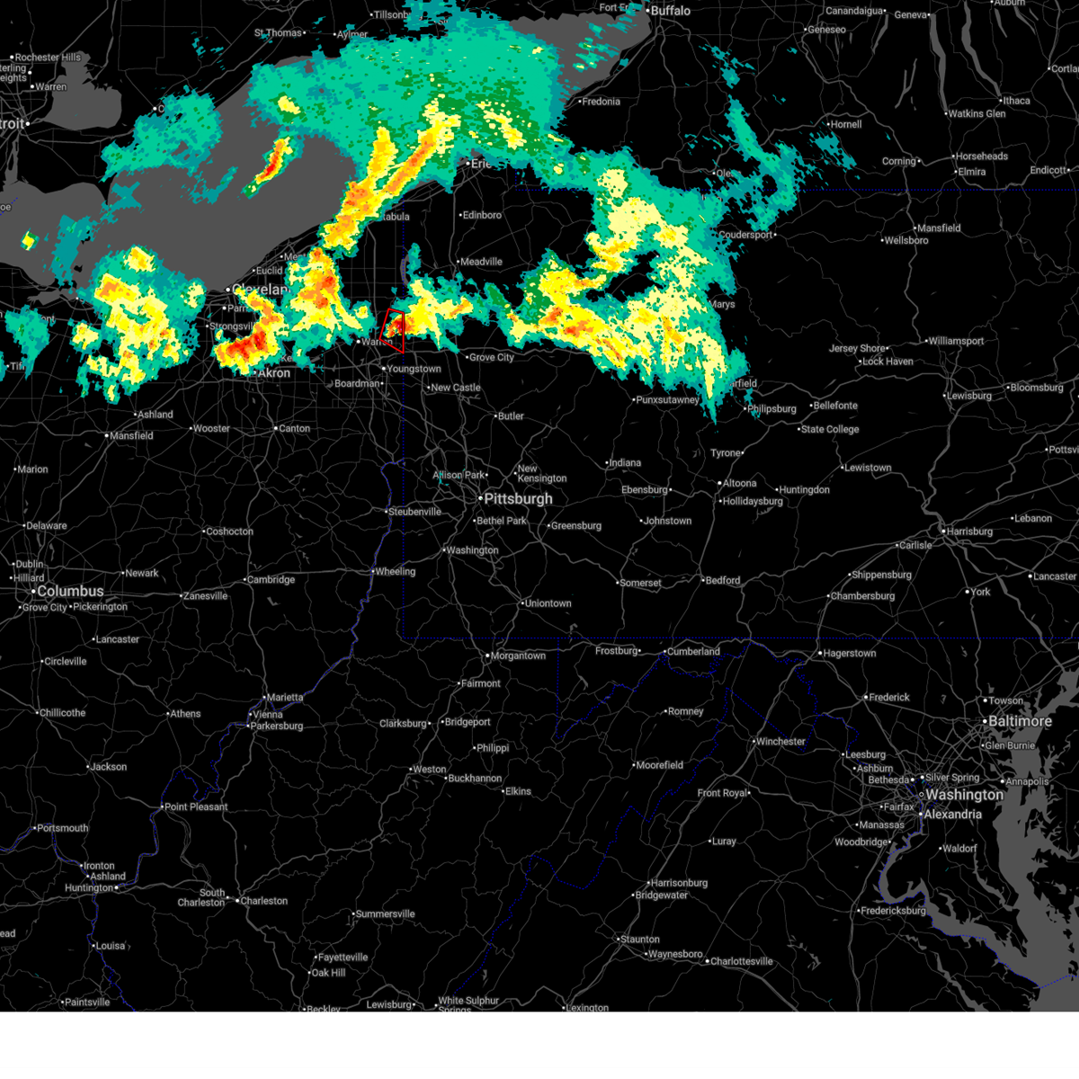
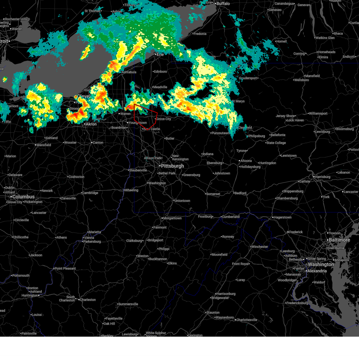
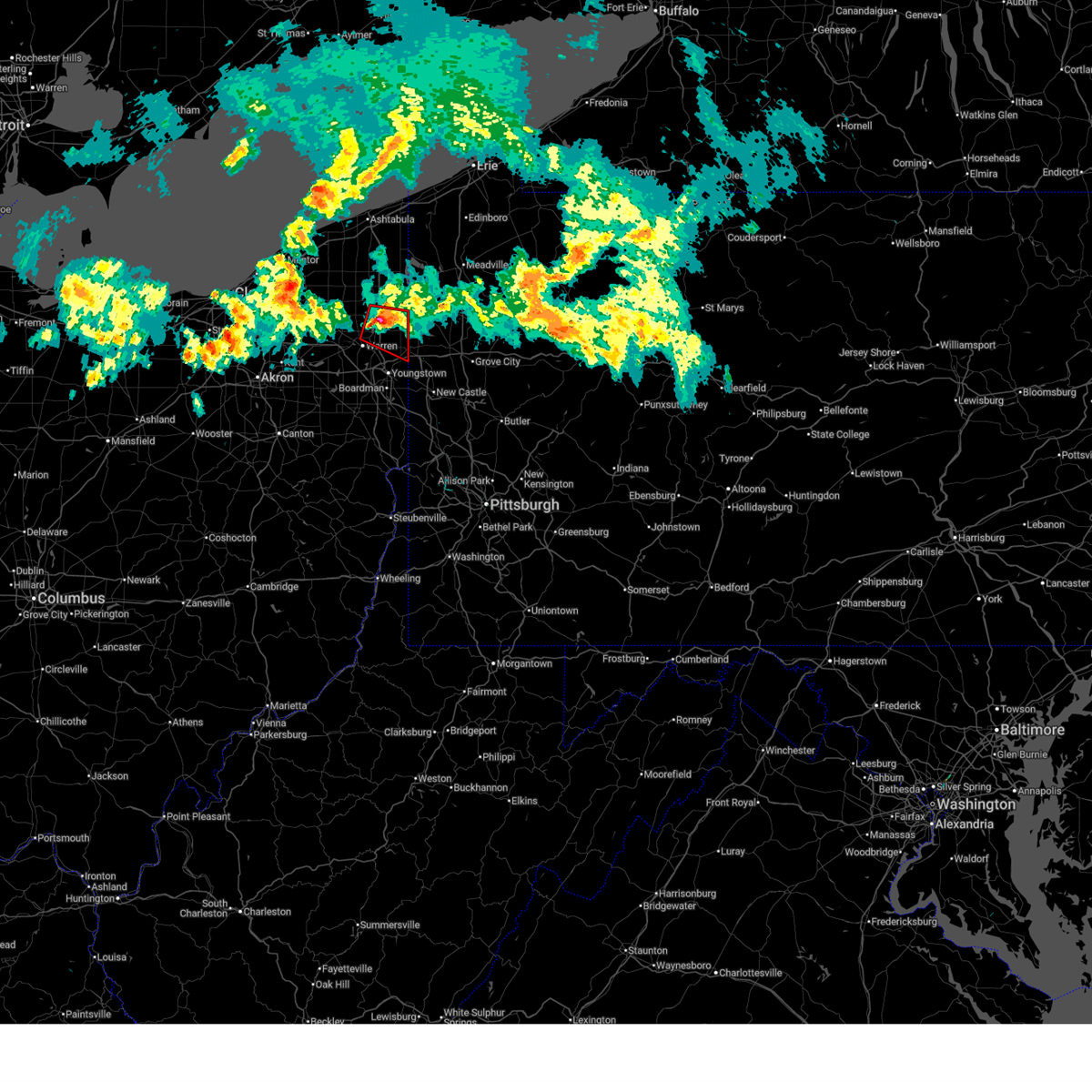
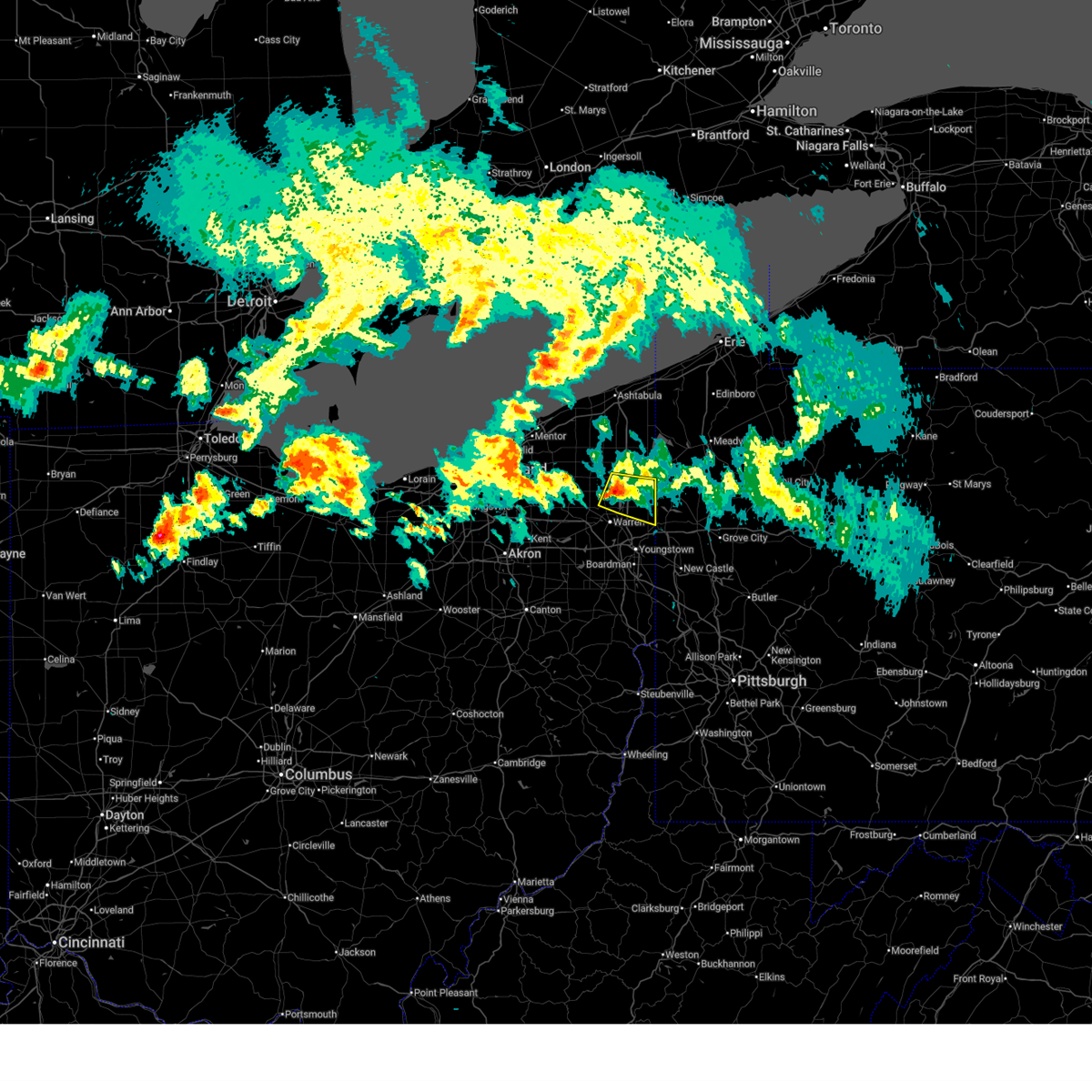
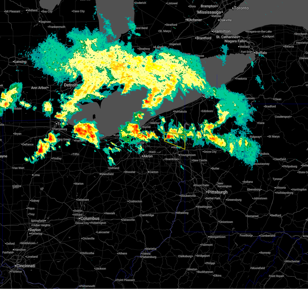
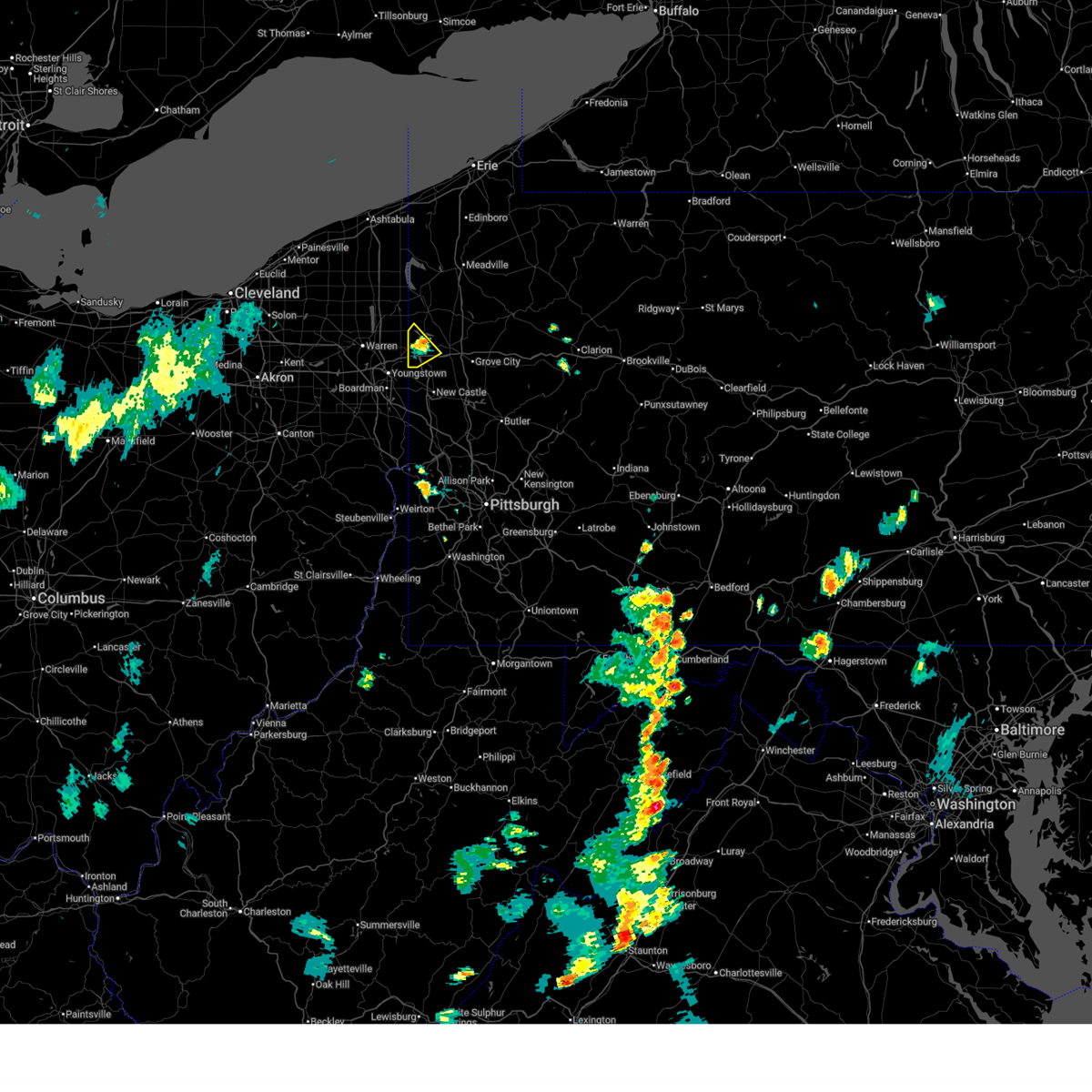
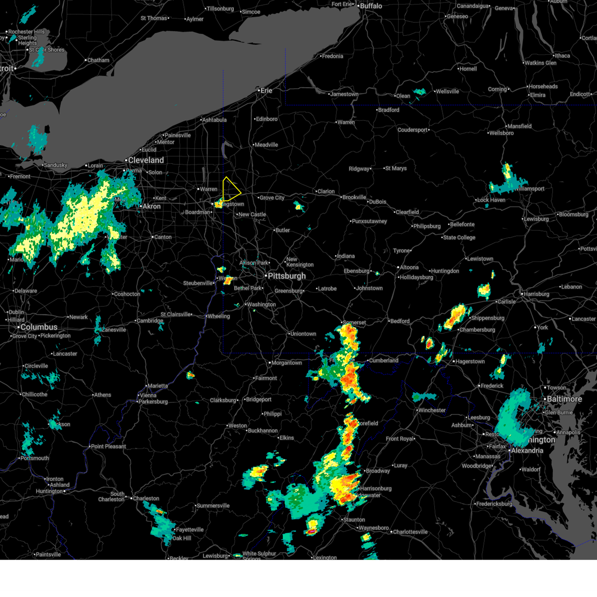
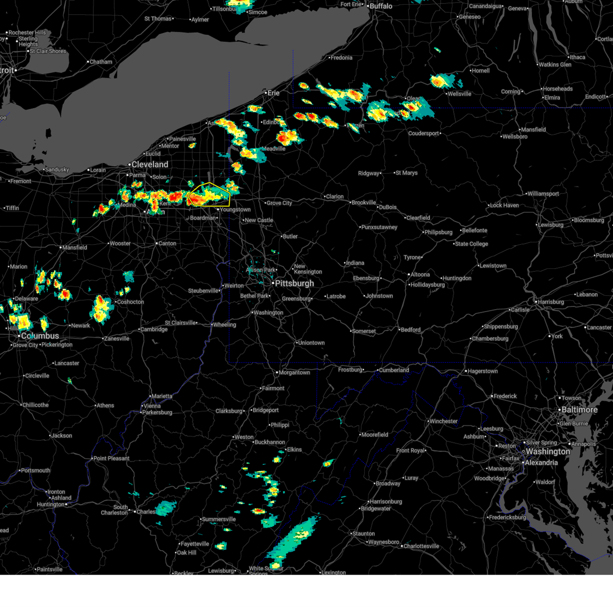
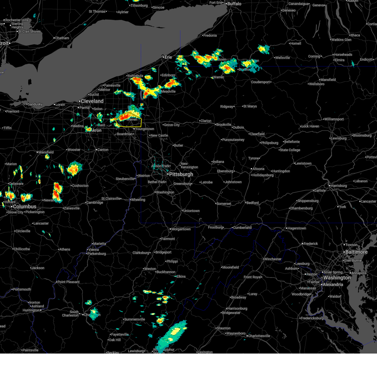
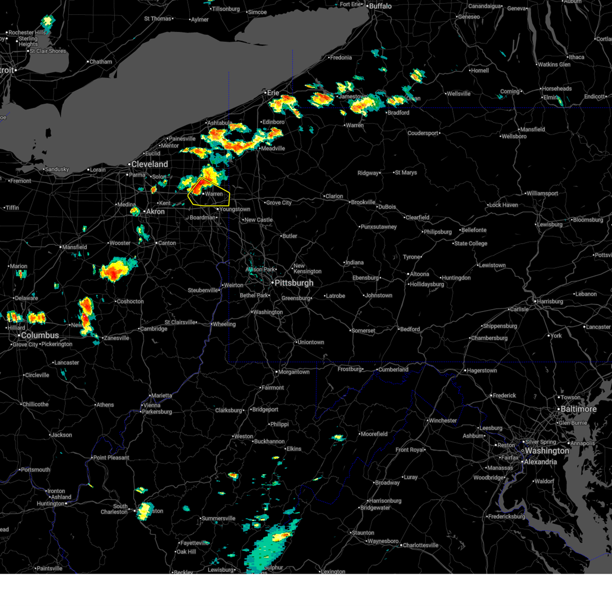
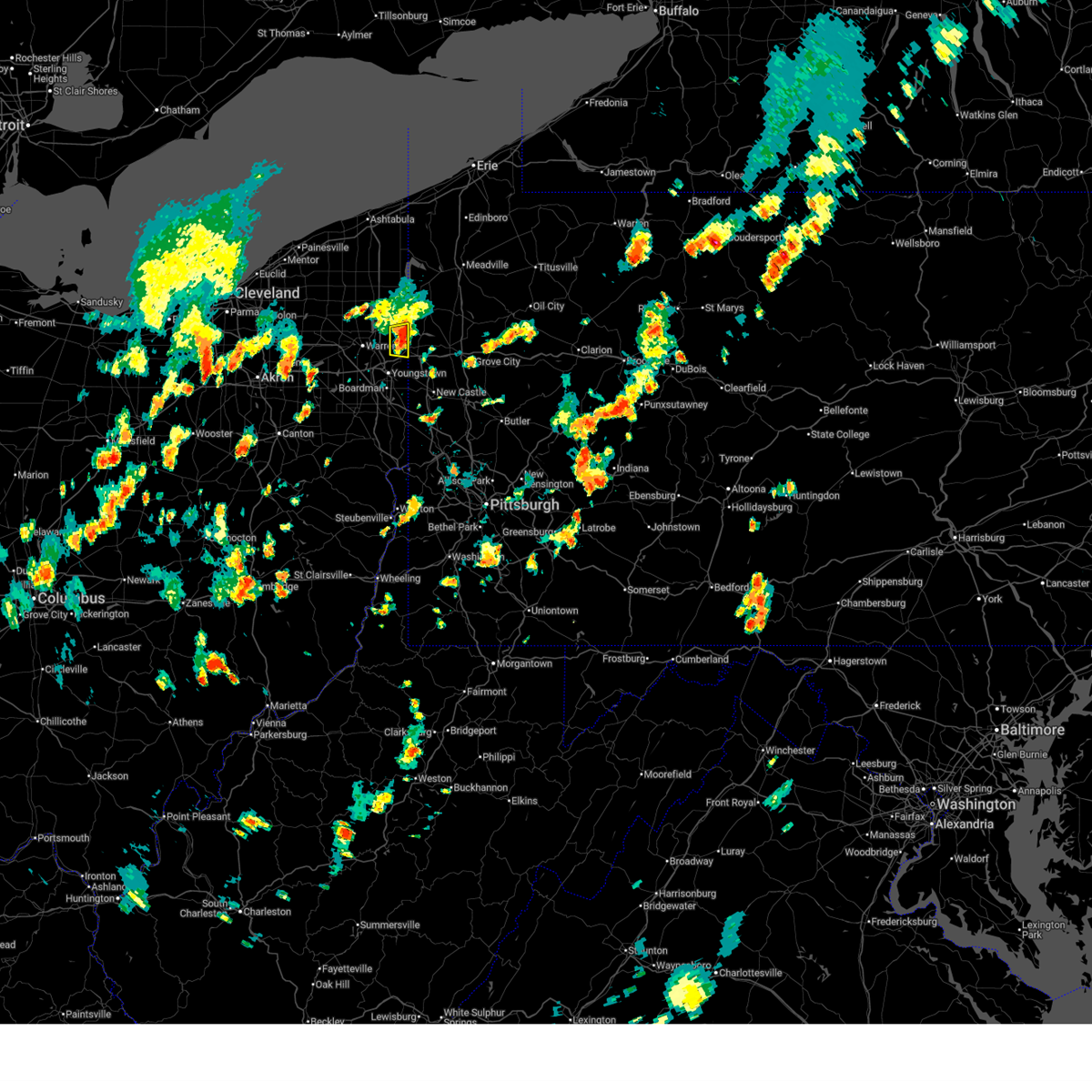
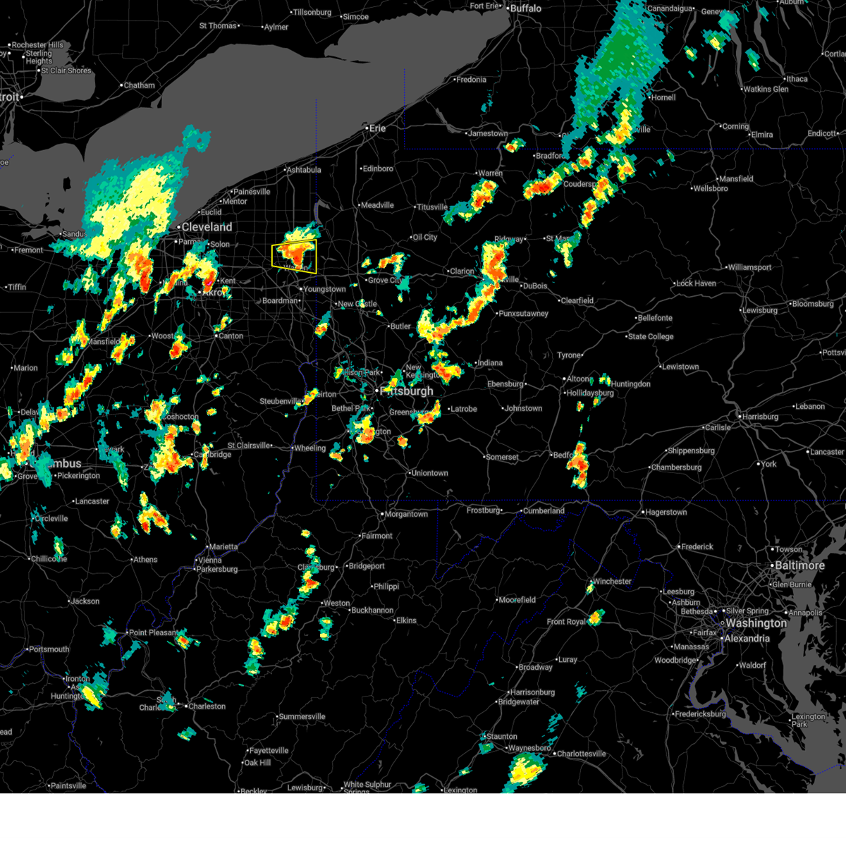
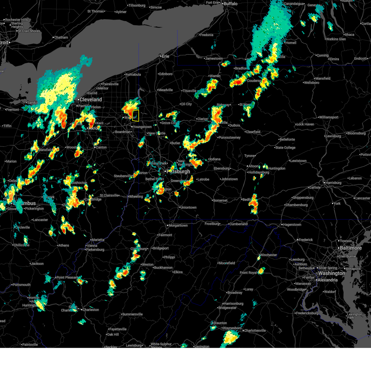
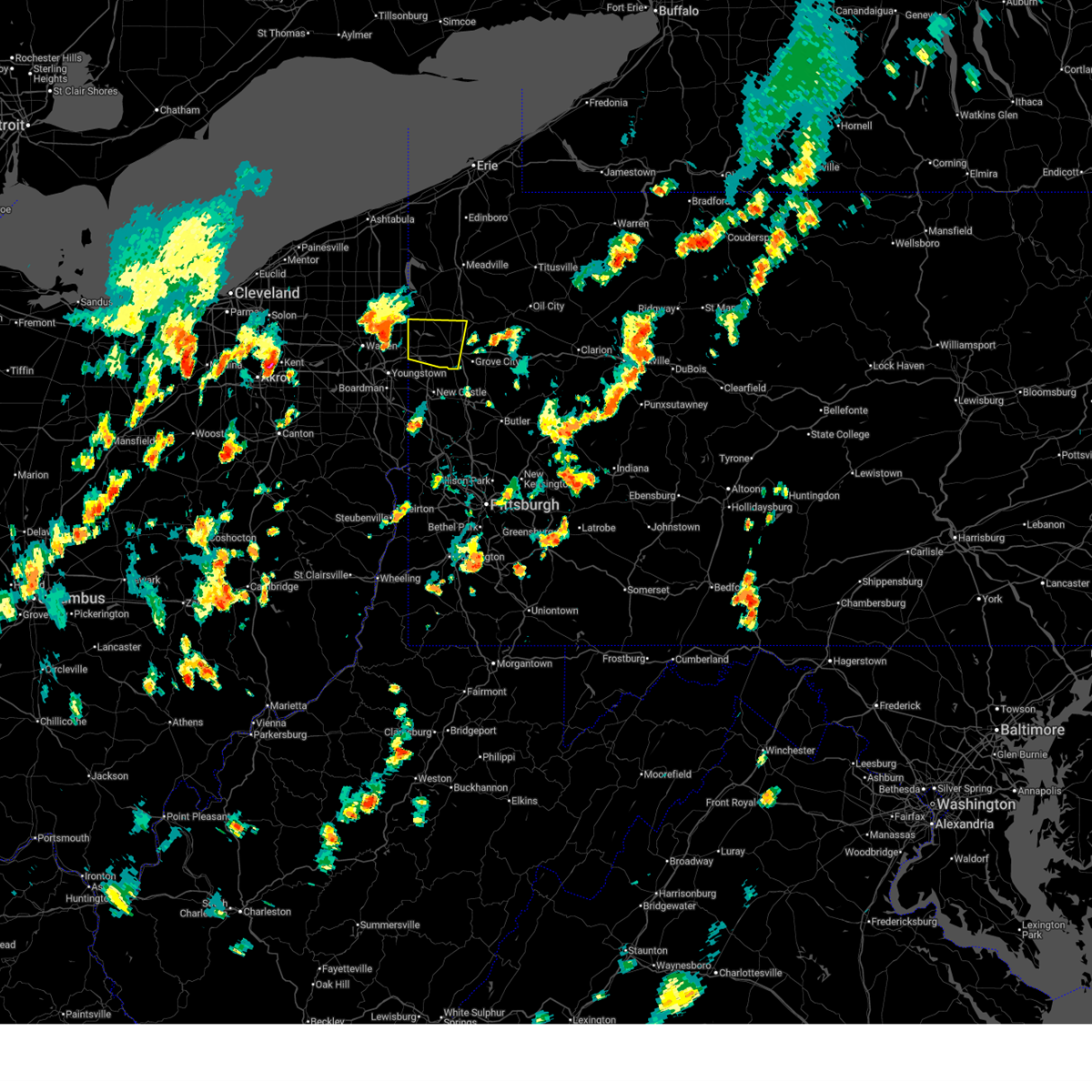
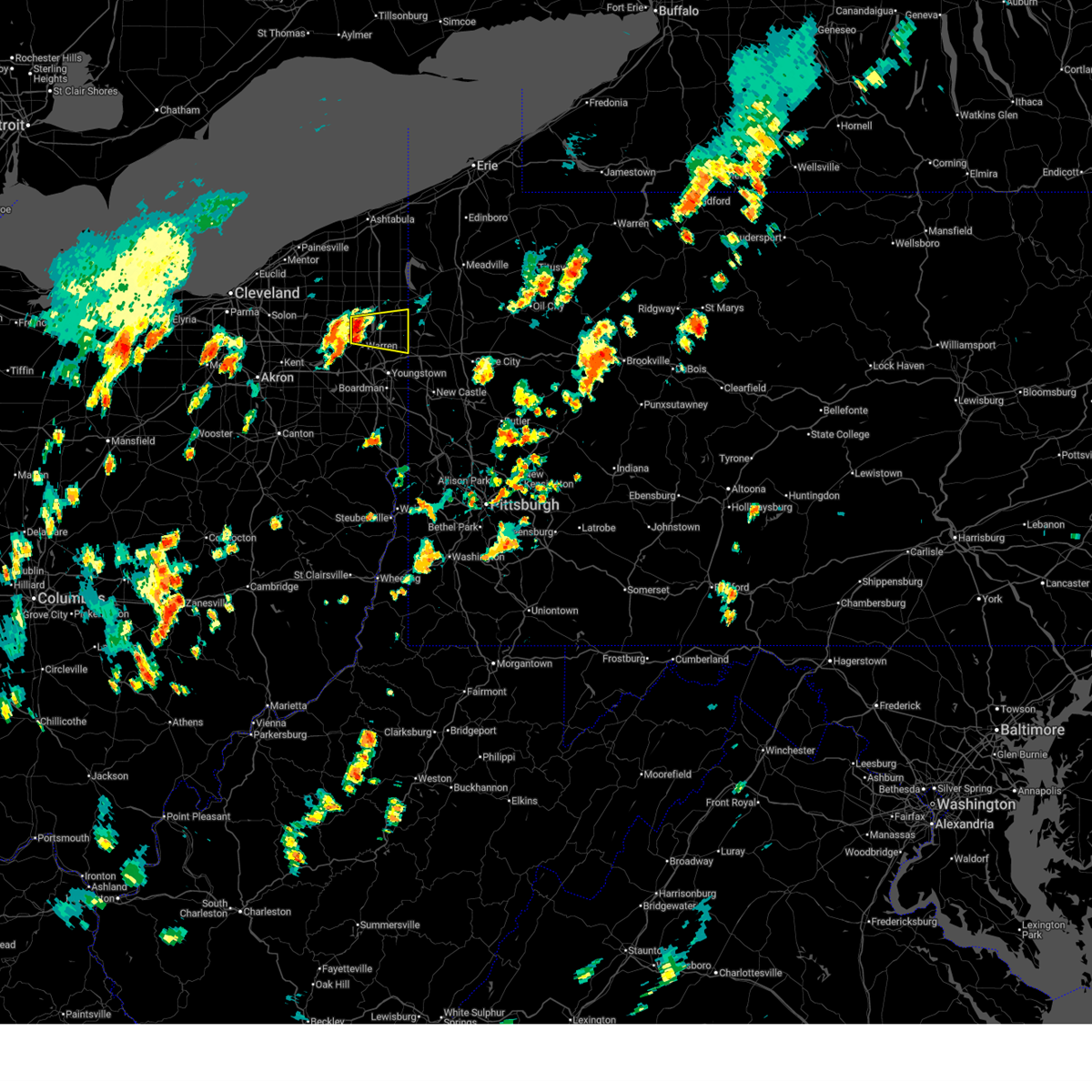
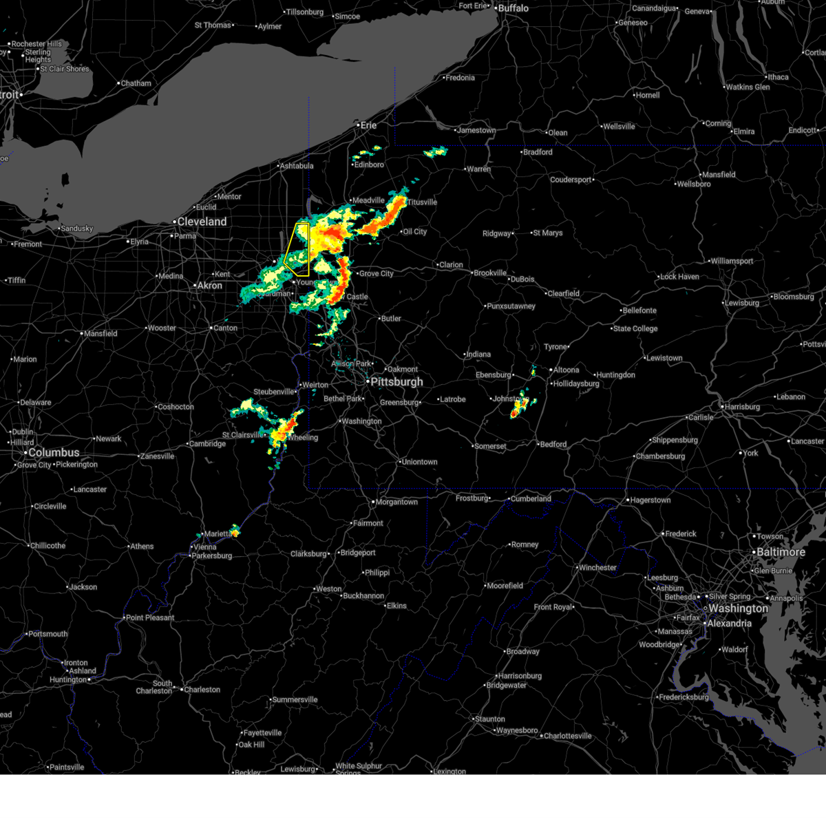
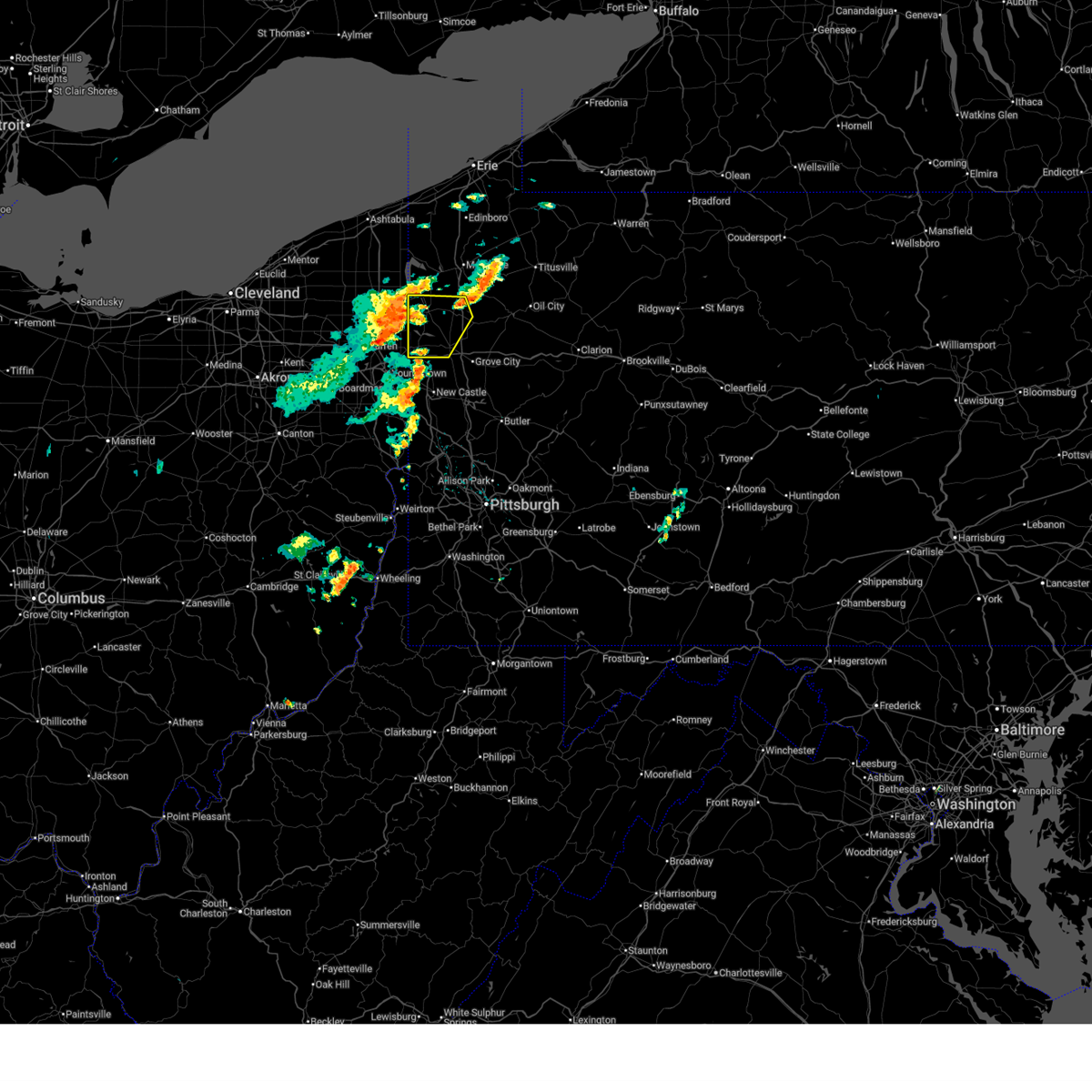
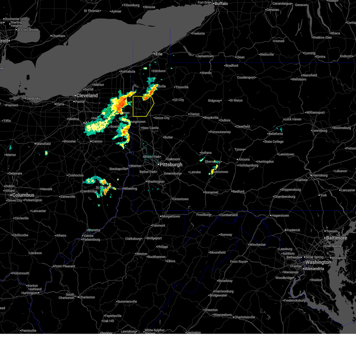
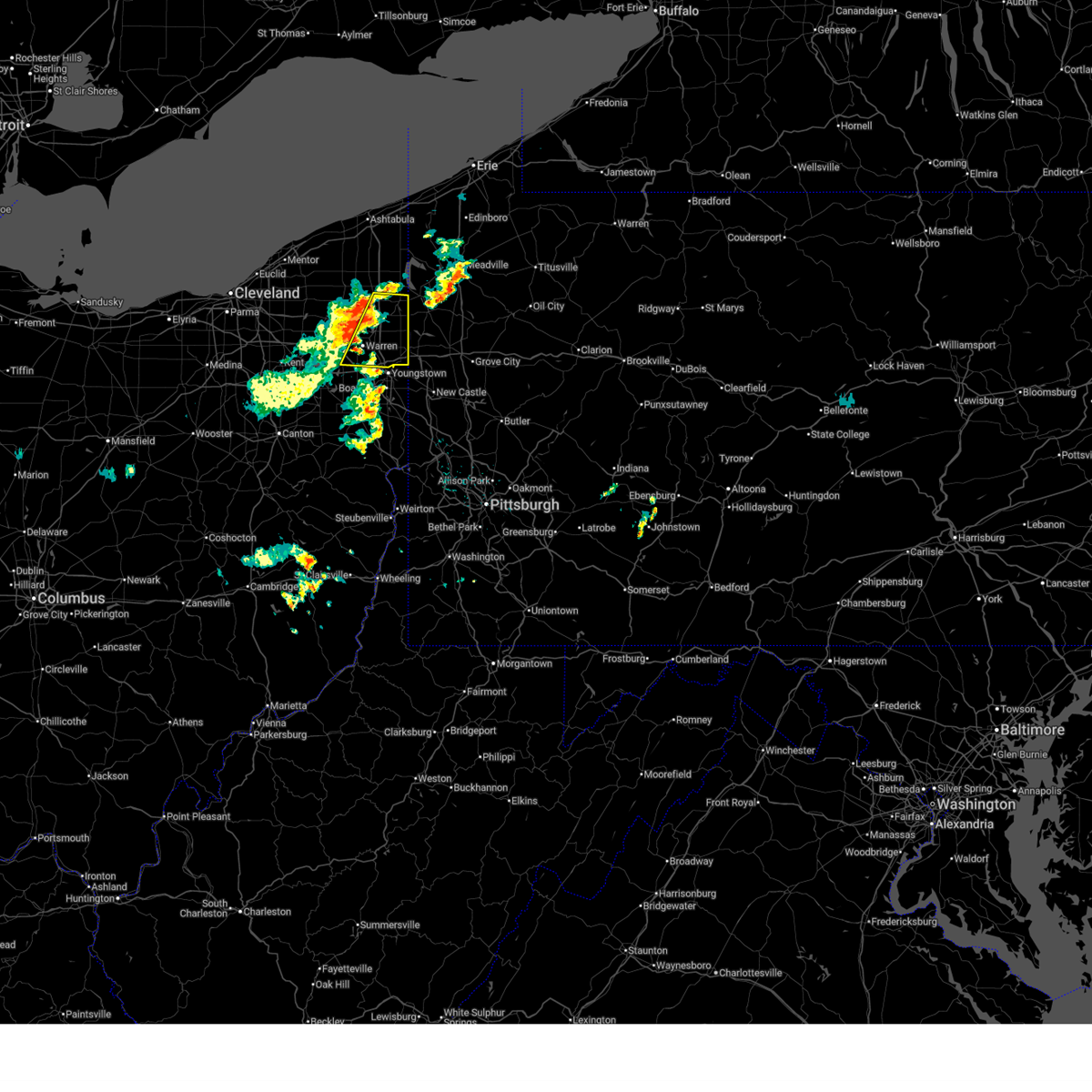
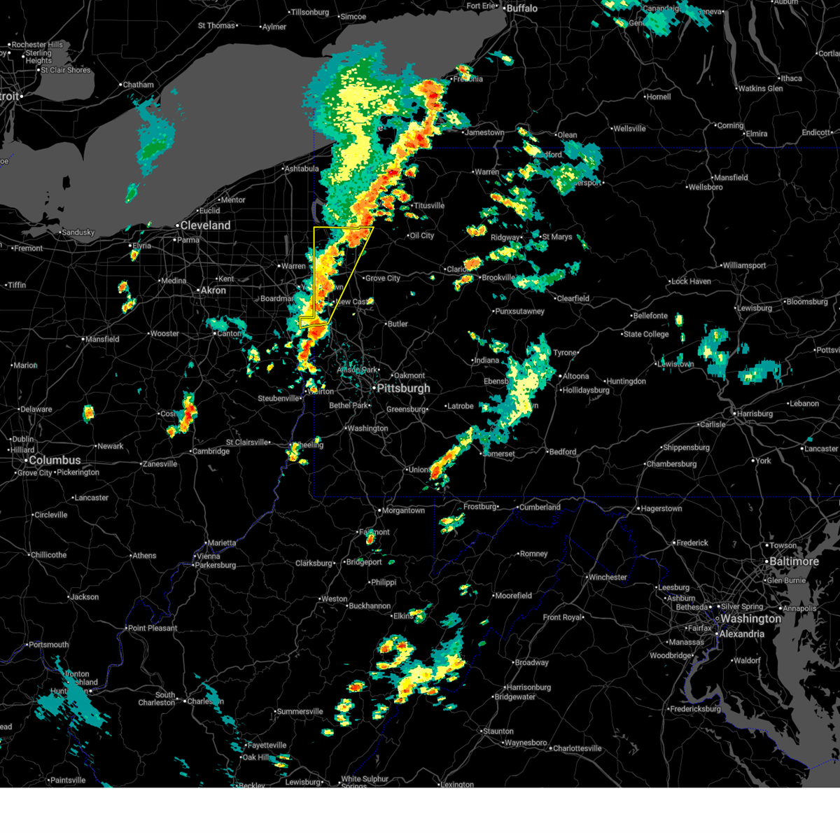
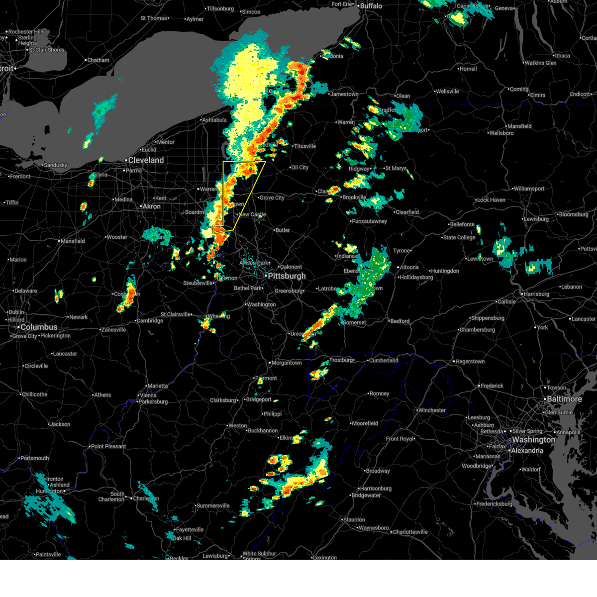
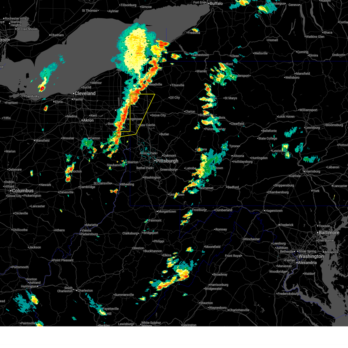
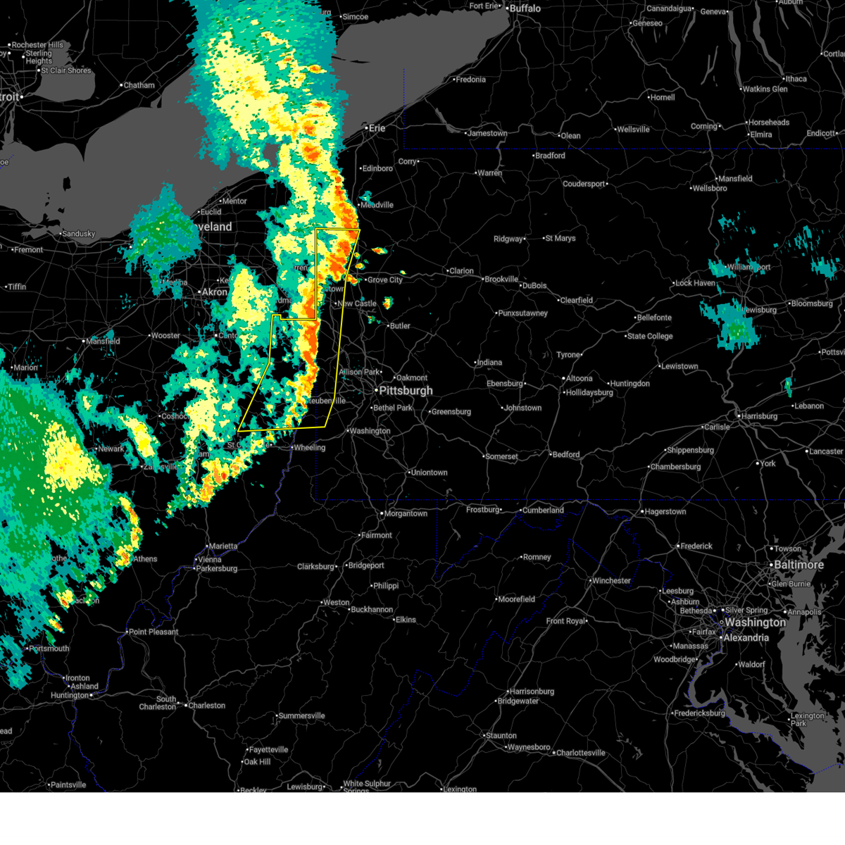
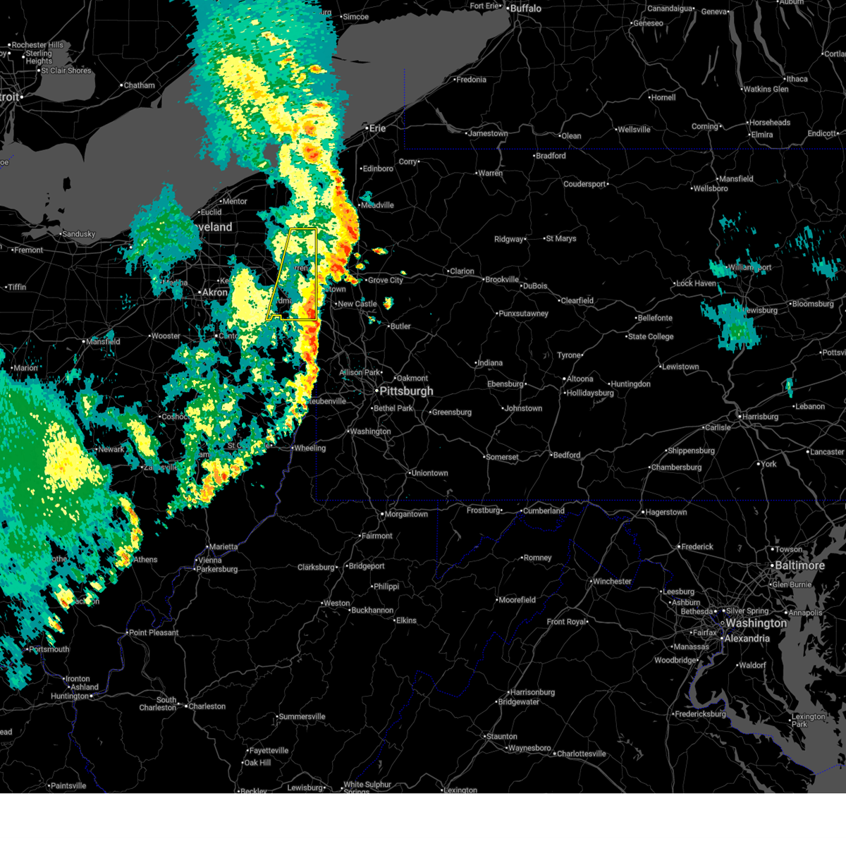
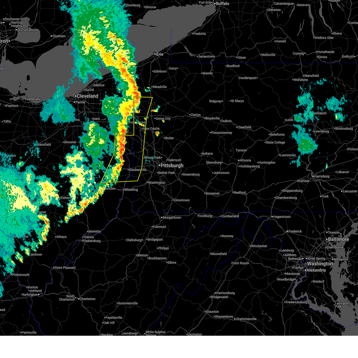
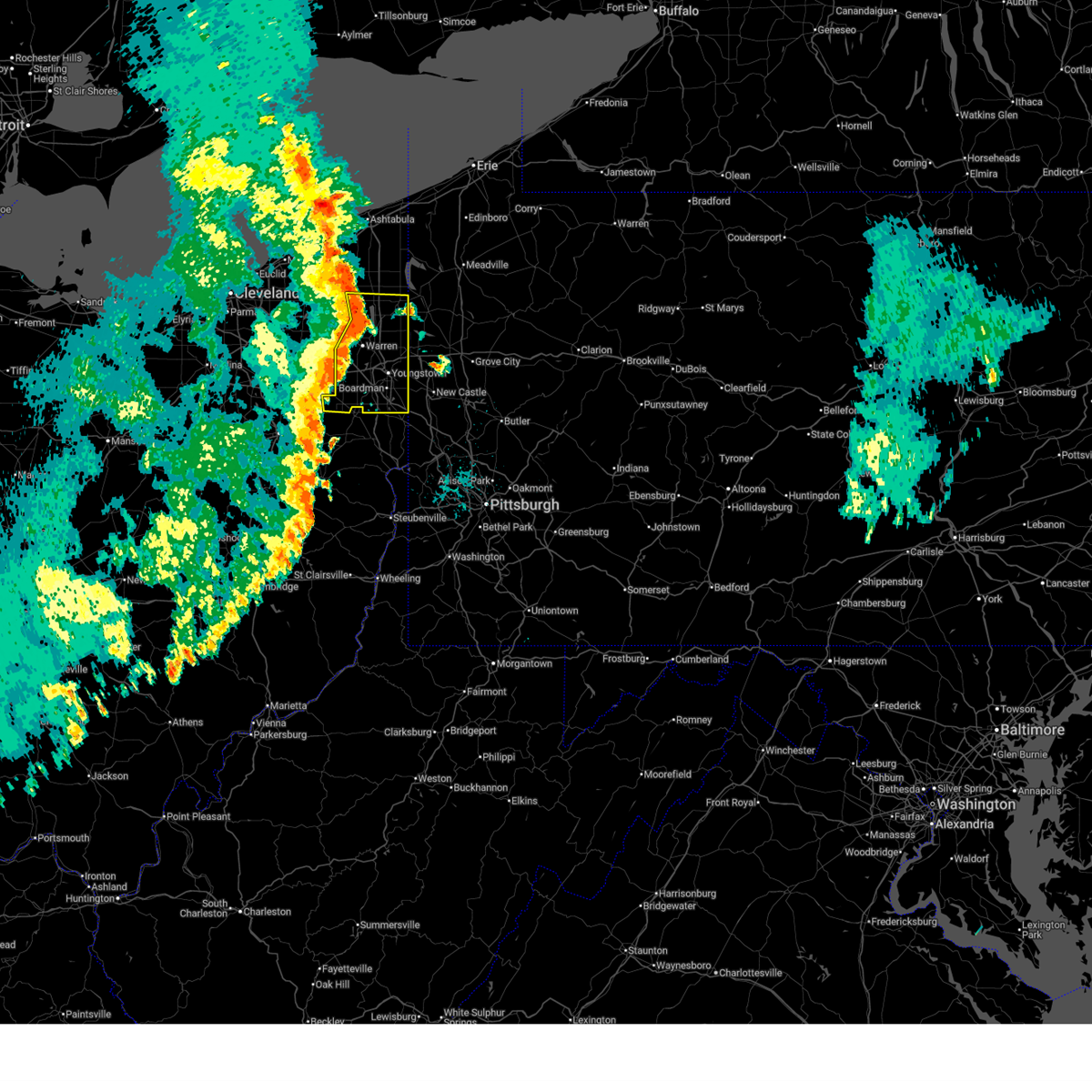
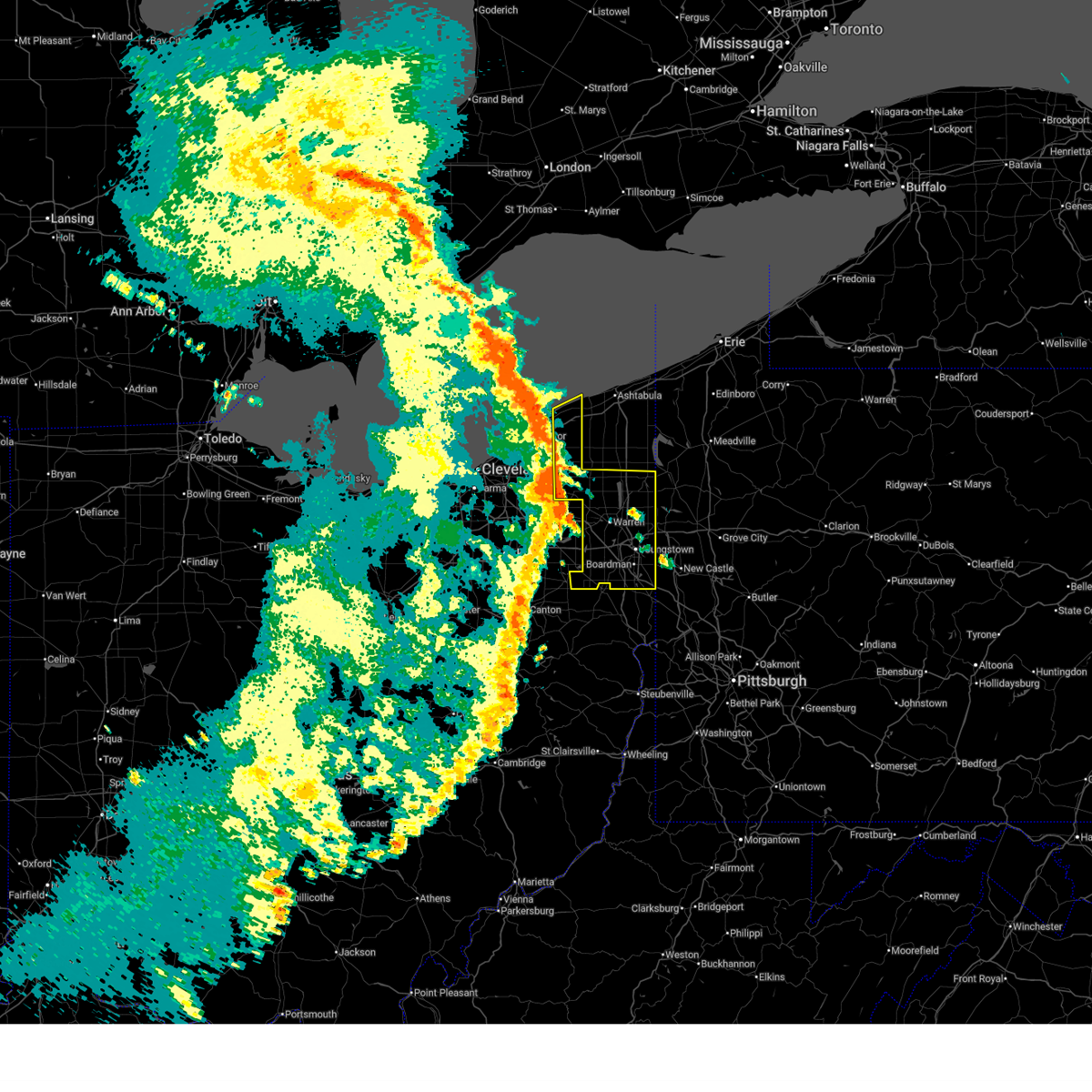
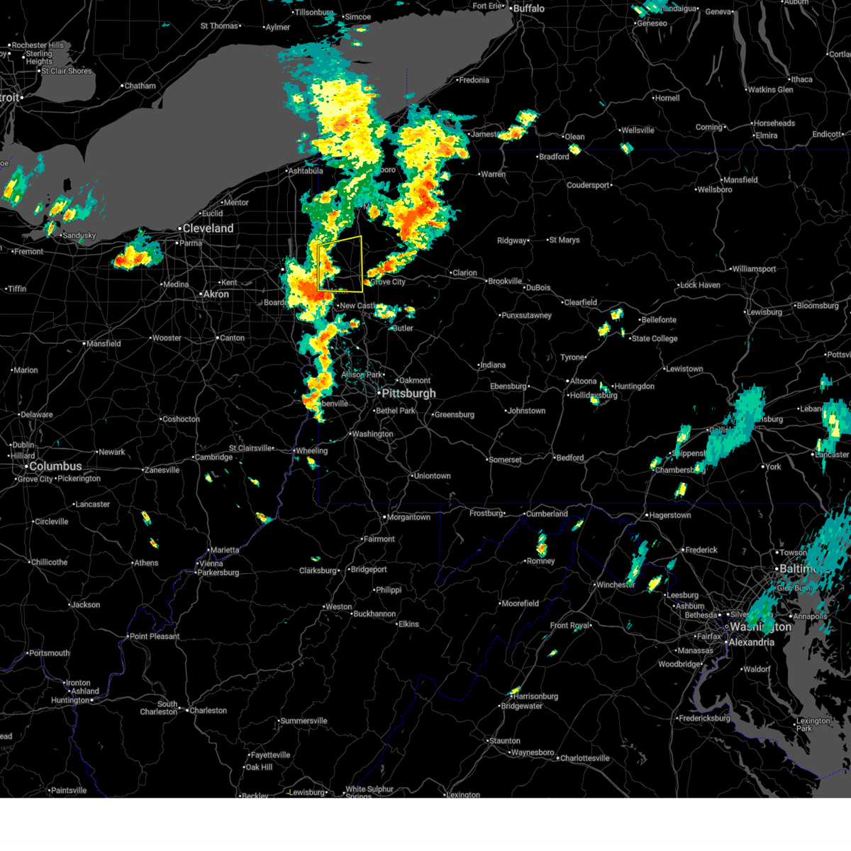
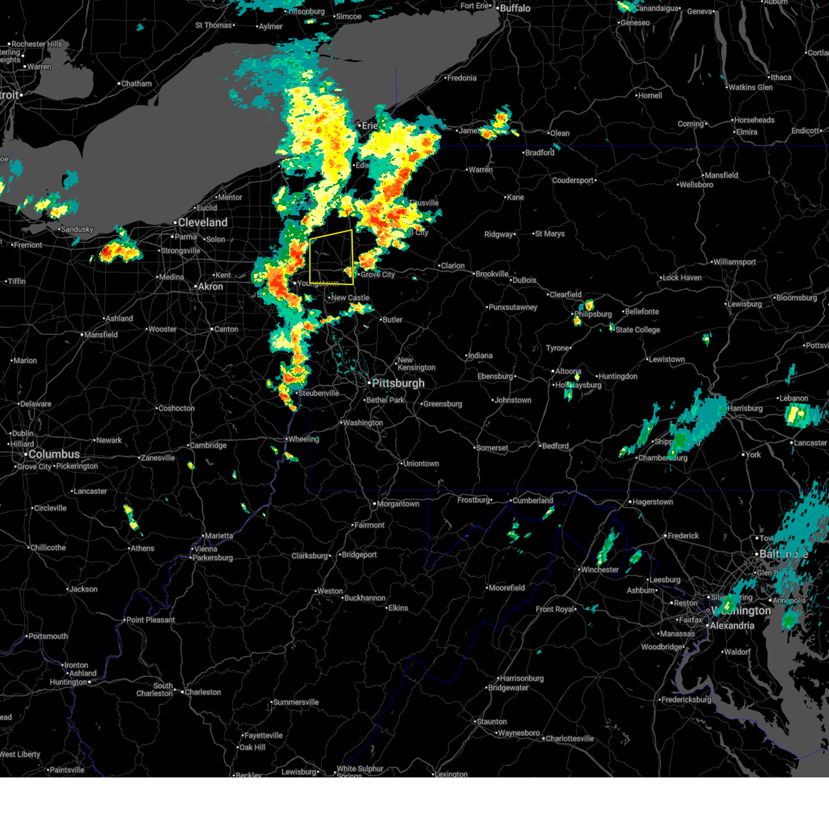
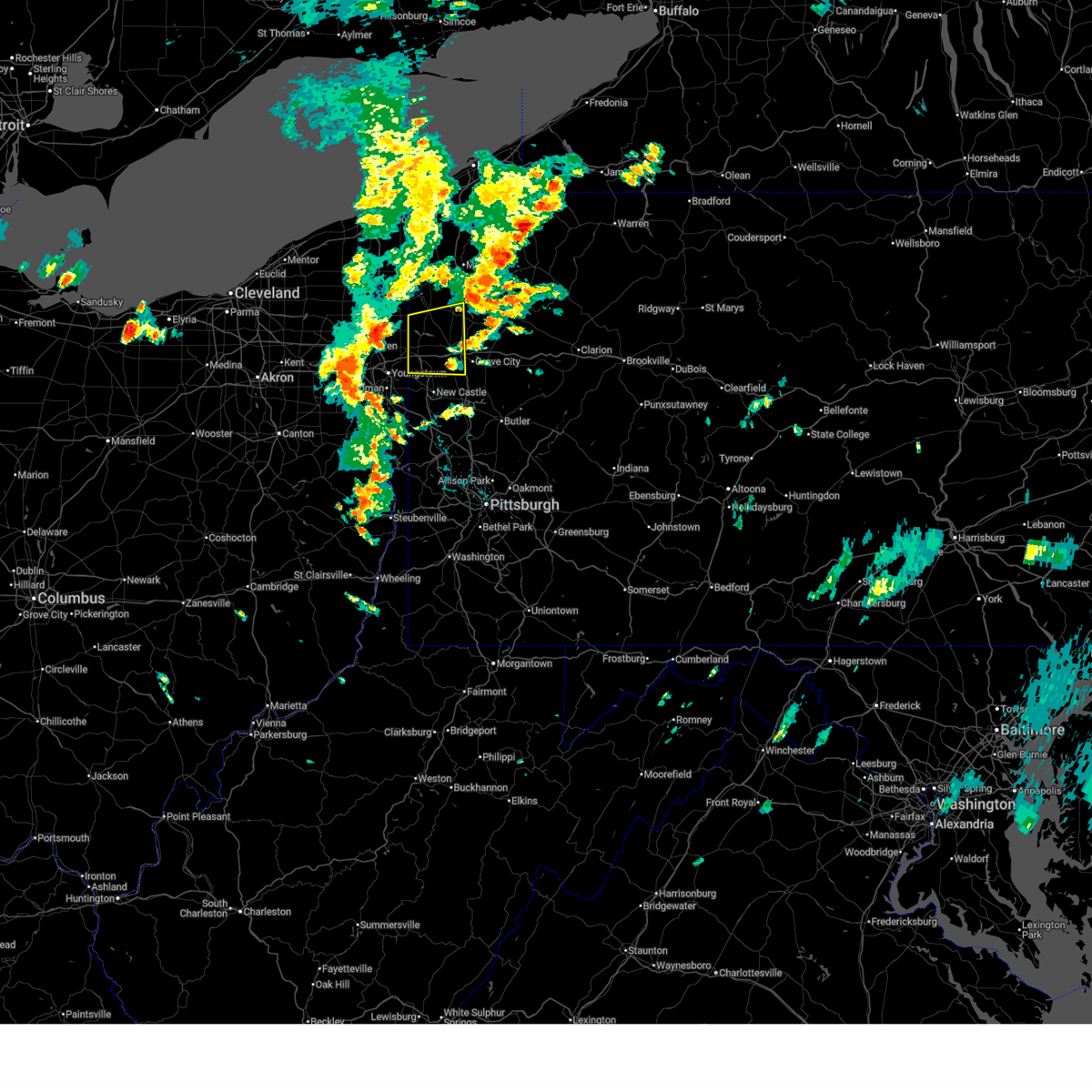
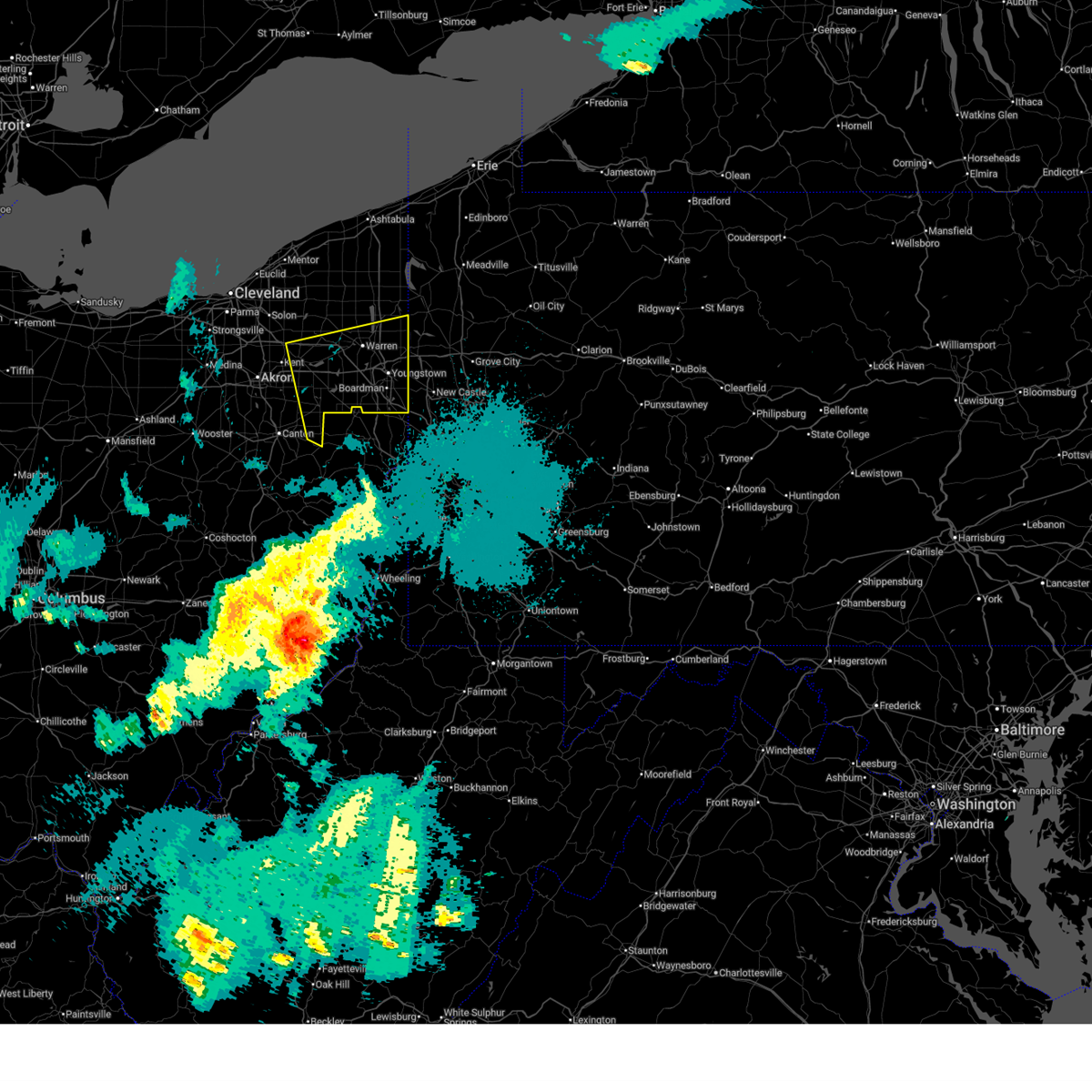
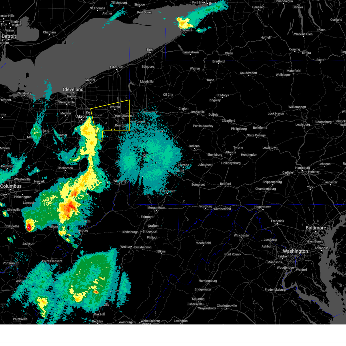
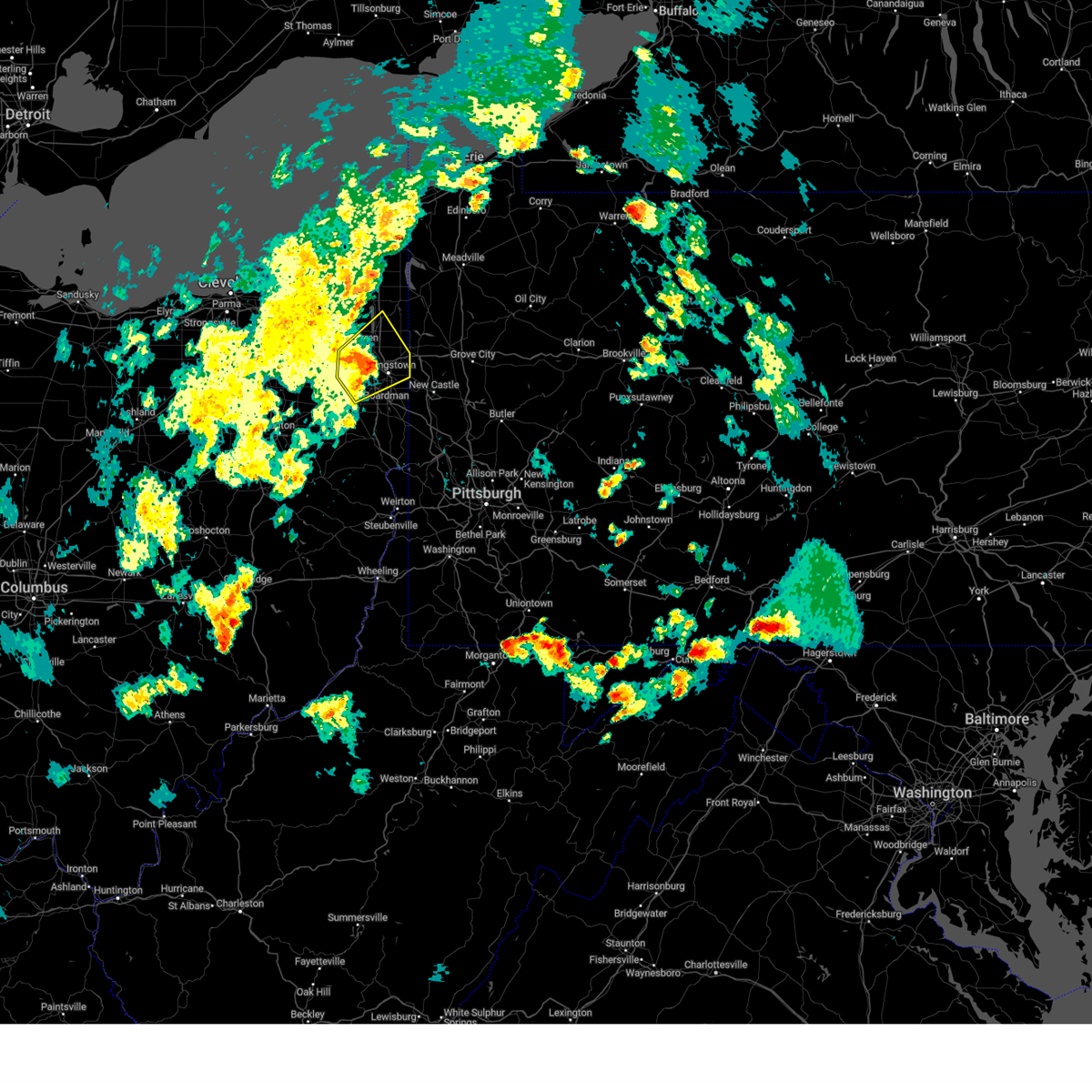
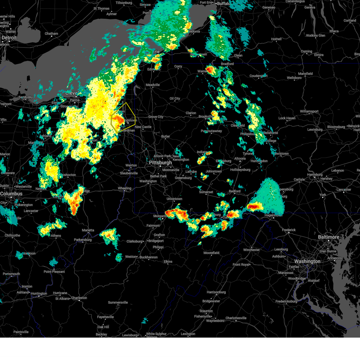
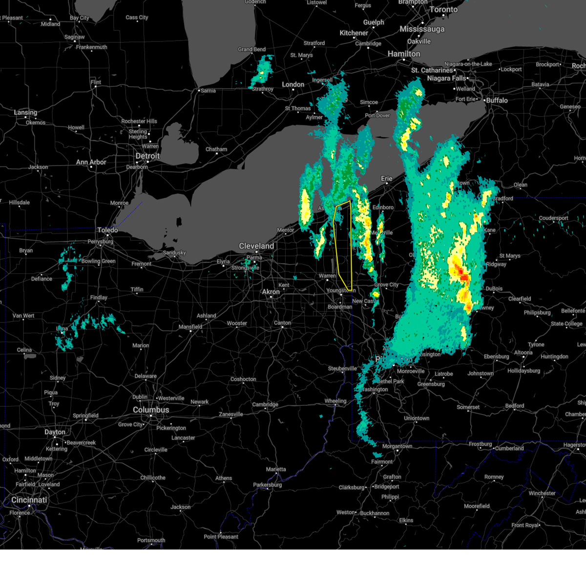
Hail Map for Masury, OH
The Masury, OH area has had 0 reports of on-the-ground hail by trained spotters, and has been under severe weather warnings 46 times during the past 12 months. Doppler radar has detected hail at or near Masury, OH on 40 occasions, including 2 occasions during the past year.
| Name: | Masury, OH |
| Where Located: | 60.5 miles NNW of Pittsburgh, PA |
| Map: | Google Map for Masury, OH |
| Population: | 2064 |
| Housing Units: | 1025 |
| More Info: | Search Google for Masury, OH |
0
The Top Recent Hail Date for Masury, OH is Saturday, July 4, 2026 (31st out of 40)
Hail and Wind Damage Spotted near Masury, OH
| Date / Time | Report Details |
|---|---|
| 7/3/2026 10:18 PM EDT |
 At 1018 pm edt, severe thunderstorms were located along a line from over franklin to near east palestine, moving east at 50 mph (radar indicated). Hazards include 60 mph wind gusts. Expect damage to roofs, siding, and trees. Locations impacted include, new castle, hermitage, sharon, grove city, east palestine, sharpsville, ellwood city, greenville, farrell, slippery rock, new wilmington, oakwood, new castle northwest, mercer, big beaver, new beaver, pulaski, west mayfield and ellport. At 1018 pm edt, severe thunderstorms were located along a line from over franklin to near east palestine, moving east at 50 mph (radar indicated). Hazards include 60 mph wind gusts. Expect damage to roofs, siding, and trees. Locations impacted include, new castle, hermitage, sharon, grove city, east palestine, sharpsville, ellwood city, greenville, farrell, slippery rock, new wilmington, oakwood, new castle northwest, mercer, big beaver, new beaver, pulaski, west mayfield and ellport.
|
| 7/3/2026 10:12 PM EDT |
 The storms which prompted the warning have moved out of the area. therefore, the warning will be allowed to expire. The storms which prompted the warning have moved out of the area. therefore, the warning will be allowed to expire.
|
| 7/3/2026 9:40 PM EDT |
 Svrpbz the national weather service in pittsburgh has issued a * severe thunderstorm warning for, northern columbiana county in east central ohio, mercer county in northwestern pennsylvania, northwestern butler county in west central pennsylvania, northwestern beaver county in western pennsylvania, lawrence county in western pennsylvania, * until 1045 pm edt. * at 940 pm edt, severe thunderstorms were located along a line from 5 miles west of greenville to 14 miles west of salem, or along a line from 10 miles north of sharpsville to 14 miles west of salem, moving east at 50 mph (radar indicated). Hazards include 60 mph wind gusts. expect damage to roofs, siding, and trees Svrpbz the national weather service in pittsburgh has issued a * severe thunderstorm warning for, northern columbiana county in east central ohio, mercer county in northwestern pennsylvania, northwestern butler county in west central pennsylvania, northwestern beaver county in western pennsylvania, lawrence county in western pennsylvania, * until 1045 pm edt. * at 940 pm edt, severe thunderstorms were located along a line from 5 miles west of greenville to 14 miles west of salem, or along a line from 10 miles north of sharpsville to 14 miles west of salem, moving east at 50 mph (radar indicated). Hazards include 60 mph wind gusts. expect damage to roofs, siding, and trees
|
| 7/3/2026 9:32 PM EDT |
 Svrcle the national weather service in cleveland has issued a * severe thunderstorm warning for, southeastern trumbull county in northeastern ohio, southeastern portage county in northeastern ohio, mahoning county in northeastern ohio, northeastern stark county in northeastern ohio, * until 1015 pm edt. * at 931 pm edt, severe thunderstorms were located along a line extending from near vienna center to louisville, moving southeast at 50 mph (radar indicated). Hazards include 60 mph wind gusts. expect damage to trees and power lines Svrcle the national weather service in cleveland has issued a * severe thunderstorm warning for, southeastern trumbull county in northeastern ohio, southeastern portage county in northeastern ohio, mahoning county in northeastern ohio, northeastern stark county in northeastern ohio, * until 1015 pm edt. * at 931 pm edt, severe thunderstorms were located along a line extending from near vienna center to louisville, moving southeast at 50 mph (radar indicated). Hazards include 60 mph wind gusts. expect damage to trees and power lines
|
| 7/3/2026 6:59 PM EDT |
 Svrpbz the national weather service in pittsburgh has issued a * severe thunderstorm warning for, central mercer county in northwestern pennsylvania, * until 745 pm edt. * at 659 pm edt, a severe thunderstorm was located over hermitage, moving east at 25 mph (radar indicated). Hazards include 60 mph wind gusts. expect damage to roofs, siding, and trees Svrpbz the national weather service in pittsburgh has issued a * severe thunderstorm warning for, central mercer county in northwestern pennsylvania, * until 745 pm edt. * at 659 pm edt, a severe thunderstorm was located over hermitage, moving east at 25 mph (radar indicated). Hazards include 60 mph wind gusts. expect damage to roofs, siding, and trees
|
| 6/14/2026 5:21 PM EDT |
 At 521 pm edt, severe thunderstorms were located along a line from 6 miles east of grove city to near calcutta, or along a line from 6 miles east of grove city to 6 miles south of east palestine, moving east at 50 mph (radar indicated). Hazards include 60 mph wind gusts and small hail. Expect damage to roofs, siding, and trees. Locations impacted include, new castle, hermitage, sharon, grove city, farrell, slippery rock, new wilmington, oakwood, new castle northwest, mercer, new beaver, pulaski, prospect, bessemer, new bedford, harrisville, west middlesex, plain grove township, wampum and south new castle. At 521 pm edt, severe thunderstorms were located along a line from 6 miles east of grove city to near calcutta, or along a line from 6 miles east of grove city to 6 miles south of east palestine, moving east at 50 mph (radar indicated). Hazards include 60 mph wind gusts and small hail. Expect damage to roofs, siding, and trees. Locations impacted include, new castle, hermitage, sharon, grove city, farrell, slippery rock, new wilmington, oakwood, new castle northwest, mercer, new beaver, pulaski, prospect, bessemer, new bedford, harrisville, west middlesex, plain grove township, wampum and south new castle.
|
| 6/14/2026 5:11 PM EDT |
 At 511 pm edt, severe thunderstorms were located along a line extending from sharon to campbell to near leetonia, moving east at 45 mph (radar indicated). Hazards include 60 mph wind gusts. Expect damage to trees and power lines. Locations impacted include, youngstown, salem, columbiana, boardman, campbell, hubbard, canfield, maplewood park, austintown, struthers, poland, new middletown, lowellville, brookfield center, west hill, and greenford. At 511 pm edt, severe thunderstorms were located along a line extending from sharon to campbell to near leetonia, moving east at 45 mph (radar indicated). Hazards include 60 mph wind gusts. Expect damage to trees and power lines. Locations impacted include, youngstown, salem, columbiana, boardman, campbell, hubbard, canfield, maplewood park, austintown, struthers, poland, new middletown, lowellville, brookfield center, west hill, and greenford.
|
| 6/14/2026 5:05 PM EDT |
 At 505 pm edt, severe thunderstorms were located along a line from 12 miles north of sugarcreek to over hermitage, or along a line from 15 miles north of franklin to over hermitage, moving east at 40 mph (radar indicated). Hazards include 60 mph wind gusts and small hail. Expect damage to roofs, siding, and trees. Locations impacted include, hermitage, sharon, oil city, franklin, sharpsville, sugarcreek, farrell, mercer, stoneboro, polk, sandy lake, clark, wheatland, rouseville, fredonia, cooperstown, jackson center, utica and new lebanon. At 505 pm edt, severe thunderstorms were located along a line from 12 miles north of sugarcreek to over hermitage, or along a line from 15 miles north of franklin to over hermitage, moving east at 40 mph (radar indicated). Hazards include 60 mph wind gusts and small hail. Expect damage to roofs, siding, and trees. Locations impacted include, hermitage, sharon, oil city, franklin, sharpsville, sugarcreek, farrell, mercer, stoneboro, polk, sandy lake, clark, wheatland, rouseville, fredonia, cooperstown, jackson center, utica and new lebanon.
|
| 6/14/2026 4:54 PM EDT |
 Svrpbz the national weather service in pittsburgh has issued a * severe thunderstorm warning for, southern mercer county in northwestern pennsylvania, southwestern venango county in northwestern pennsylvania, northwestern butler county in west central pennsylvania, lawrence county in western pennsylvania, * until 600 pm edt. * at 454 pm edt, severe thunderstorms were located along a line from over hermitage to 12 miles southwest of salem, moving east at 50 mph (radar indicated). Hazards include 60 mph wind gusts and small hail. expect damage to roofs, siding, and trees Svrpbz the national weather service in pittsburgh has issued a * severe thunderstorm warning for, southern mercer county in northwestern pennsylvania, southwestern venango county in northwestern pennsylvania, northwestern butler county in west central pennsylvania, lawrence county in western pennsylvania, * until 600 pm edt. * at 454 pm edt, severe thunderstorms were located along a line from over hermitage to 12 miles southwest of salem, moving east at 50 mph (radar indicated). Hazards include 60 mph wind gusts and small hail. expect damage to roofs, siding, and trees
|
| 6/14/2026 4:53 PM EDT |
 At 453 pm edt, severe thunderstorms were located along a line extending from near warren to near canfield to near alliance, moving east at 45 mph (radar indicated). Hazards include 60 mph wind gusts. Expect damage to trees and power lines. Locations impacted include, youngstown, warren, salem, columbiana, boardman, niles, campbell, hubbard, canfield, sebring, lordstown, vienna center, hilltop, maplewood park, austintown, struthers, girard, vienna, mcdonald, and poland. At 453 pm edt, severe thunderstorms were located along a line extending from near warren to near canfield to near alliance, moving east at 45 mph (radar indicated). Hazards include 60 mph wind gusts. Expect damage to trees and power lines. Locations impacted include, youngstown, warren, salem, columbiana, boardman, niles, campbell, hubbard, canfield, sebring, lordstown, vienna center, hilltop, maplewood park, austintown, struthers, girard, vienna, mcdonald, and poland.
|
| 6/14/2026 4:41 PM EDT |
 At 441 pm edt, severe thunderstorms were located along a line from 19 miles northeast of greenville to 13 miles west of sharon, or along a line from 24 miles northwest of franklin to 13 miles west of sharon, moving east at 40 mph (radar indicated). Hazards include 60 mph wind gusts and small hail. Expect damage to roofs, siding, and trees. Locations impacted include, hermitage, sharon, oil city, franklin, sharpsville, greenville, sugarcreek, farrell, mercer, stoneboro, polk, sandy lake, clark, wheatland, jamestown, rouseville, fredonia, cooperstown and jackson center. At 441 pm edt, severe thunderstorms were located along a line from 19 miles northeast of greenville to 13 miles west of sharon, or along a line from 24 miles northwest of franklin to 13 miles west of sharon, moving east at 40 mph (radar indicated). Hazards include 60 mph wind gusts and small hail. Expect damage to roofs, siding, and trees. Locations impacted include, hermitage, sharon, oil city, franklin, sharpsville, greenville, sugarcreek, farrell, mercer, stoneboro, polk, sandy lake, clark, wheatland, jamestown, rouseville, fredonia, cooperstown and jackson center.
|
| 6/14/2026 4:29 PM EDT |
 Svrcle the national weather service in cleveland has issued a * severe thunderstorm warning for, southern trumbull county in northeastern ohio, southeastern portage county in northeastern ohio, mahoning county in northeastern ohio, * until 545 pm edt. * at 429 pm edt, severe thunderstorms were located along a line extending from near garrettsville to 6 miles southeast of ravenna to north canton, moving east at 45 mph (radar indicated). Hazards include 60 mph wind gusts. expect damage to trees and power lines Svrcle the national weather service in cleveland has issued a * severe thunderstorm warning for, southern trumbull county in northeastern ohio, southeastern portage county in northeastern ohio, mahoning county in northeastern ohio, * until 545 pm edt. * at 429 pm edt, severe thunderstorms were located along a line extending from near garrettsville to 6 miles southeast of ravenna to north canton, moving east at 45 mph (radar indicated). Hazards include 60 mph wind gusts. expect damage to trees and power lines
|
| 6/14/2026 4:27 PM EDT |
 Svrpbz the national weather service in pittsburgh has issued a * severe thunderstorm warning for, mercer county in northwestern pennsylvania, northwestern venango county in northwestern pennsylvania, * until 530 pm edt. * at 427 pm edt, severe thunderstorms were located along a line from 17 miles north of greenville to 23 miles north of salem, or along a line from 27 miles north of sharpsville to 22 miles west of sharon, moving east at 40 mph (radar indicated). Hazards include 60 mph wind gusts and small hail. expect damage to roofs, siding, and trees Svrpbz the national weather service in pittsburgh has issued a * severe thunderstorm warning for, mercer county in northwestern pennsylvania, northwestern venango county in northwestern pennsylvania, * until 530 pm edt. * at 427 pm edt, severe thunderstorms were located along a line from 17 miles north of greenville to 23 miles north of salem, or along a line from 27 miles north of sharpsville to 22 miles west of sharon, moving east at 40 mph (radar indicated). Hazards include 60 mph wind gusts and small hail. expect damage to roofs, siding, and trees
|
| 5/9/2026 7:57 PM EDT |
 At 757 pm edt, a severe thunderstorm was located over vienna center, or near warren, moving east at 40 mph (radar indicated). Hazards include 60 mph wind gusts and penny size hail. Expect damage to trees and power lines. Locations impacted include, warren, niles, hubbard, lordstown, vienna center, hilltop, maplewood park, leavittsburg, girard, vienna, mcdonald, orangeville, yankee lake, brookfield center, churchill, howland center, bolindale, west hill, and mineral ridge. At 757 pm edt, a severe thunderstorm was located over vienna center, or near warren, moving east at 40 mph (radar indicated). Hazards include 60 mph wind gusts and penny size hail. Expect damage to trees and power lines. Locations impacted include, warren, niles, hubbard, lordstown, vienna center, hilltop, maplewood park, leavittsburg, girard, vienna, mcdonald, orangeville, yankee lake, brookfield center, churchill, howland center, bolindale, west hill, and mineral ridge.
|
| 5/9/2026 7:52 PM EDT |
 Svrpbz the national weather service in pittsburgh has issued a * severe thunderstorm warning for, mercer county in northwestern pennsylvania, northern lawrence county in western pennsylvania, * until 845 pm edt. * at 752 pm edt, a severe thunderstorm was located 13 miles west of sharon, moving east at 35 mph (radar indicated). Hazards include 60 mph wind gusts and small hail. expect damage to roofs, siding, and trees Svrpbz the national weather service in pittsburgh has issued a * severe thunderstorm warning for, mercer county in northwestern pennsylvania, northern lawrence county in western pennsylvania, * until 845 pm edt. * at 752 pm edt, a severe thunderstorm was located 13 miles west of sharon, moving east at 35 mph (radar indicated). Hazards include 60 mph wind gusts and small hail. expect damage to roofs, siding, and trees
|
| 5/9/2026 7:40 PM EDT |
 Svrcle the national weather service in cleveland has issued a * severe thunderstorm warning for, trumbull county in northeastern ohio, * until 815 pm edt. * at 740 pm edt, a severe thunderstorm was located over leavittsburg, or near warren, moving east at 45 mph (radar indicated). Hazards include 60 mph wind gusts and penny size hail. expect damage to trees and power lines Svrcle the national weather service in cleveland has issued a * severe thunderstorm warning for, trumbull county in northeastern ohio, * until 815 pm edt. * at 740 pm edt, a severe thunderstorm was located over leavittsburg, or near warren, moving east at 45 mph (radar indicated). Hazards include 60 mph wind gusts and penny size hail. expect damage to trees and power lines
|
| 4/16/2026 3:34 PM EDT |
 Svrpbz the national weather service in pittsburgh has issued a * severe thunderstorm warning for, northern mercer county in northwestern pennsylvania, * until 415 pm edt. * at 334 pm edt, a severe thunderstorm was located 11 miles northwest of sharon, moving east at 45 mph (radar indicated). Hazards include 60 mph wind gusts. expect damage to roofs, siding, and trees Svrpbz the national weather service in pittsburgh has issued a * severe thunderstorm warning for, northern mercer county in northwestern pennsylvania, * until 415 pm edt. * at 334 pm edt, a severe thunderstorm was located 11 miles northwest of sharon, moving east at 45 mph (radar indicated). Hazards include 60 mph wind gusts. expect damage to roofs, siding, and trees
|
| 4/15/2026 7:26 PM EDT |
 At 726 pm edt, severe thunderstorms were located along a line extending from near kinsman to near vienna center to 8 miles south of newton falls, moving east at 50 mph (radar indicated). Hazards include 60 mph wind gusts and penny size hail. Expect damage to trees and power lines. Locations impacted include, youngstown, warren, boardman, niles, campbell, hubbard, canfield, cortland, newton falls, lordstown, kinsman, vienna center, hilltop, maplewood park, leavittsburg, austintown, struthers, girard, vienna, and mcdonald. At 726 pm edt, severe thunderstorms were located along a line extending from near kinsman to near vienna center to 8 miles south of newton falls, moving east at 50 mph (radar indicated). Hazards include 60 mph wind gusts and penny size hail. Expect damage to trees and power lines. Locations impacted include, youngstown, warren, boardman, niles, campbell, hubbard, canfield, cortland, newton falls, lordstown, kinsman, vienna center, hilltop, maplewood park, leavittsburg, austintown, struthers, girard, vienna, and mcdonald.
|
| 4/15/2026 7:14 PM EDT |
 At 714 pm edt, severe thunderstorms were located along a line extending from near cortland to warren to 9 miles southeast of ravenna, moving east at 50 mph (radar indicated). Hazards include 60 mph wind gusts and quarter size hail. Minor damage to vehicles is possible. expect damage to trees and power lines. Locations impacted include, youngstown, warren, ravenna, boardman, niles, campbell, hubbard, canfield, cortland, newton falls, mogadore, lordstown, kinsman, vienna center, leavittsburg, hilltop, maplewood park, bristolville, austintown, and struthers. At 714 pm edt, severe thunderstorms were located along a line extending from near cortland to warren to 9 miles southeast of ravenna, moving east at 50 mph (radar indicated). Hazards include 60 mph wind gusts and quarter size hail. Minor damage to vehicles is possible. expect damage to trees and power lines. Locations impacted include, youngstown, warren, ravenna, boardman, niles, campbell, hubbard, canfield, cortland, newton falls, mogadore, lordstown, kinsman, vienna center, leavittsburg, hilltop, maplewood park, bristolville, austintown, and struthers.
|
| 4/15/2026 6:56 PM EDT |
 Svrcle the national weather service in cleveland has issued a * severe thunderstorm warning for, trumbull county in northeastern ohio, portage county in northeastern ohio, northern mahoning county in northeastern ohio, southeastern geauga county in northeastern ohio, southeastern summit county in northeastern ohio, * until 800 pm edt. * at 656 pm edt, severe thunderstorms were located along a line extending from west farmington to near garrettsville to near mogadore, moving east at 45 mph (radar indicated). Hazards include 60 mph wind gusts and quarter size hail. Minor damage to vehicles is possible. Expect damage to trees and power lines. Svrcle the national weather service in cleveland has issued a * severe thunderstorm warning for, trumbull county in northeastern ohio, portage county in northeastern ohio, northern mahoning county in northeastern ohio, southeastern geauga county in northeastern ohio, southeastern summit county in northeastern ohio, * until 800 pm edt. * at 656 pm edt, severe thunderstorms were located along a line extending from west farmington to near garrettsville to near mogadore, moving east at 45 mph (radar indicated). Hazards include 60 mph wind gusts and quarter size hail. Minor damage to vehicles is possible. Expect damage to trees and power lines.
|
| 4/15/2026 5:50 PM EDT |
 At 550 pm edt, a severe thunderstorm was located over bristolville, or 11 miles north of warren, moving east at 45 mph (radar indicated). Hazards include two inch hail and 60 mph wind gusts. People and animals outdoors will be injured. expect hail damage to roofs, siding, windows, and vehicles. expect damage to trees and power lines. Locations impacted include, warren, cortland, kinsman, north bloomfield, orwell, andover, west farmington, bristolville, vienna center, vienna, mecca, johnston, cherry valley, orangeville, yankee lake, brookfield center, west hill, champion heights, and howland center. At 550 pm edt, a severe thunderstorm was located over bristolville, or 11 miles north of warren, moving east at 45 mph (radar indicated). Hazards include two inch hail and 60 mph wind gusts. People and animals outdoors will be injured. expect hail damage to roofs, siding, windows, and vehicles. expect damage to trees and power lines. Locations impacted include, warren, cortland, kinsman, north bloomfield, orwell, andover, west farmington, bristolville, vienna center, vienna, mecca, johnston, cherry valley, orangeville, yankee lake, brookfield center, west hill, champion heights, and howland center.
|
| 4/15/2026 5:22 PM EDT |
 Svrcle the national weather service in cleveland has issued a * severe thunderstorm warning for, trumbull county in northeastern ohio, northeastern portage county in northeastern ohio, geauga county in northeastern ohio, southern ashtabula county in northeastern ohio, * until 700 pm edt. * at 522 pm edt, a severe thunderstorm was located near south russell, or 12 miles south of chardon, moving east at 40 mph (radar indicated). Hazards include tennis ball size hail and 60 mph wind gusts. People and animals outdoors will be injured. expect hail damage to roofs, siding, windows, and vehicles. Expect damage to trees and power lines. Svrcle the national weather service in cleveland has issued a * severe thunderstorm warning for, trumbull county in northeastern ohio, northeastern portage county in northeastern ohio, geauga county in northeastern ohio, southern ashtabula county in northeastern ohio, * until 700 pm edt. * at 522 pm edt, a severe thunderstorm was located near south russell, or 12 miles south of chardon, moving east at 40 mph (radar indicated). Hazards include tennis ball size hail and 60 mph wind gusts. People and animals outdoors will be injured. expect hail damage to roofs, siding, windows, and vehicles. Expect damage to trees and power lines.
|
| 3/31/2026 9:37 PM EDT |
 the severe thunderstorm warning has been cancelled and is no longer in effect the severe thunderstorm warning has been cancelled and is no longer in effect
|
| 3/31/2026 9:04 PM EDT |
 the severe thunderstorm warning has been cancelled and is no longer in effect the severe thunderstorm warning has been cancelled and is no longer in effect
|
| 3/31/2026 9:04 PM EDT |
 At 903 pm edt, a severe thunderstorm was located near hilltop, or 7 miles south of warren, moving east at 50 mph (radar indicated). Hazards include 60 mph wind gusts and quarter size hail. Minor damage to vehicles is possible. expect damage to trees and power lines. Locations impacted include, youngstown, warren, boardman, niles, campbell, hubbard, canfield, lordstown, hilltop, maplewood park, leavittsburg, austintown, struthers, girard, mcdonald, poland, ellsworth, new middletown, craig beach, and lowellville. At 903 pm edt, a severe thunderstorm was located near hilltop, or 7 miles south of warren, moving east at 50 mph (radar indicated). Hazards include 60 mph wind gusts and quarter size hail. Minor damage to vehicles is possible. expect damage to trees and power lines. Locations impacted include, youngstown, warren, boardman, niles, campbell, hubbard, canfield, lordstown, hilltop, maplewood park, leavittsburg, austintown, struthers, girard, mcdonald, poland, ellsworth, new middletown, craig beach, and lowellville.
|
| 3/31/2026 9:03 PM EDT |
 Svrpbz the national weather service in pittsburgh has issued a * severe thunderstorm warning for, southern mercer county in northwestern pennsylvania, western butler county in west central pennsylvania, lawrence county in western pennsylvania, * until 945 pm edt. * at 903 pm edt, a severe thunderstorm was located 11 miles southwest of farrell, or 12 miles southwest of sharon, moving east at 60 mph (radar indicated). Hazards include 60 mph wind gusts and quarter size hail. Hail damage to vehicles is expected. Expect wind damage to roofs, siding, and trees. Svrpbz the national weather service in pittsburgh has issued a * severe thunderstorm warning for, southern mercer county in northwestern pennsylvania, western butler county in west central pennsylvania, lawrence county in western pennsylvania, * until 945 pm edt. * at 903 pm edt, a severe thunderstorm was located 11 miles southwest of farrell, or 12 miles southwest of sharon, moving east at 60 mph (radar indicated). Hazards include 60 mph wind gusts and quarter size hail. Hail damage to vehicles is expected. Expect wind damage to roofs, siding, and trees.
|
| 3/31/2026 8:58 PM EDT |
 The severe thunderstorm warning that was previously in effect has been reissued for mercer and venango counties and is in effect until 1015 pm edt. please refer to that bulletin for the latest severe weather information. a severe thunderstorm watch remains in effect until 100 am edt wednesday for a portion of northwest pennsylvania. The severe thunderstorm warning that was previously in effect has been reissued for mercer and venango counties and is in effect until 1015 pm edt. please refer to that bulletin for the latest severe weather information. a severe thunderstorm watch remains in effect until 100 am edt wednesday for a portion of northwest pennsylvania.
|
| 3/31/2026 8:47 PM EDT |
 Svrcle the national weather service in cleveland has issued a * severe thunderstorm warning for, southern trumbull county in northeastern ohio, southeastern portage county in northeastern ohio, mahoning county in northeastern ohio, * until 930 pm edt. * at 846 pm edt, a severe thunderstorm was located near newton falls, or 9 miles east of ravenna, moving east at 50 mph (radar indicated). Hazards include 60 mph wind gusts and quarter size hail. Minor damage to vehicles is possible. Expect damage to trees and power lines. Svrcle the national weather service in cleveland has issued a * severe thunderstorm warning for, southern trumbull county in northeastern ohio, southeastern portage county in northeastern ohio, mahoning county in northeastern ohio, * until 930 pm edt. * at 846 pm edt, a severe thunderstorm was located near newton falls, or 9 miles east of ravenna, moving east at 50 mph (radar indicated). Hazards include 60 mph wind gusts and quarter size hail. Minor damage to vehicles is possible. Expect damage to trees and power lines.
|
| 3/31/2026 8:44 PM EDT |
 the severe thunderstorm warning has been cancelled and is no longer in effect the severe thunderstorm warning has been cancelled and is no longer in effect
|
| 3/31/2026 8:44 PM EDT |
 At 844 pm edt, severe thunderstorms were located along a line from 13 miles northwest of sugarcreek to 7 miles south of farrell, or along a line from 14 miles northwest of franklin to 9 miles south of sharon, moving east at 60 mph (radar indicated). Hazards include 60 mph wind gusts. Expect damage to roofs, siding, and trees. Locations impacted include, hermitage, sharon, oil city, grove city, franklin, sharpsville, greenville, sugarcreek, farrell, mercer, hasson heights, stoneboro, seneca, west middlesex, polk, sandy lake, clark, wheatland and rouseville. At 844 pm edt, severe thunderstorms were located along a line from 13 miles northwest of sugarcreek to 7 miles south of farrell, or along a line from 14 miles northwest of franklin to 9 miles south of sharon, moving east at 60 mph (radar indicated). Hazards include 60 mph wind gusts. Expect damage to roofs, siding, and trees. Locations impacted include, hermitage, sharon, oil city, grove city, franklin, sharpsville, greenville, sugarcreek, farrell, mercer, hasson heights, stoneboro, seneca, west middlesex, polk, sandy lake, clark, wheatland and rouseville.
|
| 3/31/2026 8:18 PM EDT |
 Svrpbz the national weather service in pittsburgh has issued a * severe thunderstorm warning for, mercer county in northwestern pennsylvania, venango county in northwestern pennsylvania, northern lawrence county in western pennsylvania, * until 900 pm edt. * at 818 pm edt, severe thunderstorms were located along a line from 18 miles north of greenville to 21 miles north of salem, or along a line from 27 miles north of sharpsville to 21 miles north of salem, moving east at 60 mph (radar indicated). Hazards include 60 mph wind gusts. expect damage to roofs, siding, and trees Svrpbz the national weather service in pittsburgh has issued a * severe thunderstorm warning for, mercer county in northwestern pennsylvania, venango county in northwestern pennsylvania, northern lawrence county in western pennsylvania, * until 900 pm edt. * at 818 pm edt, severe thunderstorms were located along a line from 18 miles north of greenville to 21 miles north of salem, or along a line from 27 miles north of sharpsville to 21 miles north of salem, moving east at 60 mph (radar indicated). Hazards include 60 mph wind gusts. expect damage to roofs, siding, and trees
|
| 3/26/2026 8:32 PM EDT |
 the severe thunderstorm warning has been cancelled and is no longer in effect the severe thunderstorm warning has been cancelled and is no longer in effect
|
| 3/26/2026 8:23 PM EDT |
 the severe thunderstorm warning has been cancelled and is no longer in effect the severe thunderstorm warning has been cancelled and is no longer in effect
|
| 3/26/2026 8:23 PM EDT |
 At 823 pm edt, a severe thunderstorm was located near vienna center, or near sharon, moving east at 55 mph (radar indicated). Hazards include 60 mph wind gusts and quarter size hail. Minor damage to vehicles is possible. expect damage to trees and power lines. Locations impacted include, hubbard, maplewood park, vienna center, girard, vienna, mcdonald, orangeville, yankee lake, brookfield center, churchill, and west hill. At 823 pm edt, a severe thunderstorm was located near vienna center, or near sharon, moving east at 55 mph (radar indicated). Hazards include 60 mph wind gusts and quarter size hail. Minor damage to vehicles is possible. expect damage to trees and power lines. Locations impacted include, hubbard, maplewood park, vienna center, girard, vienna, mcdonald, orangeville, yankee lake, brookfield center, churchill, and west hill.
|
| 3/26/2026 8:05 PM EDT |
 At 805 pm edt, a severe thunderstorm was located near leavittsburg, or near warren, moving east at 65 mph (radar indicated). Hazards include 60 mph wind gusts and quarter size hail. Minor damage to vehicles is possible. expect damage to trees and power lines. Locations impacted include, warren, niles, hubbard, cortland, lordstown, west farmington, bristolville, vienna center, maplewood park, leavittsburg, hilltop, girard, vienna, mcdonald, windham, orangeville, yankee lake, brookfield center, churchill, and howland center. At 805 pm edt, a severe thunderstorm was located near leavittsburg, or near warren, moving east at 65 mph (radar indicated). Hazards include 60 mph wind gusts and quarter size hail. Minor damage to vehicles is possible. expect damage to trees and power lines. Locations impacted include, warren, niles, hubbard, cortland, lordstown, west farmington, bristolville, vienna center, maplewood park, leavittsburg, hilltop, girard, vienna, mcdonald, windham, orangeville, yankee lake, brookfield center, churchill, and howland center.
|
| 3/26/2026 8:05 PM EDT |
 the severe thunderstorm warning has been cancelled and is no longer in effect the severe thunderstorm warning has been cancelled and is no longer in effect
|
| 3/26/2026 7:53 PM EDT |
 Svrcle the national weather service in cleveland has issued a * severe thunderstorm warning for, trumbull county in northeastern ohio, northeastern portage county in northeastern ohio, southeastern geauga county in northeastern ohio, * until 845 pm edt. * at 753 pm edt, a severe thunderstorm was located near garrettsville, or 14 miles north of ravenna, moving east at 65 mph (radar indicated). Hazards include 60 mph wind gusts and quarter size hail. Minor damage to vehicles is possible. Expect damage to trees and power lines. Svrcle the national weather service in cleveland has issued a * severe thunderstorm warning for, trumbull county in northeastern ohio, northeastern portage county in northeastern ohio, southeastern geauga county in northeastern ohio, * until 845 pm edt. * at 753 pm edt, a severe thunderstorm was located near garrettsville, or 14 miles north of ravenna, moving east at 65 mph (radar indicated). Hazards include 60 mph wind gusts and quarter size hail. Minor damage to vehicles is possible. Expect damage to trees and power lines.
|
| 3/26/2026 7:00 PM EDT |
 the tornado warning has been cancelled and is no longer in effect the tornado warning has been cancelled and is no longer in effect
|
| 3/26/2026 6:52 PM EDT |
 The tornadic thunderstorm which prompted the warning has moved out of the warned area. therefore, the warning will be allowed to expire. a tornado watch remains in effect until 1100 pm edt for northeastern ohio. The tornadic thunderstorm which prompted the warning has moved out of the warned area. therefore, the warning will be allowed to expire. a tornado watch remains in effect until 1100 pm edt for northeastern ohio.
|
| 3/26/2026 6:50 PM EDT |
 At 650 pm edt, a severe thunderstorm capable of producing a tornado was located over sharpsville, moving southeast at 45 mph (radar indicated rotation). Hazards include tornado. Flying debris will be dangerous to those caught without shelter. mobile homes will be damaged or destroyed. damage to roofs, windows and vehicles will occur. tree damage is likely. Locations impacted include, hermitage, sharon, grove city, sharpsville, farrell, new wilmington, mercer, pulaski, west middlesex, plain grove township, clark, wheatland and volant. At 650 pm edt, a severe thunderstorm capable of producing a tornado was located over sharpsville, moving southeast at 45 mph (radar indicated rotation). Hazards include tornado. Flying debris will be dangerous to those caught without shelter. mobile homes will be damaged or destroyed. damage to roofs, windows and vehicles will occur. tree damage is likely. Locations impacted include, hermitage, sharon, grove city, sharpsville, farrell, new wilmington, mercer, pulaski, west middlesex, plain grove township, clark, wheatland and volant.
|
| 3/26/2026 6:50 PM EDT |
 The storm which prompted the warning has moved out of the area. therefore, the warning will be allowed to expire. a tornado watch remains in effect until 1100 pm edt for northeastern ohio. The storm which prompted the warning has moved out of the area. therefore, the warning will be allowed to expire. a tornado watch remains in effect until 1100 pm edt for northeastern ohio.
|
| 3/26/2026 6:44 PM EDT |
 At 644 pm edt, a confirmed tornado was located near sharpsville, moving east at 55 mph (radar confirmed tornado). Hazards include damaging tornado and quarter size hail. Flying debris will be dangerous to those caught without shelter. mobile homes will be damaged or destroyed. damage to roofs, windows, and vehicles will occur. tree damage is likely. This tornadic thunderstorm will remain over mainly rural areas of east central trumbull county, including the following locations, vienna, yankee lake, brookfield center, west hill, and orangeville. At 644 pm edt, a confirmed tornado was located near sharpsville, moving east at 55 mph (radar confirmed tornado). Hazards include damaging tornado and quarter size hail. Flying debris will be dangerous to those caught without shelter. mobile homes will be damaged or destroyed. damage to roofs, windows, and vehicles will occur. tree damage is likely. This tornadic thunderstorm will remain over mainly rural areas of east central trumbull county, including the following locations, vienna, yankee lake, brookfield center, west hill, and orangeville.
|
| 3/26/2026 6:43 PM EDT |
 Torpbz the national weather service in pittsburgh has issued a * tornado warning for, southern mercer county in northwestern pennsylvania, northeastern lawrence county in western pennsylvania, * until 715 pm edt. * at 643 pm edt, a severe thunderstorm capable of producing a tornado was located 5 miles northwest of sharon, moving southeast at 50 mph (radar indicated rotation). Hazards include tornado. Flying debris will be dangerous to those caught without shelter. mobile homes will be damaged or destroyed. damage to roofs, windows and vehicles will occur. Tree damage is likely. Torpbz the national weather service in pittsburgh has issued a * tornado warning for, southern mercer county in northwestern pennsylvania, northeastern lawrence county in western pennsylvania, * until 715 pm edt. * at 643 pm edt, a severe thunderstorm capable of producing a tornado was located 5 miles northwest of sharon, moving southeast at 50 mph (radar indicated rotation). Hazards include tornado. Flying debris will be dangerous to those caught without shelter. mobile homes will be damaged or destroyed. damage to roofs, windows and vehicles will occur. Tree damage is likely.
|
| 3/26/2026 6:34 PM EDT |
 Torcle the national weather service in cleveland has issued a * tornado warning for, eastern trumbull county in northeastern ohio, * until 700 pm edt. * at 634 pm edt, a severe thunderstorm capable of producing a tornado was located over cortland, or 8 miles northeast of warren, moving east at 55 mph (radar indicated rotation). Hazards include tornado and quarter size hail. Flying debris will be dangerous to those caught without shelter. mobile homes will be damaged or destroyed. damage to roofs, windows, and vehicles will occur. tree damage is likely. this dangerous storm will be near, vienna center around 640 pm edt. Other locations impacted by this tornadic thunderstorm include mecca, brookfield center, orangeville, vienna, howland center, yankee lake, johnston, west hill, and champion heights. Torcle the national weather service in cleveland has issued a * tornado warning for, eastern trumbull county in northeastern ohio, * until 700 pm edt. * at 634 pm edt, a severe thunderstorm capable of producing a tornado was located over cortland, or 8 miles northeast of warren, moving east at 55 mph (radar indicated rotation). Hazards include tornado and quarter size hail. Flying debris will be dangerous to those caught without shelter. mobile homes will be damaged or destroyed. damage to roofs, windows, and vehicles will occur. tree damage is likely. this dangerous storm will be near, vienna center around 640 pm edt. Other locations impacted by this tornadic thunderstorm include mecca, brookfield center, orangeville, vienna, howland center, yankee lake, johnston, west hill, and champion heights.
|
| 3/26/2026 6:29 PM EDT |
 At 629 pm edt, a severe thunderstorm was located near cortland, or 10 miles north of warren, moving east at 55 mph (radar indicated). Hazards include 60 mph wind gusts and quarter size hail. Minor damage to vehicles is possible. expect damage to trees and power lines. Locations impacted include, cortland, kinsman, vienna center, mecca, johnston, orangeville, yankee lake, brookfield center, west hill, and champion heights. At 629 pm edt, a severe thunderstorm was located near cortland, or 10 miles north of warren, moving east at 55 mph (radar indicated). Hazards include 60 mph wind gusts and quarter size hail. Minor damage to vehicles is possible. expect damage to trees and power lines. Locations impacted include, cortland, kinsman, vienna center, mecca, johnston, orangeville, yankee lake, brookfield center, west hill, and champion heights.
|
| 3/26/2026 6:20 PM EDT |
 Svrcle the national weather service in cleveland has issued a * severe thunderstorm warning for, northern trumbull county in northeastern ohio, * until 700 pm edt. * at 620 pm edt, a severe thunderstorm was located over north bloomfield, or 12 miles northwest of warren, moving east at 60 mph (radar indicated). Hazards include 60 mph wind gusts and quarter size hail. Minor damage to vehicles is possible. Expect damage to trees and power lines. Svrcle the national weather service in cleveland has issued a * severe thunderstorm warning for, northern trumbull county in northeastern ohio, * until 700 pm edt. * at 620 pm edt, a severe thunderstorm was located over north bloomfield, or 12 miles northwest of warren, moving east at 60 mph (radar indicated). Hazards include 60 mph wind gusts and quarter size hail. Minor damage to vehicles is possible. Expect damage to trees and power lines.
|
| 7/12/2025 8:36 PM EDT |
 The storm which prompted the warning has weakened below severe limits, and has exited the warned area. therefore, the warning will be allowed to expire. however, gusty winds are still possible with this thunderstorm. The storm which prompted the warning has weakened below severe limits, and has exited the warned area. therefore, the warning will be allowed to expire. however, gusty winds are still possible with this thunderstorm.
|
| 7/12/2025 8:09 PM EDT |
 Svrpbz the national weather service in pittsburgh has issued a * severe thunderstorm warning for, southwestern mercer county in northwestern pennsylvania, * until 845 pm edt. * at 809 pm edt, a severe thunderstorm was located near farrell, or 5 miles south of sharon, moving northeast at 20 mph (radar indicated). Hazards include 60 mph wind gusts. expect damage to roofs, siding, and trees Svrpbz the national weather service in pittsburgh has issued a * severe thunderstorm warning for, southwestern mercer county in northwestern pennsylvania, * until 845 pm edt. * at 809 pm edt, a severe thunderstorm was located near farrell, or 5 miles south of sharon, moving northeast at 20 mph (radar indicated). Hazards include 60 mph wind gusts. expect damage to roofs, siding, and trees
|
| 7/10/2025 3:13 PM EDT |
 The storm which prompted the warning has weakened below severe limits, and no longer poses an immediate threat to life or property. therefore, the warning will be allowed to expire. however, heavy rain is still possible with this thunderstorm. The storm which prompted the warning has weakened below severe limits, and no longer poses an immediate threat to life or property. therefore, the warning will be allowed to expire. however, heavy rain is still possible with this thunderstorm.
|
| 7/10/2025 2:49 PM EDT |
 At 248 pm edt, a severe thunderstorm was located over niles, or over warren, moving southeast at 15 mph (radar indicated). Hazards include 60 mph wind gusts. Expect damage to trees and power lines. Locations impacted include, youngstown, warren, sharon, niles, hubbard, cortland, newton falls, lordstown, vienna center, hilltop, maplewood park, leavittsburg, austintown, girard, vienna, mcdonald, yankee lake, churchill, howland center, and west hill. At 248 pm edt, a severe thunderstorm was located over niles, or over warren, moving southeast at 15 mph (radar indicated). Hazards include 60 mph wind gusts. Expect damage to trees and power lines. Locations impacted include, youngstown, warren, sharon, niles, hubbard, cortland, newton falls, lordstown, vienna center, hilltop, maplewood park, leavittsburg, austintown, girard, vienna, mcdonald, yankee lake, churchill, howland center, and west hill.
|
| 7/10/2025 2:28 PM EDT |
 Svrcle the national weather service in cleveland has issued a * severe thunderstorm warning for, southern trumbull county in northeastern ohio, * until 315 pm edt. * at 228 pm edt, a severe thunderstorm was located over leavittsburg, or over warren, moving southeast at 15 mph (radar indicated). Hazards include 60 mph wind gusts and quarter size hail. Minor damage to vehicles is possible. Expect damage to trees and power lines. Svrcle the national weather service in cleveland has issued a * severe thunderstorm warning for, southern trumbull county in northeastern ohio, * until 315 pm edt. * at 228 pm edt, a severe thunderstorm was located over leavittsburg, or over warren, moving southeast at 15 mph (radar indicated). Hazards include 60 mph wind gusts and quarter size hail. Minor damage to vehicles is possible. Expect damage to trees and power lines.
|
| 7/7/2025 4:14 PM EDT |
 The storm which prompted the warning has moved out of the area. therefore, the warning will be allowed to expire. The storm which prompted the warning has moved out of the area. therefore, the warning will be allowed to expire.
|
| 7/7/2025 4:04 PM EDT | Tree down. time estimated via rada in trumbull county OH, 2.8 miles SSW of Masury, OH |
| 7/7/2025 4:03 PM EDT |
 A new severe thunderstorm warning has been issued for far east- central trumbull county until 415 pm edt. see that bulletin for additional details. A new severe thunderstorm warning has been issued for far east- central trumbull county until 415 pm edt. see that bulletin for additional details.
|
| 7/7/2025 4:00 PM EDT |
 Svrcle the national weather service in cleveland has issued a * severe thunderstorm warning for, southeastern trumbull county in northeastern ohio, * until 415 pm edt. * at 359 pm edt, a severe thunderstorm was located near vienna center, or near sharon, moving east at 30 mph (radar indicated). Hazards include 60 mph wind gusts and penny size hail. expect damage to trees and power lines Svrcle the national weather service in cleveland has issued a * severe thunderstorm warning for, southeastern trumbull county in northeastern ohio, * until 415 pm edt. * at 359 pm edt, a severe thunderstorm was located near vienna center, or near sharon, moving east at 30 mph (radar indicated). Hazards include 60 mph wind gusts and penny size hail. expect damage to trees and power lines
|
| 7/7/2025 3:59 PM EDT |
 Svrpbz the national weather service in pittsburgh has issued a * severe thunderstorm warning for, southwestern mercer county in northwestern pennsylvania, * until 445 pm edt. * at 359 pm edt, a severe thunderstorm was located near vienna center, or 7 miles northwest of sharon, moving east at 25 mph (radar indicated). Hazards include 60 mph wind gusts. expect damage to trees and power lines, resulting in some power outages Svrpbz the national weather service in pittsburgh has issued a * severe thunderstorm warning for, southwestern mercer county in northwestern pennsylvania, * until 445 pm edt. * at 359 pm edt, a severe thunderstorm was located near vienna center, or 7 miles northwest of sharon, moving east at 25 mph (radar indicated). Hazards include 60 mph wind gusts. expect damage to trees and power lines, resulting in some power outages
|
| 7/7/2025 3:22 PM EDT |
 Svrcle the national weather service in cleveland has issued a * severe thunderstorm warning for, central trumbull county in northeastern ohio, * until 400 pm edt. * at 322 pm edt, a severe thunderstorm was located near bristolville, or 7 miles north of warren, moving east at 20 mph (radar indicated). Hazards include 60 mph wind gusts and quarter size hail. Minor damage to vehicles is possible. Expect damage to trees and power lines. Svrcle the national weather service in cleveland has issued a * severe thunderstorm warning for, central trumbull county in northeastern ohio, * until 400 pm edt. * at 322 pm edt, a severe thunderstorm was located near bristolville, or 7 miles north of warren, moving east at 20 mph (radar indicated). Hazards include 60 mph wind gusts and quarter size hail. Minor damage to vehicles is possible. Expect damage to trees and power lines.
|
| 6/28/2025 11:17 AM EDT |
 the severe thunderstorm warning has been cancelled and is no longer in effect the severe thunderstorm warning has been cancelled and is no longer in effect
|
| 6/28/2025 11:02 AM EDT |
 At 1102 am edt, severe thunderstorms were located along a line from 8 miles northwest of greenville to near farrell, or along a line from 16 miles north of sharpsville to near sharon, moving east at 35 mph (radar indicated). Hazards include 60 mph wind gusts and small hail. Expect damage to roofs, siding, and trees. Locations impacted include, hermitage, sharon, sharpsville, greenville, farrell, mercer, stoneboro, west middlesex, clark, wheatland, jamestown, fredonia, sheakleyville and maurice k goddard state park. At 1102 am edt, severe thunderstorms were located along a line from 8 miles northwest of greenville to near farrell, or along a line from 16 miles north of sharpsville to near sharon, moving east at 35 mph (radar indicated). Hazards include 60 mph wind gusts and small hail. Expect damage to roofs, siding, and trees. Locations impacted include, hermitage, sharon, sharpsville, greenville, farrell, mercer, stoneboro, west middlesex, clark, wheatland, jamestown, fredonia, sheakleyville and maurice k goddard state park.
|
| 6/28/2025 10:58 AM EDT |
 At 1057 am edt, severe thunderstorms were located along a line extending from near kinsman to 8 miles northwest of sharpsville to vienna center, moving east at 25 mph (radar indicated). Hazards include 60 mph wind gusts. Expect damage to trees and power lines. Locations impacted include, hubbard, kinsman, vienna center, maplewood park, girard, vienna, johnston, orangeville, yankee lake, brookfield center, west hill, churchill, and howland center. At 1057 am edt, severe thunderstorms were located along a line extending from near kinsman to 8 miles northwest of sharpsville to vienna center, moving east at 25 mph (radar indicated). Hazards include 60 mph wind gusts. Expect damage to trees and power lines. Locations impacted include, hubbard, kinsman, vienna center, maplewood park, girard, vienna, johnston, orangeville, yankee lake, brookfield center, west hill, churchill, and howland center.
|
| 6/28/2025 10:46 AM EDT |
 Svrpbz the national weather service in pittsburgh has issued a * severe thunderstorm warning for, northern mercer county in northwestern pennsylvania, * until 1130 am edt. * at 1046 am edt, severe thunderstorms were located along a line from 14 miles northwest of greenville to 12 miles west of sharon, or along a line from 17 miles northwest of sharpsville to 12 miles west of sharon, moving east at 35 mph (radar indicated). Hazards include 60 mph wind gusts and small hail. expect damage to roofs, siding, and trees Svrpbz the national weather service in pittsburgh has issued a * severe thunderstorm warning for, northern mercer county in northwestern pennsylvania, * until 1130 am edt. * at 1046 am edt, severe thunderstorms were located along a line from 14 miles northwest of greenville to 12 miles west of sharon, or along a line from 17 miles northwest of sharpsville to 12 miles west of sharon, moving east at 35 mph (radar indicated). Hazards include 60 mph wind gusts and small hail. expect damage to roofs, siding, and trees
|
| 6/28/2025 10:38 AM EDT |
 Svrcle the national weather service in cleveland has issued a * severe thunderstorm warning for, trumbull county in northeastern ohio, * until 1130 am edt. * at 1037 am edt, severe thunderstorms were located along a line extending from near kinsman to cortland to near warren, moving east at 25 mph (radar indicated). Hazards include 60 mph wind gusts and quarter size hail. Minor damage to vehicles is possible. Expect damage to trees and power lines. Svrcle the national weather service in cleveland has issued a * severe thunderstorm warning for, trumbull county in northeastern ohio, * until 1130 am edt. * at 1037 am edt, severe thunderstorms were located along a line extending from near kinsman to cortland to near warren, moving east at 25 mph (radar indicated). Hazards include 60 mph wind gusts and quarter size hail. Minor damage to vehicles is possible. Expect damage to trees and power lines.
|
| 6/27/2025 3:53 PM EDT |
 The severe thunderstorm warning that was previously in effect has been reissued for columbiana, lawrence, and mercer counties and is in effect until 430 pm edt. please refer to that bulletin for the latest severe weather information. however, gusty winds are still possible with these thunderstorms. The severe thunderstorm warning that was previously in effect has been reissued for columbiana, lawrence, and mercer counties and is in effect until 430 pm edt. please refer to that bulletin for the latest severe weather information. however, gusty winds are still possible with these thunderstorms.
|
| 6/27/2025 3:38 PM EDT |
 At 338 pm edt, severe thunderstorms were located along a line from 13 miles east of greenville to 5 miles north of east palestine, or along a line from 15 miles west of franklin to 5 miles north of east palestine, moving east at 20 mph (radar indicated). Hazards include 60 mph wind gusts. Expect damage to roofs, siding, and trees. Locations impacted include, new castle, hermitage, sharon, columbiana, east palestine, sharpsville, greenville, farrell, new wilmington, oakwood, new castle northwest, new waterford, mercer, new beaver, pulaski, bessemer, stoneboro, new bedford, west middlesex and south new castle. At 338 pm edt, severe thunderstorms were located along a line from 13 miles east of greenville to 5 miles north of east palestine, or along a line from 15 miles west of franklin to 5 miles north of east palestine, moving east at 20 mph (radar indicated). Hazards include 60 mph wind gusts. Expect damage to roofs, siding, and trees. Locations impacted include, new castle, hermitage, sharon, columbiana, east palestine, sharpsville, greenville, farrell, new wilmington, oakwood, new castle northwest, new waterford, mercer, new beaver, pulaski, bessemer, stoneboro, new bedford, west middlesex and south new castle.
|
| 6/27/2025 3:12 PM EDT |
 Svrpbz the national weather service in pittsburgh has issued a * severe thunderstorm warning for, northeastern columbiana county in east central ohio, mercer county in northwestern pennsylvania, western lawrence county in western pennsylvania, * until 400 pm edt. * at 312 pm edt, severe thunderstorms were located along a line from near greenville to over columbiana, or along a line from 15 miles northeast of sharpsville to over columbiana, moving east at 15 mph (radar indicated). Hazards include 60 mph wind gusts. expect damage to roofs, siding, and trees Svrpbz the national weather service in pittsburgh has issued a * severe thunderstorm warning for, northeastern columbiana county in east central ohio, mercer county in northwestern pennsylvania, western lawrence county in western pennsylvania, * until 400 pm edt. * at 312 pm edt, severe thunderstorms were located along a line from near greenville to over columbiana, or along a line from 15 miles northeast of sharpsville to over columbiana, moving east at 15 mph (radar indicated). Hazards include 60 mph wind gusts. expect damage to roofs, siding, and trees
|
| 6/18/2025 11:00 PM EDT |
 The storms which prompted the warning have moved out of the area. a new severe thunderstorm warning has been issued for a portion of the area to the east. a severe thunderstorm watch remains in effect until 300 am edt for portions of east central ohio, pennsylvania, and the northern panhandle of west virginia. The storms which prompted the warning have moved out of the area. a new severe thunderstorm warning has been issued for a portion of the area to the east. a severe thunderstorm watch remains in effect until 300 am edt for portions of east central ohio, pennsylvania, and the northern panhandle of west virginia.
|
| 6/18/2025 10:57 PM EDT |
 The storms which prompted the warning have moved out of the area. therefore, the warning will be allowed to expire. a severe thunderstorm watch remains in effect until 300 am edt for northeastern ohio. The storms which prompted the warning have moved out of the area. therefore, the warning will be allowed to expire. a severe thunderstorm watch remains in effect until 300 am edt for northeastern ohio.
|
| 6/18/2025 10:42 PM EDT |
 At 1042 pm edt, severe thunderstorms were located along a line from 12 miles north of greenville to 8 miles east of cadiz, or along a line from 23 miles north of sharpsville to 8 miles east of cadiz, moving east at 45 mph (law enforcement reported). Hazards include 70 mph wind gusts. Expect considerable tree damage. damage is likely to mobile homes, roofs, and outbuildings. locations impacted include, new castle, weirton, steubenville, hermitage, sharon, salem, east liverpool, beaver falls, columbiana, east palestine, sharpsville, wellsville, cadiz, wellsburg, avella, ellwood city, new brighton, greenville, farrell and toronto. Trees and power lines have been reported down with this line of storms. At 1042 pm edt, severe thunderstorms were located along a line from 12 miles north of greenville to 8 miles east of cadiz, or along a line from 23 miles north of sharpsville to 8 miles east of cadiz, moving east at 45 mph (law enforcement reported). Hazards include 70 mph wind gusts. Expect considerable tree damage. damage is likely to mobile homes, roofs, and outbuildings. locations impacted include, new castle, weirton, steubenville, hermitage, sharon, salem, east liverpool, beaver falls, columbiana, east palestine, sharpsville, wellsville, cadiz, wellsburg, avella, ellwood city, new brighton, greenville, farrell and toronto. Trees and power lines have been reported down with this line of storms.
|
| 6/18/2025 10:42 PM EDT |
 the severe thunderstorm warning has been cancelled and is no longer in effect the severe thunderstorm warning has been cancelled and is no longer in effect
|
| 6/18/2025 10:33 PM EDT |
 At 1033 pm edt, severe thunderstorms were located along a line extending from near kinsman to near sharpsville to campbell, moving east at 60 mph (radar indicated). Hazards include 60 mph wind gusts. Expect damage to trees and power lines. Locations impacted include, youngstown, warren, salem, columbiana, boardman, niles, campbell, hubbard, canfield, cortland, lordstown, kinsman, vienna center, hilltop, maplewood park, austintown, struthers, girard, vienna, and mcdonald. At 1033 pm edt, severe thunderstorms were located along a line extending from near kinsman to near sharpsville to campbell, moving east at 60 mph (radar indicated). Hazards include 60 mph wind gusts. Expect damage to trees and power lines. Locations impacted include, youngstown, warren, salem, columbiana, boardman, niles, campbell, hubbard, canfield, cortland, lordstown, kinsman, vienna center, hilltop, maplewood park, austintown, struthers, girard, vienna, and mcdonald.
|
| 6/18/2025 10:28 PM EDT |
 At 1028 pm edt, severe thunderstorms were located along a line from 14 miles northwest of greenville to over cadiz, or along a line from 21 miles north of sharpsville to over cadiz, moving east at 45 mph (radar indicated). Hazards include 70 mph wind gusts. Expect considerable tree damage. damage is likely to mobile homes, roofs, and outbuildings. locations impacted include, new castle, weirton, steubenville, hermitage, sharon, salem, east liverpool, beaver falls, columbiana, east palestine, sharpsville, wellsville, cadiz, carrollton, wellsburg, avella, freeport, ellwood city, new brighton and greenville. Trees were reported down throughout tuscarawas county in ohio. At 1028 pm edt, severe thunderstorms were located along a line from 14 miles northwest of greenville to over cadiz, or along a line from 21 miles north of sharpsville to over cadiz, moving east at 45 mph (radar indicated). Hazards include 70 mph wind gusts. Expect considerable tree damage. damage is likely to mobile homes, roofs, and outbuildings. locations impacted include, new castle, weirton, steubenville, hermitage, sharon, salem, east liverpool, beaver falls, columbiana, east palestine, sharpsville, wellsville, cadiz, carrollton, wellsburg, avella, freeport, ellwood city, new brighton and greenville. Trees were reported down throughout tuscarawas county in ohio.
|
| 6/18/2025 10:28 PM EDT |
 the severe thunderstorm warning has been cancelled and is no longer in effect the severe thunderstorm warning has been cancelled and is no longer in effect
|
| 6/18/2025 10:15 PM EDT |
 At 1015 pm edt, severe thunderstorms were located along a line from 23 miles northwest of sharpsville to near freeport, moving east at 45 mph (radar indicated). Hazards include 70 mph wind gusts. Expect considerable tree damage. damage is likely to mobile homes, roofs, and outbuildings. Locations impacted include, new castle, weirton, steubenville, hermitage, sharon, salem, east liverpool, beaver falls, columbiana, east palestine, sharpsville, wellsville, cadiz, carrollton, wellsburg, avella, freeport, ellwood city, new brighton and greenville. At 1015 pm edt, severe thunderstorms were located along a line from 23 miles northwest of sharpsville to near freeport, moving east at 45 mph (radar indicated). Hazards include 70 mph wind gusts. Expect considerable tree damage. damage is likely to mobile homes, roofs, and outbuildings. Locations impacted include, new castle, weirton, steubenville, hermitage, sharon, salem, east liverpool, beaver falls, columbiana, east palestine, sharpsville, wellsville, cadiz, carrollton, wellsburg, avella, freeport, ellwood city, new brighton and greenville.
|
| 6/18/2025 10:13 PM EDT |
 the severe thunderstorm warning has been cancelled and is no longer in effect the severe thunderstorm warning has been cancelled and is no longer in effect
|
| 6/18/2025 10:13 PM EDT |
 At 1013 pm edt, severe thunderstorms were located along a line extending from near north bloomfield to near niles to near salem, moving east at 60 mph (radar indicated). Hazards include 60 mph wind gusts. Expect damage to trees and power lines. Locations impacted include, youngstown, warren, salem, columbiana, boardman, niles, campbell, hubbard, canfield, cortland, newton falls, sebring, lordstown, kinsman, north bloomfield, vienna center, hilltop, maplewood park, bristolville, and leavittsburg. At 1013 pm edt, severe thunderstorms were located along a line extending from near north bloomfield to near niles to near salem, moving east at 60 mph (radar indicated). Hazards include 60 mph wind gusts. Expect damage to trees and power lines. Locations impacted include, youngstown, warren, salem, columbiana, boardman, niles, campbell, hubbard, canfield, cortland, newton falls, sebring, lordstown, kinsman, north bloomfield, vienna center, hilltop, maplewood park, bristolville, and leavittsburg.
|
| 6/18/2025 10:01 PM EDT |
 Svrpbz the national weather service in pittsburgh has issued a * severe thunderstorm warning for, northwestern belmont county in east central ohio, carroll county in east central ohio, columbiana county in east central ohio, northeastern guernsey county in east central ohio, harrison county in east central ohio, jefferson oh county in east central ohio, eastern tuscarawas county in east central ohio, western mercer county in northwestern pennsylvania, northwestern washington county in southwestern pennsylvania, western beaver county in western pennsylvania, lawrence county in western pennsylvania, brooke county in northern west virginia, hancock county in northern west virginia, * until 1100 pm edt. * at 1001 pm edt, severe thunderstorms were located along a line from 30 miles northwest of sharon to 8 miles west of freeport, or along a line from 29 miles northwest of sharpsville to 8 miles west of freeport, moving east at 45 mph (radar indicated). Hazards include 70 mph wind gusts. Expect considerable tree damage. Damage is likely to mobile homes, roofs, and outbuildings. Svrpbz the national weather service in pittsburgh has issued a * severe thunderstorm warning for, northwestern belmont county in east central ohio, carroll county in east central ohio, columbiana county in east central ohio, northeastern guernsey county in east central ohio, harrison county in east central ohio, jefferson oh county in east central ohio, eastern tuscarawas county in east central ohio, western mercer county in northwestern pennsylvania, northwestern washington county in southwestern pennsylvania, western beaver county in western pennsylvania, lawrence county in western pennsylvania, brooke county in northern west virginia, hancock county in northern west virginia, * until 1100 pm edt. * at 1001 pm edt, severe thunderstorms were located along a line from 30 miles northwest of sharon to 8 miles west of freeport, or along a line from 29 miles northwest of sharpsville to 8 miles west of freeport, moving east at 45 mph (radar indicated). Hazards include 70 mph wind gusts. Expect considerable tree damage. Damage is likely to mobile homes, roofs, and outbuildings.
|
| 6/18/2025 9:47 PM EDT |
 Svrcle the national weather service in cleveland has issued a * severe thunderstorm warning for, trumbull county in northeastern ohio, mahoning county in northeastern ohio, eastern geauga county in northeastern ohio, northeastern lake county in northeastern ohio, * until 1100 pm edt. * at 947 pm edt, severe thunderstorms were located along a line extending from near mantua to 6 miles southeast of ravenna to near north canton, moving east at 60 mph (radar indicated). Hazards include 60 mph wind gusts. expect damage to trees and power lines Svrcle the national weather service in cleveland has issued a * severe thunderstorm warning for, trumbull county in northeastern ohio, mahoning county in northeastern ohio, eastern geauga county in northeastern ohio, northeastern lake county in northeastern ohio, * until 1100 pm edt. * at 947 pm edt, severe thunderstorms were located along a line extending from near mantua to 6 miles southeast of ravenna to near north canton, moving east at 60 mph (radar indicated). Hazards include 60 mph wind gusts. expect damage to trees and power lines
|
| 6/18/2025 4:44 PM EDT |
 The storm which prompted the warning has moved out of the area. therefore, the warning will be allowed to expire. The storm which prompted the warning has moved out of the area. therefore, the warning will be allowed to expire.
|
| 6/18/2025 4:39 PM EDT |
 At 439 pm edt, a severe thunderstorm was located over sharpsville, moving east at 25 mph (trained spotters and doppler radar reported). Hazards include 60 mph wind gusts and small hail. Expect damage to roofs, siding, and trees. locations impacted include, hermitage, sharon, sharpsville, greenville, farrell, new wilmington, mercer, pulaski, new bedford, west middlesex, plain grove township, clark, wheatland, fredonia, jackson center, volant, sheakleyville and maurice k goddard state park. Wind gusted to 58 mph at the youngstown warren regional airport. At 439 pm edt, a severe thunderstorm was located over sharpsville, moving east at 25 mph (trained spotters and doppler radar reported). Hazards include 60 mph wind gusts and small hail. Expect damage to roofs, siding, and trees. locations impacted include, hermitage, sharon, sharpsville, greenville, farrell, new wilmington, mercer, pulaski, new bedford, west middlesex, plain grove township, clark, wheatland, fredonia, jackson center, volant, sheakleyville and maurice k goddard state park. Wind gusted to 58 mph at the youngstown warren regional airport.
|
| 6/18/2025 4:27 PM EDT |
 At 427 pm edt, a severe thunderstorm was located 5 miles northwest of sharon, moving east at 25 mph (trained spotters and doppler radar reported). Hazards include 60 mph wind gusts and small hail. Expect damage to roofs, siding, and trees. locations impacted include, hermitage, sharon, sharpsville, greenville, farrell, new wilmington, mercer, pulaski, new bedford, west middlesex, plain grove township, clark, wheatland, fredonia, jackson center, volant, sheakleyville and maurice k goddard state park. A wind gust of 58 mph was reported at the youngstown warren regional airport in trumbull county ohio. At 427 pm edt, a severe thunderstorm was located 5 miles northwest of sharon, moving east at 25 mph (trained spotters and doppler radar reported). Hazards include 60 mph wind gusts and small hail. Expect damage to roofs, siding, and trees. locations impacted include, hermitage, sharon, sharpsville, greenville, farrell, new wilmington, mercer, pulaski, new bedford, west middlesex, plain grove township, clark, wheatland, fredonia, jackson center, volant, sheakleyville and maurice k goddard state park. A wind gust of 58 mph was reported at the youngstown warren regional airport in trumbull county ohio.
|
| 6/18/2025 4:18 PM EDT |
 Svrpbz the national weather service in pittsburgh has issued a * severe thunderstorm warning for, western mercer county in northwestern pennsylvania, northern lawrence county in western pennsylvania, * until 515 pm edt. * at 418 pm edt, a severe thunderstorm was located 8 miles west of sharon, moving east at 25 mph (radar indicated). Hazards include 60 mph wind gusts and small hail. expect damage to roofs, siding, and trees Svrpbz the national weather service in pittsburgh has issued a * severe thunderstorm warning for, western mercer county in northwestern pennsylvania, northern lawrence county in western pennsylvania, * until 515 pm edt. * at 418 pm edt, a severe thunderstorm was located 8 miles west of sharon, moving east at 25 mph (radar indicated). Hazards include 60 mph wind gusts and small hail. expect damage to roofs, siding, and trees
|
| 6/18/2025 4:15 PM EDT |
 Svrcle the national weather service in cleveland has issued a * severe thunderstorm warning for, southeastern trumbull county in northeastern ohio, * until 445 pm edt. * at 415 pm edt, a severe thunderstorm was located over vienna center, or 7 miles east of warren, moving east at 25 mph (radar indicated). Hazards include 60 mph wind gusts. expect damage to trees and power lines Svrcle the national weather service in cleveland has issued a * severe thunderstorm warning for, southeastern trumbull county in northeastern ohio, * until 445 pm edt. * at 415 pm edt, a severe thunderstorm was located over vienna center, or 7 miles east of warren, moving east at 25 mph (radar indicated). Hazards include 60 mph wind gusts. expect damage to trees and power lines
|
| 5/17/2025 12:12 AM EDT |
 the severe thunderstorm warning has been cancelled and is no longer in effect the severe thunderstorm warning has been cancelled and is no longer in effect
|
| 5/16/2025 11:39 PM EDT |
 Svrcle the national weather service in cleveland has issued a * severe thunderstorm warning for, southern trumbull county in northeastern ohio, portage county in northeastern ohio, mahoning county in northeastern ohio, northeastern stark county in northeastern ohio, * until 1245 am edt. * at 1138 pm edt, severe thunderstorms were located along a line extending from near tallmadge to near dennison, moving east at 55 mph (radar indicated). Hazards include 60 mph wind gusts. expect damage to trees and power lines Svrcle the national weather service in cleveland has issued a * severe thunderstorm warning for, southern trumbull county in northeastern ohio, portage county in northeastern ohio, mahoning county in northeastern ohio, northeastern stark county in northeastern ohio, * until 1245 am edt. * at 1138 pm edt, severe thunderstorms were located along a line extending from near tallmadge to near dennison, moving east at 55 mph (radar indicated). Hazards include 60 mph wind gusts. expect damage to trees and power lines
|
| 5/1/2025 6:02 PM EDT |
 the severe thunderstorm warning has been cancelled and is no longer in effect the severe thunderstorm warning has been cancelled and is no longer in effect
|
| 5/1/2025 6:02 PM EDT |
 At 602 pm edt, a severe thunderstorm was located over hilltop, or near youngstown, moving northeast at 50 mph (radar indicated). Hazards include 60 mph wind gusts. Expect damage to trees and power lines. Locations impacted include, youngstown, warren, boardman, niles, campbell, hubbard, canfield, cortland, newton falls, lordstown, vienna center, hilltop, maplewood park, leavittsburg, austintown, struthers, girard, vienna, mcdonald, and ellsworth. At 602 pm edt, a severe thunderstorm was located over hilltop, or near youngstown, moving northeast at 50 mph (radar indicated). Hazards include 60 mph wind gusts. Expect damage to trees and power lines. Locations impacted include, youngstown, warren, boardman, niles, campbell, hubbard, canfield, cortland, newton falls, lordstown, vienna center, hilltop, maplewood park, leavittsburg, austintown, struthers, girard, vienna, mcdonald, and ellsworth.
|
| 5/1/2025 5:51 PM EDT |
 the severe thunderstorm warning has been cancelled and is no longer in effect the severe thunderstorm warning has been cancelled and is no longer in effect
|
| 5/1/2025 5:51 PM EDT |
 At 550 pm edt, a severe thunderstorm was located near canfield, or 8 miles west of youngstown, moving northeast at 45 mph (radar indicated). Hazards include 60 mph wind gusts. Expect damage to trees and power lines. Locations impacted include, youngstown, warren, salem, columbiana, boardman, niles, campbell, hubbard, canfield, cortland, newton falls, lordstown, vienna center, hilltop, maplewood park, leavittsburg, austintown, struthers, girard, and vienna. At 550 pm edt, a severe thunderstorm was located near canfield, or 8 miles west of youngstown, moving northeast at 45 mph (radar indicated). Hazards include 60 mph wind gusts. Expect damage to trees and power lines. Locations impacted include, youngstown, warren, salem, columbiana, boardman, niles, campbell, hubbard, canfield, cortland, newton falls, lordstown, vienna center, hilltop, maplewood park, leavittsburg, austintown, struthers, girard, and vienna.
|
| 5/1/2025 5:25 PM EDT |
 Svrcle the national weather service in cleveland has issued a * severe thunderstorm warning for, southern trumbull county in northeastern ohio, mahoning county in northeastern ohio, southeastern portage county in northeastern ohio, northeastern stark county in northeastern ohio, * until 615 pm edt. * at 524 pm edt, a severe thunderstorm was located over alliance, or 14 miles west of salem, moving northeast at 45 mph (radar indicated). Hazards include 60 mph wind gusts. expect damage to trees and power lines Svrcle the national weather service in cleveland has issued a * severe thunderstorm warning for, southern trumbull county in northeastern ohio, mahoning county in northeastern ohio, southeastern portage county in northeastern ohio, northeastern stark county in northeastern ohio, * until 615 pm edt. * at 524 pm edt, a severe thunderstorm was located over alliance, or 14 miles west of salem, moving northeast at 45 mph (radar indicated). Hazards include 60 mph wind gusts. expect damage to trees and power lines
|
| 3/16/2025 1:53 PM EDT |
 The severe thunderstorm warning that was previously in effect has been reissued for butler, mercer, and venango counties and is in effect until 245 pm edt. please refer to that bulletin for the latest severe weather information. The severe thunderstorm warning that was previously in effect has been reissued for butler, mercer, and venango counties and is in effect until 245 pm edt. please refer to that bulletin for the latest severe weather information.
|
| 3/16/2025 1:38 PM EDT |
 The storms which prompted the warning have moved out of the area. therefore, the warning will be allowed to expire. to report severe weather, contact your nearest law enforcement agency. they will relay your report to the national weather service cleveland. The storms which prompted the warning have moved out of the area. therefore, the warning will be allowed to expire. to report severe weather, contact your nearest law enforcement agency. they will relay your report to the national weather service cleveland.
|
| 3/16/2025 1:30 PM EDT |
 the severe thunderstorm warning has been cancelled and is no longer in effect the severe thunderstorm warning has been cancelled and is no longer in effect
|
| 3/16/2025 1:30 PM EDT |
 At 130 pm edt, severe thunderstorms were located along a line from 33 miles north of greenville to near beaver falls, or along a line from 41 miles northwest of franklin to near beaver falls, moving northeast at 65 mph (radar indicated). Hazards include 70 mph wind gusts. Expect considerable tree damage. damage is likely to mobile homes, roofs, and outbuildings. Locations impacted include, cranberry, new castle, hermitage, sharon, aliquippa, beaver falls, grove city, franklin, monaca, sharpsville, economy, ellwood city, ambridge, homeacre-lyndora, new brighton, greenville, sugarcreek, farrell, shanor-northvue and beaver. At 130 pm edt, severe thunderstorms were located along a line from 33 miles north of greenville to near beaver falls, or along a line from 41 miles northwest of franklin to near beaver falls, moving northeast at 65 mph (radar indicated). Hazards include 70 mph wind gusts. Expect considerable tree damage. damage is likely to mobile homes, roofs, and outbuildings. Locations impacted include, cranberry, new castle, hermitage, sharon, aliquippa, beaver falls, grove city, franklin, monaca, sharpsville, economy, ellwood city, ambridge, homeacre-lyndora, new brighton, greenville, sugarcreek, farrell, shanor-northvue and beaver.
|
| 3/16/2025 1:27 PM EDT |
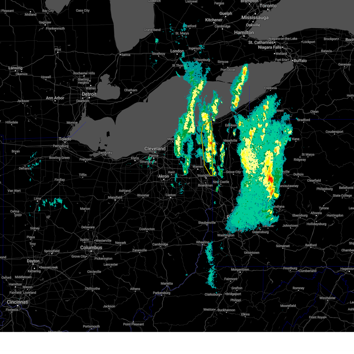 the severe thunderstorm warning has been cancelled and is no longer in effect the severe thunderstorm warning has been cancelled and is no longer in effect
|
| 3/16/2025 1:27 PM EDT |
 At 126 pm edt, severe thunderstorms were located along a line extending from near north kingsville to near andover to near kinsman to near sharon, moving north at 80 mph (radar indicated. at 118 pm edt, a 63 mph wind gust was reported at youngstown-warren airport). Hazards include 60 mph wind gusts. Expect damage to trees and power lines. Locations impacted include, conneaut, hubbard, north kingsville, kinsman, andover, johnston, kingsville, pierpont, cherry valley, orangeville, yankee lake, brookfield center, west hill, kelloggsville, and edgewood. At 126 pm edt, severe thunderstorms were located along a line extending from near north kingsville to near andover to near kinsman to near sharon, moving north at 80 mph (radar indicated. at 118 pm edt, a 63 mph wind gust was reported at youngstown-warren airport). Hazards include 60 mph wind gusts. Expect damage to trees and power lines. Locations impacted include, conneaut, hubbard, north kingsville, kinsman, andover, johnston, kingsville, pierpont, cherry valley, orangeville, yankee lake, brookfield center, west hill, kelloggsville, and edgewood.
|
| 3/16/2025 1:22 PM EDT |
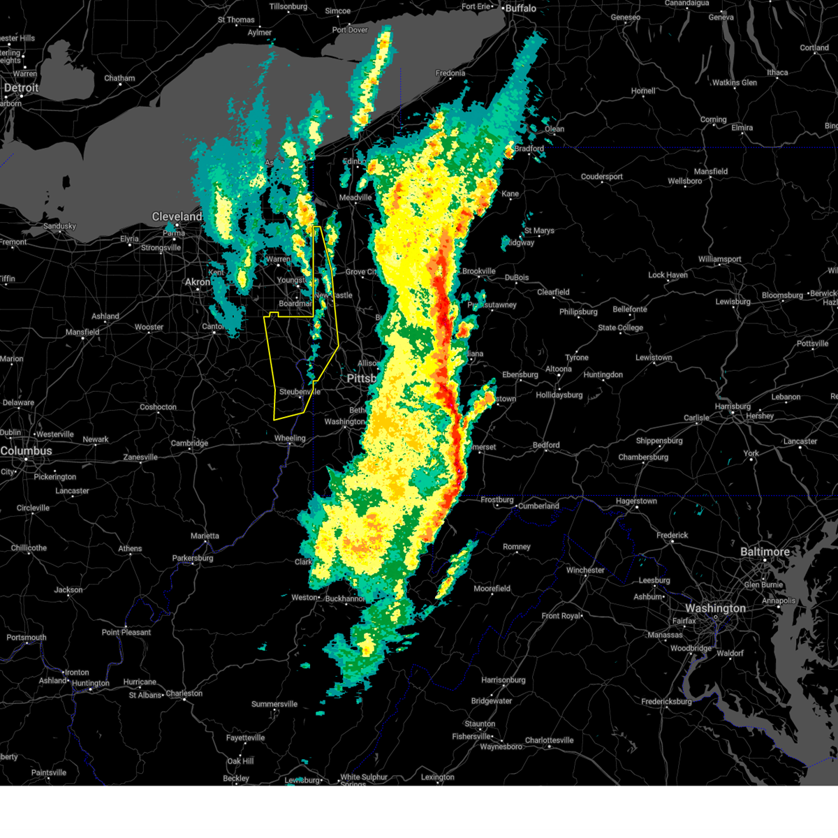 The severe thunderstorm warning that was previously in effect has been reissued for hancock, lawrence, brooke, beaver, mercer, columbiana, and jefferson oh counties and is in effect until 200 pm edt. please refer to that bulletin for the latest severe weather information. a tornado watch remains in effect until 400 pm edt for portions of east central ohio, pennsylvania, and the northern panhandle of west virginia. The severe thunderstorm warning that was previously in effect has been reissued for hancock, lawrence, brooke, beaver, mercer, columbiana, and jefferson oh counties and is in effect until 200 pm edt. please refer to that bulletin for the latest severe weather information. a tornado watch remains in effect until 400 pm edt for portions of east central ohio, pennsylvania, and the northern panhandle of west virginia.
|
| 3/16/2025 1:13 PM EDT |
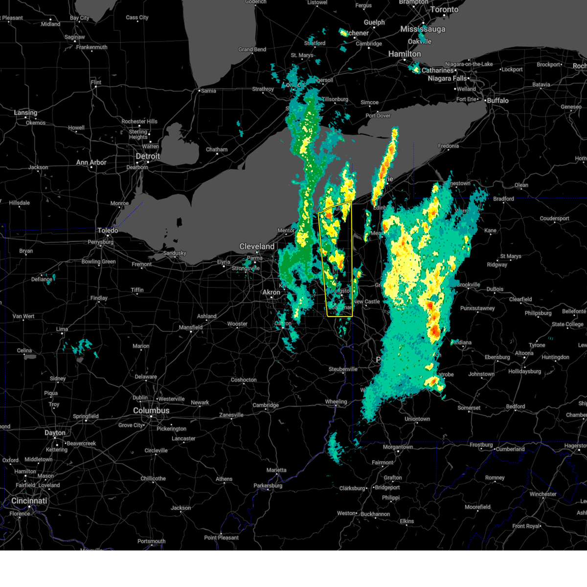 At 113 pm edt, severe thunderstorms were located along a line extending from near ashtabula to near cortland to canfield, moving northeast at 50 mph (radar indicated). Hazards include 60 mph wind gusts. Expect damage to trees and power lines. Locations impacted include, youngstown, warren, ashtabula, conneaut, salem, columbiana, geneva-on-the-lake, boardman, niles, campbell, hubbard, canfield, cortland, geneva, lordstown, north kingsville, kinsman, north bloomfield, orwell, and andover. At 113 pm edt, severe thunderstorms were located along a line extending from near ashtabula to near cortland to canfield, moving northeast at 50 mph (radar indicated). Hazards include 60 mph wind gusts. Expect damage to trees and power lines. Locations impacted include, youngstown, warren, ashtabula, conneaut, salem, columbiana, geneva-on-the-lake, boardman, niles, campbell, hubbard, canfield, cortland, geneva, lordstown, north kingsville, kinsman, north bloomfield, orwell, and andover.
|
| 3/16/2025 1:13 PM EDT |
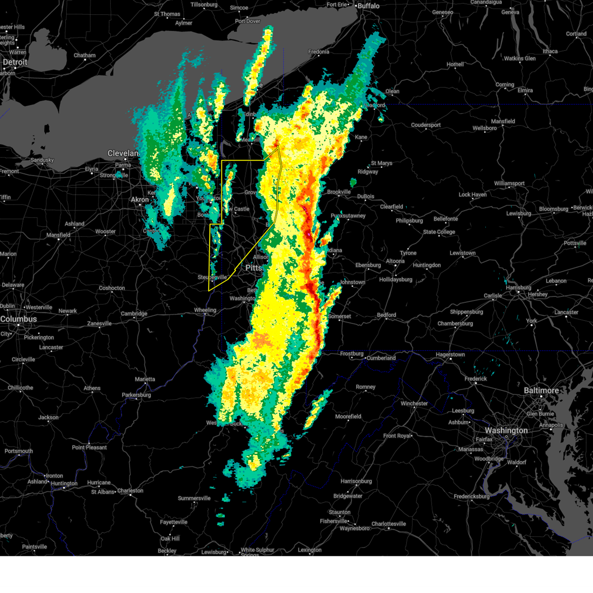 Svrpbz the national weather service in pittsburgh has issued a * severe thunderstorm warning for, eastern columbiana county in east central ohio, northeastern jefferson oh county in east central ohio, mercer county in northwestern pennsylvania, western venango county in northwestern pennsylvania, northwestern washington county in southwestern pennsylvania, western butler county in west central pennsylvania, beaver county in western pennsylvania, lawrence county in western pennsylvania, brooke county in northern west virginia, hancock county in northern west virginia, * until 200 pm edt. * at 113 pm edt, severe thunderstorms were located along a line from 21 miles north of greenville to over east liverpool, or along a line from 30 miles north of sharpsville to over east liverpool, moving northeast at 65 mph (radar indicated). Hazards include 70 mph wind gusts. Expect considerable tree damage. Damage is likely to mobile homes, roofs, and outbuildings. Svrpbz the national weather service in pittsburgh has issued a * severe thunderstorm warning for, eastern columbiana county in east central ohio, northeastern jefferson oh county in east central ohio, mercer county in northwestern pennsylvania, western venango county in northwestern pennsylvania, northwestern washington county in southwestern pennsylvania, western butler county in west central pennsylvania, beaver county in western pennsylvania, lawrence county in western pennsylvania, brooke county in northern west virginia, hancock county in northern west virginia, * until 200 pm edt. * at 113 pm edt, severe thunderstorms were located along a line from 21 miles north of greenville to over east liverpool, or along a line from 30 miles north of sharpsville to over east liverpool, moving northeast at 65 mph (radar indicated). Hazards include 70 mph wind gusts. Expect considerable tree damage. Damage is likely to mobile homes, roofs, and outbuildings.
|
| 3/16/2025 1:06 PM EDT |
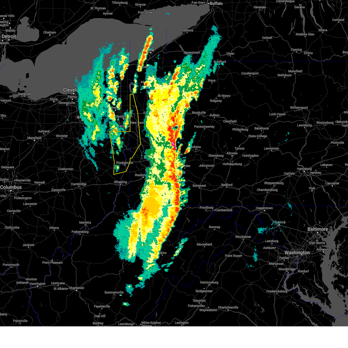 the severe thunderstorm warning has been cancelled and is no longer in effect the severe thunderstorm warning has been cancelled and is no longer in effect
|
| 3/16/2025 1:06 PM EDT |
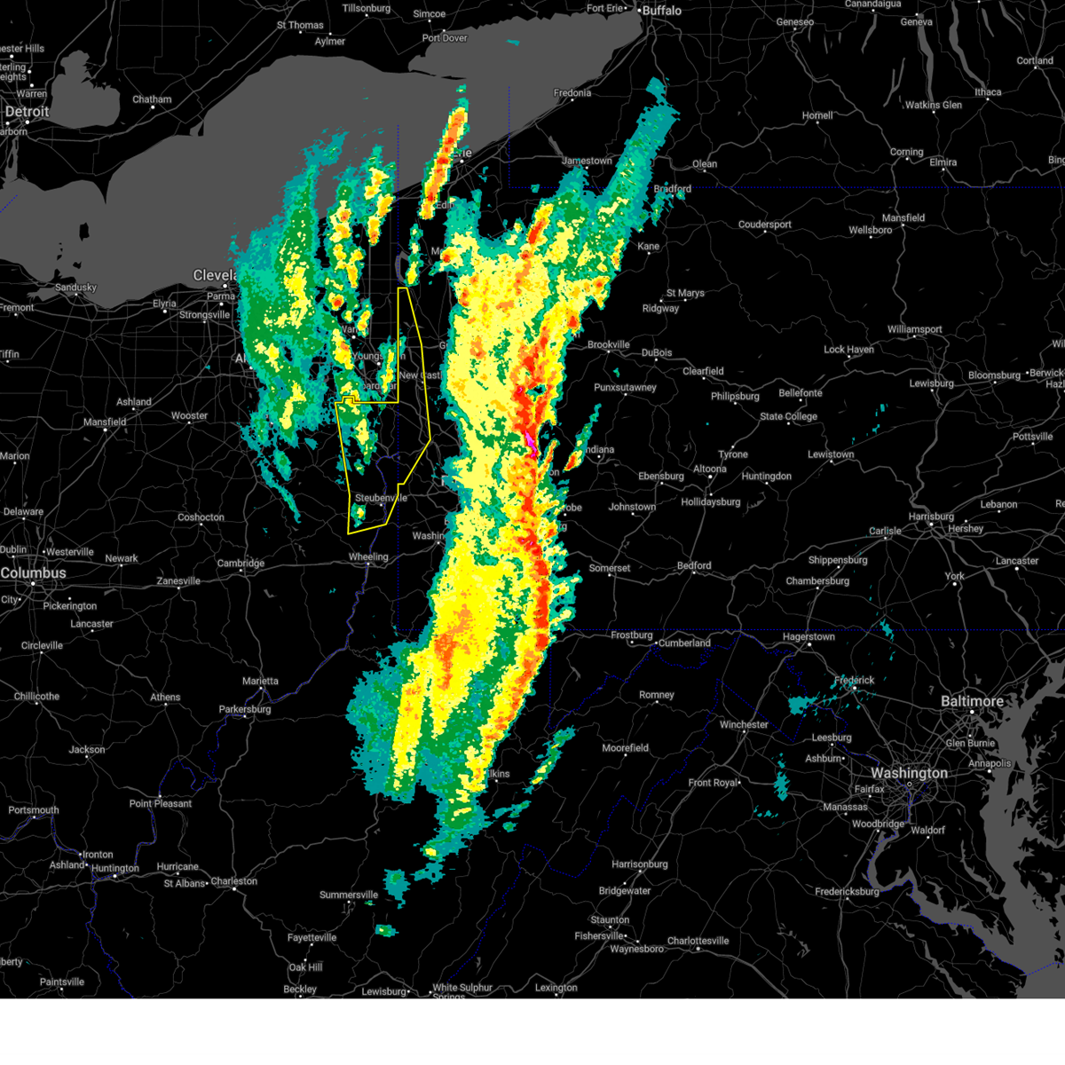 At 106 pm edt, severe thunderstorms were located along a line from 24 miles northwest of sharon to over wintersville, or along a line from 24 miles northwest of sharpsville to 6 miles west of steubenville, moving northeast at 65 mph (radar indicated). Hazards include 70 mph wind gusts. Expect considerable tree damage. damage is likely to mobile homes, roofs, and outbuildings. Locations impacted include, new castle, weirton, steubenville, hermitage, sharon, salem, east liverpool, beaver falls, columbiana, east palestine, sharpsville, wellsville, wellsburg, new brighton, farrell, toronto, beaver, calcutta, wintersville and ohioville. At 106 pm edt, severe thunderstorms were located along a line from 24 miles northwest of sharon to over wintersville, or along a line from 24 miles northwest of sharpsville to 6 miles west of steubenville, moving northeast at 65 mph (radar indicated). Hazards include 70 mph wind gusts. Expect considerable tree damage. damage is likely to mobile homes, roofs, and outbuildings. Locations impacted include, new castle, weirton, steubenville, hermitage, sharon, salem, east liverpool, beaver falls, columbiana, east palestine, sharpsville, wellsville, wellsburg, new brighton, farrell, toronto, beaver, calcutta, wintersville and ohioville.
|
| 3/16/2025 12:51 PM EDT |
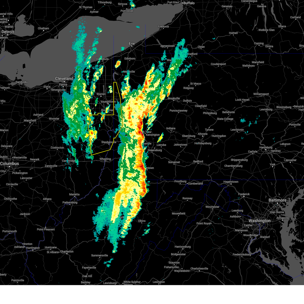 Svrpbz the national weather service in pittsburgh has issued a * severe thunderstorm warning for, eastern carroll county in east central ohio, columbiana county in east central ohio, eastern harrison county in east central ohio, jefferson oh county in east central ohio, western mercer county in northwestern pennsylvania, western beaver county in western pennsylvania, western lawrence county in western pennsylvania, brooke county in northern west virginia, hancock county in northern west virginia, * until 130 pm edt. * at 1251 pm edt, severe thunderstorms were located along a line from 28 miles northwest of salem to near cadiz, moving northeast at 65 mph (radar indicated). Hazards include 60 mph wind gusts. expect damage to roofs, siding, and trees Svrpbz the national weather service in pittsburgh has issued a * severe thunderstorm warning for, eastern carroll county in east central ohio, columbiana county in east central ohio, eastern harrison county in east central ohio, jefferson oh county in east central ohio, western mercer county in northwestern pennsylvania, western beaver county in western pennsylvania, western lawrence county in western pennsylvania, brooke county in northern west virginia, hancock county in northern west virginia, * until 130 pm edt. * at 1251 pm edt, severe thunderstorms were located along a line from 28 miles northwest of salem to near cadiz, moving northeast at 65 mph (radar indicated). Hazards include 60 mph wind gusts. expect damage to roofs, siding, and trees
|
| 3/16/2025 12:39 PM EDT |
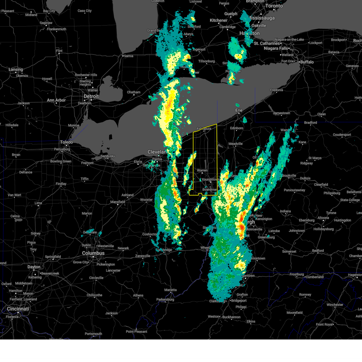 Svrcle the national weather service in cleveland has issued a * severe thunderstorm warning for, trumbull county in northeastern ohio, mahoning county in northeastern ohio, ashtabula county in northeastern ohio, * until 145 pm edt. * at 1238 pm edt, severe thunderstorms were located along a line extending from near fairport harbor to near streetsboro to hartville to near waynesburg, moving northeast at 60 mph (radar indicated). Hazards include 70 mph wind gusts. Expect considerable tree damage. Damage is likely to mobile homes, roofs, and outbuildings. Svrcle the national weather service in cleveland has issued a * severe thunderstorm warning for, trumbull county in northeastern ohio, mahoning county in northeastern ohio, ashtabula county in northeastern ohio, * until 145 pm edt. * at 1238 pm edt, severe thunderstorms were located along a line extending from near fairport harbor to near streetsboro to hartville to near waynesburg, moving northeast at 60 mph (radar indicated). Hazards include 70 mph wind gusts. Expect considerable tree damage. Damage is likely to mobile homes, roofs, and outbuildings.
|
| 10/6/2024 6:13 PM EDT |
 The storm which prompted the warning has moved out of the area. therefore, the warning will be allowed to expire. however, gusty winds and heavy rain are still possible with other nearby thunderstorms. a severe thunderstorm watch remains in effect until 1100 pm edt for northeastern ohio. The storm which prompted the warning has moved out of the area. therefore, the warning will be allowed to expire. however, gusty winds and heavy rain are still possible with other nearby thunderstorms. a severe thunderstorm watch remains in effect until 1100 pm edt for northeastern ohio.
|
| 10/6/2024 6:00 PM EDT |
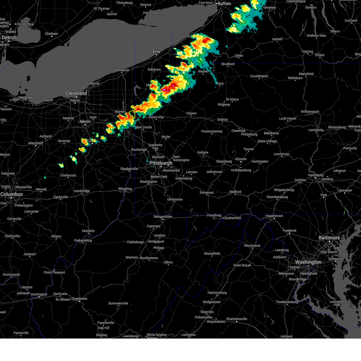 Svrcle the national weather service in cleveland has issued a * severe thunderstorm warning for, southeastern trumbull county in northeastern ohio, * until 615 pm edt. * at 559 pm edt, a severe thunderstorm was located near sharon, moving east at 55 mph (radar indicated). Hazards include 60 mph wind gusts and quarter size hail. Minor damage to vehicles is possible. Expect damage to trees and power lines. Svrcle the national weather service in cleveland has issued a * severe thunderstorm warning for, southeastern trumbull county in northeastern ohio, * until 615 pm edt. * at 559 pm edt, a severe thunderstorm was located near sharon, moving east at 55 mph (radar indicated). Hazards include 60 mph wind gusts and quarter size hail. Minor damage to vehicles is possible. Expect damage to trees and power lines.
|
| 8/30/2024 6:09 PM EDT |
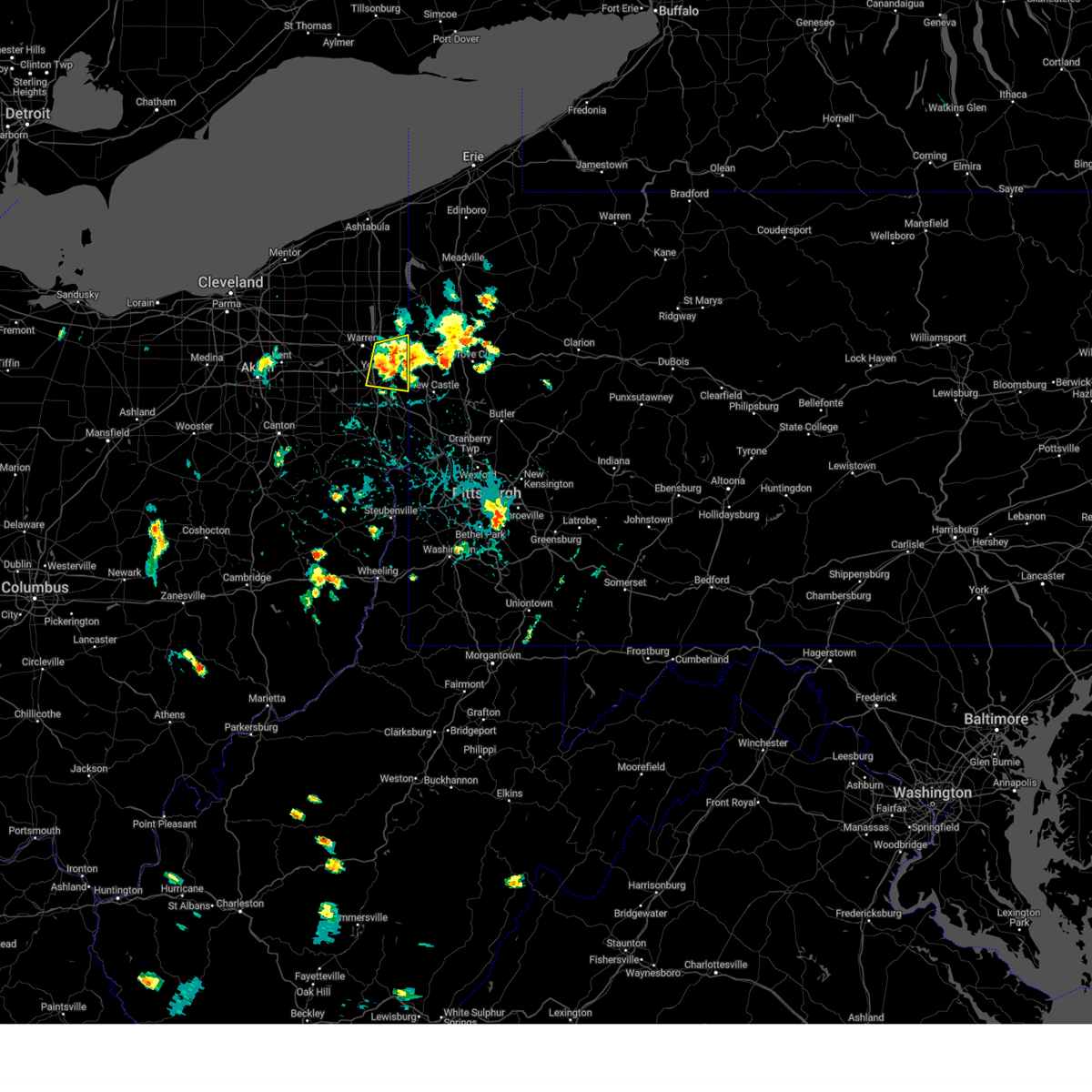 At 608 pm edt, a severe thunderstorm cluster was centered over campbell, or over youngstown, moving east at 35 mph (radar indicated). Hazards include 60 mph wind gusts and penny size hail. Expect damage to trees and power lines. Locations impacted include, youngstown, boardman, niles, campbell, hubbard, canfield, vienna center, hilltop, maplewood park, austintown, struthers, girard, vienna, mcdonald, poland, lowellville, yankee lake, brookfield center, churchill, and west hill. At 608 pm edt, a severe thunderstorm cluster was centered over campbell, or over youngstown, moving east at 35 mph (radar indicated). Hazards include 60 mph wind gusts and penny size hail. Expect damage to trees and power lines. Locations impacted include, youngstown, boardman, niles, campbell, hubbard, canfield, vienna center, hilltop, maplewood park, austintown, struthers, girard, vienna, mcdonald, poland, lowellville, yankee lake, brookfield center, churchill, and west hill.
|
| 8/30/2024 6:05 PM EDT |
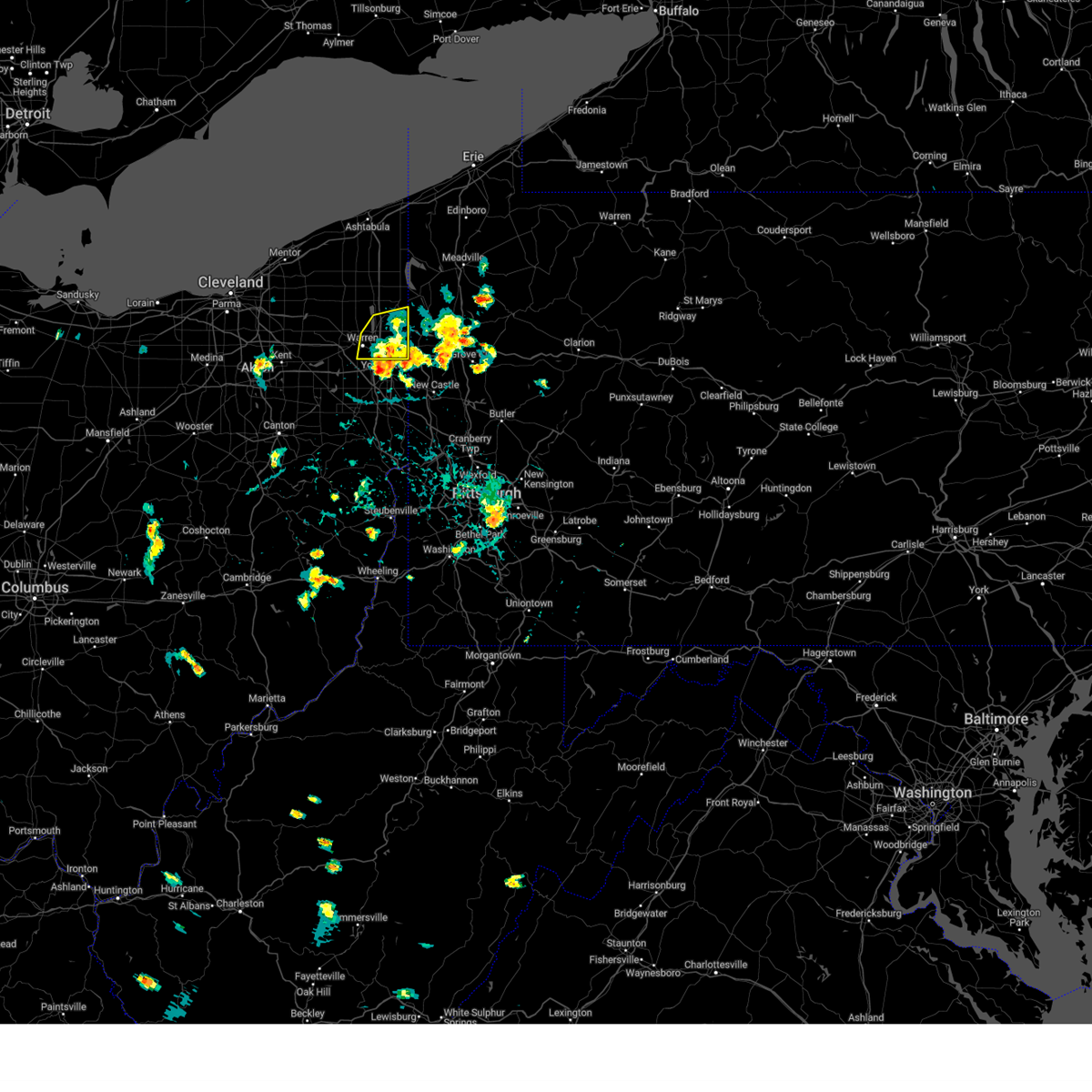 the severe thunderstorm warning has been cancelled and is no longer in effect the severe thunderstorm warning has been cancelled and is no longer in effect
|
| 8/30/2024 5:39 PM EDT |
 At 539 pm edt, a severe thunderstorm was located over vienna center, or 7 miles east of warren, moving east at 25 mph (radar indicated). Hazards include 60 mph wind gusts and penny size hail. Expect damage to trees and power lines. Locations impacted include, warren, niles, hubbard, cortland, lordstown, vienna center, girard, vienna, mcdonald, mecca, johnston, orangeville, yankee lake, brookfield center, howland center, bolindale, west hill, churchill, and champion heights. At 539 pm edt, a severe thunderstorm was located over vienna center, or 7 miles east of warren, moving east at 25 mph (radar indicated). Hazards include 60 mph wind gusts and penny size hail. Expect damage to trees and power lines. Locations impacted include, warren, niles, hubbard, cortland, lordstown, vienna center, girard, vienna, mcdonald, mecca, johnston, orangeville, yankee lake, brookfield center, howland center, bolindale, west hill, churchill, and champion heights.
|
| 8/30/2024 5:36 PM EDT |
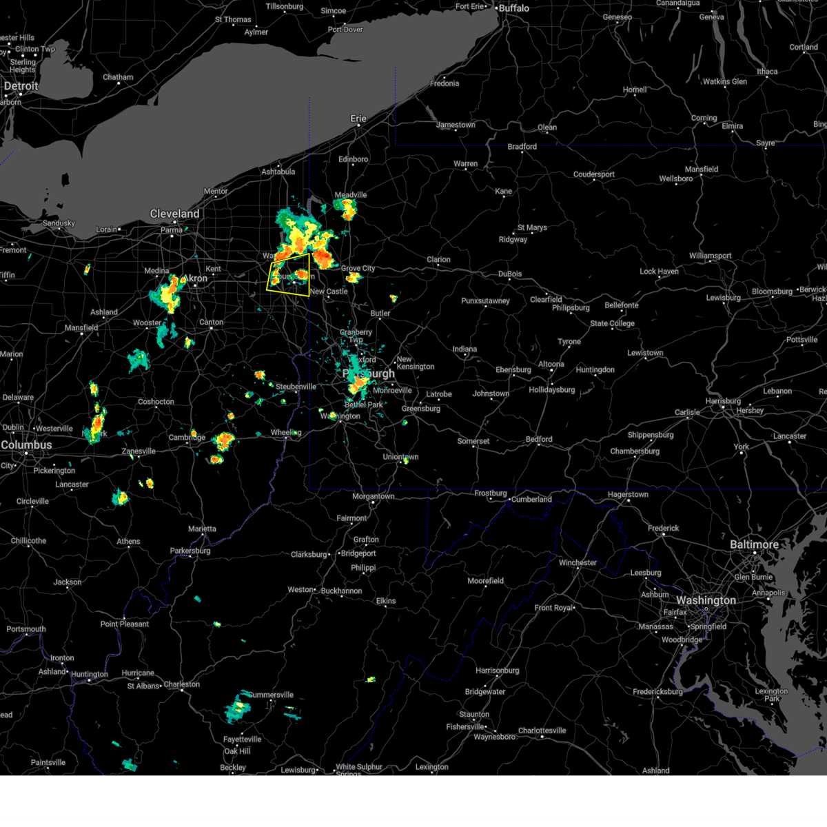 Svrcle the national weather service in cleveland has issued a * severe thunderstorm warning for, southeastern trumbull county in northeastern ohio, northeastern mahoning county in northeastern ohio, * until 630 pm edt. * at 536 pm edt, a severe thunderstorm was located over hilltop, or near warren, moving east at 15 mph (radar indicated). Hazards include 60 mph wind gusts and quarter size hail. Minor damage to vehicles is possible. Expect damage to trees and power lines. Svrcle the national weather service in cleveland has issued a * severe thunderstorm warning for, southeastern trumbull county in northeastern ohio, northeastern mahoning county in northeastern ohio, * until 630 pm edt. * at 536 pm edt, a severe thunderstorm was located over hilltop, or near warren, moving east at 15 mph (radar indicated). Hazards include 60 mph wind gusts and quarter size hail. Minor damage to vehicles is possible. Expect damage to trees and power lines.
|
| 8/30/2024 5:13 PM EDT |
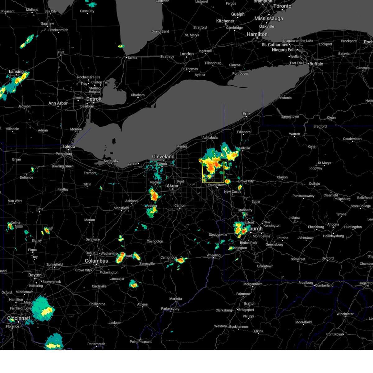 Svrcle the national weather service in cleveland has issued a * severe thunderstorm warning for, trumbull county in northeastern ohio, * until 615 pm edt. * at 513 pm edt, a severe thunderstorm was located near warren, moving east at 35 mph (radar indicated). Hazards include 60 mph wind gusts and quarter size hail. Minor damage to vehicles is possible. Expect damage to trees and power lines. Svrcle the national weather service in cleveland has issued a * severe thunderstorm warning for, trumbull county in northeastern ohio, * until 615 pm edt. * at 513 pm edt, a severe thunderstorm was located near warren, moving east at 35 mph (radar indicated). Hazards include 60 mph wind gusts and quarter size hail. Minor damage to vehicles is possible. Expect damage to trees and power lines.
|
| 8/6/2024 5:48 PM EDT |
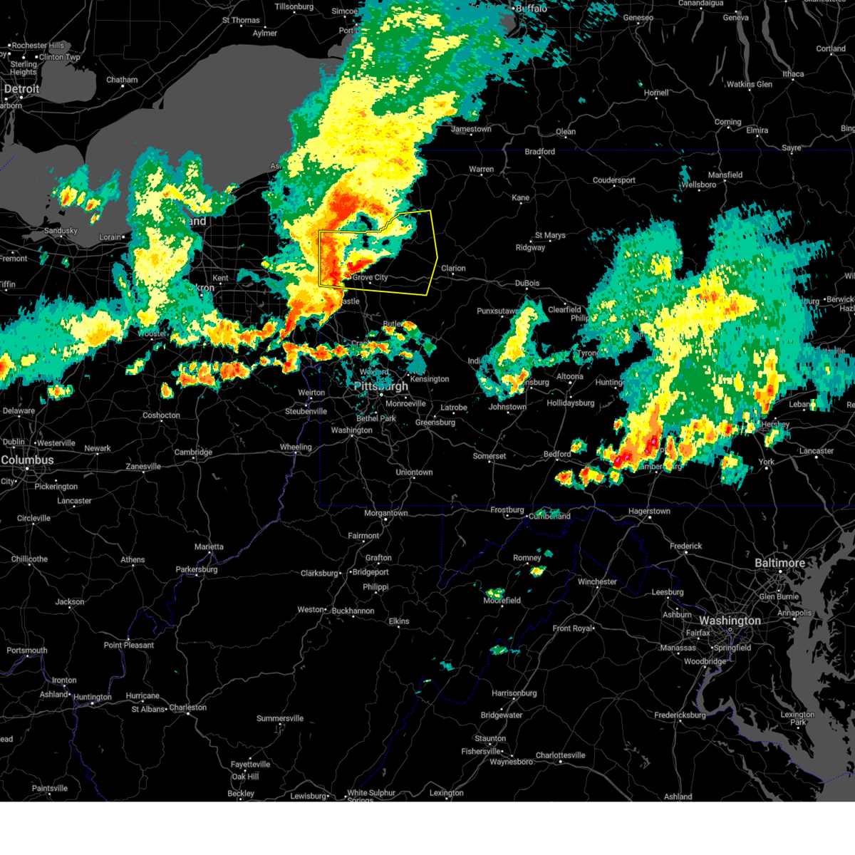 Svrpbz the national weather service in pittsburgh has issued a * severe thunderstorm warning for, mercer county in northwestern pennsylvania, venango county in northwestern pennsylvania, northeastern lawrence county in western pennsylvania, northeastern butler county in west central pennsylvania, northwestern armstrong county in west central pennsylvania, northwestern clarion county in west central pennsylvania, * until 630 pm edt. * at 547 pm edt, severe thunderstorms were located along a line extending from atlantic to near hermitage to near new wilmington, moving east at 50 mph (radar indicated). Hazards include 60 mph wind gusts and penny size hail. expect damage to trees and power lines, resulting in some power outages Svrpbz the national weather service in pittsburgh has issued a * severe thunderstorm warning for, mercer county in northwestern pennsylvania, venango county in northwestern pennsylvania, northeastern lawrence county in western pennsylvania, northeastern butler county in west central pennsylvania, northwestern armstrong county in west central pennsylvania, northwestern clarion county in west central pennsylvania, * until 630 pm edt. * at 547 pm edt, severe thunderstorms were located along a line extending from atlantic to near hermitage to near new wilmington, moving east at 50 mph (radar indicated). Hazards include 60 mph wind gusts and penny size hail. expect damage to trees and power lines, resulting in some power outages
|
| 8/6/2024 5:44 PM EDT |
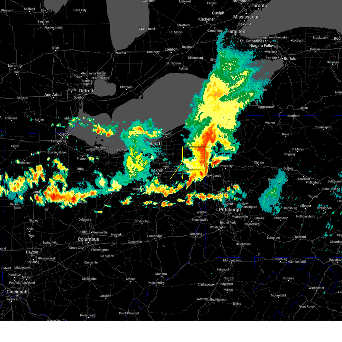 The storms which prompted the warning have moved out of the area. therefore, the warning will be allowed to expire. however, heavy rain and gusty winds are still possible with these thunderstorms. a severe thunderstorm watch remains in effect until 700 pm edt for northeastern ohio. The storms which prompted the warning have moved out of the area. therefore, the warning will be allowed to expire. however, heavy rain and gusty winds are still possible with these thunderstorms. a severe thunderstorm watch remains in effect until 700 pm edt for northeastern ohio.
|
| 8/6/2024 5:24 PM EDT |
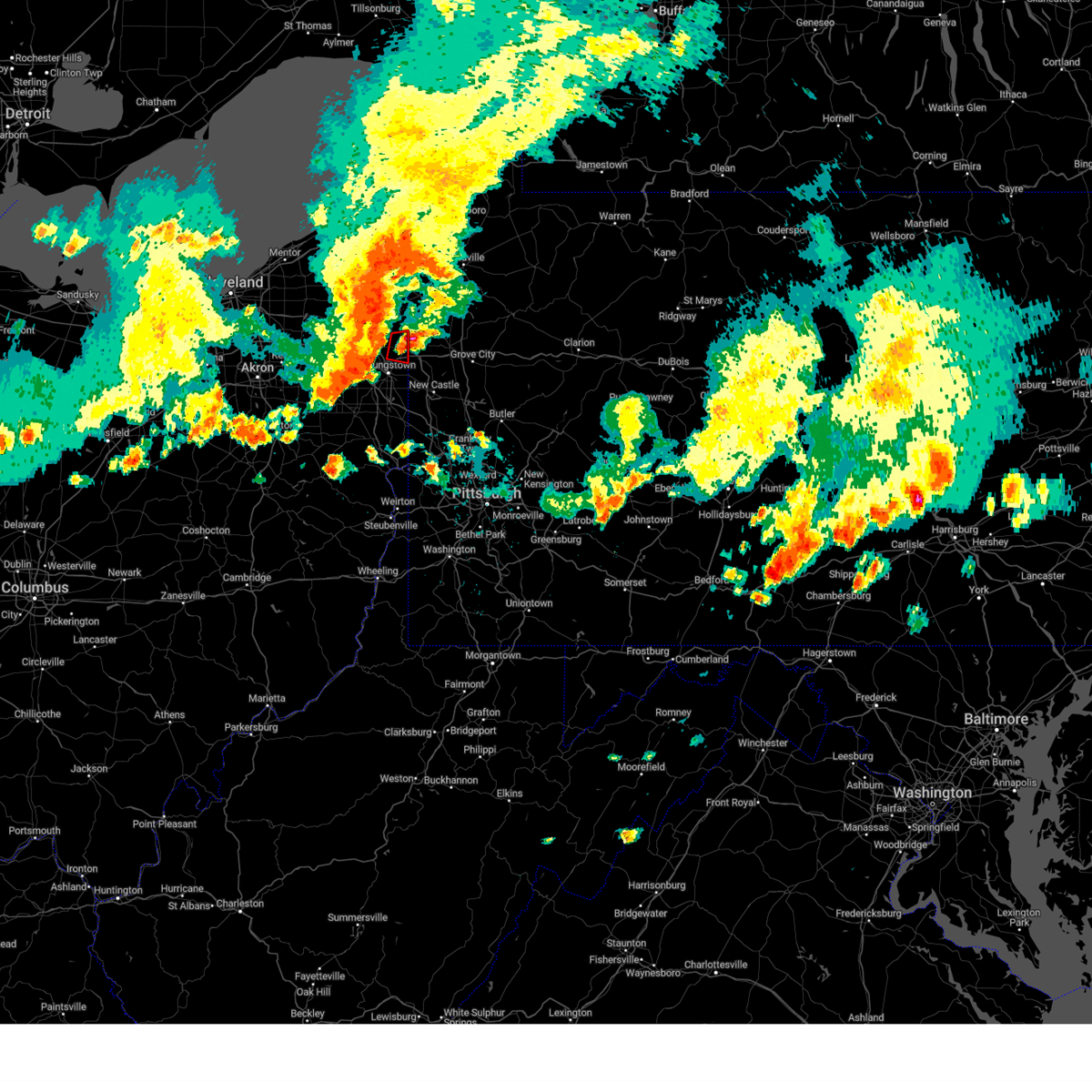 The storm which prompted the warning has moved out of the area. therefore, the warning will be allowed to expire. a severe thunderstorm watch remains in effect until 700 pm edt for northeastern ohio. The storm which prompted the warning has moved out of the area. therefore, the warning will be allowed to expire. a severe thunderstorm watch remains in effect until 700 pm edt for northeastern ohio.
|
| 8/6/2024 5:21 PM EDT |
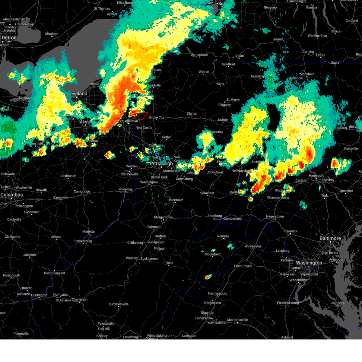 Torpbz the national weather service in pittsburgh has issued a * tornado warning for, southwestern mercer county in northwestern pennsylvania, * until 545 pm edt. * at 521 pm edt, a severe thunderstorm capable of producing a tornado was located near hubbard, or near sharon, moving east at 30 mph (radar indicated rotation). Hazards include tornado. Flying debris will be dangerous to those caught without shelter. mobile homes will be damaged or destroyed. damage to roofs, windows, and vehicles will occur. tree damage is likely. this dangerous storm will be near, hermitage, sharon, sharpsville, and farrell around 525 pm edt. Other locations impacted by this tornadic thunderstorm include wheatland and west middlesex. Torpbz the national weather service in pittsburgh has issued a * tornado warning for, southwestern mercer county in northwestern pennsylvania, * until 545 pm edt. * at 521 pm edt, a severe thunderstorm capable of producing a tornado was located near hubbard, or near sharon, moving east at 30 mph (radar indicated rotation). Hazards include tornado. Flying debris will be dangerous to those caught without shelter. mobile homes will be damaged or destroyed. damage to roofs, windows, and vehicles will occur. tree damage is likely. this dangerous storm will be near, hermitage, sharon, sharpsville, and farrell around 525 pm edt. Other locations impacted by this tornadic thunderstorm include wheatland and west middlesex.
|
| 8/6/2024 5:20 PM EDT |
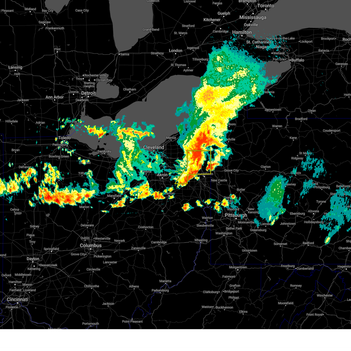 At 519 pm edt, severe thunderstorms were located along a line extending from 6 miles southeast of orwell to near niles to 6 miles northeast of hartville, moving east at 45 mph (trained weather spotters). Hazards include 70 mph wind gusts and quarter size hail. Minor damage to vehicles is possible. expect considerable tree damage. wind damage is also likely to mobile homes, roofs, and outbuildings. Locations impacted include, warren, niles, hubbard, cortland, newton falls, lordstown, kinsman, north bloomfield, west farmington, vienna center, hilltop, maplewood park, bristolville, leavittsburg, girard, vienna, mcdonald, atwater, mecca, and edinburg. At 519 pm edt, severe thunderstorms were located along a line extending from 6 miles southeast of orwell to near niles to 6 miles northeast of hartville, moving east at 45 mph (trained weather spotters). Hazards include 70 mph wind gusts and quarter size hail. Minor damage to vehicles is possible. expect considerable tree damage. wind damage is also likely to mobile homes, roofs, and outbuildings. Locations impacted include, warren, niles, hubbard, cortland, newton falls, lordstown, kinsman, north bloomfield, west farmington, vienna center, hilltop, maplewood park, bristolville, leavittsburg, girard, vienna, mcdonald, atwater, mecca, and edinburg.
|
| 8/6/2024 5:18 PM EDT |
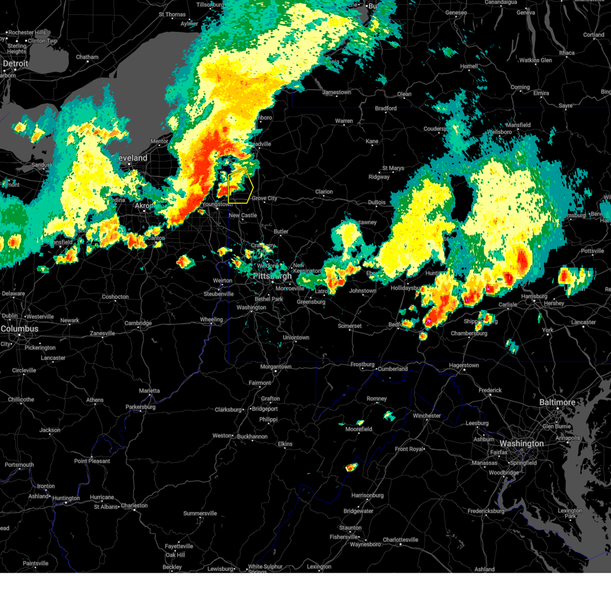 Svrpbz the national weather service in pittsburgh has issued a * severe thunderstorm warning for, western mercer county in northwestern pennsylvania, * until 545 pm edt. * at 518 pm edt, a severe thunderstorm was located over sharpsville, moving east at 30 mph (radar indicated). Hazards include 60 mph wind gusts and quarter size hail. Minor hail damage to vehicles is possible. Expect wind damage to trees and power lines, resulting in some power outages. Svrpbz the national weather service in pittsburgh has issued a * severe thunderstorm warning for, western mercer county in northwestern pennsylvania, * until 545 pm edt. * at 518 pm edt, a severe thunderstorm was located over sharpsville, moving east at 30 mph (radar indicated). Hazards include 60 mph wind gusts and quarter size hail. Minor hail damage to vehicles is possible. Expect wind damage to trees and power lines, resulting in some power outages.
|
| 8/6/2024 5:14 PM EDT |
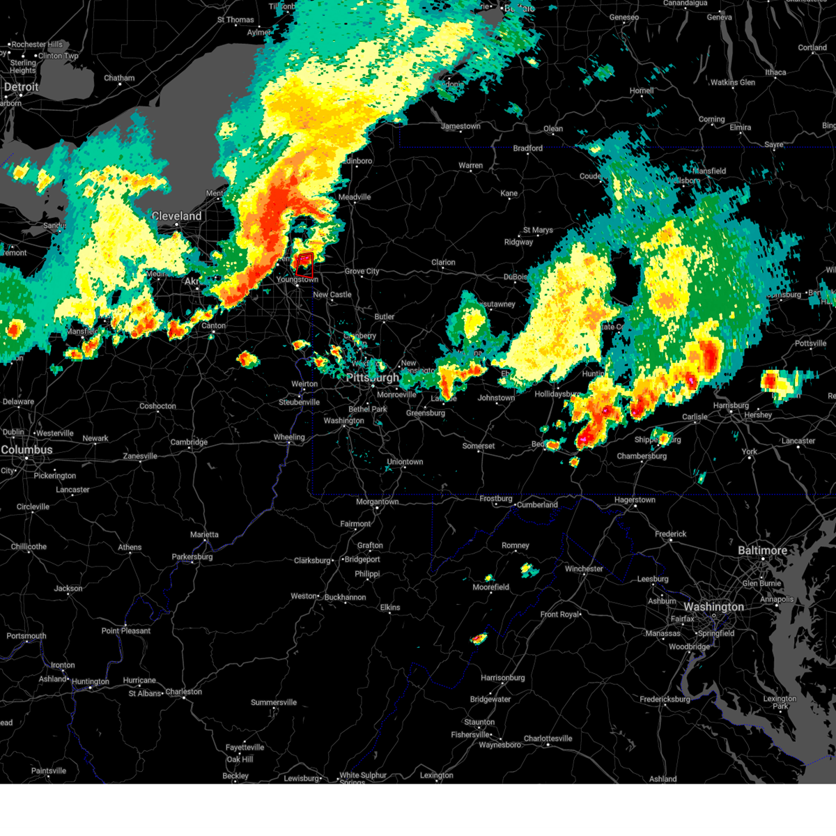 Torcle the national weather service in cleveland has issued a * tornado warning for, southeastern trumbull county in northeastern ohio, * until 530 pm edt. * at 514 pm edt, a severe thunderstorm capable of producing a tornado was located near sharon, moving east at 40 mph (radar indicated rotation). Hazards include tornado. Flying debris will be dangerous to those caught without shelter. mobile homes will be damaged or destroyed. damage to roofs, windows, and vehicles will occur. tree damage is likely. This tornadic thunderstorm will remain over mainly rural areas of southeastern trumbull county, including the following locations, yankee lake, brookfield center, west hill, and churchill. Torcle the national weather service in cleveland has issued a * tornado warning for, southeastern trumbull county in northeastern ohio, * until 530 pm edt. * at 514 pm edt, a severe thunderstorm capable of producing a tornado was located near sharon, moving east at 40 mph (radar indicated rotation). Hazards include tornado. Flying debris will be dangerous to those caught without shelter. mobile homes will be damaged or destroyed. damage to roofs, windows, and vehicles will occur. tree damage is likely. This tornadic thunderstorm will remain over mainly rural areas of southeastern trumbull county, including the following locations, yankee lake, brookfield center, west hill, and churchill.
|
| 8/6/2024 5:09 PM EDT |
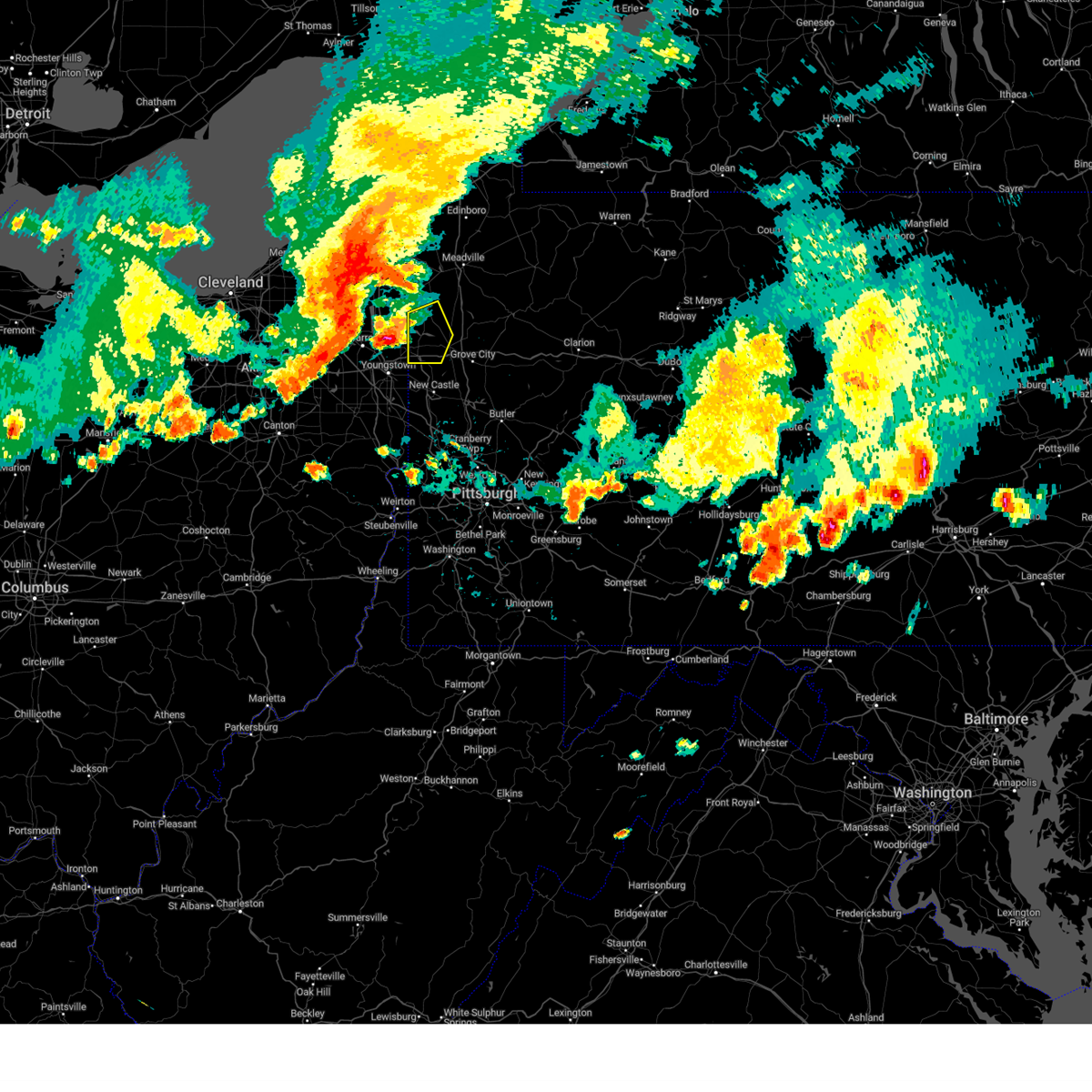 Svrpbz the national weather service in pittsburgh has issued a * severe thunderstorm warning for, western mercer county in northwestern pennsylvania, * until 545 pm edt. * at 509 pm edt, a severe thunderstorm was located near sharon, moving east at 30 mph (radar indicated). Hazards include 60 mph wind gusts and quarter size hail. Minor hail damage to vehicles is possible. Expect wind damage to trees and power lines, resulting in some power outages. Svrpbz the national weather service in pittsburgh has issued a * severe thunderstorm warning for, western mercer county in northwestern pennsylvania, * until 545 pm edt. * at 509 pm edt, a severe thunderstorm was located near sharon, moving east at 30 mph (radar indicated). Hazards include 60 mph wind gusts and quarter size hail. Minor hail damage to vehicles is possible. Expect wind damage to trees and power lines, resulting in some power outages.
|
| 8/6/2024 4:17 PM EDT |
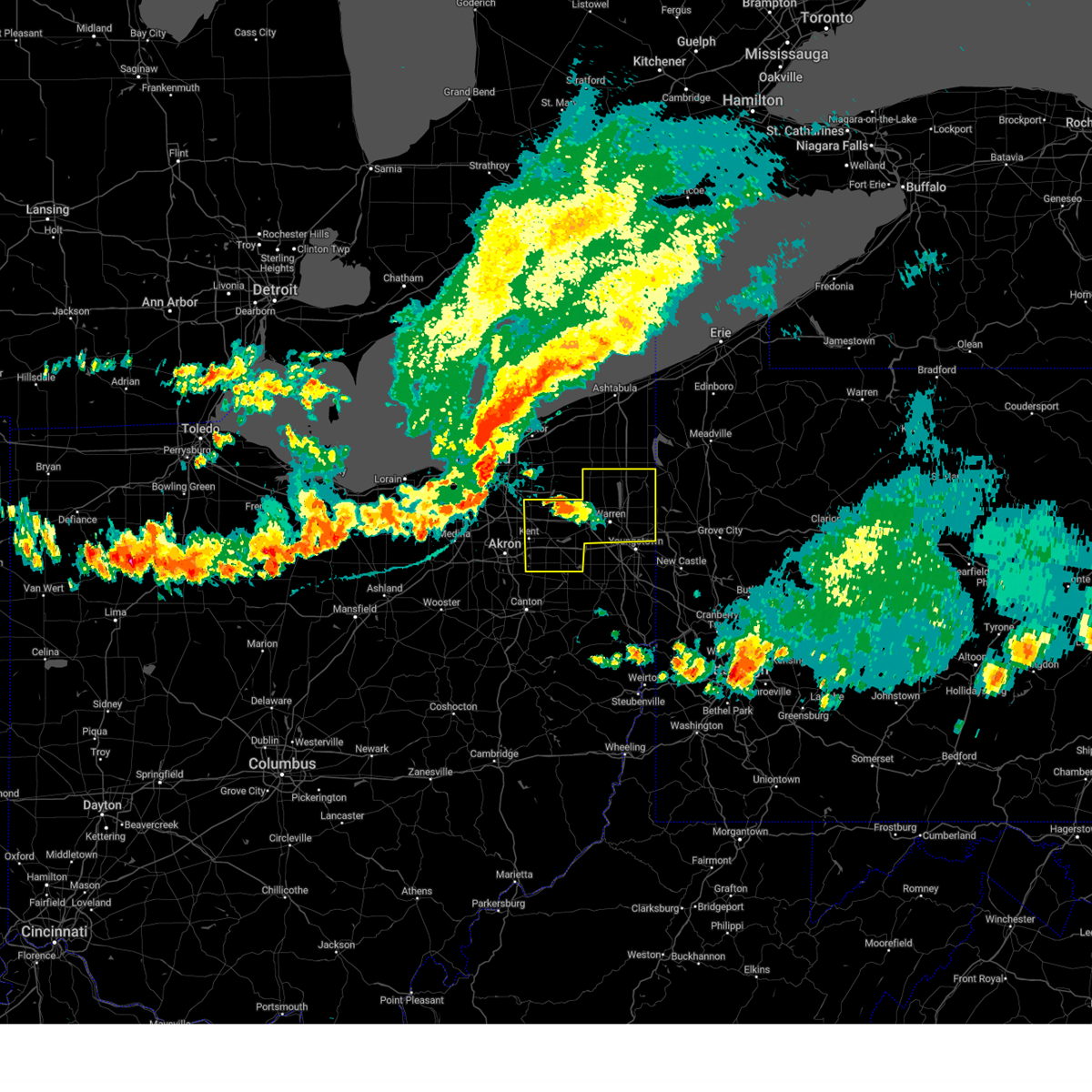 Svrcle the national weather service in cleveland has issued a * severe thunderstorm warning for, trumbull county in northeastern ohio, portage county in northeastern ohio, * until 545 pm edt. * at 416 pm edt, severe thunderstorms were located along a line extending from 6 miles northwest of euclid to near parma to 7 miles south of grafton, moving east at 45 mph (trained weather spotters). Hazards include 70 mph wind gusts and quarter size hail. Minor damage to vehicles is possible. expect considerable tree damage. Wind damage is also likely to mobile homes, roofs, and outbuildings. Svrcle the national weather service in cleveland has issued a * severe thunderstorm warning for, trumbull county in northeastern ohio, portage county in northeastern ohio, * until 545 pm edt. * at 416 pm edt, severe thunderstorms were located along a line extending from 6 miles northwest of euclid to near parma to 7 miles south of grafton, moving east at 45 mph (trained weather spotters). Hazards include 70 mph wind gusts and quarter size hail. Minor damage to vehicles is possible. expect considerable tree damage. Wind damage is also likely to mobile homes, roofs, and outbuildings.
|
| 8/6/2024 2:11 PM EDT |
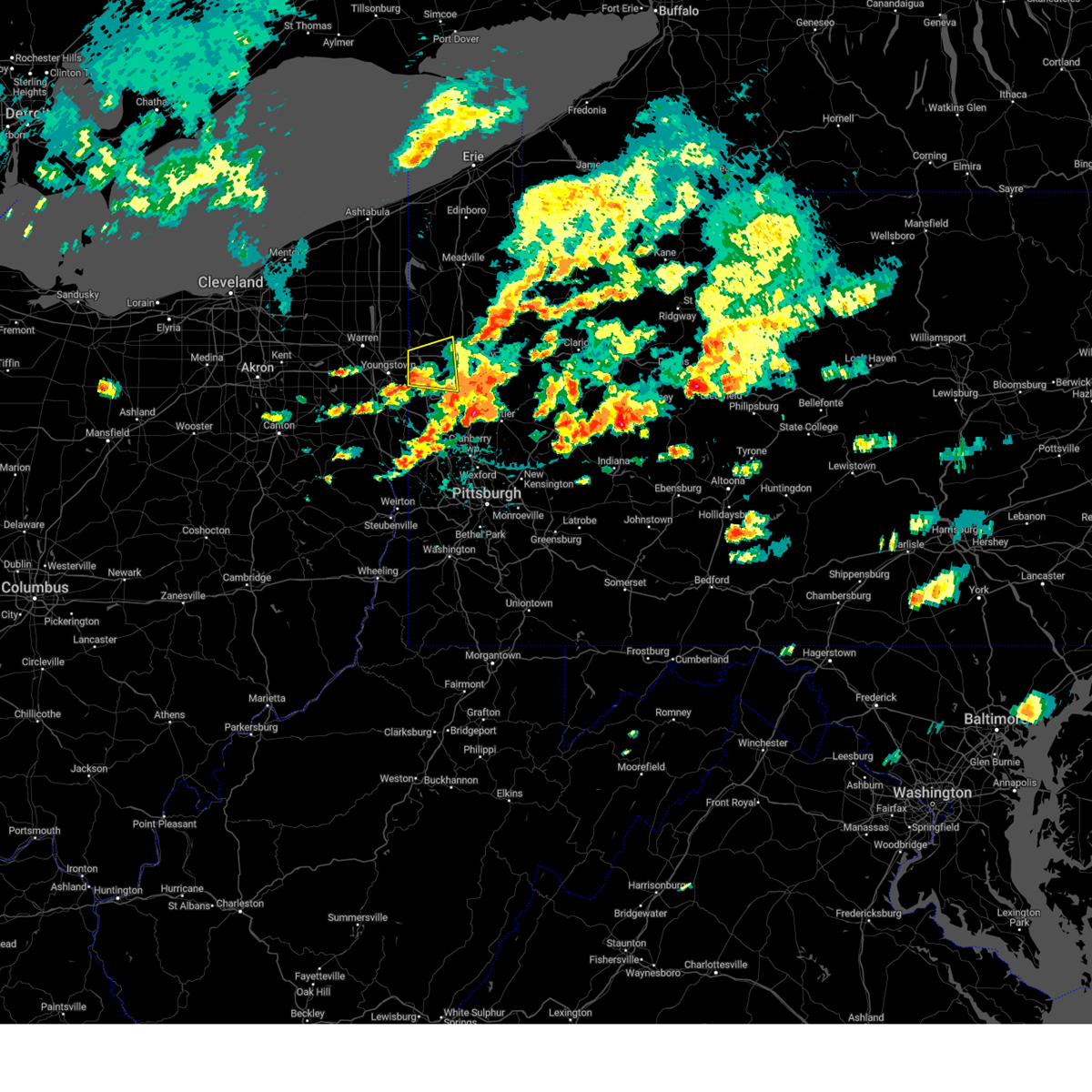 the severe thunderstorm warning has been cancelled and is no longer in effect the severe thunderstorm warning has been cancelled and is no longer in effect
|
| 8/6/2024 1:45 PM EDT |
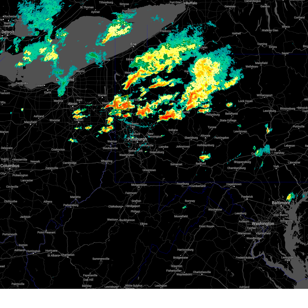 Svrpbz the national weather service in pittsburgh has issued a * severe thunderstorm warning for, southwestern mercer county in northwestern pennsylvania, northern lawrence county in western pennsylvania, * until 230 pm edt. * at 145 pm edt, a severe thunderstorm was located near maplewood park, or 7 miles east of youngstown, moving east at 15 mph (radar indicated). Hazards include 60 mph wind gusts. expect damage to trees and power lines, resulting in some power outages Svrpbz the national weather service in pittsburgh has issued a * severe thunderstorm warning for, southwestern mercer county in northwestern pennsylvania, northern lawrence county in western pennsylvania, * until 230 pm edt. * at 145 pm edt, a severe thunderstorm was located near maplewood park, or 7 miles east of youngstown, moving east at 15 mph (radar indicated). Hazards include 60 mph wind gusts. expect damage to trees and power lines, resulting in some power outages
|
| 8/6/2024 1:28 PM EDT |
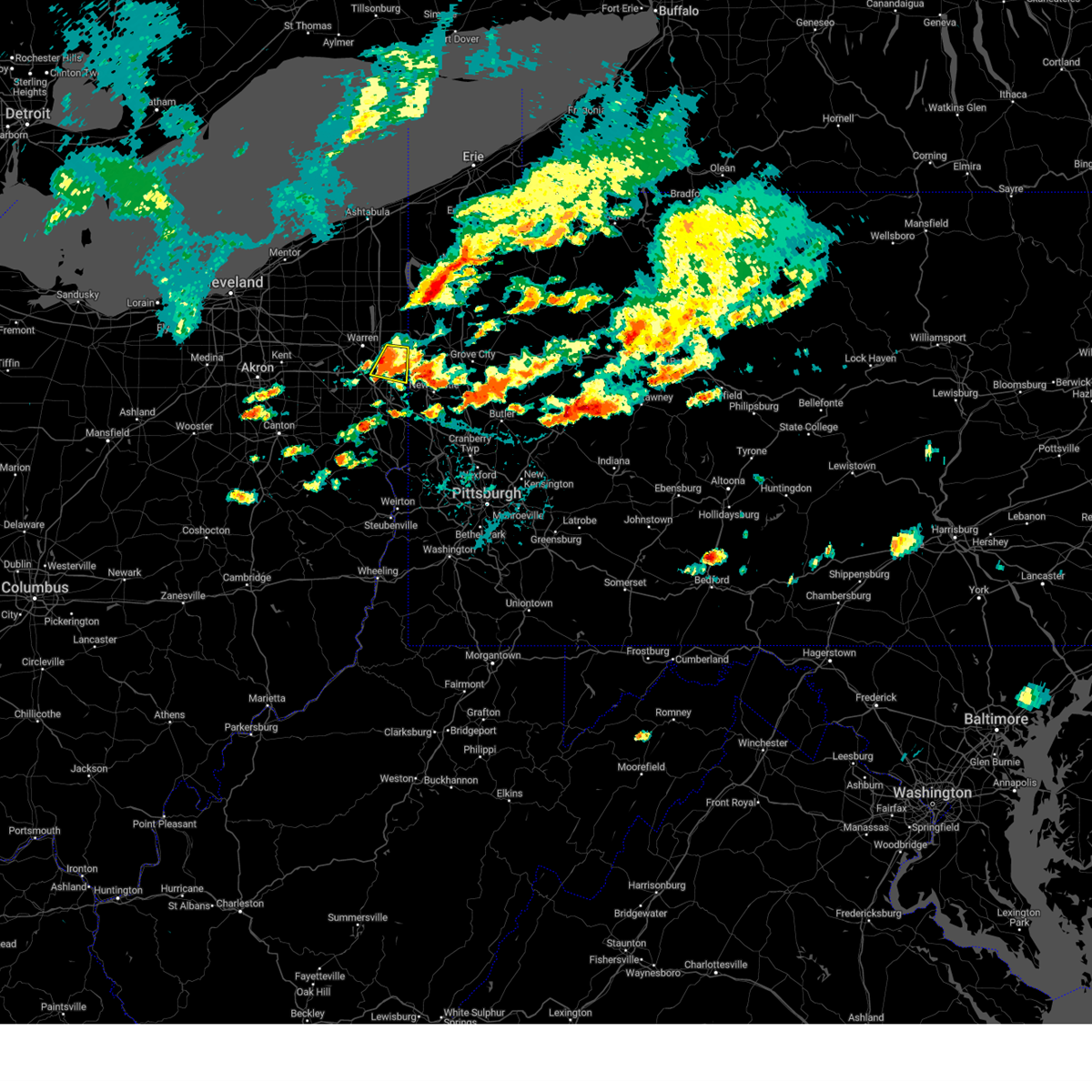 At 127 pm edt, a severe thunderstorm was located near youngstown, moving east at 25 mph (radar indicated). Hazards include 60 mph wind gusts and quarter size hail. Minor damage to vehicles is possible. expect damage to trees and power lines. Locations impacted include, youngstown, campbell, hubbard, maplewood park, vienna center, austintown, struthers, girard, mcdonald, churchill, west hill, and brookfield center. At 127 pm edt, a severe thunderstorm was located near youngstown, moving east at 25 mph (radar indicated). Hazards include 60 mph wind gusts and quarter size hail. Minor damage to vehicles is possible. expect damage to trees and power lines. Locations impacted include, youngstown, campbell, hubbard, maplewood park, vienna center, austintown, struthers, girard, mcdonald, churchill, west hill, and brookfield center.
|
| 8/6/2024 12:54 PM EDT |
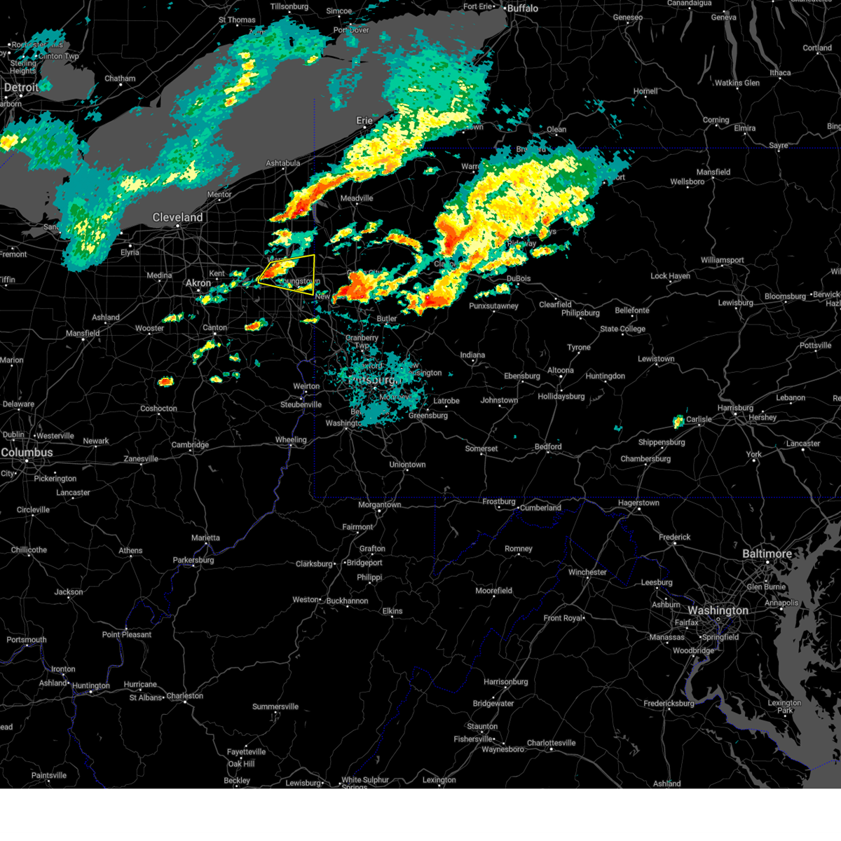 Svrcle the national weather service in cleveland has issued a * severe thunderstorm warning for, southern trumbull county in northeastern ohio, northeastern mahoning county in northeastern ohio, * until 200 pm edt. * at 1253 pm edt, a severe thunderstorm was located over newton falls, or near warren, moving east at 25 mph (radar indicated). Hazards include 60 mph wind gusts and quarter size hail. Minor damage to vehicles is possible. Expect damage to trees and power lines. Svrcle the national weather service in cleveland has issued a * severe thunderstorm warning for, southern trumbull county in northeastern ohio, northeastern mahoning county in northeastern ohio, * until 200 pm edt. * at 1253 pm edt, a severe thunderstorm was located over newton falls, or near warren, moving east at 25 mph (radar indicated). Hazards include 60 mph wind gusts and quarter size hail. Minor damage to vehicles is possible. Expect damage to trees and power lines.
|
| 8/6/2024 11:35 AM EDT |
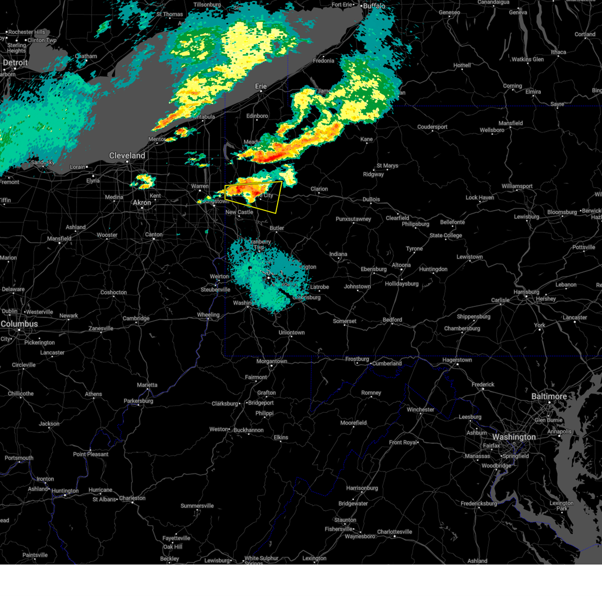 At 1134 am edt, a severe thunderstorm was located near grove city, moving east at 30 mph (law enforcement). Hazards include 70 mph wind gusts and quarter size hail. Minor hail damage to vehicles is possible. trees snapped and uprooted. power outages can be expected. Locations impacted include, hermitage, sharon, grove city, sharpsville, farrell, slippery rock, new wilmington, mercer, harrisville, west middlesex, plain grove township, clark, wheatland, clintonville, kennerdell, jackson center, barkeyville, volant, and boyers. At 1134 am edt, a severe thunderstorm was located near grove city, moving east at 30 mph (law enforcement). Hazards include 70 mph wind gusts and quarter size hail. Minor hail damage to vehicles is possible. trees snapped and uprooted. power outages can be expected. Locations impacted include, hermitage, sharon, grove city, sharpsville, farrell, slippery rock, new wilmington, mercer, harrisville, west middlesex, plain grove township, clark, wheatland, clintonville, kennerdell, jackson center, barkeyville, volant, and boyers.
|
| 8/6/2024 11:23 AM EDT |
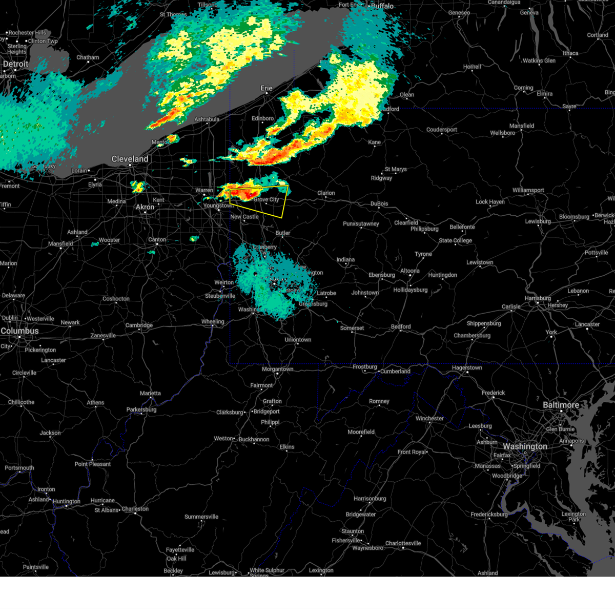 At 1122 am edt, a severe thunderstorm was located 8 miles northwest of grove city, moving east at 30 mph (radar indicated). Hazards include 70 mph wind gusts and quarter size hail. Minor hail damage to vehicles is possible. trees snapped and uprooted. power outages can be expected. Locations impacted include, hermitage, sharon, grove city, sharpsville, farrell, slippery rock, new wilmington, mercer, harrisville, west middlesex, plain grove township, clark, wheatland, clintonville, kennerdell, jackson center, barkeyville, volant, and boyers. At 1122 am edt, a severe thunderstorm was located 8 miles northwest of grove city, moving east at 30 mph (radar indicated). Hazards include 70 mph wind gusts and quarter size hail. Minor hail damage to vehicles is possible. trees snapped and uprooted. power outages can be expected. Locations impacted include, hermitage, sharon, grove city, sharpsville, farrell, slippery rock, new wilmington, mercer, harrisville, west middlesex, plain grove township, clark, wheatland, clintonville, kennerdell, jackson center, barkeyville, volant, and boyers.
|
| 8/6/2024 11:13 AM EDT |
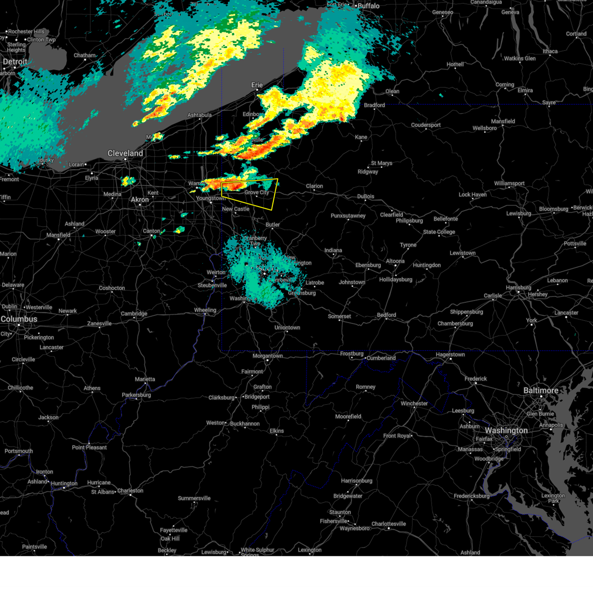 Svrpbz the national weather service in pittsburgh has issued a * severe thunderstorm warning for, southern mercer county in northwestern pennsylvania, southwestern venango county in northwestern pennsylvania, northeastern lawrence county in western pennsylvania, northwestern butler county in west central pennsylvania, * until noon edt. * at 1113 am edt, a severe thunderstorm was located near hermitage, moving east at 35 mph (radar indicated). Hazards include 60 mph wind gusts. expect damage to trees and power lines, resulting in some power outages Svrpbz the national weather service in pittsburgh has issued a * severe thunderstorm warning for, southern mercer county in northwestern pennsylvania, southwestern venango county in northwestern pennsylvania, northeastern lawrence county in western pennsylvania, northwestern butler county in west central pennsylvania, * until noon edt. * at 1113 am edt, a severe thunderstorm was located near hermitage, moving east at 35 mph (radar indicated). Hazards include 60 mph wind gusts. expect damage to trees and power lines, resulting in some power outages
|
| 7/24/2024 4:43 PM EDT |
 The storms which prompted the warning have moved into venango county. therefore, the warning will be allowed to expire. however, gusty winds are still possible with these thunderstorms. a new warning has been issued for venango county. The storms which prompted the warning have moved into venango county. therefore, the warning will be allowed to expire. however, gusty winds are still possible with these thunderstorms. a new warning has been issued for venango county.
|
| 7/24/2024 4:29 PM EDT |
 At 429 pm edt, severe thunderstorms were located along a line extending from 8 miles southeast of atlantic to near maplewood park, moving east at 30 mph (radar indicated). Hazards include 60 mph wind gusts. Expect damage to trees and power lines, resulting in some power outages. Locations impacted include, hermitage, sharon, grove city, sharpsville, sugarcreek, farrell, new wilmington, mercer, pulaski, stoneboro, west middlesex, polk, sandy lake, clark, wheatland, fredonia, cooperstown, jackson center, utica, and new lebanon. At 429 pm edt, severe thunderstorms were located along a line extending from 8 miles southeast of atlantic to near maplewood park, moving east at 30 mph (radar indicated). Hazards include 60 mph wind gusts. Expect damage to trees and power lines, resulting in some power outages. Locations impacted include, hermitage, sharon, grove city, sharpsville, sugarcreek, farrell, new wilmington, mercer, pulaski, stoneboro, west middlesex, polk, sandy lake, clark, wheatland, fredonia, cooperstown, jackson center, utica, and new lebanon.
|
| 7/24/2024 4:16 PM EDT |
 The storms which prompted the warning have weakened below severe limits, and have exited the warned area. therefore, the warning has been allowed to expire. The storms which prompted the warning have weakened below severe limits, and have exited the warned area. therefore, the warning has been allowed to expire.
|
| 7/24/2024 4:16 PM EDT |
 At 416 pm edt, severe thunderstorms were located along a line extending from near atlantic to near maplewood park, moving east at 30 mph (radar indicated). Hazards include 60 mph wind gusts. Expect damage to trees and power lines, resulting in some power outages. Locations impacted include, hermitage, sharon, grove city, sharpsville, greenville, sugarcreek, farrell, new wilmington, mercer, pulaski, stoneboro, west middlesex, polk, sandy lake, clark, wheatland, fredonia, cooperstown, jackson center, and utica. At 416 pm edt, severe thunderstorms were located along a line extending from near atlantic to near maplewood park, moving east at 30 mph (radar indicated). Hazards include 60 mph wind gusts. Expect damage to trees and power lines, resulting in some power outages. Locations impacted include, hermitage, sharon, grove city, sharpsville, greenville, sugarcreek, farrell, new wilmington, mercer, pulaski, stoneboro, west middlesex, polk, sandy lake, clark, wheatland, fredonia, cooperstown, jackson center, and utica.
|
| 7/24/2024 4:04 PM EDT |
 At 404 pm edt, severe thunderstorms were located along a line extending from near kinsman to hilltop, moving east at 25 mph (radar indicated). Hazards include 60 mph wind gusts and penny size hail. Expect damage to trees and power lines. Locations impacted include, warren, niles, hubbard, cortland, lordstown, vienna center, hilltop, maplewood park, girard, vienna, mcdonald, orangeville, yankee lake, brookfield center, churchill, howland center, bolindale, west hill, and mineral ridge. At 404 pm edt, severe thunderstorms were located along a line extending from near kinsman to hilltop, moving east at 25 mph (radar indicated). Hazards include 60 mph wind gusts and penny size hail. Expect damage to trees and power lines. Locations impacted include, warren, niles, hubbard, cortland, lordstown, vienna center, hilltop, maplewood park, girard, vienna, mcdonald, orangeville, yankee lake, brookfield center, churchill, howland center, bolindale, west hill, and mineral ridge.
|
| 7/24/2024 3:54 PM EDT |
 Svrpbz the national weather service in pittsburgh has issued a * severe thunderstorm warning for, mercer county in northwestern pennsylvania, northwestern venango county in northwestern pennsylvania, northwestern lawrence county in western pennsylvania, * until 445 pm edt. * at 354 pm edt, severe thunderstorms were located along a line extending from near adamsville to niles, moving east at 30 mph (radar indicated). Hazards include 60 mph wind gusts. expect damage to trees and power lines, resulting in some power outages Svrpbz the national weather service in pittsburgh has issued a * severe thunderstorm warning for, mercer county in northwestern pennsylvania, northwestern venango county in northwestern pennsylvania, northwestern lawrence county in western pennsylvania, * until 445 pm edt. * at 354 pm edt, severe thunderstorms were located along a line extending from near adamsville to niles, moving east at 30 mph (radar indicated). Hazards include 60 mph wind gusts. expect damage to trees and power lines, resulting in some power outages
|
| 7/24/2024 3:41 PM EDT |
 the severe thunderstorm warning has been cancelled and is no longer in effect the severe thunderstorm warning has been cancelled and is no longer in effect
|
| 7/24/2024 3:41 PM EDT |
 At 341 pm edt, severe thunderstorms were located along a line extending from near kinsman to near leavittsburg, moving east at 30 mph (radar indicated). Hazards include 60 mph wind gusts and penny size hail. Expect damage to trees and power lines. Locations impacted include, warren, niles, hubbard, cortland, newton falls, lordstown, kinsman, vienna center, hilltop, maplewood park, leavittsburg, girard, vienna, mcdonald, mecca, johnston, orangeville, yankee lake, churchill, and howland center. At 341 pm edt, severe thunderstorms were located along a line extending from near kinsman to near leavittsburg, moving east at 30 mph (radar indicated). Hazards include 60 mph wind gusts and penny size hail. Expect damage to trees and power lines. Locations impacted include, warren, niles, hubbard, cortland, newton falls, lordstown, kinsman, vienna center, hilltop, maplewood park, leavittsburg, girard, vienna, mcdonald, mecca, johnston, orangeville, yankee lake, churchill, and howland center.
|
| 7/24/2024 3:19 PM EDT |
 Svrcle the national weather service in cleveland has issued a * severe thunderstorm warning for, trumbull county in northeastern ohio, northeastern portage county in northeastern ohio, * until 415 pm edt. * at 318 pm edt, severe thunderstorms were located along a line extending from near north bloomfield to near garrettsville, moving east at 25 mph (radar indicated). Hazards include 60 mph wind gusts and penny size hail. expect damage to trees and power lines Svrcle the national weather service in cleveland has issued a * severe thunderstorm warning for, trumbull county in northeastern ohio, northeastern portage county in northeastern ohio, * until 415 pm edt. * at 318 pm edt, severe thunderstorms were located along a line extending from near north bloomfield to near garrettsville, moving east at 25 mph (radar indicated). Hazards include 60 mph wind gusts and penny size hail. expect damage to trees and power lines
|
| 6/23/2024 4:55 PM EDT |
 The storm which prompted the warning has weakened below severe limits, and no longer poses an immediate threat to life or property. therefore, the warning will be allowed to expire. however, gusty winds and heavy rain are still possible with this thunderstorm. The storm which prompted the warning has weakened below severe limits, and no longer poses an immediate threat to life or property. therefore, the warning will be allowed to expire. however, gusty winds and heavy rain are still possible with this thunderstorm.
|
| 6/23/2024 4:50 PM EDT |
 the severe thunderstorm warning has been cancelled and is no longer in effect the severe thunderstorm warning has been cancelled and is no longer in effect
|
| 6/23/2024 4:50 PM EDT |
 At 450 pm edt, a severe thunderstorm was located over hermitage, moving east at 40 mph (radar indicated). Hazards include 60 mph wind gusts. Expect damage to trees and power lines. Locations impacted include, youngstown, warren, boardman, niles, campbell, hubbard, canfield, newton falls, lordstown, vienna center, hilltop, maplewood park, leavittsburg, austintown, struthers, girard, vienna, mcdonald, poland, and new middletown. At 450 pm edt, a severe thunderstorm was located over hermitage, moving east at 40 mph (radar indicated). Hazards include 60 mph wind gusts. Expect damage to trees and power lines. Locations impacted include, youngstown, warren, boardman, niles, campbell, hubbard, canfield, newton falls, lordstown, vienna center, hilltop, maplewood park, leavittsburg, austintown, struthers, girard, vienna, mcdonald, poland, and new middletown.
|
| 6/23/2024 4:38 PM EDT |
 At 438 pm edt, a severe thunderstorm was located near sharon, moving east at 40 mph (radar indicated). Hazards include 60 mph wind gusts. Expect damage to trees and power lines. Locations impacted include, youngstown, warren, ravenna, boardman, niles, campbell, hubbard, canfield, cortland, newton falls, lordstown, vienna center, hilltop, maplewood park, leavittsburg, austintown, struthers, girard, vienna, and mcdonald. At 438 pm edt, a severe thunderstorm was located near sharon, moving east at 40 mph (radar indicated). Hazards include 60 mph wind gusts. Expect damage to trees and power lines. Locations impacted include, youngstown, warren, ravenna, boardman, niles, campbell, hubbard, canfield, cortland, newton falls, lordstown, vienna center, hilltop, maplewood park, leavittsburg, austintown, struthers, girard, vienna, and mcdonald.
|
| 6/23/2024 4:18 PM EDT |
 the severe thunderstorm warning has been cancelled and is no longer in effect the severe thunderstorm warning has been cancelled and is no longer in effect
|
| 6/23/2024 4:18 PM EDT |
 At 418 pm edt, a severe thunderstorm was located over warren, moving east at 40 mph (radar indicated). Hazards include 60 mph wind gusts. Expect damage to trees and power lines. Locations impacted include, youngstown, warren, ravenna, boardman, kent, niles, streetsboro, campbell, hubbard, canfield, cortland, newton falls, lordstown, garrettsville, vienna center, hilltop, maplewood park, bristolville, leavittsburg, and austintown. At 418 pm edt, a severe thunderstorm was located over warren, moving east at 40 mph (radar indicated). Hazards include 60 mph wind gusts. Expect damage to trees and power lines. Locations impacted include, youngstown, warren, ravenna, boardman, kent, niles, streetsboro, campbell, hubbard, canfield, cortland, newton falls, lordstown, garrettsville, vienna center, hilltop, maplewood park, bristolville, leavittsburg, and austintown.
|
| 6/23/2024 3:57 PM EDT |
 Svrcle the national weather service in cleveland has issued a * severe thunderstorm warning for, trumbull county in northeastern ohio, northern mahoning county in northeastern ohio, northern portage county in northeastern ohio, southeastern geauga county in northeastern ohio, * until 500 pm edt. * at 357 pm edt, a severe thunderstorm was located over garrettsville, or 11 miles northeast of ravenna, moving east at 40 mph (radar indicated). Hazards include 60 mph wind gusts. expect damage to trees and power lines Svrcle the national weather service in cleveland has issued a * severe thunderstorm warning for, trumbull county in northeastern ohio, northern mahoning county in northeastern ohio, northern portage county in northeastern ohio, southeastern geauga county in northeastern ohio, * until 500 pm edt. * at 357 pm edt, a severe thunderstorm was located over garrettsville, or 11 miles northeast of ravenna, moving east at 40 mph (radar indicated). Hazards include 60 mph wind gusts. expect damage to trees and power lines
|
| 6/17/2024 3:45 PM EDT |
 At 345 pm edt, severe thunderstorms were located along a line extending from near kinsman to near greenville to near maplewood park, moving northeast at 15 mph (law enforcement reported trees and wires down across mercer county). Hazards include 70 mph wind gusts and quarter size hail. Minor hail damage to vehicles is possible. trees snapped and uprooted. power outages can be expected. Locations impacted include, hermitage, sharon, sharpsville, greenville, farrell, new wilmington, mercer, pulaski, new bedford, west middlesex, clark, wheatland, jamestown, fredonia, and volant. At 345 pm edt, severe thunderstorms were located along a line extending from near kinsman to near greenville to near maplewood park, moving northeast at 15 mph (law enforcement reported trees and wires down across mercer county). Hazards include 70 mph wind gusts and quarter size hail. Minor hail damage to vehicles is possible. trees snapped and uprooted. power outages can be expected. Locations impacted include, hermitage, sharon, sharpsville, greenville, farrell, new wilmington, mercer, pulaski, new bedford, west middlesex, clark, wheatland, jamestown, fredonia, and volant.
|
| 6/17/2024 3:34 PM EDT |
 The severe thunderstorm which prompted the warning has weakened. therefore, the warning has been allowed to expire. however, penny size hail and gusty winds are still possible with this thunderstorm. The severe thunderstorm which prompted the warning has weakened. therefore, the warning has been allowed to expire. however, penny size hail and gusty winds are still possible with this thunderstorm.
|
| 6/17/2024 3:20 PM EDT |
 Svrpbz the national weather service in pittsburgh has issued a * severe thunderstorm warning for, western mercer county in northwestern pennsylvania, northwestern lawrence county in western pennsylvania, * until 415 pm edt. * at 319 pm edt, severe thunderstorms were located along a line extending from near kinsman to 6 miles northwest of sharpsville to campbell, moving northeast at 15 mph (radar indicated). Hazards include 60 mph wind gusts and quarter size hail. Minor hail damage to vehicles is possible. Expect wind damage to trees and power lines, resulting in some power outages. Svrpbz the national weather service in pittsburgh has issued a * severe thunderstorm warning for, western mercer county in northwestern pennsylvania, northwestern lawrence county in western pennsylvania, * until 415 pm edt. * at 319 pm edt, severe thunderstorms were located along a line extending from near kinsman to 6 miles northwest of sharpsville to campbell, moving northeast at 15 mph (radar indicated). Hazards include 60 mph wind gusts and quarter size hail. Minor hail damage to vehicles is possible. Expect wind damage to trees and power lines, resulting in some power outages.
|
| 6/17/2024 3:11 PM EDT |
 At 310 pm edt, a severe thunderstorm was located over vienna center, or near warren, moving east at 25 mph (radar indicated). Hazards include 60 mph wind gusts and half dollar size hail. People and animals outdoors will be injured. expect hail damage to roofs, siding, windows, and vehicles. expect damage to trees and power lines. Locations impacted include, youngstown, warren, boardman, niles, campbell, hubbard, cortland, lordstown, vienna center, hilltop, maplewood park, austintown, struthers, girard, vienna, mcdonald, poland, lowellville, yankee lake, and churchill. At 310 pm edt, a severe thunderstorm was located over vienna center, or near warren, moving east at 25 mph (radar indicated). Hazards include 60 mph wind gusts and half dollar size hail. People and animals outdoors will be injured. expect hail damage to roofs, siding, windows, and vehicles. expect damage to trees and power lines. Locations impacted include, youngstown, warren, boardman, niles, campbell, hubbard, cortland, lordstown, vienna center, hilltop, maplewood park, austintown, struthers, girard, vienna, mcdonald, poland, lowellville, yankee lake, and churchill.
|
| 6/17/2024 2:32 PM EDT |
 Svrcle the national weather service in cleveland has issued a * severe thunderstorm warning for, southern trumbull county in northeastern ohio, northern mahoning county in northeastern ohio, * until 330 pm edt. * at 231 pm edt, a severe thunderstorm was located near newton falls, or 10 miles southwest of warren, moving east at 25 mph (radar indicated). Hazards include 60 mph wind gusts and half dollar size hail. People and animals outdoors will be injured. expect hail damage to roofs, siding, windows, and vehicles. Expect damage to trees and power lines. Svrcle the national weather service in cleveland has issued a * severe thunderstorm warning for, southern trumbull county in northeastern ohio, northern mahoning county in northeastern ohio, * until 330 pm edt. * at 231 pm edt, a severe thunderstorm was located near newton falls, or 10 miles southwest of warren, moving east at 25 mph (radar indicated). Hazards include 60 mph wind gusts and half dollar size hail. People and animals outdoors will be injured. expect hail damage to roofs, siding, windows, and vehicles. Expect damage to trees and power lines.
|
| 5/22/2024 11:56 AM EDT |
 The storms which prompted the warning have moved out of this warning area. therefore, the warning will be allowed to expire. to report severe weather, contact your nearest law enforcement agency. they will relay your report to the national weather service cleveland. The storms which prompted the warning have moved out of this warning area. therefore, the warning will be allowed to expire. to report severe weather, contact your nearest law enforcement agency. they will relay your report to the national weather service cleveland.
|
| 5/22/2024 11:34 AM EDT |
 At 1133 am edt, severe thunderstorms were located along a line extending from near pymatuning north to near vienna center, moving northeast at 40 mph (radar indicated). Hazards include 60 mph wind gusts and quarter size hail. Minor damage to vehicles is possible. expect damage to trees and power lines. Locations impacted include, youngstown, warren, niles, hubbard, cortland, kinsman, andover, linesville, vienna center, hilltop, adamsville, maplewood park, pymatuning central, harmonsburg, pymatuning north, atlantic, girard, vienna, mcdonald, and mecca. At 1133 am edt, severe thunderstorms were located along a line extending from near pymatuning north to near vienna center, moving northeast at 40 mph (radar indicated). Hazards include 60 mph wind gusts and quarter size hail. Minor damage to vehicles is possible. expect damage to trees and power lines. Locations impacted include, youngstown, warren, niles, hubbard, cortland, kinsman, andover, linesville, vienna center, hilltop, adamsville, maplewood park, pymatuning central, harmonsburg, pymatuning north, atlantic, girard, vienna, mcdonald, and mecca.
|
| 5/22/2024 11:34 AM EDT |
 the severe thunderstorm warning has been cancelled and is no longer in effect the severe thunderstorm warning has been cancelled and is no longer in effect
|
| 5/22/2024 11:23 AM EDT |
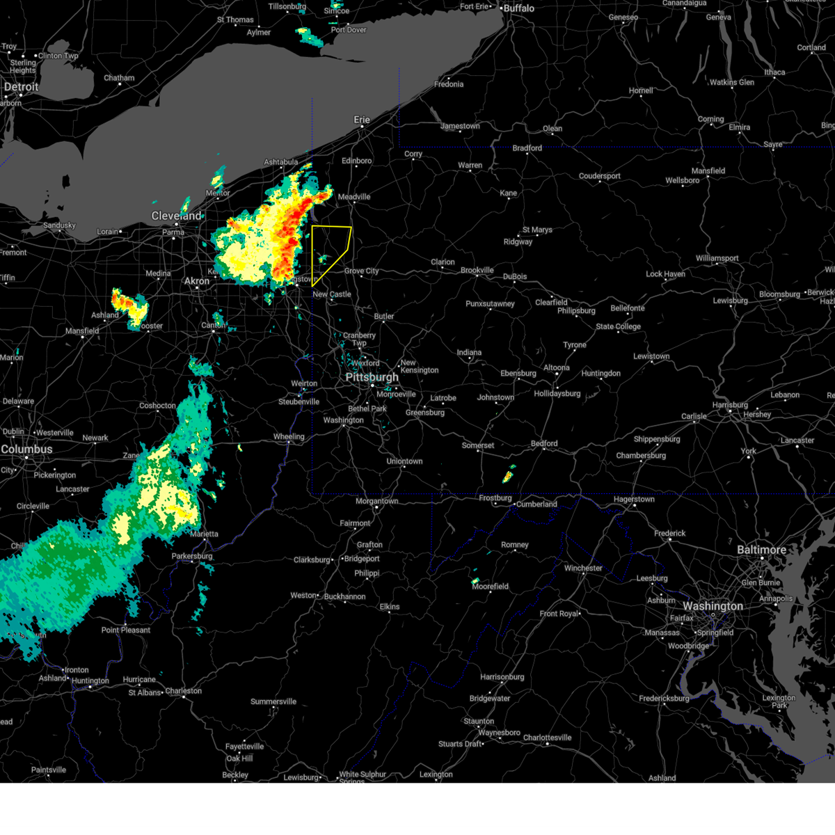 Svrpbz the national weather service in pittsburgh has issued a * severe thunderstorm warning for, northwestern mercer county in northwestern pennsylvania, northwestern lawrence county in western pennsylvania, * until 1215 pm edt. * at 1123 am edt, severe thunderstorms were located along a line extending from 7 miles southwest of andover to hilltop, moving northeast at 35 mph (radar indicated). Hazards include 60 mph wind gusts and small hail. expect damage to trees and power lines, resulting in some power outages Svrpbz the national weather service in pittsburgh has issued a * severe thunderstorm warning for, northwestern mercer county in northwestern pennsylvania, northwestern lawrence county in western pennsylvania, * until 1215 pm edt. * at 1123 am edt, severe thunderstorms were located along a line extending from 7 miles southwest of andover to hilltop, moving northeast at 35 mph (radar indicated). Hazards include 60 mph wind gusts and small hail. expect damage to trees and power lines, resulting in some power outages
|
| 5/22/2024 11:09 AM EDT |
 Svrcle the national weather service in cleveland has issued a * severe thunderstorm warning for, trumbull county in northeastern ohio, northern mahoning county in northeastern ohio, southeastern ashtabula county in northeastern ohio, western crawford county in northwestern pennsylvania, * until noon edt. * at 1109 am edt, severe thunderstorms were located along a line extending from 6 miles east of orwell to lordstown, moving east at 40 mph (radar indicated). Hazards include 60 mph wind gusts and quarter size hail. Minor damage to vehicles is possible. Expect damage to trees and power lines. Svrcle the national weather service in cleveland has issued a * severe thunderstorm warning for, trumbull county in northeastern ohio, northern mahoning county in northeastern ohio, southeastern ashtabula county in northeastern ohio, western crawford county in northwestern pennsylvania, * until noon edt. * at 1109 am edt, severe thunderstorms were located along a line extending from 6 miles east of orwell to lordstown, moving east at 40 mph (radar indicated). Hazards include 60 mph wind gusts and quarter size hail. Minor damage to vehicles is possible. Expect damage to trees and power lines.
|
| 4/17/2024 6:42 PM EDT |
 Torcle the national weather service in cleveland has issued a * tornado warning for, northeastern portage county in northeastern ohio, trumbull county in northeastern ohio, * until 730 pm edt. * at 642 pm edt, a severe thunderstorm capable of producing a tornado was located near garrettsville, or 8 miles northeast of ravenna, moving east at 50 mph (radar indicated rotation). Hazards include tornado and quarter size hail. Flying debris will be dangerous to those caught without shelter. mobile homes will be damaged or destroyed. damage to roofs, windows, and vehicles will occur. tree damage is likely. this dangerous storm will be near, warren, newton falls, lordstown, and leavittsburg around 650 pm edt. cortland and vienna center around 705 pm edt. Other locations impacted by this tornadic thunderstorm include windham, edinburg, mecca, wayland, brookfield center, south canal, girard, orangeville, churchill, and howland center. Torcle the national weather service in cleveland has issued a * tornado warning for, northeastern portage county in northeastern ohio, trumbull county in northeastern ohio, * until 730 pm edt. * at 642 pm edt, a severe thunderstorm capable of producing a tornado was located near garrettsville, or 8 miles northeast of ravenna, moving east at 50 mph (radar indicated rotation). Hazards include tornado and quarter size hail. Flying debris will be dangerous to those caught without shelter. mobile homes will be damaged or destroyed. damage to roofs, windows, and vehicles will occur. tree damage is likely. this dangerous storm will be near, warren, newton falls, lordstown, and leavittsburg around 650 pm edt. cortland and vienna center around 705 pm edt. Other locations impacted by this tornadic thunderstorm include windham, edinburg, mecca, wayland, brookfield center, south canal, girard, orangeville, churchill, and howland center.
|
| 4/14/2024 7:41 PM EDT |
 At 740 pm edt, a severe thunderstorm was located over new castle, moving east at 45 mph (radar indicated). Hazards include ping pong ball size hail and 60 mph wind gusts. People and animals outdoors will be injured. expect hail damage to roofs, siding, windows, and vehicles. expect wind damage to trees and power lines, resulting in some power outages. Locations impacted include, new castle, hermitage, butler, grove city, ellwood city, homeacre-lyndora, shanor-northvue, meridian, slippery rock, meadowood, new wilmington, oak hills, oakwood, new castle northwest, new beaver, pulaski, nixon, ellport, prospect, and bessemer. At 740 pm edt, a severe thunderstorm was located over new castle, moving east at 45 mph (radar indicated). Hazards include ping pong ball size hail and 60 mph wind gusts. People and animals outdoors will be injured. expect hail damage to roofs, siding, windows, and vehicles. expect wind damage to trees and power lines, resulting in some power outages. Locations impacted include, new castle, hermitage, butler, grove city, ellwood city, homeacre-lyndora, shanor-northvue, meridian, slippery rock, meadowood, new wilmington, oak hills, oakwood, new castle northwest, new beaver, pulaski, nixon, ellport, prospect, and bessemer.
|
| 4/14/2024 7:28 PM EDT |
 Svrpbz the national weather service in pittsburgh has issued a * severe thunderstorm warning for, northeastern columbiana county in east central ohio, southern mercer county in northwestern pennsylvania, southwestern venango county in northwestern pennsylvania, lawrence county in western pennsylvania, butler county in west central pennsylvania, northwestern armstrong county in west central pennsylvania, western clarion county in west central pennsylvania, * until 815 pm edt. * at 728 pm edt, a severe thunderstorm was located near oakwood, or 7 miles west of new castle, moving east at 50 mph (radar indicated). Hazards include 60 mph wind gusts and quarter size hail. Minor hail damage to vehicles is possible. Expect wind damage to trees and power lines, resulting in some power outages. Svrpbz the national weather service in pittsburgh has issued a * severe thunderstorm warning for, northeastern columbiana county in east central ohio, southern mercer county in northwestern pennsylvania, southwestern venango county in northwestern pennsylvania, lawrence county in western pennsylvania, butler county in west central pennsylvania, northwestern armstrong county in west central pennsylvania, western clarion county in west central pennsylvania, * until 815 pm edt. * at 728 pm edt, a severe thunderstorm was located near oakwood, or 7 miles west of new castle, moving east at 50 mph (radar indicated). Hazards include 60 mph wind gusts and quarter size hail. Minor hail damage to vehicles is possible. Expect wind damage to trees and power lines, resulting in some power outages.
|
| 4/14/2024 6:27 PM EDT |
 New severe thunderstorm warnings have been issued for portions of this warning area, so this originial warning is being allowed to expire. large hail, damaging wind, and frequent lightning are still expected with the ongoing storms. a severe thunderstorm watch remains in effect until 1100 pm edt for western, northwestern and west central pennsylvania. New severe thunderstorm warnings have been issued for portions of this warning area, so this originial warning is being allowed to expire. large hail, damaging wind, and frequent lightning are still expected with the ongoing storms. a severe thunderstorm watch remains in effect until 1100 pm edt for western, northwestern and west central pennsylvania.
|
| 4/14/2024 6:09 PM EDT |
 the severe thunderstorm warning has been cancelled and is no longer in effect the severe thunderstorm warning has been cancelled and is no longer in effect
|
| 4/14/2024 6:09 PM EDT |
 At 608 pm edt, severe thunderstorms were located along a line extending from penfield to near rimersburg to 7 miles east of new wilmington, moving east at 65 mph (radar indicated). Hazards include 65 mph wind gusts and half dollar size hail. Minor hail damage to vehicles is possible. expect wind damage to trees and power lines, resulting in some power outages. Locations impacted include, new castle, hermitage, sharon, grove city, clarion, brookville, knox, rimersburg, farrell, slippery rock, reynoldsville, new wilmington, oakwood, brockway, new bethlehem, new castle northwest, mercer, pulaski, sykesville, and falls creek. At 608 pm edt, severe thunderstorms were located along a line extending from penfield to near rimersburg to 7 miles east of new wilmington, moving east at 65 mph (radar indicated). Hazards include 65 mph wind gusts and half dollar size hail. Minor hail damage to vehicles is possible. expect wind damage to trees and power lines, resulting in some power outages. Locations impacted include, new castle, hermitage, sharon, grove city, clarion, brookville, knox, rimersburg, farrell, slippery rock, reynoldsville, new wilmington, oakwood, brockway, new bethlehem, new castle northwest, mercer, pulaski, sykesville, and falls creek.
|
| 4/14/2024 6:05 PM EDT |
 the severe thunderstorm warning has been cancelled and is no longer in effect the severe thunderstorm warning has been cancelled and is no longer in effect
|
| 4/14/2024 5:54 PM EDT |
 At 554 pm edt, severe thunderstorms were located along a line extending from near brockway to 13 miles southwest of knox to near new wilmington, moving east at 45 mph (radar indicated). Hazards include 65 mph wind gusts and half dollar size hail. Minor hail damage to vehicles is possible. expect wind damage to trees and power lines, resulting in some power outages. Locations impacted include, new castle, hermitage, sharon, grove city, clarion, sharpsville, brookville, knox, rimersburg, farrell, slippery rock, reynoldsville, new wilmington, oakwood, brockway, new bethlehem, new castle northwest, mercer, pulaski, and sykesville. At 554 pm edt, severe thunderstorms were located along a line extending from near brockway to 13 miles southwest of knox to near new wilmington, moving east at 45 mph (radar indicated). Hazards include 65 mph wind gusts and half dollar size hail. Minor hail damage to vehicles is possible. expect wind damage to trees and power lines, resulting in some power outages. Locations impacted include, new castle, hermitage, sharon, grove city, clarion, sharpsville, brookville, knox, rimersburg, farrell, slippery rock, reynoldsville, new wilmington, oakwood, brockway, new bethlehem, new castle northwest, mercer, pulaski, and sykesville.
|
| 4/14/2024 5:53 PM EDT |
 At 552 pm edt, severe thunderstorms were located along a line extending from near new wilmington to near youngstown, moving east at 45 mph (radar indicated). Hazards include 70 mph wind gusts and ping pong ball size hail. People and animals outdoors will be injured. expect hail damage to roofs, siding, windows, and vehicles. expect considerable tree damage. wind damage is also likely to mobile homes, roofs, and outbuildings. Locations impacted include, youngstown, boardman, niles, campbell, hubbard, hilltop, maplewood park, vienna center, austintown, struthers, girard, mcdonald, poland, lowellville, yankee lake, brookfield center, churchill, west hill, and mineral ridge. At 552 pm edt, severe thunderstorms were located along a line extending from near new wilmington to near youngstown, moving east at 45 mph (radar indicated). Hazards include 70 mph wind gusts and ping pong ball size hail. People and animals outdoors will be injured. expect hail damage to roofs, siding, windows, and vehicles. expect considerable tree damage. wind damage is also likely to mobile homes, roofs, and outbuildings. Locations impacted include, youngstown, boardman, niles, campbell, hubbard, hilltop, maplewood park, vienna center, austintown, struthers, girard, mcdonald, poland, lowellville, yankee lake, brookfield center, churchill, west hill, and mineral ridge.
|
| 4/14/2024 5:43 PM EDT |
 Svrcle the national weather service in cleveland has issued a * severe thunderstorm warning for, southern trumbull county in northeastern ohio, northeastern mahoning county in northeastern ohio, * until 630 pm edt. * at 543 pm edt, severe thunderstorms were located along a line extending from 7 miles northeast of new wilmington to near niles, moving southeast at 55 mph (trained weather spotters. at 535 pm edt, youngstown- warren airport gusted to 68 mph). Hazards include 70 mph wind gusts and ping pong ball size hail. People and animals outdoors will be injured. expect hail damage to roofs, siding, windows, and vehicles. expect considerable tree damage. Wind damage is also likely to mobile homes, roofs, and outbuildings. Svrcle the national weather service in cleveland has issued a * severe thunderstorm warning for, southern trumbull county in northeastern ohio, northeastern mahoning county in northeastern ohio, * until 630 pm edt. * at 543 pm edt, severe thunderstorms were located along a line extending from 7 miles northeast of new wilmington to near niles, moving southeast at 55 mph (trained weather spotters. at 535 pm edt, youngstown- warren airport gusted to 68 mph). Hazards include 70 mph wind gusts and ping pong ball size hail. People and animals outdoors will be injured. expect hail damage to roofs, siding, windows, and vehicles. expect considerable tree damage. Wind damage is also likely to mobile homes, roofs, and outbuildings.
|
| 4/14/2024 5:39 PM EDT |
 Svrpbz the national weather service in pittsburgh has issued a * severe thunderstorm warning for, southern mercer county in northwestern pennsylvania, southern venango county in northwestern pennsylvania, northern lawrence county in western pennsylvania, northern butler county in west central pennsylvania, jefferson county in west central pennsylvania, northern armstrong county in west central pennsylvania, clarion county in west central pennsylvania, south central forest county in northwestern pennsylvania, * until 630 pm edt. * at 539 pm edt, severe thunderstorms were located along a line extending from 8 miles west of portland mills to 12 miles south of franklin to hermitage, moving east at 65 mph (radar indicated). Hazards include 60 mph wind gusts and half dollar size hail. Minor hail damage to vehicles is possible. Expect wind damage to trees and power lines, resulting in some power outages. Svrpbz the national weather service in pittsburgh has issued a * severe thunderstorm warning for, southern mercer county in northwestern pennsylvania, southern venango county in northwestern pennsylvania, northern lawrence county in western pennsylvania, northern butler county in west central pennsylvania, jefferson county in west central pennsylvania, northern armstrong county in west central pennsylvania, clarion county in west central pennsylvania, south central forest county in northwestern pennsylvania, * until 630 pm edt. * at 539 pm edt, severe thunderstorms were located along a line extending from 8 miles west of portland mills to 12 miles south of franklin to hermitage, moving east at 65 mph (radar indicated). Hazards include 60 mph wind gusts and half dollar size hail. Minor hail damage to vehicles is possible. Expect wind damage to trees and power lines, resulting in some power outages.
|
| 4/14/2024 5:34 PM EDT |
 At 533 pm edt, severe thunderstorms were located along a line extending from 10 miles southeast of greenville to near sharon to near leavittsburg, moving east at 60 mph (trained weather spotters. at 533 pm, trained spotters reported quarter size hail near cortland). Hazards include golf ball size hail and 60 mph wind gusts. People and animals outdoors will be injured. expect hail damage to roofs, siding, windows, and vehicles. expect damage to trees and power lines. Locations impacted include, warren, niles, hubbard, cortland, newton falls, lordstown, vienna center, hilltop, leavittsburg, girard, vienna, mcdonald, mecca, johnston, orangeville, yankee lake, churchill, howland center, west hill, and champion heights. At 533 pm edt, severe thunderstorms were located along a line extending from 10 miles southeast of greenville to near sharon to near leavittsburg, moving east at 60 mph (trained weather spotters. at 533 pm, trained spotters reported quarter size hail near cortland). Hazards include golf ball size hail and 60 mph wind gusts. People and animals outdoors will be injured. expect hail damage to roofs, siding, windows, and vehicles. expect damage to trees and power lines. Locations impacted include, warren, niles, hubbard, cortland, newton falls, lordstown, vienna center, hilltop, leavittsburg, girard, vienna, mcdonald, mecca, johnston, orangeville, yankee lake, churchill, howland center, west hill, and champion heights.
|
| 4/14/2024 5:34 PM EDT |
 the severe thunderstorm warning has been cancelled and is no longer in effect the severe thunderstorm warning has been cancelled and is no longer in effect
|
| 4/14/2024 5:22 PM EDT |
 At 520 pm edt, severe thunderstorms were located along a line extending from near greenville to cortland to near mantua, moving east at 60 mph (nws employee. at 515 pm edt, nws employee reported quarter size hail in parkman). Hazards include golf ball size hail and 60 mph wind gusts. People and animals outdoors will be injured. expect hail damage to roofs, siding, windows, and vehicles. expect damage to trees and power lines. Locations impacted include, warren, niles, hubbard, cortland, newton falls, lordstown, garrettsville, north bloomfield, mantua, west farmington, vienna center, hilltop, bristolville, leavittsburg, maplewood park, girard, parkman, vienna, mcdonald, and mecca. At 520 pm edt, severe thunderstorms were located along a line extending from near greenville to cortland to near mantua, moving east at 60 mph (nws employee. at 515 pm edt, nws employee reported quarter size hail in parkman). Hazards include golf ball size hail and 60 mph wind gusts. People and animals outdoors will be injured. expect hail damage to roofs, siding, windows, and vehicles. expect damage to trees and power lines. Locations impacted include, warren, niles, hubbard, cortland, newton falls, lordstown, garrettsville, north bloomfield, mantua, west farmington, vienna center, hilltop, bristolville, leavittsburg, maplewood park, girard, parkman, vienna, mcdonald, and mecca.
|
| 4/14/2024 5:12 PM EDT |
 At 512 pm edt, severe thunderstorms were located along a line extending from near greenville to near bristolville to near mantua, moving southeast at 45 mph (radar indicated). Hazards include golf ball size hail and 60 mph wind gusts. People and animals outdoors will be injured. expect hail damage to roofs, siding, windows, and vehicles. expect damage to trees and power lines. Locations impacted include, warren, niles, hubbard, cortland, newton falls, lordstown, middlefield, garrettsville, kinsman, north bloomfield, mantua, west farmington, vienna center, hilltop, bristolville, leavittsburg, maplewood park, aurora, girard, and parkman. At 512 pm edt, severe thunderstorms were located along a line extending from near greenville to near bristolville to near mantua, moving southeast at 45 mph (radar indicated). Hazards include golf ball size hail and 60 mph wind gusts. People and animals outdoors will be injured. expect hail damage to roofs, siding, windows, and vehicles. expect damage to trees and power lines. Locations impacted include, warren, niles, hubbard, cortland, newton falls, lordstown, middlefield, garrettsville, kinsman, north bloomfield, mantua, west farmington, vienna center, hilltop, bristolville, leavittsburg, maplewood park, aurora, girard, and parkman.
|
| 4/14/2024 5:07 PM EDT |
 At 506 pm edt, severe thunderstorms were located along a line extending from 7 miles northeast of tionesta to near sharpsville, moving east at 60 mph (radar indicated). Hazards include 60 mph wind gusts and half dollar size hail. Minor hail damage to vehicles is possible. expect wind damage to trees and power lines, resulting in some power outages. Locations impacted include, hermitage, sharon, oil city, grove city, franklin, clarion, sharpsville, knox, greenville, sugarcreek, farrell, tionesta, mercer, hasson heights, stoneboro, seneca, west middlesex, polk, sandy lake, and clark. At 506 pm edt, severe thunderstorms were located along a line extending from 7 miles northeast of tionesta to near sharpsville, moving east at 60 mph (radar indicated). Hazards include 60 mph wind gusts and half dollar size hail. Minor hail damage to vehicles is possible. expect wind damage to trees and power lines, resulting in some power outages. Locations impacted include, hermitage, sharon, oil city, grove city, franklin, clarion, sharpsville, knox, greenville, sugarcreek, farrell, tionesta, mercer, hasson heights, stoneboro, seneca, west middlesex, polk, sandy lake, and clark.
|
| 4/14/2024 5:03 PM EDT |
 Svrcle the national weather service in cleveland has issued a * severe thunderstorm warning for, northern portage county in northeastern ohio, trumbull county in northeastern ohio, geauga county in northeastern ohio, * until 545 pm edt. * at 502 pm edt, severe thunderstorms were located along a line extending from near kinsman to near north bloomfield to south russell, moving east at 60 mph (radar indicated). Hazards include 60 mph wind gusts and quarter size hail. Minor damage to vehicles is possible. Expect damage to trees and power lines. Svrcle the national weather service in cleveland has issued a * severe thunderstorm warning for, northern portage county in northeastern ohio, trumbull county in northeastern ohio, geauga county in northeastern ohio, * until 545 pm edt. * at 502 pm edt, severe thunderstorms were located along a line extending from near kinsman to near north bloomfield to south russell, moving east at 60 mph (radar indicated). Hazards include 60 mph wind gusts and quarter size hail. Minor damage to vehicles is possible. Expect damage to trees and power lines.
|
| 4/14/2024 4:55 PM EDT |
 Svrpbz the national weather service in pittsburgh has issued a * severe thunderstorm warning for, mercer county in northwestern pennsylvania, venango county in northwestern pennsylvania, northwestern armstrong county in west central pennsylvania, northern clarion county in west central pennsylvania, western forest county in northwestern pennsylvania, * until 545 pm edt. * at 455 pm edt, severe thunderstorms were located along a line extending from 9 miles north of tionesta to 6 miles southeast of kinsman, moving southeast at 35 mph (radar indicated). Hazards include 60 mph wind gusts and quarter size hail. Minor hail damage to vehicles is possible. Expect wind damage to trees and power lines, resulting in some power outages. Svrpbz the national weather service in pittsburgh has issued a * severe thunderstorm warning for, mercer county in northwestern pennsylvania, venango county in northwestern pennsylvania, northwestern armstrong county in west central pennsylvania, northern clarion county in west central pennsylvania, western forest county in northwestern pennsylvania, * until 545 pm edt. * at 455 pm edt, severe thunderstorms were located along a line extending from 9 miles north of tionesta to 6 miles southeast of kinsman, moving southeast at 35 mph (radar indicated). Hazards include 60 mph wind gusts and quarter size hail. Minor hail damage to vehicles is possible. Expect wind damage to trees and power lines, resulting in some power outages.
|
| 8/25/2023 1:28 AM EDT |
 The severe thunderstorm warning for mercer, northwestern venango, northern lawrence and west central butler counties will expire at 130 am edt, the storms which prompted the warning have moved out of the area. therefore, the warning will be allowed to expire. however, gusty winds are still possible with these thunderstorms. a severe thunderstorm watch remains in effect until 300 am edt for western and northwestern pennsylvania. The severe thunderstorm warning for mercer, northwestern venango, northern lawrence and west central butler counties will expire at 130 am edt, the storms which prompted the warning have moved out of the area. therefore, the warning will be allowed to expire. however, gusty winds are still possible with these thunderstorms. a severe thunderstorm watch remains in effect until 300 am edt for western and northwestern pennsylvania.
|
| 8/25/2023 1:06 AM EDT |
 The severe thunderstorm warning for southeastern trumbull and mahoning counties will expire at 115 am edt, the storms which prompted the warning have moved out of the area. therefore, the warning will be allowed to expire. a severe thunderstorm watch remains in effect until 300 am edt for northeastern ohio. The severe thunderstorm warning for southeastern trumbull and mahoning counties will expire at 115 am edt, the storms which prompted the warning have moved out of the area. therefore, the warning will be allowed to expire. a severe thunderstorm watch remains in effect until 300 am edt for northeastern ohio.
|
| 8/25/2023 1:00 AM EDT |
 At 1259 am edt, severe thunderstorms were located along a line extending from 8 miles southeast of atlantic to near hermitage to near campbell, moving east at 55 mph (radar indicated). Hazards include 60 mph wind gusts. Expect damage to trees and power lines, resulting in some power outages. locations impacted include, new castle, hermitage, sharon, grove city, franklin, sharpsville, greenville, sugarcreek, farrell, new wilmington, oakwood, new castle northwest, mercer, pulaski, bessemer, stoneboro, new bedford, west middlesex, polk, and plain grove township. hail threat, radar indicated max hail size, <. 75 in wind threat, radar indicated max wind gust, 60 mph. At 1259 am edt, severe thunderstorms were located along a line extending from 8 miles southeast of atlantic to near hermitage to near campbell, moving east at 55 mph (radar indicated). Hazards include 60 mph wind gusts. Expect damage to trees and power lines, resulting in some power outages. locations impacted include, new castle, hermitage, sharon, grove city, franklin, sharpsville, greenville, sugarcreek, farrell, new wilmington, oakwood, new castle northwest, mercer, pulaski, bessemer, stoneboro, new bedford, west middlesex, polk, and plain grove township. hail threat, radar indicated max hail size, <. 75 in wind threat, radar indicated max wind gust, 60 mph.
|
| 8/25/2023 12:56 AM EDT |
 At 1256 am edt, severe thunderstorms were located along a line extending from 10 miles northwest of andover to near kinsman to near lordstown, moving east at 35 mph (radar indicated). Hazards include 70 mph wind gusts. Expect considerable tree damage. damage is likely to mobile homes, roofs, and outbuildings. Locations impacted include, youngstown, warren, meadville, boardman, niles, campbell, hubbard, cortland, titusville, lordstown, linesville, vienna center, hilltop, adamsville, maplewood park, pymatuning central, harmonsburg, guys mills, atlantic and pymatuning north. At 1256 am edt, severe thunderstorms were located along a line extending from 10 miles northwest of andover to near kinsman to near lordstown, moving east at 35 mph (radar indicated). Hazards include 70 mph wind gusts. Expect considerable tree damage. damage is likely to mobile homes, roofs, and outbuildings. Locations impacted include, youngstown, warren, meadville, boardman, niles, campbell, hubbard, cortland, titusville, lordstown, linesville, vienna center, hilltop, adamsville, maplewood park, pymatuning central, harmonsburg, guys mills, atlantic and pymatuning north.
|
| 8/25/2023 12:55 AM EDT |
 At 1255 am edt, severe thunderstorms were located along a line extending from near hubbard to near youngstown to boardman, moving east at 65 mph (radar indicated). Hazards include 70 mph wind gusts. Expect considerable tree damage. damage is likely to mobile homes, roofs, and outbuildings. locations impacted include, youngstown, warren, boardman, niles, campbell, hubbard, canfield, cortland, lordstown, vienna center, hilltop, maplewood park, austintown, struthers, girard, vienna, mcdonald, poland, ellsworth and new middletown. thunderstorm damage threat, considerable hail threat, radar indicated max hail size, <. 75 in wind threat, radar indicated max wind gust, 70 mph. At 1255 am edt, severe thunderstorms were located along a line extending from near hubbard to near youngstown to boardman, moving east at 65 mph (radar indicated). Hazards include 70 mph wind gusts. Expect considerable tree damage. damage is likely to mobile homes, roofs, and outbuildings. locations impacted include, youngstown, warren, boardman, niles, campbell, hubbard, canfield, cortland, lordstown, vienna center, hilltop, maplewood park, austintown, struthers, girard, vienna, mcdonald, poland, ellsworth and new middletown. thunderstorm damage threat, considerable hail threat, radar indicated max hail size, <. 75 in wind threat, radar indicated max wind gust, 70 mph.
|
| 8/25/2023 12:47 AM EDT |
 At 1247 am edt, severe thunderstorms were located along a line extending from 8 miles southeast of geneva to near cortland to newton falls, moving east at 35 mph (radar indicated). Hazards include 70 mph wind gusts. Expect considerable tree damage. damage is likely to mobile homes, roofs, and outbuildings. Locations impacted include, youngstown, warren, meadville, boardman, niles, campbell, hubbard, cortland, titusville, newton falls, lordstown, cambridge springs, kinsman, andover, linesville, vienna center, adamsville, pymatuning central, riceville and harmonsburg. At 1247 am edt, severe thunderstorms were located along a line extending from 8 miles southeast of geneva to near cortland to newton falls, moving east at 35 mph (radar indicated). Hazards include 70 mph wind gusts. Expect considerable tree damage. damage is likely to mobile homes, roofs, and outbuildings. Locations impacted include, youngstown, warren, meadville, boardman, niles, campbell, hubbard, cortland, titusville, newton falls, lordstown, cambridge springs, kinsman, andover, linesville, vienna center, adamsville, pymatuning central, riceville and harmonsburg.
|
| 8/25/2023 12:45 AM EDT |
 At 1243 am edt, severe thunderstorms were located along a line extending from near kinsman to warren to 6 miles north of sebring, moving east at 55 mph (radar indicated). Hazards include 60 mph wind gusts. expect damage to trees and power lines, resulting in some power outages At 1243 am edt, severe thunderstorms were located along a line extending from near kinsman to warren to 6 miles north of sebring, moving east at 55 mph (radar indicated). Hazards include 60 mph wind gusts. expect damage to trees and power lines, resulting in some power outages
|
| 8/25/2023 12:36 AM EDT |
 At 1236 am edt, severe thunderstorms were located along a line extending from near leavittsburg to near newton falls to 8 miles south of garrettsville, moving east at 65 mph. these are destructive storms for warren and youngstown, oh (radar indicated). Hazards include 80 mph wind gusts and quarter size hail. Flying debris will be dangerous to those caught without shelter. mobile homes will be heavily damaged. expect considerable damage to roofs, windows, and vehicles. Extensive tree damage and power outages are likely. At 1236 am edt, severe thunderstorms were located along a line extending from near leavittsburg to near newton falls to 8 miles south of garrettsville, moving east at 65 mph. these are destructive storms for warren and youngstown, oh (radar indicated). Hazards include 80 mph wind gusts and quarter size hail. Flying debris will be dangerous to those caught without shelter. mobile homes will be heavily damaged. expect considerable damage to roofs, windows, and vehicles. Extensive tree damage and power outages are likely.
|
| 8/25/2023 12:29 AM EDT |
 At 1229 am edt, severe thunderstorms were located along a line extending from near madison to near north bloomfield to near ravenna, moving east at 35 mph (radar indicated). Hazards include 70 mph wind gusts. Expect considerable tree damage. damage is likely to mobile homes, roofs, and outbuildings. Locations impacted include, youngstown, warren, ashtabula, meadville, conneaut, boardman, niles, campbell, hubbard, cortland, edinboro, titusville, newton falls, lordstown, north kingsville, middlefield, cambridge springs, garrettsville, kinsman and north bloomfield. At 1229 am edt, severe thunderstorms were located along a line extending from near madison to near north bloomfield to near ravenna, moving east at 35 mph (radar indicated). Hazards include 70 mph wind gusts. Expect considerable tree damage. damage is likely to mobile homes, roofs, and outbuildings. Locations impacted include, youngstown, warren, ashtabula, meadville, conneaut, boardman, niles, campbell, hubbard, cortland, edinboro, titusville, newton falls, lordstown, north kingsville, middlefield, cambridge springs, garrettsville, kinsman and north bloomfield.
|
| 8/25/2023 12:26 AM EDT |
 At 1226 am edt, severe thunderstorms were located along a line extending from near madison to near west farmington to near ravenna, moving east at 35 mph (radar indicated). Hazards include 60 mph wind gusts. expect damage to trees and power lines At 1226 am edt, severe thunderstorms were located along a line extending from near madison to near west farmington to near ravenna, moving east at 35 mph (radar indicated). Hazards include 60 mph wind gusts. expect damage to trees and power lines
|
| 8/17/2023 9:36 PM EDT |
 At 936 pm edt, severe thunderstorms were located along a line extending from near adamsville to sharpsville to near canfield, moving east at 50 mph (radar indicated). Hazards include 60 mph wind gusts. Expect damage to trees and power lines. Locations impacted include, warren, niles, hubbard, lordstown, vienna center, hilltop, maplewood park, girard, vienna, mcdonald, orangeville, yankee lake, brookfield center, churchill, west hill, mineral ridge, bolindale and howland center. At 936 pm edt, severe thunderstorms were located along a line extending from near adamsville to sharpsville to near canfield, moving east at 50 mph (radar indicated). Hazards include 60 mph wind gusts. Expect damage to trees and power lines. Locations impacted include, warren, niles, hubbard, lordstown, vienna center, hilltop, maplewood park, girard, vienna, mcdonald, orangeville, yankee lake, brookfield center, churchill, west hill, mineral ridge, bolindale and howland center.
|
| 8/17/2023 9:11 PM EDT |
 At 911 pm edt, a severe thunderstorm was located over warren, moving east at 55 mph (radar indicated). Hazards include 60 mph wind gusts. expect damage to trees and power lines At 911 pm edt, a severe thunderstorm was located over warren, moving east at 55 mph (radar indicated). Hazards include 60 mph wind gusts. expect damage to trees and power lines
|
| 7/26/2023 8:30 PM EDT |
 At 830 pm edt, a severe thunderstorm was located near hermitage, moving east at 35 mph (radar indicated). Hazards include 60 mph wind gusts and quarter size hail. Minor hail damage to vehicles is possible. expect wind damage to trees and power lines, resulting in some power outages. locations impacted include, hermitage, sharon, sharpsville, farrell, mercer, west middlesex, clark, wheatland, and jackson center. hail threat, radar indicated max hail size, 1. 00 in wind threat, radar indicated max wind gust, 60 mph. At 830 pm edt, a severe thunderstorm was located near hermitage, moving east at 35 mph (radar indicated). Hazards include 60 mph wind gusts and quarter size hail. Minor hail damage to vehicles is possible. expect wind damage to trees and power lines, resulting in some power outages. locations impacted include, hermitage, sharon, sharpsville, farrell, mercer, west middlesex, clark, wheatland, and jackson center. hail threat, radar indicated max hail size, 1. 00 in wind threat, radar indicated max wind gust, 60 mph.
|
| 7/26/2023 8:15 PM EDT |
 At 814 pm edt, a severe thunderstorm was located over sharpsville, moving east at 40 mph (radar indicated). Hazards include 60 mph wind gusts and quarter size hail. Minor hail damage to vehicles is possible. Expect wind damage to trees and power lines, resulting in some power outages. At 814 pm edt, a severe thunderstorm was located over sharpsville, moving east at 40 mph (radar indicated). Hazards include 60 mph wind gusts and quarter size hail. Minor hail damage to vehicles is possible. Expect wind damage to trees and power lines, resulting in some power outages.
|
| 7/26/2023 8:14 PM EDT |
 At 814 pm edt, a severe thunderstorm was located over farrell, or over sharon, moving east at 40 mph (radar indicated). Hazards include 60 mph wind gusts and nickel size hail. expect damage to trees and power lines At 814 pm edt, a severe thunderstorm was located over farrell, or over sharon, moving east at 40 mph (radar indicated). Hazards include 60 mph wind gusts and nickel size hail. expect damage to trees and power lines
|
| 7/26/2023 8:03 PM EDT |
 At 802 pm edt, a severe thunderstorm was located over niles, or near warren, moving east at 40 mph (radar indicated). Hazards include 60 mph wind gusts. Expect damage to trees and power lines. locations impacted include, youngstown, warren, boardman, niles, campbell, hubbard, canfield, vienna center, hilltop, maplewood park, austintown, struthers, girard, vienna, mcdonald, poland, lowellville, yankee lake, brookfield center and churchill. hail threat, radar indicated max hail size, <. 75 in wind threat, radar indicated max wind gust, 60 mph. At 802 pm edt, a severe thunderstorm was located over niles, or near warren, moving east at 40 mph (radar indicated). Hazards include 60 mph wind gusts. Expect damage to trees and power lines. locations impacted include, youngstown, warren, boardman, niles, campbell, hubbard, canfield, vienna center, hilltop, maplewood park, austintown, struthers, girard, vienna, mcdonald, poland, lowellville, yankee lake, brookfield center and churchill. hail threat, radar indicated max hail size, <. 75 in wind threat, radar indicated max wind gust, 60 mph.
|
| 7/26/2023 7:36 PM EDT |
 At 736 pm edt, a severe thunderstorm was located near newton falls, or 7 miles east of ravenna, moving east at 35 mph (radar indicated). Hazards include 60 mph wind gusts. expect damage to trees and power lines At 736 pm edt, a severe thunderstorm was located near newton falls, or 7 miles east of ravenna, moving east at 35 mph (radar indicated). Hazards include 60 mph wind gusts. expect damage to trees and power lines
|
| 7/20/2023 9:01 PM EDT |
 At 858 pm edt, severe thunderstorms were located along a line extending from 8 miles west of rimersburg to meadowood to ellwood city, moving southeast at 35 mph (law enforcement reported widespread trees down and power outages). Hazards include 70 mph wind gusts. Trees snapped and uprooted. power outages can be expected. locations impacted include, cranberry, new castle, hermitage, butler, beaver falls, grove city, monaca, east palestine, rimersburg, ellwood city, homeacre-lyndora, new brighton, shanor-northvue, beaver, meridian, zelienople, rochester, slippery rock, seven fields, and meadowood. thunderstorm damage threat, considerable hail threat, radar indicated max hail size, <. 75 in wind threat, observed max wind gust, 70 mph. At 858 pm edt, severe thunderstorms were located along a line extending from 8 miles west of rimersburg to meadowood to ellwood city, moving southeast at 35 mph (law enforcement reported widespread trees down and power outages). Hazards include 70 mph wind gusts. Trees snapped and uprooted. power outages can be expected. locations impacted include, cranberry, new castle, hermitage, butler, beaver falls, grove city, monaca, east palestine, rimersburg, ellwood city, homeacre-lyndora, new brighton, shanor-northvue, beaver, meridian, zelienople, rochester, slippery rock, seven fields, and meadowood. thunderstorm damage threat, considerable hail threat, radar indicated max hail size, <. 75 in wind threat, observed max wind gust, 70 mph.
|
| 7/20/2023 8:42 PM EDT |
 At 841 pm edt, severe thunderstorms were located along a line extending from 14 miles northeast of slippery rock to near shanor-northvue to near oakwood, moving southeast at 35 mph (radar indicated). Hazards include 70 mph wind gusts and penny size hail. Trees snapped and uprooted. power outages can be expected. locations impacted include, cranberry, new castle, hermitage, butler, beaver falls, grove city, monaca, east palestine, rimersburg, ellwood city, homeacre-lyndora, new brighton, shanor-northvue, beaver, meridian, zelienople, rochester, slippery rock, seven fields, and meadowood. thunderstorm damage threat, considerable hail threat, radar indicated max hail size, 0. 75 in wind threat, observed max wind gust, 70 mph. At 841 pm edt, severe thunderstorms were located along a line extending from 14 miles northeast of slippery rock to near shanor-northvue to near oakwood, moving southeast at 35 mph (radar indicated). Hazards include 70 mph wind gusts and penny size hail. Trees snapped and uprooted. power outages can be expected. locations impacted include, cranberry, new castle, hermitage, butler, beaver falls, grove city, monaca, east palestine, rimersburg, ellwood city, homeacre-lyndora, new brighton, shanor-northvue, beaver, meridian, zelienople, rochester, slippery rock, seven fields, and meadowood. thunderstorm damage threat, considerable hail threat, radar indicated max hail size, 0. 75 in wind threat, observed max wind gust, 70 mph.
|
| 7/20/2023 8:27 PM EDT |
 The severe thunderstorm warning for mercer, venango, lawrence, northern butler, northern jefferson, northwestern armstrong, clarion and forest counties will expire at 830 pm edt, the storms which prompted the warning have moved out of portions of the area. therefore, the warning will be allowed to expire. a new warning covers the new threat. a severe thunderstorm watch remains in effect until 300 am edt for east central ohio, and western, northwestern and west central pennsylvania. The severe thunderstorm warning for mercer, venango, lawrence, northern butler, northern jefferson, northwestern armstrong, clarion and forest counties will expire at 830 pm edt, the storms which prompted the warning have moved out of portions of the area. therefore, the warning will be allowed to expire. a new warning covers the new threat. a severe thunderstorm watch remains in effect until 300 am edt for east central ohio, and western, northwestern and west central pennsylvania.
|
| 7/20/2023 8:22 PM EDT |
 At 820 pm edt, severe thunderstorms were located along a line extending from 10 miles northeast of grove city to 6 miles west of slippery rock to campbell, moving southeast at 35 mph (radar indicated). Hazards include 70 mph wind gusts and quarter size hail. Minor hail damage to vehicles is possible. trees snapped and uprooted. Power outages can be expected. At 820 pm edt, severe thunderstorms were located along a line extending from 10 miles northeast of grove city to 6 miles west of slippery rock to campbell, moving southeast at 35 mph (radar indicated). Hazards include 70 mph wind gusts and quarter size hail. Minor hail damage to vehicles is possible. trees snapped and uprooted. Power outages can be expected.
|
| 7/20/2023 8:03 PM EDT |
 At 803 pm edt, severe thunderstorms were located along a line extending from sharon to near vienna center to near newton falls, moving east at 30 mph (radar indicated). Hazards include 60 mph wind gusts and quarter size hail. Minor damage to vehicles is possible. expect damage to trees and power lines. locations impacted include, warren, niles, hubbard, cortland, newton falls, lordstown, north bloomfield, west farmington, vienna center, hilltop, bristolville, leavittsburg, maplewood park, girard, vienna, mcdonald, mecca, johnston, orangeville and yankee lake. hail threat, radar indicated max hail size, 1. 00 in wind threat, radar indicated max wind gust, 60 mph. At 803 pm edt, severe thunderstorms were located along a line extending from sharon to near vienna center to near newton falls, moving east at 30 mph (radar indicated). Hazards include 60 mph wind gusts and quarter size hail. Minor damage to vehicles is possible. expect damage to trees and power lines. locations impacted include, warren, niles, hubbard, cortland, newton falls, lordstown, north bloomfield, west farmington, vienna center, hilltop, bristolville, leavittsburg, maplewood park, girard, vienna, mcdonald, mecca, johnston, orangeville and yankee lake. hail threat, radar indicated max hail size, 1. 00 in wind threat, radar indicated max wind gust, 60 mph.
|
| 7/20/2023 8:02 PM EDT |
 At 801 pm edt, severe thunderstorms were located along a line extending from near james city to 8 miles north of knox to near new wilmington, moving east at 60 mph (law enforcement reported trees down in mercer county). Hazards include 70 mph wind gusts and quarter size hail. Minor hail damage to vehicles is possible. trees snapped and uprooted. power outages can be expected. locations impacted include, new castle, hermitage, sharon, butler, oil city, grove city, franklin, clarion, sharpsville, brookville, marienville, knox, rimersburg, ellwood city, homeacre-lyndora, greenville, sugarcreek, farrell, shanor-northvue, and meridian. thunderstorm damage threat, considerable hail threat, radar indicated max hail size, 1. 00 in wind threat, radar indicated max wind gust, 70 mph. At 801 pm edt, severe thunderstorms were located along a line extending from near james city to 8 miles north of knox to near new wilmington, moving east at 60 mph (law enforcement reported trees down in mercer county). Hazards include 70 mph wind gusts and quarter size hail. Minor hail damage to vehicles is possible. trees snapped and uprooted. power outages can be expected. locations impacted include, new castle, hermitage, sharon, butler, oil city, grove city, franklin, clarion, sharpsville, brookville, marienville, knox, rimersburg, ellwood city, homeacre-lyndora, greenville, sugarcreek, farrell, shanor-northvue, and meridian. thunderstorm damage threat, considerable hail threat, radar indicated max hail size, 1. 00 in wind threat, radar indicated max wind gust, 70 mph.
|
| 7/20/2023 8:00 PM EDT |
 At 759 pm edt, severe thunderstorms were located along a line extending from near hubbard to near kent to 6 miles northeast of wadsworth, moving southeast at 40 mph (radar indicated). Hazards include 60 mph wind gusts and quarter size hail. Minor damage to vehicles is possible. Expect damage to trees and power lines. At 759 pm edt, severe thunderstorms were located along a line extending from near hubbard to near kent to 6 miles northeast of wadsworth, moving southeast at 40 mph (radar indicated). Hazards include 60 mph wind gusts and quarter size hail. Minor damage to vehicles is possible. Expect damage to trees and power lines.
|
| 7/20/2023 7:56 PM EDT |
 At 755 pm edt, severe thunderstorms were located along a line extending from near sheffield to 6 miles southeast of oil city to near farrell, moving east at 60 mph (radar indicated). Hazards include 70 mph wind gusts and quarter size hail. Minor hail damage to vehicles is possible. trees snapped and uprooted. power outages can be expected. locations impacted include, new castle, hermitage, sharon, butler, oil city, grove city, franklin, clarion, sharpsville, brookville, marienville, knox, rimersburg, ellwood city, homeacre-lyndora, greenville, sugarcreek, farrell, shanor-northvue, and meridian. thunderstorm damage threat, considerable hail threat, radar indicated max hail size, 1. 00 in wind threat, radar indicated max wind gust, 70 mph. At 755 pm edt, severe thunderstorms were located along a line extending from near sheffield to 6 miles southeast of oil city to near farrell, moving east at 60 mph (radar indicated). Hazards include 70 mph wind gusts and quarter size hail. Minor hail damage to vehicles is possible. trees snapped and uprooted. power outages can be expected. locations impacted include, new castle, hermitage, sharon, butler, oil city, grove city, franklin, clarion, sharpsville, brookville, marienville, knox, rimersburg, ellwood city, homeacre-lyndora, greenville, sugarcreek, farrell, shanor-northvue, and meridian. thunderstorm damage threat, considerable hail threat, radar indicated max hail size, 1. 00 in wind threat, radar indicated max wind gust, 70 mph.
|
| 7/20/2023 7:42 PM EDT |
 The severe thunderstorm warning for mercer, venango, lawrence, northwestern butler and western forest counties will expire at 745 pm edt, the warning will be allowed to expire, however a new warning is in effect. gusty winds and large hail are still possible with these thunderstorms. a severe thunderstorm watch remains in effect until 300 am edt for east central ohio, and western, northwestern and west central pennsylvania. remember, a severe thunderstorm warning still remains in effect for northwest pennsylvania. The severe thunderstorm warning for mercer, venango, lawrence, northwestern butler and western forest counties will expire at 745 pm edt, the warning will be allowed to expire, however a new warning is in effect. gusty winds and large hail are still possible with these thunderstorms. a severe thunderstorm watch remains in effect until 300 am edt for east central ohio, and western, northwestern and west central pennsylvania. remember, a severe thunderstorm warning still remains in effect for northwest pennsylvania.
|
| 7/20/2023 7:40 PM EDT |
 At 740 pm edt, severe thunderstorms were located along a line extending from near chapman state park to sugarcreek to vienna center, moving east at 60 mph (radar indicated). Hazards include 60 mph wind gusts and quarter size hail. Minor hail damage to vehicles is possible. Expect wind damage to trees and power lines, resulting in some power outages. At 740 pm edt, severe thunderstorms were located along a line extending from near chapman state park to sugarcreek to vienna center, moving east at 60 mph (radar indicated). Hazards include 60 mph wind gusts and quarter size hail. Minor hail damage to vehicles is possible. Expect wind damage to trees and power lines, resulting in some power outages.
|
| 7/20/2023 7:36 PM EDT |
 At 735 pm edt, severe thunderstorms were located along a line extending from near long point state park to 7 miles south of guys mills to cortland, moving southeast at 35 mph (radar indicated). Hazards include 60 mph wind gusts and quarter size hail. Minor damage to vehicles is possible. expect damage to trees and power lines. locations impacted include, warren, meadville, niles, hubbard, cortland, titusville, newton falls, lordstown, kinsman, north bloomfield, orwell, west farmington, vienna center, adamsville, pymatuning central, riceville, guys mills, leavittsburg, atlantic and hilltop. hail threat, radar indicated max hail size, 1. 00 in wind threat, radar indicated max wind gust, 60 mph. At 735 pm edt, severe thunderstorms were located along a line extending from near long point state park to 7 miles south of guys mills to cortland, moving southeast at 35 mph (radar indicated). Hazards include 60 mph wind gusts and quarter size hail. Minor damage to vehicles is possible. expect damage to trees and power lines. locations impacted include, warren, meadville, niles, hubbard, cortland, titusville, newton falls, lordstown, kinsman, north bloomfield, orwell, west farmington, vienna center, adamsville, pymatuning central, riceville, guys mills, leavittsburg, atlantic and hilltop. hail threat, radar indicated max hail size, 1. 00 in wind threat, radar indicated max wind gust, 60 mph.
|
| 7/20/2023 7:27 PM EDT |
 At 726 pm edt, severe thunderstorms were located along a line extending from near riceville to 10 miles south of guys mills to near canfield, moving east at 45 mph (radar indicated). Hazards include 60 mph wind gusts and half dollar size hail. Minor hail damage to vehicles is possible. expect wind damage to trees and power lines, resulting in some power outages. locations impacted include, new castle, hermitage, sharon, oil city, grove city, franklin, sharpsville, greenville, sugarcreek, farrell, slippery rock, new wilmington, oakwood, new castle northwest, tionesta, mercer, new beaver, pulaski, hasson heights, and bessemer. hail threat, radar indicated max hail size, 1. 25 in wind threat, radar indicated max wind gust, 60 mph. At 726 pm edt, severe thunderstorms were located along a line extending from near riceville to 10 miles south of guys mills to near canfield, moving east at 45 mph (radar indicated). Hazards include 60 mph wind gusts and half dollar size hail. Minor hail damage to vehicles is possible. expect wind damage to trees and power lines, resulting in some power outages. locations impacted include, new castle, hermitage, sharon, oil city, grove city, franklin, sharpsville, greenville, sugarcreek, farrell, slippery rock, new wilmington, oakwood, new castle northwest, tionesta, mercer, new beaver, pulaski, hasson heights, and bessemer. hail threat, radar indicated max hail size, 1. 25 in wind threat, radar indicated max wind gust, 60 mph.
|
| 7/20/2023 7:25 PM EDT |
 At 725 pm edt, severe thunderstorms were located along a line extending from near riceville to 10 miles south of guys mills to near canfield, moving southeast at 45 mph (radar indicated). Hazards include 60 mph wind gusts and penny size hail. Expect damage to trees and power lines, resulting in some power outages. locations impacted include, new castle, hermitage, sharon, oil city, grove city, franklin, sharpsville, greenville, sugarcreek, farrell, slippery rock, new wilmington, oakwood, new castle northwest, tionesta, mercer, new beaver, pulaski, hasson heights, and bessemer. hail threat, radar indicated max hail size, 0. 75 in wind threat, radar indicated max wind gust, 60 mph. At 725 pm edt, severe thunderstorms were located along a line extending from near riceville to 10 miles south of guys mills to near canfield, moving southeast at 45 mph (radar indicated). Hazards include 60 mph wind gusts and penny size hail. Expect damage to trees and power lines, resulting in some power outages. locations impacted include, new castle, hermitage, sharon, oil city, grove city, franklin, sharpsville, greenville, sugarcreek, farrell, slippery rock, new wilmington, oakwood, new castle northwest, tionesta, mercer, new beaver, pulaski, hasson heights, and bessemer. hail threat, radar indicated max hail size, 0. 75 in wind threat, radar indicated max wind gust, 60 mph.
|
| 7/20/2023 7:04 PM EDT |
 At 704 pm edt, severe thunderstorms were located along a line extending from near waterford to near harmonsburg to near garrettsville, moving southeast at 45 mph (radar indicated). Hazards include 60 mph wind gusts and quarter size hail. Minor hail damage to vehicles is possible. expect wind damage to trees and power lines, resulting in some power outages. locations impacted include, new castle, hermitage, sharon, oil city, grove city, franklin, sharpsville, greenville, sugarcreek, farrell, slippery rock, new wilmington, oakwood, new castle northwest, tionesta, mercer, new beaver, pulaski, hasson heights, and bessemer. hail threat, radar indicated max hail size, 1. 00 in wind threat, radar indicated max wind gust, 60 mph. At 704 pm edt, severe thunderstorms were located along a line extending from near waterford to near harmonsburg to near garrettsville, moving southeast at 45 mph (radar indicated). Hazards include 60 mph wind gusts and quarter size hail. Minor hail damage to vehicles is possible. expect wind damage to trees and power lines, resulting in some power outages. locations impacted include, new castle, hermitage, sharon, oil city, grove city, franklin, sharpsville, greenville, sugarcreek, farrell, slippery rock, new wilmington, oakwood, new castle northwest, tionesta, mercer, new beaver, pulaski, hasson heights, and bessemer. hail threat, radar indicated max hail size, 1. 00 in wind threat, radar indicated max wind gust, 60 mph.
|
| 7/20/2023 6:59 PM EDT |
 At 658 pm edt, severe thunderstorms were located along a line extending from 8 miles west of westfield to 7 miles north of harmonsburg to 7 miles west of orwell, moving southeast at 35 mph (radar indicated). Hazards include 70 mph wind gusts and quarter size hail. Minor damage to vehicles is possible. expect considerable tree damage. Wind damage is also likely to mobile homes, roofs, and outbuildings. At 658 pm edt, severe thunderstorms were located along a line extending from 8 miles west of westfield to 7 miles north of harmonsburg to 7 miles west of orwell, moving southeast at 35 mph (radar indicated). Hazards include 70 mph wind gusts and quarter size hail. Minor damage to vehicles is possible. expect considerable tree damage. Wind damage is also likely to mobile homes, roofs, and outbuildings.
|
| 7/20/2023 6:51 PM EDT |
 At 650 pm edt, severe thunderstorms were located along a line extending from near erie to 7 miles north of harmonsburg to near garrettsville, moving southeast at 45 mph (radar indicated). Hazards include 60 mph wind gusts and penny size hail. expect damage to trees and power lines, resulting in some power outages At 650 pm edt, severe thunderstorms were located along a line extending from near erie to 7 miles north of harmonsburg to near garrettsville, moving southeast at 45 mph (radar indicated). Hazards include 60 mph wind gusts and penny size hail. expect damage to trees and power lines, resulting in some power outages
|
| 4/1/2023 1:42 PM EDT |
 The severe thunderstorm warning for mercer, beaver, lawrence and brooke counties will expire at 145 pm edt, the storms which prompted the warning have moved out of the area. therefore, the warning will be allowed to expire. however very strong winds will continue this afternoon. to report severe weather, contact your nearest law enforcement agency. they will relay your report to the national weather service pittsburgh. The severe thunderstorm warning for mercer, beaver, lawrence and brooke counties will expire at 145 pm edt, the storms which prompted the warning have moved out of the area. therefore, the warning will be allowed to expire. however very strong winds will continue this afternoon. to report severe weather, contact your nearest law enforcement agency. they will relay your report to the national weather service pittsburgh.
|
| 4/1/2023 1:38 PM EDT |
 The severe thunderstorm warning for trumbull and mahoning counties will expire at 145 pm edt, the storms which prompted the warning have moved out of the area. therefore, the warning will be allowed to expire. wind gusts to 50 mph will continue for the next several hours and a wind advisory remains in effect until 800 pm edt. a severe thunderstorm watch remains in effect until 600 pm edt for northeastern ohio. The severe thunderstorm warning for trumbull and mahoning counties will expire at 145 pm edt, the storms which prompted the warning have moved out of the area. therefore, the warning will be allowed to expire. wind gusts to 50 mph will continue for the next several hours and a wind advisory remains in effect until 800 pm edt. a severe thunderstorm watch remains in effect until 600 pm edt for northeastern ohio.
|
| 4/1/2023 1:31 PM EDT |
 At 131 pm edt, severe thunderstorms were located along a line extending from andover to near new cumberland, moving northeast at 65 mph (radar indicated). Hazards include 60 mph wind gusts. Expect damage to trees and power lines, resulting in some power outages. locations impacted include, new castle, weirton, steubenville, hermitage, sharon, aliquippa, beaver falls, monaca, sharpsville, economy, ellwood city, and ambridge. hail threat, radar indicated max hail size, <. 75 in wind threat, radar indicated max wind gust, 60 mph. At 131 pm edt, severe thunderstorms were located along a line extending from andover to near new cumberland, moving northeast at 65 mph (radar indicated). Hazards include 60 mph wind gusts. Expect damage to trees and power lines, resulting in some power outages. locations impacted include, new castle, weirton, steubenville, hermitage, sharon, aliquippa, beaver falls, monaca, sharpsville, economy, ellwood city, and ambridge. hail threat, radar indicated max hail size, <. 75 in wind threat, radar indicated max wind gust, 60 mph.
|
| 4/1/2023 1:20 PM EDT |
 At 119 pm edt, severe thunderstorms were located along a line extending from near orwell to near wintersville, moving northeast at 65 mph (radar indicated). Hazards include 60 mph wind gusts. Expect damage to trees and power lines, resulting in some power outages. locations impacted include, cranberry, new castle, weirton, steubenville, hermitage, sharon, salem, east liverpool, aliquippa, beaver falls, columbiana, and monaca. hail threat, radar indicated max hail size, <. 75 in wind threat, radar indicated max wind gust, 60 mph. At 119 pm edt, severe thunderstorms were located along a line extending from near orwell to near wintersville, moving northeast at 65 mph (radar indicated). Hazards include 60 mph wind gusts. Expect damage to trees and power lines, resulting in some power outages. locations impacted include, cranberry, new castle, weirton, steubenville, hermitage, sharon, salem, east liverpool, aliquippa, beaver falls, columbiana, and monaca. hail threat, radar indicated max hail size, <. 75 in wind threat, radar indicated max wind gust, 60 mph.
|
| 4/1/2023 1:14 PM EDT |
 At 112 pm edt, severe thunderstorms were located along a line extending from 6 miles southeast of north kingsville to bristolville, moving east at 55 mph (radar indicated). Hazards include 70 mph wind gusts. the strongest winds are expected in northern trumbull county, where wind gusts to 75 mph are possible. Expect considerable tree damage. damage is likely to mobile homes, roofs, and outbuildings. locations impacted include, youngstown, warren, salem, columbiana, boardman, alliance, niles, campbell, hubbard, canfield, cortland, newton falls, sebring, lordstown, kinsman, north bloomfield, west farmington, vienna center, leavittsburg and hilltop. thunderstorm damage threat, considerable hail threat, radar indicated max hail size, <. 75 in wind threat, radar indicated max wind gust, 70 mph. At 112 pm edt, severe thunderstorms were located along a line extending from 6 miles southeast of north kingsville to bristolville, moving east at 55 mph (radar indicated). Hazards include 70 mph wind gusts. the strongest winds are expected in northern trumbull county, where wind gusts to 75 mph are possible. Expect considerable tree damage. damage is likely to mobile homes, roofs, and outbuildings. locations impacted include, youngstown, warren, salem, columbiana, boardman, alliance, niles, campbell, hubbard, canfield, cortland, newton falls, sebring, lordstown, kinsman, north bloomfield, west farmington, vienna center, leavittsburg and hilltop. thunderstorm damage threat, considerable hail threat, radar indicated max hail size, <. 75 in wind threat, radar indicated max wind gust, 70 mph.
|
| 4/1/2023 12:57 PM EDT |
 At 1256 pm edt, severe thunderstorms were located along a line extending from 6 miles south of burton to 6 miles west of cadiz, moving northeast at 65 mph (radar indicated). Hazards include 60 mph wind gusts. expect damage to trees and power lines, resulting in some power outages At 1256 pm edt, severe thunderstorms were located along a line extending from 6 miles south of burton to 6 miles west of cadiz, moving northeast at 65 mph (radar indicated). Hazards include 60 mph wind gusts. expect damage to trees and power lines, resulting in some power outages
|
| 4/1/2023 12:38 PM EDT |
 At 1237 pm edt, severe thunderstorms were located along a line extending from 6 miles northeast of middlefield to 7 miles south of ravenna, moving northeast at 65 mph (radar indicated). Hazards include 70 mph wind gusts and nickel size hail. Expect considerable tree damage. Damage is likely to mobile homes, roofs, and outbuildings. At 1237 pm edt, severe thunderstorms were located along a line extending from 6 miles northeast of middlefield to 7 miles south of ravenna, moving northeast at 65 mph (radar indicated). Hazards include 70 mph wind gusts and nickel size hail. Expect considerable tree damage. Damage is likely to mobile homes, roofs, and outbuildings.
|
| 3/25/2023 3:10 PM EDT |
 At 310 pm edt, a severe thunderstorm was located near atlantic, or 11 miles south of meadville, moving northeast at 65 mph (911 call center). Hazards include 60 mph wind gusts and penny size hail. expect damage to trees and power lines, resulting in some power outages At 310 pm edt, a severe thunderstorm was located near atlantic, or 11 miles south of meadville, moving northeast at 65 mph (911 call center). Hazards include 60 mph wind gusts and penny size hail. expect damage to trees and power lines, resulting in some power outages
|
| 9/22/2022 1:16 AM EDT |
 At 116 am edt, severe thunderstorms were located along a line extending from near farrell to canfield to near leetonia, moving east at 40 mph (radar indicated). Hazards include 60 mph wind gusts and quarter size hail. Minor damage to vehicles is possible. Expect damage to trees and power lines. At 116 am edt, severe thunderstorms were located along a line extending from near farrell to canfield to near leetonia, moving east at 40 mph (radar indicated). Hazards include 60 mph wind gusts and quarter size hail. Minor damage to vehicles is possible. Expect damage to trees and power lines.
|
| 9/22/2022 1:10 AM EDT |
 At 110 am edt, a severe thunderstorm was located near hermitage, moving east at 50 mph (radar indicated). Hazards include 60 mph wind gusts and nickel size hail. Expect damage to trees and power lines, resulting in some power outages. locations impacted include, hermitage, sharon, grove city, franklin, sharpsville, greenville, farrell, slippery rock, new wilmington, mercer, pulaski, and stoneboro. hail threat, radar indicated max hail size, 0. 88 in wind threat, radar indicated max wind gust, 60 mph. At 110 am edt, a severe thunderstorm was located near hermitage, moving east at 50 mph (radar indicated). Hazards include 60 mph wind gusts and nickel size hail. Expect damage to trees and power lines, resulting in some power outages. locations impacted include, hermitage, sharon, grove city, franklin, sharpsville, greenville, farrell, slippery rock, new wilmington, mercer, pulaski, and stoneboro. hail threat, radar indicated max hail size, 0. 88 in wind threat, radar indicated max wind gust, 60 mph.
|
| 9/22/2022 12:58 AM EDT |
 At 1258 am edt, a severe thunderstorm was located near sharon, moving east at 50 mph (radar indicated). Hazards include 60 mph wind gusts and nickel size hail. expect damage to trees and power lines, resulting in some power outages At 1258 am edt, a severe thunderstorm was located near sharon, moving east at 50 mph (radar indicated). Hazards include 60 mph wind gusts and nickel size hail. expect damage to trees and power lines, resulting in some power outages
|
| 9/22/2022 12:53 AM EDT |
 At 1253 am edt, severe thunderstorms were located along a line extending from near vienna center to near lordstown to 8 miles north of sebring, moving east at 55 mph (radar indicated). Hazards include 60 mph wind gusts and quarter size hail. Minor damage to vehicles is possible. expect damage to trees and power lines. locations impacted include, youngstown, warren, boardman, niles, campbell, hubbard, canfield, newton falls, lordstown, vienna center, hilltop, maplewood park, leavittsburg, austintown, struthers, girard, vienna, mcdonald, poland and ellsworth. hail threat, radar indicated max hail size, 1. 00 in wind threat, radar indicated max wind gust, 60 mph. At 1253 am edt, severe thunderstorms were located along a line extending from near vienna center to near lordstown to 8 miles north of sebring, moving east at 55 mph (radar indicated). Hazards include 60 mph wind gusts and quarter size hail. Minor damage to vehicles is possible. expect damage to trees and power lines. locations impacted include, youngstown, warren, boardman, niles, campbell, hubbard, canfield, newton falls, lordstown, vienna center, hilltop, maplewood park, leavittsburg, austintown, struthers, girard, vienna, mcdonald, poland and ellsworth. hail threat, radar indicated max hail size, 1. 00 in wind threat, radar indicated max wind gust, 60 mph.
|
| 9/22/2022 12:29 AM EDT |
 At 1229 am edt, a severe thunderstorm was located near ravenna, moving east at 35 mph (radar indicated). Hazards include 60 mph wind gusts and quarter size hail. Minor damage to vehicles is possible. Expect damage to trees and power lines. At 1229 am edt, a severe thunderstorm was located near ravenna, moving east at 35 mph (radar indicated). Hazards include 60 mph wind gusts and quarter size hail. Minor damage to vehicles is possible. Expect damage to trees and power lines.
|
| 7/25/2022 2:29 AM EDT |
 At 228 am edt, severe thunderstorms were located along a line extending from 6 miles northwest of grove city to near leetonia, moving east at 55 mph (radar indicated). Hazards include 60 mph wind gusts. Expect damage to trees and power lines. locations impacted include, youngstown, columbiana, boardman, campbell, hubbard, canfield, maplewood park, struthers, poland, new middletown, lowellville, west hill and brookfield center. hail threat, radar indicated max hail size, <. 75 in wind threat, radar indicated max wind gust, 60 mph. At 228 am edt, severe thunderstorms were located along a line extending from 6 miles northwest of grove city to near leetonia, moving east at 55 mph (radar indicated). Hazards include 60 mph wind gusts. Expect damage to trees and power lines. locations impacted include, youngstown, columbiana, boardman, campbell, hubbard, canfield, maplewood park, struthers, poland, new middletown, lowellville, west hill and brookfield center. hail threat, radar indicated max hail size, <. 75 in wind threat, radar indicated max wind gust, 60 mph.
|
| 7/25/2022 2:08 AM EDT |
 At 207 am edt, severe thunderstorms were located along a line extending from near sharpsville to near sebring, moving east at 30 mph (radar indicated). Hazards include 60 mph wind gusts. Expect damage to trees and power lines. locations impacted include, youngstown, columbiana, boardman, niles, campbell, hubbard, canfield, lordstown, hilltop, maplewood park, vienna center, austintown, struthers, girard, mcdonald, poland, ellsworth, new middletown, craig beach and lowellville. hail threat, radar indicated max hail size, <. 75 in wind threat, radar indicated max wind gust, 60 mph. At 207 am edt, severe thunderstorms were located along a line extending from near sharpsville to near sebring, moving east at 30 mph (radar indicated). Hazards include 60 mph wind gusts. Expect damage to trees and power lines. locations impacted include, youngstown, columbiana, boardman, niles, campbell, hubbard, canfield, lordstown, hilltop, maplewood park, vienna center, austintown, struthers, girard, mcdonald, poland, ellsworth, new middletown, craig beach and lowellville. hail threat, radar indicated max hail size, <. 75 in wind threat, radar indicated max wind gust, 60 mph.
|
| 7/25/2022 1:56 AM EDT |
 At 156 am edt, severe thunderstorms were located along a line extending from near sharpsville to near alliance, moving east at 30 mph (radar indicated). Hazards include 60 mph wind gusts. expect damage to trees and power lines At 156 am edt, severe thunderstorms were located along a line extending from near sharpsville to near alliance, moving east at 30 mph (radar indicated). Hazards include 60 mph wind gusts. expect damage to trees and power lines
|
| 7/25/2022 1:46 AM EDT |
 At 146 am edt, a severe thunderstorm was located near greenville, or 14 miles northeast of sharpsville, moving east at 30 mph (radar indicated). Hazards include 60 mph wind gusts. expect damage to trees and power lines, resulting in some power outages At 146 am edt, a severe thunderstorm was located near greenville, or 14 miles northeast of sharpsville, moving east at 30 mph (radar indicated). Hazards include 60 mph wind gusts. expect damage to trees and power lines, resulting in some power outages
|
| 7/20/2022 10:04 PM EDT |
 At 1004 pm edt, a severe thunderstorm was located over canfield, or 7 miles west of youngstown, moving east at 40 mph (radar indicated). Hazards include 60 mph wind gusts and penny size hail. expect damage to trees and power lines At 1004 pm edt, a severe thunderstorm was located over canfield, or 7 miles west of youngstown, moving east at 40 mph (radar indicated). Hazards include 60 mph wind gusts and penny size hail. expect damage to trees and power lines
|
| 6/16/2022 3:19 PM EDT |
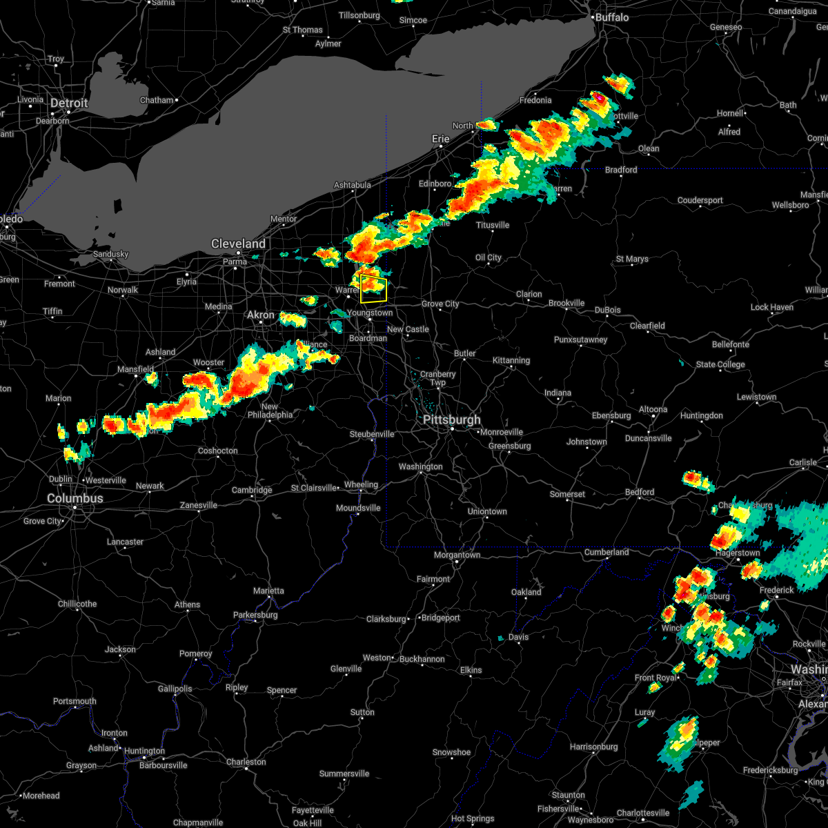 At 319 pm edt, a severe thunderstorm was located near cortland, or 9 miles northwest of sharpsville, moving east at 35 mph (radar indicated). Hazards include ping pong ball size hail and 60 mph wind gusts. People and animals outdoors will be injured. expect hail damage to roofs, siding, windows, and vehicles. Expect damage to trees and power lines. At 319 pm edt, a severe thunderstorm was located near cortland, or 9 miles northwest of sharpsville, moving east at 35 mph (radar indicated). Hazards include ping pong ball size hail and 60 mph wind gusts. People and animals outdoors will be injured. expect hail damage to roofs, siding, windows, and vehicles. Expect damage to trees and power lines.
|
| 6/1/2022 7:05 PM EDT |
 The severe thunderstorm warning for eastern trumbull county will expire at 715 pm edt, the storms which prompted the warning have moved out of the area. therefore, the warning will be allowed to expire. however heavy rain is still possible with these thunderstorms. a severe thunderstorm watch remains in effect until 1000 pm edt for northeastern ohio. The severe thunderstorm warning for eastern trumbull county will expire at 715 pm edt, the storms which prompted the warning have moved out of the area. therefore, the warning will be allowed to expire. however heavy rain is still possible with these thunderstorms. a severe thunderstorm watch remains in effect until 1000 pm edt for northeastern ohio.
|
| 6/1/2022 7:04 PM EDT |
 At 704 pm edt, severe thunderstorms were located along a line extending from near new wilmington to near minerva, moving southeast at 35 mph (radar indicated). Hazards include 60 mph wind gusts and quarter size hail. Minor hail damage to vehicles is possible. expect wind damage to trees and power lines, resulting in some power outages. locations impacted include, new castle, hermitage, sharon, salem, east liverpool, beaver falls, columbiana, east palestine, wellsville, carrollton, ellwood city, and farrell. hail threat, radar indicated max hail size, 1. 00 in wind threat, radar indicated max wind gust, 60 mph. At 704 pm edt, severe thunderstorms were located along a line extending from near new wilmington to near minerva, moving southeast at 35 mph (radar indicated). Hazards include 60 mph wind gusts and quarter size hail. Minor hail damage to vehicles is possible. expect wind damage to trees and power lines, resulting in some power outages. locations impacted include, new castle, hermitage, sharon, salem, east liverpool, beaver falls, columbiana, east palestine, wellsville, carrollton, ellwood city, and farrell. hail threat, radar indicated max hail size, 1. 00 in wind threat, radar indicated max wind gust, 60 mph.
|
| 6/1/2022 6:55 PM EDT |
 The severe thunderstorm warning for mercer and west central venango counties will expire at 700 pm edt, the storm which prompted the warning has moved out of the area. therefore, the warning will be allowed to expire. however gusty winds are still possible with this thunderstorm. a severe thunderstorm watch remains in effect until 1000 pm edt for northwestern pennsylvania. to report severe weather, contact your nearest law enforcement agency. they will relay your report to the national weather service pittsburgh. remember, a severe thunderstorm warning still remains in effect for southern mercer county until 730 pm. The severe thunderstorm warning for mercer and west central venango counties will expire at 700 pm edt, the storm which prompted the warning has moved out of the area. therefore, the warning will be allowed to expire. however gusty winds are still possible with this thunderstorm. a severe thunderstorm watch remains in effect until 1000 pm edt for northwestern pennsylvania. to report severe weather, contact your nearest law enforcement agency. they will relay your report to the national weather service pittsburgh. remember, a severe thunderstorm warning still remains in effect for southern mercer county until 730 pm.
|
| 6/1/2022 6:52 PM EDT |
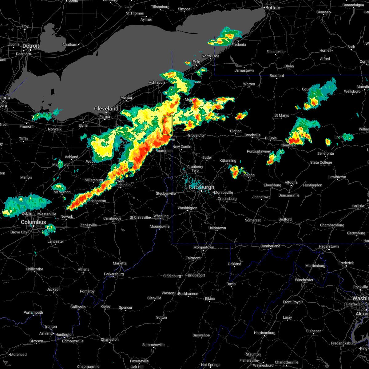 At 652 pm edt, severe thunderstorms were located along a line extending from near kinsman to near vienna center, moving east at 30 mph (radar indicated). Hazards include 60 mph wind gusts and penny size hail. Expect damage to trees and power lines. locations impacted include, vienna center, girard, vienna, johnston, orangeville, yankee lake, brookfield center and west hill. hail threat, radar indicated max hail size, 0. 75 in wind threat, radar indicated max wind gust, 60 mph. At 652 pm edt, severe thunderstorms were located along a line extending from near kinsman to near vienna center, moving east at 30 mph (radar indicated). Hazards include 60 mph wind gusts and penny size hail. Expect damage to trees and power lines. locations impacted include, vienna center, girard, vienna, johnston, orangeville, yankee lake, brookfield center and west hill. hail threat, radar indicated max hail size, 0. 75 in wind threat, radar indicated max wind gust, 60 mph.
|
| 6/1/2022 6:51 PM EDT |
 At 651 pm edt, severe thunderstorms were located along a line extending from near hubbard to near maplewood park to near canfield, moving east at 45 mph (radar indicated). Hazards include 70 mph wind gusts and quarter size hail. Minor damage to vehicles is possible. expect considerable tree damage. wind damage is also likely to mobile homes, roofs, and outbuildings. locations impacted include, youngstown, boardman, niles, campbell, hubbard, canfield, lordstown, hilltop, maplewood park, austintown, struthers, girard, mcdonald, poland, ellsworth, new middletown, craig beach, lowellville, north jackson and churchill. thunderstorm damage threat, considerable hail threat, radar indicated max hail size, 1. 00 in wind threat, radar indicated max wind gust, 70 mph. At 651 pm edt, severe thunderstorms were located along a line extending from near hubbard to near maplewood park to near canfield, moving east at 45 mph (radar indicated). Hazards include 70 mph wind gusts and quarter size hail. Minor damage to vehicles is possible. expect considerable tree damage. wind damage is also likely to mobile homes, roofs, and outbuildings. locations impacted include, youngstown, boardman, niles, campbell, hubbard, canfield, lordstown, hilltop, maplewood park, austintown, struthers, girard, mcdonald, poland, ellsworth, new middletown, craig beach, lowellville, north jackson and churchill. thunderstorm damage threat, considerable hail threat, radar indicated max hail size, 1. 00 in wind threat, radar indicated max wind gust, 70 mph.
|
| 6/1/2022 6:43 PM EDT |
 At 642 pm edt, severe thunderstorms were located along a line extending from near hubbard to near waynesburg, moving southeast at 35 mph (radar indicated). Hazards include 60 mph wind gusts and quarter size hail. Minor hail damage to vehicles is possible. Expect wind damage to trees and power lines, resulting in some power outages. At 642 pm edt, severe thunderstorms were located along a line extending from near hubbard to near waynesburg, moving southeast at 35 mph (radar indicated). Hazards include 60 mph wind gusts and quarter size hail. Minor hail damage to vehicles is possible. Expect wind damage to trees and power lines, resulting in some power outages.
|
| 6/1/2022 6:40 PM EDT |
 At 640 pm edt, severe thunderstorms were located along a line extending from 6 miles north of cortland to niles, moving east at 40 mph (radar indicated). Hazards include 60 mph wind gusts and quarter size hail. Minor damage to vehicles is possible. expect damage to trees and power lines. locations impacted include, warren, cortland, kinsman, vienna center, girard, vienna, mecca, johnston, orangeville, yankee lake, brookfield center, howland center, west hill and champion heights. hail threat, radar indicated max hail size, 1. 00 in wind threat, radar indicated max wind gust, 60 mph. At 640 pm edt, severe thunderstorms were located along a line extending from 6 miles north of cortland to niles, moving east at 40 mph (radar indicated). Hazards include 60 mph wind gusts and quarter size hail. Minor damage to vehicles is possible. expect damage to trees and power lines. locations impacted include, warren, cortland, kinsman, vienna center, girard, vienna, mecca, johnston, orangeville, yankee lake, brookfield center, howland center, west hill and champion heights. hail threat, radar indicated max hail size, 1. 00 in wind threat, radar indicated max wind gust, 60 mph.
|
| 6/1/2022 6:29 PM EDT |
 At 628 pm edt, severe thunderstorms were located along a line extending from leavittsburg to lordstown to 9 miles north of sebring, moving east at 40 mph (radar indicated). Hazards include 70 mph wind gusts and quarter size hail. Minor damage to vehicles is possible. expect considerable tree damage. wind damage is also likely to mobile homes, roofs, and outbuildings. locations impacted include, youngstown, warren, boardman, niles, campbell, hubbard, canfield, newton falls, lordstown, hilltop, maplewood park, leavittsburg, vienna center, austintown, struthers, girard, mcdonald, poland, ellsworth and windham. thunderstorm damage threat, considerable hail threat, radar indicated max hail size, 1. 00 in wind threat, radar indicated max wind gust, 70 mph. At 628 pm edt, severe thunderstorms were located along a line extending from leavittsburg to lordstown to 9 miles north of sebring, moving east at 40 mph (radar indicated). Hazards include 70 mph wind gusts and quarter size hail. Minor damage to vehicles is possible. expect considerable tree damage. wind damage is also likely to mobile homes, roofs, and outbuildings. locations impacted include, youngstown, warren, boardman, niles, campbell, hubbard, canfield, newton falls, lordstown, hilltop, maplewood park, leavittsburg, vienna center, austintown, struthers, girard, mcdonald, poland, ellsworth and windham. thunderstorm damage threat, considerable hail threat, radar indicated max hail size, 1. 00 in wind threat, radar indicated max wind gust, 70 mph.
|
| 6/1/2022 6:24 PM EDT |
 At 624 pm edt, a severe thunderstorm was located near garrettsville, or 12 miles northwest of warren, moving east at 30 mph (radar indicated). Hazards include 60 mph wind gusts and quarter size hail. Minor damage to vehicles is possible. expect damage to trees and power lines. locations impacted include, warren, cortland, kinsman, west farmington, bristolville, vienna center, leavittsburg, vienna, mecca, johnston, orangeville, yankee lake, brookfield center, howland center, west hill and champion heights. hail threat, radar indicated max hail size, 1. 00 in wind threat, radar indicated max wind gust, 60 mph. At 624 pm edt, a severe thunderstorm was located near garrettsville, or 12 miles northwest of warren, moving east at 30 mph (radar indicated). Hazards include 60 mph wind gusts and quarter size hail. Minor damage to vehicles is possible. expect damage to trees and power lines. locations impacted include, warren, cortland, kinsman, west farmington, bristolville, vienna center, leavittsburg, vienna, mecca, johnston, orangeville, yankee lake, brookfield center, howland center, west hill and champion heights. hail threat, radar indicated max hail size, 1. 00 in wind threat, radar indicated max wind gust, 60 mph.
|
| 6/1/2022 6:11 PM EDT |
 At 611 pm edt, a severe thunderstorm was located over greenville, or 11 miles northeast of sharpsville, moving east at 25 mph (radar indicated). Hazards include 60 mph wind gusts and nickel size hail. expect damage to trees and power lines, resulting in some power outages At 611 pm edt, a severe thunderstorm was located over greenville, or 11 miles northeast of sharpsville, moving east at 25 mph (radar indicated). Hazards include 60 mph wind gusts and nickel size hail. expect damage to trees and power lines, resulting in some power outages
|
| 6/1/2022 6:10 PM EDT |
 At 610 pm edt, a severe thunderstorm was located near newton falls, or 10 miles west of warren, moving east at 50 mph (radar indicated). Hazards include 70 mph wind gusts and quarter size hail. Minor damage to vehicles is possible. expect considerable tree damage. wind damage is also likely to mobile homes, roofs, and outbuildings. locations impacted include, youngstown, warren, boardman, niles, campbell, hubbard, canfield, newton falls, lordstown, garrettsville, vienna center, hilltop, maplewood park, leavittsburg, austintown, struthers, girard, vienna, mcdonald and poland. thunderstorm damage threat, considerable hail threat, radar indicated max hail size, 1. 00 in wind threat, radar indicated max wind gust, 70 mph. At 610 pm edt, a severe thunderstorm was located near newton falls, or 10 miles west of warren, moving east at 50 mph (radar indicated). Hazards include 70 mph wind gusts and quarter size hail. Minor damage to vehicles is possible. expect considerable tree damage. wind damage is also likely to mobile homes, roofs, and outbuildings. locations impacted include, youngstown, warren, boardman, niles, campbell, hubbard, canfield, newton falls, lordstown, garrettsville, vienna center, hilltop, maplewood park, leavittsburg, austintown, struthers, girard, vienna, mcdonald and poland. thunderstorm damage threat, considerable hail threat, radar indicated max hail size, 1. 00 in wind threat, radar indicated max wind gust, 70 mph.
|
| 6/1/2022 6:03 PM EDT |
 At 602 pm edt, a severe thunderstorm was located over garrettsville, or 13 miles northeast of ravenna, moving east at 30 mph (radar indicated). Hazards include 60 mph wind gusts and quarter size hail. Minor damage to vehicles is possible. Expect damage to trees and power lines. At 602 pm edt, a severe thunderstorm was located over garrettsville, or 13 miles northeast of ravenna, moving east at 30 mph (radar indicated). Hazards include 60 mph wind gusts and quarter size hail. Minor damage to vehicles is possible. Expect damage to trees and power lines.
|
| 6/1/2022 5:54 PM EDT |
 At 554 pm edt, a severe thunderstorm was located near ravenna, moving east at 45 mph (radar indicated). Hazards include 70 mph wind gusts and quarter size hail. Minor damage to vehicles is possible. expect considerable tree damage. Wind damage is also likely to mobile homes, roofs, and outbuildings. At 554 pm edt, a severe thunderstorm was located near ravenna, moving east at 45 mph (radar indicated). Hazards include 70 mph wind gusts and quarter size hail. Minor damage to vehicles is possible. expect considerable tree damage. Wind damage is also likely to mobile homes, roofs, and outbuildings.
|
| 10/21/2021 6:37 PM EDT |
 The tornado warning for southeastern trumbull county will expire at 645 pm edt, the storm which prompted the warning has moved out of the area. therefore, the warning will be allowed to expire. to report severe weather, contact your nearest law enforcement agency. they will relay your report to the national weather service cleveland. The tornado warning for southeastern trumbull county will expire at 645 pm edt, the storm which prompted the warning has moved out of the area. therefore, the warning will be allowed to expire. to report severe weather, contact your nearest law enforcement agency. they will relay your report to the national weather service cleveland.
|
| 10/21/2021 6:32 PM EDT |
 At 632 pm edt, a severe thunderstorm capable of producing a tornado was located over farrell, or over sharon, moving east at 35 mph (radar indicated rotation). Hazards include tornado. Flying debris will be dangerous to those caught without shelter. mobile homes will be damaged or destroyed. damage to roofs, windows, and vehicles will occur. tree damage is likely. This tornadic thunderstorm will remain over mainly rural areas of southeastern trumbull county, including the following locations, brookfield center and west hill. At 632 pm edt, a severe thunderstorm capable of producing a tornado was located over farrell, or over sharon, moving east at 35 mph (radar indicated rotation). Hazards include tornado. Flying debris will be dangerous to those caught without shelter. mobile homes will be damaged or destroyed. damage to roofs, windows, and vehicles will occur. tree damage is likely. This tornadic thunderstorm will remain over mainly rural areas of southeastern trumbull county, including the following locations, brookfield center and west hill.
|
| 10/21/2021 6:22 PM EDT |
 At 622 pm edt, a severe thunderstorm capable of producing a tornado was located near hubbard, or near youngstown, moving east at 35 mph (radar indicated rotation). Hazards include tornado. Flying debris will be dangerous to those caught without shelter. mobile homes will be damaged or destroyed. damage to roofs, windows, and vehicles will occur. tree damage is likely. this dangerous storm will be near, maplewood park around 625 pm edt. hubbard around 630 pm edt. sharon around 635 pm edt. Other locations impacted by this tornadic thunderstorm include churchill, yankee lake, brookfield center, west hill and girard. At 622 pm edt, a severe thunderstorm capable of producing a tornado was located near hubbard, or near youngstown, moving east at 35 mph (radar indicated rotation). Hazards include tornado. Flying debris will be dangerous to those caught without shelter. mobile homes will be damaged or destroyed. damage to roofs, windows, and vehicles will occur. tree damage is likely. this dangerous storm will be near, maplewood park around 625 pm edt. hubbard around 630 pm edt. sharon around 635 pm edt. Other locations impacted by this tornadic thunderstorm include churchill, yankee lake, brookfield center, west hill and girard.
|
| 10/21/2021 2:18 PM EDT |
 At 218 pm edt, severe thunderstorms were located along a line extending from near greenville to near oakwood, moving northeast at 55 mph (radar indicated). Hazards include 60 mph wind gusts. Expect damage to trees and power lines, resulting in some power outages. locations impacted include, new castle, hermitage, sharon, grove city, franklin, sharpsville, greenville, sugarcreek, farrell, slippery rock, new wilmington, and oakwood. hail threat, radar indicated max hail size, <. 75 in wind threat, radar indicated max wind gust, 60 mph. At 218 pm edt, severe thunderstorms were located along a line extending from near greenville to near oakwood, moving northeast at 55 mph (radar indicated). Hazards include 60 mph wind gusts. Expect damage to trees and power lines, resulting in some power outages. locations impacted include, new castle, hermitage, sharon, grove city, franklin, sharpsville, greenville, sugarcreek, farrell, slippery rock, new wilmington, and oakwood. hail threat, radar indicated max hail size, <. 75 in wind threat, radar indicated max wind gust, 60 mph.
|
| 10/21/2021 2:03 PM EDT |
 At 203 pm edt, severe thunderstorms were located along a line extending from near vienna center to leetonia, moving northeast at 60 mph (radar indicated). Hazards include 60 mph wind gusts. expect damage to trees and power lines, resulting in some power outages At 203 pm edt, severe thunderstorms were located along a line extending from near vienna center to leetonia, moving northeast at 60 mph (radar indicated). Hazards include 60 mph wind gusts. expect damage to trees and power lines, resulting in some power outages
|
| 8/13/2021 8:59 PM EDT |
 At 859 pm edt, a severe thunderstorm was located near hubbard, or near sharon, moving east at 25 mph (radar indicated). Hazards include 60 mph wind gusts. Expect damage to trees and power lines. locations impacted include, warren, niles, hubbard, vienna center, hilltop, maplewood park, girard, vienna, mcdonald, orangeville, yankee lake, brookfield center, churchill, howland center, bolindale, west hill and mineral ridge. hail threat, radar indicated max hail size, <. 75 in wind threat, radar indicated max wind gust, 60 mph. At 859 pm edt, a severe thunderstorm was located near hubbard, or near sharon, moving east at 25 mph (radar indicated). Hazards include 60 mph wind gusts. Expect damage to trees and power lines. locations impacted include, warren, niles, hubbard, vienna center, hilltop, maplewood park, girard, vienna, mcdonald, orangeville, yankee lake, brookfield center, churchill, howland center, bolindale, west hill and mineral ridge. hail threat, radar indicated max hail size, <. 75 in wind threat, radar indicated max wind gust, 60 mph.
|
| 8/13/2021 8:38 PM EDT |
 At 838 pm edt, a severe thunderstorm was located over niles, or near warren, moving east at 30 mph (radar indicated). Hazards include 60 mph wind gusts. expect damage to trees and power lines At 838 pm edt, a severe thunderstorm was located over niles, or near warren, moving east at 30 mph (radar indicated). Hazards include 60 mph wind gusts. expect damage to trees and power lines
|
| 8/12/2021 5:04 PM EDT |
 At 503 pm edt, a severe thunderstorm was located near cortland, or near warren, moving east at 35 mph (radar indicated). Hazards include 60 mph wind gusts and quarter size hail. Minor damage to vehicles is possible. expect damage to trees and power lines. locations impacted include, warren, niles, hubbard, cortland, newton falls, lordstown, garrettsville, west farmington, vienna center, hilltop, maplewood park, bristolville, leavittsburg, girard, vienna, mcdonald, mecca, windham, johnston and hiram. hail threat, radar indicated max hail size, 1. 00 in wind threat, radar indicated max wind gust, 60 mph. At 503 pm edt, a severe thunderstorm was located near cortland, or near warren, moving east at 35 mph (radar indicated). Hazards include 60 mph wind gusts and quarter size hail. Minor damage to vehicles is possible. expect damage to trees and power lines. locations impacted include, warren, niles, hubbard, cortland, newton falls, lordstown, garrettsville, west farmington, vienna center, hilltop, maplewood park, bristolville, leavittsburg, girard, vienna, mcdonald, mecca, windham, johnston and hiram. hail threat, radar indicated max hail size, 1. 00 in wind threat, radar indicated max wind gust, 60 mph.
|
| 8/12/2021 4:52 PM EDT |
 At 452 pm edt, a severe thunderstorm was located over cortland, or 8 miles north of warren, moving east at 40 mph (radar indicated). Hazards include 60 mph wind gusts and quarter size hail. Minor damage to vehicles is possible. expect damage to trees and power lines. locations impacted include, warren, ravenna, niles, hubbard, cortland, newton falls, lordstown, garrettsville, mantua, west farmington, vienna center, hilltop, maplewood park, bristolville, leavittsburg, girard, parkman, vienna, mcdonald and mecca. hail threat, radar indicated max hail size, 1. 00 in wind threat, radar indicated max wind gust, 60 mph. At 452 pm edt, a severe thunderstorm was located over cortland, or 8 miles north of warren, moving east at 40 mph (radar indicated). Hazards include 60 mph wind gusts and quarter size hail. Minor damage to vehicles is possible. expect damage to trees and power lines. locations impacted include, warren, ravenna, niles, hubbard, cortland, newton falls, lordstown, garrettsville, mantua, west farmington, vienna center, hilltop, maplewood park, bristolville, leavittsburg, girard, parkman, vienna, mcdonald and mecca. hail threat, radar indicated max hail size, 1. 00 in wind threat, radar indicated max wind gust, 60 mph.
|
| 8/12/2021 4:27 PM EDT |
 At 427 pm edt, a severe thunderstorm was located over garrettsville, or 12 miles northeast of ravenna, moving east at 40 mph (radar indicated). Hazards include 60 mph wind gusts and quarter size hail. Minor damage to vehicles is possible. Expect damage to trees and power lines. At 427 pm edt, a severe thunderstorm was located over garrettsville, or 12 miles northeast of ravenna, moving east at 40 mph (radar indicated). Hazards include 60 mph wind gusts and quarter size hail. Minor damage to vehicles is possible. Expect damage to trees and power lines.
|
| 8/12/2021 11:51 AM EDT |
 At 1151 am edt, a severe thunderstorm was located 7 miles northeast of new wilmington, or 8 miles west of grove city, moving east at 45 mph (radar indicated). Hazards include 60 mph wind gusts. Expect damage to trees and power lines, resulting in some power outages. locations impacted include, hermitage, sharon, grove city, sharpsville, farrell, new wilmington, mercer, pulaski, new bedford, west middlesex, plain grove township, and wheatland. hail threat, radar indicated max hail size, <. 75 in wind threat, radar indicated max wind gust, 60 mph. At 1151 am edt, a severe thunderstorm was located 7 miles northeast of new wilmington, or 8 miles west of grove city, moving east at 45 mph (radar indicated). Hazards include 60 mph wind gusts. Expect damage to trees and power lines, resulting in some power outages. locations impacted include, hermitage, sharon, grove city, sharpsville, farrell, new wilmington, mercer, pulaski, new bedford, west middlesex, plain grove township, and wheatland. hail threat, radar indicated max hail size, <. 75 in wind threat, radar indicated max wind gust, 60 mph.
|
| 8/12/2021 11:33 AM EDT |
 At 1133 am edt, a severe thunderstorm was located over farrell, or over sharon, moving east at 40 mph (radar indicated). Hazards include 60 mph wind gusts. expect damage to trees and power lines, resulting in some power outages At 1133 am edt, a severe thunderstorm was located over farrell, or over sharon, moving east at 40 mph (radar indicated). Hazards include 60 mph wind gusts. expect damage to trees and power lines, resulting in some power outages
|
| 8/12/2021 11:28 AM EDT |
 At 1128 am edt, severe thunderstorms were located along a line extending from near greenville to near sharpsville to near hubbard, moving east at 50 mph (radar indicated). Hazards include 60 mph wind gusts. Expect damage to trees and power lines. locations impacted include, niles, hubbard, vienna center, girard, vienna, yankee lake, brookfield center, churchill and west hill. hail threat, radar indicated max hail size, <. 75 in wind threat, radar indicated max wind gust, 60 mph. At 1128 am edt, severe thunderstorms were located along a line extending from near greenville to near sharpsville to near hubbard, moving east at 50 mph (radar indicated). Hazards include 60 mph wind gusts. Expect damage to trees and power lines. locations impacted include, niles, hubbard, vienna center, girard, vienna, yankee lake, brookfield center, churchill and west hill. hail threat, radar indicated max hail size, <. 75 in wind threat, radar indicated max wind gust, 60 mph.
|
| 8/12/2021 11:19 AM EDT |
 At 1119 am edt, severe thunderstorms were located along a line extending from kinsman to 6 miles northwest of sharpsville to near vienna center, moving east at 50 mph (radar indicated). Hazards include 60 mph wind gusts. Expect damage to trees and power lines. locations impacted include, warren, niles, hubbard, cortland, lordstown, kinsman, vienna center, girard, vienna, johnston, orangeville, yankee lake, brookfield center, churchill, howland center, bolindale and west hill. hail threat, radar indicated max hail size, <. 75 in wind threat, radar indicated max wind gust, 60 mph. At 1119 am edt, severe thunderstorms were located along a line extending from kinsman to 6 miles northwest of sharpsville to near vienna center, moving east at 50 mph (radar indicated). Hazards include 60 mph wind gusts. Expect damage to trees and power lines. locations impacted include, warren, niles, hubbard, cortland, lordstown, kinsman, vienna center, girard, vienna, johnston, orangeville, yankee lake, brookfield center, churchill, howland center, bolindale and west hill. hail threat, radar indicated max hail size, <. 75 in wind threat, radar indicated max wind gust, 60 mph.
|
| 8/12/2021 11:01 AM EDT |
 At 1101 am edt, severe thunderstorms were located along a line extending from near north bloomfield to near bristolville to near newton falls, moving east at 50 mph (radar indicated). Hazards include 70 mph wind gusts. Expect considerable tree damage. Damage is likely to mobile homes, roofs, and outbuildings. At 1101 am edt, severe thunderstorms were located along a line extending from near north bloomfield to near bristolville to near newton falls, moving east at 50 mph (radar indicated). Hazards include 70 mph wind gusts. Expect considerable tree damage. Damage is likely to mobile homes, roofs, and outbuildings.
|
| 8/11/2021 7:15 PM EDT |
 At 714 pm edt, severe thunderstorms were located along a line extending from near farrell to near east palestine, moving east at 45 mph (radar indicated). Hazards include 60 mph wind gusts. Expect damage to trees and power lines. locations impacted include, youngstown, columbiana, boardman, niles, campbell, hubbard, canfield, hilltop, maplewood park, austintown, struthers, girard, mcdonald, poland, new middletown, lowellville, churchill, west hill, brookfield center and mineral ridge. hail threat, radar indicated max hail size, <. 75 in wind threat, radar indicated max wind gust, 60 mph. At 714 pm edt, severe thunderstorms were located along a line extending from near farrell to near east palestine, moving east at 45 mph (radar indicated). Hazards include 60 mph wind gusts. Expect damage to trees and power lines. locations impacted include, youngstown, columbiana, boardman, niles, campbell, hubbard, canfield, hilltop, maplewood park, austintown, struthers, girard, mcdonald, poland, new middletown, lowellville, churchill, west hill, brookfield center and mineral ridge. hail threat, radar indicated max hail size, <. 75 in wind threat, radar indicated max wind gust, 60 mph.
|
| 8/11/2021 6:51 PM EDT |
 At 651 pm edt, severe thunderstorms were located along a line extending from near hermitage to farrell to near hilltop to near leetonia, moving east at 45 mph (radar indicated). Hazards include 70 mph wind gusts. Expect considerable tree damage. damage is likely to mobile homes, roofs, and outbuildings. locations impacted include, youngstown, warren, salem, columbiana, boardman, niles, campbell, hubbard, canfield, cortland, newton falls, lordstown, vienna center, hilltop, maplewood park, leavittsburg, austintown, struthers, girard and vienna. thunderstorm damage threat, considerable hail threat, radar indicated max hail size, <. 75 in wind threat, radar indicated max wind gust, 70 mph. At 651 pm edt, severe thunderstorms were located along a line extending from near hermitage to farrell to near hilltop to near leetonia, moving east at 45 mph (radar indicated). Hazards include 70 mph wind gusts. Expect considerable tree damage. damage is likely to mobile homes, roofs, and outbuildings. locations impacted include, youngstown, warren, salem, columbiana, boardman, niles, campbell, hubbard, canfield, cortland, newton falls, lordstown, vienna center, hilltop, maplewood park, leavittsburg, austintown, struthers, girard and vienna. thunderstorm damage threat, considerable hail threat, radar indicated max hail size, <. 75 in wind threat, radar indicated max wind gust, 70 mph.
|
| 8/11/2021 6:12 PM EDT |
 At 612 pm edt, severe thunderstorms were located along a line extending from near north bloomfield to near garrettsville to hartville, moving east at 45 mph (radar indicated). Hazards include 70 mph wind gusts. Expect considerable tree damage. Damage is likely to mobile homes, roofs, and outbuildings. At 612 pm edt, severe thunderstorms were located along a line extending from near north bloomfield to near garrettsville to hartville, moving east at 45 mph (radar indicated). Hazards include 70 mph wind gusts. Expect considerable tree damage. Damage is likely to mobile homes, roofs, and outbuildings.
|
| 7/20/2021 6:17 PM EDT |
 At 616 pm edt, a severe thunderstorm was located over maplewood park, moving southeast at 15 mph (radar indicated). Hazards include 60 mph wind gusts and quarter size hail. Minor damage to vehicles is possible. expect damage to trees and power lines. Locations impacted include, youngstown, boardman, campbell, hubbard, maplewood park, vienna center, austintown, struthers, girard, mcdonald, poland, lowellville, yankee lake, brookfield center, churchill and west hill. At 616 pm edt, a severe thunderstorm was located over maplewood park, moving southeast at 15 mph (radar indicated). Hazards include 60 mph wind gusts and quarter size hail. Minor damage to vehicles is possible. expect damage to trees and power lines. Locations impacted include, youngstown, boardman, campbell, hubbard, maplewood park, vienna center, austintown, struthers, girard, mcdonald, poland, lowellville, yankee lake, brookfield center, churchill and west hill.
|
| 7/20/2021 6:02 PM EDT |
 At 602 pm edt, a severe thunderstorm was located over hubbard, moving southeast at 20 mph (radar indicated). Hazards include 60 mph wind gusts and quarter size hail. Minor damage to vehicles is possible. Expect damage to trees and power lines. At 602 pm edt, a severe thunderstorm was located over hubbard, moving southeast at 20 mph (radar indicated). Hazards include 60 mph wind gusts and quarter size hail. Minor damage to vehicles is possible. Expect damage to trees and power lines.
|
| 7/8/2021 3:54 PM EDT |
 At 354 pm edt, severe thunderstorms were located along a line extending from near vienna center to youngstown to near leetonia, moving east at 45 mph (radar indicated). Hazards include 60 mph wind gusts. expect damage to trees and power lines At 354 pm edt, severe thunderstorms were located along a line extending from near vienna center to youngstown to near leetonia, moving east at 45 mph (radar indicated). Hazards include 60 mph wind gusts. expect damage to trees and power lines
|
| 7/8/2021 3:50 PM EDT |
 At 350 pm edt, severe thunderstorms were located along a line extending from near vienna center to canfield to 7 miles southwest of salem, moving east at 40 mph (radar indicated). Hazards include 60 mph wind gusts. Expect damage to trees and power lines. Locations impacted include, youngstown, warren, salem, columbiana, boardman, niles, campbell, hubbard, canfield, lordstown, vienna center, hilltop, maplewood park, leavittsburg, austintown, struthers, girard, vienna, mcdonald and poland. At 350 pm edt, severe thunderstorms were located along a line extending from near vienna center to canfield to 7 miles southwest of salem, moving east at 40 mph (radar indicated). Hazards include 60 mph wind gusts. Expect damage to trees and power lines. Locations impacted include, youngstown, warren, salem, columbiana, boardman, niles, campbell, hubbard, canfield, lordstown, vienna center, hilltop, maplewood park, leavittsburg, austintown, struthers, girard, vienna, mcdonald and poland.
|
| 7/8/2021 3:27 PM EDT |
 At 326 pm edt, severe thunderstorms were located along a line extending from near newton falls to near alliance to near minerva, moving east at 35 mph (radar indicated). Hazards include 60 mph wind gusts. Expect damage to trees and power lines. Locations impacted include, youngstown, warren, salem, columbiana, boardman, alliance, niles, louisville, campbell, hubbard, canfield, newton falls, sebring, lordstown, vienna center, leavittsburg, hilltop, maplewood park, austintown and struthers. At 326 pm edt, severe thunderstorms were located along a line extending from near newton falls to near alliance to near minerva, moving east at 35 mph (radar indicated). Hazards include 60 mph wind gusts. Expect damage to trees and power lines. Locations impacted include, youngstown, warren, salem, columbiana, boardman, alliance, niles, louisville, campbell, hubbard, canfield, newton falls, sebring, lordstown, vienna center, leavittsburg, hilltop, maplewood park, austintown and struthers.
|
| 7/8/2021 3:20 PM EDT |
 At 320 pm edt, severe thunderstorms were located along a line extending from 6 miles southwest of newton falls to alliance to near louisville, moving east at 35 mph (radar indicated). Hazards include 60 mph wind gusts. expect damage to trees and power lines At 320 pm edt, severe thunderstorms were located along a line extending from 6 miles southwest of newton falls to alliance to near louisville, moving east at 35 mph (radar indicated). Hazards include 60 mph wind gusts. expect damage to trees and power lines
|
| 6/29/2021 7:34 PM EDT |
 At 734 pm edt, a severe thunderstorm was located over hilltop, or near youngstown, moving east at 25 mph (radar indicated). Hazards include 60 mph wind gusts. Expect damage to trees and power lines. Locations impacted include, youngstown, warren, niles, campbell, hubbard, cortland, lordstown, vienna center, hilltop, maplewood park, austintown, girard, vienna, mcdonald, orangeville, yankee lake, north jackson, brookfield center, churchill and howland center. At 734 pm edt, a severe thunderstorm was located over hilltop, or near youngstown, moving east at 25 mph (radar indicated). Hazards include 60 mph wind gusts. Expect damage to trees and power lines. Locations impacted include, youngstown, warren, niles, campbell, hubbard, cortland, lordstown, vienna center, hilltop, maplewood park, austintown, girard, vienna, mcdonald, orangeville, yankee lake, north jackson, brookfield center, churchill and howland center.
|
| 6/29/2021 7:09 PM EDT |
 At 709 pm edt, a severe thunderstorm was located over lordstown, or 7 miles southwest of warren, moving east at 25 mph (radar indicated). Hazards include 60 mph wind gusts and quarter size hail. Minor damage to vehicles is possible. expect damage to trees and power lines. Locations impacted include, youngstown, warren, niles, campbell, hubbard, cortland, newton falls, lordstown, vienna center, hilltop, maplewood park, leavittsburg, austintown, girard, vienna, mcdonald, craig beach, orangeville, yankee lake and north jackson. At 709 pm edt, a severe thunderstorm was located over lordstown, or 7 miles southwest of warren, moving east at 25 mph (radar indicated). Hazards include 60 mph wind gusts and quarter size hail. Minor damage to vehicles is possible. expect damage to trees and power lines. Locations impacted include, youngstown, warren, niles, campbell, hubbard, cortland, newton falls, lordstown, vienna center, hilltop, maplewood park, leavittsburg, austintown, girard, vienna, mcdonald, craig beach, orangeville, yankee lake and north jackson.
|
| 6/29/2021 6:42 PM EDT |
 At 641 pm edt, a severe thunderstorm was located 7 miles east of ravenna, moving east at 25 mph (radar indicated). Hazards include 60 mph wind gusts. expect damage to trees and power lines At 641 pm edt, a severe thunderstorm was located 7 miles east of ravenna, moving east at 25 mph (radar indicated). Hazards include 60 mph wind gusts. expect damage to trees and power lines
|
| 6/21/2021 1:53 PM EDT |
 At 152 pm edt, severe thunderstorms were located along a line extending from near vienna center to near salem, moving east at 25 mph (radar indicated). Hazards include 60 mph wind gusts. Expect damage to trees and power lines. Locations impacted include, youngstown, warren, boardman, niles, campbell, hubbard, canfield, vienna center, hilltop, maplewood park, austintown, struthers, girard, vienna, mcdonald, poland, ellsworth, new middletown, lowellville and yankee lake. At 152 pm edt, severe thunderstorms were located along a line extending from near vienna center to near salem, moving east at 25 mph (radar indicated). Hazards include 60 mph wind gusts. Expect damage to trees and power lines. Locations impacted include, youngstown, warren, boardman, niles, campbell, hubbard, canfield, vienna center, hilltop, maplewood park, austintown, struthers, girard, vienna, mcdonald, poland, ellsworth, new middletown, lowellville and yankee lake.
|
| 6/21/2021 1:38 PM EDT |
 At 137 pm edt, severe thunderstorms were located along a line extending from near niles to 6 miles north of sebring, moving east at 40 mph (radar indicated). Hazards include 60 mph wind gusts and penny size hail. Expect damage to trees and power lines. Locations impacted include, youngstown, warren, boardman, niles, campbell, hubbard, canfield, cortland, newton falls, lordstown, vienna center, hilltop, maplewood park, leavittsburg, austintown, struthers, girard, vienna, mcdonald and poland. At 137 pm edt, severe thunderstorms were located along a line extending from near niles to 6 miles north of sebring, moving east at 40 mph (radar indicated). Hazards include 60 mph wind gusts and penny size hail. Expect damage to trees and power lines. Locations impacted include, youngstown, warren, boardman, niles, campbell, hubbard, canfield, cortland, newton falls, lordstown, vienna center, hilltop, maplewood park, leavittsburg, austintown, struthers, girard, vienna, mcdonald and poland.
|
| 6/21/2021 1:09 PM EDT |
 At 109 pm edt, a severe thunderstorm was located near ravenna, moving east at 25 mph (radar indicated). Hazards include 60 mph wind gusts and quarter size hail. Minor damage to vehicles is possible. Expect damage to trees and power lines. At 109 pm edt, a severe thunderstorm was located near ravenna, moving east at 25 mph (radar indicated). Hazards include 60 mph wind gusts and quarter size hail. Minor damage to vehicles is possible. Expect damage to trees and power lines.
|
| 6/21/2021 7:34 AM EDT |
 At 733 am edt, severe thunderstorms were located along a line extending from near pymatuning central to vienna center, moving east at 55 mph (radar indicated). Hazards include 60 mph wind gusts and quarter size hail. Minor damage to vehicles is possible. expect damage to trees and power lines. Locations impacted include, warren, niles, cortland, newton falls, lordstown, kinsman, andover, vienna center, leavittsburg, girard, vienna, mecca, johnston, orangeville, yankee lake, brookfield center, howland center, bolindale, west hill and champion heights. At 733 am edt, severe thunderstorms were located along a line extending from near pymatuning central to vienna center, moving east at 55 mph (radar indicated). Hazards include 60 mph wind gusts and quarter size hail. Minor damage to vehicles is possible. expect damage to trees and power lines. Locations impacted include, warren, niles, cortland, newton falls, lordstown, kinsman, andover, vienna center, leavittsburg, girard, vienna, mecca, johnston, orangeville, yankee lake, brookfield center, howland center, bolindale, west hill and champion heights.
|
| 6/21/2021 7:20 AM EDT |
 At 720 am edt, severe thunderstorms were located along a line extending from conneaut to 7 miles northwest of pymatuning north to near kinsman, moving east at 60 mph (radar indicated). Hazards include 60 mph wind gusts and quarter size hail. Minor damage to vehicles is possible. expect damage to trees and power lines. Locations impacted include, warren, conneaut, niles, cortland, newton falls, lordstown, north kingsville, kinsman, north bloomfield, orwell, andover, west farmington, vienna center, bristolville, leavittsburg, girard, vienna, mecca, johnston and kingsville. At 720 am edt, severe thunderstorms were located along a line extending from conneaut to 7 miles northwest of pymatuning north to near kinsman, moving east at 60 mph (radar indicated). Hazards include 60 mph wind gusts and quarter size hail. Minor damage to vehicles is possible. expect damage to trees and power lines. Locations impacted include, warren, conneaut, niles, cortland, newton falls, lordstown, north kingsville, kinsman, north bloomfield, orwell, andover, west farmington, vienna center, bristolville, leavittsburg, girard, vienna, mecca, johnston and kingsville.
|
| 6/21/2021 6:51 AM EDT |
 At 650 am edt, severe thunderstorms were located along a line extending from near madison to 8 miles east of chardon to 6 miles north of mantua, moving northeast at 50 mph (radar indicated). Hazards include 60 mph wind gusts and quarter size hail. Minor damage to vehicles is possible. Expect damage to trees and power lines. At 650 am edt, severe thunderstorms were located along a line extending from near madison to 8 miles east of chardon to 6 miles north of mantua, moving northeast at 50 mph (radar indicated). Hazards include 60 mph wind gusts and quarter size hail. Minor damage to vehicles is possible. Expect damage to trees and power lines.
|
| 6/20/2021 5:24 PM EDT |
 At 523 pm edt, a severe thunderstorm was located near cortland, or 9 miles northeast of warren, moving east at 25 mph (radar indicated). Hazards include 60 mph wind gusts and quarter size hail. Minor damage to vehicles is possible. expect damage to trees and power lines. Locations impacted include, warren, cortland, vienna center, vienna, mecca, johnston, orangeville, yankee lake, brookfield center, howland center and west hill. At 523 pm edt, a severe thunderstorm was located near cortland, or 9 miles northeast of warren, moving east at 25 mph (radar indicated). Hazards include 60 mph wind gusts and quarter size hail. Minor damage to vehicles is possible. expect damage to trees and power lines. Locations impacted include, warren, cortland, vienna center, vienna, mecca, johnston, orangeville, yankee lake, brookfield center, howland center and west hill.
|
| 6/20/2021 5:06 PM EDT |
 At 506 pm edt, a severe thunderstorm was located over cortland, or 8 miles north of warren, moving east at 30 mph (radar indicated). Hazards include 60 mph wind gusts and quarter size hail. Minor damage to vehicles is possible. Expect damage to trees and power lines. At 506 pm edt, a severe thunderstorm was located over cortland, or 8 miles north of warren, moving east at 30 mph (radar indicated). Hazards include 60 mph wind gusts and quarter size hail. Minor damage to vehicles is possible. Expect damage to trees and power lines.
|
| 5/26/2021 2:24 PM EDT |
 At 223 pm edt, a severe thunderstorm was located over vienna center, or near sharon, moving east at 50 mph (radar). Hazards include wind gusts to 60 mph. expect damage to trees and power lines, resulting in some power outages At 223 pm edt, a severe thunderstorm was located over vienna center, or near sharon, moving east at 50 mph (radar). Hazards include wind gusts to 60 mph. expect damage to trees and power lines, resulting in some power outages
|
| 11/15/2020 2:43 PM EST |
 The severe thunderstorm warning for mercer, northern beaver, western venango, lawrence and western butler counties will expire at 245 pm est, the storms which prompted the warning have moved out of the area. therefore, the warning will be allowed to expire. however gusty winds are still possible with these thunderstorms. a severe thunderstorm watch remains in effect until 400 pm est for east central ohio, and western, northwestern and west central pennsylvania. remember, a severe thunderstorm warning still remains in effect for eastern mercer, lawrence until 330 pm est. The severe thunderstorm warning for mercer, northern beaver, western venango, lawrence and western butler counties will expire at 245 pm est, the storms which prompted the warning have moved out of the area. therefore, the warning will be allowed to expire. however gusty winds are still possible with these thunderstorms. a severe thunderstorm watch remains in effect until 400 pm est for east central ohio, and western, northwestern and west central pennsylvania. remember, a severe thunderstorm warning still remains in effect for eastern mercer, lawrence until 330 pm est.
|
| 11/15/2020 2:27 PM EST |
 At 227 pm est, severe thunderstorms were located along a line extending from near meadville to near ellwood city, moving east at 45 mph (radar). Hazards include wind gusts to 60 mph. Expect damage to trees and power lines, resulting in some power outages. locations impacted include, cranberry, new castle, hermitage, sharon, beaver falls, grove city, franklin, sharpsville, ellwood city, new brighton, greenville, sugarcreek, this includes the following highways, pennsylvania turnpike between mile markers 1 and 26. interstate 79 in pennsylvania between mile markers 81 and 138. interstate 80 in pennsylvania between mile markers 0 and 32. Interstate 376 in pennsylvania between mile markers 4 and 35. At 227 pm est, severe thunderstorms were located along a line extending from near meadville to near ellwood city, moving east at 45 mph (radar). Hazards include wind gusts to 60 mph. Expect damage to trees and power lines, resulting in some power outages. locations impacted include, cranberry, new castle, hermitage, sharon, beaver falls, grove city, franklin, sharpsville, ellwood city, new brighton, greenville, sugarcreek, this includes the following highways, pennsylvania turnpike between mile markers 1 and 26. interstate 79 in pennsylvania between mile markers 81 and 138. interstate 80 in pennsylvania between mile markers 0 and 32. Interstate 376 in pennsylvania between mile markers 4 and 35.
|
| 11/15/2020 2:03 PM EST |
 At 203 pm est, severe thunderstorms were located along a line extending from near ashtabula to near sebring, moving northeast at 60 mph (radar indicated). Hazards include 70 mph wind gusts. Expect considerable tree damage. damage is likely to mobile homes, roofs, and outbuildings. Locations impacted include, erie, youngstown, warren, meadville, conneaut, salem, columbiana, boardman, niles, campbell, hubbard, canfield, cortland, corry, edinboro, titusville, north east, lordstown, union city and north kingsville. At 203 pm est, severe thunderstorms were located along a line extending from near ashtabula to near sebring, moving northeast at 60 mph (radar indicated). Hazards include 70 mph wind gusts. Expect considerable tree damage. damage is likely to mobile homes, roofs, and outbuildings. Locations impacted include, erie, youngstown, warren, meadville, conneaut, salem, columbiana, boardman, niles, campbell, hubbard, canfield, cortland, corry, edinboro, titusville, north east, lordstown, union city and north kingsville.
|
| 11/15/2020 2:01 PM EST |
 At 200 pm est, severe thunderstorms were located along a line extending from pymatuning north to near new waterford, moving east at 45 mph (radar). Hazards include wind gusts to 70 mph. Trees snapped and uprooted. Power outages can be expected. At 200 pm est, severe thunderstorms were located along a line extending from pymatuning north to near new waterford, moving east at 45 mph (radar). Hazards include wind gusts to 70 mph. Trees snapped and uprooted. Power outages can be expected.
|
| 11/15/2020 1:50 PM EST |
 At 150 pm est, severe thunderstorms were located along a line extending from geneva-on-the-lake to near louisville, moving east at 60 mph (radar indicated). Hazards include 70 mph wind gusts. Expect considerable tree damage. damage is likely to mobile homes, roofs, and outbuildings. Locations impacted include, erie, youngstown, warren, ashtabula, meadville, conneaut, salem, columbiana, geneva-on-the-lake, boardman, niles, campbell, hubbard, canfield, cortland, corry, edinboro, titusville, newton falls and sebring. At 150 pm est, severe thunderstorms were located along a line extending from geneva-on-the-lake to near louisville, moving east at 60 mph (radar indicated). Hazards include 70 mph wind gusts. Expect considerable tree damage. damage is likely to mobile homes, roofs, and outbuildings. Locations impacted include, erie, youngstown, warren, ashtabula, meadville, conneaut, salem, columbiana, geneva-on-the-lake, boardman, niles, campbell, hubbard, canfield, cortland, corry, edinboro, titusville, newton falls and sebring.
|
| 11/15/2020 1:32 PM EST |
 At 132 pm est, severe thunderstorms were located along a line extending from painesville to near strasburg, moving northeast at 60 mph (radar indicated). Hazards include 70 mph wind gusts. Expect considerable tree damage. Damage is likely to mobile homes, roofs, and outbuildings. At 132 pm est, severe thunderstorms were located along a line extending from painesville to near strasburg, moving northeast at 60 mph (radar indicated). Hazards include 70 mph wind gusts. Expect considerable tree damage. Damage is likely to mobile homes, roofs, and outbuildings.
|
| 8/28/2020 8:56 AM EDT |
 At 856 am edt, a severe thunderstorm was located near kinsman, or 11 miles north of sharpsville, moving east at 50 mph (radar). Hazards include wind gusts to 60 mph. expect damage to trees and power lines, resulting in some power outages At 856 am edt, a severe thunderstorm was located near kinsman, or 11 miles north of sharpsville, moving east at 50 mph (radar). Hazards include wind gusts to 60 mph. expect damage to trees and power lines, resulting in some power outages
|
| 8/27/2020 4:52 PM EDT |
 At 452 pm edt, a severe thunderstorm was located over maplewood park, or near youngstown, moving southeast at 30 mph (radar indicated). Hazards include 60 mph wind gusts. Expect damage to trees and power lines. Locations impacted include, youngstown, boardman, campbell, hubbard, maplewood park, austintown, struthers, girard, poland, lowellville, brookfield center, west hill and churchill. At 452 pm edt, a severe thunderstorm was located over maplewood park, or near youngstown, moving southeast at 30 mph (radar indicated). Hazards include 60 mph wind gusts. Expect damage to trees and power lines. Locations impacted include, youngstown, boardman, campbell, hubbard, maplewood park, austintown, struthers, girard, poland, lowellville, brookfield center, west hill and churchill.
|
| 8/27/2020 4:44 PM EDT |
 At 443 pm edt, a severe thunderstorm was located over maplewood park, or near youngstown, moving southeast at 35 mph (radar). Hazards include wind gusts to 60 mph. expect damage to trees and power lines, resulting in some power outages At 443 pm edt, a severe thunderstorm was located over maplewood park, or near youngstown, moving southeast at 35 mph (radar). Hazards include wind gusts to 60 mph. expect damage to trees and power lines, resulting in some power outages
|
| 8/27/2020 4:37 PM EDT |
 At 437 pm edt, a severe thunderstorm was located over niles, or near warren, moving southeast at 30 mph (radar indicated). Hazards include 60 mph wind gusts. expect damage to trees and power lines At 437 pm edt, a severe thunderstorm was located over niles, or near warren, moving southeast at 30 mph (radar indicated). Hazards include 60 mph wind gusts. expect damage to trees and power lines
|
| 7/27/2020 5:33 PM EDT |
 At 532 pm edt, a cluster of severe thunderstorm was centered near new wilmington, or 9 miles west of grove city, moving east at 25 mph (radar). Hazards include wind gusts to 60 mph. Expect damage to trees and power lines, resulting in some power outages. locations impacted include, hermitage, sharon, farrell, new wilmington, new castle northwest, mercer, pulaski, west middlesex, plain grove township, wheatland, harlansburg, jackson center, this includes the following highways, interstate 79 in pennsylvania between mile markers 110 and 122. interstate 80 in pennsylvania between mile markers 0 and 20. Interstate 376 in pennsylvania between mile markers 4 and 11. At 532 pm edt, a cluster of severe thunderstorm was centered near new wilmington, or 9 miles west of grove city, moving east at 25 mph (radar). Hazards include wind gusts to 60 mph. Expect damage to trees and power lines, resulting in some power outages. locations impacted include, hermitage, sharon, farrell, new wilmington, new castle northwest, mercer, pulaski, west middlesex, plain grove township, wheatland, harlansburg, jackson center, this includes the following highways, interstate 79 in pennsylvania between mile markers 110 and 122. interstate 80 in pennsylvania between mile markers 0 and 20. Interstate 376 in pennsylvania between mile markers 4 and 11.
|
| 7/27/2020 5:16 PM EDT |
 At 515 pm edt, a severe thunderstorm was located near new wilmington, or near hermitage, moving east at 20 mph (radar). Hazards include wind gusts to 60 mph. expect damage to trees and power lines, resulting in some power outages At 515 pm edt, a severe thunderstorm was located near new wilmington, or near hermitage, moving east at 20 mph (radar). Hazards include wind gusts to 60 mph. expect damage to trees and power lines, resulting in some power outages
|
| 7/19/2020 7:02 PM EDT |
 At 702 pm edt, severe thunderstorms were located along a line extending from near sharon to near boardman, moving east at 35 mph (radar indicated). Hazards include 60 mph wind gusts. Expect damage to trees and power lines. Locations impacted include, youngstown, boardman, niles, campbell, hubbard, canfield, lordstown, vienna center, hilltop, maplewood park, austintown, struthers, girard, vienna, mcdonald, poland, ellsworth, new middletown, lowellville and yankee lake. At 702 pm edt, severe thunderstorms were located along a line extending from near sharon to near boardman, moving east at 35 mph (radar indicated). Hazards include 60 mph wind gusts. Expect damage to trees and power lines. Locations impacted include, youngstown, boardman, niles, campbell, hubbard, canfield, lordstown, vienna center, hilltop, maplewood park, austintown, struthers, girard, vienna, mcdonald, poland, ellsworth, new middletown, lowellville and yankee lake.
|
| 7/19/2020 6:46 PM EDT |
 At 645 pm edt, severe thunderstorms were located along a line extending from near vienna center to hubbard to youngstown to 8 miles west of canfield, moving east at 45 mph (radar indicated). Hazards include 70 mph wind gusts. Expect considerable tree damage. damage is likely to mobile homes, roofs, and outbuildings. Locations impacted include, youngstown, warren, boardman, niles, campbell, hubbard, canfield, cortland, newton falls, lordstown, vienna center, hilltop, maplewood park, leavittsburg, austintown, struthers, girard, vienna, mcdonald and poland. At 645 pm edt, severe thunderstorms were located along a line extending from near vienna center to hubbard to youngstown to 8 miles west of canfield, moving east at 45 mph (radar indicated). Hazards include 70 mph wind gusts. Expect considerable tree damage. damage is likely to mobile homes, roofs, and outbuildings. Locations impacted include, youngstown, warren, boardman, niles, campbell, hubbard, canfield, cortland, newton falls, lordstown, vienna center, hilltop, maplewood park, leavittsburg, austintown, struthers, girard, vienna, mcdonald and poland.
|
| 7/19/2020 6:44 PM EDT |
 At 644 pm edt, a severe thunderstorm was located near hubbard, or near youngstown, moving east at 45 mph (radar). Hazards include wind gusts to 70 mph. Trees snapped and uprooted. Power outages can be expected. At 644 pm edt, a severe thunderstorm was located near hubbard, or near youngstown, moving east at 45 mph (radar). Hazards include wind gusts to 70 mph. Trees snapped and uprooted. Power outages can be expected.
|
| 7/19/2020 6:35 PM EDT |
 At 634 pm edt, severe thunderstorms were located along a line extending from near bristolville to leavittsburg to newton falls to 9 miles north of sebring, moving east at 40 mph (radar indicated). Hazards include 70 mph wind gusts. Expect considerable tree damage. damage is likely to mobile homes, roofs, and outbuildings. Locations impacted include, youngstown, warren, ravenna, columbiana, boardman, niles, campbell, hubbard, canfield, cortland, newton falls, lordstown, garrettsville, vienna center, leavittsburg, hilltop, maplewood park, bristolville, austintown and struthers. At 634 pm edt, severe thunderstorms were located along a line extending from near bristolville to leavittsburg to newton falls to 9 miles north of sebring, moving east at 40 mph (radar indicated). Hazards include 70 mph wind gusts. Expect considerable tree damage. damage is likely to mobile homes, roofs, and outbuildings. Locations impacted include, youngstown, warren, ravenna, columbiana, boardman, niles, campbell, hubbard, canfield, cortland, newton falls, lordstown, garrettsville, vienna center, leavittsburg, hilltop, maplewood park, bristolville, austintown and struthers.
|
| 7/19/2020 6:18 PM EDT |
 At 618 pm edt, severe thunderstorms were located along a line extending from near west farmington to 6 miles east of ravenna to 8 miles northeast of hartville, moving east at 40 mph (radar indicated). Hazards include 60 mph wind gusts. expect damage to trees and power lines At 618 pm edt, severe thunderstorms were located along a line extending from near west farmington to 6 miles east of ravenna to 8 miles northeast of hartville, moving east at 40 mph (radar indicated). Hazards include 60 mph wind gusts. expect damage to trees and power lines
|
| 6/10/2020 9:52 PM EDT |
 At 951 pm edt, severe thunderstorms were located along a line extending from near maplewood park to near ellwood city to near robinson township to near cecil-bishop, moving northeast at 35 mph (radar). Hazards include wind gusts to 60 mph and quarter-size hail. Minor hail damage to vehicles is possible. Expect wind damage to trees and power lines, resulting in some power outages. At 951 pm edt, severe thunderstorms were located along a line extending from near maplewood park to near ellwood city to near robinson township to near cecil-bishop, moving northeast at 35 mph (radar). Hazards include wind gusts to 60 mph and quarter-size hail. Minor hail damage to vehicles is possible. Expect wind damage to trees and power lines, resulting in some power outages.
|
| 6/10/2020 9:48 PM EDT |
 At 948 pm edt, severe thunderstorms were located along a line extending from near youngstown to near new castle to near leetsdale, moving northeast at 55 mph (radar). Hazards include wind gusts to 60 mph and quarter-size hail. Minor hail damage to vehicles is possible. expect wind damage to trees and power lines, resulting in some power outages. locations impacted include, new castle, hermitage, sharon, aliquippa, beaver falls, monaca, sharpsville, economy, ellwood city, ambridge, new brighton, farrell, this includes the following highways, pennsylvania turnpike between mile markers 1 and 24. interstate 80 in pennsylvania between mile markers 0 and 11. Interstate 376 in pennsylvania between mile markers 4 and 34, and between mile markers 36 and 47. At 948 pm edt, severe thunderstorms were located along a line extending from near youngstown to near new castle to near leetsdale, moving northeast at 55 mph (radar). Hazards include wind gusts to 60 mph and quarter-size hail. Minor hail damage to vehicles is possible. expect wind damage to trees and power lines, resulting in some power outages. locations impacted include, new castle, hermitage, sharon, aliquippa, beaver falls, monaca, sharpsville, economy, ellwood city, ambridge, new brighton, farrell, this includes the following highways, pennsylvania turnpike between mile markers 1 and 24. interstate 80 in pennsylvania between mile markers 0 and 11. Interstate 376 in pennsylvania between mile markers 4 and 34, and between mile markers 36 and 47.
|
| 6/10/2020 9:44 PM EDT |
 At 944 pm edt, severe thunderstorms were located along a line extending from near andover to near greenville, moving northeast at 35 mph (radar indicated). Hazards include 60 mph wind gusts and penny size hail. expect damage to trees and power lines At 944 pm edt, severe thunderstorms were located along a line extending from near andover to near greenville, moving northeast at 35 mph (radar indicated). Hazards include 60 mph wind gusts and penny size hail. expect damage to trees and power lines
|
| 6/10/2020 9:23 PM EDT |
 At 923 pm edt, severe thunderstorms were located along a line extending from north kingsville to near hilltop, moving east at 45 mph (radar indicated). Hazards include 60 mph wind gusts and penny size hail. Expect damage to trees and power lines. Locations impacted include, youngstown, warren, ashtabula, conneaut, geneva-on-the-lake, niles, hubbard, cortland, geneva, newton falls, lordstown, north kingsville, kinsman, north bloomfield, orwell, andover, west farmington, vienna center, hilltop and maplewood park. At 923 pm edt, severe thunderstorms were located along a line extending from north kingsville to near hilltop, moving east at 45 mph (radar indicated). Hazards include 60 mph wind gusts and penny size hail. Expect damage to trees and power lines. Locations impacted include, youngstown, warren, ashtabula, conneaut, geneva-on-the-lake, niles, hubbard, cortland, geneva, newton falls, lordstown, north kingsville, kinsman, north bloomfield, orwell, andover, west farmington, vienna center, hilltop and maplewood park.
|
| 6/10/2020 9:23 PM EDT |
 At 923 pm edt, severe thunderstorms were located along a line extending from near salem to near calcutta to hooverson heights, moving northeast at 55 mph (radar). Hazards include wind gusts to 60 mph and quarter-size hail. Minor hail damage to vehicles is possible. Expect wind damage to trees and power lines, resulting in some power outages. At 923 pm edt, severe thunderstorms were located along a line extending from near salem to near calcutta to hooverson heights, moving northeast at 55 mph (radar). Hazards include wind gusts to 60 mph and quarter-size hail. Minor hail damage to vehicles is possible. Expect wind damage to trees and power lines, resulting in some power outages.
|
| 6/10/2020 8:59 PM EDT |
 The national weather service in cleveland has issued a * severe thunderstorm warning for. trumbull county in northeastern ohio. central portage county in northeastern ohio. geauga county in northeastern ohio. Northeastern lake county in northeastern ohio. The national weather service in cleveland has issued a * severe thunderstorm warning for. trumbull county in northeastern ohio. central portage county in northeastern ohio. geauga county in northeastern ohio. Northeastern lake county in northeastern ohio.
|
| 6/4/2020 4:16 PM EDT |
 At 415 pm edt, a severe thunderstorm was located near campbell, or 8 miles west of new castle, moving east at 15 mph (radar). Hazards include wind gusts to 60 mph. expect damage to trees and power lines, resulting in some power outages At 415 pm edt, a severe thunderstorm was located near campbell, or 8 miles west of new castle, moving east at 15 mph (radar). Hazards include wind gusts to 60 mph. expect damage to trees and power lines, resulting in some power outages
|
| 4/8/2020 12:23 AM EDT |
 At 1223 am edt, severe thunderstorms were located along a line extending from farrell to near louisville, moving southeast at 45 mph (radar indicated). Hazards include 70 mph wind gusts and quarter size hail. Minor damage to vehicles is possible. expect considerable tree damage. wind damage is also likely to mobile homes, roofs, and outbuildings. Locations impacted include, youngstown, salem, columbiana, boardman, alliance, niles, campbell, hubbard, canfield, sebring, lordstown, hilltop, maplewood park, austintown, struthers, girard, mcdonald, atwater, poland and ellsworth. At 1223 am edt, severe thunderstorms were located along a line extending from farrell to near louisville, moving southeast at 45 mph (radar indicated). Hazards include 70 mph wind gusts and quarter size hail. Minor damage to vehicles is possible. expect considerable tree damage. wind damage is also likely to mobile homes, roofs, and outbuildings. Locations impacted include, youngstown, salem, columbiana, boardman, alliance, niles, campbell, hubbard, canfield, sebring, lordstown, hilltop, maplewood park, austintown, struthers, girard, mcdonald, atwater, poland and ellsworth.
|
| 4/8/2020 12:11 AM EDT |
 At 1211 am edt, severe thunderstorms were located along a line extending from near sharpsville to near hartville, moving southeast at 40 mph (radar indicated). Hazards include 70 mph wind gusts and quarter size hail. Minor damage to vehicles is possible. expect considerable tree damage. Wind damage is also likely to mobile homes, roofs, and outbuildings. At 1211 am edt, severe thunderstorms were located along a line extending from near sharpsville to near hartville, moving southeast at 40 mph (radar indicated). Hazards include 70 mph wind gusts and quarter size hail. Minor damage to vehicles is possible. expect considerable tree damage. Wind damage is also likely to mobile homes, roofs, and outbuildings.
|
| 4/7/2020 11:35 PM EDT |
 At 1134 pm edt, a severe thunderstorm was located near hilltop, or near youngstown, moving east at 45 mph (radar). Hazards include wind gusts to 60 mph and quarter-size hail. Minor hail damage to vehicles is possible. Expect wind damage to trees and power lines, resulting in some power outages. At 1134 pm edt, a severe thunderstorm was located near hilltop, or near youngstown, moving east at 45 mph (radar). Hazards include wind gusts to 60 mph and quarter-size hail. Minor hail damage to vehicles is possible. Expect wind damage to trees and power lines, resulting in some power outages.
|
| 4/7/2020 11:27 PM EDT |
 At 1126 pm edt, a severe thunderstorm was located over niles, or near warren, moving east at 45 mph (radar indicated). Hazards include 60 mph wind gusts and quarter size hail. Minor damage to vehicles is possible. Expect damage to trees and power lines. At 1126 pm edt, a severe thunderstorm was located over niles, or near warren, moving east at 45 mph (radar indicated). Hazards include 60 mph wind gusts and quarter size hail. Minor damage to vehicles is possible. Expect damage to trees and power lines.
|
| 3/28/2020 2:06 PM EDT |
 At 206 pm edt, a severe thunderstorm was located over hilltop, or near youngstown, moving east at 65 mph (radar indicated). Hazards include quarter size hail. Minor damage to vehicles is possible. Locations impacted include, youngstown, boardman, niles, campbell, hubbard, canfield, newton falls, lordstown, hilltop, maplewood park, austintown, struthers, girard, mcdonald, poland, craig beach, lowellville, north jackson, wayland and south canal. At 206 pm edt, a severe thunderstorm was located over hilltop, or near youngstown, moving east at 65 mph (radar indicated). Hazards include quarter size hail. Minor damage to vehicles is possible. Locations impacted include, youngstown, boardman, niles, campbell, hubbard, canfield, newton falls, lordstown, hilltop, maplewood park, austintown, struthers, girard, mcdonald, poland, craig beach, lowellville, north jackson, wayland and south canal.
|
| 3/28/2020 1:55 PM EDT |
 At 155 pm edt, a severe thunderstorm was located near newton falls, or 11 miles southwest of warren, moving east at 60 mph (radar indicated). Hazards include half dollar size hail. People and animals outdoors will be injured. Expect damage to roofs, siding, windows, and vehicles. At 155 pm edt, a severe thunderstorm was located near newton falls, or 11 miles southwest of warren, moving east at 60 mph (radar indicated). Hazards include half dollar size hail. People and animals outdoors will be injured. Expect damage to roofs, siding, windows, and vehicles.
|
| 3/28/2020 1:24 PM EDT |
 At 123 pm edt, a severe thunderstorm was located over newton falls, or near warren, moving east at 75 mph (radar indicated). Hazards include half dollar size hail. People and animals outdoors will be injured. expect damage to roofs, siding, windows, and vehicles. Locations impacted include, youngstown, warren, niles, hubbard, newton falls, lordstown, vienna center, hilltop, maplewood park, leavittsburg, girard, vienna, mcdonald, yankee lake, brookfield center, south canal, churchill, howland center, bolindale and west hill. At 123 pm edt, a severe thunderstorm was located over newton falls, or near warren, moving east at 75 mph (radar indicated). Hazards include half dollar size hail. People and animals outdoors will be injured. expect damage to roofs, siding, windows, and vehicles. Locations impacted include, youngstown, warren, niles, hubbard, newton falls, lordstown, vienna center, hilltop, maplewood park, leavittsburg, girard, vienna, mcdonald, yankee lake, brookfield center, south canal, churchill, howland center, bolindale and west hill.
|
| 3/28/2020 1:17 PM EDT |
 At 117 pm edt, severe thunderstorms were located along a line extending from near farrell to near lordstown, moving east at 65 mph (radar indicated). Hazards include half dollar size hail. People and animals outdoors will be injured. expect damage to roofs, siding, windows, and vehicles. Locations impacted include, youngstown, warren, boardman, niles, campbell, hubbard, canfield, lordstown, hilltop, maplewood park, vienna center, austintown, struthers, girard, mcdonald, poland, lowellville, north jackson, brookfield center and churchill. At 117 pm edt, severe thunderstorms were located along a line extending from near farrell to near lordstown, moving east at 65 mph (radar indicated). Hazards include half dollar size hail. People and animals outdoors will be injured. expect damage to roofs, siding, windows, and vehicles. Locations impacted include, youngstown, warren, boardman, niles, campbell, hubbard, canfield, lordstown, hilltop, maplewood park, vienna center, austintown, struthers, girard, mcdonald, poland, lowellville, north jackson, brookfield center and churchill.
|
| 3/28/2020 1:13 PM EDT |
 At 112 pm edt, a severe thunderstorm was located near ravenna, moving east at 70 mph (radar indicated). Hazards include half dollar size hail. People and animals outdoors will be injured. Expect damage to roofs, siding, windows, and vehicles. At 112 pm edt, a severe thunderstorm was located near ravenna, moving east at 70 mph (radar indicated). Hazards include half dollar size hail. People and animals outdoors will be injured. Expect damage to roofs, siding, windows, and vehicles.
|
| 3/28/2020 1:08 PM EDT |
 At 108 pm edt, severe thunderstorms were located along a line extending from near vienna center to 9 miles southeast of ravenna, moving east at 55 mph (radar indicated). Hazards include quarter size hail. minor damage to vehicles is possible At 108 pm edt, severe thunderstorms were located along a line extending from near vienna center to 9 miles southeast of ravenna, moving east at 55 mph (radar indicated). Hazards include quarter size hail. minor damage to vehicles is possible
|
| 3/20/2020 12:56 PM EDT |
 At 1255 pm edt, a severe thunderstorm was located near maplewood park, or near youngstown, moving east at 60 mph (radar indicated). Hazards include 60 mph wind gusts. Expect damage to trees and power lines. Locations impacted include, youngstown, boardman, campbell, hubbard, canfield, maplewood park, austintown, struthers, girard, poland, lowellville, brookfield center, west hill and churchill. At 1255 pm edt, a severe thunderstorm was located near maplewood park, or near youngstown, moving east at 60 mph (radar indicated). Hazards include 60 mph wind gusts. Expect damage to trees and power lines. Locations impacted include, youngstown, boardman, campbell, hubbard, canfield, maplewood park, austintown, struthers, girard, poland, lowellville, brookfield center, west hill and churchill.
|
| 3/20/2020 12:49 PM EDT |
 At 1249 pm edt, a severe thunderstorm was located near hubbard, or near sharon, moving east at 60 mph (radar indicated). Hazards include 60 mph wind gusts. Expect damage to trees and power lines. Locations impacted include, youngstown, warren, boardman, niles, campbell, hubbard, canfield, lordstown, vienna center, hilltop, maplewood park, austintown, struthers, girard, vienna, mcdonald, poland, lowellville, orangeville and yankee lake. At 1249 pm edt, a severe thunderstorm was located near hubbard, or near sharon, moving east at 60 mph (radar indicated). Hazards include 60 mph wind gusts. Expect damage to trees and power lines. Locations impacted include, youngstown, warren, boardman, niles, campbell, hubbard, canfield, lordstown, vienna center, hilltop, maplewood park, austintown, struthers, girard, vienna, mcdonald, poland, lowellville, orangeville and yankee lake.
|
| 3/20/2020 12:30 PM EDT |
 At 1230 pm edt, a severe thunderstorm was located over newton falls, or 7 miles west of warren, moving east at 60 mph (radar indicated). Hazards include 60 mph wind gusts. expect damage to trees and power lines At 1230 pm edt, a severe thunderstorm was located over newton falls, or 7 miles west of warren, moving east at 60 mph (radar indicated). Hazards include 60 mph wind gusts. expect damage to trees and power lines
|
| 9/13/2019 11:38 PM EDT |
 At 1138 pm edt, severe thunderstorms were located along a line extending from near adamsville to hubbard, moving east at 35 mph (radar). Hazards include wind gusts to 60 mph. expect damage to trees and power lines, resulting in some power outages At 1138 pm edt, severe thunderstorms were located along a line extending from near adamsville to hubbard, moving east at 35 mph (radar). Hazards include wind gusts to 60 mph. expect damage to trees and power lines, resulting in some power outages
|
| 9/11/2019 3:49 PM EDT |
 At 349 pm edt, a severe thunderstorm was located near cortland, or 9 miles north of warren, moving east at 30 mph (radar indicated). Hazards include 60 mph wind gusts and quarter size hail. Minor damage to vehicles is possible. expect damage to trees and power lines. Locations impacted include, warren, cortland, kinsman, north bloomfield, west farmington, bristolville, vienna center, leavittsburg, vienna, mecca, johnston, orangeville, yankee lake, brookfield center, howland center, west hill and champion heights. At 349 pm edt, a severe thunderstorm was located near cortland, or 9 miles north of warren, moving east at 30 mph (radar indicated). Hazards include 60 mph wind gusts and quarter size hail. Minor damage to vehicles is possible. expect damage to trees and power lines. Locations impacted include, warren, cortland, kinsman, north bloomfield, west farmington, bristolville, vienna center, leavittsburg, vienna, mecca, johnston, orangeville, yankee lake, brookfield center, howland center, west hill and champion heights.
|
| 9/11/2019 3:28 PM EDT |
 At 328 pm edt, a severe thunderstorm was located over west farmington, or 11 miles northwest of warren, moving east at 30 mph (radar indicated). Hazards include 60 mph wind gusts and quarter size hail. Minor damage to vehicles is possible. Expect damage to trees and power lines. At 328 pm edt, a severe thunderstorm was located over west farmington, or 11 miles northwest of warren, moving east at 30 mph (radar indicated). Hazards include 60 mph wind gusts and quarter size hail. Minor damage to vehicles is possible. Expect damage to trees and power lines.
|
| 8/19/2019 1:39 AM EDT |
 At 139 am edt, a severe thunderstorm was located over hermitage, moving east at 35 mph (radar). Hazards include wind gusts to 60 mph and quarter-size hail. Minor hail damage to vehicles is possible. Expect wind damage to trees and power lines, resulting in some power outages. At 139 am edt, a severe thunderstorm was located over hermitage, moving east at 35 mph (radar). Hazards include wind gusts to 60 mph and quarter-size hail. Minor hail damage to vehicles is possible. Expect wind damage to trees and power lines, resulting in some power outages.
|
| 8/18/2019 7:40 PM EDT |
 At 638 pm edt, a severe thunderstorm was located near garrettsville, or 7 miles northeast of ravenna, moving east at 25 mph (radar indicated). Hazards include 60 mph wind gusts and quarter size hail. Minor damage to vehicles is possible. Expect damage to trees and power lines. At 638 pm edt, a severe thunderstorm was located near garrettsville, or 7 miles northeast of ravenna, moving east at 25 mph (radar indicated). Hazards include 60 mph wind gusts and quarter size hail. Minor damage to vehicles is possible. Expect damage to trees and power lines.
|
| 8/18/2019 7:24 PM EDT |
 At 724 pm edt, a severe thunderstorm was located over hilltop, or near youngstown, moving east at 25 mph (radar indicated). Hazards include 60 mph wind gusts and quarter size hail. Minor damage to vehicles is possible. expect damage to trees and power lines. Locations impacted include, warren, niles, hubbard, cortland, lordstown, kinsman, vienna center, hilltop, maplewood park, leavittsburg, girard, vienna, mcdonald, johnston, orangeville, yankee lake, brookfield center, churchill, howland center and bolindale. At 724 pm edt, a severe thunderstorm was located over hilltop, or near youngstown, moving east at 25 mph (radar indicated). Hazards include 60 mph wind gusts and quarter size hail. Minor damage to vehicles is possible. expect damage to trees and power lines. Locations impacted include, warren, niles, hubbard, cortland, lordstown, kinsman, vienna center, hilltop, maplewood park, leavittsburg, girard, vienna, mcdonald, johnston, orangeville, yankee lake, brookfield center, churchill, howland center and bolindale.
|
| 8/18/2019 6:38 PM EDT |
 At 638 pm edt, a severe thunderstorm was located near garrettsville, or 7 miles northeast of ravenna, moving east at 25 mph (radar indicated). Hazards include 60 mph wind gusts and quarter size hail. Minor damage to vehicles is possible. Expect damage to trees and power lines. At 638 pm edt, a severe thunderstorm was located near garrettsville, or 7 miles northeast of ravenna, moving east at 25 mph (radar indicated). Hazards include 60 mph wind gusts and quarter size hail. Minor damage to vehicles is possible. Expect damage to trees and power lines.
|
| 8/18/2019 6:12 PM EDT |
 The severe thunderstorm warning for eastern trumbull county will expire at 615 pm edt. the storm which prompted the warning has moved out of the area. therefore, the warning will be allowed to expire. A severe thunderstorm watch remains in effect until 1000 pm edt for northeastern ohio. The severe thunderstorm warning for eastern trumbull county will expire at 615 pm edt. the storm which prompted the warning has moved out of the area. therefore, the warning will be allowed to expire. A severe thunderstorm watch remains in effect until 1000 pm edt for northeastern ohio.
|
| 8/18/2019 5:59 PM EDT |
 A severe thunderstorm warning remains in effect until 615 pm edt for eastern trumbull county. at 558 pm edt, a severe thunderstorm was located near cortland, or 11 miles northeast of warren, moving east at 30 mph. hazard. 60 mph wind gusts and quarter size hail. source. Radar indicated. A severe thunderstorm warning remains in effect until 615 pm edt for eastern trumbull county. at 558 pm edt, a severe thunderstorm was located near cortland, or 11 miles northeast of warren, moving east at 30 mph. hazard. 60 mph wind gusts and quarter size hail. source. Radar indicated.
|
| 8/18/2019 5:34 PM EDT |
 At 534 pm edt, a severe thunderstorm was located over west farmington, or 12 miles northwest of warren, moving east at 30 mph (radar indicated). Hazards include 60 mph wind gusts and quarter size hail. Minor damage to vehicles is possible. Expect damage to trees and power lines. At 534 pm edt, a severe thunderstorm was located over west farmington, or 12 miles northwest of warren, moving east at 30 mph (radar indicated). Hazards include 60 mph wind gusts and quarter size hail. Minor damage to vehicles is possible. Expect damage to trees and power lines.
|
| 8/6/2019 5:04 PM EDT |
 At 504 pm edt, a severe thunderstorm was located over hubbard, or near youngstown, moving east at 40 mph (radar indicated). Hazards include 60 mph wind gusts. expect damage to trees and power lines At 504 pm edt, a severe thunderstorm was located over hubbard, or near youngstown, moving east at 40 mph (radar indicated). Hazards include 60 mph wind gusts. expect damage to trees and power lines
|
| 8/6/2019 2:44 PM EDT |
 The national weather service in cleveland has issued a * severe thunderstorm warning for. trumbull county in northeastern ohio. ashtabula county in northeastern ohio. southwestern erie county in northwestern pennsylvania. Western crawford county in northwestern pennsylvania. The national weather service in cleveland has issued a * severe thunderstorm warning for. trumbull county in northeastern ohio. ashtabula county in northeastern ohio. southwestern erie county in northwestern pennsylvania. Western crawford county in northwestern pennsylvania.
|
| 8/6/2019 2:44 PM EDT |
 At 244 pm edt, severe thunderstorms were located along a line extending from 9 miles southeast of geneva to 6 miles east of cortland, moving northeast at 40 mph (radar indicated). Hazards include 60 mph wind gusts. expect damage to trees and power lines At 244 pm edt, severe thunderstorms were located along a line extending from 9 miles southeast of geneva to 6 miles east of cortland, moving northeast at 40 mph (radar indicated). Hazards include 60 mph wind gusts. expect damage to trees and power lines
|
| 7/21/2019 6:20 PM EDT |
 The severe thunderstorm warning for southern trumbull and northeastern mahoning counties will expire at 630 pm edt, the severe thunderstorm which prompted the warning has moved out of the warned area. therefore, the warning will be allowed to expire. The severe thunderstorm warning for southern trumbull and northeastern mahoning counties will expire at 630 pm edt, the severe thunderstorm which prompted the warning has moved out of the warned area. therefore, the warning will be allowed to expire.
|
| 7/21/2019 5:51 PM EDT |
 At 551 pm edt, a severe thunderstorm was located over youngstown, moving northeast at 20 mph (radar indicated). Hazards include 60 mph wind gusts. Expect damage to trees and power lines. Locations impacted include, youngstown, warren, boardman, niles, campbell, hubbard, canfield, newton falls, lordstown, vienna center, hilltop, maplewood park, austintown, struthers, girard, vienna, mcdonald, poland, craig beach and lowellville. At 551 pm edt, a severe thunderstorm was located over youngstown, moving northeast at 20 mph (radar indicated). Hazards include 60 mph wind gusts. Expect damage to trees and power lines. Locations impacted include, youngstown, warren, boardman, niles, campbell, hubbard, canfield, newton falls, lordstown, vienna center, hilltop, maplewood park, austintown, struthers, girard, vienna, mcdonald, poland, craig beach and lowellville.
|
| 7/21/2019 5:27 PM EDT |
 At 527 pm edt, a severe thunderstorm was located near canfield, or 10 miles west of youngstown, moving northeast at 20 mph (radar indicated). Hazards include 60 mph wind gusts and nickel size hail. expect damage to trees and power lines At 527 pm edt, a severe thunderstorm was located near canfield, or 10 miles west of youngstown, moving northeast at 20 mph (radar indicated). Hazards include 60 mph wind gusts and nickel size hail. expect damage to trees and power lines
|
| 7/20/2019 8:15 AM EDT |
 At 814 am edt, a severe thunderstorm was located near new wilmington, or 7 miles south of hermitage, moving east at 40 mph (emergency management). Hazards include wind gusts to 70 mph. Trees snapped and uprooted. power outages can be expected. locations impacted include, new castle, hermitage, sharon, grove city, sharpsville, farrell, new wilmington, oakwood, new castle northwest, pulaski, west middlesex, plain grove township, this includes the following highways, interstate 79 in pennsylvania between mile markers 109 and 115. interstate 80 in pennsylvania between mile markers 0 and 15. Interstate 376 in pennsylvania between mile markers 4 and 13. At 814 am edt, a severe thunderstorm was located near new wilmington, or 7 miles south of hermitage, moving east at 40 mph (emergency management). Hazards include wind gusts to 70 mph. Trees snapped and uprooted. power outages can be expected. locations impacted include, new castle, hermitage, sharon, grove city, sharpsville, farrell, new wilmington, oakwood, new castle northwest, pulaski, west middlesex, plain grove township, this includes the following highways, interstate 79 in pennsylvania between mile markers 109 and 115. interstate 80 in pennsylvania between mile markers 0 and 15. Interstate 376 in pennsylvania between mile markers 4 and 13.
|
| 7/20/2019 7:58 AM EDT |
 At 757 am edt, a severe thunderstorm was located over farrell, or over sharon, moving southeast at 30 mph (radar). Hazards include wind gusts to 60 mph. expect damage to trees and power lines, resulting in some power outages At 757 am edt, a severe thunderstorm was located over farrell, or over sharon, moving southeast at 30 mph (radar). Hazards include wind gusts to 60 mph. expect damage to trees and power lines, resulting in some power outages
|
| 6/16/2019 4:59 PM EDT |
 At 458 pm edt, a severe thunderstorm capable of producing a tornado was located over sharon, moving east at 30 mph (radar indicated rotation). Hazards include tornado. Flying debris will be dangerous to those caught without shelter. mobile homes will be damaged or destroyed. damage to roofs, windows, and vehicles will occur. tree damage is likely. this tornadic thunderstorm will remain over mainly rural areas of southwestern mercer county, including the following locations, clark, fredonia, mercer and wheatland. this includes interstate 80 in pennsylvania between mile markers 7 and 17. Please report severe weather by calling 412-262-1988, posting to the nws pittsburgh facebook page, or using twitter @nwspittsburgh. At 458 pm edt, a severe thunderstorm capable of producing a tornado was located over sharon, moving east at 30 mph (radar indicated rotation). Hazards include tornado. Flying debris will be dangerous to those caught without shelter. mobile homes will be damaged or destroyed. damage to roofs, windows, and vehicles will occur. tree damage is likely. this tornadic thunderstorm will remain over mainly rural areas of southwestern mercer county, including the following locations, clark, fredonia, mercer and wheatland. this includes interstate 80 in pennsylvania between mile markers 7 and 17. Please report severe weather by calling 412-262-1988, posting to the nws pittsburgh facebook page, or using twitter @nwspittsburgh.
|
| 6/16/2019 4:57 PM EDT | Several trees down between bedford road and addison roa in trumbull county OH, 0.8 miles SE of Masury, OH |
| 6/16/2019 4:53 PM EDT | Concentrated damage from wood street west of the cemetary southeast to masur in trumbull county OH, 0.1 miles NNE of Masury, OH |
| 6/16/2019 4:50 PM EDT |
 At 450 pm edt, a severe thunderstorm capable of producing a tornado was located near vienna center, or near sharon, moving east at 35 mph (radar indicated rotation). Hazards include tornado. Flying debris will be dangerous to those caught without shelter. mobile homes will be damaged or destroyed. damage to roofs, windows, and vehicles will occur. tree damage is likely. Locations impacted include, hubbard, vienna center, yankee lake, brookfield center and west hill. At 450 pm edt, a severe thunderstorm capable of producing a tornado was located near vienna center, or near sharon, moving east at 35 mph (radar indicated rotation). Hazards include tornado. Flying debris will be dangerous to those caught without shelter. mobile homes will be damaged or destroyed. damage to roofs, windows, and vehicles will occur. tree damage is likely. Locations impacted include, hubbard, vienna center, yankee lake, brookfield center and west hill.
|
| 6/16/2019 4:36 PM EDT |
 At 435 pm edt, a severe thunderstorm capable of producing a tornado was located over warren, moving east at 35 mph (radar indicated rotation). Hazards include tornado. Flying debris will be dangerous to those caught without shelter. mobile homes will be damaged or destroyed. damage to roofs, windows, and vehicles will occur. tree damage is likely. Locations impacted include, warren, niles, hubbard, cortland, vienna center, maplewood park, girard, vienna, yankee lake, brookfield center, churchill, howland center, west hill and bolindale. At 435 pm edt, a severe thunderstorm capable of producing a tornado was located over warren, moving east at 35 mph (radar indicated rotation). Hazards include tornado. Flying debris will be dangerous to those caught without shelter. mobile homes will be damaged or destroyed. damage to roofs, windows, and vehicles will occur. tree damage is likely. Locations impacted include, warren, niles, hubbard, cortland, vienna center, maplewood park, girard, vienna, yankee lake, brookfield center, churchill, howland center, west hill and bolindale.
|
| 6/16/2019 4:19 PM EDT |
 The national weather service in cleveland has issued a * tornado warning for. southern trumbull county in northeastern ohio. until 515 pm edt. At 419 pm edt, a severe thunderstorm capable of producing a tornado was located near leavittsburg, or 7 miles northwest of warren,. The national weather service in cleveland has issued a * tornado warning for. southern trumbull county in northeastern ohio. until 515 pm edt. At 419 pm edt, a severe thunderstorm capable of producing a tornado was located near leavittsburg, or 7 miles northwest of warren,.
|
| 6/1/2019 7:42 PM EDT |
 The severe thunderstorm warning for southern trumbull, southeastern portage, mahoning and northeastern stark counties will expire at 745 pm edt, the storms which prompted the warning have weakened below severe limits, and have exited the warned area. therefore, the warning will be allowed to expire. a severe thunderstorm watch remains in effect until 1000 pm edt for northeastern ohio. to report severe weather, contact your nearest law enforcement agency. they will relay your report to the national weather service cleveland. The severe thunderstorm warning for southern trumbull, southeastern portage, mahoning and northeastern stark counties will expire at 745 pm edt, the storms which prompted the warning have weakened below severe limits, and have exited the warned area. therefore, the warning will be allowed to expire. a severe thunderstorm watch remains in effect until 1000 pm edt for northeastern ohio. to report severe weather, contact your nearest law enforcement agency. they will relay your report to the national weather service cleveland.
|
| 6/1/2019 7:31 PM EDT |
 At 731 pm edt, severe thunderstorms were located along a line extending from 9 miles northeast of grove city to alliance, moving east at 40 mph (radar indicated). Hazards include 60 mph wind gusts and quarter size hail. Minor damage to vehicles is possible. expect damage to trees and power lines. Locations impacted include, youngstown, warren, salem, columbiana, boardman, alliance, niles, campbell, hubbard, canfield, newton falls, sebring, lordstown, hartville, vienna center, hilltop, maplewood park, austintown, struthers and girard. At 731 pm edt, severe thunderstorms were located along a line extending from 9 miles northeast of grove city to alliance, moving east at 40 mph (radar indicated). Hazards include 60 mph wind gusts and quarter size hail. Minor damage to vehicles is possible. expect damage to trees and power lines. Locations impacted include, youngstown, warren, salem, columbiana, boardman, alliance, niles, campbell, hubbard, canfield, newton falls, sebring, lordstown, hartville, vienna center, hilltop, maplewood park, austintown, struthers and girard.
|
| 6/1/2019 7:19 PM EDT |
 At 643 pm edt, severe thunderstorms were located along a line extending from near greenville to near mogadore, moving east at 40 mph (radar indicated). Hazards include 60 mph wind gusts and quarter size hail. Minor damage to vehicles is possible. Expect damage to trees and power lines. At 643 pm edt, severe thunderstorms were located along a line extending from near greenville to near mogadore, moving east at 40 mph (radar indicated). Hazards include 60 mph wind gusts and quarter size hail. Minor damage to vehicles is possible. Expect damage to trees and power lines.
|
| 6/1/2019 6:43 PM EDT |
 The national weather service in cleveland has issued a * severe thunderstorm warning for. trumbull county in northeastern ohio. portage county in northeastern ohio. mahoning county in northeastern ohio. Northern stark county in northeastern ohio. The national weather service in cleveland has issued a * severe thunderstorm warning for. trumbull county in northeastern ohio. portage county in northeastern ohio. mahoning county in northeastern ohio. Northern stark county in northeastern ohio.
|
| 5/28/2019 4:04 PM EDT |
 A severe thunderstorm warning remains in effect until 445 pm edt for southern trumbull and mahoning counties. at 403 pm edt, a severe thunderstorm was located over lordstown, or 7 miles south of warren, moving east at 45 mph. hazard. 60 mph wind gusts and quarter size hail. source. Radar indicated. A severe thunderstorm warning remains in effect until 445 pm edt for southern trumbull and mahoning counties. at 403 pm edt, a severe thunderstorm was located over lordstown, or 7 miles south of warren, moving east at 45 mph. hazard. 60 mph wind gusts and quarter size hail. source. Radar indicated.
|
| 5/28/2019 3:56 PM EDT |
 At 355 pm edt, a severe thunderstorm was located over newton falls, or 9 miles southwest of warren, moving east at 40 mph (radar indicated). Hazards include 60 mph wind gusts and quarter size hail. Minor damage to vehicles is possible. Expect damage to trees and power lines. At 355 pm edt, a severe thunderstorm was located over newton falls, or 9 miles southwest of warren, moving east at 40 mph (radar indicated). Hazards include 60 mph wind gusts and quarter size hail. Minor damage to vehicles is possible. Expect damage to trees and power lines.
|
| 5/25/2019 6:49 PM EDT |
 At 648 pm edt, a severe thunderstorm was located over boardman, or 7 miles south of youngstown, moving east at 50 mph (radar indicated). Hazards include 60 mph wind gusts. Expect damage to trees and power lines. Locations impacted include, youngstown, warren, salem, columbiana, boardman, niles, campbell, hubbard, canfield, sebring, lordstown, hilltop, maplewood park, vienna center, leavittsburg, austintown, struthers, girard, mcdonald and poland. At 648 pm edt, a severe thunderstorm was located over boardman, or 7 miles south of youngstown, moving east at 50 mph (radar indicated). Hazards include 60 mph wind gusts. Expect damage to trees and power lines. Locations impacted include, youngstown, warren, salem, columbiana, boardman, niles, campbell, hubbard, canfield, sebring, lordstown, hilltop, maplewood park, vienna center, leavittsburg, austintown, struthers, girard, mcdonald and poland.
|
| 5/25/2019 6:29 PM EDT |
 At 628 pm edt, a severe thunderstorm was located near sebring, or 11 miles northwest of salem, moving east at 40 mph (radar indicated). Hazards include 60 mph wind gusts and quarter size hail. Minor damage to vehicles is possible. Expect damage to trees and power lines. At 628 pm edt, a severe thunderstorm was located near sebring, or 11 miles northwest of salem, moving east at 40 mph (radar indicated). Hazards include 60 mph wind gusts and quarter size hail. Minor damage to vehicles is possible. Expect damage to trees and power lines.
|
| 5/25/2019 6:09 PM EDT |
 At 609 pm edt, a severe thunderstorm was located near andover, or 22 miles southeast of geneva-on-the-lake, moving northeast at 45 mph (radar indicated). Hazards include 60 mph wind gusts and penny size hail. Expect damage to trees and power lines. Locations impacted include, warren, niles, cortland, kinsman, north bloomfield, orwell, andover, west farmington, bristolville, vienna center, leavittsburg, girard, vienna, mecca, johnston, cherry valley, orangeville, yankee lake, brookfield center and howland center. At 609 pm edt, a severe thunderstorm was located near andover, or 22 miles southeast of geneva-on-the-lake, moving northeast at 45 mph (radar indicated). Hazards include 60 mph wind gusts and penny size hail. Expect damage to trees and power lines. Locations impacted include, warren, niles, cortland, kinsman, north bloomfield, orwell, andover, west farmington, bristolville, vienna center, leavittsburg, girard, vienna, mecca, johnston, cherry valley, orangeville, yankee lake, brookfield center and howland center.
|
| 5/25/2019 5:47 PM EDT |
 At 546 pm edt, a severe thunderstorm was located over west farmington northwest of warren, moving northeast at 45 mph (radar indicated). Hazards include 70 mph wind gusts and quarter size hail. Minor damage to vehicles is possible. expect considerable tree damage. Wind damage is also likely to mobile homes, roofs, and outbuildings. At 546 pm edt, a severe thunderstorm was located over west farmington northwest of warren, moving northeast at 45 mph (radar indicated). Hazards include 70 mph wind gusts and quarter size hail. Minor damage to vehicles is possible. expect considerable tree damage. Wind damage is also likely to mobile homes, roofs, and outbuildings.
|
| 5/23/2019 9:33 AM EDT |
 At 933 am edt, severe thunderstorms were located along a line extending from near girard to near pymatuning central, moving east at 65 mph (radar indicated). Hazards include 60 mph wind gusts. Expect damage to trees and power lines. Locations impacted include, youngstown, warren, boardman, niles, campbell, hubbard, canfield, sebring, lordstown, vienna center, hilltop, maplewood park, austintown, struthers, girard, vienna, mcdonald, poland, ellsworth and new middletown. At 933 am edt, severe thunderstorms were located along a line extending from near girard to near pymatuning central, moving east at 65 mph (radar indicated). Hazards include 60 mph wind gusts. Expect damage to trees and power lines. Locations impacted include, youngstown, warren, boardman, niles, campbell, hubbard, canfield, sebring, lordstown, vienna center, hilltop, maplewood park, austintown, struthers, girard, vienna, mcdonald, poland, ellsworth and new middletown.
|
| 5/23/2019 9:18 AM EDT |
 At 917 am edt, severe thunderstorms were located along a line extending from conneaut to near orwell, moving northeast at 65 mph (radar indicated). Hazards include 60 mph wind gusts. Expect damage to trees and power lines. Locations impacted include, canton, youngstown, warren, conneaut, boardman, alliance, niles, louisville, campbell, hubbard, canfield, cortland, newton falls, sebring, minerva, lordstown, north kingsville, kinsman, andover and waynesburg. At 917 am edt, severe thunderstorms were located along a line extending from conneaut to near orwell, moving northeast at 65 mph (radar indicated). Hazards include 60 mph wind gusts. Expect damage to trees and power lines. Locations impacted include, canton, youngstown, warren, conneaut, boardman, alliance, niles, louisville, campbell, hubbard, canfield, cortland, newton falls, sebring, minerva, lordstown, north kingsville, kinsman, andover and waynesburg.
|
| 5/23/2019 9:05 AM EDT |
 At 904 am edt, severe thunderstorms were located along a line extending from near ashtabula to west farmington, moving northeast at 65 mph (radar indicated). Hazards include 60 mph wind gusts. Expect damage to trees and power lines. Locations impacted include, canton, youngstown, warren, ashtabula, conneaut, ravenna, geneva-on-the-lake, boardman, massillon, alliance, niles, north canton, louisville, campbell, hubbard, canfield, cortland, geneva, newton falls and sebring. At 904 am edt, severe thunderstorms were located along a line extending from near ashtabula to west farmington, moving northeast at 65 mph (radar indicated). Hazards include 60 mph wind gusts. Expect damage to trees and power lines. Locations impacted include, canton, youngstown, warren, ashtabula, conneaut, ravenna, geneva-on-the-lake, boardman, massillon, alliance, niles, north canton, louisville, campbell, hubbard, canfield, cortland, geneva, newton falls and sebring.
|
| 5/23/2019 9:00 AM EDT |
 At 900 am edt, severe thunderstorms were located along a line extending from near ashtabula to near west farmington, moving northeast at 65 mph (radar indicated). Hazards include 60 mph wind gusts. Expect damage to trees and power lines. Locations impacted include, canton, youngstown, warren, ashtabula, conneaut, ravenna, geneva-on-the-lake, boardman, massillon, kent, green, alliance, hudson, niles, tallmadge, north canton, streetsboro, louisville, campbell and hubbard. At 900 am edt, severe thunderstorms were located along a line extending from near ashtabula to near west farmington, moving northeast at 65 mph (radar indicated). Hazards include 60 mph wind gusts. Expect damage to trees and power lines. Locations impacted include, canton, youngstown, warren, ashtabula, conneaut, ravenna, geneva-on-the-lake, boardman, massillon, kent, green, alliance, hudson, niles, tallmadge, north canton, streetsboro, louisville, campbell and hubbard.
|
| 5/23/2019 8:38 AM EDT |
 At 837 am edt, severe thunderstorms were located along a line extending from painesville to hudson, moving northeast at 60 mph (radar indicated). Hazards include 60 mph wind gusts. expect damage to trees and power lines At 837 am edt, severe thunderstorms were located along a line extending from painesville to hudson, moving northeast at 60 mph (radar indicated). Hazards include 60 mph wind gusts. expect damage to trees and power lines
|
| 4/14/2019 6:59 PM EDT |
 At 659 pm edt, severe thunderstorms were located along a line extending from near vienna center to near campbell to near new waterford, moving northeast at 80 mph (radar). Hazards include wind gusts to 60 mph and quarter-size hail. Minor hail damage to vehicles is possible. Expect wind damage to trees and power lines, resulting in some power outages. At 659 pm edt, severe thunderstorms were located along a line extending from near vienna center to near campbell to near new waterford, moving northeast at 80 mph (radar). Hazards include wind gusts to 60 mph and quarter-size hail. Minor hail damage to vehicles is possible. Expect wind damage to trees and power lines, resulting in some power outages.
|
| 4/14/2019 6:43 PM EDT |
 At 642 pm edt, severe thunderstorms were located along a line extending from near cortland to near lisbon, moving northeast at 40 mph (radar indicated). Hazards include 60 mph wind gusts and quarter size hail. Minor damage to vehicles is possible. Expect damage to trees and power lines. At 642 pm edt, severe thunderstorms were located along a line extending from near cortland to near lisbon, moving northeast at 40 mph (radar indicated). Hazards include 60 mph wind gusts and quarter size hail. Minor damage to vehicles is possible. Expect damage to trees and power lines.
|
| 4/14/2019 6:14 PM EDT |
 At 613 pm edt, severe thunderstorms were located along a line extending from near orwell to near lordstown, moving northeast at 40 mph (radar indicated). Hazards include 60 mph wind gusts and quarter size hail. Minor damage to vehicles is possible. expect damage to trees and power lines. Locations impacted include, warren, niles, hubbard, cortland, newton falls, lordstown, kinsman, north bloomfield, orwell, andover, west farmington, vienna center, hilltop, maplewood park, bristolville, leavittsburg, girard, vienna, mcdonald and mecca. At 613 pm edt, severe thunderstorms were located along a line extending from near orwell to near lordstown, moving northeast at 40 mph (radar indicated). Hazards include 60 mph wind gusts and quarter size hail. Minor damage to vehicles is possible. expect damage to trees and power lines. Locations impacted include, warren, niles, hubbard, cortland, newton falls, lordstown, kinsman, north bloomfield, orwell, andover, west farmington, vienna center, hilltop, maplewood park, bristolville, leavittsburg, girard, vienna, mcdonald and mecca.
|
| 4/14/2019 5:55 PM EDT |
 At 555 pm edt, severe thunderstorms were located along a line extending from middlefield to 6 miles southwest of newton falls, moving northeast at 45 mph (radar indicated). Hazards include 60 mph wind gusts and penny size hail. expect damage to trees and power lines At 555 pm edt, severe thunderstorms were located along a line extending from middlefield to 6 miles southwest of newton falls, moving northeast at 45 mph (radar indicated). Hazards include 60 mph wind gusts and penny size hail. expect damage to trees and power lines
|
| 3/14/2019 9:27 PM EDT |
 At 927 pm edt, a severe thunderstorm was located over new castle northwest, or near new castle, moving northeast at 60 mph (radar). Hazards include wind gusts to 60 mph and quarter-size hail. Minor hail damage to vehicles is possible. expect wind damage to trees and power lines, resulting in some power outages. locations impacted include, new castle, hermitage, sharon, grove city, sharpsville, farrell, new wilmington, oakwood, new castle northwest, mercer, new beaver, pulaski, this includes the following highways, pennsylvania turnpike between mile markers 1 and 5. interstate 79 in pennsylvania between mile markers 106 and 132. interstate 80 in pennsylvania between mile markers 0 and 27. Interstate 376 in pennsylvania between mile markers 4 and 14. At 927 pm edt, a severe thunderstorm was located over new castle northwest, or near new castle, moving northeast at 60 mph (radar). Hazards include wind gusts to 60 mph and quarter-size hail. Minor hail damage to vehicles is possible. expect wind damage to trees and power lines, resulting in some power outages. locations impacted include, new castle, hermitage, sharon, grove city, sharpsville, farrell, new wilmington, oakwood, new castle northwest, mercer, new beaver, pulaski, this includes the following highways, pennsylvania turnpike between mile markers 1 and 5. interstate 79 in pennsylvania between mile markers 106 and 132. interstate 80 in pennsylvania between mile markers 0 and 27. Interstate 376 in pennsylvania between mile markers 4 and 14.
|
| 3/14/2019 9:13 PM EDT |
 At 913 pm edt, a severe thunderstorm was located 7 miles south of campbell, or 9 miles southeast of youngstown, moving northeast at 65 mph (radar). Hazards include wind gusts to 60 mph and quarter-size hail. Minor hail damage to vehicles is possible. expect wind damage to trees and power lines, resulting in some power outages. locations impacted include, new castle, hermitage, sharon, grove city, sharpsville, farrell, new wilmington, oakwood, new castle northwest, mercer, new beaver, pulaski, this includes the following highways, pennsylvania turnpike between mile markers 1 and 5. interstate 79 in pennsylvania between mile markers 106 and 132. interstate 80 in pennsylvania between mile markers 0 and 27. Interstate 376 in pennsylvania between mile markers 4 and 14. At 913 pm edt, a severe thunderstorm was located 7 miles south of campbell, or 9 miles southeast of youngstown, moving northeast at 65 mph (radar). Hazards include wind gusts to 60 mph and quarter-size hail. Minor hail damage to vehicles is possible. expect wind damage to trees and power lines, resulting in some power outages. locations impacted include, new castle, hermitage, sharon, grove city, sharpsville, farrell, new wilmington, oakwood, new castle northwest, mercer, new beaver, pulaski, this includes the following highways, pennsylvania turnpike between mile markers 1 and 5. interstate 79 in pennsylvania between mile markers 106 and 132. interstate 80 in pennsylvania between mile markers 0 and 27. Interstate 376 in pennsylvania between mile markers 4 and 14.
|
| 3/14/2019 8:58 PM EDT |
 At 857 pm edt, a severe thunderstorm was located near salem, moving northeast at 60 mph (radar). Hazards include wind gusts to 60 mph and quarter-size hail. Minor hail damage to vehicles is possible. Expect wind damage to trees and power lines, resulting in some power outages. At 857 pm edt, a severe thunderstorm was located near salem, moving northeast at 60 mph (radar). Hazards include wind gusts to 60 mph and quarter-size hail. Minor hail damage to vehicles is possible. Expect wind damage to trees and power lines, resulting in some power outages.
|
| 3/14/2019 8:52 PM EDT |
 At 852 pm edt, severe thunderstorms were located along a line extending from near hilltop to salem, moving northeast at 70 mph (radar indicated). Hazards include 60 mph wind gusts and nickel size hail. expect damage to trees and power lines At 852 pm edt, severe thunderstorms were located along a line extending from near hilltop to salem, moving northeast at 70 mph (radar indicated). Hazards include 60 mph wind gusts and nickel size hail. expect damage to trees and power lines
|
| 1/8/2019 3:59 PM EST |
 At 358 pm est, a severe thunderstorm was located over cortland, or near warren, moving east at 40 mph (radar indicated). Hazards include 60 mph wind gusts and quarter size hail. Minor damage to vehicles is possible. expect damage to trees and power lines. Locations impacted include, warren, niles, cortland, lordstown, kinsman, bristolville, vienna center, leavittsburg, girard, vienna, mecca, johnston, orangeville, yankee lake, brookfield center, howland center, bolindale, west hill, turnpike interchange and champion heights. At 358 pm est, a severe thunderstorm was located over cortland, or near warren, moving east at 40 mph (radar indicated). Hazards include 60 mph wind gusts and quarter size hail. Minor damage to vehicles is possible. expect damage to trees and power lines. Locations impacted include, warren, niles, cortland, lordstown, kinsman, bristolville, vienna center, leavittsburg, girard, vienna, mecca, johnston, orangeville, yankee lake, brookfield center, howland center, bolindale, west hill, turnpike interchange and champion heights.
|
| 1/8/2019 3:39 PM EST |
 At 339 pm est, a severe thunderstorm was located near newton falls, or 8 miles west of warren, moving east at 40 mph (radar indicated). Hazards include 60 mph wind gusts and quarter size hail. Minor damage to vehicles is possible. Expect damage to trees and power lines. At 339 pm est, a severe thunderstorm was located near newton falls, or 8 miles west of warren, moving east at 40 mph (radar indicated). Hazards include 60 mph wind gusts and quarter size hail. Minor damage to vehicles is possible. Expect damage to trees and power lines.
|
| 12/2/2018 7:09 PM EST |
 At 708 pm est, severe thunderstorms were located along a line extending from near geneva to near west farmington, moving east at 35 mph (radar indicated). Hazards include 60 mph wind gusts. Expect damage to trees and power lines. Locations impacted include, warren, ashtabula, conneaut, geneva-on-the-lake, cortland, geneva, north kingsville, kinsman, north bloomfield, orwell, andover, west farmington, vienna center, bristolville, leavittsburg, vienna, mecca, austinburg, johnston and kingsville. At 708 pm est, severe thunderstorms were located along a line extending from near geneva to near west farmington, moving east at 35 mph (radar indicated). Hazards include 60 mph wind gusts. Expect damage to trees and power lines. Locations impacted include, warren, ashtabula, conneaut, geneva-on-the-lake, cortland, geneva, north kingsville, kinsman, north bloomfield, orwell, andover, west farmington, vienna center, bristolville, leavittsburg, vienna, mecca, austinburg, johnston and kingsville.
|
| 12/2/2018 6:54 PM EST |
 At 654 pm est, severe thunderstorms were located along a line extending from near madison to near middlefield, moving northeast at 50 mph (radar indicated. these showers and storms have had a history of producing 50 to 60 mph wind gusts). Hazards include 60 mph wind gusts. Expect damage to trees and power lines. Locations impacted include, warren, ashtabula, conneaut, chardon, geneva-on-the-lake, streetsboro, cortland, geneva, madison, north kingsville, middlefield, garrettsville, kinsman, north bloomfield, perry, orwell, burton, andover, mantua and west farmington. At 654 pm est, severe thunderstorms were located along a line extending from near madison to near middlefield, moving northeast at 50 mph (radar indicated. these showers and storms have had a history of producing 50 to 60 mph wind gusts). Hazards include 60 mph wind gusts. Expect damage to trees and power lines. Locations impacted include, warren, ashtabula, conneaut, chardon, geneva-on-the-lake, streetsboro, cortland, geneva, madison, north kingsville, middlefield, garrettsville, kinsman, north bloomfield, perry, orwell, burton, andover, mantua and west farmington.
|
| 12/2/2018 6:46 PM EST |
 At 645 pm est, severe thunderstorms were located along a line extending from near chardon to near burton, moving northeast at 50 mph (radar indicated). Hazards include 60 mph wind gusts. Expect damage to trees and power lines. Locations impacted include, warren, painesville, ashtabula, conneaut, chardon, fairport harbor, geneva-on-the-lake, streetsboro, cortland, geneva, south russell, madison, north kingsville, middlefield, garrettsville, kinsman, north bloomfield, perry, orwell and burton. At 645 pm est, severe thunderstorms were located along a line extending from near chardon to near burton, moving northeast at 50 mph (radar indicated). Hazards include 60 mph wind gusts. Expect damage to trees and power lines. Locations impacted include, warren, painesville, ashtabula, conneaut, chardon, fairport harbor, geneva-on-the-lake, streetsboro, cortland, geneva, south russell, madison, north kingsville, middlefield, garrettsville, kinsman, north bloomfield, perry, orwell and burton.
|
| 12/2/2018 6:36 PM EST |
 At 635 pm est, severe thunderstorms were located along a line extending from chardon to near south russell, moving northeast at 50 mph (radar indicated. there have been reports of minor wind damage with several trees and power lines blown down with these storms ). Hazards include 60 mph wind gusts. expect damage to trees and power lines At 635 pm est, severe thunderstorms were located along a line extending from chardon to near south russell, moving northeast at 50 mph (radar indicated. there have been reports of minor wind damage with several trees and power lines blown down with these storms ). Hazards include 60 mph wind gusts. expect damage to trees and power lines
|
| 10/2/2018 5:39 PM EDT |
 At 539 pm edt, a severe thunderstorm was located near hubbard, or near sharon, moving east at 30 mph (radar indicated). Hazards include 60 mph wind gusts and quarter size hail. Minor damage to vehicles is possible. expect damage to trees and power lines. locations impacted include, warren, niles, hubbard, cortland, vienna center, maplewood park, girard, vienna, yankee lake, brookfield center, churchill, howland center and west hill. A tornado watch remains in effect until 1100 pm edt for northeastern ohio. At 539 pm edt, a severe thunderstorm was located near hubbard, or near sharon, moving east at 30 mph (radar indicated). Hazards include 60 mph wind gusts and quarter size hail. Minor damage to vehicles is possible. expect damage to trees and power lines. locations impacted include, warren, niles, hubbard, cortland, vienna center, maplewood park, girard, vienna, yankee lake, brookfield center, churchill, howland center and west hill. A tornado watch remains in effect until 1100 pm edt for northeastern ohio.
|
| 10/2/2018 5:14 PM EDT |
 At 514 pm edt, a severe thunderstorm was located over warren, moving east at 30 mph (radar indicated). Hazards include 60 mph wind gusts and quarter size hail. Minor damage to vehicles is possible. Expect damage to trees and power lines. At 514 pm edt, a severe thunderstorm was located over warren, moving east at 30 mph (radar indicated). Hazards include 60 mph wind gusts and quarter size hail. Minor damage to vehicles is possible. Expect damage to trees and power lines.
|
| 9/20/2018 3:28 PM EDT |
 At 328 pm edt, a severe thunderstorm was located near bristolville, or near warren, moving southeast at 15 mph (radar indicated). Hazards include 60 mph wind gusts and quarter size hail. Minor damage to vehicles is possible. Expect damage to trees and power lines. At 328 pm edt, a severe thunderstorm was located near bristolville, or near warren, moving southeast at 15 mph (radar indicated). Hazards include 60 mph wind gusts and quarter size hail. Minor damage to vehicles is possible. Expect damage to trees and power lines.
|
| 9/3/2018 6:58 PM EDT |
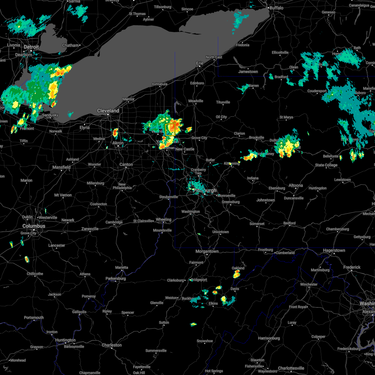 The severe thunderstorm warning for east central trumbull county will expire at 700 pm edt, the storm which prompted the warning has moved out of the area. therefore, the warning will be allowed to expire. The severe thunderstorm warning for east central trumbull county will expire at 700 pm edt, the storm which prompted the warning has moved out of the area. therefore, the warning will be allowed to expire.
|
| 9/3/2018 6:37 PM EDT |
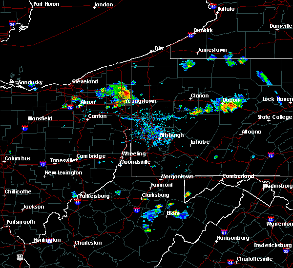 At 637 pm edt, a severe thunderstorm was located near sharpsville, moving east at 20 mph (radar indicated). Hazards include 60 mph wind gusts. Expect damage to trees and power lines. Locations impacted include, vienna center, vienna, orangeville, yankee lake, brookfield center and west hill. At 637 pm edt, a severe thunderstorm was located near sharpsville, moving east at 20 mph (radar indicated). Hazards include 60 mph wind gusts. Expect damage to trees and power lines. Locations impacted include, vienna center, vienna, orangeville, yankee lake, brookfield center and west hill.
|
| 9/3/2018 6:19 PM EDT |
 At 618 pm edt, a severe thunderstorm was located over vienna center, or 7 miles northeast of warren, moving east at 20 mph (radar indicated). Hazards include 60 mph wind gusts. expect damage to trees and power lines At 618 pm edt, a severe thunderstorm was located over vienna center, or 7 miles northeast of warren, moving east at 20 mph (radar indicated). Hazards include 60 mph wind gusts. expect damage to trees and power lines
|
| 9/3/2018 5:23 PM EDT |
 At 523 pm edt, a severe thunderstorm was located near hubbard, or near youngstown, moving east at 10 mph (radar indicated). Hazards include 60 mph wind gusts. expect damage to trees and power lines At 523 pm edt, a severe thunderstorm was located near hubbard, or near youngstown, moving east at 10 mph (radar indicated). Hazards include 60 mph wind gusts. expect damage to trees and power lines
|
| 7/26/2018 9:24 PM EDT |
 The severe thunderstorm warning for southeastern trumbull county will expire at 930 pm edt, the storm which prompted the warning has moved out of the area. therefore, the warning will be allowed to expire. The severe thunderstorm warning for southeastern trumbull county will expire at 930 pm edt, the storm which prompted the warning has moved out of the area. therefore, the warning will be allowed to expire.
|
| 7/26/2018 9:10 PM EDT |
 At 910 pm edt, a severe thunderstorm was located near sharpsville, moving east at 25 mph (radar). Hazards include wind gusts to 60 mph and quarter-size hail. Minor hail damage to vehicles is possible. expect wind damage to trees and power lines, resulting in some power outages. Locations impacted include, hermitage, sharon, sharpsville, greenville, farrell, mercer, clark, fredonia, this includes interstate 80 in pennsylvania between mile markers 9 and 18. At 910 pm edt, a severe thunderstorm was located near sharpsville, moving east at 25 mph (radar). Hazards include wind gusts to 60 mph and quarter-size hail. Minor hail damage to vehicles is possible. expect wind damage to trees and power lines, resulting in some power outages. Locations impacted include, hermitage, sharon, sharpsville, greenville, farrell, mercer, clark, fredonia, this includes interstate 80 in pennsylvania between mile markers 9 and 18.
|
| 7/26/2018 8:54 PM EDT |
 At 854 pm edt, a severe thunderstorm was located near vienna center, or 7 miles northwest of sharpsville, moving east at 35 mph (radar). Hazards include wind gusts to 60 mph and quarter-size hail. Minor hail damage to vehicles is possible. Expect wind damage to trees and power lines, resulting in some power outages. At 854 pm edt, a severe thunderstorm was located near vienna center, or 7 miles northwest of sharpsville, moving east at 35 mph (radar). Hazards include wind gusts to 60 mph and quarter-size hail. Minor hail damage to vehicles is possible. Expect wind damage to trees and power lines, resulting in some power outages.
|
| 7/26/2018 8:38 PM EDT |
 At 837 pm edt, a severe thunderstorm was located over vienna center, or 8 miles west of sharpsville, moving east at 55 mph (radar indicated). Hazards include 60 mph wind gusts and quarter size hail. Minor damage to vehicles is possible. Expect damage to trees and power lines. At 837 pm edt, a severe thunderstorm was located over vienna center, or 8 miles west of sharpsville, moving east at 55 mph (radar indicated). Hazards include 60 mph wind gusts and quarter size hail. Minor damage to vehicles is possible. Expect damage to trees and power lines.
|
| 7/5/2018 6:53 PM EDT |
 At 652 pm edt, severe thunderstorms were located along a line extending from near cortland to near vienna center, moving east at 10 mph (radar indicated). Hazards include 60 mph wind gusts. Expect damage to trees and power lines. Locations impacted include, warren, niles, cortland, kinsman, vienna center, girard, vienna, mecca, johnston, orangeville, yankee lake, brookfield center, howland center, bolindale, west hill and champion heights. At 652 pm edt, severe thunderstorms were located along a line extending from near cortland to near vienna center, moving east at 10 mph (radar indicated). Hazards include 60 mph wind gusts. Expect damage to trees and power lines. Locations impacted include, warren, niles, cortland, kinsman, vienna center, girard, vienna, mecca, johnston, orangeville, yankee lake, brookfield center, howland center, bolindale, west hill and champion heights.
|
| 7/5/2018 6:29 PM EDT |
 At 628 pm edt, severe thunderstorms were located along a line extending from lordstown to 8 miles west of canfield to near sebring, moving east at 30 mph (radar indicated). Hazards include 60 mph wind gusts. Expect damage to trees and power lines. Locations impacted include, youngstown, salem, columbiana, boardman, niles, campbell, hubbard, canfield, sebring, lordstown, hilltop, maplewood park, austintown, struthers, girard, mcdonald, poland, ellsworth, new middletown and craig beach. At 628 pm edt, severe thunderstorms were located along a line extending from lordstown to 8 miles west of canfield to near sebring, moving east at 30 mph (radar indicated). Hazards include 60 mph wind gusts. Expect damage to trees and power lines. Locations impacted include, youngstown, salem, columbiana, boardman, niles, campbell, hubbard, canfield, sebring, lordstown, hilltop, maplewood park, austintown, struthers, girard, mcdonald, poland, ellsworth, new middletown and craig beach.
|
| 7/5/2018 6:22 PM EDT |
 At 622 pm edt, severe thunderstorms were located along a line extending from near bristolville to near leavittsburg to near lordstown, moving east at 20 mph (radar indicated). Hazards include 60 mph wind gusts. expect damage to trees and power lines At 622 pm edt, severe thunderstorms were located along a line extending from near bristolville to near leavittsburg to near lordstown, moving east at 20 mph (radar indicated). Hazards include 60 mph wind gusts. expect damage to trees and power lines
|
| 7/5/2018 6:04 PM EDT |
 The national weather service in cleveland has issued a * severe thunderstorm warning for. southern trumbull county in northeastern ohio. southeastern portage county in northeastern ohio. mahoning county in northeastern ohio. Northeastern stark county in northeastern ohio. The national weather service in cleveland has issued a * severe thunderstorm warning for. southern trumbull county in northeastern ohio. southeastern portage county in northeastern ohio. mahoning county in northeastern ohio. Northeastern stark county in northeastern ohio.
|
| 6/3/2018 4:35 PM EDT |
 The severe thunderstorm warning for southern mercer, northern beaver and lawrence counties will expire at 445 pm edt, the storms that prompted the warning have weakened below severe limits and no longer pose an immediate threat to life and property. therefore, the warning will be allowed to expire. however heavy rain is still possible with these thunderstorms. The severe thunderstorm warning for southern mercer, northern beaver and lawrence counties will expire at 445 pm edt, the storms that prompted the warning have weakened below severe limits and no longer pose an immediate threat to life and property. therefore, the warning will be allowed to expire. however heavy rain is still possible with these thunderstorms.
|
| 6/3/2018 4:16 PM EDT |
 At 415 pm edt, severe thunderstorms were located along a line extending from 6 miles northwest of oakwood to 7 miles southwest of new castle to near east palestine, moving east at 30 mph (radar). Hazards include wind gusts to 60 mph. Expect damage to trees and power lines, resulting in some power outages. locations impacted include, new castle, hermitage, beaver falls, grove city, ellwood city, new brighton, zelienople, new wilmington, oakwood, new castle northwest, patterson township, big beaver, this includes the following highways, pennsylvania turnpike between mile markers 1 and 21. interstate 79 in pennsylvania between mile markers 77 and 89. Interstate 80 in pennsylvania between mile markers 0 and 23. At 415 pm edt, severe thunderstorms were located along a line extending from 6 miles northwest of oakwood to 7 miles southwest of new castle to near east palestine, moving east at 30 mph (radar). Hazards include wind gusts to 60 mph. Expect damage to trees and power lines, resulting in some power outages. locations impacted include, new castle, hermitage, beaver falls, grove city, ellwood city, new brighton, zelienople, new wilmington, oakwood, new castle northwest, patterson township, big beaver, this includes the following highways, pennsylvania turnpike between mile markers 1 and 21. interstate 79 in pennsylvania between mile markers 77 and 89. Interstate 80 in pennsylvania between mile markers 0 and 23.
|
| 6/3/2018 3:57 PM EDT |
 At 356 pm edt, severe thunderstorms were located along a line extending from near campbell to near new waterford to near lisbon, moving east at 30 mph (radar). Hazards include wind gusts to 60 mph. expect damage to trees and power lines, resulting in some power outages At 356 pm edt, severe thunderstorms were located along a line extending from near campbell to near new waterford to near lisbon, moving east at 30 mph (radar). Hazards include wind gusts to 60 mph. expect damage to trees and power lines, resulting in some power outages
|
| 6/3/2018 3:25 PM EDT |
 At 325 pm edt, a severe thunderstorm was located near warren, moving northeast at 30 mph (radar indicated). Hazards include 60 mph wind gusts. expect damage to trees and power lines At 325 pm edt, a severe thunderstorm was located near warren, moving northeast at 30 mph (radar indicated). Hazards include 60 mph wind gusts. expect damage to trees and power lines
|
| 5/22/2018 3:27 PM EDT |
 At 325 pm edt, a severe thunderstorm was located near cortland, or 10 miles northwest of sharpsville, moving east at 15 mph (radar indicated). Hazards include 60 mph wind gusts and quarter size hail. Minor damage to vehicles is possible. expect damage to trees and power lines. Torrential rainfall is also occurring with this storm. At 325 pm edt, a severe thunderstorm was located near cortland, or 10 miles northwest of sharpsville, moving east at 15 mph (radar indicated). Hazards include 60 mph wind gusts and quarter size hail. Minor damage to vehicles is possible. expect damage to trees and power lines. Torrential rainfall is also occurring with this storm.
|
| 5/22/2018 3:21 PM EDT |
 At 319 pm edt, severe thunderstorms were located near cortland, or 12 miles northeast of warren, moving east at 15 mph. in addition strong storms will be moving in from portage county to the west. these storms will cross southern trumbull county (radar indicated). Hazards include 60 mph wind gusts and quarter size hail. Minor damage to vehicles is possible. expect damage to trees and power lines. Locations impacted include, warren, niles, hubbard, cortland, lordstown, kinsman, vienna center, hilltop, maplewood park, girard, vienna, mcdonald, mecca, johnston, orangeville, yankee lake, brookfield center, churchill, howland center and bolindale. At 319 pm edt, severe thunderstorms were located near cortland, or 12 miles northeast of warren, moving east at 15 mph. in addition strong storms will be moving in from portage county to the west. these storms will cross southern trumbull county (radar indicated). Hazards include 60 mph wind gusts and quarter size hail. Minor damage to vehicles is possible. expect damage to trees and power lines. Locations impacted include, warren, niles, hubbard, cortland, lordstown, kinsman, vienna center, hilltop, maplewood park, girard, vienna, mcdonald, mecca, johnston, orangeville, yankee lake, brookfield center, churchill, howland center and bolindale.
|
| 5/22/2018 2:46 PM EDT |
 At 246 pm edt, a severe thunderstorm was located near bristolville, or 11 miles north of warren, moving east at 15 mph (radar indicated). Hazards include 60 mph wind gusts and quarter size hail. Minor damage to vehicles is possible. Expect damage to trees and power lines. At 246 pm edt, a severe thunderstorm was located near bristolville, or 11 miles north of warren, moving east at 15 mph (radar indicated). Hazards include 60 mph wind gusts and quarter size hail. Minor damage to vehicles is possible. Expect damage to trees and power lines.
|
| 5/4/2018 4:02 PM EDT |
 At 402 pm edt, severe thunderstorms were located along a line extending from farrell to youngstown to near salem, moving east at 45 mph (radar). Hazards include wind gusts to 60 mph. Expect damage to trees and power lines, resulting in some power outages. locations impacted include, new castle, hermitage, sharon, grove city, farrell, slippery rock, new wilmington, oakwood, new castle northwest, mercer, pulaski, bessemer, this includes the following highways, interstate 79 in pennsylvania between mile markers 70 and 92. Interstate 80 in pennsylvania between mile markers 0 and 27. At 402 pm edt, severe thunderstorms were located along a line extending from farrell to youngstown to near salem, moving east at 45 mph (radar). Hazards include wind gusts to 60 mph. Expect damage to trees and power lines, resulting in some power outages. locations impacted include, new castle, hermitage, sharon, grove city, farrell, slippery rock, new wilmington, oakwood, new castle northwest, mercer, pulaski, bessemer, this includes the following highways, interstate 79 in pennsylvania between mile markers 70 and 92. Interstate 80 in pennsylvania between mile markers 0 and 27.
|
| 5/4/2018 4:00 PM EDT |
 At 400 pm edt, a severe thunderstorm was located near maplewood park, or near youngstown, moving east at 60 mph (radar indicated). Hazards include 60 mph wind gusts and penny size hail. Expect damage to trees and power lines. Locations impacted include, warren, niles, hubbard, lordstown, vienna center, hilltop, maplewood park, girard, vienna, mcdonald, orangeville, yankee lake, brookfield center, churchill, howland center, bolindale, west hill and mineral ridge. At 400 pm edt, a severe thunderstorm was located near maplewood park, or near youngstown, moving east at 60 mph (radar indicated). Hazards include 60 mph wind gusts and penny size hail. Expect damage to trees and power lines. Locations impacted include, warren, niles, hubbard, lordstown, vienna center, hilltop, maplewood park, girard, vienna, mcdonald, orangeville, yankee lake, brookfield center, churchill, howland center, bolindale, west hill and mineral ridge.
|
| 5/4/2018 3:45 PM EDT |
 At 345 pm edt, severe thunderstorms were located along a line extending from warren to 9 miles northeast of sebring to near hartville, moving east at 70 mph (radar). Hazards include wind gusts to 70 mph. Trees snapped and uprooted. Power outages can be expected. At 345 pm edt, severe thunderstorms were located along a line extending from warren to 9 miles northeast of sebring to near hartville, moving east at 70 mph (radar). Hazards include wind gusts to 70 mph. Trees snapped and uprooted. Power outages can be expected.
|
| 5/4/2018 3:33 PM EDT |
 At 333 pm edt, a severe thunderstorm was located near bristolville, or near warren, moving northeast at 55 mph (radar indicated). Hazards include 60 mph wind gusts and quarter size hail. Minor damage to vehicles is possible. Expect damage to trees and power lines. At 333 pm edt, a severe thunderstorm was located near bristolville, or near warren, moving northeast at 55 mph (radar indicated). Hazards include 60 mph wind gusts and quarter size hail. Minor damage to vehicles is possible. Expect damage to trees and power lines.
|
| 4/27/2018 6:55 PM EDT |
 At 655 pm edt, a severe thunderstorm was located near kinsman, or 12 miles northwest of sharpsville, moving east at 35 mph (radar indicated). Hazards include 60 mph wind gusts. Expect damage to trees and power lines. Locations impacted include, hubbard, cortland, kinsman, andover, vienna center, maplewood park, girard, vienna, mecca, johnston, cherry valley, orangeville, yankee lake, brookfield center, churchill and west hill. At 655 pm edt, a severe thunderstorm was located near kinsman, or 12 miles northwest of sharpsville, moving east at 35 mph (radar indicated). Hazards include 60 mph wind gusts. Expect damage to trees and power lines. Locations impacted include, hubbard, cortland, kinsman, andover, vienna center, maplewood park, girard, vienna, mecca, johnston, cherry valley, orangeville, yankee lake, brookfield center, churchill and west hill.
|
| 4/27/2018 6:39 PM EDT |
 At 639 pm edt, a severe thunderstorm was located near bristolville, or 10 miles north of warren, moving east at 35 mph (radar indicated). Hazards include 60 mph wind gusts. expect damage to trees and power lines At 639 pm edt, a severe thunderstorm was located near bristolville, or 10 miles north of warren, moving east at 35 mph (radar indicated). Hazards include 60 mph wind gusts. expect damage to trees and power lines
|
| 11/5/2017 7:51 PM EDT |
 At 651 pm est, severe thunderstorms were located along a line extending from near conneaut to near niles, moving east at 75 mph (radar indicated). Hazards include 70 mph wind gusts. Expect considerable tree damage. damage is likely to mobile homes, roofs, and outbuildings. Locations impacted include, warren, conneaut, niles, hubbard, cortland, kinsman, andover, vienna center, hilltop, maplewood park, girard, vienna, mcdonald, mecca, johnston, pierpont, cherry valley, orangeville, yankee lake and churchill. At 651 pm est, severe thunderstorms were located along a line extending from near conneaut to near niles, moving east at 75 mph (radar indicated). Hazards include 70 mph wind gusts. Expect considerable tree damage. damage is likely to mobile homes, roofs, and outbuildings. Locations impacted include, warren, conneaut, niles, hubbard, cortland, kinsman, andover, vienna center, hilltop, maplewood park, girard, vienna, mcdonald, mecca, johnston, pierpont, cherry valley, orangeville, yankee lake and churchill.
|
| 11/5/2017 7:46 PM EDT |
 At 645 pm est, severe thunderstorms were located along a line extending from 8 miles northeast of orwell to near lordstown, moving east at 50 mph (radar). Hazards include 60 mph wind gusts. expect damage to trees and power lines, resulting in some power outages At 645 pm est, severe thunderstorms were located along a line extending from 8 miles northeast of orwell to near lordstown, moving east at 50 mph (radar). Hazards include 60 mph wind gusts. expect damage to trees and power lines, resulting in some power outages
|
| 11/5/2017 7:28 PM EDT |
 At 628 pm est, severe thunderstorms were located along a line extending from geneva-on-the-lake to near south russell, moving east at 65 mph (radar indicated). Hazards include 70 mph wind gusts. Expect considerable tree damage. Damage is likely to mobile homes, roofs, and outbuildings. At 628 pm est, severe thunderstorms were located along a line extending from geneva-on-the-lake to near south russell, moving east at 65 mph (radar indicated). Hazards include 70 mph wind gusts. Expect considerable tree damage. Damage is likely to mobile homes, roofs, and outbuildings.
|
| 8/17/2017 8:04 PM EDT |
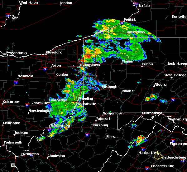 At 803 pm edt, a severe thunderstorm capable of producing a tornado was located near vienna center, or near sharon, moving east at 30 mph (weather observer at the youngstown airport spotted a funnel cloud with this storm at 804 pm). Hazards include tornado. Flying debris will be dangerous to those caught without shelter. mobile homes will be damaged or destroyed. damage to roofs, windows, and vehicles will occur. tree damage is likely. This tornadic thunderstorm will remain over mainly rural areas of east central trumbull county, including the following locations: yankee lake, brookfield center, orangeville and west hill. At 803 pm edt, a severe thunderstorm capable of producing a tornado was located near vienna center, or near sharon, moving east at 30 mph (weather observer at the youngstown airport spotted a funnel cloud with this storm at 804 pm). Hazards include tornado. Flying debris will be dangerous to those caught without shelter. mobile homes will be damaged or destroyed. damage to roofs, windows, and vehicles will occur. tree damage is likely. This tornadic thunderstorm will remain over mainly rural areas of east central trumbull county, including the following locations: yankee lake, brookfield center, orangeville and west hill.
|
| 8/17/2017 8:02 PM EDT |
 At 801 pm edt, a severe thunderstorm capable of producing a tornado was located over vienna center, or near sharon, moving east at 30 mph (radar indicated rotation). Hazards include tornado. Flying debris will be dangerous to those caught without shelter. mobile homes will be damaged or destroyed. damage to roofs, windows, and vehicles will occur. tree damage is likely. This tornadic thunderstorm will remain over mainly rural areas of east central trumbull county, including the following locations: yankee lake, brookfield center, orangeville and west hill. At 801 pm edt, a severe thunderstorm capable of producing a tornado was located over vienna center, or near sharon, moving east at 30 mph (radar indicated rotation). Hazards include tornado. Flying debris will be dangerous to those caught without shelter. mobile homes will be damaged or destroyed. damage to roofs, windows, and vehicles will occur. tree damage is likely. This tornadic thunderstorm will remain over mainly rural areas of east central trumbull county, including the following locations: yankee lake, brookfield center, orangeville and west hill.
|
| 8/17/2017 7:49 PM EDT |
 At 749 pm edt, a severe thunderstorm capable of producing a tornado was located near vienna center, or near warren, moving northeast at 30 mph (radar indicated rotation). Hazards include tornado. Flying debris will be dangerous to those caught without shelter. mobile homes will be damaged or destroyed. damage to roofs, windows, and vehicles will occur. tree damage is likely. this dangerous storm will be near, vienna center around 755 pm edt. Other locations impacted by this tornadic thunderstorm include brookfield center, orangeville, vienna, howland center, yankee lake, west hill, bolindale and girard. At 749 pm edt, a severe thunderstorm capable of producing a tornado was located near vienna center, or near warren, moving northeast at 30 mph (radar indicated rotation). Hazards include tornado. Flying debris will be dangerous to those caught without shelter. mobile homes will be damaged or destroyed. damage to roofs, windows, and vehicles will occur. tree damage is likely. this dangerous storm will be near, vienna center around 755 pm edt. Other locations impacted by this tornadic thunderstorm include brookfield center, orangeville, vienna, howland center, yankee lake, west hill, bolindale and girard.
|
| 8/17/2017 7:41 PM EDT |
 At 741 pm edt, a severe thunderstorm capable of producing a tornado was located over warren, moving east at 30 mph (radar indicated rotation). Hazards include tornado. Flying debris will be dangerous to those caught without shelter. mobile homes will be damaged or destroyed. damage to roofs, windows, and vehicles will occur. tree damage is likely. this dangerous storm will be near, cortland and vienna center around 755 pm edt. hubbard around 800 pm edt. Other locations impacted by this tornadic thunderstorm include mcdonald, brookfield center, orangeville, vienna, churchill, howland center, yankee lake, bolindale, west hill and champion heights. At 741 pm edt, a severe thunderstorm capable of producing a tornado was located over warren, moving east at 30 mph (radar indicated rotation). Hazards include tornado. Flying debris will be dangerous to those caught without shelter. mobile homes will be damaged or destroyed. damage to roofs, windows, and vehicles will occur. tree damage is likely. this dangerous storm will be near, cortland and vienna center around 755 pm edt. hubbard around 800 pm edt. Other locations impacted by this tornadic thunderstorm include mcdonald, brookfield center, orangeville, vienna, churchill, howland center, yankee lake, bolindale, west hill and champion heights.
|
| 8/17/2017 7:22 PM EDT |
 At 721 pm edt, a confirmed tornado was located east of cortland, or 9 miles northeast of warren, moving east at 20 mph. multiple sitings of the tornado have been received (weather spotters confirmed tornado). Hazards include damaging tornado. Flying debris will be dangerous to those caught without shelter. mobile homes will be damaged or destroyed. damage to roofs, windows, and vehicles will occur. tree damage is likely. this tornado will be near, kinsman around 730 pm edt. Other locations impacted by this tornadic thunderstorm include mecca, brookfield center, orangeville, vienna, yankee lake, johnston and west hill. At 721 pm edt, a confirmed tornado was located east of cortland, or 9 miles northeast of warren, moving east at 20 mph. multiple sitings of the tornado have been received (weather spotters confirmed tornado). Hazards include damaging tornado. Flying debris will be dangerous to those caught without shelter. mobile homes will be damaged or destroyed. damage to roofs, windows, and vehicles will occur. tree damage is likely. this tornado will be near, kinsman around 730 pm edt. Other locations impacted by this tornadic thunderstorm include mecca, brookfield center, orangeville, vienna, yankee lake, johnston and west hill.
|
| 8/17/2017 7:05 PM EDT |
 At 705 pm edt, a severe thunderstorm capable of producing a tornado was located near cortland, or near warren, moving east at 20 mph (radar indicated rotation). Hazards include tornado. Flying debris will be dangerous to those caught without shelter. mobile homes will be damaged or destroyed. damage to roofs, windows, and vehicles will occur. tree damage is likely. this dangerous storm will be near, cortland around 715 pm edt. vienna center around 720 pm edt. Other locations impacted by this tornadic thunderstorm include mecca, champion heights, brookfield center, orangeville, vienna, howland center, yankee lake, bolindale, johnston and west hill. At 705 pm edt, a severe thunderstorm capable of producing a tornado was located near cortland, or near warren, moving east at 20 mph (radar indicated rotation). Hazards include tornado. Flying debris will be dangerous to those caught without shelter. mobile homes will be damaged or destroyed. damage to roofs, windows, and vehicles will occur. tree damage is likely. this dangerous storm will be near, cortland around 715 pm edt. vienna center around 720 pm edt. Other locations impacted by this tornadic thunderstorm include mecca, champion heights, brookfield center, orangeville, vienna, howland center, yankee lake, bolindale, johnston and west hill.
|
| 8/4/2017 3:45 PM EDT |
 At 344 pm edt, severe thunderstorms were located along a line extending from 9 miles southeast of geneva to 6 miles southeast of orwell to lordstown, moving northeast at 50 mph (radar indicated). Hazards include 60 mph wind gusts. Expect damage to trees and power lines. Locations impacted include, youngstown, warren, boardman, niles, campbell, hubbard, canfield, cortland, geneva, newton falls, lordstown, kinsman, north bloomfield, orwell, vienna center, hilltop, maplewood park, bristolville, leavittsburg and austintown. At 344 pm edt, severe thunderstorms were located along a line extending from 9 miles southeast of geneva to 6 miles southeast of orwell to lordstown, moving northeast at 50 mph (radar indicated). Hazards include 60 mph wind gusts. Expect damage to trees and power lines. Locations impacted include, youngstown, warren, boardman, niles, campbell, hubbard, canfield, cortland, geneva, newton falls, lordstown, kinsman, north bloomfield, orwell, vienna center, hilltop, maplewood park, bristolville, leavittsburg and austintown.
|
| 8/4/2017 3:11 PM EDT |
 At 310 pm edt, severe thunderstorms were located along a line extending from near south russell to near mantua to near hartville, moving northeast at 50 mph (radar indicated). Hazards include 60 mph wind gusts. expect damage to trees and power lines At 310 pm edt, severe thunderstorms were located along a line extending from near south russell to near mantua to near hartville, moving northeast at 50 mph (radar indicated). Hazards include 60 mph wind gusts. expect damage to trees and power lines
|
| 8/4/2017 12:21 PM EDT |
 At 1221 pm edt, a severe thunderstorm was located near vienna center, or near sharpsville, moving northeast at 40 mph (radar indicated). Hazards include 60 mph wind gusts and quarter size hail. Minor damage to vehicles is possible. Expect damage to trees and power lines. At 1221 pm edt, a severe thunderstorm was located near vienna center, or near sharpsville, moving northeast at 40 mph (radar indicated). Hazards include 60 mph wind gusts and quarter size hail. Minor damage to vehicles is possible. Expect damage to trees and power lines.
|
| 7/7/2017 8:40 AM EDT |
 At 840 am edt, severe thunderstorms were located along a line extending from near newton falls to 9 miles north of sebring, moving east at 60 mph (radar indicated). Hazards include 60 mph wind gusts and quarter size hail. Minor damage to vehicles is possible. Expect damage to trees and power lines. At 840 am edt, severe thunderstorms were located along a line extending from near newton falls to 9 miles north of sebring, moving east at 60 mph (radar indicated). Hazards include 60 mph wind gusts and quarter size hail. Minor damage to vehicles is possible. Expect damage to trees and power lines.
|
| 6/29/2017 5:34 PM EDT |
 At 934 pm edt, a severe thunderstorm was located near new wilmington, or near hermitage, moving east at 40 mph (radar). Hazards include 60 mph wind gusts. Expect damage to trees and power lines, resulting in some power outages. locations impacted include, hermitage, sharon, grove city, sharpsville, farrell, slippery rock, new wilmington, oakwood, new castle northwest, mercer, pulaski, west middlesex, this includes the following highways, interstate 79 in pennsylvania between mile markers 76 and 92. Interstate 80 in pennsylvania between mile markers 0 and 26. At 934 pm edt, a severe thunderstorm was located near new wilmington, or near hermitage, moving east at 40 mph (radar). Hazards include 60 mph wind gusts. Expect damage to trees and power lines, resulting in some power outages. locations impacted include, hermitage, sharon, grove city, sharpsville, farrell, slippery rock, new wilmington, oakwood, new castle northwest, mercer, pulaski, west middlesex, this includes the following highways, interstate 79 in pennsylvania between mile markers 76 and 92. Interstate 80 in pennsylvania between mile markers 0 and 26.
|
| 6/29/2017 5:20 PM EDT |
 At 920 pm edt, a severe thunderstorm was located over hubbard, or near sharon, moving east at 35 mph (radar indicated). Hazards include 60 mph wind gusts. Expect damage to trees and power lines. Locations impacted include, youngstown, boardman, niles, campbell, hubbard, canfield, lordstown, vienna center, hilltop, maplewood park, austintown, struthers, girard, vienna, mcdonald, poland, lowellville, yankee lake, north jackson and brookfield center. At 920 pm edt, a severe thunderstorm was located over hubbard, or near sharon, moving east at 35 mph (radar indicated). Hazards include 60 mph wind gusts. Expect damage to trees and power lines. Locations impacted include, youngstown, boardman, niles, campbell, hubbard, canfield, lordstown, vienna center, hilltop, maplewood park, austintown, struthers, girard, vienna, mcdonald, poland, lowellville, yankee lake, north jackson and brookfield center.
|
| 6/29/2017 5:19 PM EDT |
 At 919 pm edt, a severe thunderstorm was located over hubbard, or near sharon, moving east at 40 mph (radar). Hazards include 60 mph wind gusts. expect damage to trees and power lines, resulting in some power outages At 919 pm edt, a severe thunderstorm was located over hubbard, or near sharon, moving east at 40 mph (radar). Hazards include 60 mph wind gusts. expect damage to trees and power lines, resulting in some power outages
|
| 6/29/2017 5:05 PM EDT |
 At 904 pm edt, a severe thunderstorm was located over hilltop, or near warren, moving east at 35 mph (radar indicated). Hazards include 60 mph wind gusts and quarter size hail. Minor damage to vehicles is possible. expect damage to trees and power lines. Locations impacted include, youngstown, warren, boardman, niles, campbell, hubbard, canfield, newton falls, lordstown, vienna center, hilltop, maplewood park, leavittsburg, austintown, struthers, girard, vienna, mcdonald, poland and ellsworth. At 904 pm edt, a severe thunderstorm was located over hilltop, or near warren, moving east at 35 mph (radar indicated). Hazards include 60 mph wind gusts and quarter size hail. Minor damage to vehicles is possible. expect damage to trees and power lines. Locations impacted include, youngstown, warren, boardman, niles, campbell, hubbard, canfield, newton falls, lordstown, vienna center, hilltop, maplewood park, leavittsburg, austintown, struthers, girard, vienna, mcdonald, poland and ellsworth.
|
| 6/29/2017 4:45 PM EDT |
 At 844 pm edt, a severe thunderstorm was located over newton falls, or 10 miles southwest of warren, moving east at 35 mph (radar indicated). Hazards include 60 mph wind gusts and quarter size hail. Minor damage to vehicles is possible. Expect damage to trees and power lines. At 844 pm edt, a severe thunderstorm was located over newton falls, or 10 miles southwest of warren, moving east at 35 mph (radar indicated). Hazards include 60 mph wind gusts and quarter size hail. Minor damage to vehicles is possible. Expect damage to trees and power lines.
|
| 6/18/2017 7:29 PM EDT |
 At 729 pm edt, severe thunderstorms were located along a line extending from near sharpsville to hubbard to 7 miles west of canfield to alliance, moving east at 40 mph (radar indicated). Hazards include 60 mph wind gusts. expect damage to trees and power lines At 729 pm edt, severe thunderstorms were located along a line extending from near sharpsville to hubbard to 7 miles west of canfield to alliance, moving east at 40 mph (radar indicated). Hazards include 60 mph wind gusts. expect damage to trees and power lines
|
| 6/18/2017 7:06 PM EDT |
 At 633 pm edt, severe thunderstorms were located along a line extending from warren to 8 miles southwest of newton falls to near hartville, moving east at 30 mph (radar indicated). Hazards include 60 mph wind gusts and quarter size hail. Minor damage to vehicles is possible. Expect damage to trees and power lines. At 633 pm edt, severe thunderstorms were located along a line extending from warren to 8 miles southwest of newton falls to near hartville, moving east at 30 mph (radar indicated). Hazards include 60 mph wind gusts and quarter size hail. Minor damage to vehicles is possible. Expect damage to trees and power lines.
|
| 6/18/2017 6:33 PM EDT |
 At 633 pm edt, severe thunderstorms were located along a line extending from warren to 8 miles southwest of newton falls to near hartville, moving east at 30 mph (radar indicated). Hazards include 60 mph wind gusts and quarter size hail. Minor damage to vehicles is possible. Expect damage to trees and power lines. At 633 pm edt, severe thunderstorms were located along a line extending from warren to 8 miles southwest of newton falls to near hartville, moving east at 30 mph (radar indicated). Hazards include 60 mph wind gusts and quarter size hail. Minor damage to vehicles is possible. Expect damage to trees and power lines.
|
| 6/18/2017 2:54 PM EDT |
 At 253 pm edt, severe thunderstorms were located along a line extending from near greenville to 11 miles northeast of hermitage to 7 miles north of new wilmington, moving east at 45 mph (radar). Hazards include 60 mph wind gusts. Expect damage to trees and power lines, resulting in some power outages. locations impacted include, hermitage, sharon, franklin, sharpsville, greenville, sugarcreek, farrell, mercer, stoneboro, west middlesex, polk, sandy lake, this includes the following highways, interstate 79 in pennsylvania between mile markers 90 and 109. Interstate 80 in pennsylvania between mile markers 0 and 13, and near mile marker 15. At 253 pm edt, severe thunderstorms were located along a line extending from near greenville to 11 miles northeast of hermitage to 7 miles north of new wilmington, moving east at 45 mph (radar). Hazards include 60 mph wind gusts. Expect damage to trees and power lines, resulting in some power outages. locations impacted include, hermitage, sharon, franklin, sharpsville, greenville, sugarcreek, farrell, mercer, stoneboro, west middlesex, polk, sandy lake, this includes the following highways, interstate 79 in pennsylvania between mile markers 90 and 109. Interstate 80 in pennsylvania between mile markers 0 and 13, and near mile marker 15.
|
| 6/18/2017 2:41 PM EDT |
 At 240 pm edt, a severe thunderstorm was located over hermitage, moving northeast at 60 mph (radar). Hazards include 60 mph wind gusts. expect damage to trees and power lines, resulting in some power outages At 240 pm edt, a severe thunderstorm was located over hermitage, moving northeast at 60 mph (radar). Hazards include 60 mph wind gusts. expect damage to trees and power lines, resulting in some power outages
|
| 5/1/2017 1:59 PM EDT |
 At 158 pm edt, severe thunderstorms were located along a line extending from near conneaut to near sharon, moving northeast at 40 mph (radar indicated). Hazards include 60 mph wind gusts. Expect damage to roofs, siding, and trees. locations impacted include, erie, meadville, conneaut, cortland, edinboro, girard, cambridge springs, kinsman, albion, andover, linesville, vienna center, adamsville, pymatuning central, harmonsburg, pymatuning north, atlantic, northwest harborcreek, vienna and lawrence park. A tornado watch remains in effect until 700 pm edt for northeastern ohio, and northwestern pennsylvania. At 158 pm edt, severe thunderstorms were located along a line extending from near conneaut to near sharon, moving northeast at 40 mph (radar indicated). Hazards include 60 mph wind gusts. Expect damage to roofs, siding, and trees. locations impacted include, erie, meadville, conneaut, cortland, edinboro, girard, cambridge springs, kinsman, albion, andover, linesville, vienna center, adamsville, pymatuning central, harmonsburg, pymatuning north, atlantic, northwest harborcreek, vienna and lawrence park. A tornado watch remains in effect until 700 pm edt for northeastern ohio, and northwestern pennsylvania.
|
| 5/1/2017 1:47 PM EDT |
 At 146 pm edt, severe thunderstorms were located along a line extending from 6 miles northwest of andover to near canfield, moving northeast at 50 mph (radar). Hazards include 60 mph wind gusts. expect damage to trees and power lines, resulting in some power outages At 146 pm edt, severe thunderstorms were located along a line extending from 6 miles northwest of andover to near canfield, moving northeast at 50 mph (radar). Hazards include 60 mph wind gusts. expect damage to trees and power lines, resulting in some power outages
|
| 5/1/2017 1:45 PM EDT |
 At 144 pm edt, a severe thunderstorm was located near andover, or 23 miles north of sharpsville, moving northeast at 45 mph (radar indicated). Hazards include 60 mph wind gusts. expect damage to roofs, siding, and trees At 144 pm edt, a severe thunderstorm was located near andover, or 23 miles north of sharpsville, moving northeast at 45 mph (radar indicated). Hazards include 60 mph wind gusts. expect damage to roofs, siding, and trees
|
| 3/1/2017 6:45 AM EST |
 At 645 am est, severe thunderstorms were located along a line extending from near cambridge springs to near canfield, moving east at 65 mph (radar indicated). Hazards include 60 mph wind gusts. Expect damage to roofs, siding, and trees. Locations impacted include, youngstown, salem, columbiana, boardman, niles, campbell, hubbard, canfield, sebring, lordstown, vienna center, hilltop, maplewood park, austintown, struthers, girard, vienna, mcdonald, poland and ellsworth. At 645 am est, severe thunderstorms were located along a line extending from near cambridge springs to near canfield, moving east at 65 mph (radar indicated). Hazards include 60 mph wind gusts. Expect damage to roofs, siding, and trees. Locations impacted include, youngstown, salem, columbiana, boardman, niles, campbell, hubbard, canfield, sebring, lordstown, vienna center, hilltop, maplewood park, austintown, struthers, girard, vienna, mcdonald, poland and ellsworth.
|
| 3/1/2017 6:28 AM EST |
 At 628 am est, severe thunderstorms were located along a line extending from 8 miles north of harmonsburg to 7 miles north of alliance, moving east at 55 mph (radar indicated). Hazards include 60 mph wind gusts and quarter size hail. Hail damage to vehicles is expected. expect wind damage to roofs, siding, and trees. Locations impacted include, youngstown, warren, salem, columbiana, boardman, alliance, niles, campbell, hubbard, canfield, cortland, newton falls, sebring, lordstown, hartville, kinsman, vienna center, leavittsburg, hilltop and bristolville. At 628 am est, severe thunderstorms were located along a line extending from 8 miles north of harmonsburg to 7 miles north of alliance, moving east at 55 mph (radar indicated). Hazards include 60 mph wind gusts and quarter size hail. Hail damage to vehicles is expected. expect wind damage to roofs, siding, and trees. Locations impacted include, youngstown, warren, salem, columbiana, boardman, alliance, niles, campbell, hubbard, canfield, cortland, newton falls, sebring, lordstown, hartville, kinsman, vienna center, leavittsburg, hilltop and bristolville.
|
| 3/1/2017 6:05 AM EST |
 At 605 am est, severe thunderstorms were located along a line extending from 6 miles southeast of jefferson to near barberton, moving east at 65 mph (radar indicated). Hazards include 60 mph wind gusts and quarter size hail. Hail damage to vehicles is expected. Expect wind damage to roofs, siding, and trees. At 605 am est, severe thunderstorms were located along a line extending from 6 miles southeast of jefferson to near barberton, moving east at 65 mph (radar indicated). Hazards include 60 mph wind gusts and quarter size hail. Hail damage to vehicles is expected. Expect wind damage to roofs, siding, and trees.
|
| 3/1/2017 4:31 AM EST |
 At 431 am est, a severe thunderstorm was located near newton falls, or 11 miles southwest of warren, moving northeast at 35 mph (radar indicated). Hazards include 60 mph wind gusts. Expect damage to roofs, siding, and trees. Locations impacted include, akron, canton, youngstown, warren, ravenna, columbiana, boardman, kent, green, alliance, niles, tallmadge, north canton, streetsboro, louisville, campbell, hubbard, canfield, cortland and newton falls. At 431 am est, a severe thunderstorm was located near newton falls, or 11 miles southwest of warren, moving northeast at 35 mph (radar indicated). Hazards include 60 mph wind gusts. Expect damage to roofs, siding, and trees. Locations impacted include, akron, canton, youngstown, warren, ravenna, columbiana, boardman, kent, green, alliance, niles, tallmadge, north canton, streetsboro, louisville, campbell, hubbard, canfield, cortland and newton falls.
|
| 3/1/2017 4:01 AM EST |
 At 400 am est, a severe thunderstorm was located near alliance, or 12 miles northeast of canton, moving northeast at 35 mph (radar indicated). Hazards include 60 mph wind gusts. expect damage to roofs, siding, and trees At 400 am est, a severe thunderstorm was located near alliance, or 12 miles northeast of canton, moving northeast at 35 mph (radar indicated). Hazards include 60 mph wind gusts. expect damage to roofs, siding, and trees
|
| 3/1/2017 2:10 AM EST |
 At 209 am est, severe thunderstorms were located along a line extending from near cleveland heights to near middlefield to near newton falls, moving east at 80 mph (radar indicated). Hazards include 70 mph wind gusts. Expect considerable tree damage. Damage is likely to mobile homes, roofs, and outbuildings. At 209 am est, severe thunderstorms were located along a line extending from near cleveland heights to near middlefield to near newton falls, moving east at 80 mph (radar indicated). Hazards include 70 mph wind gusts. Expect considerable tree damage. Damage is likely to mobile homes, roofs, and outbuildings.
|
| 9/10/2016 7:31 PM EDT |
 At 731 pm edt, a severe thunderstorm was located over hermitage, moving northeast at 55 mph (radar indicated). Hazards include 60 mph wind gusts. Expect damage to trees and power lines. Resulting in some power outages. At 731 pm edt, a severe thunderstorm was located over hermitage, moving northeast at 55 mph (radar indicated). Hazards include 60 mph wind gusts. Expect damage to trees and power lines. Resulting in some power outages.
|
| 7/22/2016 9:46 AM EDT |
 At 945 am edt, a severe thunderstorm was located over vienna center, or near sharon, moving southeast at 15 mph (radar indicated). Hazards include 60 mph wind gusts and quarter size hail. Hail damage to vehicles is expected. expect wind damage to roofs, siding and trees. Locations impacted include, warren, niles, hubbard, cortland, newton falls, lordstown, north bloomfield, west farmington, vienna center, maplewood park, bristolville, leavittsburg, hilltop, girard, vienna, mcdonald, mecca, yankee lake, churchill and west hill. At 945 am edt, a severe thunderstorm was located over vienna center, or near sharon, moving southeast at 15 mph (radar indicated). Hazards include 60 mph wind gusts and quarter size hail. Hail damage to vehicles is expected. expect wind damage to roofs, siding and trees. Locations impacted include, warren, niles, hubbard, cortland, newton falls, lordstown, north bloomfield, west farmington, vienna center, maplewood park, bristolville, leavittsburg, hilltop, girard, vienna, mcdonald, mecca, yankee lake, churchill and west hill.
|
| 7/22/2016 9:46 AM EDT |
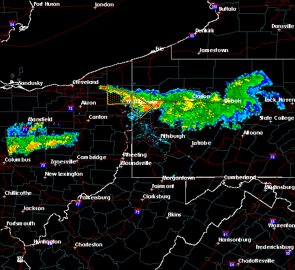 At 946 am edt, a severe thunderstorm was located near farrell, or near hermitage, moving southeast at 30 mph. another severe thunderstorm was near new wilmington and volant (radar indicated). Hazards include 60 mph wind gusts. Expect damage to trees and power lines. resulting in some power outages. locations impacted include, new castle, hermitage, sharon, sharpsville, farrell, new wilmington, oakwood, new castle northwest, new beaver, pulaski, west middlesex, plain grove township, wampum, south new castle, clark, wheatland, harlansburg and volant. this includes the following highways, interstate 79 in pennsylvania near mile marker 107. interstate 80 in pennsylvania between mile markers 0 and 12. interstate 376 in pennsylvania between mile markers 4 and 14. Please report severe weather by calling 4 1 2, 2 6 2, 1 9 8 8, posting to the nws pittsburgh facebook page, or using twitter @nwspittsburgh. At 946 am edt, a severe thunderstorm was located near farrell, or near hermitage, moving southeast at 30 mph. another severe thunderstorm was near new wilmington and volant (radar indicated). Hazards include 60 mph wind gusts. Expect damage to trees and power lines. resulting in some power outages. locations impacted include, new castle, hermitage, sharon, sharpsville, farrell, new wilmington, oakwood, new castle northwest, new beaver, pulaski, west middlesex, plain grove township, wampum, south new castle, clark, wheatland, harlansburg and volant. this includes the following highways, interstate 79 in pennsylvania near mile marker 107. interstate 80 in pennsylvania between mile markers 0 and 12. interstate 376 in pennsylvania between mile markers 4 and 14. Please report severe weather by calling 4 1 2, 2 6 2, 1 9 8 8, posting to the nws pittsburgh facebook page, or using twitter @nwspittsburgh.
|
| 7/22/2016 9:33 AM EDT |
 At 933 am edt, a severe thunderstorm was located over farrell, or over sharon, moving southeast at 30 mph (radar indicated). Hazards include 60 mph wind gusts. Expect damage to trees and power lines. Resulting in some power outages. At 933 am edt, a severe thunderstorm was located over farrell, or over sharon, moving southeast at 30 mph (radar indicated). Hazards include 60 mph wind gusts. Expect damage to trees and power lines. Resulting in some power outages.
|
| 7/22/2016 9:23 AM EDT |
 At 922 am edt, a severe thunderstorm was located near cortland, or near warren, moving south at 15 mph (radar indicated). Hazards include 60 mph wind gusts and quarter size hail. Hail damage to vehicles is expected. Expect wind damage to roofs, siding and trees. At 922 am edt, a severe thunderstorm was located near cortland, or near warren, moving south at 15 mph (radar indicated). Hazards include 60 mph wind gusts and quarter size hail. Hail damage to vehicles is expected. Expect wind damage to roofs, siding and trees.
|
| 7/13/2016 11:07 PM EDT |
 At 1107 pm edt, severe thunderstorms were located along a line extending from near geneva to near orwell to near salem, moving northeast at 45 mph (radar indicated). Hazards include 60 mph wind gusts. Expect damage to roofs. siding and trees. Locations impacted include, youngstown, warren, ashtabula, conneaut, salem, columbiana, jefferson, geneva-on-the-lake, boardman, niles, campbell, hubbard, canfield, cortland, geneva, newton falls, sebring, lordstown, north kingsville and kinsman. At 1107 pm edt, severe thunderstorms were located along a line extending from near geneva to near orwell to near salem, moving northeast at 45 mph (radar indicated). Hazards include 60 mph wind gusts. Expect damage to roofs. siding and trees. Locations impacted include, youngstown, warren, ashtabula, conneaut, salem, columbiana, jefferson, geneva-on-the-lake, boardman, niles, campbell, hubbard, canfield, cortland, geneva, newton falls, sebring, lordstown, north kingsville and kinsman.
|
| 7/13/2016 10:45 PM EDT |
 At 1044 pm edt, severe thunderstorms were located along a line extending from near madison to near garrettsville to near waynesburg, moving northeast at 40 mph. seek shelter now inside a sturdy structure and stay away from windows (radar indicated). Hazards include 60 to 70 mph wind gusts. this storm has a history of damaging winds. Expect considerable tree damage. Damage is likely to mobile homes, roofs and outbuildings. At 1044 pm edt, severe thunderstorms were located along a line extending from near madison to near garrettsville to near waynesburg, moving northeast at 40 mph. seek shelter now inside a sturdy structure and stay away from windows (radar indicated). Hazards include 60 to 70 mph wind gusts. this storm has a history of damaging winds. Expect considerable tree damage. Damage is likely to mobile homes, roofs and outbuildings.
|
| 6/6/2016 10:26 PM EDT | The severe thunderstorm warning for trumbull and southeastern ashtabula counties will expire at 1030 pm edt, the storms which prompted the warning have moved out of the area. therefore the warning will be allowed to expire. however gusty winds are still possible with these thunderstorms. |
| 6/6/2016 10:09 PM EDT |
 At 1009 pm edt, severe thunderstorms were located along a line extending from near kinsman to near hubbard, moving east at 45 mph (radar indicated). Hazards include 60 mph wind gusts and nickel size hail. Expect damage to trees and power lines. Resulting in some power outages. At 1009 pm edt, severe thunderstorms were located along a line extending from near kinsman to near hubbard, moving east at 45 mph (radar indicated). Hazards include 60 mph wind gusts and nickel size hail. Expect damage to trees and power lines. Resulting in some power outages.
|
| 6/6/2016 10:07 PM EDT |
 At 1006 pm edt, severe thunderstorms were located along a line extending from near jefferson to near vienna center, moving east at 45 mph (radar indicated). Hazards include 60 mph wind gusts. Expect damage to roofs. siding and trees. Locations impacted include, warren, jefferson, niles, hubbard, cortland, lordstown, kinsman, orwell, andover, vienna center, girard, vienna, mcdonald, mecca, johnston, roaming shores, pierpont, cherry valley, rock creek and orangeville. At 1006 pm edt, severe thunderstorms were located along a line extending from near jefferson to near vienna center, moving east at 45 mph (radar indicated). Hazards include 60 mph wind gusts. Expect damage to roofs. siding and trees. Locations impacted include, warren, jefferson, niles, hubbard, cortland, lordstown, kinsman, orwell, andover, vienna center, girard, vienna, mcdonald, mecca, johnston, roaming shores, pierpont, cherry valley, rock creek and orangeville.
|
| 6/6/2016 9:45 PM EDT |
 At 945 pm edt, severe thunderstorms were located along a line extending from near orwell to newton falls, moving east at 40 mph (radar indicated). Hazards include 60 mph wind gusts. Expect damage to roofs. Siding and trees. At 945 pm edt, severe thunderstorms were located along a line extending from near orwell to newton falls, moving east at 40 mph (radar indicated). Hazards include 60 mph wind gusts. Expect damage to roofs. Siding and trees.
|
| 6/5/2016 4:41 PM EDT |
 The severe thunderstorm warning for trumbull and southeastern ashtabula counties will expire at 445 pm edt, the storm which prompted the warning has moved out of the area. therefore the warning will be allowed to expire. a severe thunderstorm watch remains in effect until 900 pm edt for northeastern ohio. The severe thunderstorm warning for trumbull and southeastern ashtabula counties will expire at 445 pm edt, the storm which prompted the warning has moved out of the area. therefore the warning will be allowed to expire. a severe thunderstorm watch remains in effect until 900 pm edt for northeastern ohio.
|
| 6/5/2016 4:24 PM EDT |
 At 424 pm edt, a severe thunderstorm was located near kinsman, or 11 miles northwest of sharpsville, moving east at 50 mph (radar indicated). Hazards include 60 mph wind gusts and quarter size hail. Hail damage to vehicles is expected. Expect wind damage to trees and power lines, resulting in some power outages. At 424 pm edt, a severe thunderstorm was located near kinsman, or 11 miles northwest of sharpsville, moving east at 50 mph (radar indicated). Hazards include 60 mph wind gusts and quarter size hail. Hail damage to vehicles is expected. Expect wind damage to trees and power lines, resulting in some power outages.
|
| 6/5/2016 4:21 PM EDT |
 At 420 pm edt, a severe thunderstorm was located over cortland, or 9 miles northeast of warren, moving east at 45 mph (radar indicated). Hazards include 60 mph wind gusts and quarter size hail. Hail damage to vehicles is expected. expect wind damage to roofs, siding and trees. Locations impacted include, warren, niles, cortland, newton falls, lordstown, kinsman, north bloomfield, orwell, west farmington, vienna center, bristolville, leavittsburg, girard, vienna, mecca, johnston, orangeville, yankee lake, west hill and howland center. At 420 pm edt, a severe thunderstorm was located over cortland, or 9 miles northeast of warren, moving east at 45 mph (radar indicated). Hazards include 60 mph wind gusts and quarter size hail. Hail damage to vehicles is expected. expect wind damage to roofs, siding and trees. Locations impacted include, warren, niles, cortland, newton falls, lordstown, kinsman, north bloomfield, orwell, west farmington, vienna center, bristolville, leavittsburg, girard, vienna, mecca, johnston, orangeville, yankee lake, west hill and howland center.
|
| 6/5/2016 3:59 PM EDT |
 At 358 pm edt, a severe thunderstorm was located near west farmington, or 15 miles northwest of warren, moving east at 40 mph (radar indicated). Hazards include 60 mph wind gusts and quarter size hail. Hail damage to vehicles is expected. Expect wind damage to roofs, siding and trees. At 358 pm edt, a severe thunderstorm was located near west farmington, or 15 miles northwest of warren, moving east at 40 mph (radar indicated). Hazards include 60 mph wind gusts and quarter size hail. Hail damage to vehicles is expected. Expect wind damage to roofs, siding and trees.
|
| 8/10/2015 9:37 PM EDT |
 The severe thunderstorm warning for southeastern trumbull and northeastern mahoning counties will expire at 945 pm edt, the storm which prompted the warning has moved out of the area. therefore the warning will be allowed to expire. to report severe weather, contact your nearest law enforcement agency. they will relay your report to the national weather service cleveland. The severe thunderstorm warning for southeastern trumbull and northeastern mahoning counties will expire at 945 pm edt, the storm which prompted the warning has moved out of the area. therefore the warning will be allowed to expire. to report severe weather, contact your nearest law enforcement agency. they will relay your report to the national weather service cleveland.
|
| 8/10/2015 9:21 PM EDT |
 At 921 pm edt, a severe thunderstorm was located over hubbard, or near youngstown, moving east at 30 mph (radar indicated). Hazards include 60 mph wind gusts and penny size hail. Expect damage to roofs. Siding and trees. At 921 pm edt, a severe thunderstorm was located over hubbard, or near youngstown, moving east at 30 mph (radar indicated). Hazards include 60 mph wind gusts and penny size hail. Expect damage to roofs. Siding and trees.
|
| 6/12/2015 5:22 PM EDT |
 The severe thunderstorm warning for southeastern trumbull and eastern mahoning counties will expire at 530 pm edt, the storm which prompted the warning has moved out of the area. therefore the warning will be allowed to expire. a severe thunderstorm watch remains in effect until 900 pm edt for northeastern ohio. The severe thunderstorm warning for southeastern trumbull and eastern mahoning counties will expire at 530 pm edt, the storm which prompted the warning has moved out of the area. therefore the warning will be allowed to expire. a severe thunderstorm watch remains in effect until 900 pm edt for northeastern ohio.
|
| 6/12/2015 5:08 PM EDT |
 At 508 pm edt, a severe thunderstorm was located near campbell, or 7 miles southeast of youngstown, moving east at 45 mph (radar indicated). Hazards include 60 mph wind gusts. Expect damage to roofs. siding and trees. Locations impacted include, youngstown, salem, columbiana, boardman, campbell, hubbard, canfield, maplewood park, austintown, struthers, poland, new middletown, lowellville, greenford, west hill and brookfield center. At 508 pm edt, a severe thunderstorm was located near campbell, or 7 miles southeast of youngstown, moving east at 45 mph (radar indicated). Hazards include 60 mph wind gusts. Expect damage to roofs. siding and trees. Locations impacted include, youngstown, salem, columbiana, boardman, campbell, hubbard, canfield, maplewood park, austintown, struthers, poland, new middletown, lowellville, greenford, west hill and brookfield center.
|
| 6/12/2015 4:40 PM EDT |
 At 440 pm edt, a severe thunderstorm was located near canfield, or 8 miles west of youngstown, moving east at 55 mph (radar indicated). Hazards include 60 mph wind gusts. Expect damage to roofs. Siding and trees. At 440 pm edt, a severe thunderstorm was located near canfield, or 8 miles west of youngstown, moving east at 55 mph (radar indicated). Hazards include 60 mph wind gusts. Expect damage to roofs. Siding and trees.
|
| 5/11/2015 8:20 PM EDT | At 819 pm edt, severe thunderstorms were located along a line extending from near kinsman to new wilmington, moving northeast at 45 mph (radar indicated). Hazards include 60 mph wind gusts. Expect damage to roofs. siding and trees. locations impacted include, hermitage, sharon, sharpsville, greenville, farrell, mercer, pulaski, stoneboro, west middlesex, sandy lake, clark, wheatland, jamestown, fredonia, jackson center, new lebanon, sheakleyville and maurice k goddard state park. 75in. |
| 5/11/2015 8:17 PM EDT | At 808 pm edt, severe thunderstorms were located along a line extending from 6 miles north of cortland to 5 miles northwest of hubbard, and moving northeast at 35 mph (radar indicated). Hazards include 60 mph wind gusts and quarter size hail. Hail damage to vehicles is expected. expect wind damage to roofs, siding and trees. locations impacted include, yankee lake and orangeville. 1. 00in. |
| 5/11/2015 8:02 PM EDT | At 802 pm edt, severe thunderstorms were located along a line extending from near cortland to near campbell, moving northeast at 45 mph (radar indicated). Hazards include 60 mph wind gusts. Expect damage to roofs. Siding and trees. |
| 5/11/2015 7:46 PM EDT | At 744 pm edt, severe thunderstorms were located along a line extending from 6 miles west of cortland to lordstown, and moving northeast at 55 mph (radar indicated). Hazards include 60 mph wind gusts and quarter size hail. Hail damage to vehicles is expected. Expect wind damage to roofs, siding and trees. |
| 5/9/2015 6:08 PM EDT | At 605 pm edt, a severe thunderstorm was located 8 miles southeast of cortland, and moving north at 20 mph (radar indicated). Hazards include 60 mph wind gusts and quarter size hail. Hail damage to vehicles is expected. Expect wind damage to roofs, siding and trees. |
Hail Maps for Masury, OH
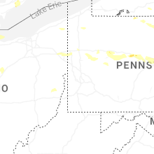
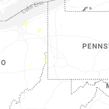


Connect with Interactive Hail Maps