

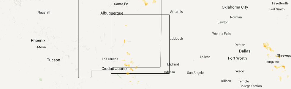
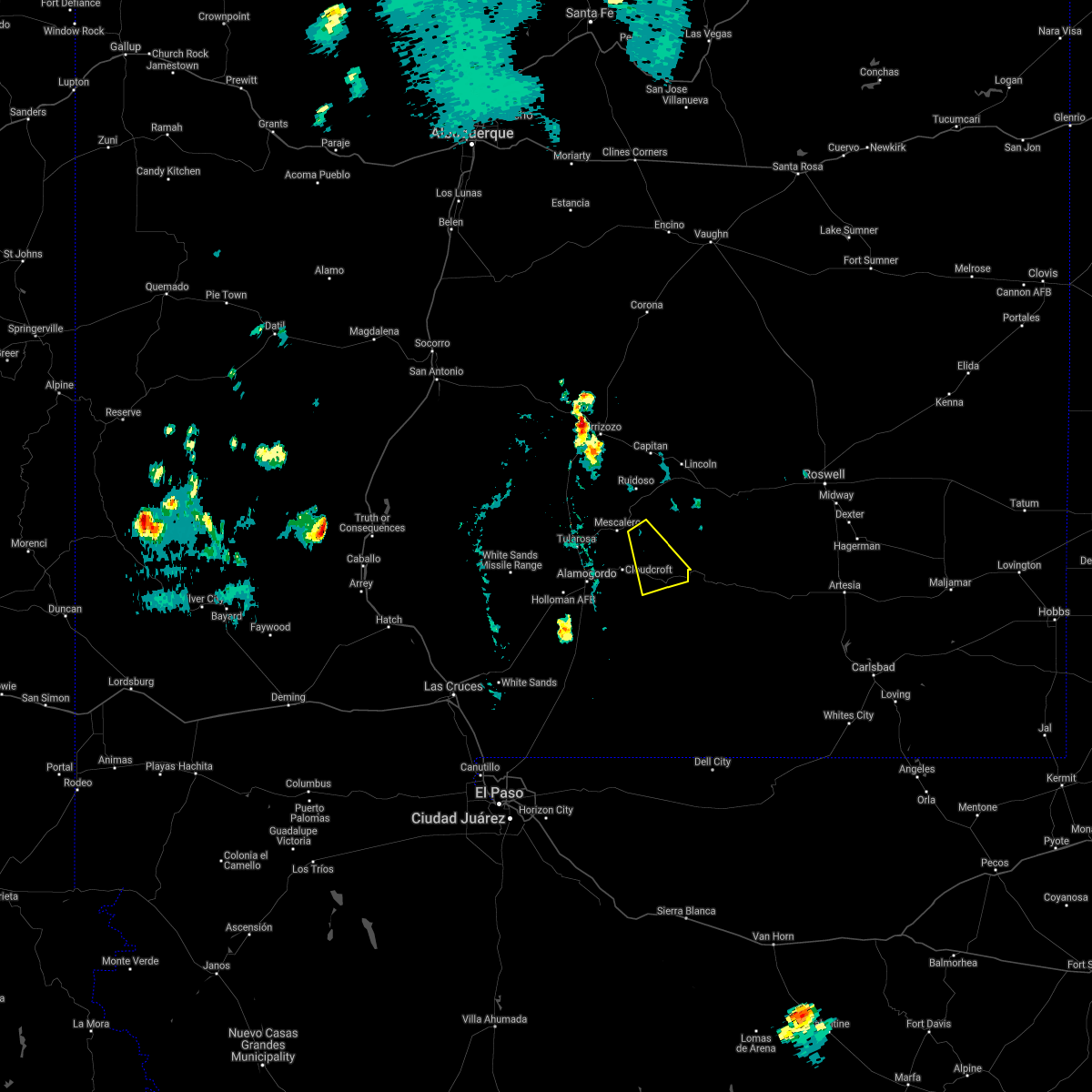
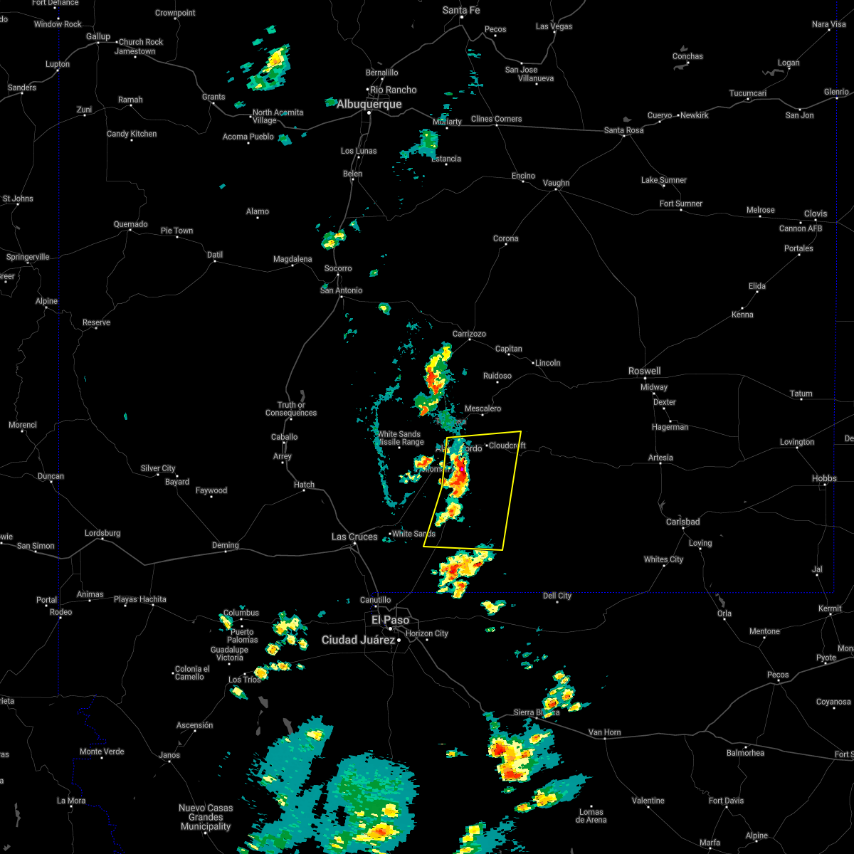
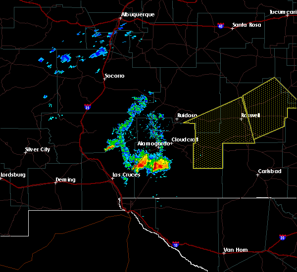
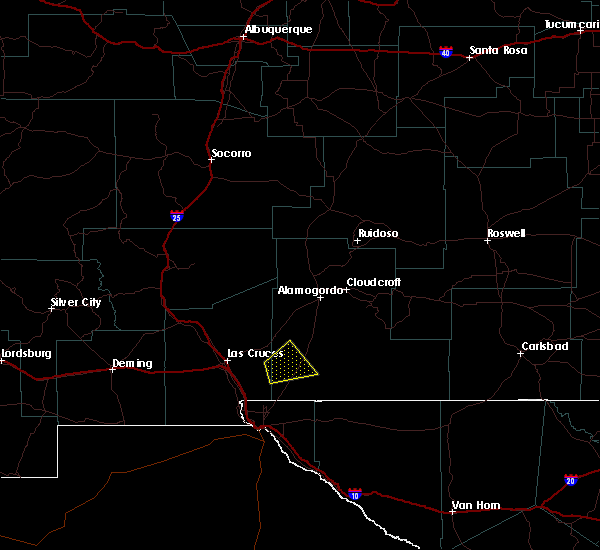
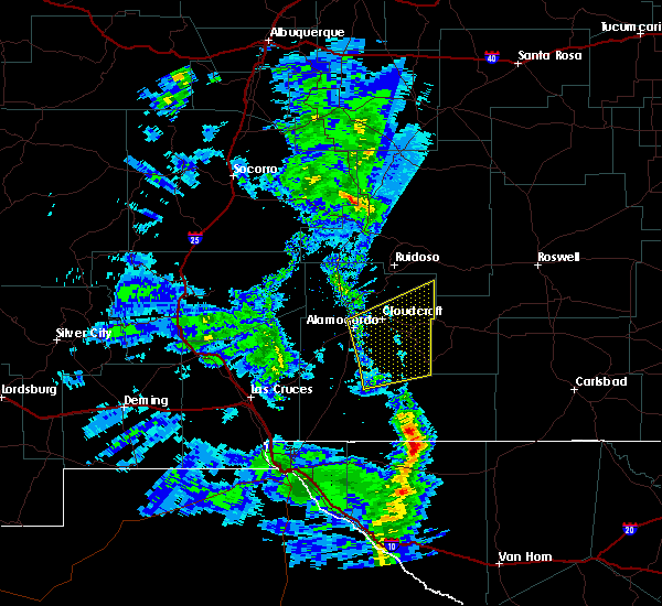
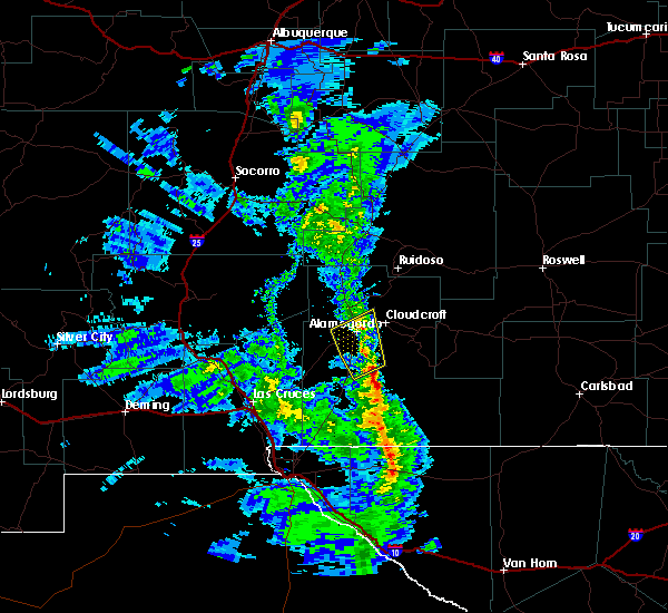
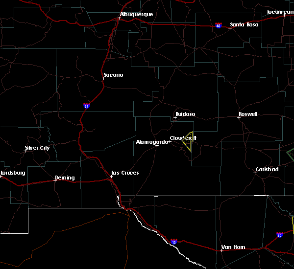
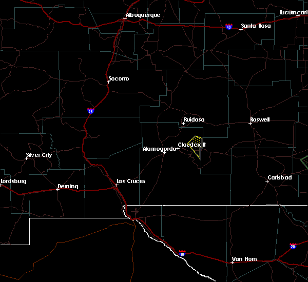
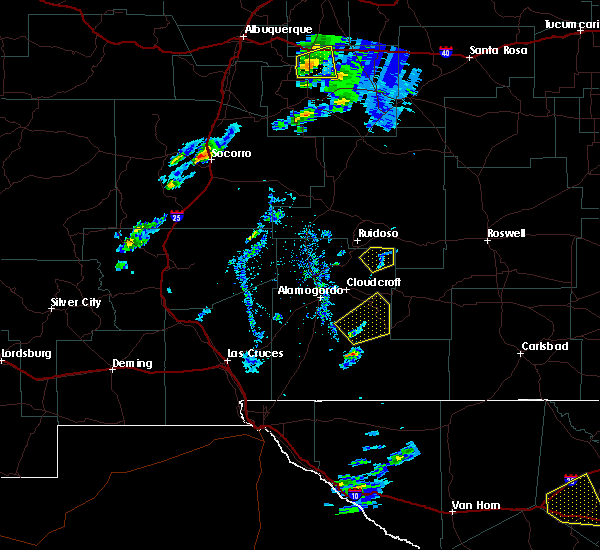
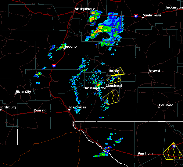
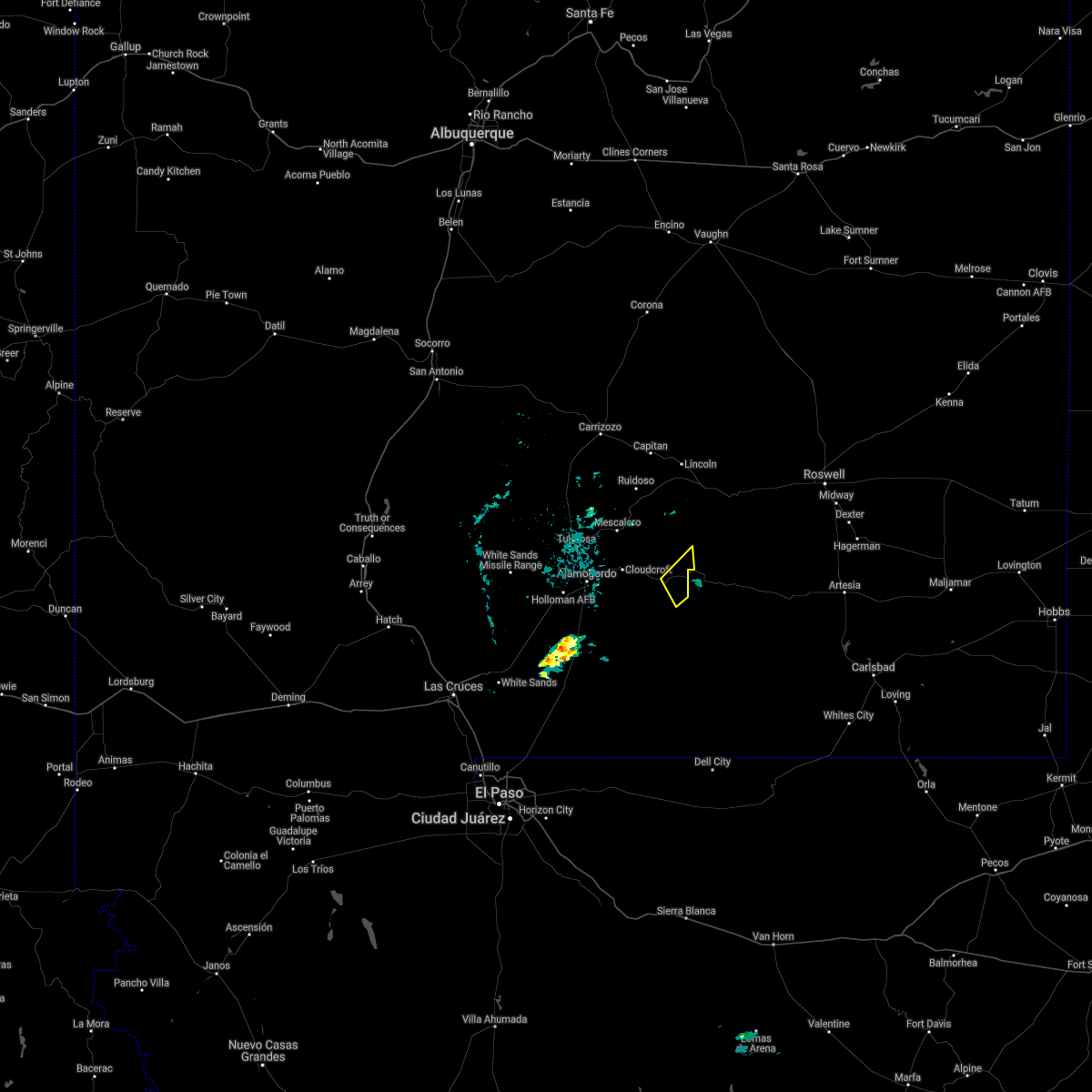
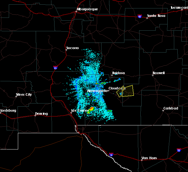
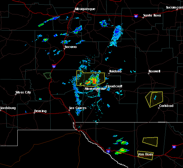
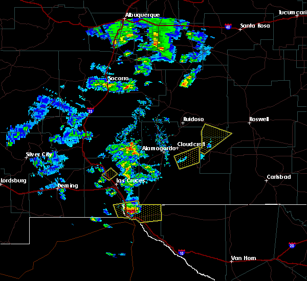
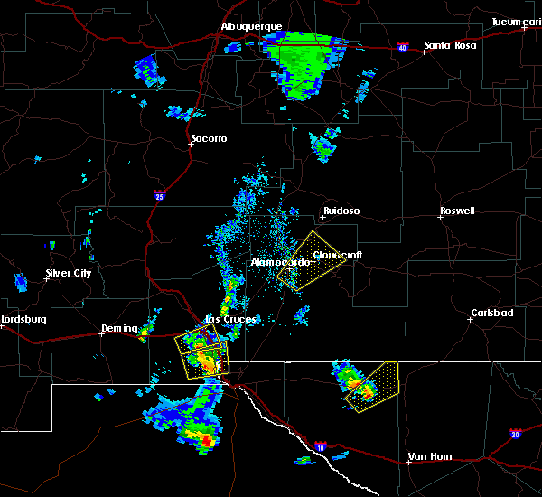
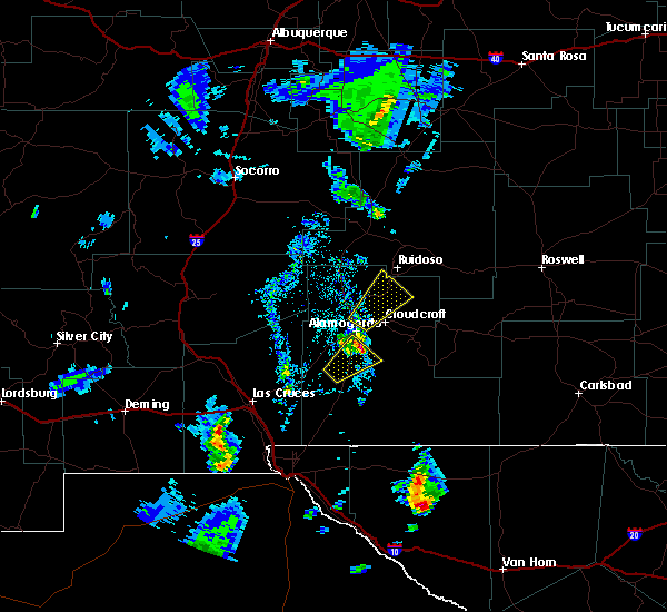
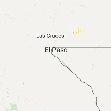
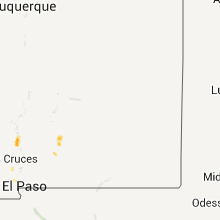
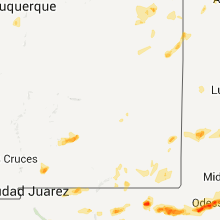
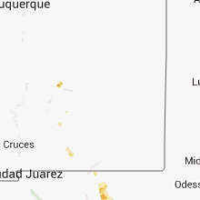
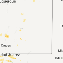
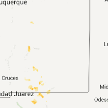
Hail Map for Mayhill, NM
The Mayhill, NM area has had 7 reports of on-the-ground hail by trained spotters, and has been under severe weather warnings 3 times during the past 12 months. Doppler radar has detected hail at or near Mayhill, NM on 19 occasions.
| Name: | Mayhill, NM |
| Where Located: | 66 miles WSW of Roswell, NM |
| Map: | Google Map for Mayhill, NM |
| Population: | 75 |
| Housing Units: | 83 |
| More Info: | Search Google for Mayhill, NM |
5
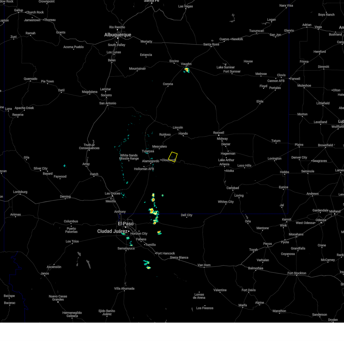
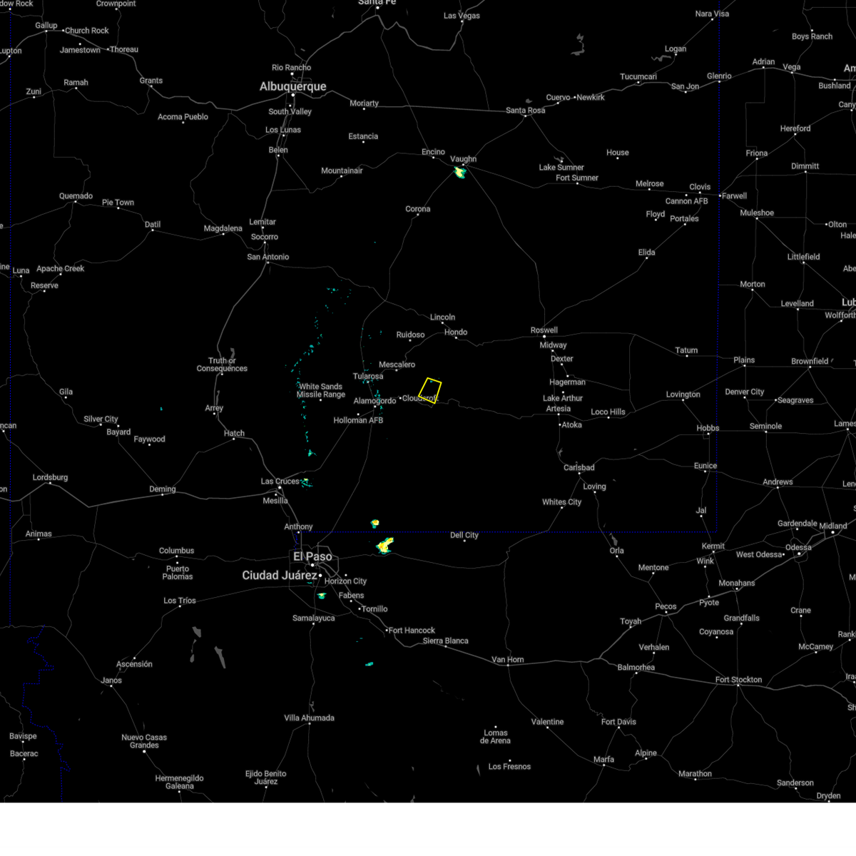
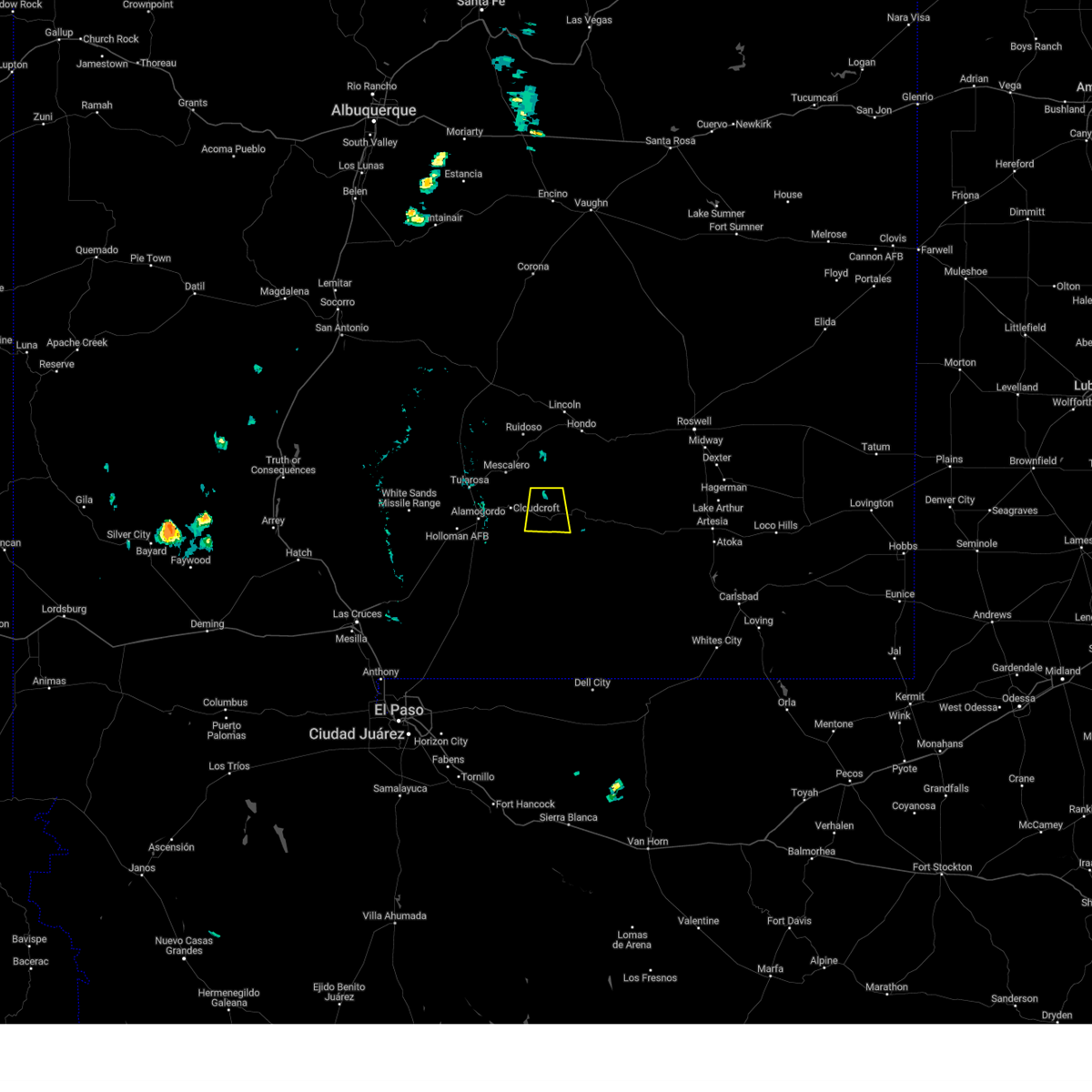
The Top Recent Hail Date for Mayhill, NM is Saturday, June 4, 2011 (1st out of 19)
Hail and Wind Damage Spotted near Mayhill, NM
| Date / Time | Report Details |
|---|---|
| 7/6/2023 2:25 PM MDT |
 The severe thunderstorm warning for northeastern otero county will expire at 230 pm mdt, the storm which prompted the warning has weakened below severe limits, and no longer poses an immediate threat to life or property. therefore, the warning will be allowed to expire. however small hail is still possible with this thunderstorm. The severe thunderstorm warning for northeastern otero county will expire at 230 pm mdt, the storm which prompted the warning has weakened below severe limits, and no longer poses an immediate threat to life or property. therefore, the warning will be allowed to expire. however small hail is still possible with this thunderstorm.
|
| 7/6/2023 2:05 PM MDT |
 At 205 pm mdt, a severe thunderstorm was located 4 miles east of elk silver, moving southwest at 15 mph (radar indicated). Hazards include quarter size hail. damage to vehicles is expected At 205 pm mdt, a severe thunderstorm was located 4 miles east of elk silver, moving southwest at 15 mph (radar indicated). Hazards include quarter size hail. damage to vehicles is expected
|
| 7/3/2023 1:09 PM MDT |
 At 108 pm mdt, a severe thunderstorm was located 4 miles southeast of elk silver, moving south at 15 mph (radar indicated). Hazards include quarter size hail. wind up to 40 mph. damage to vehicles is expected At 108 pm mdt, a severe thunderstorm was located 4 miles southeast of elk silver, moving south at 15 mph (radar indicated). Hazards include quarter size hail. wind up to 40 mph. damage to vehicles is expected
|
| 7/11/2021 4:50 PM MDT |
 At 450 pm mdt, a severe thunderstorm was located near weed, moving south at 20 mph (radar indicated). Hazards include 60 mph wind gusts and half dollar size hail. Hail damage to vehicles is expected. Expect wind damage to roofs, siding, and trees. At 450 pm mdt, a severe thunderstorm was located near weed, moving south at 20 mph (radar indicated). Hazards include 60 mph wind gusts and half dollar size hail. Hail damage to vehicles is expected. Expect wind damage to roofs, siding, and trees.
|
| 7/11/2021 4:28 PM MDT |
 At 428 pm mdt, a severe thunderstorm was located over silver lake, moving south at 25 mph (radar indicated). Hazards include ping pong ball size hail and 60 mph wind gusts. People and animals outdoors will be injured. expect hail damage to roofs, siding, windows, and vehicles. expect wind damage to roofs, siding, and trees. Locations impacted include, mayhill, silver lake, elk silver, sixteen springs, cox canyon and dry canyon. At 428 pm mdt, a severe thunderstorm was located over silver lake, moving south at 25 mph (radar indicated). Hazards include ping pong ball size hail and 60 mph wind gusts. People and animals outdoors will be injured. expect hail damage to roofs, siding, windows, and vehicles. expect wind damage to roofs, siding, and trees. Locations impacted include, mayhill, silver lake, elk silver, sixteen springs, cox canyon and dry canyon.
|
| 7/11/2021 4:12 PM MDT |
 At 411 pm mdt, a severe thunderstorm was located 6 miles southeast of apache summit, moving southeast at 25 mph. additional weaker storms were also moving toward mayhill (radar indicated). Hazards include 60 mph wind gusts and quarter size hail. Hail damage to vehicles is expected. Expect wind damage to roofs, siding, and trees. At 411 pm mdt, a severe thunderstorm was located 6 miles southeast of apache summit, moving southeast at 25 mph. additional weaker storms were also moving toward mayhill (radar indicated). Hazards include 60 mph wind gusts and quarter size hail. Hail damage to vehicles is expected. Expect wind damage to roofs, siding, and trees.
|
| 9/8/2020 4:11 PM MDT |
 At 409 pm mdt, severe thunderstorms were moving into the area between alamogordo and orogrande, moving northeast at 35 mph (radar indicated). Hazards include golf ball size hail and 70 mph wind gusts. People and animals outdoors will be injured. expect hail damage to roofs, siding, windows, and vehicles. expect considerable tree damage. Wind damage is also likely to mobile homes, roofs, and outbuildings. At 409 pm mdt, severe thunderstorms were moving into the area between alamogordo and orogrande, moving northeast at 35 mph (radar indicated). Hazards include golf ball size hail and 70 mph wind gusts. People and animals outdoors will be injured. expect hail damage to roofs, siding, windows, and vehicles. expect considerable tree damage. Wind damage is also likely to mobile homes, roofs, and outbuildings.
|
| 7/31/2020 3:24 PM MDT |
 At 323 pm mdt, a severe thunderstorm was located 6 miles north of elk silver, moving south at 20 mph (radar indicated). Hazards include 60 mph wind gusts and quarter size hail. Hail damage to vehicles is expected. Expect wind damage to roofs, siding, and trees. At 323 pm mdt, a severe thunderstorm was located 6 miles north of elk silver, moving south at 20 mph (radar indicated). Hazards include 60 mph wind gusts and quarter size hail. Hail damage to vehicles is expected. Expect wind damage to roofs, siding, and trees.
|
| 6/24/2020 3:00 PM MDT | Quarter sized hail reported 0.9 miles WNW of Mayhill, NM |
| 6/23/2020 7:31 PM MDT |
 At 730 pm mdt, severe thunderstorms were located along a line extending from 6 miles south of dunken to 14 miles southwest of timberon to 3 miles north of organ, moving south at 25 mph (radar indicated). Hazards include 60 mph outflow wind gusts, quarter size hail and torrential rain. Hail damage to vehicles is expected. Expect wind damage to roofs, siding, and trees. At 730 pm mdt, severe thunderstorms were located along a line extending from 6 miles south of dunken to 14 miles southwest of timberon to 3 miles north of organ, moving south at 25 mph (radar indicated). Hazards include 60 mph outflow wind gusts, quarter size hail and torrential rain. Hail damage to vehicles is expected. Expect wind damage to roofs, siding, and trees.
|
| 6/23/2020 6:38 PM MDT |
 At 638 pm mdt, severe thunderstorms were located along a line extending from 5 miles east of apache summit to 8 miles west of white sands national monument, moving southeast at 20 mph (radar indicated). Hazards include 60 mph wind gusts, quarter size hail and locally torrential rainfall. Hail damage to vehicles is expected. Expect wind damage to roofs, siding, and trees. At 638 pm mdt, severe thunderstorms were located along a line extending from 5 miles east of apache summit to 8 miles west of white sands national monument, moving southeast at 20 mph (radar indicated). Hazards include 60 mph wind gusts, quarter size hail and locally torrential rainfall. Hail damage to vehicles is expected. Expect wind damage to roofs, siding, and trees.
|
| 3/19/2020 12:06 AM MDT |
 At 1205 am mdt, severe thunderstorms were moving eastward around alamogordo, mescalero and surrounding locations (radar indicated). Hazards include 60 mph wind gusts and penny size hail. Expect damage to roofs, siding, and trees. locations impacted include, mescalero, lake mescalero, tularosa, three rivers, cloudcroft, alamogordo, white sands national monument, mayhill, silver lake, bent, burro flats, elk silver, high rolls, la luz, holloman air force base, mountain park, apache summit, sixteen springs, benson ridge and cox canyon. Time, mot, loc 0605z 013deg 274kt 3024 10702. At 1205 am mdt, severe thunderstorms were moving eastward around alamogordo, mescalero and surrounding locations (radar indicated). Hazards include 60 mph wind gusts and penny size hail. Expect damage to roofs, siding, and trees. locations impacted include, mescalero, lake mescalero, tularosa, three rivers, cloudcroft, alamogordo, white sands national monument, mayhill, silver lake, bent, burro flats, elk silver, high rolls, la luz, holloman air force base, mountain park, apache summit, sixteen springs, benson ridge and cox canyon. Time, mot, loc 0605z 013deg 274kt 3024 10702.
|
| 3/18/2020 11:37 PM MDT |
 At 1135 pm mdt, severe thunderstorms were moving eastward at 40 mph toward alamogordo and surrounding areas (radar indicated). Hazards include 60 mph wind gusts and penny size hail. expect damage to roofs, siding, and trees At 1135 pm mdt, severe thunderstorms were moving eastward at 40 mph toward alamogordo and surrounding areas (radar indicated). Hazards include 60 mph wind gusts and penny size hail. expect damage to roofs, siding, and trees
|
| 3/13/2020 3:05 PM MDT |
 At 304 pm mdt, a severe thunderstorm was located near alamogordo, moving northeast at 40 mph (radar indicated). Hazards include 60 mph wind gusts and quarter size hail. Hail damage to vehicles is expected. Expect wind damage to roofs, siding, and trees. At 304 pm mdt, a severe thunderstorm was located near alamogordo, moving northeast at 40 mph (radar indicated). Hazards include 60 mph wind gusts and quarter size hail. Hail damage to vehicles is expected. Expect wind damage to roofs, siding, and trees.
|
| 6/4/2019 2:25 PM MDT | Ping Pong Ball sized hail reported 14.6 miles WSW of Mayhill, NM |
| 6/1/2019 2:16 PM MDT |
 At 216 pm mdt, a severe thunderstorm was located 6 miles southwest of timberon, moving northeast at 10 mph (radar indicated). Hazards include 60 mph wind gusts and quarter size hail. Hail damage to vehicles is expected. Expect wind damage to roofs, siding, and trees. At 216 pm mdt, a severe thunderstorm was located 6 miles southwest of timberon, moving northeast at 10 mph (radar indicated). Hazards include 60 mph wind gusts and quarter size hail. Hail damage to vehicles is expected. Expect wind damage to roofs, siding, and trees.
|
| 3/12/2019 4:04 PM MDT |
 At 402 pm mdt, severe thunderstorms were located along a line extending from 4 miles northwest of elk silver to 3 miles southeast of mayhill to pinon, moving northeast at 40 mph (radar indicated). Hazards include 60 mph wind gusts and quarter size hail. Hail damage to vehicles is expected. expect wind damage to roofs, siding, and trees. hail may accumulate to a depth of a few inches in places, creating hazardous driving conditions on area roads, including u. s. highway 82. Locations impacted include, sacramento, mayhill, pinon, silver lake, weed, elk silver, sixteen springs, cox canyon, hay canyon, and dry canyon. At 402 pm mdt, severe thunderstorms were located along a line extending from 4 miles northwest of elk silver to 3 miles southeast of mayhill to pinon, moving northeast at 40 mph (radar indicated). Hazards include 60 mph wind gusts and quarter size hail. Hail damage to vehicles is expected. expect wind damage to roofs, siding, and trees. hail may accumulate to a depth of a few inches in places, creating hazardous driving conditions on area roads, including u. s. highway 82. Locations impacted include, sacramento, mayhill, pinon, silver lake, weed, elk silver, sixteen springs, cox canyon, hay canyon, and dry canyon.
|
| 3/12/2019 3:52 PM MDT |
 At 350 pm mdt, severe thunderstorms were located along a line extending from near cloudcroft to 5 miles west of sacramento to 9 miles southeast of timberon, moving northeast at 35 mph (radar indicated). Hazards include 60 mph wind gusts and quarter size hail. Hail damage to vehicles is expected. expect wind damage to roofs, siding, and trees. at 350 pm mdt hail is accumulating in cloudcroft and tiberon. expect treacherous road conditions along area roads across the sacramento mountains, including u. s. highway 82. Locations impacted include, timberon, sacramento, cloudcroft, pinon, mayhill, silver lake, weed, elk silver, sixteen springs, and bluff springs. At 350 pm mdt, severe thunderstorms were located along a line extending from near cloudcroft to 5 miles west of sacramento to 9 miles southeast of timberon, moving northeast at 35 mph (radar indicated). Hazards include 60 mph wind gusts and quarter size hail. Hail damage to vehicles is expected. expect wind damage to roofs, siding, and trees. at 350 pm mdt hail is accumulating in cloudcroft and tiberon. expect treacherous road conditions along area roads across the sacramento mountains, including u. s. highway 82. Locations impacted include, timberon, sacramento, cloudcroft, pinon, mayhill, silver lake, weed, elk silver, sixteen springs, and bluff springs.
|
| 3/12/2019 3:34 PM MDT |
 At 333 pm mdt, severe thunderstorms were located along a line extending from 4 miles southwest of high rolls to 6 miles south of sunspot to 13 miles southwest of timberon, moving northeast at 35 mph (radar indicated). Hazards include ping pong ball size hail and 60 mph wind gusts. People and animals outdoors will be injured. expect hail damage to roofs, siding, windows, and vehicles. Expect wind damage to roofs, siding, and trees. At 333 pm mdt, severe thunderstorms were located along a line extending from 4 miles southwest of high rolls to 6 miles south of sunspot to 13 miles southwest of timberon, moving northeast at 35 mph (radar indicated). Hazards include ping pong ball size hail and 60 mph wind gusts. People and animals outdoors will be injured. expect hail damage to roofs, siding, windows, and vehicles. Expect wind damage to roofs, siding, and trees.
|
| 6/23/2017 5:56 PM MDT |
 The severe thunderstorm warning for north central otero county will expire at 600 pm mdt, the storm which prompted the warning has weakened below severe limits, and no longer poses an immediate threat to life or property. therefore the warning will be allowed to expire. however gusty winds and heavy rain are still possible with this thunderstorm. The severe thunderstorm warning for north central otero county will expire at 600 pm mdt, the storm which prompted the warning has weakened below severe limits, and no longer poses an immediate threat to life or property. therefore the warning will be allowed to expire. however gusty winds and heavy rain are still possible with this thunderstorm.
|
| 6/23/2017 5:45 PM MDT |
 At 545 pm mdt, a severe thunderstorm was located 4 miles west of elk, or 19 miles east of cloudcroft, moving southeast at 25 mph (radar indicated). Hazards include 60 mph wind gusts and half dollar size hail. Hail damage to vehicles is expected. expect wind damage to roofs, siding, and trees. This severe thunderstorm will remain over mainly rural areas of north central otero county. At 545 pm mdt, a severe thunderstorm was located 4 miles west of elk, or 19 miles east of cloudcroft, moving southeast at 25 mph (radar indicated). Hazards include 60 mph wind gusts and half dollar size hail. Hail damage to vehicles is expected. expect wind damage to roofs, siding, and trees. This severe thunderstorm will remain over mainly rural areas of north central otero county.
|
| 6/23/2017 5:30 PM MDT |
 At 528 pm mdt, a severe thunderstorm was located 7 miles east of sixteen springs, or 18 miles east of cloudcroft, moving southeast at 30 mph (radar indicated). Hazards include 60 mph wind gusts and half dollar size hail. Hail damage to vehicles is expected. expect wind damage to roofs, siding, and trees. This severe thunderstorm will remain over mainly rural areas of north central otero county. At 528 pm mdt, a severe thunderstorm was located 7 miles east of sixteen springs, or 18 miles east of cloudcroft, moving southeast at 30 mph (radar indicated). Hazards include 60 mph wind gusts and half dollar size hail. Hail damage to vehicles is expected. expect wind damage to roofs, siding, and trees. This severe thunderstorm will remain over mainly rural areas of north central otero county.
|
| 4/12/2017 1:45 PM MDT |
 At 144 pm mdt, a severe thunderstorm was located 6 miles northeast of timberon, moving northeast at 25 mph (radar indicated). Hazards include half dollar size hail. Damage to vehicles is expected. Locations impacted include, mayhill, sacramento, timberon, pinon, weed, and hay canyon. At 144 pm mdt, a severe thunderstorm was located 6 miles northeast of timberon, moving northeast at 25 mph (radar indicated). Hazards include half dollar size hail. Damage to vehicles is expected. Locations impacted include, mayhill, sacramento, timberon, pinon, weed, and hay canyon.
|
| 4/12/2017 1:12 PM MDT |
 At 112 pm mdt, a severe thunderstorm was located near timberon, moving northeast at 35 mph (radar indicated). Hazards include quarter size hail. damage to vehicles is expected At 112 pm mdt, a severe thunderstorm was located near timberon, moving northeast at 35 mph (radar indicated). Hazards include quarter size hail. damage to vehicles is expected
|
| 4/12/2017 8:00 AM MDT | Half Dollar sized hail reported 8.8 miles WSW of Mayhill, NM |
| 4/12/2017 6:00 AM MDT | Half Dollar sized hail reported 13.9 miles W of Mayhill, NM |
| 4/12/2017 6:00 AM MDT | Golf Ball sized hail reported 15.4 miles W of Mayhill, NM |
| 4/12/2017 5:42 AM MDT |
 The severe thunderstorm warning for north central otero county will expire at 545 am mdt, the storm which prompted the warning has moved east out of otero county into southwestern chavez county. it is just south of elk and highway 82 moving east. this storm remains severe with possible large hail and strong winds. the warning for this storm will be allowed to expire for otero county, but remains in effect for chavez county. additional storms continue to develop across otero county with more expected through the day. The severe thunderstorm warning for north central otero county will expire at 545 am mdt, the storm which prompted the warning has moved east out of otero county into southwestern chavez county. it is just south of elk and highway 82 moving east. this storm remains severe with possible large hail and strong winds. the warning for this storm will be allowed to expire for otero county, but remains in effect for chavez county. additional storms continue to develop across otero county with more expected through the day.
|
| 4/12/2017 5:20 AM MDT |
 At 519 am mdt, a severe thunderstorm was located 5 miles southwest of elk, or 7 miles east of mayhill, moving northeast at 20 mph (radar indicated). Hazards include 60 mph wind gusts and quarter size hail. Hail damage to vehicles is expected. Expect wind damage to roofs, siding, and trees. At 519 am mdt, a severe thunderstorm was located 5 miles southwest of elk, or 7 miles east of mayhill, moving northeast at 20 mph (radar indicated). Hazards include 60 mph wind gusts and quarter size hail. Hail damage to vehicles is expected. Expect wind damage to roofs, siding, and trees.
|
| 9/15/2016 5:52 PM MDT |
 At 551 pm mdt, a severe thunderstorm was located near elk silver, or 7 miles northwest of mayhill, moving east northeast at 15 mph (radar indicated). Hazards include 60 mph wind gusts and quarter size hail. Hail damage to vehicles is expected. Expect wind damage to roofs, siding, and trees. At 551 pm mdt, a severe thunderstorm was located near elk silver, or 7 miles northwest of mayhill, moving east northeast at 15 mph (radar indicated). Hazards include 60 mph wind gusts and quarter size hail. Hail damage to vehicles is expected. Expect wind damage to roofs, siding, and trees.
|
| 9/15/2016 5:18 PM MDT |
 At 518 pm mdt, a severe thunderstorm was located over silver lake, or 9 miles northeast of cloudcroft, moving northeast at 15 mph (radar indicated). Hazards include 60 mph wind gusts and quarter size hail. Hail damage to vehicles is expected. expect wind damage to roofs, siding, and trees. Locations impacted include, alamogordo, mayhill, cloudcroft, la luz, burro flats, silver lake, elk silver, high rolls, mountain park, holloman air force base, benson ridge, boles acres, cox canyon, karr canyon, sixteen springs, and dry canyon. At 518 pm mdt, a severe thunderstorm was located over silver lake, or 9 miles northeast of cloudcroft, moving northeast at 15 mph (radar indicated). Hazards include 60 mph wind gusts and quarter size hail. Hail damage to vehicles is expected. expect wind damage to roofs, siding, and trees. Locations impacted include, alamogordo, mayhill, cloudcroft, la luz, burro flats, silver lake, elk silver, high rolls, mountain park, holloman air force base, benson ridge, boles acres, cox canyon, karr canyon, sixteen springs, and dry canyon.
|
| 9/15/2016 5:05 PM MDT |
 At 504 pm mdt, a severe thunderstorm was located near silver lake, or 5 miles northeast of cloudcroft, moving northeast at 15 mph (radar indicated). Hazards include 60 mph wind gusts and quarter size hail. Hail damage to vehicles is expected. Expect wind damage to roofs, siding, and trees. At 504 pm mdt, a severe thunderstorm was located near silver lake, or 5 miles northeast of cloudcroft, moving northeast at 15 mph (radar indicated). Hazards include 60 mph wind gusts and quarter size hail. Hail damage to vehicles is expected. Expect wind damage to roofs, siding, and trees.
|
| 9/15/2016 1:36 PM MDT | Quarter sized hail reported 22.2 miles SW of Mayhill, NM, quarter size hail 20 miles n of dunken. |
| 10/20/2015 5:39 PM MDT | Quarter sized hail reported 15.4 miles W of Mayhill, NM |
| 10/20/2015 4:58 PM MDT |
 At 457 pm mdt, a severe thunderstorm was located 6 miles southwest of sacramento, or 7 miles north of timberon, and is moving to the northeast at 30 mph (radar indicated). Hazards include 60 mph wind gusts and quarter size hail. Hail damage to vehicles is expected. Expect wind damage to roofs, siding and trees. At 457 pm mdt, a severe thunderstorm was located 6 miles southwest of sacramento, or 7 miles north of timberon, and is moving to the northeast at 30 mph (radar indicated). Hazards include 60 mph wind gusts and quarter size hail. Hail damage to vehicles is expected. Expect wind damage to roofs, siding and trees.
|
| 10/20/2015 4:04 PM MDT |
 At 404 pm mdt, a severe thunderstorm was located 7 miles north of timberon, moving northeast at 40 mph (radar indicated). Hazards include 60 mph wind gusts and quarter size hail. Hail damage to vehicles is expected. Expect wind damage to roofs, siding and trees. At 404 pm mdt, a severe thunderstorm was located 7 miles north of timberon, moving northeast at 40 mph (radar indicated). Hazards include 60 mph wind gusts and quarter size hail. Hail damage to vehicles is expected. Expect wind damage to roofs, siding and trees.
|
| 10/20/2015 3:14 PM MDT |
 At 312 pm mdt, severe thunderstorms were near sacramento and about 10 miles south of oliver lee state park moving northeast at 30 mph (radar indicated). Hazards include 60 mph wind gusts and quarter size hail. Hail damage to vehicles is expected. Expect wind damage to roofs, siding and trees. At 312 pm mdt, severe thunderstorms were near sacramento and about 10 miles south of oliver lee state park moving northeast at 30 mph (radar indicated). Hazards include 60 mph wind gusts and quarter size hail. Hail damage to vehicles is expected. Expect wind damage to roofs, siding and trees.
|
| 10/20/2015 2:32 PM MDT |
 At 231 pm mdt, a severe thunderstorm was located near timberon moving northeast at 40 mph (radar indicated). Hazards include 60 mph wind gusts and quarter size hail. Hail damage to vehicles is expected. Expect wind damage to roofs, siding and trees. At 231 pm mdt, a severe thunderstorm was located near timberon moving northeast at 40 mph (radar indicated). Hazards include 60 mph wind gusts and quarter size hail. Hail damage to vehicles is expected. Expect wind damage to roofs, siding and trees.
|
| 10/7/2015 2:25 PM MDT |
 The severe thunderstorm warning for northwestern otero county will expire at 230 pm mdt, the storm which prompted the warning has weakened below severe limits, and no longer poses an immediate threat to life or property. therefore the warning will be allowed to expire. however small hail is still possible with this thunderstorm. a severe thunderstorm watch remains in effect until 800 pm mdt for south central new mexico. The severe thunderstorm warning for northwestern otero county will expire at 230 pm mdt, the storm which prompted the warning has weakened below severe limits, and no longer poses an immediate threat to life or property. therefore the warning will be allowed to expire. however small hail is still possible with this thunderstorm. a severe thunderstorm watch remains in effect until 800 pm mdt for south central new mexico.
|
| 10/7/2015 2:07 PM MDT |
 At 205 pm mdt, a severe thunderstorm was located near cloudcroft, moving northeast at 35 mph (radar indicated). Hazards include 60 mph wind gusts and quarter size hail. Hail damage to vehicles is expected. expect wind damage to roofs, siding and trees. Locations impacted include, alamogordo, cloudcroft, mescalero, sunspot, burro flats, silver lake, boles acres, elk silver, high rolls, sixteen springs, mountain park, oliver lee state park, bluff springs. At 205 pm mdt, a severe thunderstorm was located near cloudcroft, moving northeast at 35 mph (radar indicated). Hazards include 60 mph wind gusts and quarter size hail. Hail damage to vehicles is expected. expect wind damage to roofs, siding and trees. Locations impacted include, alamogordo, cloudcroft, mescalero, sunspot, burro flats, silver lake, boles acres, elk silver, high rolls, sixteen springs, mountain park, oliver lee state park, bluff springs.
|
| 10/7/2015 1:40 PM MDT |
 At 140 pm mdt, a severe thunderstorm was located near sunspot, or 8 miles southeast of alamogordo, moving northeast at 35 mph (radar indicated). Hazards include 60 mph wind gusts and quarter size hail. Hail damage to vehicles is expected. Expect wind damage to roofs, siding and trees. At 140 pm mdt, a severe thunderstorm was located near sunspot, or 8 miles southeast of alamogordo, moving northeast at 35 mph (radar indicated). Hazards include 60 mph wind gusts and quarter size hail. Hail damage to vehicles is expected. Expect wind damage to roofs, siding and trees.
|
| 6/6/2015 1:00 PM MDT | At 1256 pm mdt, national weather service meteorologists detected a severe thunderstorm capable of producing ping pong ball size hail. this storm was located 19 miles east of cloudcroft, or 8 miles north of mayhill, and was moving east at 20 mph. the core of the storm will continue to move east over sixteen springs canyon, dropping large hail and torrential rainfall. wind gusts over 50 mph are also possible. the storm may build southward closer to mayhill and u.s. highway 82 in the next half hour. locations impacted include, sixteen springs, mayhill,. |
| 6/6/2015 12:45 PM MDT | At 1242 pm mdt, national weather service meteorologists detected a severe thunderstorm capable of producing ping pong ball size hail. this storm was located 14 miles east of cloudcroft, moving east at 20 mph. |
| 5/4/2015 1:42 PM MDT | At 136 pm mdt, national weather service meteorologists detected a severe thunderstorm capable of producing quarter size hail, and damaging winds in excess of 60 mph. this storm was located 18 miles southeast of cloudcroft, moving northeast at 15 mph. |
| 5/4/2015 1:26 PM MDT | At 123 pm mdt, national weather service meteorologists detected a severe thunderstorm capable of producing quarter size hail, and damaging winds in excess of 60 mph. this storm was located 15 miles southeast of cloudcroft, moving northeast at 15 mph. locations impacted include, sixteen springs, weed, sacramento, mayhill,. |
| 5/4/2015 1:03 PM MDT | At 1259 pm mdt, national weather service meteorologists detected a severe thunderstorm capable of producing quarter size hail, and damaging winds in excess of 60 mph. this storm was located 12 miles northeast of timberon, moving northeast at 15 mph. |
| 5/23/2014 4:36 PM MDT | Dunken raw in chaves county NM, 19 miles WNW of Mayhill, NM |
Hail Maps for Mayhill, NM


Connect with Interactive Hail Maps