

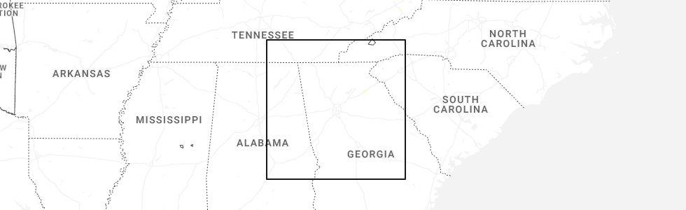
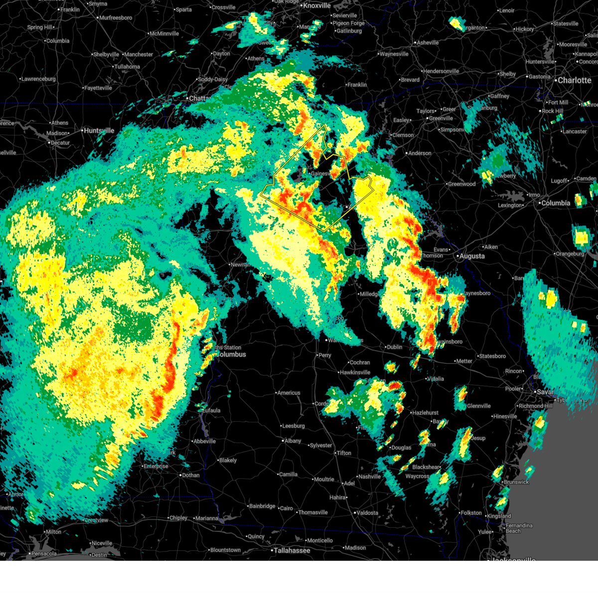
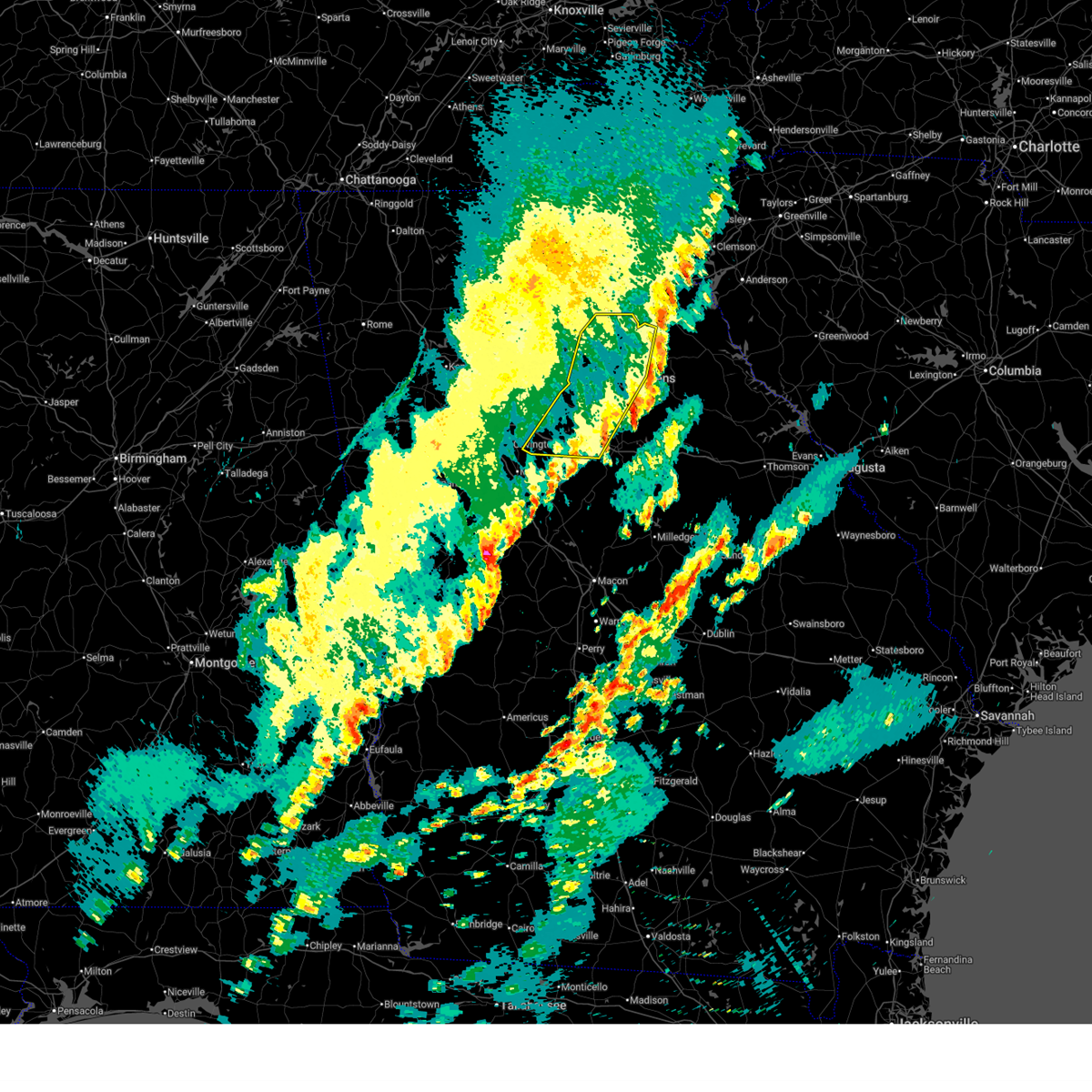
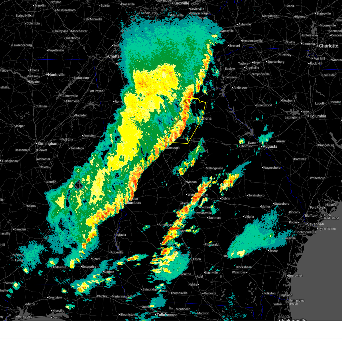
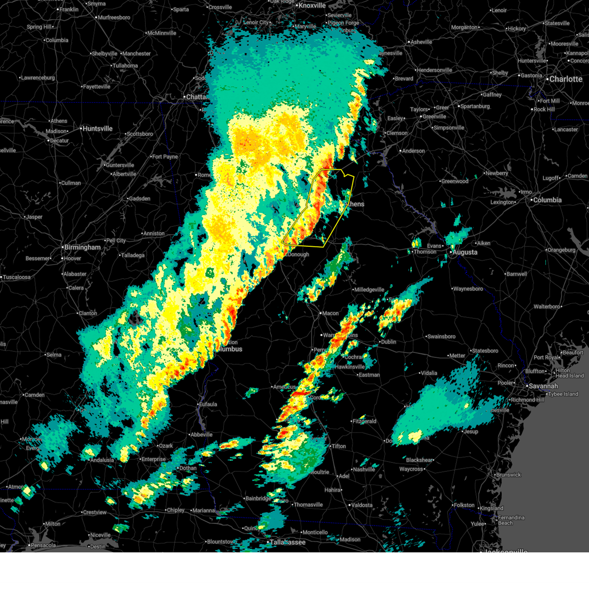
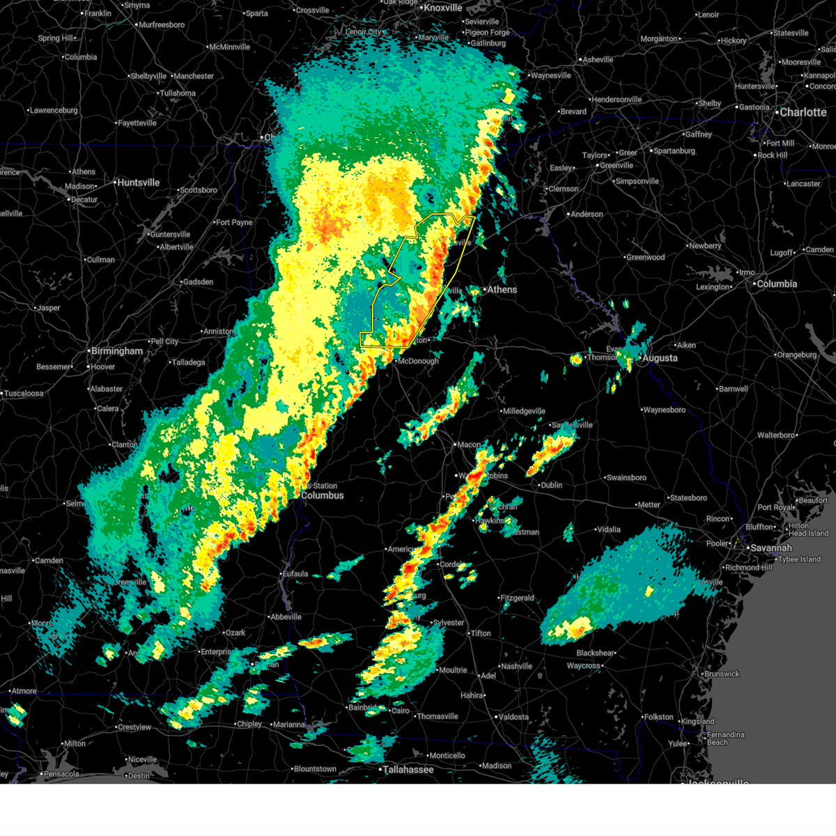
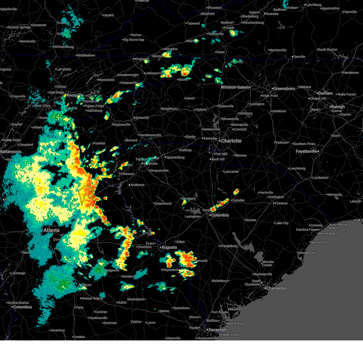
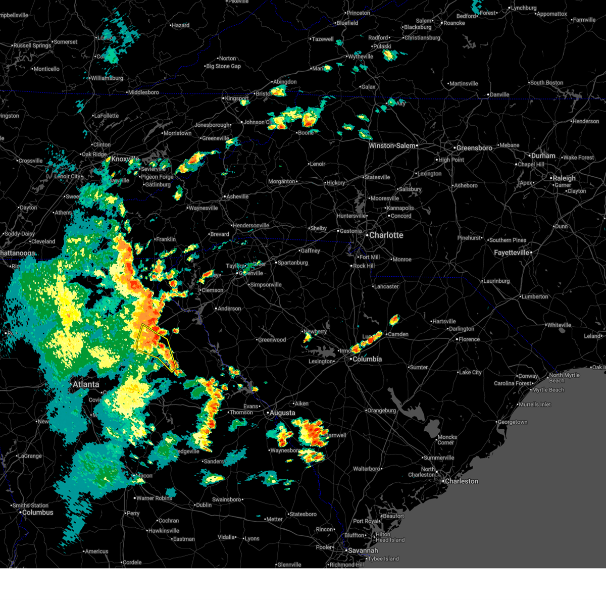
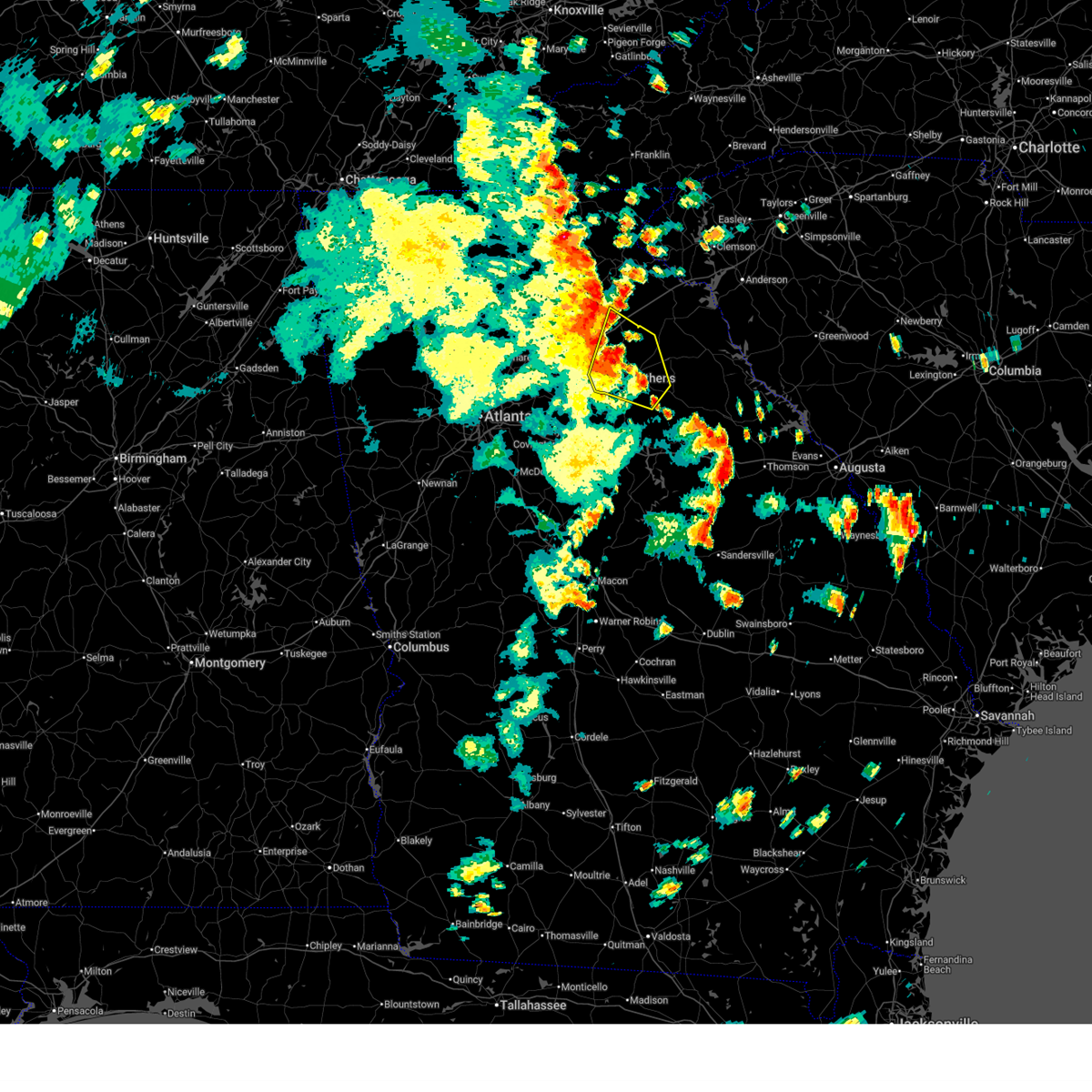
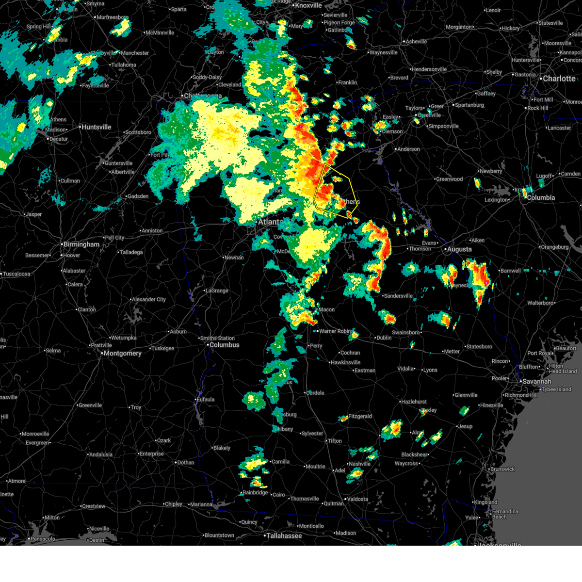
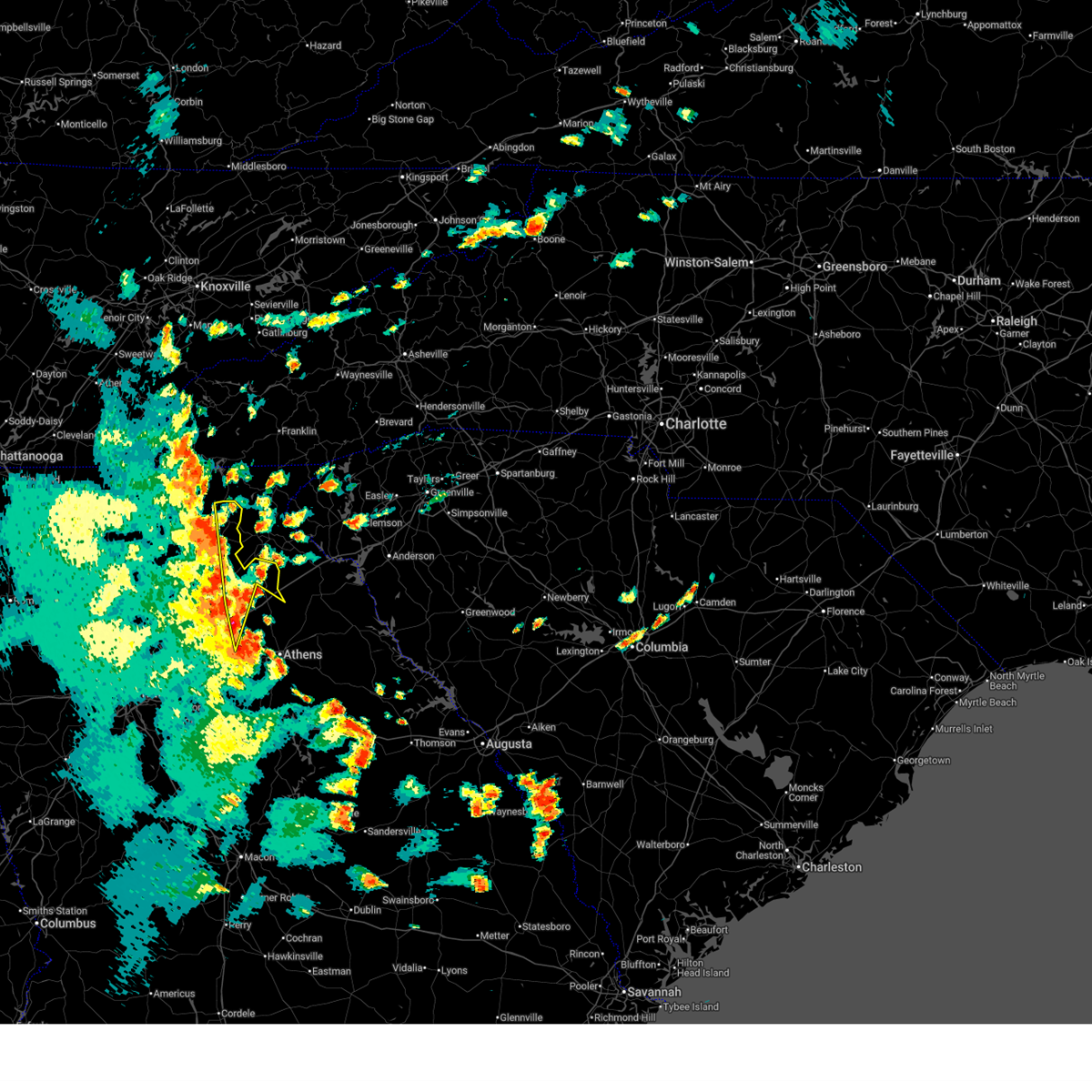
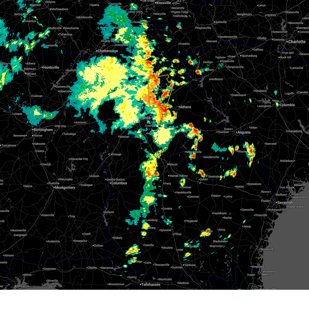
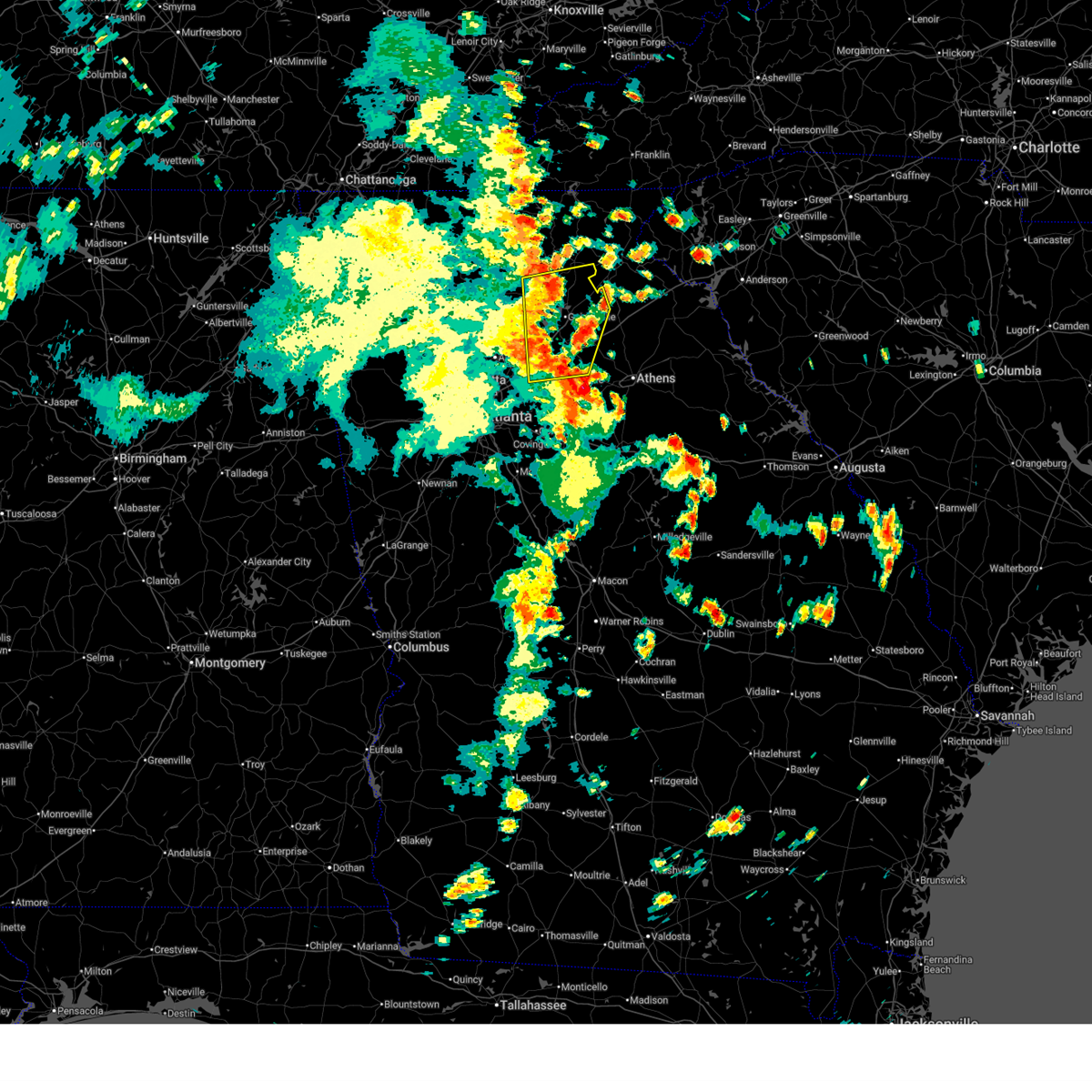
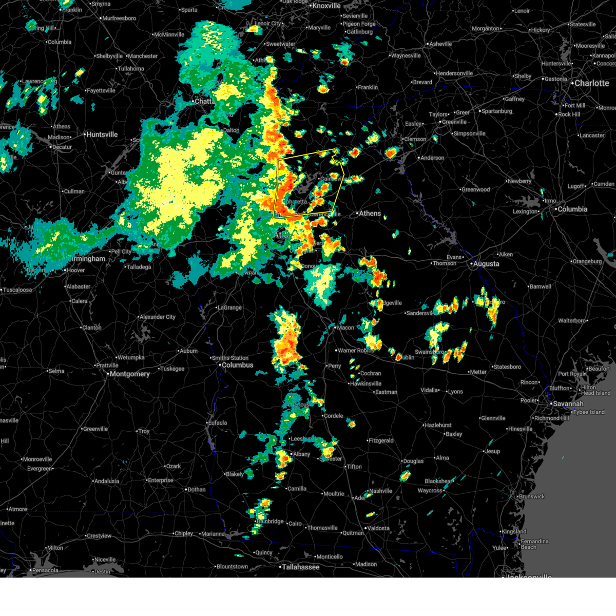
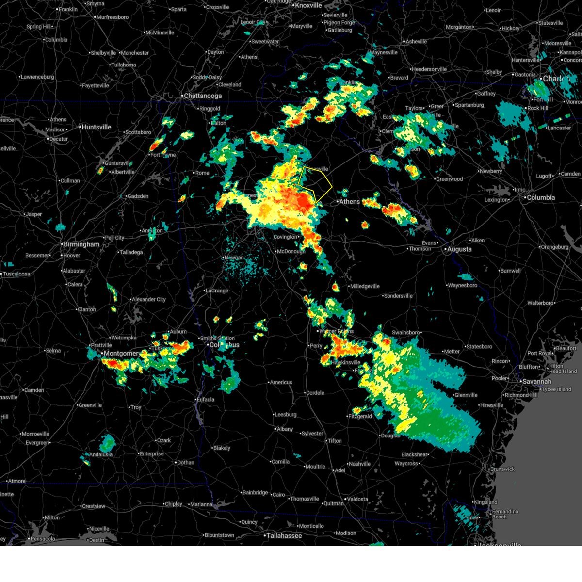
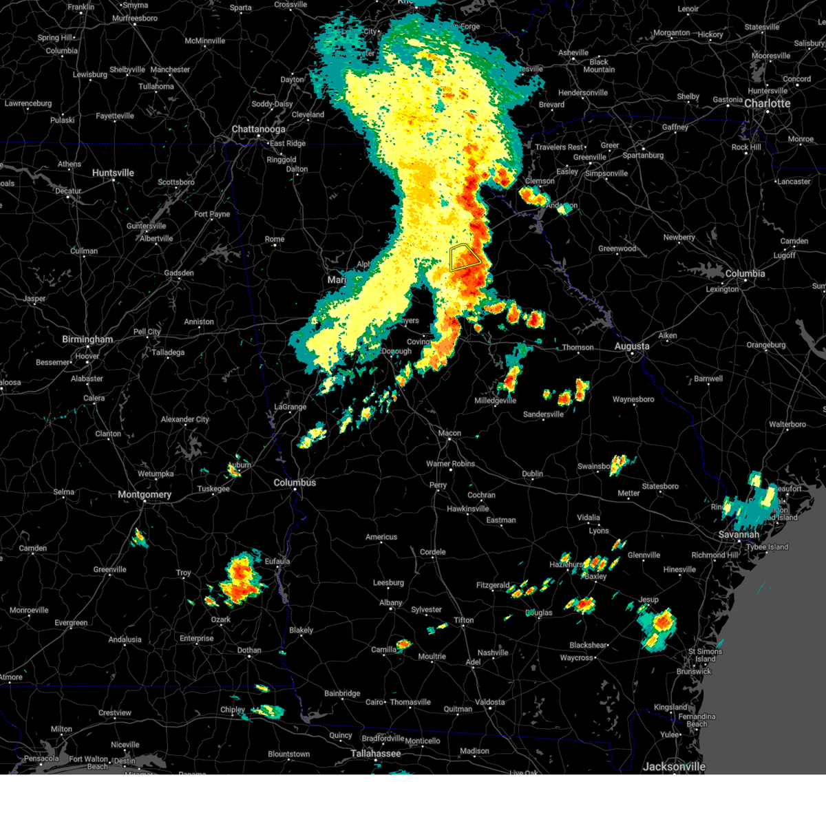
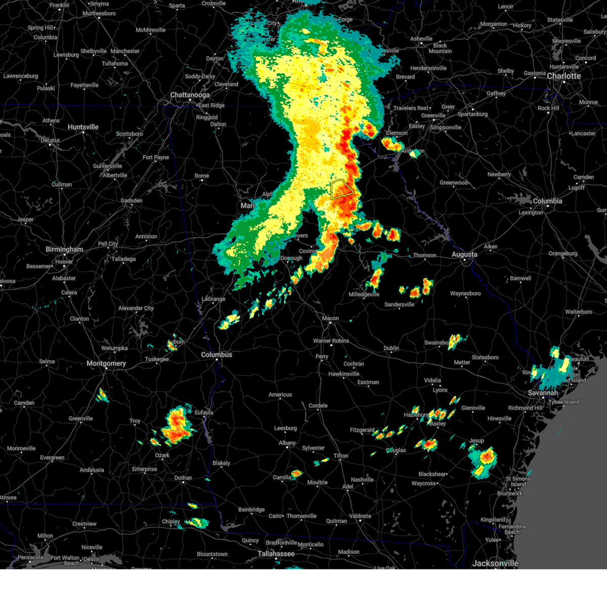
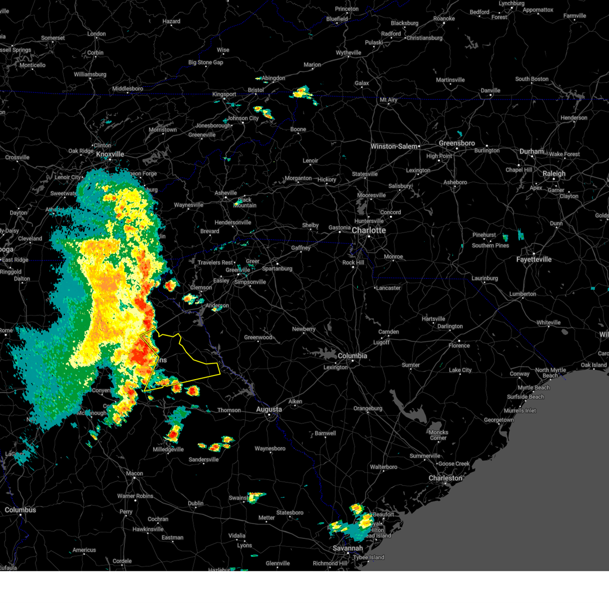
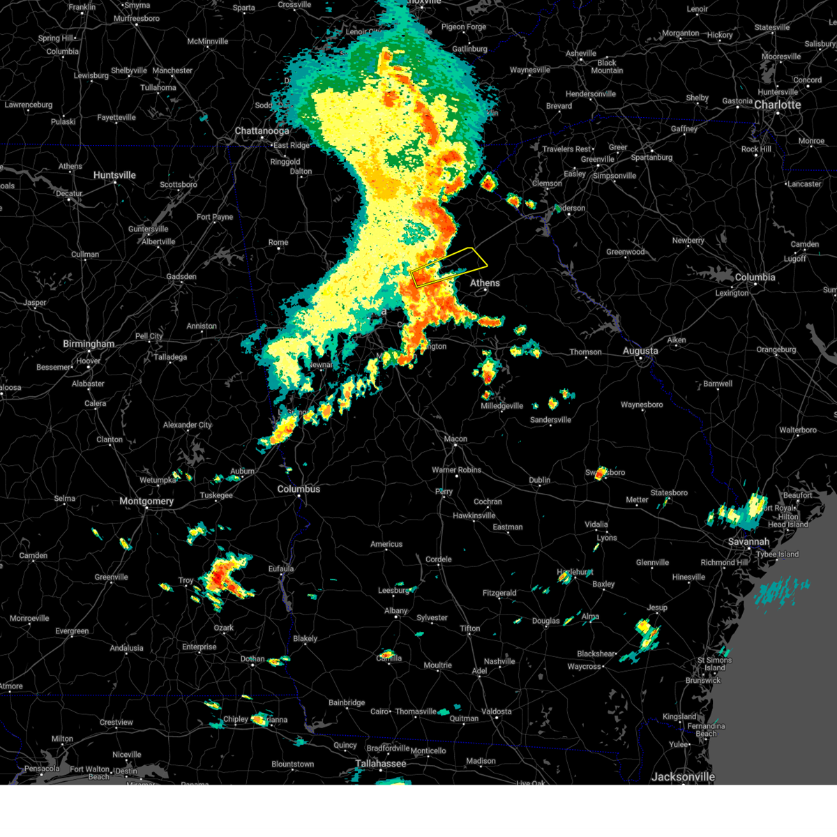
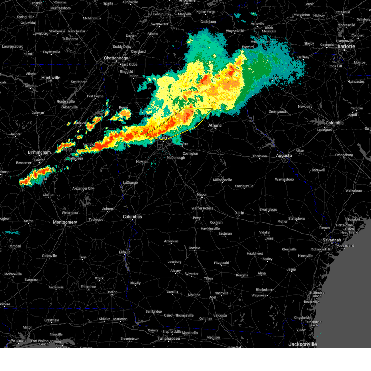
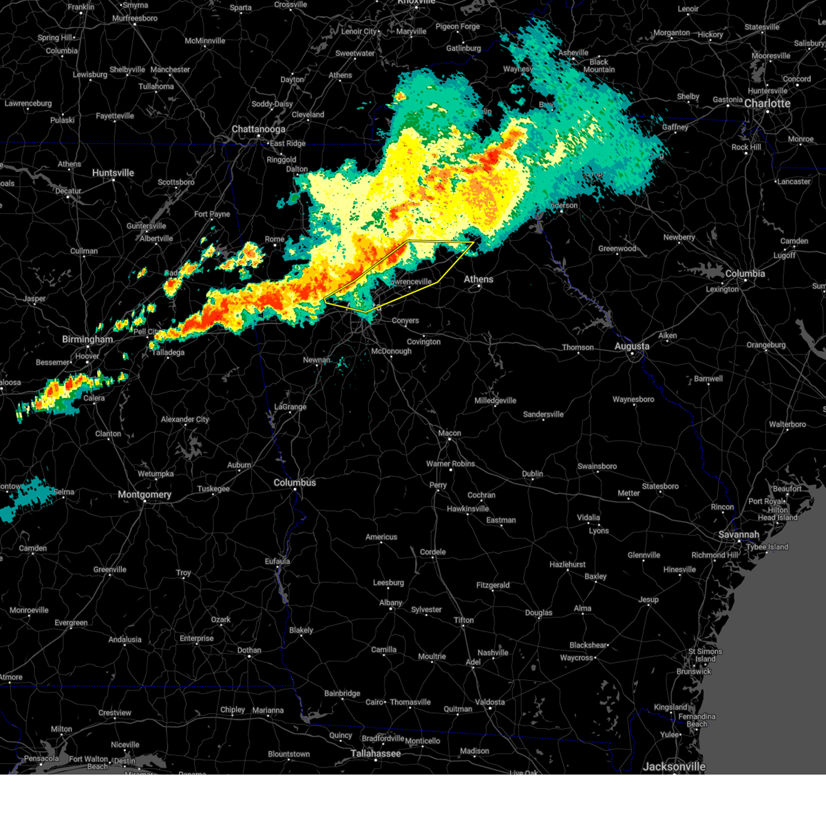
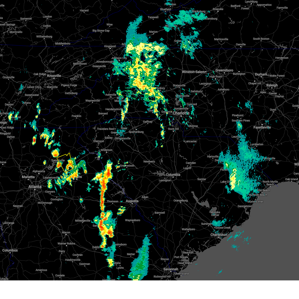
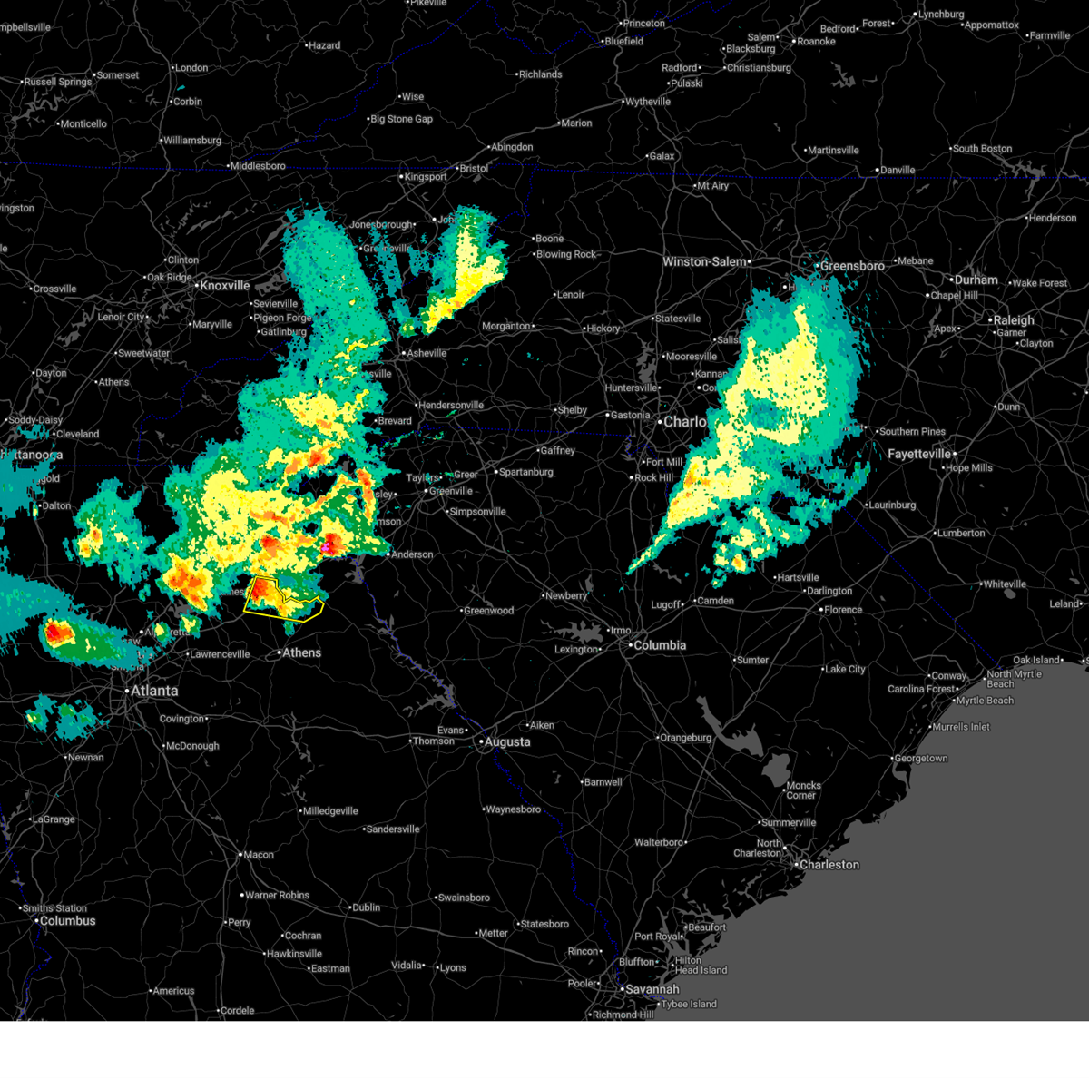
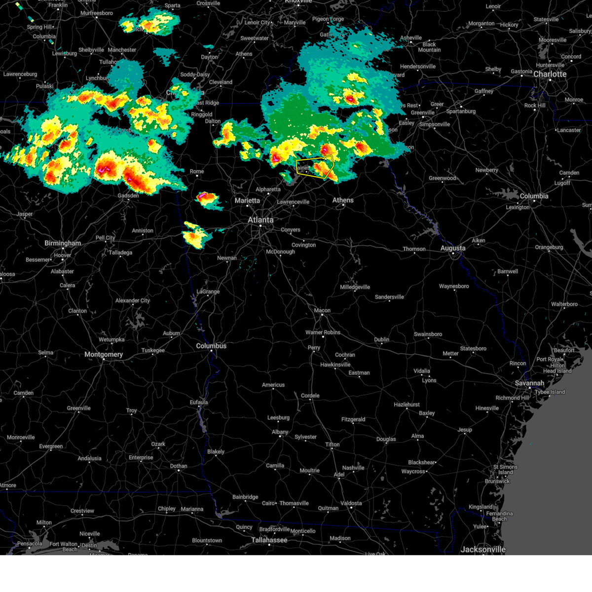
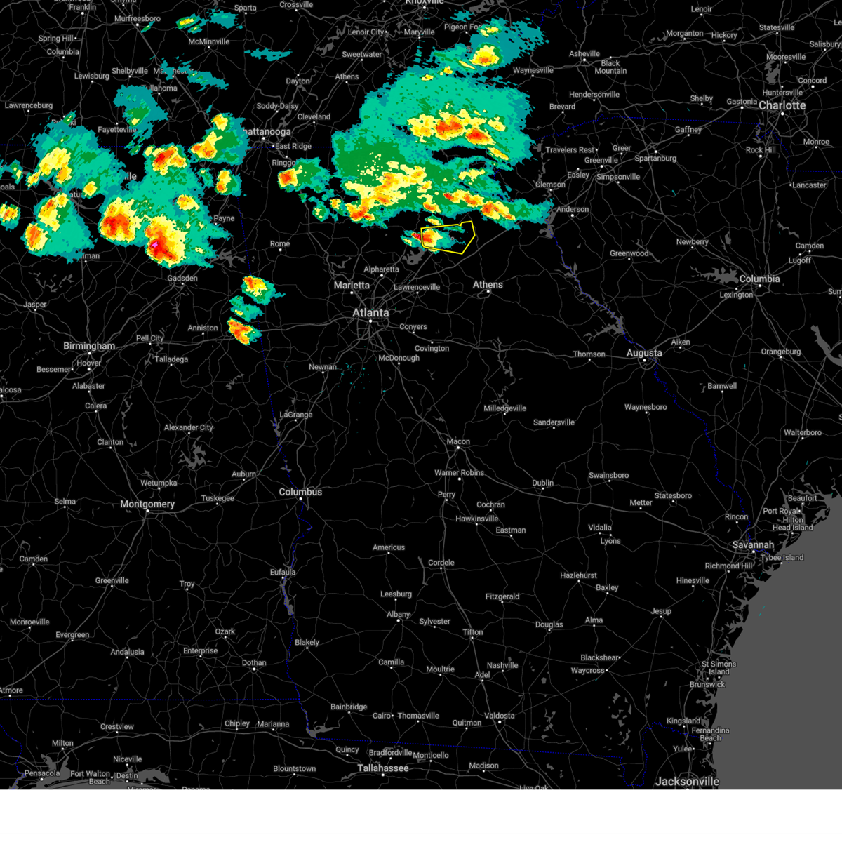
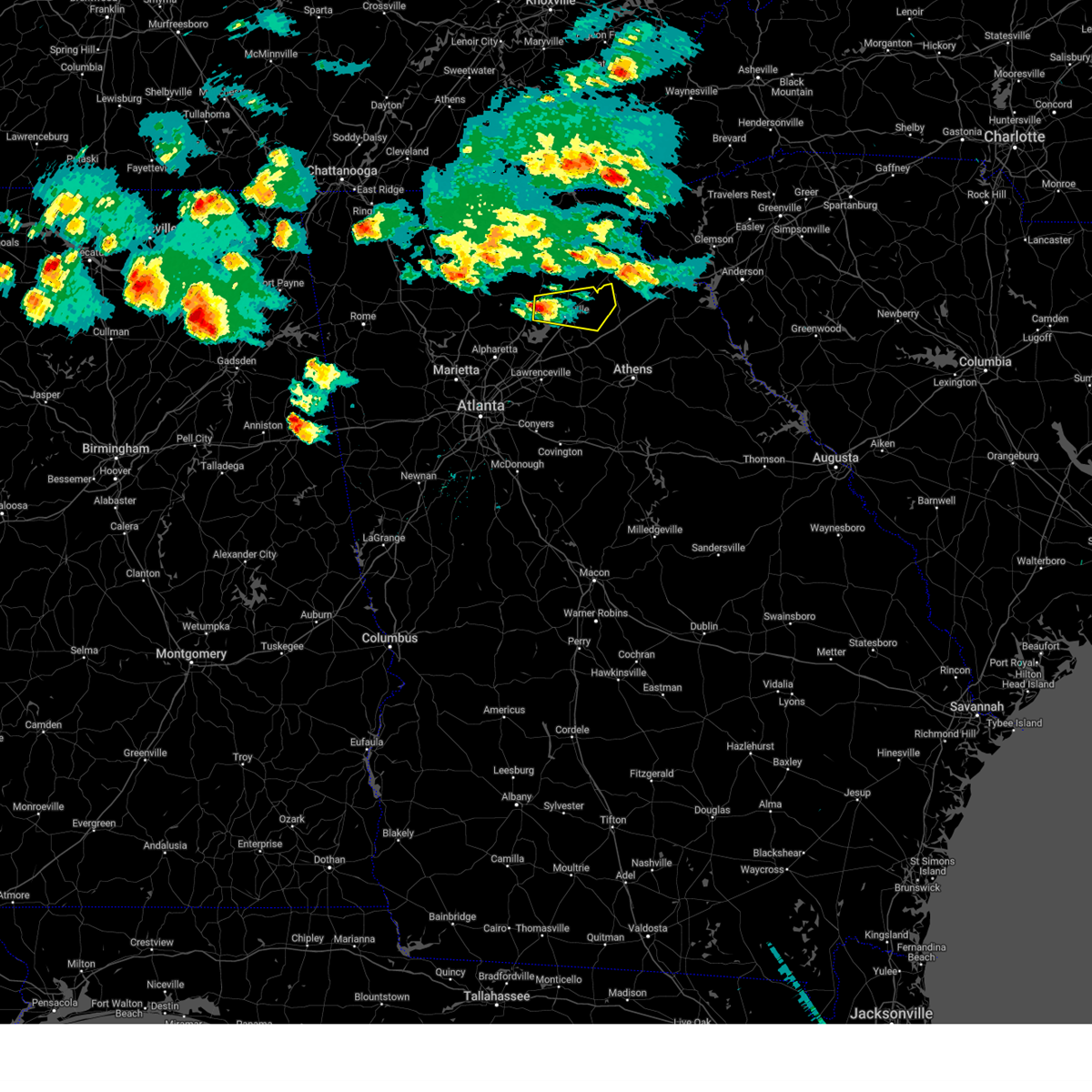
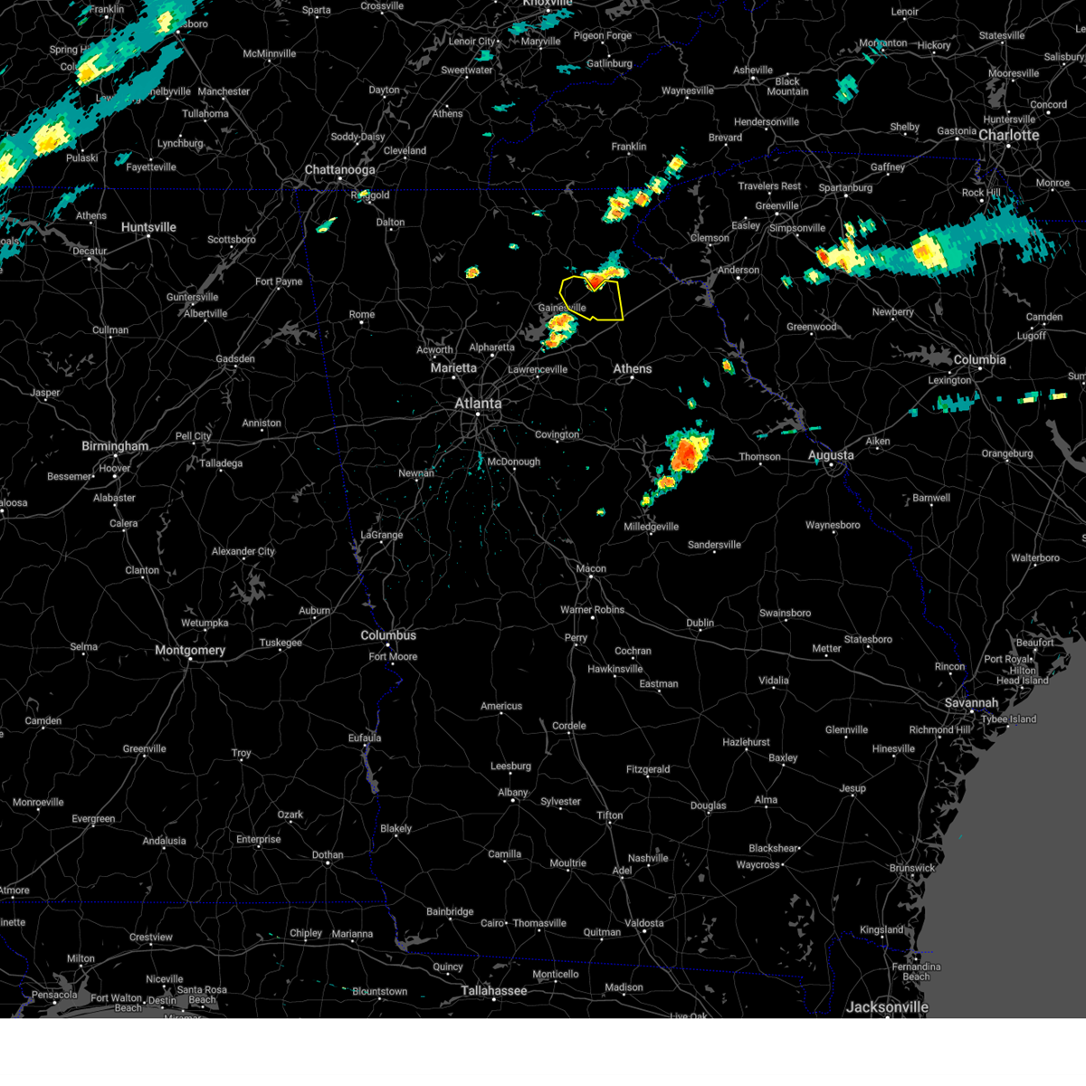
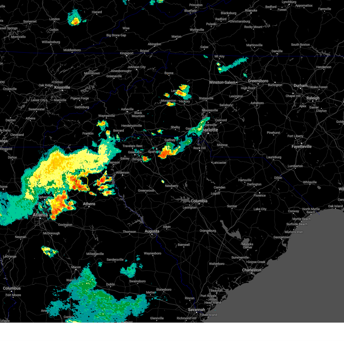
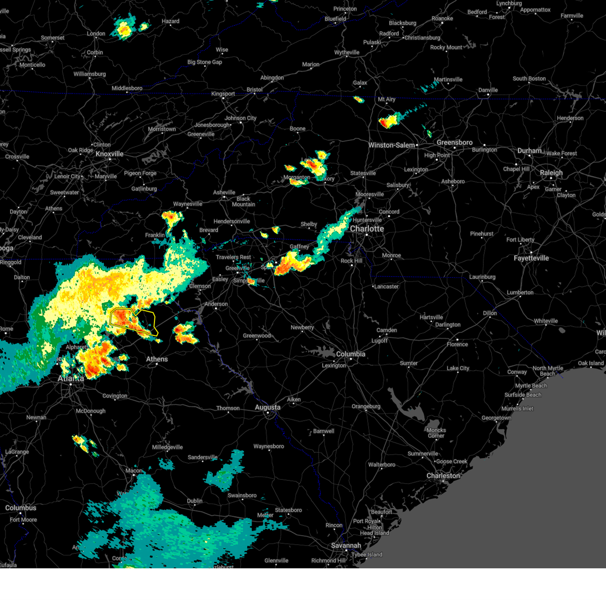
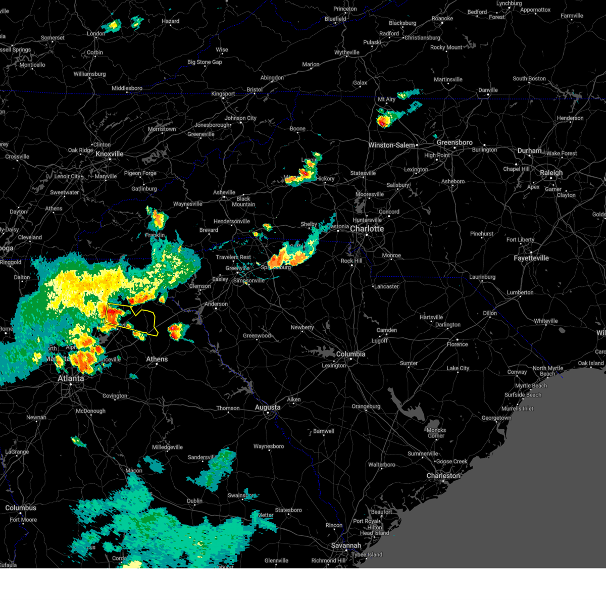
Hail Map for Maysville, GA
The Maysville, GA area has had 1 report of on-the-ground hail by trained spotters, and has been under severe weather warnings 15 times during the past 12 months. Doppler radar has detected hail at or near Maysville, GA on 35 occasions, including 2 occasions during the past year.
| Name: | Maysville, GA |
| Where Located: | 59.6 miles NE of Atlanta, GA |
| Map: | Google Map for Maysville, GA |
| Population: | 1798 |
| Housing Units: | 756 |
| More Info: | Search Google for Maysville, GA |
1
The Top Recent Hail Date for Maysville, GA is Saturday, September 27, 2025 (6th out of 35)
Hail and Wind Damage Spotted near Maysville, GA
| Date / Time | Report Details |
|---|---|
| 6/18/2026 6:15 PM EDT |
 At 615 pm edt, severe thunderstorms were located along a line extending from near cleveland to near pocataligo to near lyneville, moving northeast at 50 mph (radar indicated). Hazards include 60 mph wind gusts. Expect damage to roofs, siding, and trees. Locations impacted include, commerce, cleveland, homer, danielsville, lula, maysville, nicholson, alto, clermont, colbert, helen, ila, hull, athens-clarke county, raoul, diamond hill, mossy creek, leaf, hollingsworth, and sautee. At 615 pm edt, severe thunderstorms were located along a line extending from near cleveland to near pocataligo to near lyneville, moving northeast at 50 mph (radar indicated). Hazards include 60 mph wind gusts. Expect damage to roofs, siding, and trees. Locations impacted include, commerce, cleveland, homer, danielsville, lula, maysville, nicholson, alto, clermont, colbert, helen, ila, hull, athens-clarke county, raoul, diamond hill, mossy creek, leaf, hollingsworth, and sautee.
|
| 6/18/2026 6:02 PM EDT |
 At 601 pm edt, severe thunderstorms were located along a line extending from near auraria to nicholson to near siloam, moving northeast at 40 mph (radar indicated). Hazards include 60 mph wind gusts. Expect damage to roofs, siding, and trees. Locations impacted include, gainesville, jefferson, commerce, dahlonega, cleveland, watkinsville, homer, danielsville, athens, lula, maysville, arcade, nicholson, alto, clermont, colbert, helen, ila, gillsville, and hull. At 601 pm edt, severe thunderstorms were located along a line extending from near auraria to nicholson to near siloam, moving northeast at 40 mph (radar indicated). Hazards include 60 mph wind gusts. Expect damage to roofs, siding, and trees. Locations impacted include, gainesville, jefferson, commerce, dahlonega, cleveland, watkinsville, homer, danielsville, athens, lula, maysville, arcade, nicholson, alto, clermont, colbert, helen, ila, gillsville, and hull.
|
| 6/18/2026 5:49 PM EDT |
 At 549 pm edt, severe thunderstorms were located along a line extending from dougherty to near arcade to near liberty, moving east at 50 mph (radar indicated). Hazards include 60 mph wind gusts. Expect damage to roofs, siding, and trees. Locations impacted include, gainesville, winder, jefferson, commerce, cumming, dahlonega, cleveland, homer, danielsville, athens, sugar hill, buford, braselton, auburn, flowery branch, oakwood, lula, statham, maysville, and arcade. At 549 pm edt, severe thunderstorms were located along a line extending from dougherty to near arcade to near liberty, moving east at 50 mph (radar indicated). Hazards include 60 mph wind gusts. Expect damage to roofs, siding, and trees. Locations impacted include, gainesville, winder, jefferson, commerce, cumming, dahlonega, cleveland, homer, danielsville, athens, sugar hill, buford, braselton, auburn, flowery branch, oakwood, lula, statham, maysville, and arcade.
|
| 6/18/2026 5:25 PM EDT |
 Svrffc the national weather service in peachtree city has issued a * severe thunderstorm warning for, gwinnett county in north central georgia, clarke county in northeastern georgia, hall county in north central georgia, jackson county in northeastern georgia, madison county in northeastern georgia, northwestern oconee county in northeastern georgia, barrow county in north central georgia, forsyth county in north central georgia, southeastern lumpkin county in north central georgia, banks county in northeastern georgia, white county in northeastern georgia, northern walton county in north central georgia, southeastern dawson county in north central georgia, northeastern fulton county in north central georgia, * until 630 pm edt. * at 525 pm edt, severe thunderstorms were located along a line extending from birmingham to nicholasville to warfield, moving northeast at 50 mph (radar indicated). Hazards include 60 mph wind gusts. expect damage to roofs, siding, and trees Svrffc the national weather service in peachtree city has issued a * severe thunderstorm warning for, gwinnett county in north central georgia, clarke county in northeastern georgia, hall county in north central georgia, jackson county in northeastern georgia, madison county in northeastern georgia, northwestern oconee county in northeastern georgia, barrow county in north central georgia, forsyth county in north central georgia, southeastern lumpkin county in north central georgia, banks county in northeastern georgia, white county in northeastern georgia, northern walton county in north central georgia, southeastern dawson county in north central georgia, northeastern fulton county in north central georgia, * until 630 pm edt. * at 525 pm edt, severe thunderstorms were located along a line extending from birmingham to nicholasville to warfield, moving northeast at 50 mph (radar indicated). Hazards include 60 mph wind gusts. expect damage to roofs, siding, and trees
|
| 3/16/2026 7:16 AM EDT |
 The storms which prompted the warning have moved out of the area. therefore, the warning has been allowed to expire. a tornado watch remains in effect until 1000 am edt for central, north central and northeastern georgia. to report severe weather, contact your nearest law enforcement agency. they will relay your report to the national weather service peachtree city. remember, a severe thunderstorm warning still remains in effect for madison, clarke, oconee, and morgan counties until 745 am edt. The storms which prompted the warning have moved out of the area. therefore, the warning has been allowed to expire. a tornado watch remains in effect until 1000 am edt for central, north central and northeastern georgia. to report severe weather, contact your nearest law enforcement agency. they will relay your report to the national weather service peachtree city. remember, a severe thunderstorm warning still remains in effect for madison, clarke, oconee, and morgan counties until 745 am edt.
|
| 3/16/2026 6:41 AM EDT |
 At 640 am edt, severe thunderstorms were located along a line extending from maysville to near bethlehem to porterdale, moving east at 45 mph (radar indicated). Hazards include 60 mph wind gusts. Expect damage to roofs, siding, and trees. Locations impacted include, conyers, winder, monroe, covington, jefferson, commerce, watkinsville, athens, loganville, social circle, statham, oxford, maysville, arcade, nicholson, porterdale, hoschton, walnut grove, winterville, and bogart. At 640 am edt, severe thunderstorms were located along a line extending from maysville to near bethlehem to porterdale, moving east at 45 mph (radar indicated). Hazards include 60 mph wind gusts. Expect damage to roofs, siding, and trees. Locations impacted include, conyers, winder, monroe, covington, jefferson, commerce, watkinsville, athens, loganville, social circle, statham, oxford, maysville, arcade, nicholson, porterdale, hoschton, walnut grove, winterville, and bogart.
|
| 3/16/2026 6:41 AM EDT |
 the severe thunderstorm warning has been cancelled and is no longer in effect the severe thunderstorm warning has been cancelled and is no longer in effect
|
| 3/16/2026 6:35 AM EDT |
 The storms which prompted the warning have moved out of the area. therefore, the warning will be allowed to expire. a tornado watch remains in effect until 1000 am edt for north central and northeastern georgia. The storms which prompted the warning have moved out of the area. therefore, the warning will be allowed to expire. a tornado watch remains in effect until 1000 am edt for north central and northeastern georgia.
|
| 3/16/2026 6:27 AM EDT |
 Svrffc the national weather service in peachtree city has issued a * severe thunderstorm warning for, rockdale county in north central georgia, oconee county in northeastern georgia, barrow county in north central georgia, northwestern morgan county in north central georgia, southeastern gwinnett county in north central georgia, southern banks county in northeastern georgia, clarke county in northeastern georgia, walton county in north central georgia, southeastern hall county in north central georgia, jackson county in northeastern georgia, western madison county in northeastern georgia, newton county in north central georgia, * until 715 am edt. * at 627 am edt, severe thunderstorms were located along a line extending from near candler to near bold springs to near magnet, moving east at 45 mph (radar indicated). Hazards include 60 mph wind gusts. expect damage to roofs, siding, and trees Svrffc the national weather service in peachtree city has issued a * severe thunderstorm warning for, rockdale county in north central georgia, oconee county in northeastern georgia, barrow county in north central georgia, northwestern morgan county in north central georgia, southeastern gwinnett county in north central georgia, southern banks county in northeastern georgia, clarke county in northeastern georgia, walton county in north central georgia, southeastern hall county in north central georgia, jackson county in northeastern georgia, western madison county in northeastern georgia, newton county in north central georgia, * until 715 am edt. * at 627 am edt, severe thunderstorms were located along a line extending from near candler to near bold springs to near magnet, moving east at 45 mph (radar indicated). Hazards include 60 mph wind gusts. expect damage to roofs, siding, and trees
|
| 3/16/2026 5:59 AM EDT |
 Svrffc the national weather service in peachtree city has issued a * severe thunderstorm warning for, rockdale county in north central georgia, western barrow county in north central georgia, dekalb county in north central georgia, central forsyth county in north central georgia, gwinnett county in north central georgia, western banks county in northeastern georgia, northwestern henry county in north central georgia, northwestern walton county in north central georgia, hall county in north central georgia, northwestern jackson county in northeastern georgia, northern clayton county in north central georgia, * until 645 am edt. * at 558 am edt, severe thunderstorms were located along a line extending from near war hill park to near riverdale, moving east at 55 mph (radar indicated). Hazards include 60 mph wind gusts. expect damage to roofs, siding, and trees Svrffc the national weather service in peachtree city has issued a * severe thunderstorm warning for, rockdale county in north central georgia, western barrow county in north central georgia, dekalb county in north central georgia, central forsyth county in north central georgia, gwinnett county in north central georgia, western banks county in northeastern georgia, northwestern henry county in north central georgia, northwestern walton county in north central georgia, hall county in north central georgia, northwestern jackson county in northeastern georgia, northern clayton county in north central georgia, * until 645 am edt. * at 558 am edt, severe thunderstorms were located along a line extending from near war hill park to near riverdale, moving east at 55 mph (radar indicated). Hazards include 60 mph wind gusts. expect damage to roofs, siding, and trees
|
| 11/8/2025 3:23 PM EST | The storm which prompted the warning has weakened below severe limits, and no longer poses an immediate threat to life or property. therefore, the warning will be allowed to expire. however, small hail is still possible with this thunderstorm. |
| 11/8/2025 3:11 PM EST | At 310 pm est, a severe thunderstorm was located near gillsville, or 9 miles east of gainesville, moving east at 30 mph (radar indicated). Hazards include 60 mph wind gusts and quarter size hail. Hail damage to vehicles is expected. expect wind damage to roofs, siding, and trees. Locations impacted include, jefferson, commerce, homer, lula, maysville, gillsville, talmo, pinefield crossroads, and banks crossing. |
| 11/8/2025 2:53 PM EST | At 253 pm est, a severe thunderstorm was located over gainesville, moving east at 30 mph (radar indicated). Hazards include 60 mph wind gusts and quarter size hail. Hail damage to vehicles is expected. expect wind damage to roofs, siding, and trees. Locations impacted include, gainesville, jefferson, commerce, homer, oakwood, lula, maysville, gillsville, talmo, candler, pinefield crossroads, and banks crossing. |
| 11/8/2025 2:53 PM EST | the severe thunderstorm warning has been cancelled and is no longer in effect |
| 11/8/2025 2:46 PM EST | Svrffc the national weather service in peachtree city has issued a * severe thunderstorm warning for, northeastern forsyth county in north central georgia, banks county in northeastern georgia, central hall county in north central georgia, northern jackson county in northeastern georgia, * until 330 pm est. * at 246 pm est, a severe thunderstorm was located over oakwood, or near gainesville, moving east at 30 mph (radar indicated). Hazards include 60 mph wind gusts and quarter size hail. Hail damage to vehicles is expected. Expect wind damage to roofs, siding, and trees. |
| 6/17/2025 7:45 PM EDT |
 the severe thunderstorm warning has been cancelled and is no longer in effect the severe thunderstorm warning has been cancelled and is no longer in effect
|
| 6/17/2025 7:44 PM EDT |
 The storms which prompted the warning have moved out of the area. therefore, the warning will be allowed to expire. The storms which prompted the warning have moved out of the area. therefore, the warning will be allowed to expire.
|
| 6/17/2025 7:41 PM EDT |
 the severe thunderstorm warning has been cancelled and is no longer in effect the severe thunderstorm warning has been cancelled and is no longer in effect
|
| 6/17/2025 7:41 PM EDT |
 At 741 pm edt, severe thunderstorms were located along a line extending from near tate city to near pinefield crossroads, moving east at 35 mph (radar indicated). Hazards include 60 mph wind gusts. Expect damage to roofs, siding, and trees. Locations impacted include, jefferson, homer, lula, maysville, gillsville, pinefield crossroads, and hollingsworth. At 741 pm edt, severe thunderstorms were located along a line extending from near tate city to near pinefield crossroads, moving east at 35 mph (radar indicated). Hazards include 60 mph wind gusts. Expect damage to roofs, siding, and trees. Locations impacted include, jefferson, homer, lula, maysville, gillsville, pinefield crossroads, and hollingsworth.
|
| 6/17/2025 7:37 PM EDT |
 At 736 pm edt, severe thunderstorms were located along a line extending from near tate city to near homer, moving east at 35 mph (radar indicated). Hazards include 60 mph wind gusts. Expect damage to roofs, siding, and trees. Locations impacted include, jefferson, homer, lula, maysville, helen, gillsville, unicoi state park, robertstown, pinefield crossroads, mossy creek, anna ruby falls, leaf, smithgall woods conservation are, hollingsworth, and sautee. At 736 pm edt, severe thunderstorms were located along a line extending from near tate city to near homer, moving east at 35 mph (radar indicated). Hazards include 60 mph wind gusts. Expect damage to roofs, siding, and trees. Locations impacted include, jefferson, homer, lula, maysville, helen, gillsville, unicoi state park, robertstown, pinefield crossroads, mossy creek, anna ruby falls, leaf, smithgall woods conservation are, hollingsworth, and sautee.
|
| 6/17/2025 7:37 PM EDT |
 the severe thunderstorm warning has been cancelled and is no longer in effect the severe thunderstorm warning has been cancelled and is no longer in effect
|
| 6/17/2025 7:35 PM EDT |
 At 735 pm edt, severe thunderstorms were located along a line extending from near nicholson to near whitehall to near farmington, moving northeast at 40 mph (radar indicated). Hazards include 60 mph wind gusts. Expect damage to roofs, siding, and trees. Locations impacted include, jefferson, commerce, homer, danielsville, maysville, arcade, nicholson, winterville, colbert, arnoldsville, ila, hull, athens-clarke county, pocataligo, peach state speedway, diamond hill, smithonia, sandy creek recreation area, dunlap, and apple valley. At 735 pm edt, severe thunderstorms were located along a line extending from near nicholson to near whitehall to near farmington, moving northeast at 40 mph (radar indicated). Hazards include 60 mph wind gusts. Expect damage to roofs, siding, and trees. Locations impacted include, jefferson, commerce, homer, danielsville, maysville, arcade, nicholson, winterville, colbert, arnoldsville, ila, hull, athens-clarke county, pocataligo, peach state speedway, diamond hill, smithonia, sandy creek recreation area, dunlap, and apple valley.
|
| 6/17/2025 7:35 PM EDT |
 the severe thunderstorm warning has been cancelled and is no longer in effect the severe thunderstorm warning has been cancelled and is no longer in effect
|
| 6/17/2025 7:17 PM EDT |
 the severe thunderstorm warning has been cancelled and is no longer in effect the severe thunderstorm warning has been cancelled and is no longer in effect
|
| 6/17/2025 7:17 PM EDT |
 At 717 pm edt, severe thunderstorms were located along a line extending from arcade to north high shoals to near hard labor creek state park, moving northeast at 40 mph (radar indicated). Hazards include 60 mph wind gusts. Expect damage to roofs, siding, and trees. Locations impacted include, jefferson, commerce, watkinsville, homer, danielsville, athens, statham, maysville, arcade, nicholson, winterville, bogart, crawford, colbert, arnoldsville, ila, hull, whitehall, athens-clarke county, and westgate park. At 717 pm edt, severe thunderstorms were located along a line extending from arcade to north high shoals to near hard labor creek state park, moving northeast at 40 mph (radar indicated). Hazards include 60 mph wind gusts. Expect damage to roofs, siding, and trees. Locations impacted include, jefferson, commerce, watkinsville, homer, danielsville, athens, statham, maysville, arcade, nicholson, winterville, bogart, crawford, colbert, arnoldsville, ila, hull, whitehall, athens-clarke county, and westgate park.
|
| 6/17/2025 7:15 PM EDT |
 The storms which prompted the warning have moved out of the area. therefore, the warning will be allowed to expire. remember, a severe thunderstorm warning still remains in effect for hall, white, banks, and jackson counties. The storms which prompted the warning have moved out of the area. therefore, the warning will be allowed to expire. remember, a severe thunderstorm warning still remains in effect for hall, white, banks, and jackson counties.
|
| 6/17/2025 7:14 PM EDT |
 Svrffc the national weather service in peachtree city has issued a * severe thunderstorm warning for, central barrow county in north central georgia, banks county in northeastern georgia, white county in northeastern georgia, northeastern hall county in north central georgia, northwestern jackson county in northeastern georgia, * until 800 pm edt. * at 714 pm edt, severe thunderstorms were located along a line extending from hiawassee to gillsville, moving east at 35 mph (radar indicated). Hazards include 60 mph wind gusts. expect damage to roofs, siding, and trees Svrffc the national weather service in peachtree city has issued a * severe thunderstorm warning for, central barrow county in north central georgia, banks county in northeastern georgia, white county in northeastern georgia, northeastern hall county in north central georgia, northwestern jackson county in northeastern georgia, * until 800 pm edt. * at 714 pm edt, severe thunderstorms were located along a line extending from hiawassee to gillsville, moving east at 35 mph (radar indicated). Hazards include 60 mph wind gusts. expect damage to roofs, siding, and trees
|
| 6/17/2025 6:57 PM EDT |
 At 656 pm edt, severe thunderstorms were located along a line extending from garland to gainesville to near thompsons mill to hog mountain, moving east at 45 mph (radar indicated). Hazards include 60 mph wind gusts. Expect damage to roofs, siding, and trees. Locations impacted include, gainesville, lawrenceville, winder, jefferson, dahlonega, dawsonville, sugar hill, suwanee, buford, braselton, auburn, flowery branch, dacula, oakwood, lula, maysville, hoschton, clermont, pendergrass, and carl. At 656 pm edt, severe thunderstorms were located along a line extending from garland to gainesville to near thompsons mill to hog mountain, moving east at 45 mph (radar indicated). Hazards include 60 mph wind gusts. Expect damage to roofs, siding, and trees. Locations impacted include, gainesville, lawrenceville, winder, jefferson, dahlonega, dawsonville, sugar hill, suwanee, buford, braselton, auburn, flowery branch, dacula, oakwood, lula, maysville, hoschton, clermont, pendergrass, and carl.
|
| 6/17/2025 6:57 PM EDT |
 the severe thunderstorm warning has been cancelled and is no longer in effect the severe thunderstorm warning has been cancelled and is no longer in effect
|
| 6/17/2025 6:55 PM EDT |
 Svrffc the national weather service in peachtree city has issued a * severe thunderstorm warning for, oconee county in northeastern georgia, southern barrow county in north central georgia, northwestern morgan county in north central georgia, southeastern banks county in northeastern georgia, clarke county in northeastern georgia, walton county in north central georgia, jackson county in northeastern georgia, northwestern oglethorpe county in northeastern georgia, western madison county in northeastern georgia, * until 745 pm edt. * at 655 pm edt, severe thunderstorms were located along a line extending from near carl to pannell to near brick store, moving northeast at 40 mph (radar indicated). Hazards include 60 mph wind gusts. expect damage to roofs, siding, and trees Svrffc the national weather service in peachtree city has issued a * severe thunderstorm warning for, oconee county in northeastern georgia, southern barrow county in north central georgia, northwestern morgan county in north central georgia, southeastern banks county in northeastern georgia, clarke county in northeastern georgia, walton county in north central georgia, jackson county in northeastern georgia, northwestern oglethorpe county in northeastern georgia, western madison county in northeastern georgia, * until 745 pm edt. * at 655 pm edt, severe thunderstorms were located along a line extending from near carl to pannell to near brick store, moving northeast at 40 mph (radar indicated). Hazards include 60 mph wind gusts. expect damage to roofs, siding, and trees
|
| 6/17/2025 6:32 PM EDT |
 Svrffc the national weather service in peachtree city has issued a * severe thunderstorm warning for, northwestern dekalb county in north central georgia, northern gwinnett county in north central georgia, hall county in north central georgia, northwestern jackson county in northeastern georgia, northwestern barrow county in north central georgia, northeastern cherokee county in north central georgia, forsyth county in north central georgia, southern lumpkin county in north central georgia, western banks county in northeastern georgia, southern white county in northeastern georgia, dawson county in north central georgia, northeastern fulton county in north central georgia, southeastern pickens county in north central georgia, * until 715 pm edt. * at 631 pm edt, severe thunderstorms were located along a line extending from near juno to cumming to johns creek to near mechanicsville, moving east at 45 mph (radar indicated. at 615 pm a 54 mph wind gust was reported in canton). Hazards include 60 mph wind gusts. expect damage to roofs, siding, and trees Svrffc the national weather service in peachtree city has issued a * severe thunderstorm warning for, northwestern dekalb county in north central georgia, northern gwinnett county in north central georgia, hall county in north central georgia, northwestern jackson county in northeastern georgia, northwestern barrow county in north central georgia, northeastern cherokee county in north central georgia, forsyth county in north central georgia, southern lumpkin county in north central georgia, western banks county in northeastern georgia, southern white county in northeastern georgia, dawson county in north central georgia, northeastern fulton county in north central georgia, southeastern pickens county in north central georgia, * until 715 pm edt. * at 631 pm edt, severe thunderstorms were located along a line extending from near juno to cumming to johns creek to near mechanicsville, moving east at 45 mph (radar indicated. at 615 pm a 54 mph wind gust was reported in canton). Hazards include 60 mph wind gusts. expect damage to roofs, siding, and trees
|
| 6/12/2025 9:05 PM EDT |
 Svrffc the national weather service in peachtree city has issued a * severe thunderstorm warning for, northeastern barrow county in north central georgia, southeastern hall county in north central georgia, jackson county in northeastern georgia, * until 930 pm edt. * at 905 pm edt, a severe thunderstorm was located over hoschton, or near winder, moving northeast at 25 mph (radar indicated). Hazards include 60 mph wind gusts. expect damage to roofs, siding, and trees Svrffc the national weather service in peachtree city has issued a * severe thunderstorm warning for, northeastern barrow county in north central georgia, southeastern hall county in north central georgia, jackson county in northeastern georgia, * until 930 pm edt. * at 905 pm edt, a severe thunderstorm was located over hoschton, or near winder, moving northeast at 25 mph (radar indicated). Hazards include 60 mph wind gusts. expect damage to roofs, siding, and trees
|
| 6/10/2025 5:04 PM EDT |
 At 503 pm edt, a severe thunderstorm was located near commerce, moving east at 25 mph (radar indicated). Hazards include 60 mph wind gusts and quarter size hail. Hail damage to vehicles is expected. expect wind damage to roofs, siding, and trees. Locations impacted include, commerce, maysville, nicholson, ila, pocataligo, peach state speedway, apple valley, and banks crossing. At 503 pm edt, a severe thunderstorm was located near commerce, moving east at 25 mph (radar indicated). Hazards include 60 mph wind gusts and quarter size hail. Hail damage to vehicles is expected. expect wind damage to roofs, siding, and trees. Locations impacted include, commerce, maysville, nicholson, ila, pocataligo, peach state speedway, apple valley, and banks crossing.
|
| 6/10/2025 4:49 PM EDT |
 Svrffc the national weather service in peachtree city has issued a * severe thunderstorm warning for, southern banks county in northeastern georgia, northeastern jackson county in northeastern georgia, northwestern madison county in northeastern georgia, * until 530 pm edt. * at 449 pm edt, a severe thunderstorm was located over commerce, moving east at 25 mph (radar indicated). Hazards include 60 mph wind gusts and quarter size hail. Hail damage to vehicles is expected. Expect wind damage to roofs, siding, and trees. Svrffc the national weather service in peachtree city has issued a * severe thunderstorm warning for, southern banks county in northeastern georgia, northeastern jackson county in northeastern georgia, northwestern madison county in northeastern georgia, * until 530 pm edt. * at 449 pm edt, a severe thunderstorm was located over commerce, moving east at 25 mph (radar indicated). Hazards include 60 mph wind gusts and quarter size hail. Hail damage to vehicles is expected. Expect wind damage to roofs, siding, and trees.
|
| 6/7/2025 7:02 PM EDT |
 the severe thunderstorm warning has been cancelled and is no longer in effect the severe thunderstorm warning has been cancelled and is no longer in effect
|
| 6/7/2025 6:47 PM EDT |
 At 647 pm edt, a severe thunderstorm was located over arcade, or near jefferson, moving east at 50 mph (radar indicated). Hazards include 60 mph wind gusts. Expect damage to roofs, siding, and trees. Locations impacted include, jefferson, commerce, maysville, arcade, nicholson, peach state speedway, and apple valley. At 647 pm edt, a severe thunderstorm was located over arcade, or near jefferson, moving east at 50 mph (radar indicated). Hazards include 60 mph wind gusts. Expect damage to roofs, siding, and trees. Locations impacted include, jefferson, commerce, maysville, arcade, nicholson, peach state speedway, and apple valley.
|
| 6/7/2025 6:47 PM EDT |
 the severe thunderstorm warning has been cancelled and is no longer in effect the severe thunderstorm warning has been cancelled and is no longer in effect
|
| 6/7/2025 6:45 PM EDT |
 Svrffc the national weather service in peachtree city has issued a * severe thunderstorm warning for, eastern oconee county in northeastern georgia, north central morgan county in north central georgia, southeastern banks county in northeastern georgia, eastern clarke county in northeastern georgia, northeastern jackson county in northeastern georgia, northwestern wilkes county in east central georgia, oglethorpe county in northeastern georgia, madison county in northeastern georgia, * until 730 pm edt. * at 644 pm edt, severe thunderstorms were located along a line extending from near banks crossing to diamond hill to farmington, moving east at 50 mph (radar indicated). Hazards include 60 mph wind gusts. expect damage to roofs, siding, and trees Svrffc the national weather service in peachtree city has issued a * severe thunderstorm warning for, eastern oconee county in northeastern georgia, north central morgan county in north central georgia, southeastern banks county in northeastern georgia, eastern clarke county in northeastern georgia, northeastern jackson county in northeastern georgia, northwestern wilkes county in east central georgia, oglethorpe county in northeastern georgia, madison county in northeastern georgia, * until 730 pm edt. * at 644 pm edt, severe thunderstorms were located along a line extending from near banks crossing to diamond hill to farmington, moving east at 50 mph (radar indicated). Hazards include 60 mph wind gusts. expect damage to roofs, siding, and trees
|
| 6/7/2025 6:25 PM EDT |
 Svrffc the national weather service in peachtree city has issued a * severe thunderstorm warning for, northwestern barrow county in north central georgia, northeastern gwinnett county in north central georgia, south central hall county in north central georgia, jackson county in northeastern georgia, * until 715 pm edt. * at 625 pm edt, a severe thunderstorm was located over hog mountain, or 8 miles northeast of lawrenceville, moving east at 50 mph (radar indicated). Hazards include 60 mph wind gusts. expect damage to roofs, siding, and trees Svrffc the national weather service in peachtree city has issued a * severe thunderstorm warning for, northwestern barrow county in north central georgia, northeastern gwinnett county in north central georgia, south central hall county in north central georgia, jackson county in northeastern georgia, * until 715 pm edt. * at 625 pm edt, a severe thunderstorm was located over hog mountain, or 8 miles northeast of lawrenceville, moving east at 50 mph (radar indicated). Hazards include 60 mph wind gusts. expect damage to roofs, siding, and trees
|
| 5/21/2025 1:09 AM EDT |
 the severe thunderstorm warning has been cancelled and is no longer in effect the severe thunderstorm warning has been cancelled and is no longer in effect
|
| 5/21/2025 12:50 AM EDT |
 Svrffc the national weather service in peachtree city has issued a * severe thunderstorm warning for, northwestern barrow county in north central georgia, northwestern dekalb county in north central georgia, central forsyth county in north central georgia, central cobb county in north central georgia, gwinnett county in north central georgia, southwestern banks county in northeastern georgia, southern hall county in north central georgia, northwestern jackson county in northeastern georgia, northeastern fulton county in north central georgia, * until 130 am edt. * at 1250 am edt, severe thunderstorms were located along a line extending from near oscarville to near roswell to near hiram, moving east at 45 mph (radar indicated). Hazards include 60 mph wind gusts and penny size hail. expect damage to roofs, siding, and trees Svrffc the national weather service in peachtree city has issued a * severe thunderstorm warning for, northwestern barrow county in north central georgia, northwestern dekalb county in north central georgia, central forsyth county in north central georgia, central cobb county in north central georgia, gwinnett county in north central georgia, southwestern banks county in northeastern georgia, southern hall county in north central georgia, northwestern jackson county in northeastern georgia, northeastern fulton county in north central georgia, * until 130 am edt. * at 1250 am edt, severe thunderstorms were located along a line extending from near oscarville to near roswell to near hiram, moving east at 45 mph (radar indicated). Hazards include 60 mph wind gusts and penny size hail. expect damage to roofs, siding, and trees
|
| 5/12/2025 7:32 PM EDT |
 the severe thunderstorm warning has been cancelled and is no longer in effect the severe thunderstorm warning has been cancelled and is no longer in effect
|
| 5/12/2025 7:22 PM EDT |
 The storm which prompted the warning has weakened below severe limits, and has exited the warned area. therefore, the warning will be allowed to expire. remember, a severe thunderstorm warning still remains in effect for northern jackson county until 7:45 pm. The storm which prompted the warning has weakened below severe limits, and has exited the warned area. therefore, the warning will be allowed to expire. remember, a severe thunderstorm warning still remains in effect for northern jackson county until 7:45 pm.
|
| 5/12/2025 7:10 PM EDT |
 Svrffc the national weather service in peachtree city has issued a * severe thunderstorm warning for, western banks county in northeastern georgia, northeastern hall county in north central georgia, northern jackson county in northeastern georgia, * until 745 pm edt. * at 710 pm edt, a severe thunderstorm was located near peach state speedway, or near jefferson, moving north at 20 mph (radar indicated). Hazards include 60 mph wind gusts and quarter size hail. Hail damage to vehicles is expected. Expect wind damage to roofs, siding, and trees. Svrffc the national weather service in peachtree city has issued a * severe thunderstorm warning for, western banks county in northeastern georgia, northeastern hall county in north central georgia, northern jackson county in northeastern georgia, * until 745 pm edt. * at 710 pm edt, a severe thunderstorm was located near peach state speedway, or near jefferson, moving north at 20 mph (radar indicated). Hazards include 60 mph wind gusts and quarter size hail. Hail damage to vehicles is expected. Expect wind damage to roofs, siding, and trees.
|
| 5/12/2025 7:06 PM EDT |
 the severe thunderstorm warning has been cancelled and is no longer in effect the severe thunderstorm warning has been cancelled and is no longer in effect
|
| 5/12/2025 7:06 PM EDT |
 At 705 pm edt, a severe thunderstorm was located over commerce, moving north at 30 mph (radar indicated). Hazards include 60 mph wind gusts and quarter size hail. Hail damage to vehicles is expected. expect wind damage to roofs, siding, and trees. Locations impacted include, jefferson, commerce, maysville, nicholson, peach state speedway, and apple valley. At 705 pm edt, a severe thunderstorm was located over commerce, moving north at 30 mph (radar indicated). Hazards include 60 mph wind gusts and quarter size hail. Hail damage to vehicles is expected. expect wind damage to roofs, siding, and trees. Locations impacted include, jefferson, commerce, maysville, nicholson, peach state speedway, and apple valley.
|
| 5/12/2025 6:40 PM EDT |
 Svrffc the national weather service in peachtree city has issued a * severe thunderstorm warning for, banks county in northeastern georgia, northwestern clarke county in northeastern georgia, eastern jackson county in northeastern georgia, northwestern madison county in northeastern georgia, * until 730 pm edt. * at 639 pm edt, a severe thunderstorm was located near westgate park, or 8 miles northwest of athens, moving north at 30 mph (radar indicated). Hazards include 60 mph wind gusts and quarter size hail. Hail damage to vehicles is expected. Expect wind damage to roofs, siding, and trees. Svrffc the national weather service in peachtree city has issued a * severe thunderstorm warning for, banks county in northeastern georgia, northwestern clarke county in northeastern georgia, eastern jackson county in northeastern georgia, northwestern madison county in northeastern georgia, * until 730 pm edt. * at 639 pm edt, a severe thunderstorm was located near westgate park, or 8 miles northwest of athens, moving north at 30 mph (radar indicated). Hazards include 60 mph wind gusts and quarter size hail. Hail damage to vehicles is expected. Expect wind damage to roofs, siding, and trees.
|
| 4/10/2025 7:44 PM EDT |
 Svrffc the national weather service in peachtree city has issued a * severe thunderstorm warning for, southwestern banks county in northeastern georgia, central hall county in north central georgia, northwestern jackson county in northeastern georgia, * until 830 pm edt. * at 743 pm edt, a severe thunderstorm was located over oakwood, or near gainesville, moving southeast at 35 mph (radar indicated). Hazards include 60 mph wind gusts and half dollar size hail. Hail damage to vehicles is expected. Expect wind damage to roofs, siding, and trees. Svrffc the national weather service in peachtree city has issued a * severe thunderstorm warning for, southwestern banks county in northeastern georgia, central hall county in north central georgia, northwestern jackson county in northeastern georgia, * until 830 pm edt. * at 743 pm edt, a severe thunderstorm was located over oakwood, or near gainesville, moving southeast at 35 mph (radar indicated). Hazards include 60 mph wind gusts and half dollar size hail. Hail damage to vehicles is expected. Expect wind damage to roofs, siding, and trees.
|
| 4/10/2025 7:39 PM EDT |
 Svrffc the national weather service in peachtree city has issued a * severe thunderstorm warning for, southeastern banks county in northeastern georgia, northeastern jackson county in northeastern georgia, northwestern madison county in northeastern georgia, * until 830 pm edt. * at 739 pm edt, a severe thunderstorm was located over banks crossing, or near homer, moving east at 20 mph (radar indicated). Hazards include 60 mph wind gusts and quarter size hail. Hail damage to vehicles is expected. Expect wind damage to roofs, siding, and trees. Svrffc the national weather service in peachtree city has issued a * severe thunderstorm warning for, southeastern banks county in northeastern georgia, northeastern jackson county in northeastern georgia, northwestern madison county in northeastern georgia, * until 830 pm edt. * at 739 pm edt, a severe thunderstorm was located over banks crossing, or near homer, moving east at 20 mph (radar indicated). Hazards include 60 mph wind gusts and quarter size hail. Hail damage to vehicles is expected. Expect wind damage to roofs, siding, and trees.
|
| 4/10/2025 7:21 PM EDT |
 The storm which prompted the warning has weakened below severe limits, and no longer poses an immediate threat to life or property. therefore, the warning will be allowed to expire. however, small hail is still possible with this thunderstorm. a severe thunderstorm watch remains in effect until midnight edt for north central and northeastern georgia. The storm which prompted the warning has weakened below severe limits, and no longer poses an immediate threat to life or property. therefore, the warning will be allowed to expire. however, small hail is still possible with this thunderstorm. a severe thunderstorm watch remains in effect until midnight edt for north central and northeastern georgia.
|
| 4/10/2025 7:02 PM EDT |
 the severe thunderstorm warning has been cancelled and is no longer in effect the severe thunderstorm warning has been cancelled and is no longer in effect
|
| 4/10/2025 7:02 PM EDT |
 At 701 pm edt, a severe thunderstorm was located near gainesville, moving east at 35 mph (radar indicated). Hazards include 60 mph wind gusts and quarter size hail. Hail damage to vehicles is expected. expect wind damage to roofs, siding, and trees. Locations impacted include, gainesville, lula, gillsville, raoul, homer, and maysville. At 701 pm edt, a severe thunderstorm was located near gainesville, moving east at 35 mph (radar indicated). Hazards include 60 mph wind gusts and quarter size hail. Hail damage to vehicles is expected. expect wind damage to roofs, siding, and trees. Locations impacted include, gainesville, lula, gillsville, raoul, homer, and maysville.
|
| 4/10/2025 6:51 PM EDT |
 Svrffc the national weather service in peachtree city has issued a * severe thunderstorm warning for, northeastern forsyth county in north central georgia, western banks county in northeastern georgia, southeastern dawson county in north central georgia, central hall county in north central georgia, north central jackson county in northeastern georgia, * until 730 pm edt. * at 651 pm edt, a severe thunderstorm was located over war hill park, or 8 miles northwest of gainesville, moving east at 35 mph (radar indicated). Hazards include 60 mph wind gusts and quarter size hail. Hail damage to vehicles is expected. Expect wind damage to roofs, siding, and trees. Svrffc the national weather service in peachtree city has issued a * severe thunderstorm warning for, northeastern forsyth county in north central georgia, western banks county in northeastern georgia, southeastern dawson county in north central georgia, central hall county in north central georgia, north central jackson county in northeastern georgia, * until 730 pm edt. * at 651 pm edt, a severe thunderstorm was located over war hill park, or 8 miles northwest of gainesville, moving east at 35 mph (radar indicated). Hazards include 60 mph wind gusts and quarter size hail. Hail damage to vehicles is expected. Expect wind damage to roofs, siding, and trees.
|
| 9/24/2024 4:14 PM EDT |
 The storm which prompted the warning has weakened below severe limits, and no longer poses an immediate threat to life or property. therefore, the warning will be allowed to expire. however, gusty winds are still possible with this thunderstorm. The storm which prompted the warning has weakened below severe limits, and no longer poses an immediate threat to life or property. therefore, the warning will be allowed to expire. however, gusty winds are still possible with this thunderstorm.
|
| 9/24/2024 3:58 PM EDT |
 At 356 pm edt, a severe thunderstorm was located over lula, or 10 miles northeast of gainesville, moving east at 20 mph (radar indicated). Hazards include 60 mph wind gusts and penny size hail. Expect damage to roofs, siding, and trees. Locations impacted include, gainesville, homer, lula, maysville, clermont, gillsville, and hollingsworth. At 356 pm edt, a severe thunderstorm was located over lula, or 10 miles northeast of gainesville, moving east at 20 mph (radar indicated). Hazards include 60 mph wind gusts and penny size hail. Expect damage to roofs, siding, and trees. Locations impacted include, gainesville, homer, lula, maysville, clermont, gillsville, and hollingsworth.
|
| 9/24/2024 3:34 PM EDT |
 Svrffc the national weather service in peachtree city has issued a * severe thunderstorm warning for, banks county in northeastern georgia, northeastern hall county in north central georgia, * until 415 pm edt. * at 332 pm edt, a severe thunderstorm was located near murrayville, or near gainesville, moving east at 20 mph (radar indicated). Hazards include 60 mph wind gusts and nickel size hail. expect damage to roofs, siding, and trees Svrffc the national weather service in peachtree city has issued a * severe thunderstorm warning for, banks county in northeastern georgia, northeastern hall county in north central georgia, * until 415 pm edt. * at 332 pm edt, a severe thunderstorm was located near murrayville, or near gainesville, moving east at 20 mph (radar indicated). Hazards include 60 mph wind gusts and nickel size hail. expect damage to roofs, siding, and trees
|
| 8/17/2024 7:22 PM EDT |
 The storm which prompted the warning has weakened below severe limits, and no longer poses an immediate threat to life or property. therefore, the warning will be allowed to expire. however, gusty winds and heavy rain are still possible with this thunderstorm. a severe thunderstorm watch remains in effect until 1000 pm edt for north central and northeastern georgia. The storm which prompted the warning has weakened below severe limits, and no longer poses an immediate threat to life or property. therefore, the warning will be allowed to expire. however, gusty winds and heavy rain are still possible with this thunderstorm. a severe thunderstorm watch remains in effect until 1000 pm edt for north central and northeastern georgia.
|
| 8/17/2024 7:10 PM EDT | A tree was downed onto power lines in the 100 block of hickory wa in jackson county GA, 3.8 miles ENE of Maysville, GA |
| 8/17/2024 7:03 PM EDT |
 At 703 pm edt, a severe thunderstorm was located over lula, or 9 miles northwest of homer, moving east at 35 mph (radar indicated). Hazards include 60 mph wind gusts and quarter size hail. Hail damage to vehicles is expected. expect wind damage to roofs, siding, and trees. Locations impacted include, homer, lula, maysville, gillsville, pinefield crossroads, hollingsworth, and banks crossing. At 703 pm edt, a severe thunderstorm was located over lula, or 9 miles northwest of homer, moving east at 35 mph (radar indicated). Hazards include 60 mph wind gusts and quarter size hail. Hail damage to vehicles is expected. expect wind damage to roofs, siding, and trees. Locations impacted include, homer, lula, maysville, gillsville, pinefield crossroads, hollingsworth, and banks crossing.
|
| 8/17/2024 7:03 PM EDT |
 the severe thunderstorm warning has been cancelled and is no longer in effect the severe thunderstorm warning has been cancelled and is no longer in effect
|
| 8/17/2024 6:58 PM EDT |
 At 658 pm edt, a severe thunderstorm was located over lula, or 11 miles northeast of gainesville, moving east at 35 mph (radar indicated). Hazards include 60 mph wind gusts. Expect damage to roofs, siding, and trees. Locations impacted include, gainesville, homer, lula, maysville, clermont, gillsville, murrayville, pinefield crossroads, hollingsworth, and banks crossing. At 658 pm edt, a severe thunderstorm was located over lula, or 11 miles northeast of gainesville, moving east at 35 mph (radar indicated). Hazards include 60 mph wind gusts. Expect damage to roofs, siding, and trees. Locations impacted include, gainesville, homer, lula, maysville, clermont, gillsville, murrayville, pinefield crossroads, hollingsworth, and banks crossing.
|
| 8/17/2024 6:58 PM EDT |
 the severe thunderstorm warning has been cancelled and is no longer in effect the severe thunderstorm warning has been cancelled and is no longer in effect
|
| 8/17/2024 6:40 PM EDT |
 Svrffc the national weather service in peachtree city has issued a * severe thunderstorm warning for, southeastern lumpkin county in north central georgia, banks county in northeastern georgia, south central white county in northeastern georgia, northern hall county in north central georgia, * until 730 pm edt. * at 640 pm edt, a severe thunderstorm was located over murrayville, or 8 miles southeast of dahlonega, moving east at 35 mph (radar indicated). Hazards include 60 mph wind gusts and quarter size hail. Hail damage to vehicles is expected. Expect wind damage to roofs, siding, and trees. Svrffc the national weather service in peachtree city has issued a * severe thunderstorm warning for, southeastern lumpkin county in north central georgia, banks county in northeastern georgia, south central white county in northeastern georgia, northern hall county in north central georgia, * until 730 pm edt. * at 640 pm edt, a severe thunderstorm was located over murrayville, or 8 miles southeast of dahlonega, moving east at 35 mph (radar indicated). Hazards include 60 mph wind gusts and quarter size hail. Hail damage to vehicles is expected. Expect wind damage to roofs, siding, and trees.
|
| 5/11/2024 8:10 AM EDT | Em reports two trees down at hwy 98 near quail rd and grove level rd near n mangum bridge r in banks county GA, 2.6 miles SSW of Maysville, GA |
| 5/9/2024 7:58 AM EDT |
 Svrffc the national weather service in peachtree city has issued a * severe thunderstorm warning for, northern barrow county in north central georgia, banks county in northeastern georgia, northwestern clarke county in northeastern georgia, southeastern hall county in north central georgia, jackson county in northeastern georgia, northwestern madison county in northeastern georgia, * until 845 am edt. * at 758 am edt, a severe thunderstorm was located over gillsville, or 7 miles west of homer, moving east at 65 mph (radar indicated). Hazards include 60 mph wind gusts and quarter size hail. Hail damage to vehicles is expected. Expect wind damage to roofs, siding, and trees. Svrffc the national weather service in peachtree city has issued a * severe thunderstorm warning for, northern barrow county in north central georgia, banks county in northeastern georgia, northwestern clarke county in northeastern georgia, southeastern hall county in north central georgia, jackson county in northeastern georgia, northwestern madison county in northeastern georgia, * until 845 am edt. * at 758 am edt, a severe thunderstorm was located over gillsville, or 7 miles west of homer, moving east at 65 mph (radar indicated). Hazards include 60 mph wind gusts and quarter size hail. Hail damage to vehicles is expected. Expect wind damage to roofs, siding, and trees.
|
| 5/9/2024 3:10 AM EDT |
 the severe thunderstorm warning has been cancelled and is no longer in effect the severe thunderstorm warning has been cancelled and is no longer in effect
|
| 5/9/2024 3:10 AM EDT |
 At 310 am edt, a severe thunderstorm was located over talmo, or 7 miles west of jefferson, moving southeast at 35 mph (radar indicated). Hazards include 60 mph wind gusts and quarter size hail. Hail damage to vehicles is expected. expect wind damage to roofs, siding, and trees. Locations impacted include, gainesville, jefferson, commerce, braselton, flowery branch, oakwood, maysville, arcade, hoschton, pendergrass, gillsville, talmo, candler, peach state speedway, thompsons mill, chateau elan, chestnut mountain, and road atlanta-lanier speedway. At 310 am edt, a severe thunderstorm was located over talmo, or 7 miles west of jefferson, moving southeast at 35 mph (radar indicated). Hazards include 60 mph wind gusts and quarter size hail. Hail damage to vehicles is expected. expect wind damage to roofs, siding, and trees. Locations impacted include, gainesville, jefferson, commerce, braselton, flowery branch, oakwood, maysville, arcade, hoschton, pendergrass, gillsville, talmo, candler, peach state speedway, thompsons mill, chateau elan, chestnut mountain, and road atlanta-lanier speedway.
|
| 5/9/2024 2:53 AM EDT |
 Svrffc the national weather service in peachtree city has issued a * severe thunderstorm warning for, northwestern barrow county in north central georgia, northeastern forsyth county in north central georgia, hall county in north central georgia, central jackson county in northeastern georgia, * until 345 am edt. * at 252 am edt, a severe thunderstorm was located over oakwood, or near gainesville, moving southeast at 30 mph (radar indicated). Hazards include 60 mph wind gusts and quarter size hail. Hail damage to vehicles is expected. Expect wind damage to roofs, siding, and trees. Svrffc the national weather service in peachtree city has issued a * severe thunderstorm warning for, northwestern barrow county in north central georgia, northeastern forsyth county in north central georgia, hall county in north central georgia, central jackson county in northeastern georgia, * until 345 am edt. * at 252 am edt, a severe thunderstorm was located over oakwood, or near gainesville, moving southeast at 30 mph (radar indicated). Hazards include 60 mph wind gusts and quarter size hail. Hail damage to vehicles is expected. Expect wind damage to roofs, siding, and trees.
|
| 2/28/2024 3:13 PM EST |
 Svrffc the national weather service in peachtree city has issued a * severe thunderstorm warning for, barrow county in north central georgia, south central forsyth county in north central georgia, gwinnett county in north central georgia, banks county in northeastern georgia, southern hall county in north central georgia, jackson county in northeastern georgia, northeastern fulton county in north central georgia, western madison county in northeastern georgia, * until 345 pm est. * at 313 pm est, severe thunderstorms were located along a line extending from near pinefield crossroads to talmo to peachtree corners, moving east at 50 mph (radar indicated). Hazards include 60 mph wind gusts and penny size hail. expect damage to roofs, siding, and trees Svrffc the national weather service in peachtree city has issued a * severe thunderstorm warning for, barrow county in north central georgia, south central forsyth county in north central georgia, gwinnett county in north central georgia, banks county in northeastern georgia, southern hall county in north central georgia, jackson county in northeastern georgia, northeastern fulton county in north central georgia, western madison county in northeastern georgia, * until 345 pm est. * at 313 pm est, severe thunderstorms were located along a line extending from near pinefield crossroads to talmo to peachtree corners, moving east at 50 mph (radar indicated). Hazards include 60 mph wind gusts and penny size hail. expect damage to roofs, siding, and trees
|
| 8/24/2023 5:27 PM EDT |
 The severe thunderstorm warning for southern banks, northeastern hall and northeastern jackson counties will expire at 530 pm edt, the storms which prompted the warning have weakened below severe limits, and have exited the warned area. therefore, the warning will be allowed to expire. The severe thunderstorm warning for southern banks, northeastern hall and northeastern jackson counties will expire at 530 pm edt, the storms which prompted the warning have weakened below severe limits, and have exited the warned area. therefore, the warning will be allowed to expire.
|
| 8/24/2023 5:15 PM EDT |
 At 515 pm edt, severe thunderstorms were located along a line extending from near clermont to near lula to near maysville to near banks crossing to 6 miles north of pocataligo, moving south at 15 mph (radar indicated). Hazards include 60 mph wind gusts. Expect damage to roofs, siding, and trees. locations impacted include, commerce, lula, maysville, gillsville, and banks crossing. hail threat, radar indicated max hail size, <. 75 in wind threat, radar indicated max wind gust, 60 mph. At 515 pm edt, severe thunderstorms were located along a line extending from near clermont to near lula to near maysville to near banks crossing to 6 miles north of pocataligo, moving south at 15 mph (radar indicated). Hazards include 60 mph wind gusts. Expect damage to roofs, siding, and trees. locations impacted include, commerce, lula, maysville, gillsville, and banks crossing. hail threat, radar indicated max hail size, <. 75 in wind threat, radar indicated max wind gust, 60 mph.
|
| 8/24/2023 4:42 PM EDT |
 At 442 pm edt, severe thunderstorms were located along a line extending from near mossy creek to near raoul to homer to near pinefield crossroads to near carnesville, moving south at 10 mph (radar indicated). Hazards include 60 mph wind gusts. expect damage to roofs, siding, and trees At 442 pm edt, severe thunderstorms were located along a line extending from near mossy creek to near raoul to homer to near pinefield crossroads to near carnesville, moving south at 10 mph (radar indicated). Hazards include 60 mph wind gusts. expect damage to roofs, siding, and trees
|
| 8/7/2023 4:50 PM EDT |
 At 450 pm edt, a severe thunderstorm was located over talmo, or 8 miles northwest of jefferson, moving east at 40 mph (radar indicated). Hazards include 60 mph wind gusts and quarter size hail. Hail damage to vehicles is expected. Expect wind damage to roofs, siding, and trees. At 450 pm edt, a severe thunderstorm was located over talmo, or 8 miles northwest of jefferson, moving east at 40 mph (radar indicated). Hazards include 60 mph wind gusts and quarter size hail. Hail damage to vehicles is expected. Expect wind damage to roofs, siding, and trees.
|
| 8/7/2023 4:26 PM EDT |
 At 425 pm edt, a severe thunderstorm was located near clermont, or 10 miles southeast of cleveland, moving east at 40 mph (radar indicated). Hazards include 60 mph wind gusts and half dollar size hail. Hail damage to vehicles is expected. Expect wind damage to roofs, siding, and trees. At 425 pm edt, a severe thunderstorm was located near clermont, or 10 miles southeast of cleveland, moving east at 40 mph (radar indicated). Hazards include 60 mph wind gusts and half dollar size hail. Hail damage to vehicles is expected. Expect wind damage to roofs, siding, and trees.
|
| 8/7/2023 4:08 PM EDT |
 At 408 pm edt, severe thunderstorms were located along a line extending from near pocataligo to near commerce to pendergrass, moving east at 35 mph (radar indicated). Hazards include 60 mph wind gusts and penny size hail. expect damage to roofs, siding, and trees At 408 pm edt, severe thunderstorms were located along a line extending from near pocataligo to near commerce to pendergrass, moving east at 35 mph (radar indicated). Hazards include 60 mph wind gusts and penny size hail. expect damage to roofs, siding, and trees
|
| 7/25/2023 5:59 PM EDT |
 At 559 pm edt, a severe thunderstorm was located near raoul, or near homer, moving southwest at 10 mph (radar indicated). Hazards include 60 mph wind gusts. Expect damage to roofs, siding, and trees. locations impacted include, homer, lula, maysville and gillsville. hail threat, radar indicated max hail size, <. 75 in wind threat, radar indicated max wind gust, 60 mph. At 559 pm edt, a severe thunderstorm was located near raoul, or near homer, moving southwest at 10 mph (radar indicated). Hazards include 60 mph wind gusts. Expect damage to roofs, siding, and trees. locations impacted include, homer, lula, maysville and gillsville. hail threat, radar indicated max hail size, <. 75 in wind threat, radar indicated max wind gust, 60 mph.
|
| 7/25/2023 5:37 PM EDT |
 At 537 pm edt, a severe thunderstorm was located over hollingsworth, or 8 miles north of homer, moving south at 5 mph (radar indicated). Hazards include 60 mph wind gusts. expect damage to roofs, siding, and trees At 537 pm edt, a severe thunderstorm was located over hollingsworth, or 8 miles north of homer, moving south at 5 mph (radar indicated). Hazards include 60 mph wind gusts. expect damage to roofs, siding, and trees
|
| 7/20/2023 6:13 PM EDT |
 At 612 pm edt, severe thunderstorms were located along a line extending from near clermont to suwanee, moving southeast at 50 mph (radar indicated). Hazards include 70 mph wind gusts and penny size hail. Expect considerable tree damage. Damage is likely to mobile homes, roofs, and outbuildings. At 612 pm edt, severe thunderstorms were located along a line extending from near clermont to suwanee, moving southeast at 50 mph (radar indicated). Hazards include 70 mph wind gusts and penny size hail. Expect considerable tree damage. Damage is likely to mobile homes, roofs, and outbuildings.
|
| 7/20/2023 6:03 PM EDT |
 At 603 pm edt, severe thunderstorms were located along a line extending from 6 miles northeast of banks crossing to near duluth, moving southeast at 50 mph (trained weather spotters). Hazards include 70 mph wind gusts and penny size hail. Expect considerable tree damage. damage is likely to mobile homes, roofs, and outbuildings. locations impacted include, gainesville, canton, jefferson, commerce, cumming, homer, sugar hill, suwanee, buford, braselton, auburn, flowery branch, dacula, oakwood, lula, maysville, hoschton, clermont, pendergrass and gillsville. thunderstorm damage threat, considerable hail threat, radar indicated max hail size, 0. 75 in wind threat, observed max wind gust, 70 mph. At 603 pm edt, severe thunderstorms were located along a line extending from 6 miles northeast of banks crossing to near duluth, moving southeast at 50 mph (trained weather spotters). Hazards include 70 mph wind gusts and penny size hail. Expect considerable tree damage. damage is likely to mobile homes, roofs, and outbuildings. locations impacted include, gainesville, canton, jefferson, commerce, cumming, homer, sugar hill, suwanee, buford, braselton, auburn, flowery branch, dacula, oakwood, lula, maysville, hoschton, clermont, pendergrass and gillsville. thunderstorm damage threat, considerable hail threat, radar indicated max hail size, 0. 75 in wind threat, observed max wind gust, 70 mph.
|
| 7/20/2023 5:30 PM EDT |
 At 529 pm edt, severe thunderstorms were located along a line extending from mossy creek to buffington, moving southeast at 50 mph (radar indicated). Hazards include 60 mph wind gusts and quarter size hail. Hail damage to vehicles is expected. Expect wind damage to roofs, siding, and trees. At 529 pm edt, severe thunderstorms were located along a line extending from mossy creek to buffington, moving southeast at 50 mph (radar indicated). Hazards include 60 mph wind gusts and quarter size hail. Hail damage to vehicles is expected. Expect wind damage to roofs, siding, and trees.
|
| 7/2/2023 7:41 PM EDT |
 The severe thunderstorm warning for banks, northeastern hall and eastern jackson counties will expire at 745 pm edt, the storm which prompted the warning has weakened below severe limits, and has exited the warned area. therefore, the warning will be allowed to expire. however gusty winds are still possible with this thunderstorm. a severe thunderstorm watch remains in effect until 900 pm edt for northeastern georgia. The severe thunderstorm warning for banks, northeastern hall and eastern jackson counties will expire at 745 pm edt, the storm which prompted the warning has weakened below severe limits, and has exited the warned area. therefore, the warning will be allowed to expire. however gusty winds are still possible with this thunderstorm. a severe thunderstorm watch remains in effect until 900 pm edt for northeastern georgia.
|
| 7/2/2023 7:37 PM EDT |
 At 736 pm edt, a severe thunderstorm was located over commerce, moving northeast at 15 mph (radar indicated). Hazards include 60 mph wind gusts. Expect damage to roofs, siding, and trees. locations impacted include, commerce, homer, lula, maysville, nicholson, gillsville, pinefield crossroads, hollingsworth, banks crossing and apple valley. hail threat, radar indicated max hail size, <. 75 in wind threat, radar indicated max wind gust, 60 mph. At 736 pm edt, a severe thunderstorm was located over commerce, moving northeast at 15 mph (radar indicated). Hazards include 60 mph wind gusts. Expect damage to roofs, siding, and trees. locations impacted include, commerce, homer, lula, maysville, nicholson, gillsville, pinefield crossroads, hollingsworth, banks crossing and apple valley. hail threat, radar indicated max hail size, <. 75 in wind threat, radar indicated max wind gust, 60 mph.
|
| 7/2/2023 6:54 PM EDT |
 At 654 pm edt, a severe thunderstorm was located over jefferson, moving northeast at 15 mph (radar indicated). Hazards include 60 mph wind gusts. expect damage to roofs, siding, and trees At 654 pm edt, a severe thunderstorm was located over jefferson, moving northeast at 15 mph (radar indicated). Hazards include 60 mph wind gusts. expect damage to roofs, siding, and trees
|
| 7/2/2023 6:16 PM EDT |
 At 616 pm edt, a severe thunderstorm was located over aqualand park, or 8 miles east of cumming, moving northeast at 25 mph (radar indicated). Hazards include 60 mph wind gusts. expect damage to roofs, siding, and trees At 616 pm edt, a severe thunderstorm was located over aqualand park, or 8 miles east of cumming, moving northeast at 25 mph (radar indicated). Hazards include 60 mph wind gusts. expect damage to roofs, siding, and trees
|
| 7/1/2023 7:42 PM EDT |
 At 742 pm edt, severe thunderstorms were located along a line extending from banks crossing to near nicholson to bear creek reservoir, moving east at 5 mph (radar indicated). Hazards include 60 mph wind gusts and penny size hail. expect damage to roofs, siding, and trees At 742 pm edt, severe thunderstorms were located along a line extending from banks crossing to near nicholson to bear creek reservoir, moving east at 5 mph (radar indicated). Hazards include 60 mph wind gusts and penny size hail. expect damage to roofs, siding, and trees
|
| 6/25/2023 5:56 PM EDT |
 The severe thunderstorm warning for northwestern barrow, forsyth, northeastern gwinnett, banks, southeastern dawson, hall and jackson counties will expire at 600 pm edt, the storms which prompted the warning have moved out of the area. therefore, the warning will be allowed to expire. however gusty winds are still possible with these thunderstorms. a severe thunderstorm watch remains in effect until 800 pm edt for north central georgia. remember, a severe thunderstorm warning still remains in effect for barrow, northern gwinnett, southern forsyth, southern banks, southern hall, and jackson counties. The severe thunderstorm warning for northwestern barrow, forsyth, northeastern gwinnett, banks, southeastern dawson, hall and jackson counties will expire at 600 pm edt, the storms which prompted the warning have moved out of the area. therefore, the warning will be allowed to expire. however gusty winds are still possible with these thunderstorms. a severe thunderstorm watch remains in effect until 800 pm edt for north central georgia. remember, a severe thunderstorm warning still remains in effect for barrow, northern gwinnett, southern forsyth, southern banks, southern hall, and jackson counties.
|
| 6/25/2023 5:43 PM EDT |
 At 543 pm edt, severe thunderstorms were located along a line extending from banks crossing to milton, moving southeast at 45 mph (radar indicated). Hazards include 60 mph wind gusts and penny size hail. expect damage to roofs, siding, and trees At 543 pm edt, severe thunderstorms were located along a line extending from banks crossing to milton, moving southeast at 45 mph (radar indicated). Hazards include 60 mph wind gusts and penny size hail. expect damage to roofs, siding, and trees
|
| 6/25/2023 5:15 PM EDT |
 At 515 pm edt, severe thunderstorms were located along a line extending from free home to near hollingsworth, moving southeast at 25 mph (radar indicated). Hazards include 60 mph wind gusts. expect damage to roofs, siding, and trees At 515 pm edt, severe thunderstorms were located along a line extending from free home to near hollingsworth, moving southeast at 25 mph (radar indicated). Hazards include 60 mph wind gusts. expect damage to roofs, siding, and trees
|
| 1/12/2023 3:56 PM EST |
 At 356 pm est, severe thunderstorms were located along a line extending from near gainesville to near duluth, moving east at 60 mph (radar indicated). Hazards include 60 mph wind gusts. expect damage to roofs, siding, and trees At 356 pm est, severe thunderstorms were located along a line extending from near gainesville to near duluth, moving east at 60 mph (radar indicated). Hazards include 60 mph wind gusts. expect damage to roofs, siding, and trees
|
| 7/29/2022 4:24 PM EDT |
 At 423 pm edt, a severe thunderstorm was located over apple valley, or over jefferson, moving east at 20 mph (radar indicated). Hazards include 60 mph wind gusts and quarter size hail. Hail damage to vehicles is expected. Expect wind damage to roofs, siding, and trees. At 423 pm edt, a severe thunderstorm was located over apple valley, or over jefferson, moving east at 20 mph (radar indicated). Hazards include 60 mph wind gusts and quarter size hail. Hail damage to vehicles is expected. Expect wind damage to roofs, siding, and trees.
|
| 3/25/2021 2:53 PM EDT |
 At 252 pm edt, a confirmed tornado was located near pocataligo, or 7 miles east of commerce, moving east at 50 mph (law enforcement confirmed tornado). Hazards include damaging tornado. Flying debris will be dangerous to those caught without shelter. mobile homes will be damaged or destroyed. damage to roofs, windows, and vehicles will occur. tree damage is likely. Locations impacted include, commerce, maysville, nicholson, ila, pocataligo, apple valley and banks crossing. At 252 pm edt, a confirmed tornado was located near pocataligo, or 7 miles east of commerce, moving east at 50 mph (law enforcement confirmed tornado). Hazards include damaging tornado. Flying debris will be dangerous to those caught without shelter. mobile homes will be damaged or destroyed. damage to roofs, windows, and vehicles will occur. tree damage is likely. Locations impacted include, commerce, maysville, nicholson, ila, pocataligo, apple valley and banks crossing.
|
| 3/25/2021 2:50 PM EDT |
 At 250 pm edt, a severe thunderstorm capable of producing a tornado was located near commerce, moving east at 50 mph (radar indicated rotation). Hazards include tornado. Flying debris will be dangerous to those caught without shelter. mobile homes will be damaged or destroyed. damage to roofs, windows, and vehicles will occur. Tree damage is likely. At 250 pm edt, a severe thunderstorm capable of producing a tornado was located near commerce, moving east at 50 mph (radar indicated rotation). Hazards include tornado. Flying debris will be dangerous to those caught without shelter. mobile homes will be damaged or destroyed. damage to roofs, windows, and vehicles will occur. Tree damage is likely.
|
| 10/10/2020 6:42 PM EDT |
 At 641 pm edt, a severe thunderstorm capable of producing a tornado was located over pendergrass, or near jefferson, moving north at 10 mph (radar indicated rotation). Hazards include tornado. Flying debris will be dangerous to those caught without shelter. mobile homes will be damaged or destroyed. damage to roofs, windows, and vehicles will occur. Tree damage is likely. At 641 pm edt, a severe thunderstorm capable of producing a tornado was located over pendergrass, or near jefferson, moving north at 10 mph (radar indicated rotation). Hazards include tornado. Flying debris will be dangerous to those caught without shelter. mobile homes will be damaged or destroyed. damage to roofs, windows, and vehicles will occur. Tree damage is likely.
|
| 8/2/2020 6:54 PM EDT |
 The severe thunderstorm warning for northeastern jackson county will expire at 700 pm edt, the storm which prompted the warning has weakened below severe limits, and no longer poses an immediate threat to life or property. therefore, the warning will be allowed to expire. however gusty winds and heavy rain are still possible with this thunderstorm. The severe thunderstorm warning for northeastern jackson county will expire at 700 pm edt, the storm which prompted the warning has weakened below severe limits, and no longer poses an immediate threat to life or property. therefore, the warning will be allowed to expire. however gusty winds and heavy rain are still possible with this thunderstorm.
|
| 8/2/2020 6:41 PM EDT |
 At 641 pm edt, a severe thunderstorm was located over commerce, moving northeast at 10 mph (radar indicated). Hazards include 60 mph wind gusts and quarter size hail. Hail damage to vehicles is expected. expect wind damage to roofs, siding, and trees. Locations impacted include, jefferson, commerce, peach state speedway and apple valley. At 641 pm edt, a severe thunderstorm was located over commerce, moving northeast at 10 mph (radar indicated). Hazards include 60 mph wind gusts and quarter size hail. Hail damage to vehicles is expected. expect wind damage to roofs, siding, and trees. Locations impacted include, jefferson, commerce, peach state speedway and apple valley.
|
| 8/2/2020 6:19 PM EDT |
 At 619 pm edt, a severe thunderstorm was located over peach state speedway, or over jefferson, moving northeast at 10 mph (radar indicated). Hazards include 60 mph wind gusts and quarter size hail. Hail damage to vehicles is expected. Expect wind damage to roofs, siding, and trees. At 619 pm edt, a severe thunderstorm was located over peach state speedway, or over jefferson, moving northeast at 10 mph (radar indicated). Hazards include 60 mph wind gusts and quarter size hail. Hail damage to vehicles is expected. Expect wind damage to roofs, siding, and trees.
|
| 7/27/2020 6:54 PM EDT |
 At 654 pm edt, a severe thunderstorm was located over gillsville, or 9 miles east of gainesville, moving east at 20 mph (radar indicated). Hazards include 60 mph wind gusts and quarter size hail. Hail damage to vehicles is expected. Expect wind damage to roofs, siding, and trees. At 654 pm edt, a severe thunderstorm was located over gillsville, or 9 miles east of gainesville, moving east at 20 mph (radar indicated). Hazards include 60 mph wind gusts and quarter size hail. Hail damage to vehicles is expected. Expect wind damage to roofs, siding, and trees.
|
| 7/21/2020 4:29 PM EDT |
 At 429 pm edt, a severe thunderstorm was located near banks crossing, or near commerce, and is nearly stationary (radar indicated). Hazards include 60 mph wind gusts and quarter size hail. Hail damage to vehicles is expected. expect wind damage to roofs, siding, and trees. Locations impacted include, jefferson, commerce, maysville, nicholson, ila, pocataligo, peach state speedway, apple valley and banks crossing. At 429 pm edt, a severe thunderstorm was located near banks crossing, or near commerce, and is nearly stationary (radar indicated). Hazards include 60 mph wind gusts and quarter size hail. Hail damage to vehicles is expected. expect wind damage to roofs, siding, and trees. Locations impacted include, jefferson, commerce, maysville, nicholson, ila, pocataligo, peach state speedway, apple valley and banks crossing.
|
| 7/21/2020 4:18 PM EDT |
 At 418 pm edt, a severe thunderstorm was located over commerce, and is nearly stationary (radar indicated). Hazards include 60 mph wind gusts and quarter size hail. Hail damage to vehicles is expected. Expect wind damage to roofs, siding, and trees. At 418 pm edt, a severe thunderstorm was located over commerce, and is nearly stationary (radar indicated). Hazards include 60 mph wind gusts and quarter size hail. Hail damage to vehicles is expected. Expect wind damage to roofs, siding, and trees.
|
| 6/27/2020 5:00 PM EDT |
 At 459 pm edt, severe thunderstorms were located along a line extending from near lula to near hoschton to near rosebud, moving east at 40 mph (radar indicated). Hazards include 60 mph wind gusts and penny size hail. expect damage to roofs, siding, and trees At 459 pm edt, severe thunderstorms were located along a line extending from near lula to near hoschton to near rosebud, moving east at 40 mph (radar indicated). Hazards include 60 mph wind gusts and penny size hail. expect damage to roofs, siding, and trees
|
| 5/22/2020 1:53 PM EDT |
 At 152 pm edt, a severe thunderstorm was located near peach state speedway, or near jefferson, moving east at 30 mph (radar indicated). Hazards include 60 mph wind gusts and quarter size hail. Hail damage to vehicles is expected. Expect wind damage to roofs, siding, and trees. At 152 pm edt, a severe thunderstorm was located near peach state speedway, or near jefferson, moving east at 30 mph (radar indicated). Hazards include 60 mph wind gusts and quarter size hail. Hail damage to vehicles is expected. Expect wind damage to roofs, siding, and trees.
|
| 5/22/2020 1:39 PM EDT |
 At 139 pm edt, a severe thunderstorm was located near candler, or near gainesville, moving east at 30 mph (radar indicated). Hazards include 60 mph wind gusts and quarter size hail. Hail damage to vehicles is expected. expect wind damage to roofs, siding, and trees. Locations impacted include, gainesville, jefferson, oakwood, lula, maysville, pendergrass, gillsville, talmo, candler, chestnut mountain, peach state speedway and apple valley. At 139 pm edt, a severe thunderstorm was located near candler, or near gainesville, moving east at 30 mph (radar indicated). Hazards include 60 mph wind gusts and quarter size hail. Hail damage to vehicles is expected. expect wind damage to roofs, siding, and trees. Locations impacted include, gainesville, jefferson, oakwood, lula, maysville, pendergrass, gillsville, talmo, candler, chestnut mountain, peach state speedway and apple valley.
|
| 5/22/2020 1:17 PM EDT |
 At 117 pm edt, a severe thunderstorm was located over aqualand park, or 9 miles southwest of gainesville, moving east at 30 mph (radar indicated). Hazards include 60 mph wind gusts and quarter size hail. Hail damage to vehicles is expected. Expect wind damage to roofs, siding, and trees. At 117 pm edt, a severe thunderstorm was located over aqualand park, or 9 miles southwest of gainesville, moving east at 30 mph (radar indicated). Hazards include 60 mph wind gusts and quarter size hail. Hail damage to vehicles is expected. Expect wind damage to roofs, siding, and trees.
|
| 4/13/2020 3:40 AM EDT |
 The severe thunderstorm warning for southern banks, northeastern jackson and madison counties will expire at 345 am edt, the storm which prompted the warning has moved out of the area. therefore, the warning will be allowed to expire. however gusty winds are still possible with this thunderstorm. a tornado watch remains in effect until 700 am edt for northeastern georgia. The severe thunderstorm warning for southern banks, northeastern jackson and madison counties will expire at 345 am edt, the storm which prompted the warning has moved out of the area. therefore, the warning will be allowed to expire. however gusty winds are still possible with this thunderstorm. a tornado watch remains in effect until 700 am edt for northeastern georgia.
|
| 4/13/2020 3:19 AM EDT |
 At 318 am edt, a severe thunderstorm was located near victoria bryant state park, or 7 miles south of carnesville, moving east at 70 mph (radar indicated). Hazards include 60 mph wind gusts. Expect damage to roofs, siding, and trees. Locations impacted include, commerce, homer, danielsville, maysville, nicholson, ila, pocataligo, apple valley, paoli and banks crossing. At 318 am edt, a severe thunderstorm was located near victoria bryant state park, or 7 miles south of carnesville, moving east at 70 mph (radar indicated). Hazards include 60 mph wind gusts. Expect damage to roofs, siding, and trees. Locations impacted include, commerce, homer, danielsville, maysville, nicholson, ila, pocataligo, apple valley, paoli and banks crossing.
|
| 4/13/2020 3:00 AM EDT |
 At 300 am edt, a severe thunderstorm was located over peach state speedway, or near jefferson, moving east at 70 mph (radar indicated). Hazards include 60 mph wind gusts. expect damage to roofs, siding, and trees At 300 am edt, a severe thunderstorm was located over peach state speedway, or near jefferson, moving east at 70 mph (radar indicated). Hazards include 60 mph wind gusts. expect damage to roofs, siding, and trees
|
| 4/13/2020 2:46 AM EDT |
 At 246 am edt, a severe thunderstorm was located over road atlanta-lanier speedway, or 10 miles south of gainesville, moving east at 85 mph (radar indicated). Hazards include 60 mph wind gusts. Expect damage to roofs, siding, and trees. Locations impacted include, gainesville, lawrenceville, winder, jefferson, commerce, duluth, sugar hill, suwanee, buford, braselton, auburn, flowery branch, dacula, oakwood, maysville, arcade, nicholson, hoschton, pendergrass and carl. At 246 am edt, a severe thunderstorm was located over road atlanta-lanier speedway, or 10 miles south of gainesville, moving east at 85 mph (radar indicated). Hazards include 60 mph wind gusts. Expect damage to roofs, siding, and trees. Locations impacted include, gainesville, lawrenceville, winder, jefferson, commerce, duluth, sugar hill, suwanee, buford, braselton, auburn, flowery branch, dacula, oakwood, maysville, arcade, nicholson, hoschton, pendergrass and carl.
|
| 4/13/2020 2:22 AM EDT |
 At 222 am edt, a severe thunderstorm was located over roswell, or 11 miles northeast of marietta, moving east at 85 mph (radar indicated). Hazards include 60 mph wind gusts. expect damage to roofs, siding, and trees At 222 am edt, a severe thunderstorm was located over roswell, or 11 miles northeast of marietta, moving east at 85 mph (radar indicated). Hazards include 60 mph wind gusts. expect damage to roofs, siding, and trees
|
| 1/11/2020 6:10 PM EST |
 At 610 pm est, severe thunderstorms were located along a line extending from near raoul to snellville to near mountain park, moving east at 45 mph (radar indicated). Hazards include 60 mph wind gusts. expect damage to roofs, siding, and trees At 610 pm est, severe thunderstorms were located along a line extending from near raoul to snellville to near mountain park, moving east at 45 mph (radar indicated). Hazards include 60 mph wind gusts. expect damage to roofs, siding, and trees
|
| 6/22/2019 1:49 AM EDT |
 At 149 am edt, severe thunderstorms were located along a line extending from 6 miles east of banks crossing to braselton, moving east at 45 mph (radar indicated). Hazards include 60 mph wind gusts. Expect damage to roofs, siding, and trees. Locations impacted include, gainesville, jefferson, commerce, homer, braselton, lula, maysville, hoschton, clermont, pendergrass, gillsville, talmo, peach state speedway, pinefield crossroads, murrayville, apple valley, hollingsworth and banks crossing. At 149 am edt, severe thunderstorms were located along a line extending from 6 miles east of banks crossing to braselton, moving east at 45 mph (radar indicated). Hazards include 60 mph wind gusts. Expect damage to roofs, siding, and trees. Locations impacted include, gainesville, jefferson, commerce, homer, braselton, lula, maysville, hoschton, clermont, pendergrass, gillsville, talmo, peach state speedway, pinefield crossroads, murrayville, apple valley, hollingsworth and banks crossing.
|
| 6/22/2019 1:21 AM EDT |
 At 121 am edt, severe thunderstorms were located along a line extending from near baldwin to war hill park, moving southeast at 45 mph (radar indicated). Hazards include 60 mph wind gusts. expect damage to roofs, siding, and trees At 121 am edt, severe thunderstorms were located along a line extending from near baldwin to war hill park, moving southeast at 45 mph (radar indicated). Hazards include 60 mph wind gusts. expect damage to roofs, siding, and trees
|
| 4/14/2019 1:43 PM EDT |
 At 143 pm edt, a severe thunderstorm was located over pendergrass, or 7 miles northwest of jefferson, moving northeast at 45 mph (radar indicated). Hazards include 60 mph wind gusts. expect damage to roofs, siding, and trees At 143 pm edt, a severe thunderstorm was located over pendergrass, or 7 miles northwest of jefferson, moving northeast at 45 mph (radar indicated). Hazards include 60 mph wind gusts. expect damage to roofs, siding, and trees
|
| 4/9/2019 12:20 PM EDT | Reports of 2 trees down 2 mi sse of homer in banks county GA, 4.2 miles SW of Maysville, GA |
| 4/9/2019 12:19 PM EDT |
 At 1218 pm edt, a severe thunderstorm was located over banks crossing, moving northeast at 25 mph (radar indicated). Hazards include 60 mph wind gusts and quarter size hail. Hail damage to vehicles is expected. Expect wind damage to roofs, siding, and trees. At 1218 pm edt, a severe thunderstorm was located over banks crossing, moving northeast at 25 mph (radar indicated). Hazards include 60 mph wind gusts and quarter size hail. Hail damage to vehicles is expected. Expect wind damage to roofs, siding, and trees.
|
| 8/17/2018 3:51 PM EDT |
 The tornado warning for banks county will expire at 400 pm edt, the storm which prompted the warning is weakening below severe limits, and is exiting the warned area. therefore, the warning will be allowed to expire. however heavy rain is still possible with this thunderstorm. to report severe weather, contact your nearest law enforcement agency. they will relay your report to the national weather service peachtree city. The tornado warning for banks county will expire at 400 pm edt, the storm which prompted the warning is weakening below severe limits, and is exiting the warned area. therefore, the warning will be allowed to expire. however heavy rain is still possible with this thunderstorm. to report severe weather, contact your nearest law enforcement agency. they will relay your report to the national weather service peachtree city.
|
| 8/17/2018 3:35 PM EDT |
 At 334 pm edt, a severe thunderstorm capable of producing a tornado was located over homer, moving east at 15 mph (weather spotters reported a funnel cloud). Hazards include tornado. Flying debris will be dangerous to those caught without shelter. mobile homes will be damaged or destroyed. damage to roofs, windows, and vehicles will occur. tree damage is likely. Locations impacted include, homer, maysville, pinefield crossroads and banks crossing. At 334 pm edt, a severe thunderstorm capable of producing a tornado was located over homer, moving east at 15 mph (weather spotters reported a funnel cloud). Hazards include tornado. Flying debris will be dangerous to those caught without shelter. mobile homes will be damaged or destroyed. damage to roofs, windows, and vehicles will occur. tree damage is likely. Locations impacted include, homer, maysville, pinefield crossroads and banks crossing.
|
| 8/17/2018 3:31 PM EDT |
 At 331 pm edt, a severe thunderstorm capable of producing a tornado was located over homer, moving east at 15 mph (weather spotters reported funnel cloud). Hazards include tornado and half dollar size hail. Flying debris will be dangerous to those caught without shelter. mobile homes will be damaged or destroyed. damage to roofs, windows, and vehicles will occur. Tree damage is likely. At 331 pm edt, a severe thunderstorm capable of producing a tornado was located over homer, moving east at 15 mph (weather spotters reported funnel cloud). Hazards include tornado and half dollar size hail. Flying debris will be dangerous to those caught without shelter. mobile homes will be damaged or destroyed. damage to roofs, windows, and vehicles will occur. Tree damage is likely.
|
| 7/21/2018 5:05 AM EDT |
 At 446 am edt, severe thunderstorms were located along a line extending from near maysville to near talmo, moving southeast at 40 mph (radar indicated). Hazards include 60 mph wind gusts and quarter size hail. Hail damage to vehicles is expected. expect wind damage to roofs, siding, and trees. Locations impacted include, winder, jefferson, commerce, braselton, statham, maysville, arcade, nicholson, hoschton, pendergrass, talmo, peach state speedway, apple valley and westgate park. At 446 am edt, severe thunderstorms were located along a line extending from near maysville to near talmo, moving southeast at 40 mph (radar indicated). Hazards include 60 mph wind gusts and quarter size hail. Hail damage to vehicles is expected. expect wind damage to roofs, siding, and trees. Locations impacted include, winder, jefferson, commerce, braselton, statham, maysville, arcade, nicholson, hoschton, pendergrass, talmo, peach state speedway, apple valley and westgate park.
|
| 7/21/2018 4:46 AM EDT |
 At 446 am edt, severe thunderstorms were located along a line extending from near maysville to near talmo, moving southeast at 40 mph (radar indicated). Hazards include 60 mph wind gusts and quarter size hail. Hail damage to vehicles is expected. expect wind damage to roofs, siding, and trees. Locations impacted include, winder, jefferson, commerce, braselton, statham, maysville, arcade, nicholson, hoschton, pendergrass, talmo, peach state speedway, apple valley and westgate park. At 446 am edt, severe thunderstorms were located along a line extending from near maysville to near talmo, moving southeast at 40 mph (radar indicated). Hazards include 60 mph wind gusts and quarter size hail. Hail damage to vehicles is expected. expect wind damage to roofs, siding, and trees. Locations impacted include, winder, jefferson, commerce, braselton, statham, maysville, arcade, nicholson, hoschton, pendergrass, talmo, peach state speedway, apple valley and westgate park.
|
| 7/21/2018 4:31 AM EDT |
 At 430 am edt, severe thunderstorms were located along a line extending from near gainesville to oakwood, moving southeast at 40 mph (radar indicated). Hazards include 60 mph wind gusts and quarter size hail. Hail damage to vehicles is expected. Expect wind damage to roofs, siding, and trees. At 430 am edt, severe thunderstorms were located along a line extending from near gainesville to oakwood, moving southeast at 40 mph (radar indicated). Hazards include 60 mph wind gusts and quarter size hail. Hail damage to vehicles is expected. Expect wind damage to roofs, siding, and trees.
|
| 6/25/2018 5:40 PM EDT |
 At 539 pm edt, severe thunderstorms were located along a line extending from 6 miles southwest of carnesville to near jefferson, moving east at 20 mph (radar indicated). Hazards include 60 mph wind gusts. expect damage to roofs, siding, and trees At 539 pm edt, severe thunderstorms were located along a line extending from 6 miles southwest of carnesville to near jefferson, moving east at 20 mph (radar indicated). Hazards include 60 mph wind gusts. expect damage to roofs, siding, and trees
|
| 6/25/2018 5:12 PM EDT |
 At 512 pm edt, a severe thunderstorm was centered03 7 miles east of gainesville, moving southeast at 10 mph (radar indicated). Hazards include 60 mph wind gusts and half dollar size hail. Hail damage to vehicles is expected. Expect wind damage to roofs, siding, and trees. At 512 pm edt, a severe thunderstorm was centered03 7 miles east of gainesville, moving southeast at 10 mph (radar indicated). Hazards include 60 mph wind gusts and half dollar size hail. Hail damage to vehicles is expected. Expect wind damage to roofs, siding, and trees.
|
| 5/31/2018 6:02 PM EDT |
 At 602 pm edt, a severe thunderstorm was located over gillsville, or 9 miles east of gainesville, moving southeast at 20 mph (radar indicated). Hazards include 60 mph wind gusts and quarter size hail. Hail damage to vehicles is expected. Expect wind damage to roofs, siding, and trees. At 602 pm edt, a severe thunderstorm was located over gillsville, or 9 miles east of gainesville, moving southeast at 20 mph (radar indicated). Hazards include 60 mph wind gusts and quarter size hail. Hail damage to vehicles is expected. Expect wind damage to roofs, siding, and trees.
|
| 5/28/2018 9:52 PM EDT |
 At 952 pm edt, severe thunderstorms were located along a line extending from near gillsville to near raoul to 6 miles southeast of pinefield crossroads, moving northwest at 35 mph (radar indicated). Hazards include 60 mph wind gusts. Expect damage to roofs, siding, and trees. Locations impacted include, gainesville, jefferson, commerce, homer, lula, maysville, pendergrass, gillsville, pinefield crossroads and hollingsworth. At 952 pm edt, severe thunderstorms were located along a line extending from near gillsville to near raoul to 6 miles southeast of pinefield crossroads, moving northwest at 35 mph (radar indicated). Hazards include 60 mph wind gusts. Expect damage to roofs, siding, and trees. Locations impacted include, gainesville, jefferson, commerce, homer, lula, maysville, pendergrass, gillsville, pinefield crossroads and hollingsworth.
|
| 5/28/2018 9:34 PM EDT | A tree and power lines were reported down in the road along pleasant acres driv in jackson county GA, 3.8 miles ENE of Maysville, GA |
| 5/28/2018 9:34 PM EDT | A tree and power lines were reported down in the road along pleasant acres driv in jackson county GA, 3.8 miles ENE of Maysville, GA |
| 5/28/2018 9:34 PM EDT |
 At 934 pm edt, severe thunderstorms were located along a line extending from near pendergrass to banks crossing to pocataligo, moving north at 25 mph (radar indicated). Hazards include 60 mph wind gusts. expect damage to roofs, siding, and trees At 934 pm edt, severe thunderstorms were located along a line extending from near pendergrass to banks crossing to pocataligo, moving north at 25 mph (radar indicated). Hazards include 60 mph wind gusts. expect damage to roofs, siding, and trees
|
| 7/6/2017 3:26 PM EDT |
 The severe thunderstorm warning for banks, eastern jackson and western madison counties will expire at 330 pm edt, the storm which prompted the warning has weakened below severe limits, and has exited the warned area. therefore, the warning will be allowed to expire. however gusty winds are still possible with this thunderstorm. to report severe weather, contact your nearest law enforcement agency. they will relay your report to the national weather service peachtree city. The severe thunderstorm warning for banks, eastern jackson and western madison counties will expire at 330 pm edt, the storm which prompted the warning has weakened below severe limits, and has exited the warned area. therefore, the warning will be allowed to expire. however gusty winds are still possible with this thunderstorm. to report severe weather, contact your nearest law enforcement agency. they will relay your report to the national weather service peachtree city.
|
| 7/6/2017 2:56 PM EDT |
 At 256 pm edt, a severe thunderstorm was located over commerce, moving east at 35 mph (radar indicated). Hazards include 60 mph wind gusts. Expect damage to roofs, siding, and trees. Locations impacted include, jefferson, commerce, homer, danielsville, maysville, arcade, nicholson, ila, gillsville, pocataligo, peach state speedway, diamond hill, pinefield crossroads, apple valley, neese, hollingsworth and banks crossing. At 256 pm edt, a severe thunderstorm was located over commerce, moving east at 35 mph (radar indicated). Hazards include 60 mph wind gusts. Expect damage to roofs, siding, and trees. Locations impacted include, jefferson, commerce, homer, danielsville, maysville, arcade, nicholson, ila, gillsville, pocataligo, peach state speedway, diamond hill, pinefield crossroads, apple valley, neese, hollingsworth and banks crossing.
|
| 7/6/2017 2:41 PM EDT |
 At 241 pm edt, a severe thunderstorm was located near peach state speedway, or near jefferson, moving east at 35 mph (radar indicated). Hazards include 60 mph wind gusts. expect damage to roofs, siding, and trees At 241 pm edt, a severe thunderstorm was located near peach state speedway, or near jefferson, moving east at 35 mph (radar indicated). Hazards include 60 mph wind gusts. expect damage to roofs, siding, and trees
|
| 7/5/2017 6:24 PM EDT | Tree reported down near the intersection of n mangum bridge road and w ridgeway rd in banks county GA, 1.8 miles W of Maysville, GA |
| 7/5/2017 6:22 PM EDT |
 The severe thunderstorm warning for banks, northeastern hall and north central jackson counties will expire at 630 pm edt, the storms that prompted the warning have weakened below severe limits and no longer poses an immediate threat to life or property. therefore the warning will be allowed to expire. however small hail, gusty winds and heavy rain are still possible with these thunderstorms, especially across banks and northern jackson counties. to report severe weather, contact your nearest law enforcement agency. they will relay your report to the national weather service peachtree city. The severe thunderstorm warning for banks, northeastern hall and north central jackson counties will expire at 630 pm edt, the storms that prompted the warning have weakened below severe limits and no longer poses an immediate threat to life or property. therefore the warning will be allowed to expire. however small hail, gusty winds and heavy rain are still possible with these thunderstorms, especially across banks and northern jackson counties. to report severe weather, contact your nearest law enforcement agency. they will relay your report to the national weather service peachtree city.
|
| 7/5/2017 5:55 PM EDT |
 At 555 pm edt, a severe thunderstorm was located near lula, moving northeast at 25 mph (radar indicated). Hazards include 60 mph wind gusts and quarter size hail. Hail damage to vehicles is expected. Expect wind damage to roofs, siding, and trees. At 555 pm edt, a severe thunderstorm was located near lula, moving northeast at 25 mph (radar indicated). Hazards include 60 mph wind gusts and quarter size hail. Hail damage to vehicles is expected. Expect wind damage to roofs, siding, and trees.
|
| 6/23/2017 9:27 PM EDT |
 The severe thunderstorm warning for southwestern banks and jackson counties will expire at 930 pm edt. the storm which prompted the warning has weakened below severe limits, and no longer poses an immediate threat to life or property. therefore the warning will be allowed to expire. However heavy rain is still possible with this thunderstorm. The severe thunderstorm warning for southwestern banks and jackson counties will expire at 930 pm edt. the storm which prompted the warning has weakened below severe limits, and no longer poses an immediate threat to life or property. therefore the warning will be allowed to expire. However heavy rain is still possible with this thunderstorm.
|
| 6/23/2017 9:04 PM EDT |
 At 904 pm edt, a severe thunderstorm was located over pendergrass, or 7 miles northwest of jefferson, moving east at 55 mph (radar indicated). Hazards include 60 mph wind gusts. Expect damage to roofs, siding, and trees. Locations impacted include, jefferson, commerce, braselton, maysville, arcade, nicholson, hoschton, pendergrass, talmo, peach state speedway, apple valley and banks crossing. At 904 pm edt, a severe thunderstorm was located over pendergrass, or 7 miles northwest of jefferson, moving east at 55 mph (radar indicated). Hazards include 60 mph wind gusts. Expect damage to roofs, siding, and trees. Locations impacted include, jefferson, commerce, braselton, maysville, arcade, nicholson, hoschton, pendergrass, talmo, peach state speedway, apple valley and banks crossing.
|
| 6/23/2017 8:50 PM EDT |
 At 849 pm edt, a severe thunderstorm was located near hog mountain, or 11 miles northeast of lawrenceville, moving east at 50 mph (radar indicated). Hazards include 60 mph wind gusts. expect damage to roofs, siding, and trees At 849 pm edt, a severe thunderstorm was located near hog mountain, or 11 miles northeast of lawrenceville, moving east at 50 mph (radar indicated). Hazards include 60 mph wind gusts. expect damage to roofs, siding, and trees
|
| 6/23/2017 8:13 PM EDT |
 At 812 pm edt, severe thunderstorms were located along a line extending from near silver city to near chestatee to buford dam-lake lanier parks, moving northeast at 45 mph (radar indicated). Hazards include 60 mph wind gusts. expect damage to roofs, siding, and trees At 812 pm edt, severe thunderstorms were located along a line extending from near silver city to near chestatee to buford dam-lake lanier parks, moving northeast at 45 mph (radar indicated). Hazards include 60 mph wind gusts. expect damage to roofs, siding, and trees
|
| 6/14/2017 5:50 PM EDT |
 At 549 pm edt, a severe thunderstorm was located over gillsville, or 8 miles west of homer, and is nearly stationary (radar indicated). Hazards include 60 mph wind gusts. Expect damage to roofs, siding, and trees. Locations impacted include, maysville and gillsville. At 549 pm edt, a severe thunderstorm was located over gillsville, or 8 miles west of homer, and is nearly stationary (radar indicated). Hazards include 60 mph wind gusts. Expect damage to roofs, siding, and trees. Locations impacted include, maysville and gillsville.
|
| 6/14/2017 5:24 PM EDT |
 At 524 pm edt, a severe thunderstorm was located over gillsville, or near homer, and is nearly stationary (radar indicated). Hazards include 60 mph wind gusts. expect damage to roofs, siding, and trees At 524 pm edt, a severe thunderstorm was located over gillsville, or near homer, and is nearly stationary (radar indicated). Hazards include 60 mph wind gusts. expect damage to roofs, siding, and trees
|
| 5/18/2017 4:45 PM EDT |
 At 445 pm edt, a severe thunderstorm was located near homer, moving east at 20 mph (radar indicated). Hazards include 60 mph wind gusts. Expect damage to roofs, siding, and trees. Locations impacted include, homer, maysville, pinefield crossroads and banks crossing. At 445 pm edt, a severe thunderstorm was located near homer, moving east at 20 mph (radar indicated). Hazards include 60 mph wind gusts. Expect damage to roofs, siding, and trees. Locations impacted include, homer, maysville, pinefield crossroads and banks crossing.
|
| 5/18/2017 4:39 PM EDT |
 At 439 pm edt, a severe thunderstorm was located over homer, moving east at 20 mph (radar indicated). Hazards include 60 mph wind gusts. expect damage to roofs, siding, and trees At 439 pm edt, a severe thunderstorm was located over homer, moving east at 20 mph (radar indicated). Hazards include 60 mph wind gusts. expect damage to roofs, siding, and trees
|
| 4/5/2017 11:31 PM EDT |
 At 1131 pm edt, a severe thunderstorm was located over commerce, moving east at 40 mph (radar indicated). Hazards include tennis ball size hail and 60 mph wind gusts. People and animals outdoors will be injured. expect hail damage to roofs, siding, windows, and vehicles. expect wind damage to roofs, siding, and trees. Locations impacted include, jefferson, commerce, homer, danielsville, lula, maysville, arcade, nicholson, comer, colbert, ila, carlton, gillsville, hull, athens-clarke county, westgate park, diamond hill, smithonia, barretts mill and point peter. At 1131 pm edt, a severe thunderstorm was located over commerce, moving east at 40 mph (radar indicated). Hazards include tennis ball size hail and 60 mph wind gusts. People and animals outdoors will be injured. expect hail damage to roofs, siding, windows, and vehicles. expect wind damage to roofs, siding, and trees. Locations impacted include, jefferson, commerce, homer, danielsville, lula, maysville, arcade, nicholson, comer, colbert, ila, carlton, gillsville, hull, athens-clarke county, westgate park, diamond hill, smithonia, barretts mill and point peter.
|
| 4/5/2017 11:27 PM EDT |
 At 1126 pm edt, a severe thunderstorm was located over apple valley, or over commerce, moving east at 40 mph (radar indicated). Hazards include 60 mph wind gusts and quarter size hail. Hail damage to vehicles is expected. expect wind damage to roofs, siding, and trees. Locations impacted include, jefferson, commerce, homer, danielsville, lula, maysville, arcade, nicholson, comer, colbert, ila, carlton, gillsville, hull, athens-clarke county, westgate park, diamond hill, smithonia, barretts mill and point peter. At 1126 pm edt, a severe thunderstorm was located over apple valley, or over commerce, moving east at 40 mph (radar indicated). Hazards include 60 mph wind gusts and quarter size hail. Hail damage to vehicles is expected. expect wind damage to roofs, siding, and trees. Locations impacted include, jefferson, commerce, homer, danielsville, lula, maysville, arcade, nicholson, comer, colbert, ila, carlton, gillsville, hull, athens-clarke county, westgate park, diamond hill, smithonia, barretts mill and point peter.
|
| 4/5/2017 11:06 PM EDT |
 At 1106 pm edt, a severe thunderstorm was located over talmo, or 8 miles southeast of gainesville, moving east at 70 mph (radar indicated). Hazards include 60 mph wind gusts and quarter size hail. Hail damage to vehicles is expected. Expect wind damage to roofs, siding, and trees. At 1106 pm edt, a severe thunderstorm was located over talmo, or 8 miles southeast of gainesville, moving east at 70 mph (radar indicated). Hazards include 60 mph wind gusts and quarter size hail. Hail damage to vehicles is expected. Expect wind damage to roofs, siding, and trees.
|
| 4/5/2017 12:07 PM EDT |
 At 1207 pm edt, severe thunderstorms were located along a line extending from near dacula to gum creek, moving northeast at 65 mph (radar indicated). Hazards include 60 mph wind gusts and half dollar size hail. Hail damage to vehicles is expected. Expect wind damage to roofs, siding, and trees. At 1207 pm edt, severe thunderstorms were located along a line extending from near dacula to gum creek, moving northeast at 65 mph (radar indicated). Hazards include 60 mph wind gusts and half dollar size hail. Hail damage to vehicles is expected. Expect wind damage to roofs, siding, and trees.
|
| 3/21/2017 8:44 PM EDT |
 At 843 pm edt, severe thunderstorms were located extending from demorest to near gainesville to buford, moving east-southeast at 50 mph (radar indicated, plus multiple reports of downed trees and powerlines due to the very strong winds). Hazards include 60 mph wind gusts and penny size hail. expect damage to roofs, siding, and trees At 843 pm edt, severe thunderstorms were located extending from demorest to near gainesville to buford, moving east-southeast at 50 mph (radar indicated, plus multiple reports of downed trees and powerlines due to the very strong winds). Hazards include 60 mph wind gusts and penny size hail. expect damage to roofs, siding, and trees
|
| 3/21/2017 8:02 PM EDT |
 At 802 pm edt, a severe thunderstorm was located over banks crossing, or near commerce, moving east at 30 mph (radar indicated). Hazards include 60 mph wind gusts and quarter size hail. Hail damage to vehicles is expected. Expect wind damage to roofs, siding, and trees. At 802 pm edt, a severe thunderstorm was located over banks crossing, or near commerce, moving east at 30 mph (radar indicated). Hazards include 60 mph wind gusts and quarter size hail. Hail damage to vehicles is expected. Expect wind damage to roofs, siding, and trees.
|
| 3/21/2017 5:59 PM EDT |
 At 558 pm edt, a severe thunderstorm was located near raoul, or near homer, moving southeast at 5 mph (radar indicated). Hazards include ping pong ball size hail and 60 mph wind gusts. People and animals outdoors will be injured. expect hail damage to roofs, siding, windows, and vehicles. Expect wind damage to roofs, siding, and trees. At 558 pm edt, a severe thunderstorm was located near raoul, or near homer, moving southeast at 5 mph (radar indicated). Hazards include ping pong ball size hail and 60 mph wind gusts. People and animals outdoors will be injured. expect hail damage to roofs, siding, windows, and vehicles. Expect wind damage to roofs, siding, and trees.
|
| 11/30/2016 3:12 PM EST |
 The tornado warning for central jackson, northwestern clarke and east central barrow counties will expire at 315 pm est, the tornado threat has diminished and the tornado warning has been cancelled. however, damaging winds remain likely and a severe thunderstorm warning remains in effect for the area. a tornado watch also remains in effect until 600 pm est for north central and northeastern georgia. The tornado warning for central jackson, northwestern clarke and east central barrow counties will expire at 315 pm est, the tornado threat has diminished and the tornado warning has been cancelled. however, damaging winds remain likely and a severe thunderstorm warning remains in effect for the area. a tornado watch also remains in effect until 600 pm est for north central and northeastern georgia.
|
| 11/30/2016 2:56 PM EST |
 At 255 pm est, severe thunderstorms capable of producing tornadoes was located near russell in barrow county. another strong area of rotation was located 5 miles west of peach state speedway in jackson county. both storms were moving northeast at 40 mph (radar indicated rotation). Hazards include tornado. Flying debris will be dangerous to those caught without shelter. mobile homes will be damaged or destroyed. damage to roofs, windows, and vehicles will occur. tree damage is likely. Locations impacted include, winder, jefferson, statham, maysville, arcade, nicholson, bogart, athens-clarke county, apple valley, bear creek reservoir, westgate park, peach state speedway, russell and oconee heights. At 255 pm est, severe thunderstorms capable of producing tornadoes was located near russell in barrow county. another strong area of rotation was located 5 miles west of peach state speedway in jackson county. both storms were moving northeast at 40 mph (radar indicated rotation). Hazards include tornado. Flying debris will be dangerous to those caught without shelter. mobile homes will be damaged or destroyed. damage to roofs, windows, and vehicles will occur. tree damage is likely. Locations impacted include, winder, jefferson, statham, maysville, arcade, nicholson, bogart, athens-clarke county, apple valley, bear creek reservoir, westgate park, peach state speedway, russell and oconee heights.
|
| 11/30/2016 2:43 PM EST |
 At 242 pm est, a severe thunderstorm capable of producing a tornado was located over harbin, or near winder, moving east at 35 mph (radar indicated rotation). Hazards include tornado. Flying debris will be dangerous to those caught without shelter. mobile homes will be damaged or destroyed. damage to roofs, windows, and vehicles will occur. Tree damage is likely. At 242 pm est, a severe thunderstorm capable of producing a tornado was located over harbin, or near winder, moving east at 35 mph (radar indicated rotation). Hazards include tornado. Flying debris will be dangerous to those caught without shelter. mobile homes will be damaged or destroyed. damage to roofs, windows, and vehicles will occur. Tree damage is likely.
|
| 11/30/2016 2:28 PM EST |
 At 228 pm est, severe thunderstorms were located along a line extending from oscarville to near thompsons mill to grayson, moving northeast at 60 mph (radar indicated). Hazards include 60 mph wind gusts. Expect damage to roofs. siding. And trees. At 228 pm est, severe thunderstorms were located along a line extending from oscarville to near thompsons mill to grayson, moving northeast at 60 mph (radar indicated). Hazards include 60 mph wind gusts. Expect damage to roofs. siding. And trees.
|
| 8/17/2015 8:48 PM EDT |
 At 847 pm edt, severe thunderstorms were located extending from near homer to near ila, moving northeast at 35 mph (radar indicated). Hazards include 60 mph wind gusts. Expect damage to roofs. siding and trees. Other locations in the warning include but are not limited to jefferson, commerce, homer, maysville, arcade, nicholson, ila, gillsville, pinefield crossroads, hollingsworth, apple valley, bear creek reservoir, peach state speedway, banks crossing, pocataligo and vanna. At 847 pm edt, severe thunderstorms were located extending from near homer to near ila, moving northeast at 35 mph (radar indicated). Hazards include 60 mph wind gusts. Expect damage to roofs. siding and trees. Other locations in the warning include but are not limited to jefferson, commerce, homer, maysville, arcade, nicholson, ila, gillsville, pinefield crossroads, hollingsworth, apple valley, bear creek reservoir, peach state speedway, banks crossing, pocataligo and vanna.
|
| 8/17/2015 8:15 PM EDT |
 At 814 pm edt, severe thunderstorms were located extending from pendergrass to arcade, moving northeast at 35 mph. these storms have a history of producing wind damage (radar indicated). Hazards include 60 mph wind gusts. Expect damage to roofs. siding and trees. Other locations in the warning include but are not limited to jefferson, commerce, homer, braselton, statham, maysville, arcade, nicholson, hoschton, bogart, pendergrass, ila, gillsville, talmo, pinefield crossroads, hollingsworth, apple valley, bear creek reservoir, peach state speedway and banks crossing. At 814 pm edt, severe thunderstorms were located extending from pendergrass to arcade, moving northeast at 35 mph. these storms have a history of producing wind damage (radar indicated). Hazards include 60 mph wind gusts. Expect damage to roofs. siding and trees. Other locations in the warning include but are not limited to jefferson, commerce, homer, braselton, statham, maysville, arcade, nicholson, hoschton, bogart, pendergrass, ila, gillsville, talmo, pinefield crossroads, hollingsworth, apple valley, bear creek reservoir, peach state speedway and banks crossing.
|
| 8/17/2015 8:06 PM EDT |
 At 805 pm edt, severe thunderstorms were located extending from near hoschton to near bethlehem, moving northeast at 30 mph (radar indicated). Hazards include 60 mph wind gusts. Expect damage to roofs. siding and trees. Other locations in the warning include but are not limited to winder, jefferson, braselton, auburn, statham, arcade, nicholson, hoschton, bethlehem, pendergrass, carl, talmo, gratis, apple valley, bear creek reservoir, chateau elan, campton, peach state speedway, county line and russell. At 805 pm edt, severe thunderstorms were located extending from near hoschton to near bethlehem, moving northeast at 30 mph (radar indicated). Hazards include 60 mph wind gusts. Expect damage to roofs. siding and trees. Other locations in the warning include but are not limited to winder, jefferson, braselton, auburn, statham, arcade, nicholson, hoschton, bethlehem, pendergrass, carl, talmo, gratis, apple valley, bear creek reservoir, chateau elan, campton, peach state speedway, county line and russell.
|
| 8/17/2015 7:47 PM EDT |
 At 747 pm edt, severe thunderstorms were located extending from near dacula to near between, moving northeast at 30 mph (radar indicated). Hazards include 60 mph wind gusts. Expect damage to roofs. siding and trees. Other locations in the warning include but are not limited to lawrenceville, winder, monroe, jefferson, braselton, auburn, dacula, statham, arcade, nicholson, hoschton, bethlehem, pendergrass, between, carl, talmo, gratis, bear creek reservoir, chateau elan and campton. At 747 pm edt, severe thunderstorms were located extending from near dacula to near between, moving northeast at 30 mph (radar indicated). Hazards include 60 mph wind gusts. Expect damage to roofs. siding and trees. Other locations in the warning include but are not limited to lawrenceville, winder, monroe, jefferson, braselton, auburn, dacula, statham, arcade, nicholson, hoschton, bethlehem, pendergrass, between, carl, talmo, gratis, bear creek reservoir, chateau elan and campton.
|
| 8/17/2015 7:35 PM EDT |
 At 734 pm edt, severe thunderstorms were located extending from grayson to near between, moving northeast at 30 mph (radar indicated). Hazards include 60 mph wind gusts. Expect damage to roofs. siding and trees. Other locations in the warning include but are not limited to lawrenceville, winder, monroe, jefferson, snellville, loganville, braselton, auburn, dacula, grayson, statham, arcade, nicholson, hoschton, walnut grove, bethlehem, pendergrass, between, carl and talmo. At 734 pm edt, severe thunderstorms were located extending from grayson to near between, moving northeast at 30 mph (radar indicated). Hazards include 60 mph wind gusts. Expect damage to roofs. siding and trees. Other locations in the warning include but are not limited to lawrenceville, winder, monroe, jefferson, snellville, loganville, braselton, auburn, dacula, grayson, statham, arcade, nicholson, hoschton, walnut grove, bethlehem, pendergrass, between, carl and talmo.
|
| 8/10/2015 5:44 PM EDT |
 At 544 pm edt, a severe thunderstorm was located near pendergrass, or 8 miles northwest of jefferson, moving east at 20 mph (radar indicated). Hazards include 60 mph wind gusts and nickel size hail. Expect damage to roofs. siding and trees. Other locations in the warning include but are not limited to jefferson, commerce, maysville, arcade, nicholson, pendergrass, talmo, apple valley and peach state speedway. At 544 pm edt, a severe thunderstorm was located near pendergrass, or 8 miles northwest of jefferson, moving east at 20 mph (radar indicated). Hazards include 60 mph wind gusts and nickel size hail. Expect damage to roofs. siding and trees. Other locations in the warning include but are not limited to jefferson, commerce, maysville, arcade, nicholson, pendergrass, talmo, apple valley and peach state speedway.
|
| 8/6/2015 3:38 PM EDT |
 At 338 pm edt, severe thunderstorms were located extending from commerce to near nicholson to near north high shoals, moving east at 50 mph (radar indicated). Hazards include 60 mph wind gusts. Expect damage to roofs. siding and trees. Other locations in the warning include but are not limited to commerce, watkinsville, danielsville, athens, arcade, nicholson, comer, winterville, bogart, crawford, north high shoals, colbert, arnoldsville, ila, carlton, hull, athens-clarke county (balance), whitehall, smithonia and beechwood hills. At 338 pm edt, severe thunderstorms were located extending from commerce to near nicholson to near north high shoals, moving east at 50 mph (radar indicated). Hazards include 60 mph wind gusts. Expect damage to roofs. siding and trees. Other locations in the warning include but are not limited to commerce, watkinsville, danielsville, athens, arcade, nicholson, comer, winterville, bogart, crawford, north high shoals, colbert, arnoldsville, ila, carlton, hull, athens-clarke county (balance), whitehall, smithonia and beechwood hills.
|
| 6/24/2015 4:07 PM EDT |
 At 407 pm edt, a severe thunderstorm was located near talmo, or 8 miles southeast of gainesville, moving southeast at 15 mph (radar indicated). Hazards include 60 mph wind gusts and penny size hail. Expect damage to roofs. siding and trees. Other locations in the warning include but are not limited to gainesville, jefferson, commerce, braselton, maysville, arcade, hoschton, pendergrass, gillsville, talmo, candler, apple valley, peach state speedway and road atlanta-lanier speedway. At 407 pm edt, a severe thunderstorm was located near talmo, or 8 miles southeast of gainesville, moving southeast at 15 mph (radar indicated). Hazards include 60 mph wind gusts and penny size hail. Expect damage to roofs. siding and trees. Other locations in the warning include but are not limited to gainesville, jefferson, commerce, braselton, maysville, arcade, hoschton, pendergrass, gillsville, talmo, candler, apple valley, peach state speedway and road atlanta-lanier speedway.
|
| 5/26/2015 6:38 PM EDT | The severe thunderstorm warning for madison, southeastern banks, clarke, oglethorpe and eastern jackson counties will expire at 645 pm edt, the storms which prompted the warning will soon move out of the area. therefore the warning will be allowed to expire. however heavy rain is still possible with these thunderstorms and isolated flooding is still a threat. |
| 5/26/2015 6:27 PM EDT | At 625 pm edt, severe thunderstorms were located along a line extending from near ila to near comer to near lexington, moving northeast at 50 mph (radar indicated). Hazards include 60 mph wind gusts and quarter size hail. Hail damage to vehicles is expected. expect wind damage to roofs, siding and trees. Other locations in the warning include but are not limited to jefferson, commerce, danielsville, lexington, athens, arcade, nicholson, comer, winterville, crawford, colbert, arnoldsville, ila, carlton, hull, athens-clarke county (balance), whitehall, stephens, smithonia and beechwood hills. |
| 5/26/2015 6:00 PM EDT | At 600 pm edt, severe thunderstorms were located along a line extending from near arcade to athens-clarke county (balance) to 8 miles north of buckhead, moving northeast at 50 mph (law enforcement). Hazards include 60 mph wind gusts. Expect damage to roofs. siding and trees. Other locations in the warning include but are not limited to jefferson, commerce, madison, watkinsville, danielsville, lexington, athens, statham, arcade, nicholson, comer, winterville, bogart, crawford, north high shoals, colbert, arnoldsville, ila, woodville and carlton. |
| 3/24/2013 7:50 AM EDT | The banks county emergency manager reported that an old chicken house and a barn sustained minor damage from strong winds along carson segars road. several trees were b in banks county GA, 3 miles S of Maysville, GA |
| 10/1/2012 5:15 PM EDT | Jackson county ema relayed a report of a few trees down in the maysville area. time is based on rada in jackson county GA, 0.6 miles NE of Maysville, GA |
| 7/10/2012 5:20 PM EDT | Several trees were reported down across the county including gillsville road and highway 9 in banks county GA, 2.8 miles SE of Maysville, GA |
| 5/21/2012 8:30 PM EDT | 911 center reported one tree down in the maysville are in jackson county GA, 0.6 miles NE of Maysville, GA |
| 1/1/0001 12:00 AM | Barn destroyed and six trees downe in jackson county GA, 5.2 miles ENE of Maysville, GA |
| 1/1/0001 12:00 AM | Quarter sized hail reported 2.5 miles NNE of Maysville, GA |
| 1/1/0001 12:00 AM | Banks county emergency management relayed reports that downtown maysville had power ou in jackson county GA, 0.6 miles NE of Maysville, GA |
Hail Maps for Maysville, GA
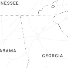
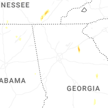


Connect with Interactive Hail Maps