

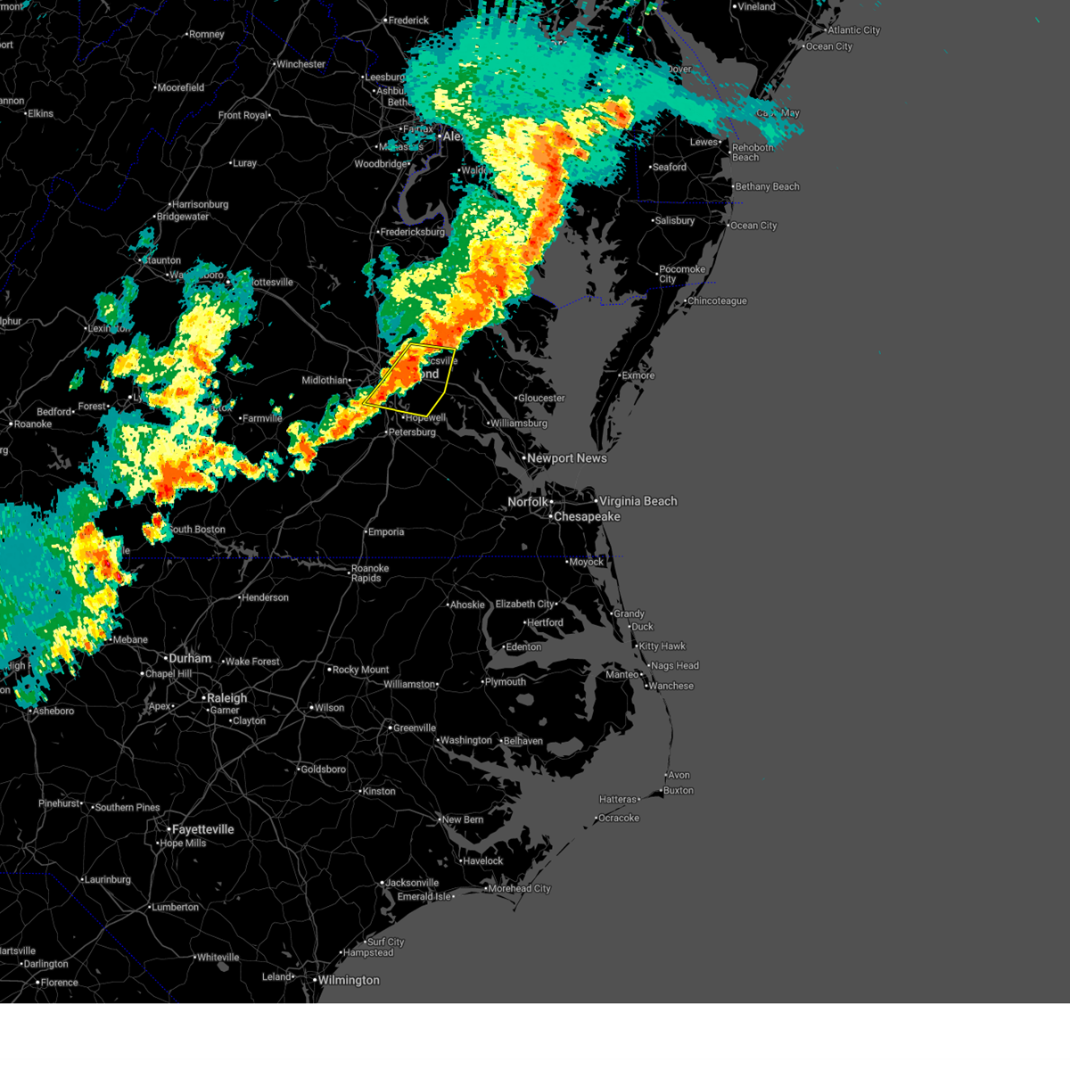
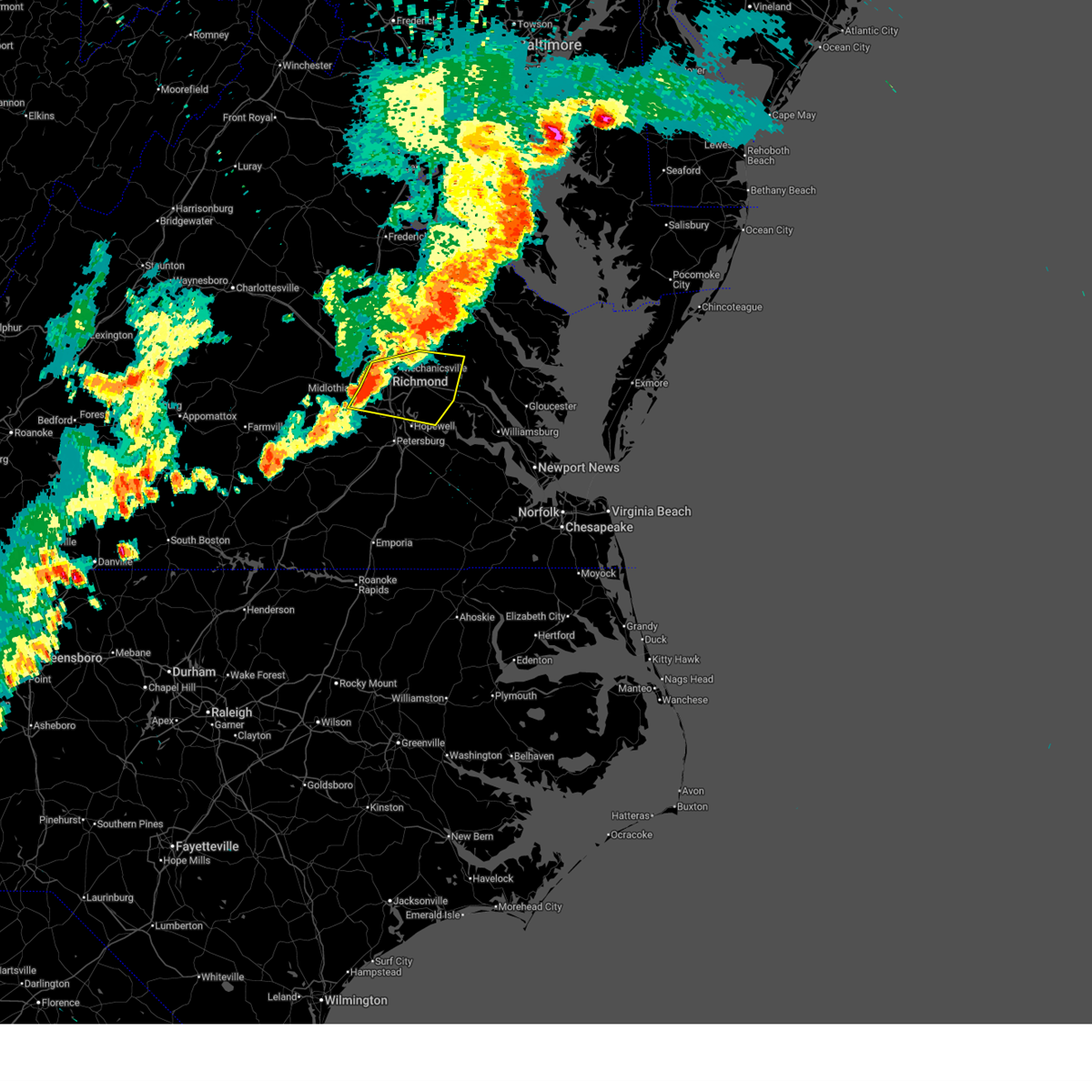
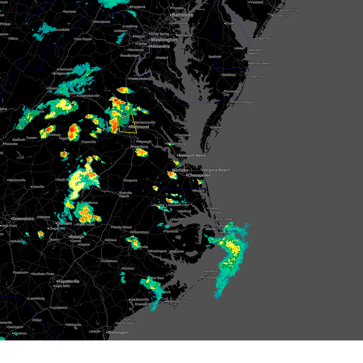
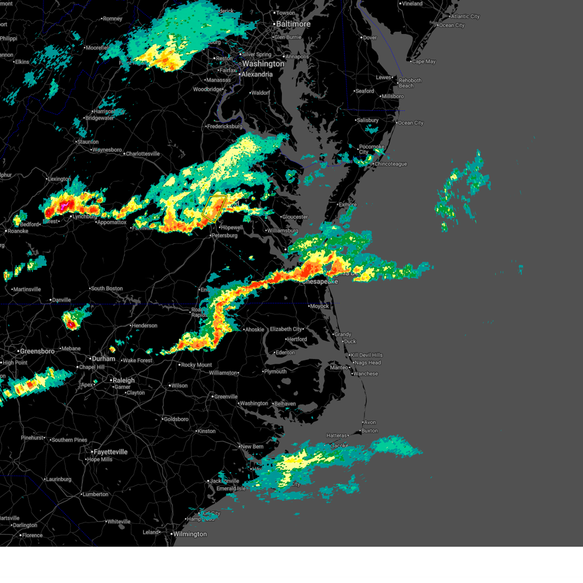
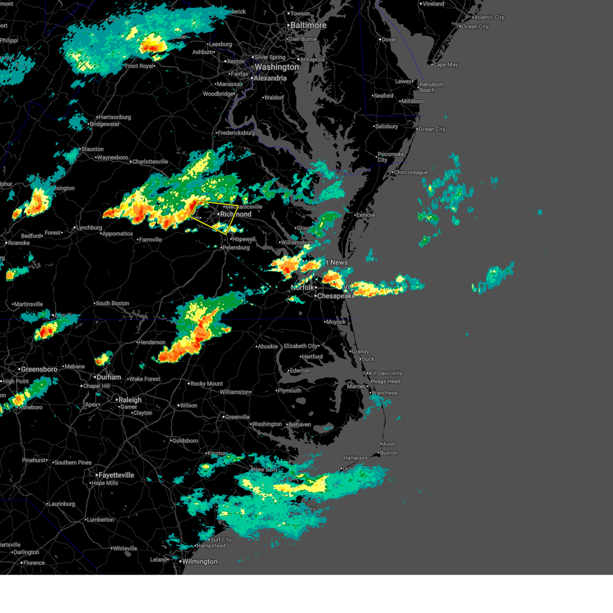
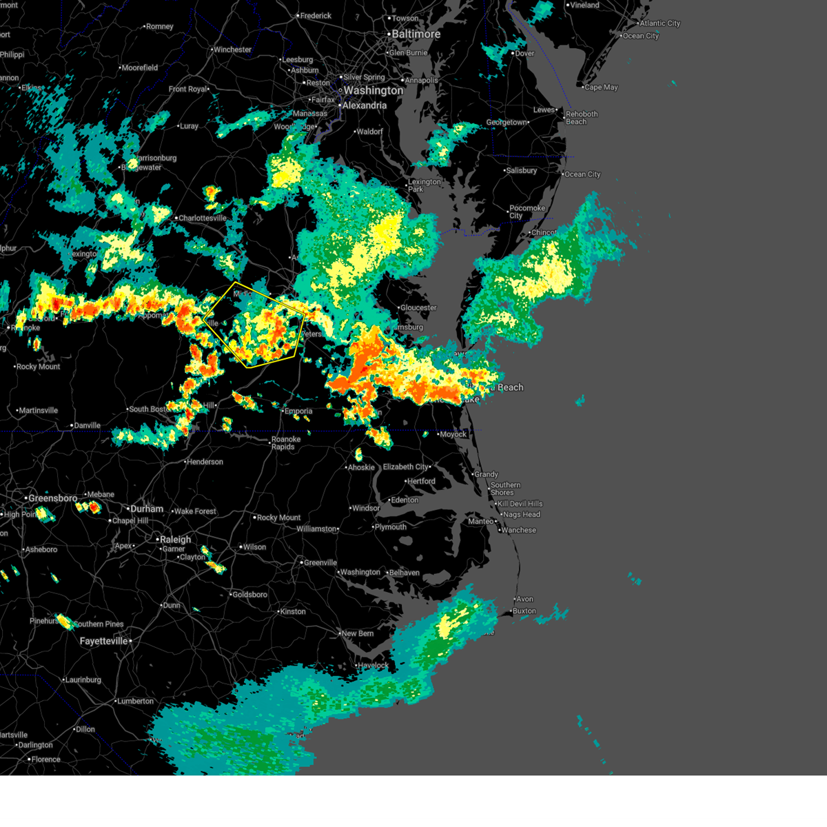
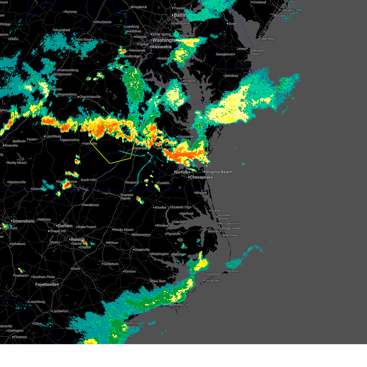
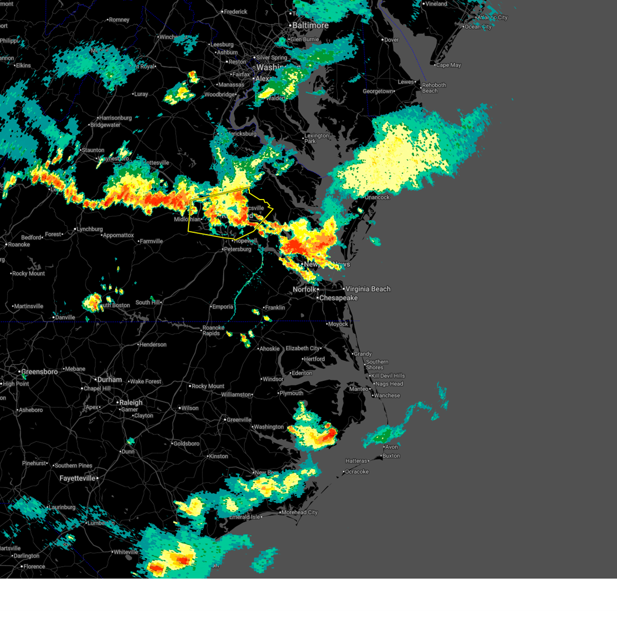
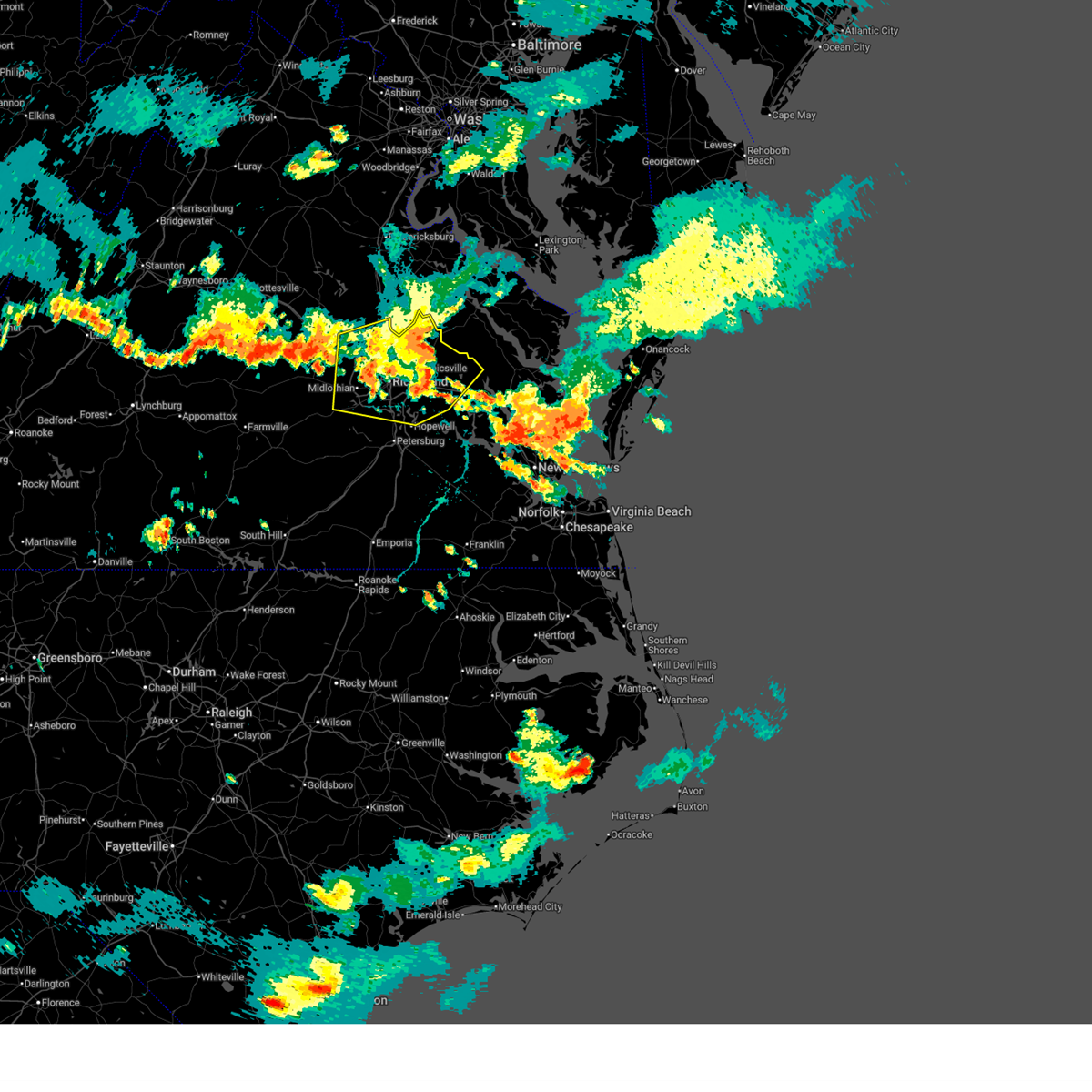
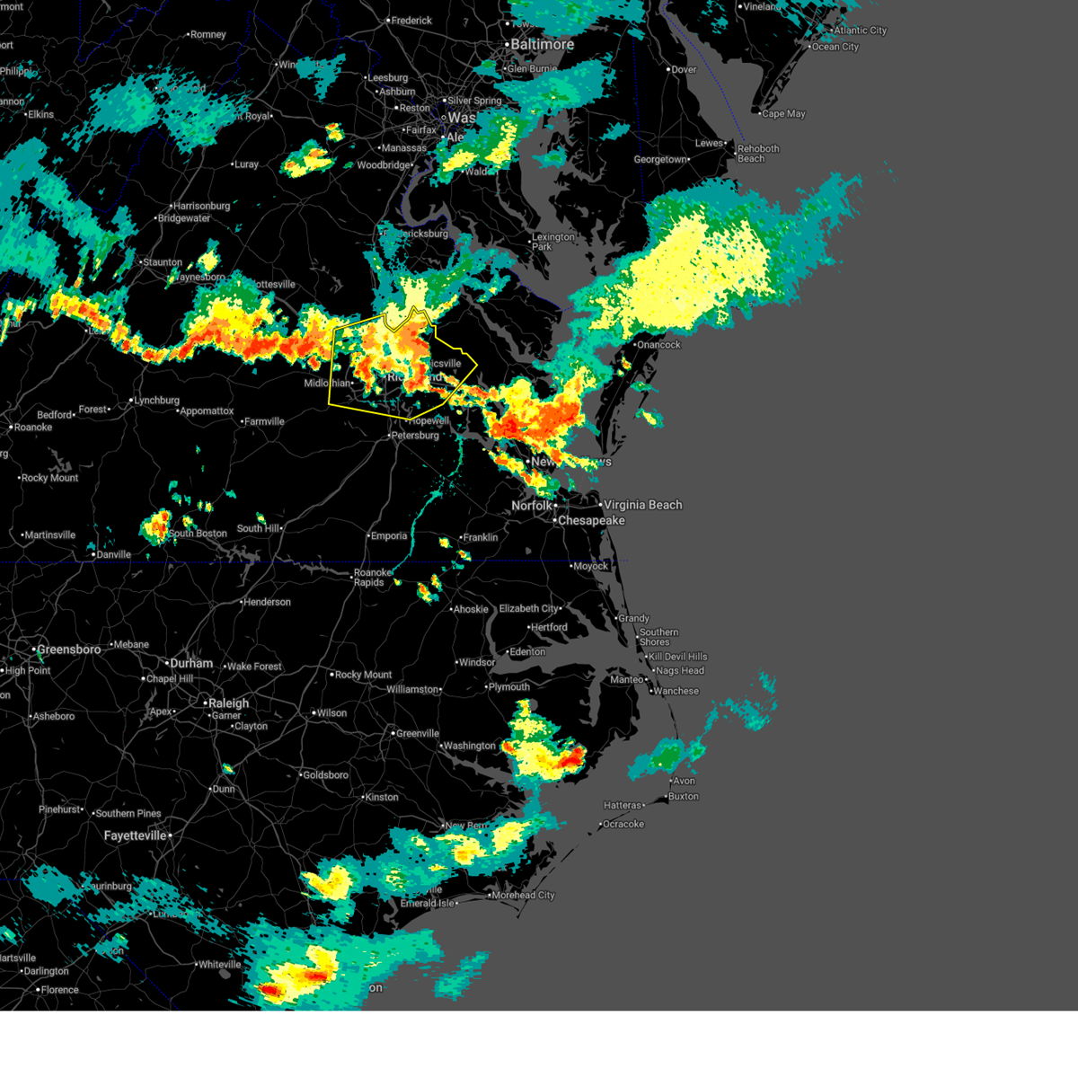
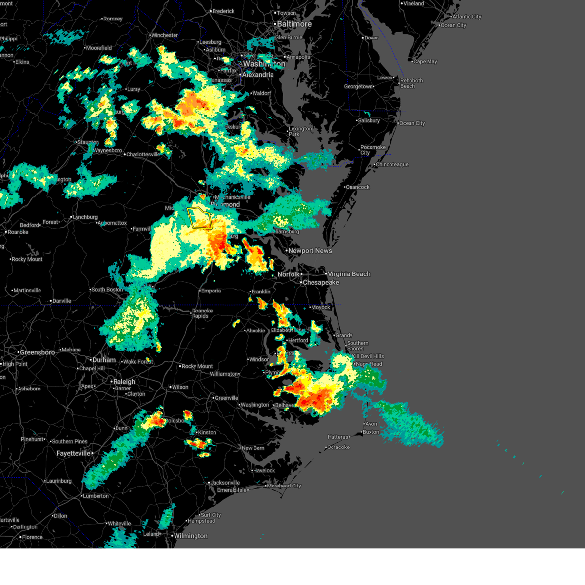
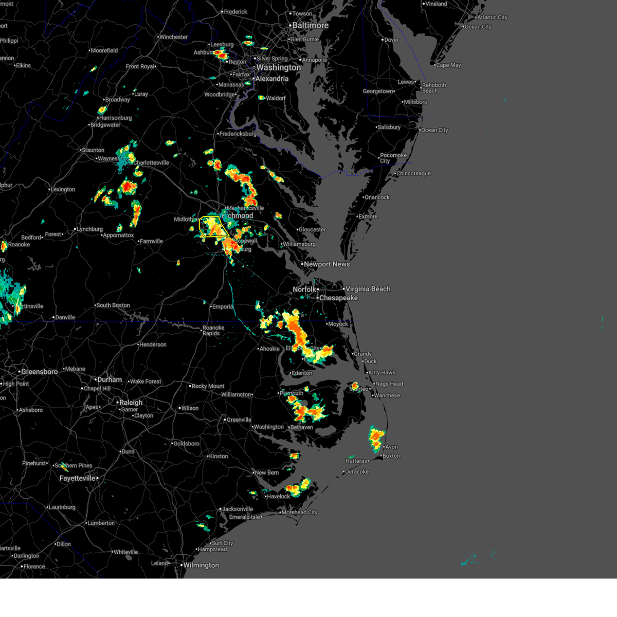
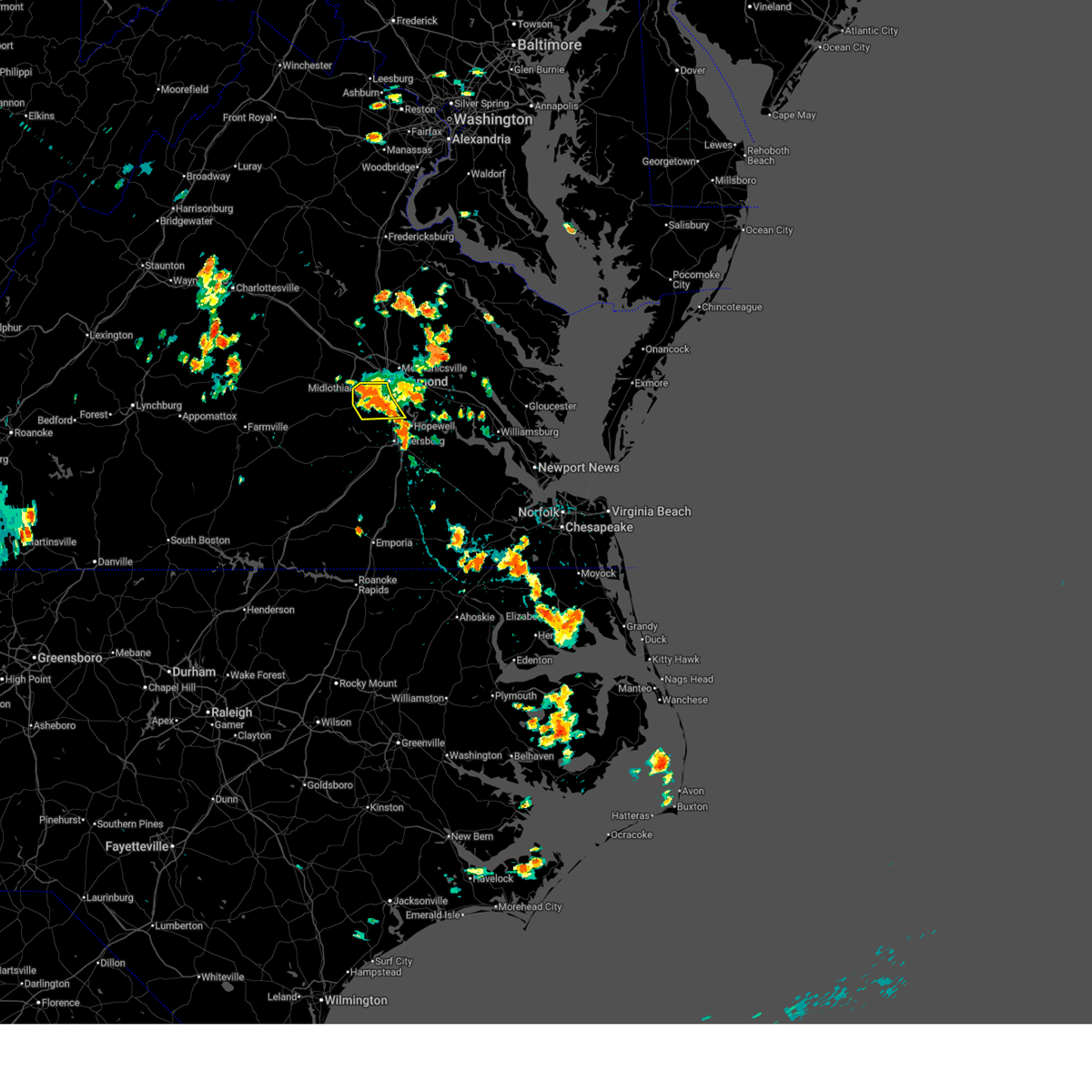
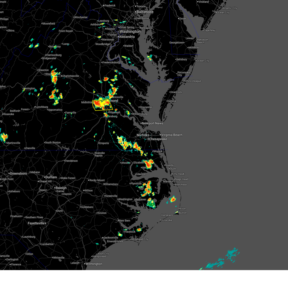
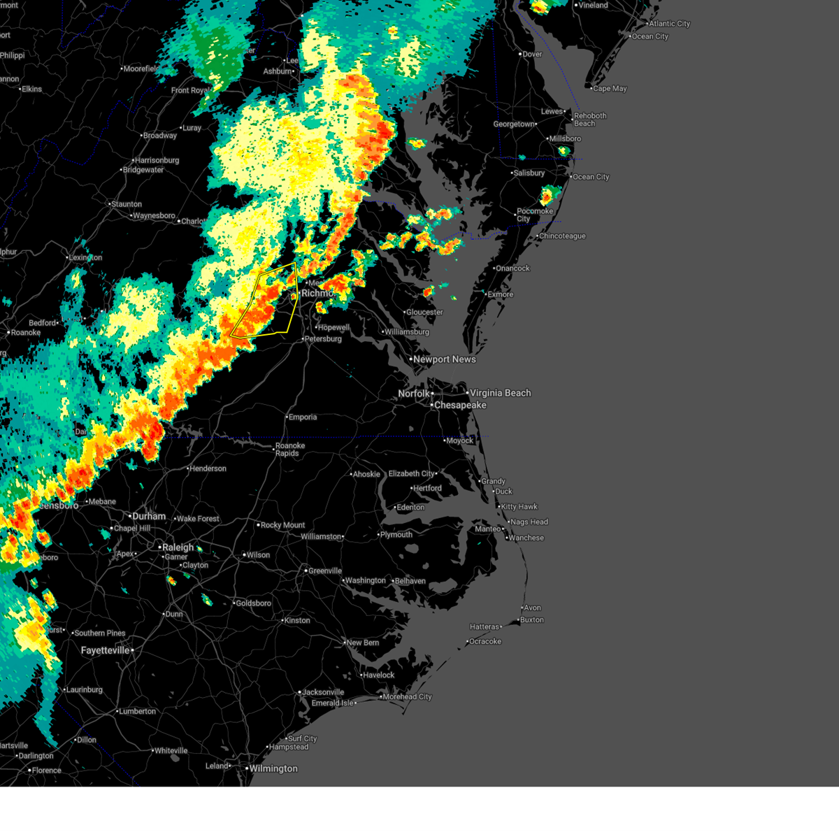
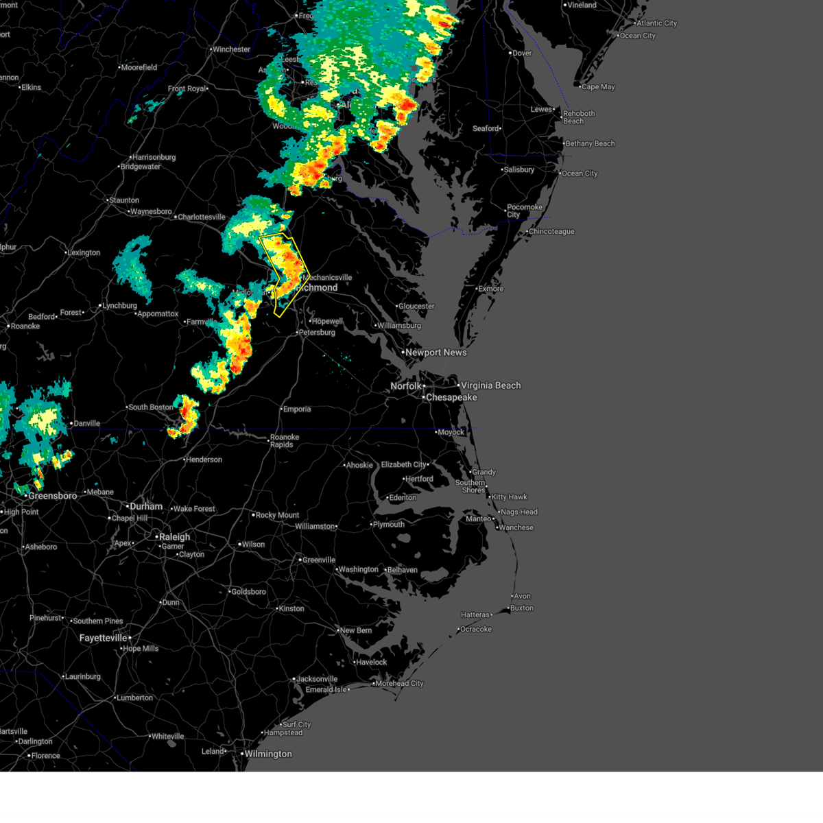
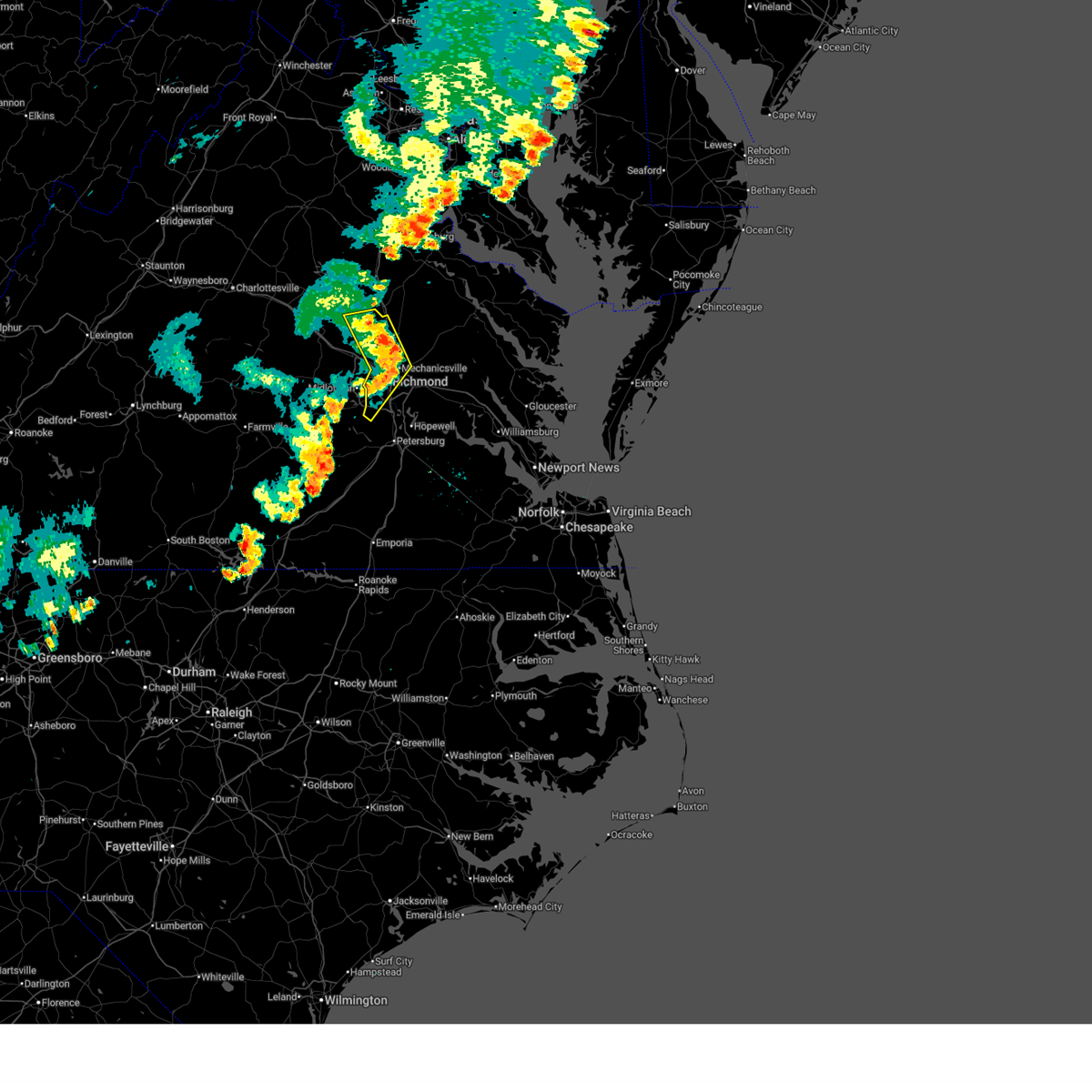
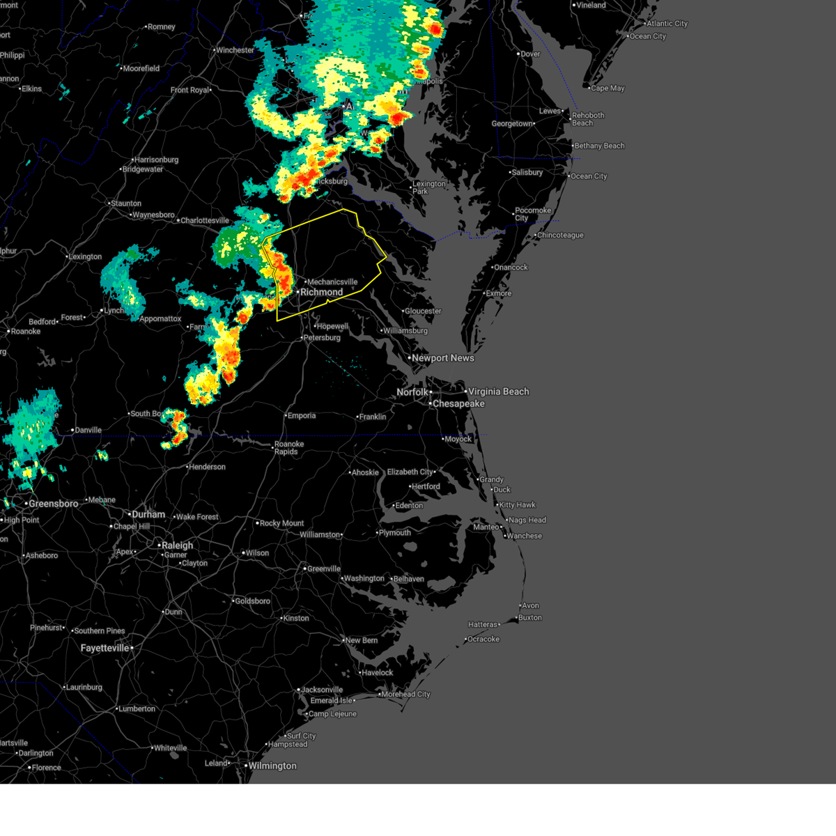
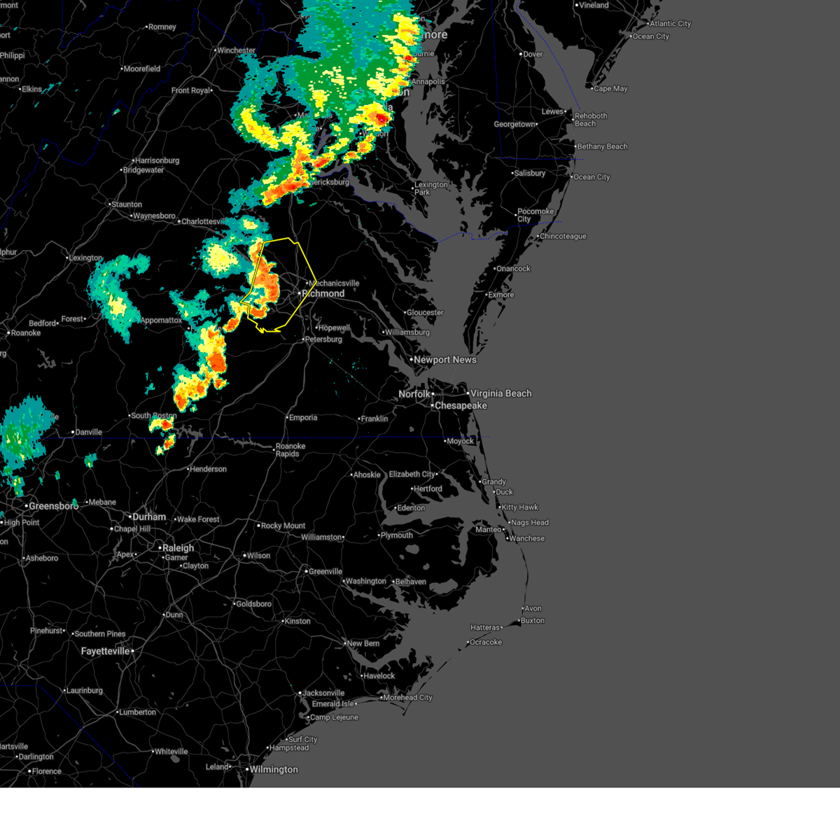
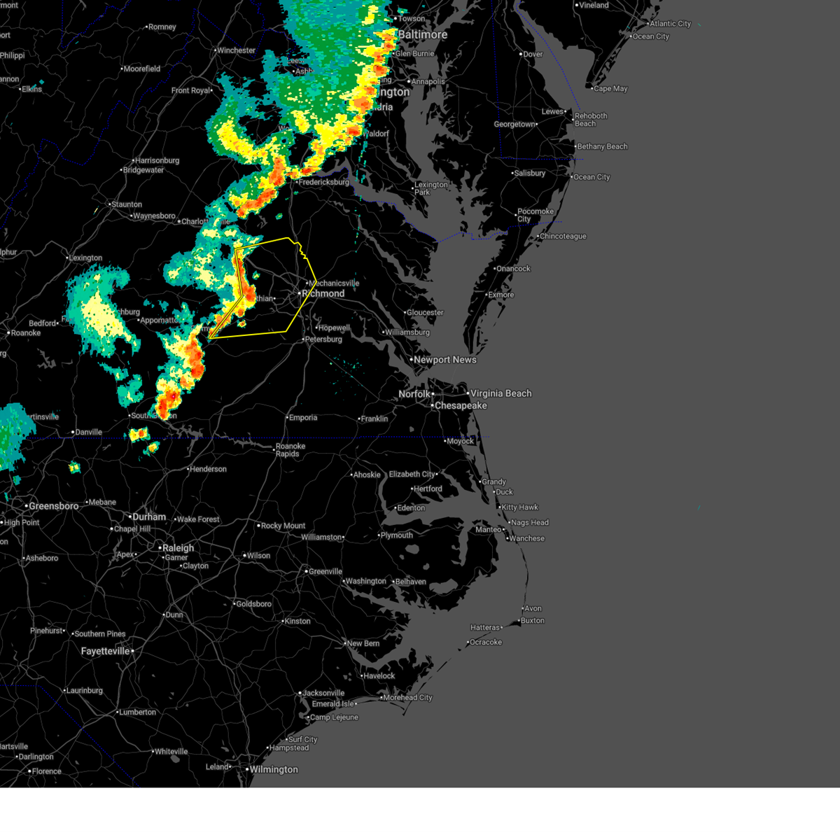
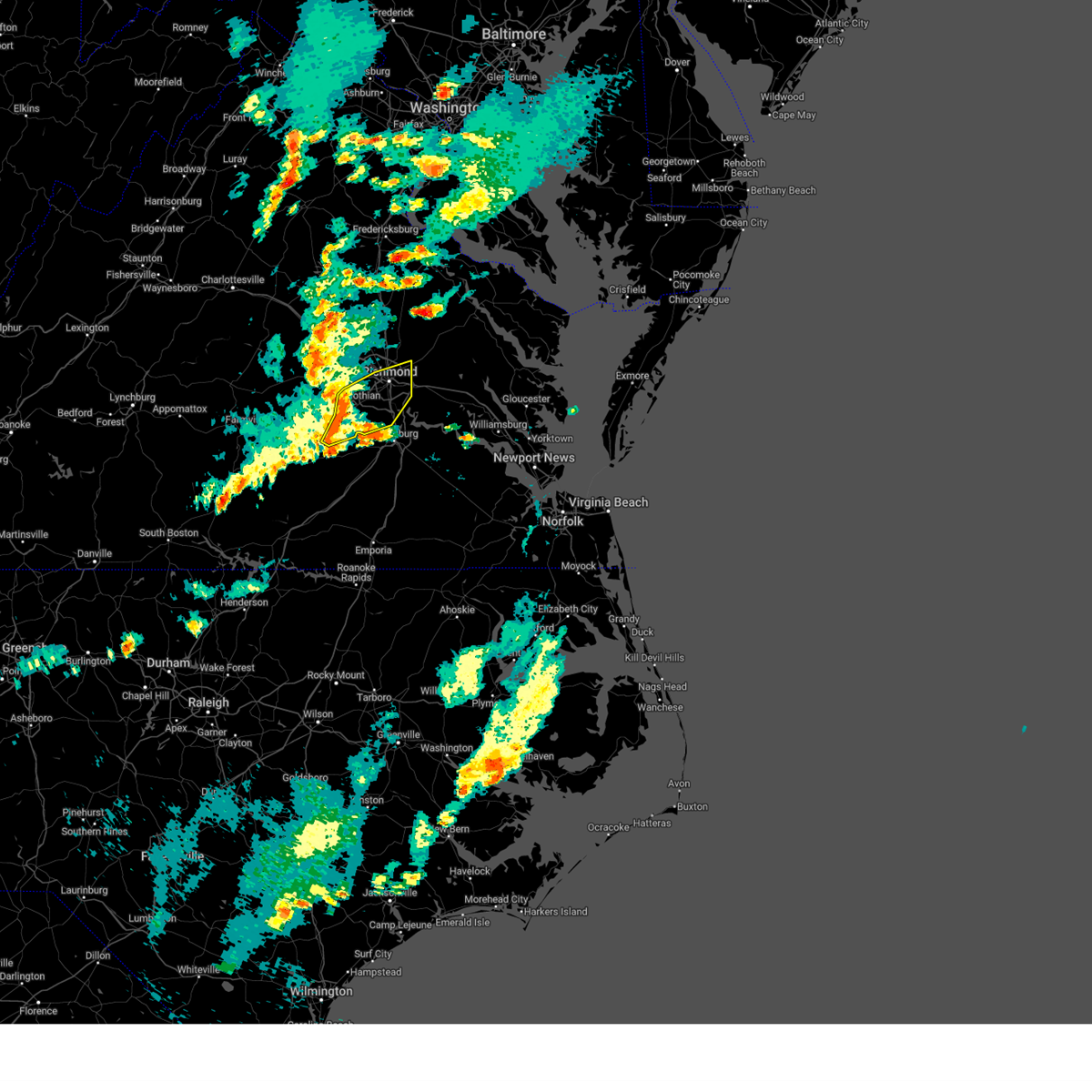
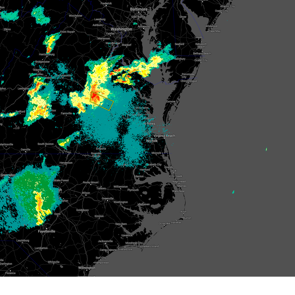
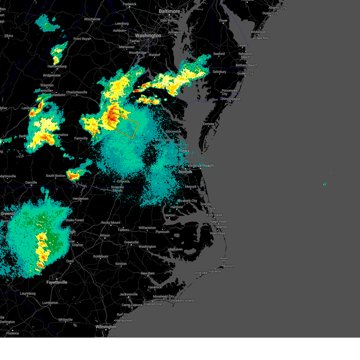
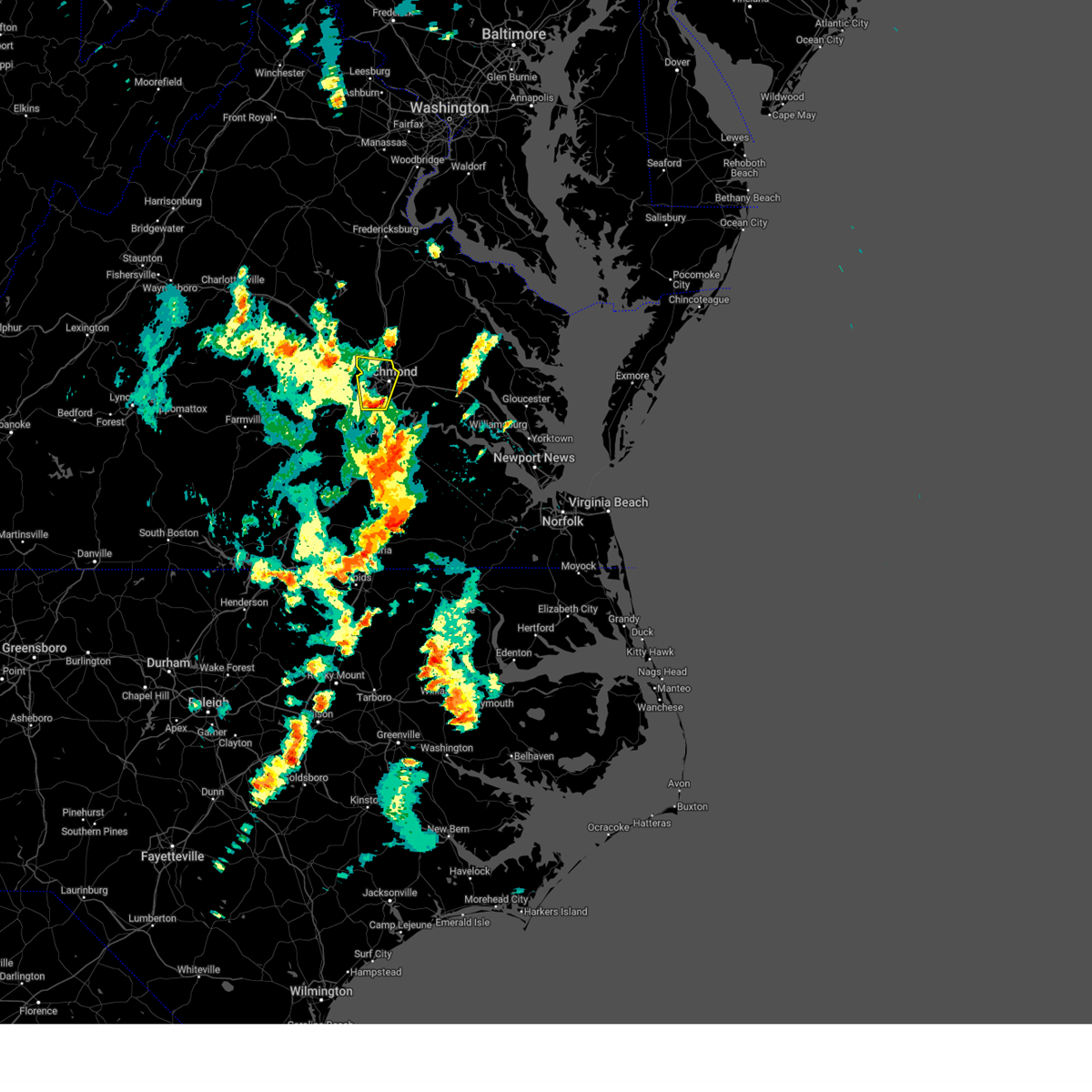
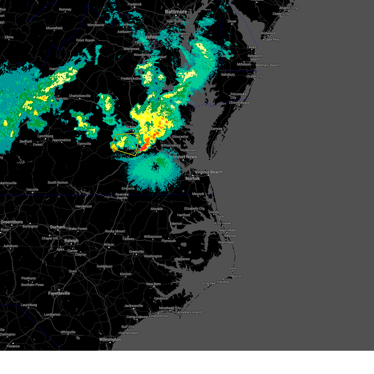
Hail Map for Meadowbrook, VA
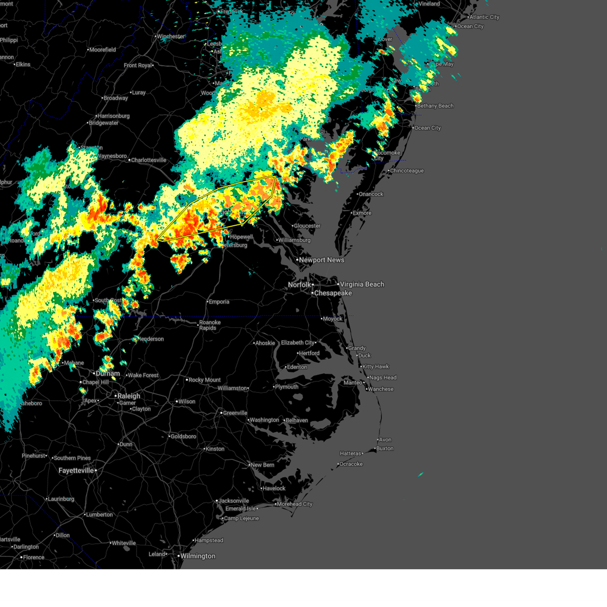
The Meadowbrook, VA area has had 3 reports of on-the-ground hail by trained spotters, and has been under severe weather warnings 35 times during the past 12 months. Doppler radar has detected hail at or near Meadowbrook, VA on 53 occasions, including 1 occasion during the past year.
| Name: | Meadowbrook, VA |
| Where Located: | 10.7 miles ESE of Richmond, VA |
| Map: | Google Map for Meadowbrook, VA |
| Population: | 18312 |
| Housing Units: | 7103 |
| More Info: | Search Google for Meadowbrook, VA |
0
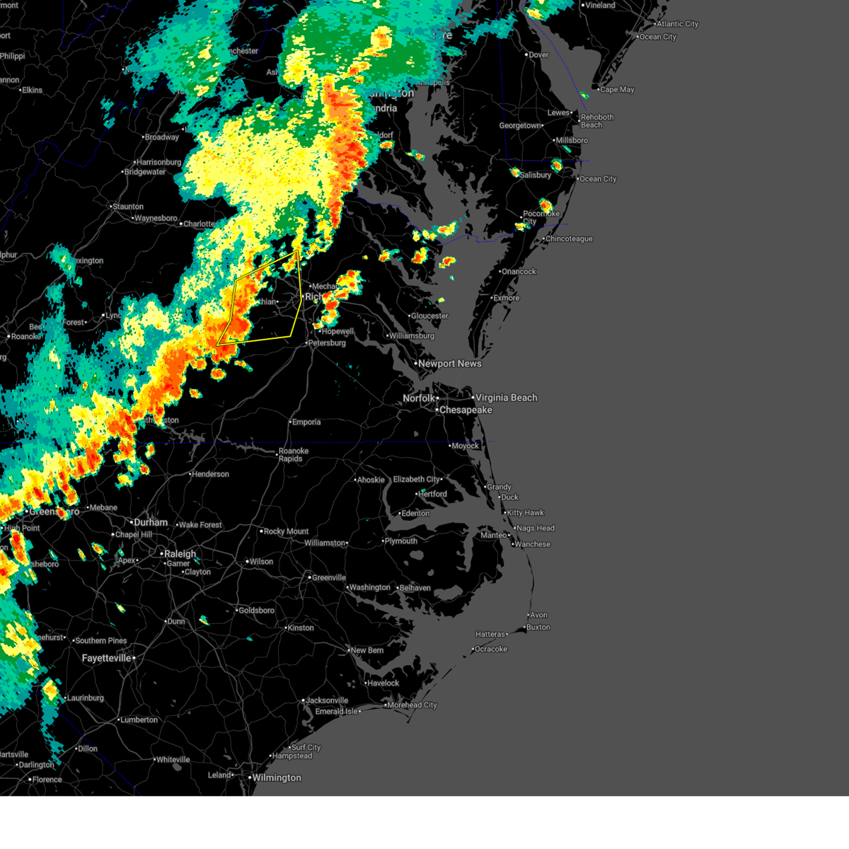
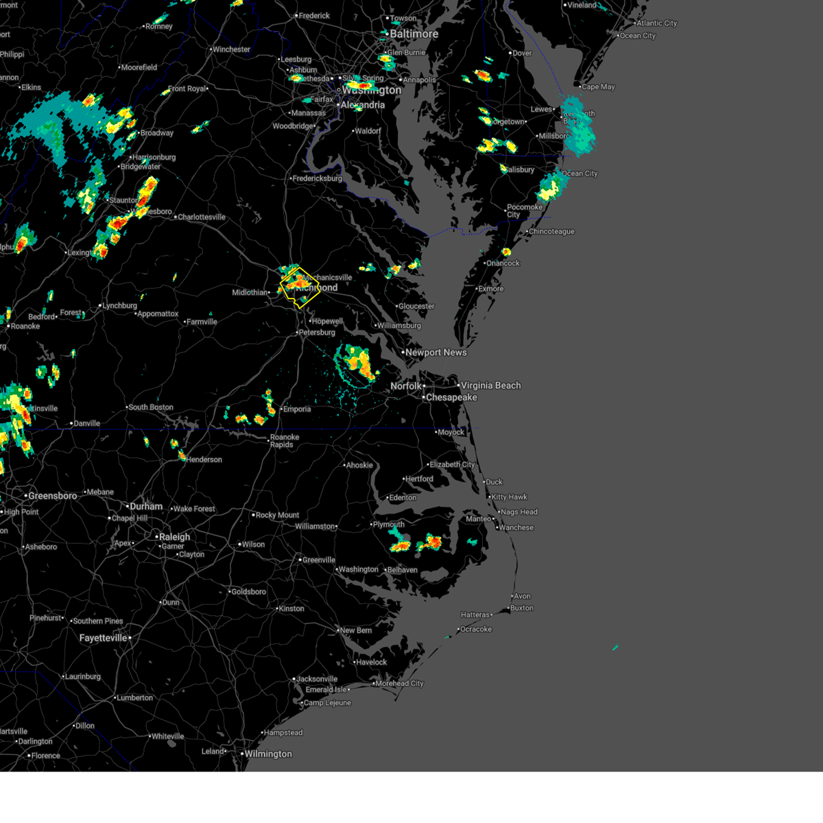
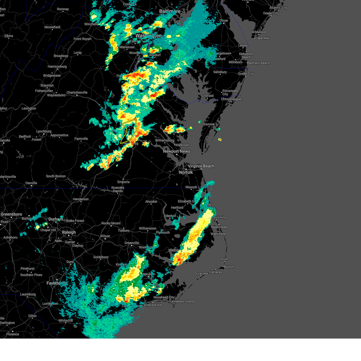
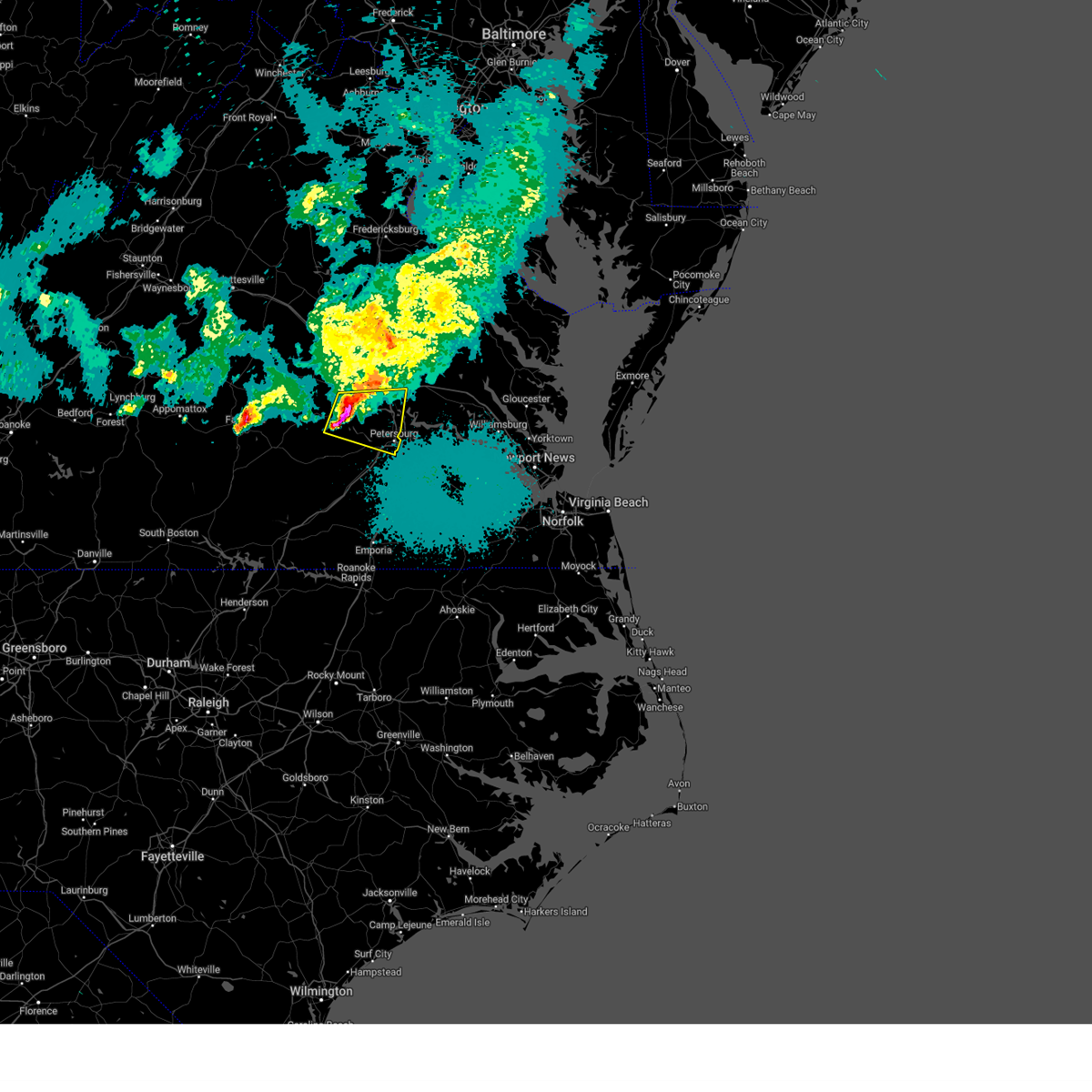
The Top Recent Hail Date for Meadowbrook, VA is Sunday, June 14, 2026 (48th out of 53)

Hail and Wind Damage Spotted near Meadowbrook, VA
| Date / Time | Report Details |
|---|---|
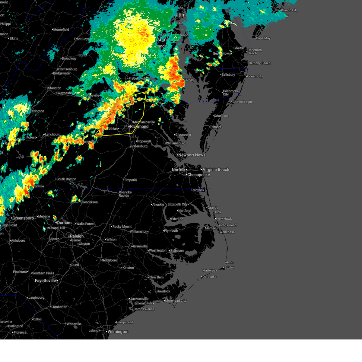
| 6/22/2026 7:35 PM EDT |
 At 735 pm edt, severe thunderstorms were located along a line extending from near tunstall to near bottoms bridge to chester, moving east at 40 mph (radar indicated). Hazards include 60 mph wind gusts. Expect damage to trees and powerlines. these severe storms will be near, chester, talleysville, roxbury, tunstall, and bottoms bridge around 740 pm edt. providence forge around 745 pm edt. adkins store around 750 pm edt. Other locations impacted by these severe thunderstorms include wayside, richmond heights, mountcastle, elko, montrose, sandston, glendale, westwood, richmond international, and colonial downs. At 735 pm edt, severe thunderstorms were located along a line extending from near tunstall to near bottoms bridge to chester, moving east at 40 mph (radar indicated). Hazards include 60 mph wind gusts. Expect damage to trees and powerlines. these severe storms will be near, chester, talleysville, roxbury, tunstall, and bottoms bridge around 740 pm edt. providence forge around 745 pm edt. adkins store around 750 pm edt. Other locations impacted by these severe thunderstorms include wayside, richmond heights, mountcastle, elko, montrose, sandston, glendale, westwood, richmond international, and colonial downs.
|
| 6/22/2026 7:09 PM EDT |
 Svrakq the national weather service in wakefield has issued a * severe thunderstorm warning for, the city of richmond in central virginia, central chesterfield county in central virginia, northwestern charles city county in east central virginia, western new kent county in east central virginia, henrico county in central virginia, southwestern king william county in east central virginia, southeastern hanover county in central virginia, * until 800 pm edt. * at 708 pm edt, severe thunderstorms were located along a line extending from lakeside to near bon air to 7 miles west of chesterfield court house, moving east at 40 mph (radar indicated). Hazards include 60 mph wind gusts. Expect damage to trees and powerlines. severe thunderstorms will be near, richmond, virginia union university, mechanicsville, chester, highland springs, downtown richmond, virginia commonwealth university, east highland park, bellwood, and bensley around 715 pm edt. bottoms bridge around 730 pm edt. roxbury and tunstall around 735 pm edt. talleysville around 740 pm edt. adkins store and providence forge around 745 pm edt. Other locations impacted by these severe thunderstorms include wayside, richmond heights, mountcastle, elko, montrose, sandston, glendale, westwood, pocahontas state park, and richmond international. Svrakq the national weather service in wakefield has issued a * severe thunderstorm warning for, the city of richmond in central virginia, central chesterfield county in central virginia, northwestern charles city county in east central virginia, western new kent county in east central virginia, henrico county in central virginia, southwestern king william county in east central virginia, southeastern hanover county in central virginia, * until 800 pm edt. * at 708 pm edt, severe thunderstorms were located along a line extending from lakeside to near bon air to 7 miles west of chesterfield court house, moving east at 40 mph (radar indicated). Hazards include 60 mph wind gusts. Expect damage to trees and powerlines. severe thunderstorms will be near, richmond, virginia union university, mechanicsville, chester, highland springs, downtown richmond, virginia commonwealth university, east highland park, bellwood, and bensley around 715 pm edt. bottoms bridge around 730 pm edt. roxbury and tunstall around 735 pm edt. talleysville around 740 pm edt. adkins store and providence forge around 745 pm edt. Other locations impacted by these severe thunderstorms include wayside, richmond heights, mountcastle, elko, montrose, sandston, glendale, westwood, pocahontas state park, and richmond international.
|
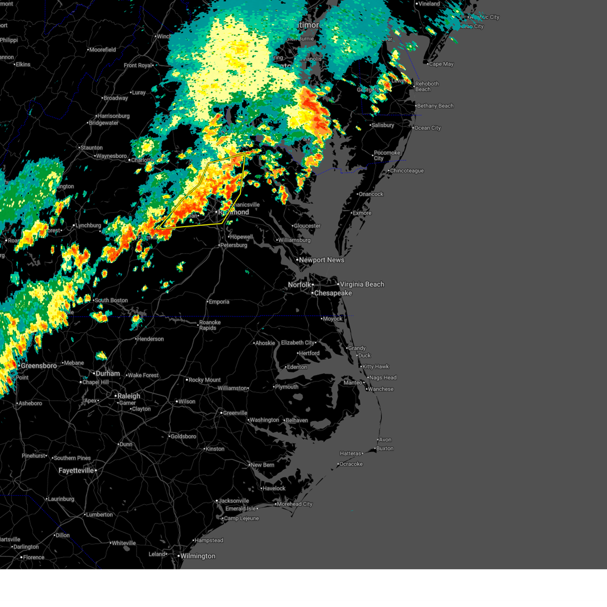
| 6/14/2026 6:11 PM EDT |
 Svrakq the national weather service in wakefield has issued a * severe thunderstorm warning for, the city of richmond in central virginia, north central chesterfield county in central virginia, southeastern goochland county in central virginia, northwestern henrico county in central virginia, south central hanover county in central virginia, * until 645 pm edt. * at 611 pm edt, severe thunderstorms were located along a line extending from near manakin to near bon air, moving east at 30 mph (radar indicated). Hazards include 60 mph wind gusts. expect damage to trees and powerlines Svrakq the national weather service in wakefield has issued a * severe thunderstorm warning for, the city of richmond in central virginia, north central chesterfield county in central virginia, southeastern goochland county in central virginia, northwestern henrico county in central virginia, south central hanover county in central virginia, * until 645 pm edt. * at 611 pm edt, severe thunderstorms were located along a line extending from near manakin to near bon air, moving east at 30 mph (radar indicated). Hazards include 60 mph wind gusts. expect damage to trees and powerlines
|
| 5/27/2026 7:26 PM EDT |
 The storm which prompted the warning has weakened below severe limits, and is exiting the warned area. therefore, the warning will be allowed to expire. however, gusty winds and heavy rain are still possible with this thunderstorm. a severe thunderstorm watch remains in effect until 900 pm edt for central virginia. to report severe weather, contact your nearest law enforcement agency. they will relay your report to the national weather service wakefield. The storm which prompted the warning has weakened below severe limits, and is exiting the warned area. therefore, the warning will be allowed to expire. however, gusty winds and heavy rain are still possible with this thunderstorm. a severe thunderstorm watch remains in effect until 900 pm edt for central virginia. to report severe weather, contact your nearest law enforcement agency. they will relay your report to the national weather service wakefield.
|
| 5/27/2026 6:52 PM EDT |
 Svrakq the national weather service in wakefield has issued a * severe thunderstorm warning for, the city of richmond in central virginia, northeastern chesterfield county in central virginia, southeastern goochland county in central virginia, henrico county in central virginia, southeastern hanover county in central virginia, east central powhatan county in central virginia, * until 730 pm edt. * at 651 pm edt, a severe thunderstorm was located over manakin, or near tuckahoe, moving east at 30 mph (radar indicated). Hazards include 60 mph wind gusts. expect damage to trees and powerlines Svrakq the national weather service in wakefield has issued a * severe thunderstorm warning for, the city of richmond in central virginia, northeastern chesterfield county in central virginia, southeastern goochland county in central virginia, henrico county in central virginia, southeastern hanover county in central virginia, east central powhatan county in central virginia, * until 730 pm edt. * at 651 pm edt, a severe thunderstorm was located over manakin, or near tuckahoe, moving east at 30 mph (radar indicated). Hazards include 60 mph wind gusts. expect damage to trees and powerlines
|
| 3/16/2026 8:41 PM EDT |
 the severe thunderstorm warning has been cancelled and is no longer in effect the severe thunderstorm warning has been cancelled and is no longer in effect
|
| 3/16/2026 8:41 PM EDT |
 At 839 pm edt, severe thunderstorms were located along a line extending from near ladysmith to near hopewell to 6 miles east of carson to near sussex, moving northeast at 55 mph (radar indicated). Hazards include 60 mph wind gusts. Expect damage to trees and powerlines. these severe storms will be near, hopewell, bowling green, mechanicsville, highland springs, milford, disputanta, hanover, sussex, jordans point, and garysville around 845 pm edt. charles city, waverly, roxbury, manquin, burrowsville, tunstall, beulahville, adkins store, and fort walker around 850 pm edt. claremont, talleysville, port royal, newtown, ruthville, cabin point, aylett, and providence forge around 855 pm edt. new kent, king william, saint stephens church, dendron, holdcroft, and rustic around 900 pm edt. champlain, stevensville, millers tavern, loretto, leedstown, and elberon around 905 pm edt. colonial beach, west point, tappahannock, surry, toano, king and queen court house, norge, scotland, and barhamsville around 910 pm edt. williamsburg, college of william and mary, jamestown, dunnsville, newland, little plymouth, center cross, and shacklefords around 915 pm edt. Other locations impacted by these severe thunderstorms include eltham, grizzard, croaker, wayside, lumberton, etna mills, sandston, glendale, hilda, and rose garden. At 839 pm edt, severe thunderstorms were located along a line extending from near ladysmith to near hopewell to 6 miles east of carson to near sussex, moving northeast at 55 mph (radar indicated). Hazards include 60 mph wind gusts. Expect damage to trees and powerlines. these severe storms will be near, hopewell, bowling green, mechanicsville, highland springs, milford, disputanta, hanover, sussex, jordans point, and garysville around 845 pm edt. charles city, waverly, roxbury, manquin, burrowsville, tunstall, beulahville, adkins store, and fort walker around 850 pm edt. claremont, talleysville, port royal, newtown, ruthville, cabin point, aylett, and providence forge around 855 pm edt. new kent, king william, saint stephens church, dendron, holdcroft, and rustic around 900 pm edt. champlain, stevensville, millers tavern, loretto, leedstown, and elberon around 905 pm edt. colonial beach, west point, tappahannock, surry, toano, king and queen court house, norge, scotland, and barhamsville around 910 pm edt. williamsburg, college of william and mary, jamestown, dunnsville, newland, little plymouth, center cross, and shacklefords around 915 pm edt. Other locations impacted by these severe thunderstorms include eltham, grizzard, croaker, wayside, lumberton, etna mills, sandston, glendale, hilda, and rose garden.
|
| 3/16/2026 8:20 PM EDT |
 Svrakq the national weather service in wakefield has issued a * severe thunderstorm warning for, northeastern louisa county in central virginia, the city of petersburg in south central virginia, hanover county in central virginia, sussex county in southeastern virginia, eastern dinwiddie county in south central virginia, the city of richmond in central virginia, chesterfield county in central virginia, charles city county in east central virginia, prince george county in south central virginia, northwestern richmond county in east central virginia, new kent county in east central virginia, henrico county in central virginia, central greensville county in southeastern virginia, the city of colonial heights in central virginia, the city of hopewell in south central virginia, southeastern goochland county in central virginia, northwestern york county in southeastern virginia, james city county in southeastern virginia, the city of emporia in southeastern virginia, king and queen county in east central virginia, northwestern westmoreland county in east central virginia, caroline county in north central virginia, king william county in east central virginia, surry county in southeastern virginia, essex county in east central virginia, the city of williamsburg in southeastern virginia, * until 915 pm edt. * at 819 pm edt, severe thunderstorms were located along a line extending from near bumpass to near sutherland to 6 miles north of purdy to near radium, moving northeast at 55 mph (radar indicated). Hazards include 60 mph wind gusts. Expect damage to trees and powerlines. severe thunderstorms will be near, richmond, petersburg, colonial heights, university of richmond, chester, downtown richmond, virginia state university, tuckahoe, bon air, and jarratt around 825 pm edt. ashland, virginia union university, randolph macon college, mechanicsville, fort gregg-adams, virginia commonwealth university, ladysmith, and east highland park around 830 pm edt. hopewell, highland springs, hanover, prince george, sussex, and kings dominion around 835 pm edt. bowling green, milford, disputanta, jordans point, dawn, and studley around 840 pm edt. waverly, garysville, mangohick, homeville, and bottoms bridge around 845 pm edt. charles city, roxbury, manquin, burrowsville, cabin point, tunstall, beulahville, adkins store, and fort walker around 850 pm edt. claremont, saint stephens church, talleysville, port royal, newtown, ruthville, aylett, and providence forge around 855 pm edt. new kent, king william, dendron, loretto, holdcroft, and rustic around 900 pm edt. Other locations impacted by these severe thunderstorms include eltham, grizzard, croaker, wayside, lumberton, etna mills, sandston, glendale, hilda, and rose garden. Svrakq the national weather service in wakefield has issued a * severe thunderstorm warning for, northeastern louisa county in central virginia, the city of petersburg in south central virginia, hanover county in central virginia, sussex county in southeastern virginia, eastern dinwiddie county in south central virginia, the city of richmond in central virginia, chesterfield county in central virginia, charles city county in east central virginia, prince george county in south central virginia, northwestern richmond county in east central virginia, new kent county in east central virginia, henrico county in central virginia, central greensville county in southeastern virginia, the city of colonial heights in central virginia, the city of hopewell in south central virginia, southeastern goochland county in central virginia, northwestern york county in southeastern virginia, james city county in southeastern virginia, the city of emporia in southeastern virginia, king and queen county in east central virginia, northwestern westmoreland county in east central virginia, caroline county in north central virginia, king william county in east central virginia, surry county in southeastern virginia, essex county in east central virginia, the city of williamsburg in southeastern virginia, * until 915 pm edt. * at 819 pm edt, severe thunderstorms were located along a line extending from near bumpass to near sutherland to 6 miles north of purdy to near radium, moving northeast at 55 mph (radar indicated). Hazards include 60 mph wind gusts. Expect damage to trees and powerlines. severe thunderstorms will be near, richmond, petersburg, colonial heights, university of richmond, chester, downtown richmond, virginia state university, tuckahoe, bon air, and jarratt around 825 pm edt. ashland, virginia union university, randolph macon college, mechanicsville, fort gregg-adams, virginia commonwealth university, ladysmith, and east highland park around 830 pm edt. hopewell, highland springs, hanover, prince george, sussex, and kings dominion around 835 pm edt. bowling green, milford, disputanta, jordans point, dawn, and studley around 840 pm edt. waverly, garysville, mangohick, homeville, and bottoms bridge around 845 pm edt. charles city, roxbury, manquin, burrowsville, cabin point, tunstall, beulahville, adkins store, and fort walker around 850 pm edt. claremont, saint stephens church, talleysville, port royal, newtown, ruthville, aylett, and providence forge around 855 pm edt. new kent, king william, dendron, loretto, holdcroft, and rustic around 900 pm edt. Other locations impacted by these severe thunderstorms include eltham, grizzard, croaker, wayside, lumberton, etna mills, sandston, glendale, hilda, and rose garden.
|
| 7/27/2025 7:12 PM EDT |
 The storms which prompted the warning have weakened below severe limits, and no longer pose an immediate threat to life or property. therefore, the warning will be allowed to expire. however, gusty winds and heavy rain are still possible with these thunderstorms. The storms which prompted the warning have weakened below severe limits, and no longer pose an immediate threat to life or property. therefore, the warning will be allowed to expire. however, gusty winds and heavy rain are still possible with these thunderstorms.
|
| 7/27/2025 6:30 PM EDT |
 Svrakq the national weather service in wakefield has issued a * severe thunderstorm warning for, chesterfield county in central virginia, the city of colonial heights in central virginia, central nottoway county in south central virginia, the western city of petersburg in south central virginia, dinwiddie county in south central virginia, amelia county in central virginia, southern powhatan county in central virginia, * until 715 pm edt. * at 629 pm edt, severe thunderstorms were located along a line extending from powhatan to near chula to 7 miles northwest of jetersville, moving southeast at 35 mph (radar indicated). Hazards include 60 mph wind gusts. Expect damage to trees and powerlines. severe thunderstorms will be near, amelia courthouse, scotts fork, chula, and jetersville around 635 pm edt. moseley around 640 pm edt. mannboro around 645 pm edt. spainville around 655 pm edt. wilsons around 700 pm edt. chesterfield court house around 705 pm edt. Other locations impacted by these severe thunderstorms include north wellville, addison, earls, pilkinton, ammon, darvills, winterham, pocahontas state park, skinquarter, and wellville. Svrakq the national weather service in wakefield has issued a * severe thunderstorm warning for, chesterfield county in central virginia, the city of colonial heights in central virginia, central nottoway county in south central virginia, the western city of petersburg in south central virginia, dinwiddie county in south central virginia, amelia county in central virginia, southern powhatan county in central virginia, * until 715 pm edt. * at 629 pm edt, severe thunderstorms were located along a line extending from powhatan to near chula to 7 miles northwest of jetersville, moving southeast at 35 mph (radar indicated). Hazards include 60 mph wind gusts. Expect damage to trees and powerlines. severe thunderstorms will be near, amelia courthouse, scotts fork, chula, and jetersville around 635 pm edt. moseley around 640 pm edt. mannboro around 645 pm edt. spainville around 655 pm edt. wilsons around 700 pm edt. chesterfield court house around 705 pm edt. Other locations impacted by these severe thunderstorms include north wellville, addison, earls, pilkinton, ammon, darvills, winterham, pocahontas state park, skinquarter, and wellville.
|
| 7/27/2025 6:02 PM EDT |
 At 602 pm edt, severe thunderstorms were located along a line extending from near king william to near roxbury to bensley, moving southeast at 45 mph (radar indicated). Hazards include 60 mph wind gusts. Expect damage to trees and powerlines. these severe storms will be near, new kent, chester, talleysville, roxbury, bellwood, bensley, adkins store, and providence forge around 605 pm edt. Other locations impacted by these severe thunderstorms include wayside, cohoke, etna mills, montrose, glendale, sandston, rose garden, pocahontas state park, skinquarter, and chamberlayne. At 602 pm edt, severe thunderstorms were located along a line extending from near king william to near roxbury to bensley, moving southeast at 45 mph (radar indicated). Hazards include 60 mph wind gusts. Expect damage to trees and powerlines. these severe storms will be near, new kent, chester, talleysville, roxbury, bellwood, bensley, adkins store, and providence forge around 605 pm edt. Other locations impacted by these severe thunderstorms include wayside, cohoke, etna mills, montrose, glendale, sandston, rose garden, pocahontas state park, skinquarter, and chamberlayne.
|
| 7/27/2025 5:52 PM EDT |
 At 551 pm edt, severe thunderstorms were located along a line extending from near king william to near highland springs to university of richmond, moving southeast at 55 mph (radar indicated). Hazards include 70 mph wind gusts. Expect considerable tree damage. damage is likely to mobile homes, roofs, and outbuildings. these severe storms will be near, richmond, king william, talleysville, roxbury, highland springs, downtown richmond, virginia commonwealth university, bellwood, bensley, and tunstall around 555 pm edt. new kent and providence forge around 600 pm edt. adkins store around 605 pm edt. Other locations impacted by these severe thunderstorms include wayside, gum tree, etna mills, cohoke, montrose, sandston, glendale, rose garden, pocahontas state park, and skinquarter. At 551 pm edt, severe thunderstorms were located along a line extending from near king william to near highland springs to university of richmond, moving southeast at 55 mph (radar indicated). Hazards include 70 mph wind gusts. Expect considerable tree damage. damage is likely to mobile homes, roofs, and outbuildings. these severe storms will be near, richmond, king william, talleysville, roxbury, highland springs, downtown richmond, virginia commonwealth university, bellwood, bensley, and tunstall around 555 pm edt. new kent and providence forge around 600 pm edt. adkins store around 605 pm edt. Other locations impacted by these severe thunderstorms include wayside, gum tree, etna mills, cohoke, montrose, sandston, glendale, rose garden, pocahontas state park, and skinquarter.
|
| 7/27/2025 5:52 PM EDT |
 the severe thunderstorm warning has been cancelled and is no longer in effect the severe thunderstorm warning has been cancelled and is no longer in effect
|
| 7/27/2025 5:46 PM EDT |
 the severe thunderstorm warning has been cancelled and is no longer in effect the severe thunderstorm warning has been cancelled and is no longer in effect
|
| 7/27/2025 5:46 PM EDT |
 At 545 pm edt, severe thunderstorms were located along a line extending from manquin to east highland park to tuckahoe, moving southeast at 55 mph (radar indicated). Hazards include 70 mph wind gusts. Expect considerable tree damage. damage is likely to mobile homes, roofs, and outbuildings. these severe storms will be near, richmond, virginia union university, university of richmond, highland springs, downtown richmond, tuckahoe, bon air, virginia commonwealth university, bensley, and tunstall around 550 pm edt. talleysville, roxbury, and bellwood around 555 pm edt. new kent, chester, chesterfield court house, and providence forge around 600 pm edt. hopewell and adkins store around 605 pm edt. Other locations impacted by these severe thunderstorms include wayside, gum tree, etna mills, cohoke, montrose, sandston, glendale, rose garden, pocahontas state park, and biscoe. At 545 pm edt, severe thunderstorms were located along a line extending from manquin to east highland park to tuckahoe, moving southeast at 55 mph (radar indicated). Hazards include 70 mph wind gusts. Expect considerable tree damage. damage is likely to mobile homes, roofs, and outbuildings. these severe storms will be near, richmond, virginia union university, university of richmond, highland springs, downtown richmond, tuckahoe, bon air, virginia commonwealth university, bensley, and tunstall around 550 pm edt. talleysville, roxbury, and bellwood around 555 pm edt. new kent, chester, chesterfield court house, and providence forge around 600 pm edt. hopewell and adkins store around 605 pm edt. Other locations impacted by these severe thunderstorms include wayside, gum tree, etna mills, cohoke, montrose, sandston, glendale, rose garden, pocahontas state park, and biscoe.
|
| 7/27/2025 5:23 PM EDT |
 Svrakq the national weather service in wakefield has issued a * severe thunderstorm warning for, the city of richmond in central virginia, central chesterfield county in central virginia, king and queen county in east central virginia, northwestern charles city county in east central virginia, southeastern goochland county in central virginia, new kent county in east central virginia, henrico county in central virginia, southeastern caroline county in north central virginia, hanover county in central virginia, king william county in east central virginia, southeastern powhatan county in central virginia, * until 630 pm edt. * at 522 pm edt, severe thunderstorms were located along a line extending from near newtown to hanover to near montpelier, moving southeast at 45 mph (radar indicated). Hazards include 70 mph wind gusts. Expect considerable tree damage. damage is likely to mobile homes, roofs, and outbuildings. severe thunderstorms will be near, ashland, saint stephens church, mechanicsville, beulahville, aylett, laurel, glen allen, and studley around 530 pm edt. richmond, manquin, lakeside, and east highland park around 535 pm edt. king william, highland springs, stevensville, and tunstall around 540 pm edt. king and queen court house, talleysville, and bottoms bridge around 550 pm edt. new kent, roxbury, and little plymouth around 555 pm edt. providence forge around 600 pm edt. adkins store around 605 pm edt. Other locations impacted by these severe thunderstorms include wayside, gum tree, etna mills, cohoke, montrose, sandston, glendale, rose garden, pocahontas state park, and biscoe. Svrakq the national weather service in wakefield has issued a * severe thunderstorm warning for, the city of richmond in central virginia, central chesterfield county in central virginia, king and queen county in east central virginia, northwestern charles city county in east central virginia, southeastern goochland county in central virginia, new kent county in east central virginia, henrico county in central virginia, southeastern caroline county in north central virginia, hanover county in central virginia, king william county in east central virginia, southeastern powhatan county in central virginia, * until 630 pm edt. * at 522 pm edt, severe thunderstorms were located along a line extending from near newtown to hanover to near montpelier, moving southeast at 45 mph (radar indicated). Hazards include 70 mph wind gusts. Expect considerable tree damage. damage is likely to mobile homes, roofs, and outbuildings. severe thunderstorms will be near, ashland, saint stephens church, mechanicsville, beulahville, aylett, laurel, glen allen, and studley around 530 pm edt. richmond, manquin, lakeside, and east highland park around 535 pm edt. king william, highland springs, stevensville, and tunstall around 540 pm edt. king and queen court house, talleysville, and bottoms bridge around 550 pm edt. new kent, roxbury, and little plymouth around 555 pm edt. providence forge around 600 pm edt. adkins store around 605 pm edt. Other locations impacted by these severe thunderstorms include wayside, gum tree, etna mills, cohoke, montrose, sandston, glendale, rose garden, pocahontas state park, and biscoe.
|
| 7/18/2025 8:22 PM EDT |
 The storm which prompted the warning has weakened below severe limits, and has exited the warned area. therefore, the warning will be allowed to expire. The storm which prompted the warning has weakened below severe limits, and has exited the warned area. therefore, the warning will be allowed to expire.
|
| 7/18/2025 8:06 PM EDT |
 The storm which prompted the warning has moved out of the area. therefore, the warning will be allowed to expire. remember, a severe thunderstorm warning still remains in effect for portions of chesterfield county. The storm which prompted the warning has moved out of the area. therefore, the warning will be allowed to expire. remember, a severe thunderstorm warning still remains in effect for portions of chesterfield county.
|
| 7/18/2025 7:53 PM EDT |
 At 753 pm edt, a severe thunderstorm was located over chesterfield court house, or near chester, moving east at 25 mph (radar indicated). Hazards include 60 mph wind gusts. Expect damage to trees and powerlines. Locations impacted include, chester, bon air, bensley, bellwood, chesterfield court house, chesterfield, pocahontas state park, beach, drewrys bluff, centralia, and midlothian. At 753 pm edt, a severe thunderstorm was located over chesterfield court house, or near chester, moving east at 25 mph (radar indicated). Hazards include 60 mph wind gusts. Expect damage to trees and powerlines. Locations impacted include, chester, bon air, bensley, bellwood, chesterfield court house, chesterfield, pocahontas state park, beach, drewrys bluff, centralia, and midlothian.
|
| 7/18/2025 7:49 PM EDT |
 Svrakq the national weather service in wakefield has issued a * severe thunderstorm warning for, east central chesterfield county in central virginia, northwestern charles city county in east central virginia, north central prince george county in south central virginia, southeastern henrico county in central virginia, * until 830 pm edt. * at 749 pm edt, a severe thunderstorm was located over chester, moving east at 25 mph (radar indicated). Hazards include 60 mph wind gusts. expect damage to trees and powerlines Svrakq the national weather service in wakefield has issued a * severe thunderstorm warning for, east central chesterfield county in central virginia, northwestern charles city county in east central virginia, north central prince george county in south central virginia, southeastern henrico county in central virginia, * until 830 pm edt. * at 749 pm edt, a severe thunderstorm was located over chester, moving east at 25 mph (radar indicated). Hazards include 60 mph wind gusts. expect damage to trees and powerlines
|
| 7/18/2025 7:26 PM EDT |
 Svrakq the national weather service in wakefield has issued a * severe thunderstorm warning for, chesterfield county in central virginia, * until 815 pm edt. * at 726 pm edt, a severe thunderstorm was located near moseley, moving east at 25 mph (radar indicated). Hazards include 60 mph wind gusts. expect damage to trees and powerlines Svrakq the national weather service in wakefield has issued a * severe thunderstorm warning for, chesterfield county in central virginia, * until 815 pm edt. * at 726 pm edt, a severe thunderstorm was located near moseley, moving east at 25 mph (radar indicated). Hazards include 60 mph wind gusts. expect damage to trees and powerlines
|
| 7/12/2025 2:30 PM EDT |
 The storm which prompted the warning has weakened below severe limits, and no longer poses an immediate threat to life or property. therefore, the warning has been allowed to expire. however, gusty winds and heavy rain are still possible with this thunderstorm. The storm which prompted the warning has weakened below severe limits, and no longer poses an immediate threat to life or property. therefore, the warning has been allowed to expire. however, gusty winds and heavy rain are still possible with this thunderstorm.
|
| 7/12/2025 2:10 PM EDT |
 At 210 pm edt, a severe thunderstorm was located over bellwood, or near chester, moving southeast at 10 mph (radar indicated). Hazards include 60 mph wind gusts. Expect damage to trees and powerlines. this severe storm will be near, chester, bellwood, chesterfield court house, and bensley around 215 pm edt. Other locations impacted by this severe thunderstorm include pocahontas state park, beach, midlothian, drewrys bluff, centralia, and chesterfield. At 210 pm edt, a severe thunderstorm was located over bellwood, or near chester, moving southeast at 10 mph (radar indicated). Hazards include 60 mph wind gusts. Expect damage to trees and powerlines. this severe storm will be near, chester, bellwood, chesterfield court house, and bensley around 215 pm edt. Other locations impacted by this severe thunderstorm include pocahontas state park, beach, midlothian, drewrys bluff, centralia, and chesterfield.
|
| 7/12/2025 2:10 PM EDT |
 the severe thunderstorm warning has been cancelled and is no longer in effect the severe thunderstorm warning has been cancelled and is no longer in effect
|
| 7/12/2025 1:52 PM EDT |
 Svrakq the national weather service in wakefield has issued a * severe thunderstorm warning for, the city of richmond in central virginia, central chesterfield county in central virginia, western charles city county in east central virginia, southeastern henrico county in central virginia, * until 230 pm edt. * at 151 pm edt, severe thunderstorms were located along a line extending from near bottoms bridge to near bon air, moving east at 15 mph (radar indicated. at 145 pm edt, the automated observing station at richmond international airport gusted to 64 mph). Hazards include 60 mph wind gusts. Expect damage to trees and powerlines. severe thunderstorms will be near, richmond, bon air, bellwood, and bensley around 155 pm edt. Other locations impacted by these severe thunderstorms include richmond heights, wayside, midlothian, montrose, sandston, glendale, richmond international, pocahontas state park, fair oaks, and beach. Svrakq the national weather service in wakefield has issued a * severe thunderstorm warning for, the city of richmond in central virginia, central chesterfield county in central virginia, western charles city county in east central virginia, southeastern henrico county in central virginia, * until 230 pm edt. * at 151 pm edt, severe thunderstorms were located along a line extending from near bottoms bridge to near bon air, moving east at 15 mph (radar indicated. at 145 pm edt, the automated observing station at richmond international airport gusted to 64 mph). Hazards include 60 mph wind gusts. Expect damage to trees and powerlines. severe thunderstorms will be near, richmond, bon air, bellwood, and bensley around 155 pm edt. Other locations impacted by these severe thunderstorms include richmond heights, wayside, midlothian, montrose, sandston, glendale, richmond international, pocahontas state park, fair oaks, and beach.
|
| 7/9/2025 6:58 PM EDT |
 the severe thunderstorm warning has been cancelled and is no longer in effect the severe thunderstorm warning has been cancelled and is no longer in effect
|
| 7/9/2025 6:58 PM EDT |
 At 657 pm edt, severe thunderstorms were located along a line extending from near wyndham to 6 miles east of moseley to mannboro, moving east at 35 mph (radar indicated). Hazards include 60 mph wind gusts. Expect damage to trees and powerlines. these severe storms will be near, richmond, university of richmond, downtown richmond, tuckahoe, bon air, virginia commonwealth university, laurel, lakeside, glen allen, and chesterfield court house around 705 pm edt. Other locations impacted by these severe thunderstorms include flat rock, winterpock, pilkinton, midlothian, elmont, short pump, subletts, winterham, longdale, and pocahontas state park. At 657 pm edt, severe thunderstorms were located along a line extending from near wyndham to 6 miles east of moseley to mannboro, moving east at 35 mph (radar indicated). Hazards include 60 mph wind gusts. Expect damage to trees and powerlines. these severe storms will be near, richmond, university of richmond, downtown richmond, tuckahoe, bon air, virginia commonwealth university, laurel, lakeside, glen allen, and chesterfield court house around 705 pm edt. Other locations impacted by these severe thunderstorms include flat rock, winterpock, pilkinton, midlothian, elmont, short pump, subletts, winterham, longdale, and pocahontas state park.
|
| 7/9/2025 6:34 PM EDT |
 Svrakq the national weather service in wakefield has issued a * severe thunderstorm warning for, the city of richmond in central virginia, chesterfield county in central virginia, northwestern nottoway county in south central virginia, southeastern goochland county in central virginia, northwestern henrico county in central virginia, west central hanover county in central virginia, amelia county in central virginia, powhatan county in central virginia, * until 715 pm edt. * at 633 pm edt, severe thunderstorms were located along a line extending from near powhatan to near chula to near spainville, moving east at 30 mph (radar indicated). Hazards include 60 mph wind gusts. Expect damage to trees and powerlines. severe thunderstorms will be near, scotts fork and chula around 640 pm edt. moseley, mannboro, and sabot around 645 pm edt. manakin around 650 pm edt. tuckahoe around 655 pm edt. wyndham around 700 pm edt. Other locations impacted by these severe thunderstorms include crozier, rock castle, pilkinton, maidens, johnsons springs, elmont, winterham, pocahontas state park, skinquarter, and maplewood. Svrakq the national weather service in wakefield has issued a * severe thunderstorm warning for, the city of richmond in central virginia, chesterfield county in central virginia, northwestern nottoway county in south central virginia, southeastern goochland county in central virginia, northwestern henrico county in central virginia, west central hanover county in central virginia, amelia county in central virginia, powhatan county in central virginia, * until 715 pm edt. * at 633 pm edt, severe thunderstorms were located along a line extending from near powhatan to near chula to near spainville, moving east at 30 mph (radar indicated). Hazards include 60 mph wind gusts. Expect damage to trees and powerlines. severe thunderstorms will be near, scotts fork and chula around 640 pm edt. moseley, mannboro, and sabot around 645 pm edt. manakin around 650 pm edt. tuckahoe around 655 pm edt. wyndham around 700 pm edt. Other locations impacted by these severe thunderstorms include crozier, rock castle, pilkinton, maidens, johnsons springs, elmont, winterham, pocahontas state park, skinquarter, and maplewood.
|
| 7/1/2025 9:30 PM EDT |
 the severe thunderstorm warning has been cancelled and is no longer in effect the severe thunderstorm warning has been cancelled and is no longer in effect
|
| 7/1/2025 9:30 PM EDT |
 At 929 pm edt, severe thunderstorms were located along a line extending from near heathsville to chester, moving east at 40 mph (radar indicated). Hazards include 60 mph wind gusts. Expect damage to trees and powerlines. these severe storms will be near, king and queen court house, talleysville, roxbury, and bottoms bridge around 935 pm edt. Other locations impacted by these severe thunderstorms include etna mills, cohoke, montrose, sandston, glendale, rose garden, pocahontas state park, biscoe, skinquarter, and beach. At 929 pm edt, severe thunderstorms were located along a line extending from near heathsville to chester, moving east at 40 mph (radar indicated). Hazards include 60 mph wind gusts. Expect damage to trees and powerlines. these severe storms will be near, king and queen court house, talleysville, roxbury, and bottoms bridge around 935 pm edt. Other locations impacted by these severe thunderstorms include etna mills, cohoke, montrose, sandston, glendale, rose garden, pocahontas state park, biscoe, skinquarter, and beach.
|
| 7/1/2025 8:46 PM EDT |
 The storms which prompted the first severe thunderstorm warning continues to show severe characteristics. therefore a new severe thunderstorm warning has been issued. The storms which prompted the first severe thunderstorm warning continues to show severe characteristics. therefore a new severe thunderstorm warning has been issued.
|
| 7/1/2025 8:44 PM EDT |
 Svrakq the national weather service in wakefield has issued a * severe thunderstorm warning for, northwestern nottoway county in south central virginia, southeastern goochland county in central virginia, hanover county in central virginia, central powhatan county in central virginia, the city of richmond in central virginia, chesterfield county in central virginia, king and queen county in east central virginia, northwestern charles city county in east central virginia, southwestern richmond county in east central virginia, northwestern new kent county in east central virginia, henrico county in central virginia, south central westmoreland county in east central virginia, southeastern caroline county in north central virginia, king william county in east central virginia, central amelia county in central virginia, essex county in east central virginia, * until 945 pm edt. * at 843 pm edt, severe thunderstorms were located along a line extending from near millers tavern to near amelia courthouse, moving east at 40 mph (radar indicated). Hazards include 60 mph wind gusts. Expect damage to trees and powerlines. severe thunderstorms will be near, richmond, tappahannock, virginia union university, mechanicsville, highland springs, downtown richmond, bon air, saint stephens church, virginia commonwealth university, and millers tavern around 850 pm edt. bellwood and chesterfield court house around 855 pm edt. king william, warsaw, stevensville, and tunstall around 900 pm edt. chester and center cross around 905 pm edt. bottoms bridge around 915 pm edt. king and queen court house around 920 pm edt. talleysville around 925 pm edt. roxbury around 930 pm edt. Other locations impacted by these severe thunderstorms include beazley, threeway, gum tree, etna mills, cohoke, montrose, sandston, glendale, rose garden, and pocahontas state park. Svrakq the national weather service in wakefield has issued a * severe thunderstorm warning for, northwestern nottoway county in south central virginia, southeastern goochland county in central virginia, hanover county in central virginia, central powhatan county in central virginia, the city of richmond in central virginia, chesterfield county in central virginia, king and queen county in east central virginia, northwestern charles city county in east central virginia, southwestern richmond county in east central virginia, northwestern new kent county in east central virginia, henrico county in central virginia, south central westmoreland county in east central virginia, southeastern caroline county in north central virginia, king william county in east central virginia, central amelia county in central virginia, essex county in east central virginia, * until 945 pm edt. * at 843 pm edt, severe thunderstorms were located along a line extending from near millers tavern to near amelia courthouse, moving east at 40 mph (radar indicated). Hazards include 60 mph wind gusts. Expect damage to trees and powerlines. severe thunderstorms will be near, richmond, tappahannock, virginia union university, mechanicsville, highland springs, downtown richmond, bon air, saint stephens church, virginia commonwealth university, and millers tavern around 850 pm edt. bellwood and chesterfield court house around 855 pm edt. king william, warsaw, stevensville, and tunstall around 900 pm edt. chester and center cross around 905 pm edt. bottoms bridge around 915 pm edt. king and queen court house around 920 pm edt. talleysville around 925 pm edt. roxbury around 930 pm edt. Other locations impacted by these severe thunderstorms include beazley, threeway, gum tree, etna mills, cohoke, montrose, sandston, glendale, rose garden, and pocahontas state park.
|
| 7/1/2025 8:35 PM EDT |
 At 835 pm edt, severe thunderstorms were located along a line extending from 7 miles southeast of milford to near glen allen to near moseley, moving east at 25 mph (radar indicated). Hazards include 60 mph wind gusts. Expect damage to trees and powerlines. these severe storms will be near, richmond, virginia union university, university of richmond, mechanicsville, downtown richmond, tuckahoe, bon air, virginia commonwealth university, lakeside, and east highland park around 840 pm edt. highland springs, bensley, and newtown around 845 pm edt. bellwood around 850 pm edt. manquin around 855 pm edt. Other locations impacted by these severe thunderstorms include enfield, crozier, richmond heights, pilkinton, gum tree, johnsons springs, elmont, etna mills, montrose, and epworth. At 835 pm edt, severe thunderstorms were located along a line extending from 7 miles southeast of milford to near glen allen to near moseley, moving east at 25 mph (radar indicated). Hazards include 60 mph wind gusts. Expect damage to trees and powerlines. these severe storms will be near, richmond, virginia union university, university of richmond, mechanicsville, downtown richmond, tuckahoe, bon air, virginia commonwealth university, lakeside, and east highland park around 840 pm edt. highland springs, bensley, and newtown around 845 pm edt. bellwood around 850 pm edt. manquin around 855 pm edt. Other locations impacted by these severe thunderstorms include enfield, crozier, richmond heights, pilkinton, gum tree, johnsons springs, elmont, etna mills, montrose, and epworth.
|
| 7/1/2025 8:23 PM EDT |
 At 823 pm edt, severe thunderstorms were located along a line extending from near milford to glen allen to moseley, moving east at 25 mph (radar indicated). Hazards include 60 mph wind gusts. Expect damage to trees and powerlines. these severe storms will be near, richmond, university of richmond, mechanicsville, tuckahoe, bon air, hanover, laurel, lakeside, east highland park, and dawn around 830 pm edt. virginia union university, downtown richmond, and virginia commonwealth university around 835 pm edt. beulahville and studley around 840 pm edt. highland springs and newtown around 845 pm edt. bensley around 850 pm edt. manquin and bellwood around 855 pm edt. Other locations impacted by these severe thunderstorms include gum tree, etna mills, montrose, chamberlayne, fine creek mills, atlee, ashcake, holly hills, duane fork, and genito. At 823 pm edt, severe thunderstorms were located along a line extending from near milford to glen allen to moseley, moving east at 25 mph (radar indicated). Hazards include 60 mph wind gusts. Expect damage to trees and powerlines. these severe storms will be near, richmond, university of richmond, mechanicsville, tuckahoe, bon air, hanover, laurel, lakeside, east highland park, and dawn around 830 pm edt. virginia union university, downtown richmond, and virginia commonwealth university around 835 pm edt. beulahville and studley around 840 pm edt. highland springs and newtown around 845 pm edt. bensley around 850 pm edt. manquin and bellwood around 855 pm edt. Other locations impacted by these severe thunderstorms include gum tree, etna mills, montrose, chamberlayne, fine creek mills, atlee, ashcake, holly hills, duane fork, and genito.
|
| 7/1/2025 7:59 PM EDT |
 Svrakq the national weather service in wakefield has issued a * severe thunderstorm warning for, the city of richmond in central virginia, northwestern chesterfield county in central virginia, northwestern king and queen county in east central virginia, southeastern goochland county in central virginia, henrico county in central virginia, southern caroline county in north central virginia, hanover county in central virginia, northwestern king william county in east central virginia, northwestern amelia county in central virginia, powhatan county in central virginia, northwestern essex county in east central virginia, * until 845 pm edt. * at 758 pm edt, severe thunderstorms were located along a line extending from near ladysmith to near manakin to near chula, moving east at 25 mph (radar indicated). Hazards include 60 mph wind gusts. Expect damage to trees and powerlines. severe thunderstorms will be near, ashland, tuckahoe, wyndham, and manakin around 805 pm edt. moseley, randolph macon college, laurel, kings dominion, and glen allen around 810 pm edt. richmond, bon air, and lakeside around 815 pm edt. university of richmond, hanover, and dawn around 820 pm edt. mechanicsville around 825 pm edt. east highland park and mangohick around 830 pm edt. Other locations impacted by these severe thunderstorms include gum tree, etna mills, montrose, chamberlayne, fine creek mills, atlee, ashcake, holly hills, duane fork, and genito. Svrakq the national weather service in wakefield has issued a * severe thunderstorm warning for, the city of richmond in central virginia, northwestern chesterfield county in central virginia, northwestern king and queen county in east central virginia, southeastern goochland county in central virginia, henrico county in central virginia, southern caroline county in north central virginia, hanover county in central virginia, northwestern king william county in east central virginia, northwestern amelia county in central virginia, powhatan county in central virginia, northwestern essex county in east central virginia, * until 845 pm edt. * at 758 pm edt, severe thunderstorms were located along a line extending from near ladysmith to near manakin to near chula, moving east at 25 mph (radar indicated). Hazards include 60 mph wind gusts. Expect damage to trees and powerlines. severe thunderstorms will be near, ashland, tuckahoe, wyndham, and manakin around 805 pm edt. moseley, randolph macon college, laurel, kings dominion, and glen allen around 810 pm edt. richmond, bon air, and lakeside around 815 pm edt. university of richmond, hanover, and dawn around 820 pm edt. mechanicsville around 825 pm edt. east highland park and mangohick around 830 pm edt. Other locations impacted by these severe thunderstorms include gum tree, etna mills, montrose, chamberlayne, fine creek mills, atlee, ashcake, holly hills, duane fork, and genito.
|
| 6/26/2025 4:17 PM EDT |
 Svrakq the national weather service in wakefield has issued a * severe thunderstorm warning for, the city of richmond in central virginia, central henrico county in central virginia, south central hanover county in central virginia, * until 445 pm edt. * at 417 pm edt, a severe thunderstorm was located over east highland park, or over virginia union university, and is nearly stationary (radar indicated). Hazards include 60 mph wind gusts. Expect damage to trees and powerlines. this severe thunderstorm will be near, richmond, mechanicsville, highland springs, and east highland park around 420 pm edt. Other locations impacted by this severe thunderstorm include richmond international, fair oaks, chamberlayne, atlee, richmond heights, varina, montrose, sandston, and dumbarton. Svrakq the national weather service in wakefield has issued a * severe thunderstorm warning for, the city of richmond in central virginia, central henrico county in central virginia, south central hanover county in central virginia, * until 445 pm edt. * at 417 pm edt, a severe thunderstorm was located over east highland park, or over virginia union university, and is nearly stationary (radar indicated). Hazards include 60 mph wind gusts. Expect damage to trees and powerlines. this severe thunderstorm will be near, richmond, mechanicsville, highland springs, and east highland park around 420 pm edt. Other locations impacted by this severe thunderstorm include richmond international, fair oaks, chamberlayne, atlee, richmond heights, varina, montrose, sandston, and dumbarton.
|
| 6/19/2025 5:36 PM EDT |
 Svrakq the national weather service in wakefield has issued a * severe thunderstorm warning for, southeastern chesterfield county in central virginia, the city of colonial heights in central virginia, the city of hopewell in south central virginia, the city of petersburg in south central virginia, charles city county in east central virginia, prince george county in south central virginia, central new kent county in east central virginia, southeastern henrico county in central virginia, northern sussex county in southeastern virginia, eastern dinwiddie county in south central virginia, northwestern surry county in southeastern virginia, * until 615 pm edt. * at 536 pm edt, severe thunderstorms were located along a line extending from chesterfield court house to near sutherland to near mckenney, moving east at 50 mph (radar indicated). Hazards include 60 mph wind gusts and penny size hail. Expect damage to trees and powerlines. severe thunderstorms will be near, petersburg, colonial heights, chester, virginia state university, ettrick, matoaca, bellwood, and chesterfield court house around 540 pm edt. hopewell, fort gregg-adams, and carson around 545 pm edt. prince george and stony creek around 550 pm edt. disputanta, jordans point, and garysville around 555 pm edt. roxbury, burrowsville, and adkins store around 600 pm edt. charles city, waverly, providence forge, ruthville, and cabin point around 605 pm edt. claremont and homeville around 610 pm edt. Other locations impacted by these severe thunderstorms include taylors corner, carsley, chickahominy shore, wayside, birchett estate, addison, booker, spring grove, mountcastle, and elko. Svrakq the national weather service in wakefield has issued a * severe thunderstorm warning for, southeastern chesterfield county in central virginia, the city of colonial heights in central virginia, the city of hopewell in south central virginia, the city of petersburg in south central virginia, charles city county in east central virginia, prince george county in south central virginia, central new kent county in east central virginia, southeastern henrico county in central virginia, northern sussex county in southeastern virginia, eastern dinwiddie county in south central virginia, northwestern surry county in southeastern virginia, * until 615 pm edt. * at 536 pm edt, severe thunderstorms were located along a line extending from chesterfield court house to near sutherland to near mckenney, moving east at 50 mph (radar indicated). Hazards include 60 mph wind gusts and penny size hail. Expect damage to trees and powerlines. severe thunderstorms will be near, petersburg, colonial heights, chester, virginia state university, ettrick, matoaca, bellwood, and chesterfield court house around 540 pm edt. hopewell, fort gregg-adams, and carson around 545 pm edt. prince george and stony creek around 550 pm edt. disputanta, jordans point, and garysville around 555 pm edt. roxbury, burrowsville, and adkins store around 600 pm edt. charles city, waverly, providence forge, ruthville, and cabin point around 605 pm edt. claremont and homeville around 610 pm edt. Other locations impacted by these severe thunderstorms include taylors corner, carsley, chickahominy shore, wayside, birchett estate, addison, booker, spring grove, mountcastle, and elko.
|
| 6/19/2025 5:17 PM EDT |
 At 516 pm edt, severe thunderstorms were located along a line extending from near kings dominion to highland springs to 7 miles southeast of moseley, moving east at 50 mph (radar indicated). Hazards include 60 mph wind gusts. Expect damage to trees and powerlines. these severe storms will be near, richmond, ashland, mechanicsville, highland springs, chesterfield court house, east highland park, kings dominion, and bensley around 520 pm edt. Other locations impacted by these severe thunderstorms include oliver, hanover airport, gum tree, coatesville, goodall, doswell, elmont, noel, longdale, and pocahontas state park. At 516 pm edt, severe thunderstorms were located along a line extending from near kings dominion to highland springs to 7 miles southeast of moseley, moving east at 50 mph (radar indicated). Hazards include 60 mph wind gusts. Expect damage to trees and powerlines. these severe storms will be near, richmond, ashland, mechanicsville, highland springs, chesterfield court house, east highland park, kings dominion, and bensley around 520 pm edt. Other locations impacted by these severe thunderstorms include oliver, hanover airport, gum tree, coatesville, goodall, doswell, elmont, noel, longdale, and pocahontas state park.
|
| 6/19/2025 5:17 PM EDT |
 the severe thunderstorm warning has been cancelled and is no longer in effect the severe thunderstorm warning has been cancelled and is no longer in effect
|
| 6/19/2025 5:07 PM EDT |
 Svrakq the national weather service in wakefield has issued a * severe thunderstorm warning for, the city of richmond in central virginia, central chesterfield county in central virginia, king and queen county in east central virginia, southwestern richmond county in east central virginia, northwestern new kent county in east central virginia, henrico county in central virginia, southern caroline county in north central virginia, hanover county in central virginia, king william county in east central virginia, essex county in east central virginia, * until 545 pm edt. * at 507 pm edt, severe thunderstorms were located along a line extending from near montpelier to near lakeside to near bon air, moving east at 55 mph (radar indicated). Hazards include 60 mph wind gusts. Expect damage to trees and powerlines. severe thunderstorms will be near, richmond, ashland, virginia union university, mechanicsville, randolph macon college, highland springs, downtown richmond, bon air, virginia commonwealth university, and hanover around 510 pm edt. dawn around 515 pm edt. manquin and mangohick around 520 pm edt. tunstall, bottoms bridge, beulahville, and aylett around 525 pm edt. king william, saint stephens church, talleysville, and newtown around 530 pm edt. king and queen court house and stevensville around 535 pm edt. millers tavern around 540 pm edt. Other locations impacted by these severe thunderstorms include beazley, gum tree, etna mills, cohoke, montrose, sandston, rose garden, pocahontas state park, biscoe, and beach. Svrakq the national weather service in wakefield has issued a * severe thunderstorm warning for, the city of richmond in central virginia, central chesterfield county in central virginia, king and queen county in east central virginia, southwestern richmond county in east central virginia, northwestern new kent county in east central virginia, henrico county in central virginia, southern caroline county in north central virginia, hanover county in central virginia, king william county in east central virginia, essex county in east central virginia, * until 545 pm edt. * at 507 pm edt, severe thunderstorms were located along a line extending from near montpelier to near lakeside to near bon air, moving east at 55 mph (radar indicated). Hazards include 60 mph wind gusts. Expect damage to trees and powerlines. severe thunderstorms will be near, richmond, ashland, virginia union university, mechanicsville, randolph macon college, highland springs, downtown richmond, bon air, virginia commonwealth university, and hanover around 510 pm edt. dawn around 515 pm edt. manquin and mangohick around 520 pm edt. tunstall, bottoms bridge, beulahville, and aylett around 525 pm edt. king william, saint stephens church, talleysville, and newtown around 530 pm edt. king and queen court house and stevensville around 535 pm edt. millers tavern around 540 pm edt. Other locations impacted by these severe thunderstorms include beazley, gum tree, etna mills, cohoke, montrose, sandston, rose garden, pocahontas state park, biscoe, and beach.
|
| 6/19/2025 5:02 PM EDT |
 the severe thunderstorm warning has been cancelled and is no longer in effect the severe thunderstorm warning has been cancelled and is no longer in effect
|
| 6/19/2025 5:02 PM EDT |
 At 501 pm edt, severe thunderstorms were located along a line extending from near montpelier to university of richmond to scotts fork, moving east at 50 mph (radar indicated). Hazards include 60 mph wind gusts. Expect damage to trees and powerlines. these severe storms will be near, richmond, ashland, virginia union university, university of richmond, downtown richmond, tuckahoe, bon air, virginia commonwealth university, laurel, and lakeside around 505 pm edt. mechanicsville, randolph macon college, highland springs, bensley, and chesterfield court house around 510 pm edt. kings dominion around 515 pm edt. Other locations impacted by these severe thunderstorms include crozier, pilkinton, vontay, gum tree, johnsons springs, elmont, pocahontas state park, skinquarter, beach, and gilman. At 501 pm edt, severe thunderstorms were located along a line extending from near montpelier to university of richmond to scotts fork, moving east at 50 mph (radar indicated). Hazards include 60 mph wind gusts. Expect damage to trees and powerlines. these severe storms will be near, richmond, ashland, virginia union university, university of richmond, downtown richmond, tuckahoe, bon air, virginia commonwealth university, laurel, and lakeside around 505 pm edt. mechanicsville, randolph macon college, highland springs, bensley, and chesterfield court house around 510 pm edt. kings dominion around 515 pm edt. Other locations impacted by these severe thunderstorms include crozier, pilkinton, vontay, gum tree, johnsons springs, elmont, pocahontas state park, skinquarter, beach, and gilman.
|
| 6/19/2025 4:46 PM EDT |
 Svrakq the national weather service in wakefield has issued a * severe thunderstorm warning for, southeastern louisa county in central virginia, the city of richmond in central virginia, chesterfield county in central virginia, northwestern nottoway county in south central virginia, eastern goochland county in central virginia, northwestern henrico county in central virginia, hanover county in central virginia, central amelia county in central virginia, powhatan county in central virginia, * until 530 pm edt. * at 446 pm edt, severe thunderstorms were located along a line extending from near gum spring to near manakin to near jetersville, moving east at 50 mph (radar indicated). Hazards include 60 mph wind gusts. Expect damage to trees and powerlines. severe thunderstorms will be near, richmond, amelia courthouse, moseley, tuckahoe, bon air, scotts fork, chula, oilville, manakin, and sabot around 450 pm edt. university of richmond, laurel, montpelier, and wyndham around 455 pm edt. virginia union university, downtown richmond, virginia commonwealth university, lakeside, and glen allen around 500 pm edt. ashland, mechanicsville, randolph macon college, highland springs, east highland park, and bensley around 505 pm edt. hanover, bellwood, chesterfield court house, and kings dominion around 510 pm edt. Other locations impacted by these severe thunderstorms include orchid, maidens, gum tree, montrose, pocahontas state park, skinquarter, beach, chamberlayne, fine creek mills, and michaux. Svrakq the national weather service in wakefield has issued a * severe thunderstorm warning for, southeastern louisa county in central virginia, the city of richmond in central virginia, chesterfield county in central virginia, northwestern nottoway county in south central virginia, eastern goochland county in central virginia, northwestern henrico county in central virginia, hanover county in central virginia, central amelia county in central virginia, powhatan county in central virginia, * until 530 pm edt. * at 446 pm edt, severe thunderstorms were located along a line extending from near gum spring to near manakin to near jetersville, moving east at 50 mph (radar indicated). Hazards include 60 mph wind gusts. Expect damage to trees and powerlines. severe thunderstorms will be near, richmond, amelia courthouse, moseley, tuckahoe, bon air, scotts fork, chula, oilville, manakin, and sabot around 450 pm edt. university of richmond, laurel, montpelier, and wyndham around 455 pm edt. virginia union university, downtown richmond, virginia commonwealth university, lakeside, and glen allen around 500 pm edt. ashland, mechanicsville, randolph macon college, highland springs, east highland park, and bensley around 505 pm edt. hanover, bellwood, chesterfield court house, and kings dominion around 510 pm edt. Other locations impacted by these severe thunderstorms include orchid, maidens, gum tree, montrose, pocahontas state park, skinquarter, beach, chamberlayne, fine creek mills, and michaux.
|
| 5/30/2025 7:22 PM EDT |
 The storms which prompted the warning have weakened below severe limits, and have exited the warned area. therefore, the warning will be allowed to expire. a tornado watch remains in effect until midnight edt for central virginia. The storms which prompted the warning have weakened below severe limits, and have exited the warned area. therefore, the warning will be allowed to expire. a tornado watch remains in effect until midnight edt for central virginia.
|
| 5/30/2025 7:09 PM EDT |
 the severe thunderstorm warning has been cancelled and is no longer in effect the severe thunderstorm warning has been cancelled and is no longer in effect
|
| 5/30/2025 7:09 PM EDT |
 At 709 pm edt, severe thunderstorms were located along a line extending from east highland park to near bensley to near bellwood, moving east at 45 mph (radar indicated). Hazards include 60 mph wind gusts. Expect damage to trees and powerlines. these severe storms will be near, mechanicsville, highland springs, and east highland park around 715 pm edt. Other locations impacted by these severe thunderstorms include richmond international, fair oaks, richmond heights, varina, drewrys bluff, montrose, centralia, chesterfield, chamberlayne, and dumbarton. At 709 pm edt, severe thunderstorms were located along a line extending from east highland park to near bensley to near bellwood, moving east at 45 mph (radar indicated). Hazards include 60 mph wind gusts. Expect damage to trees and powerlines. these severe storms will be near, mechanicsville, highland springs, and east highland park around 715 pm edt. Other locations impacted by these severe thunderstorms include richmond international, fair oaks, richmond heights, varina, drewrys bluff, montrose, centralia, chesterfield, chamberlayne, and dumbarton.
|
| 5/30/2025 6:42 PM EDT |
 Svrakq the national weather service in wakefield has issued a * severe thunderstorm warning for, the city of richmond in central virginia, chesterfield county in central virginia, central henrico county in central virginia, south central hanover county in central virginia, southeastern amelia county in central virginia, * until 730 pm edt. * at 641 pm edt, severe thunderstorms were located along a line extending from near moseley to 7 miles east of scotts fork to near mannboro, moving east at 30 mph (radar indicated). Hazards include 60 mph wind gusts. Expect damage to trees and powerlines. severe thunderstorms will be near, mannboro around 645 pm edt. bon air around 650 pm edt. richmond around 655 pm edt. university of richmond, tuckahoe, and chesterfield court house around 700 pm edt. chester, downtown richmond, bellwood, and bensley around 705 pm edt. virginia union university and virginia commonwealth university around 710 pm edt. highland springs and east highland park around 715 pm edt. Other locations impacted by these severe thunderstorms include winterpock, richmond heights, midlothian, montrose, pocahontas state park, richmond international, skinquarter, fair oaks, beach, and varina. Svrakq the national weather service in wakefield has issued a * severe thunderstorm warning for, the city of richmond in central virginia, chesterfield county in central virginia, central henrico county in central virginia, south central hanover county in central virginia, southeastern amelia county in central virginia, * until 730 pm edt. * at 641 pm edt, severe thunderstorms were located along a line extending from near moseley to 7 miles east of scotts fork to near mannboro, moving east at 30 mph (radar indicated). Hazards include 60 mph wind gusts. Expect damage to trees and powerlines. severe thunderstorms will be near, mannboro around 645 pm edt. bon air around 650 pm edt. richmond around 655 pm edt. university of richmond, tuckahoe, and chesterfield court house around 700 pm edt. chester, downtown richmond, bellwood, and bensley around 705 pm edt. virginia union university and virginia commonwealth university around 710 pm edt. highland springs and east highland park around 715 pm edt. Other locations impacted by these severe thunderstorms include winterpock, richmond heights, midlothian, montrose, pocahontas state park, richmond international, skinquarter, fair oaks, beach, and varina.
|
| 5/8/2025 10:13 PM EDT |
 At 1012 pm edt, a severe thunderstorm was located over tuckahoe, moving east at 25 mph (radar indicated). Hazards include 60 mph wind gusts. Expect damage to trees and powerlines. Locations impacted include, richmond, downtown richmond, bon air, virginia union university, virginia commonwealth university, tuckahoe, university of richmond, highland springs, mechanicsville, bensley, manakin, east highland park, sabot, laurel, wyndham, lakeside, glen allen, bellwood, richmond heights, and johnsons springs. At 1012 pm edt, a severe thunderstorm was located over tuckahoe, moving east at 25 mph (radar indicated). Hazards include 60 mph wind gusts. Expect damage to trees and powerlines. Locations impacted include, richmond, downtown richmond, bon air, virginia union university, virginia commonwealth university, tuckahoe, university of richmond, highland springs, mechanicsville, bensley, manakin, east highland park, sabot, laurel, wyndham, lakeside, glen allen, bellwood, richmond heights, and johnsons springs.
|
| 5/8/2025 9:59 PM EDT |
 Svrakq the national weather service in wakefield has issued a * severe thunderstorm warning for, the city of richmond in central virginia, northeastern chesterfield county in central virginia, southeastern goochland county in central virginia, henrico county in central virginia, southwestern hanover county in central virginia, east central powhatan county in central virginia, * until 1045 pm edt. * at 959 pm edt, a severe thunderstorm was located over manakin, or near tuckahoe, moving east at 30 mph (radar indicated). Hazards include 60 mph wind gusts. expect damage to trees and powerlines Svrakq the national weather service in wakefield has issued a * severe thunderstorm warning for, the city of richmond in central virginia, northeastern chesterfield county in central virginia, southeastern goochland county in central virginia, henrico county in central virginia, southwestern hanover county in central virginia, east central powhatan county in central virginia, * until 1045 pm edt. * at 959 pm edt, a severe thunderstorm was located over manakin, or near tuckahoe, moving east at 30 mph (radar indicated). Hazards include 60 mph wind gusts. expect damage to trees and powerlines
|
| 5/5/2025 4:41 PM EDT |
 Svrakq the national weather service in wakefield has issued a * severe thunderstorm warning for, the city of richmond in central virginia, north central chesterfield county in central virginia, northwestern henrico county in central virginia, * until 530 pm edt. * at 441 pm edt, a severe thunderstorm was located near chesterfield court house, or near bon air, moving north at 20 mph (radar indicated). Hazards include 60 mph wind gusts and quarter size hail. Minor damage to vehicles is possible. expect wind damage to trees and powerlines. this severe thunderstorm will be near, richmond and bon air around 445 pm edt. university of richmond and downtown richmond around 455 pm edt. tuckahoe around 500 pm edt. virginia commonwealth university and lakeside around 505 pm edt. virginia union university and laurel around 510 pm edt. glen allen around 515 pm edt. Other locations impacted by this severe thunderstorm include solomons store, chamberlayne, greendale, roslyn hills, dumbarton, short pump, drewrys bluff, midlothian, and montrose. Svrakq the national weather service in wakefield has issued a * severe thunderstorm warning for, the city of richmond in central virginia, north central chesterfield county in central virginia, northwestern henrico county in central virginia, * until 530 pm edt. * at 441 pm edt, a severe thunderstorm was located near chesterfield court house, or near bon air, moving north at 20 mph (radar indicated). Hazards include 60 mph wind gusts and quarter size hail. Minor damage to vehicles is possible. expect wind damage to trees and powerlines. this severe thunderstorm will be near, richmond and bon air around 445 pm edt. university of richmond and downtown richmond around 455 pm edt. tuckahoe around 500 pm edt. virginia commonwealth university and lakeside around 505 pm edt. virginia union university and laurel around 510 pm edt. glen allen around 515 pm edt. Other locations impacted by this severe thunderstorm include solomons store, chamberlayne, greendale, roslyn hills, dumbarton, short pump, drewrys bluff, midlothian, and montrose.
|
| 4/14/2025 11:10 PM EDT |
 The storm which prompted the warning has moved out of the area. therefore, the warning will be allowed to expire. remember, a severe thunderstorm warning still remains in effect for chersterfield, henrico, dinwiddie, and the city of petersburg until 1145 pm. The storm which prompted the warning has moved out of the area. therefore, the warning will be allowed to expire. remember, a severe thunderstorm warning still remains in effect for chersterfield, henrico, dinwiddie, and the city of petersburg until 1145 pm.
|
| 4/14/2025 10:41 PM EDT |
 the severe thunderstorm warning has been cancelled and is no longer in effect the severe thunderstorm warning has been cancelled and is no longer in effect
|
| 4/14/2025 10:41 PM EDT |
 At 1040 pm edt, a severe thunderstorm was located 7 miles southeast of moseley, moving east at 60 mph (radar indicated). Hazards include 60 mph wind gusts and quarter size hail. Minor damage to vehicles is possible. expect wind damage to trees and powerlines. this severe storm will be near, chester and colonial heights around 1050 pm edt. ettrick and petersburg around 1055 pm edt. Other locations impacted by this severe thunderstorm include pocahontas state park, skinquarter, beach, winterpock, richmond heights, addison, varina, drewrys bluff, petersburg national battlefield, and centralia. At 1040 pm edt, a severe thunderstorm was located 7 miles southeast of moseley, moving east at 60 mph (radar indicated). Hazards include 60 mph wind gusts and quarter size hail. Minor damage to vehicles is possible. expect wind damage to trees and powerlines. this severe storm will be near, chester and colonial heights around 1050 pm edt. ettrick and petersburg around 1055 pm edt. Other locations impacted by this severe thunderstorm include pocahontas state park, skinquarter, beach, winterpock, richmond heights, addison, varina, drewrys bluff, petersburg national battlefield, and centralia.
|
| 4/14/2025 10:26 PM EDT |
 Svrakq the national weather service in wakefield has issued a * severe thunderstorm warning for, the city of richmond in central virginia, chesterfield county in central virginia, the city of colonial heights in central virginia, the city of petersburg in south central virginia, south central henrico county in central virginia, northeastern dinwiddie county in south central virginia, central amelia county in central virginia, southeastern powhatan county in central virginia, * until 1115 pm edt. * at 1026 pm edt, a severe thunderstorm was located over chula, or near amelia courthouse, moving east at 60 mph (radar indicated). Hazards include 60 mph wind gusts and quarter size hail. Minor damage to vehicles is possible. expect wind damage to trees and powerlines. this severe thunderstorm will be near, scotts fork and chula around 1030 pm edt. chester and chesterfield court house around 1050 pm edt. ettrick, colonial heights, and petersburg around 1055 pm edt. Other locations impacted by this severe thunderstorm include winterpock, richmond heights, addison, pilkinton, winterham, pocahontas state park, skinquarter, beach, varina, and drewrys bluff. Svrakq the national weather service in wakefield has issued a * severe thunderstorm warning for, the city of richmond in central virginia, chesterfield county in central virginia, the city of colonial heights in central virginia, the city of petersburg in south central virginia, south central henrico county in central virginia, northeastern dinwiddie county in south central virginia, central amelia county in central virginia, southeastern powhatan county in central virginia, * until 1115 pm edt. * at 1026 pm edt, a severe thunderstorm was located over chula, or near amelia courthouse, moving east at 60 mph (radar indicated). Hazards include 60 mph wind gusts and quarter size hail. Minor damage to vehicles is possible. expect wind damage to trees and powerlines. this severe thunderstorm will be near, scotts fork and chula around 1030 pm edt. chester and chesterfield court house around 1050 pm edt. ettrick, colonial heights, and petersburg around 1055 pm edt. Other locations impacted by this severe thunderstorm include winterpock, richmond heights, addison, pilkinton, winterham, pocahontas state park, skinquarter, beach, varina, and drewrys bluff.
|
| 3/20/2025 5:58 PM EDT |
 The storms which prompted the warning have weakened below severe limits, and no longer pose an immediate threat to life or property. therefore, the warning will be allowed to expire. however, gusty winds and heavy rain are still possible with these thunderstorms. to report severe weather, contact your nearest law enforcement agency. they will relay your report to the national weather service wakefield. The storms which prompted the warning have weakened below severe limits, and no longer pose an immediate threat to life or property. therefore, the warning will be allowed to expire. however, gusty winds and heavy rain are still possible with these thunderstorms. to report severe weather, contact your nearest law enforcement agency. they will relay your report to the national weather service wakefield.
|
| 3/20/2025 5:41 PM EDT |
 the severe thunderstorm warning has been cancelled and is no longer in effect the severe thunderstorm warning has been cancelled and is no longer in effect
|
| 3/20/2025 5:41 PM EDT |
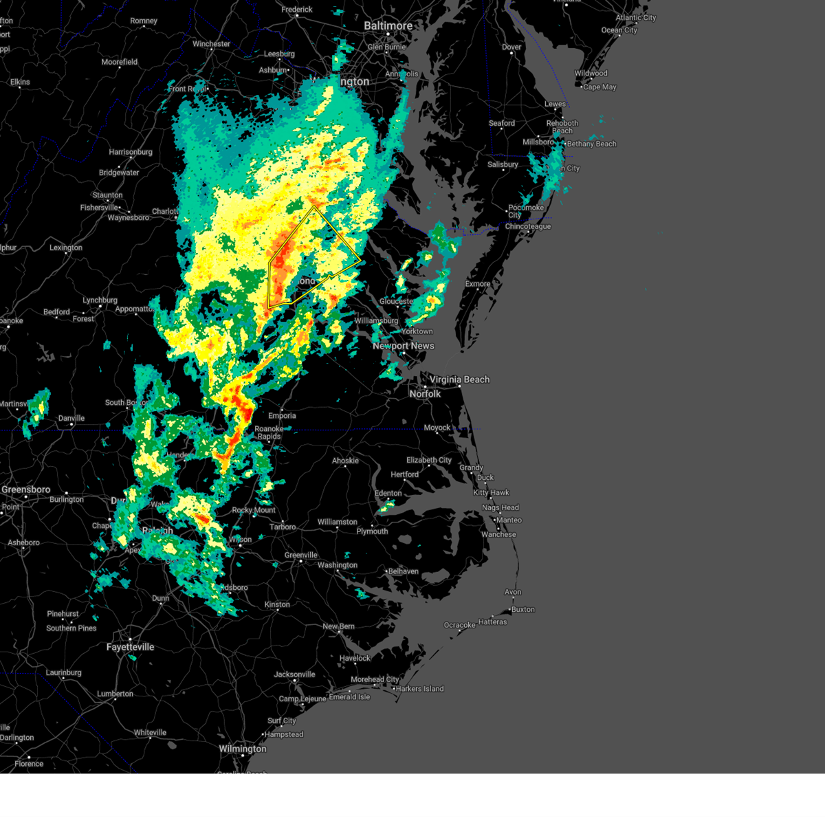 At 541 pm edt, severe thunderstorms were located along a line extending from near kings dominion to glen allen to university of richmond, moving northeast at 75 mph (radar indicated). Hazards include 60 mph wind gusts. Expect damage to trees and powerlines. Locations impacted include, randolph macon college, gum tree, manquin, beulahville, etna mills, montrose, biscoe, chamberlayne, atlee, dawn, ashcake, crouch, virginia commonwealth university, tuckahoe, duane fork, king william, sparta, central garage, laurel, and wyndham. At 541 pm edt, severe thunderstorms were located along a line extending from near kings dominion to glen allen to university of richmond, moving northeast at 75 mph (radar indicated). Hazards include 60 mph wind gusts. Expect damage to trees and powerlines. Locations impacted include, randolph macon college, gum tree, manquin, beulahville, etna mills, montrose, biscoe, chamberlayne, atlee, dawn, ashcake, crouch, virginia commonwealth university, tuckahoe, duane fork, king william, sparta, central garage, laurel, and wyndham.
|
| 3/20/2025 5:32 PM EDT |
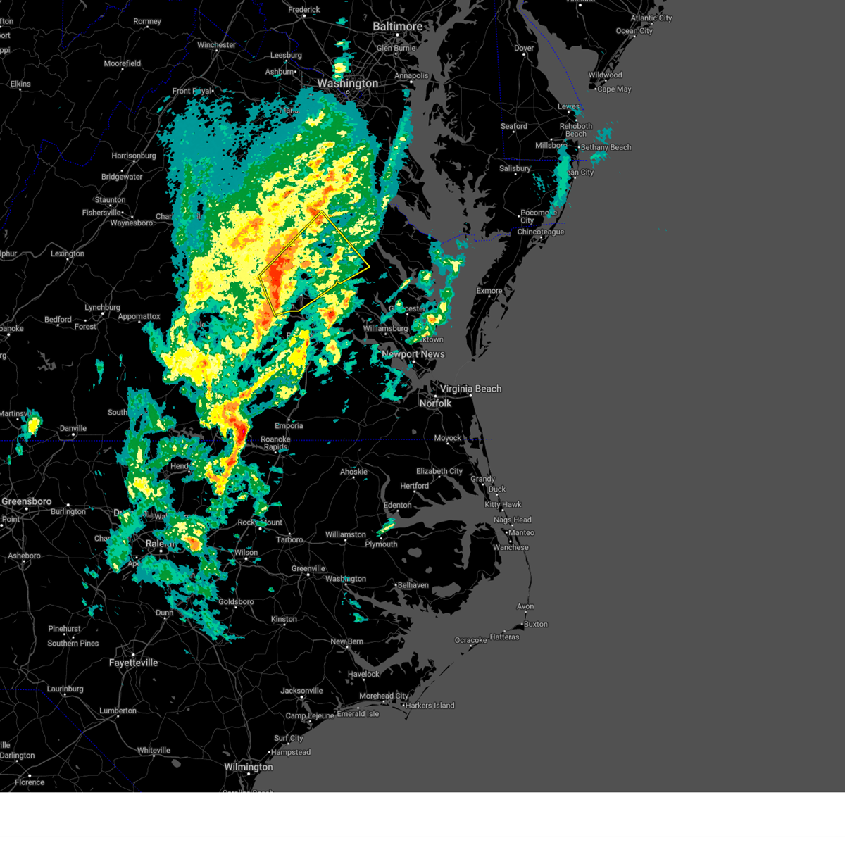 Svrakq the national weather service in wakefield has issued a * severe thunderstorm warning for, the city of richmond in central virginia, north central chesterfield county in central virginia, northwestern king and queen county in east central virginia, southeastern goochland county in central virginia, southeastern caroline county in north central virginia, northern henrico county in central virginia, king william county in east central virginia, hanover county in central virginia, east central powhatan county in central virginia, south central essex county in east central virginia, * until 600 pm edt. * at 532 pm edt, severe thunderstorms were located along a line extending from near wyndham to near tuckahoe to 6 miles east of moseley, moving northeast at 80 mph (radar indicated). Hazards include 60 mph wind gusts. expect damage to trees and powerlines Svrakq the national weather service in wakefield has issued a * severe thunderstorm warning for, the city of richmond in central virginia, north central chesterfield county in central virginia, northwestern king and queen county in east central virginia, southeastern goochland county in central virginia, southeastern caroline county in north central virginia, northern henrico county in central virginia, king william county in east central virginia, hanover county in central virginia, east central powhatan county in central virginia, south central essex county in east central virginia, * until 600 pm edt. * at 532 pm edt, severe thunderstorms were located along a line extending from near wyndham to near tuckahoe to 6 miles east of moseley, moving northeast at 80 mph (radar indicated). Hazards include 60 mph wind gusts. expect damage to trees and powerlines
|
| 3/5/2025 1:43 PM EST |
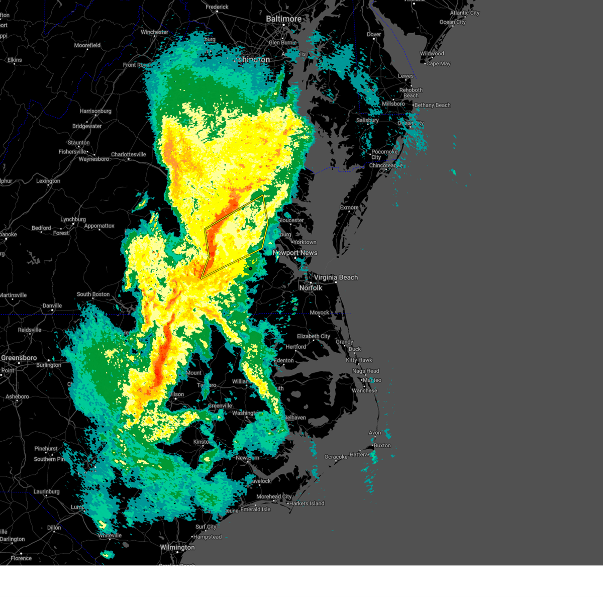 Svrakq the national weather service in wakefield has issued a * severe thunderstorm warning for, the city of colonial heights in central virginia, the city of hopewell in south central virginia, the city of petersburg in south central virginia, northwestern sussex county in southeastern virginia, eastern dinwiddie county in south central virginia, northwestern james city county in southeastern virginia, southeastern chesterfield county in central virginia, southern king and queen county in east central virginia, charles city county in east central virginia, prince george county in south central virginia, new kent county in east central virginia, southeastern henrico county in central virginia, southeastern king william county in east central virginia, northwestern surry county in southeastern virginia, * until 230 pm est. * at 143 pm est, severe thunderstorms were located along a line extending from near matoaca to near petersburg to 6 miles northwest of stony creek, moving northeast at 50 mph (radar indicated). Hazards include 60 mph wind gusts. Expect damage to trees and powerlines. severe thunderstorms will be near, ettrick, chester, colonial heights, fort gregg-adams, bellwood, prince george, petersburg, hopewell, and carson around 150 pm est. jordans point and disputanta around 155 pm est. garysville around 200 pm est. burrowsville, adkins store, roxbury, and charles city around 205 pm est. ruthville and providence forge around 210 pm est. claremont, new kent, holdcroft, cabin point, and talleysville around 215 pm est. rustic around 220 pm est. Other locations impacted by these severe thunderstorms include eltham, taylors corner, chickahominy shore, wayside, birchett estate, addison, spring grove, mountcastle, elko, and jordan point country club. Svrakq the national weather service in wakefield has issued a * severe thunderstorm warning for, the city of colonial heights in central virginia, the city of hopewell in south central virginia, the city of petersburg in south central virginia, northwestern sussex county in southeastern virginia, eastern dinwiddie county in south central virginia, northwestern james city county in southeastern virginia, southeastern chesterfield county in central virginia, southern king and queen county in east central virginia, charles city county in east central virginia, prince george county in south central virginia, new kent county in east central virginia, southeastern henrico county in central virginia, southeastern king william county in east central virginia, northwestern surry county in southeastern virginia, * until 230 pm est. * at 143 pm est, severe thunderstorms were located along a line extending from near matoaca to near petersburg to 6 miles northwest of stony creek, moving northeast at 50 mph (radar indicated). Hazards include 60 mph wind gusts. Expect damage to trees and powerlines. severe thunderstorms will be near, ettrick, chester, colonial heights, fort gregg-adams, bellwood, prince george, petersburg, hopewell, and carson around 150 pm est. jordans point and disputanta around 155 pm est. garysville around 200 pm est. burrowsville, adkins store, roxbury, and charles city around 205 pm est. ruthville and providence forge around 210 pm est. claremont, new kent, holdcroft, cabin point, and talleysville around 215 pm est. rustic around 220 pm est. Other locations impacted by these severe thunderstorms include eltham, taylors corner, chickahominy shore, wayside, birchett estate, addison, spring grove, mountcastle, elko, and jordan point country club.
|
| 3/5/2025 12:47 PM EST |
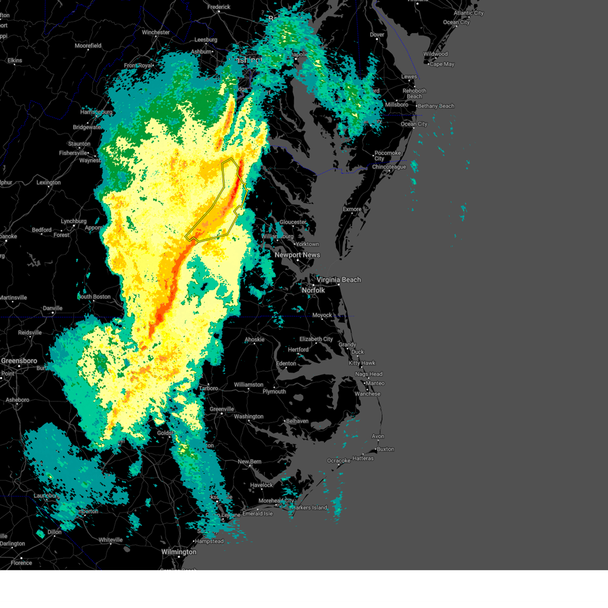 At 1246 pm est, severe thunderstorms were located along a line extending from 6 miles northwest of newtown to near beulahville to near manquin to near studley to near highland springs to bellwood, moving northeast at 45 mph (radar indicated). Hazards include 60 mph wind gusts. Expect damage to trees and powerlines. these severe storms will be near, highland springs, manquin, bellwood, bottoms bridge, beulahville, and aylett around 1250 pm est. Other locations impacted by these severe thunderstorms include enfield, richmond heights, etna mills, montrose, sandston, epworth, glendale, westwood, pocahontas state park, and richmond international. At 1246 pm est, severe thunderstorms were located along a line extending from 6 miles northwest of newtown to near beulahville to near manquin to near studley to near highland springs to bellwood, moving northeast at 45 mph (radar indicated). Hazards include 60 mph wind gusts. Expect damage to trees and powerlines. these severe storms will be near, highland springs, manquin, bellwood, bottoms bridge, beulahville, and aylett around 1250 pm est. Other locations impacted by these severe thunderstorms include enfield, richmond heights, etna mills, montrose, sandston, epworth, glendale, westwood, pocahontas state park, and richmond international.
|
| 3/5/2025 12:31 PM EST |
 At 1230 pm est, severe thunderstorms were located along a line extending from near kings dominion to hanover to near mechanicsville to virginia union university to near bensley to near chesterfield court house, moving east at 40 mph (radar indicated). Hazards include 60 mph wind gusts. Expect damage to trees and powerlines. these severe storms will be near, hanover, mechanicsville, chester, highland springs, east highland park, dawn, mangohick, bellwood, richmond, and bensley around 1235 pm est. manquin and beulahville around 1245 pm est. bottoms bridge and aylett around 1250 pm est. Other locations impacted by these severe thunderstorms include enfield, richmond heights, gum tree, elmont, etna mills, montrose, penola, sandston, epworth, and glendale. At 1230 pm est, severe thunderstorms were located along a line extending from near kings dominion to hanover to near mechanicsville to virginia union university to near bensley to near chesterfield court house, moving east at 40 mph (radar indicated). Hazards include 60 mph wind gusts. Expect damage to trees and powerlines. these severe storms will be near, hanover, mechanicsville, chester, highland springs, east highland park, dawn, mangohick, bellwood, richmond, and bensley around 1235 pm est. manquin and beulahville around 1245 pm est. bottoms bridge and aylett around 1250 pm est. Other locations impacted by these severe thunderstorms include enfield, richmond heights, gum tree, elmont, etna mills, montrose, penola, sandston, epworth, and glendale.
|
| 3/5/2025 12:31 PM EST |
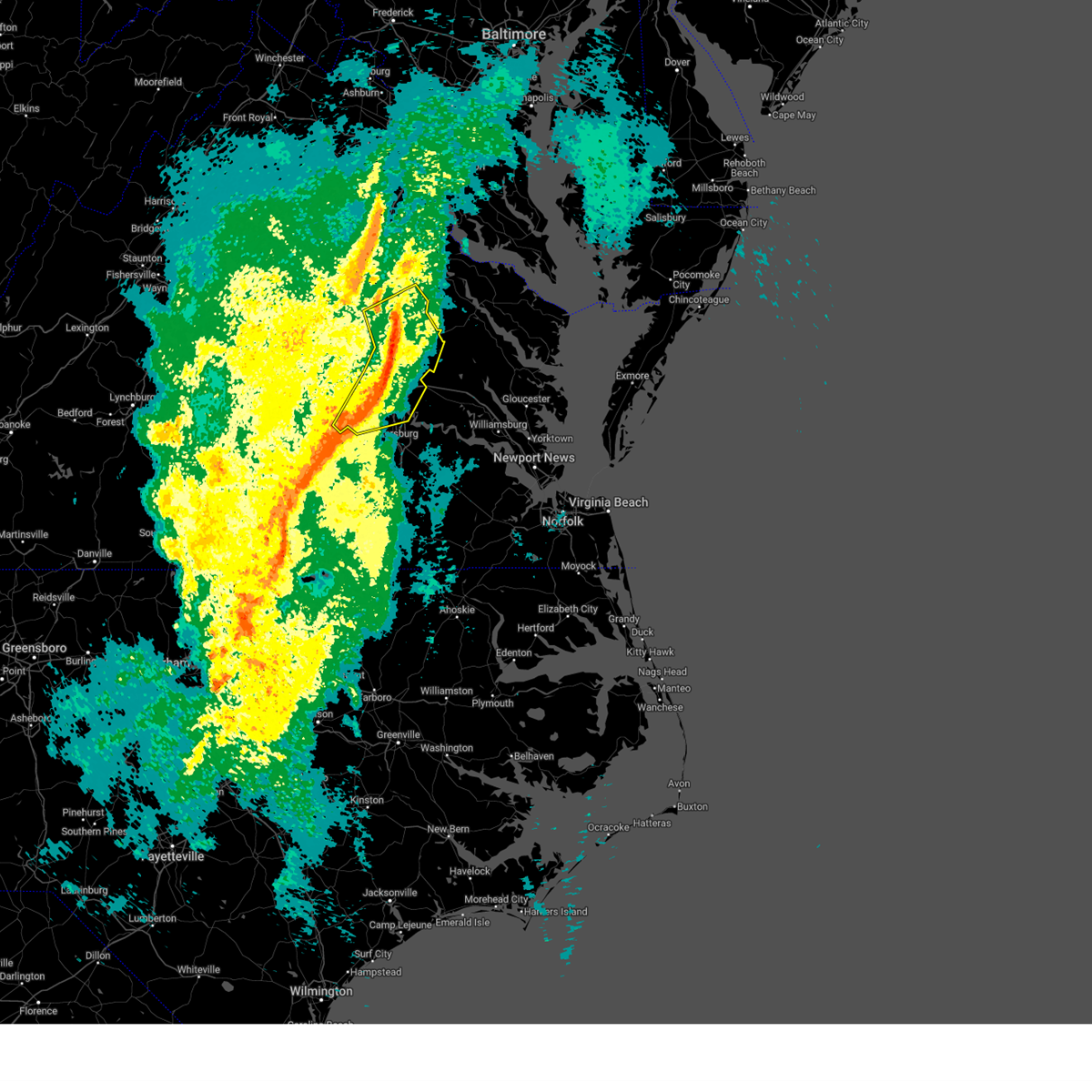 the severe thunderstorm warning has been cancelled and is no longer in effect the severe thunderstorm warning has been cancelled and is no longer in effect
|
| 3/5/2025 12:14 PM EST |
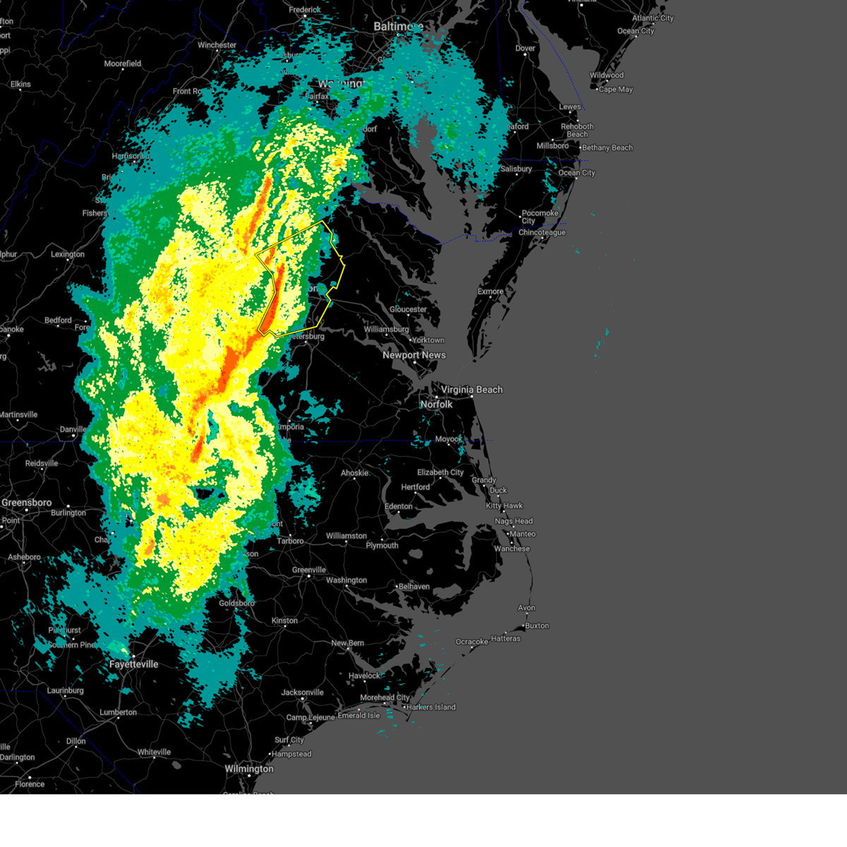 Svrakq the national weather service in wakefield has issued a * severe thunderstorm warning for, southeastern louisa county in central virginia, the city of richmond in central virginia, chesterfield county in central virginia, southeastern goochland county in central virginia, southern caroline county in north central virginia, henrico county in central virginia, northwestern king william county in east central virginia, hanover county in central virginia, * until 100 pm est. * at 1213 pm est, severe thunderstorms were located along a line extending from montpelier to wyndham to near tuckahoe to near bon air to 6 miles east of moseley to near mannboro, moving east at 40 mph (radar indicated). Hazards include 60 mph wind gusts. Expect damage to trees and powerlines. severe thunderstorms will be near, university of richmond, virginia union university, randolph macon college, mechanicsville, laurel, lakeside, downtown richmond, ashland, richmond, and tuckahoe around 1220 pm est. hanover, east highland park, kings dominion, bellwood, and bensley around 1225 pm est. chester, highland springs, and dawn around 1230 pm est. mangohick and studley around 1235 pm est. manquin and beulahville around 1245 pm est. bottoms bridge and aylett around 1250 pm est. Other locations impacted by these severe thunderstorms include gum tree, etna mills, montrose, sandston, glendale, pocahontas state park, beach, chamberlayne, atlee, and meadowville. Svrakq the national weather service in wakefield has issued a * severe thunderstorm warning for, southeastern louisa county in central virginia, the city of richmond in central virginia, chesterfield county in central virginia, southeastern goochland county in central virginia, southern caroline county in north central virginia, henrico county in central virginia, northwestern king william county in east central virginia, hanover county in central virginia, * until 100 pm est. * at 1213 pm est, severe thunderstorms were located along a line extending from montpelier to wyndham to near tuckahoe to near bon air to 6 miles east of moseley to near mannboro, moving east at 40 mph (radar indicated). Hazards include 60 mph wind gusts. Expect damage to trees and powerlines. severe thunderstorms will be near, university of richmond, virginia union university, randolph macon college, mechanicsville, laurel, lakeside, downtown richmond, ashland, richmond, and tuckahoe around 1220 pm est. hanover, east highland park, kings dominion, bellwood, and bensley around 1225 pm est. chester, highland springs, and dawn around 1230 pm est. mangohick and studley around 1235 pm est. manquin and beulahville around 1245 pm est. bottoms bridge and aylett around 1250 pm est. Other locations impacted by these severe thunderstorms include gum tree, etna mills, montrose, sandston, glendale, pocahontas state park, beach, chamberlayne, atlee, and meadowville.
|
| 2/16/2025 10:42 AM EST |
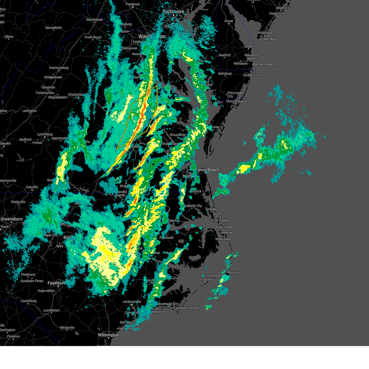 The storms which prompted the warning have moved out of the area. therefore, the warning will be allowed to expire. The storms which prompted the warning have moved out of the area. therefore, the warning will be allowed to expire.
|
| 2/16/2025 10:27 AM EST |
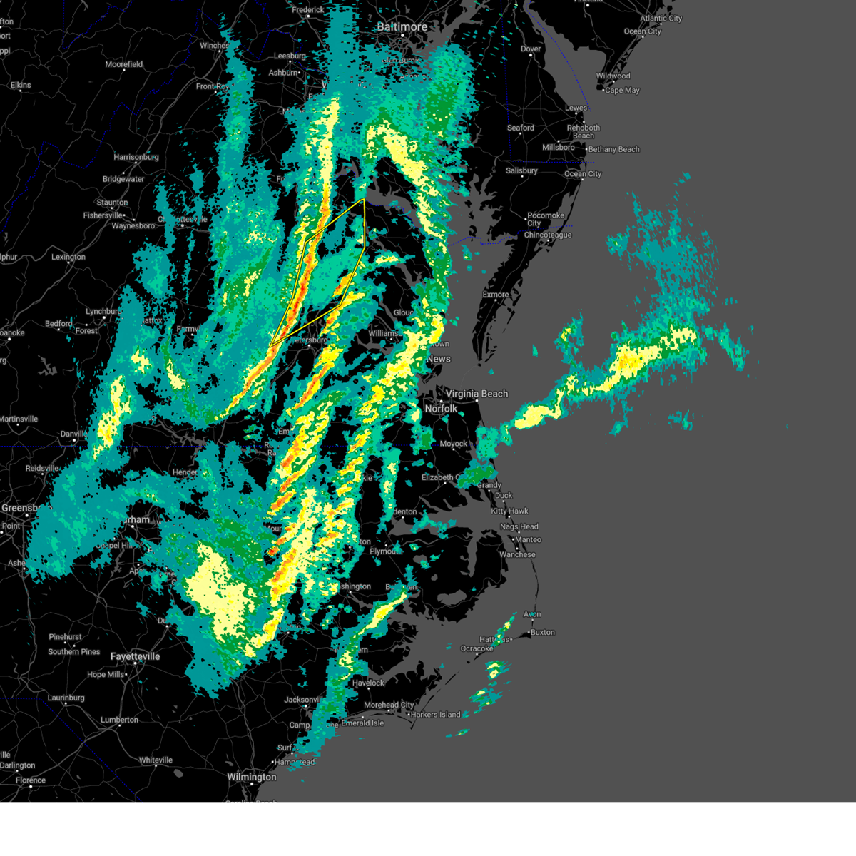 the severe thunderstorm warning has been cancelled and is no longer in effect the severe thunderstorm warning has been cancelled and is no longer in effect
|
| 2/16/2025 10:27 AM EST |
 At 1026 am est, severe thunderstorms were located along a line extending from 6 miles north of dawn to lakeside to near chesterfield court house, moving northeast at 80 mph (radar indicated). Hazards include 60 mph wind gusts. Expect damage to trees and powerlines. these severe storms will be near, virginia union university, hanover, mechanicsville, lakeside, highland springs, downtown richmond, east highland park, dawn, mangohick, and bellwood around 1030 am est. beulahville around 1035 am est. newtown, loretto, manquin, leedstown, and aylett around 1040 am est. champlain and saint stephens church around 1045 am est. Other locations impacted by these severe thunderstorms include beazley, etna mills, montrose, sandston, pocahontas state park, biscoe, beach, chamberlayne, atlee, and ashcake. At 1026 am est, severe thunderstorms were located along a line extending from 6 miles north of dawn to lakeside to near chesterfield court house, moving northeast at 80 mph (radar indicated). Hazards include 60 mph wind gusts. Expect damage to trees and powerlines. these severe storms will be near, virginia union university, hanover, mechanicsville, lakeside, highland springs, downtown richmond, east highland park, dawn, mangohick, and bellwood around 1030 am est. beulahville around 1035 am est. newtown, loretto, manquin, leedstown, and aylett around 1040 am est. champlain and saint stephens church around 1045 am est. Other locations impacted by these severe thunderstorms include beazley, etna mills, montrose, sandston, pocahontas state park, biscoe, beach, chamberlayne, atlee, and ashcake.
|
| 2/16/2025 10:04 AM EST |
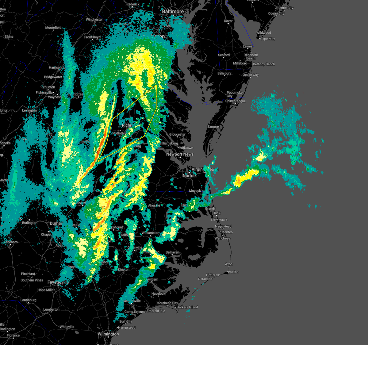 Svrakq the national weather service in wakefield has issued a * severe thunderstorm warning for, eastern nottoway county in south central virginia, southeastern goochland county in central virginia, hanover county in central virginia, northwestern dinwiddie county in south central virginia, southeastern powhatan county in central virginia, the city of richmond in central virginia, chesterfield county in central virginia, northwestern king and queen county in east central virginia, northwestern charles city county in east central virginia, northwestern new kent county in east central virginia, southeastern caroline county in north central virginia, west central westmoreland county in east central virginia, henrico county in central virginia, king william county in east central virginia, eastern amelia county in central virginia, northwestern essex county in east central virginia, * until 1045 am est. * at 1003 am est, severe thunderstorms were located along a line extending from near oilville to near scotts fork to near blackstone, moving northeast at 75 mph (radar indicated). Hazards include 60 mph wind gusts. Expect damage to trees and powerlines. severe thunderstorms will be near, moseley, wyndham, manakin, tuckahoe, sabot, bon air, and mannboro around 1010 am est. university of richmond, randolph macon college, laurel, ashland, richmond, and glen allen around 1015 am est. lakeside, downtown richmond, and kings dominion around 1020 am est. virginia union university, hanover, mechanicsville, east highland park, dawn, bensley, chesterfield court house, and virginia commonwealth university around 1025 am est. highland springs, mangohick, bellwood, and studley around 1030 am est. newtown and beulahville around 1035 am est. Other locations impacted by these severe thunderstorms include beazley, north wellville, ammon, gum tree, etna mills, montrose, sandston, glendale, pocahontas state park, and biscoe. Svrakq the national weather service in wakefield has issued a * severe thunderstorm warning for, eastern nottoway county in south central virginia, southeastern goochland county in central virginia, hanover county in central virginia, northwestern dinwiddie county in south central virginia, southeastern powhatan county in central virginia, the city of richmond in central virginia, chesterfield county in central virginia, northwestern king and queen county in east central virginia, northwestern charles city county in east central virginia, northwestern new kent county in east central virginia, southeastern caroline county in north central virginia, west central westmoreland county in east central virginia, henrico county in central virginia, king william county in east central virginia, eastern amelia county in central virginia, northwestern essex county in east central virginia, * until 1045 am est. * at 1003 am est, severe thunderstorms were located along a line extending from near oilville to near scotts fork to near blackstone, moving northeast at 75 mph (radar indicated). Hazards include 60 mph wind gusts. Expect damage to trees and powerlines. severe thunderstorms will be near, moseley, wyndham, manakin, tuckahoe, sabot, bon air, and mannboro around 1010 am est. university of richmond, randolph macon college, laurel, ashland, richmond, and glen allen around 1015 am est. lakeside, downtown richmond, and kings dominion around 1020 am est. virginia union university, hanover, mechanicsville, east highland park, dawn, bensley, chesterfield court house, and virginia commonwealth university around 1025 am est. highland springs, mangohick, bellwood, and studley around 1030 am est. newtown and beulahville around 1035 am est. Other locations impacted by these severe thunderstorms include beazley, north wellville, ammon, gum tree, etna mills, montrose, sandston, glendale, pocahontas state park, and biscoe.
|
| 9/21/2024 9:44 PM EDT |
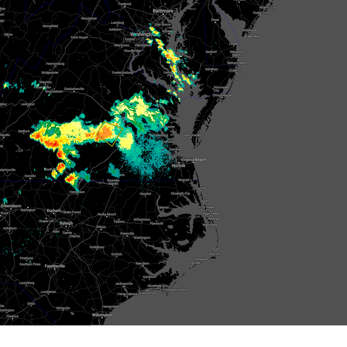 The storm which prompted the warning has weakened below severe limits, and no longer poses an immediate threat to life or property. therefore, the warning will be allowed to expire. however, gusty winds and heavy rain are still possible with this thunderstorm. to report severe weather, contact your nearest law enforcement agency. they will relay your report to the national weather service wakefield. The storm which prompted the warning has weakened below severe limits, and no longer poses an immediate threat to life or property. therefore, the warning will be allowed to expire. however, gusty winds and heavy rain are still possible with this thunderstorm. to report severe weather, contact your nearest law enforcement agency. they will relay your report to the national weather service wakefield.
|
| 9/21/2024 9:21 PM EDT |
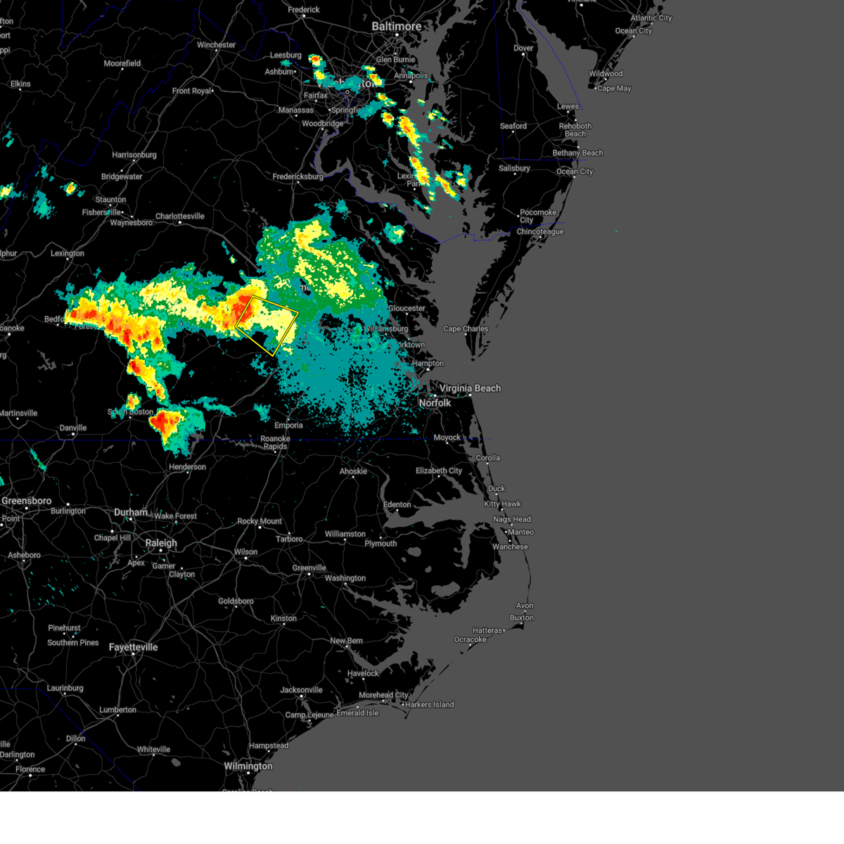 Svrakq the national weather service in wakefield has issued a * severe thunderstorm warning for, western chesterfield county in central virginia, north central dinwiddie county in south central virginia, eastern amelia county in central virginia, southeastern powhatan county in central virginia, * until 945 pm edt. * at 921 pm edt, a severe thunderstorm was located over chula, or near moseley, moving southeast at 30 mph (radar indicated). Hazards include 60 mph wind gusts. expect damage to trees and powerlines Svrakq the national weather service in wakefield has issued a * severe thunderstorm warning for, western chesterfield county in central virginia, north central dinwiddie county in south central virginia, eastern amelia county in central virginia, southeastern powhatan county in central virginia, * until 945 pm edt. * at 921 pm edt, a severe thunderstorm was located over chula, or near moseley, moving southeast at 30 mph (radar indicated). Hazards include 60 mph wind gusts. expect damage to trees and powerlines
|
| 8/30/2024 12:26 AM EDT |
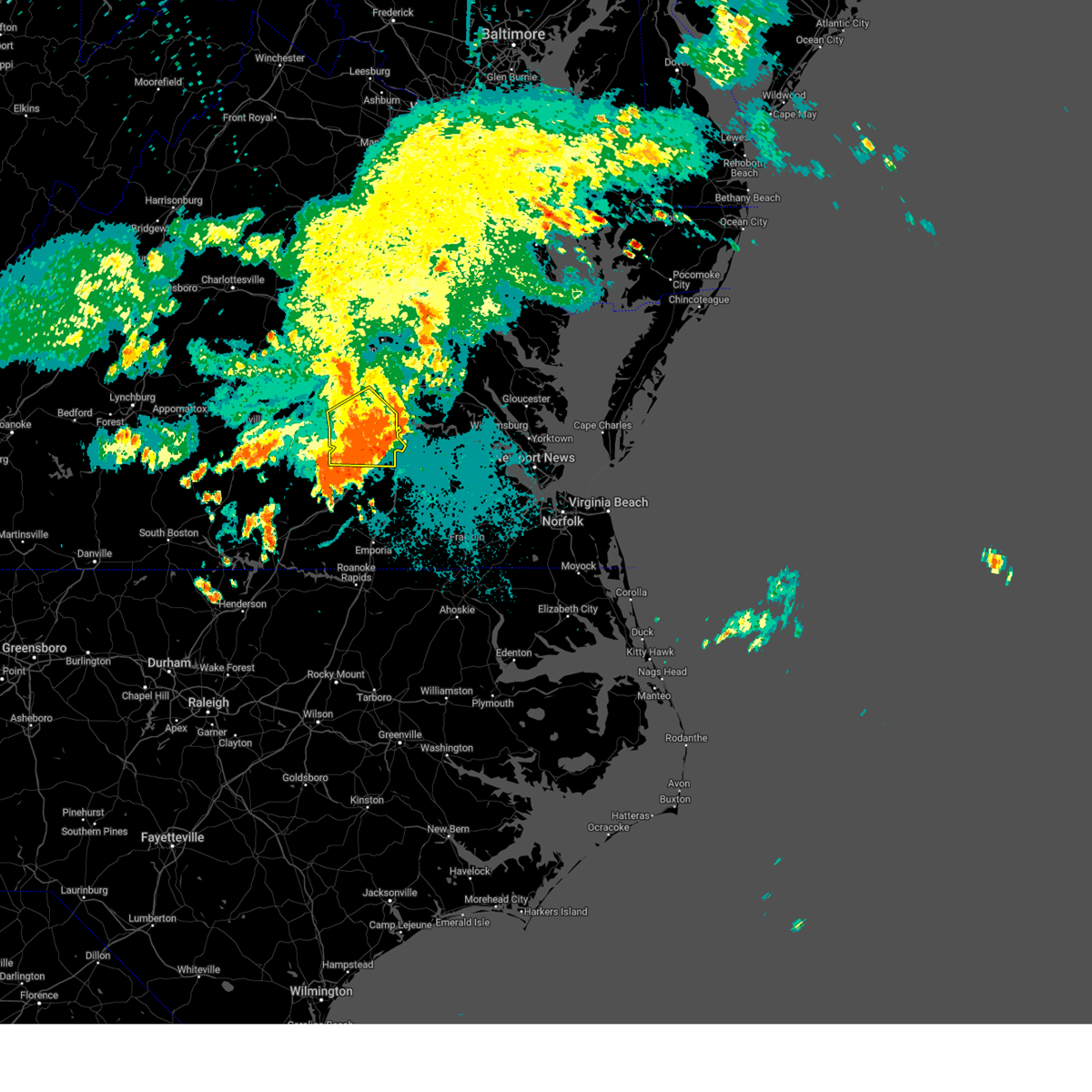 The storms which prompted the warning have weakened below severe limits, and no longer pose an immediate threat to life or property. therefore, the warning will be allowed to expire. however, heavy rain is still possible with these thunderstorms. to report severe weather, contact your nearest law enforcement agency. they will relay your report to the national weather service wakefield. The storms which prompted the warning have weakened below severe limits, and no longer pose an immediate threat to life or property. therefore, the warning will be allowed to expire. however, heavy rain is still possible with these thunderstorms. to report severe weather, contact your nearest law enforcement agency. they will relay your report to the national weather service wakefield.
|
| 8/29/2024 11:52 PM EDT |
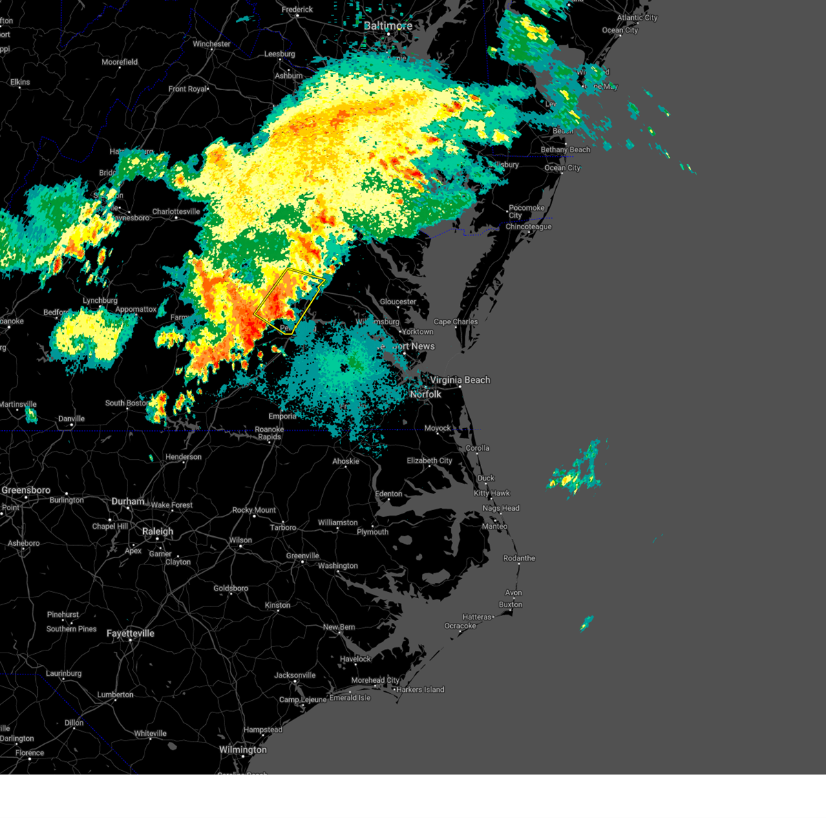 At 1151 pm edt, severe thunderstorms were located along a line extending from highland springs to 6 miles south of chesterfield court house, moving southeast at 25 mph (radar indicated). Hazards include 60 mph wind gusts. Expect damage to trees and powerlines. Locations impacted include, richmond, colonial heights, downtown richmond, bon air, virginia union university, virginia commonwealth university, university of richmond, chester, mechanicsville, highland springs, tuckahoe, bensley, bellwood, east highland park, glen allen, laurel, matoaca, lakeside, chesterfield court house, and chesterfield. At 1151 pm edt, severe thunderstorms were located along a line extending from highland springs to 6 miles south of chesterfield court house, moving southeast at 25 mph (radar indicated). Hazards include 60 mph wind gusts. Expect damage to trees and powerlines. Locations impacted include, richmond, colonial heights, downtown richmond, bon air, virginia union university, virginia commonwealth university, university of richmond, chester, mechanicsville, highland springs, tuckahoe, bensley, bellwood, east highland park, glen allen, laurel, matoaca, lakeside, chesterfield court house, and chesterfield.
|
| 8/29/2024 11:46 PM EDT |
 Svrakq the national weather service in wakefield has issued a * severe thunderstorm warning for, chesterfield county in central virginia, the city of colonial heights in central virginia, the city of petersburg in south central virginia, northern dinwiddie county in south central virginia, southeastern amelia county in central virginia, * until 1230 am edt. * at 1146 pm edt, severe thunderstorms were located along a line extending from moseley to 6 miles northeast of mannboro to near wilsons, moving east at 20 mph (radar indicated). Hazards include 60 mph wind gusts. expect damage to trees and powerlines Svrakq the national weather service in wakefield has issued a * severe thunderstorm warning for, chesterfield county in central virginia, the city of colonial heights in central virginia, the city of petersburg in south central virginia, northern dinwiddie county in south central virginia, southeastern amelia county in central virginia, * until 1230 am edt. * at 1146 pm edt, severe thunderstorms were located along a line extending from moseley to 6 miles northeast of mannboro to near wilsons, moving east at 20 mph (radar indicated). Hazards include 60 mph wind gusts. expect damage to trees and powerlines
|
| 8/29/2024 11:31 PM EDT |
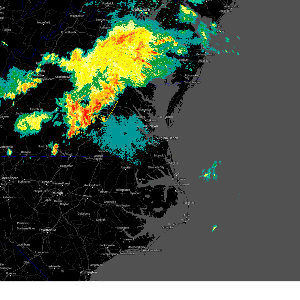 Svrakq the national weather service in wakefield has issued a * severe thunderstorm warning for, the city of richmond in central virginia, chesterfield county in central virginia, henrico county in central virginia, southeastern hanover county in central virginia, * until 1215 am edt. * at 1131 pm edt, severe thunderstorms were located along a line extending from lakeside to 7 miles southeast of moseley, moving southeast at 15 mph (radar indicated). Hazards include 60 mph wind gusts. expect damage to trees and powerlines Svrakq the national weather service in wakefield has issued a * severe thunderstorm warning for, the city of richmond in central virginia, chesterfield county in central virginia, henrico county in central virginia, southeastern hanover county in central virginia, * until 1215 am edt. * at 1131 pm edt, severe thunderstorms were located along a line extending from lakeside to 7 miles southeast of moseley, moving southeast at 15 mph (radar indicated). Hazards include 60 mph wind gusts. expect damage to trees and powerlines
|
| 8/19/2024 4:25 PM EDT |
 At 425 pm edt, severe thunderstorms were located along a line extending from near manquin to bottoms bridge to near jordans point, moving east at 30 mph (radar indicated). Hazards include 70 mph wind gusts. Expect considerable tree damage. damage is likely to mobile homes, roofs, and outbuildings. these severe storms will be near, talleysville, roxbury, tunstall, and adkins store around 430 pm edt. king william, charles city, and providence forge around 435 pm edt. new kent and ruthville around 440 pm edt. king and queen court house, stevensville, and holdcroft around 450 pm edt. west point and barhamsville around 455 pm edt. little plymouth around 500 pm edt. Other locations impacted by these severe thunderstorms include eltham, wayside, cohoke, montrose, sandston, glendale, rose garden, mattaponi, meadowville, and crouch. At 425 pm edt, severe thunderstorms were located along a line extending from near manquin to bottoms bridge to near jordans point, moving east at 30 mph (radar indicated). Hazards include 70 mph wind gusts. Expect considerable tree damage. damage is likely to mobile homes, roofs, and outbuildings. these severe storms will be near, talleysville, roxbury, tunstall, and adkins store around 430 pm edt. king william, charles city, and providence forge around 435 pm edt. new kent and ruthville around 440 pm edt. king and queen court house, stevensville, and holdcroft around 450 pm edt. west point and barhamsville around 455 pm edt. little plymouth around 500 pm edt. Other locations impacted by these severe thunderstorms include eltham, wayside, cohoke, montrose, sandston, glendale, rose garden, mattaponi, meadowville, and crouch.
|
| 8/19/2024 4:15 PM EDT |
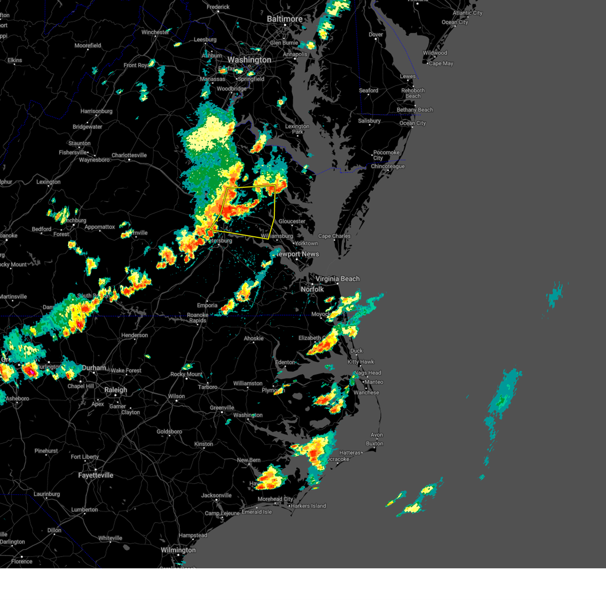 Svrakq the national weather service in wakefield has issued a * severe thunderstorm warning for, east central chesterfield county in central virginia, central king and queen county in east central virginia, western middlesex county in eastern virginia, charles city county in east central virginia, new kent county in east central virginia, southeastern henrico county in central virginia, king william county in east central virginia, southeastern hanover county in central virginia, northwestern james city county in southeastern virginia, southeastern essex county in east central virginia, * until 500 pm edt. * at 415 pm edt, severe thunderstorms were located along a line extending from near studley to near bottoms bridge to near hopewell, moving east at 30 mph (radar indicated). Hazards include 60 mph wind gusts. Expect damage to trees and powerlines. severe thunderstorms will be near, roxbury, manquin, tunstall, and bottoms bridge around 420 pm edt. talleysville around 425 pm edt. king william, adkins store, and providence forge around 430 pm edt. charles city and ruthville around 435 pm edt. new kent around 440 pm edt. king and queen court house and holdcroft around 450 pm edt. Other locations impacted by these severe thunderstorms include eltham, wayside, cohoke, montrose, sandston, glendale, rose garden, mattaponi, meadowville, and crouch. Svrakq the national weather service in wakefield has issued a * severe thunderstorm warning for, east central chesterfield county in central virginia, central king and queen county in east central virginia, western middlesex county in eastern virginia, charles city county in east central virginia, new kent county in east central virginia, southeastern henrico county in central virginia, king william county in east central virginia, southeastern hanover county in central virginia, northwestern james city county in southeastern virginia, southeastern essex county in east central virginia, * until 500 pm edt. * at 415 pm edt, severe thunderstorms were located along a line extending from near studley to near bottoms bridge to near hopewell, moving east at 30 mph (radar indicated). Hazards include 60 mph wind gusts. Expect damage to trees and powerlines. severe thunderstorms will be near, roxbury, manquin, tunstall, and bottoms bridge around 420 pm edt. talleysville around 425 pm edt. king william, adkins store, and providence forge around 430 pm edt. charles city and ruthville around 435 pm edt. new kent around 440 pm edt. king and queen court house and holdcroft around 450 pm edt. Other locations impacted by these severe thunderstorms include eltham, wayside, cohoke, montrose, sandston, glendale, rose garden, mattaponi, meadowville, and crouch.
|
| 8/2/2024 6:54 PM EDT |
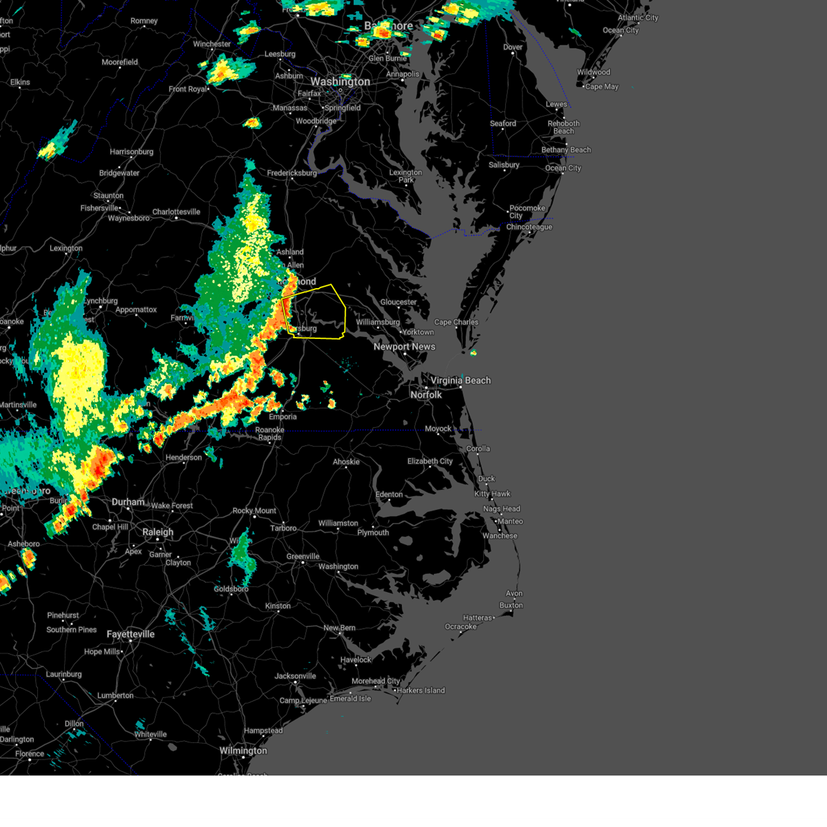 Svrakq the national weather service in wakefield has issued a * severe thunderstorm warning for, the city of richmond in central virginia, southeastern chesterfield county in central virginia, the city of colonial heights in central virginia, the city of hopewell in south central virginia, the northern city of petersburg in south central virginia, charles city county in east central virginia, northern prince george county in south central virginia, southwestern new kent county in east central virginia, southeastern henrico county in central virginia, * until 745 pm edt. * at 653 pm edt, a severe thunderstorm was located over chester, moving east at 30 mph (radar indicated). Hazards include 60 mph wind gusts. Expect damage to trees and powerlines. this severe thunderstorm will be near, hopewell, colonial heights, chester, and bellwood around 700 pm edt. adkins store around 730 pm edt. ruthville around 740 pm edt. Other locations impacted by this severe thunderstorm include taylors corner, wayside, richmond heights, birchett estate, mountcastle, elko, jordan point country club, petersburg national battlefield, sandston, and glendale. Svrakq the national weather service in wakefield has issued a * severe thunderstorm warning for, the city of richmond in central virginia, southeastern chesterfield county in central virginia, the city of colonial heights in central virginia, the city of hopewell in south central virginia, the northern city of petersburg in south central virginia, charles city county in east central virginia, northern prince george county in south central virginia, southwestern new kent county in east central virginia, southeastern henrico county in central virginia, * until 745 pm edt. * at 653 pm edt, a severe thunderstorm was located over chester, moving east at 30 mph (radar indicated). Hazards include 60 mph wind gusts. Expect damage to trees and powerlines. this severe thunderstorm will be near, hopewell, colonial heights, chester, and bellwood around 700 pm edt. adkins store around 730 pm edt. ruthville around 740 pm edt. Other locations impacted by this severe thunderstorm include taylors corner, wayside, richmond heights, birchett estate, mountcastle, elko, jordan point country club, petersburg national battlefield, sandston, and glendale.
|
| 7/17/2024 7:55 PM EDT |
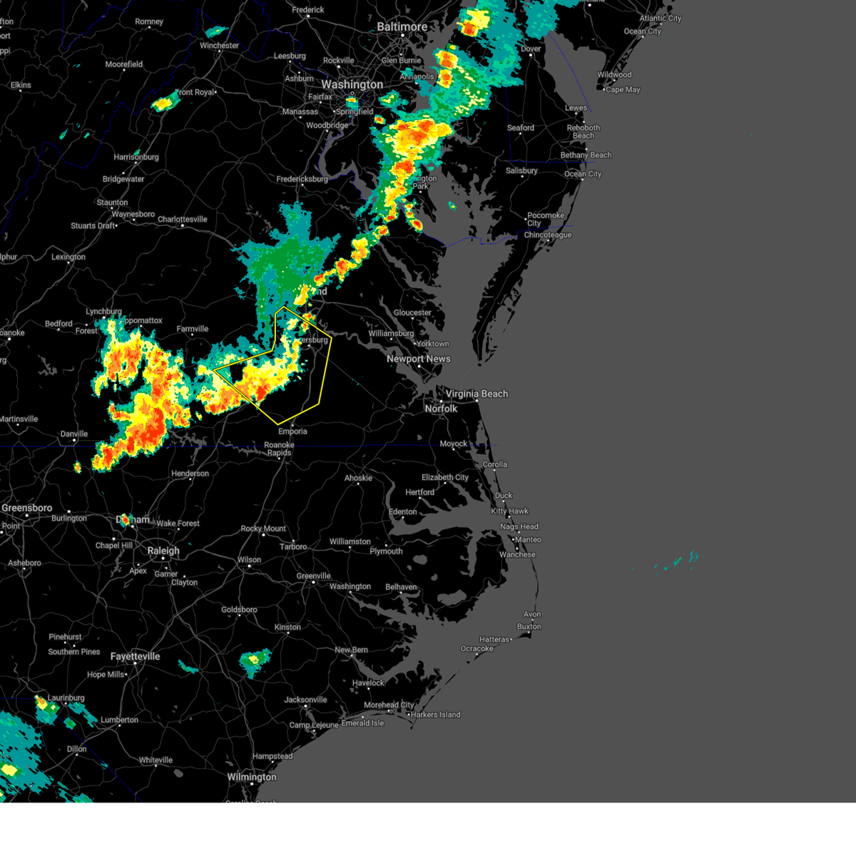 The storms which prompted the warning have weakened below severe limits, and no longer pose an immediate threat to life or property. therefore, the warning will be allowed to expire. however, gusty winds are still possible with these thunderstorms. a severe thunderstorm watch remains in effect until 1000 pm edt for central and south central virginia. The storms which prompted the warning have weakened below severe limits, and no longer pose an immediate threat to life or property. therefore, the warning will be allowed to expire. however, gusty winds are still possible with these thunderstorms. a severe thunderstorm watch remains in effect until 1000 pm edt for central and south central virginia.
|
| 7/17/2024 7:43 PM EDT |
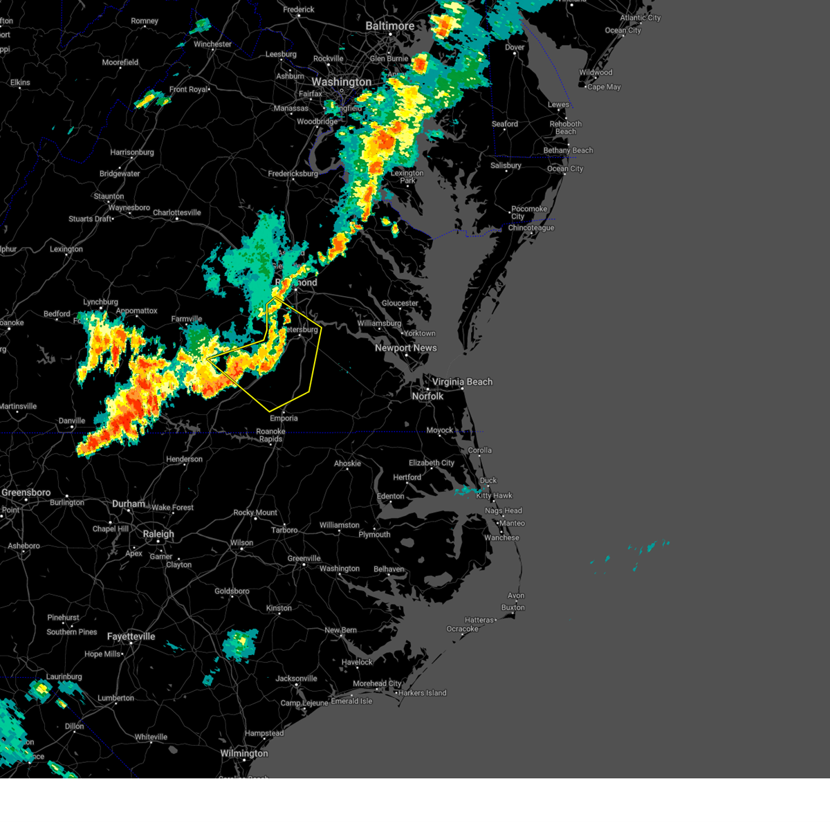 At 743 pm edt, severe thunderstorms were located along a line extending from near colonial heights to 7 miles west of stony creek to 6 miles east of alberta, moving east at 45 mph (radar indicated). Hazards include 60 mph wind gusts. Expect damage to trees and powerlines. these severe storms will be near, petersburg, hopewell, colonial heights, purdy, fort gregg-adams, prince george, stony creek, and carson around 750 pm edt. jarratt around 800 pm edt. Other locations impacted by these severe thunderstorms include irby, birchett estate, bufford crossroads, addison, dolphin, murdocks, pleasant shade, forkland, jordan point country club, and wharfs store. At 743 pm edt, severe thunderstorms were located along a line extending from near colonial heights to 7 miles west of stony creek to 6 miles east of alberta, moving east at 45 mph (radar indicated). Hazards include 60 mph wind gusts. Expect damage to trees and powerlines. these severe storms will be near, petersburg, hopewell, colonial heights, purdy, fort gregg-adams, prince george, stony creek, and carson around 750 pm edt. jarratt around 800 pm edt. Other locations impacted by these severe thunderstorms include irby, birchett estate, bufford crossroads, addison, dolphin, murdocks, pleasant shade, forkland, jordan point country club, and wharfs store.
|
| 7/17/2024 7:15 PM EDT |
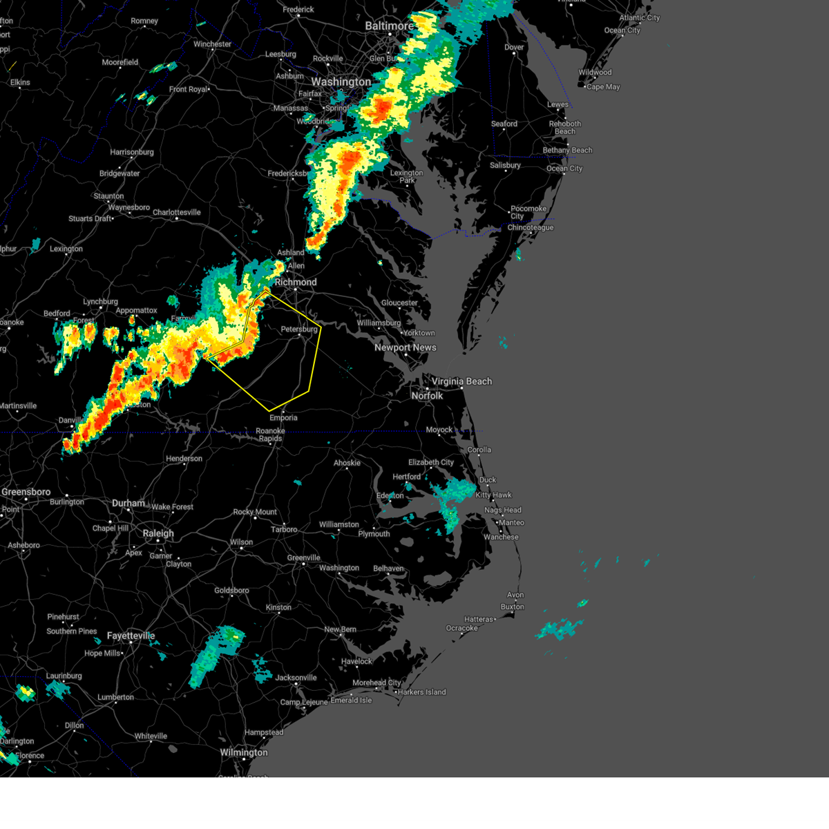 Svrakq the national weather service in wakefield has issued a * severe thunderstorm warning for, chesterfield county in central virginia, northwestern greensville county in southeastern virginia, the city of colonial heights in central virginia, the city of hopewell in south central virginia, northeastern lunenburg county in south central virginia, southern nottoway county in south central virginia, the city of petersburg in south central virginia, western prince george county in south central virginia, western sussex county in southeastern virginia, dinwiddie county in south central virginia, southeastern amelia county in central virginia, northern brunswick county in south central virginia, * until 800 pm edt. * at 715 pm edt, severe thunderstorms were located along a line extending from near moseley to near wilsons to near blackstone, moving southeast at 45 mph (radar indicated). Hazards include 60 mph wind gusts. Expect damage to trees and powerlines. severe thunderstorms will be near, dewitt around 720 pm edt. dinwiddie, mckenney, sutherland, and chesterfield court house around 725 pm edt. chester, alberta, and matoaca around 730 pm edt. petersburg, colonial heights, virginia state university, and ettrick around 735 pm edt. fort gregg-adams and carson around 740 pm edt. hopewell, purdy, and stony creek around 745 pm edt. prince george and jarratt around 750 pm edt. Other locations impacted by these severe thunderstorms include north wellville, dolphin, ammon, murdocks, pleasant shade, wharfs store, pocahontas state park, skinquarter, wellville, and beach. Svrakq the national weather service in wakefield has issued a * severe thunderstorm warning for, chesterfield county in central virginia, northwestern greensville county in southeastern virginia, the city of colonial heights in central virginia, the city of hopewell in south central virginia, northeastern lunenburg county in south central virginia, southern nottoway county in south central virginia, the city of petersburg in south central virginia, western prince george county in south central virginia, western sussex county in southeastern virginia, dinwiddie county in south central virginia, southeastern amelia county in central virginia, northern brunswick county in south central virginia, * until 800 pm edt. * at 715 pm edt, severe thunderstorms were located along a line extending from near moseley to near wilsons to near blackstone, moving southeast at 45 mph (radar indicated). Hazards include 60 mph wind gusts. Expect damage to trees and powerlines. severe thunderstorms will be near, dewitt around 720 pm edt. dinwiddie, mckenney, sutherland, and chesterfield court house around 725 pm edt. chester, alberta, and matoaca around 730 pm edt. petersburg, colonial heights, virginia state university, and ettrick around 735 pm edt. fort gregg-adams and carson around 740 pm edt. hopewell, purdy, and stony creek around 745 pm edt. prince george and jarratt around 750 pm edt. Other locations impacted by these severe thunderstorms include north wellville, dolphin, ammon, murdocks, pleasant shade, wharfs store, pocahontas state park, skinquarter, wellville, and beach.
|
| 6/30/2024 8:38 PM EDT |
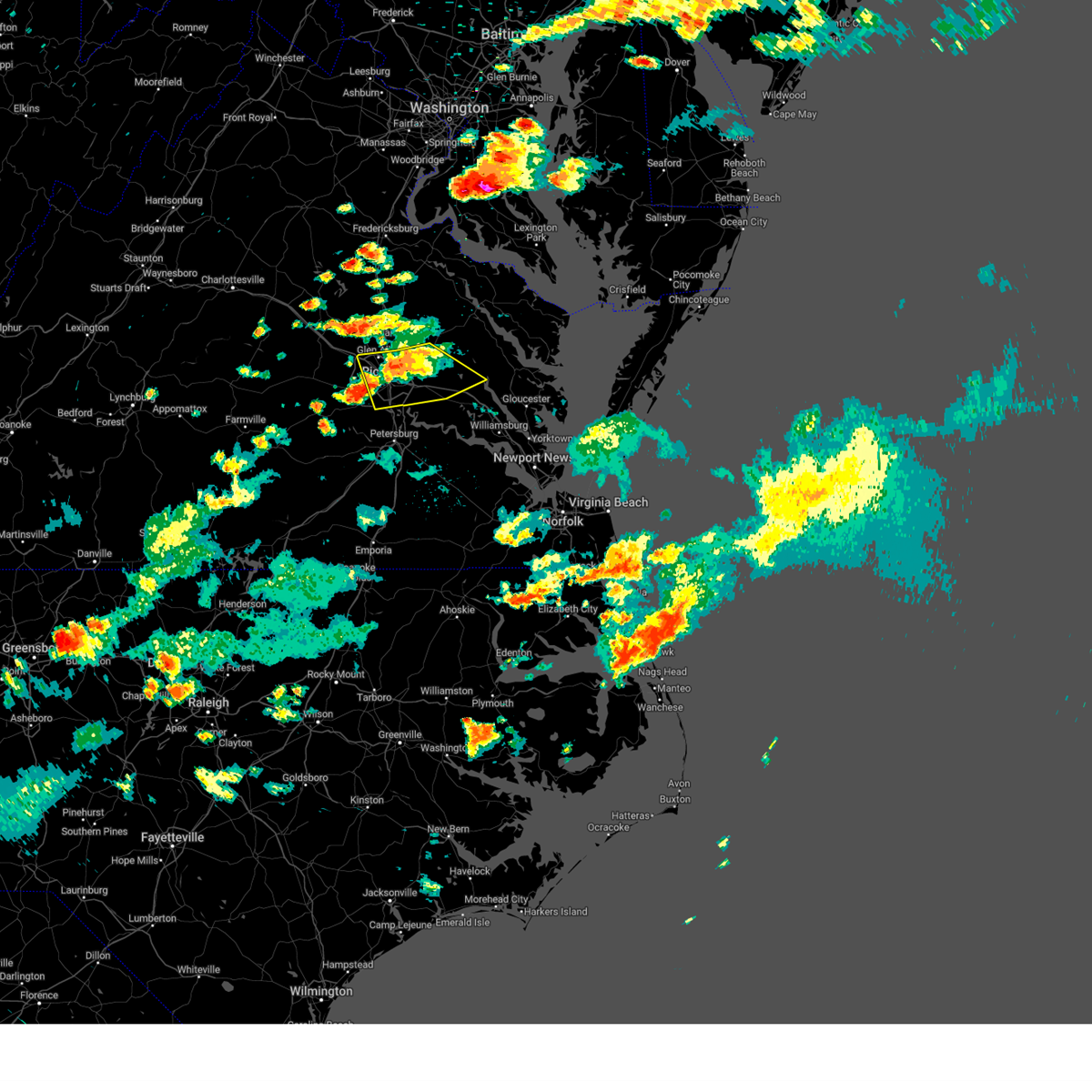 the severe thunderstorm warning has been cancelled and is no longer in effect the severe thunderstorm warning has been cancelled and is no longer in effect
|
| 6/30/2024 8:09 PM EDT |
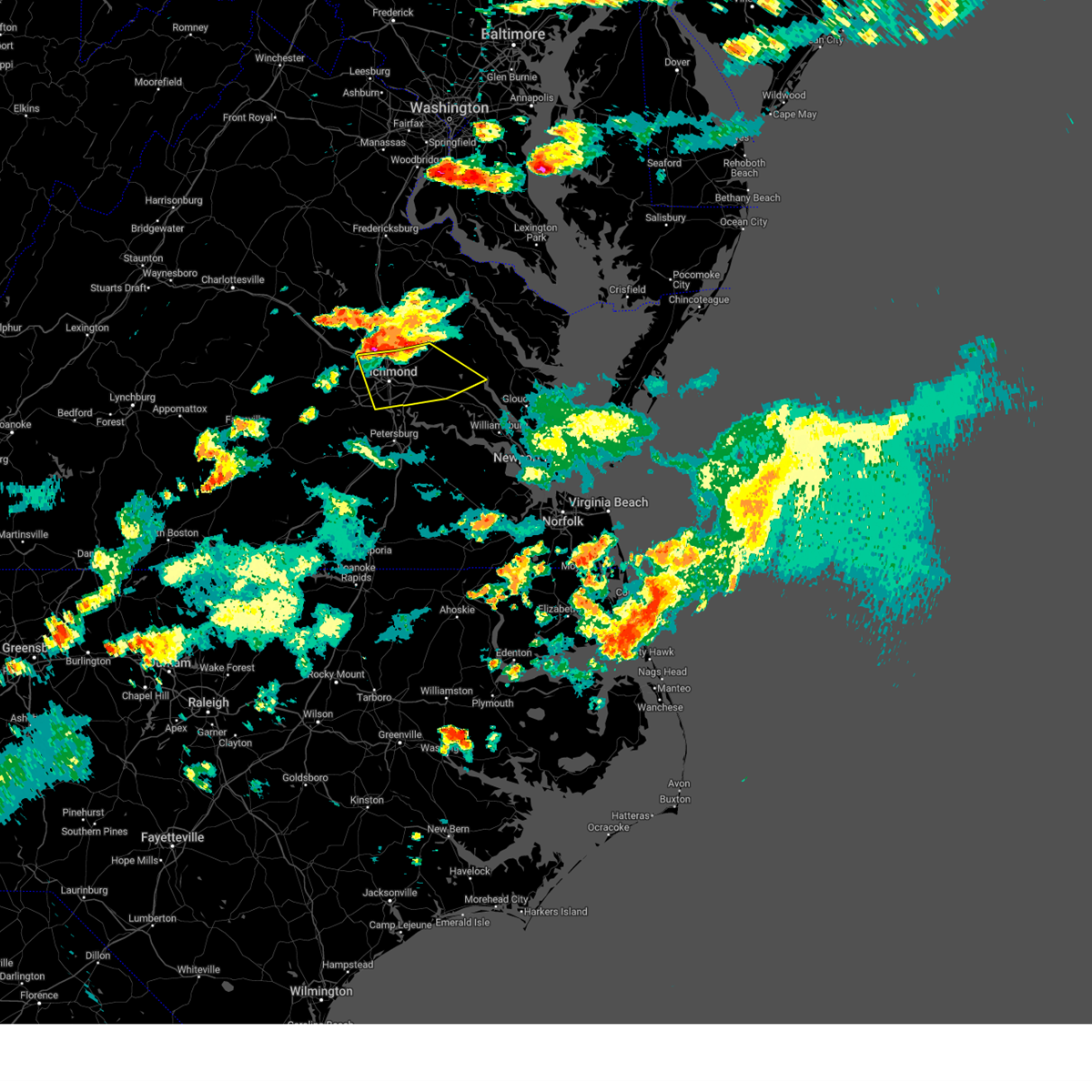 Svrakq the national weather service in wakefield has issued a * severe thunderstorm warning for, the city of richmond in central virginia, north central chesterfield county in central virginia, northwestern charles city county in east central virginia, new kent county in east central virginia, henrico county in central virginia, southern king william county in east central virginia, southeastern hanover county in central virginia, * until 900 pm edt. * at 808 pm edt, severe thunderstorms were located along a line extending from manquin to near studley to near wyndham, moving southeast at 25 mph (radar indicated). Hazards include 60 mph wind gusts and penny size hail. Expect damage to trees and powerlines. severe thunderstorms will be near, richmond, mechanicsville, highland springs, tuckahoe, laurel, lakeside, east highland park, and glen allen around 815 pm edt. virginia union university and tunstall around 820 pm edt. downtown richmond and virginia commonwealth university around 825 pm edt. bottoms bridge around 830 pm edt. talleysville around 835 pm edt. new kent and roxbury around 840 pm edt. Other locations impacted by these severe thunderstorms include richmond heights, mountcastle, elko, cohoke, montrose, sandston, glendale, westwood, richmond international, and colonial downs. Svrakq the national weather service in wakefield has issued a * severe thunderstorm warning for, the city of richmond in central virginia, north central chesterfield county in central virginia, northwestern charles city county in east central virginia, new kent county in east central virginia, henrico county in central virginia, southern king william county in east central virginia, southeastern hanover county in central virginia, * until 900 pm edt. * at 808 pm edt, severe thunderstorms were located along a line extending from manquin to near studley to near wyndham, moving southeast at 25 mph (radar indicated). Hazards include 60 mph wind gusts and penny size hail. Expect damage to trees and powerlines. severe thunderstorms will be near, richmond, mechanicsville, highland springs, tuckahoe, laurel, lakeside, east highland park, and glen allen around 815 pm edt. virginia union university and tunstall around 820 pm edt. downtown richmond and virginia commonwealth university around 825 pm edt. bottoms bridge around 830 pm edt. talleysville around 835 pm edt. new kent and roxbury around 840 pm edt. Other locations impacted by these severe thunderstorms include richmond heights, mountcastle, elko, cohoke, montrose, sandston, glendale, westwood, richmond international, and colonial downs.
|
| 5/26/2024 10:09 PM EDT |
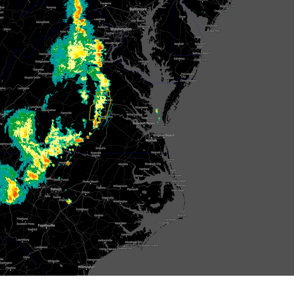 The storms which prompted the warning have weakened below severe limits, and no longer pose an immediate threat to life or property. therefore, the warning will be allowed to expire. however, gusty winds are still possible with these thunderstorms. a severe thunderstorm watch remains in effect until midnight edt for central, south central and north central virginia. The storms which prompted the warning have weakened below severe limits, and no longer pose an immediate threat to life or property. therefore, the warning will be allowed to expire. however, gusty winds are still possible with these thunderstorms. a severe thunderstorm watch remains in effect until midnight edt for central, south central and north central virginia.
|
| 5/26/2024 9:50 PM EDT |
 the severe thunderstorm warning has been cancelled and is no longer in effect the severe thunderstorm warning has been cancelled and is no longer in effect
|
| 5/26/2024 9:50 PM EDT |
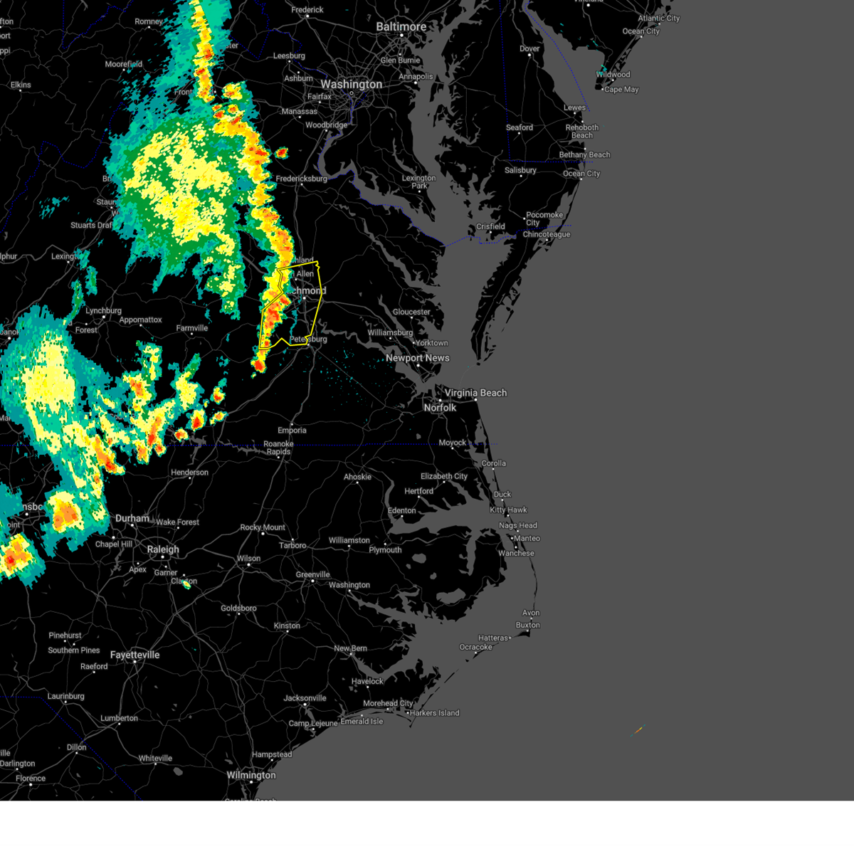 At 950 pm edt, severe thunderstorms were located along a line extending from near montpelier to bon air to near mannboro, moving northeast at 30 mph (radar indicated). Hazards include 60 mph wind gusts. Expect damage to trees and powerlines. these severe storms will be near, richmond, ashland, randolph macon college, university of richmond, downtown richmond, tuckahoe, bon air, laurel, lakeside, and glen allen around 955 pm edt. virginia union university, mechanicsville, virginia commonwealth university, and chesterfield court house around 1000 pm edt. east highland park and bensley around 1005 pm edt. chester, hanover, and bellwood around 1010 pm edt. highland springs around 1015 pm edt. Other locations impacted by these severe thunderstorms include richmond heights, ammon, elmont, montrose, pocahontas state park, richmond international, skinquarter, fair oaks, solomons store, and beach. At 950 pm edt, severe thunderstorms were located along a line extending from near montpelier to bon air to near mannboro, moving northeast at 30 mph (radar indicated). Hazards include 60 mph wind gusts. Expect damage to trees and powerlines. these severe storms will be near, richmond, ashland, randolph macon college, university of richmond, downtown richmond, tuckahoe, bon air, laurel, lakeside, and glen allen around 955 pm edt. virginia union university, mechanicsville, virginia commonwealth university, and chesterfield court house around 1000 pm edt. east highland park and bensley around 1005 pm edt. chester, hanover, and bellwood around 1010 pm edt. highland springs around 1015 pm edt. Other locations impacted by these severe thunderstorms include richmond heights, ammon, elmont, montrose, pocahontas state park, richmond international, skinquarter, fair oaks, solomons store, and beach.
|
| 5/26/2024 9:20 PM EDT |
 Svrakq the national weather service in wakefield has issued a * severe thunderstorm warning for, the city of richmond in central virginia, chesterfield county in central virginia, southeastern goochland county in central virginia, henrico county in central virginia, southwestern hanover county in central virginia, amelia county in central virginia, powhatan county in central virginia, * until 1015 pm edt. * at 920 pm edt, severe thunderstorms were located along a line extending from near goochland to near powhatan to near scotts fork, moving northeast at 35 mph (radar indicated). Hazards include 60 mph wind gusts. Expect damage to trees and powerlines. severe thunderstorms will be near, moseley, oilville, scotts fork, and sabot around 925 pm edt. manakin around 930 pm edt. tuckahoe, bon air, and wyndham around 935 pm edt. richmond around 940 pm edt. university of richmond, laurel, and glen allen around 945 pm edt. ashland, randolph macon college, lakeside, and chesterfield court house around 950 pm edt. virginia union university, mechanicsville, downtown richmond, virginia commonwealth university, and bensley around 955 pm edt. east highland park and bellwood around 1000 pm edt. Other locations impacted by these severe thunderstorms include crozier, richmond heights, earls, ammon, pilkinton, maidens, irwin, johnsons springs, elmont, and montrose. Svrakq the national weather service in wakefield has issued a * severe thunderstorm warning for, the city of richmond in central virginia, chesterfield county in central virginia, southeastern goochland county in central virginia, henrico county in central virginia, southwestern hanover county in central virginia, amelia county in central virginia, powhatan county in central virginia, * until 1015 pm edt. * at 920 pm edt, severe thunderstorms were located along a line extending from near goochland to near powhatan to near scotts fork, moving northeast at 35 mph (radar indicated). Hazards include 60 mph wind gusts. Expect damage to trees and powerlines. severe thunderstorms will be near, moseley, oilville, scotts fork, and sabot around 925 pm edt. manakin around 930 pm edt. tuckahoe, bon air, and wyndham around 935 pm edt. richmond around 940 pm edt. university of richmond, laurel, and glen allen around 945 pm edt. ashland, randolph macon college, lakeside, and chesterfield court house around 950 pm edt. virginia union university, mechanicsville, downtown richmond, virginia commonwealth university, and bensley around 955 pm edt. east highland park and bellwood around 1000 pm edt. Other locations impacted by these severe thunderstorms include crozier, richmond heights, earls, ammon, pilkinton, maidens, irwin, johnsons springs, elmont, and montrose.
|
| 4/15/2024 7:39 PM EDT |
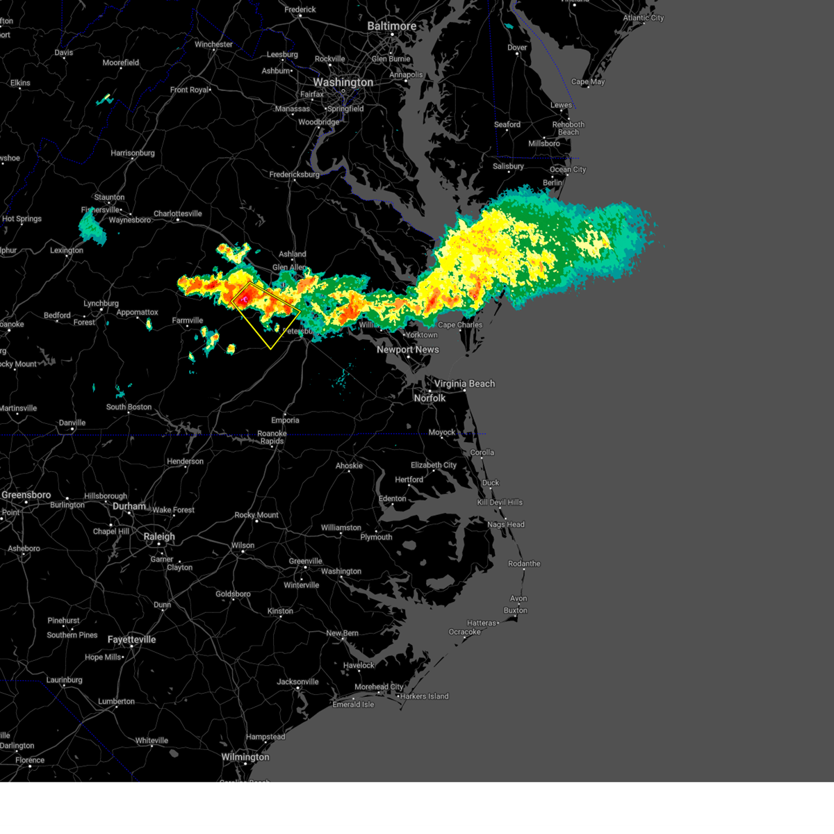 Svrakq the national weather service in wakefield has issued a * severe thunderstorm warning for, chesterfield county in central virginia, north central dinwiddie county in south central virginia, eastern amelia county in central virginia, southeastern powhatan county in central virginia, * until 830 pm edt. * at 739 pm edt, a severe thunderstorm was located near powhatan, moving southeast at 25 mph (radar indicated). Hazards include 60 mph wind gusts and quarter size hail. Minor damage to vehicles is possible. expect wind damage to trees and powerlines. this severe thunderstorm will be near, moseley around 750 pm edt. Other locations impacted by this severe thunderstorm include goodwins store, flat rock, winterpock, pilkinton, midlothian, giles mill, pocahontas state park, skinquarter, beach, and holly hills. Svrakq the national weather service in wakefield has issued a * severe thunderstorm warning for, chesterfield county in central virginia, north central dinwiddie county in south central virginia, eastern amelia county in central virginia, southeastern powhatan county in central virginia, * until 830 pm edt. * at 739 pm edt, a severe thunderstorm was located near powhatan, moving southeast at 25 mph (radar indicated). Hazards include 60 mph wind gusts and quarter size hail. Minor damage to vehicles is possible. expect wind damage to trees and powerlines. this severe thunderstorm will be near, moseley around 750 pm edt. Other locations impacted by this severe thunderstorm include goodwins store, flat rock, winterpock, pilkinton, midlothian, giles mill, pocahontas state park, skinquarter, beach, and holly hills.
|
| 4/15/2024 7:00 PM EDT |
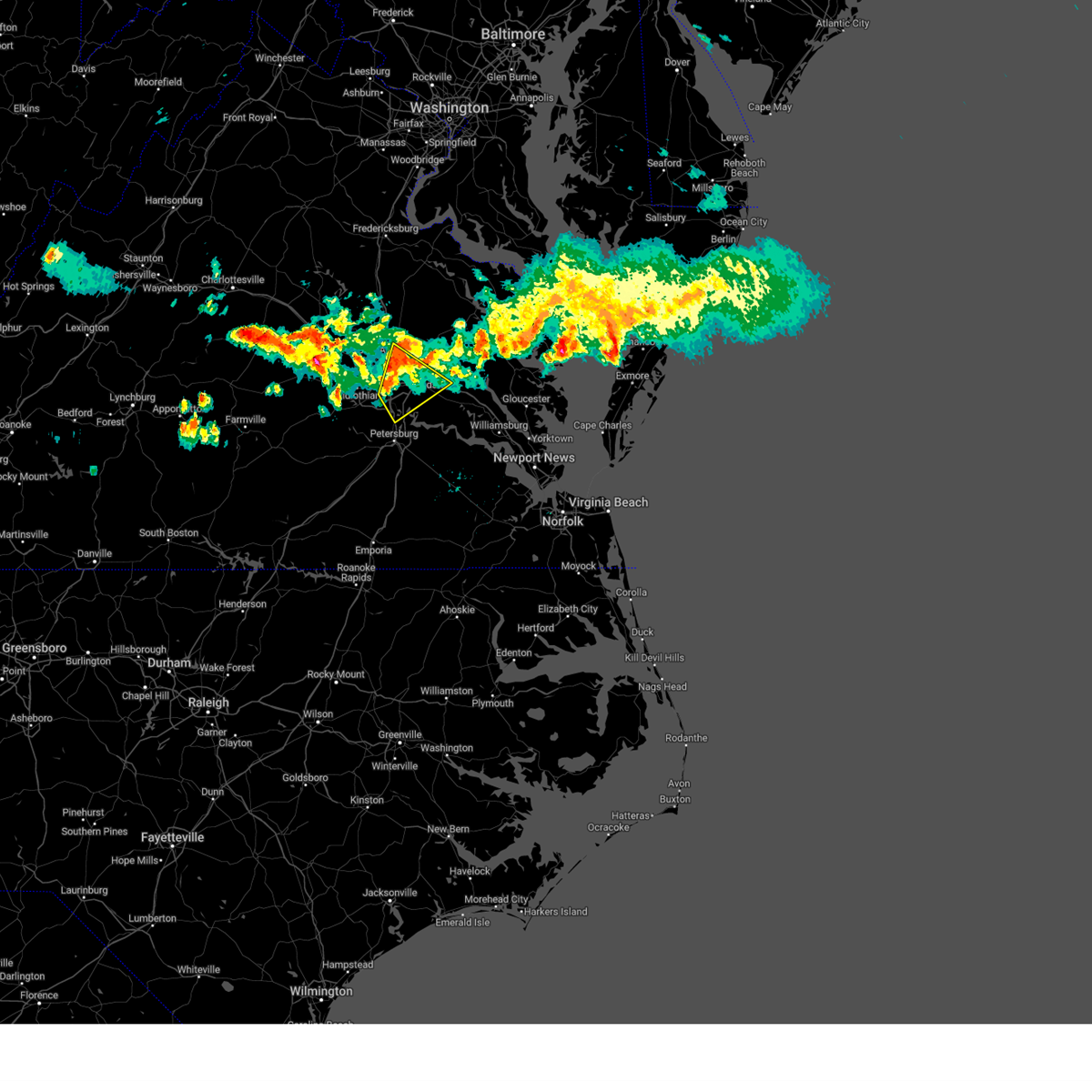 At 700 pm edt, a severe thunderstorm was located near highland springs, moving southeast at 40 mph (radar indicated). Hazards include 60 mph wind gusts. Expect damage to trees and powerlines. This severe thunderstorm will remain over mainly rural areas of east central chesterfield, northwestern charles city, northwestern new kent, eastern henrico and southeastern hanover counties and the city of richmond, including the following locations, wrights corner, richmond heights, orapax farms, elko, montrose, sandston, glendale, westwood, richmond international, and quinton. At 700 pm edt, a severe thunderstorm was located near highland springs, moving southeast at 40 mph (radar indicated). Hazards include 60 mph wind gusts. Expect damage to trees and powerlines. This severe thunderstorm will remain over mainly rural areas of east central chesterfield, northwestern charles city, northwestern new kent, eastern henrico and southeastern hanover counties and the city of richmond, including the following locations, wrights corner, richmond heights, orapax farms, elko, montrose, sandston, glendale, westwood, richmond international, and quinton.
|
| 4/15/2024 6:47 PM EDT |
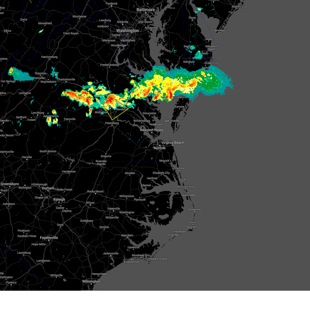 the severe thunderstorm warning has been cancelled and is no longer in effect the severe thunderstorm warning has been cancelled and is no longer in effect
|
| 4/15/2024 6:47 PM EDT |
 At 647 pm edt, a severe thunderstorm was located over laurel, or near virginia union university, moving southeast at 30 mph (radar indicated). Hazards include 60 mph wind gusts and quarter size hail. Minor damage to vehicles is possible. expect wind damage to trees and powerlines. this severe storm will be near, richmond, virginia union university, mechanicsville, laurel, lakeside, east highland park, and glen allen around 650 pm edt. highland springs and virginia commonwealth university around 655 pm edt. bottoms bridge around 720 pm edt. roxbury around 725 pm edt. Other locations impacted by this severe thunderstorm include richmond heights, elko, elmont, montrose, sandston, glendale, westwood, richmond international, fair oaks, and solomons store. At 647 pm edt, a severe thunderstorm was located over laurel, or near virginia union university, moving southeast at 30 mph (radar indicated). Hazards include 60 mph wind gusts and quarter size hail. Minor damage to vehicles is possible. expect wind damage to trees and powerlines. this severe storm will be near, richmond, virginia union university, mechanicsville, laurel, lakeside, east highland park, and glen allen around 650 pm edt. highland springs and virginia commonwealth university around 655 pm edt. bottoms bridge around 720 pm edt. roxbury around 725 pm edt. Other locations impacted by this severe thunderstorm include richmond heights, elko, elmont, montrose, sandston, glendale, westwood, richmond international, fair oaks, and solomons store.
|
| 4/15/2024 6:35 PM EDT |
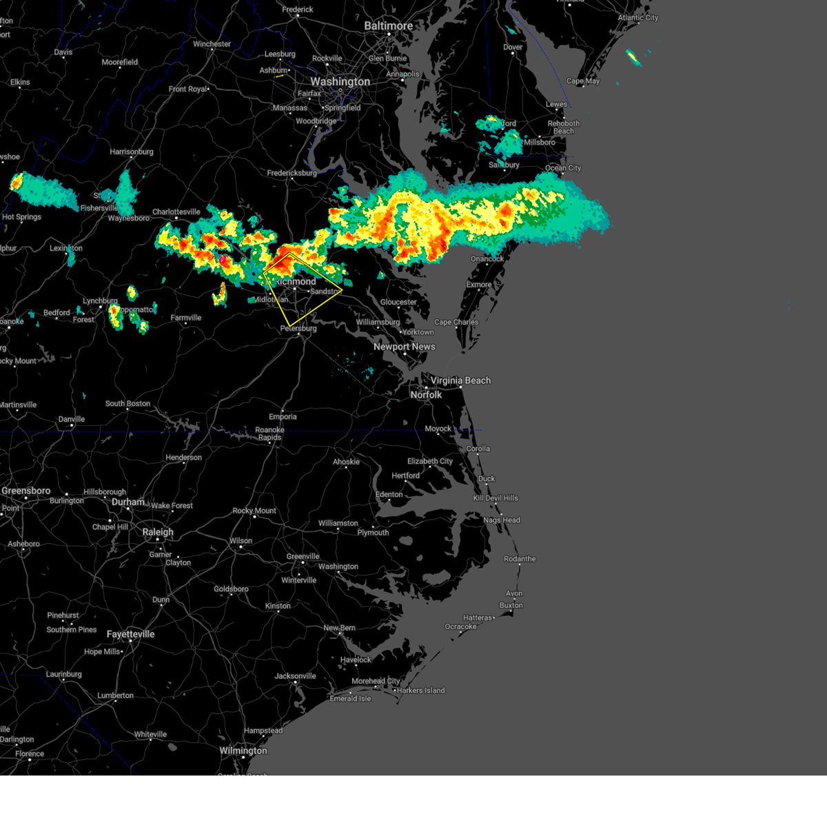 Svrakq the national weather service in wakefield has issued a * severe thunderstorm warning for, the city of richmond in central virginia, central chesterfield county in central virginia, northwestern charles city county in east central virginia, southeastern goochland county in central virginia, northwestern new kent county in east central virginia, henrico county in central virginia, southeastern hanover county in central virginia, * until 715 pm edt. * at 635 pm edt, a severe thunderstorm was located over wyndham, or near tuckahoe, moving southeast at 35 mph (radar indicated). Hazards include 60 mph wind gusts and quarter size hail. Minor damage to vehicles is possible. expect wind damage to trees and powerlines. this severe thunderstorm will be near, richmond, tuckahoe, laurel, lakeside, and glen allen around 640 pm edt. university of richmond around 645 pm edt. virginia union university, downtown richmond, virginia commonwealth university, and east highland park around 650 pm edt. highland springs and bensley around 700 pm edt. Other locations impacted by this severe thunderstorm include richmond heights, elko, elmont, montrose, sandston, glendale, westwood, richmond international, fair oaks, and solomons store. Svrakq the national weather service in wakefield has issued a * severe thunderstorm warning for, the city of richmond in central virginia, central chesterfield county in central virginia, northwestern charles city county in east central virginia, southeastern goochland county in central virginia, northwestern new kent county in east central virginia, henrico county in central virginia, southeastern hanover county in central virginia, * until 715 pm edt. * at 635 pm edt, a severe thunderstorm was located over wyndham, or near tuckahoe, moving southeast at 35 mph (radar indicated). Hazards include 60 mph wind gusts and quarter size hail. Minor damage to vehicles is possible. expect wind damage to trees and powerlines. this severe thunderstorm will be near, richmond, tuckahoe, laurel, lakeside, and glen allen around 640 pm edt. university of richmond around 645 pm edt. virginia union university, downtown richmond, virginia commonwealth university, and east highland park around 650 pm edt. highland springs and bensley around 700 pm edt. Other locations impacted by this severe thunderstorm include richmond heights, elko, elmont, montrose, sandston, glendale, westwood, richmond international, fair oaks, and solomons store.
|
| 4/12/2024 12:26 AM EDT | the severe thunderstorm warning has been cancelled and is no longer in effect |
| 4/12/2024 12:26 AM EDT | At 1225 am edt, severe thunderstorms were located along a line extending from 7 miles southwest of spotsylvania to 7 miles northwest of kings dominion to near bon air to near carson, moving east at 45 mph (radar indicated). Hazards include 60 mph wind gusts. Expect damage to trees and powerlines. Locations impacted include, richmond, powhatan, dinwiddie, mckenney, tuckahoe, moseley, bon air, mannboro, university of richmond, dewitt, wyndham, chesterfield court house, wilsons, scotts fork, chula, sutherland, matoaca, laurel, glen allen, and chesterfield. |
| 4/12/2024 12:01 AM EDT | Svrakq the national weather service in wakefield has issued a * severe thunderstorm warning for, louisa county in central virginia, the city of richmond in central virginia, chesterfield county in central virginia, southeastern goochland county in central virginia, southwestern caroline county in north central virginia, henrico county in central virginia, hanover county in central virginia, eastern amelia county in central virginia, eastern powhatan county in central virginia, * until 1245 am edt. * at 1201 am edt, severe thunderstorms were located along a line extending from near louisa to near oilville to 6 miles northeast of mannboro, moving east at 45 mph (radar indicated). Hazards include 60 mph wind gusts. expect damage to roofs, siding, and trees |
| 4/11/2024 11:45 PM EDT |
 Svrakq the national weather service in wakefield has issued a * severe thunderstorm warning for, the western city of richmond in central virginia, chesterfield county in central virginia, eastern cumberland county in central virginia, eastern lunenburg county in south central virginia, nottoway county in south central virginia, northwestern henrico county in central virginia, dinwiddie county in south central virginia, amelia county in central virginia, powhatan county in central virginia, northern brunswick county in south central virginia, * until 1245 am edt. * at 1145 pm edt, severe thunderstorms were located along a line extending from near hadensville to near goochland to near spainville to near alberta, moving northeast at 45 mph (radar indicated). Hazards include 60 mph wind gusts. expect damage to roofs, siding, and trees Svrakq the national weather service in wakefield has issued a * severe thunderstorm warning for, the western city of richmond in central virginia, chesterfield county in central virginia, eastern cumberland county in central virginia, eastern lunenburg county in south central virginia, nottoway county in south central virginia, northwestern henrico county in central virginia, dinwiddie county in south central virginia, amelia county in central virginia, powhatan county in central virginia, northern brunswick county in south central virginia, * until 1245 am edt. * at 1145 pm edt, severe thunderstorms were located along a line extending from near hadensville to near goochland to near spainville to near alberta, moving northeast at 45 mph (radar indicated). Hazards include 60 mph wind gusts. expect damage to roofs, siding, and trees
|
| 1/9/2024 6:13 PM EST |
 At 613 pm est, severe thunderstorms were located along a line extending from near gum spring to near mckenney, moving east at 50 mph (radar indicated). Hazards include 60 mph wind gusts. Expect damage to trees and powerlines. severe thunderstorms will be near, mckenney, tuckahoe, bon air, montpelier, wyndham, dewitt, manakin, and sabot around 620 pm est. richmond, dinwiddie, university of richmond, laurel, sutherland, and chesterfield court house around 625 pm est. ashland, randolph macon college, chester, downtown richmond, virginia commonwealth university, lakeside, matoaca, bensley, and glen allen around 630 pm est. petersburg, colonial heights, virginia union university, mechanicsville, virginia state university, ettrick, east highland park, kings dominion, bellwood, and carson around 635 pm est. hopewell, highland springs, fort gregg-adams, hanover, and dawn around 640 pm est. prince george, mangohick, and studley around 645 pm est. disputanta, jordans point, bottoms bridge, and beulahville around 650 pm est. Other locations impacted by these severe thunderstorms include wayside, etna mills, sandston, glendale, pocahontas state park, skinquarter, atlee, richard bland college, meadowville, and ashcake. At 613 pm est, severe thunderstorms were located along a line extending from near gum spring to near mckenney, moving east at 50 mph (radar indicated). Hazards include 60 mph wind gusts. Expect damage to trees and powerlines. severe thunderstorms will be near, mckenney, tuckahoe, bon air, montpelier, wyndham, dewitt, manakin, and sabot around 620 pm est. richmond, dinwiddie, university of richmond, laurel, sutherland, and chesterfield court house around 625 pm est. ashland, randolph macon college, chester, downtown richmond, virginia commonwealth university, lakeside, matoaca, bensley, and glen allen around 630 pm est. petersburg, colonial heights, virginia union university, mechanicsville, virginia state university, ettrick, east highland park, kings dominion, bellwood, and carson around 635 pm est. hopewell, highland springs, fort gregg-adams, hanover, and dawn around 640 pm est. prince george, mangohick, and studley around 645 pm est. disputanta, jordans point, bottoms bridge, and beulahville around 650 pm est. Other locations impacted by these severe thunderstorms include wayside, etna mills, sandston, glendale, pocahontas state park, skinquarter, atlee, richard bland college, meadowville, and ashcake.
|
| 1/9/2024 5:22 PM EST |
 At 522 pm est, severe thunderstorms were located along a line extending from near bowling green to near randolph macon college to near bon air, moving northeast at 60 mph (radar indicated). Hazards include 60 mph wind gusts. Expect damage to trees and powerlines. these severe storms will be near, richmond, ashland, bowling green, randolph macon college, university of richmond, milford, tuckahoe, bon air, hanover, and laurel around 525 pm est. mechanicsville and fort walker around 530 pm est. port royal, east highland park, and mangohick around 535 pm est. beulahville around 545 pm est. other locations impacted by these severe thunderstorms include chilesburg, maidens, gum tree, etna mills, pocahontas state park, skinquarter, beach, chamberlayne, fine creek mills, and michaux. hail threat, radar indicated max hail size, <. 75 in wind threat, radar indicated max wind gust, 60 mph. At 522 pm est, severe thunderstorms were located along a line extending from near bowling green to near randolph macon college to near bon air, moving northeast at 60 mph (radar indicated). Hazards include 60 mph wind gusts. Expect damage to trees and powerlines. these severe storms will be near, richmond, ashland, bowling green, randolph macon college, university of richmond, milford, tuckahoe, bon air, hanover, and laurel around 525 pm est. mechanicsville and fort walker around 530 pm est. port royal, east highland park, and mangohick around 535 pm est. beulahville around 545 pm est. other locations impacted by these severe thunderstorms include chilesburg, maidens, gum tree, etna mills, pocahontas state park, skinquarter, beach, chamberlayne, fine creek mills, and michaux. hail threat, radar indicated max hail size, <. 75 in wind threat, radar indicated max wind gust, 60 mph.
|
| 1/9/2024 5:01 PM EST |
 At 501 pm est, severe thunderstorms were located along a line extending from near bumpass to near sabot to scotts fork, moving northeast at 70 mph (radar indicated). Hazards include 60 mph wind gusts. Expect damage to trees and powerlines. these severe storms will be near, moseley, tuckahoe, montpelier, chula, wyndham, manakin, and sabot around 505 pm est. ashland and ladysmith around 510 pm est. randolph macon college and kings dominion around 515 pm est. bowling green, milford, laurel, and glen allen around 520 pm est. dawn and fort walker around 530 pm est. hanover and port royal around 535 pm est. Other locations impacted by these severe thunderstorms include chilesburg, maidens, gum tree, etna mills, pocahontas state park, skinquarter, beach, chamberlayne, fine creek mills, and michaux. At 501 pm est, severe thunderstorms were located along a line extending from near bumpass to near sabot to scotts fork, moving northeast at 70 mph (radar indicated). Hazards include 60 mph wind gusts. Expect damage to trees and powerlines. these severe storms will be near, moseley, tuckahoe, montpelier, chula, wyndham, manakin, and sabot around 505 pm est. ashland and ladysmith around 510 pm est. randolph macon college and kings dominion around 515 pm est. bowling green, milford, laurel, and glen allen around 520 pm est. dawn and fort walker around 530 pm est. hanover and port royal around 535 pm est. Other locations impacted by these severe thunderstorms include chilesburg, maidens, gum tree, etna mills, pocahontas state park, skinquarter, beach, chamberlayne, fine creek mills, and michaux.
|
| 1/9/2024 4:40 PM EST |
 At 439 pm est, severe thunderstorms were located along a line extending from near goochland to near amelia courthouse to near crewe, moving northeast at 60 mph (radar indicated). Hazards include 60 mph wind gusts. Expect damage to trees and powerlines. severe thunderstorms will be near, powhatan, goochland, crewe, amelia courthouse, scotts fork, chula, and macon around 445 pm est. oilville and sabot around 450 pm est. moseley, montpelier, and manakin around 455 pm est. tuckahoe and wyndham around 500 pm est. richmond and bon air around 505 pm est. ashland, randolph macon college, laurel, ladysmith, lakeside, and glen allen around 510 pm est. university of richmond and kings dominion around 515 pm est. bowling green, virginia union university, mechanicsville, milford, downtown richmond, hanover, and dawn around 520 pm est. other locations impacted by these severe thunderstorms include chilesburg, maidens, gum tree, etna mills, pocahontas state park, skinquarter, beach, chamberlayne, fine creek mills, and michaux. hail threat, radar indicated max hail size, <. 75 in wind threat, radar indicated max wind gust, 60 mph. At 439 pm est, severe thunderstorms were located along a line extending from near goochland to near amelia courthouse to near crewe, moving northeast at 60 mph (radar indicated). Hazards include 60 mph wind gusts. Expect damage to trees and powerlines. severe thunderstorms will be near, powhatan, goochland, crewe, amelia courthouse, scotts fork, chula, and macon around 445 pm est. oilville and sabot around 450 pm est. moseley, montpelier, and manakin around 455 pm est. tuckahoe and wyndham around 500 pm est. richmond and bon air around 505 pm est. ashland, randolph macon college, laurel, ladysmith, lakeside, and glen allen around 510 pm est. university of richmond and kings dominion around 515 pm est. bowling green, virginia union university, mechanicsville, milford, downtown richmond, hanover, and dawn around 520 pm est. other locations impacted by these severe thunderstorms include chilesburg, maidens, gum tree, etna mills, pocahontas state park, skinquarter, beach, chamberlayne, fine creek mills, and michaux. hail threat, radar indicated max hail size, <. 75 in wind threat, radar indicated max wind gust, 60 mph.
|
| 9/7/2023 7:57 PM EDT |
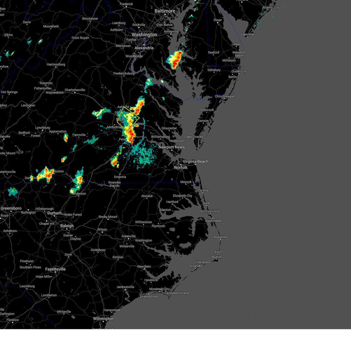 The severe thunderstorm warning for north central chesterfield, central henrico and southeastern hanover counties and the city of richmond will expire at 800 pm edt, the storms which prompted the warning have weakened below severe limits, and no longer pose an immediate threat to life or property. therefore, the warning will be allowed to expire. The severe thunderstorm warning for north central chesterfield, central henrico and southeastern hanover counties and the city of richmond will expire at 800 pm edt, the storms which prompted the warning have weakened below severe limits, and no longer pose an immediate threat to life or property. therefore, the warning will be allowed to expire.
|
| 9/7/2023 7:42 PM EDT |
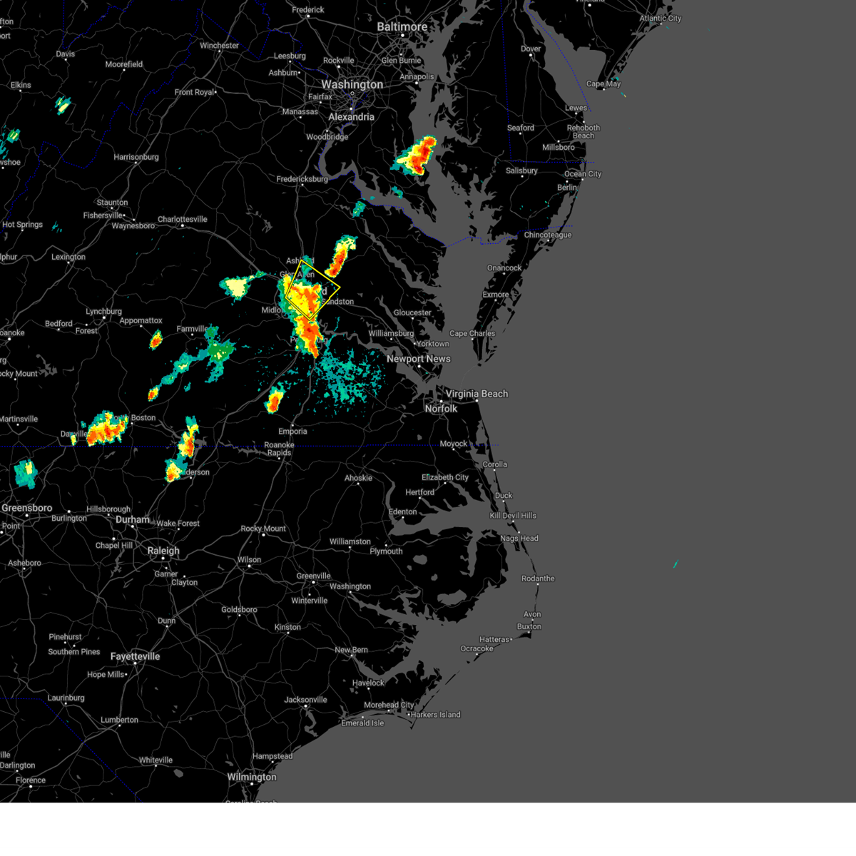 At 742 pm edt, severe thunderstorms were located along a line extending from near laurel to near highland springs, moving northeast at 20 mph (radar indicated). Hazards include 60 mph wind gusts. Expect damage to trees and powerlines. these severe storms will be near, ashland, mechanicsville, highland springs, laurel, lakeside, east highland park, and glen allen around 745 pm edt. randolph macon college around 750 pm edt. studley around 755 pm edt. other locations impacted by these severe thunderstorms include richmond heights, hanover airport, elmont, montrose, sandston, longdale, westwood, richmond international, fair oaks, and solomons store. hail threat, radar indicated max hail size, <. 75 in wind threat, radar indicated max wind gust, 60 mph. At 742 pm edt, severe thunderstorms were located along a line extending from near laurel to near highland springs, moving northeast at 20 mph (radar indicated). Hazards include 60 mph wind gusts. Expect damage to trees and powerlines. these severe storms will be near, ashland, mechanicsville, highland springs, laurel, lakeside, east highland park, and glen allen around 745 pm edt. randolph macon college around 750 pm edt. studley around 755 pm edt. other locations impacted by these severe thunderstorms include richmond heights, hanover airport, elmont, montrose, sandston, longdale, westwood, richmond international, fair oaks, and solomons store. hail threat, radar indicated max hail size, <. 75 in wind threat, radar indicated max wind gust, 60 mph.
|
| 9/7/2023 7:30 PM EDT |
 At 729 pm edt, severe thunderstorms were located along a line extending from tuckahoe to near highland springs, moving northeast at 25 mph (radar indicated). Hazards include 60 mph wind gusts and quarter size hail. Minor damage to vehicles is possible. expect wind damage to trees and powerlines. these severe storms will be near, richmond, virginia union university, mechanicsville, highland springs, tuckahoe, laurel, lakeside, east highland park, and glen allen around 735 pm edt. ashland around 745 pm edt. randolph macon college around 750 pm edt. studley around 755 pm edt. other locations impacted by these severe thunderstorms include richmond heights, hanover airport, elmont, montrose, sandston, longdale, westwood, richmond international, fair oaks, and solomons store. hail threat, radar indicated max hail size, 1. 00 in wind threat, radar indicated max wind gust, 60 mph. At 729 pm edt, severe thunderstorms were located along a line extending from tuckahoe to near highland springs, moving northeast at 25 mph (radar indicated). Hazards include 60 mph wind gusts and quarter size hail. Minor damage to vehicles is possible. expect wind damage to trees and powerlines. these severe storms will be near, richmond, virginia union university, mechanicsville, highland springs, tuckahoe, laurel, lakeside, east highland park, and glen allen around 735 pm edt. ashland around 745 pm edt. randolph macon college around 750 pm edt. studley around 755 pm edt. other locations impacted by these severe thunderstorms include richmond heights, hanover airport, elmont, montrose, sandston, longdale, westwood, richmond international, fair oaks, and solomons store. hail threat, radar indicated max hail size, 1. 00 in wind threat, radar indicated max wind gust, 60 mph.
|
| 9/7/2023 7:28 PM EDT |
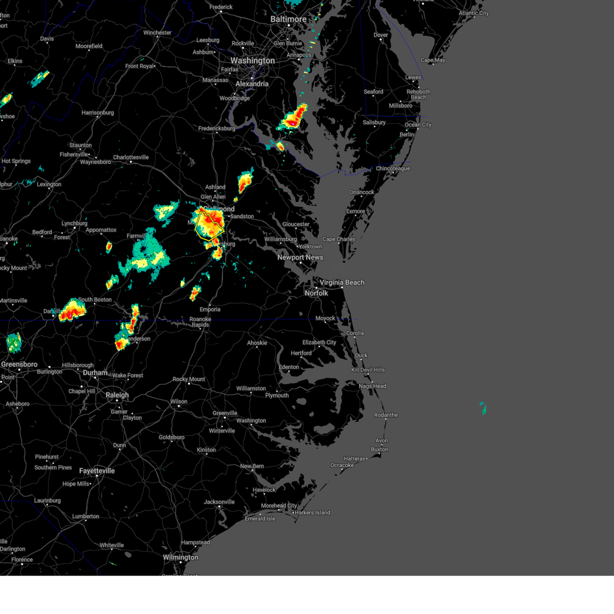 The severe thunderstorm warning for central chesterfield county will expire at 730 pm edt, the storms which prompted the warning have moved out of the area. therefore, the warning will be allowed to expire. The severe thunderstorm warning for central chesterfield county will expire at 730 pm edt, the storms which prompted the warning have moved out of the area. therefore, the warning will be allowed to expire.
|
| 9/7/2023 7:13 PM EDT |
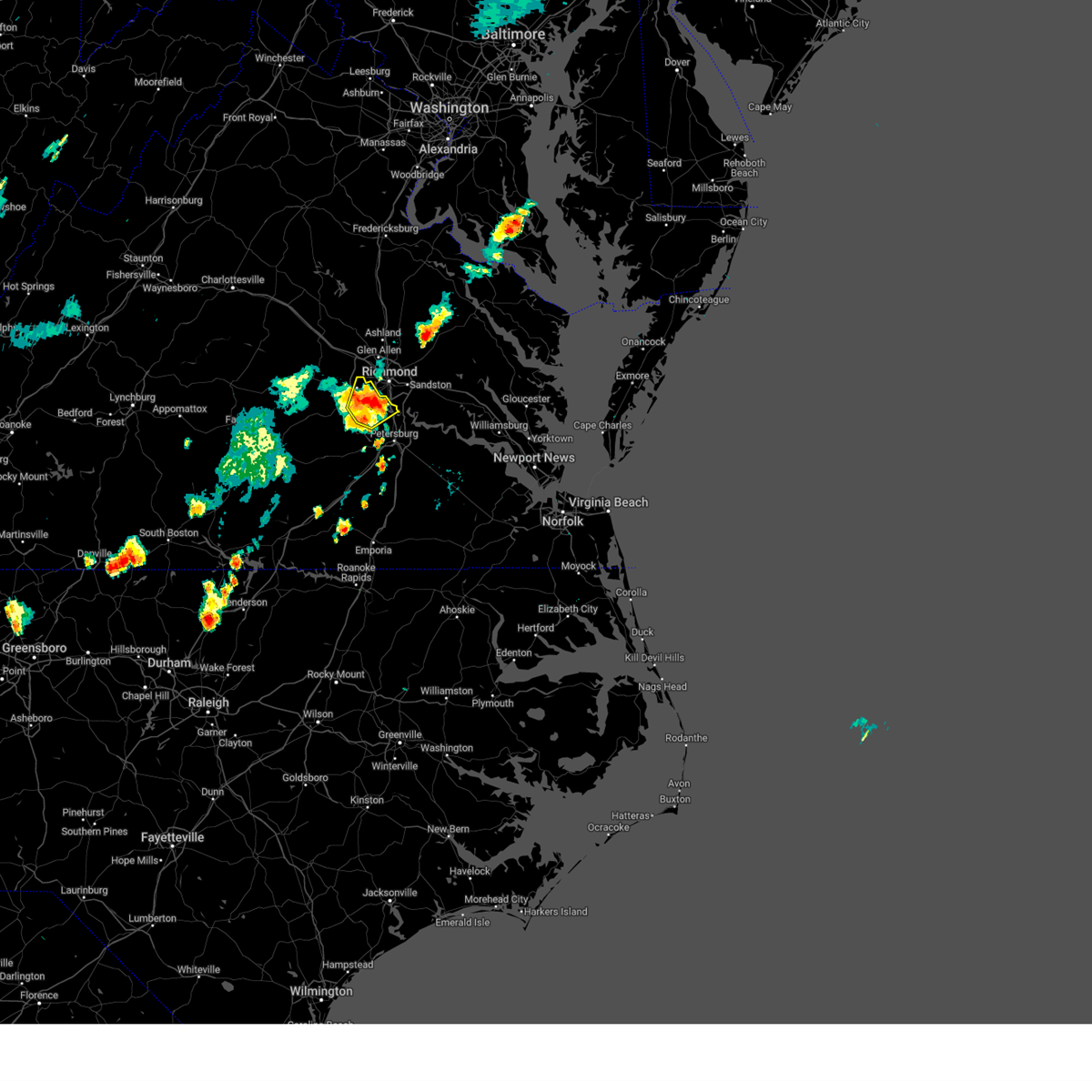 At 713 pm edt, severe thunderstorms were located along a line extending from 6 miles southwest of bon air to near chesterfield court house, moving northeast at 20 mph (radar indicated). Hazards include 60 mph wind gusts and quarter size hail. Minor damage to vehicles is possible. expect wind damage to trees and powerlines. these severe storms will be near, chester, bon air, bellwood, and chesterfield court house around 720 pm edt. tuckahoe and bensley around 725 pm edt. other locations impacted by these severe thunderstorms include pocahontas state park, beach, midlothian, drewrys bluff, centralia, and chesterfield. hail threat, radar indicated max hail size, 1. 00 in wind threat, radar indicated max wind gust, 60 mph. At 713 pm edt, severe thunderstorms were located along a line extending from 6 miles southwest of bon air to near chesterfield court house, moving northeast at 20 mph (radar indicated). Hazards include 60 mph wind gusts and quarter size hail. Minor damage to vehicles is possible. expect wind damage to trees and powerlines. these severe storms will be near, chester, bon air, bellwood, and chesterfield court house around 720 pm edt. tuckahoe and bensley around 725 pm edt. other locations impacted by these severe thunderstorms include pocahontas state park, beach, midlothian, drewrys bluff, centralia, and chesterfield. hail threat, radar indicated max hail size, 1. 00 in wind threat, radar indicated max wind gust, 60 mph.
|
| 9/7/2023 7:11 PM EDT |
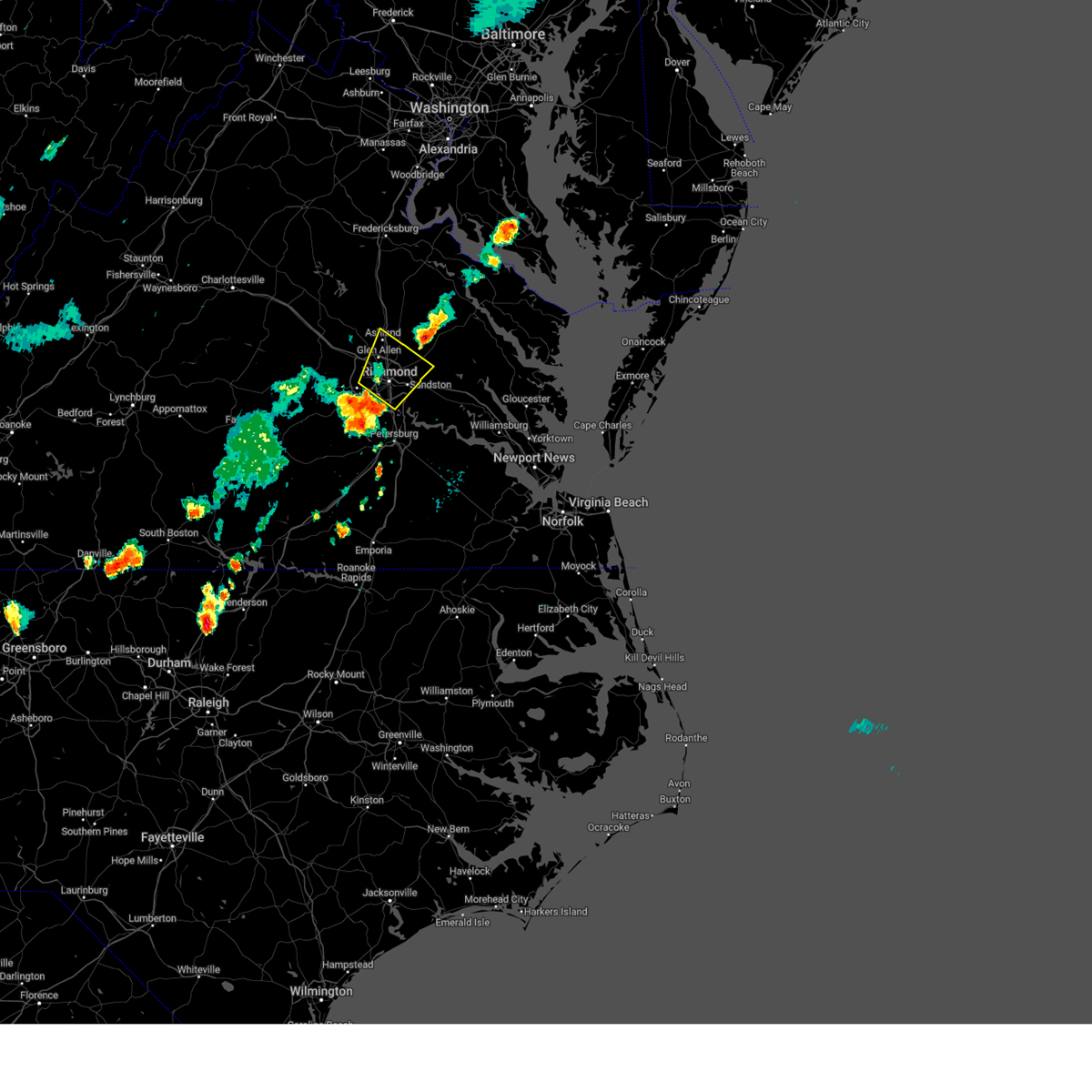 At 710 pm edt, severe thunderstorms were located along a line extending from near bon air to bellwood, moving northeast at 25 mph (radar indicated). Hazards include 60 mph wind gusts and quarter size hail. Minor damage to vehicles is possible. expect wind damage to trees and powerlines. severe thunderstorms will be near, richmond, university of richmond, downtown richmond, tuckahoe, bon air, virginia commonwealth university, bellwood, and bensley around 715 pm edt. virginia union university, laurel, lakeside, and east highland park around 720 pm edt. highland springs and glen allen around 725 pm edt. mechanicsville around 730 pm edt. ashland around 740 pm edt. randolph macon college and studley around 745 pm edt. other locations impacted by these severe thunderstorms include richmond heights, hanover airport, elmont, montrose, sandston, longdale, westwood, richmond international, fair oaks, and solomons store. hail threat, radar indicated max hail size, 1. 00 in wind threat, radar indicated max wind gust, 60 mph. At 710 pm edt, severe thunderstorms were located along a line extending from near bon air to bellwood, moving northeast at 25 mph (radar indicated). Hazards include 60 mph wind gusts and quarter size hail. Minor damage to vehicles is possible. expect wind damage to trees and powerlines. severe thunderstorms will be near, richmond, university of richmond, downtown richmond, tuckahoe, bon air, virginia commonwealth university, bellwood, and bensley around 715 pm edt. virginia union university, laurel, lakeside, and east highland park around 720 pm edt. highland springs and glen allen around 725 pm edt. mechanicsville around 730 pm edt. ashland around 740 pm edt. randolph macon college and studley around 745 pm edt. other locations impacted by these severe thunderstorms include richmond heights, hanover airport, elmont, montrose, sandston, longdale, westwood, richmond international, fair oaks, and solomons store. hail threat, radar indicated max hail size, 1. 00 in wind threat, radar indicated max wind gust, 60 mph.
|
| 9/7/2023 7:02 PM EDT |
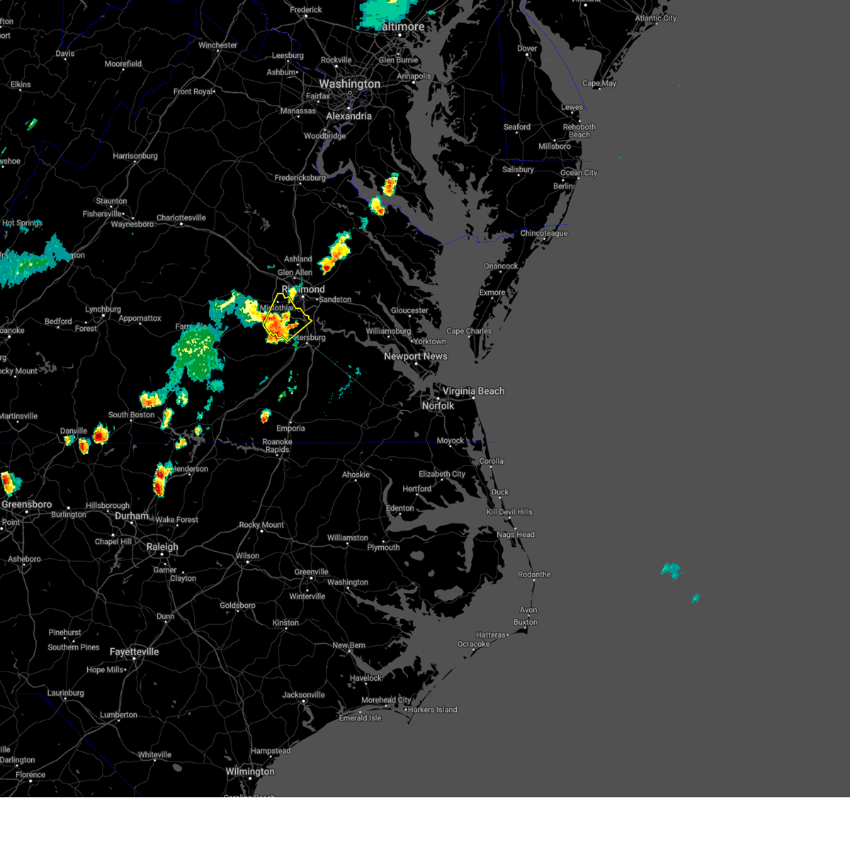 At 702 pm edt, severe thunderstorms were located along a line extending from near moseley to 6 miles north of sutherland, moving northeast at 20 mph (radar indicated). Hazards include 60 mph wind gusts and quarter size hail. Minor damage to vehicles is possible. expect wind damage to trees and powerlines. these severe storms will be near, chesterfield court house around 705 pm edt. chester around 710 pm edt. bon air around 715 pm edt. tuckahoe and bellwood around 720 pm edt. bensley around 725 pm edt. other locations impacted by these severe thunderstorms include pocahontas state park, beach, winterpock, midlothian, drewrys bluff, centralia, and chesterfield. hail threat, radar indicated max hail size, 1. 00 in wind threat, radar indicated max wind gust, 60 mph. At 702 pm edt, severe thunderstorms were located along a line extending from near moseley to 6 miles north of sutherland, moving northeast at 20 mph (radar indicated). Hazards include 60 mph wind gusts and quarter size hail. Minor damage to vehicles is possible. expect wind damage to trees and powerlines. these severe storms will be near, chesterfield court house around 705 pm edt. chester around 710 pm edt. bon air around 715 pm edt. tuckahoe and bellwood around 720 pm edt. bensley around 725 pm edt. other locations impacted by these severe thunderstorms include pocahontas state park, beach, winterpock, midlothian, drewrys bluff, centralia, and chesterfield. hail threat, radar indicated max hail size, 1. 00 in wind threat, radar indicated max wind gust, 60 mph.
|
| 9/7/2023 6:48 PM EDT |
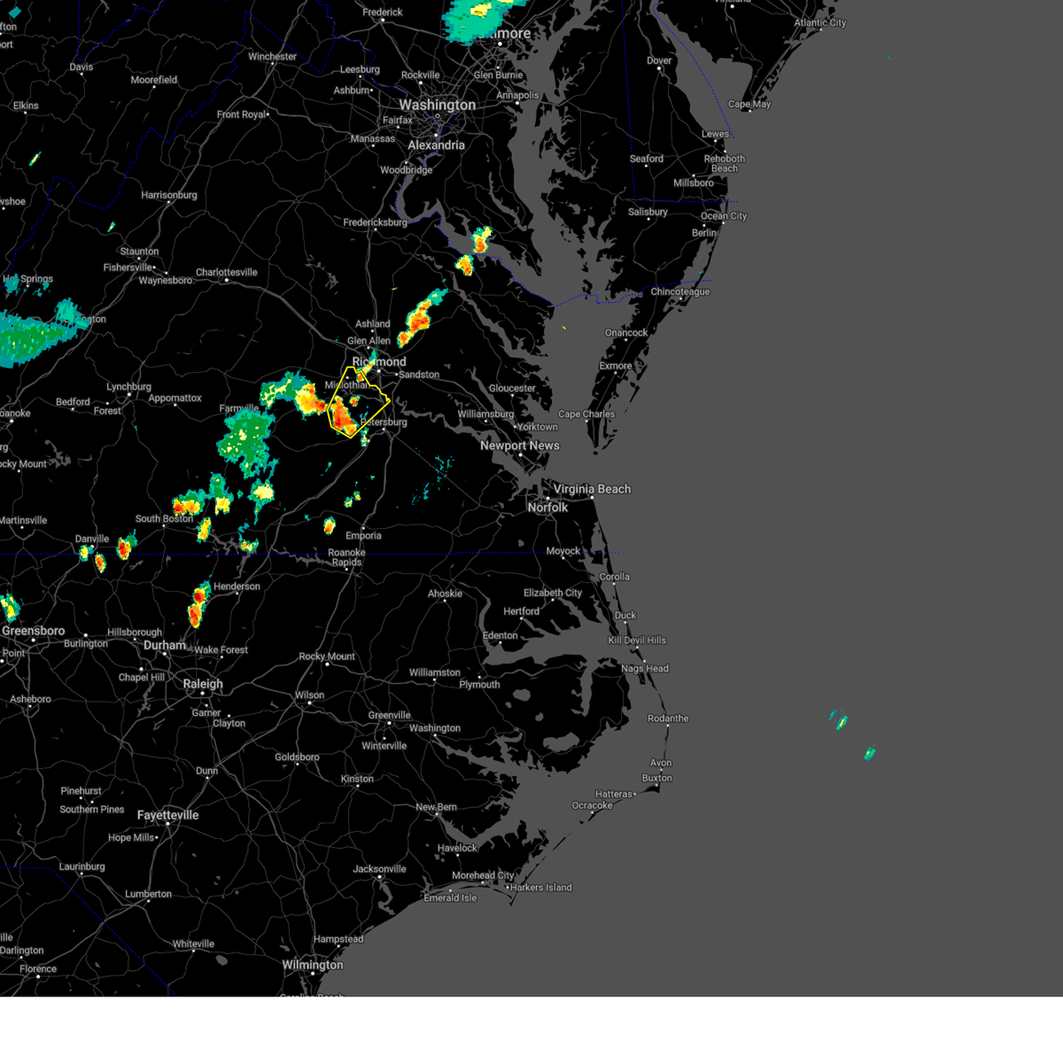 At 648 pm edt, severe thunderstorms were located along a line extending from near moseley to near sutherland, moving northeast at 20 mph (radar indicated). Hazards include 60 mph wind gusts and quarter size hail. Minor damage to vehicles is possible. expect wind damage to trees and powerlines. severe thunderstorms will be near, chester and chesterfield court house around 705 pm edt. bon air around 710 pm edt. other locations impacted by these severe thunderstorms include pocahontas state park, beach, winterpock, midlothian, drewrys bluff, centralia, and chesterfield. hail threat, radar indicated max hail size, 1. 00 in wind threat, radar indicated max wind gust, 60 mph. At 648 pm edt, severe thunderstorms were located along a line extending from near moseley to near sutherland, moving northeast at 20 mph (radar indicated). Hazards include 60 mph wind gusts and quarter size hail. Minor damage to vehicles is possible. expect wind damage to trees and powerlines. severe thunderstorms will be near, chester and chesterfield court house around 705 pm edt. bon air around 710 pm edt. other locations impacted by these severe thunderstorms include pocahontas state park, beach, winterpock, midlothian, drewrys bluff, centralia, and chesterfield. hail threat, radar indicated max hail size, 1. 00 in wind threat, radar indicated max wind gust, 60 mph.
|
| 7/29/2023 8:11 PM EDT |
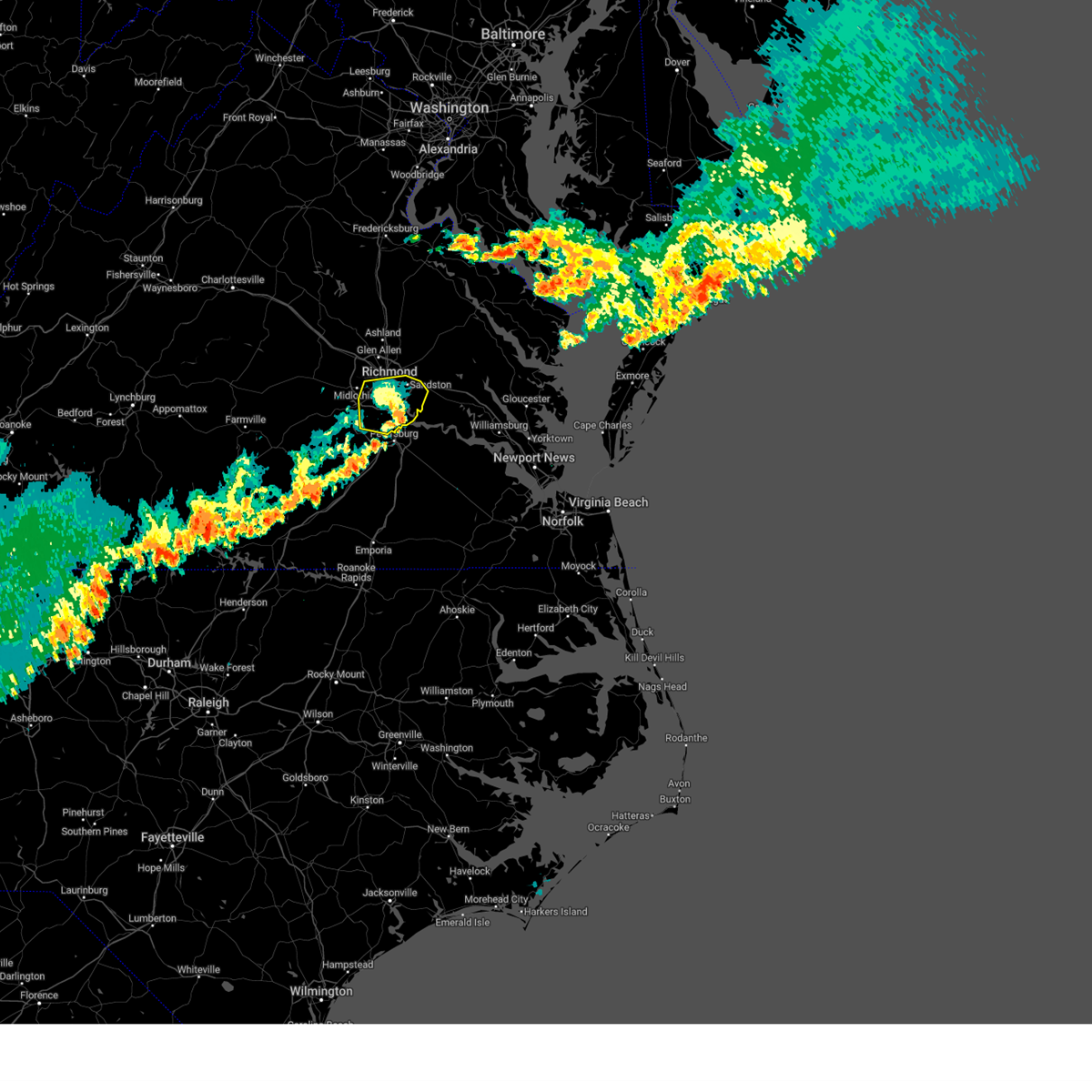 The severe thunderstorm warning for central chesterfield and southeastern henrico counties and the city of richmond will expire at 815 pm edt, the storms which prompted the warning have weakened below severe limits, and no longer pose an immediate threat to life or property. therefore, the warning will be allowed to expire. however, gusty winds are still possible with these thunderstorms. a severe thunderstorm watch remains in effect until 1000 pm edt for central, south central and east central virginia. The severe thunderstorm warning for central chesterfield and southeastern henrico counties and the city of richmond will expire at 815 pm edt, the storms which prompted the warning have weakened below severe limits, and no longer pose an immediate threat to life or property. therefore, the warning will be allowed to expire. however, gusty winds are still possible with these thunderstorms. a severe thunderstorm watch remains in effect until 1000 pm edt for central, south central and east central virginia.
|
| 7/29/2023 7:53 PM EDT |
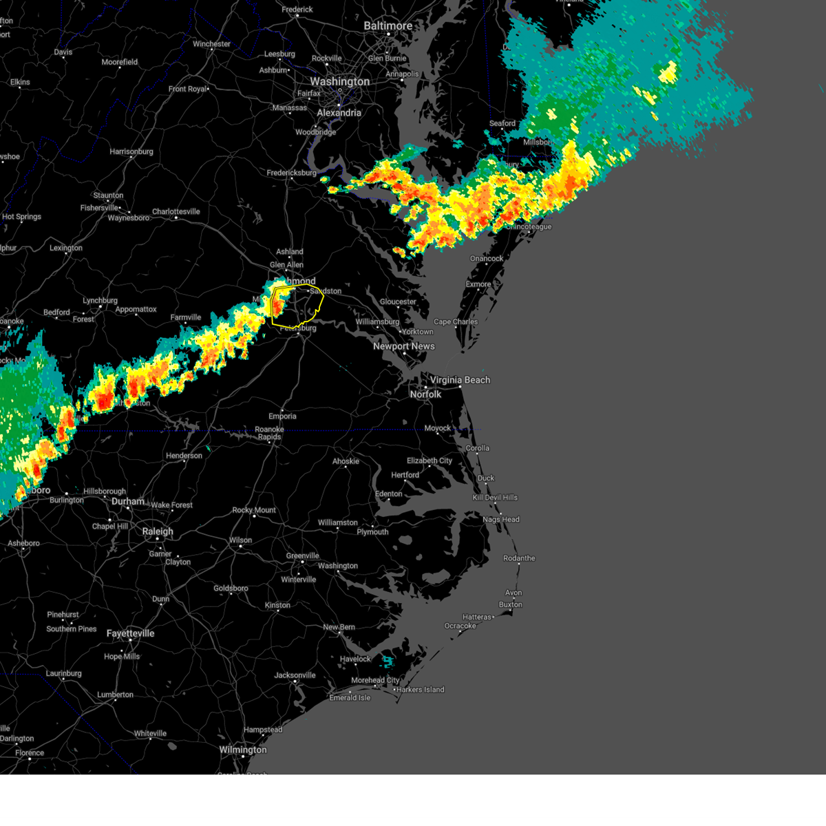 At 753 pm edt, severe thunderstorms were located along a line extending from bensley to near chester to near chesterfield court house, moving southeast at 30 mph (radar indicated). Hazards include 60 mph wind gusts. Expect damage to trees and powerlines. locations impacted include, richmond, colonial heights, downtown richmond, bon air, virginia commonwealth university, chester, highland springs, university of richmond, bensley, bellwood, chesterfield court house, east highland park, chesterfield, richmond heights, elko, montrose, sandston, glendale, pocahontas state park, and richmond international. hail threat, radar indicated max hail size, <. 75 in wind threat, radar indicated max wind gust, 60 mph. At 753 pm edt, severe thunderstorms were located along a line extending from bensley to near chester to near chesterfield court house, moving southeast at 30 mph (radar indicated). Hazards include 60 mph wind gusts. Expect damage to trees and powerlines. locations impacted include, richmond, colonial heights, downtown richmond, bon air, virginia commonwealth university, chester, highland springs, university of richmond, bensley, bellwood, chesterfield court house, east highland park, chesterfield, richmond heights, elko, montrose, sandston, glendale, pocahontas state park, and richmond international. hail threat, radar indicated max hail size, <. 75 in wind threat, radar indicated max wind gust, 60 mph.
|
| 7/29/2023 7:28 PM EDT |
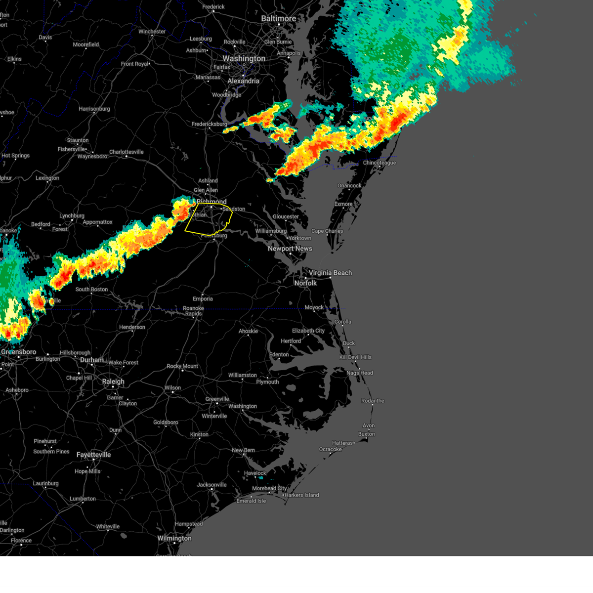 At 727 pm edt, severe thunderstorms were located along a line extending from near manakin to 8 miles southwest of bon air to moseley, moving east at 35 mph (radar indicated). Hazards include 60 mph wind gusts. expect damage to trees and powerlines At 727 pm edt, severe thunderstorms were located along a line extending from near manakin to 8 miles southwest of bon air to moseley, moving east at 35 mph (radar indicated). Hazards include 60 mph wind gusts. expect damage to trees and powerlines
|
| 6/27/2023 12:07 AM EDT |
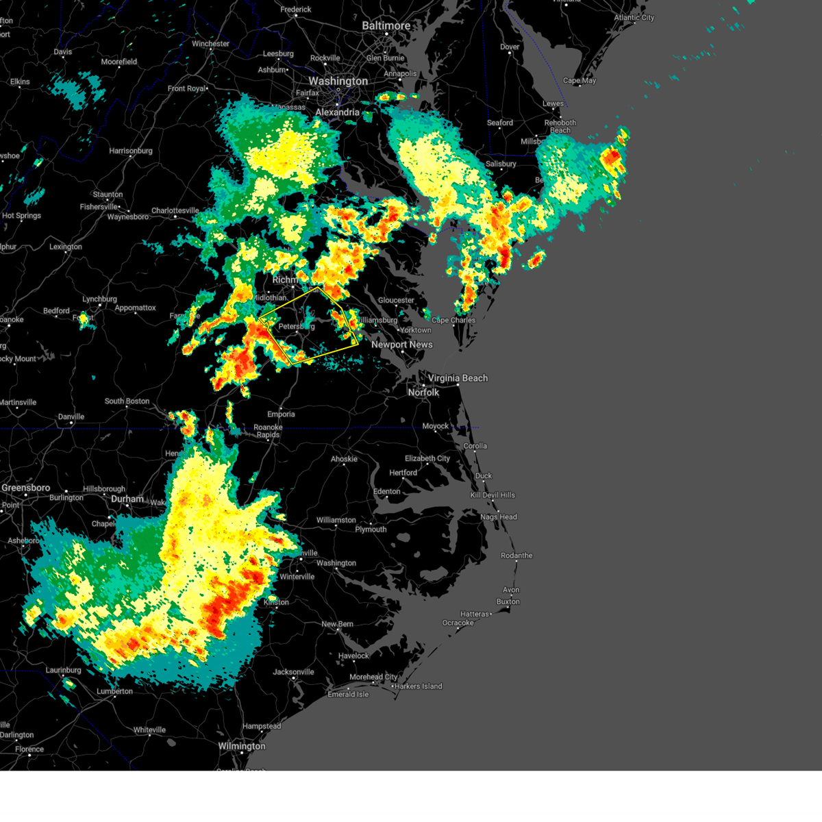 At 1206 am edt, severe thunderstorms were located along a line extending from 7 miles southwest of chesterfield court house to near matoaca to carson, moving northeast at 40 mph (radar indicated). Hazards include 60 mph wind gusts. Expect damage to trees and powerlines. severe thunderstorms will be near, colonial heights, virginia state university, matoaca and ettrick around 1215 am edt. petersburg, fort gregg-adams and chesterfield court house around 1220 am edt. hopewell, disputanta, chester, prince george, bellwood and bensley around 1225 am edt. jordans point and garysville around 1235 am edt. cabin point and burrowsville around 1240 am edt. charles city, claremont, roxbury, ruthville, bottoms bridge and adkins store around 1245 am edt. other locations impacted by these severe thunderstorms include taylors corner, richmond heights, wayside, birchett estate, addison, spring grove, elko, jordan point country club, petersburg national battlefield and glendale. hail threat, radar indicated max hail size, <. 75 in wind threat, radar indicated max wind gust, 60 mph. At 1206 am edt, severe thunderstorms were located along a line extending from 7 miles southwest of chesterfield court house to near matoaca to carson, moving northeast at 40 mph (radar indicated). Hazards include 60 mph wind gusts. Expect damage to trees and powerlines. severe thunderstorms will be near, colonial heights, virginia state university, matoaca and ettrick around 1215 am edt. petersburg, fort gregg-adams and chesterfield court house around 1220 am edt. hopewell, disputanta, chester, prince george, bellwood and bensley around 1225 am edt. jordans point and garysville around 1235 am edt. cabin point and burrowsville around 1240 am edt. charles city, claremont, roxbury, ruthville, bottoms bridge and adkins store around 1245 am edt. other locations impacted by these severe thunderstorms include taylors corner, richmond heights, wayside, birchett estate, addison, spring grove, elko, jordan point country club, petersburg national battlefield and glendale. hail threat, radar indicated max hail size, <. 75 in wind threat, radar indicated max wind gust, 60 mph.
|
| 6/26/2023 9:36 PM EDT |
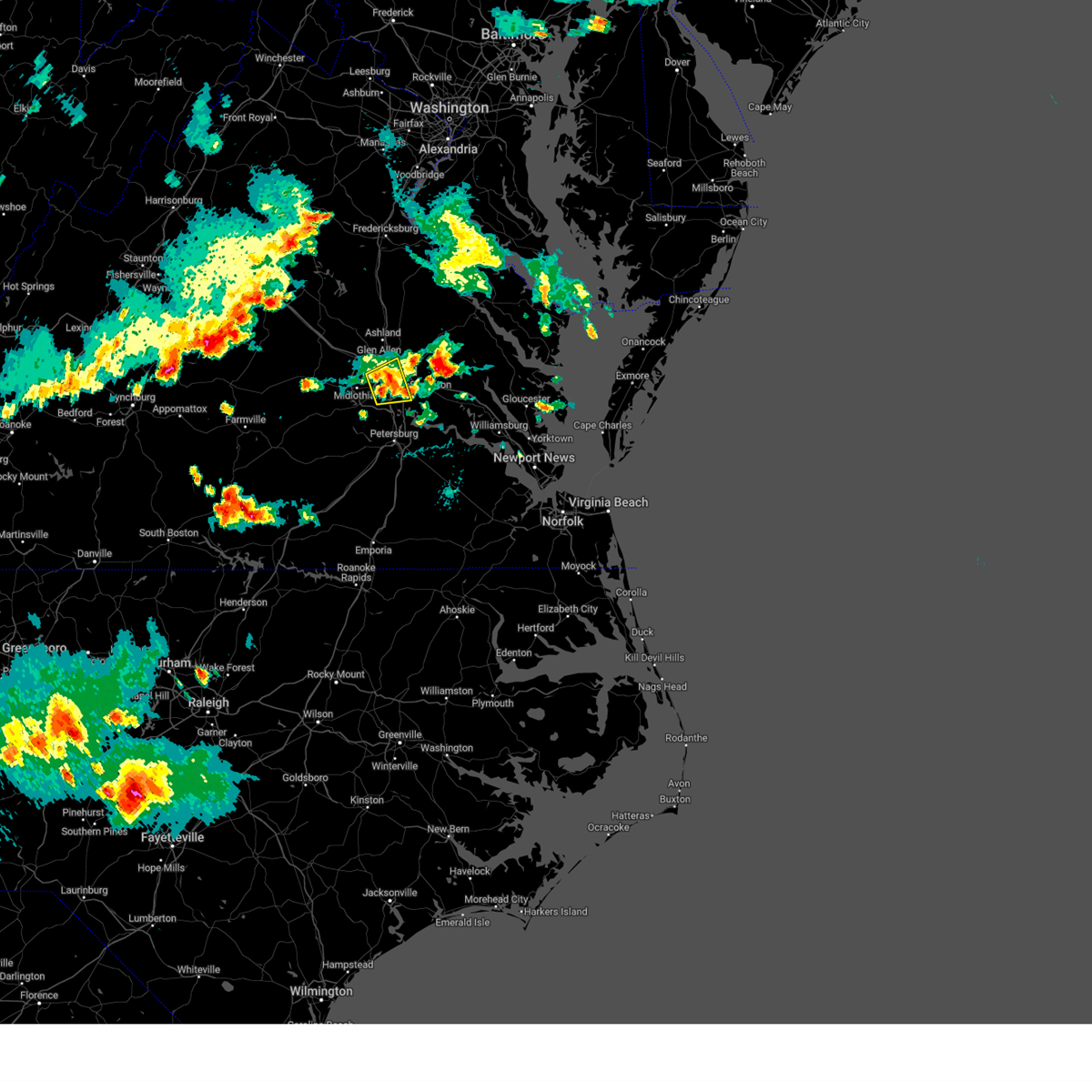 At 935 pm edt, a severe thunderstorm was located over east highland park, or near highland springs, moving east at 25 mph (radar indicated). Hazards include 60 mph wind gusts and penny size hail. Expect damage to trees and powerlines. this severe storm will be near, highland springs around 940 pm edt. other locations impacted by this severe thunderstorm include chamberlayne, greendale, richmond heights, roslyn hills, varina, dumbarton, drewrys bluff, montrose and richmond international. hail threat, radar indicated max hail size, 0. 75 in wind threat, radar indicated max wind gust, 60 mph. At 935 pm edt, a severe thunderstorm was located over east highland park, or near highland springs, moving east at 25 mph (radar indicated). Hazards include 60 mph wind gusts and penny size hail. Expect damage to trees and powerlines. this severe storm will be near, highland springs around 940 pm edt. other locations impacted by this severe thunderstorm include chamberlayne, greendale, richmond heights, roslyn hills, varina, dumbarton, drewrys bluff, montrose and richmond international. hail threat, radar indicated max hail size, 0. 75 in wind threat, radar indicated max wind gust, 60 mph.
|
| 6/26/2023 9:23 PM EDT |
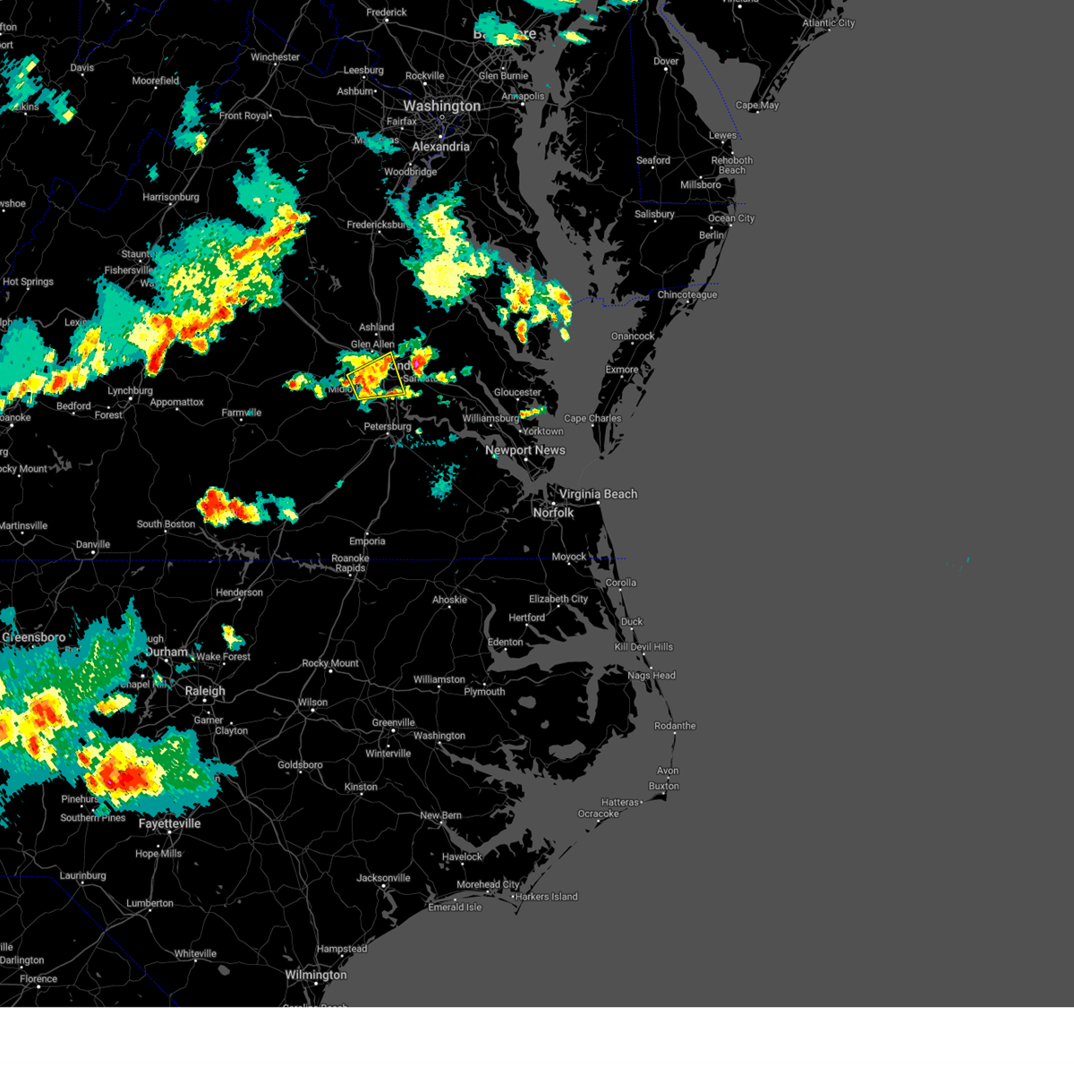 At 922 pm edt, a severe thunderstorm was located over richmond, moving east at 35 mph (radar indicated). Hazards include 60 mph wind gusts. Expect damage to trees and powerlines. this severe storm will be near, highland springs around 930 pm edt. other locations impacted by this severe thunderstorm include chamberlayne, richmond heights, roslyn hills, varina, midlothian, drewrys bluff, montrose, richmond international, greendale and dumbarton. hail threat, radar indicated max hail size, <. 75 in wind threat, radar indicated max wind gust, 60 mph. At 922 pm edt, a severe thunderstorm was located over richmond, moving east at 35 mph (radar indicated). Hazards include 60 mph wind gusts. Expect damage to trees and powerlines. this severe storm will be near, highland springs around 930 pm edt. other locations impacted by this severe thunderstorm include chamberlayne, richmond heights, roslyn hills, varina, midlothian, drewrys bluff, montrose, richmond international, greendale and dumbarton. hail threat, radar indicated max hail size, <. 75 in wind threat, radar indicated max wind gust, 60 mph.
|
| 6/26/2023 9:04 PM EDT |
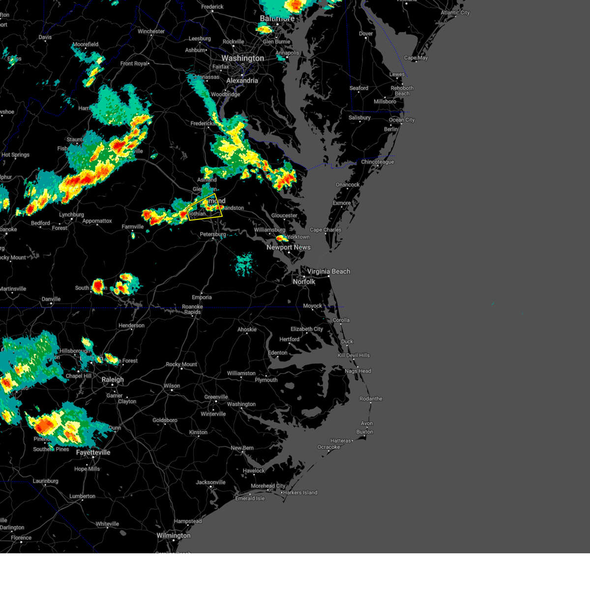 At 904 pm edt, a severe thunderstorm was located near bon air, moving east at 35 mph (radar indicated). Hazards include 60 mph wind gusts and penny size hail. Expect damage to trees and powerlines. this severe thunderstorm will be near, bon air and university of richmond around 915 pm edt. downtown richmond, bensley and bellwood around 920 pm edt. richmond, virginia commonwealth university and virginia union university around 925 pm edt. highland springs and east highland park around 930 pm edt. other locations impacted by this severe thunderstorm include chamberlayne, richmond heights, roslyn hills, varina, midlothian, drewrys bluff, montrose, richmond international, greendale and dumbarton. hail threat, radar indicated max hail size, 0. 75 in wind threat, radar indicated max wind gust, 60 mph. At 904 pm edt, a severe thunderstorm was located near bon air, moving east at 35 mph (radar indicated). Hazards include 60 mph wind gusts and penny size hail. Expect damage to trees and powerlines. this severe thunderstorm will be near, bon air and university of richmond around 915 pm edt. downtown richmond, bensley and bellwood around 920 pm edt. richmond, virginia commonwealth university and virginia union university around 925 pm edt. highland springs and east highland park around 930 pm edt. other locations impacted by this severe thunderstorm include chamberlayne, richmond heights, roslyn hills, varina, midlothian, drewrys bluff, montrose, richmond international, greendale and dumbarton. hail threat, radar indicated max hail size, 0. 75 in wind threat, radar indicated max wind gust, 60 mph.
|
| 6/26/2023 7:57 PM EDT |
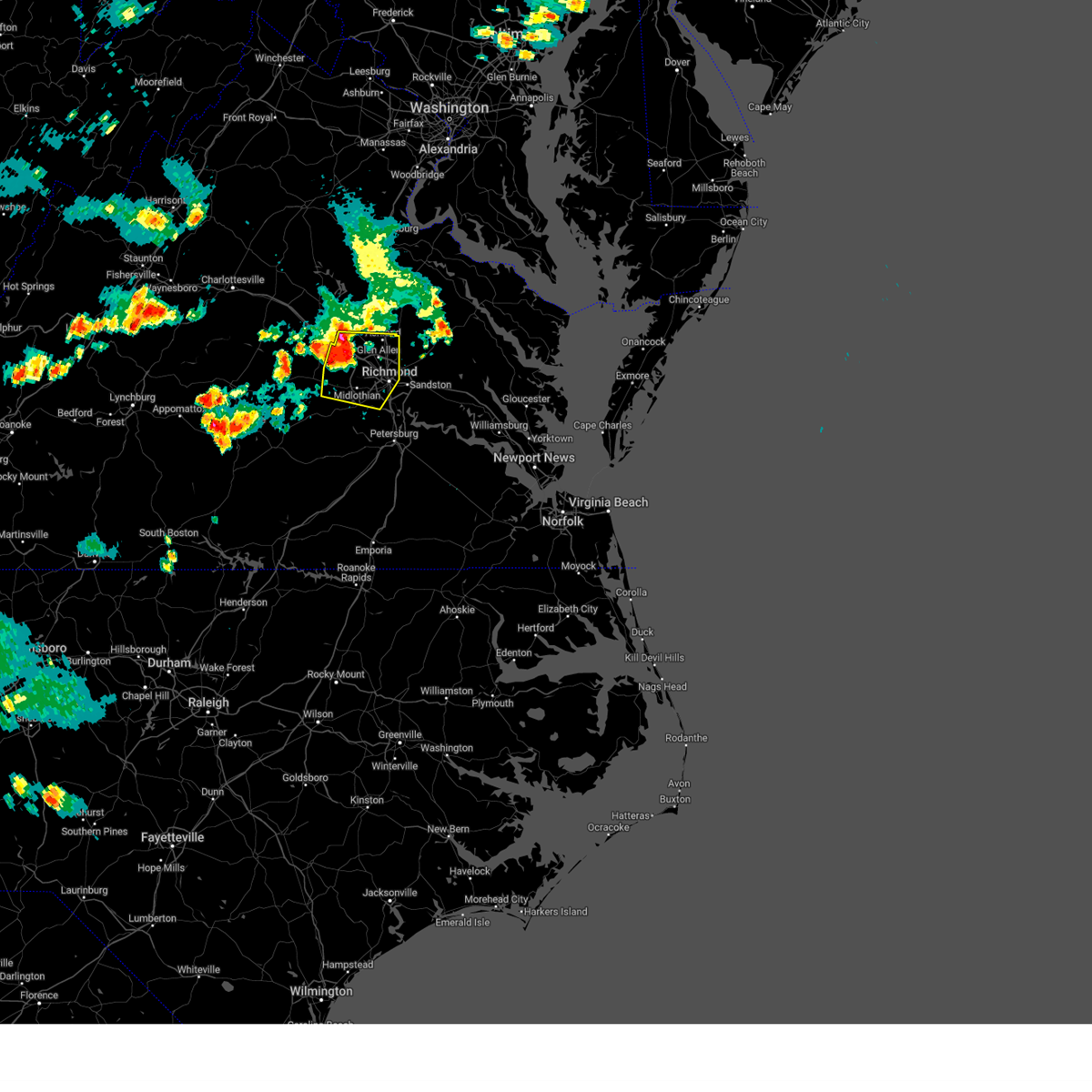 At 756 pm edt, severe thunderstorms were located along a line extending from near wyndham to near tuckahoe to near moseley, moving east at 45 mph (radar indicated). Hazards include 70 mph wind gusts and penny size hail. Expect considerable tree damage. damage is likely to mobile homes, roofs, and outbuildings. these severe storms will be near, tuckahoe, university of richmond, bon air and wyndham around 800 pm edt. downtown richmond, lakeside and laurel around 805 pm edt. richmond, ashland, randolph macon college, virginia union university, virginia commonwealth university, east highland park and glen allen around 810 pm edt. mechanicsville around 815 pm edt. hanover and bensley around 820 pm edt. other locations impacted by these severe thunderstorms include crozier, vontay, johnsons springs, elmont, gilman, solomons store, chamberlayne, fine creek mills, atlee and ashcake. thunderstorm damage threat, considerable hail threat, radar indicated max hail size, 0. 75 in wind threat, radar indicated max wind gust, 70 mph. At 756 pm edt, severe thunderstorms were located along a line extending from near wyndham to near tuckahoe to near moseley, moving east at 45 mph (radar indicated). Hazards include 70 mph wind gusts and penny size hail. Expect considerable tree damage. damage is likely to mobile homes, roofs, and outbuildings. these severe storms will be near, tuckahoe, university of richmond, bon air and wyndham around 800 pm edt. downtown richmond, lakeside and laurel around 805 pm edt. richmond, ashland, randolph macon college, virginia union university, virginia commonwealth university, east highland park and glen allen around 810 pm edt. mechanicsville around 815 pm edt. hanover and bensley around 820 pm edt. other locations impacted by these severe thunderstorms include crozier, vontay, johnsons springs, elmont, gilman, solomons store, chamberlayne, fine creek mills, atlee and ashcake. thunderstorm damage threat, considerable hail threat, radar indicated max hail size, 0. 75 in wind threat, radar indicated max wind gust, 70 mph.
|
| 6/26/2023 7:48 PM EDT |
 At 747 pm edt, severe thunderstorms were located along a line extending from oilville to near sabot to near chula, moving east at 35 mph (radar indicated). Hazards include 70 mph wind gusts and penny size hail. Expect considerable tree damage. damage is likely to mobile homes, roofs, and outbuildings. these severe storms will be near, manakin around 755 pm edt. tuckahoe and wyndham around 800 pm edt. university of richmond and bon air around 810 pm edt. richmond, ashland, downtown richmond, randolph macon college, glen allen, laurel and lakeside around 815 pm edt. virginia union university, virginia commonwealth university and east highland park around 820 pm edt. mechanicsville, hanover and chesterfield court house around 825 pm edt. bensley around 830 pm edt. other locations impacted by these severe thunderstorms include crozier, pilkinton, vontay, maidens, irwin, johnsons springs, elmont, pocahontas state park, skinquarter and gilman. thunderstorm damage threat, considerable hail threat, radar indicated max hail size, 0. 75 in wind threat, radar indicated max wind gust, 70 mph. At 747 pm edt, severe thunderstorms were located along a line extending from oilville to near sabot to near chula, moving east at 35 mph (radar indicated). Hazards include 70 mph wind gusts and penny size hail. Expect considerable tree damage. damage is likely to mobile homes, roofs, and outbuildings. these severe storms will be near, manakin around 755 pm edt. tuckahoe and wyndham around 800 pm edt. university of richmond and bon air around 810 pm edt. richmond, ashland, downtown richmond, randolph macon college, glen allen, laurel and lakeside around 815 pm edt. virginia union university, virginia commonwealth university and east highland park around 820 pm edt. mechanicsville, hanover and chesterfield court house around 825 pm edt. bensley around 830 pm edt. other locations impacted by these severe thunderstorms include crozier, pilkinton, vontay, maidens, irwin, johnsons springs, elmont, pocahontas state park, skinquarter and gilman. thunderstorm damage threat, considerable hail threat, radar indicated max hail size, 0. 75 in wind threat, radar indicated max wind gust, 70 mph.
|
| 6/26/2023 7:48 PM EDT |
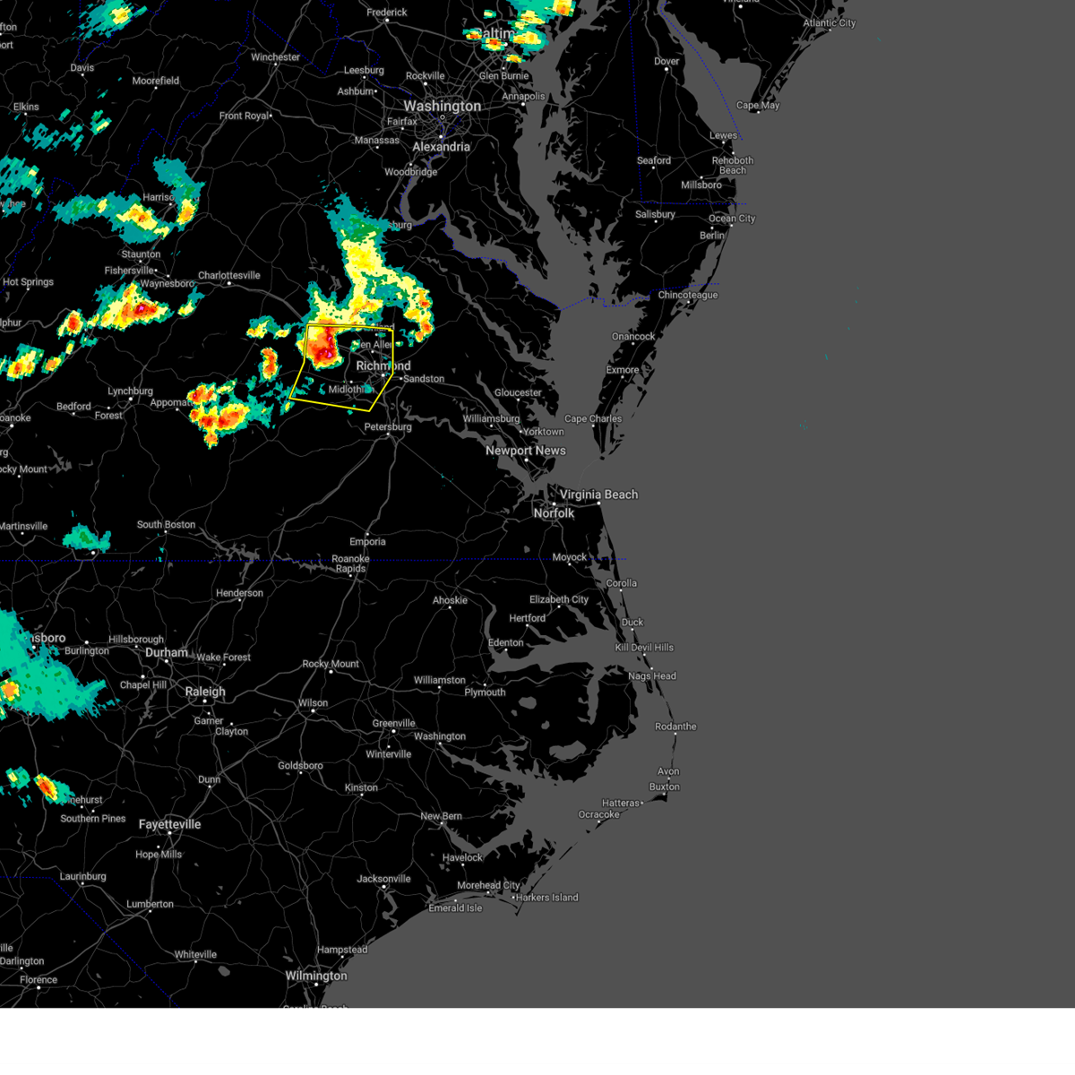 At 747 pm edt, severe thunderstorms were located along a line extending from oilville to near sabot to near chula, moving east at 35 mph (radar indicated). Hazards include 70 mph wind gusts and penny size hail. Expect considerable tree damage. damage is likely to mobile homes, roofs, and outbuildings. these severe storms will be near, manakin around 755 pm edt. tuckahoe and wyndham around 800 pm edt. university of richmond and bon air around 810 pm edt. richmond, ashland, downtown richmond, randolph macon college, glen allen, laurel and lakeside around 815 pm edt. virginia union university, virginia commonwealth university and east highland park around 820 pm edt. mechanicsville, hanover and chesterfield court house around 825 pm edt. bensley around 830 pm edt. other locations impacted by these severe thunderstorms include crozier, pilkinton, vontay, maidens, irwin, johnsons springs, elmont, pocahontas state park, skinquarter and gilman. thunderstorm damage threat, considerable hail threat, radar indicated max hail size, 0. 75 in wind threat, radar indicated max wind gust, 70 mph. At 747 pm edt, severe thunderstorms were located along a line extending from oilville to near sabot to near chula, moving east at 35 mph (radar indicated). Hazards include 70 mph wind gusts and penny size hail. Expect considerable tree damage. damage is likely to mobile homes, roofs, and outbuildings. these severe storms will be near, manakin around 755 pm edt. tuckahoe and wyndham around 800 pm edt. university of richmond and bon air around 810 pm edt. richmond, ashland, downtown richmond, randolph macon college, glen allen, laurel and lakeside around 815 pm edt. virginia union university, virginia commonwealth university and east highland park around 820 pm edt. mechanicsville, hanover and chesterfield court house around 825 pm edt. bensley around 830 pm edt. other locations impacted by these severe thunderstorms include crozier, pilkinton, vontay, maidens, irwin, johnsons springs, elmont, pocahontas state park, skinquarter and gilman. thunderstorm damage threat, considerable hail threat, radar indicated max hail size, 0. 75 in wind threat, radar indicated max wind gust, 70 mph.
|
| 6/26/2023 7:24 PM EDT |
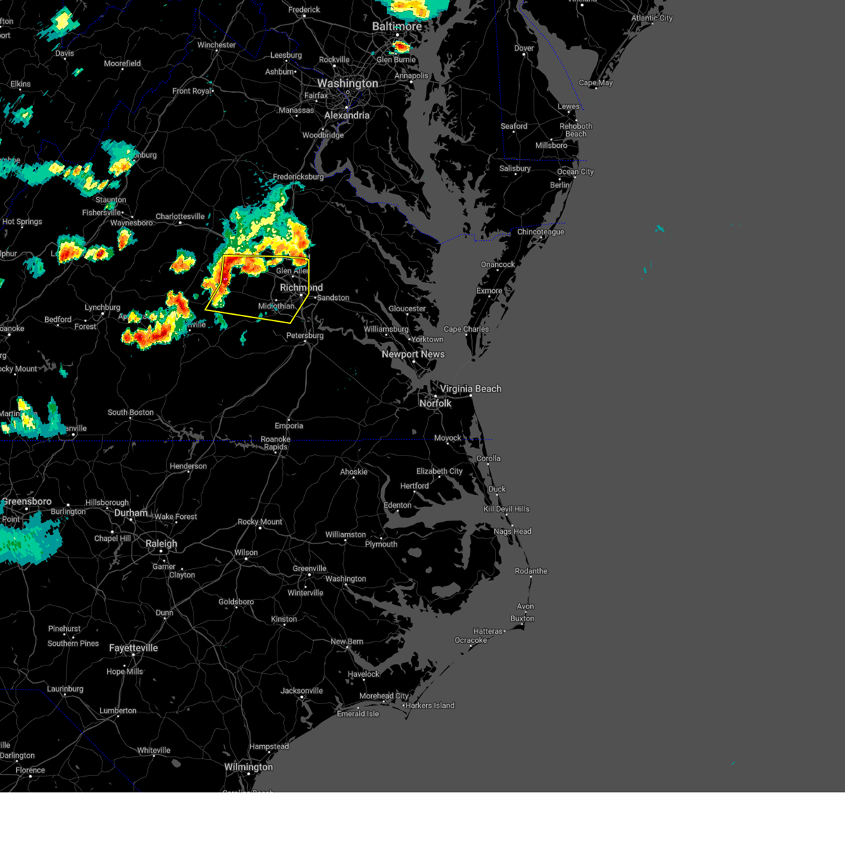 At 723 pm edt, severe thunderstorms were located along a line extending from fife to trenholm to sunnyside, moving east at 35 mph (radar indicated). Hazards include 70 mph wind gusts and quarter size hail. Minor damage to vehicles is possible. expect considerable tree damage. wind damage is also likely to mobile homes, roofs, and outbuildings. severe thunderstorms will be near, powhatan, goochland and gum spring around 735 pm edt. macon around 740 pm edt. oilville around 745 pm edt. sabot around 750 pm edt. manakin around 755 pm edt. moseley, tuckahoe and wyndham around 800 pm edt. university of richmond and bon air around 810 pm edt. richmond, ashland, downtown richmond, randolph macon college, glen allen, laurel and lakeside around 815 pm edt. other locations impacted by these severe thunderstorms include maidens, three square, pocahontas state park, skinquarter, chamberlayne, fine creek mills, michaux, atlee, west view and ashcake. thunderstorm damage threat, considerable hail threat, radar indicated max hail size, 1. 00 in wind threat, radar indicated max wind gust, 70 mph. At 723 pm edt, severe thunderstorms were located along a line extending from fife to trenholm to sunnyside, moving east at 35 mph (radar indicated). Hazards include 70 mph wind gusts and quarter size hail. Minor damage to vehicles is possible. expect considerable tree damage. wind damage is also likely to mobile homes, roofs, and outbuildings. severe thunderstorms will be near, powhatan, goochland and gum spring around 735 pm edt. macon around 740 pm edt. oilville around 745 pm edt. sabot around 750 pm edt. manakin around 755 pm edt. moseley, tuckahoe and wyndham around 800 pm edt. university of richmond and bon air around 810 pm edt. richmond, ashland, downtown richmond, randolph macon college, glen allen, laurel and lakeside around 815 pm edt. other locations impacted by these severe thunderstorms include maidens, three square, pocahontas state park, skinquarter, chamberlayne, fine creek mills, michaux, atlee, west view and ashcake. thunderstorm damage threat, considerable hail threat, radar indicated max hail size, 1. 00 in wind threat, radar indicated max wind gust, 70 mph.
|
| 6/16/2023 3:05 PM EDT |
 At 305 pm edt, a severe thunderstorm was located over chesterfield court house, or near chester, moving east at 20 mph (radar indicated). Hazards include 70 mph wind gusts and half dollar size hail. Minor damage to vehicles is possible. expect considerable tree damage. wind damage is also likely to mobile homes, roofs, and outbuildings. this severe storm will be near, chester and bellwood around 310 pm edt. colonial heights, ettrick and matoaca around 325 pm edt. Other locations impacted by this severe thunderstorm include pocahontas state park, beach, drewrys bluff, richmond heights, centralia and chesterfield. At 305 pm edt, a severe thunderstorm was located over chesterfield court house, or near chester, moving east at 20 mph (radar indicated). Hazards include 70 mph wind gusts and half dollar size hail. Minor damage to vehicles is possible. expect considerable tree damage. wind damage is also likely to mobile homes, roofs, and outbuildings. this severe storm will be near, chester and bellwood around 310 pm edt. colonial heights, ettrick and matoaca around 325 pm edt. Other locations impacted by this severe thunderstorm include pocahontas state park, beach, drewrys bluff, richmond heights, centralia and chesterfield.
|
| 6/16/2023 3:03 PM EDT |
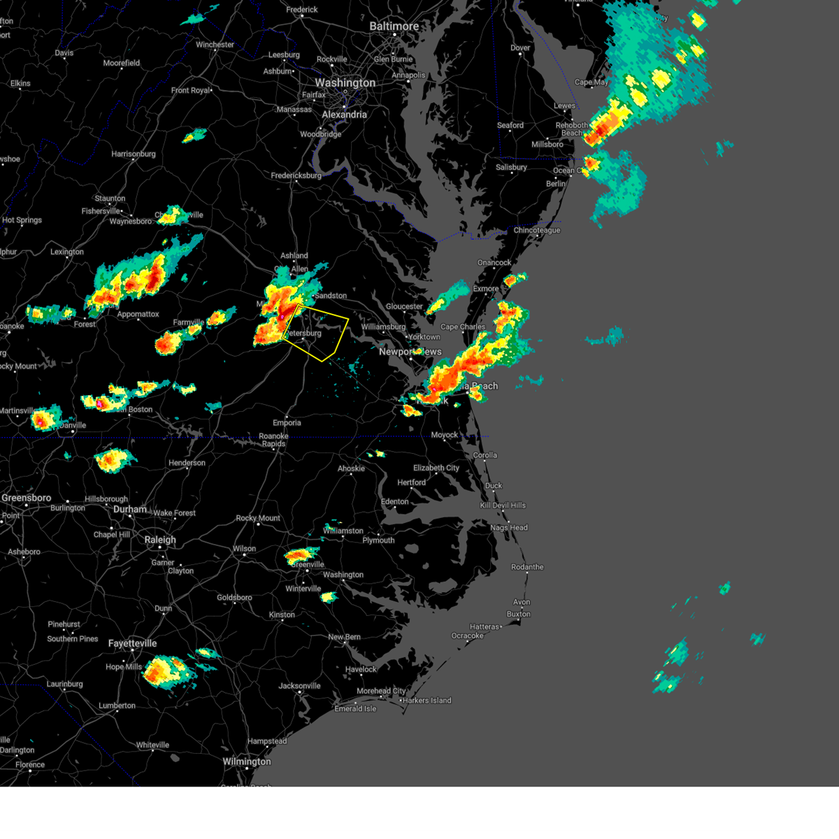 At 302 pm edt, a severe thunderstorm was located near chester, moving east at 25 mph (radar indicated). Hazards include 70 mph wind gusts and quarter size hail. Minor damage to vehicles is possible. expect considerable tree damage. wind damage is also likely to mobile homes, roofs, and outbuildings. this severe thunderstorm will be near, colonial heights, virginia state university, ettrick and matoaca around 315 pm edt. hopewell and fort gregg-adams around 320 pm edt. petersburg around 325 pm edt. prince george and jordans point around 335 pm edt. disputanta and garysville around 345 pm edt. Other locations impacted by this severe thunderstorm include wayside, birchett estate, addison, jordan point country club, petersburg national battlefield, new bohemia, richard bland college, meadowville, prince george golf and barnetts. At 302 pm edt, a severe thunderstorm was located near chester, moving east at 25 mph (radar indicated). Hazards include 70 mph wind gusts and quarter size hail. Minor damage to vehicles is possible. expect considerable tree damage. wind damage is also likely to mobile homes, roofs, and outbuildings. this severe thunderstorm will be near, colonial heights, virginia state university, ettrick and matoaca around 315 pm edt. hopewell and fort gregg-adams around 320 pm edt. petersburg around 325 pm edt. prince george and jordans point around 335 pm edt. disputanta and garysville around 345 pm edt. Other locations impacted by this severe thunderstorm include wayside, birchett estate, addison, jordan point country club, petersburg national battlefield, new bohemia, richard bland college, meadowville, prince george golf and barnetts.
|
| 6/16/2023 2:56 PM EDT |
 At 256 pm edt, a severe thunderstorm was located near chesterfield court house, or 7 miles west of chester, moving east at 20 mph (radar indicated). Hazards include 70 mph wind gusts and ping pong ball size hail. People and animals outdoors will be injured. expect hail damage to roofs, siding, windows, and vehicles. expect considerable tree damage. wind damage is also likely to mobile homes, roofs, and outbuildings. this severe storm will be near, chesterfield court house around 300 pm edt. chester and bellwood around 310 pm edt. colonial heights, ettrick and matoaca around 325 pm edt. Other locations impacted by this severe thunderstorm include pocahontas state park, beach, drewrys bluff, richmond heights, centralia and chesterfield. At 256 pm edt, a severe thunderstorm was located near chesterfield court house, or 7 miles west of chester, moving east at 20 mph (radar indicated). Hazards include 70 mph wind gusts and ping pong ball size hail. People and animals outdoors will be injured. expect hail damage to roofs, siding, windows, and vehicles. expect considerable tree damage. wind damage is also likely to mobile homes, roofs, and outbuildings. this severe storm will be near, chesterfield court house around 300 pm edt. chester and bellwood around 310 pm edt. colonial heights, ettrick and matoaca around 325 pm edt. Other locations impacted by this severe thunderstorm include pocahontas state park, beach, drewrys bluff, richmond heights, centralia and chesterfield.
|
| 6/16/2023 2:44 PM EDT |
 At 243 pm edt, a severe thunderstorm was located near moseley, moving east at 20 mph (radar indicated). Hazards include ping pong ball size hail and 60 mph wind gusts. People and animals outdoors will be injured. expect hail damage to roofs, siding, windows, and vehicles. expect wind damage to trees and powerlines. this severe storm will be near, chesterfield court house around 310 pm edt. chester and bensley around 320 pm edt. bellwood around 325 pm edt. colonial heights, ettrick and matoaca around 330 pm edt. other locations impacted by this severe thunderstorm include pocahontas state park, beach, winterpock, richmond heights, midlothian, drewrys bluff, centralia and chesterfield. hail threat, radar indicated max hail size, 1. 50 in wind threat, radar indicated max wind gust, 60 mph. At 243 pm edt, a severe thunderstorm was located near moseley, moving east at 20 mph (radar indicated). Hazards include ping pong ball size hail and 60 mph wind gusts. People and animals outdoors will be injured. expect hail damage to roofs, siding, windows, and vehicles. expect wind damage to trees and powerlines. this severe storm will be near, chesterfield court house around 310 pm edt. chester and bensley around 320 pm edt. bellwood around 325 pm edt. colonial heights, ettrick and matoaca around 330 pm edt. other locations impacted by this severe thunderstorm include pocahontas state park, beach, winterpock, richmond heights, midlothian, drewrys bluff, centralia and chesterfield. hail threat, radar indicated max hail size, 1. 50 in wind threat, radar indicated max wind gust, 60 mph.
|
| 6/16/2023 2:31 PM EDT |
 At 231 pm edt, a severe thunderstorm was located over moseley, moving east at 15 mph (radar indicated). Hazards include 60 mph wind gusts and quarter size hail. Minor damage to vehicles is possible. expect wind damage to trees and powerlines. this severe thunderstorm will be near, chester, chesterfield court house and bellwood around 315 pm edt. other locations impacted by this severe thunderstorm include pocahontas state park, skinquarter, beach, winterpock, richmond heights, midlothian, drewrys bluff, centralia and chesterfield. hail threat, radar indicated max hail size, 1. 00 in wind threat, radar indicated max wind gust, 60 mph. At 231 pm edt, a severe thunderstorm was located over moseley, moving east at 15 mph (radar indicated). Hazards include 60 mph wind gusts and quarter size hail. Minor damage to vehicles is possible. expect wind damage to trees and powerlines. this severe thunderstorm will be near, chester, chesterfield court house and bellwood around 315 pm edt. other locations impacted by this severe thunderstorm include pocahontas state park, skinquarter, beach, winterpock, richmond heights, midlothian, drewrys bluff, centralia and chesterfield. hail threat, radar indicated max hail size, 1. 00 in wind threat, radar indicated max wind gust, 60 mph.
|
| 6/8/2023 11:40 AM EDT |
 At 1140 am edt, a severe thunderstorm was located near ettrick, or near colonial heights, moving east at 30 mph (radar indicated). Hazards include 60 mph wind gusts and quarter size hail. Minor damage to vehicles is possible. expect wind damage to trees and powerlines. this severe thunderstorm will be near, virginia state university and ettrick around 1145 am edt. colonial heights around 1150 am edt. petersburg, hopewell and fort gregg-adams around 1155 am edt. prince george around 1205 pm edt. other locations impacted by this severe thunderstorm include birchett estate, addison, jordan point country club, petersburg national battlefield, pocahontas state park, new bohemia, petersburg airport, beach, richard bland college and meadowville. hail threat, radar indicated max hail size, 1. 00 in wind threat, radar indicated max wind gust, 60 mph. At 1140 am edt, a severe thunderstorm was located near ettrick, or near colonial heights, moving east at 30 mph (radar indicated). Hazards include 60 mph wind gusts and quarter size hail. Minor damage to vehicles is possible. expect wind damage to trees and powerlines. this severe thunderstorm will be near, virginia state university and ettrick around 1145 am edt. colonial heights around 1150 am edt. petersburg, hopewell and fort gregg-adams around 1155 am edt. prince george around 1205 pm edt. other locations impacted by this severe thunderstorm include birchett estate, addison, jordan point country club, petersburg national battlefield, pocahontas state park, new bohemia, petersburg airport, beach, richard bland college and meadowville. hail threat, radar indicated max hail size, 1. 00 in wind threat, radar indicated max wind gust, 60 mph.
|
| 5/16/2023 9:53 PM EDT |
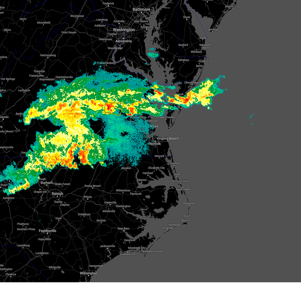 At 952 pm edt, a severe thunderstorm was located near highland springs, moving east at 40 mph (radar indicated). Hazards include 60 mph wind gusts and quarter size hail. Minor damage to vehicles is possible. expect wind damage to trees and powerlines. this severe storm will be near, bottoms bridge around 1005 pm edt. roxbury around 1010 pm edt. talleysville around 1015 pm edt. other locations impacted by this severe thunderstorm include wrights corner, richmond heights, wayside, mountcastle, orapax farms, elko, montrose, sandston, glendale and richmond international. hail threat, radar indicated max hail size, 1. 00 in wind threat, radar indicated max wind gust, 60 mph. At 952 pm edt, a severe thunderstorm was located near highland springs, moving east at 40 mph (radar indicated). Hazards include 60 mph wind gusts and quarter size hail. Minor damage to vehicles is possible. expect wind damage to trees and powerlines. this severe storm will be near, bottoms bridge around 1005 pm edt. roxbury around 1010 pm edt. talleysville around 1015 pm edt. other locations impacted by this severe thunderstorm include wrights corner, richmond heights, wayside, mountcastle, orapax farms, elko, montrose, sandston, glendale and richmond international. hail threat, radar indicated max hail size, 1. 00 in wind threat, radar indicated max wind gust, 60 mph.
|
| 5/16/2023 9:39 PM EDT |
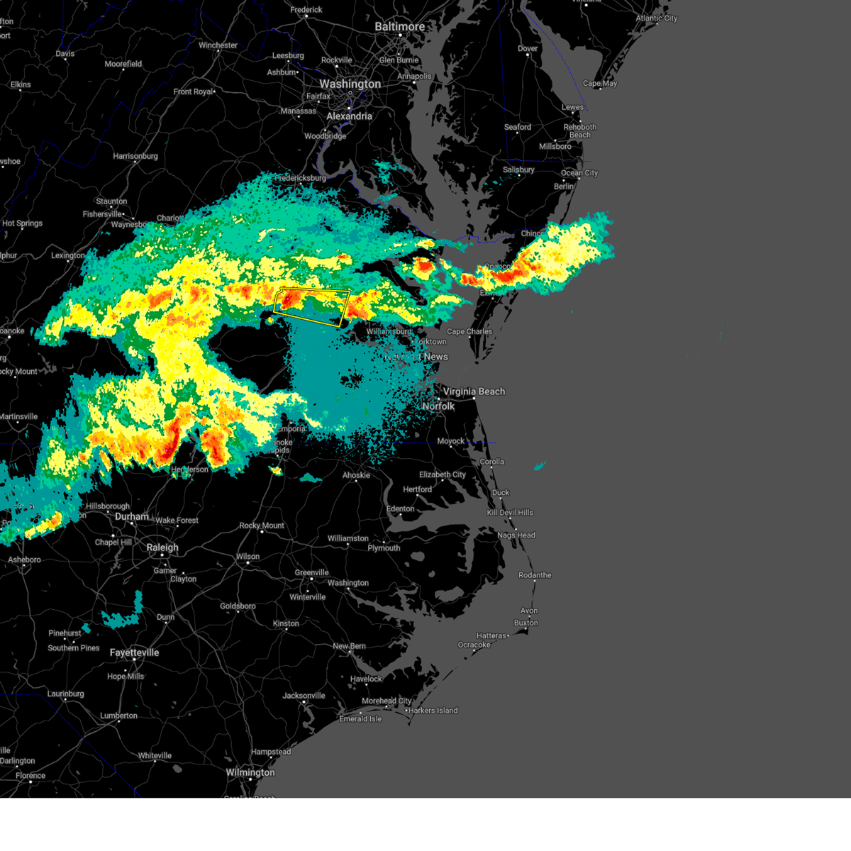 At 938 pm edt, a severe thunderstorm was located over richmond, moving east at 35 mph (public. at 935 pm edt, nickel to quarter size hail was reported in north chesterfield). Hazards include 60 mph wind gusts and quarter size hail. Minor damage to vehicles is possible. expect wind damage to trees and powerlines. this severe storm will be near, bellwood and east highland park around 945 pm edt. highland springs around 950 pm edt. bottoms bridge around 1005 pm edt. roxbury around 1010 pm edt. talleysville around 1015 pm edt. other locations impacted by this severe thunderstorm include wrights corner, richmond heights, wayside, mountcastle, orapax farms, elko, midlothian, montrose, sandston and glendale. hail threat, observed max hail size, 1. 00 in wind threat, radar indicated max wind gust, 60 mph. At 938 pm edt, a severe thunderstorm was located over richmond, moving east at 35 mph (public. at 935 pm edt, nickel to quarter size hail was reported in north chesterfield). Hazards include 60 mph wind gusts and quarter size hail. Minor damage to vehicles is possible. expect wind damage to trees and powerlines. this severe storm will be near, bellwood and east highland park around 945 pm edt. highland springs around 950 pm edt. bottoms bridge around 1005 pm edt. roxbury around 1010 pm edt. talleysville around 1015 pm edt. other locations impacted by this severe thunderstorm include wrights corner, richmond heights, wayside, mountcastle, orapax farms, elko, midlothian, montrose, sandston and glendale. hail threat, observed max hail size, 1. 00 in wind threat, radar indicated max wind gust, 60 mph.
|
| 5/16/2023 9:32 PM EDT |
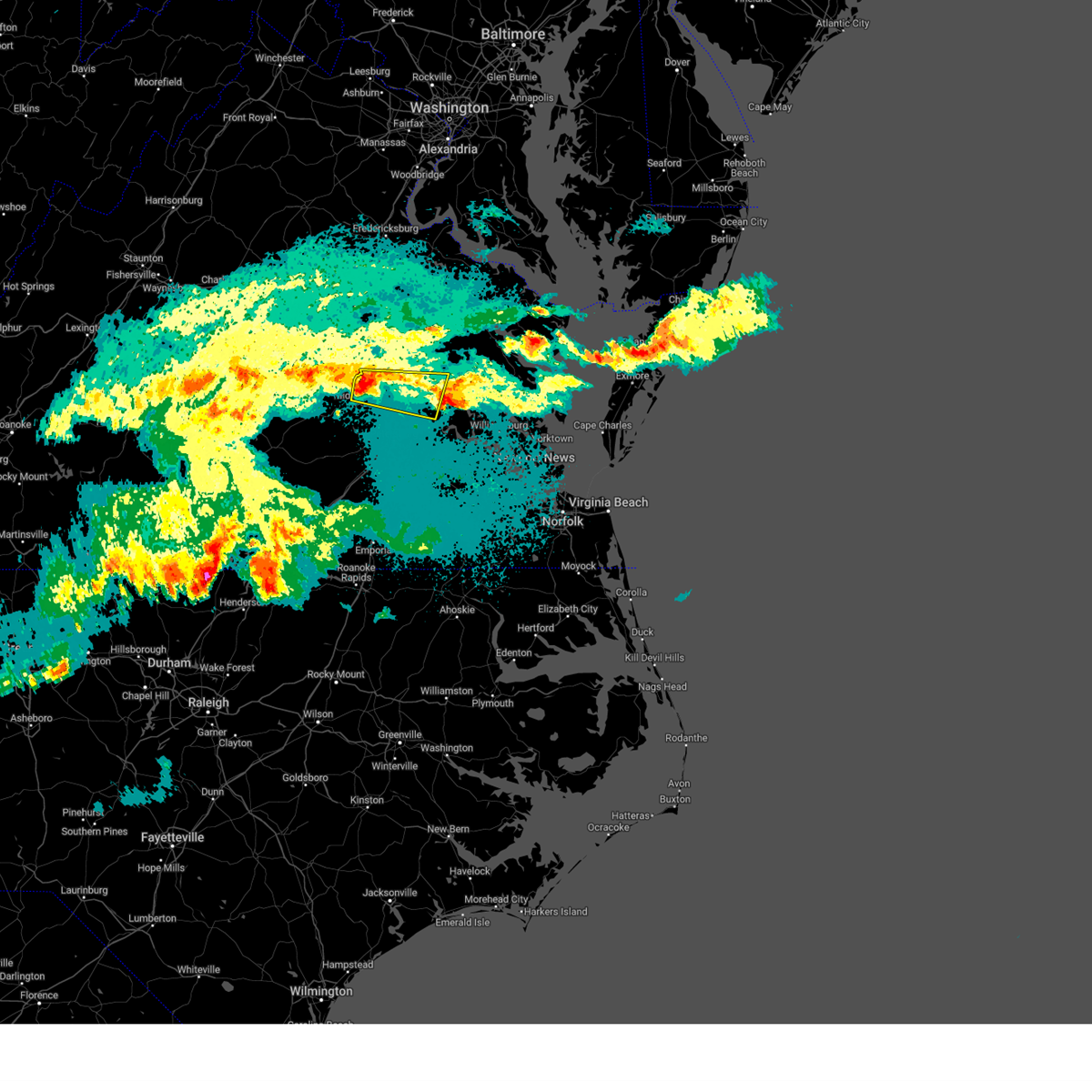 At 931 pm edt, a severe thunderstorm was located over bon air, moving east at 35 mph (radar indicated). Hazards include 60 mph wind gusts. Expect damage to trees and powerlines. this severe thunderstorm will be near, university of richmond around 935 pm edt. richmond and downtown richmond around 940 pm edt. virginia commonwealth university, virginia union university, bensley, bellwood and east highland park around 945 pm edt. highland springs around 950 pm edt. bottoms bridge around 1010 pm edt. roxbury and talleysville around 1015 pm edt. other locations impacted by this severe thunderstorm include wrights corner, richmond heights, wayside, mountcastle, orapax farms, elko, midlothian, montrose, sandston and glendale. hail threat, radar indicated max hail size, <. 75 in wind threat, radar indicated max wind gust, 60 mph. At 931 pm edt, a severe thunderstorm was located over bon air, moving east at 35 mph (radar indicated). Hazards include 60 mph wind gusts. Expect damage to trees and powerlines. this severe thunderstorm will be near, university of richmond around 935 pm edt. richmond and downtown richmond around 940 pm edt. virginia commonwealth university, virginia union university, bensley, bellwood and east highland park around 945 pm edt. highland springs around 950 pm edt. bottoms bridge around 1010 pm edt. roxbury and talleysville around 1015 pm edt. other locations impacted by this severe thunderstorm include wrights corner, richmond heights, wayside, mountcastle, orapax farms, elko, midlothian, montrose, sandston and glendale. hail threat, radar indicated max hail size, <. 75 in wind threat, radar indicated max wind gust, 60 mph.
|
| 4/6/2023 7:19 PM EDT |
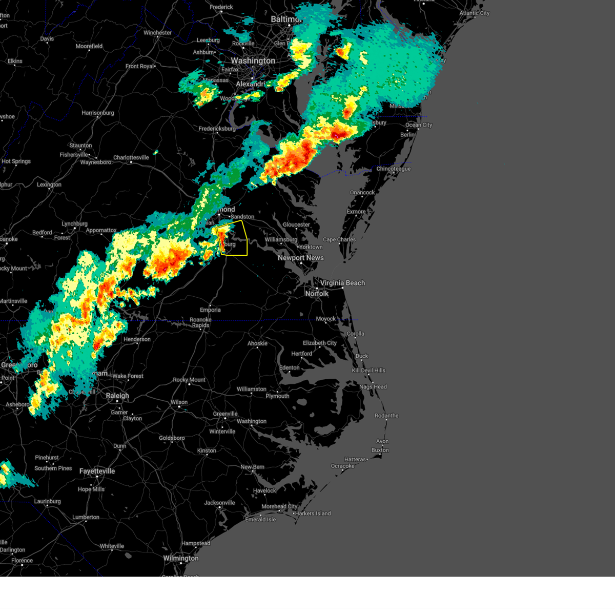 At 719 pm edt, severe thunderstorms were located along a line extending from near chester to near hopewell to near petersburg, moving east at 35 mph (radar indicated). Hazards include 60 mph wind gusts and penny size hail. Expect damage to trees and powerlines. these severe storms will be near, jordans point around 730 pm edt. garysville around 740 pm edt. other locations impacted by these severe thunderstorms include new bohemia, richard bland college, meadowville, wayside, birchett estate, varina, barnetts, elko, jordan point country club and petersburg national battlefield. hail threat, radar indicated max hail size, 0. 75 in wind threat, radar indicated max wind gust, 60 mph. At 719 pm edt, severe thunderstorms were located along a line extending from near chester to near hopewell to near petersburg, moving east at 35 mph (radar indicated). Hazards include 60 mph wind gusts and penny size hail. Expect damage to trees and powerlines. these severe storms will be near, jordans point around 730 pm edt. garysville around 740 pm edt. other locations impacted by these severe thunderstorms include new bohemia, richard bland college, meadowville, wayside, birchett estate, varina, barnetts, elko, jordan point country club and petersburg national battlefield. hail threat, radar indicated max hail size, 0. 75 in wind threat, radar indicated max wind gust, 60 mph.
|
| 4/6/2023 7:00 PM EDT |
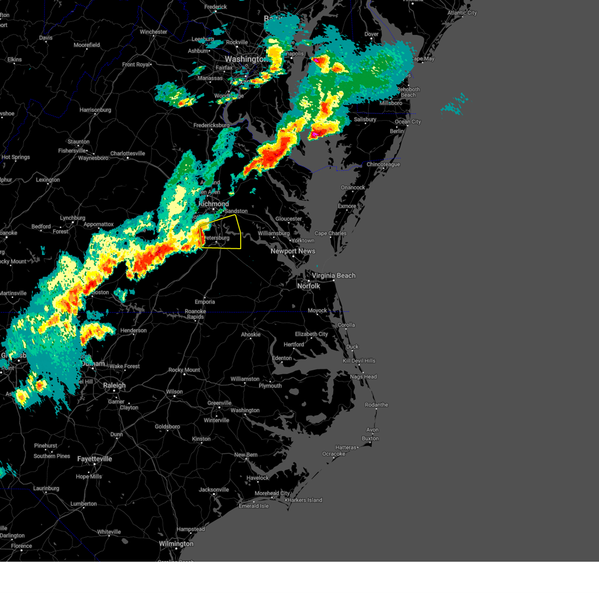 At 700 pm edt, severe thunderstorms were located along a line extending from near chesterfield court house to near matoaca to sutherland, moving east at 30 mph (radar indicated). Hazards include 60 mph wind gusts. Expect damage to trees and powerlines. severe thunderstorms will be near, chesterfield court house around 705 pm edt. matoaca around 710 pm edt. colonial heights, virginia state university, chester, ettrick and bellwood around 715 pm edt. petersburg and fort lee around 720 pm edt. hopewell around 725 pm edt. prince george around 730 pm edt. jordans point around 735 pm edt. garysville around 745 pm edt. other locations impacted by these severe thunderstorms include wayside, birchett estate, addison, elko, jordan point country club, petersburg national battlefield, glendale, pocahontas state park, new bohemia and beach. hail threat, radar indicated max hail size, <. 75 in wind threat, radar indicated max wind gust, 60 mph. At 700 pm edt, severe thunderstorms were located along a line extending from near chesterfield court house to near matoaca to sutherland, moving east at 30 mph (radar indicated). Hazards include 60 mph wind gusts. Expect damage to trees and powerlines. severe thunderstorms will be near, chesterfield court house around 705 pm edt. matoaca around 710 pm edt. colonial heights, virginia state university, chester, ettrick and bellwood around 715 pm edt. petersburg and fort lee around 720 pm edt. hopewell around 725 pm edt. prince george around 730 pm edt. jordans point around 735 pm edt. garysville around 745 pm edt. other locations impacted by these severe thunderstorms include wayside, birchett estate, addison, elko, jordan point country club, petersburg national battlefield, glendale, pocahontas state park, new bohemia and beach. hail threat, radar indicated max hail size, <. 75 in wind threat, radar indicated max wind gust, 60 mph.
|
| 4/6/2023 6:47 PM EDT |
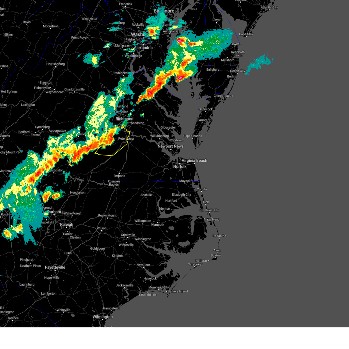 At 647 pm edt, severe thunderstorms were located along a line extending from near chesterfield court house to near sutherland to near wilsons, moving east at 35 mph (radar indicated). Hazards include 60 mph wind gusts and penny size hail. Expect damage to trees and powerlines. these severe storms will be near, chester, sutherland, chesterfield court house and bensley around 655 pm edt. colonial heights and bellwood around 700 pm edt. virginia state university, matoaca and ettrick around 705 pm edt. petersburg around 710 pm edt. other locations impacted by these severe thunderstorms include north wellville, winterpock, burgess, addison, ammon, forkland, darvills, pocahontas state park, petersburg airport and center star. hail threat, radar indicated max hail size, 0. 75 in wind threat, radar indicated max wind gust, 60 mph. At 647 pm edt, severe thunderstorms were located along a line extending from near chesterfield court house to near sutherland to near wilsons, moving east at 35 mph (radar indicated). Hazards include 60 mph wind gusts and penny size hail. Expect damage to trees and powerlines. these severe storms will be near, chester, sutherland, chesterfield court house and bensley around 655 pm edt. colonial heights and bellwood around 700 pm edt. virginia state university, matoaca and ettrick around 705 pm edt. petersburg around 710 pm edt. other locations impacted by these severe thunderstorms include north wellville, winterpock, burgess, addison, ammon, forkland, darvills, pocahontas state park, petersburg airport and center star. hail threat, radar indicated max hail size, 0. 75 in wind threat, radar indicated max wind gust, 60 mph.
|
| 4/6/2023 6:21 PM EDT |
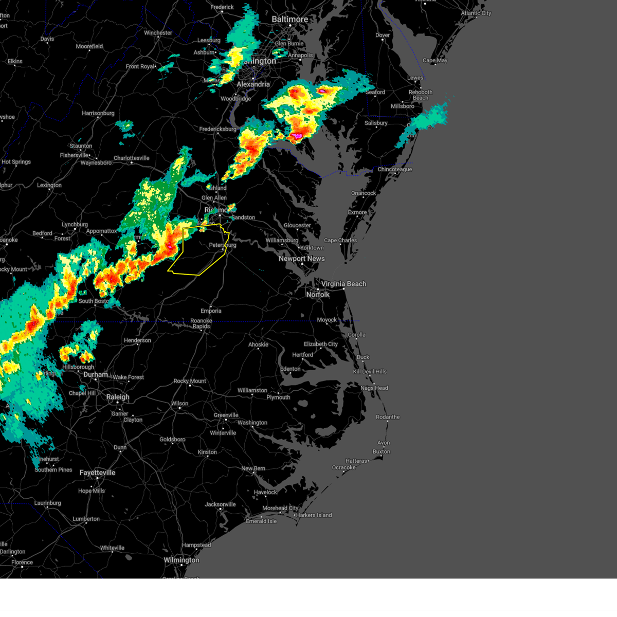 At 620 pm edt, severe thunderstorms were located along a line extending from near chula to spainville to near nottoway, moving east at 35 mph (radar indicated). Hazards include 60 mph wind gusts and penny size hail. Expect damage to trees and powerlines. severe thunderstorms will be near, moseley, mannboro and wilsons around 625 pm edt. sutherland and chesterfield court house around 650 pm edt. mckenney, chester, bellwood and bensley around 655 pm edt. petersburg, dinwiddie, colonial heights, virginia state university, dewitt, matoaca and ettrick around 700 pm edt. other locations impacted by these severe thunderstorms include north wellville, addison, ammon, forkland, darvills, pocahontas state park, church road, skinquarter, wellville and beach. hail threat, radar indicated max hail size, 0. 75 in wind threat, radar indicated max wind gust, 60 mph. At 620 pm edt, severe thunderstorms were located along a line extending from near chula to spainville to near nottoway, moving east at 35 mph (radar indicated). Hazards include 60 mph wind gusts and penny size hail. Expect damage to trees and powerlines. severe thunderstorms will be near, moseley, mannboro and wilsons around 625 pm edt. sutherland and chesterfield court house around 650 pm edt. mckenney, chester, bellwood and bensley around 655 pm edt. petersburg, dinwiddie, colonial heights, virginia state university, dewitt, matoaca and ettrick around 700 pm edt. other locations impacted by these severe thunderstorms include north wellville, addison, ammon, forkland, darvills, pocahontas state park, church road, skinquarter, wellville and beach. hail threat, radar indicated max hail size, 0. 75 in wind threat, radar indicated max wind gust, 60 mph.
|
| 4/1/2023 9:24 PM EDT |
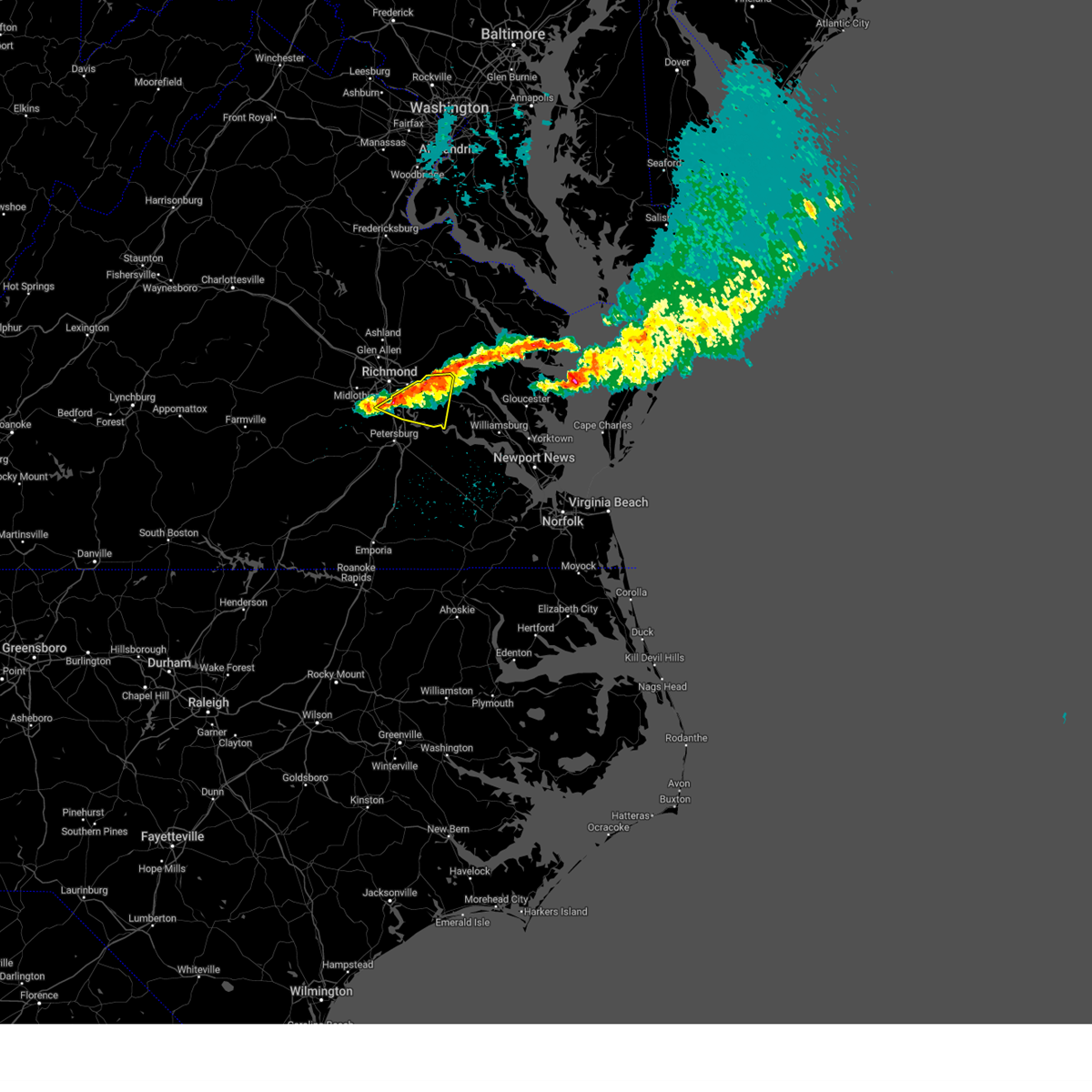 At 924 pm edt, a severe thunderstorm was located near bensley, or 7 miles northeast of chester, moving east at 40 mph (radar indicated). Hazards include 60 mph wind gusts and quarter size hail. Minor damage to vehicles is possible. expect wind damage to trees and powerlines. this severe storm will be near, bottoms bridge around 935 pm edt. roxbury around 940 pm edt. adkins store around 945 pm edt. charles city and providence forge around 950 pm edt. other locations impacted by this severe thunderstorm include wrights corner, richmond heights, wayside, mountcastle, orapax farms, elko, sandston, glendale, richmond international and quinton. hail threat, observed max hail size, 1. 00 in wind threat, radar indicated max wind gust, 60 mph. At 924 pm edt, a severe thunderstorm was located near bensley, or 7 miles northeast of chester, moving east at 40 mph (radar indicated). Hazards include 60 mph wind gusts and quarter size hail. Minor damage to vehicles is possible. expect wind damage to trees and powerlines. this severe storm will be near, bottoms bridge around 935 pm edt. roxbury around 940 pm edt. adkins store around 945 pm edt. charles city and providence forge around 950 pm edt. other locations impacted by this severe thunderstorm include wrights corner, richmond heights, wayside, mountcastle, orapax farms, elko, sandston, glendale, richmond international and quinton. hail threat, observed max hail size, 1. 00 in wind threat, radar indicated max wind gust, 60 mph.
|
| 4/1/2023 9:11 PM EDT |
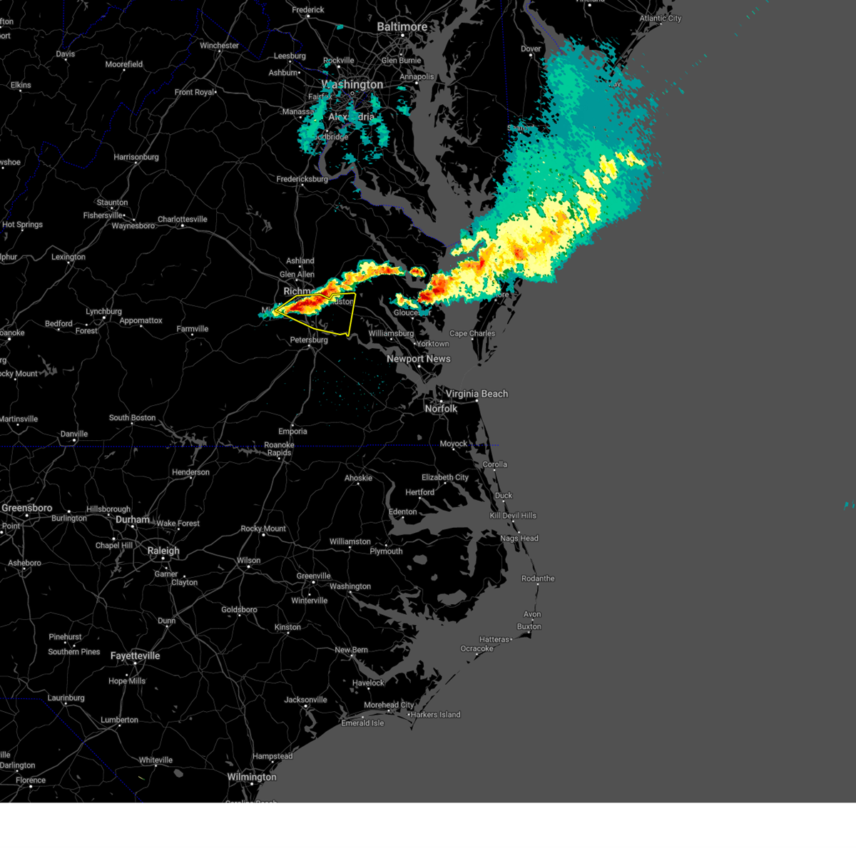 At 911 pm edt, a severe thunderstorm was located near richmond, moving east at 40 mph (radar indicated). Hazards include 60 mph wind gusts and quarter size hail. Minor damage to vehicles is possible. expect wind damage to trees and powerlines. this severe thunderstorm will be near, virginia commonwealth university and bensley around 915 pm edt. chester, highland springs and bellwood around 920 pm edt. bottoms bridge around 940 pm edt. roxbury around 945 pm edt. adkins store around 950 pm edt. charles city and providence forge around 955 pm edt. other locations impacted by this severe thunderstorm include wrights corner, richmond heights, wayside, mountcastle, orapax farms, elko, montrose, sandston, glendale and richmond international. hail threat, observed max hail size, 1. 00 in wind threat, radar indicated max wind gust, 60 mph. At 911 pm edt, a severe thunderstorm was located near richmond, moving east at 40 mph (radar indicated). Hazards include 60 mph wind gusts and quarter size hail. Minor damage to vehicles is possible. expect wind damage to trees and powerlines. this severe thunderstorm will be near, virginia commonwealth university and bensley around 915 pm edt. chester, highland springs and bellwood around 920 pm edt. bottoms bridge around 940 pm edt. roxbury around 945 pm edt. adkins store around 950 pm edt. charles city and providence forge around 955 pm edt. other locations impacted by this severe thunderstorm include wrights corner, richmond heights, wayside, mountcastle, orapax farms, elko, montrose, sandston, glendale and richmond international. hail threat, observed max hail size, 1. 00 in wind threat, radar indicated max wind gust, 60 mph.
|
| 11/11/2022 2:28 PM EST |
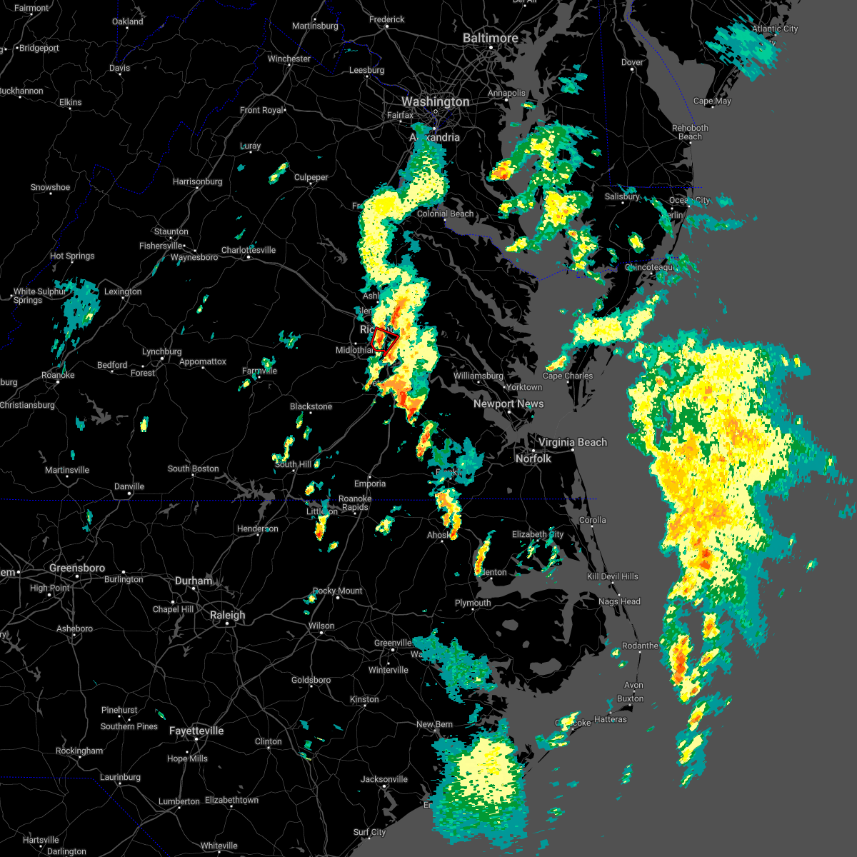 At 228 pm est, a severe thunderstorm capable of producing a tornado was located over richmond, moving northeast at 30 mph (radar indicated rotation). Hazards include tornado. Flying debris will be dangerous to those caught without shelter. mobile homes will be damaged or destroyed. damage to roofs, windows, and vehicles will occur. tree damage is likely. this dangerous storm will be near, highland springs and lakeside around 240 pm est. east highland park around 245 pm est. Other locations impacted by this tornadic thunderstorm include montrose, richmond heights and dumbarton. At 228 pm est, a severe thunderstorm capable of producing a tornado was located over richmond, moving northeast at 30 mph (radar indicated rotation). Hazards include tornado. Flying debris will be dangerous to those caught without shelter. mobile homes will be damaged or destroyed. damage to roofs, windows, and vehicles will occur. tree damage is likely. this dangerous storm will be near, highland springs and lakeside around 240 pm est. east highland park around 245 pm est. Other locations impacted by this tornadic thunderstorm include montrose, richmond heights and dumbarton.
|
| 11/11/2022 2:14 PM EST |
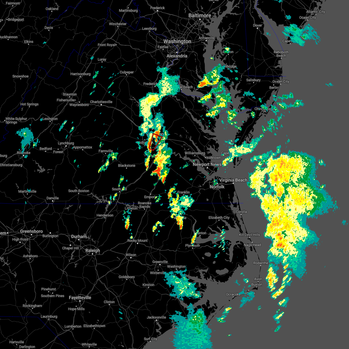 At 213 pm est, a severe thunderstorm capable of producing a tornado was located over chesterfield court house, or near chester, moving northeast at 30 mph (radar indicated rotation). Hazards include tornado. Flying debris will be dangerous to those caught without shelter. mobile homes will be damaged or destroyed. damage to roofs, windows, and vehicles will occur. tree damage is likely. this dangerous storm will be near, bensley around 225 pm est. downtown richmond around 230 pm est. virginia commonwealth university around 235 pm est. richmond and virginia union university around 240 pm est. highland springs, east highland park and lakeside around 245 pm est. Other locations impacted by this tornadic thunderstorm include pocahontas state park, drewrys bluff, montrose, richmond heights, chesterfield and dumbarton. At 213 pm est, a severe thunderstorm capable of producing a tornado was located over chesterfield court house, or near chester, moving northeast at 30 mph (radar indicated rotation). Hazards include tornado. Flying debris will be dangerous to those caught without shelter. mobile homes will be damaged or destroyed. damage to roofs, windows, and vehicles will occur. tree damage is likely. this dangerous storm will be near, bensley around 225 pm est. downtown richmond around 230 pm est. virginia commonwealth university around 235 pm est. richmond and virginia union university around 240 pm est. highland springs, east highland park and lakeside around 245 pm est. Other locations impacted by this tornadic thunderstorm include pocahontas state park, drewrys bluff, montrose, richmond heights, chesterfield and dumbarton.
|
| 11/11/2022 2:11 PM EST |
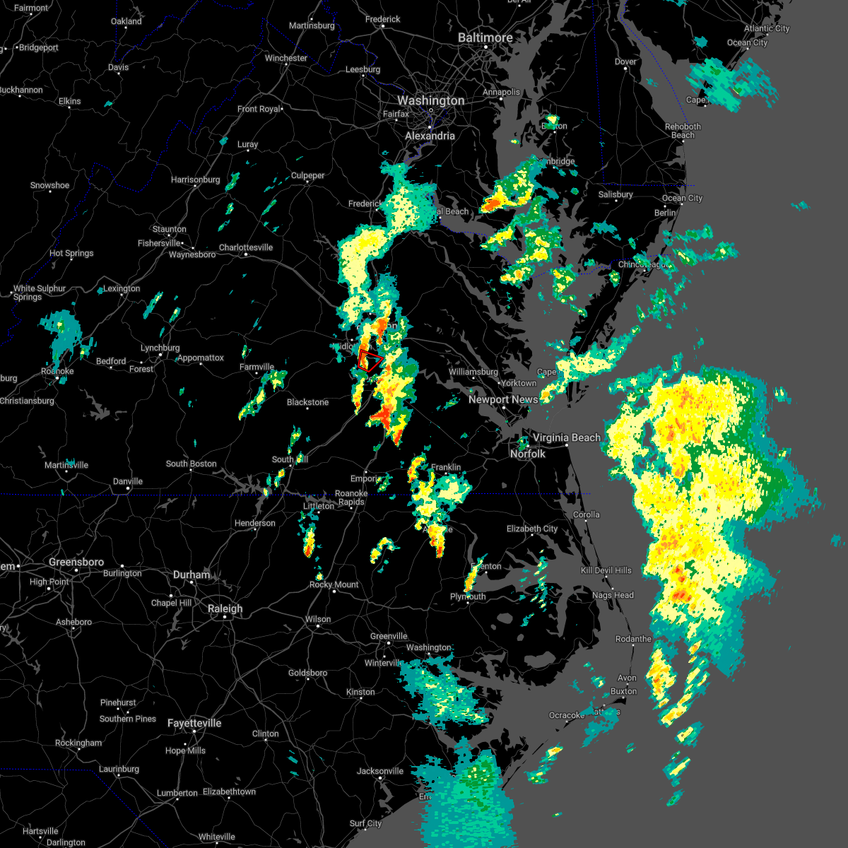 At 211 pm est, a severe thunderstorm capable of producing a tornado was located over chesterfield court house, or near chester, moving northeast at 35 mph (radar indicated rotation). Hazards include tornado. Flying debris will be dangerous to those caught without shelter. mobile homes will be damaged or destroyed. damage to roofs, windows, and vehicles will occur. tree damage is likely. this dangerous storm will be near, bellwood around 220 pm est. Other locations impacted by this tornadic thunderstorm include pocahontas state park, beach, centralia and chesterfield. At 211 pm est, a severe thunderstorm capable of producing a tornado was located over chesterfield court house, or near chester, moving northeast at 35 mph (radar indicated rotation). Hazards include tornado. Flying debris will be dangerous to those caught without shelter. mobile homes will be damaged or destroyed. damage to roofs, windows, and vehicles will occur. tree damage is likely. this dangerous storm will be near, bellwood around 220 pm est. Other locations impacted by this tornadic thunderstorm include pocahontas state park, beach, centralia and chesterfield.
|
| 11/11/2022 2:03 PM EST |
 At 202 pm est, a severe thunderstorm capable of producing a tornado was located near richmond, moving northeast at 35 mph (radar indicated rotation). Hazards include tornado. Flying debris will be dangerous to those caught without shelter. mobile homes will be damaged or destroyed. damage to roofs, windows, and vehicles will occur. tree damage is likely. this dangerous storm will be near, highland springs and east highland park around 215 pm est. mechanicsville around 220 pm est. Other locations impacted by this tornadic thunderstorm include drewrys bluff, montrose, richmond heights and chamberlayne. At 202 pm est, a severe thunderstorm capable of producing a tornado was located near richmond, moving northeast at 35 mph (radar indicated rotation). Hazards include tornado. Flying debris will be dangerous to those caught without shelter. mobile homes will be damaged or destroyed. damage to roofs, windows, and vehicles will occur. tree damage is likely. this dangerous storm will be near, highland springs and east highland park around 215 pm est. mechanicsville around 220 pm est. Other locations impacted by this tornadic thunderstorm include drewrys bluff, montrose, richmond heights and chamberlayne.
|
| 11/11/2022 1:55 PM EST |
 At 155 pm est, a severe thunderstorm capable of producing a tornado was located near sutherland, or 10 miles west of virginia state university, moving northeast at 35 mph (radar indicated rotation). Hazards include tornado. Flying debris will be dangerous to those caught without shelter. mobile homes will be damaged or destroyed. damage to roofs, windows, and vehicles will occur. tree damage is likely. this dangerous storm will be near, chesterfield court house around 210 pm est. chester around 215 pm est. bellwood around 220 pm est. Other locations impacted by this tornadic thunderstorm include pocahontas state park, beach, centralia and chesterfield. At 155 pm est, a severe thunderstorm capable of producing a tornado was located near sutherland, or 10 miles west of virginia state university, moving northeast at 35 mph (radar indicated rotation). Hazards include tornado. Flying debris will be dangerous to those caught without shelter. mobile homes will be damaged or destroyed. damage to roofs, windows, and vehicles will occur. tree damage is likely. this dangerous storm will be near, chesterfield court house around 210 pm est. chester around 215 pm est. bellwood around 220 pm est. Other locations impacted by this tornadic thunderstorm include pocahontas state park, beach, centralia and chesterfield.
|
| 11/11/2022 1:53 PM EST |
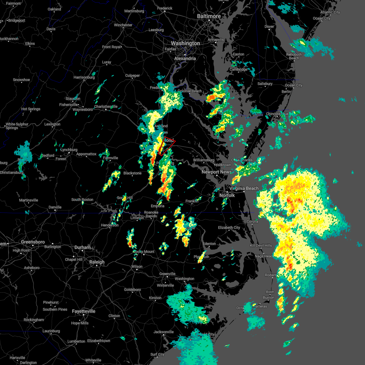 At 153 pm est, a severe thunderstorm capable of producing a tornado was located over bellwood, or near chester, moving northeast at 30 mph (radar indicated rotation). Hazards include tornado. Flying debris will be dangerous to those caught without shelter. mobile homes will be damaged or destroyed. damage to roofs, windows, and vehicles will occur. tree damage is likely. this dangerous storm will be near, virginia commonwealth university around 210 pm est. richmond and highland springs around 215 pm est. east highland park around 220 pm est. mechanicsville around 225 pm est. Other locations impacted by this tornadic thunderstorm include richmond international, fair oaks, richmond heights, drewrys bluff, montrose, centralia and chamberlayne. At 153 pm est, a severe thunderstorm capable of producing a tornado was located over bellwood, or near chester, moving northeast at 30 mph (radar indicated rotation). Hazards include tornado. Flying debris will be dangerous to those caught without shelter. mobile homes will be damaged or destroyed. damage to roofs, windows, and vehicles will occur. tree damage is likely. this dangerous storm will be near, virginia commonwealth university around 210 pm est. richmond and highland springs around 215 pm est. east highland park around 220 pm est. mechanicsville around 225 pm est. Other locations impacted by this tornadic thunderstorm include richmond international, fair oaks, richmond heights, drewrys bluff, montrose, centralia and chamberlayne.
|
| 11/11/2022 1:50 PM EST |
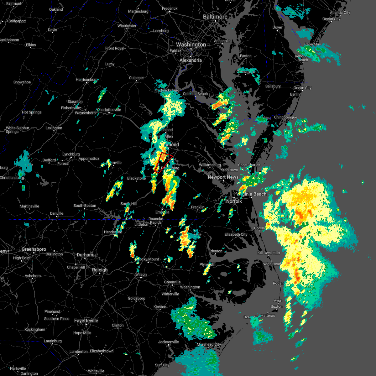 At 149 pm est, a severe thunderstorm capable of producing a tornado was located over chesterfield court house, or near chester, moving northeast at 30 mph (radar indicated rotation). Hazards include tornado. Flying debris will be dangerous to those caught without shelter. mobile homes will be damaged or destroyed. damage to roofs, windows, and vehicles will occur. tree damage is likely. this dangerous storm will be near, bensley around 200 pm est. Other locations impacted by this tornadic thunderstorm include pocahontas state park, beach, drewrys bluff, centralia and chesterfield. At 149 pm est, a severe thunderstorm capable of producing a tornado was located over chesterfield court house, or near chester, moving northeast at 30 mph (radar indicated rotation). Hazards include tornado. Flying debris will be dangerous to those caught without shelter. mobile homes will be damaged or destroyed. damage to roofs, windows, and vehicles will occur. tree damage is likely. this dangerous storm will be near, bensley around 200 pm est. Other locations impacted by this tornadic thunderstorm include pocahontas state park, beach, drewrys bluff, centralia and chesterfield.
|
| 11/11/2022 1:39 PM EST |
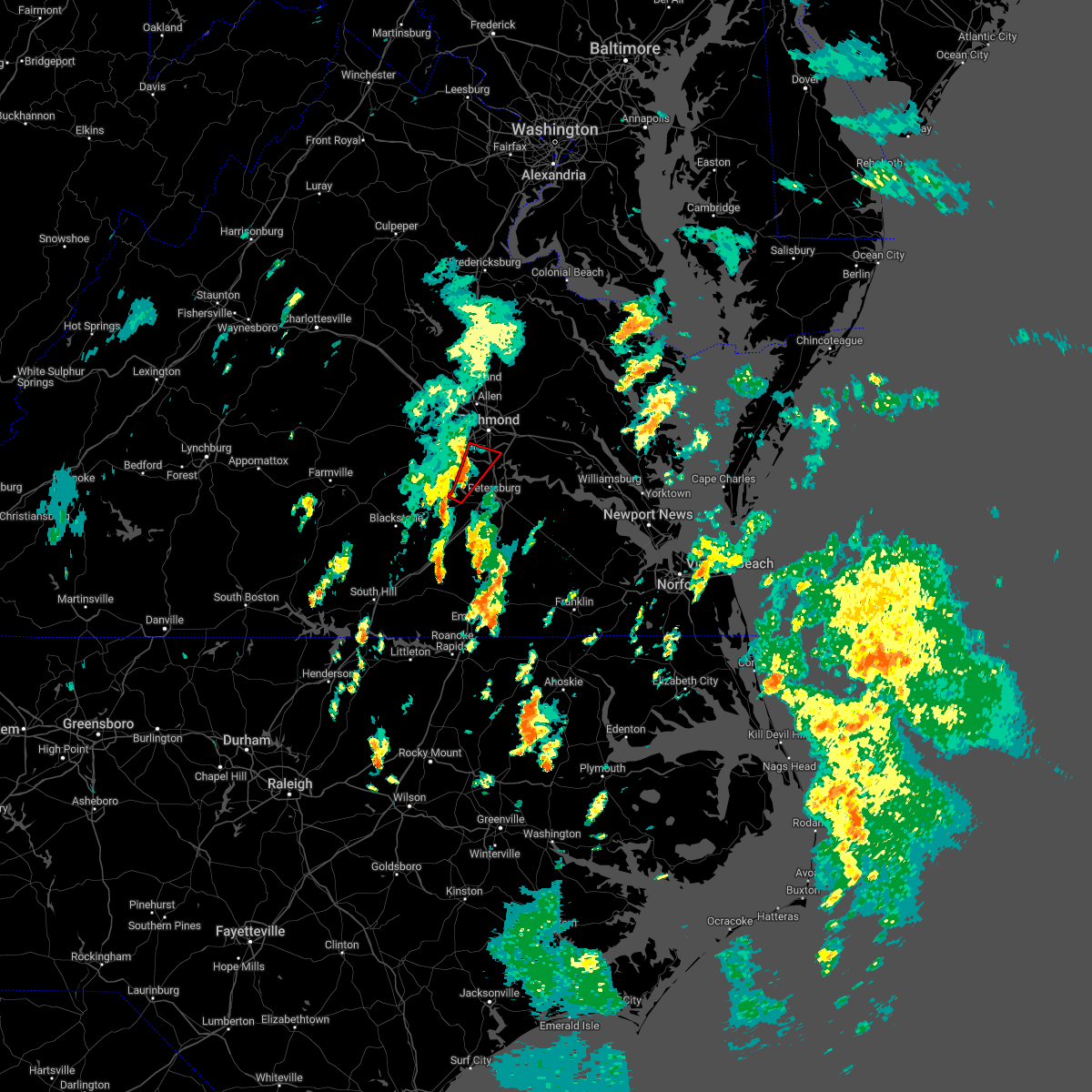 At 139 pm est, a severe thunderstorm capable of producing a tornado was located near chesterfield court house, or near chester, moving northeast at 35 mph (radar indicated rotation). Hazards include tornado. Flying debris will be dangerous to those caught without shelter. mobile homes will be damaged or destroyed. damage to roofs, windows, and vehicles will occur. tree damage is likely. this dangerous storm will be near, chester and chesterfield court house around 150 pm est. bellwood around 155 pm est. bensley around 200 pm est. Other locations impacted by this tornadic thunderstorm include pocahontas state park, beach, drewrys bluff, centralia and chesterfield. At 139 pm est, a severe thunderstorm capable of producing a tornado was located near chesterfield court house, or near chester, moving northeast at 35 mph (radar indicated rotation). Hazards include tornado. Flying debris will be dangerous to those caught without shelter. mobile homes will be damaged or destroyed. damage to roofs, windows, and vehicles will occur. tree damage is likely. this dangerous storm will be near, chester and chesterfield court house around 150 pm est. bellwood around 155 pm est. bensley around 200 pm est. Other locations impacted by this tornadic thunderstorm include pocahontas state park, beach, drewrys bluff, centralia and chesterfield.
|
| 11/11/2022 1:27 PM EST |
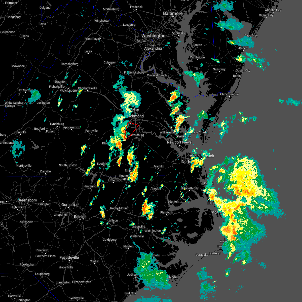 At 127 pm est, a severe thunderstorm capable of producing a tornado was located near sutherland, or 10 miles west of virginia state university, moving northeast at 35 mph (radar indicated rotation). Hazards include tornado. Flying debris will be dangerous to those caught without shelter. mobile homes will be damaged or destroyed. damage to roofs, windows, and vehicles will occur. tree damage is likely. this dangerous storm will be near, chesterfield court house around 145 pm est. chester around 150 pm est. bellwood around 155 pm est. bensley around 200 pm est. Other locations impacted by this tornadic thunderstorm include pocahontas state park, beach, drewrys bluff, centralia and chesterfield. At 127 pm est, a severe thunderstorm capable of producing a tornado was located near sutherland, or 10 miles west of virginia state university, moving northeast at 35 mph (radar indicated rotation). Hazards include tornado. Flying debris will be dangerous to those caught without shelter. mobile homes will be damaged or destroyed. damage to roofs, windows, and vehicles will occur. tree damage is likely. this dangerous storm will be near, chesterfield court house around 145 pm est. chester around 150 pm est. bellwood around 155 pm est. bensley around 200 pm est. Other locations impacted by this tornadic thunderstorm include pocahontas state park, beach, drewrys bluff, centralia and chesterfield.
|
| 10/17/2022 4:58 PM EDT |
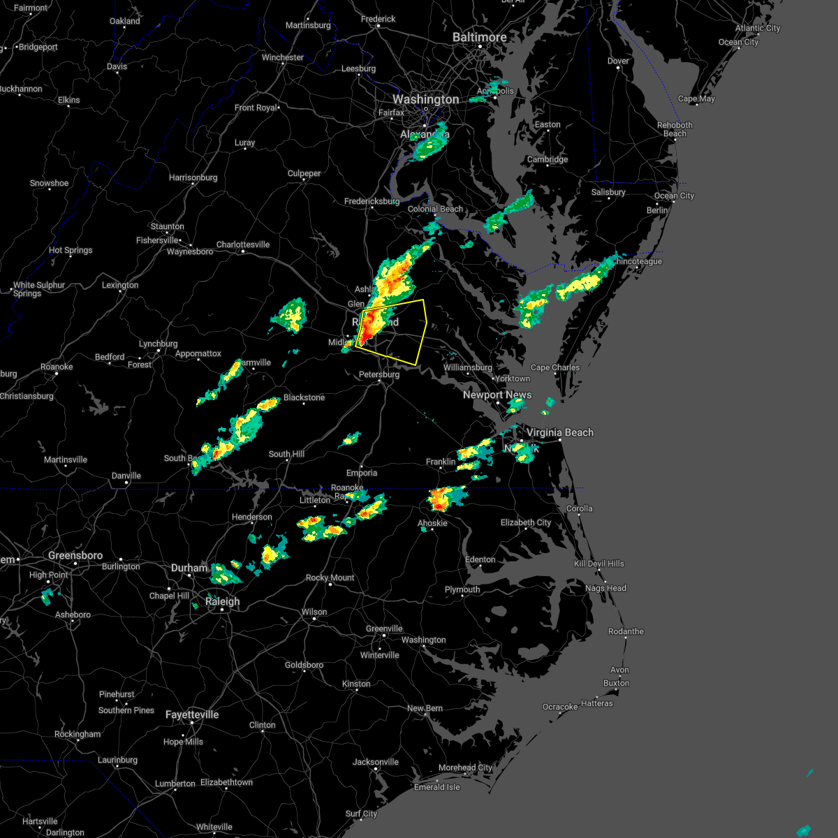 At 458 pm edt, severe thunderstorms were located along a line extending from lakeside to downtown richmond to near bon air, moving east at 35 mph (radar indicated). Hazards include 60 mph wind gusts and quarter size hail. Minor damage to vehicles is possible. expect wind damage to trees and powerlines. severe thunderstorms will be near, mechanicsville and east highland park around 505 pm edt. highland springs around 510 pm edt. studley around 515 pm edt. bottoms bridge and manquin around 530 pm edt. roxbury and tunstall around 535 pm edt. talleysville around 545 pm edt. other locations impacted by these severe thunderstorms include wayside, richmond heights, mountcastle, elko, montrose, sandston, glendale, westwood, richmond international and fair oaks. hail threat, radar indicated max hail size, 1. 00 in wind threat, radar indicated max wind gust, 60 mph. At 458 pm edt, severe thunderstorms were located along a line extending from lakeside to downtown richmond to near bon air, moving east at 35 mph (radar indicated). Hazards include 60 mph wind gusts and quarter size hail. Minor damage to vehicles is possible. expect wind damage to trees and powerlines. severe thunderstorms will be near, mechanicsville and east highland park around 505 pm edt. highland springs around 510 pm edt. studley around 515 pm edt. bottoms bridge and manquin around 530 pm edt. roxbury and tunstall around 535 pm edt. talleysville around 545 pm edt. other locations impacted by these severe thunderstorms include wayside, richmond heights, mountcastle, elko, montrose, sandston, glendale, westwood, richmond international and fair oaks. hail threat, radar indicated max hail size, 1. 00 in wind threat, radar indicated max wind gust, 60 mph.
|
| 8/10/2022 6:29 PM EDT |
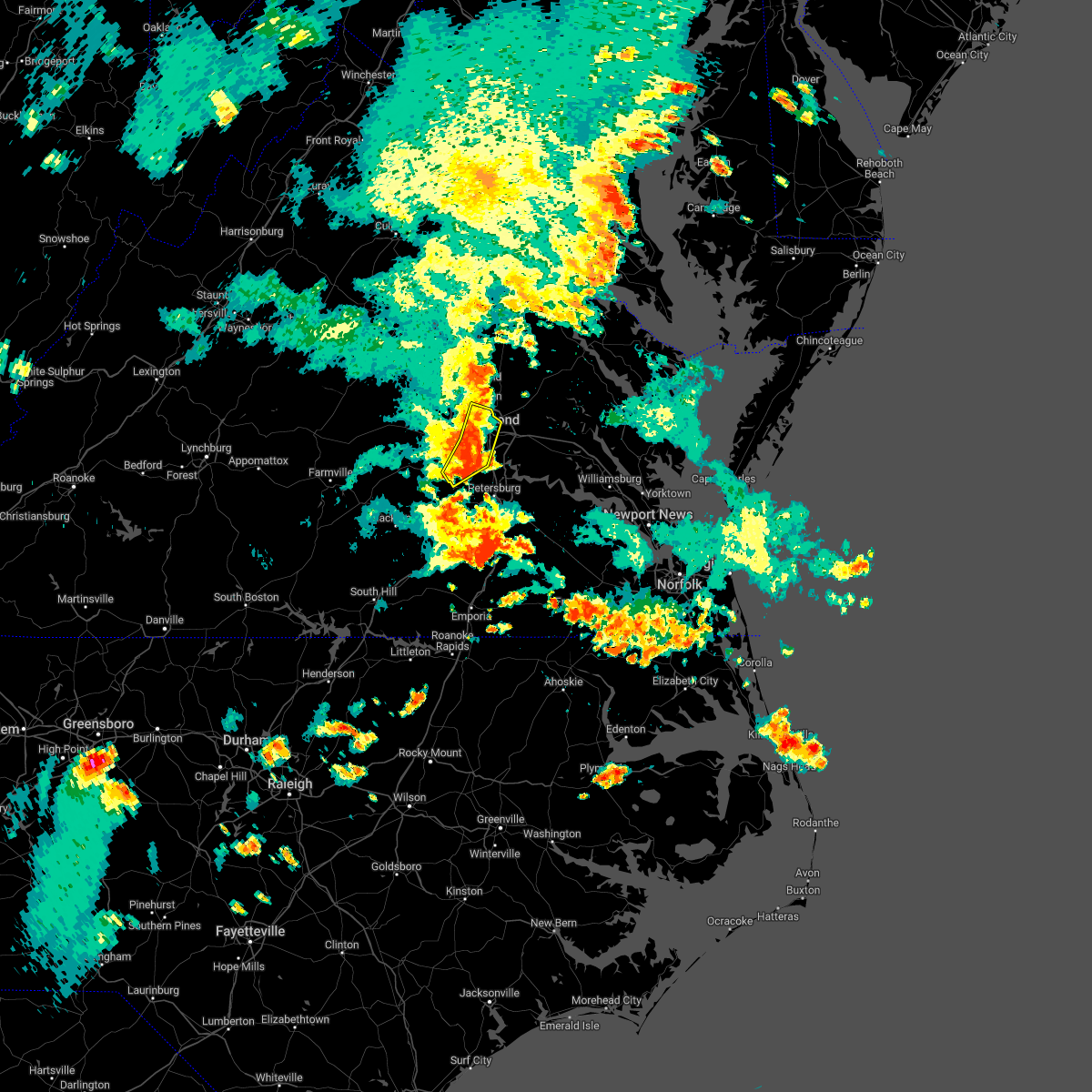 At 628 pm edt, severe thunderstorms were located along a line extending from laurel to bon air to near moseley, moving southeast at 25 mph (radar indicated). Hazards include 60 mph wind gusts. Expect damage to trees and powerlines. these severe storms will be near, richmond and lakeside around 635 pm edt. virginia union university, virginia commonwealth university, downtown richmond and east highland park around 640 pm edt. bensley and chesterfield court house around 650 pm edt. chester and bellwood around 655 pm edt. other locations impacted by these severe thunderstorms include pocahontas state park, solomons store, beach, chamberlayne, greendale, roslyn hills, dumbarton, drewrys bluff, centralia and chesterfield. hail threat, radar indicated max hail size, <. 75 in wind threat, radar indicated max wind gust, 60 mph. At 628 pm edt, severe thunderstorms were located along a line extending from laurel to bon air to near moseley, moving southeast at 25 mph (radar indicated). Hazards include 60 mph wind gusts. Expect damage to trees and powerlines. these severe storms will be near, richmond and lakeside around 635 pm edt. virginia union university, virginia commonwealth university, downtown richmond and east highland park around 640 pm edt. bensley and chesterfield court house around 650 pm edt. chester and bellwood around 655 pm edt. other locations impacted by these severe thunderstorms include pocahontas state park, solomons store, beach, chamberlayne, greendale, roslyn hills, dumbarton, drewrys bluff, centralia and chesterfield. hail threat, radar indicated max hail size, <. 75 in wind threat, radar indicated max wind gust, 60 mph.
|
| 8/10/2022 6:25 PM EDT | A few trees down. time estimated from rada in chesterfield county VA, 3.9 miles NNE of Meadowbrook, VA |
| 8/10/2022 6:03 PM EDT |
 At 602 pm edt, severe thunderstorms were located along a line extending from near wyndham to near sabot to near chula, moving east to southeast at 15 mph (radar indicated). Hazards include 60 mph wind gusts. Expect damage to trees and powerlines. severe thunderstorms will be near, wyndham and manakin around 610 pm edt. tuckahoe around 615 pm edt. moseley around 625 pm edt. laurel around 635 pm edt. glen allen around 640 pm edt. richmond, university of richmond, bon air, virginia union university, downtown richmond, virginia commonwealth university, mechanicsville, lakeside, east highland park and chesterfield court house around 645 pm edt. other locations impacted by these severe thunderstorms include crozier, pilkinton, johnsons springs, pocahontas state park, skinquarter, solomons store, beach, chamberlayne, fine creek mills and roslyn hills. hail threat, radar indicated max hail size, <. 75 in wind threat, radar indicated max wind gust, 60 mph. At 602 pm edt, severe thunderstorms were located along a line extending from near wyndham to near sabot to near chula, moving east to southeast at 15 mph (radar indicated). Hazards include 60 mph wind gusts. Expect damage to trees and powerlines. severe thunderstorms will be near, wyndham and manakin around 610 pm edt. tuckahoe around 615 pm edt. moseley around 625 pm edt. laurel around 635 pm edt. glen allen around 640 pm edt. richmond, university of richmond, bon air, virginia union university, downtown richmond, virginia commonwealth university, mechanicsville, lakeside, east highland park and chesterfield court house around 645 pm edt. other locations impacted by these severe thunderstorms include crozier, pilkinton, johnsons springs, pocahontas state park, skinquarter, solomons store, beach, chamberlayne, fine creek mills and roslyn hills. hail threat, radar indicated max hail size, <. 75 in wind threat, radar indicated max wind gust, 60 mph.
|
| 8/5/2022 6:00 PM EDT |
 At 559 pm edt, severe thunderstorms were located along a line extending from near hadensville to near goochland to near moseley, moving east to northeast at 20 mph (radar indicated). Hazards include 60 mph wind gusts and quarter size hail. Minor damage to vehicles is possible. expect wind damage to trees and powerlines. severe thunderstorms will be near, moseley around 605 pm edt. oilville around 610 pm edt. sabot around 615 pm edt. manakin around 620 pm edt. gum spring around 625 pm edt. tuckahoe around 630 pm edt. wyndham and chesterfield court house around 635 pm edt. laurel and glen allen around 645 pm edt. other locations impacted by these severe thunderstorms include orchid, crozier, rock castle, pilkinton, vontay, maidens, three square, irwin, johnsons springs and pocahontas state park. hail threat, radar indicated max hail size, 1. 00 in wind threat, radar indicated max wind gust, 60 mph. At 559 pm edt, severe thunderstorms were located along a line extending from near hadensville to near goochland to near moseley, moving east to northeast at 20 mph (radar indicated). Hazards include 60 mph wind gusts and quarter size hail. Minor damage to vehicles is possible. expect wind damage to trees and powerlines. severe thunderstorms will be near, moseley around 605 pm edt. oilville around 610 pm edt. sabot around 615 pm edt. manakin around 620 pm edt. gum spring around 625 pm edt. tuckahoe around 630 pm edt. wyndham and chesterfield court house around 635 pm edt. laurel and glen allen around 645 pm edt. other locations impacted by these severe thunderstorms include orchid, crozier, rock castle, pilkinton, vontay, maidens, three square, irwin, johnsons springs and pocahontas state park. hail threat, radar indicated max hail size, 1. 00 in wind threat, radar indicated max wind gust, 60 mph.
|
| 8/5/2022 5:09 PM EDT |
 The severe thunderstorm warning for central chesterfield and east central powhatan counties and the city of richmond will expire at 515 pm edt, the storm which prompted the warning has weakened below severe limits, and no longer poses an immediate threat to life or property. therefore, the warning will be allowed to expire. however heavy rain is still expected with this thunderstorm. The severe thunderstorm warning for central chesterfield and east central powhatan counties and the city of richmond will expire at 515 pm edt, the storm which prompted the warning has weakened below severe limits, and no longer poses an immediate threat to life or property. therefore, the warning will be allowed to expire. however heavy rain is still expected with this thunderstorm.
|
| 8/5/2022 4:57 PM EDT |
 At 456 pm edt, a severe thunderstorm was located near bon air, moving north at 10 mph (radar indicated). Hazards include 60 mph wind gusts. Expect damage to trees and powerlines. this severe storm will be near, bon air, university of richmond and downtown richmond around 530 pm edt. other locations impacted by this severe thunderstorm include pocahontas state park, beach, midlothian, subletts and chesterfield. hail threat, radar indicated max hail size, <. 75 in wind threat, radar indicated max wind gust, 60 mph. At 456 pm edt, a severe thunderstorm was located near bon air, moving north at 10 mph (radar indicated). Hazards include 60 mph wind gusts. Expect damage to trees and powerlines. this severe storm will be near, bon air, university of richmond and downtown richmond around 530 pm edt. other locations impacted by this severe thunderstorm include pocahontas state park, beach, midlothian, subletts and chesterfield. hail threat, radar indicated max hail size, <. 75 in wind threat, radar indicated max wind gust, 60 mph.
|
| 8/5/2022 4:43 PM EDT |
 At 442 pm edt, a severe thunderstorm was located near bon air, moving north at 10 mph (radar indicated). Hazards include 60 mph wind gusts and nickel size hail. Expect damage to trees and powerlines. this severe thunderstorm will be near, bon air, university of richmond and downtown richmond around 515 pm edt. other locations impacted by this severe thunderstorm include pocahontas state park, beach, midlothian, subletts and chesterfield. hail threat, radar indicated max hail size, 0. 88 in wind threat, radar indicated max wind gust, 60 mph. At 442 pm edt, a severe thunderstorm was located near bon air, moving north at 10 mph (radar indicated). Hazards include 60 mph wind gusts and nickel size hail. Expect damage to trees and powerlines. this severe thunderstorm will be near, bon air, university of richmond and downtown richmond around 515 pm edt. other locations impacted by this severe thunderstorm include pocahontas state park, beach, midlothian, subletts and chesterfield. hail threat, radar indicated max hail size, 0. 88 in wind threat, radar indicated max wind gust, 60 mph.
|
| 7/25/2022 5:23 PM EDT |
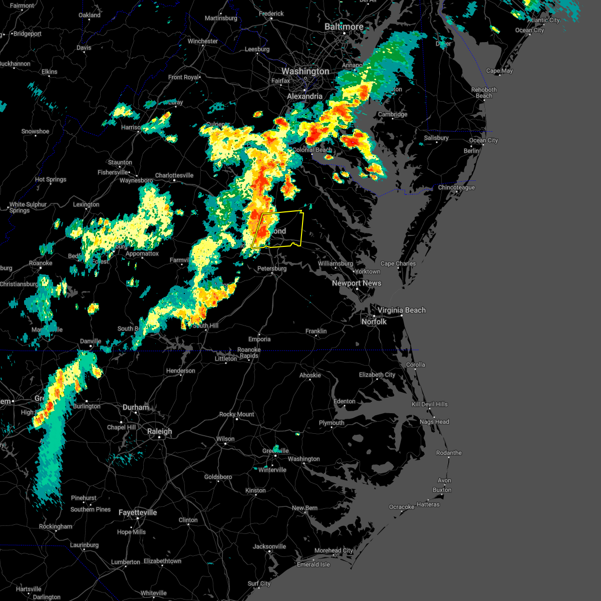 At 523 pm edt, severe thunderstorms were located along a line extending from near hanover to downtown richmond, moving northeast at 35 mph (radar indicated). Hazards include 60 mph wind gusts and quarter size hail. Minor damage to vehicles is possible. expect wind damage to trees and powerlines. severe thunderstorms will be near, studley around 545 pm edt. manquin and tunstall around 555 pm edt. other locations impacted by these severe thunderstorms include enfield, richmond heights, elko, elmont, montrose, sandston, westwood, richmond international, fair oaks and solomons store. hail threat, radar indicated max hail size, 1. 00 in wind threat, radar indicated max wind gust, 60 mph. At 523 pm edt, severe thunderstorms were located along a line extending from near hanover to downtown richmond, moving northeast at 35 mph (radar indicated). Hazards include 60 mph wind gusts and quarter size hail. Minor damage to vehicles is possible. expect wind damage to trees and powerlines. severe thunderstorms will be near, studley around 545 pm edt. manquin and tunstall around 555 pm edt. other locations impacted by these severe thunderstorms include enfield, richmond heights, elko, elmont, montrose, sandston, westwood, richmond international, fair oaks and solomons store. hail threat, radar indicated max hail size, 1. 00 in wind threat, radar indicated max wind gust, 60 mph.
|
| 6/22/2022 3:52 PM EDT |
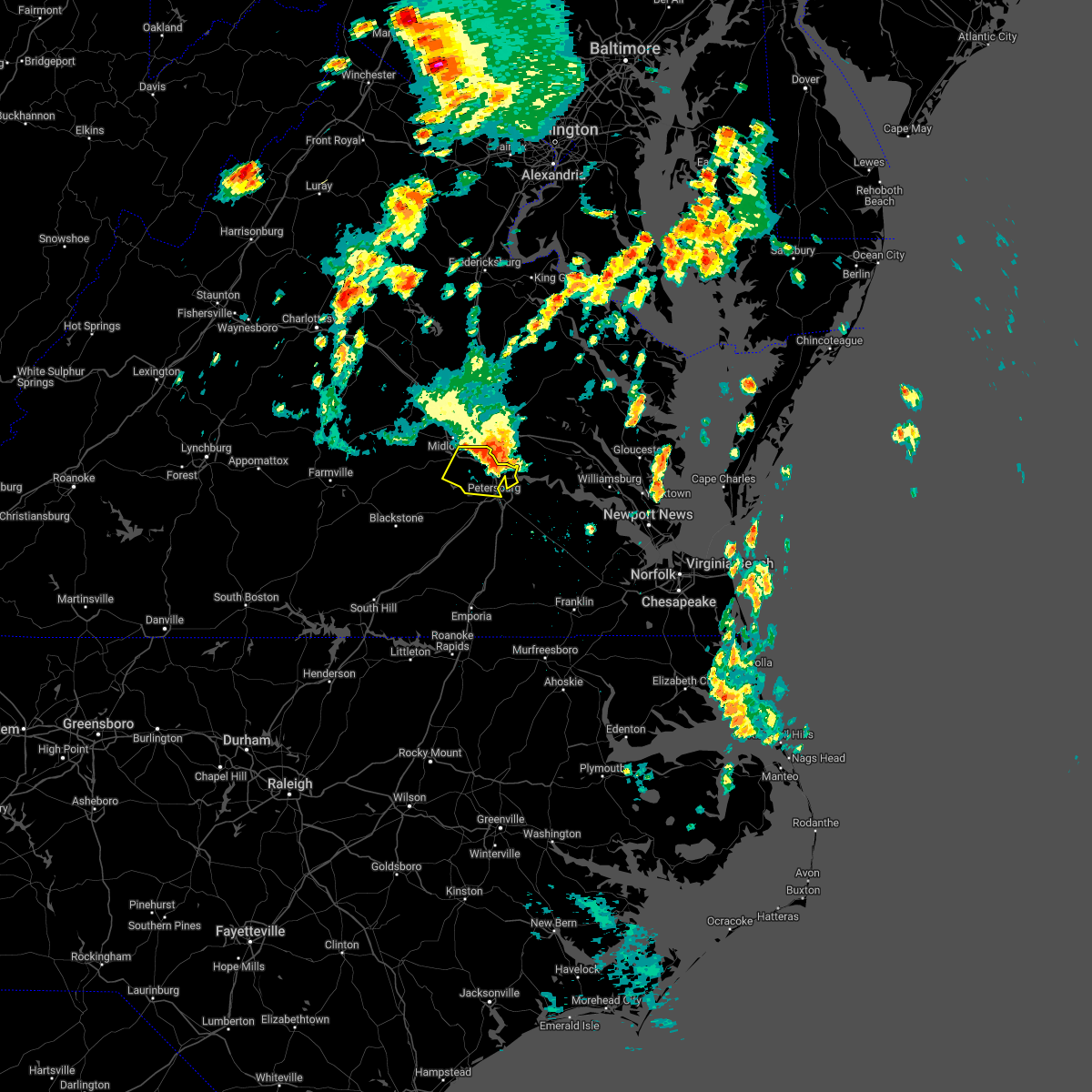 At 351 pm edt, severe thunderstorms were located along a line extending from near jordans point to near chesterfield court house, moving south at 40 mph (radar indicated). Hazards include 70 mph wind gusts and penny size hail. Expect considerable tree damage. damage is likely to mobile homes, roofs, and outbuildings. these severe storms will be near, hopewell, colonial heights and fort lee around 400 pm edt. petersburg, virginia state university and ettrick around 405 pm edt. other locations impacted by these severe thunderstorms include pocahontas state park, beach, meadowville, drewrys bluff, centralia and chesterfield. thunderstorm damage threat, considerable hail threat, radar indicated max hail size, 0. 75 in wind threat, radar indicated max wind gust, 70 mph. At 351 pm edt, severe thunderstorms were located along a line extending from near jordans point to near chesterfield court house, moving south at 40 mph (radar indicated). Hazards include 70 mph wind gusts and penny size hail. Expect considerable tree damage. damage is likely to mobile homes, roofs, and outbuildings. these severe storms will be near, hopewell, colonial heights and fort lee around 400 pm edt. petersburg, virginia state university and ettrick around 405 pm edt. other locations impacted by these severe thunderstorms include pocahontas state park, beach, meadowville, drewrys bluff, centralia and chesterfield. thunderstorm damage threat, considerable hail threat, radar indicated max hail size, 0. 75 in wind threat, radar indicated max wind gust, 70 mph.
|
| 6/22/2022 3:45 PM EDT |
 At 343 pm edt, severe thunderstorms were located along a line extending from near bottoms bridge to near bon air, moving south at 40 mph. these are destructive storms for the richmond metro and chesterfield (radar indicated). Hazards include 80 mph wind gusts and quarter size hail. Flying debris will be dangerous to those caught without shelter. mobile homes will be heavily damaged. expect considerable damage to roofs, windows, and vehicles. extensive tree damage and power outages are likely. these severe storms will be near, chester and chesterfield court house around 350 pm edt. hopewell around 355 pm edt. colonial heights and fort lee around 400 pm edt. petersburg, virginia state university and ettrick around 405 pm edt. other locations impacted by these severe thunderstorms include richmond heights, midlothian, montrose, sandston, glendale, pocahontas state park, richmond international, fair oaks, beach and meadowville. thunderstorm damage threat, destructive hail threat, radar indicated max hail size, 1. 00 in wind threat, radar indicated max wind gust, 80 mph. At 343 pm edt, severe thunderstorms were located along a line extending from near bottoms bridge to near bon air, moving south at 40 mph. these are destructive storms for the richmond metro and chesterfield (radar indicated). Hazards include 80 mph wind gusts and quarter size hail. Flying debris will be dangerous to those caught without shelter. mobile homes will be heavily damaged. expect considerable damage to roofs, windows, and vehicles. extensive tree damage and power outages are likely. these severe storms will be near, chester and chesterfield court house around 350 pm edt. hopewell around 355 pm edt. colonial heights and fort lee around 400 pm edt. petersburg, virginia state university and ettrick around 405 pm edt. other locations impacted by these severe thunderstorms include richmond heights, midlothian, montrose, sandston, glendale, pocahontas state park, richmond international, fair oaks, beach and meadowville. thunderstorm damage threat, destructive hail threat, radar indicated max hail size, 1. 00 in wind threat, radar indicated max wind gust, 80 mph.
|
| 6/22/2022 3:32 PM EDT |
 At 331 pm edt, severe thunderstorms were located along a line extending from near bottoms bridge to university of richmond, moving south at 45 mph. these are destructive storms for richmond and surrounding areas (radar indicated). Hazards include 80 mph wind gusts and quarter size hail. Flying debris will be dangerous to those caught without shelter. mobile homes will be heavily damaged. expect considerable damage to roofs, windows, and vehicles. extensive tree damage and power outages are likely. these severe storms will be near, bensley around 340 pm edt. bellwood around 345 pm edt. hopewell, chester and chesterfield court house around 350 pm edt. fort lee around 355 pm edt. colonial heights, matoaca and ettrick around 400 pm edt. virginia state university around 405 pm edt. other locations impacted by these severe thunderstorms include richmond heights, elmont, montrose, petersburg national battlefield, sandston, glendale, pocahontas state park, richmond international, skinquarter and fair oaks. thunderstorm damage threat, destructive hail threat, radar indicated max hail size, 1. 00 in wind threat, radar indicated max wind gust, 80 mph. At 331 pm edt, severe thunderstorms were located along a line extending from near bottoms bridge to university of richmond, moving south at 45 mph. these are destructive storms for richmond and surrounding areas (radar indicated). Hazards include 80 mph wind gusts and quarter size hail. Flying debris will be dangerous to those caught without shelter. mobile homes will be heavily damaged. expect considerable damage to roofs, windows, and vehicles. extensive tree damage and power outages are likely. these severe storms will be near, bensley around 340 pm edt. bellwood around 345 pm edt. hopewell, chester and chesterfield court house around 350 pm edt. fort lee around 355 pm edt. colonial heights, matoaca and ettrick around 400 pm edt. virginia state university around 405 pm edt. other locations impacted by these severe thunderstorms include richmond heights, elmont, montrose, petersburg national battlefield, sandston, glendale, pocahontas state park, richmond international, skinquarter and fair oaks. thunderstorm damage threat, destructive hail threat, radar indicated max hail size, 1. 00 in wind threat, radar indicated max wind gust, 80 mph.
|
| 6/22/2022 3:08 PM EDT |
 At 307 pm edt, severe thunderstorms were located along a line extending from near mangohick to near montpelier, moving south at 40 mph. these are destructive storms for the richmond metro and surrounding areas (radar indicated). Hazards include 80 mph wind gusts and quarter size hail. Flying debris will be dangerous to those caught without shelter. mobile homes will be heavily damaged. expect considerable damage to roofs, windows, and vehicles. extensive tree damage and power outages are likely. severe thunderstorms will be near, randolph macon college around 315 pm edt. mechanicsville, wyndham, studley and laurel around 325 pm edt. richmond, tuckahoe, east highland park and lakeside around 330 pm edt. highland springs, virginia union university, virginia commonwealth university and manakin around 335 pm edt. bon air, university of richmond and downtown richmond around 340 pm edt. bellwood and bensley around 345 pm edt. chester around 350 pm edt. moseley around 355 pm edt. other locations impacted by these severe thunderstorms include enfield, richmond heights, gum tree, johnsons springs, elmont, etna mills, montrose, petersburg national battlefield, sandston and epworth. thunderstorm damage threat, destructive hail threat, radar indicated max hail size, 1. 00 in wind threat, radar indicated max wind gust, 80 mph. At 307 pm edt, severe thunderstorms were located along a line extending from near mangohick to near montpelier, moving south at 40 mph. these are destructive storms for the richmond metro and surrounding areas (radar indicated). Hazards include 80 mph wind gusts and quarter size hail. Flying debris will be dangerous to those caught without shelter. mobile homes will be heavily damaged. expect considerable damage to roofs, windows, and vehicles. extensive tree damage and power outages are likely. severe thunderstorms will be near, randolph macon college around 315 pm edt. mechanicsville, wyndham, studley and laurel around 325 pm edt. richmond, tuckahoe, east highland park and lakeside around 330 pm edt. highland springs, virginia union university, virginia commonwealth university and manakin around 335 pm edt. bon air, university of richmond and downtown richmond around 340 pm edt. bellwood and bensley around 345 pm edt. chester around 350 pm edt. moseley around 355 pm edt. other locations impacted by these severe thunderstorms include enfield, richmond heights, gum tree, johnsons springs, elmont, etna mills, montrose, petersburg national battlefield, sandston and epworth. thunderstorm damage threat, destructive hail threat, radar indicated max hail size, 1. 00 in wind threat, radar indicated max wind gust, 80 mph.
|
| 6/16/2022 8:14 PM EDT |
 At 812 pm edt, a severe thunderstorm was located near sabot, or 7 miles northeast of powhatan, moving southeast at 45 mph (radar indicated). Hazards include 60 mph wind gusts and half dollar size hail. Minor damage to vehicles is possible. expect wind damage to trees and powerlines. this severe thunderstorm will be near, moseley around 825 pm edt. other locations impacted by this severe thunderstorm include goodwins store, flat rock, crozier, winterpock, jefferson, midlothian, subletts, skinquarter, fine creek mills and holly hills. hail threat, radar indicated max hail size, 1. 25 in wind threat, radar indicated max wind gust, 60 mph. At 812 pm edt, a severe thunderstorm was located near sabot, or 7 miles northeast of powhatan, moving southeast at 45 mph (radar indicated). Hazards include 60 mph wind gusts and half dollar size hail. Minor damage to vehicles is possible. expect wind damage to trees and powerlines. this severe thunderstorm will be near, moseley around 825 pm edt. other locations impacted by this severe thunderstorm include goodwins store, flat rock, crozier, winterpock, jefferson, midlothian, subletts, skinquarter, fine creek mills and holly hills. hail threat, radar indicated max hail size, 1. 25 in wind threat, radar indicated max wind gust, 60 mph.
|
| 6/12/2022 11:16 AM EDT |
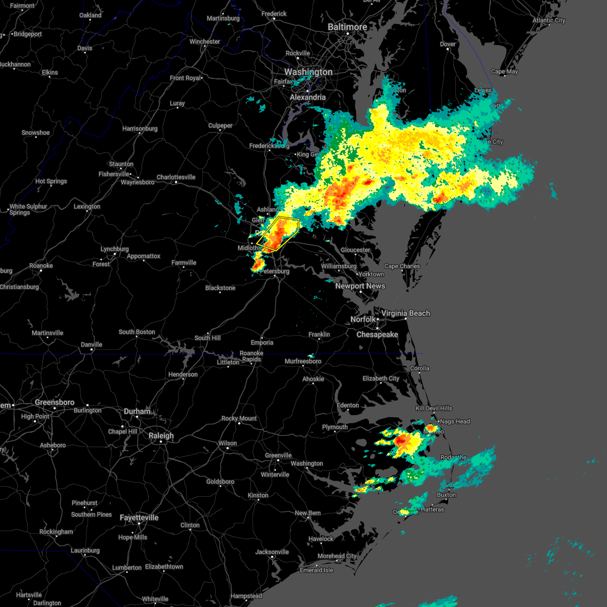 At 1116 am edt, severe thunderstorms were located along a line extending from near studley to near bensley, moving southeast at 25 mph (radar indicated). Hazards include 60 mph wind gusts and nickel size hail. Expect damage to trees and powerlines. these severe storms will be near, manquin around 1125 am edt. other locations impacted by these severe thunderstorms include richmond international, fair oaks, chamberlayne, atlee, richmond heights, montrose, westwood and dumbarton. hail threat, radar indicated max hail size, 0. 88 in wind threat, radar indicated max wind gust, 60 mph. At 1116 am edt, severe thunderstorms were located along a line extending from near studley to near bensley, moving southeast at 25 mph (radar indicated). Hazards include 60 mph wind gusts and nickel size hail. Expect damage to trees and powerlines. these severe storms will be near, manquin around 1125 am edt. other locations impacted by these severe thunderstorms include richmond international, fair oaks, chamberlayne, atlee, richmond heights, montrose, westwood and dumbarton. hail threat, radar indicated max hail size, 0. 88 in wind threat, radar indicated max wind gust, 60 mph.
|
| 6/12/2022 11:10 AM EDT |
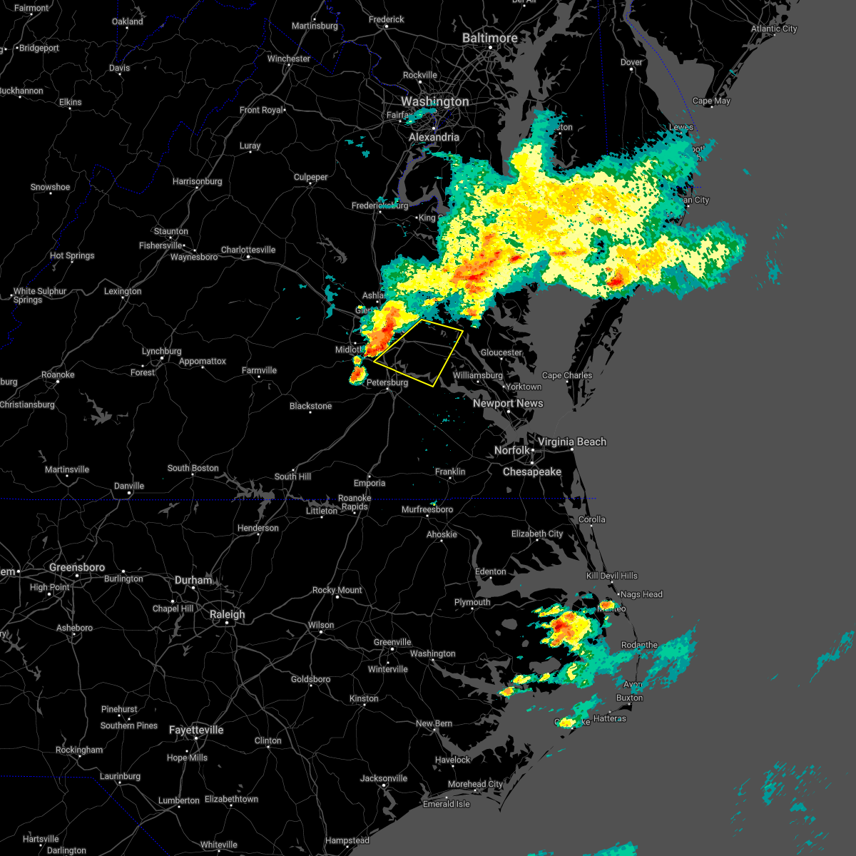 At 1110 am edt, severe thunderstorms were located along a line extending from near mechanicsville to bellwood, moving east at 30 mph (radar indicated). Hazards include 60 mph wind gusts and nickel size hail. Expect damage to trees and powerlines. severe thunderstorms will be near, bottoms bridge around 1125 am edt. tunstall around 1130 am edt. roxbury around 1135 am edt. talleysville and jordans point around 1140 am edt. adkins store and providence forge around 1145 am edt. new kent and charles city around 1150 am edt. ruthville around 1155 am edt. other locations impacted by these severe thunderstorms include wayside, richmond heights, mountcastle, elko, cohoke, sandston, glendale, westwood, richmond international and colonial downs. hail threat, radar indicated max hail size, 0. 88 in wind threat, radar indicated max wind gust, 60 mph. At 1110 am edt, severe thunderstorms were located along a line extending from near mechanicsville to bellwood, moving east at 30 mph (radar indicated). Hazards include 60 mph wind gusts and nickel size hail. Expect damage to trees and powerlines. severe thunderstorms will be near, bottoms bridge around 1125 am edt. tunstall around 1130 am edt. roxbury around 1135 am edt. talleysville and jordans point around 1140 am edt. adkins store and providence forge around 1145 am edt. new kent and charles city around 1150 am edt. ruthville around 1155 am edt. other locations impacted by these severe thunderstorms include wayside, richmond heights, mountcastle, elko, cohoke, sandston, glendale, westwood, richmond international and colonial downs. hail threat, radar indicated max hail size, 0. 88 in wind threat, radar indicated max wind gust, 60 mph.
|
| 6/12/2022 11:01 AM EDT |
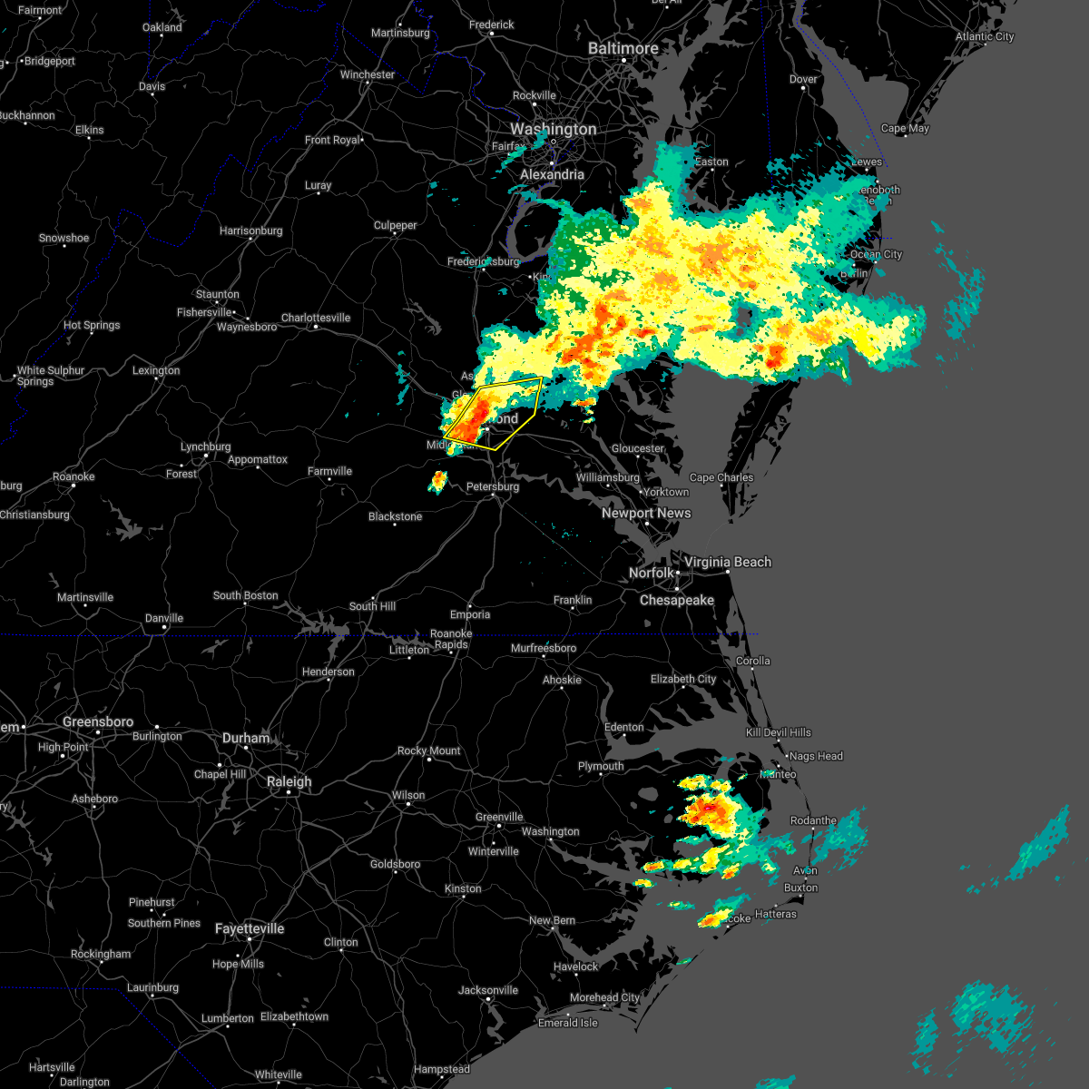 At 1100 am edt, severe thunderstorms were located along a line extending from near studley to near richmond, moving east at 30 mph (radar indicated). Hazards include 60 mph wind gusts and penny size hail. Expect damage to trees and powerlines. these severe storms will be near, mechanicsville and east highland park around 1105 am edt. studley around 1110 am edt. highland springs around 1115 am edt. manquin around 1125 am edt. aylett around 1130 am edt. other locations impacted by these severe thunderstorms include enfield, central garage, richmond heights, hanover airport, midlothian, elmont, etna mills, montrose, longdale and westwood. hail threat, radar indicated max hail size, 0. 75 in wind threat, radar indicated max wind gust, 60 mph. At 1100 am edt, severe thunderstorms were located along a line extending from near studley to near richmond, moving east at 30 mph (radar indicated). Hazards include 60 mph wind gusts and penny size hail. Expect damage to trees and powerlines. these severe storms will be near, mechanicsville and east highland park around 1105 am edt. studley around 1110 am edt. highland springs around 1115 am edt. manquin around 1125 am edt. aylett around 1130 am edt. other locations impacted by these severe thunderstorms include enfield, central garage, richmond heights, hanover airport, midlothian, elmont, etna mills, montrose, longdale and westwood. hail threat, radar indicated max hail size, 0. 75 in wind threat, radar indicated max wind gust, 60 mph.
|
| 6/12/2022 10:53 AM EDT |
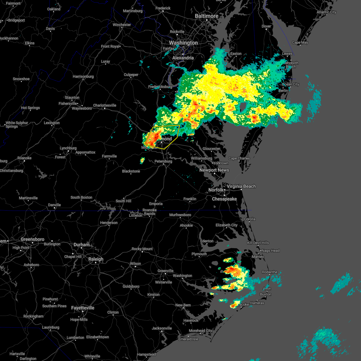 At 1053 am edt, severe thunderstorms were located along a line extending from near glen allen to near bon air, moving east at 30 mph (radar indicated). Hazards include 60 mph wind gusts. Expect damage to trees and powerlines. these severe storms will be near, mechanicsville, hanover and east highland park around 1100 am edt. bensley and studley around 1105 am edt. highland springs around 1110 am edt. manquin around 1120 am edt. other locations impacted by these severe thunderstorms include enfield, central garage, richmond heights, hanover airport, midlothian, elmont, etna mills, short pump, montrose and longdale. hail threat, radar indicated max hail size, <. 75 in wind threat, radar indicated max wind gust, 60 mph. At 1053 am edt, severe thunderstorms were located along a line extending from near glen allen to near bon air, moving east at 30 mph (radar indicated). Hazards include 60 mph wind gusts. Expect damage to trees and powerlines. these severe storms will be near, mechanicsville, hanover and east highland park around 1100 am edt. bensley and studley around 1105 am edt. highland springs around 1110 am edt. manquin around 1120 am edt. other locations impacted by these severe thunderstorms include enfield, central garage, richmond heights, hanover airport, midlothian, elmont, etna mills, short pump, montrose and longdale. hail threat, radar indicated max hail size, <. 75 in wind threat, radar indicated max wind gust, 60 mph.
|
| 6/12/2022 10:38 AM EDT |
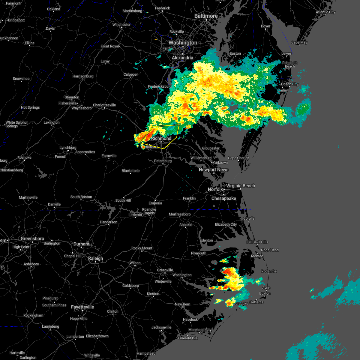 At 1038 am edt, severe thunderstorms were located along a line extending from near glen allen to near tuckahoe to near sabot, moving east at 30 mph (radar indicated). Hazards include 60 mph wind gusts. Expect damage to trees and powerlines. severe thunderstorms will be near, ashland, randolph macon college, glen allen and laurel around 1045 am edt. richmond and lakeside around 1050 am edt. hanover around 1055 am edt. bon air, mechanicsville and east highland park around 1100 am edt. university of richmond and studley around 1105 am edt. downtown richmond around 1110 am edt. virginia commonwealth university, virginia union university and bensley around 1115 am edt. manquin around 1120 am edt. other locations impacted by these severe thunderstorms include enfield, central garage, richmond heights, hanover airport, midlothian, elmont, etna mills, short pump, montrose and subletts. hail threat, radar indicated max hail size, <. 75 in wind threat, radar indicated max wind gust, 60 mph. At 1038 am edt, severe thunderstorms were located along a line extending from near glen allen to near tuckahoe to near sabot, moving east at 30 mph (radar indicated). Hazards include 60 mph wind gusts. Expect damage to trees and powerlines. severe thunderstorms will be near, ashland, randolph macon college, glen allen and laurel around 1045 am edt. richmond and lakeside around 1050 am edt. hanover around 1055 am edt. bon air, mechanicsville and east highland park around 1100 am edt. university of richmond and studley around 1105 am edt. downtown richmond around 1110 am edt. virginia commonwealth university, virginia union university and bensley around 1115 am edt. manquin around 1120 am edt. other locations impacted by these severe thunderstorms include enfield, central garage, richmond heights, hanover airport, midlothian, elmont, etna mills, short pump, montrose and subletts. hail threat, radar indicated max hail size, <. 75 in wind threat, radar indicated max wind gust, 60 mph.
|
| 6/2/2022 6:32 PM EDT |
 At 632 pm edt, a severe thunderstorm was located over richmond, moving east at 40 mph (radar indicated). Hazards include 60 mph wind gusts. Expect damage to trees and powerlines. this severe storm will be near, east highland park around 635 pm edt. highland springs around 640 pm edt. other locations impacted by this severe thunderstorm include enfield, richmond heights, birchett estate, jordan point country club, montrose, sandston, glendale, pocahontas state park, richmond international and fair oaks. hail threat, radar indicated max hail size, <. 75 in wind threat, radar indicated max wind gust, 60 mph. At 632 pm edt, a severe thunderstorm was located over richmond, moving east at 40 mph (radar indicated). Hazards include 60 mph wind gusts. Expect damage to trees and powerlines. this severe storm will be near, east highland park around 635 pm edt. highland springs around 640 pm edt. other locations impacted by this severe thunderstorm include enfield, richmond heights, birchett estate, jordan point country club, montrose, sandston, glendale, pocahontas state park, richmond international and fair oaks. hail threat, radar indicated max hail size, <. 75 in wind threat, radar indicated max wind gust, 60 mph.
|
| 6/2/2022 6:15 PM EDT |
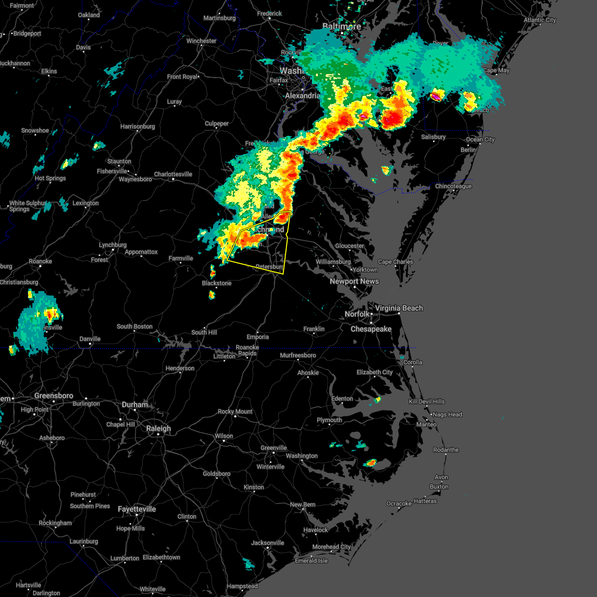 At 614 pm edt, a severe thunderstorm was located near bon air, moving east at 35 mph (radar indicated). Hazards include 60 mph wind gusts. Expect damage to trees and powerlines. this severe storm will be near, bon air, university of richmond and chesterfield court house around 625 pm edt. richmond and downtown richmond around 630 pm edt. virginia commonwealth university, virginia union university, bensley, bellwood and east highland park around 635 pm edt. highland springs around 640 pm edt. other locations impacted by this severe thunderstorm include enfield, richmond heights, birchett estate, jordan point country club, montrose, petersburg national battlefield, sandston, glendale, pocahontas state park and richmond international. hail threat, radar indicated max hail size, <. 75 in wind threat, radar indicated max wind gust, 60 mph. At 614 pm edt, a severe thunderstorm was located near bon air, moving east at 35 mph (radar indicated). Hazards include 60 mph wind gusts. Expect damage to trees and powerlines. this severe storm will be near, bon air, university of richmond and chesterfield court house around 625 pm edt. richmond and downtown richmond around 630 pm edt. virginia commonwealth university, virginia union university, bensley, bellwood and east highland park around 635 pm edt. highland springs around 640 pm edt. other locations impacted by this severe thunderstorm include enfield, richmond heights, birchett estate, jordan point country club, montrose, petersburg national battlefield, sandston, glendale, pocahontas state park and richmond international. hail threat, radar indicated max hail size, <. 75 in wind threat, radar indicated max wind gust, 60 mph.
|
| 6/2/2022 5:55 PM EDT |
 The national weather service in wakefield has issued a * severe thunderstorm warning for. the city of colonial heights in central virginia. the city of hopewell in south central virginia. the northeastern city of petersburg in south central virginia. Southeastern goochland county in central virginia. The national weather service in wakefield has issued a * severe thunderstorm warning for. the city of colonial heights in central virginia. the city of hopewell in south central virginia. the northeastern city of petersburg in south central virginia. Southeastern goochland county in central virginia.
|
| 5/27/2022 11:50 AM EDT |
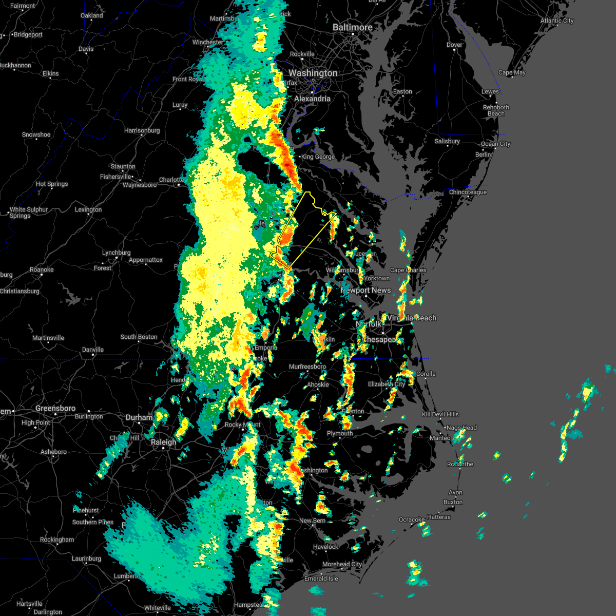 At 1149 am edt, a severe thunderstorm was located near highland springs, moving northeast at 65 mph (richmond international airport reported a 58 mph wind gust at 1142 am). Hazards include 60 mph wind gusts. expect damage to trees and powerlines At 1149 am edt, a severe thunderstorm was located near highland springs, moving northeast at 65 mph (richmond international airport reported a 58 mph wind gust at 1142 am). Hazards include 60 mph wind gusts. expect damage to trees and powerlines
|
| 5/16/2022 4:23 PM EDT |
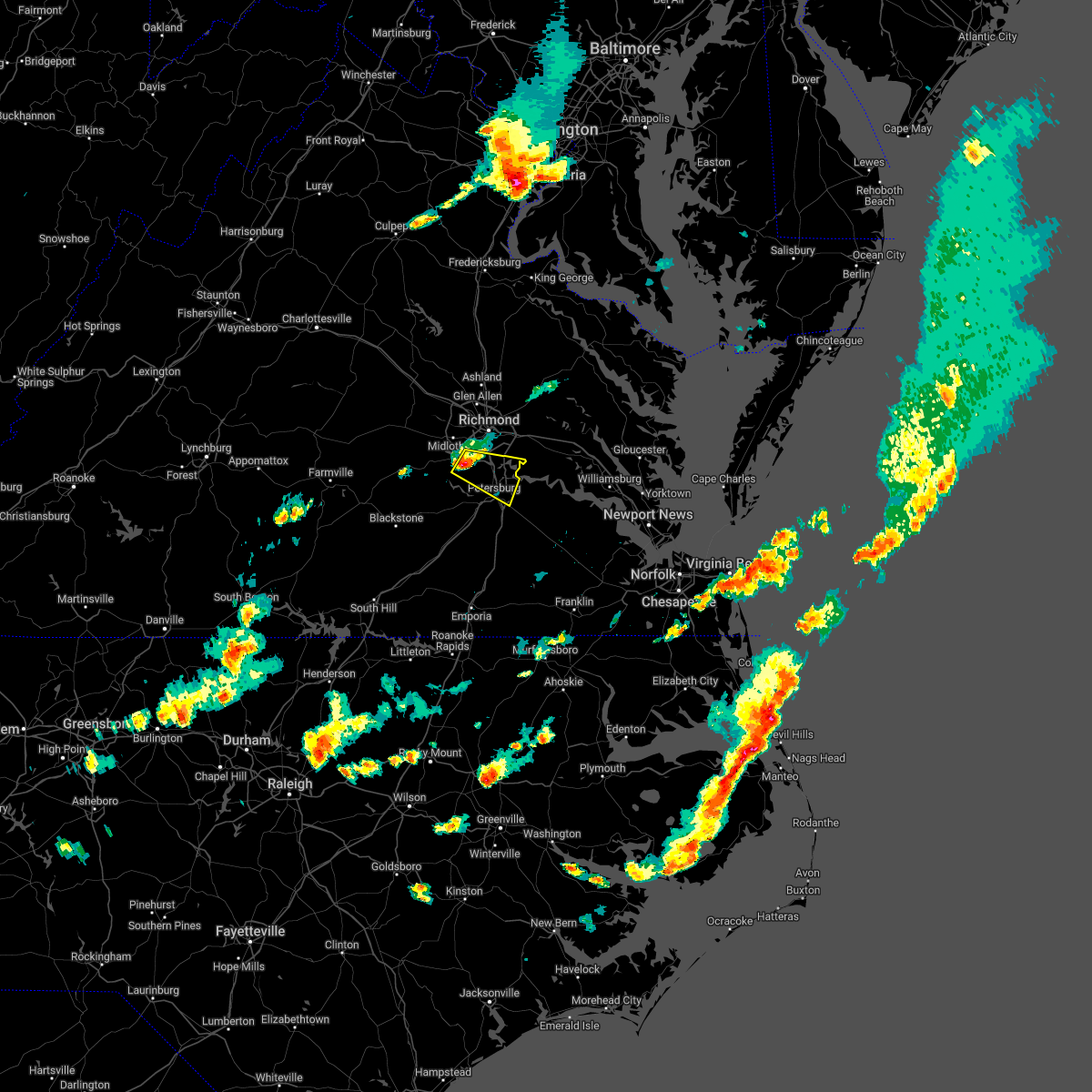 At 423 pm edt, a severe thunderstorm was located over chesterfield court house, or near chester, moving east at 35 mph (radar indicated). Hazards include 60 mph wind gusts and quarter size hail. Minor damage to vehicles is possible. expect wind damage to trees and powerlines. this severe thunderstorm will be near, chester and bellwood around 430 pm edt. colonial heights, virginia state university and ettrick around 435 pm edt. petersburg and fort lee around 440 pm edt. hopewell around 445 pm edt. other locations impacted by this severe thunderstorm include pocahontas state park, beach, meadowville, birchett estate, drewrys bluff, petersburg national battlefield, centralia, chesterfield and new bohemia. hail threat, radar indicated max hail size, 1. 00 in wind threat, radar indicated max wind gust, 60 mph. At 423 pm edt, a severe thunderstorm was located over chesterfield court house, or near chester, moving east at 35 mph (radar indicated). Hazards include 60 mph wind gusts and quarter size hail. Minor damage to vehicles is possible. expect wind damage to trees and powerlines. this severe thunderstorm will be near, chester and bellwood around 430 pm edt. colonial heights, virginia state university and ettrick around 435 pm edt. petersburg and fort lee around 440 pm edt. hopewell around 445 pm edt. other locations impacted by this severe thunderstorm include pocahontas state park, beach, meadowville, birchett estate, drewrys bluff, petersburg national battlefield, centralia, chesterfield and new bohemia. hail threat, radar indicated max hail size, 1. 00 in wind threat, radar indicated max wind gust, 60 mph.
|
| 4/26/2022 4:22 PM EDT |
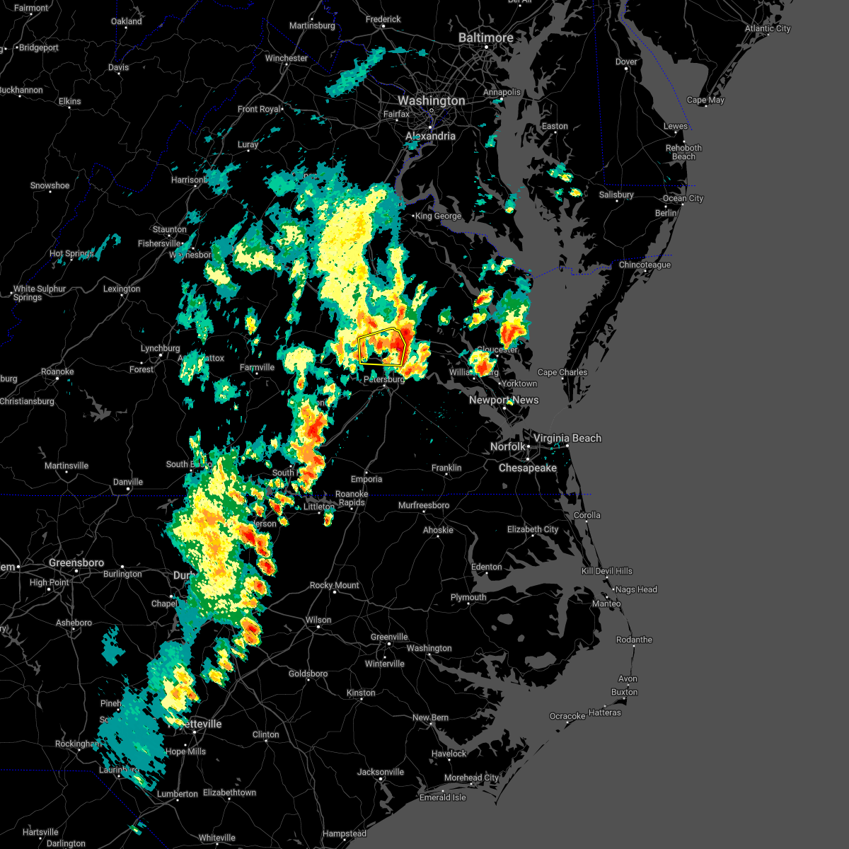 The severe thunderstorm warning for central chesterfield and southeastern henrico counties and the city of richmond will expire at 430 pm edt, the storm which prompted the warning has moved out of most of the area. therefore, the warning will be allowed to expire. a new severe thunderstorm warning has been issued until 515 pm for portions of eastern henrico county. please refer to that warning for the latest information. a severe thunderstorm watch remains in effect until 800 pm edt for central virginia. The severe thunderstorm warning for central chesterfield and southeastern henrico counties and the city of richmond will expire at 430 pm edt, the storm which prompted the warning has moved out of most of the area. therefore, the warning will be allowed to expire. a new severe thunderstorm warning has been issued until 515 pm for portions of eastern henrico county. please refer to that warning for the latest information. a severe thunderstorm watch remains in effect until 800 pm edt for central virginia.
|
| 4/26/2022 3:57 PM EDT |
 At 357 pm edt, a severe thunderstorm was located over bensley, or near chester, moving east at 25 mph (trained weather spotters). Hazards include 60 mph wind gusts and quarter size hail. Minor damage to vehicles is possible. expect wind damage to trees and powerlines. this severe storm will be near, chester, virginia commonwealth university, bellwood and bensley around 400 pm edt. other locations impacted by this severe thunderstorm include pocahontas state park, richmond international, fair oaks, meadowville, richmond heights, varina, drewrys bluff, montrose, sandston and centralia. hail threat, observed max hail size, 1. 00 in wind threat, radar indicated max wind gust, 60 mph. At 357 pm edt, a severe thunderstorm was located over bensley, or near chester, moving east at 25 mph (trained weather spotters). Hazards include 60 mph wind gusts and quarter size hail. Minor damage to vehicles is possible. expect wind damage to trees and powerlines. this severe storm will be near, chester, virginia commonwealth university, bellwood and bensley around 400 pm edt. other locations impacted by this severe thunderstorm include pocahontas state park, richmond international, fair oaks, meadowville, richmond heights, varina, drewrys bluff, montrose, sandston and centralia. hail threat, observed max hail size, 1. 00 in wind threat, radar indicated max wind gust, 60 mph.
|
| 4/26/2022 3:40 PM EDT |
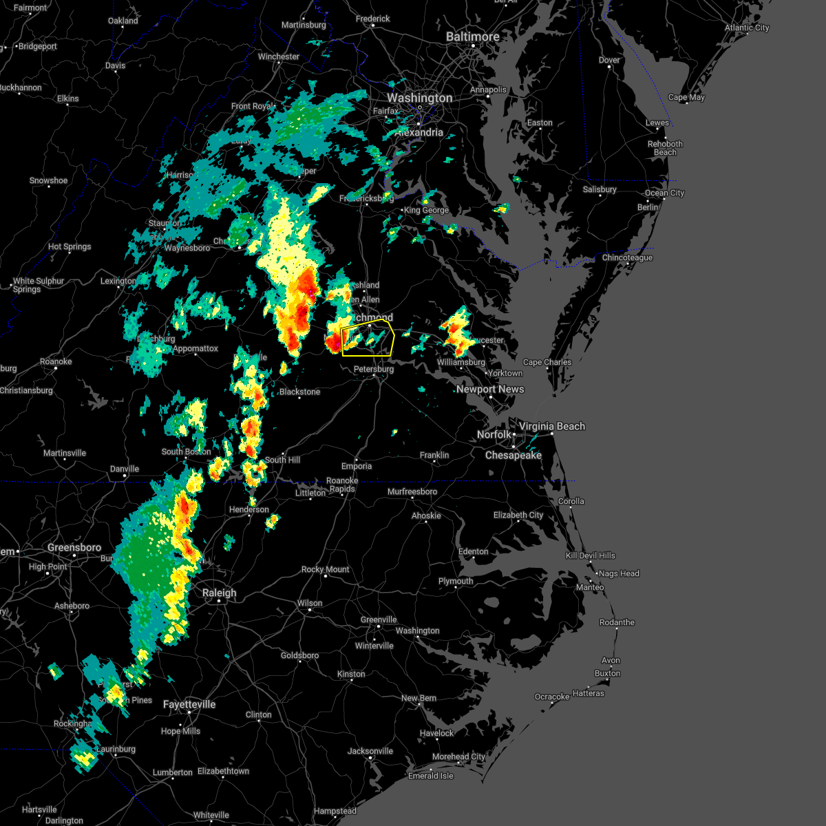 At 339 pm edt, a severe thunderstorm was located near chesterfield court house, or 7 miles south of bon air, moving east at 25 mph. quarter sized hail has been observed in western chesterfield county (radar indicated). Hazards include 60 mph wind gusts and quarter size hail. Minor damage to vehicles is possible. expect wind damage to trees and powerlines. this severe thunderstorm will be near, chesterfield court house around 350 pm edt. chester, downtown richmond and bensley around 400 pm edt. virginia commonwealth university and bellwood around 405 pm edt. other locations impacted by this severe thunderstorm include richmond heights, midlothian, montrose, sandston, pocahontas state park, richmond international, fair oaks, beach, meadowville and varina. hail threat, observed max hail size, 1. 00 in wind threat, radar indicated max wind gust, 60 mph. At 339 pm edt, a severe thunderstorm was located near chesterfield court house, or 7 miles south of bon air, moving east at 25 mph. quarter sized hail has been observed in western chesterfield county (radar indicated). Hazards include 60 mph wind gusts and quarter size hail. Minor damage to vehicles is possible. expect wind damage to trees and powerlines. this severe thunderstorm will be near, chesterfield court house around 350 pm edt. chester, downtown richmond and bensley around 400 pm edt. virginia commonwealth university and bellwood around 405 pm edt. other locations impacted by this severe thunderstorm include richmond heights, midlothian, montrose, sandston, pocahontas state park, richmond international, fair oaks, beach, meadowville and varina. hail threat, observed max hail size, 1. 00 in wind threat, radar indicated max wind gust, 60 mph.
|
| 8/30/2021 7:16 PM EDT |
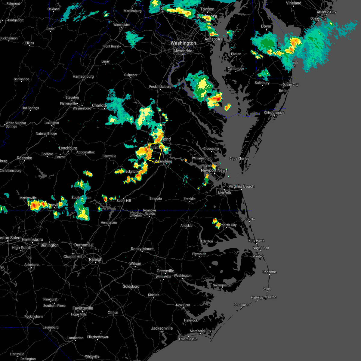 At 716 pm edt, a severe thunderstorm was located near moseley, moving east at 15 mph (radar indicated). Hazards include 60 mph wind gusts. expect damage to trees and powerlines At 716 pm edt, a severe thunderstorm was located near moseley, moving east at 15 mph (radar indicated). Hazards include 60 mph wind gusts. expect damage to trees and powerlines
|
| 8/11/2021 7:35 PM EDT |
 At 734 pm edt, a severe thunderstorm was located over bensley, or near richmond, moving east at 20 mph (radar indicated). Hazards include 60 mph wind gusts. Expect damage to trees and powerlines. locations impacted include, richmond, downtown richmond, bon air, virginia union university, chester, highland springs, virginia commonwealth university, university of richmond, tuckahoe, bensley, bellwood, east highland park, chesterfield court house, chesterfield, richmond heights, midlothian, montrose, sandston, pocahontas state park and richmond international. hail threat, radar indicated max hail size, <. 75 in wind threat, radar indicated max wind gust, 60 mph. At 734 pm edt, a severe thunderstorm was located over bensley, or near richmond, moving east at 20 mph (radar indicated). Hazards include 60 mph wind gusts. Expect damage to trees and powerlines. locations impacted include, richmond, downtown richmond, bon air, virginia union university, chester, highland springs, virginia commonwealth university, university of richmond, tuckahoe, bensley, bellwood, east highland park, chesterfield court house, chesterfield, richmond heights, midlothian, montrose, sandston, pocahontas state park and richmond international. hail threat, radar indicated max hail size, <. 75 in wind threat, radar indicated max wind gust, 60 mph.
|
| 8/11/2021 7:23 PM EDT |
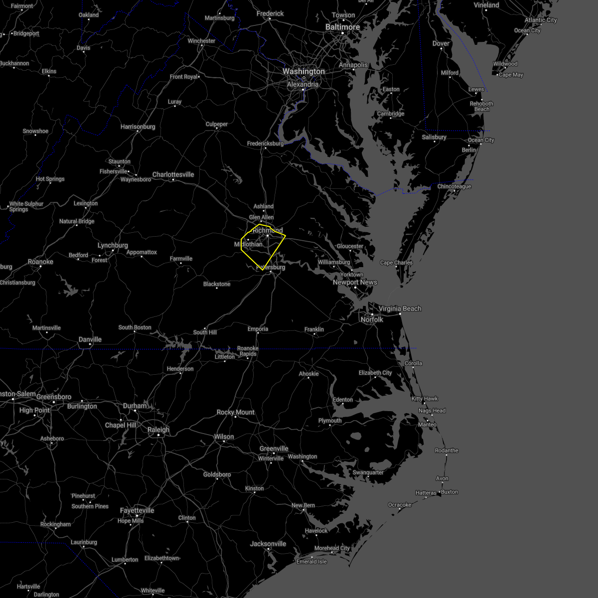 At 723 pm edt, a severe thunderstorm was located near richmond, moving east at 20 mph (radar indicated). Hazards include 70 mph wind gusts and penny size hail. Expect considerable tree damage. damage is likely to mobile homes, roofs, and outbuildings. locations impacted include, richmond, downtown richmond, bon air, virginia union university, virginia commonwealth university, tuckahoe, university of richmond, chester, highland springs, bensley, bellwood, east highland park, lakeside, chesterfield court house, laurel, chesterfield, richmond heights, montrose, sandston and pocahontas state park. thunderstorm damage threat, considerable hail threat, radar indicated max hail size, 0. 75 in wind threat, radar indicated max wind gust, 70 mph. At 723 pm edt, a severe thunderstorm was located near richmond, moving east at 20 mph (radar indicated). Hazards include 70 mph wind gusts and penny size hail. Expect considerable tree damage. damage is likely to mobile homes, roofs, and outbuildings. locations impacted include, richmond, downtown richmond, bon air, virginia union university, virginia commonwealth university, tuckahoe, university of richmond, chester, highland springs, bensley, bellwood, east highland park, lakeside, chesterfield court house, laurel, chesterfield, richmond heights, montrose, sandston and pocahontas state park. thunderstorm damage threat, considerable hail threat, radar indicated max hail size, 0. 75 in wind threat, radar indicated max wind gust, 70 mph.
|
| 8/11/2021 7:14 PM EDT |
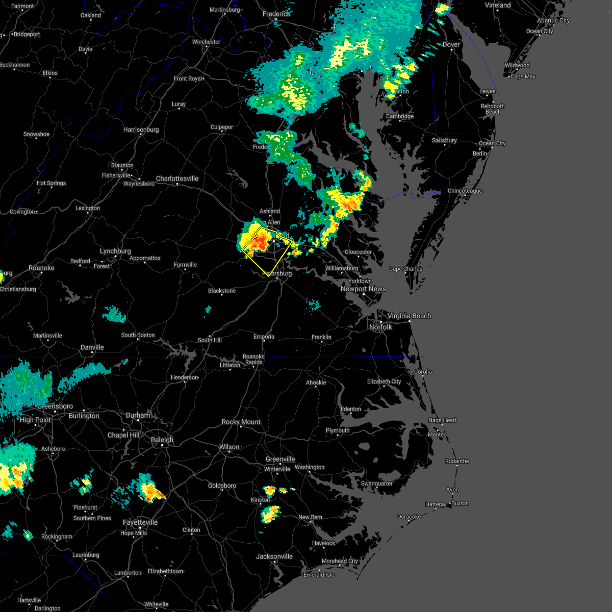 At 714 pm edt, a severe thunderstorm was located over bon air, moving southeast at 20 mph (radar indicated). Hazards include 70 mph wind gusts and penny size hail. Expect considerable tree damage. Damage is likely to mobile homes, roofs, and outbuildings. At 714 pm edt, a severe thunderstorm was located over bon air, moving southeast at 20 mph (radar indicated). Hazards include 70 mph wind gusts and penny size hail. Expect considerable tree damage. Damage is likely to mobile homes, roofs, and outbuildings.
|
| 8/11/2021 6:57 PM EDT |
 At 657 pm edt, a severe thunderstorm was located near bon air, moving east at 30 mph (radar indicated). Hazards include 70 mph wind gusts and penny size hail. Expect considerable tree damage. damage is likely to mobile homes, roofs, and outbuildings. locations impacted include, richmond, powhatan, downtown richmond, bon air, virginia union university, virginia commonwealth university, tuckahoe, university of richmond, moseley, chester, highland springs, bensley, manakin, bellwood, east highland park, sabot, chesterfield court house, lakeside, chesterfield and richmond heights. thunderstorm damage threat, considerable hail threat, radar indicated max hail size, 0. 75 in wind threat, radar indicated max wind gust, 70 mph. At 657 pm edt, a severe thunderstorm was located near bon air, moving east at 30 mph (radar indicated). Hazards include 70 mph wind gusts and penny size hail. Expect considerable tree damage. damage is likely to mobile homes, roofs, and outbuildings. locations impacted include, richmond, powhatan, downtown richmond, bon air, virginia union university, virginia commonwealth university, tuckahoe, university of richmond, moseley, chester, highland springs, bensley, manakin, bellwood, east highland park, sabot, chesterfield court house, lakeside, chesterfield and richmond heights. thunderstorm damage threat, considerable hail threat, radar indicated max hail size, 0. 75 in wind threat, radar indicated max wind gust, 70 mph.
|
| 8/11/2021 6:31 PM EDT |
 At 631 pm edt, a severe thunderstorm was located near sabot, or 8 miles north of moseley, moving southeast at 20 mph (radar indicated). Hazards include 60 mph wind gusts and penny size hail. expect damage to trees and powerlines At 631 pm edt, a severe thunderstorm was located near sabot, or 8 miles north of moseley, moving southeast at 20 mph (radar indicated). Hazards include 60 mph wind gusts and penny size hail. expect damage to trees and powerlines
|
| 7/26/2021 3:30 PM EDT |
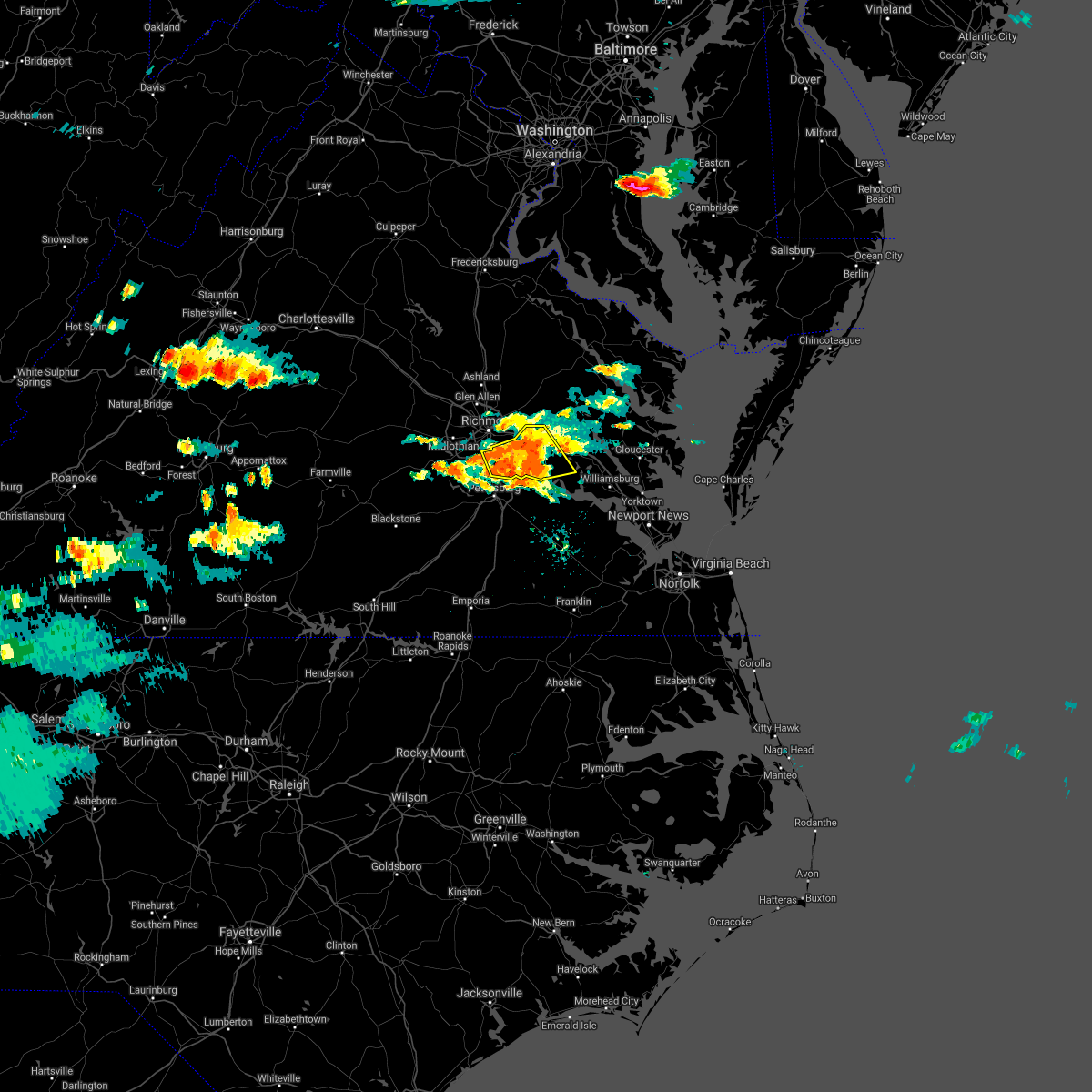 At 328 pm edt, a severe thunderstorm was located southeast of downtown richmond, moving southeast at 20 mph (radar indicated). Hazards include 70 mph wind gusts and quarter size hail. Minor damage to vehicles is possible. expect considerable tree damage. wind damage is also likely to mobile homes, roofs, and outbuildings. this severe storm will be near, adkins store and providence forge around 335 pm edt. charles city and ruthville around 350 pm edt. Other locations impacted by this severe thunderstorm include wrights corner, richmond heights, wayside, mountcastle, orapax farms, elko, glendale, quinton, meadowville and browns corner. At 328 pm edt, a severe thunderstorm was located southeast of downtown richmond, moving southeast at 20 mph (radar indicated). Hazards include 70 mph wind gusts and quarter size hail. Minor damage to vehicles is possible. expect considerable tree damage. wind damage is also likely to mobile homes, roofs, and outbuildings. this severe storm will be near, adkins store and providence forge around 335 pm edt. charles city and ruthville around 350 pm edt. Other locations impacted by this severe thunderstorm include wrights corner, richmond heights, wayside, mountcastle, orapax farms, elko, glendale, quinton, meadowville and browns corner.
|
| 7/26/2021 2:59 PM EDT |
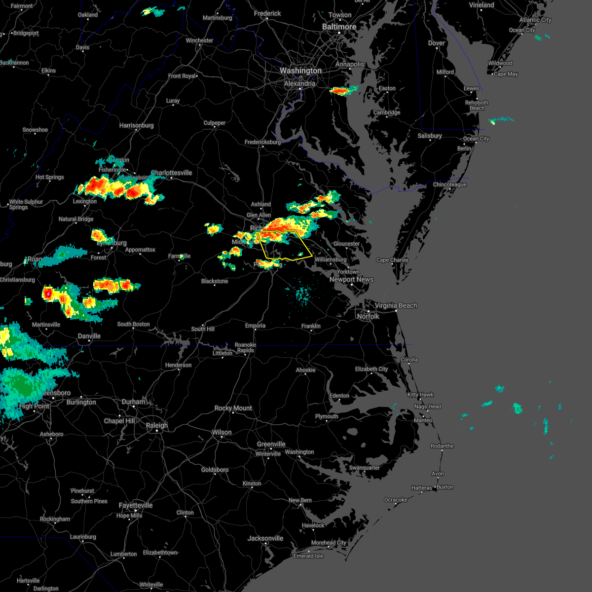 The national weather service in wakefield has issued a * severe thunderstorm warning for. the city of richmond in central virginia. east central chesterfield county in central virginia. charles city county in east central virginia. Southwestern new kent county in east central virginia. The national weather service in wakefield has issued a * severe thunderstorm warning for. the city of richmond in central virginia. east central chesterfield county in central virginia. charles city county in east central virginia. Southwestern new kent county in east central virginia.
|
| 7/17/2021 7:47 PM EDT |
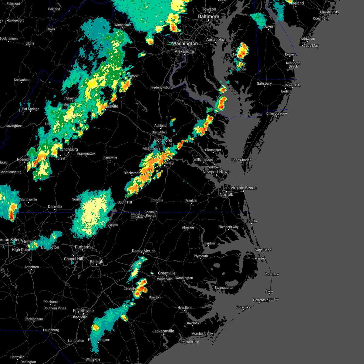 At 746 pm edt, a severe thunderstorm was located near chesterfield court house, or 8 miles west of chester, moving northeast at 35 mph (radar indicated). Hazards include 60 mph wind gusts and penny size hail. Expect damage to trees and powerlines. this severe storm will be near, chesterfield court house and ettrick around 755 pm edt. colonial heights and chester around 800 pm edt. bellwood around 805 pm edt. Other locations impacted by this severe thunderstorm include beach, meadowville, walkers, hebron, ammon, ford, centralia and chesterfield. At 746 pm edt, a severe thunderstorm was located near chesterfield court house, or 8 miles west of chester, moving northeast at 35 mph (radar indicated). Hazards include 60 mph wind gusts and penny size hail. Expect damage to trees and powerlines. this severe storm will be near, chesterfield court house and ettrick around 755 pm edt. colonial heights and chester around 800 pm edt. bellwood around 805 pm edt. Other locations impacted by this severe thunderstorm include beach, meadowville, walkers, hebron, ammon, ford, centralia and chesterfield.
|
| 7/17/2021 7:24 PM EDT |
 At 723 pm edt, a severe thunderstorm was located near mannboro, moving northeast at 35 mph (radar indicated). Hazards include 60 mph wind gusts and penny size hail. Expect damage to trees and powerlines. this severe thunderstorm will be near, sutherland around 740 pm edt. colonial heights, chesterfield court house and ettrick around 800 pm edt. chester around 805 pm edt. bellwood and bensley around 810 pm edt. Other locations impacted by this severe thunderstorm include pocahontas state park, beach, winterpock, meadowville, walkers, hebron, earls, ammon, ford and drewrys bluff. At 723 pm edt, a severe thunderstorm was located near mannboro, moving northeast at 35 mph (radar indicated). Hazards include 60 mph wind gusts and penny size hail. Expect damage to trees and powerlines. this severe thunderstorm will be near, sutherland around 740 pm edt. colonial heights, chesterfield court house and ettrick around 800 pm edt. chester around 805 pm edt. bellwood and bensley around 810 pm edt. Other locations impacted by this severe thunderstorm include pocahontas state park, beach, winterpock, meadowville, walkers, hebron, earls, ammon, ford and drewrys bluff.
|
| 7/1/2021 3:46 PM EDT |
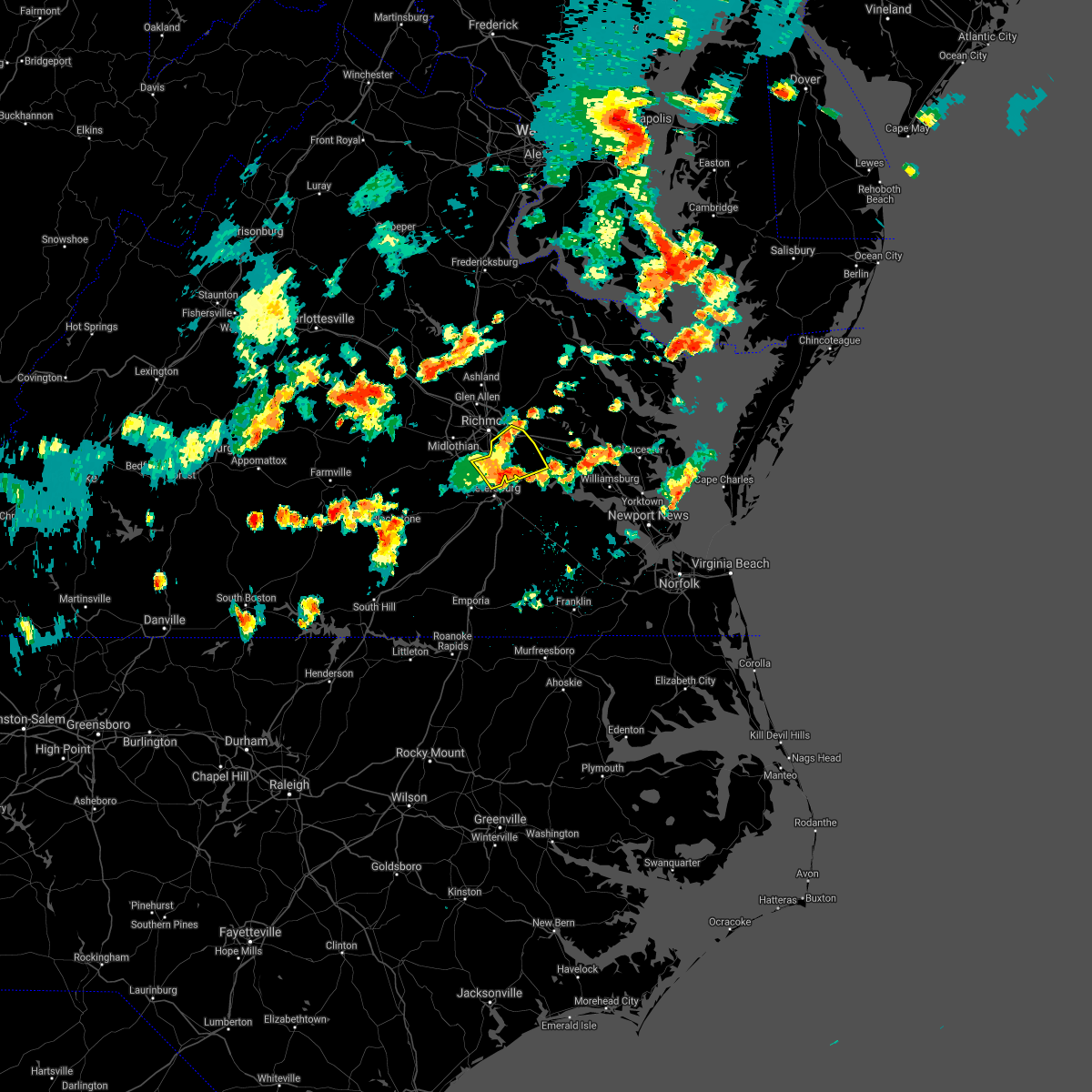 At 345 pm edt, a severe thunderstorm was located near bellwood, or near chester, moving northeast at 30 mph (radar indicated). Hazards include 70 mph wind gusts and quarter size hail. Minor damage to vehicles is possible. expect considerable tree damage. wind damage is also likely to mobile homes, roofs, and outbuildings. This severe thunderstorm will remain over mainly rural areas of southeastern chesterfield, northwestern charles city and southeastern henrico counties, the city of colonial heights and the city of hopewell, including the following locations, richmond heights, wayside, elko, sandston, glendale, richmond international, fair oaks, meadowville, varina and barnetts. At 345 pm edt, a severe thunderstorm was located near bellwood, or near chester, moving northeast at 30 mph (radar indicated). Hazards include 70 mph wind gusts and quarter size hail. Minor damage to vehicles is possible. expect considerable tree damage. wind damage is also likely to mobile homes, roofs, and outbuildings. This severe thunderstorm will remain over mainly rural areas of southeastern chesterfield, northwestern charles city and southeastern henrico counties, the city of colonial heights and the city of hopewell, including the following locations, richmond heights, wayside, elko, sandston, glendale, richmond international, fair oaks, meadowville, varina and barnetts.
|
| 7/1/2021 3:18 PM EDT |
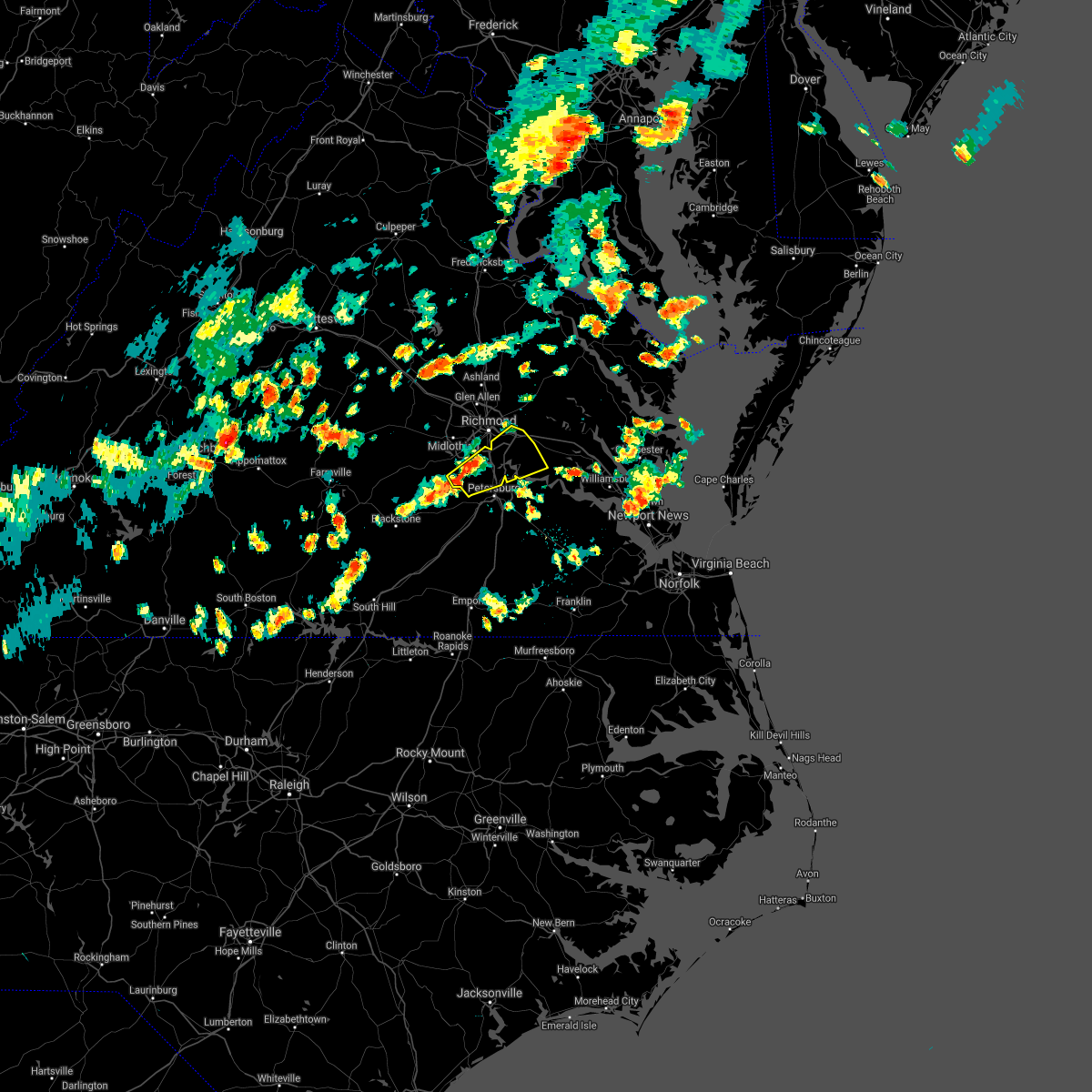 At 318 pm edt, a severe thunderstorm was located near chesterfield court house, or 8 miles west of chester, moving northeast at 30 mph (radar indicated). Hazards include 60 mph wind gusts and quarter size hail. Minor damage to vehicles is possible. expect wind damage to trees and powerlines. this severe thunderstorm will be near, chesterfield court house around 330 pm edt. colonial heights and chester around 335 pm edt. hopewell, bellwood and bensley around 340 pm edt. Other locations impacted by this severe thunderstorm include richmond heights, wayside, elko, sandston, glendale, pocahontas state park, richmond international, fair oaks, beach and meadowville. At 318 pm edt, a severe thunderstorm was located near chesterfield court house, or 8 miles west of chester, moving northeast at 30 mph (radar indicated). Hazards include 60 mph wind gusts and quarter size hail. Minor damage to vehicles is possible. expect wind damage to trees and powerlines. this severe thunderstorm will be near, chesterfield court house around 330 pm edt. colonial heights and chester around 335 pm edt. hopewell, bellwood and bensley around 340 pm edt. Other locations impacted by this severe thunderstorm include richmond heights, wayside, elko, sandston, glendale, pocahontas state park, richmond international, fair oaks, beach and meadowville.
|
| 7/21/2020 10:25 PM EDT |
 At 1025 pm edt, a severe thunderstorm was located near bottoms bridge, or 7 miles south of highland springs, moving east at 25 mph (radar indicated). Hazards include 60 mph wind gusts and quarter size hail. Minor damage to vehicles is possible. expect wind damage to trees and powerlines. Locations impacted include, richmond, roxbury, highland springs, chester, mechanicsville, bensley, bellwood, providence forge, bottoms bridge, east highland park, richmond heights, mountcastle, elko, montrose, sandston, glendale, westwood, richmond international, fair oaks and meadowville. At 1025 pm edt, a severe thunderstorm was located near bottoms bridge, or 7 miles south of highland springs, moving east at 25 mph (radar indicated). Hazards include 60 mph wind gusts and quarter size hail. Minor damage to vehicles is possible. expect wind damage to trees and powerlines. Locations impacted include, richmond, roxbury, highland springs, chester, mechanicsville, bensley, bellwood, providence forge, bottoms bridge, east highland park, richmond heights, mountcastle, elko, montrose, sandston, glendale, westwood, richmond international, fair oaks and meadowville.
|
| 7/21/2020 10:15 PM EDT |
 At 1015 pm edt, a severe thunderstorm was located near bensley, or near highland springs, moving northeast at 25 mph (radar indicated). Hazards include 60 mph wind gusts and penny size hail. Expect damage to trees and powerlines. this severe thunderstorm will be near, highland springs around 1020 pm edt. roxbury and bottoms bridge around 1040 pm edt. Other locations impacted by this severe thunderstorm include wrights corner, richmond heights, mountcastle, orapax farms, elko, montrose, sandston, glendale, westwood and richmond international. At 1015 pm edt, a severe thunderstorm was located near bensley, or near highland springs, moving northeast at 25 mph (radar indicated). Hazards include 60 mph wind gusts and penny size hail. Expect damage to trees and powerlines. this severe thunderstorm will be near, highland springs around 1020 pm edt. roxbury and bottoms bridge around 1040 pm edt. Other locations impacted by this severe thunderstorm include wrights corner, richmond heights, mountcastle, orapax farms, elko, montrose, sandston, glendale, westwood and richmond international.
|
| 7/17/2020 4:16 PM EDT |
 At 416 pm edt, a severe thunderstorm was located near chester, moving southeast at 20 mph (radar indicated). Hazards include 60 mph wind gusts and penny size hail. Expect damage to trees and powerlines. this severe thunderstorm will be near, colonial heights around 425 pm edt. hopewell and fort lee around 430 pm edt. petersburg around 435 pm edt. prince george and jordans point around 445 pm edt. Other locations impacted by this severe thunderstorm include meadowville, wayside, richmond heights, birchett estate, varina, barnetts, jordan point country club, centralia and chesterfield. At 416 pm edt, a severe thunderstorm was located near chester, moving southeast at 20 mph (radar indicated). Hazards include 60 mph wind gusts and penny size hail. Expect damage to trees and powerlines. this severe thunderstorm will be near, colonial heights around 425 pm edt. hopewell and fort lee around 430 pm edt. petersburg around 435 pm edt. prince george and jordans point around 445 pm edt. Other locations impacted by this severe thunderstorm include meadowville, wayside, richmond heights, birchett estate, varina, barnetts, jordan point country club, centralia and chesterfield.
|
| 7/1/2020 4:20 PM EDT | Tree down in the road on beach rd. time estimated by rada in chesterfield county VA, 5.7 miles NE of Meadowbrook, VA |
| 7/1/2020 4:20 PM EDT | Tree down in the vicinity of halls run road. time estimated by radar. report via virginia 51 in chesterfield county VA, 4.2 miles NNE of Meadowbrook, VA |
| 7/1/2020 4:18 PM EDT |
 At 418 pm edt, severe thunderstorms were located along a line extending from near richmond to near bellwood to near chester, moving southeast at 20 mph (radar indicated). Hazards include 60 mph wind gusts and quarter size hail. Minor damage to vehicles is possible. expect wind damage to trees and powerlines. severe thunderstorms will be near, chester around 425 pm edt. colonial heights, bellwood and ettrick around 435 pm edt. fort lee around 445 pm edt. petersburg and hopewell around 450 pm edt. prince george, jordans point and garysville around 500 pm edt. Other locations impacted by these severe thunderstorms include wayside, richmond heights, birchett estate, elko, jordan point country club, montrose, petersburg national battlefield, glendale, richmond international and meadowville. At 418 pm edt, severe thunderstorms were located along a line extending from near richmond to near bellwood to near chester, moving southeast at 20 mph (radar indicated). Hazards include 60 mph wind gusts and quarter size hail. Minor damage to vehicles is possible. expect wind damage to trees and powerlines. severe thunderstorms will be near, chester around 425 pm edt. colonial heights, bellwood and ettrick around 435 pm edt. fort lee around 445 pm edt. petersburg and hopewell around 450 pm edt. prince george, jordans point and garysville around 500 pm edt. Other locations impacted by these severe thunderstorms include wayside, richmond heights, birchett estate, elko, jordan point country club, montrose, petersburg national battlefield, glendale, richmond international and meadowville.
|
| 7/1/2020 3:40 PM EDT |
 The national weather service in wakefield has issued a * severe thunderstorm warning for. the city of richmond in central virginia. central chesterfield county in central virginia. southeastern powhatan county in central virginia. Until 430 pm edt. The national weather service in wakefield has issued a * severe thunderstorm warning for. the city of richmond in central virginia. central chesterfield county in central virginia. southeastern powhatan county in central virginia. Until 430 pm edt.
|
| 4/24/2020 4:40 PM EDT |
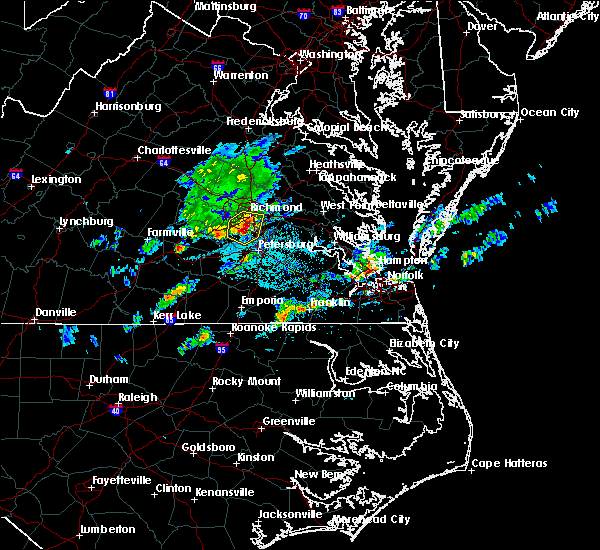 At 440 pm edt, a severe thunderstorm was located over chester, moving southeast at 35 mph (radar indicated). Hazards include 70 mph wind gusts and half dollar size hail. Minor damage to vehicles is possible. expect considerable tree damage. wind damage is also likely to mobile homes, roofs, and outbuildings. this severe thunderstorm will be near, colonial heights and ettrick around 450 pm edt. petersburg, hopewell and fort lee around 455 pm edt. prince george around 500 pm edt. jordans point around 505 pm edt. garysville around 510 pm edt. burrowsville around 520 pm edt. other locations impacted by this severe thunderstorm include meadowville, wayside, richmond heights, birchett estate, varina, barnetts, jordan point country club, drewrys bluff, petersburg national battlefield and centralia. People at john randolph medical center, and tri-cities er should seek safe shelter immediately!. At 440 pm edt, a severe thunderstorm was located over chester, moving southeast at 35 mph (radar indicated). Hazards include 70 mph wind gusts and half dollar size hail. Minor damage to vehicles is possible. expect considerable tree damage. wind damage is also likely to mobile homes, roofs, and outbuildings. this severe thunderstorm will be near, colonial heights and ettrick around 450 pm edt. petersburg, hopewell and fort lee around 455 pm edt. prince george around 500 pm edt. jordans point around 505 pm edt. garysville around 510 pm edt. burrowsville around 520 pm edt. other locations impacted by this severe thunderstorm include meadowville, wayside, richmond heights, birchett estate, varina, barnetts, jordan point country club, drewrys bluff, petersburg national battlefield and centralia. People at john randolph medical center, and tri-cities er should seek safe shelter immediately!.
|
| 4/24/2020 4:32 PM EDT |
 At 431 pm edt, a severe thunderstorm was located near chesterfield court house, or 7 miles southwest of richmond, moving southeast at 30 mph (trained weather spotters). Hazards include 60 mph wind gusts and quarter size hail. Minor damage to vehicles is possible. expect wind damage to trees and powerlines. this severe storm will be near, chesterfield court house and bensley around 435 pm edt. chester and bellwood around 440 pm edt. Other locations impacted by this severe thunderstorm include pocahontas state park, beach, richmond heights, drewrys bluff, montrose, centralia and chesterfield. At 431 pm edt, a severe thunderstorm was located near chesterfield court house, or 7 miles southwest of richmond, moving southeast at 30 mph (trained weather spotters). Hazards include 60 mph wind gusts and quarter size hail. Minor damage to vehicles is possible. expect wind damage to trees and powerlines. this severe storm will be near, chesterfield court house and bensley around 435 pm edt. chester and bellwood around 440 pm edt. Other locations impacted by this severe thunderstorm include pocahontas state park, beach, richmond heights, drewrys bluff, montrose, centralia and chesterfield.
|
| 4/24/2020 4:19 PM EDT |
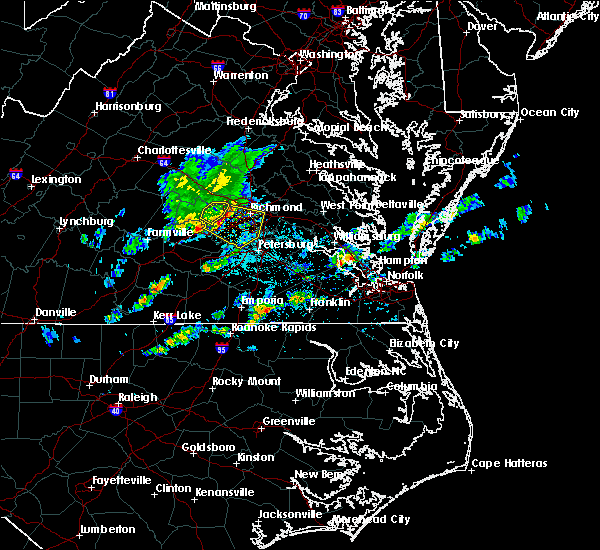 At 418 pm edt, a severe thunderstorm was located near moseley, moving southeast at 30 mph. the public has reported strong wind gusts and trees down in the moseley area (public). Hazards include 60 mph wind gusts and quarter size hail. Minor damage to vehicles is possible. expect wind damage to trees and powerlines. this severe storm will be near, chesterfield court house around 435 pm edt. bellwood and bensley around 440 pm edt. chester around 445 pm edt. Other locations impacted by this severe thunderstorm include pocahontas state park, skinquarter, beach, winterpock, richmond heights, roslyn hills, midlothian, drewrys bluff, montrose and centralia. At 418 pm edt, a severe thunderstorm was located near moseley, moving southeast at 30 mph. the public has reported strong wind gusts and trees down in the moseley area (public). Hazards include 60 mph wind gusts and quarter size hail. Minor damage to vehicles is possible. expect wind damage to trees and powerlines. this severe storm will be near, chesterfield court house around 435 pm edt. bellwood and bensley around 440 pm edt. chester around 445 pm edt. Other locations impacted by this severe thunderstorm include pocahontas state park, skinquarter, beach, winterpock, richmond heights, roslyn hills, midlothian, drewrys bluff, montrose and centralia.
|
| 4/24/2020 4:02 PM EDT |
 At 401 pm edt, a severe thunderstorm was located near moseley, moving southeast at 30 mph. this storm has a history of producing large hail and damaging wind gusts (radar indicated). Hazards include 60 mph wind gusts and quarter size hail. Minor damage to vehicles is possible. expect wind damage to trees and powerlines. this severe thunderstorm will be near, moseley around 410 pm edt. chesterfield court house around 430 pm edt. bellwood and bensley around 435 pm edt. chester around 440 pm edt. other locations impacted by this severe thunderstorm include goodwins store, flat rock, winterpock, richmond heights, pilkinton, midlothian, montrose, subletts, pocahontas state park and skinquarter. people at chippenham hospital, bon secours st. frances, johnston-willis hospital, hunter holmes mcguire va medical center, and st. Mary`s hospital should seek safe shelter immediately!. At 401 pm edt, a severe thunderstorm was located near moseley, moving southeast at 30 mph. this storm has a history of producing large hail and damaging wind gusts (radar indicated). Hazards include 60 mph wind gusts and quarter size hail. Minor damage to vehicles is possible. expect wind damage to trees and powerlines. this severe thunderstorm will be near, moseley around 410 pm edt. chesterfield court house around 430 pm edt. bellwood and bensley around 435 pm edt. chester around 440 pm edt. other locations impacted by this severe thunderstorm include goodwins store, flat rock, winterpock, richmond heights, pilkinton, midlothian, montrose, subletts, pocahontas state park and skinquarter. people at chippenham hospital, bon secours st. frances, johnston-willis hospital, hunter holmes mcguire va medical center, and st. Mary`s hospital should seek safe shelter immediately!.
|
| 1/12/2020 1:41 AM EST |
 The severe thunderstorm warning for central chesterfield and southeastern henrico counties will expire at 145 am est, the storm which prompted the warning has weakened below severe limits, and no longer poses an immediate threat to life or property. therefore, the warning will be allowed to expire. however gusty winds and heavy rain are still possible with this thunderstorm. a severe thunderstorm watch remains in effect until 500 am est for central, south central and east central virginia. The severe thunderstorm warning for central chesterfield and southeastern henrico counties will expire at 145 am est, the storm which prompted the warning has weakened below severe limits, and no longer poses an immediate threat to life or property. therefore, the warning will be allowed to expire. however gusty winds and heavy rain are still possible with this thunderstorm. a severe thunderstorm watch remains in effect until 500 am est for central, south central and east central virginia.
|
| 1/12/2020 1:32 AM EST |
 At 132 am est, a severe thunderstorm was located over bellwood, or near chester, moving northeast at 55 mph (radar indicated). Hazards include 60 mph wind gusts. Expect damage to trees and powerlines. Locations impacted include, richmond, colonial heights, chester, highland springs, bensley, bellwood, chesterfield court house, ettrick, east highland park, chesterfield, richmond heights, elko, montrose, sandston, glendale, pocahontas state park, richmond international, fair oaks, beach and meadowville. At 132 am est, a severe thunderstorm was located over bellwood, or near chester, moving northeast at 55 mph (radar indicated). Hazards include 60 mph wind gusts. Expect damage to trees and powerlines. Locations impacted include, richmond, colonial heights, chester, highland springs, bensley, bellwood, chesterfield court house, ettrick, east highland park, chesterfield, richmond heights, elko, montrose, sandston, glendale, pocahontas state park, richmond international, fair oaks, beach and meadowville.
|
| 1/12/2020 1:18 AM EST |
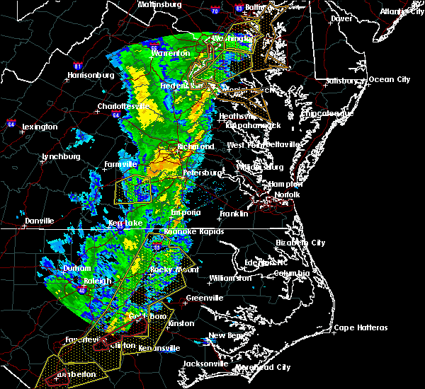 At 117 am est, a severe thunderstorm was located over mannboro, moving northeast at 70 mph (radar indicated). Hazards include 60 mph wind gusts. expect damage to trees and powerlines At 117 am est, a severe thunderstorm was located over mannboro, moving northeast at 70 mph (radar indicated). Hazards include 60 mph wind gusts. expect damage to trees and powerlines
|
| 1/12/2020 1:10 AM EST |
 The severe thunderstorm warning for chesterfield, northeastern nottoway, southeastern goochland, henrico, southern hanover, southeastern amelia, northern dinwiddie and southeastern powhatan counties and the city of richmond will expire at 115 am est, the storms which prompted the warning have weakened below severe limits, and no longer pose an immediate threat to life or property. therefore, the warning will be allowed to expire. however gusty winds and heavy rain are still possible with these thunderstorms. remember, another severe thunderstorm warning remains in effect for parts of nottaway and dinwiddie counties until 130 am. a severe thunderstorm watch remains in effect until 500 am est for central, south central, north central and east central virginia. The severe thunderstorm warning for chesterfield, northeastern nottoway, southeastern goochland, henrico, southern hanover, southeastern amelia, northern dinwiddie and southeastern powhatan counties and the city of richmond will expire at 115 am est, the storms which prompted the warning have weakened below severe limits, and no longer pose an immediate threat to life or property. therefore, the warning will be allowed to expire. however gusty winds and heavy rain are still possible with these thunderstorms. remember, another severe thunderstorm warning remains in effect for parts of nottaway and dinwiddie counties until 130 am. a severe thunderstorm watch remains in effect until 500 am est for central, south central, north central and east central virginia.
|
| 1/12/2020 12:57 AM EST |
 At 1257 am est, severe thunderstorms were located along a line extending from near wyndham to near bon air to spainville, moving northeast at 60 mph (radar indicated). Hazards include 60 mph wind gusts. Expect damage to trees and powerlines. these severe storms will be near, randolph macon college and wyndham around 100 am est. ashland, downtown richmond, university of richmond, bon air, hanover and kings dominion around 105 am est. richmond, virginia union university, virginia commonwealth university and lakeside around 110 am est. highland springs, mechanicsville, moseley and east highland park around 115 am est. studley around 120 am est. chester and chesterfield court house around 125 am est. bensley and bellwood around 130 am est. Other locations impacted by these severe thunderstorms include north wellville, ammon, gum tree, montrose, sandston, pocahontas state park, skinquarter, wellville, beach and chamberlayne. At 1257 am est, severe thunderstorms were located along a line extending from near wyndham to near bon air to spainville, moving northeast at 60 mph (radar indicated). Hazards include 60 mph wind gusts. Expect damage to trees and powerlines. these severe storms will be near, randolph macon college and wyndham around 100 am est. ashland, downtown richmond, university of richmond, bon air, hanover and kings dominion around 105 am est. richmond, virginia union university, virginia commonwealth university and lakeside around 110 am est. highland springs, mechanicsville, moseley and east highland park around 115 am est. studley around 120 am est. chester and chesterfield court house around 125 am est. bensley and bellwood around 130 am est. Other locations impacted by these severe thunderstorms include north wellville, ammon, gum tree, montrose, sandston, pocahontas state park, skinquarter, wellville, beach and chamberlayne.
|
| 1/12/2020 12:34 AM EST |
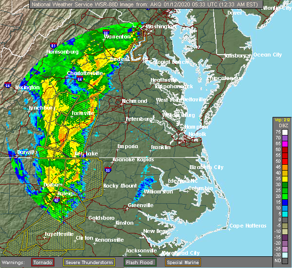 At 1234 am est, severe thunderstorms were located along a line extending from near trenholm to amelia courthouse to near green bay, moving northeast at 60 mph (radar indicated). Hazards include 60 mph wind gusts. Expect damage to trees and powerlines. severe thunderstorms will be near, goochland, chula and scotts fork around 1240 am est. oilville around 1245 am est. moseley around 1250 am est. spainville around 1255 am est. mannboro around 100 am est. university of richmond, bon air, downtown richmond and bensley around 105 am est. richmond, virginia union university, virginia commonwealth university, east highland park, lakeside, laurel, glen allen and kings dominion around 110 am est. mechanicsville, highland springs, studley and chesterfield court house around 115 am est. Other locations impacted by these severe thunderstorms include north wellville, ammon, maidens, gum tree, three square, montrose, sandston, pocahontas state park, skinquarter and wellville. At 1234 am est, severe thunderstorms were located along a line extending from near trenholm to amelia courthouse to near green bay, moving northeast at 60 mph (radar indicated). Hazards include 60 mph wind gusts. Expect damage to trees and powerlines. severe thunderstorms will be near, goochland, chula and scotts fork around 1240 am est. oilville around 1245 am est. moseley around 1250 am est. spainville around 1255 am est. mannboro around 100 am est. university of richmond, bon air, downtown richmond and bensley around 105 am est. richmond, virginia union university, virginia commonwealth university, east highland park, lakeside, laurel, glen allen and kings dominion around 110 am est. mechanicsville, highland springs, studley and chesterfield court house around 115 am est. Other locations impacted by these severe thunderstorms include north wellville, ammon, maidens, gum tree, three square, montrose, sandston, pocahontas state park, skinquarter and wellville.
|
| 8/22/2019 6:20 PM EDT |
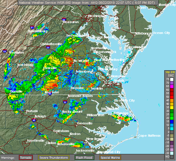 A severe thunderstorm warning remains in effect until 630 pm edt for northeastern chesterfield. central henrico and south central hanover counties and the city of richmond. at 620 pm edt, severe thunderstorms were located along a line extending from near lakeside to bellwood, moving east at 30 mph. hazard. 60 mph wind gusts. A severe thunderstorm warning remains in effect until 630 pm edt for northeastern chesterfield. central henrico and south central hanover counties and the city of richmond. at 620 pm edt, severe thunderstorms were located along a line extending from near lakeside to bellwood, moving east at 30 mph. hazard. 60 mph wind gusts.
|
| 8/22/2019 6:11 PM EDT |
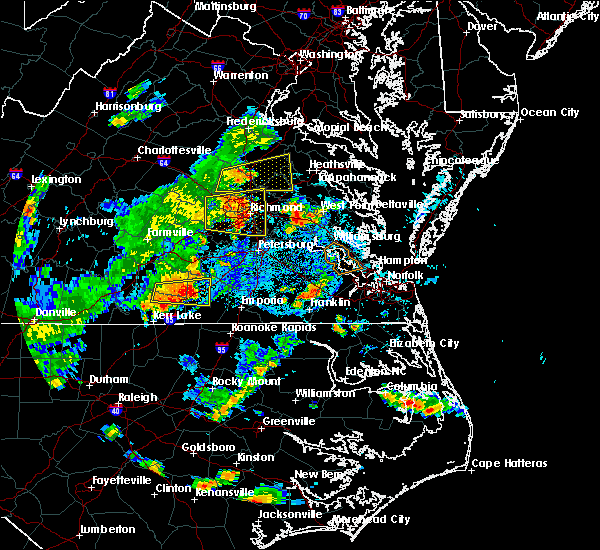 The national weather service in wakefield has issued a * severe thunderstorm warning for. the city of richmond in central virginia. northeastern chesterfield county in central virginia. central king and queen county in east central virginia. Northern charles city county in east central virginia. The national weather service in wakefield has issued a * severe thunderstorm warning for. the city of richmond in central virginia. northeastern chesterfield county in central virginia. central king and queen county in east central virginia. Northern charles city county in east central virginia.
|
| 8/22/2019 5:39 PM EDT |
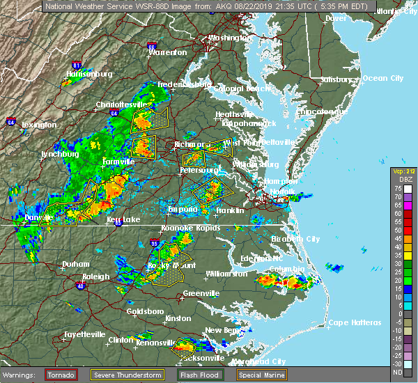 At 539 pm edt, severe thunderstorms were located along a line extending from near sabot to moseley, moving east at 25 mph (radar indicated). Hazards include 60 mph wind gusts and nickel size hail. These storms have produced numerous reports of downed trees in powhatan county. expect damage to trees and powerlines. severe thunderstorms will be near, manakin around 550 pm edt. tuckahoe and wyndham around 600 pm edt. university of richmond, bon air and chesterfield court house around 610 pm edt. laurel around 615 pm edt. richmond, chester, virginia union university, virginia commonwealth university, downtown richmond, lakeside, bellwood, glen allen and bensley around 620 pm edt. east highland park around 625 pm edt. mechanicsville and highland springs around 630 pm edt. Other locations impacted by these severe thunderstorms include crozier, richmond heights, pilkinton, johnsons springs, elmont, montrose, pocahontas state park, skinquarter, solomons store and chamberlayne. At 539 pm edt, severe thunderstorms were located along a line extending from near sabot to moseley, moving east at 25 mph (radar indicated). Hazards include 60 mph wind gusts and nickel size hail. These storms have produced numerous reports of downed trees in powhatan county. expect damage to trees and powerlines. severe thunderstorms will be near, manakin around 550 pm edt. tuckahoe and wyndham around 600 pm edt. university of richmond, bon air and chesterfield court house around 610 pm edt. laurel around 615 pm edt. richmond, chester, virginia union university, virginia commonwealth university, downtown richmond, lakeside, bellwood, glen allen and bensley around 620 pm edt. east highland park around 625 pm edt. mechanicsville and highland springs around 630 pm edt. Other locations impacted by these severe thunderstorms include crozier, richmond heights, pilkinton, johnsons springs, elmont, montrose, pocahontas state park, skinquarter, solomons store and chamberlayne.
|
| 8/19/2019 6:21 PM EDT |
 The severe thunderstorm warning for east central chesterfield and south central henrico counties will expire at 630 pm edt, the storms which prompted the warning have weakened below severe limits, and no longer pose an immediate threat to life or property. therefore, the warning will be allowed to expire. however small hail and gusty winds are still possible with these thunderstorms. The severe thunderstorm warning for east central chesterfield and south central henrico counties will expire at 630 pm edt, the storms which prompted the warning have weakened below severe limits, and no longer pose an immediate threat to life or property. therefore, the warning will be allowed to expire. however small hail and gusty winds are still possible with these thunderstorms.
|
| 8/19/2019 6:02 PM EDT |
 At 602 pm edt, severe thunderstorms were located along a line extending from between meadowville to centralia, and are nearly stationary (radar indicated). Hazards include 60 mph wind gusts and quarter size hail. Minor damage to vehicles is possible. expect wind damage to trees and powerlines. Locations impacted include, chester, bellwood, meadowville and centralia. At 602 pm edt, severe thunderstorms were located along a line extending from between meadowville to centralia, and are nearly stationary (radar indicated). Hazards include 60 mph wind gusts and quarter size hail. Minor damage to vehicles is possible. expect wind damage to trees and powerlines. Locations impacted include, chester, bellwood, meadowville and centralia.
|
| 8/19/2019 5:47 PM EDT |
 The national weather service in wakefield has issued a * severe thunderstorm warning for. east central chesterfield county in central virginia. south central henrico county in central virginia. until 630 pm edt. At 547 pm edt, severe thunderstorms were located along a line. The national weather service in wakefield has issued a * severe thunderstorm warning for. east central chesterfield county in central virginia. south central henrico county in central virginia. until 630 pm edt. At 547 pm edt, severe thunderstorms were located along a line.
|
| 8/15/2019 3:42 PM EDT |
 The severe thunderstorm warning for east central chesterfield and southeastern henrico counties and the city of richmond will expire at 345 pm edt, the storm which prompted the warning has moved out of the area. therefore, the warning will be allowed to expire. to report severe weather, contact your nearest law enforcement agency. they will relay your report to the national weather service wakefield. The severe thunderstorm warning for east central chesterfield and southeastern henrico counties and the city of richmond will expire at 345 pm edt, the storm which prompted the warning has moved out of the area. therefore, the warning will be allowed to expire. to report severe weather, contact your nearest law enforcement agency. they will relay your report to the national weather service wakefield.
|
| 8/15/2019 3:32 PM EDT |
 At 332 pm edt, a severe thunderstorm was located near bellwood, or near chester, moving east at 20 mph (radar indicated). Hazards include 60 mph wind gusts. Expect damage to trees and powerlines. Locations impacted include, richmond, chester, bensley, bellwood, chesterfield court house, meadowville, richmond heights, varina, elko, drewrys bluff, centralia and glendale. At 332 pm edt, a severe thunderstorm was located near bellwood, or near chester, moving east at 20 mph (radar indicated). Hazards include 60 mph wind gusts. Expect damage to trees and powerlines. Locations impacted include, richmond, chester, bensley, bellwood, chesterfield court house, meadowville, richmond heights, varina, elko, drewrys bluff, centralia and glendale.
|
| 8/15/2019 3:19 PM EDT |
 At 319 pm edt, a severe thunderstorm was located over bellwood, or near chester, moving east at 20 mph (radar indicated). Hazards include 60 mph wind gusts. Expect damage to trees and powerlines. This severe thunderstorm will remain over mainly rural areas of northeastern chesterfield, southeastern henrico and southern hanover counties and the city of richmond, including the following locations, richmond international, fair oaks, meadowville, richmond heights, varina, elko, drewrys bluff, montrose, sandston and centralia. At 319 pm edt, a severe thunderstorm was located over bellwood, or near chester, moving east at 20 mph (radar indicated). Hazards include 60 mph wind gusts. Expect damage to trees and powerlines. This severe thunderstorm will remain over mainly rural areas of northeastern chesterfield, southeastern henrico and southern hanover counties and the city of richmond, including the following locations, richmond international, fair oaks, meadowville, richmond heights, varina, elko, drewrys bluff, montrose, sandston and centralia.
|
| 8/15/2019 3:03 PM EDT |
 At 303 pm edt, a severe thunderstorm was located over bensley, or over richmond, moving east at 20 mph (radar indicated). Hazards include 60 mph wind gusts. Expect damage to trees and powerlines. this severe thunderstorm will be near, bellwood around 310 pm edt. highland springs around 325 pm edt. Other locations impacted by this severe thunderstorm include richmond heights, elko, midlothian, montrose, sandston, glendale, pocahontas state park, richmond international, fair oaks and beach. At 303 pm edt, a severe thunderstorm was located over bensley, or over richmond, moving east at 20 mph (radar indicated). Hazards include 60 mph wind gusts. Expect damage to trees and powerlines. this severe thunderstorm will be near, bellwood around 310 pm edt. highland springs around 325 pm edt. Other locations impacted by this severe thunderstorm include richmond heights, elko, midlothian, montrose, sandston, glendale, pocahontas state park, richmond international, fair oaks and beach.
|
| 8/13/2019 9:41 PM EDT |
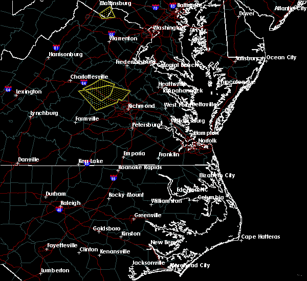 At 941 pm edt, severe thunderstorms were located along a line extending from dawn to near glen allen to tuckahoe, moving southeast at 25 mph (radar indicated). Hazards include 60 mph wind gusts and penny size hail. Expect damage to trees and powerlines. these severe storms will be near, mechanicsville, hanover and east highland park around 945 pm edt. mangohick around 950 pm edt. richmond, studley and beulahville around 955 pm edt. virginia commonwealth university, downtown richmond, virginia union university, highland springs, aylett, manquin, bensley and bellwood around 1000 pm edt. Other locations impacted by these severe thunderstorms include enfield, richmond heights, gum tree, elmont, etna mills, montrose, sandston, epworth, westwood and biscoe. At 941 pm edt, severe thunderstorms were located along a line extending from dawn to near glen allen to tuckahoe, moving southeast at 25 mph (radar indicated). Hazards include 60 mph wind gusts and penny size hail. Expect damage to trees and powerlines. these severe storms will be near, mechanicsville, hanover and east highland park around 945 pm edt. mangohick around 950 pm edt. richmond, studley and beulahville around 955 pm edt. virginia commonwealth university, downtown richmond, virginia union university, highland springs, aylett, manquin, bensley and bellwood around 1000 pm edt. Other locations impacted by these severe thunderstorms include enfield, richmond heights, gum tree, elmont, etna mills, montrose, sandston, epworth, westwood and biscoe.
|
| 8/13/2019 9:14 PM EDT |
 At 914 pm edt, severe thunderstorms were located along a line extending from 6 miles northwest of kings dominion to near montpelier to near oilville, moving southeast at 35 mph (radar indicated). Hazards include 60 mph wind gusts and penny size hail. Expect damage to trees and powerlines. severe thunderstorms will be near, ashland, tuckahoe, randolph macon college and kings dominion around 925 pm edt. dawn, glen allen, laurel and lakeside around 930 pm edt. mechanicsville and hanover around 935 pm edt. richmond, university of richmond, bon air, mangohick and east highland park around 940 pm edt. downtown richmond, virginia commonwealth university, virginia union university, studley and beulahville around 945 pm edt. highland springs and bensley around 950 pm edt. saint stephens church, chester, manquin, aylett and bellwood around 955 pm edt. tunstall and bottoms bridge around 1000 pm edt. Other locations impacted by these severe thunderstorms include enfield, crozier, richmond heights, gum tree, johnsons springs, elmont, etna mills, montrose, sandston and epworth. At 914 pm edt, severe thunderstorms were located along a line extending from 6 miles northwest of kings dominion to near montpelier to near oilville, moving southeast at 35 mph (radar indicated). Hazards include 60 mph wind gusts and penny size hail. Expect damage to trees and powerlines. severe thunderstorms will be near, ashland, tuckahoe, randolph macon college and kings dominion around 925 pm edt. dawn, glen allen, laurel and lakeside around 930 pm edt. mechanicsville and hanover around 935 pm edt. richmond, university of richmond, bon air, mangohick and east highland park around 940 pm edt. downtown richmond, virginia commonwealth university, virginia union university, studley and beulahville around 945 pm edt. highland springs and bensley around 950 pm edt. saint stephens church, chester, manquin, aylett and bellwood around 955 pm edt. tunstall and bottoms bridge around 1000 pm edt. Other locations impacted by these severe thunderstorms include enfield, crozier, richmond heights, gum tree, johnsons springs, elmont, etna mills, montrose, sandston and epworth.
|
| 8/1/2019 5:09 PM EDT |
 The severe thunderstorm warning for south central henrico county and the city of richmond will expire at 515 pm edt, the severe thunderstorm which prompted the warning has weakened. therefore, the warning will be allowed to expire. The severe thunderstorm warning for south central henrico county and the city of richmond will expire at 515 pm edt, the severe thunderstorm which prompted the warning has weakened. therefore, the warning will be allowed to expire.
|
| 8/1/2019 5:01 PM EDT |
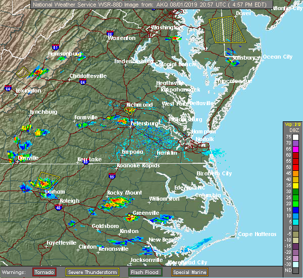 At 500 pm edt, a severe thunderstorm was located over richmond, and is nearly stationary (radar indicated). Hazards include 60 mph wind gusts and quarter size hail. Minor damage to vehicles is possible. expect wind damage to trees and powerlines. this severe storm will be near, highland springs around 515 pm edt. Other locations impacted by this severe thunderstorm include montrose and richmond heights. At 500 pm edt, a severe thunderstorm was located over richmond, and is nearly stationary (radar indicated). Hazards include 60 mph wind gusts and quarter size hail. Minor damage to vehicles is possible. expect wind damage to trees and powerlines. this severe storm will be near, highland springs around 515 pm edt. Other locations impacted by this severe thunderstorm include montrose and richmond heights.
|
| 8/1/2019 4:51 PM EDT |
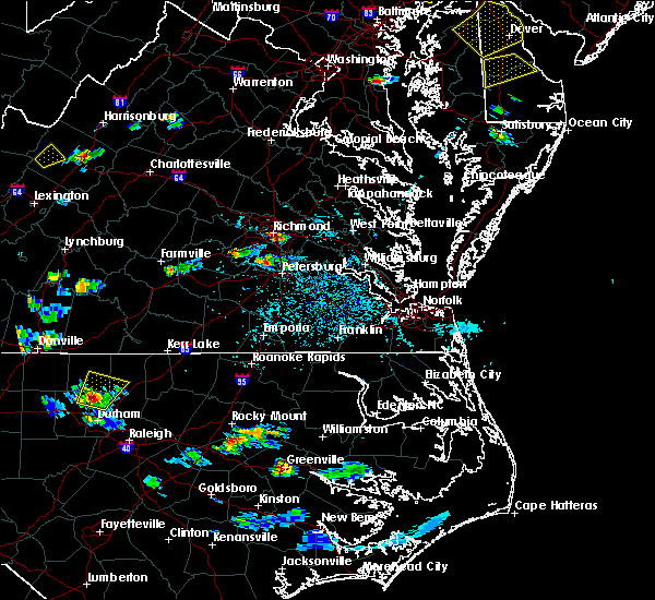 At 451 pm edt, a severe thunderstorm was located over richmond, and is nearly stationary (radar indicated). Hazards include 60 mph wind gusts and quarter size hail. Minor damage to vehicles is possible. expect wind damage to trees and powerlines. this severe thunderstorm will be near, bensley around 455 pm edt. highland springs around 515 pm edt. Other locations impacted by this severe thunderstorm include montrose and richmond heights. At 451 pm edt, a severe thunderstorm was located over richmond, and is nearly stationary (radar indicated). Hazards include 60 mph wind gusts and quarter size hail. Minor damage to vehicles is possible. expect wind damage to trees and powerlines. this severe thunderstorm will be near, bensley around 455 pm edt. highland springs around 515 pm edt. Other locations impacted by this severe thunderstorm include montrose and richmond heights.
|
| 6/5/2019 4:23 PM EDT |
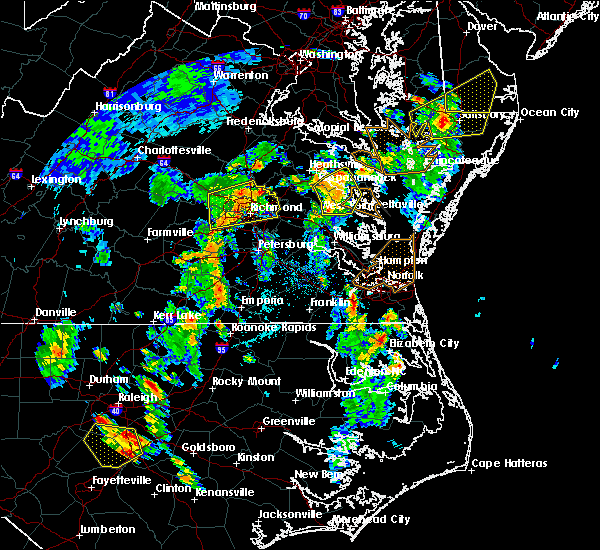 At 423 pm edt, severe thunderstorms were located along a line extending from near hanover to bon air, moving northeast at 50 mph (radar indicated). Hazards include 60 mph wind gusts and quarter size hail. Minor damage to vehicles is possible. expect wind damage to trees and powerlines. these severe storms will be near, hanover around 430 pm edt. highland springs and mechanicsville around 440 pm edt. studley around 445 pm edt. Other locations impacted by these severe thunderstorms include hanover airport, midlothian, elmont, short pump, montrose, sandston, longdale, richmond international, fair oaks and solomons store. At 423 pm edt, severe thunderstorms were located along a line extending from near hanover to bon air, moving northeast at 50 mph (radar indicated). Hazards include 60 mph wind gusts and quarter size hail. Minor damage to vehicles is possible. expect wind damage to trees and powerlines. these severe storms will be near, hanover around 430 pm edt. highland springs and mechanicsville around 440 pm edt. studley around 445 pm edt. Other locations impacted by these severe thunderstorms include hanover airport, midlothian, elmont, short pump, montrose, sandston, longdale, richmond international, fair oaks and solomons store.
|
| 6/5/2019 4:02 PM EDT |
 At 401 pm edt, a severe thunderstorm was located near sabot, or near powhatan, moving east at 30 mph (radar indicated). Hazards include 60 mph wind gusts and quarter size hail. Minor damage to vehicles is possible. expect wind damage to trees and powerlines. this severe thunderstorm will be near, sabot around 410 pm edt. manakin around 415 pm edt. tuckahoe around 420 pm edt. bon air and wyndham around 425 pm edt. university of richmond around 430 pm edt. virginia commonwealth university, downtown richmond and laurel around 435 pm edt. richmond, virginia union university, lakeside and glen allen around 440 pm edt. mechanicsville, highland springs, east highland park and studley around 445 pm edt. Other locations impacted by this severe thunderstorm include crozier, gum tree, johnsons springs, elmont, montrose, sandston, richmond international, fair oaks, gilman and solomons store. At 401 pm edt, a severe thunderstorm was located near sabot, or near powhatan, moving east at 30 mph (radar indicated). Hazards include 60 mph wind gusts and quarter size hail. Minor damage to vehicles is possible. expect wind damage to trees and powerlines. this severe thunderstorm will be near, sabot around 410 pm edt. manakin around 415 pm edt. tuckahoe around 420 pm edt. bon air and wyndham around 425 pm edt. university of richmond around 430 pm edt. virginia commonwealth university, downtown richmond and laurel around 435 pm edt. richmond, virginia union university, lakeside and glen allen around 440 pm edt. mechanicsville, highland springs, east highland park and studley around 445 pm edt. Other locations impacted by this severe thunderstorm include crozier, gum tree, johnsons springs, elmont, montrose, sandston, richmond international, fair oaks, gilman and solomons store.
|
| 5/31/2019 8:57 PM EDT |
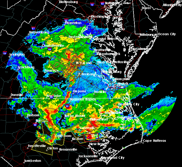 At 857 pm edt, a severe thunderstorm was located near highland springs, moving southeast at 5 mph (public and doppler radar). Hazards include 60 mph wind gusts and quarter size hail. Minor damage to vehicles is possible. expect wind damage to trees and powerlines. this severe thunderstorm will be near, highland springs around 900 pm edt. bellwood around 910 pm edt. bottoms bridge around 945 pm edt. Other locations impacted by this severe thunderstorm include richmond international, fair oaks, meadowville, richmond heights, varina, orapax farms, elko, drewrys bluff, montrose and sandston. At 857 pm edt, a severe thunderstorm was located near highland springs, moving southeast at 5 mph (public and doppler radar). Hazards include 60 mph wind gusts and quarter size hail. Minor damage to vehicles is possible. expect wind damage to trees and powerlines. this severe thunderstorm will be near, highland springs around 900 pm edt. bellwood around 910 pm edt. bottoms bridge around 945 pm edt. Other locations impacted by this severe thunderstorm include richmond international, fair oaks, meadowville, richmond heights, varina, orapax farms, elko, drewrys bluff, montrose and sandston.
|
| 5/31/2019 8:55 PM EDT |
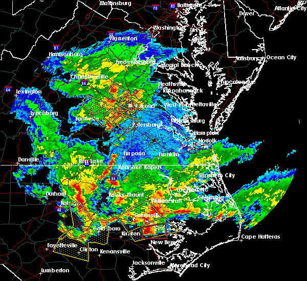 At 855 pm edt, a severe thunderstorm was located near chesterfield court house, or 8 miles west of chester, moving southeast at 30 mph (radar indicated). Hazards include 60 mph wind gusts and quarter size hail. Minor damage to vehicles is possible. Expect wind damage to trees and powerlines. At 855 pm edt, a severe thunderstorm was located near chesterfield court house, or 8 miles west of chester, moving southeast at 30 mph (radar indicated). Hazards include 60 mph wind gusts and quarter size hail. Minor damage to vehicles is possible. Expect wind damage to trees and powerlines.
|
| 5/25/2019 10:57 PM EDT |
 At 1056 pm edt, a severe thunderstorm was located near chester, moving east at 35 mph (radar indicated). Hazards include 60 mph wind gusts and quarter size hail. Minor damage to vehicles is possible. expect wind damage to trees and powerlines. this severe storm will be near, colonial heights, virginia state university and ettrick around 1105 pm edt. petersburg, hopewell and fort lee around 1110 pm edt. Other locations impacted by this severe thunderstorm include pocahontas state park, beach, meadowville, addison, petersburg national battlefield, centralia and chesterfield. At 1056 pm edt, a severe thunderstorm was located near chester, moving east at 35 mph (radar indicated). Hazards include 60 mph wind gusts and quarter size hail. Minor damage to vehicles is possible. expect wind damage to trees and powerlines. this severe storm will be near, colonial heights, virginia state university and ettrick around 1105 pm edt. petersburg, hopewell and fort lee around 1110 pm edt. Other locations impacted by this severe thunderstorm include pocahontas state park, beach, meadowville, addison, petersburg national battlefield, centralia and chesterfield.
|
| 5/25/2019 10:43 PM EDT |
 At 1043 pm edt, a severe thunderstorm was located near chesterfield court house, or 9 miles southeast of moseley, moving east at 35 mph (radar indicated). Hazards include 60 mph wind gusts and quarter size hail. Minor damage to vehicles is possible. expect wind damage to trees and powerlines. this severe thunderstorm will be near, chesterfield court house around 1050 pm edt. chester around 1055 pm edt. colonial heights, virginia state university, ettrick and matoaca around 1105 pm edt. petersburg, hopewell and fort lee around 1110 pm edt. Other locations impacted by this severe thunderstorm include pocahontas state park, beach, meadowville, addison, petersburg national battlefield, centralia and chesterfield. At 1043 pm edt, a severe thunderstorm was located near chesterfield court house, or 9 miles southeast of moseley, moving east at 35 mph (radar indicated). Hazards include 60 mph wind gusts and quarter size hail. Minor damage to vehicles is possible. expect wind damage to trees and powerlines. this severe thunderstorm will be near, chesterfield court house around 1050 pm edt. chester around 1055 pm edt. colonial heights, virginia state university, ettrick and matoaca around 1105 pm edt. petersburg, hopewell and fort lee around 1110 pm edt. Other locations impacted by this severe thunderstorm include pocahontas state park, beach, meadowville, addison, petersburg national battlefield, centralia and chesterfield.
|
| 5/4/2019 10:41 PM EDT |
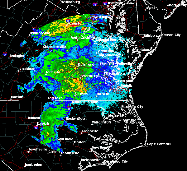 At 1027 pm edt, severe thunderstorms were located along a line extending from near sutherland to near dinwiddie, moving northeast at 40 mph (radar indicated). Hazards include 60 mph wind gusts. Expect damage to trees and powerlines. these severe storms will be near, sutherland and carson around 1035 pm edt. petersburg, colonial heights, virginia state university, matoaca and ettrick around 1045 pm edt. Other locations impacted by these severe thunderstorms include burgess, addison, booker, reams, wharfs store, huske, petersburg national battlefield, church road, petersburg airport and center star. At 1027 pm edt, severe thunderstorms were located along a line extending from near sutherland to near dinwiddie, moving northeast at 40 mph (radar indicated). Hazards include 60 mph wind gusts. Expect damage to trees and powerlines. these severe storms will be near, sutherland and carson around 1035 pm edt. petersburg, colonial heights, virginia state university, matoaca and ettrick around 1045 pm edt. Other locations impacted by these severe thunderstorms include burgess, addison, booker, reams, wharfs store, huske, petersburg national battlefield, church road, petersburg airport and center star.
|
| 5/4/2019 10:27 PM EDT |
 At 1027 pm edt, severe thunderstorms were located along a line extending from near sutherland to near dinwiddie, moving northeast at 40 mph (radar indicated). Hazards include 60 mph wind gusts. Expect damage to trees and powerlines. these severe storms will be near, sutherland and carson around 1035 pm edt. petersburg, colonial heights, virginia state university, matoaca and ettrick around 1045 pm edt. Other locations impacted by these severe thunderstorms include burgess, addison, booker, reams, wharfs store, huske, petersburg national battlefield, church road, petersburg airport and center star. At 1027 pm edt, severe thunderstorms were located along a line extending from near sutherland to near dinwiddie, moving northeast at 40 mph (radar indicated). Hazards include 60 mph wind gusts. Expect damage to trees and powerlines. these severe storms will be near, sutherland and carson around 1035 pm edt. petersburg, colonial heights, virginia state university, matoaca and ettrick around 1045 pm edt. Other locations impacted by these severe thunderstorms include burgess, addison, booker, reams, wharfs store, huske, petersburg national battlefield, church road, petersburg airport and center star.
|
| 5/4/2019 10:15 PM EDT |
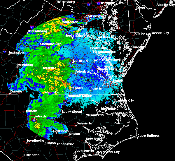 At 1014 pm edt, severe thunderstorms were located along a line extending from near dewitt to near mckenney, moving northeast at 40 mph (radar indicated). Hazards include 60 mph wind gusts. Expect damage to trees and powerlines. severe thunderstorms will be near, dinwiddie around 1030 pm edt. sutherland and carson around 1035 pm edt. petersburg, colonial heights, virginia state university, chester, ettrick and matoaca around 1045 pm edt. Other locations impacted by these severe thunderstorms include addison, booker, wharfs store, petersburg national battlefield, darvills, church road, richard bland college, templeton, butterworth and burgess. At 1014 pm edt, severe thunderstorms were located along a line extending from near dewitt to near mckenney, moving northeast at 40 mph (radar indicated). Hazards include 60 mph wind gusts. Expect damage to trees and powerlines. severe thunderstorms will be near, dinwiddie around 1030 pm edt. sutherland and carson around 1035 pm edt. petersburg, colonial heights, virginia state university, chester, ettrick and matoaca around 1045 pm edt. Other locations impacted by these severe thunderstorms include addison, booker, wharfs store, petersburg national battlefield, darvills, church road, richard bland college, templeton, butterworth and burgess.
|
| 4/26/2019 3:24 PM EDT |
 At 324 pm edt, a severe thunderstorm was located over chester, moving northeast at 35 mph (radar indicated). Hazards include 60 mph wind gusts and quarter size hail. Minor damage to vehicles is possible. expect wind damage to trees and powerlines. this severe thunderstorm will be near, highland springs around 345 pm edt. roxbury and bottoms bridge around 350 pm edt. talleysville around 400 pm edt. tunstall around 405 pm edt. manquin around 410 pm edt. Other locations impacted by this severe thunderstorm include wayside, richmond heights, birchett estate, mountcastle, elko, jordan point country club, cohoke, petersburg national battlefield, sandston and glendale. At 324 pm edt, a severe thunderstorm was located over chester, moving northeast at 35 mph (radar indicated). Hazards include 60 mph wind gusts and quarter size hail. Minor damage to vehicles is possible. expect wind damage to trees and powerlines. this severe thunderstorm will be near, highland springs around 345 pm edt. roxbury and bottoms bridge around 350 pm edt. talleysville around 400 pm edt. tunstall around 405 pm edt. manquin around 410 pm edt. Other locations impacted by this severe thunderstorm include wayside, richmond heights, birchett estate, mountcastle, elko, jordan point country club, cohoke, petersburg national battlefield, sandston and glendale.
|
| 4/19/2019 1:12 PM EDT |
 At 111 pm edt, a severe thunderstorm was located over chesterfield court house, or near richmond, moving north at 40 mph (radar indicated). Hazards include 60 mph wind gusts. Expect damage to trees and powerlines. this severe thunderstorm will be near, bensley around 115 pm edt. virginia commonwealth university, virginia union university, downtown richmond, university of richmond and bon air around 125 pm edt. richmond, highland springs and east highland park around 130 pm edt. mechanicsville, lakeside and laurel around 135 pm edt. glen allen and studley around 140 pm edt. randolph macon college around 145 pm edt. ashland and hanover around 150 pm edt. dawn, kings dominion and mangohick around 155 pm edt. Other locations impacted by this severe thunderstorm include richmond heights, gum tree, elmont, etna mills, montrose, epworth, pocahontas state park, fair oaks, gilman and solomons store. At 111 pm edt, a severe thunderstorm was located over chesterfield court house, or near richmond, moving north at 40 mph (radar indicated). Hazards include 60 mph wind gusts. Expect damage to trees and powerlines. this severe thunderstorm will be near, bensley around 115 pm edt. virginia commonwealth university, virginia union university, downtown richmond, university of richmond and bon air around 125 pm edt. richmond, highland springs and east highland park around 130 pm edt. mechanicsville, lakeside and laurel around 135 pm edt. glen allen and studley around 140 pm edt. randolph macon college around 145 pm edt. ashland and hanover around 150 pm edt. dawn, kings dominion and mangohick around 155 pm edt. Other locations impacted by this severe thunderstorm include richmond heights, gum tree, elmont, etna mills, montrose, epworth, pocahontas state park, fair oaks, gilman and solomons store.
|
| 4/15/2019 1:55 AM EDT |
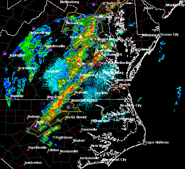 At 154 am edt, a severe thunderstorm was located near bon air, moving northeast at 50 mph (radar indicated). Hazards include 60 mph wind gusts and penny size hail. Expect damage to trees and powerlines. this severe storm will be near, university of richmond, bon air, downtown richmond and tuckahoe around 205 am edt. richmond and laurel around 210 am edt. glen allen around 215 am edt. other locations impacted by this severe thunderstorm include pocahontas state park, beach, greendale, roslyn hills, dumbarton, midlothian, short pump, drewrys bluff, centralia and chesterfield. A tornado watch remains in effect until 700 am edt for central and south central virginia. At 154 am edt, a severe thunderstorm was located near bon air, moving northeast at 50 mph (radar indicated). Hazards include 60 mph wind gusts and penny size hail. Expect damage to trees and powerlines. this severe storm will be near, university of richmond, bon air, downtown richmond and tuckahoe around 205 am edt. richmond and laurel around 210 am edt. glen allen around 215 am edt. other locations impacted by this severe thunderstorm include pocahontas state park, beach, greendale, roslyn hills, dumbarton, midlothian, short pump, drewrys bluff, centralia and chesterfield. A tornado watch remains in effect until 700 am edt for central and south central virginia.
|
| 4/15/2019 1:44 AM EDT |
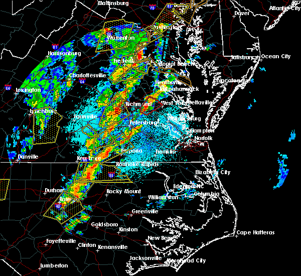 At 144 am edt, a severe thunderstorm was located near moseley, moving northeast at 50 mph (radar indicated). Hazards include 60 mph wind gusts and penny size hail. Expect damage to trees and powerlines. this severe storm will be near, university of richmond, bon air, downtown richmond and tuckahoe around 205 am edt. richmond and laurel around 210 am edt. glen allen around 215 am edt. other locations impacted by this severe thunderstorm include winterpock, earls, ammon, pilkinton, midlothian, short pump, subletts, pocahontas state park, skinquarter and beach. A tornado watch remains in effect until 700 am edt for central and south central virginia. At 144 am edt, a severe thunderstorm was located near moseley, moving northeast at 50 mph (radar indicated). Hazards include 60 mph wind gusts and penny size hail. Expect damage to trees and powerlines. this severe storm will be near, university of richmond, bon air, downtown richmond and tuckahoe around 205 am edt. richmond and laurel around 210 am edt. glen allen around 215 am edt. other locations impacted by this severe thunderstorm include winterpock, earls, ammon, pilkinton, midlothian, short pump, subletts, pocahontas state park, skinquarter and beach. A tornado watch remains in effect until 700 am edt for central and south central virginia.
|
| 4/15/2019 1:28 AM EDT |
 At 128 am edt, a severe thunderstorm was located over spainville, or near mannboro, moving northeast at 50 mph (radar indicated). Hazards include 60 mph wind gusts. Expect damage to trees and powerlines. this severe thunderstorm will be near, scotts fork around 135 am edt. chula around 140 am edt. moseley around 145 am edt. university of richmond, bon air, downtown richmond and tuckahoe around 205 am edt. richmond around 210 am edt. glen allen and laurel around 215 am edt. other locations impacted by this severe thunderstorm include north wellville, earls, ammon, pilkinton, winterham, pocahontas state park, skinquarter, wellville, beach and dominy corner. A tornado watch remains in effect until 700 am edt for central and south central virginia. At 128 am edt, a severe thunderstorm was located over spainville, or near mannboro, moving northeast at 50 mph (radar indicated). Hazards include 60 mph wind gusts. Expect damage to trees and powerlines. this severe thunderstorm will be near, scotts fork around 135 am edt. chula around 140 am edt. moseley around 145 am edt. university of richmond, bon air, downtown richmond and tuckahoe around 205 am edt. richmond around 210 am edt. glen allen and laurel around 215 am edt. other locations impacted by this severe thunderstorm include north wellville, earls, ammon, pilkinton, winterham, pocahontas state park, skinquarter, wellville, beach and dominy corner. A tornado watch remains in effect until 700 am edt for central and south central virginia.
|
| 9/17/2018 6:43 PM EDT |
 At 642 pm edt, a severe thunderstorm was located near bon air, moving east at 30 mph (radar indicated). Hazards include 60 mph wind gusts. Expect damage to trees and powerlines. A tornado watch remains in effect until 1000 pm edt for central virginia. At 642 pm edt, a severe thunderstorm was located near bon air, moving east at 30 mph (radar indicated). Hazards include 60 mph wind gusts. Expect damage to trees and powerlines. A tornado watch remains in effect until 1000 pm edt for central virginia.
|
| 9/17/2018 6:29 PM EDT |
 At 629 pm edt, a severe thunderstorm was located over moseley, moving east at 30 mph (radar indicated). Hazards include 60 mph wind gusts. Expect damage to trees and powerlines. this severe thunderstorm will be near, chesterfield court house around 655 pm edt. university of richmond and bon air around 700 pm edt. downtown richmond, bensley and bellwood around 705 pm edt. richmond, virginia commonwealth university, virginia union university and lakeside around 710 pm edt. other locations impacted by this severe thunderstorm include flat rock, winterpock, pilkinton, midlothian, pocahontas state park, skinquarter, beach, greendale, roslyn hills and holly hills. A tornado watch remains in effect until 1000 pm edt for central virginia. At 629 pm edt, a severe thunderstorm was located over moseley, moving east at 30 mph (radar indicated). Hazards include 60 mph wind gusts. Expect damage to trees and powerlines. this severe thunderstorm will be near, chesterfield court house around 655 pm edt. university of richmond and bon air around 700 pm edt. downtown richmond, bensley and bellwood around 705 pm edt. richmond, virginia commonwealth university, virginia union university and lakeside around 710 pm edt. other locations impacted by this severe thunderstorm include flat rock, winterpock, pilkinton, midlothian, pocahontas state park, skinquarter, beach, greendale, roslyn hills and holly hills. A tornado watch remains in effect until 1000 pm edt for central virginia.
|
| 9/17/2018 4:35 PM EDT | Large tree down. reported via twitter. time estimated from rada in chesterfield county VA, 3.9 miles NNE of Meadowbrook, VA |
| 9/17/2018 4:14 PM EDT |
 At 412 pm edt, a severe thunderstorm capable of producing a tornado was located over virginia union university, moving northeast at 25 mph. this storm has a history of producing damaging tornadoes. a second circulation has developed near bon air as well (radar indicated rotation). Hazards include tornado. Flying debris will be dangerous to those caught without shelter. mobile homes will be damaged or destroyed. damage to roofs, windows, and vehicles will occur. tree damage is likely. this dangerous storm will be near, highland springs around 420 pm edt. east highland park and glen allen around 425 pm edt. mechanicsville around 430 pm edt. hanover and studley around 445 pm edt. Other locations impacted by this tornadic thunderstorm include solomons store, chamberlayne, atlee, ashcake, greendale, hanover airport, dumbarton, montrose and longdale. At 412 pm edt, a severe thunderstorm capable of producing a tornado was located over virginia union university, moving northeast at 25 mph. this storm has a history of producing damaging tornadoes. a second circulation has developed near bon air as well (radar indicated rotation). Hazards include tornado. Flying debris will be dangerous to those caught without shelter. mobile homes will be damaged or destroyed. damage to roofs, windows, and vehicles will occur. tree damage is likely. this dangerous storm will be near, highland springs around 420 pm edt. east highland park and glen allen around 425 pm edt. mechanicsville around 430 pm edt. hanover and studley around 445 pm edt. Other locations impacted by this tornadic thunderstorm include solomons store, chamberlayne, atlee, ashcake, greendale, hanover airport, dumbarton, montrose and longdale.
|
| 9/17/2018 3:53 PM EDT |
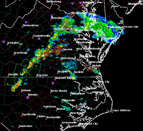 At 352 pm edt, a confirmed tornado was previously reported near sr 288 and hull street road, moving north at 20 mph. a second potential tornado is located southeast of bon air (weather spotters confirmed tornado). Hazards include damaging tornado. Flying debris will be dangerous to those caught without shelter. mobile homes will be damaged or destroyed. damage to roofs, windows, and vehicles will occur. tree damage is likely. this tornado will be near, bon air, university of richmond and downtown richmond around 405 pm edt. virginia commonwealth university around 410 pm edt. richmond and tuckahoe around 415 pm edt. Other locations impacted by this tornadic thunderstorm include roslyn hills and midlothian. At 352 pm edt, a confirmed tornado was previously reported near sr 288 and hull street road, moving north at 20 mph. a second potential tornado is located southeast of bon air (weather spotters confirmed tornado). Hazards include damaging tornado. Flying debris will be dangerous to those caught without shelter. mobile homes will be damaged or destroyed. damage to roofs, windows, and vehicles will occur. tree damage is likely. this tornado will be near, bon air, university of richmond and downtown richmond around 405 pm edt. virginia commonwealth university around 410 pm edt. richmond and tuckahoe around 415 pm edt. Other locations impacted by this tornadic thunderstorm include roslyn hills and midlothian.
|
| 9/17/2018 3:47 PM EDT |
 At 346 pm edt, a confirmed tornado was located near sr 288 and hull street road, moving north at 20 mph. a second potential tornado is being observed on radar near pochantas state park (weather spotters confirmed tornado). Hazards include damaging tornado. Flying debris will be dangerous to those caught without shelter. mobile homes will be damaged or destroyed. damage to roofs, windows, and vehicles will occur. tree damage is likely. this tornado will be near, bensley around 355 pm edt. bon air, university of richmond and downtown richmond around 405 pm edt. virginia commonwealth university around 410 pm edt. richmond and tuckahoe around 415 pm edt. Other locations impacted by this tornadic thunderstorm include roslyn hills and midlothian. At 346 pm edt, a confirmed tornado was located near sr 288 and hull street road, moving north at 20 mph. a second potential tornado is being observed on radar near pochantas state park (weather spotters confirmed tornado). Hazards include damaging tornado. Flying debris will be dangerous to those caught without shelter. mobile homes will be damaged or destroyed. damage to roofs, windows, and vehicles will occur. tree damage is likely. this tornado will be near, bensley around 355 pm edt. bon air, university of richmond and downtown richmond around 405 pm edt. virginia commonwealth university around 410 pm edt. richmond and tuckahoe around 415 pm edt. Other locations impacted by this tornadic thunderstorm include roslyn hills and midlothian.
|
| 9/17/2018 3:44 PM EDT |
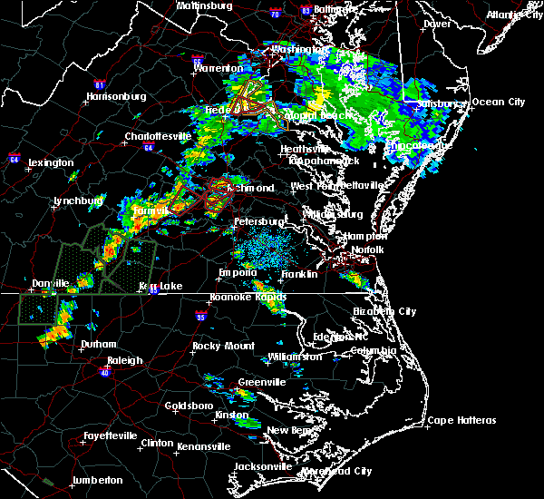 At 343 pm edt, a confirmed tornado was located near sr 288 and hull street road, moving northeast at 20 mph (weather spotters confirmed tornado). Hazards include damaging tornado. Flying debris will be dangerous to those caught without shelter. mobile homes will be damaged or destroyed. damage to roofs, windows, and vehicles will occur. tree damage is likely. this tornado will be near, bensley around 355 pm edt. university of richmond, bon air and downtown richmond around 405 pm edt. virginia commonwealth university around 410 pm edt. richmond and tuckahoe around 415 pm edt. Other locations impacted by this tornadic thunderstorm include pocahontas state park, roslyn hills and midlothian. At 343 pm edt, a confirmed tornado was located near sr 288 and hull street road, moving northeast at 20 mph (weather spotters confirmed tornado). Hazards include damaging tornado. Flying debris will be dangerous to those caught without shelter. mobile homes will be damaged or destroyed. damage to roofs, windows, and vehicles will occur. tree damage is likely. this tornado will be near, bensley around 355 pm edt. university of richmond, bon air and downtown richmond around 405 pm edt. virginia commonwealth university around 410 pm edt. richmond and tuckahoe around 415 pm edt. Other locations impacted by this tornadic thunderstorm include pocahontas state park, roslyn hills and midlothian.
|
| 9/17/2018 3:39 PM EDT |
 At 339 pm edt, a tornado producing storm was located 7 miles west of chesterfield court house, or 7 miles east of moseley, moving north at 20 mph (radar confirmed tornado). Hazards include damaging tornado. Flying debris will be dangerous to those caught without shelter. mobile homes will be damaged or destroyed. damage to roofs, windows, and vehicles will occur. tree damage is likely. this tornadic storm will be near, bon air around 405 pm edt. university of richmond and downtown richmond around 410 pm edt. richmond, tuckahoe and virginia commonwealth university around 415 pm edt. Other locations impacted by this tornadic thunderstorm include pocahontas state park, roslyn hills and midlothian. At 339 pm edt, a tornado producing storm was located 7 miles west of chesterfield court house, or 7 miles east of moseley, moving north at 20 mph (radar confirmed tornado). Hazards include damaging tornado. Flying debris will be dangerous to those caught without shelter. mobile homes will be damaged or destroyed. damage to roofs, windows, and vehicles will occur. tree damage is likely. this tornadic storm will be near, bon air around 405 pm edt. university of richmond and downtown richmond around 410 pm edt. richmond, tuckahoe and virginia commonwealth university around 415 pm edt. Other locations impacted by this tornadic thunderstorm include pocahontas state park, roslyn hills and midlothian.
|
| 9/17/2018 2:52 PM EDT |
 At 252 pm edt, a severe thunderstorm capable of producing a tornado was located near moseley, moving northeast at 40 mph (radar indicated rotation). Hazards include tornado. Flying debris will be dangerous to those caught without shelter. mobile homes will be damaged or destroyed. damage to roofs, windows, and vehicles will occur. tree damage is likely. this dangerous storm will be near, bon air around 310 pm edt. richmond around 315 pm edt. Other locations impacted by this tornadic thunderstorm include pocahontas state park, skinquarter, beach, winterpock, midlothian, drewrys bluff, centralia and chesterfield. At 252 pm edt, a severe thunderstorm capable of producing a tornado was located near moseley, moving northeast at 40 mph (radar indicated rotation). Hazards include tornado. Flying debris will be dangerous to those caught without shelter. mobile homes will be damaged or destroyed. damage to roofs, windows, and vehicles will occur. tree damage is likely. this dangerous storm will be near, bon air around 310 pm edt. richmond around 315 pm edt. Other locations impacted by this tornadic thunderstorm include pocahontas state park, skinquarter, beach, winterpock, midlothian, drewrys bluff, centralia and chesterfield.
|
| 8/30/2018 8:25 PM EDT |
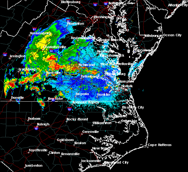 The severe thunderstorm warning for chesterfield and southeastern powhatan counties and the city of richmond will expire at 830 pm edt, the storm which prompted the warning has weakened below severe limits, and no longer poses an immediate threat to life or property. therefore, the warning will be allowed to expire. The severe thunderstorm warning for chesterfield and southeastern powhatan counties and the city of richmond will expire at 830 pm edt, the storm which prompted the warning has weakened below severe limits, and no longer poses an immediate threat to life or property. therefore, the warning will be allowed to expire.
|
| 8/30/2018 7:54 PM EDT |
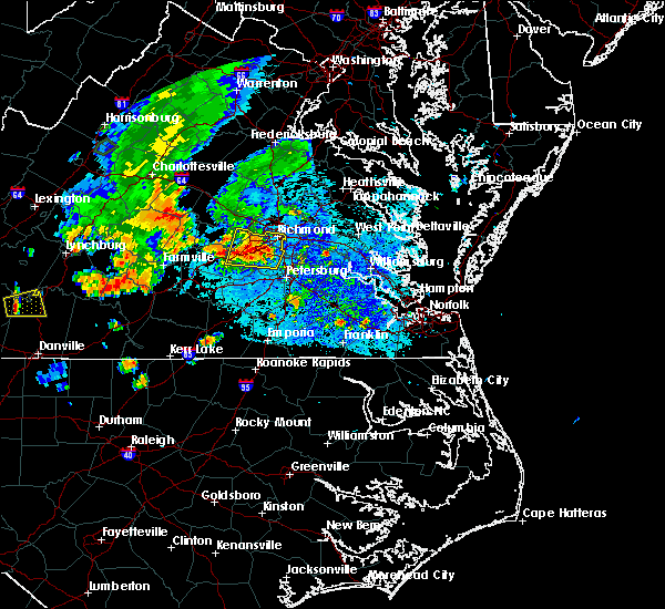 At 754 pm edt, a severe thunderstorm was located near bon air, moving north at 15 mph (radar indicated). Hazards include 60 mph wind gusts and quarter size hail. Minor damage to vehicles is possible. expect wind damage to trees and powerlines. Locations impacted include, richmond, downtown richmond, bon air, virginia union university, virginia commonwealth university, university of richmond, moseley, chester, tuckahoe, bensley, bellwood, chesterfield court house, east highland park, chesterfield, pocahontas state park, skinquarter, beach, holly hills, drewrys bluff and winterpock. At 754 pm edt, a severe thunderstorm was located near bon air, moving north at 15 mph (radar indicated). Hazards include 60 mph wind gusts and quarter size hail. Minor damage to vehicles is possible. expect wind damage to trees and powerlines. Locations impacted include, richmond, downtown richmond, bon air, virginia union university, virginia commonwealth university, university of richmond, moseley, chester, tuckahoe, bensley, bellwood, chesterfield court house, east highland park, chesterfield, pocahontas state park, skinquarter, beach, holly hills, drewrys bluff and winterpock.
|
| 8/30/2018 7:43 PM EDT |
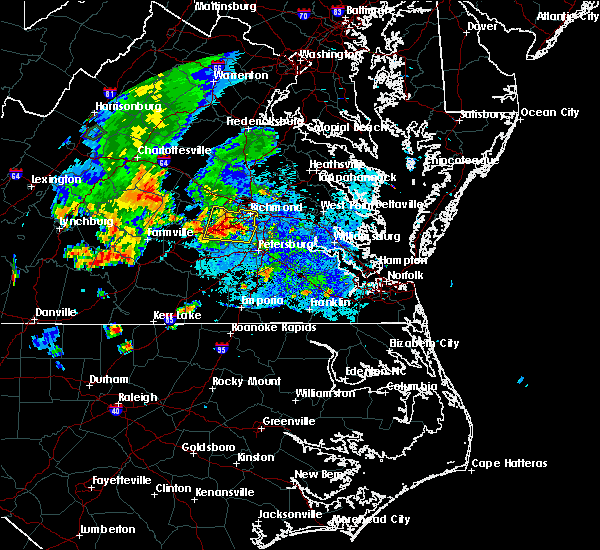 At 742 pm edt, a severe thunderstorm was located near chesterfield court house, or 7 miles south of bon air, moving north at 15 mph (radar indicated). Hazards include 60 mph wind gusts and quarter size hail. Minor damage to vehicles is possible. expect wind damage to trees and powerlines. this severe thunderstorm will be near, bellwood around 800 pm edt. bensley around 805 pm edt. university of richmond, bon air and downtown richmond around 825 pm edt. richmond, virginia union university, virginia commonwealth university, tuckahoe and east highland park around 830 pm edt. Other locations impacted by this severe thunderstorm include winterpock, pilkinton, midlothian, subletts, pocahontas state park, skinquarter, beach, holly hills, drewrys bluff and centralia. At 742 pm edt, a severe thunderstorm was located near chesterfield court house, or 7 miles south of bon air, moving north at 15 mph (radar indicated). Hazards include 60 mph wind gusts and quarter size hail. Minor damage to vehicles is possible. expect wind damage to trees and powerlines. this severe thunderstorm will be near, bellwood around 800 pm edt. bensley around 805 pm edt. university of richmond, bon air and downtown richmond around 825 pm edt. richmond, virginia union university, virginia commonwealth university, tuckahoe and east highland park around 830 pm edt. Other locations impacted by this severe thunderstorm include winterpock, pilkinton, midlothian, subletts, pocahontas state park, skinquarter, beach, holly hills, drewrys bluff and centralia.
|
| 8/13/2018 7:40 PM EDT |
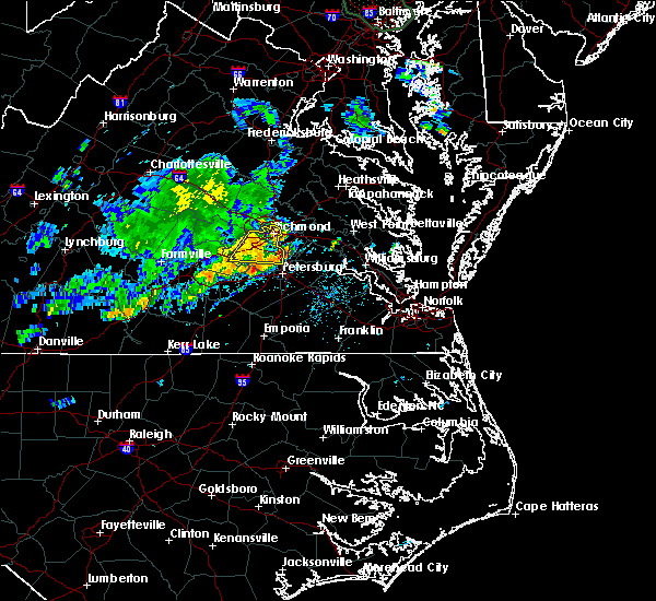 At 740 pm edt, a severe thunderstorm was located near matoaca, or near virginia state university, moving east at 20 mph (radar indicated). Hazards include 60 mph wind gusts and penny size hail. Expect damage to trees and powerlines. this severe thunderstorm will be near, chester around 750 pm edt. virginia state university around 755 pm edt. colonial heights and ettrick around 800 pm edt. petersburg and fort lee around 815 pm edt. hopewell around 825 pm edt. prince george and jordans point around 830 pm edt. Other locations impacted by this severe thunderstorm include wayside, richmond heights, birchett estate, addison, elko, jordan point country club, petersburg national battlefield, glendale, pocahontas state park and beach. At 740 pm edt, a severe thunderstorm was located near matoaca, or near virginia state university, moving east at 20 mph (radar indicated). Hazards include 60 mph wind gusts and penny size hail. Expect damage to trees and powerlines. this severe thunderstorm will be near, chester around 750 pm edt. virginia state university around 755 pm edt. colonial heights and ettrick around 800 pm edt. petersburg and fort lee around 815 pm edt. hopewell around 825 pm edt. prince george and jordans point around 830 pm edt. Other locations impacted by this severe thunderstorm include wayside, richmond heights, birchett estate, addison, elko, jordan point country club, petersburg national battlefield, glendale, pocahontas state park and beach.
|
| 8/13/2018 7:32 PM EDT |
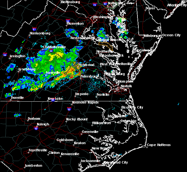 At 732 pm edt, a severe thunderstorm was located near chesterfield court house, or 9 miles west of chester, moving east at 35 mph (radar indicated). Hazards include 60 mph wind gusts and penny size hail. Expect damage to trees and powerlines. this severe storm will be near, chesterfield court house around 740 pm edt. chester, bellwood and bensley around 745 pm edt. Other locations impacted by this severe thunderstorm include pocahontas state park, beach, winterpock, midlothian, drewrys bluff, centralia and chesterfield. At 732 pm edt, a severe thunderstorm was located near chesterfield court house, or 9 miles west of chester, moving east at 35 mph (radar indicated). Hazards include 60 mph wind gusts and penny size hail. Expect damage to trees and powerlines. this severe storm will be near, chesterfield court house around 740 pm edt. chester, bellwood and bensley around 745 pm edt. Other locations impacted by this severe thunderstorm include pocahontas state park, beach, winterpock, midlothian, drewrys bluff, centralia and chesterfield.
|
| 8/13/2018 7:15 PM EDT |
 At 715 pm edt, a severe thunderstorm was located near moseley, moving east at 30 mph (radar indicated). Hazards include 60 mph wind gusts and penny size hail. Expect damage to trees and powerlines. this severe thunderstorm will be near, moseley around 720 pm edt. bon air around 745 pm edt. chesterfield court house around 750 pm edt. downtown richmond and bensley around 755 pm edt. chester and bellwood around 800 pm edt. Other locations impacted by this severe thunderstorm include pocahontas state park, skinquarter, beach, winterpock, holly hills, midlothian, drewrys bluff, centralia, clayville and chesterfield. At 715 pm edt, a severe thunderstorm was located near moseley, moving east at 30 mph (radar indicated). Hazards include 60 mph wind gusts and penny size hail. Expect damage to trees and powerlines. this severe thunderstorm will be near, moseley around 720 pm edt. bon air around 745 pm edt. chesterfield court house around 750 pm edt. downtown richmond and bensley around 755 pm edt. chester and bellwood around 800 pm edt. Other locations impacted by this severe thunderstorm include pocahontas state park, skinquarter, beach, winterpock, holly hills, midlothian, drewrys bluff, centralia, clayville and chesterfield.
|
| 8/13/2018 7:15 PM EDT |
 The national weather service in wakefield has issued a * severe thunderstorm warning for. the city of richmond in central virginia. chesterfield county in central virginia. southeastern powhatan county in central virginia. Until 800 pm edt. The national weather service in wakefield has issued a * severe thunderstorm warning for. the city of richmond in central virginia. chesterfield county in central virginia. southeastern powhatan county in central virginia. Until 800 pm edt.
|
| 8/13/2018 7:15 PM EDT |
 At 715 pm edt, a severe thunderstorm was located near moseley, moving east at 30 mph (radar indicated). Hazards include 60 mph wind gusts and penny size hail. Expect damage to trees and powerlines. this severe thunderstorm will be near, moseley around 720 pm edt. bon air around 745 pm edt. chesterfield court house around 750 pm edt. downtown richmond and bensley around 755 pm edt. chester and bellwood around 800 pm edt. Other locations impacted by this severe thunderstorm include pocahontas state park, skinquarter, beach, winterpock, holly hills, midlothian, drewrys bluff, centralia, clayville and chesterfield. At 715 pm edt, a severe thunderstorm was located near moseley, moving east at 30 mph (radar indicated). Hazards include 60 mph wind gusts and penny size hail. Expect damage to trees and powerlines. this severe thunderstorm will be near, moseley around 720 pm edt. bon air around 745 pm edt. chesterfield court house around 750 pm edt. downtown richmond and bensley around 755 pm edt. chester and bellwood around 800 pm edt. Other locations impacted by this severe thunderstorm include pocahontas state park, skinquarter, beach, winterpock, holly hills, midlothian, drewrys bluff, centralia, clayville and chesterfield.
|
| 6/24/2018 5:54 PM EDT |
 At 553 pm edt, severe thunderstorms were located along a line extending from highland springs to 6 miles east of mannboro, moving east at 50 mph (radar indicated). Hazards include 60 mph wind gusts and penny size hail. Expect damage to trees and powerlines. these severe storms will be near, bottoms bridge around 600 pm edt. tunstall around 605 pm edt. matoaca around 610 pm edt. petersburg, colonial heights, virginia state university and ettrick around 615 pm edt. Other locations impacted by these severe thunderstorms include richmond heights, addison, elko, montrose, sandston, glendale, westwood, pocahontas state park, richmond international and skinquarter. At 553 pm edt, severe thunderstorms were located along a line extending from highland springs to 6 miles east of mannboro, moving east at 50 mph (radar indicated). Hazards include 60 mph wind gusts and penny size hail. Expect damage to trees and powerlines. these severe storms will be near, bottoms bridge around 600 pm edt. tunstall around 605 pm edt. matoaca around 610 pm edt. petersburg, colonial heights, virginia state university and ettrick around 615 pm edt. Other locations impacted by these severe thunderstorms include richmond heights, addison, elko, montrose, sandston, glendale, westwood, pocahontas state park, richmond international and skinquarter.
|
| 6/24/2018 5:34 PM EDT |
 At 534 pm edt, severe thunderstorms were located along a line extending from near tuckahoe to amelia courthouse, moving east at 50 mph (radar indicated). Hazards include 60 mph wind gusts and penny size hail. Expect damage to trees and powerlines. severe thunderstorms will be near, richmond, virginia union university, downtown richmond, university of richmond, bon air, lakeside, laurel and glen allen around 540 pm edt. virginia commonwealth university, mechanicsville and east highland park around 545 pm edt. highland springs around 550 pm edt. bottoms bridge around 600 pm edt. sutherland and tunstall around 605 pm edt. colonial heights, matoaca and ettrick around 610 pm edt. petersburg and virginia state university around 615 pm edt. Other locations impacted by these severe thunderstorms include crozier, richmond heights, addison, pilkinton, johnsons springs, elko, montrose, winterham, sandston and glendale. At 534 pm edt, severe thunderstorms were located along a line extending from near tuckahoe to amelia courthouse, moving east at 50 mph (radar indicated). Hazards include 60 mph wind gusts and penny size hail. Expect damage to trees and powerlines. severe thunderstorms will be near, richmond, virginia union university, downtown richmond, university of richmond, bon air, lakeside, laurel and glen allen around 540 pm edt. virginia commonwealth university, mechanicsville and east highland park around 545 pm edt. highland springs around 550 pm edt. bottoms bridge around 600 pm edt. sutherland and tunstall around 605 pm edt. colonial heights, matoaca and ettrick around 610 pm edt. petersburg and virginia state university around 615 pm edt. Other locations impacted by these severe thunderstorms include crozier, richmond heights, addison, pilkinton, johnsons springs, elko, montrose, winterham, sandston and glendale.
|
| 5/14/2018 8:03 PM EDT |
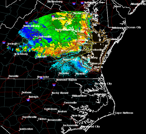 At 803 pm edt, severe thunderstorms were located along a line extending from near urbanna to 6 miles northwest of sutherland, moving southeast at 65 mph (radar indicated). Hazards include 70 mph wind gusts and quarter size hail. Minor damage to vehicles is possible. expect considerable tree damage. wind damage is also likely to mobile homes, roofs, and outbuildings. Locations impacted include, richmond, petersburg, hopewell, new kent, colonial heights, king william, charles city, west point, kilmarnock, urbanna, talleysville, chester, fort lee, virginia state university, king and queen court house, highland springs, roxbury, prince george, white stone and bellwood. At 803 pm edt, severe thunderstorms were located along a line extending from near urbanna to 6 miles northwest of sutherland, moving southeast at 65 mph (radar indicated). Hazards include 70 mph wind gusts and quarter size hail. Minor damage to vehicles is possible. expect considerable tree damage. wind damage is also likely to mobile homes, roofs, and outbuildings. Locations impacted include, richmond, petersburg, hopewell, new kent, colonial heights, king william, charles city, west point, kilmarnock, urbanna, talleysville, chester, fort lee, virginia state university, king and queen court house, highland springs, roxbury, prince george, white stone and bellwood.
|
| 5/14/2018 7:54 PM EDT |
 At 753 pm edt, severe thunderstorms were located along a line extending from millers tavern to near powhatan, moving east at 45 mph (law enforcement and trained spotters. numerous reports of wind damage have been reported throughout richmond metro and points west). Hazards include 70 mph wind gusts and quarter size hail. Minor damage to vehicles is possible. expect considerable tree damage. wind damage is also likely to mobile homes, roofs, and outbuildings. Locations impacted include, richmond, powhatan, goochland, king william, ashland, moseley, university of richmond, saint stephens church, randolph macon college, virginia commonwealth university, tuckahoe, highland springs, downtown richmond, bon air, virginia union university, mechanicsville, hanover, oilville, manakin and trenholm. At 753 pm edt, severe thunderstorms were located along a line extending from millers tavern to near powhatan, moving east at 45 mph (law enforcement and trained spotters. numerous reports of wind damage have been reported throughout richmond metro and points west). Hazards include 70 mph wind gusts and quarter size hail. Minor damage to vehicles is possible. expect considerable tree damage. wind damage is also likely to mobile homes, roofs, and outbuildings. Locations impacted include, richmond, powhatan, goochland, king william, ashland, moseley, university of richmond, saint stephens church, randolph macon college, virginia commonwealth university, tuckahoe, highland springs, downtown richmond, bon air, virginia union university, mechanicsville, hanover, oilville, manakin and trenholm.
|
| 5/14/2018 7:47 PM EDT |
 At 747 pm edt, severe thunderstorms were located along a line extending from near millers tavern to near chula, moving east at 55 mph (radar indicated). Hazards include 70 mph wind gusts and quarter size hail. Minor damage to vehicles is possible. expect considerable tree damage. wind damage is also likely to mobile homes, roofs, and outbuildings. severe thunderstorms will be near, stevensville around 750 pm edt. jamaica around 800 pm edt. church view around 805 pm edt. urbanna and chesterfield court house around 810 pm edt. chester around 815 pm edt. colonial heights, kilmarnock, virginia state university, white stone, ettrick and matoaca around 820 pm edt. petersburg, hopewell and fort lee around 825 pm edt. prince george, jordans point and garysville around 830 pm edt. Other locations impacted by these severe thunderstorms include eltham, byrdton, wayside, bertrand, grafton, cohoke, montrose, sandston, glendale and rose garden. At 747 pm edt, severe thunderstorms were located along a line extending from near millers tavern to near chula, moving east at 55 mph (radar indicated). Hazards include 70 mph wind gusts and quarter size hail. Minor damage to vehicles is possible. expect considerable tree damage. wind damage is also likely to mobile homes, roofs, and outbuildings. severe thunderstorms will be near, stevensville around 750 pm edt. jamaica around 800 pm edt. church view around 805 pm edt. urbanna and chesterfield court house around 810 pm edt. chester around 815 pm edt. colonial heights, kilmarnock, virginia state university, white stone, ettrick and matoaca around 820 pm edt. petersburg, hopewell and fort lee around 825 pm edt. prince george, jordans point and garysville around 830 pm edt. Other locations impacted by these severe thunderstorms include eltham, byrdton, wayside, bertrand, grafton, cohoke, montrose, sandston, glendale and rose garden.
|
| 5/14/2018 7:30 PM EDT |
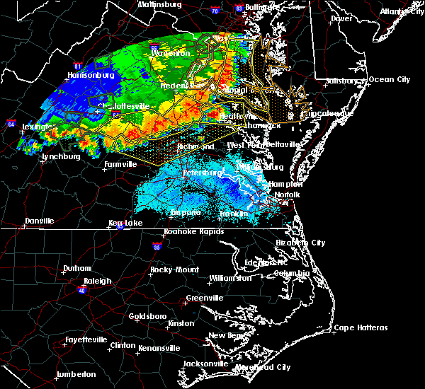 At 729 pm edt, severe thunderstorms were located along a line extending from near dawn to near trenholm, moving east at 45 mph (law enforcement. numerous trees have been reported down across louisa and goochland counties). Hazards include 60 mph wind gusts and quarter size hail. Minor damage to vehicles is possible. expect wind damage to trees and powerlines. severe thunderstorms will be near, mangohick and dawn around 735 pm edt. beulahville around 740 pm edt. saint stephens church and aylett around 750 pm edt. moseley around 755 pm edt. millers tavern around 800 pm edt. stevensville and dunnsville around 805 pm edt. bon air, university of richmond and center cross around 810 pm edt. downtown richmond and bensley around 815 pm edt. Other locations impacted by these severe thunderstorms include maidens, gum tree, three square, etna mills, montrose, biscoe, skinquarter, chamberlayne, whiteville and fine creek mills. At 729 pm edt, severe thunderstorms were located along a line extending from near dawn to near trenholm, moving east at 45 mph (law enforcement. numerous trees have been reported down across louisa and goochland counties). Hazards include 60 mph wind gusts and quarter size hail. Minor damage to vehicles is possible. expect wind damage to trees and powerlines. severe thunderstorms will be near, mangohick and dawn around 735 pm edt. beulahville around 740 pm edt. saint stephens church and aylett around 750 pm edt. moseley around 755 pm edt. millers tavern around 800 pm edt. stevensville and dunnsville around 805 pm edt. bon air, university of richmond and center cross around 810 pm edt. downtown richmond and bensley around 815 pm edt. Other locations impacted by these severe thunderstorms include maidens, gum tree, three square, etna mills, montrose, biscoe, skinquarter, chamberlayne, whiteville and fine creek mills.
|
| 5/10/2018 5:01 PM EDT |
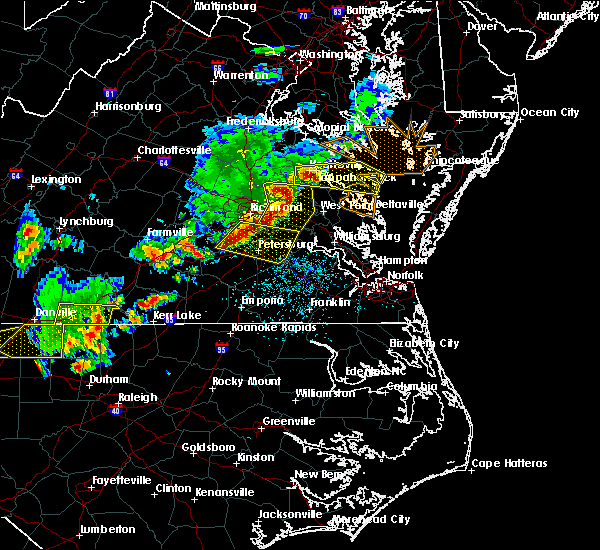 At 500 pm edt, severe thunderstorms were located along a line extending from near bensley to near sutherland, moving east at 40 mph (radar indicated). Hazards include ping pong ball size hail and 60 mph wind gusts. People and animals outdoors will be injured. expect hail damage to roofs, siding, windows, and vehicles. expect wind damage to trees and powerlines. these severe storms will be near, matoaca and ettrick around 515 pm edt. petersburg and virginia state university around 520 pm edt. charles city and adkins store around 525 pm edt. prince george and ruthville around 530 pm edt. disputanta around 535 pm edt. Other locations impacted by these severe thunderstorms include wayside, birchett estate, addison, jordan point country club, petersburg national battlefield, pocahontas state park, new bohemia, beach, richard bland college and meadowville. At 500 pm edt, severe thunderstorms were located along a line extending from near bensley to near sutherland, moving east at 40 mph (radar indicated). Hazards include ping pong ball size hail and 60 mph wind gusts. People and animals outdoors will be injured. expect hail damage to roofs, siding, windows, and vehicles. expect wind damage to trees and powerlines. these severe storms will be near, matoaca and ettrick around 515 pm edt. petersburg and virginia state university around 520 pm edt. charles city and adkins store around 525 pm edt. prince george and ruthville around 530 pm edt. disputanta around 535 pm edt. Other locations impacted by these severe thunderstorms include wayside, birchett estate, addison, jordan point country club, petersburg national battlefield, pocahontas state park, new bohemia, beach, richard bland college and meadowville.
|
| 5/10/2018 4:56 PM EDT |
 At 456 pm edt, severe thunderstorms were located along a line extending from near bensley to 7 miles west of sutherland, moving east at 40 mph (radar indicated). Hazards include 60 mph wind gusts and quarter size hail. Minor damage to vehicles is possible. expect wind damage to trees and powerlines. severe thunderstorms will be near, chester, bellwood and bensley around 500 pm edt. matoaca and ettrick around 515 pm edt. petersburg and virginia state university around 520 pm edt. charles city and adkins store around 525 pm edt. prince george and ruthville around 530 pm edt. disputanta around 535 pm edt. Other locations impacted by these severe thunderstorms include wayside, birchett estate, addison, jordan point country club, petersburg national battlefield, pocahontas state park, new bohemia, beach, richard bland college and meadowville. At 456 pm edt, severe thunderstorms were located along a line extending from near bensley to 7 miles west of sutherland, moving east at 40 mph (radar indicated). Hazards include 60 mph wind gusts and quarter size hail. Minor damage to vehicles is possible. expect wind damage to trees and powerlines. severe thunderstorms will be near, chester, bellwood and bensley around 500 pm edt. matoaca and ettrick around 515 pm edt. petersburg and virginia state university around 520 pm edt. charles city and adkins store around 525 pm edt. prince george and ruthville around 530 pm edt. disputanta around 535 pm edt. Other locations impacted by these severe thunderstorms include wayside, birchett estate, addison, jordan point country club, petersburg national battlefield, pocahontas state park, new bohemia, beach, richard bland college and meadowville.
|
| 5/10/2018 4:35 PM EDT |
 At 435 pm edt, a severe thunderstorm was located over moseley, moving east at 45 mph (radar indicated). Hazards include 60 mph wind gusts and quarter size hail. Minor damage to vehicles is possible. expect wind damage to trees and powerlines. this severe storm will be near, chesterfield court house around 455 pm edt. chester, bellwood and bensley around 500 pm edt. Other locations impacted by this severe thunderstorm include pocahontas state park, skinquarter, beach, winterpock, pilkinton, drewrys bluff, genito, clayville, winterham and centralia. At 435 pm edt, a severe thunderstorm was located over moseley, moving east at 45 mph (radar indicated). Hazards include 60 mph wind gusts and quarter size hail. Minor damage to vehicles is possible. expect wind damage to trees and powerlines. this severe storm will be near, chesterfield court house around 455 pm edt. chester, bellwood and bensley around 500 pm edt. Other locations impacted by this severe thunderstorm include pocahontas state park, skinquarter, beach, winterpock, pilkinton, drewrys bluff, genito, clayville, winterham and centralia.
|
| 5/10/2018 4:29 PM EDT |
 At 428 pm edt, severe thunderstorms were located along a line extending from near montpelier to near wyndham to near bon air, moving east at 45 mph (radar indicated). Hazards include 70 mph wind gusts and half dollar size hail. Minor damage to vehicles is possible. expect considerable tree damage. wind damage is also likely to mobile homes, roofs, and outbuildings. these severe storms will be near, richmond, glen allen, laurel and lakeside around 435 pm edt. ashland, mechanicsville, downtown richmond, randolph macon college, virginia union university and east highland park around 440 pm edt. virginia commonwealth university, highland springs and bensley around 445 pm edt. hanover and studley around 450 pm edt. mangohick around 455 pm edt. Other locations impacted by these severe thunderstorms include enfield, richmond heights, gum tree, etna mills, elmont, montrose, epworth, richmond international, fair oaks and gilman. At 428 pm edt, severe thunderstorms were located along a line extending from near montpelier to near wyndham to near bon air, moving east at 45 mph (radar indicated). Hazards include 70 mph wind gusts and half dollar size hail. Minor damage to vehicles is possible. expect considerable tree damage. wind damage is also likely to mobile homes, roofs, and outbuildings. these severe storms will be near, richmond, glen allen, laurel and lakeside around 435 pm edt. ashland, mechanicsville, downtown richmond, randolph macon college, virginia union university and east highland park around 440 pm edt. virginia commonwealth university, highland springs and bensley around 445 pm edt. hanover and studley around 450 pm edt. mangohick around 455 pm edt. Other locations impacted by these severe thunderstorms include enfield, richmond heights, gum tree, etna mills, elmont, montrose, epworth, richmond international, fair oaks and gilman.
|
| 5/10/2018 4:19 PM EDT |
 The national weather service in wakefield has issued a * severe thunderstorm warning for. chesterfield county in central virginia. central amelia county in central virginia. southwestern powhatan county in central virginia. Until 500 pm edt. The national weather service in wakefield has issued a * severe thunderstorm warning for. chesterfield county in central virginia. central amelia county in central virginia. southwestern powhatan county in central virginia. Until 500 pm edt.
|
| 5/10/2018 4:15 PM EDT |
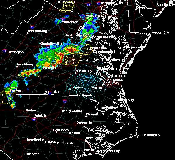 At 415 pm edt, severe thunderstorms were located along a line extending from 6 miles west of montpelier to near oilville to near moseley, moving east at 45 mph (radar indicated). Hazards include 70 mph wind gusts and quarter size hail. Minor damage to vehicles is possible. expect considerable tree damage. wind damage is also likely to mobile homes, roofs, and outbuildings. severe thunderstorms will be near, tuckahoe and wyndham around 420 pm edt. montpelier around 425 pm edt. glen allen, laurel and lakeside around 430 pm edt. bon air, university of richmond, randolph macon college and mechanicsville around 435 pm edt. richmond, ashland, downtown richmond, virginia commonwealth university, virginia union university, hanover and bensley around 440 pm edt. studley and east highland park around 445 pm edt. highland springs and mangohick around 450 pm edt. Other locations impacted by these severe thunderstorms include enfield, richmond heights, gum tree, etna mills, elmont, montrose, epworth, richmond international, fair oaks and gilman. At 415 pm edt, severe thunderstorms were located along a line extending from 6 miles west of montpelier to near oilville to near moseley, moving east at 45 mph (radar indicated). Hazards include 70 mph wind gusts and quarter size hail. Minor damage to vehicles is possible. expect considerable tree damage. wind damage is also likely to mobile homes, roofs, and outbuildings. severe thunderstorms will be near, tuckahoe and wyndham around 420 pm edt. montpelier around 425 pm edt. glen allen, laurel and lakeside around 430 pm edt. bon air, university of richmond, randolph macon college and mechanicsville around 435 pm edt. richmond, ashland, downtown richmond, virginia commonwealth university, virginia union university, hanover and bensley around 440 pm edt. studley and east highland park around 445 pm edt. highland springs and mangohick around 450 pm edt. Other locations impacted by these severe thunderstorms include enfield, richmond heights, gum tree, etna mills, elmont, montrose, epworth, richmond international, fair oaks and gilman.
|
| 1/12/2018 10:32 PM EST |
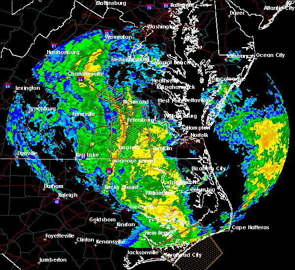 At 1032 pm est, severe thunderstorms were located along a line extending from near tuckahoe to chesterfield court house, moving northeast at 50 mph (radar indicated). Hazards include 60 mph wind gusts. Expect damage to trees and powerlines. severe thunderstorms will be near, chester and university of richmond around 1035 pm est. virginia commonwealth university, downtown richmond, bellwood and bensley around 1040 pm est. richmond, virginia union university, lakeside, laurel and glen allen around 1045 pm est. mechanicsville and east highland park around 1050 pm est. bottoms bridge and studley around 1055 pm est. talleysville and tunstall around 1100 pm est. Other locations impacted by these severe thunderstorms include richmond heights, elko, montrose, sandston, westwood, pocahontas state park, richmond international, fair oaks, solomons store and chamberlayne. At 1032 pm est, severe thunderstorms were located along a line extending from near tuckahoe to chesterfield court house, moving northeast at 50 mph (radar indicated). Hazards include 60 mph wind gusts. Expect damage to trees and powerlines. severe thunderstorms will be near, chester and university of richmond around 1035 pm est. virginia commonwealth university, downtown richmond, bellwood and bensley around 1040 pm est. richmond, virginia union university, lakeside, laurel and glen allen around 1045 pm est. mechanicsville and east highland park around 1050 pm est. bottoms bridge and studley around 1055 pm est. talleysville and tunstall around 1100 pm est. Other locations impacted by these severe thunderstorms include richmond heights, elko, montrose, sandston, westwood, pocahontas state park, richmond international, fair oaks, solomons store and chamberlayne.
|
| 1/12/2018 10:07 PM EST |
 At 1006 pm est, a severe thunderstorm was located near mannboro, moving northeast at 45 mph (radar indicated). Hazards include 60 mph wind gusts. Expect damage to trees and powerlines. this severe thunderstorm will be near, moseley around 1015 pm est. bon air, university of richmond, chester, chesterfield court house, bensley and bellwood around 1030 pm est. Other locations impacted by this severe thunderstorm include winterpock, pilkinton, midlothian, winterham, pocahontas state park, skinquarter, beach, roslyn hills, holly hills and drewrys bluff. At 1006 pm est, a severe thunderstorm was located near mannboro, moving northeast at 45 mph (radar indicated). Hazards include 60 mph wind gusts. Expect damage to trees and powerlines. this severe thunderstorm will be near, moseley around 1015 pm est. bon air, university of richmond, chester, chesterfield court house, bensley and bellwood around 1030 pm est. Other locations impacted by this severe thunderstorm include winterpock, pilkinton, midlothian, winterham, pocahontas state park, skinquarter, beach, roslyn hills, holly hills and drewrys bluff.
|
| 6/19/2017 7:56 PM EDT |
 The national weather service in wakefield has issued a * severe thunderstorm warning for. southern chesterfield county in central virginia. the city of colonial heights in central virginia. the city of hopewell in south central virginia. The city of petersburg in south central virginia. The national weather service in wakefield has issued a * severe thunderstorm warning for. southern chesterfield county in central virginia. the city of colonial heights in central virginia. the city of hopewell in south central virginia. The city of petersburg in south central virginia.
|
| 6/19/2017 7:56 PM EDT |
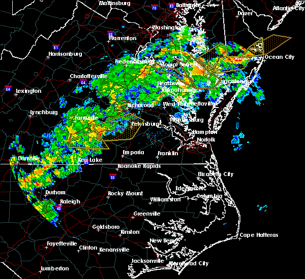 At 756 pm edt, severe thunderstorms were located along a line extending from near spainville to fort pickett to near dundas, moving northeast at 50 mph (radar indicated). Hazards include 60 mph wind gusts and quarter size hail. Minor damage to vehicles is possible. expect wind damage to trees and powerlines. severe thunderstorms will be near, spainville around 800 pm edt. mannboro and wilsons around 805 pm edt. mckenney around 815 pm edt. dewitt around 820 pm edt. dinwiddie and sutherland around 825 pm edt. chesterfield court house around 830 pm edt. colonial heights, virginia state university, chester, ettrick, matoaca and carson around 835 pm edt. petersburg, hopewell, fort lee, bellwood and bensley around 840 pm edt. Other locations impacted by these severe thunderstorms include north wellville, birchett estate, addison, earls, ammon, forkland, jordan point country club, wharfs store, petersburg national battlefield and darvills. At 756 pm edt, severe thunderstorms were located along a line extending from near spainville to fort pickett to near dundas, moving northeast at 50 mph (radar indicated). Hazards include 60 mph wind gusts and quarter size hail. Minor damage to vehicles is possible. expect wind damage to trees and powerlines. severe thunderstorms will be near, spainville around 800 pm edt. mannboro and wilsons around 805 pm edt. mckenney around 815 pm edt. dewitt around 820 pm edt. dinwiddie and sutherland around 825 pm edt. chesterfield court house around 830 pm edt. colonial heights, virginia state university, chester, ettrick, matoaca and carson around 835 pm edt. petersburg, hopewell, fort lee, bellwood and bensley around 840 pm edt. Other locations impacted by these severe thunderstorms include north wellville, birchett estate, addison, earls, ammon, forkland, jordan point country club, wharfs store, petersburg national battlefield and darvills.
|
| 6/19/2017 7:06 PM EDT |
 At 706 pm edt, severe thunderstorms were located along a line extending from near glen allen to near moseley, moving east at 40 mph (radar indicated). Hazards include 60 mph wind gusts. Expect damage to trees and powerlines. these severe storms will be near, richmond, mechanicsville, highland springs, east highland park, glen allen, lakeside and laurel around 710 pm edt. studley around 715 pm edt. chesterfield court house around 720 pm edt. chester, downtown richmond, virginia commonwealth university, bellwood, manquin and bensley around 730 pm edt. Other locations impacted by these severe thunderstorms include richmond heights, pilkinton, elko, montrose, winterham, sandston, glendale, westwood, pocahontas state park and richmond international. At 706 pm edt, severe thunderstorms were located along a line extending from near glen allen to near moseley, moving east at 40 mph (radar indicated). Hazards include 60 mph wind gusts. Expect damage to trees and powerlines. these severe storms will be near, richmond, mechanicsville, highland springs, east highland park, glen allen, lakeside and laurel around 710 pm edt. studley around 715 pm edt. chesterfield court house around 720 pm edt. chester, downtown richmond, virginia commonwealth university, bellwood, manquin and bensley around 730 pm edt. Other locations impacted by these severe thunderstorms include richmond heights, pilkinton, elko, montrose, winterham, sandston, glendale, westwood, pocahontas state park and richmond international.
|
| 6/19/2017 6:51 PM EDT |
 At 651 pm edt, severe thunderstorms were located along a line extending from near tuckahoe to near scotts fork, moving east at 40 mph (radar indicated). Hazards include 60 mph wind gusts. Expect damage to trees and powerlines. severe thunderstorms will be near, bon air, tuckahoe and manakin around 655 pm edt. university of richmond around 700 pm edt. richmond, virginia union university, virginia commonwealth university, downtown richmond, lakeside, laurel and glen allen around 705 pm edt. east highland park around 710 pm edt. mechanicsville and highland springs around 715 pm edt. chesterfield court house around 720 pm edt. studley around 725 pm edt. chester, bellwood, bensley, manquin and tunstall around 730 pm edt. Other locations impacted by these severe thunderstorms include richmond heights, pilkinton, elko, montrose, winterham, sandston, glendale, westwood, pocahontas state park and richmond international. At 651 pm edt, severe thunderstorms were located along a line extending from near tuckahoe to near scotts fork, moving east at 40 mph (radar indicated). Hazards include 60 mph wind gusts. Expect damage to trees and powerlines. severe thunderstorms will be near, bon air, tuckahoe and manakin around 655 pm edt. university of richmond around 700 pm edt. richmond, virginia union university, virginia commonwealth university, downtown richmond, lakeside, laurel and glen allen around 705 pm edt. east highland park around 710 pm edt. mechanicsville and highland springs around 715 pm edt. chesterfield court house around 720 pm edt. studley around 725 pm edt. chester, bellwood, bensley, manquin and tunstall around 730 pm edt. Other locations impacted by these severe thunderstorms include richmond heights, pilkinton, elko, montrose, winterham, sandston, glendale, westwood, pocahontas state park and richmond international.
|
| 6/19/2017 5:45 PM EDT |
 At 545 pm edt, a severe thunderstorm was located near richmond, moving northeast at 40 mph. additional severe storms were located over eastern chesterfield county (radar indicated). Hazards include 60 mph wind gusts and penny size hail. Expect damage to trees and powerlines. Locations impacted include, richmond, colonial heights, downtown richmond, virginia union university, virginia commonwealth university, roxbury, virginia state university, chester, highland springs, mechanicsville, bon air, bensley, bellwood, east highland park, bottoms bridge, matoaca, ettrick, chesterfield court house, lakeside and chesterfield. At 545 pm edt, a severe thunderstorm was located near richmond, moving northeast at 40 mph. additional severe storms were located over eastern chesterfield county (radar indicated). Hazards include 60 mph wind gusts and penny size hail. Expect damage to trees and powerlines. Locations impacted include, richmond, colonial heights, downtown richmond, virginia union university, virginia commonwealth university, roxbury, virginia state university, chester, highland springs, mechanicsville, bon air, bensley, bellwood, east highland park, bottoms bridge, matoaca, ettrick, chesterfield court house, lakeside and chesterfield.
|
| 6/19/2017 5:31 PM EDT |
 At 530 pm edt, a severe thunderstorm was located near chesterfield court house, or near chester, moving northeast at 40 mph. additional severe storms were located over northern dinwiddie county (radar indicated). Hazards include 60 mph wind gusts and penny size hail. Expect damage to trees and powerlines. this severe thunderstorm will be near, colonial heights and chesterfield court house around 535 pm edt. chester around 540 pm edt. bellwood and bensley around 545 pm edt. virginia commonwealth university and downtown richmond around 550 pm edt. highland springs around 600 pm edt. roxbury and bottoms bridge around 605 pm edt. Other locations impacted by this severe thunderstorm include richmond heights, addison, ammon, mountcastle, elko, montrose, sandston, glendale, pocahontas state park and richmond international. At 530 pm edt, a severe thunderstorm was located near chesterfield court house, or near chester, moving northeast at 40 mph. additional severe storms were located over northern dinwiddie county (radar indicated). Hazards include 60 mph wind gusts and penny size hail. Expect damage to trees and powerlines. this severe thunderstorm will be near, colonial heights and chesterfield court house around 535 pm edt. chester around 540 pm edt. bellwood and bensley around 545 pm edt. virginia commonwealth university and downtown richmond around 550 pm edt. highland springs around 600 pm edt. roxbury and bottoms bridge around 605 pm edt. Other locations impacted by this severe thunderstorm include richmond heights, addison, ammon, mountcastle, elko, montrose, sandston, glendale, pocahontas state park and richmond international.
|
| 5/27/2017 8:31 PM EDT |
 At 831 pm edt, severe thunderstorms were located along a line extending from prince george to near rice, moving southeast at 25 mph (radar indicated). Hazards include 60 mph wind gusts and quarter size hail. Minor damage to vehicles is possible. expect wind damage to trees and powerlines. these severe storms will be near, petersburg, hopewell, fort lee, prince george and jordans point around 835 pm edt. garysville around 840 pm edt. burrowsville around 845 pm edt. Other locations impacted by these severe thunderstorms include north wellville, chippokes state park, wayside, ammon, pocahontas state park, skinquarter, beach, richard bland college, meadowville and new hope. At 831 pm edt, severe thunderstorms were located along a line extending from prince george to near rice, moving southeast at 25 mph (radar indicated). Hazards include 60 mph wind gusts and quarter size hail. Minor damage to vehicles is possible. expect wind damage to trees and powerlines. these severe storms will be near, petersburg, hopewell, fort lee, prince george and jordans point around 835 pm edt. garysville around 840 pm edt. burrowsville around 845 pm edt. Other locations impacted by these severe thunderstorms include north wellville, chippokes state park, wayside, ammon, pocahontas state park, skinquarter, beach, richard bland college, meadowville and new hope.
|
| 5/27/2017 8:13 PM EDT |
 At 813 pm edt, severe thunderstorms were located along a line extending from near hopewell to near rice, moving southeast at 25 mph (radar indicated). Hazards include 60 mph wind gusts and quarter size hail. Minor damage to vehicles is possible. expect wind damage to trees and powerlines. these severe storms will be near, petersburg, hopewell, colonial heights, fort lee, virginia state university, ettrick and matoaca around 820 pm edt. jordans point around 825 pm edt. prince george around 830 pm edt. burkeville around 835 pm edt. crewe and garysville around 840 pm edt. burrowsville around 845 pm edt. Other locations impacted by these severe thunderstorms include north wellville, angola, chippokes state park, wayside, ammon, glendale, pocahontas state park, skinquarter, beach and richard bland college. At 813 pm edt, severe thunderstorms were located along a line extending from near hopewell to near rice, moving southeast at 25 mph (radar indicated). Hazards include 60 mph wind gusts and quarter size hail. Minor damage to vehicles is possible. expect wind damage to trees and powerlines. these severe storms will be near, petersburg, hopewell, colonial heights, fort lee, virginia state university, ettrick and matoaca around 820 pm edt. jordans point around 825 pm edt. prince george around 830 pm edt. burkeville around 835 pm edt. crewe and garysville around 840 pm edt. burrowsville around 845 pm edt. Other locations impacted by these severe thunderstorms include north wellville, angola, chippokes state park, wayside, ammon, glendale, pocahontas state park, skinquarter, beach and richard bland college.
|
| 5/27/2017 8:09 PM EDT |
 At 806 pm edt, severe thunderstorms were located along a line extending from near chester to near guinea mills, moving southeast at 25 mph (radar indicated). Hazards include 60 mph wind gusts and quarter size hail. Minor damage to vehicles is possible. expect wind damage to trees and powerlines. severe thunderstorms will be near, colonial heights and chester around 810 pm edt. hopewell, fort lee, virginia state university, ettrick and matoaca around 815 pm edt. petersburg around 820 pm edt. jordans point around 825 pm edt. prince george around 830 pm edt. jetersville around 835 pm edt. burkeville and garysville around 840 pm edt. crewe and burrowsville around 845 pm edt. Other locations impacted by these severe thunderstorms include north wellville, angola, chippokes state park, wayside, ammon, glendale, pocahontas state park, skinquarter, beach and richard bland college. At 806 pm edt, severe thunderstorms were located along a line extending from near chester to near guinea mills, moving southeast at 25 mph (radar indicated). Hazards include 60 mph wind gusts and quarter size hail. Minor damage to vehicles is possible. expect wind damage to trees and powerlines. severe thunderstorms will be near, colonial heights and chester around 810 pm edt. hopewell, fort lee, virginia state university, ettrick and matoaca around 815 pm edt. petersburg around 820 pm edt. jordans point around 825 pm edt. prince george around 830 pm edt. jetersville around 835 pm edt. burkeville and garysville around 840 pm edt. crewe and burrowsville around 845 pm edt. Other locations impacted by these severe thunderstorms include north wellville, angola, chippokes state park, wayside, ammon, glendale, pocahontas state park, skinquarter, beach and richard bland college.
|
| 5/27/2017 7:31 PM EDT |
 At 731 pm edt, severe thunderstorms were located along a line extending from near highland springs to near richmond, moving southeast at 30 mph (radar indicated). Hazards include ping pong ball size hail and 60 mph wind gusts. People and animals outdoors will be injured. expect hail damage to roofs, siding, windows, and vehicles. expect wind damage to trees and powerlines. severe thunderstorms will be near, bellwood around 740 pm edt. chester around 745 pm edt. hopewell, colonial heights, jordans point and adkins store around 800 pm edt. charles city, fort lee and ruthville around 805 pm edt. garysville around 810 pm edt. prince george and burrowsville around 815 pm edt. Other locations impacted by these severe thunderstorms include taylors corner, wayside, richmond heights, birchett estate, brandon, elko, jordan point country club, montrose, sandston and glendale. At 731 pm edt, severe thunderstorms were located along a line extending from near highland springs to near richmond, moving southeast at 30 mph (radar indicated). Hazards include ping pong ball size hail and 60 mph wind gusts. People and animals outdoors will be injured. expect hail damage to roofs, siding, windows, and vehicles. expect wind damage to trees and powerlines. severe thunderstorms will be near, bellwood around 740 pm edt. chester around 745 pm edt. hopewell, colonial heights, jordans point and adkins store around 800 pm edt. charles city, fort lee and ruthville around 805 pm edt. garysville around 810 pm edt. prince george and burrowsville around 815 pm edt. Other locations impacted by these severe thunderstorms include taylors corner, wayside, richmond heights, birchett estate, brandon, elko, jordan point country club, montrose, sandston and glendale.
|
| 5/27/2017 6:31 PM EDT |
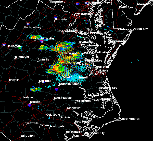 At 630 pm edt, a severe thunderstorm was located near chesterfield court house, or near chester, moving east at 30 mph (radar indicated). Hazards include golf ball size hail and 60 mph wind gusts. People and animals outdoors will be injured. expect hail damage to roofs, siding, windows, and vehicles. expect wind damage to trees and powerlines. this severe thunderstorm will be near, chesterfield court house around 635 pm edt. chester and matoaca around 640 pm edt. colonial heights, ettrick and bellwood around 645 pm edt. Other locations impacted by this severe thunderstorm include pocahontas state park, beach, meadowville, varina, drewrys bluff, centralia and chesterfield. At 630 pm edt, a severe thunderstorm was located near chesterfield court house, or near chester, moving east at 30 mph (radar indicated). Hazards include golf ball size hail and 60 mph wind gusts. People and animals outdoors will be injured. expect hail damage to roofs, siding, windows, and vehicles. expect wind damage to trees and powerlines. this severe thunderstorm will be near, chesterfield court house around 635 pm edt. chester and matoaca around 640 pm edt. colonial heights, ettrick and bellwood around 645 pm edt. Other locations impacted by this severe thunderstorm include pocahontas state park, beach, meadowville, varina, drewrys bluff, centralia and chesterfield.
|
| 5/27/2017 6:13 PM EDT |
 At 612 pm edt, a severe thunderstorm was located near highland springs, moving southeast at 35 mph (trained weather spotters). Hazards include two inch hail and 60 mph wind gusts. People and animals outdoors will be injured. expect hail damage to roofs, siding, windows, and vehicles. expect wind damage to trees and powerlines. this severe thunderstorm will be near, jordans point around 635 pm edt. adkins store around 640 pm edt. Other locations impacted by this severe thunderstorm include meadowville, wayside, richmond heights, birchett estate, varina, barnetts, jordan point country club, roaches corner, glendale and montrose. At 612 pm edt, a severe thunderstorm was located near highland springs, moving southeast at 35 mph (trained weather spotters). Hazards include two inch hail and 60 mph wind gusts. People and animals outdoors will be injured. expect hail damage to roofs, siding, windows, and vehicles. expect wind damage to trees and powerlines. this severe thunderstorm will be near, jordans point around 635 pm edt. adkins store around 640 pm edt. Other locations impacted by this severe thunderstorm include meadowville, wayside, richmond heights, birchett estate, varina, barnetts, jordan point country club, roaches corner, glendale and montrose.
|
| 5/5/2017 7:39 AM EDT |
 At 725 am edt, a severe thunderstorm capable of producing a tornado was located near chesterfield court house, or 7 miles west of chester, moving northeast at 45 mph (radar indicated rotation). Hazards include tornado. Flying debris will be dangerous to those caught without shelter. mobile homes will be damaged or destroyed. damage to roofs, windows, and vehicles will occur. tree damage is likely. this dangerous storm will be near, chester around 730 am edt. bellwood around 735 am edt. bon air and bensley around 740 am edt. richmond around 745 am edt. Other locations impacted by this tornadic thunderstorm include pocahontas state park, beach, richmond heights, varina, drewrys bluff, centralia and chesterfield. At 725 am edt, a severe thunderstorm capable of producing a tornado was located near chesterfield court house, or 7 miles west of chester, moving northeast at 45 mph (radar indicated rotation). Hazards include tornado. Flying debris will be dangerous to those caught without shelter. mobile homes will be damaged or destroyed. damage to roofs, windows, and vehicles will occur. tree damage is likely. this dangerous storm will be near, chester around 730 am edt. bellwood around 735 am edt. bon air and bensley around 740 am edt. richmond around 745 am edt. Other locations impacted by this tornadic thunderstorm include pocahontas state park, beach, richmond heights, varina, drewrys bluff, centralia and chesterfield.
|
| 5/5/2017 7:25 AM EDT | Trees down at hickory road and river roa in chesterfield county VA, 3.9 miles NNE of Meadowbrook, VA |
| 5/5/2017 7:25 AM EDT |
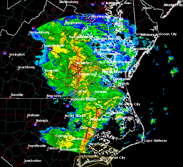 At 725 am edt, a severe thunderstorm capable of producing a tornado was located near chesterfield court house, or 7 miles west of chester, moving northeast at 45 mph (radar indicated rotation). Hazards include tornado. Flying debris will be dangerous to those caught without shelter. mobile homes will be damaged or destroyed. damage to roofs, windows, and vehicles will occur. tree damage is likely. this dangerous storm will be near, chester around 730 am edt. bellwood around 735 am edt. bon air and bensley around 740 am edt. richmond around 745 am edt. Other locations impacted by this tornadic thunderstorm include pocahontas state park, beach, richmond heights, varina, drewrys bluff, centralia and chesterfield. At 725 am edt, a severe thunderstorm capable of producing a tornado was located near chesterfield court house, or 7 miles west of chester, moving northeast at 45 mph (radar indicated rotation). Hazards include tornado. Flying debris will be dangerous to those caught without shelter. mobile homes will be damaged or destroyed. damage to roofs, windows, and vehicles will occur. tree damage is likely. this dangerous storm will be near, chester around 730 am edt. bellwood around 735 am edt. bon air and bensley around 740 am edt. richmond around 745 am edt. Other locations impacted by this tornadic thunderstorm include pocahontas state park, beach, richmond heights, varina, drewrys bluff, centralia and chesterfield.
|
| 5/5/2017 7:13 AM EDT |
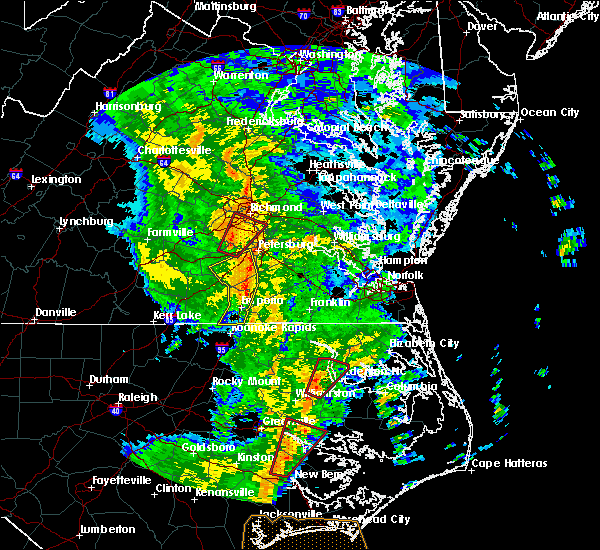 At 713 am edt, a severe thunderstorm capable of producing a tornado was located near sutherland, or 10 miles north of dinwiddie, moving northeast at 45 mph (radar indicated rotation). Hazards include tornado. Flying debris will be dangerous to those caught without shelter. mobile homes will be damaged or destroyed. damage to roofs, windows, and vehicles will occur. tree damage is likely. this dangerous storm will be near, chesterfield court house around 730 am edt. chester around 735 am edt. bensley and bellwood around 740 am edt. richmond and bon air around 745 am edt. Other locations impacted by this tornadic thunderstorm include pocahontas state park, beach, richmond heights, varina, drewrys bluff, centralia and chesterfield. At 713 am edt, a severe thunderstorm capable of producing a tornado was located near sutherland, or 10 miles north of dinwiddie, moving northeast at 45 mph (radar indicated rotation). Hazards include tornado. Flying debris will be dangerous to those caught without shelter. mobile homes will be damaged or destroyed. damage to roofs, windows, and vehicles will occur. tree damage is likely. this dangerous storm will be near, chesterfield court house around 730 am edt. chester around 735 am edt. bensley and bellwood around 740 am edt. richmond and bon air around 745 am edt. Other locations impacted by this tornadic thunderstorm include pocahontas state park, beach, richmond heights, varina, drewrys bluff, centralia and chesterfield.
|
| 4/6/2017 9:36 AM EDT |
 The severe thunderstorm warning for southeastern chesterfield and southeastern henrico counties and the city of richmond will expire at 945 am edt, the storm which prompted the warning has weakened below severe limits, and no longer poses an immediate threat to life or property. therefore the warning will be allowed to expire. however, small hail is still possible with this thunderstorm. a tornado watch remains in effect until 100 pm edt for central and east central virginia. to report severe weather, contact your nearest law enforcement agency. they will relay your report to the national weather service wakefield. The severe thunderstorm warning for southeastern chesterfield and southeastern henrico counties and the city of richmond will expire at 945 am edt, the storm which prompted the warning has weakened below severe limits, and no longer poses an immediate threat to life or property. therefore the warning will be allowed to expire. however, small hail is still possible with this thunderstorm. a tornado watch remains in effect until 100 pm edt for central and east central virginia. to report severe weather, contact your nearest law enforcement agency. they will relay your report to the national weather service wakefield.
|
| 4/6/2017 9:20 AM EDT |
 At 919 am edt, a severe thunderstorm was located near matoaca, or near chester, moving northeast at 65 mph (radar indicated). Hazards include 60 mph wind gusts and quarter size hail. Hail damage to vehicles is expected. expect wind damage to roofs, siding, and trees. this severe thunderstorm will be near, bellwood and bensley around 930 am edt. highland springs around 940 am edt. other locations impacted by this severe thunderstorm include richmond heights, elko, montrose, sandston, glendale, pocahontas state park, richmond international, fair oaks, varina and drewrys bluff. A tornado watch remains in effect until 100 pm edt for central and east central virginia. At 919 am edt, a severe thunderstorm was located near matoaca, or near chester, moving northeast at 65 mph (radar indicated). Hazards include 60 mph wind gusts and quarter size hail. Hail damage to vehicles is expected. expect wind damage to roofs, siding, and trees. this severe thunderstorm will be near, bellwood and bensley around 930 am edt. highland springs around 940 am edt. other locations impacted by this severe thunderstorm include richmond heights, elko, montrose, sandston, glendale, pocahontas state park, richmond international, fair oaks, varina and drewrys bluff. A tornado watch remains in effect until 100 pm edt for central and east central virginia.
|
| 2/25/2017 3:42 PM EST |
 At 341 pm est, a severe thunderstorm was located near chester, moving northeast at 55 mph (radar indicated). Hazards include 60 mph wind gusts and quarter size hail. Hail damage to vehicles is expected. expect wind damage to roofs, siding, and trees. this severe thunderstorm will be near, jordans point around 350 pm est. bottoms bridge around 355 pm est. roxbury, providence forge and adkins store around 400 pm est. talleysville around 405 pm est. Other locations impacted by this severe thunderstorm include chickahominy shore, wayside, richmond heights, mountcastle, elko, jordan point country club, montrose, sandston, glendale and richmond international. At 341 pm est, a severe thunderstorm was located near chester, moving northeast at 55 mph (radar indicated). Hazards include 60 mph wind gusts and quarter size hail. Hail damage to vehicles is expected. expect wind damage to roofs, siding, and trees. this severe thunderstorm will be near, jordans point around 350 pm est. bottoms bridge around 355 pm est. roxbury, providence forge and adkins store around 400 pm est. talleysville around 405 pm est. Other locations impacted by this severe thunderstorm include chickahominy shore, wayside, richmond heights, mountcastle, elko, jordan point country club, montrose, sandston, glendale and richmond international.
|
| 2/25/2017 3:38 PM EST |
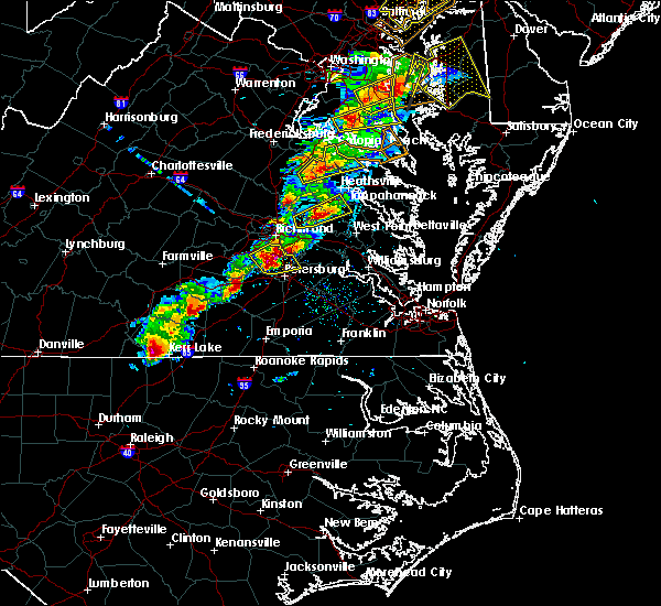 At 337 pm est, a severe thunderstorm was located near bensley, or 7 miles east of richmond, moving northeast at 55 mph (radar indicated). Hazards include 60 mph wind gusts and quarter size hail. Hail damage to vehicles is expected. expect wind damage to roofs, siding, and trees. precautionary/preparedness actions, for your protection move to an interior room on the lowest floor of a building. please send your reports of hail and or wind damage, including trees or large limbs downed, by calling noaa`s national weather service in wakefield at , 7 5 7, 8 9 9, 2 4 1 5. At 337 pm est, a severe thunderstorm was located near bensley, or 7 miles east of richmond, moving northeast at 55 mph (radar indicated). Hazards include 60 mph wind gusts and quarter size hail. Hail damage to vehicles is expected. expect wind damage to roofs, siding, and trees. precautionary/preparedness actions, for your protection move to an interior room on the lowest floor of a building. please send your reports of hail and or wind damage, including trees or large limbs downed, by calling noaa`s national weather service in wakefield at , 7 5 7, 8 9 9, 2 4 1 5.
|
| 2/25/2017 3:16 PM EST |
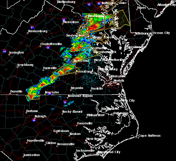 At 316 pm est, a severe thunderstorm was located 8 miles northwest of sutherland, or 9 miles east of mannboro, moving northeast at 55 mph (radar indicated). Hazards include 60 mph wind gusts and quarter size hail. Hail damage to vehicles is expected. expect wind damage to roofs, siding, and trees. this severe thunderstorm will be near, chesterfield court house around 325 pm est. colonial heights and chester around 330 pm est. hopewell, bellwood and bensley around 335 pm est. Other locations impacted by this severe thunderstorm include pocahontas state park, beach, winterpock, meadowville, drewrys bluff, centralia and chesterfield. At 316 pm est, a severe thunderstorm was located 8 miles northwest of sutherland, or 9 miles east of mannboro, moving northeast at 55 mph (radar indicated). Hazards include 60 mph wind gusts and quarter size hail. Hail damage to vehicles is expected. expect wind damage to roofs, siding, and trees. this severe thunderstorm will be near, chesterfield court house around 325 pm est. colonial heights and chester around 330 pm est. hopewell, bellwood and bensley around 335 pm est. Other locations impacted by this severe thunderstorm include pocahontas state park, beach, winterpock, meadowville, drewrys bluff, centralia and chesterfield.
|
| 2/25/2017 1:48 PM EST |
 At 148 pm est, a severe thunderstorm was located near green bay, or near hampden sydney college, moving northeast at 65 mph (radar indicated). Hazards include 60 mph wind gusts and half dollar size hail. Hail damage to vehicles is expected. expect wind damage to roofs, siding, and trees. this severe thunderstorm will be near, crewe around 155 pm est. jetersville around 200 pm est. morven around 205 pm est. amelia courthouse and scotts fork around 210 pm est. chula and macon around 215 pm est. powhatan and moseley around 220 pm est. tuckahoe, bon air, manakin and sabot around 230 pm est. Other locations impacted by this severe thunderstorm include crozier, prince edward station, briery, pilkinton, twin lakes state park, winterham, skinquarter, maplewood, fine creek mills and fergusonville. At 148 pm est, a severe thunderstorm was located near green bay, or near hampden sydney college, moving northeast at 65 mph (radar indicated). Hazards include 60 mph wind gusts and half dollar size hail. Hail damage to vehicles is expected. expect wind damage to roofs, siding, and trees. this severe thunderstorm will be near, crewe around 155 pm est. jetersville around 200 pm est. morven around 205 pm est. amelia courthouse and scotts fork around 210 pm est. chula and macon around 215 pm est. powhatan and moseley around 220 pm est. tuckahoe, bon air, manakin and sabot around 230 pm est. Other locations impacted by this severe thunderstorm include crozier, prince edward station, briery, pilkinton, twin lakes state park, winterham, skinquarter, maplewood, fine creek mills and fergusonville.
|
| 9/28/2016 6:07 PM EDT |
 At 607 pm edt, a severe thunderstorm was located near chesterfield court house, or 9 miles east of moseley, moving northeast at 15 mph (trained weather spotters). Hazards include 60 mph wind gusts and half dollar size hail. Hail damage to vehicles is expected. expect wind damage to roofs, siding, and trees. this severe storm will be near, chesterfield court house around 625 pm edt. chester around 635 pm edt. bon air around 645 pm edt. bensley and bellwood around 650 pm edt. richmond, downtown richmond, virginia commonwealth university and virginia union university around 700 pm edt. other locations impacted by this severe thunderstorm include drewrys bluff, chesterfield, varina, beach, richmond heights, pocahontas state park, centralia and montrose. precautionary/preparedness actions, for your protection move to an interior room on the lowest floor of a building. this storm is producing large hail. seek shelter now inside a sturdy structure and stay away from windows. torrential rainfall is occurring with this storm, and may lead to flash flooding. do not drive your vehicle through flooded roadways. please send your reports of hail and or wind damage, including trees or large limbs downed, by calling noaa`s national weather service in wakefield at , 7 5 7, 8 9 9, 2 4 1 5. At 607 pm edt, a severe thunderstorm was located near chesterfield court house, or 9 miles east of moseley, moving northeast at 15 mph (trained weather spotters). Hazards include 60 mph wind gusts and half dollar size hail. Hail damage to vehicles is expected. expect wind damage to roofs, siding, and trees. this severe storm will be near, chesterfield court house around 625 pm edt. chester around 635 pm edt. bon air around 645 pm edt. bensley and bellwood around 650 pm edt. richmond, downtown richmond, virginia commonwealth university and virginia union university around 700 pm edt. other locations impacted by this severe thunderstorm include drewrys bluff, chesterfield, varina, beach, richmond heights, pocahontas state park, centralia and montrose. precautionary/preparedness actions, for your protection move to an interior room on the lowest floor of a building. this storm is producing large hail. seek shelter now inside a sturdy structure and stay away from windows. torrential rainfall is occurring with this storm, and may lead to flash flooding. do not drive your vehicle through flooded roadways. please send your reports of hail and or wind damage, including trees or large limbs downed, by calling noaa`s national weather service in wakefield at , 7 5 7, 8 9 9, 2 4 1 5.
|
| 9/28/2016 6:00 PM EDT |
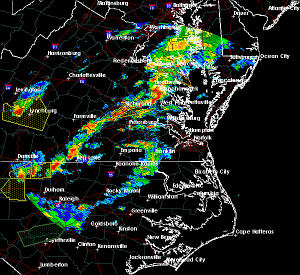 At 559 pm edt, a severe thunderstorm was located near chesterfield court house, or 8 miles east of moseley, moving northeast at 15 mph (radar indicated). Hazards include 60 mph wind gusts and half dollar size hail. Hail damage to vehicles is expected. expect wind damage to roofs, siding, and trees. this severe thunderstorm will be near, chesterfield court house around 620 pm edt. chester around 635 pm edt. bon air, bensley and bellwood around 645 pm edt. downtown richmond around 655 pm edt. richmond, virginia commonwealth university and virginia union university around 700 pm edt. Other locations impacted by this severe thunderstorm include drewrys bluff, chesterfield, varina, beach, richmond heights, pocahontas state park, centralia and montrose. At 559 pm edt, a severe thunderstorm was located near chesterfield court house, or 8 miles east of moseley, moving northeast at 15 mph (radar indicated). Hazards include 60 mph wind gusts and half dollar size hail. Hail damage to vehicles is expected. expect wind damage to roofs, siding, and trees. this severe thunderstorm will be near, chesterfield court house around 620 pm edt. chester around 635 pm edt. bon air, bensley and bellwood around 645 pm edt. downtown richmond around 655 pm edt. richmond, virginia commonwealth university and virginia union university around 700 pm edt. Other locations impacted by this severe thunderstorm include drewrys bluff, chesterfield, varina, beach, richmond heights, pocahontas state park, centralia and montrose.
|
| 7/31/2016 9:24 PM EDT |
 The severe thunderstorm warning for henrico, southeastern amelia, chesterfield and south central hanover counties, the city of richmond and the city of colonial heights will expire at 930 pm edt, the storms which prompted the warning have weakened below severe limits, and no longer pose an immediate threat to life or property. therefore the warning will be allowed to expire. The severe thunderstorm warning for henrico, southeastern amelia, chesterfield and south central hanover counties, the city of richmond and the city of colonial heights will expire at 930 pm edt, the storms which prompted the warning have weakened below severe limits, and no longer pose an immediate threat to life or property. therefore the warning will be allowed to expire.
|
| 7/31/2016 9:16 PM EDT |
 At 915 pm edt, severe thunderstorms were located along a line extending from east highland park to bellwood to sutherland, moving east at 25 mph (radar indicated). Hazards include 60 mph wind gusts and quarter size hail. Hail damage to vehicles is expected. expect wind damage to roofs, siding, and trees. these severe storms will be near, highland springs, chester, mechanicsville and east highland park around 920 pm edt. ettrick around 930 pm edt. other locations impacted by these severe thunderstorms include richmond international, winterpock, chesterfield, greendale, short pump, solomons store, dumbarton, drewrys bluff, roslyn hills and fair oaks. precautionary/preparedness actions, for your protection move to an interior room on the lowest floor of a building. please send your reports of hail and or wind damage, including trees or large limbs downed, by calling noaa`s national weather service in wakefield at , 7 5 7, 8 9 9, 2 4 1 5. At 915 pm edt, severe thunderstorms were located along a line extending from east highland park to bellwood to sutherland, moving east at 25 mph (radar indicated). Hazards include 60 mph wind gusts and quarter size hail. Hail damage to vehicles is expected. expect wind damage to roofs, siding, and trees. these severe storms will be near, highland springs, chester, mechanicsville and east highland park around 920 pm edt. ettrick around 930 pm edt. other locations impacted by these severe thunderstorms include richmond international, winterpock, chesterfield, greendale, short pump, solomons store, dumbarton, drewrys bluff, roslyn hills and fair oaks. precautionary/preparedness actions, for your protection move to an interior room on the lowest floor of a building. please send your reports of hail and or wind damage, including trees or large limbs downed, by calling noaa`s national weather service in wakefield at , 7 5 7, 8 9 9, 2 4 1 5.
|
| 7/31/2016 9:04 PM EDT |
 At 904 pm edt, severe thunderstorms were located along a line extending from near laurel to near chesterfield court house to 7 miles southeast of mannboro, moving east at 25 mph (radar indicated). Hazards include 60 mph wind gusts and quarter size hail. Hail damage to vehicles is expected. expect wind damage to roofs, siding, and trees. these severe storms will be near, richmond, downtown richmond, chesterfield court house and lakeside around 910 pm edt. chester, virginia union university, virginia commonwealth university, mechanicsville, east highland park, bellwood and bensley around 915 pm edt. colonial heights and highland springs around 920 pm edt. matoaca around 925 pm edt. ettrick around 930 pm edt. other locations impacted by these severe thunderstorms include richmond international, winterpock, chesterfield, greendale, short pump, rockville, skinquarter, solomons store, dumbarton and drewrys bluff. precautionary/preparedness actions, for your protection move to an interior room on the lowest floor of a building. please send your reports of hail and or wind damage, including trees or large limbs downed, by calling noaa`s national weather service in wakefield at , 7 5 7, 8 9 9, 2 4 1 5. At 904 pm edt, severe thunderstorms were located along a line extending from near laurel to near chesterfield court house to 7 miles southeast of mannboro, moving east at 25 mph (radar indicated). Hazards include 60 mph wind gusts and quarter size hail. Hail damage to vehicles is expected. expect wind damage to roofs, siding, and trees. these severe storms will be near, richmond, downtown richmond, chesterfield court house and lakeside around 910 pm edt. chester, virginia union university, virginia commonwealth university, mechanicsville, east highland park, bellwood and bensley around 915 pm edt. colonial heights and highland springs around 920 pm edt. matoaca around 925 pm edt. ettrick around 930 pm edt. other locations impacted by these severe thunderstorms include richmond international, winterpock, chesterfield, greendale, short pump, rockville, skinquarter, solomons store, dumbarton and drewrys bluff. precautionary/preparedness actions, for your protection move to an interior room on the lowest floor of a building. please send your reports of hail and or wind damage, including trees or large limbs downed, by calling noaa`s national weather service in wakefield at , 7 5 7, 8 9 9, 2 4 1 5.
|
| 7/31/2016 8:52 PM EDT |
 At 852 pm edt, severe thunderstorms were located along a line extending from near manakin to 6 miles east of moseley to mannboro, moving east at 35 mph (radar indicated). Hazards include 60 mph wind gusts and quarter size hail. Hail damage to vehicles is expected. expect wind damage to roofs, siding, and trees. severe thunderstorms will be near, tuckahoe around 855 pm edt. university of richmond, bon air, chesterfield court house, lakeside, laurel and glen allen around 905 pm edt. richmond, virginia union university, virginia commonwealth university, downtown richmond and bensley around 910 pm edt. chester, mechanicsville, east highland park and bellwood around 915 pm edt. colonial heights and highland springs around 920 pm edt. matoaca and ettrick around 925 pm edt. Other locations impacted by these severe thunderstorms include richmond international, winterpock, chesterfield, greendale, short pump, rockville, skinquarter, solomons store, dumbarton and drewrys bluff. At 852 pm edt, severe thunderstorms were located along a line extending from near manakin to 6 miles east of moseley to mannboro, moving east at 35 mph (radar indicated). Hazards include 60 mph wind gusts and quarter size hail. Hail damage to vehicles is expected. expect wind damage to roofs, siding, and trees. severe thunderstorms will be near, tuckahoe around 855 pm edt. university of richmond, bon air, chesterfield court house, lakeside, laurel and glen allen around 905 pm edt. richmond, virginia union university, virginia commonwealth university, downtown richmond and bensley around 910 pm edt. chester, mechanicsville, east highland park and bellwood around 915 pm edt. colonial heights and highland springs around 920 pm edt. matoaca and ettrick around 925 pm edt. Other locations impacted by these severe thunderstorms include richmond international, winterpock, chesterfield, greendale, short pump, rockville, skinquarter, solomons store, dumbarton and drewrys bluff.
|
| 7/19/2016 5:22 PM EDT |
 At 522 pm edt, a severe thunderstorm was located near bellwood, or near hopewell, moving southeast at 20 mph (radar indicated). Hazards include 70 mph wind gusts and quarter size hail. Hail damage to vehicles is expected. expect considerable tree damage. wind damage is also likely to mobile homes, roofs, and outbuildings. this severe storm will be near, hopewell and fort lee around 530 pm edt. jordans point around 545 pm edt. adkins store around 550 pm edt. charles city around 555 pm edt. garysville and burrowsville around 600 pm edt. other locations impacted by this severe thunderstorm include chesterfield, sandybottom, jordan point country club, orapax farms, new hope, richard bland college, prince george golf, colonial downs, new bohemia and wayside. precautionary/preparedness actions, for your protection move to an interior room on the lowest floor of a building. please send your reports of hail and or wind damage, including trees or large limbs downed, by calling noaa`s national weather service in wakefield at , 7 5 7, 8 9 9, 2 4 1 5. At 522 pm edt, a severe thunderstorm was located near bellwood, or near hopewell, moving southeast at 20 mph (radar indicated). Hazards include 70 mph wind gusts and quarter size hail. Hail damage to vehicles is expected. expect considerable tree damage. wind damage is also likely to mobile homes, roofs, and outbuildings. this severe storm will be near, hopewell and fort lee around 530 pm edt. jordans point around 545 pm edt. adkins store around 550 pm edt. charles city around 555 pm edt. garysville and burrowsville around 600 pm edt. other locations impacted by this severe thunderstorm include chesterfield, sandybottom, jordan point country club, orapax farms, new hope, richard bland college, prince george golf, colonial downs, new bohemia and wayside. precautionary/preparedness actions, for your protection move to an interior room on the lowest floor of a building. please send your reports of hail and or wind damage, including trees or large limbs downed, by calling noaa`s national weather service in wakefield at , 7 5 7, 8 9 9, 2 4 1 5.
|
| 7/19/2016 5:15 PM EDT |
 At 515 pm edt, a severe thunderstorm was located near bellwood, or near chester, moving southeast at 30 mph (radar indicated). Hazards include 60 mph wind gusts and quarter size hail. Hail damage to vehicles is expected. expect wind damage to roofs, siding, and trees. this severe thunderstorm will be near, hopewell and fort lee around 525 pm edt. prince george and jordans point around 535 pm edt. charles city around 540 pm edt. garysville around 545 pm edt. burrowsville around 555 pm edt. Other locations impacted by this severe thunderstorm include chesterfield, sandybottom, jordan point country club, orapax farms, new hope, richard bland college, prince george golf, colonial downs, new bohemia and wayside. At 515 pm edt, a severe thunderstorm was located near bellwood, or near chester, moving southeast at 30 mph (radar indicated). Hazards include 60 mph wind gusts and quarter size hail. Hail damage to vehicles is expected. expect wind damage to roofs, siding, and trees. this severe thunderstorm will be near, hopewell and fort lee around 525 pm edt. prince george and jordans point around 535 pm edt. charles city around 540 pm edt. garysville around 545 pm edt. burrowsville around 555 pm edt. Other locations impacted by this severe thunderstorm include chesterfield, sandybottom, jordan point country club, orapax farms, new hope, richard bland college, prince george golf, colonial downs, new bohemia and wayside.
|
| 7/19/2016 4:49 PM EDT |
 At 449 pm edt, a severe thunderstorm was located over downtown richmond, moving southeast at 15 mph (radar indicated). Hazards include 70 mph wind gusts and half dollar size hail. Hail damage to vehicles is expected. expect considerable tree damage. wind damage is also likely to mobile homes, roofs, and outbuildings. this severe storm will be near, richmond around 455 pm edt. highland springs, bensley and chesterfield court house around 505 pm edt. bellwood around 510 pm edt. chester around 515 pm edt. other locations impacted by this severe thunderstorm include richmond international, greendale, orapax farms, meadowville, solomons store, dumbarton, westwood, drewrys bluff, roslyn hills and atlee. precautionary/preparedness actions, for your protection move to an interior room on the lowest floor of a building. please send your reports of hail and or wind damage, including trees or large limbs downed, by calling noaa`s national weather service in wakefield at , 7 5 7, 8 9 9, 2 4 1 5. At 449 pm edt, a severe thunderstorm was located over downtown richmond, moving southeast at 15 mph (radar indicated). Hazards include 70 mph wind gusts and half dollar size hail. Hail damage to vehicles is expected. expect considerable tree damage. wind damage is also likely to mobile homes, roofs, and outbuildings. this severe storm will be near, richmond around 455 pm edt. highland springs, bensley and chesterfield court house around 505 pm edt. bellwood around 510 pm edt. chester around 515 pm edt. other locations impacted by this severe thunderstorm include richmond international, greendale, orapax farms, meadowville, solomons store, dumbarton, westwood, drewrys bluff, roslyn hills and atlee. precautionary/preparedness actions, for your protection move to an interior room on the lowest floor of a building. please send your reports of hail and or wind damage, including trees or large limbs downed, by calling noaa`s national weather service in wakefield at , 7 5 7, 8 9 9, 2 4 1 5.
|
| 7/19/2016 4:32 PM EDT |
 At 432 pm edt, a severe thunderstorm was located over university of richmond, moving southeast at 30 mph (radar indicated). Hazards include 60 mph wind gusts and quarter size hail. Hail damage to vehicles is expected. expect wind damage to roofs, siding, and trees. this severe thunderstorm will be near, richmond around 435 pm edt. downtown richmond, virginia commonwealth university, virginia union university and east highland park around 440 pm edt. highland springs and bensley around 445 pm edt. bellwood around 450 pm edt. chester around 455 pm edt. bottoms bridge around 505 pm edt. Other locations impacted by this severe thunderstorm include richmond international, greendale, orapax farms, meadowville, solomons store, dumbarton, westwood, drewrys bluff, roslyn hills and atlee. At 432 pm edt, a severe thunderstorm was located over university of richmond, moving southeast at 30 mph (radar indicated). Hazards include 60 mph wind gusts and quarter size hail. Hail damage to vehicles is expected. expect wind damage to roofs, siding, and trees. this severe thunderstorm will be near, richmond around 435 pm edt. downtown richmond, virginia commonwealth university, virginia union university and east highland park around 440 pm edt. highland springs and bensley around 445 pm edt. bellwood around 450 pm edt. chester around 455 pm edt. bottoms bridge around 505 pm edt. Other locations impacted by this severe thunderstorm include richmond international, greendale, orapax farms, meadowville, solomons store, dumbarton, westwood, drewrys bluff, roslyn hills and atlee.
|
| 6/23/2016 7:11 AM EDT |
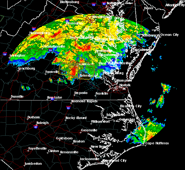 At 711 am edt, a severe thunderstorm was located over chesterfield court house, or near chester, moving east at 45 mph (radar indicated). Hazards include 60 mph wind gusts and quarter size hail. Hail damage to vehicles is expected. expect wind damage to roofs, siding, and trees. this severe thunderstorm will be near, hopewell around 720 am edt. jordans point around 730 am edt. roxbury and bottoms bridge around 735 am edt. charles city, talleysville and adkins store around 740 am edt. providence forge and ruthville around 745 am edt. new kent around 750 am edt. Other locations impacted by this severe thunderstorm include chesterfield, sandybottom, jordan point country club, orapax farms, new hope, richard bland college, colonial downs, new bohemia, wayside and roslyn hills. At 711 am edt, a severe thunderstorm was located over chesterfield court house, or near chester, moving east at 45 mph (radar indicated). Hazards include 60 mph wind gusts and quarter size hail. Hail damage to vehicles is expected. expect wind damage to roofs, siding, and trees. this severe thunderstorm will be near, hopewell around 720 am edt. jordans point around 730 am edt. roxbury and bottoms bridge around 735 am edt. charles city, talleysville and adkins store around 740 am edt. providence forge and ruthville around 745 am edt. new kent around 750 am edt. Other locations impacted by this severe thunderstorm include chesterfield, sandybottom, jordan point country club, orapax farms, new hope, richard bland college, colonial downs, new bohemia, wayside and roslyn hills.
|
| 6/23/2016 6:51 AM EDT |
 At 651 am edt, a severe thunderstorm was located over moseley, moving east at 35 mph (radar indicated). Hazards include 60 mph wind gusts and quarter size hail. Hail damage to vehicles is expected. expect wind damage to roofs, siding, and trees. this severe storm will be near, chester, chesterfield court house, bellwood and bensley around 715 am edt. other locations impacted by this severe thunderstorm include winterpock, subletts, chesterfield, genito, goodwins store, flat rock, pilkinton, skinquarter, fine creek mills and holly hills. precautionary/preparedness actions, for your protection move to an interior room on the lowest floor of a building. please send your reports of hail and or wind damage, including trees or large limbs downed, by calling noaa`s national weather service in wakefield at , 7 5 7, 8 9 9, 2 4 1 5. At 651 am edt, a severe thunderstorm was located over moseley, moving east at 35 mph (radar indicated). Hazards include 60 mph wind gusts and quarter size hail. Hail damage to vehicles is expected. expect wind damage to roofs, siding, and trees. this severe storm will be near, chester, chesterfield court house, bellwood and bensley around 715 am edt. other locations impacted by this severe thunderstorm include winterpock, subletts, chesterfield, genito, goodwins store, flat rock, pilkinton, skinquarter, fine creek mills and holly hills. precautionary/preparedness actions, for your protection move to an interior room on the lowest floor of a building. please send your reports of hail and or wind damage, including trees or large limbs downed, by calling noaa`s national weather service in wakefield at , 7 5 7, 8 9 9, 2 4 1 5.
|
| 6/23/2016 6:45 AM EDT |
 At 644 am edt, a severe thunderstorm was located near moseley, moving east at 35 mph (radar indicated). Hazards include 60 mph wind gusts and quarter size hail. Hail damage to vehicles is expected. expect wind damage to roofs, siding, and trees. this severe storm will be near, chesterfield court house around 710 am edt. chester, bellwood and bensley around 715 am edt. other locations impacted by this severe thunderstorm include winterpock, crozier, chesterfield, rodophil, michaux, jefferson, goodwins store, skinquarter, solomons store and maidens. precautionary/preparedness actions, for your protection move to an interior room on the lowest floor of a building. please send your reports of hail and or wind damage, including trees or large limbs downed, by calling noaa`s national weather service in wakefield at , 7 5 7, 8 9 9, 2 4 1 5. At 644 am edt, a severe thunderstorm was located near moseley, moving east at 35 mph (radar indicated). Hazards include 60 mph wind gusts and quarter size hail. Hail damage to vehicles is expected. expect wind damage to roofs, siding, and trees. this severe storm will be near, chesterfield court house around 710 am edt. chester, bellwood and bensley around 715 am edt. other locations impacted by this severe thunderstorm include winterpock, crozier, chesterfield, rodophil, michaux, jefferson, goodwins store, skinquarter, solomons store and maidens. precautionary/preparedness actions, for your protection move to an interior room on the lowest floor of a building. please send your reports of hail and or wind damage, including trees or large limbs downed, by calling noaa`s national weather service in wakefield at , 7 5 7, 8 9 9, 2 4 1 5.
|
| 6/23/2016 6:29 AM EDT |
 At 628 am edt, a severe thunderstorm was located near morven, or 7 miles southwest of powhatan, moving east at 35 mph (radar indicated). Hazards include 60 mph wind gusts and quarter size hail. Hail damage to vehicles is expected. expect wind damage to roofs, siding, and trees. this severe thunderstorm will be near, chula around 640 am edt. moseley around 650 am edt. chester, chesterfield court house, bellwood and bensley around 715 am edt. Other locations impacted by this severe thunderstorm include winterpock, crozier, chesterfield, rodophil, michaux, jefferson, goodwins store, maidens, ashby and irwin. At 628 am edt, a severe thunderstorm was located near morven, or 7 miles southwest of powhatan, moving east at 35 mph (radar indicated). Hazards include 60 mph wind gusts and quarter size hail. Hail damage to vehicles is expected. expect wind damage to roofs, siding, and trees. this severe thunderstorm will be near, chula around 640 am edt. moseley around 650 am edt. chester, chesterfield court house, bellwood and bensley around 715 am edt. Other locations impacted by this severe thunderstorm include winterpock, crozier, chesterfield, rodophil, michaux, jefferson, goodwins store, maidens, ashby and irwin.
|
| 6/16/2016 9:58 PM EDT |
 At 957 pm edt, severe thunderstorms were located along a line extending from near manquin to near bottoms bridge to 6 miles east of moseley, moving east at 45 mph (radar indicated). Hazards include 70 mph wind gusts and half dollar size hail. Hail damage to vehicles is expected. expect considerable tree damage. wind damage is also likely to mobile homes, roofs, and outbuildings. severe thunderstorms will be near, roxbury, tunstall and bottoms bridge around 1005 pm edt. talleysville and providence forge around 1010 pm edt. new kent around 1015 pm edt. west point and barhamsville around 1025 pm edt. toano, norge and shacklefords around 1030 pm edt. adkins store around 1035 pm edt. charles city and ruthville around 1040 pm edt. holdcroft around 1045 pm edt. Other locations impacted by these severe thunderstorms include sandybottom, mattaponi, eltham, adner, orapax farms, new hope, ark, plum point, colonial downs and cooke. At 957 pm edt, severe thunderstorms were located along a line extending from near manquin to near bottoms bridge to 6 miles east of moseley, moving east at 45 mph (radar indicated). Hazards include 70 mph wind gusts and half dollar size hail. Hail damage to vehicles is expected. expect considerable tree damage. wind damage is also likely to mobile homes, roofs, and outbuildings. severe thunderstorms will be near, roxbury, tunstall and bottoms bridge around 1005 pm edt. talleysville and providence forge around 1010 pm edt. new kent around 1015 pm edt. west point and barhamsville around 1025 pm edt. toano, norge and shacklefords around 1030 pm edt. adkins store around 1035 pm edt. charles city and ruthville around 1040 pm edt. holdcroft around 1045 pm edt. Other locations impacted by these severe thunderstorms include sandybottom, mattaponi, eltham, adner, orapax farms, new hope, ark, plum point, colonial downs and cooke.
|
| 6/16/2016 9:50 PM EDT |
 At 949 pm edt, severe thunderstorms were located along a line extending from near mangohick to near east highland park to 6 miles east of moseley, moving southeast at 180 mph (radar indicated). Hazards include 70 mph wind gusts and half dollar size hail. Hail damage to vehicles is expected. expect considerable tree damage. wind damage is also likely to mobile homes, roofs, and outbuildings. these severe thunderstorms will remain over henrico, northwestern new kent, central chesterfield and southeastern hanover counties and the city of richmond, including the following locations: richmond international, chesterfield, orapax farms, westwood, drewrys bluff, atlee, fair oaks, varina, chamberlayne and richmond heights. precautionary/preparedness actions, for your protection move to an interior room on the lowest floor of a building. prepare immediately for large hail and damaging winds. people outside should move to a shelter, inside a strong building and away from windows. please send your reports of hail and or wind damage, including trees or large limbs downed, by calling noaa`s national weather service in wakefield at , 7 5 7, 8 9 9, 2 4 1 5. Time, mot, loc 0149z 300deg 156kt 3777 7722 3752 7739 3742 7765. At 949 pm edt, severe thunderstorms were located along a line extending from near mangohick to near east highland park to 6 miles east of moseley, moving southeast at 180 mph (radar indicated). Hazards include 70 mph wind gusts and half dollar size hail. Hail damage to vehicles is expected. expect considerable tree damage. wind damage is also likely to mobile homes, roofs, and outbuildings. these severe thunderstorms will remain over henrico, northwestern new kent, central chesterfield and southeastern hanover counties and the city of richmond, including the following locations: richmond international, chesterfield, orapax farms, westwood, drewrys bluff, atlee, fair oaks, varina, chamberlayne and richmond heights. precautionary/preparedness actions, for your protection move to an interior room on the lowest floor of a building. prepare immediately for large hail and damaging winds. people outside should move to a shelter, inside a strong building and away from windows. please send your reports of hail and or wind damage, including trees or large limbs downed, by calling noaa`s national weather service in wakefield at , 7 5 7, 8 9 9, 2 4 1 5. Time, mot, loc 0149z 300deg 156kt 3777 7722 3752 7739 3742 7765.
|
| 6/16/2016 9:15 PM EDT |
 At 915 pm edt, severe thunderstorms were located along a line extending from near bumpass to goochland to near trenholm, moving southeast at 45 mph (radar indicated). Hazards include 70 mph wind gusts and half dollar size hail. Hail damage to vehicles is expected. expect considerable tree damage. wind damage is also likely to mobile homes, roofs, and outbuildings. severe thunderstorms will be near, oilville around 920 pm edt. sabot around 925 pm edt. tuckahoe, manakin and wyndham around 930 pm edt. richmond, university of richmond, bon air, lakeside and laurel around 940 pm edt. virginia commonwealth university, downtown richmond, virginia union university and east highland park around 945 pm edt. highland springs, bensley and bellwood around 950 pm edt. tunstall and chesterfield court house around 955 pm edt. chester around 1000 pm edt. Other locations impacted by these severe thunderstorms include crozier, chesterfield, michaux, jefferson, orapax farms, goodwins store, rockville, solomons store, maidens and irwin. At 915 pm edt, severe thunderstorms were located along a line extending from near bumpass to goochland to near trenholm, moving southeast at 45 mph (radar indicated). Hazards include 70 mph wind gusts and half dollar size hail. Hail damage to vehicles is expected. expect considerable tree damage. wind damage is also likely to mobile homes, roofs, and outbuildings. severe thunderstorms will be near, oilville around 920 pm edt. sabot around 925 pm edt. tuckahoe, manakin and wyndham around 930 pm edt. richmond, university of richmond, bon air, lakeside and laurel around 940 pm edt. virginia commonwealth university, downtown richmond, virginia union university and east highland park around 945 pm edt. highland springs, bensley and bellwood around 950 pm edt. tunstall and chesterfield court house around 955 pm edt. chester around 1000 pm edt. Other locations impacted by these severe thunderstorms include crozier, chesterfield, michaux, jefferson, orapax farms, goodwins store, rockville, solomons store, maidens and irwin.
|
| 2/24/2016 6:23 PM EST |
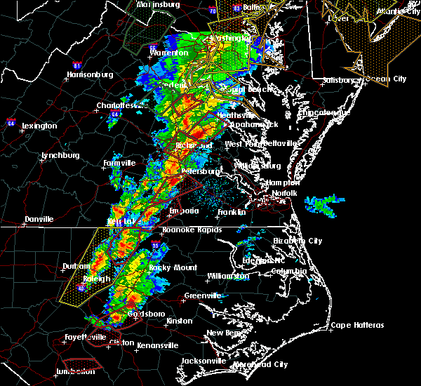 The tornado warning for southeastern hanover, north central chesterfield, and central henrico counties and the city of richmond will expire at 630 pm est, the tornadic thunderstorm which prompted the warning has moved northeast and out of the warned area. therefore the warning will be allowed to expire. The tornado warning for southeastern hanover, north central chesterfield, and central henrico counties and the city of richmond will expire at 630 pm est, the tornadic thunderstorm which prompted the warning has moved northeast and out of the warned area. therefore the warning will be allowed to expire.
|
| 2/24/2016 6:10 PM EST |
 The tornado warning for northwestern dinwiddie, chesterfield, east central nottoway and southeastern amelia counties will expire at 615 pm est, the tornadic thunderstorm which prompted the warning has moved out of the warned area. therefore the warning will be allowed to expire. The tornado warning for northwestern dinwiddie, chesterfield, east central nottoway and southeastern amelia counties will expire at 615 pm est, the tornadic thunderstorm which prompted the warning has moved out of the warned area. therefore the warning will be allowed to expire.
|
| 2/24/2016 5:52 PM EST |
 At 552 pm est, doppler radar indicated a tornado. this dangerous storm was located near chesterfield court house, or 8 miles west of chester, and moving northeast at 50 mph. * this dangerous storm will be near, bon air, bensley and bellwood around 605 pm est. downtown richmond, virginia commonwealth university and university of richmond around 610 pm est. richmond, highland springs and virginia union university around 615 pm est. mechanicsville and east highland park around 620 pm est. studley around 625 pm est. other locations impacted by this tornadic thunderstorm include richmond international, greendale, ashcake, solomons store, dumbarton, westwood, roslyn hills, hanover airport, atlee and fair oaks. At 552 pm est, doppler radar indicated a tornado. this dangerous storm was located near chesterfield court house, or 8 miles west of chester, and moving northeast at 50 mph. * this dangerous storm will be near, bon air, bensley and bellwood around 605 pm est. downtown richmond, virginia commonwealth university and university of richmond around 610 pm est. richmond, highland springs and virginia union university around 615 pm est. mechanicsville and east highland park around 620 pm est. studley around 625 pm est. other locations impacted by this tornadic thunderstorm include richmond international, greendale, ashcake, solomons store, dumbarton, westwood, roslyn hills, hanover airport, atlee and fair oaks.
|
| 2/24/2016 5:34 PM EST |
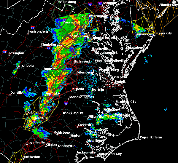 At 533 pm est, doppler radar indicated a tornado. this dangerous storm was located near wilsons, or 7 miles south of mannboro, and moving northeast at 45 mph. * this dangerous storm will be near, sutherland around 545 pm est. chester and chesterfield court house around 605 pm est. bensley and bellwood around 610 pm est. bon air around 615 pm est. other locations impacted by this tornadic thunderstorm include winterpock, wellville, chesterfield, hebron, ford, church road, ammon, drewrys bluff, darvills and walkers. At 533 pm est, doppler radar indicated a tornado. this dangerous storm was located near wilsons, or 7 miles south of mannboro, and moving northeast at 45 mph. * this dangerous storm will be near, sutherland around 545 pm est. chester and chesterfield court house around 605 pm est. bensley and bellwood around 610 pm est. bon air around 615 pm est. other locations impacted by this tornadic thunderstorm include winterpock, wellville, chesterfield, hebron, ford, church road, ammon, drewrys bluff, darvills and walkers.
|
| 6/25/2015 10:30 PM EDT | Quarter sized hail reported 3.9 miles NNE of Meadowbrook, VA, trees and power lines down on old hundred road from previous line of storms |
| 6/25/2015 10:28 PM EDT |
 At 1027 pm edt, doppler radar indicated a line of severe thunderstorms capable of producing quarter size hail and damaging winds in excess of 65 mph. these storms were located along a line extending from east highland park to fort lee to near sutherland, and moving southeast at 35 mph. * severe thunderstorms will be near, petersburg, hopewell, fort lee, prince george and jordans point around 1030 pm edt. disputanta and garysville around 1040 pm edt. bottoms bridge around 1045 pm edt. roxbury and burrowsville around 1050 pm edt. cabin point around 1055 pm edt. claremont, providence forge and adkins store around 1100 pm edt. charles city and ruthville around 1105 pm edt. waverly, dendron and elberon around 1110 pm edt. other locations impacted by these severe thunderstorms include addison, sandybottom, orapax farms, new hope, richard bland college, prince george golf, roaches corner, richmond heights, barnetts and diascund. At 1027 pm edt, doppler radar indicated a line of severe thunderstorms capable of producing quarter size hail and damaging winds in excess of 65 mph. these storms were located along a line extending from east highland park to fort lee to near sutherland, and moving southeast at 35 mph. * severe thunderstorms will be near, petersburg, hopewell, fort lee, prince george and jordans point around 1030 pm edt. disputanta and garysville around 1040 pm edt. bottoms bridge around 1045 pm edt. roxbury and burrowsville around 1050 pm edt. cabin point around 1055 pm edt. claremont, providence forge and adkins store around 1100 pm edt. charles city and ruthville around 1105 pm edt. waverly, dendron and elberon around 1110 pm edt. other locations impacted by these severe thunderstorms include addison, sandybottom, orapax farms, new hope, richard bland college, prince george golf, roaches corner, richmond heights, barnetts and diascund.
|
| 6/25/2015 9:41 PM EDT |
 At 940 pm edt, doppler radar indicated a severe thunderstorm capable of producing quarter size hail and destructive winds in excess of 70 mph. this storm was located near bon air, and moving southeast at 35 mph. * this severe thunderstorm will be near, downtown richmond and chesterfield court house around 945 pm edt. bellwood and bensley around 950 pm edt. chester around 955 pm edt. hopewell, colonial heights, fort lee and ettrick around 1005 pm edt. petersburg around 1010 pm edt. prince george and jordans point around 1015 pm edt. charles city and garysville around 1025 pm edt. burrowsville around 1030 pm edt. other locations impacted by this severe thunderstorm include addison, hebron, orapax farms, goodwins store, richard bland college, maidens, irwin, roslyn hills, atlee and richmond heights. At 940 pm edt, doppler radar indicated a severe thunderstorm capable of producing quarter size hail and destructive winds in excess of 70 mph. this storm was located near bon air, and moving southeast at 35 mph. * this severe thunderstorm will be near, downtown richmond and chesterfield court house around 945 pm edt. bellwood and bensley around 950 pm edt. chester around 955 pm edt. hopewell, colonial heights, fort lee and ettrick around 1005 pm edt. petersburg around 1010 pm edt. prince george and jordans point around 1015 pm edt. charles city and garysville around 1025 pm edt. burrowsville around 1030 pm edt. other locations impacted by this severe thunderstorm include addison, hebron, orapax farms, goodwins store, richard bland college, maidens, irwin, roslyn hills, atlee and richmond heights.
|
| 6/25/2015 9:33 PM EDT |
 At 932 pm edt, doppler radar indicated a severe thunderstorm capable of producing large hail up to ping pong ball size and destructive winds in excess of 70 mph. this storm was located near bon air, moving southeast at 35 mph. this severe storm will be near, bon air and university of richmond around 940 pm edt. downtown richmond, virginia commonwealth university and chesterfield court house around 950 pm edt. bensley around 955 pm edt. chester and bellwood around 1000 pm edt. other locations impacted by this severe thunderstorm include winterpock, crozier, dixie, chesterfield, jefferson, michaux, goodwins store, stage junction, maidens and ashby. At 932 pm edt, doppler radar indicated a severe thunderstorm capable of producing large hail up to ping pong ball size and destructive winds in excess of 70 mph. this storm was located near bon air, moving southeast at 35 mph. this severe storm will be near, bon air and university of richmond around 940 pm edt. downtown richmond, virginia commonwealth university and chesterfield court house around 950 pm edt. bensley around 955 pm edt. chester and bellwood around 1000 pm edt. other locations impacted by this severe thunderstorm include winterpock, crozier, dixie, chesterfield, jefferson, michaux, goodwins store, stage junction, maidens and ashby.
|
| 6/25/2015 9:14 PM EDT |
 At 913 pm edt, doppler radar indicated a severe thunderstorm capable of producing large hail up to ping pong ball size and destructive winds in excess of 70 mph. this storm was located near sabot, or near goochland, and moving east at 30 mph. * this severe thunderstorm will be near, sabot around 920 pm edt. manakin around 925 pm edt. tuckahoe and wyndham around 930 pm edt. university of richmond, bon air and laurel around 945 pm edt. richmond and lakeside around 950 pm edt. virginia commonwealth university, virginia union university, downtown richmond, mechanicsville and east highland park around 955 pm edt. highland springs, bensley and bellwood around 1000 pm edt. other locations impacted by this severe thunderstorm include winterpock, crozier, dixie, chesterfield, jefferson, michaux, goodwins store, stage junction, maidens and ashby. At 913 pm edt, doppler radar indicated a severe thunderstorm capable of producing large hail up to ping pong ball size and destructive winds in excess of 70 mph. this storm was located near sabot, or near goochland, and moving east at 30 mph. * this severe thunderstorm will be near, sabot around 920 pm edt. manakin around 925 pm edt. tuckahoe and wyndham around 930 pm edt. university of richmond, bon air and laurel around 945 pm edt. richmond and lakeside around 950 pm edt. virginia commonwealth university, virginia union university, downtown richmond, mechanicsville and east highland park around 955 pm edt. highland springs, bensley and bellwood around 1000 pm edt. other locations impacted by this severe thunderstorm include winterpock, crozier, dixie, chesterfield, jefferson, michaux, goodwins store, stage junction, maidens and ashby.
|
| 6/25/2015 7:45 PM EDT | Tree downed onto a power line along old hundred road va-10 in chesterfield in chesterfield county VA, 3.9 miles NNE of Meadowbrook, VA |
| 6/25/2015 7:14 PM EDT |
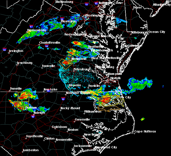 At 714 pm edt, doppler radar indicated a line of severe thunderstorms capable of producing half dollar size hail and damaging winds in excess of 60 mph. these storms were located along a line extending from near bon air to 6 miles northeast of moseley to 6 miles west of chesterfield court house, and moving southeast at 20 mph. * severe thunderstorms will be near, bensley around 730 pm edt. chester, chesterfield court house and bellwood around 740 pm edt. colonial heights, ettrick and matoaca around 755 pm edt. petersburg, hopewell, virginia state university and fort lee around 800 pm edt. other locations impacted by these severe thunderstorms include drewrys bluff, chesterfield, varina, beach, meadowville, richmond heights, midlothian, pocahontas state park, petersburg national battlefield and centralia. At 714 pm edt, doppler radar indicated a line of severe thunderstorms capable of producing half dollar size hail and damaging winds in excess of 60 mph. these storms were located along a line extending from near bon air to 6 miles northeast of moseley to 6 miles west of chesterfield court house, and moving southeast at 20 mph. * severe thunderstorms will be near, bensley around 730 pm edt. chester, chesterfield court house and bellwood around 740 pm edt. colonial heights, ettrick and matoaca around 755 pm edt. petersburg, hopewell, virginia state university and fort lee around 800 pm edt. other locations impacted by these severe thunderstorms include drewrys bluff, chesterfield, varina, beach, meadowville, richmond heights, midlothian, pocahontas state park, petersburg national battlefield and centralia.
|
| 6/25/2015 6:45 PM EDT |
 At 644 pm edt, doppler radar indicated a severe thunderstorm capable of producing large damaging hail up to golf ball size and damaging winds in excess of 60 mph. this storm was located near moseley, moving southeast at 30 mph. this severe storm will be near, chesterfield court house around 705 pm edt. bellwood and bensley around 710 pm edt. other locations impacted by this severe thunderstorm include holly hills, winterpock, drewrys bluff, subletts, chesterfield, beach, midlothian, flat rock and pocahontas state park. At 644 pm edt, doppler radar indicated a severe thunderstorm capable of producing large damaging hail up to golf ball size and damaging winds in excess of 60 mph. this storm was located near moseley, moving southeast at 30 mph. this severe storm will be near, chesterfield court house around 705 pm edt. bellwood and bensley around 710 pm edt. other locations impacted by this severe thunderstorm include holly hills, winterpock, drewrys bluff, subletts, chesterfield, beach, midlothian, flat rock and pocahontas state park.
|
| 6/25/2015 6:29 PM EDT |
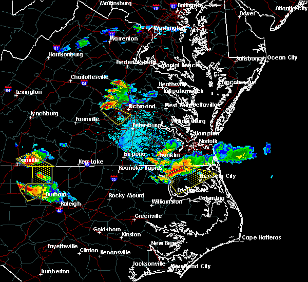 At 629 pm edt, doppler radar indicated a severe thunderstorm capable of producing large damaging hail up to golf ball size and damaging winds in excess of 60 mph. this storm was located near powhatan, and moving southeast at 30 mph. * this severe thunderstorm will be near, moseley around 645 pm edt. chesterfield court house around 705 pm edt. bellwood and bensley around 710 pm edt. other locations impacted by this severe thunderstorm include winterpock, subletts, chesterfield, genito, goodwins store, flat rock, skinquarter, fine creek mills, holly hills and drewrys bluff. At 629 pm edt, doppler radar indicated a severe thunderstorm capable of producing large damaging hail up to golf ball size and damaging winds in excess of 60 mph. this storm was located near powhatan, and moving southeast at 30 mph. * this severe thunderstorm will be near, moseley around 645 pm edt. chesterfield court house around 705 pm edt. bellwood and bensley around 710 pm edt. other locations impacted by this severe thunderstorm include winterpock, subletts, chesterfield, genito, goodwins store, flat rock, skinquarter, fine creek mills, holly hills and drewrys bluff.
|
| 6/20/2015 9:27 PM EDT |
 At 926 pm edt, doppler radar indicated a line of severe thunderstorms capable of producing quarter size hail and damaging winds in excess of 60 mph. these storms were located along a line extending from near oilville to chester to emporia, and moving east at 40 mph. * severe thunderstorms will be near, petersburg, hopewell, colonial heights, fort lee, chester, virginia state university, ettrick, bellwood and matoaca around 930 pm edt. montpelier and wyndham around 935 pm edt. jordans point around 940 pm edt. roxbury, randolph macon college and bottoms bridge around 945 pm edt. charles city, ashland, talleysville, providence forge, kings dominion, adkins store and ruthville around 950 pm edt. courtland, hanover, dawn and holdcroft around 955 pm edt. new kent, sedley and mangohick around 1000 pm edt. barhamsville and beulahville around 1005 pm edt. At 926 pm edt, doppler radar indicated a line of severe thunderstorms capable of producing quarter size hail and damaging winds in excess of 60 mph. these storms were located along a line extending from near oilville to chester to emporia, and moving east at 40 mph. * severe thunderstorms will be near, petersburg, hopewell, colonial heights, fort lee, chester, virginia state university, ettrick, bellwood and matoaca around 930 pm edt. montpelier and wyndham around 935 pm edt. jordans point around 940 pm edt. roxbury, randolph macon college and bottoms bridge around 945 pm edt. charles city, ashland, talleysville, providence forge, kings dominion, adkins store and ruthville around 950 pm edt. courtland, hanover, dawn and holdcroft around 955 pm edt. new kent, sedley and mangohick around 1000 pm edt. barhamsville and beulahville around 1005 pm edt.
|
| 6/20/2015 8:24 PM EDT |
 At 823 pm edt, doppler radar indicated a line of severe thunderstorms capable of producing damaging winds in excess of 60 mph. these storms were located along a line extending from 14 miles northwest of spotsylvania to 6 miles southeast of ladysmith to near chesterfield court house, moving northeast at 50 mph. these severe storms will be near, bowling green and milford around 835 pm edt. highland springs and fort a.p. hill around 840 pm edt. bottoms bridge around 845 pm edt. talleysville, port royal and loretto around 850 pm edt. tunstall around 855 pm edt. other locations impacted by these severe thunderstorms include supply, chesterfield, elevon, hustle, turpin, orapax farms, woodford, epworth, sparta and burruss corner. At 823 pm edt, doppler radar indicated a line of severe thunderstorms capable of producing damaging winds in excess of 60 mph. these storms were located along a line extending from 14 miles northwest of spotsylvania to 6 miles southeast of ladysmith to near chesterfield court house, moving northeast at 50 mph. these severe storms will be near, bowling green and milford around 835 pm edt. highland springs and fort a.p. hill around 840 pm edt. bottoms bridge around 845 pm edt. talleysville, port royal and loretto around 850 pm edt. tunstall around 855 pm edt. other locations impacted by these severe thunderstorms include supply, chesterfield, elevon, hustle, turpin, orapax farms, woodford, epworth, sparta and burruss corner.
|
| 6/20/2015 8:09 PM EDT |
 At 808 pm edt, doppler radar indicated a line of severe thunderstorms capable of producing damaging winds in excess of 60 mph. these storms were located along a line extending from 8 miles east of orange to near montpelier to 7 miles northwest of sutherland, and moving northeast at 50 mph. * severe thunderstorms will be near, ashland around 815 pm edt. kings dominion around 820 pm edt. chester and ladysmith around 825 pm edt. milford, bellwood and bensley around 830 pm edt. bowling green around 835 pm edt. highland springs and fort a.p. hill around 840 pm edt. bottoms bridge around 845 pm edt. talleysville, port royal, tunstall and loretto around 850 pm edt. other locations impacted by these severe thunderstorms include supply, elevon, hustle, orapax farms, epworth, sparta, maidens, burruss corner, irwin and roslyn hills. At 808 pm edt, doppler radar indicated a line of severe thunderstorms capable of producing damaging winds in excess of 60 mph. these storms were located along a line extending from 8 miles east of orange to near montpelier to 7 miles northwest of sutherland, and moving northeast at 50 mph. * severe thunderstorms will be near, ashland around 815 pm edt. kings dominion around 820 pm edt. chester and ladysmith around 825 pm edt. milford, bellwood and bensley around 830 pm edt. bowling green around 835 pm edt. highland springs and fort a.p. hill around 840 pm edt. bottoms bridge around 845 pm edt. talleysville, port royal, tunstall and loretto around 850 pm edt. other locations impacted by these severe thunderstorms include supply, elevon, hustle, orapax farms, epworth, sparta, maidens, burruss corner, irwin and roslyn hills.
|
| 9/28/2012 4:55 PM EDT | Numerous trees reported down across chesterfiel in chesterfield county VA, 3.9 miles NNE of Meadowbrook, VA |
| 9/28/2012 4:45 PM EDT | Chesterfield airport in chesterfield county VA, 2.6 miles NE of Meadowbrook, VA |
| 1/1/0001 12:00 AM | Quarter sized hail reported 3.9 miles NNE of Meadowbrook, VA, 1 inch hail reported at the chesterfield county airport |
| 1/1/0001 12:00 AM | Numerous large trees down vicinity of nash road the highlands in chesterfield county VA, 3.9 miles NNE of Meadowbrook, VA |
| 1/1/0001 12:00 AM | Numerous large trees down vicinity of nash road the highlands in chesterfield county VA, 3.9 miles NNE of Meadowbrook, VA |
| 1/1/0001 12:00 AM | Large tree down vicinity of nash and beach road in chesterfield county VA, 3.9 miles NNE of Meadowbrook, VA |
| 1/1/0001 12:00 AM | Quarter sized hail reported 4.4 miles NE of Meadowbrook, VA, on courthouse road |
Hail Maps for Meadowbrook, VA
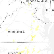
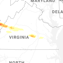


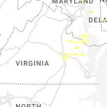


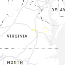


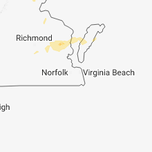


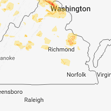


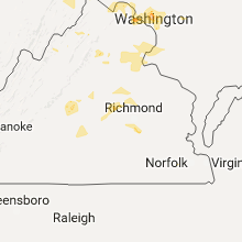


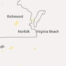


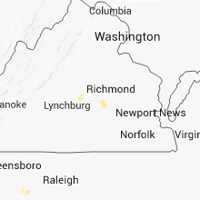
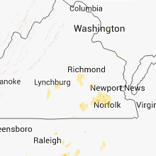
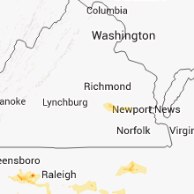

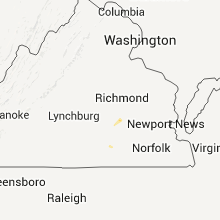


Connect with Interactive Hail Maps